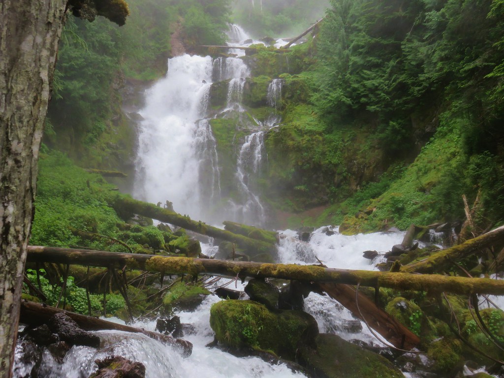
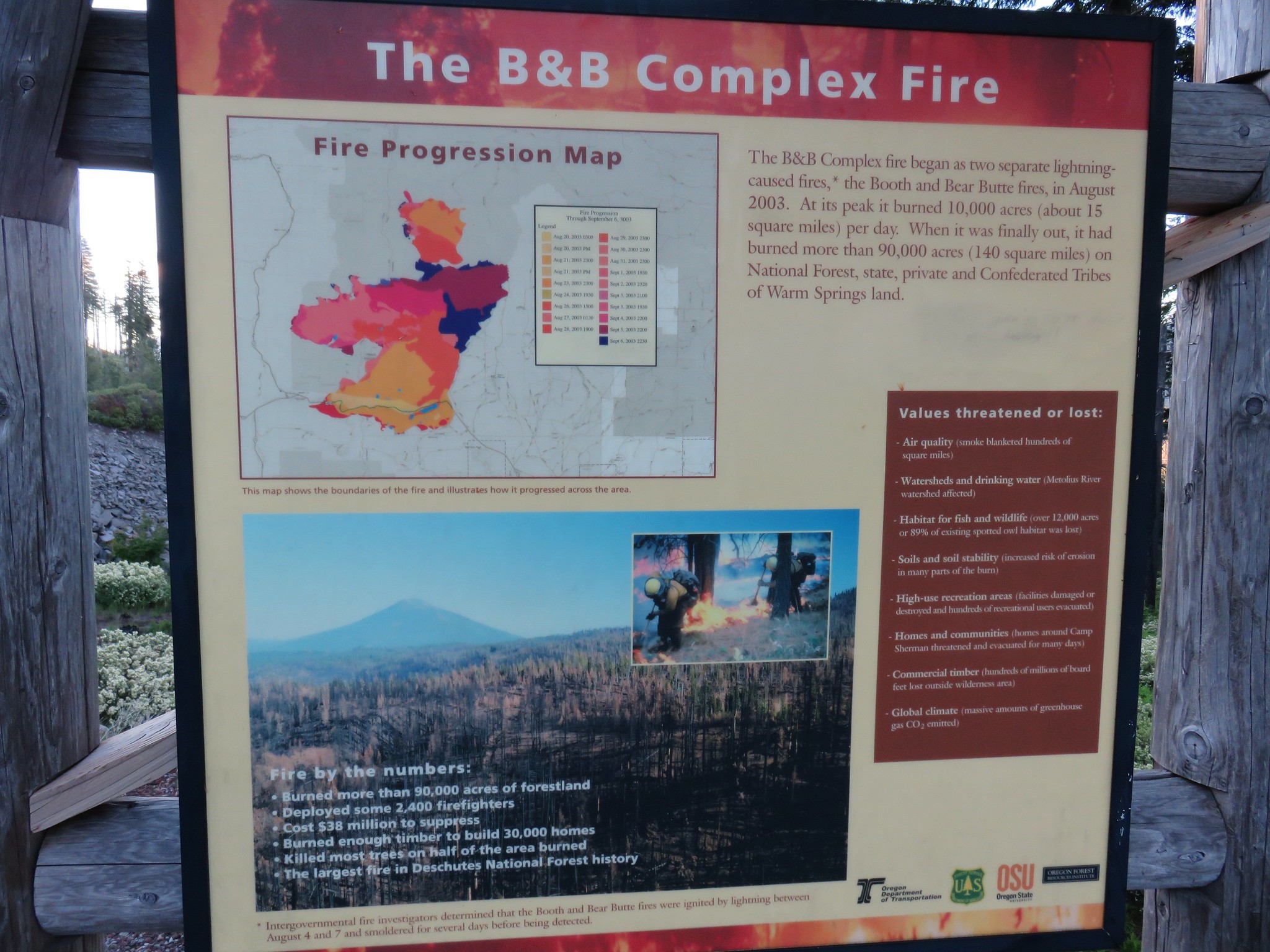
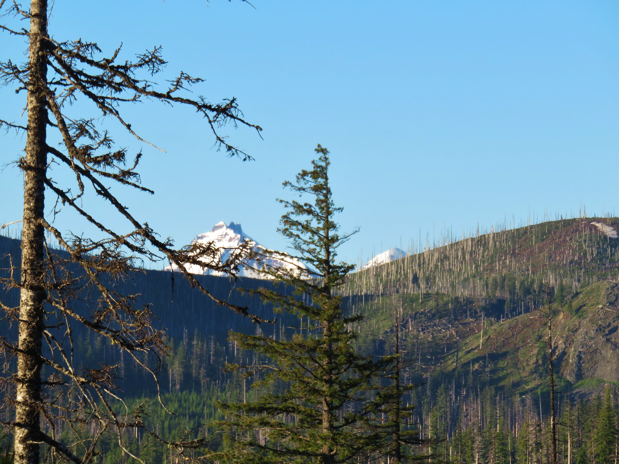
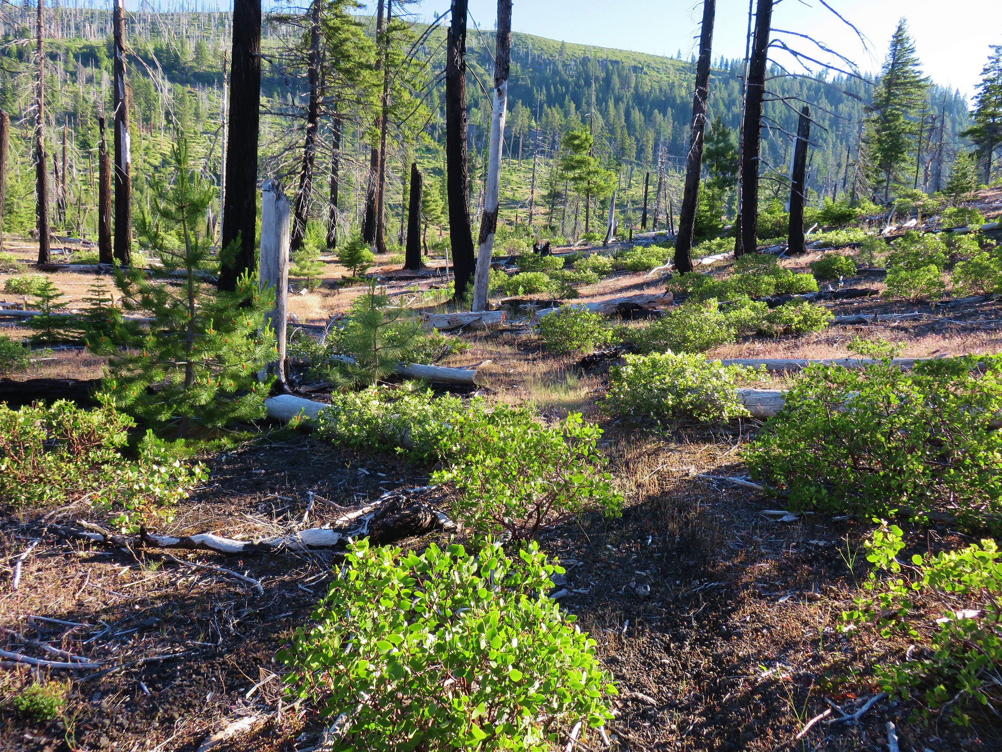
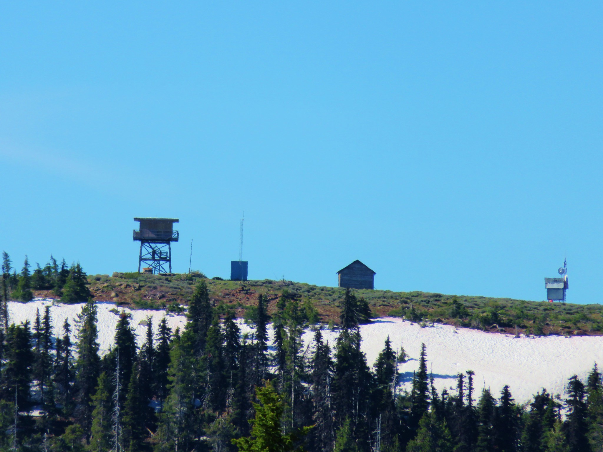
**Note the 2021 Bull Complex burned around Hawk Mountain, but the lookout survived.**
For the second outing in a row we turned to Matt Reeder’s “101 hikes in the Majestic Mount Jefferson Region” as our guide. A number of the hikes in this book are lesser known and therefor less popular which means fewer people and most likely more challenging due to spoty trail maintenance.
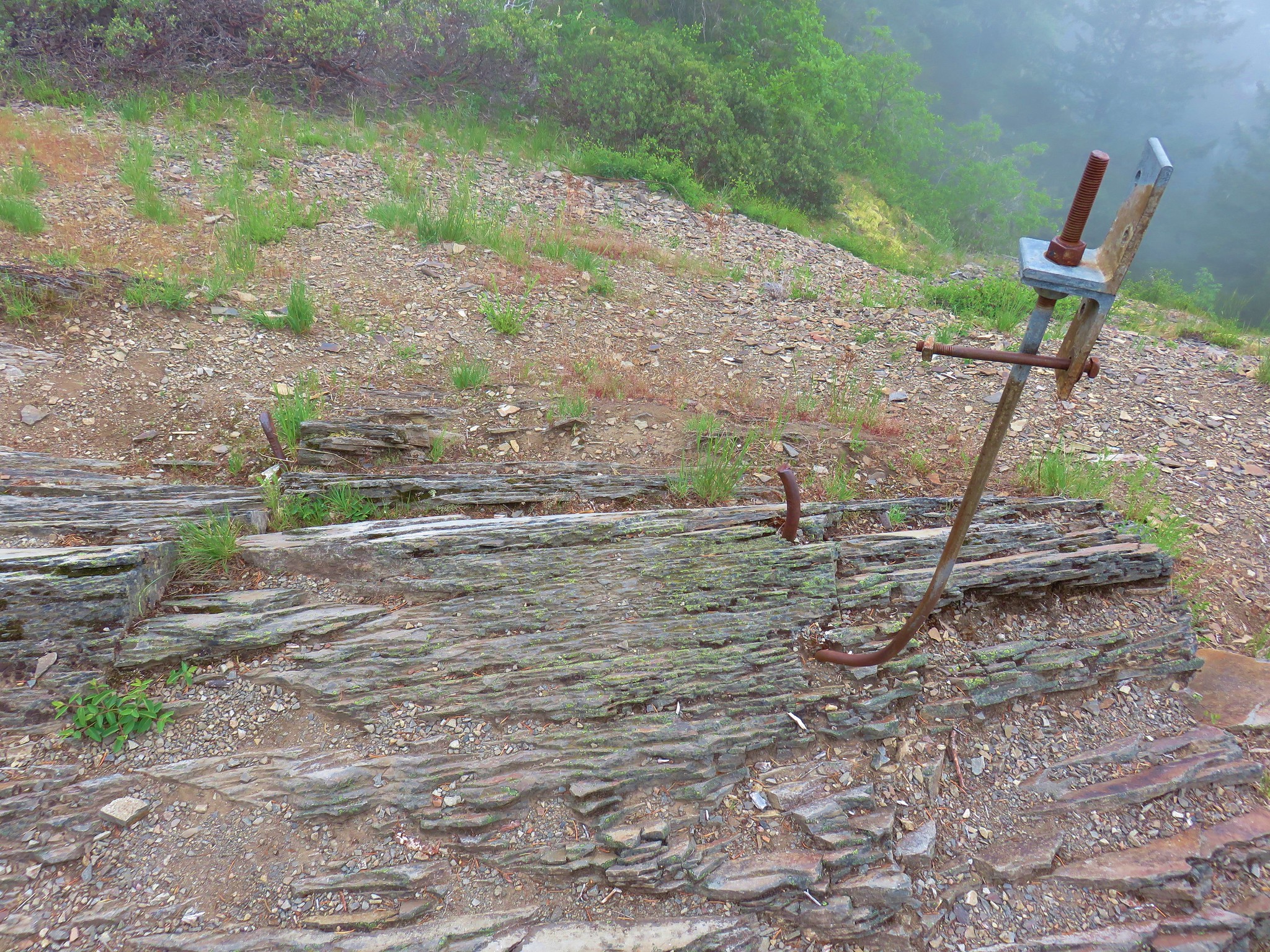
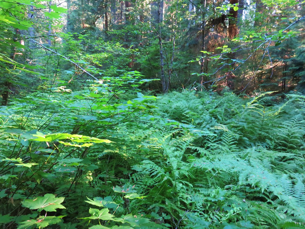
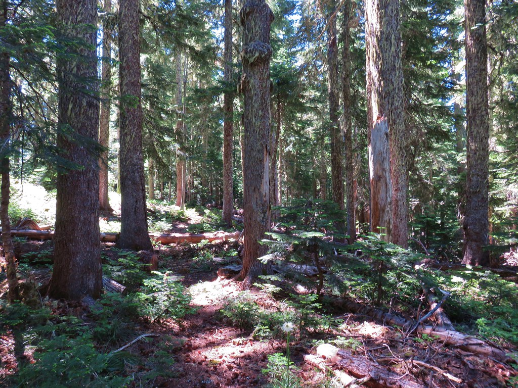
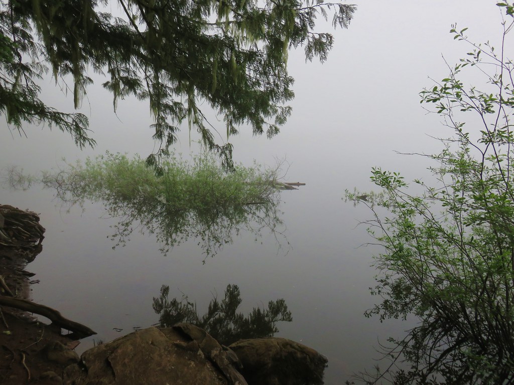
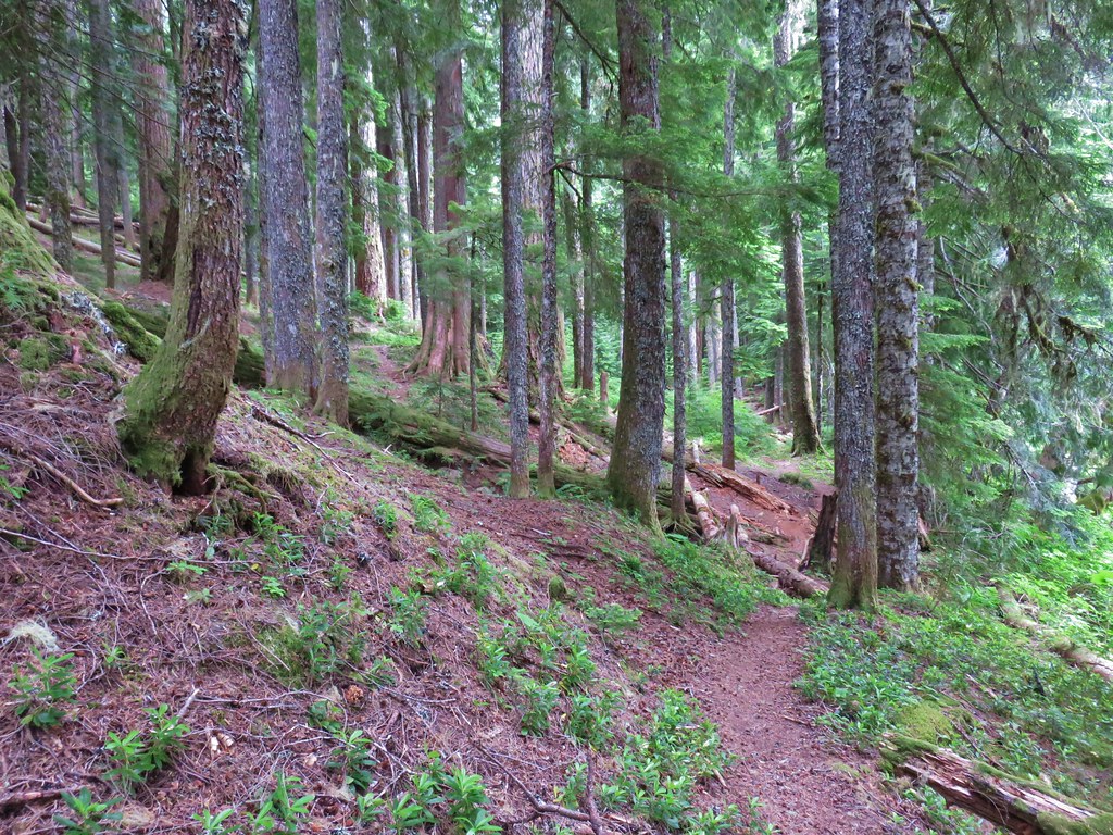
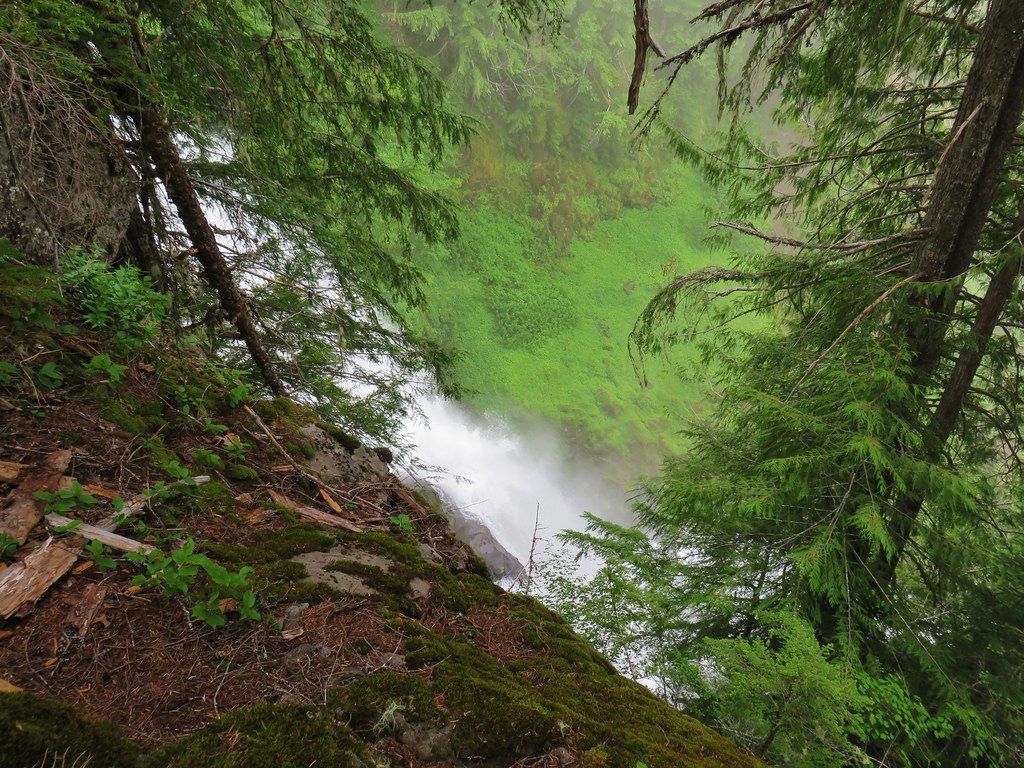
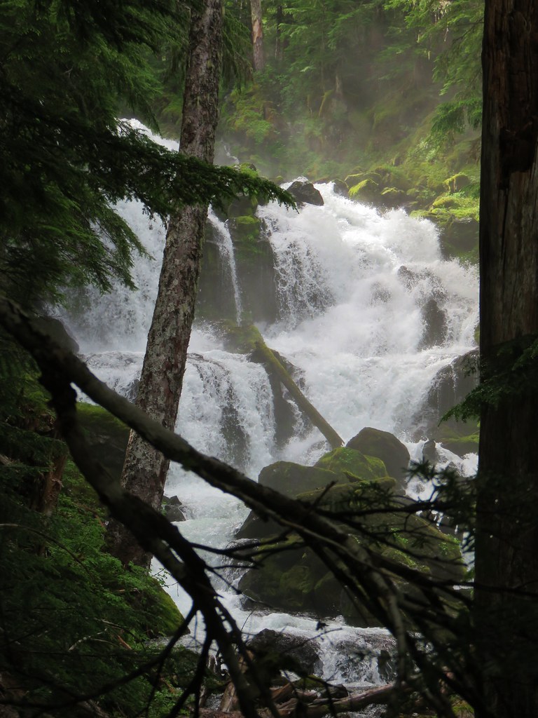
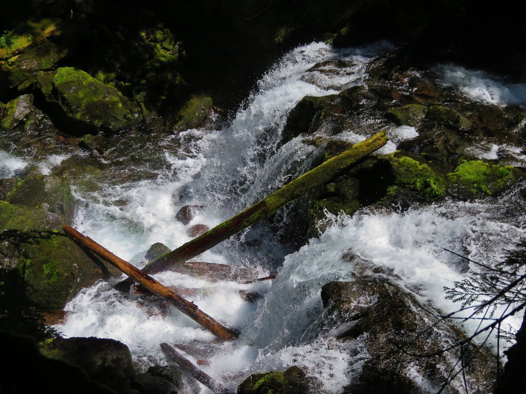
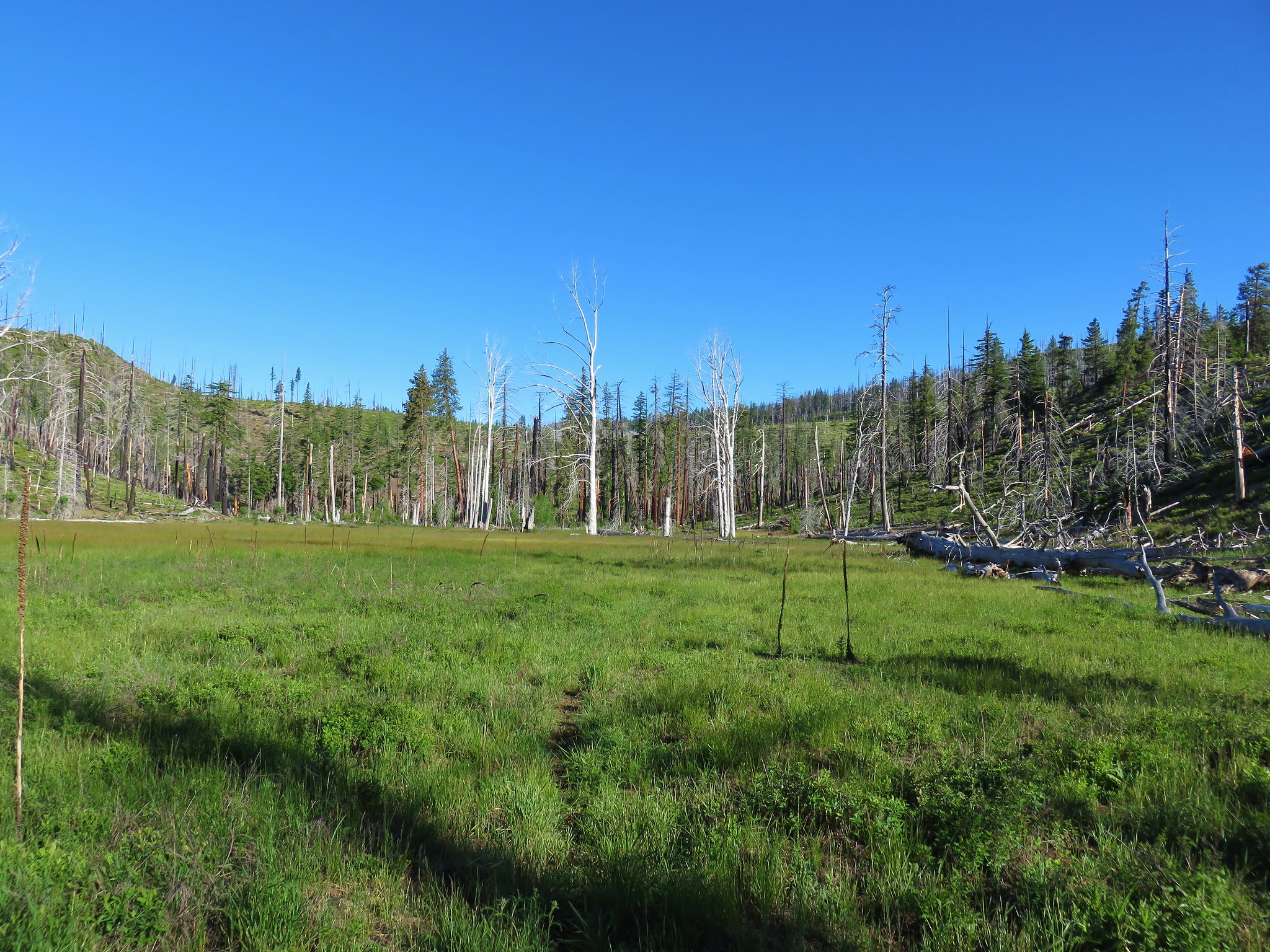
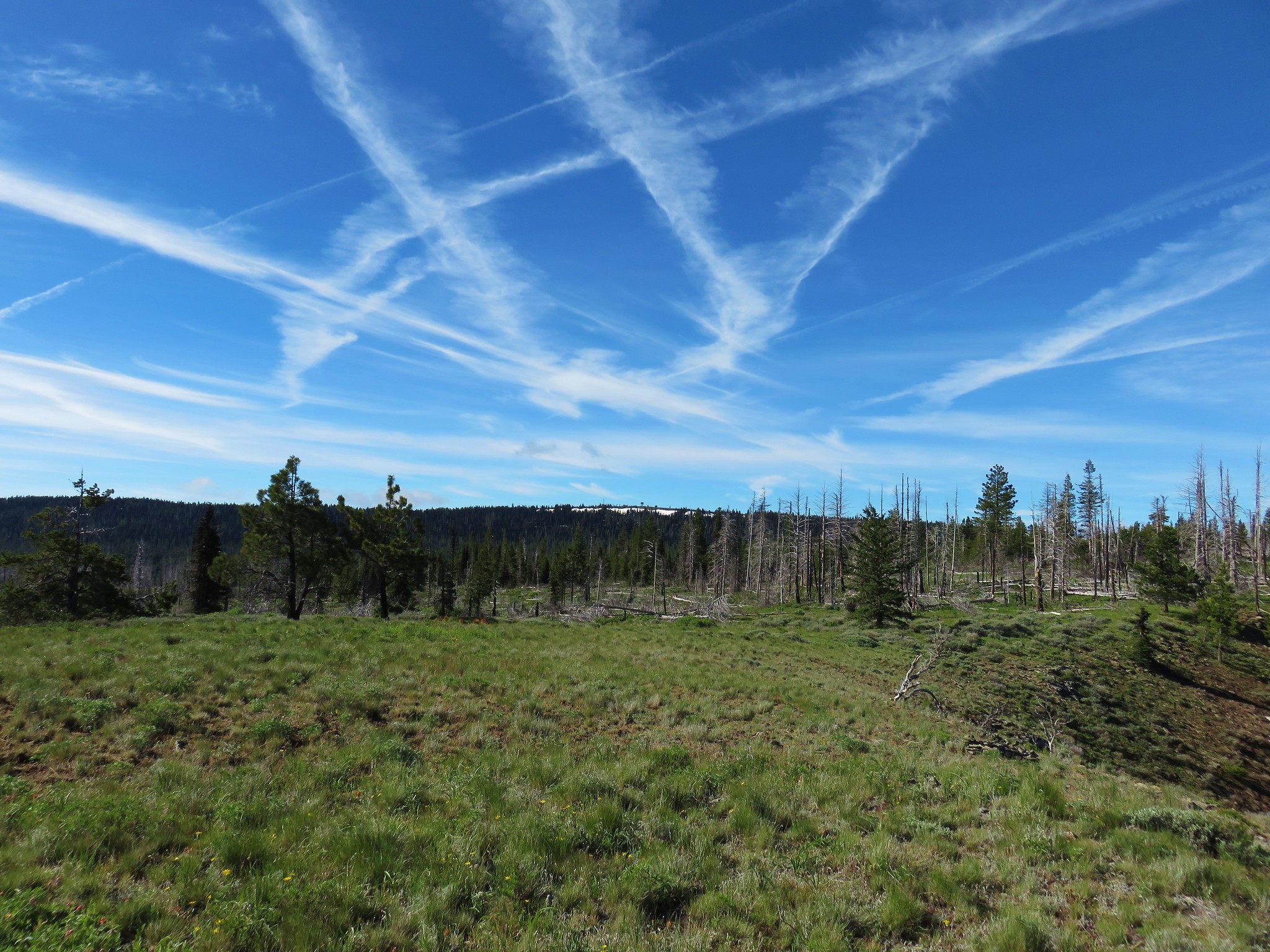
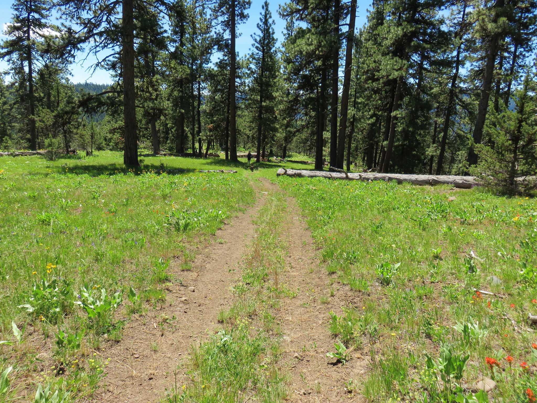
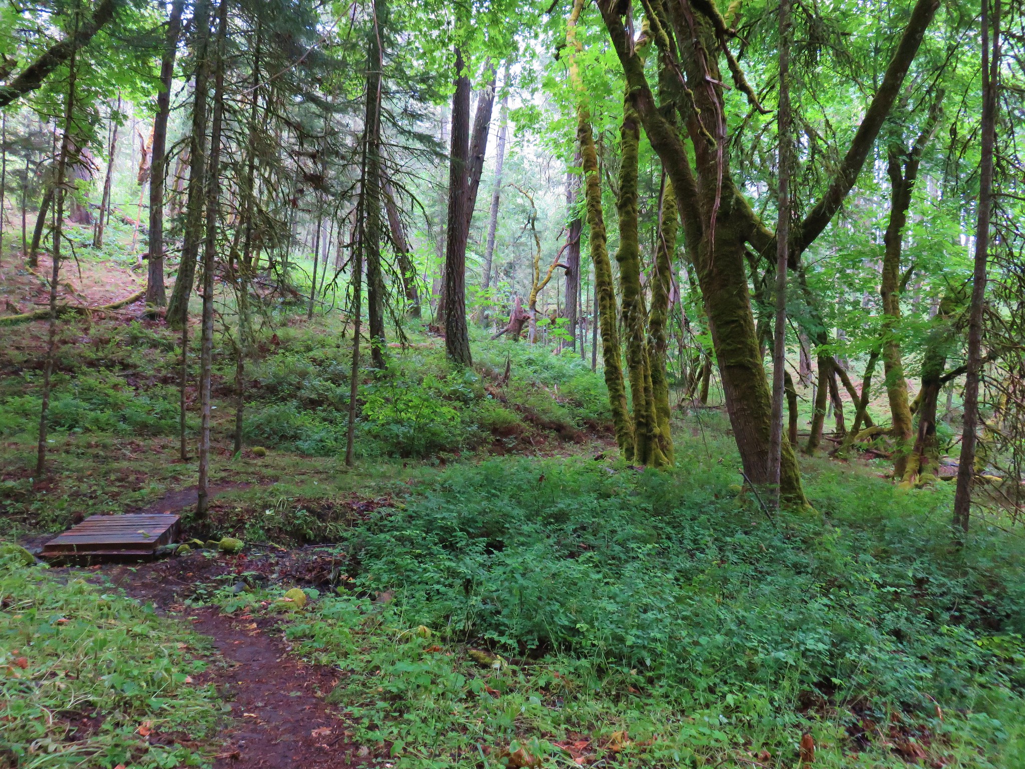
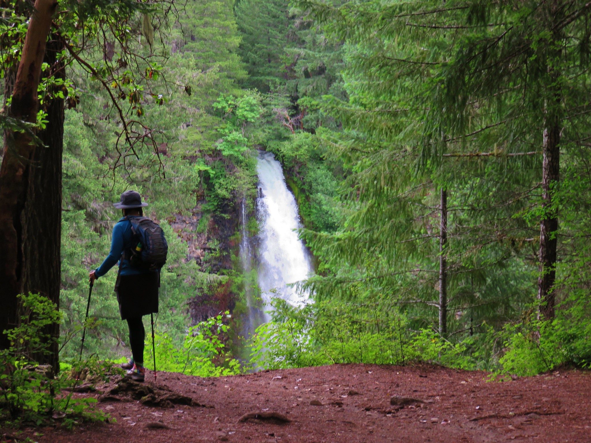
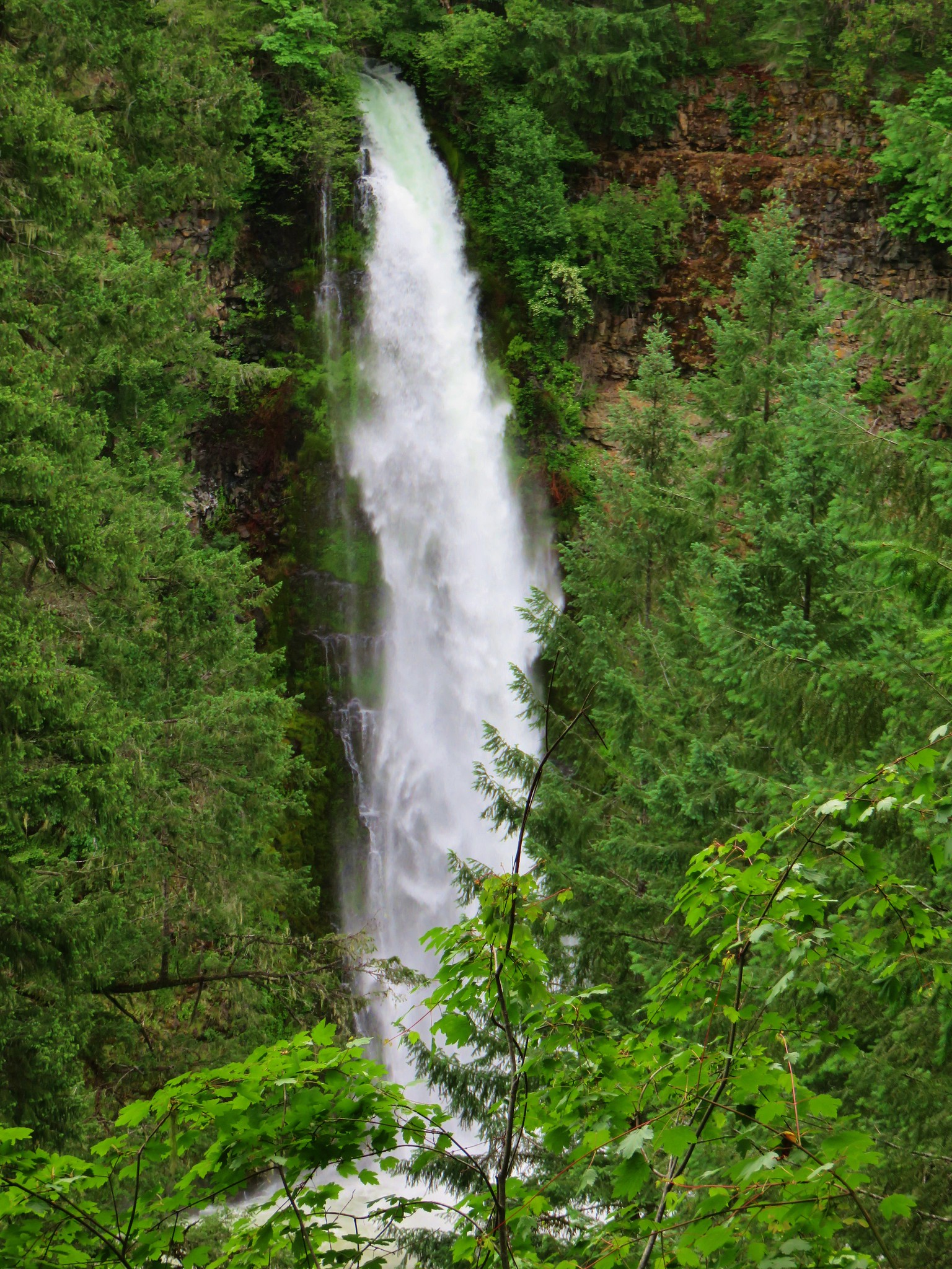
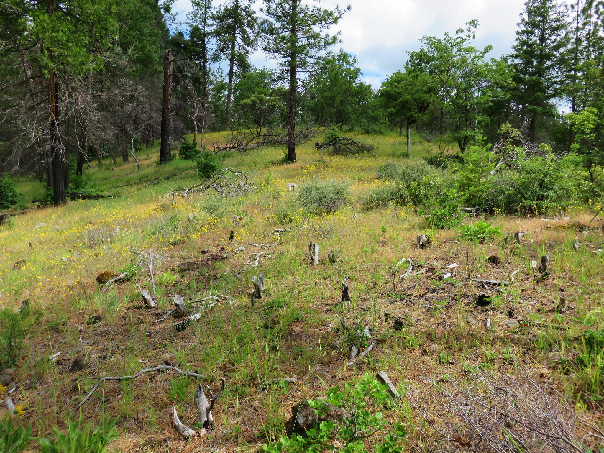
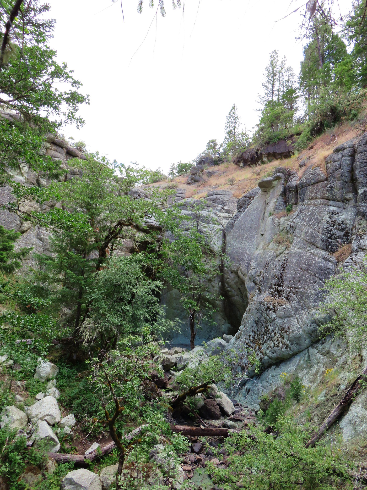
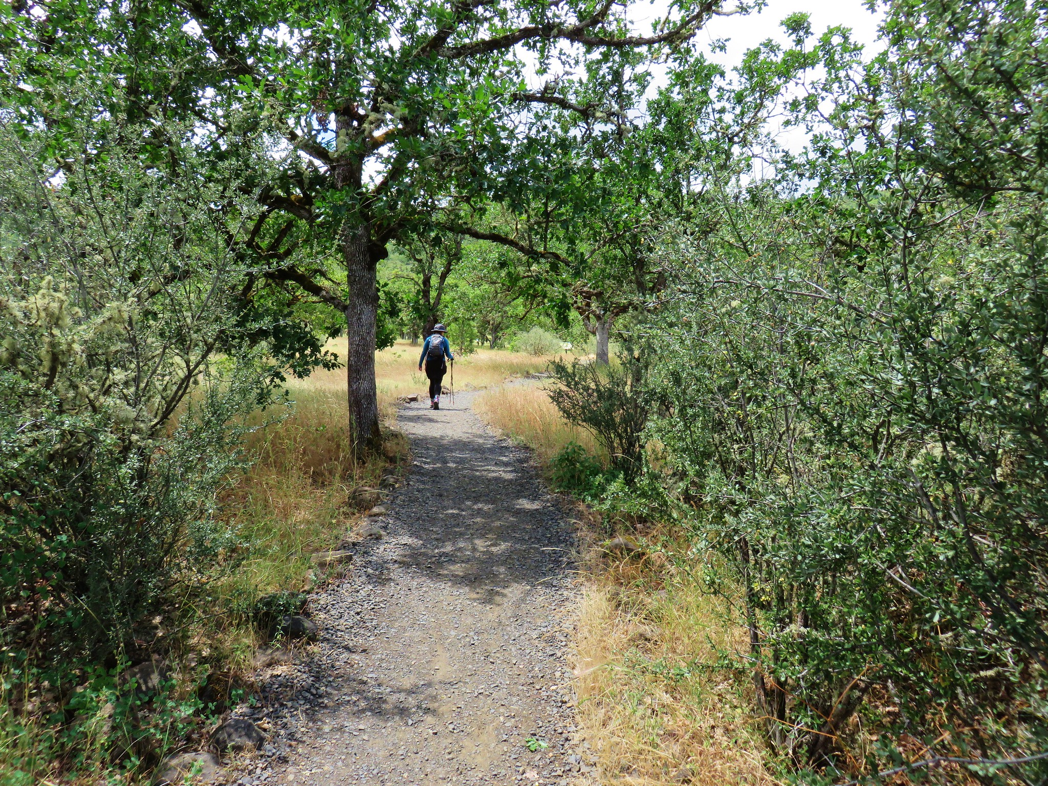
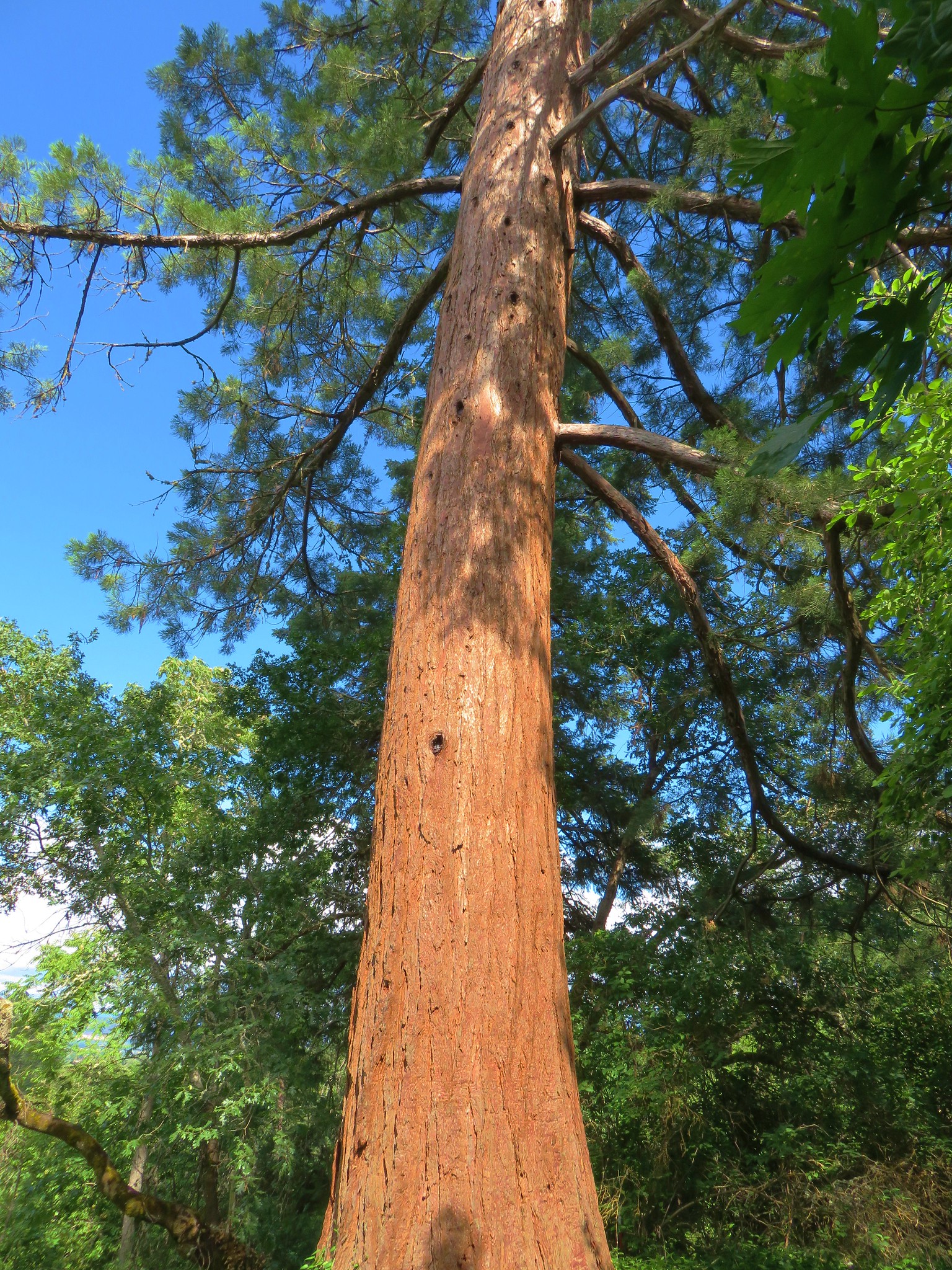
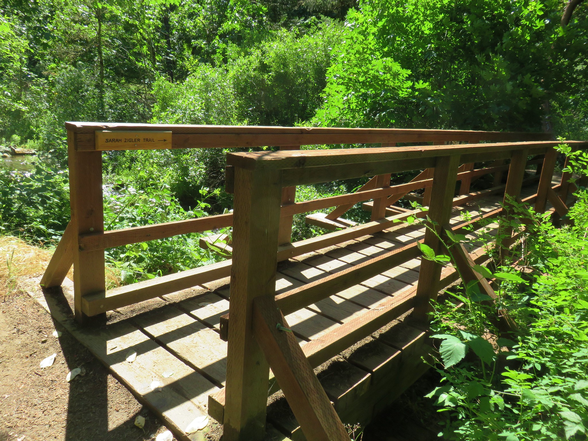
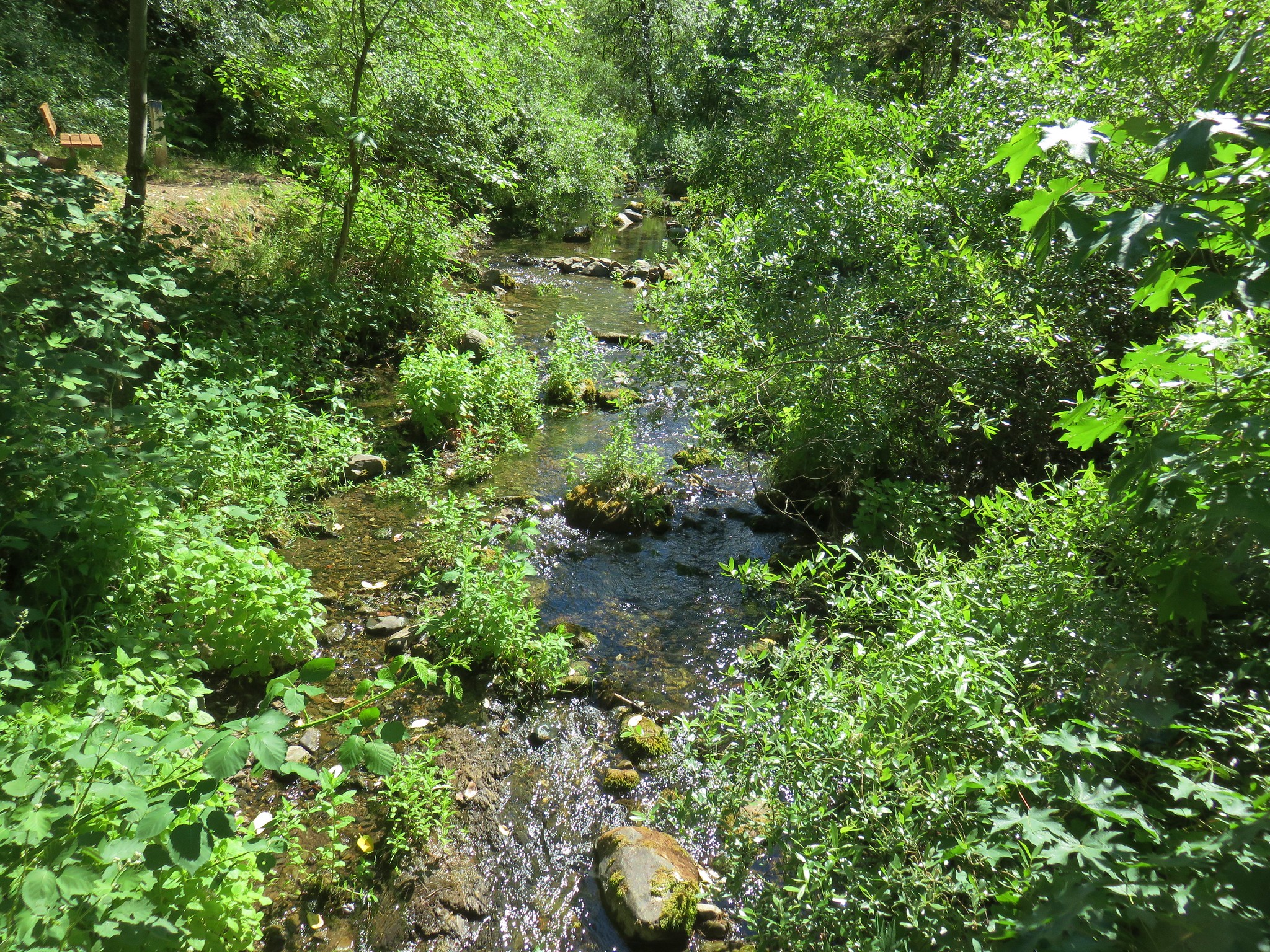
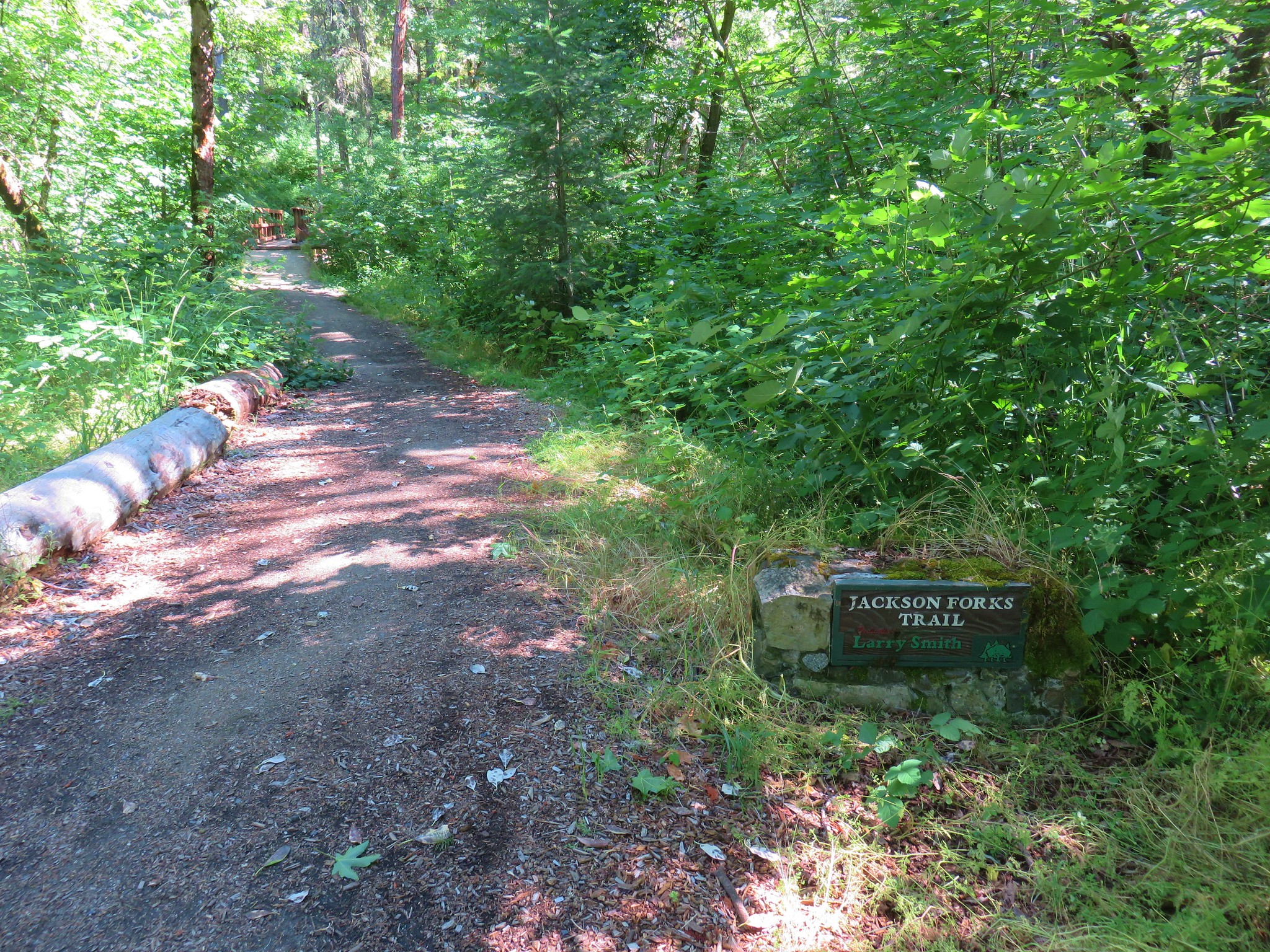
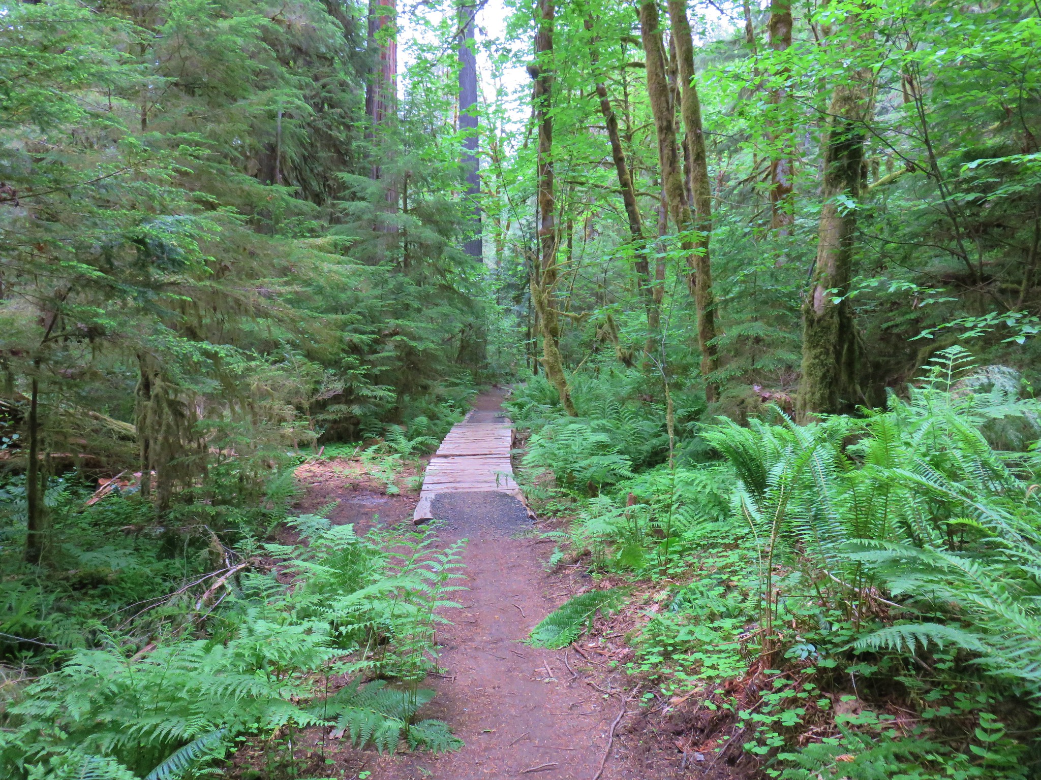
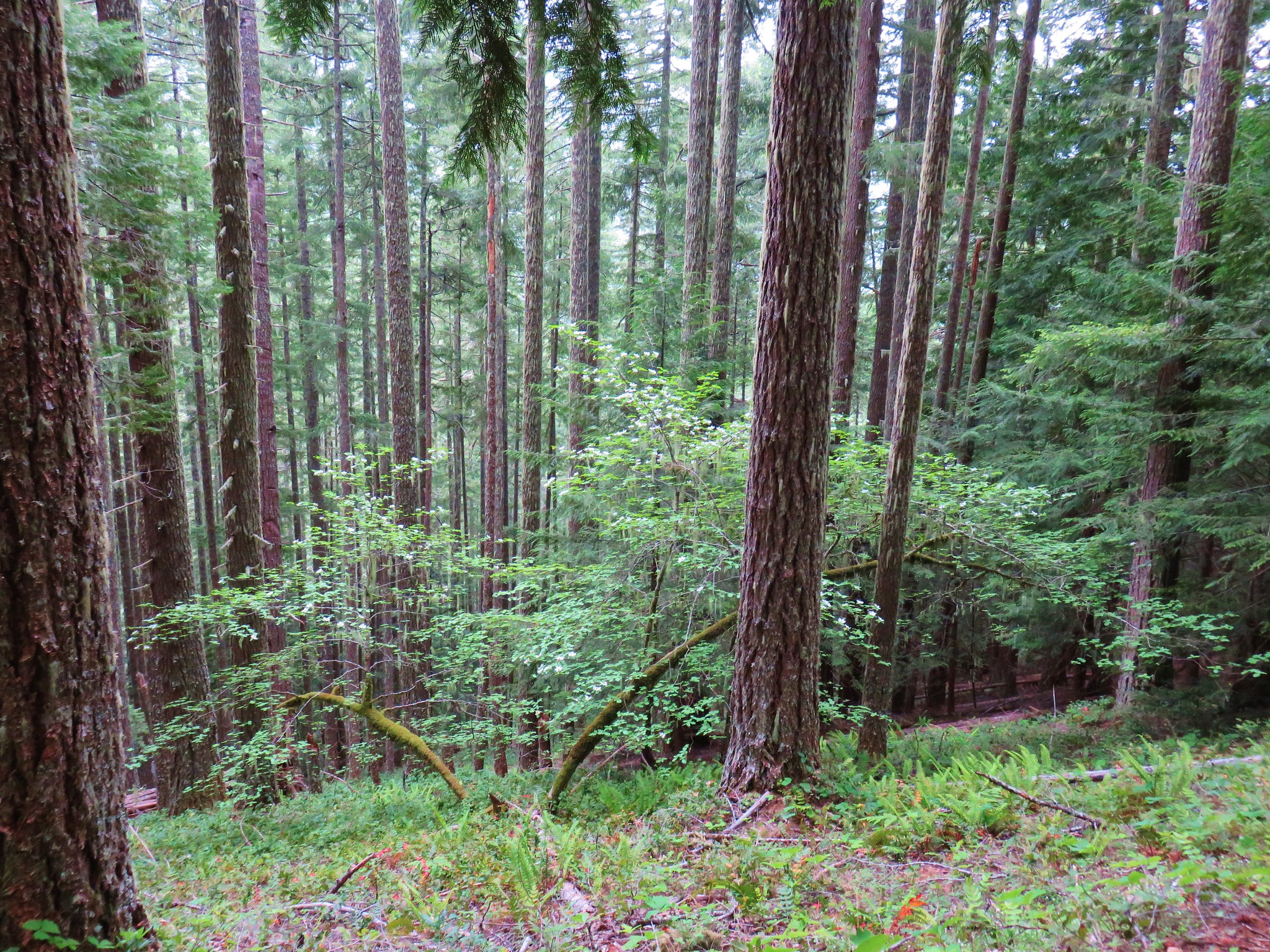
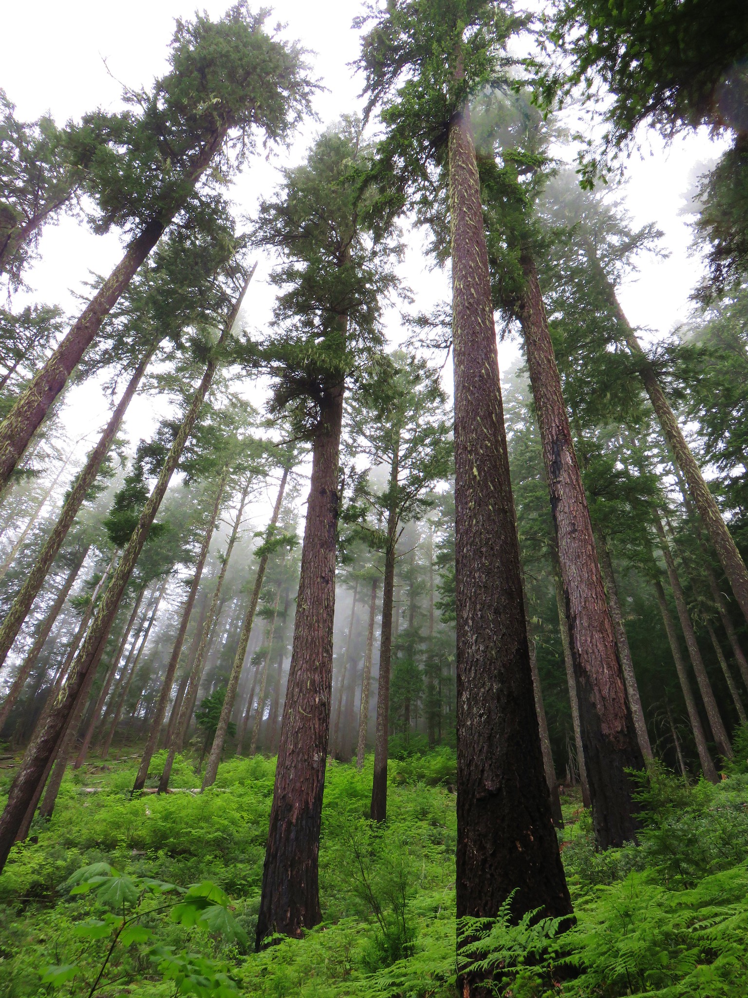
We began our day with a short hike into one of Oregon’s wilderness areas that we had yet to visit, the Clackamas Wilderness. This particular wilderness is broken up into five separate tracts of land, one of which is Big Bottom. The Big Bottom tract protects an old growth forest along the Clackamas River. Although there are no official trails in Big Bottom a decommissioned logging road allows for a mile long walk down to the wilderness boundary where a use trail continues north for a little over half a mile before vanishing in brush.
To reach the decommissioned road we drove Forest Road 46 north from Detroit for 28.6 miles to Fores Road 4670 where we turned left crossing the Clackamas River. Just beyond the bridge we turned right on FR 4671 for .7 miles and parked on the right at the old road.

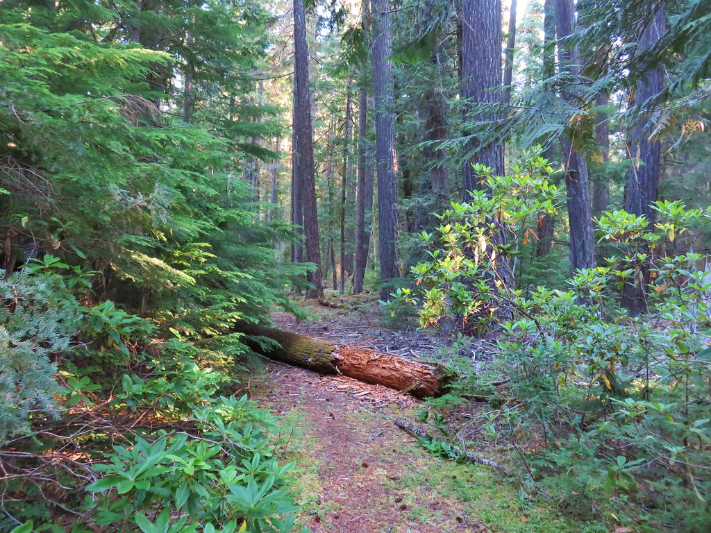
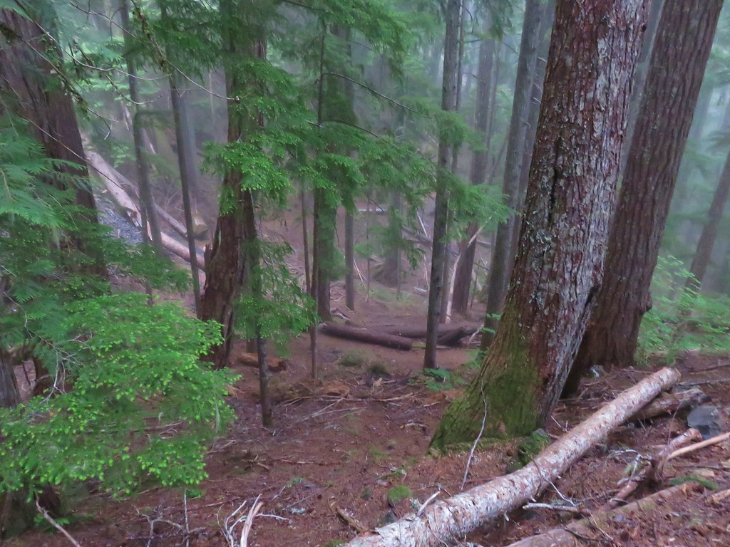
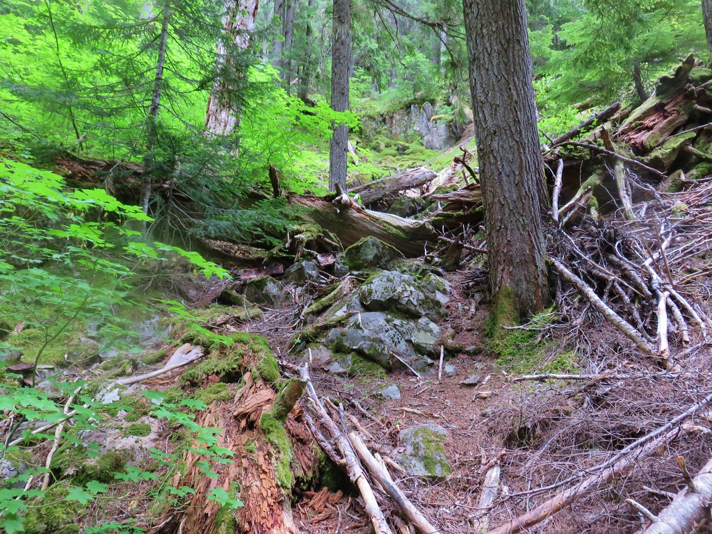
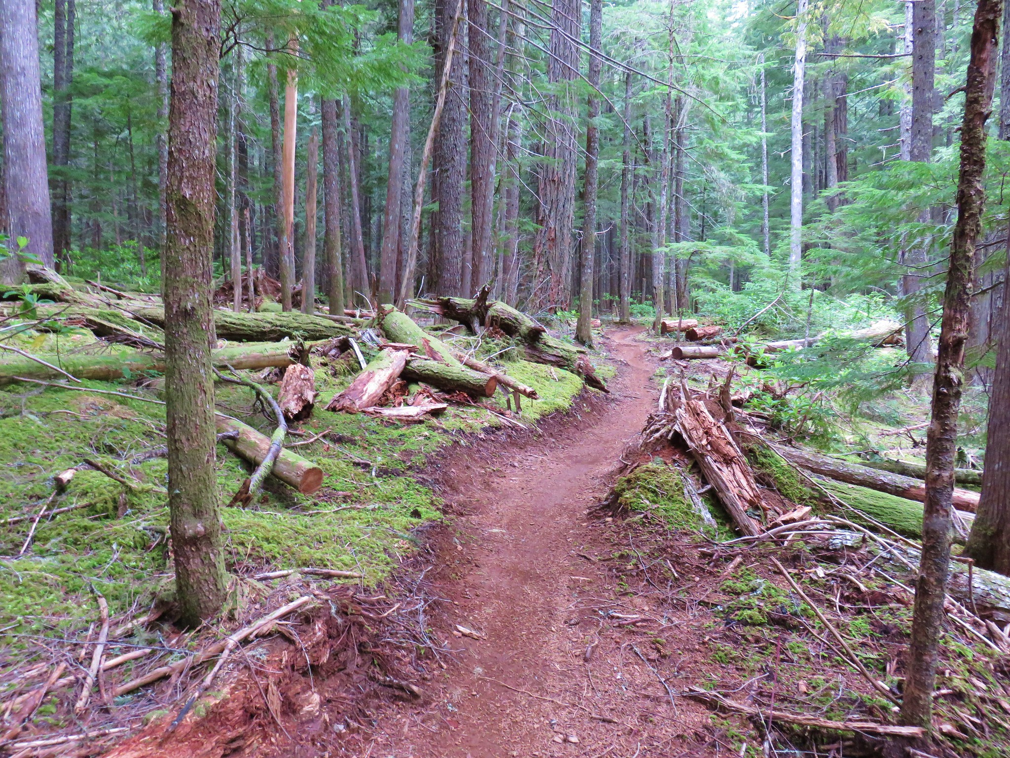
We followed the roadbed downhill through a previously logged forest.
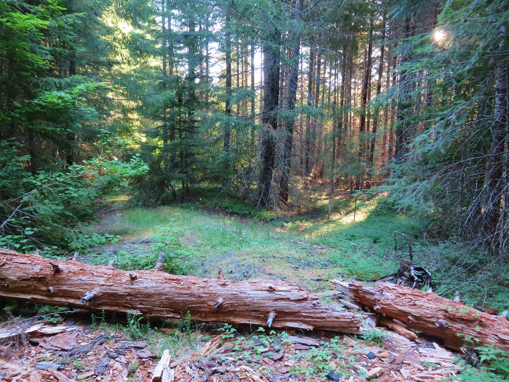
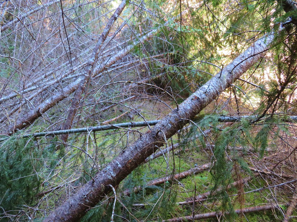
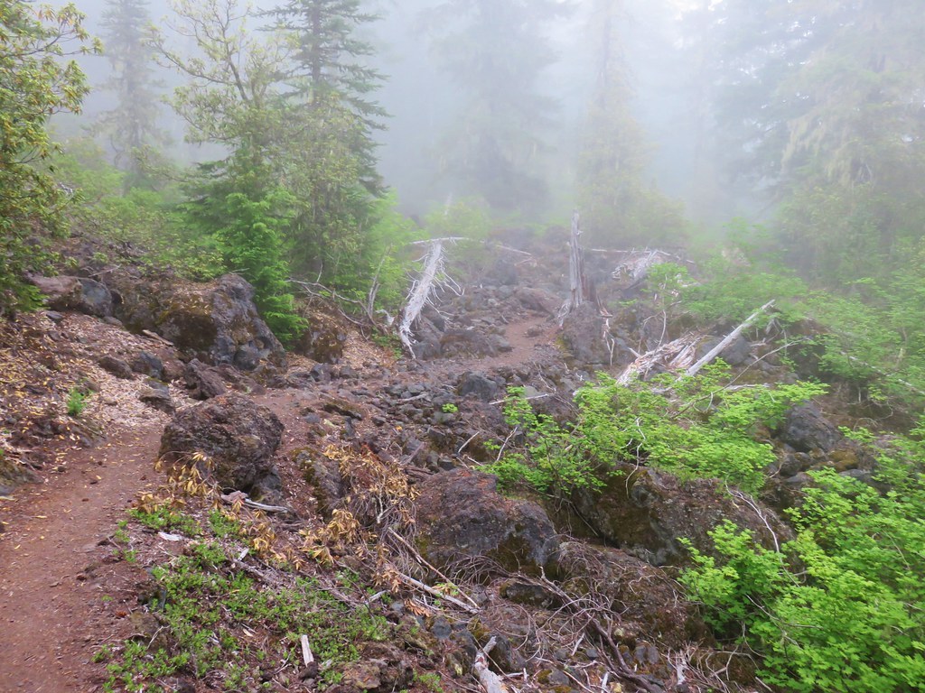
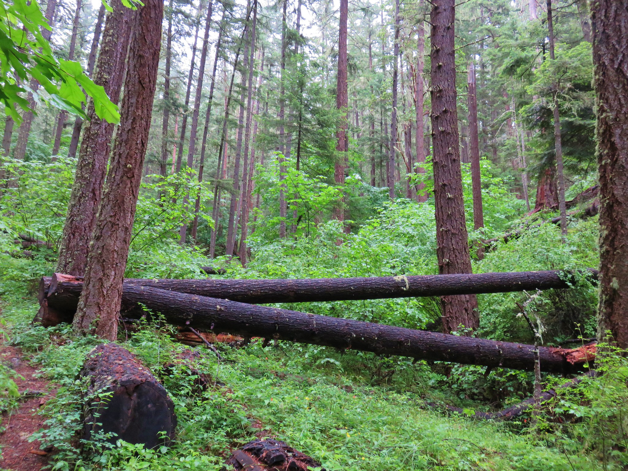
Just prior to reaching the wilderness boundary the road bed became choked with downed trees which we simply detoured around.
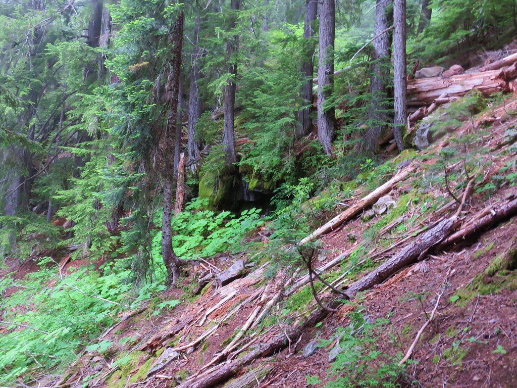
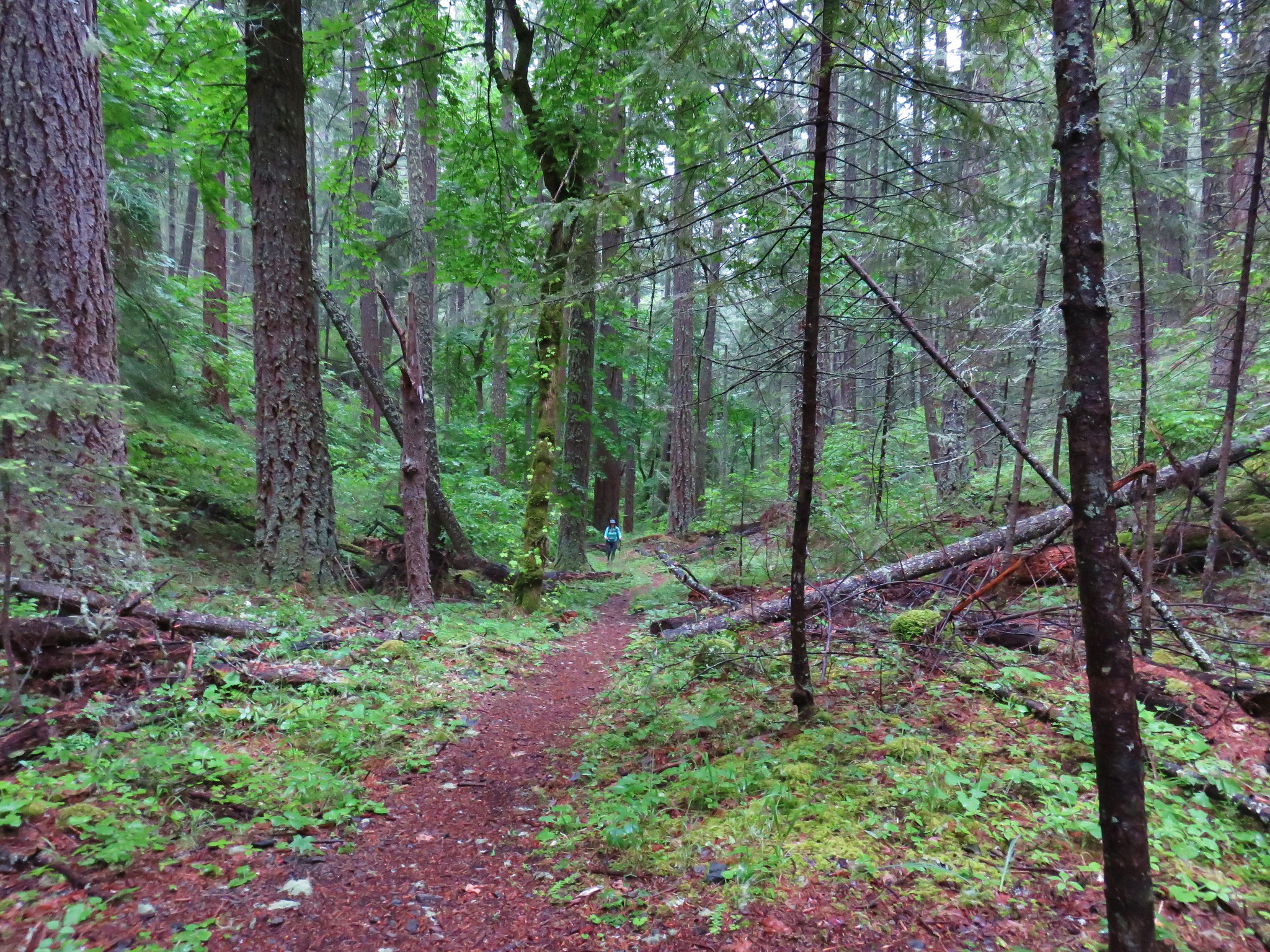
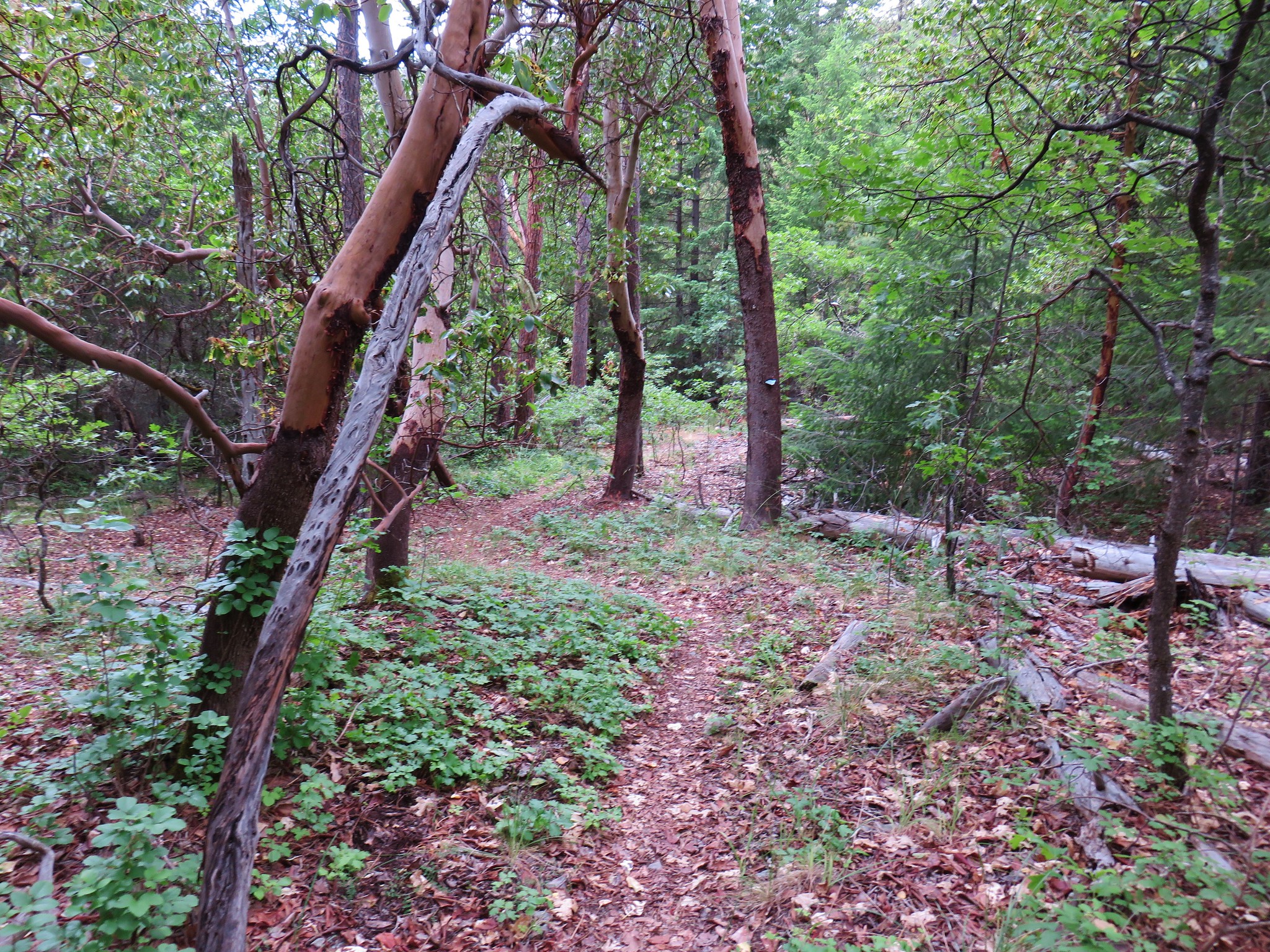
At a junction with an even older roadbed we turned left (north) and followed what became a clear user path into the old growth of Big Bottom.

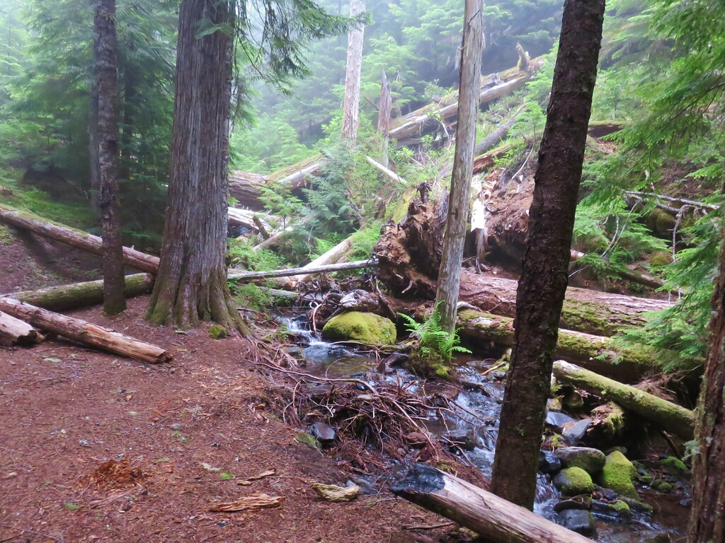
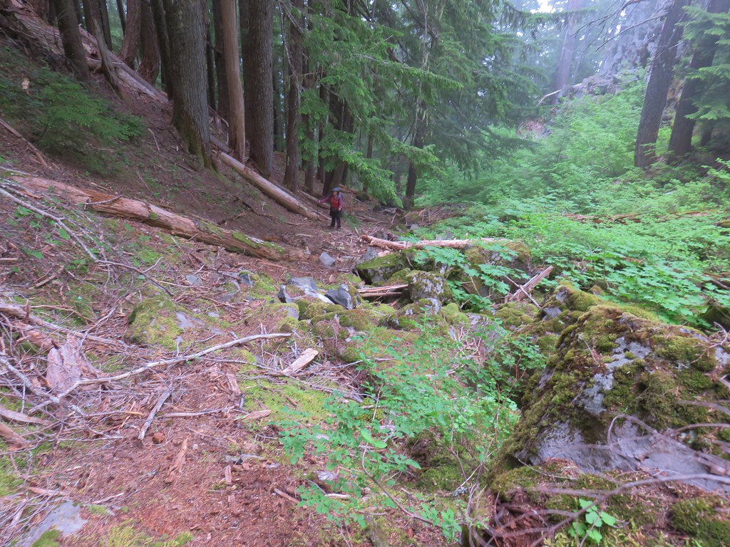
There were a few downed trees to navigate but the path was easy enough to follow until we neared a creek where the ground became marshy and the underbrush extremely thick.
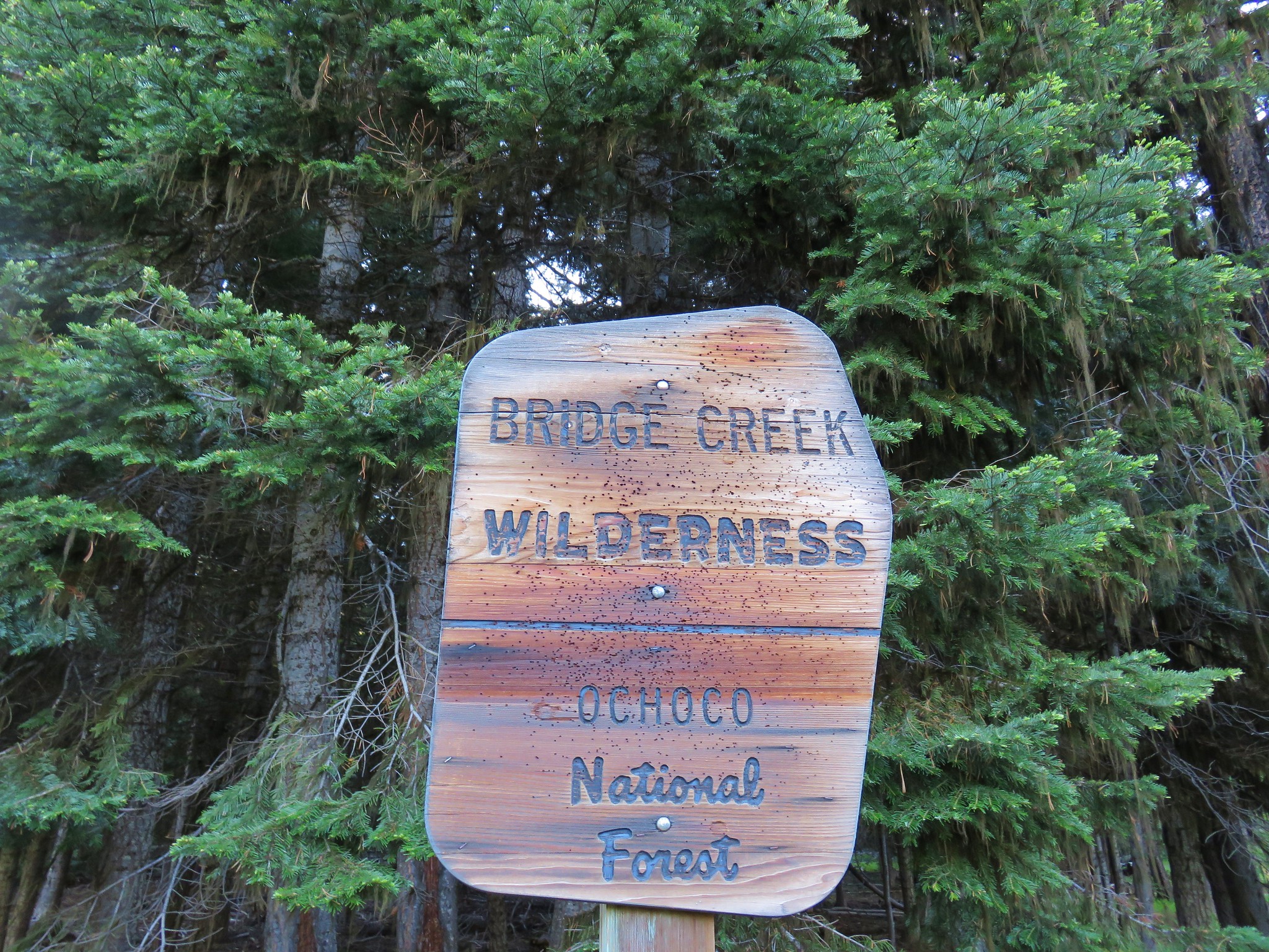
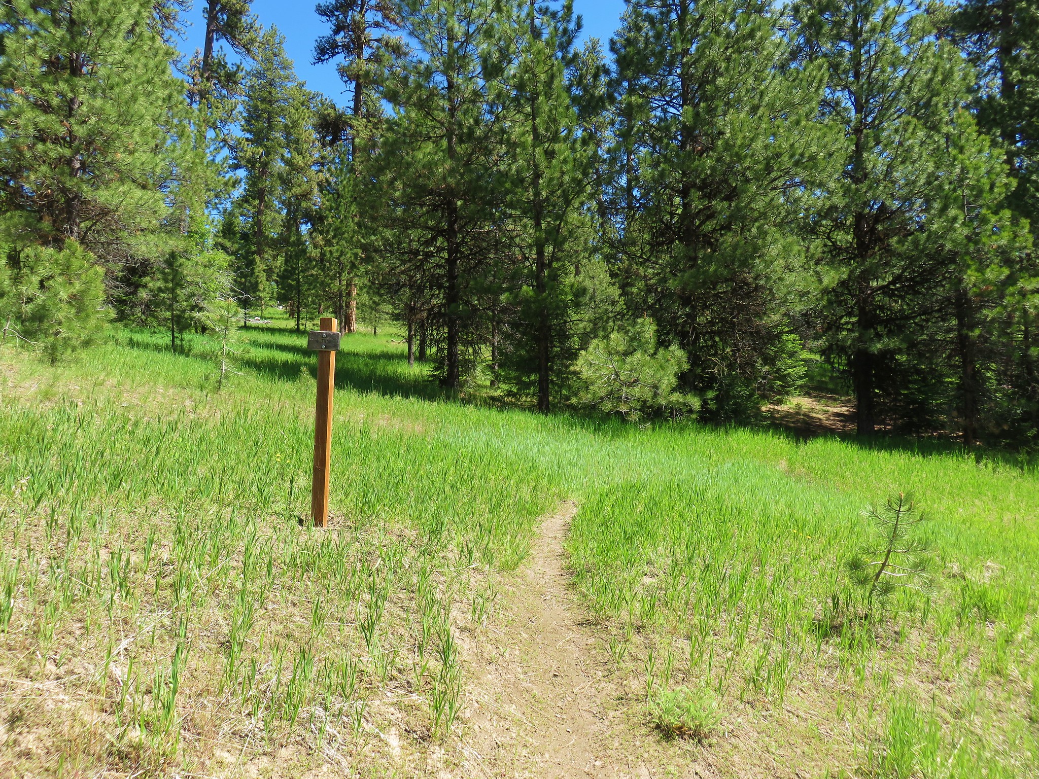
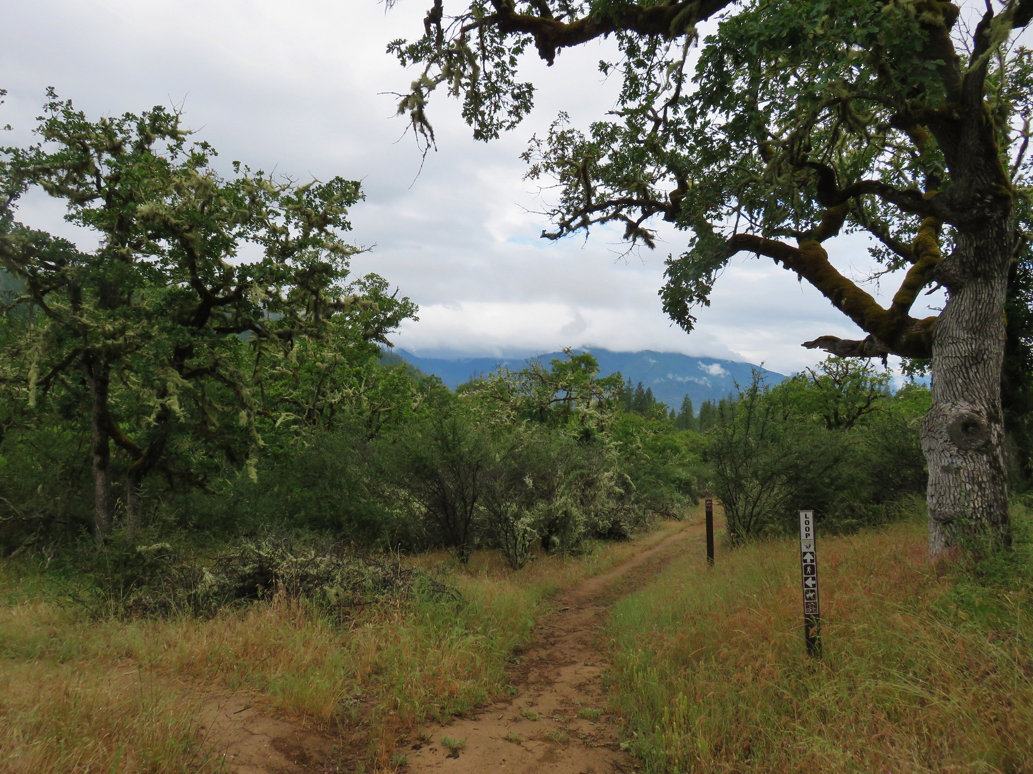
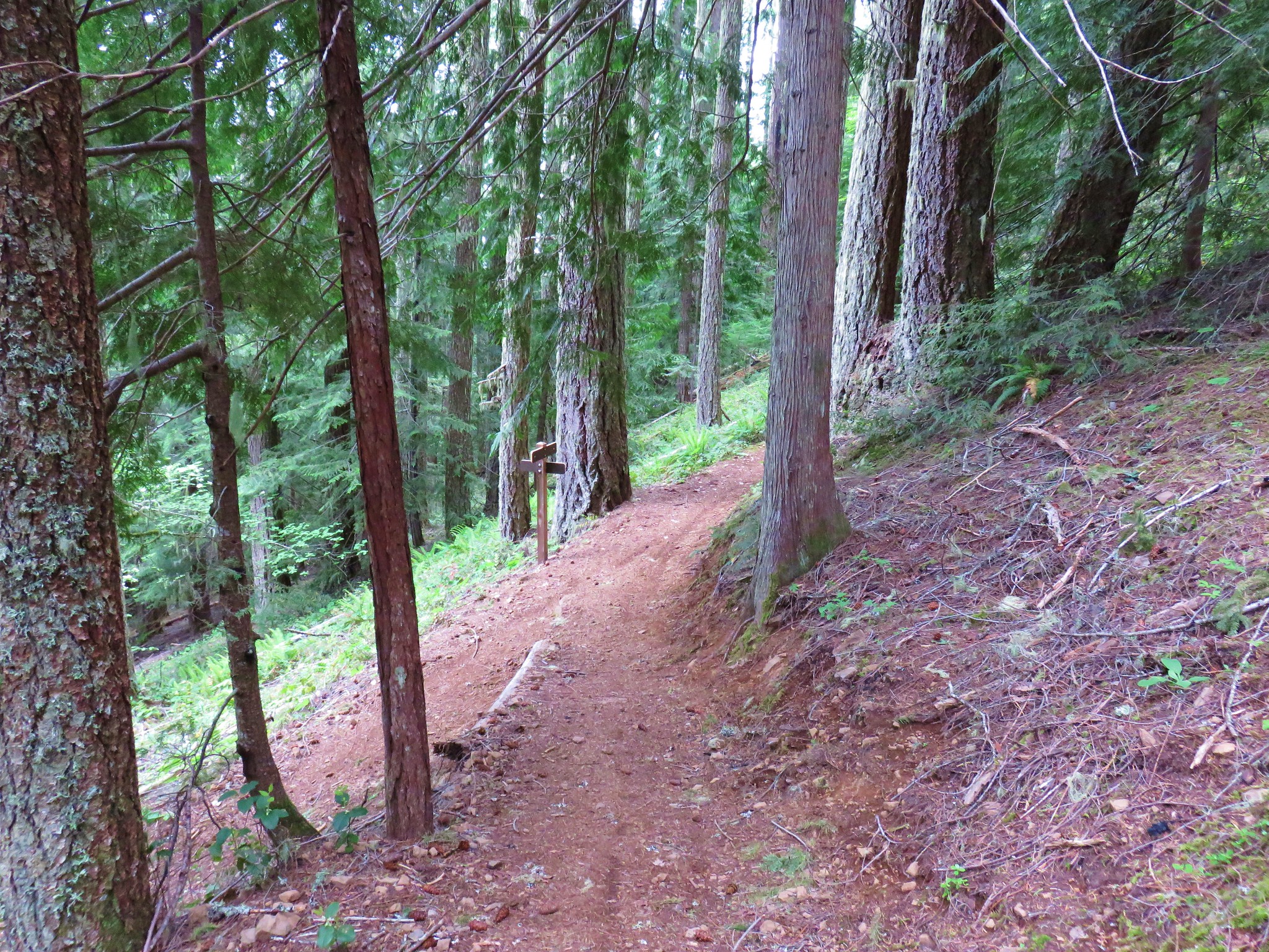
We turned around at that point returning to the car to complete a 3.4 mile hike. That was our warm-up for the day before a longer hiker on the nearby Rhododendron (Rho) Ridge Trail. Our plan was to start at Graham Pass and follow the trail south 4.8 miles to the Hawk Mountain Trail and take the .4 mile trail up to the Hawk Mountain Lookout.
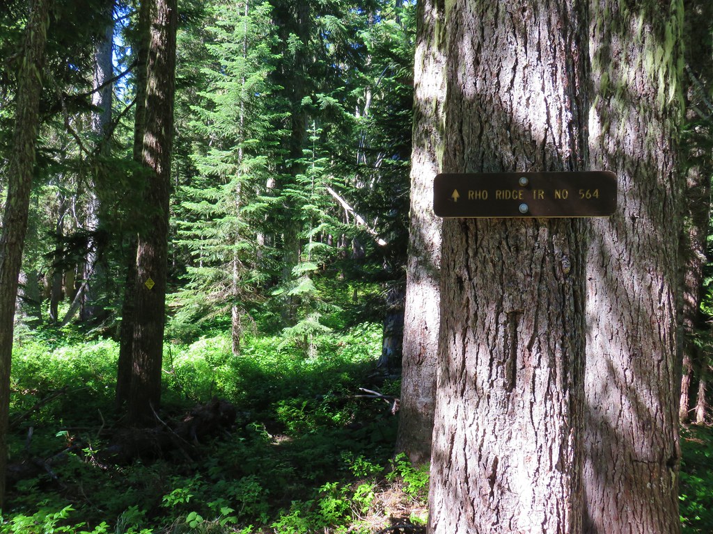
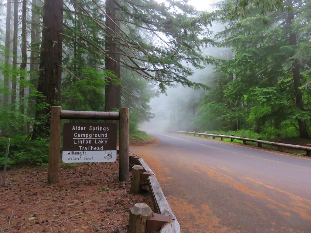
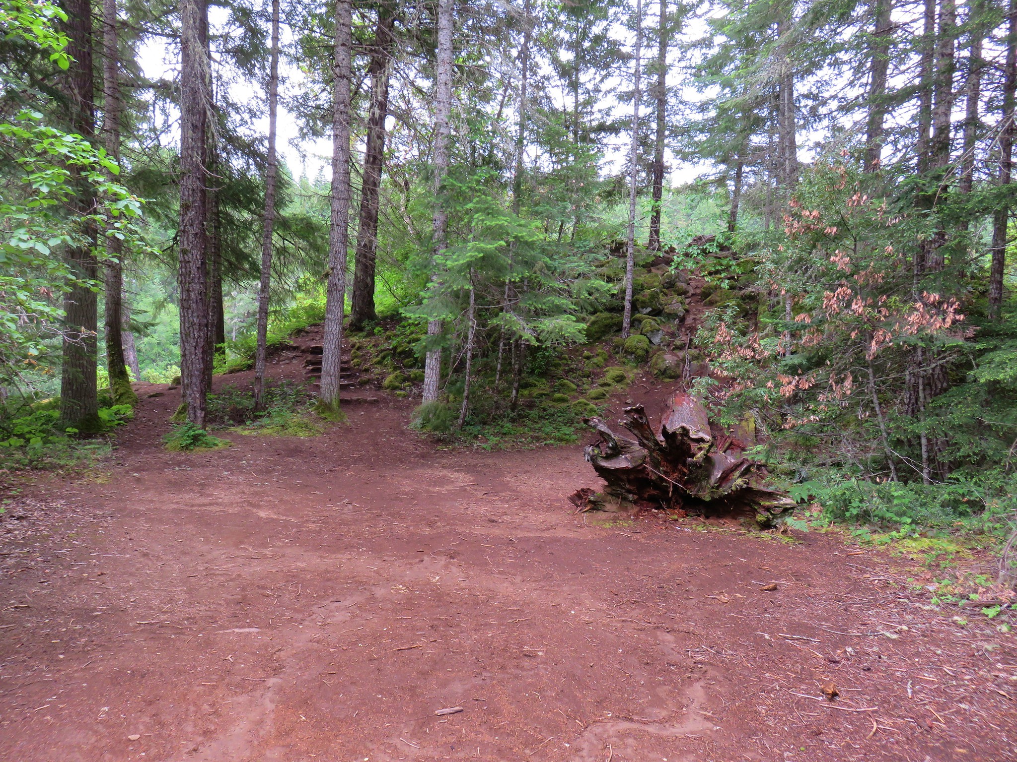
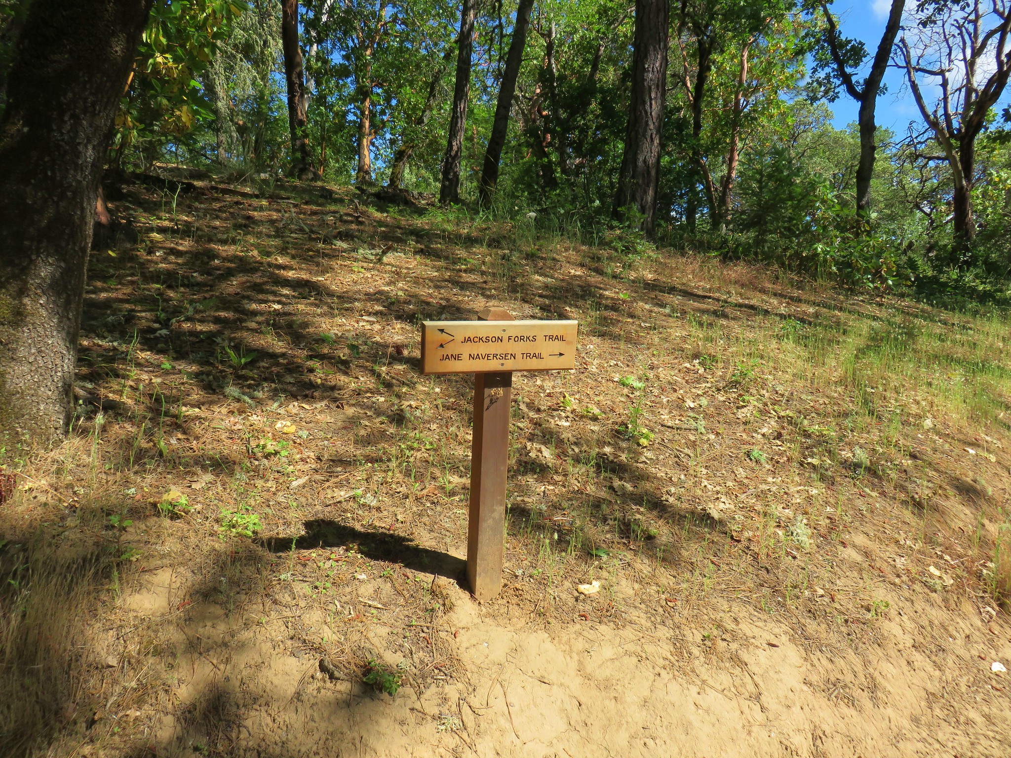
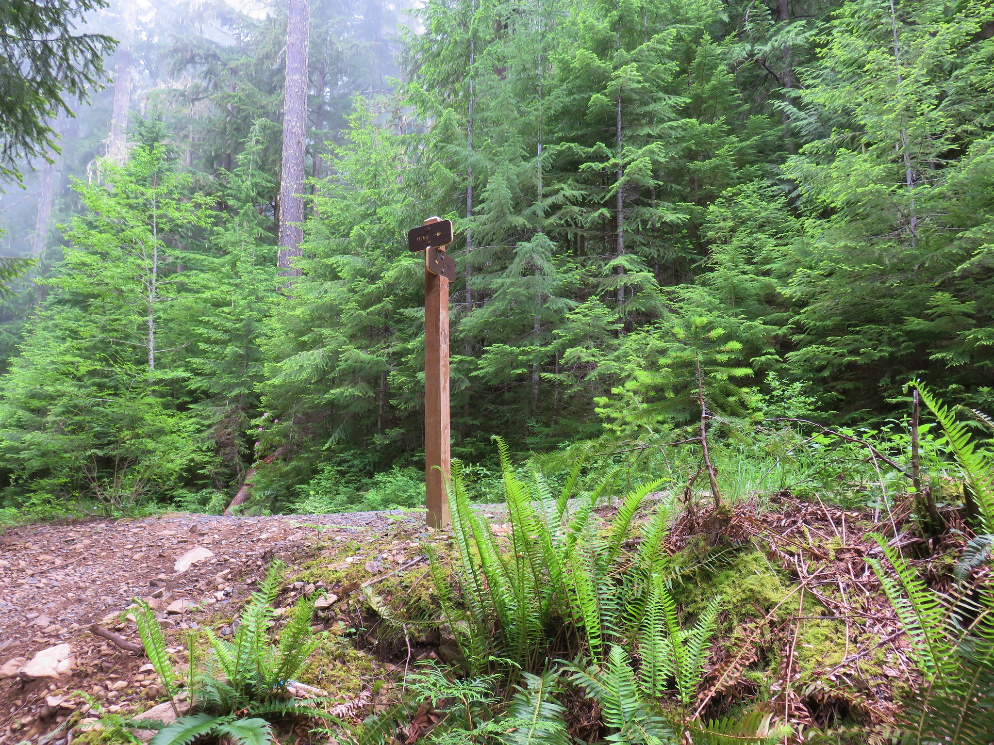
To reach Graham Pass we followed FR 4670 for 13.9 miles to FR 6530 where a large parking area was visible. There was no signage visible at the parking area, just a blank signboard along an old logging road.

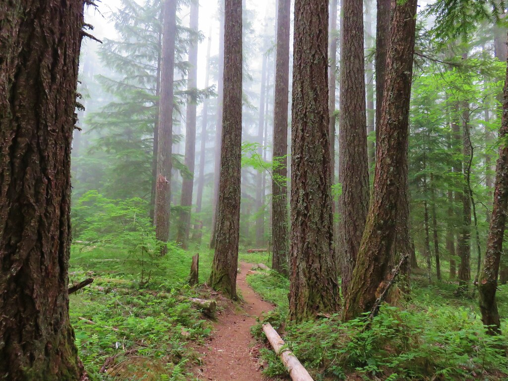
With no obvious trail visible we turned to the forest service map and our GPS to try and see if we could tell where the trail was supposed to be. Both of these indicated that the trail lay just east of the parking area so we headed into the trees and began to hunt for any sign of it.

After a few minutes of climbing through the brush and crossing the location of the trail as shown on the GPS several times we decided to head toward the logging road. The GPS showed it curving back to the east further uphill where the Rho Ridge Trail would cross it and we figured the worst case scenario was we’d have to walk the road up to the crossing where we would hopefully be able to identify the trail. We were also beginning to suspect that the location of the trail on the maps was incorrect which is not all that uncommon. Sure enough we found the trail before reaching the road.

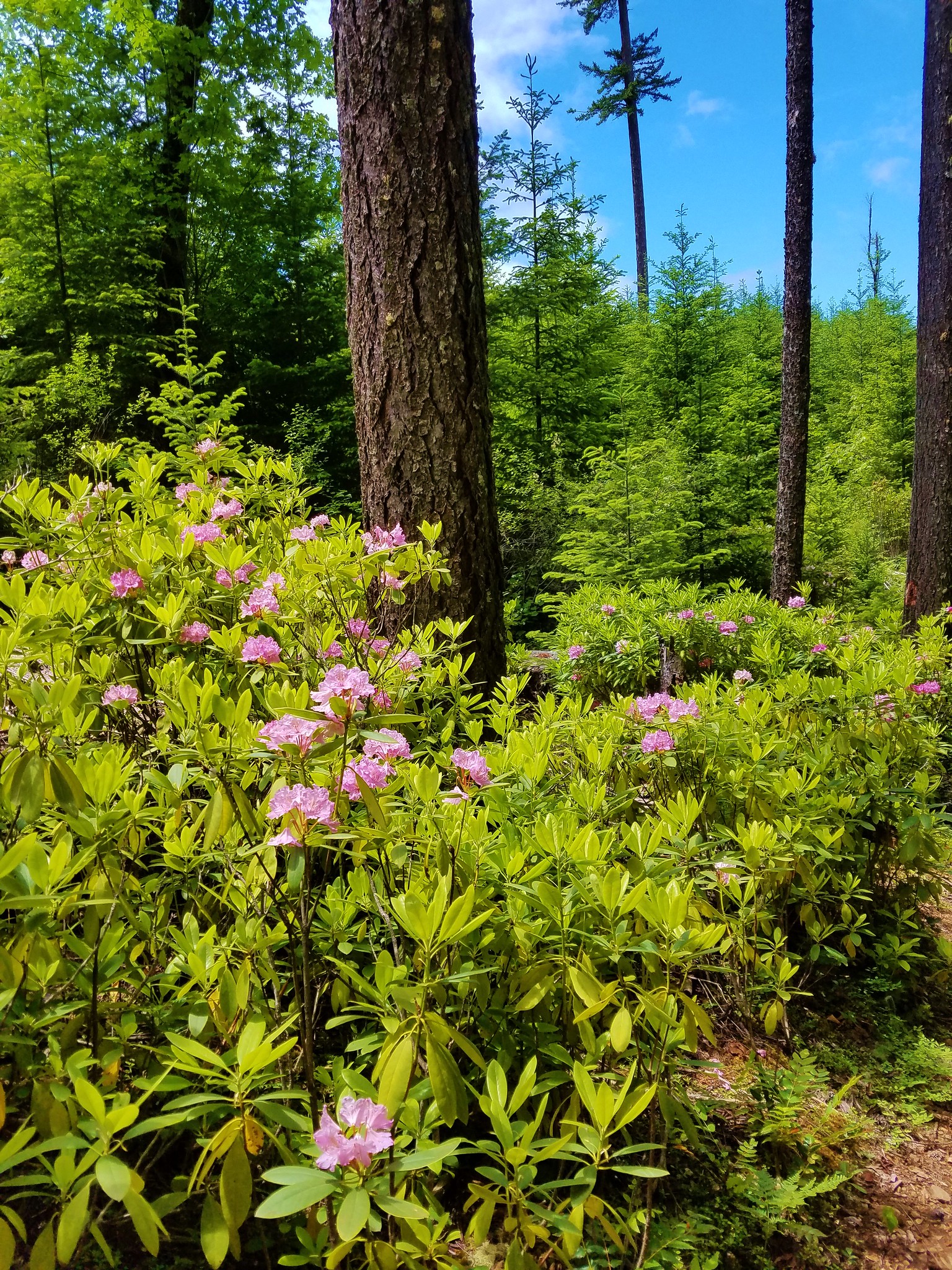
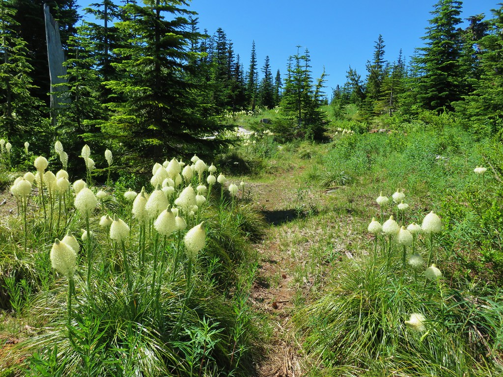
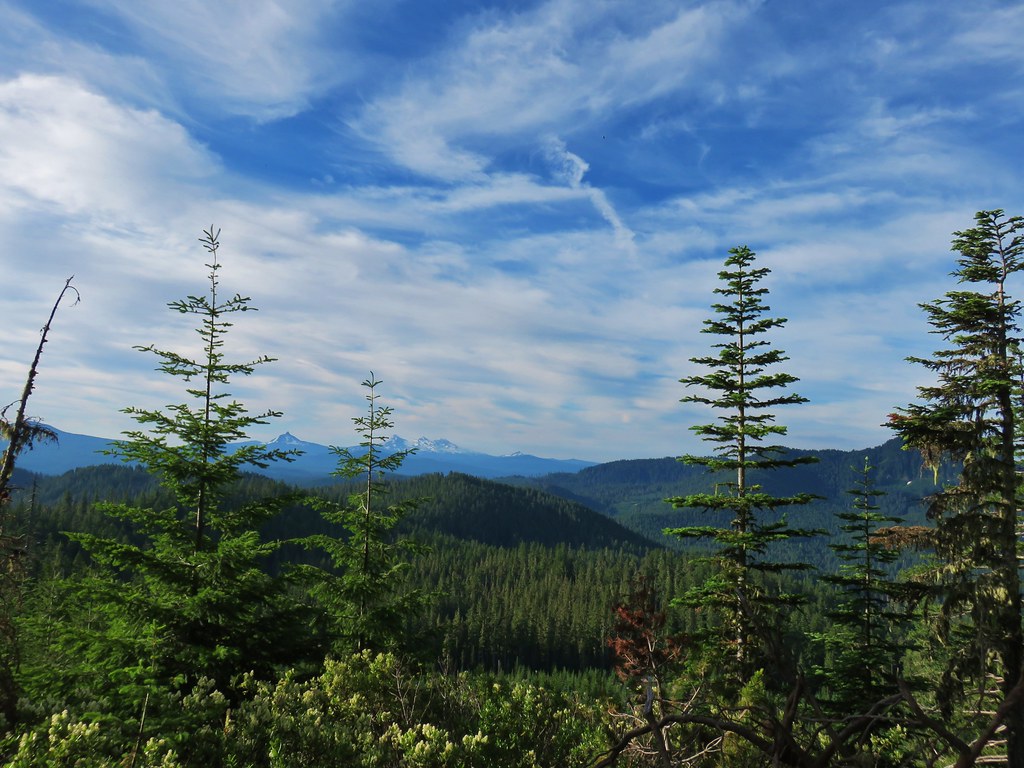
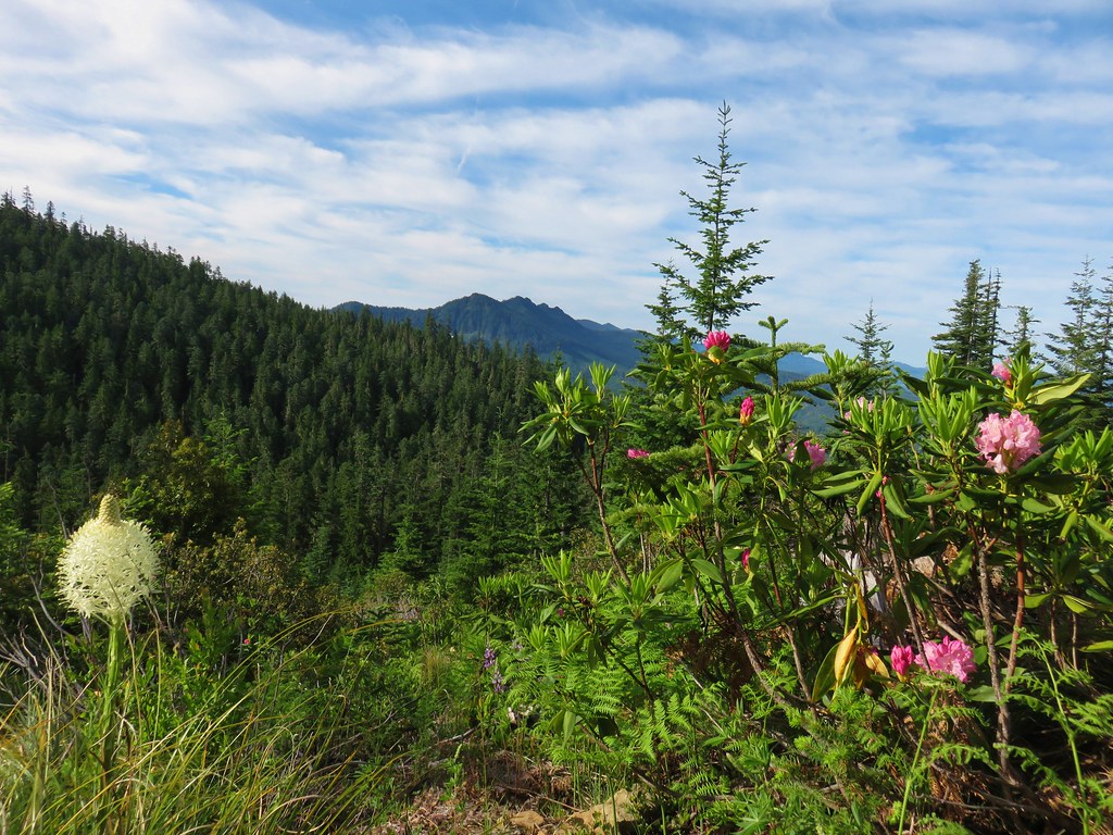
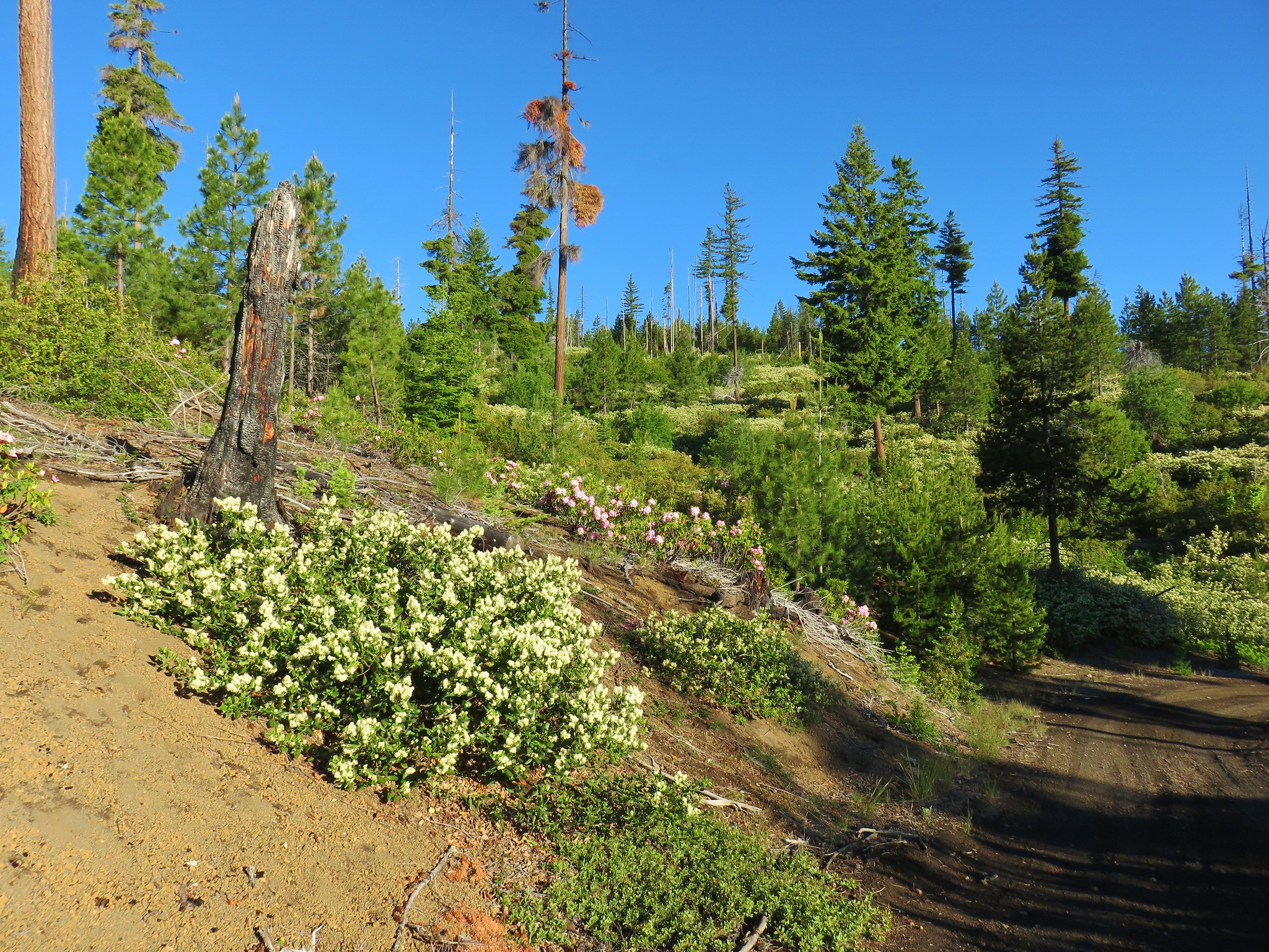
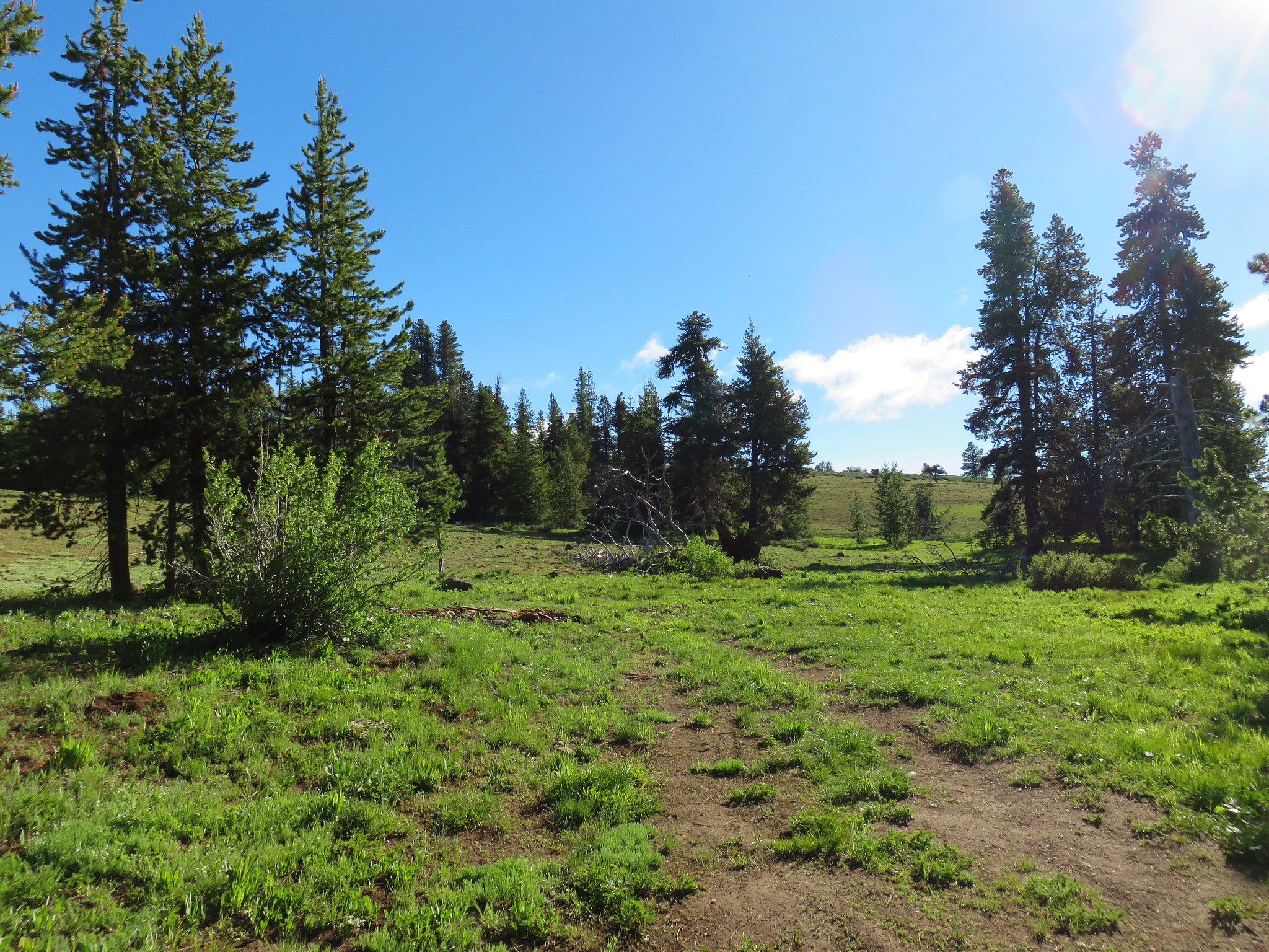
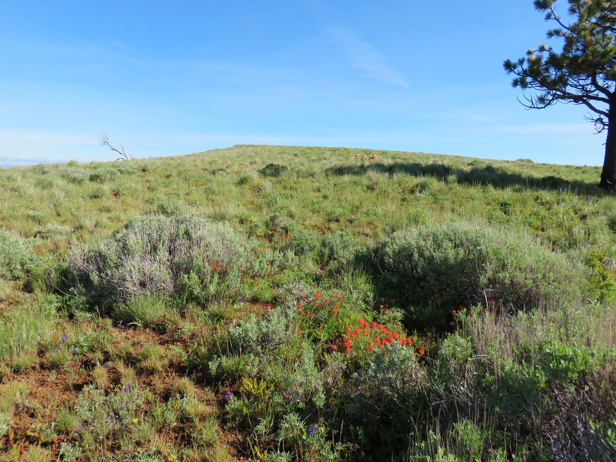
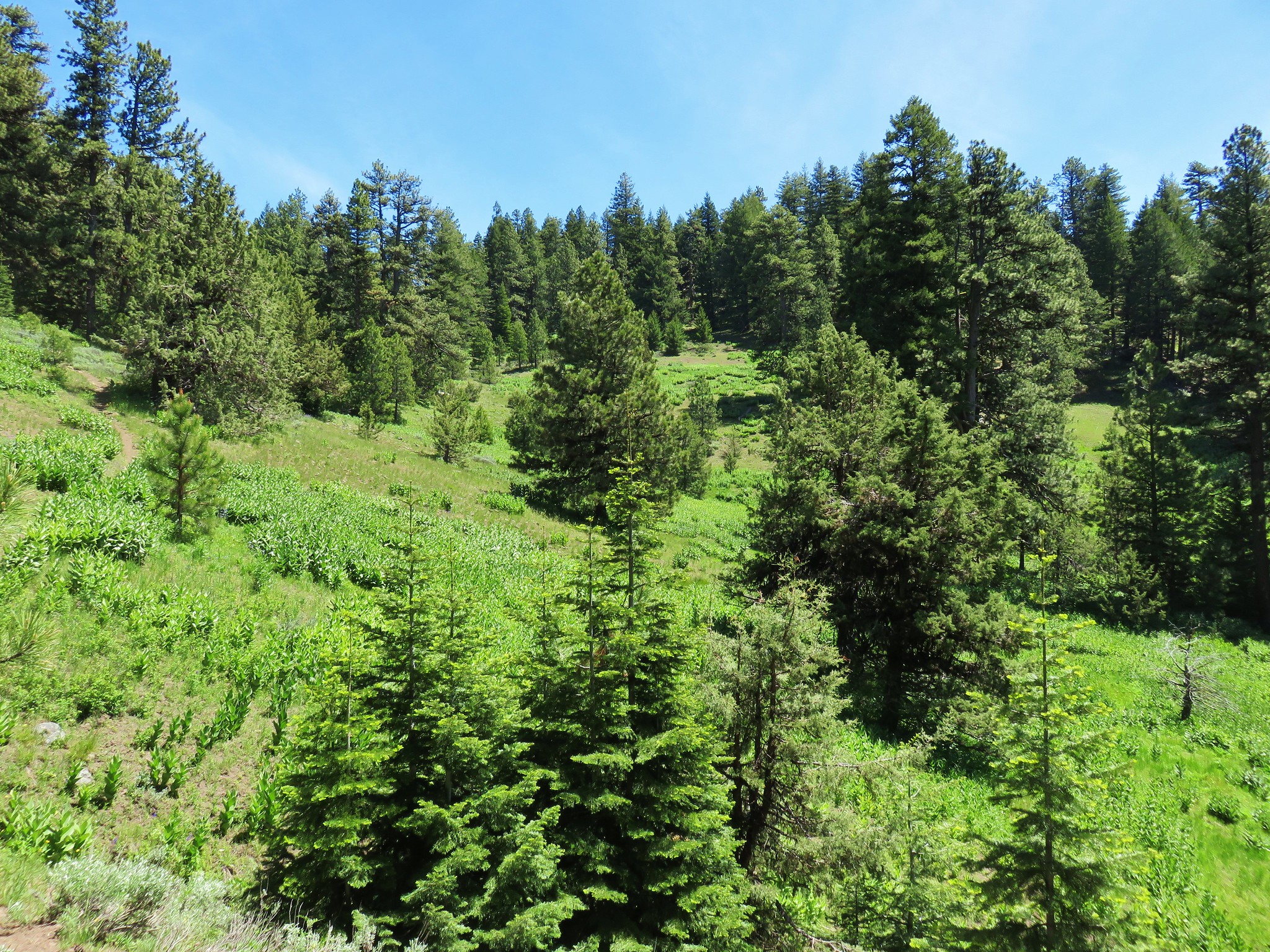
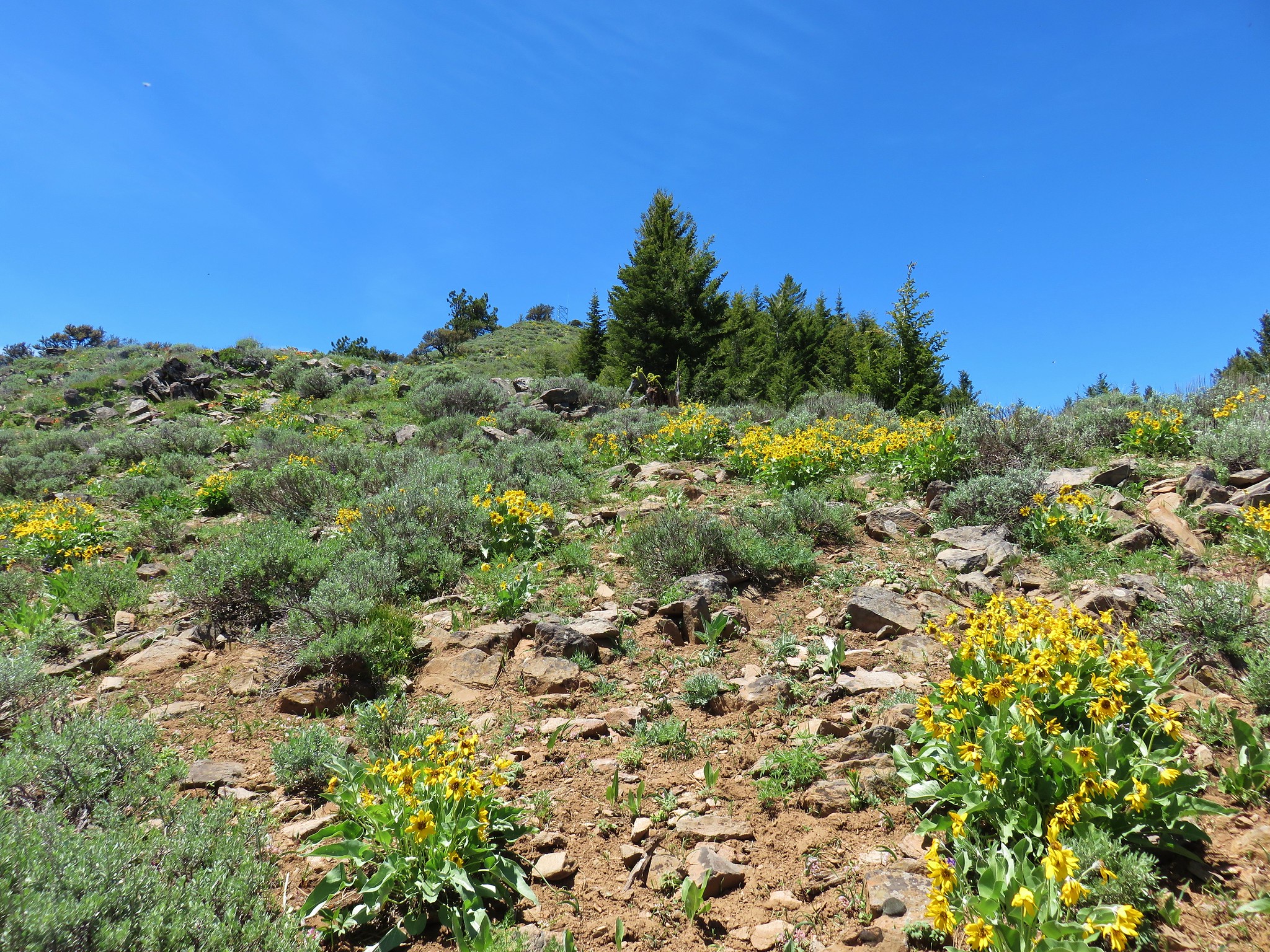
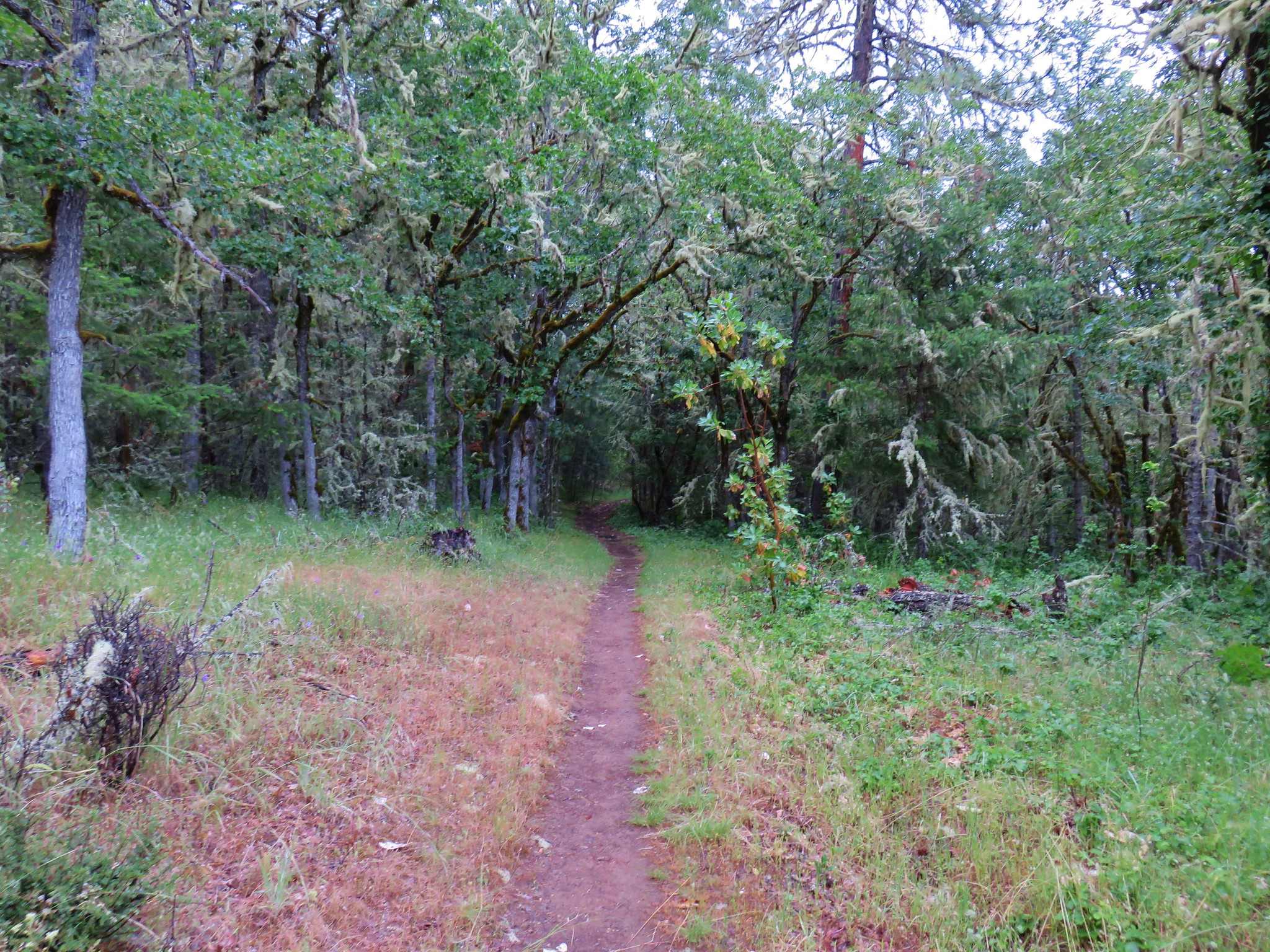
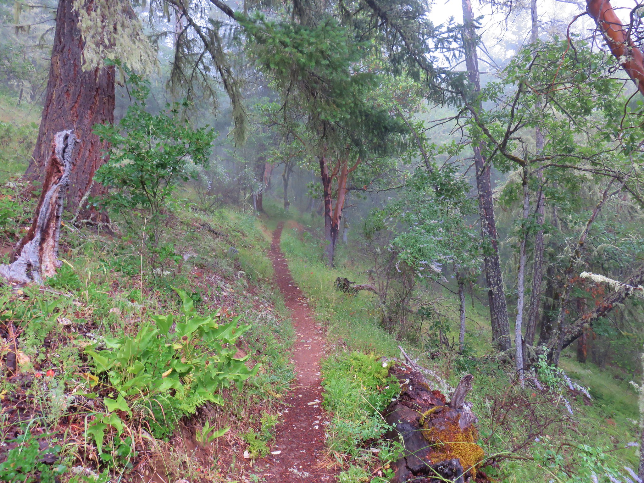
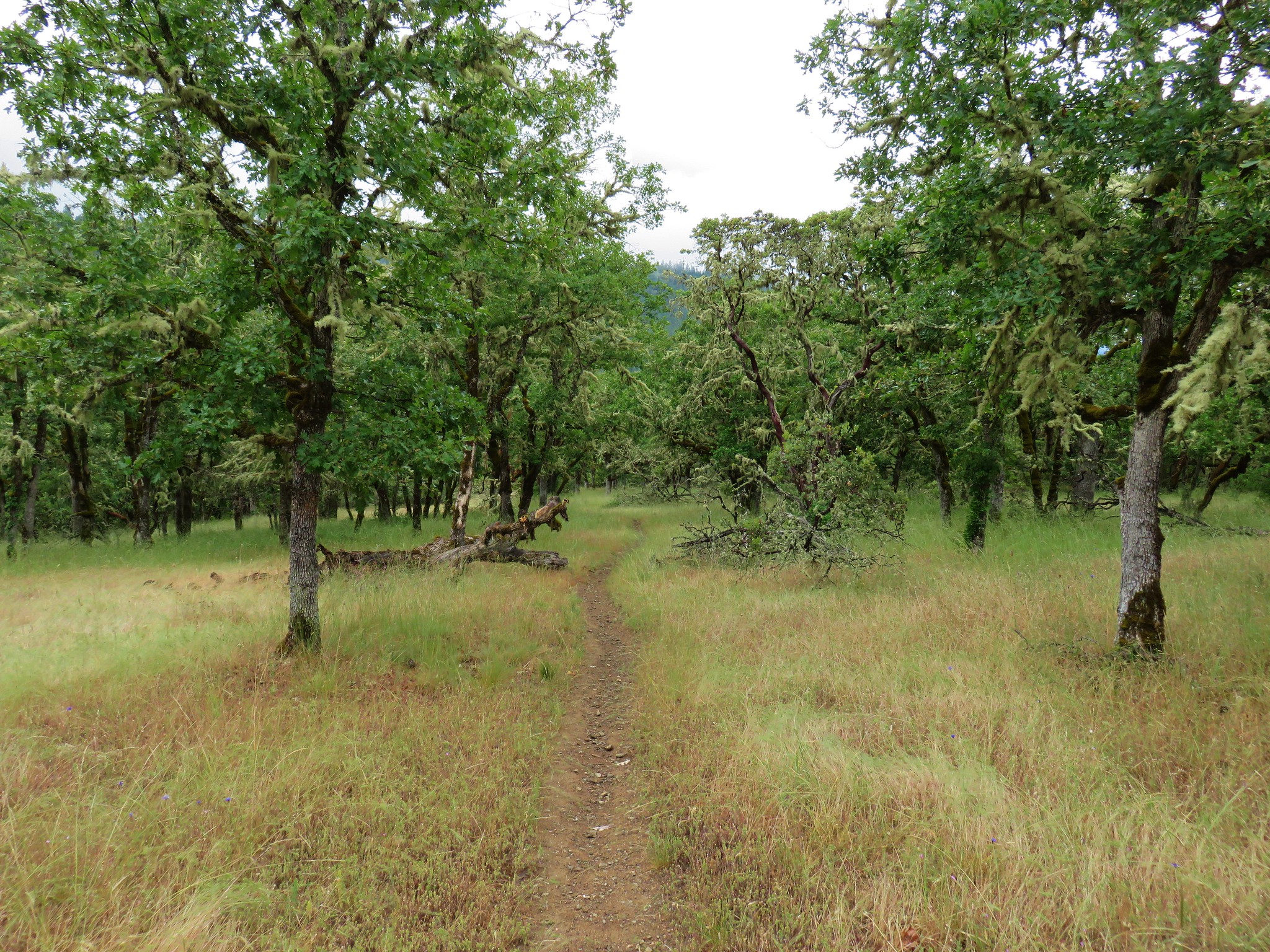
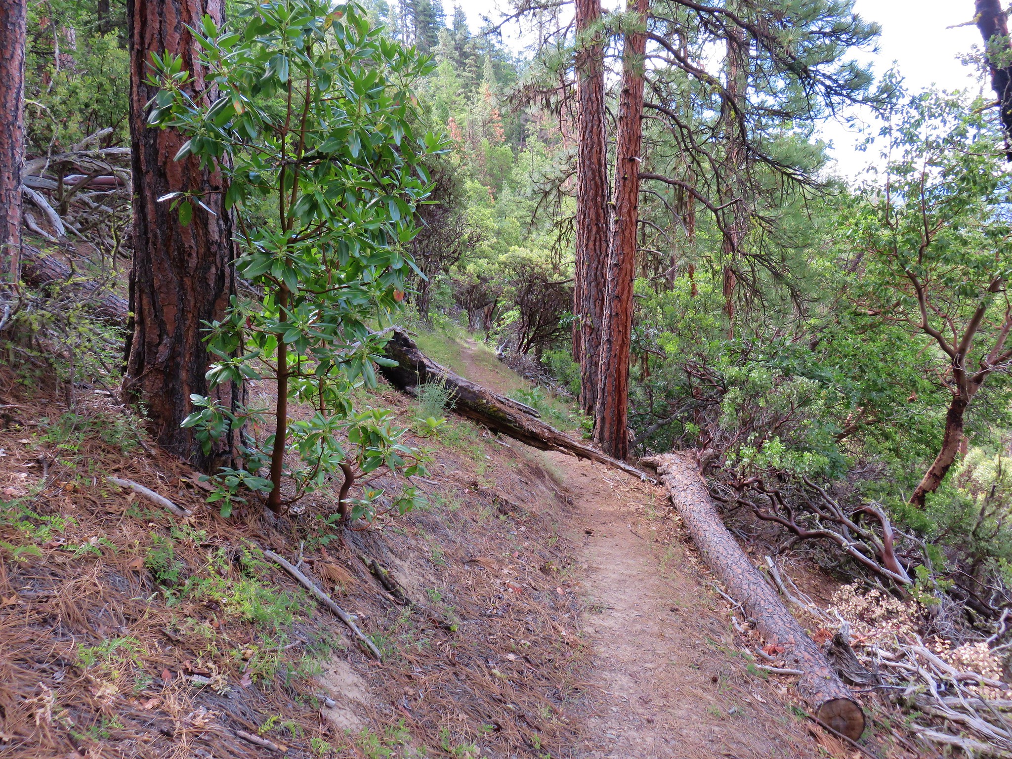
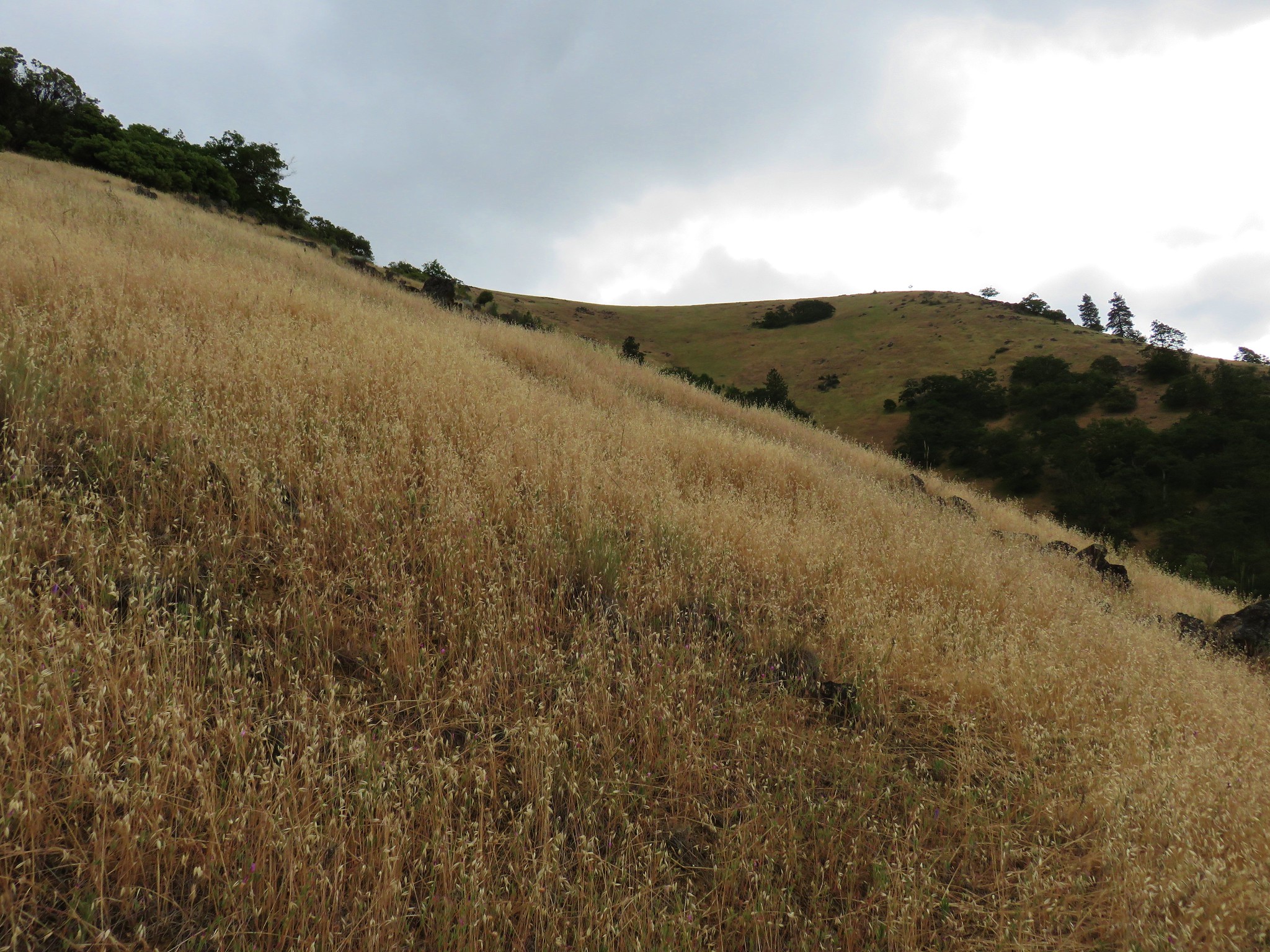
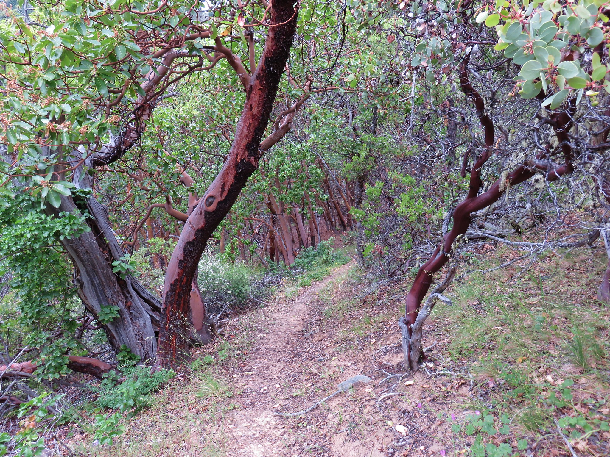
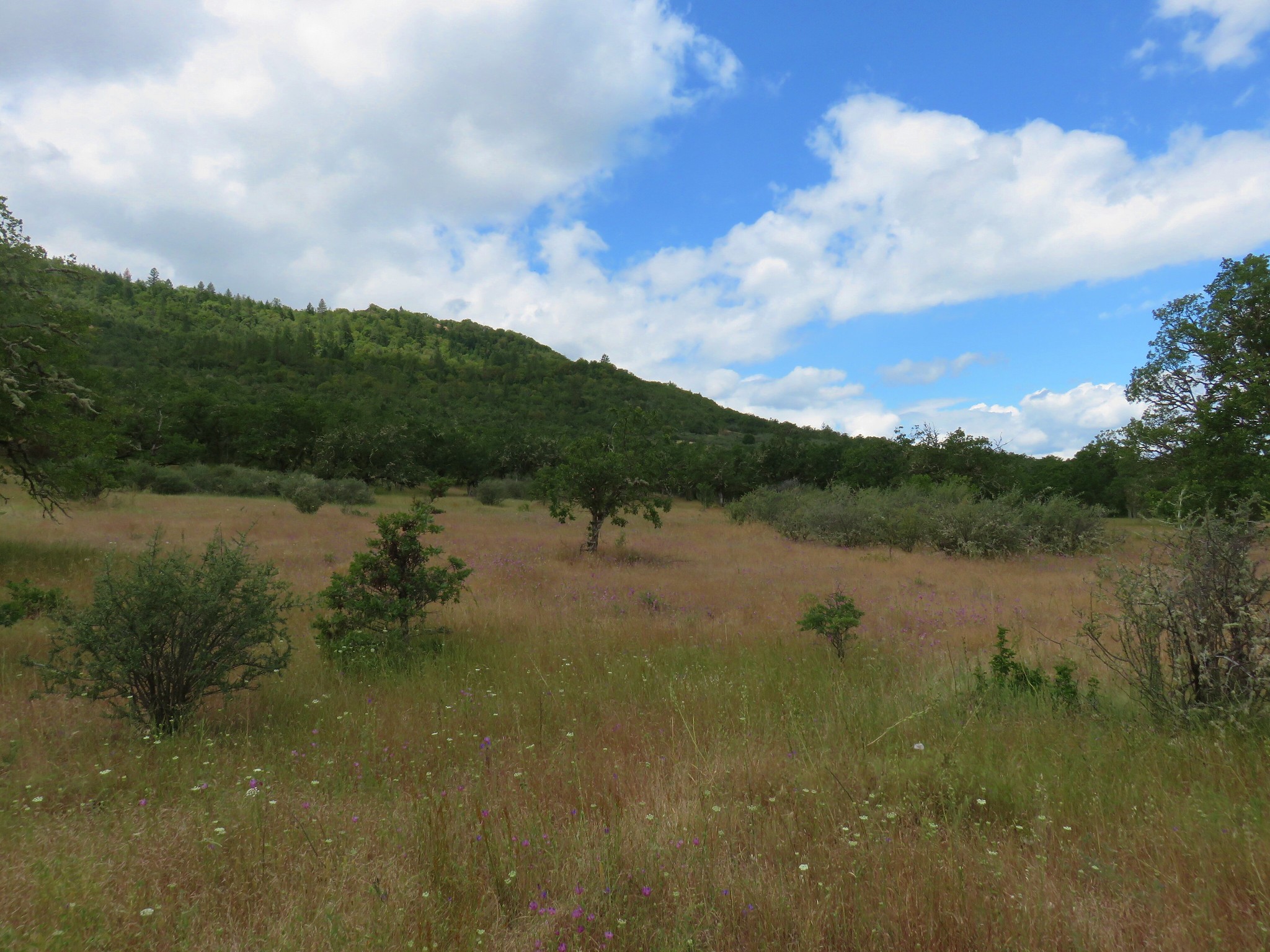
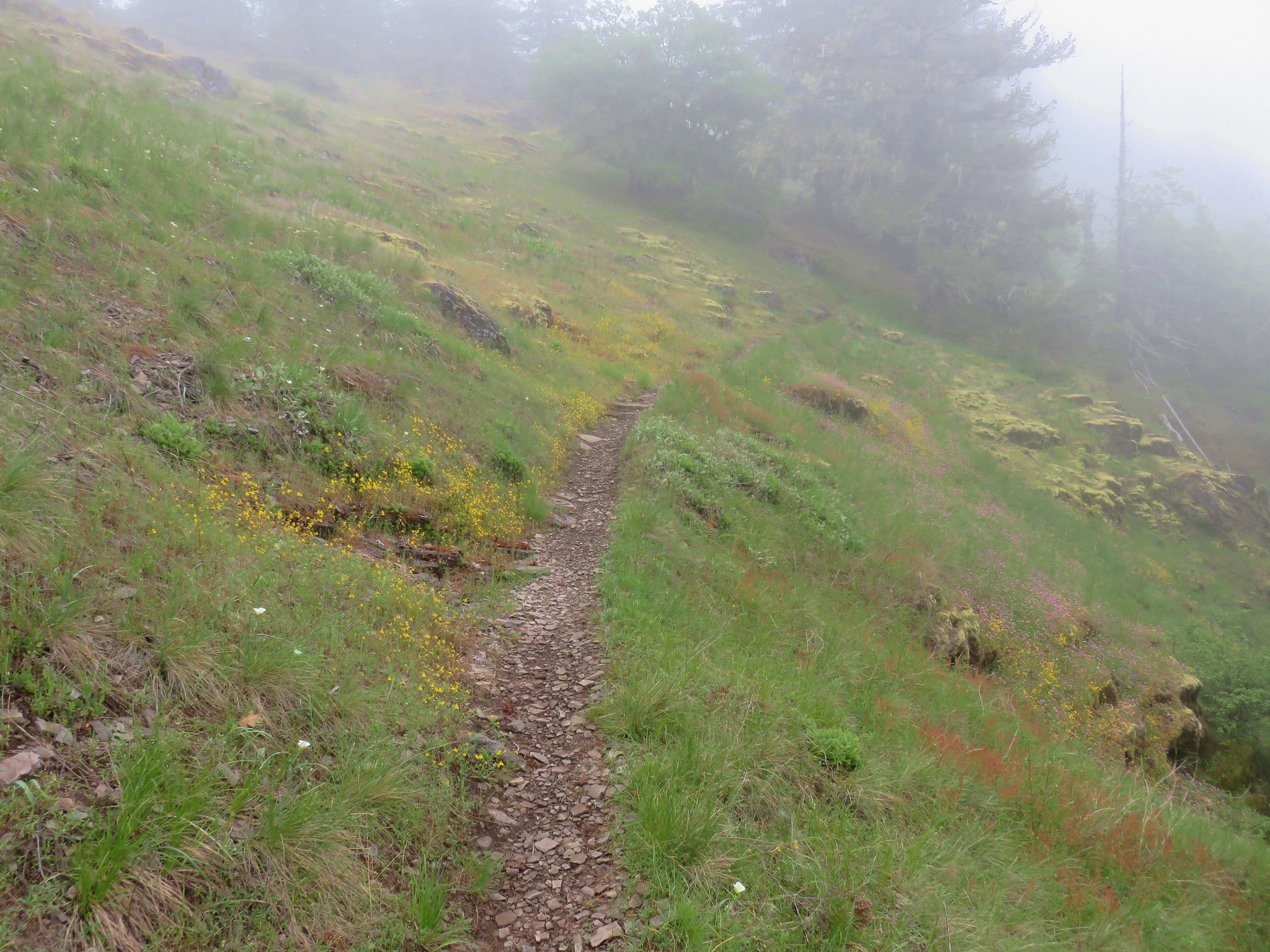
We turned uphill following this obvious trail through beargrass filled meadows.


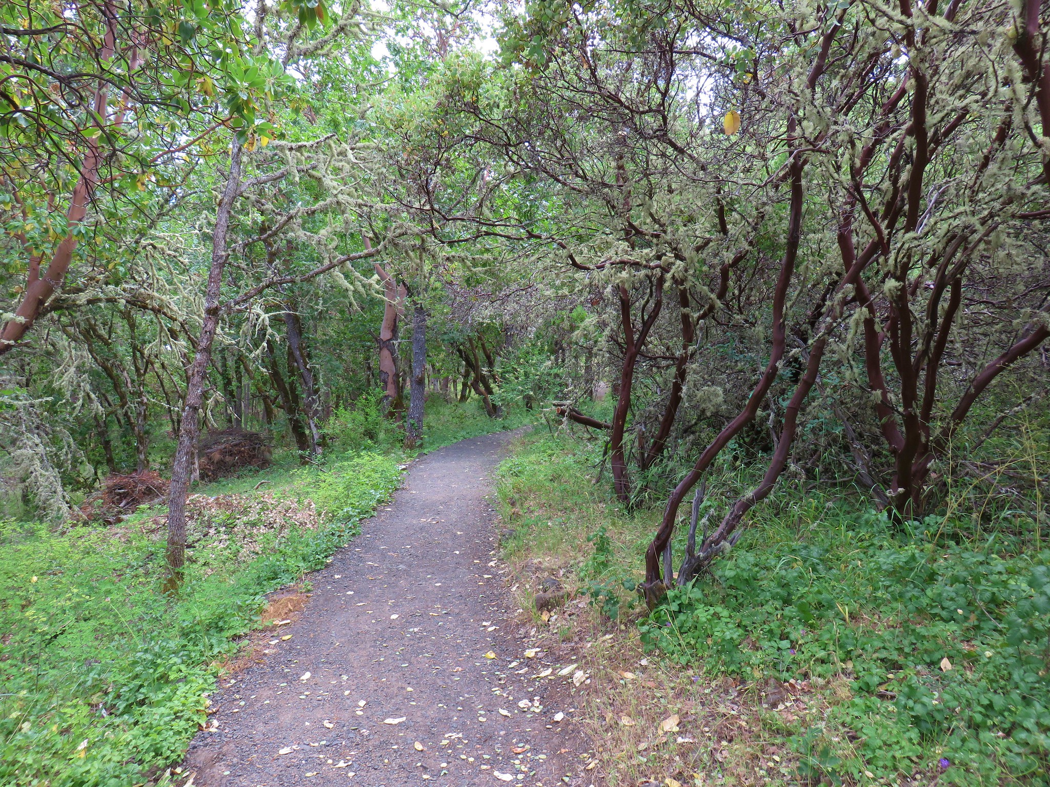
The trail was brushy at times with lots of huckleberry bushes encroaching on the trail.

The tread was faint through most of the meadows and blowdown was common along the way but old blazes and yellow diamonds on trees helped identify the trail.

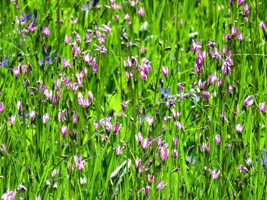
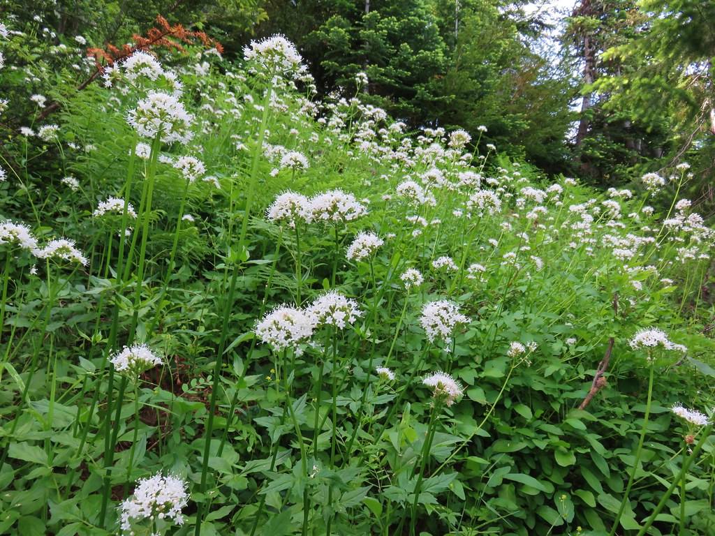
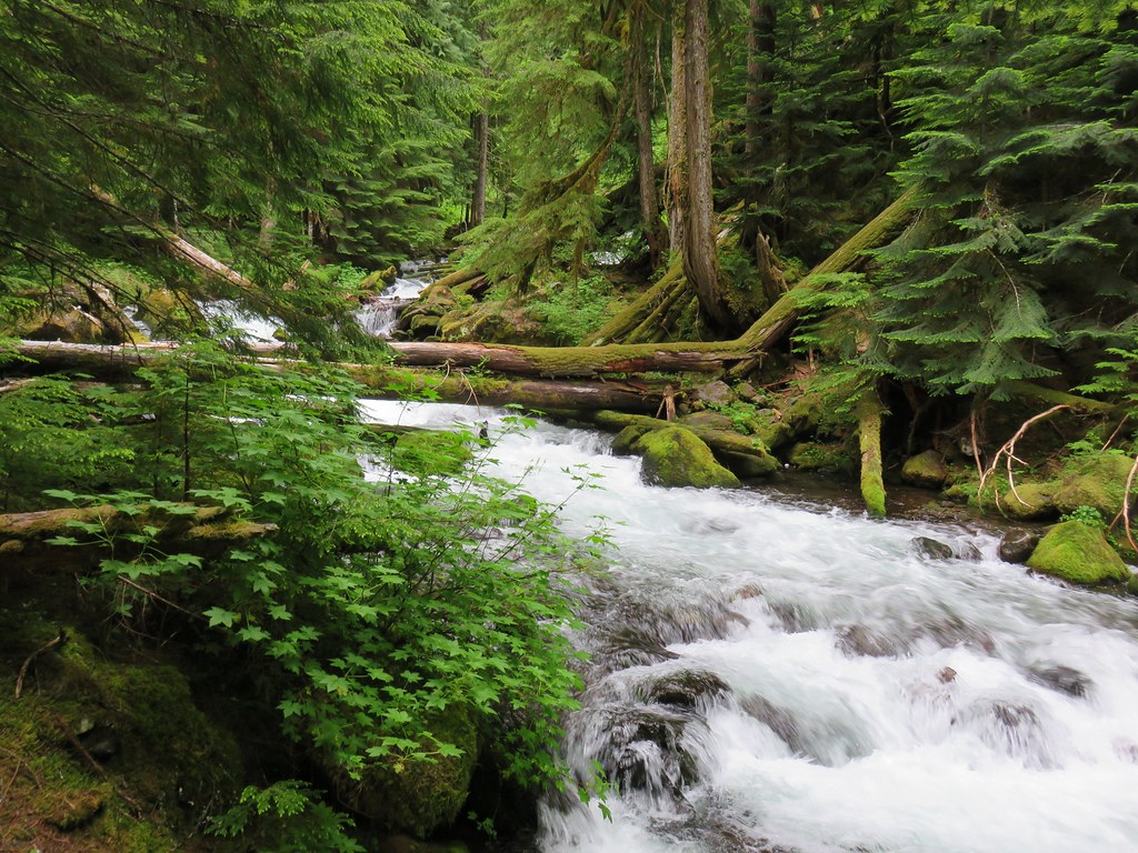
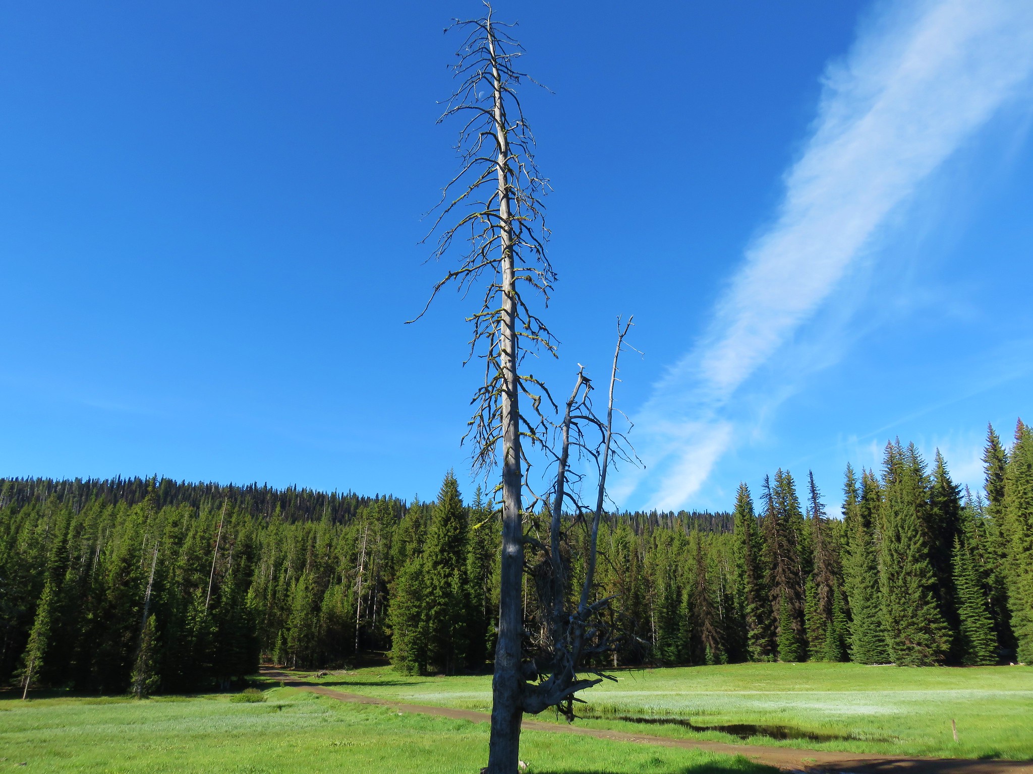
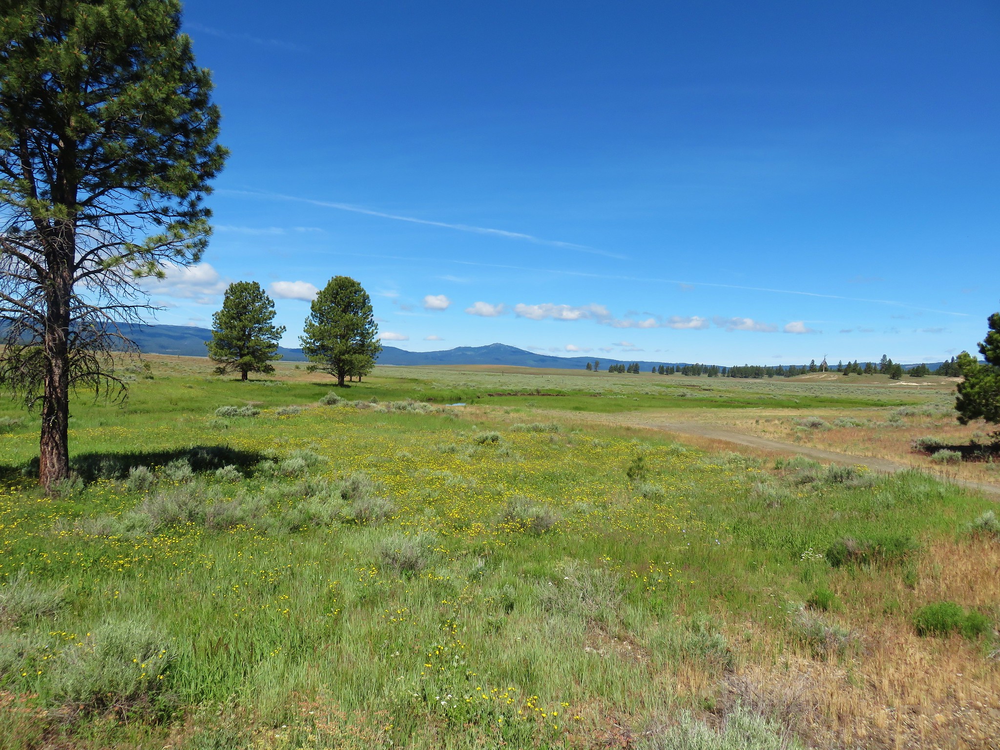
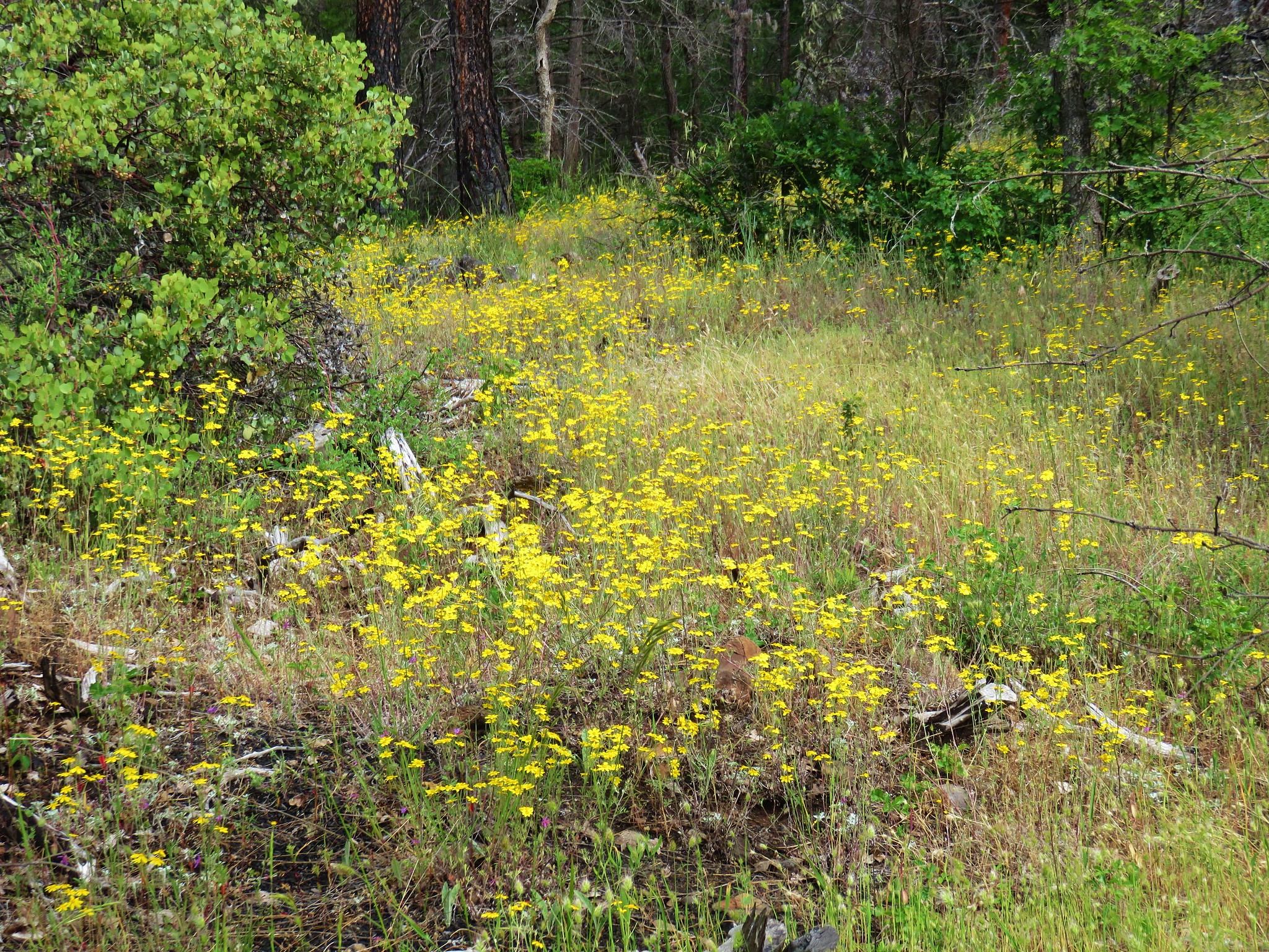
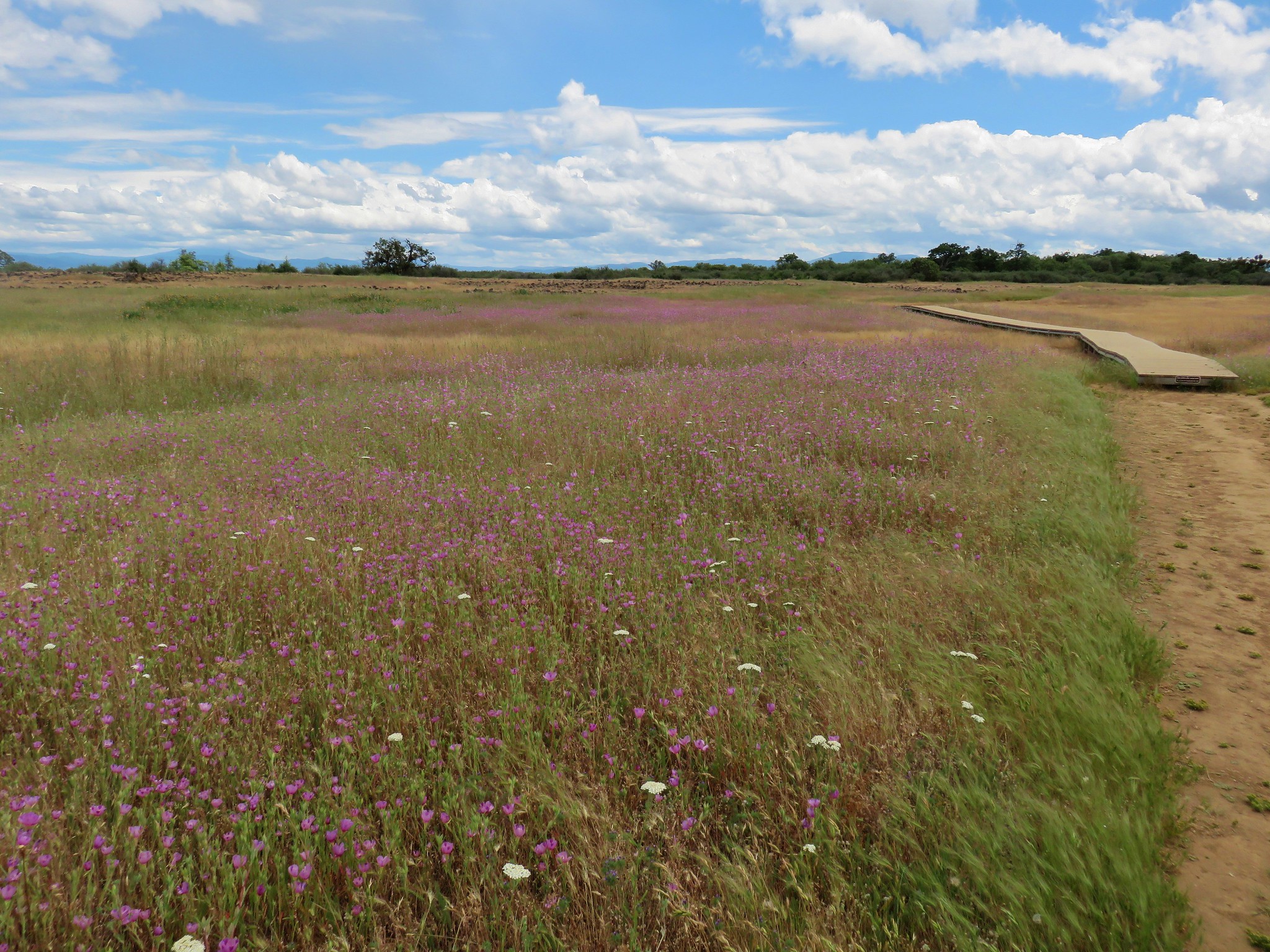
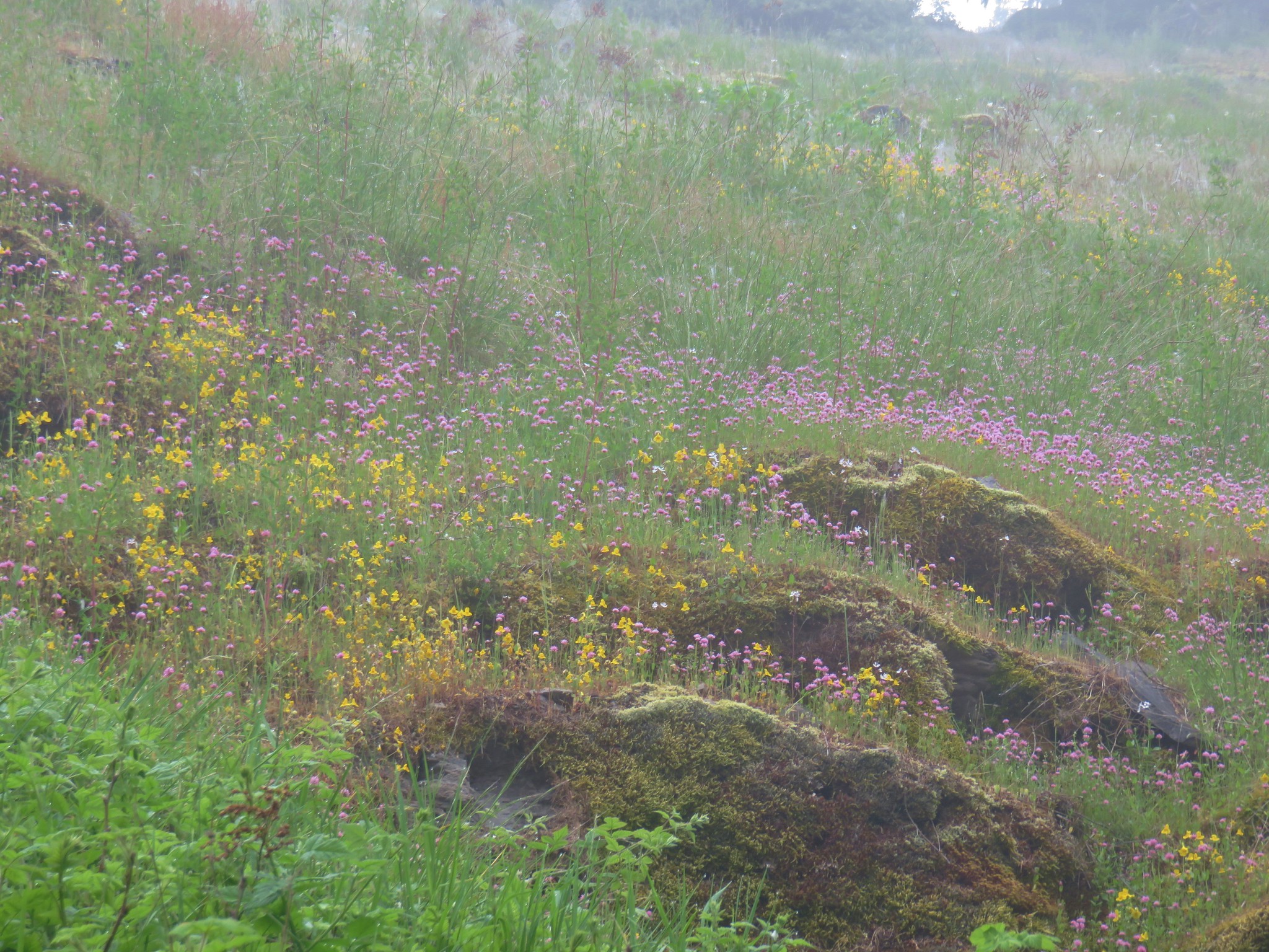
The trail had several road crossing and shortly after the third we arrived at Fawn Meadow where a small stream flowed through a meadow of wildflowers.


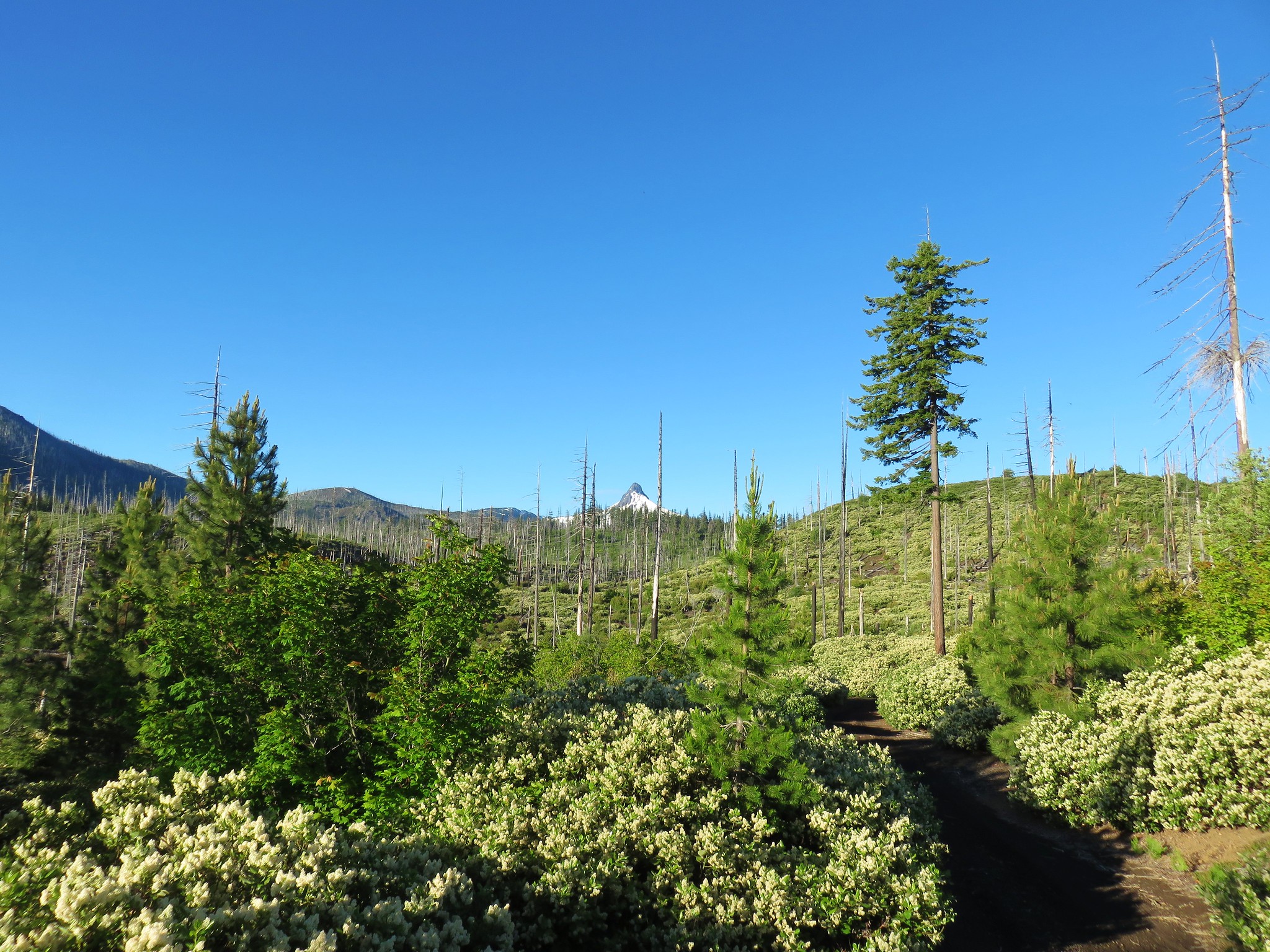
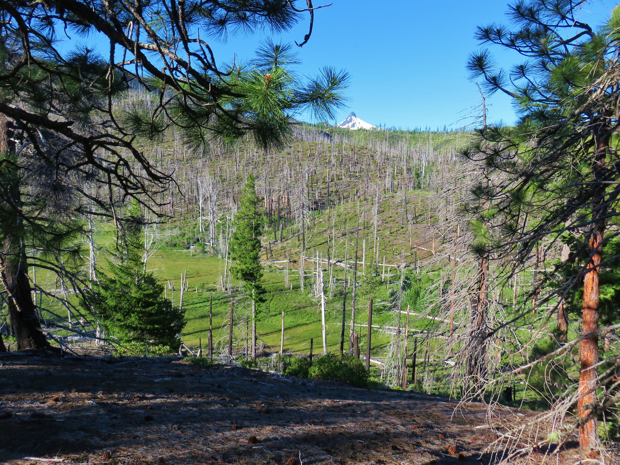
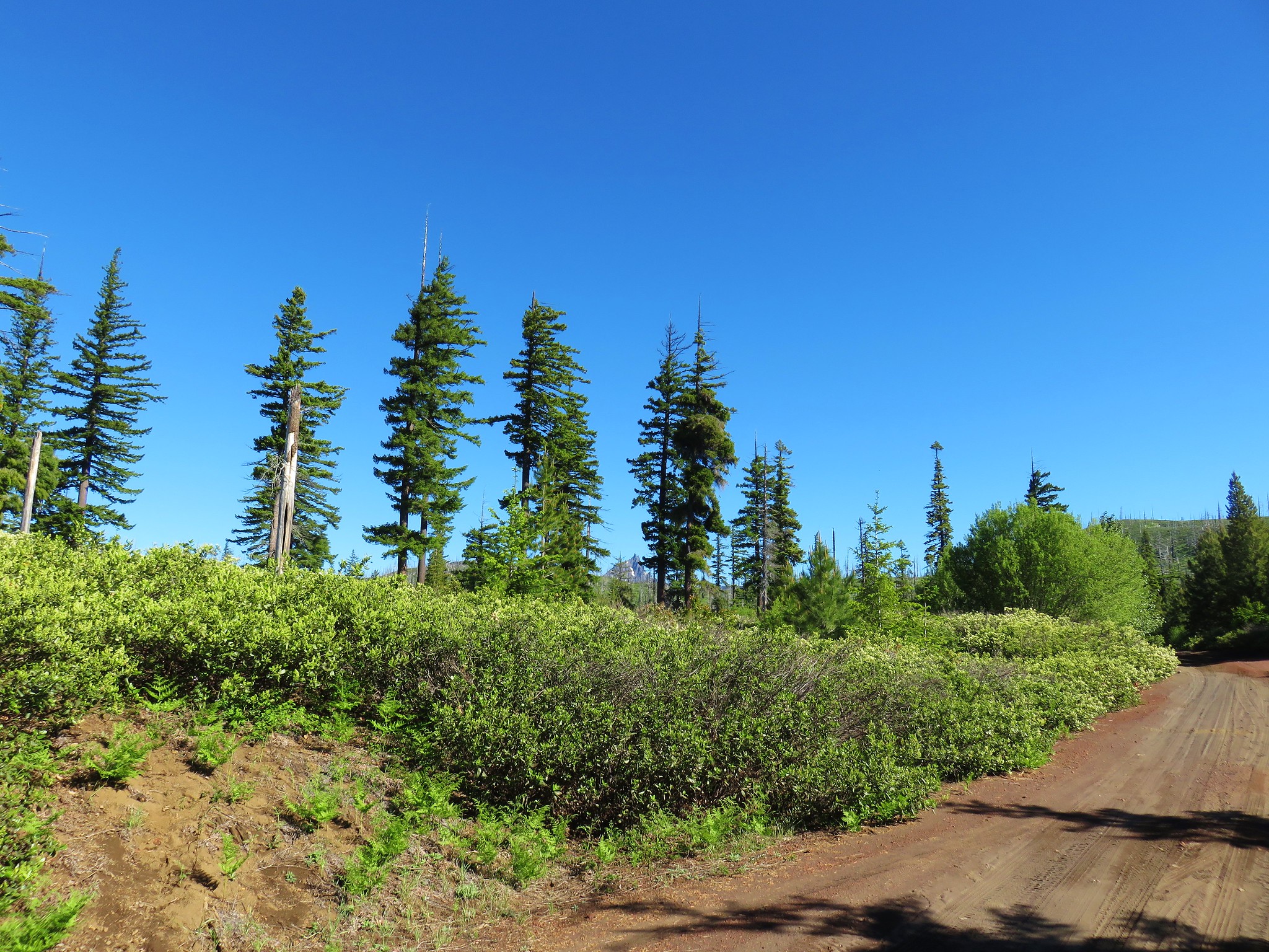
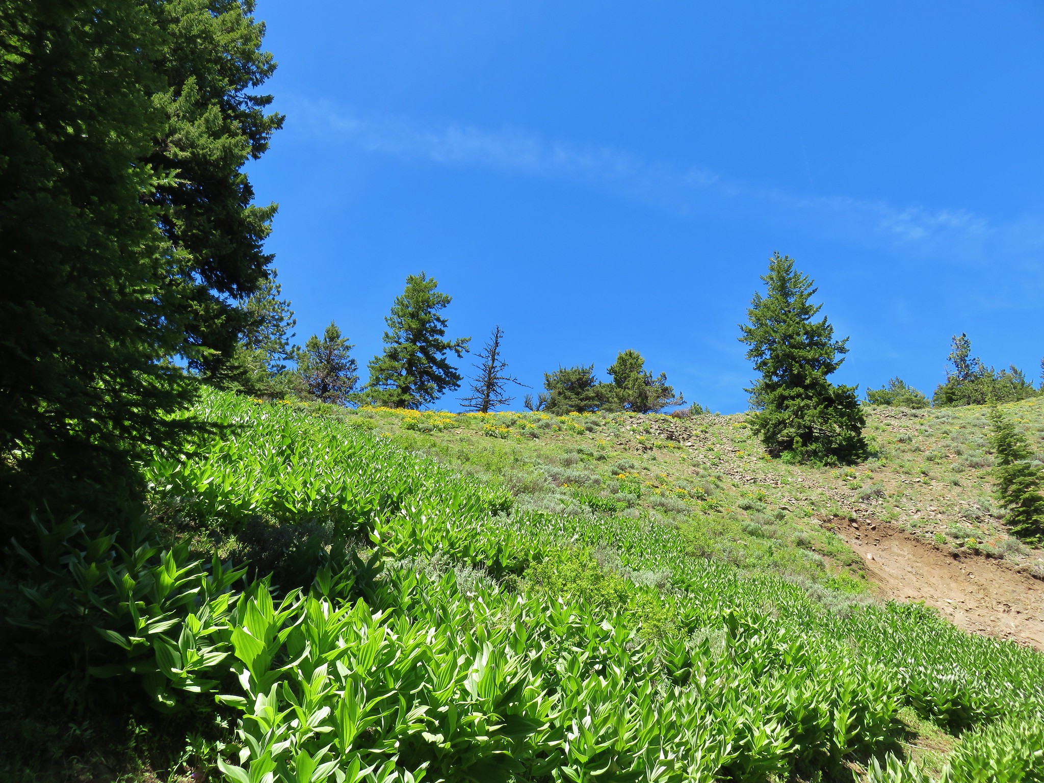
After a fourth road crossing the trail entered another beargrass meadow with a partial view of Mt. Hood and Mt. Adams.

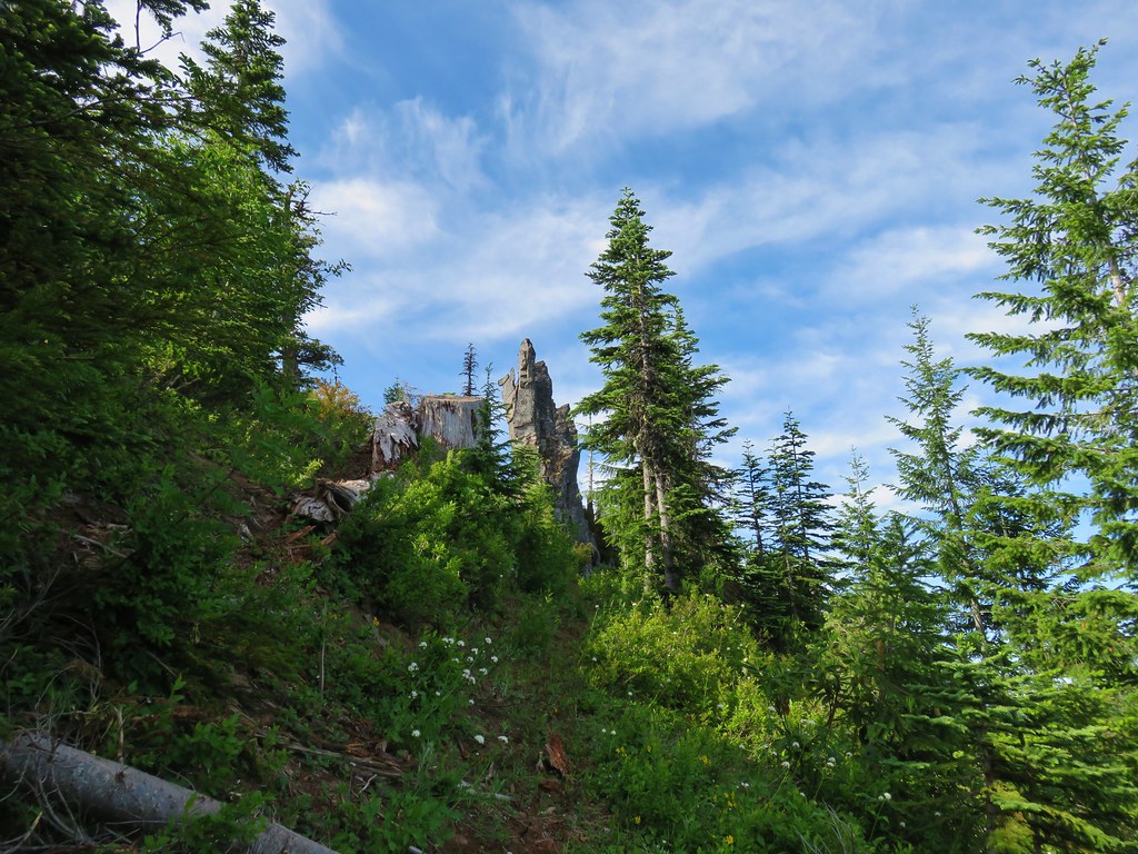
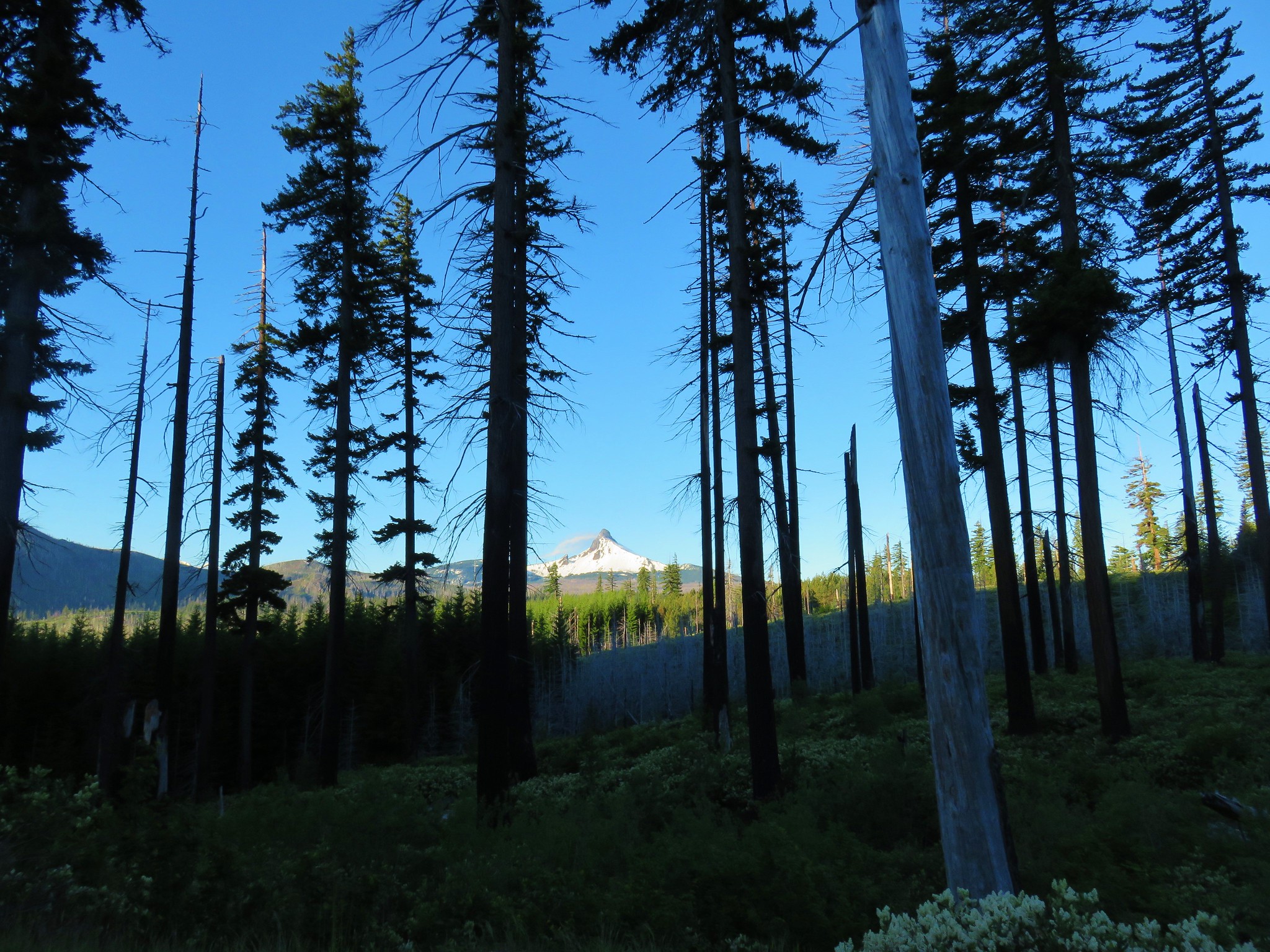
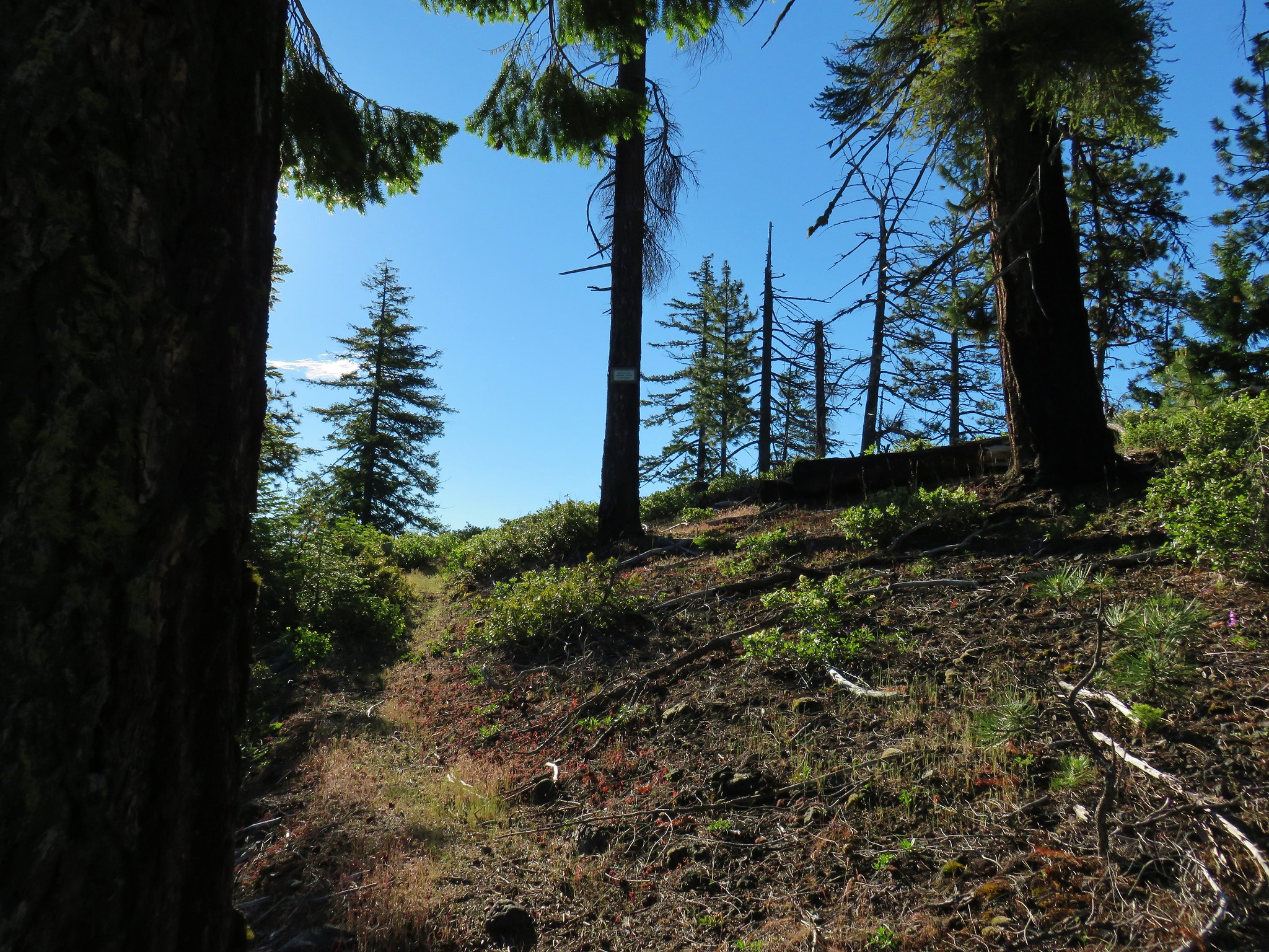
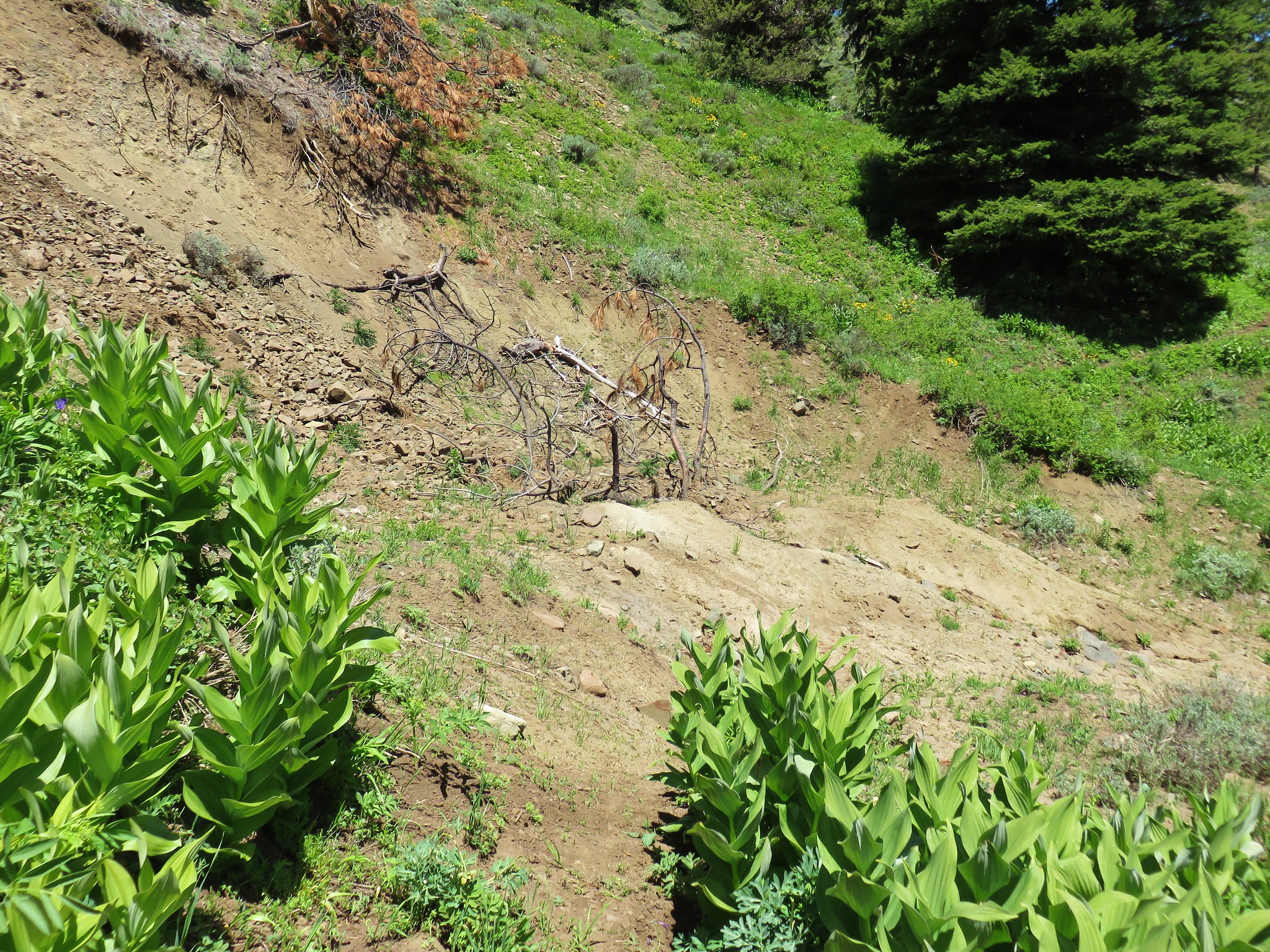
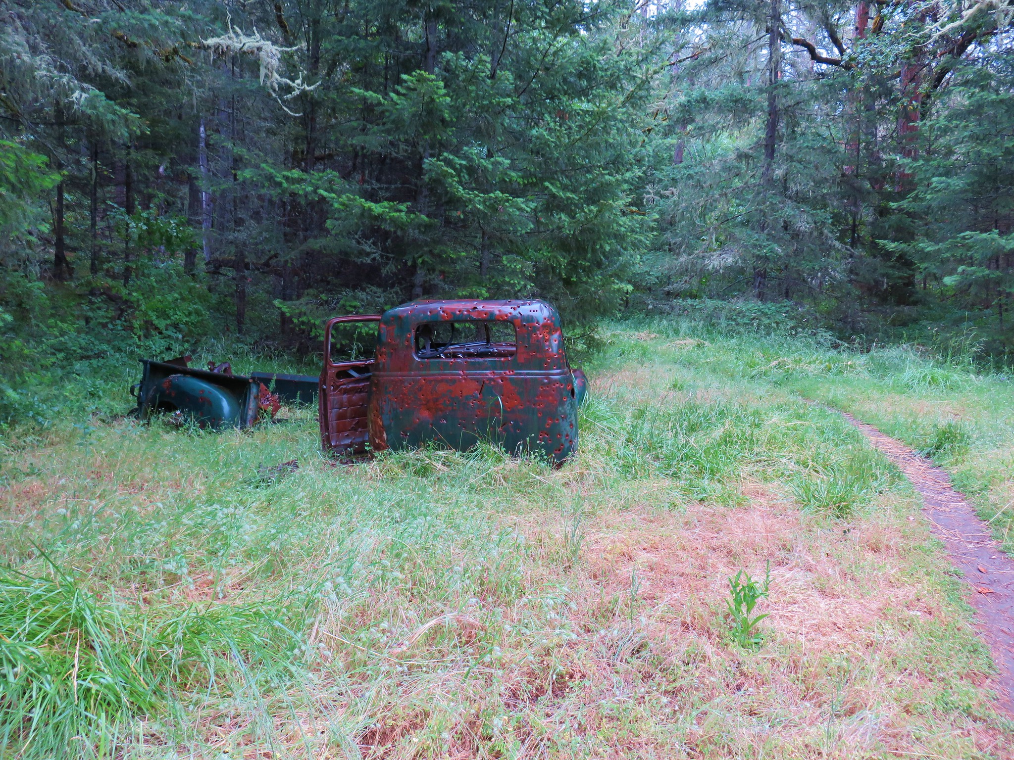
The brush was particularly thick as we exited the meadow which required us to really pay attention to the trail which was hard to see through all the green. We reentered the forest where we crossed one final old logging road before spotting the first snow along the trail. (There was actually a larger patch lower that we’d notice on the way back down but somehow we both missed it on the way up.)
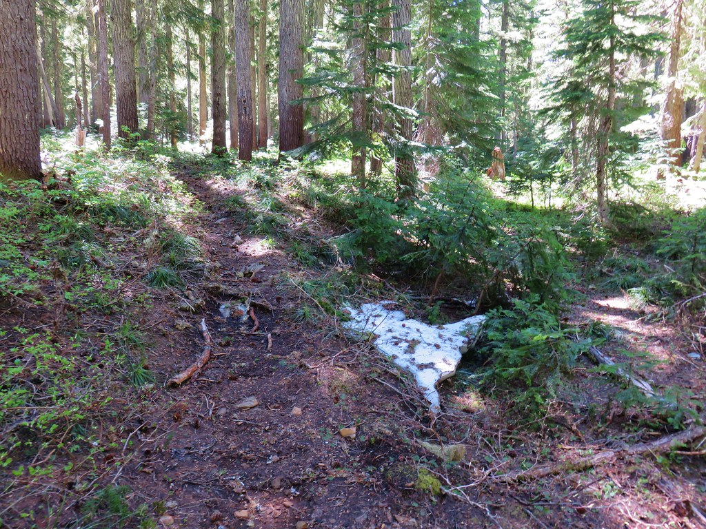
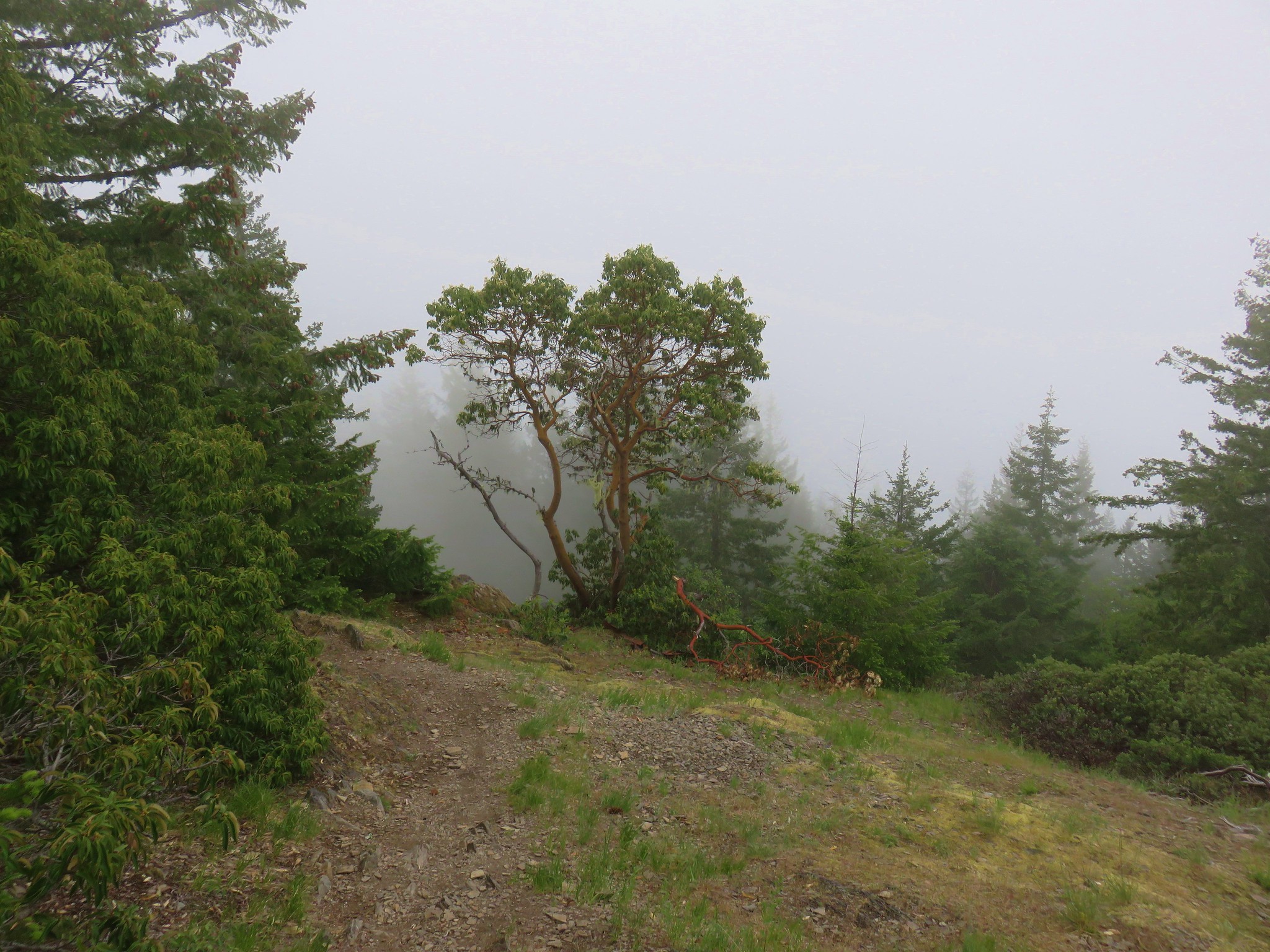
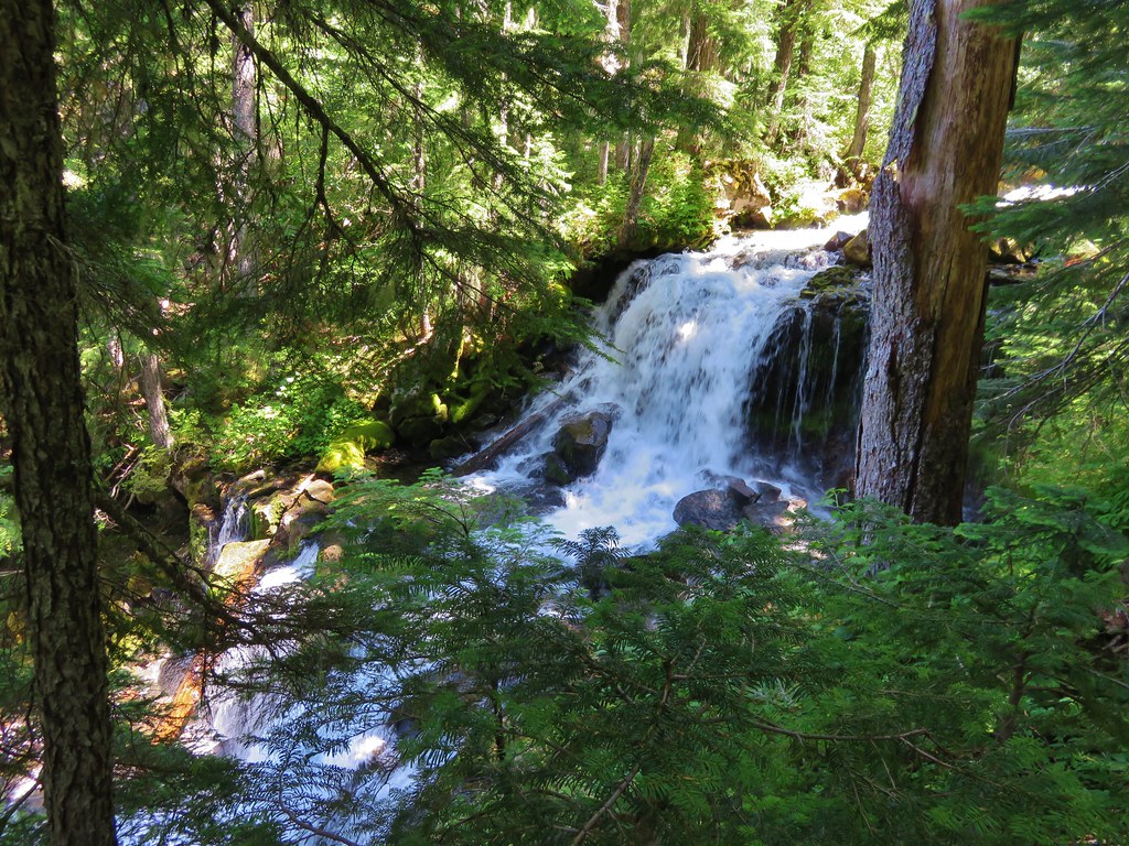
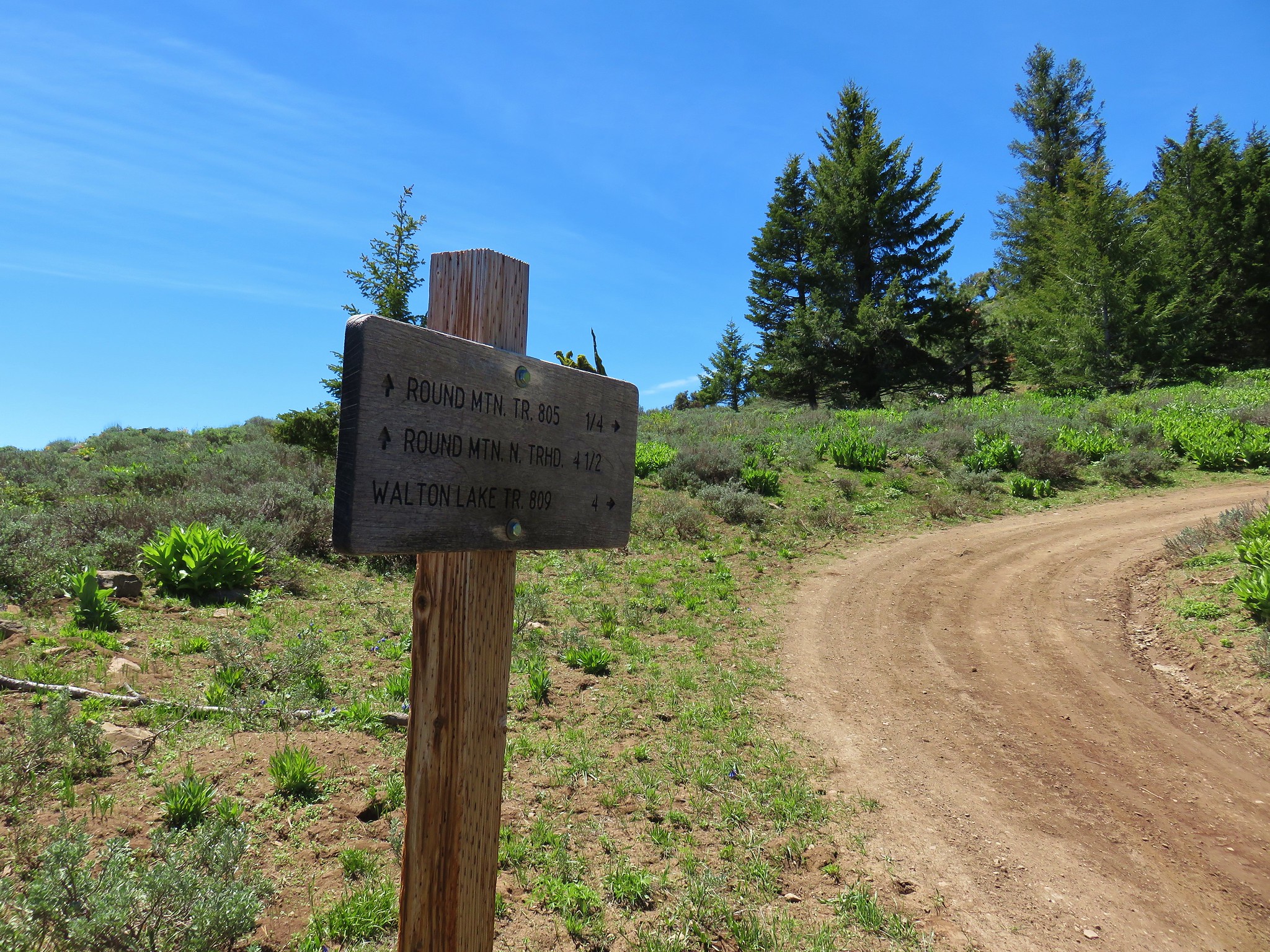
The little patch of snow was near Round Creek which was flowing on this day. The sound of the creek was nice but we didn’t dare stop to admire it due to the many blood thirsty mosquitoes that were present. Just under half a mile later we spotted the sign for the Hawk Mountain Trail.

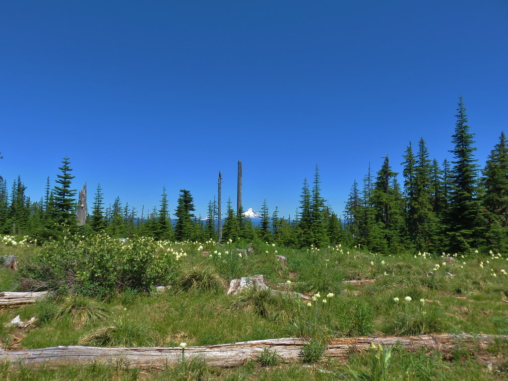
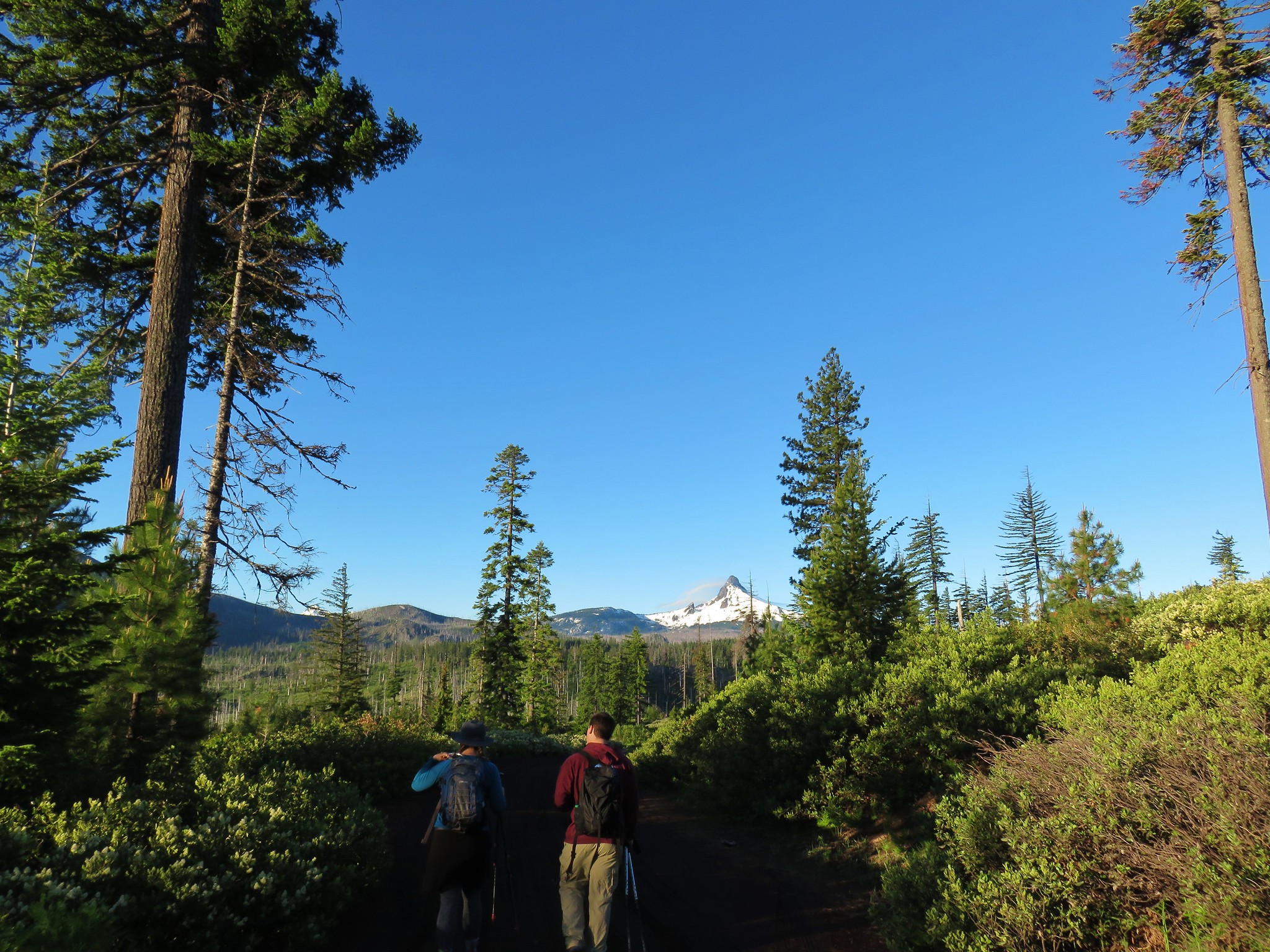
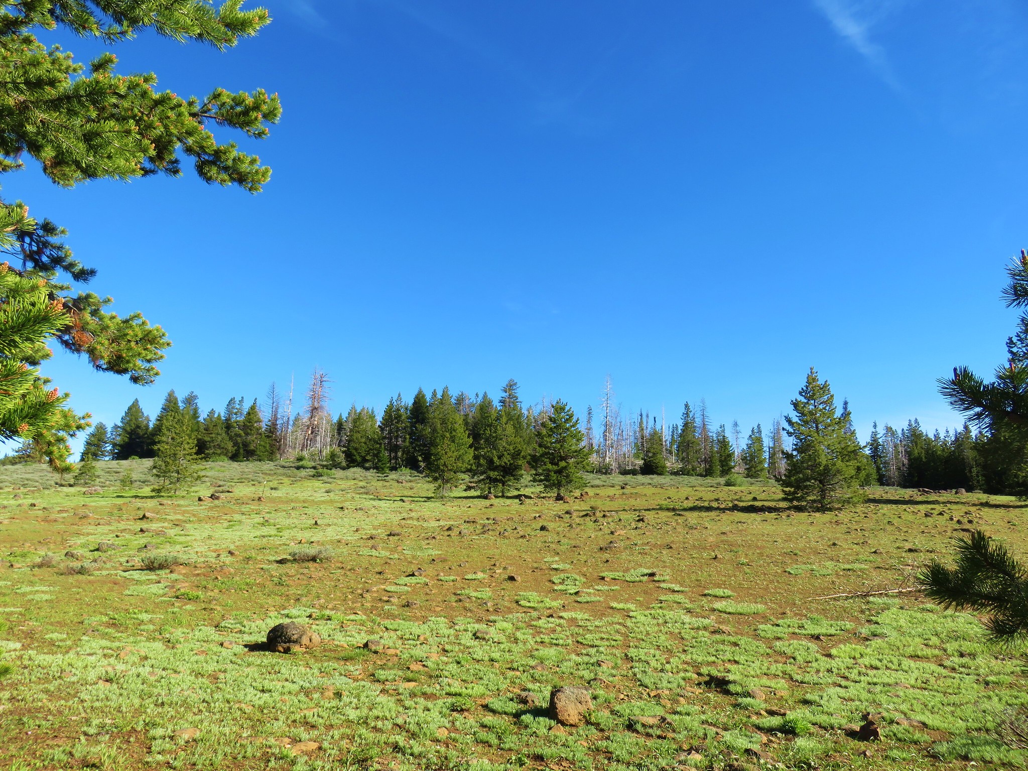
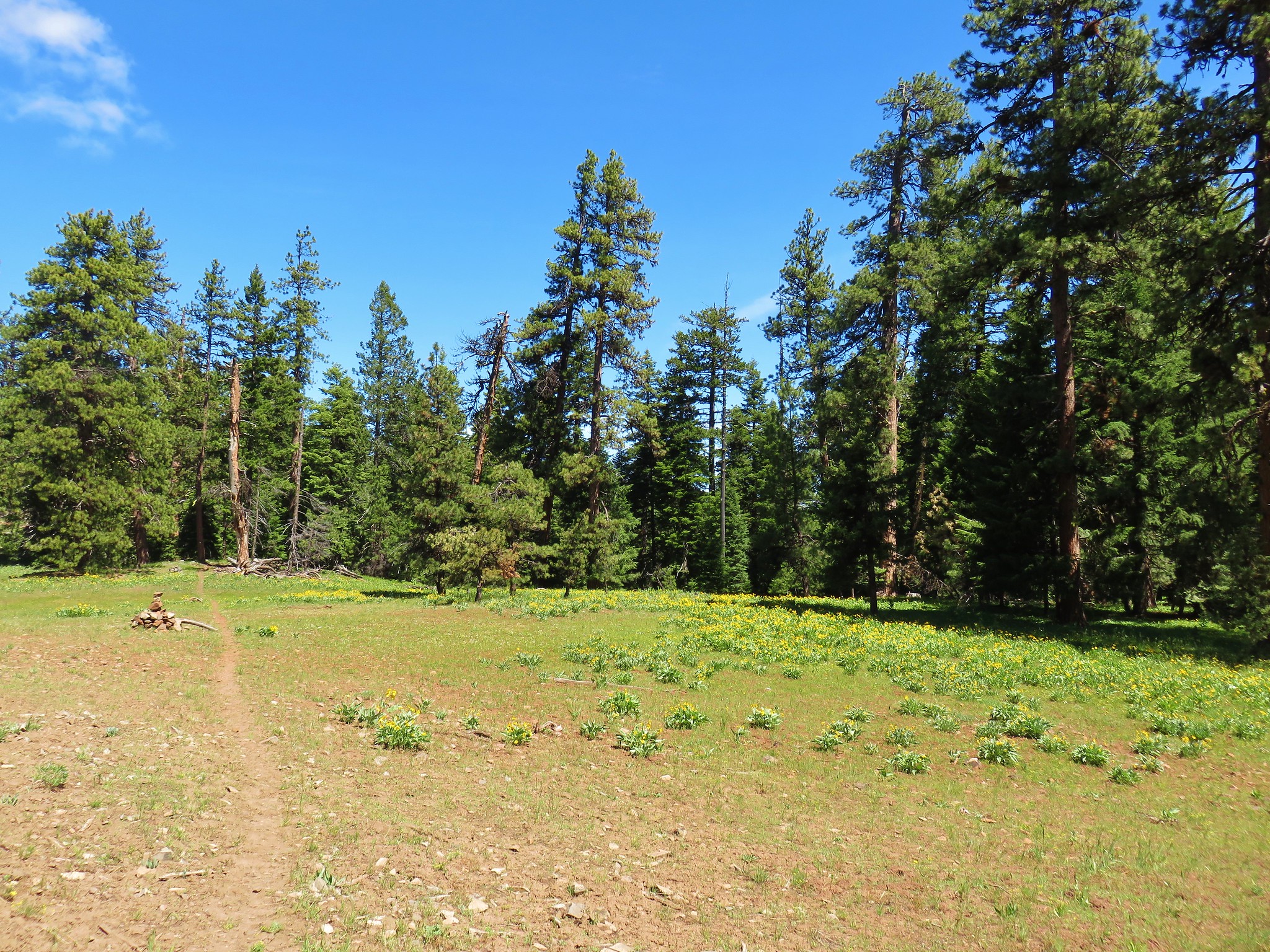
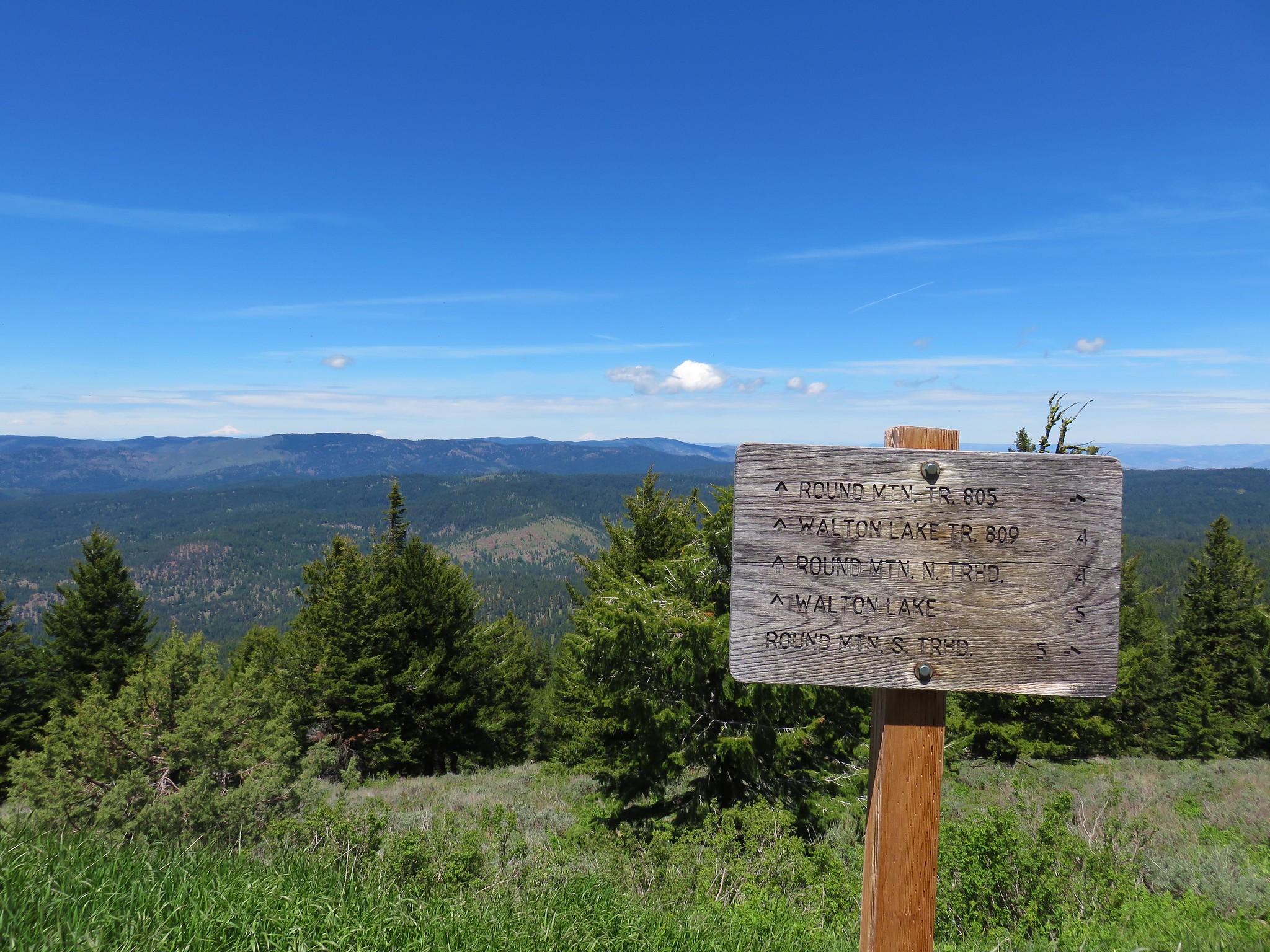
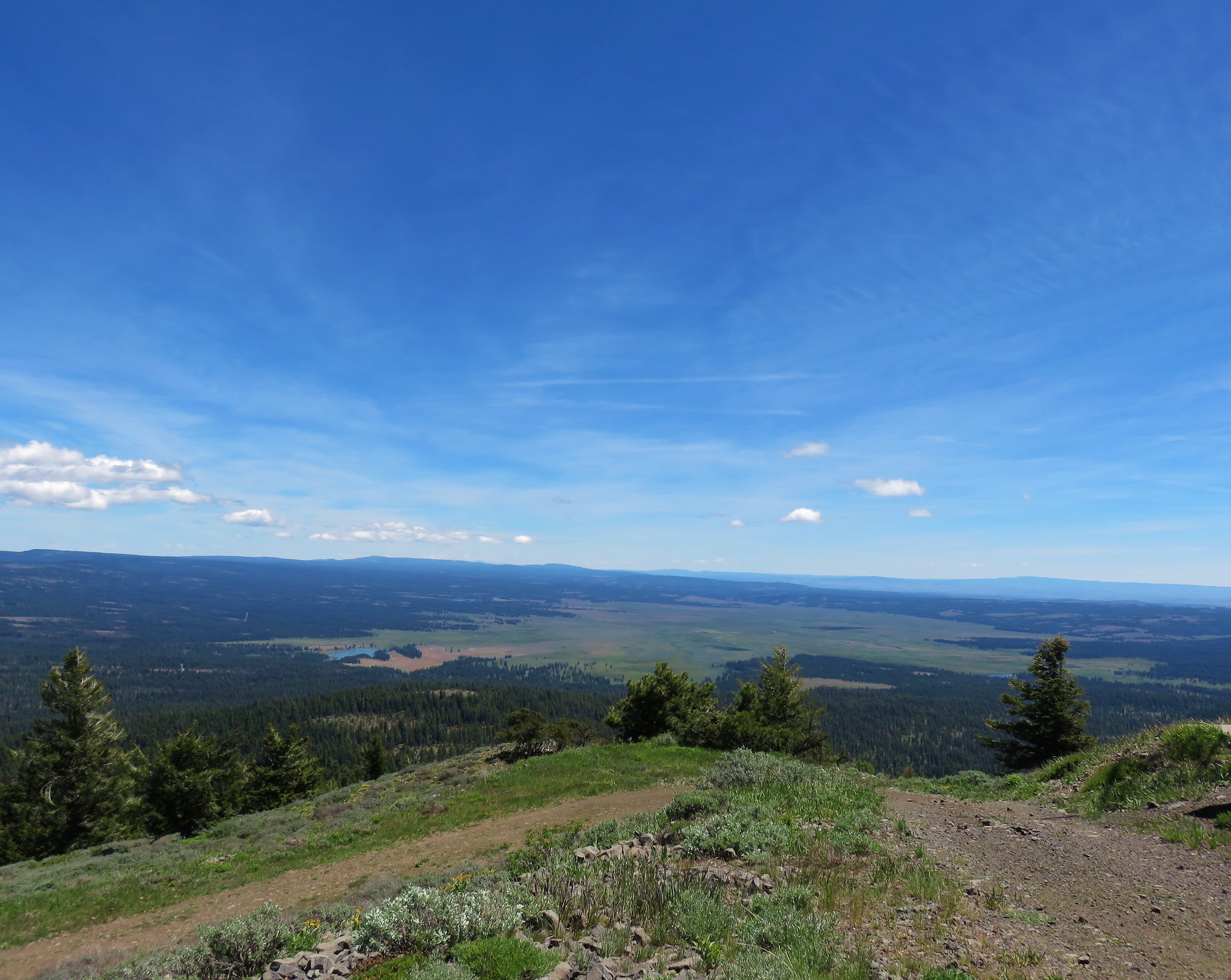
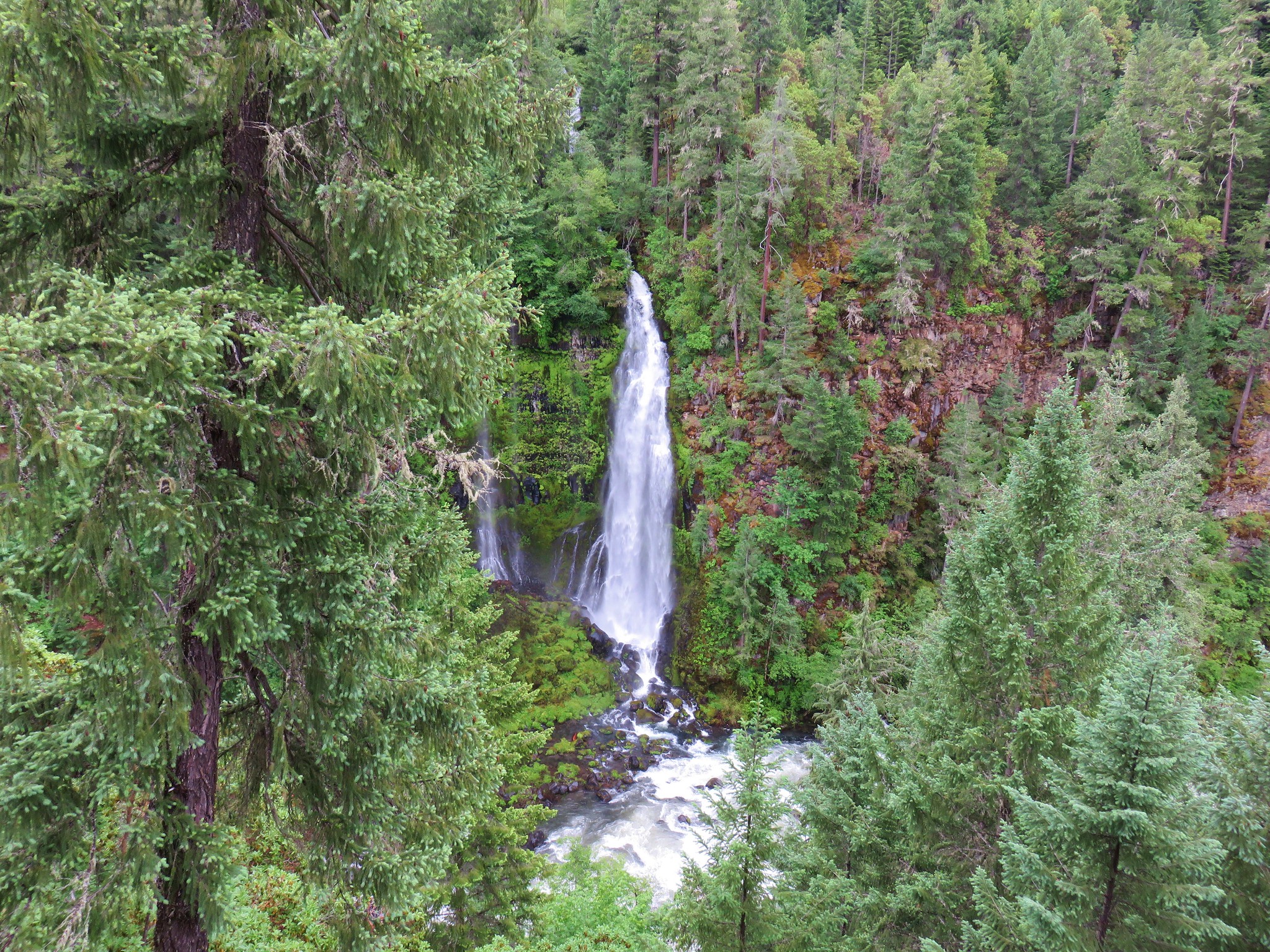
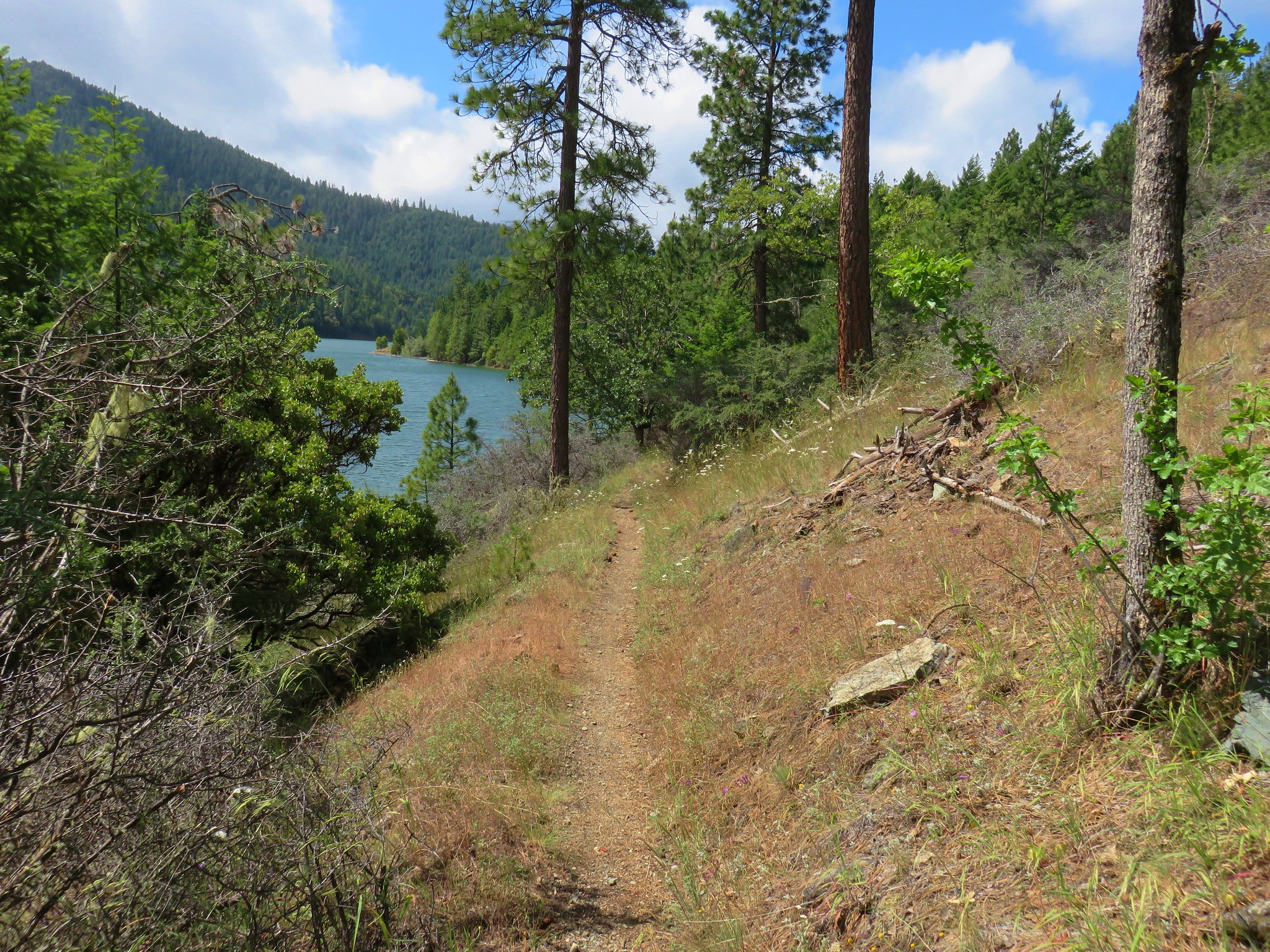
We turned uphill here climbing approximately 300′ in .4 miles to the summit meadow and the Hawk Mountain Lookout.


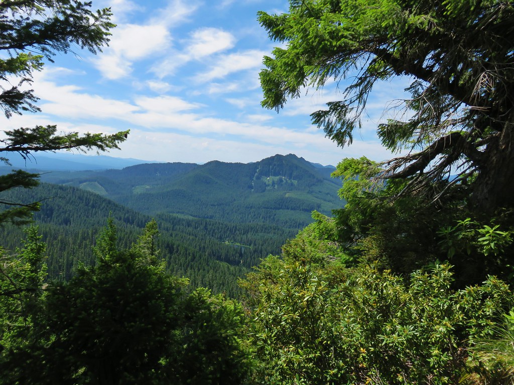
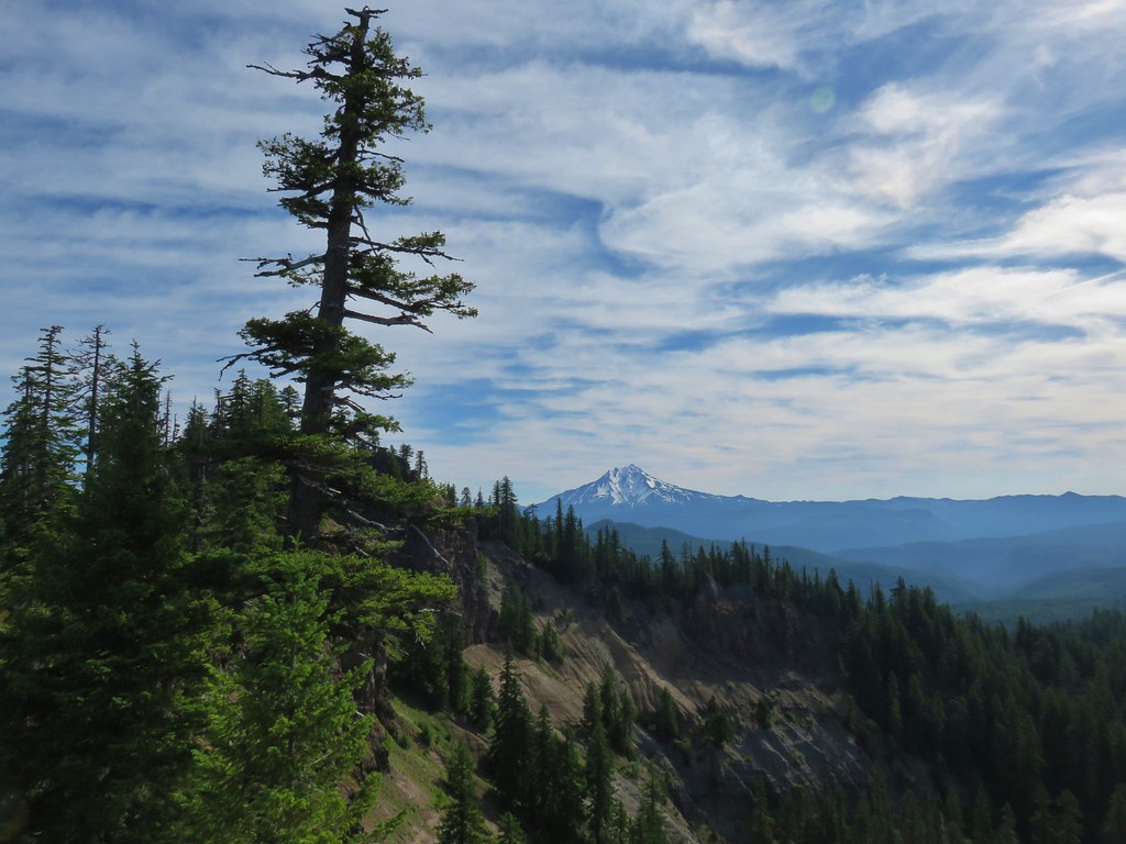
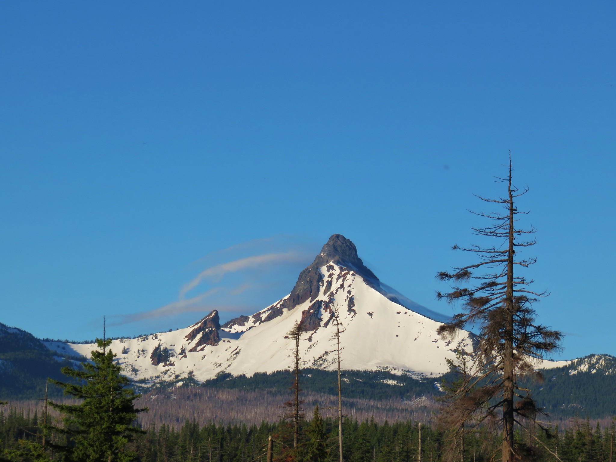
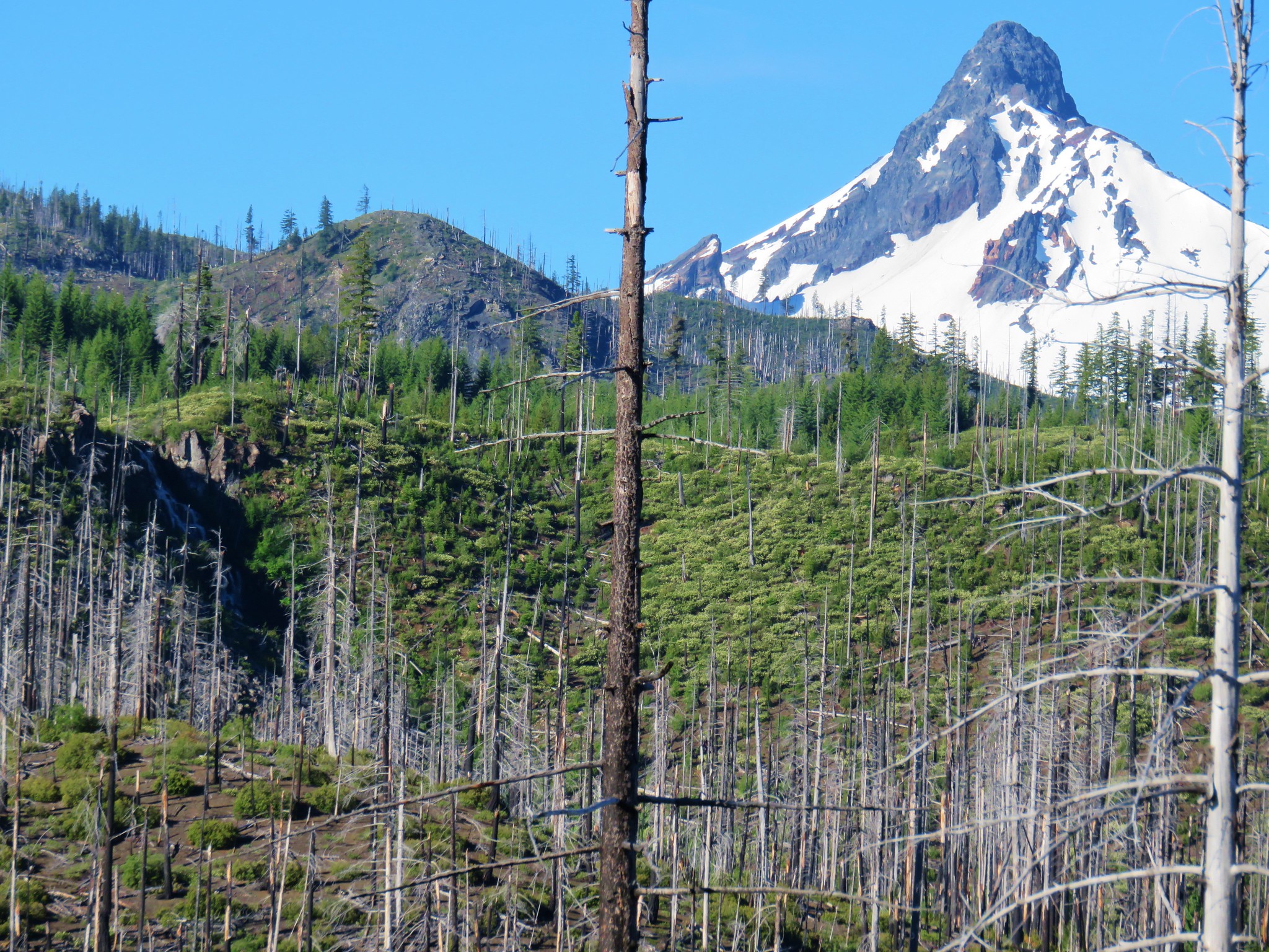
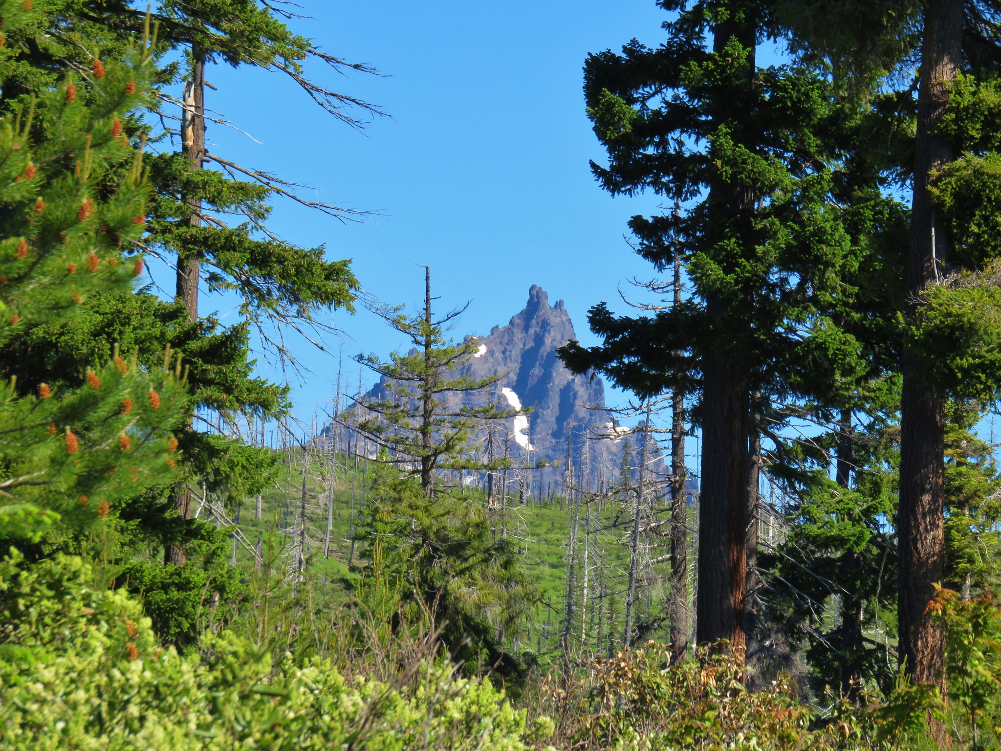
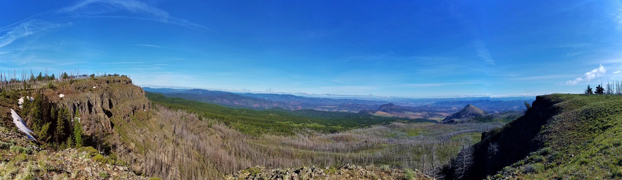
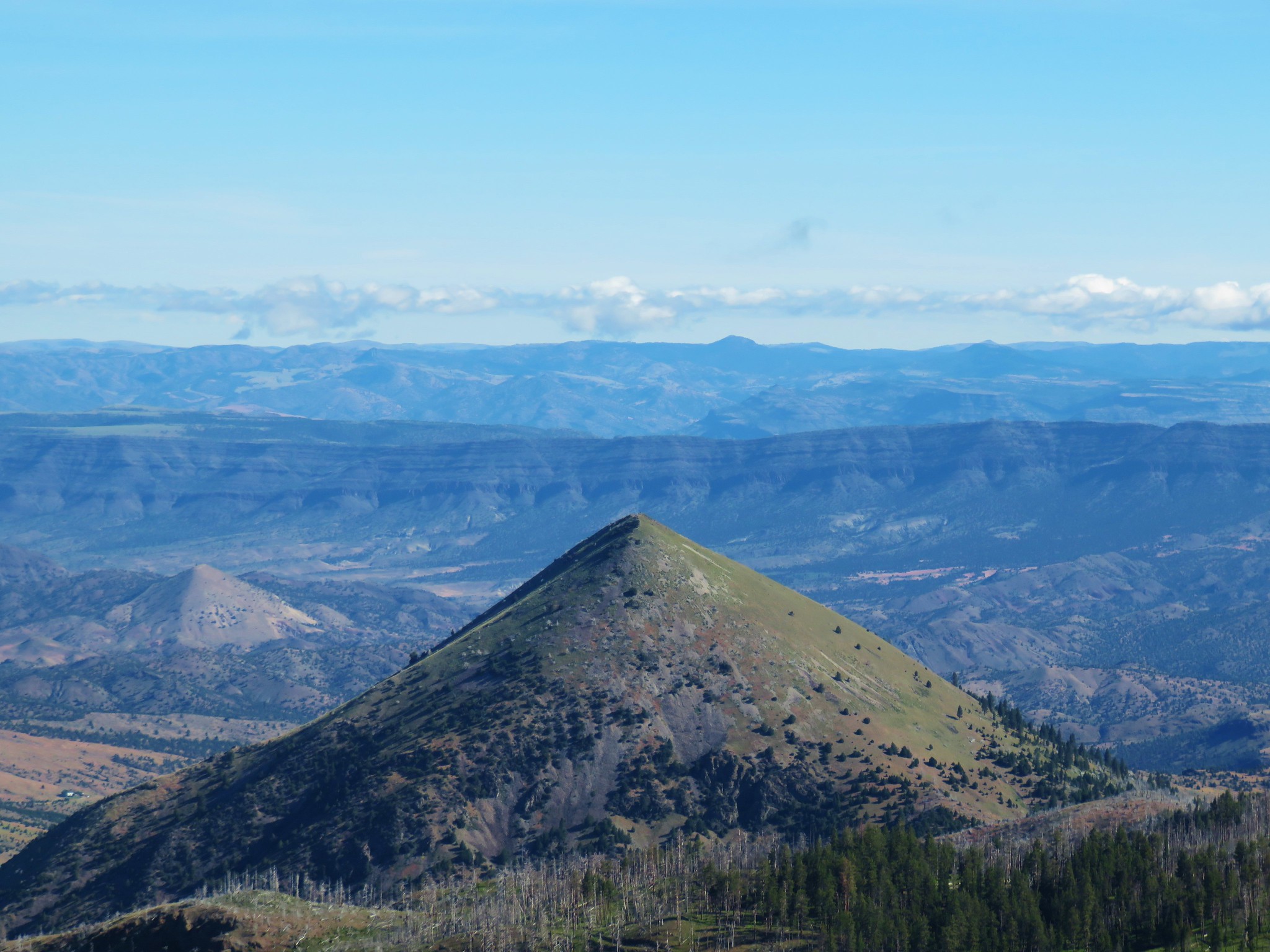
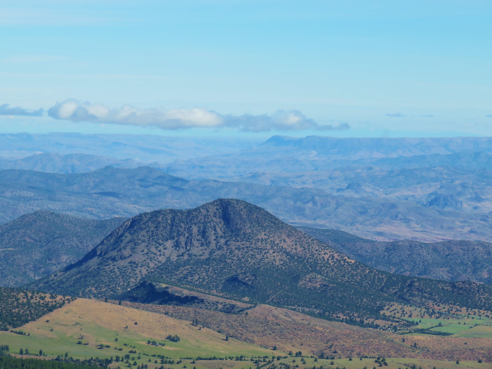
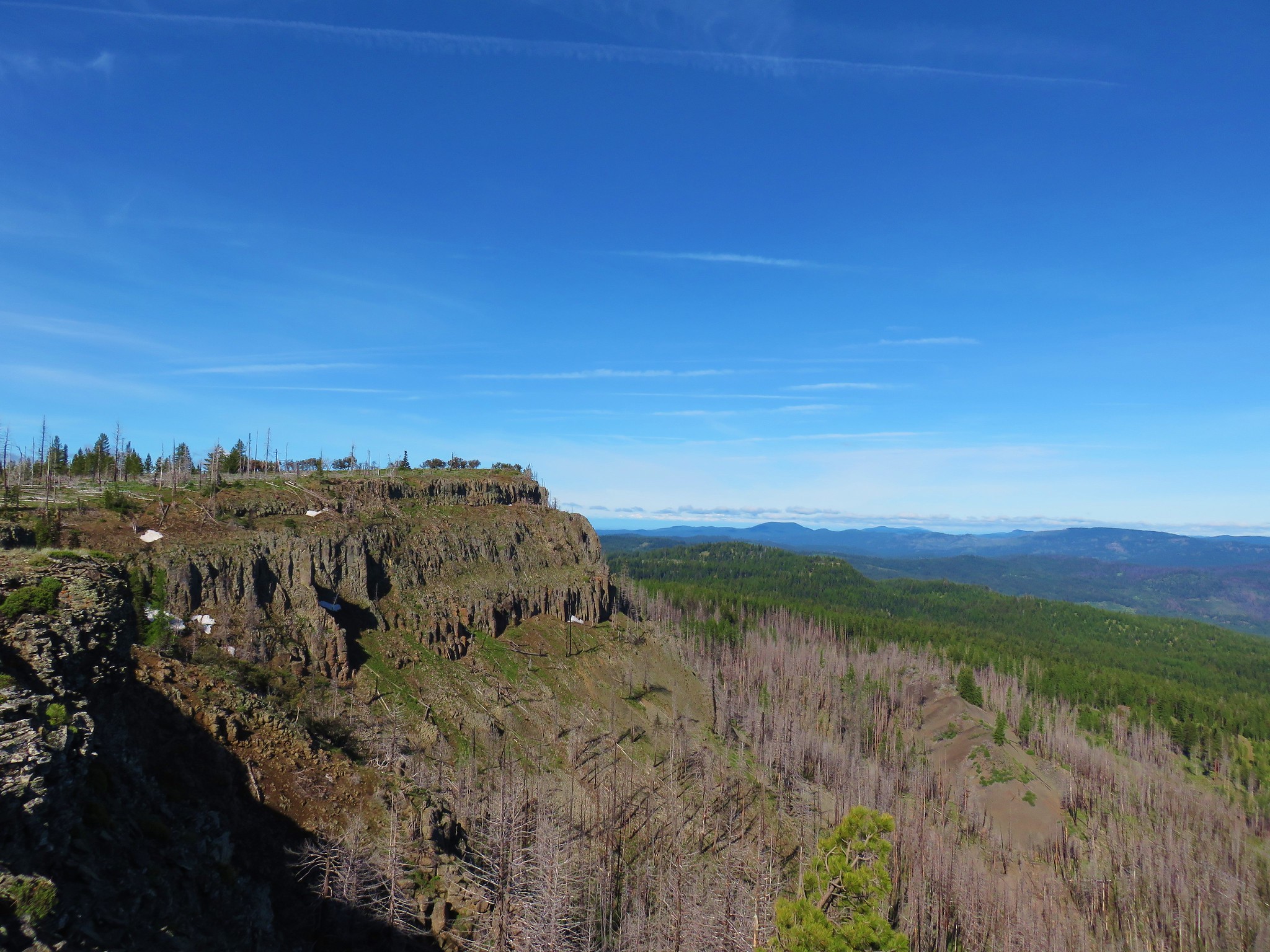
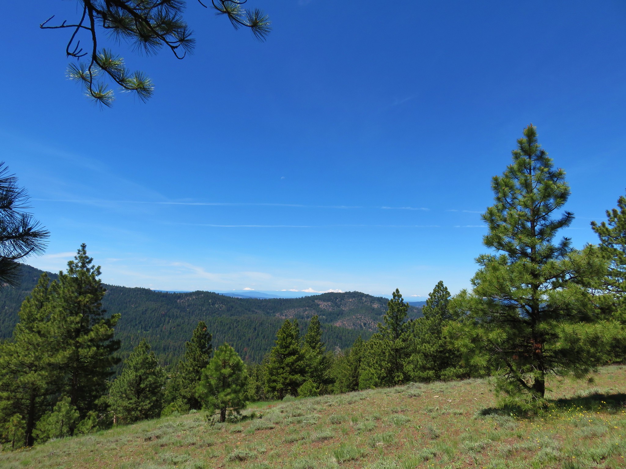
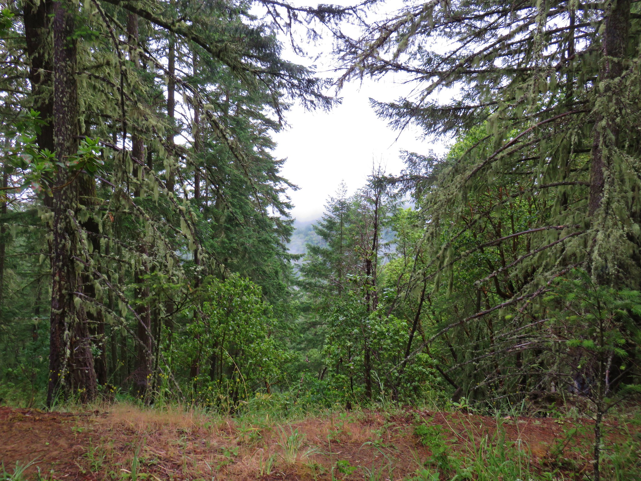
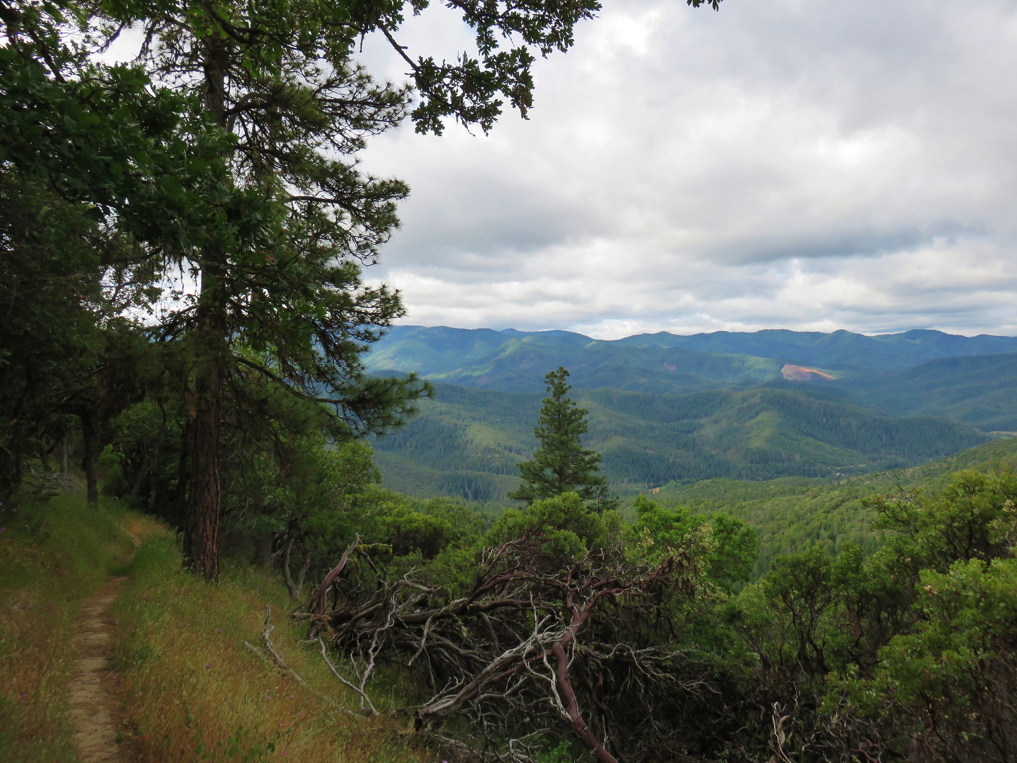
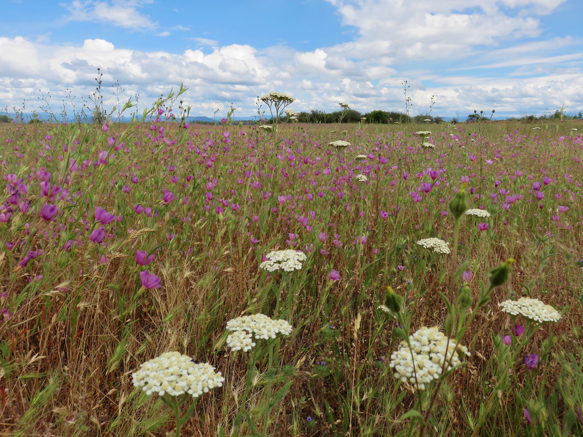
The view from the summit is a good one especially of Mt. Jefferson.

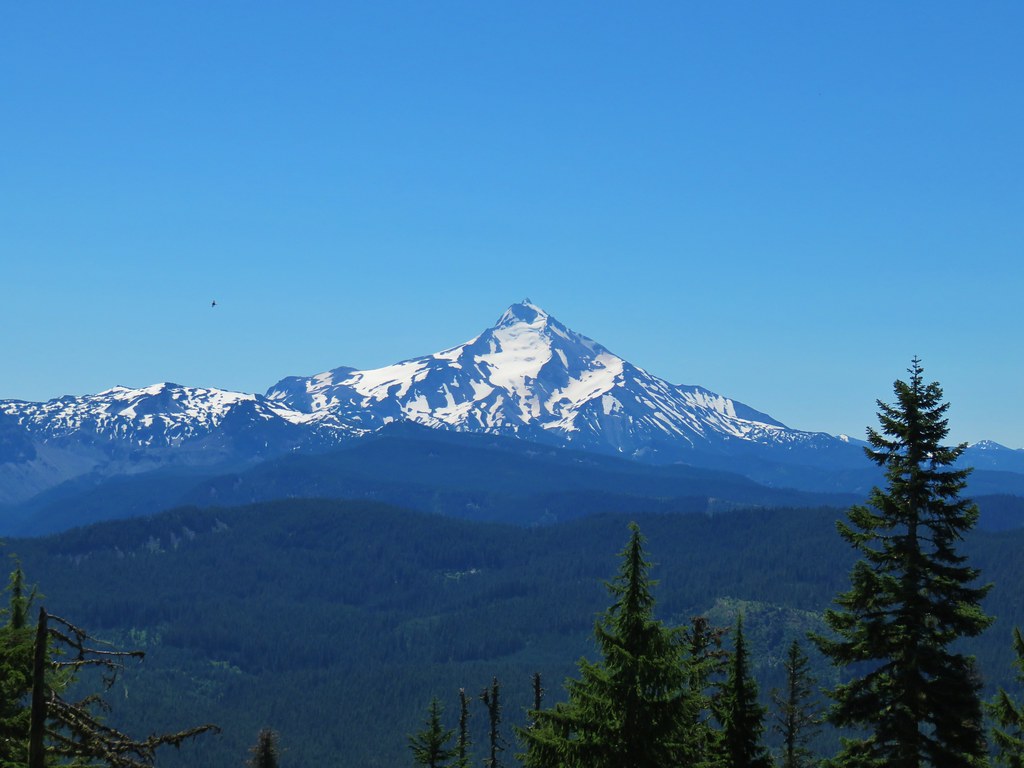
Additionally Three Fingered Jack, The Three Sisters, and Mt. Washington were visible further south with the very top of Broken Top poking up above the ridge north of Three Fingered Jack.

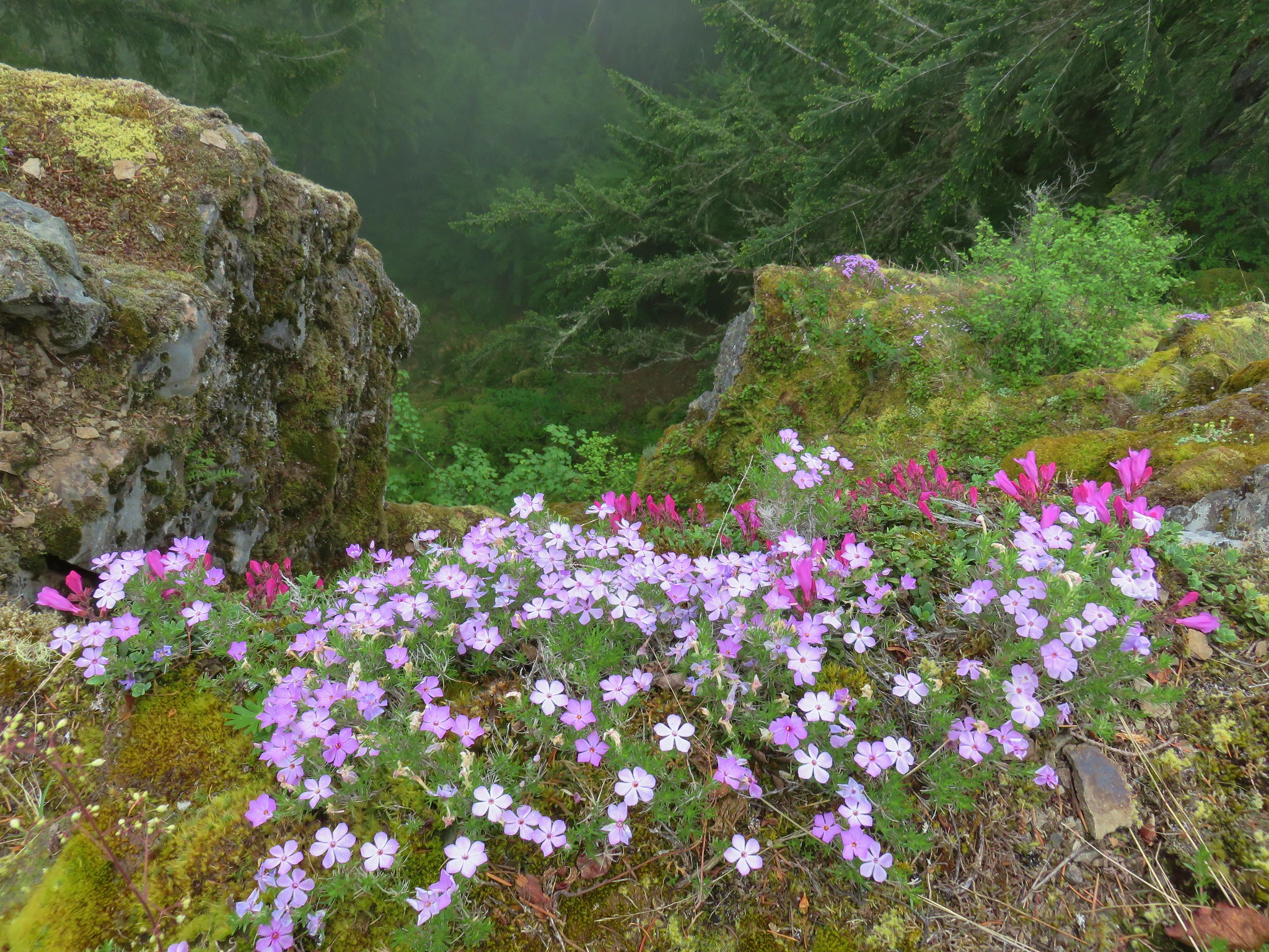
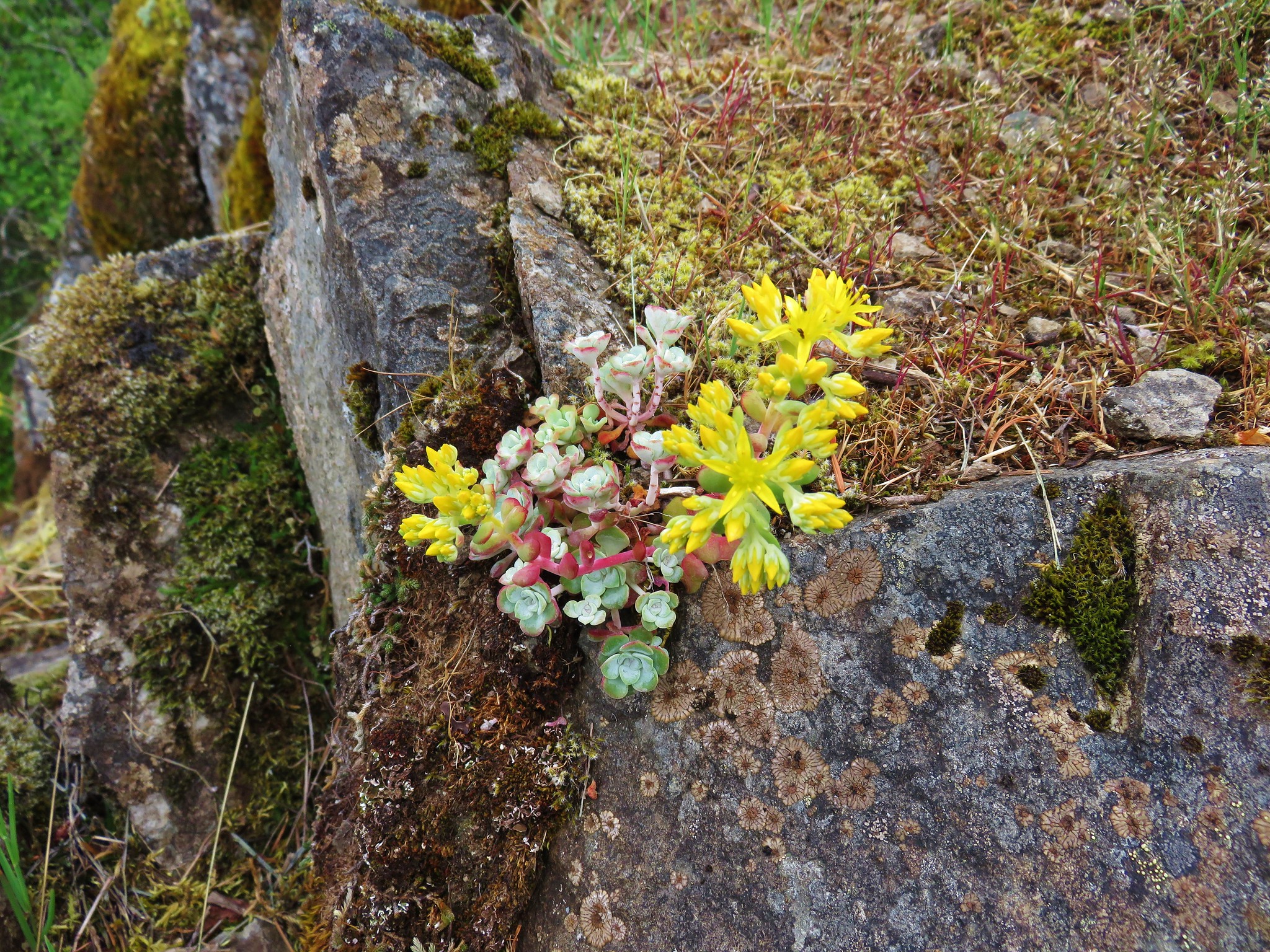
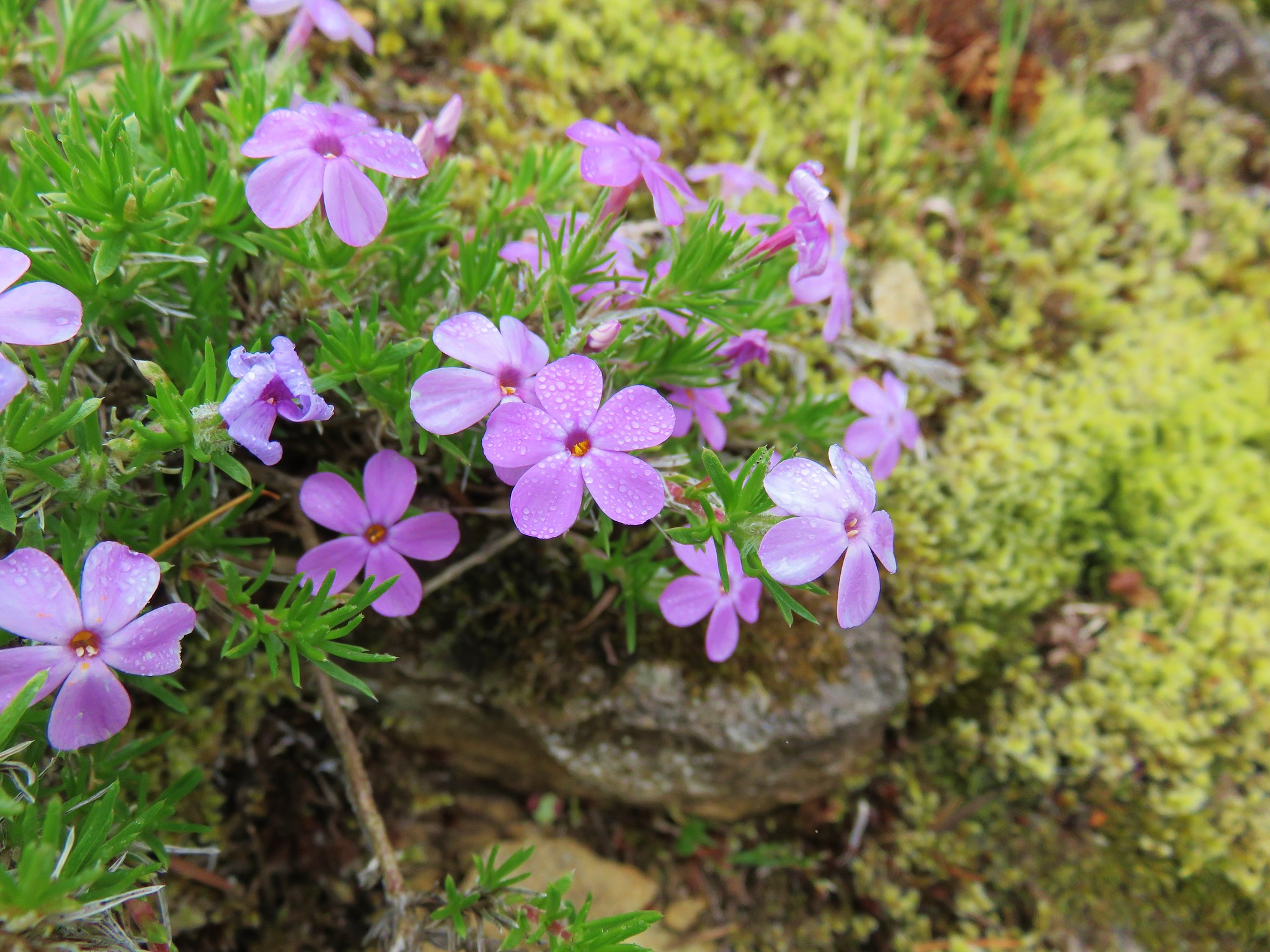
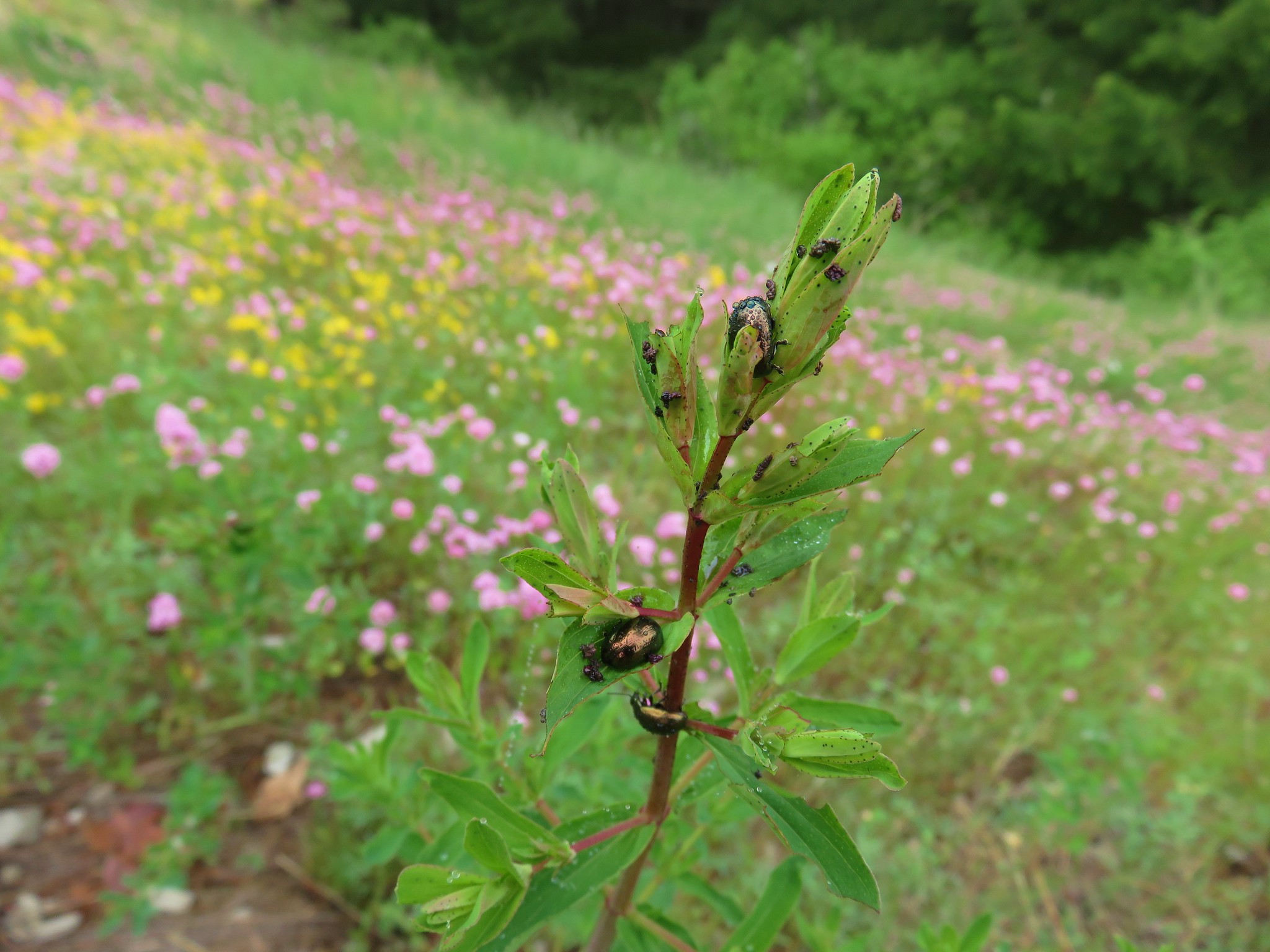
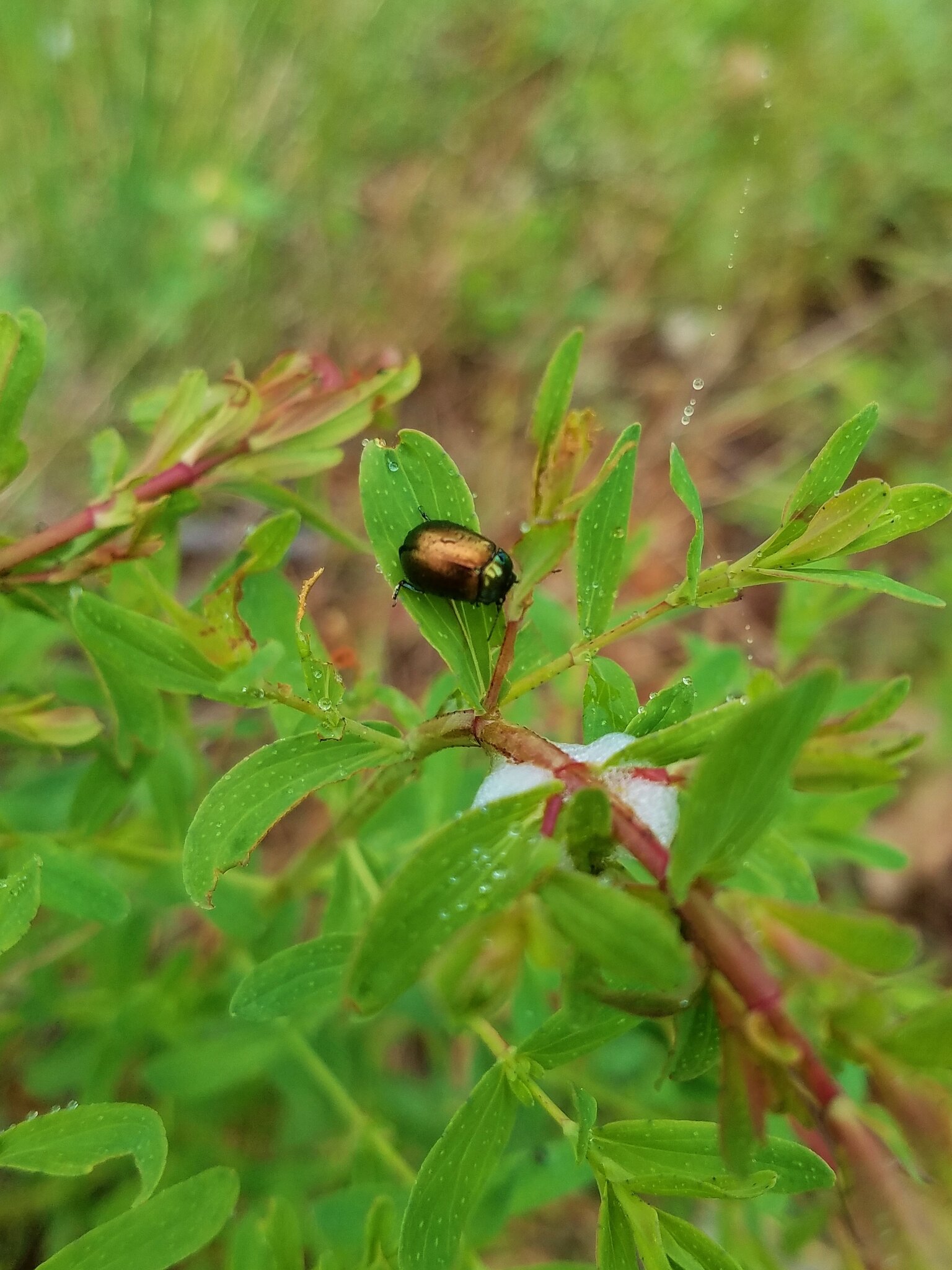
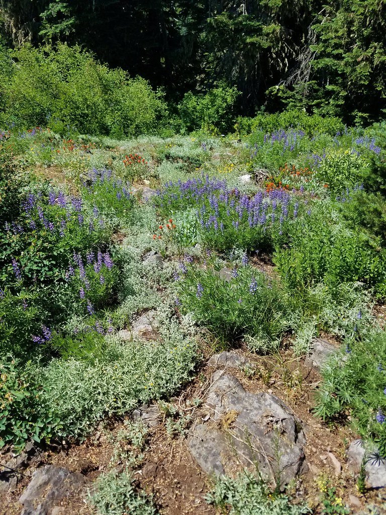
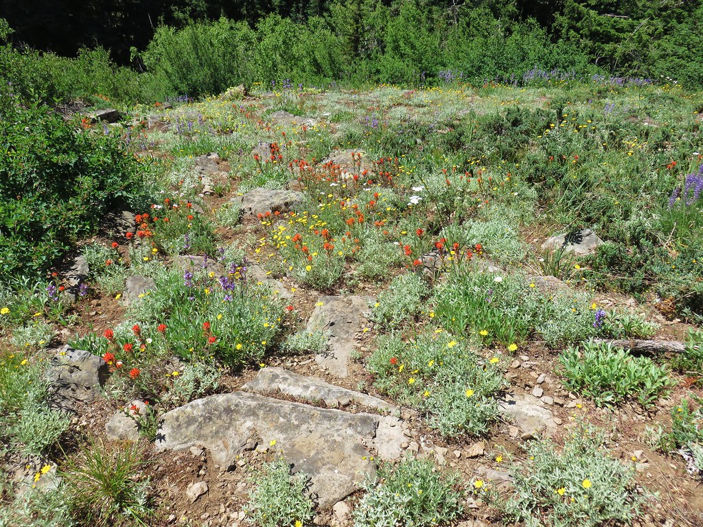
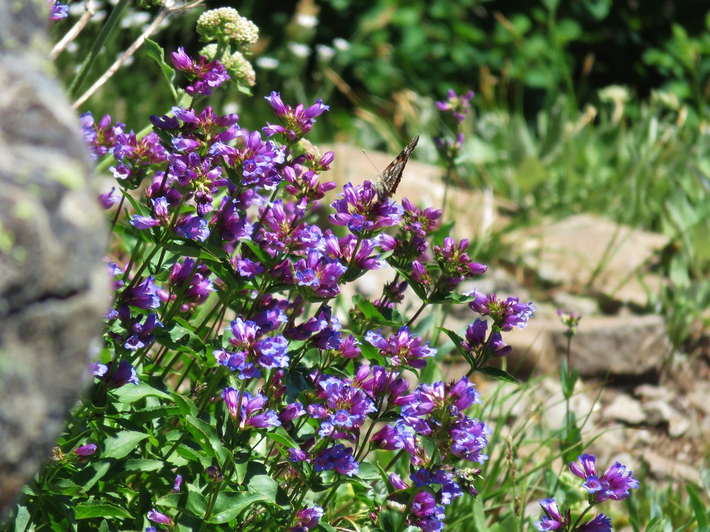
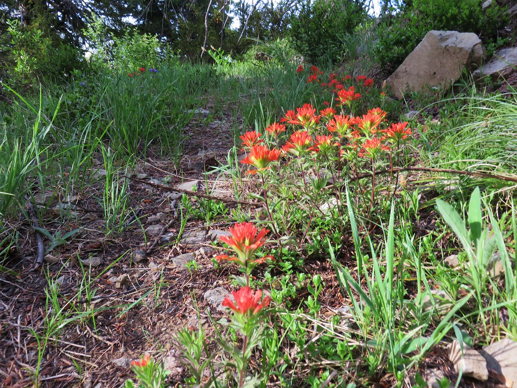
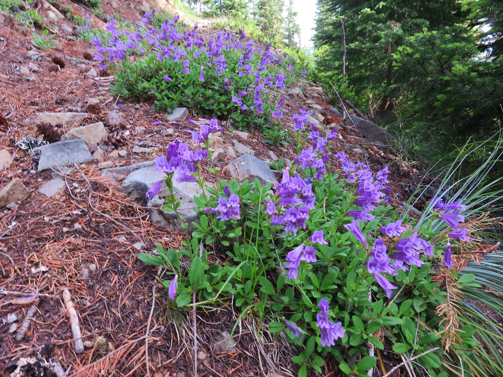
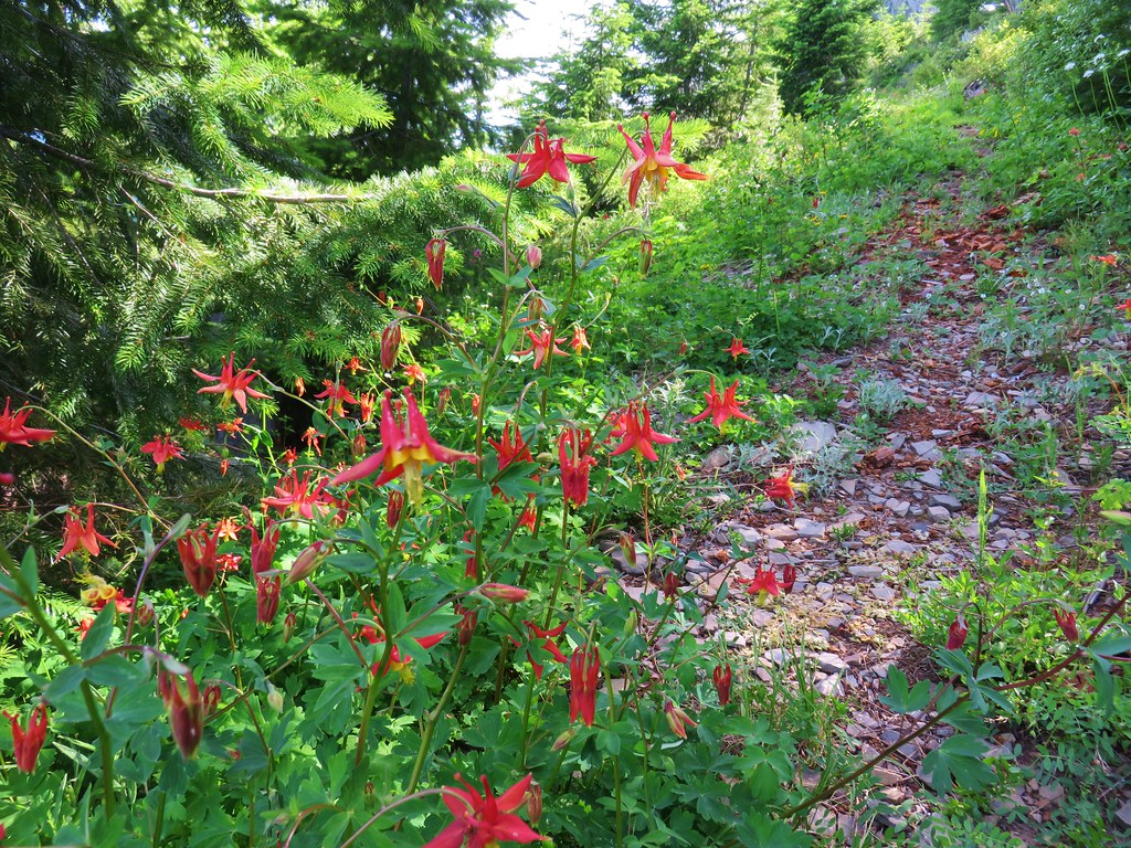
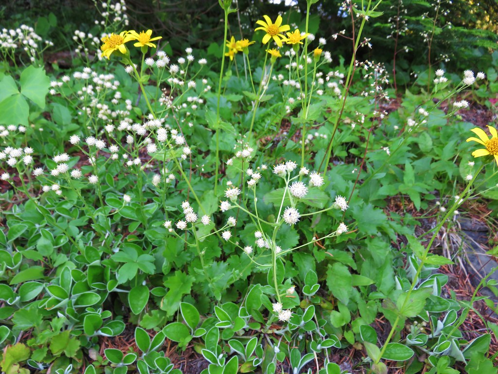
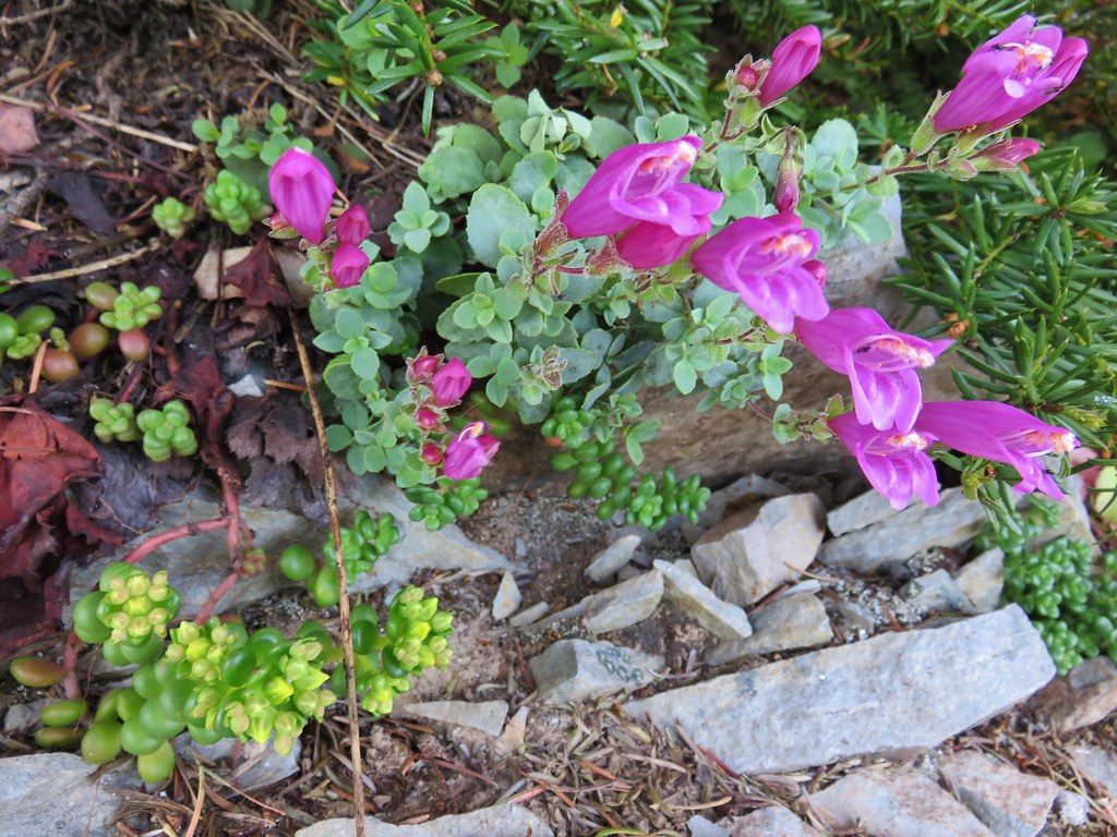
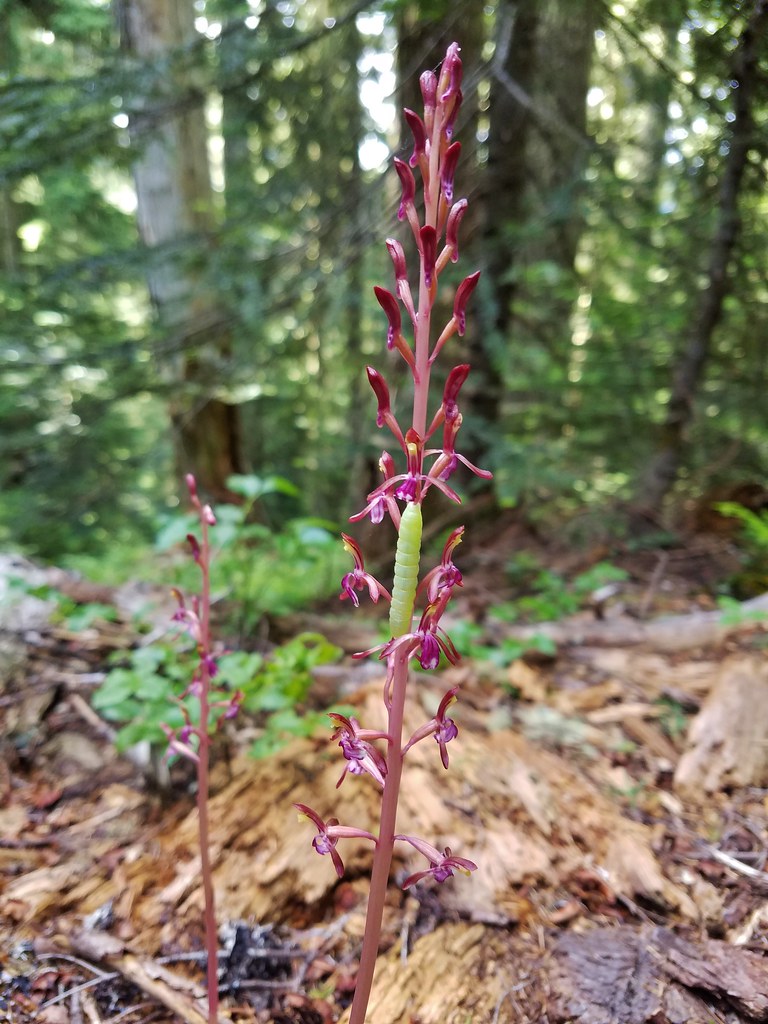
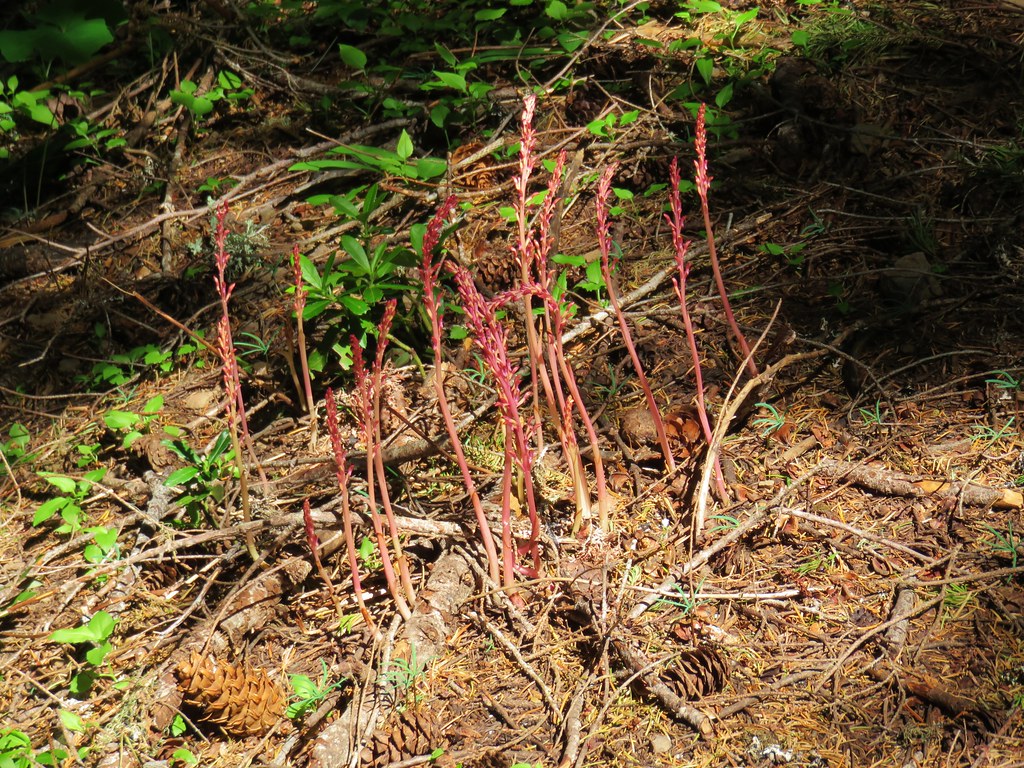
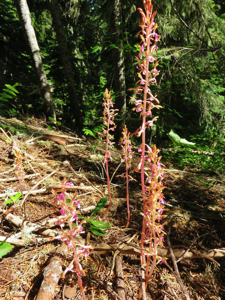
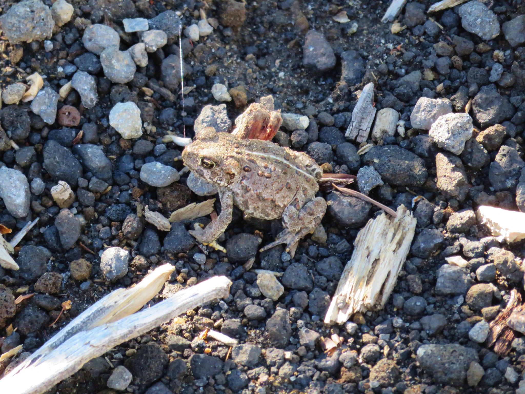
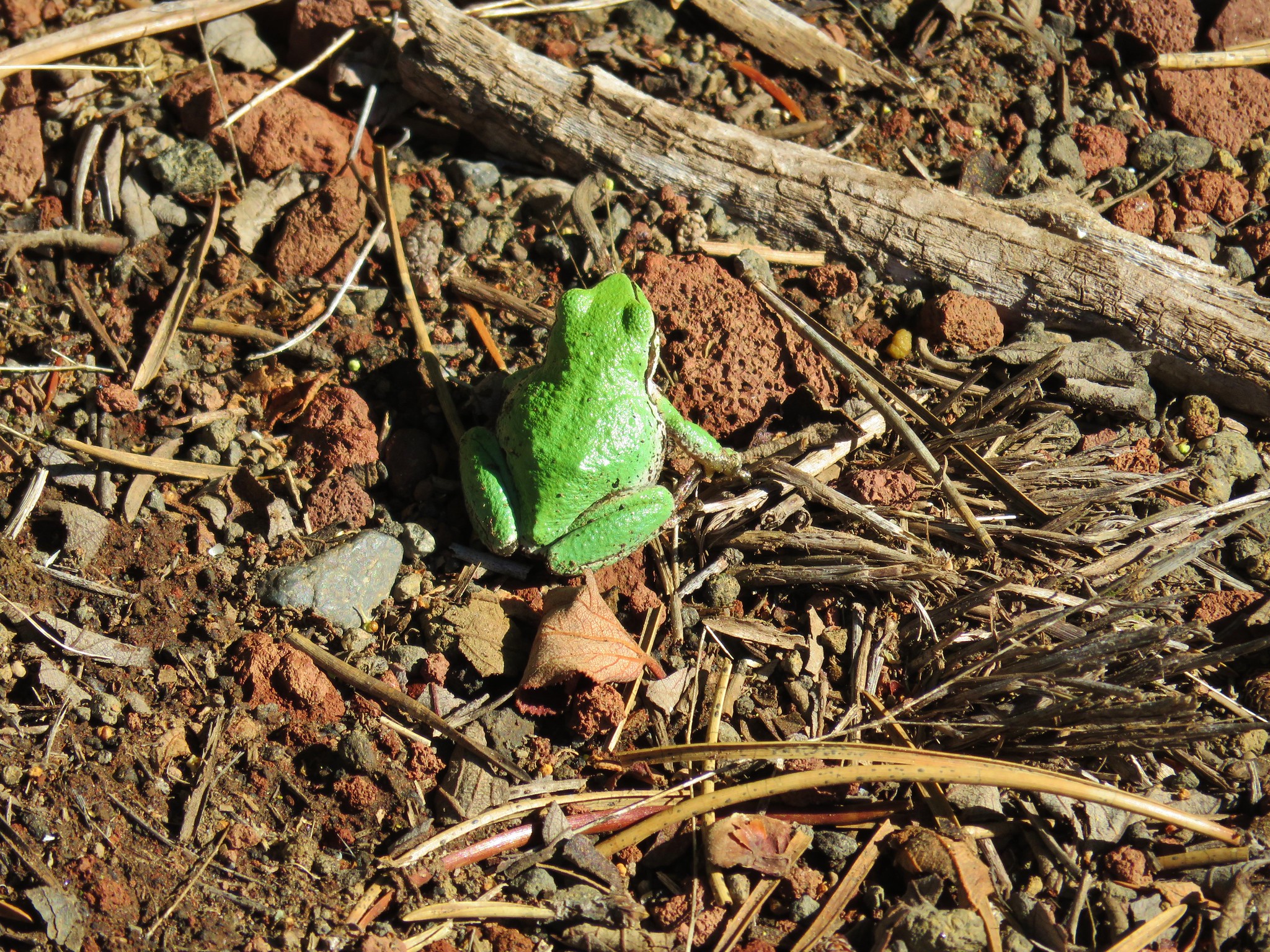
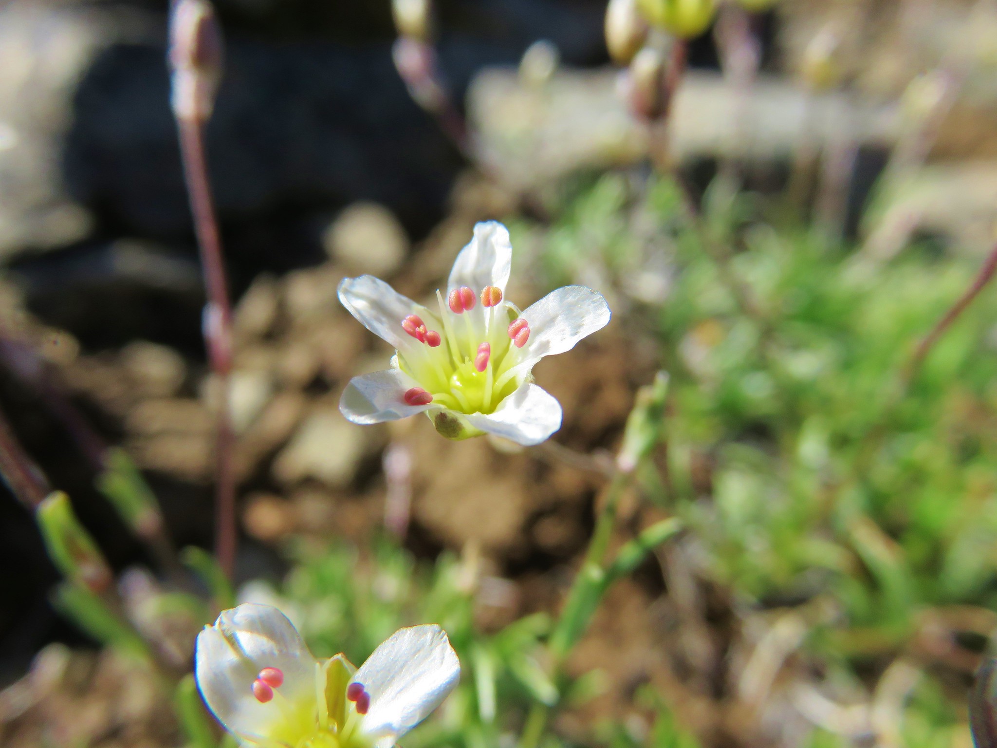
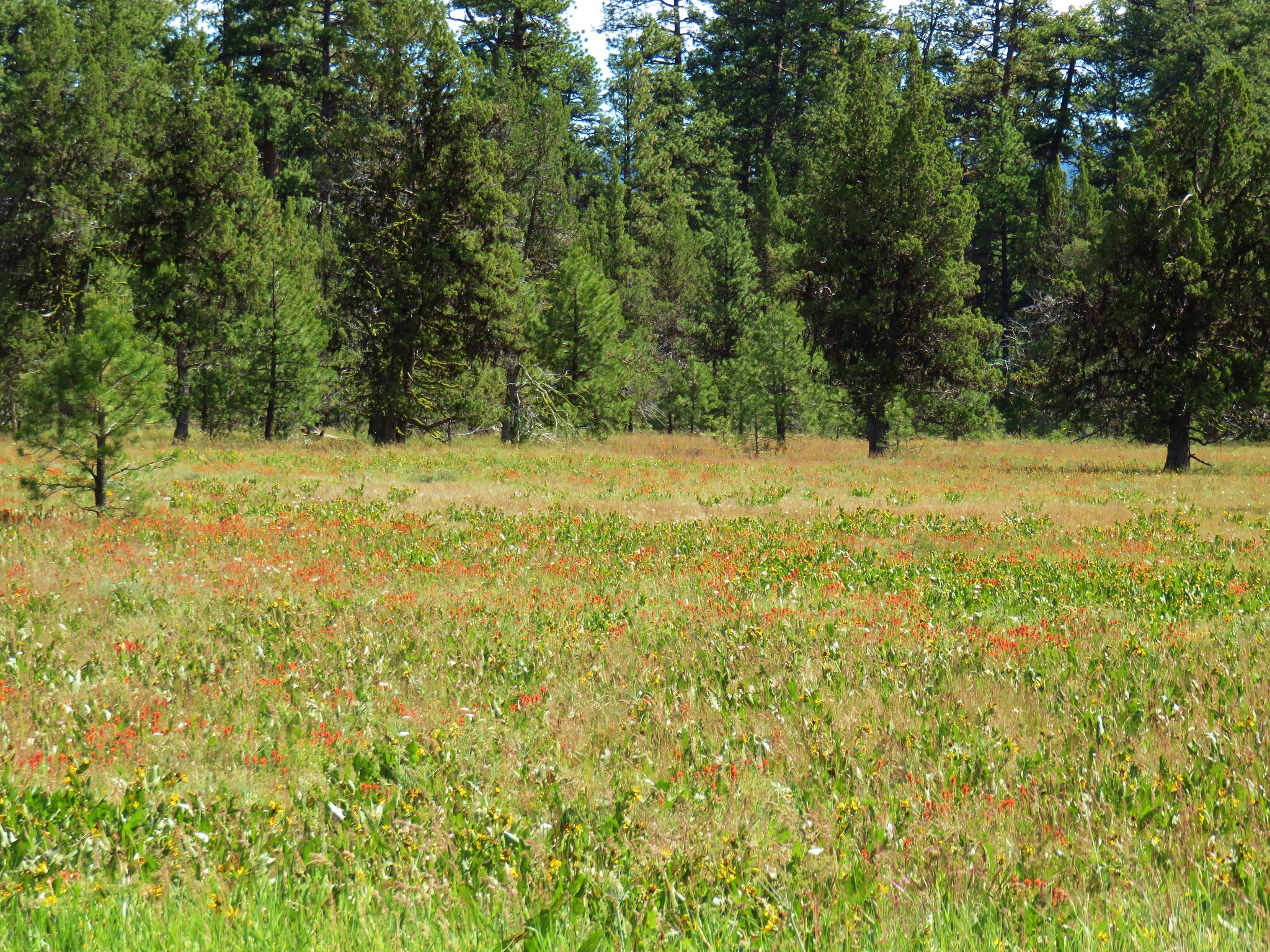
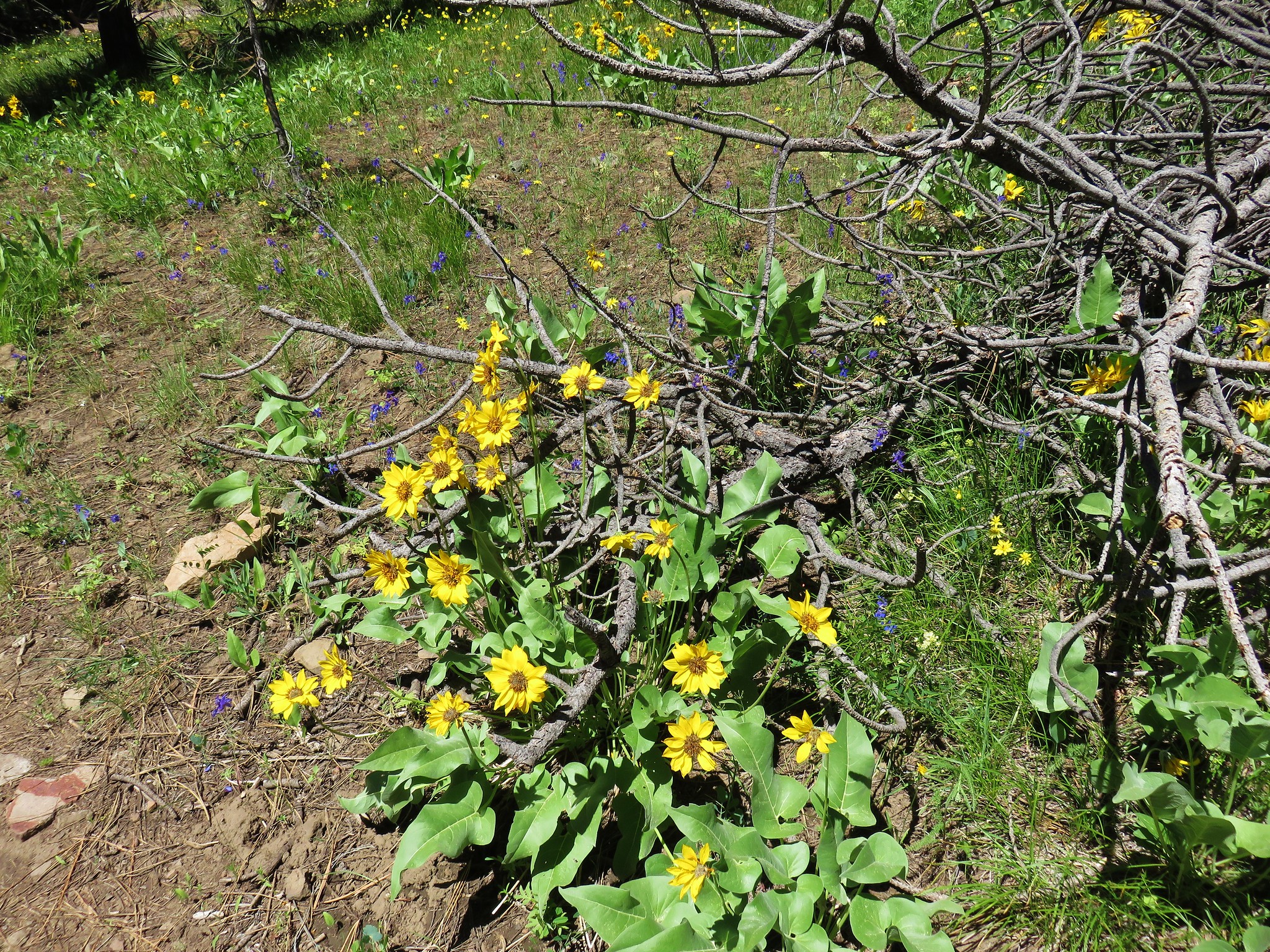
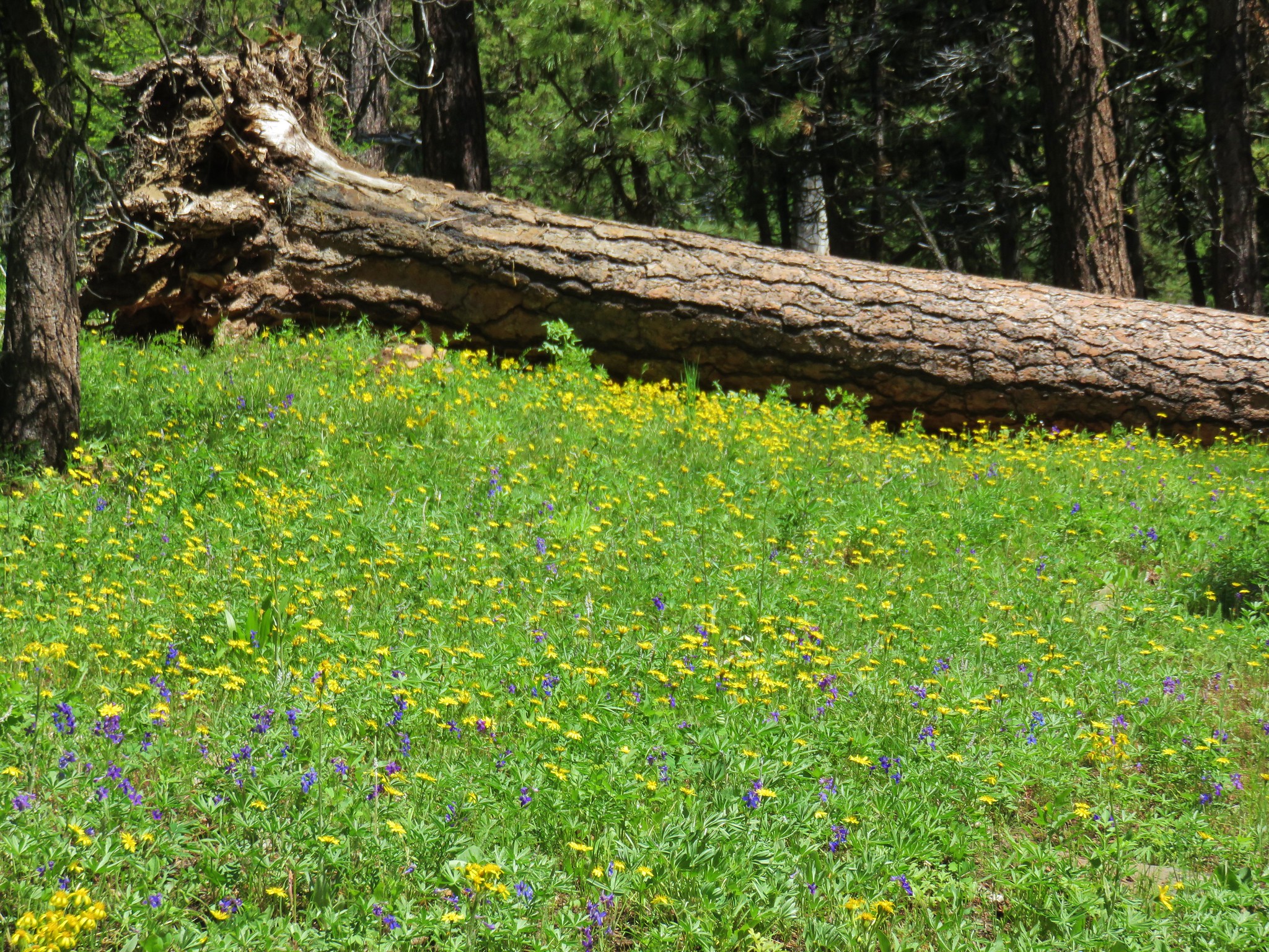
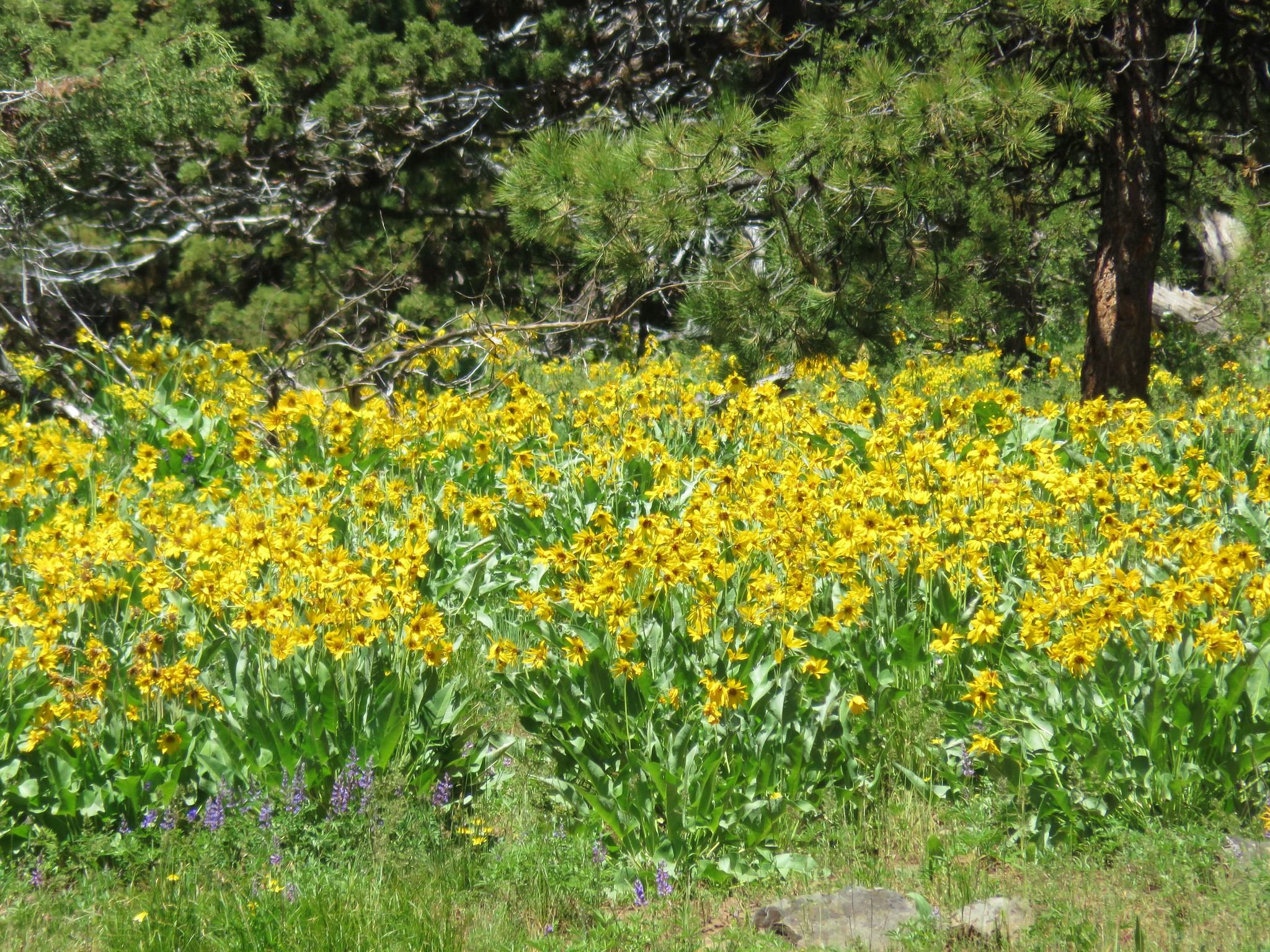
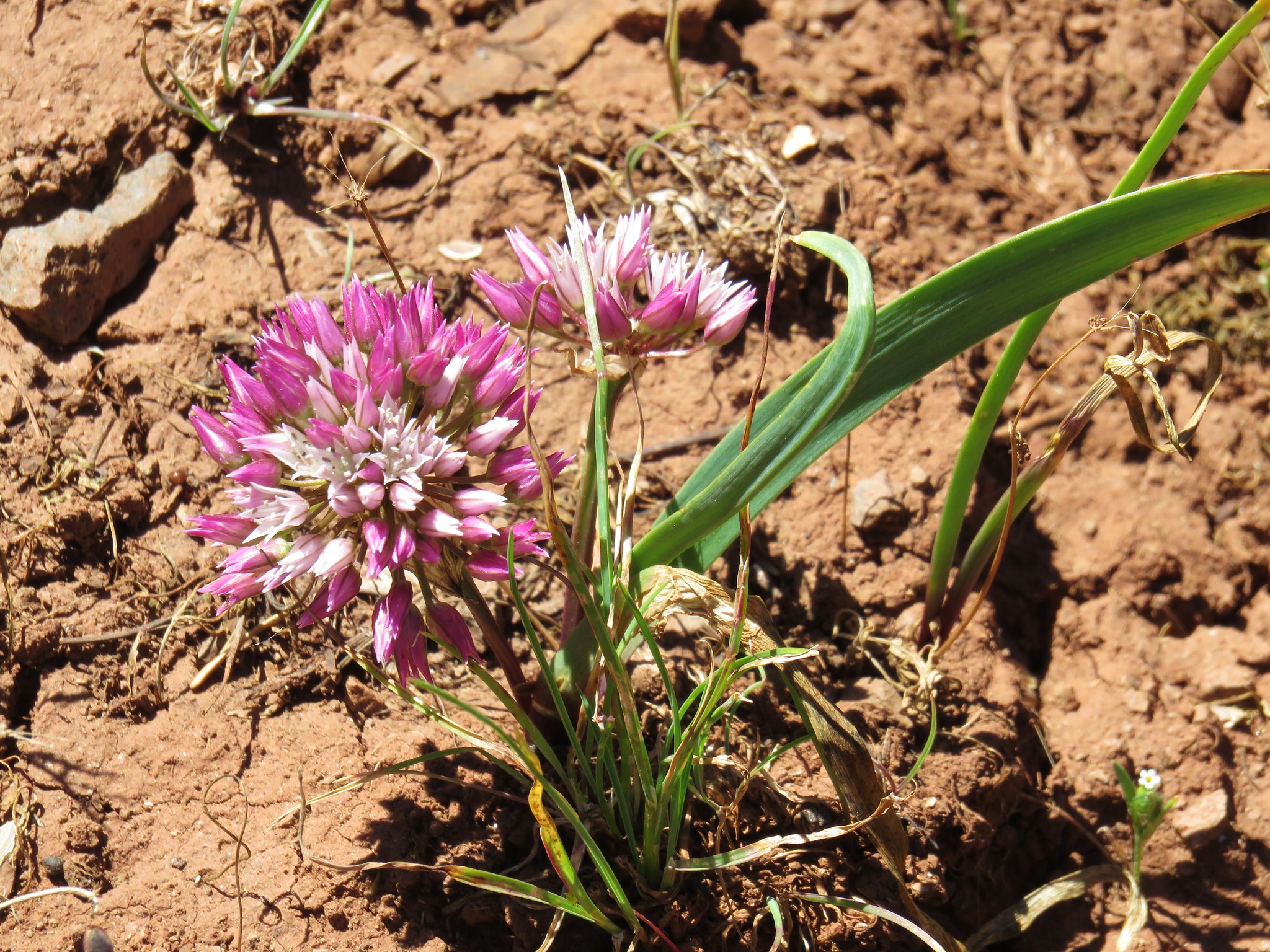
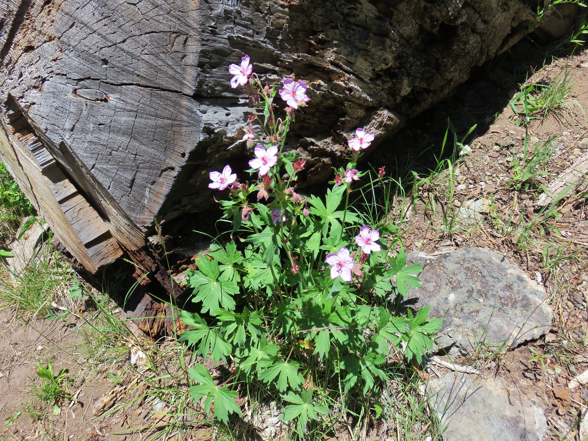
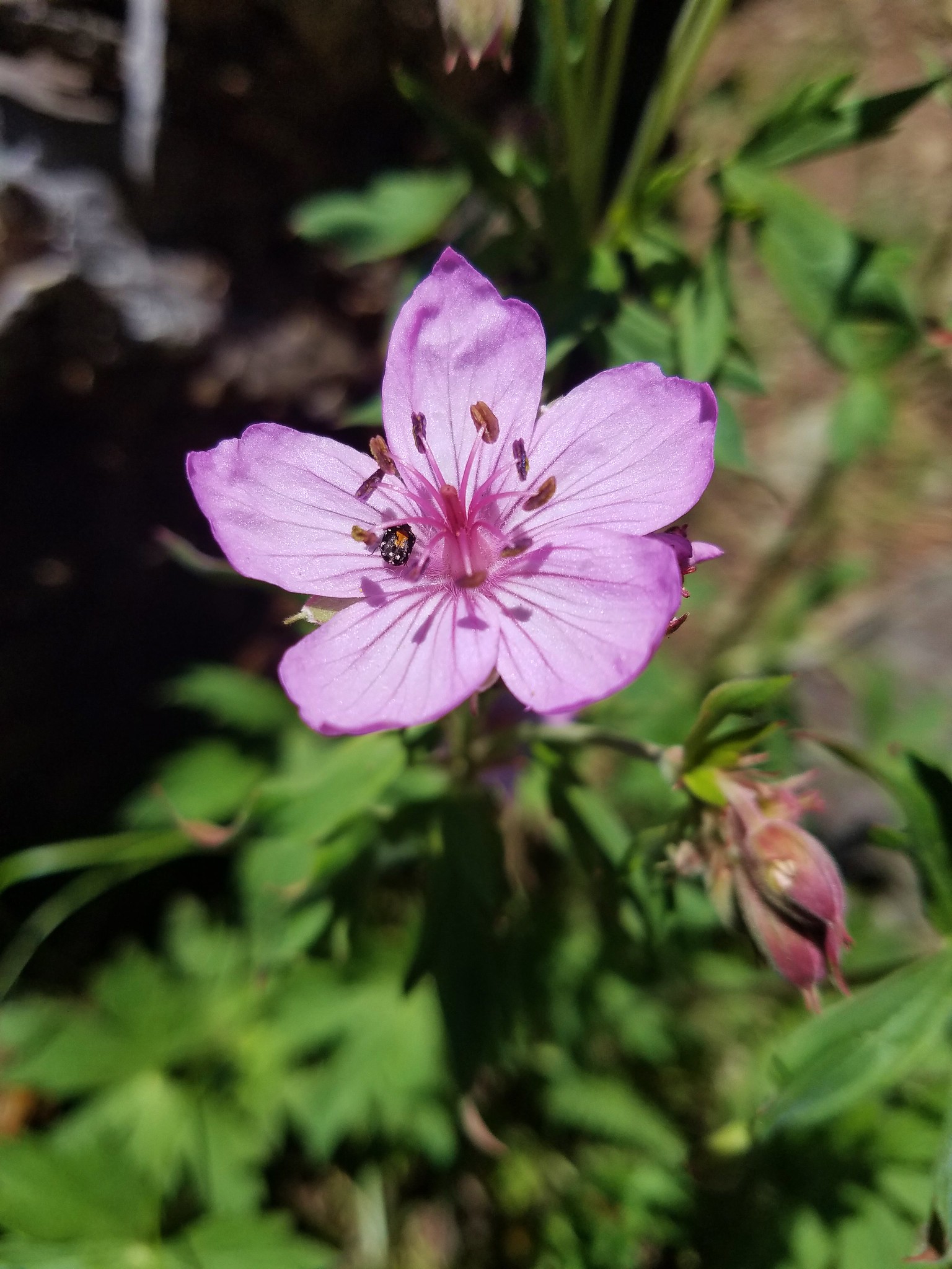
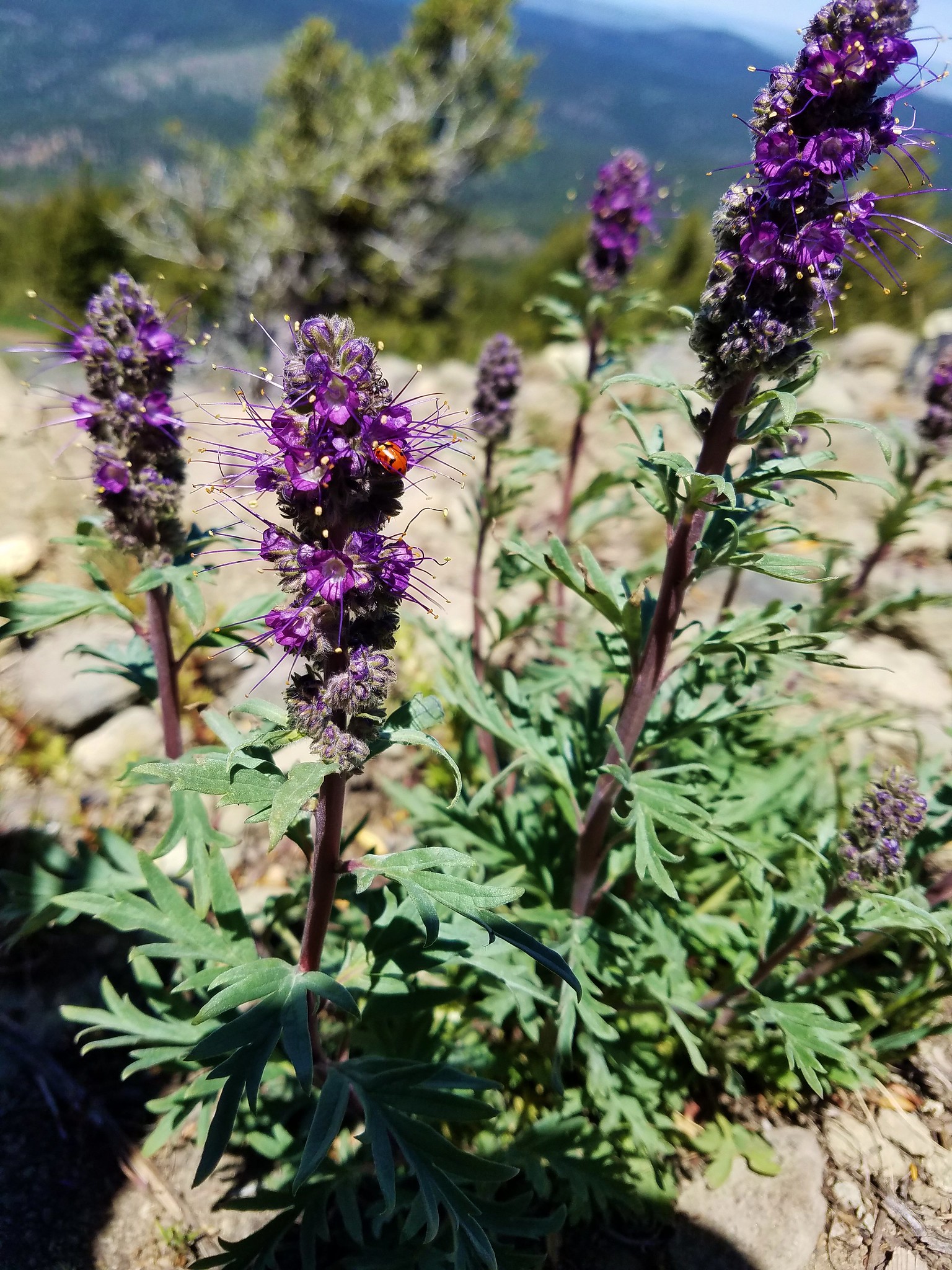
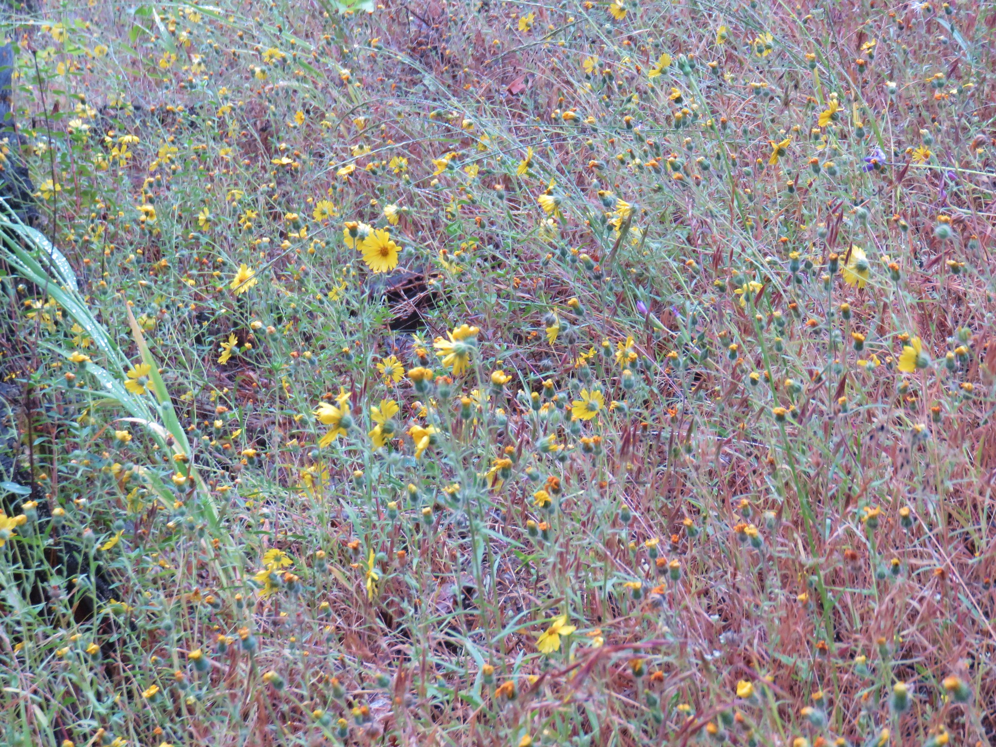
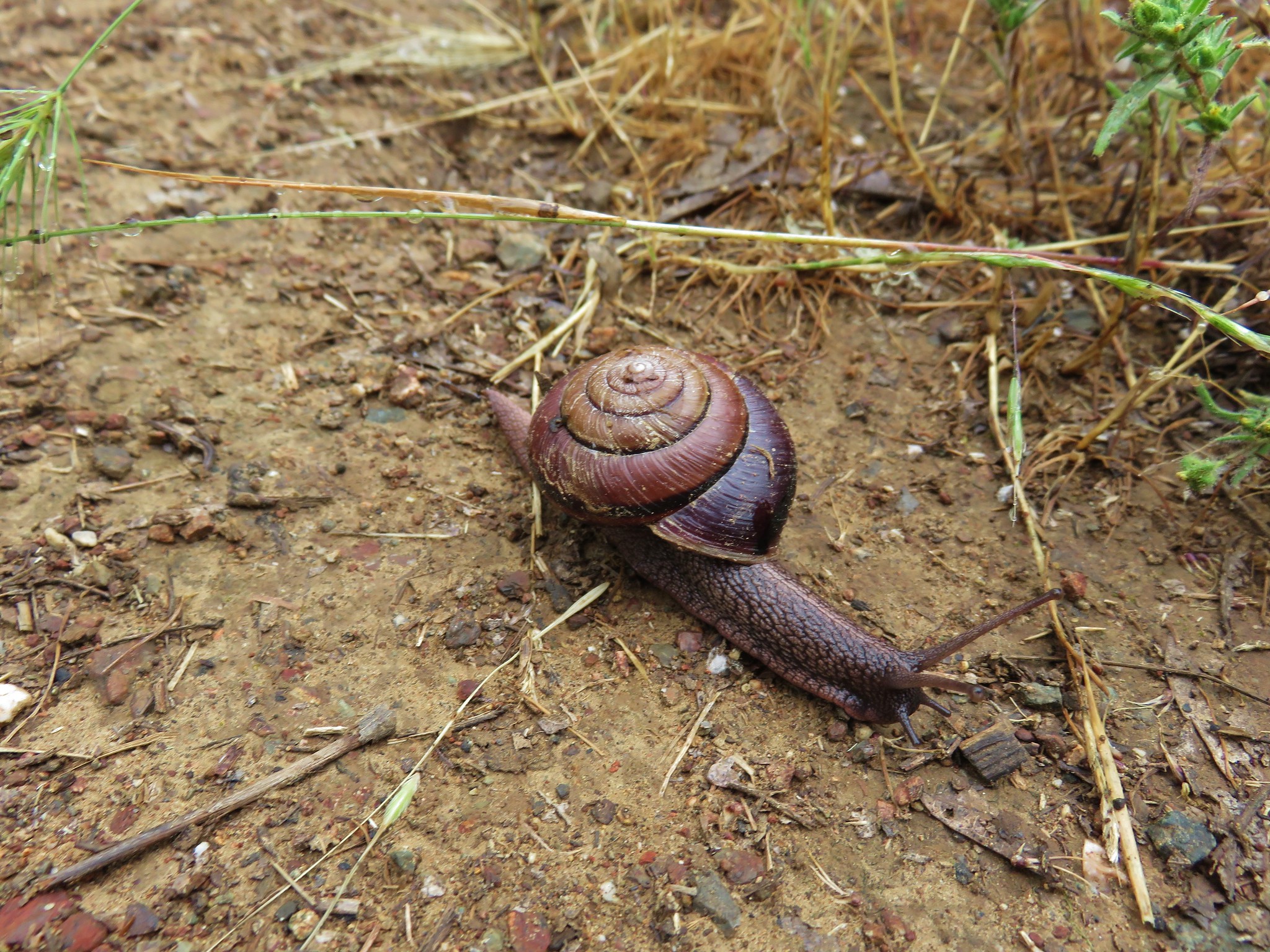
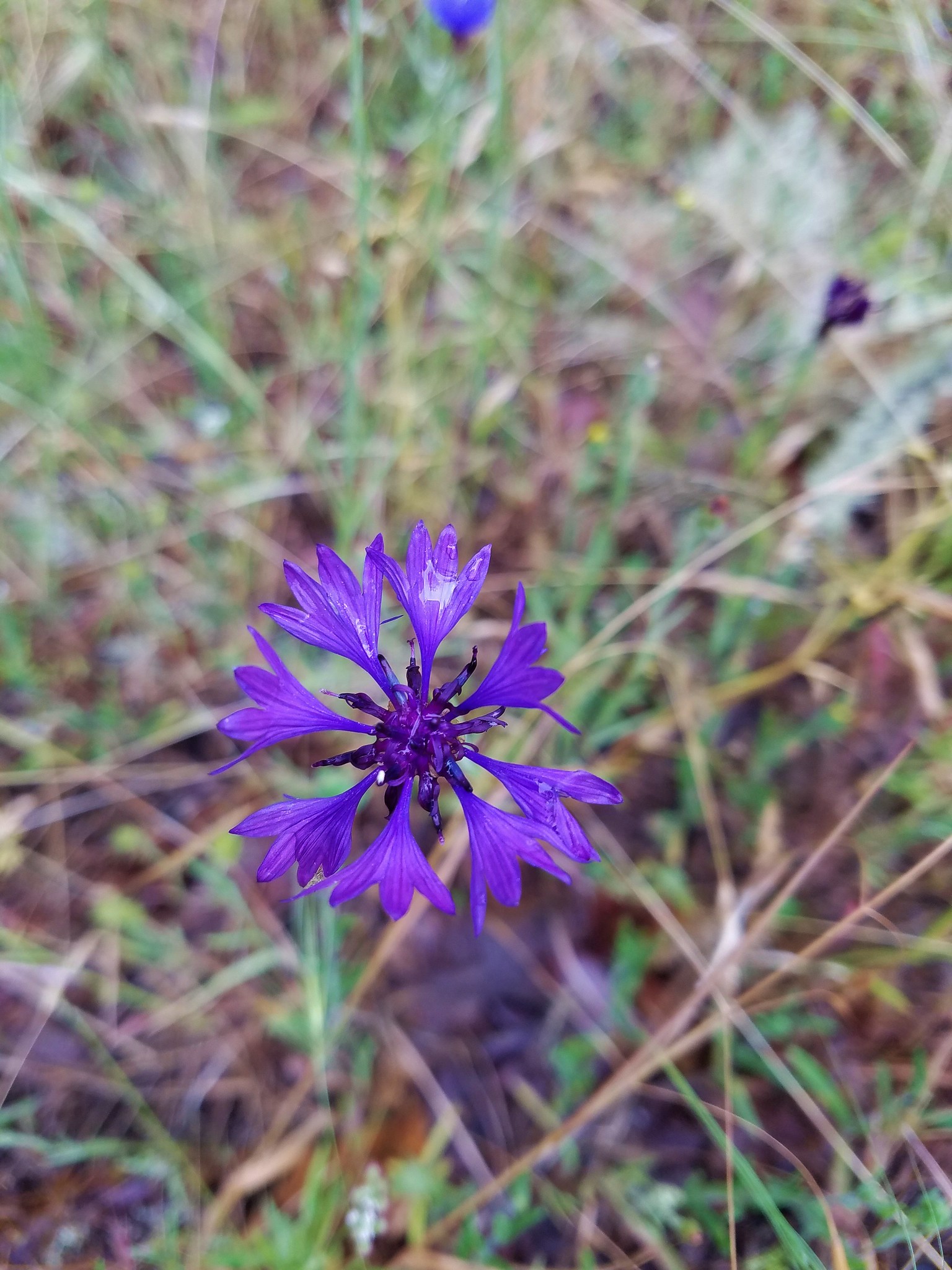
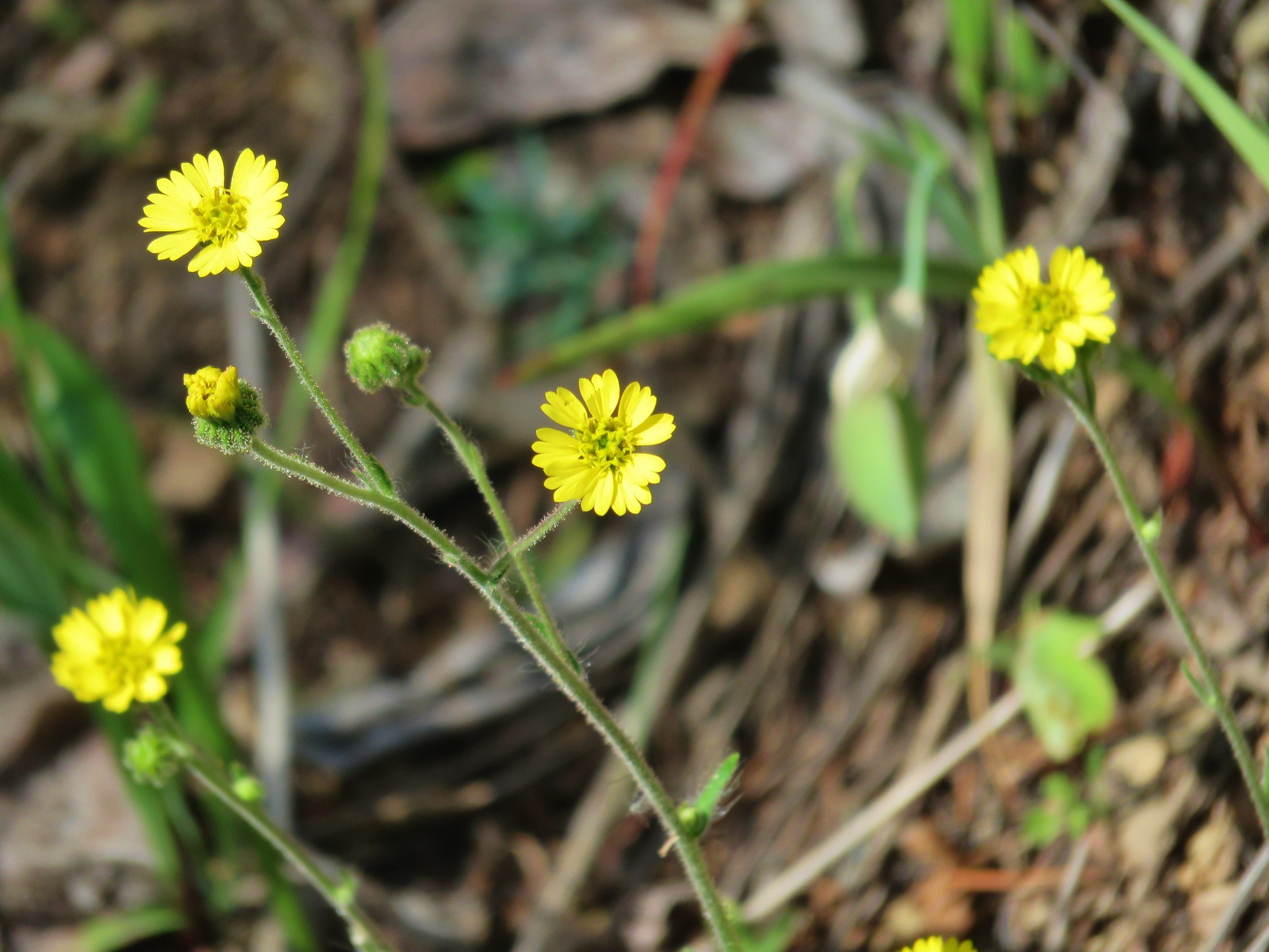
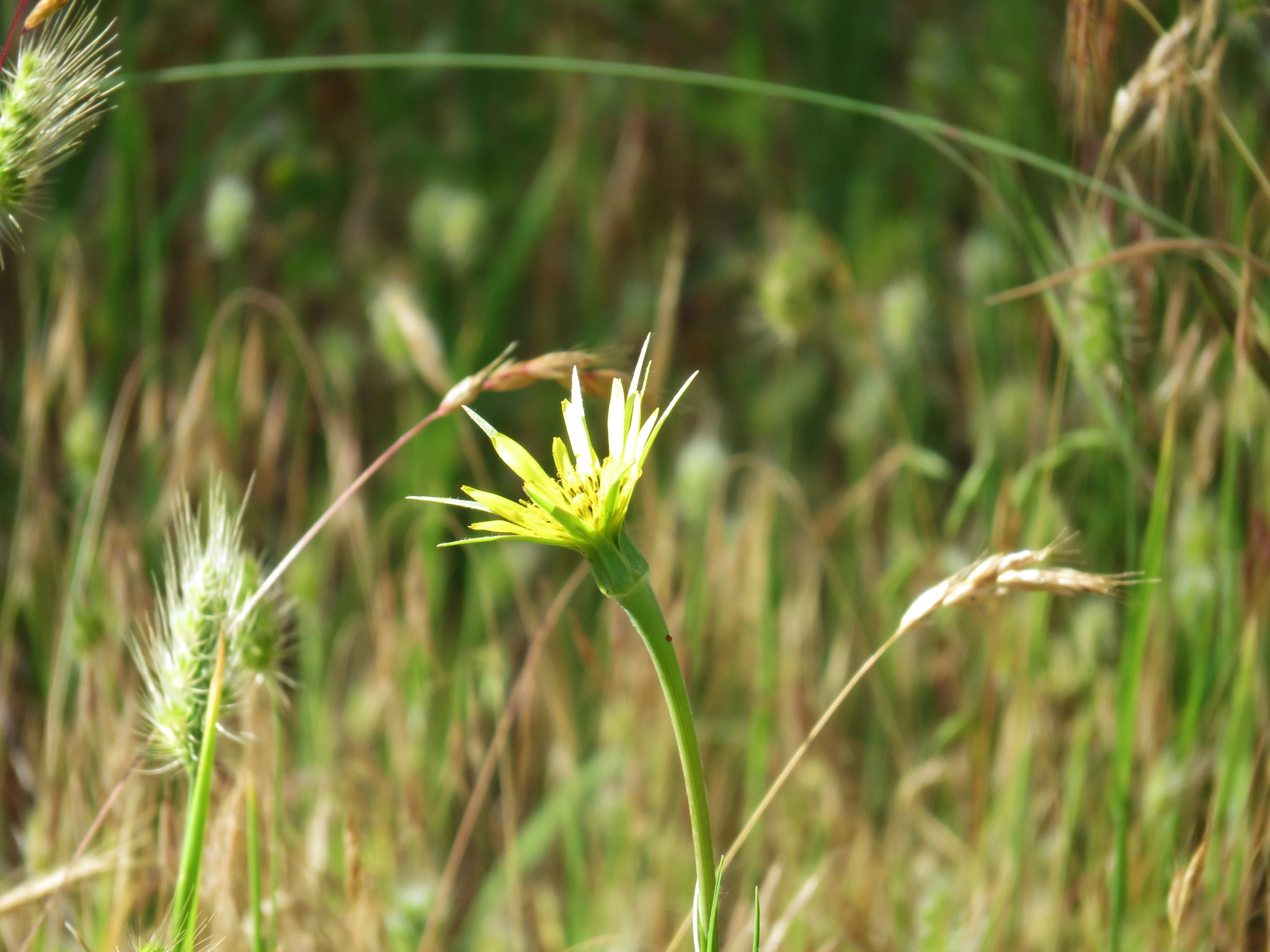
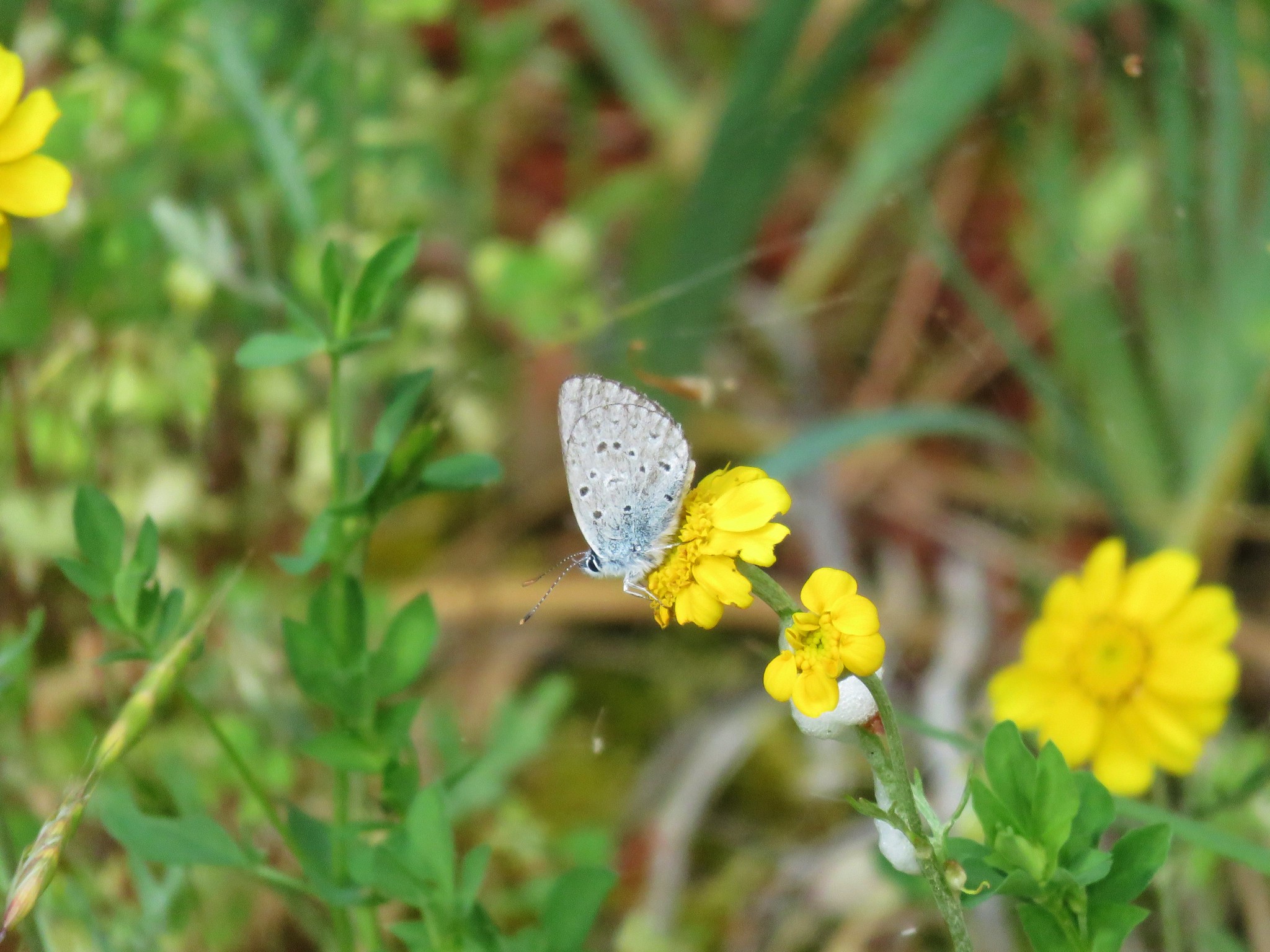
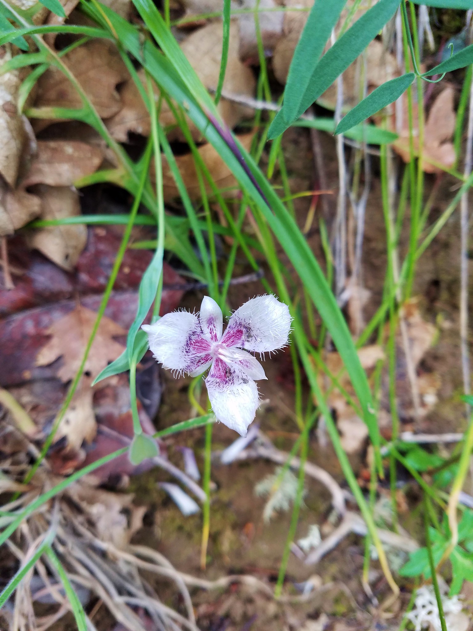
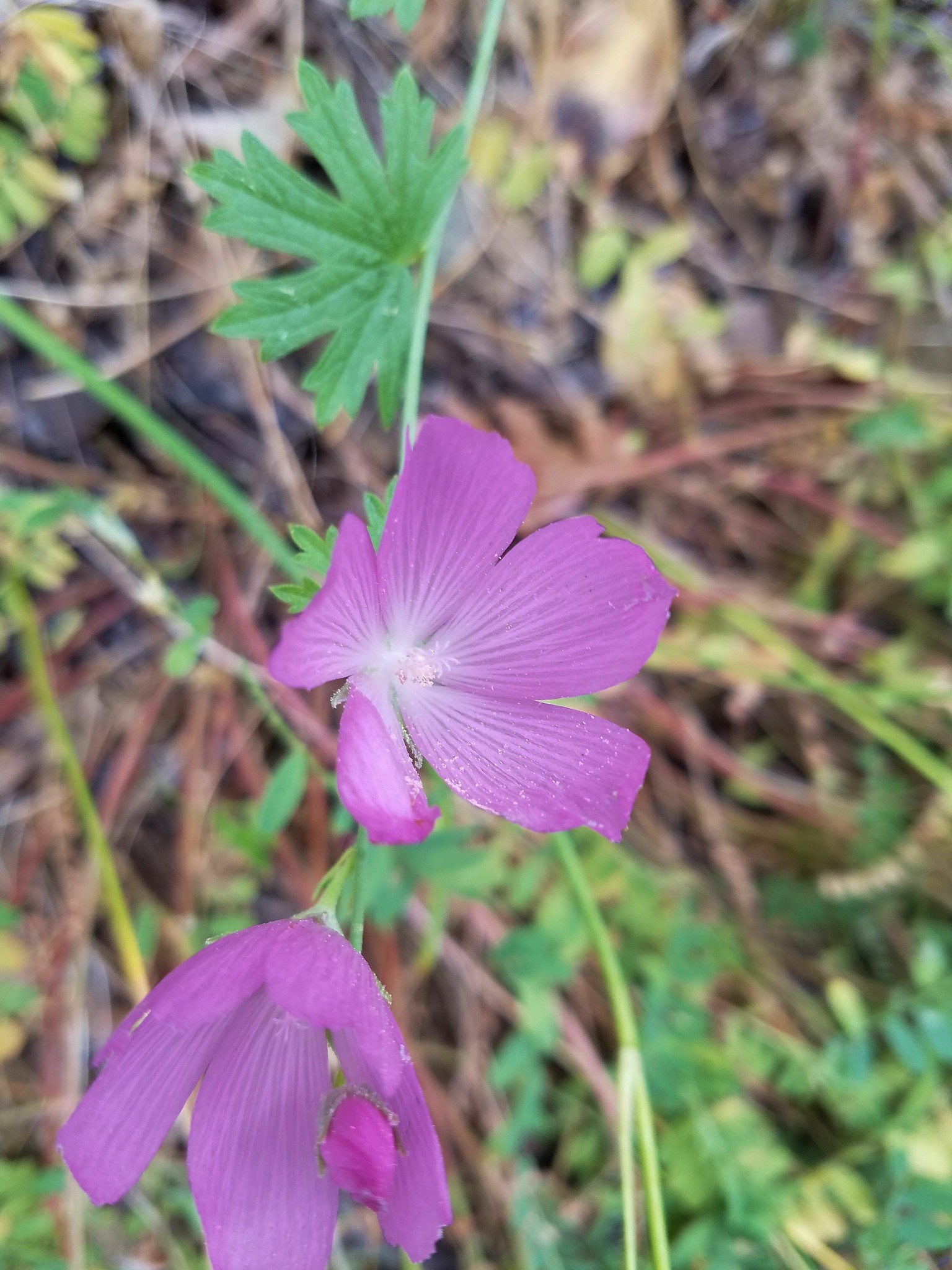
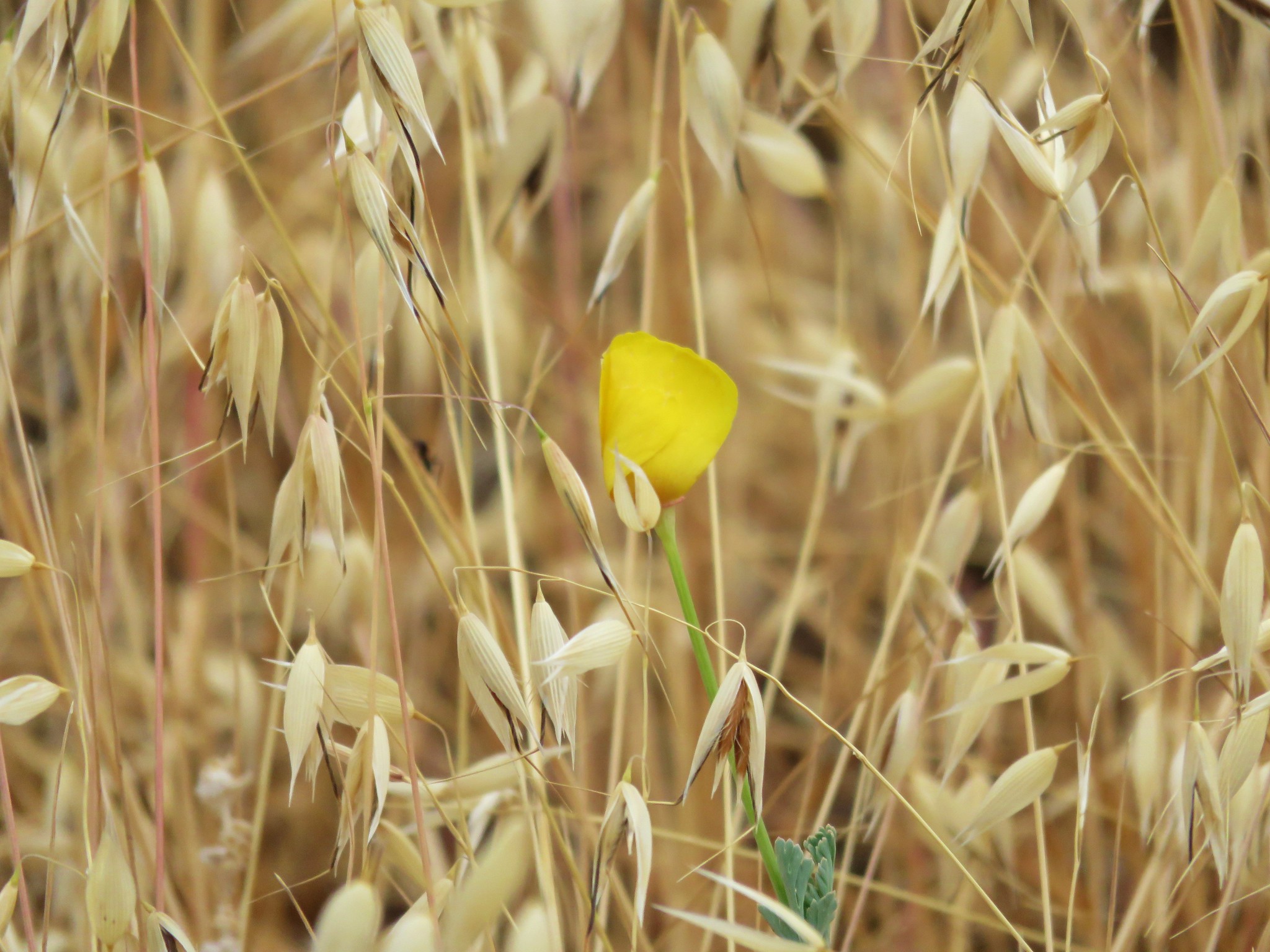
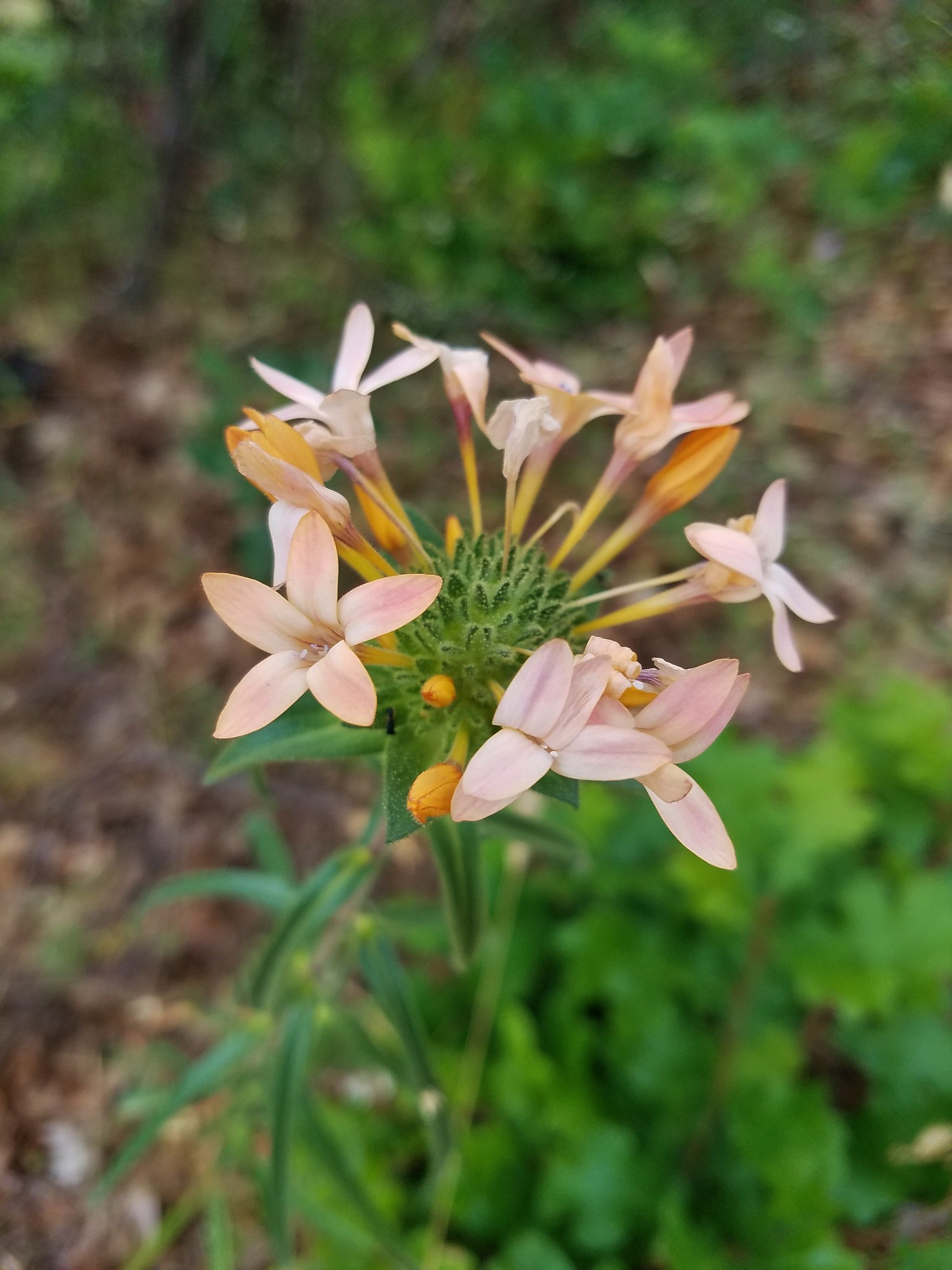
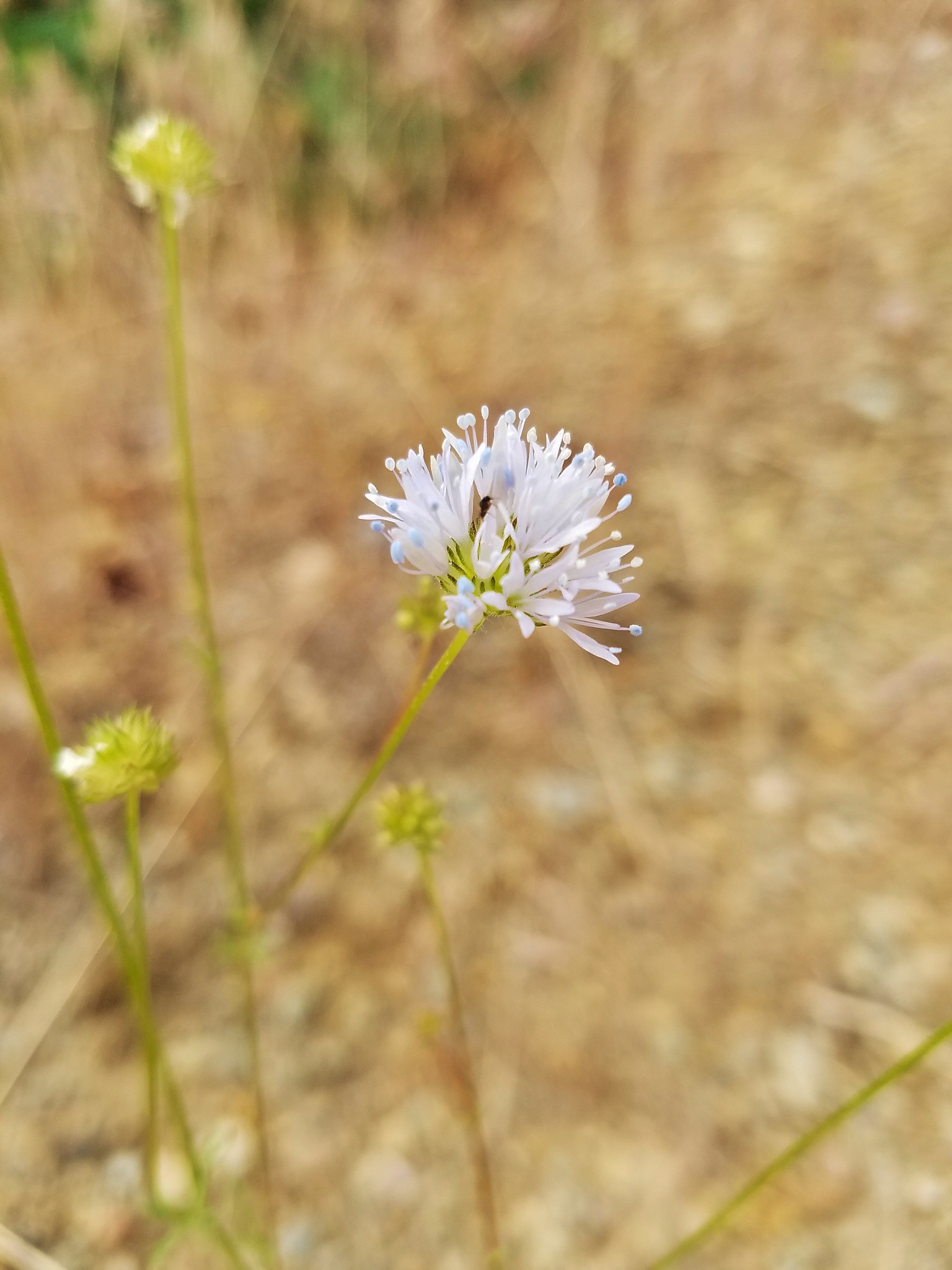
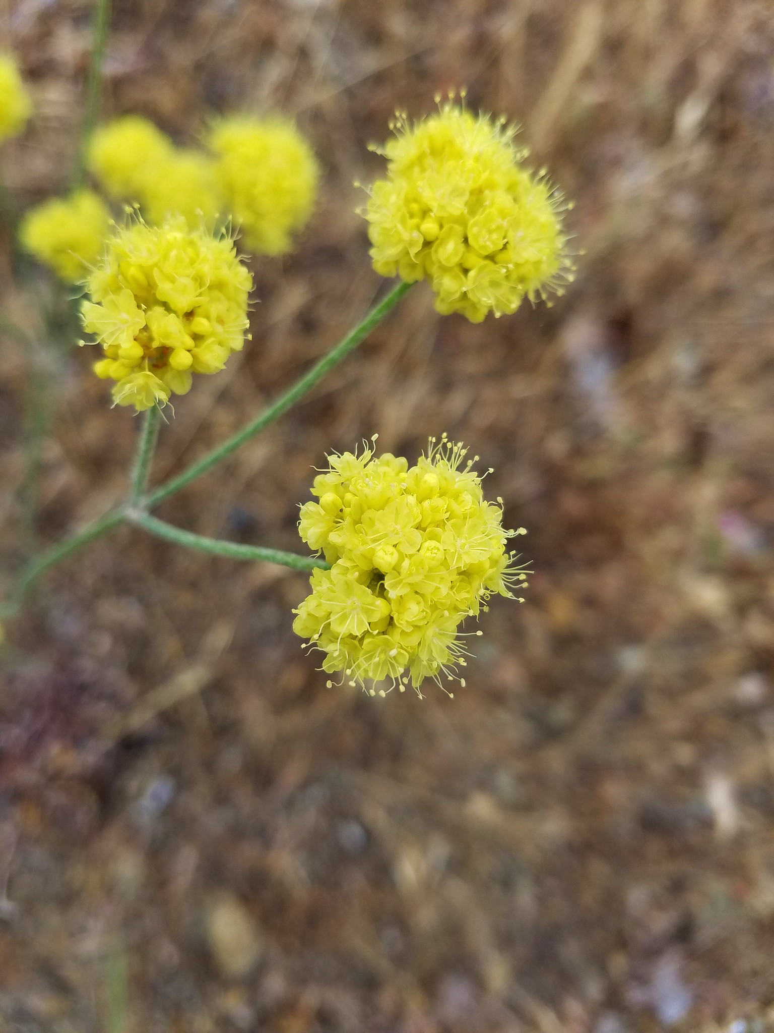
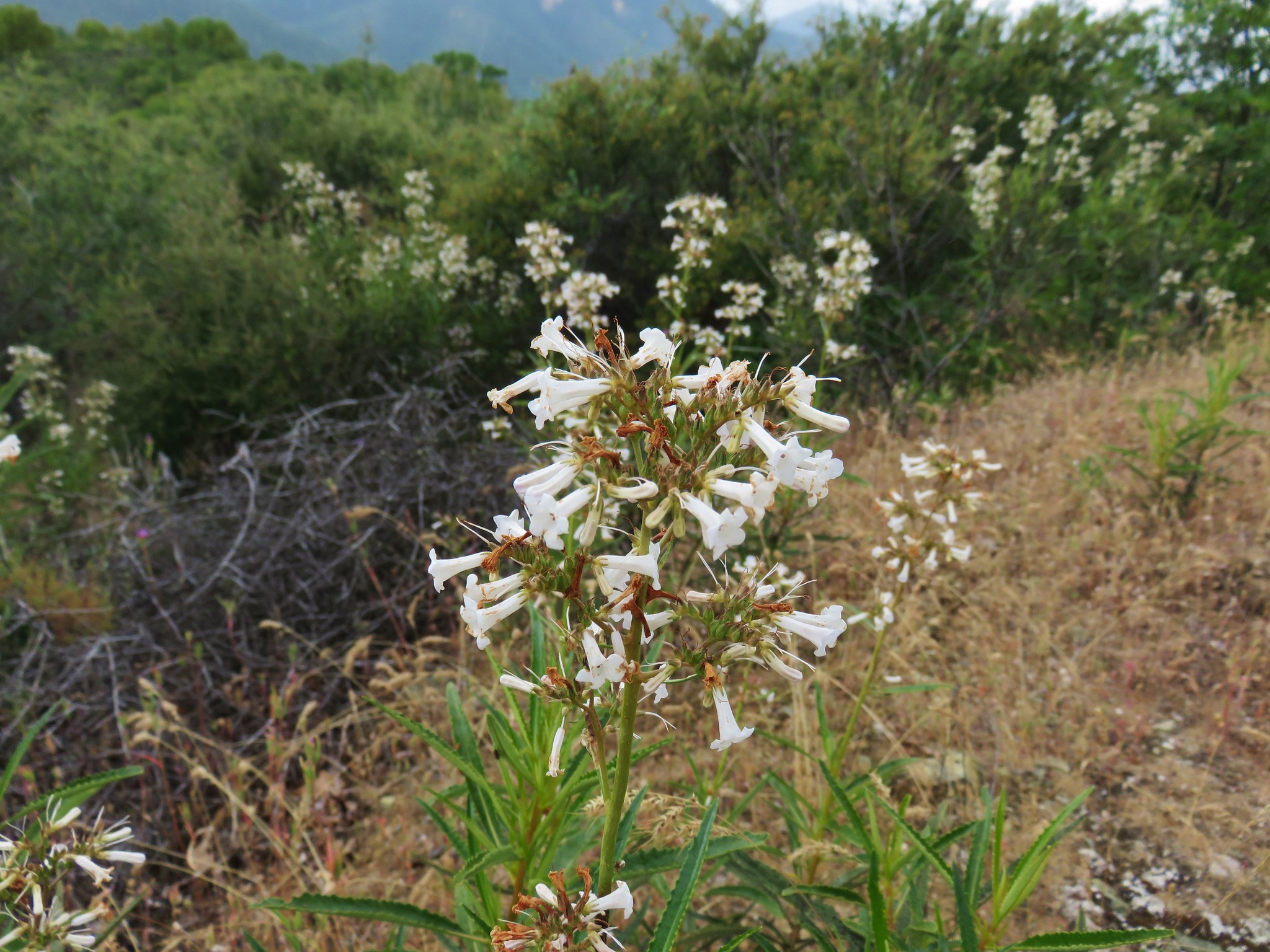
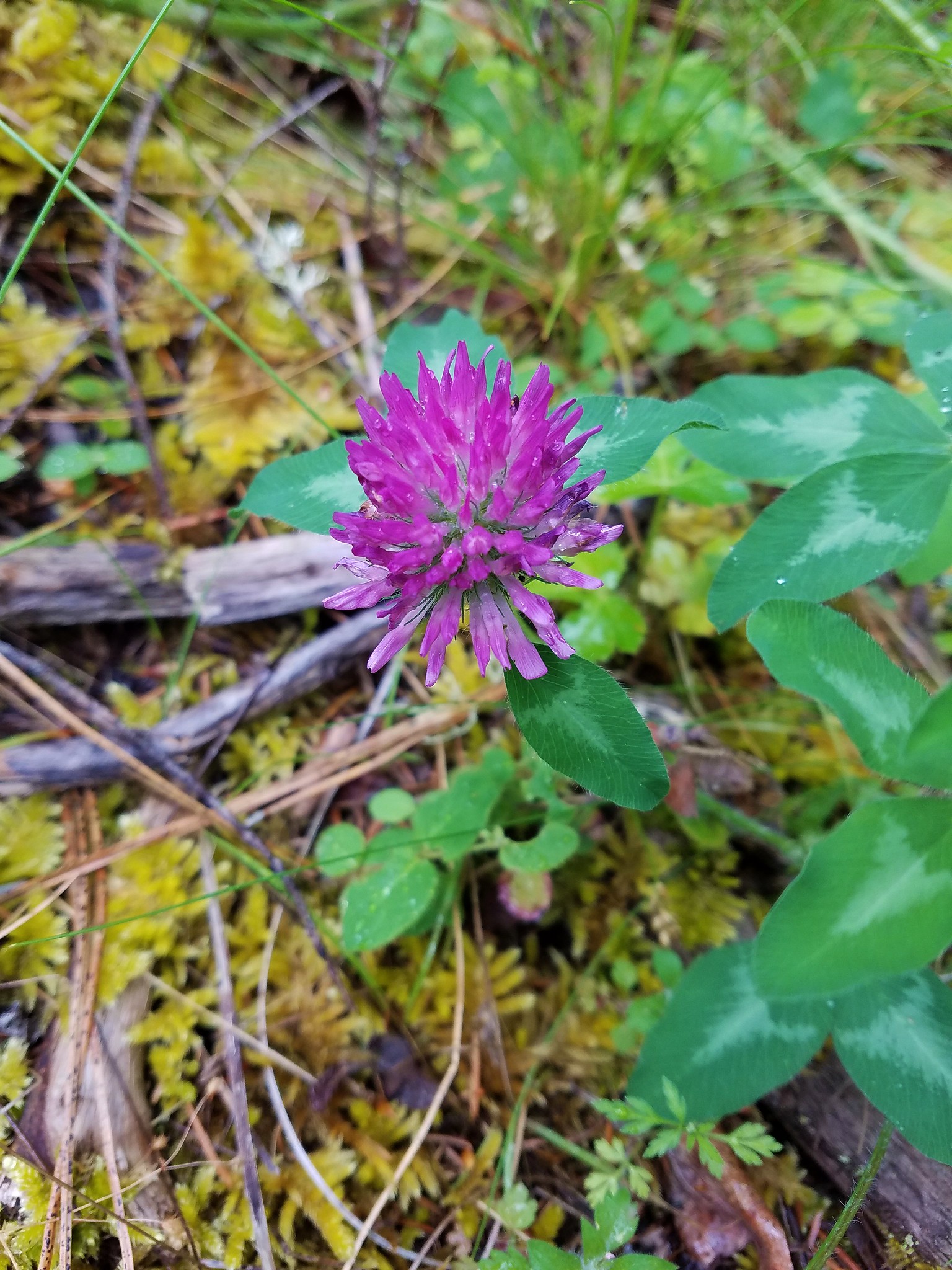
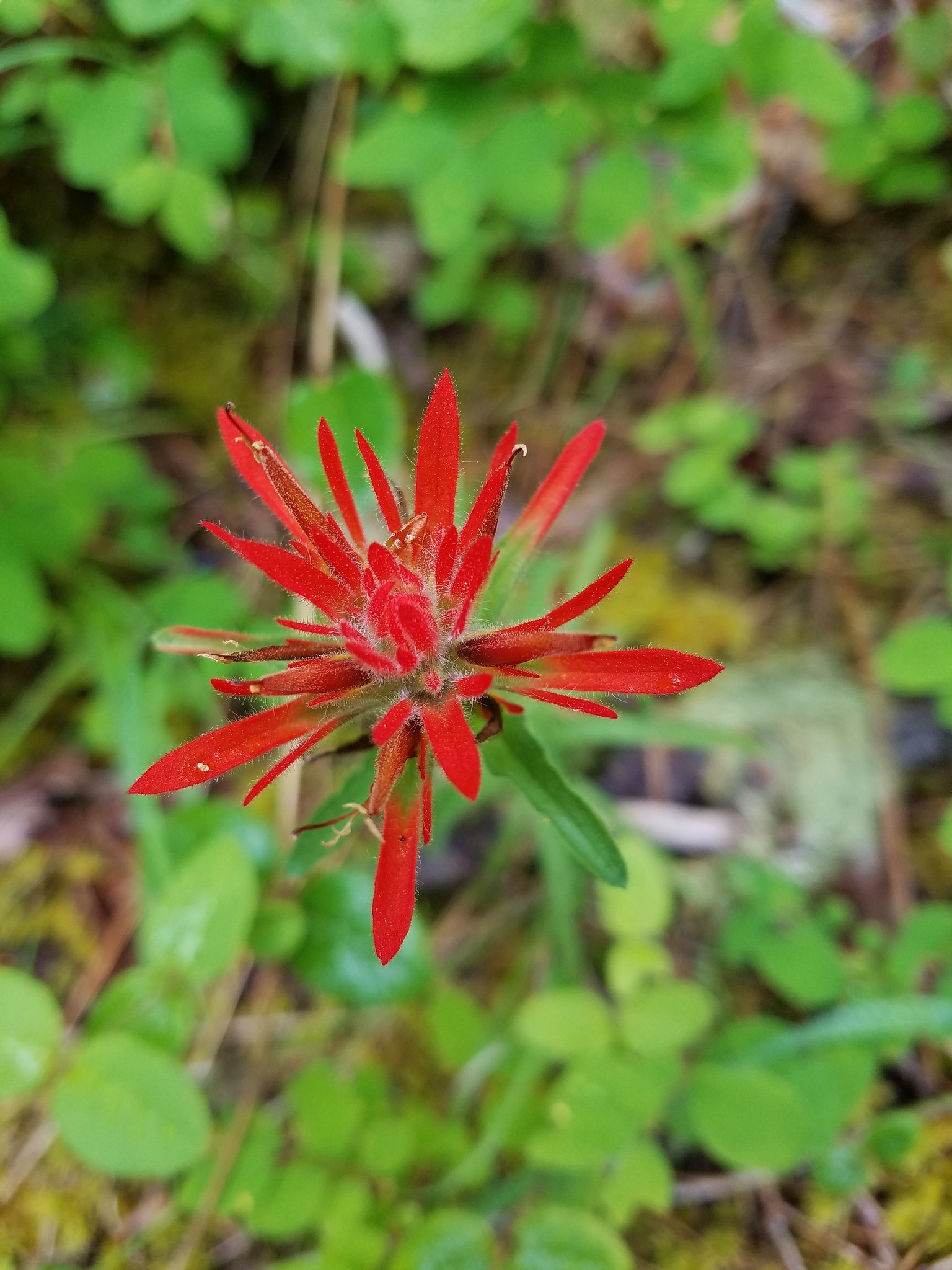
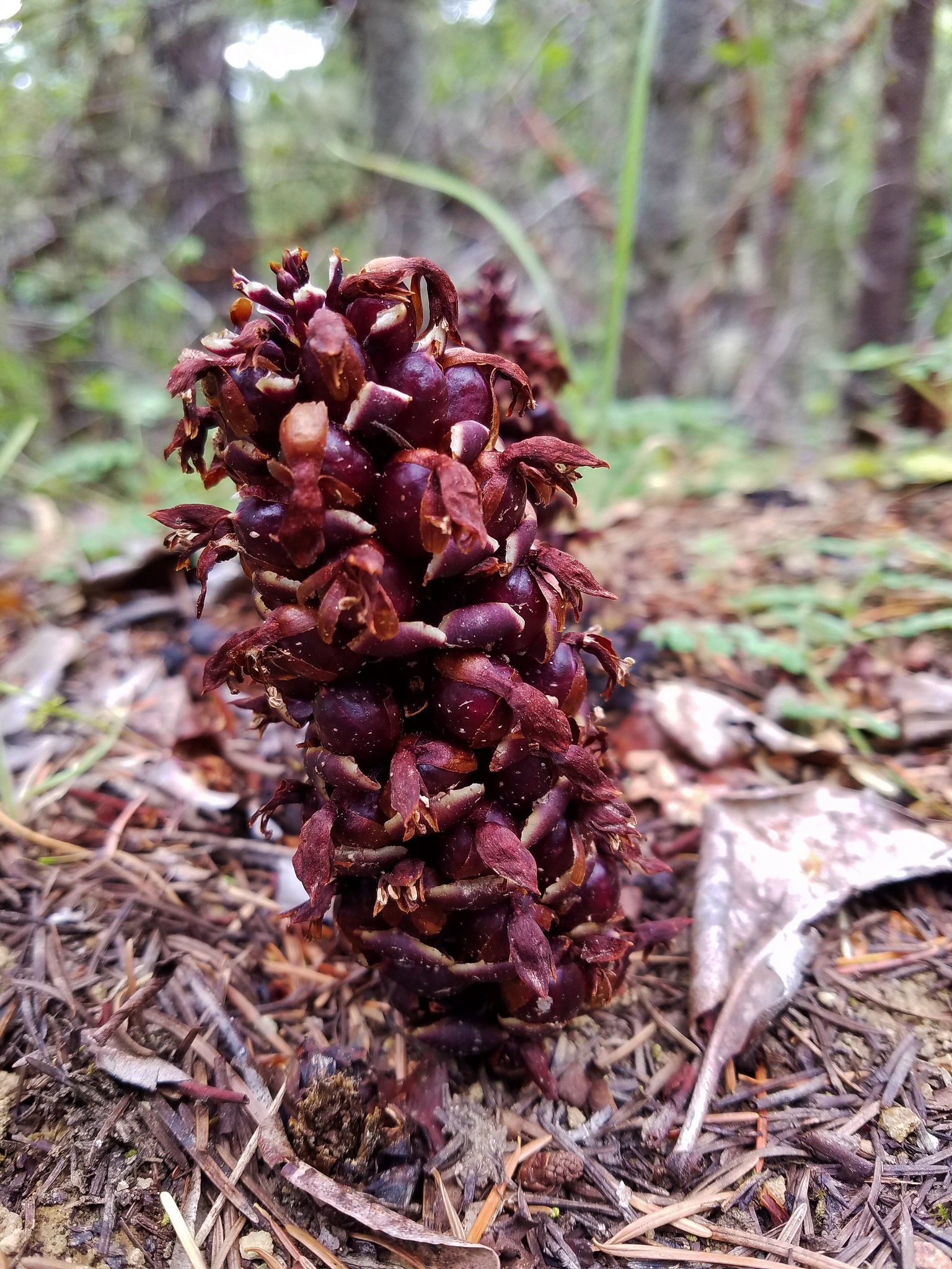
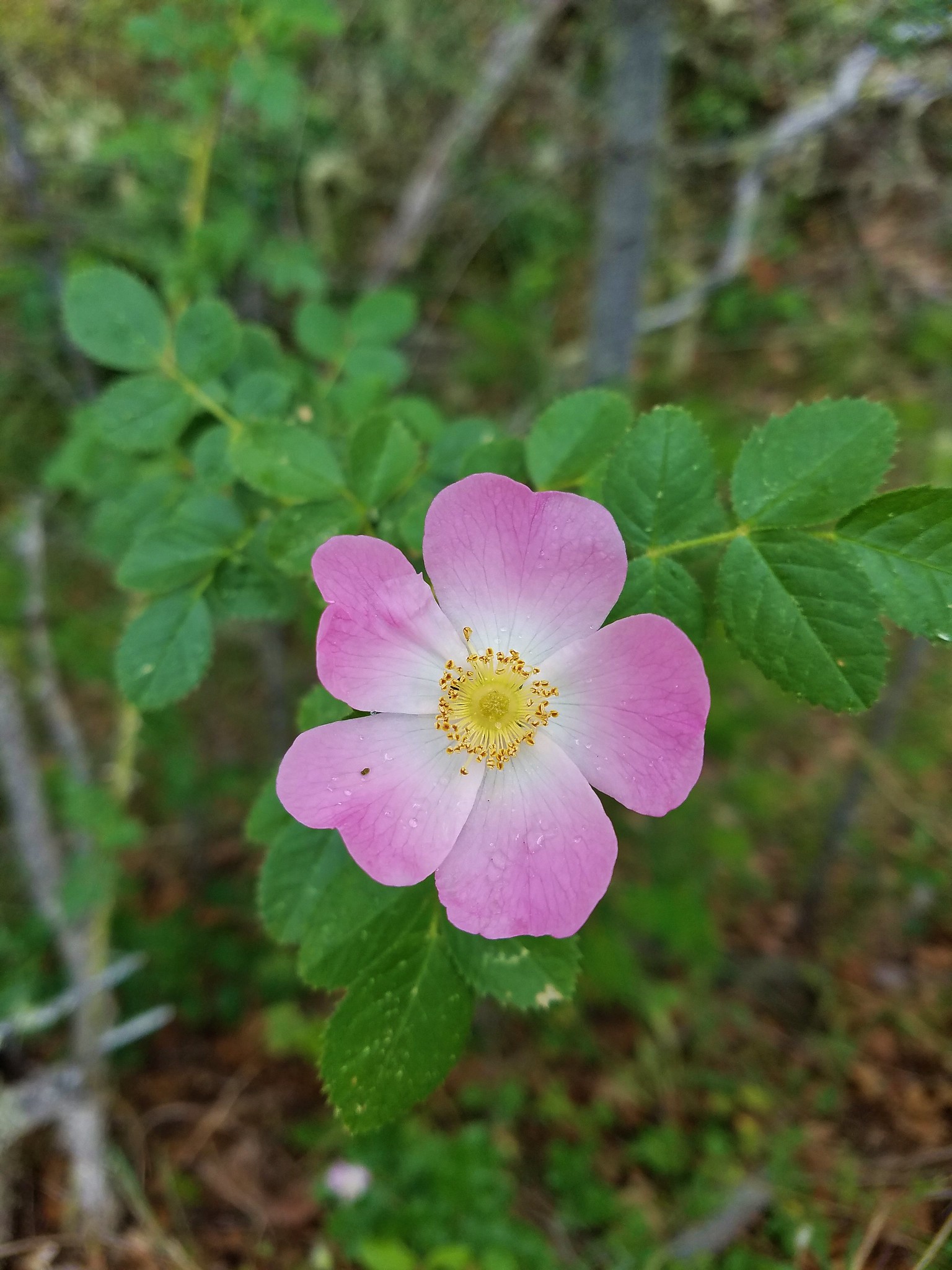
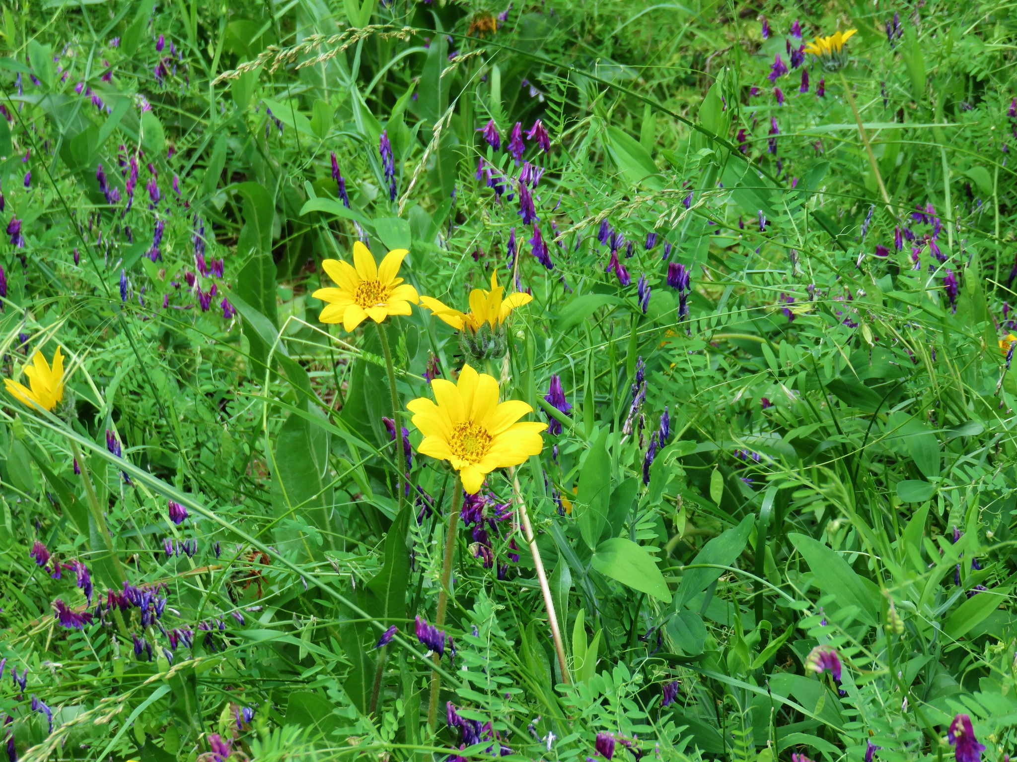
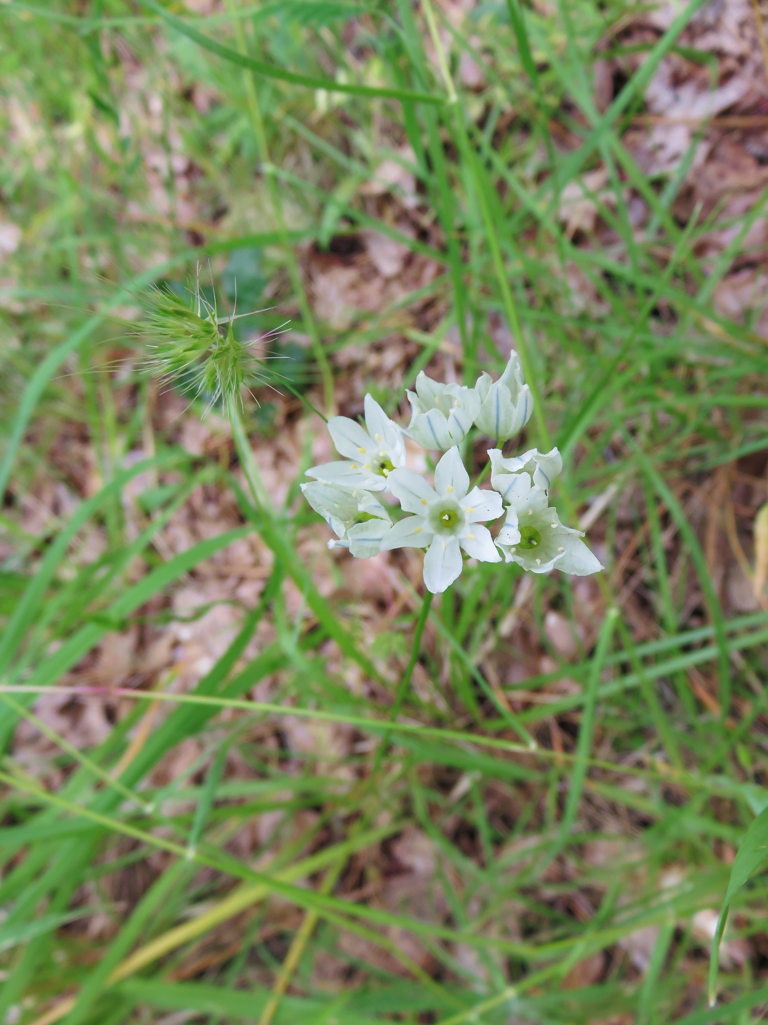
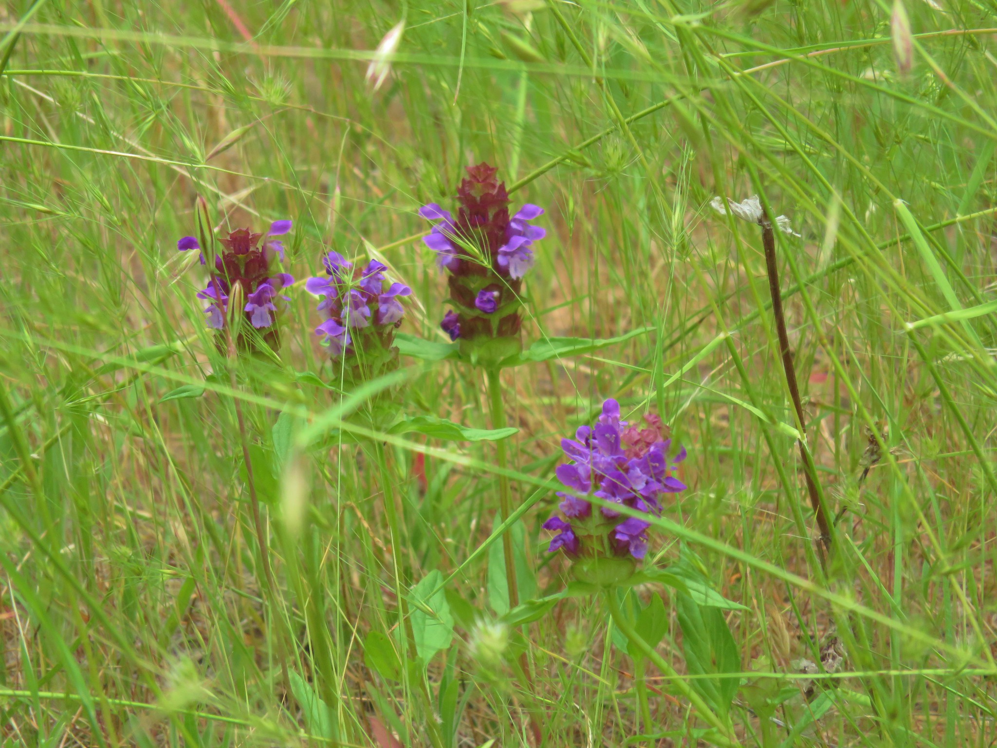
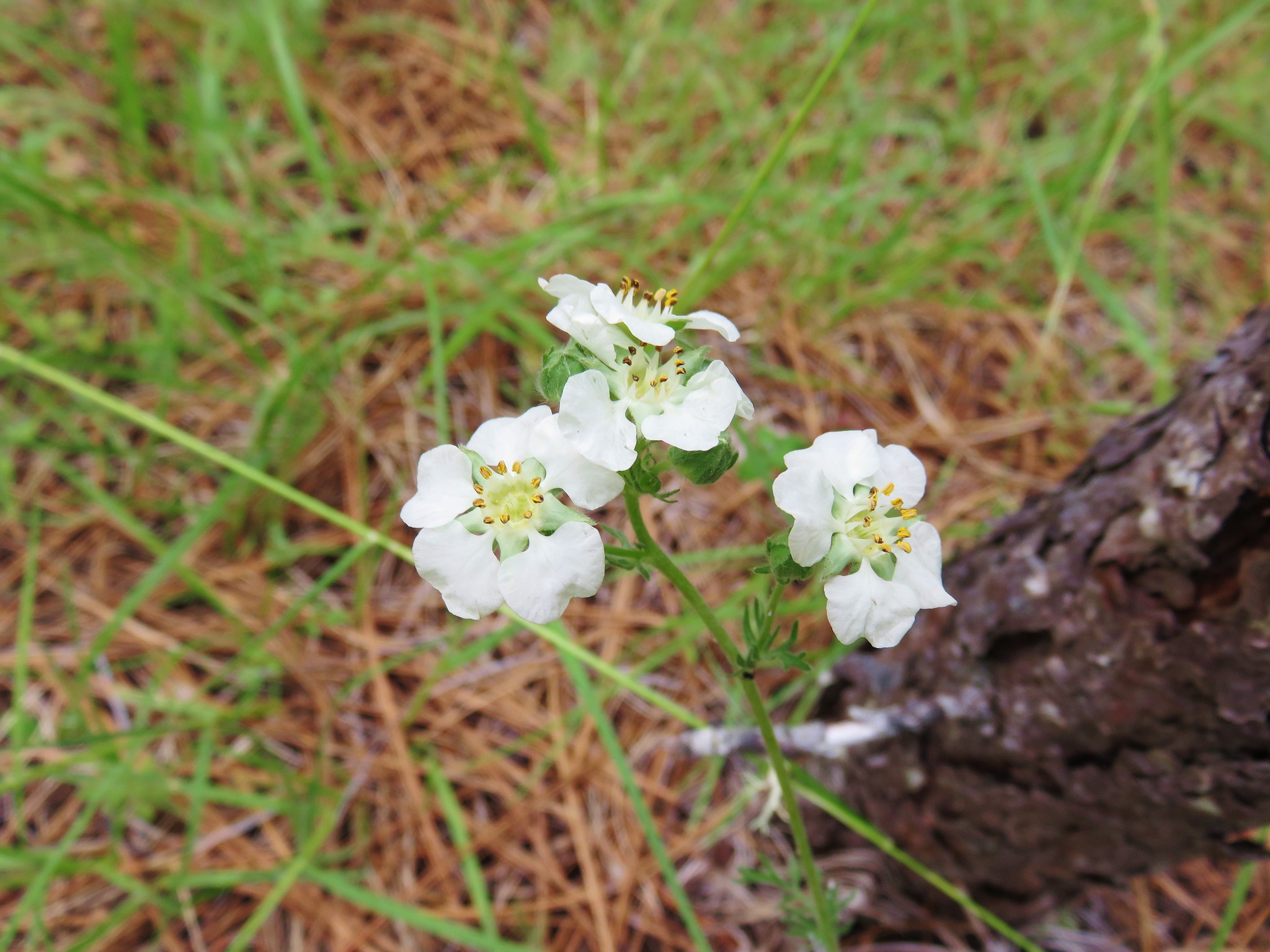
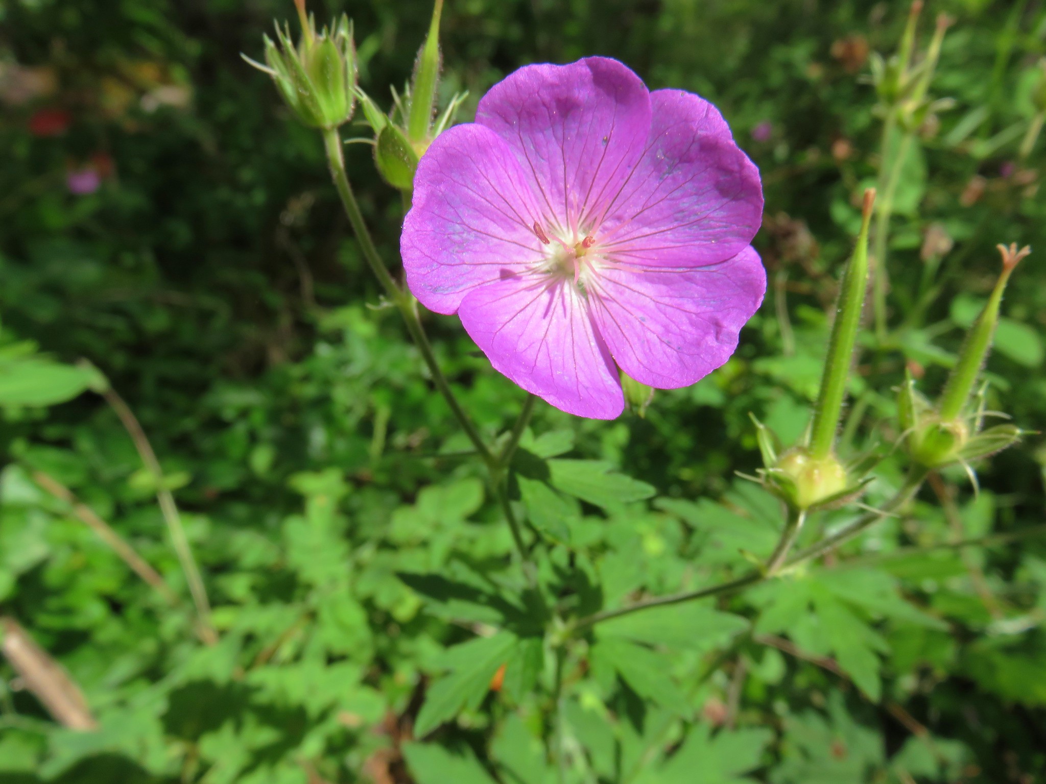
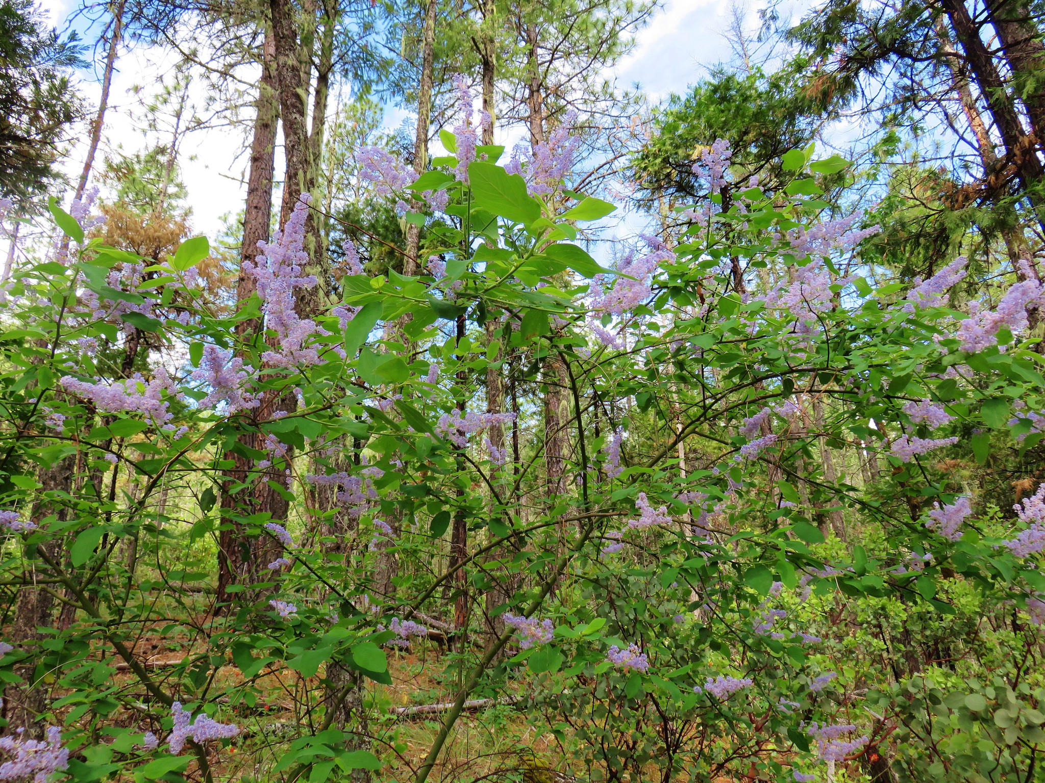
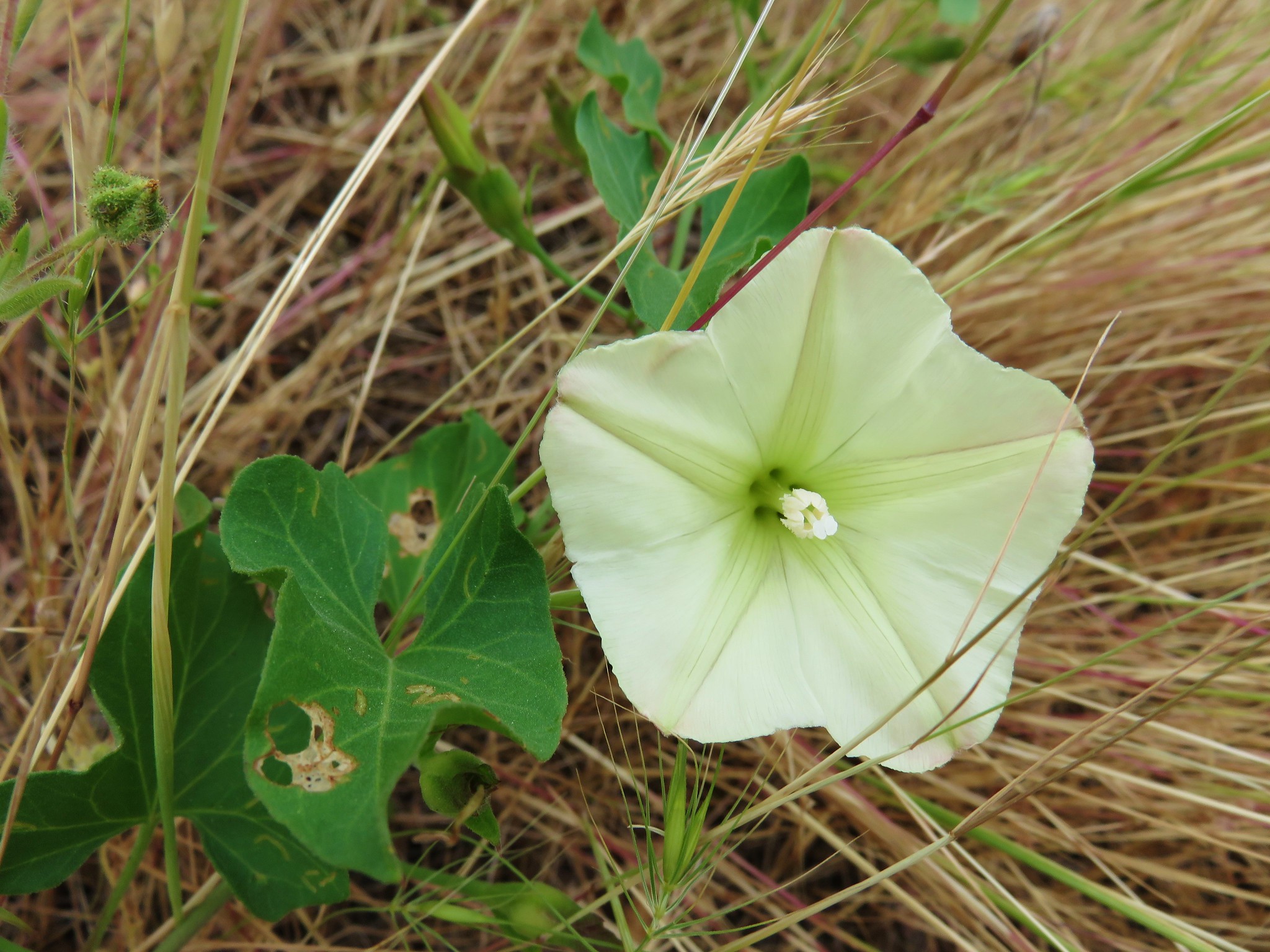
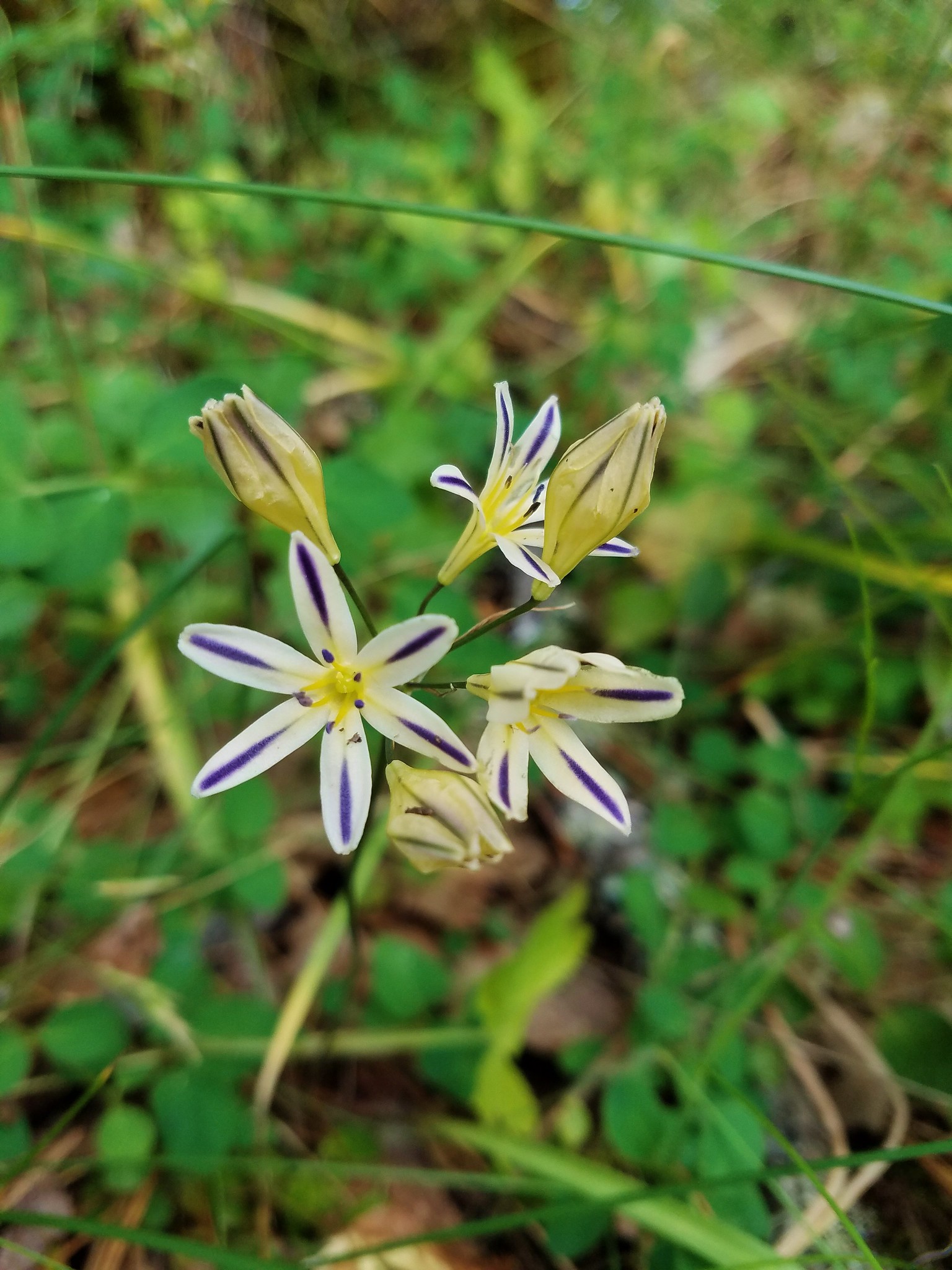
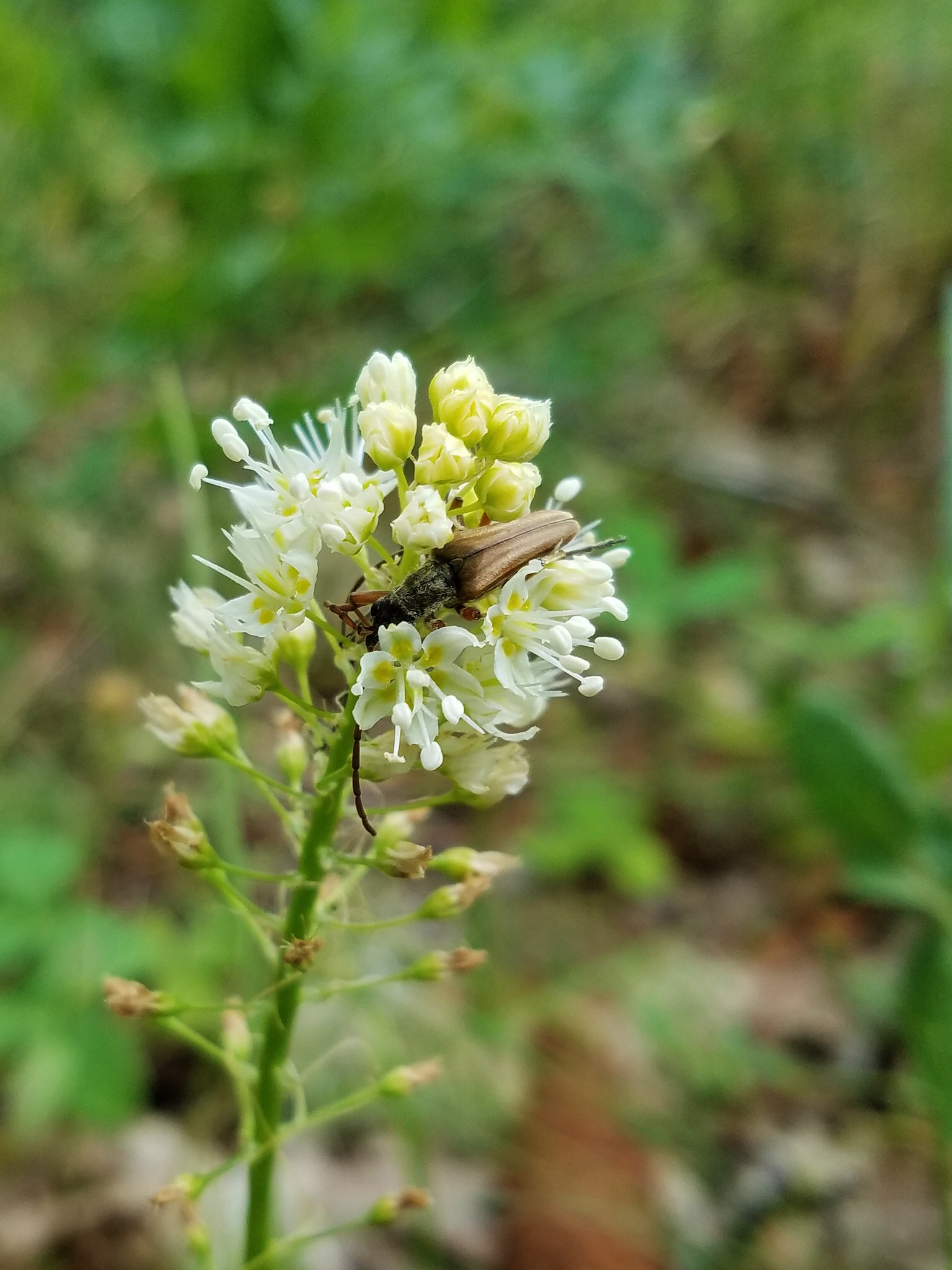
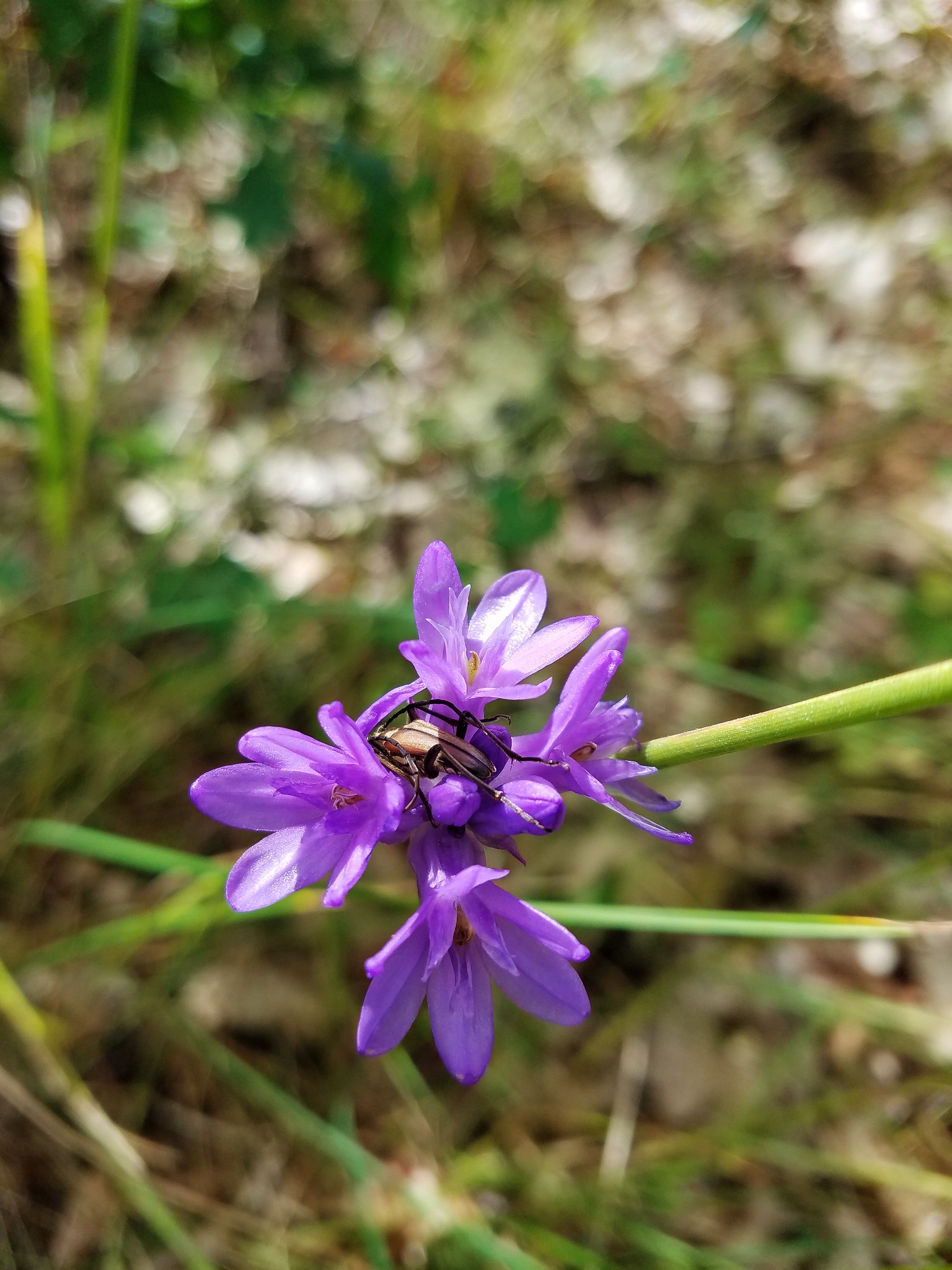
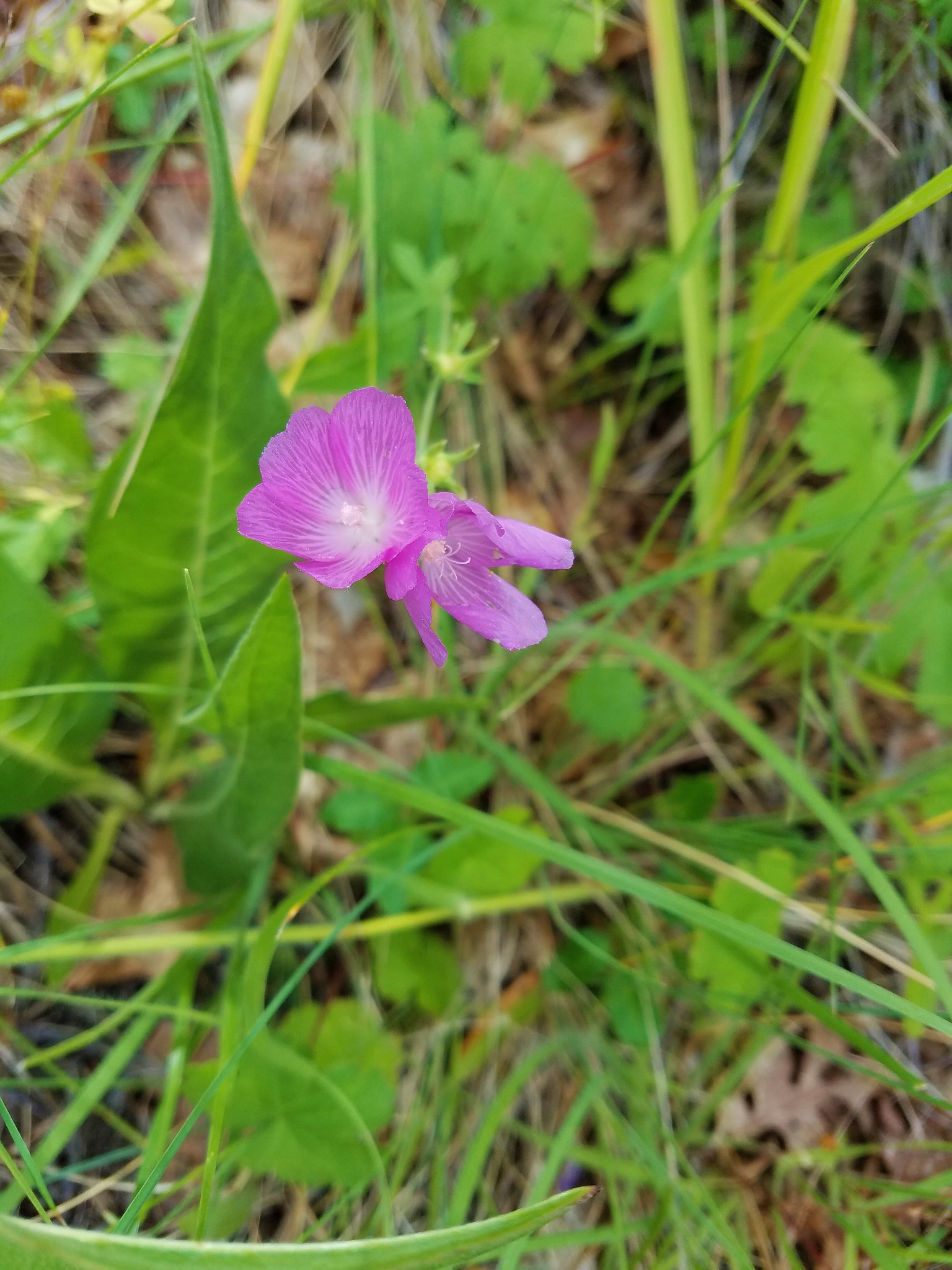
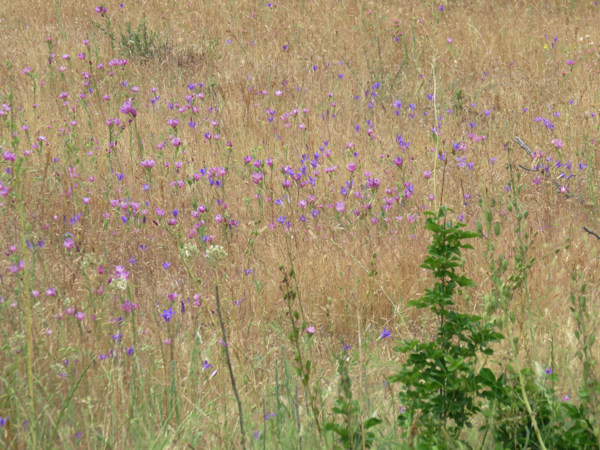
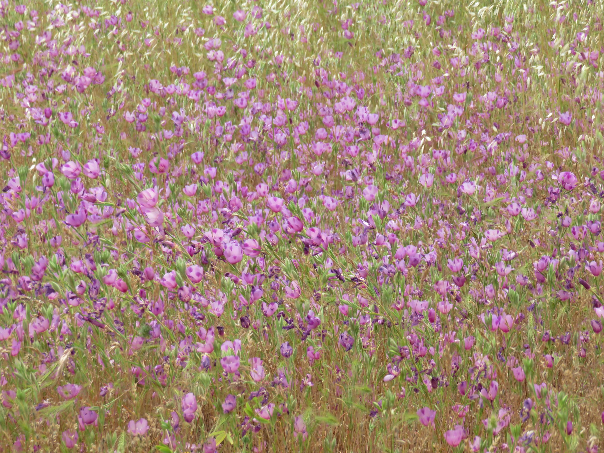
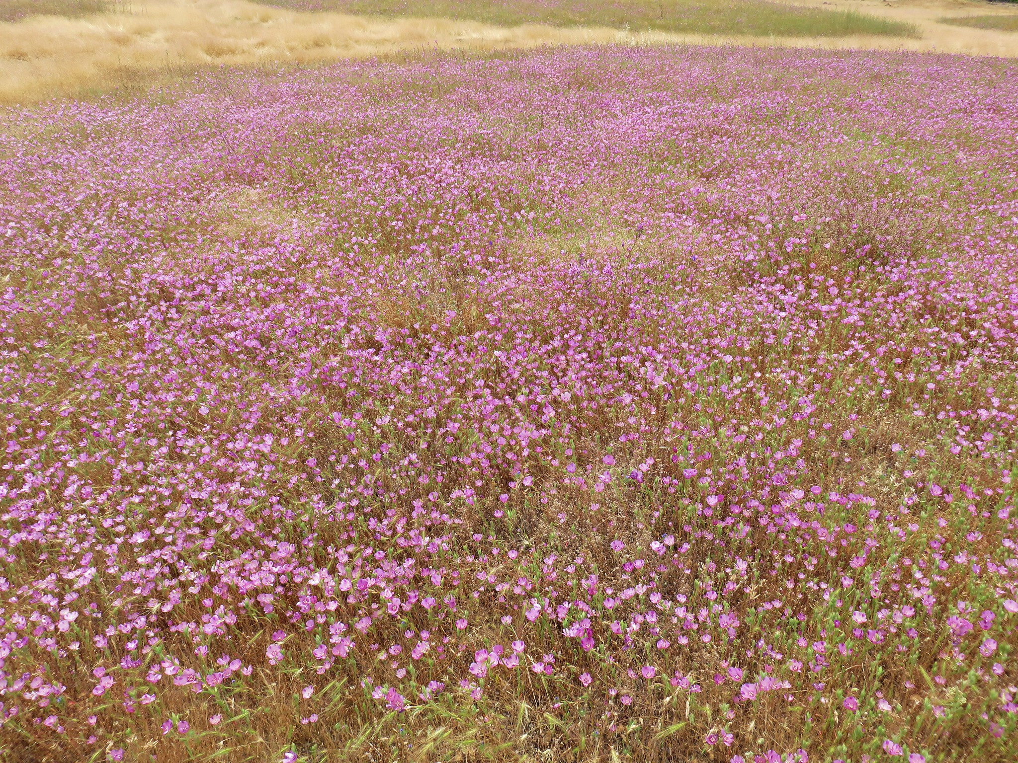
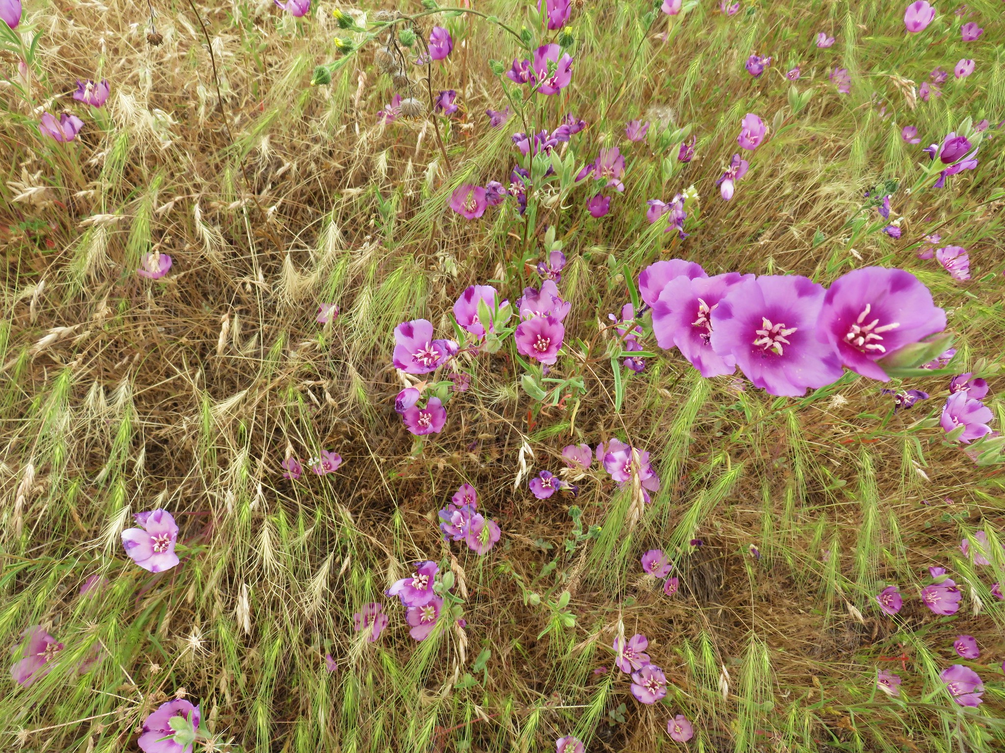
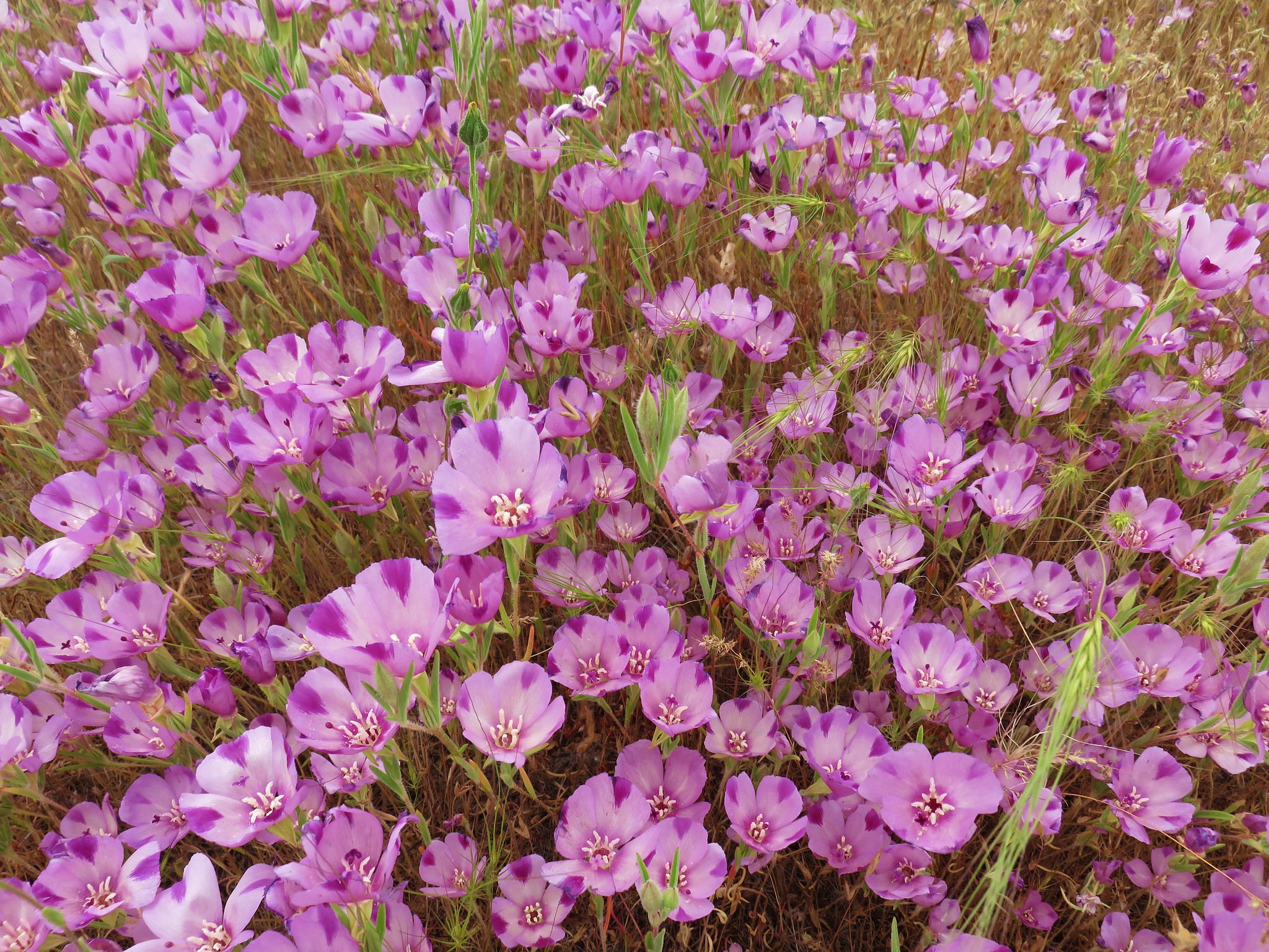
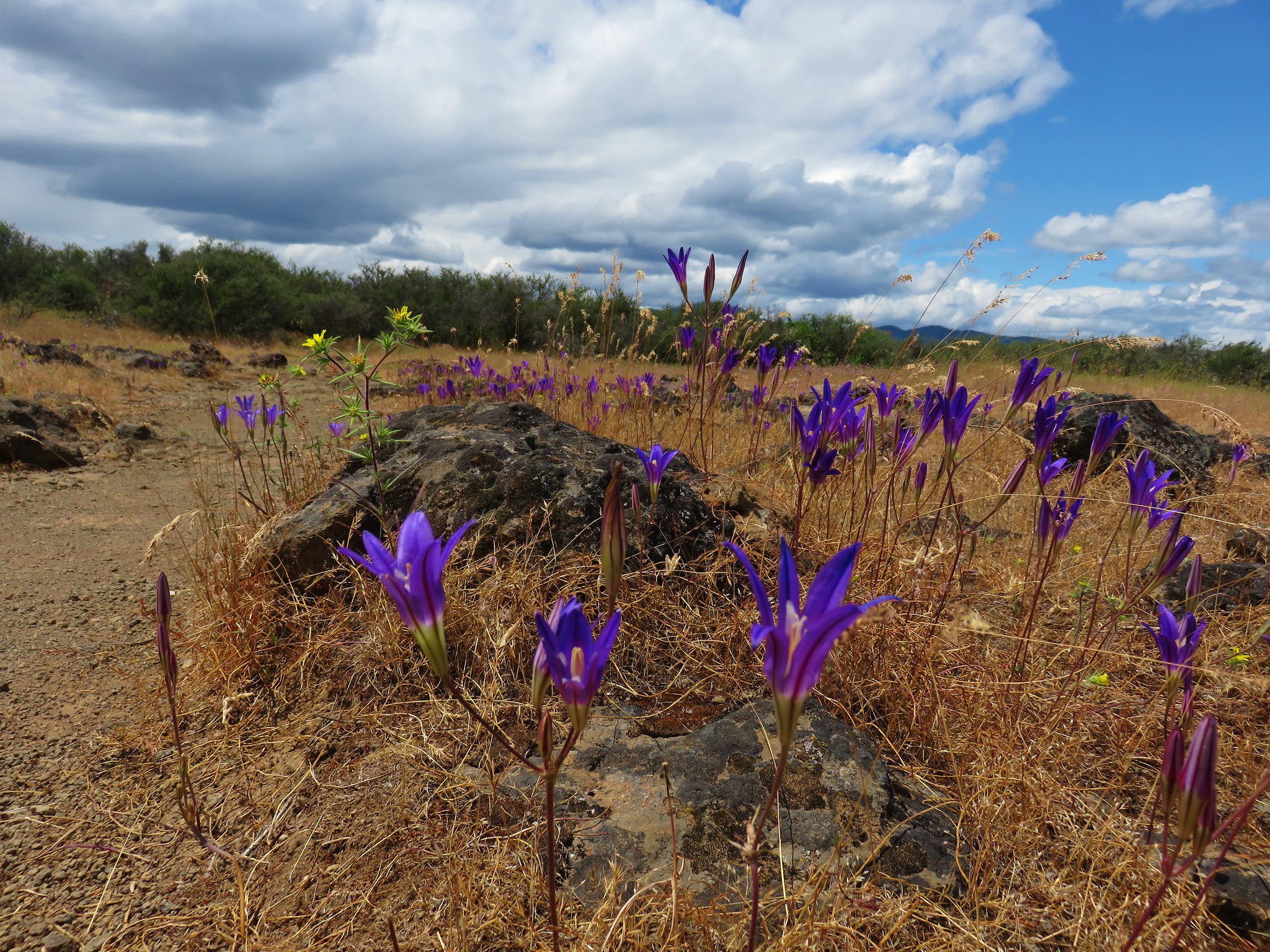
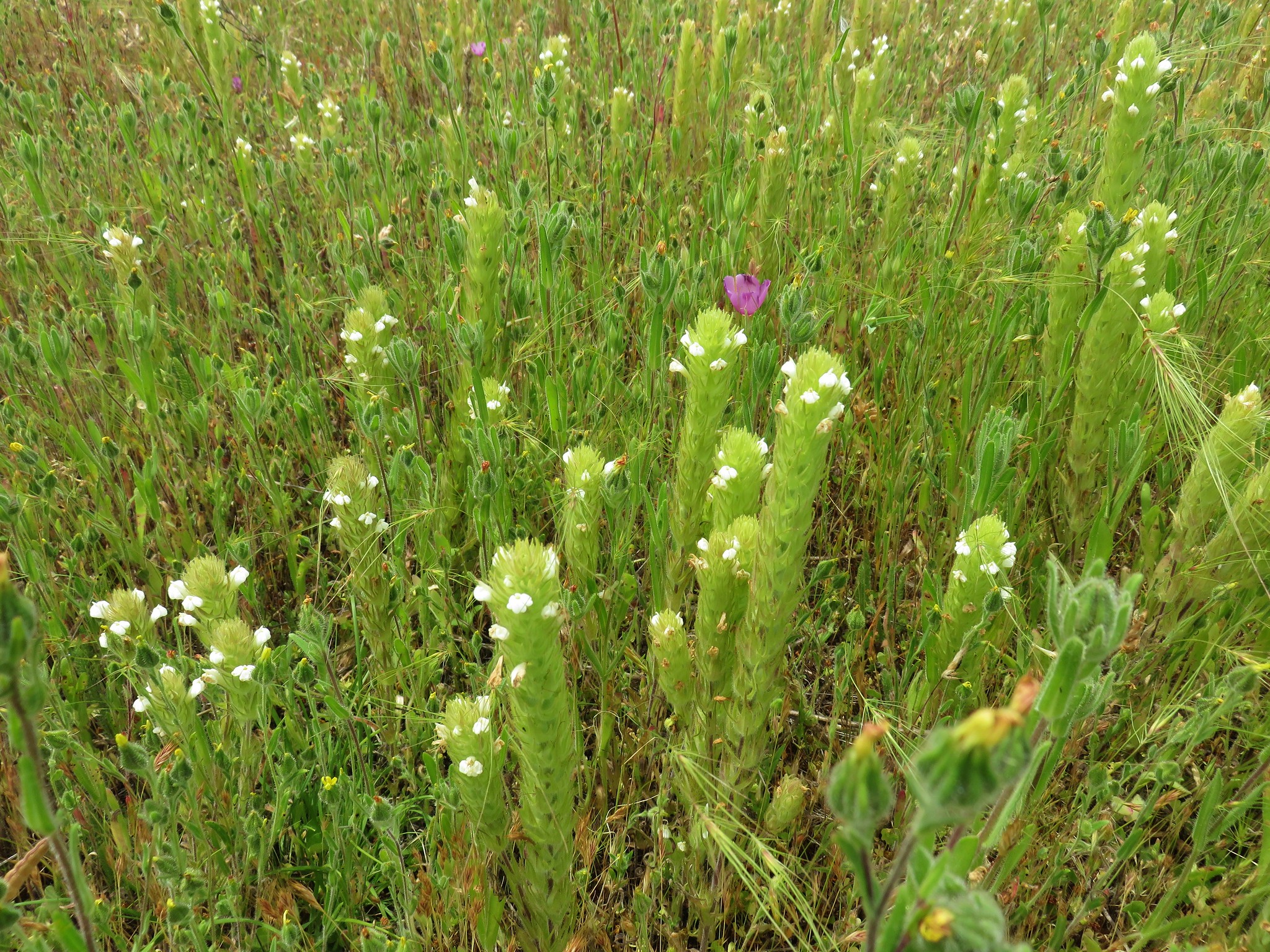
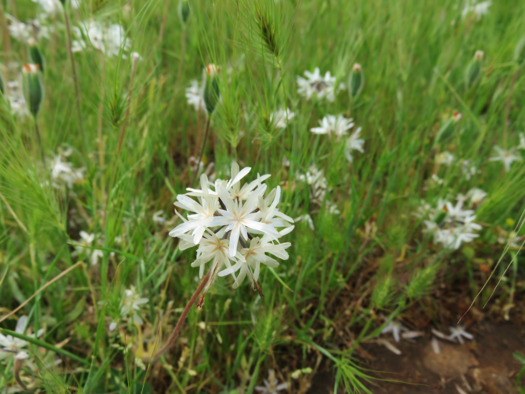
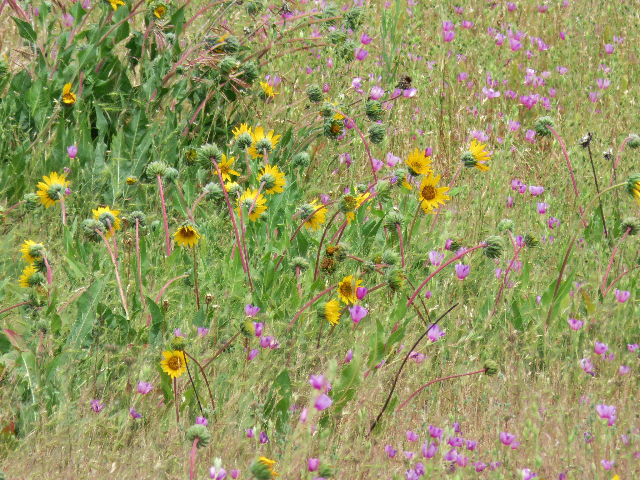
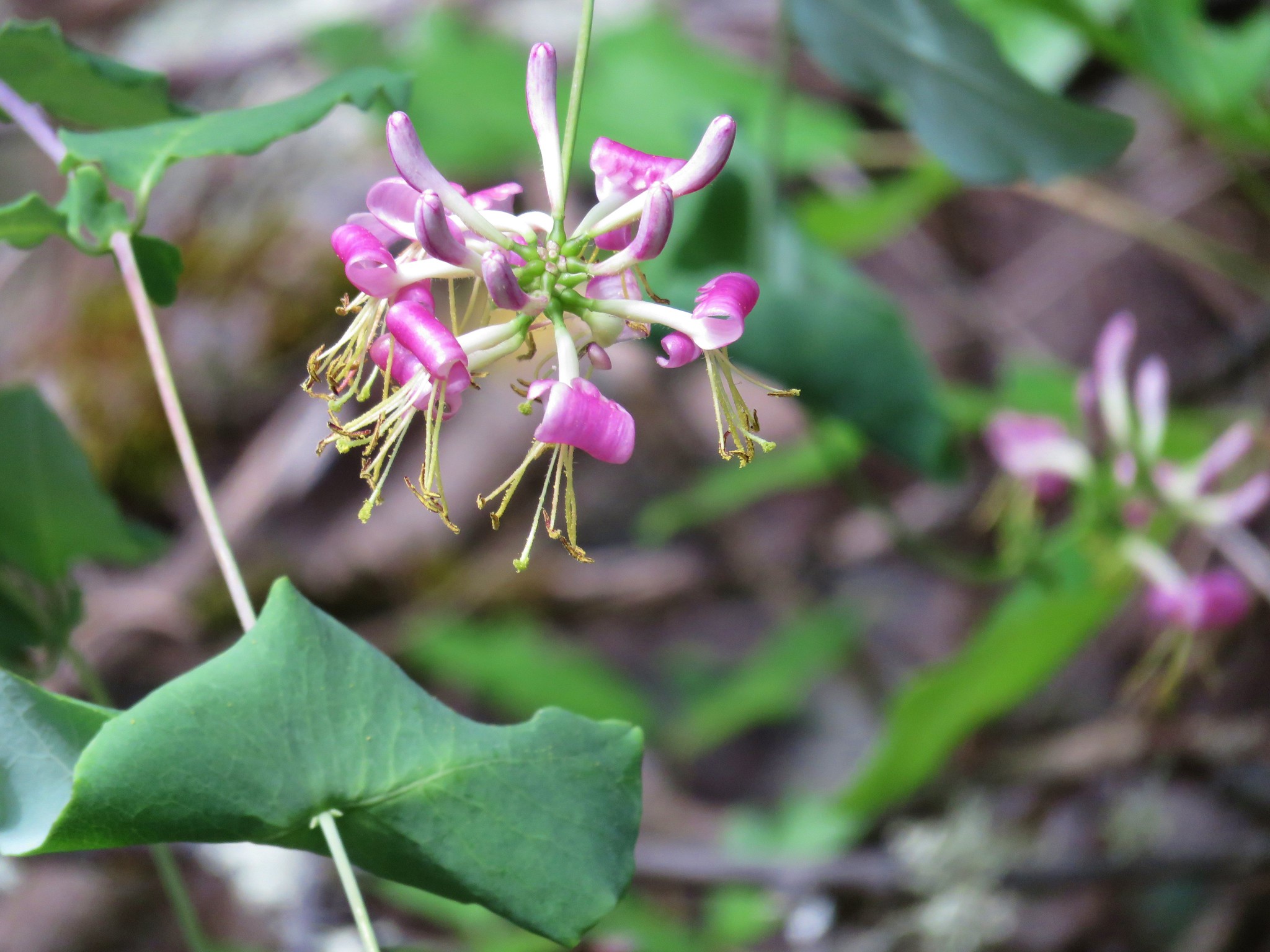
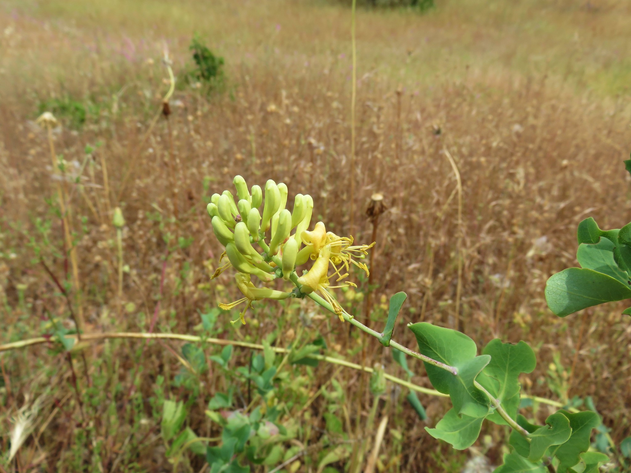
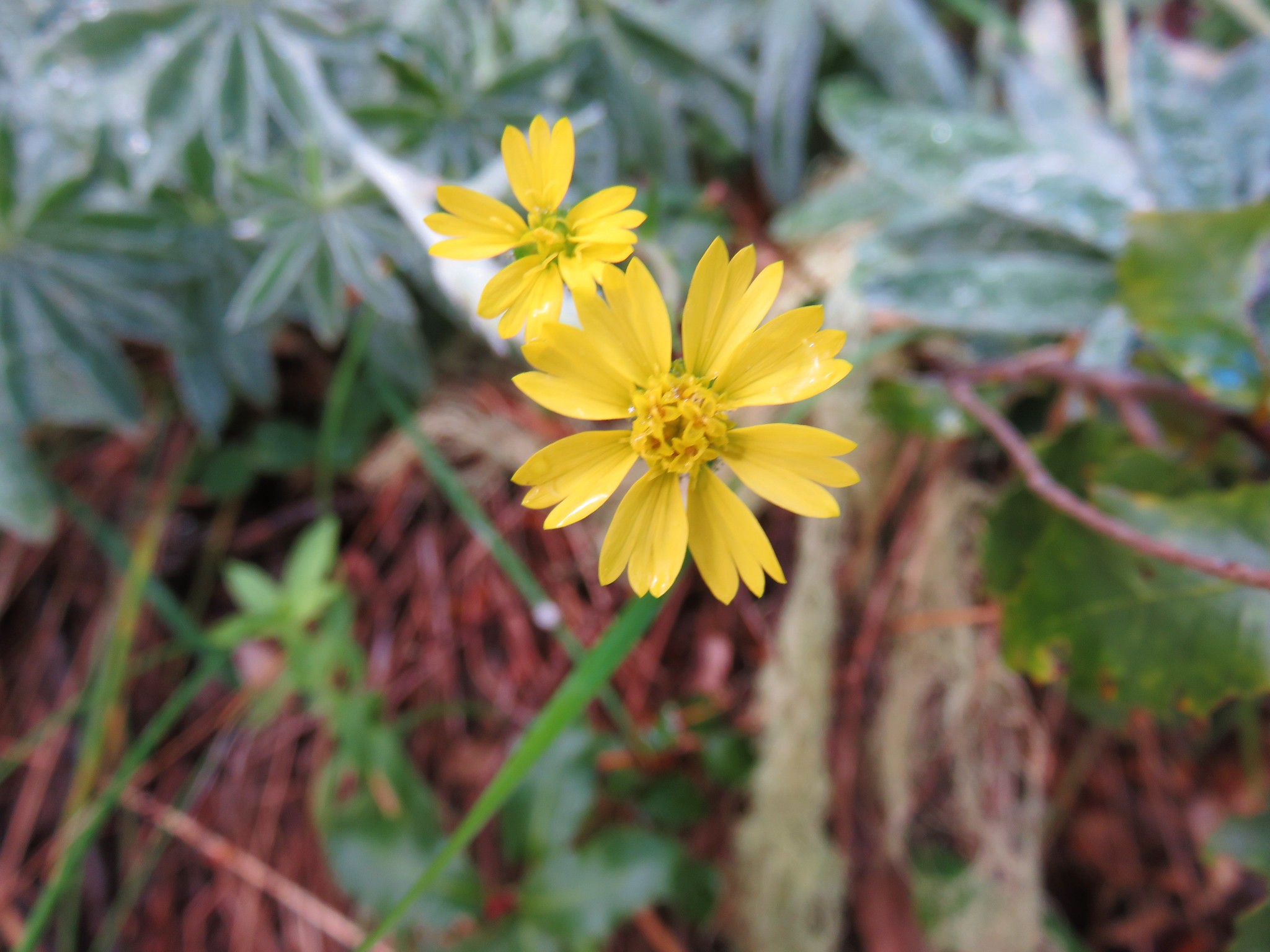
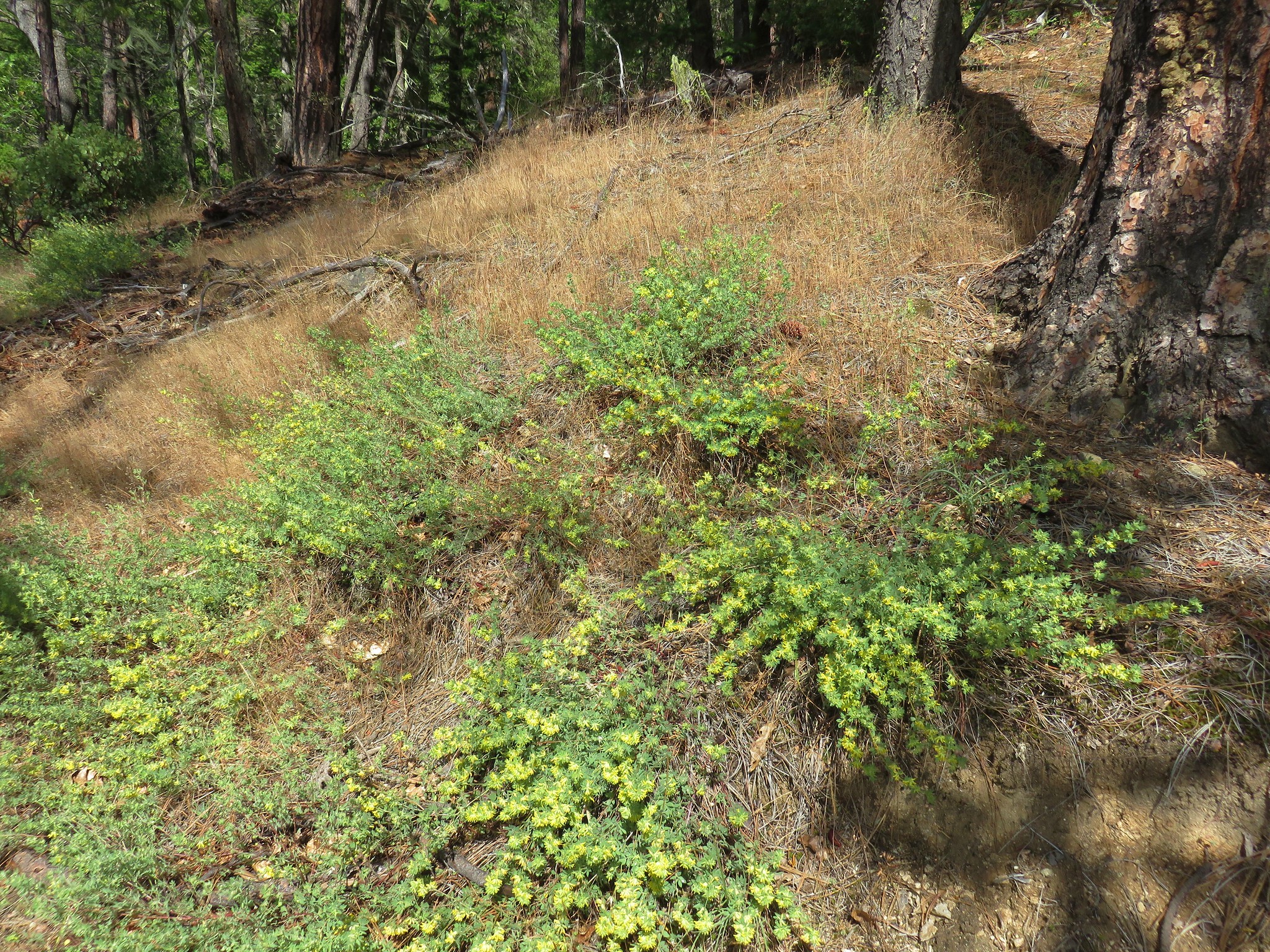
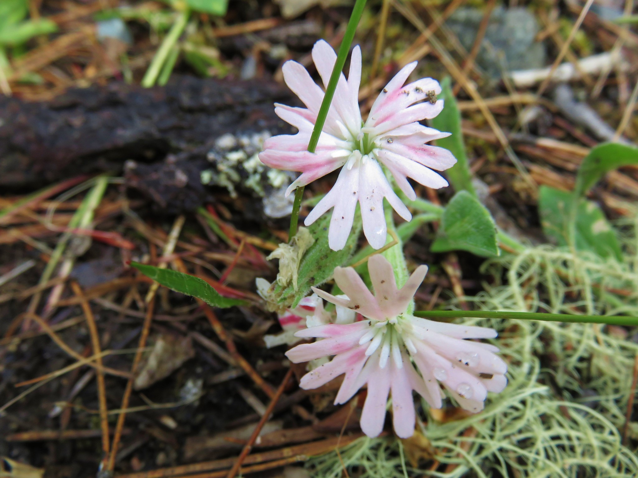
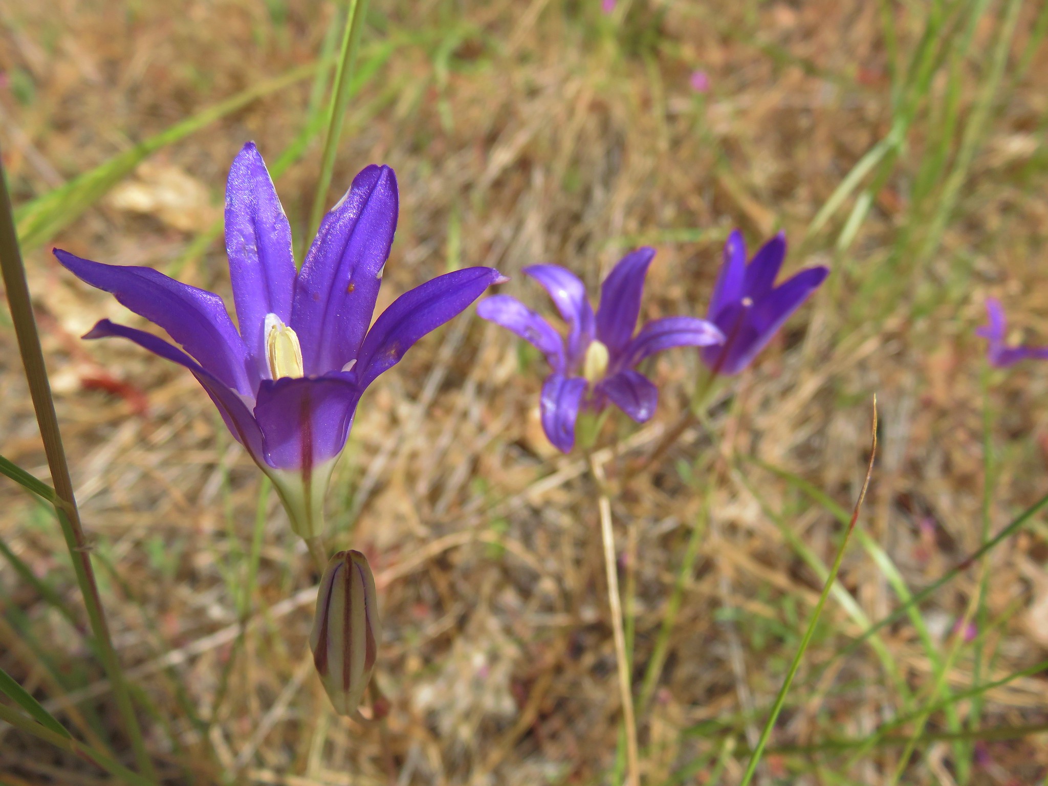
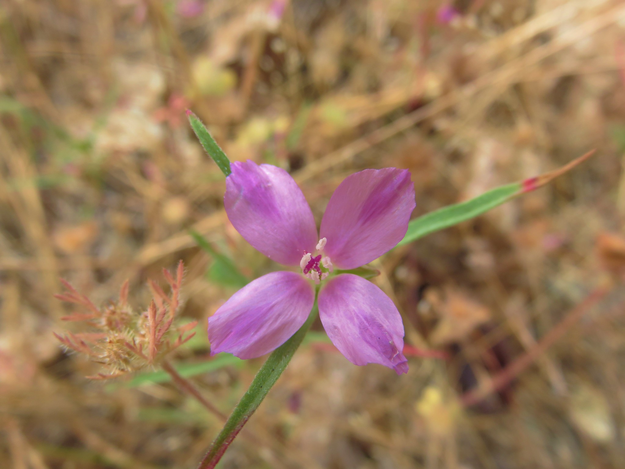
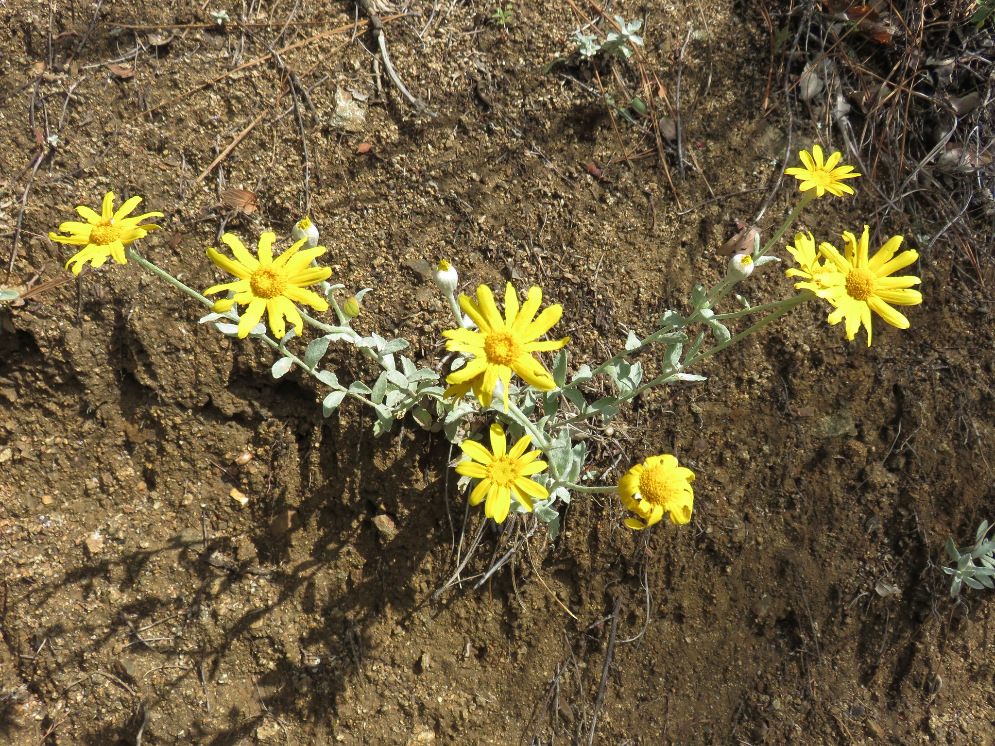
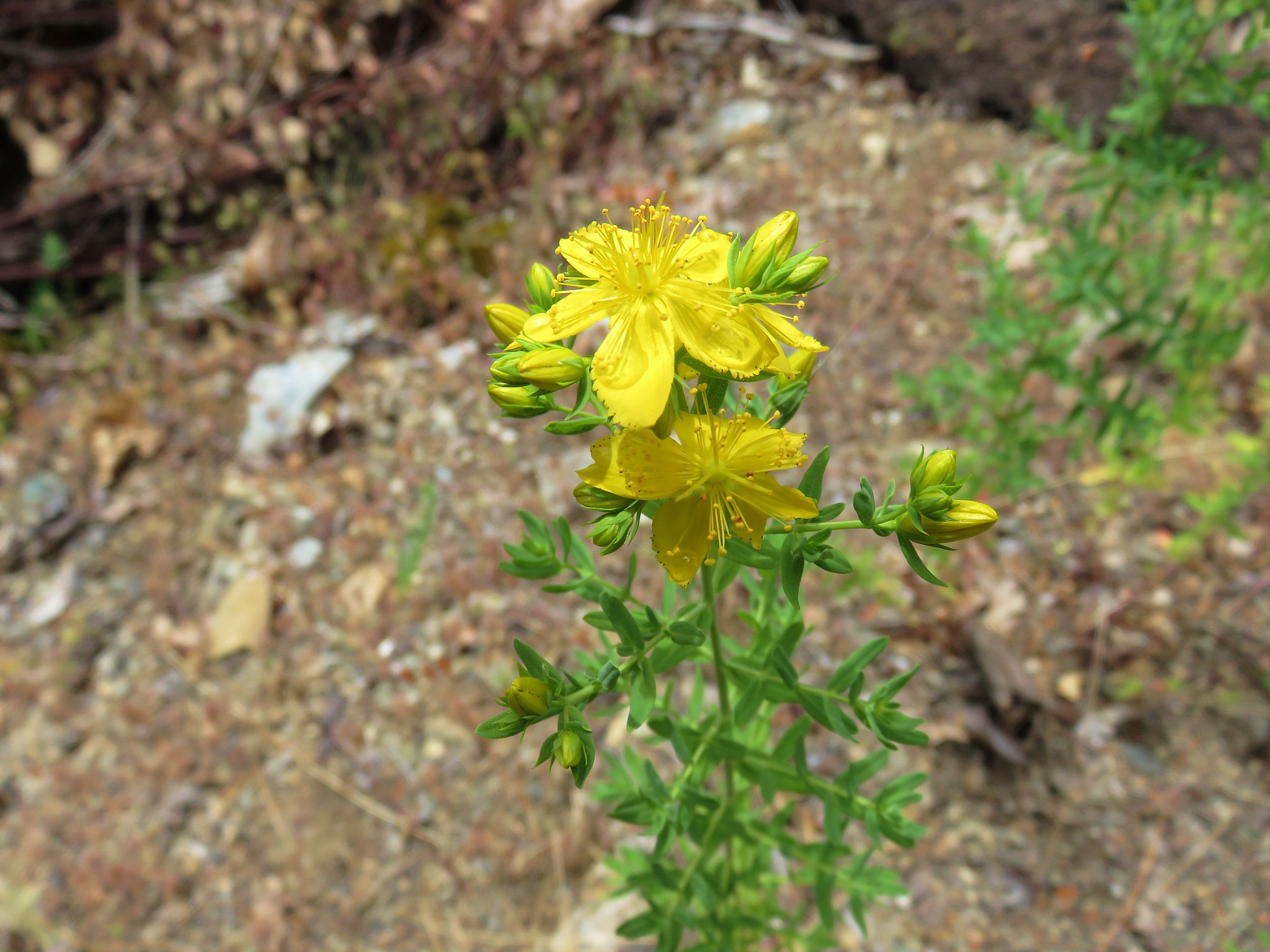
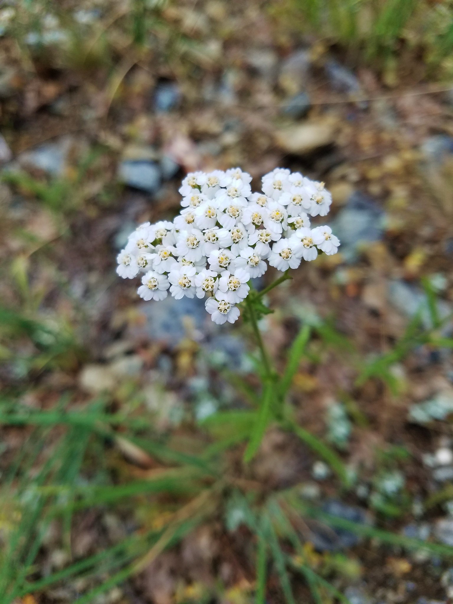
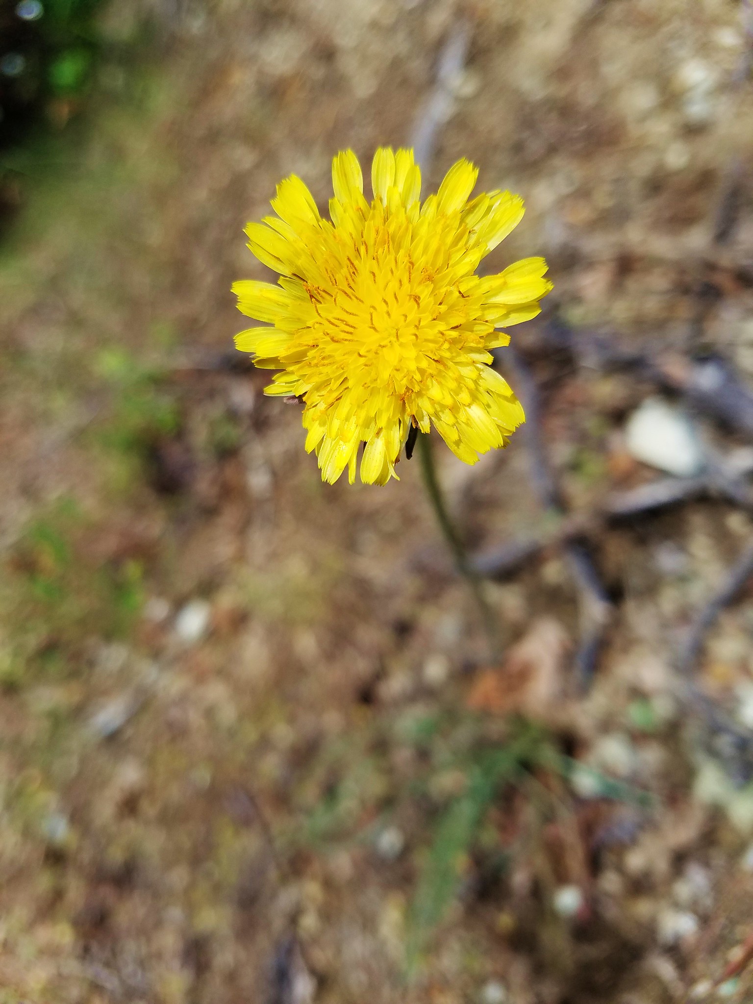
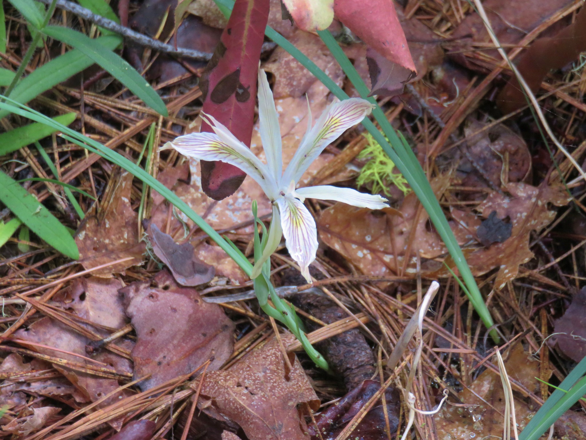
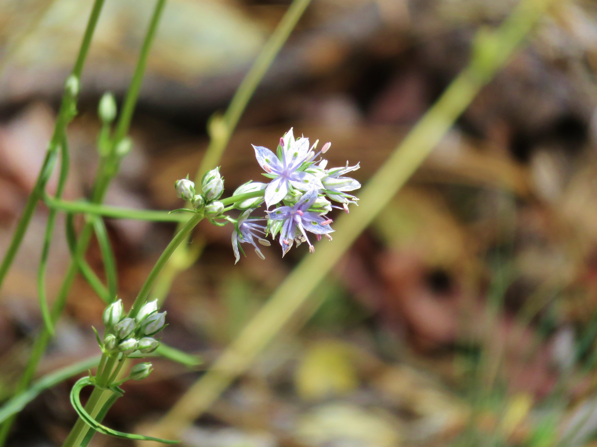
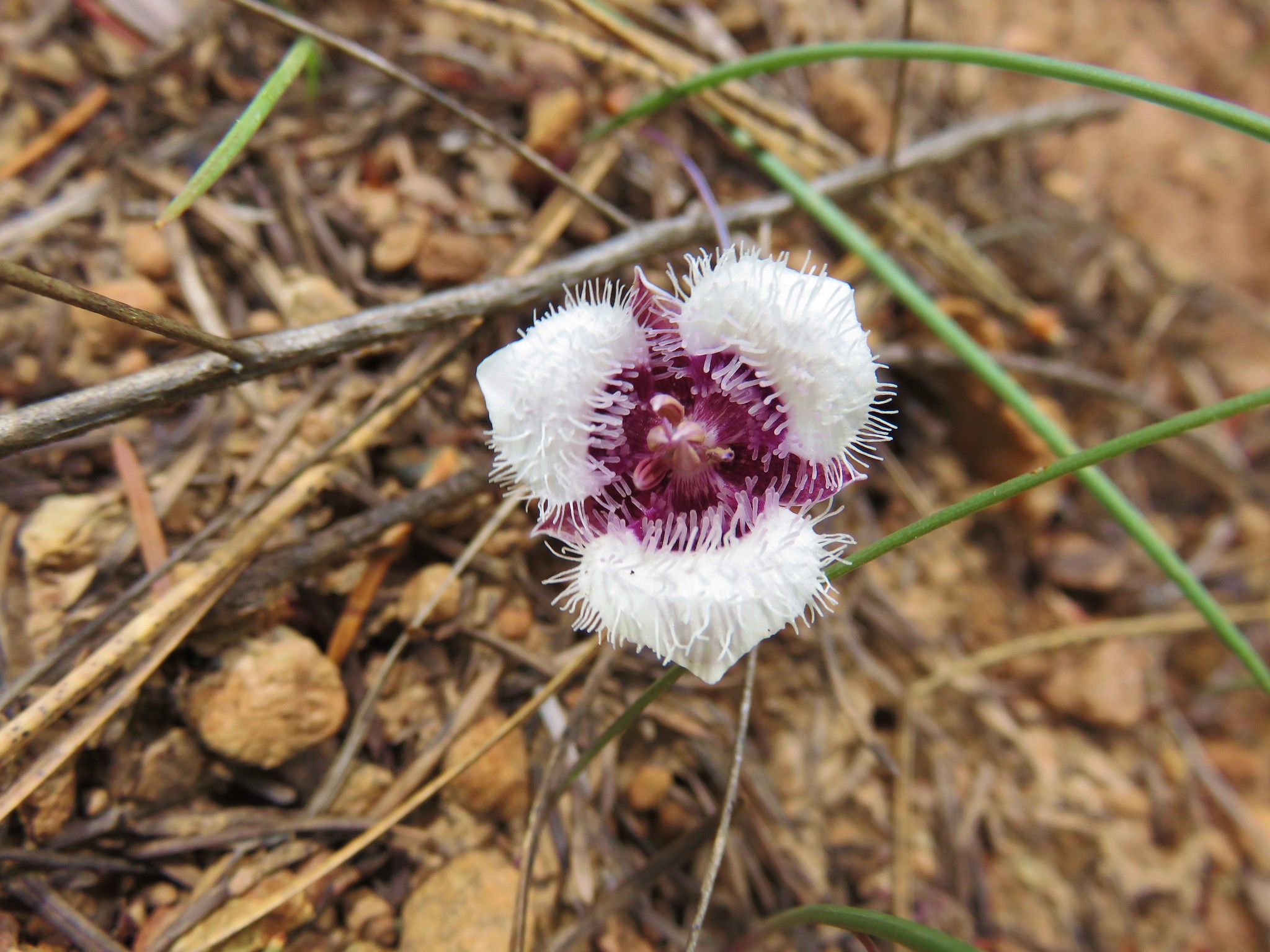
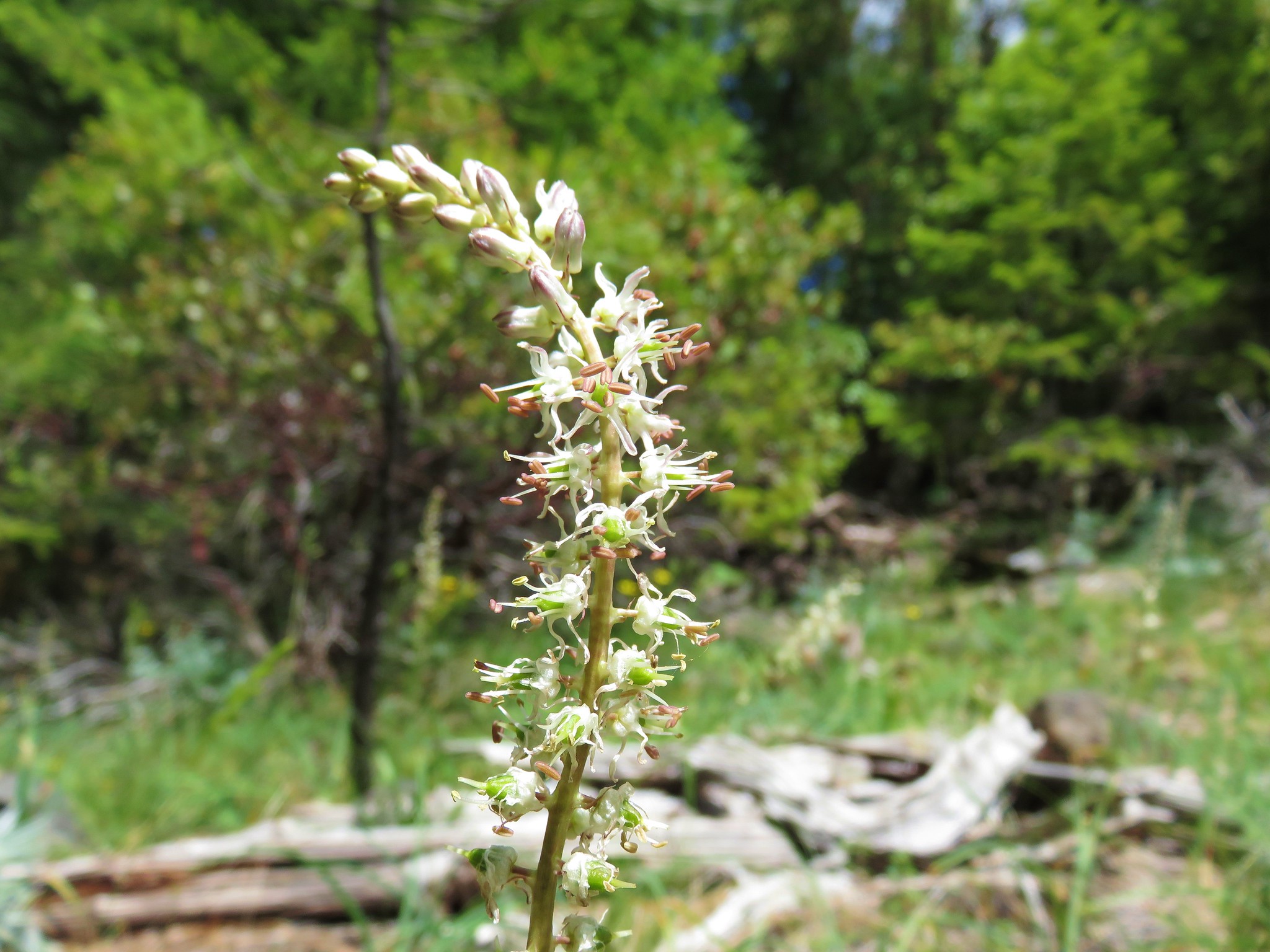
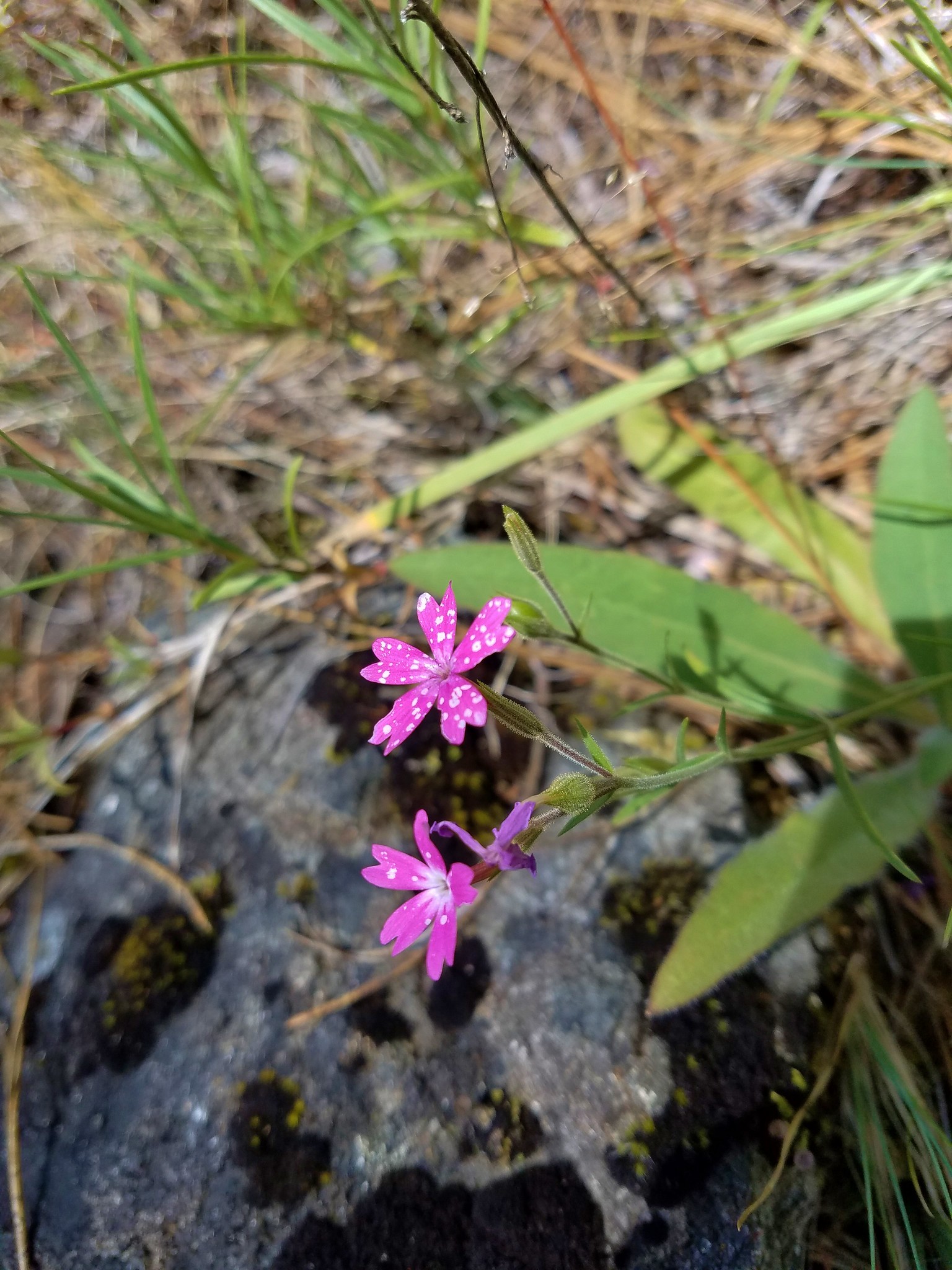
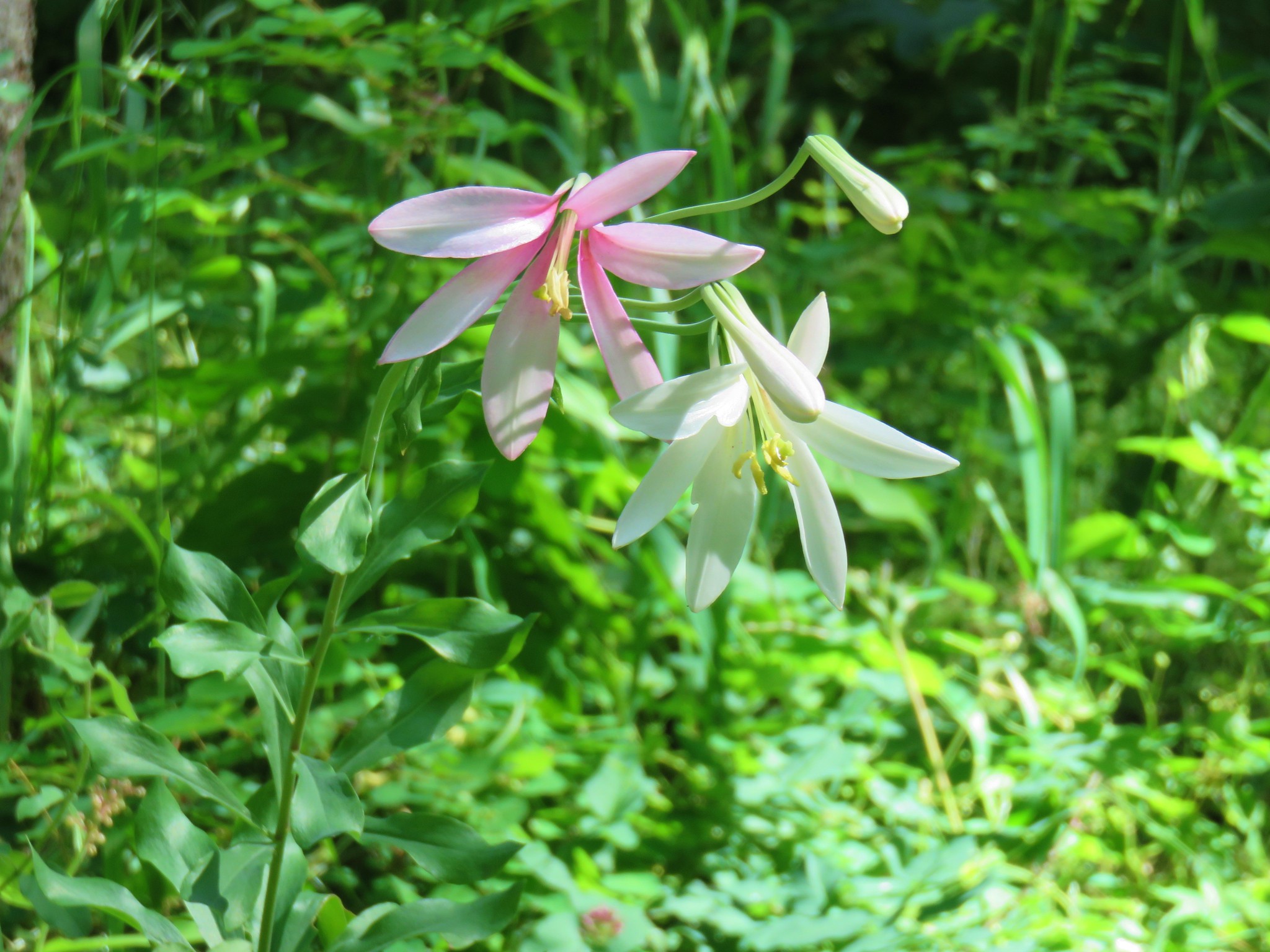
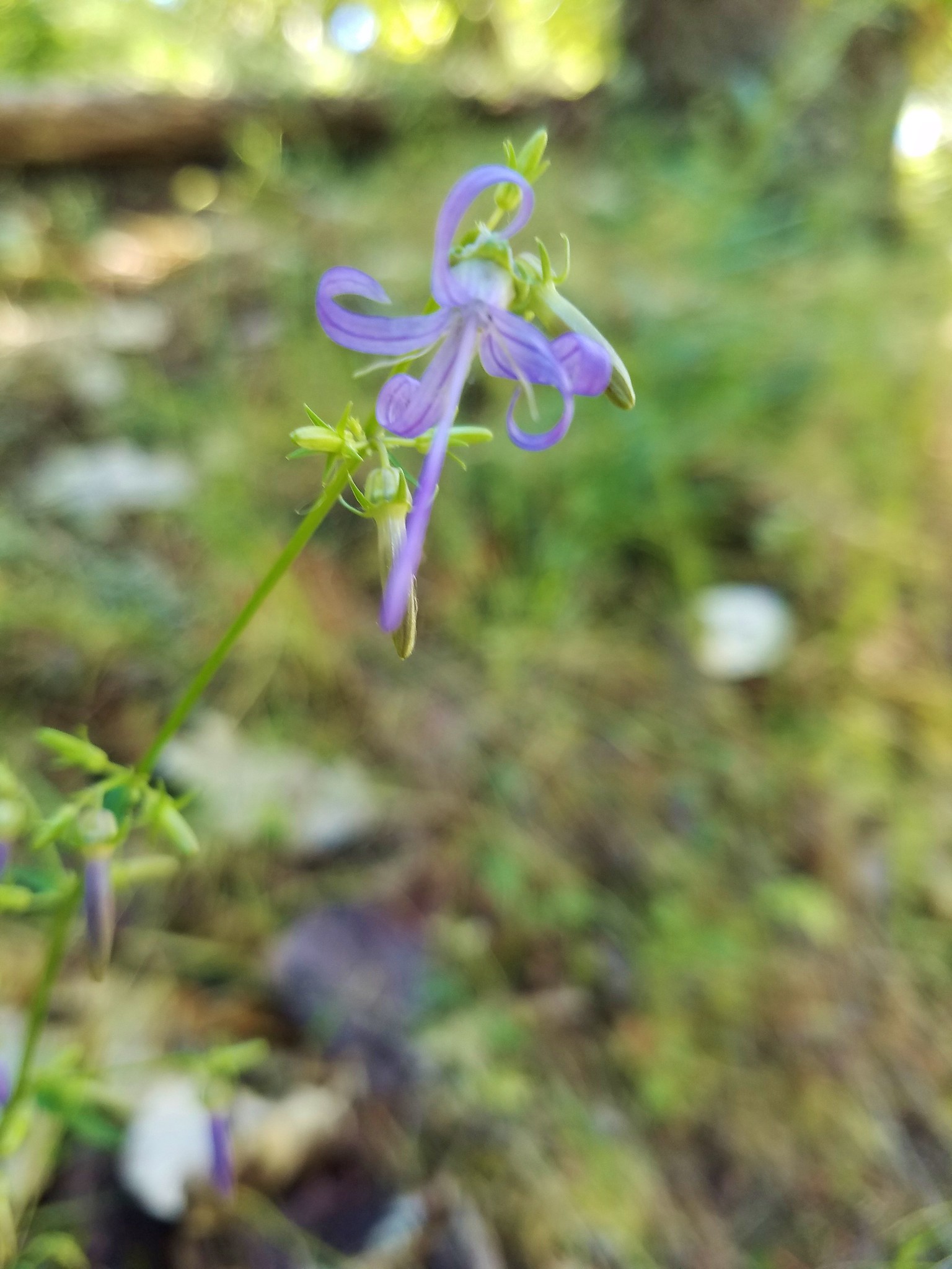
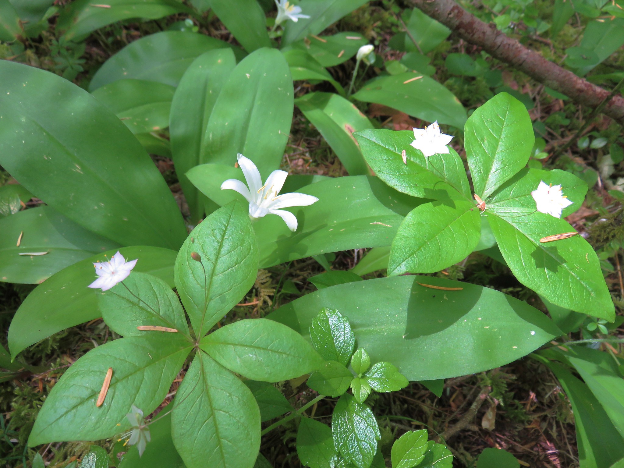
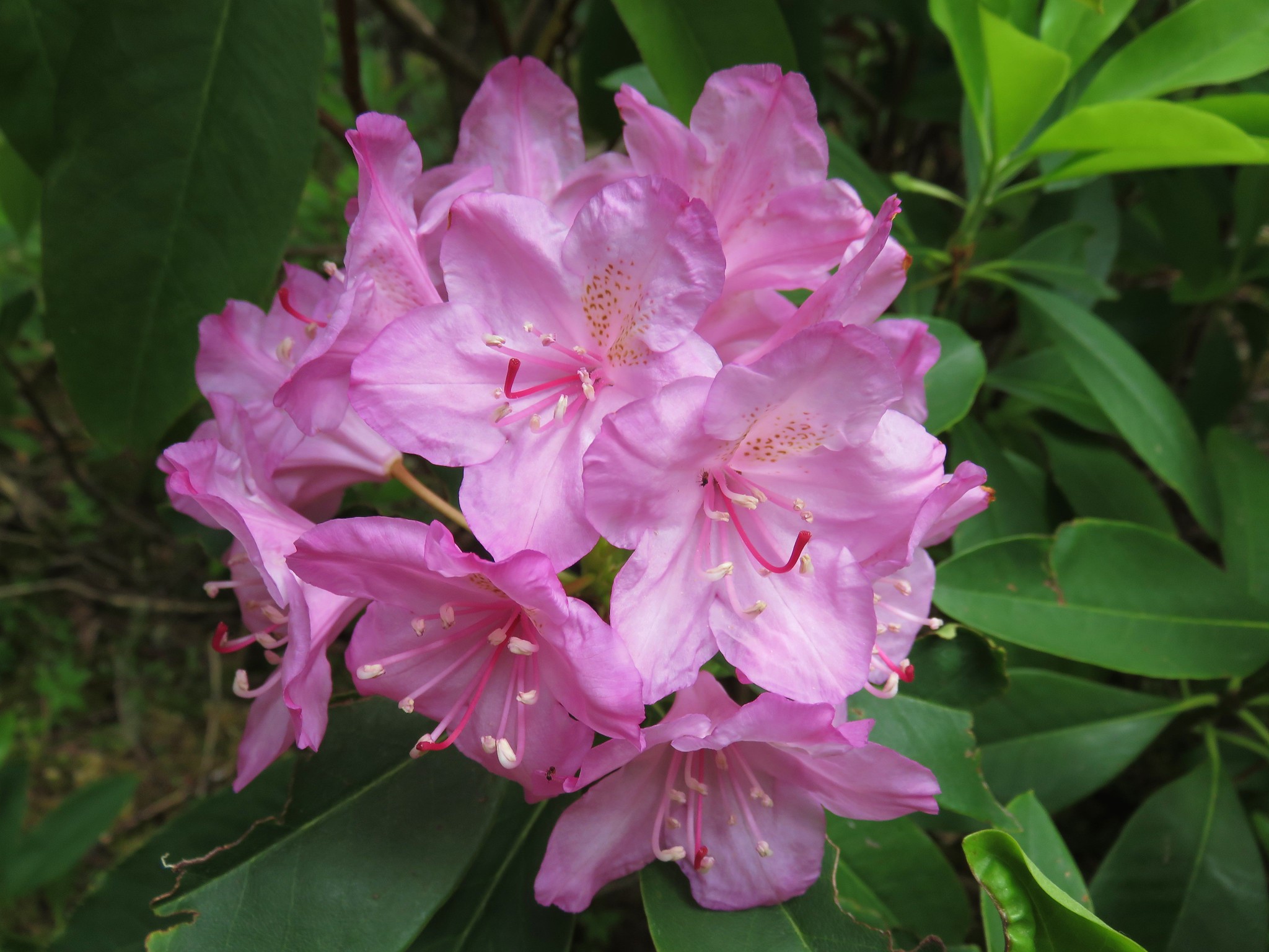
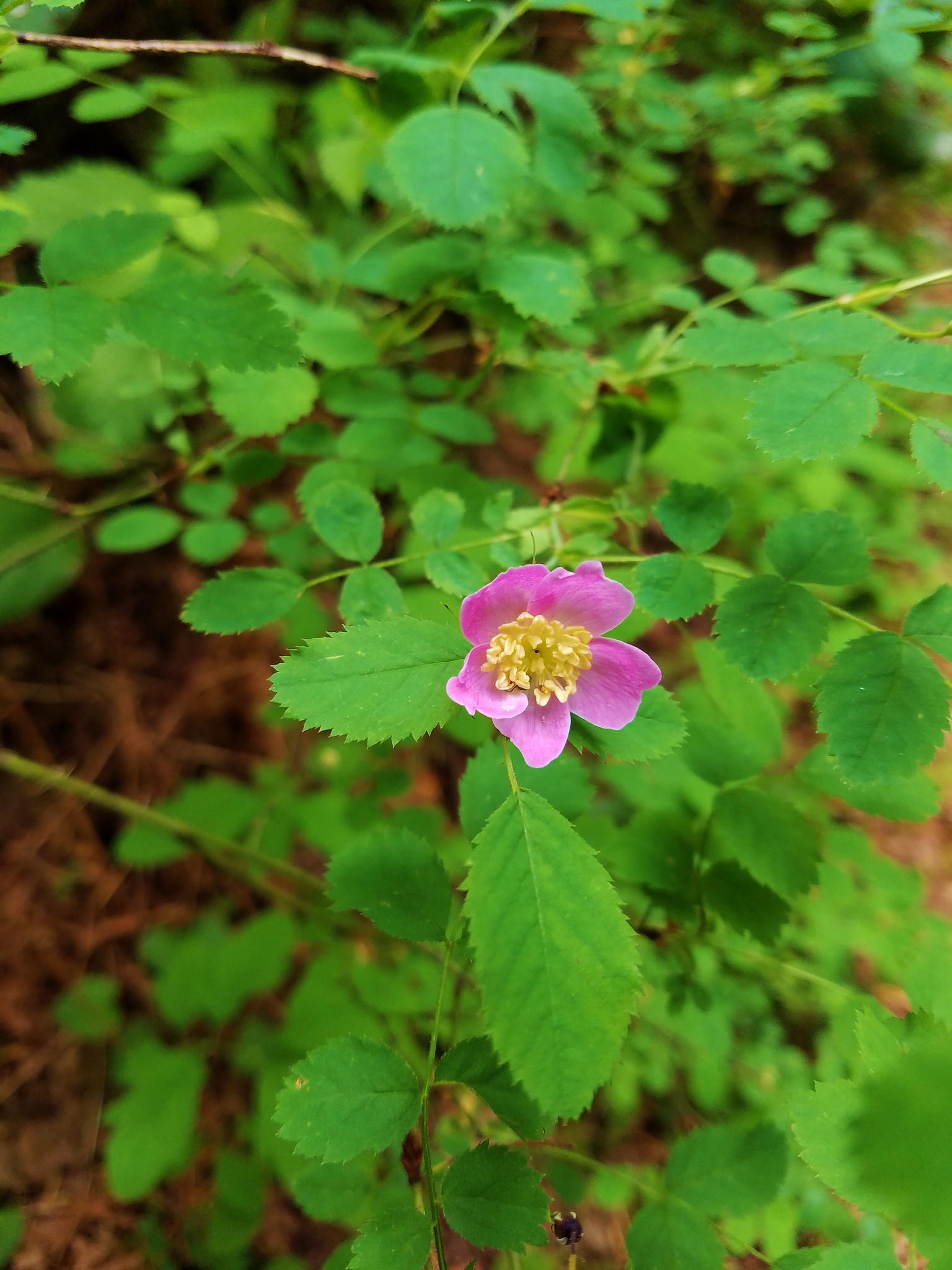
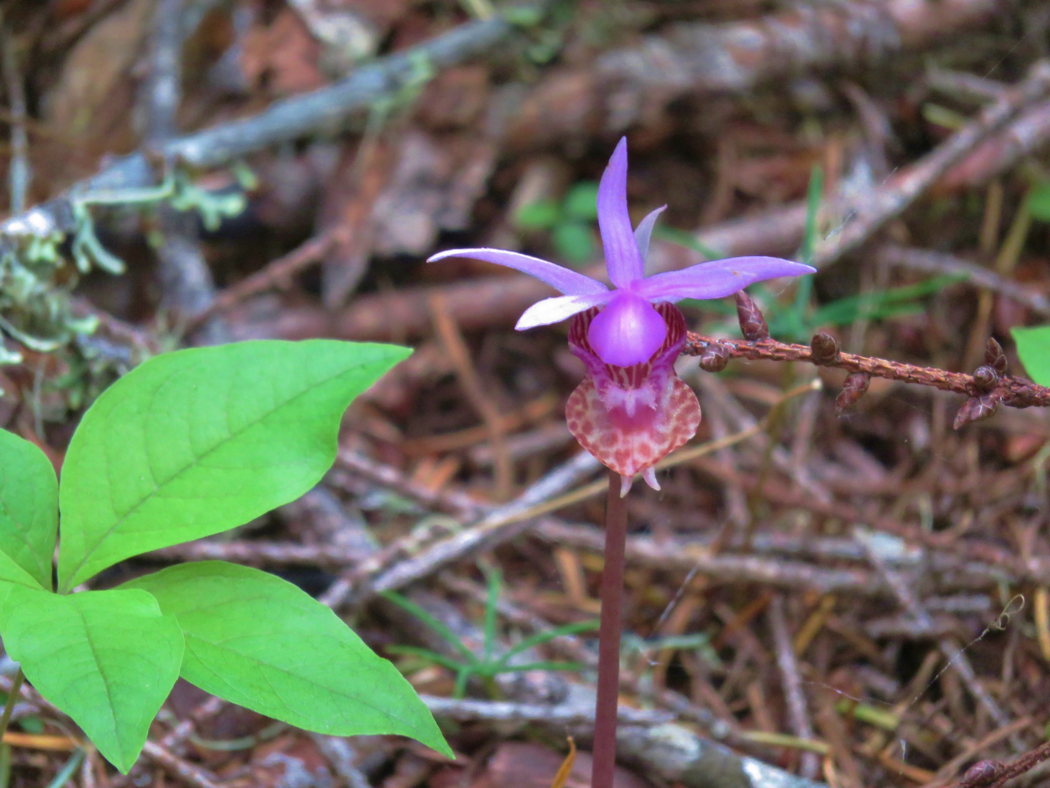
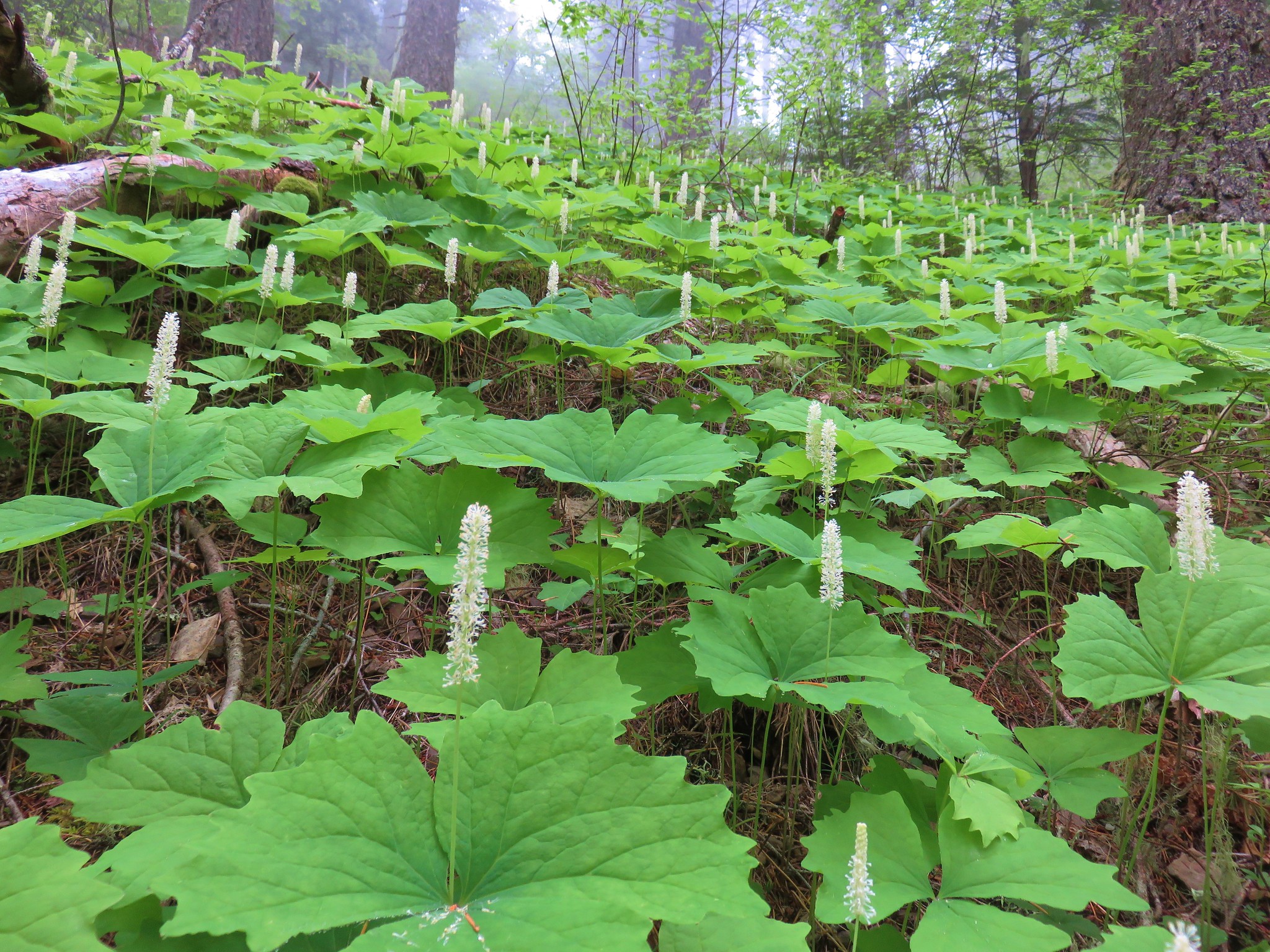
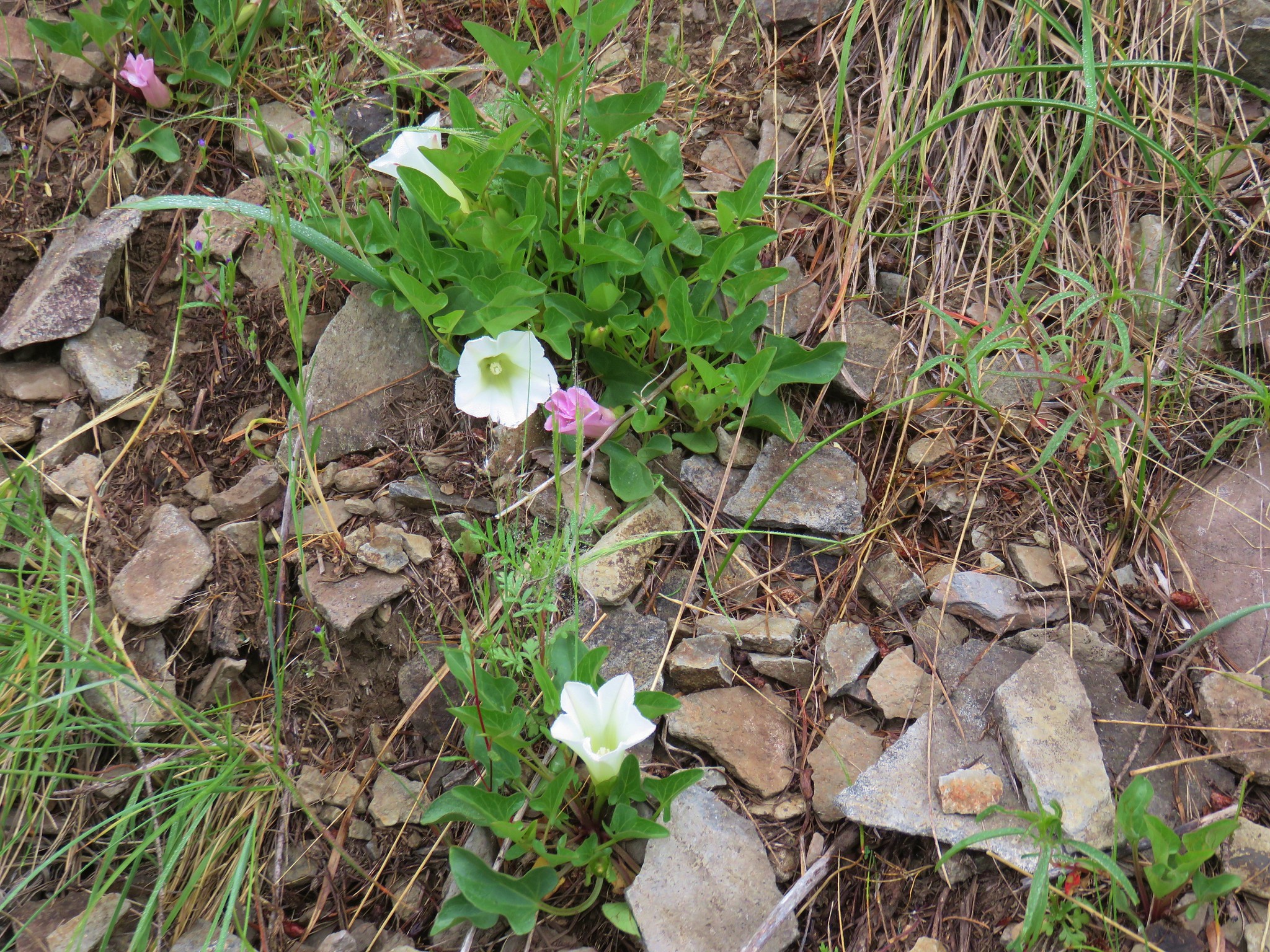
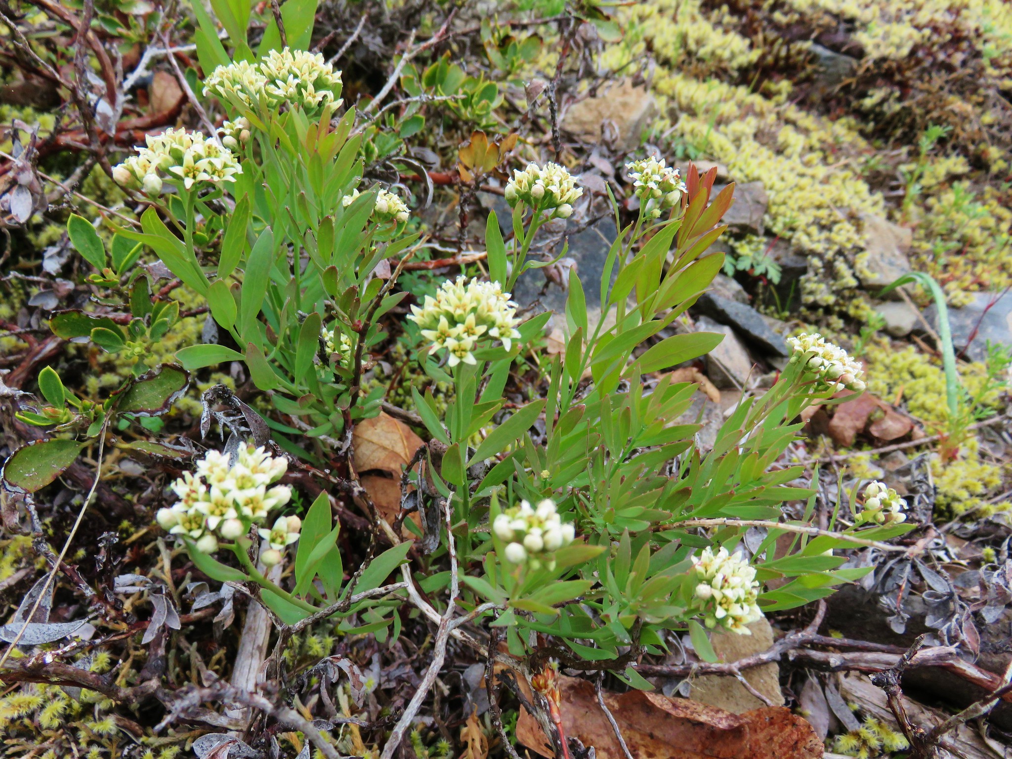
The view wasn’t the only attraction at the summit. An impressive display of wildflowers was underway which had attracted a wide variety of pollinators.


After a nice break it was time to head back.

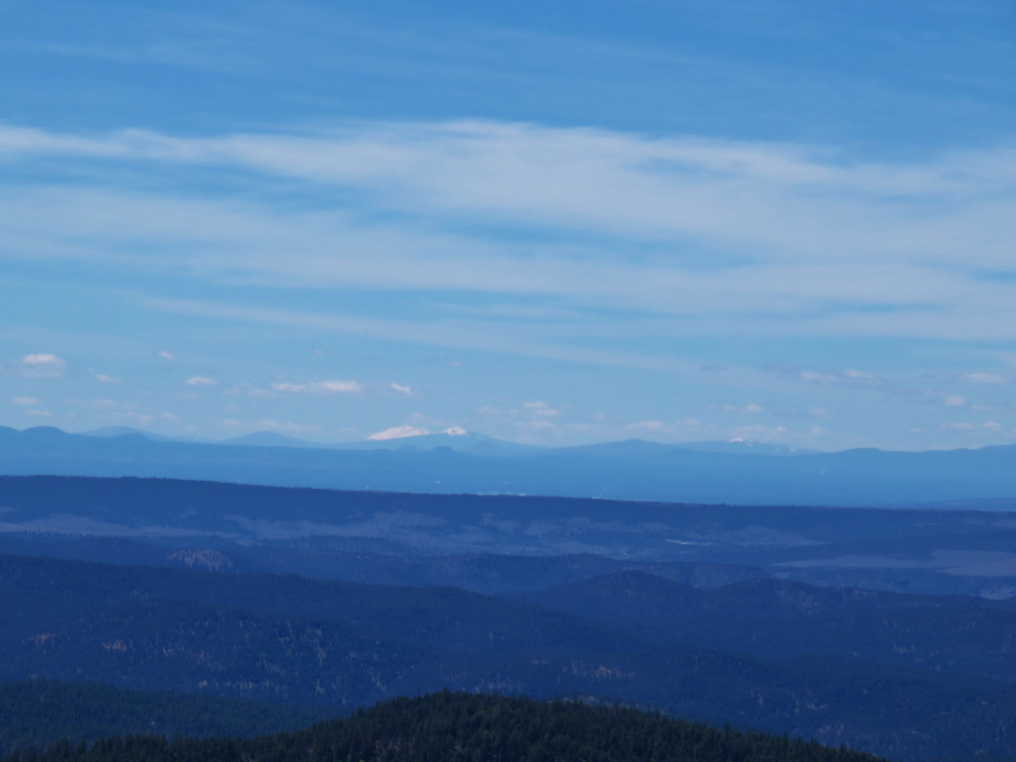
On the way down the Hawk Mountain Trail we stepped off the trail briefly to get a view to the north since trees on the summit had not allowed us to see in that direction. Mt. Rainier, Mt. Adams, and Mt. Hood were all visible.

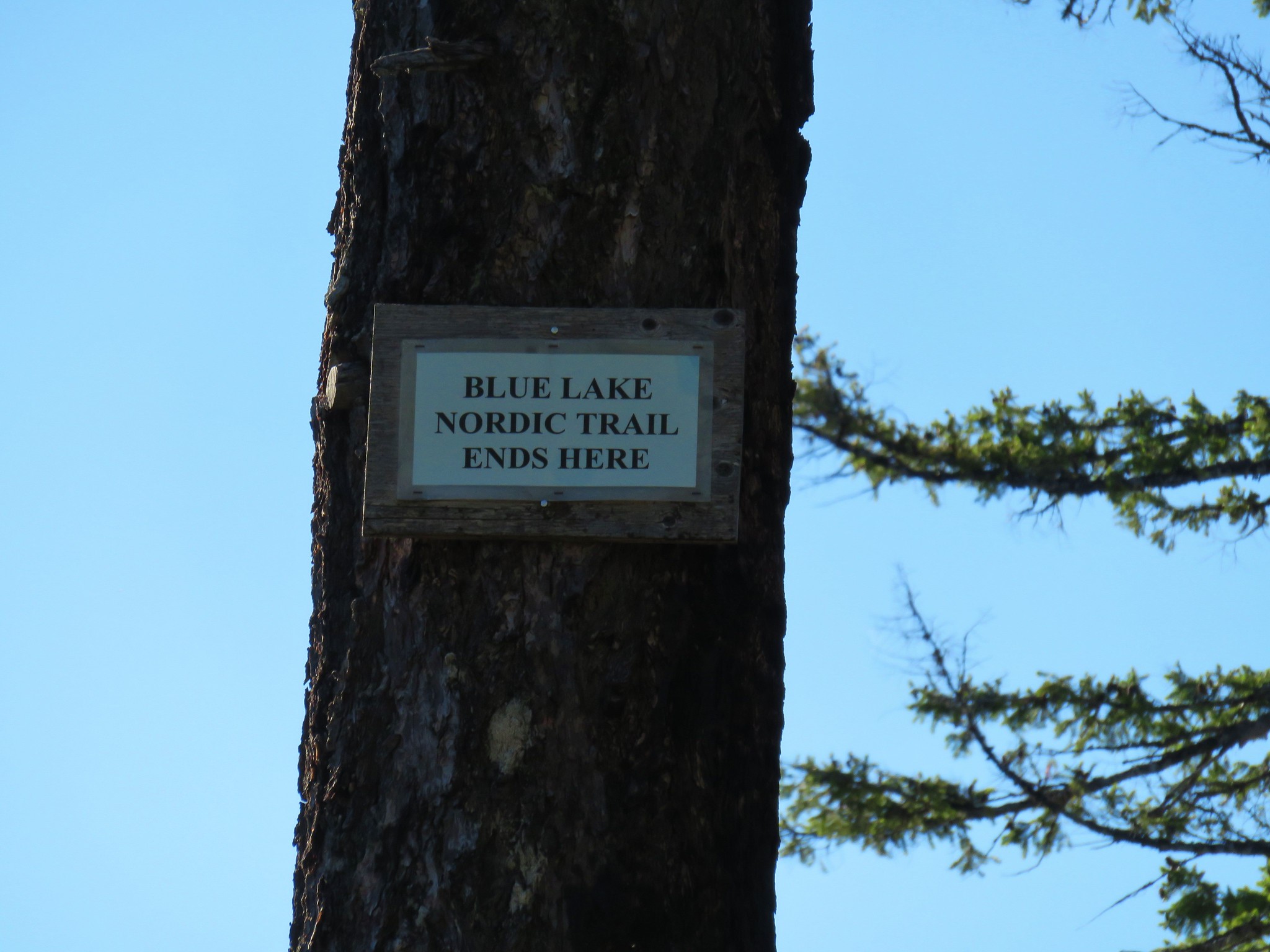
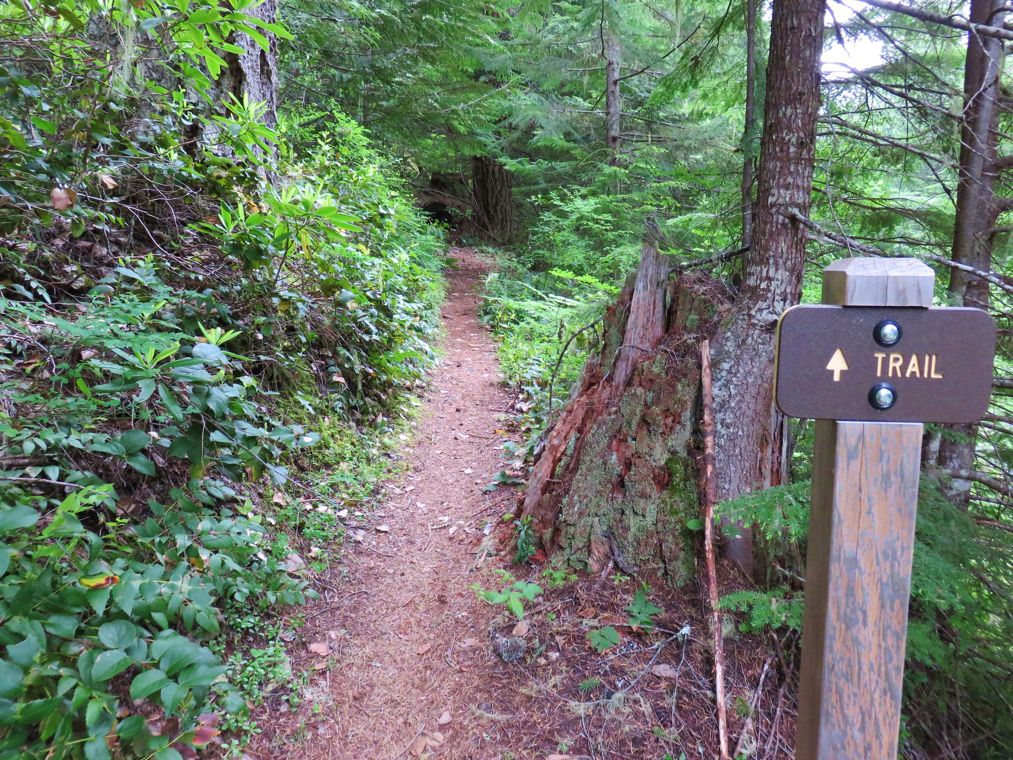
On the way back we managed to follow the trail all the way down where we discovered that the official start of the trail was just a few feet up the logging road from the blank signboard. The Rho Ridge Trail sign had been just out of sight.

The hike from Graham Pass to Hawk Mountain was 10.7 but a shorter option exists by starting at the southern end of the Rho Ridge Trail. From this end the hike up to Hawk Mountain is just 4.2 miles round trip. This was the second straight outing that we didn’t encounter a single other hiker along the trails. As overcrowded as some of the popular trails have become it’s nice to know that there are still some out there that offer a little more solitude. Happy Trails!
Flickr: Big Bottom & Rho Ridge


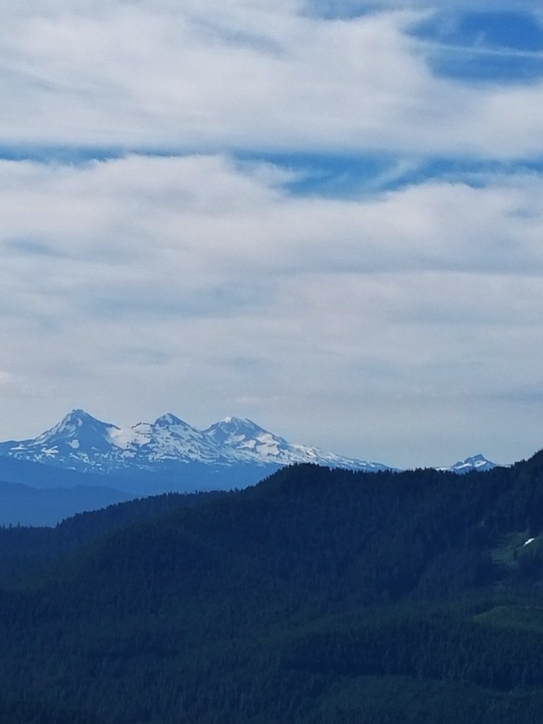
 Mt. Washington, the Three Sisters and the Husband
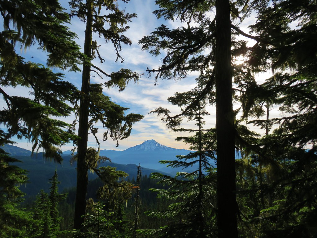 Mt. Jefferson
 Coffin and Bachelor Mountains


 Mt. Jefferson
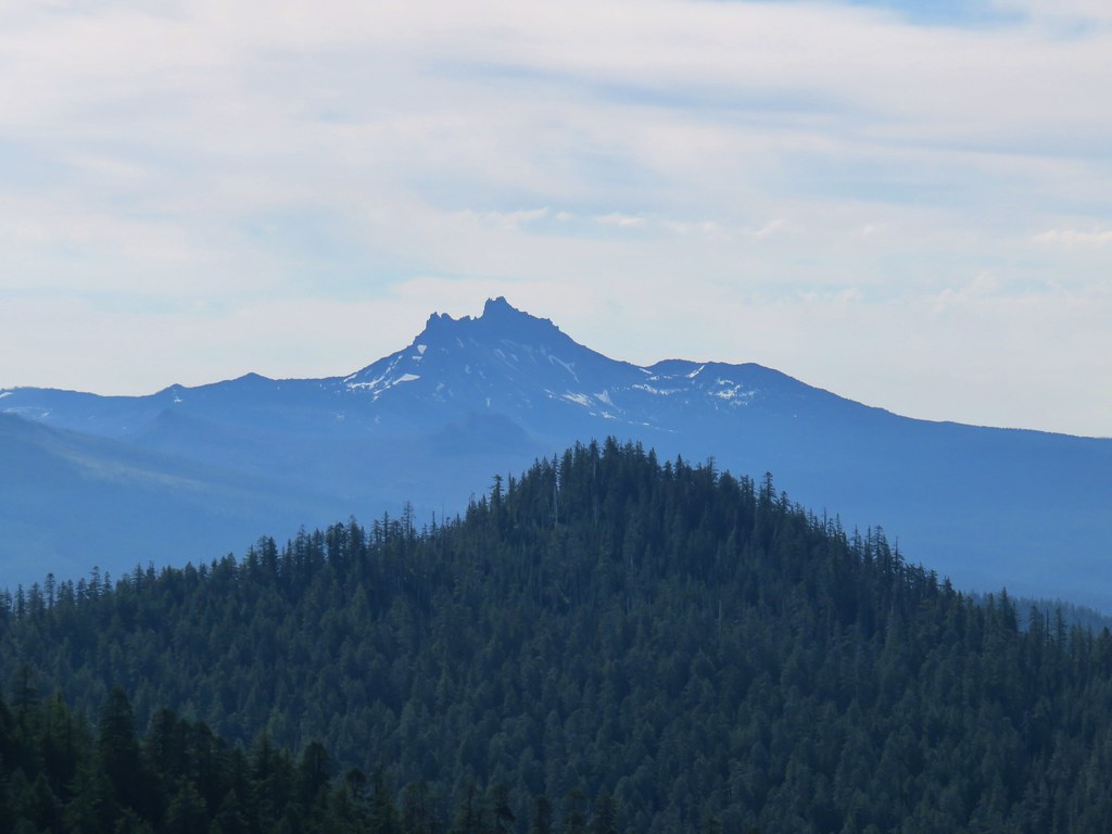 Three Fingered Jack
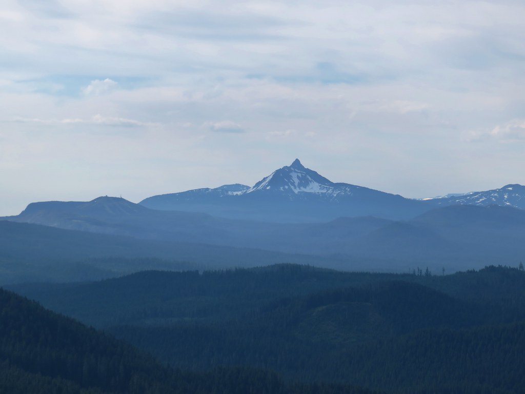
 The Three Sisters and the Husband
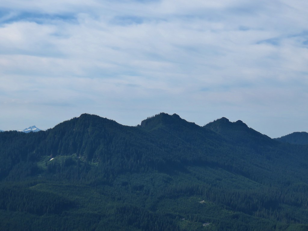 The Husband behind the Three Pyramids
 North Peak, Echo Mountain, South Peak, Cone Peak, and
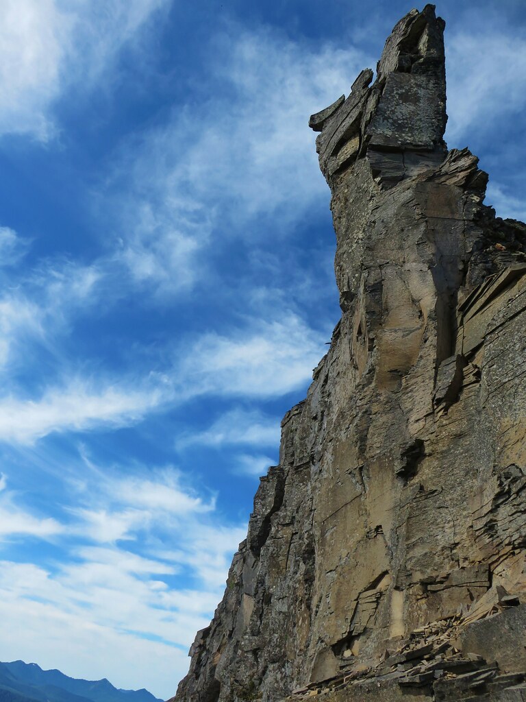


 Larkspur
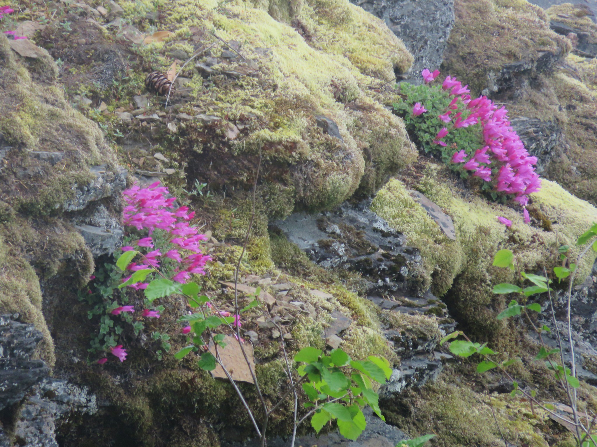
 Old man’s whiskers
 Woodland stars
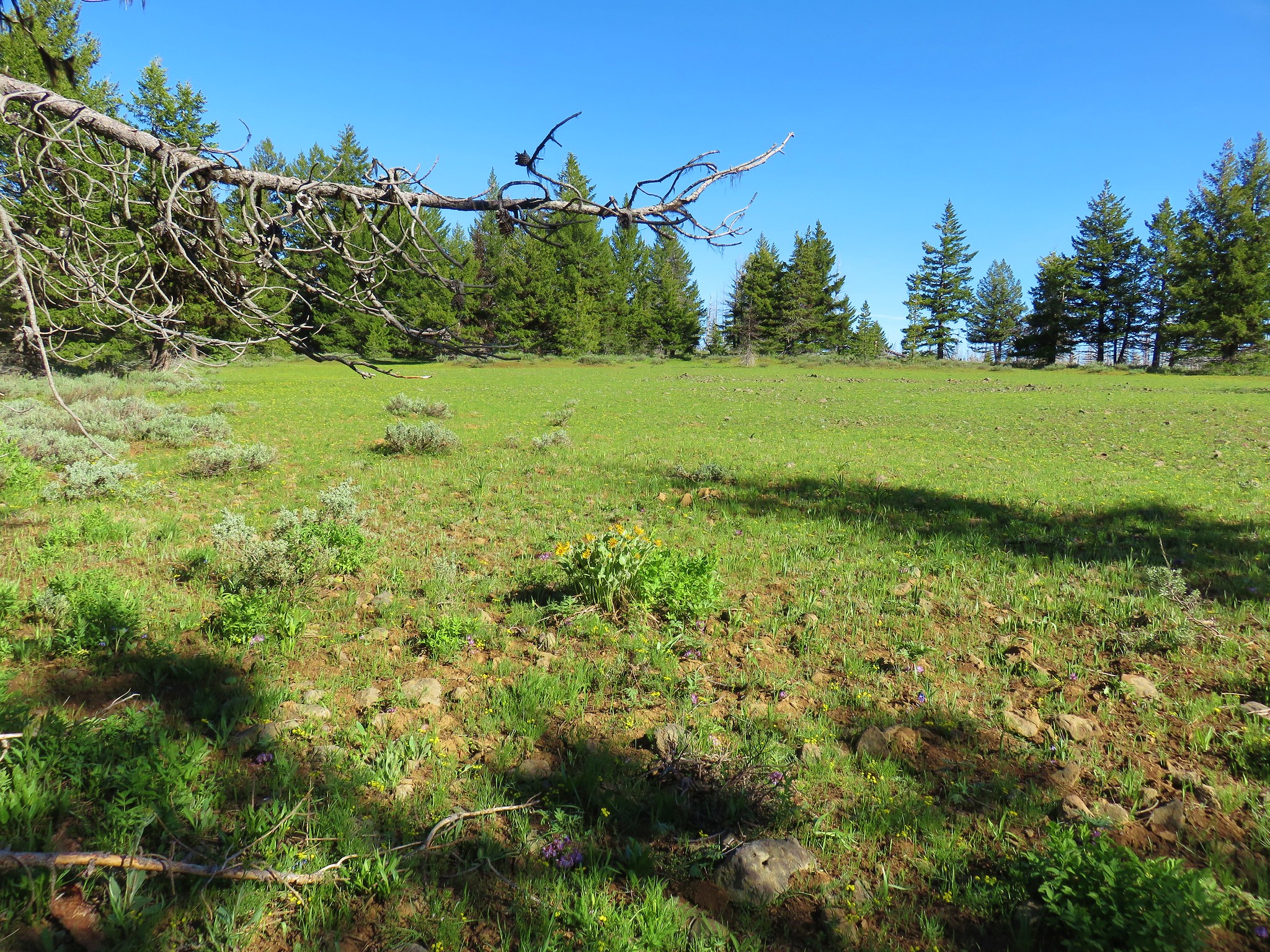
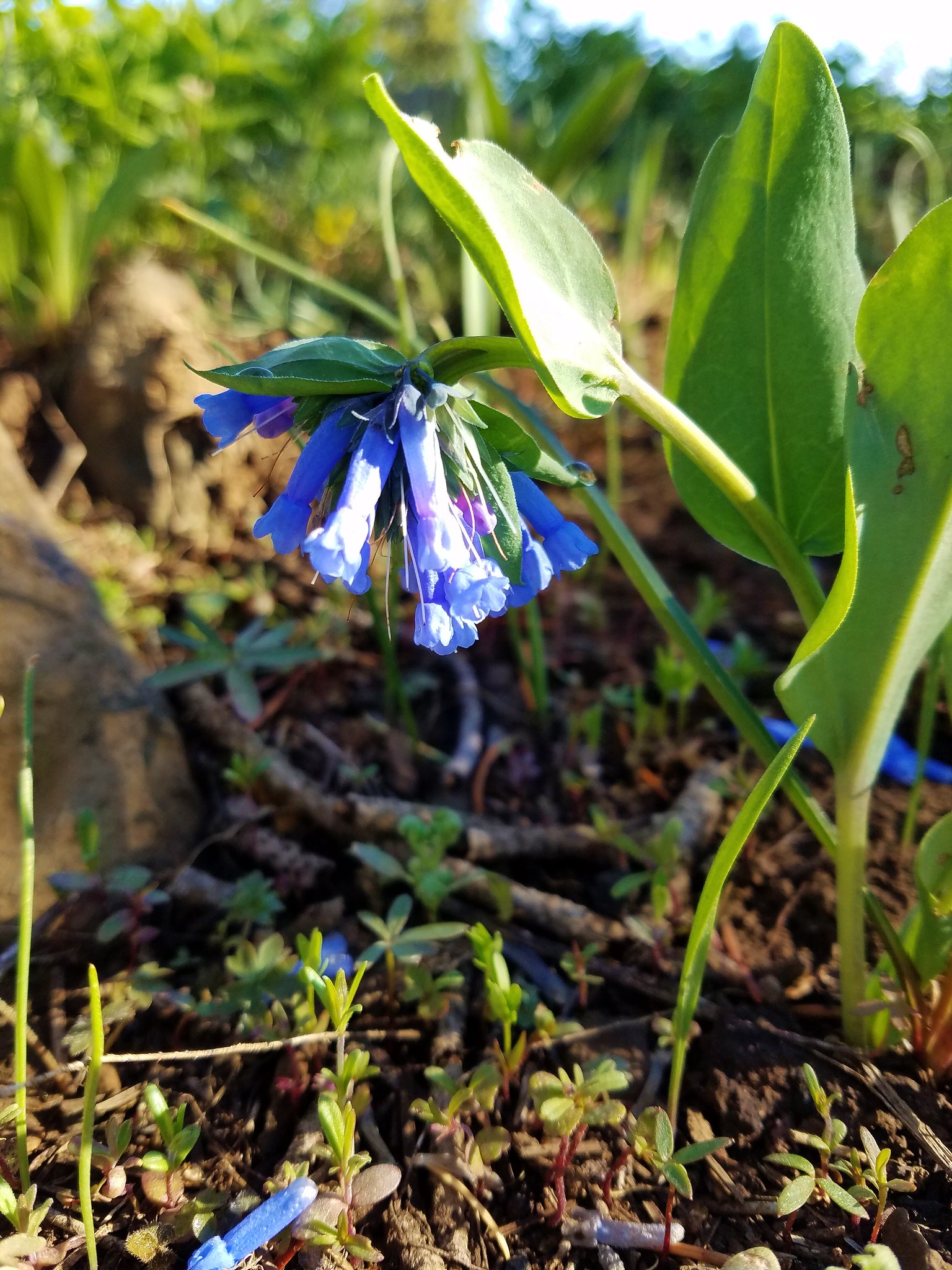 Bluebells
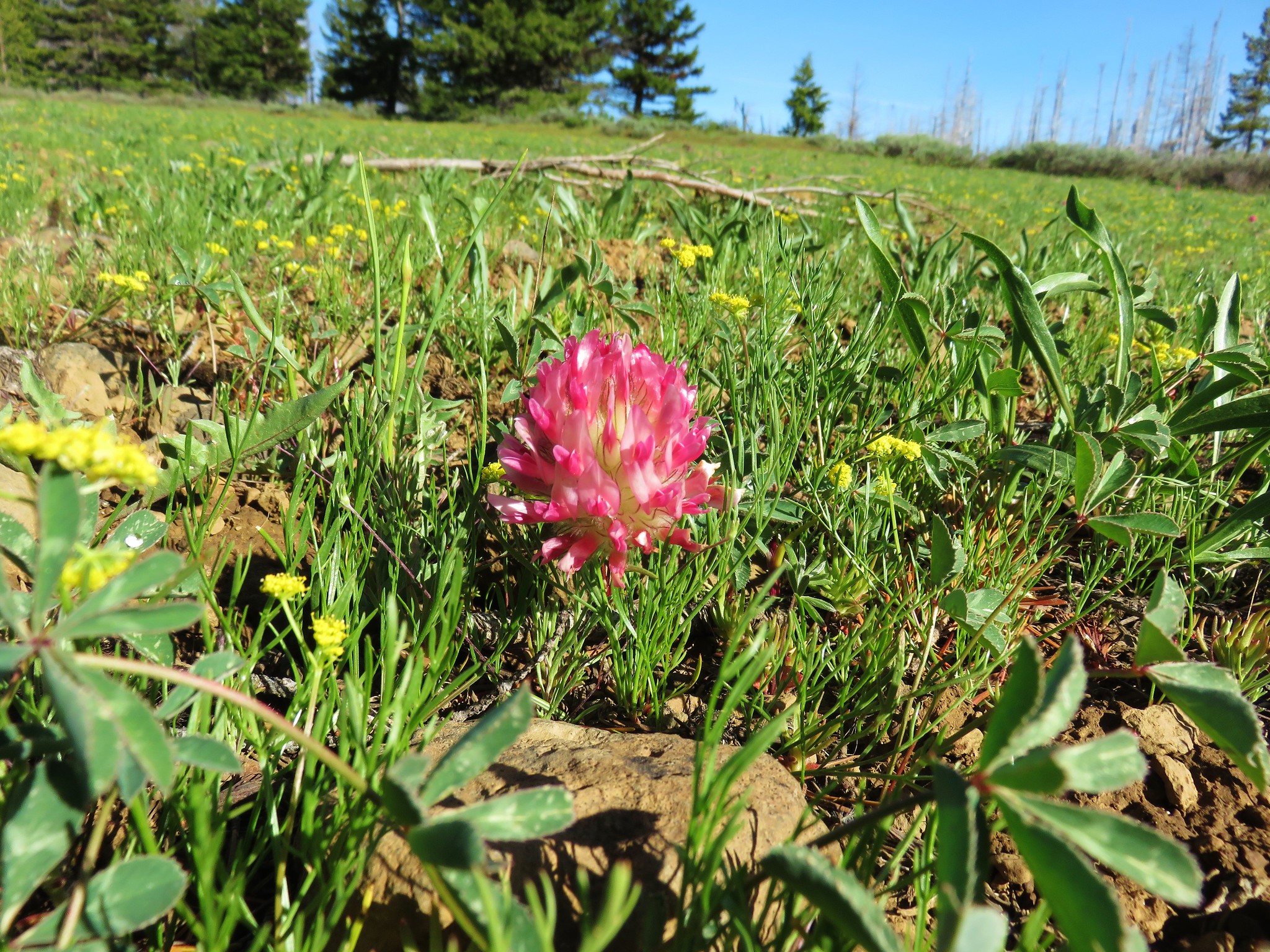 Big-head clover
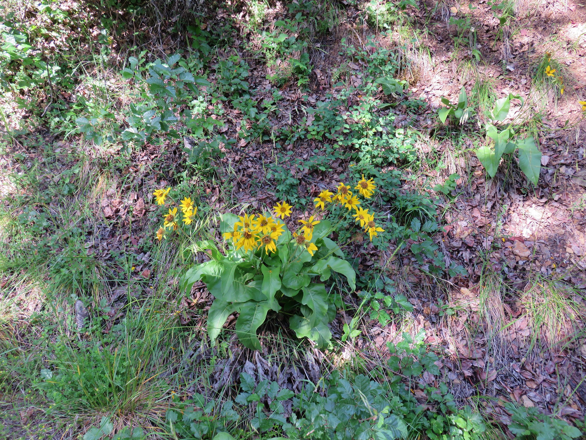
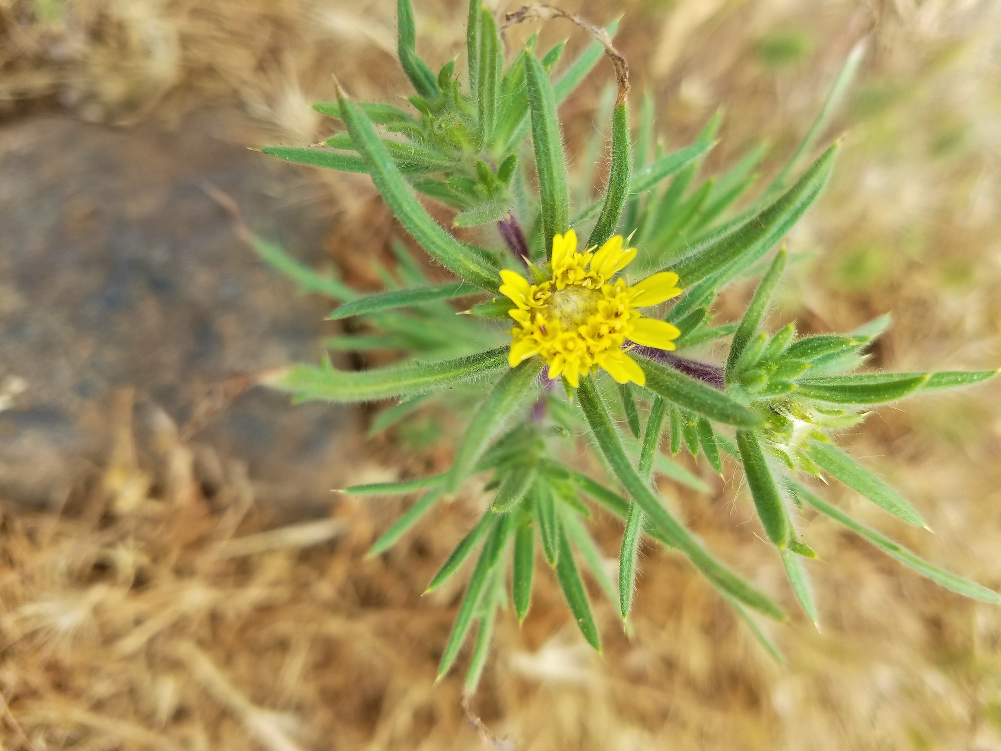
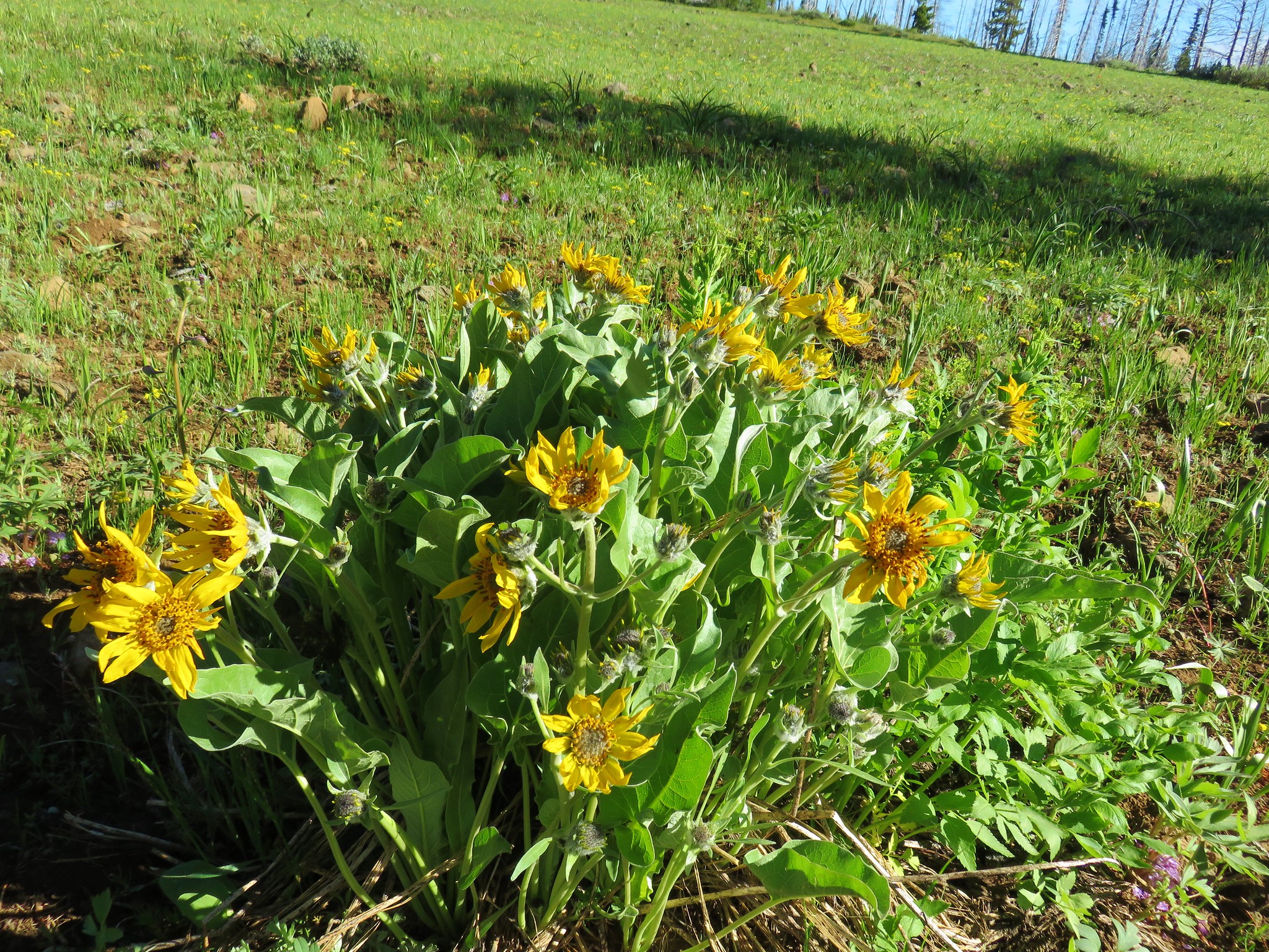 Balsamroot
 Jessica sticktight
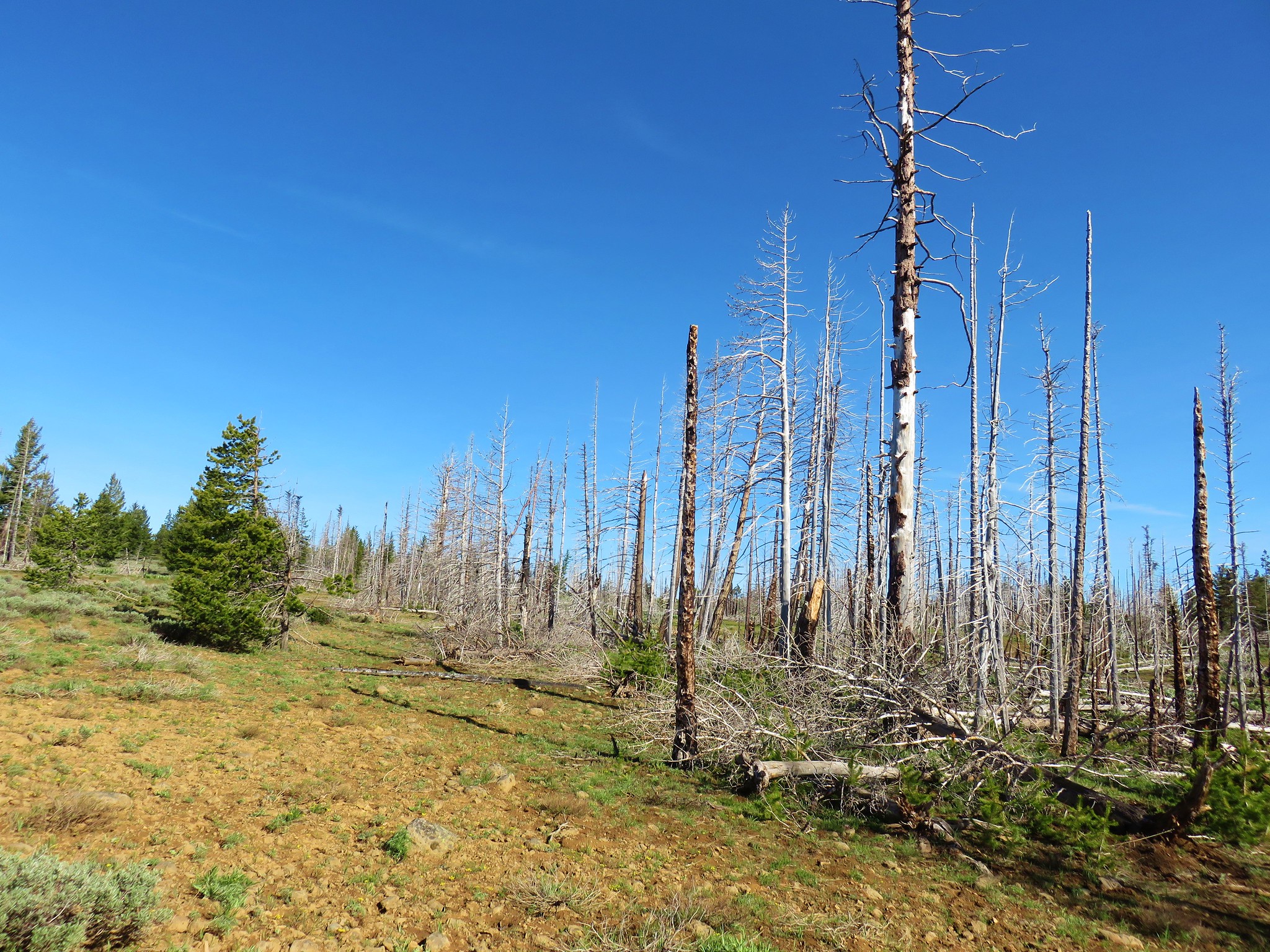


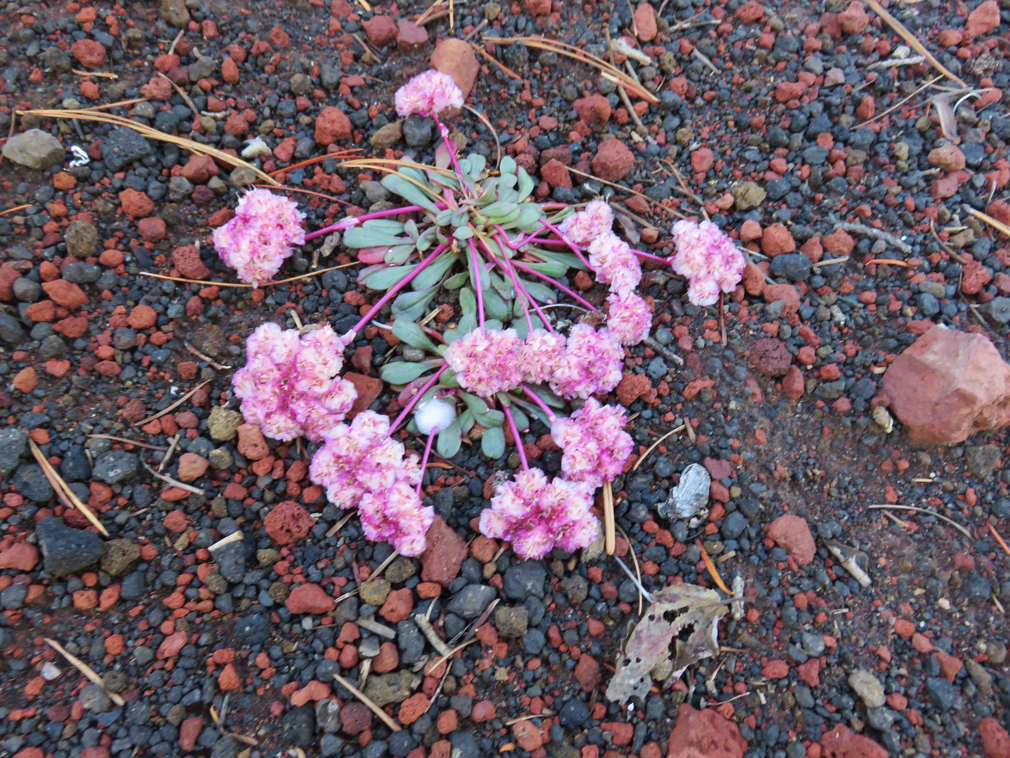
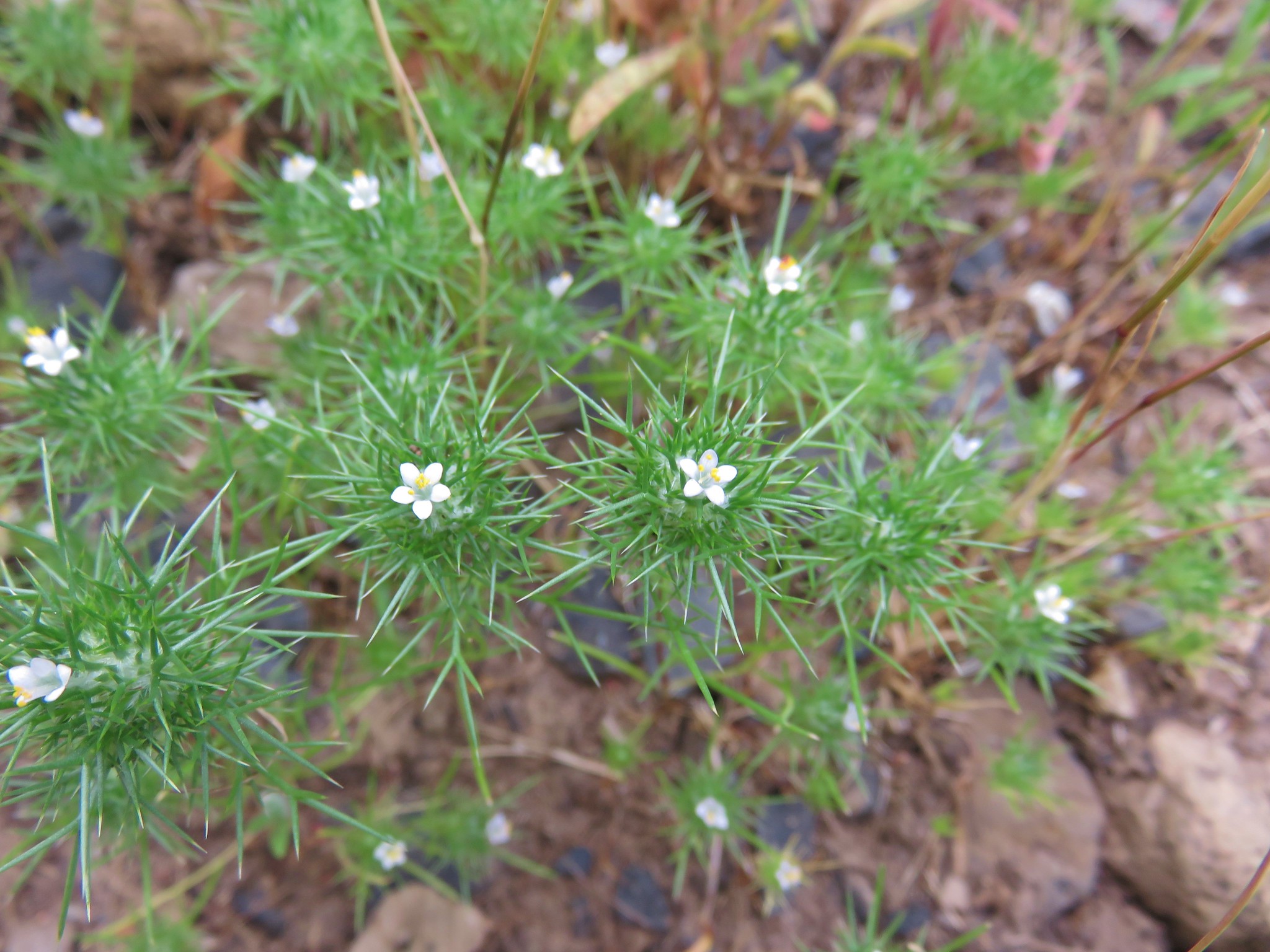
 Sandwort
 A stonecrop?
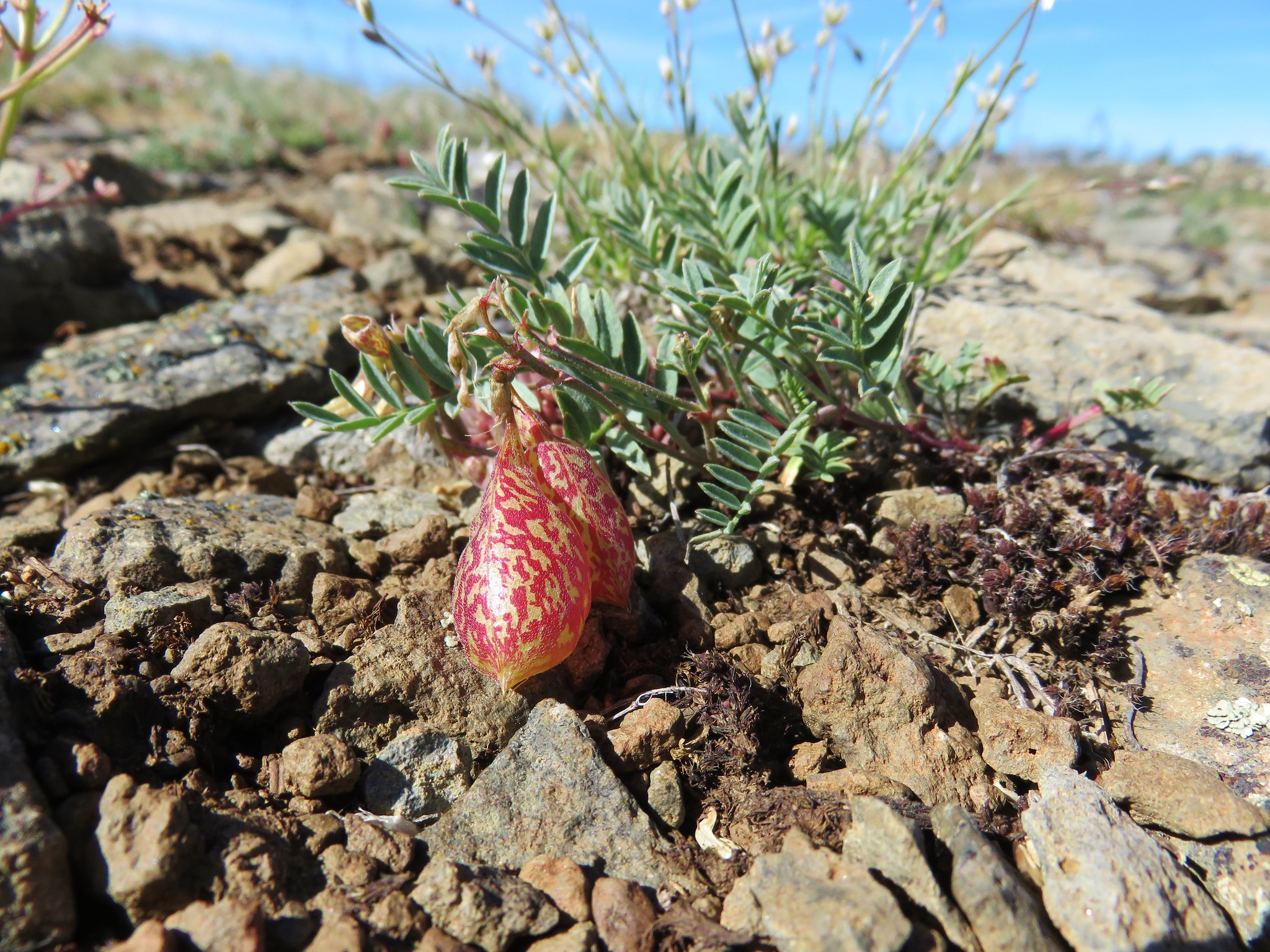 Balloon pod milk vetch


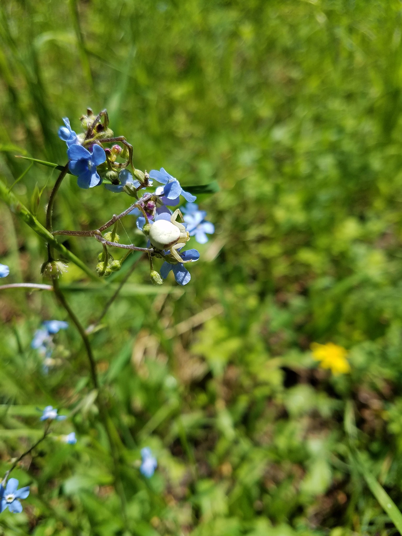 Crab spider
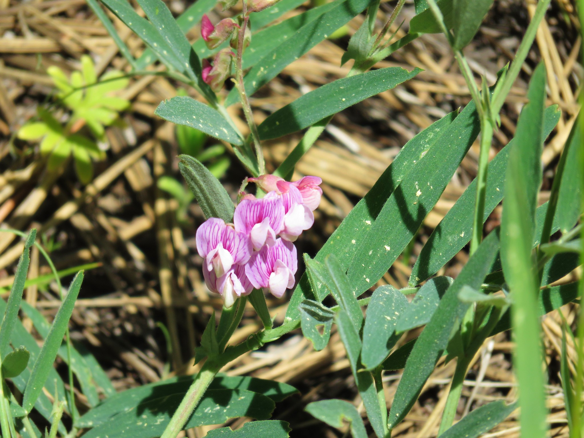 Torrey’s peavine
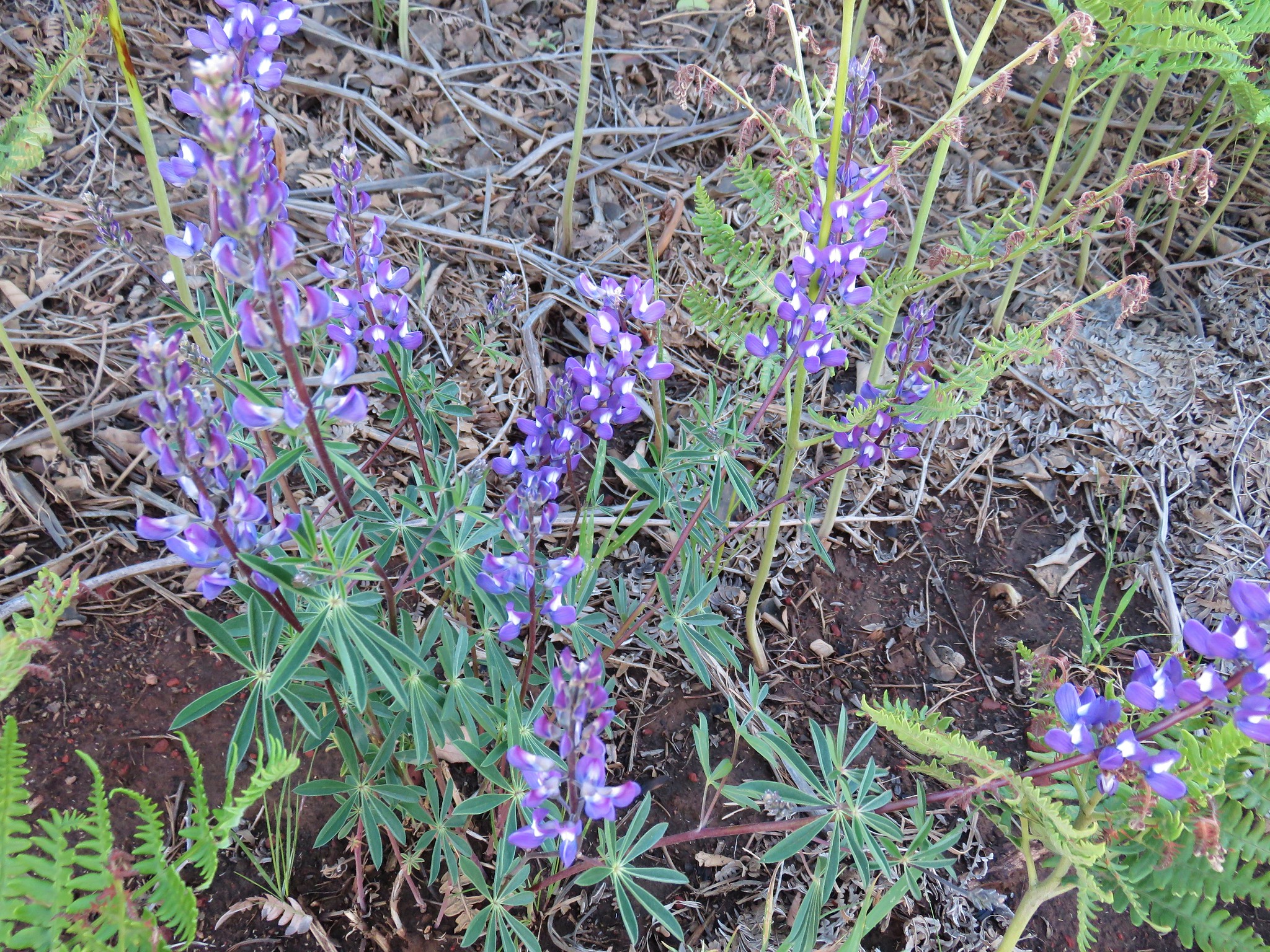
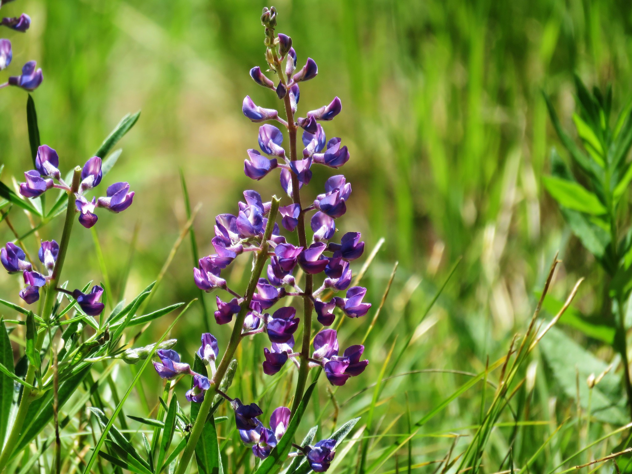 Lupine
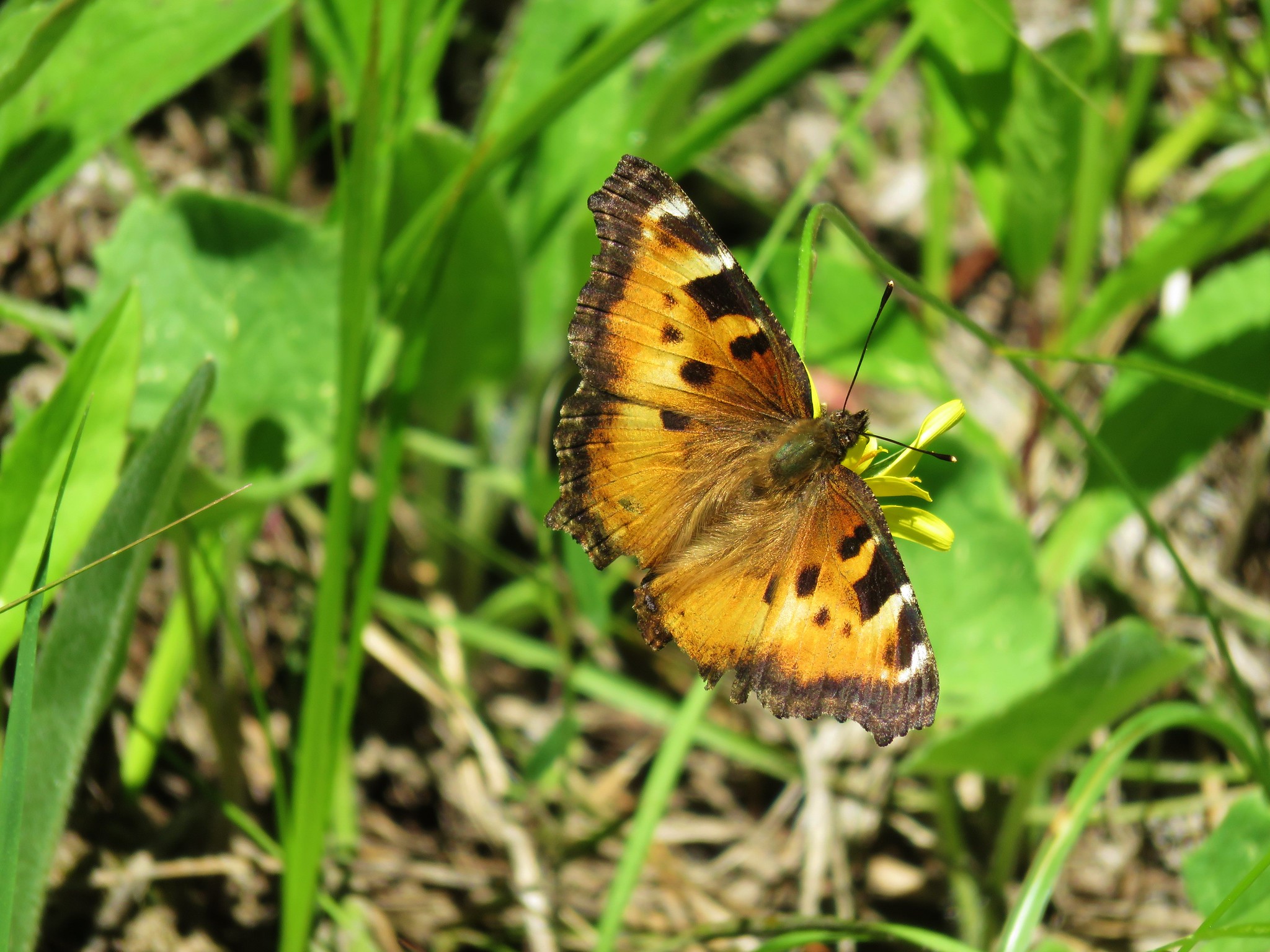 Tortoiseshell butterfly
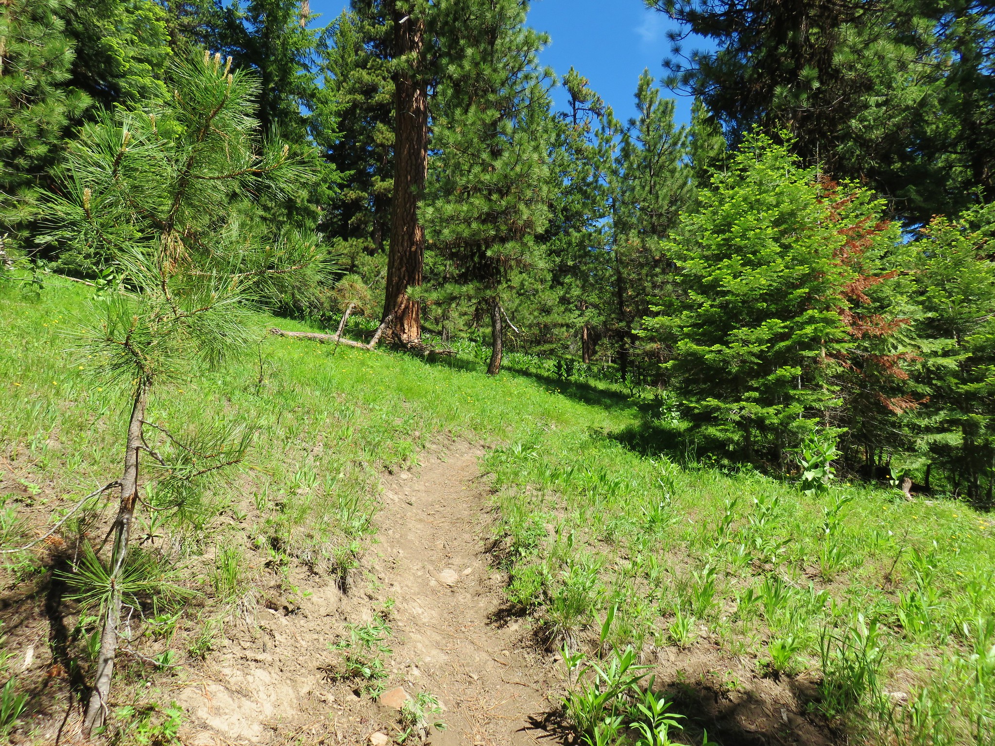
 Balsamroot and larkspur
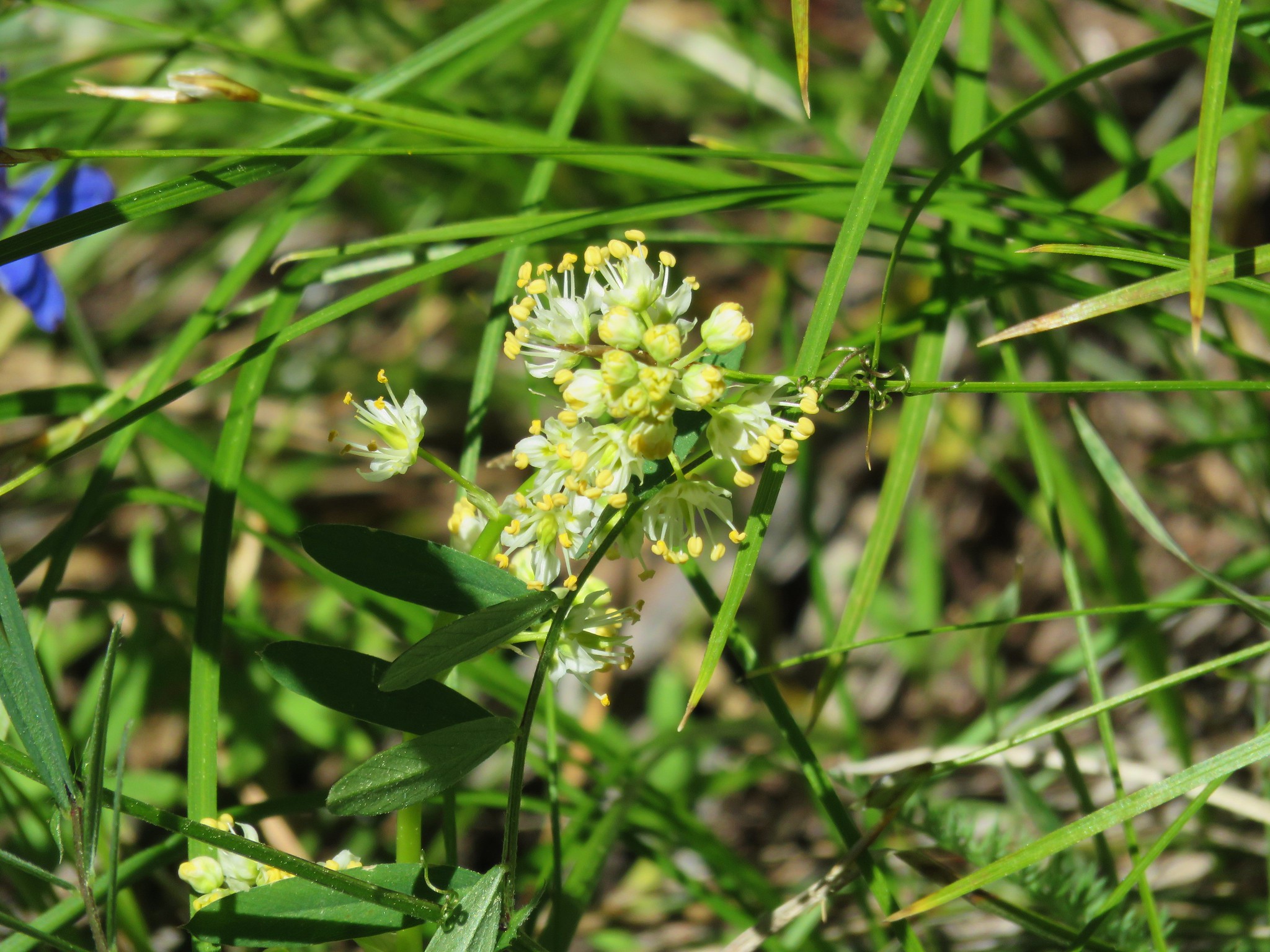 Death camas
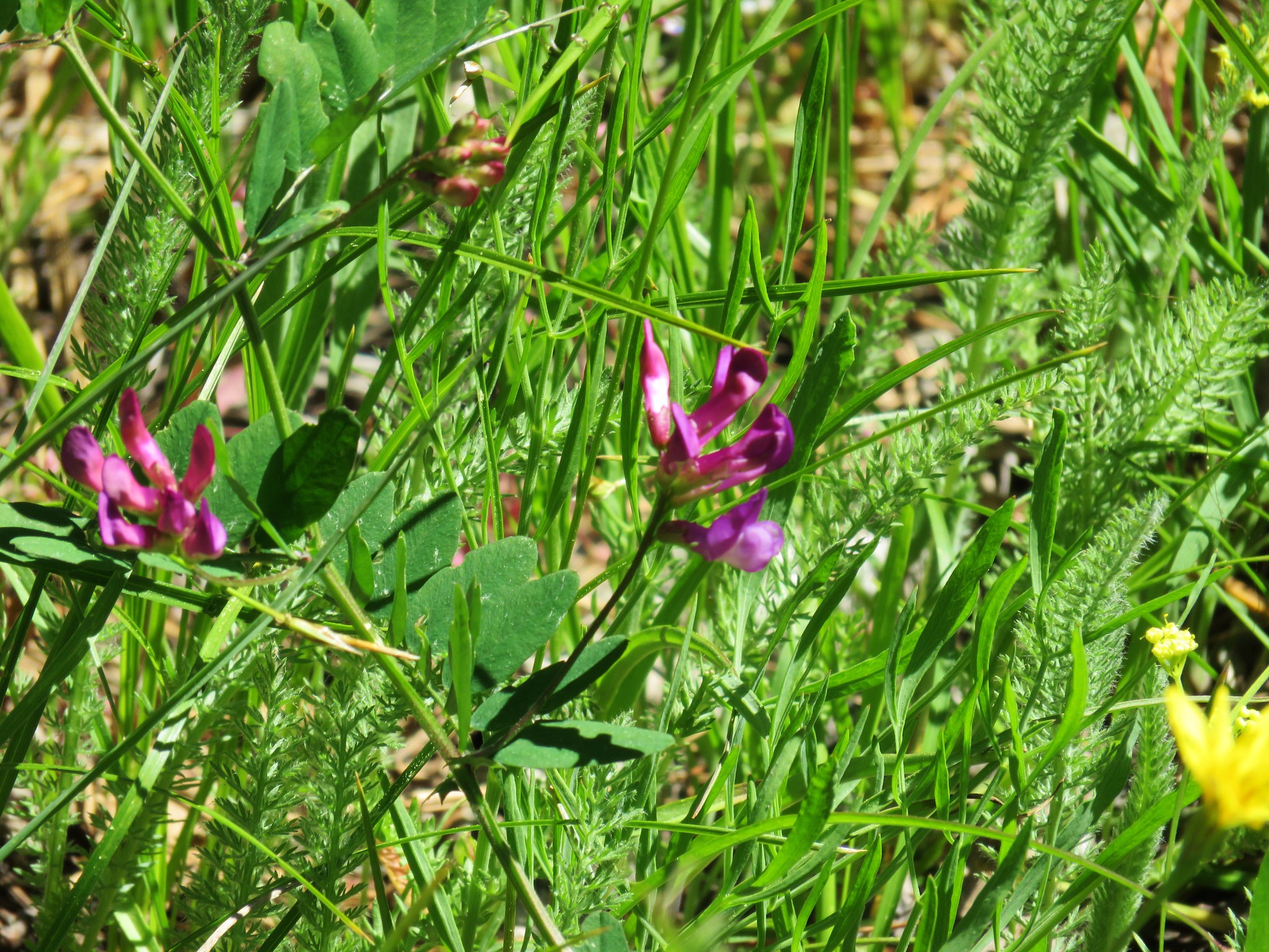 Vetch
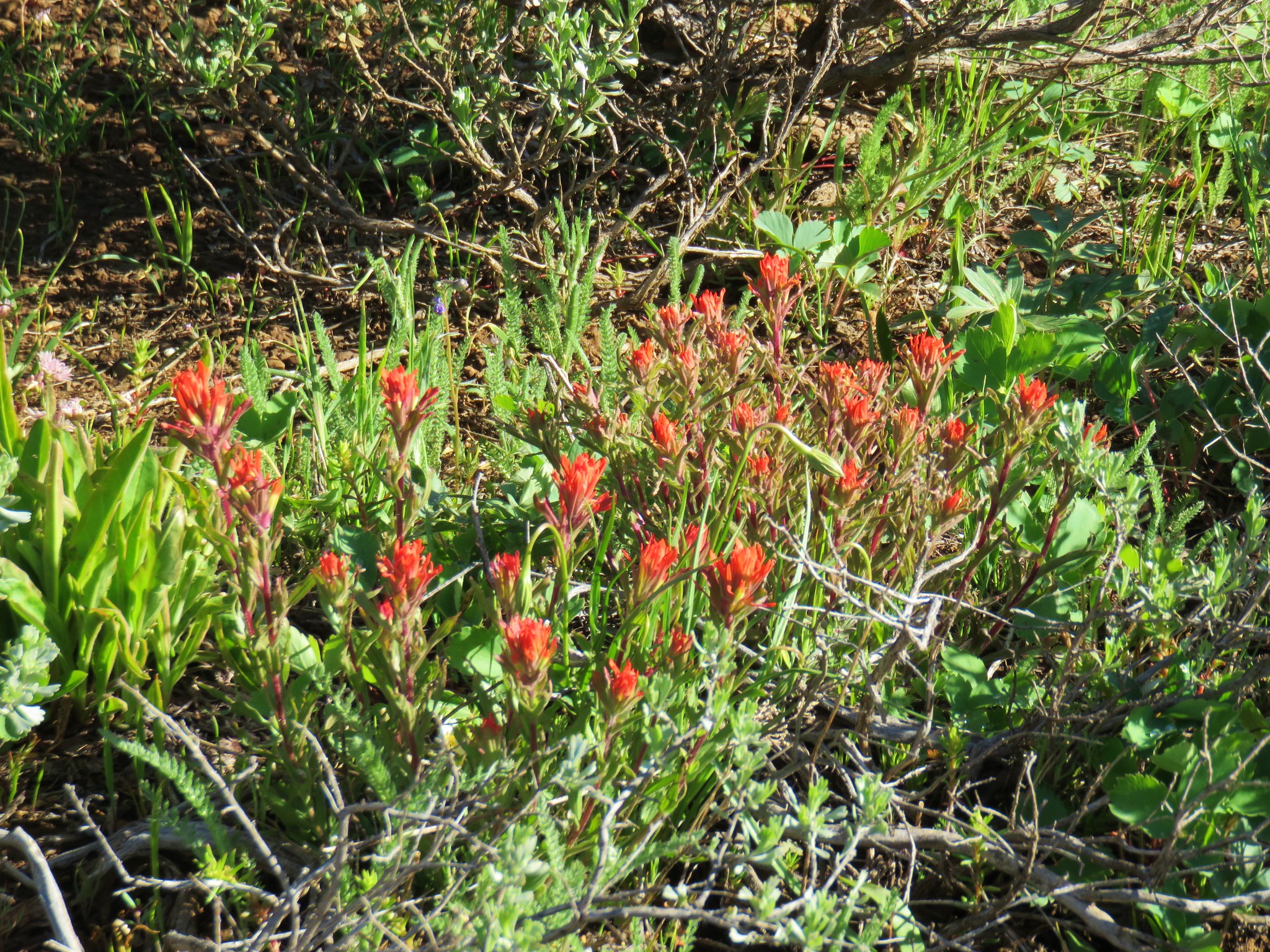
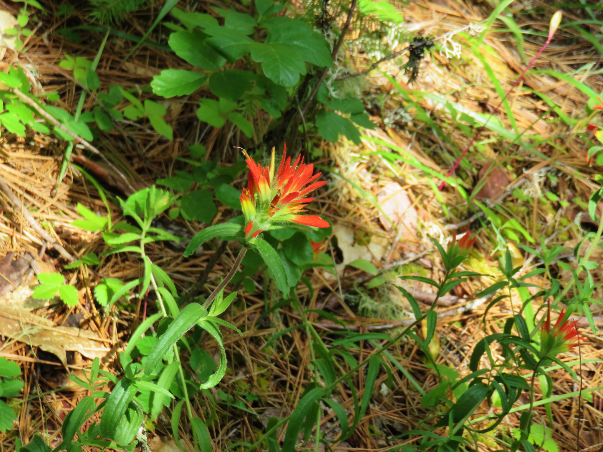
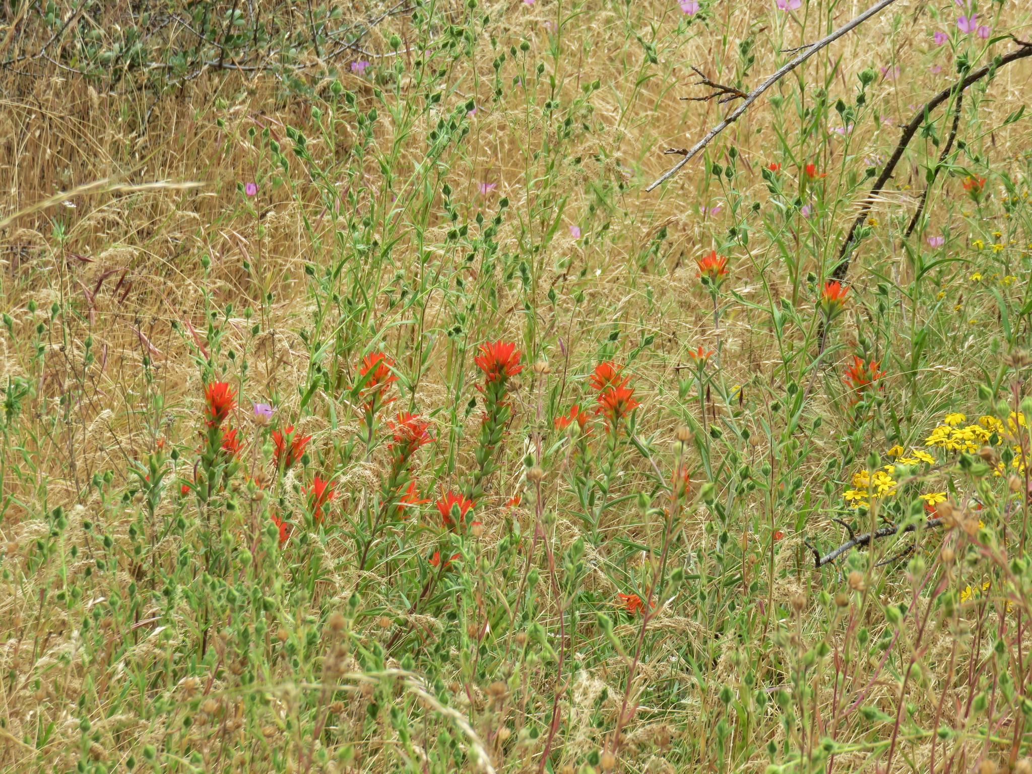
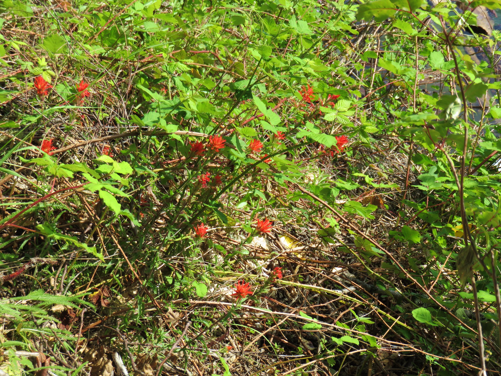
Vetch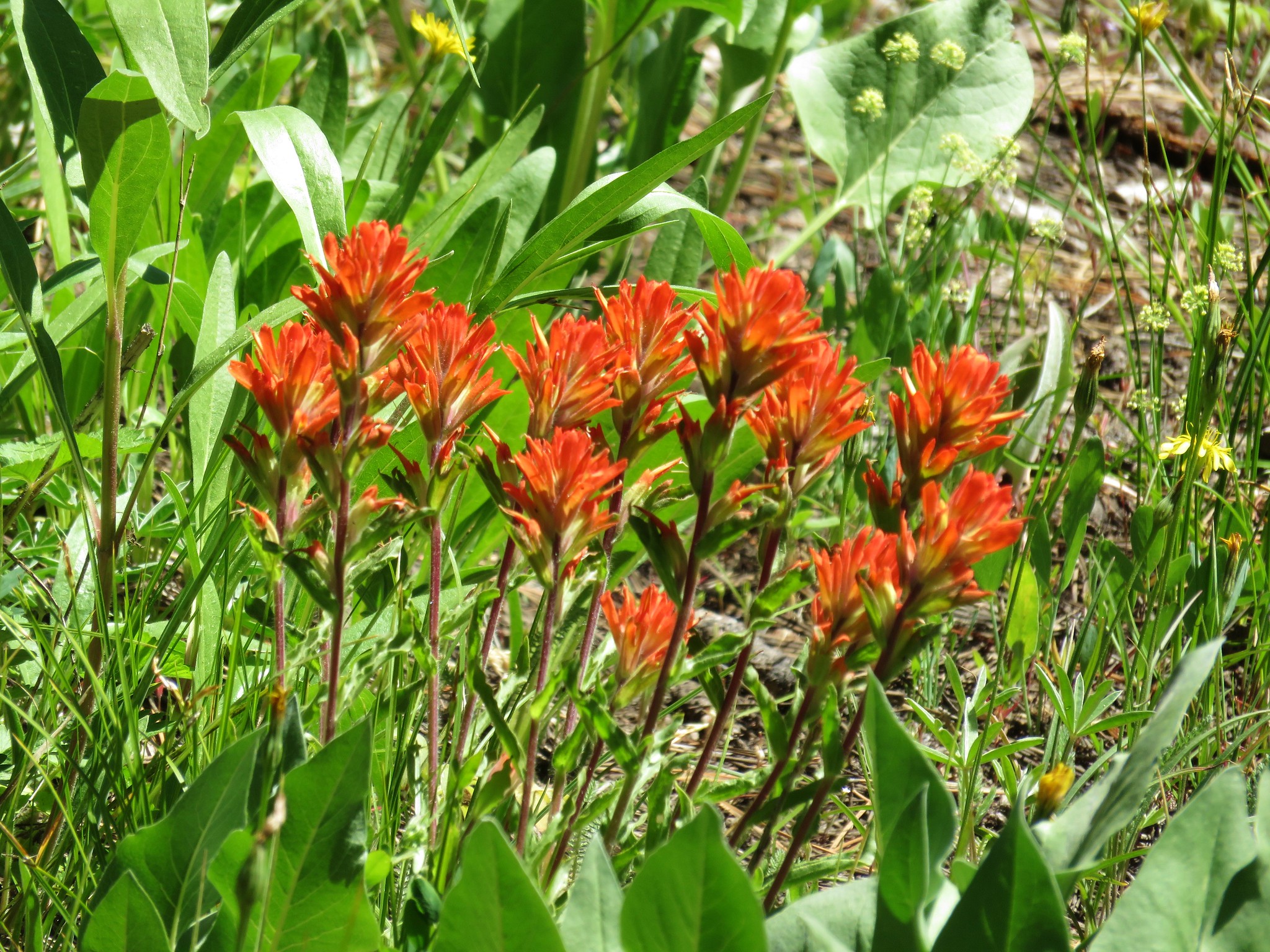 Paintbrush
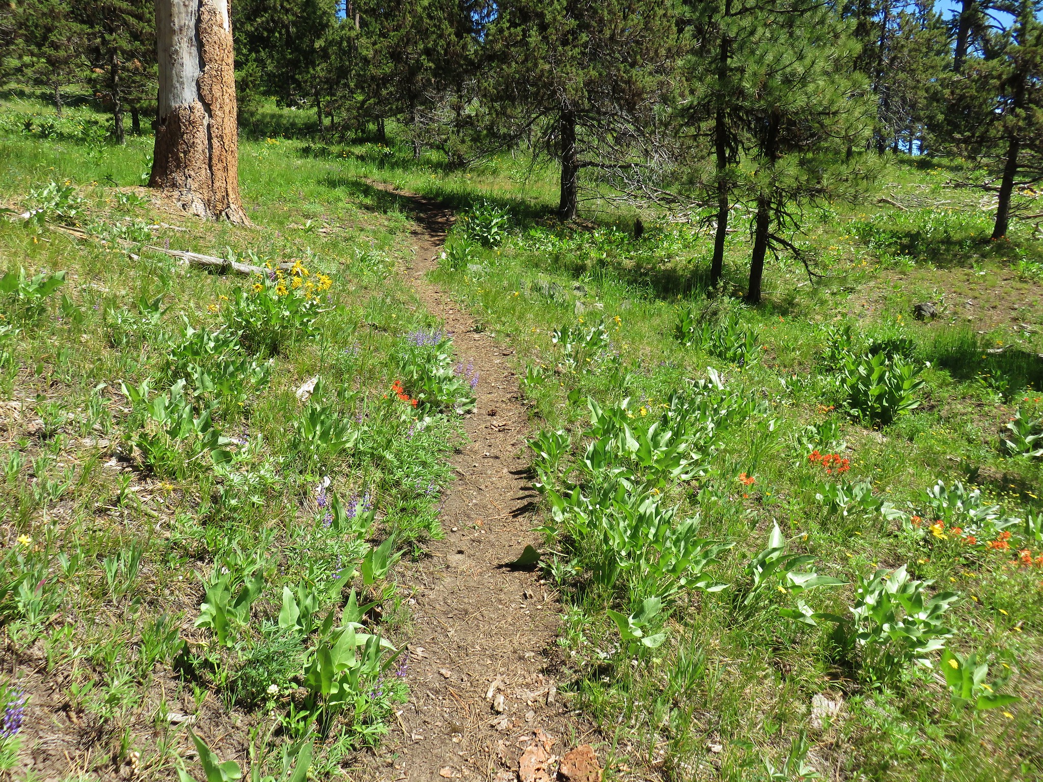
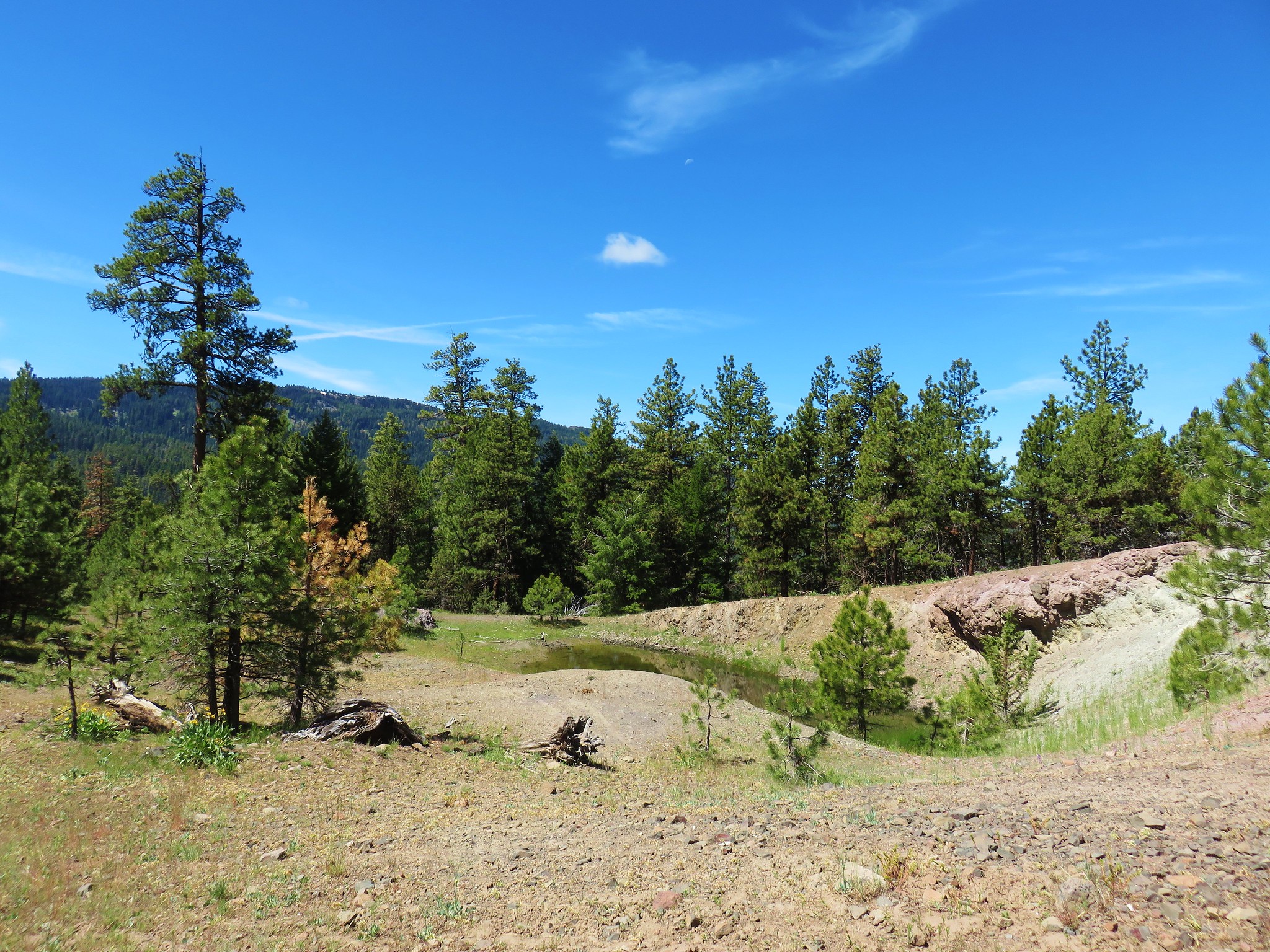 Prospect Pond (and Lookout Mountain beyond)
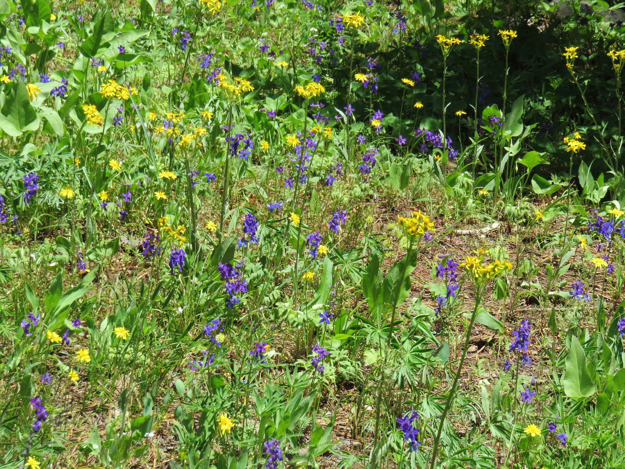


 Diamond and Maiden Peaks
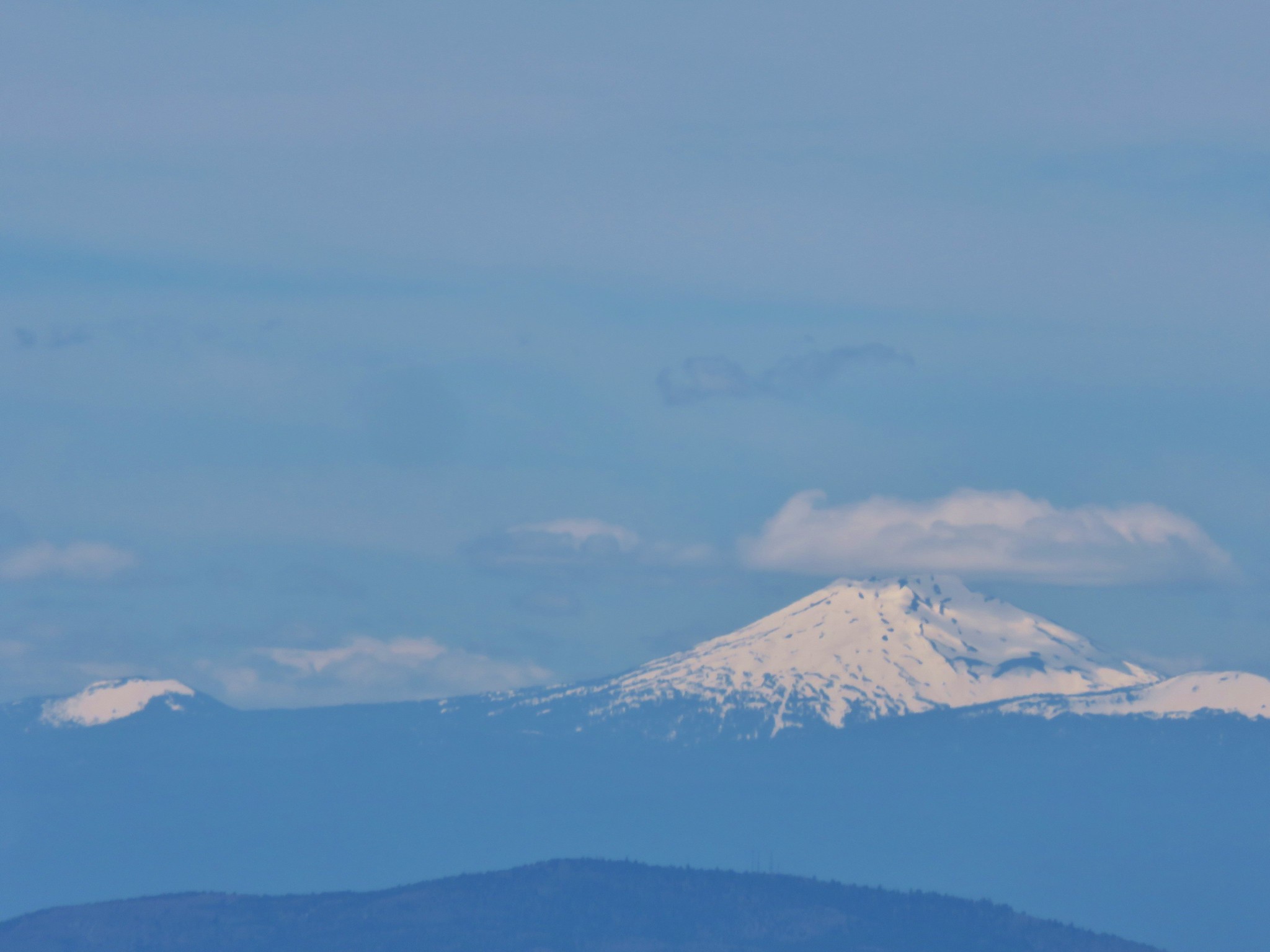 Mt. Bachelor
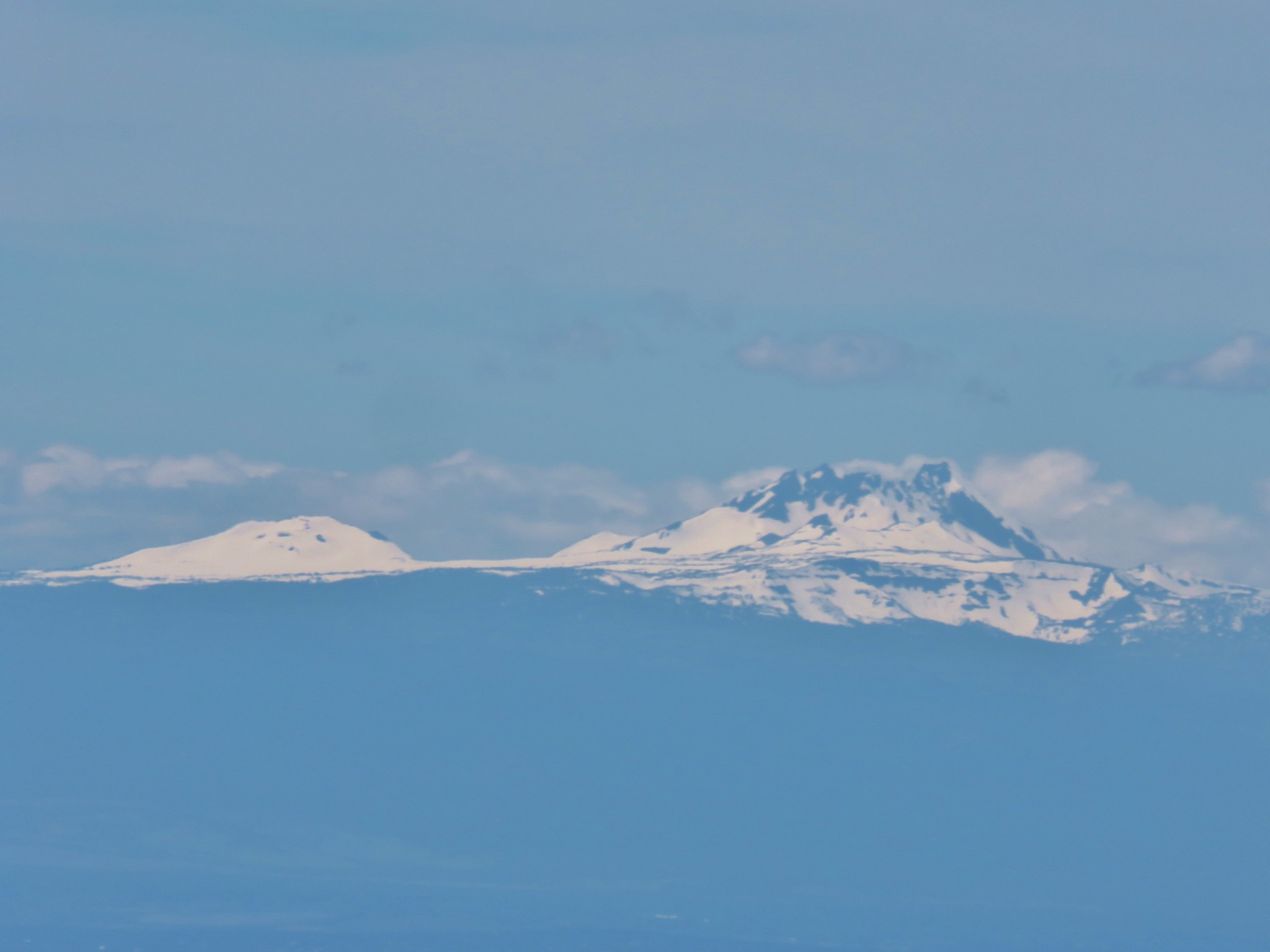 Ball Butte and Broken Top
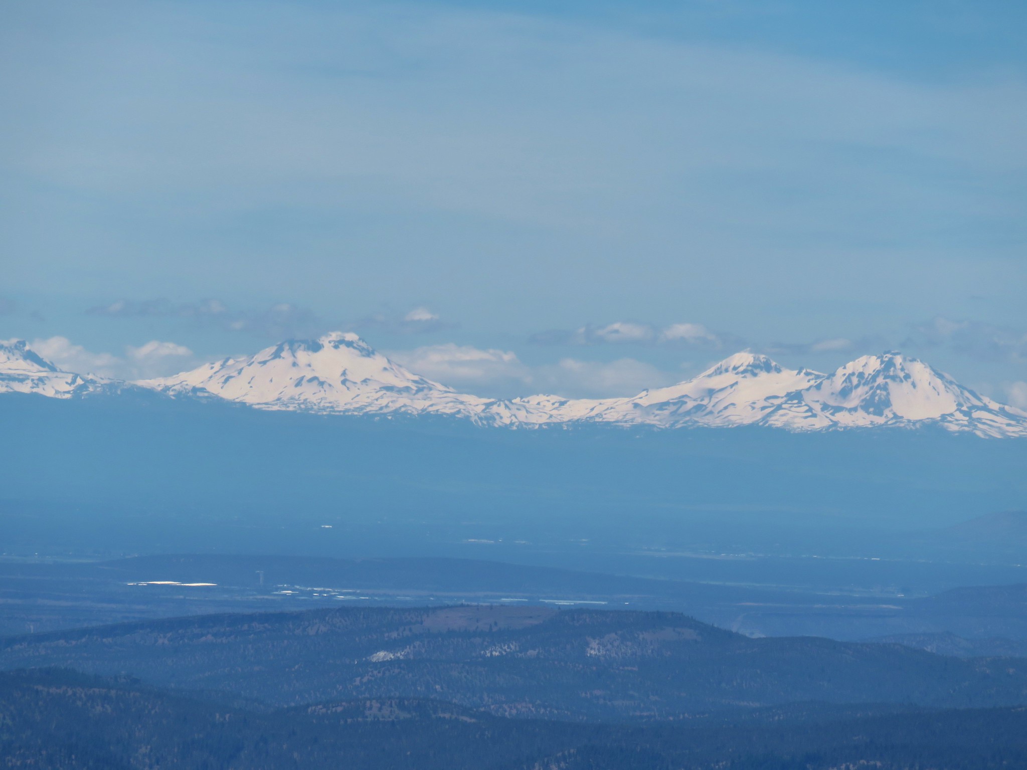 The Three Sisters
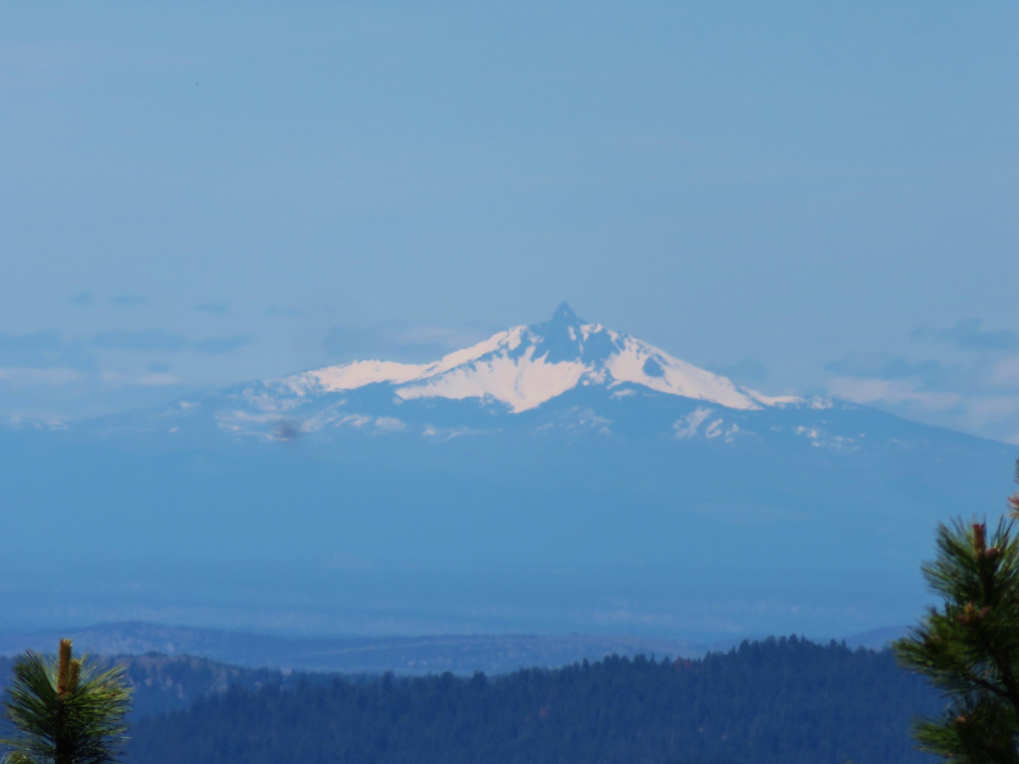 Mt. Washington
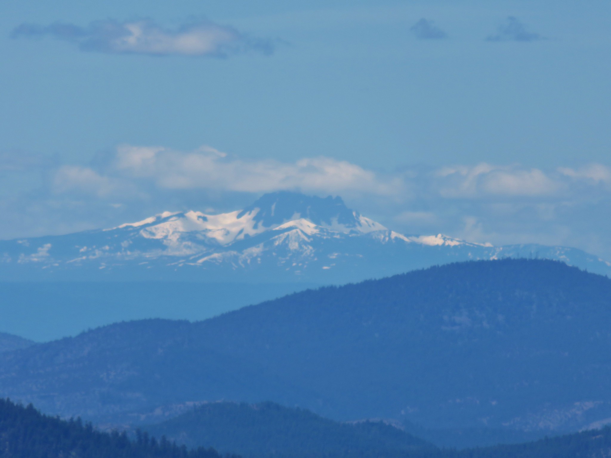 Three Fingered Jack
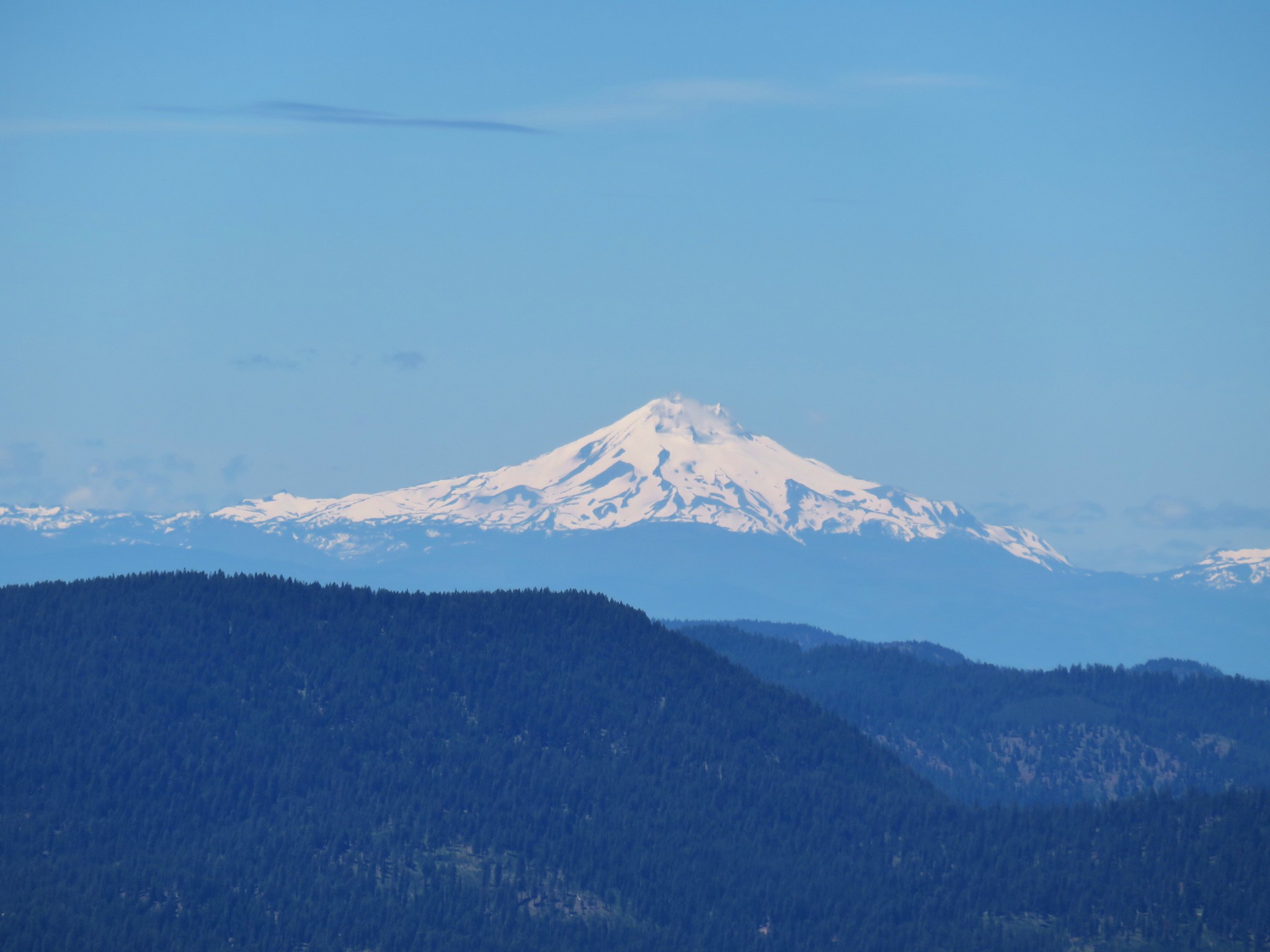 Mt. Jefferson
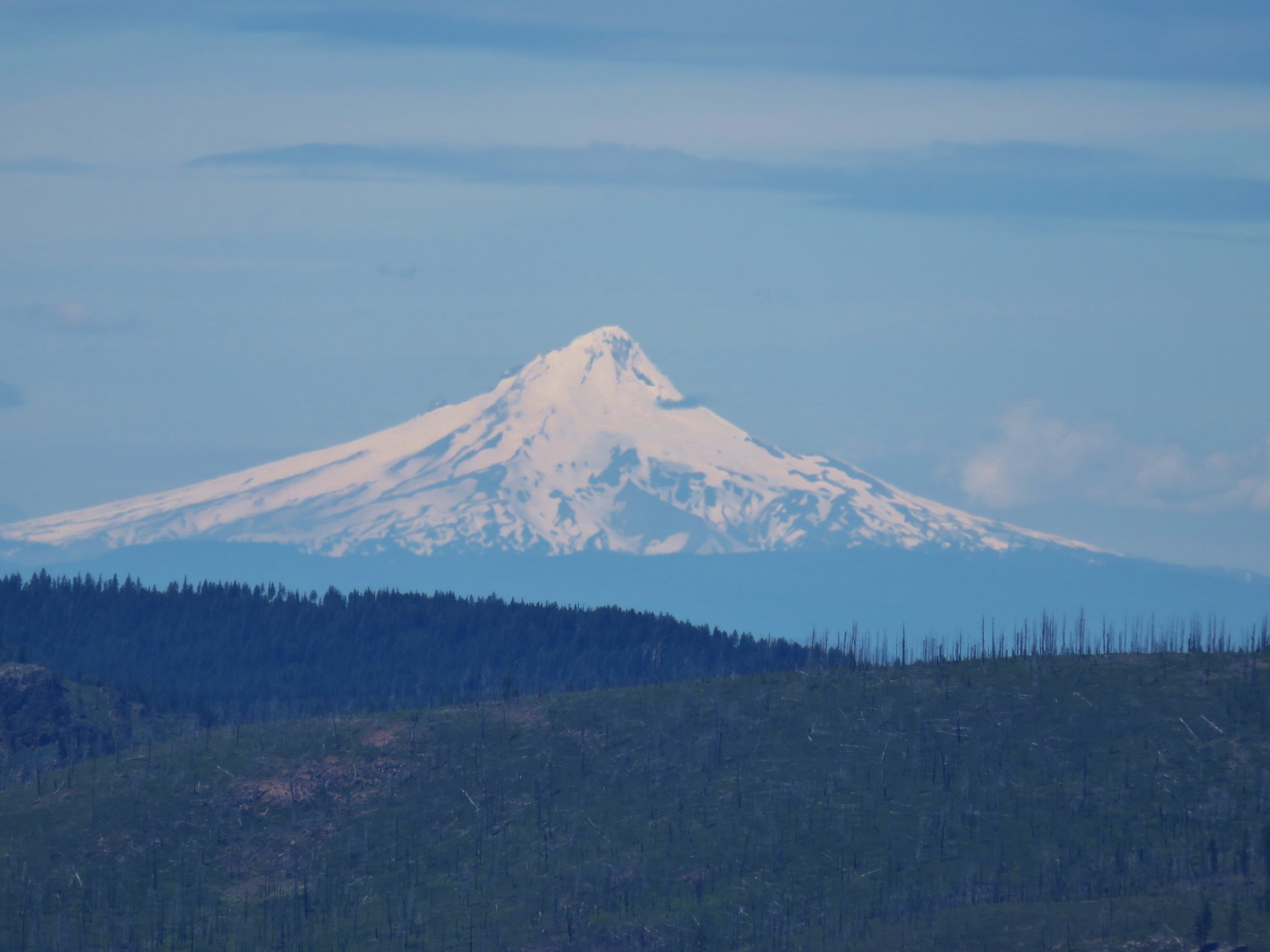 Mt. Hood
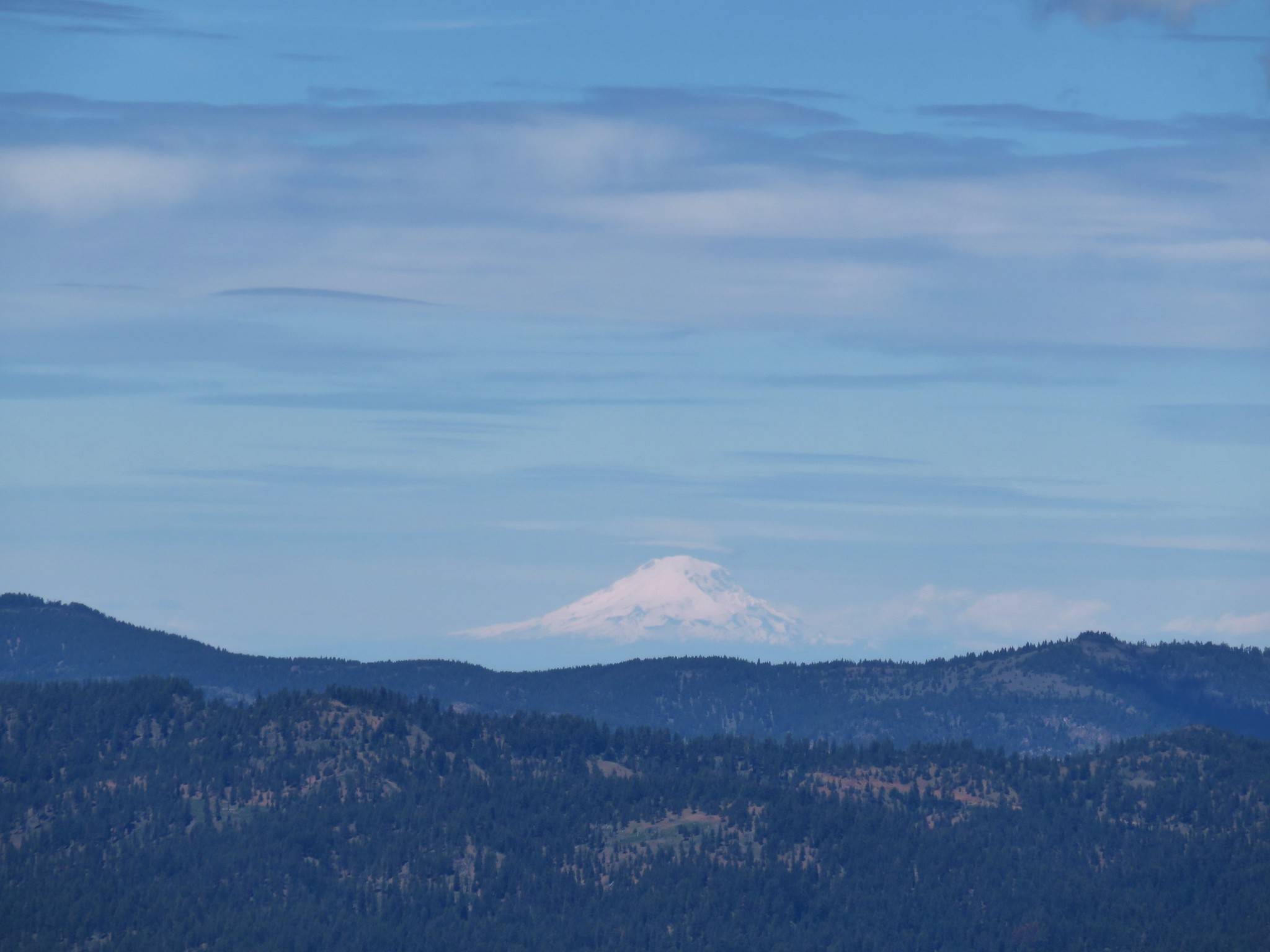 Mt. Adams
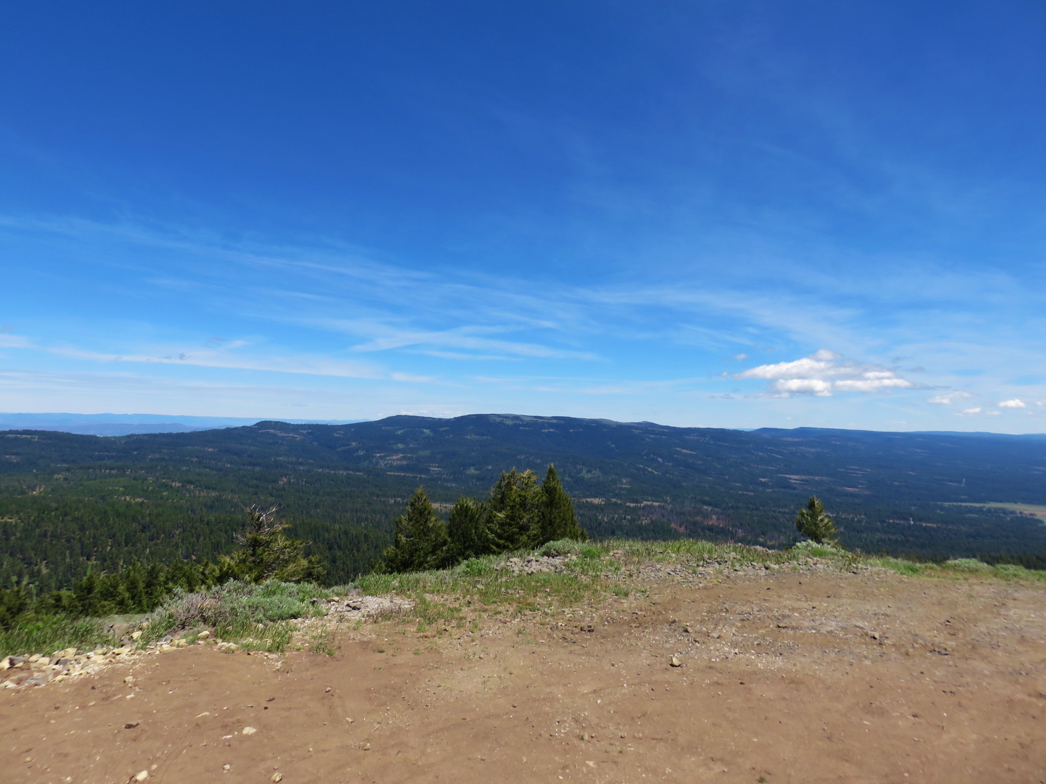


 Foam Flower
 Inside-out Flower
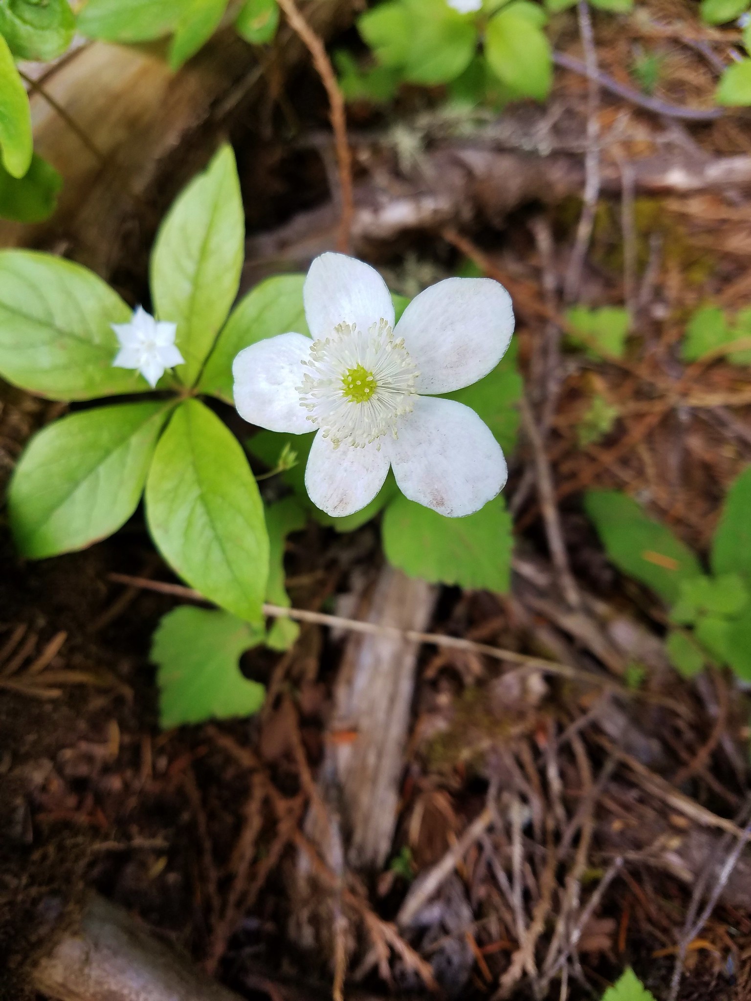
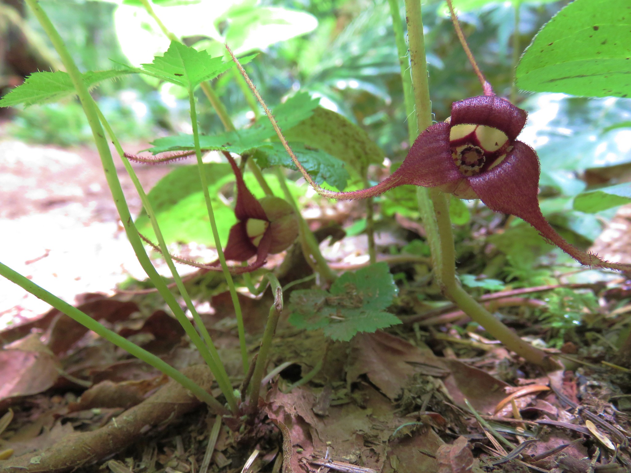 Wild Ginger
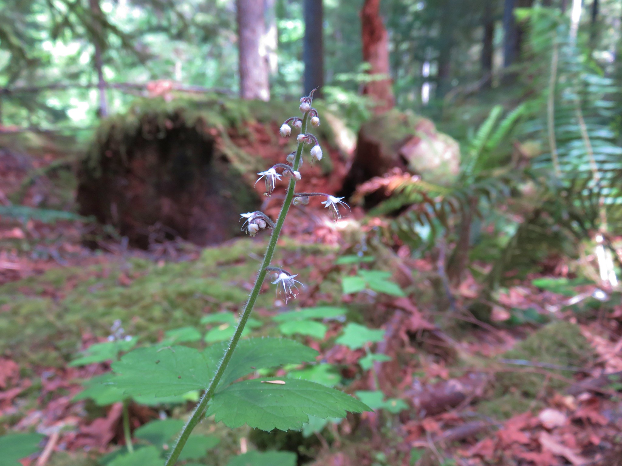
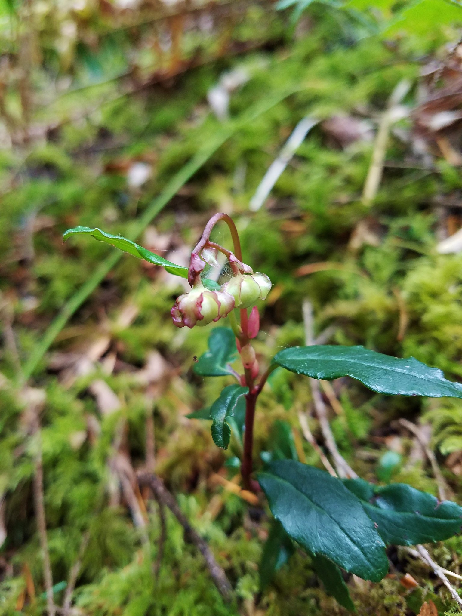 Wintergreen
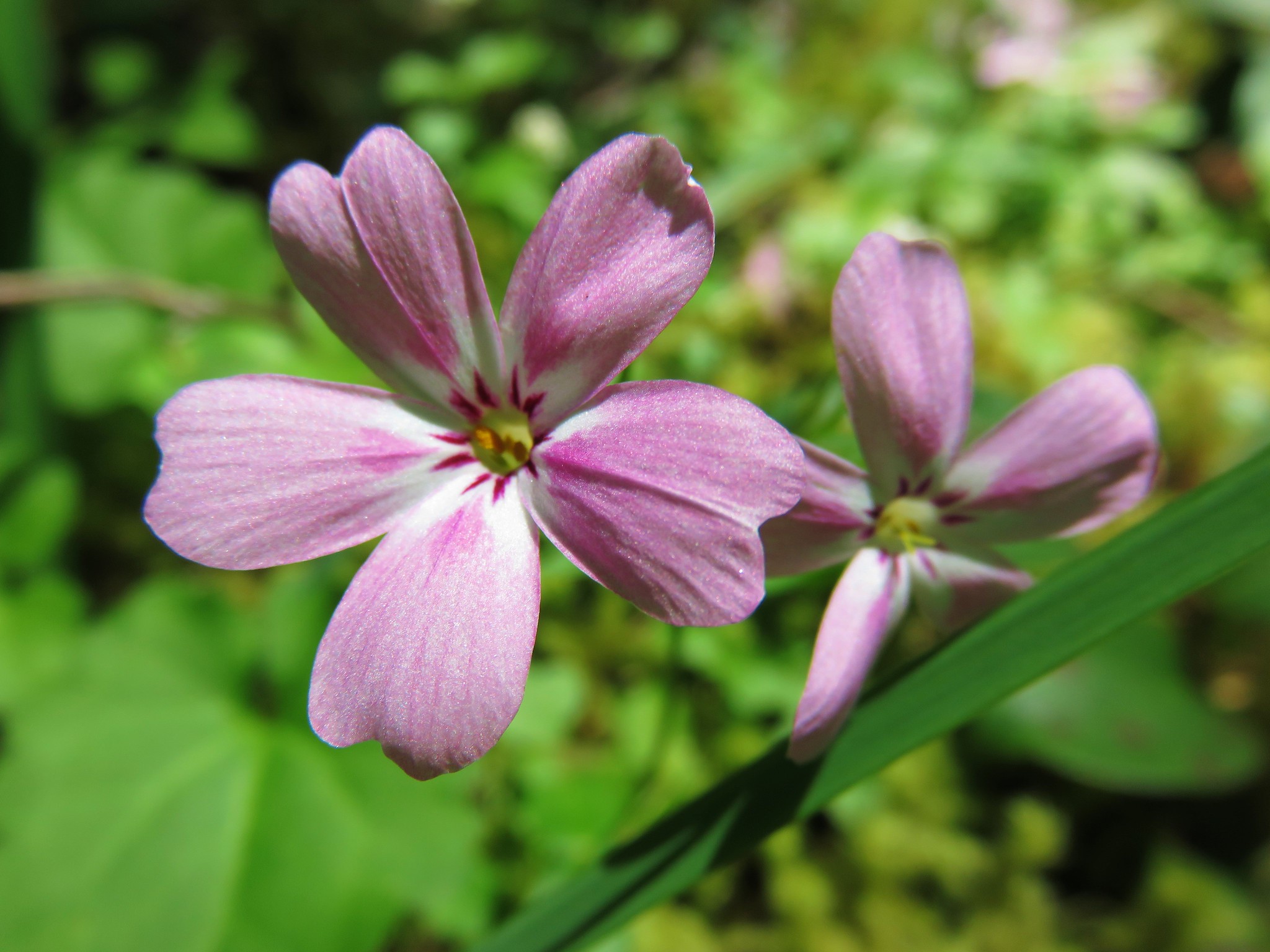 Northern Phlox
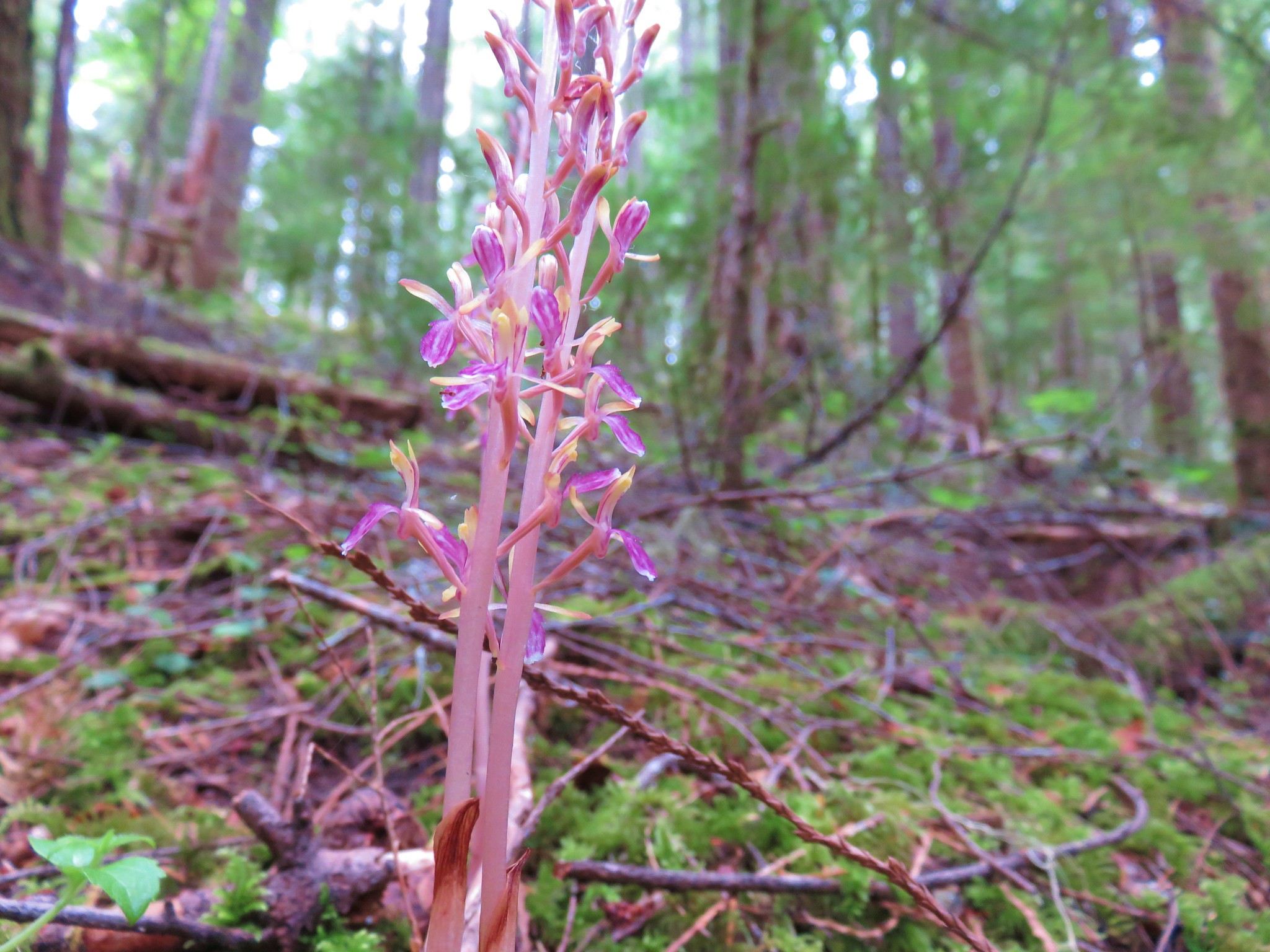


 Cat’s ear lilies
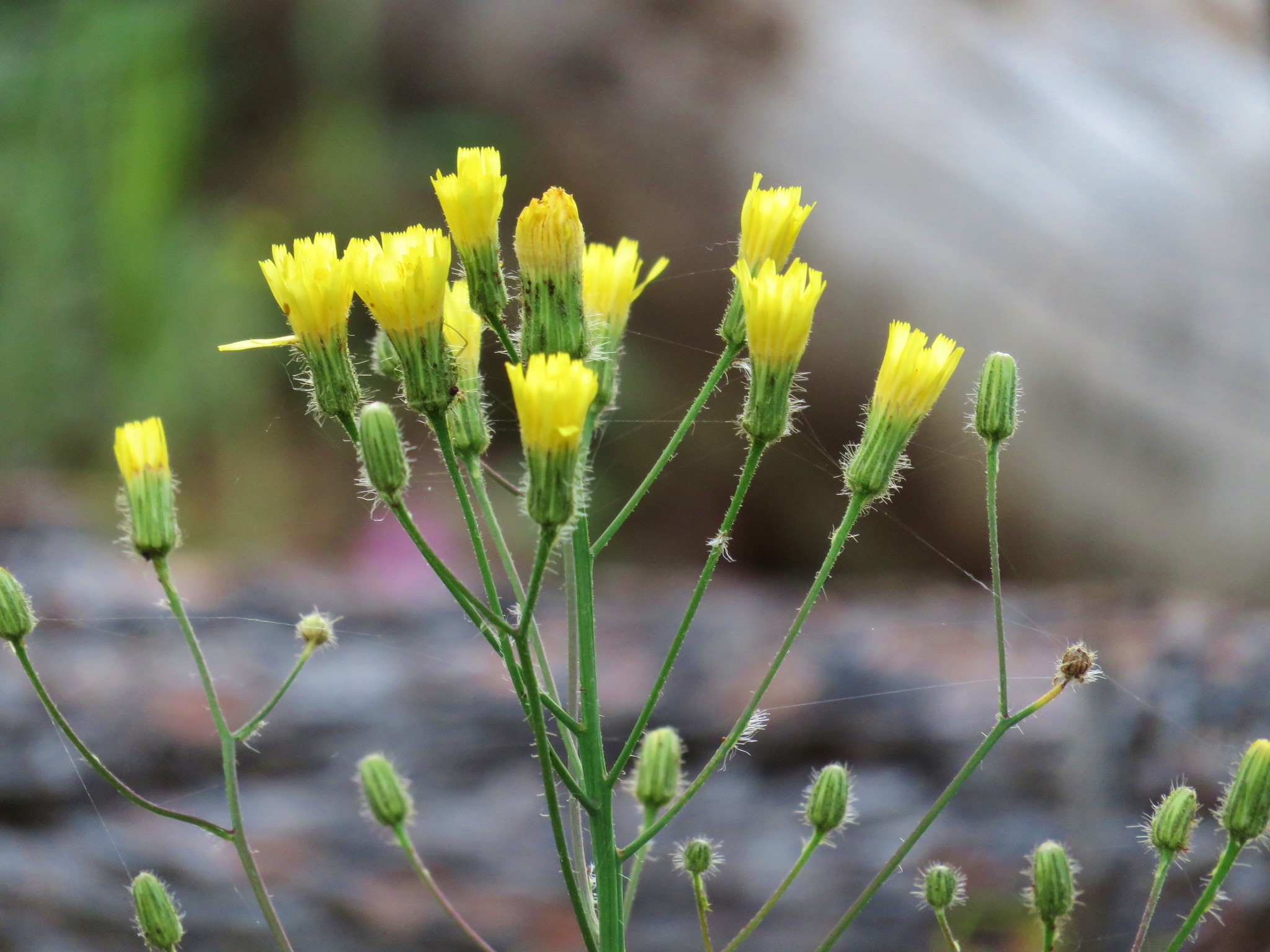
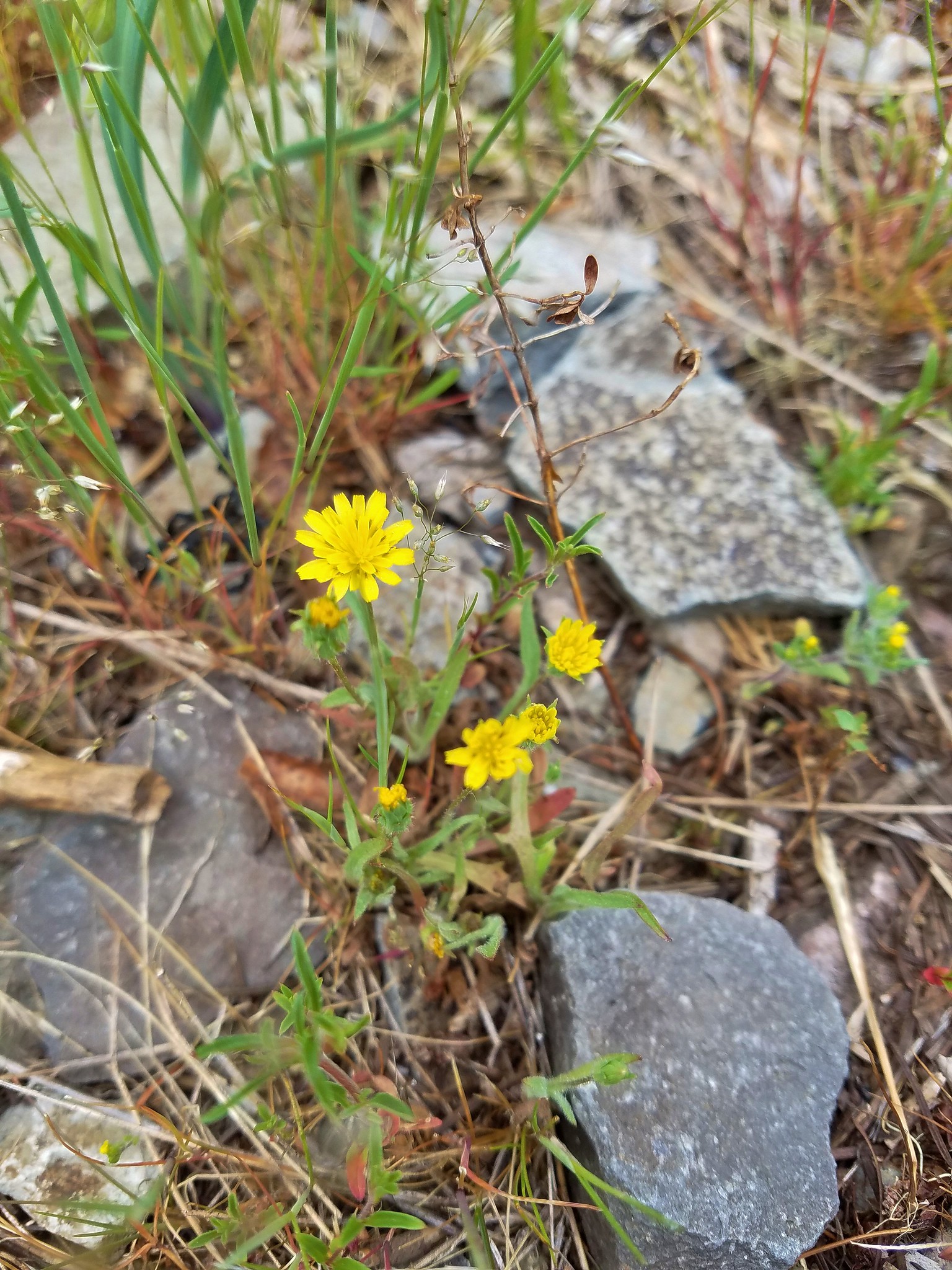 Annual agoseris
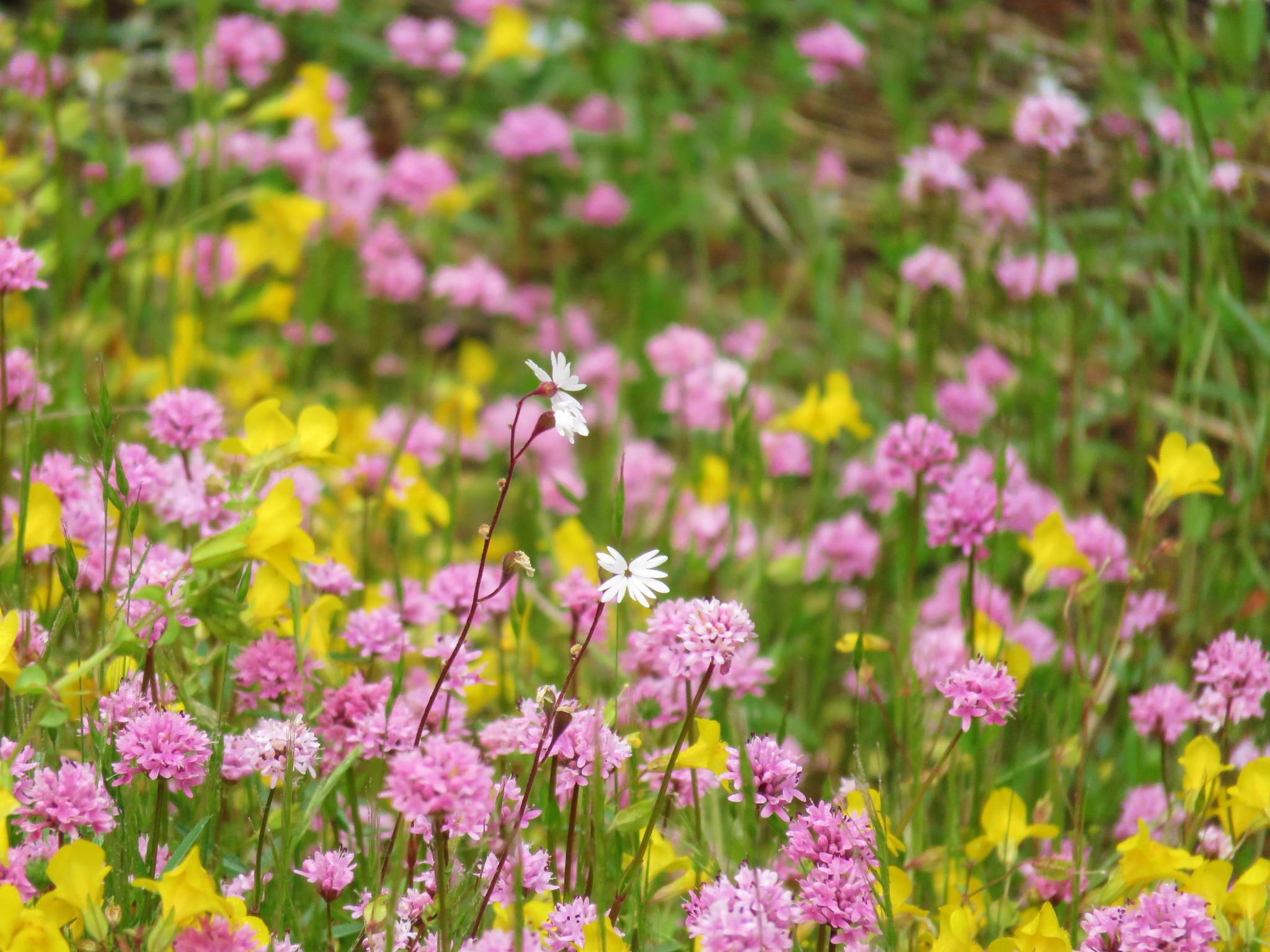 Prairie star and plectritis
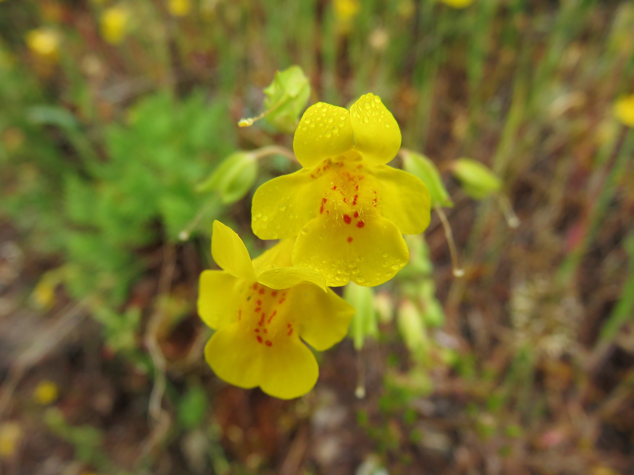 Monkeyflower
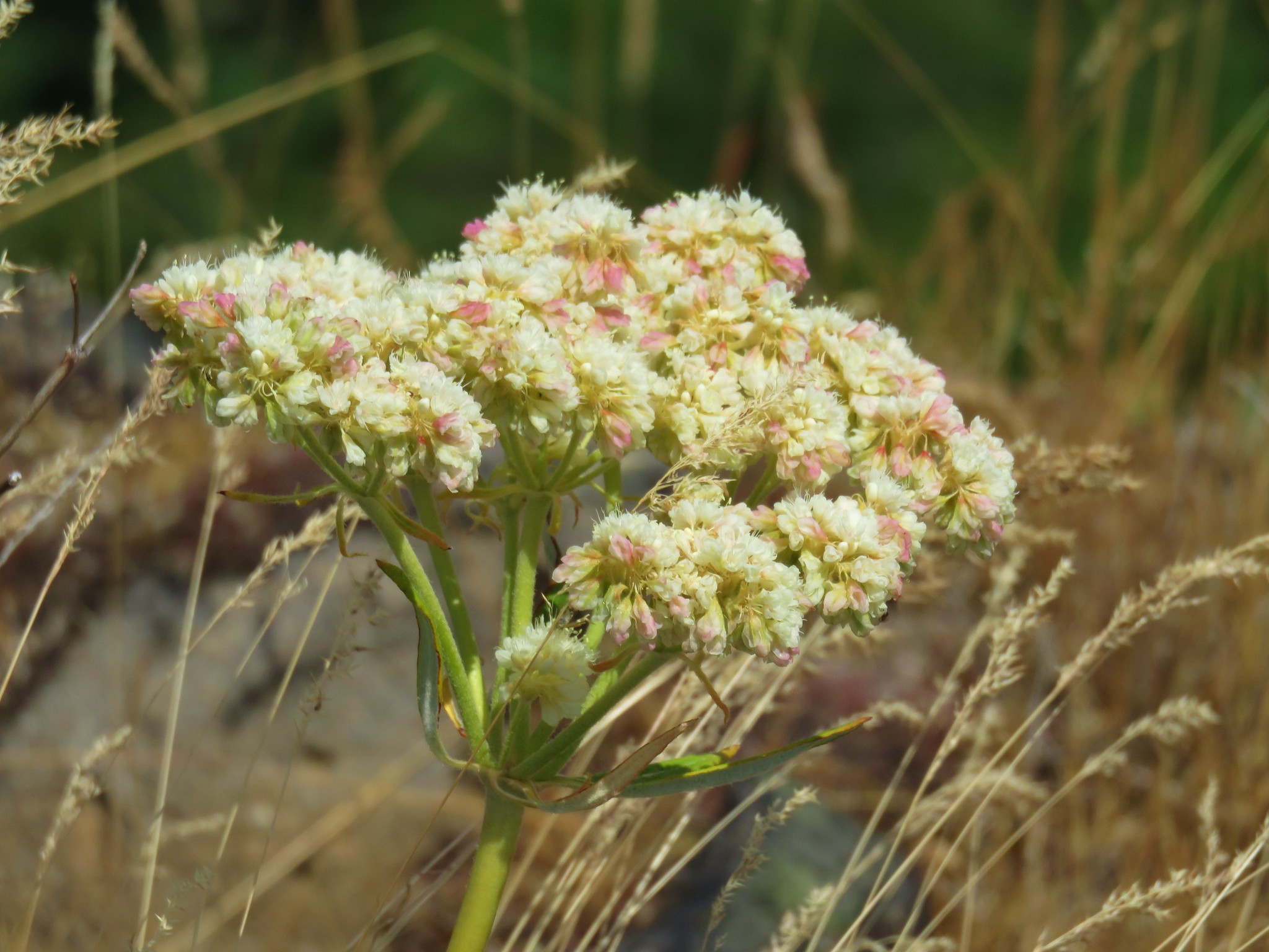
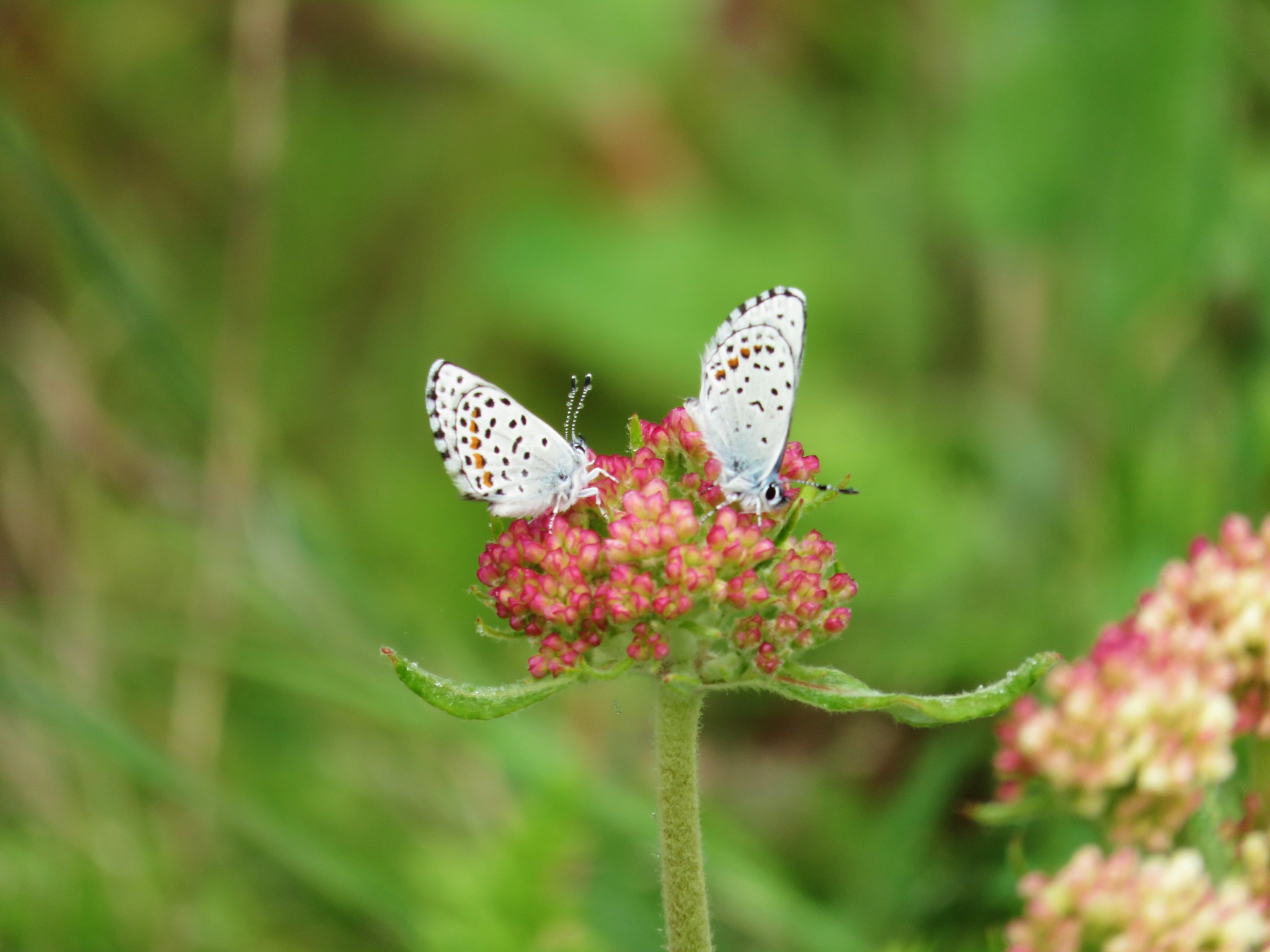 Butterflies on buckwheat
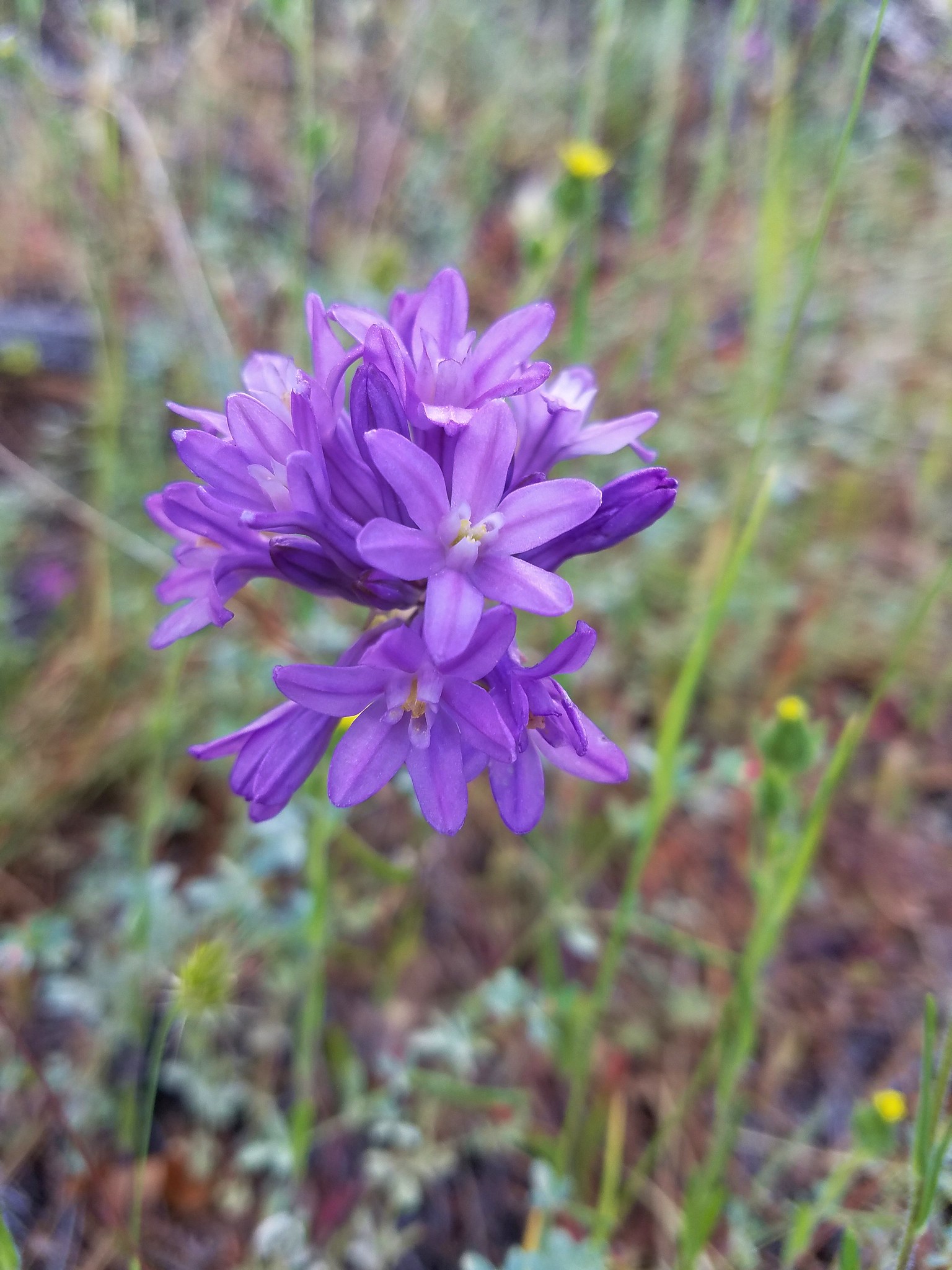
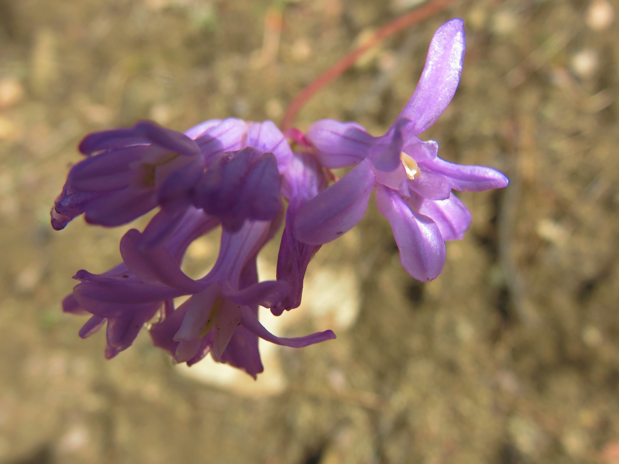
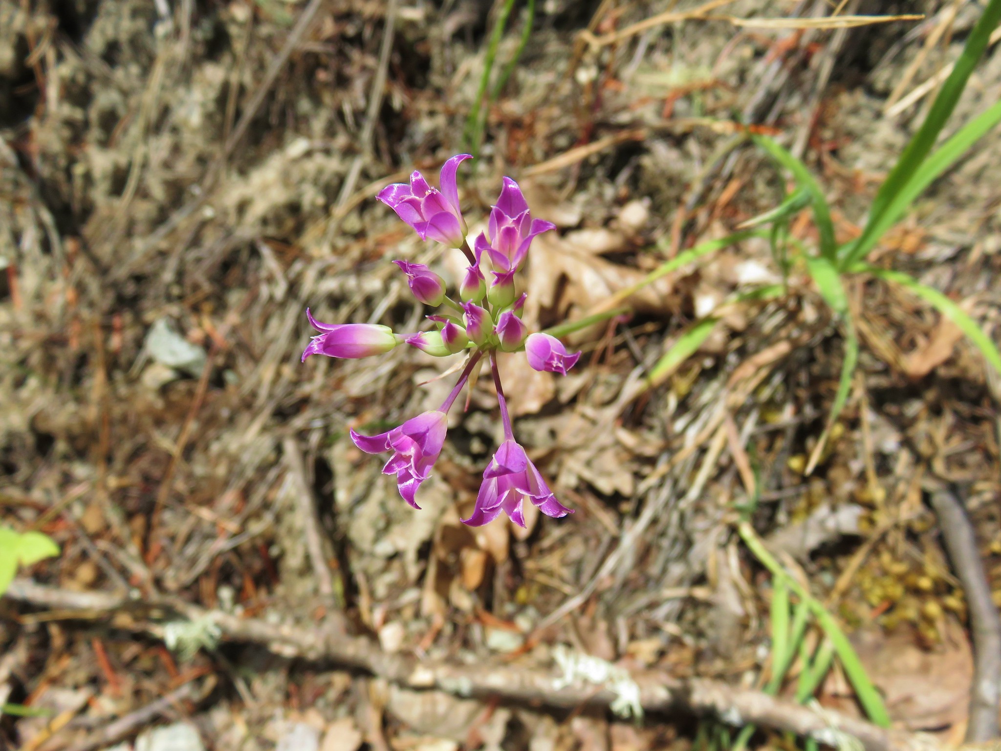
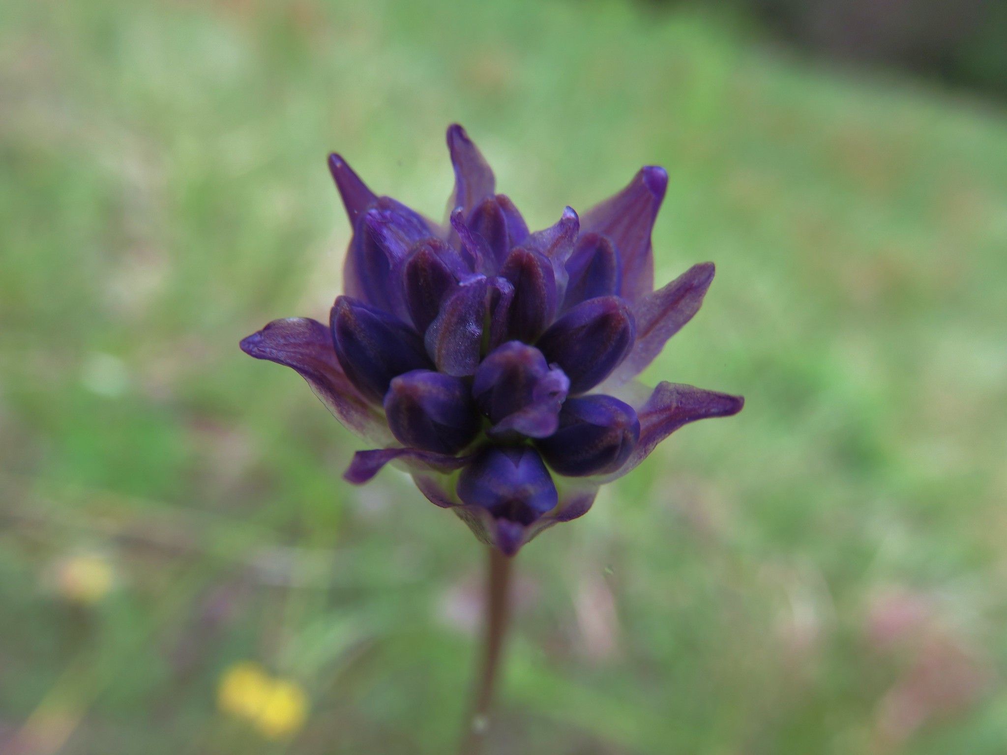 Ookow getting ready to bloom
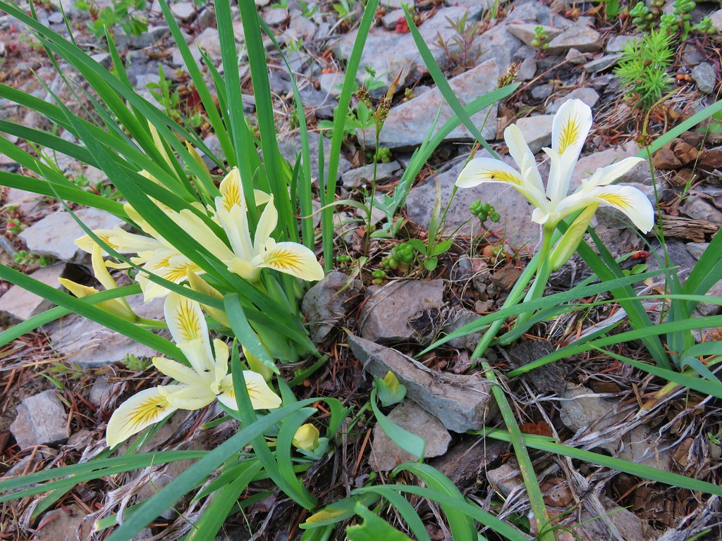
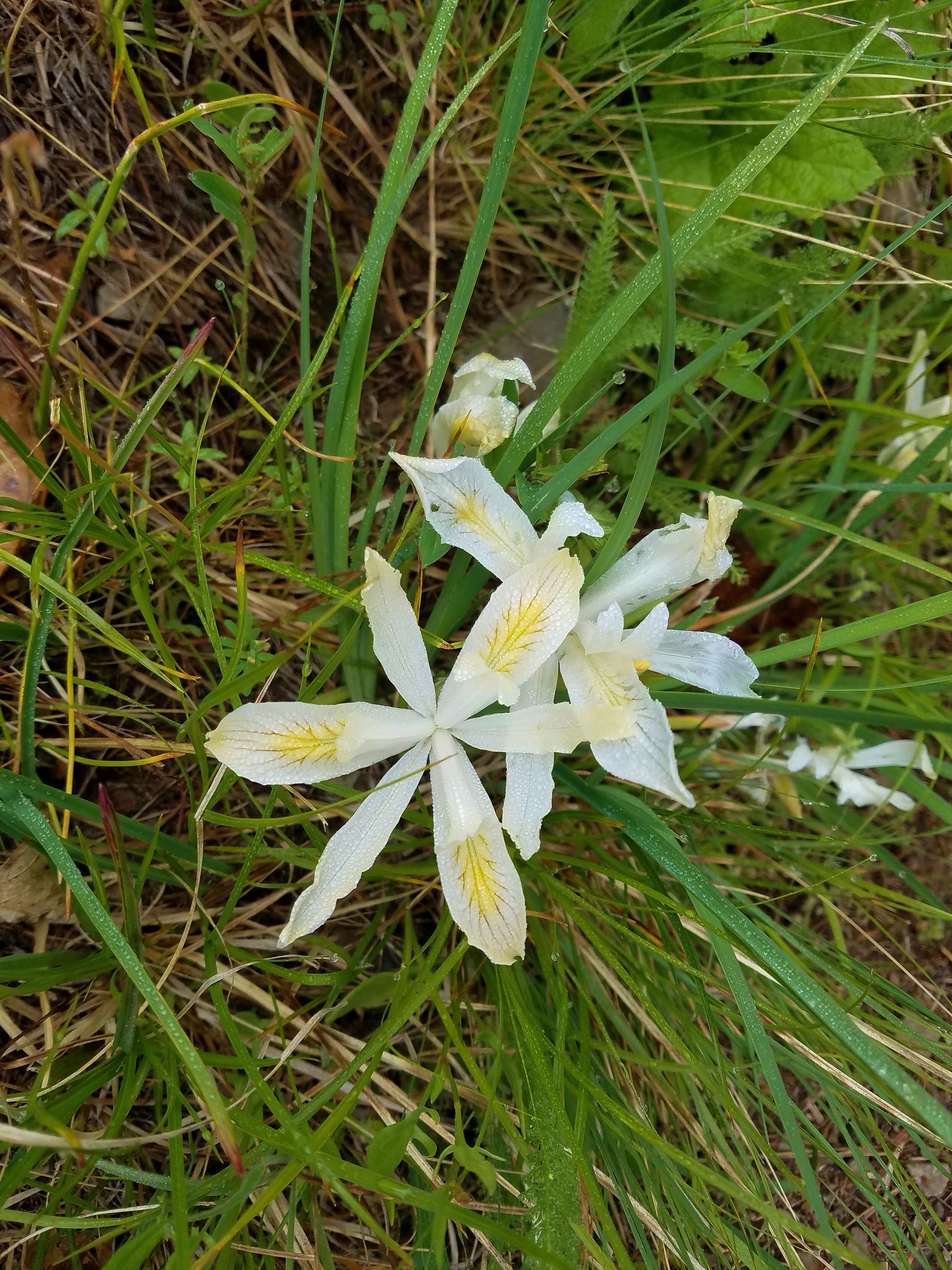 Yellowleaf iris
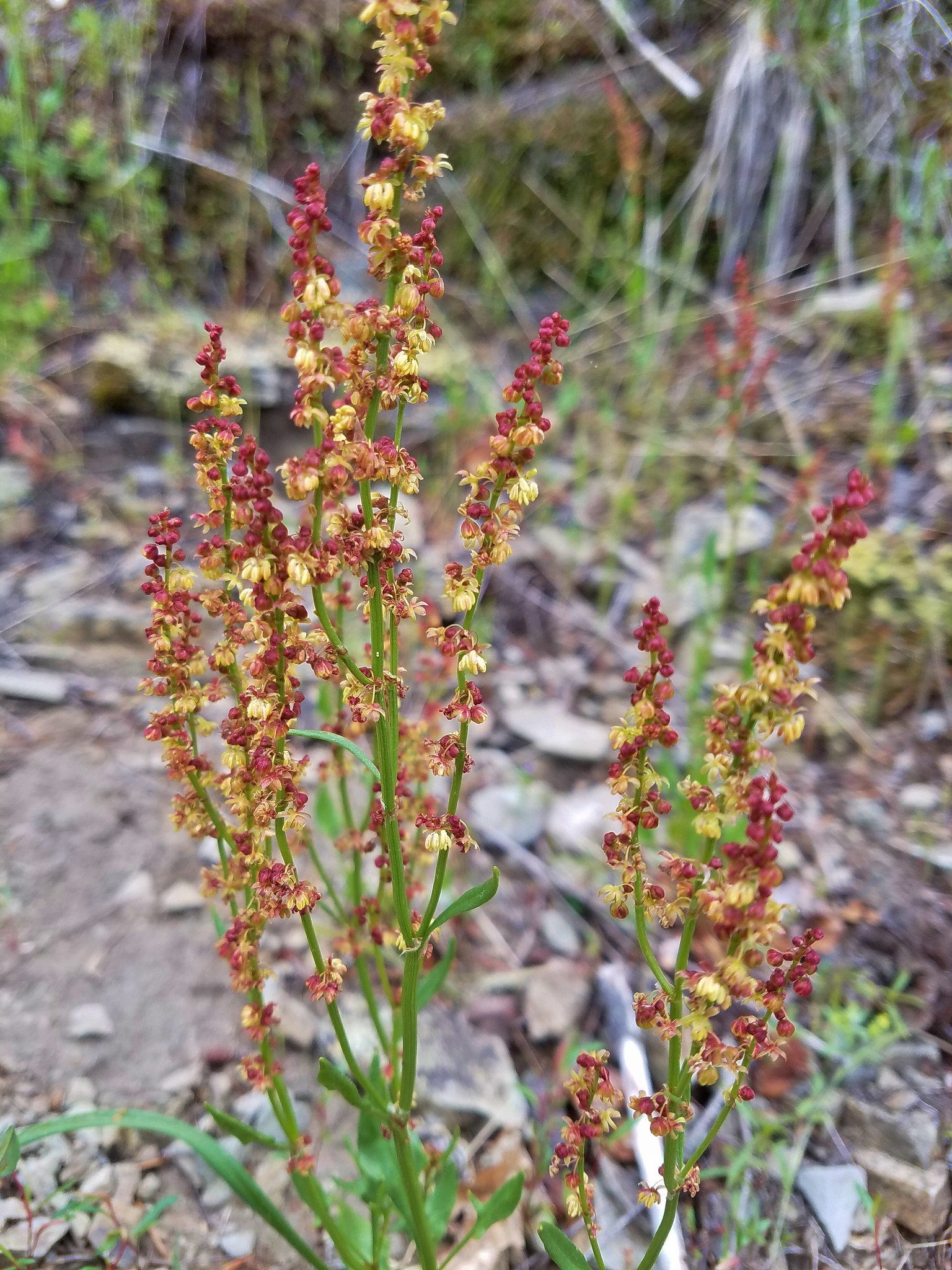 Sorrel
 Parsley
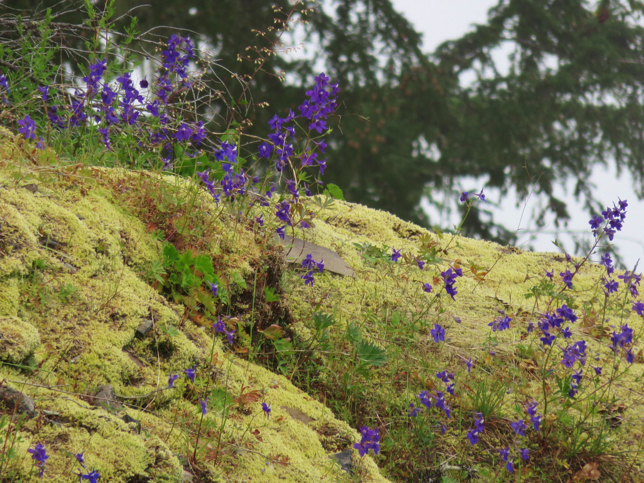
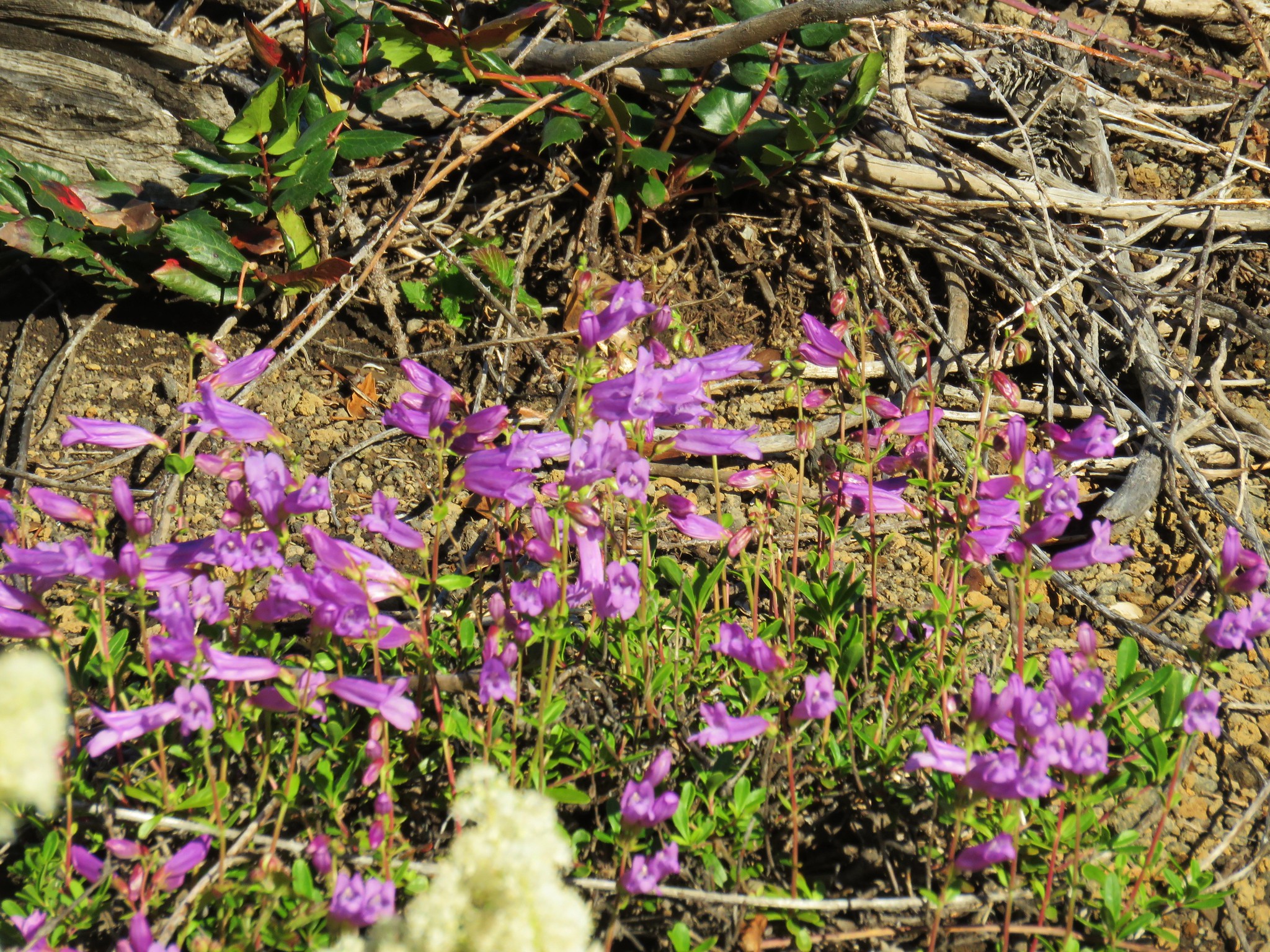
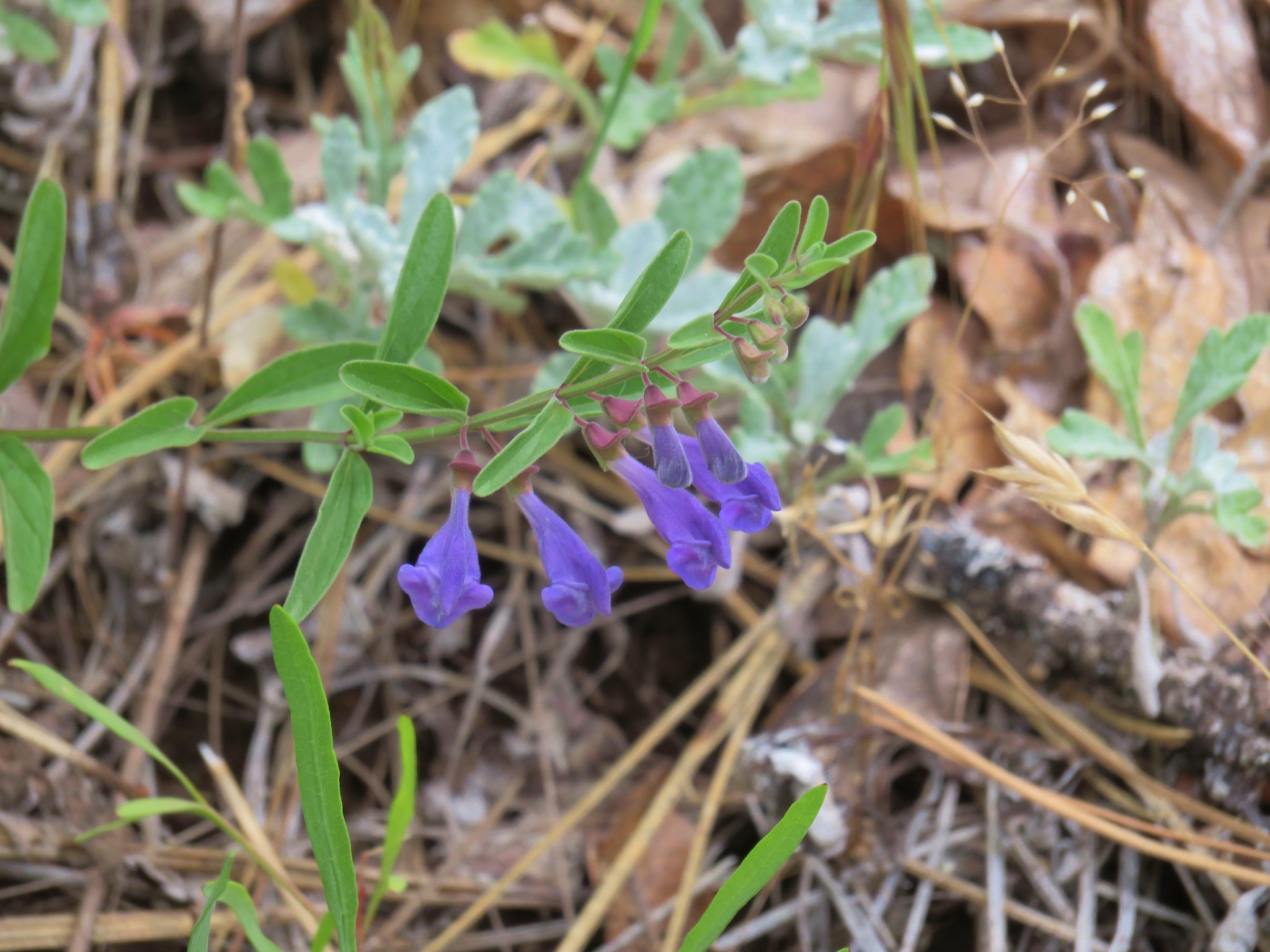
 Penstemon
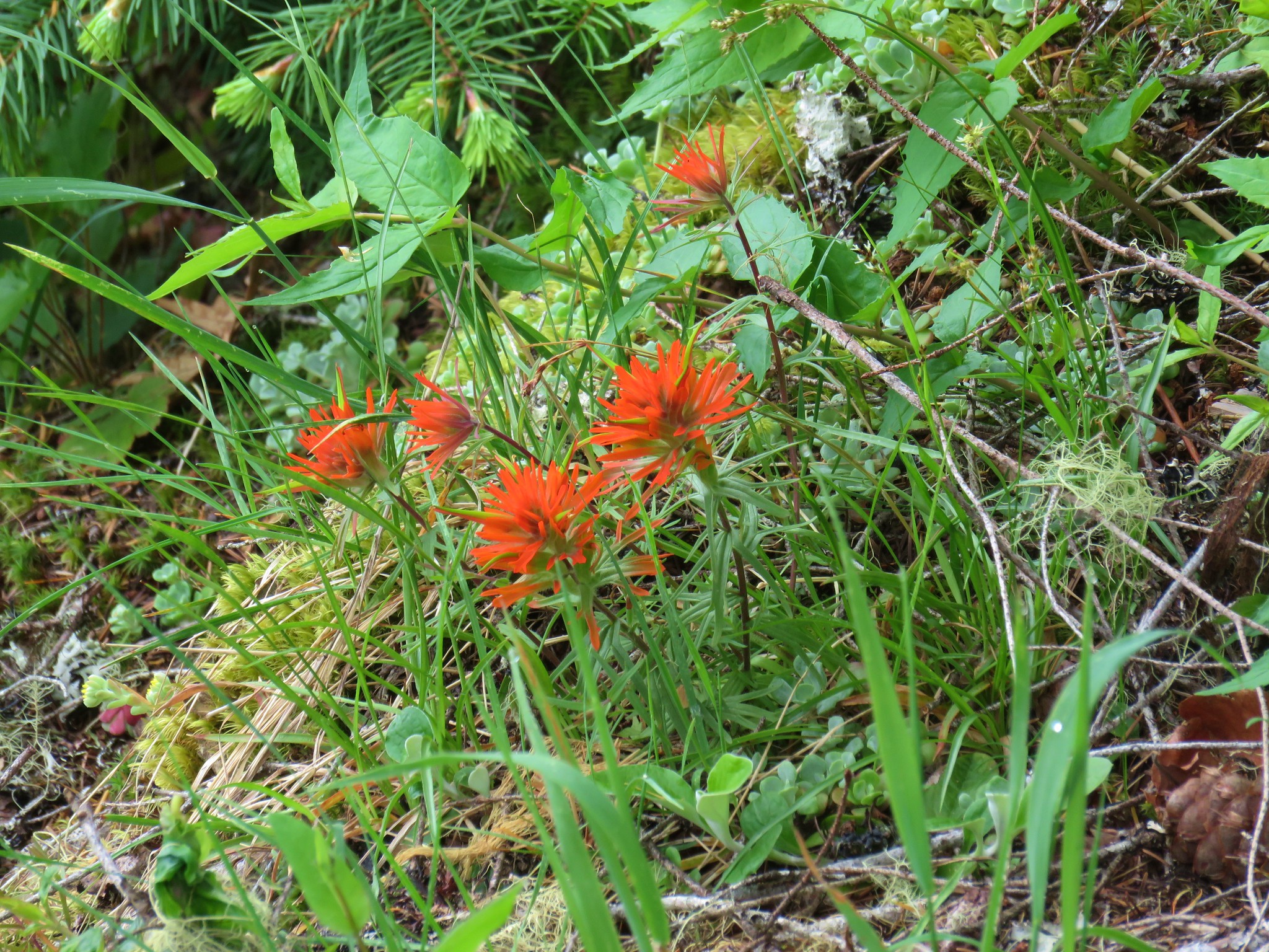 Paintbrush