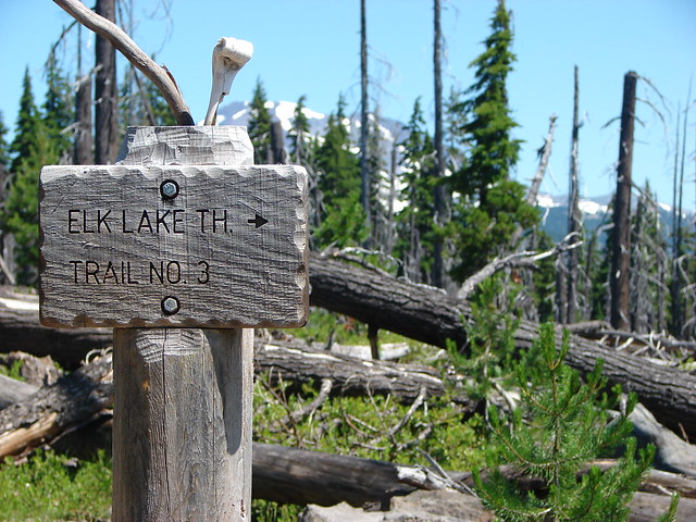
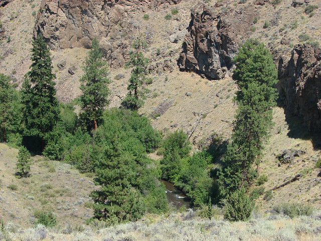
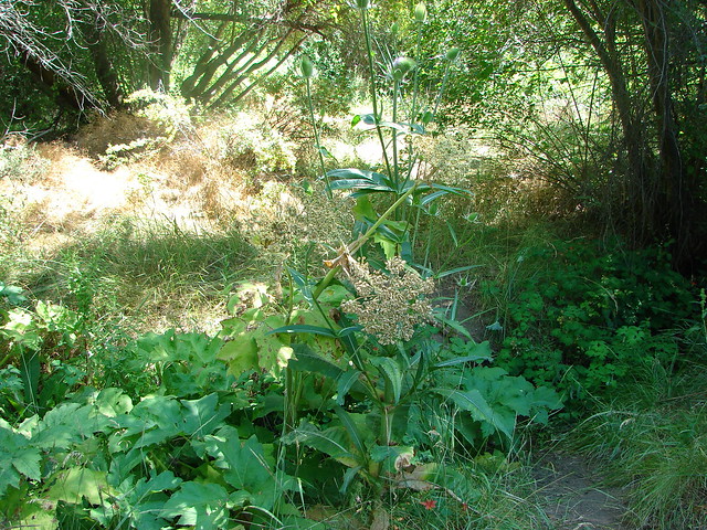
We officially kicked off our 2017 hiking season on 4/22 with a pair of hikes near Clarno, OR. The first was a 1.4 mile at the Clarno Unit of the John Day Fossil Beds National Monument. We parked at the day use picnic area 3.4 miles east of the John Day River bridge at Clarno.
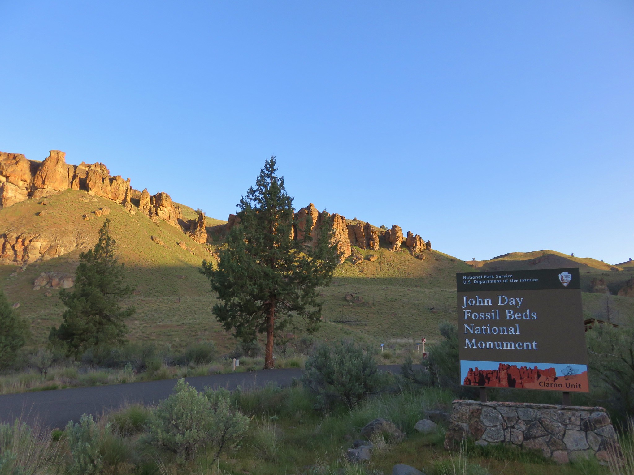
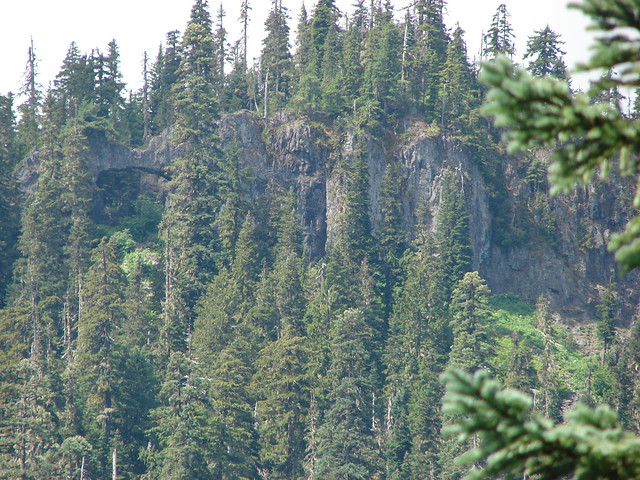
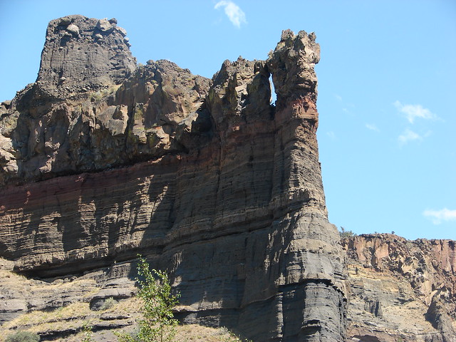
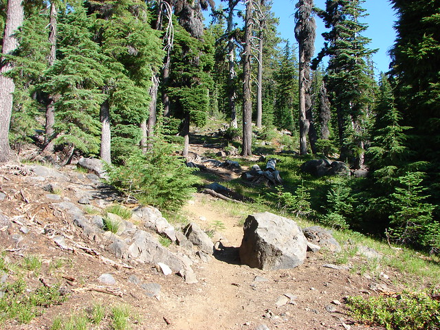
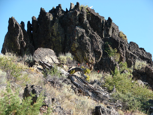
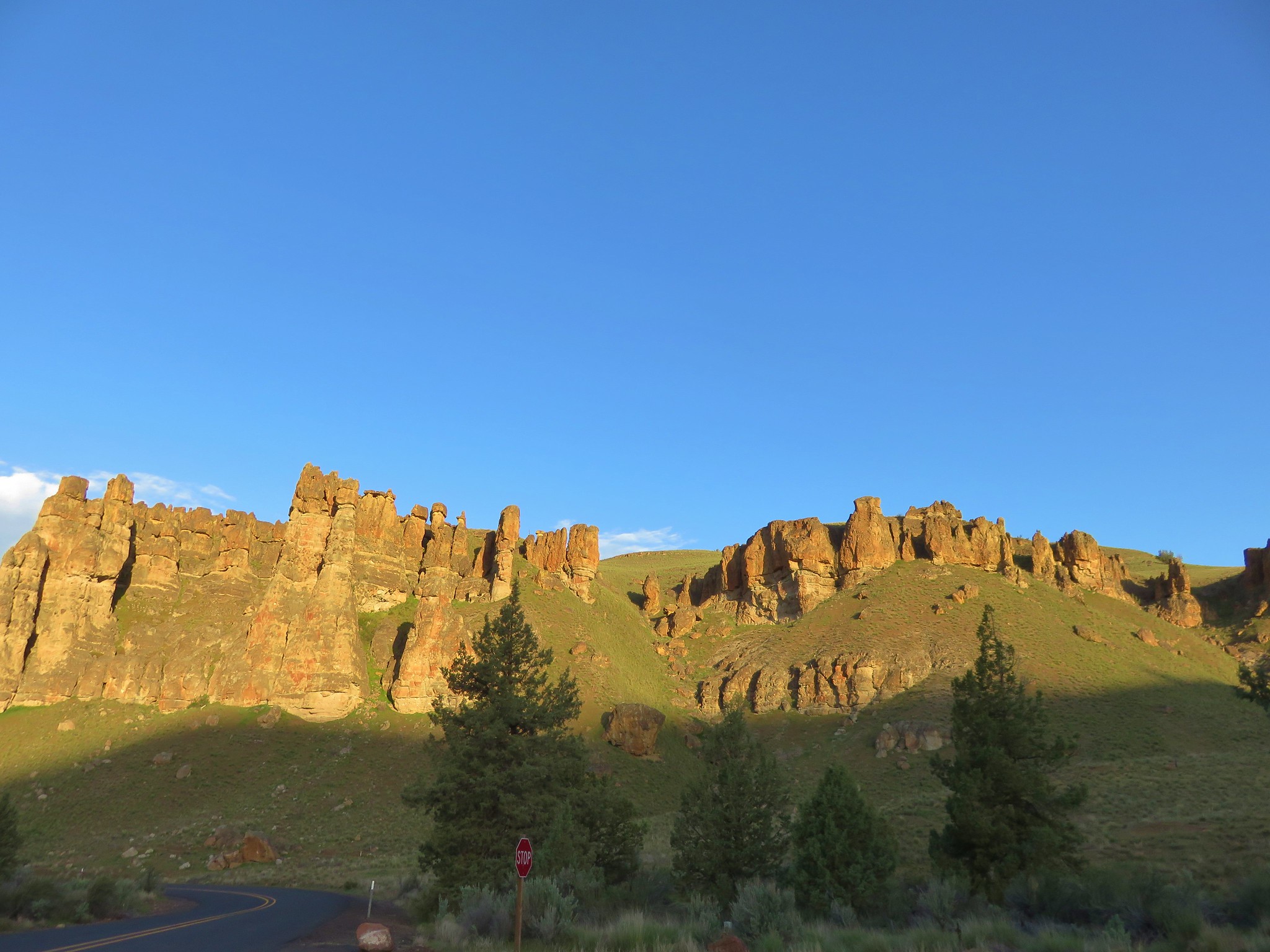
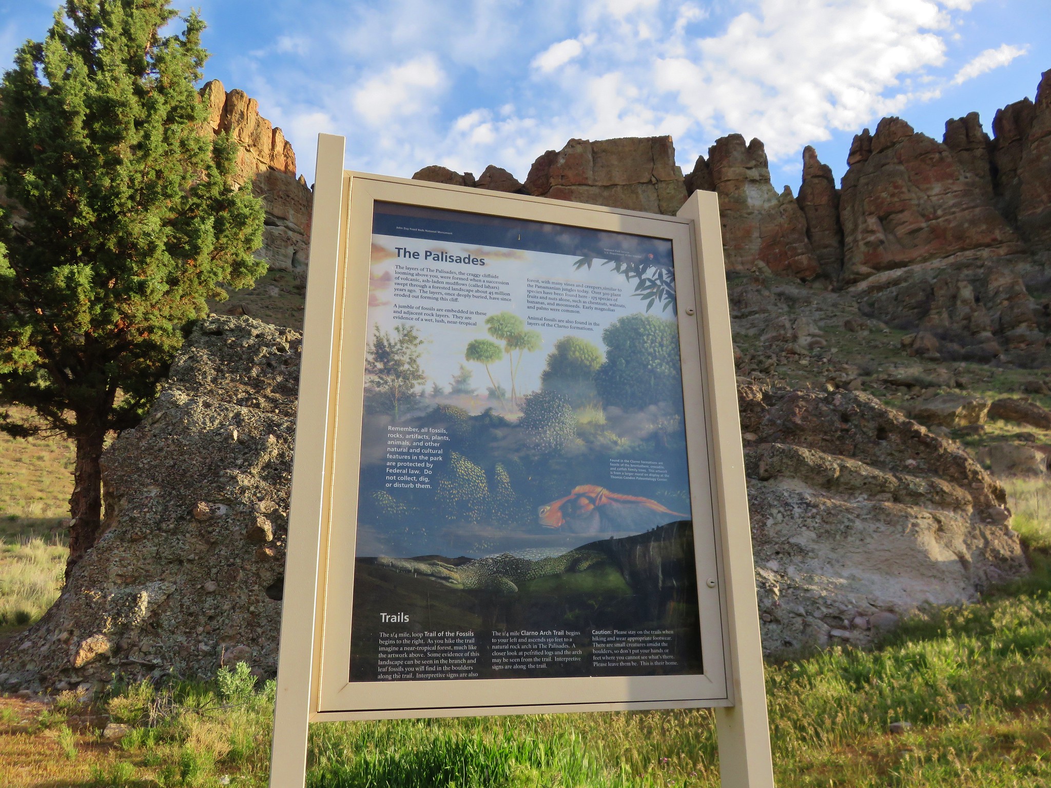
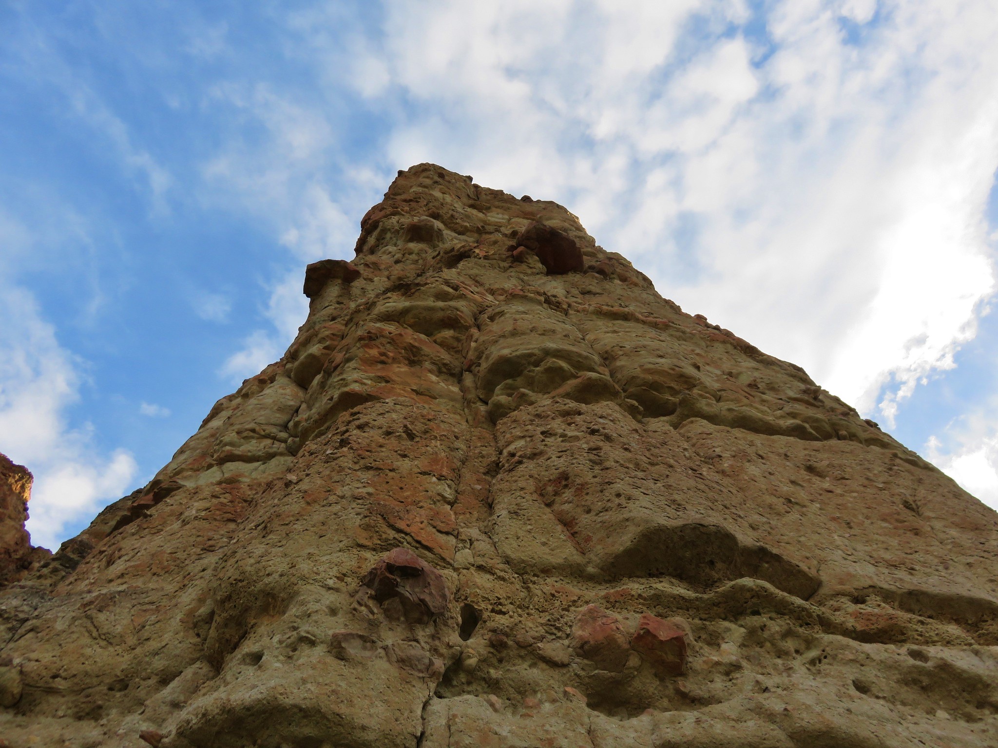
From the parking area we took the .3 mile Geologic Time Trail west toward the dramatic rock formations called The Palisades.
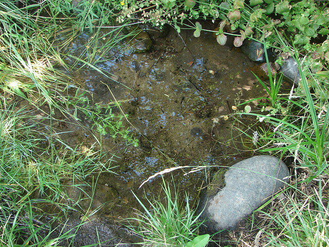
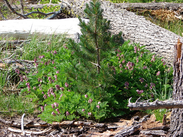
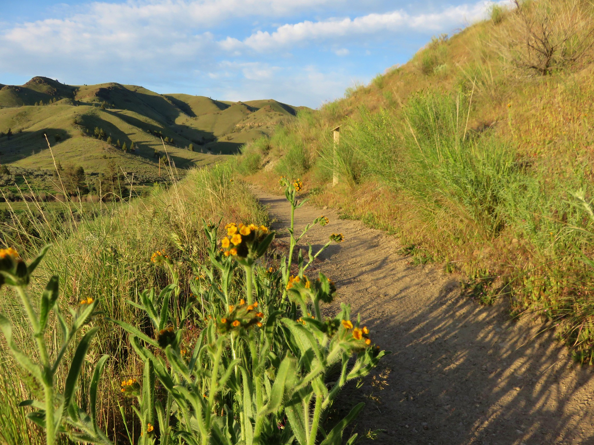
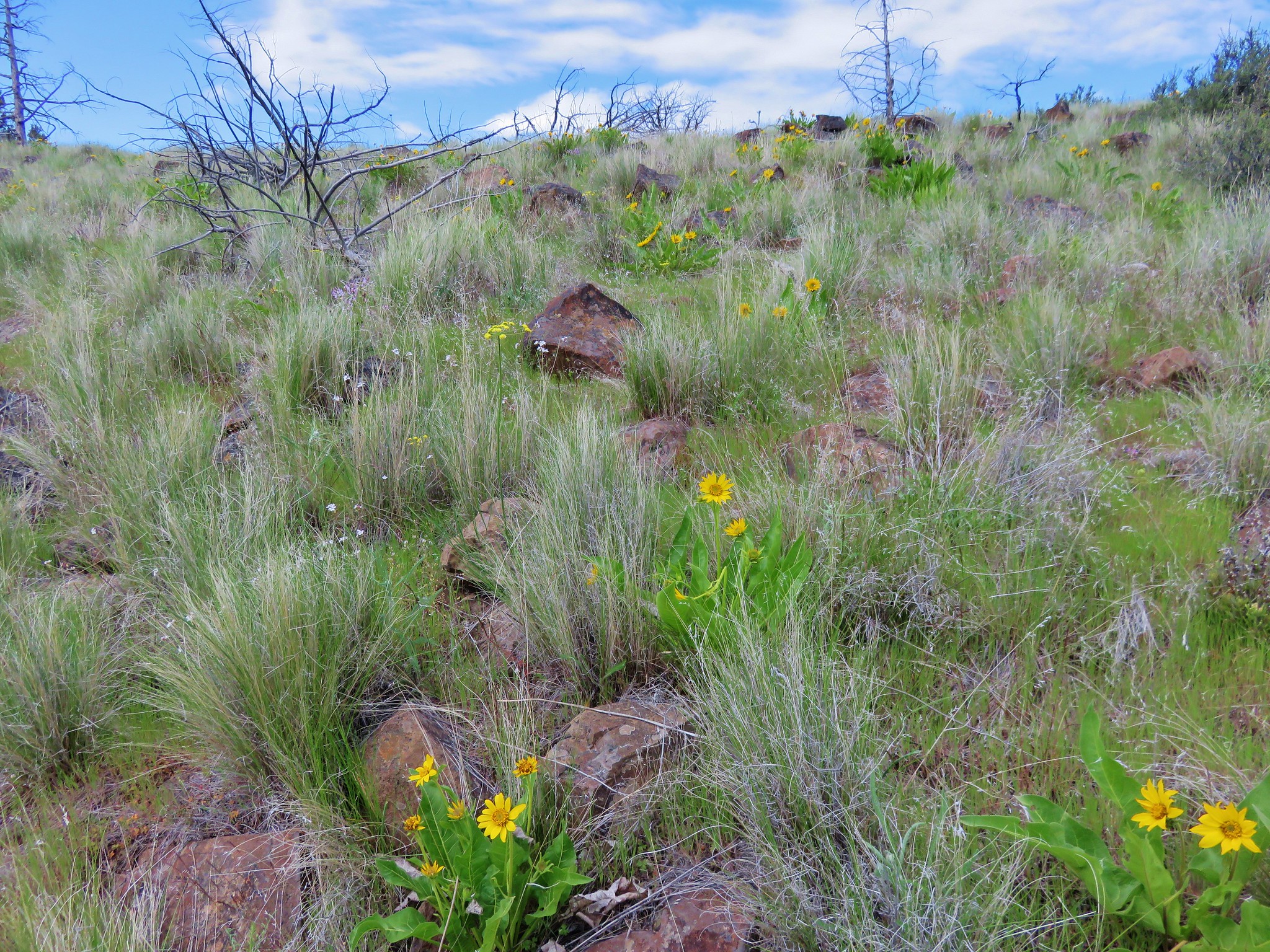
The trail was lined with golden fiddleneck blossoms and passed several interpretive signs describing the history of the area that created the amazing features.
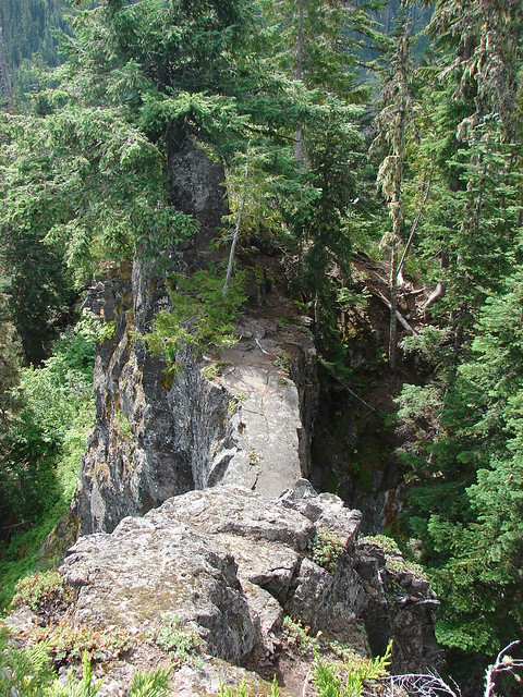
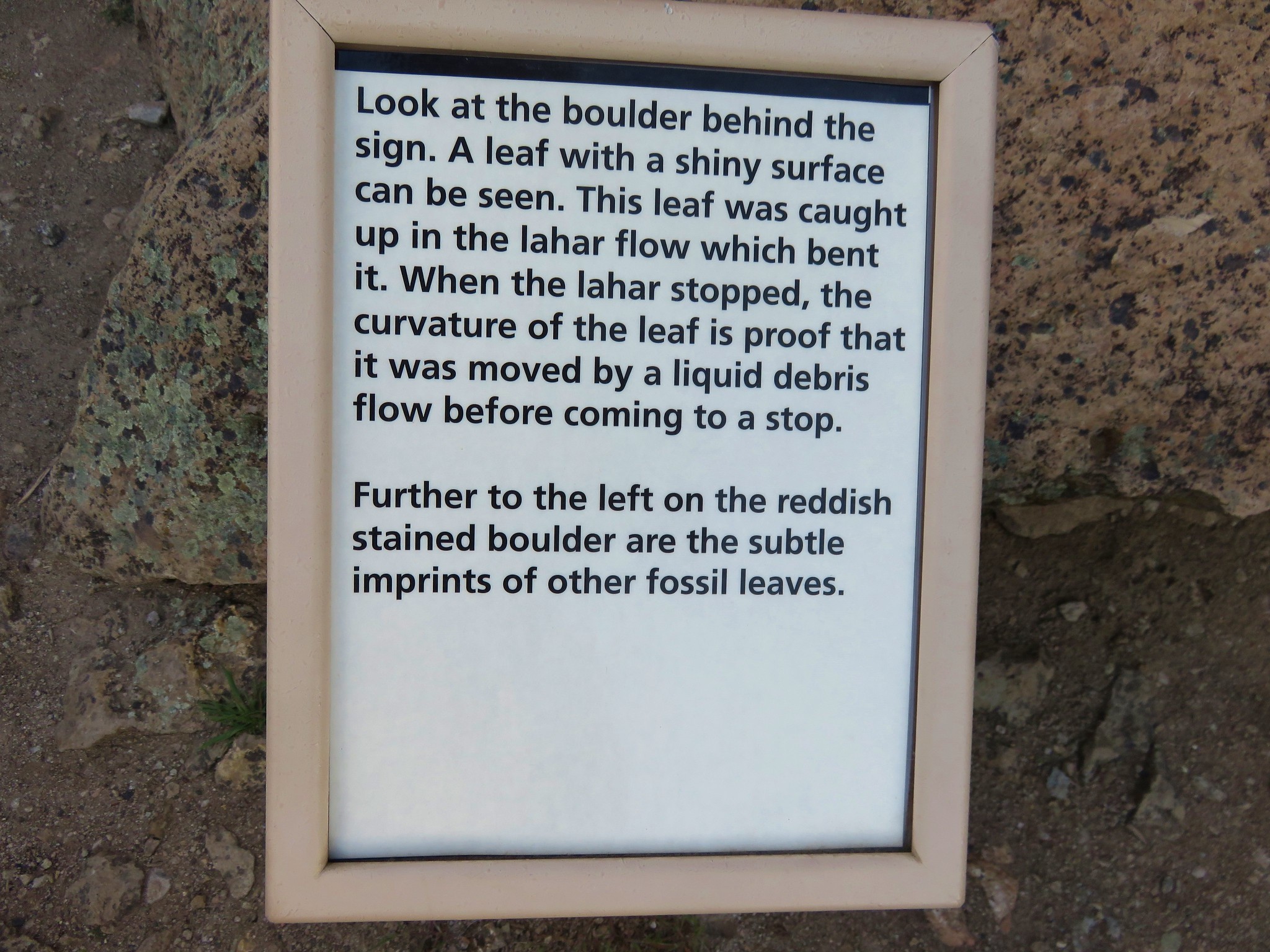
The Geologic Time Trail ended at a junction with the .2 mile Trail of Fossils loop. Here we turned uphill to the right passing more interpretive signs. These helped identify fossils in the nearby rocks.
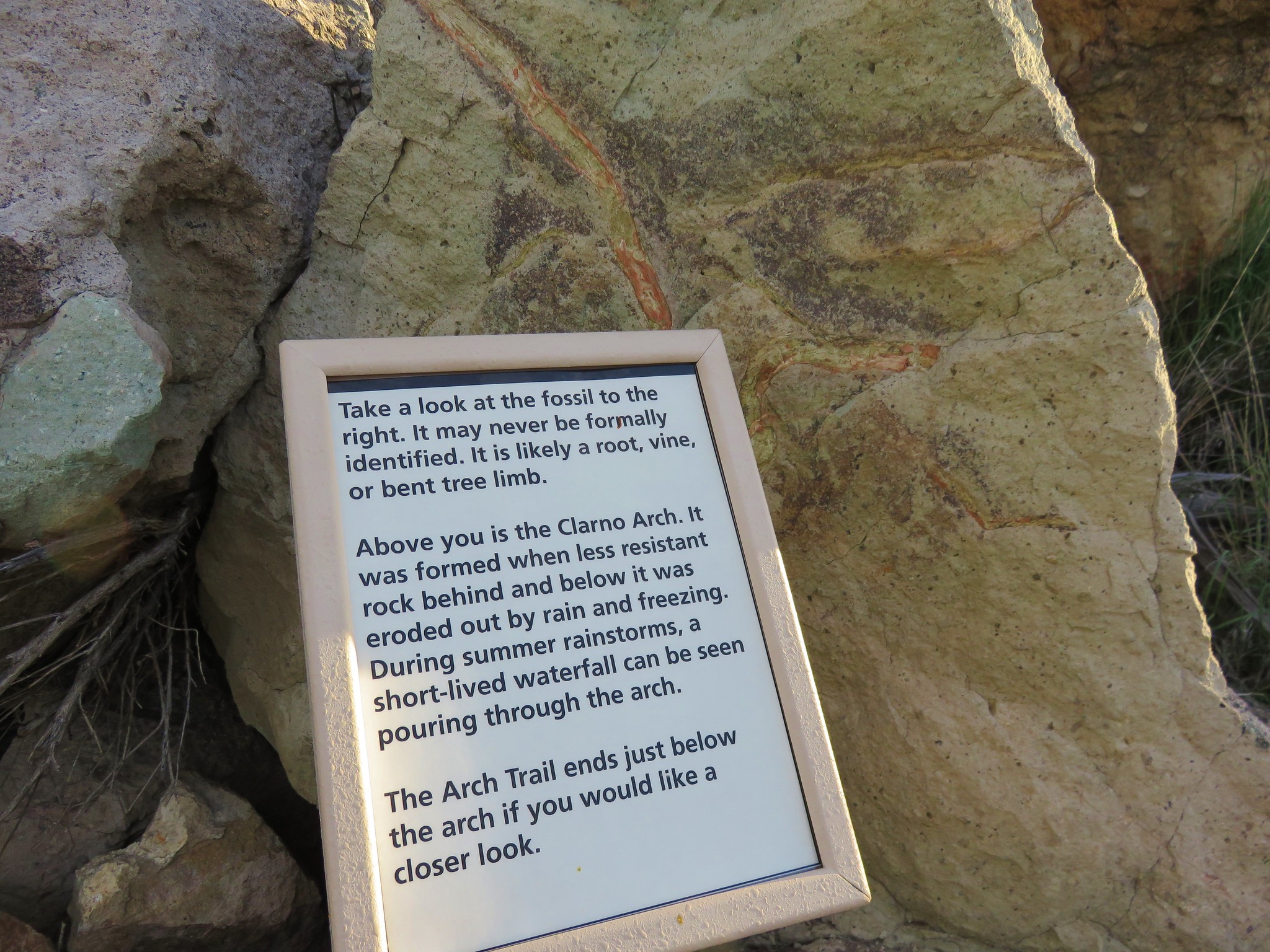
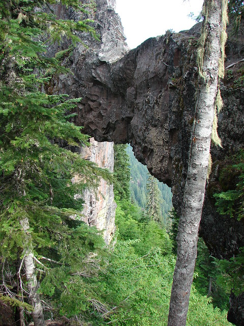
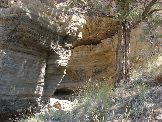
The loop descended to a second possible trailhead where another trail, the .2 mile Arch Trail, split to the right (west) near a large signboard.
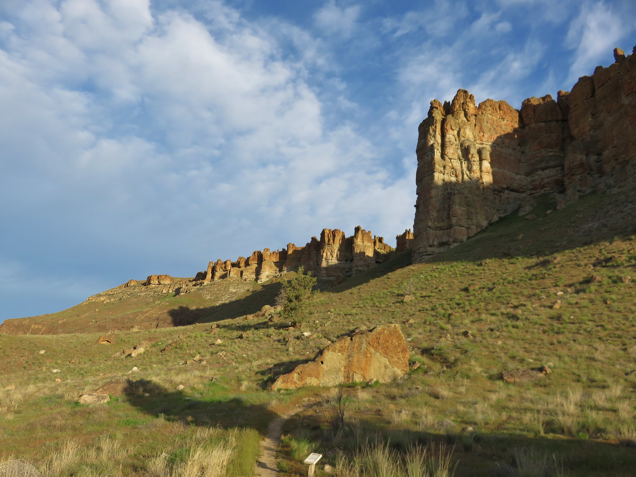
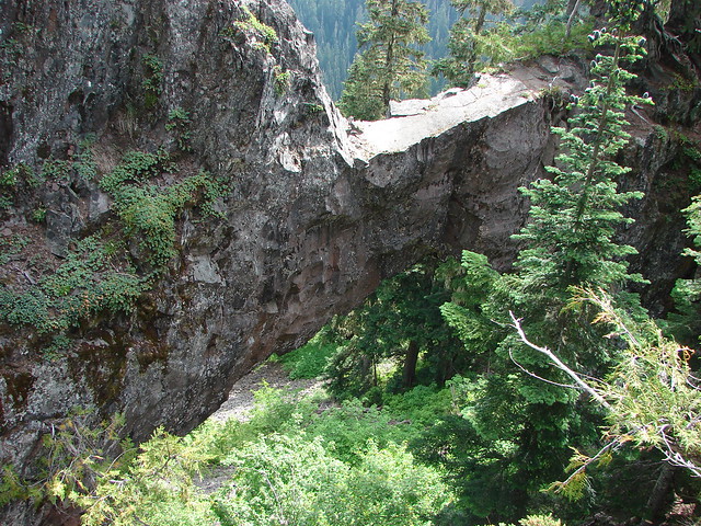
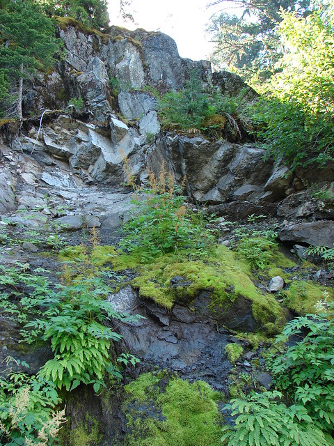
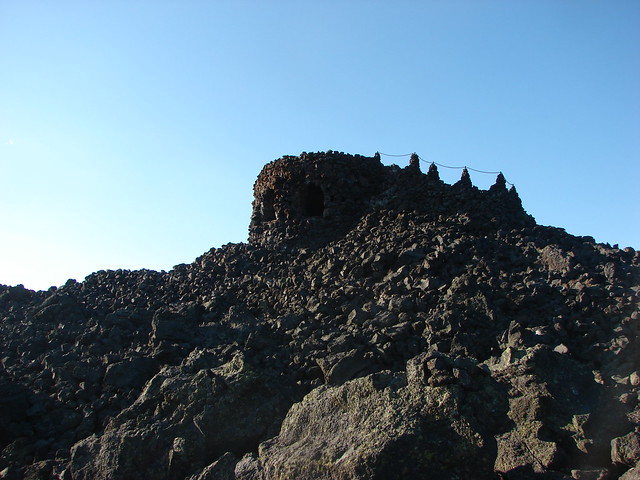
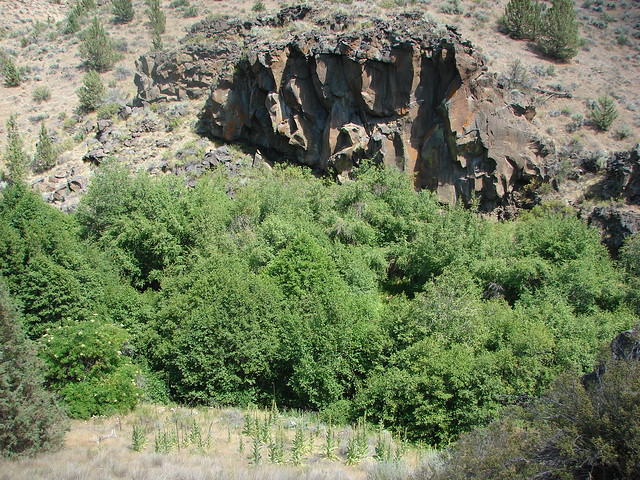
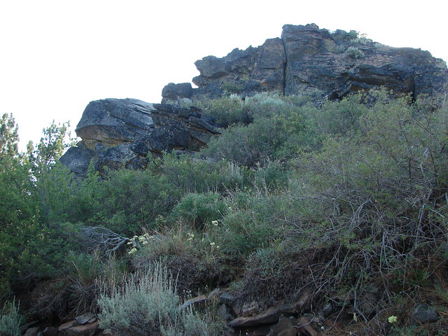
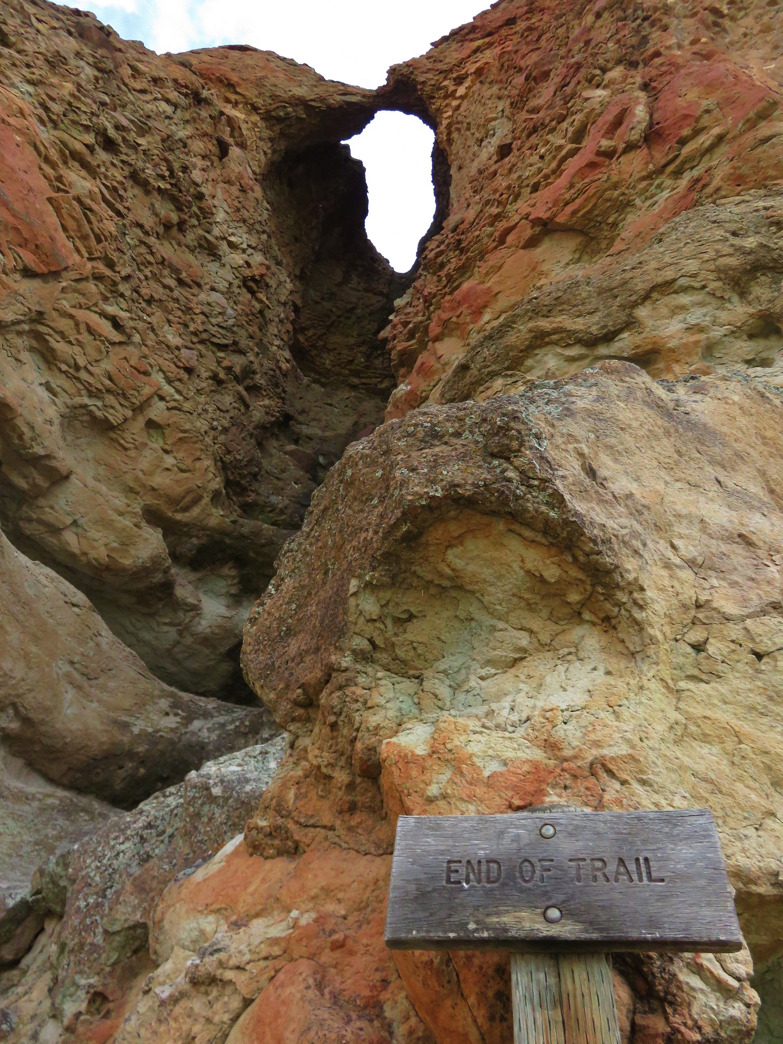
This short trail led uphill to the base of a rock arch along The Palisades.
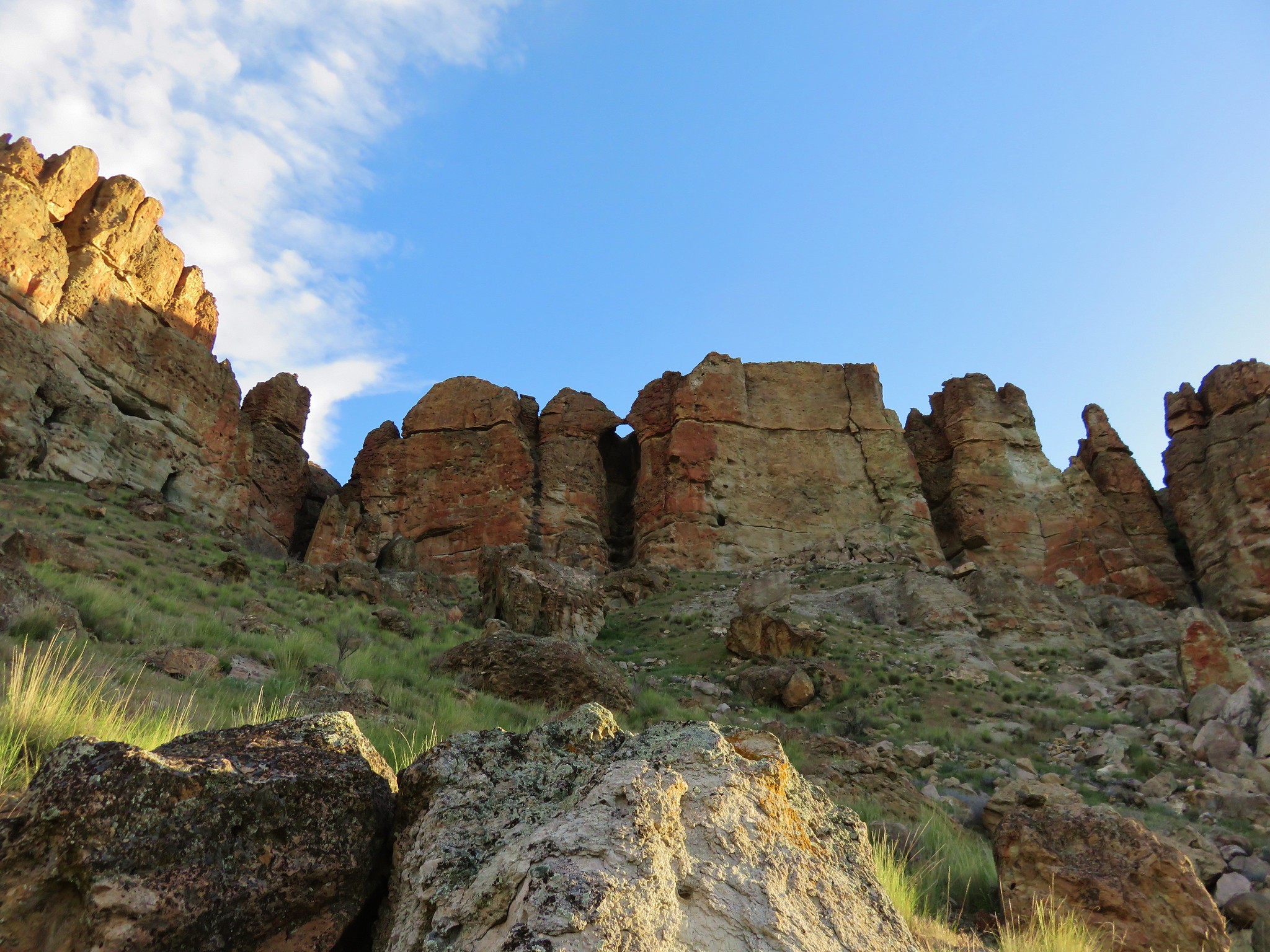
The views along the trail were amazing both across the highway and up close to the rocks.
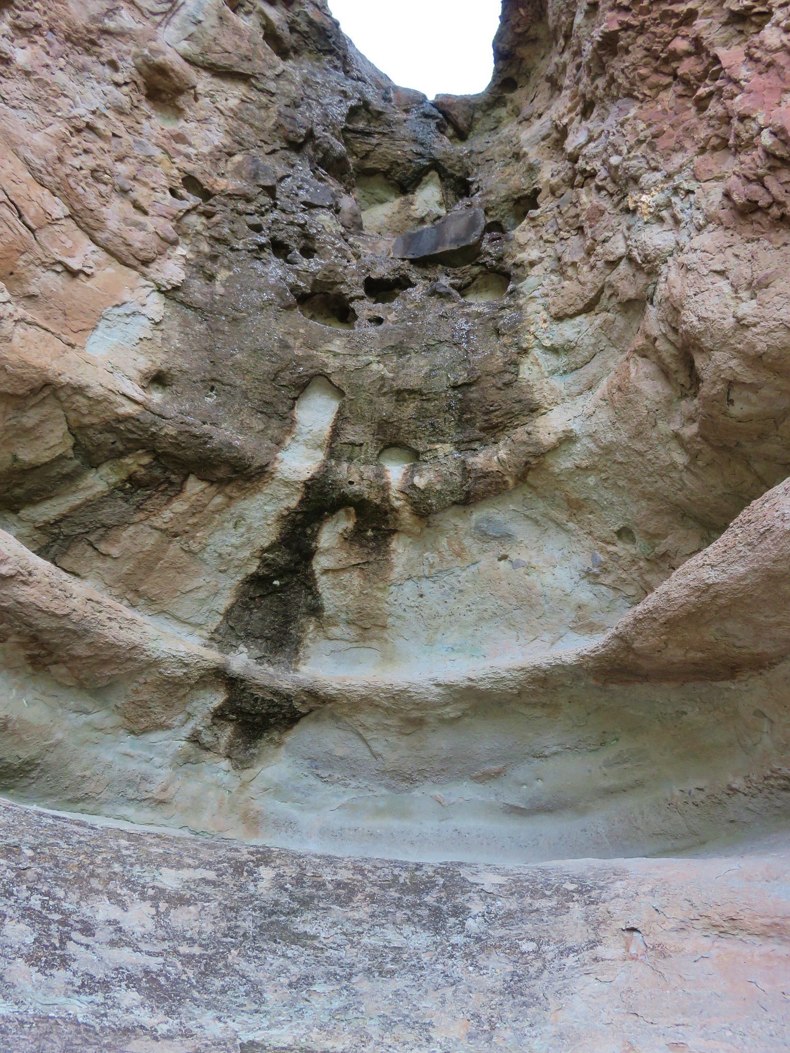
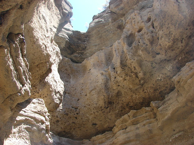
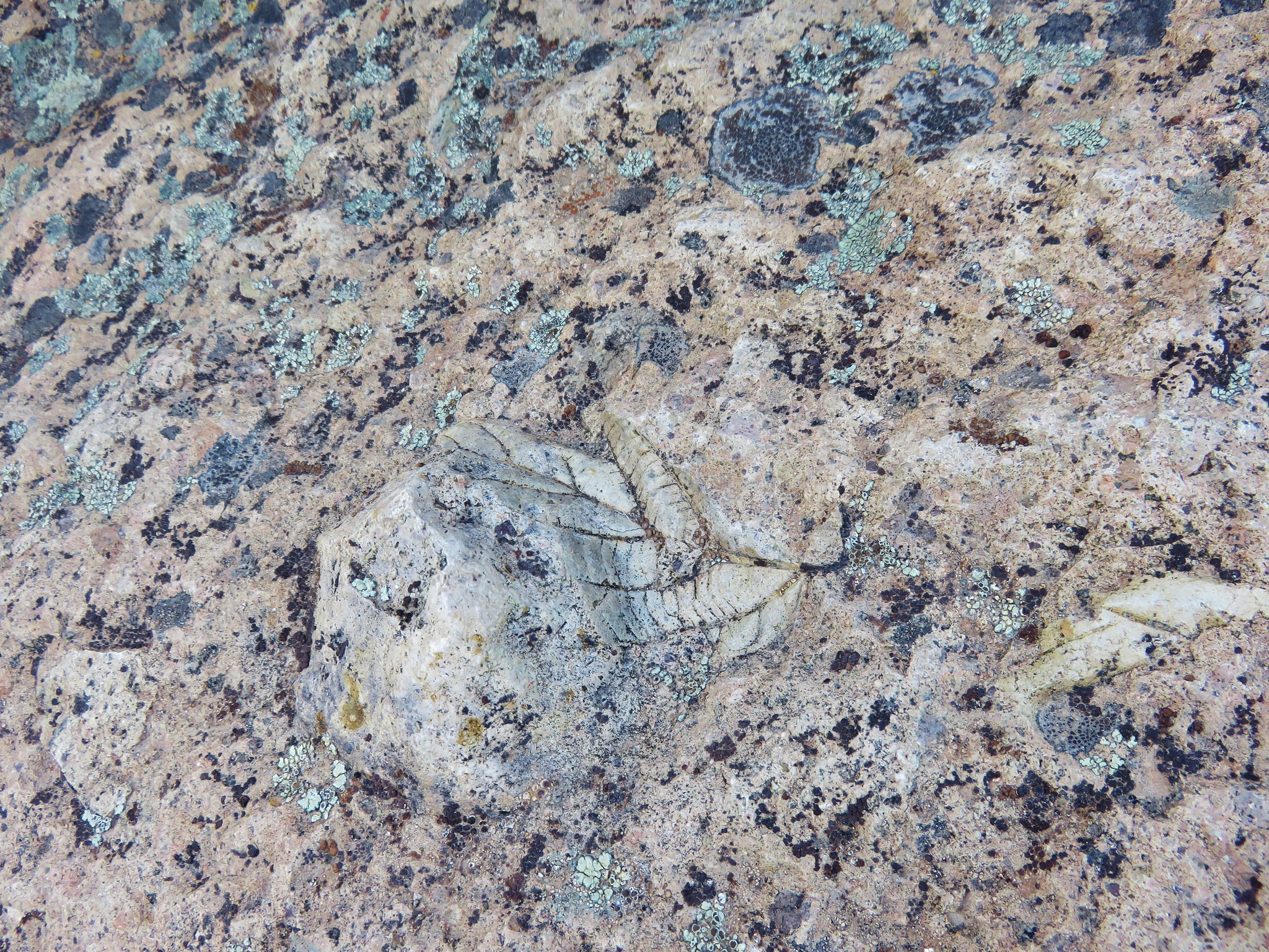
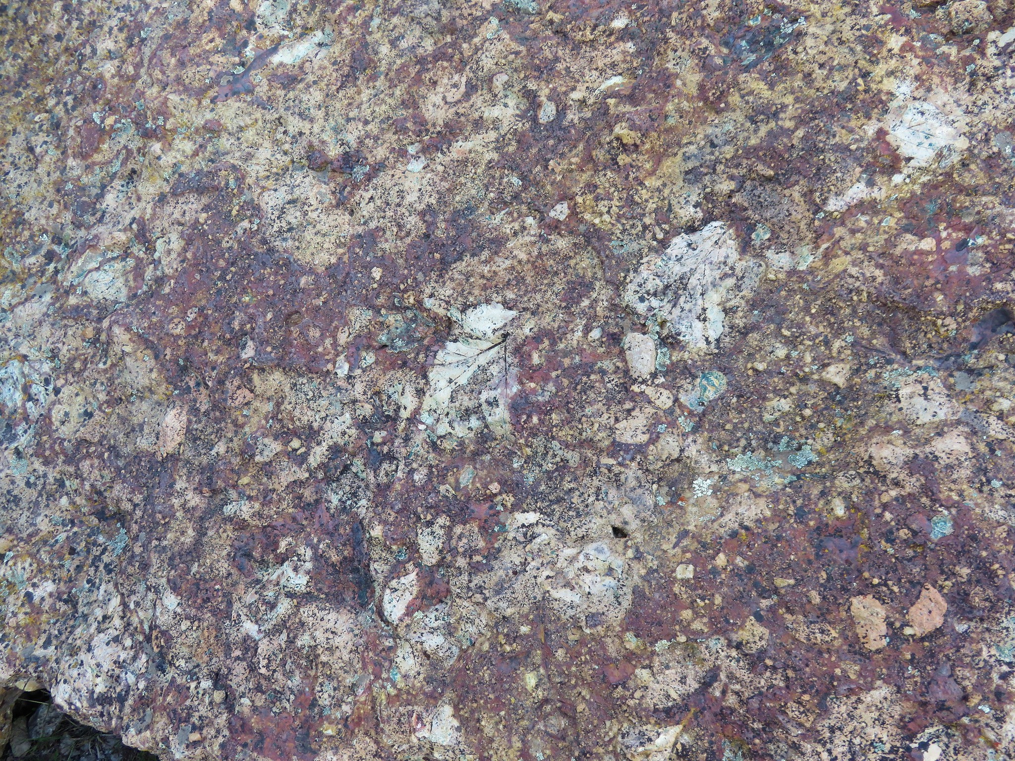
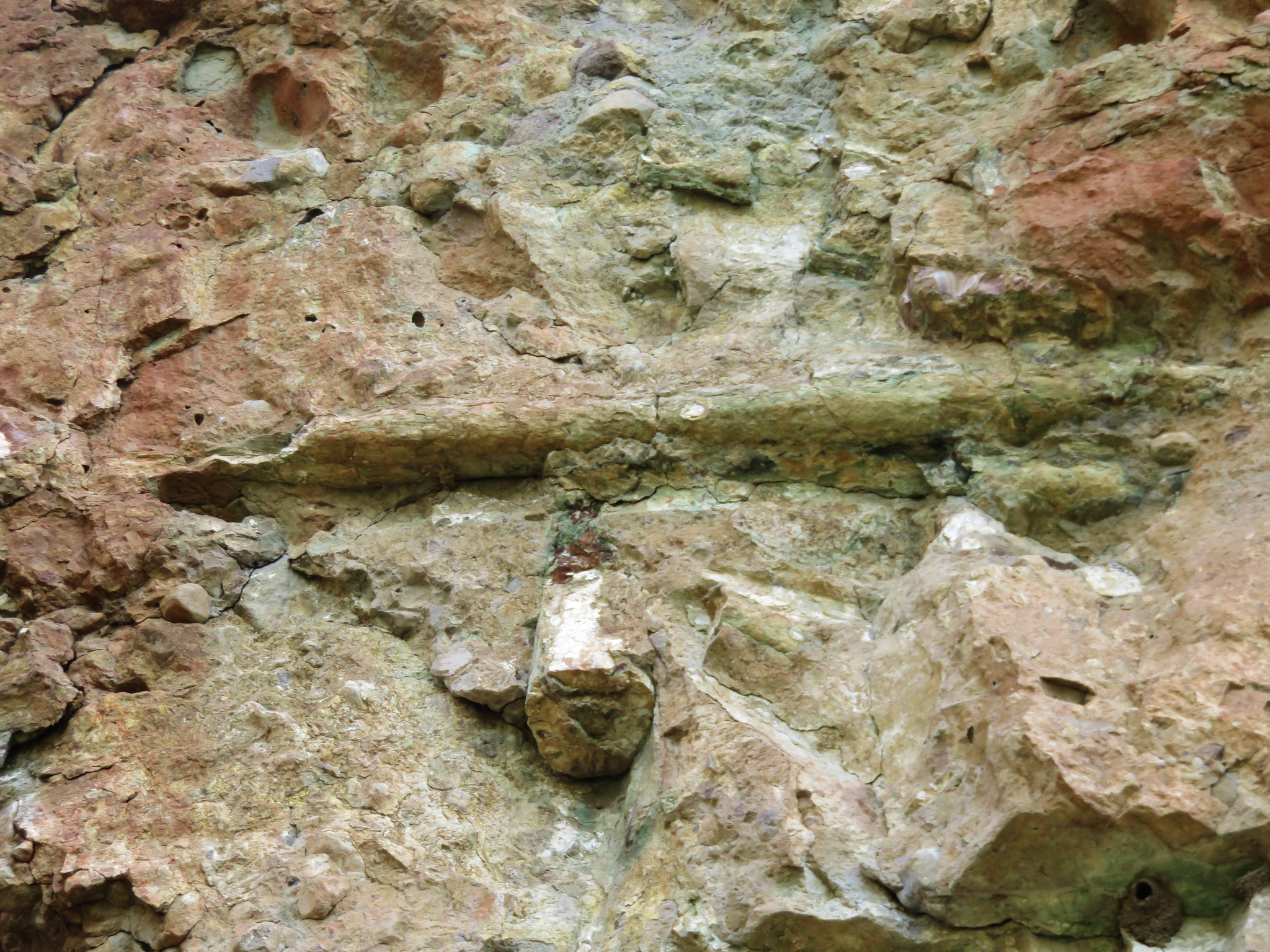
Just before the rock arch was a sign describing a pair of fossilized logs 40 feet above the trail. For some reason neither of us could see them despite spending a few minutes searching. After visiting the rock arch, we paused again to look for the logs. This time they were easily spotted up in the wall of rocks above the sign.
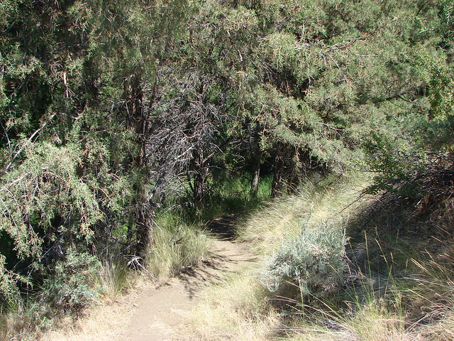
We returned to the Trail of Fossils loop and completed it then took the Geologic Time Trail back to the picnic area where another car was just pulling in. These were really interesting hikes and a great warm-up for our next stop, the nearby Spring Basin Wilderness.
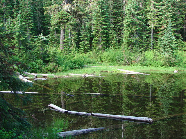
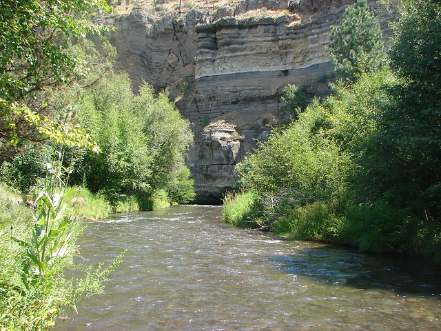
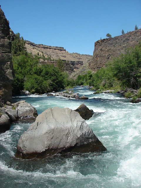
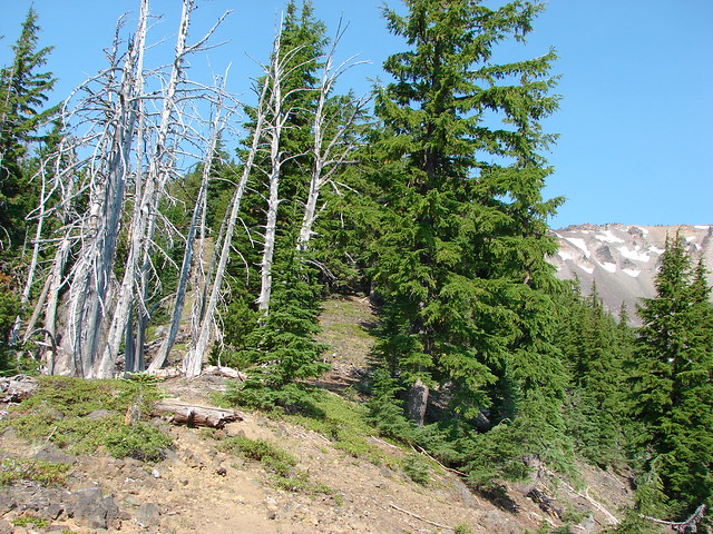
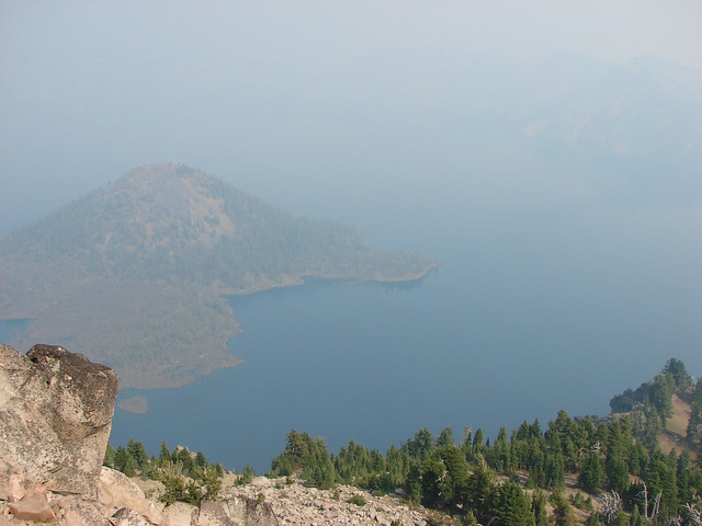
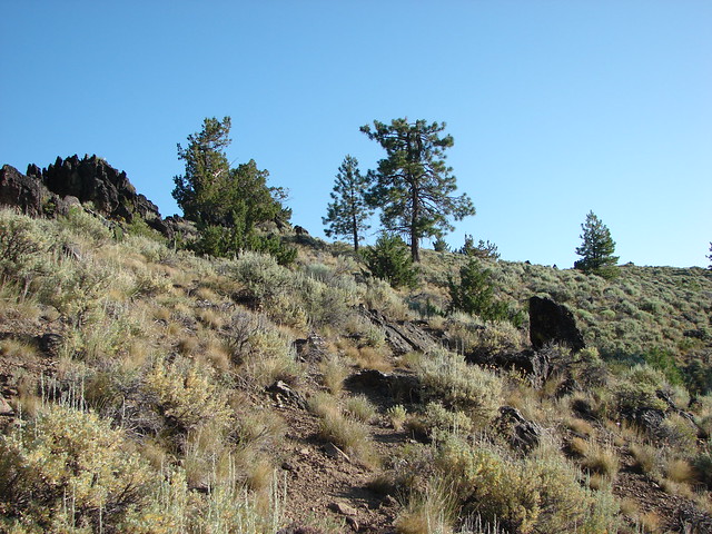
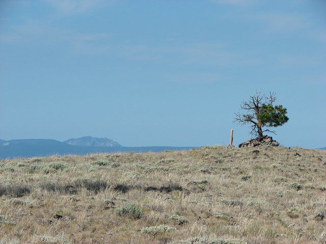
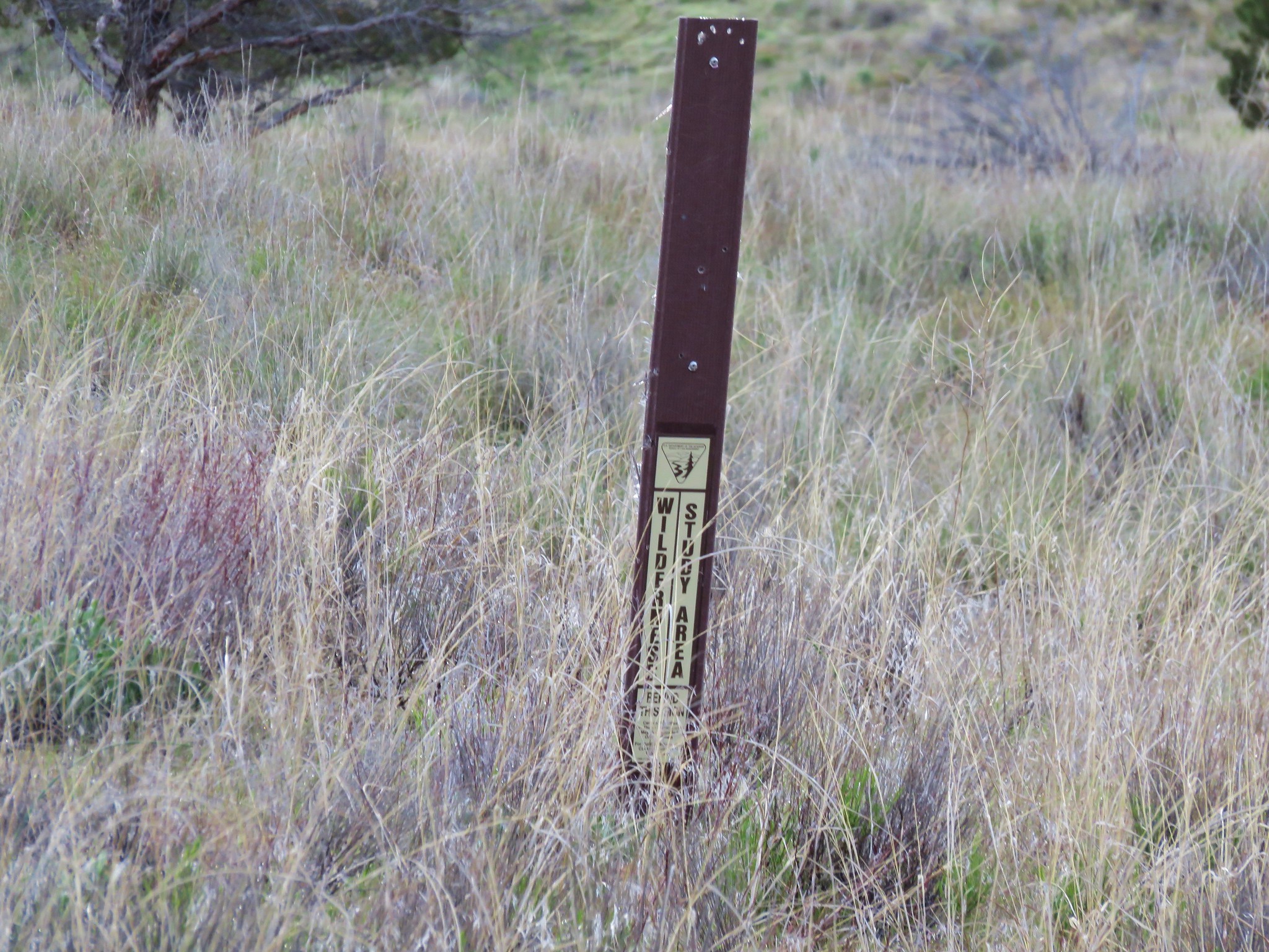
Designated a wilderness in 2009 the 6,404 acre Spring Basin Wilderness has no official trails but similar to nearby Sutton Mountain old jeep tracks and open terrain make exploring the area fairly easy. The wilderness is located south of Highway 218 across from the Clarno Unit.
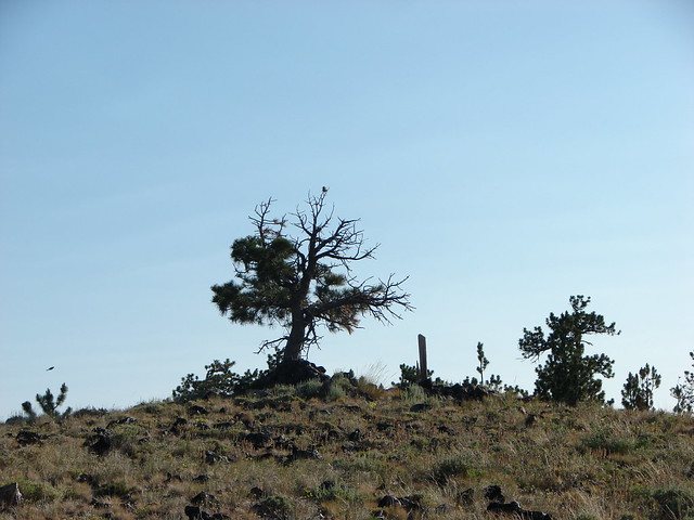
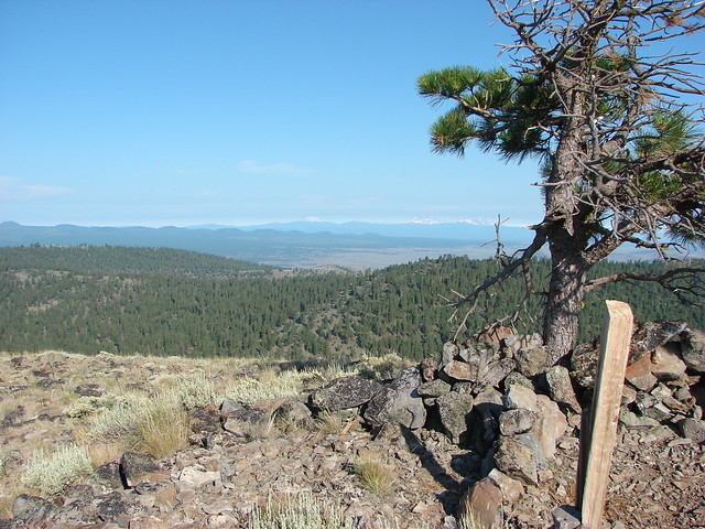
For our visit we were planning on following the route described in the Third Edition of William L. Sullivan’s “100 Hikes/Travel Guide Eastern Oregon” (Hike #18). From the Clarno Unit we drove back toward Clarno 1.9 miles and turned left onto gravel Clarno Rd. After 3.2 miles we parked on the left at a pullout near a lone juniper tree. An outdated wilderness sign declaring a wilderness study area indicated that we were at the correct spot.
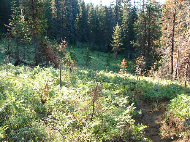
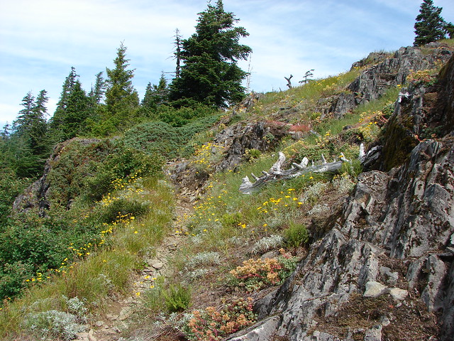
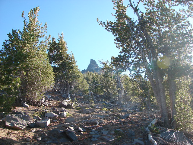
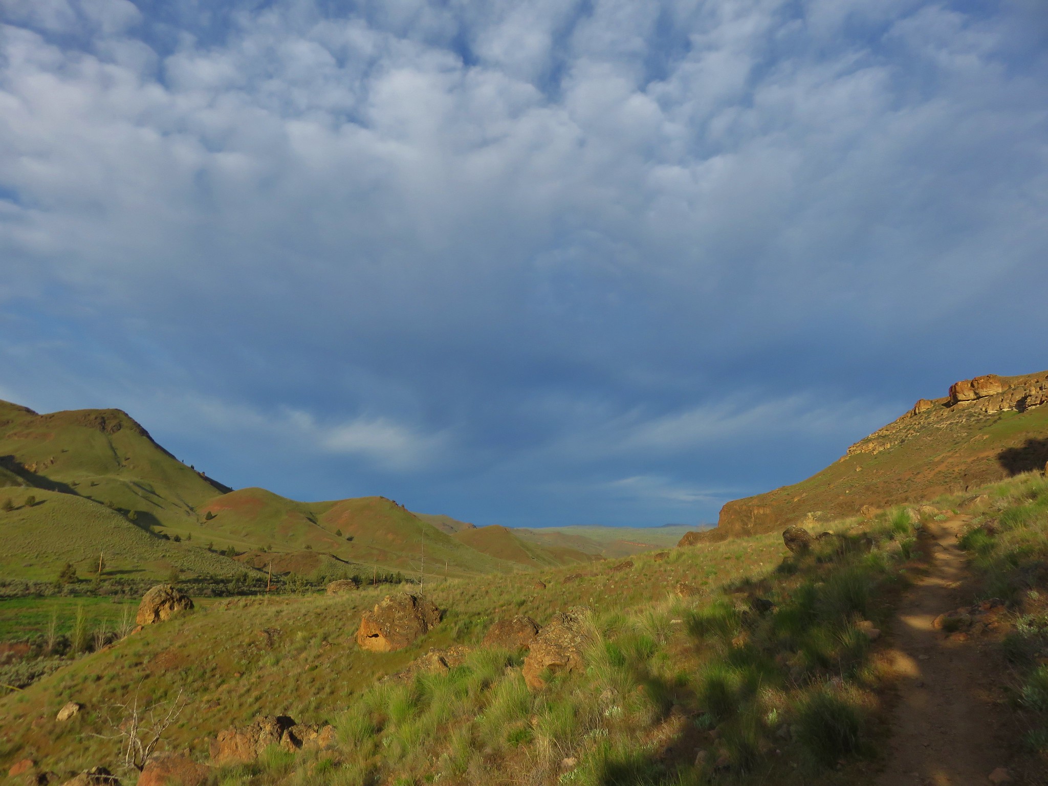
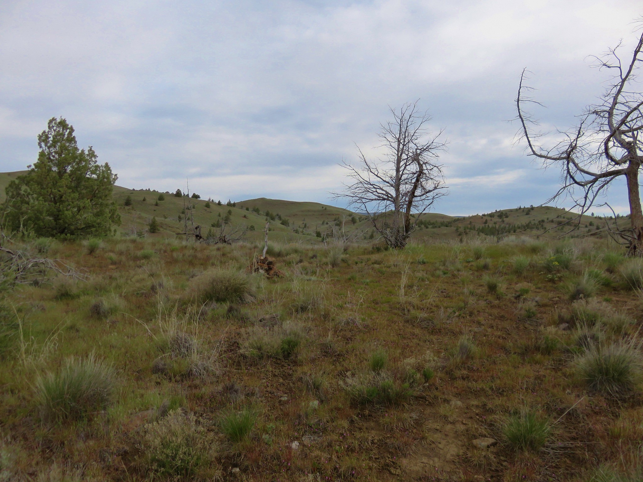
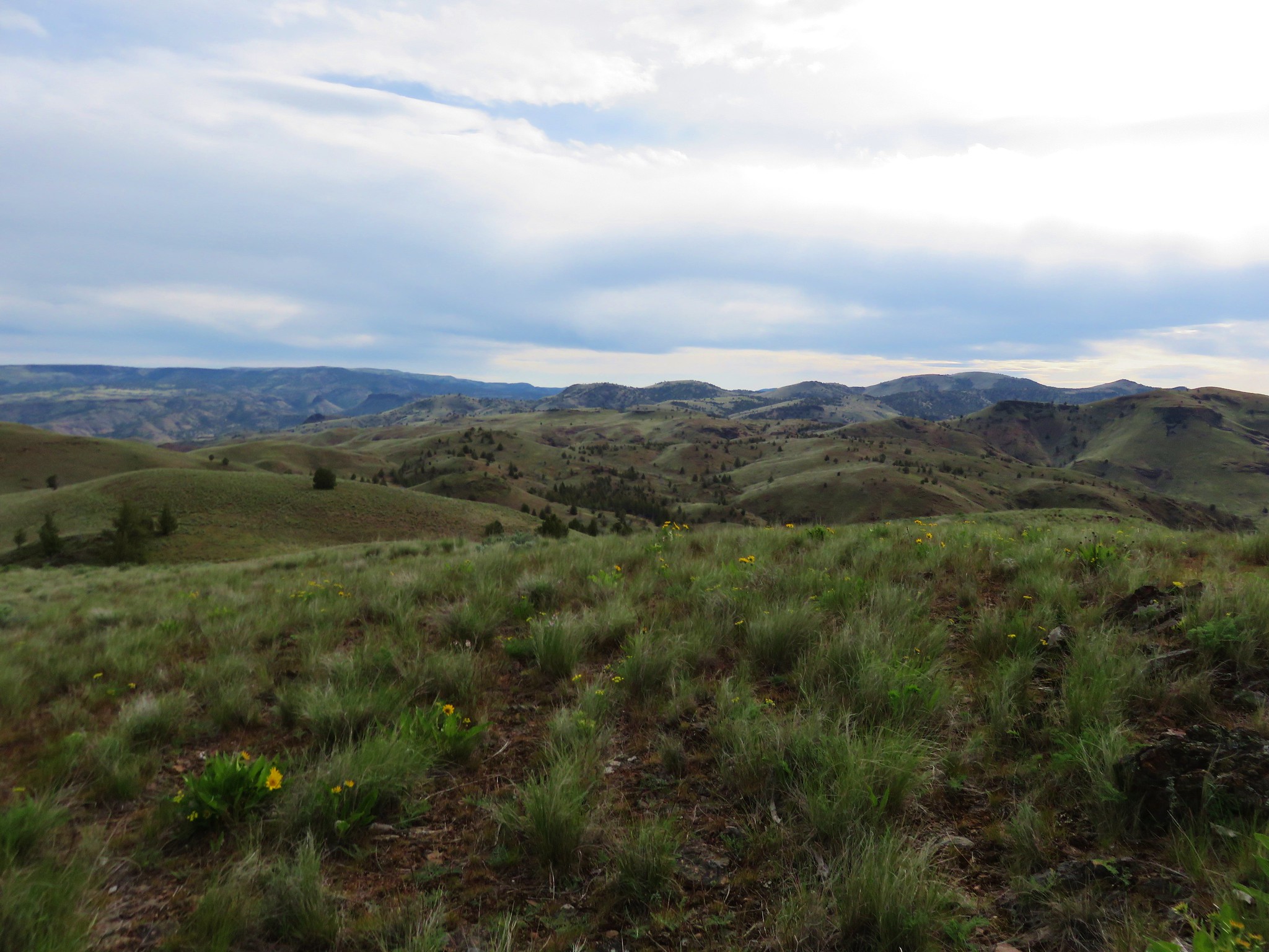
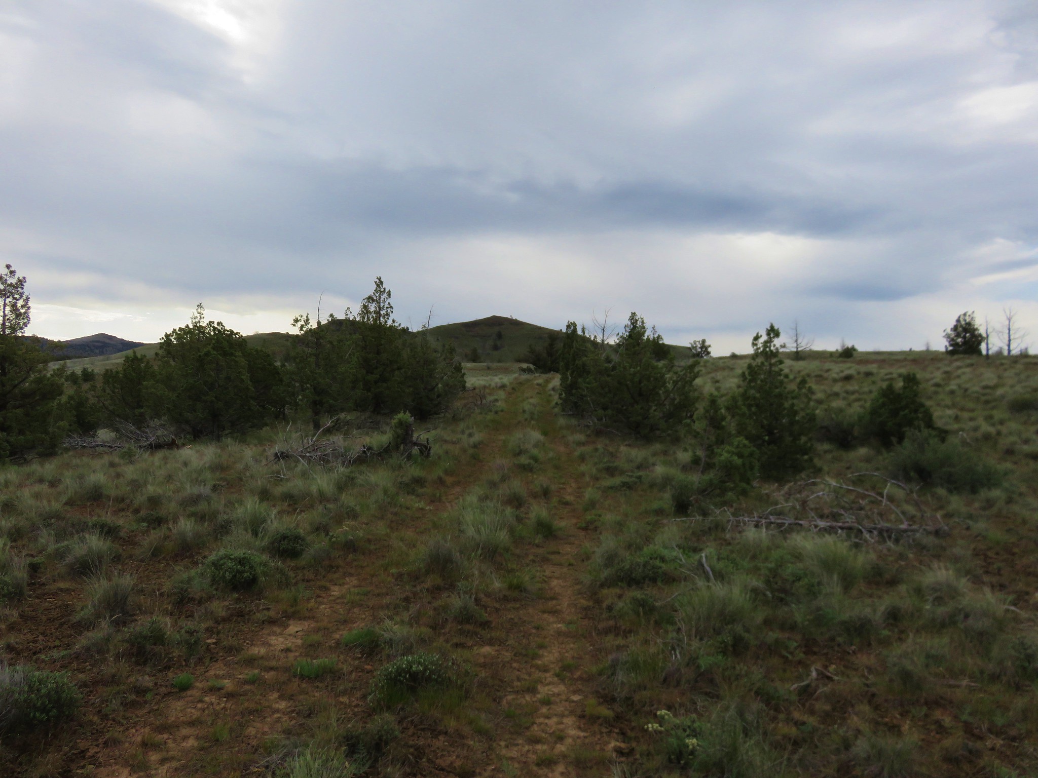
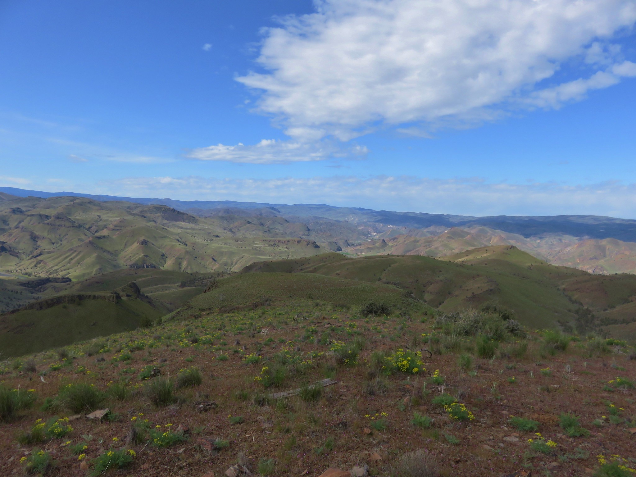
A faint but clear path led into the wilderness toward a draw on the horizon.
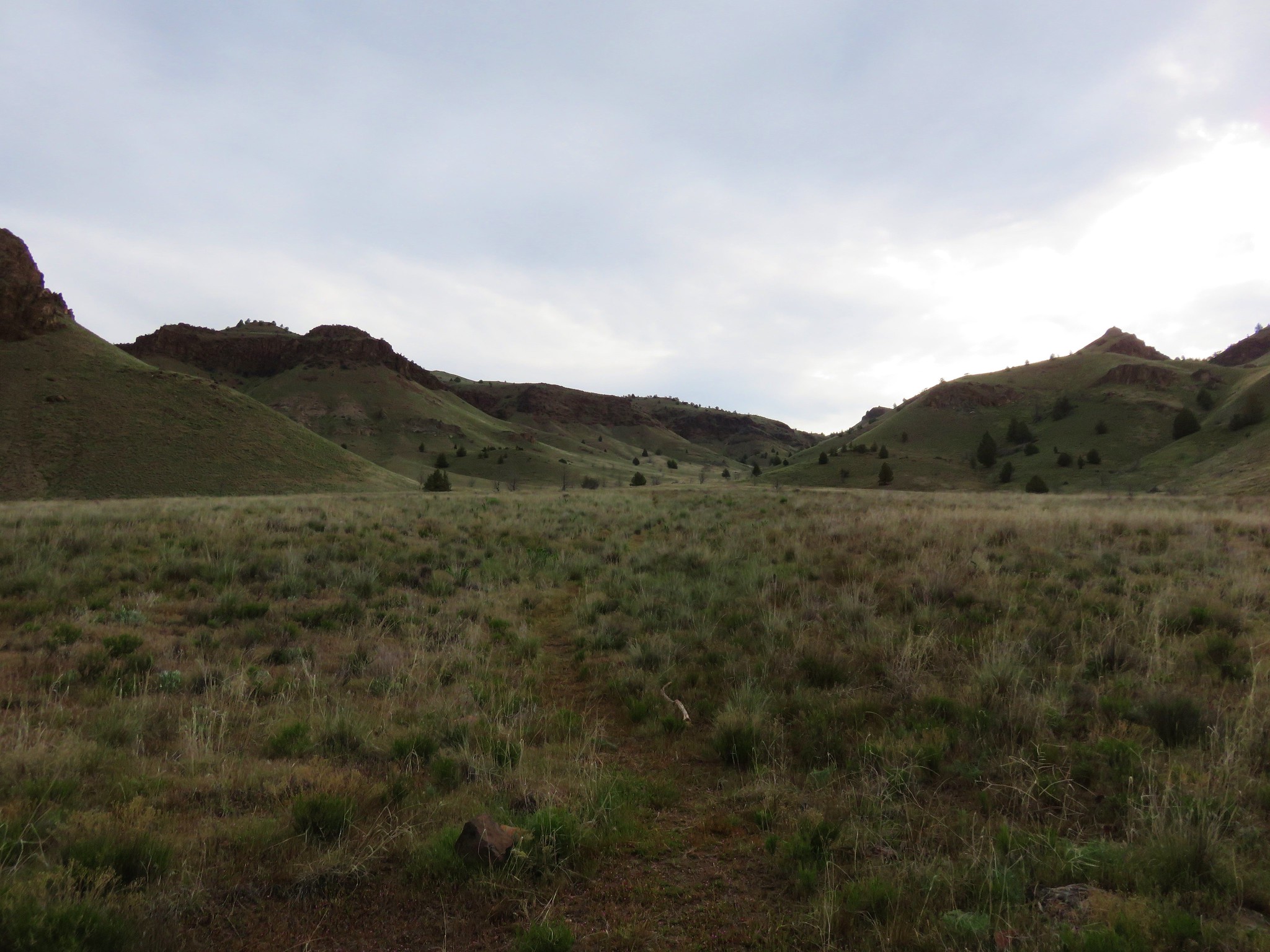
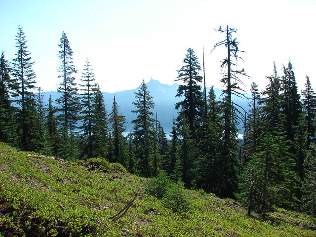
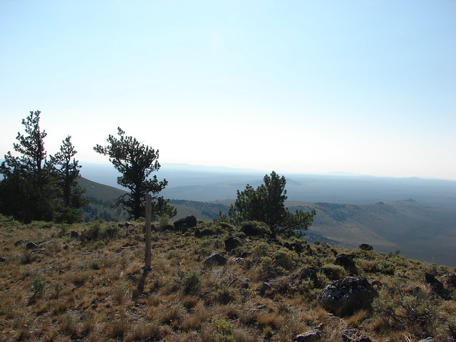
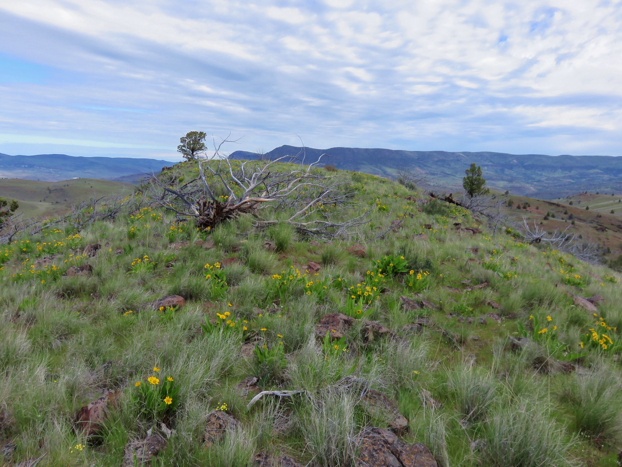
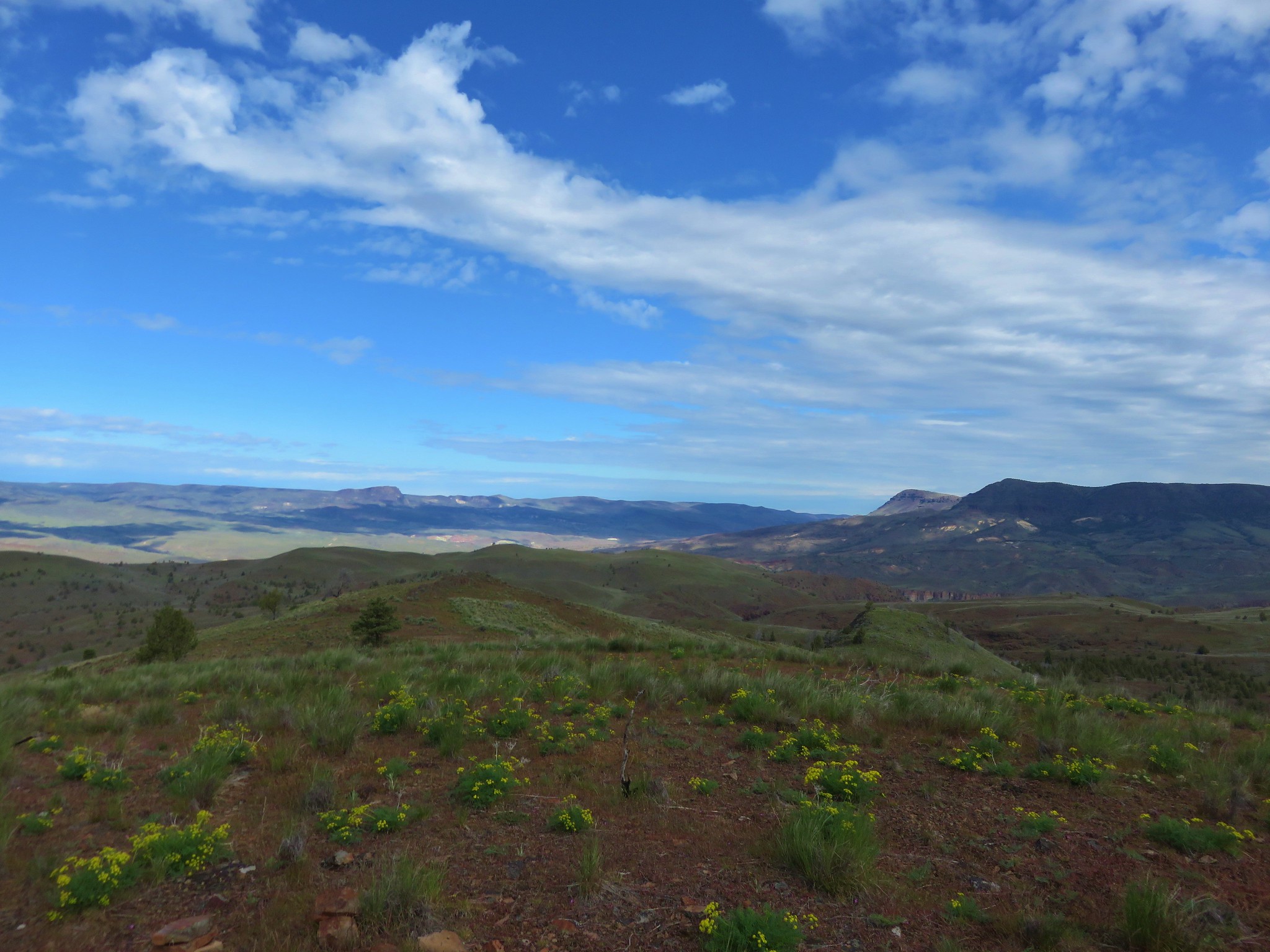
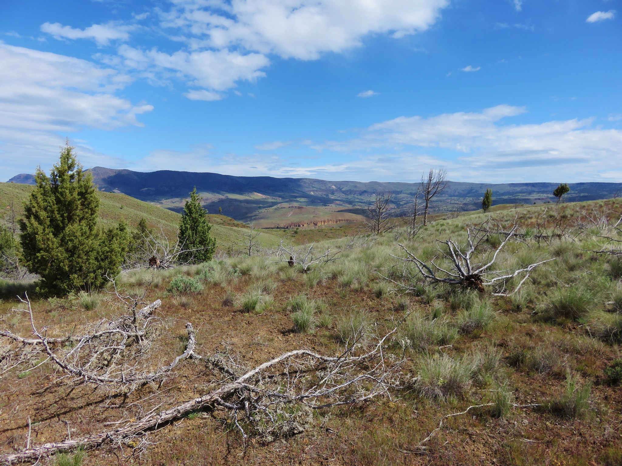
The views were dramatic from the start with jagged rock formation and green rolling hills.
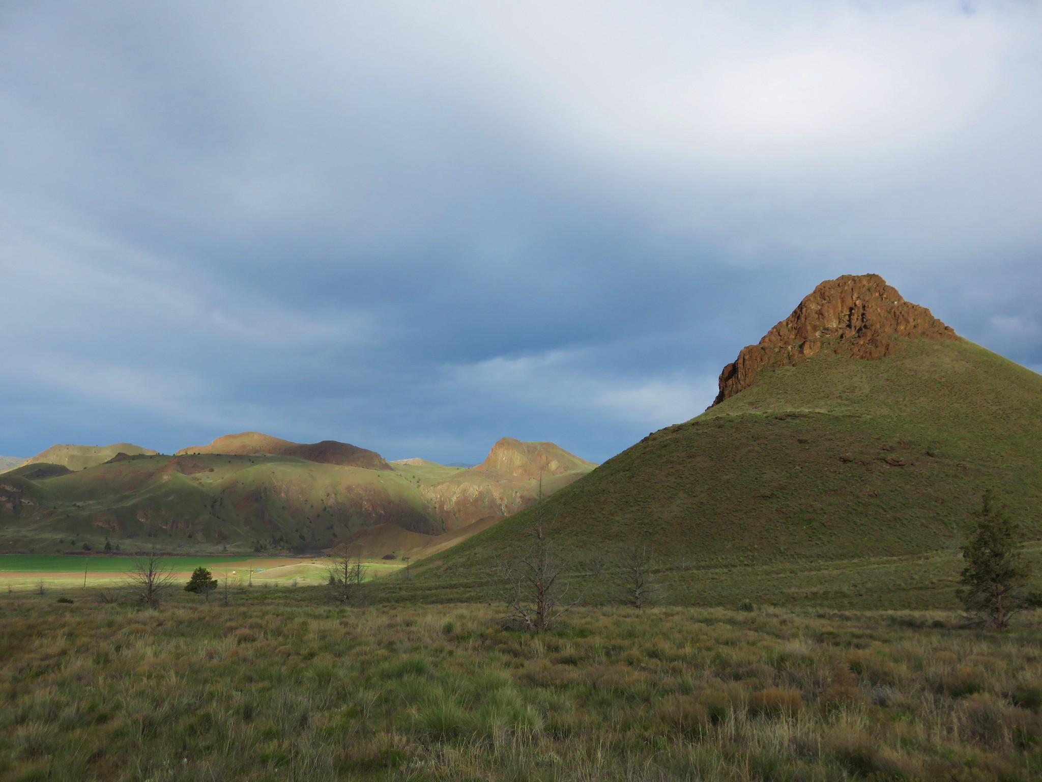
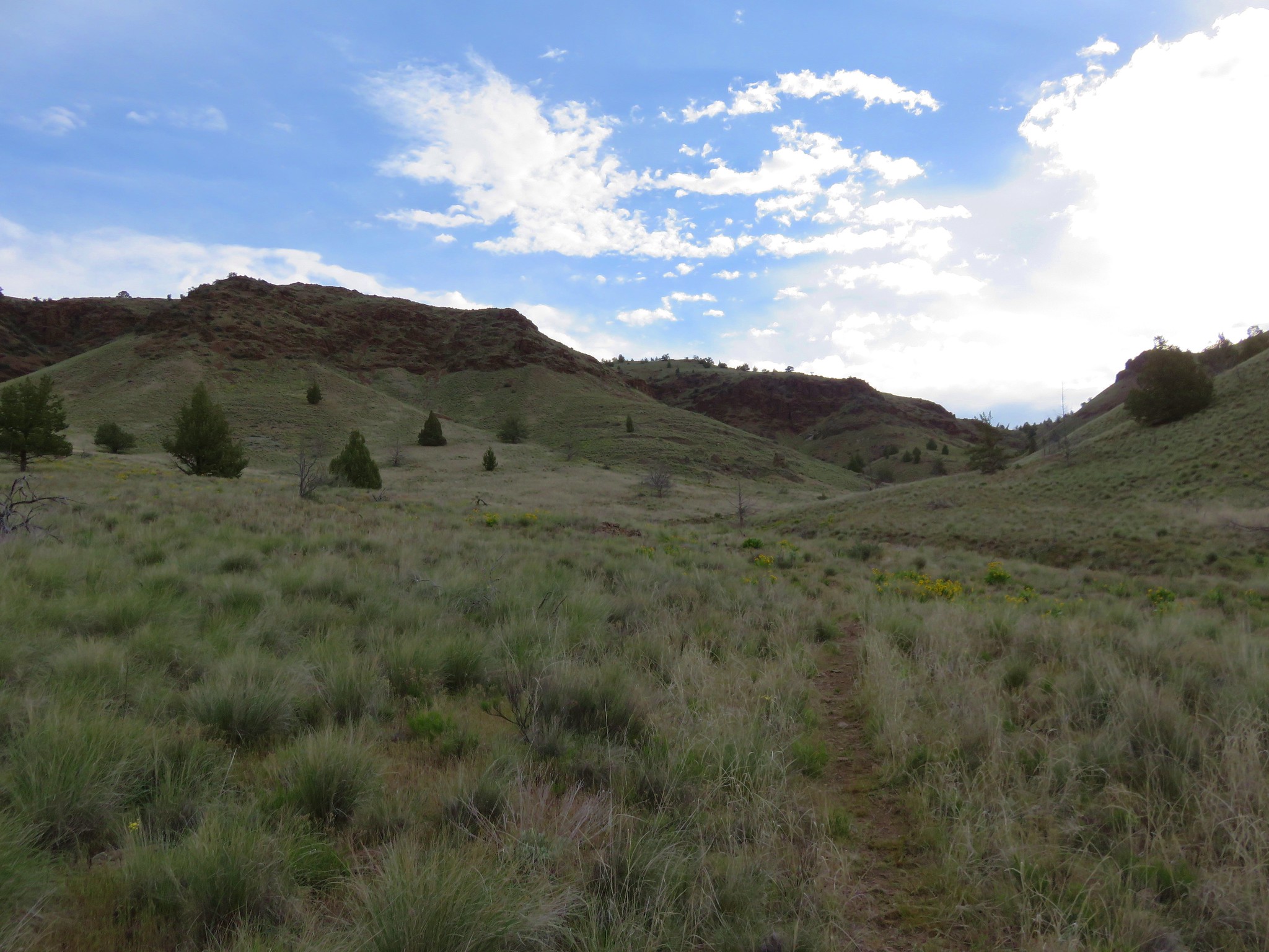
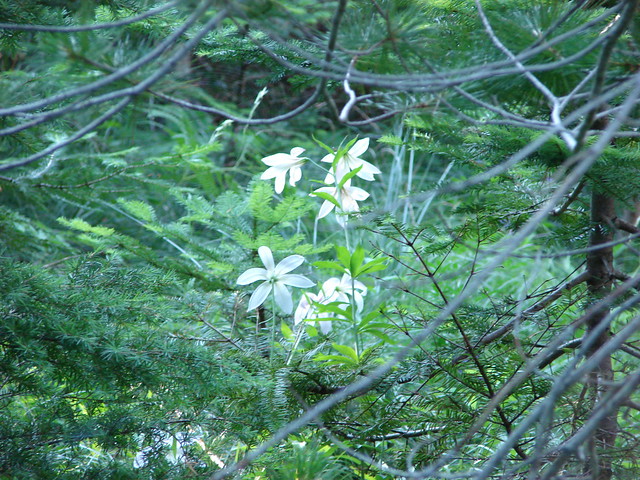
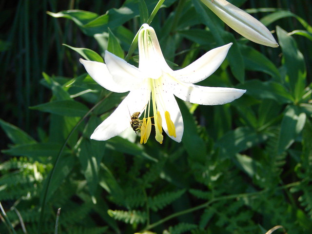
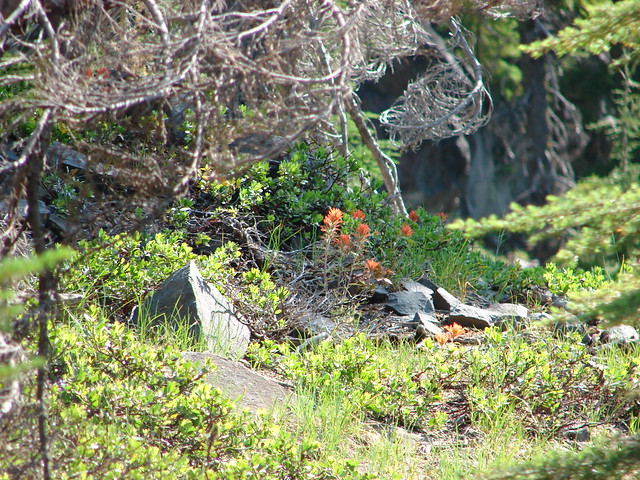
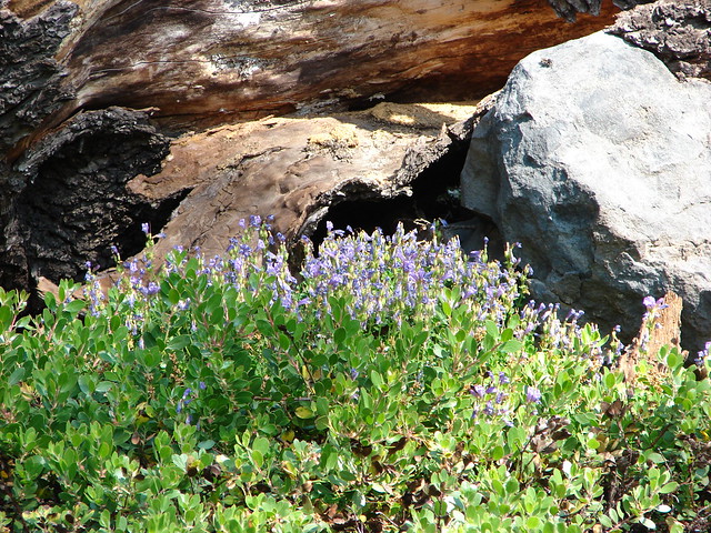
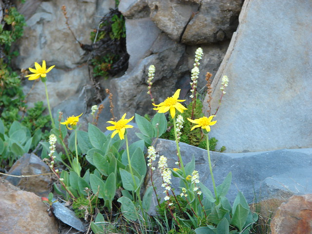
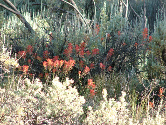
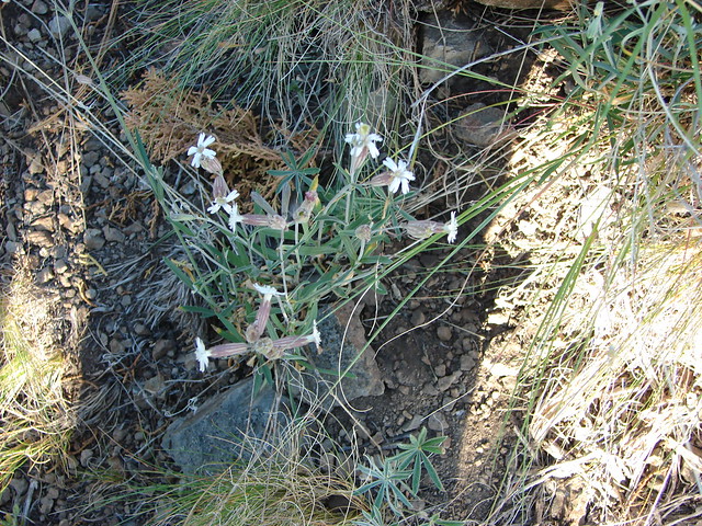
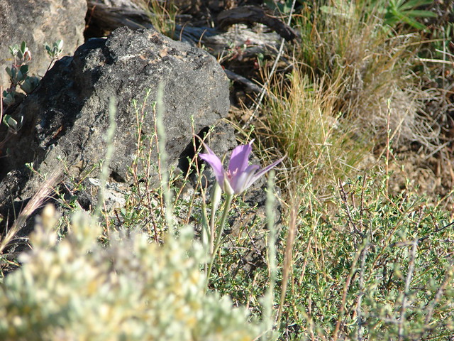
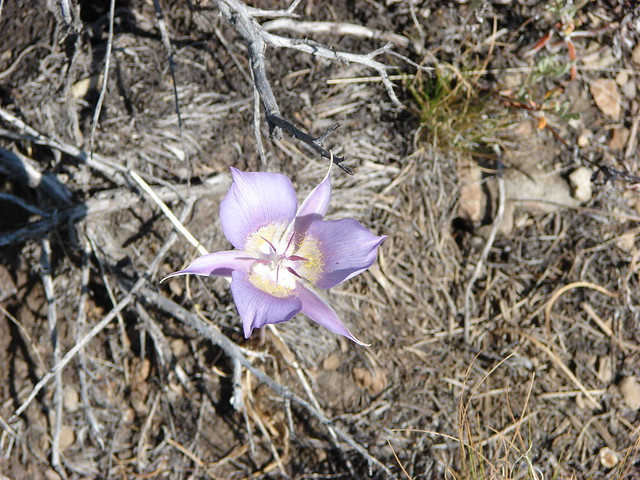
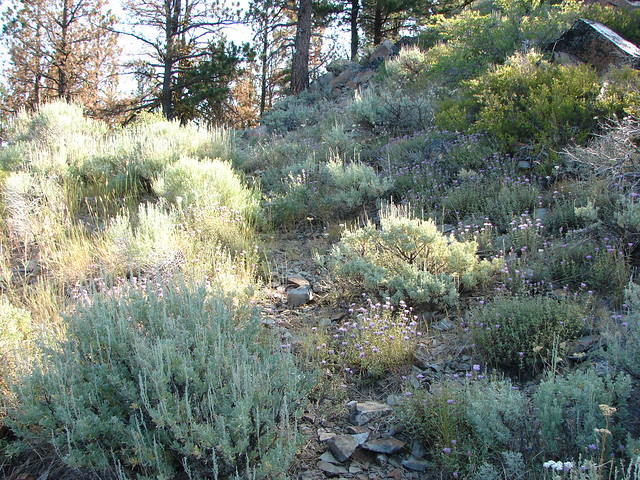
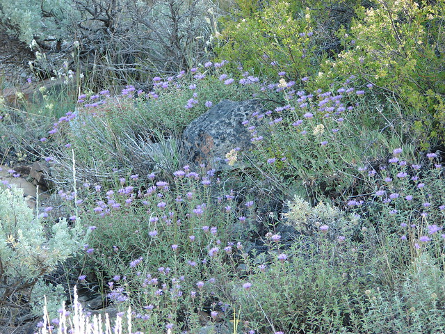
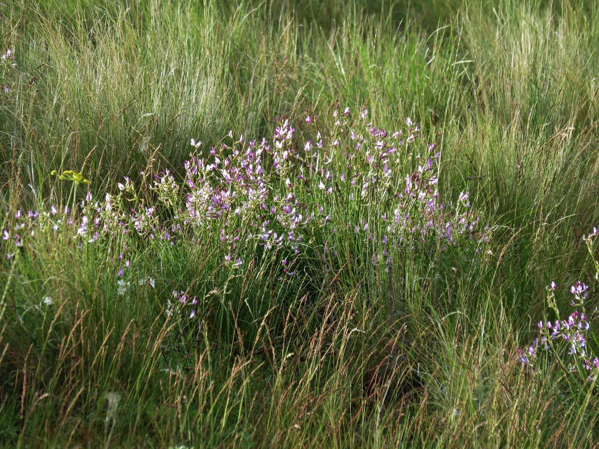
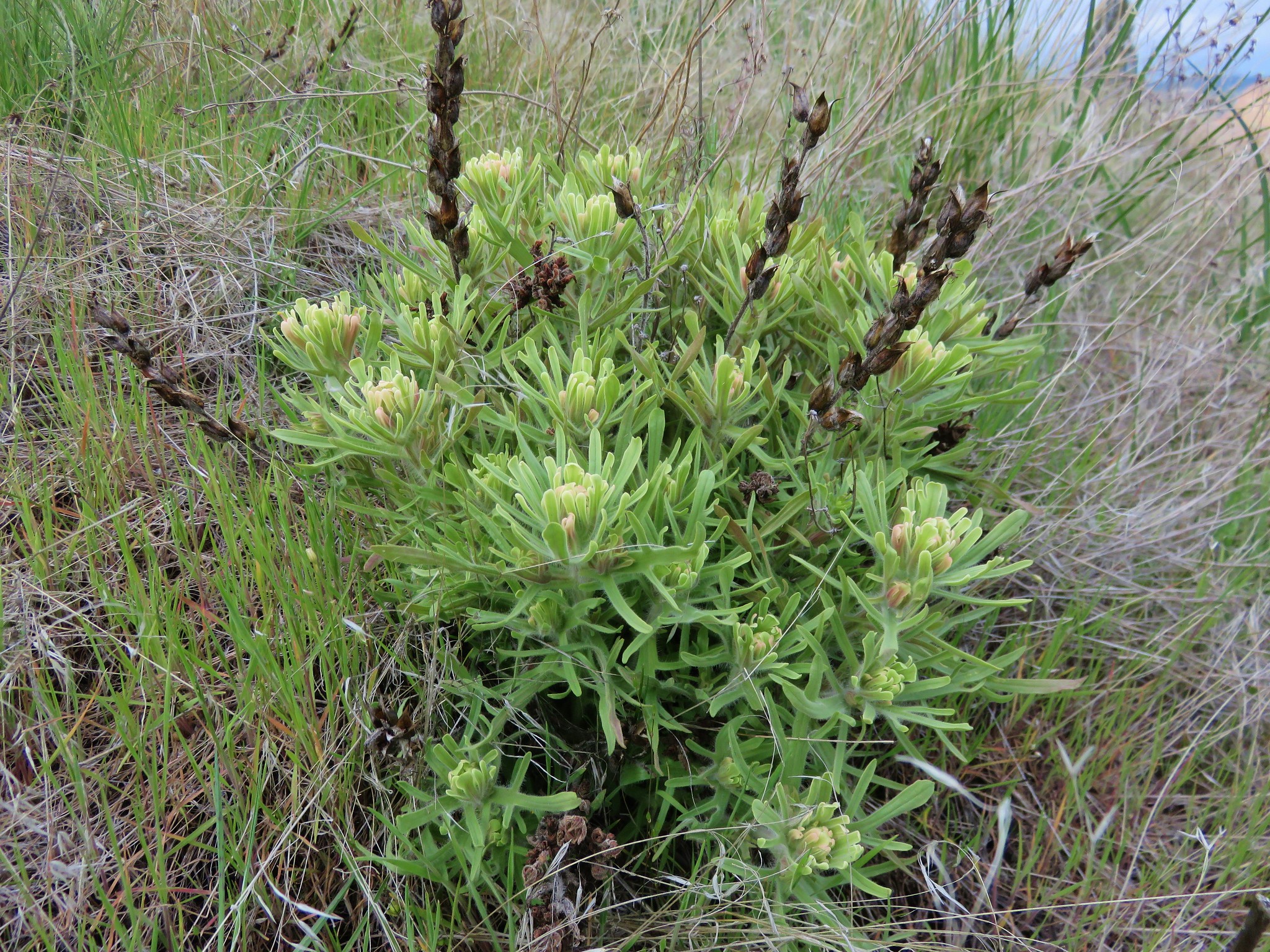
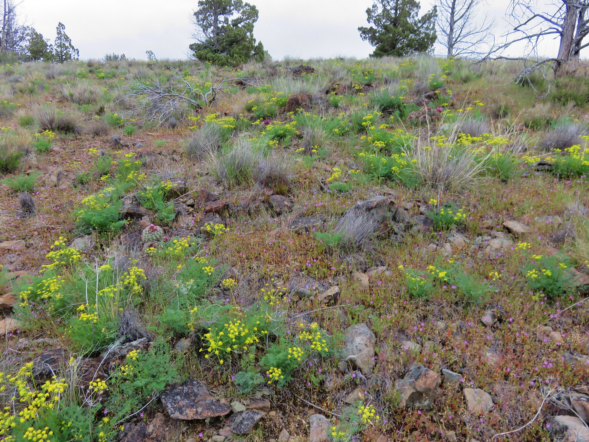
The path led us up into the draw passing a number of different types of wildflowers.
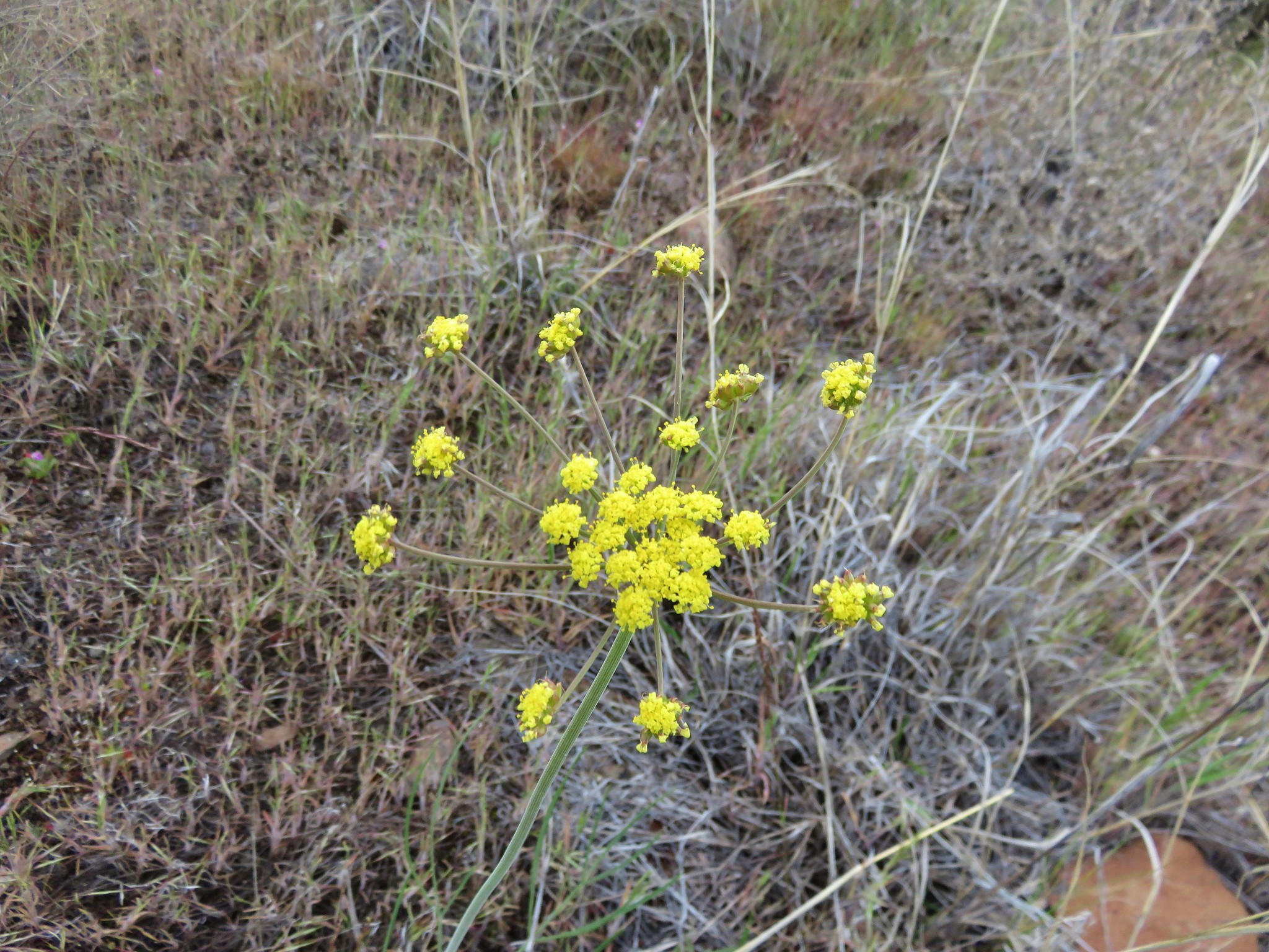
Biscuitroot
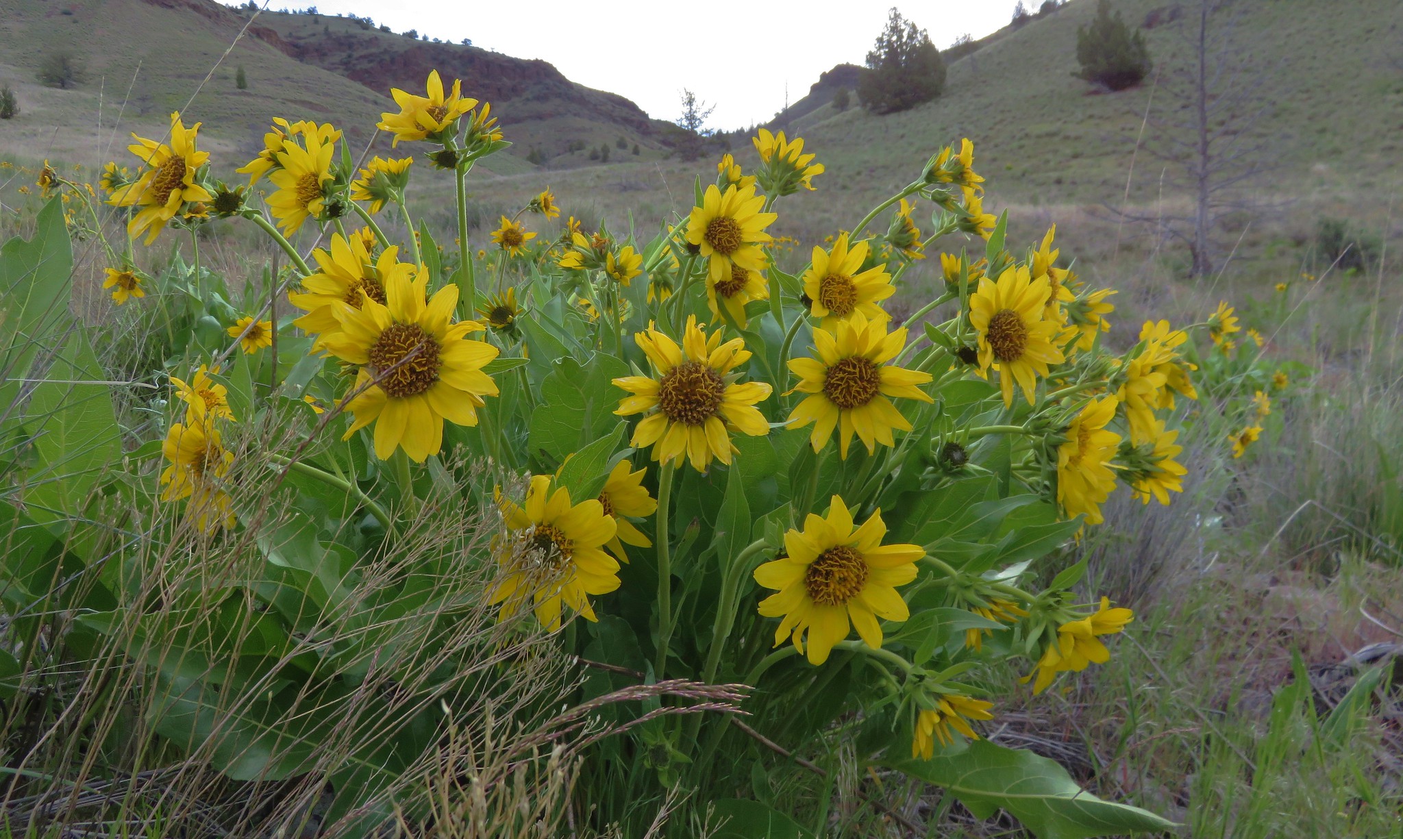
Balsamroot
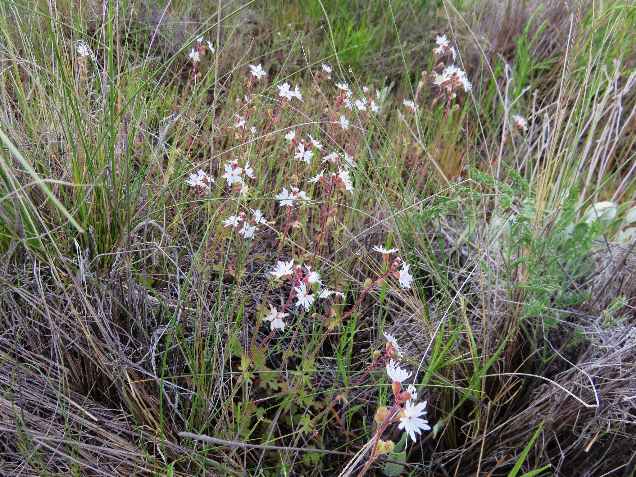
Prairie stars
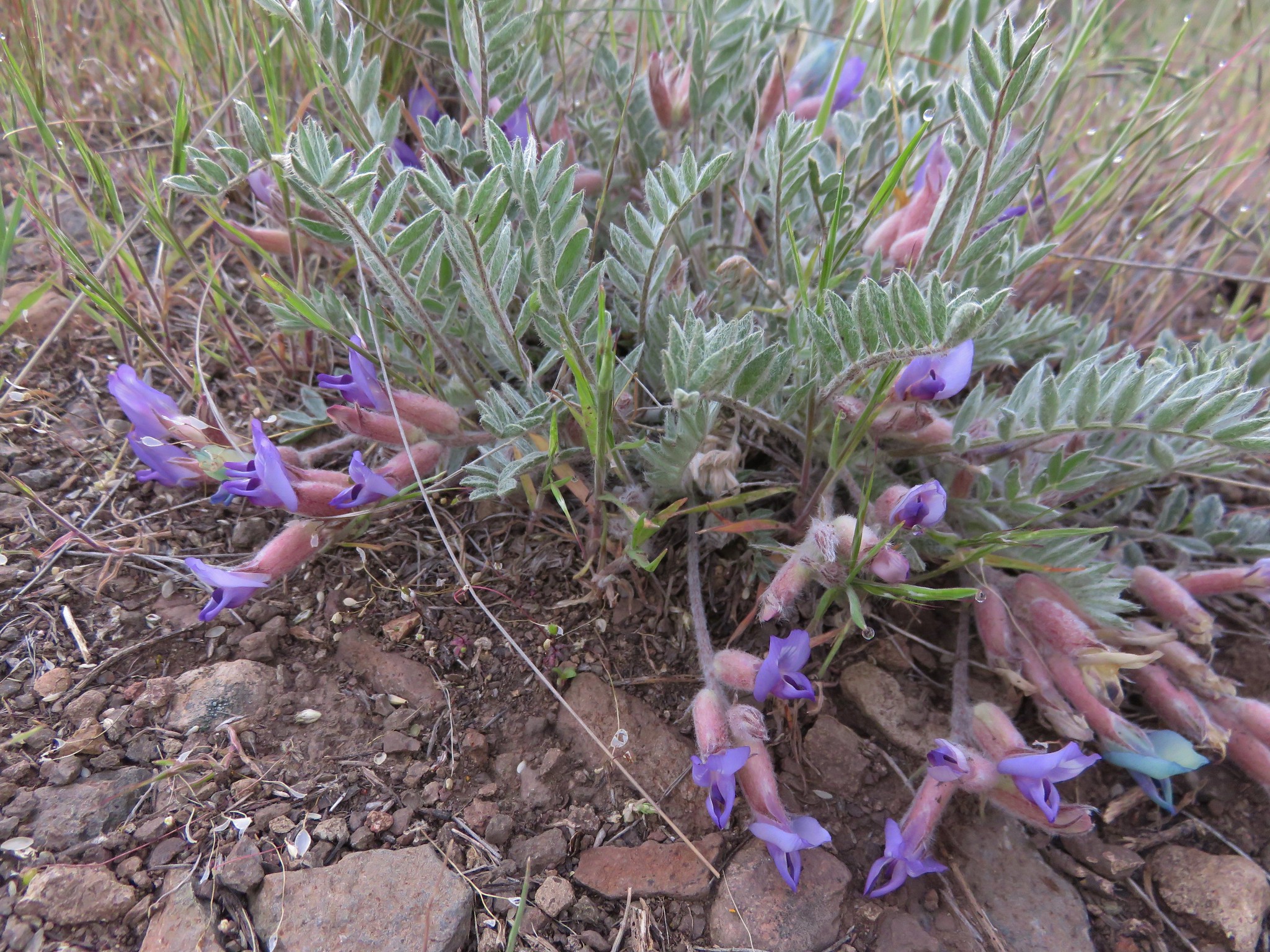
Balloon pod milkvetch
Another type of milkvetch
Paintbrush
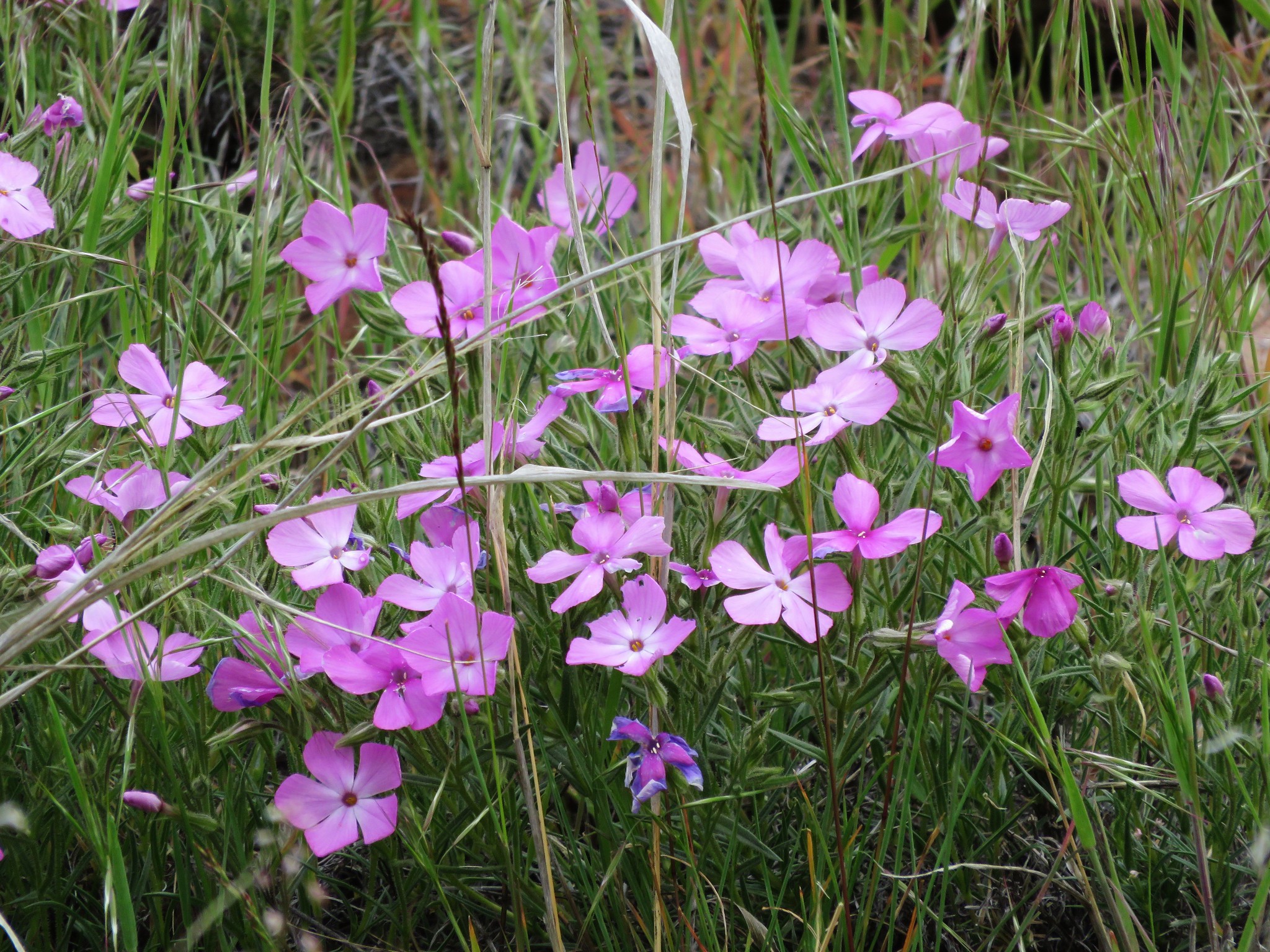
Phlox
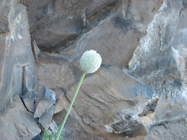
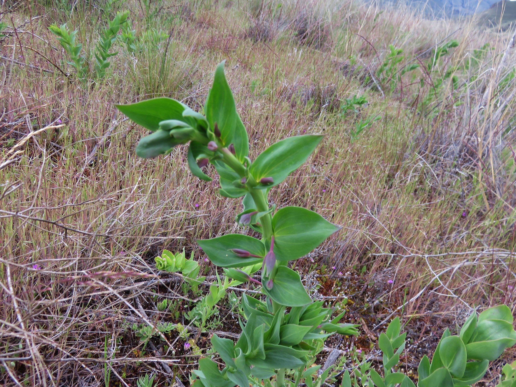
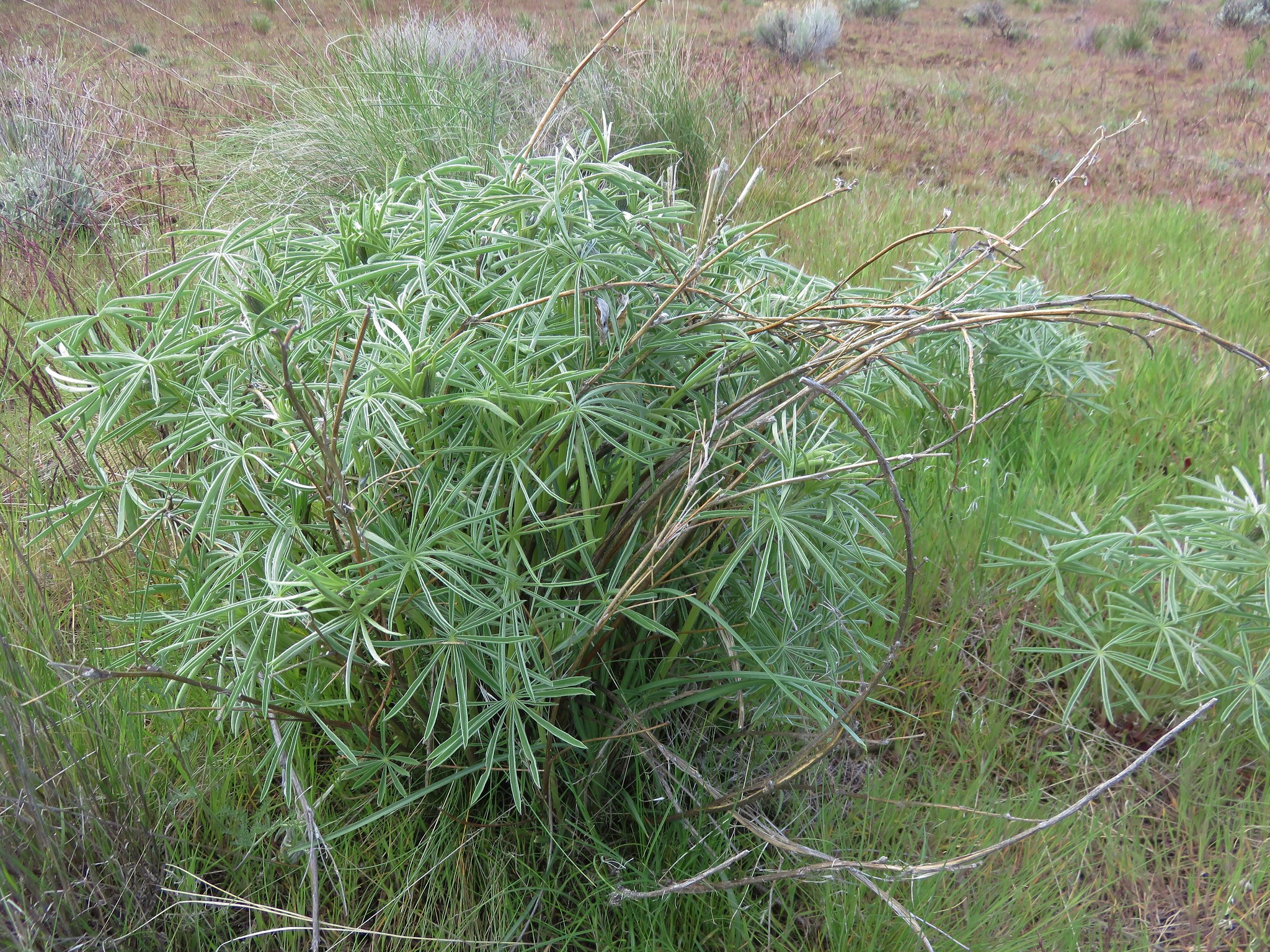
There was one flower that had not yet started to bloom that we had never seen before and we still aren’t sure what it was.
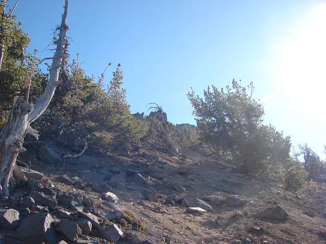
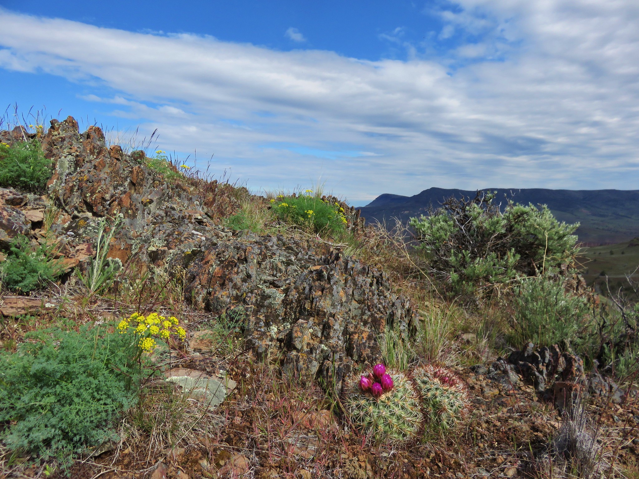
After 1.3 miles the path reached a ridge top junction with an old jeep track marked by a rock cairn.
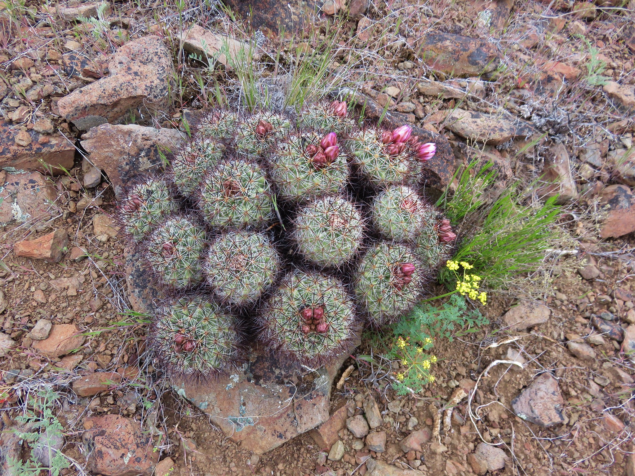
Near the junction we spotted the first of many hedgehog cactus.
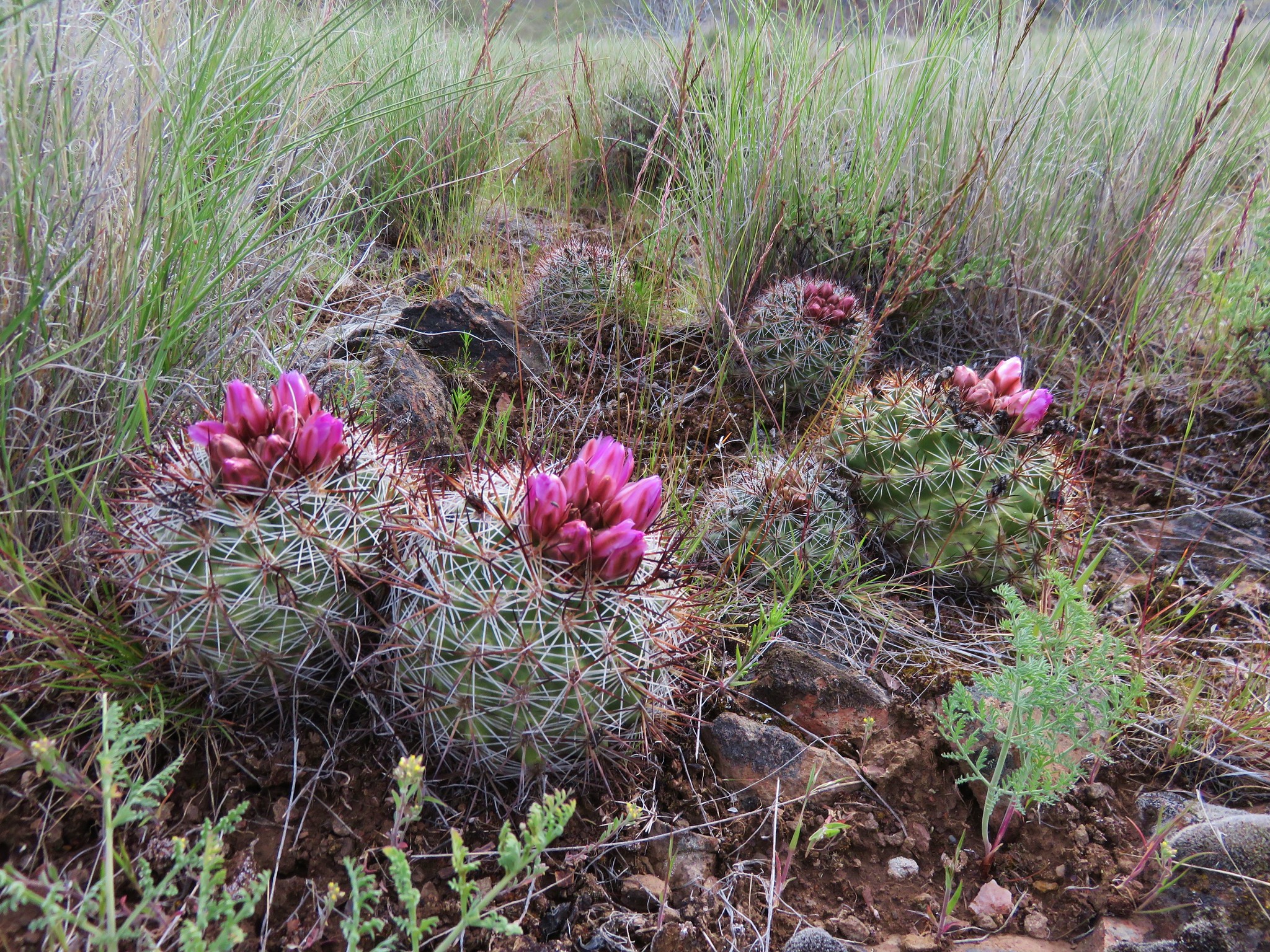
None of the blossoms were open and we mistakenly thought we were a week or so too early to see them in full bloom. As we would discover later the blossoms would open to the Sun later in the day.
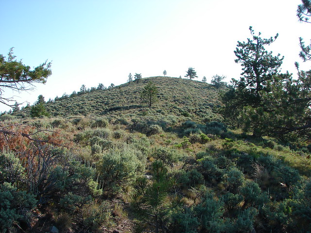
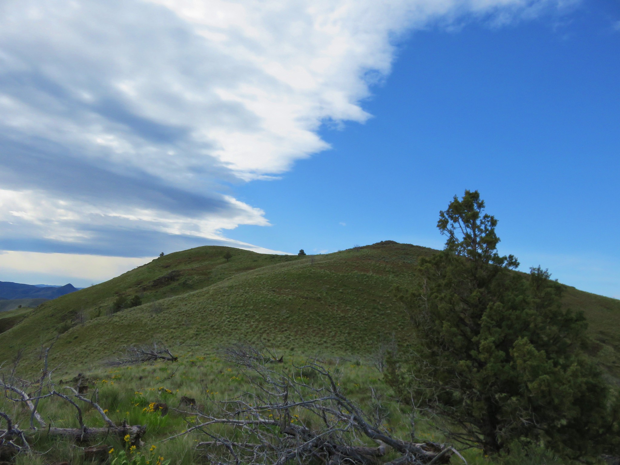
We turned left onto the jeep track and headed toward a knoll on the horizon.
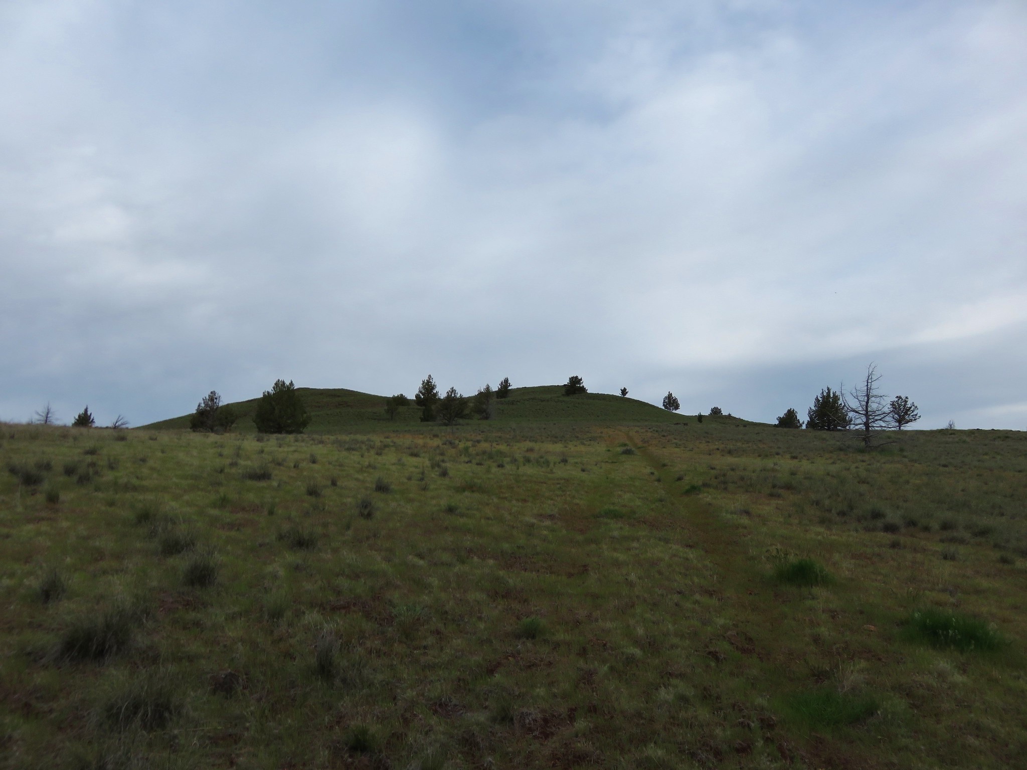
We followed the track around the side of the knoll then turned uphill and went cross country to the summit marked by another cairn.
Our goal, Horse Mountain, was slightly southeast of the knoll.
To reach the summit of that mountain without having to lose and regain too much elevation Sullivan’s route called for a .9 mile cross country route due east through a juniper grove then up a draw to find the jeep track once again on the ridge line.
We surveyed the landscape and picked out the juniper grove before heading back down the knoll to the jeep track.
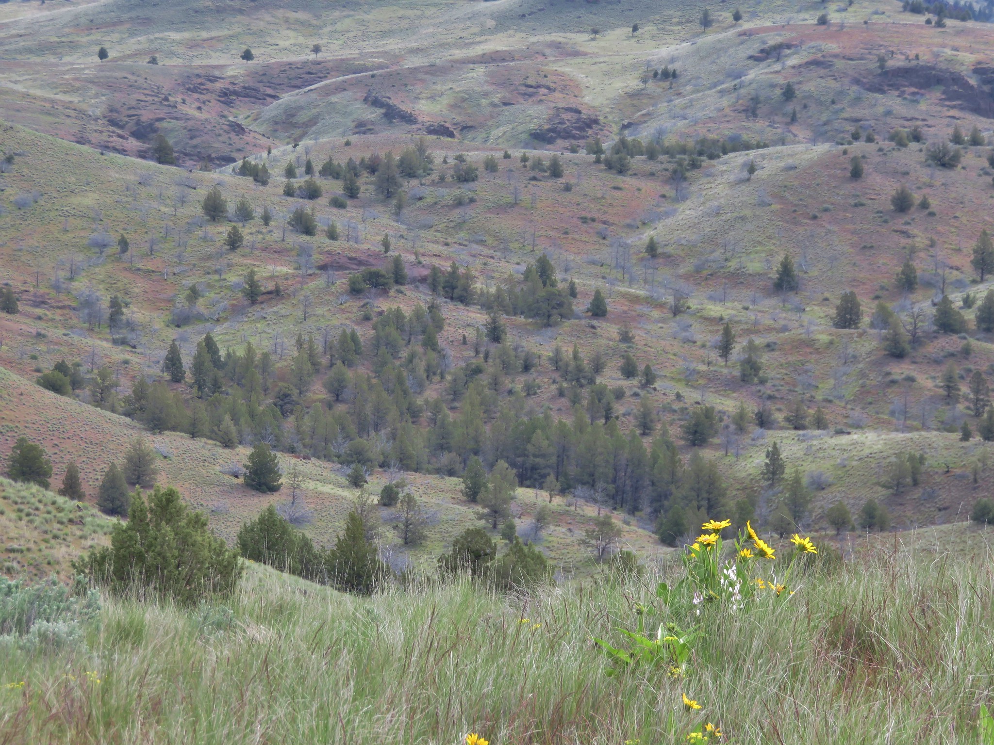
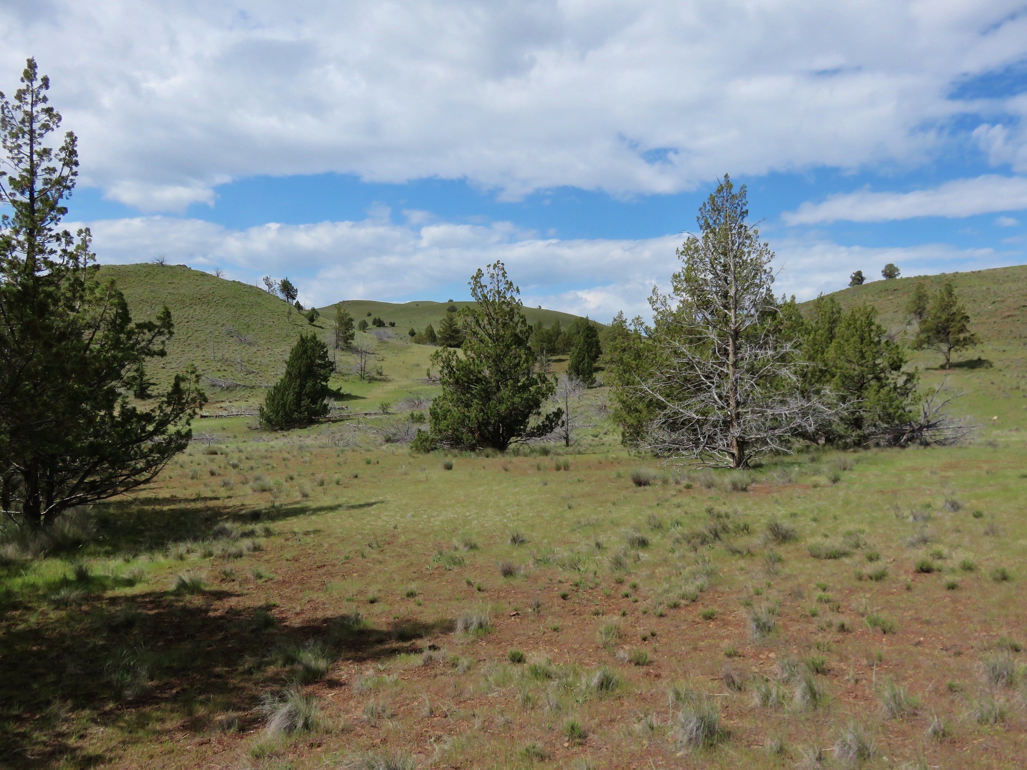
We followed the jeep track north a short distance to a low point then descended into a draw and headed for the grove. The initial descent was a little steeper than it had appeared from the knoll but it was not a problem and we made it to the junipers without any difficulty.
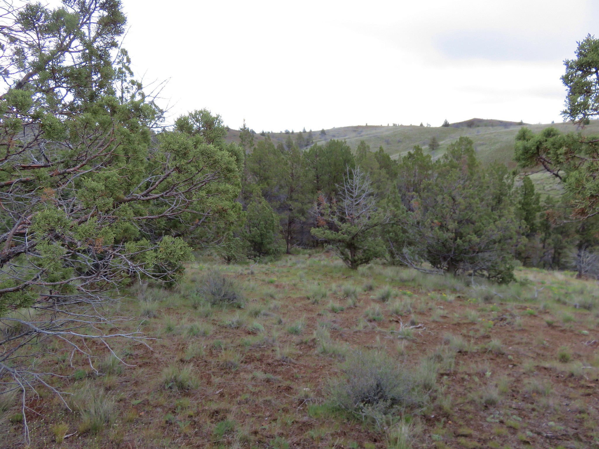
From the grove we climbed up the draw we’d seen to the jeep track and turned right toward Horse Mountain.
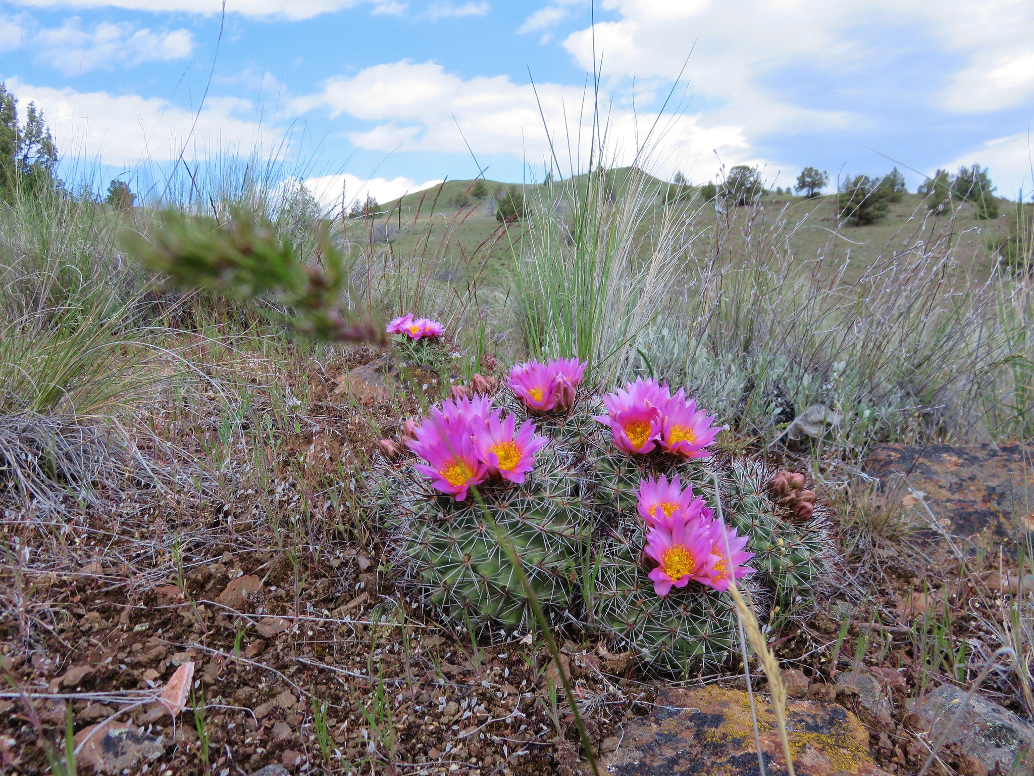
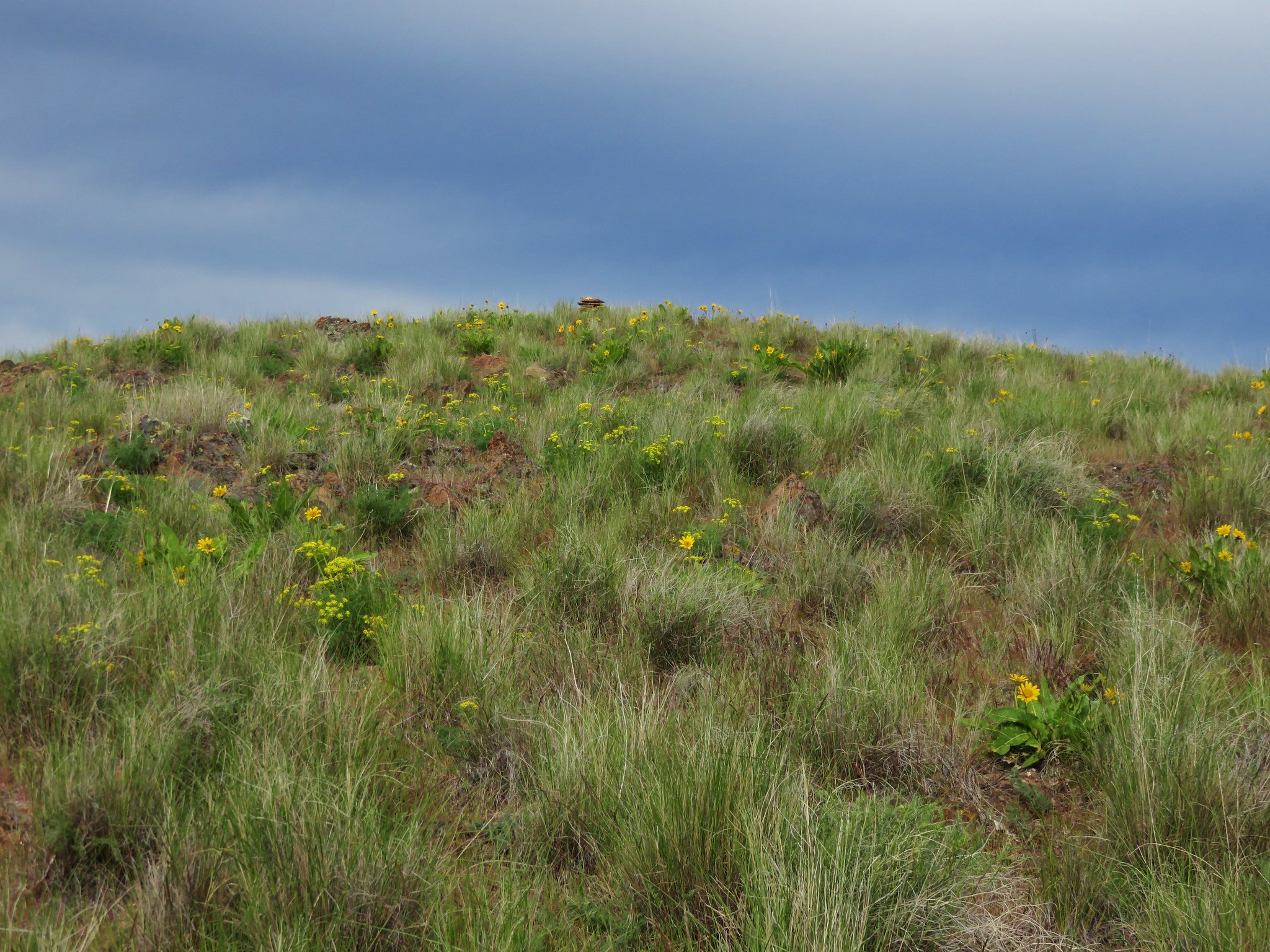
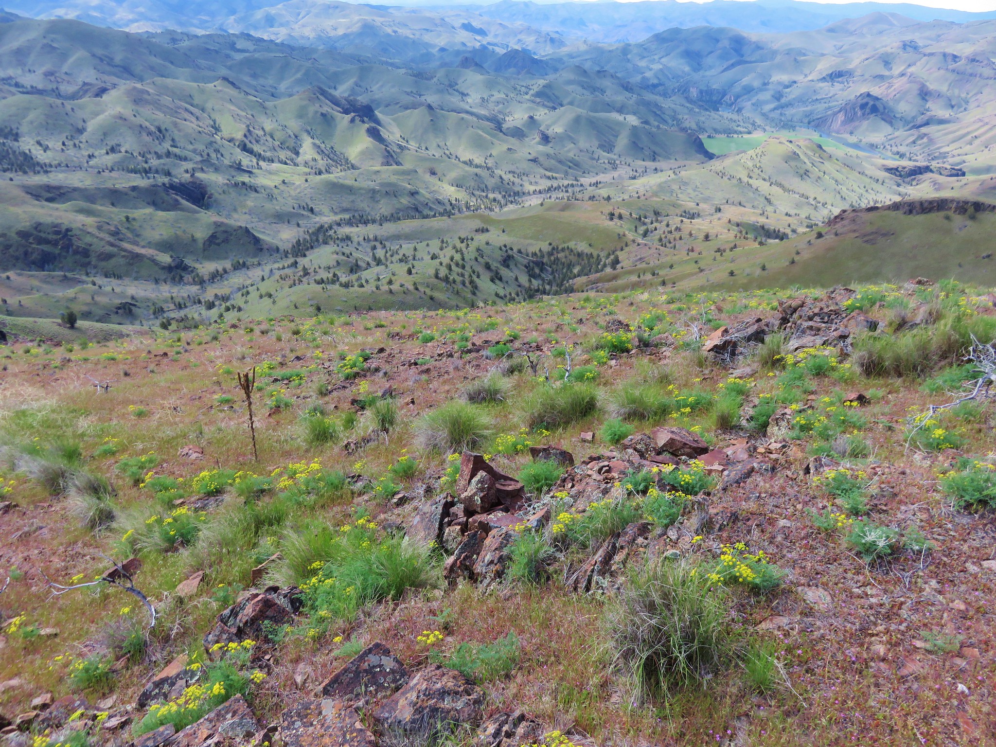
On the ridge we found more hedgehog cactus amid other many other wildflowers.
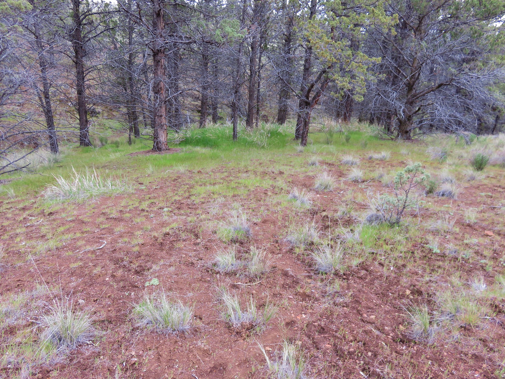
We stuck to the jeep track for approximately 3/4 of a mile then veered off toward Horse Mountain when the track turned left amid more junipers.
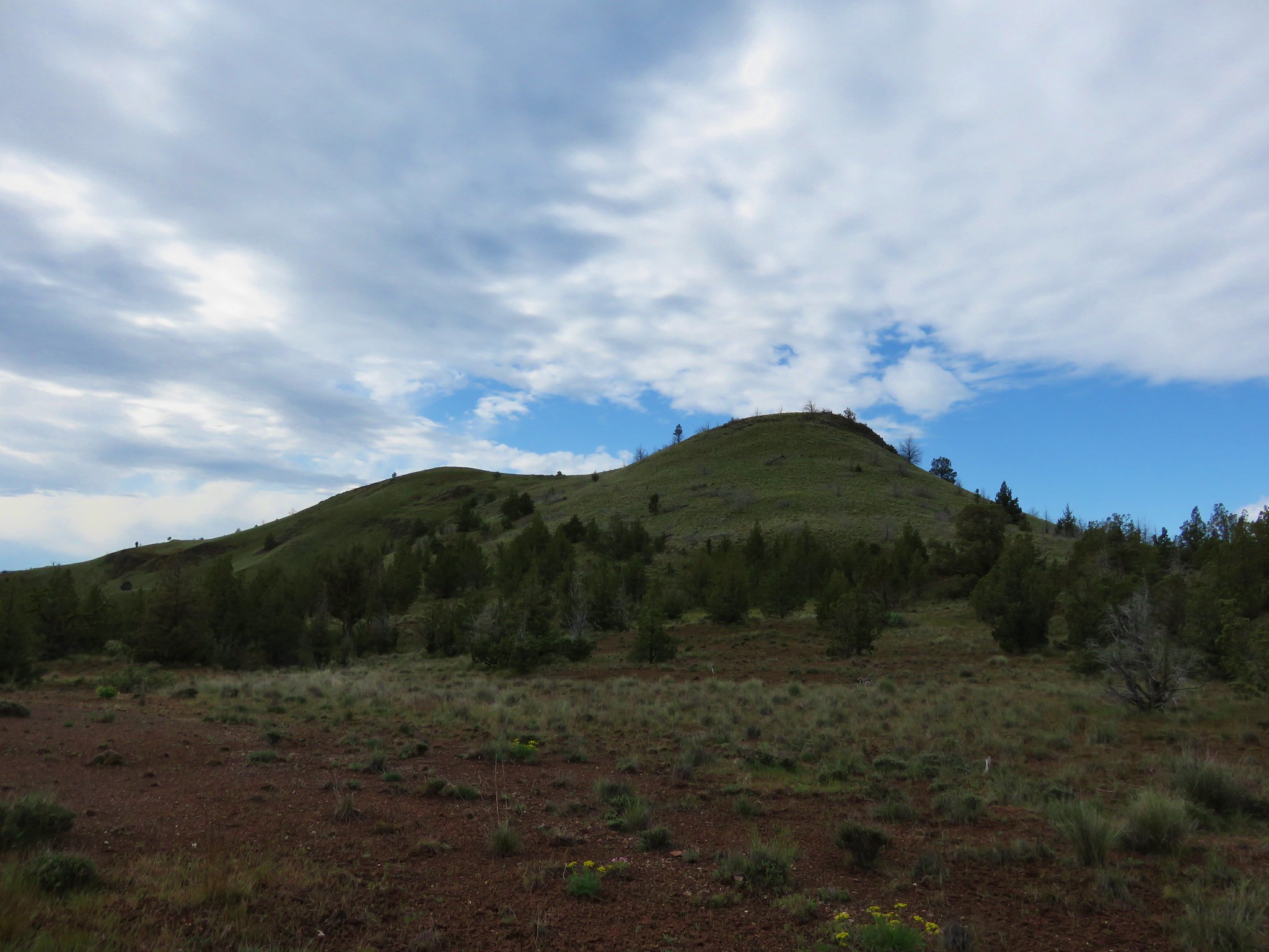
Our initial plan was to sidehill up to a saddle along Horse Mountain but we found it was actually easier to head directly uphill so we wound up gaining the ridge near it’s western end which was dotted with balsamroot.
We then followed the ridge up to the summit of Horse Mountain.
Along the way we passed a lone daggerpod in bloom,some lupine plants that were just beginning to show buds, and more hedgehog cactus.
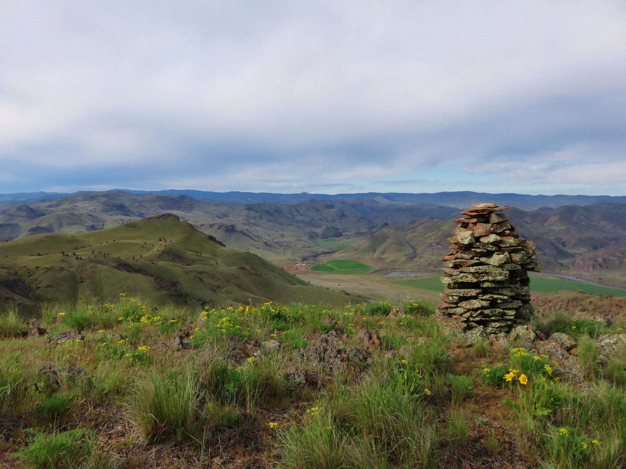
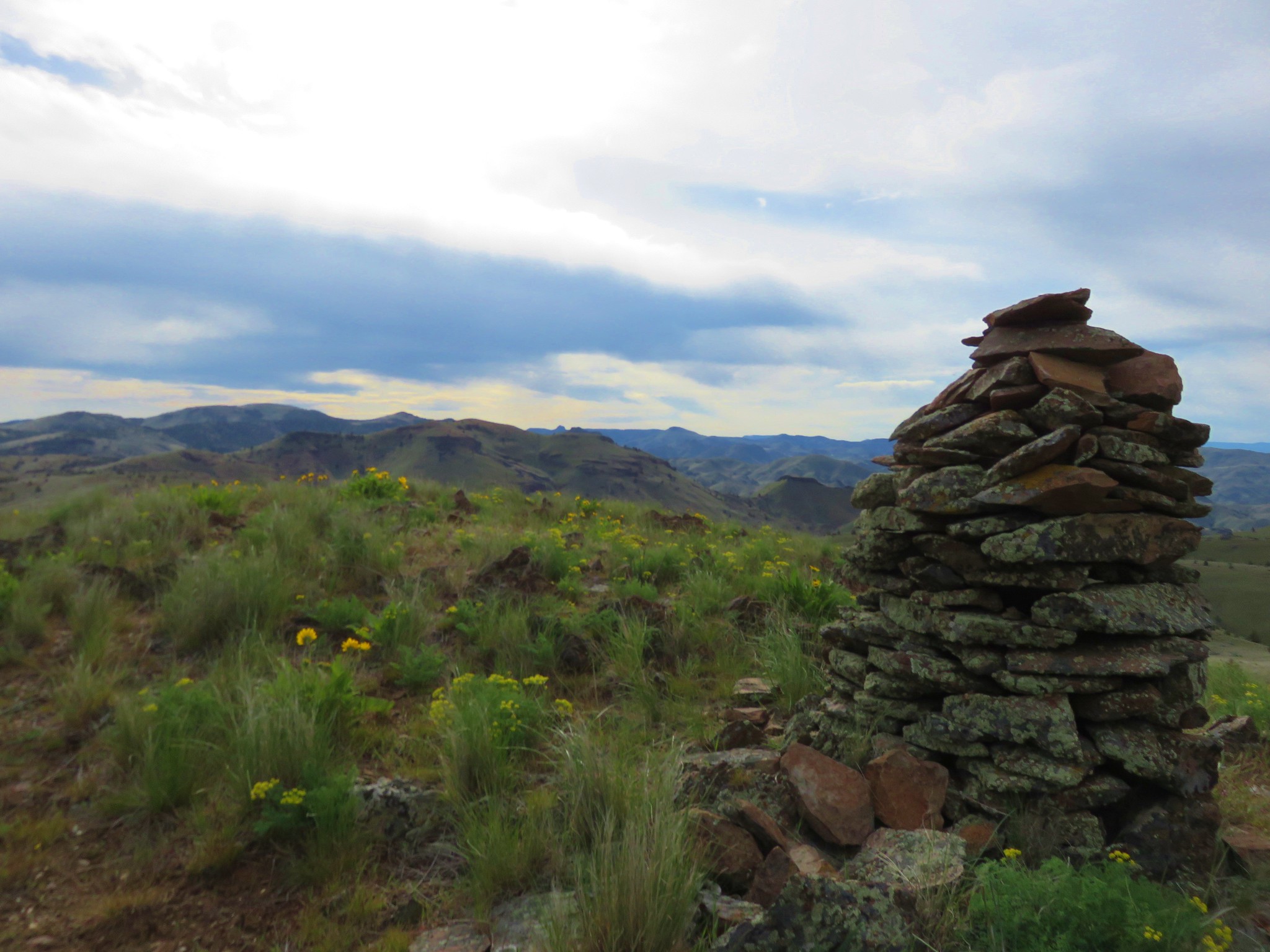
A small rock cairn marked the summit of Horse Mountain.
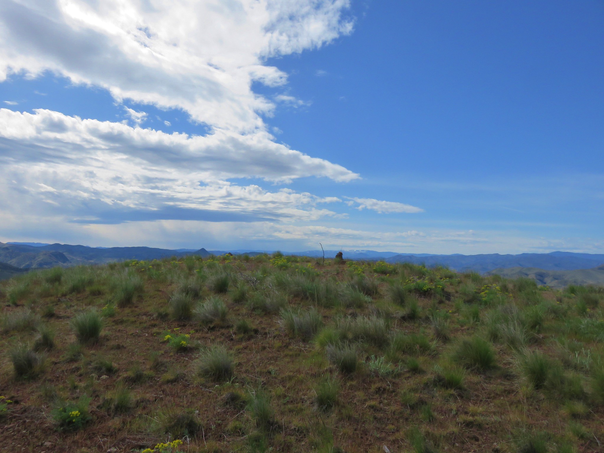
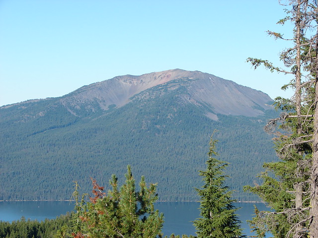
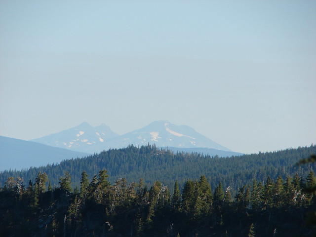
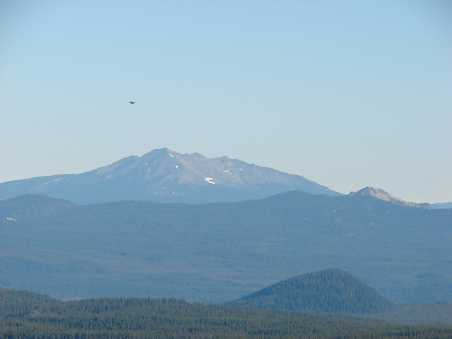
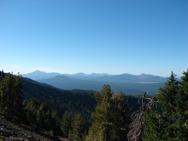
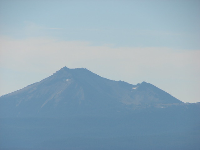
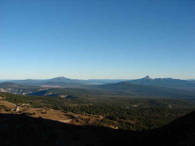
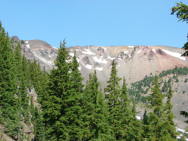
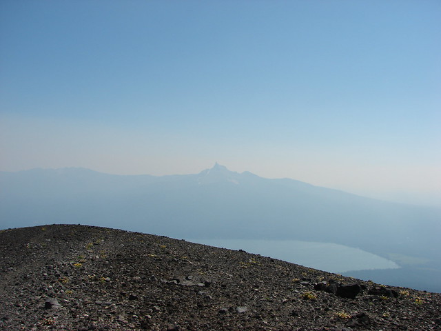
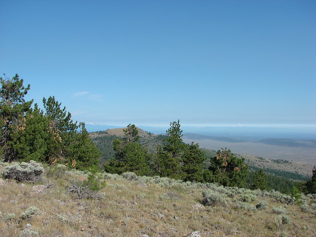
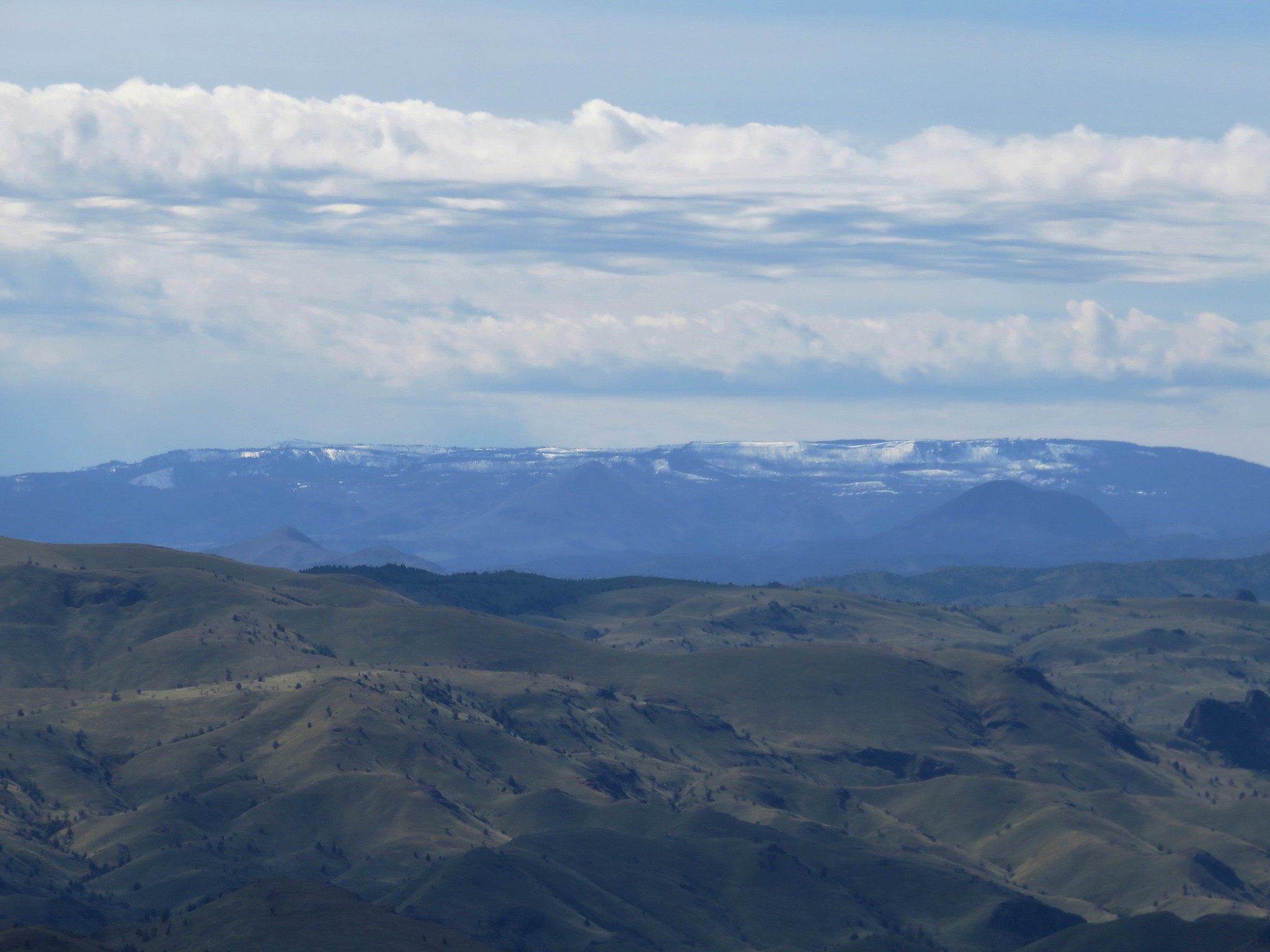
The 360 degree view was spectacular. We sat on some rocks and examined the scenery.
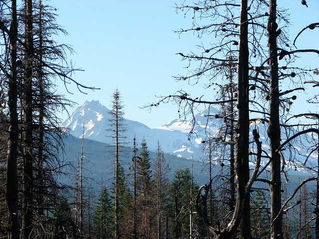
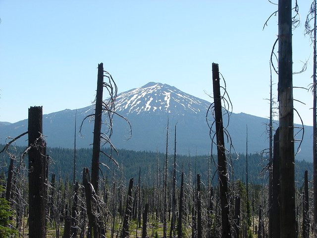
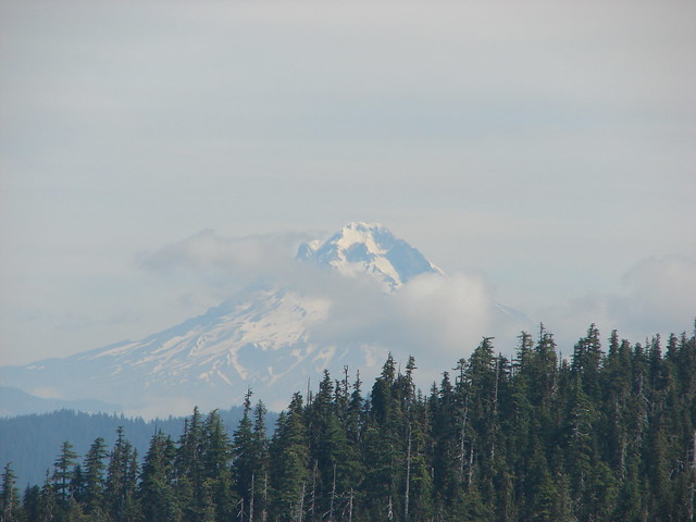
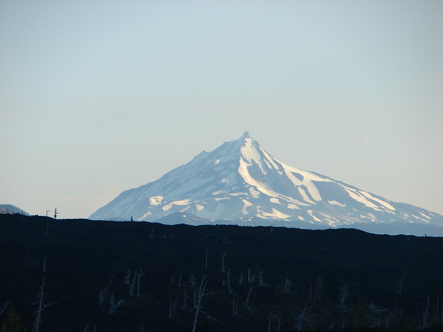
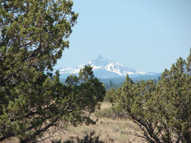
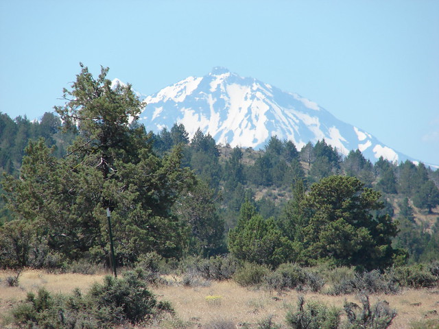
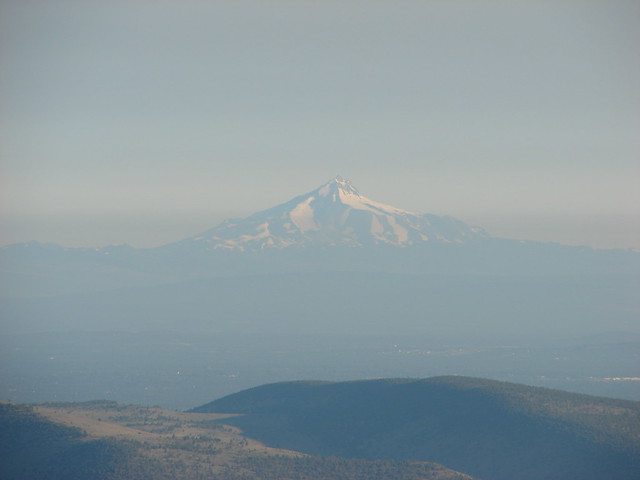
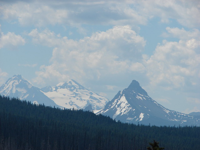
To the far south the snowy Ochoco Mountains lined the horizon.
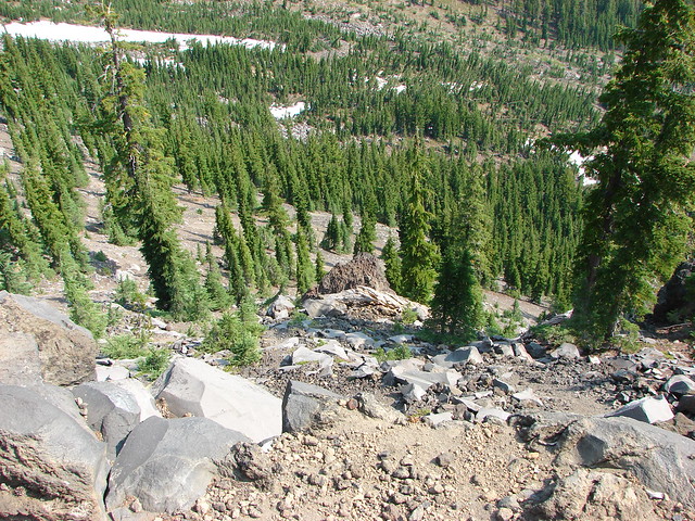
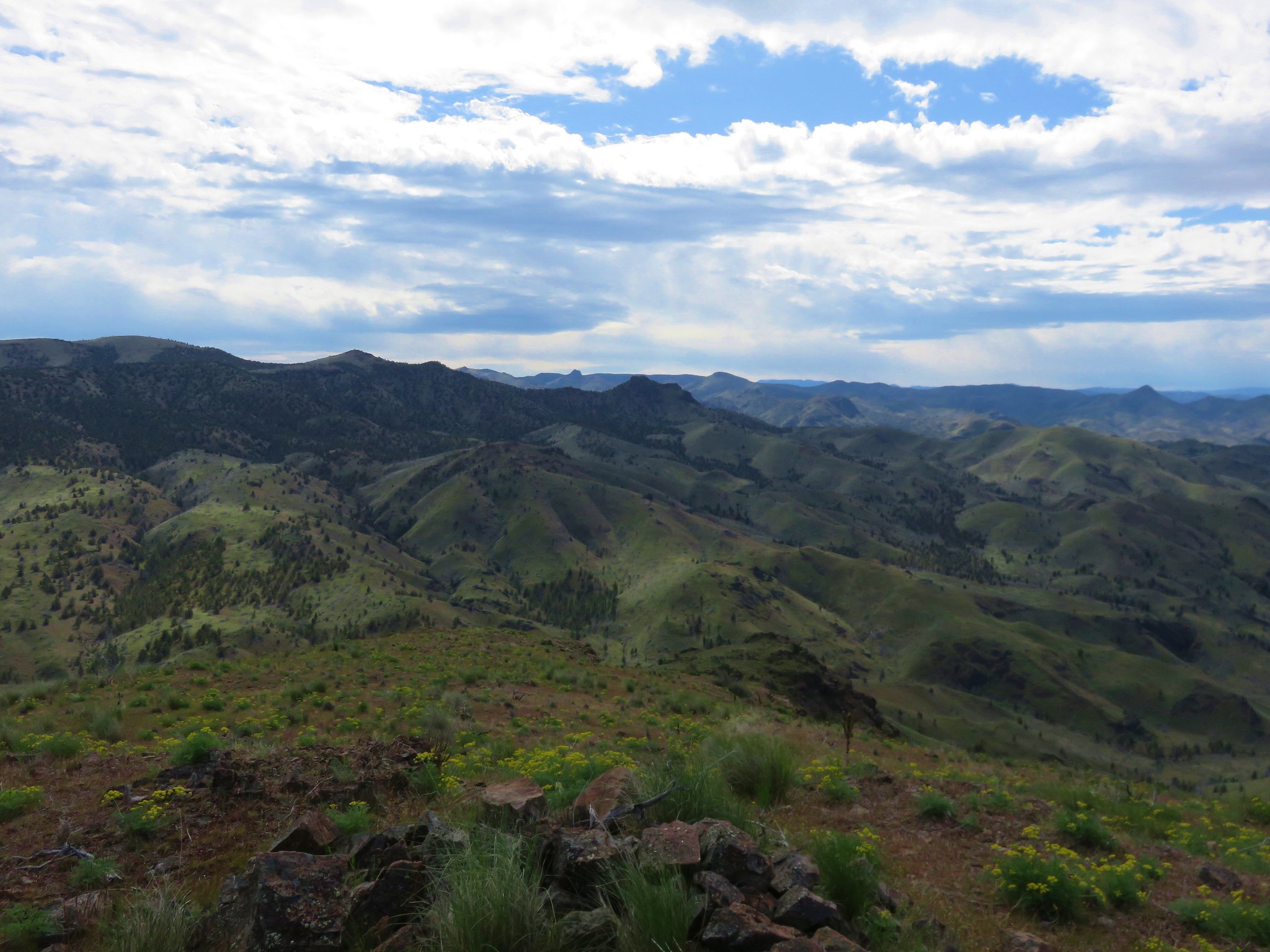
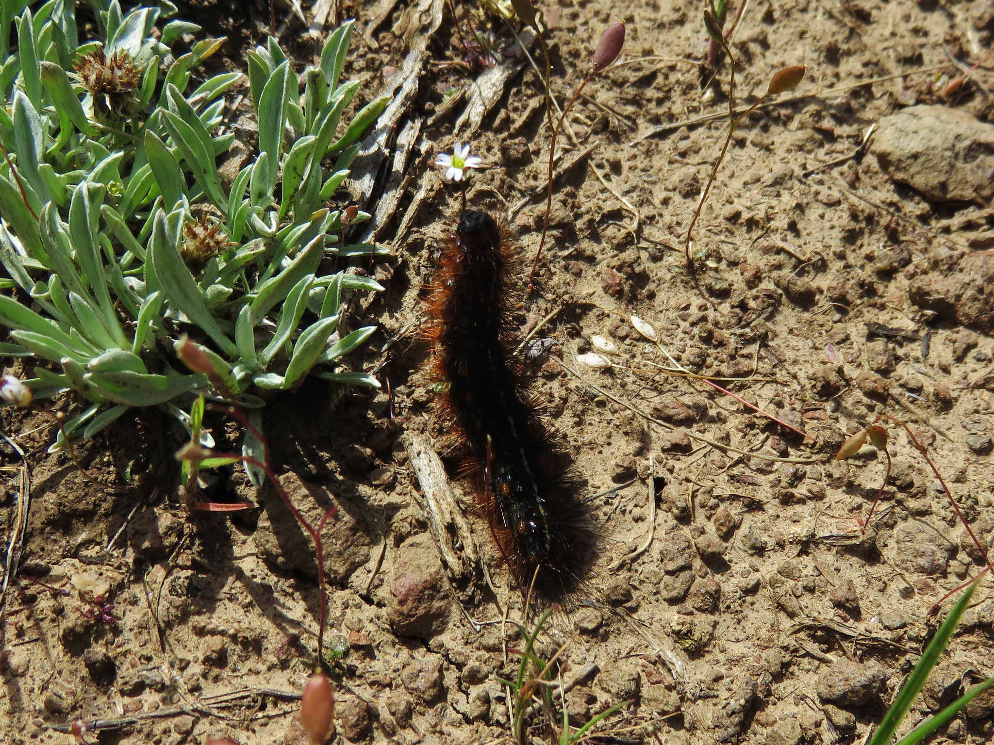
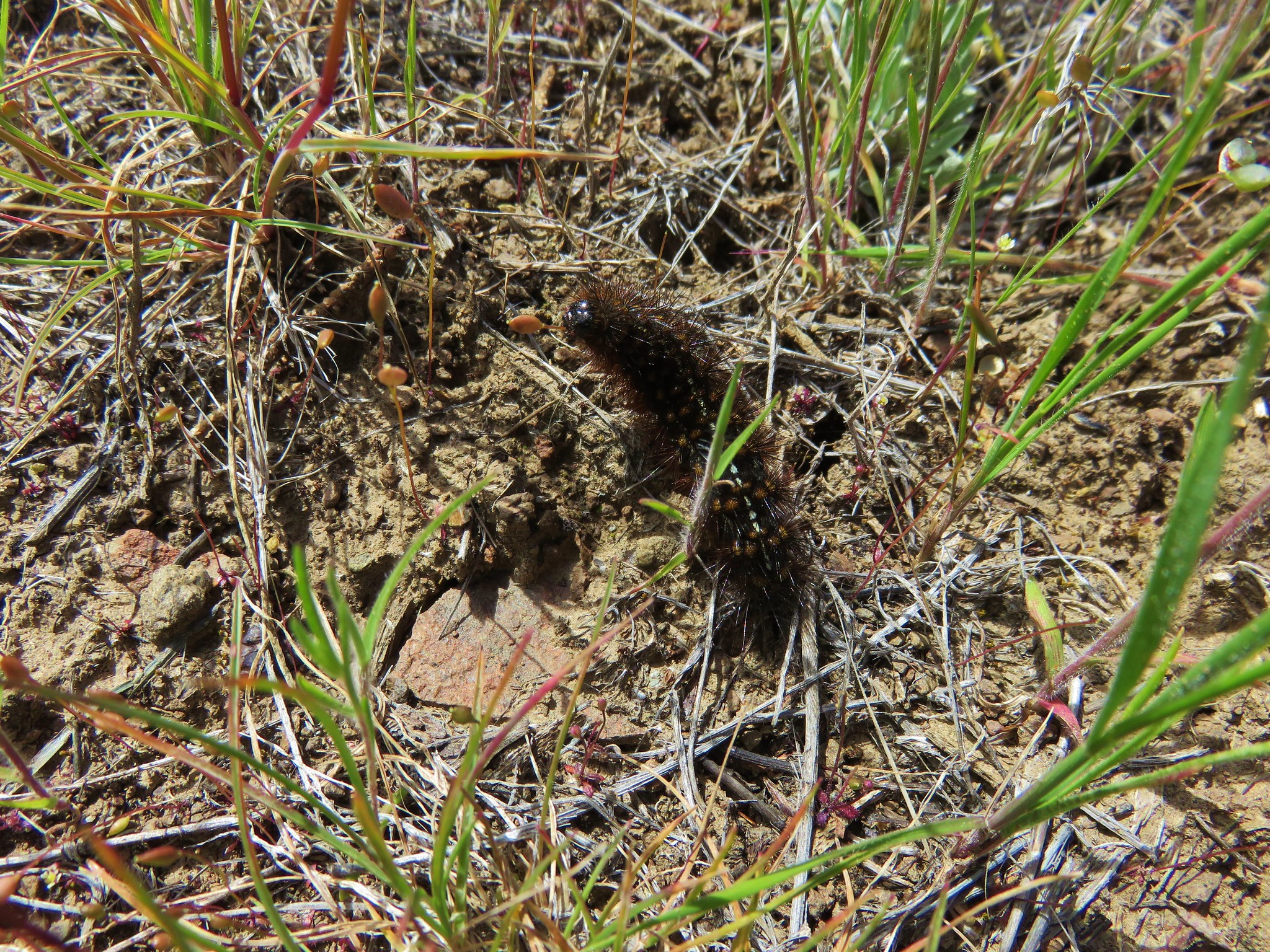
It was amazingly peaceful on the summit. The only sounds were bird songs and the low hum of insects buzzing about. If the rocks had been a little softer we could have stayed for hours. As it was we eventually headed back down to the jeep track which we thought about following all the way back to the knoll. We had seen quite a few caterpillars on the ground all morning but now there seemed to be more and they were moving about.
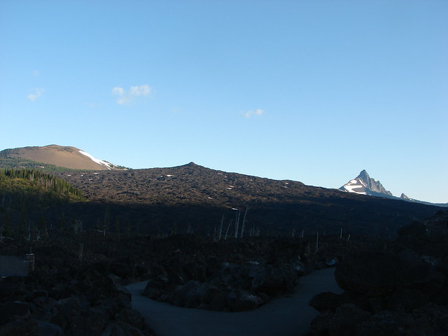
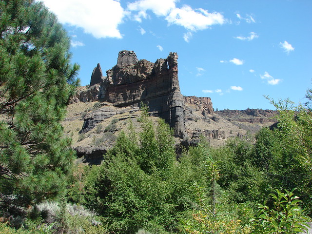
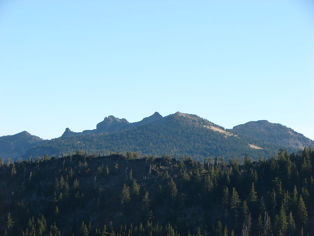
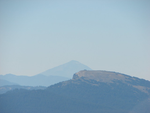
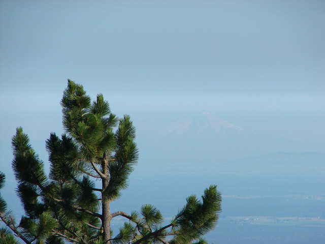
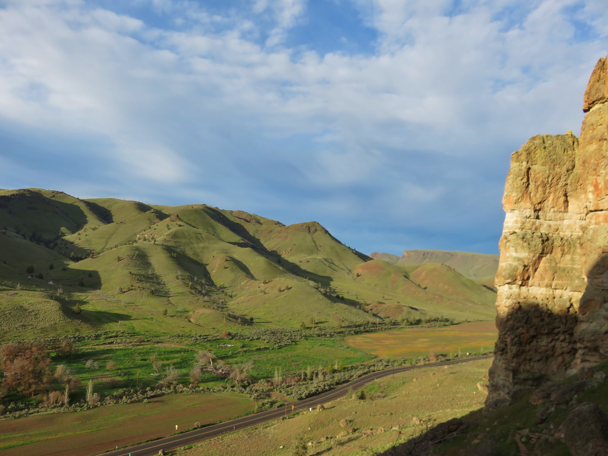
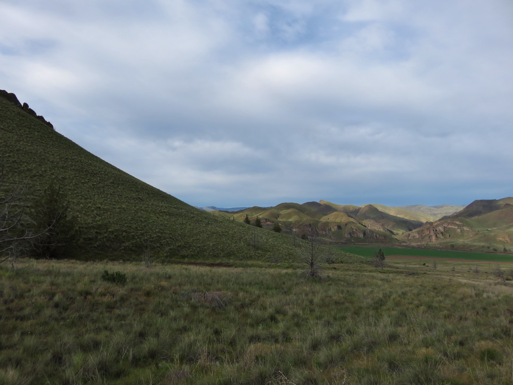
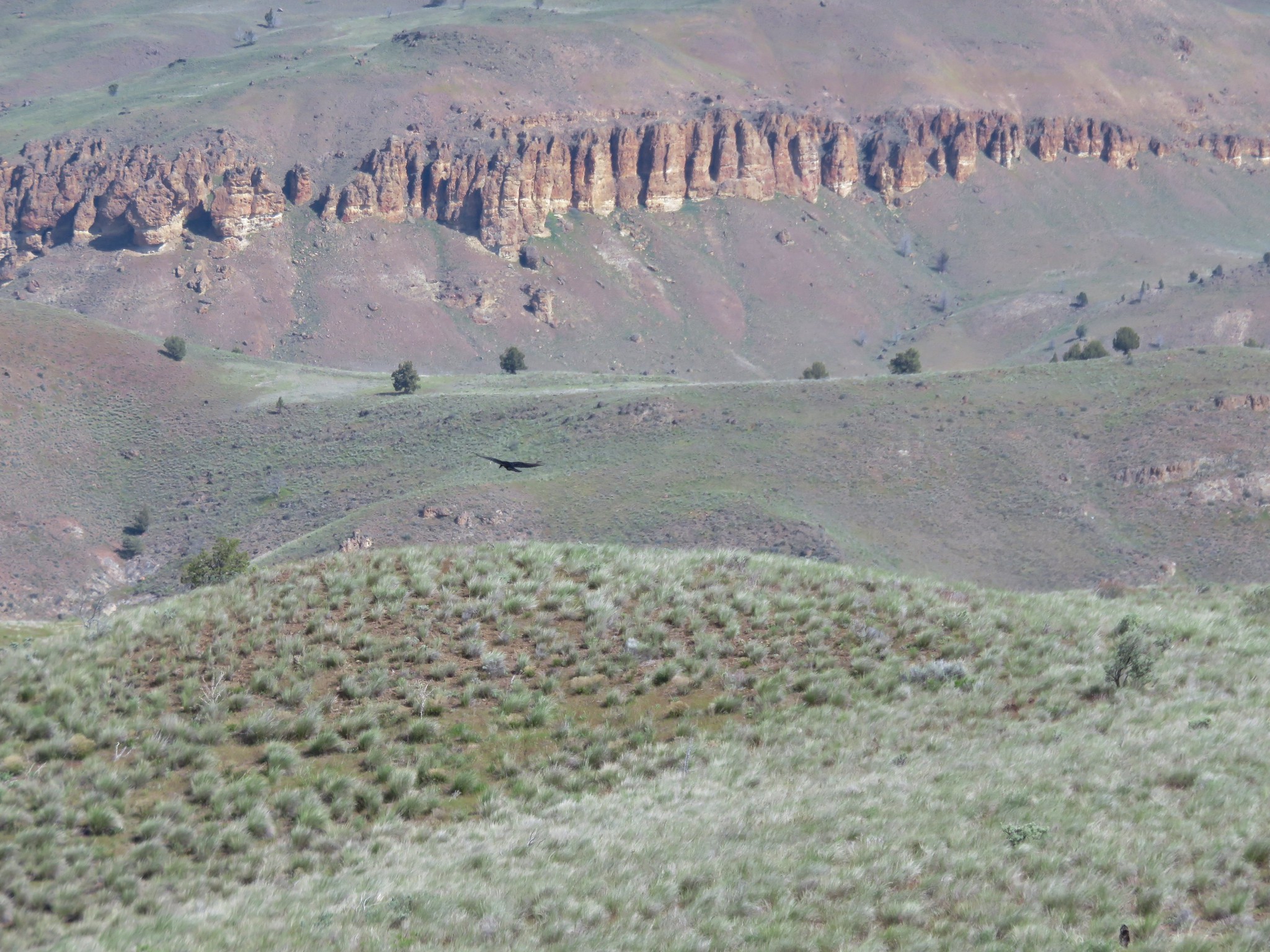
From the ridge The Palisades of the Clarno Unit were visible to the north.
After looking more closely at the map we decided that the jeep track swung out a little more than we were willing to do so we instead took a slightly different off trail route to the knoll.
We wound up climbing up the same draw we’d descended earlier in the day and regained the jeep track below the knoll. We then returned to the rock cairn and descended the gully back to our car ending our hike at 7.4 miles. We had been on the alert for rattlesnakes all day but had not seen nor heard any. That changed on our drive back to the highway. We spotted at least 4 rattlers sunning themselves on Clarno Road. Happy Trails!