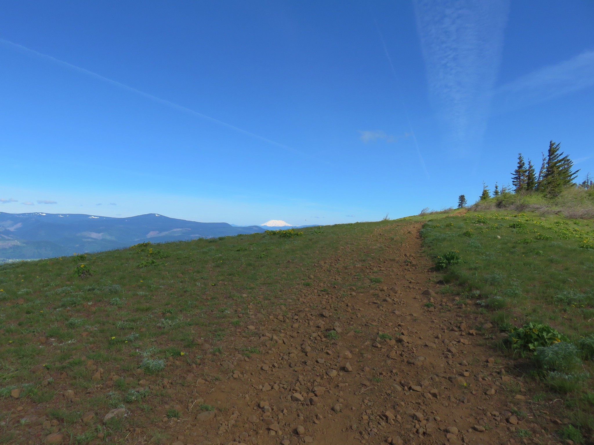
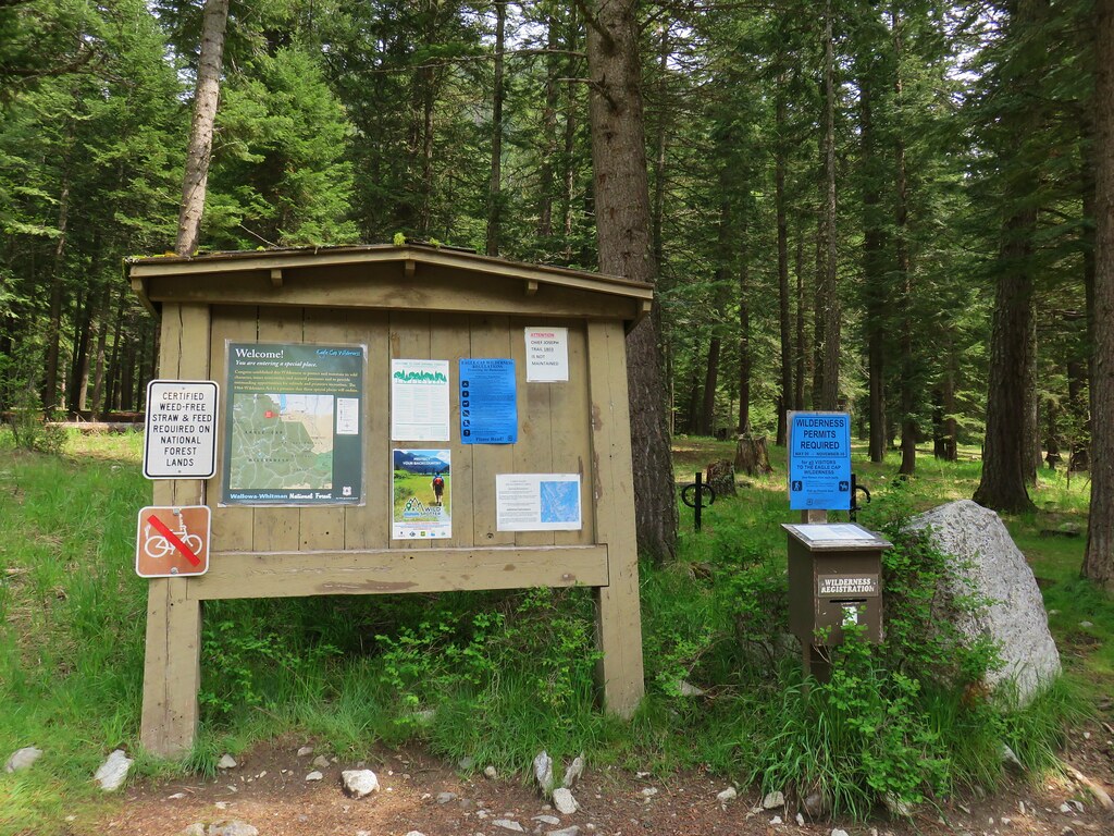
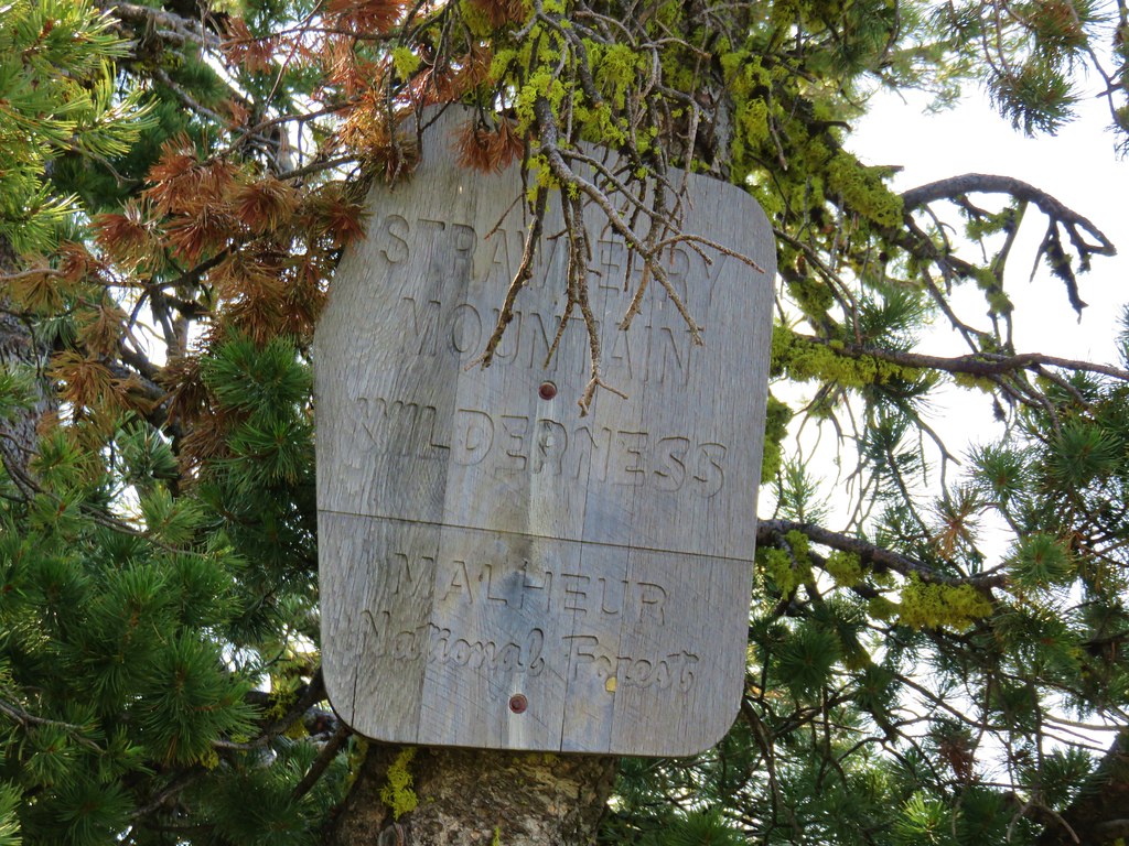
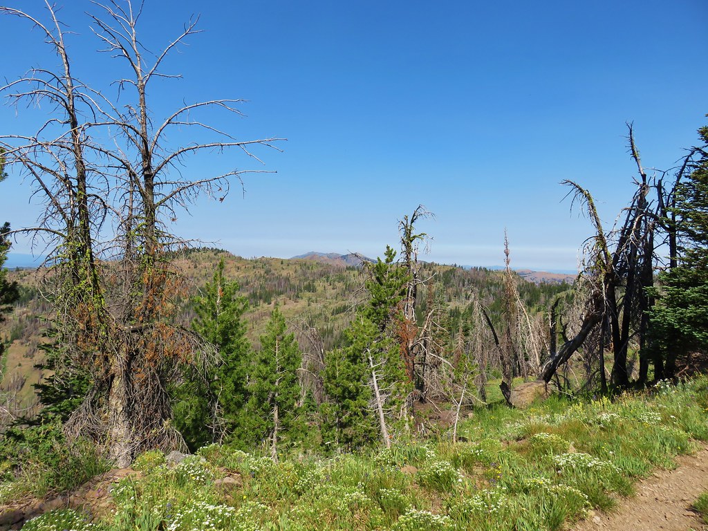
We took an couple of days off for an extended Memorial Day Weekend in order to take a trip to NE Oregon in hopes of checking off a few more hikes of our to do list of Bill Sullivan’s 500 featured hikes (post). The plans included our fist visit to the Hells Canyon Wilderness which would leave us with just seven more wilderness areas to visit in Oregon (post).
We also recently added a third goal of hiking in each of Oregon’s 36 counties. I had recently been looking at a map and began wondering how many of the counties we had hiked in and realized that there were only 5 in which we hadn’t as of the start of May this year: Columbia, Umatilla, Union, Gilliam, and Morrow. We checked off Columbia with our visit to Sauvie Island (post) and we have hikes planned in Umatilla and Union later this year. That left Gilliam and Morrow which are adjacent to one another in the north central portion of the State with the Columbia River acting as their northern borders. Neither of these counties are home to any of the 500 featured hikes but the John Day River acts as the western border for Gilliam County. We had been in Sherman County on the west side of the John Day during our visit to Cottonwood Canyon State Park (post) and remembered that there was a trail on the other side of the river, the Lost Corral Trail, which I quickly added to our future plans. That left Morrow County.
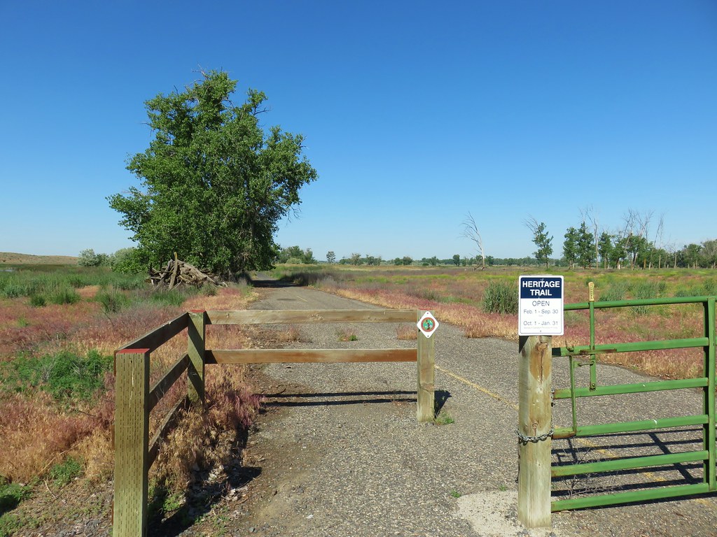
Sullivan does have a couple of additional hikes in the back of his Eastern Oregon book that are located in Morrow County but neither seemed to fit into our future plans. I turned to the map to see if anything would turn up and noticed that the Umatilla National Wildlife Refuge was located in the county just NE of Boardman just off Interstate 84. We would be driving that by on our way to Wallowa Lake so I did a little research on the refuge. The Heritage Trail is the only official trail there but other areas are open to foot traffic and we were just looking for something that would allow us to stretch our legs and would allow us to check Morrow County off our new list.
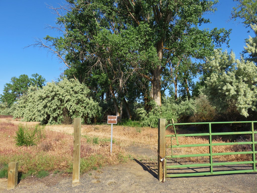
We took exit 168 from I-84 and followed Highway 730 for 3.7 miles then turned left onto Patterson Ferry Road at a sign for the refuge. We drove 2.7 miles along Patterson Ferry Road past a parking area with restrooms to left at a large sign marking the start of a short driving loop.

We had a map of the refuge with us, but the parking areas weren’t marked which was a little confusing. We followed the gravel road around a field parking at a lot on the right just under 1.5 miles from the start of the loop. A green fence blocked what looked like an old road bed.
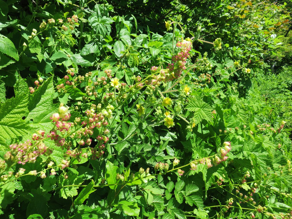
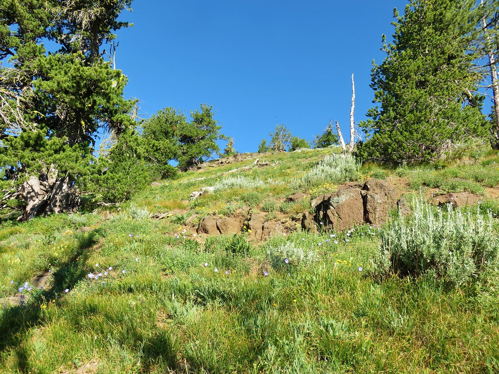
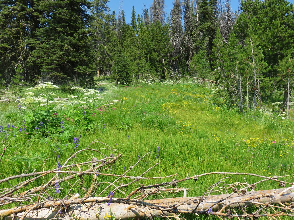
We decided to follow this track thinking that it might lead us to the Heritage Trail. There were a few wildflowers amid the grasses and a pleasant scent in the air coming from the trees.
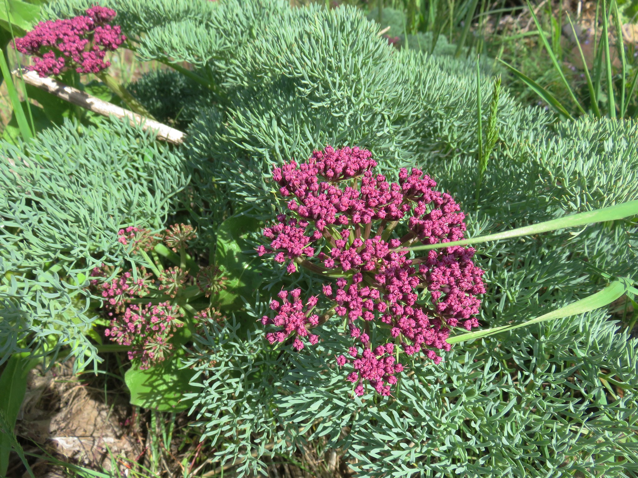
 Yarrow

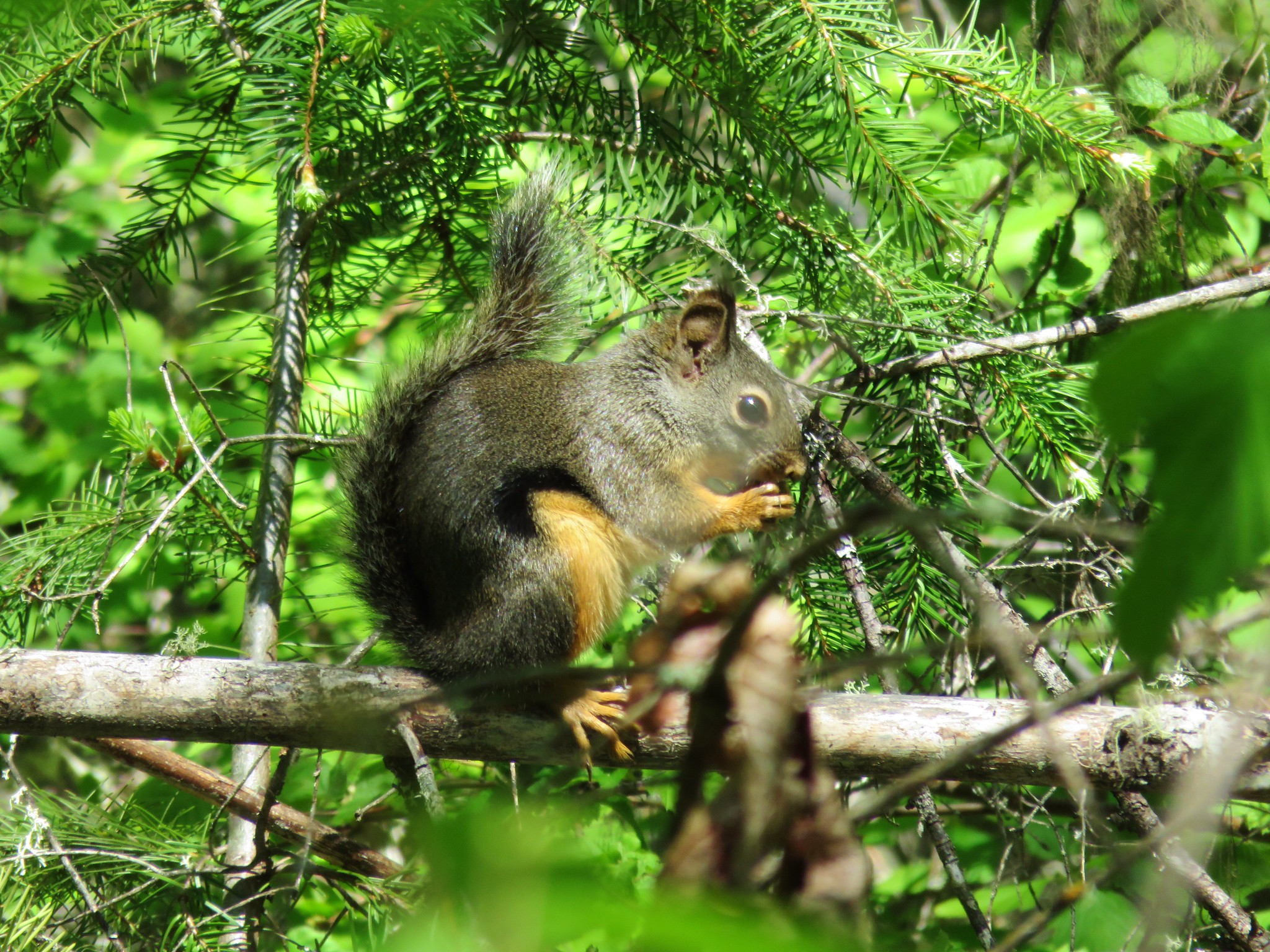
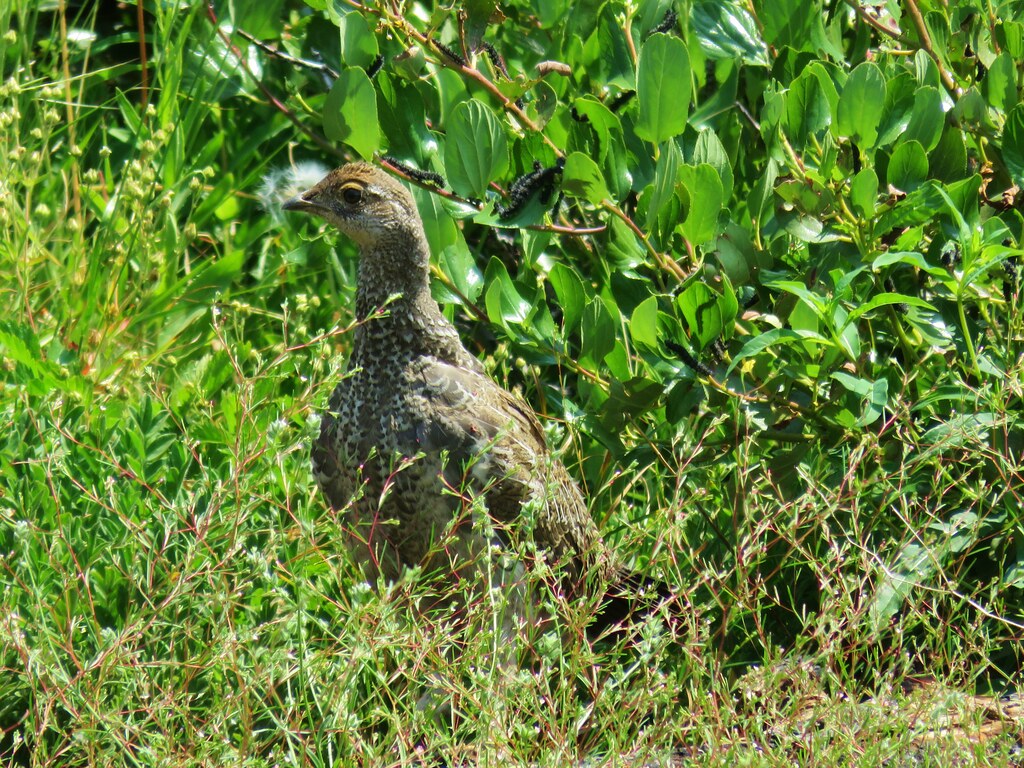
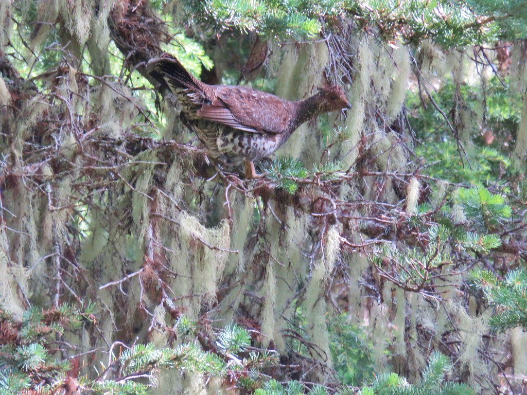
By the sound of them there were a whole lot of birds around but we weren’t having a lot of luck spotting them aside from a red-tailed hawk screeching in the sky above and a couple of western kingbirds.


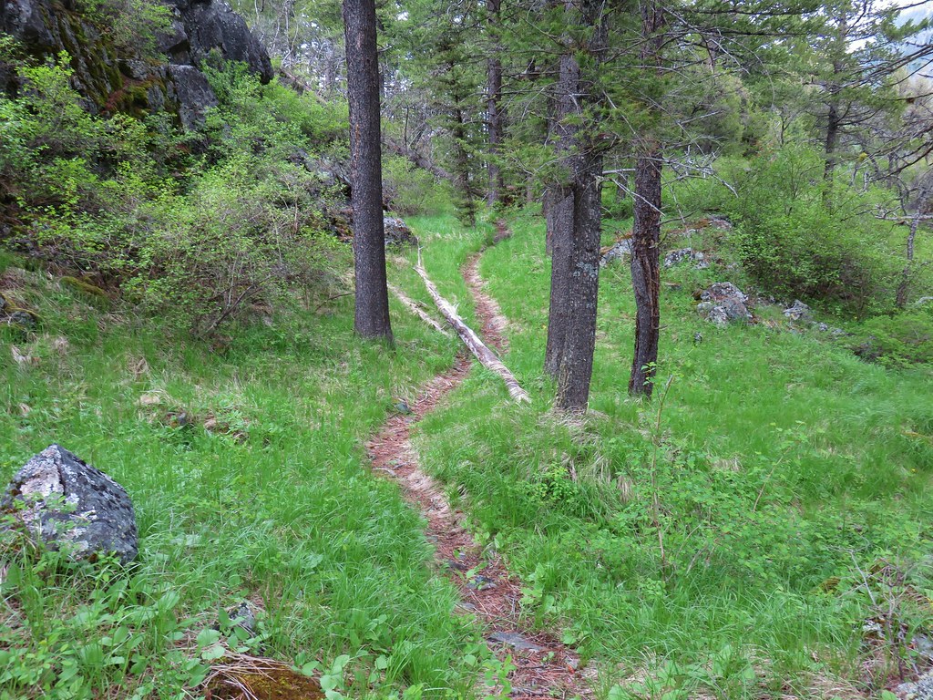
Several signed tracks split off from what appeared to be the main track that we were following. We aren’t sure but think they were pointers for hunting blinds.
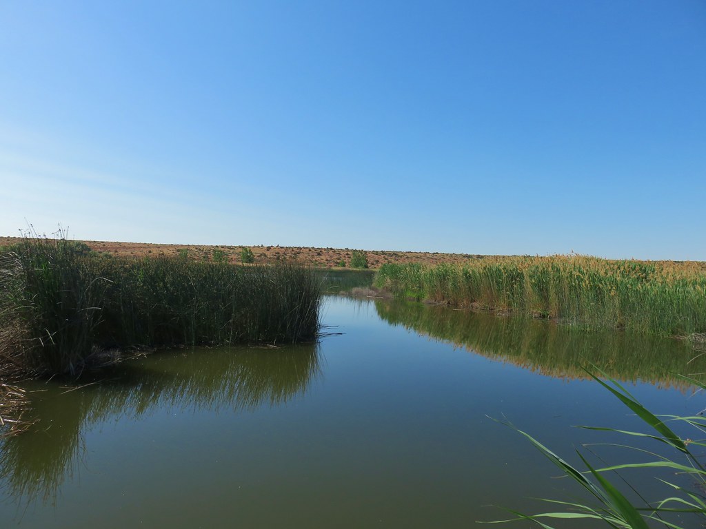
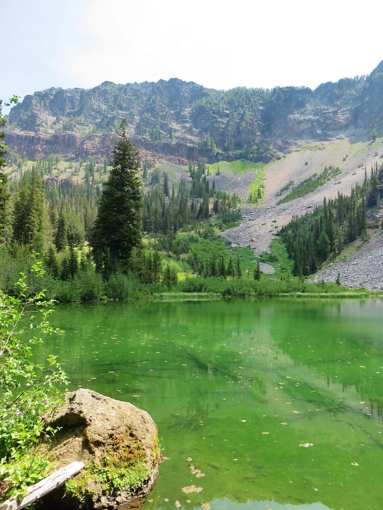
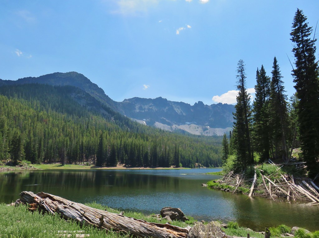
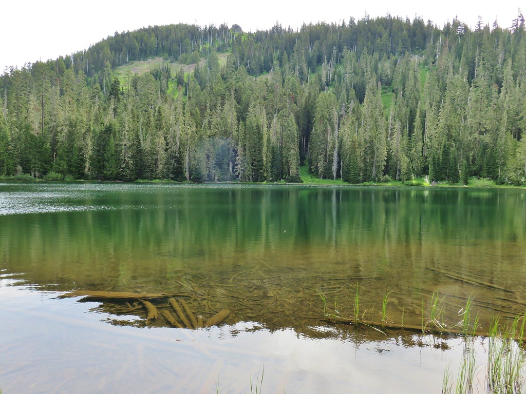
The track led us toward McCormack Slough where a bald eagle was keeping watch.


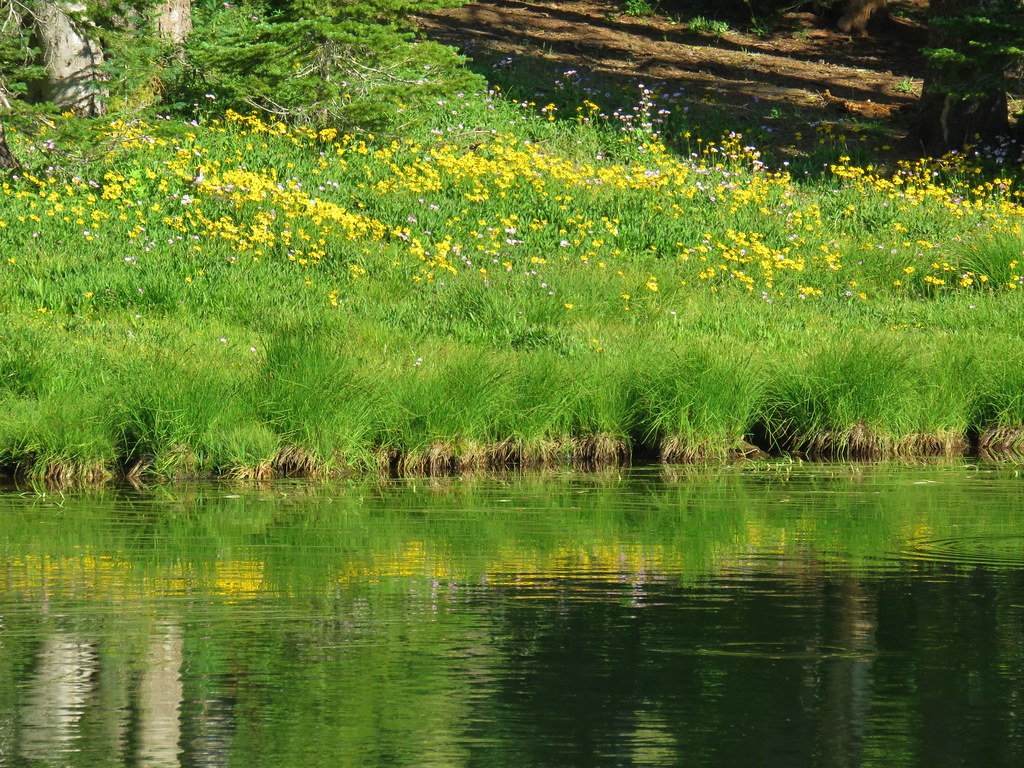
At the slough we tried following a fainter track to the left thinking it might hook up with the Heritage Trail but there was no discernible path around the slough so we made our way back to the main track and returned to the car. Along the way we spotted two coyotes, several deer, a great blue heron and a pair of white pelicans.
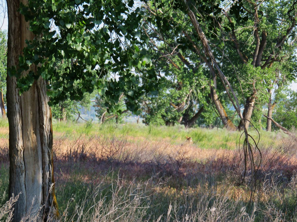 First coyote in the grass.
 Second coyote racing off through the grass.
 One of the deer running off.
 Great blue heron flying off.
 White pelicans circling overhead.
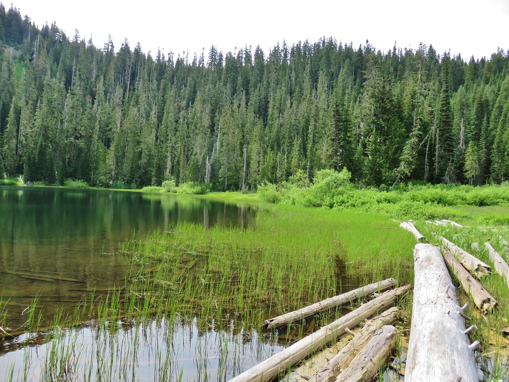
We continued on the driving loop and just about a half mile later spotted the parking area for the signed Heritage Trail on the right.
The paved trail follows an old road between a portion of the slough.

We followed this trail for about a half mile where it joined an open road and then turned around and headed back. It was a short hike but we did see some more wildlife and a few flowers.
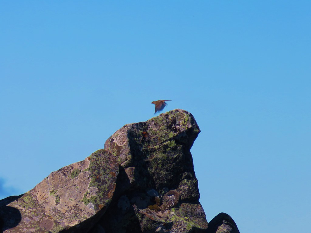
 Bald Eagle
 Wild Rose
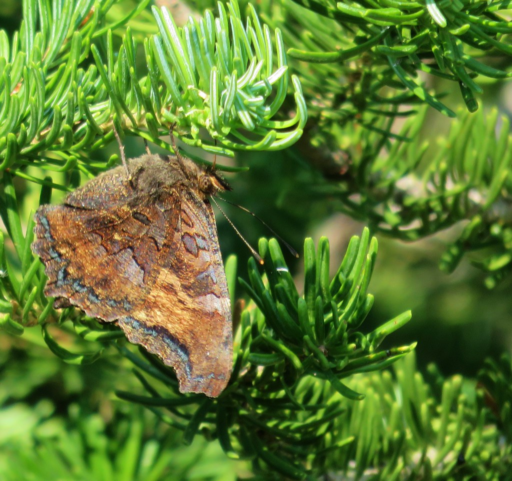
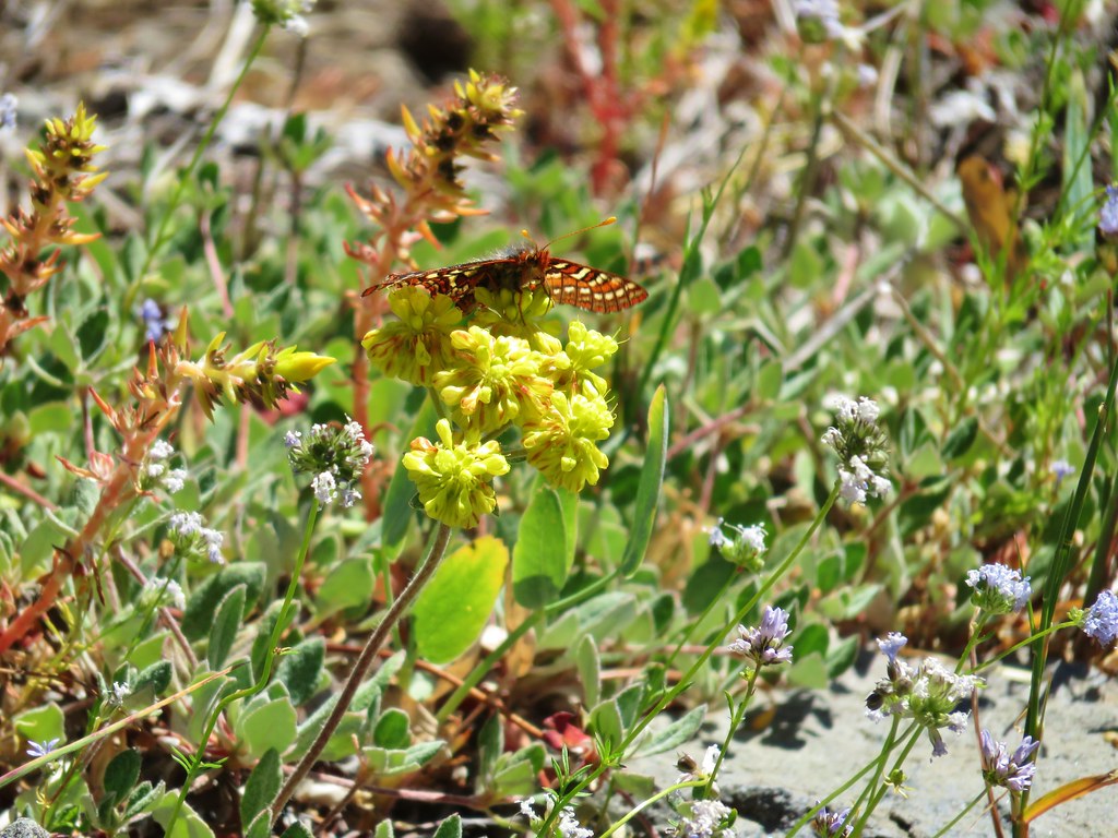
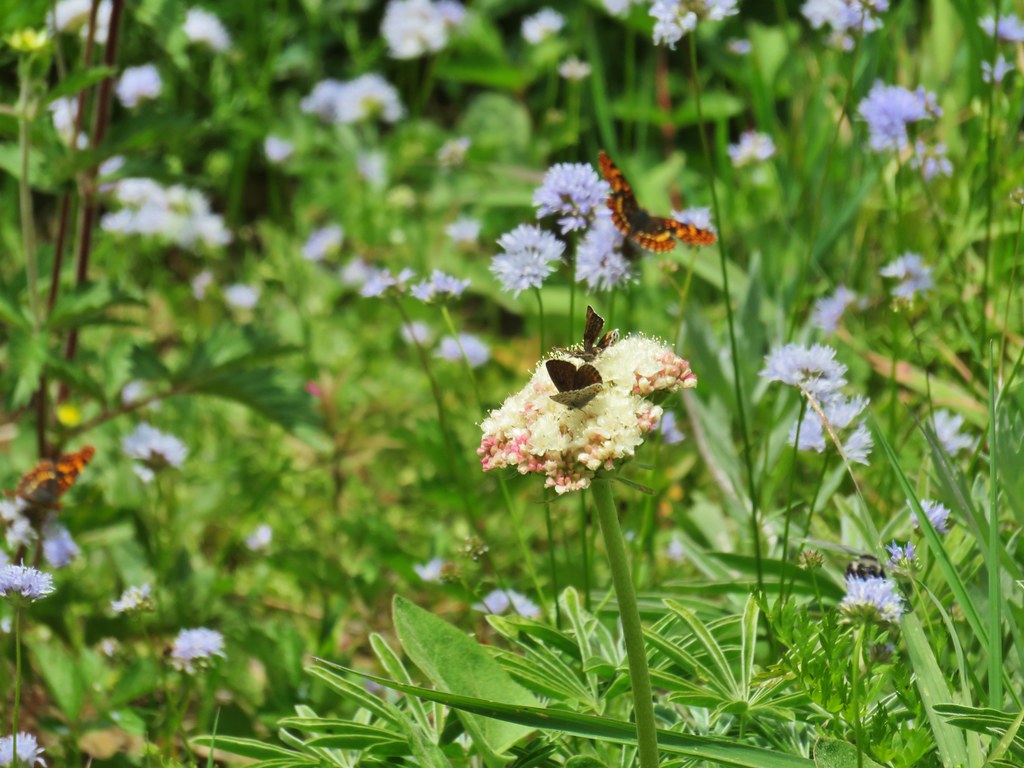
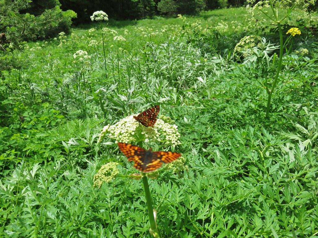
 Butterfly
 Killdeer
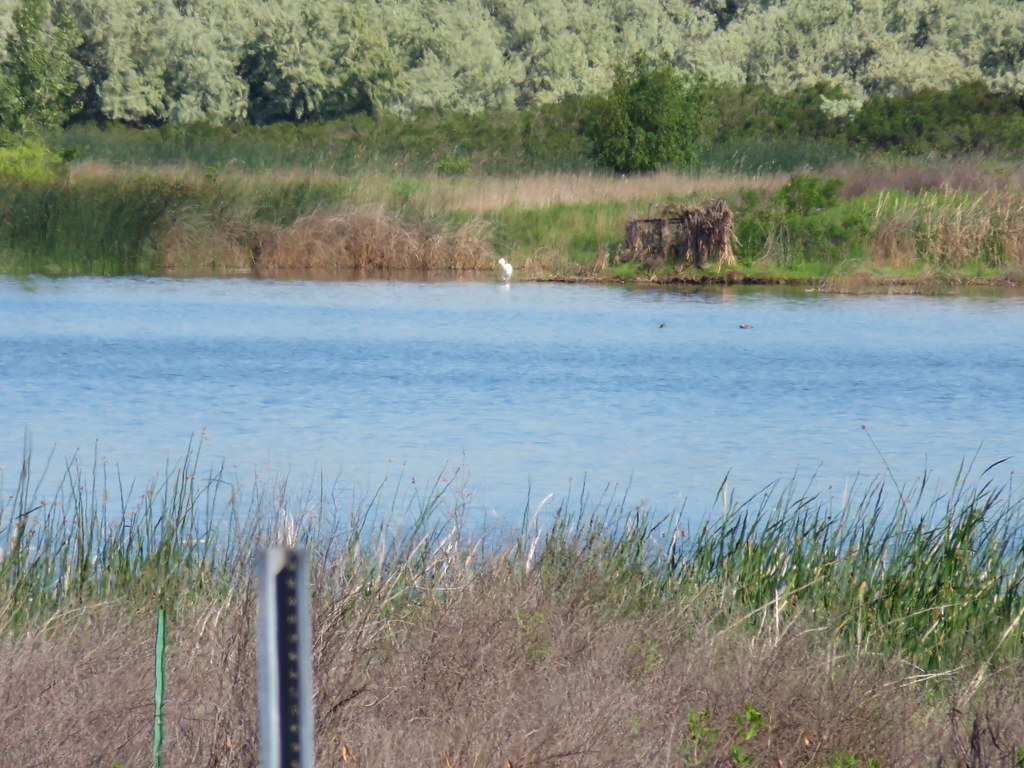 An egret on the other side of the slough.
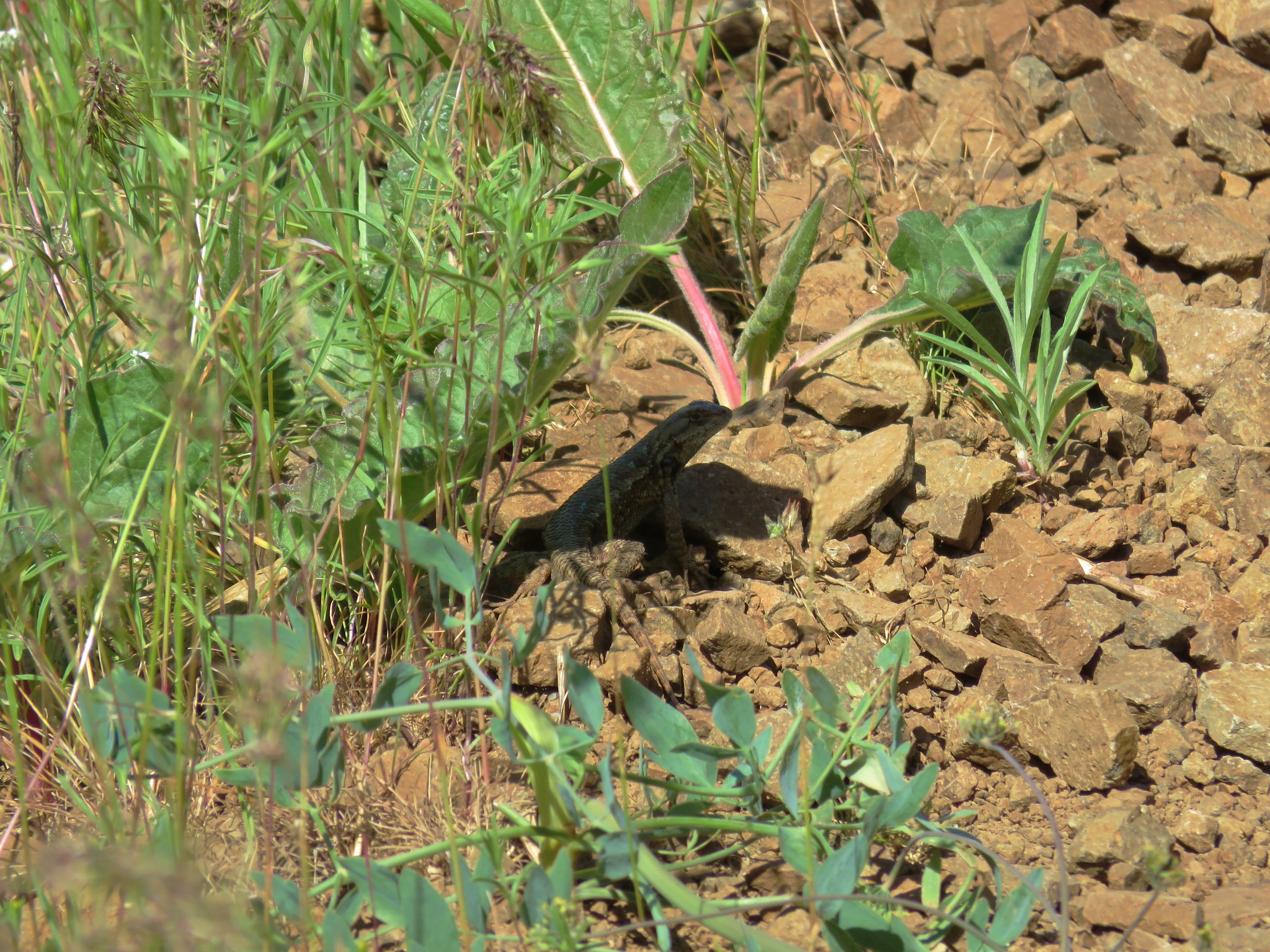
 Sagebrush lizard
 Another butterfly
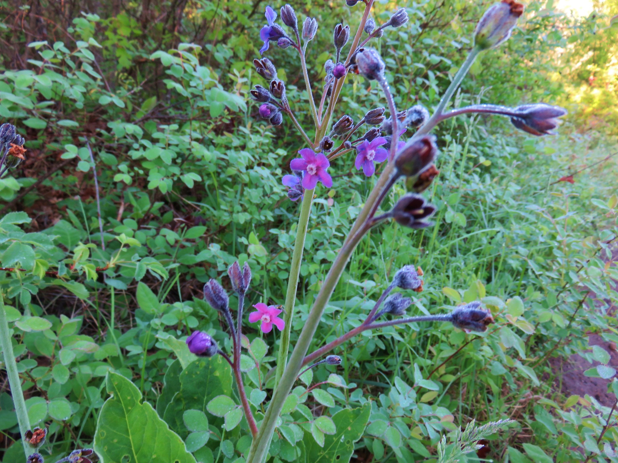
 Deadly Nightshade
 A goose in the reeds.
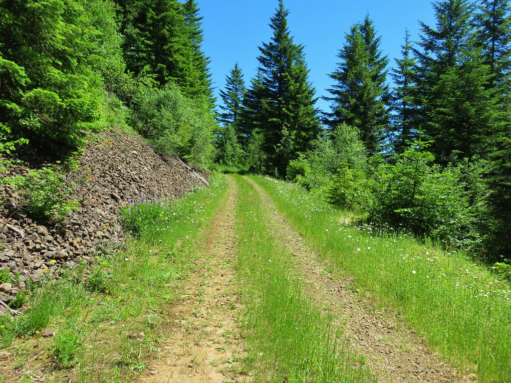
Each of our stops here consisted of 1.1 mile hikes with a nice amount of wildlife. We drove back to the Interstate and continued east onto Wallowa Lake and our second hike of the day.
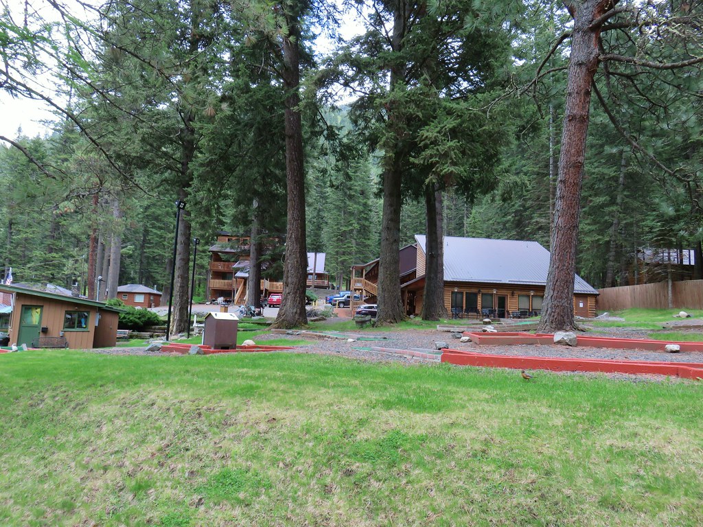
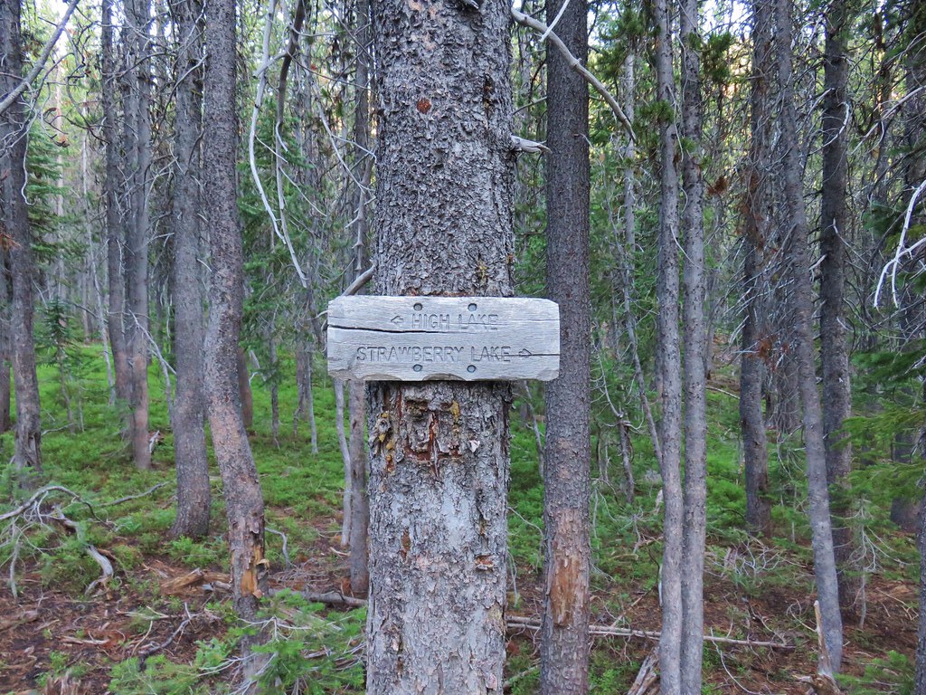
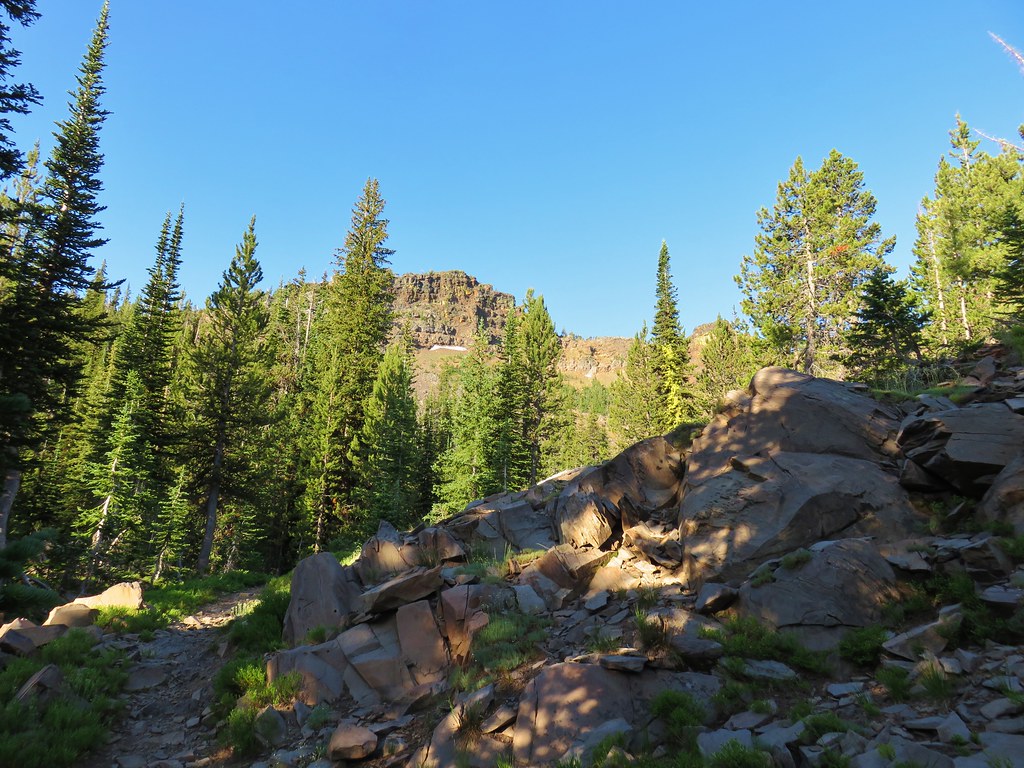
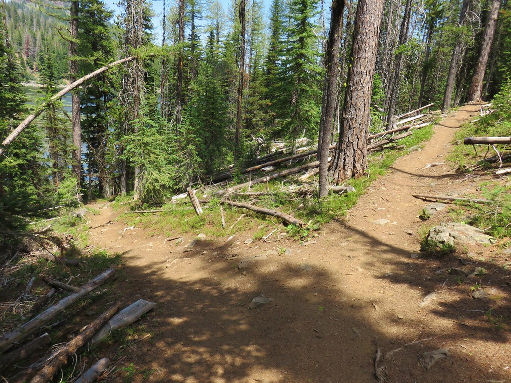
We had made reservations at the Eagle Cap Chalets near Wallowa Lake, just under 3/4 of a mile from the Wallowa Lake Trailhead and the start of our next hike. We decided to see if our room was ready and it was so we unpacked the car, threw on our packs and road walked to the trailhead.

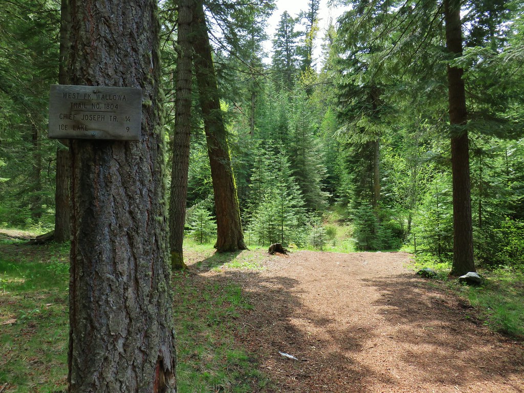
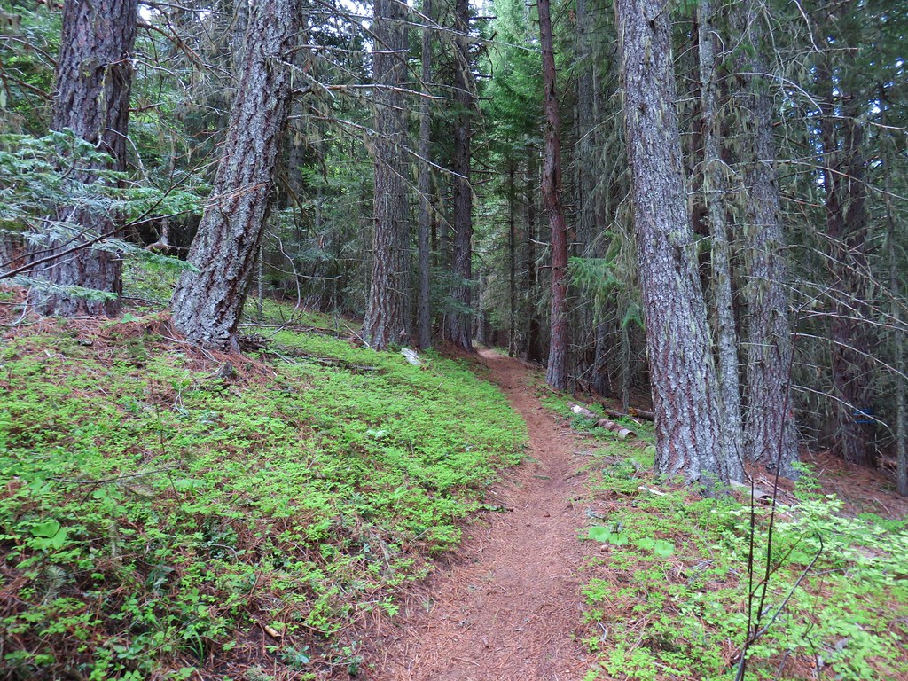
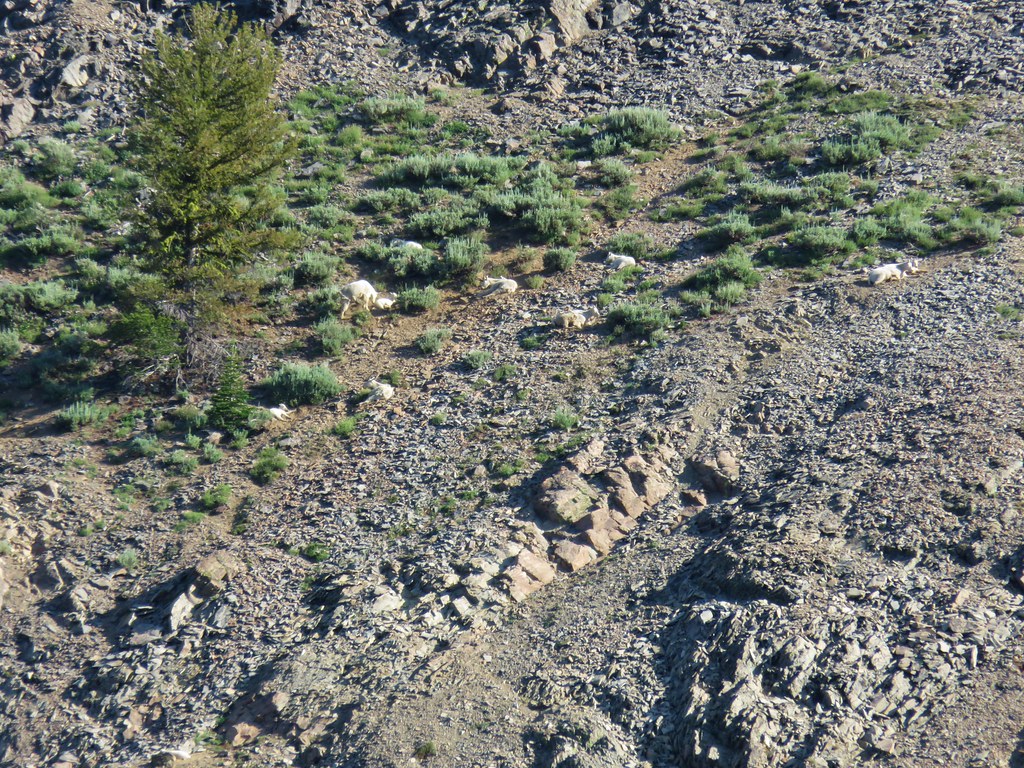
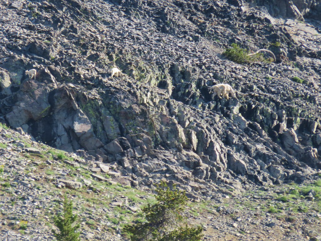
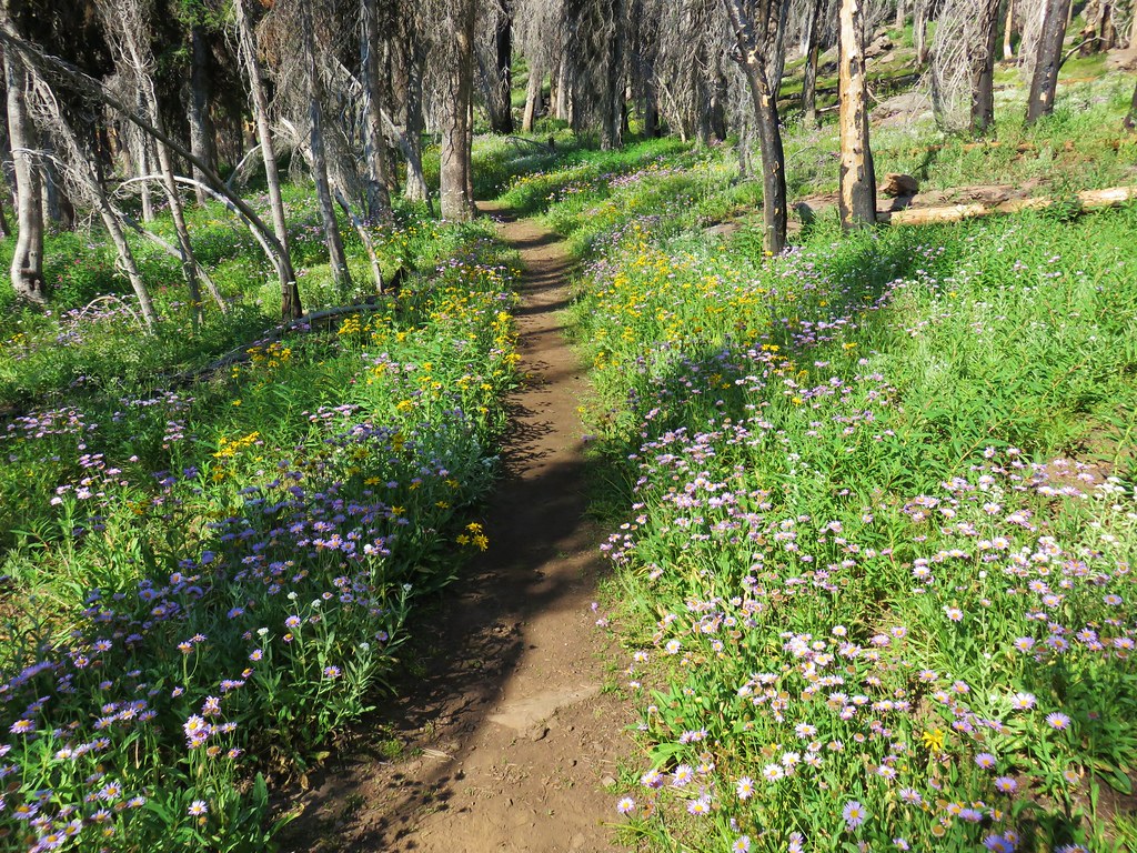
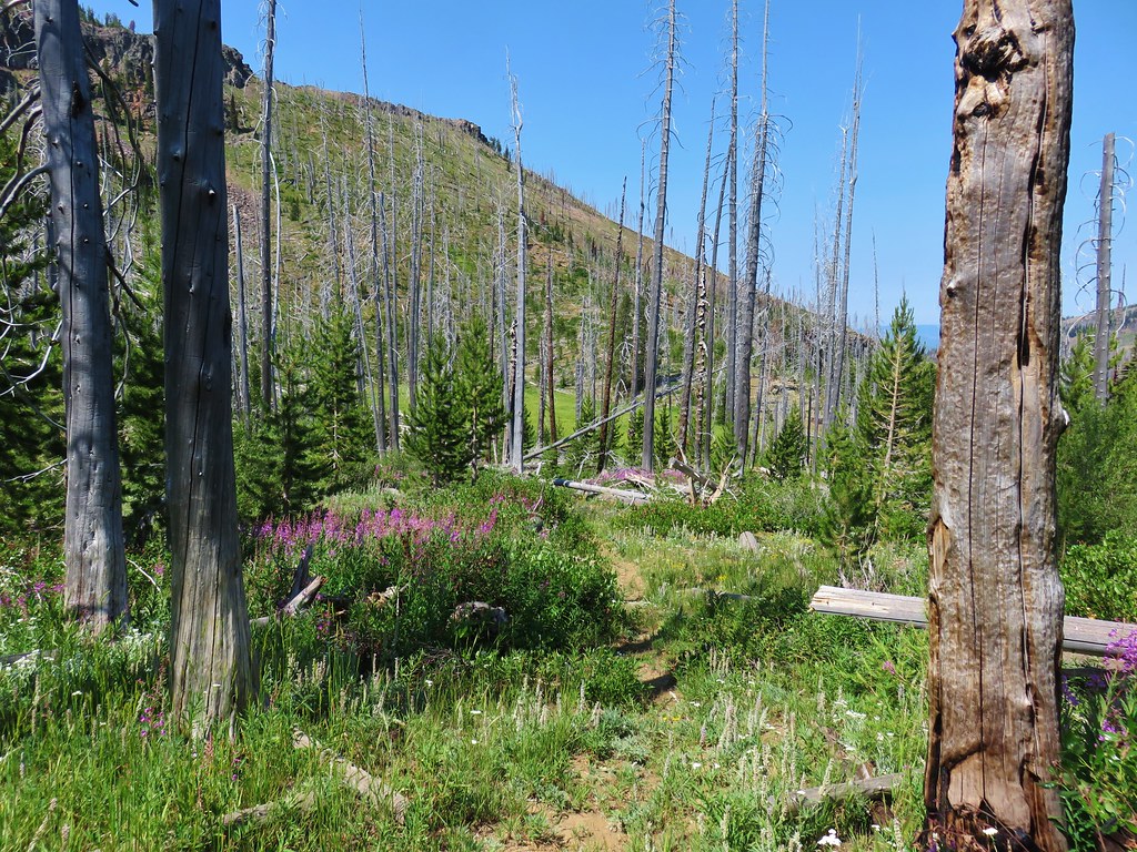
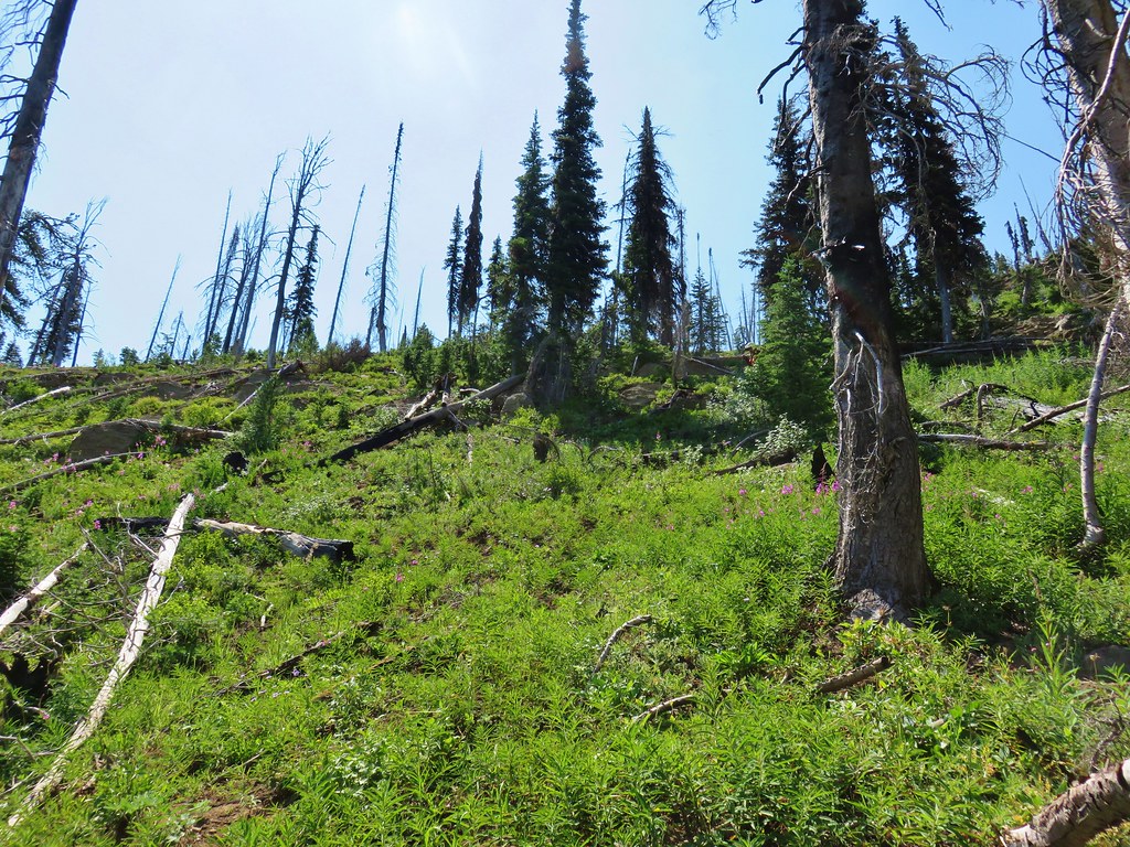
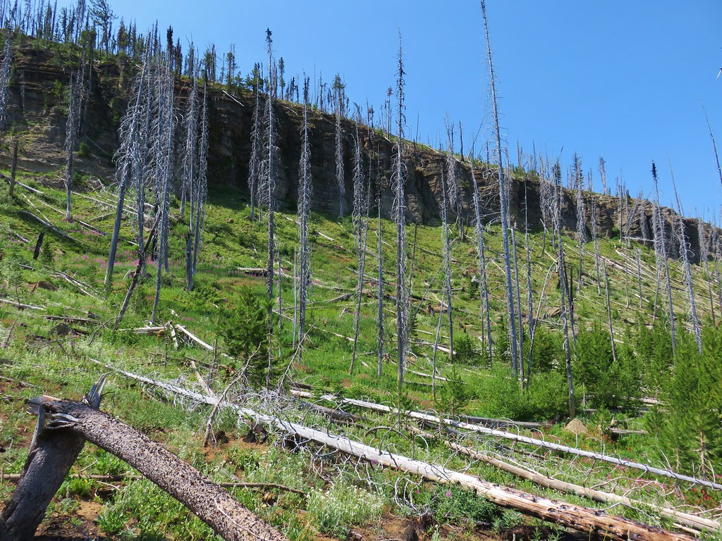
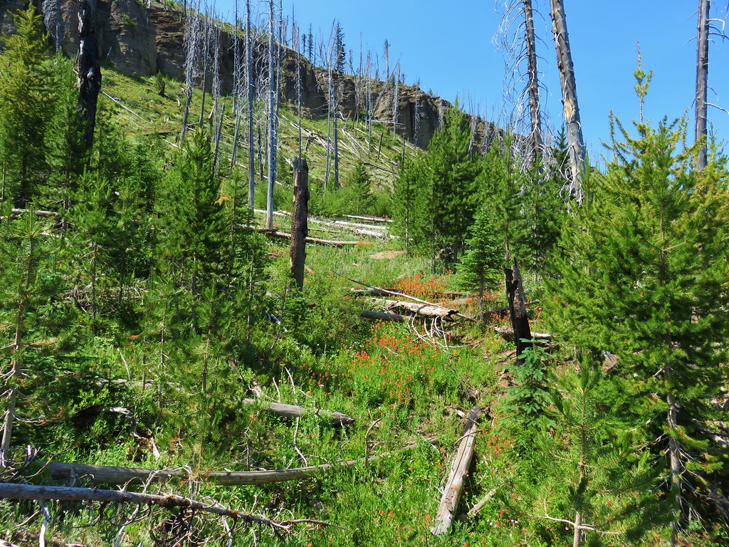
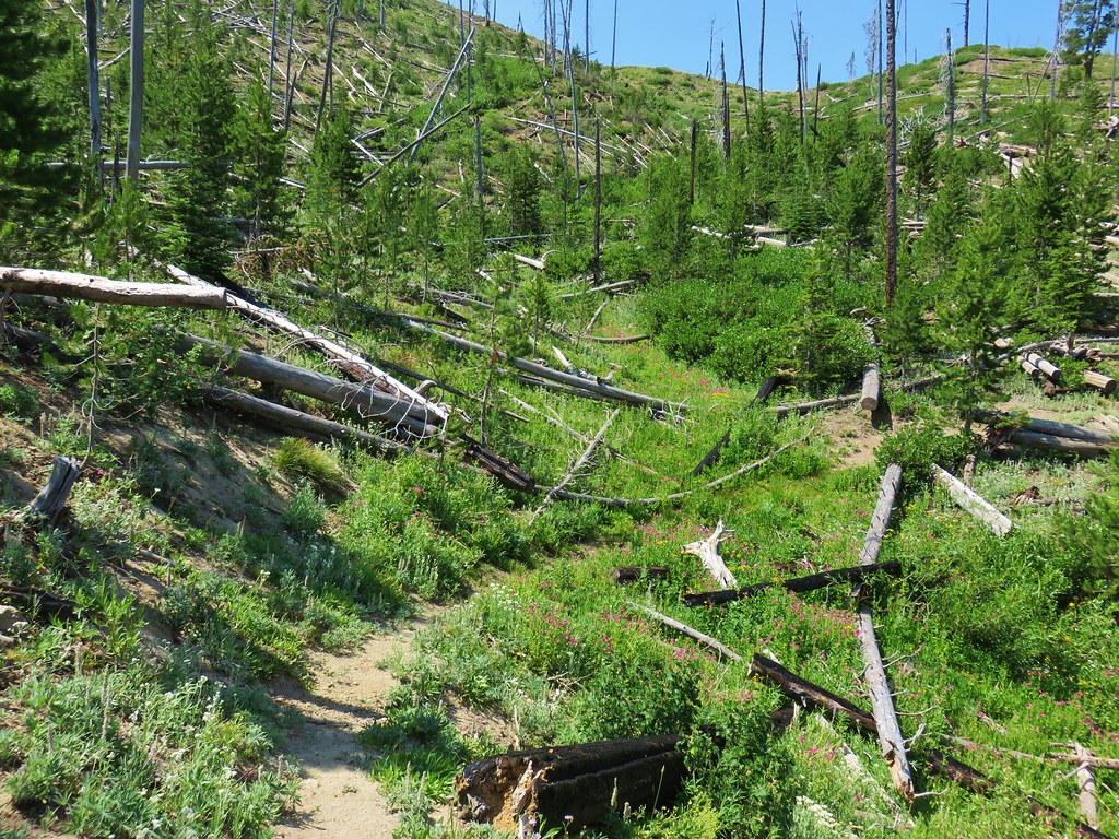
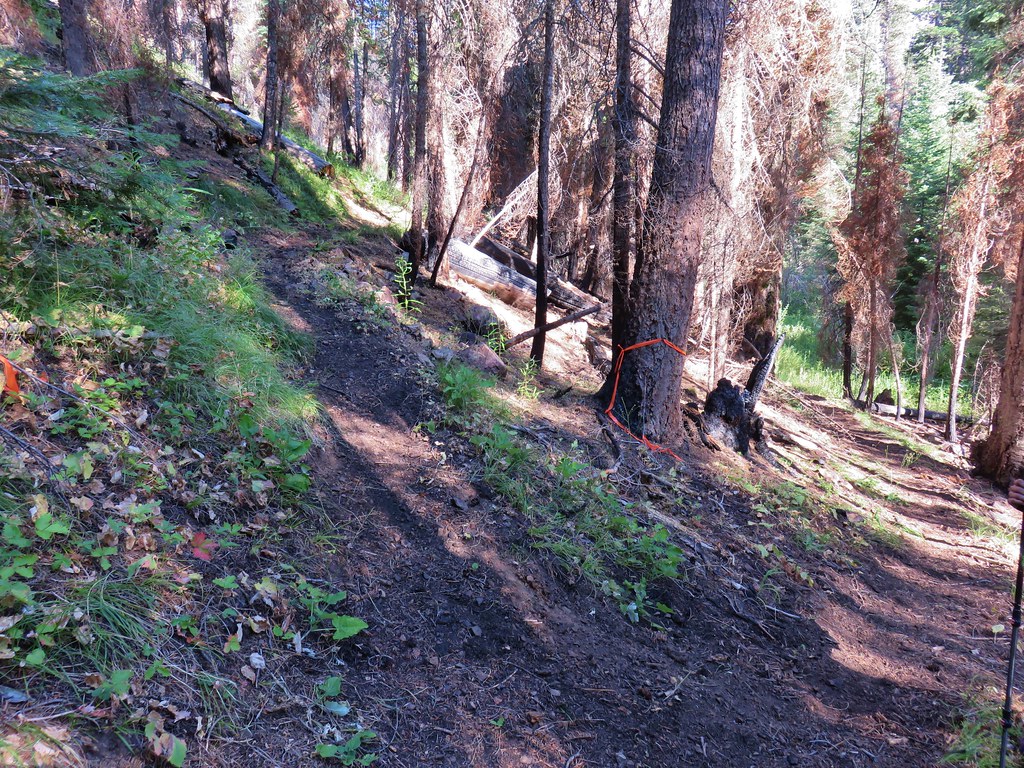
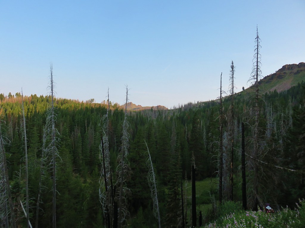
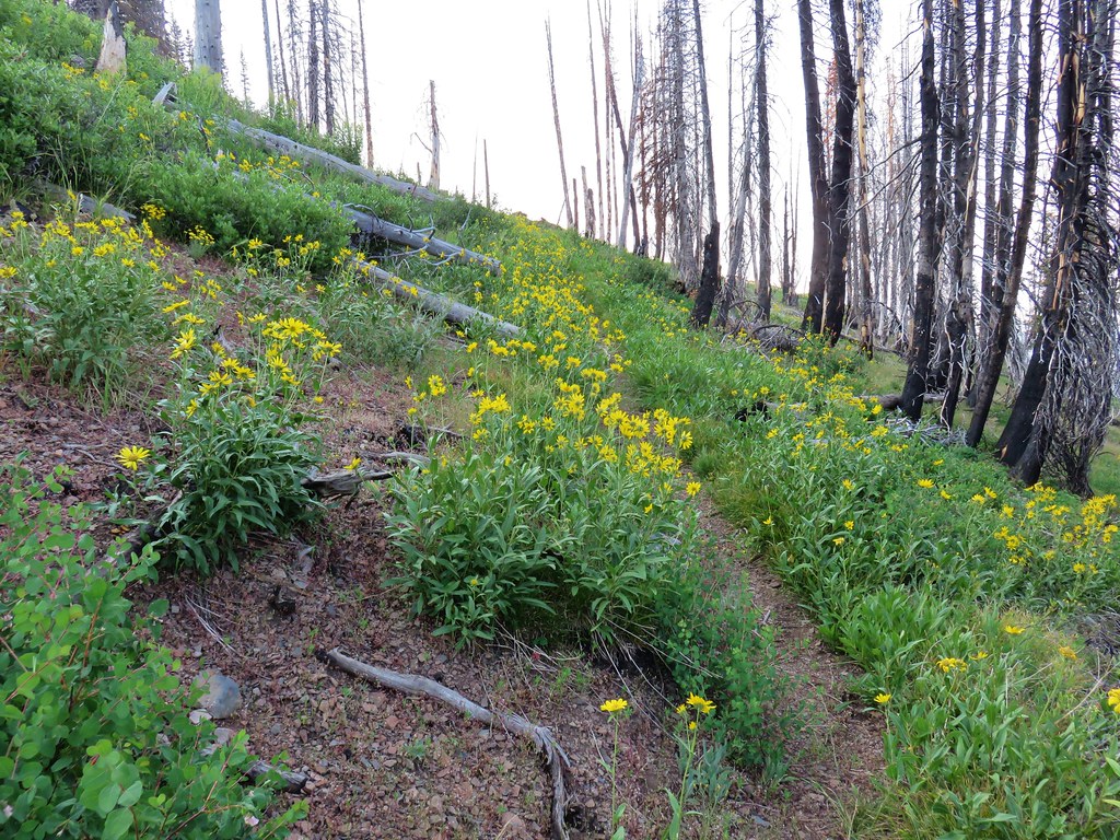
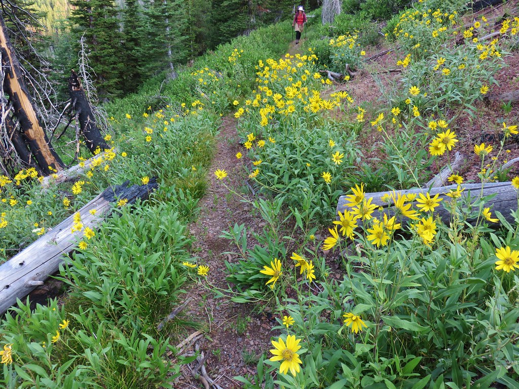
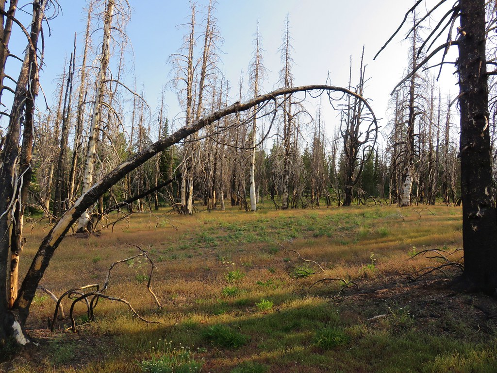
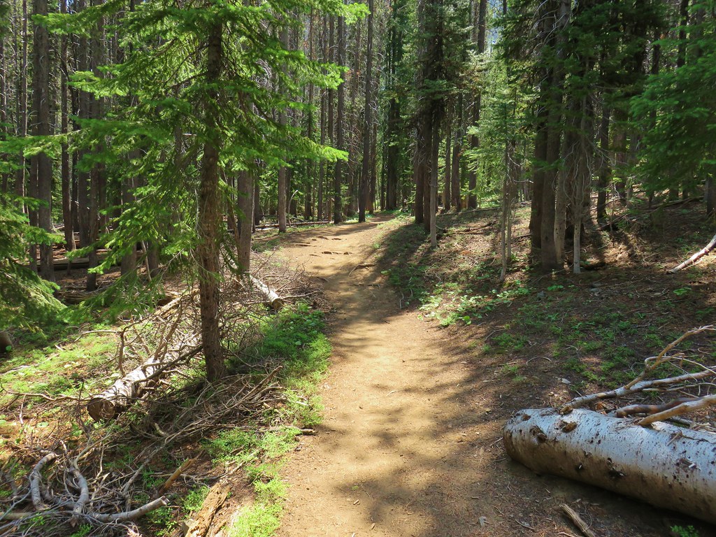
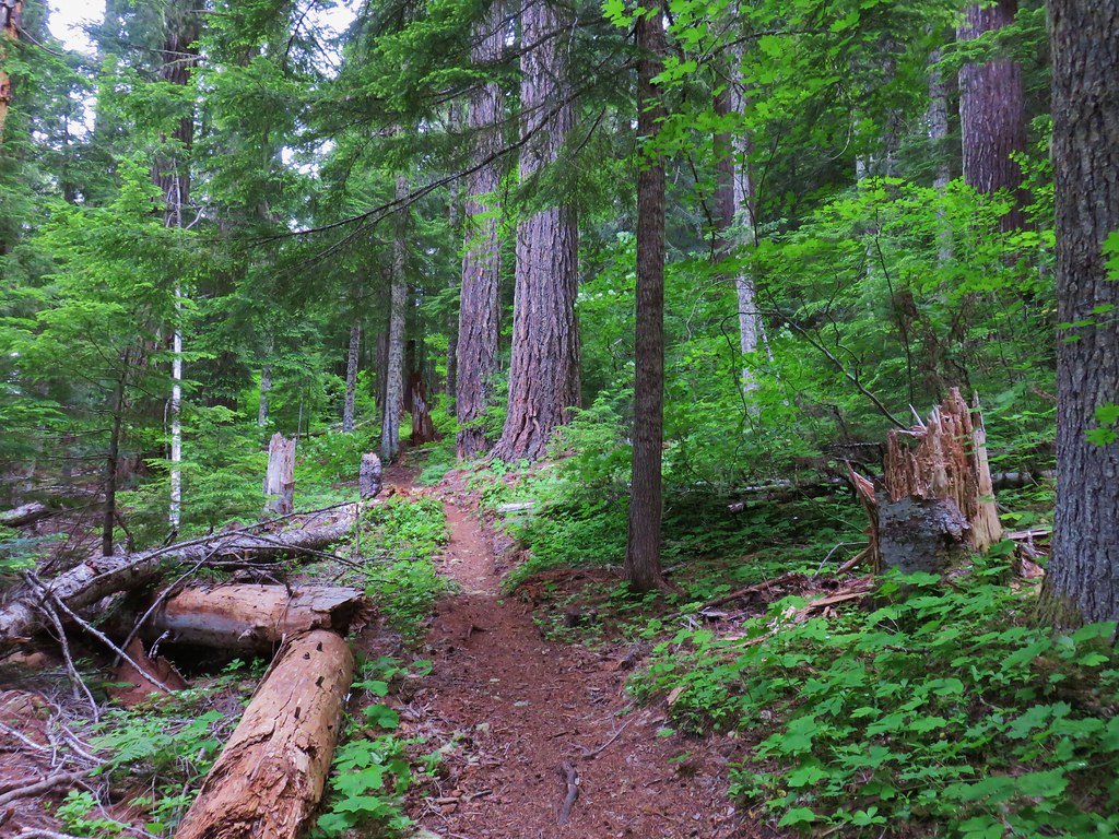
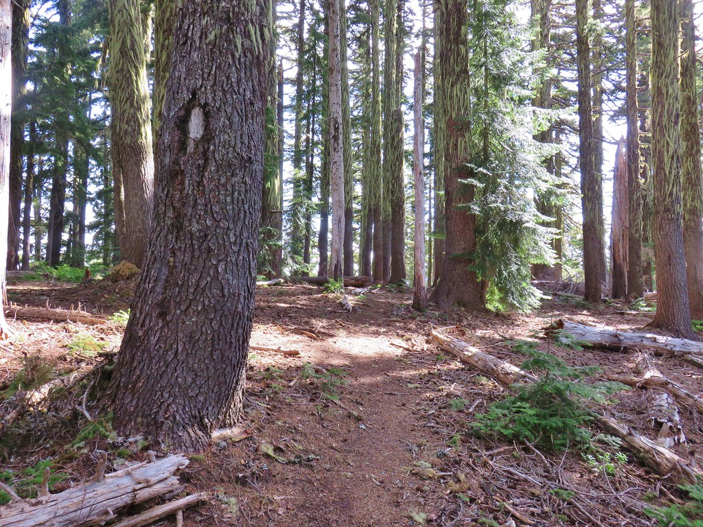
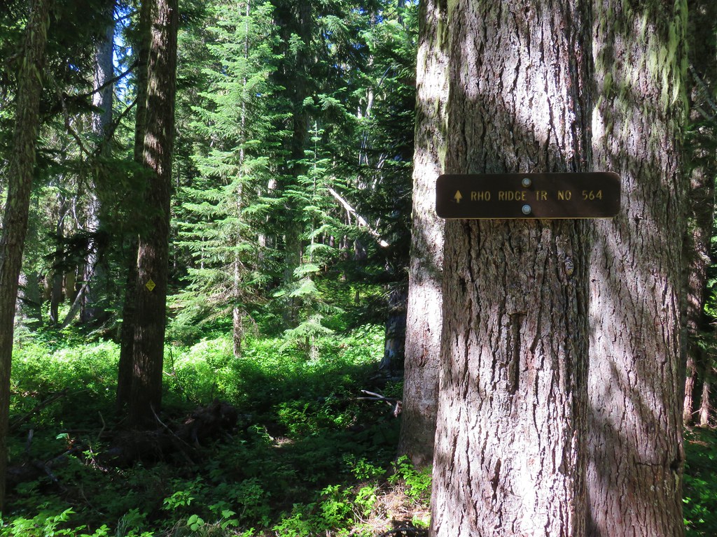
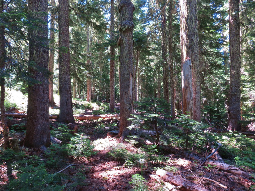
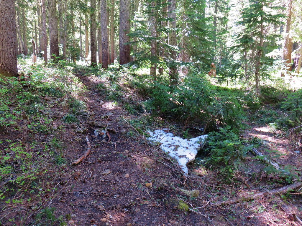
We started a 5 day backpacking trip here in 2016 (post) so the first quarter mile of trail was familiar before turning off of the West Fork Wallowa Trail onto the Chief Joseph Trail.
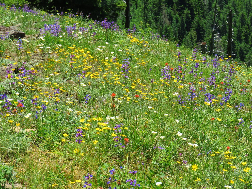
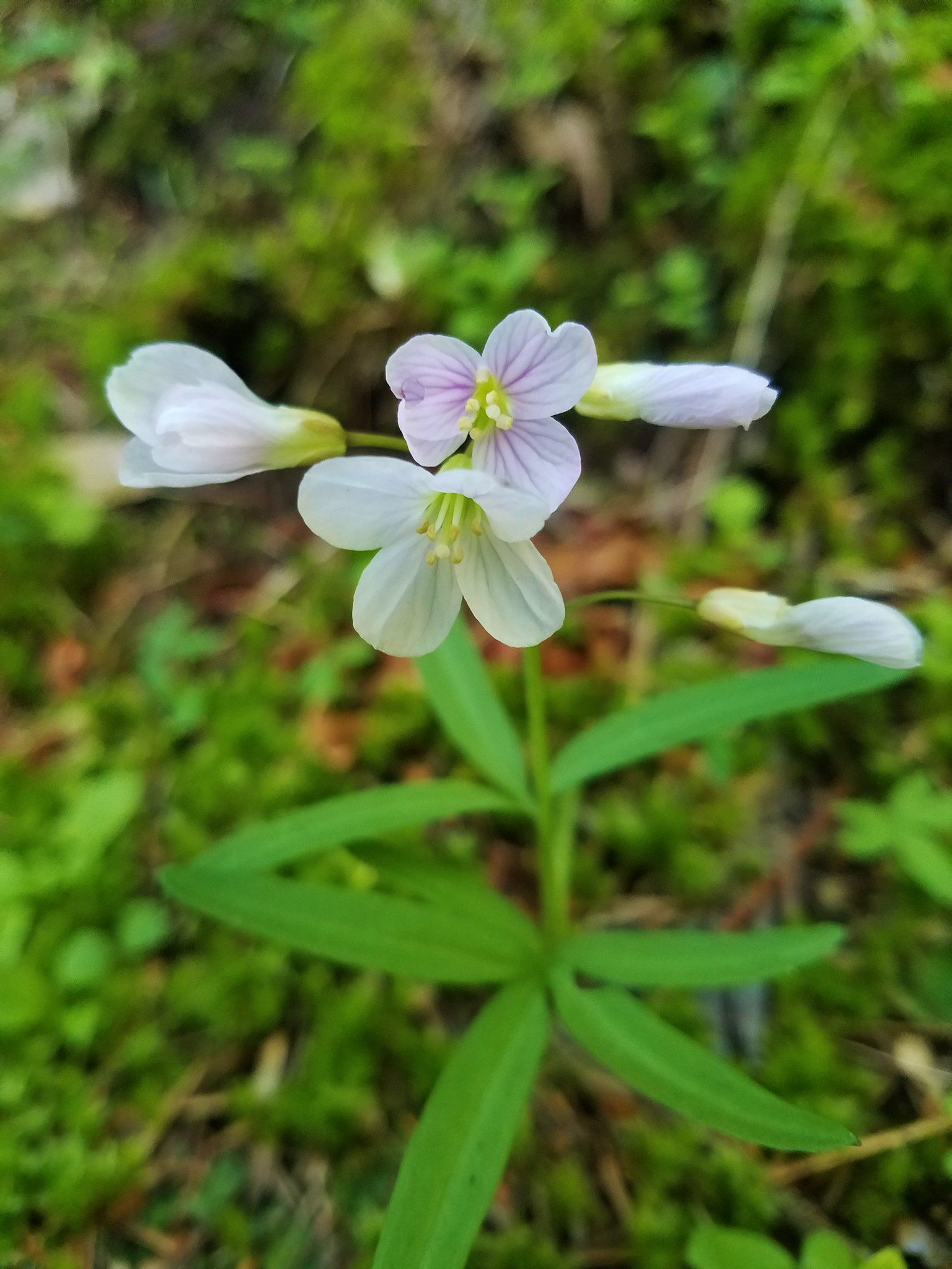
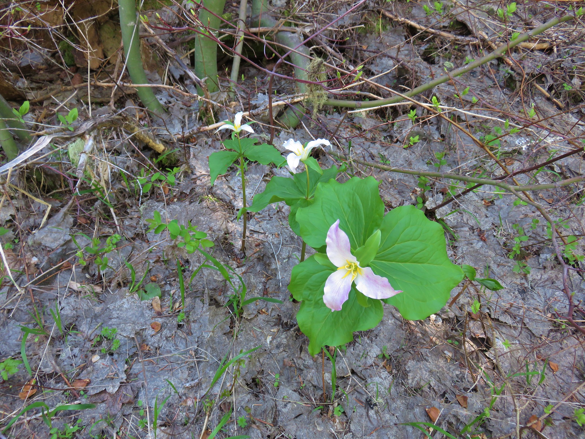
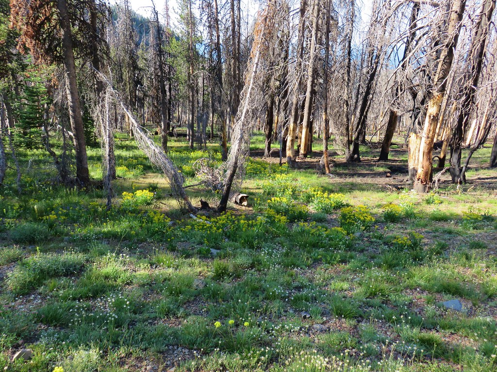
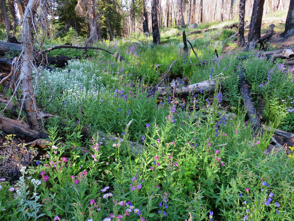
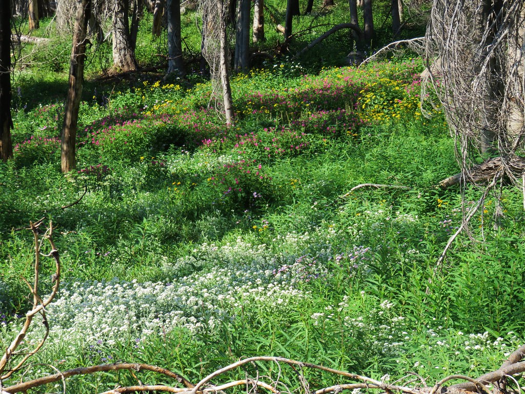
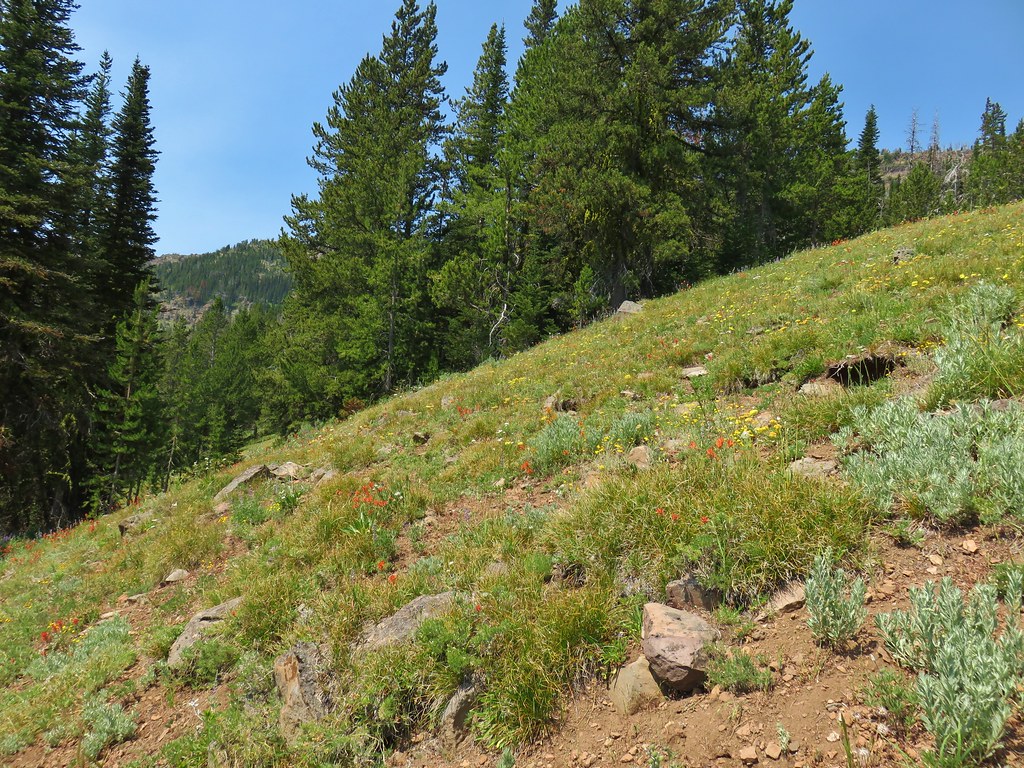
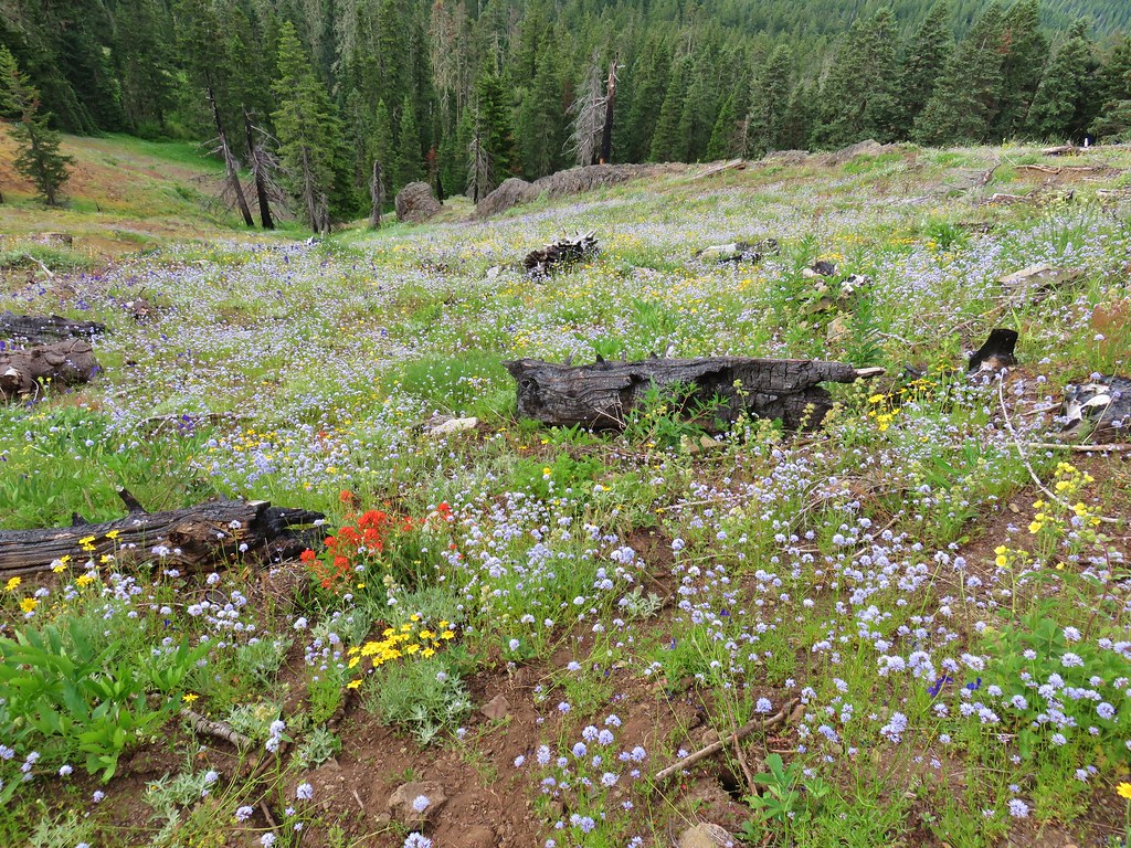
The first section of trail may have been familiar but being two months earlier in the year the flowers were different.
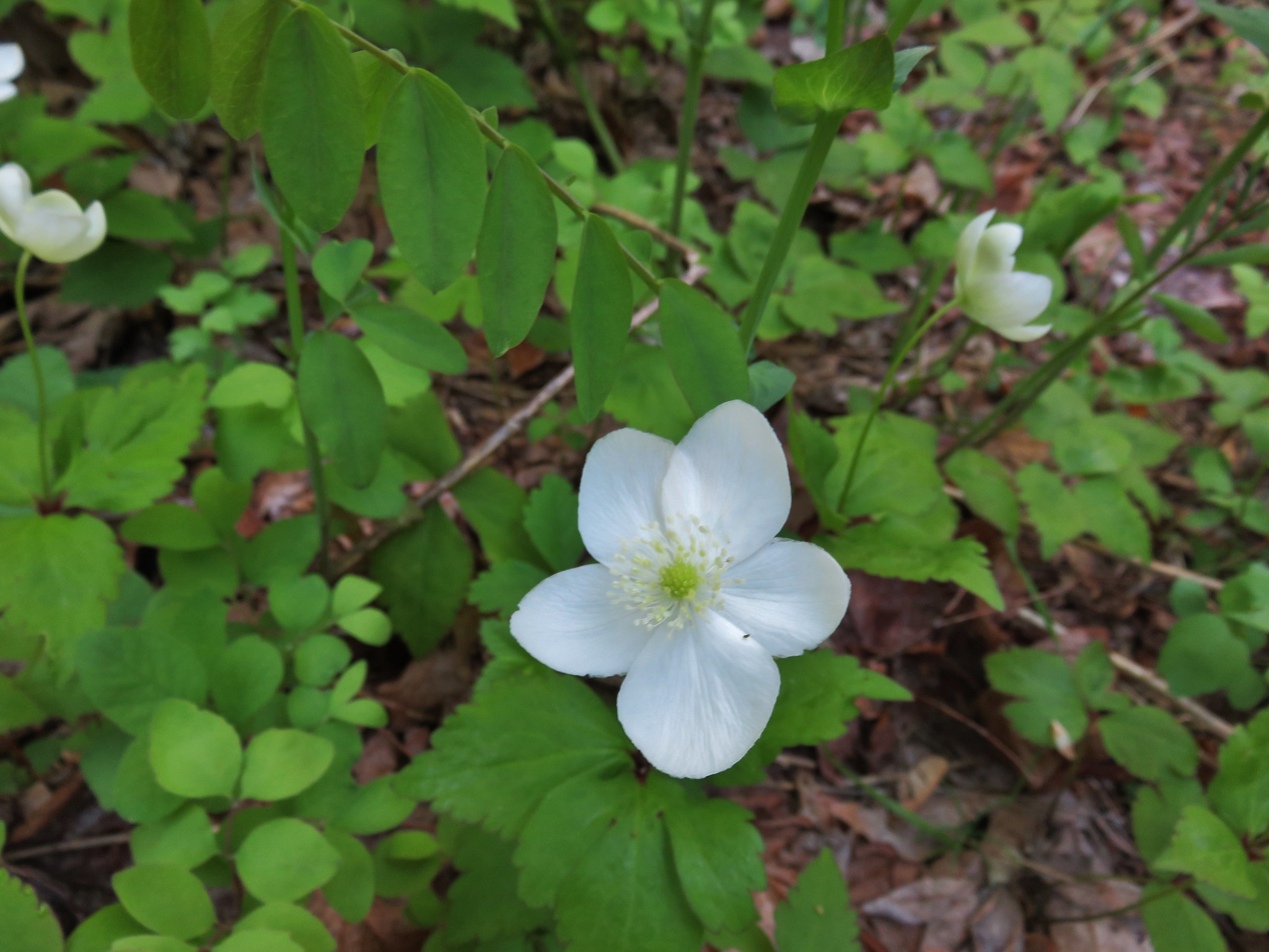
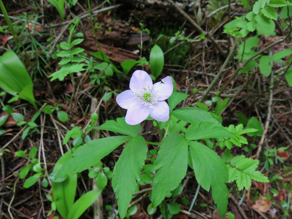 Anemone
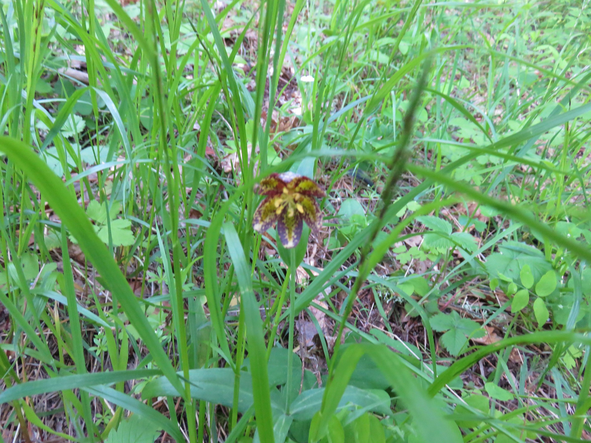
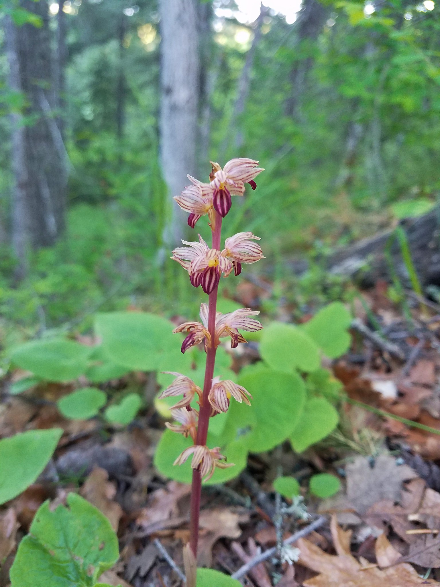
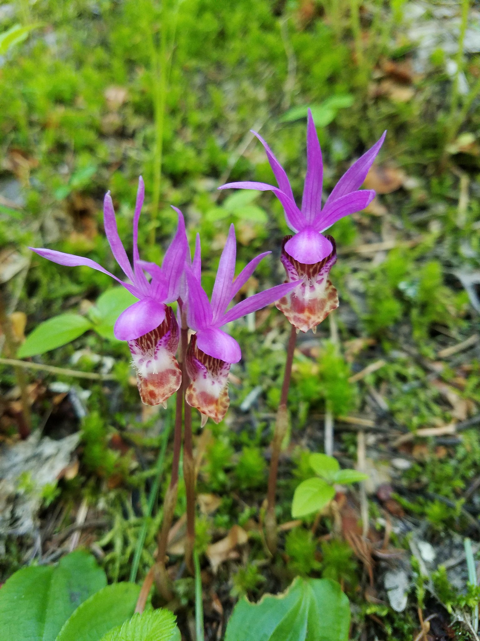
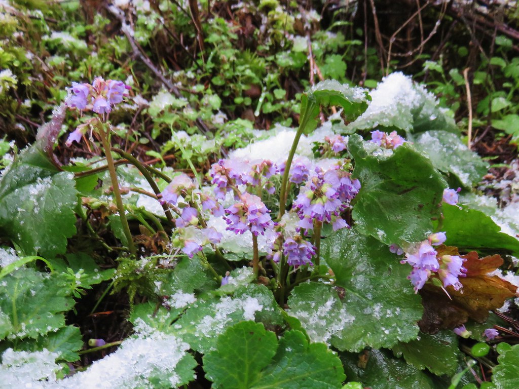
 Fairyslipper
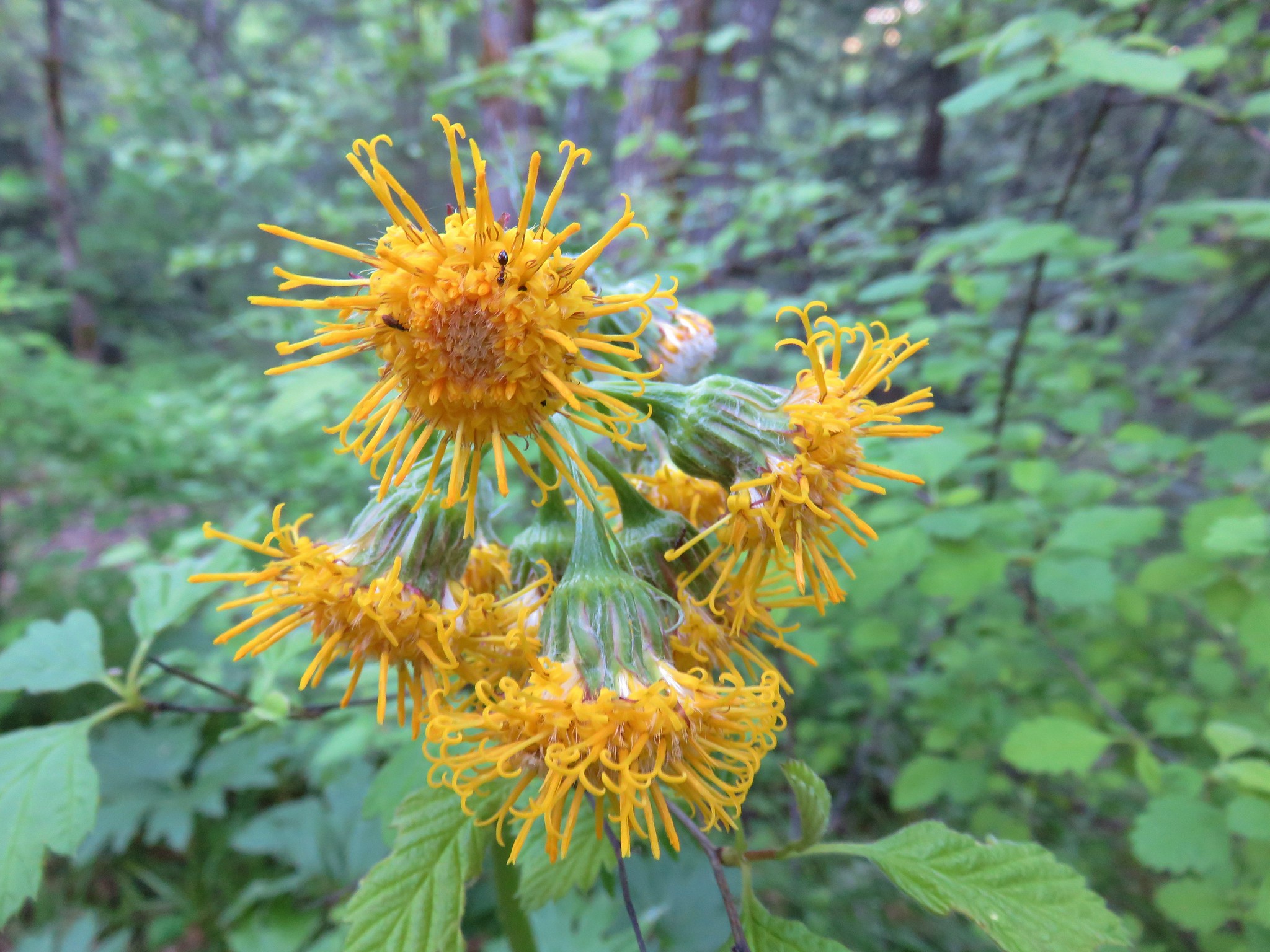
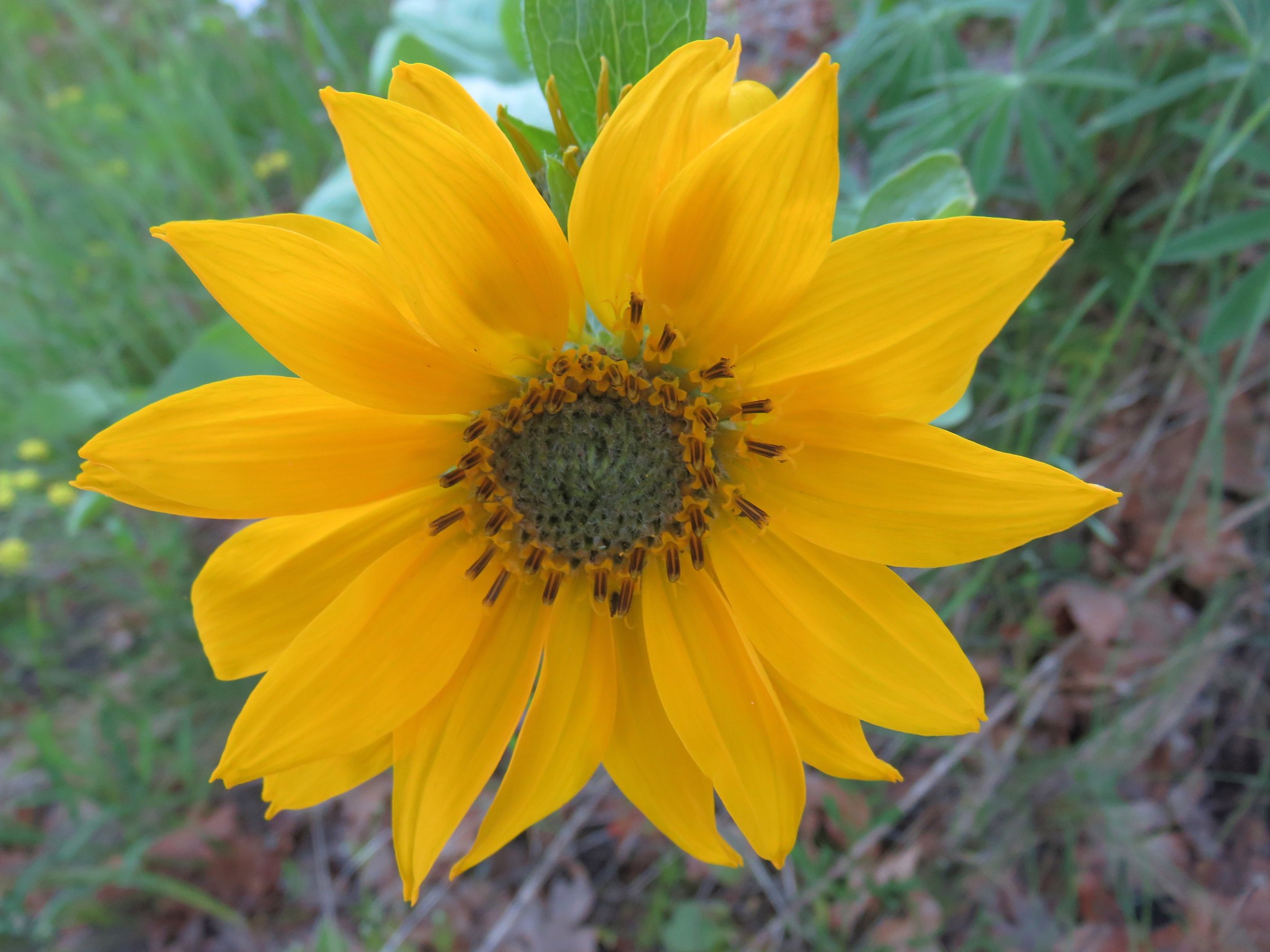
 Arnica

Rock Clematis
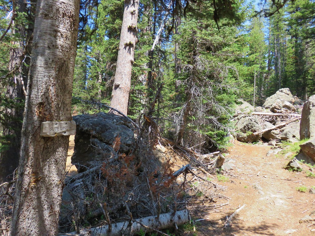
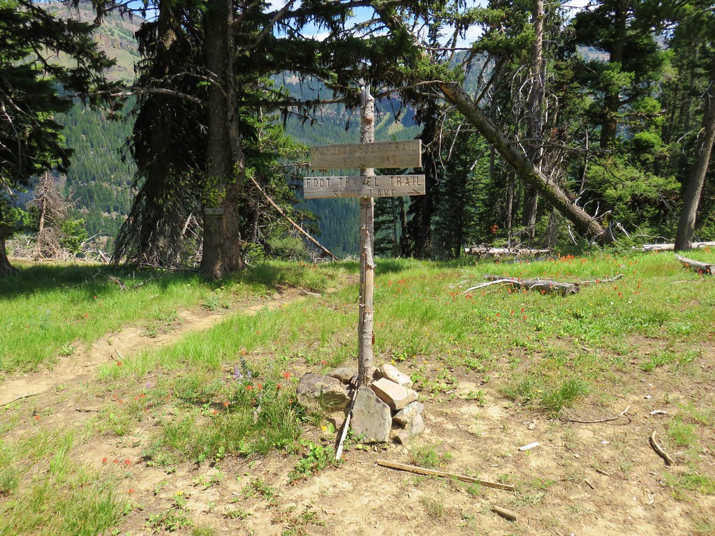
We turned onto the Chief Joseph Trail at the signed junction following a hand written pointer for B.C. Creek Falls

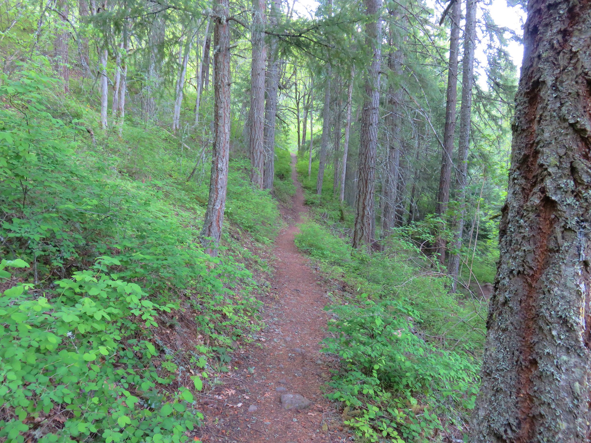
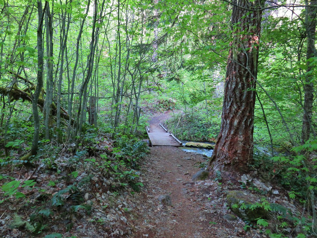
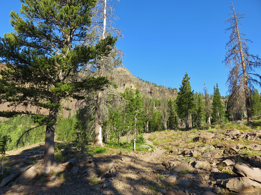
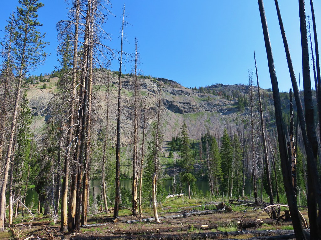
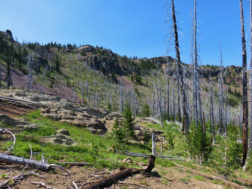
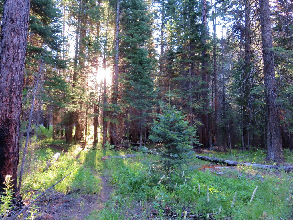
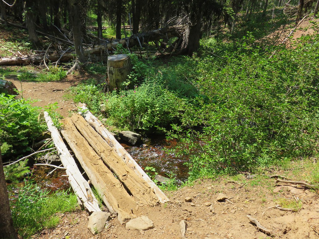
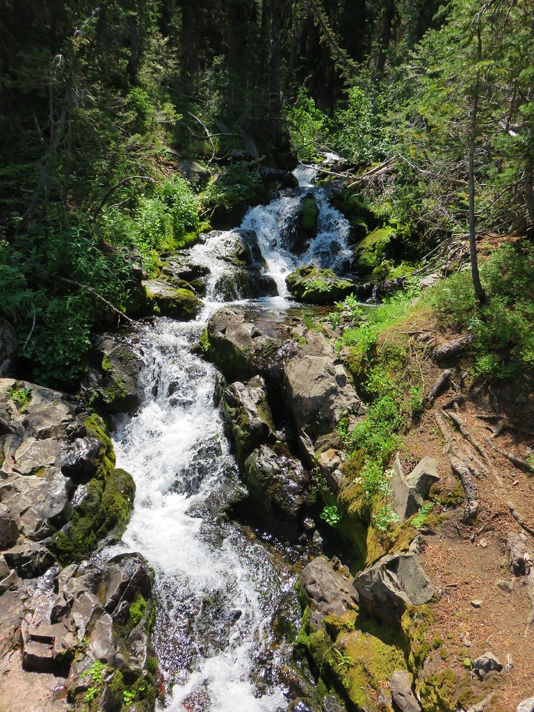
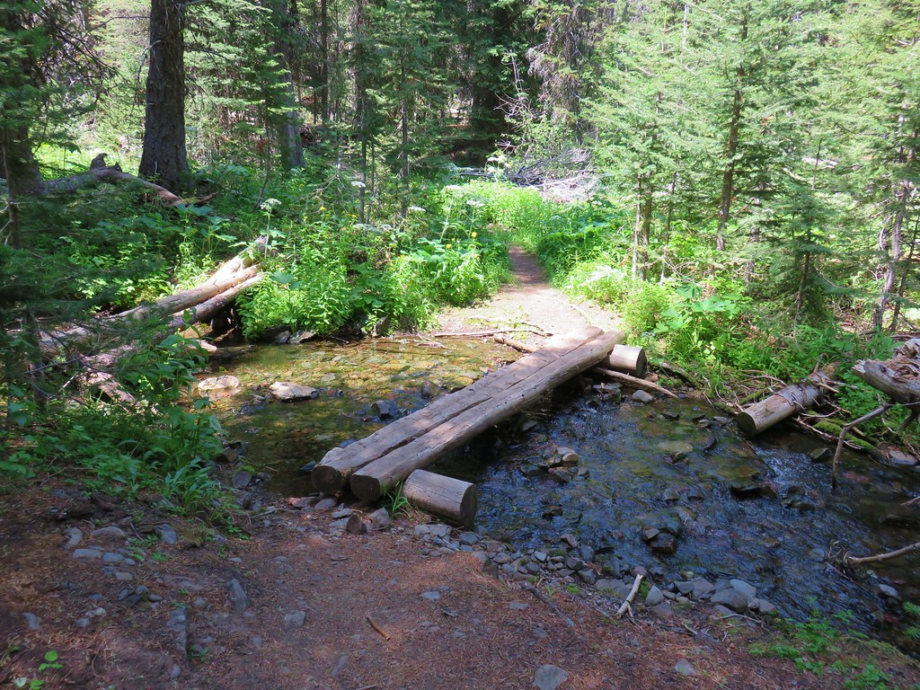
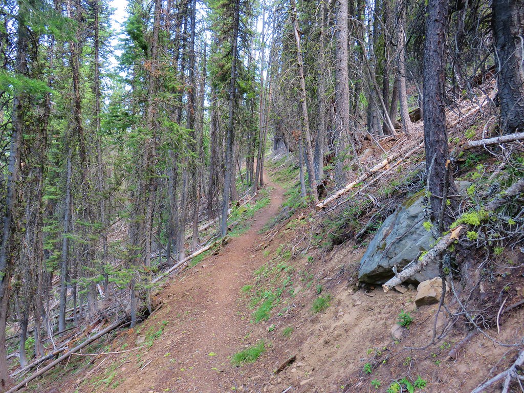
The trail descended through the forest to a footbridge over the West Fork Wallowa River.
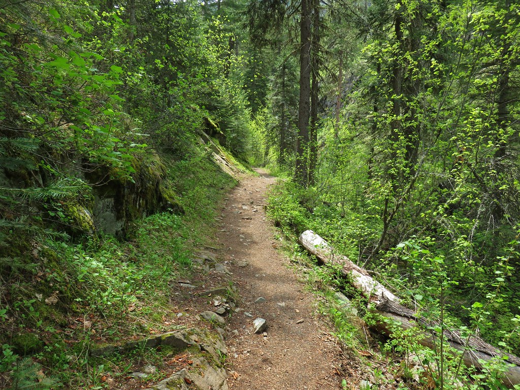


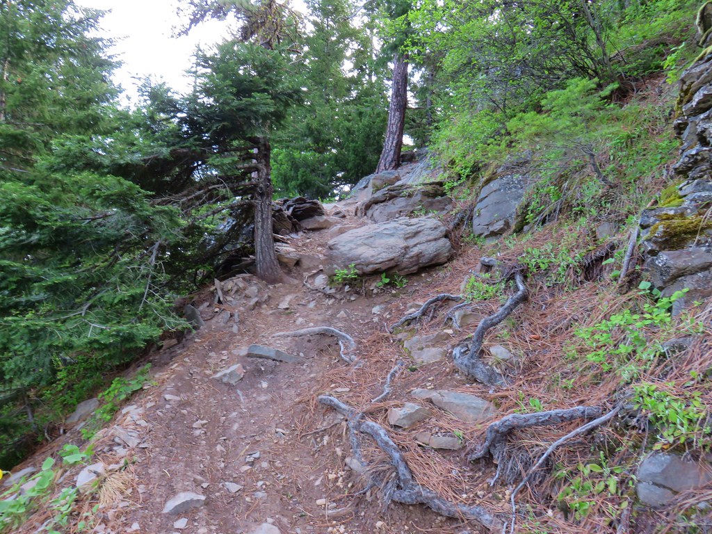
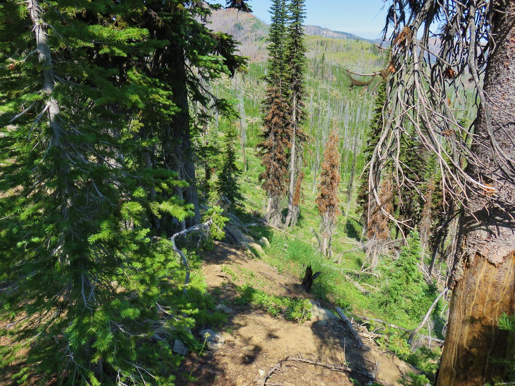
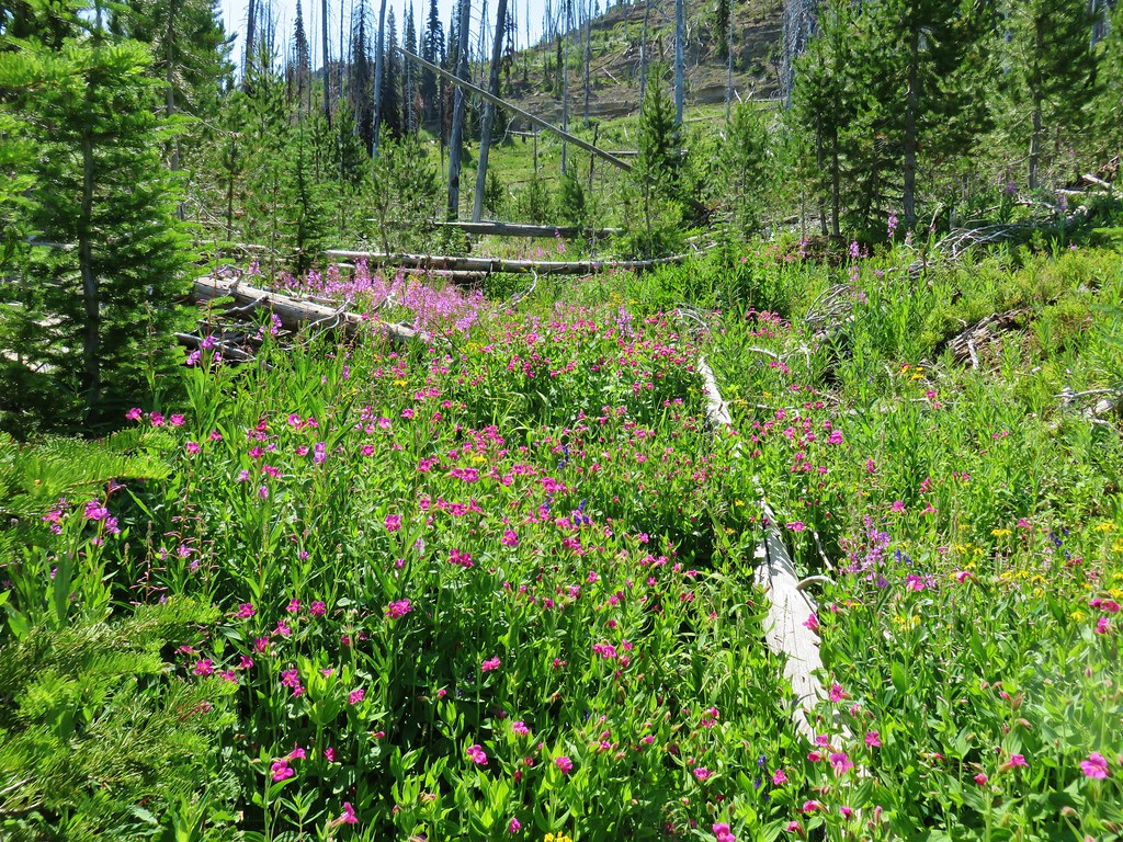
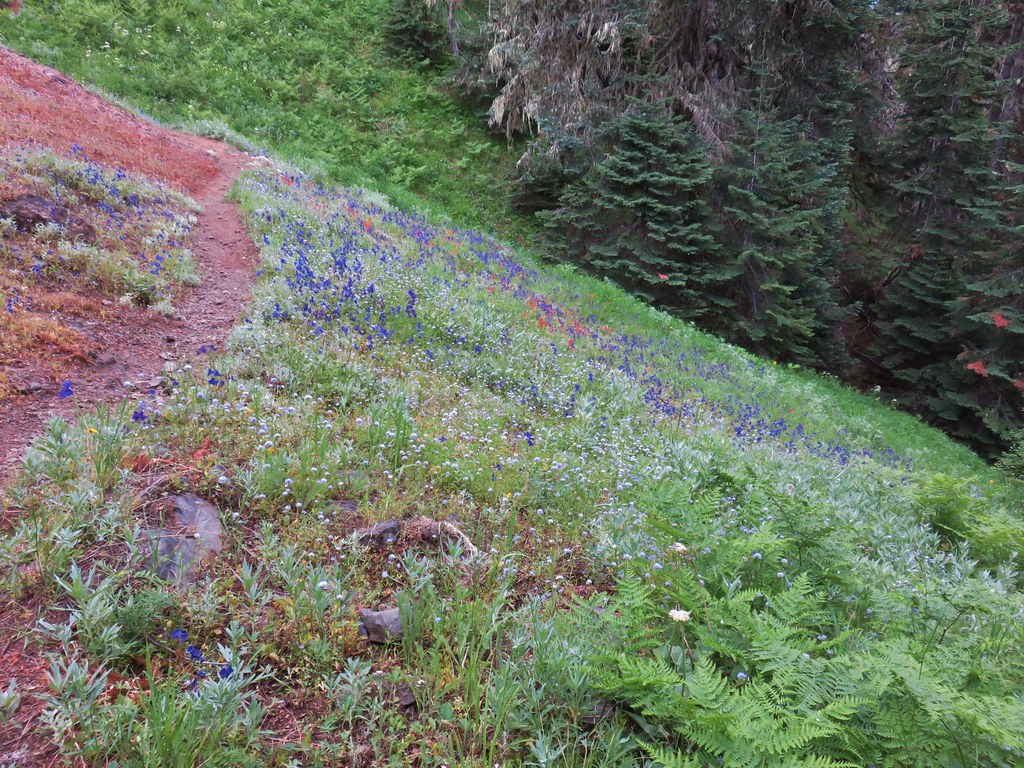
On the far side of the river the trail climbed a series of switchbacks past more wildflowers and views down to the bridge below.

 Bluebells

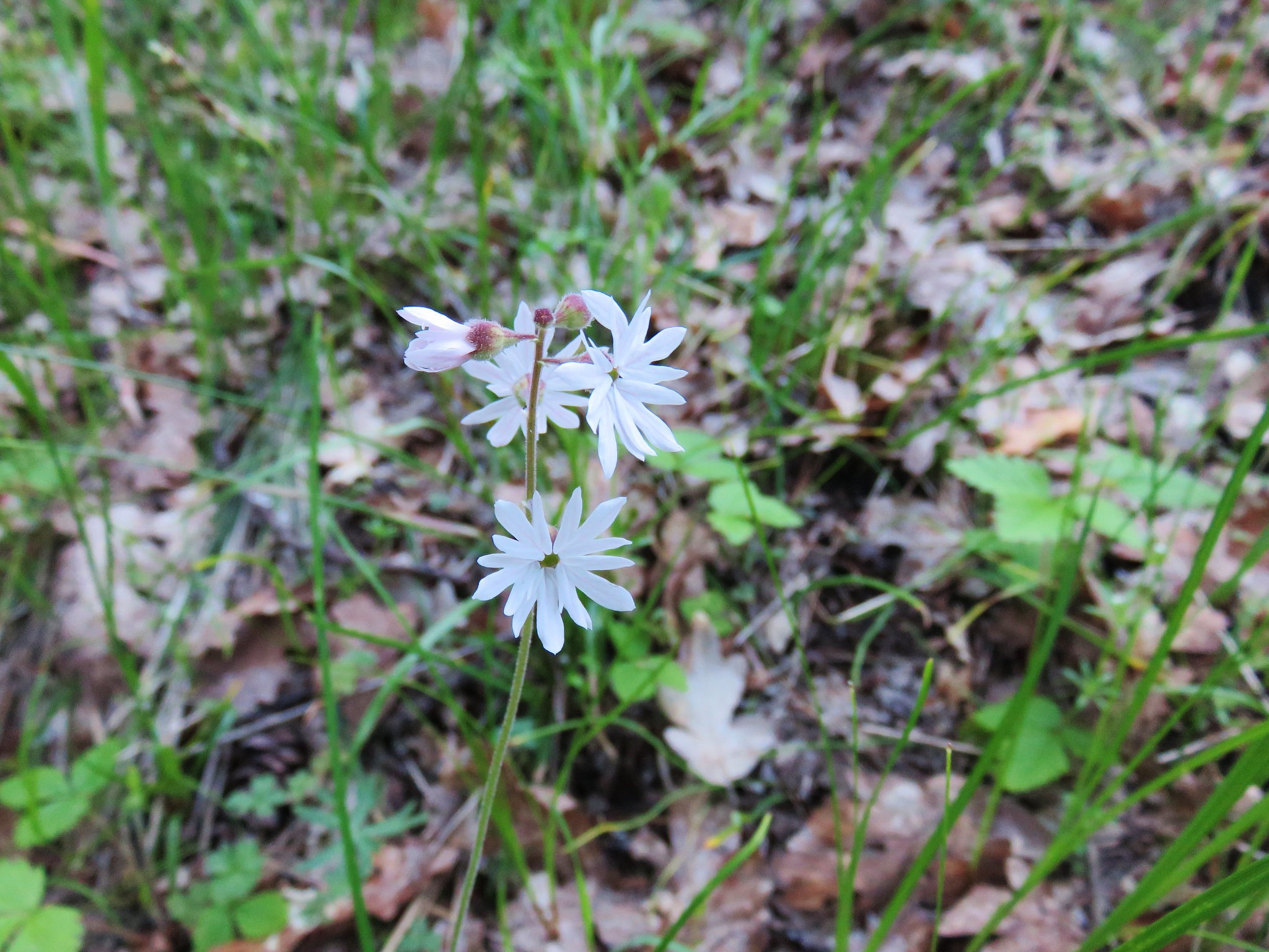
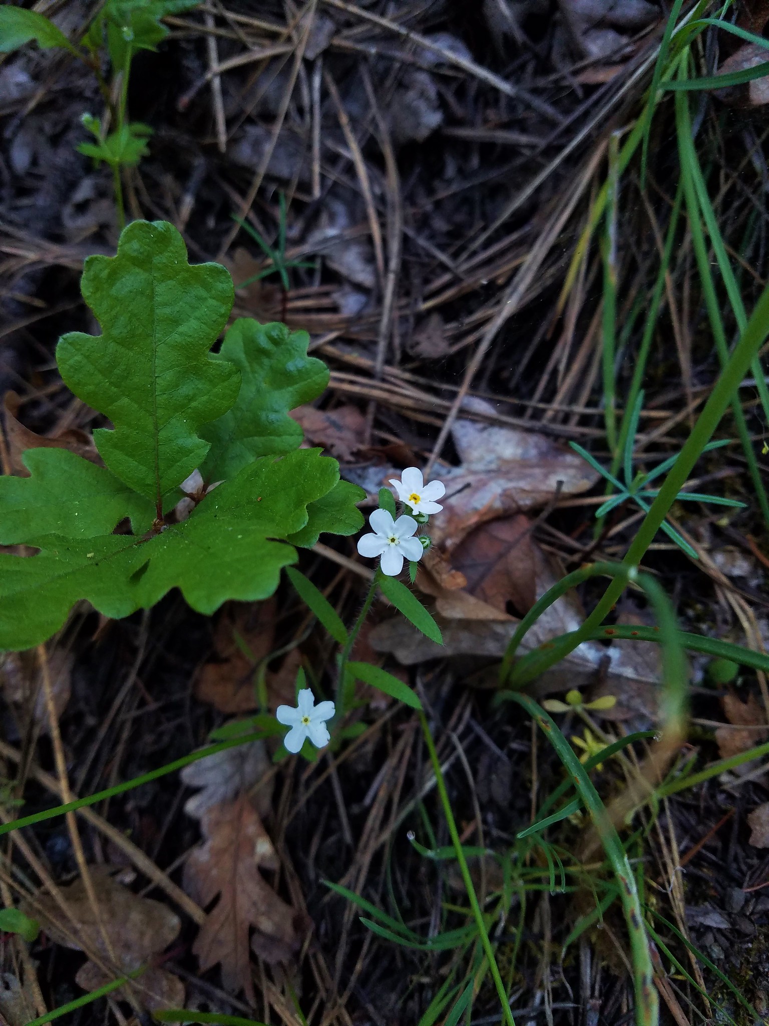
 Prairie stars
 More rock clematis
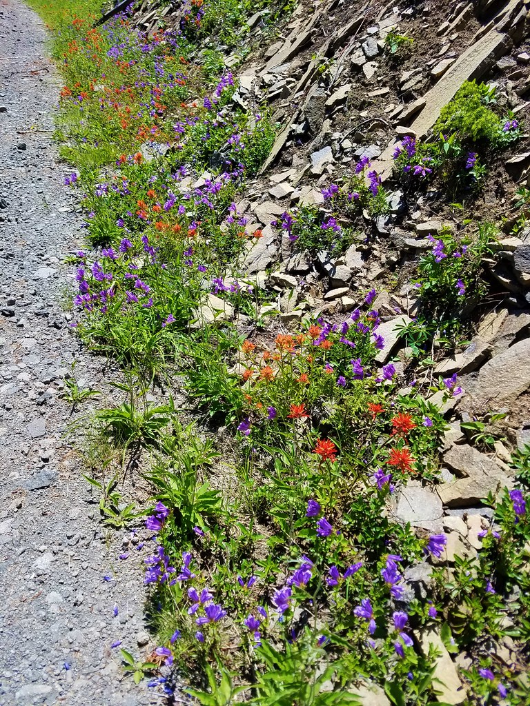
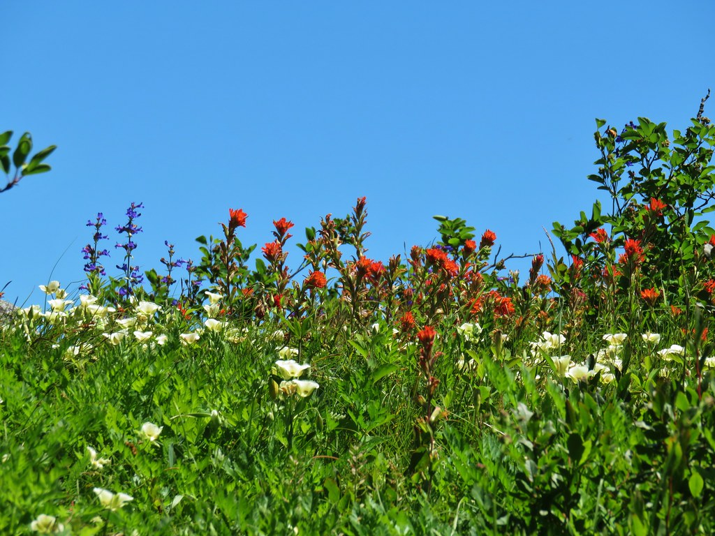
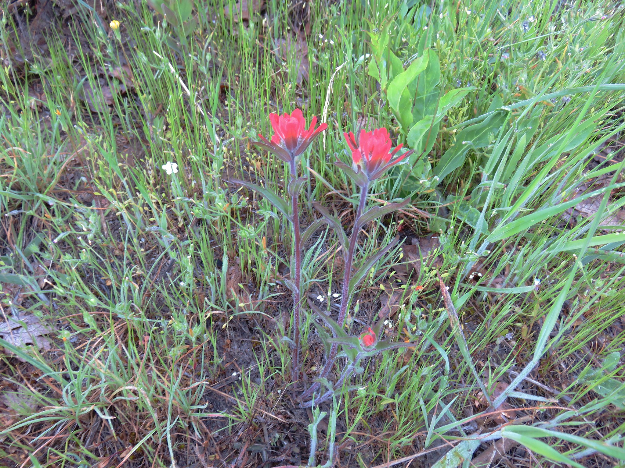
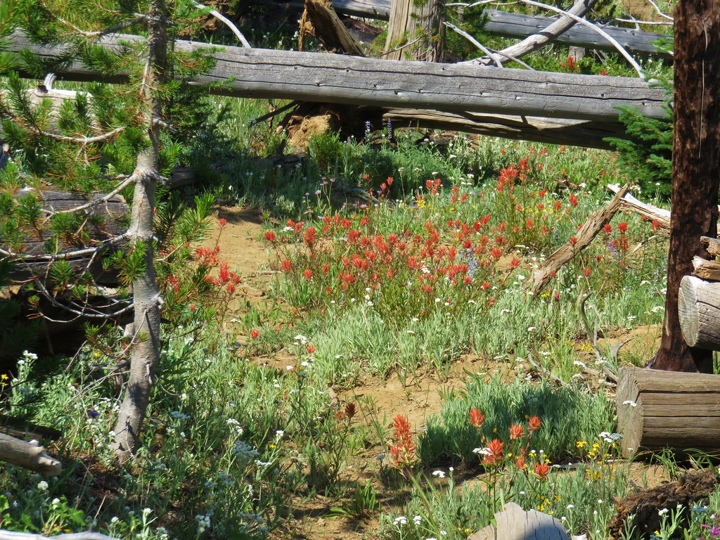
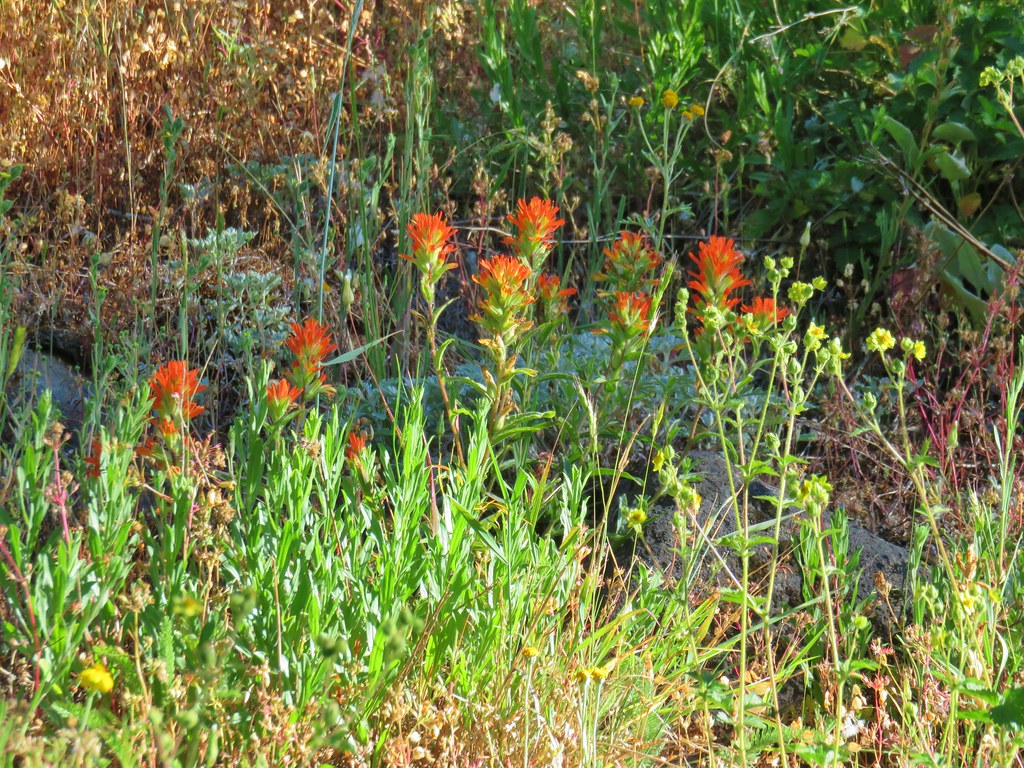
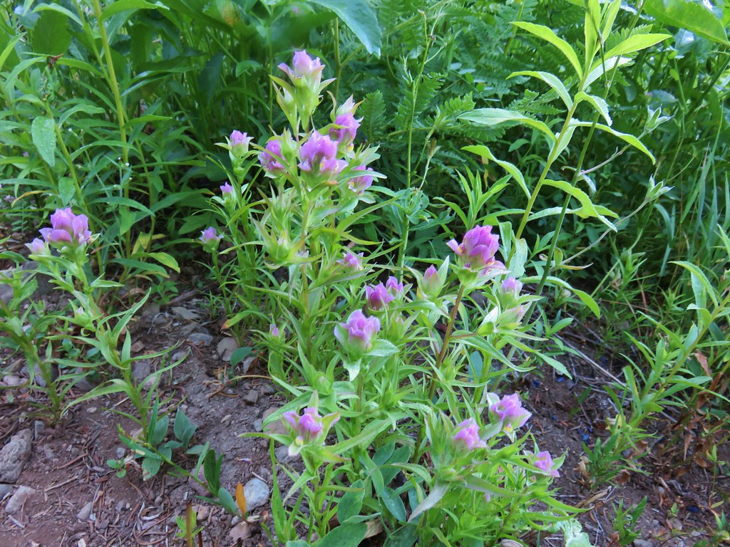
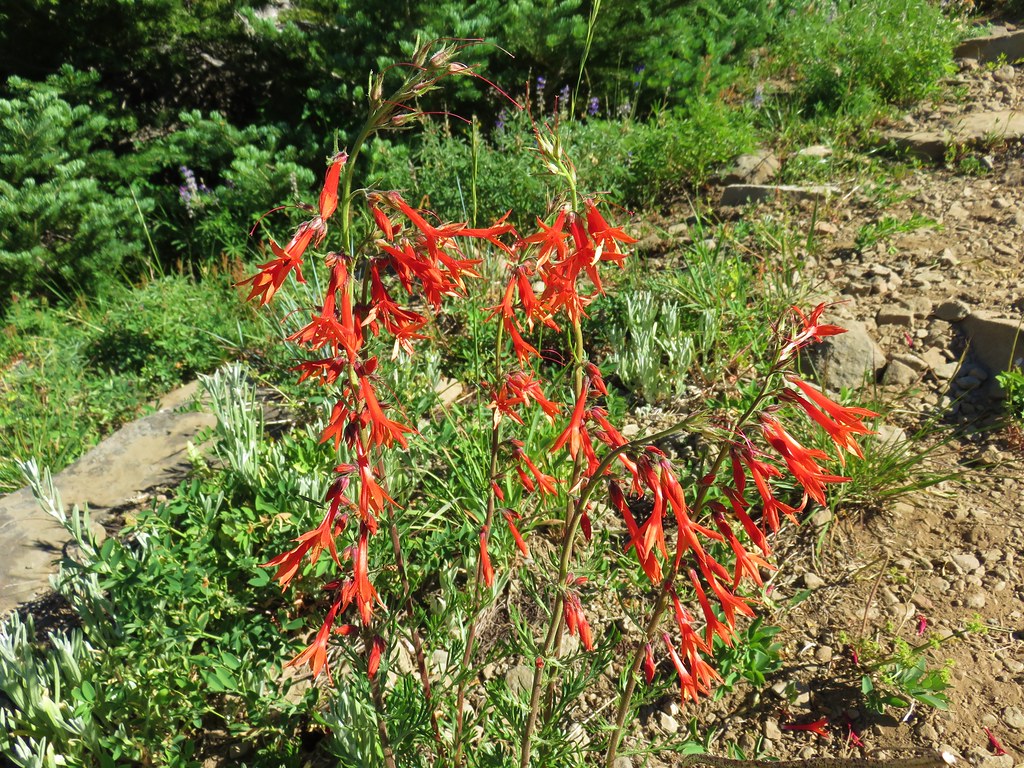
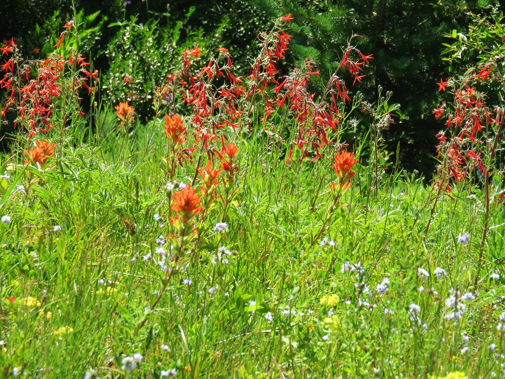
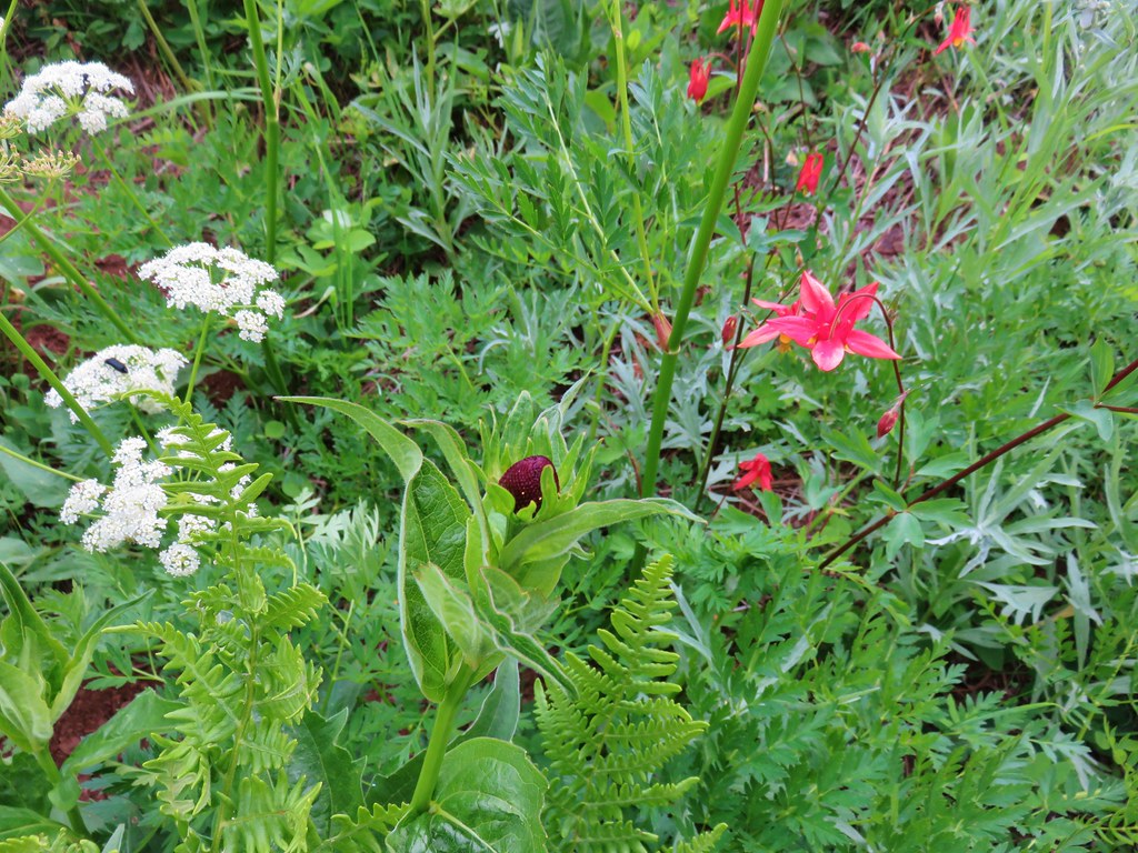
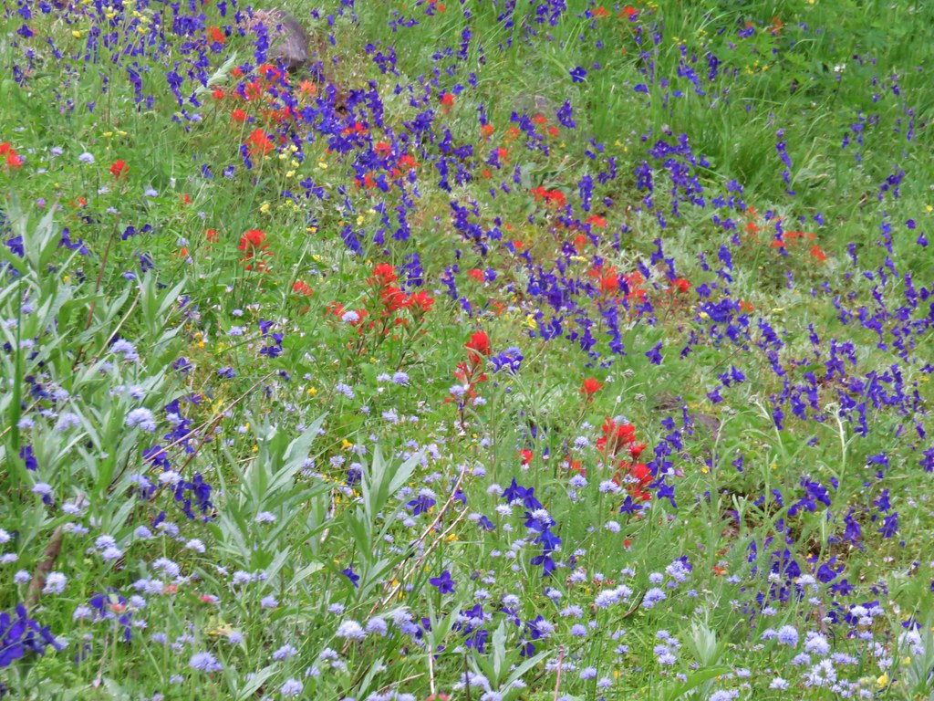
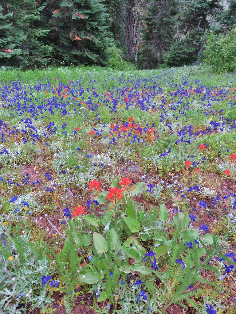
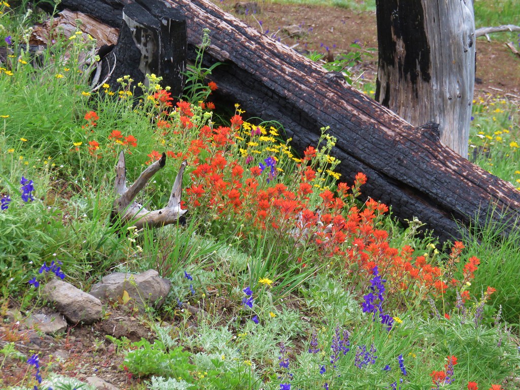
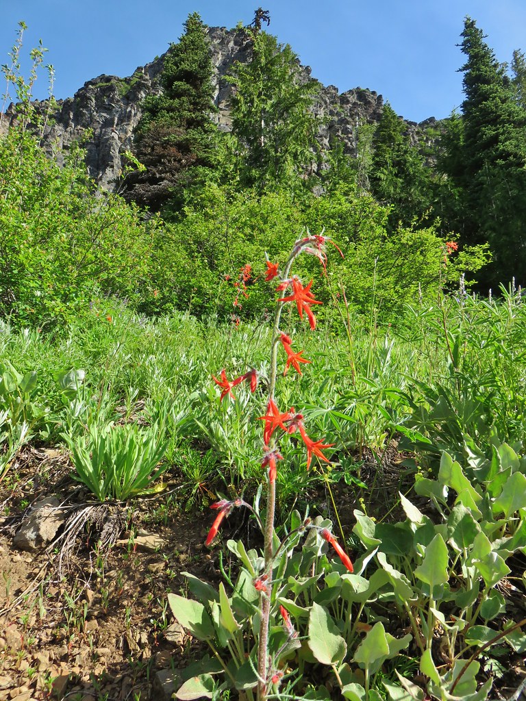
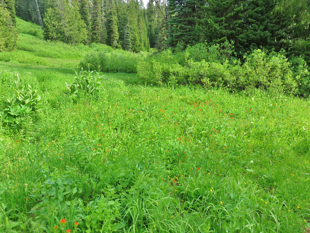
 Paintbrush

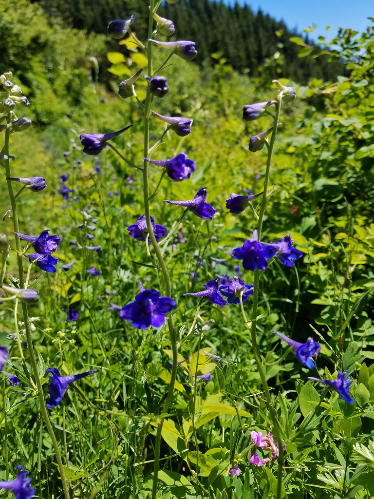
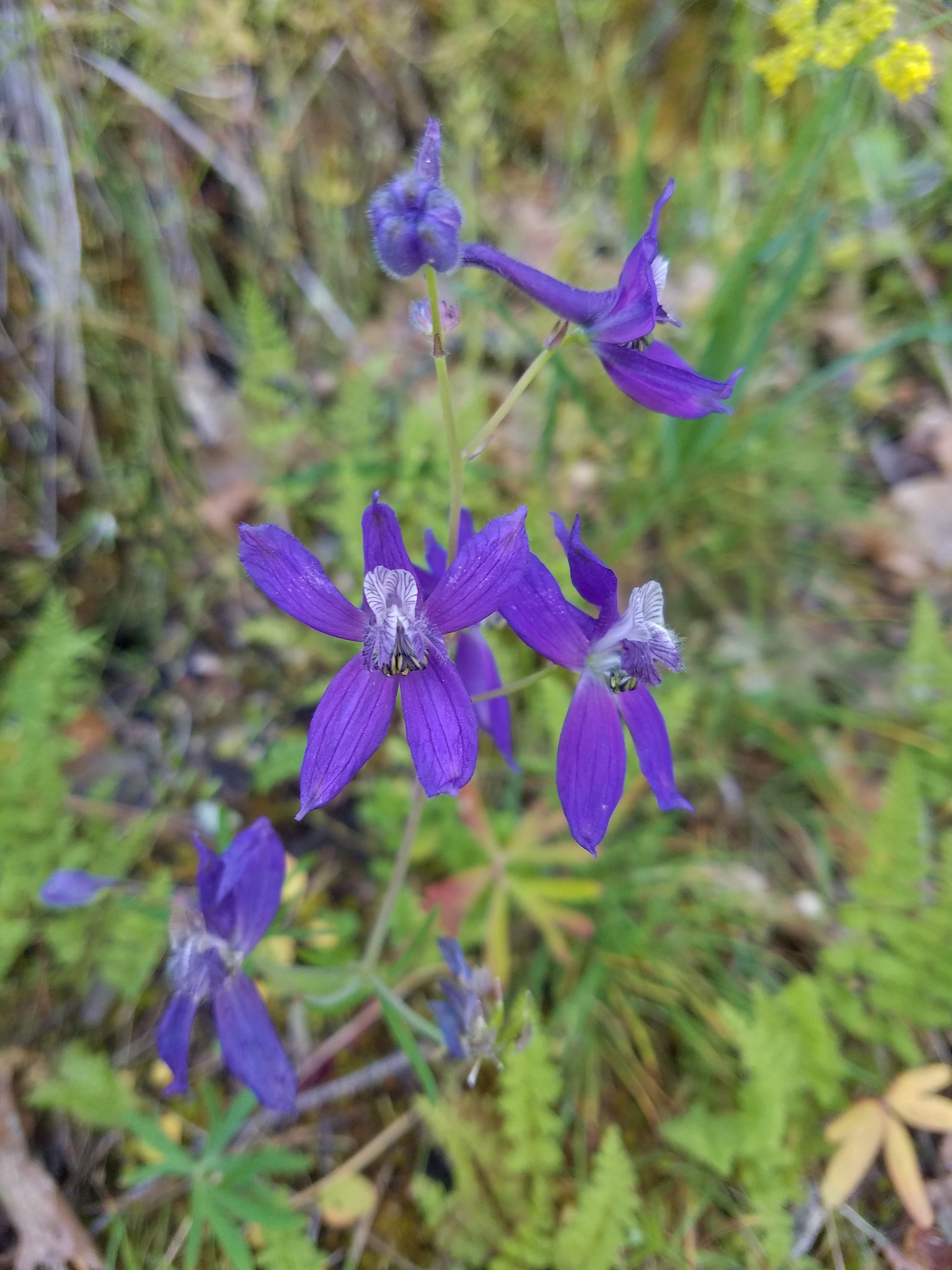
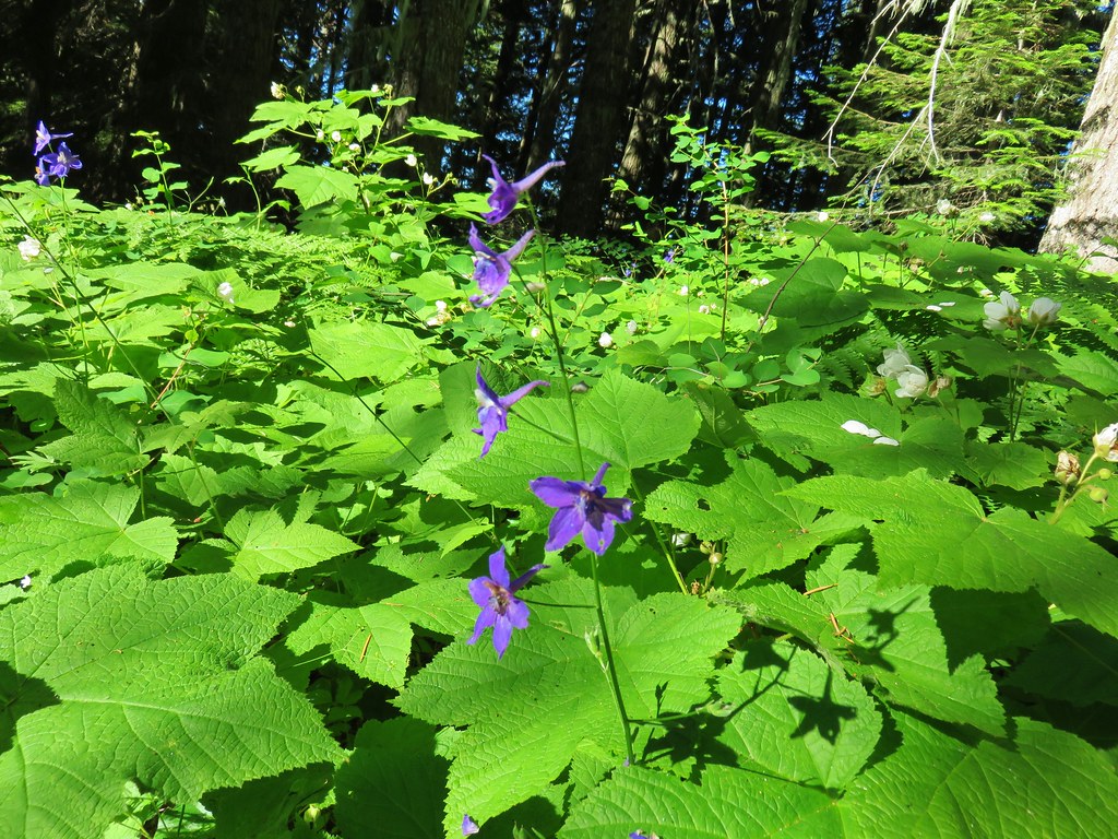
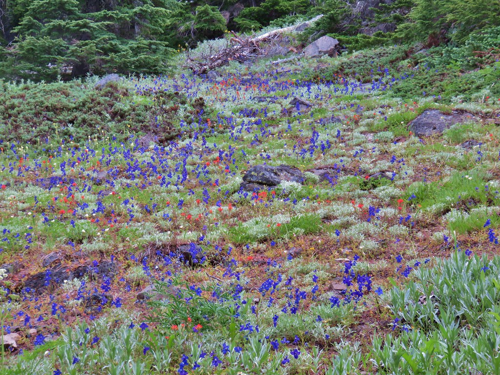
 Larkspur
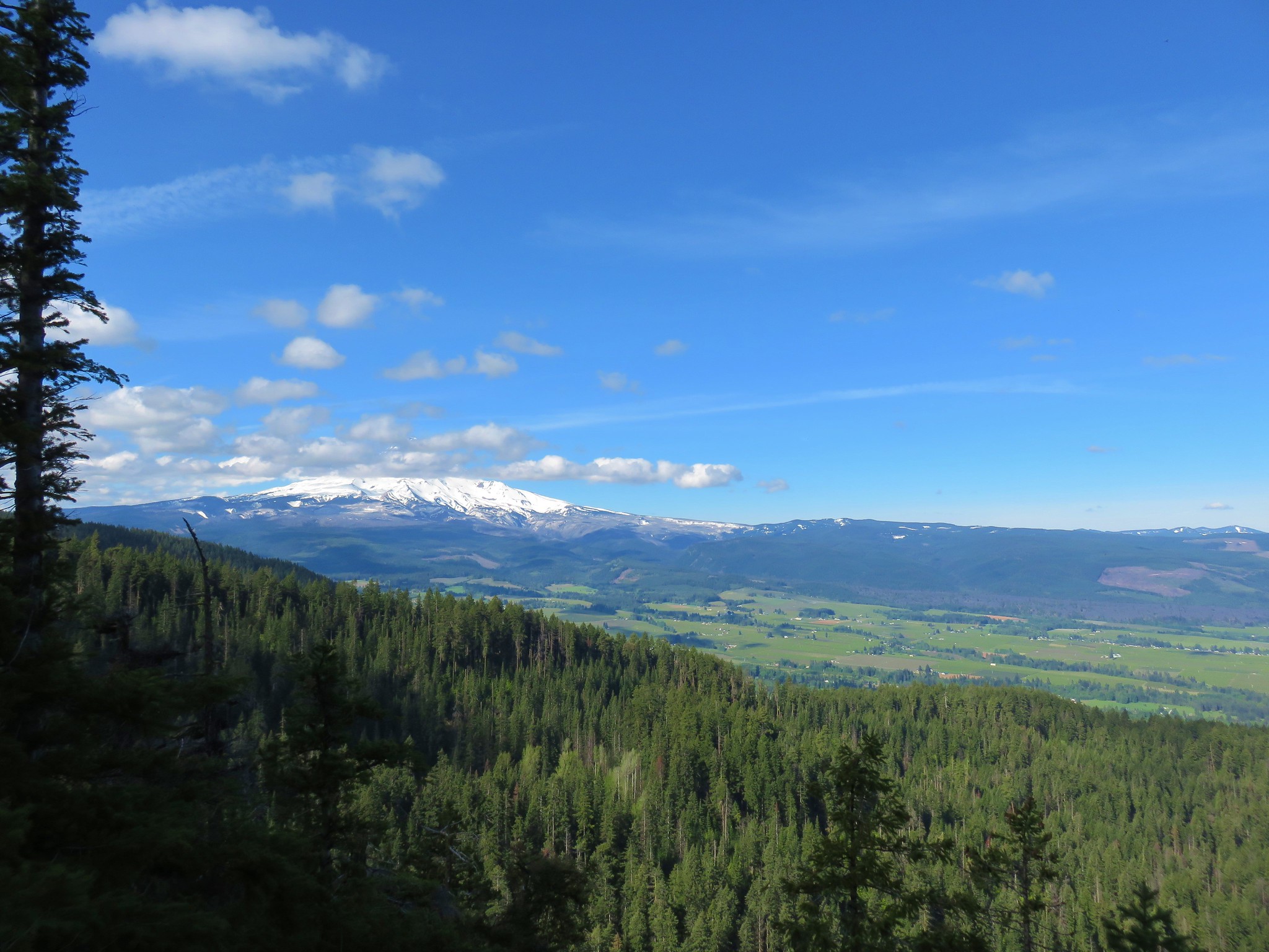
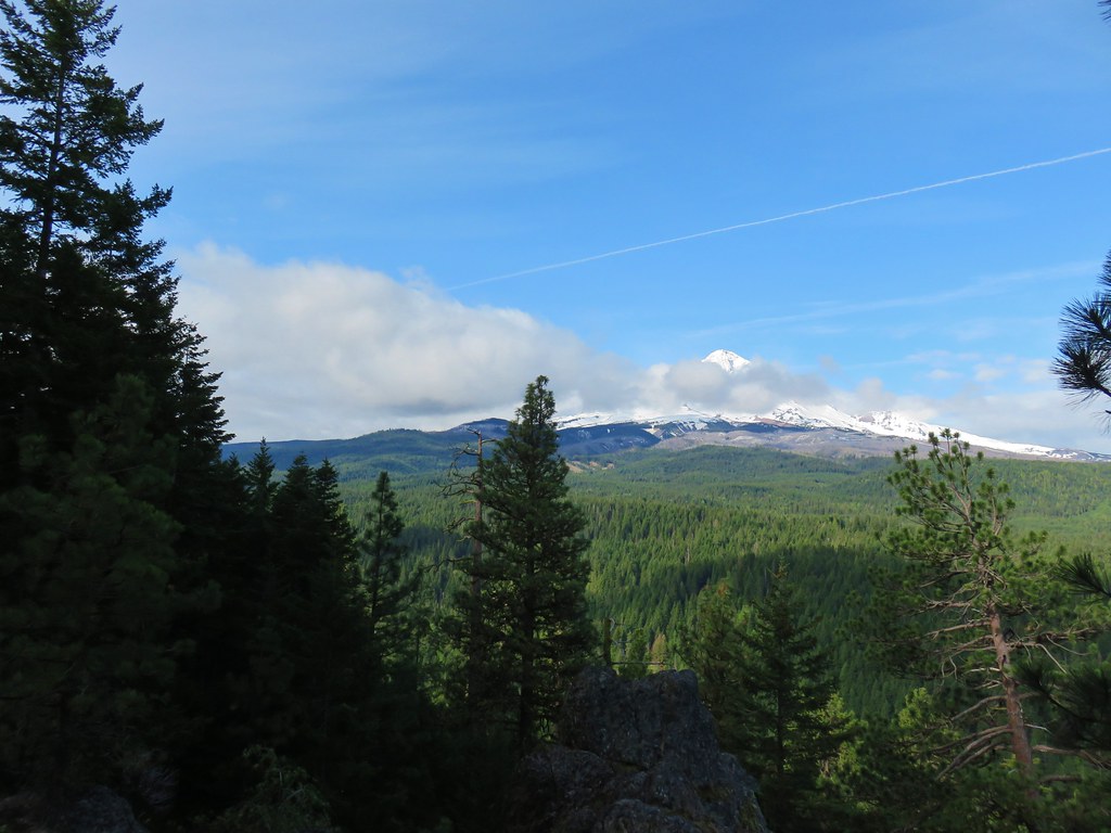
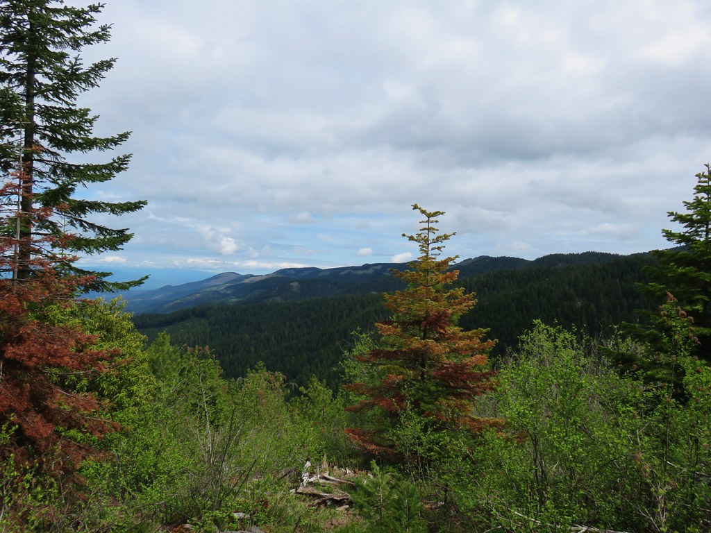
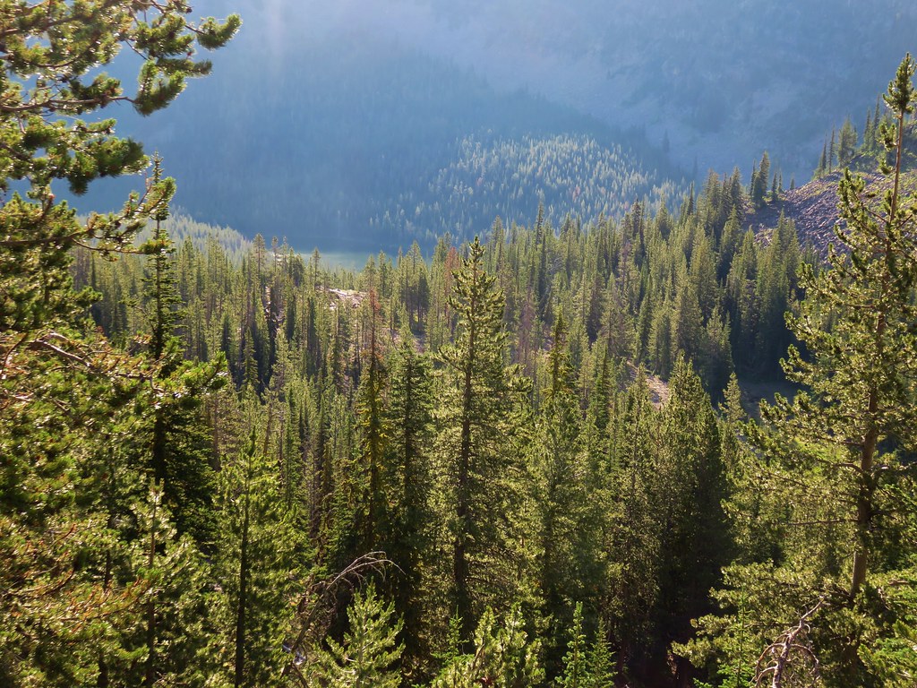
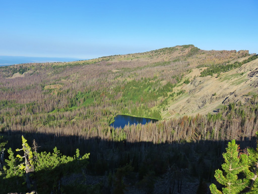
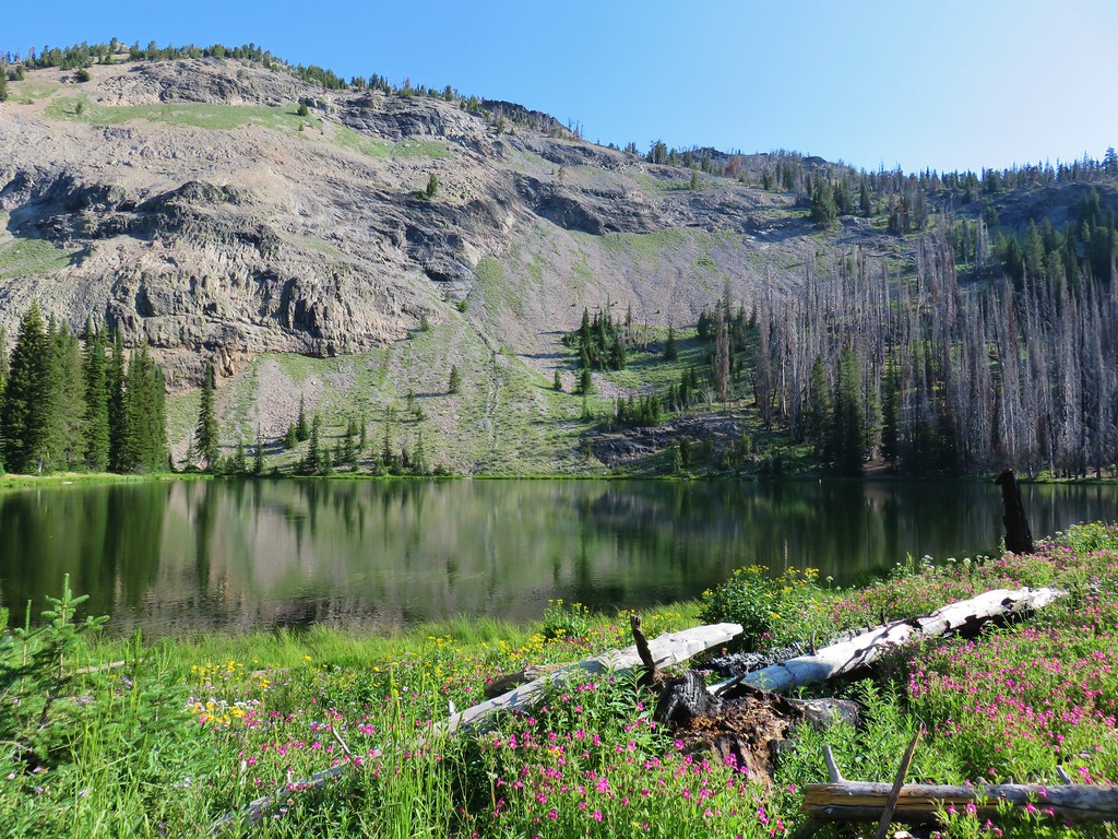
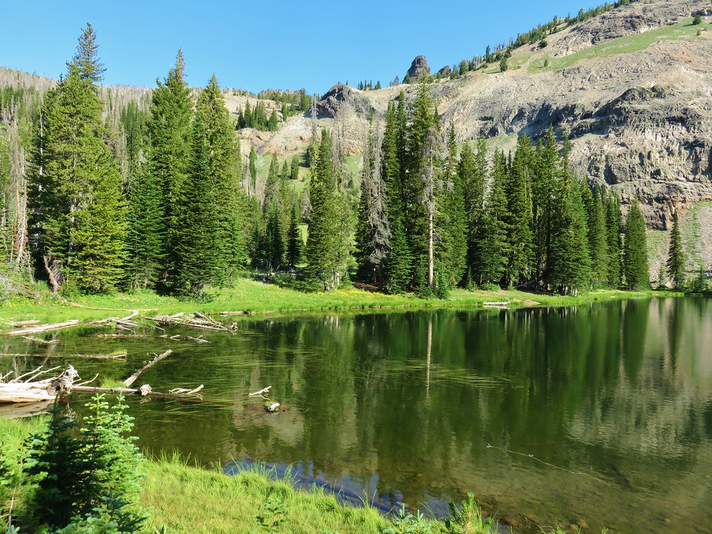
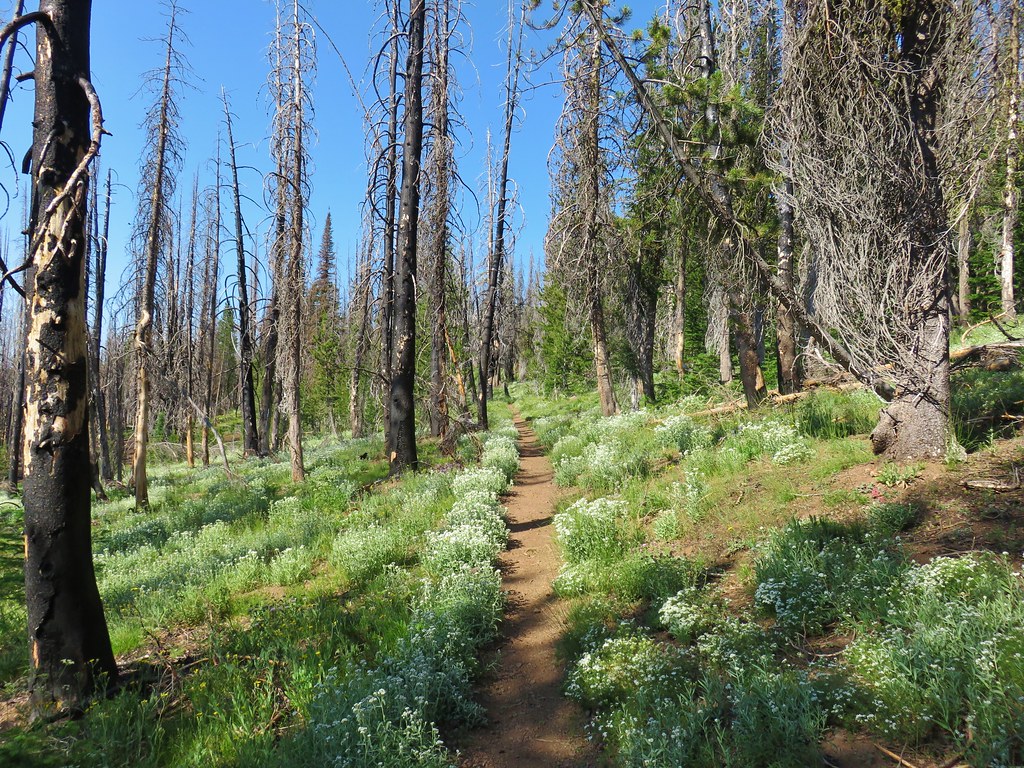
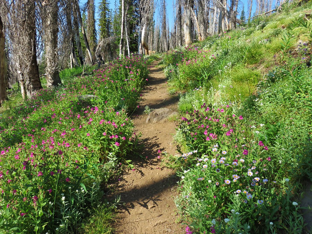
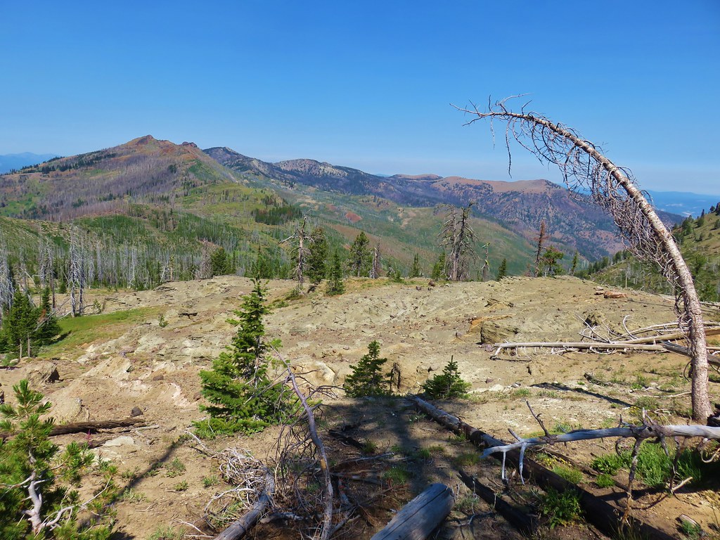
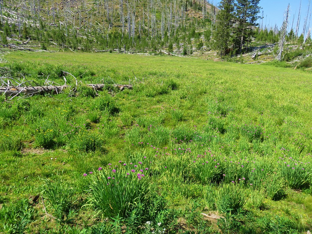
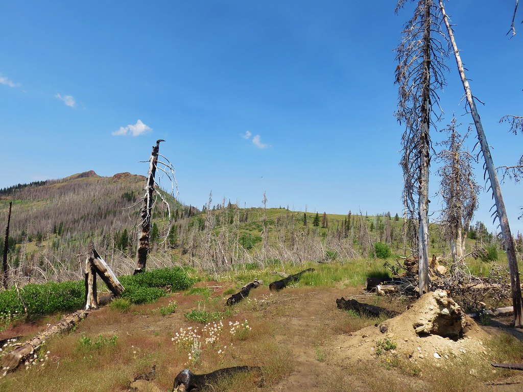
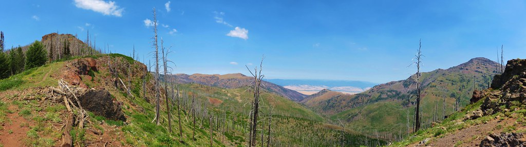
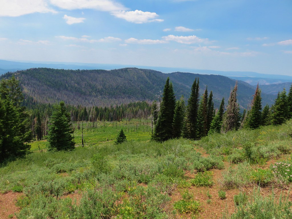
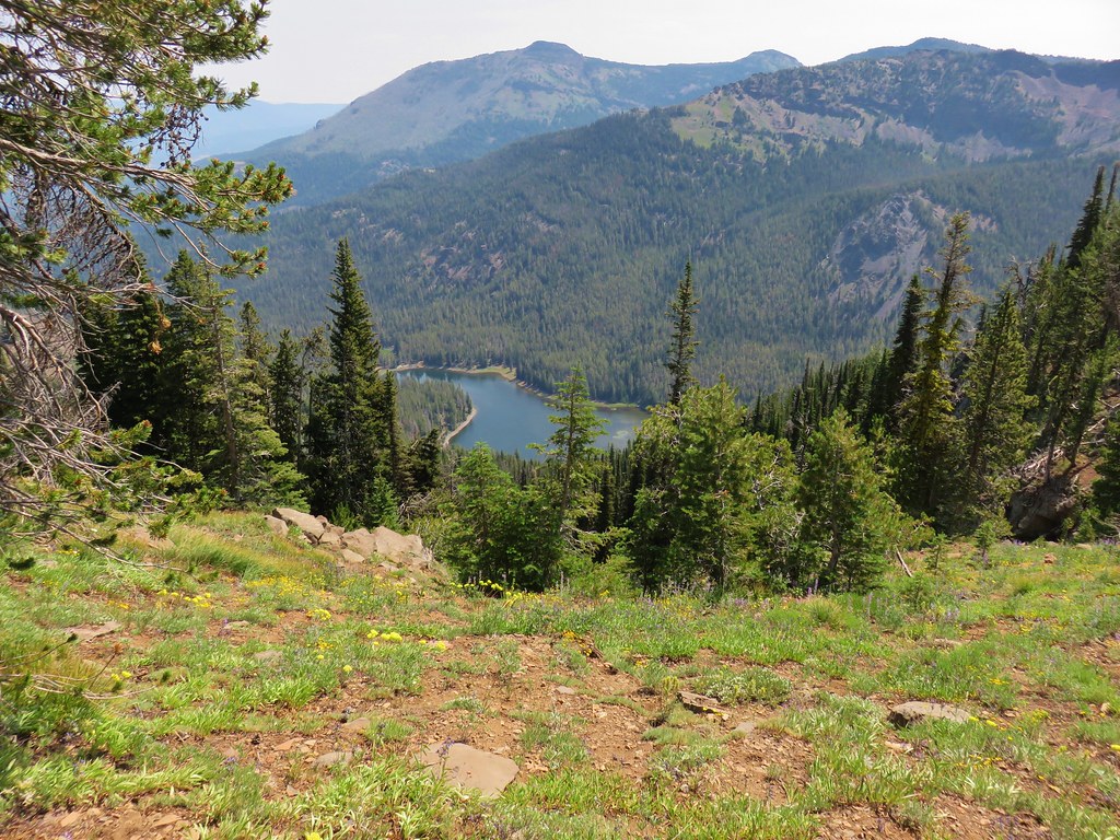
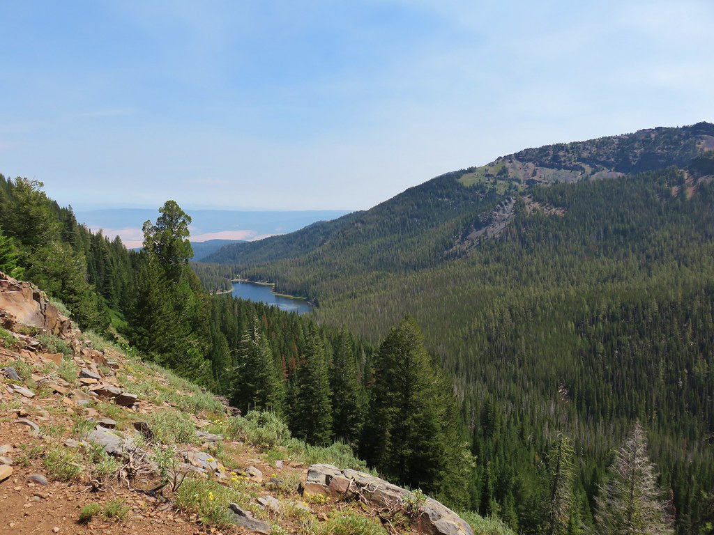
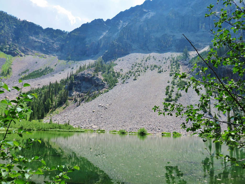
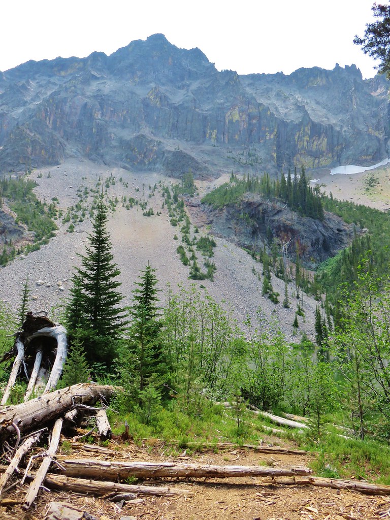
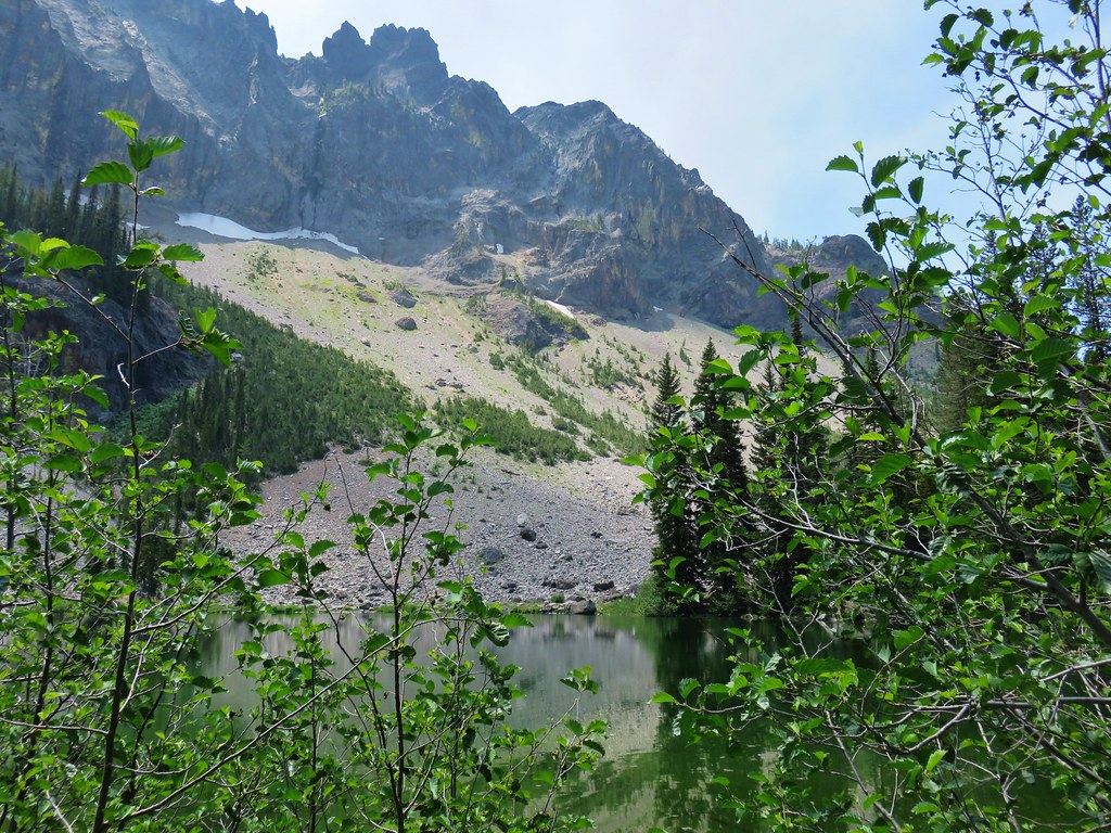
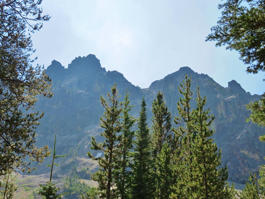
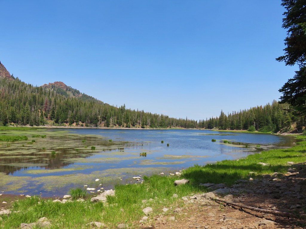
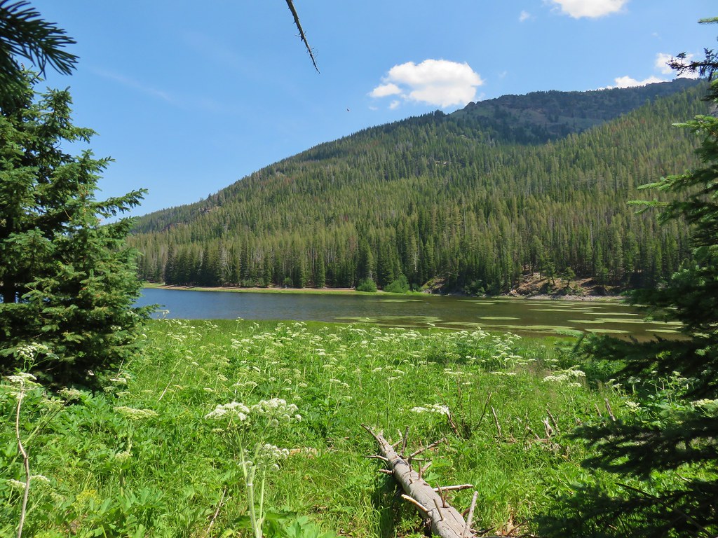
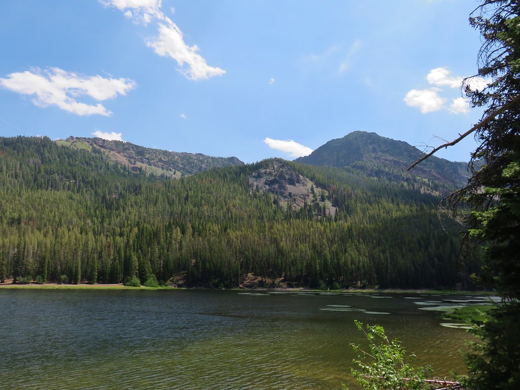
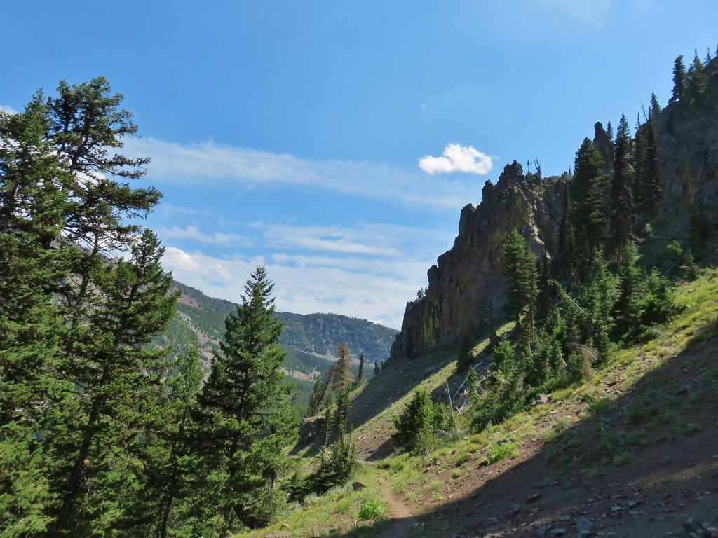
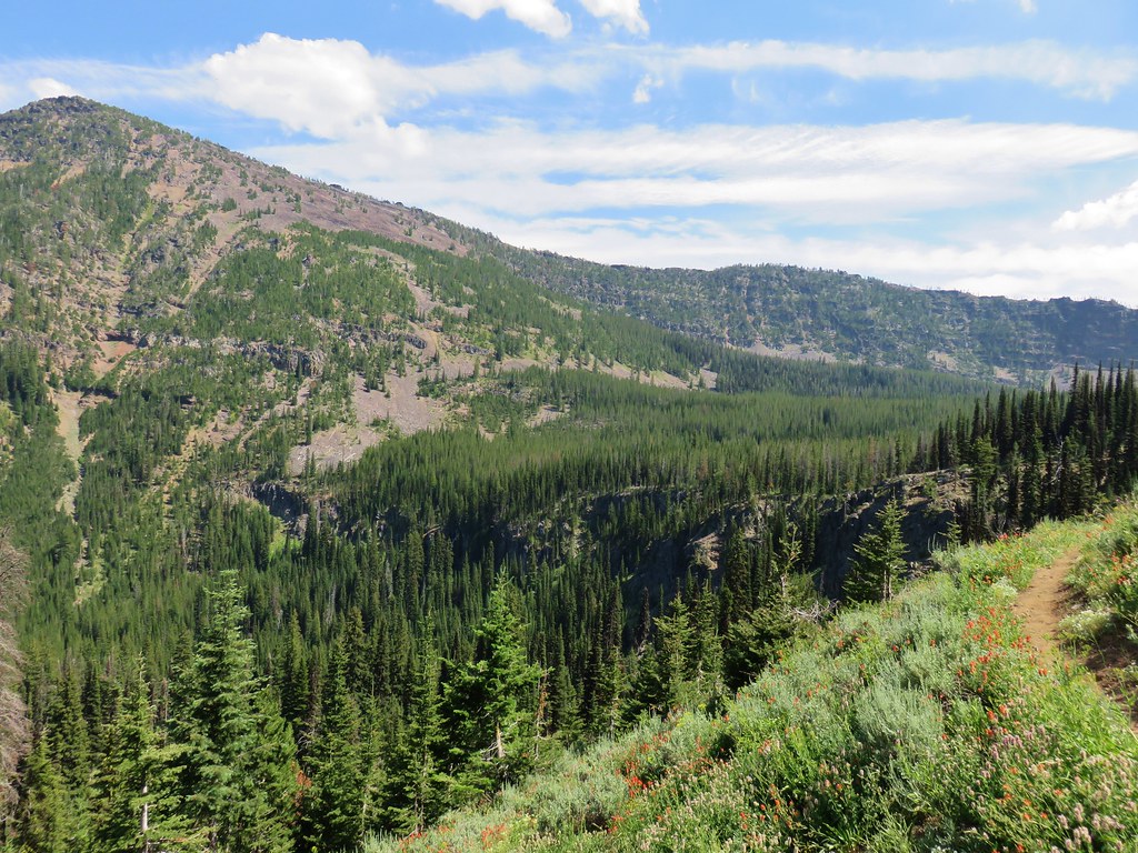
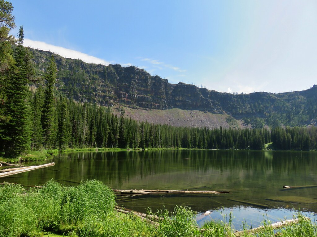
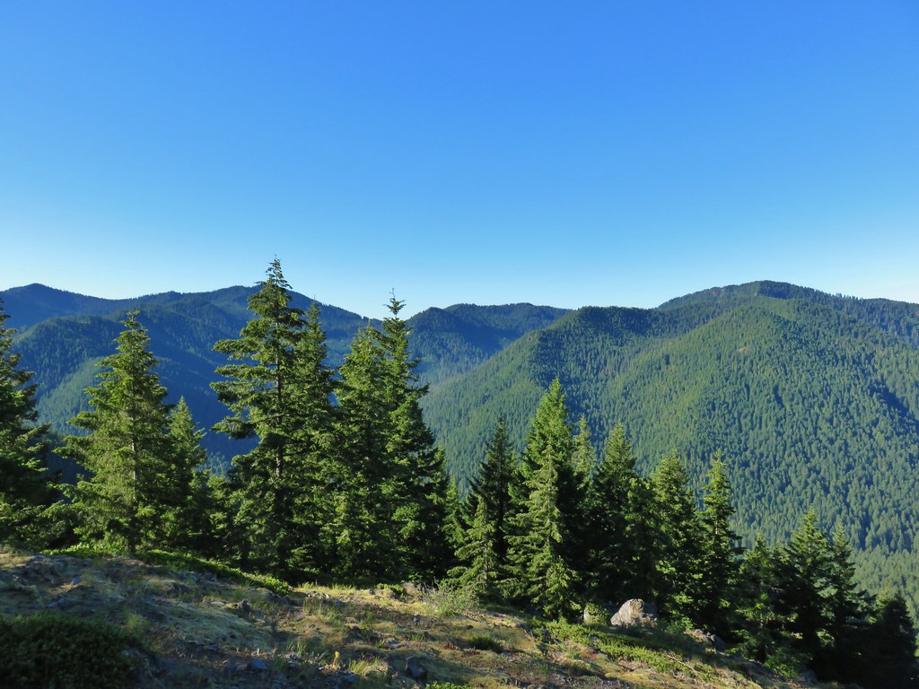
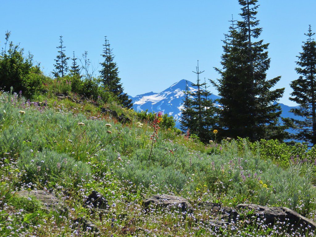
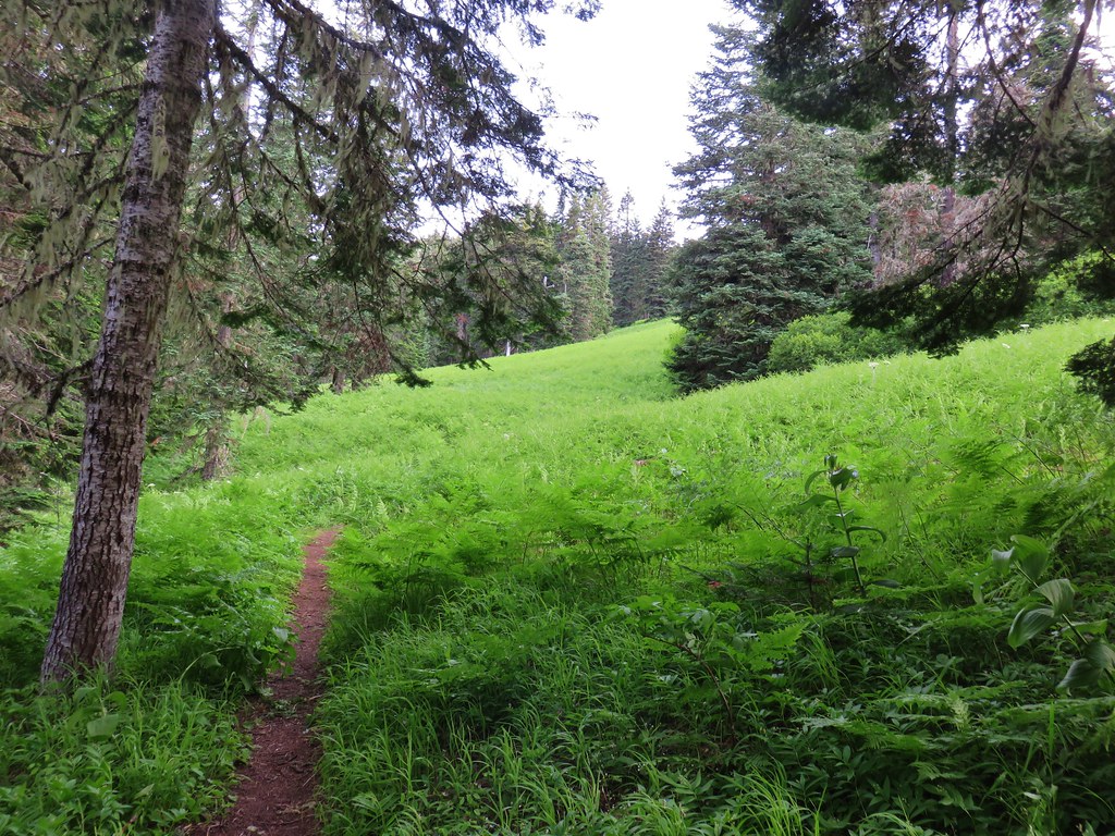
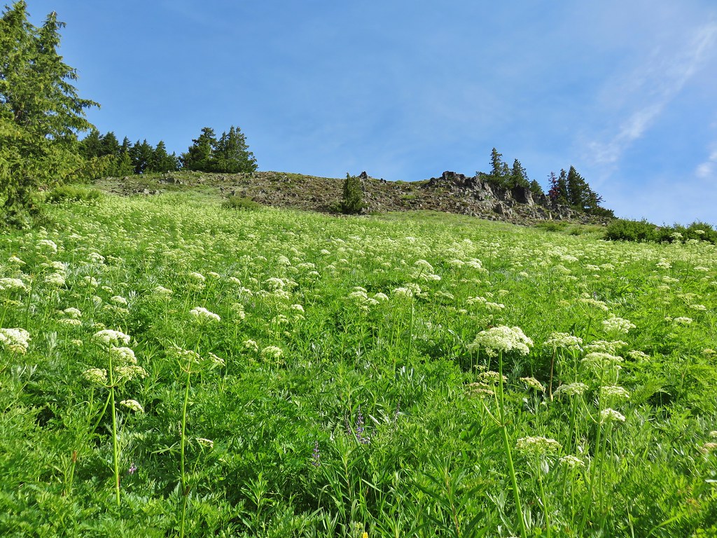
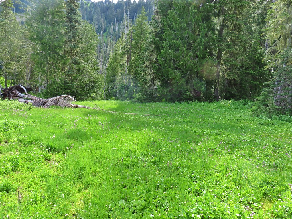
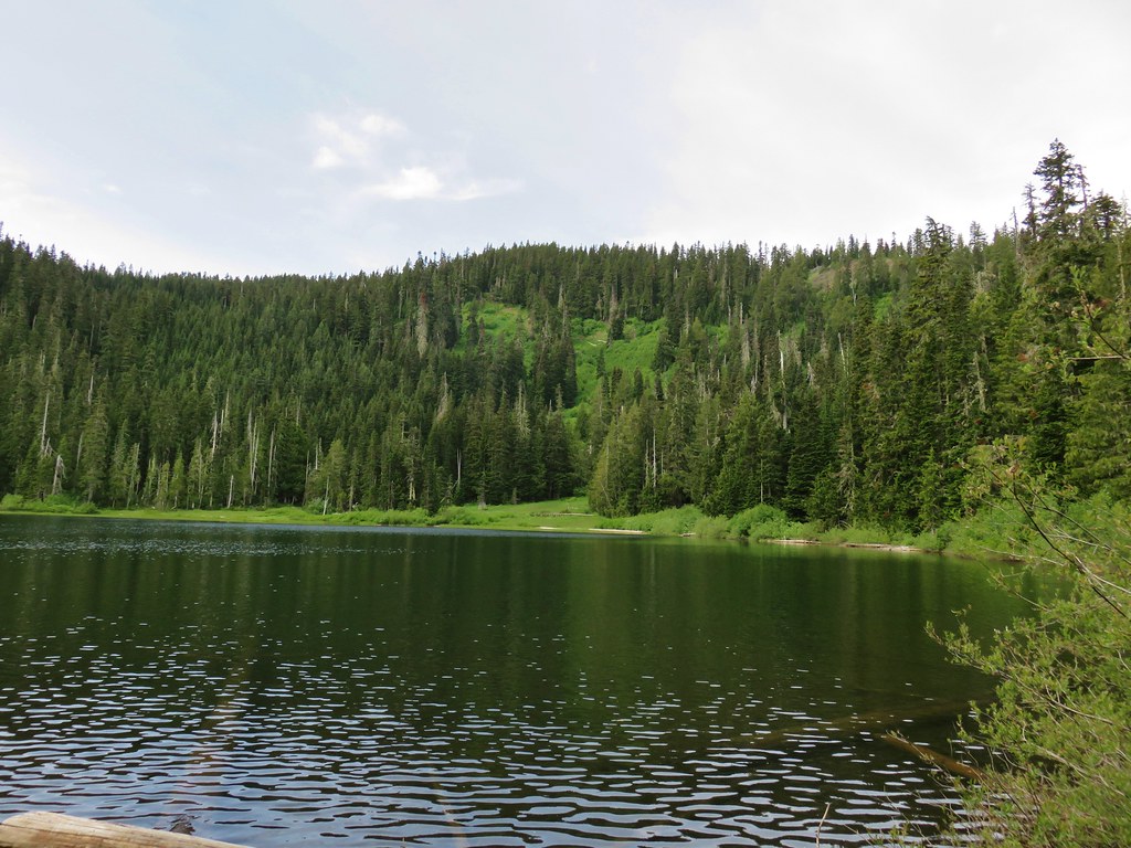
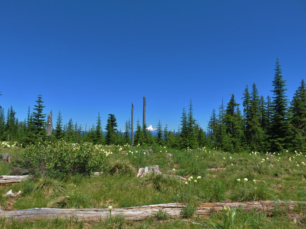
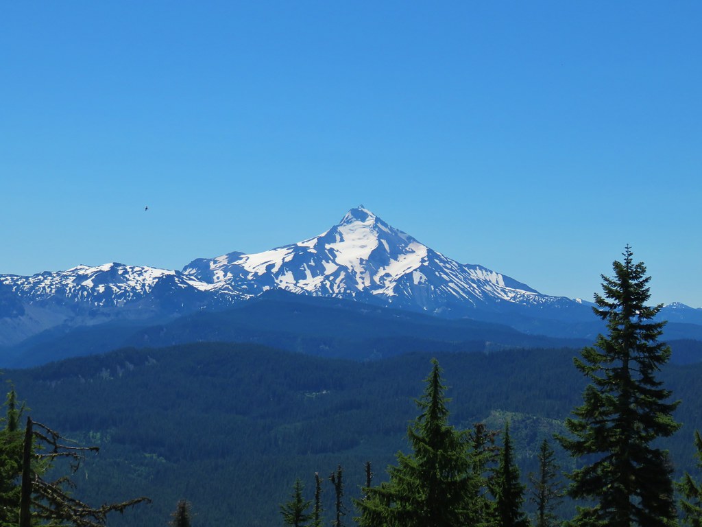
The trail then leveled out a bit as it traversed the hillside above the river passing a viewpoint of Wallowa Lake 3/4 of a mile beyond the bridge.
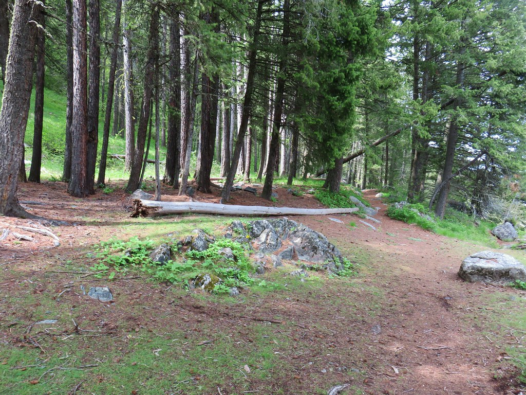 Area near the viewpoint.
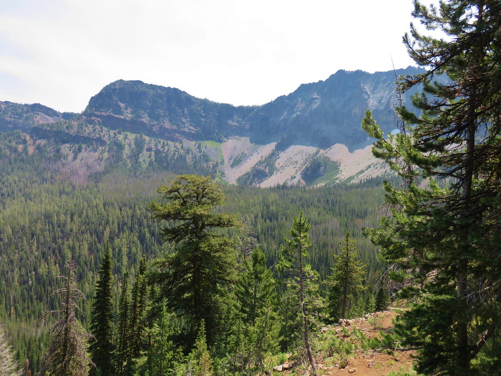
 Looking further into the Wallowas.
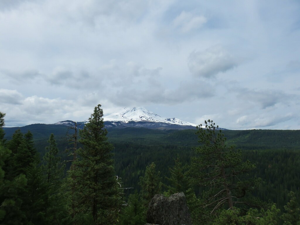
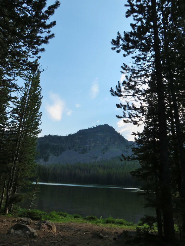
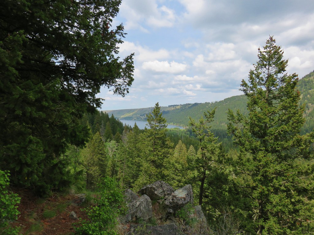 Wallowa Lake
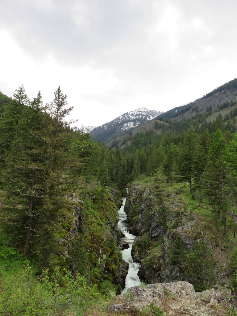
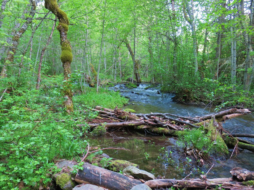
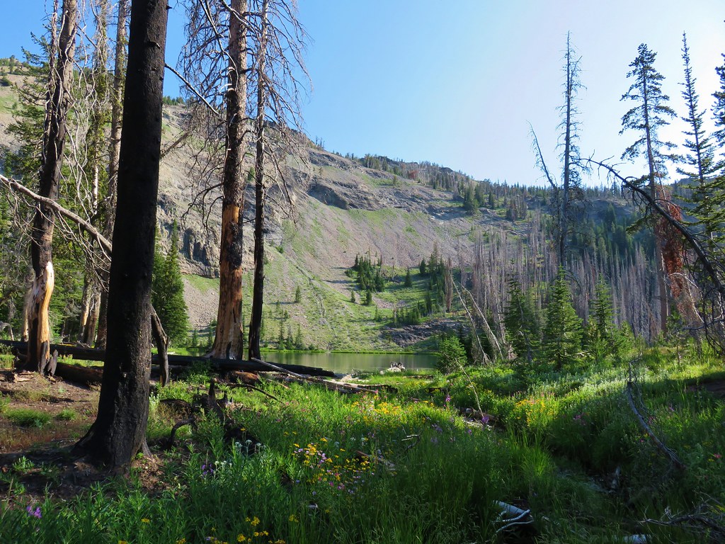
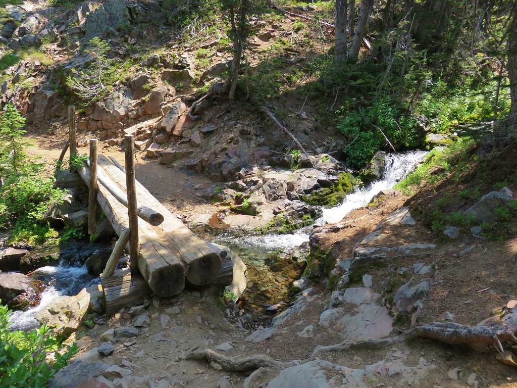
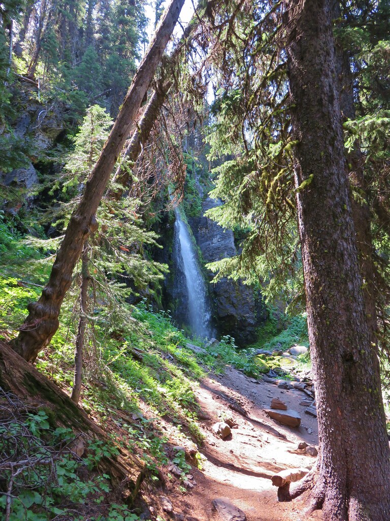
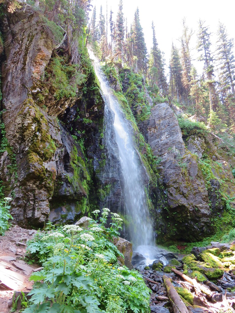
We arrived at B.C. Creek a tenth of a mile from the viewpoint.

After two bridges were washed out here the Forest Service stopped replacing them.

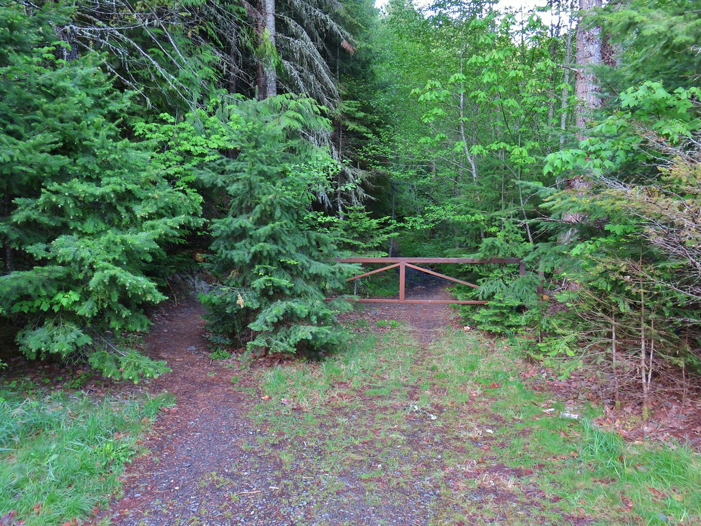
After admiring the falls we turned back, not being tempted at all to attempt a ford to complete a possible loop back via the abandoned portion of the Chief Joseph Trail beyond the creek.

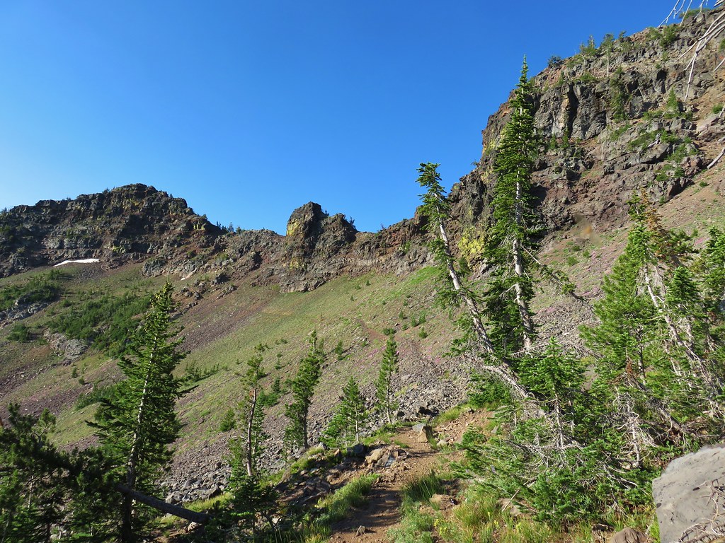
Sullivan describes a second possible loop option by taking a spur trail through a private Boy Scout Camp. He noted that this trail could be closed to the public at any time but we decided to check it out turning left onto the unsigned but obvious trail .4 miles from the creek.
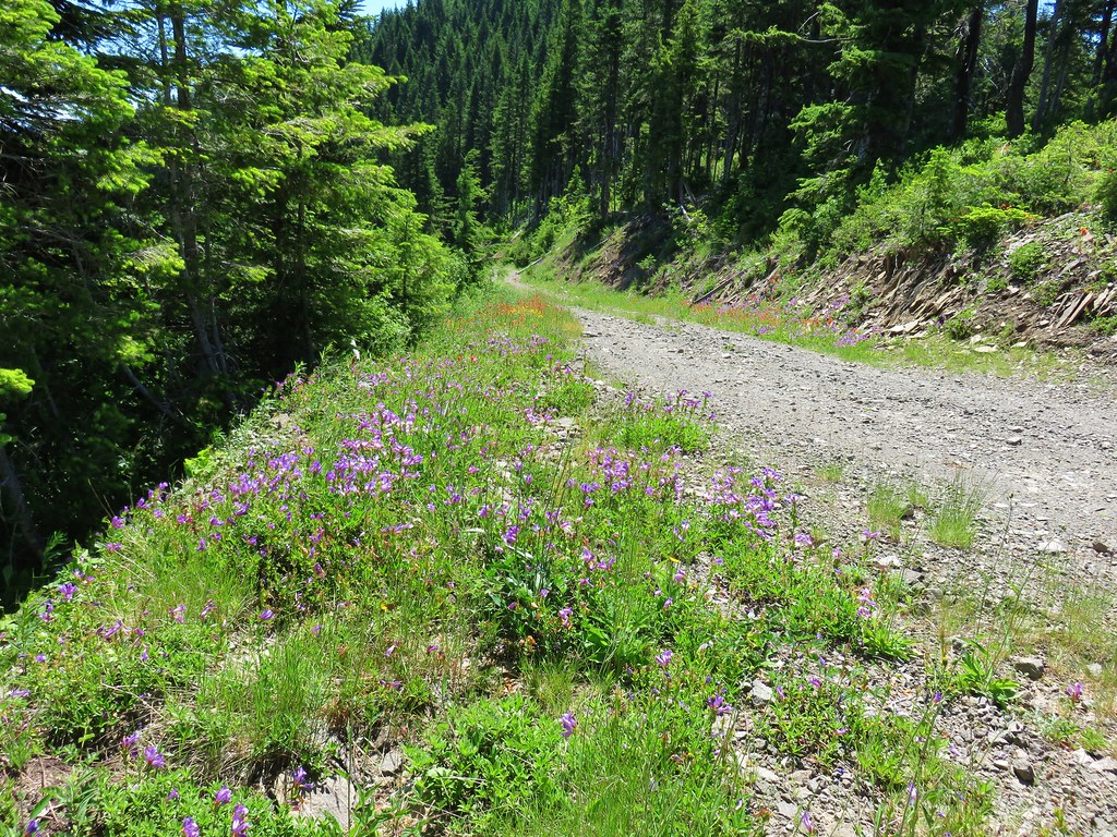
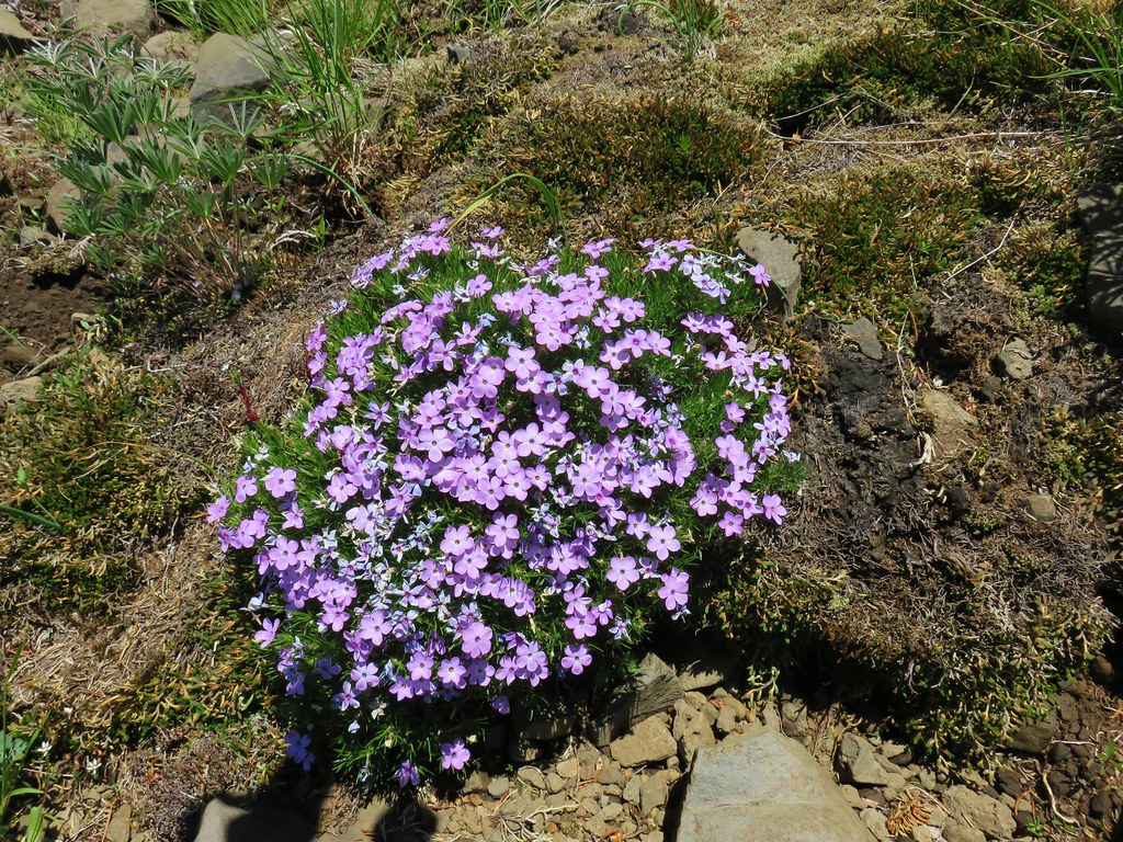
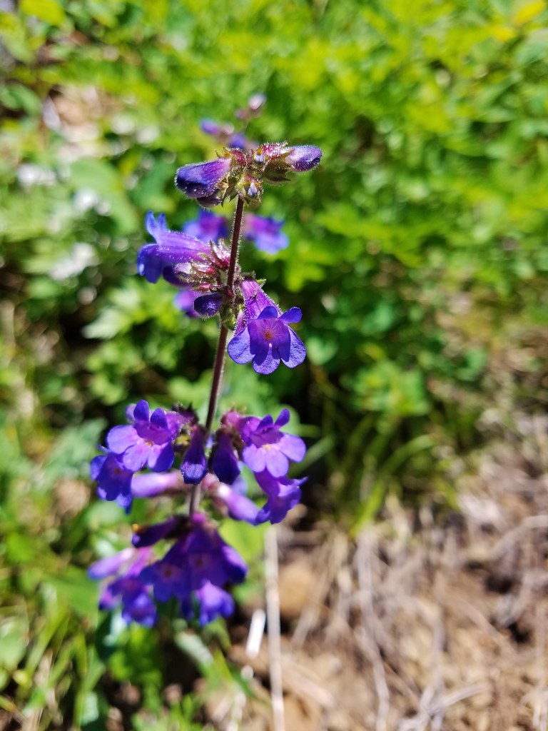
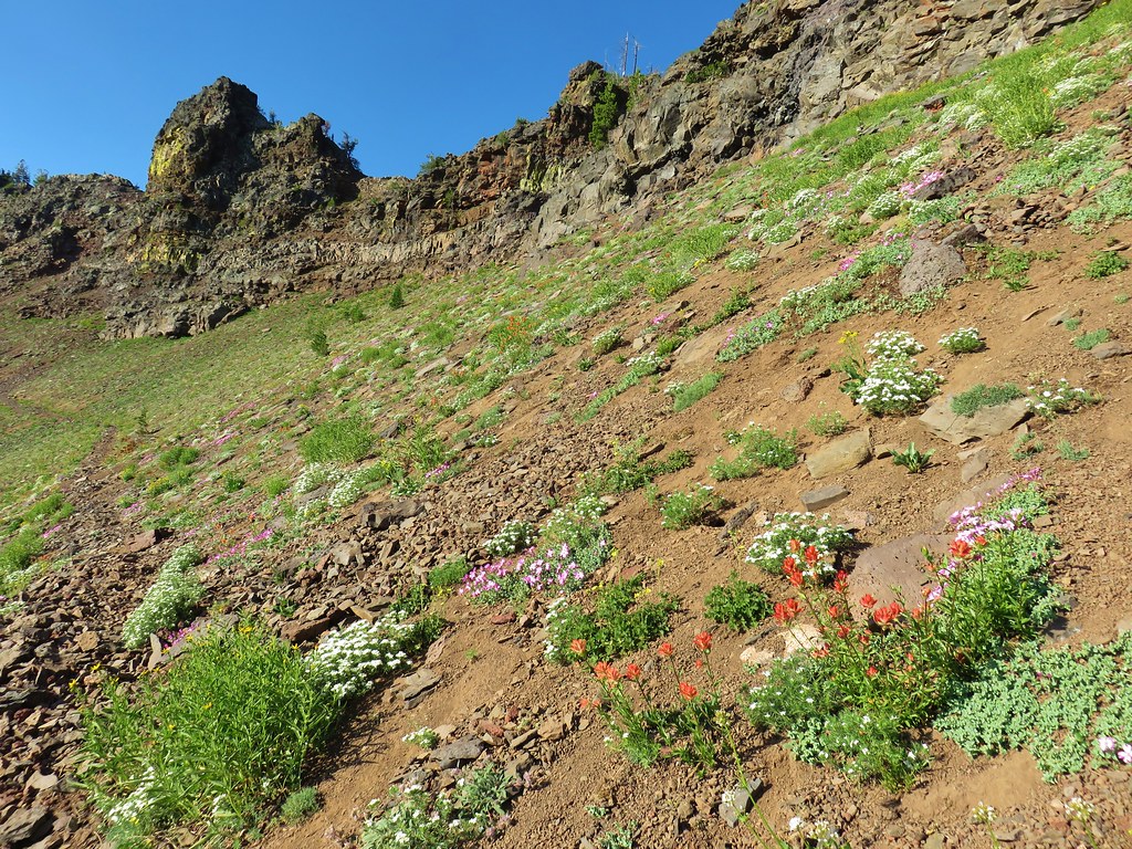
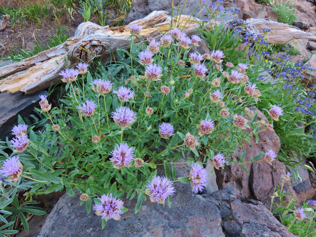
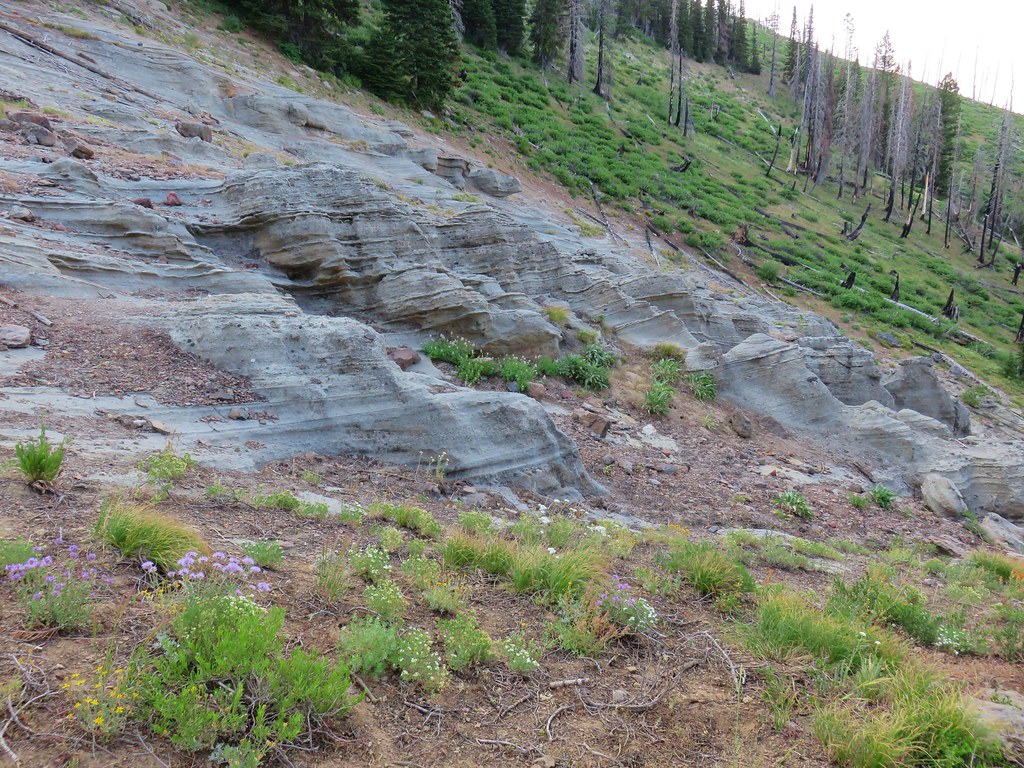
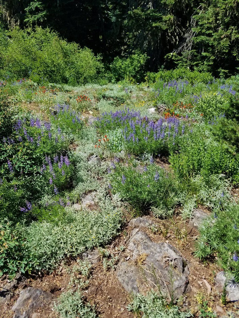
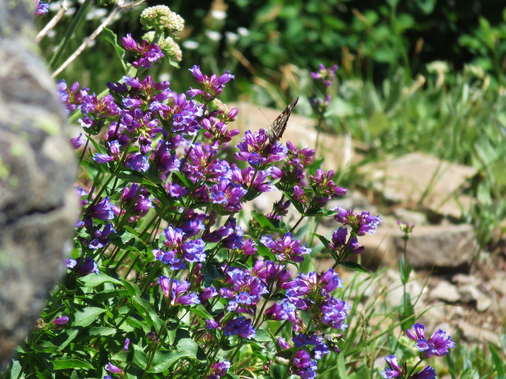
After just a tenth of a mile a rocky viewpoint offered another look into the mountains and some purple penstemon.


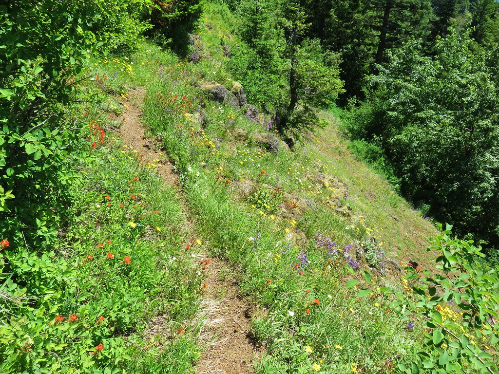
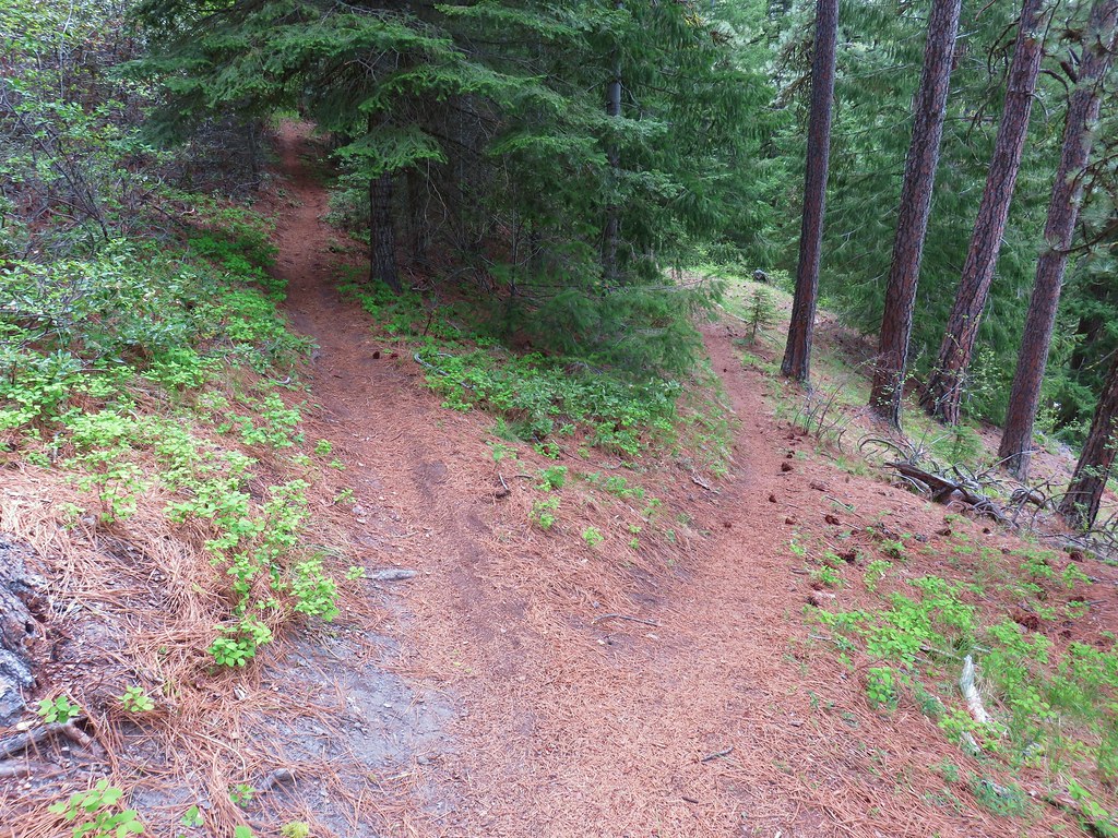
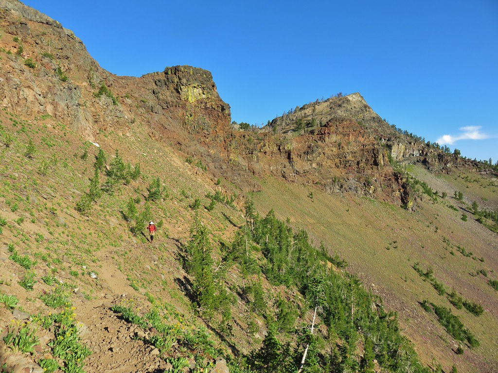
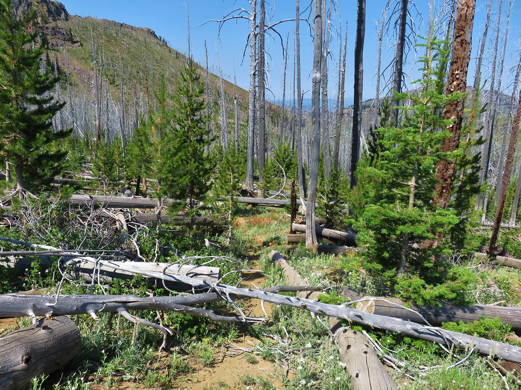
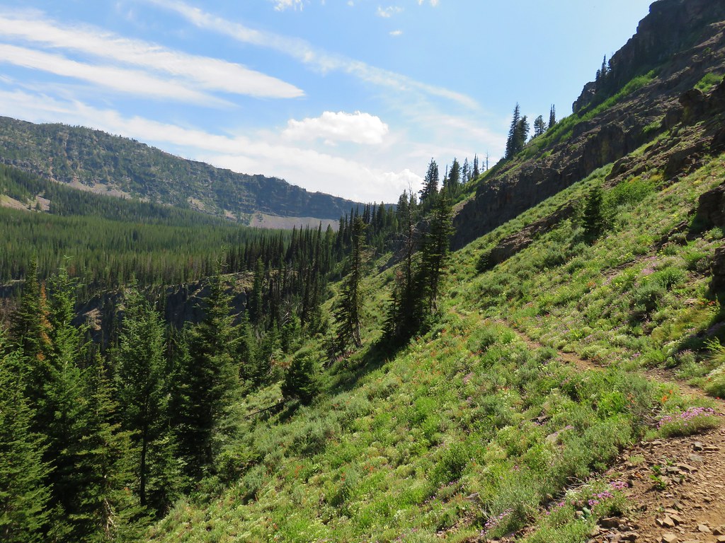
We also spotted a sign stating that the trail beyond was closed to the public and warning of surveillance cameras. We returned to the Chief Joseph Trail and headed back down to the bridge and recrossed the river. We then noticed another well used trail and followed it left along the canyon rim above the West Fork Wallowa.


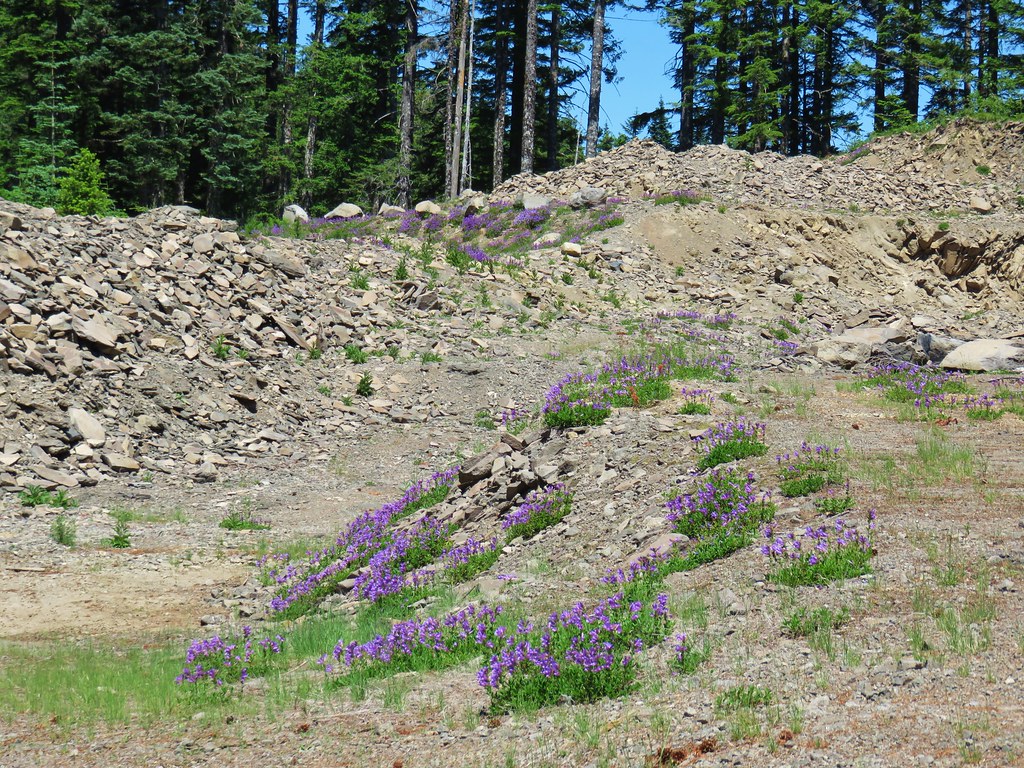
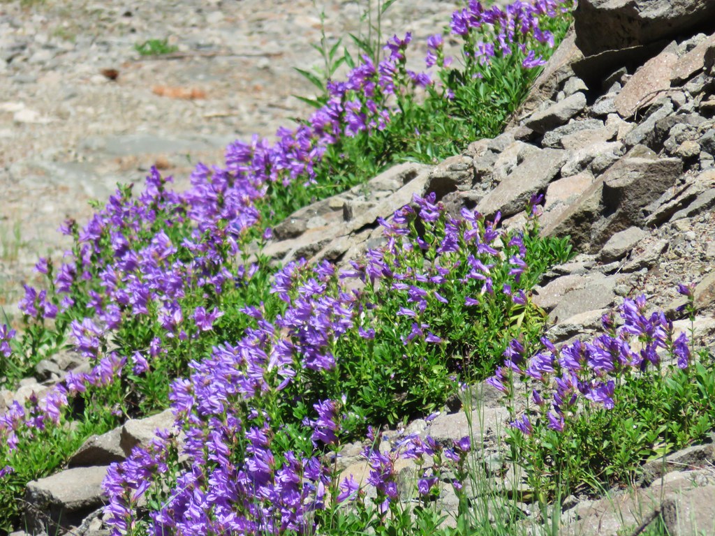
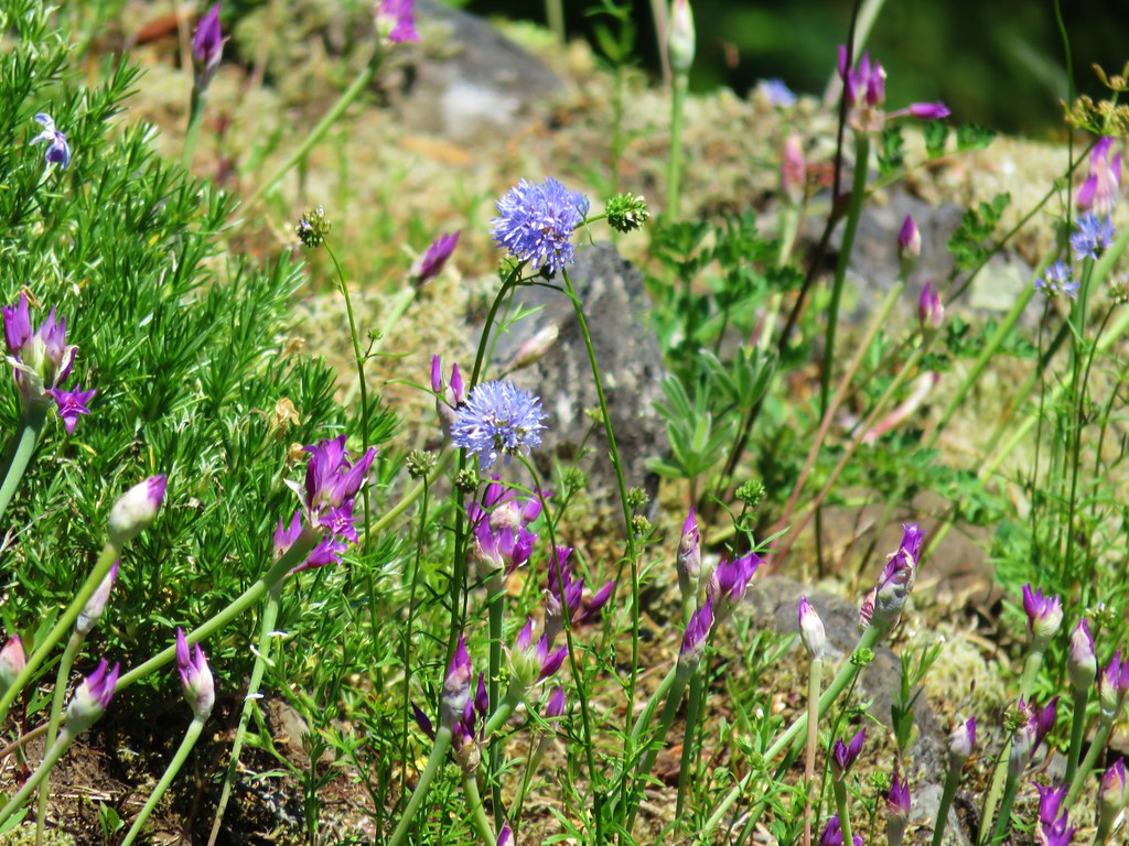
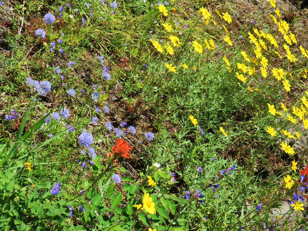
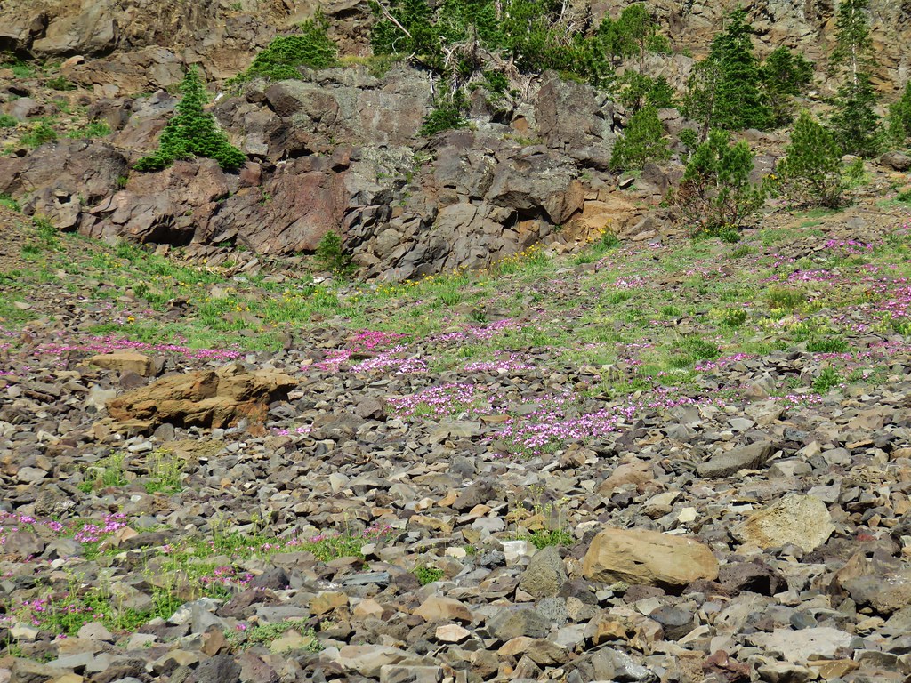
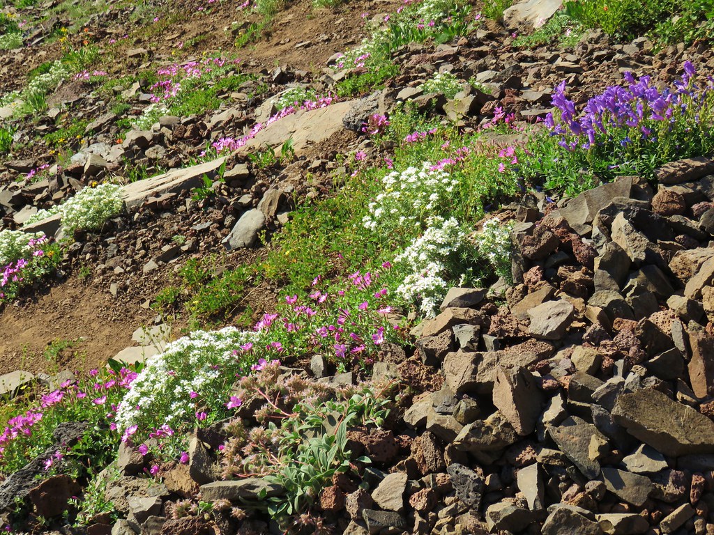
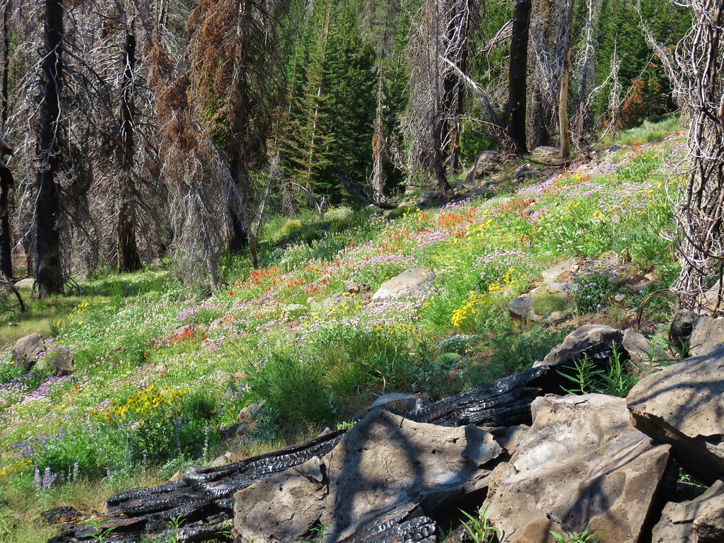
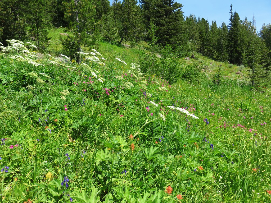
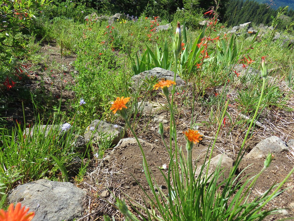
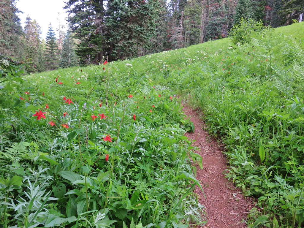
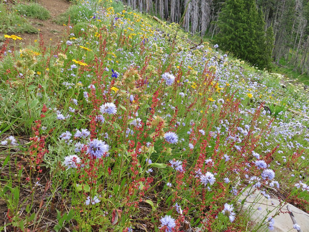
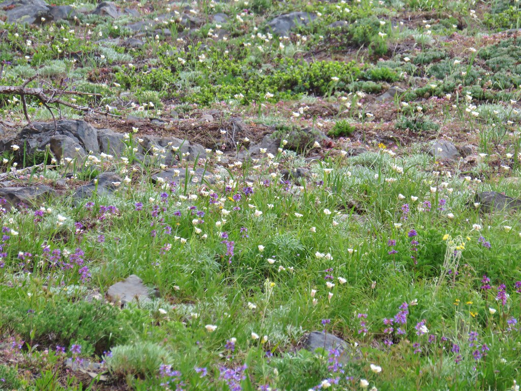
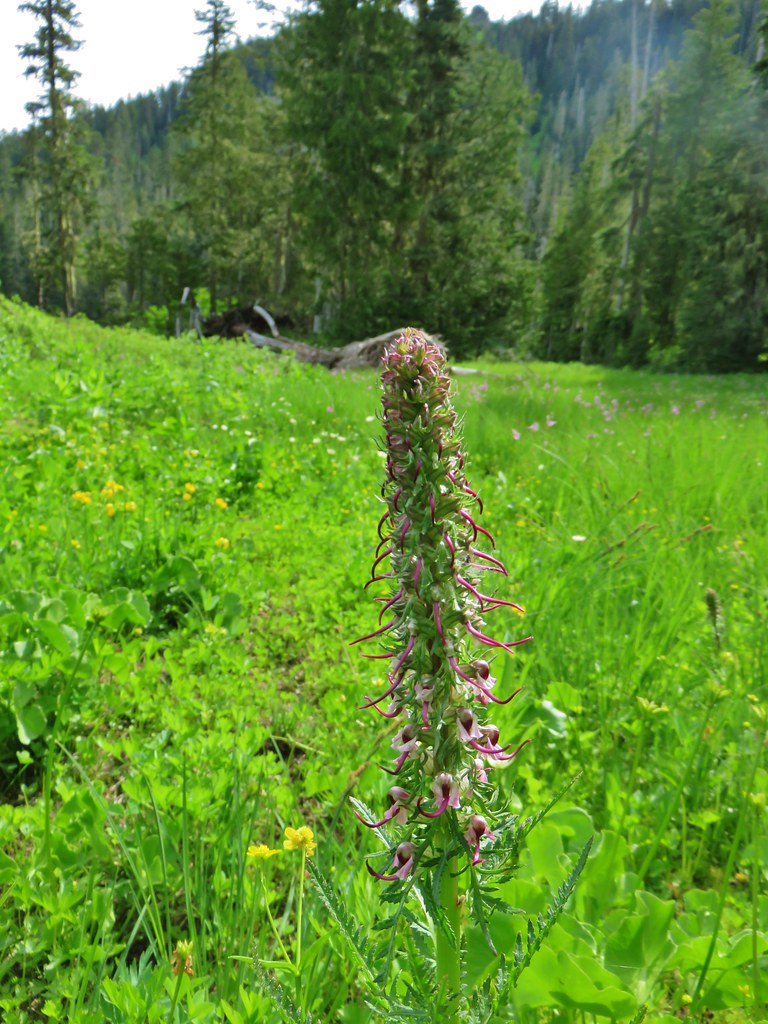
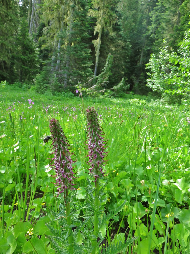
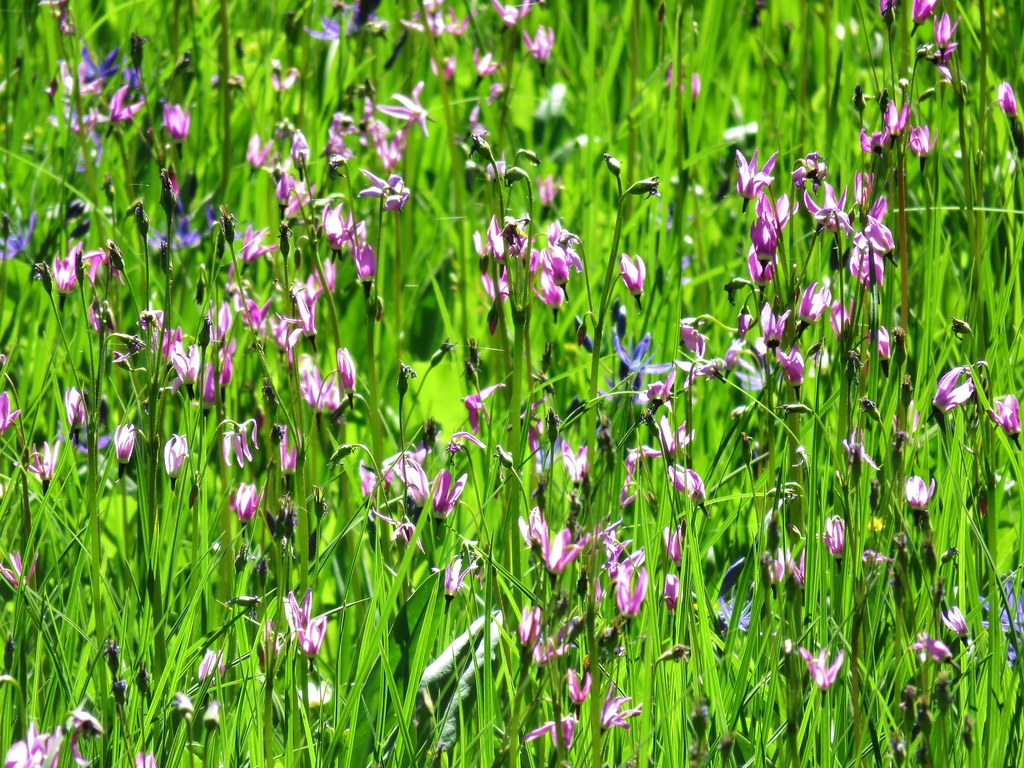
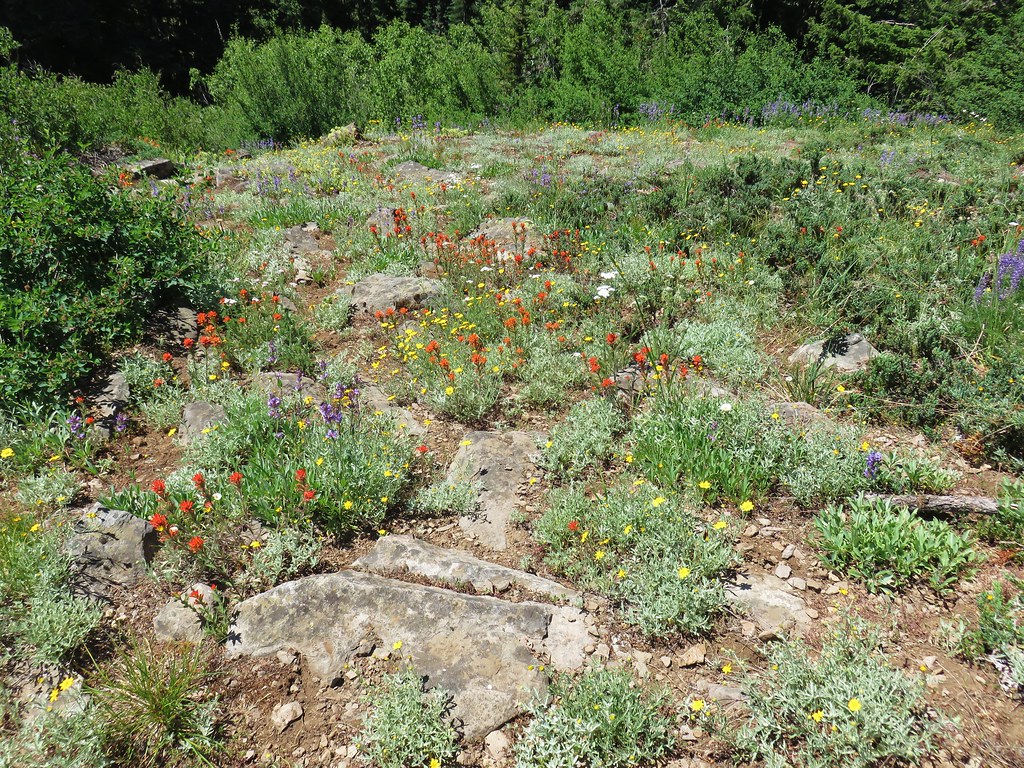
Flowers dotted the rocky terrain here.
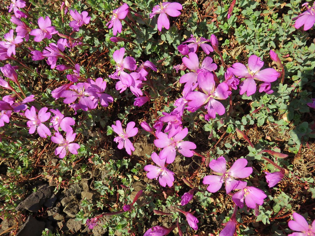
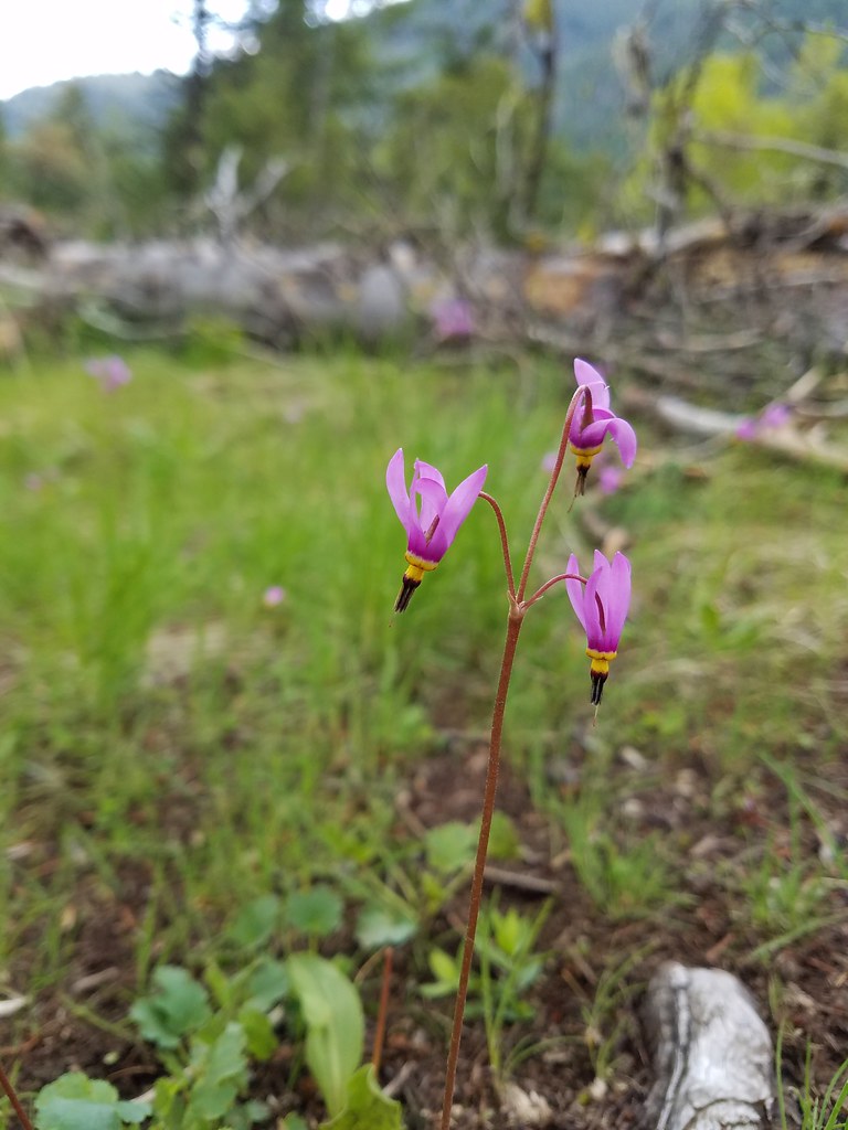 Shooting star
 Old man’s whiskers
 Possibly a checkermallow
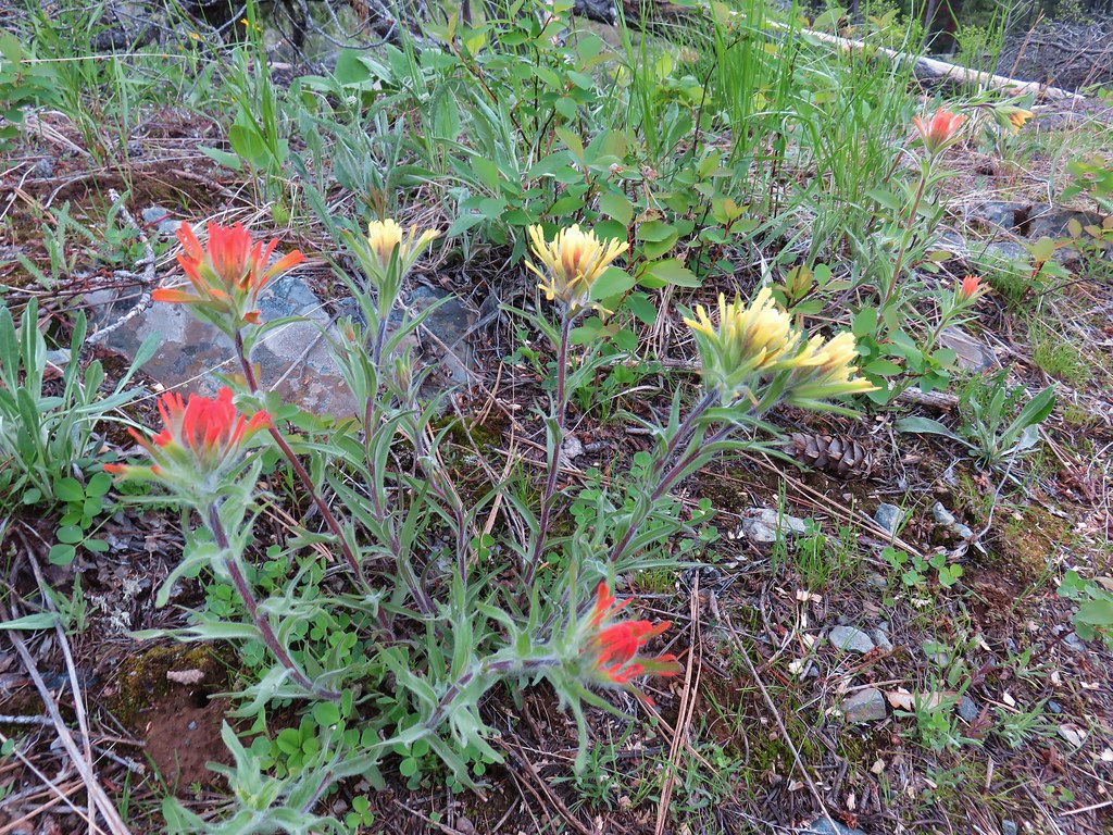 Paintbrush
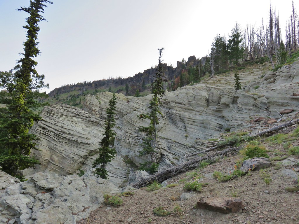
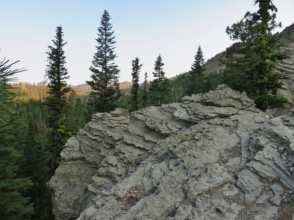
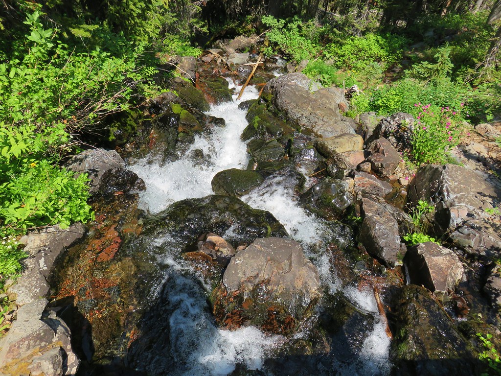
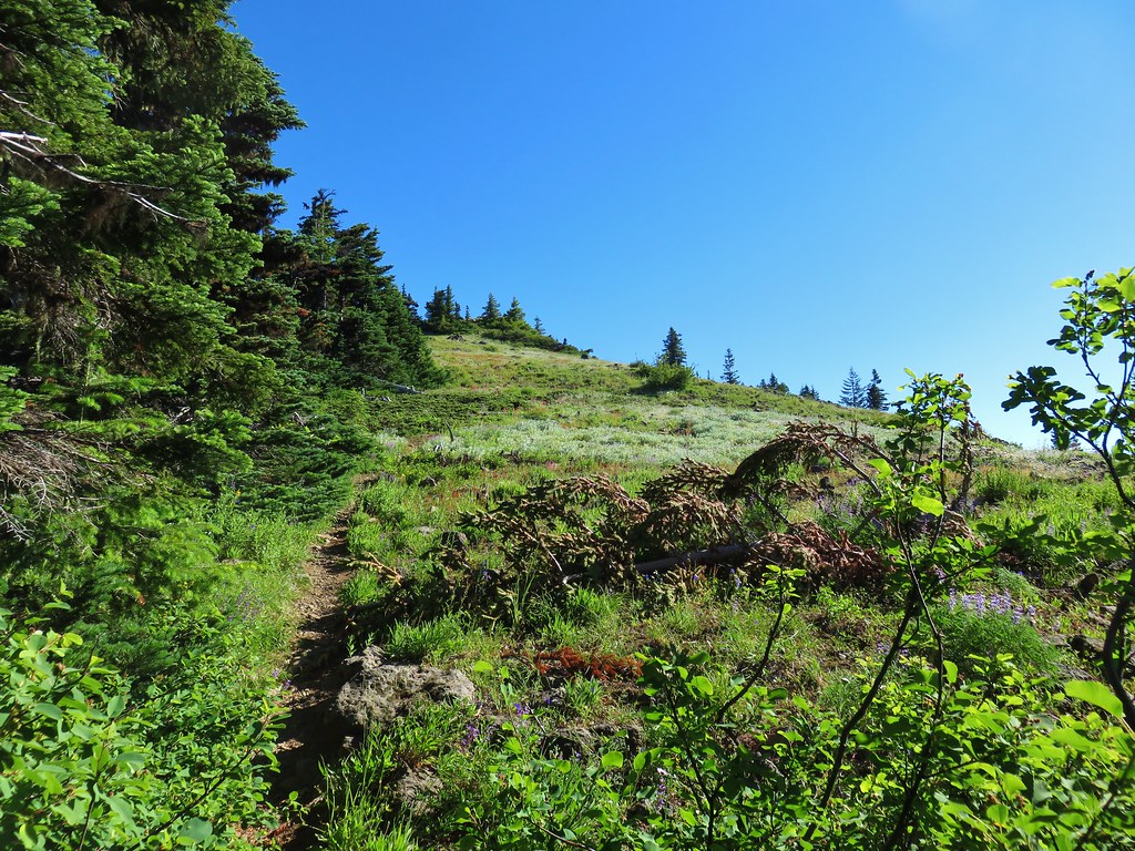
We kept following the path along the rim to a viewpoint above a small unnamed waterfall.


The user trail kept going beyond the falls so we did too eventually hooking back up with the West Fork Wallowa Trail a little over 100 yards from the trailhead. We then road walked back past the ground squirrels patrolling Wallowa State Park to the Eagle Cap Chalets, but not before stopping at the Khao Neaow Food Cart to get some Thai food to take back to our room for dinner.

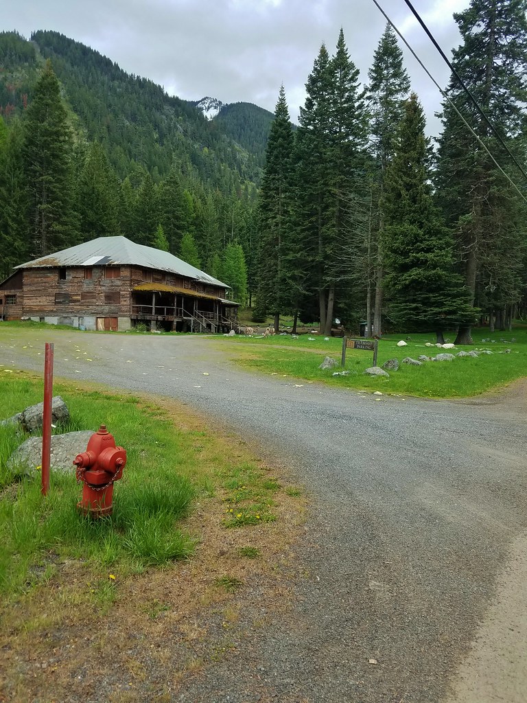
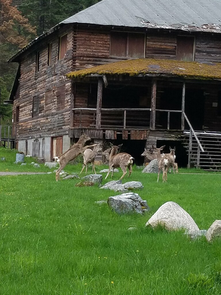
The food was great and after dinner we walked down to Glacier Grill and General Store to pick up some food and drinks for the room. On the way back we noticed a group of deer in front of the old Edelweiss Inn.
They were a rowdy bunch.

Our outing to B.C. Creek Falls was a modest 5 miles and a nice reminder of how much we loved our 2016 trip to the Wallowas. Happy Trails!
Flickr: Umatilla WLFR & B.C. Creek Falls


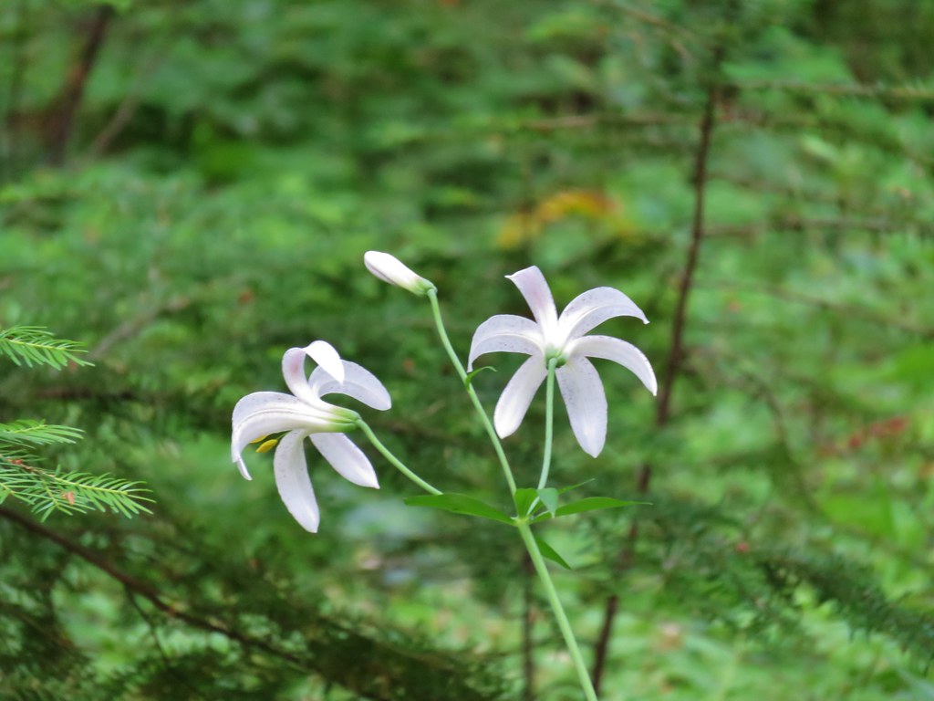
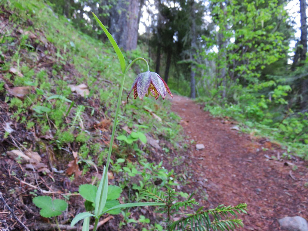 Chocolate lily
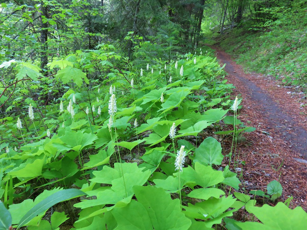 Vanilla leaf
 Columbia windflower (anemone)
 Red flowering currant
 Ball-head waterleaf
 Dogwood (and a crab spider)
 Arnica
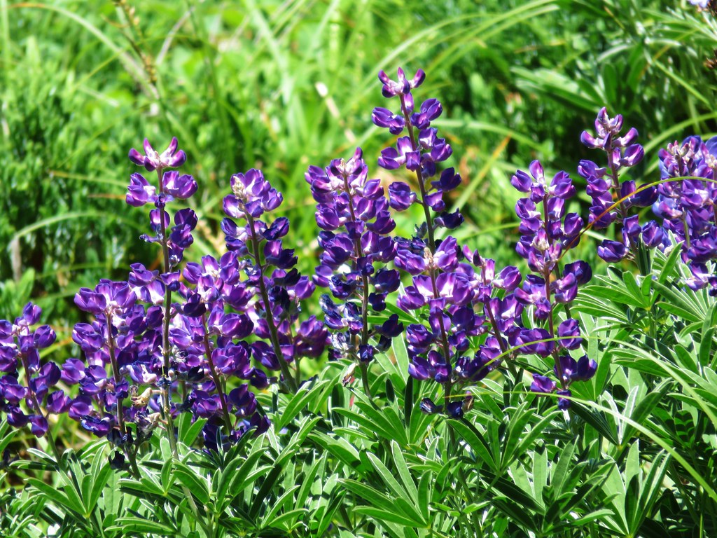
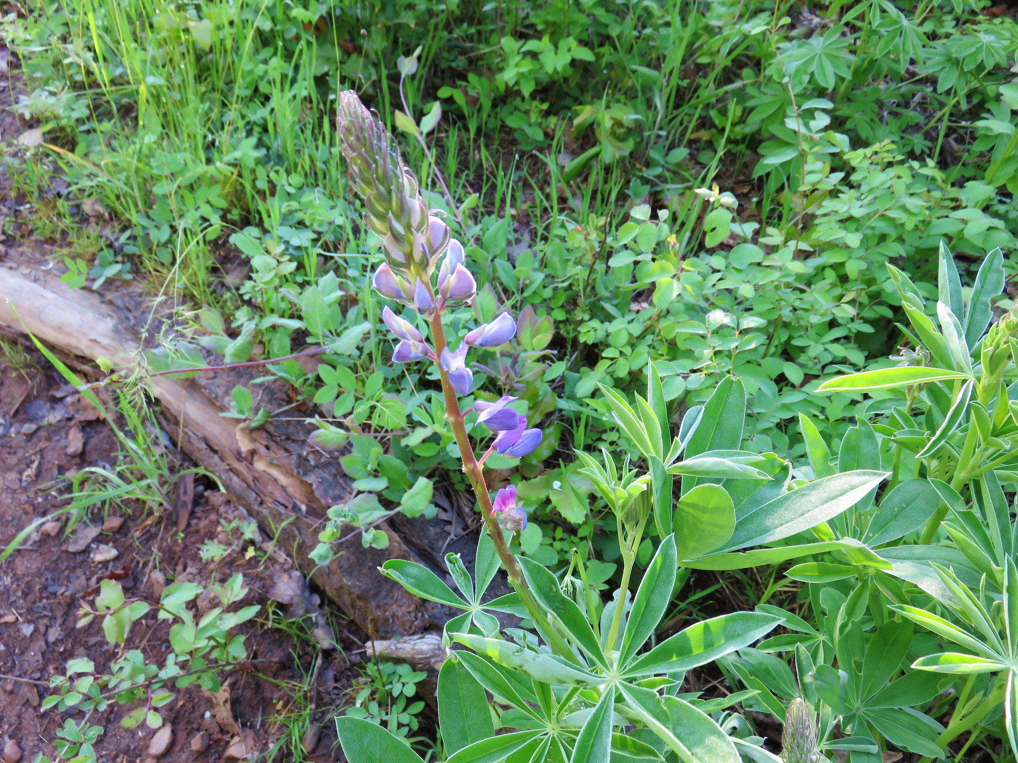
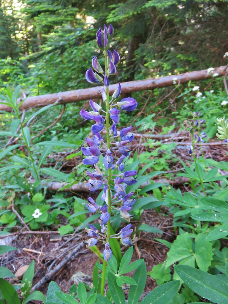
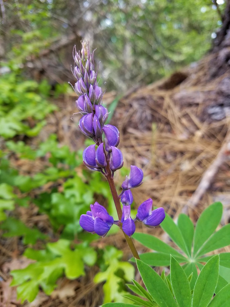 Lupine
 Lupine yet to bloom
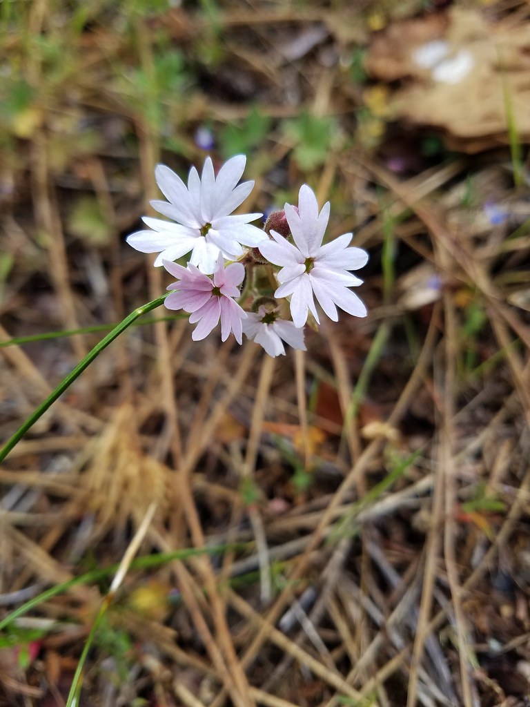 Woodland stars
 Larkspur with biscuitroot in the background
 Fairy slippers
 Indian paintbrush
 Popcorn flower
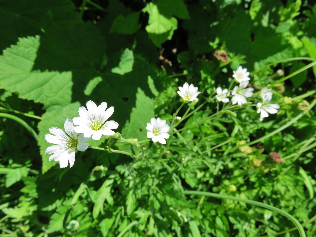
 Sandwort
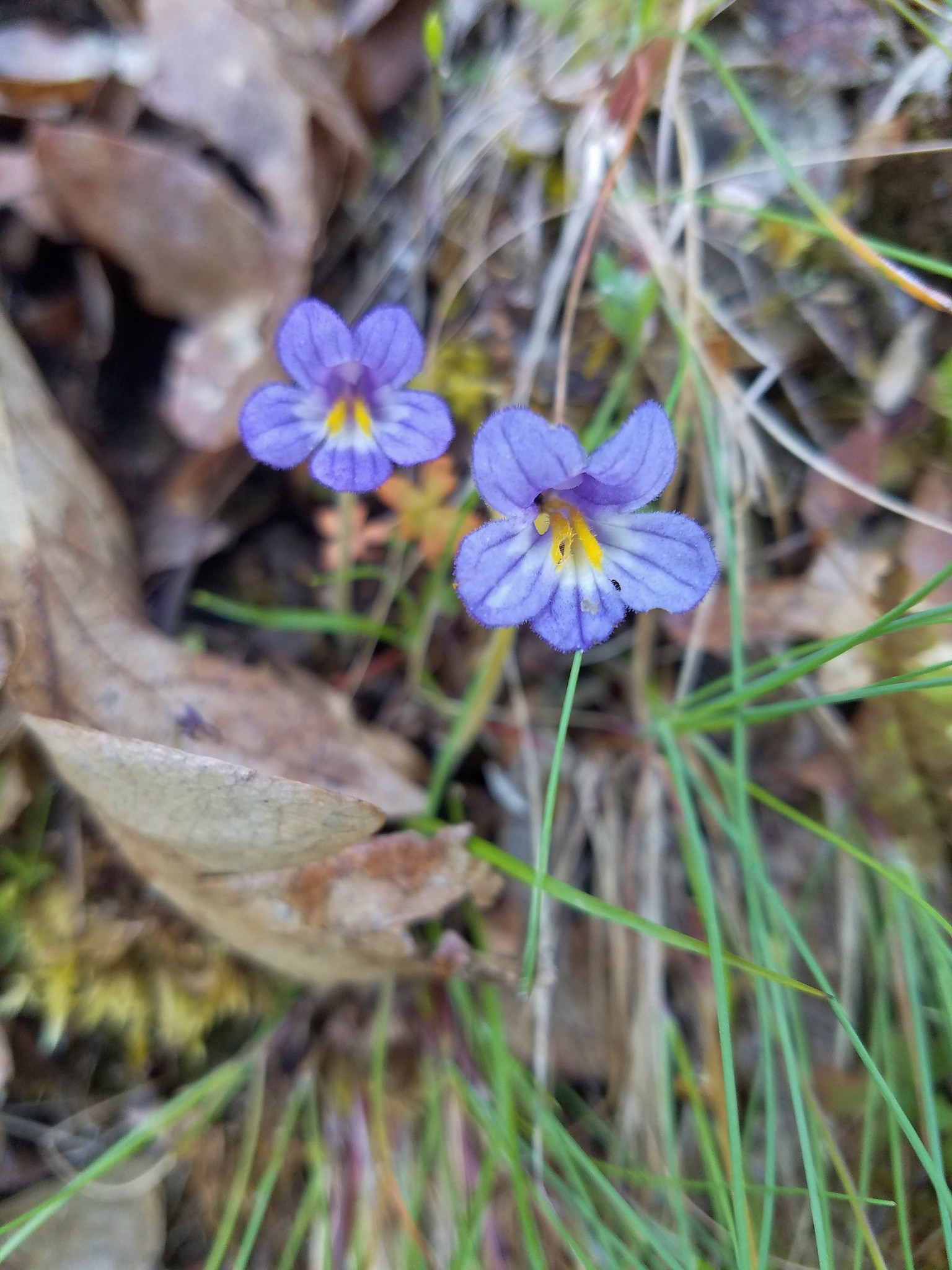
 Sticky blue-eyed mary
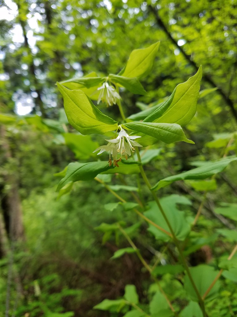 Hooker’s fairy bells
 Solomon’s seal
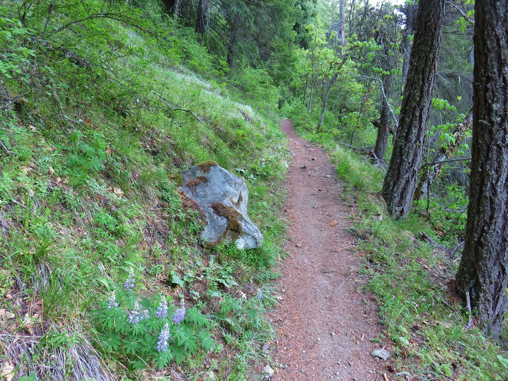


 Penstemon
 Phlox
Phlox


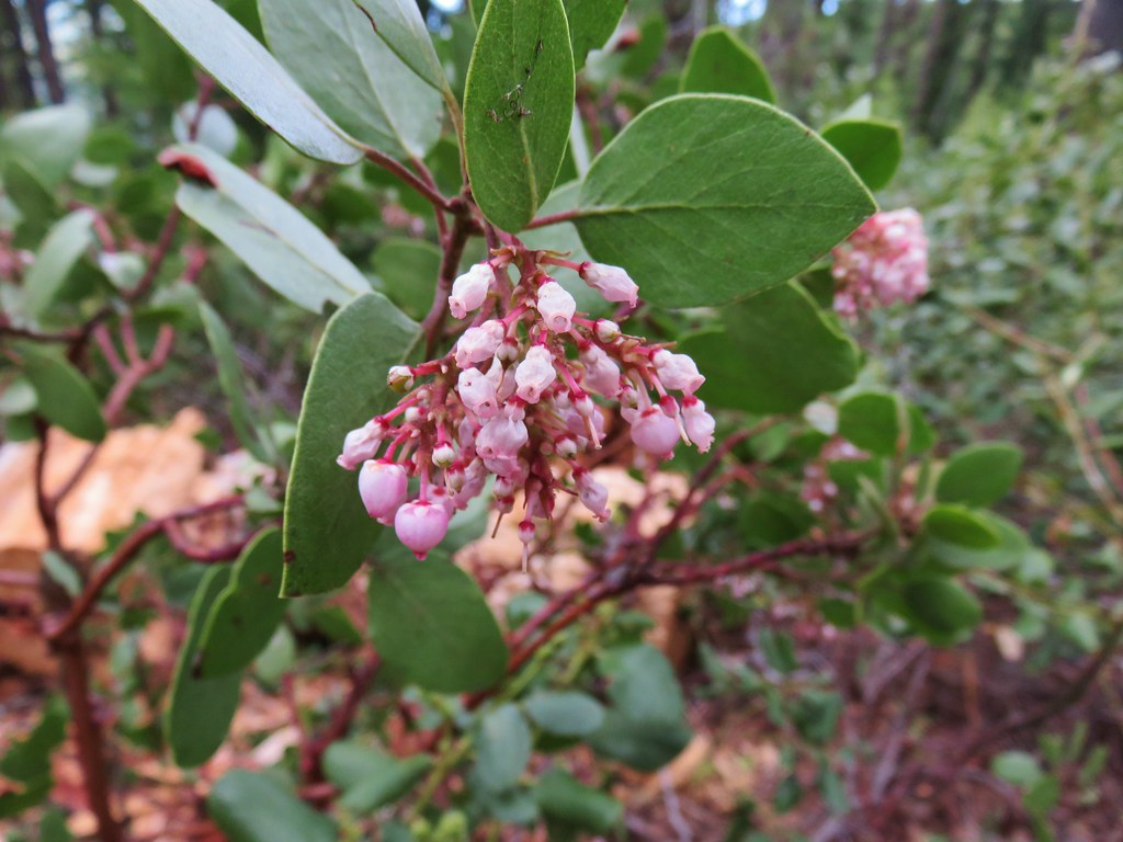 Manzanita
 A currant
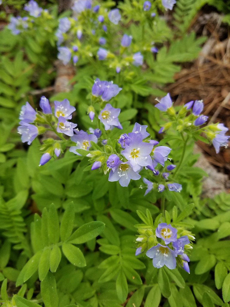
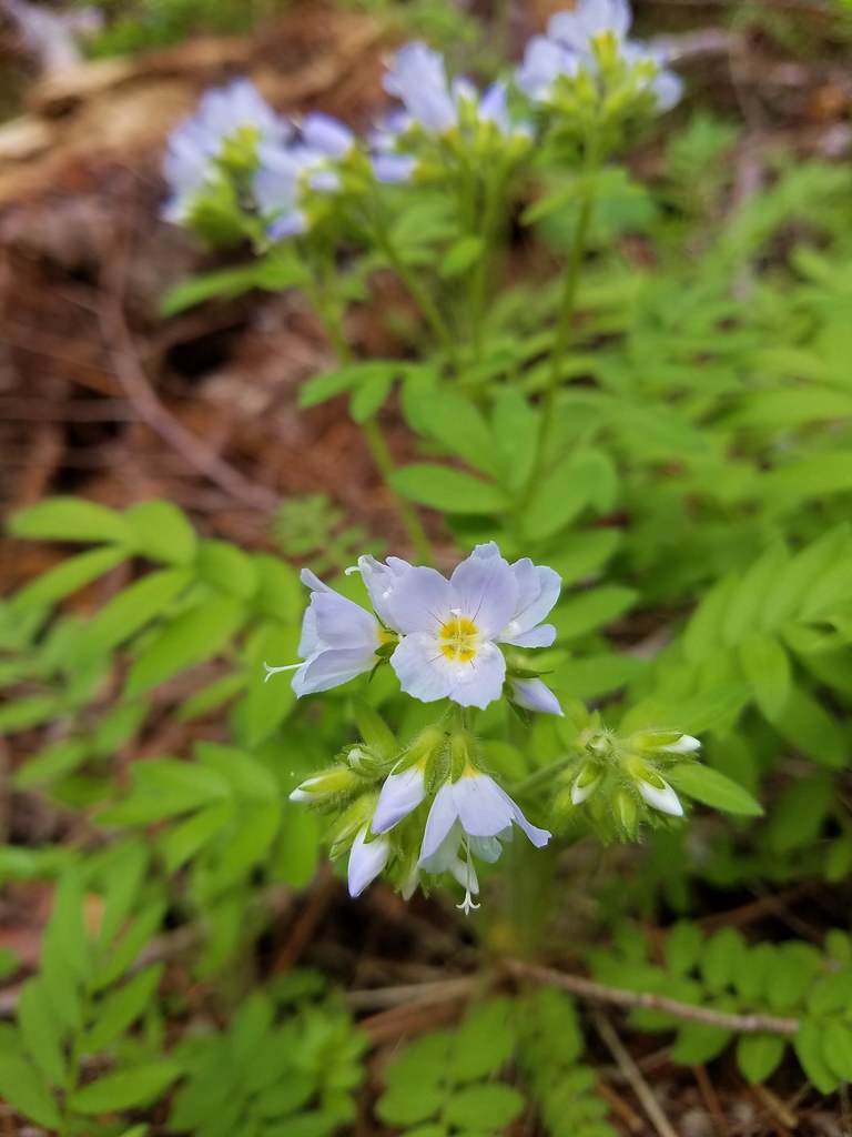 Jacob’s ladder
 Popular tree
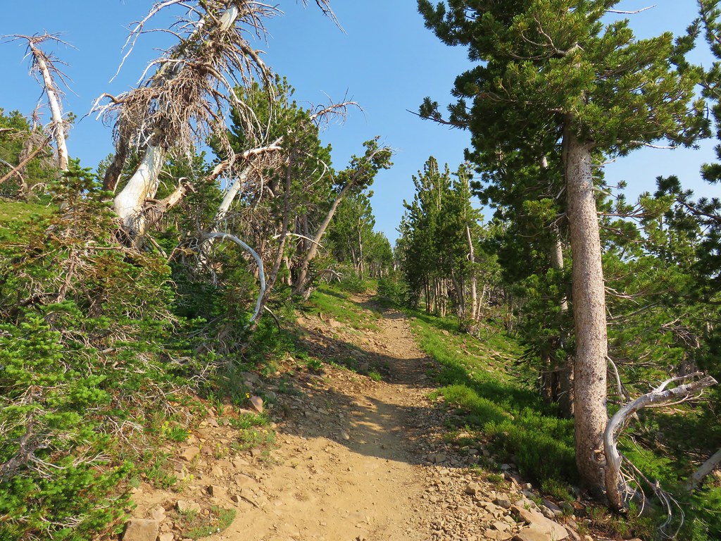


 There was quite a bit of Jacob’s ladder along this stretch of trail.
 Oregon anemone
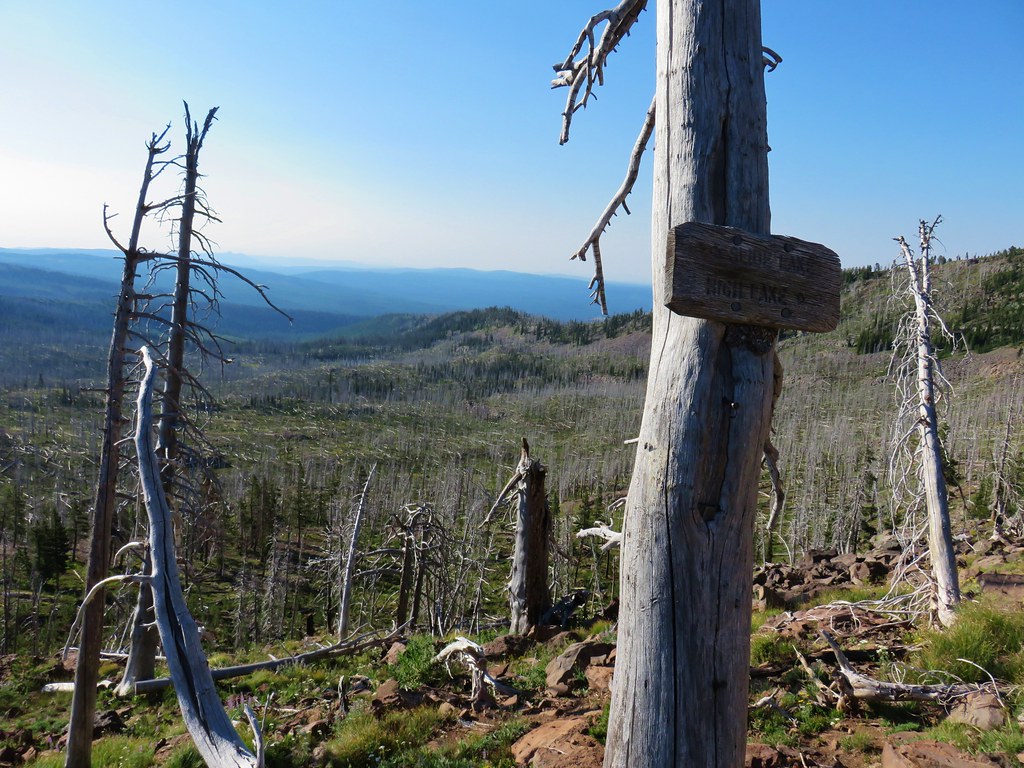
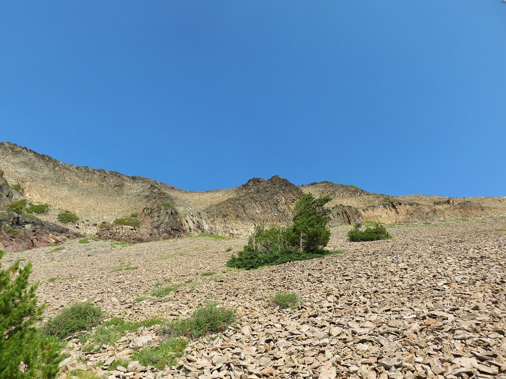
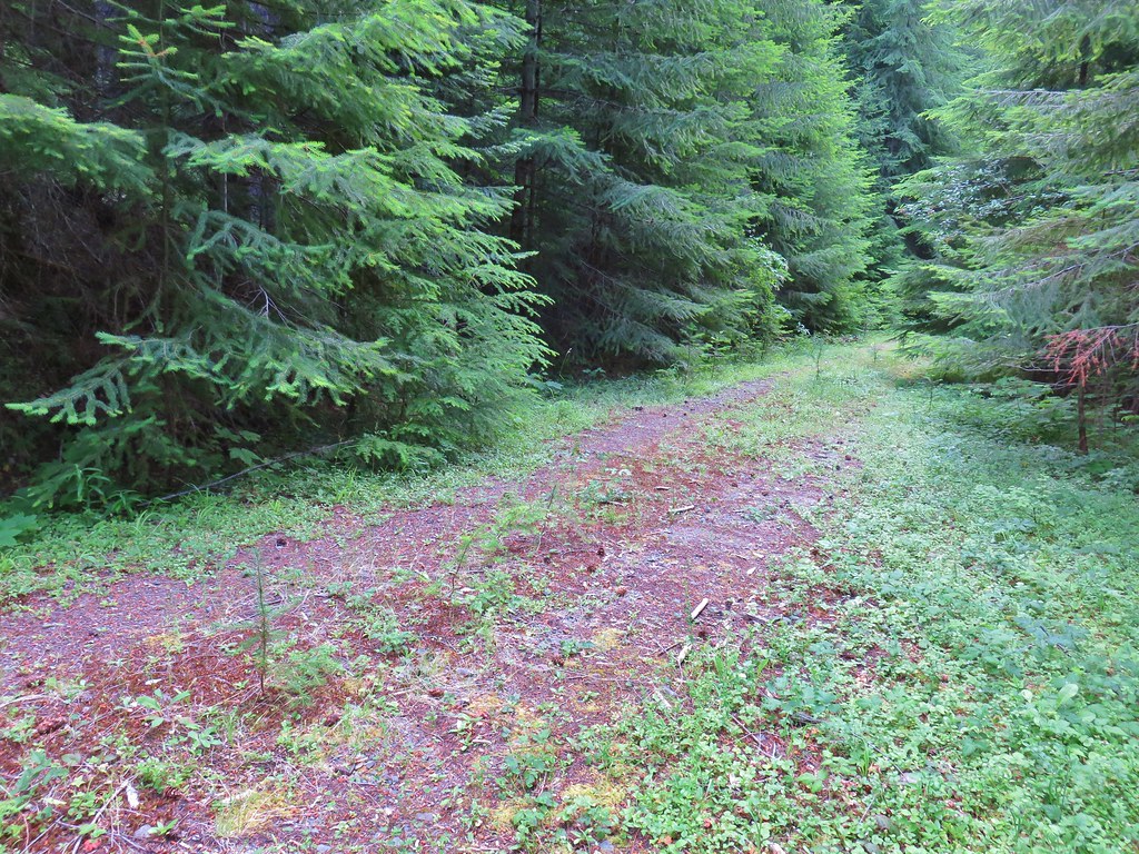
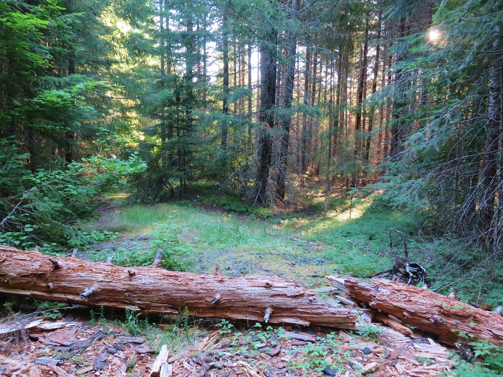
 Forest Road 620.


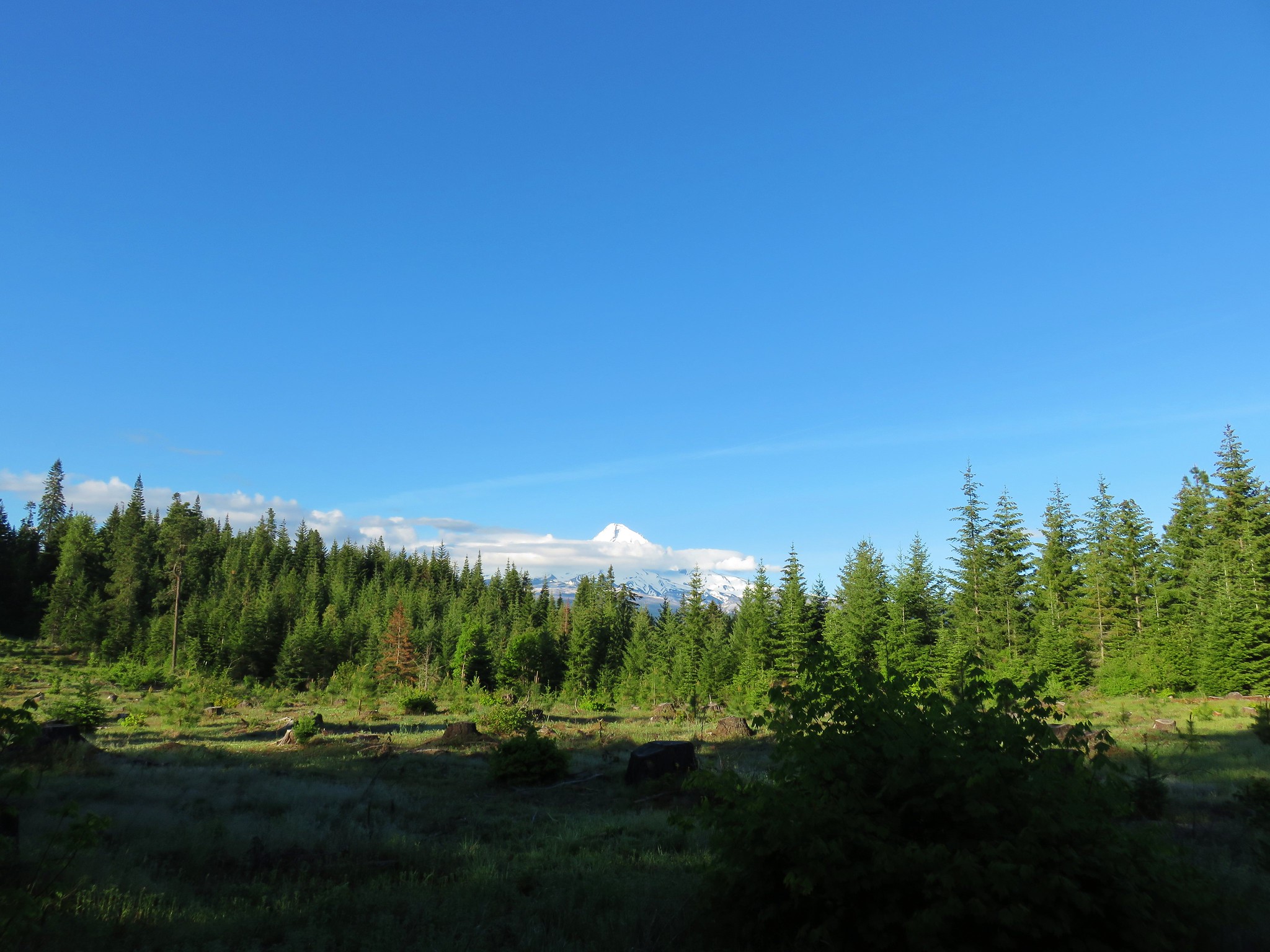
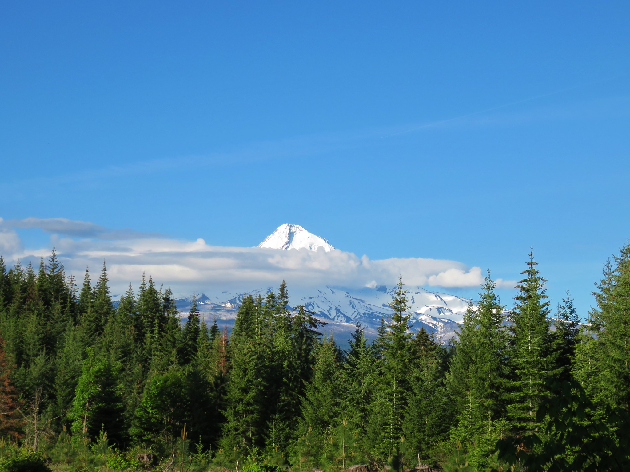
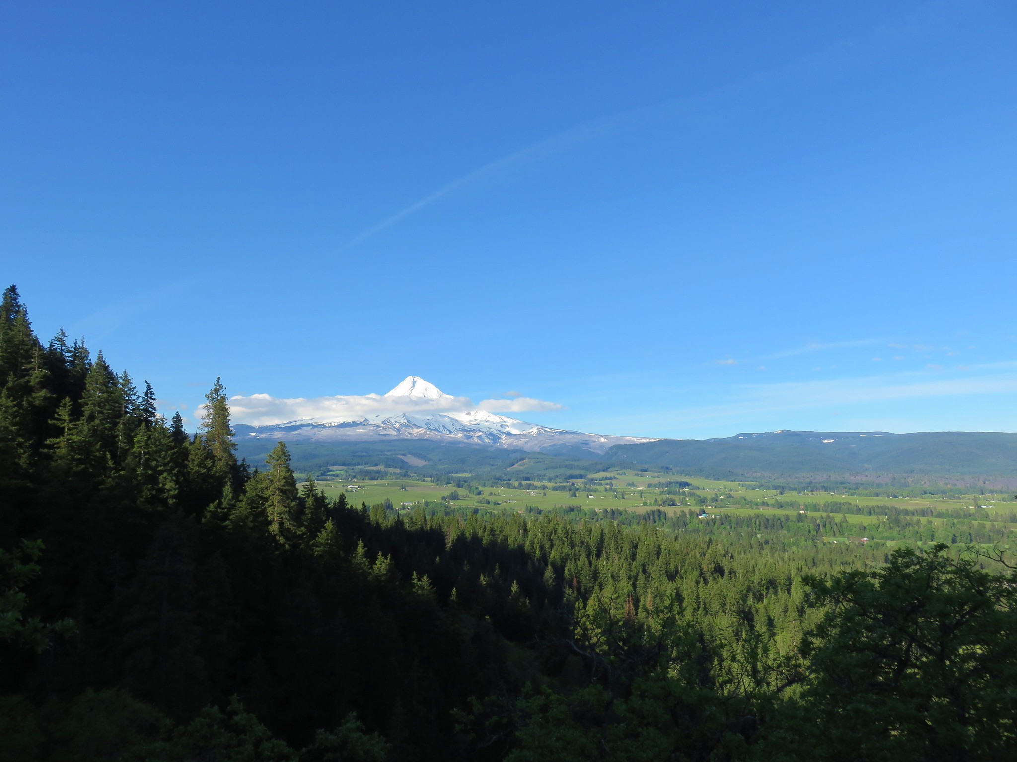
 A still cloudy Mt. Hood
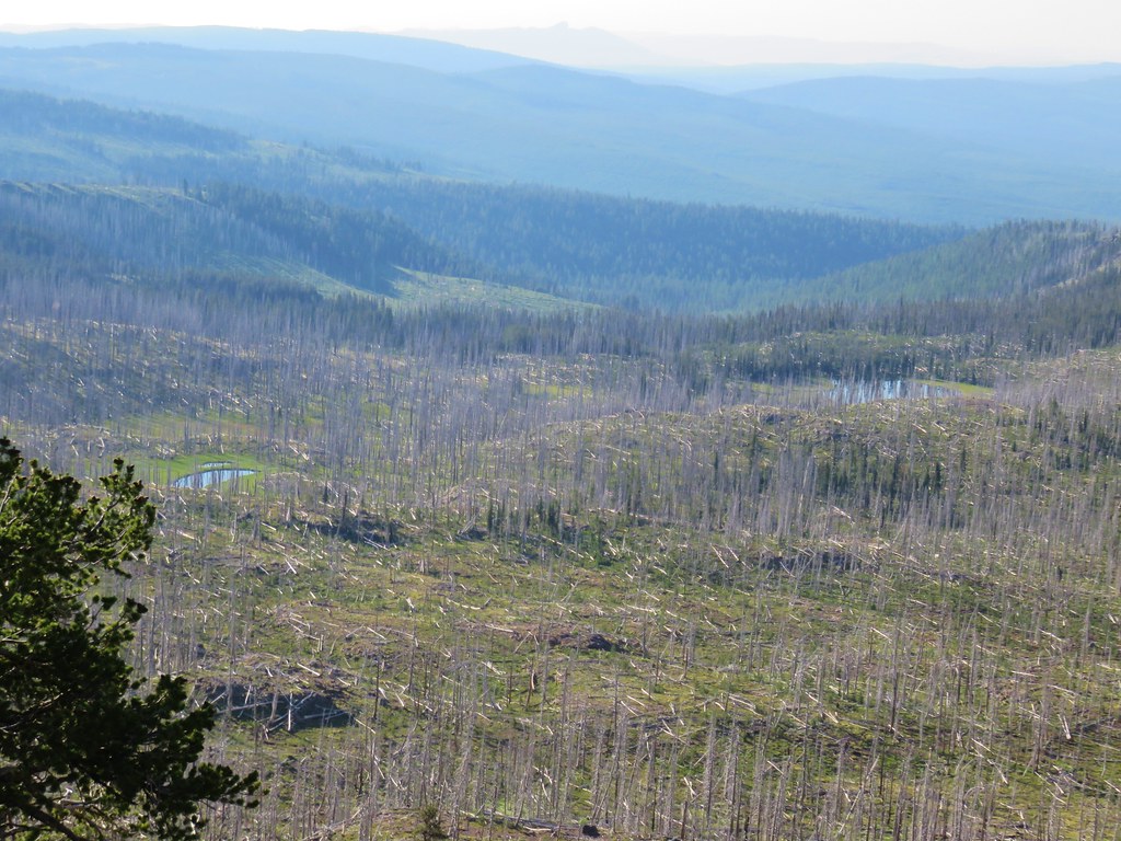
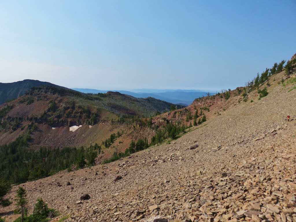
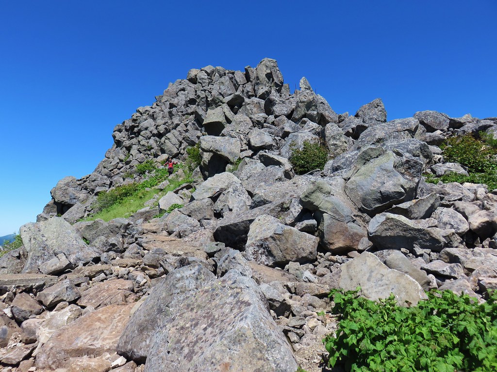
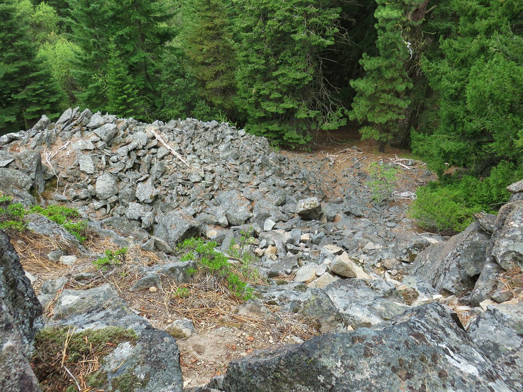 Looking down the talus slope with the Dog River Trail visible between the trees to the right.


 Snow queen – McDonald Forest, February
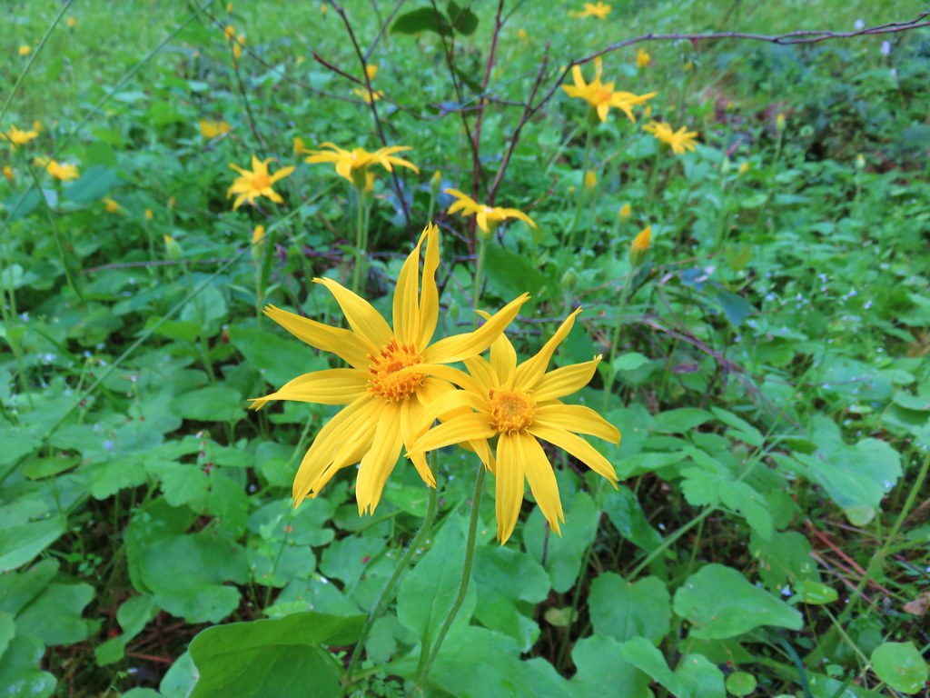 Arnica
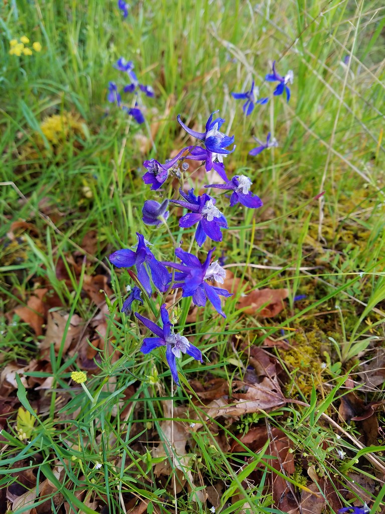 Larkspur
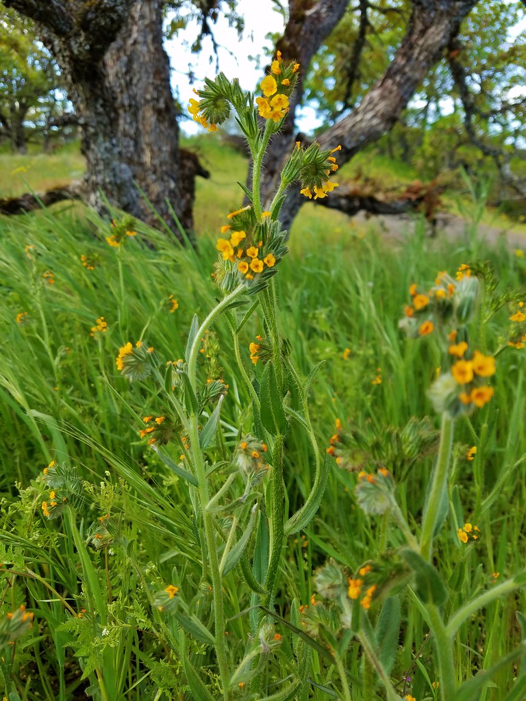 Fiddleneck
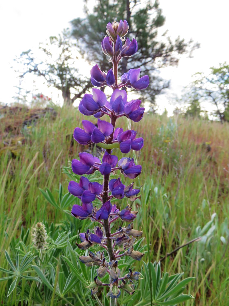 Lupine
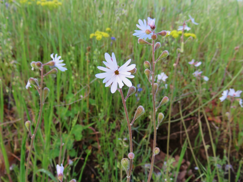 Prairie star
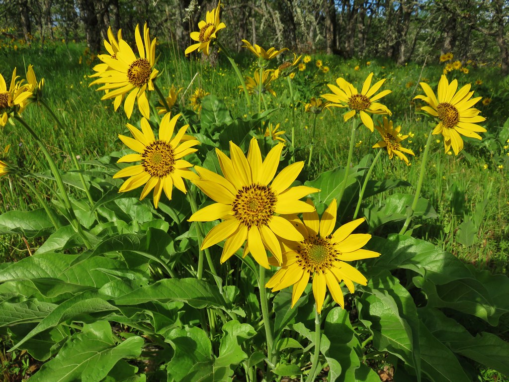 Balsamroot
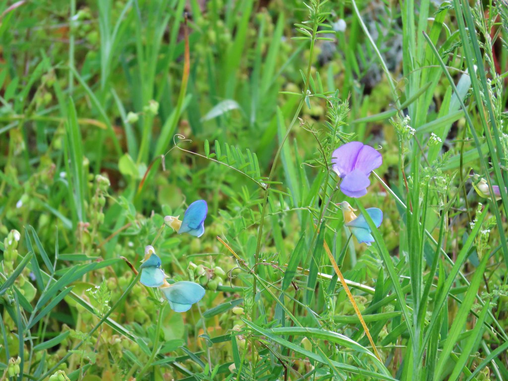 Unknown
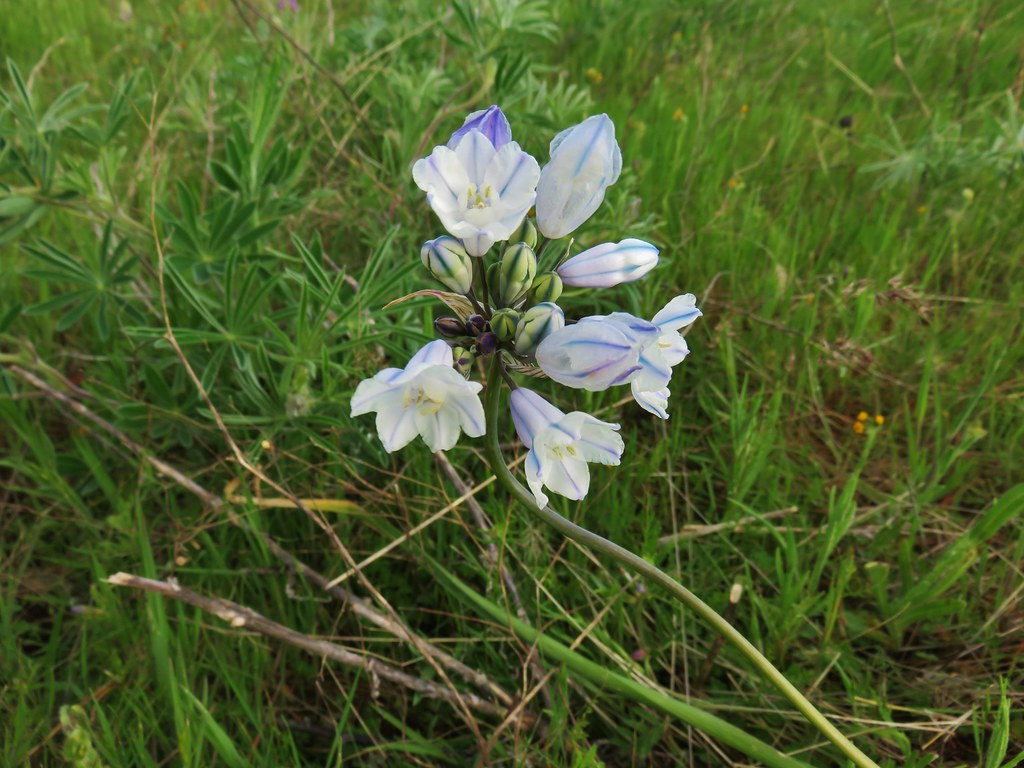 Large-flower triteleia
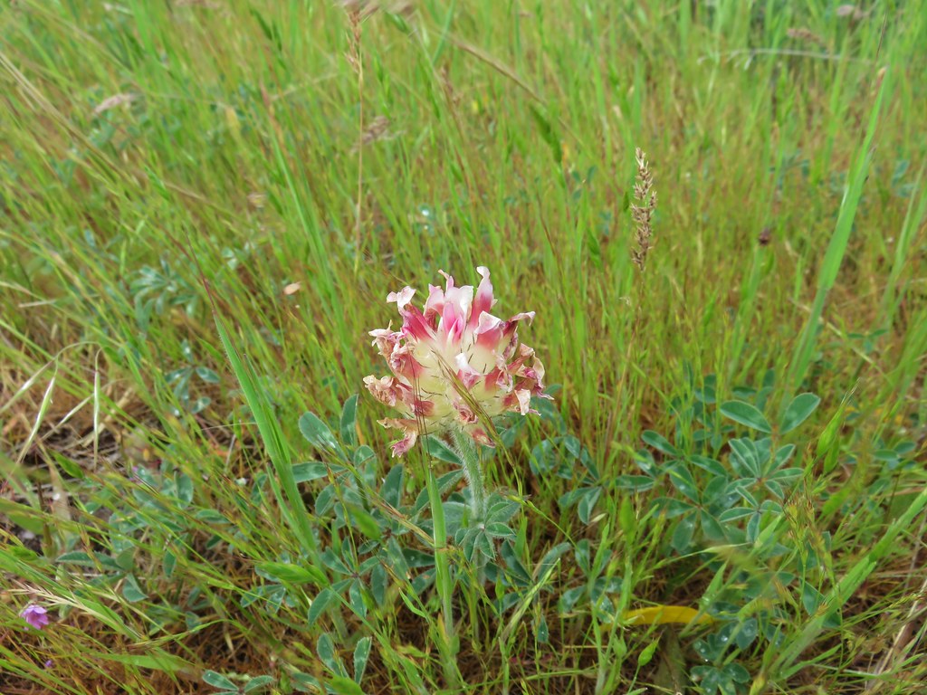 Giant head clover
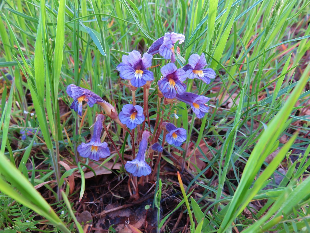 Broomrape
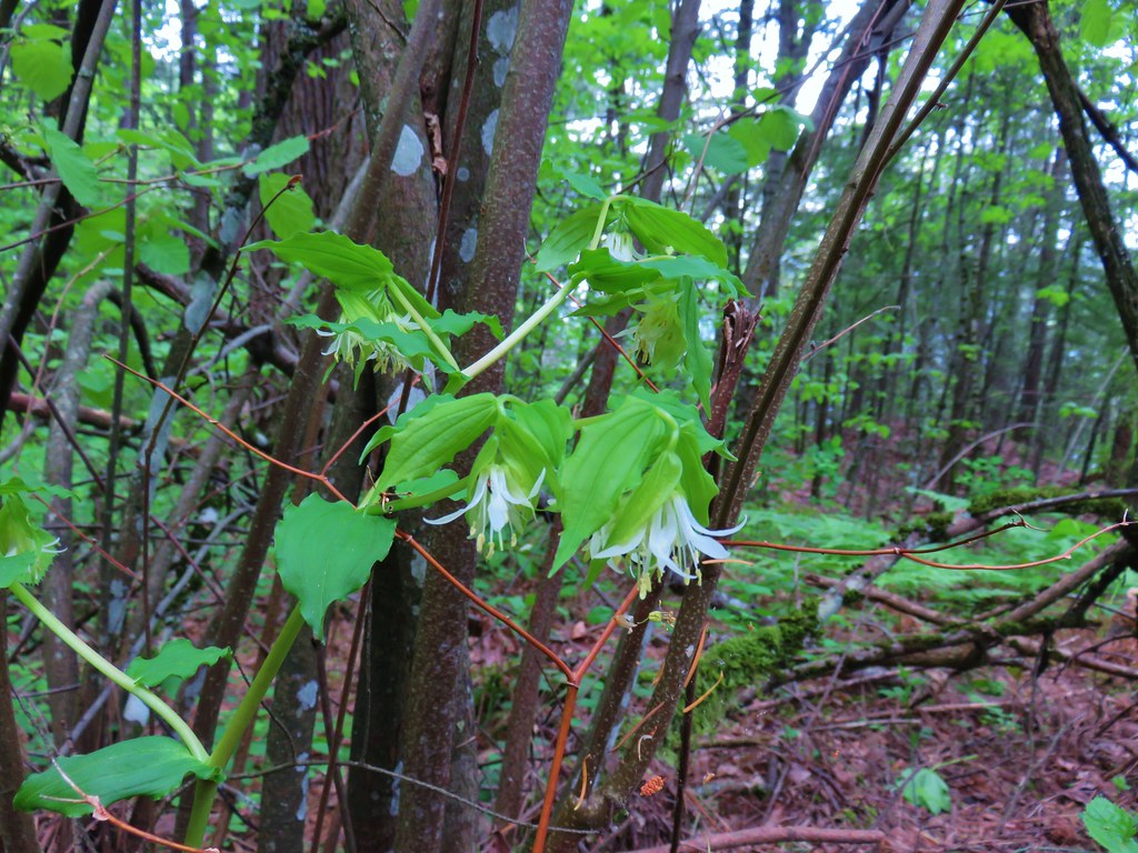 Fairybells
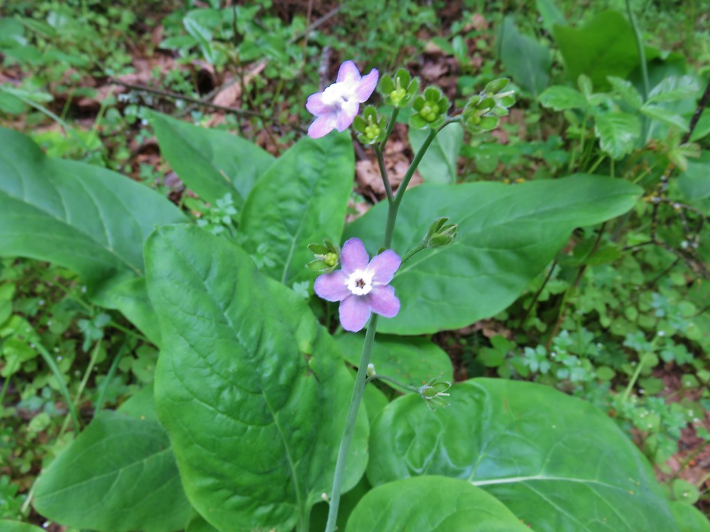 Hound’s tongue
 Dogwood
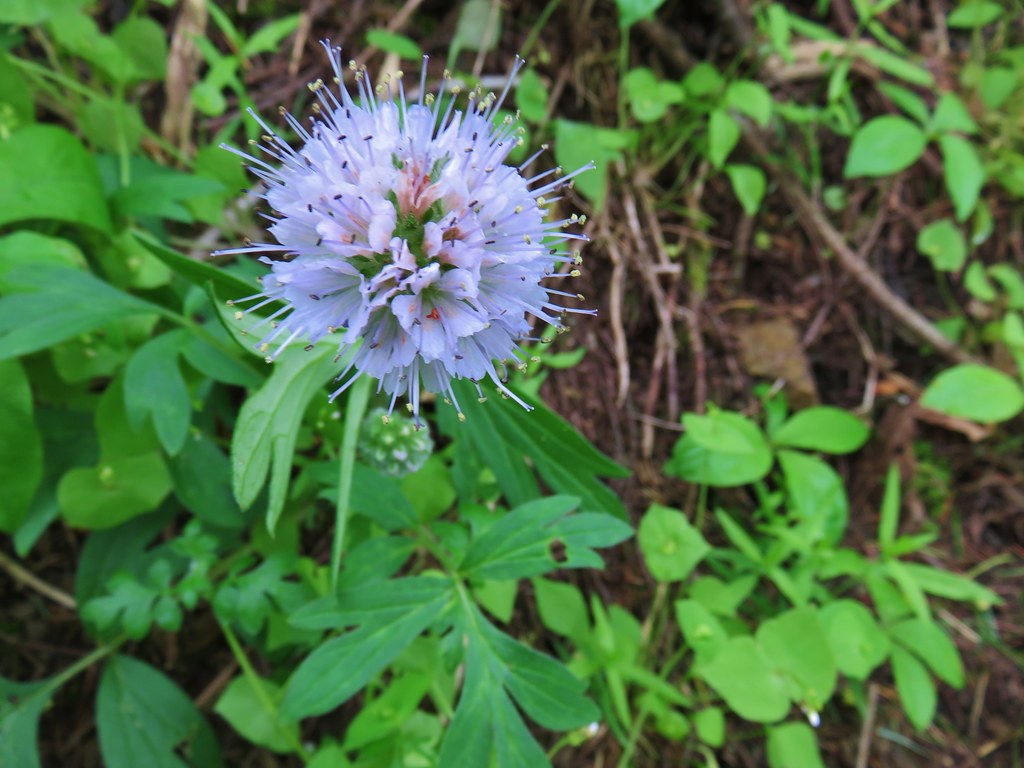 Ballhead waterleaf
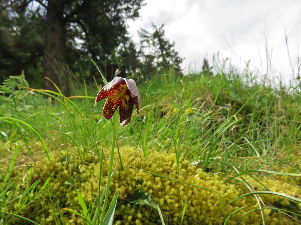 Chocolate lily
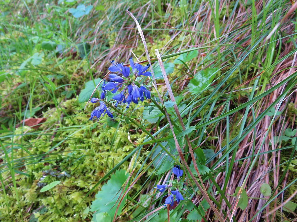 Kittentails
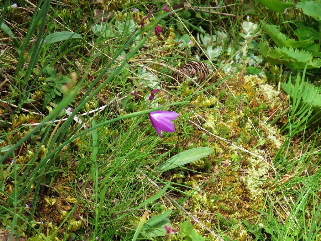 Grass widow
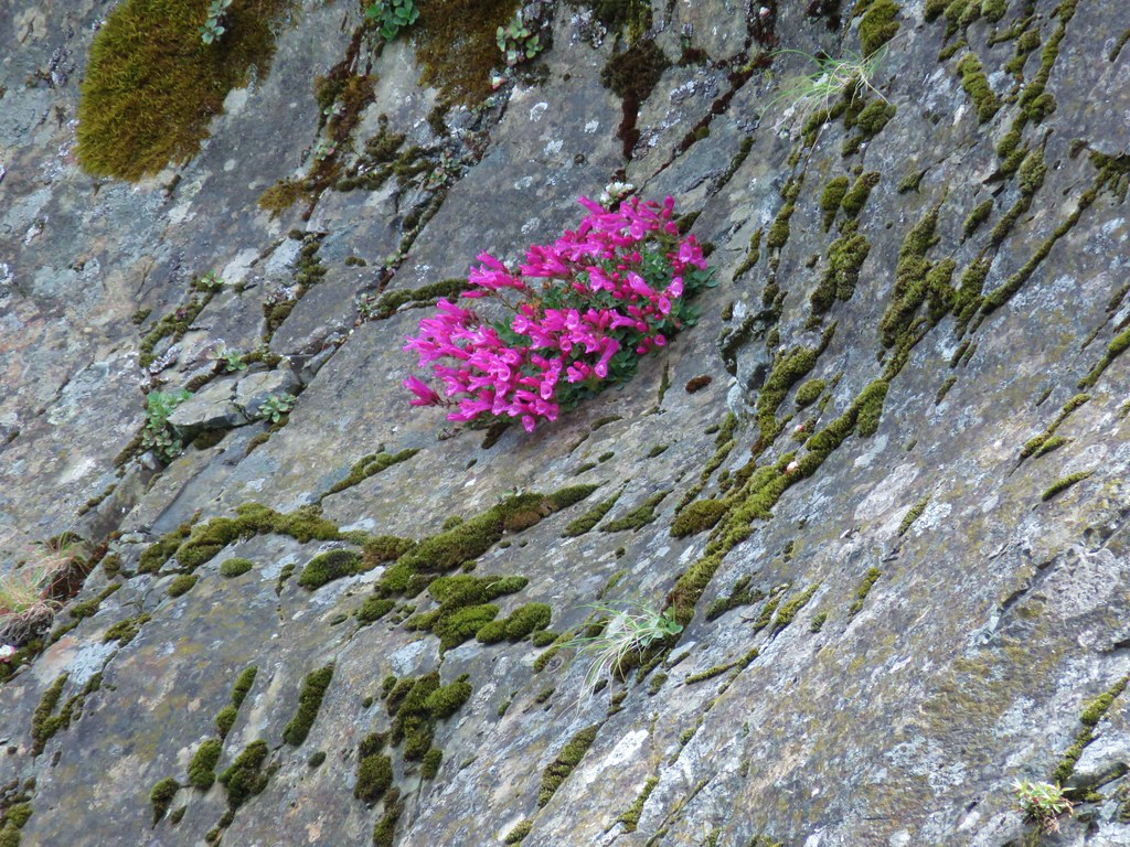 Penstemon
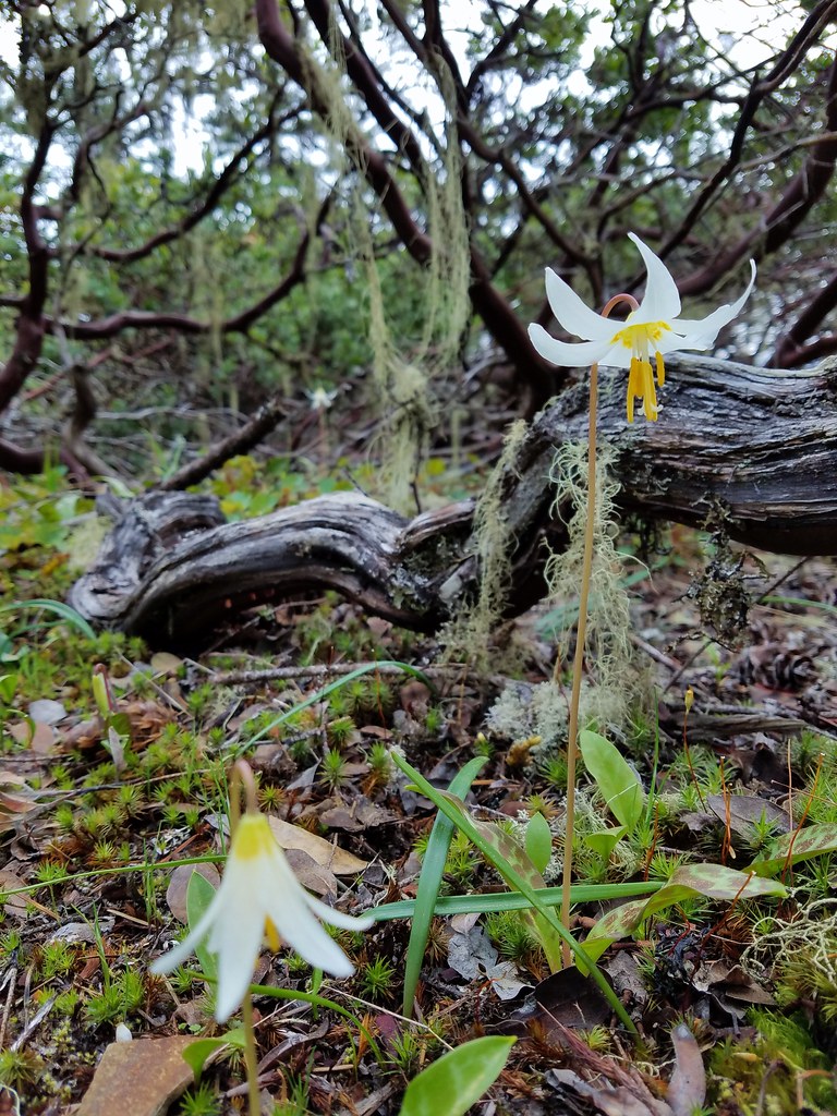 Fawn lily
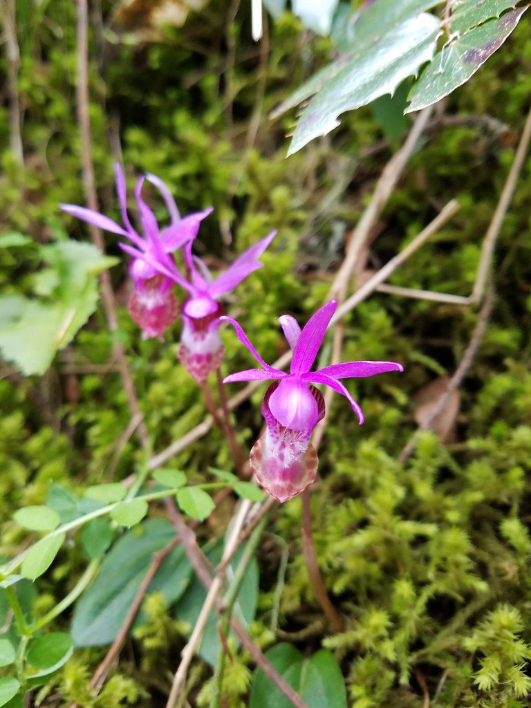 Fairy slippers
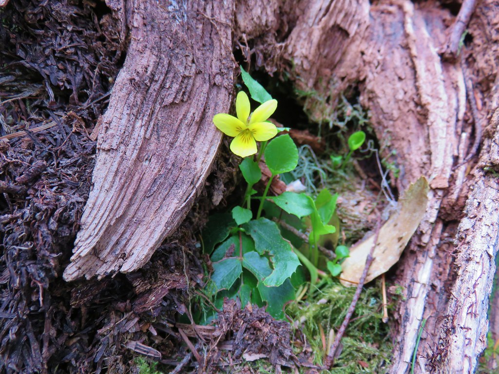 Wood violet
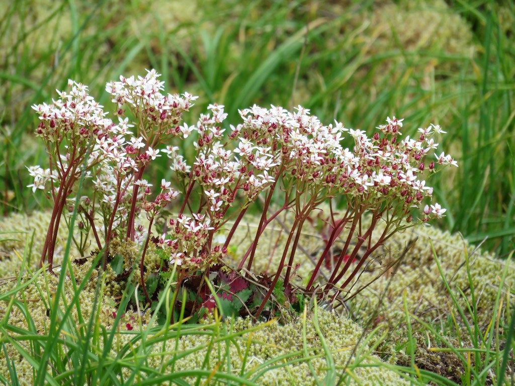 A saxifrage
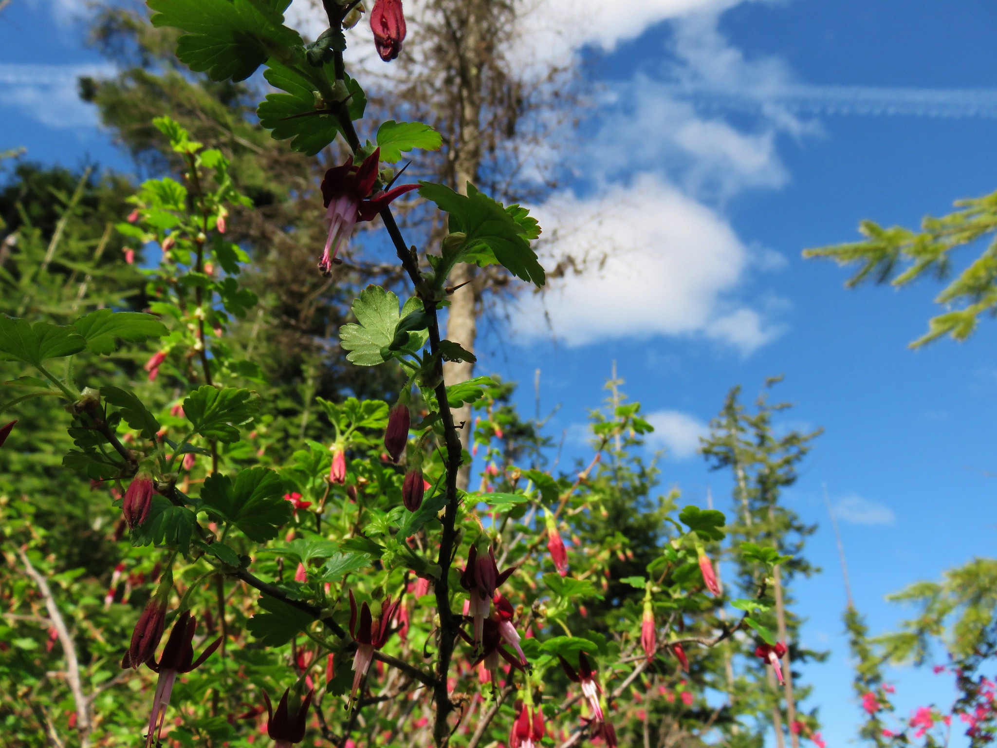
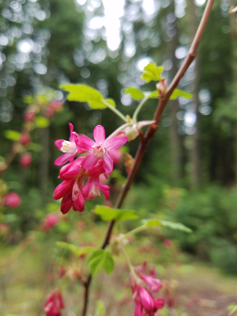 Red-flowering currant
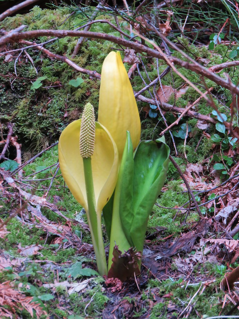 Skunk cabbage
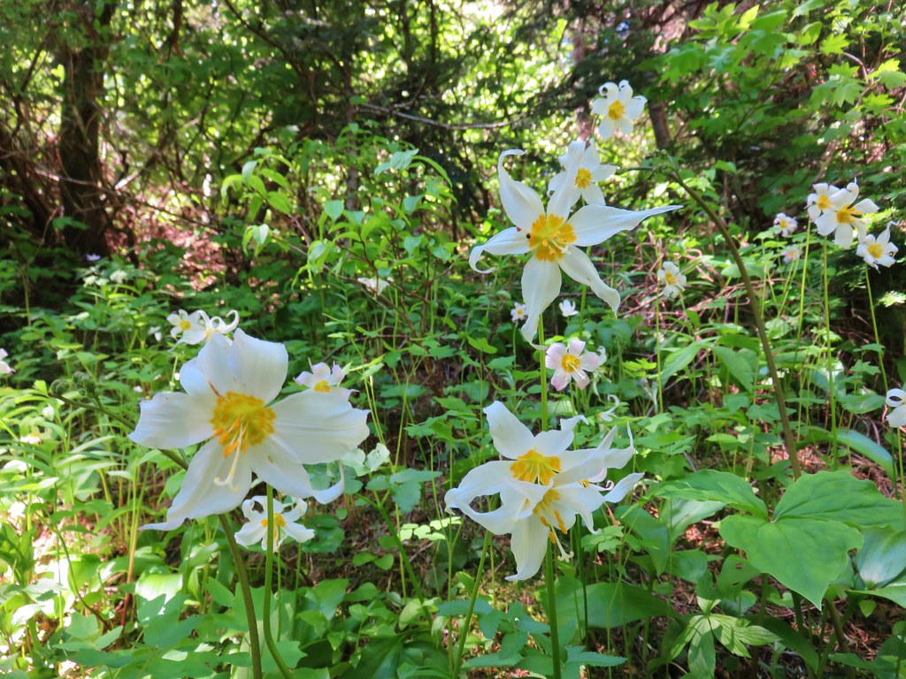
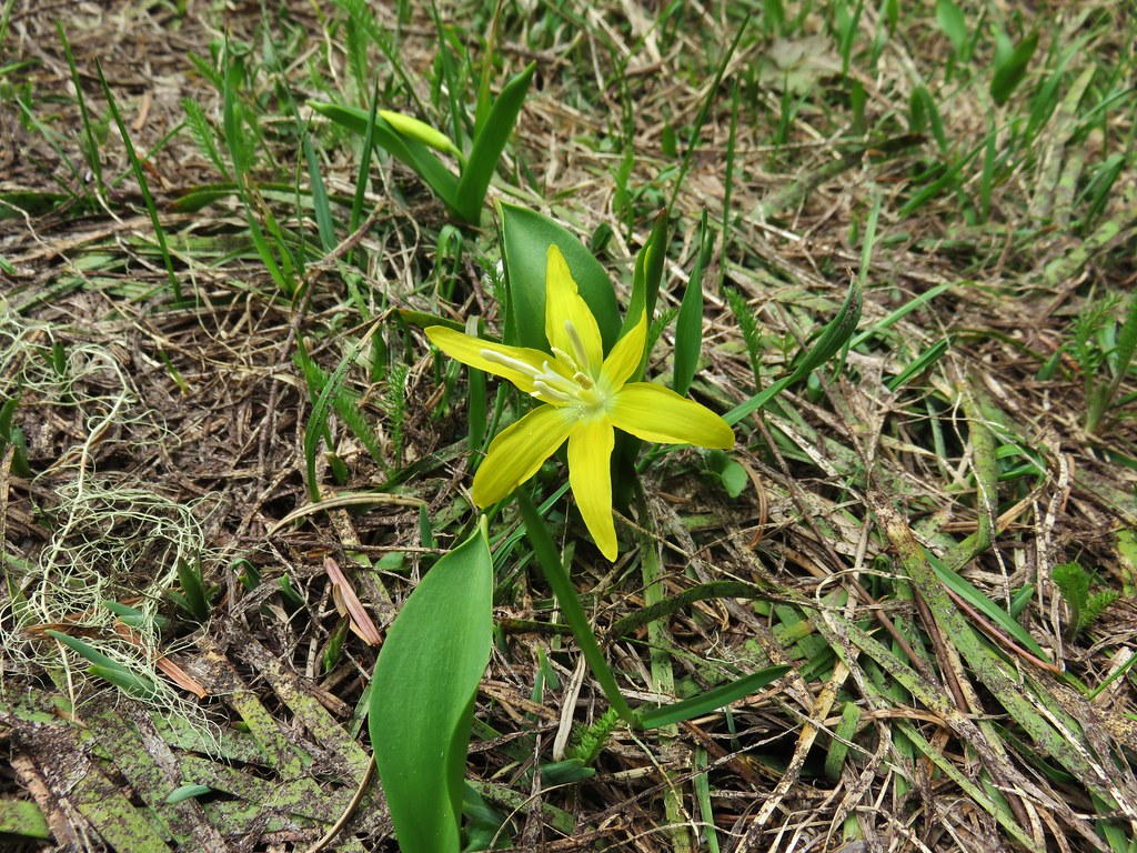 Glacier lily
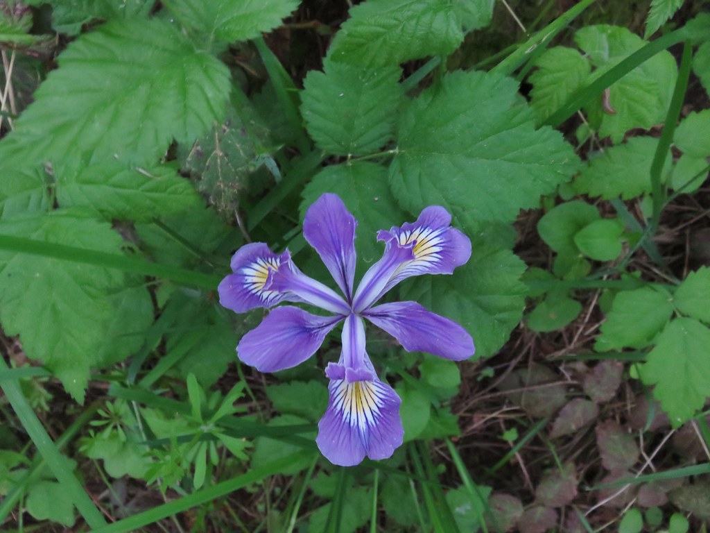 Iris – Washington Park
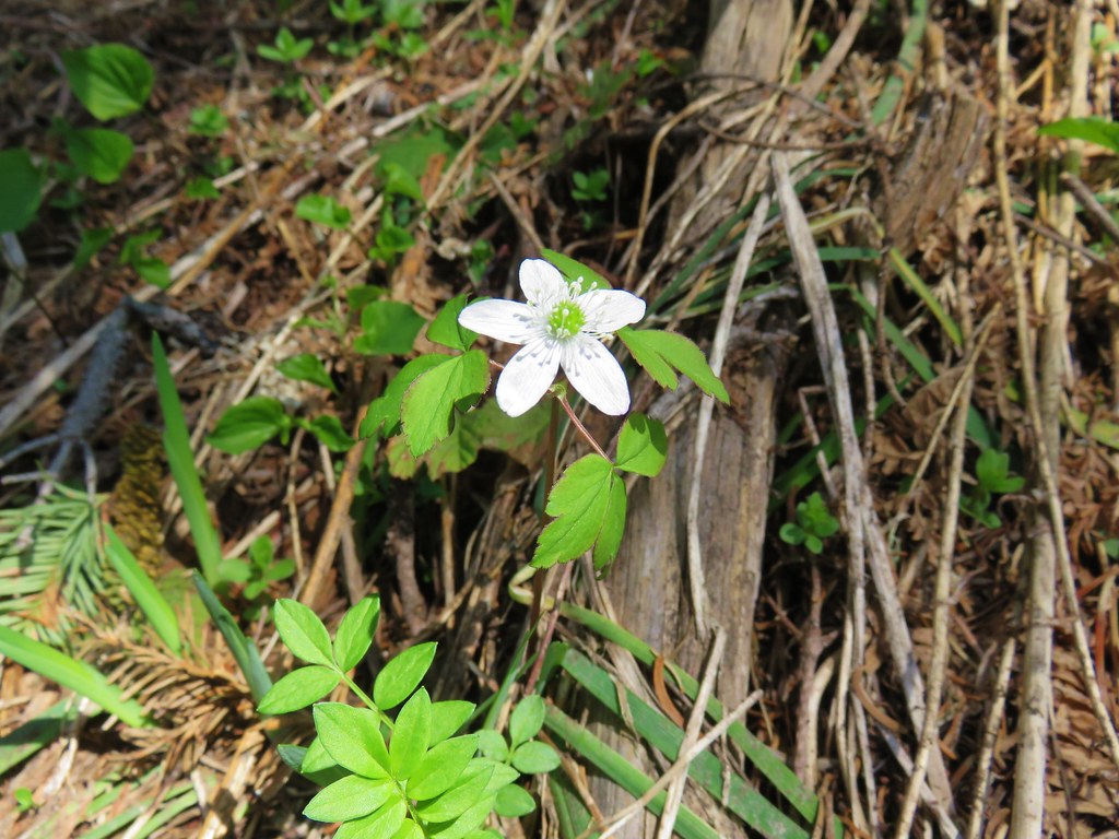 Anemone – Lookout Creek Trail
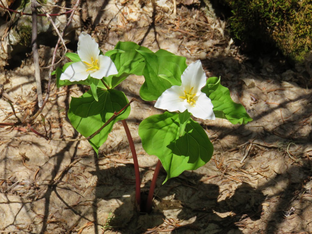 Trillium – Carpenter Mountain
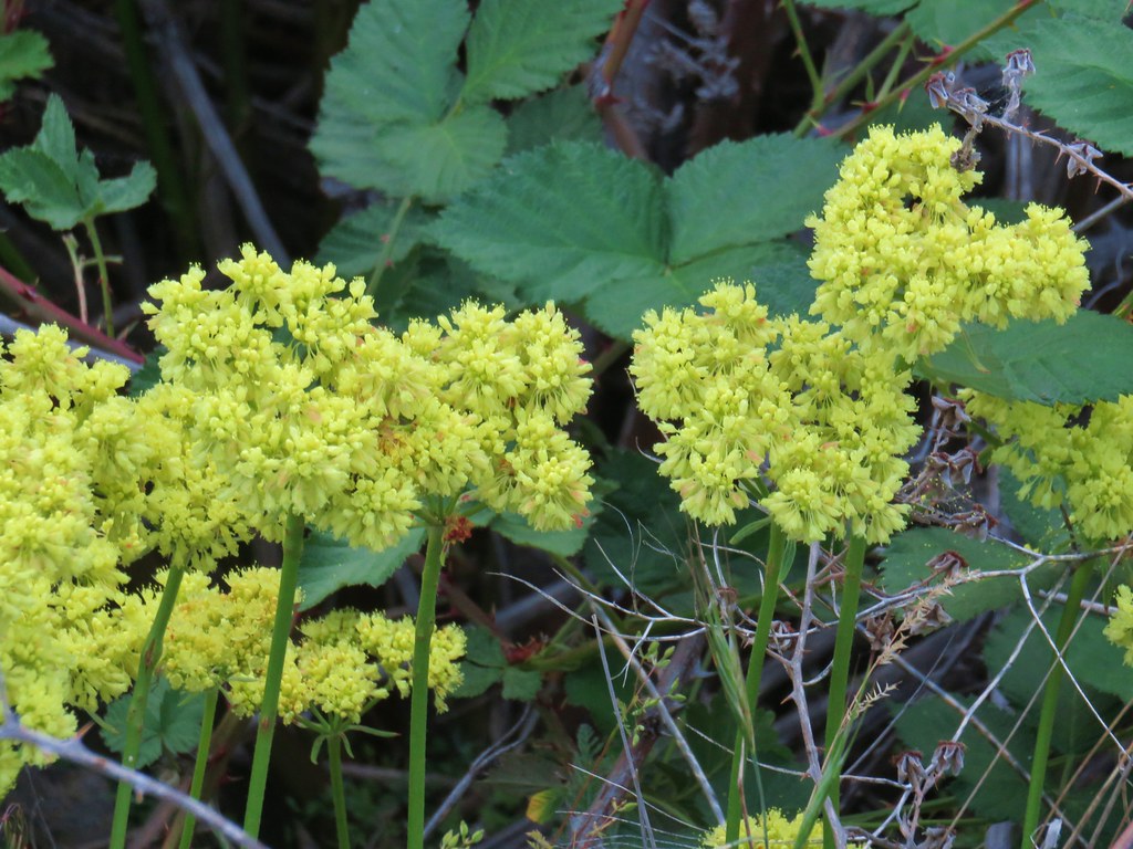 Buckwheat – White River Falls State Park
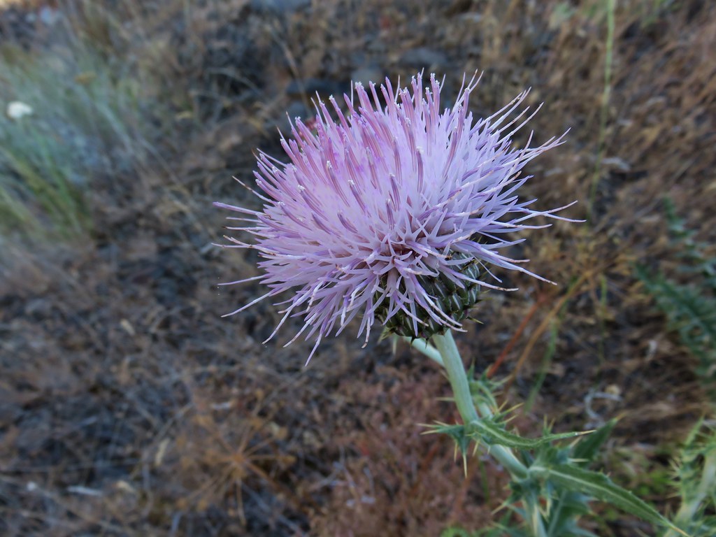 Thistle along the Deschutes River
 Western prairie-clover along the Deschutes River
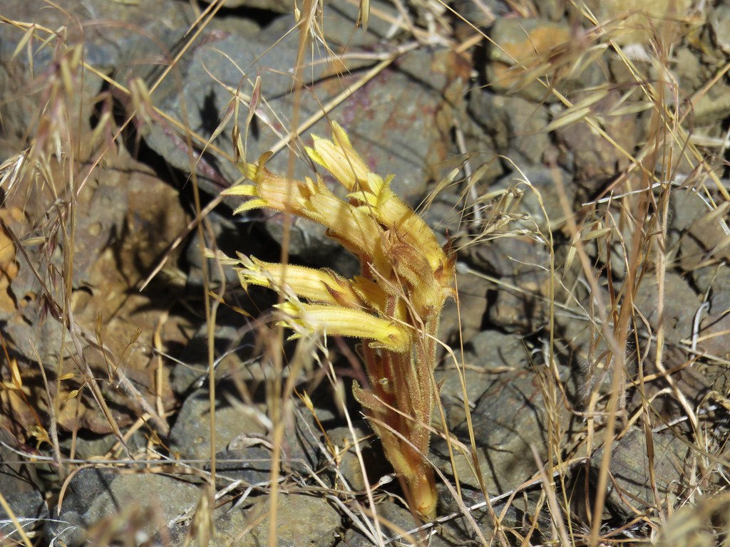 Clustered broomrape along the Deschutes River
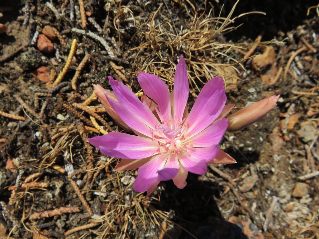 Bitterroot – Rimrock Springs
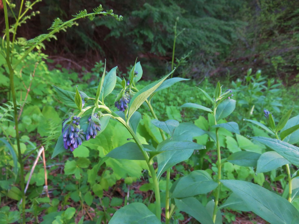 Bluebells along Muir Creek
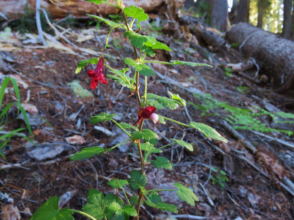 Gooseberry along Muir Creek
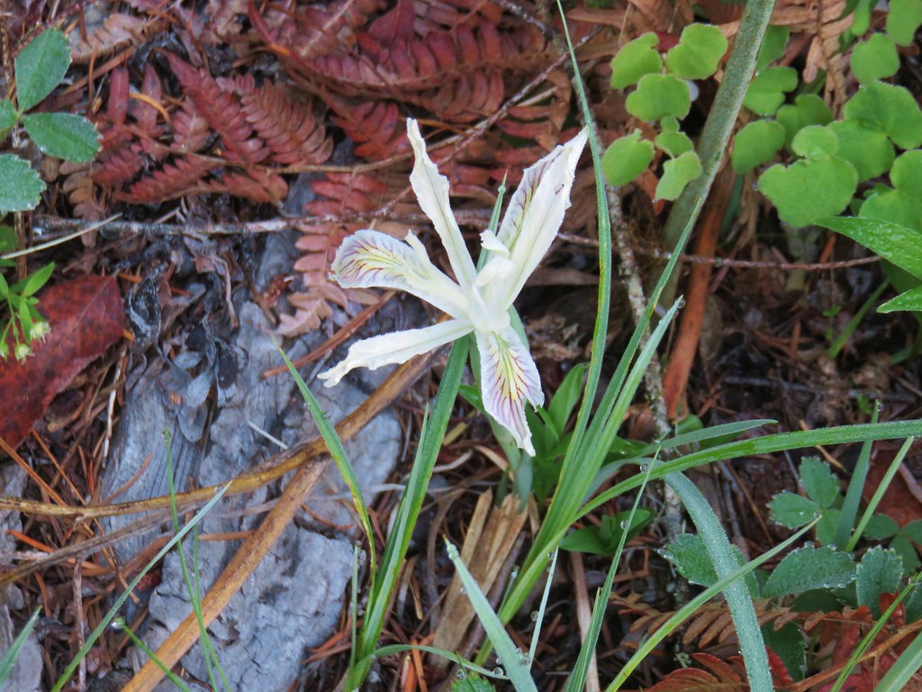 Iris along Muir Creek
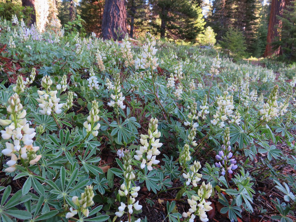 White lupine along Muir Creek
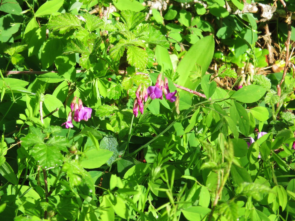 Pea? along Muir Creek
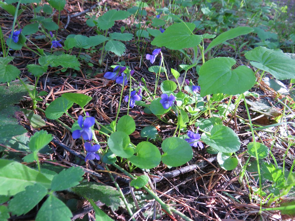 Violets along Muir Creek
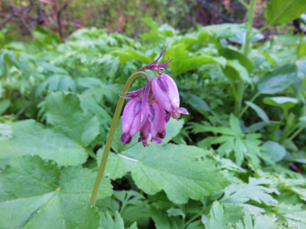 Bleeding heart along the Muir Creek Trail
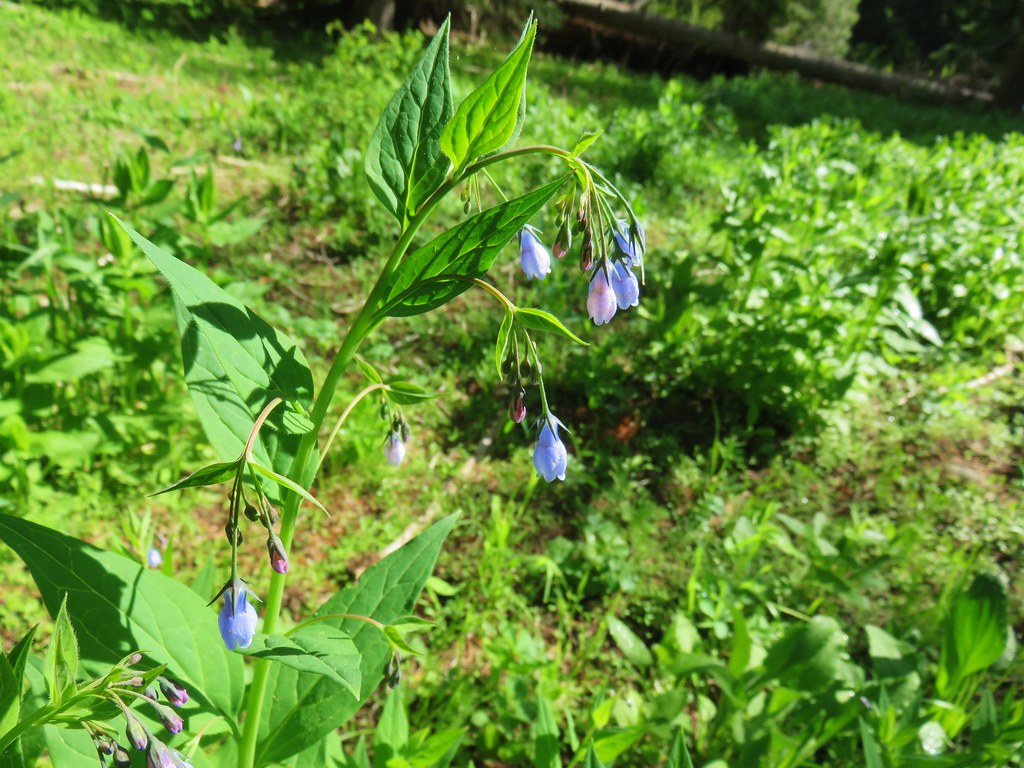 Tall mountain bluebells – Rogue-Umpqua Divide Wilderness
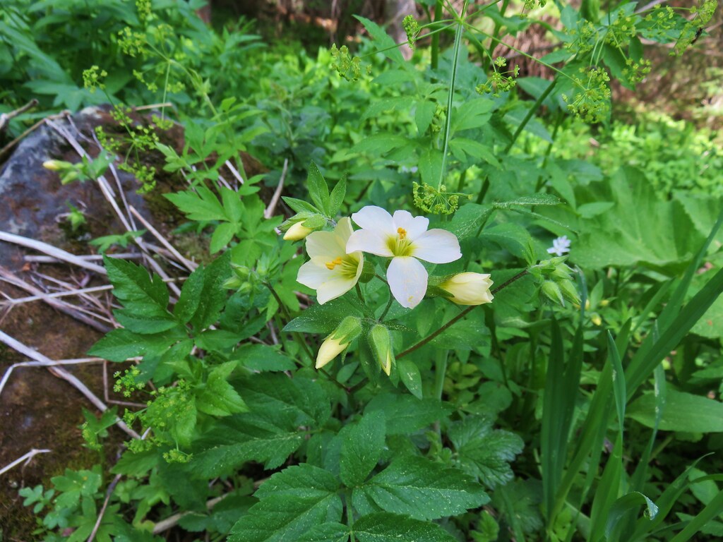 Jacob’s ladder – Rogue-Umpqua Divide Wilderness
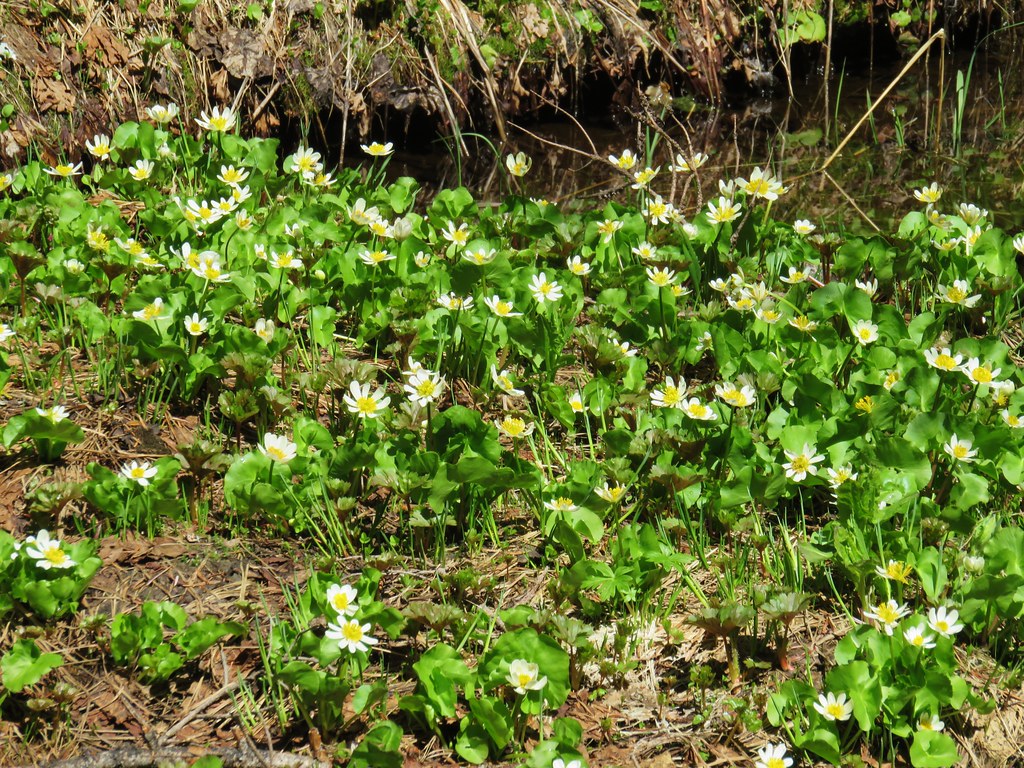 Marsh marigolds – Rogue-Umpqua Divide Wilderness
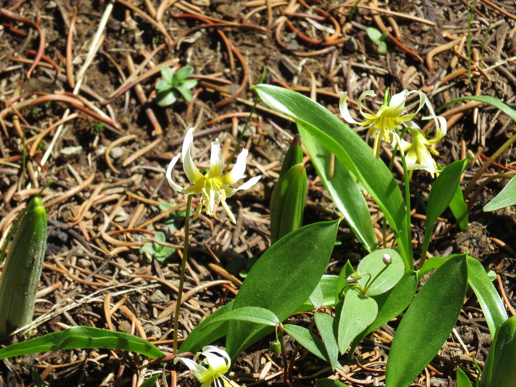 Avalanche lilies – Rogue-Umpqua Divide Wilderness
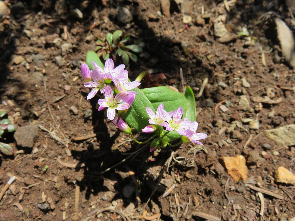 Spring Beauty – Rogue-Umpqua Divide Wilderness
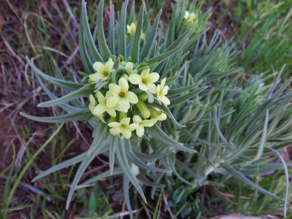 Western stoneseed – Black Butte
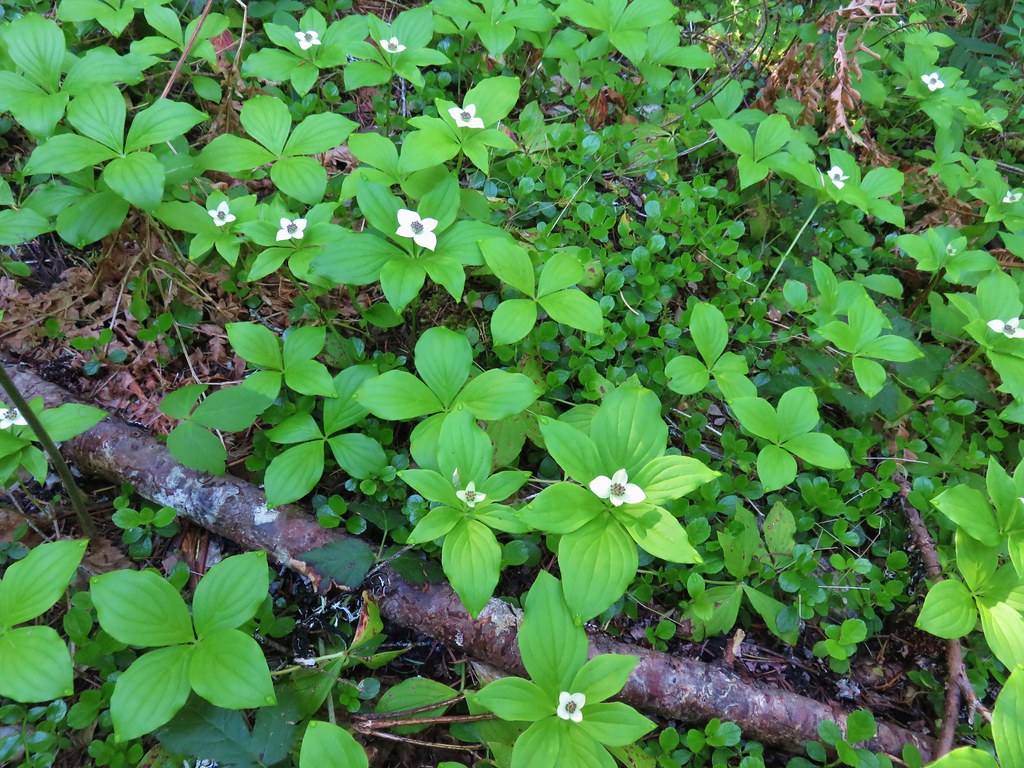 Bunchberry – Salmon River Trail
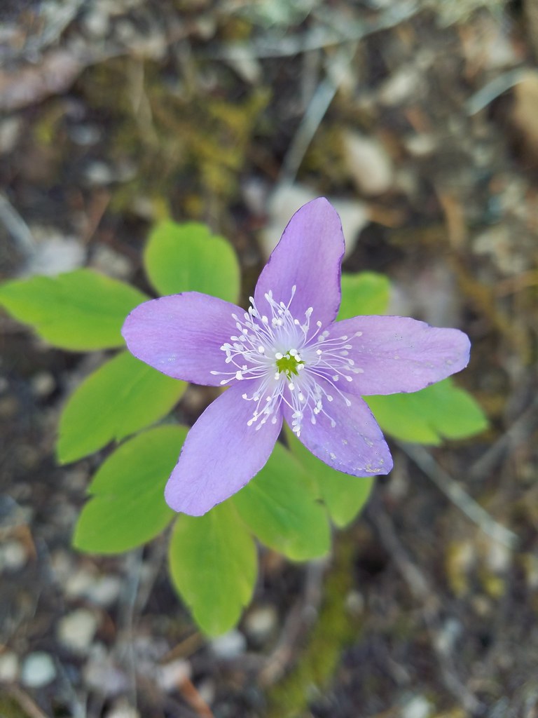 Anemone – Salmon River Trail
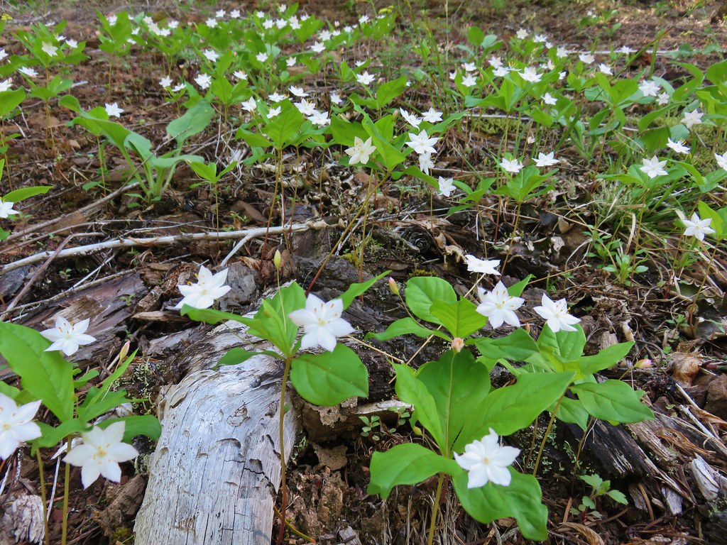 Star flowers – Salmon River Trail
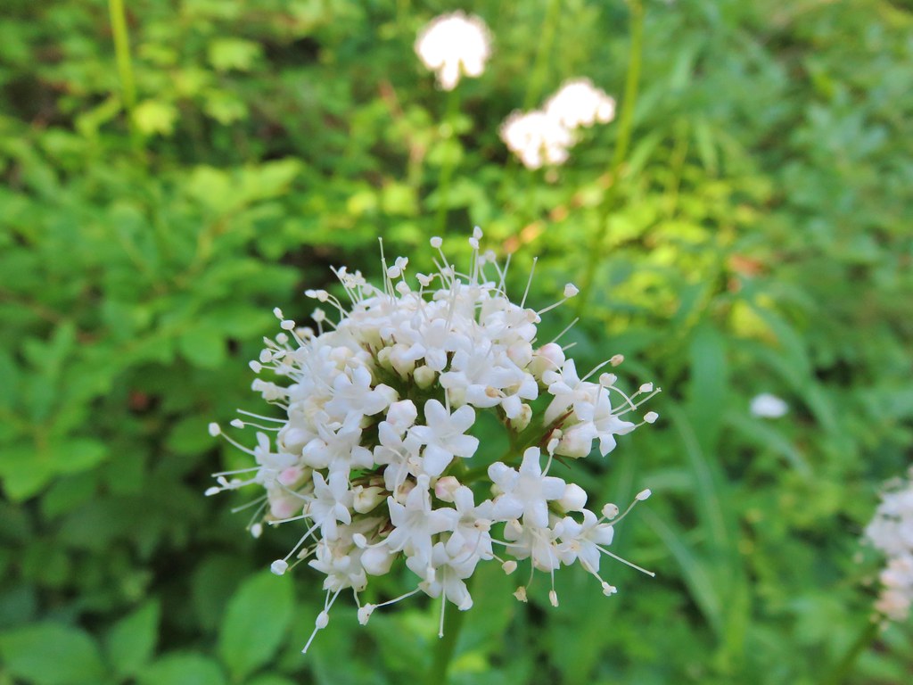
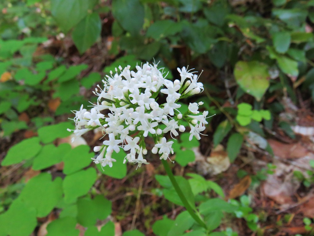 Valerian – Salmon River Trail
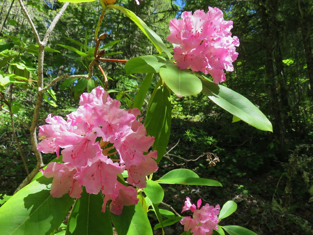 Rhododendron – Salmon River Trail
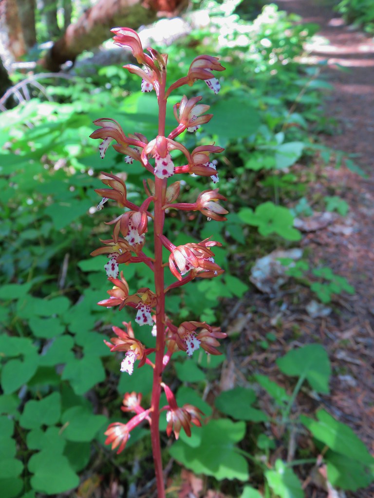 Spotted coralroot – Salmon River Trail
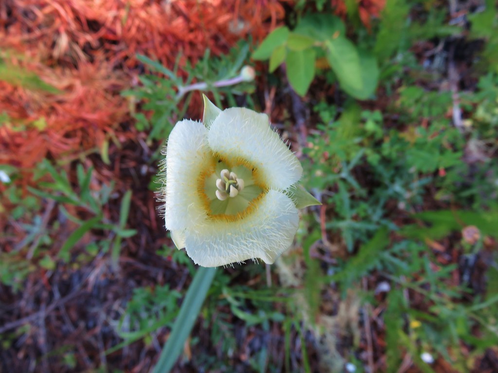 Cats ear lily – Salmon River Trail
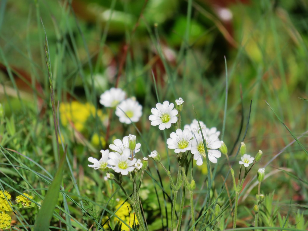 Filed chickweed – Salmon River Trail
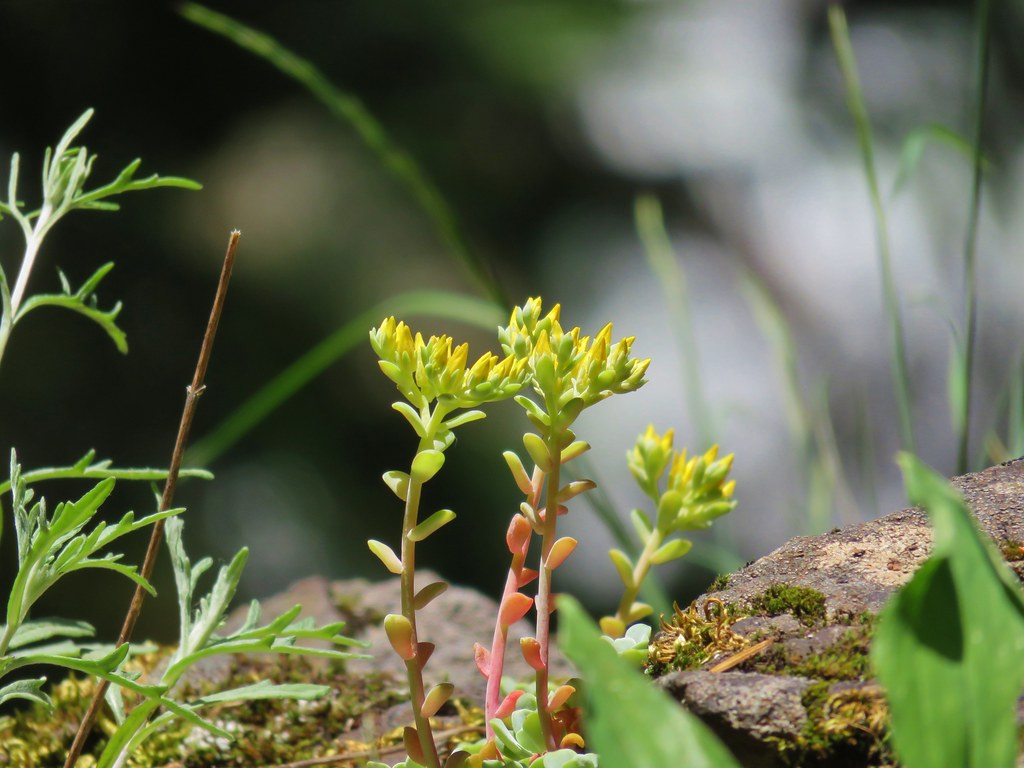 Stonecrop – Salmon River Trail
 unknown – Salmon River Trail
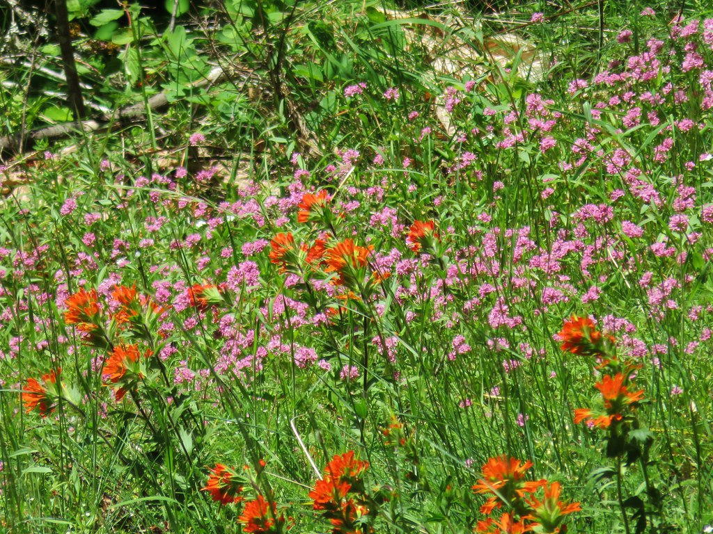 Paintbrush and plectritis – Salmon River Trail
 Blue head gilia – Salmon River Trail
 Candy sticks – Salmon River Trail
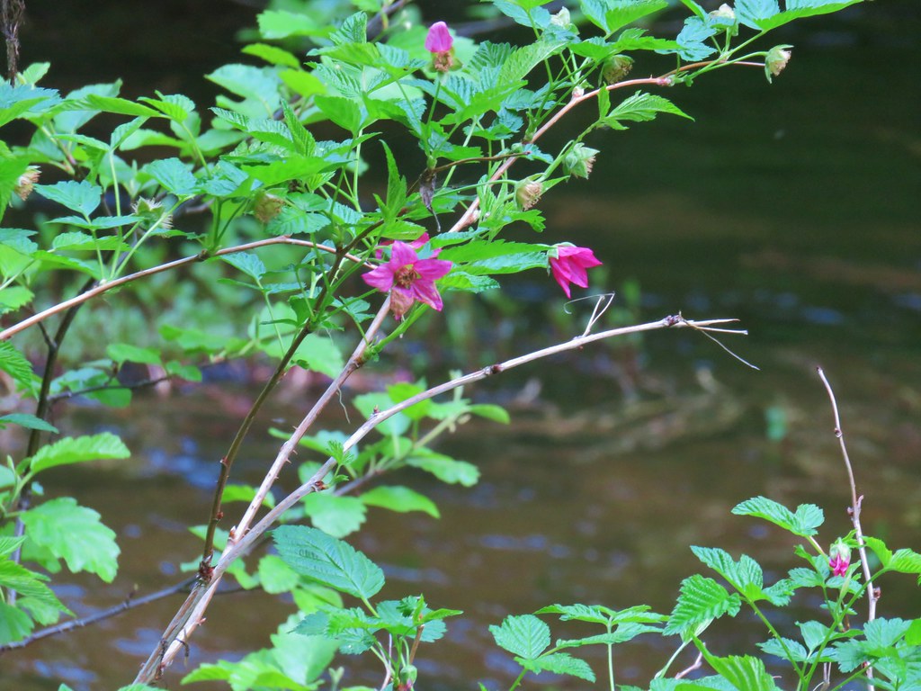 Salmonberry – Salmon River Trail
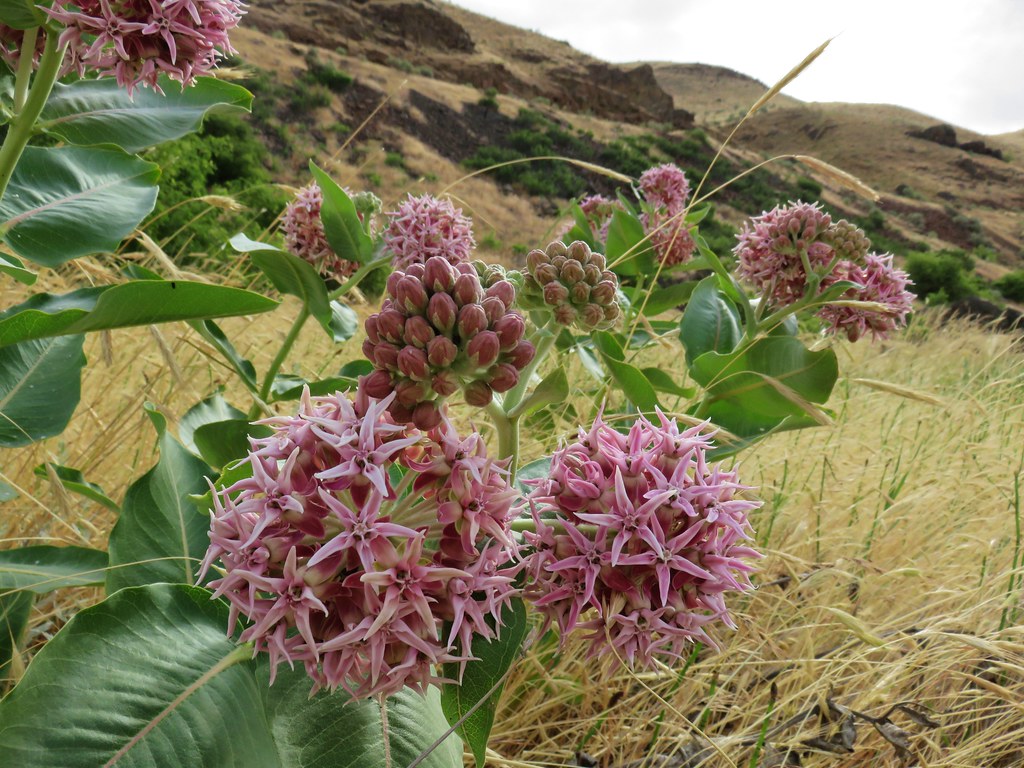 Showy milkweed along the Deschutes River
 Chicory (non-native) along the Deschutes River
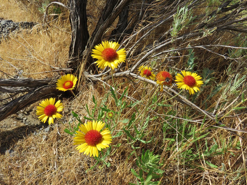 Blanket flower along the Deschutes River
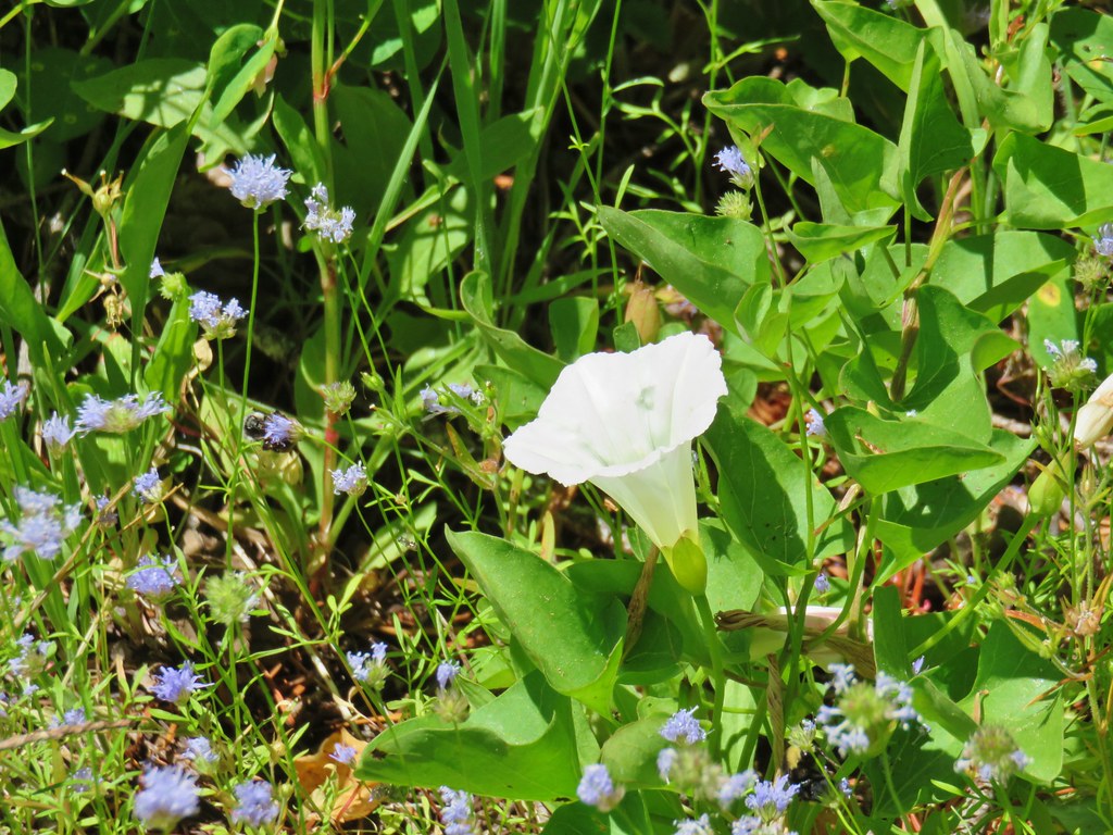
 Bindweed along the Deschutes River
 Dwarf monkeyflower – Diamond Craters
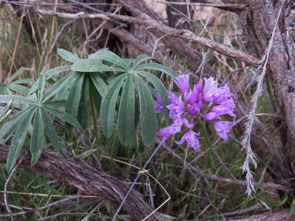 Wild onion – Jordan Craters
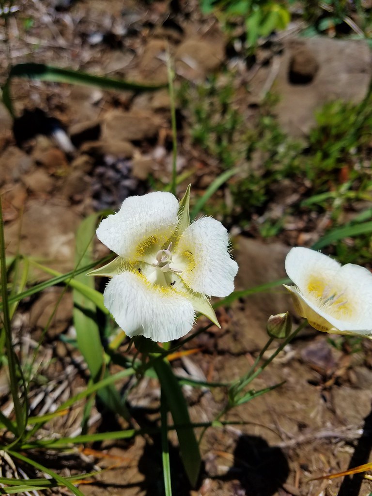
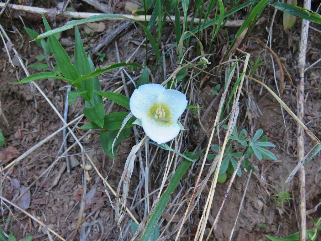
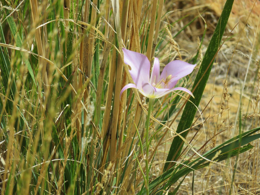 Sagebrush mariposa lily – Leslie Gulch
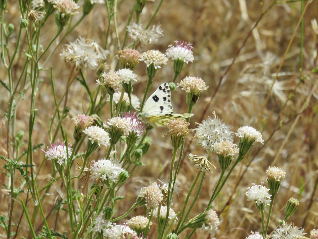 Dusty maiden – Leslie Gulch
 Clarkia – Leslie Gulch
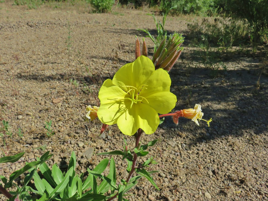 Evening Primerose – Three Forks
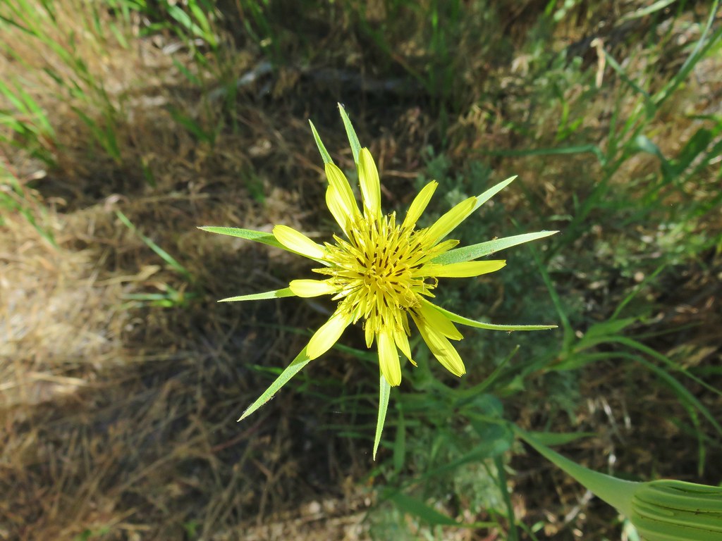 Salsify – Three Forks
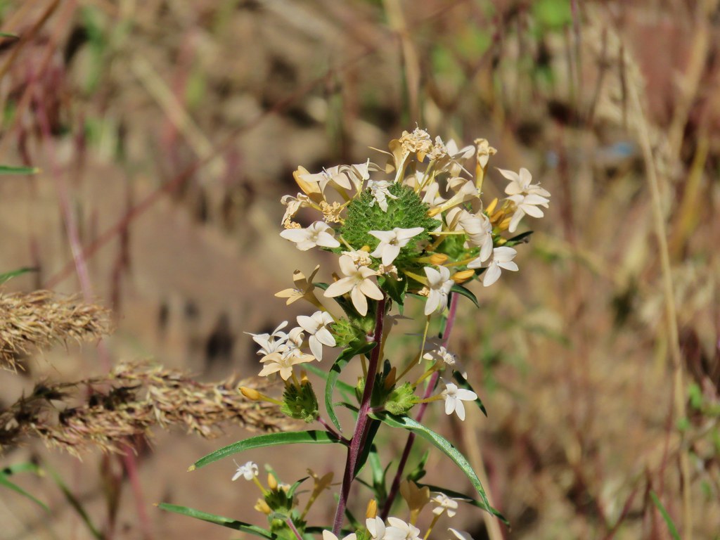 Grand collomia – Three Forks
 Stream orchid – Three Forks
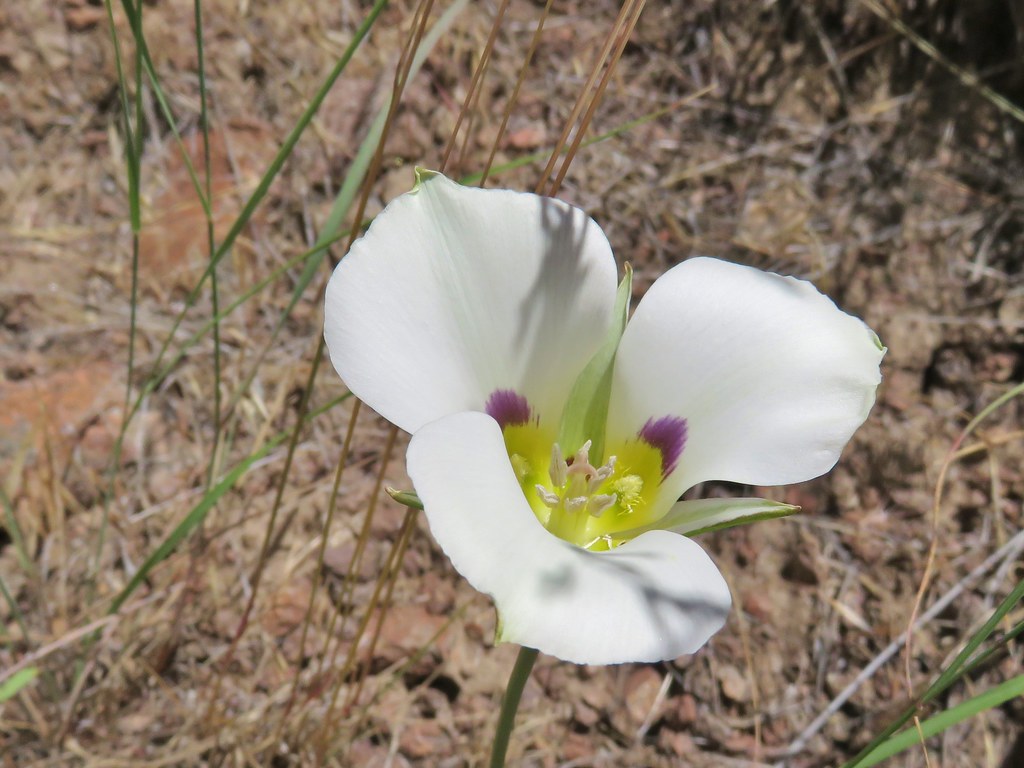 Mariposa lily – Three Forks
 unknown – Three Forks
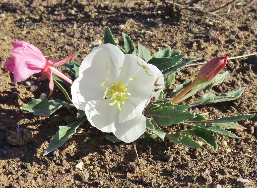 Tufted primrose – Chalk Basin
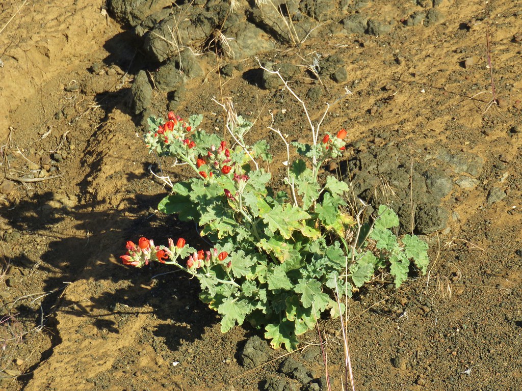 Orange globe mallow – Chalk Basin
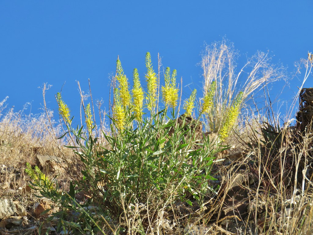 unknown – Chalk Basin
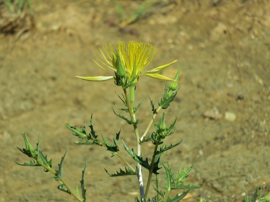 Smooth stemmed blazing star – Chalk Basin
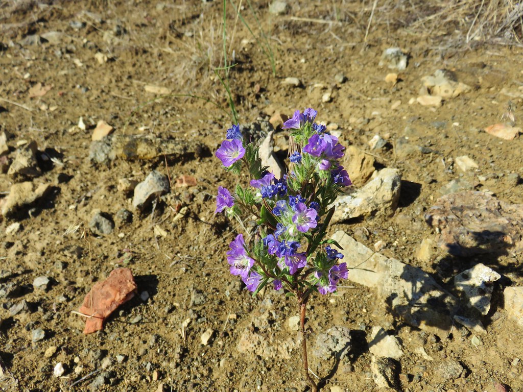 Threadleaf phacelia – Chalk Basin
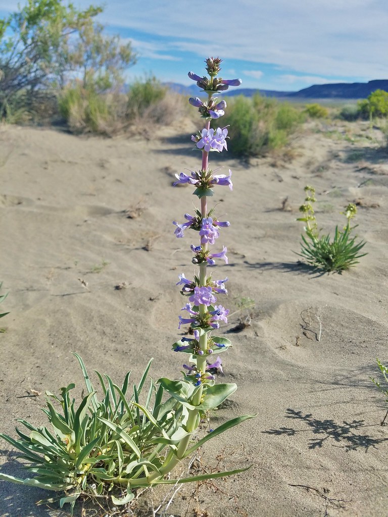 Penstemon – Alvord Desert
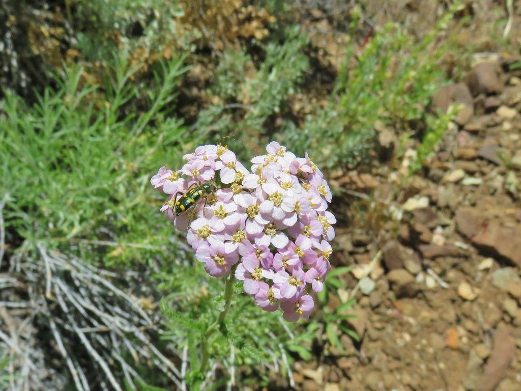 Yarrow – Pike Creek
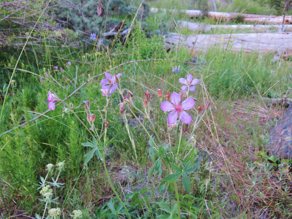 Geranium – Myrtle Creek
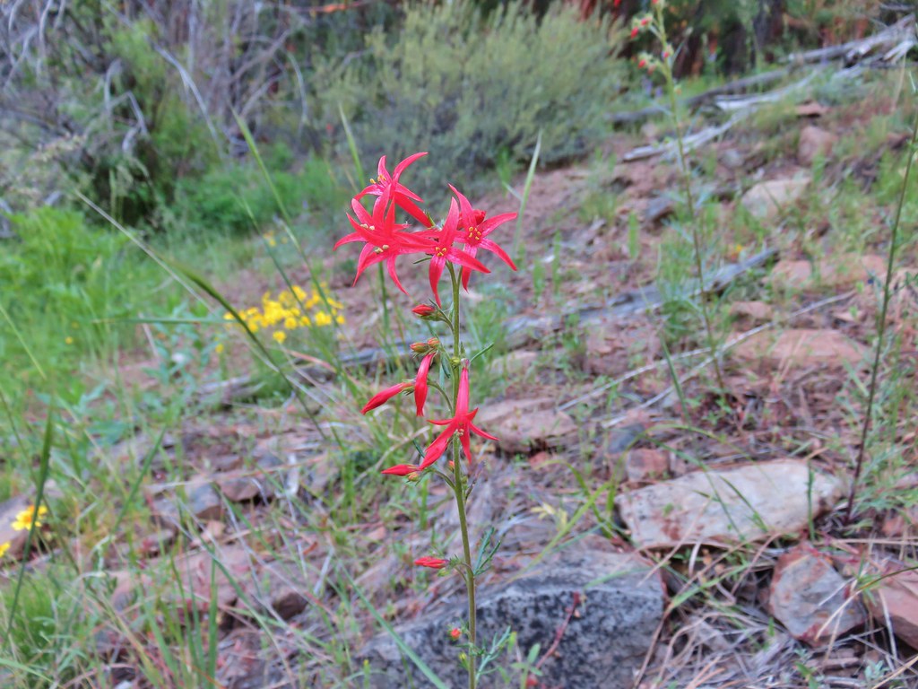 Scarlet gilia – Myrtle Creek
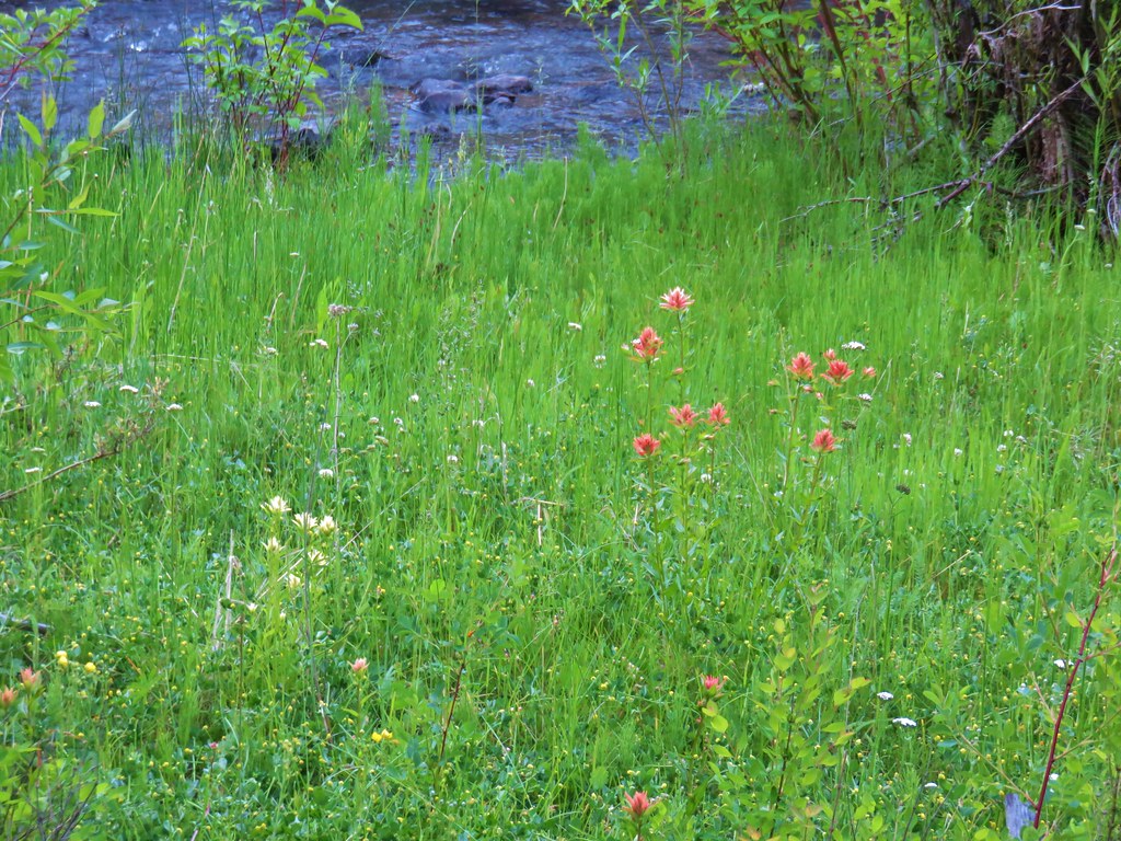 Yelow and red paintbrush – Myrtle Creek
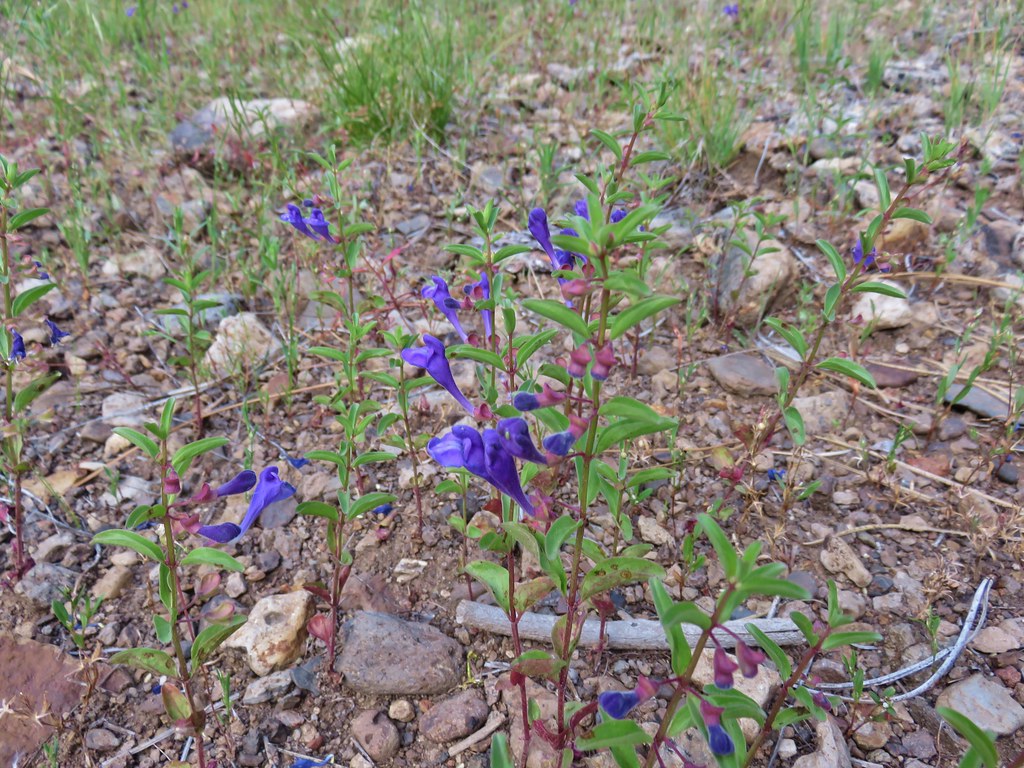 Skull cap – Myrtle Creek
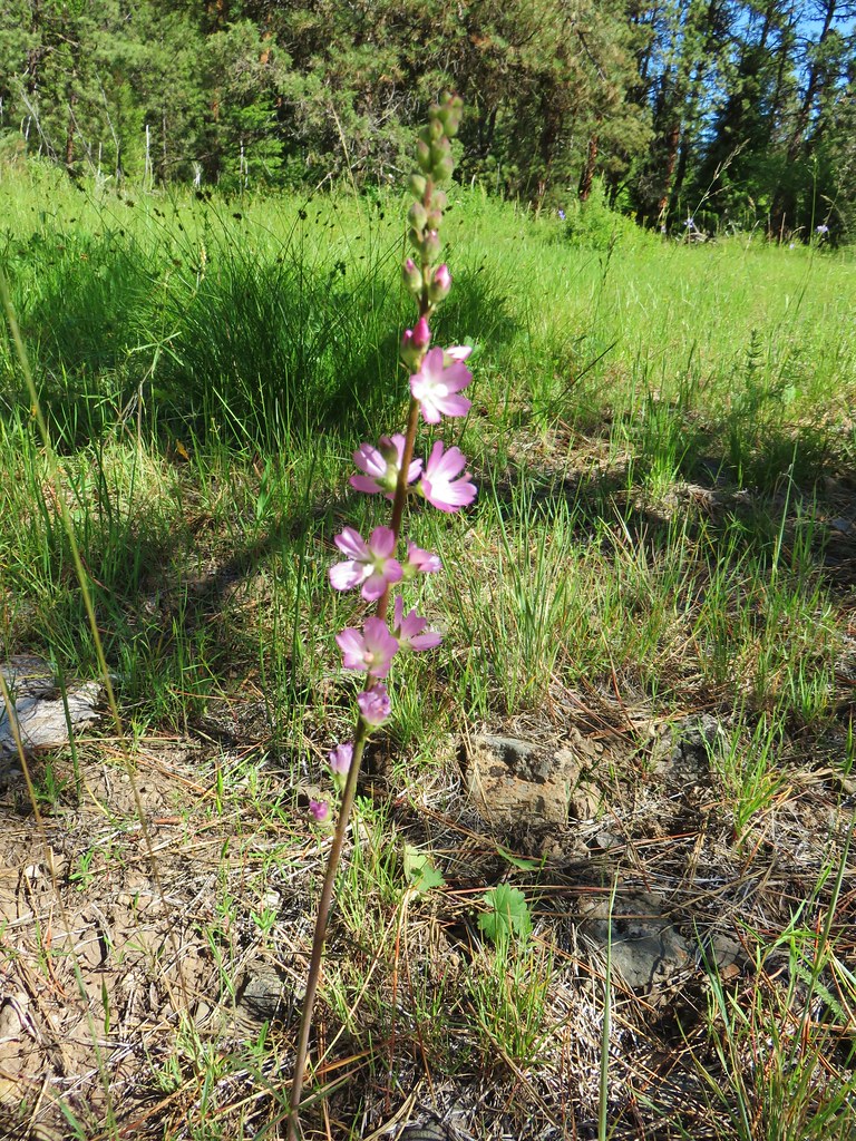 Checkermallow – Myrtle Creek
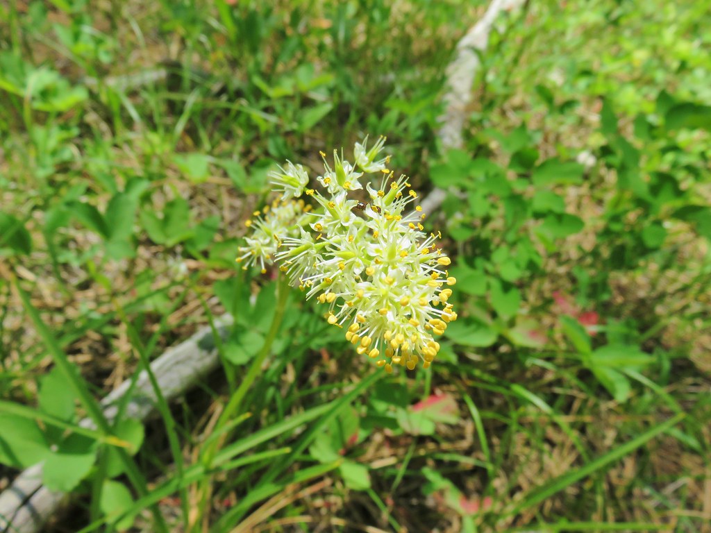 Death camas – Myrtle Creek
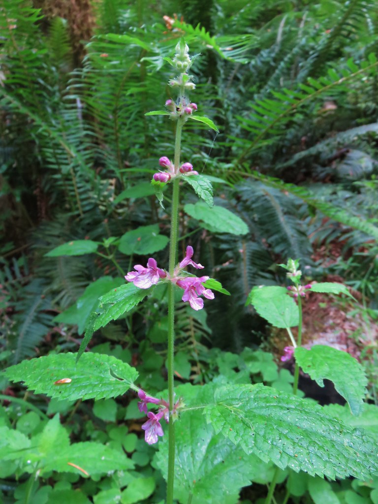 Hedgenettle – Saddle Mountain
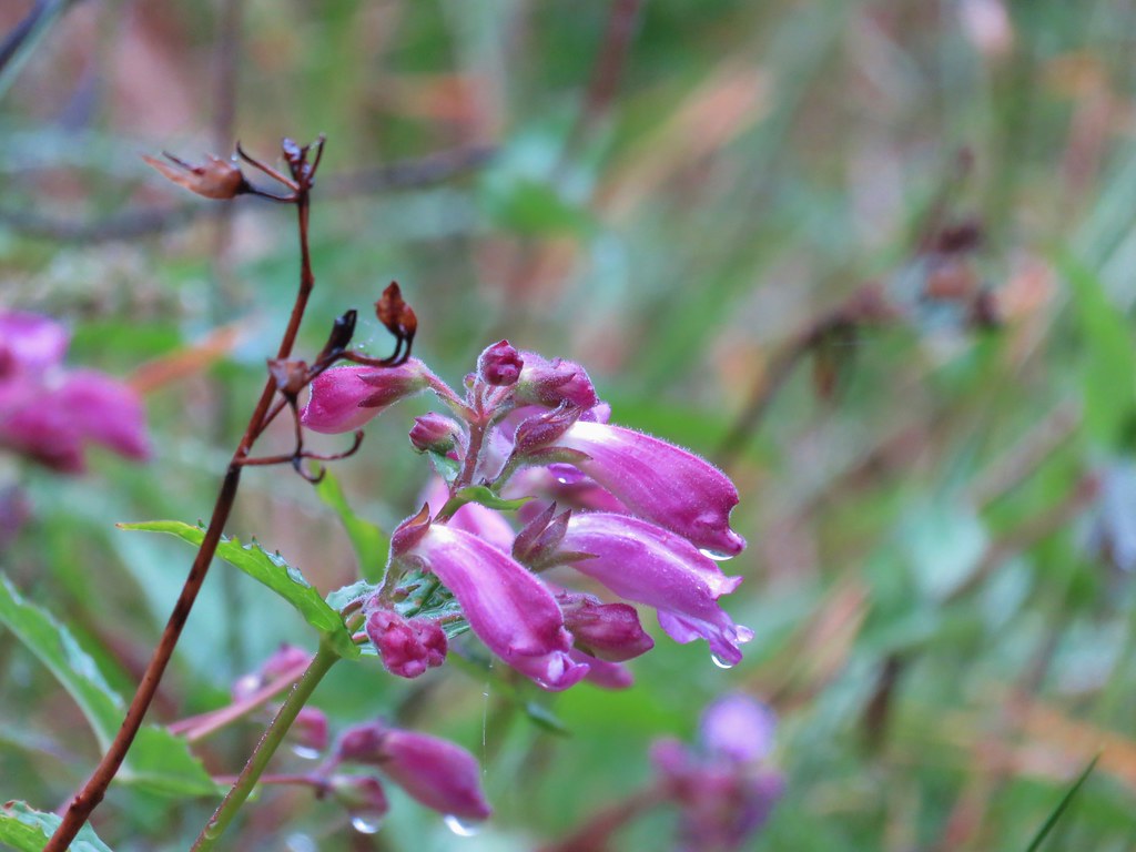 Beardstongue – Saddle Mountain
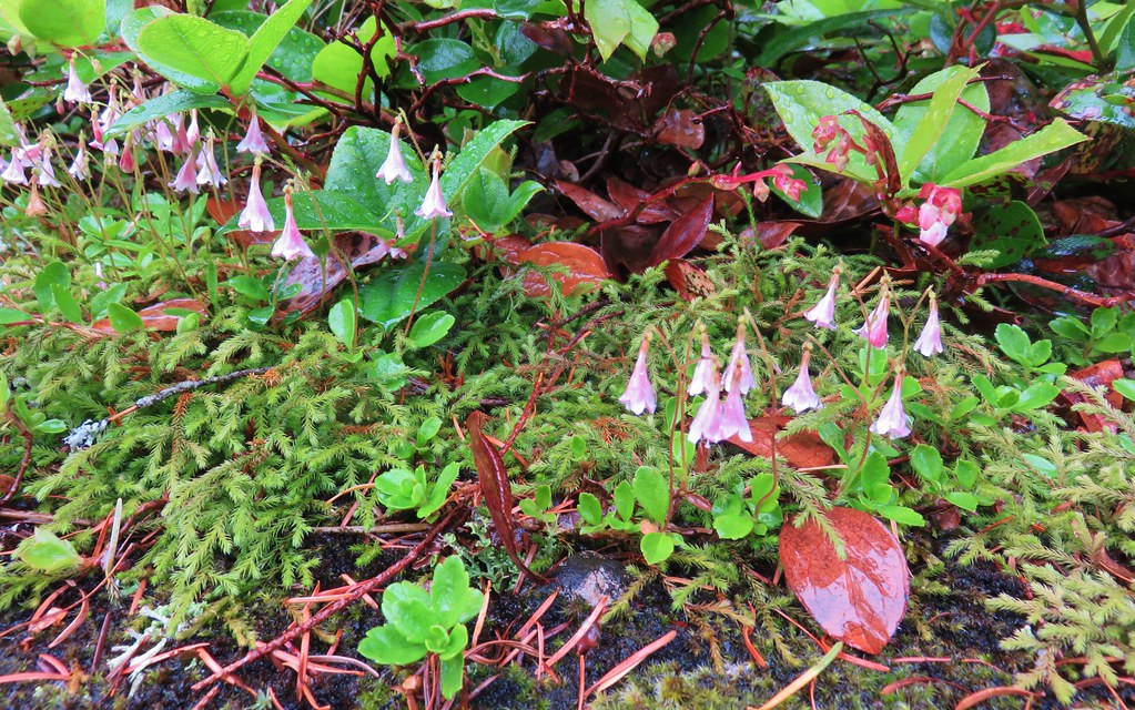 Twin flower – Saddle Mountain
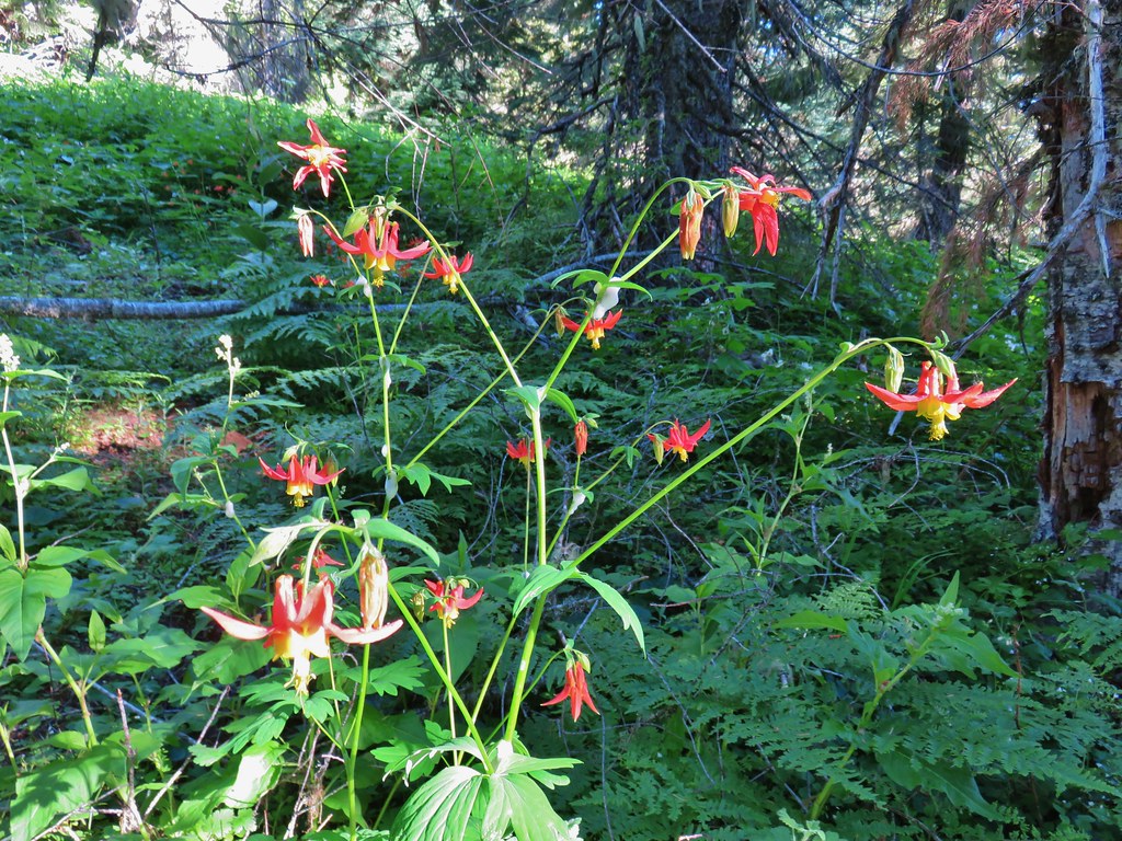
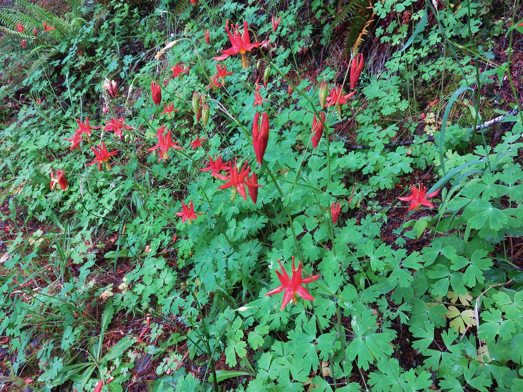 Columbine – Saddle Mountain
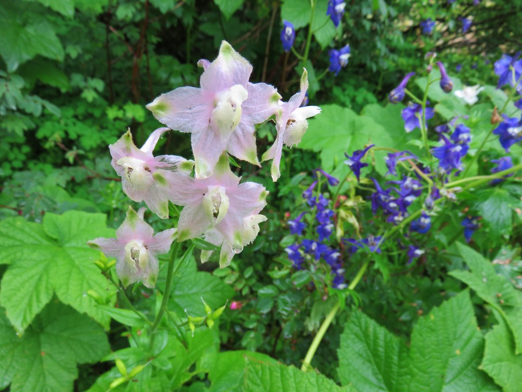 Larkspur – Saddle Mountain
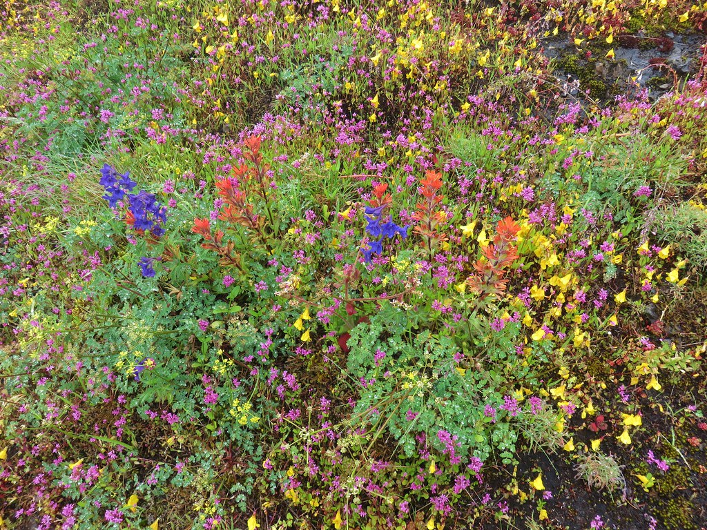 Wildflowers on Saddle Mountain
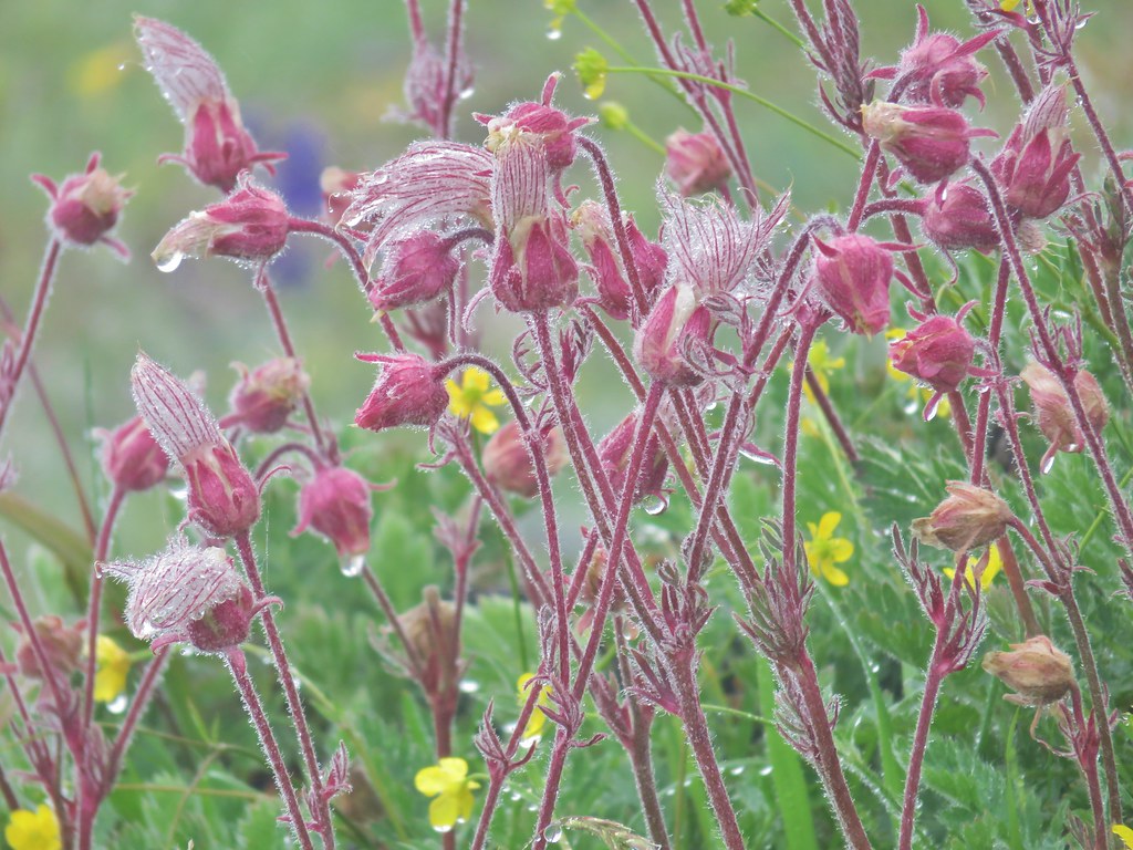 Old man’s whiskers – Saddle Mountain
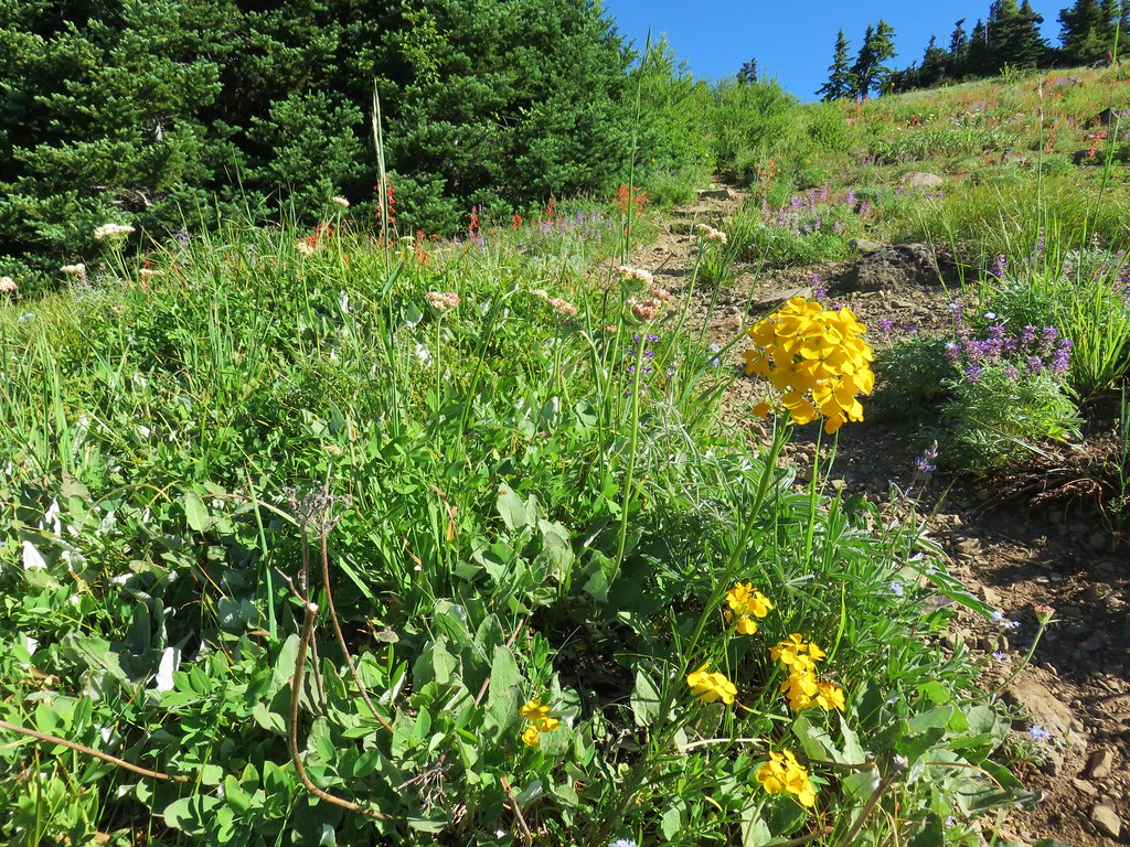
 Wallflower – Saddle Mountain
 Featherbells – Saddle Mountain
 Inside out flower – Saddle Mountain
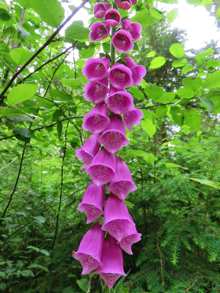 Foxglove (non-native) – Soapstone Lake
 Fireweed – Elk Lake Creek
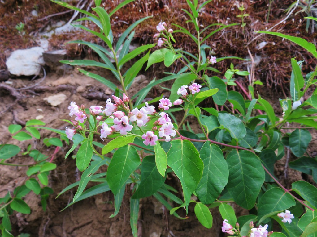 Spreading dogbane – Elk Lake Creek
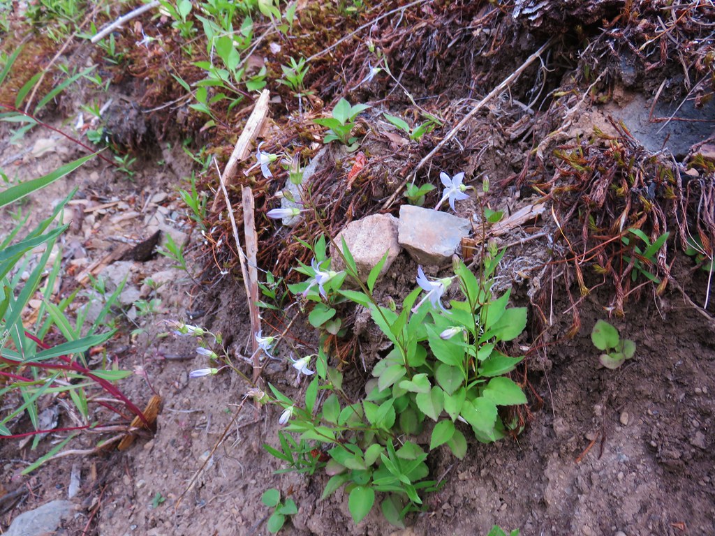 Scouler’s bluebells – Elk Lake Creek
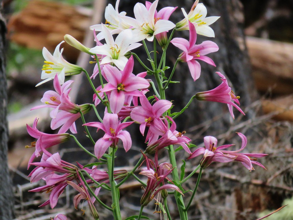 Washington lilies – Elk Lake Creek
 Prince’s pine – Elk Lake Creek
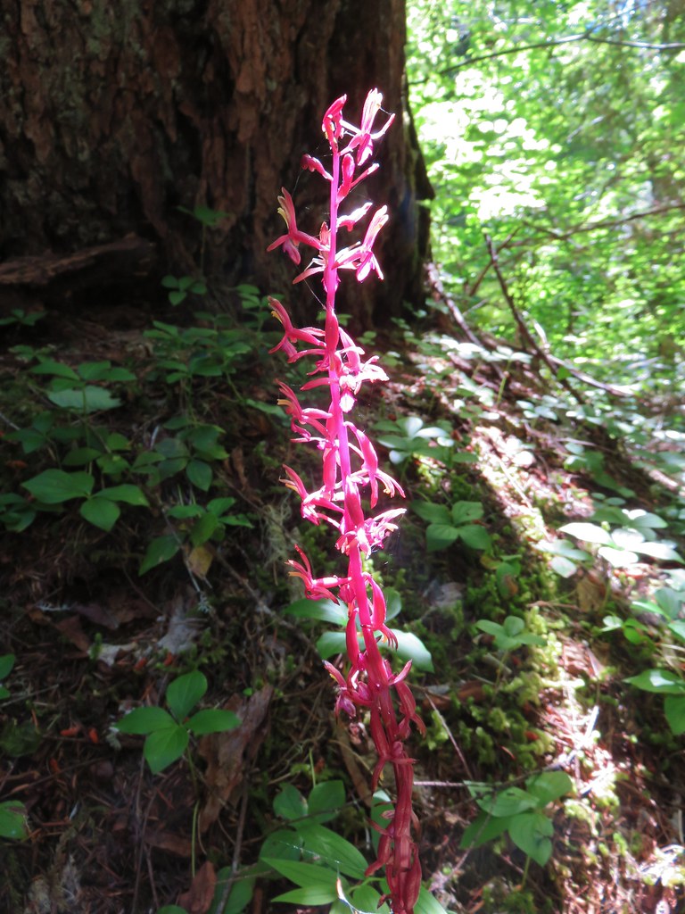 Coralroot – Elk Lake Creek
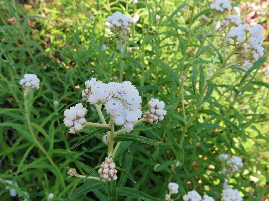 Pearly everlasting – Elk Lake Creek
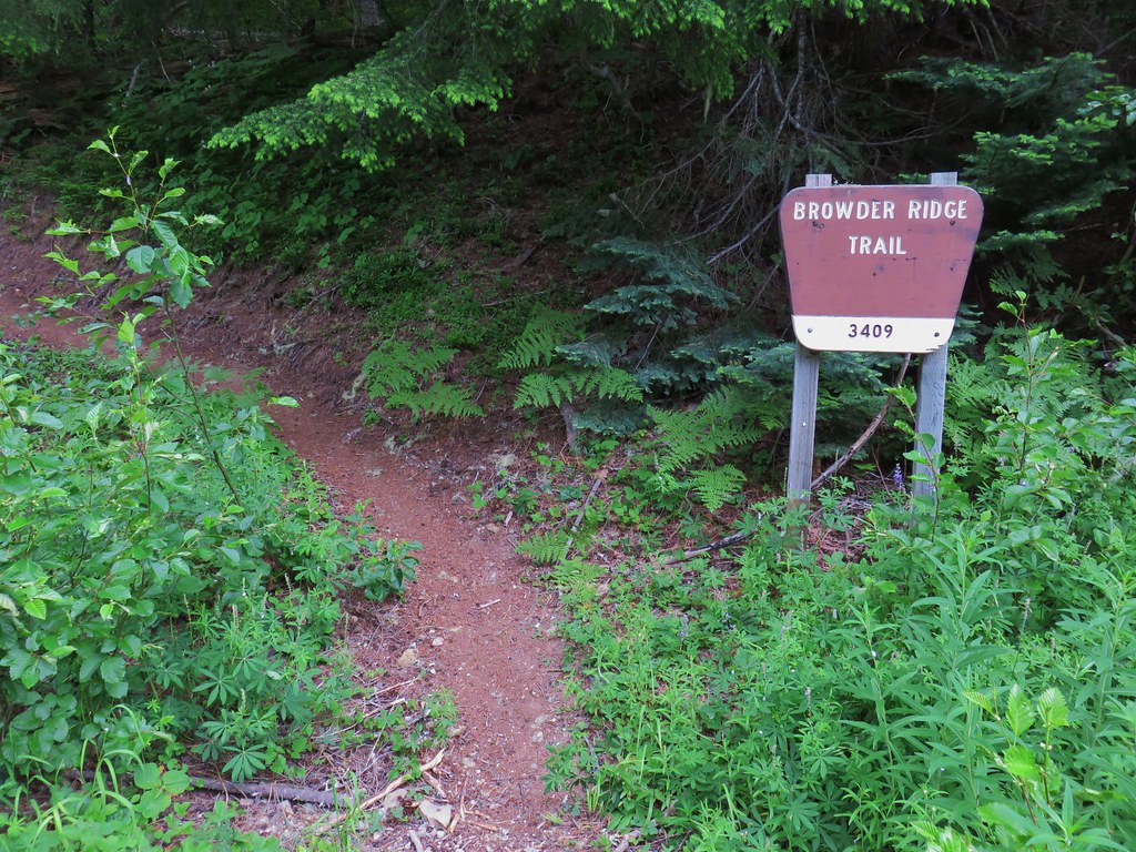
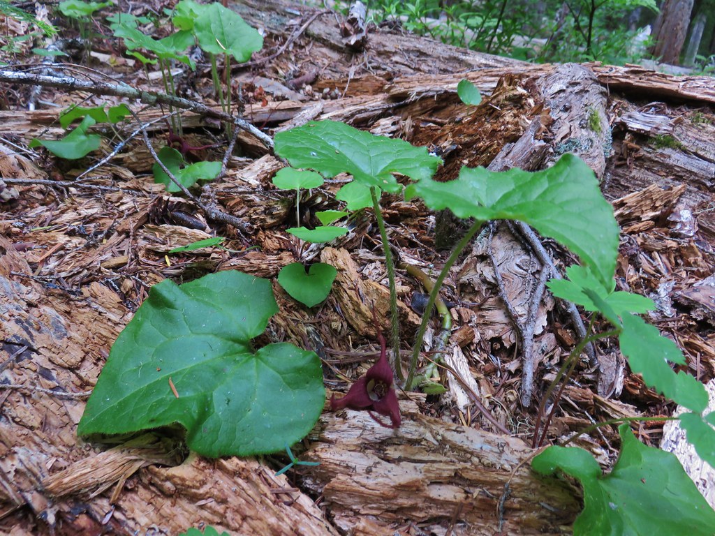 Wild ginger – Browder Ridge
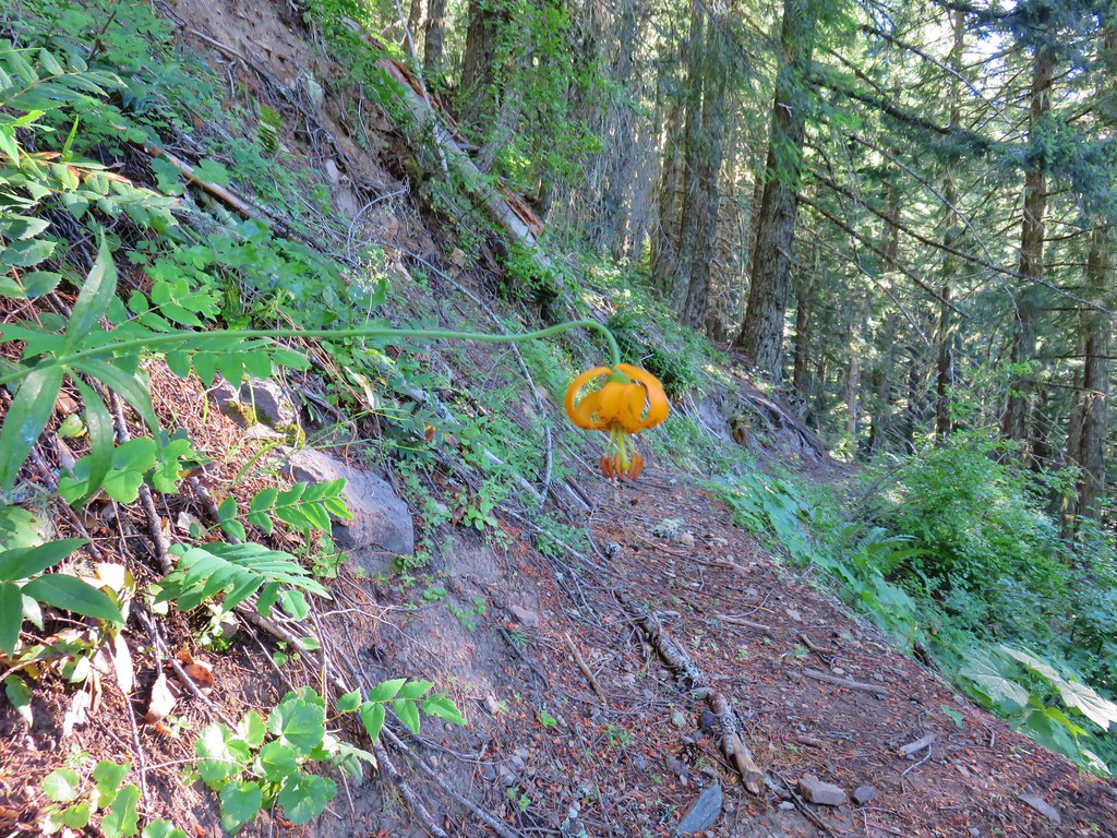
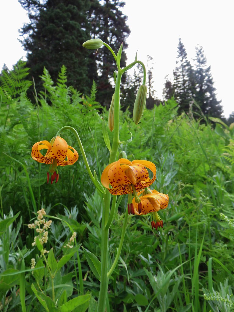 Tiger lily – Browder Ridge
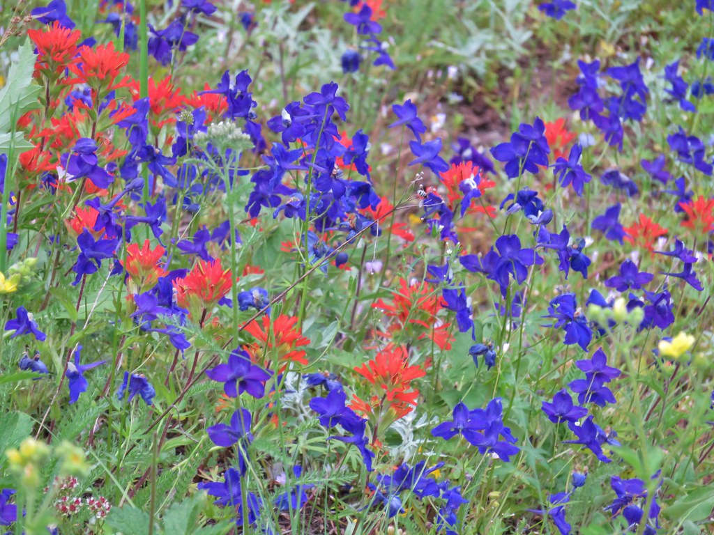 Larkspur and paintbrush – Browder Ridge
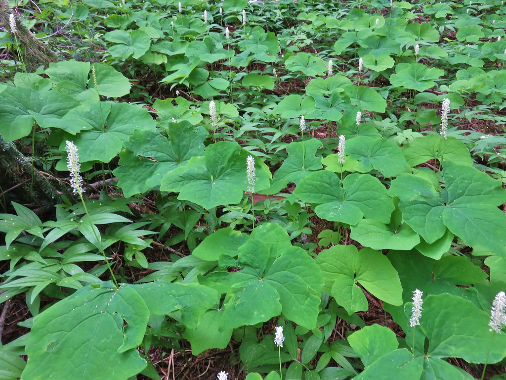 Vanilla leaf – Browder Ridge
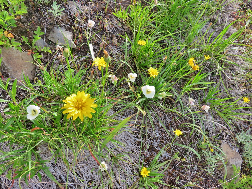 Sagebrush false dandelions and cat’s ear lilies – Browder Ridge
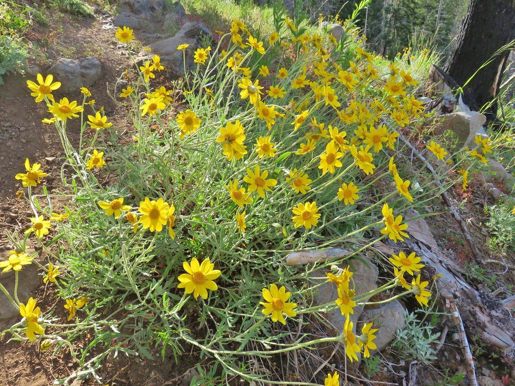 Oregon sunshine? – Browder Ridge
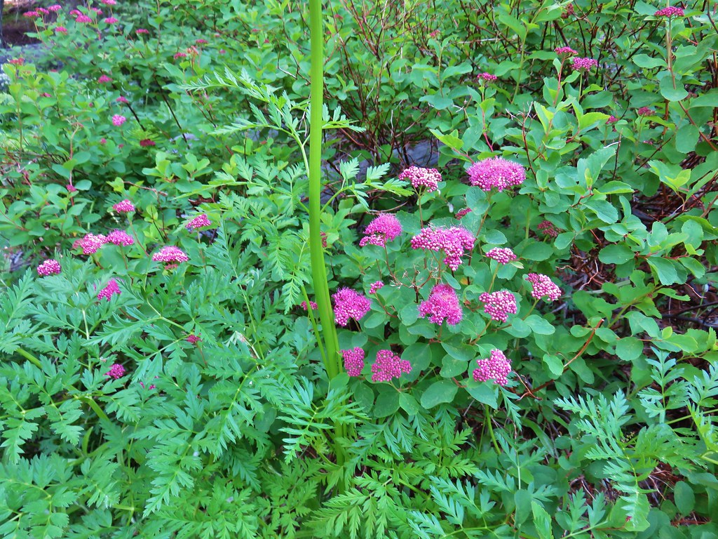 Spirea – Browder Ridge
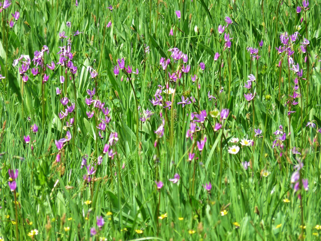 Shooting stars – Heart Lake
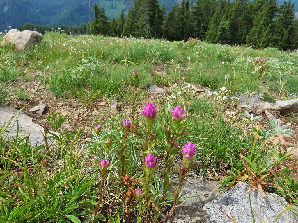 Owls clover – Browder Ridge
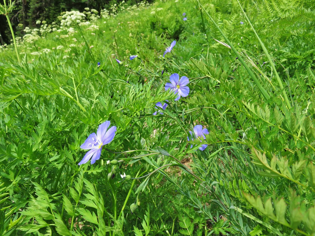 Lewis Flax – Browder Ridge
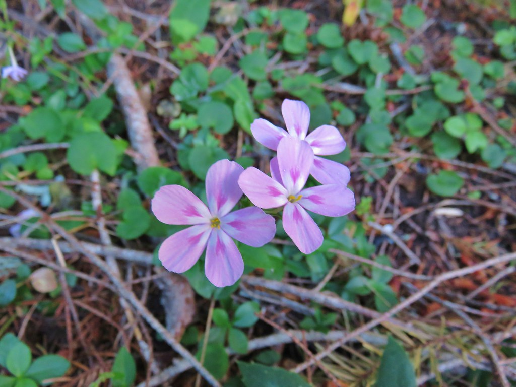 Northern phlox – Horsepasture Mountain
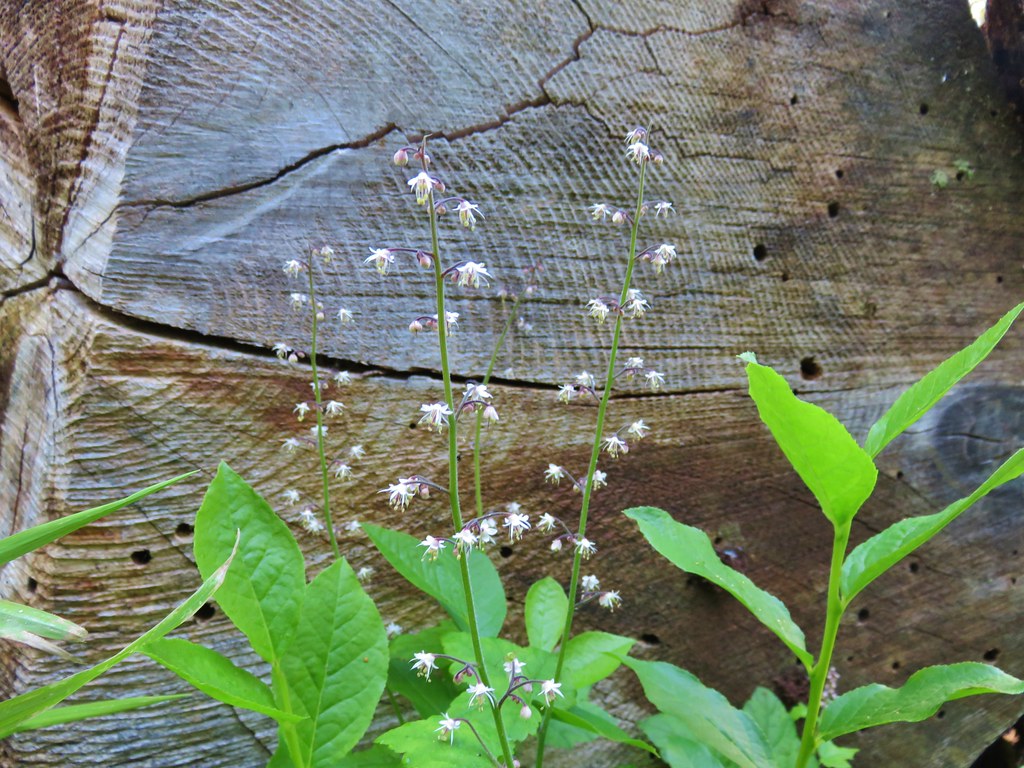 Foam flower – Horsepasture Mountain
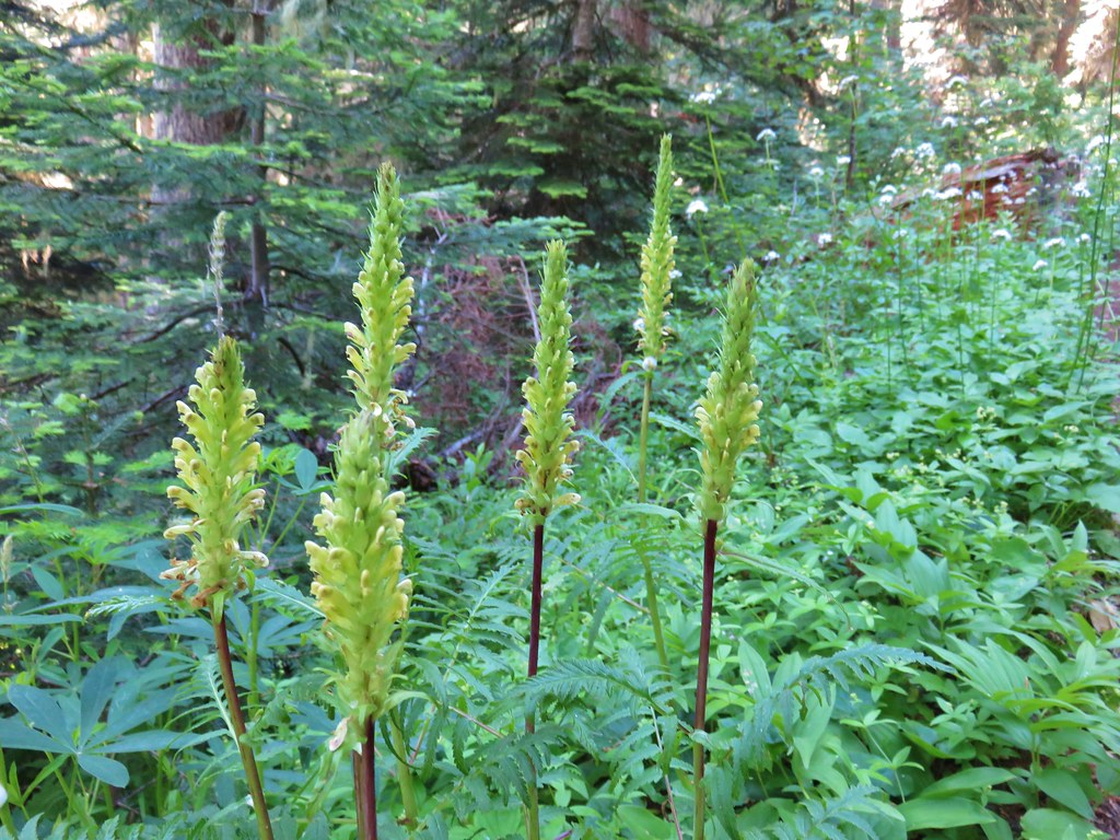 Lousewort – Horsepasture Mountain
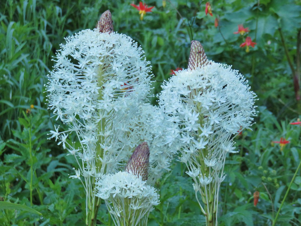 Beargrass – Horsepasture Mountain
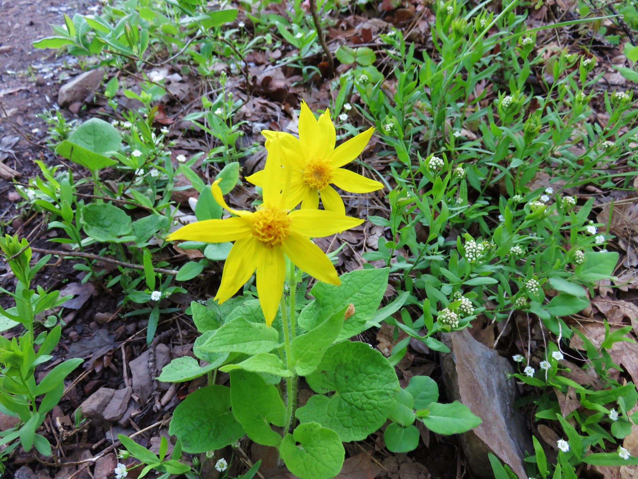
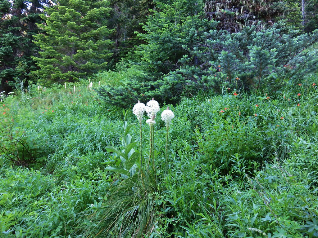
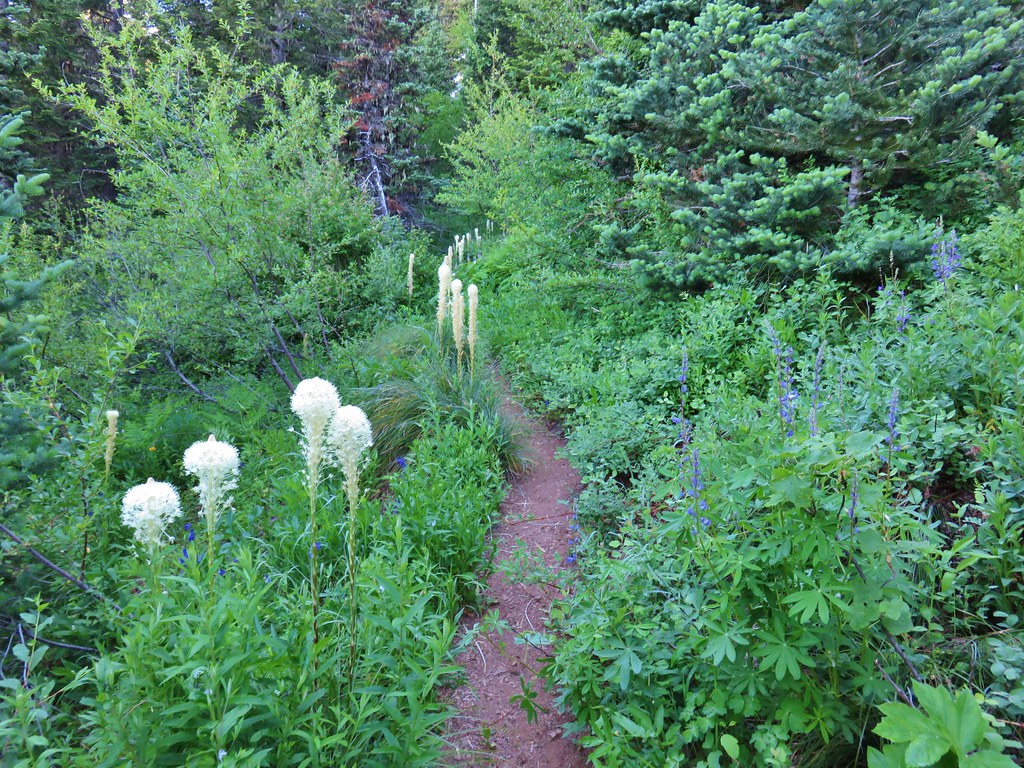
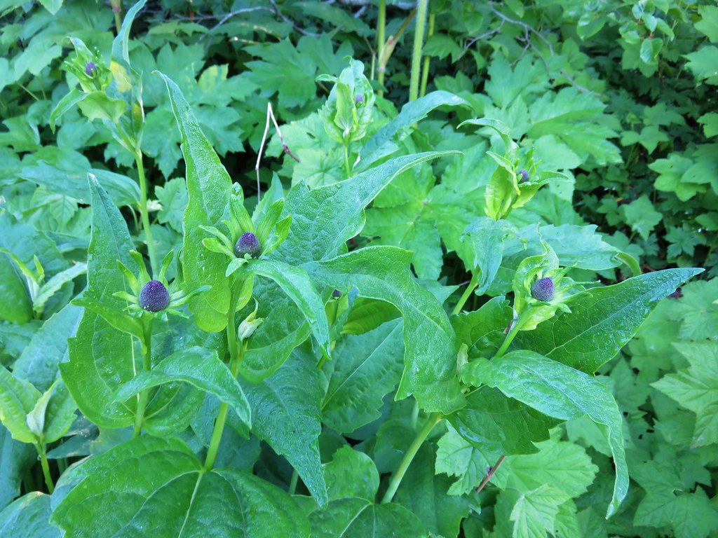 Coneflower – Horsepasture Mountain
 A fleabane – Horsepasture Mountain
 Catchfly – Horsepasture Mountain
 False hellebore – Opal Creek Wilderness
 Monkeyflower – Strawberry Mountain Wilderness
 Streambed globe mallow – Strawberry Mountain Wilderness
 Mountain coyote mint – Strawberry Mountain Wilderness
 Low Jacob’s ladder – Strawberry Mountain Wilderness
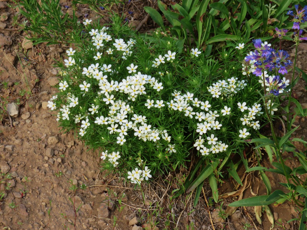 Nuttall’s linanthus – Strawberry Mountain Wilderness
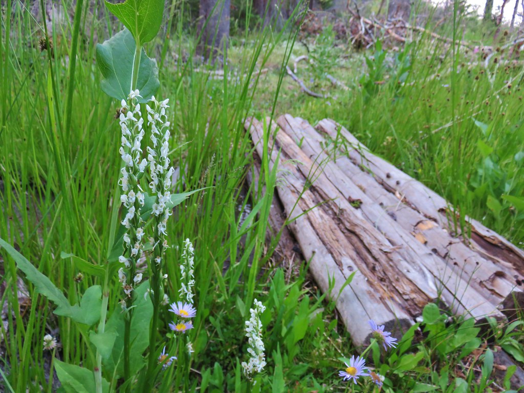 Bog orchids – Wildcat Spring
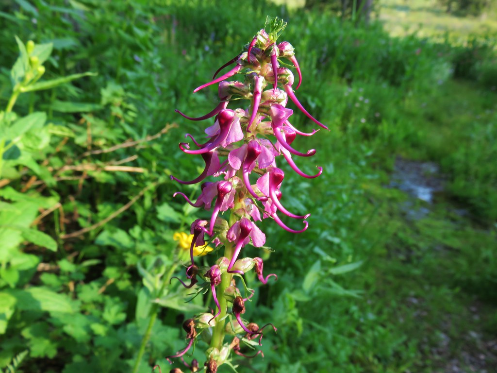 Elephants head – Strawberry Mountain Wilderness
 Louewort – Strawberry Mountain Wilderness
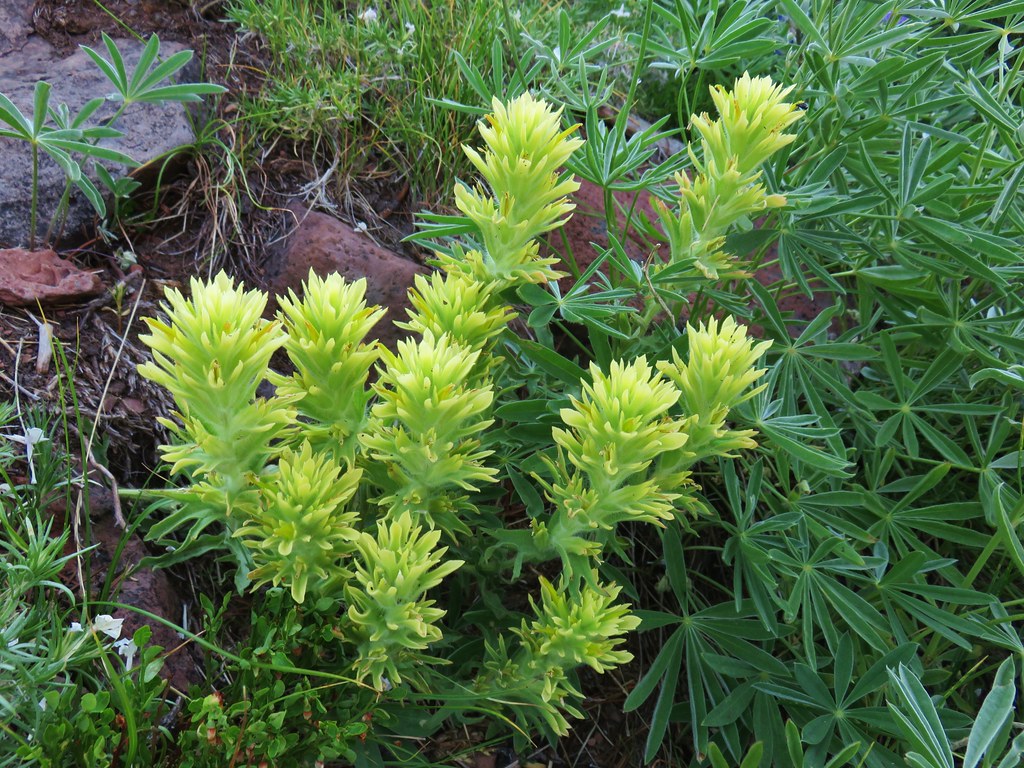 Yellow paintbrush – Strawberry Mountain Wilderness
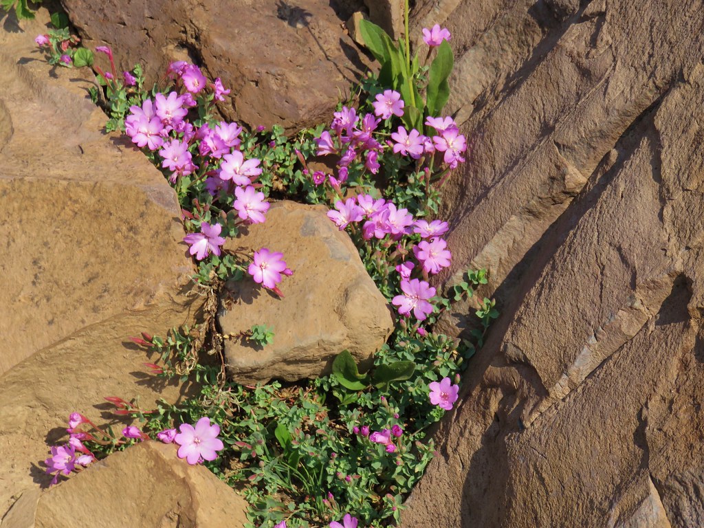 Rockfringe willowherb – Strawberry Mountain Wilderness
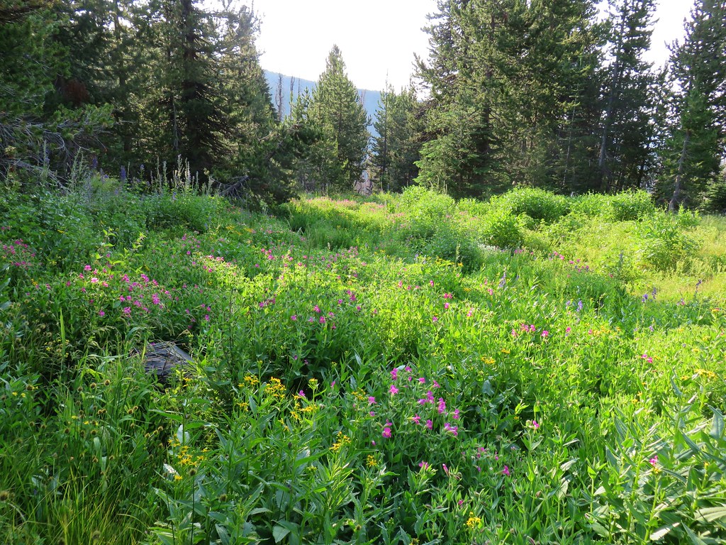
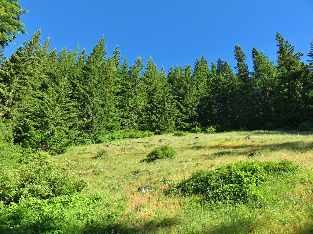
 Small wildflower meadow in the Strawberry Mountain Wilderness
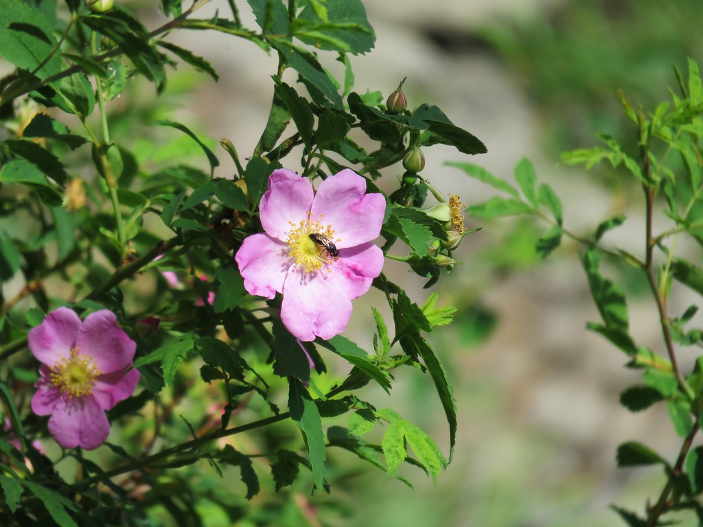 Wild rose – Strawberry Mountain Wilderness
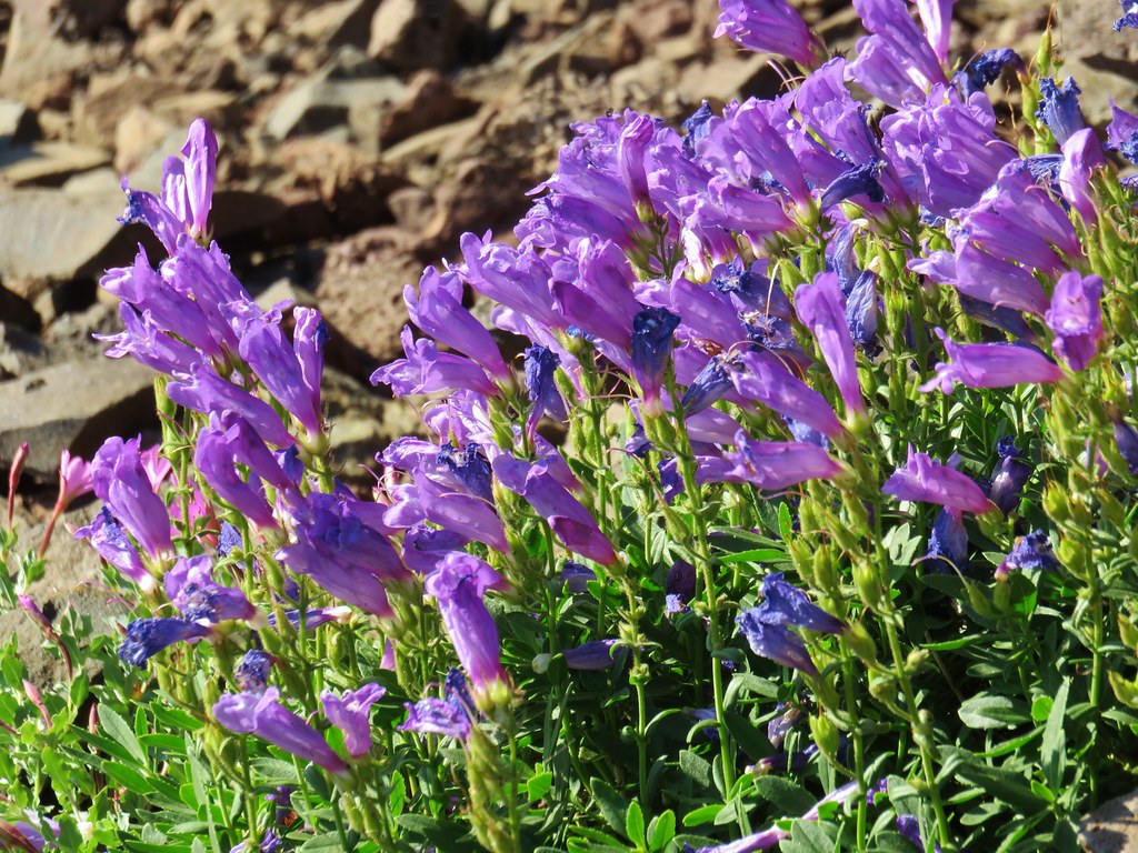 Penstemon – Strawberry Mountain Wilderness
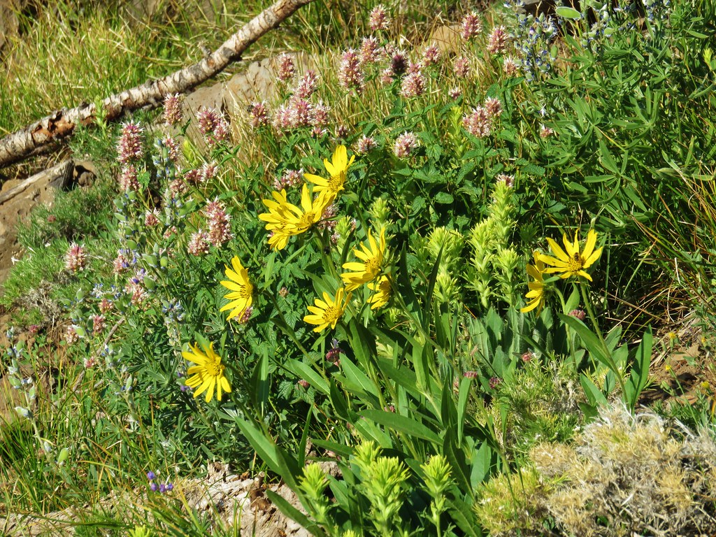 Hyssop, yellow paintbrush and unknown yellow flowers in the Strawberry Mountain Wilderness
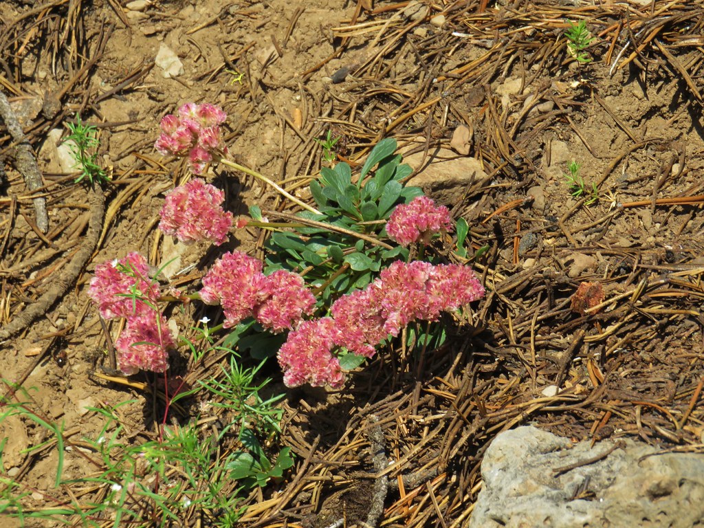 Pussypaws – Strawberry Mountain Wilderness
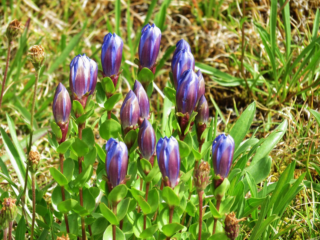 Gentians – Mt. Jefferson Wilderness
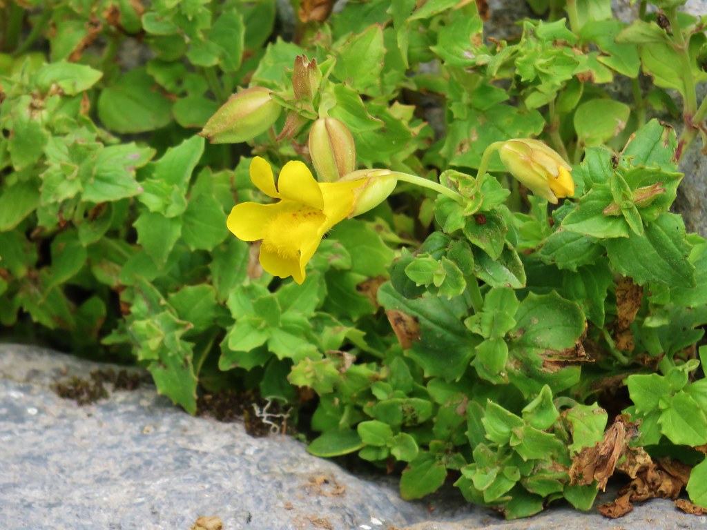 Yellow monkeyflower – Mt. Jefferson Wilderness
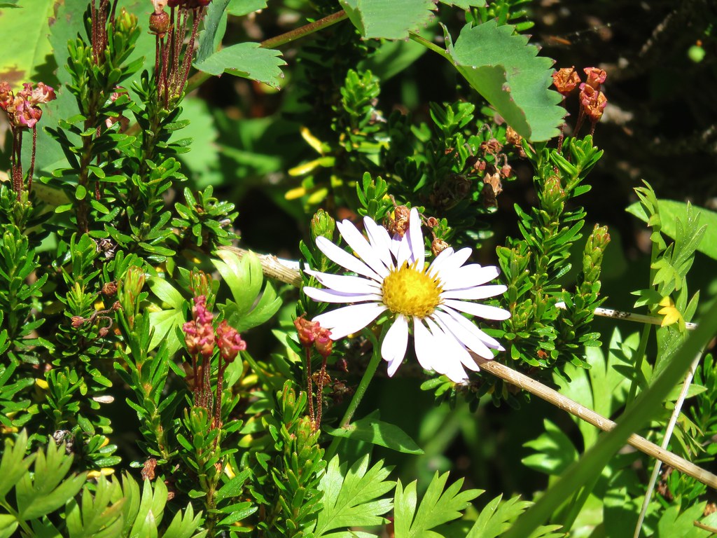 Aster – Elkhorns
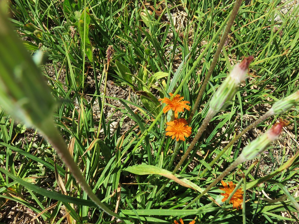 Orange agoseris – Elkhorns
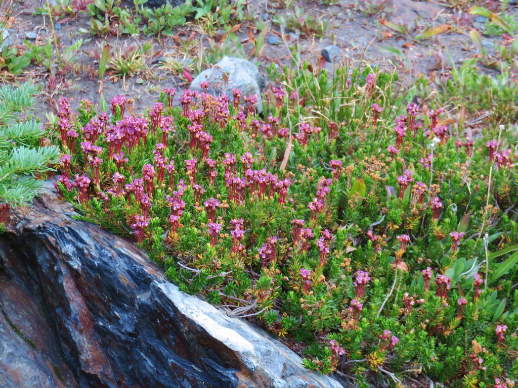 Mountain heather – Twin Lakes
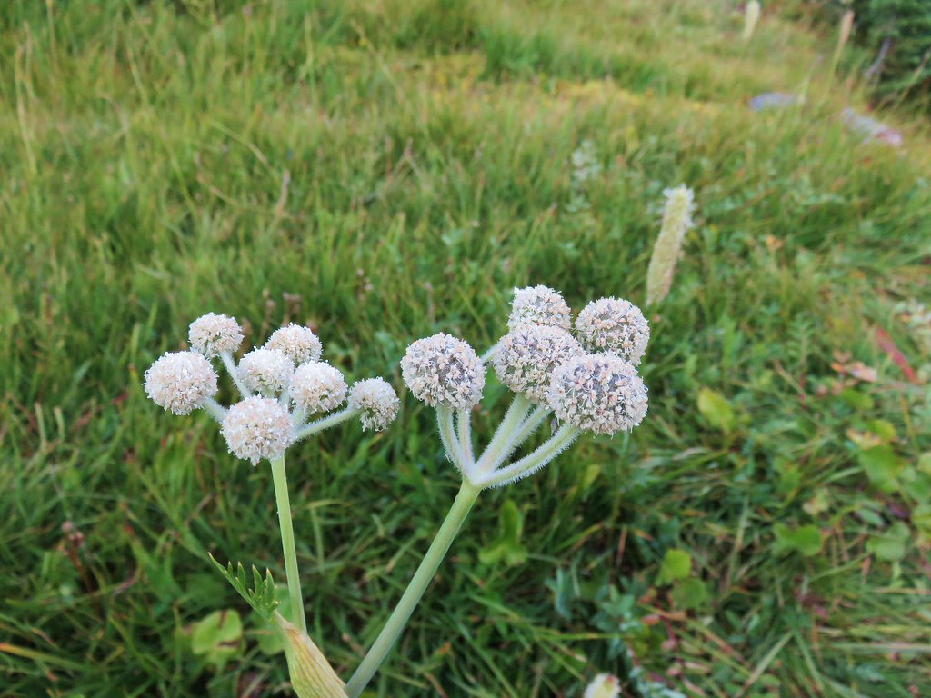 unknown – Twin Lakes
 Bistort – Elkhorns
 Groundsel? – Waldo Lake
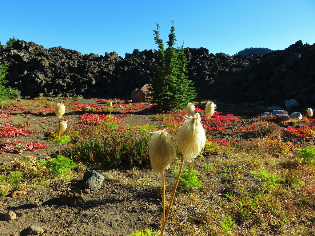 Western pasque flower – Mt. Jefferson Wilderness
 unknown – South Climb Route, Mt. Jefferson
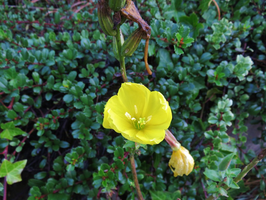 Moth mullen – Cape Perpetua


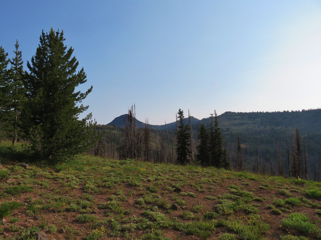
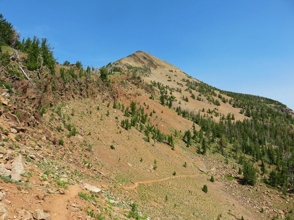
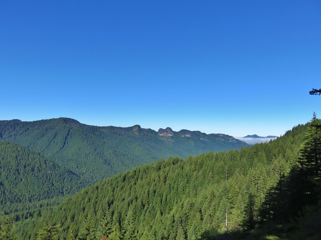
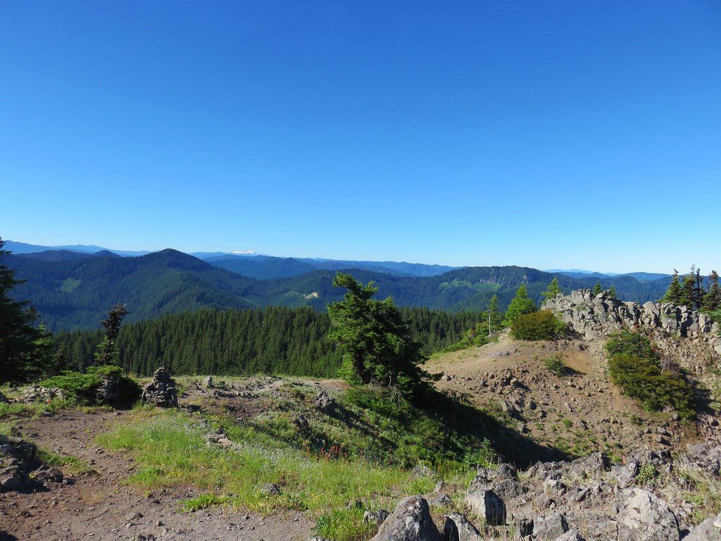
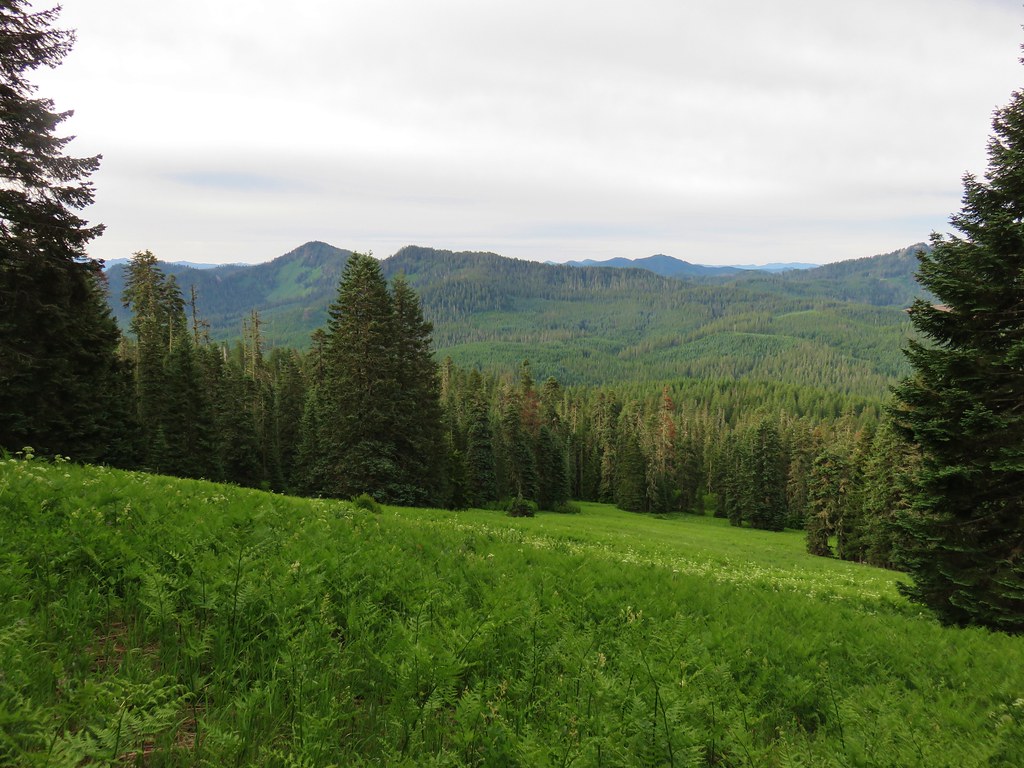
 Strawberry Mountain from FR 1640.


 Indian Creek Butte, the John Day Valley, and Strawberry Mountain

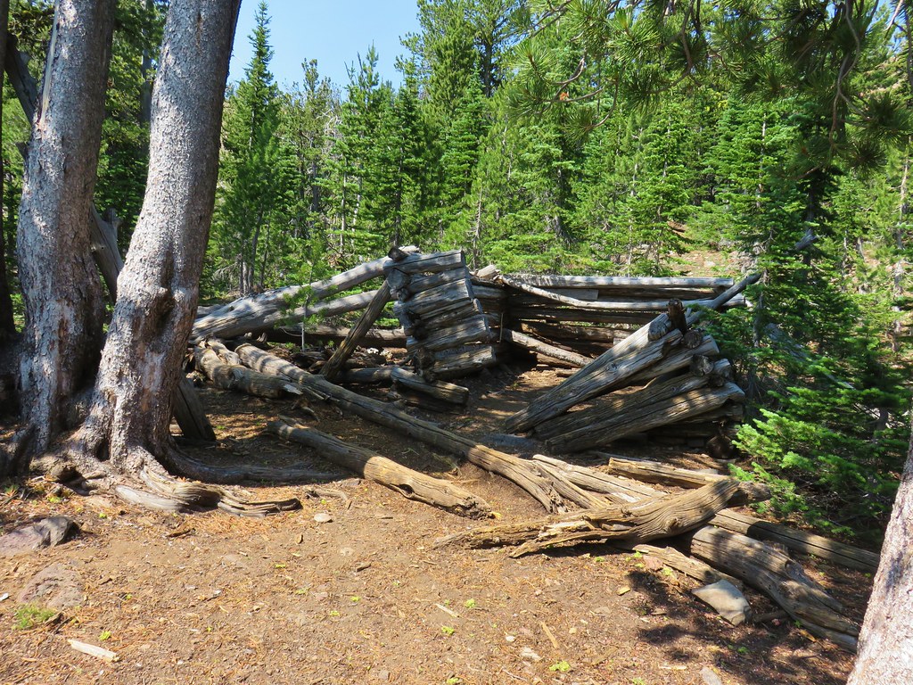
 A horse in the meadow at Hotel De Bum Camp


 Indian Creek Butte
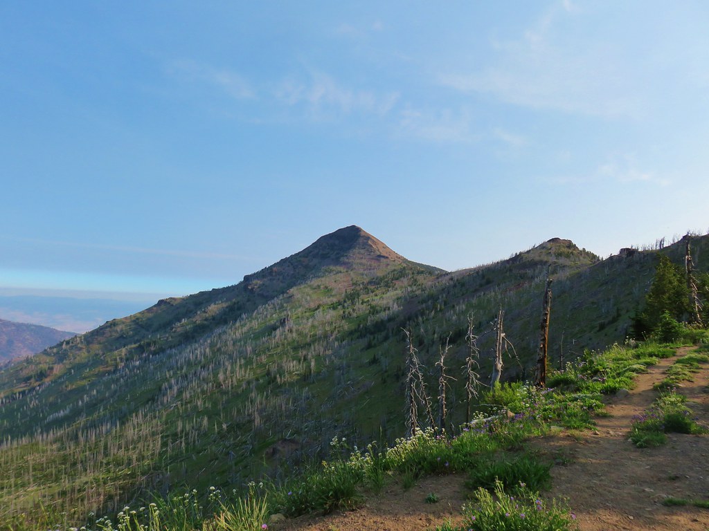 Strawberry Mountain

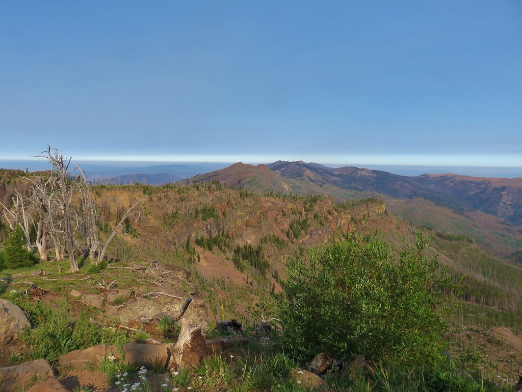
 Looking north toward the John Day Valley
 Looking SW toward Wildcat Basin
 View west toward Indian Creek Butte and Canyon Mountain
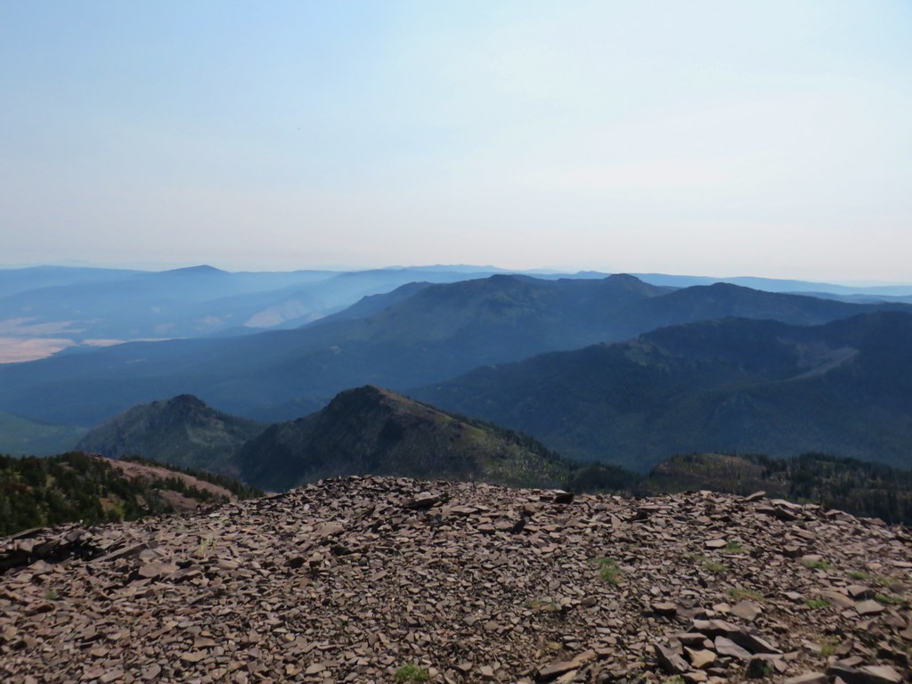 Looking NE
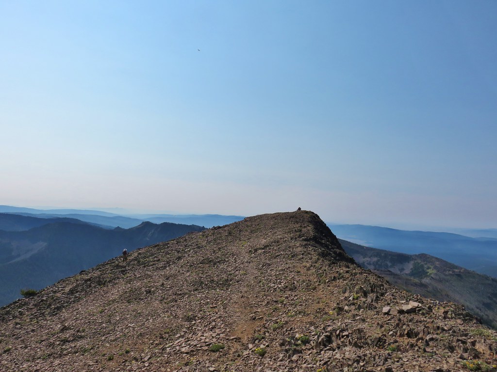 View east


 View from the chair.


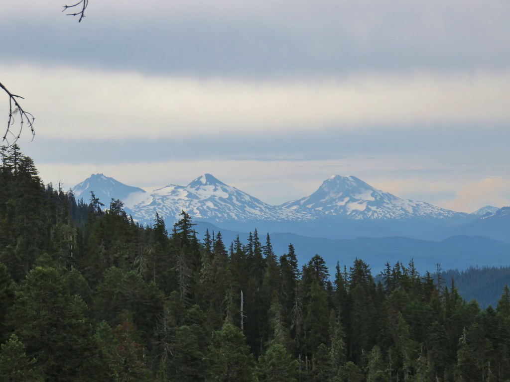
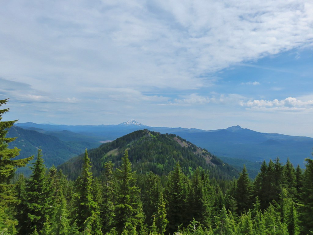
 Middle Sister
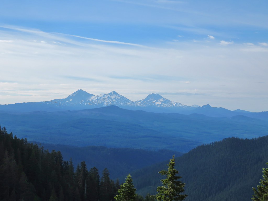
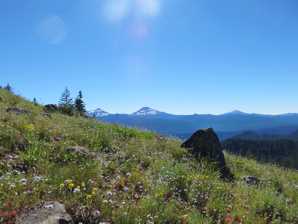 Three Sisters and Mt. Bachelor
 Diamond Peak
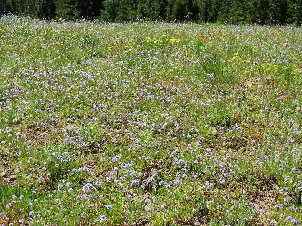
 Mt. Hood, Mt. Jefferson, Three Fingered Jack, and Mt. Washington.
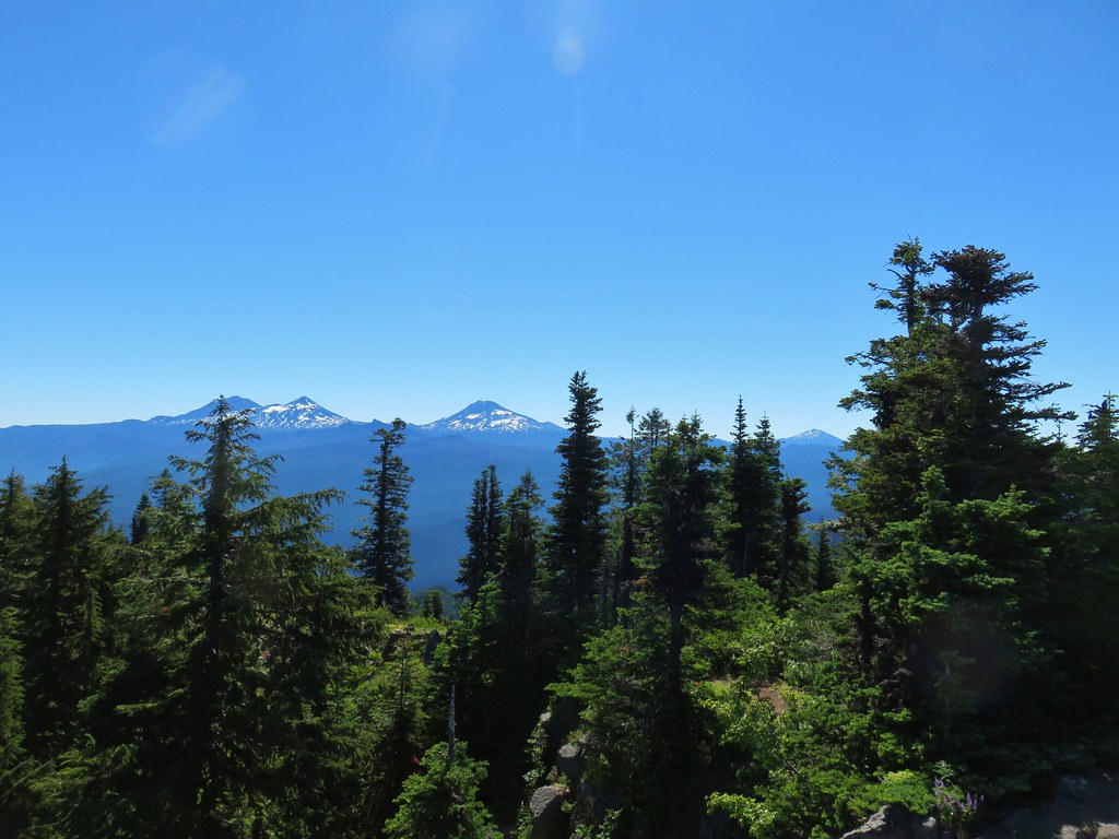
 Diamond Peak(Mt. Thielsen is out there too)
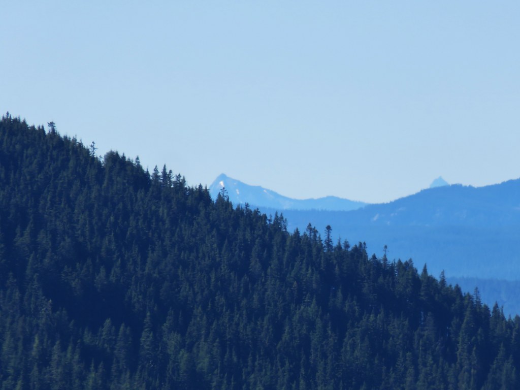 Cowhorn Mountain on the left and the tip of Mt. Thielsen to the right.
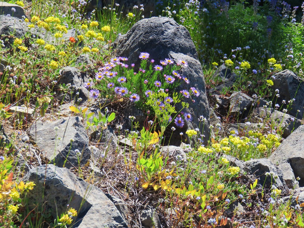


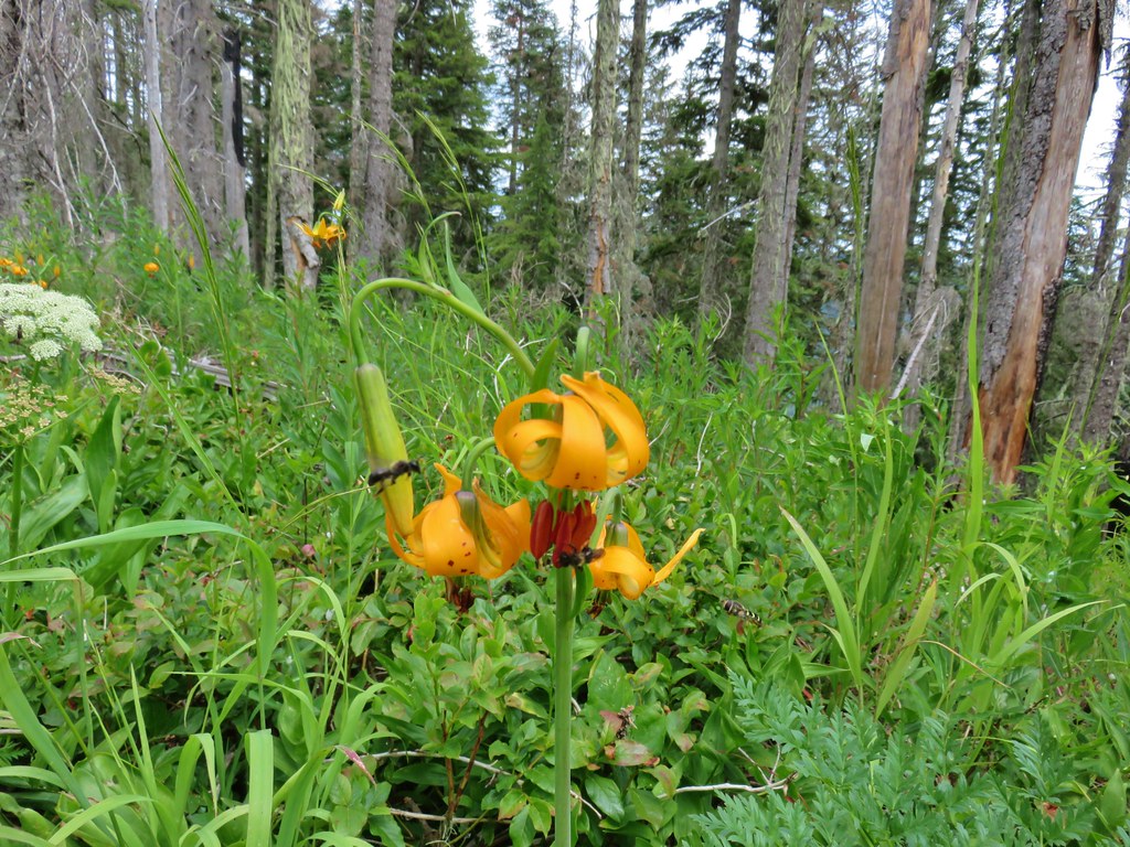
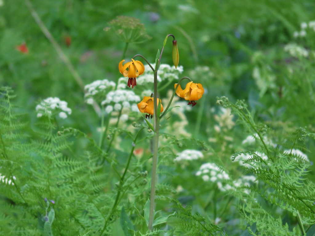 Tiger lily


 Mt. Hood, Mt. Jefferson and Three Fingered Jack
 Mt. Jefferson
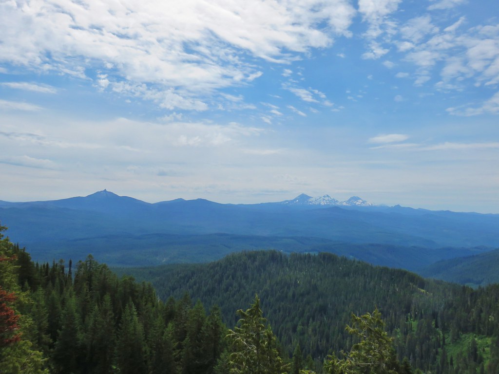 Mt. Washington, the Three Sisters, and Mt. Bachelor
 Diamond Peak to the south
 Diamond Peak
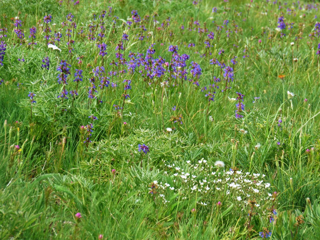 Penstemon
 Orange agoseris
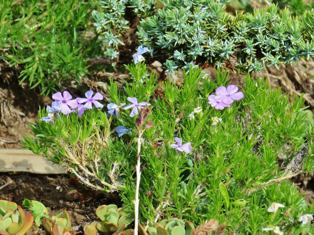 Phlox
Phlox Jacob’s ladder
 Candyflower
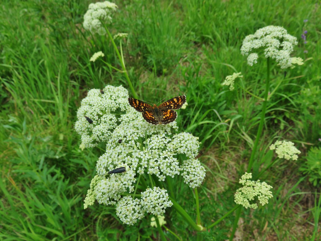


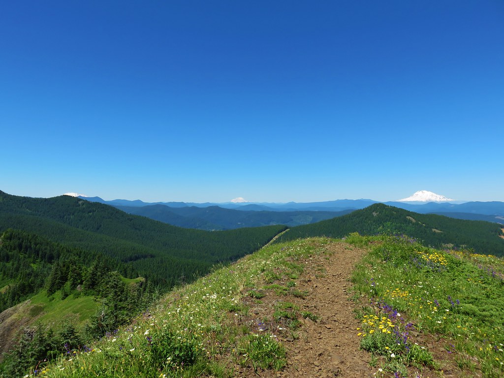
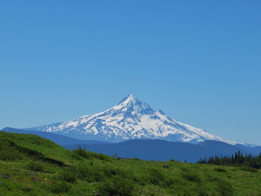 Mt. Hood
 Mt. Jefferson
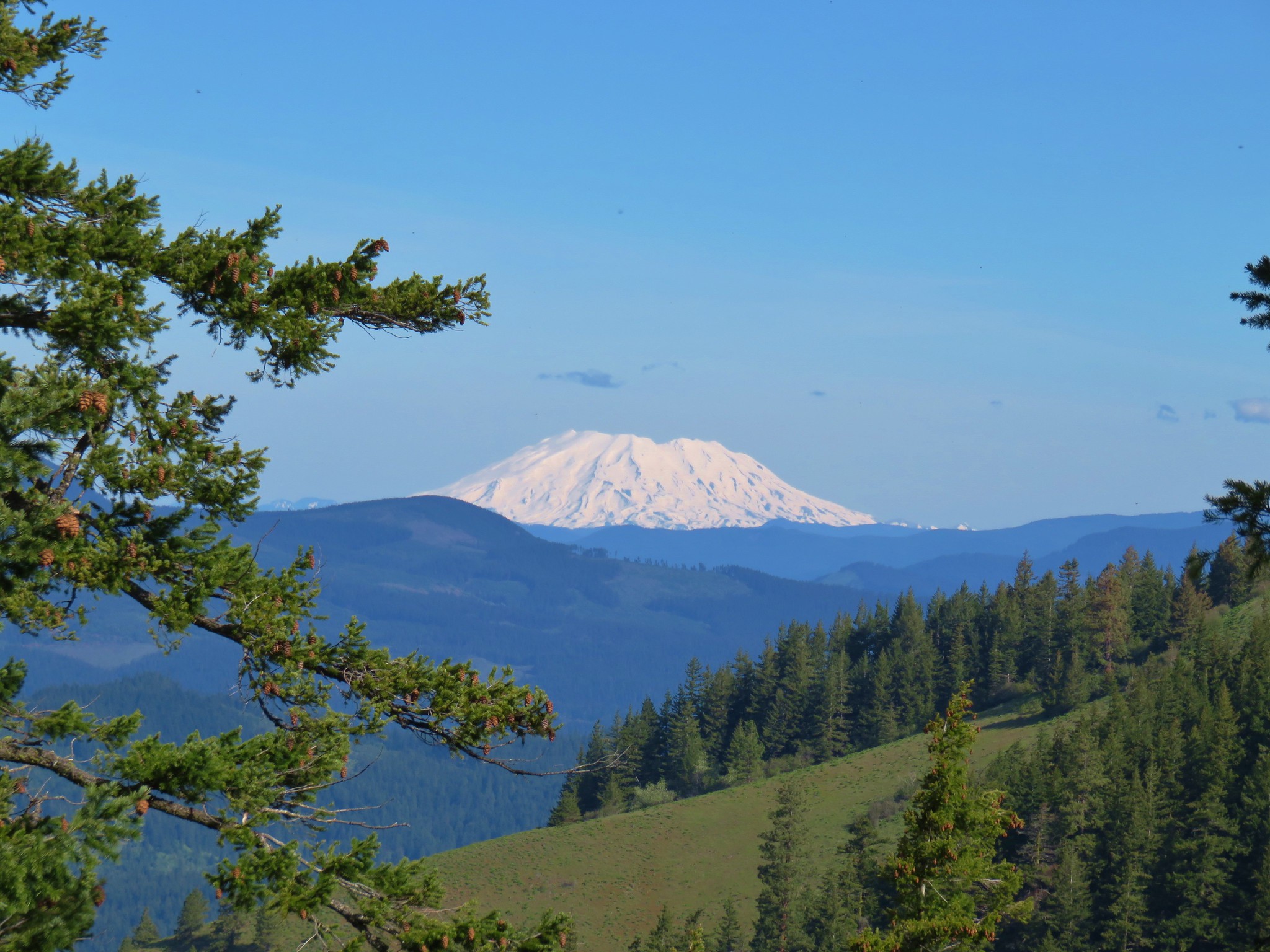
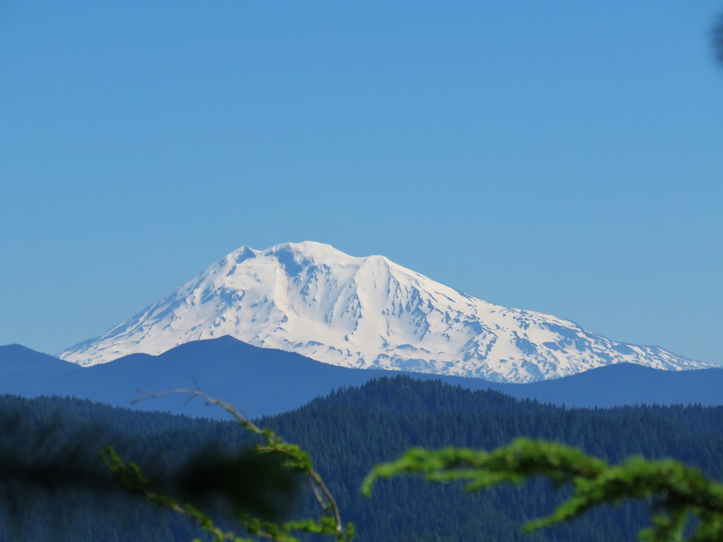
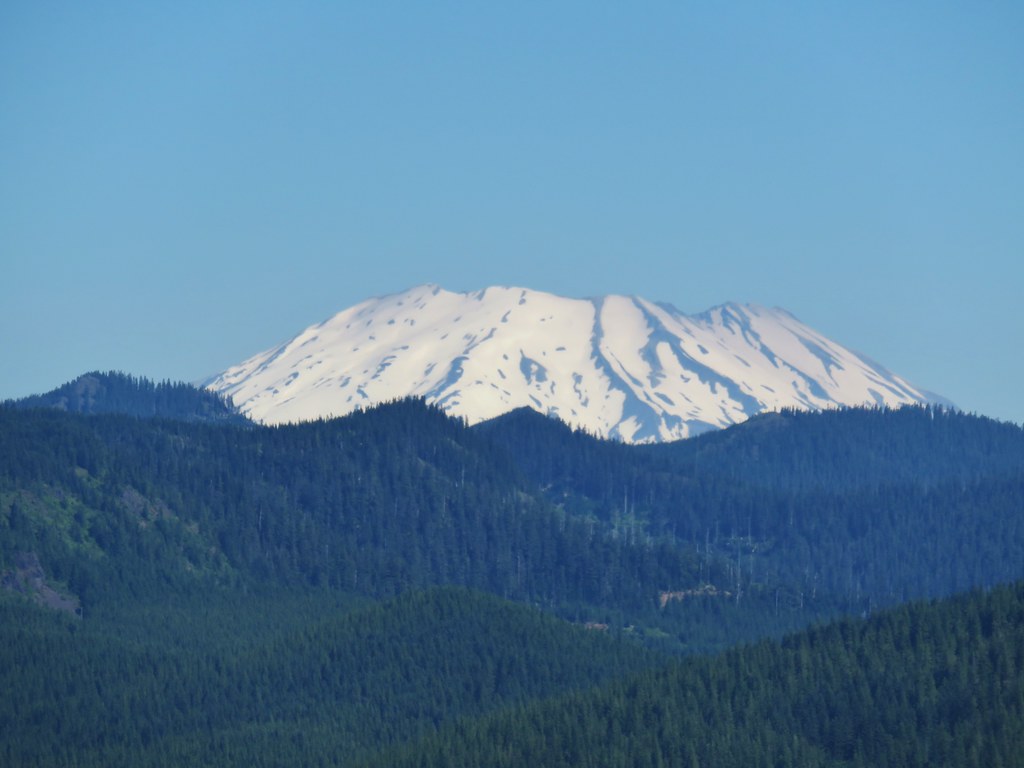 Mt. St. Helens
 Mt. Rainier
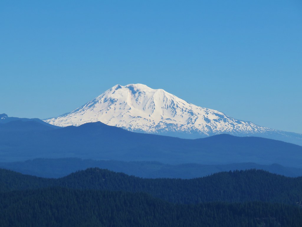 Mt. Adams
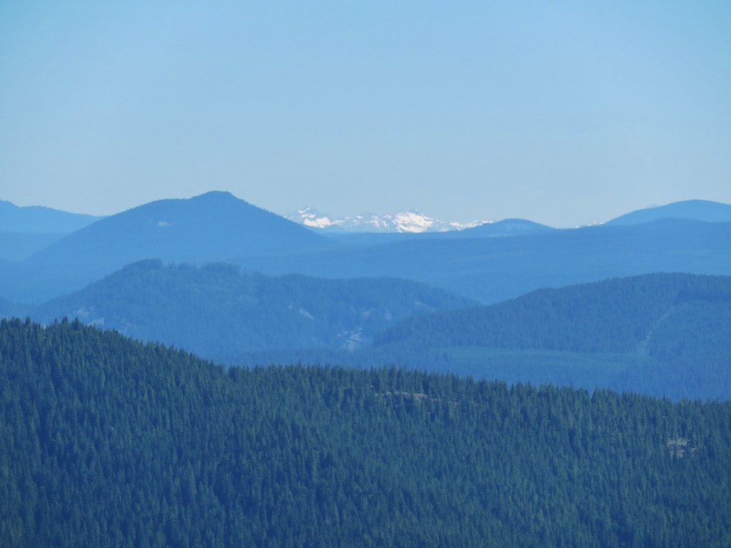 Goat Rocks