Day four of our vacation was to be our first hike in Idaho followed by a visit to Three Forks on the Owyhee River south of Jordan Valley. When we wound up in Caldwell, ID on day 2 we had decided to stay the night there on day 3 as well since the hike at Jump Creek Falls was relatively close and then we could go back to our original plan of staying in Jordan Valley after hiking at Three Forks. This caused our driving time for day 3 to be nearly seven and a half hours but shaved off some of the driving time for day 4. We had also decided that after one night in Jordan Valley we would try staying at Fields Station the following night. This was going to be a bit of a leap of faith because we couldn’t reach anyone at Fields Station but Heather left a Facebook message so we didn’t know if there would be a room available, but that was a problem for another day.
We took advantage of the free breakfast at the motel then headed for Jump Creek for a quick .7 mile round trip to visit Jump Creek Falls. From researching the hike it was apparent that this is a popular area for people to hang out and play in the water so an early visit on a weekday seemed like a good way to possibly avoid the crowds. It worked as we were the only car at the trailhead when we arrived.
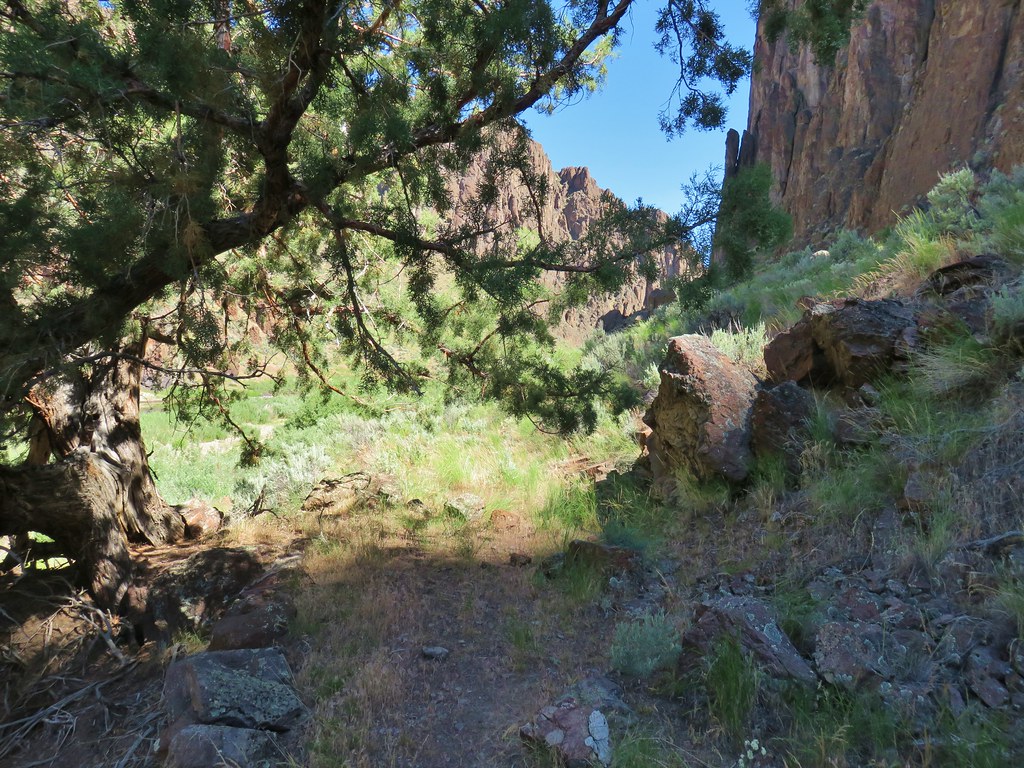
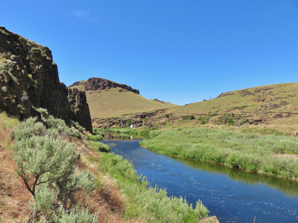
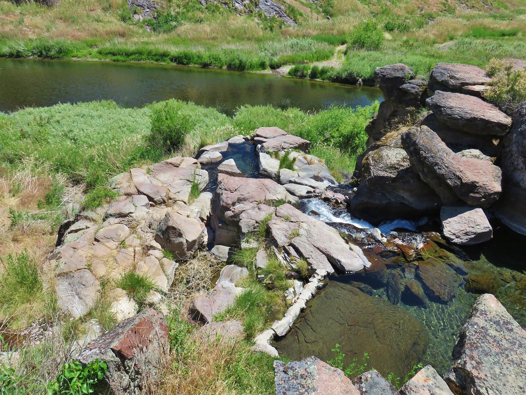
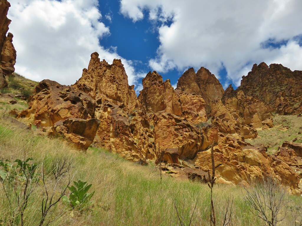
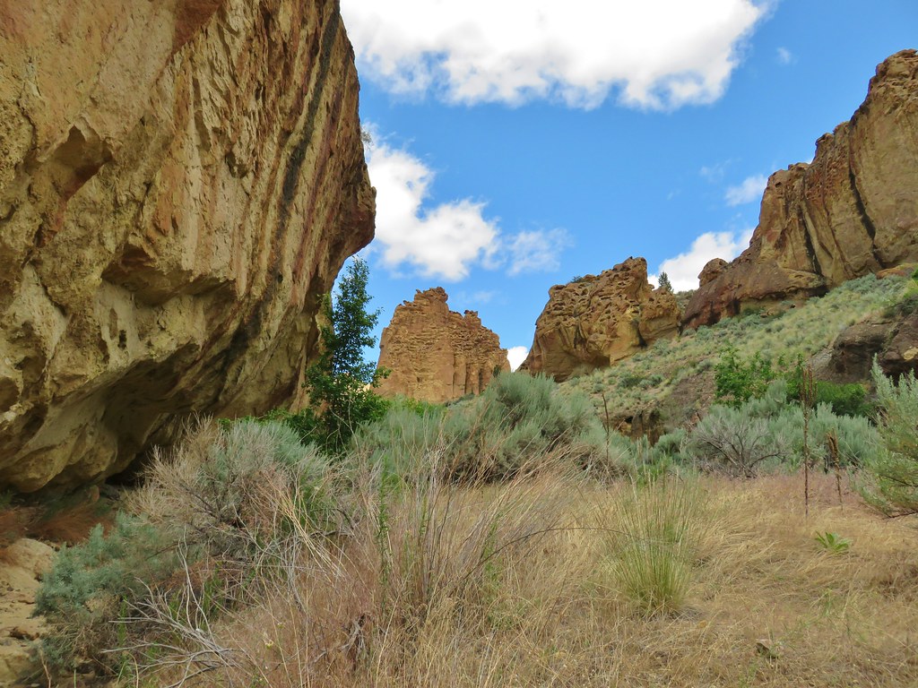
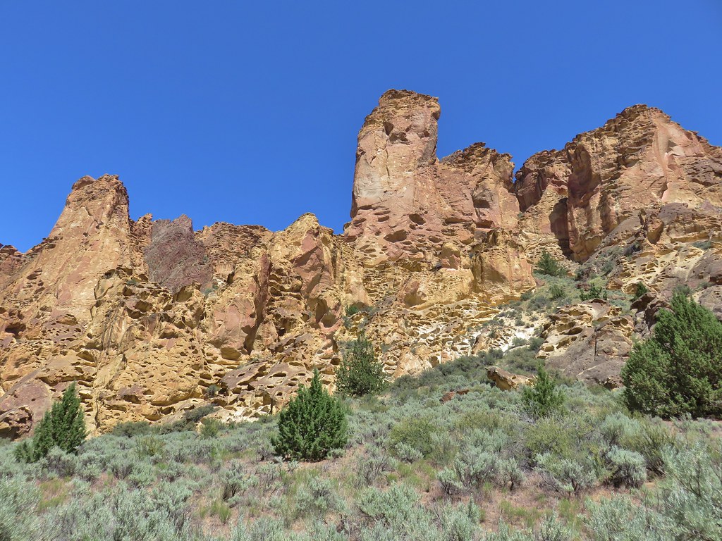
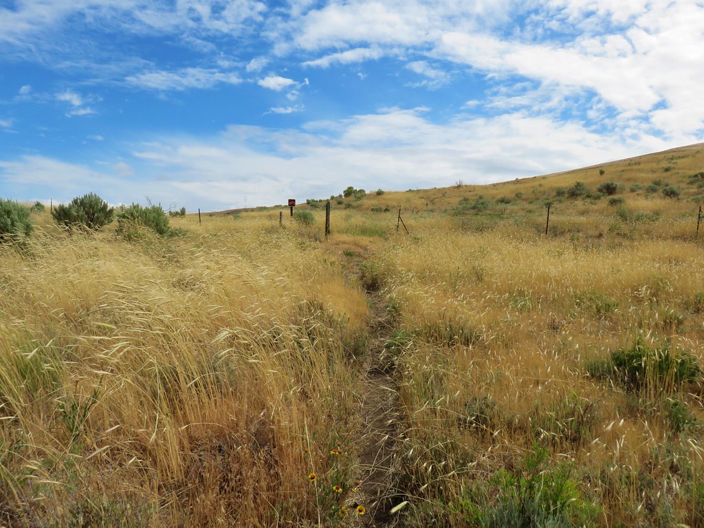
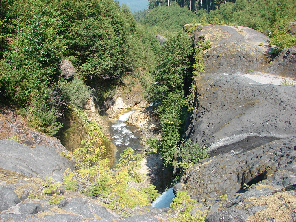
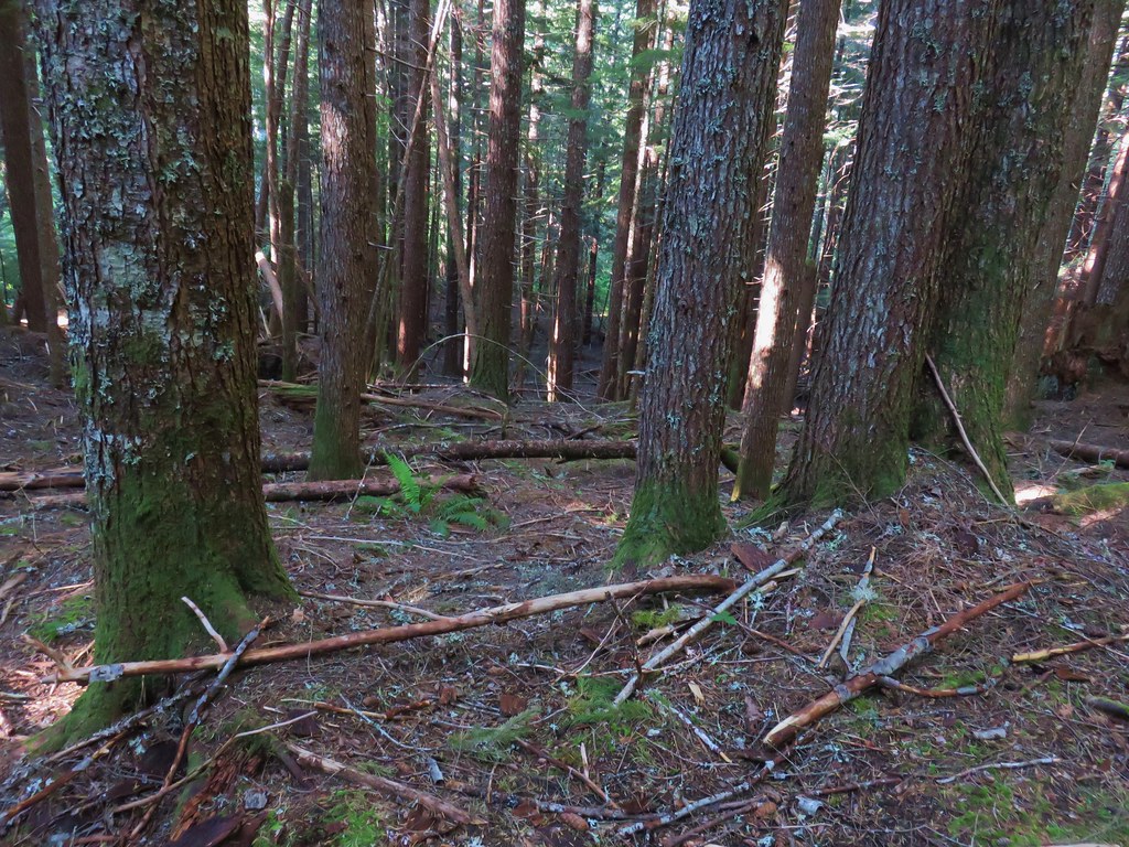
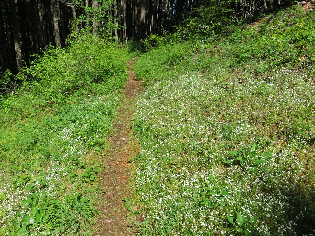
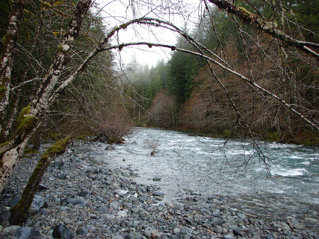
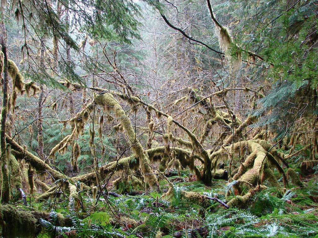
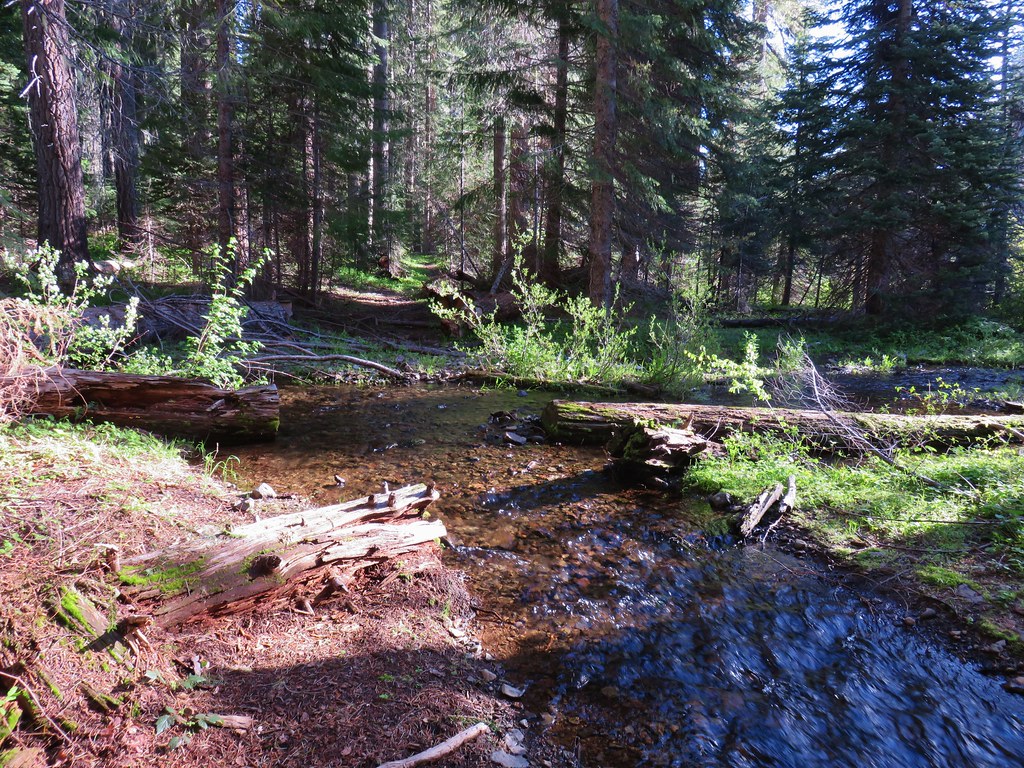
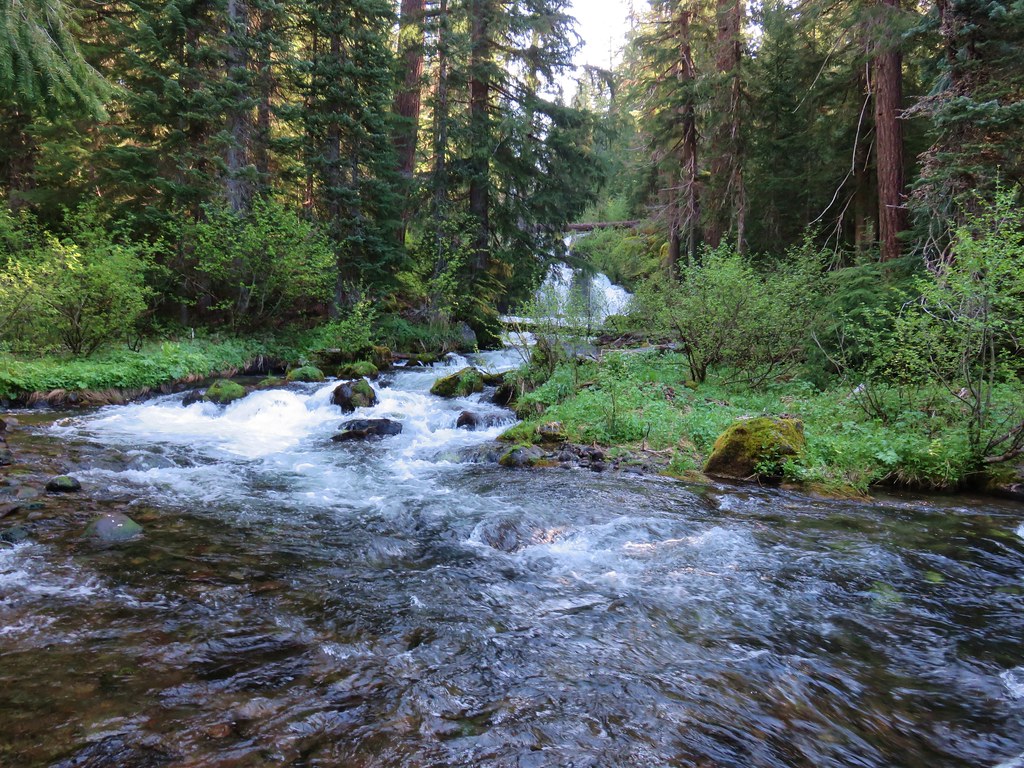
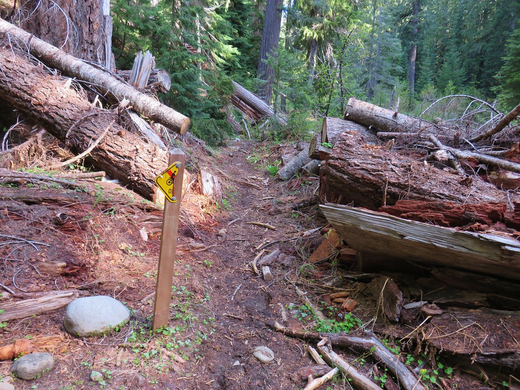
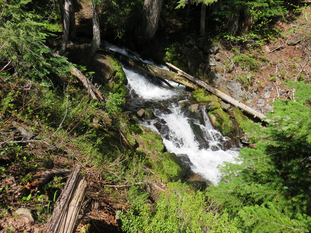
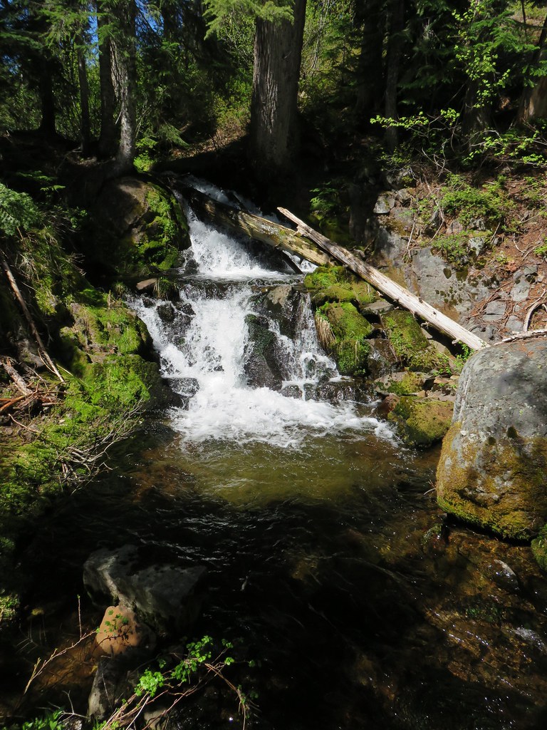
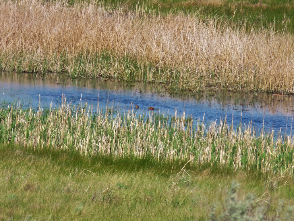
The trail follows the brush lined creek (watch for poison ivy) into Jump Creek Canyon crossing the creek on stepping stones.


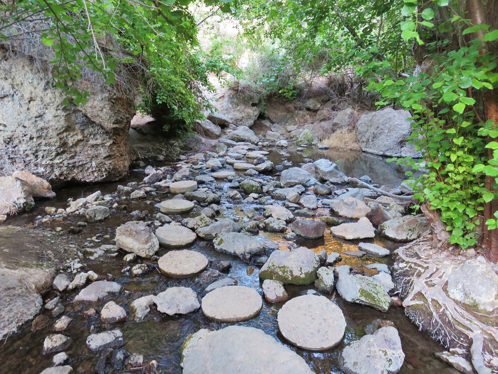
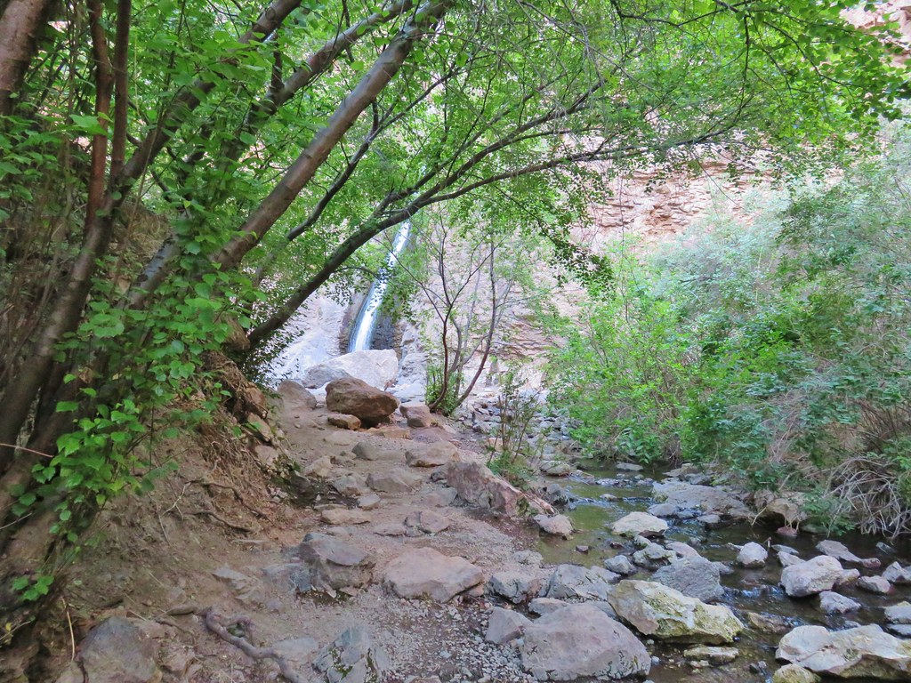
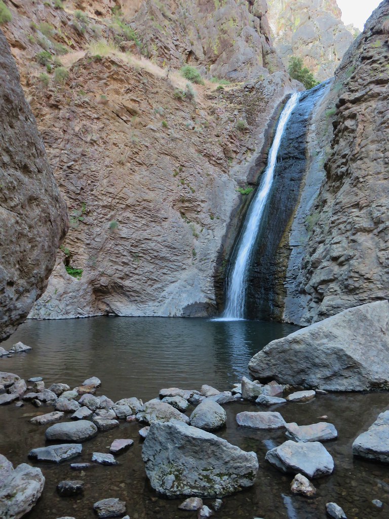
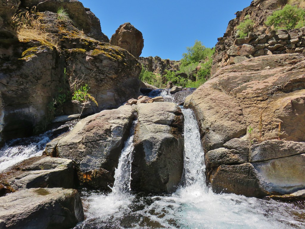
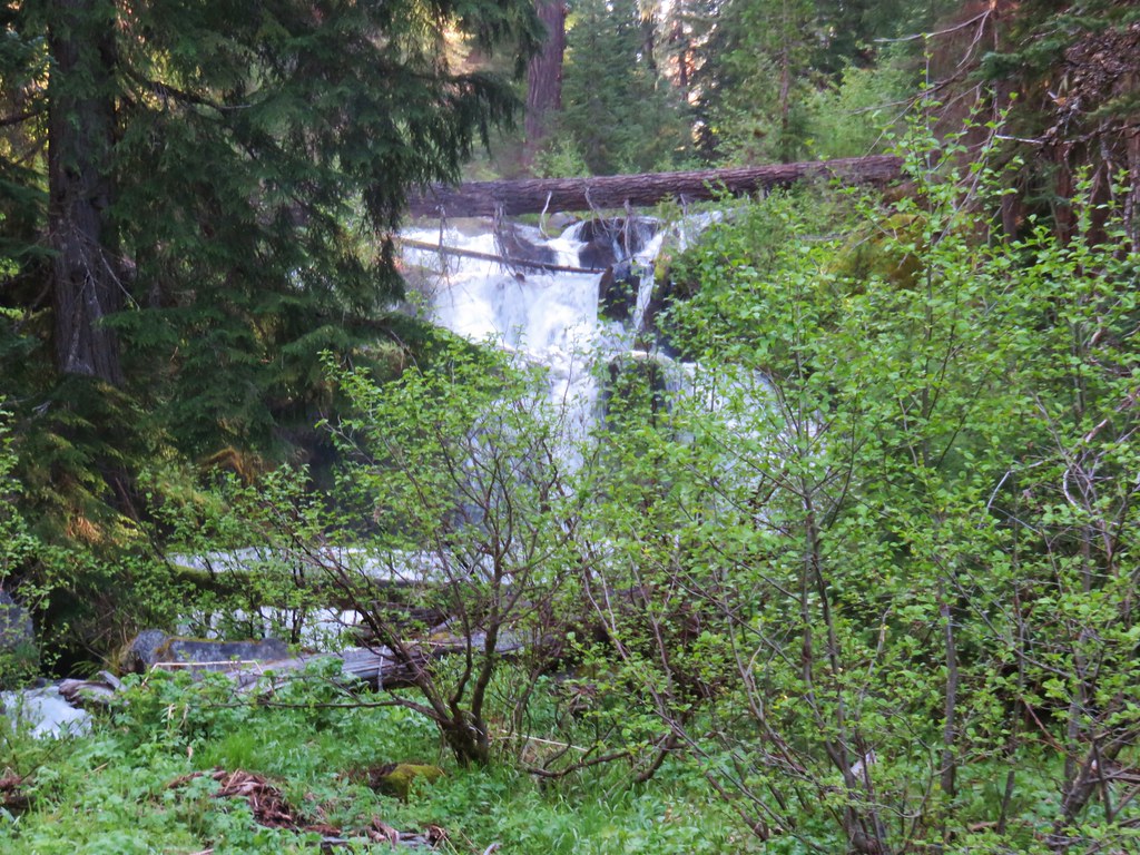
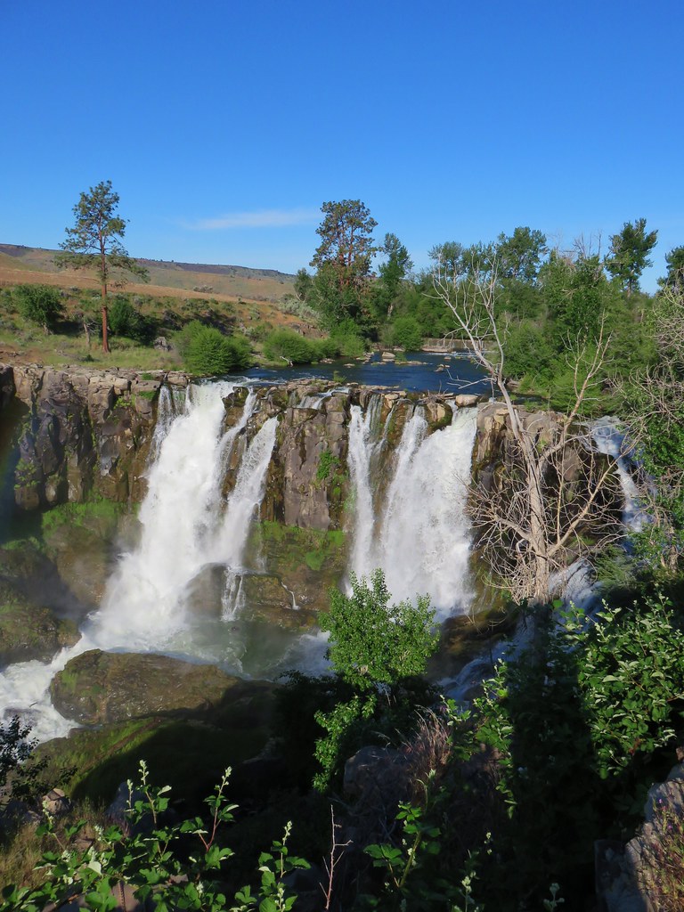
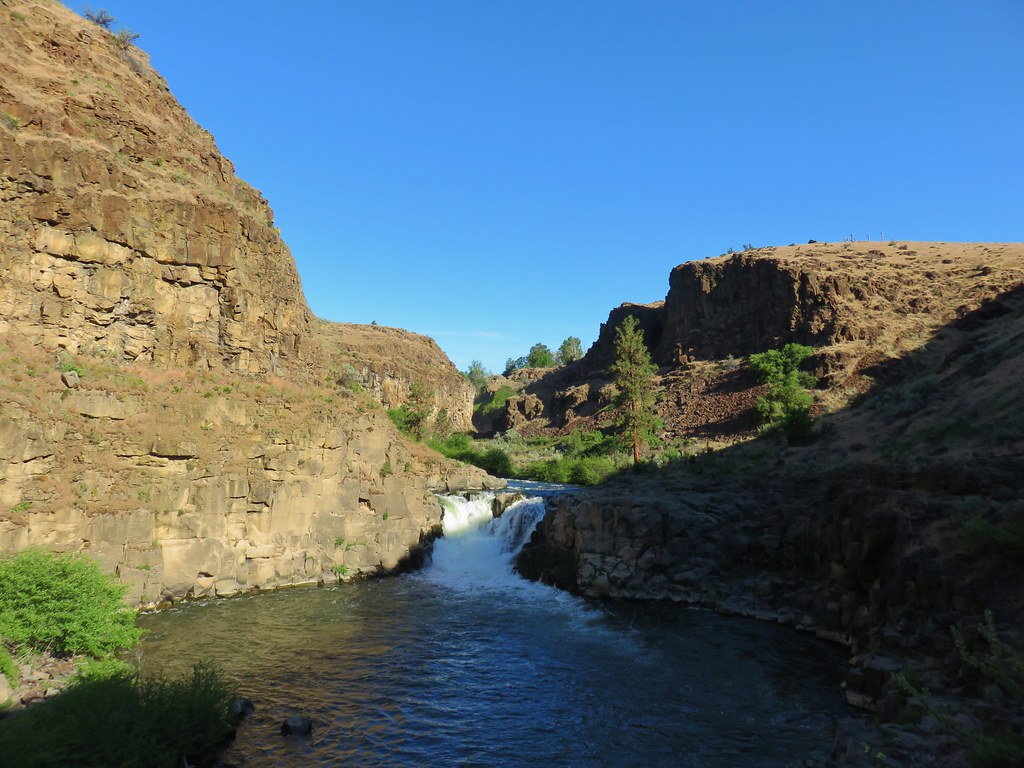
Evidence of the areas popularity was everywhere (people stink sometimes) reinforcing our thoughts about an early morning mid-week visit. The short trail ended at the waterfall.
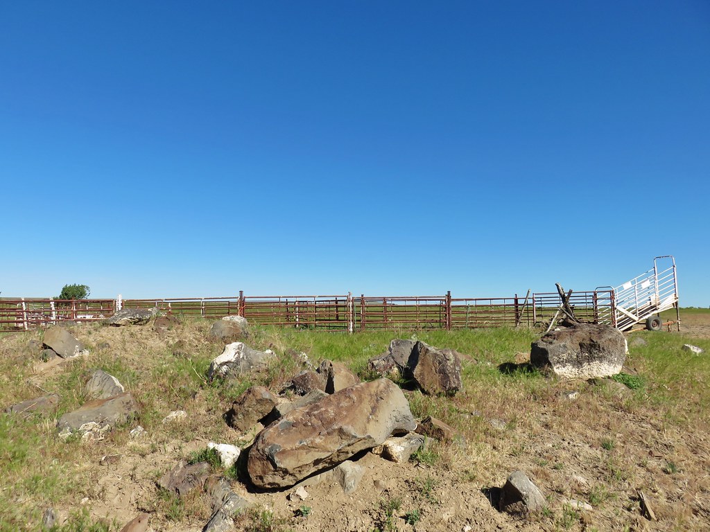
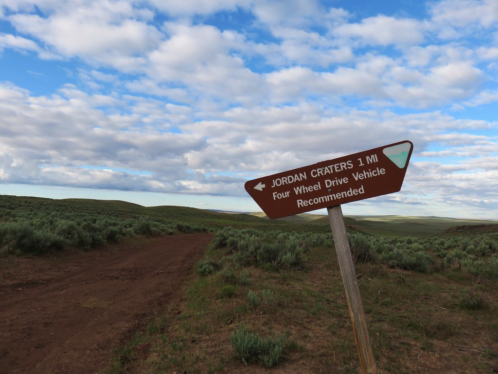
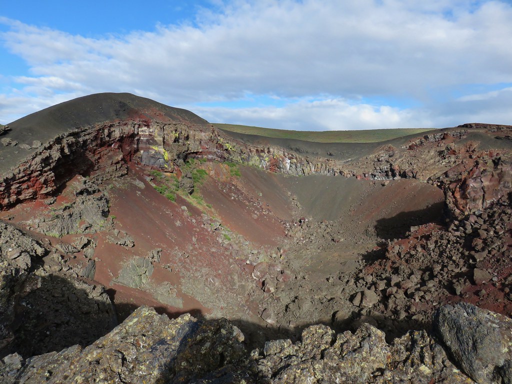
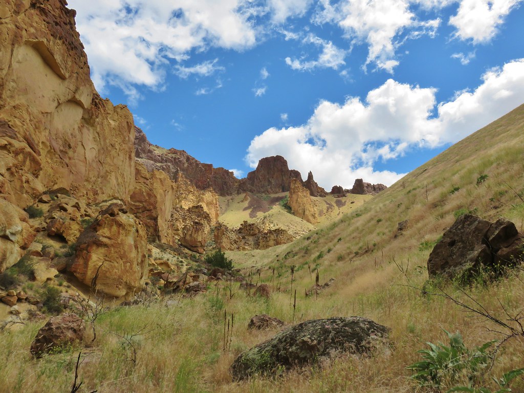
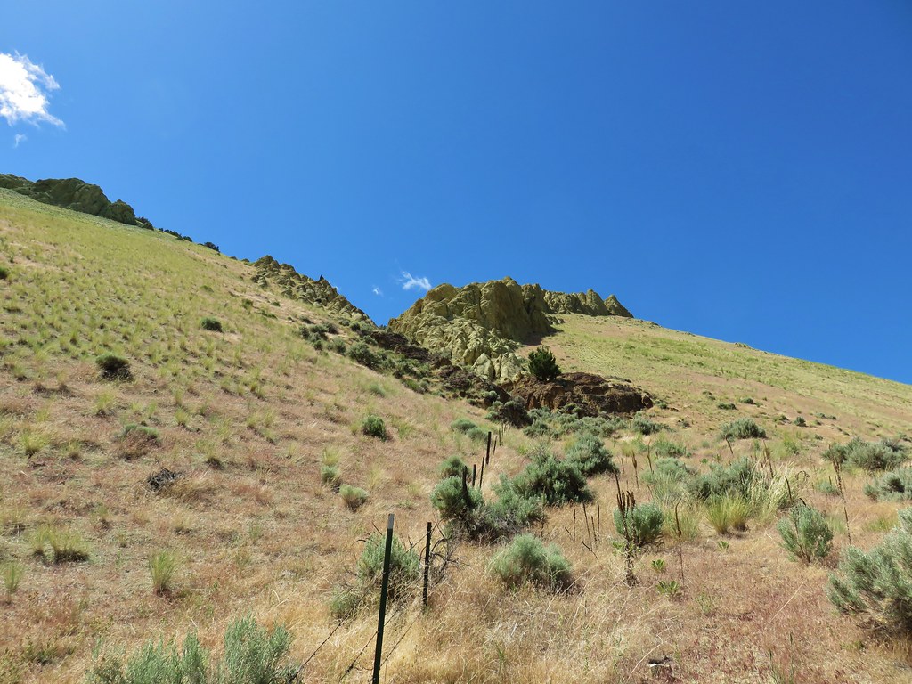
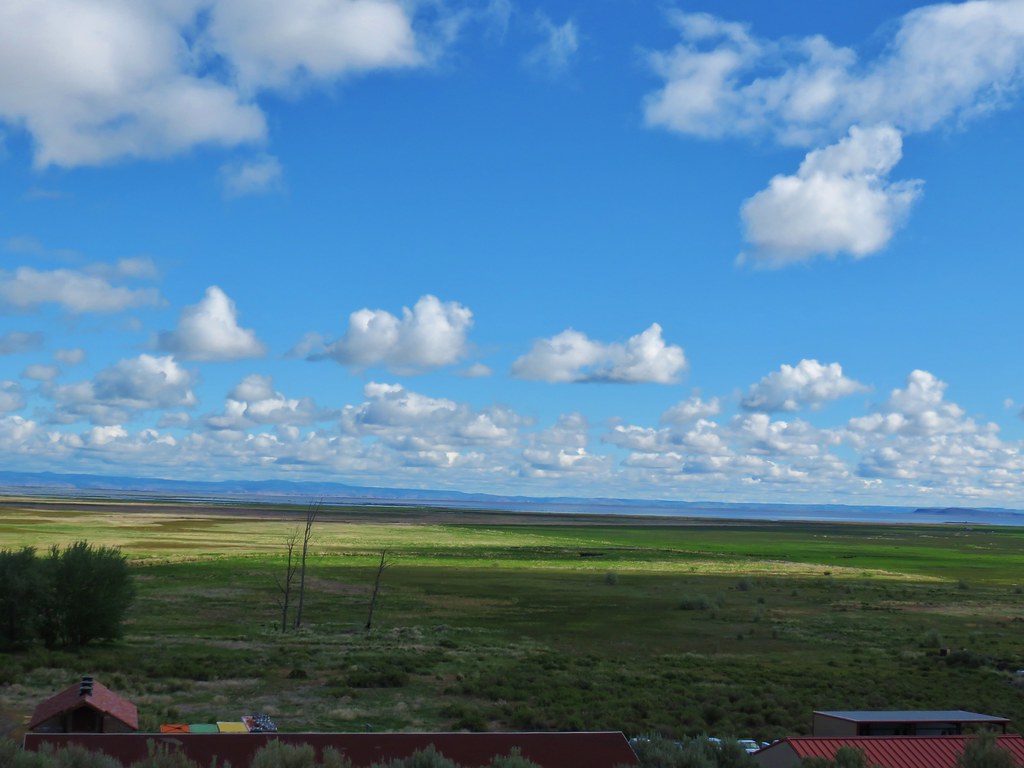
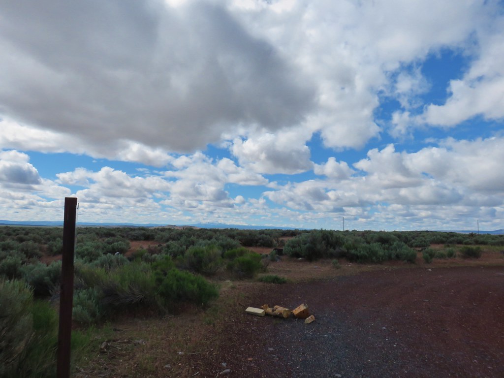
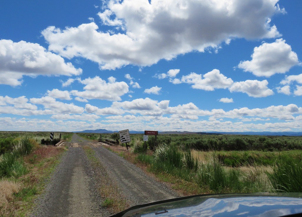
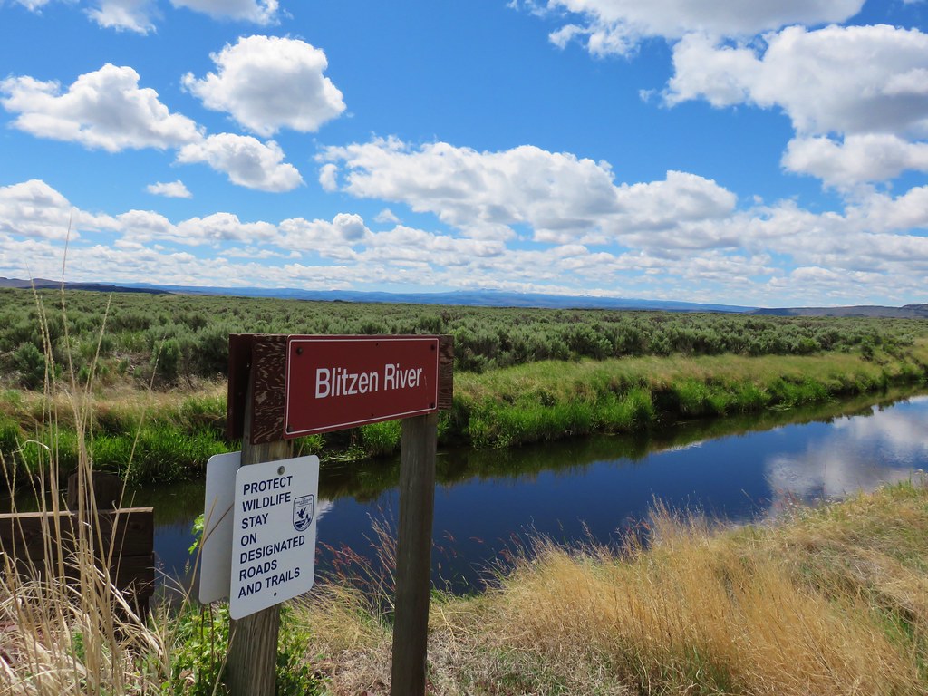
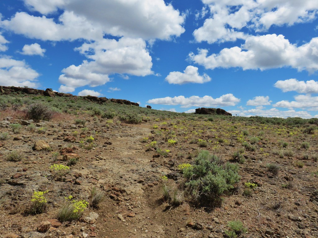
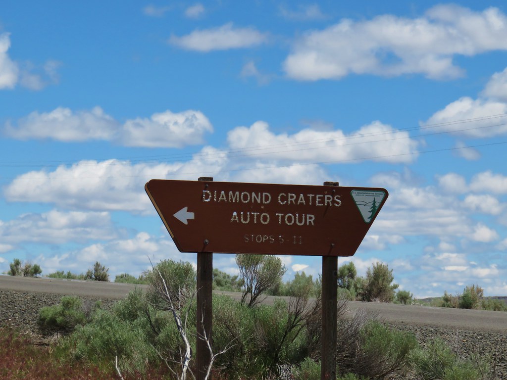
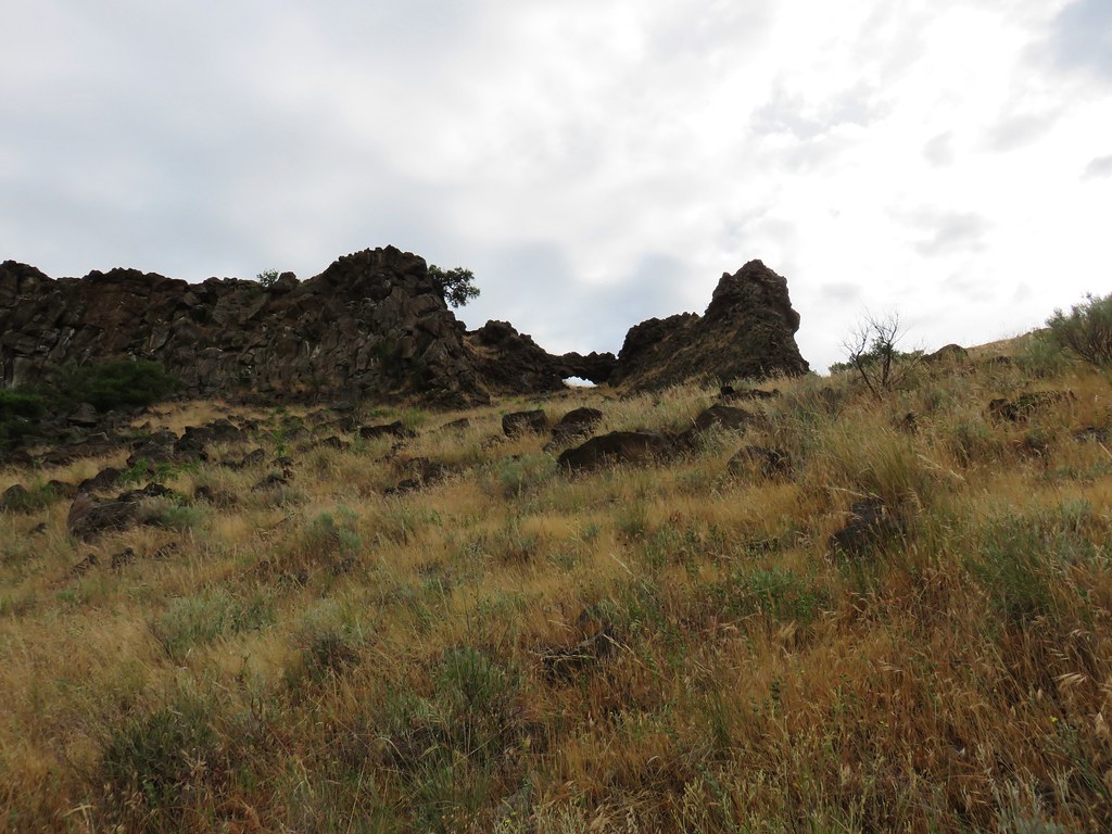
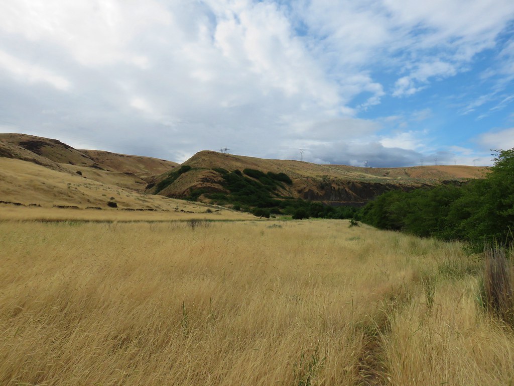
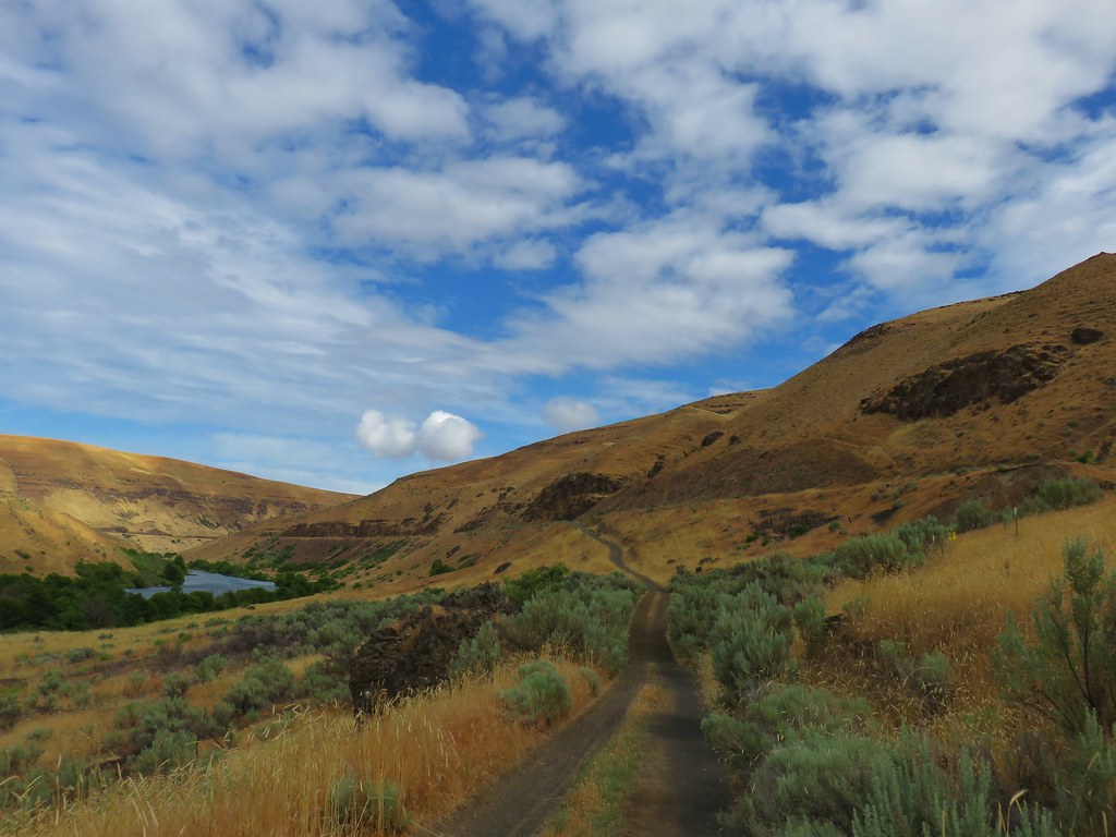
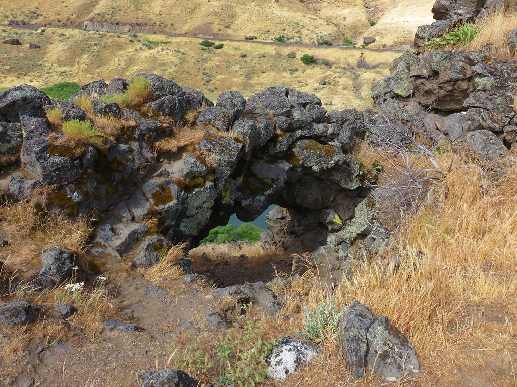
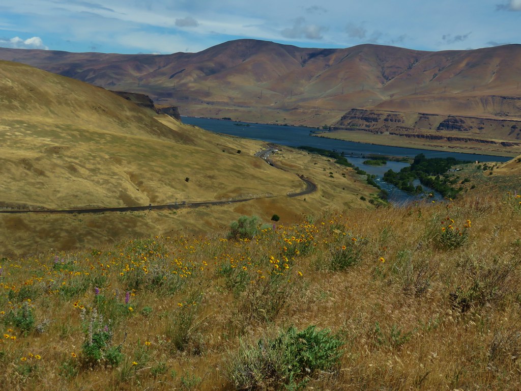
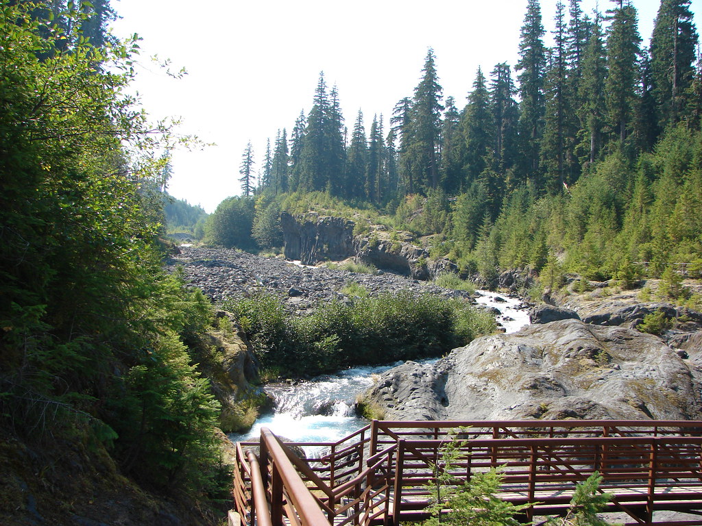
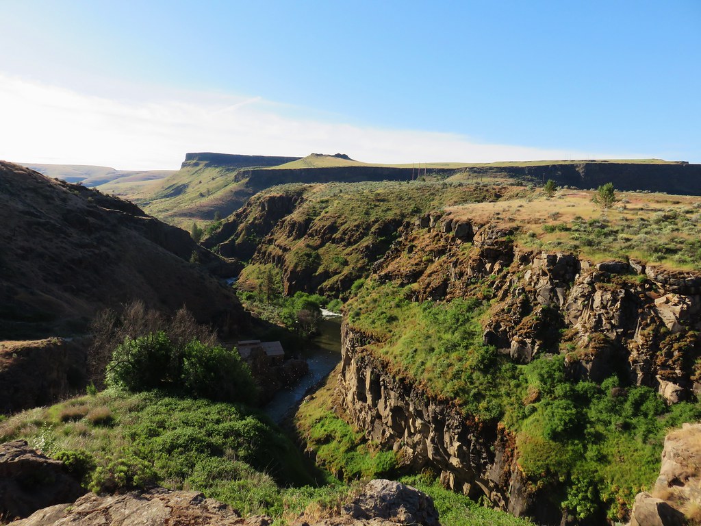
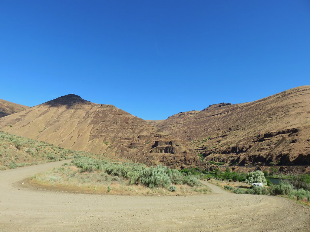
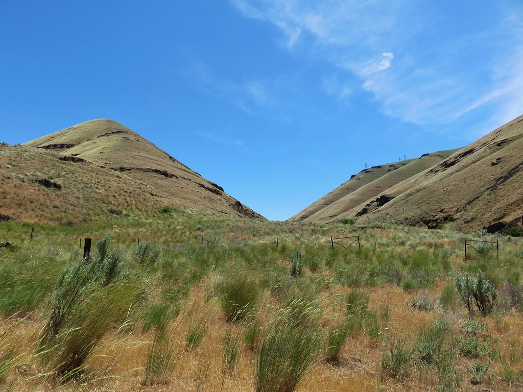
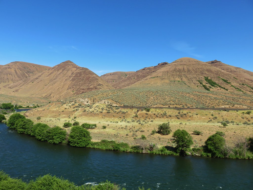
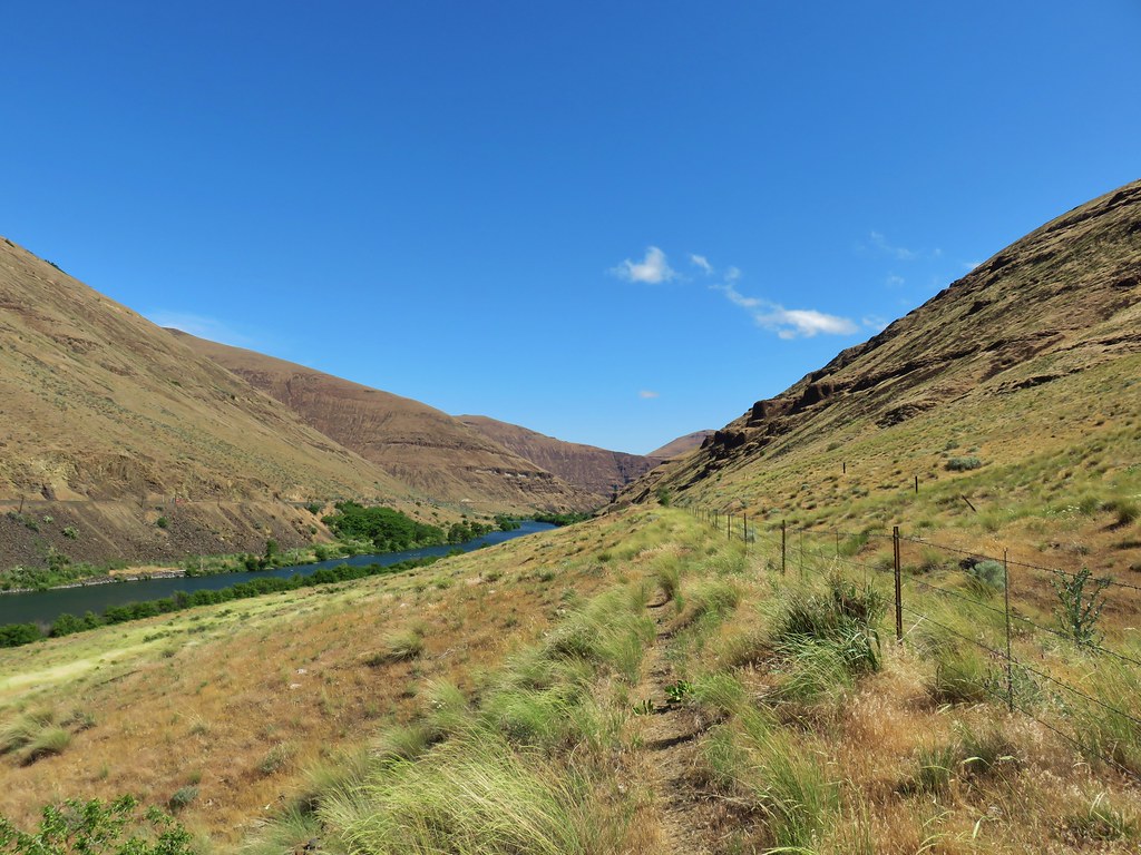
After admiring the falls we returned to the car and headed for Jordan Valley where we planned on stopping for gas and inquiring about a room for the night. It was a good thing we asked about the room while we were filling up (the gas station is also the motel office) since road construction was starting up on Highway 78 and the rooms were filling up. After getting a room reserved we followed signs from Jordan Valley to Three Forks for a total of thirty four and a half miles to the rim of the Owyhee Canyon next to a corral.
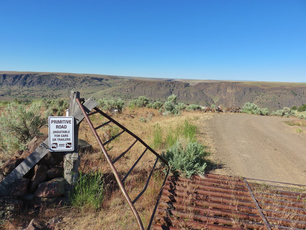
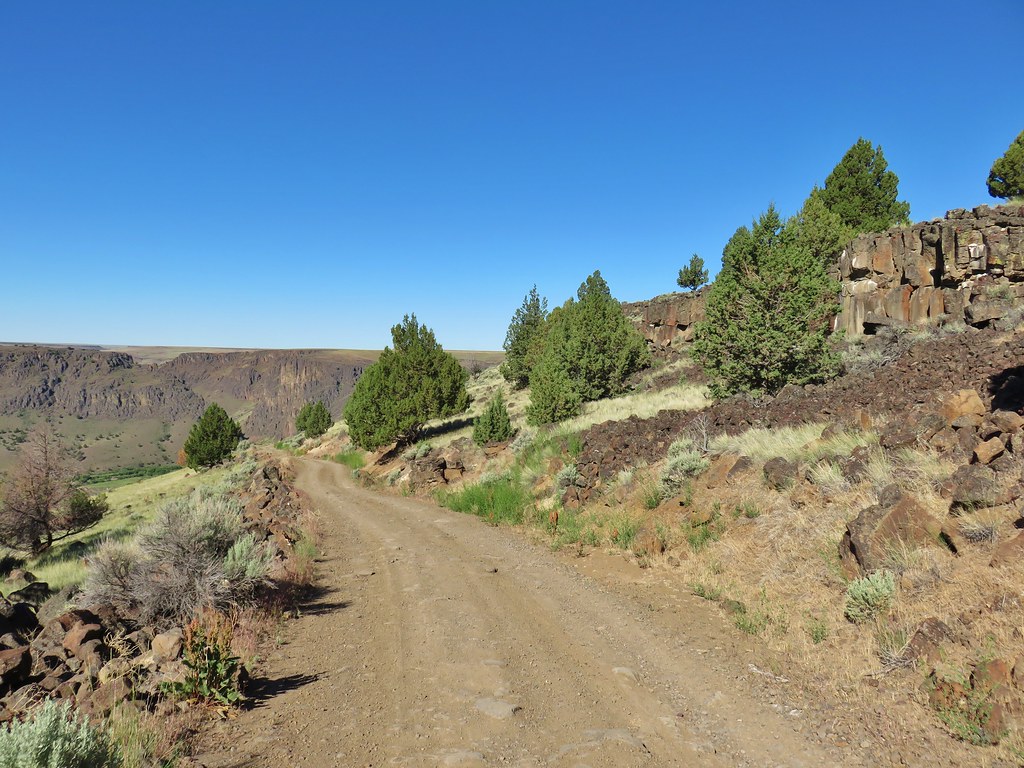
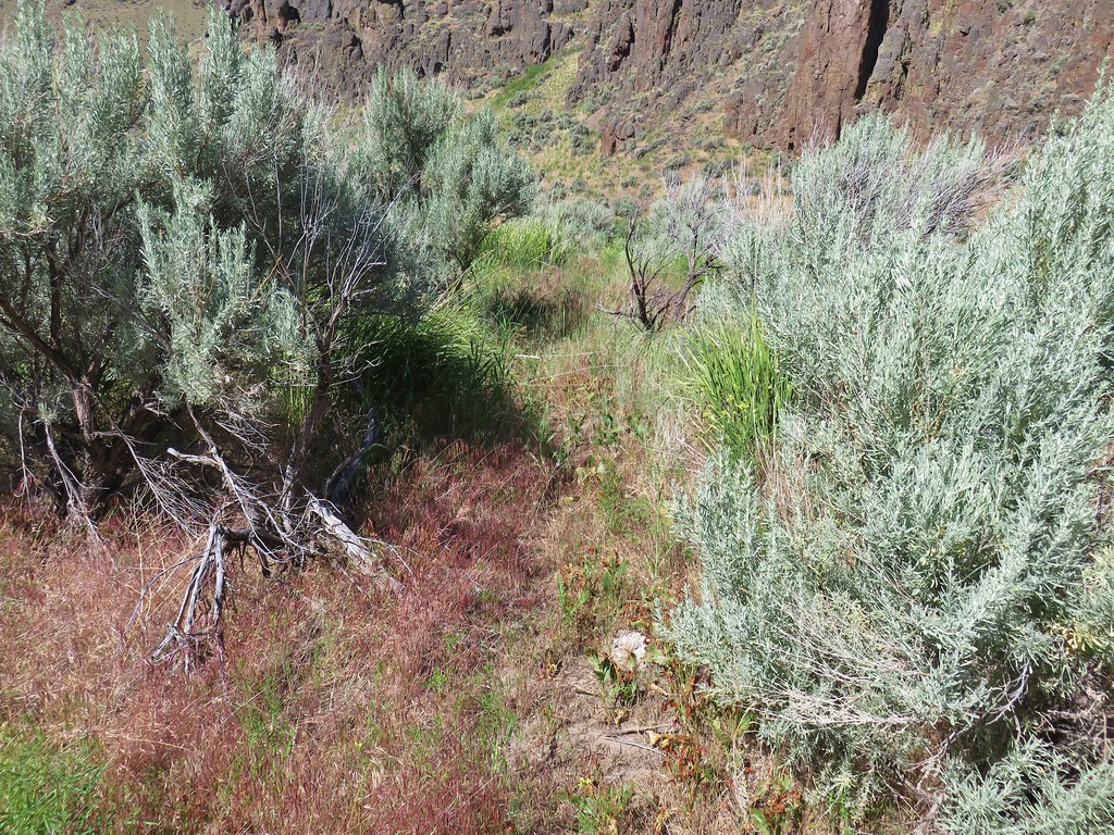
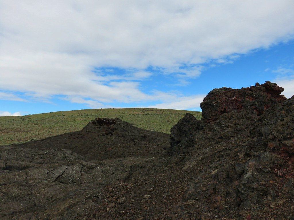
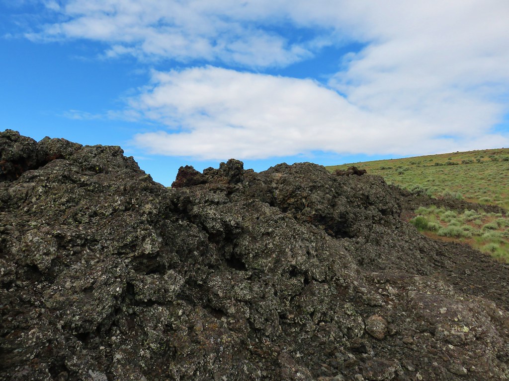
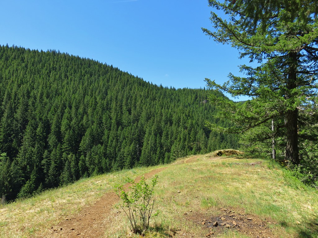
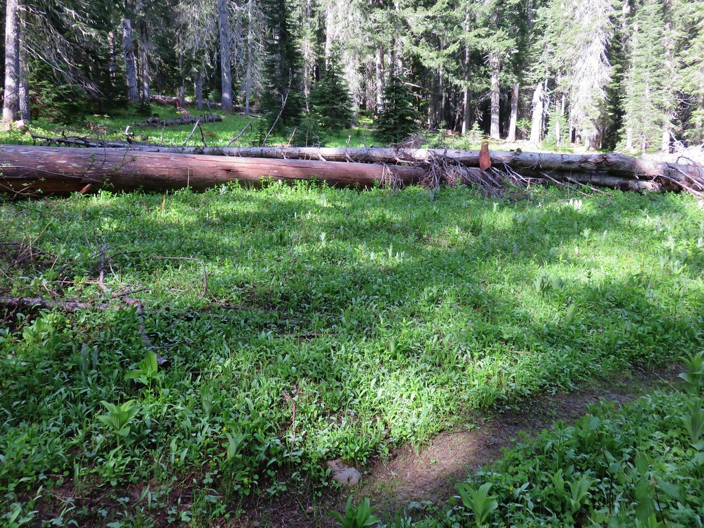
The first 22 miles had been good gravel but the final 14+ was a rutted mess with occasional cows. We once again opted for a road walk instead of more bad roads and parked by the corral.
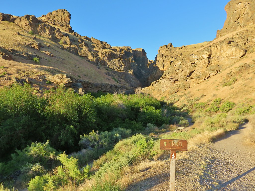
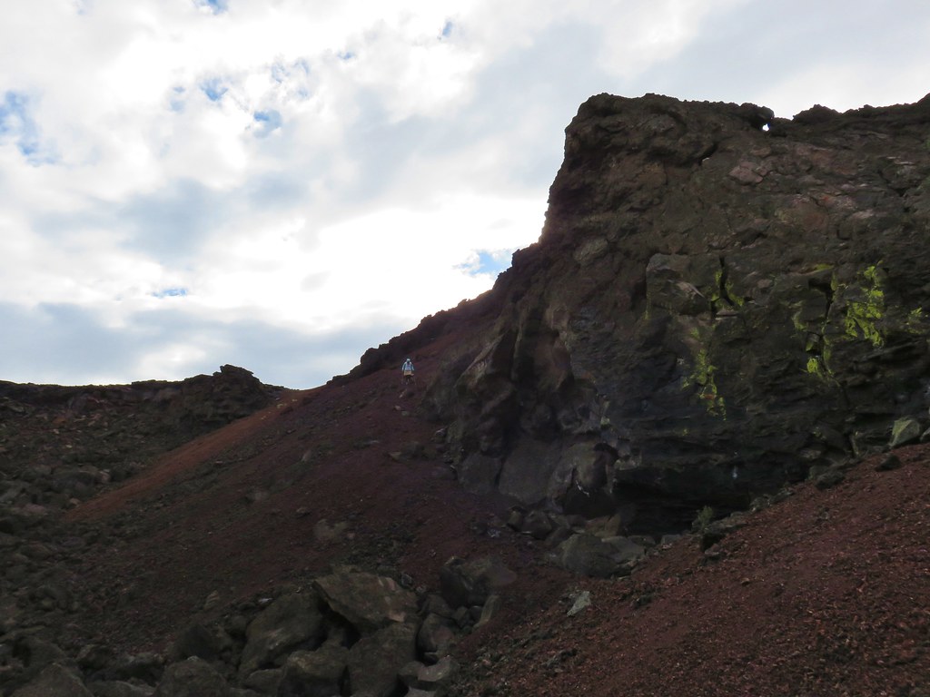
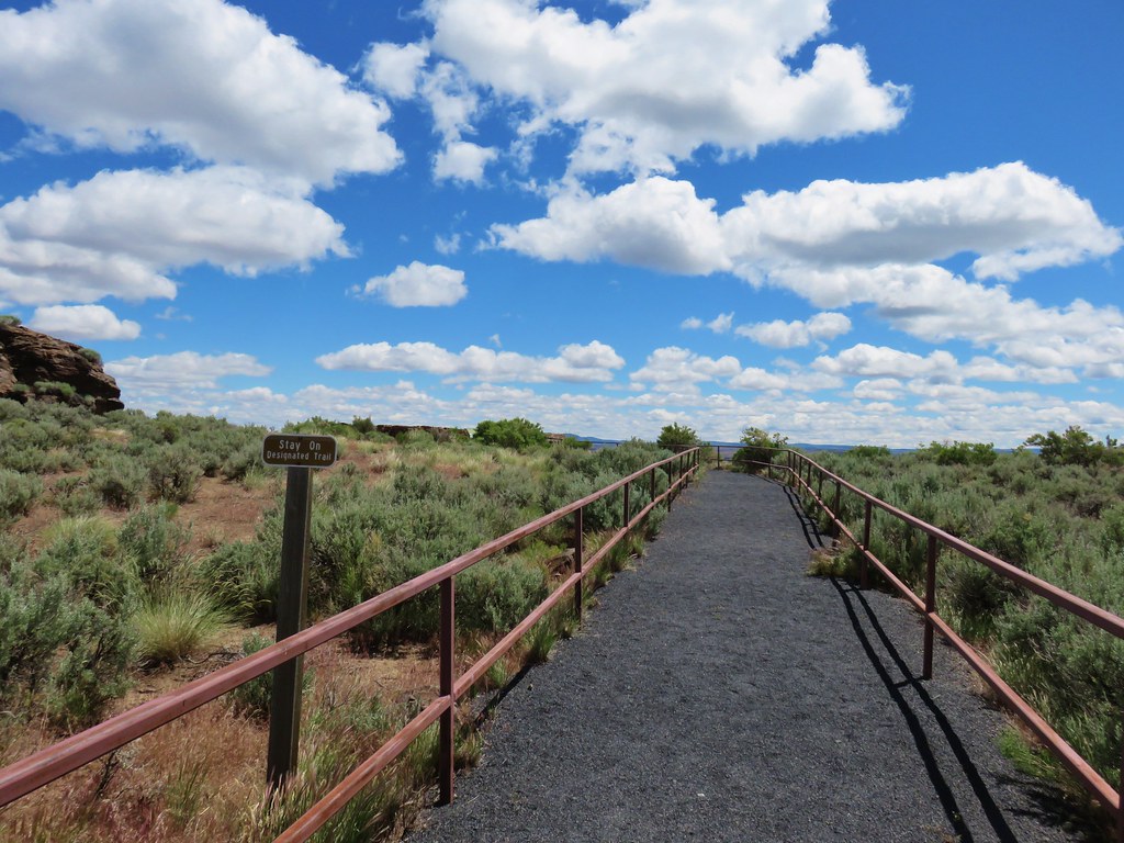
It was just under a mile and a half down the road which we were glad we didn’t try and drive, but a couple of brave souls had taken their campers down to the river.
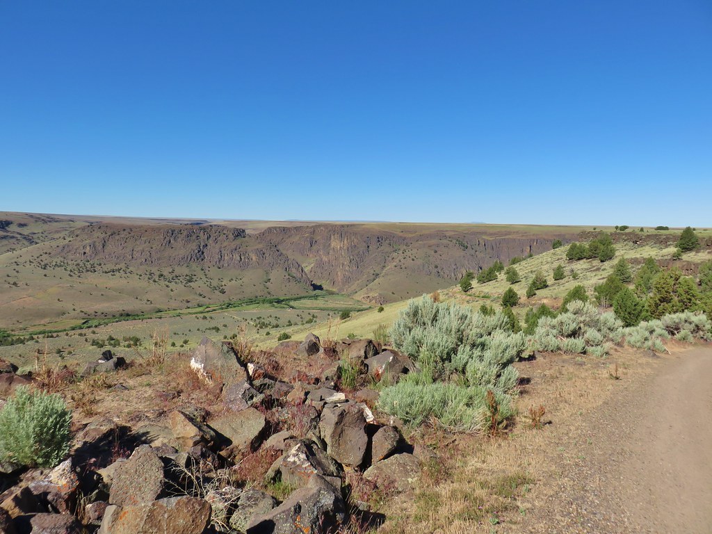
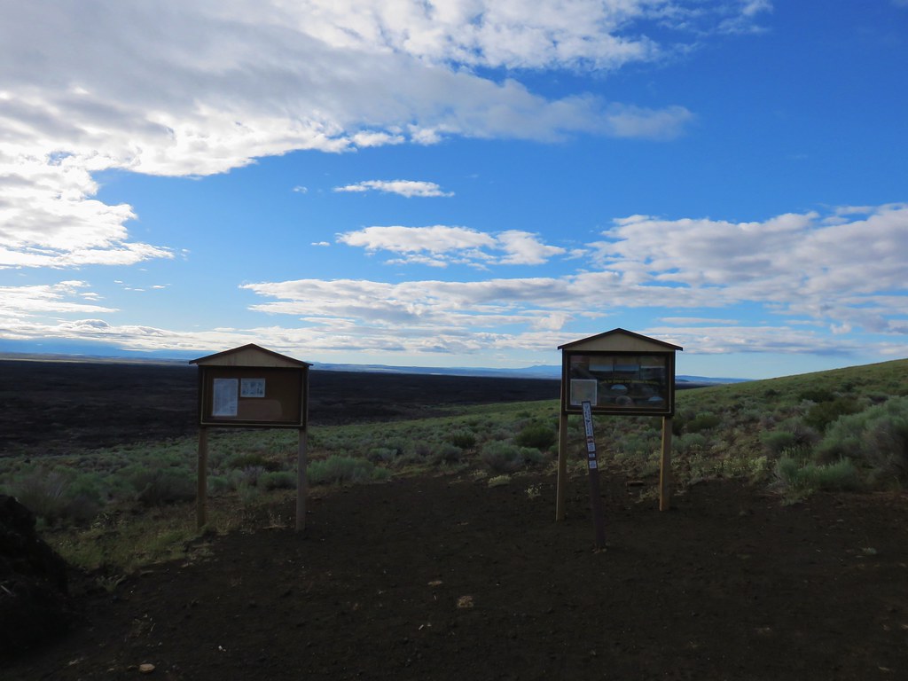
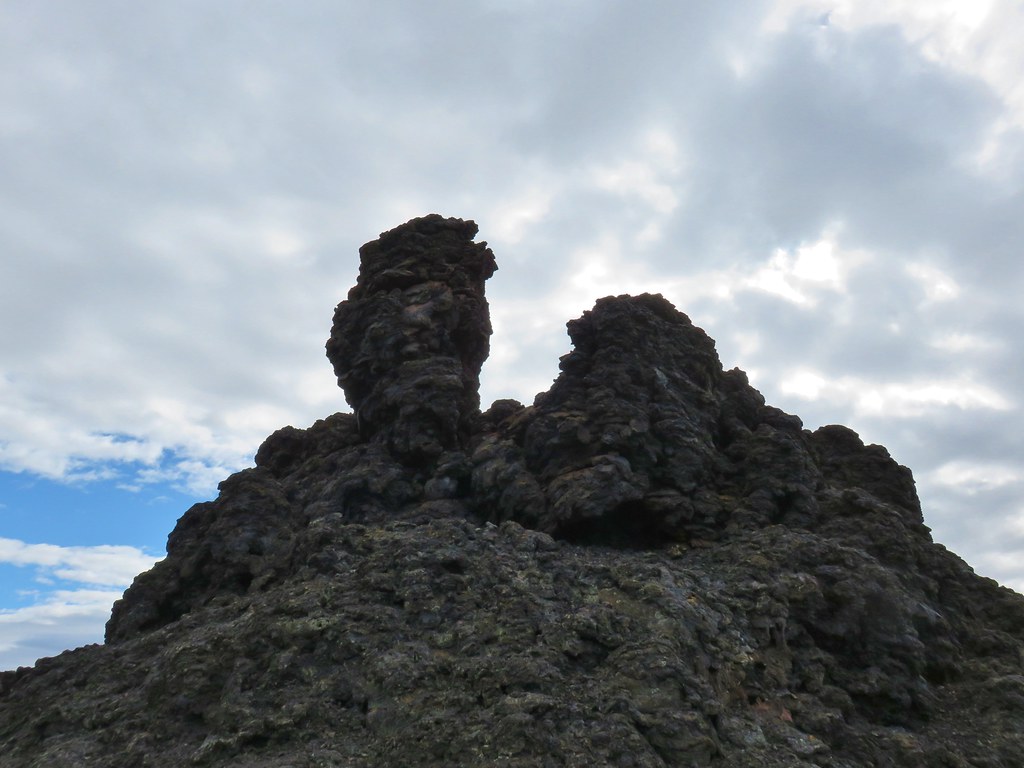
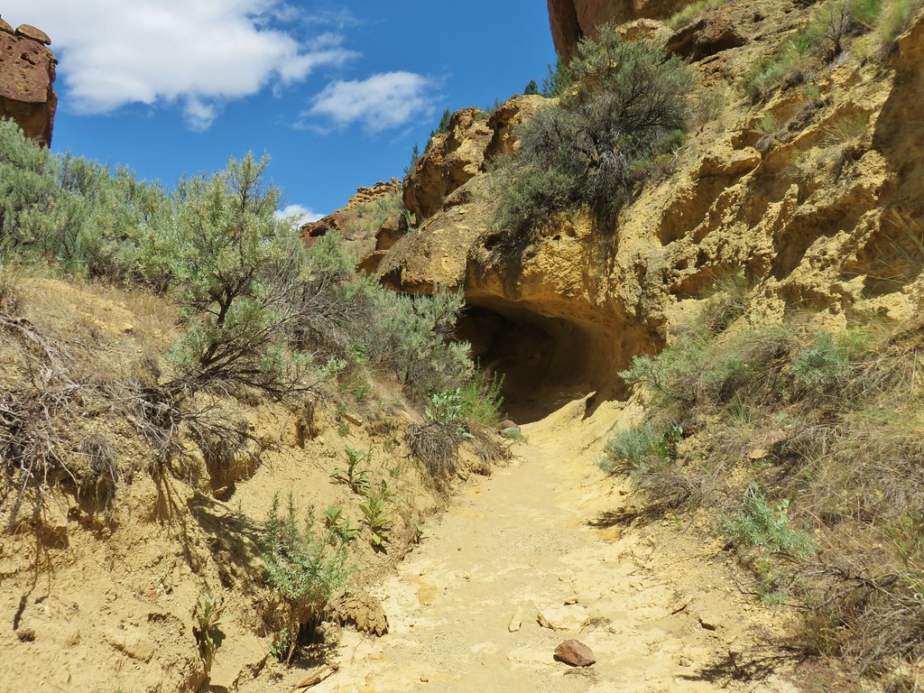
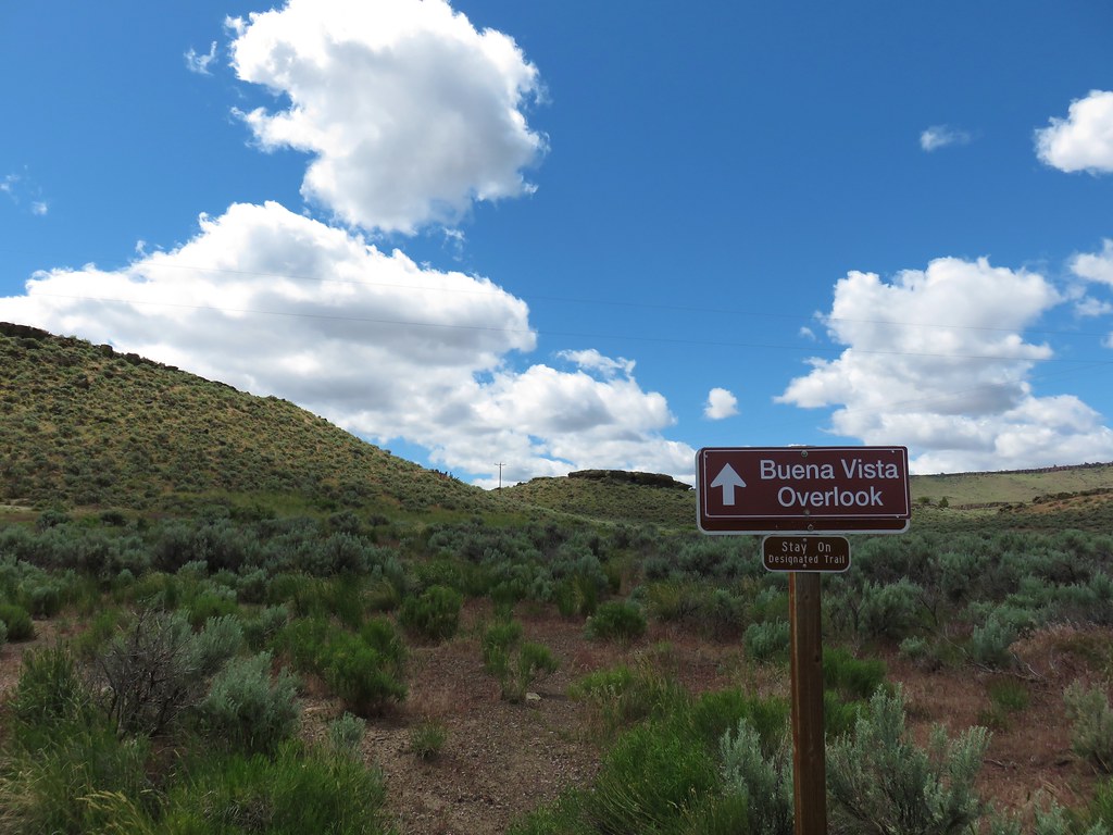
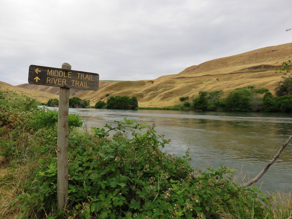
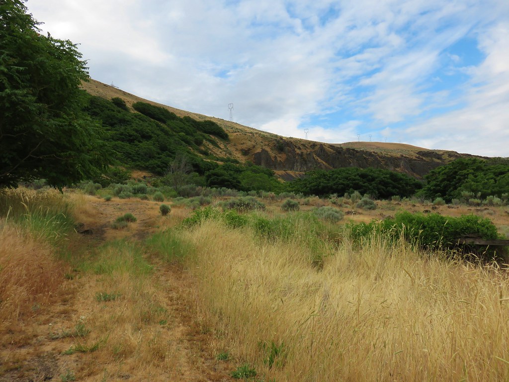
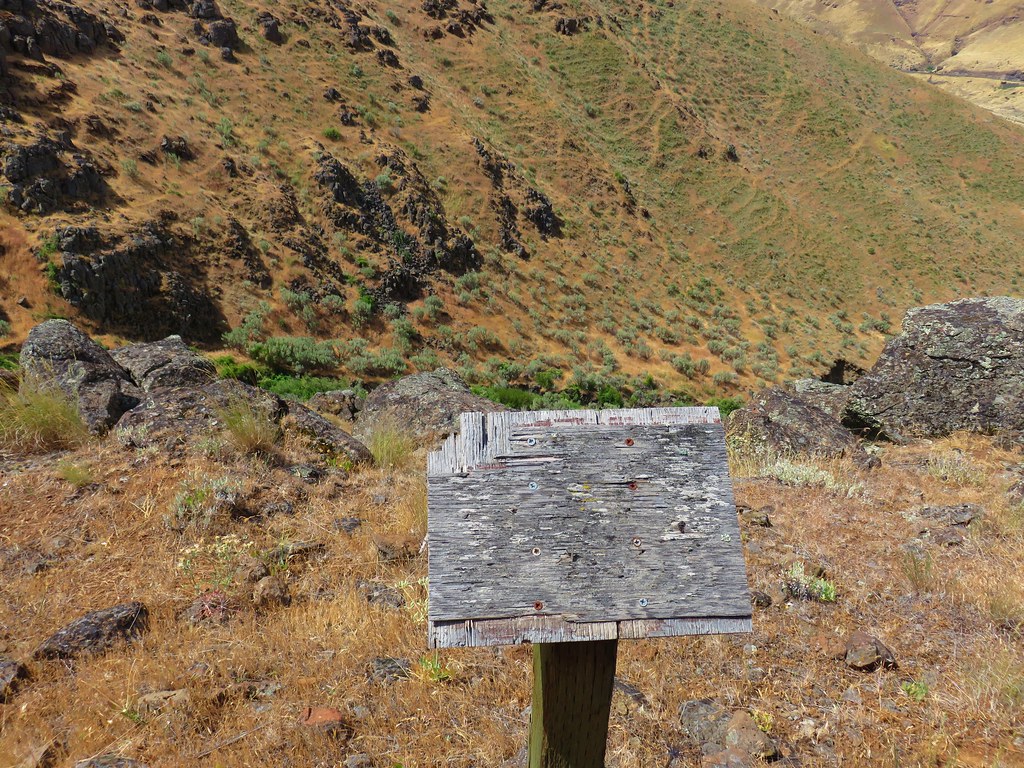
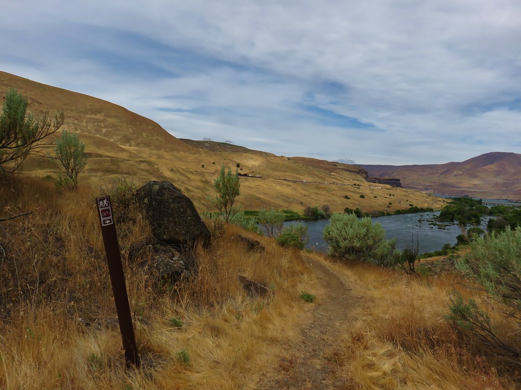
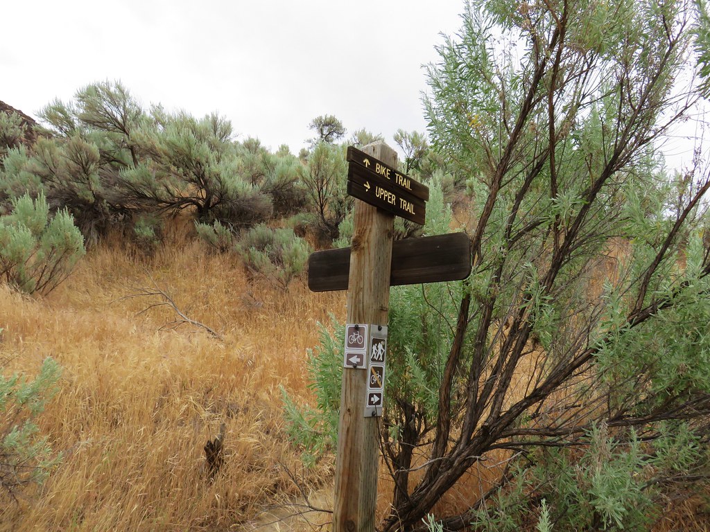
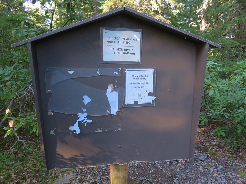
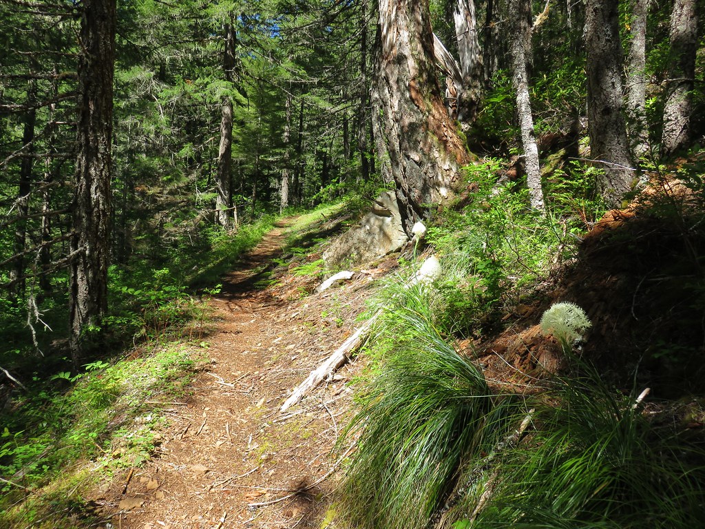
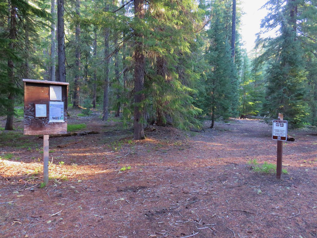
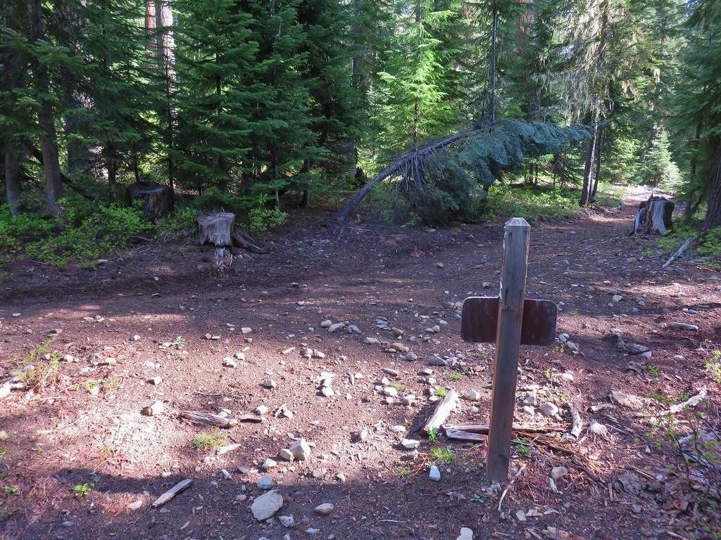
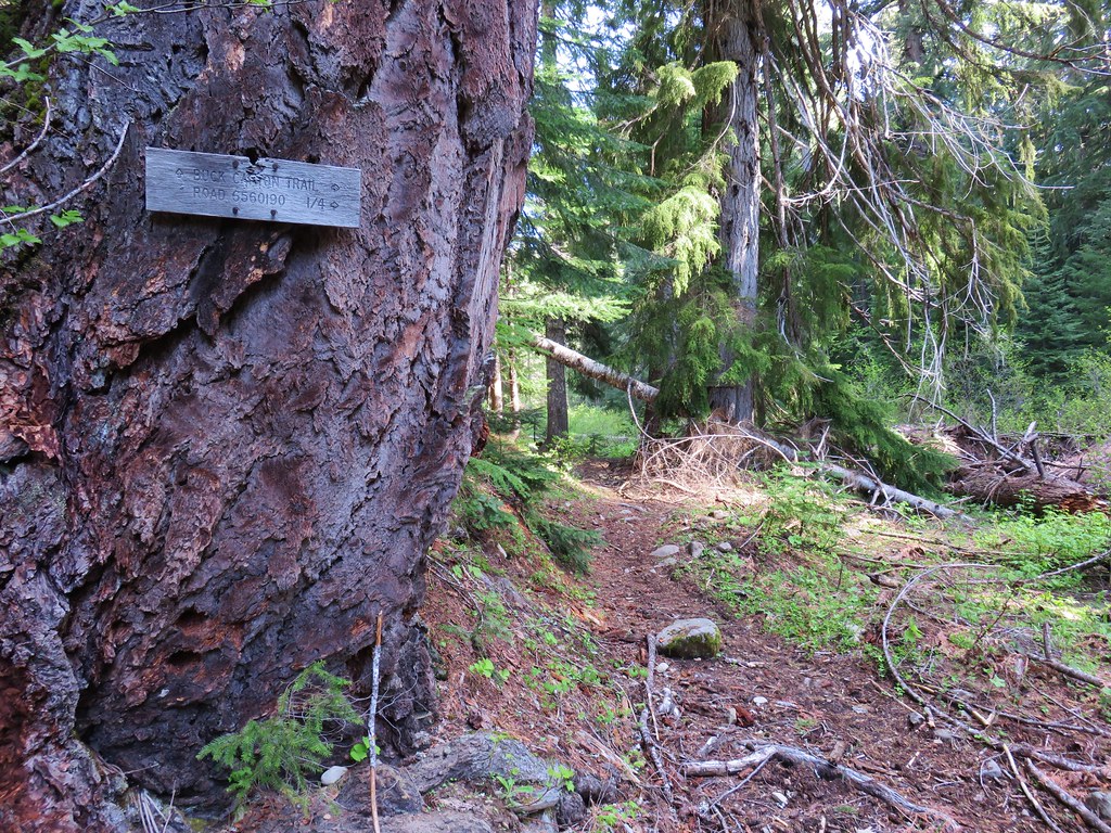
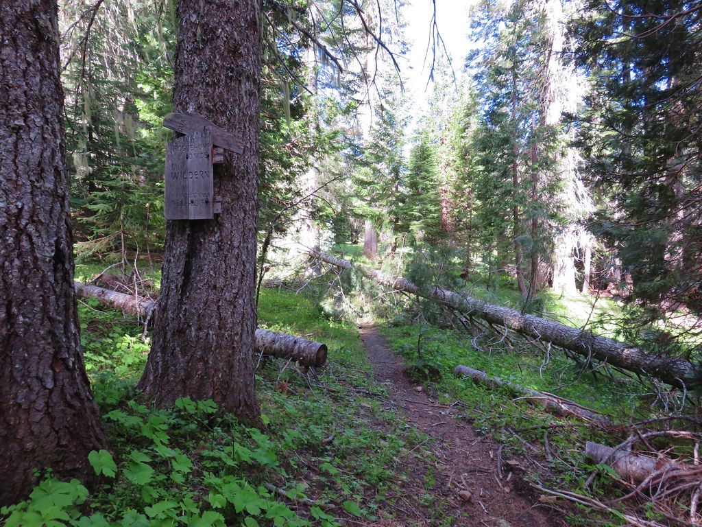
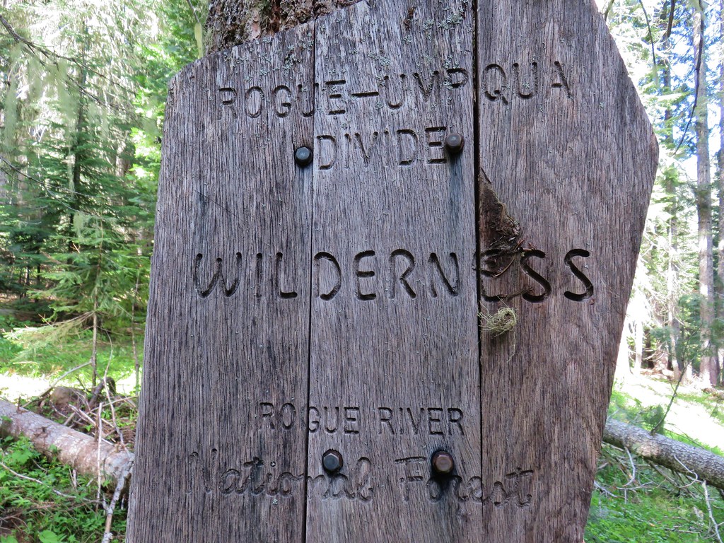
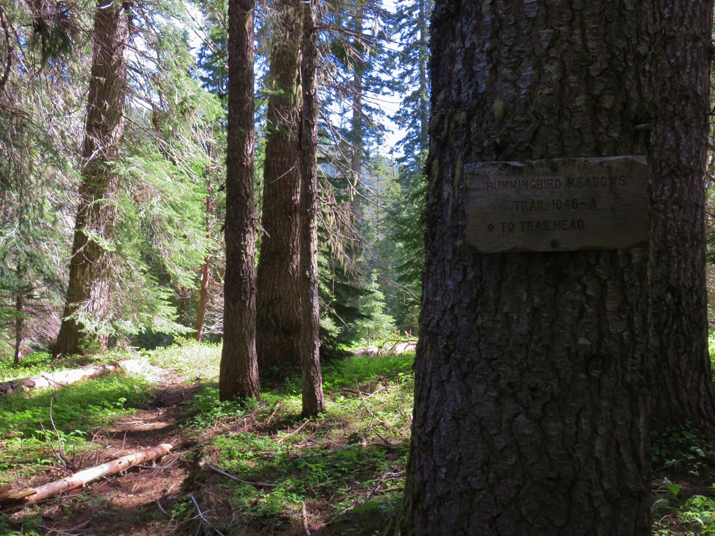
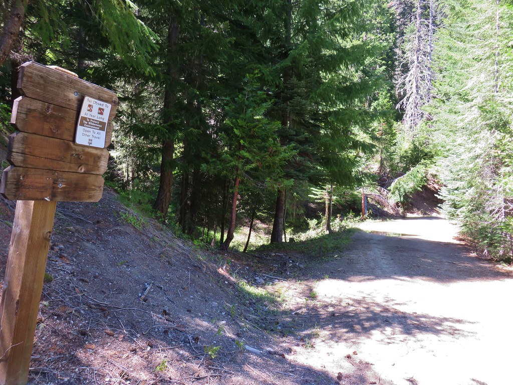
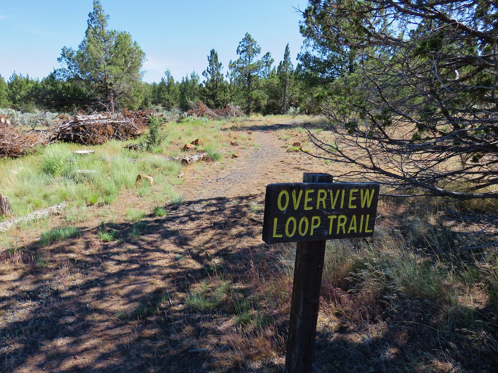
This was another “no official” trail hike and the only signboard was for boaters.

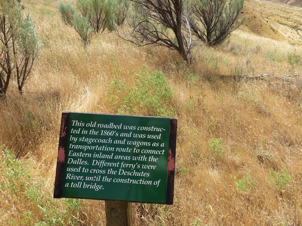
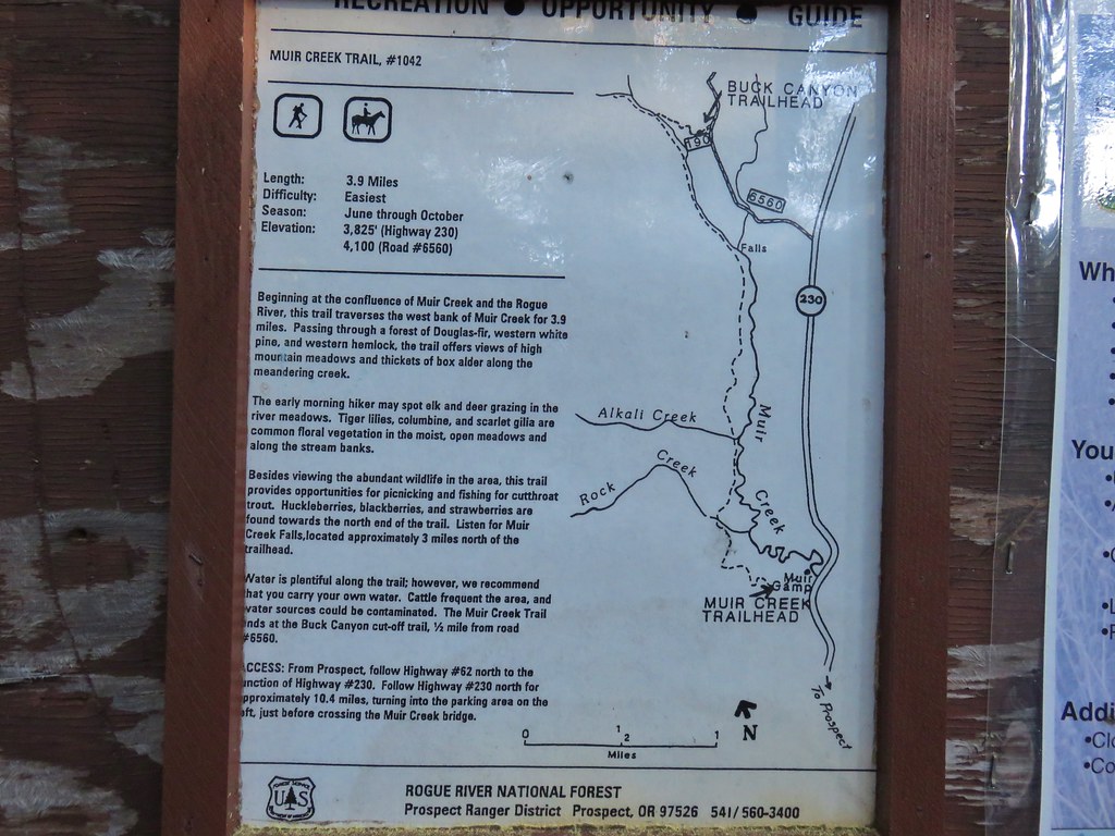
William Sullivan describes two options in his “100 Hikes/Travel Guide for Eastern Oregon”. One being an out and back and the other a bushwacking loop requiring two fords of the Owyhee River. (Both options require fording the North Fork Owyhee.)
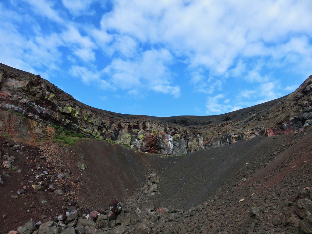
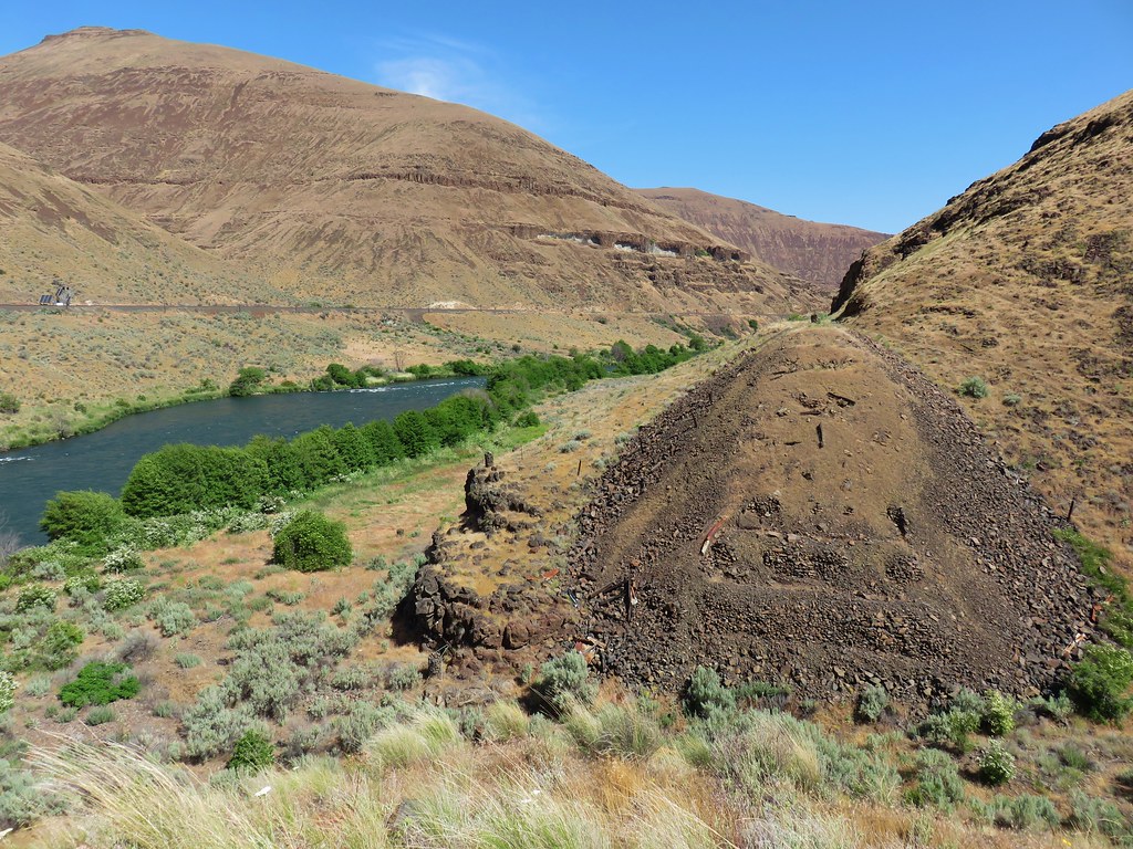
The first thing we did was head for the boat ramp which is where the second ford would be if we tried the loop option. We wanted to check on the viability of that ford before we wound up there later and found it was too difficult to cross. It was a good thing that we did as the water level was high enough that it would have most likely required a swim which we could do, but we didn’t have any waterproof bags to keep our gear dry during such a swim.
With our plan now set we headed back along the access road to the North Fork Owyhee. From the map in our guidebook it looked like the correct place to ford the river was near its confluence with the Owyhee River.
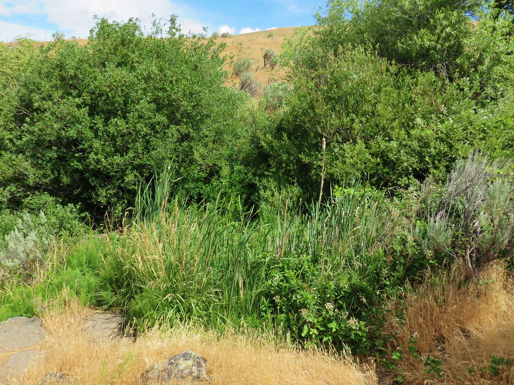
It was certainly shallow enough at that spot with the water only calf deep so we headed across. The far shore proved to be thick with vegetation including some nasty nettles that we attempted to fight our way through only to find another small channel of water that effectively thwarted any attempt to continue. We made our way back to the spot where we had forded and crossed back to the road. Heather explored a little further up the road and found a few campsites along the North Fork as well as another possible spot to ford.
The ford here was slightly deeper but we were able to reach the far shore between two trees and climb the low bank here to a small grassy area and then uphill to a cattle trail in the sagebrush.
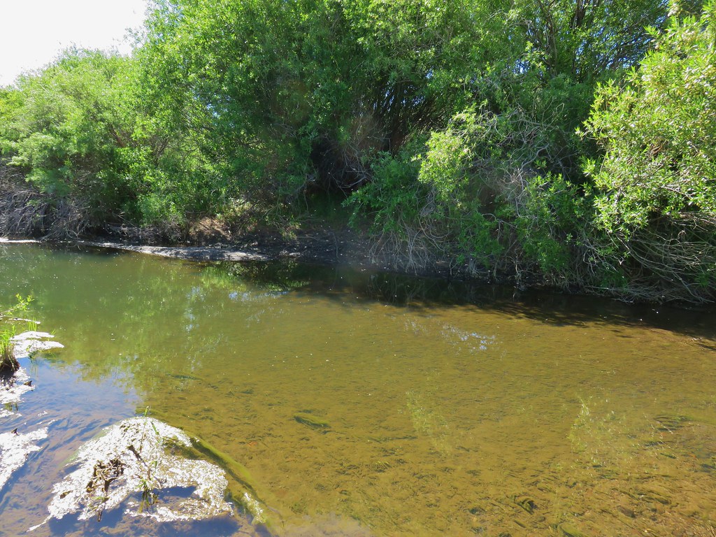
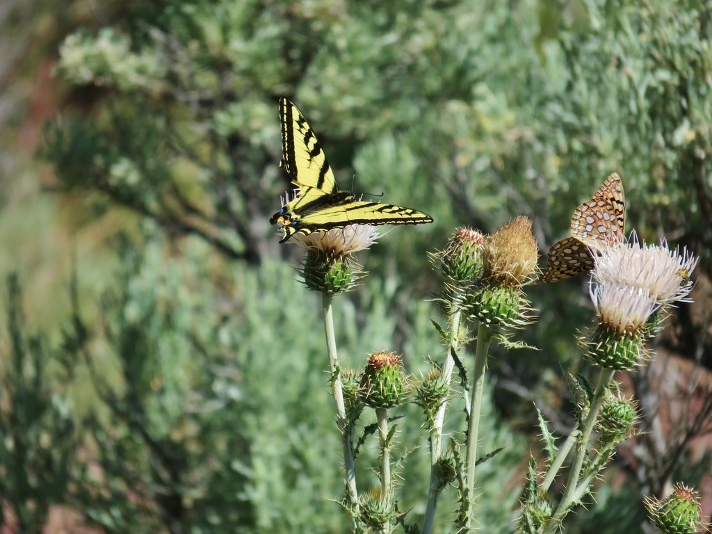
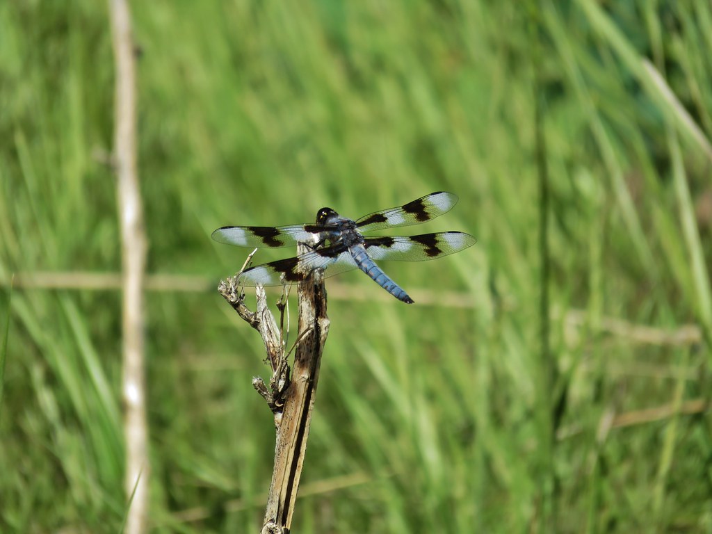
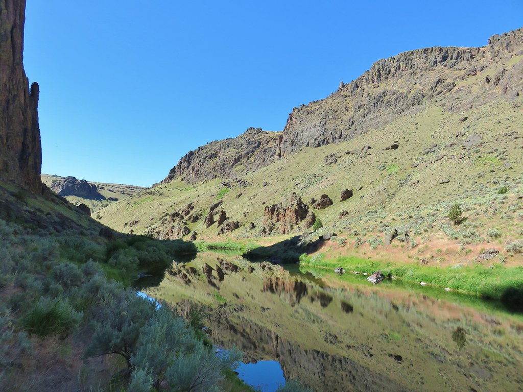
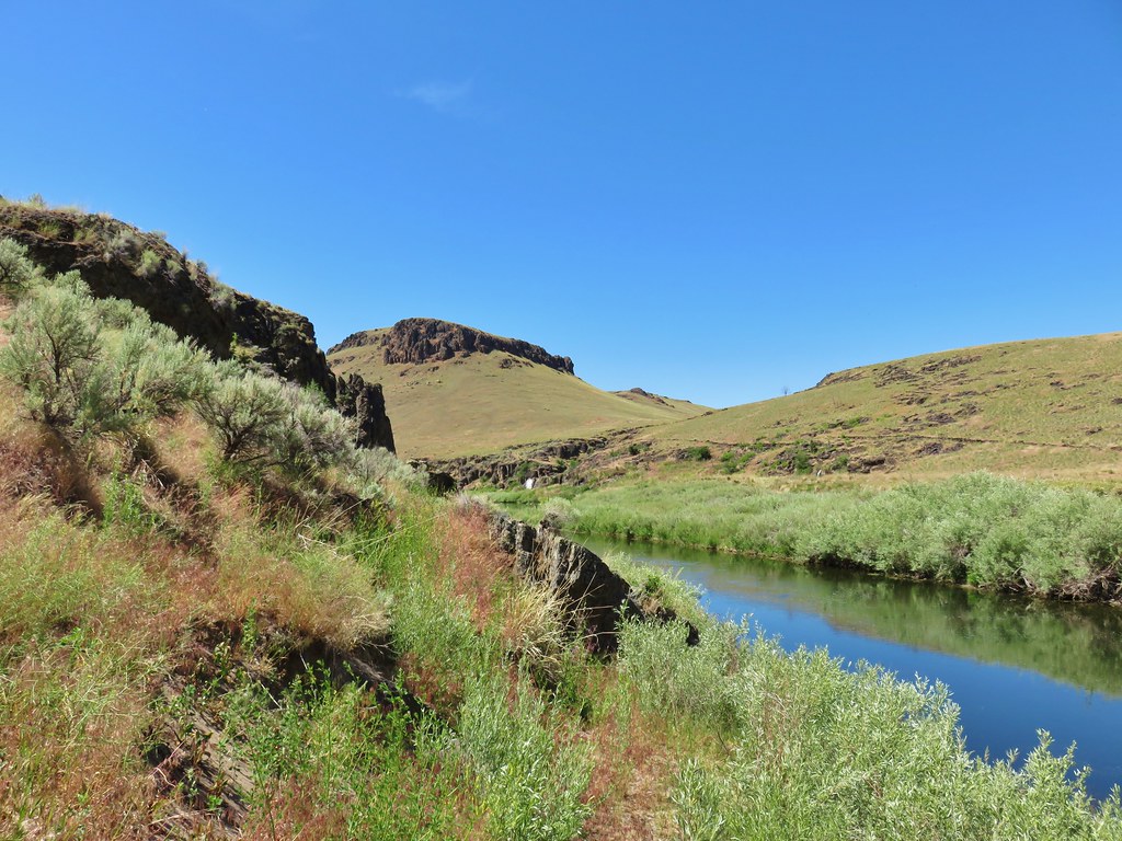
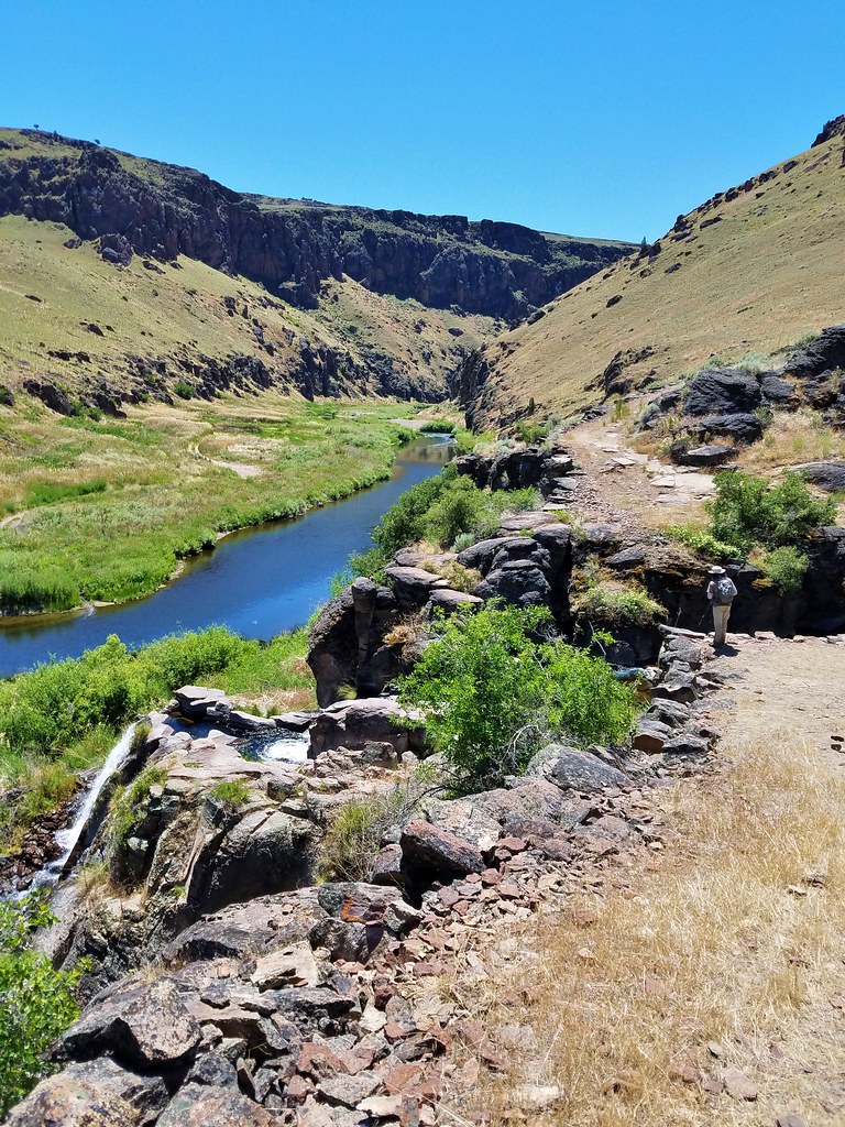
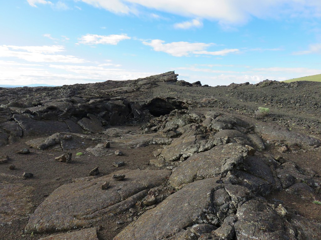
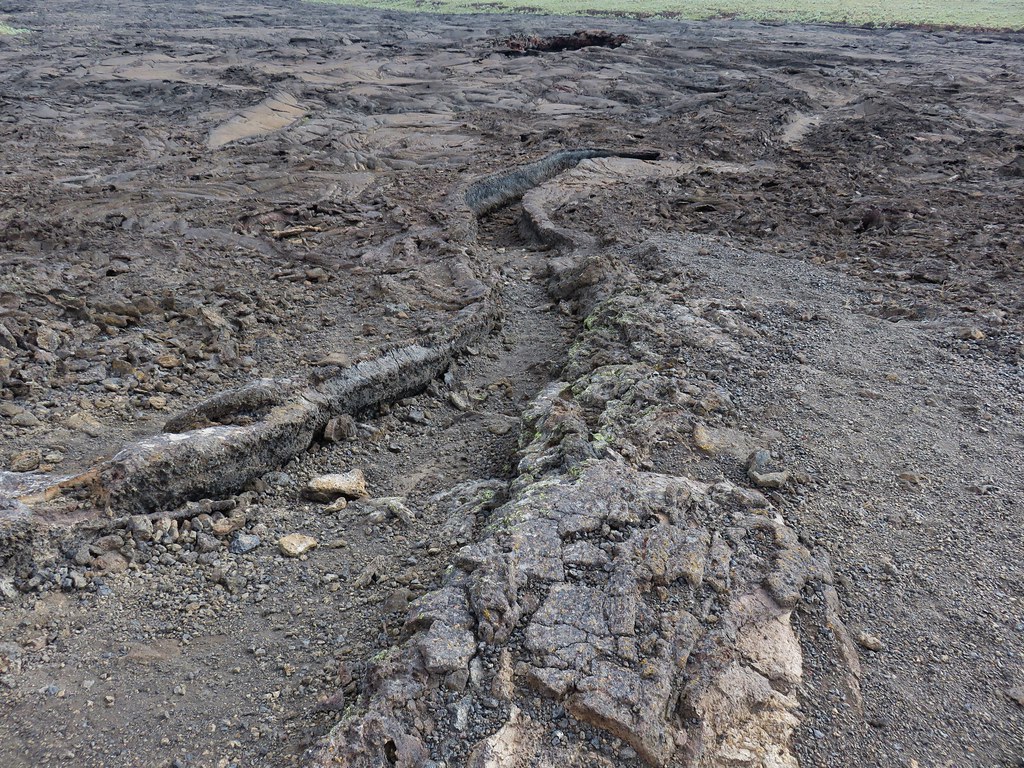
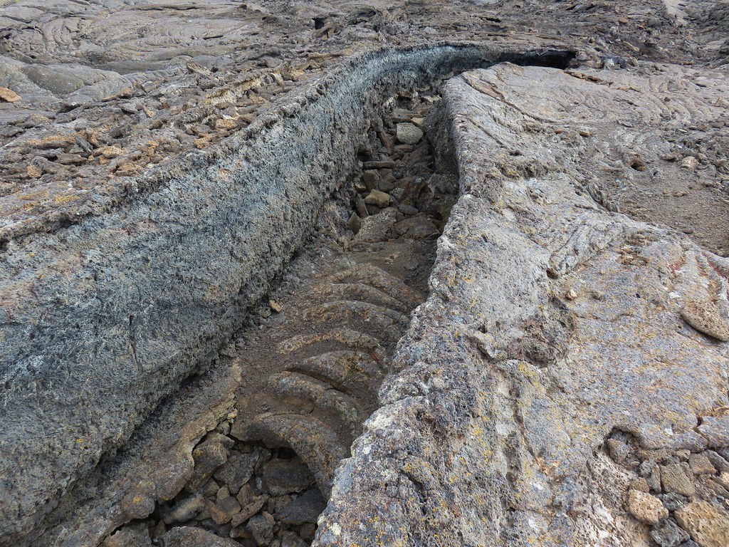
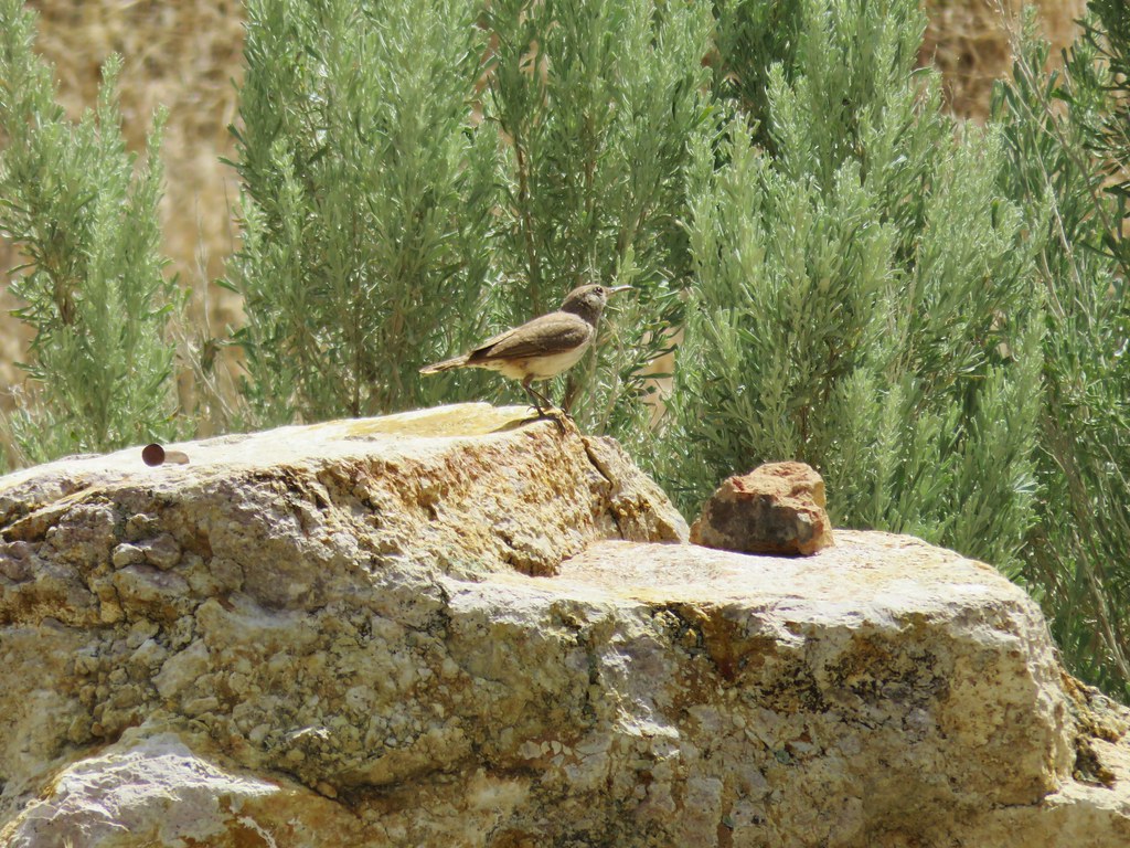
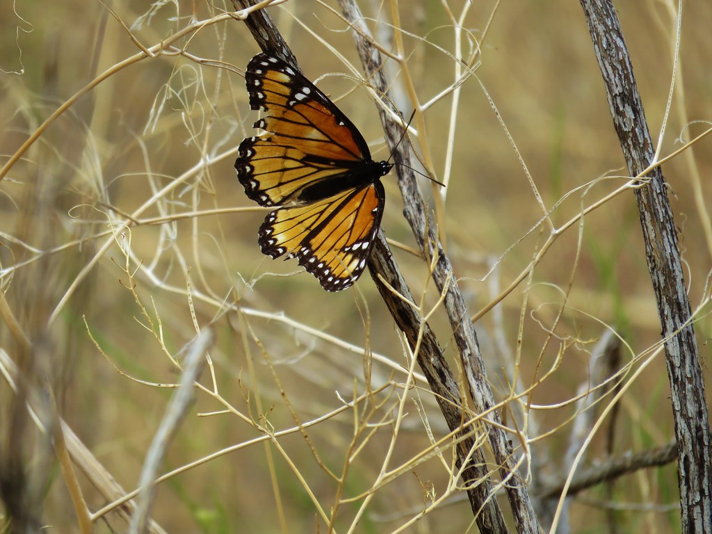
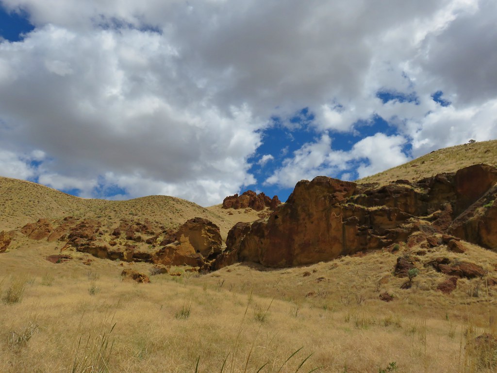
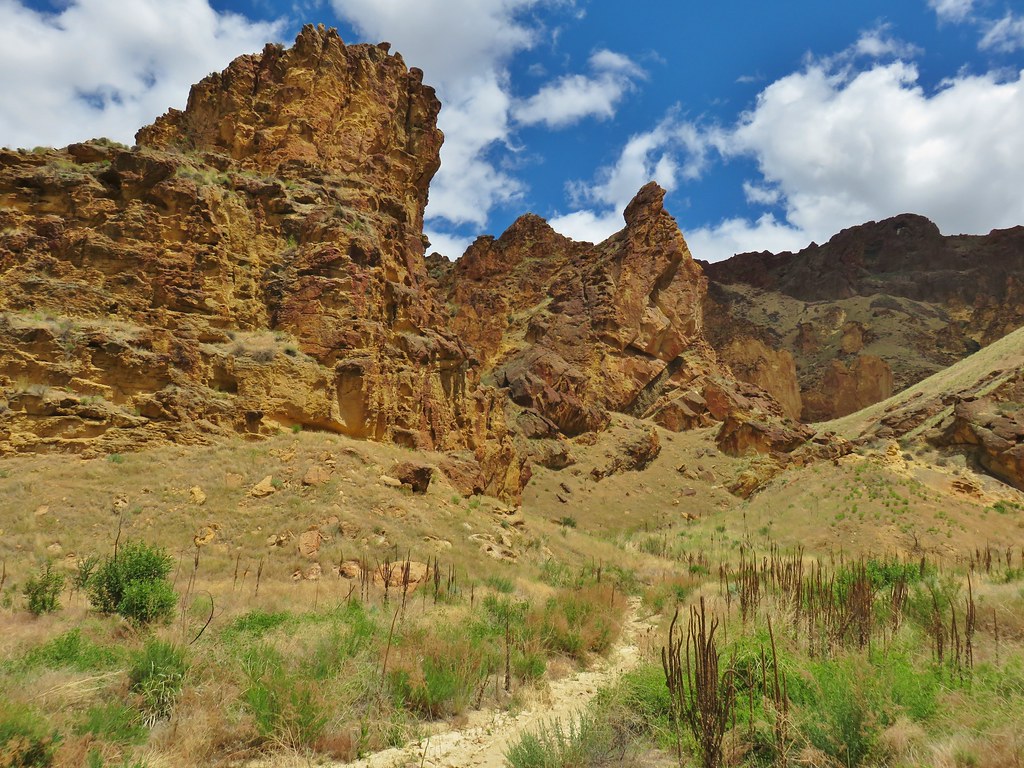
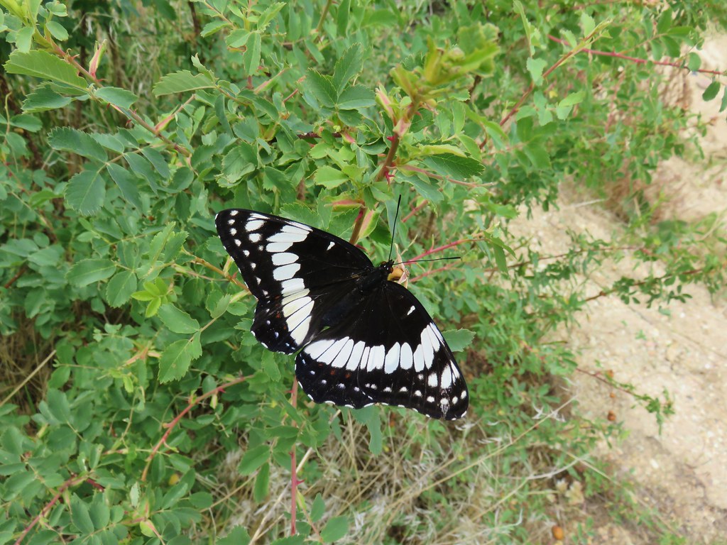
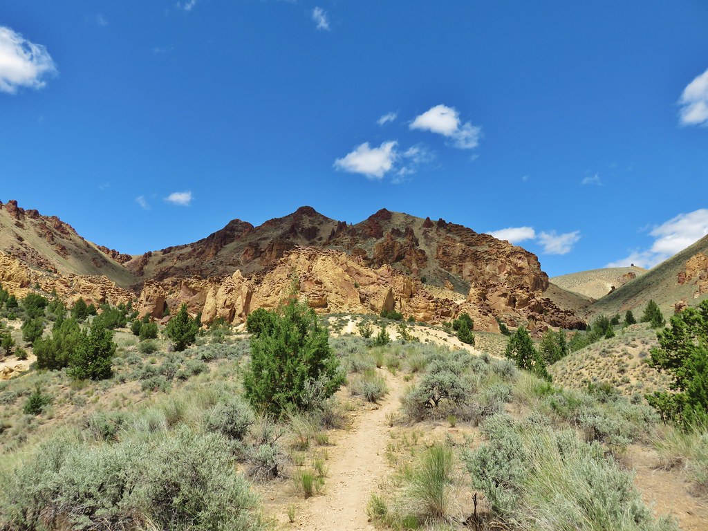
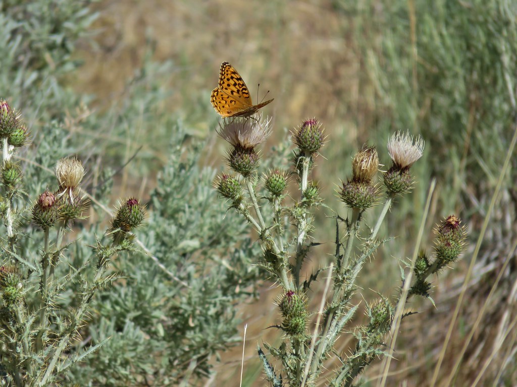
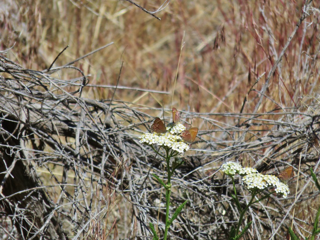
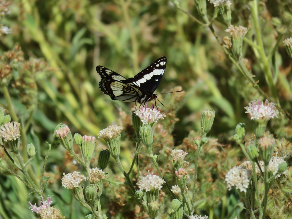
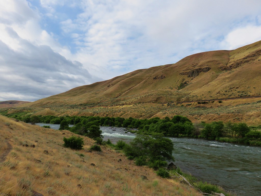
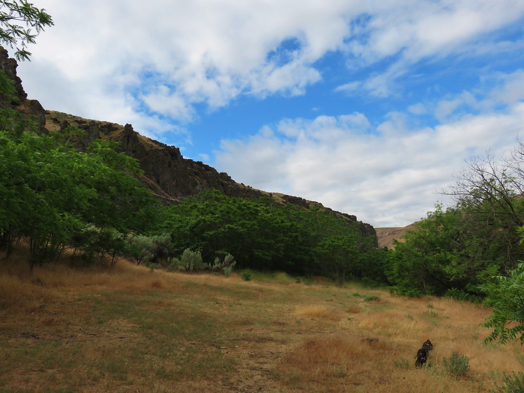
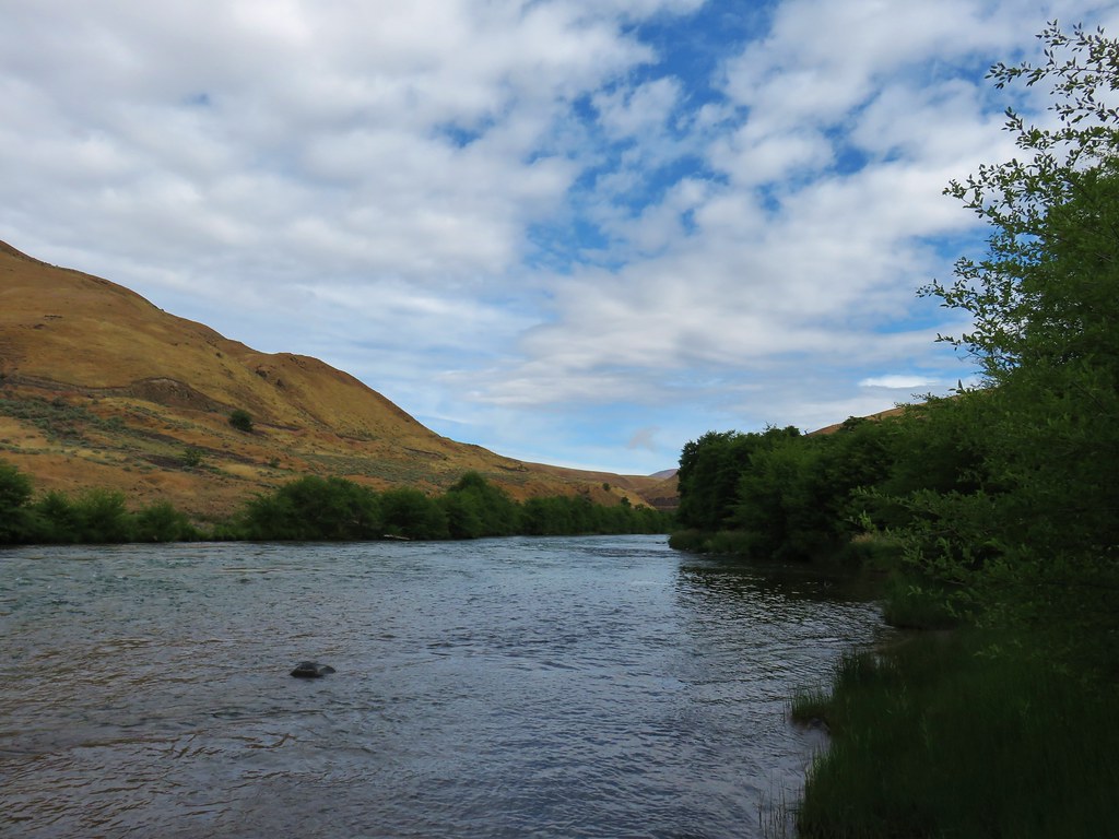
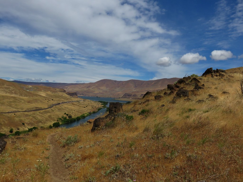
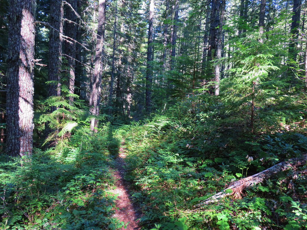
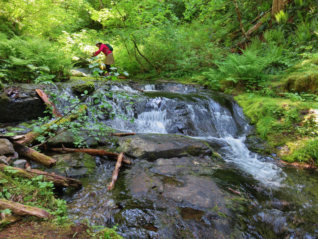
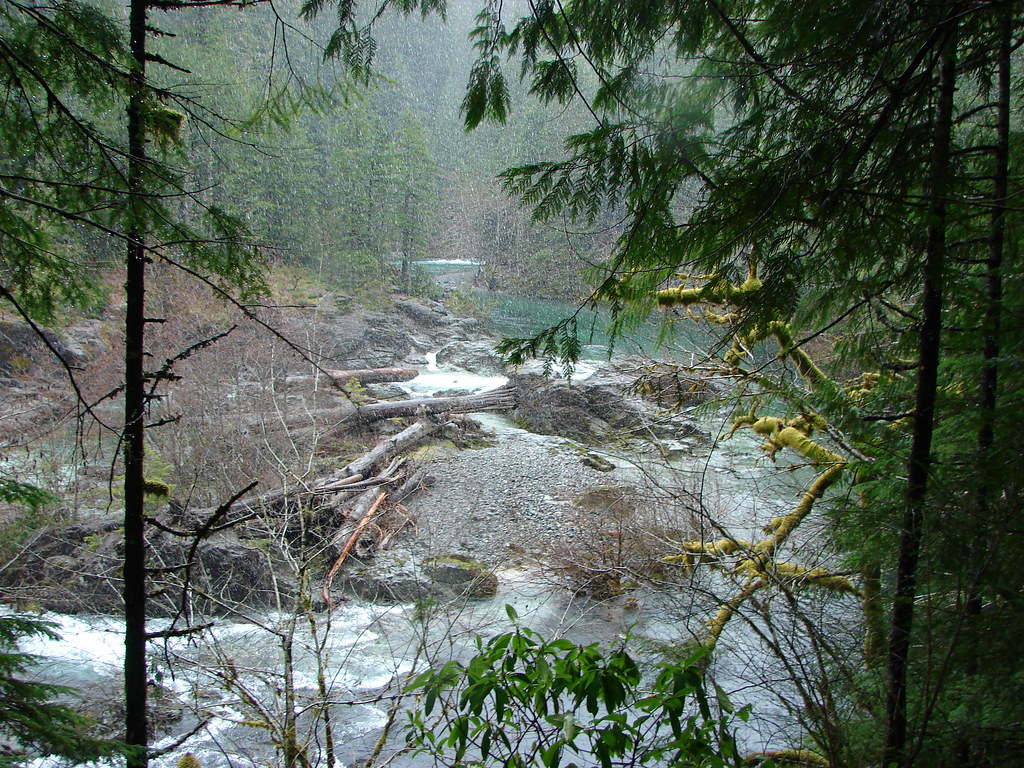
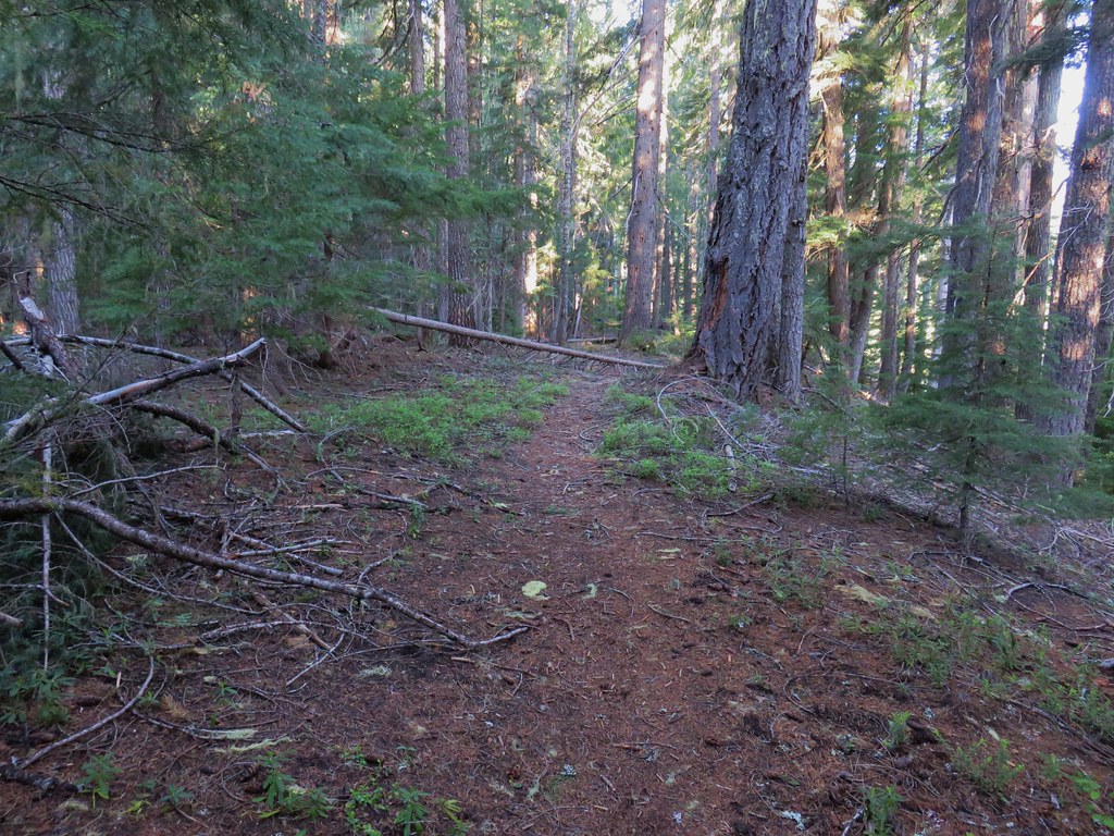
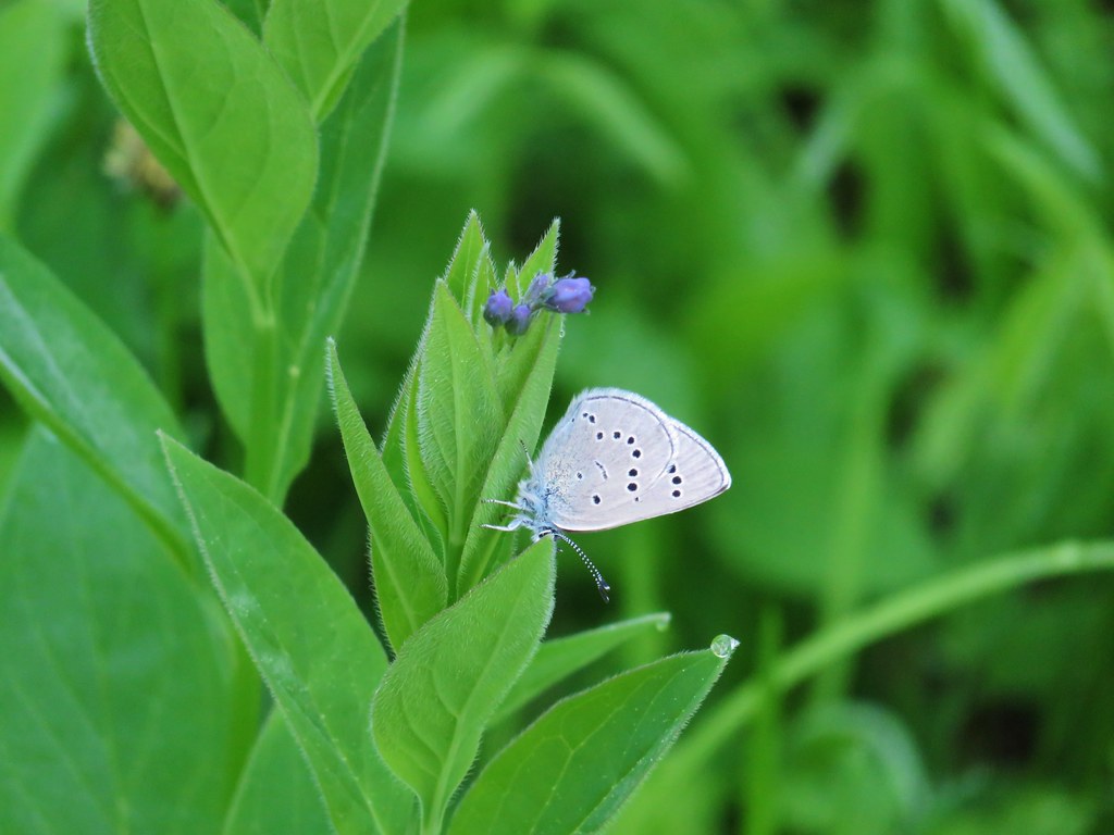
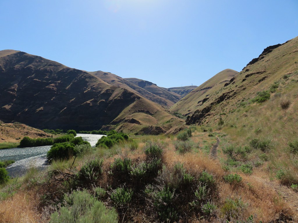
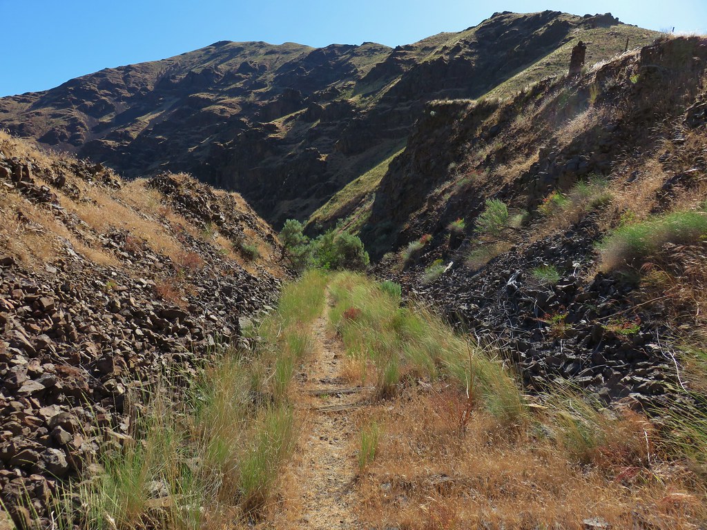
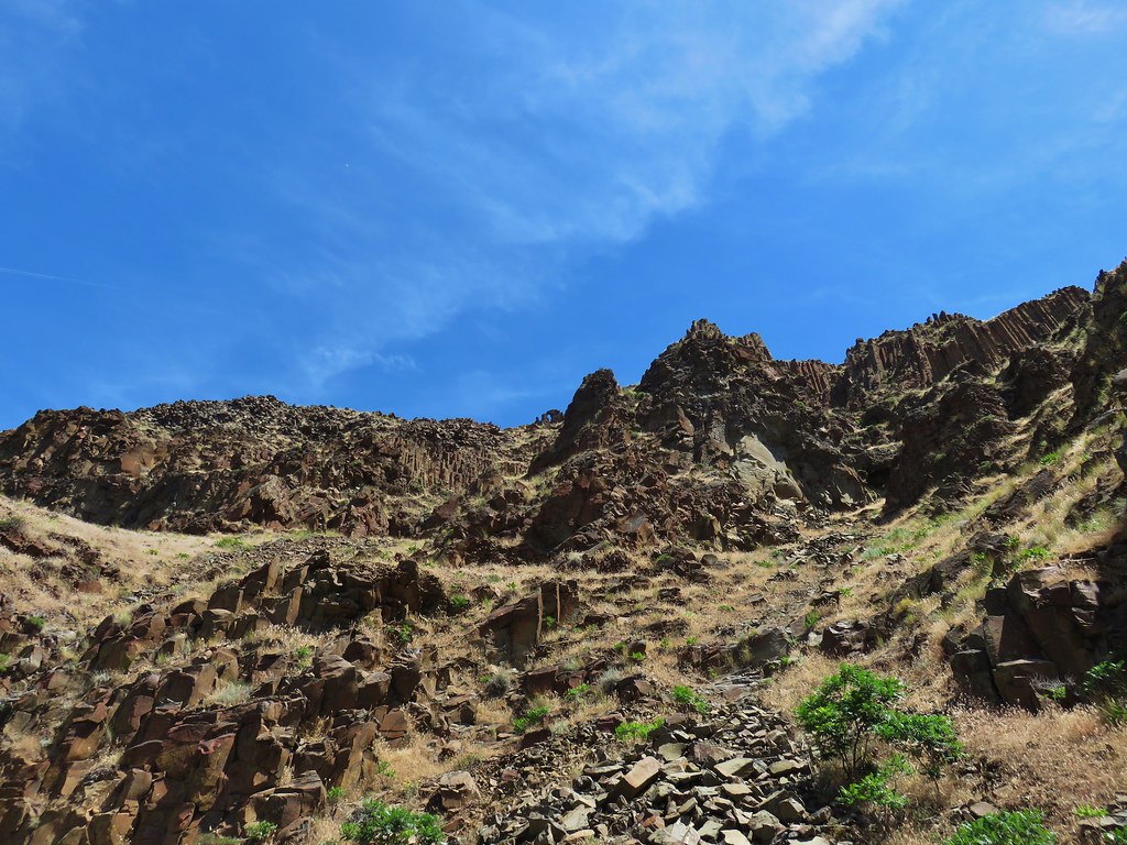
We followed cattle trails past butterflies and dragonflys to the Owyhee River where we picked up an ancient wagon route.
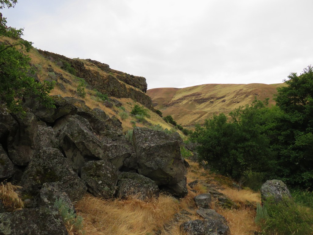
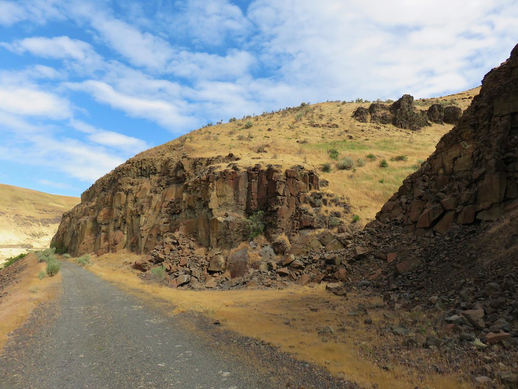
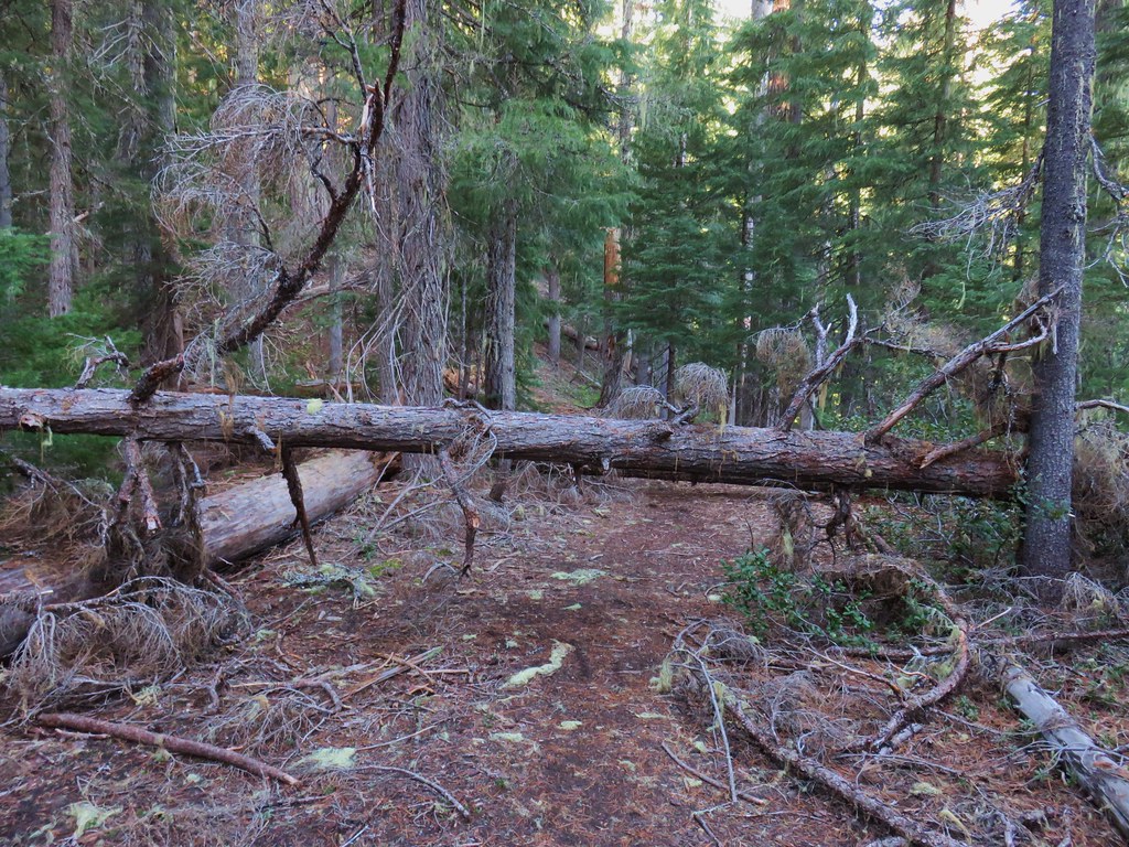
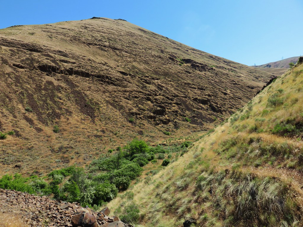
The old wagon route was occasionally obvious due to the presence of rock embankments. A confusion of faint cattle trails followed the route and we spent most of the time wondering which “trail” was the one we should be on.
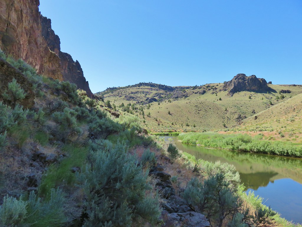
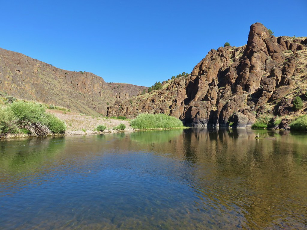
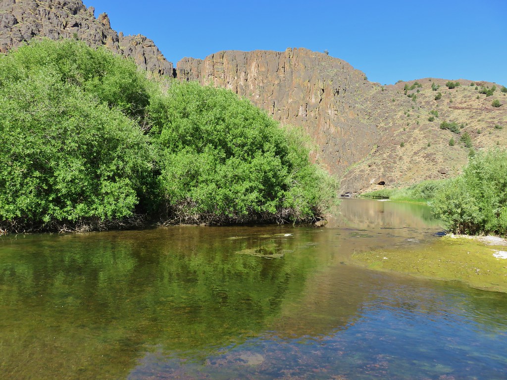
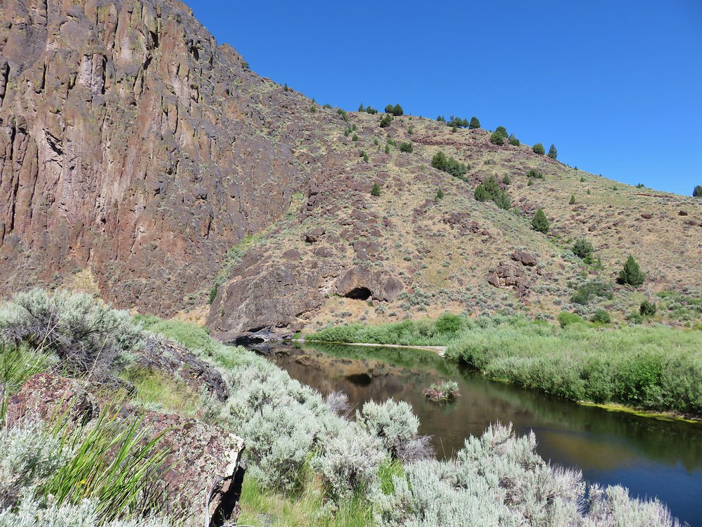
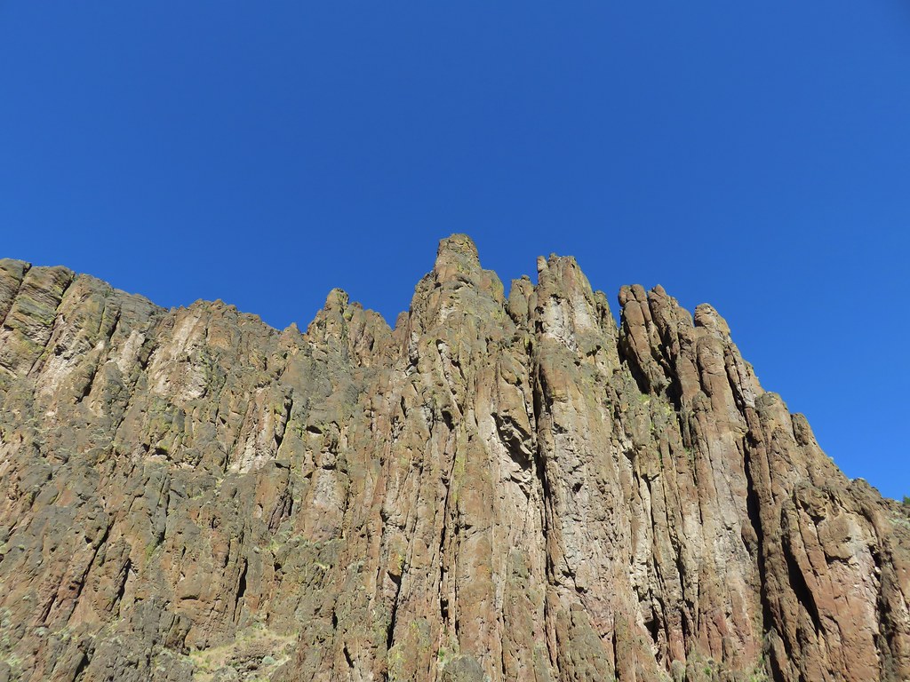
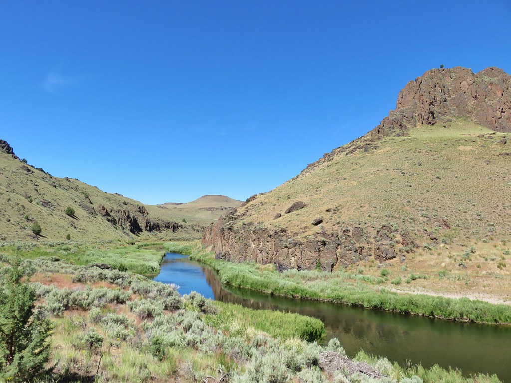
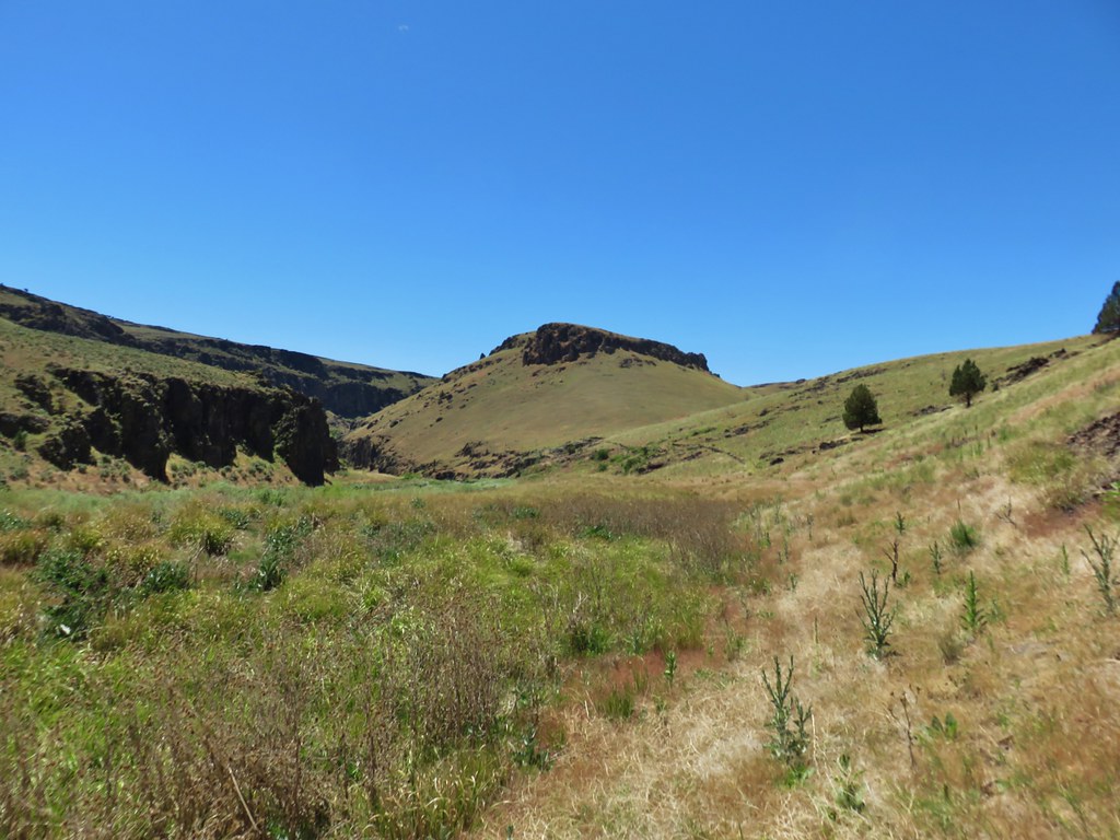
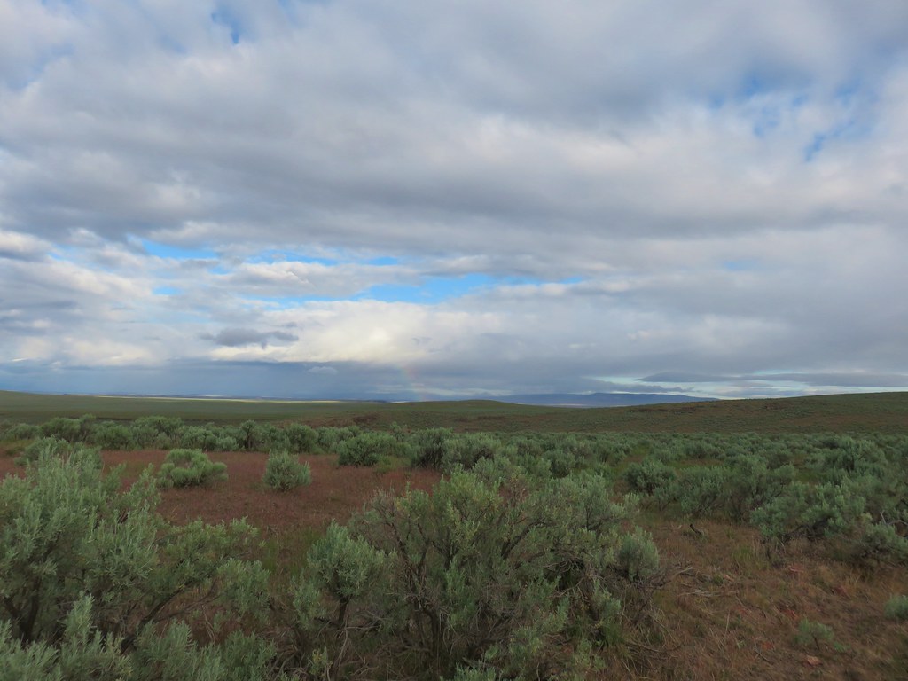
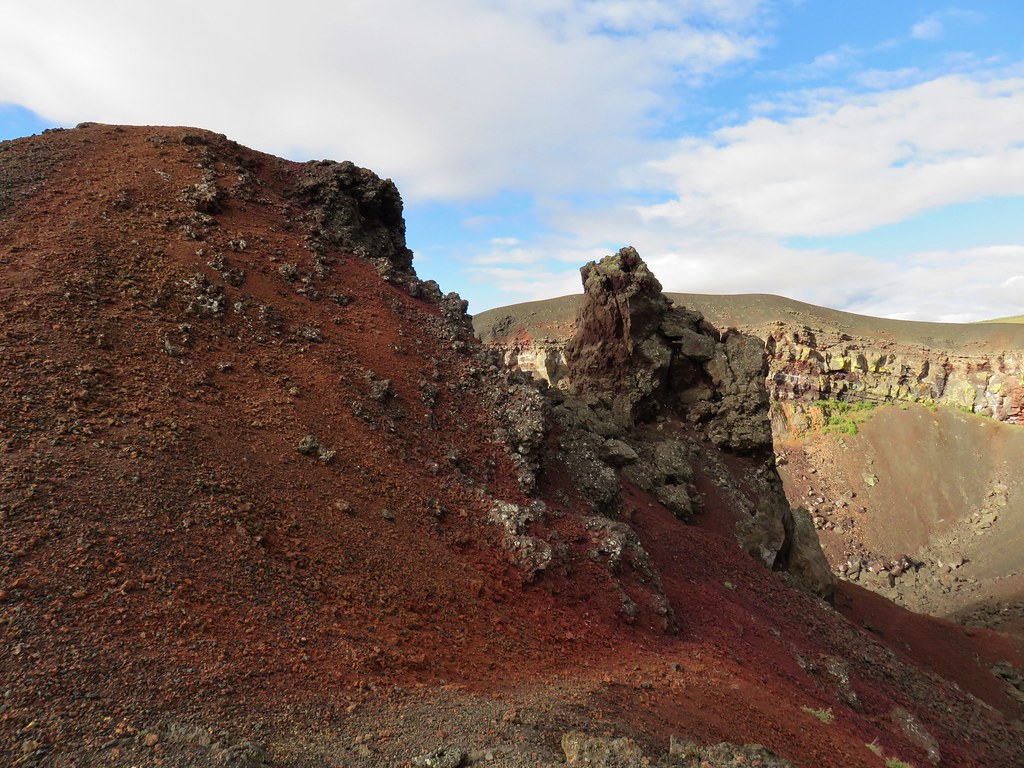
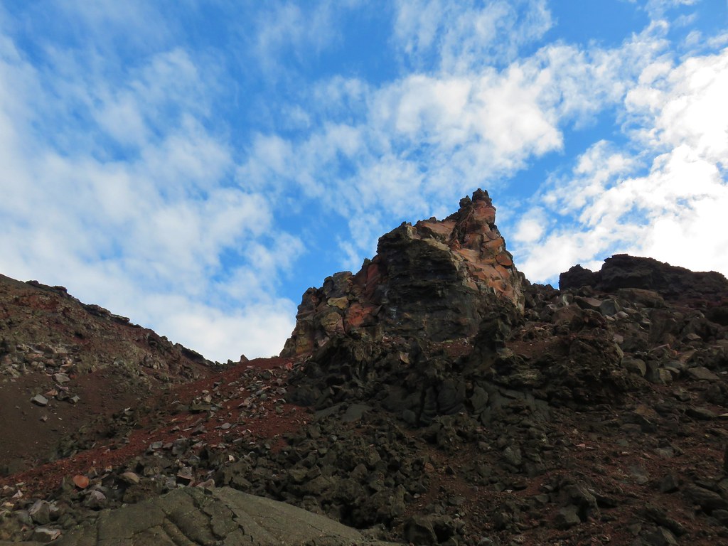
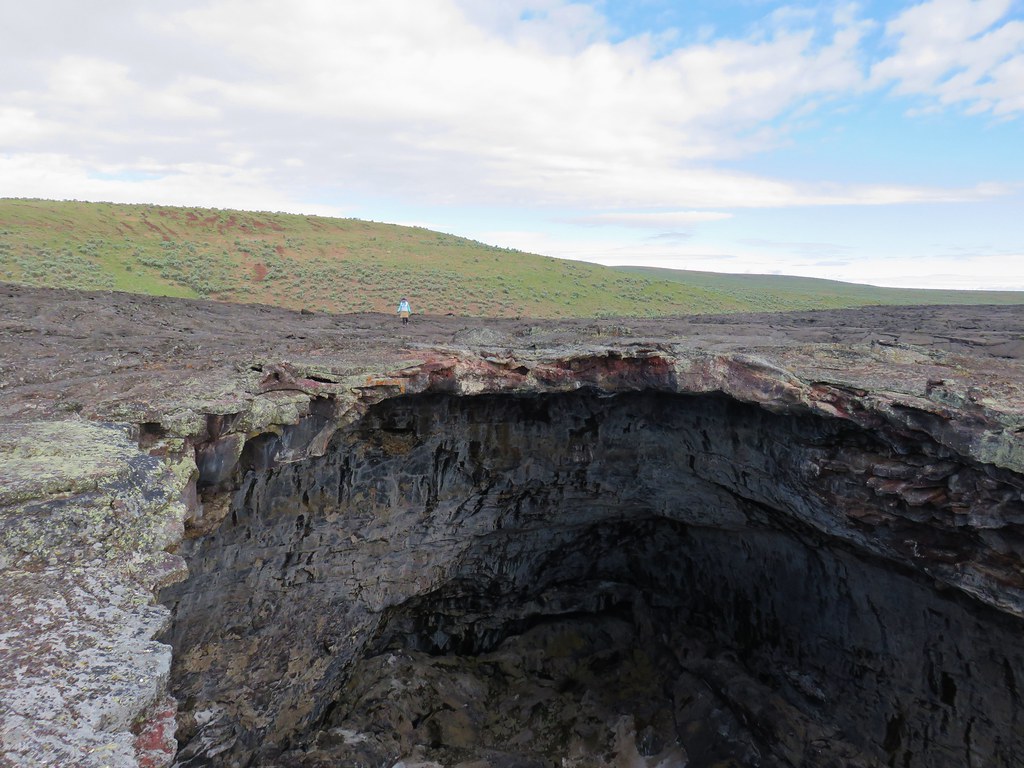
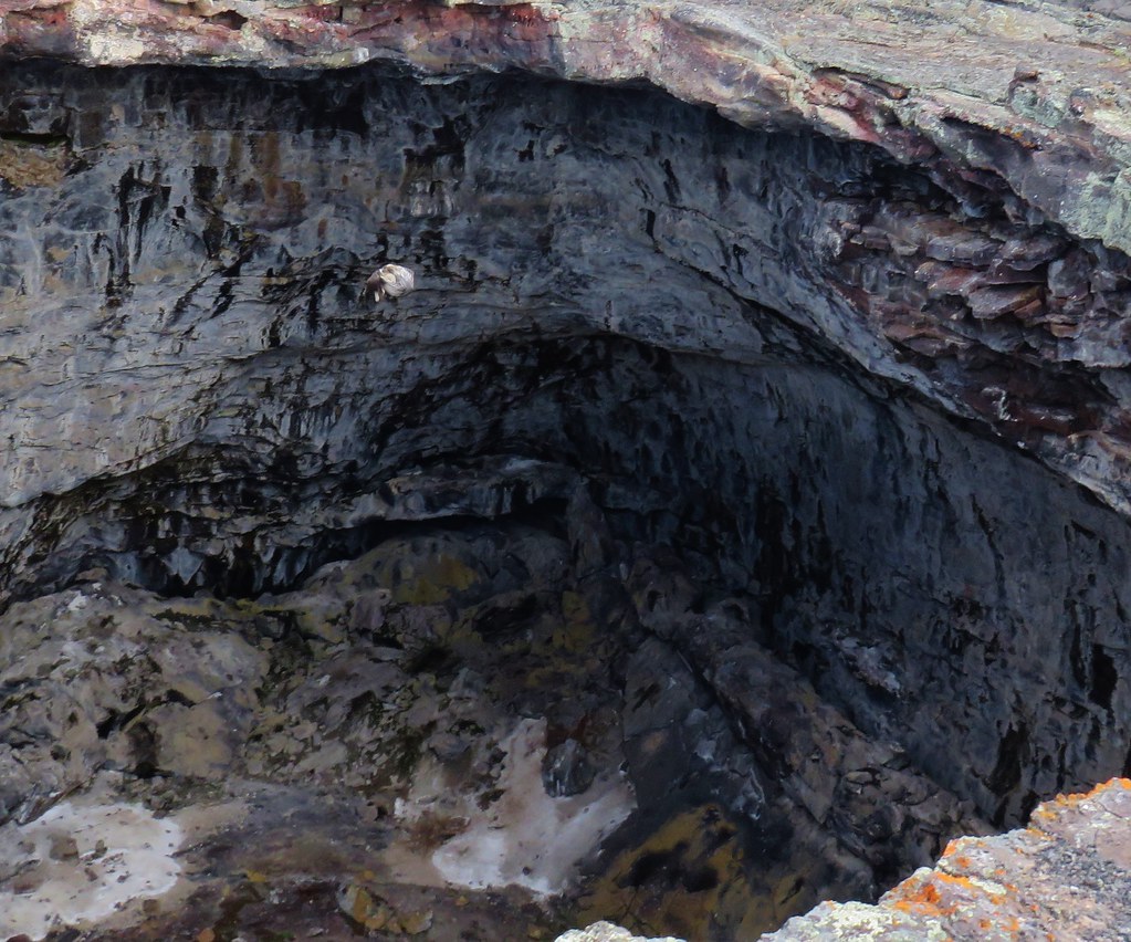
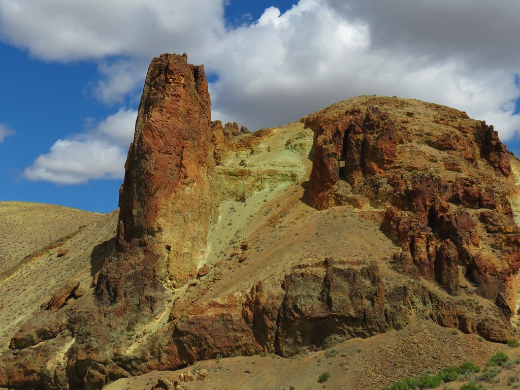
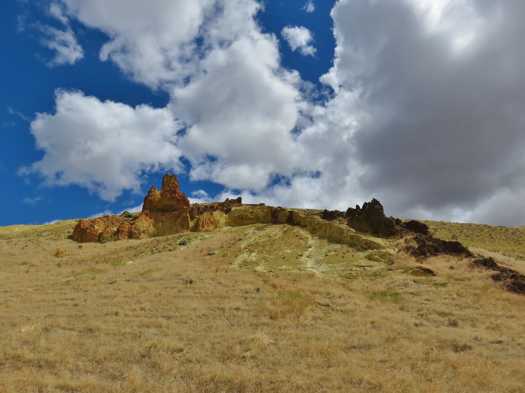
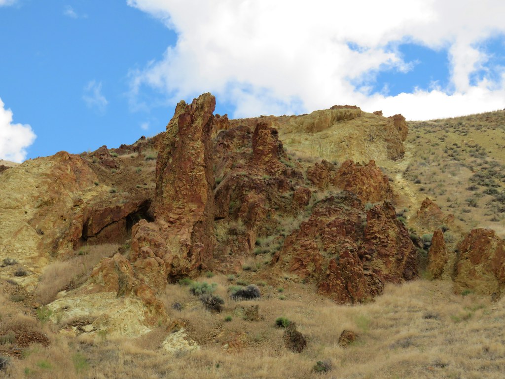
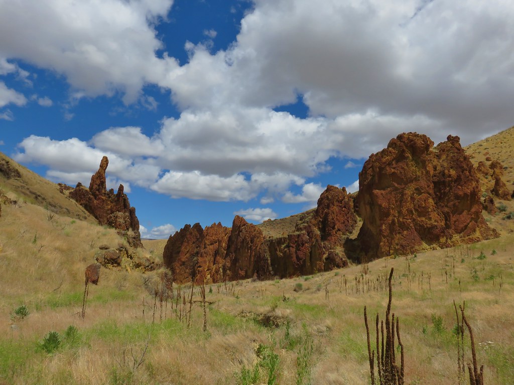
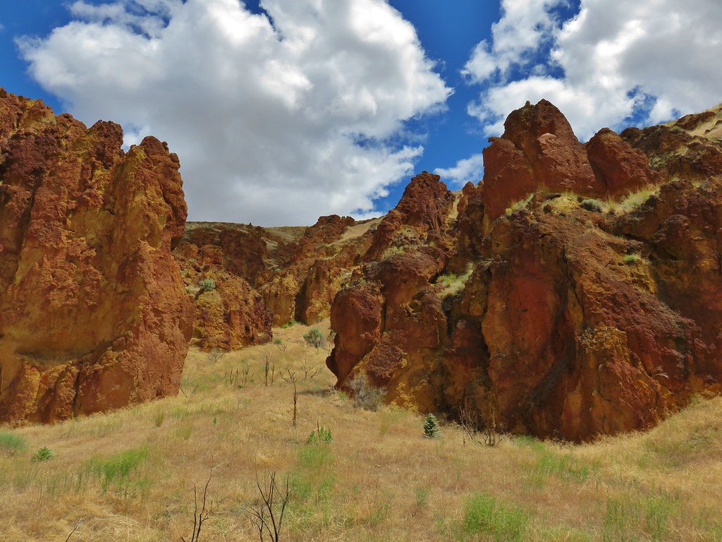
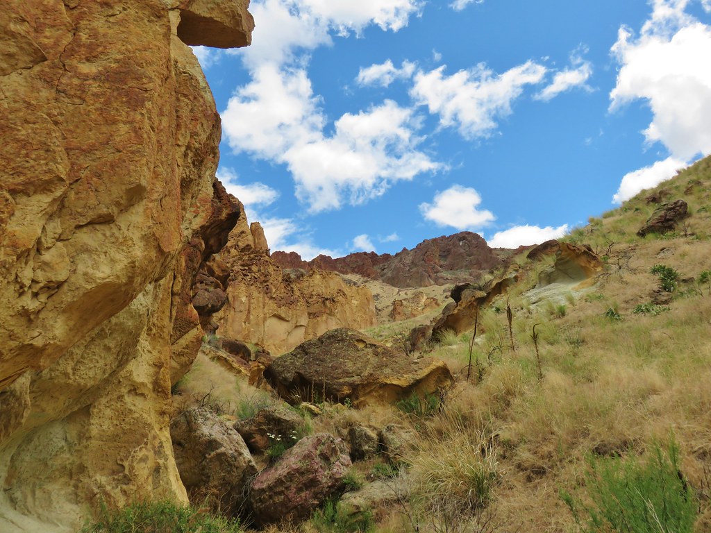
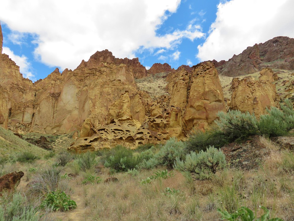
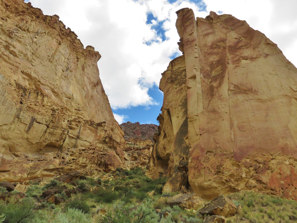
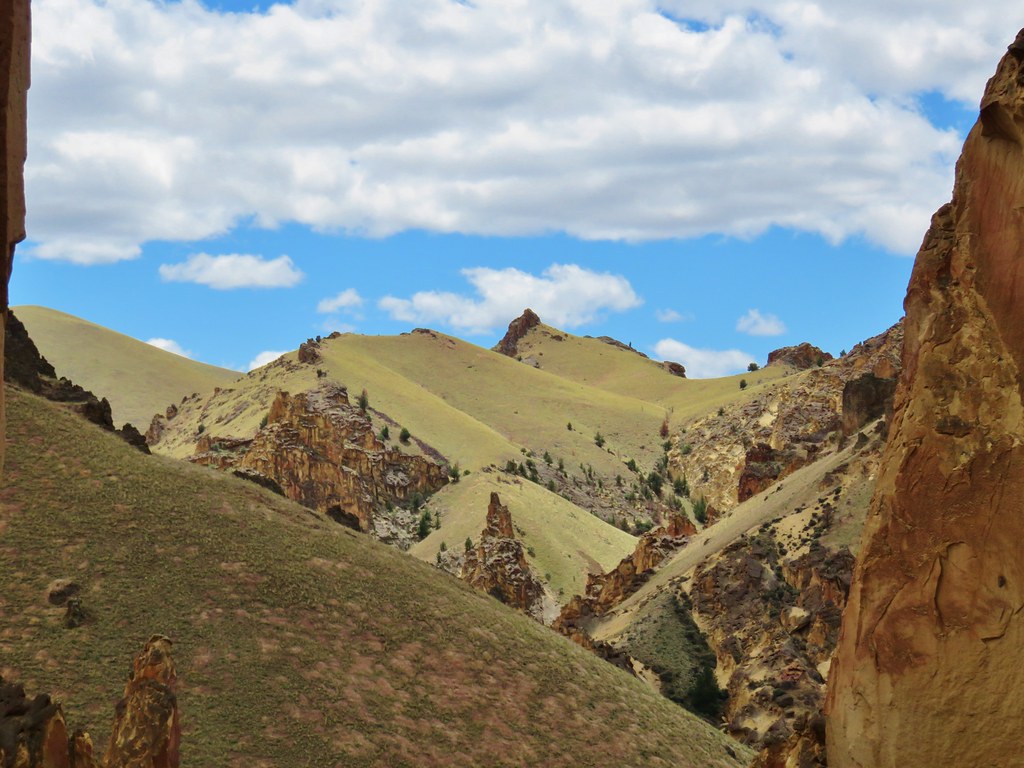
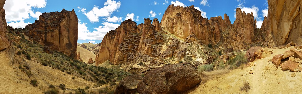
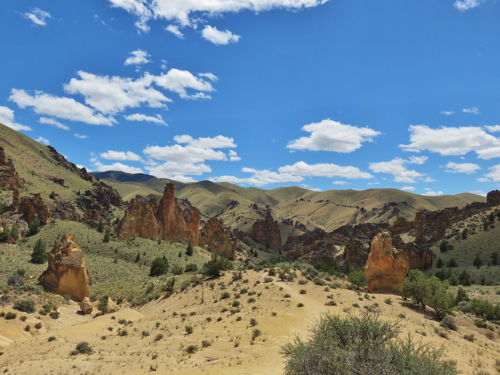
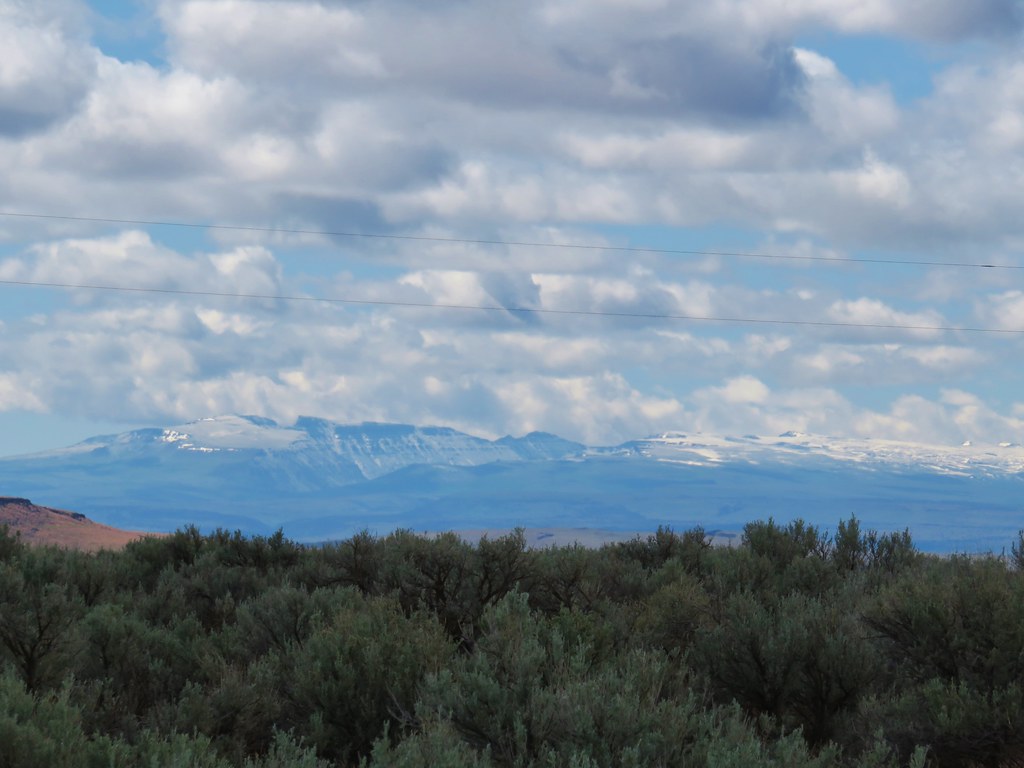
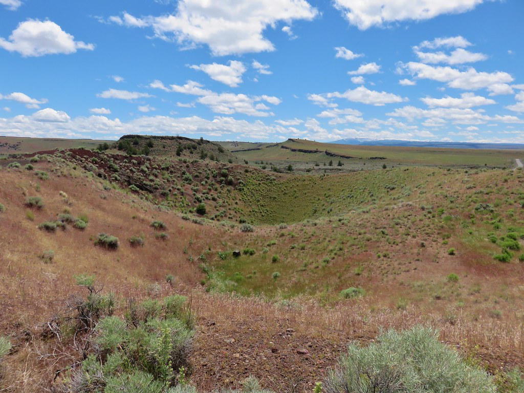
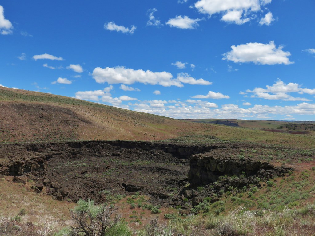
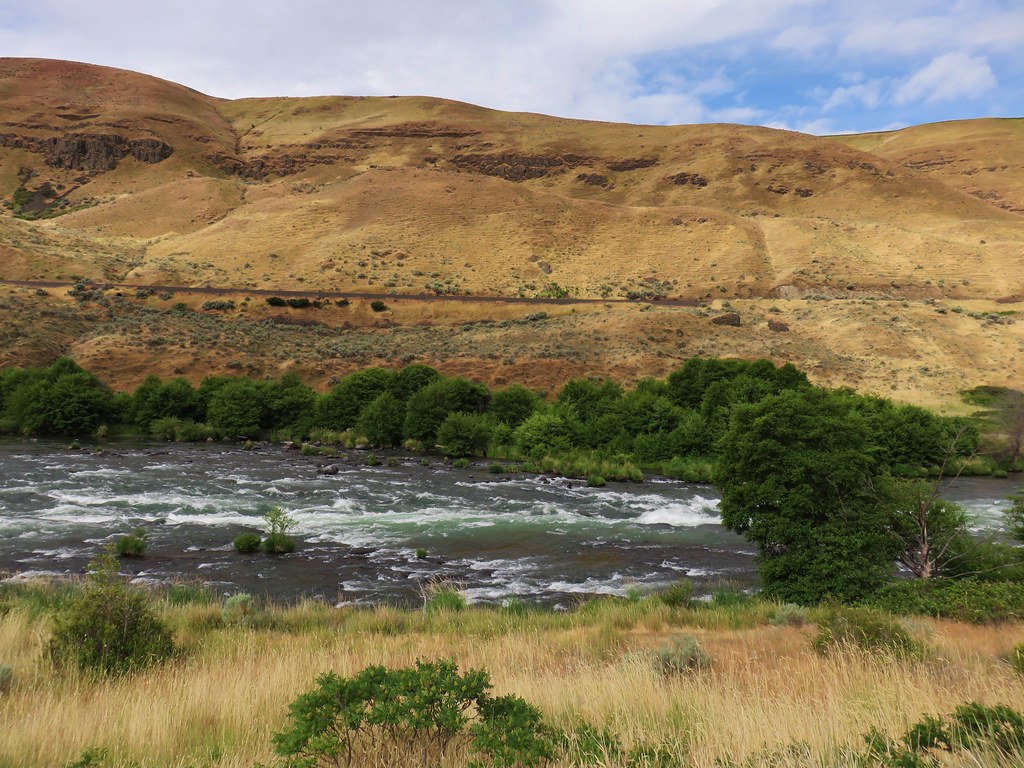
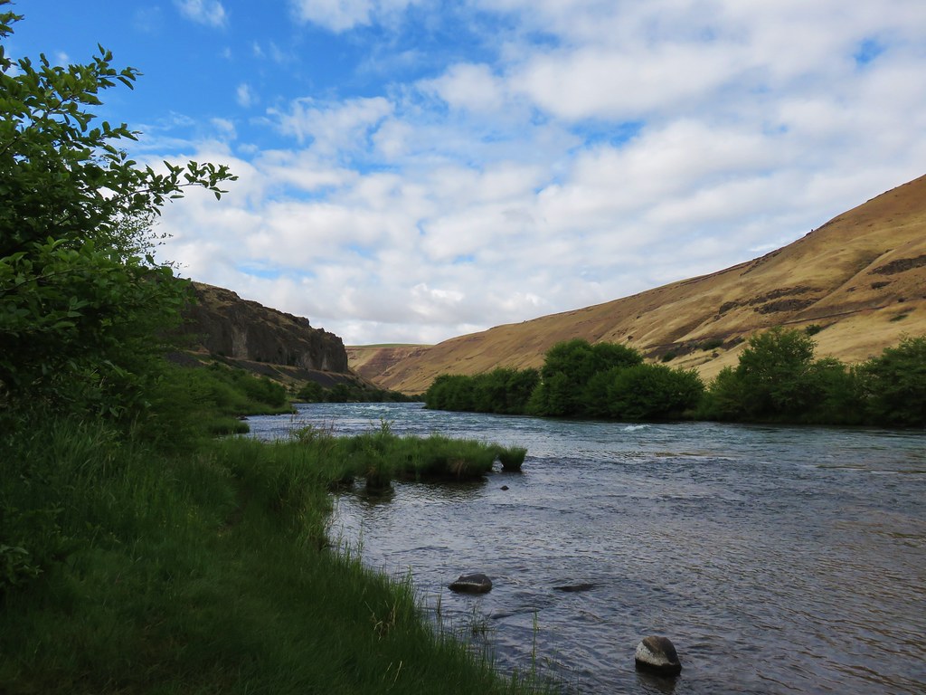
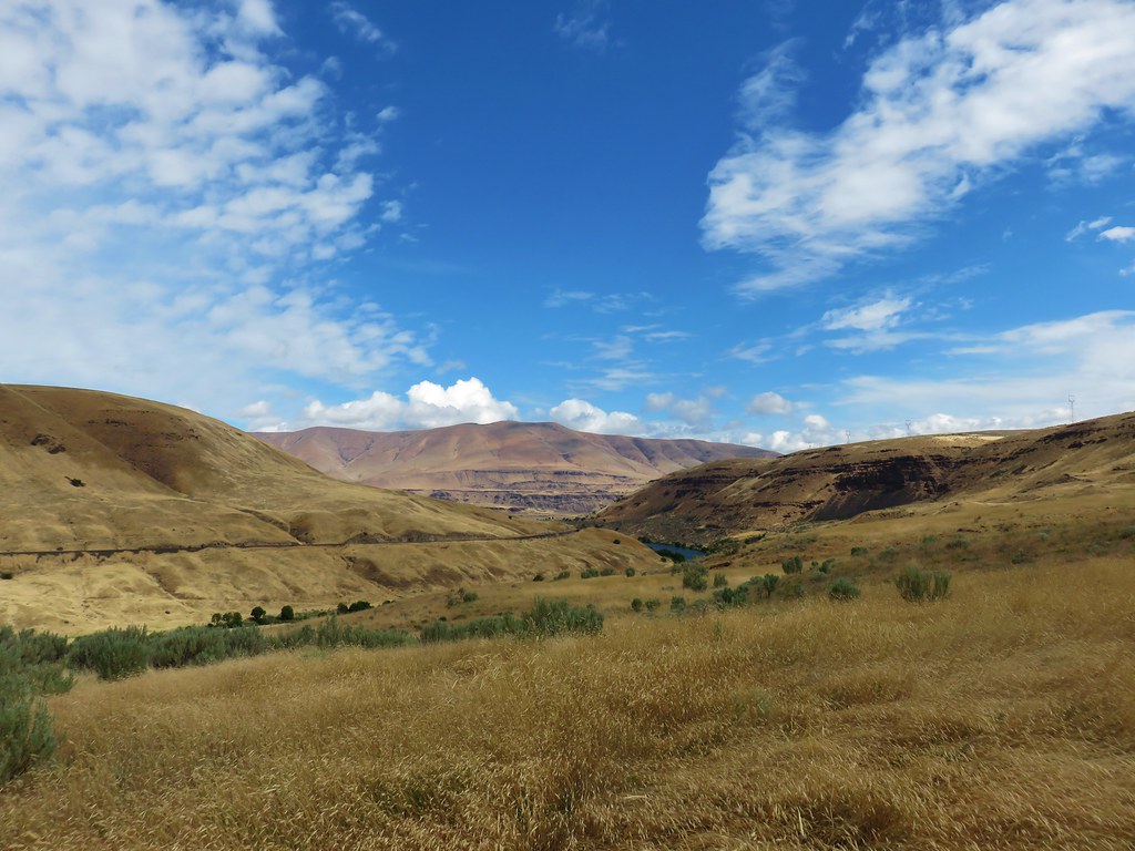
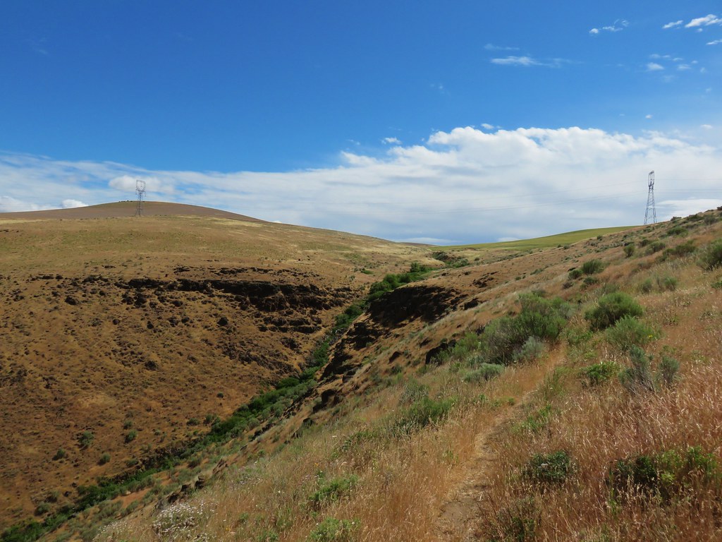
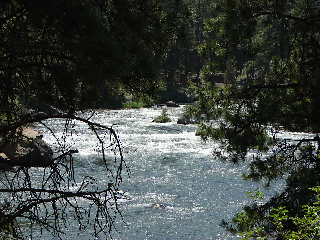
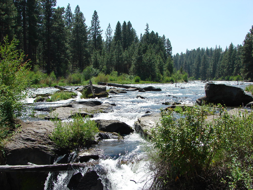
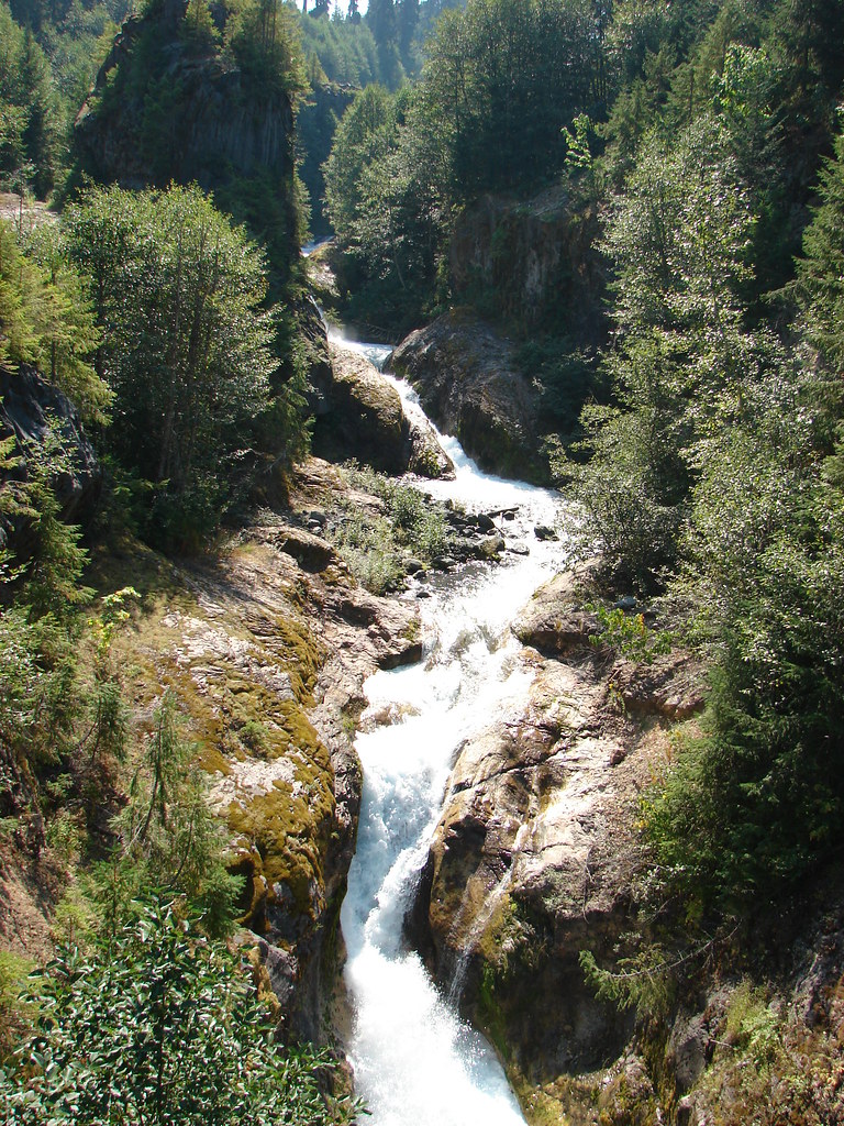
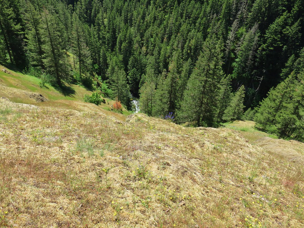
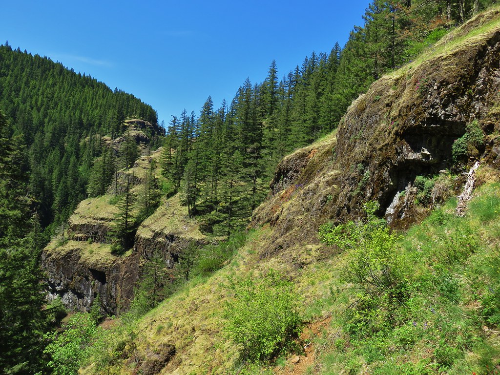
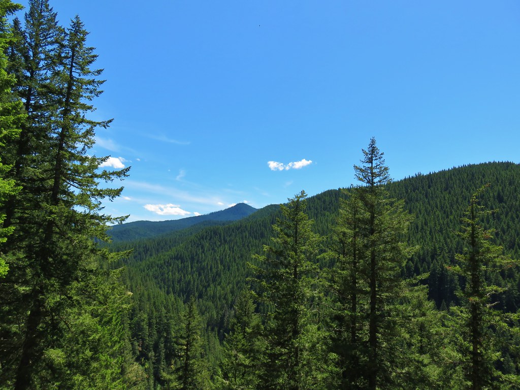
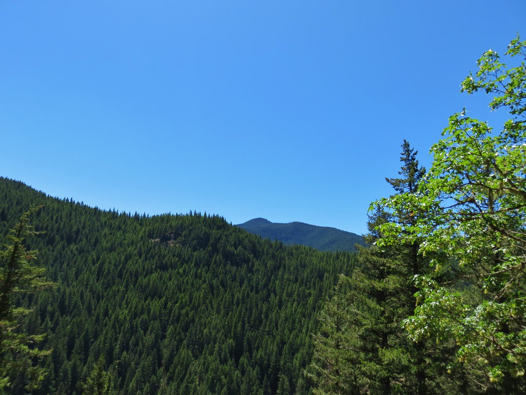
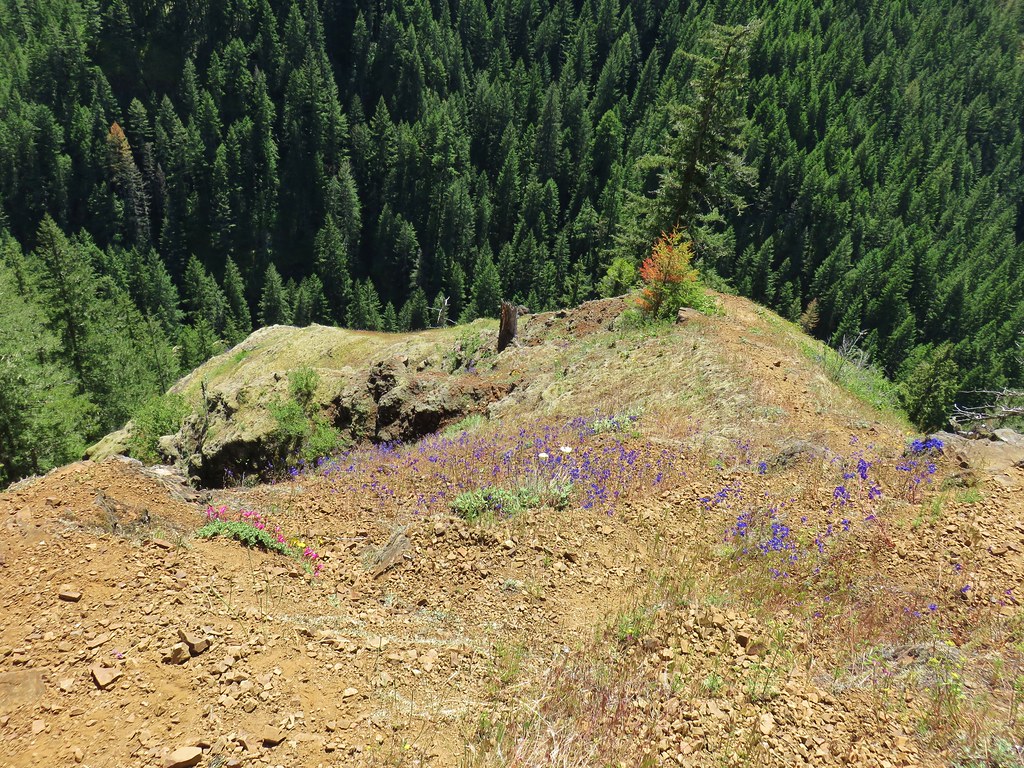
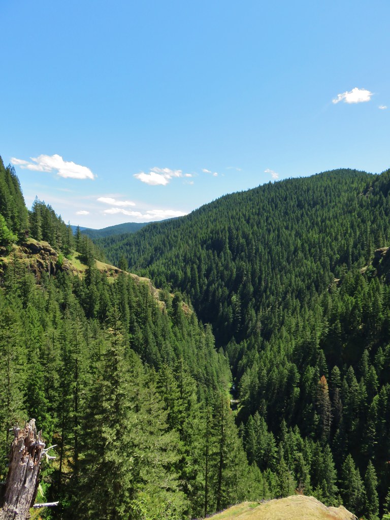
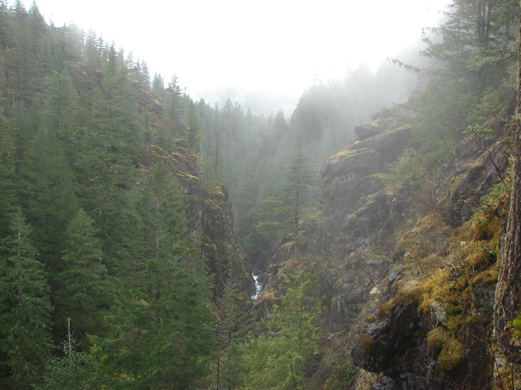
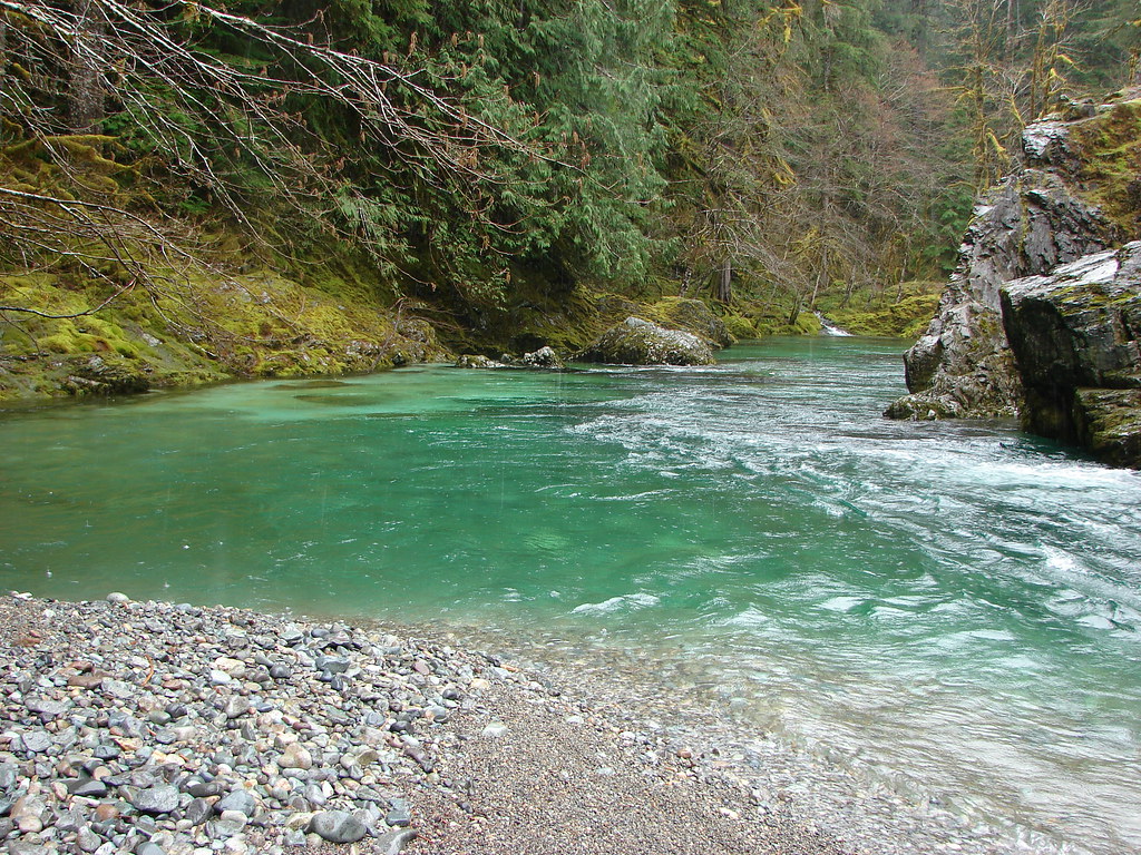
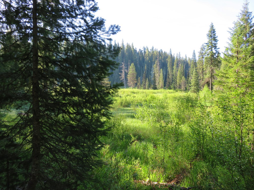
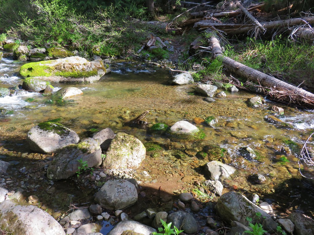
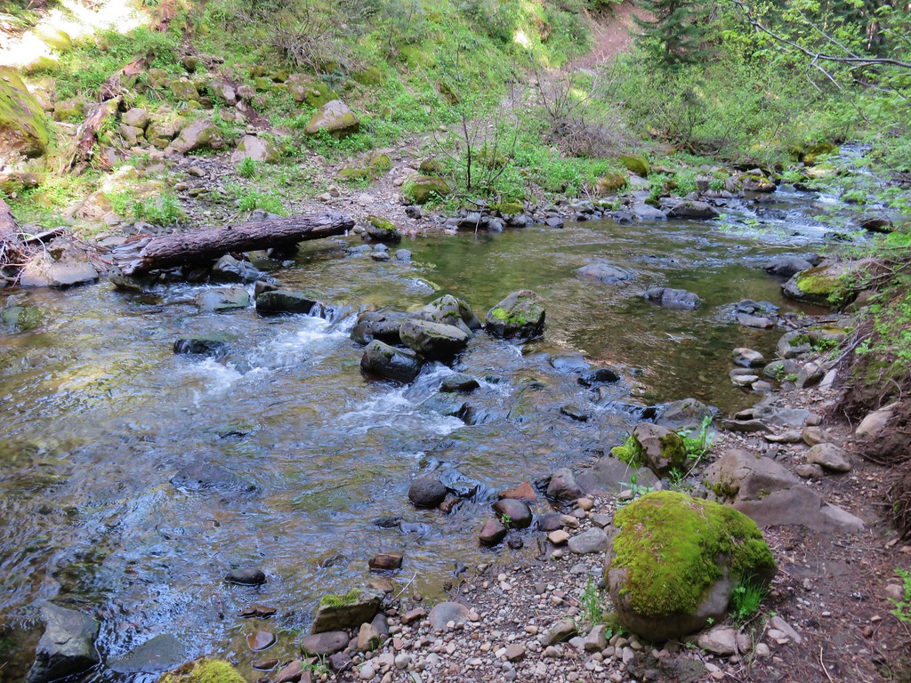
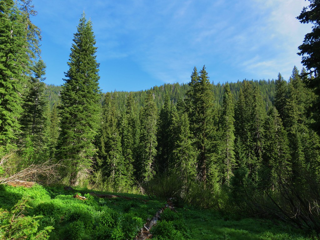
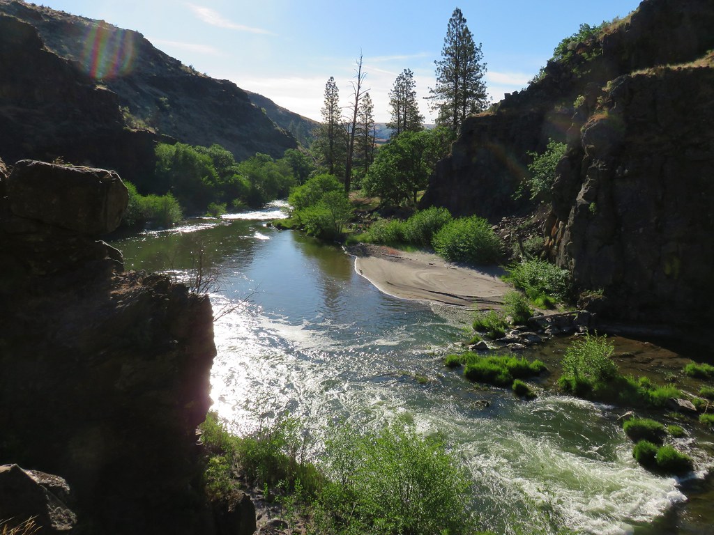
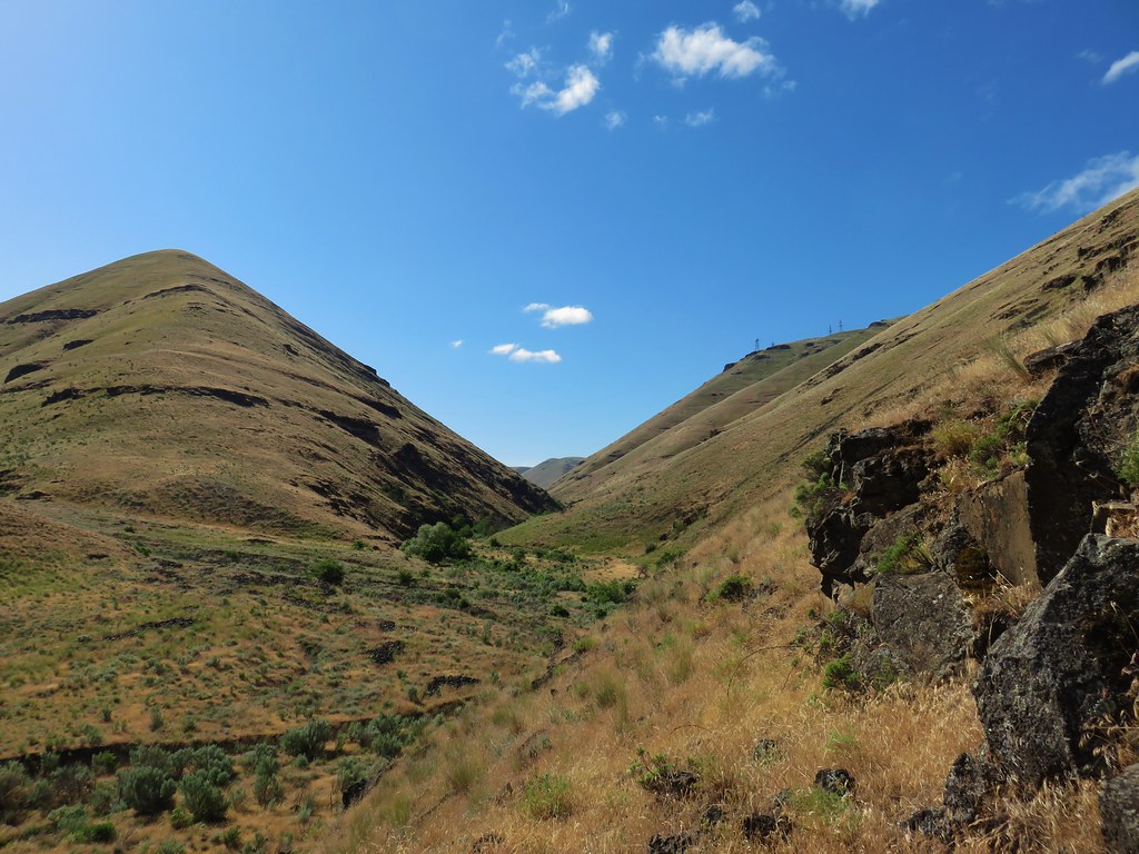
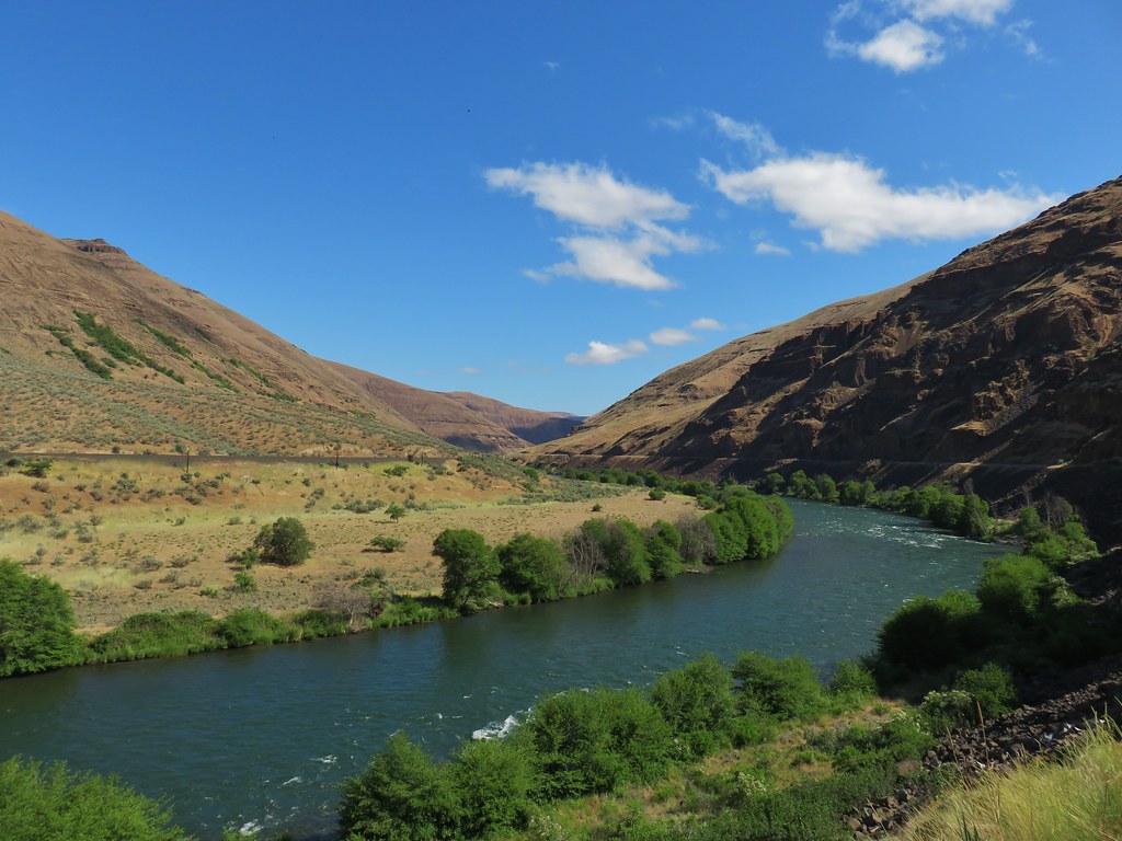
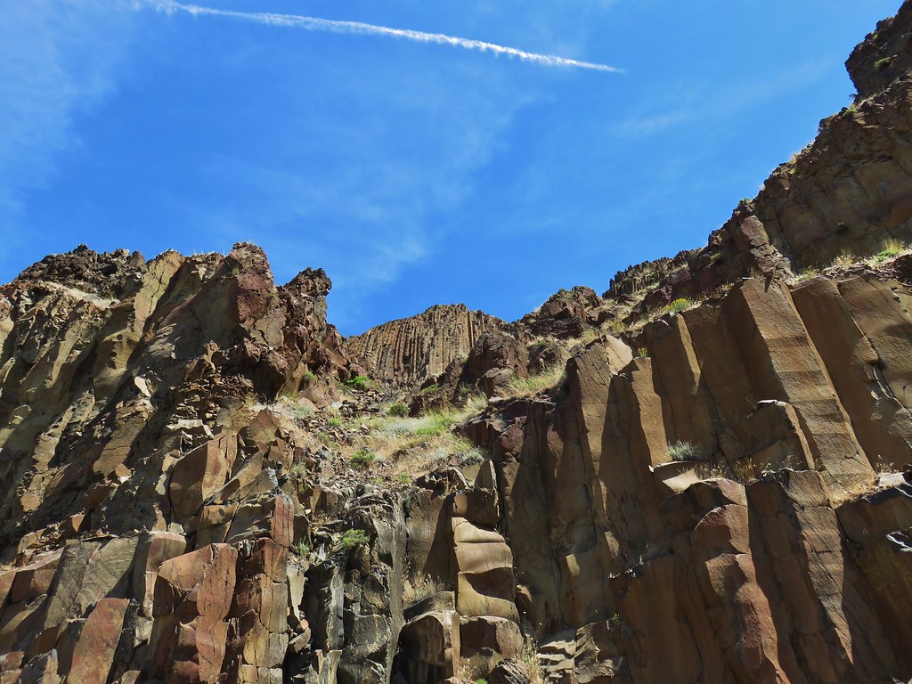
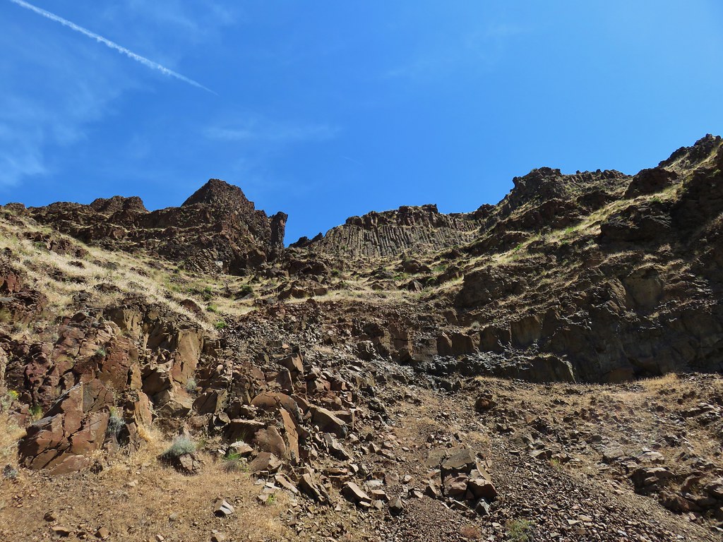
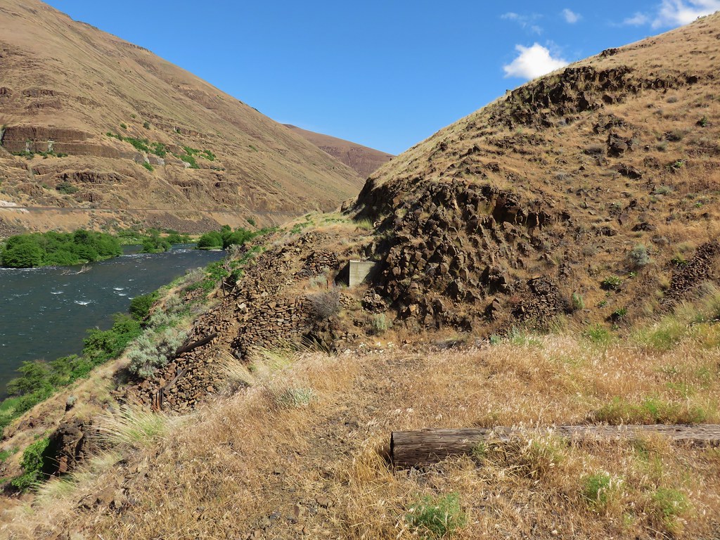
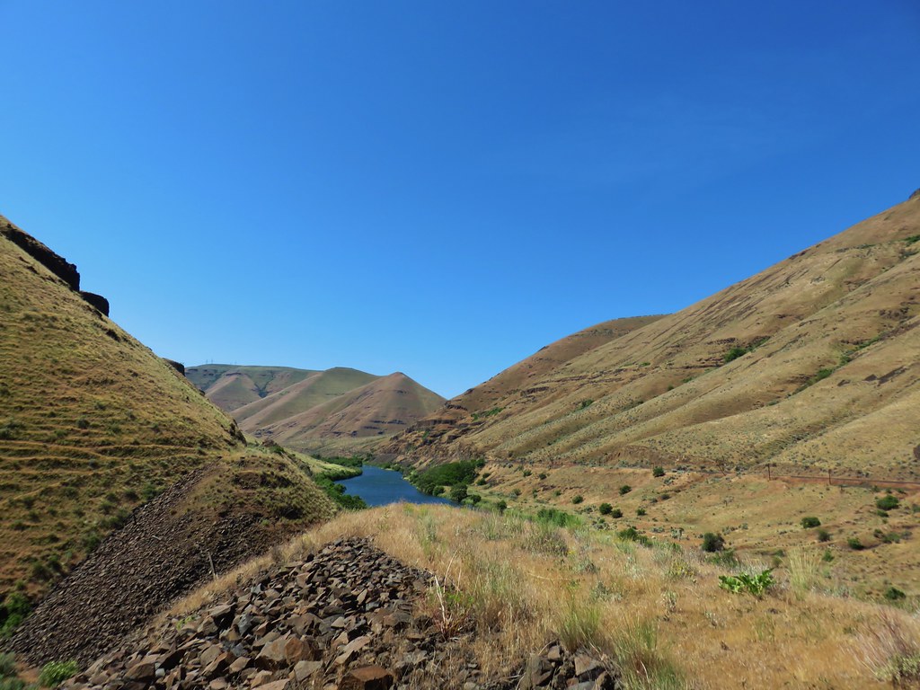
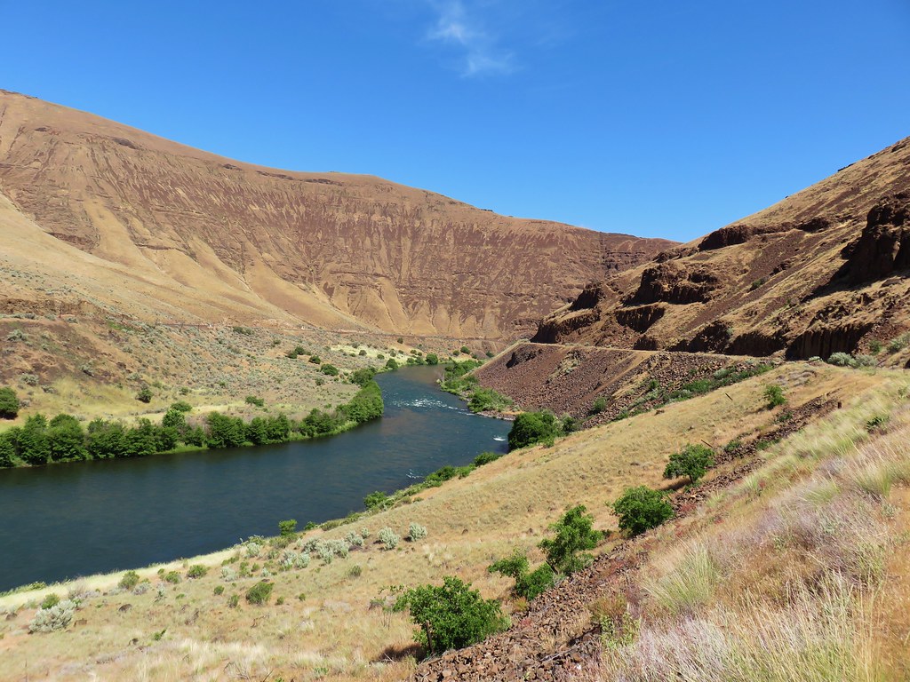
We passed through a canyon with tall cliffs on both sides.
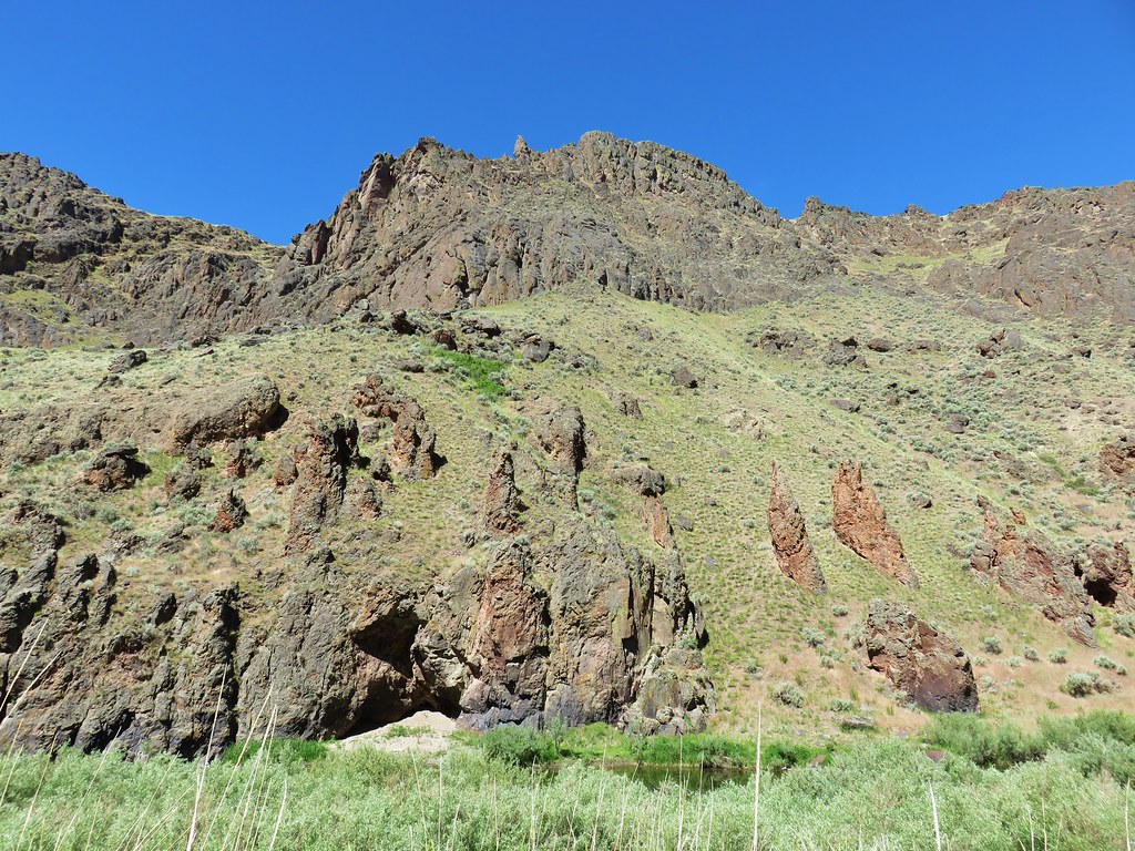
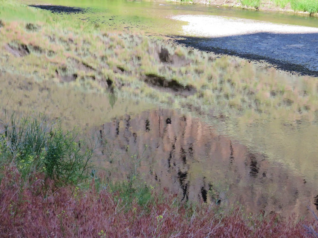
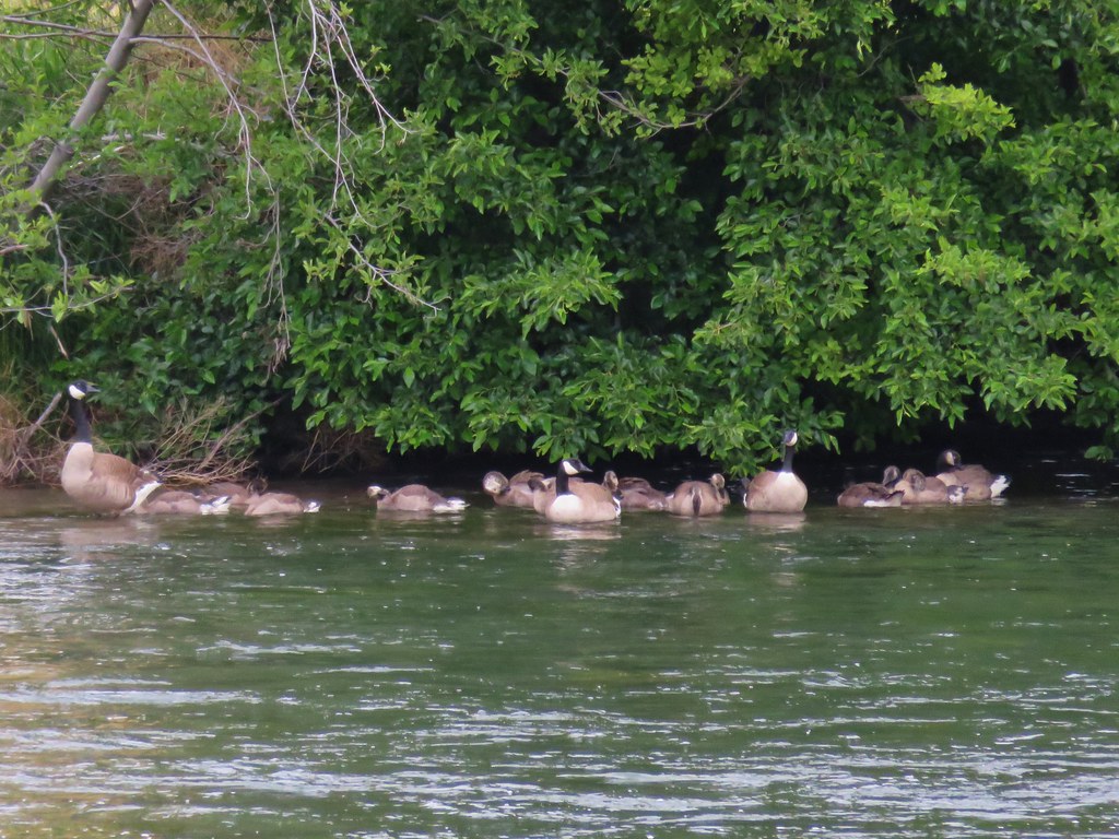
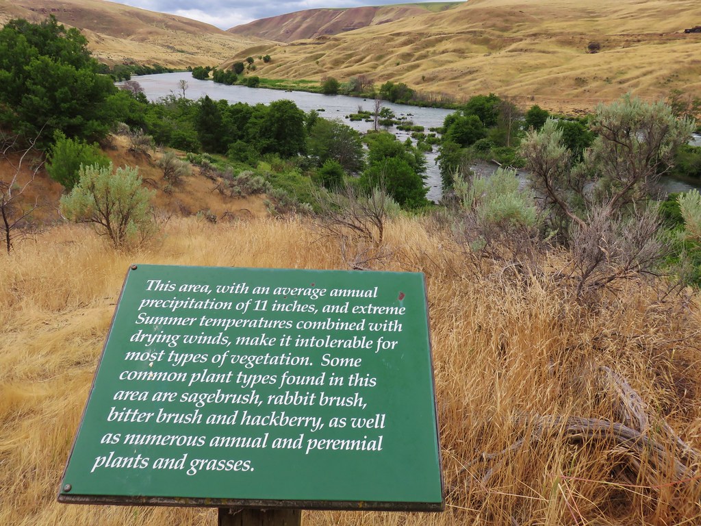
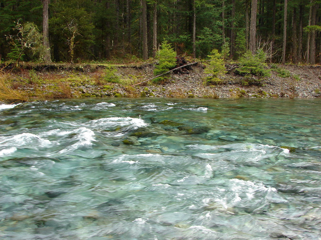
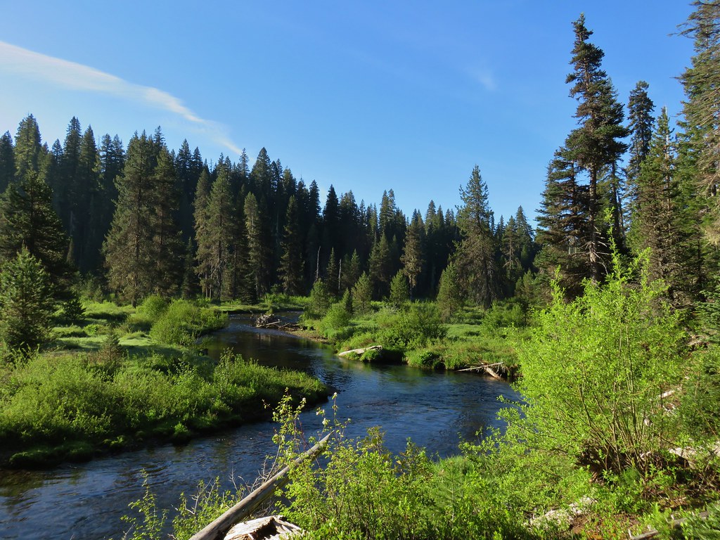
The Owyhee wound through the canyon often reflecting the rocky cliffs above.
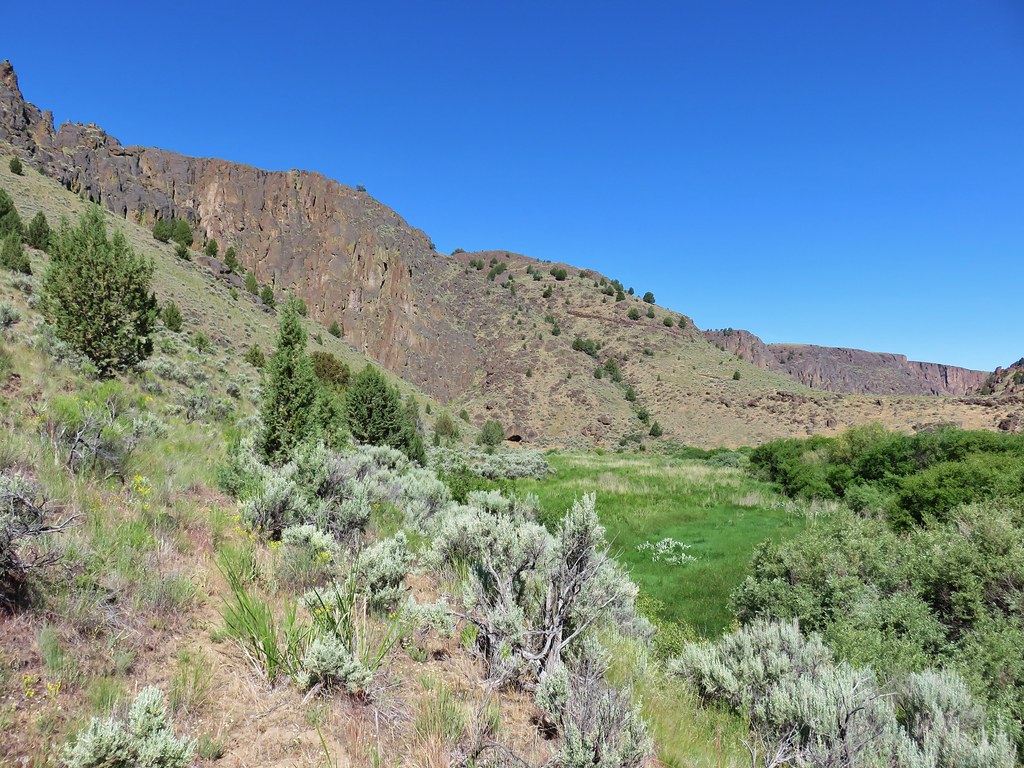
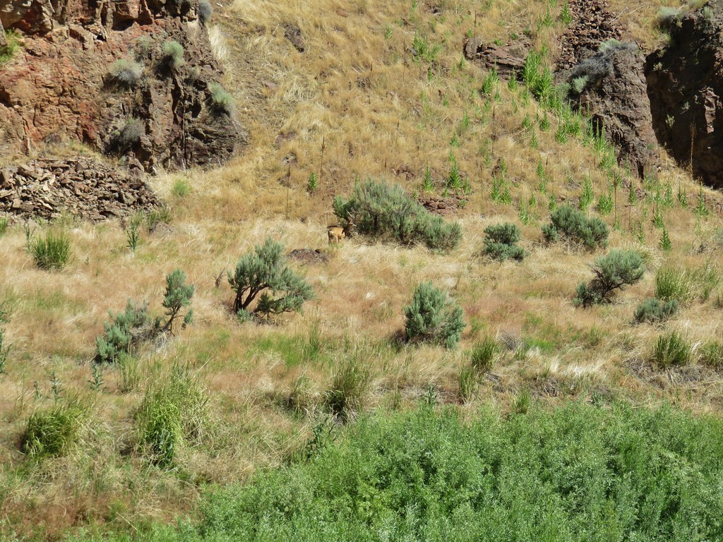
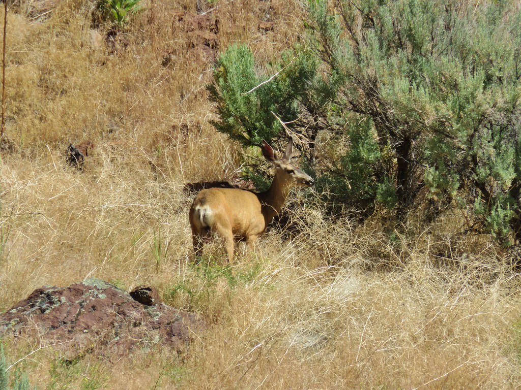
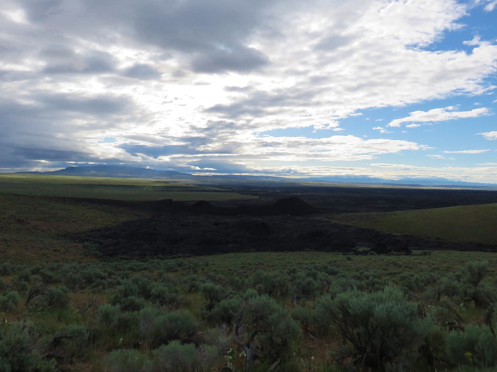
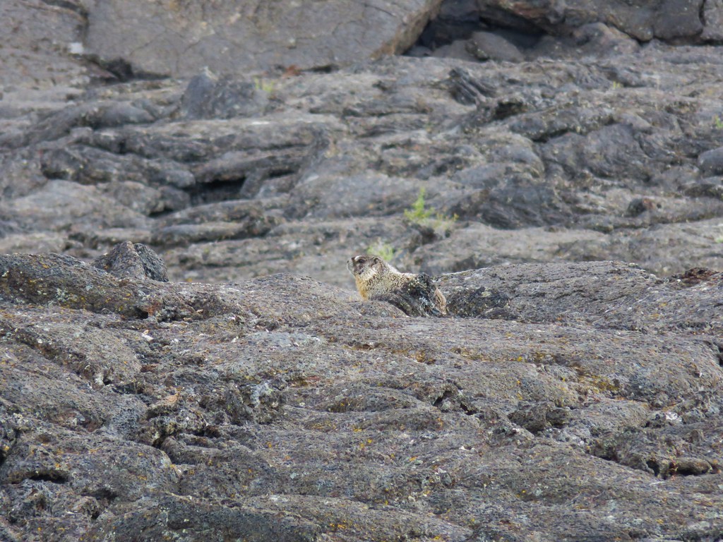
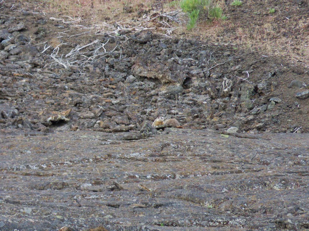
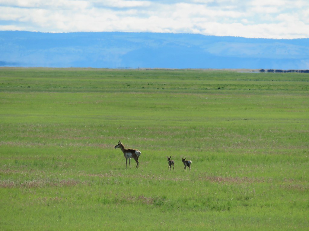
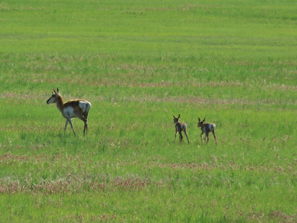
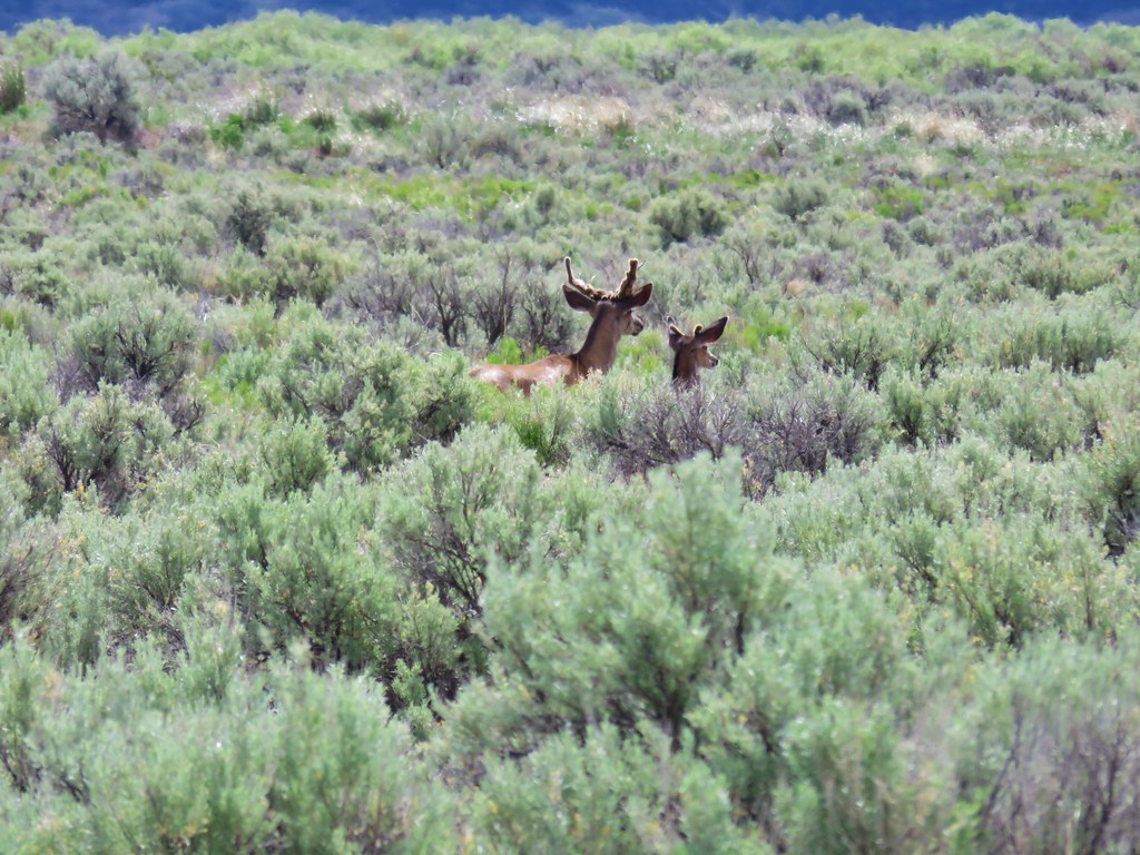
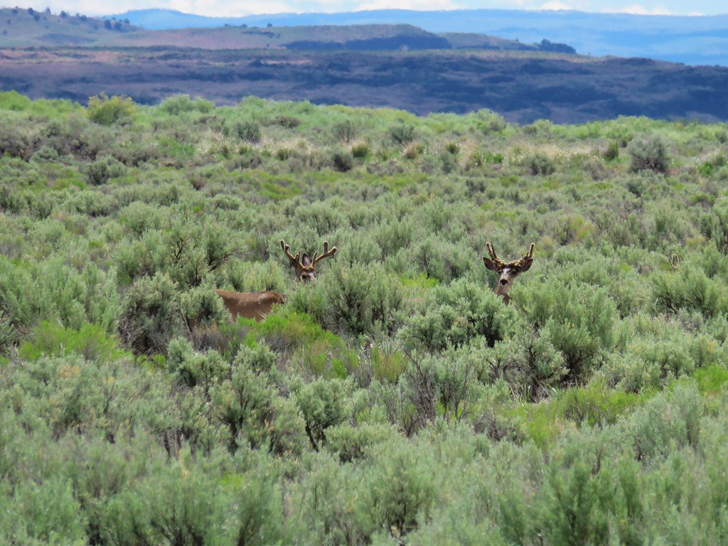
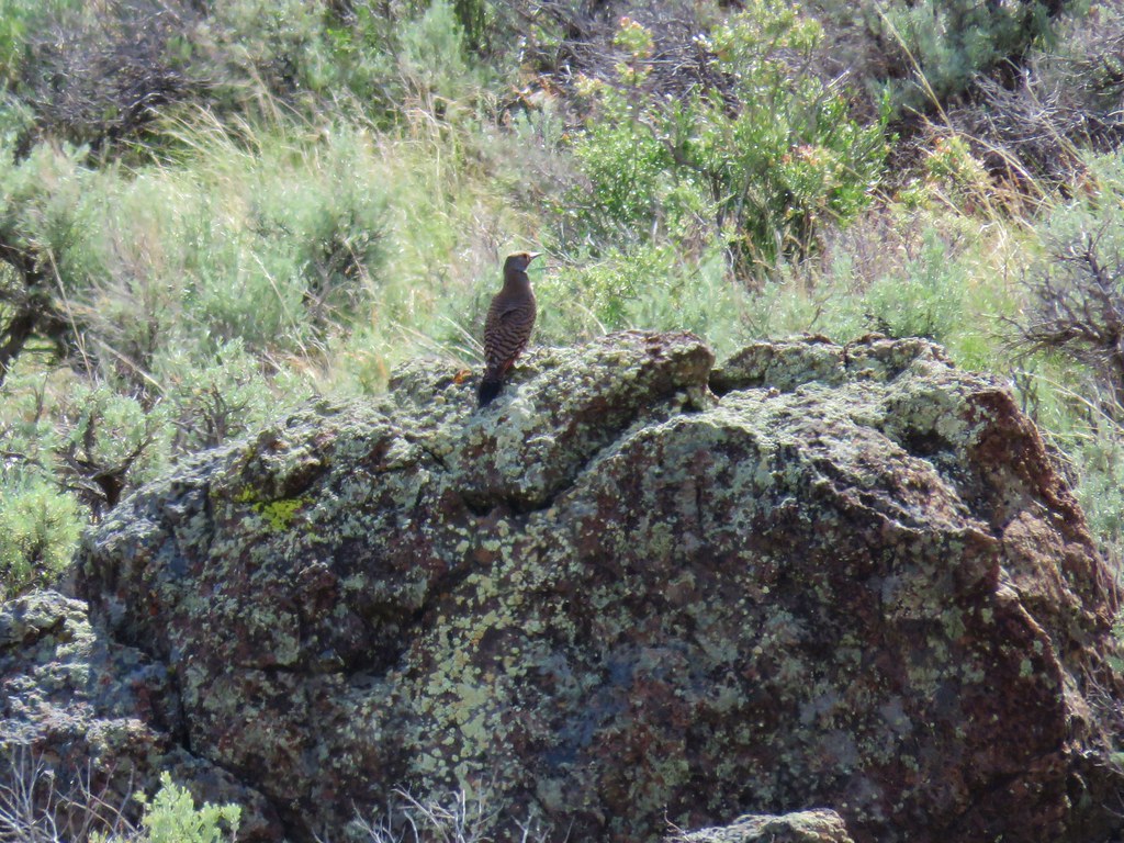
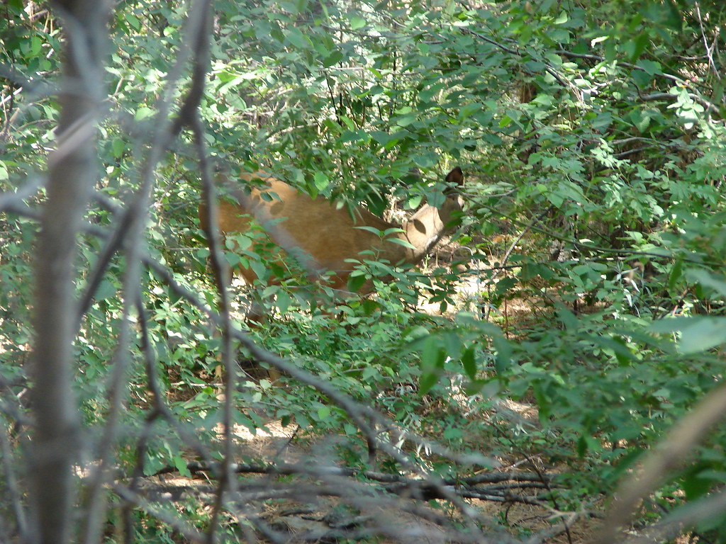
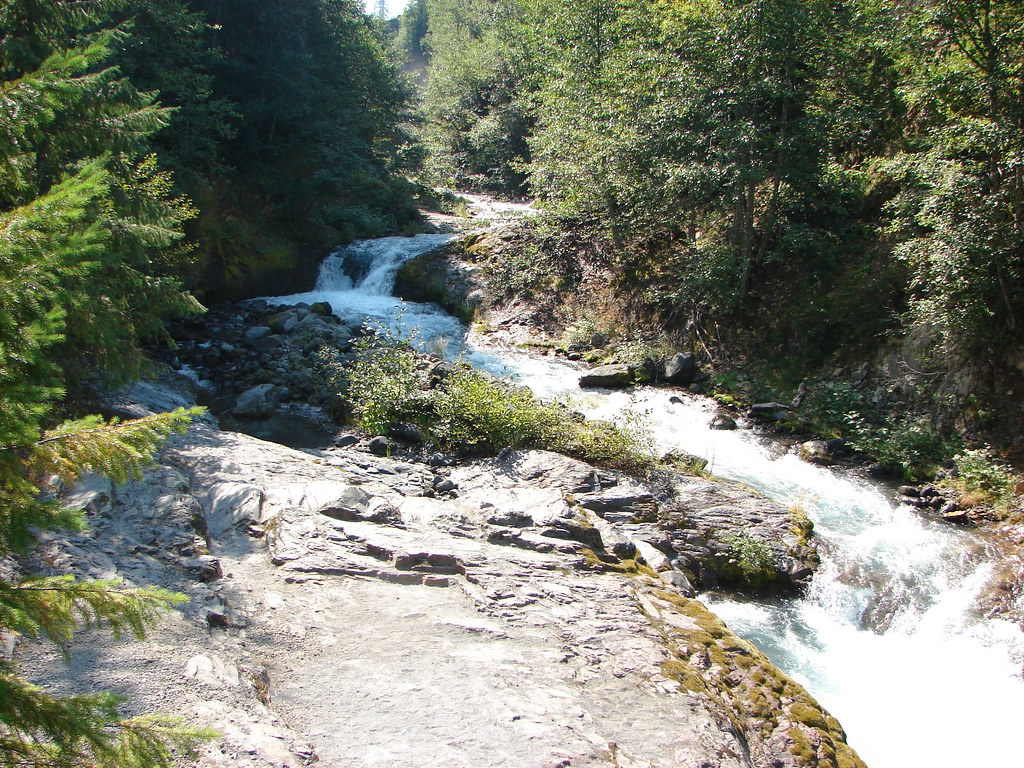
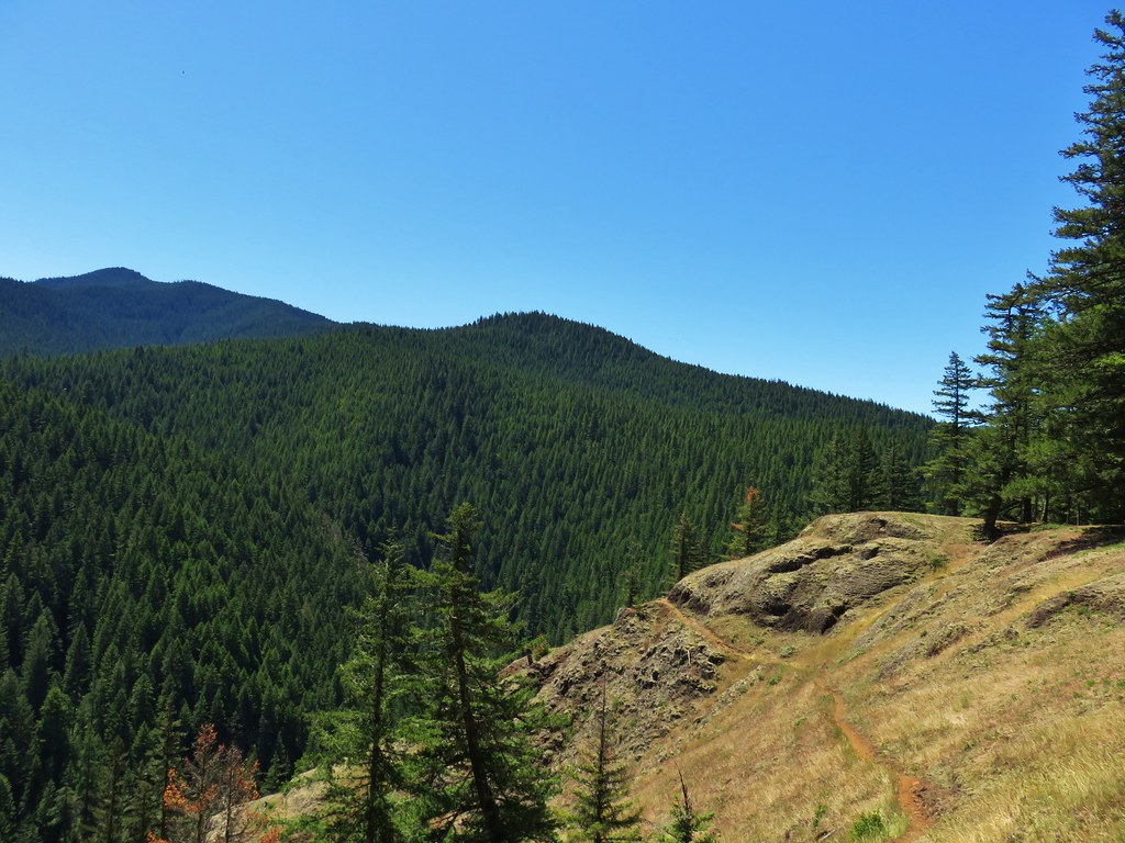
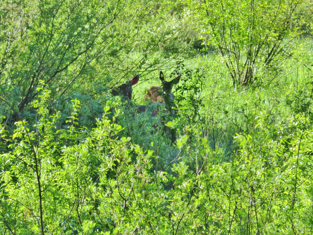
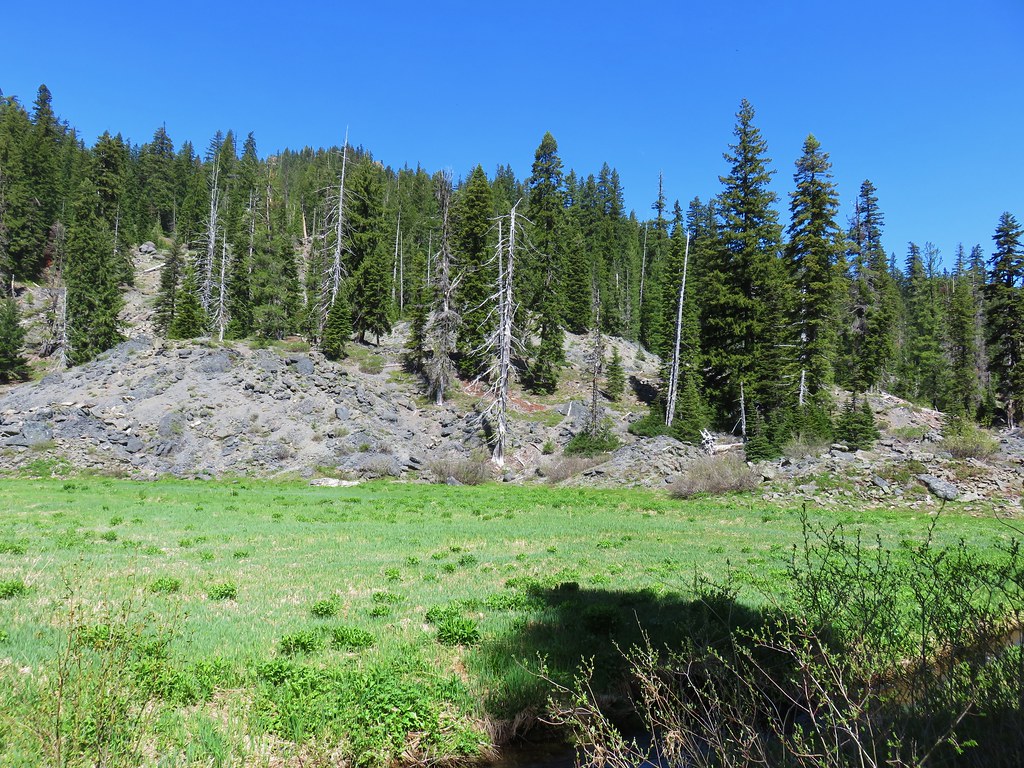
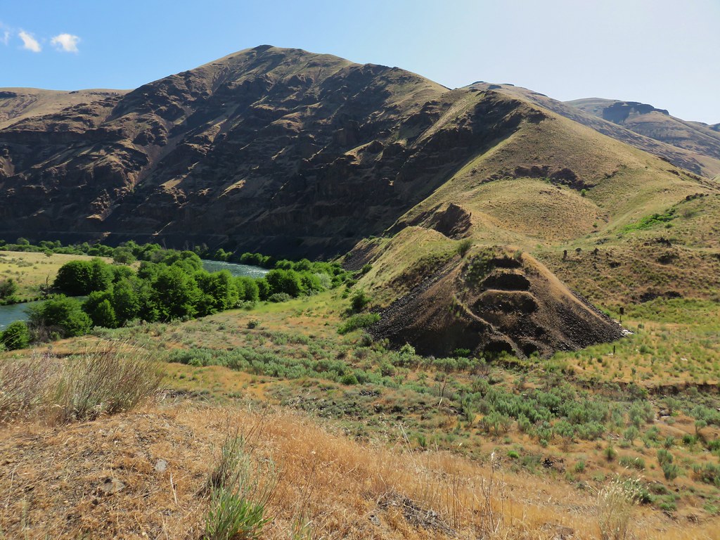
The canyon widened after a while and we took a short break to have a snack. While we were eating I looked up and noticed a doe on the far bank munching on a bush.
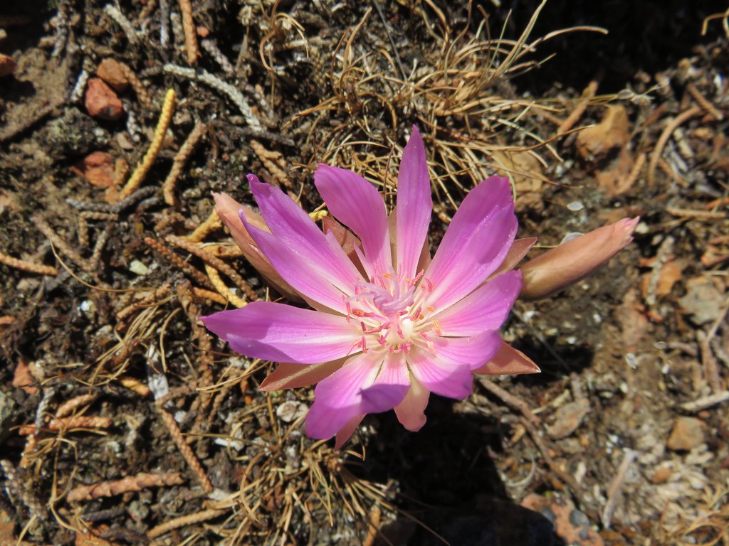
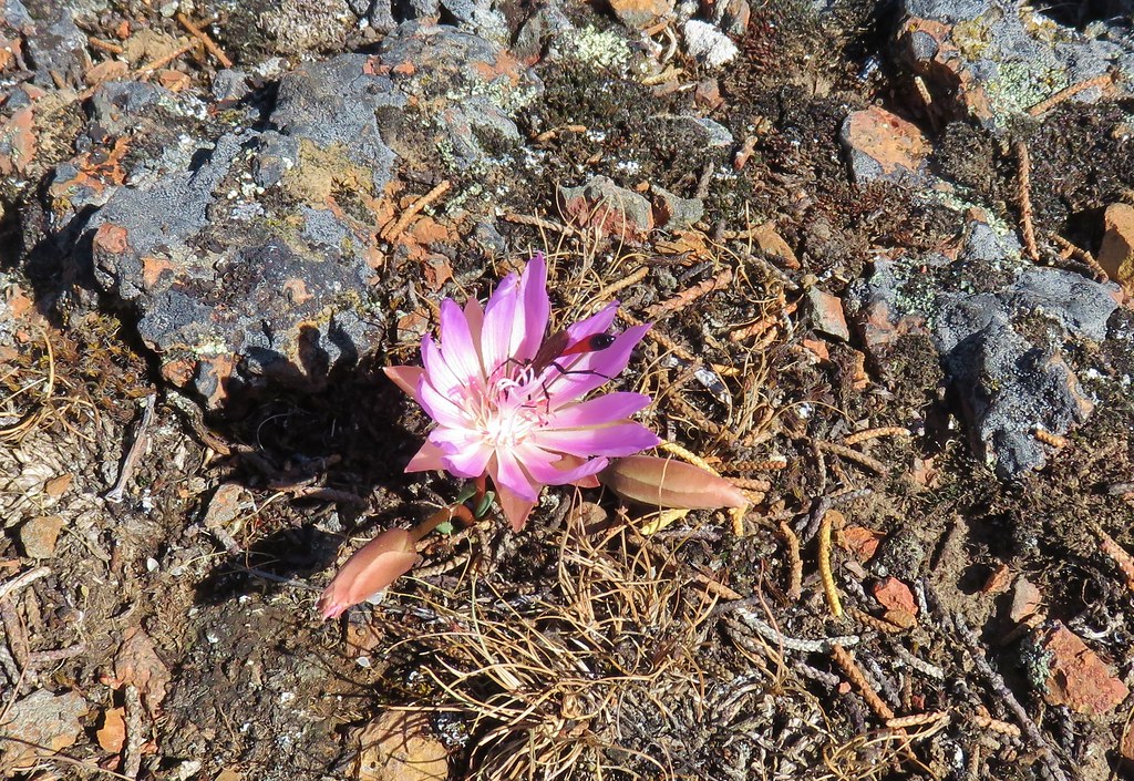
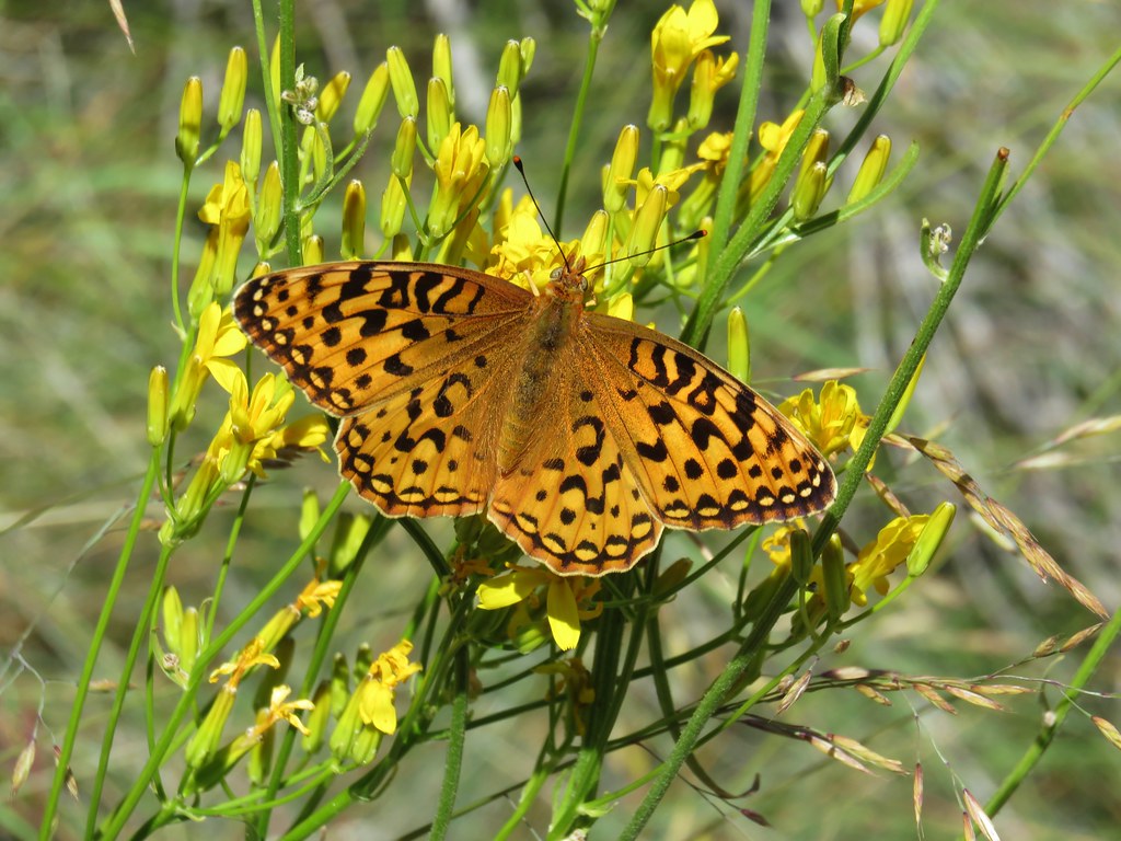
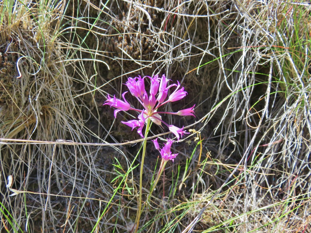
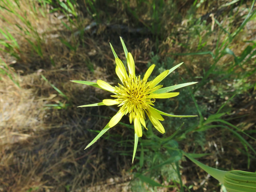
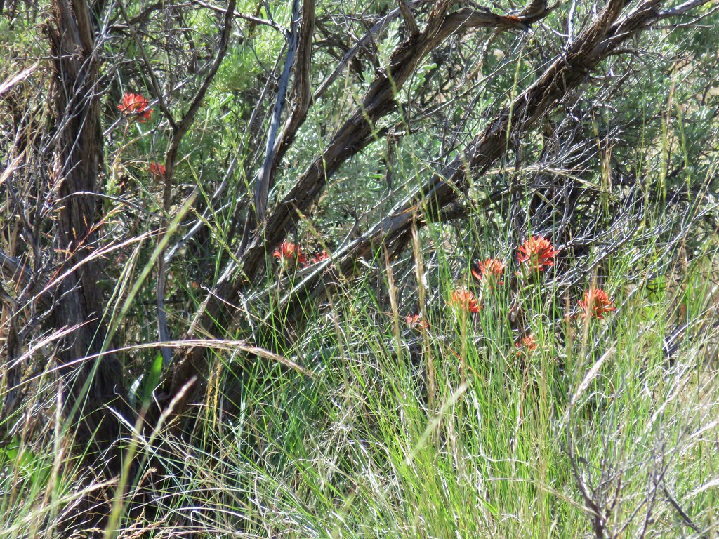
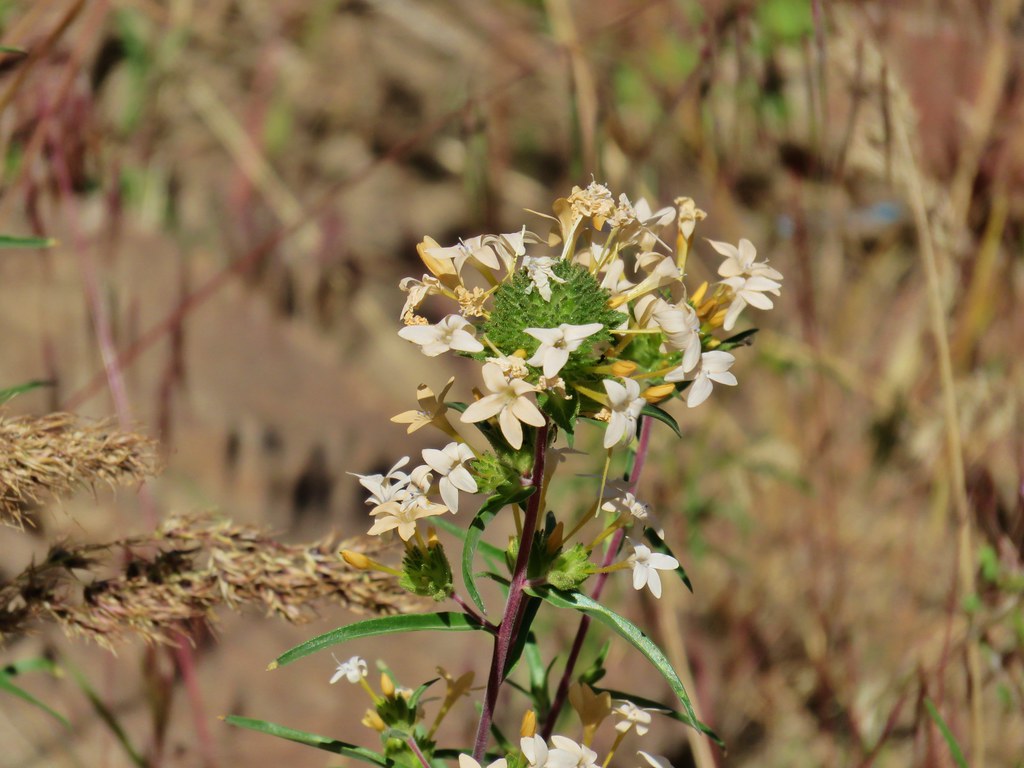
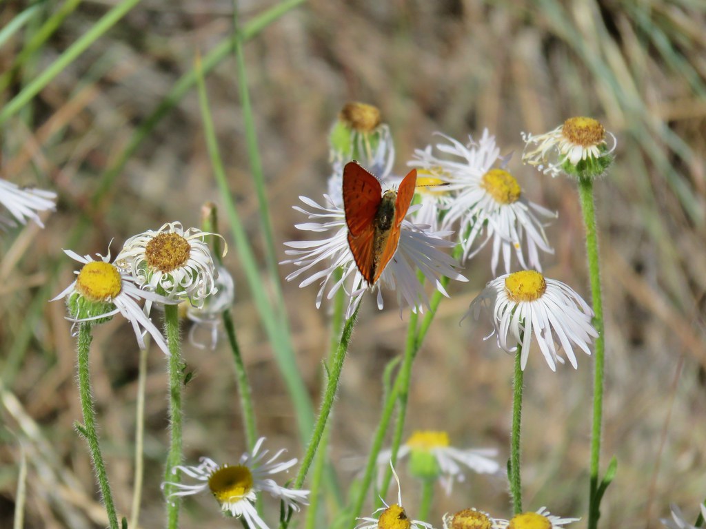
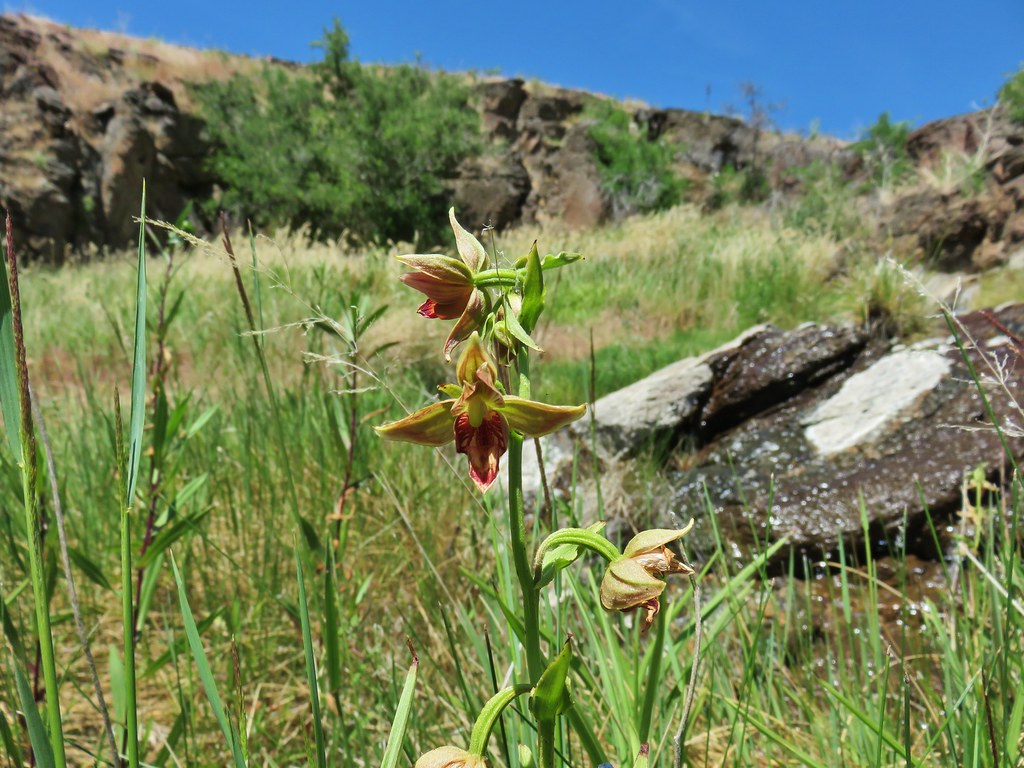
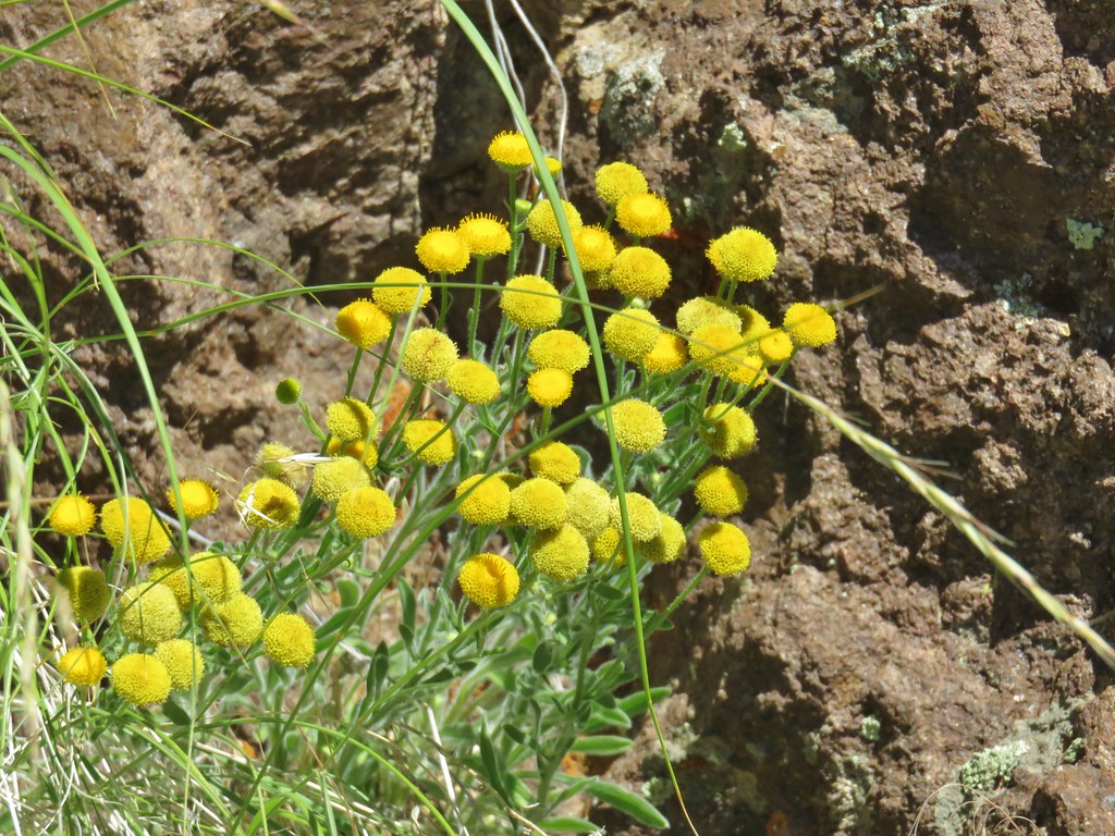
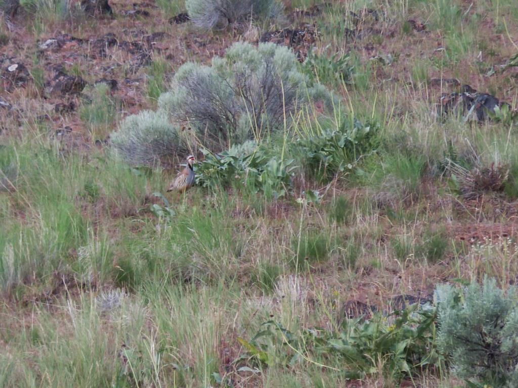
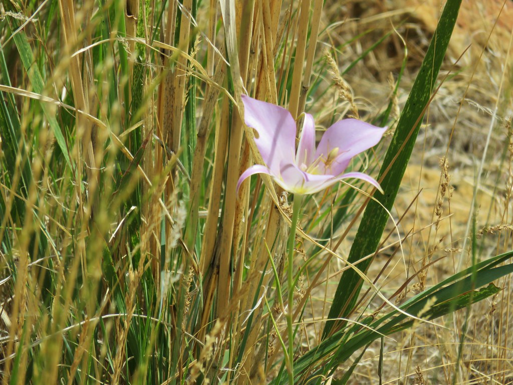
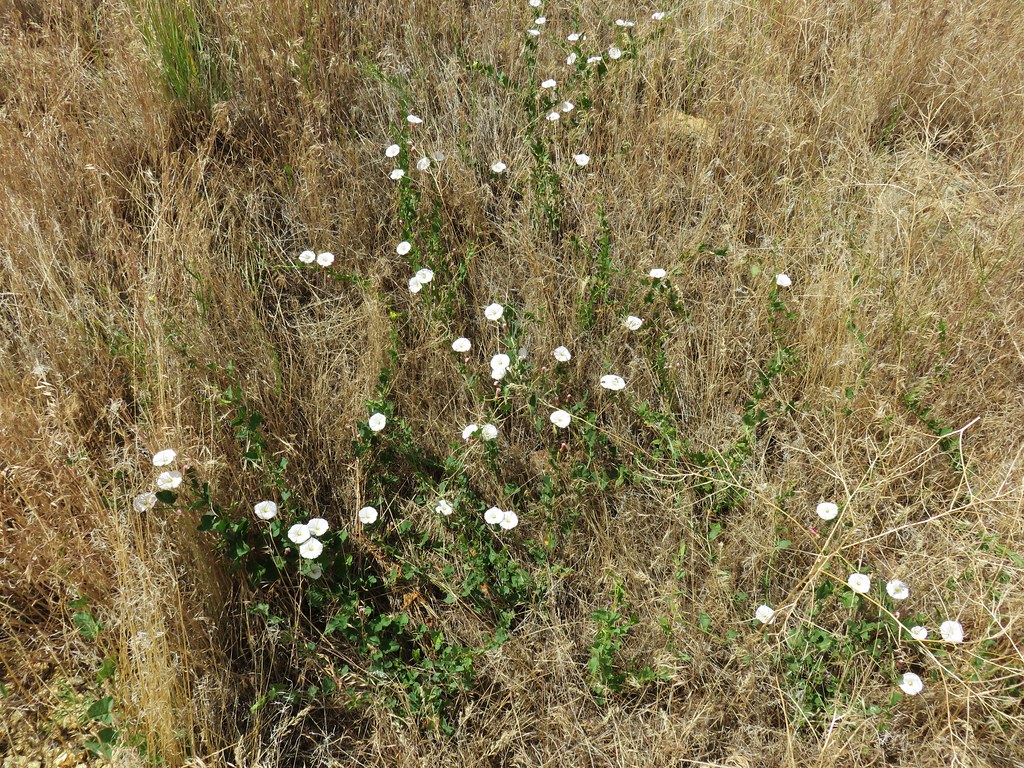
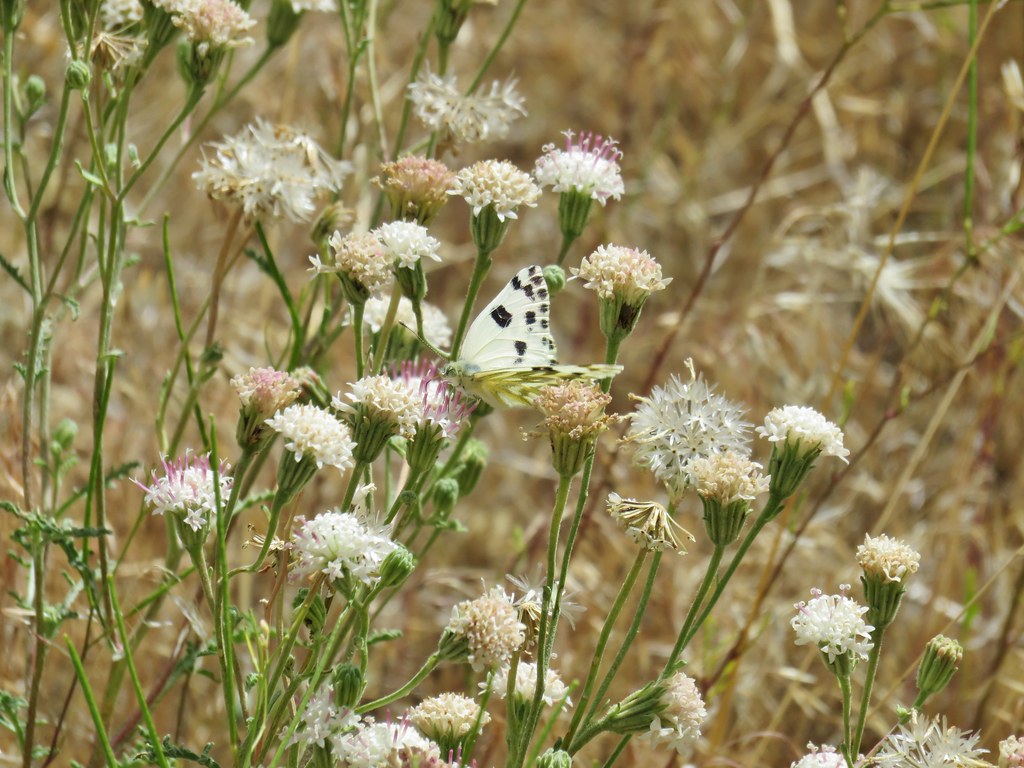
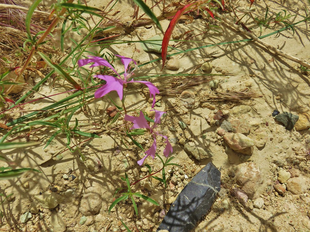
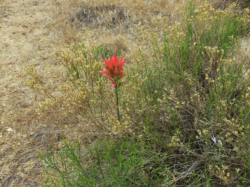
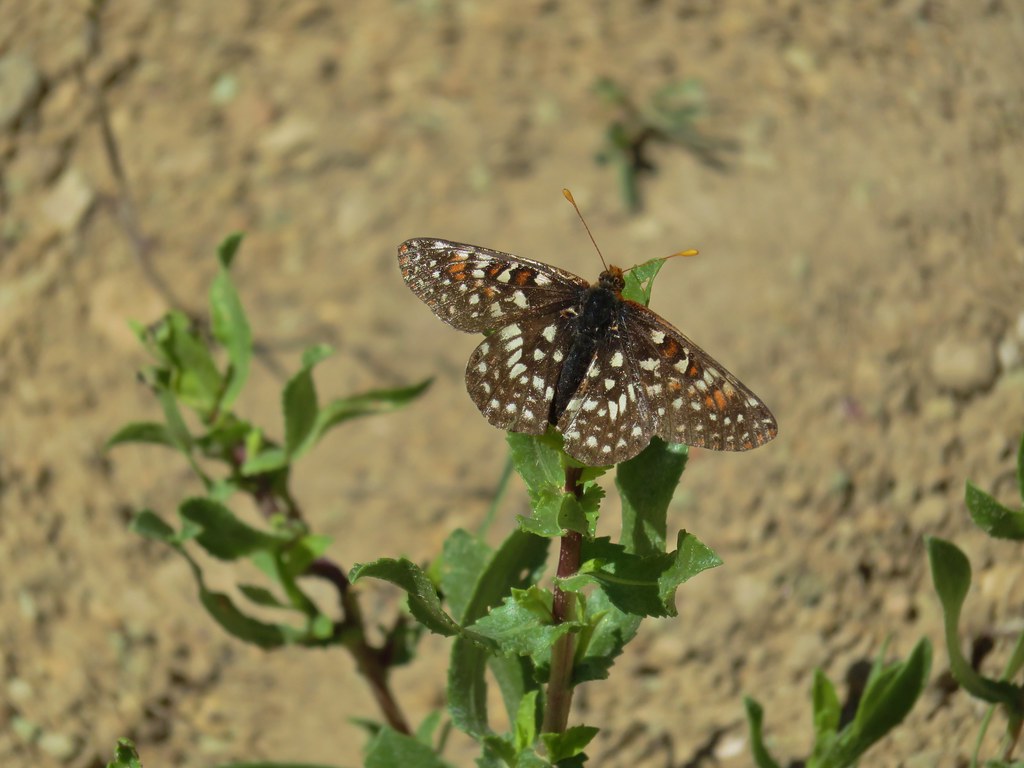
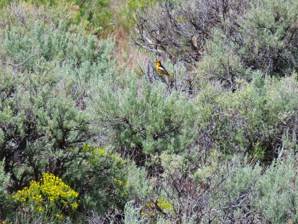
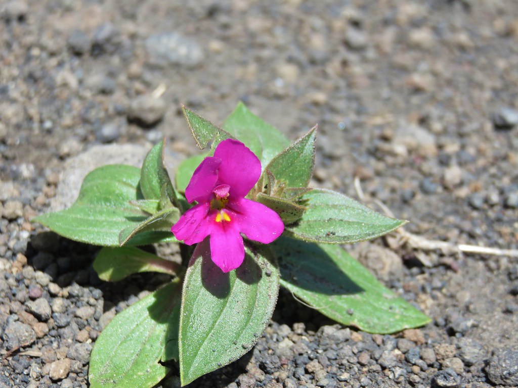
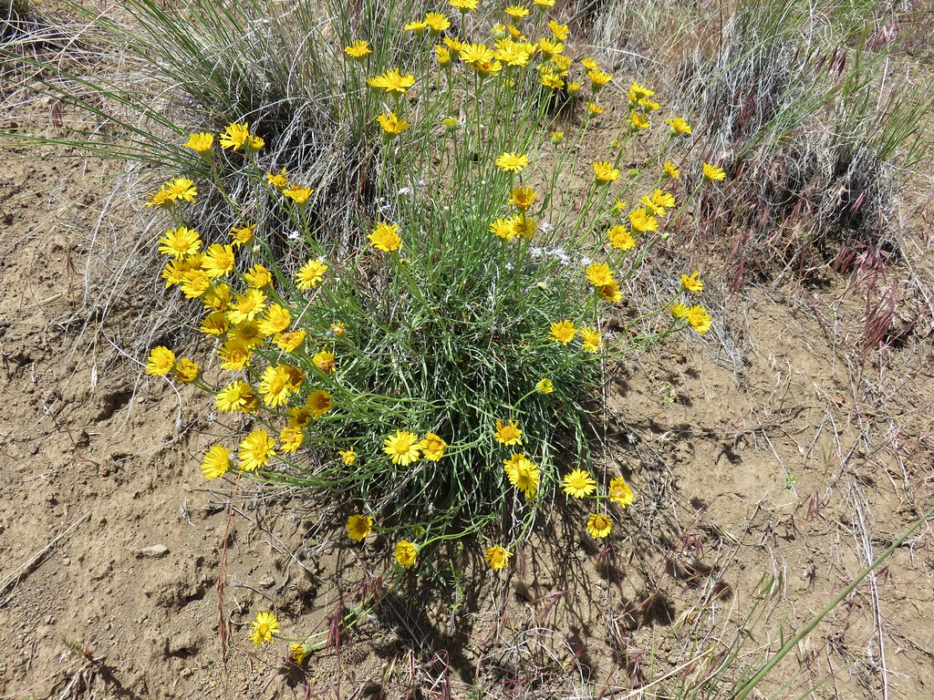
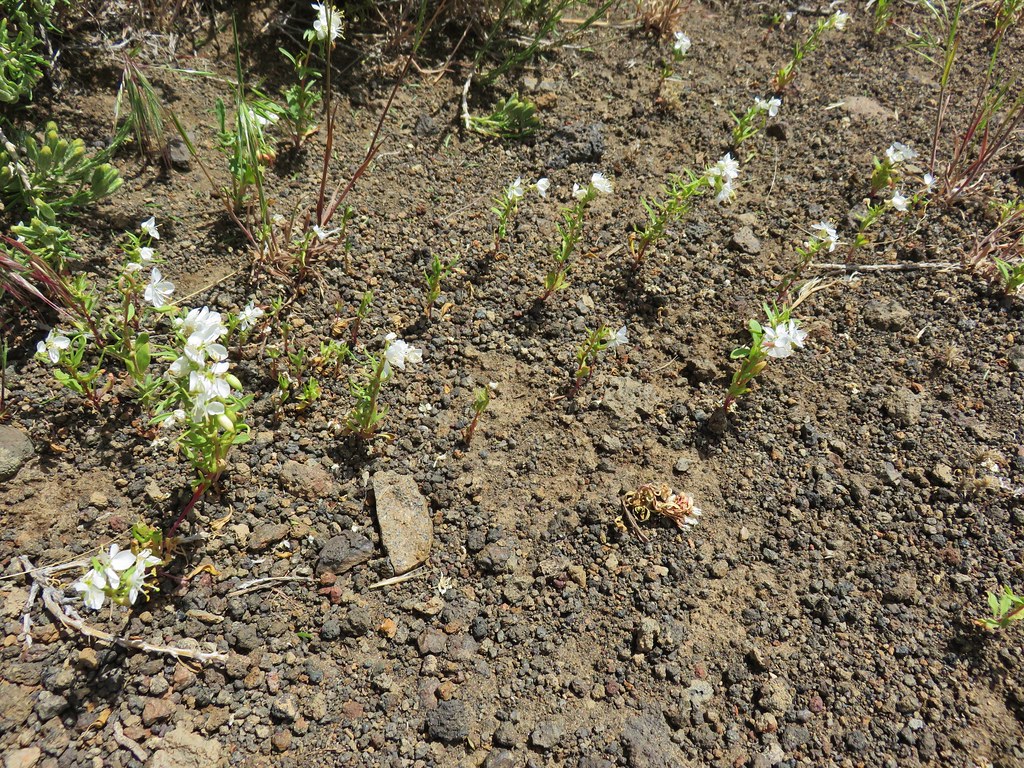
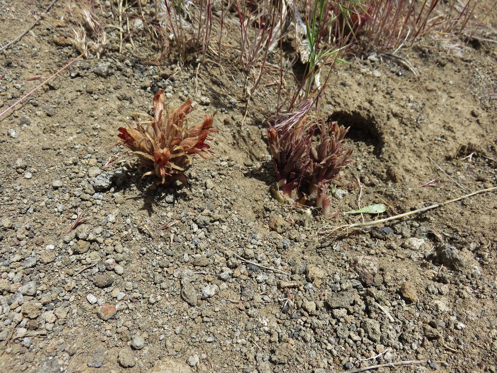
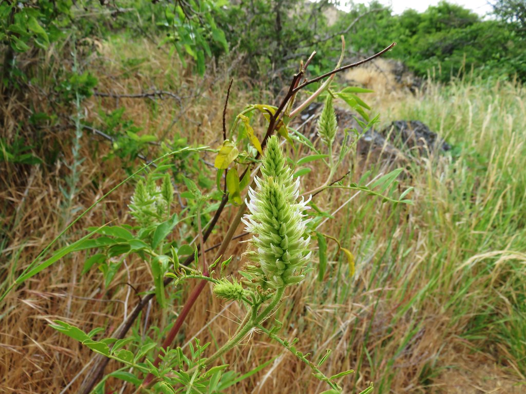
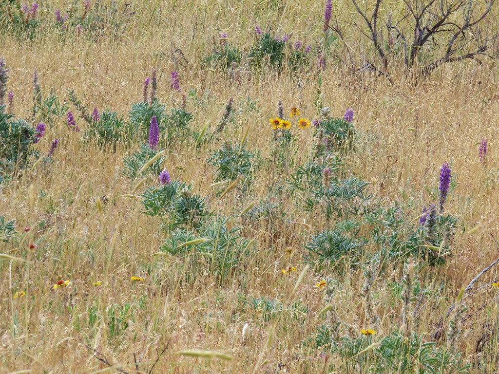
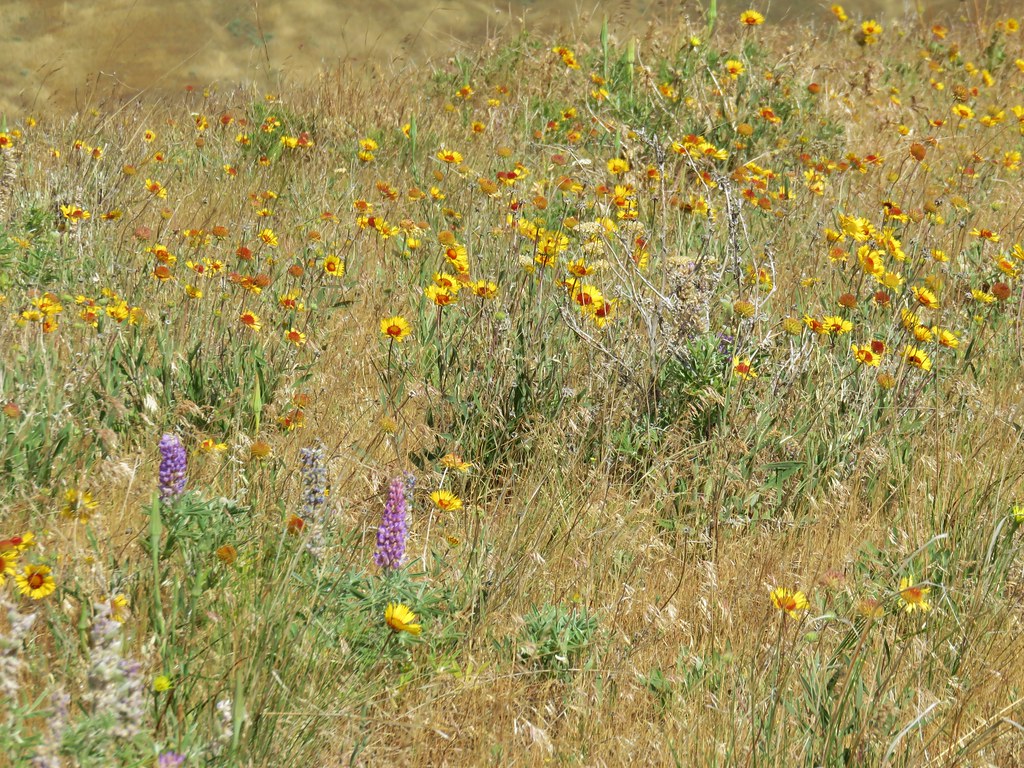
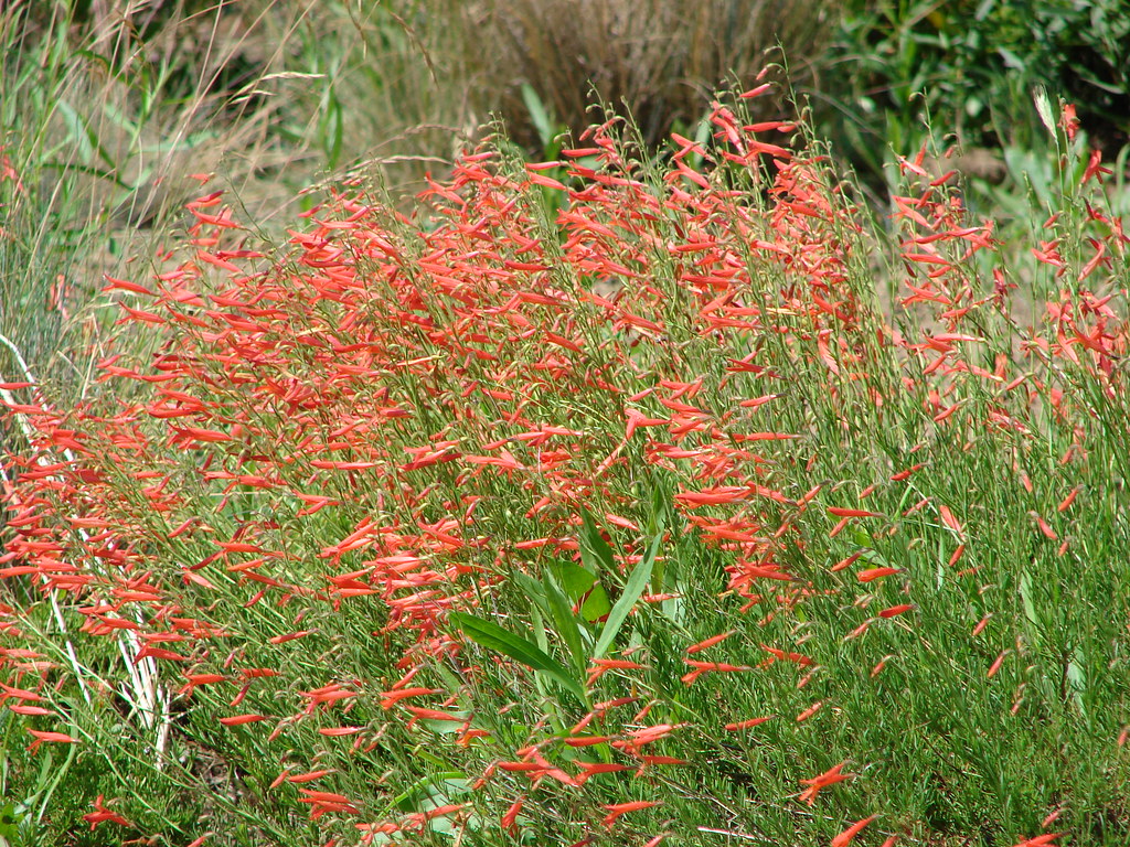
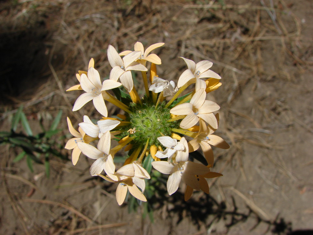
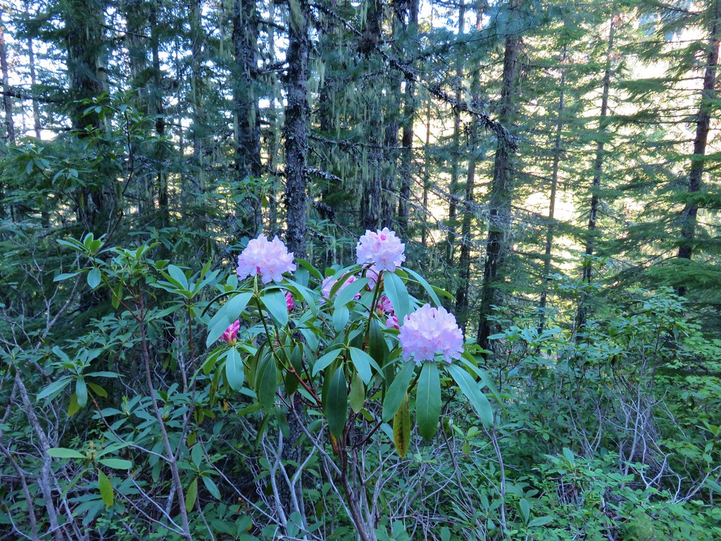
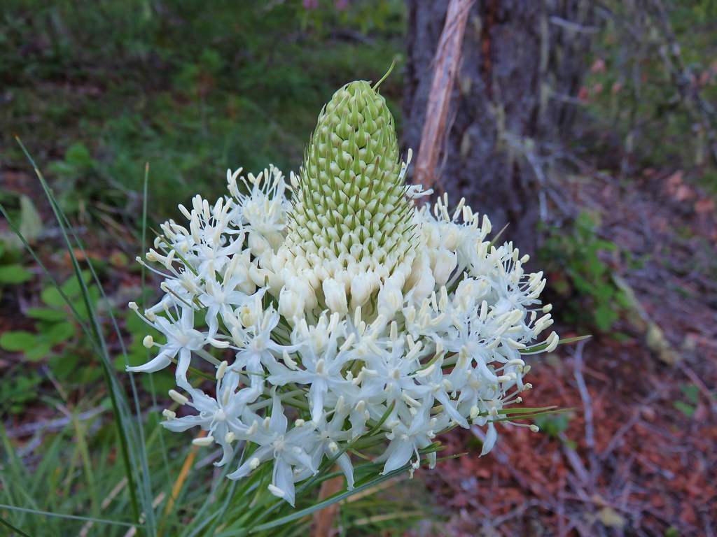
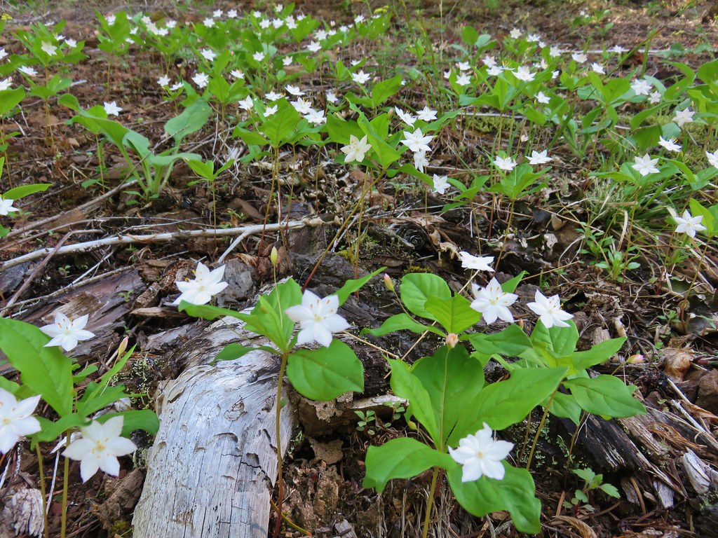
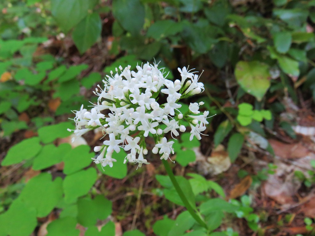
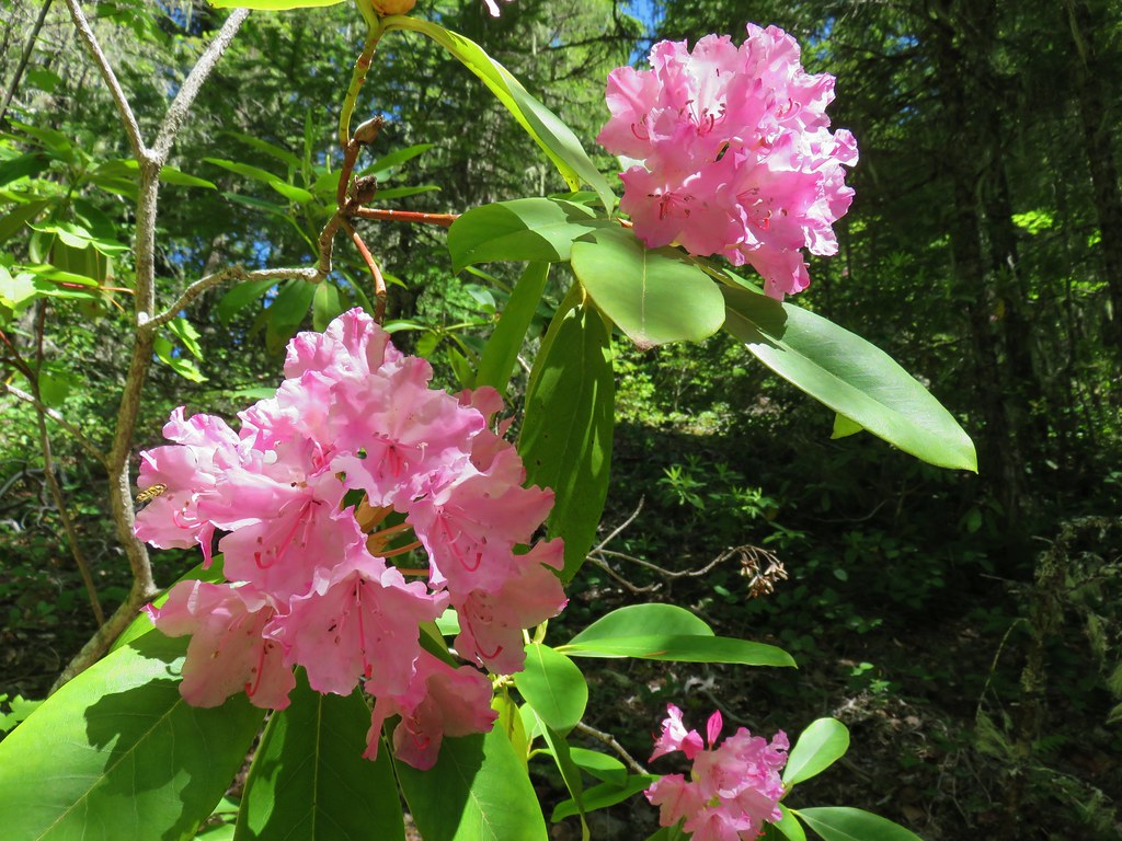
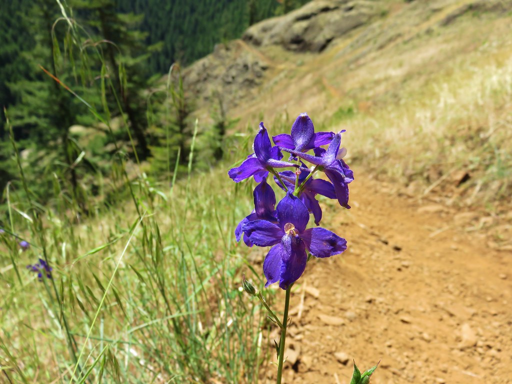
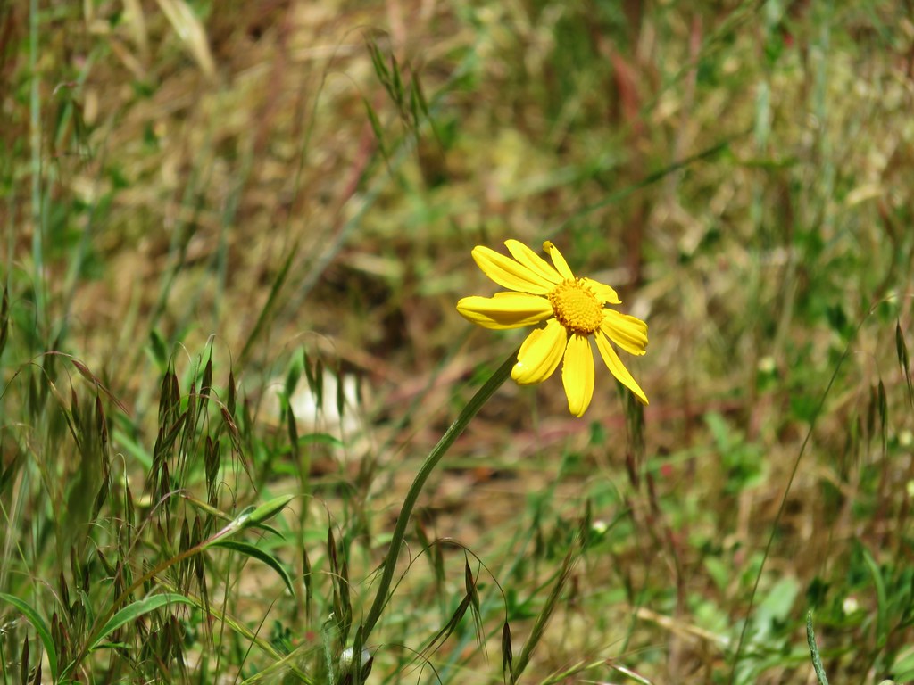
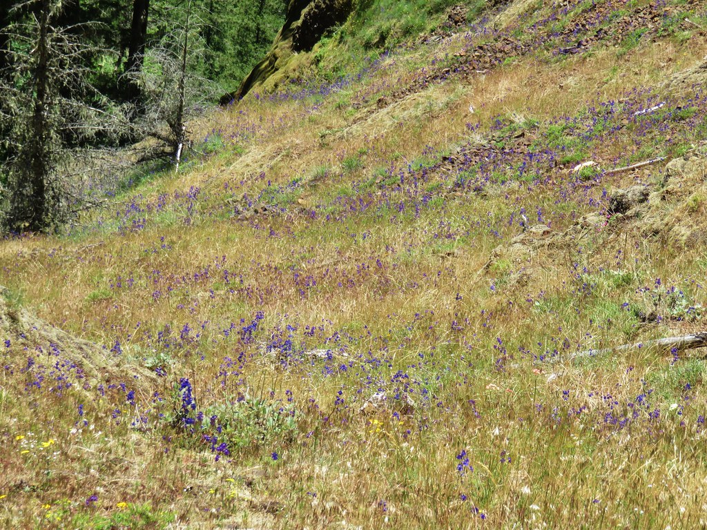
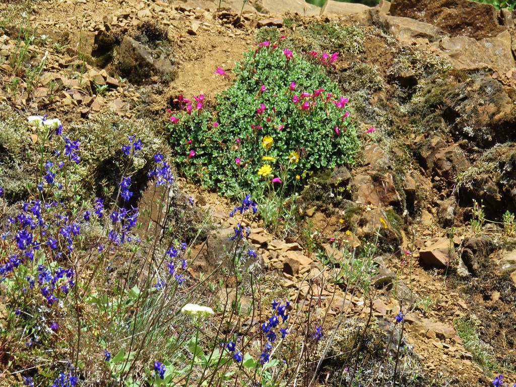
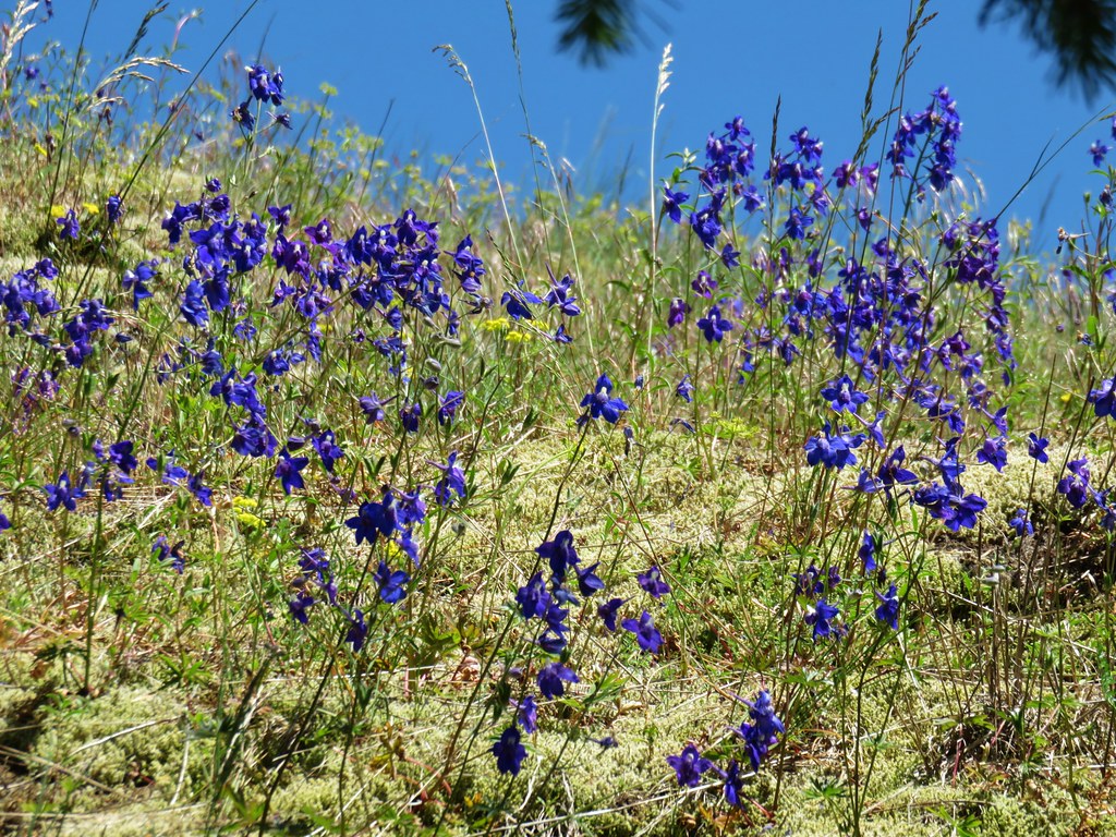
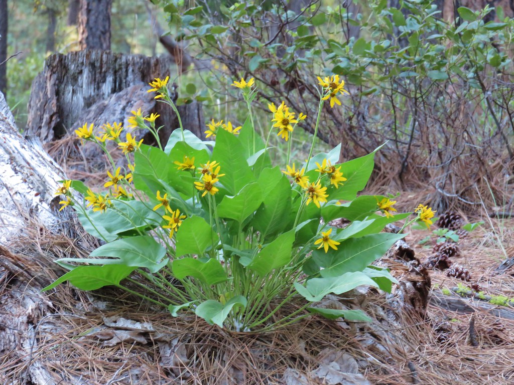
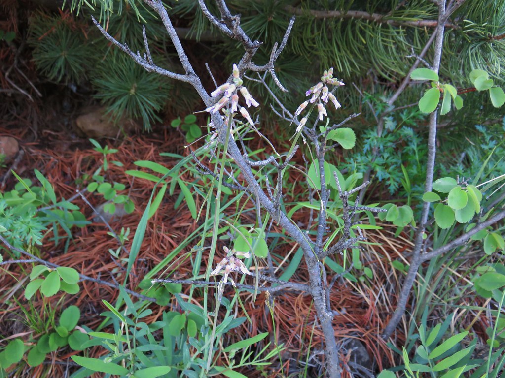
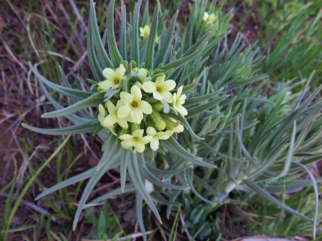
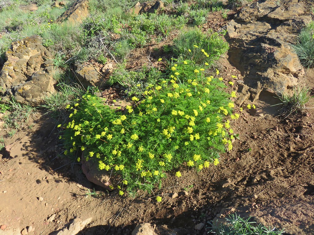
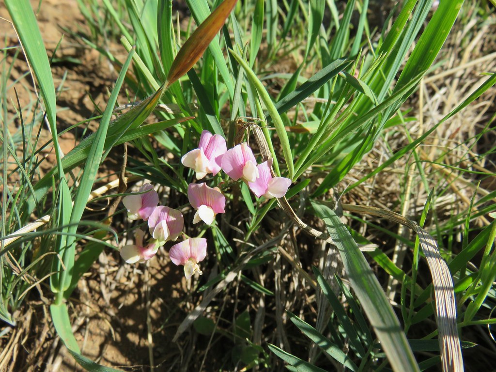
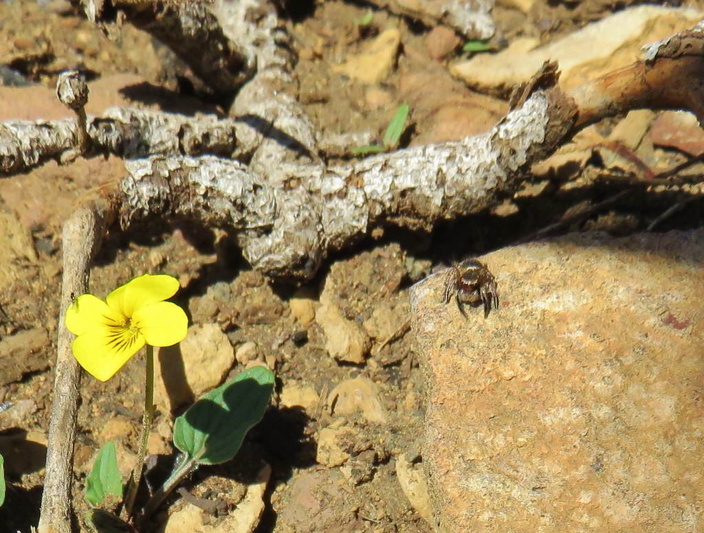
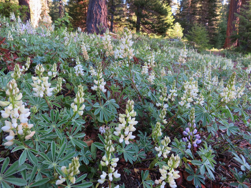
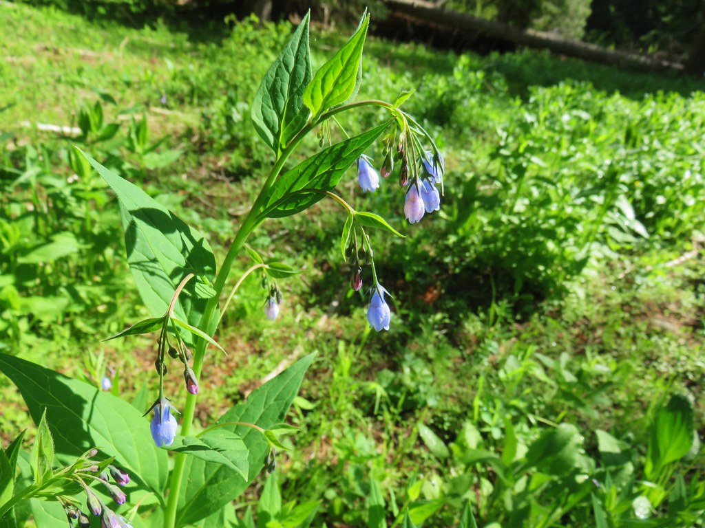
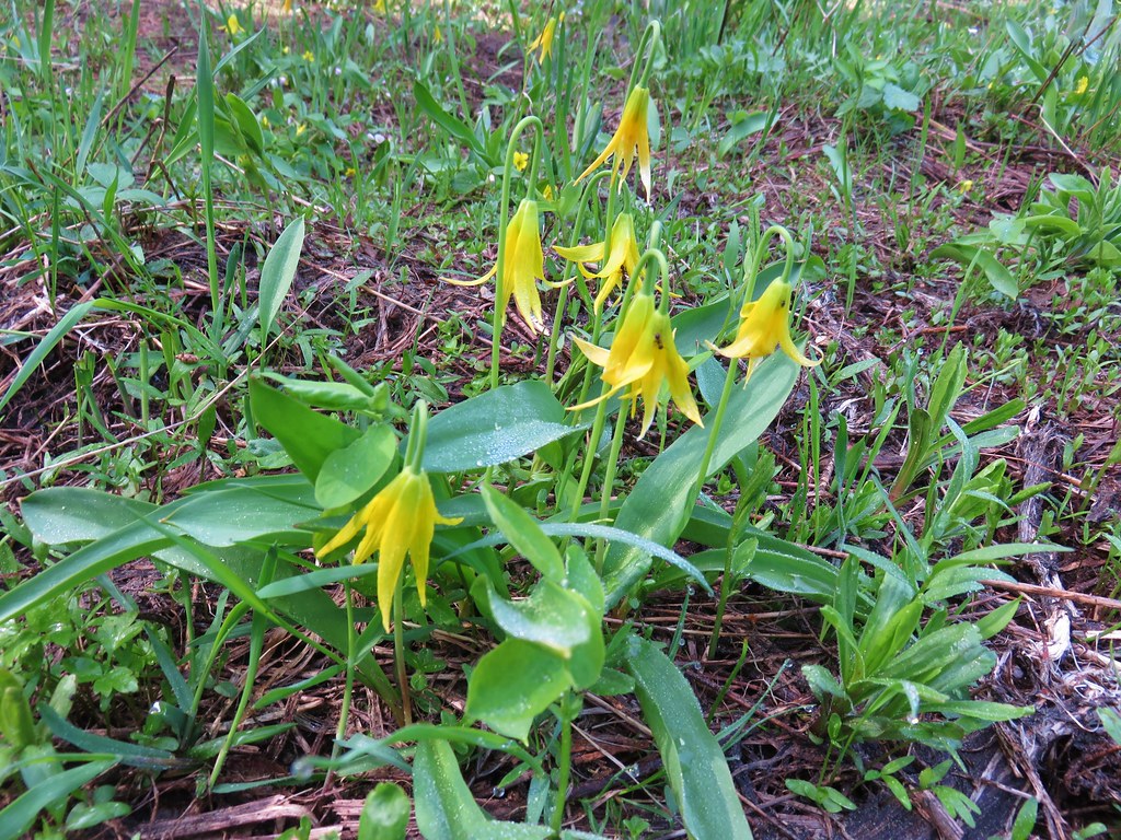
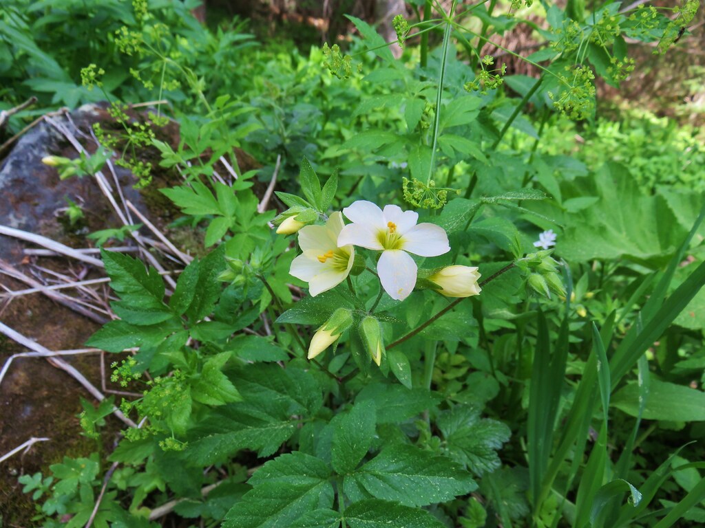
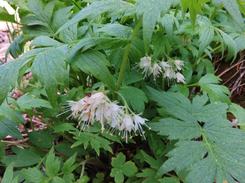
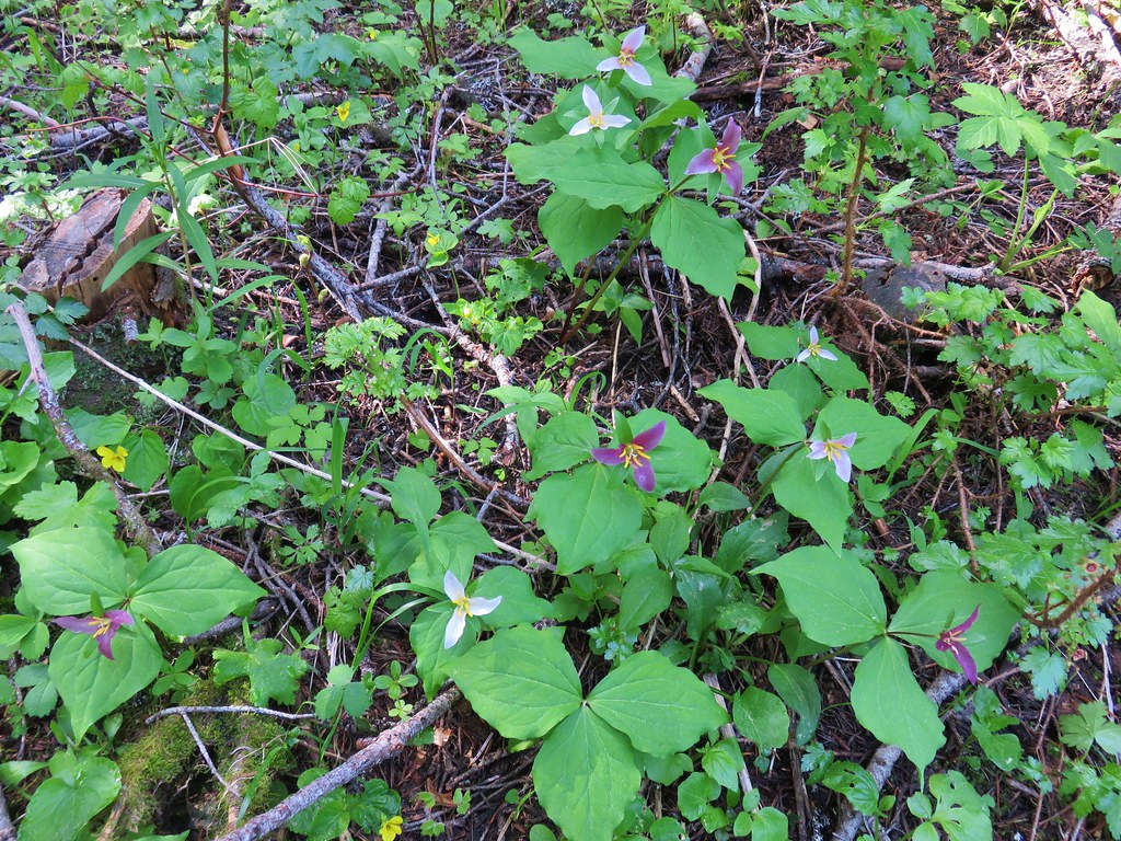
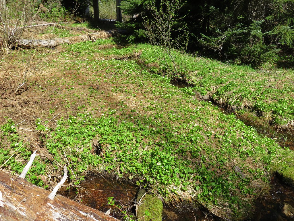
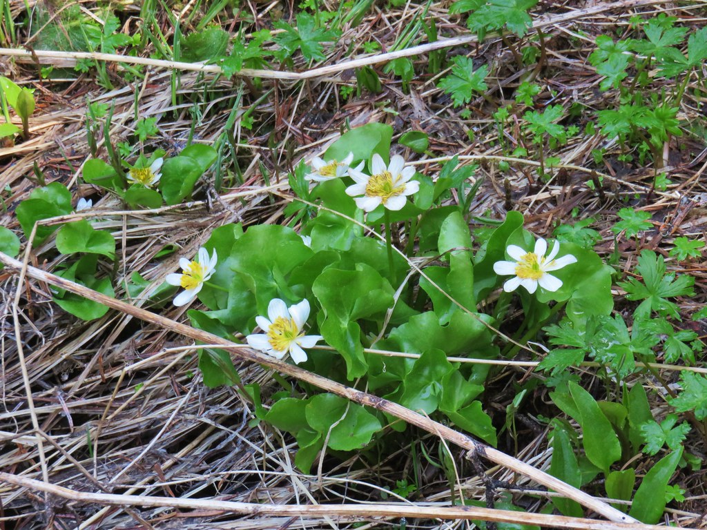
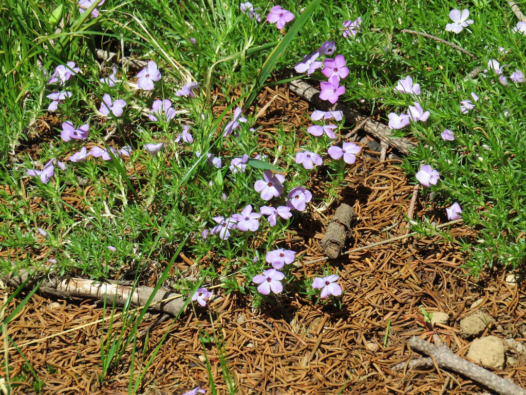
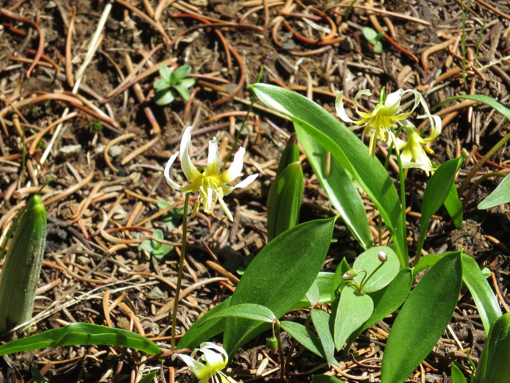
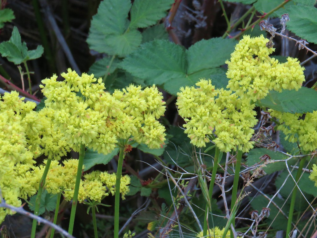
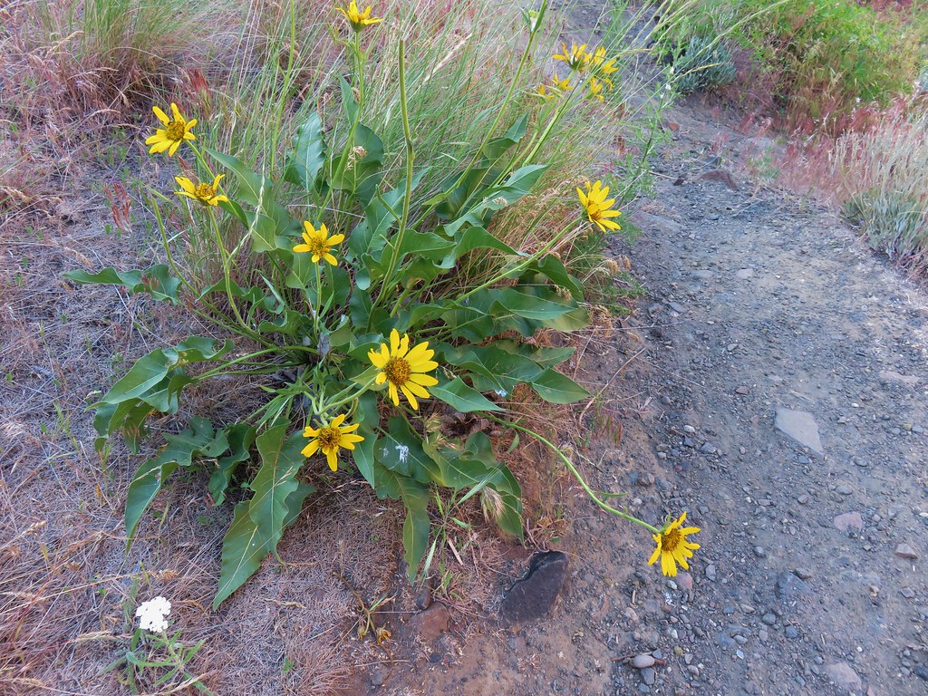
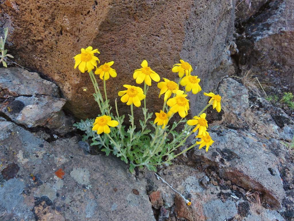
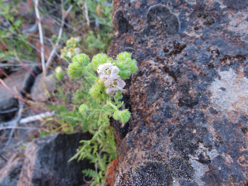
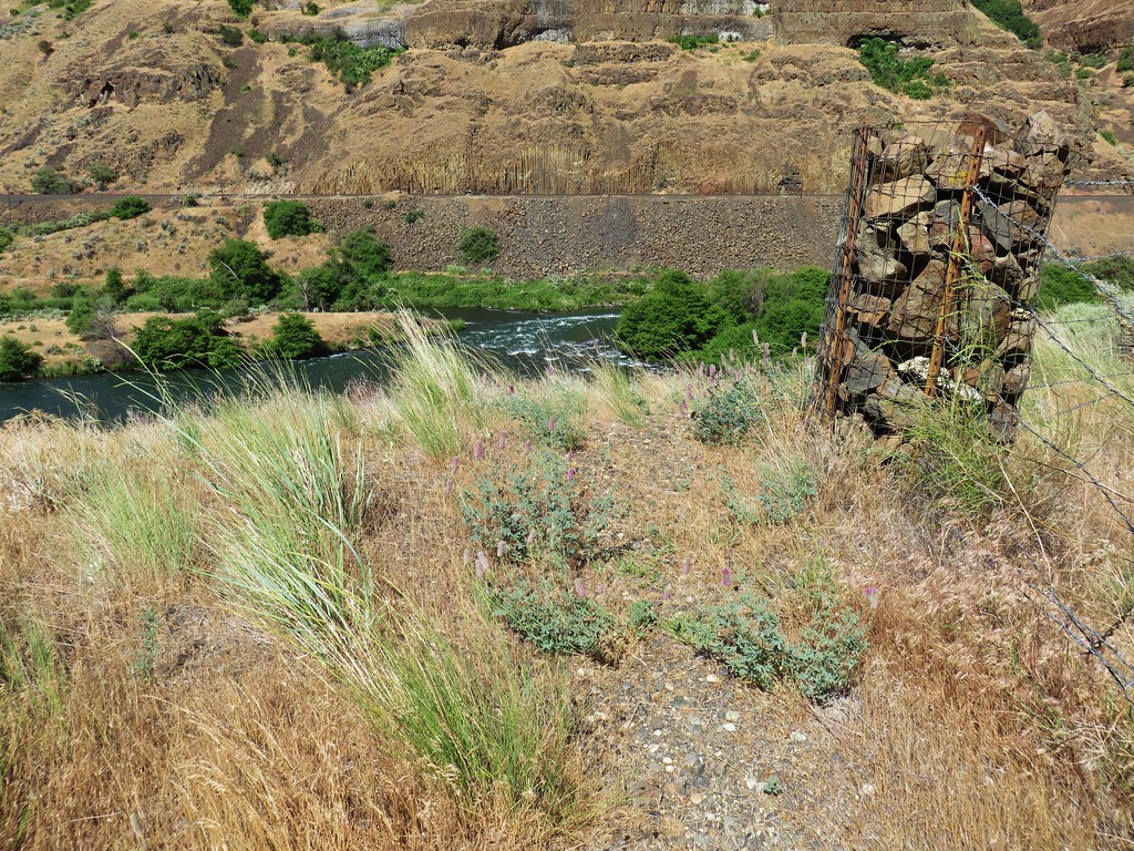
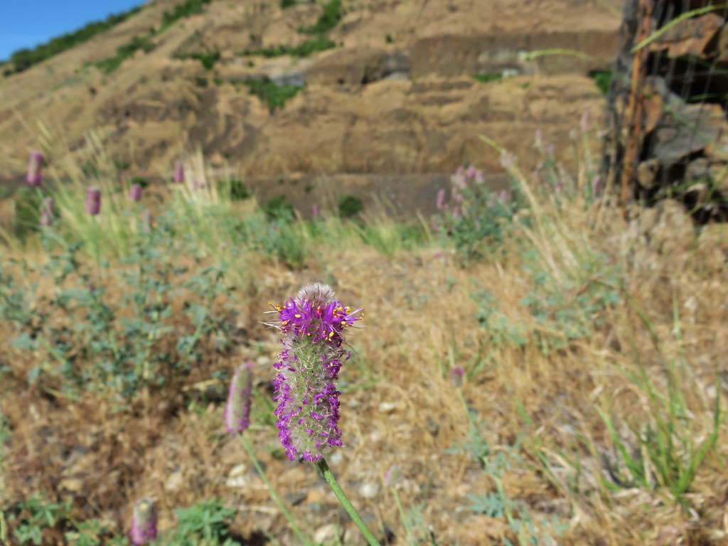
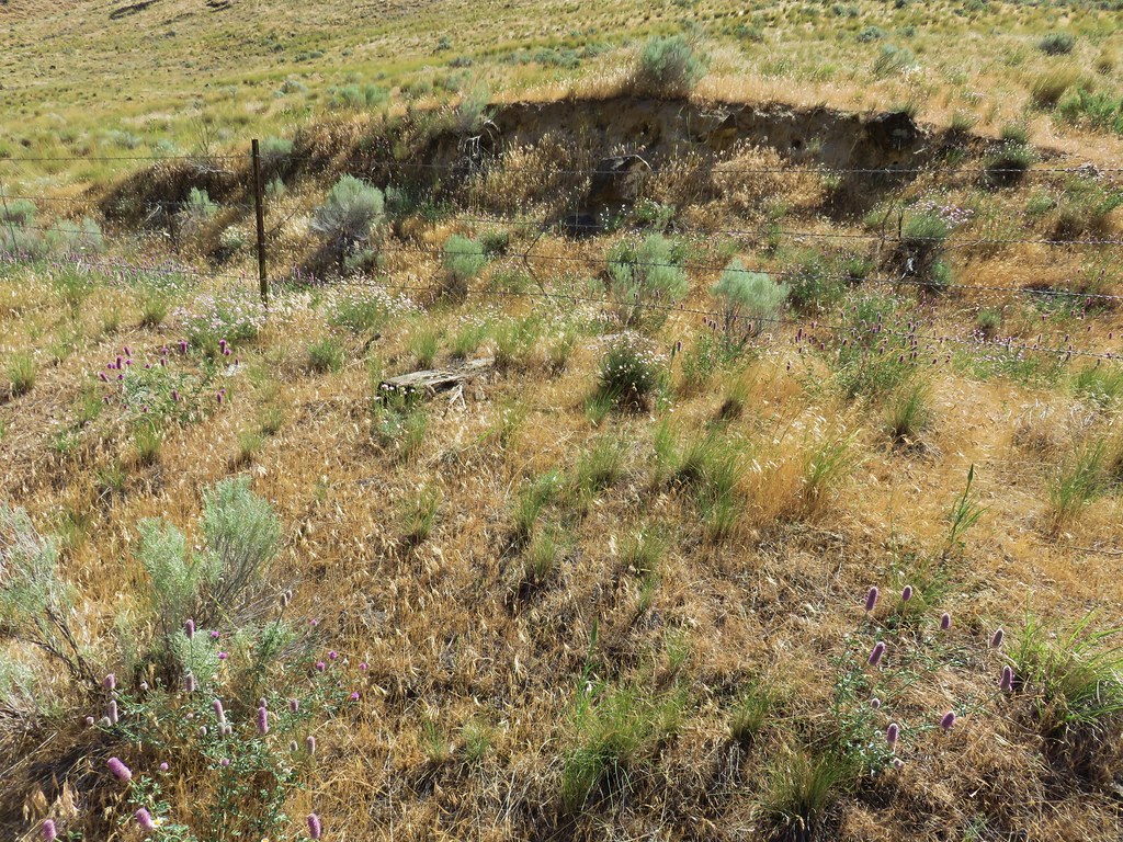
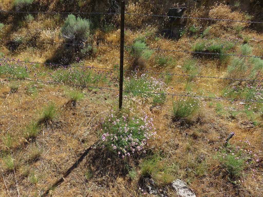
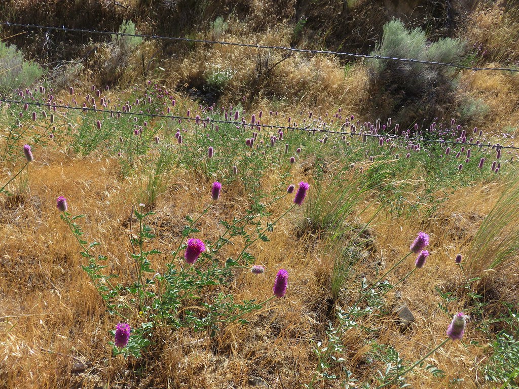
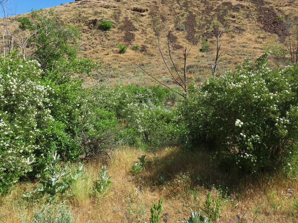
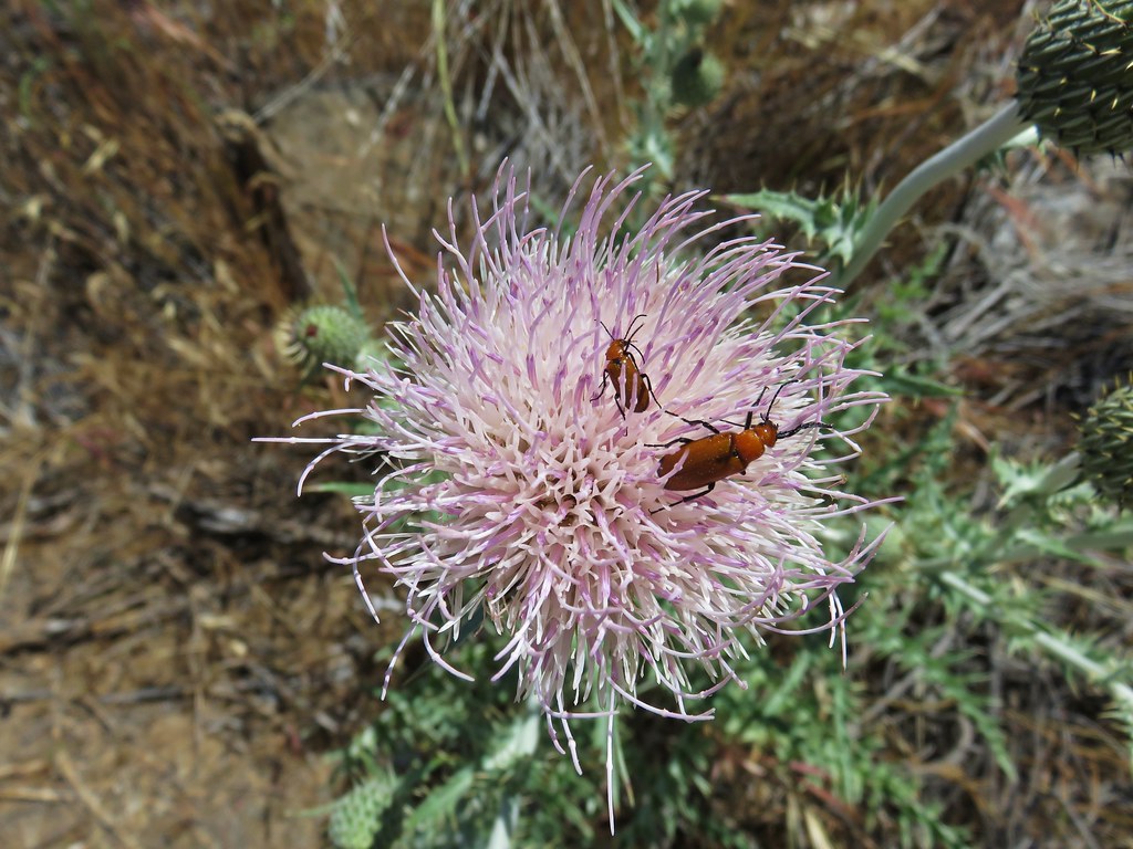
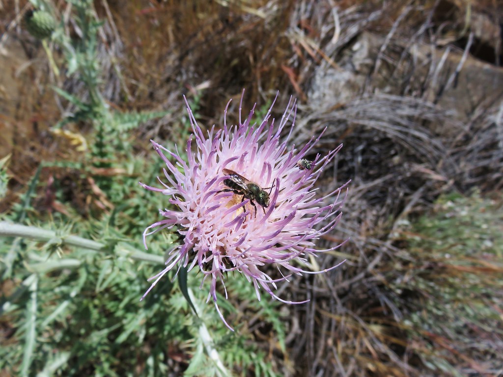
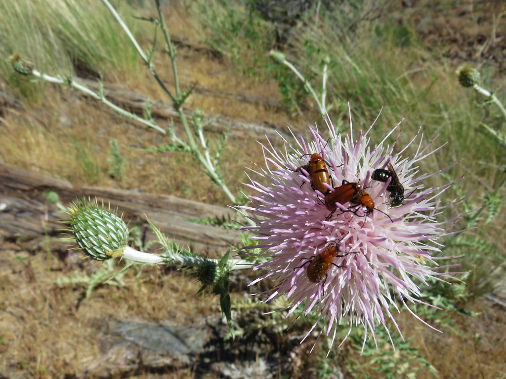
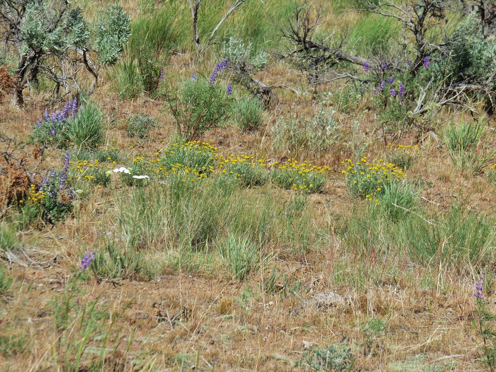
We passed several types of wildflowers as we hiked along.


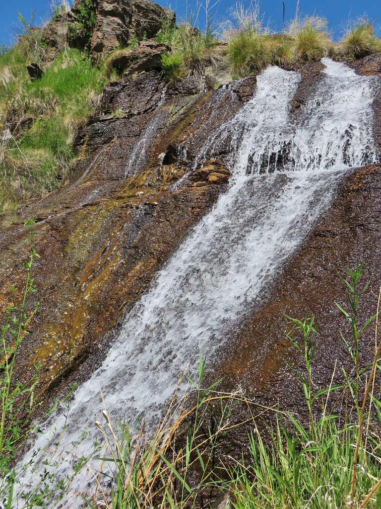
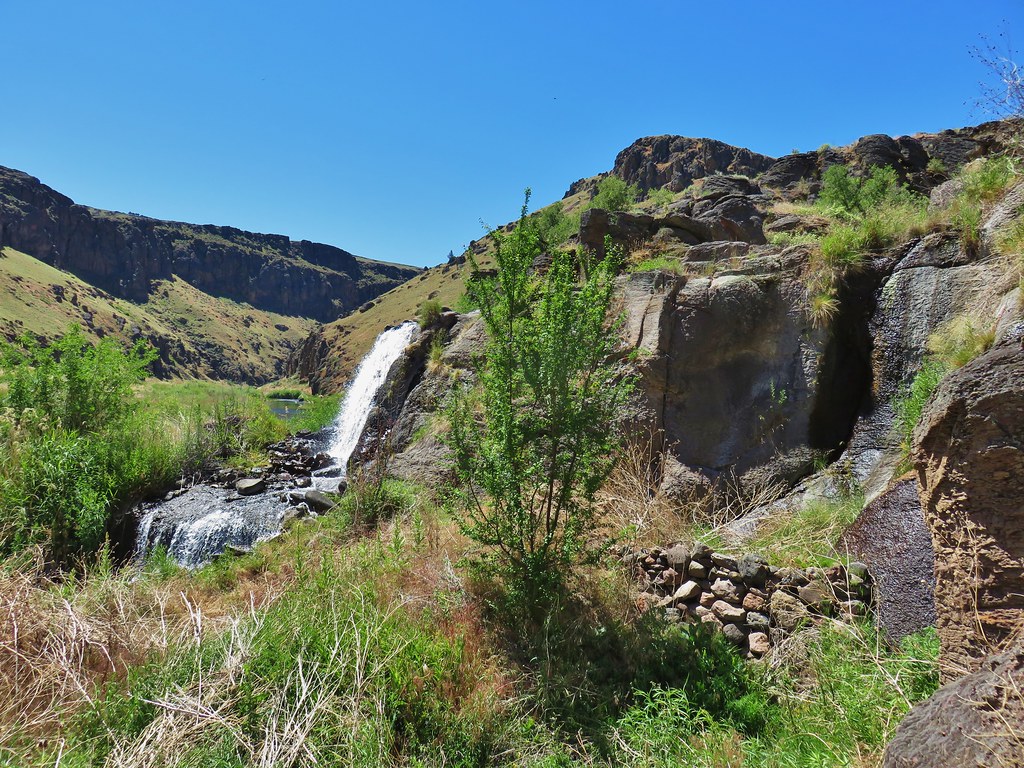
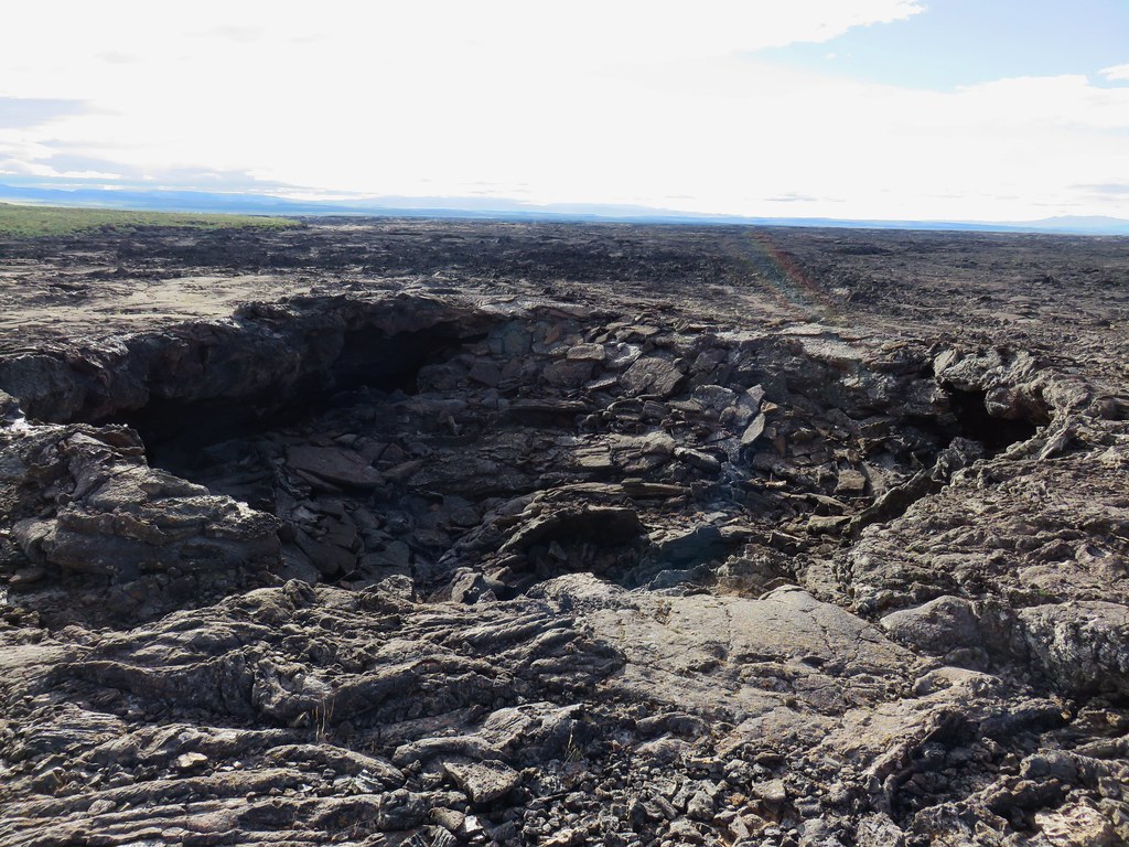
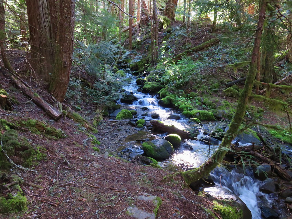
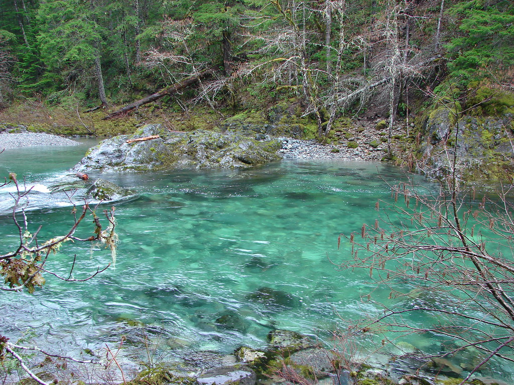
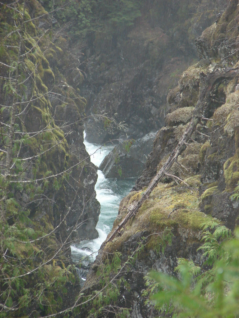
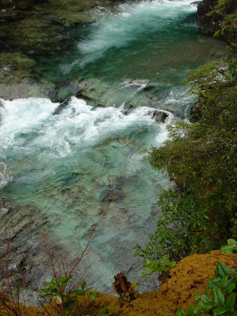
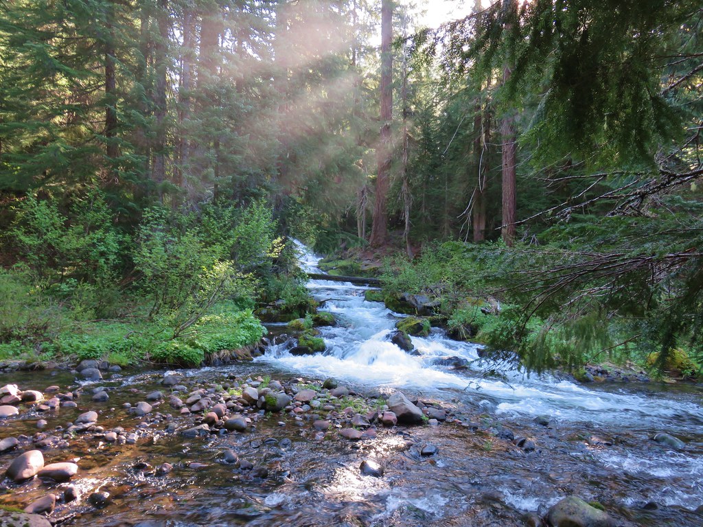
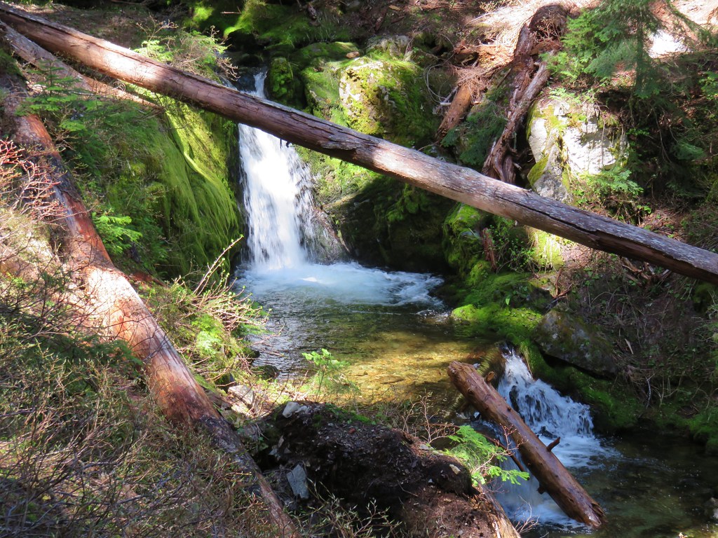
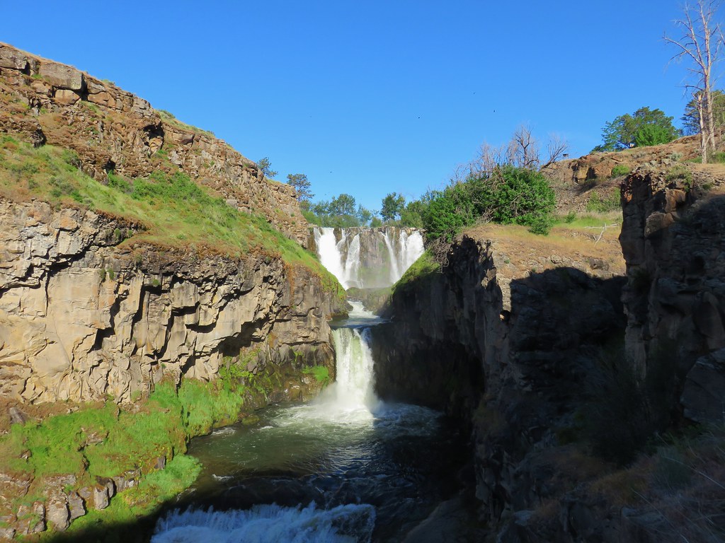
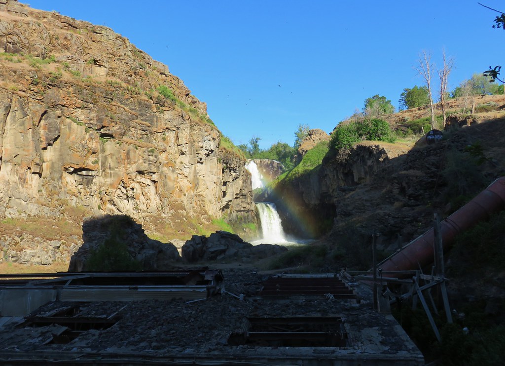
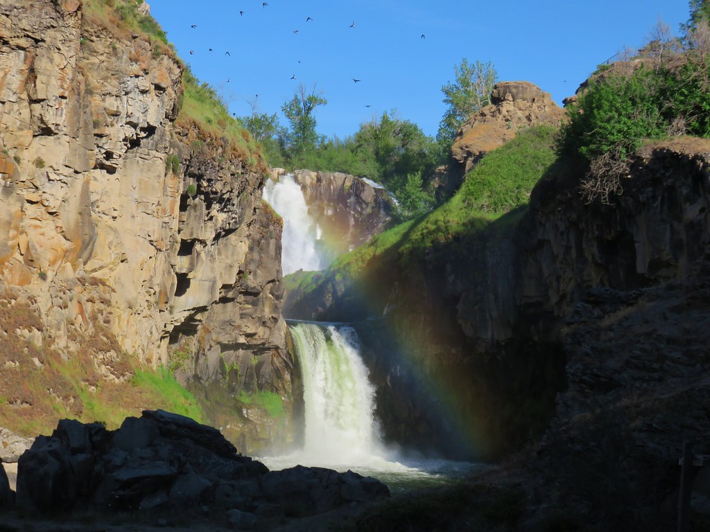
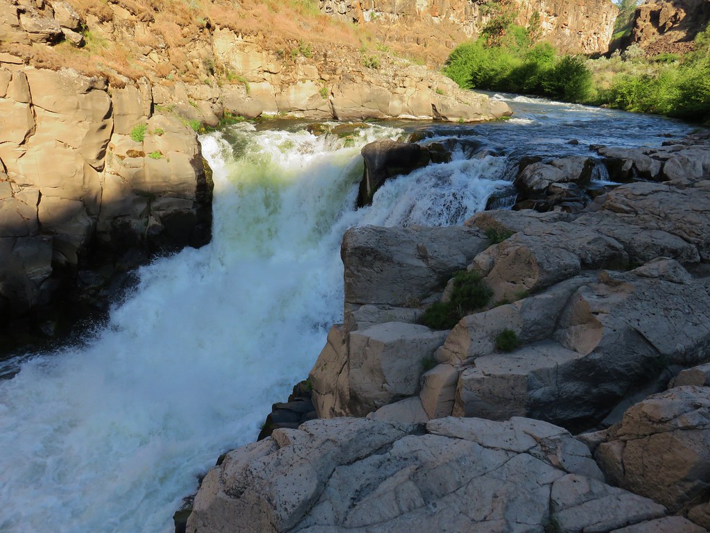
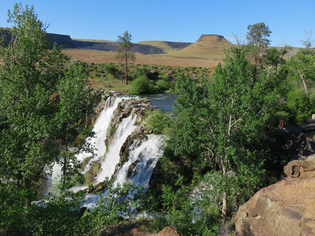
As we neared the two mile mark from the North Fork we spotted a waterfall on the far shore.
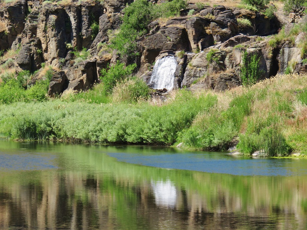
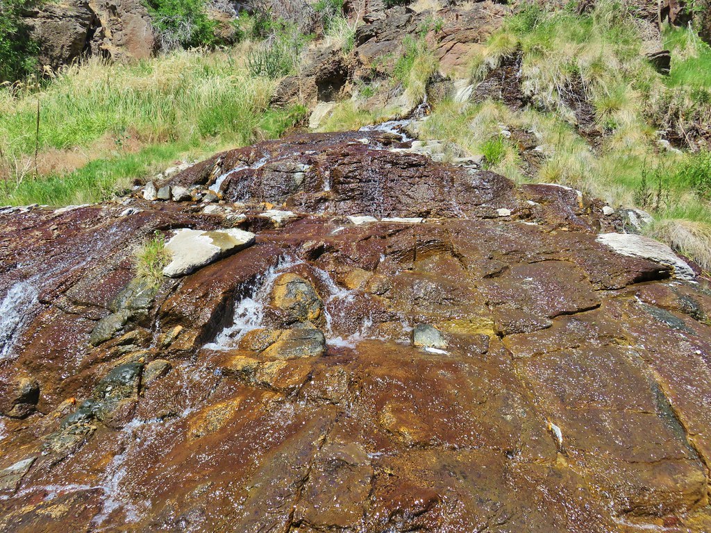
It was actually a series of falls coming from warm springs on the far side and above the largest waterfall was 96 degree pool. The hot springs are on private land which the owners allow hikers to visit at least for now. The guidebook description mentioned fording the river where rocks pinch the trail. We were looking for a faint roadbed on the far shore which we could theoretically follow up to the warm pool. We ran into trouble when we followed the trail all the way to a rock pillar where the trail became flooded.
We had taken the description too literally and hadn’t paid enough attention to the map. If we had looked closer at the map while reading the description we would have realized that the correct ford was about a tenth of a mile before the point we had reached. There was an easy ford where we were though so we headed across thinking we were in the correct spot and that we would find the old road on the other side.

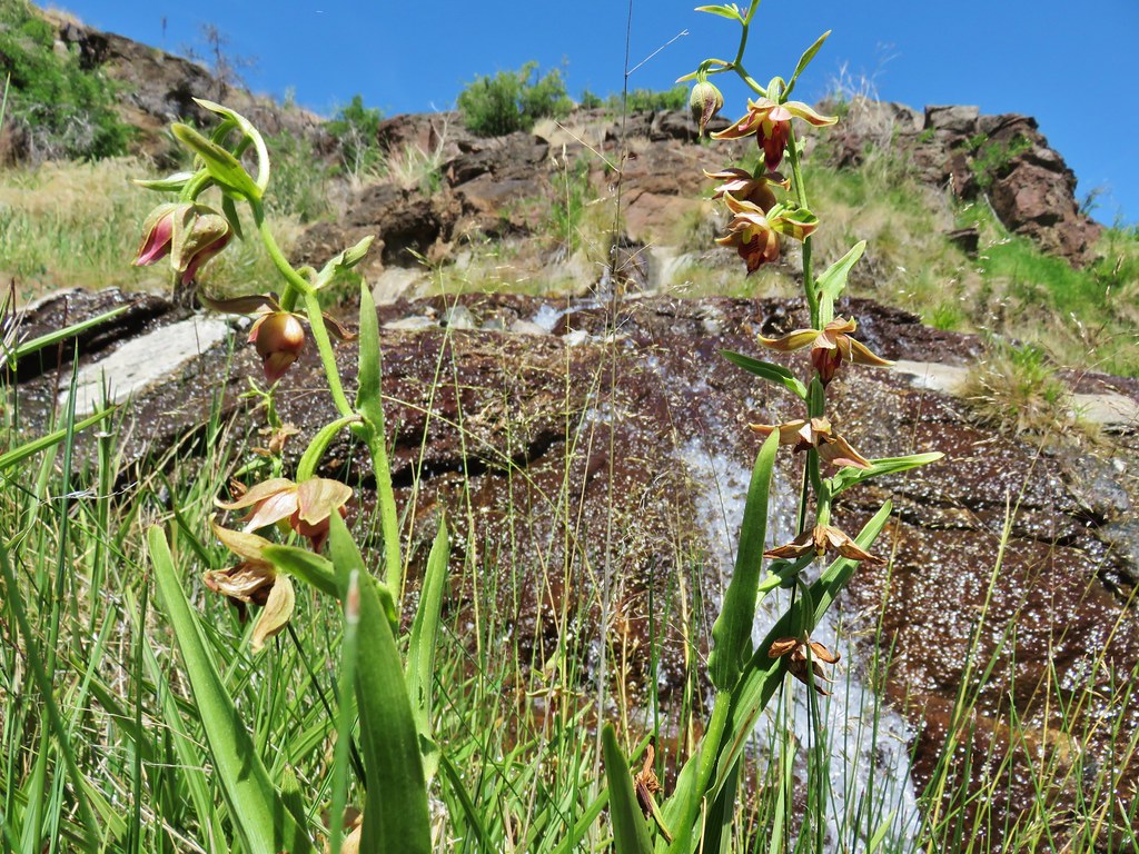
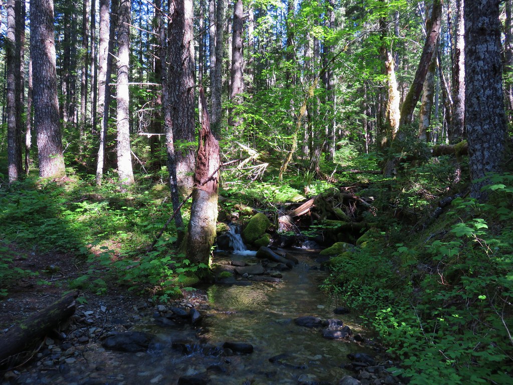
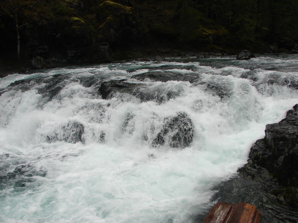
We wound up wandering around in thick brush searching for the road in vain. When we finally started to get somewhere we were blocked by a good sized body of water and wound up having to make our way back to where we had forded. Our next incorrect move was to get back into the river and head upstream along the bank to the waterfalls thinking that we might be able to climb up from there. You cannot, but we did get a good close up view of several of the falls and saw some nice stream orchids as well.

Defeated we recrossed the river and prepared to head back. We could see the old road bed traversing the hillside across the way but were still confused about how to reach it. Then Heather reread the description once more and compared it to the map and realized our mistake. We had spent about 50 minutes trying to reach the road and now we knew why we hadn’t been able to. We decided to give it one more try and forded the river again, this time in the correct spot. It was a little trickier ford but once we were on the other side it was an easy cross country walk up to the old roadbed.
A short scramble down brought us to the pool.
After a short soak we headed back.

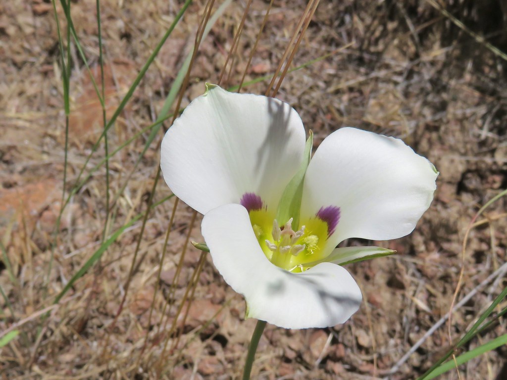
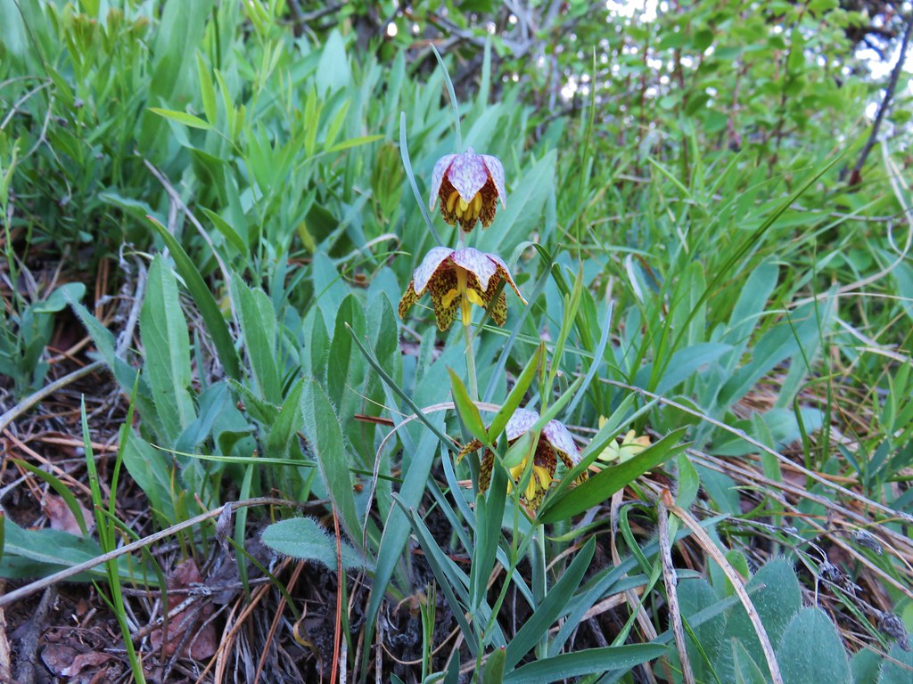
It was a pretty uneventful return compared to our hike to the hot springs. We did spot a couple of flowers that we’d missed the first time by though, including a nice mariposa lily.
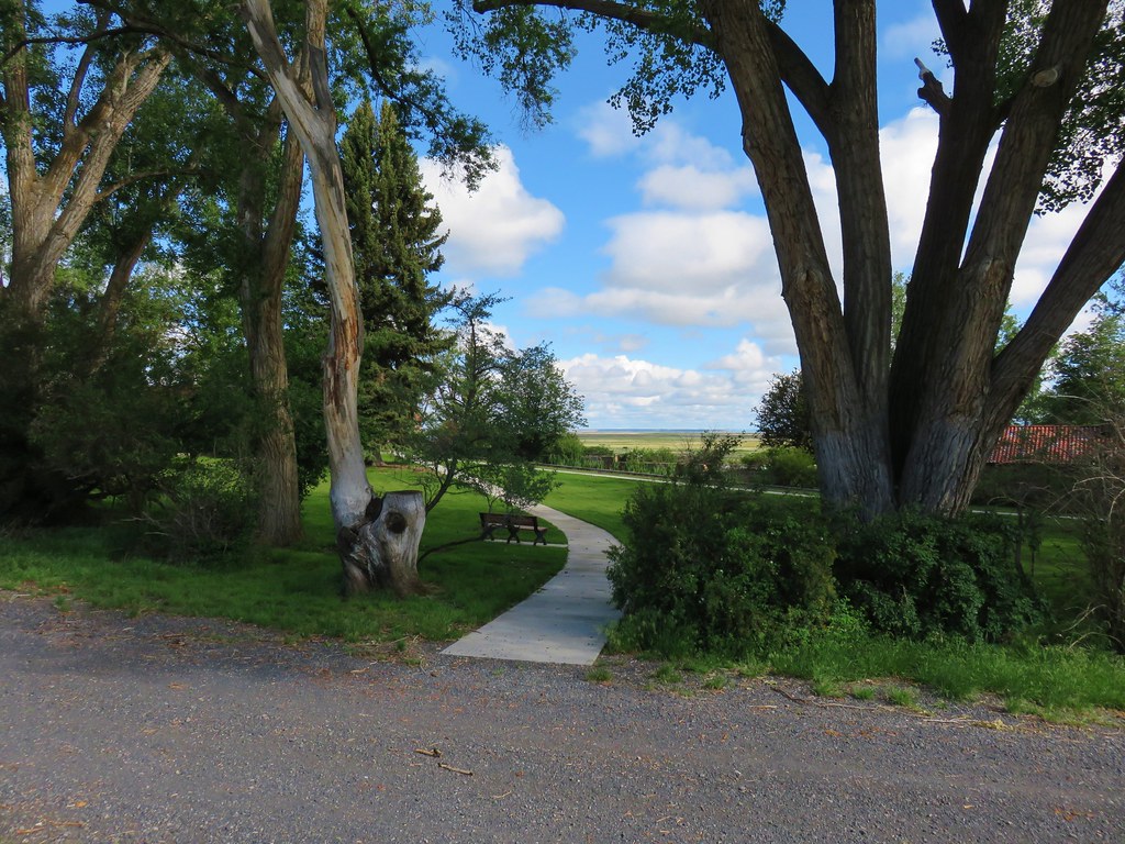
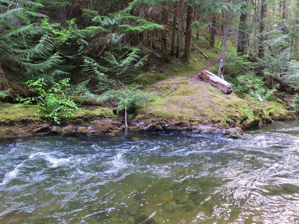
The climb up the road in the heat of the day was pretty much awful but it still beat trying to drive down and back up it. The hike wound up being 9.5 miles instead of the 7 to 8 we were expecting but that was due mostly to our wandering around looking for the old road bed. We drove back to Jordan Valley and checked into the Basque Station Motel which turned out to be rather pleasant. It’s short on amenities but the room was clean and comfy as well as surprisingly quiet. We regretted having not stuck to our original plan of staying there instead of in Caldwell. Happy Trails!
Flickr: Jump Creek Falls and Three Forks


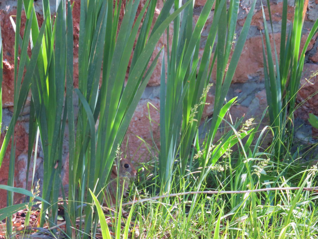 Rabbit behind the plants


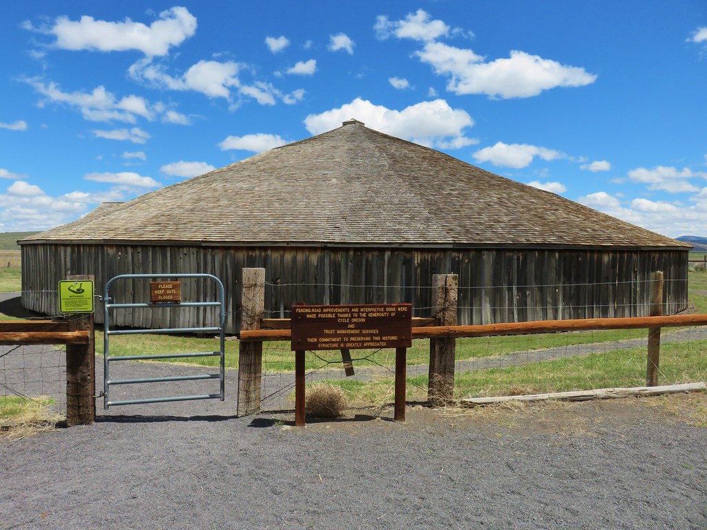
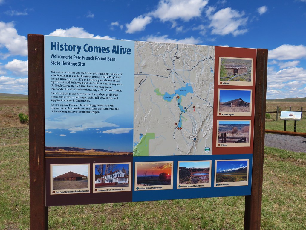
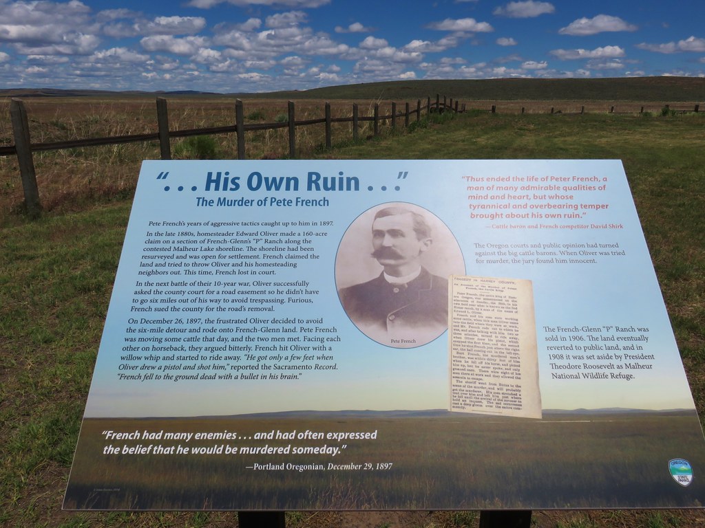
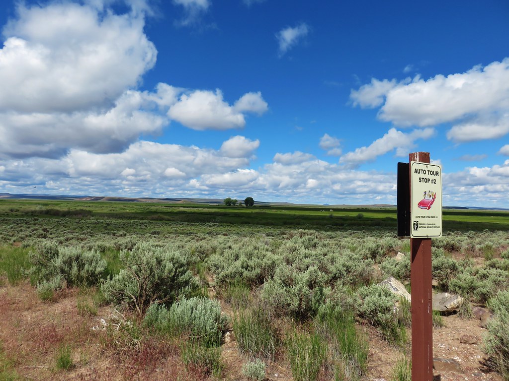 Stop 2 – Sod House Ranch
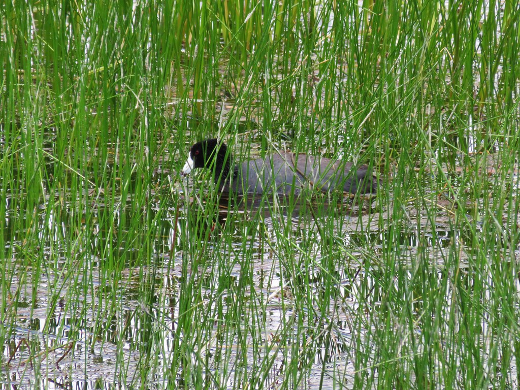 American Coot
 White Faced Ibis
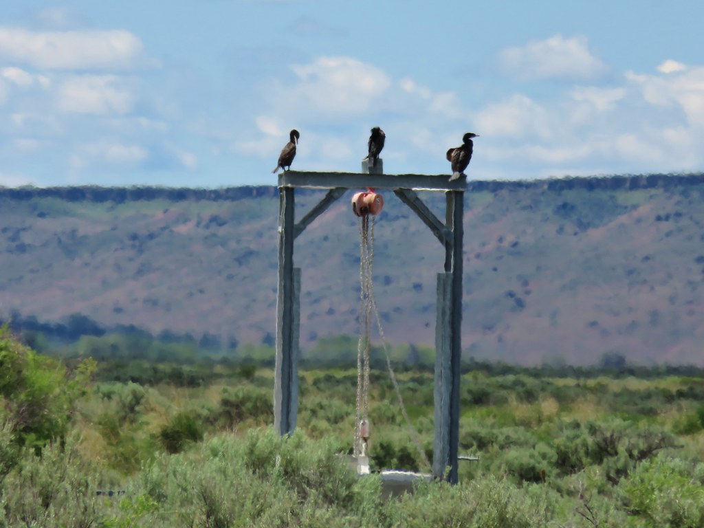 Cormorants
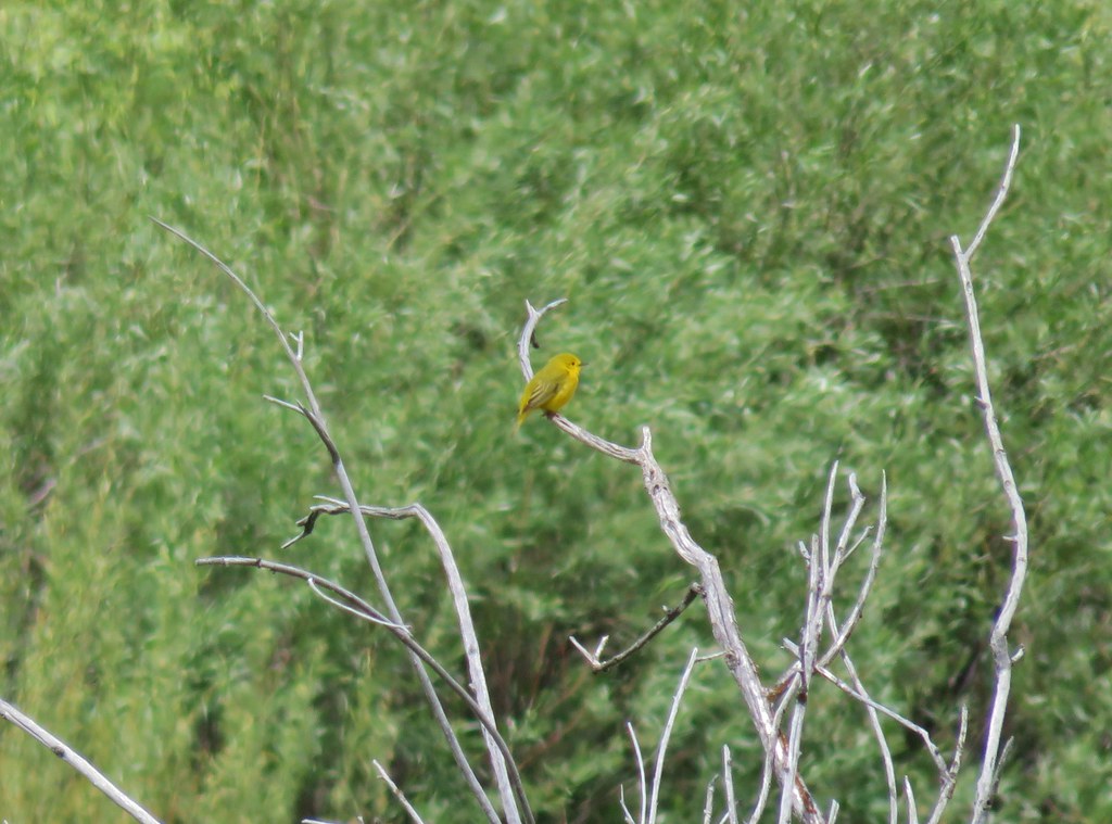 Yellow Warbler?
 Western Meadowlark
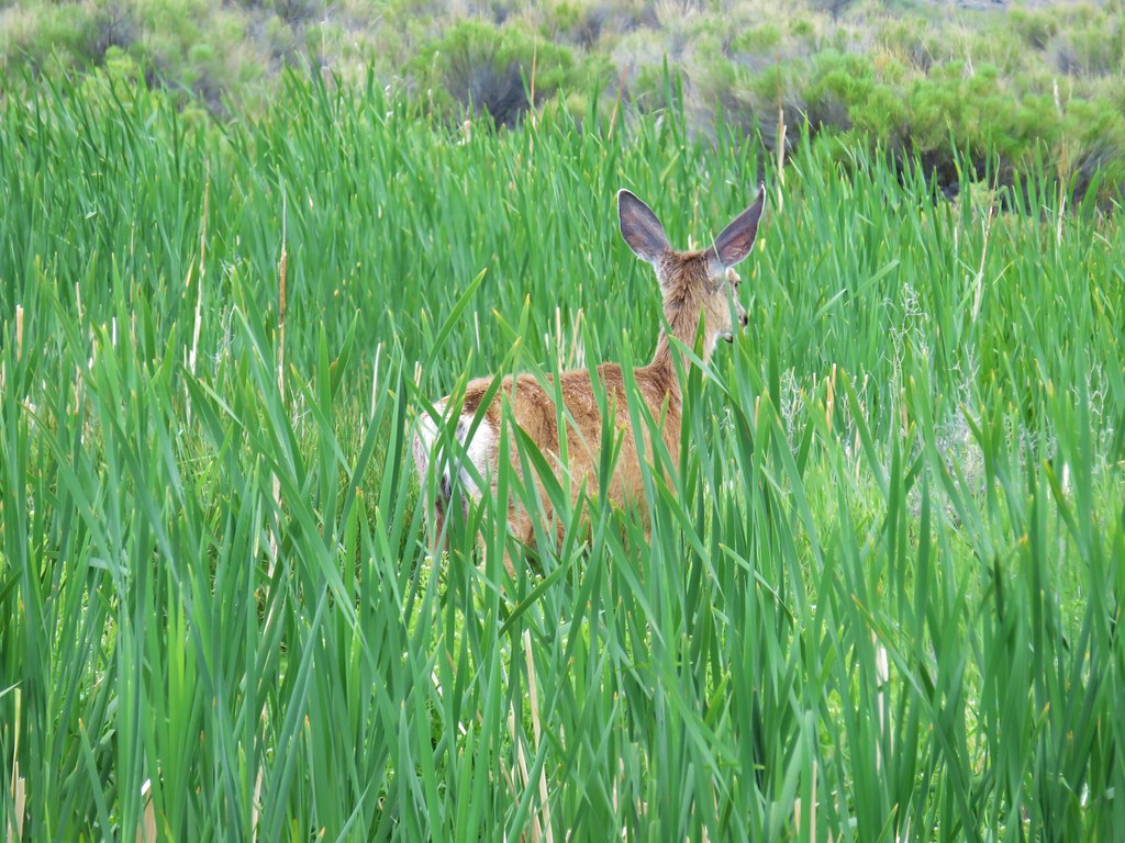


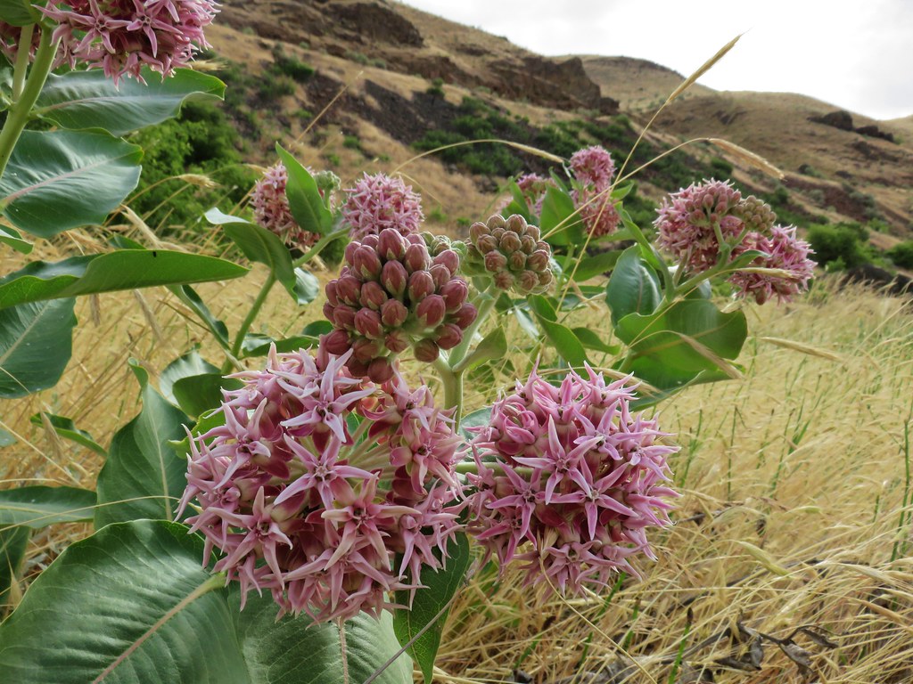 Showy milkweed
 Chicory
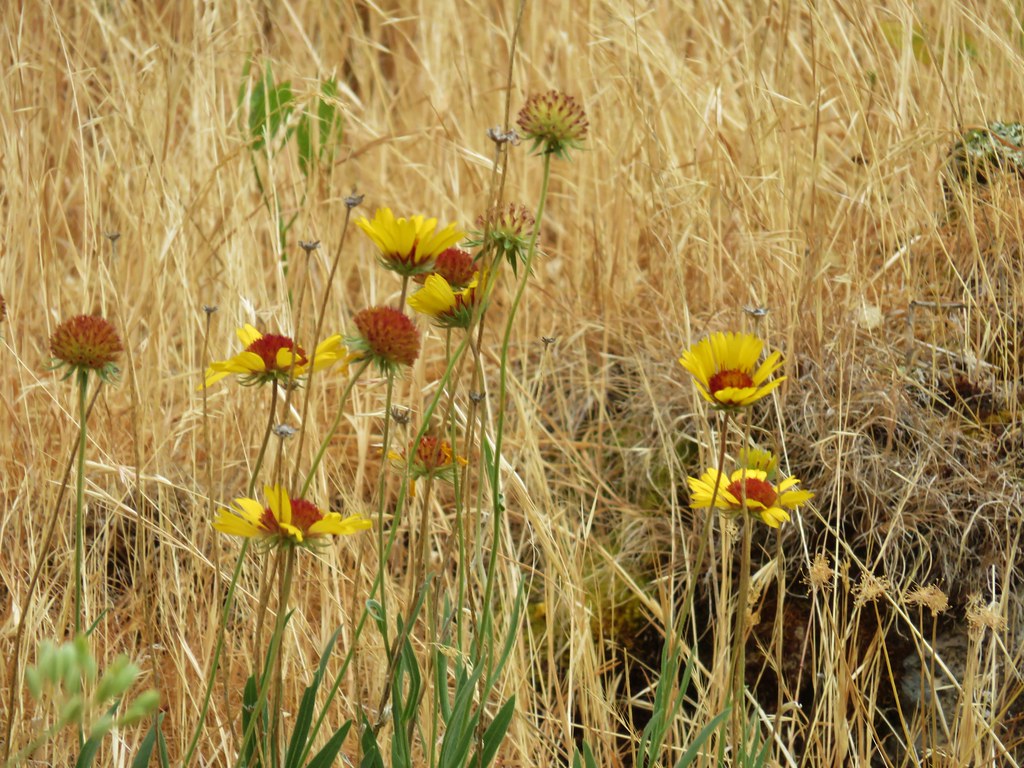 Blanket flower


 1
1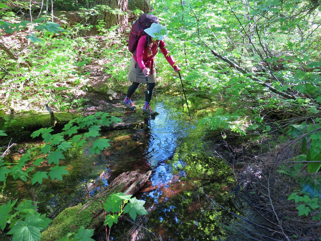 2
2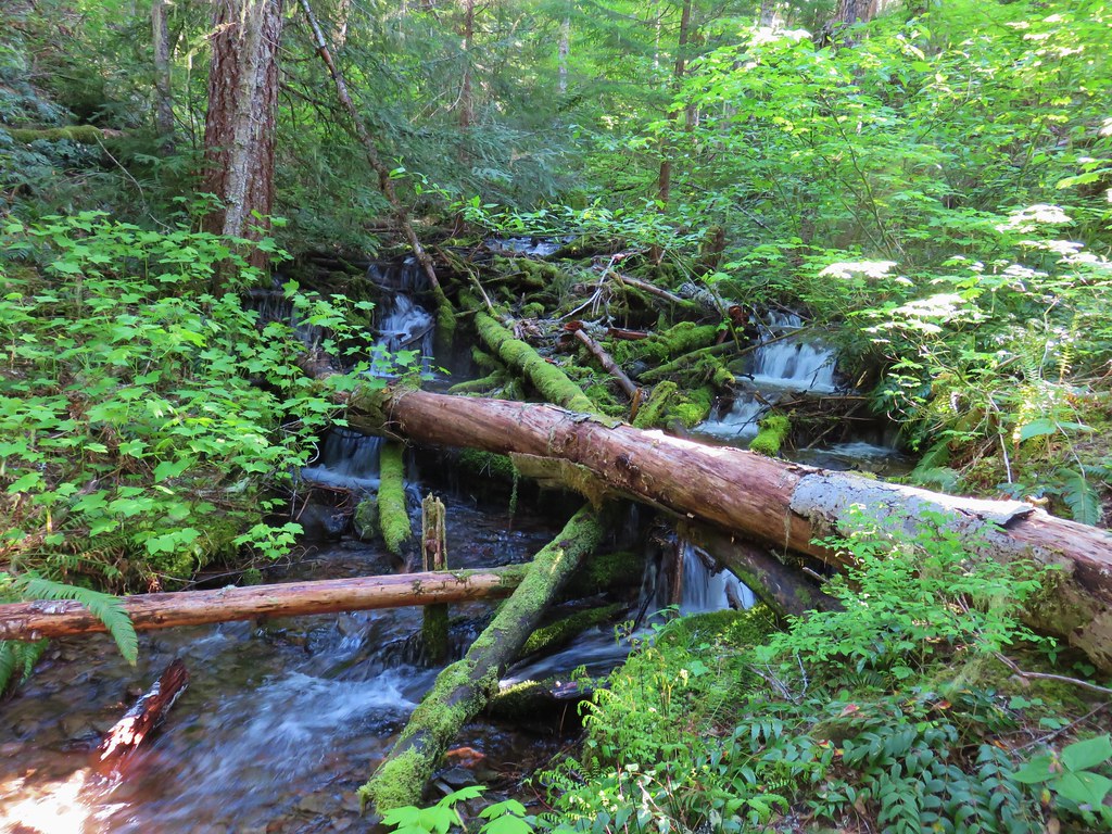 3
3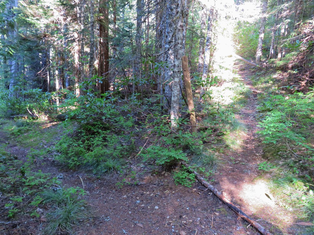


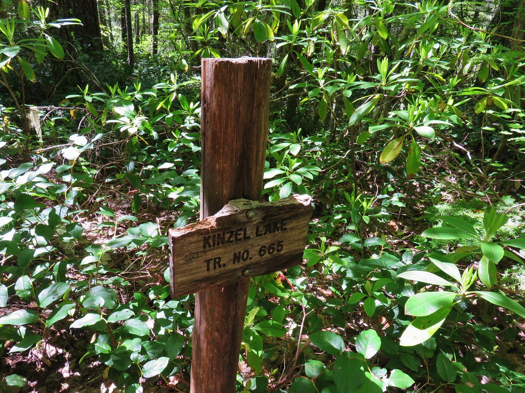
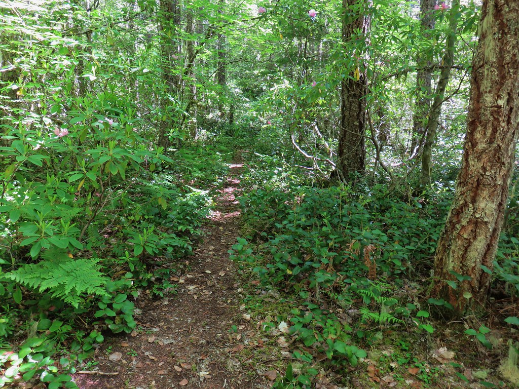 Kinzel Lake Trail
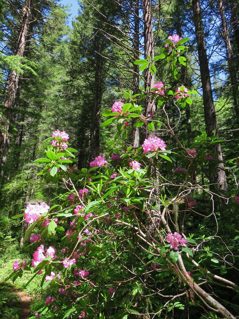
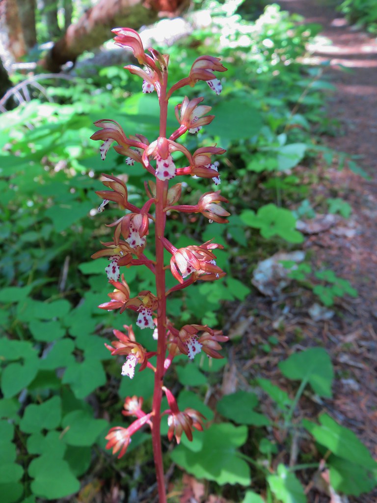 Spotted coralroot
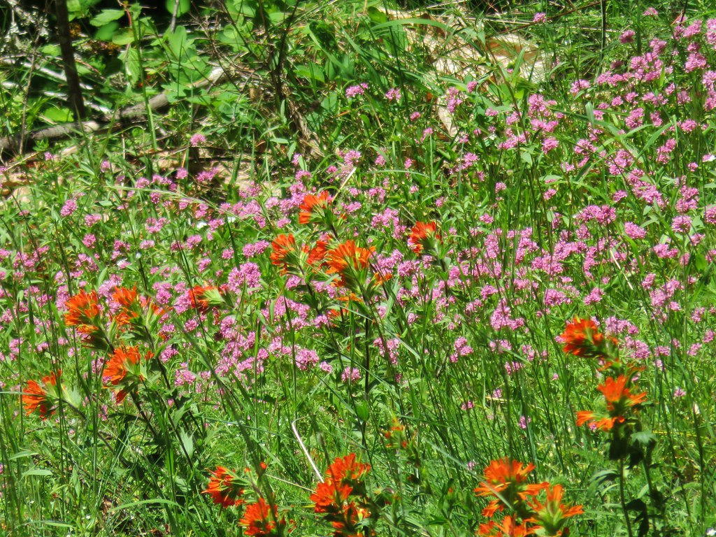 Paintbrush and plectritis
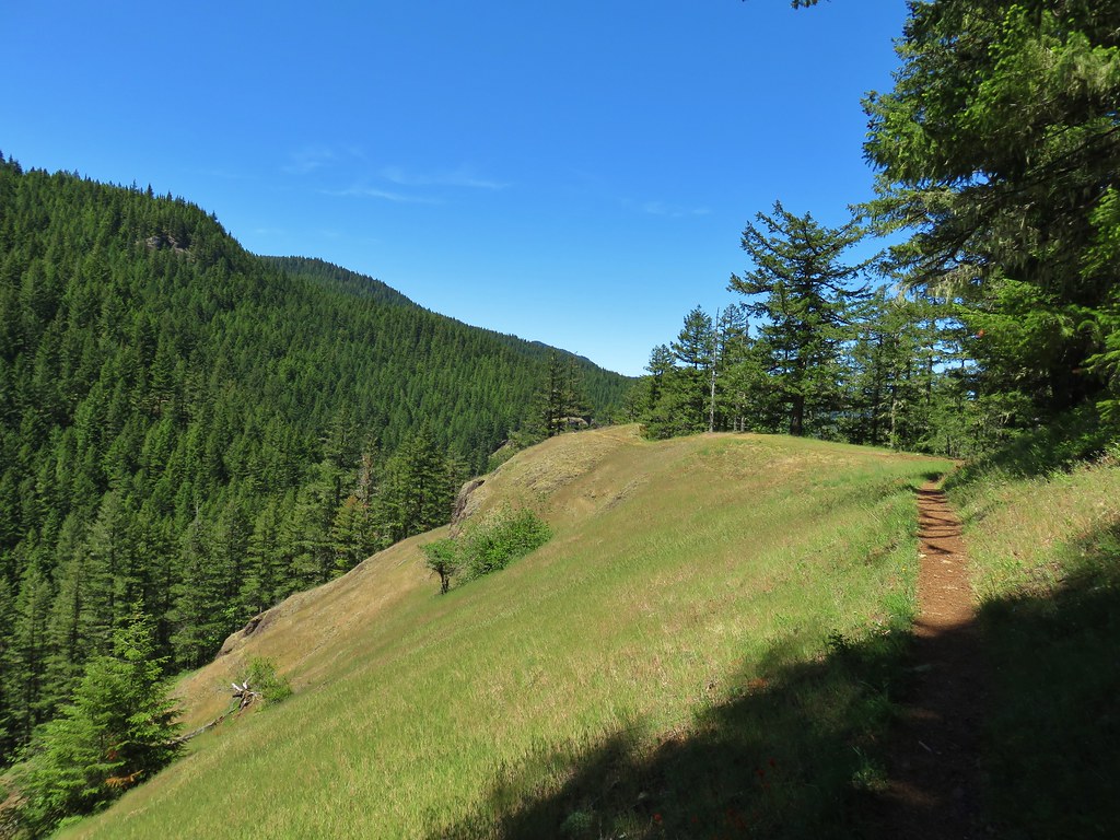
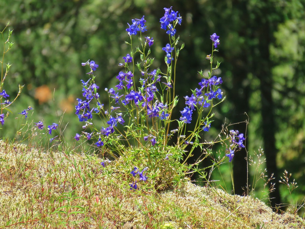 Larkspur
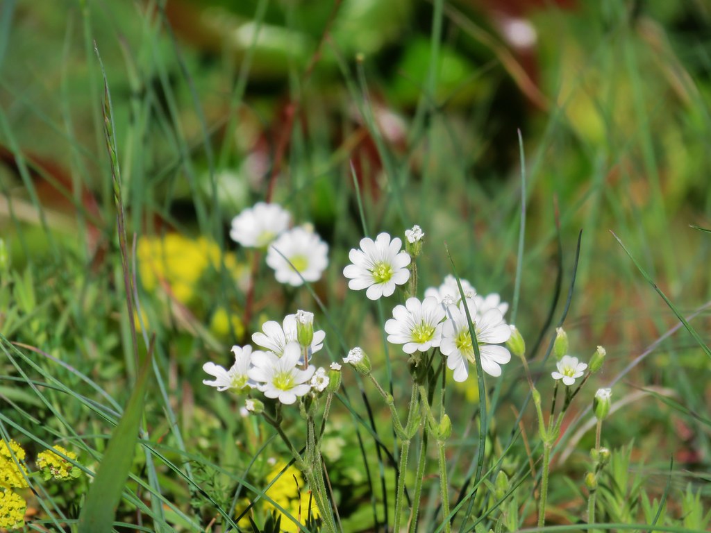 Field chickweed
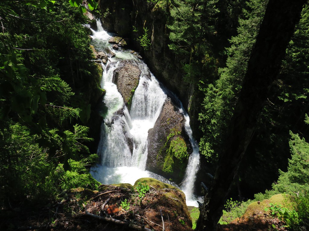

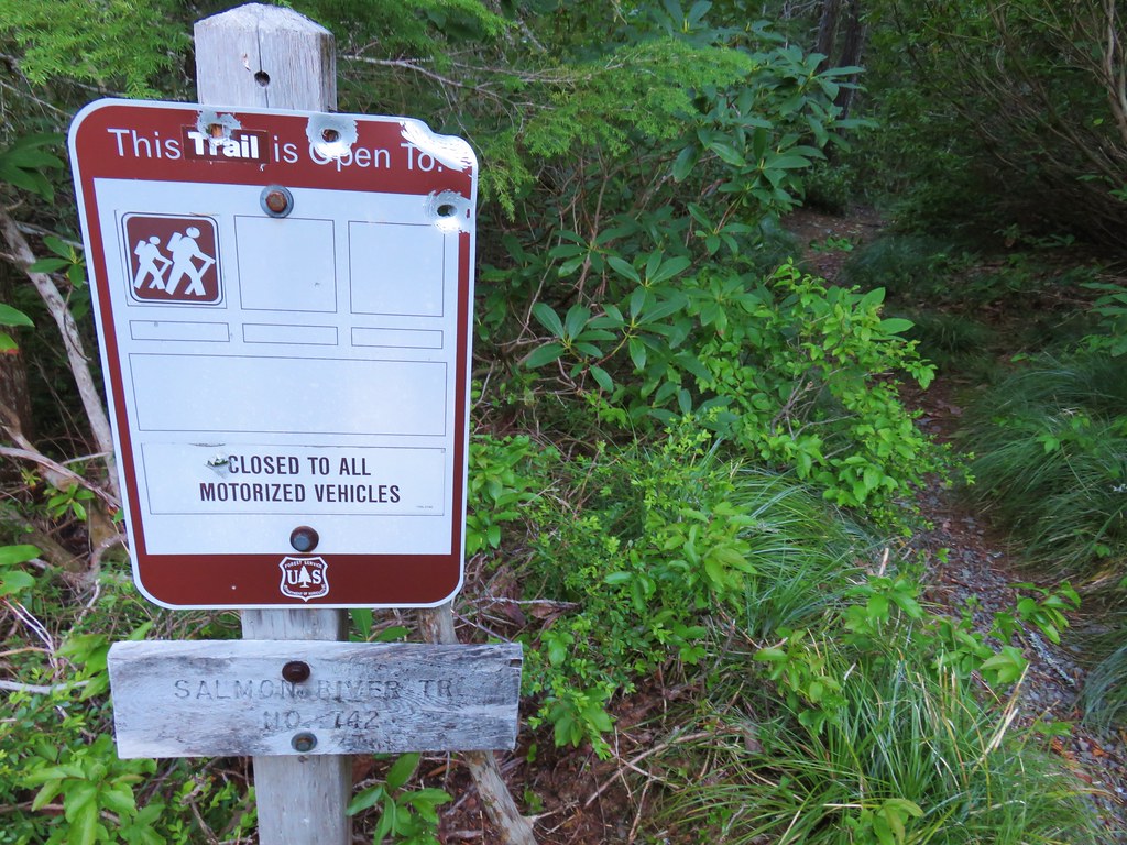
 Cliffs along the hillside above the Salmon River
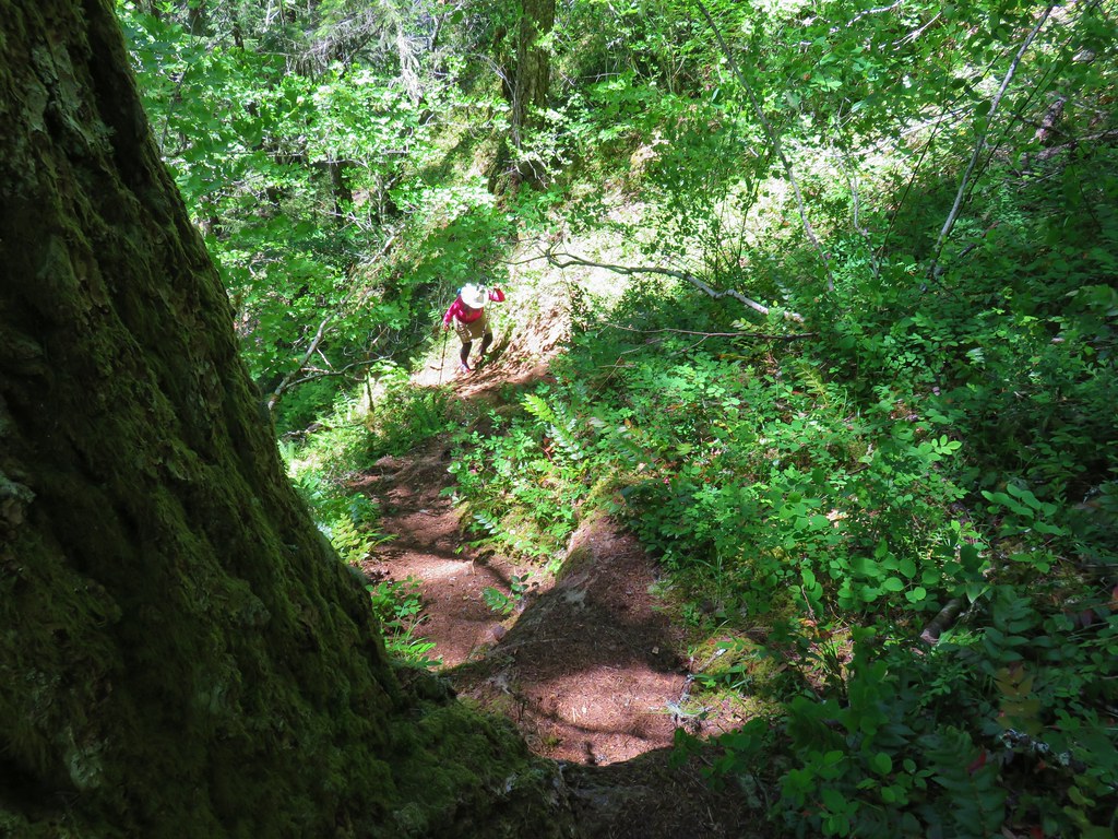


 The old lookout tower with Broken Top and the Three Sisters
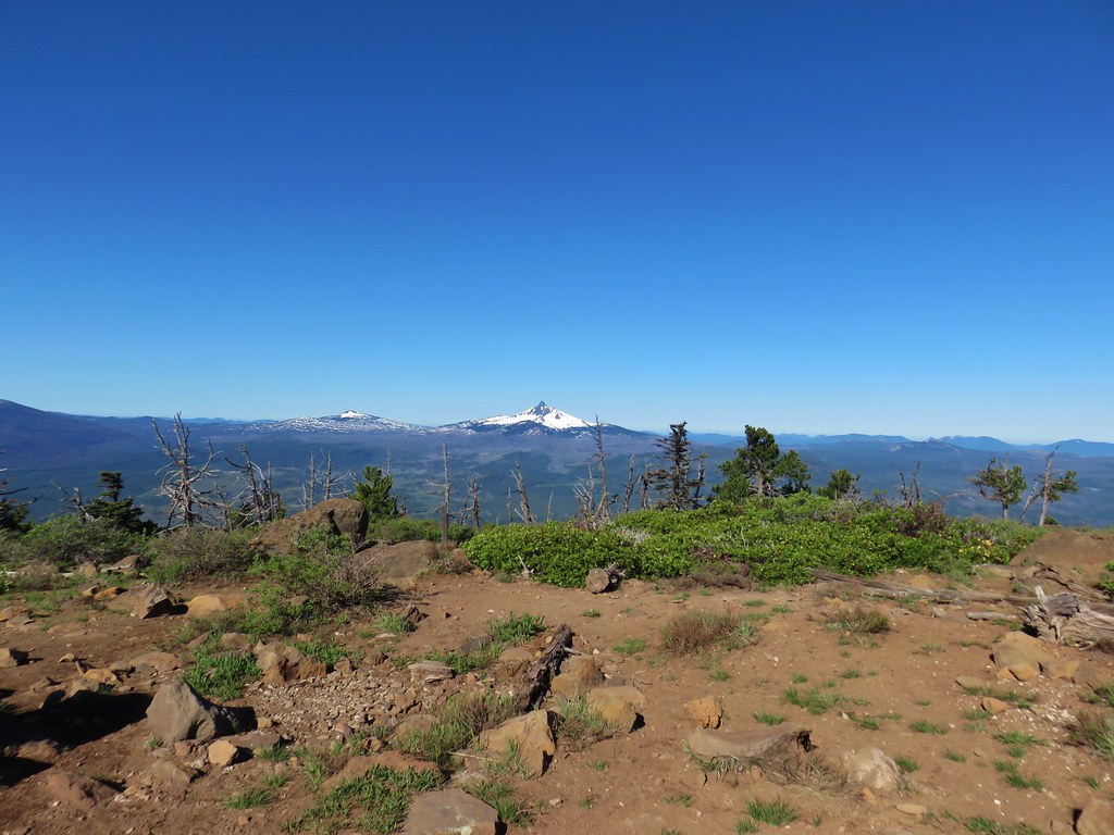 Belknap Crater & Mt. Washington
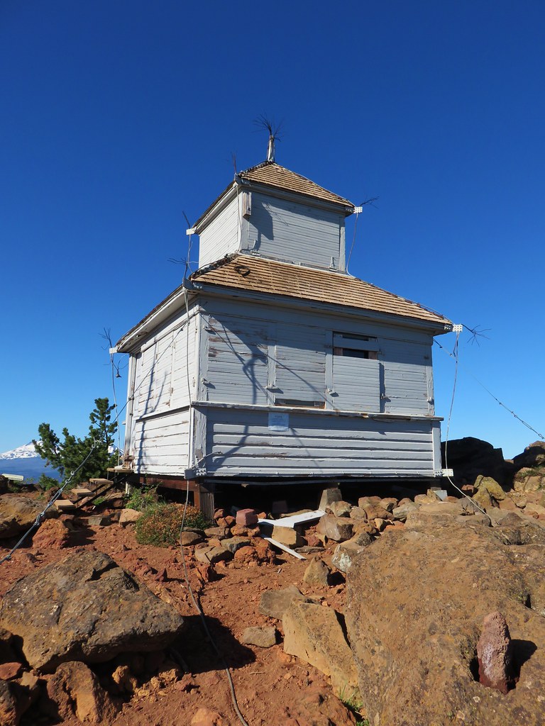
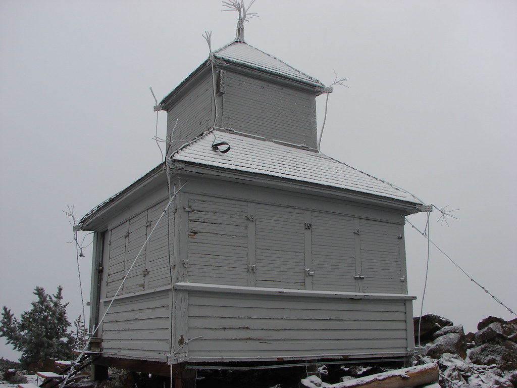
 Mt. Washington & Three Fingered Jack with the old cupola lookout
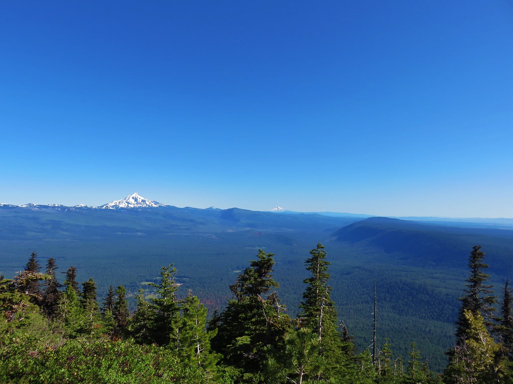 Mt. Jefferson, Mt. Hood and Mt. Adams
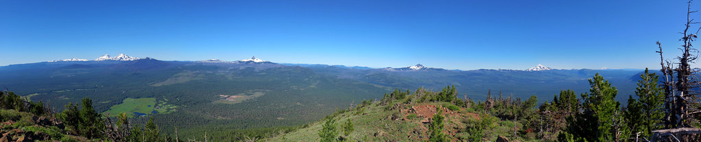


 blaze in the tree
 Union Peak
 Hillman Peak and The Watchman

 The rim of Crater Lake
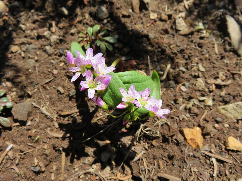
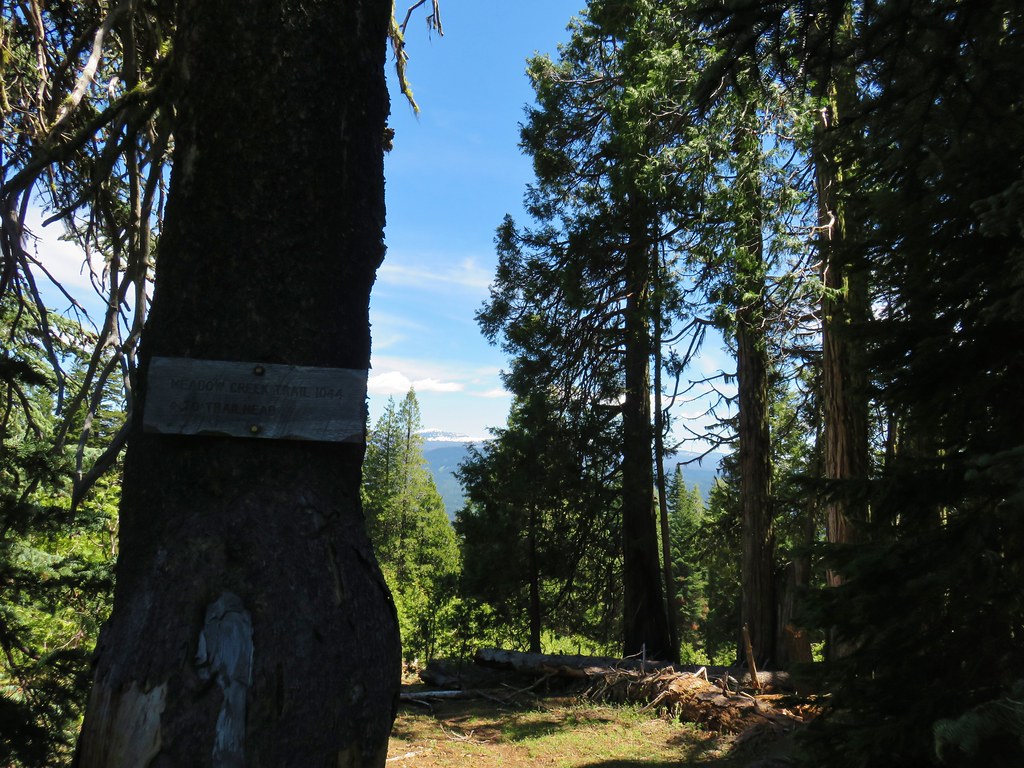


 Faded pink flagging in the tree marking the abandoned Meadow Creek Trail
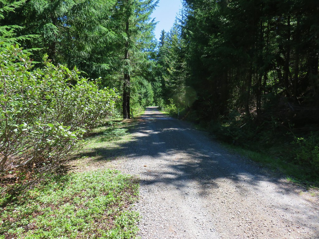 Cattle guard on Road 6540-700
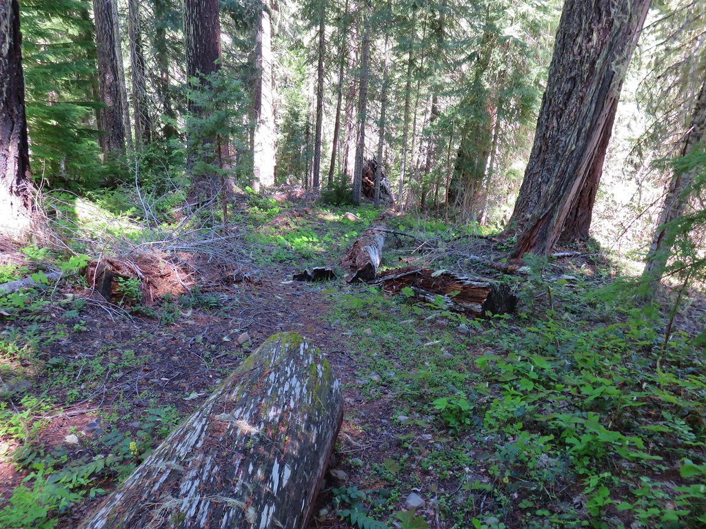


 Looking up Macks Canyon
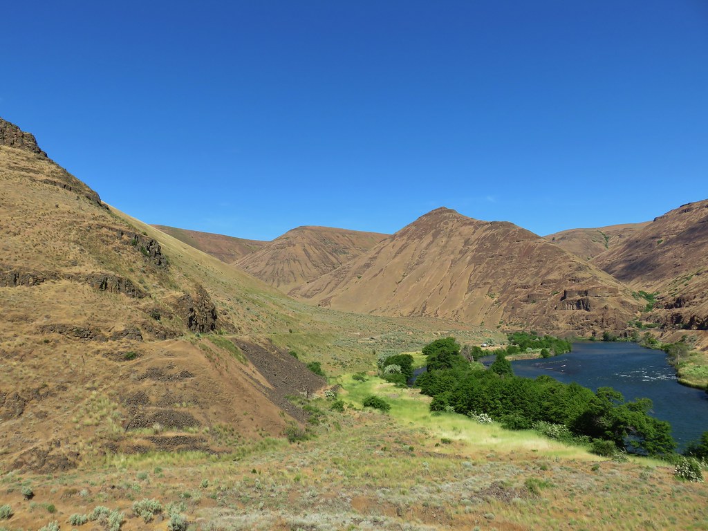


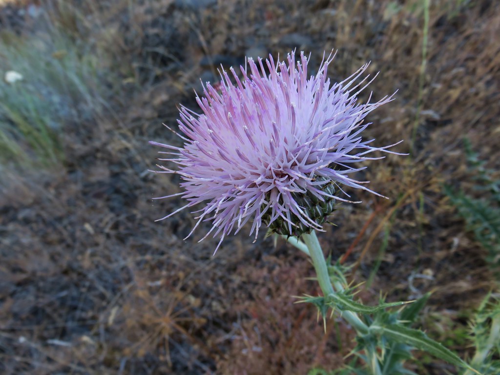 A thistle
 A vetch
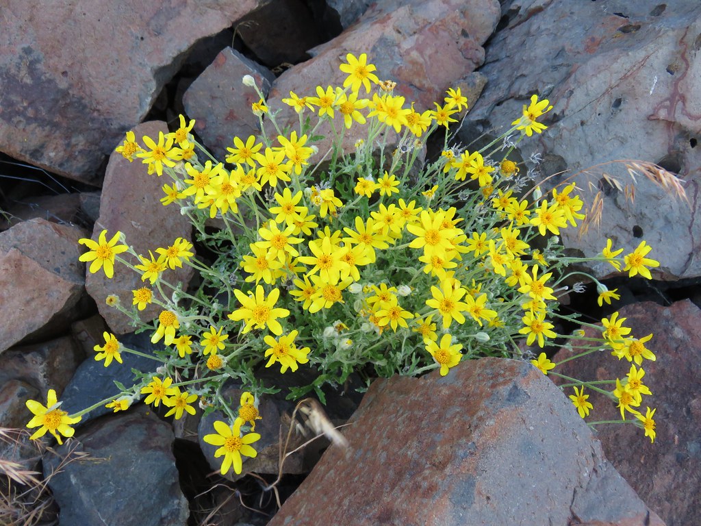 Oregon sunshine
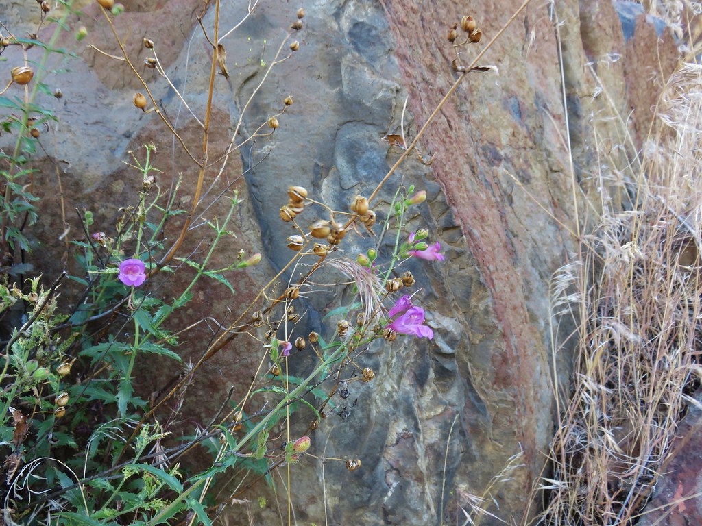 A penstemon
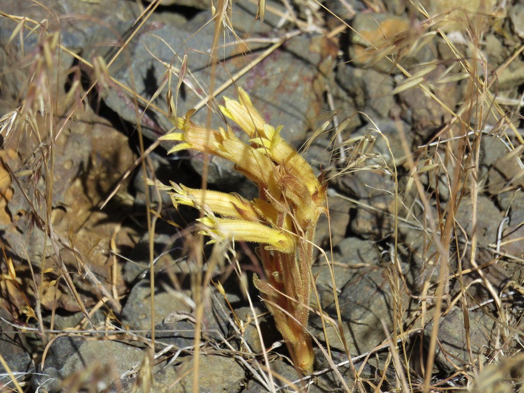 Clustered broomrape
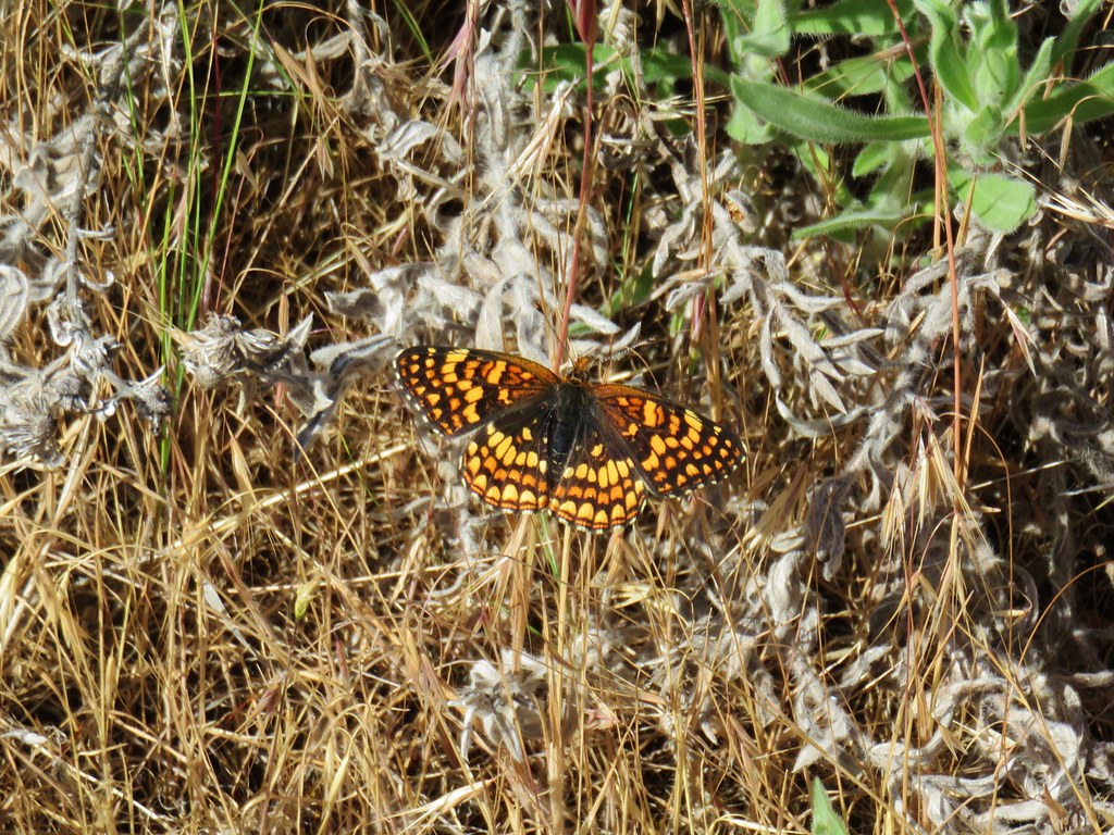


 Broken Top and the Three Sisters
 Mt. Jefferson