It’s been a while since we’ve had a recent trip report to post but we finally took our March hike on Heather’s birthday. We are in the midst of training for the Corvallis Half-Marathon so we were looking for something on the shorter end and without too much elevation gain. After our first plan was scrapped due to our most recent snowfall we turned to – Silver Falls State Park. We had done this hike a couple of times in the past before starting the blog. In fact our first visit to the park happened on a hot day in August, before we had started hiking, and resulted in us thinking we might die of heat stroke causing us to be unable to visit all the waterfalls. We returned slightly more prepared in July of 2006 and completed the hike which we consider our first true hike. We went back once again on 7/30/2010 when Dominique chose this hike as his pick during our vacation that year.
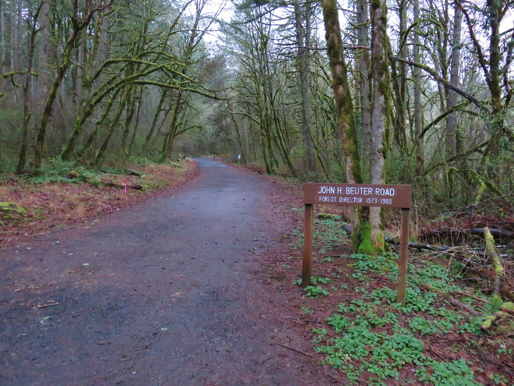
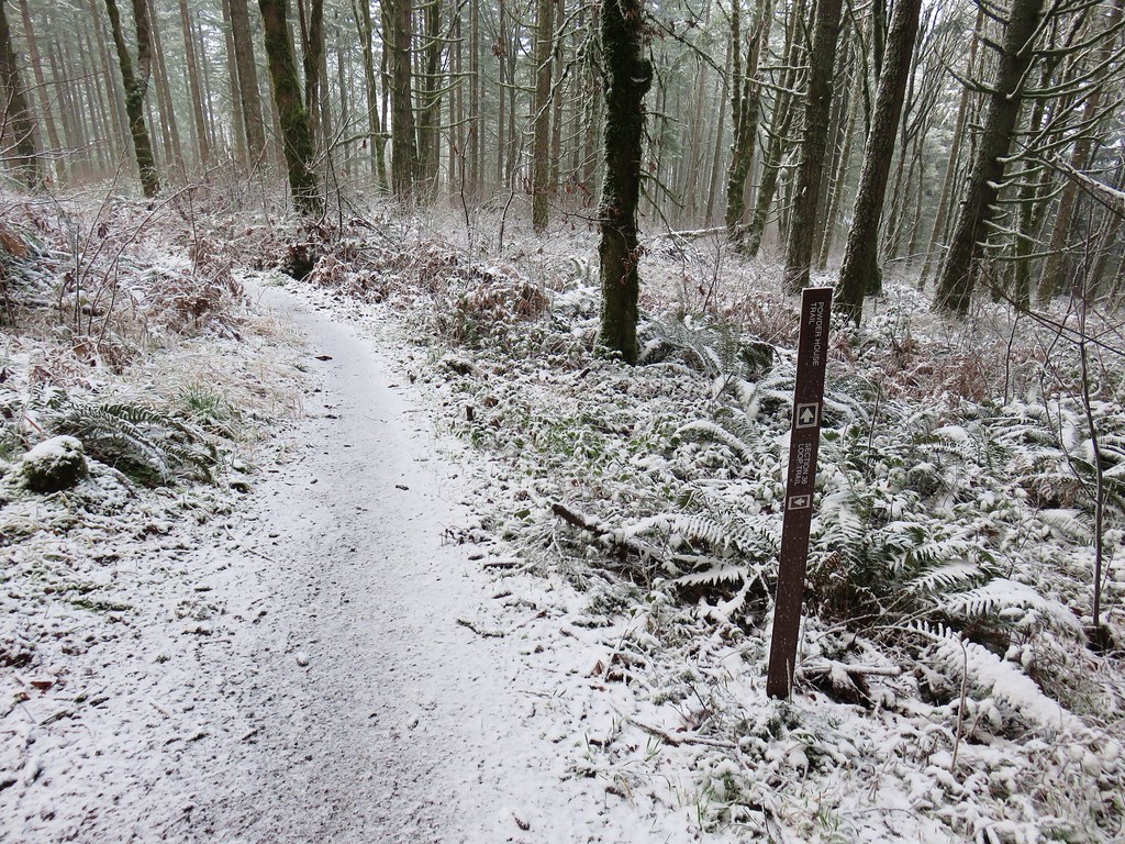
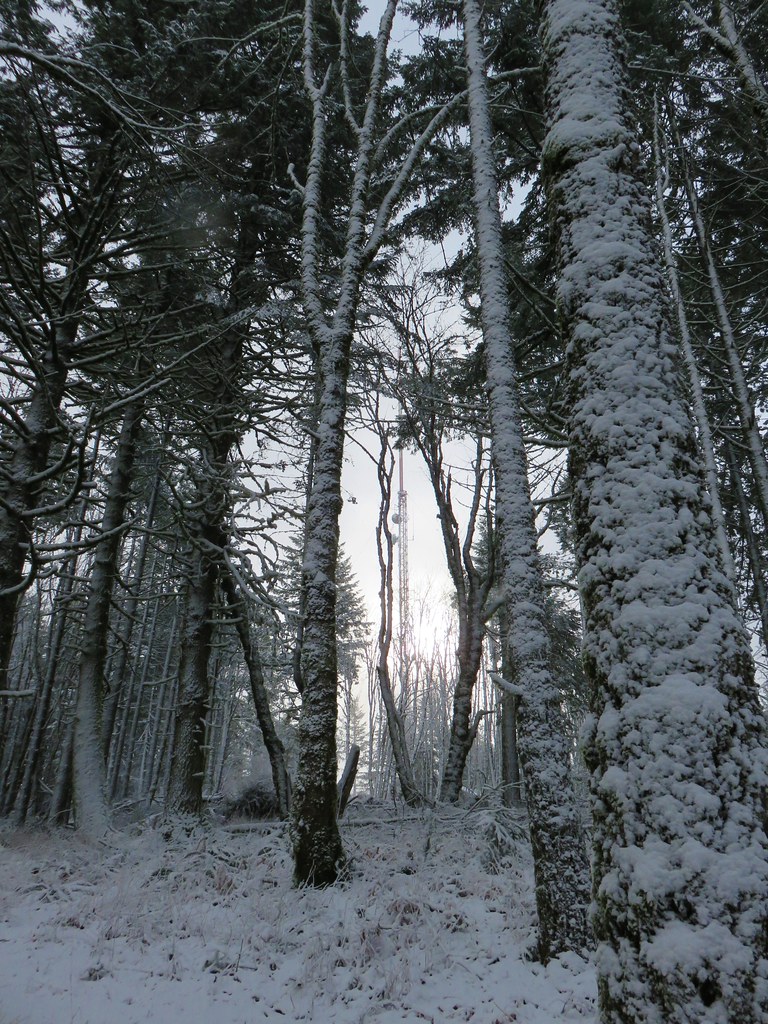
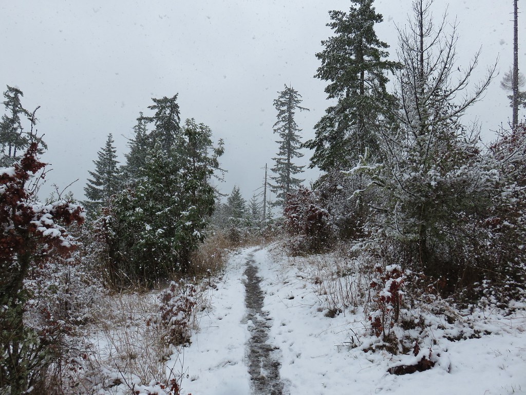
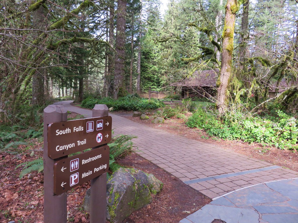
It turns out we were there a little early. The posted hours for the day use areas were 8am to 8pm which hadn’t been clear on the park website and the entrance to the South Falls day use area was still gated so we began our hike at the North Falls Trailhead.

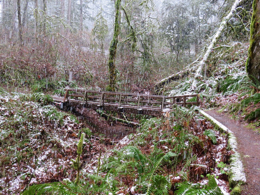
There is a $5 day use fee which we attempted to pay but the envelope box had been removed, presumably for the night, so after filling out an envelope we left the stub on our dash along with a note that the box was not in place so we would drop our payment off on the way out. With that taken care of we took a footbridge over North Fork Silver Creek and followed a pointer for Upper North Falls.


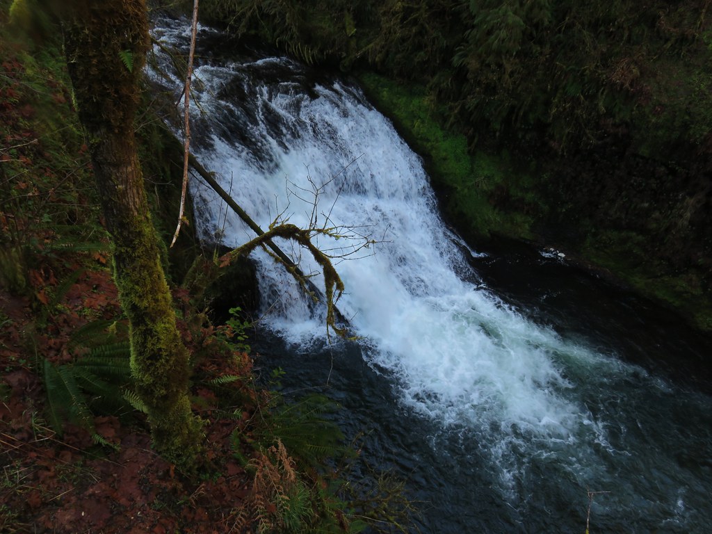
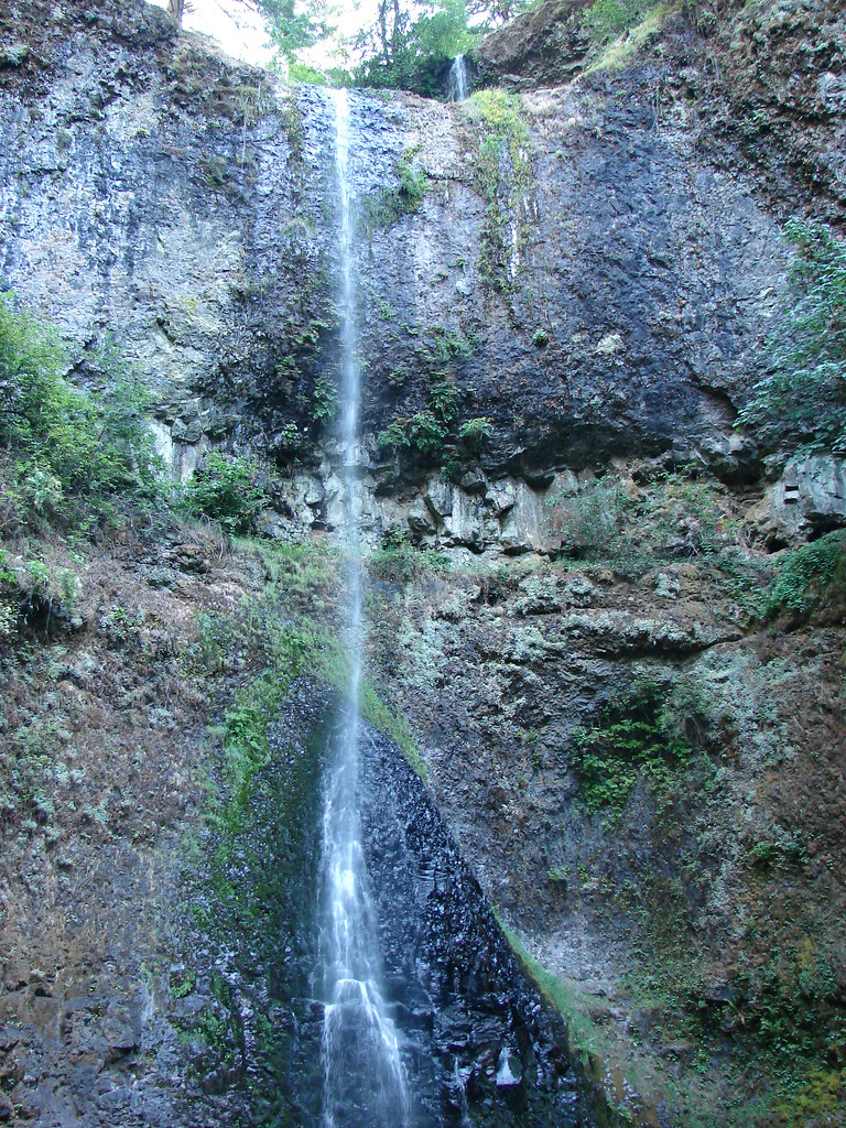
The trail immediately passed under Highway 214 then in a quarter mile brought us to the 65′ Upper North Falls.

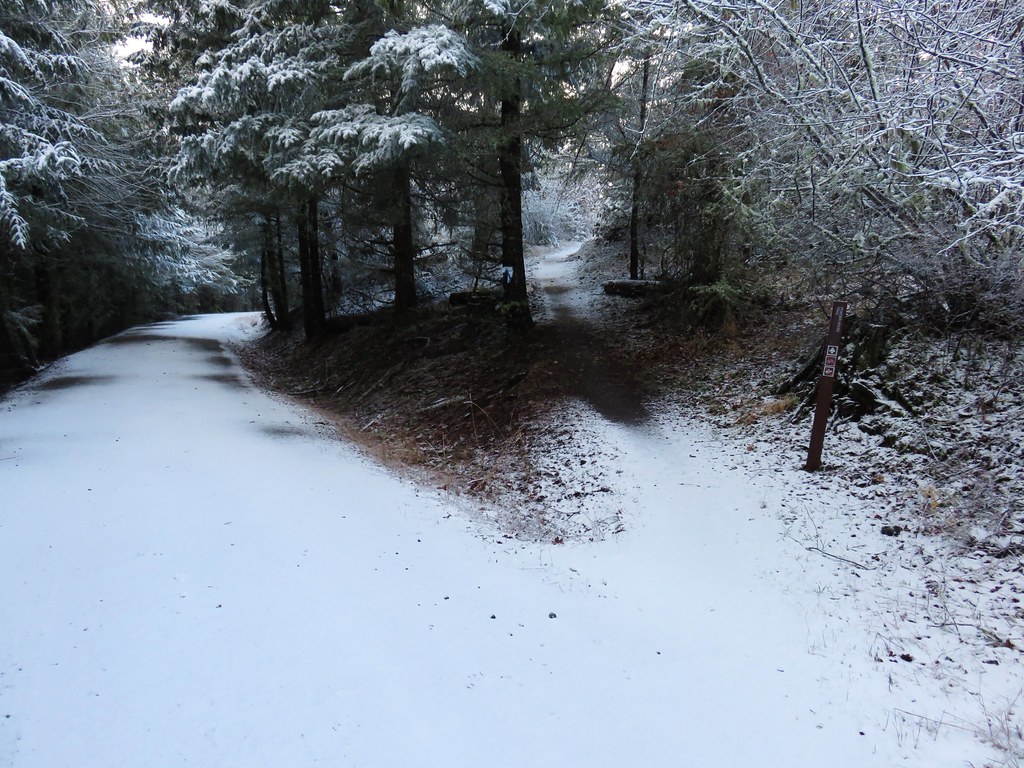
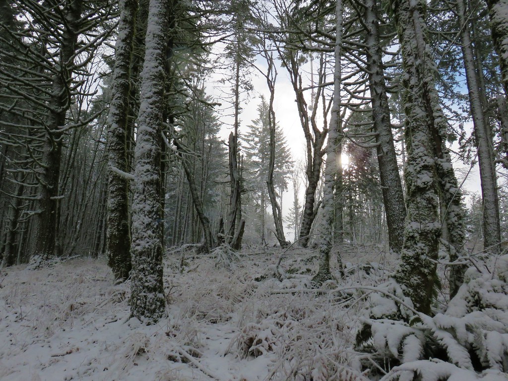
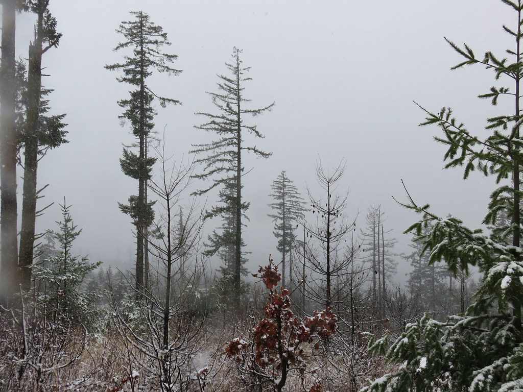
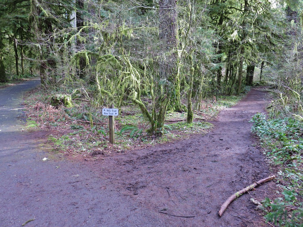
After admiring the fall we returned the way we’d come and after passing back under the highway faced a choice at a junction. To the left the Rim Trail headed uphill and would follow the highway along the canyon rim to the South Falls Day Use area while the right hand fork would lead us on a longer trek through the canyon and the other waterfalls.

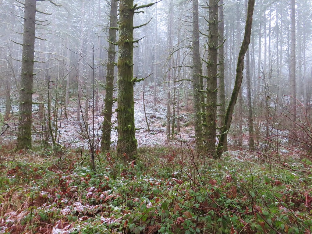
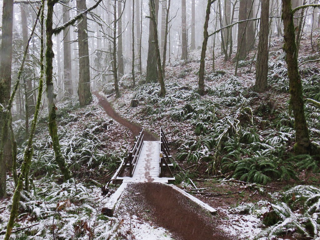
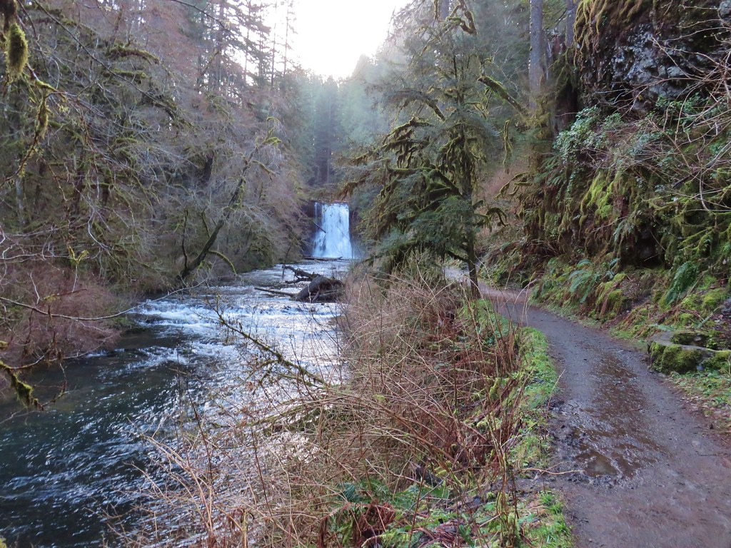
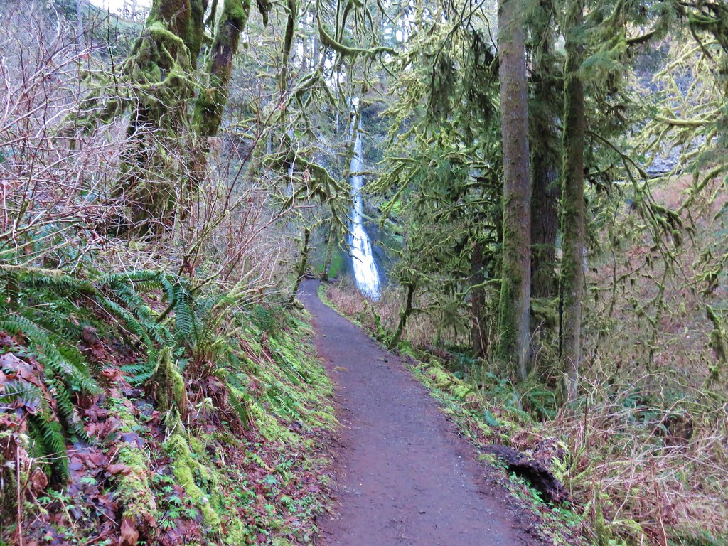
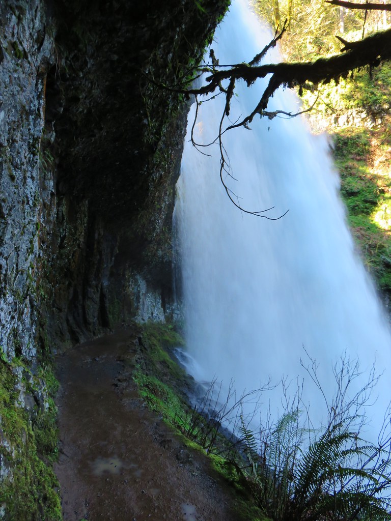
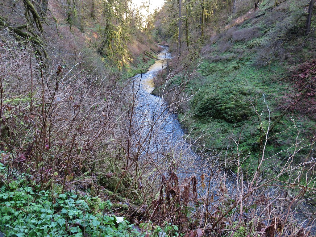
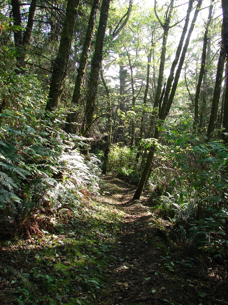
The question was did we want to end with the more scenic trail through the canyon or start with the canyon figuring that there would be fewer people on the trails earlier in the morning. The prospect of fewer people won out and we took the Canyon Trail along the creek (please note dogs are banned on the Canyon Trail). Not far from the junction the trail descends past a sign for North Falls and passes under basalt overhangs.

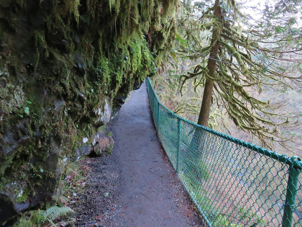
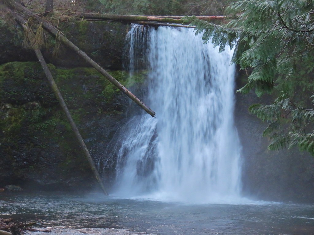
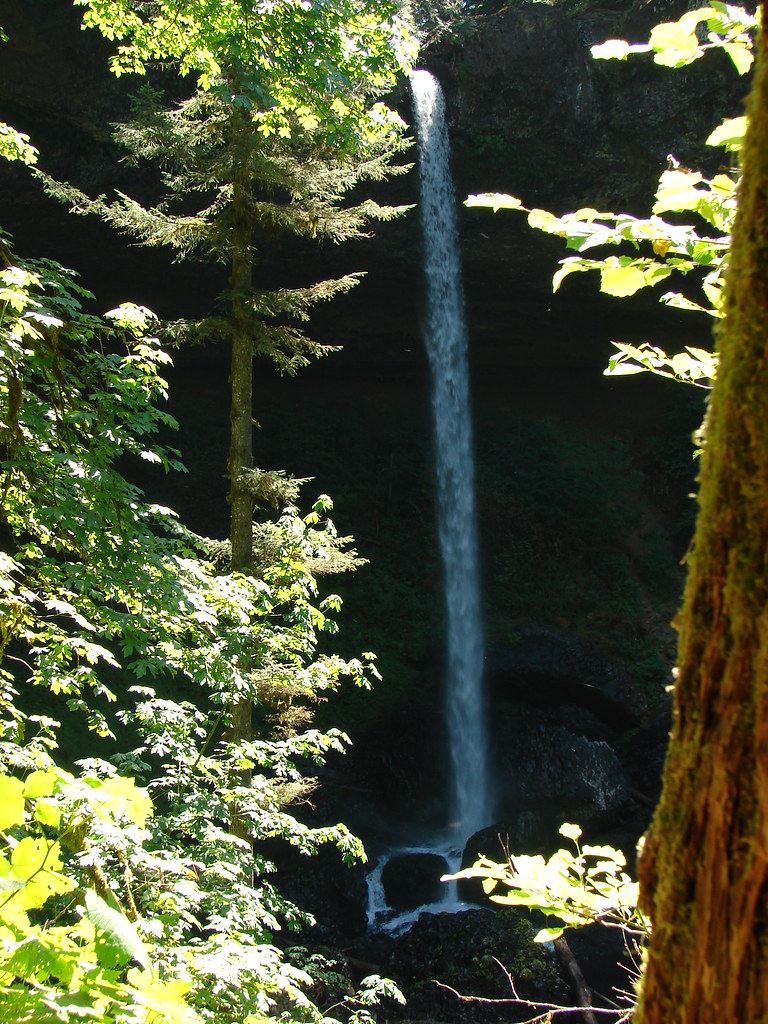
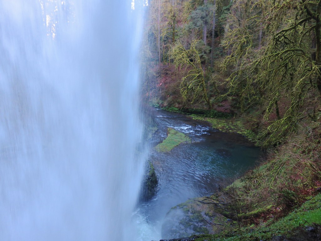
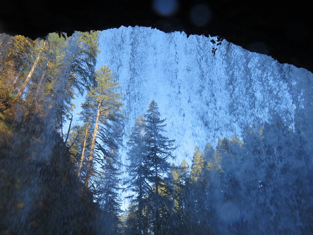
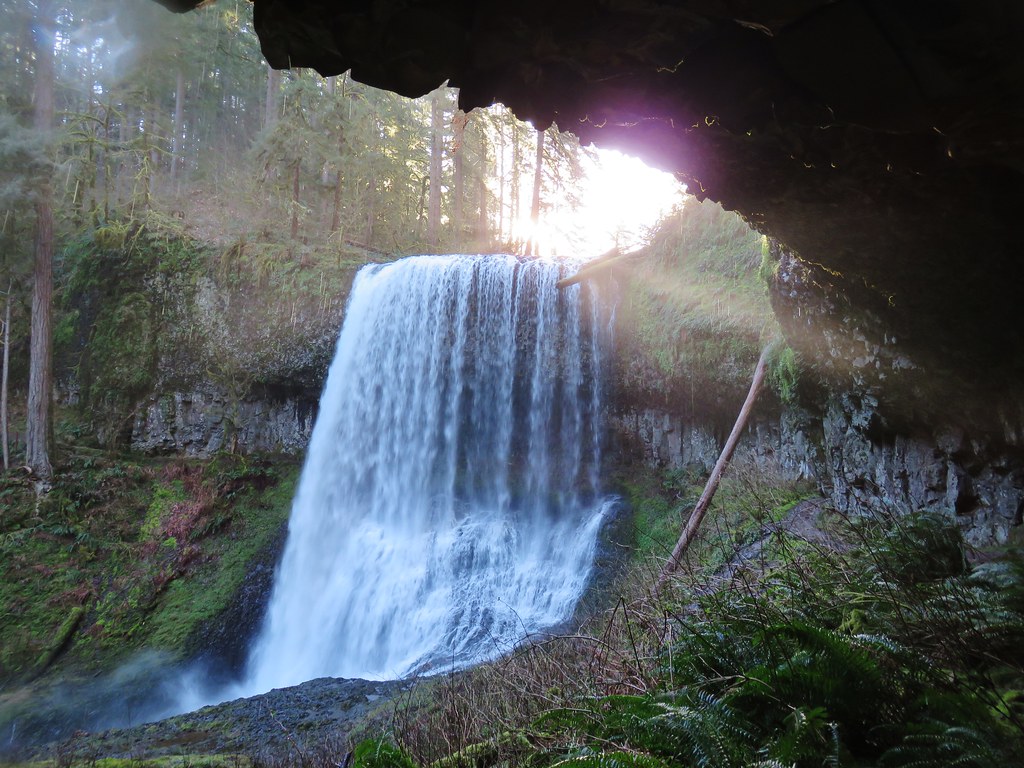
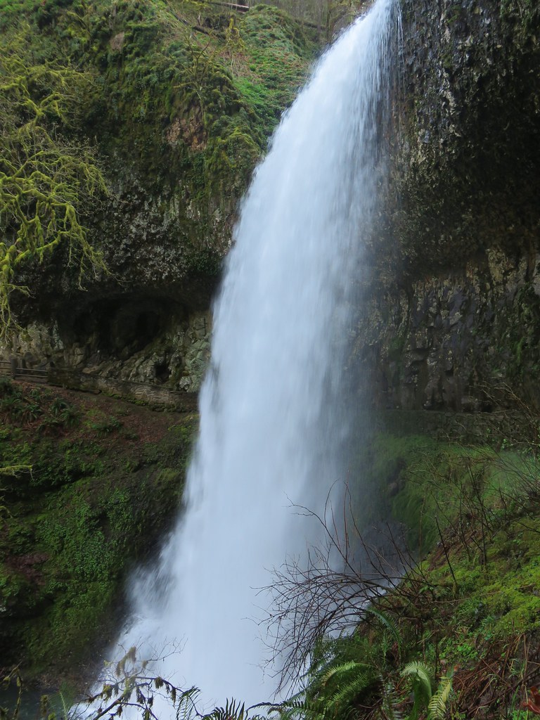
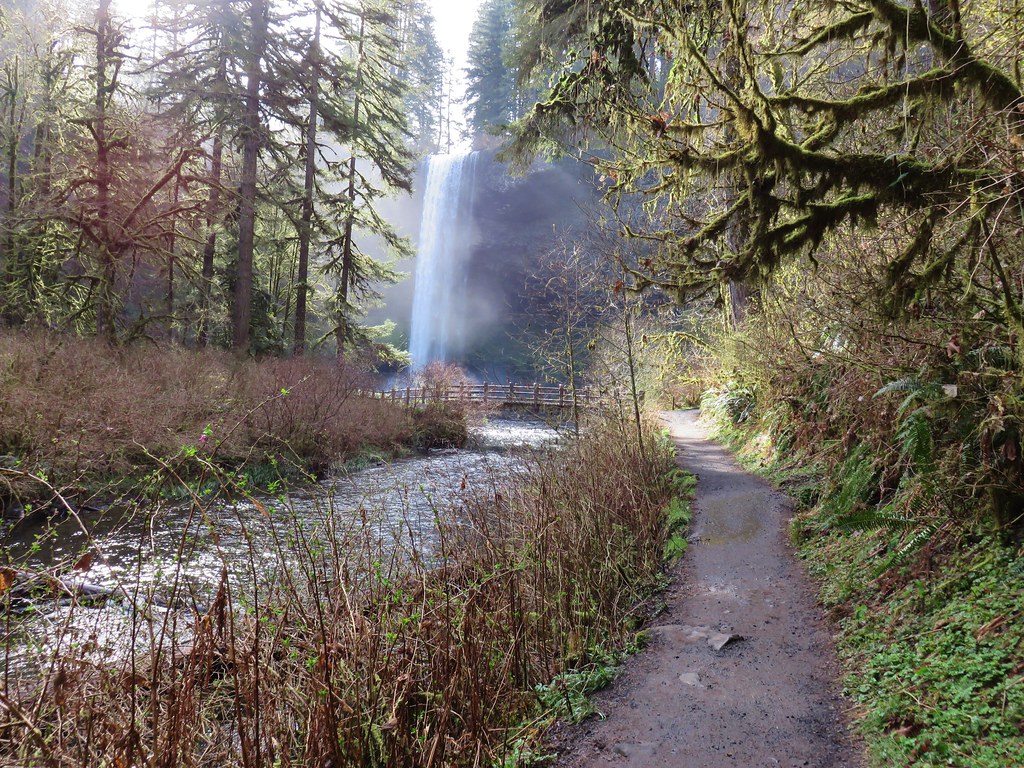
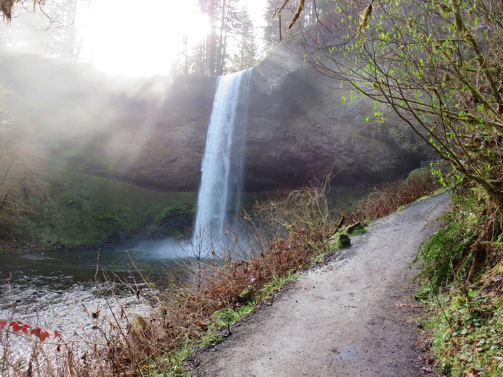
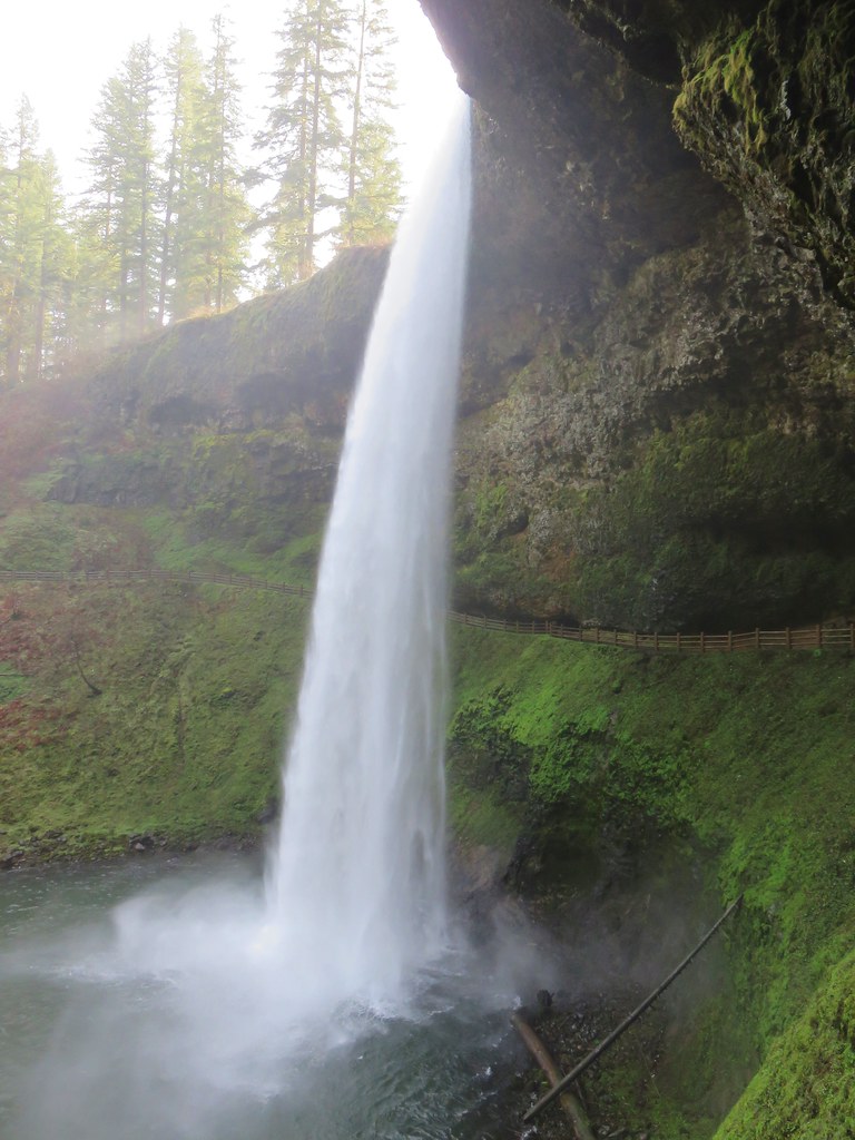
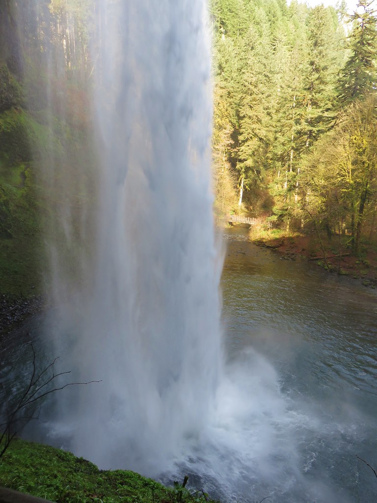
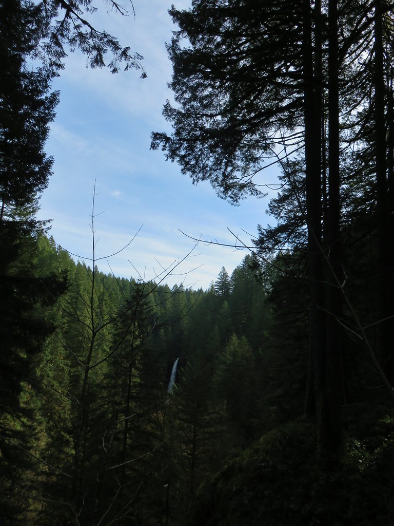
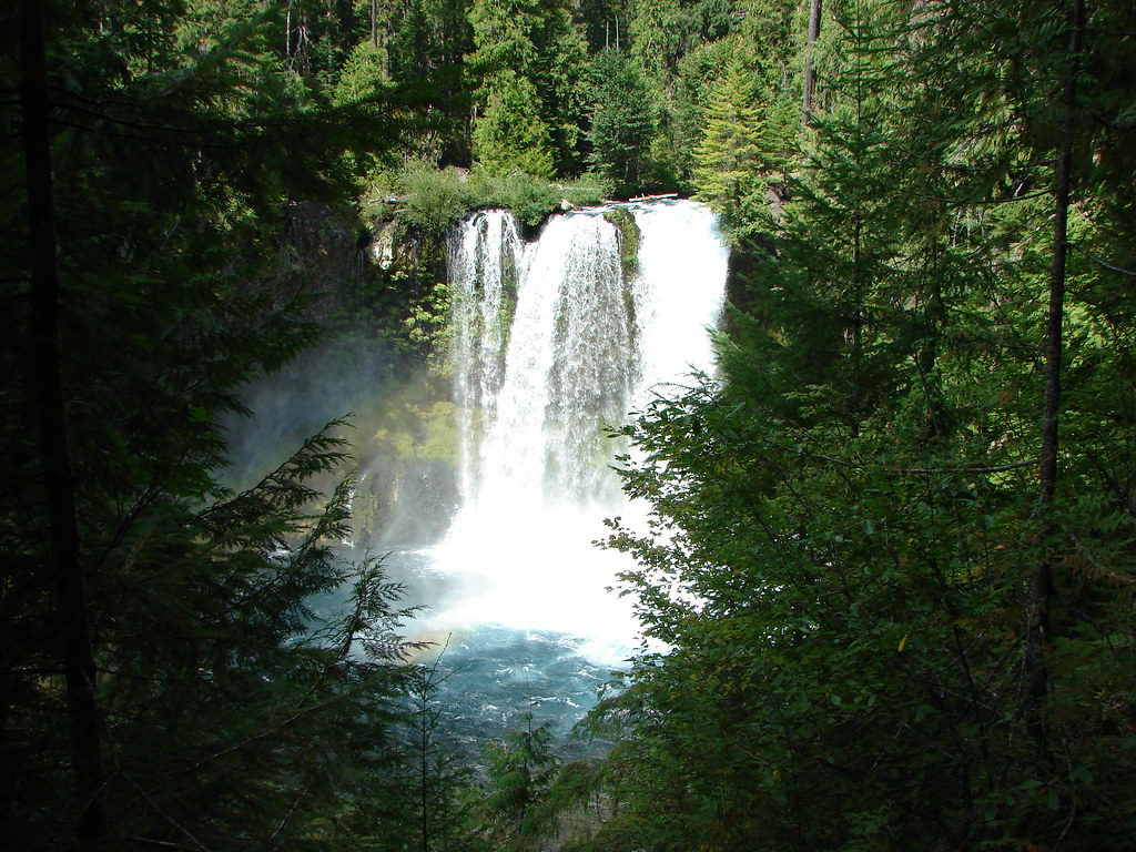
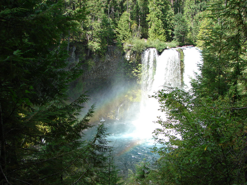
North Falls came into view as we descended some stairs before turning back towards the falls and ultimately passing them.
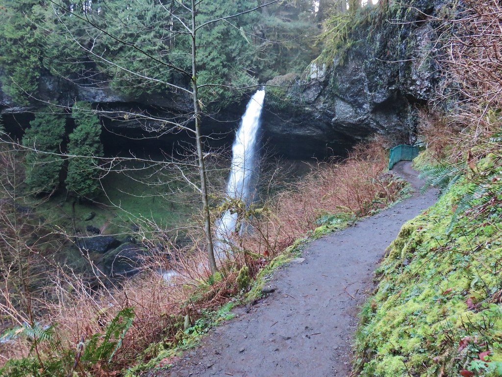
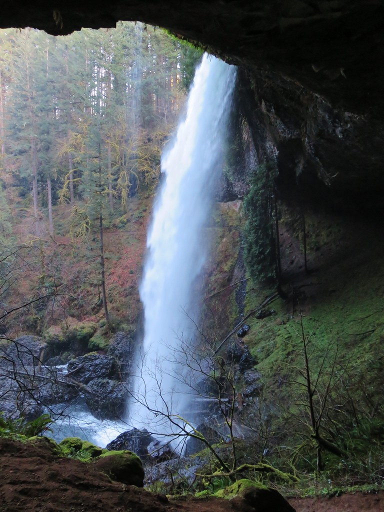

The water was roaring as it crashed down into the splash pool. It was a stark difference from our July 2010 visit.
July 30, 2010
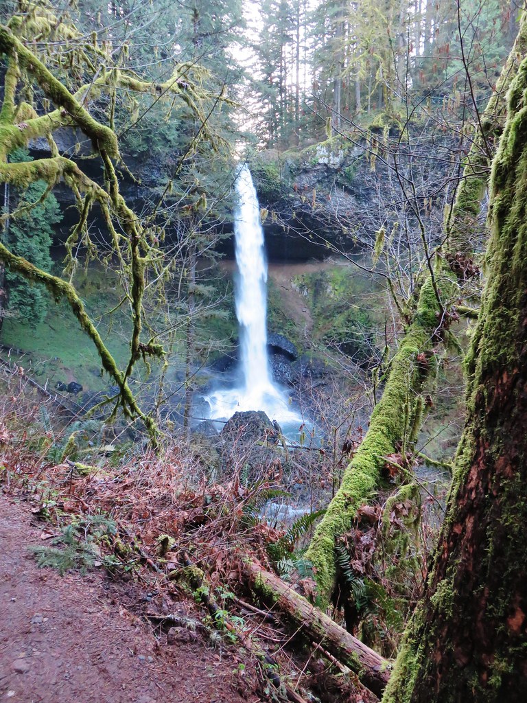 March 29, 2018
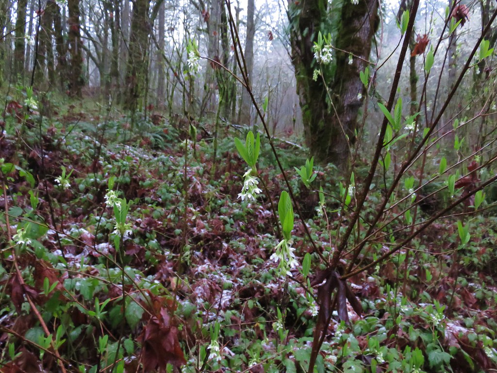
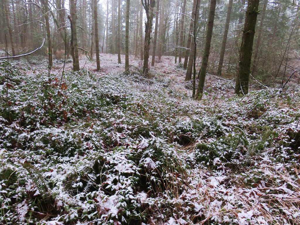
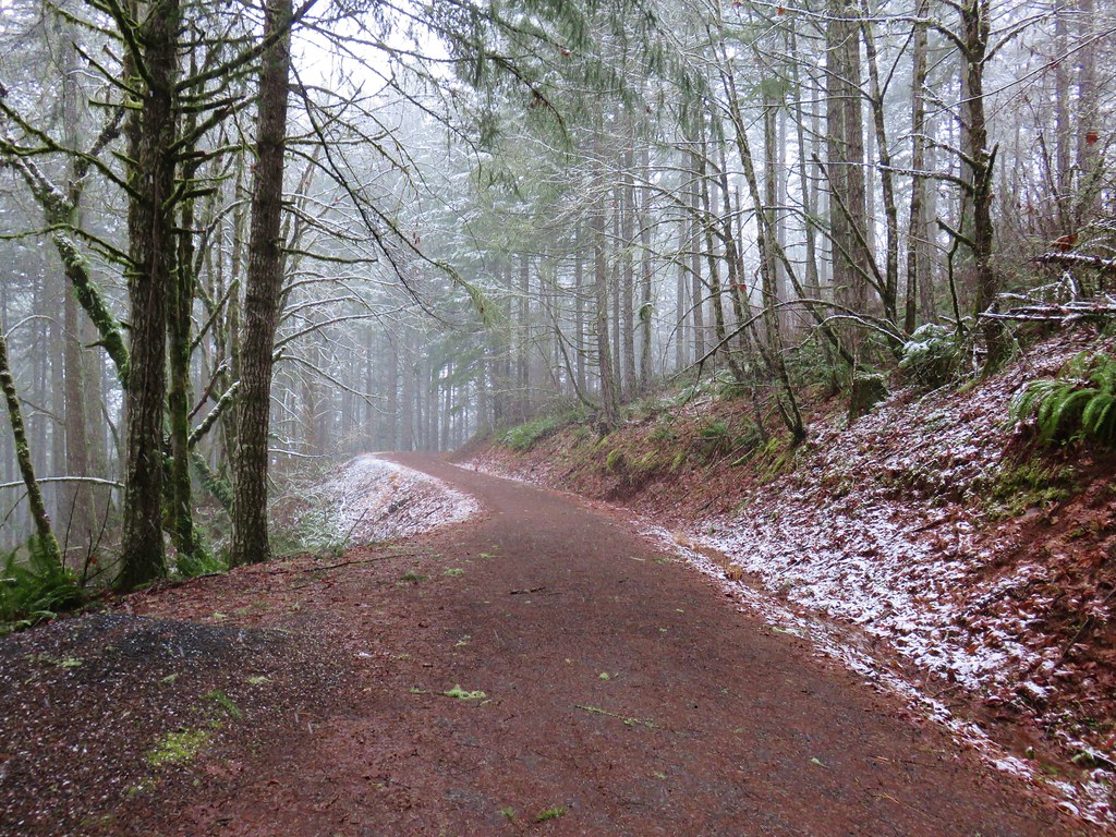
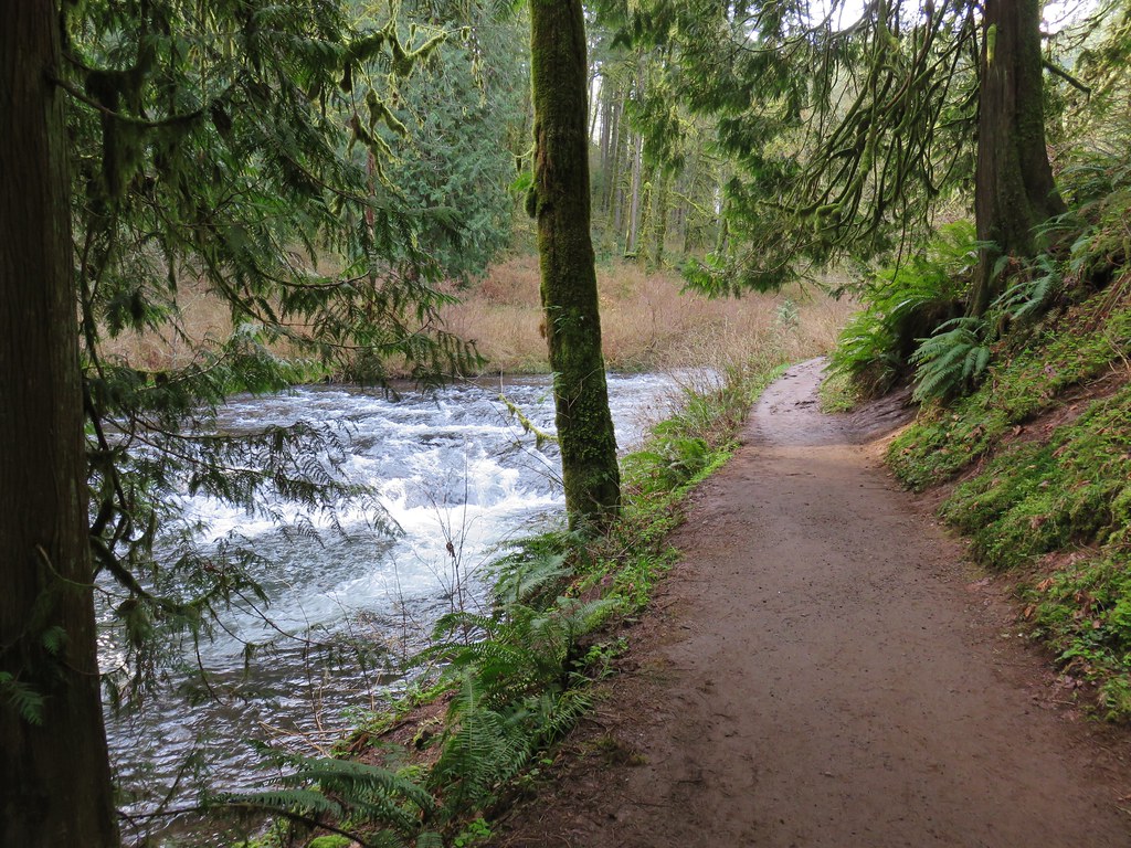
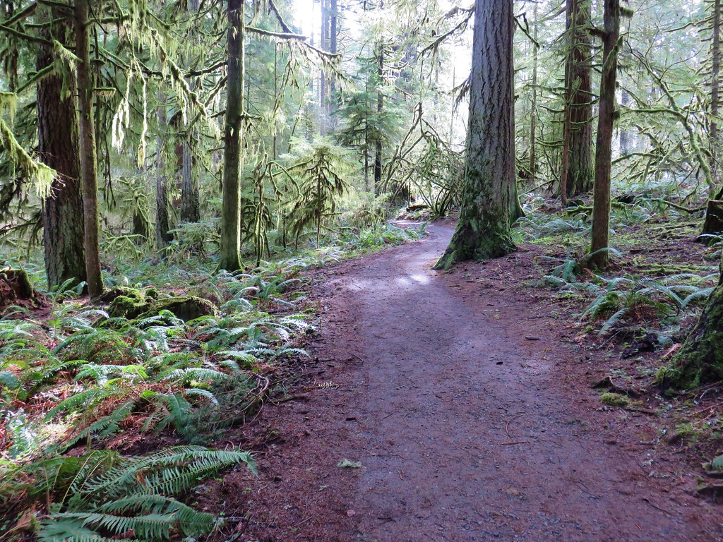
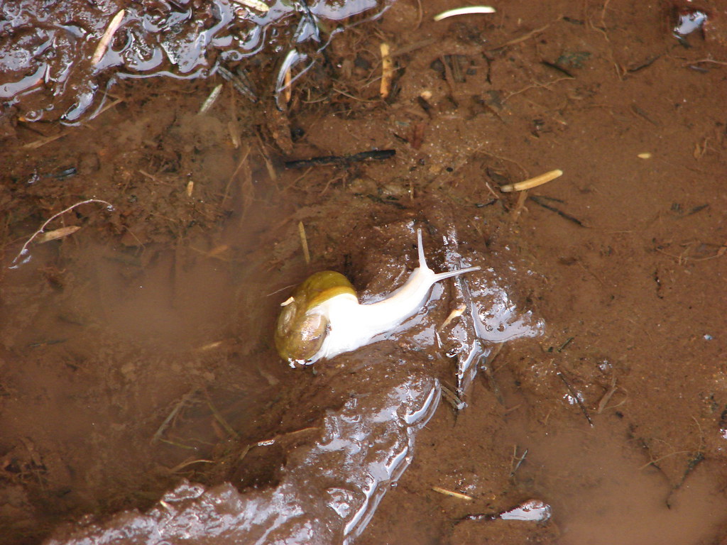
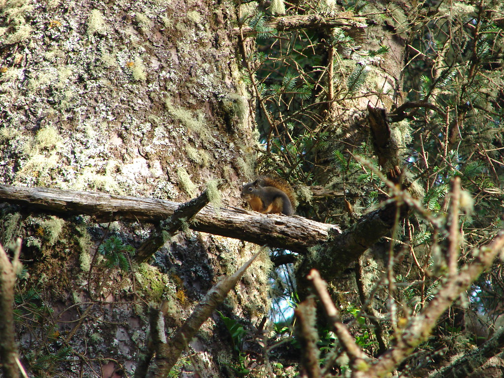
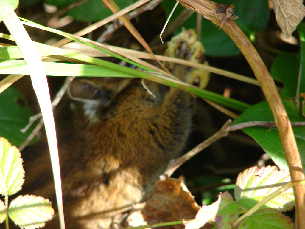
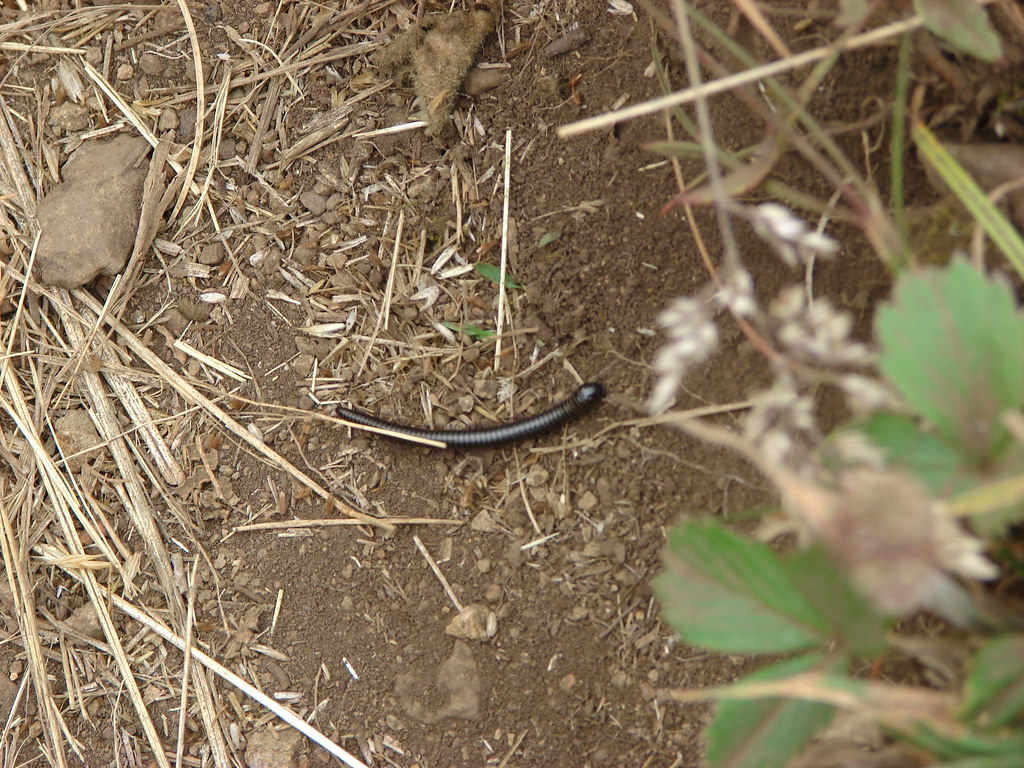
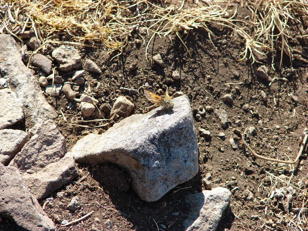
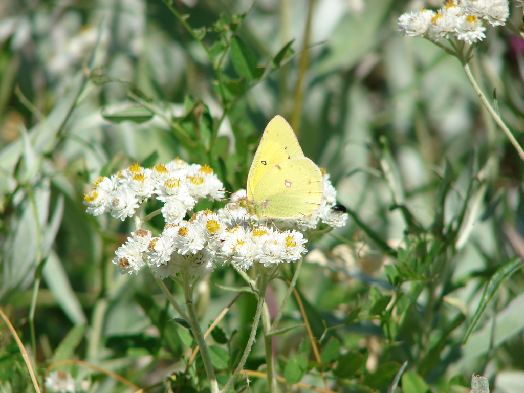
The trail was now on the north side of the creek and remained fairly level for over a mile as it passed through the canyon. We spotted quite a few flowers starting to bloom along this stretch.

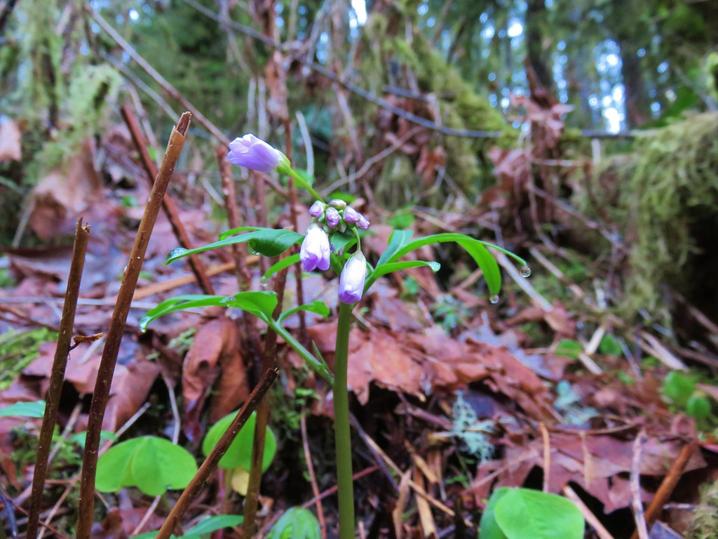 Toothwort
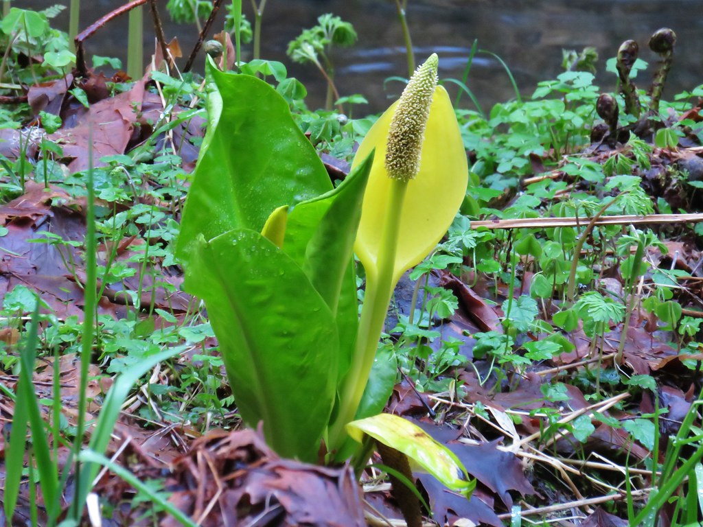 Skunk cabbage
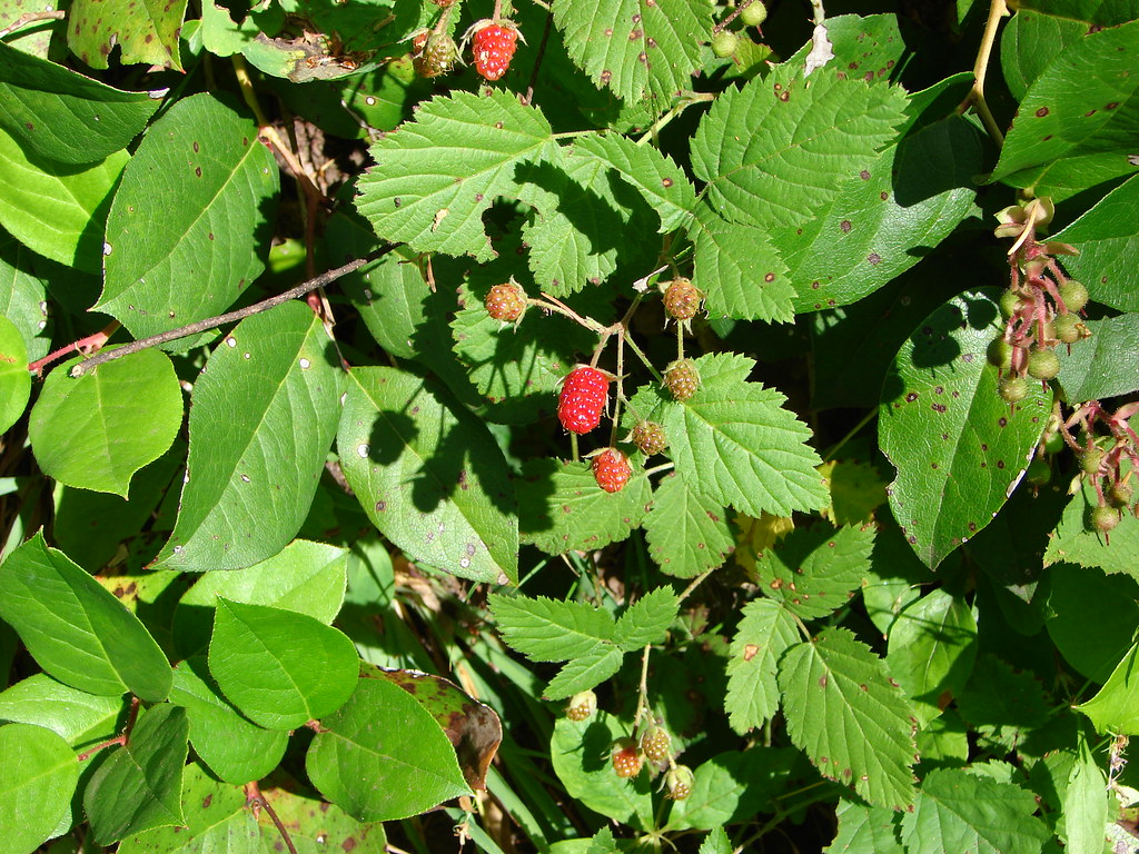
 Salmonberry
 Indian plum
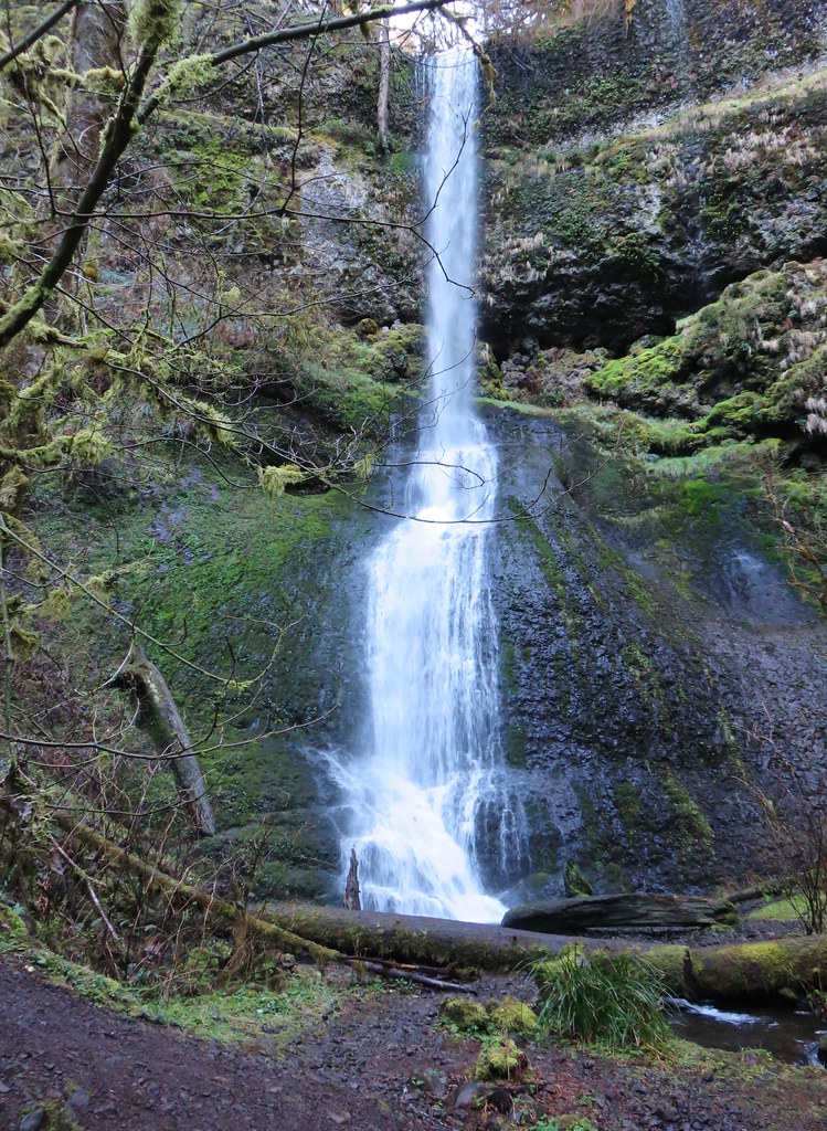
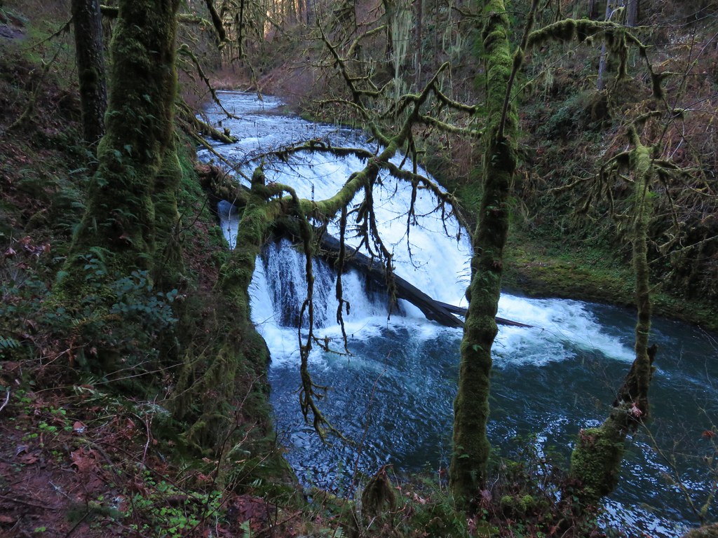
The next waterfall up on the Trail of Ten Falls was 31′ Twin Falls.

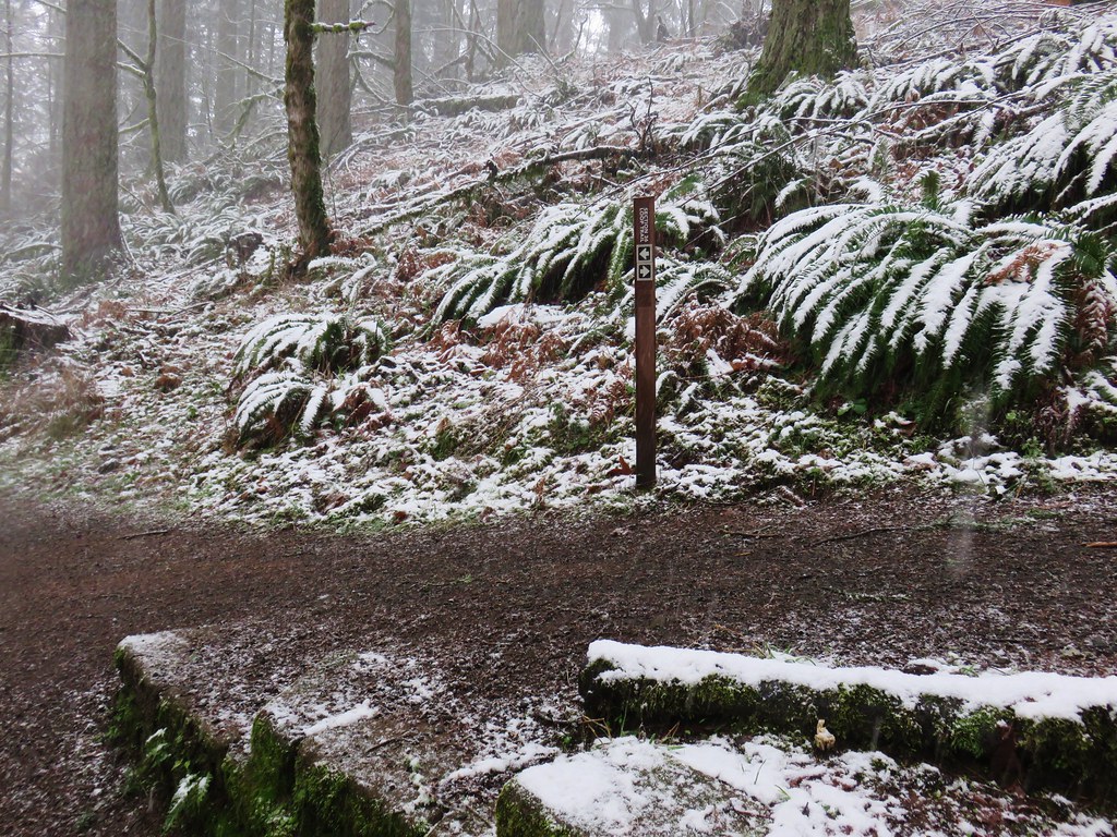
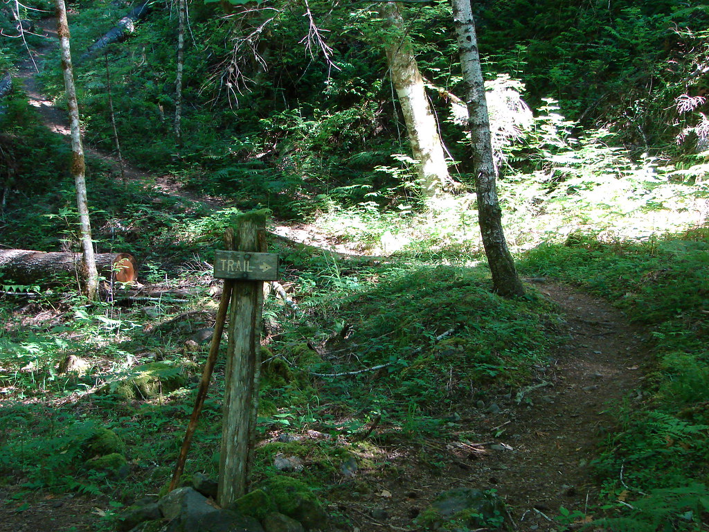
A short distance from Twin Falls (and about 1.5 miles from the North Falls Trailhead) we came to a junction with the Winter Falls Trail.

The half mile Winter Falls Trail starts at the Winter Falls Trailhead along Highway 214 passing Winter Falls and ending at the Canyon Trail. We turned left onto a footbridge crossing North Fork Silver Creek and headed for Winter Falls.
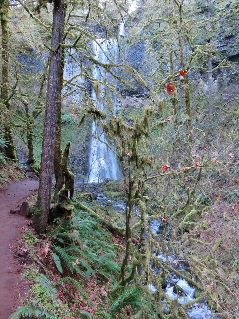
The trail was fairly level as it led to the 134′ waterfall.
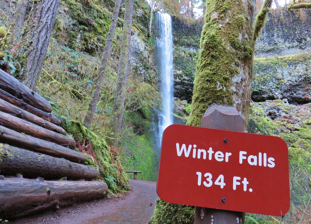
Later in the year Winter Falls all but dries up so this was the first time we’d gotten to see this waterfall.
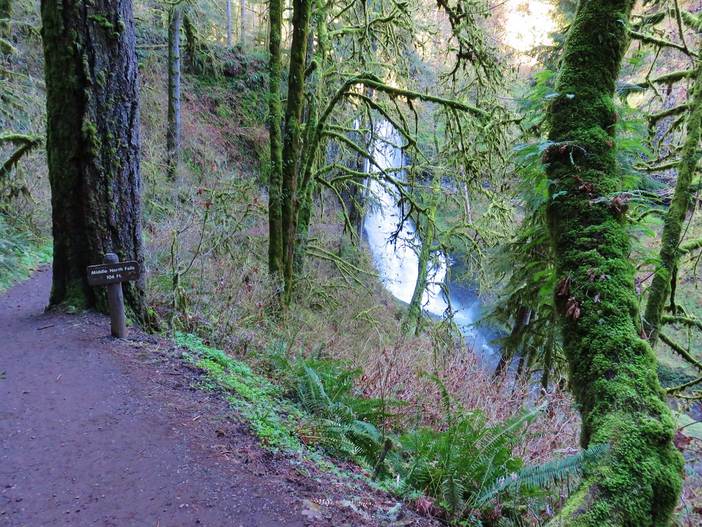
After checking this fall off our list we returned to the Canyon Trail and continued downstream toward Middle North Falls.

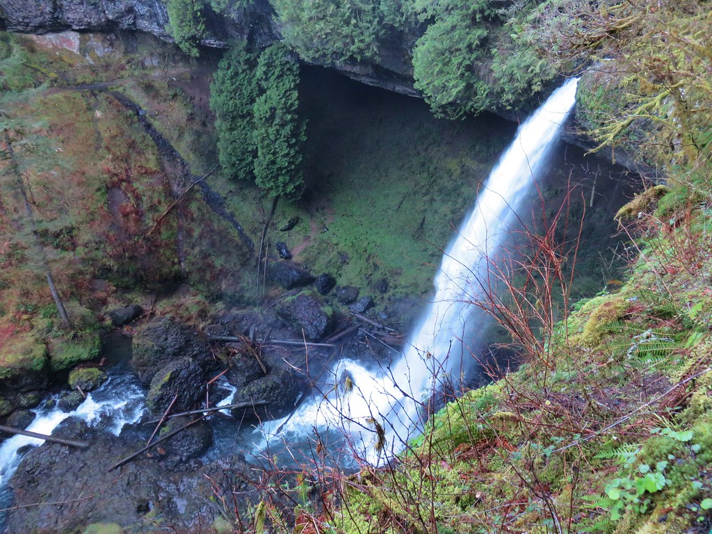
In just .2 miles we came to the side trail down to Middle North Falls.
Here there was another opportunity to go behind the waterfall.

The side trail continued on the far side of the fall wrapping around the canyon to a great view of the cascade.

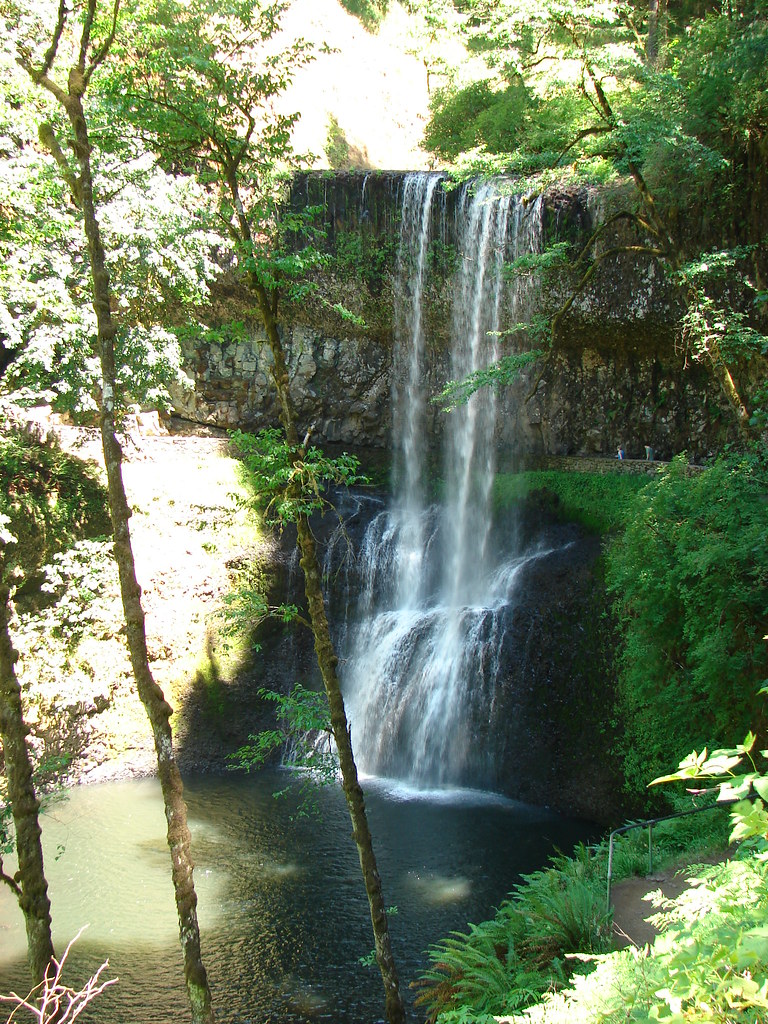
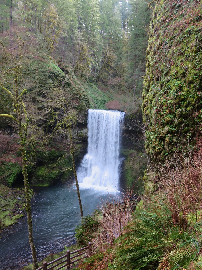
After oohing and ahhing at this waterfall we returned to the Canyon Trail which also had several nice views of this fall. Of all the waterfalls on this hike this one was probably the most visibly different from our previous visits.
 July 7, 2006
 July 30, 2010
 March 29, 2018
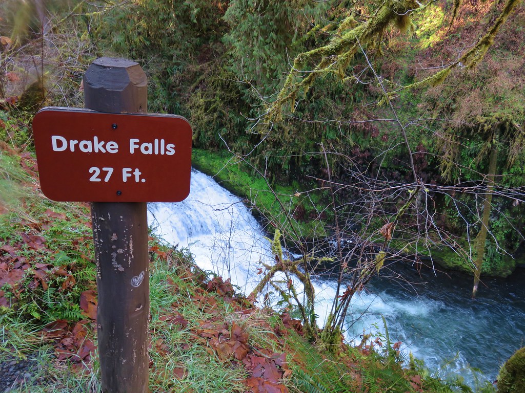
A little downstream from Middle North Falls we came to a viewing platform above little Drake Falls.
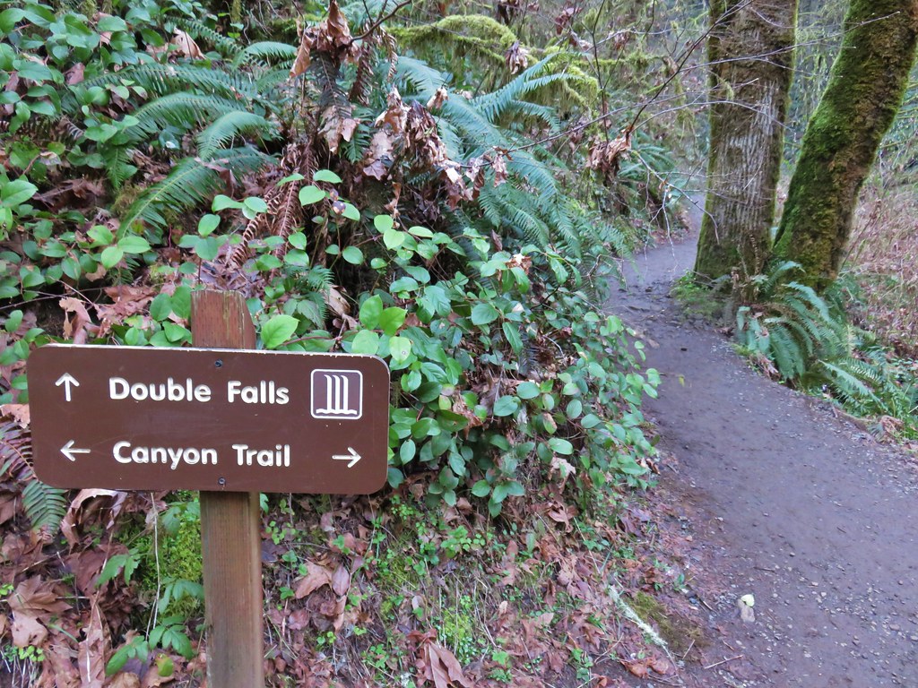
Less than a half mile from the Winter Falls Trail junction we arrived at another junction. This time with a very short spur trail to Double Falls.
Here again the difference in water volume was very apparent.
 July 7, 2006
 July 30, 2010
 March 29, 2018
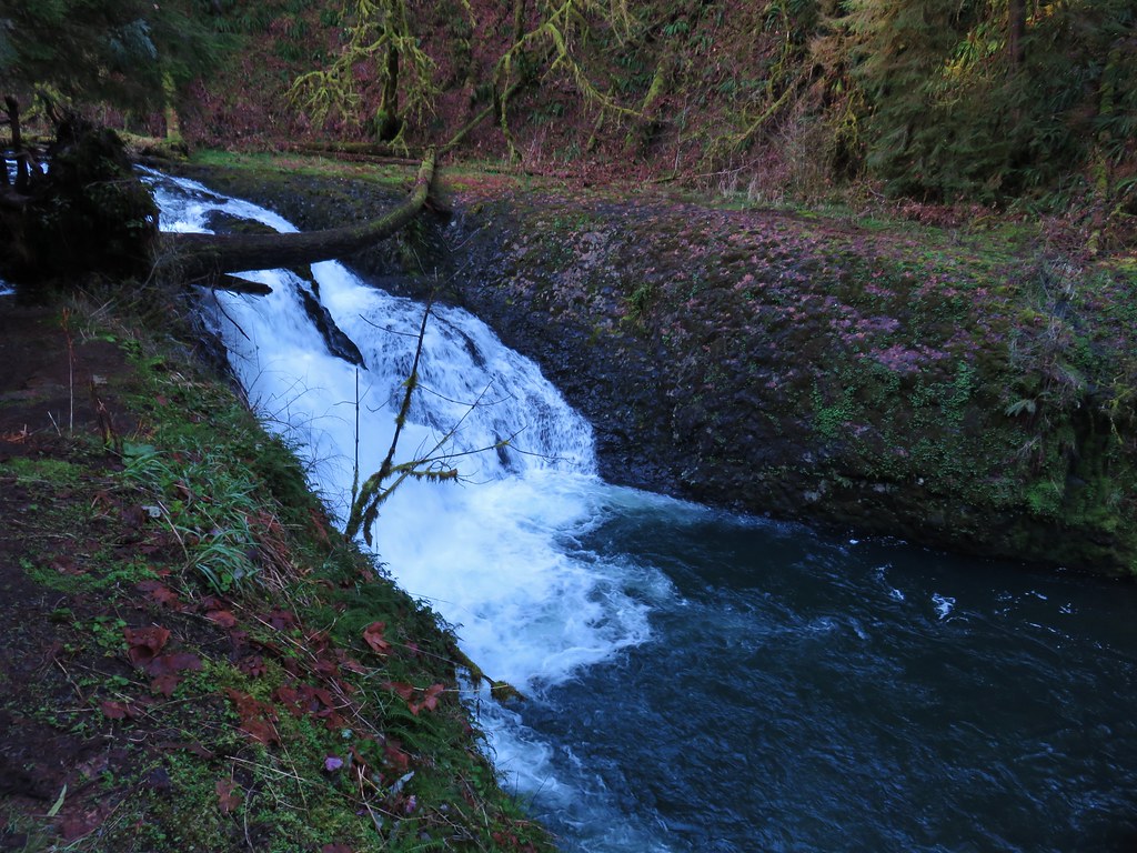
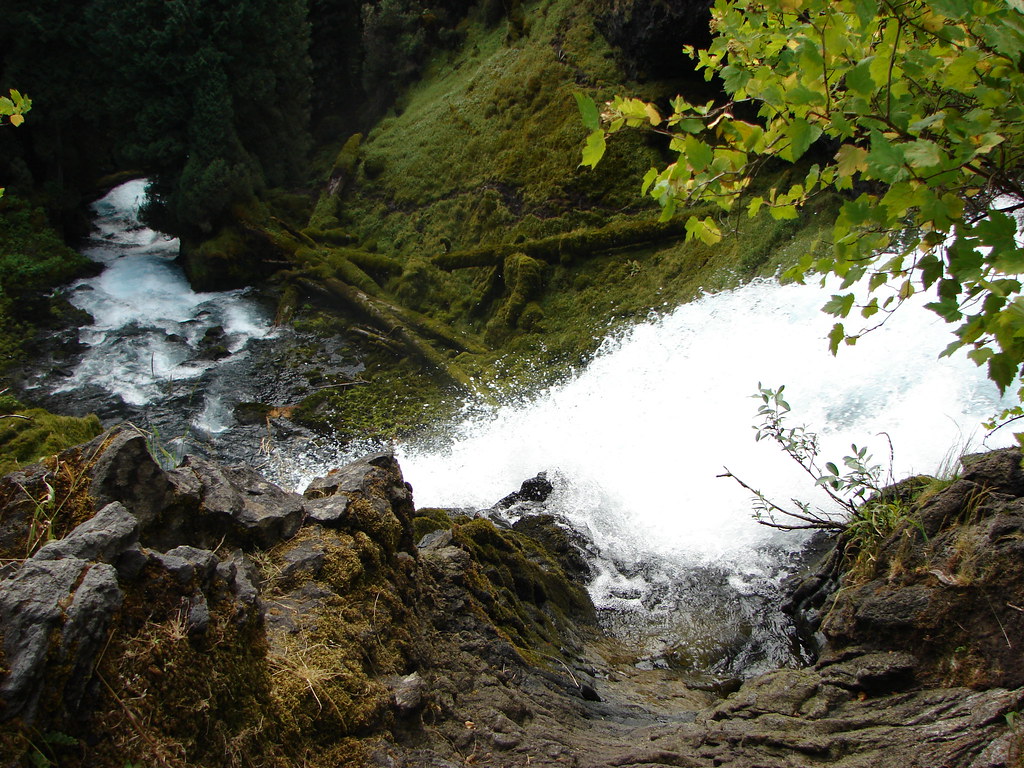
Just beyond the spur trail to Double Falls the Canyon Trail passed 30′ Lower North Falls.
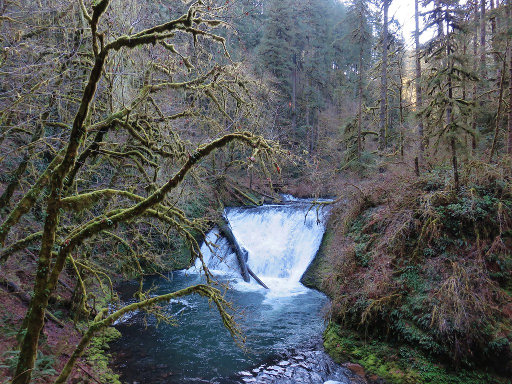
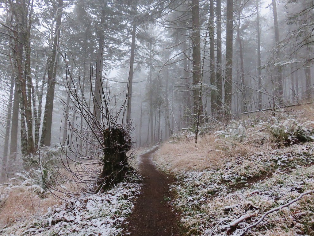
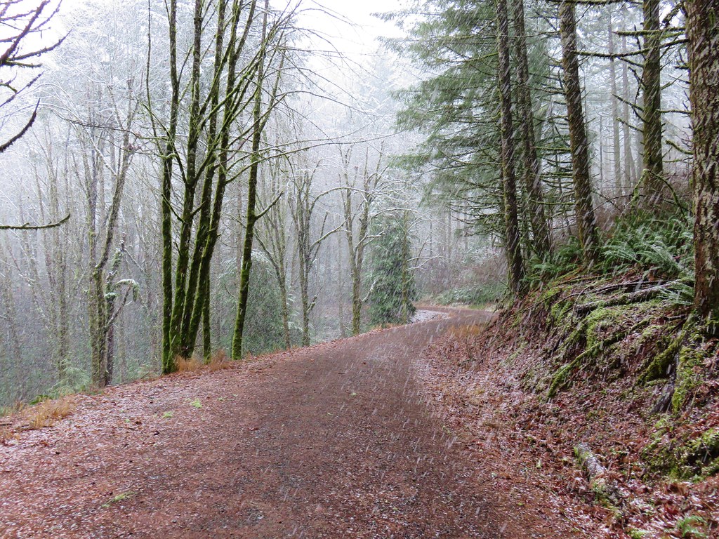
After the flurry of waterfalls in the three quarters of a mile between Twin Falls and Lower North Falls things settled down. The trail continued on the north side of the creek for about a quarter of a mile before crossing over on a footbridge.
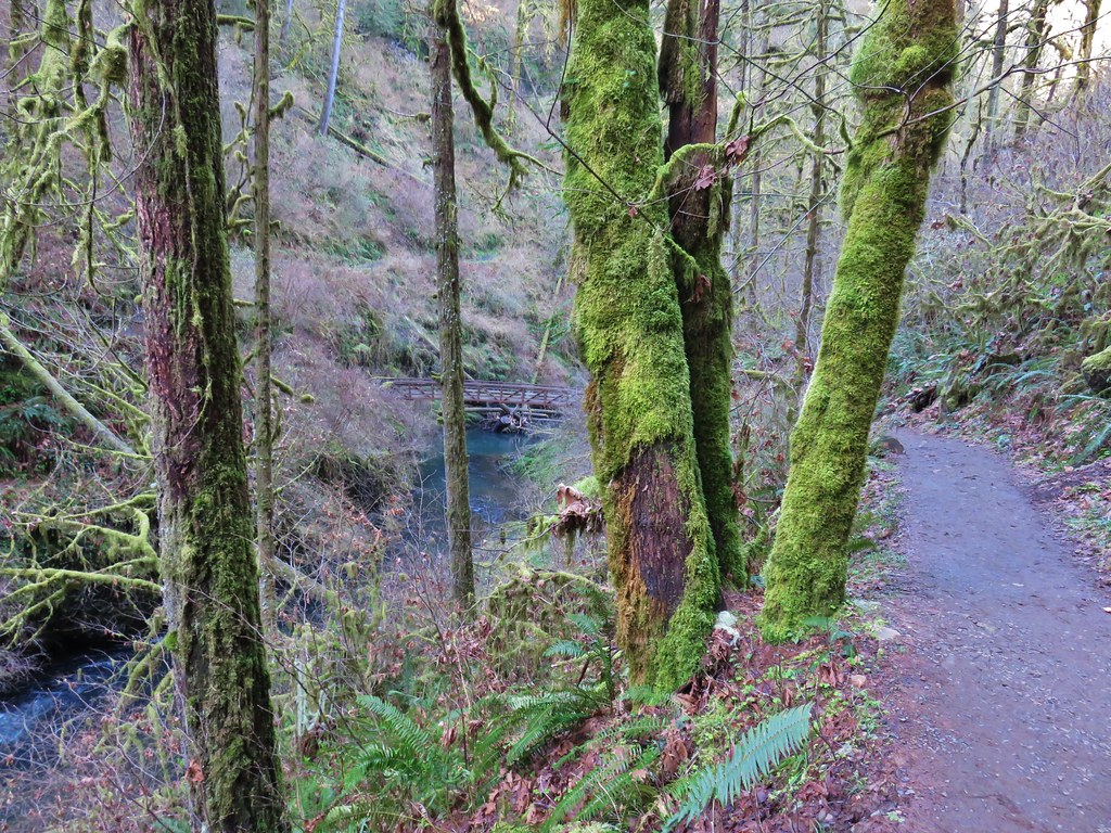
The trail then stayed on the south side of the creek passing an unnamed seasonal waterfall.

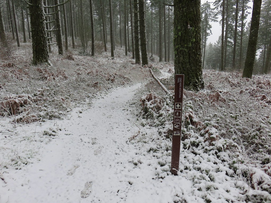
The trail soon veered away from North Fork Silver Creek and a mile from the spur trail to Double Falls we arrived at a junction with the Maple Ridge Trail.

The Maple Ridge Trail allows for a shorter loop option if you start at the South Falls Day Use Area but that loop only passes three waterfalls. It was however our escape route on our first visit when the heat of August and our lack of carrying water forced us to abandon our attempt at the full loop. The Canyon Trail here rejoined a creek but not the North Fork Silver Creek. This was now the South Fork Silver Creek. A short distance upstream we came to Lower South Falls.

Lower South Falls is another that the trail passes behind but before we headed behind the water a varied thrush landed on a branch just a few feet from us. I’ve mentioned before that these birds are my nemesis as I can rarely get a decent photo of one. This guy was no exception, despite his sitting on the branch for a good 15 seconds or more I could not get the camera to focus on him.

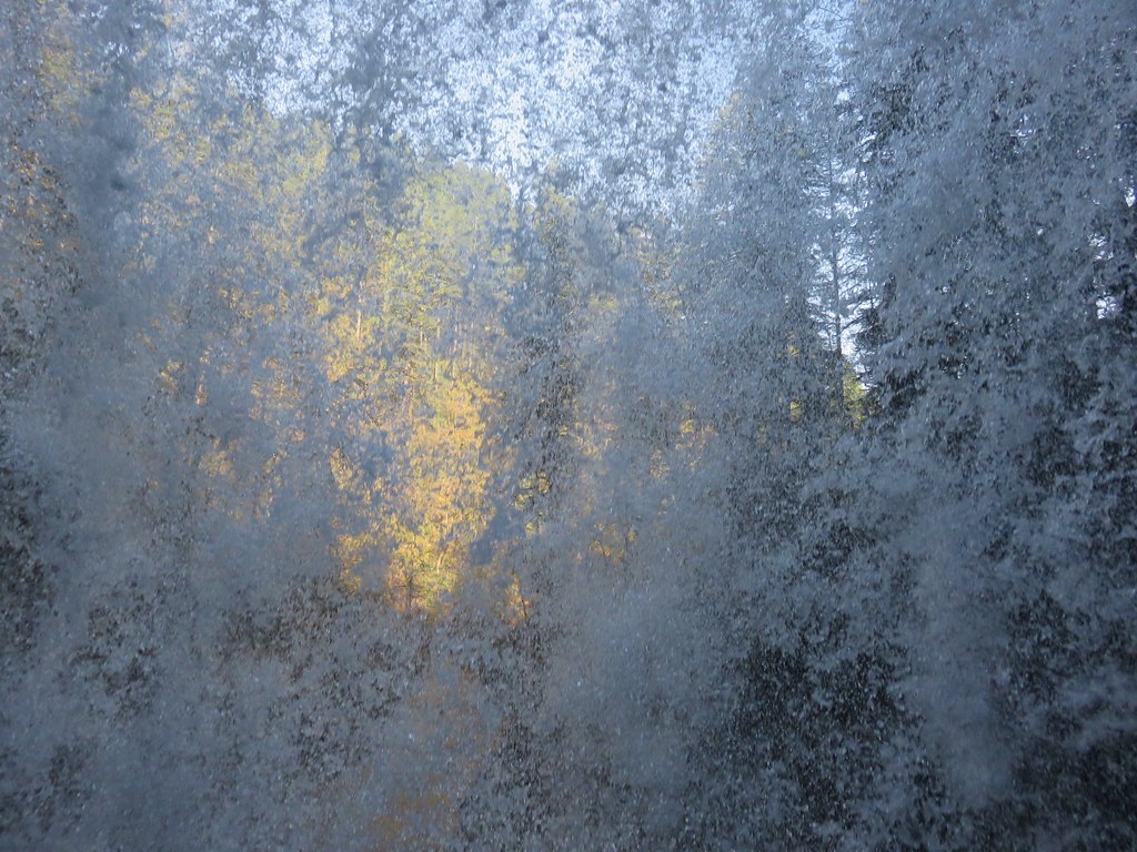
Having failed to get a clear picture of the bird we headed behind the waterfall and out the other side.
Again the difference in the appearance from our previous visits to this waterfall was obvious.
 July 7, 2006
 July 30, 2010
 March 29, 2018
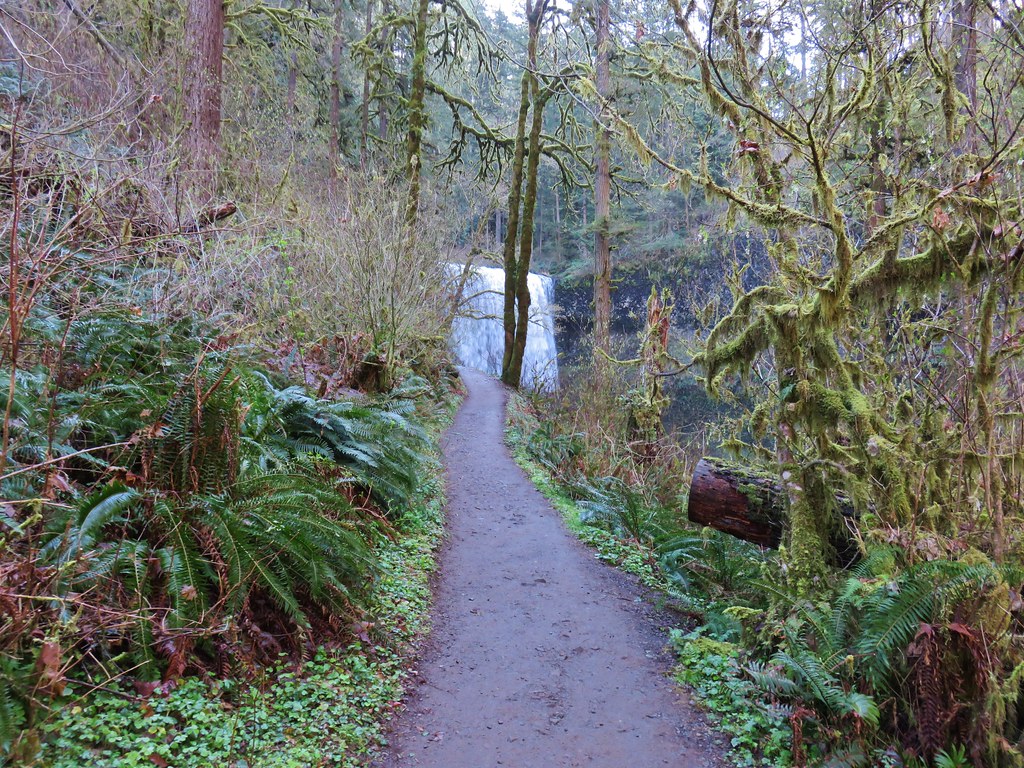
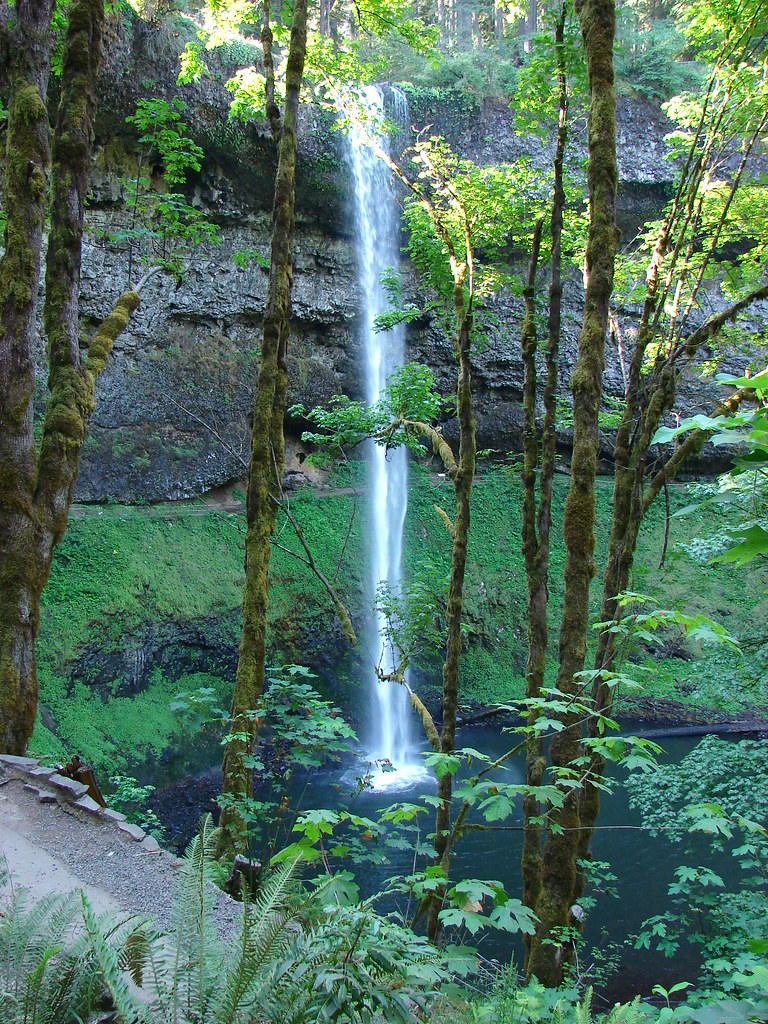
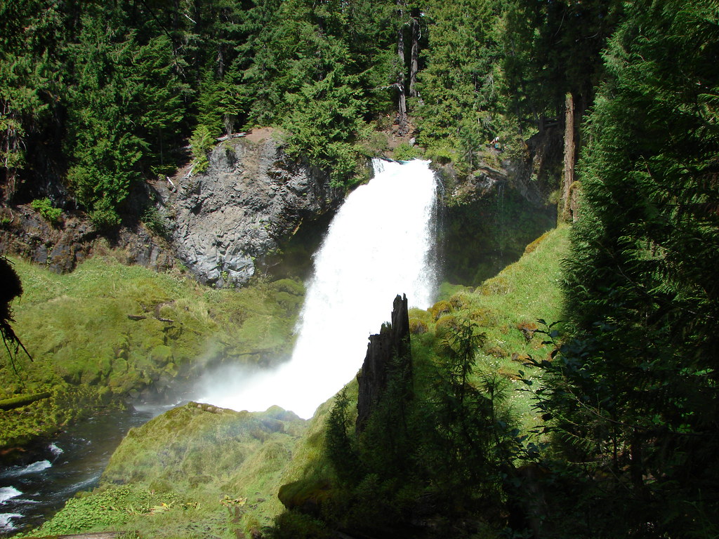
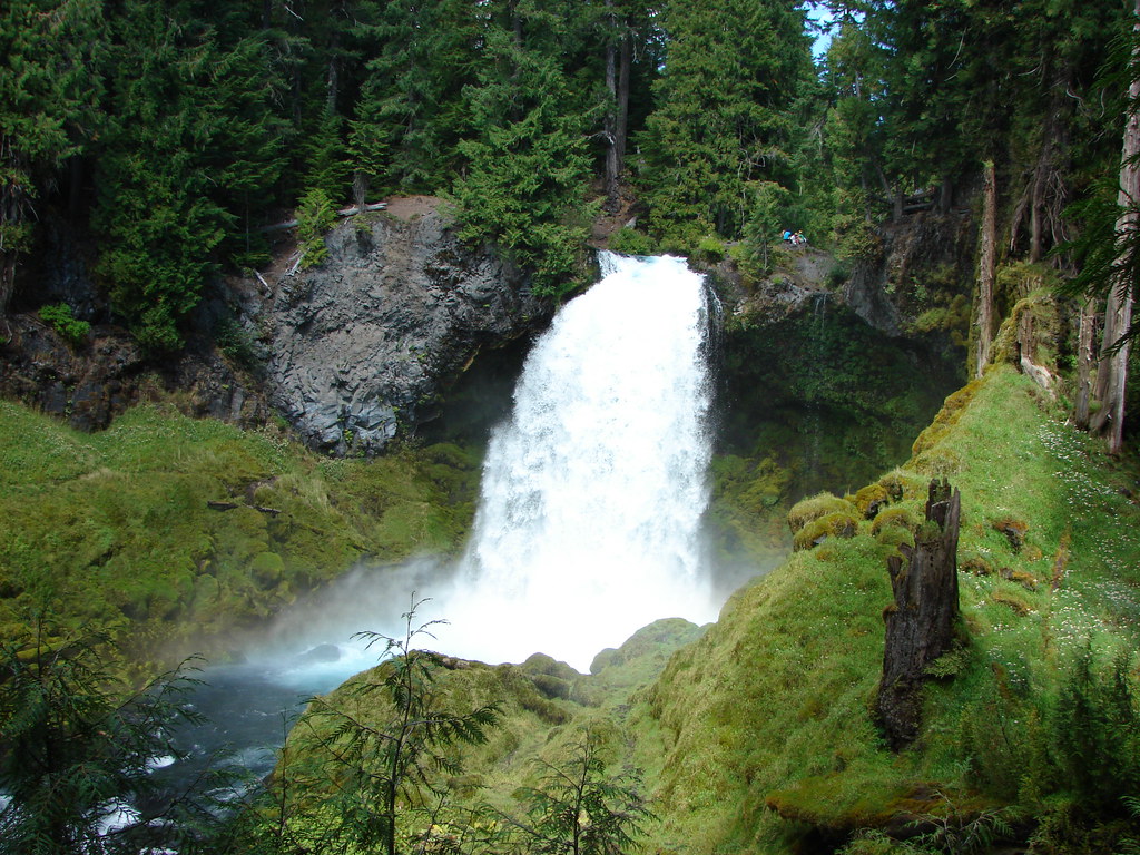
Another series of stairs climbed up above Lower South Falls which was probably the most strenuous part of the hike. The trail then leveled out again for about a mile before arriving at South Falls.
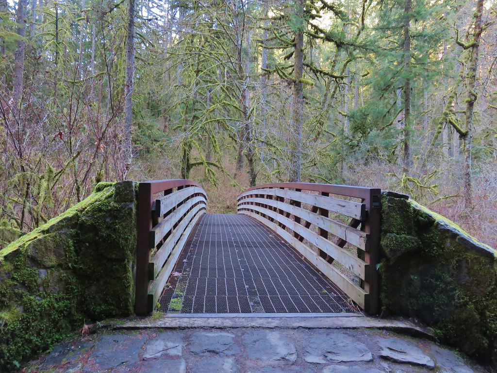
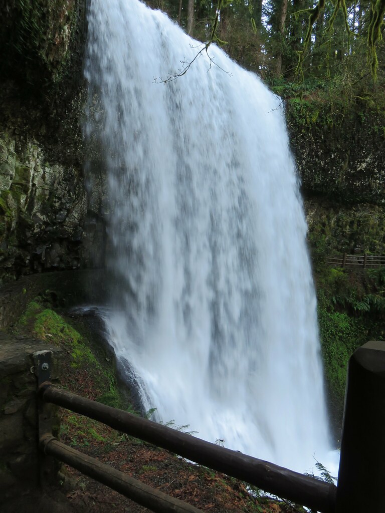
A footbridge over the creek below the falls allows for a short loop from the day use area. We passed by the footbridge opting to pass behind this waterfall as well.
A comparison of our visits shows the difference that the timing of a visit makes.
 July 30, 2010
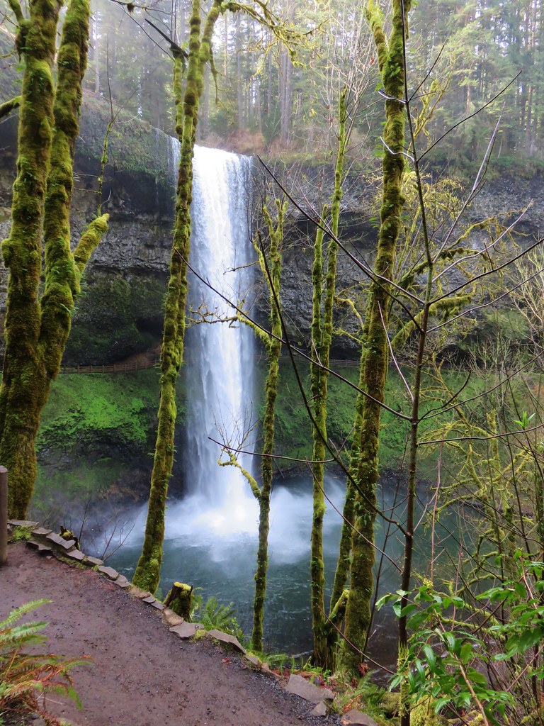 March 29, 2018
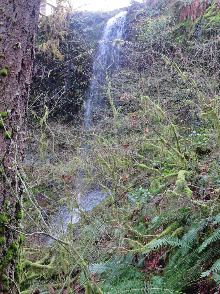
Doing the loop in the direction we’d chosen made South Falls the 10th of the 10 waterfalls along the Trail of Ten Falls but that didn’t mean it was the last waterfall we’d visit on the hike. That honor went to Frenchie Falls. A sign part way up the trail from South Falls pointed toward this little fall.

Even at this time of the year it wasn’t much more than a wisp of water and it lacks a good vantage point but it’s a named fall none the less.
After checking out Frenchie Falls we completed the climb out of the canyon to a viewpoint above South Falls.


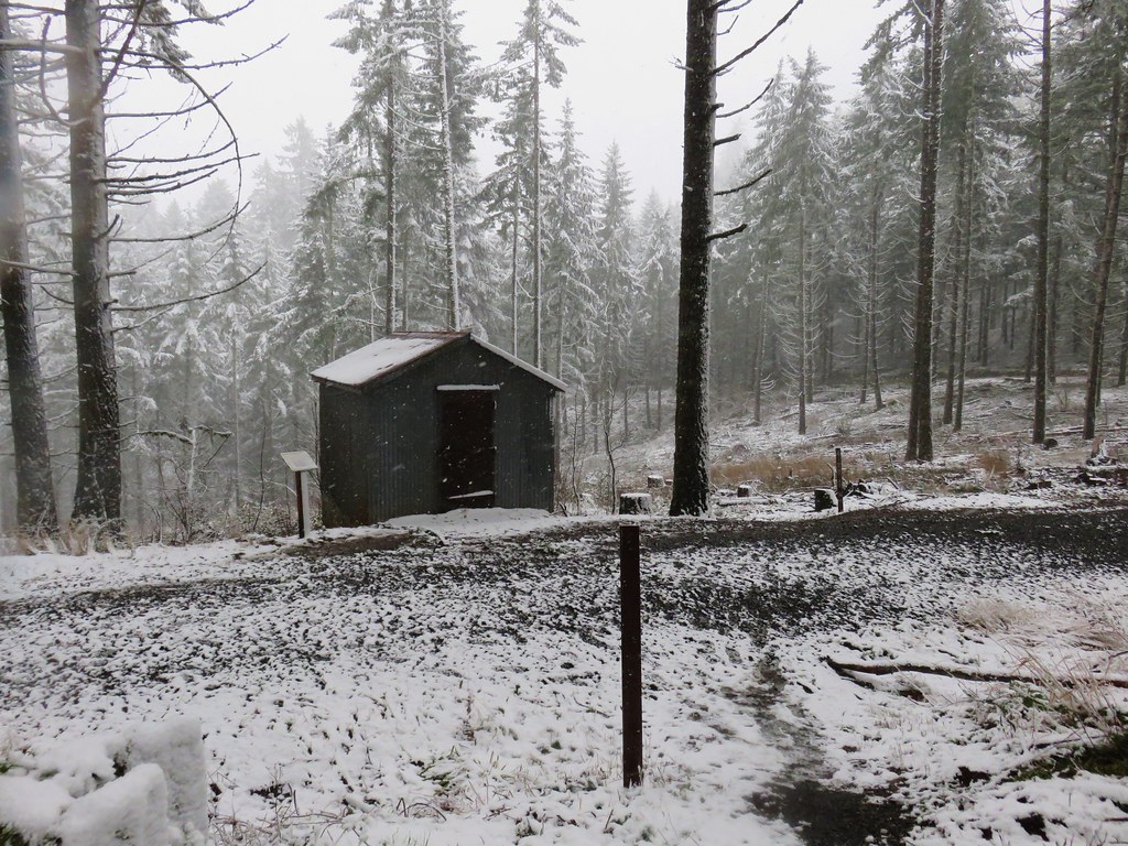
We then looped around a picnic area and into the South Falls Historic District.

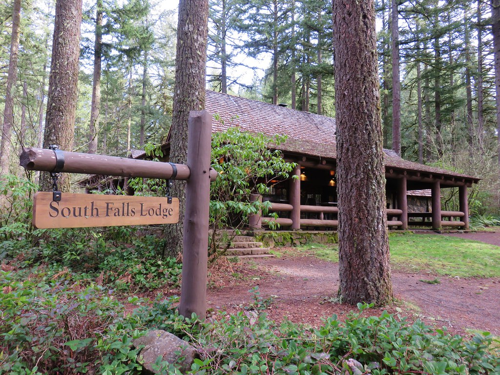
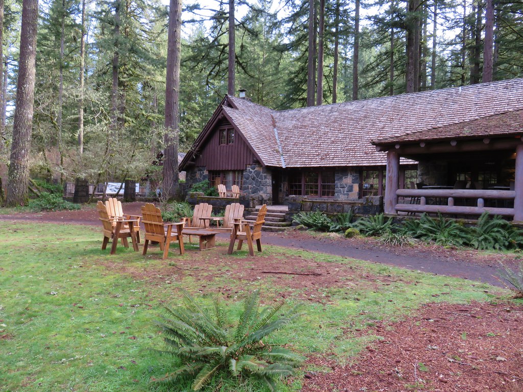
Here we passed the cafe, store and theater before arriving at a junction with the start of the Maple Ridge and Rim Trails.
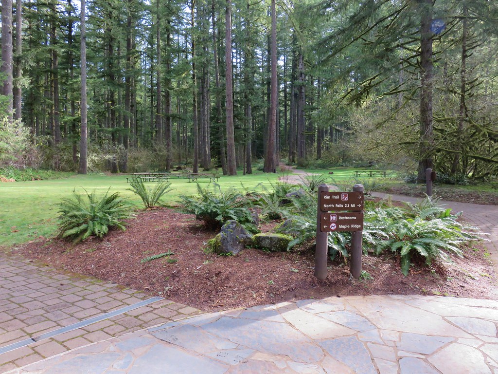
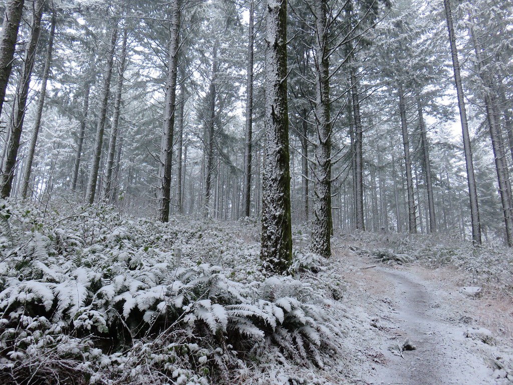
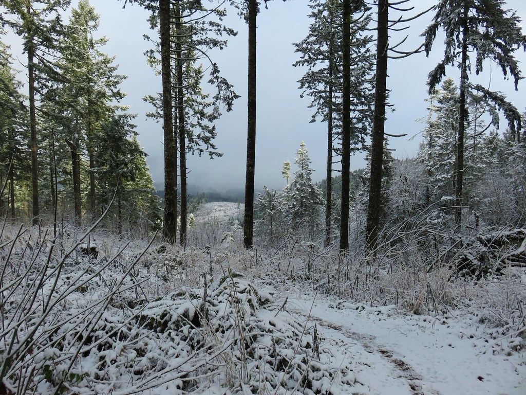
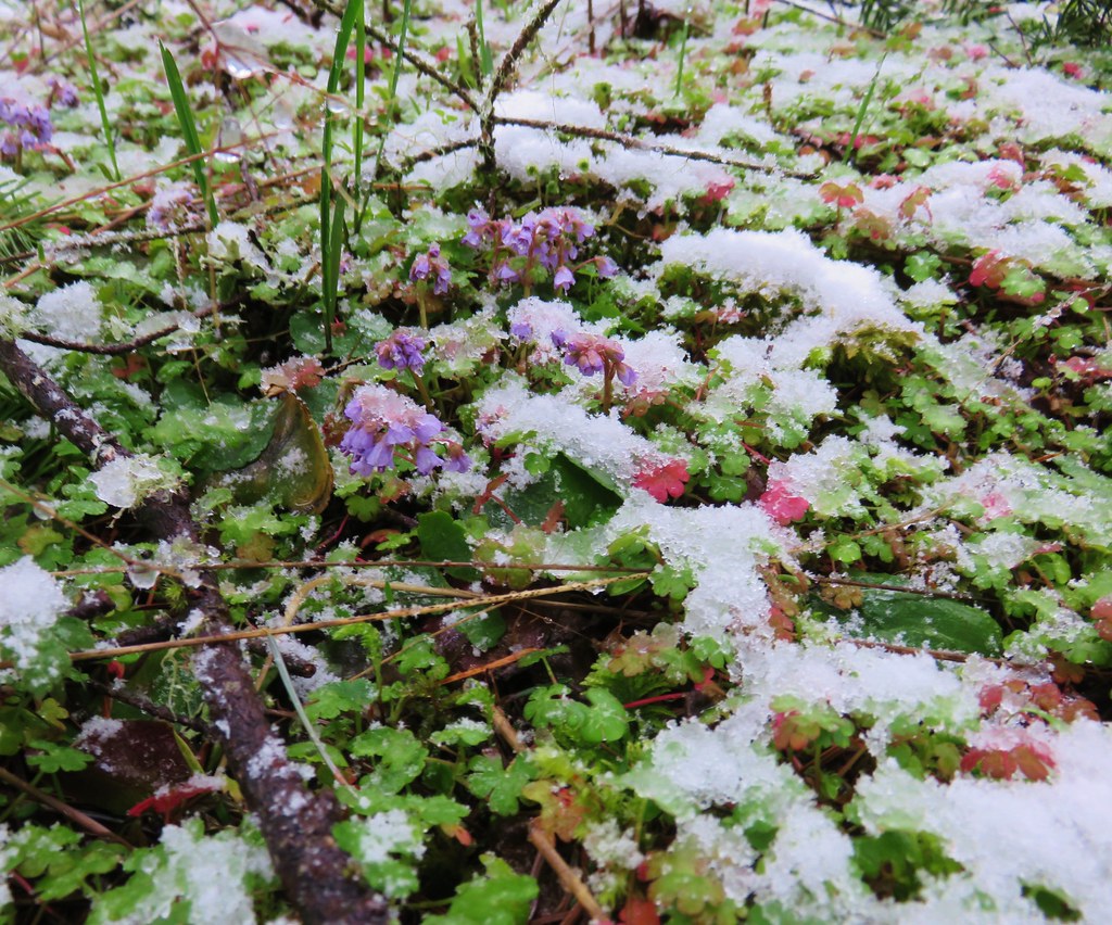
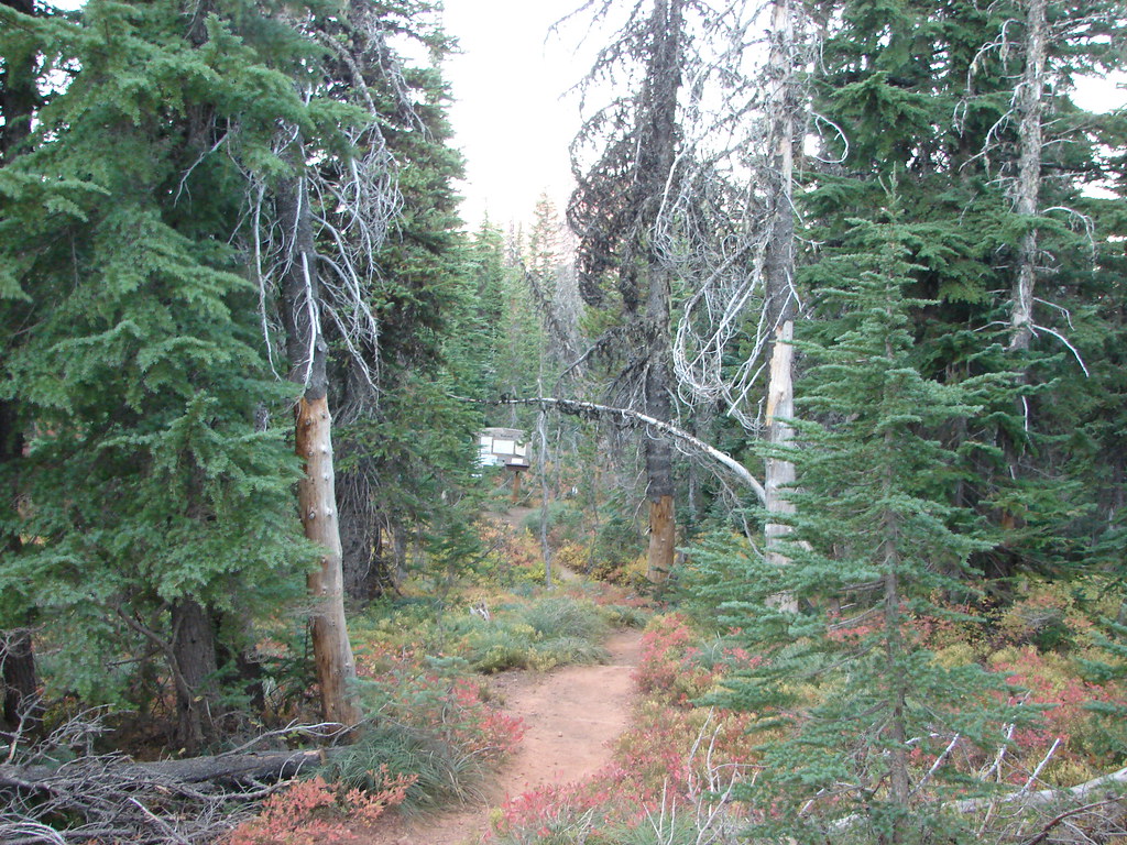
We followed the Rim Trail through a picnic area and into the forest.
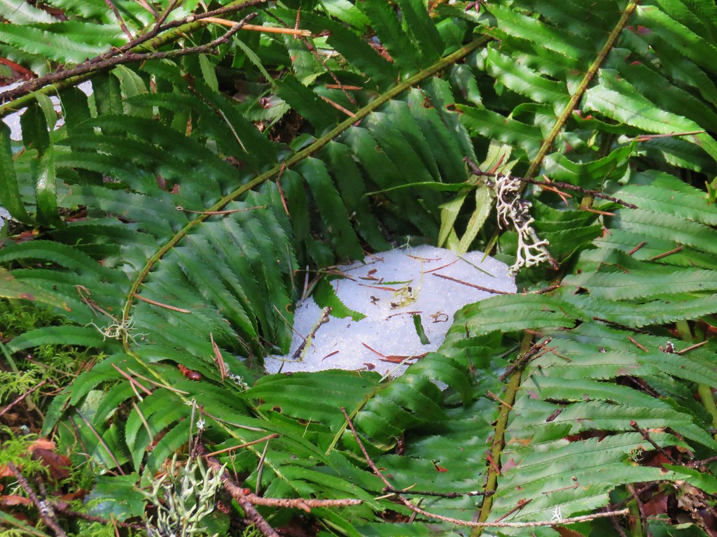
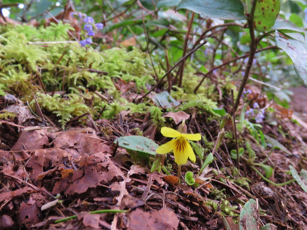
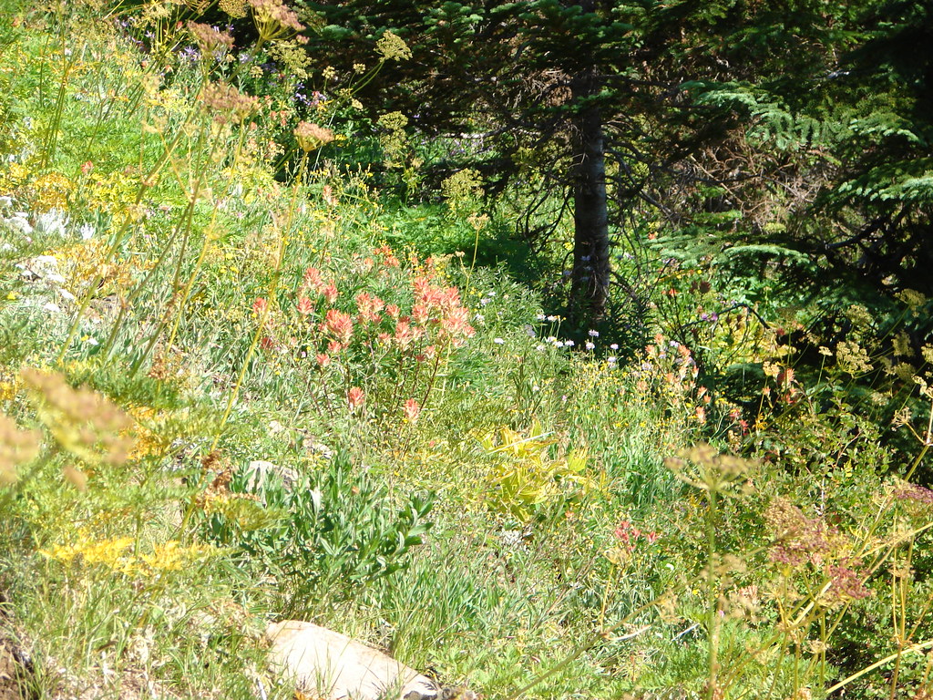
The last of the winter snow was melting as the first of the spring flowers were coming to life.
The Rim Trail passed through the Winter Falls Trailhead parking but offered no views of the waterfall. The only real view of any of the falls came near the end of the 2.1 mile trail when North Falls was visible down in the canyon below.
The pay box was in place at the trailhead (which was now full of cars) so we dropped off our $5 before driving back home. With all of our previous visits having come during the summer months it was great to visit when the water levels were higher. A few more weeks will bring out the flowers adding to the beauty of this hike. Happy Trails!
Flickr: 2018
2010
2006


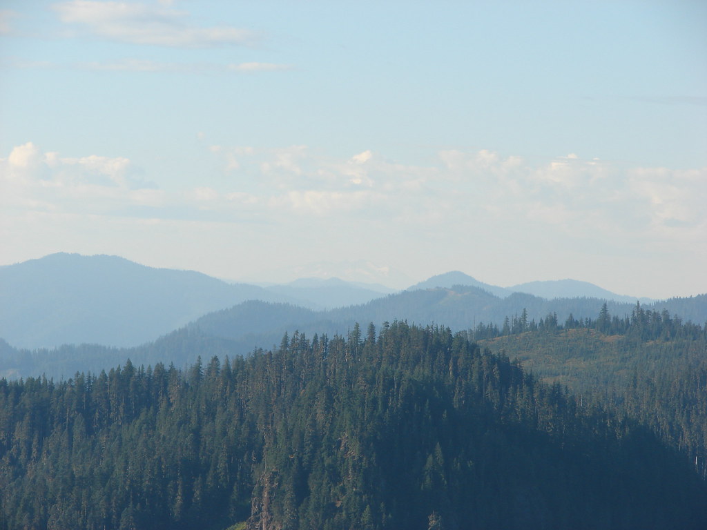
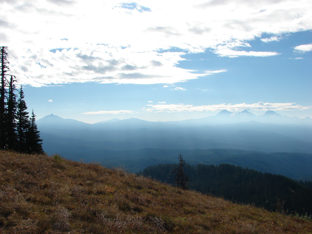
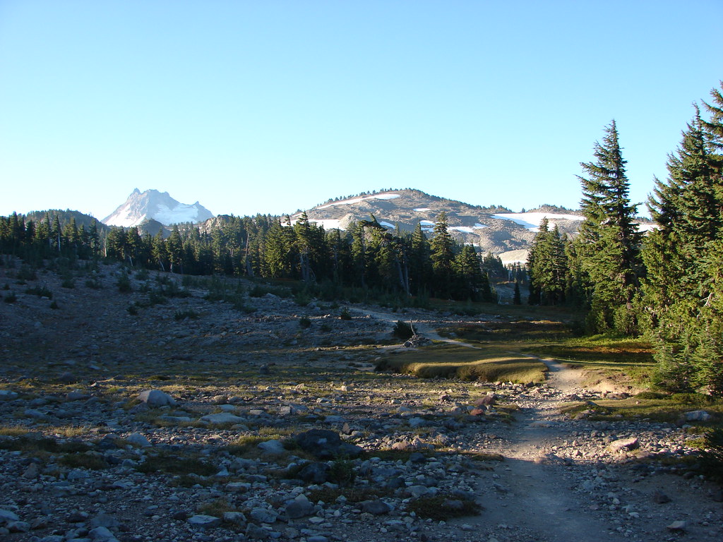
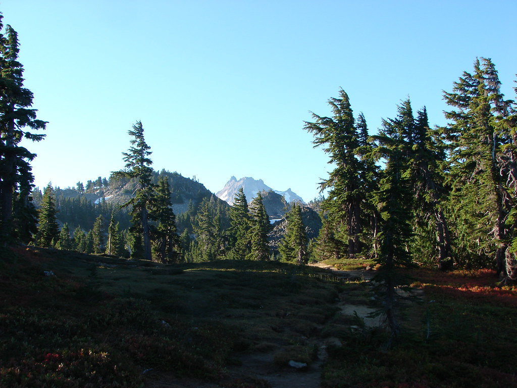
 Mt. Jefferson
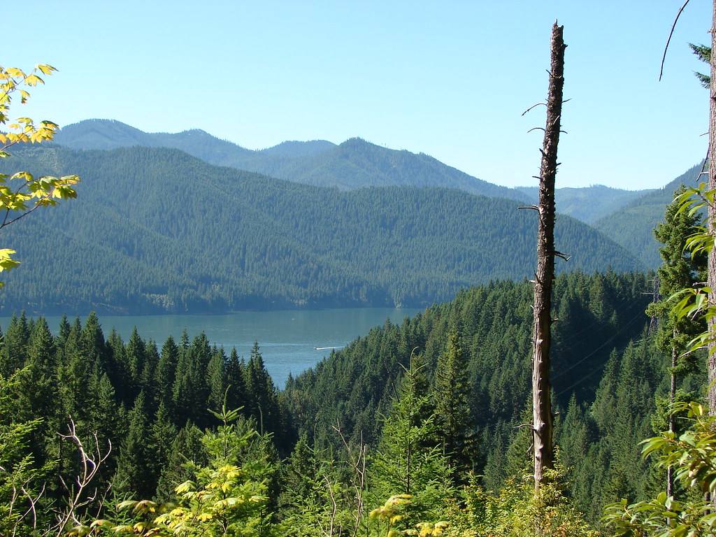 Detroit Lake
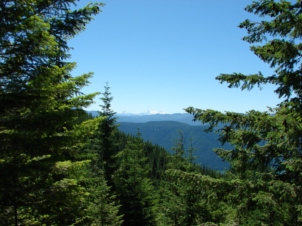 Mt. Washington and the Three Sisters
 Mt. Washington and the Three Sisters
 Mt. Jefferson

 Coffin and Bachelor Mountains in front of Three Fingered Jack, Mt. Washington, and The Three Sisters
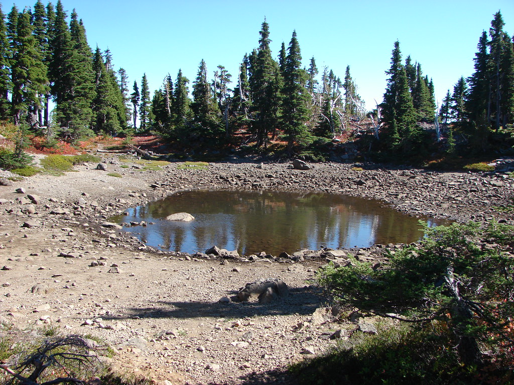
 Tumble Lake
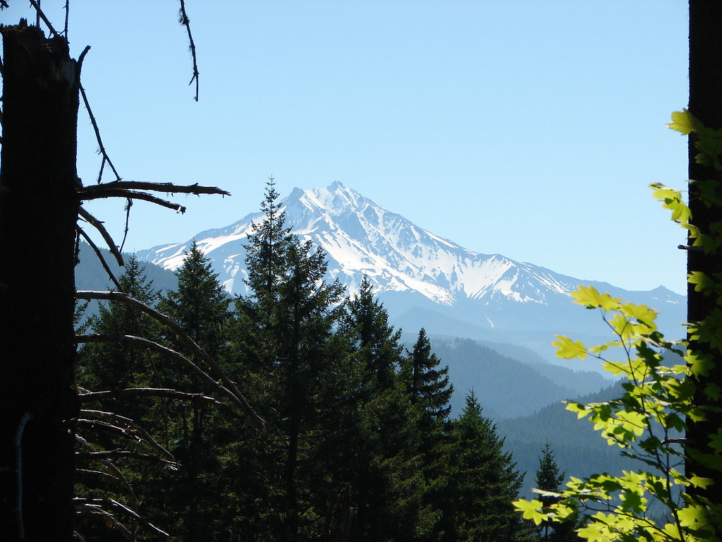
 Mt. Hood
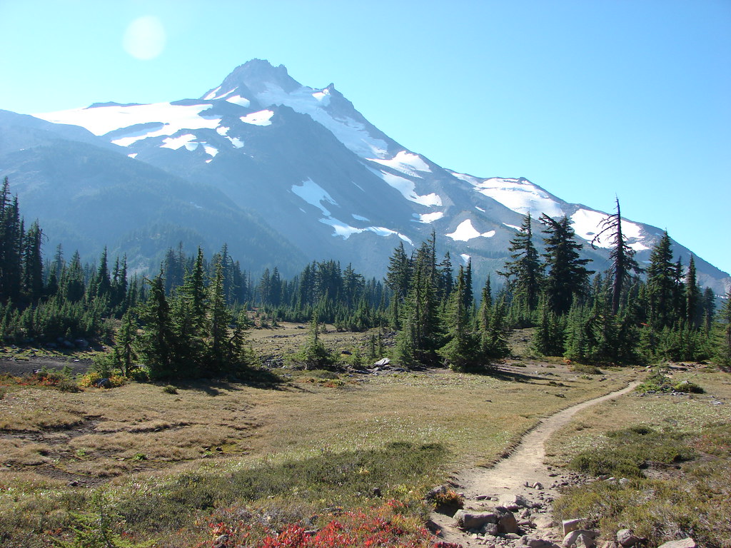
 Close up of Mt. Jefferson


 Mt. Jefferson and Three Fingered Jack
 Mt. Washington and the Three Sisters


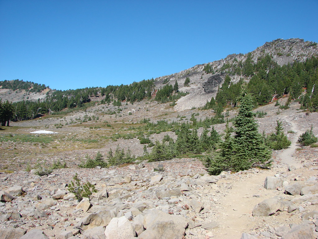


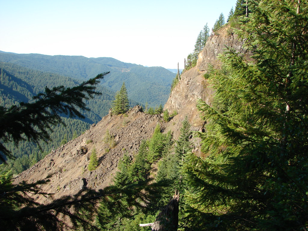
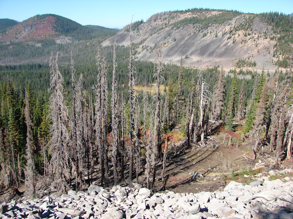 FR 4220 visible below the rocky slope.
 Rocky Top
 Henline Mountain

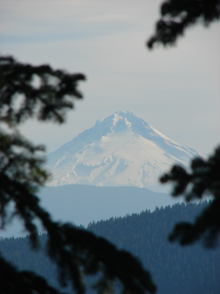 Mt. Hood
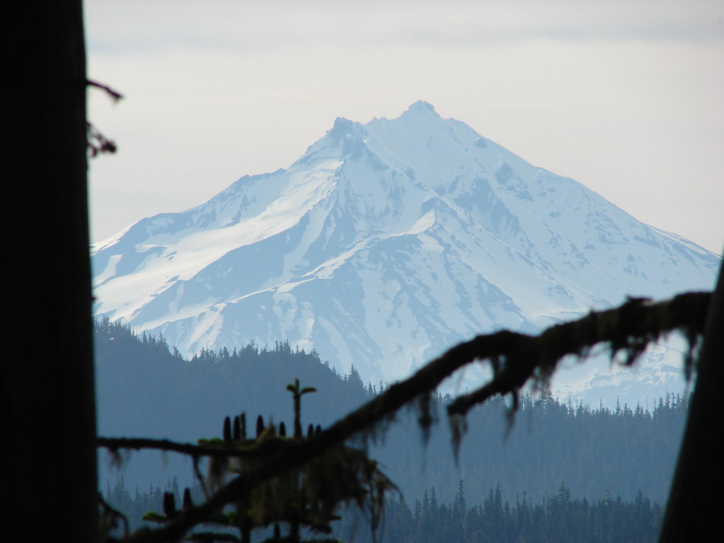 Mt. Jefferson