It’s become tradition to take a shortish hike on the Oregon Coast the morning of our annual family reunion in Gleneden Beach, OR. This year we decided to visit a pair of lighthouses near Newport.
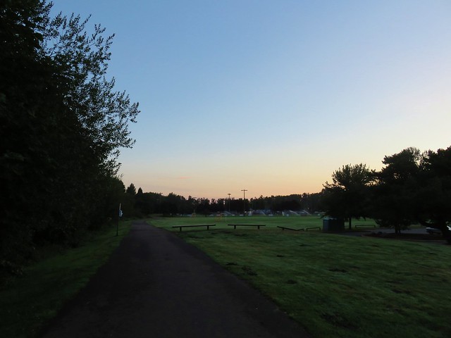
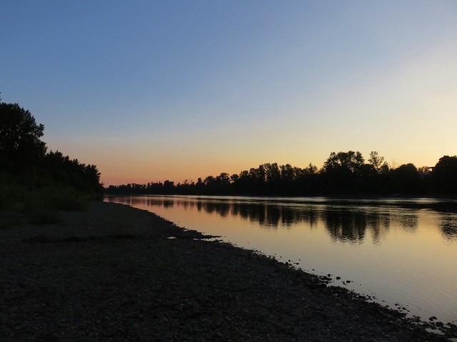
A 5am start got us to our first stop at Yaquina Bay State Recreation Site a little before 7.
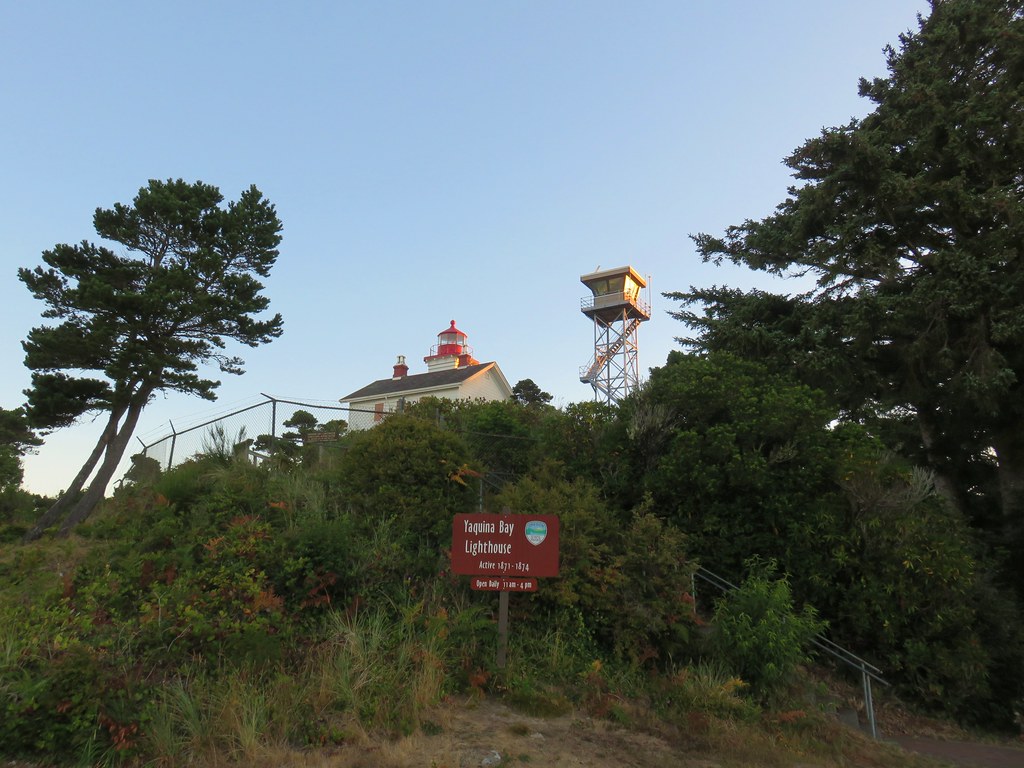
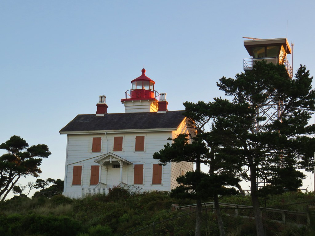
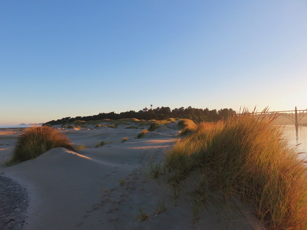
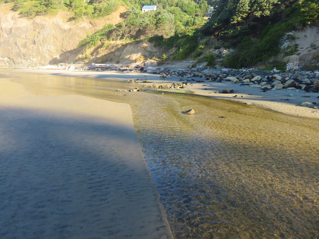
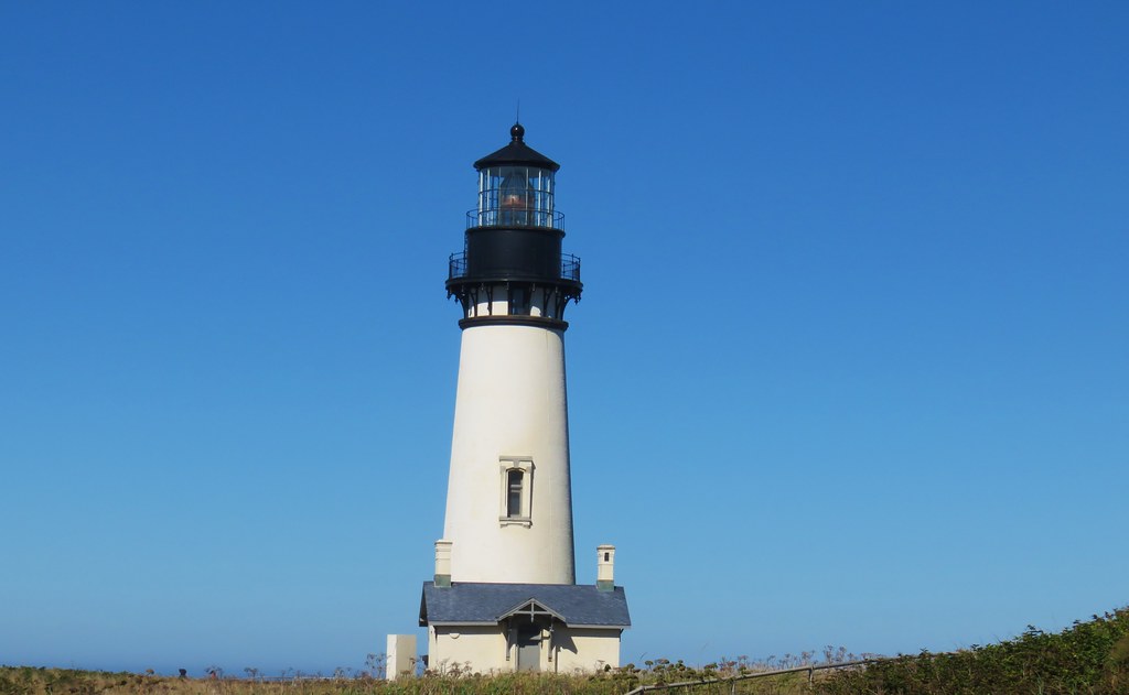
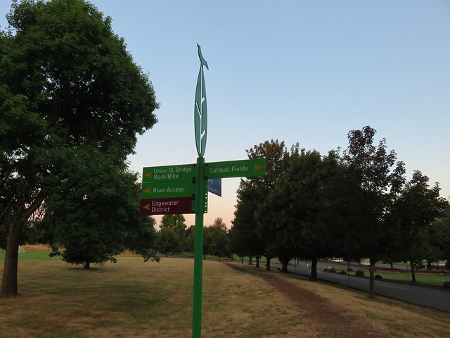
Home to the 1871 Yaquina Bay Lighthouse the 32 acre park also offers access to an approximately 4 mile stretch of beach between the Yaquina River and Yaquina Head.
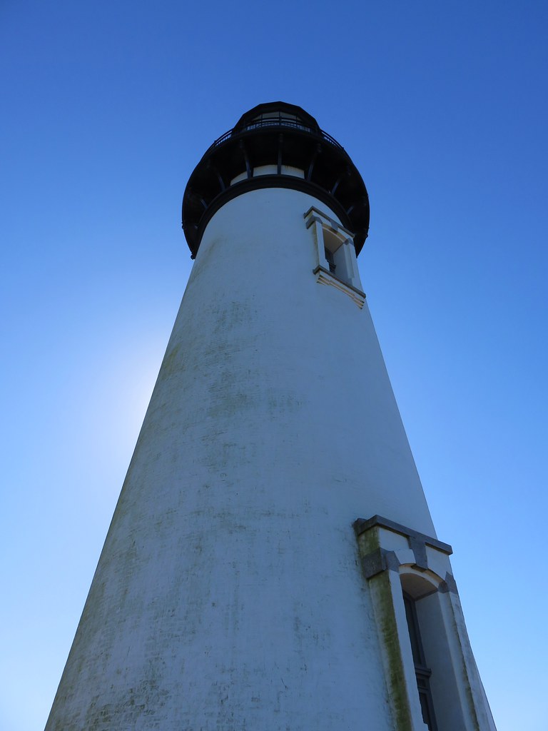
We parked below the lighthouse, which operated only three years before being replaced by the Yaquina Head Lighthouse.
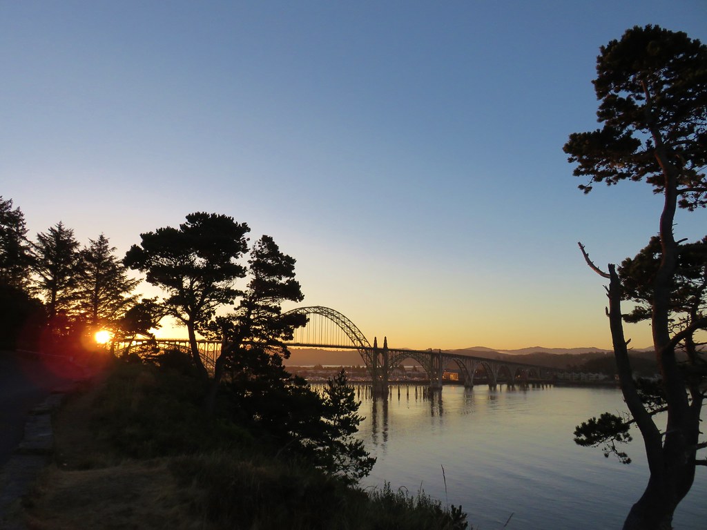
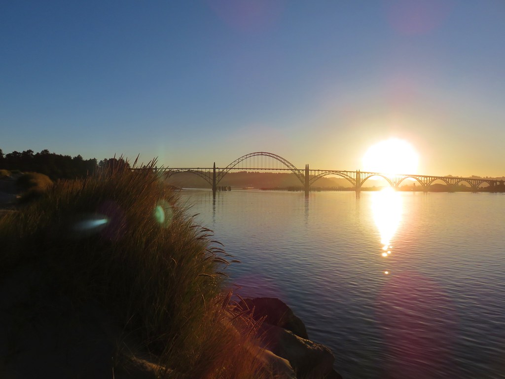
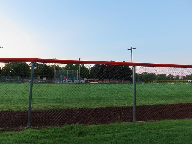
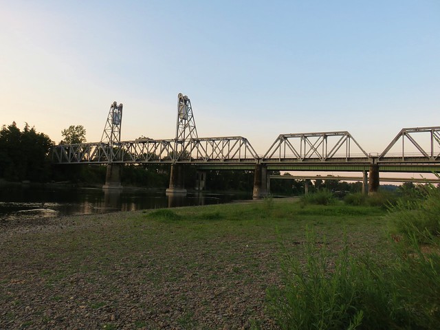
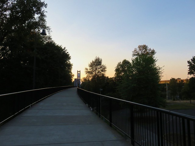
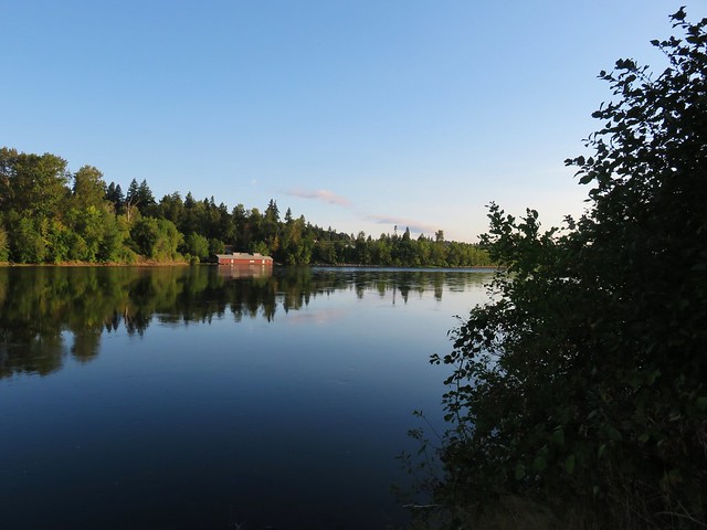
From a viewpoint in the parking lot we could see the Yaquina Bay Bridge and watch boats heading out to sea.
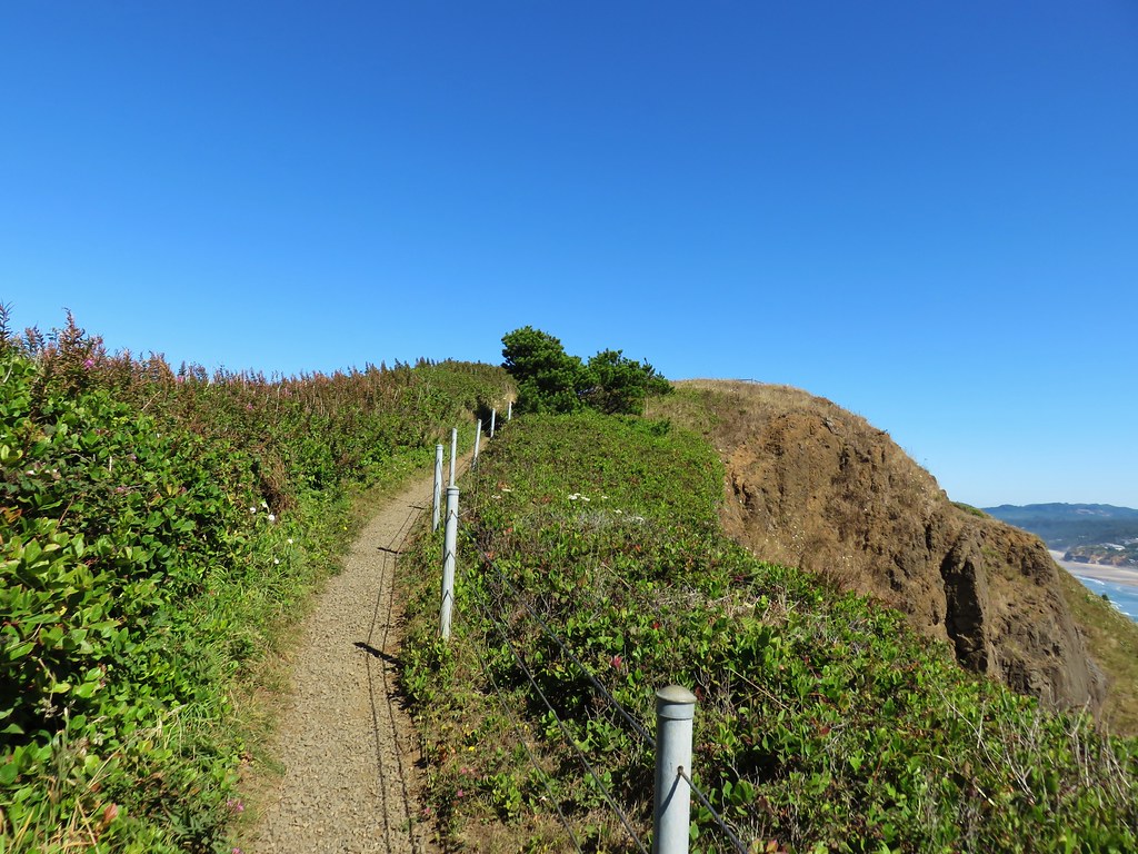
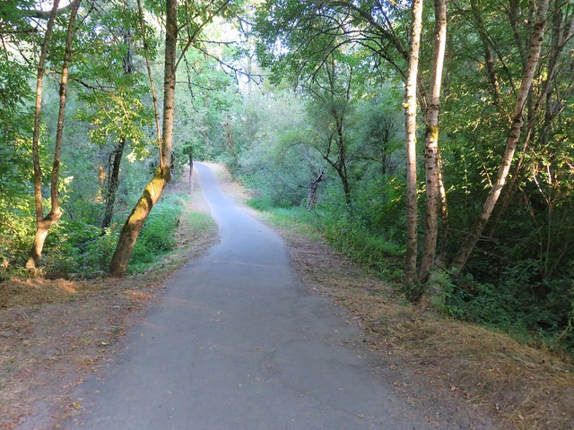
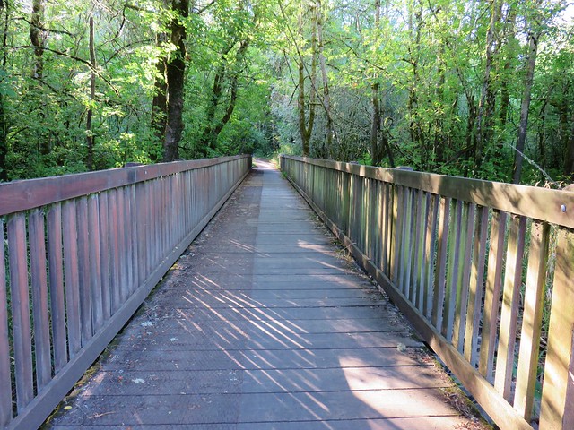
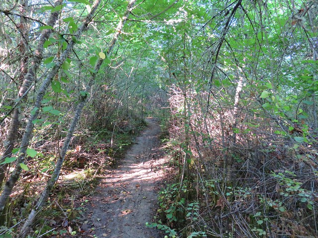
A paved path led down the bluff to a sandy path in the deflation zone behind a small foredune.

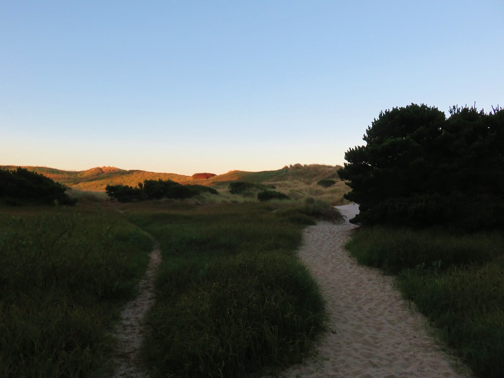
We passed over the foredune and turned left toward the Yaquina River.
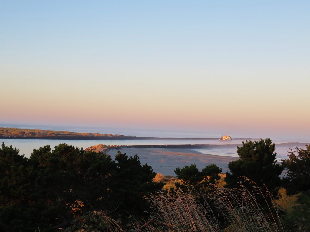
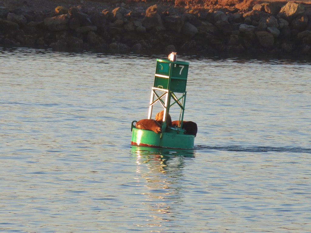
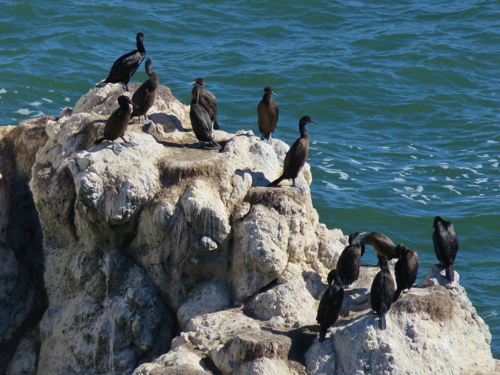
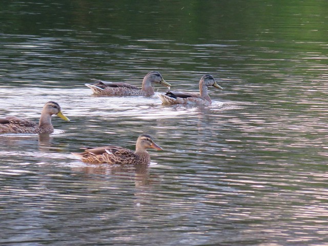
The sound of sealions in the bay greeted us as we approached the jetty where we spotted some squatters on a buoy.
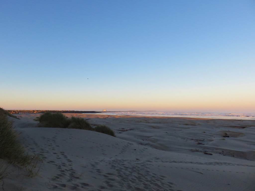
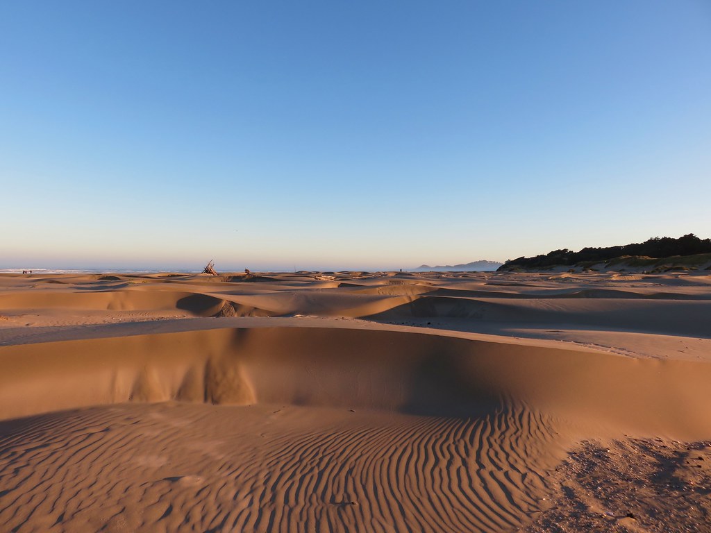
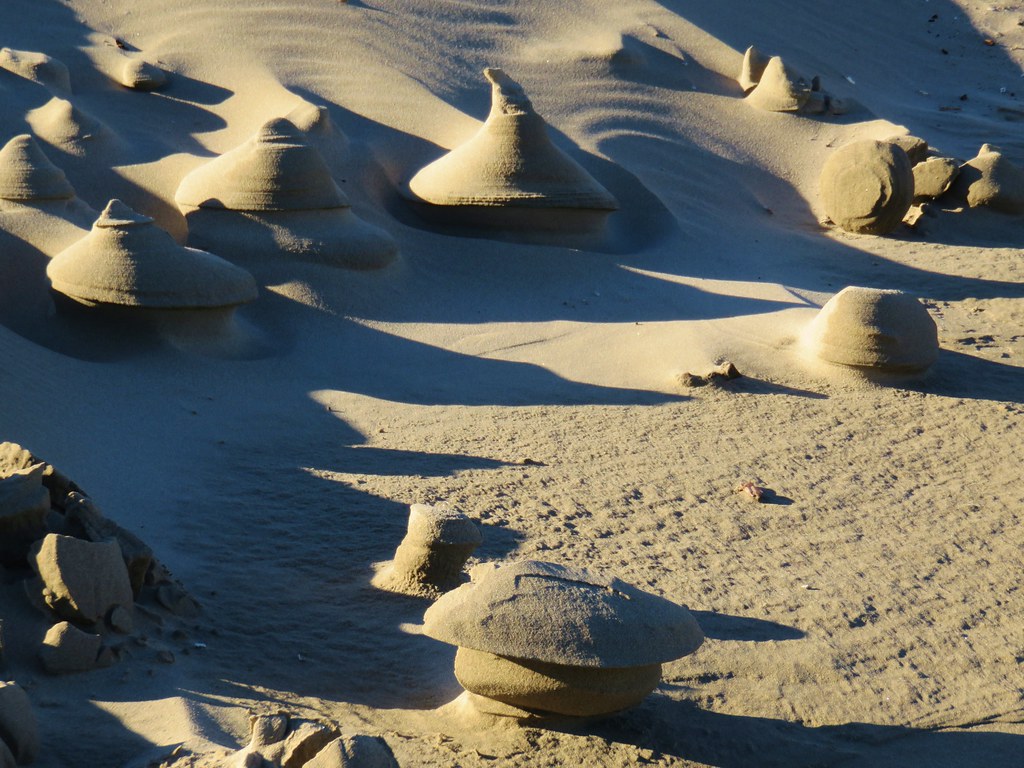
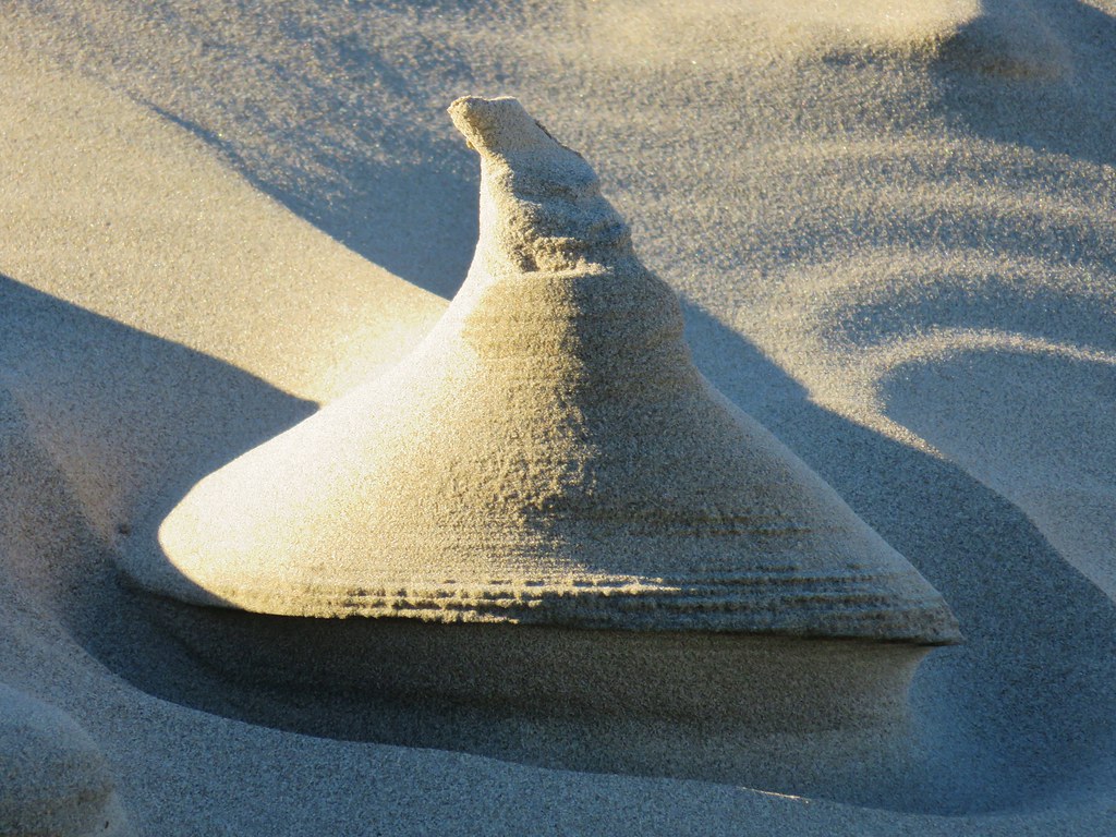
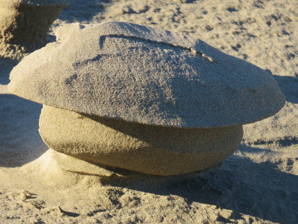
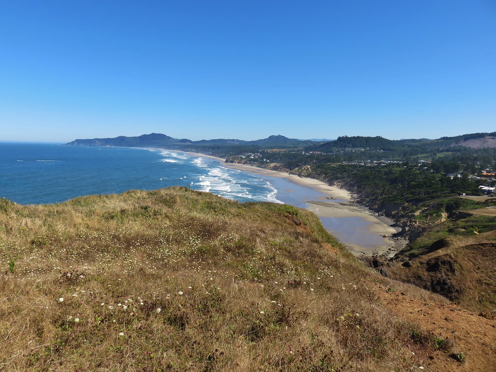
We turned around and headed north along the beach. It was an interesting beach with many small dune like formations.
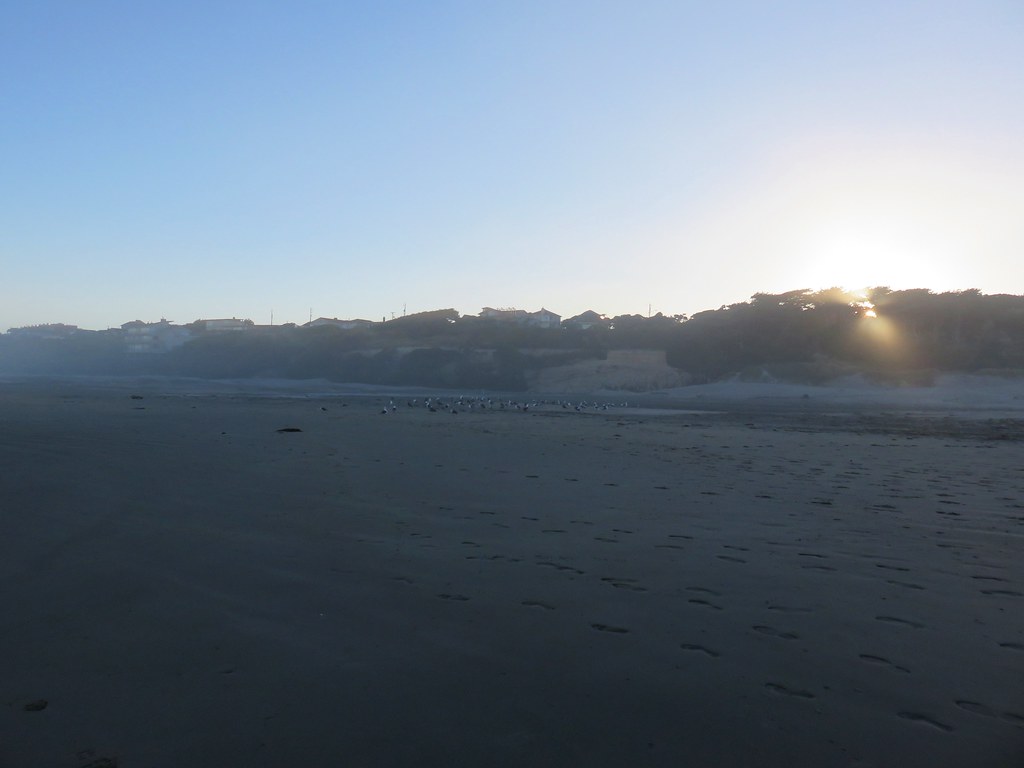
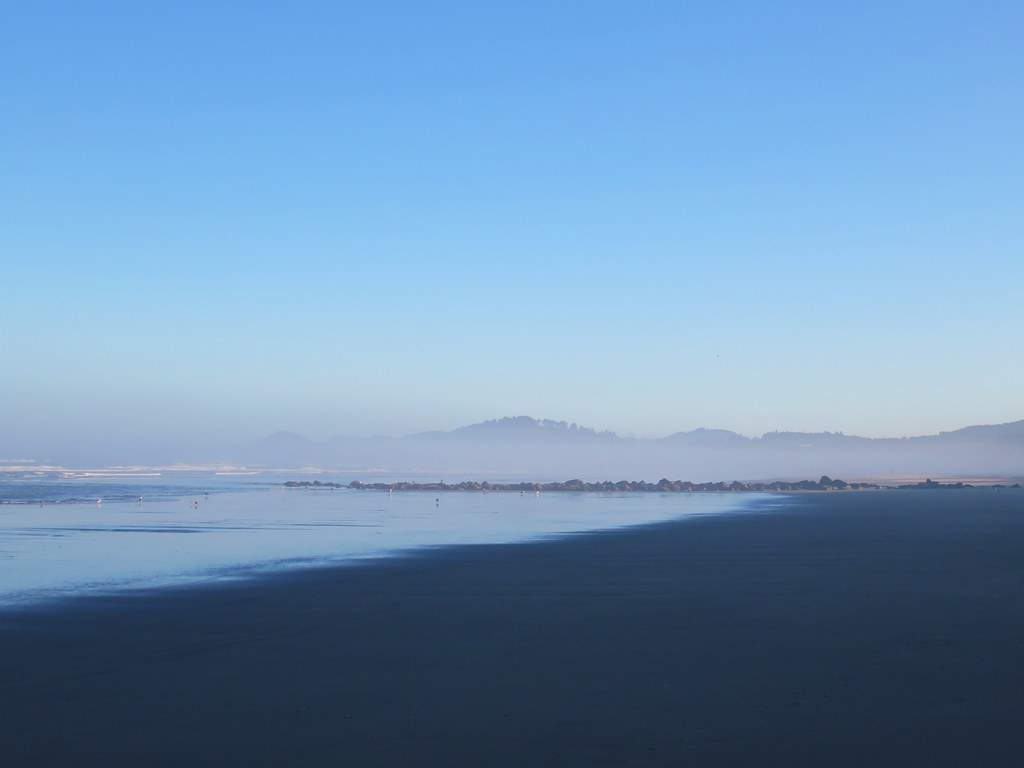
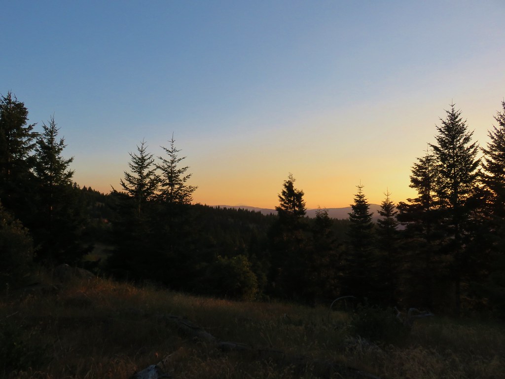
It was a typical summer morning on the coast with patches of marine layer clouds along the way.

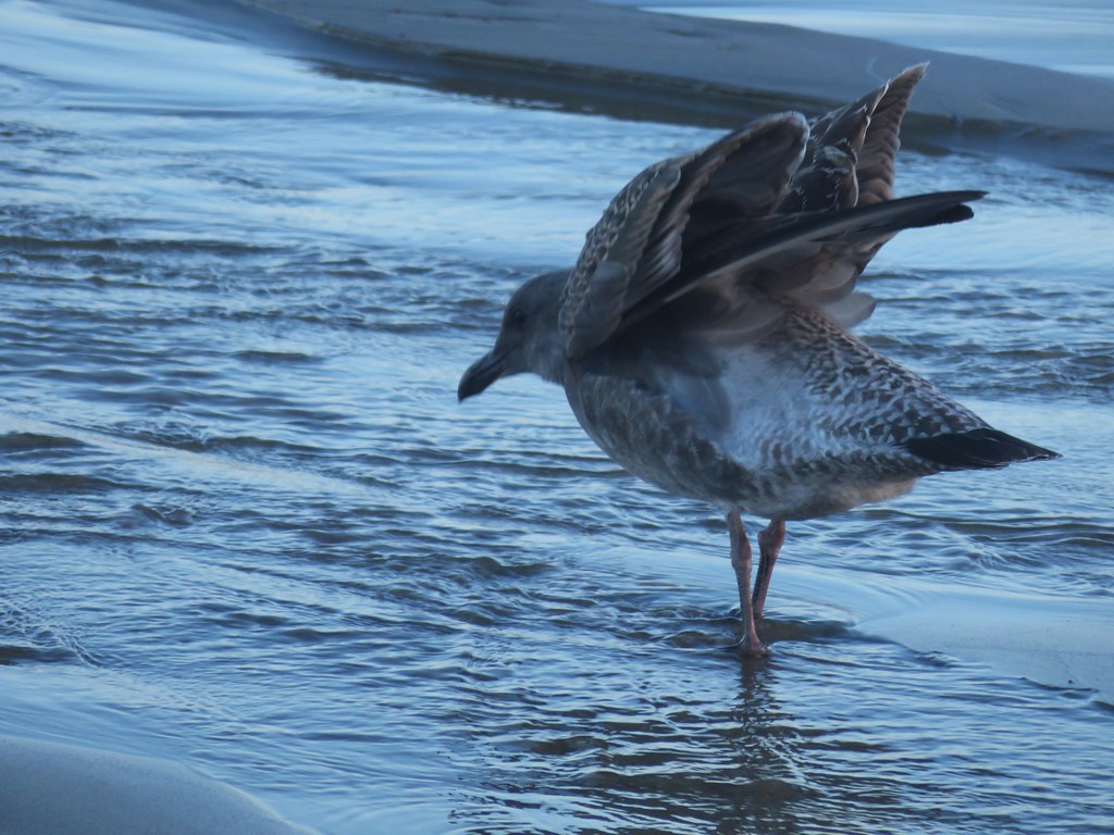
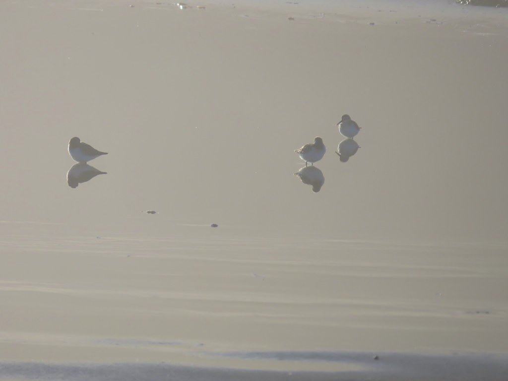
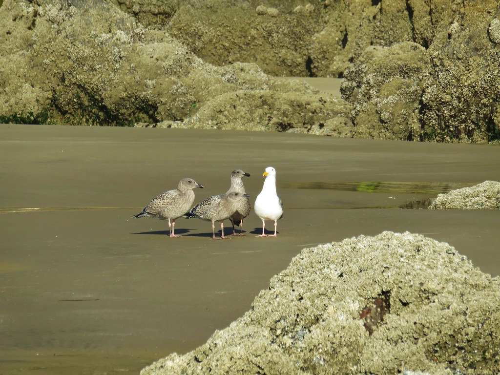
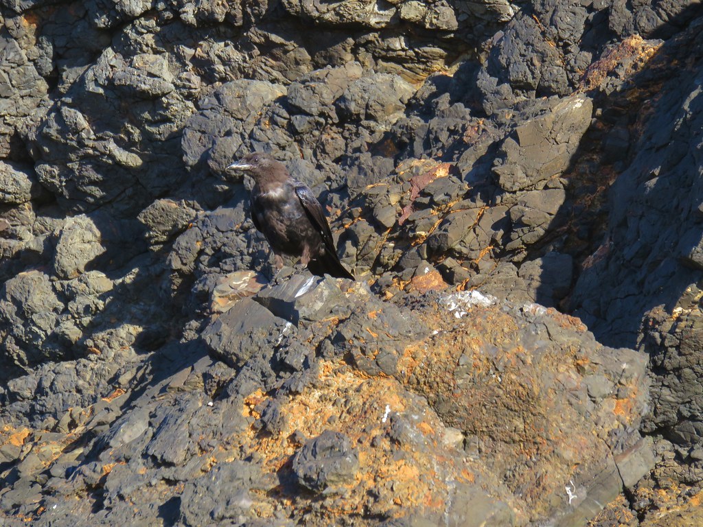
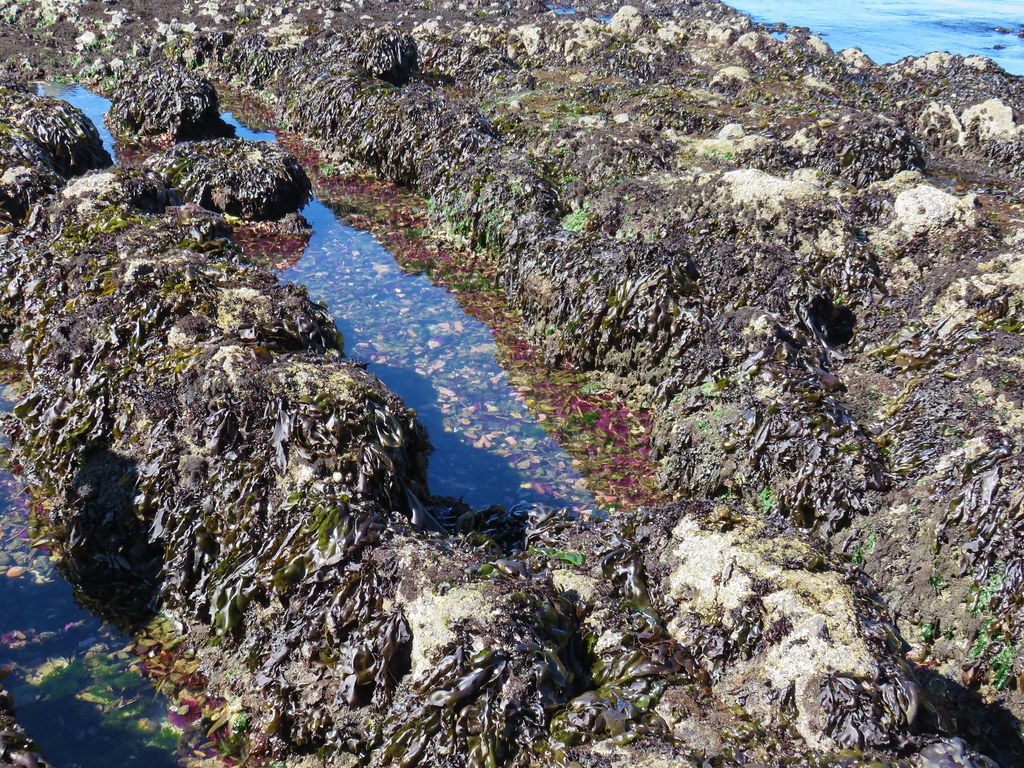
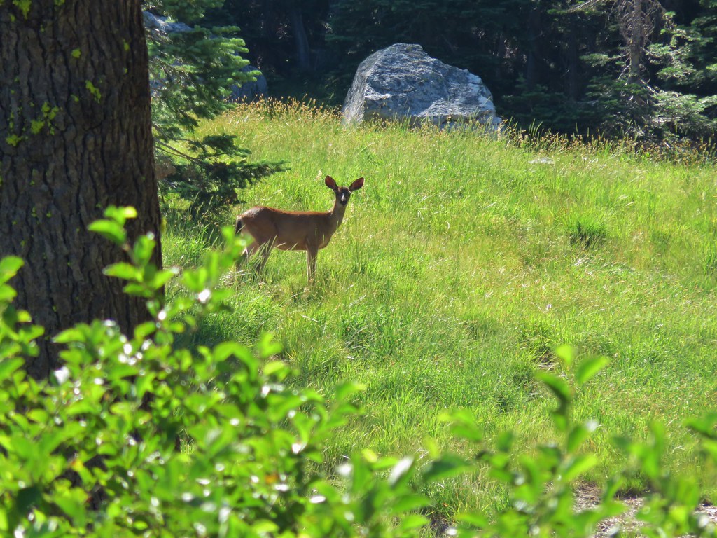
Wildlife along the way consisted of seagulls and shore birds as well as a couple of small tide pools where we spotted anemones and some sand crabs.


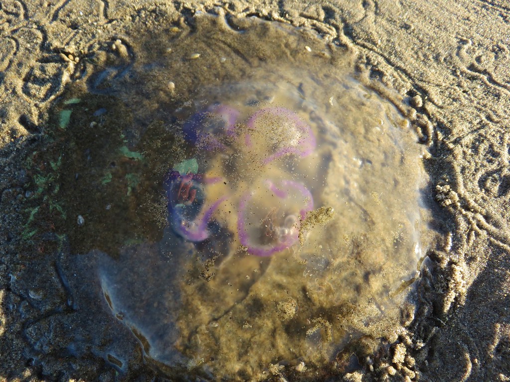
Of particular interest were a couple of jellyfish with some sort of colorful lines.
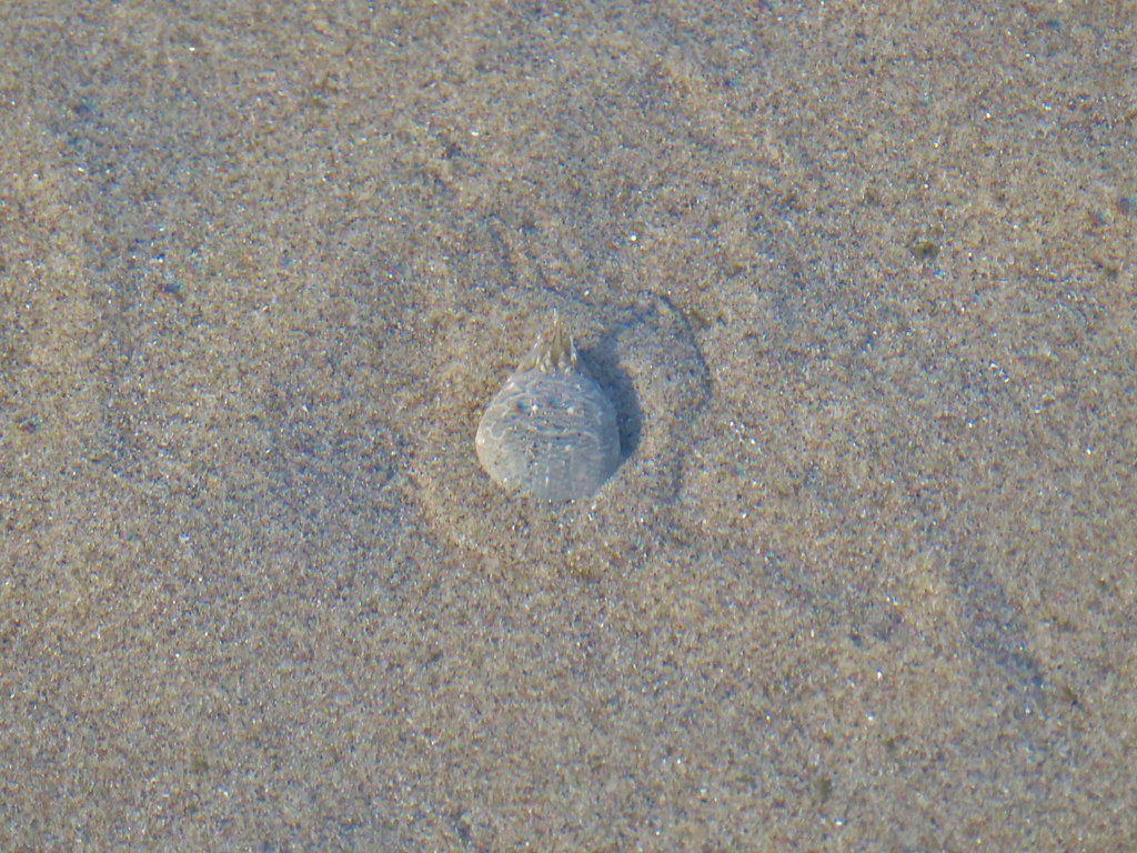
Another peculiar sight along the way were some sand formations that reminded us of clay sculptures.

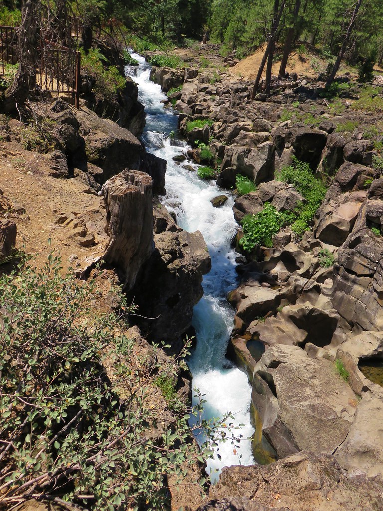
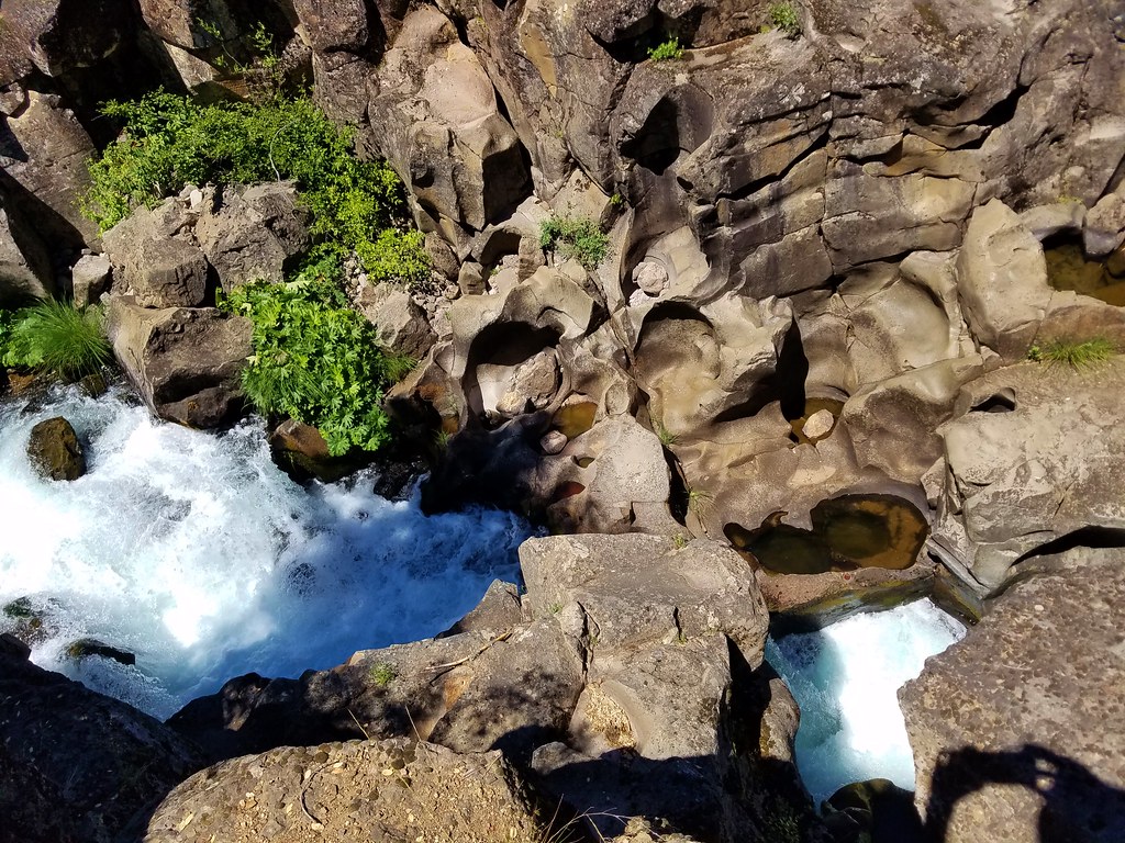
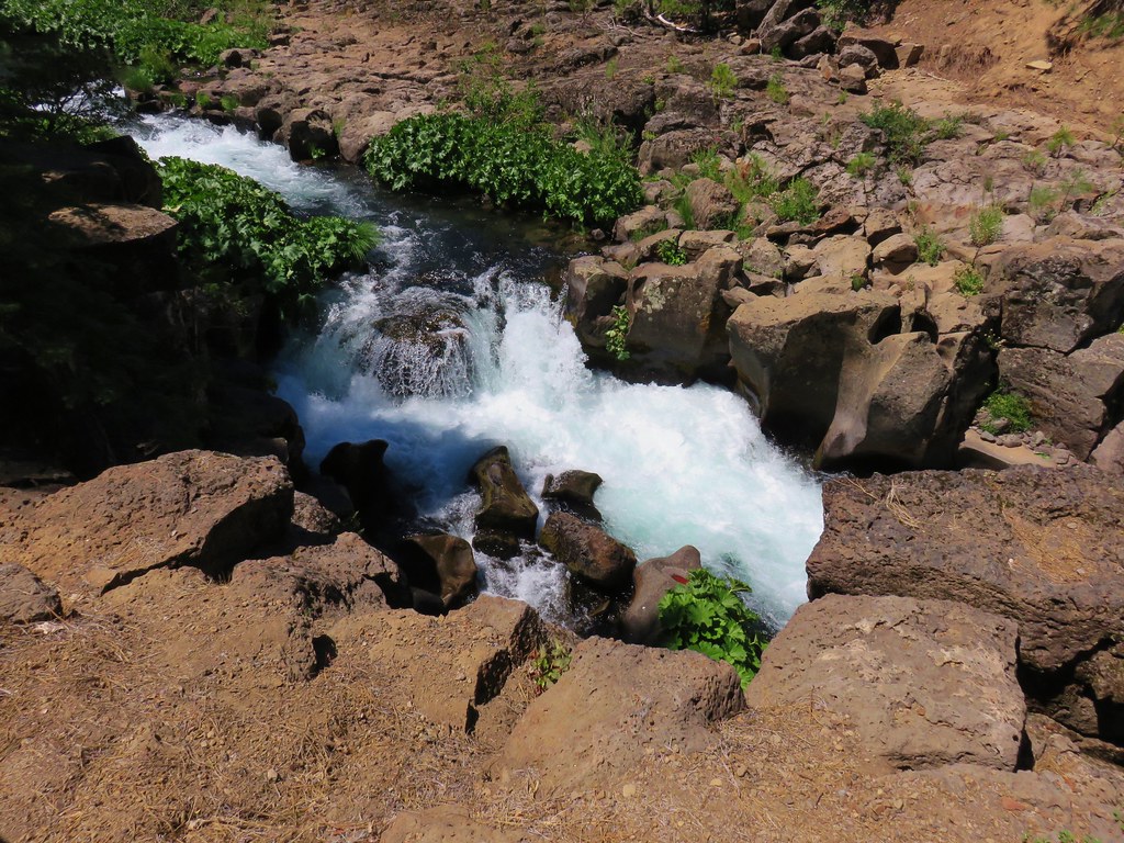
The beach began to narrow as we neared Yaquina Head and we soon came to Little Creek which was running parallel to the ocean.

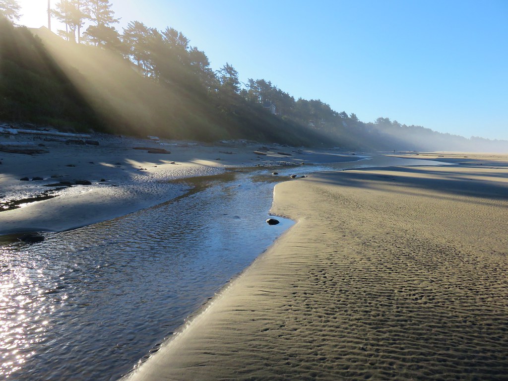
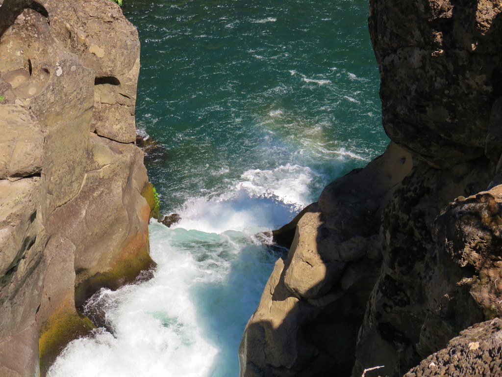
Yaquina Head forced the creek to finally turn toward the ocean and we followed it along the cliffs as it emptied into the Pacific.


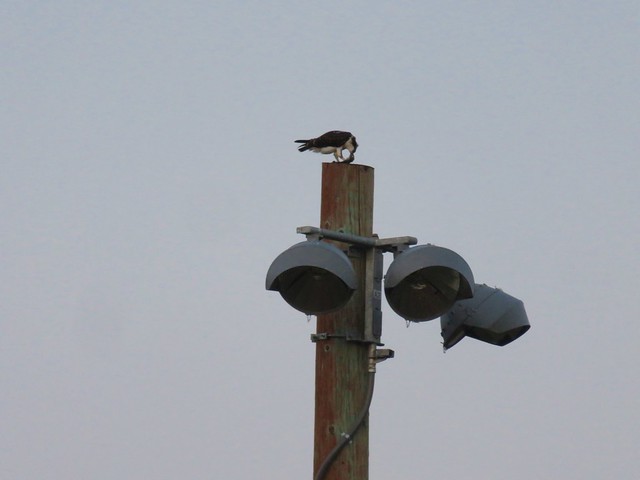
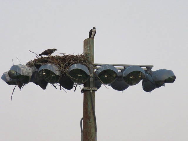
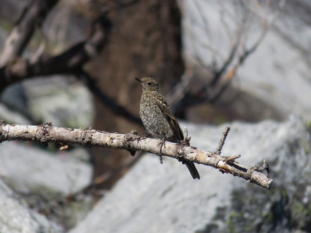
We passed various birds along the creek including a pigeon guillemot which was a bird we were unfamiliar with.
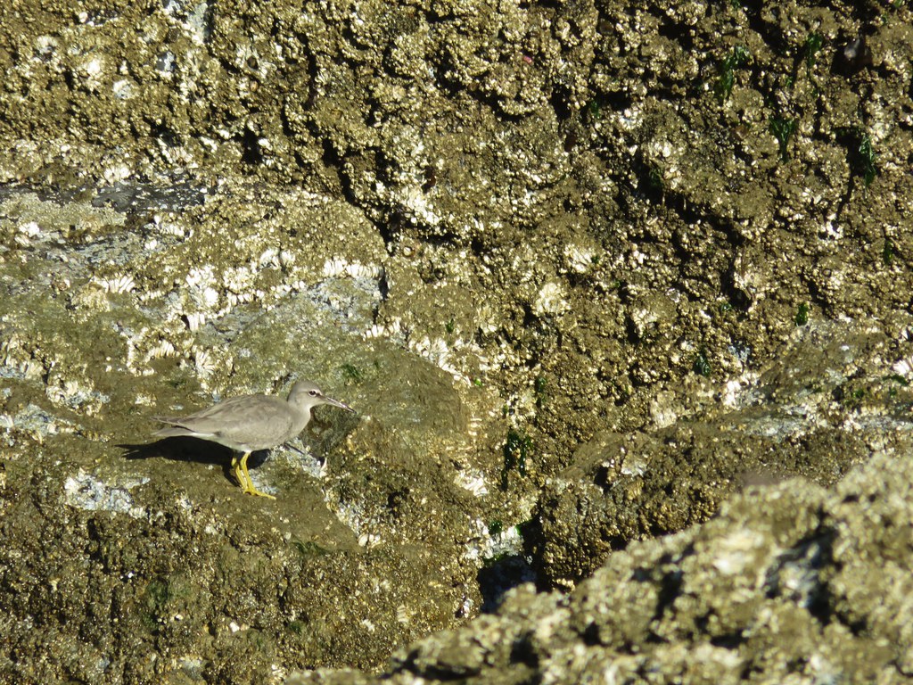
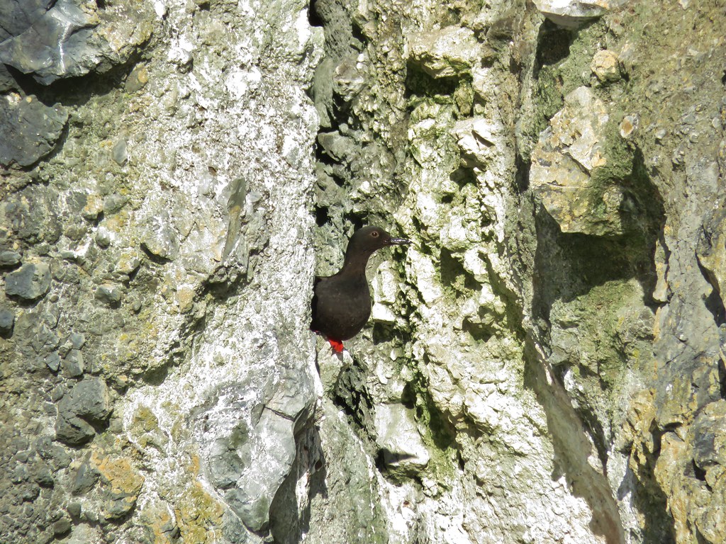
Pigeon guillemot
We headed back south along the beach staying closer to the ocean which brought us to a crossing of some tide water. In our infinite wisdom we waded through the water soaking our shoes and socks before realizing that this was not one of our typical stream crossings. The rocks in mountain creeks and rivers make crossing barefoot a bad idea but on the beach we could have easily taken them off before wading through.

We were back at our car by 9:45 so we had plenty of time to make a second stop at the Yaquina Head Lighthouse (even after stopping at the Newport Safeway to pick up some cilantro). Located on Yaquina Head 4.5 miles north of Newport the Yaquina Head Outstanding Natural Area has a lot to offer. Oregon’s tallest lighthouse, tide pools, several trails, and an interpretive center (which wasn’t there the last time we visited) make the $7/car pass seem reasonable, especially given the pass is valid for three days.
We didn’t have a lot of time so we drove past the interpretive center and parked at the end of the road near the lighthouse.
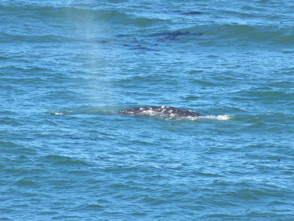
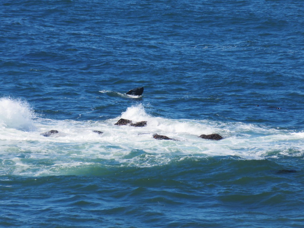
We walked to the lighthouse first stopping at viewpoints along the way. Several grey whales could be seen surfacing and blowing water into the air.
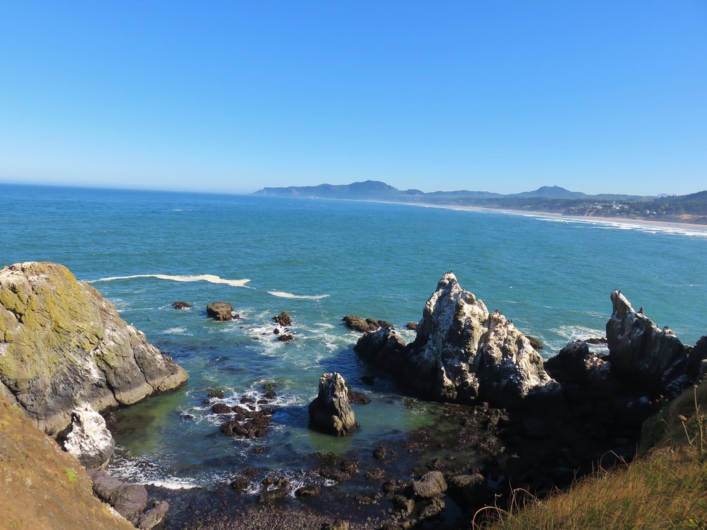


After watching the whales for a bit we continued around the lighthouse and then headed for nearby Cobble Beach.
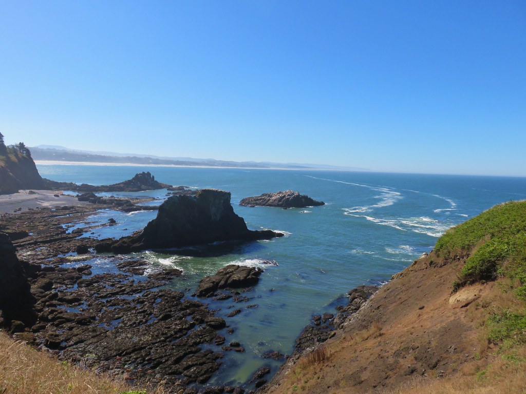
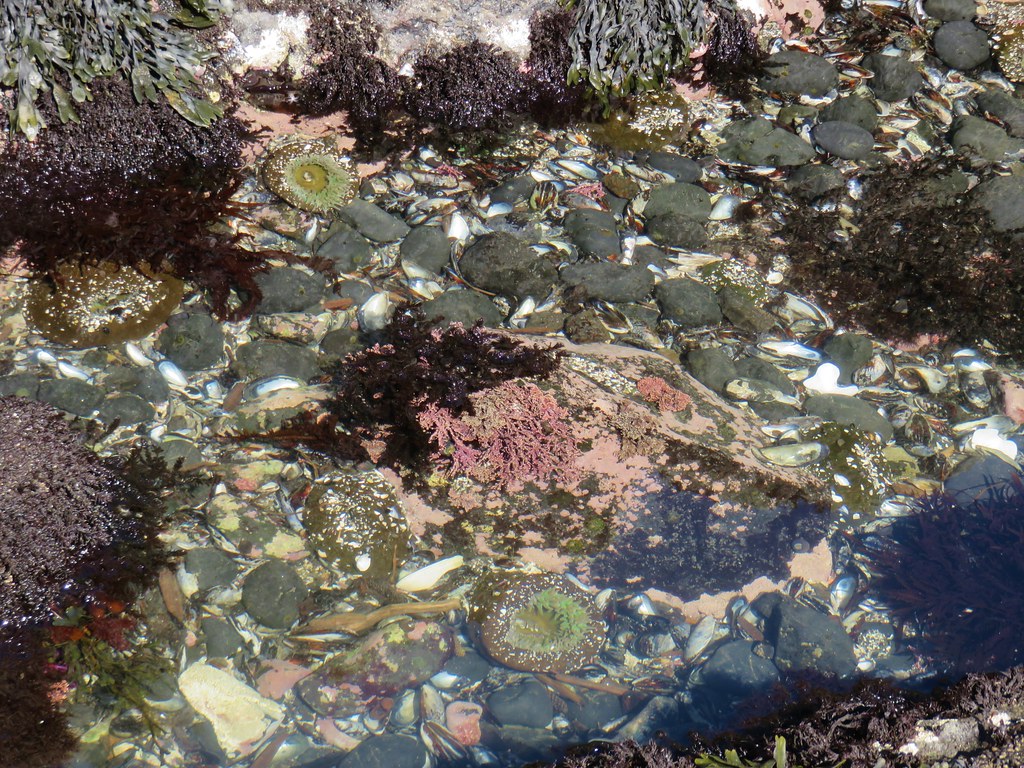
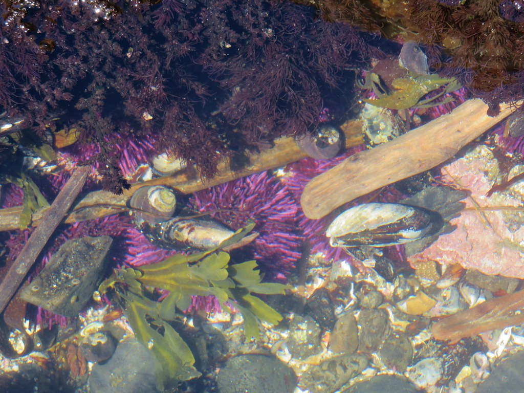
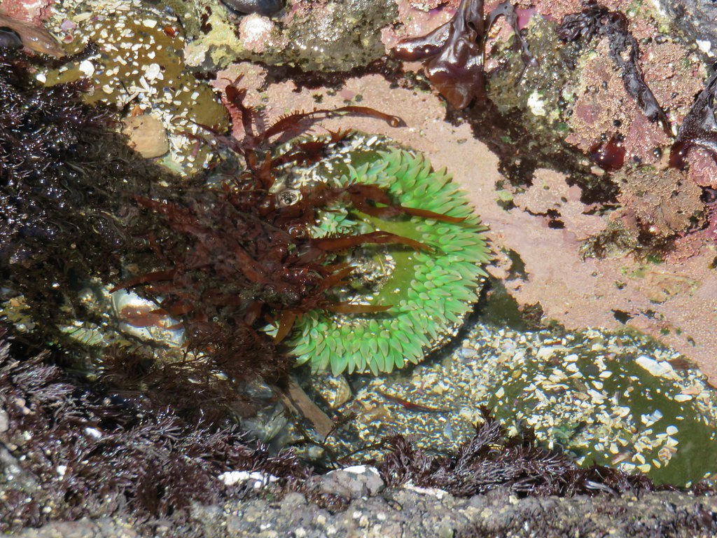
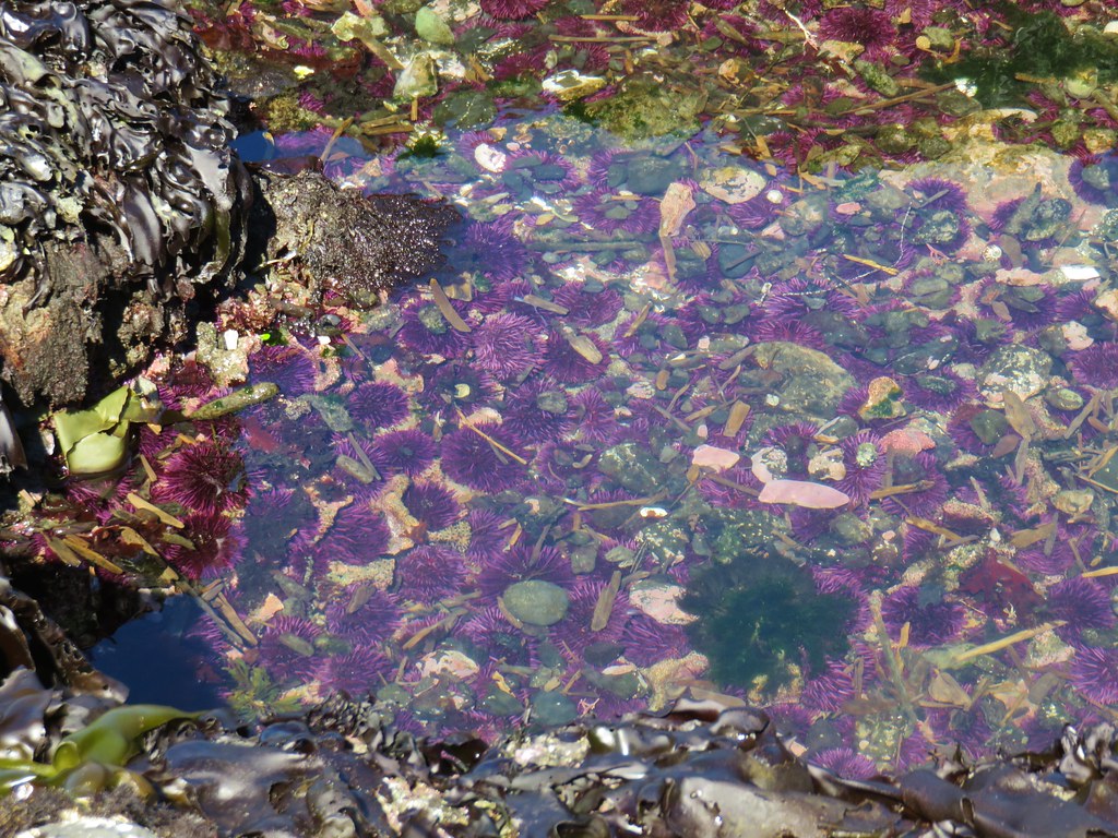
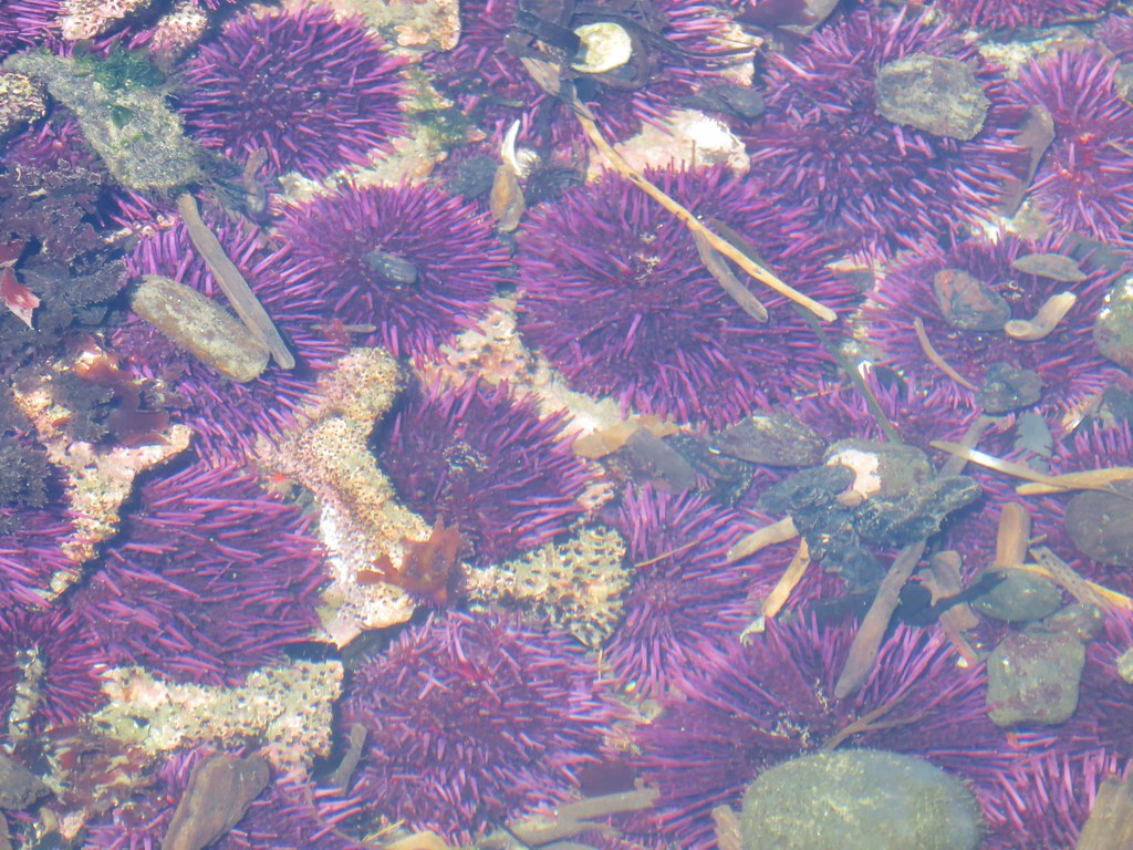
The beach is home to some very good tide pools and the tide was out far enough for some of them to be revealed.

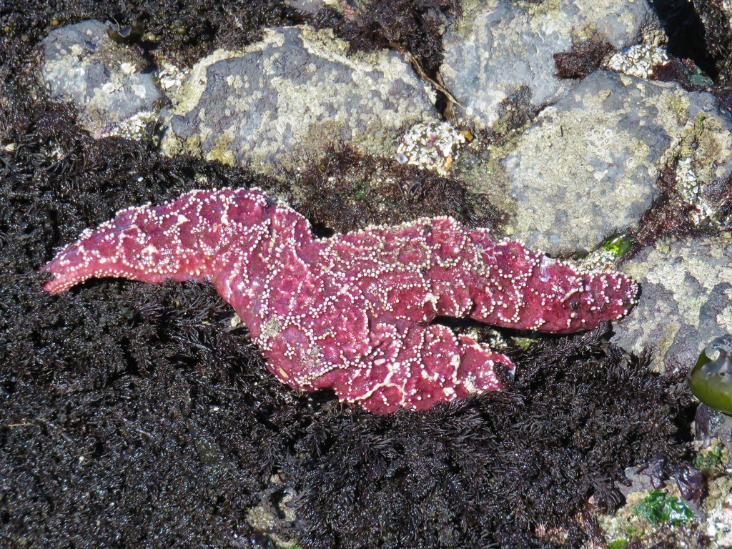
We took the wooden staircase down toward the beach and after some last minute rules and instructions from rangers at the bottom of the stairs we began exploring the pools. Touching anything but the starfish (the rangers informed us that they were dealing with some sort of illness) was allowed but no picking up.

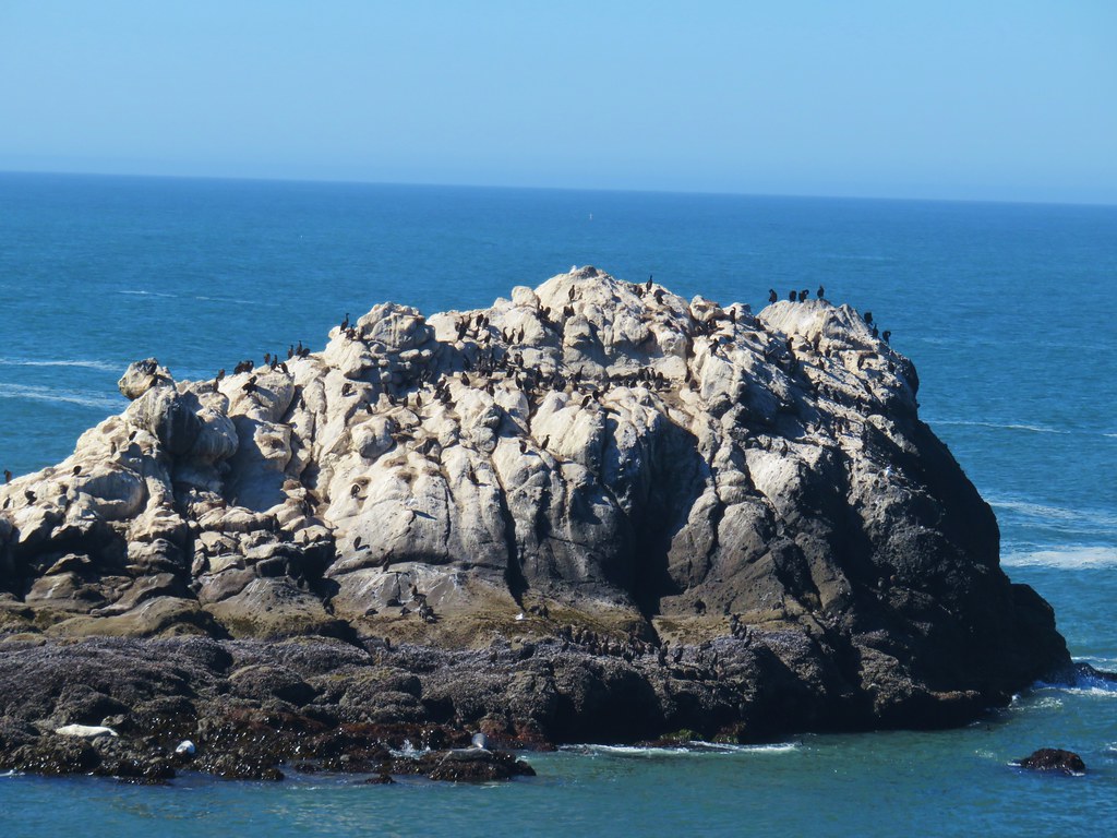
Large sea rocks just beyond the tide pools are part of the Oregon Islands National Wildlife Refuge, one of only tow wilderness areas in Oregon closed to humans.

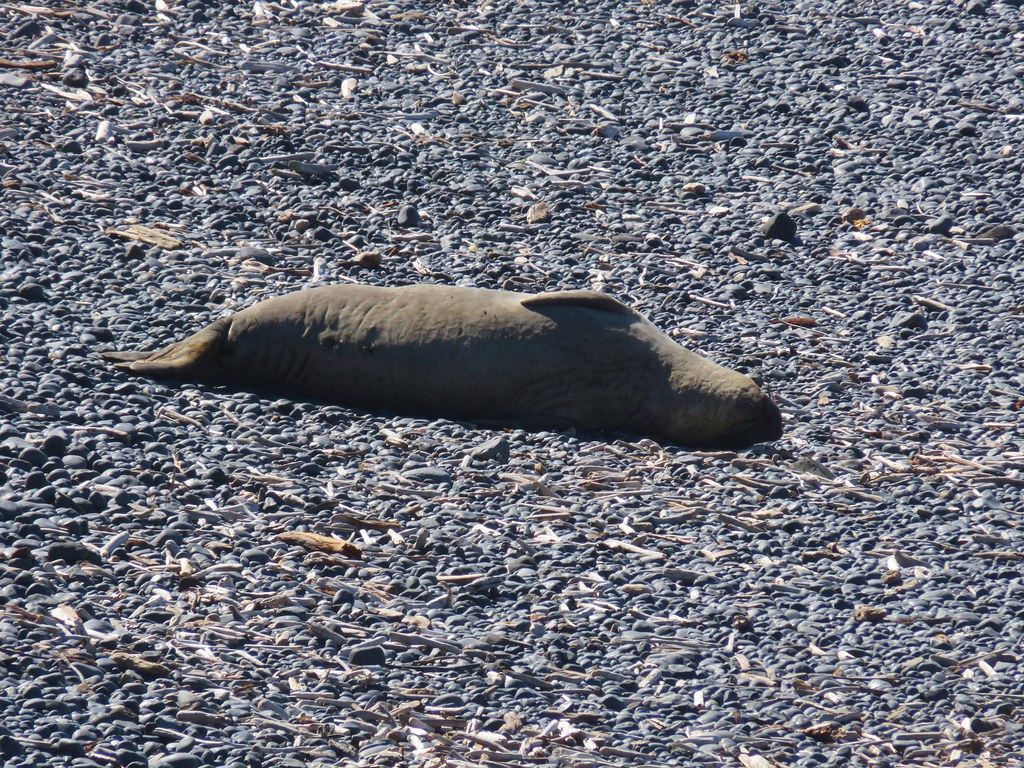
Not all the wildlife stuck to the islands though as a section of Cobble Beach was closed off due to a resting seal.
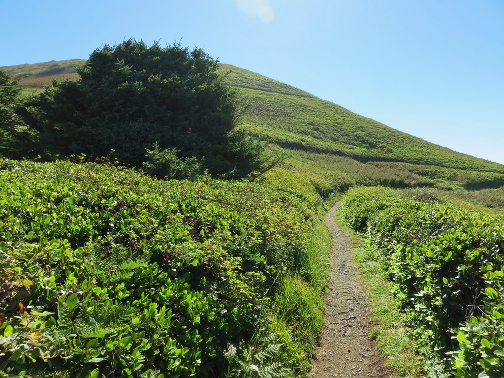
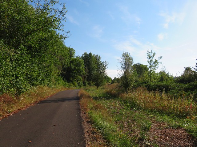
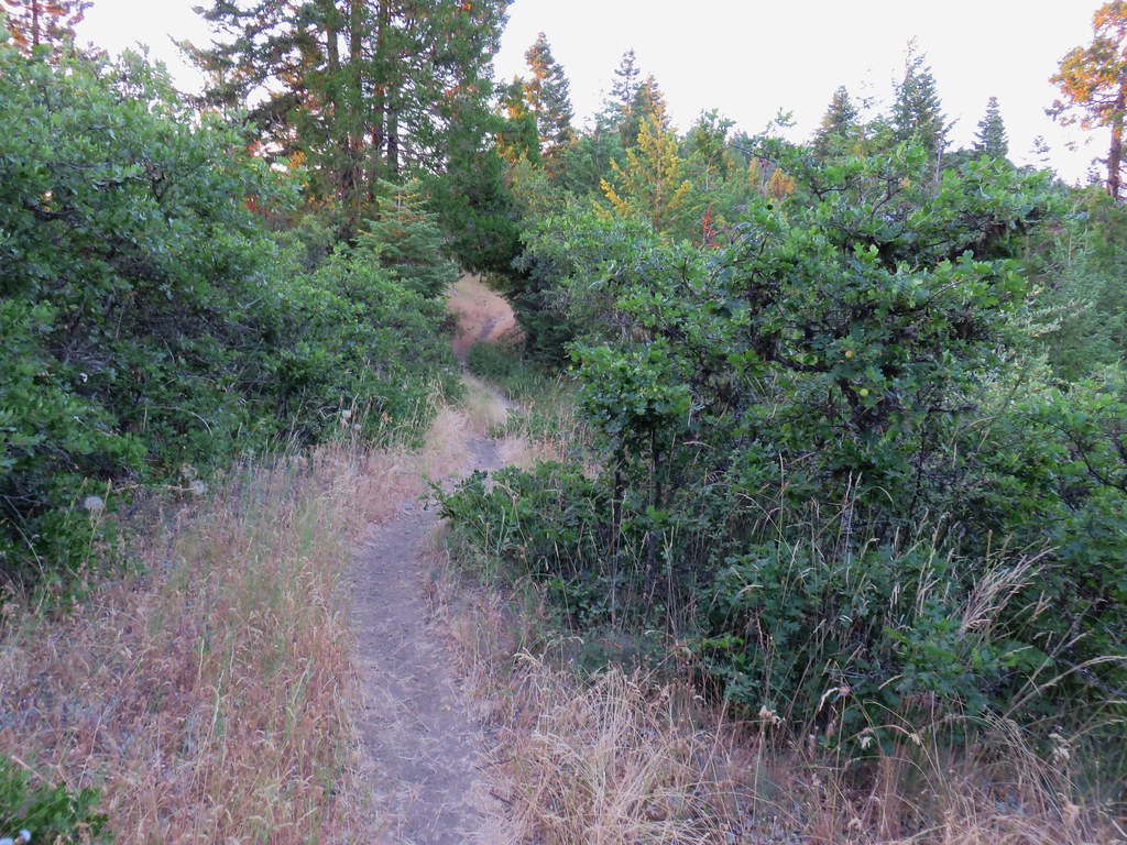
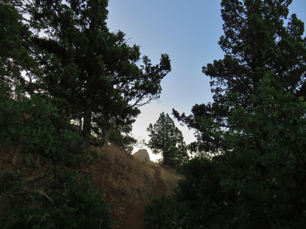
After making our way around the pools we headed back up the stairs. It was still a bit early to head for the reunion so we decided to check out the short trail up Salal Hill which began at the lot where we had parked.
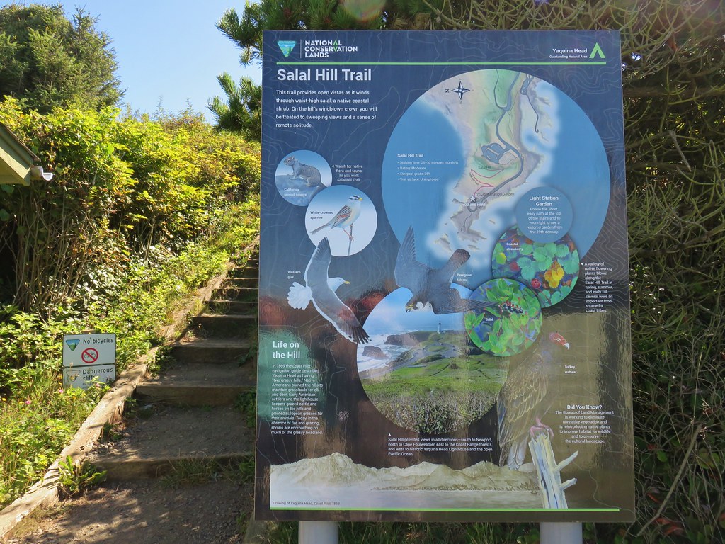
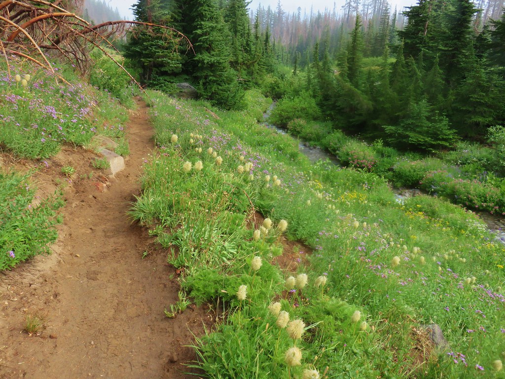
The .4 mile path switchbacked up the small hill at a nice gradual grade.
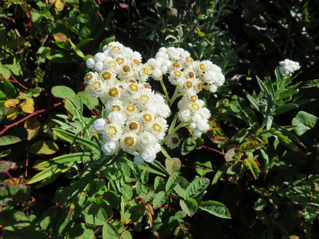
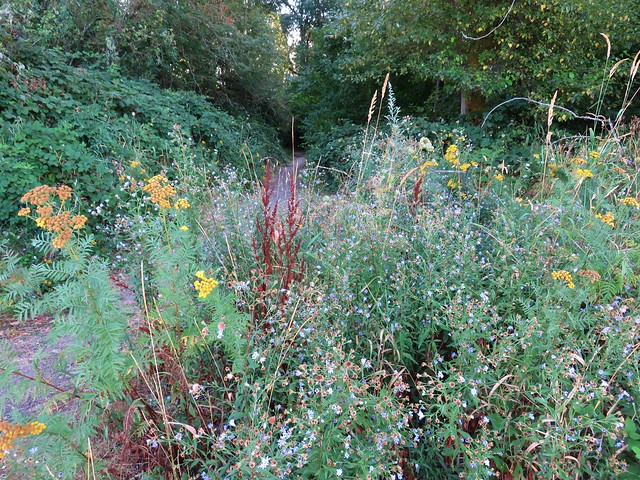
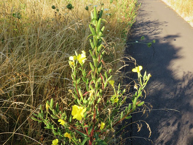
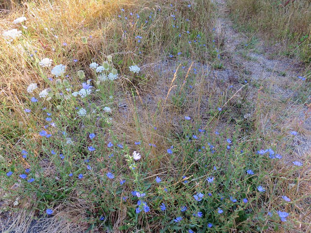
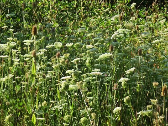
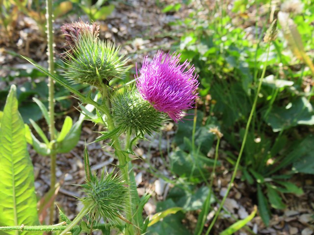
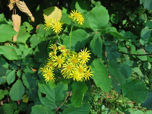
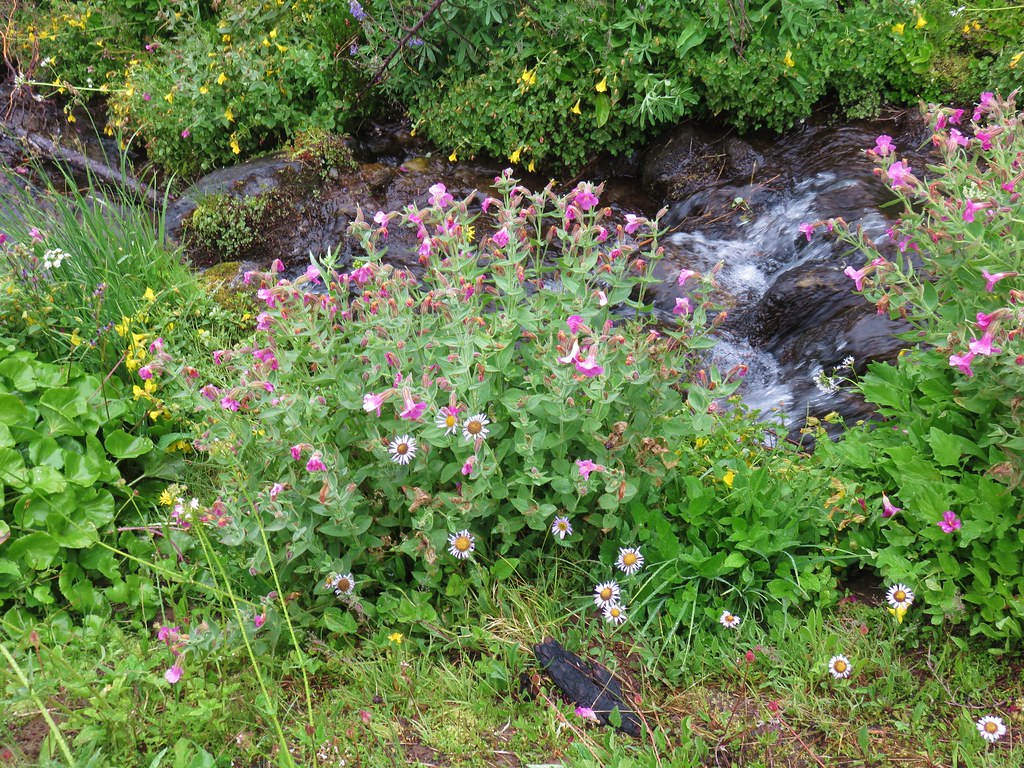
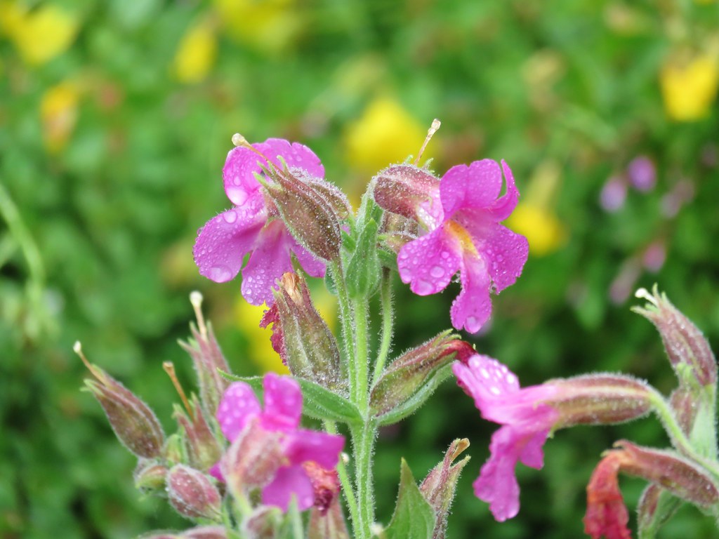
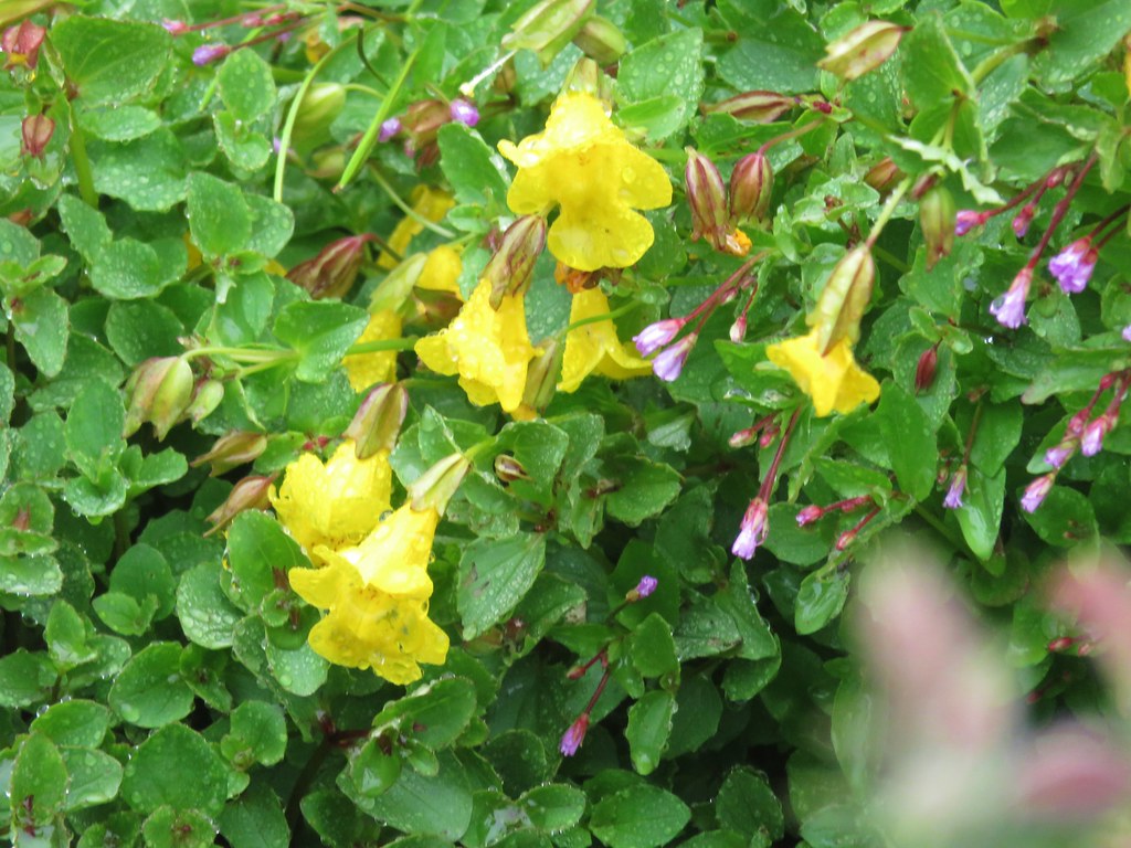
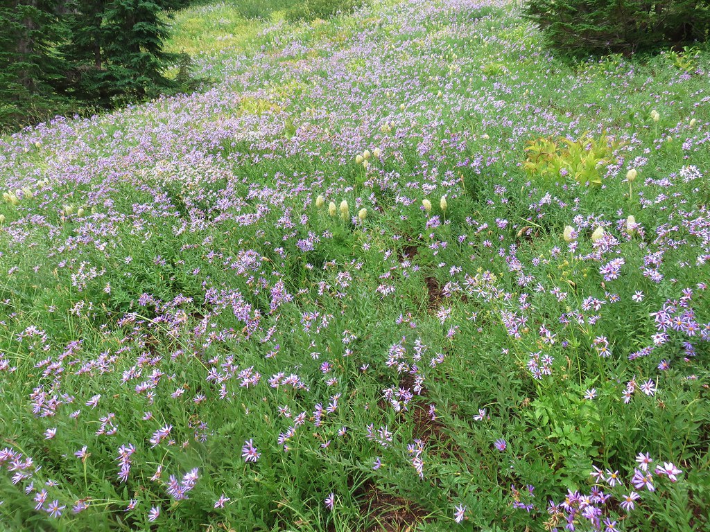
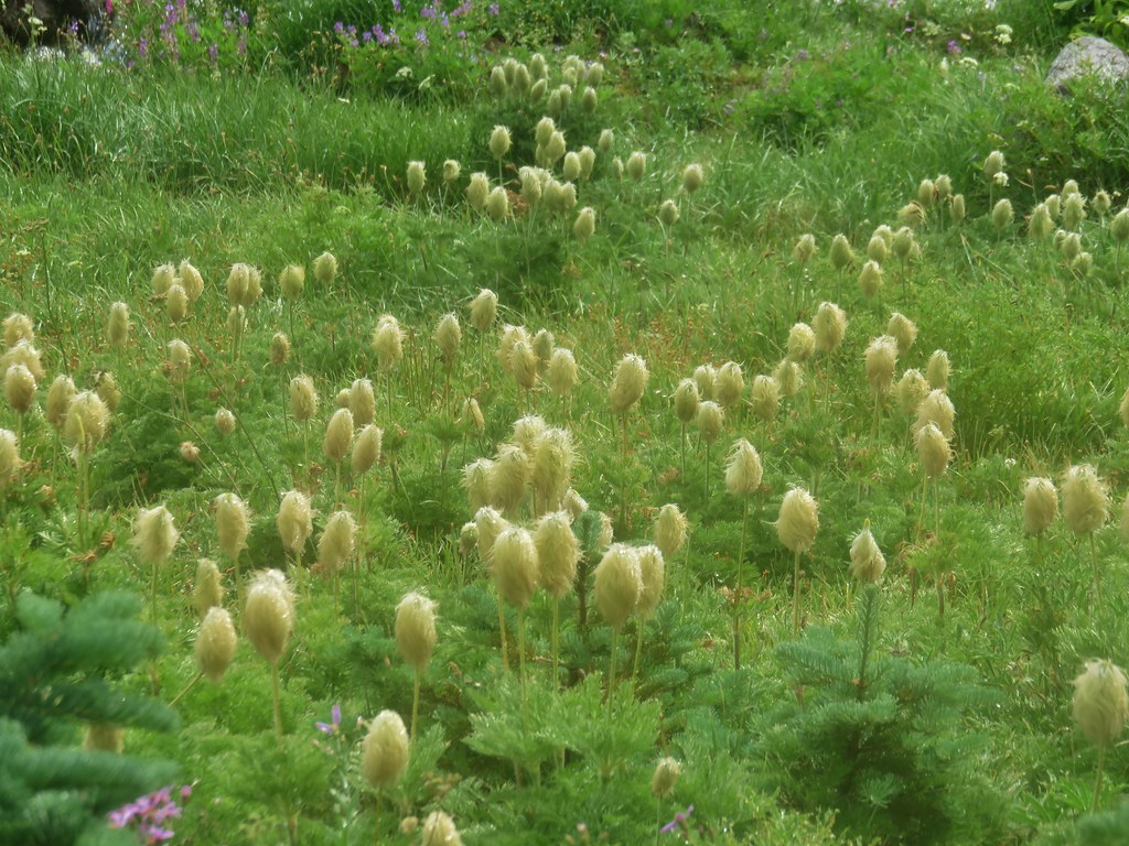
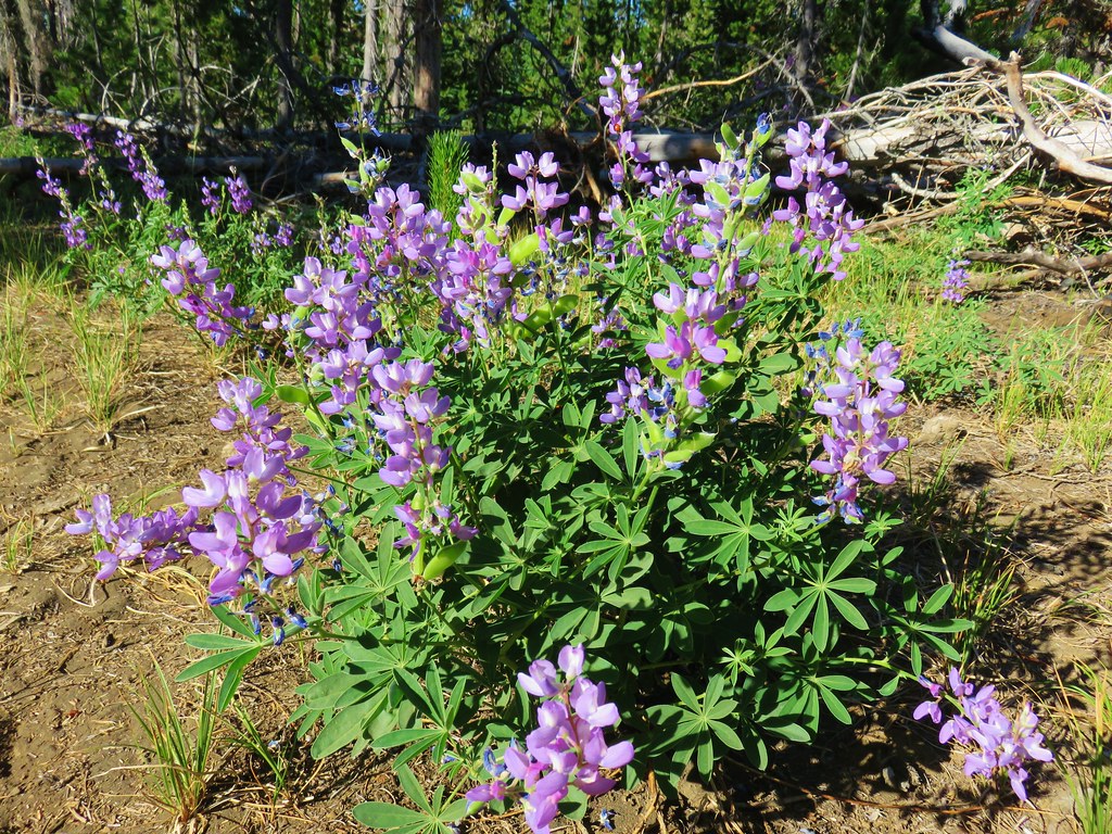
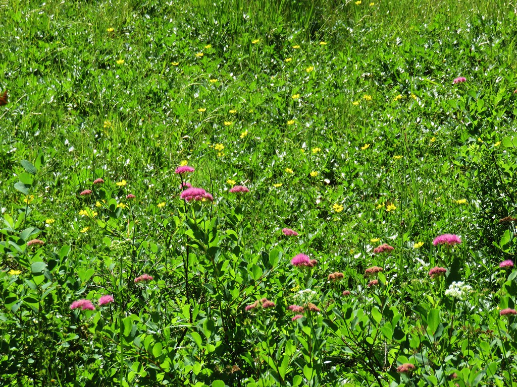
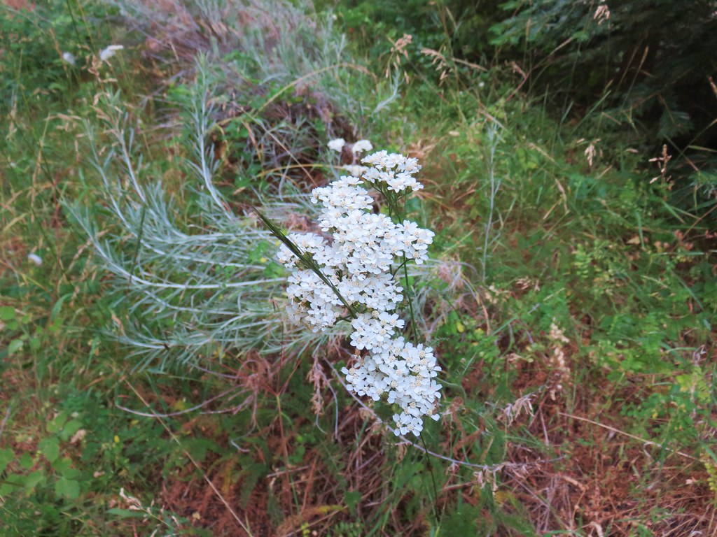
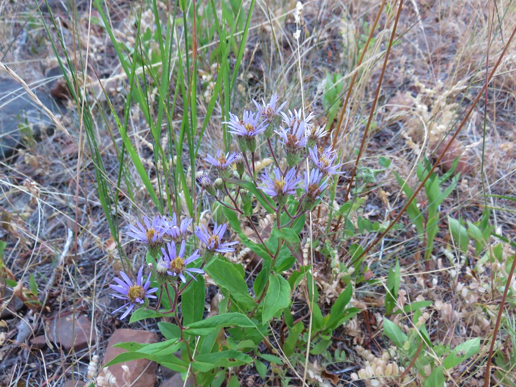
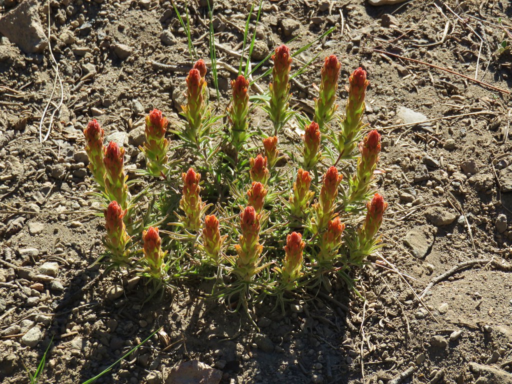
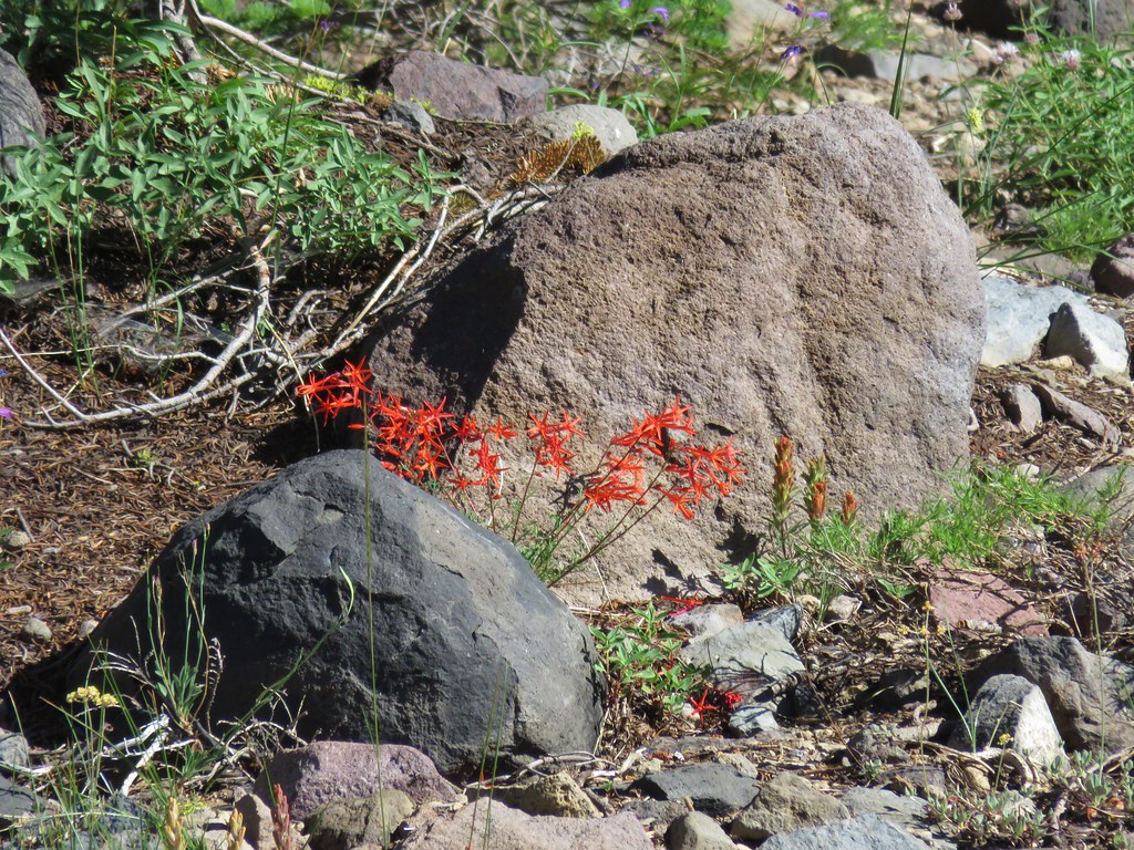
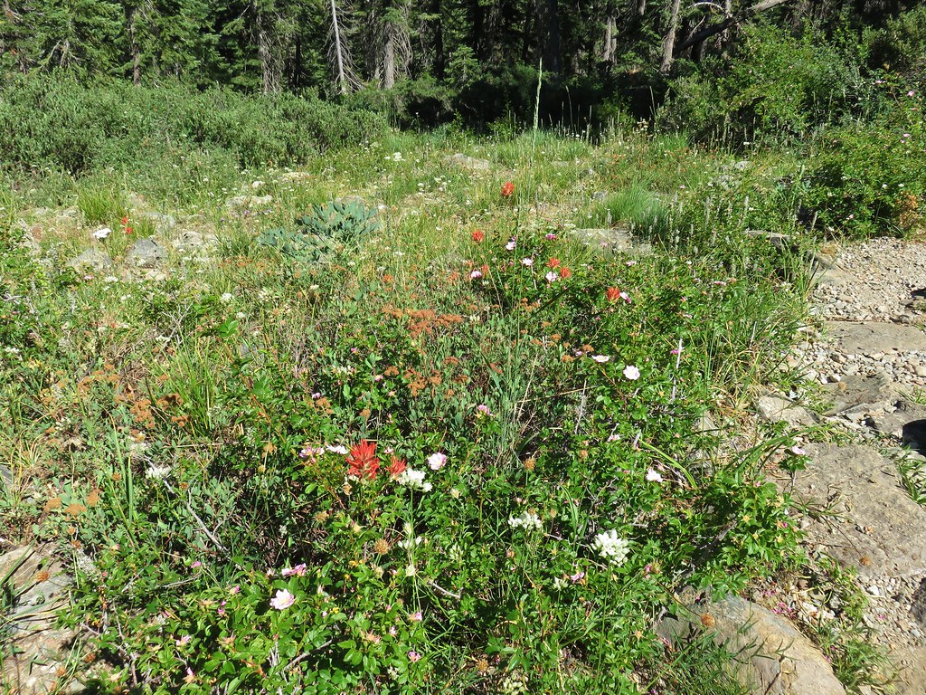
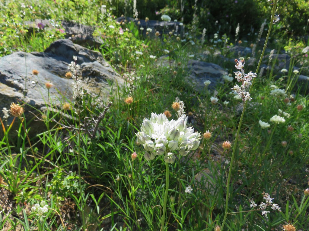
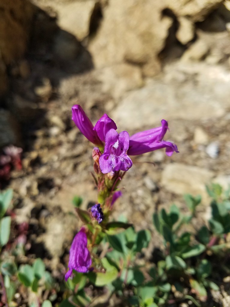
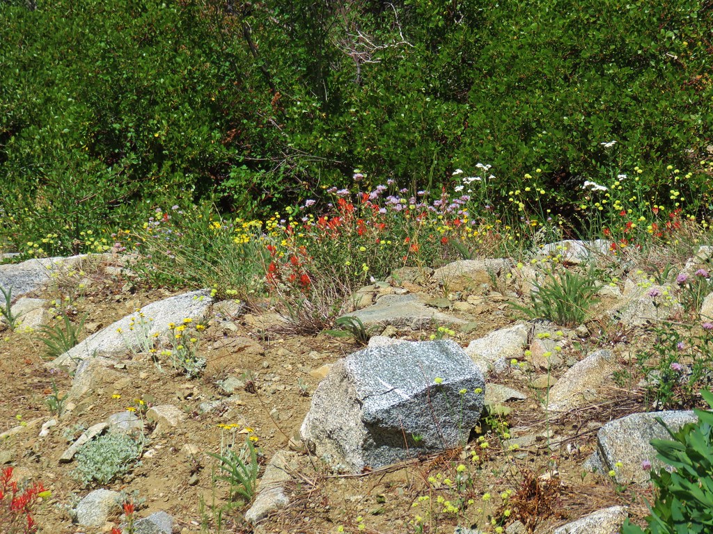
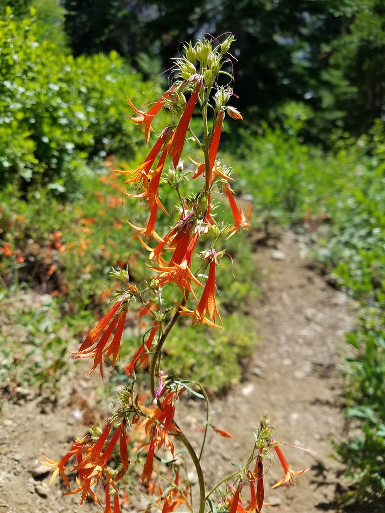
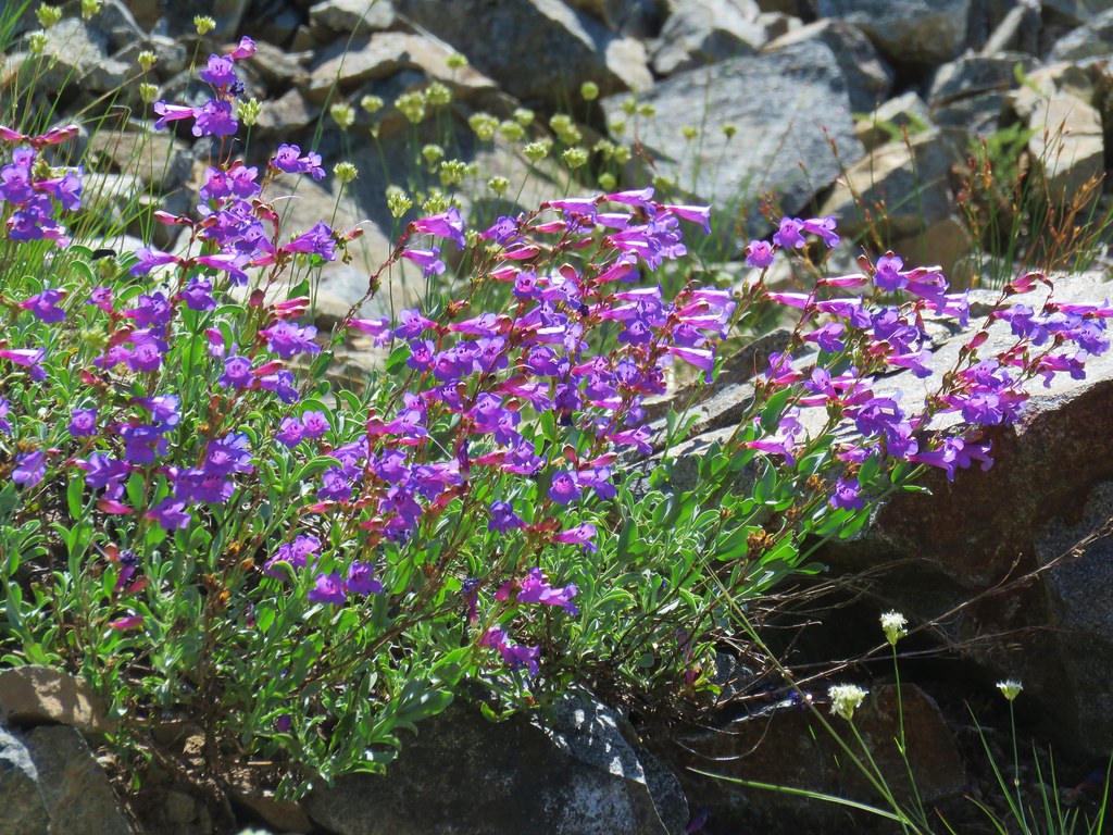
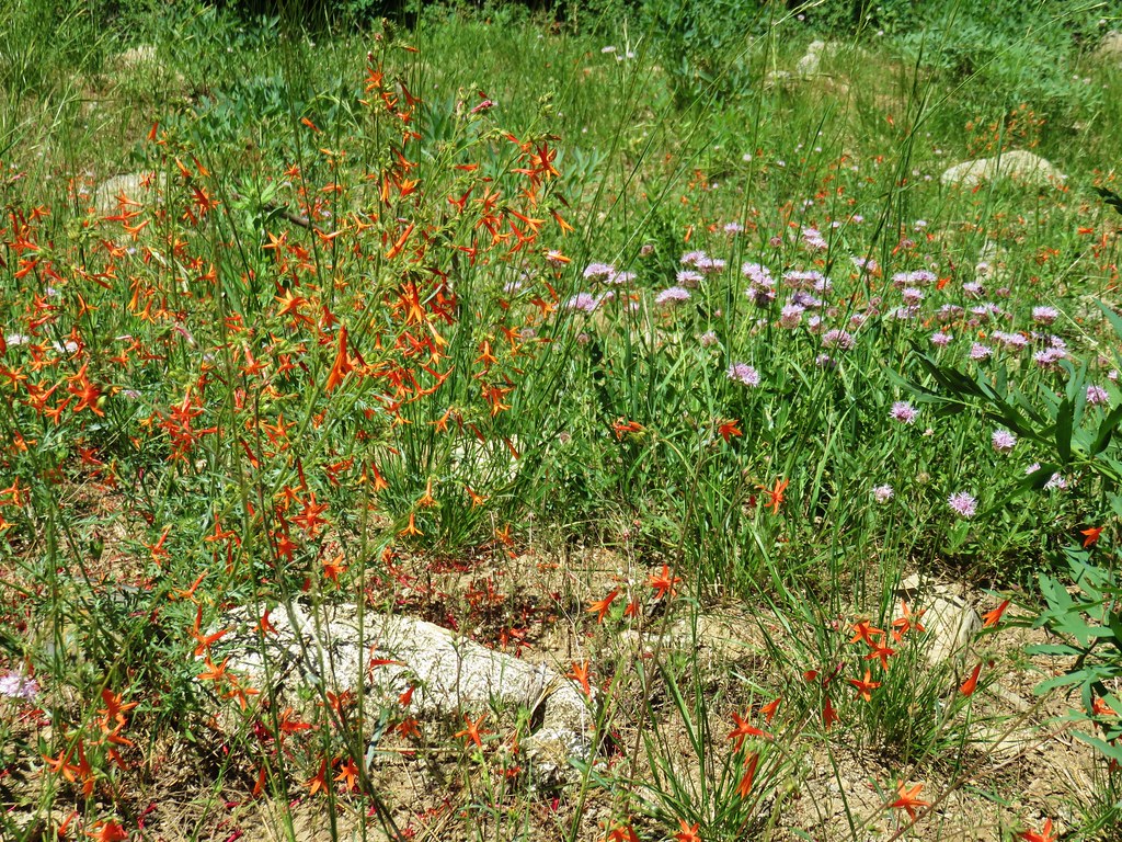
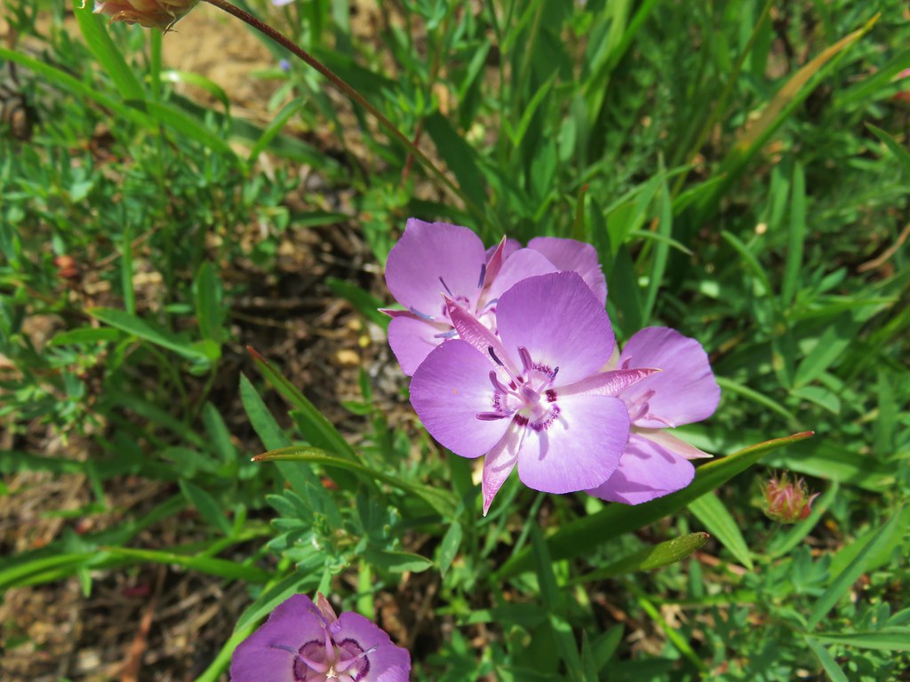
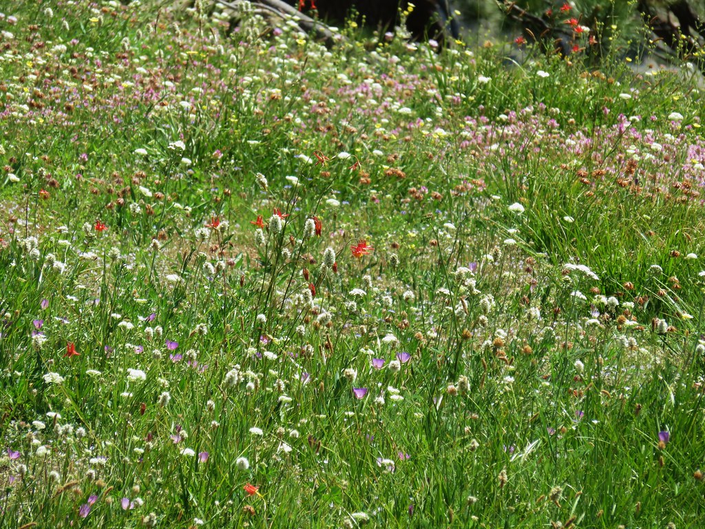
Some lingering flowers showed that there was more to the hill than just salal bushes.


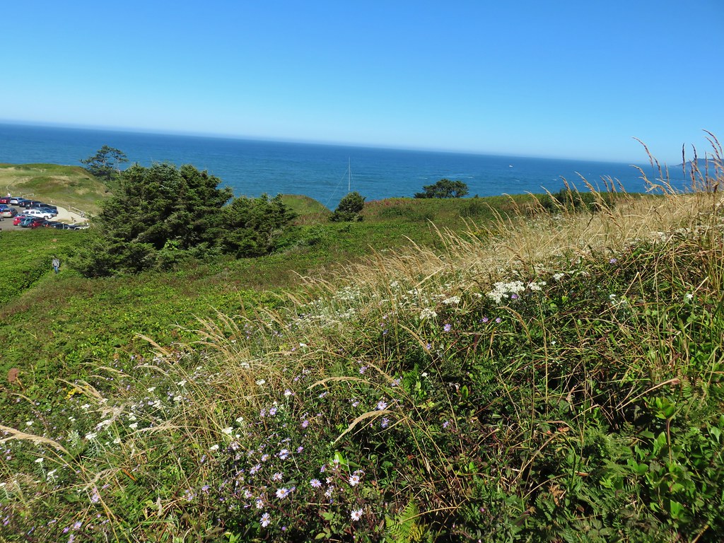
The trail passed above the interpretive center before arriving at the small, flat summit.

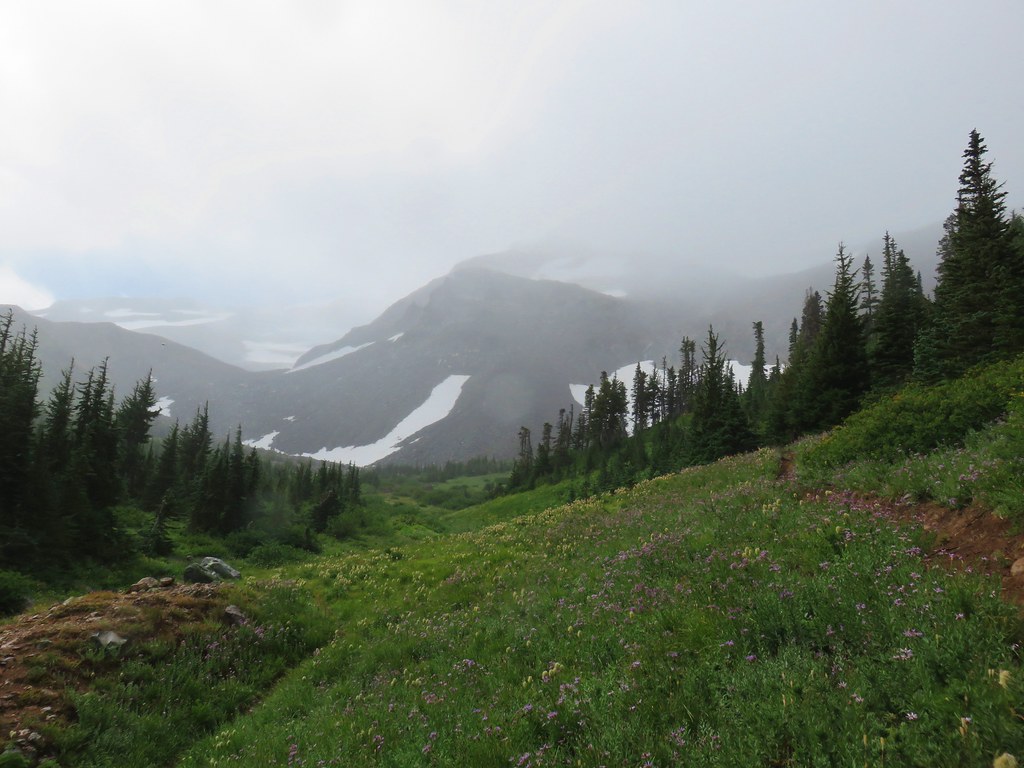
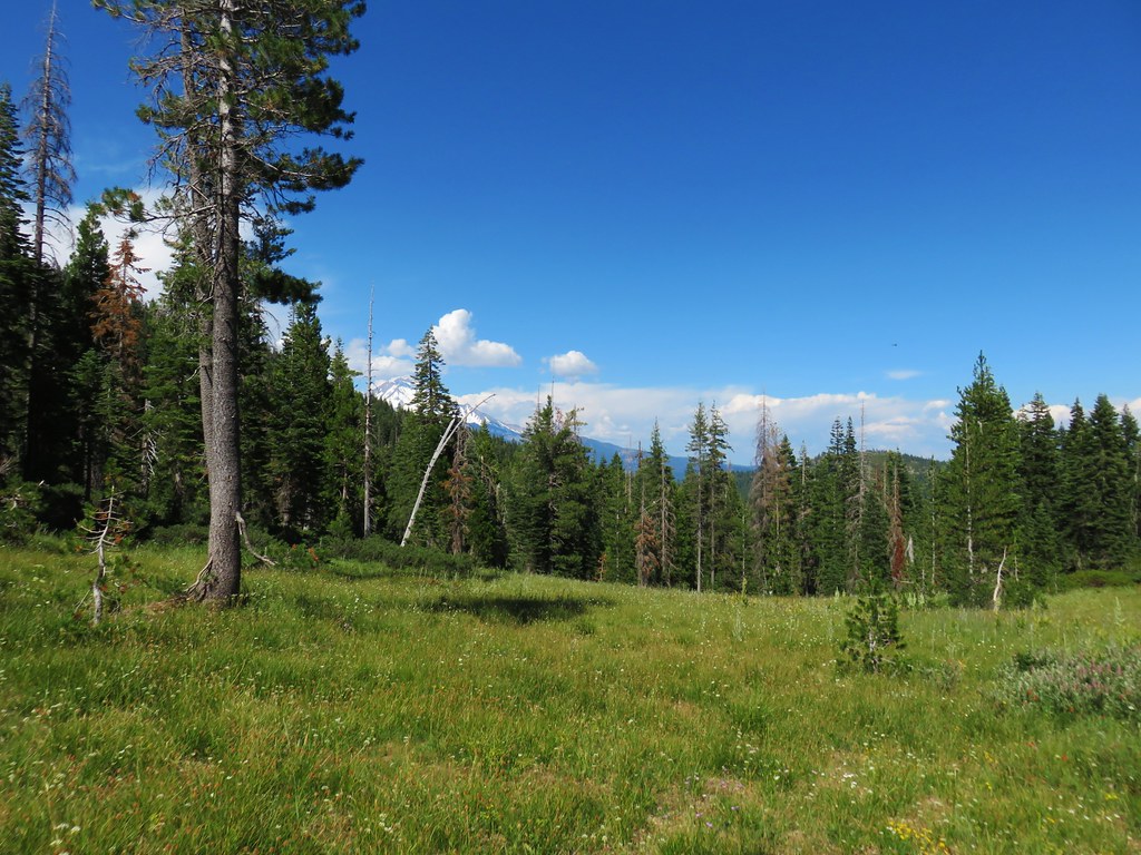
From the summit we had a nice view north to Cape Foulweather.
To the west was the Yaquina Head Lighthouse and the Pacific Ocean.

We headed down after a short stay since it was now time to make our way to the reunion. We could have spent a lot more time exploring the area so we’ll have to go back again sometime. As we were coming down the hill we spotted another whale which we watched for a moment. It seemed to be giving us a goodbye wave, what a polite way to end our hike. Happy Trails!
Flickr: Yaquina Bay and Yaquina Head


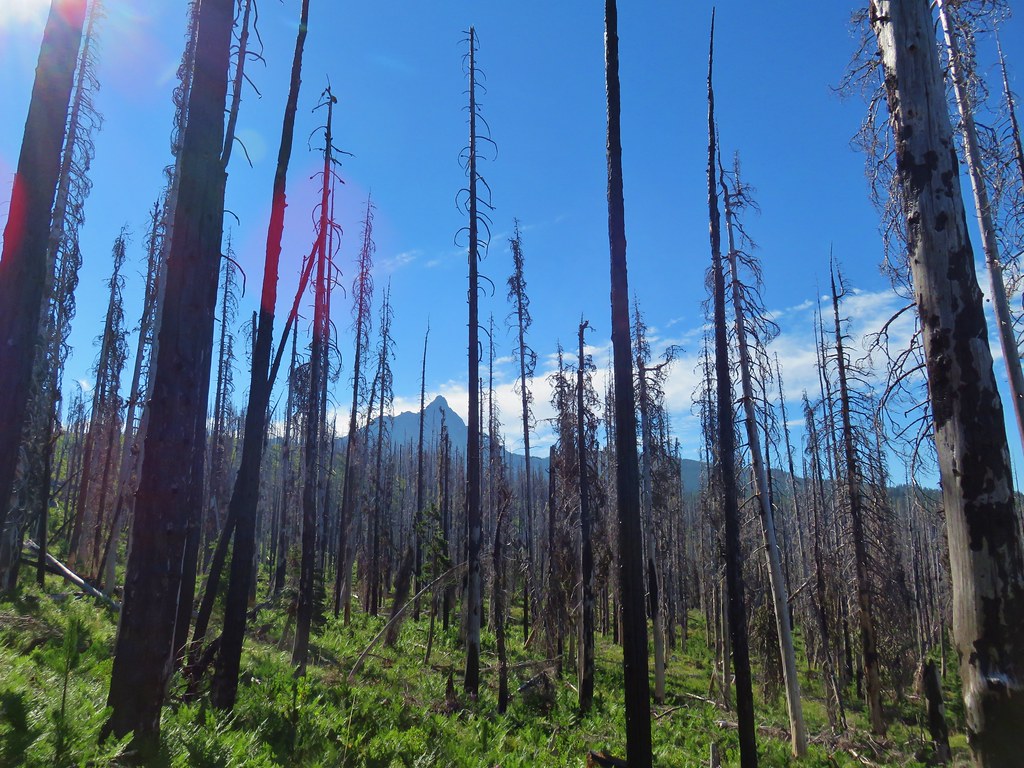
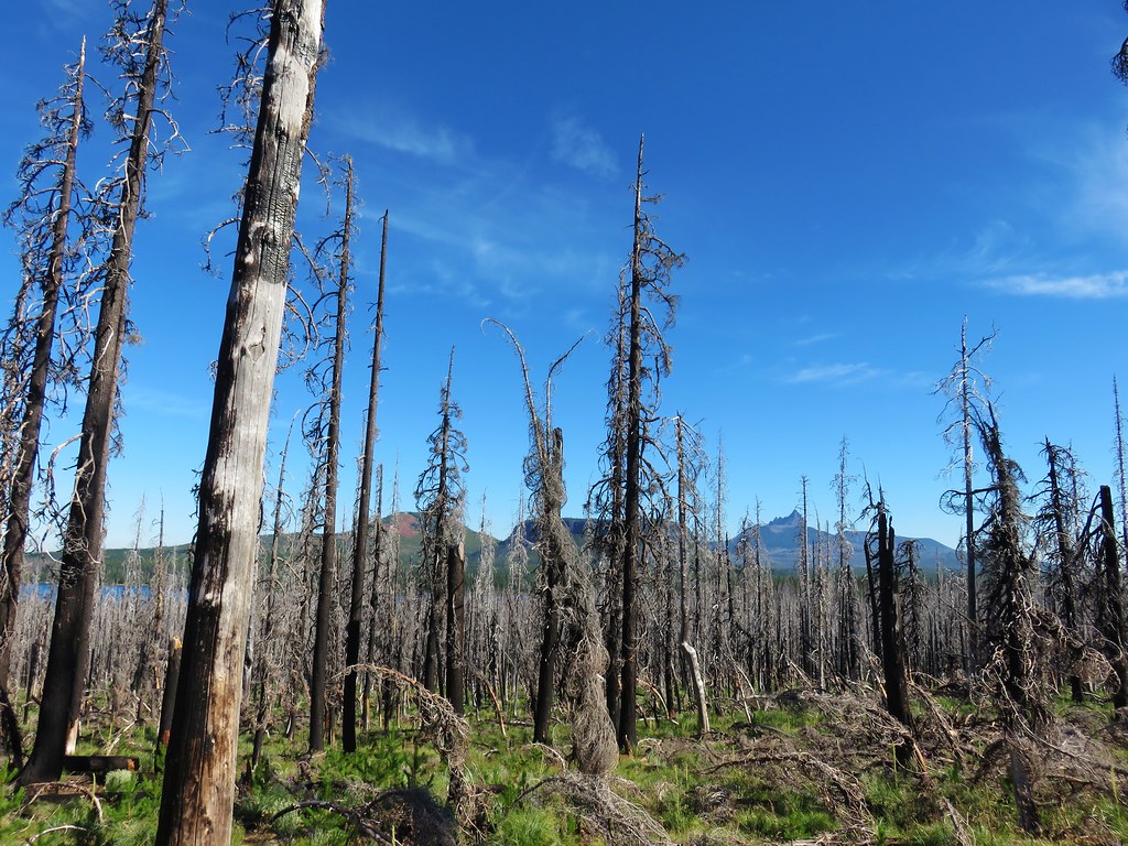
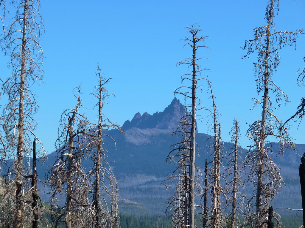
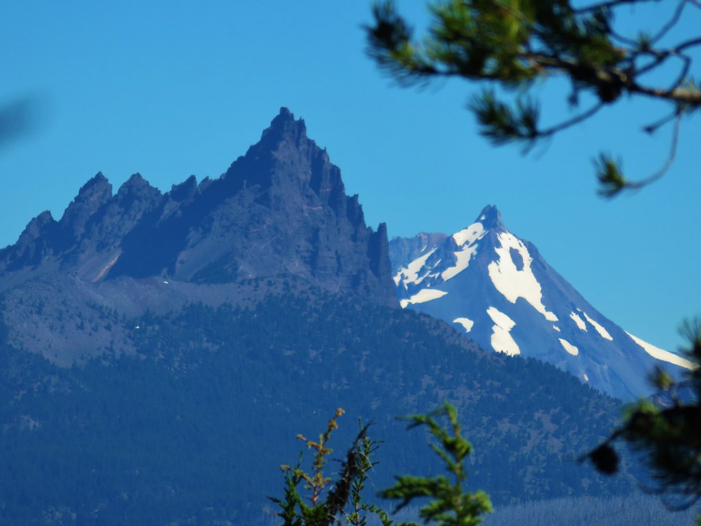
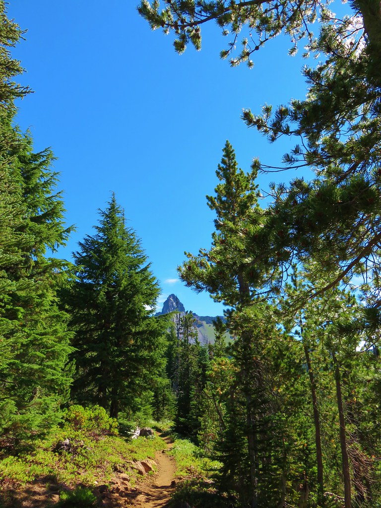
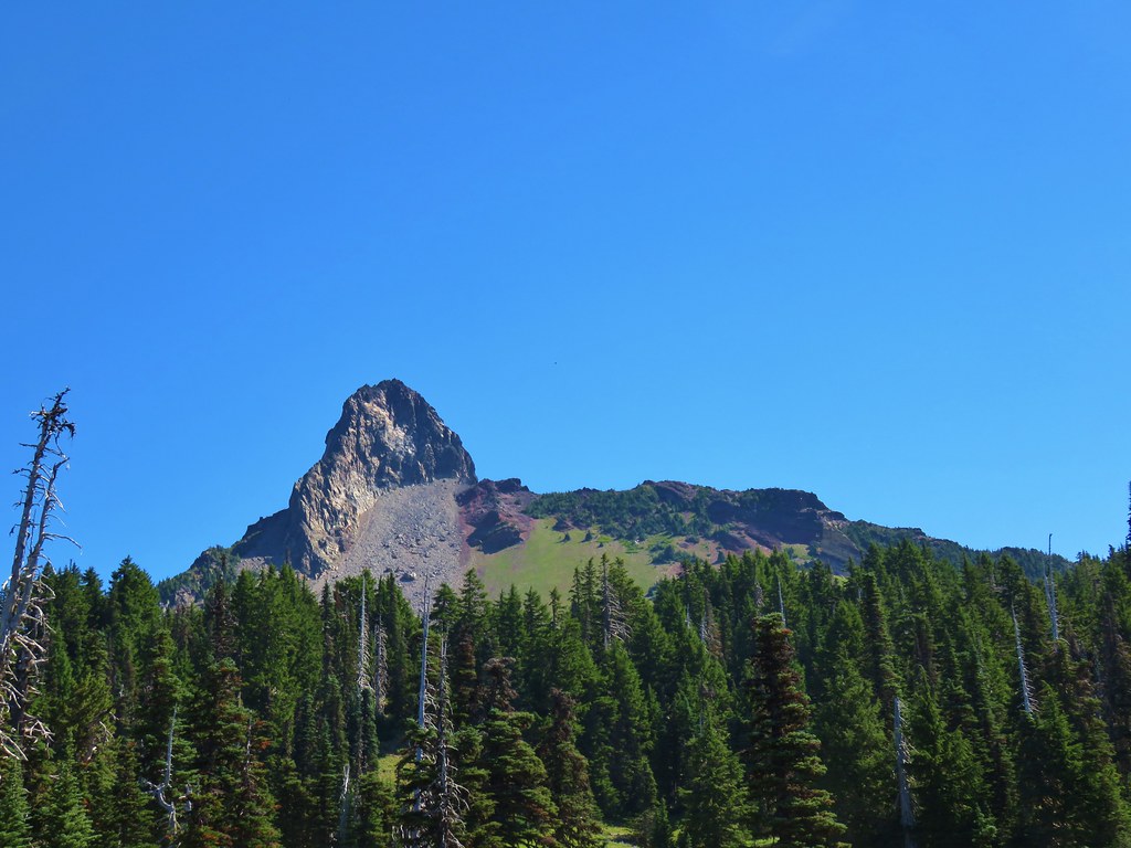
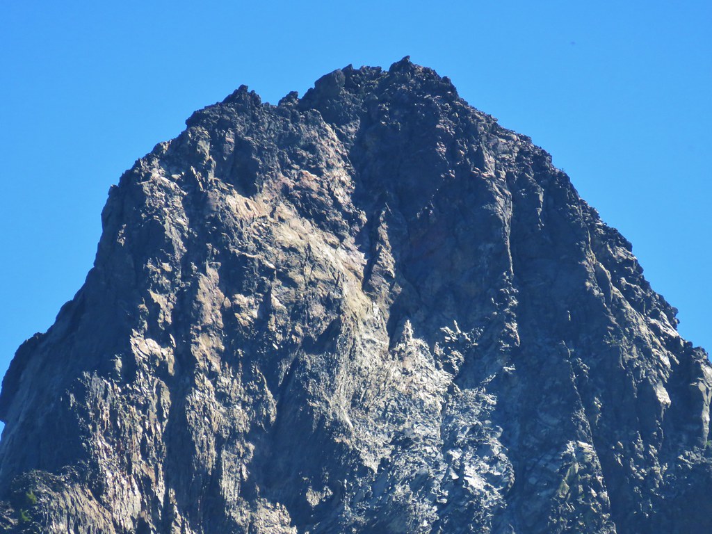
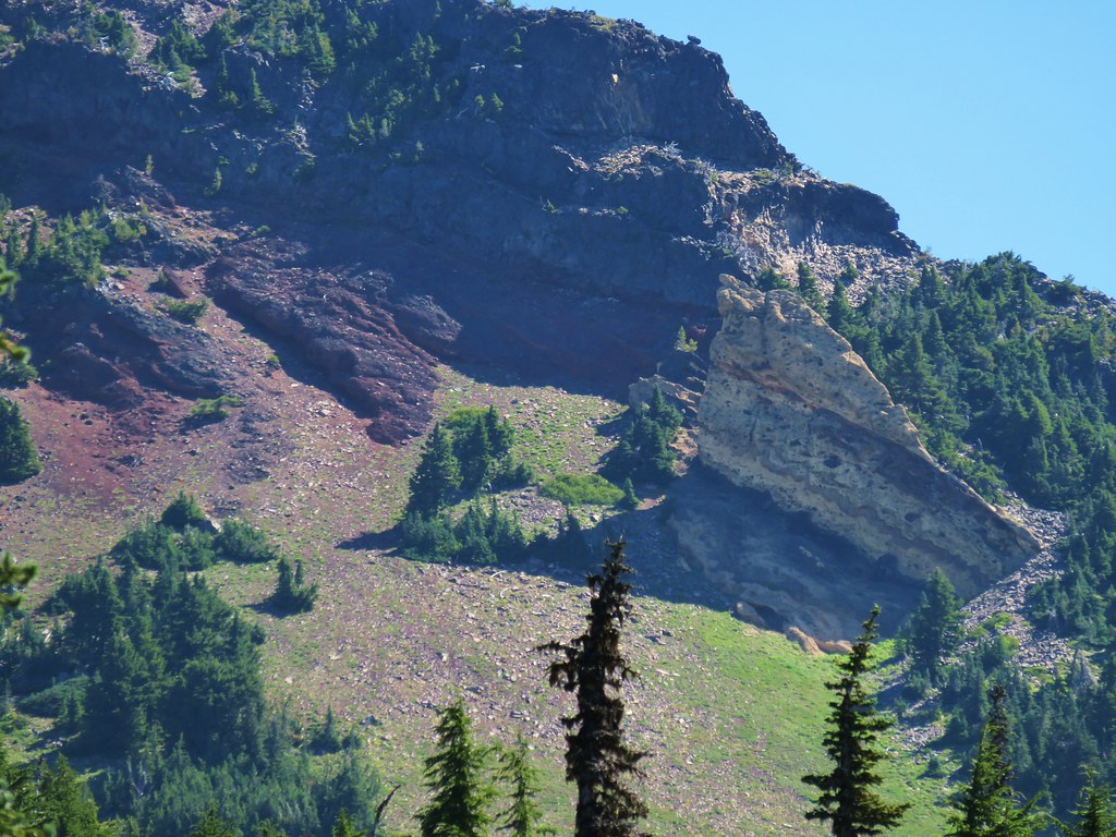
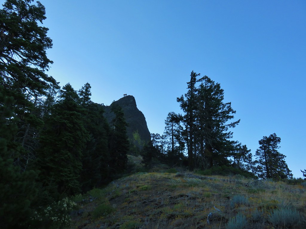
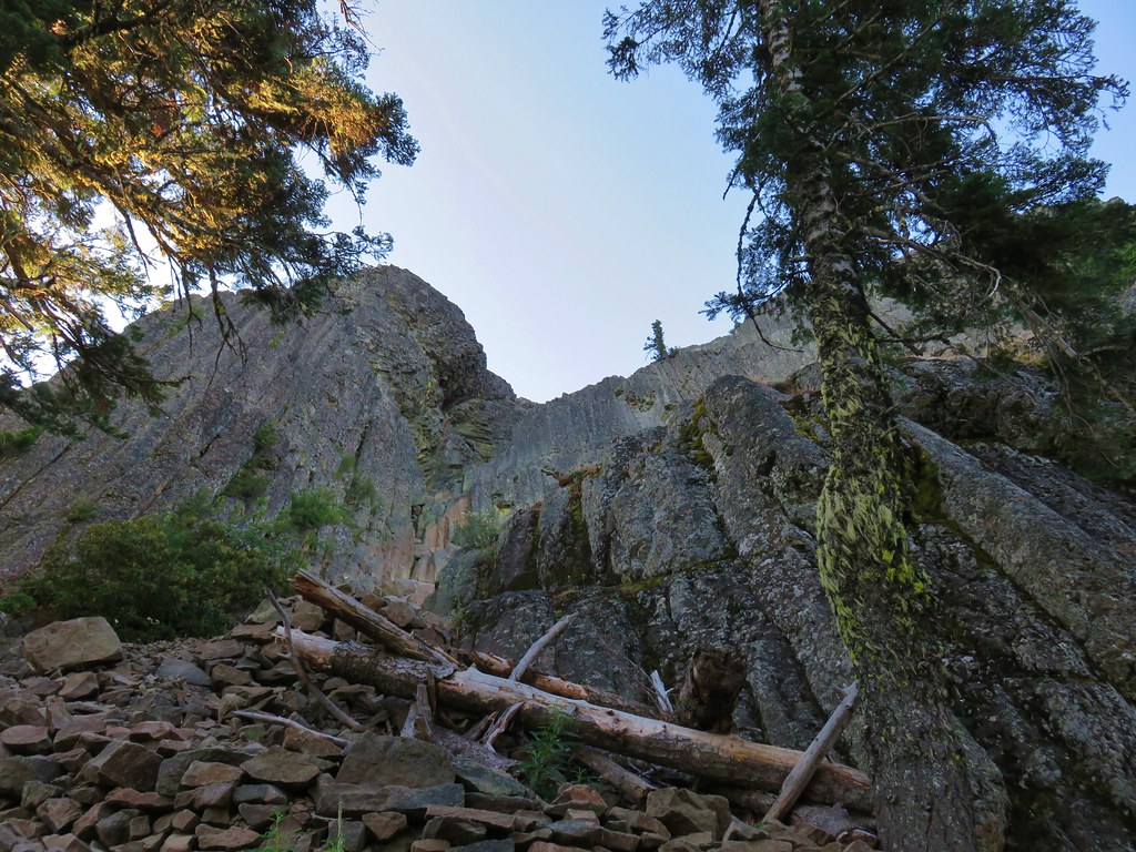
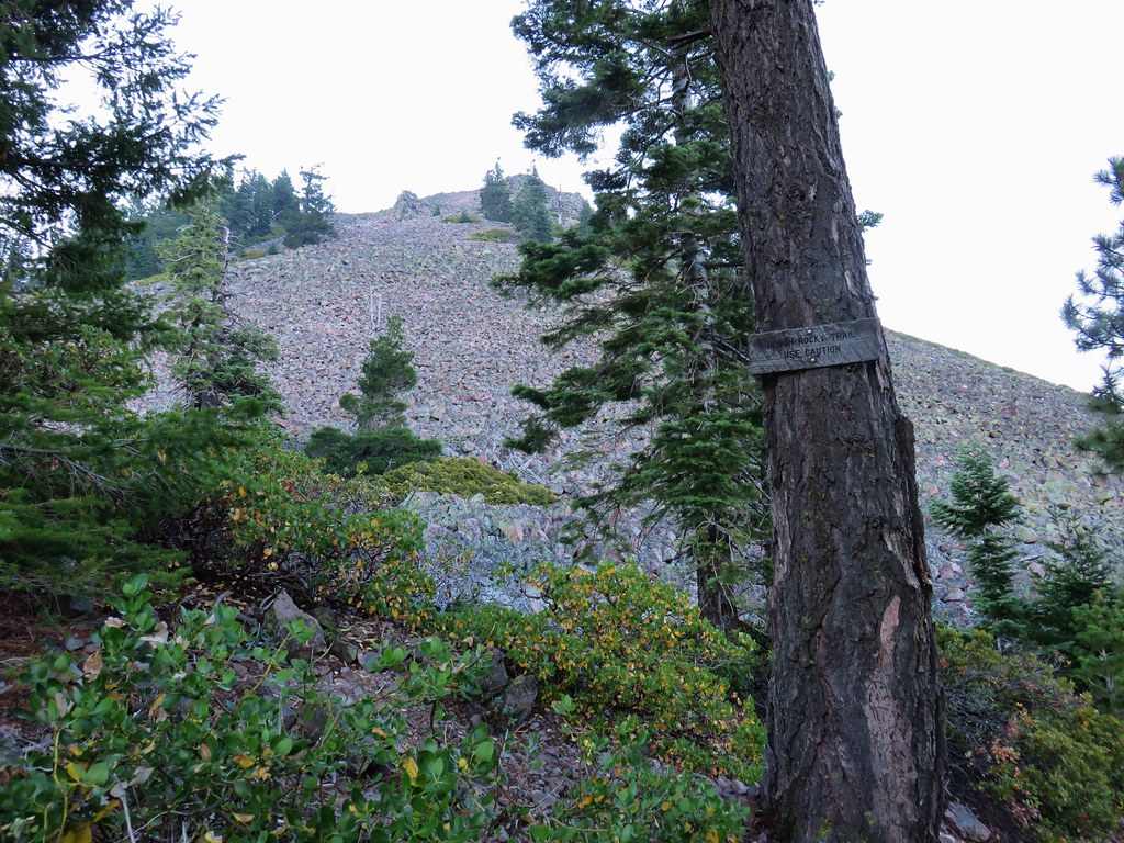
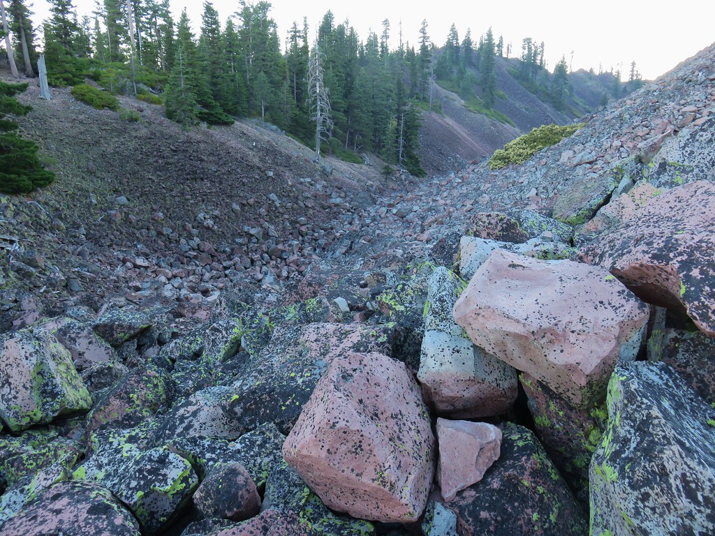
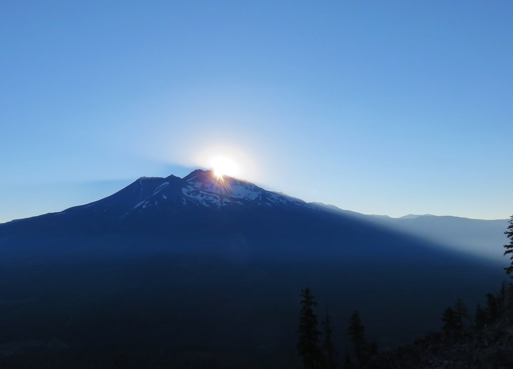
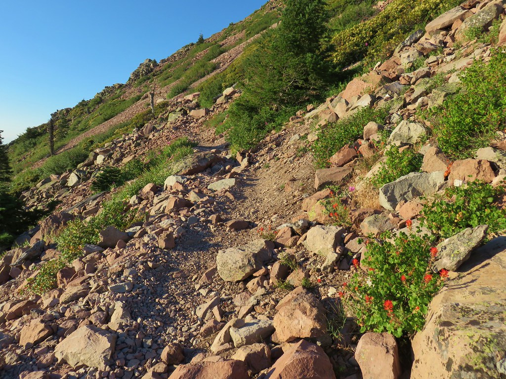
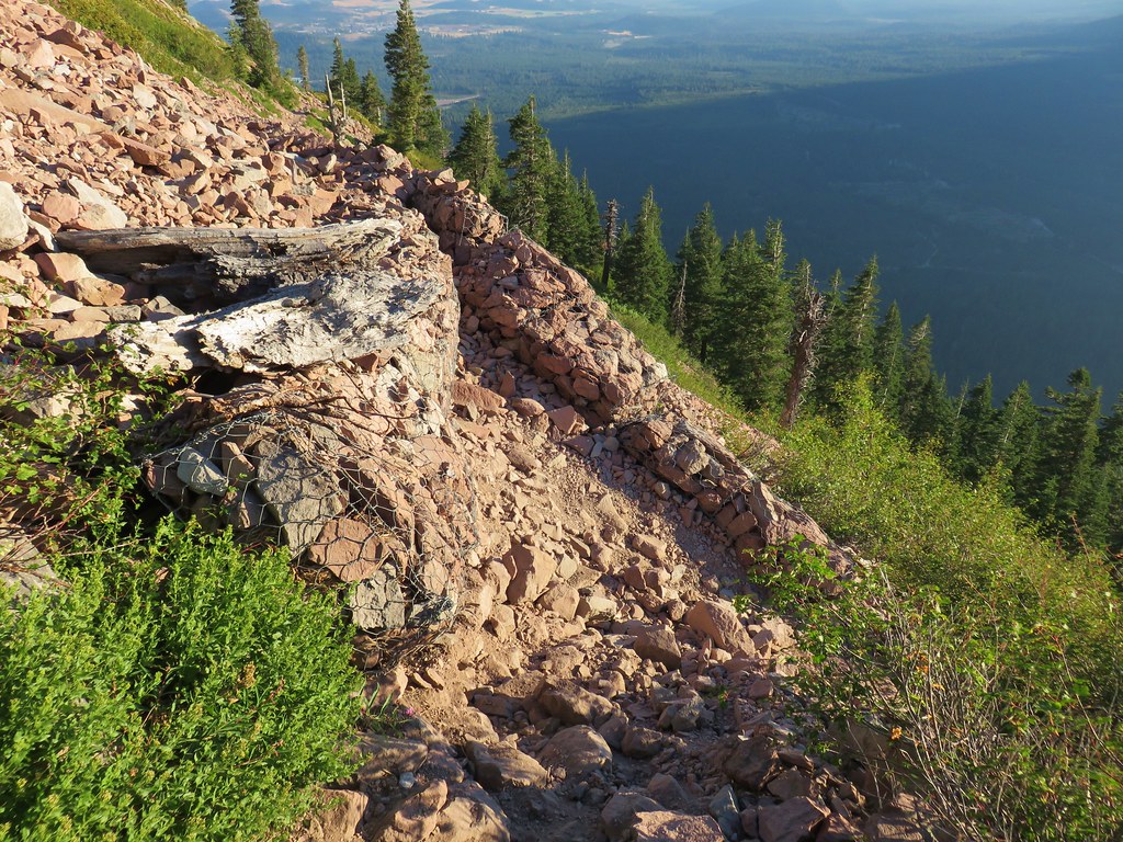
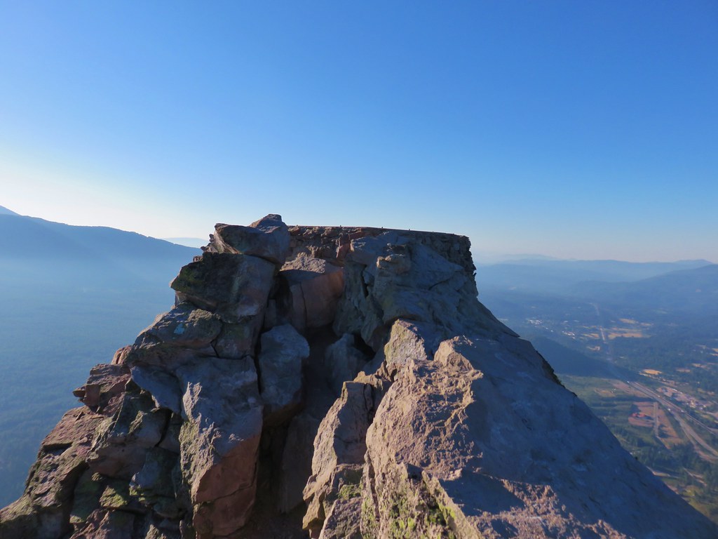
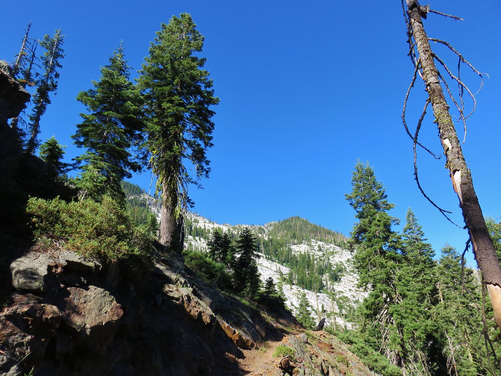
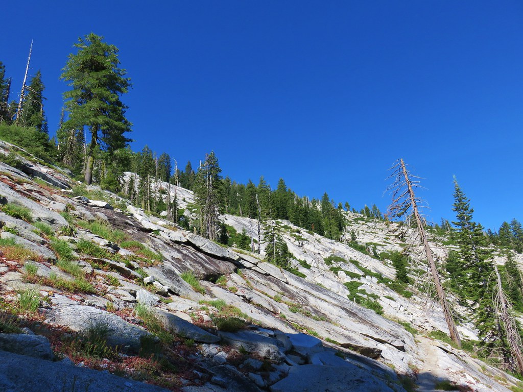
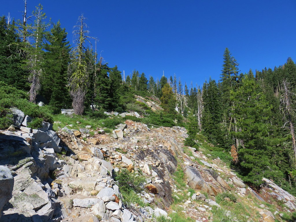
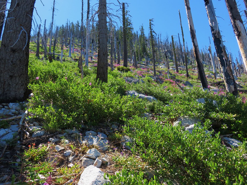
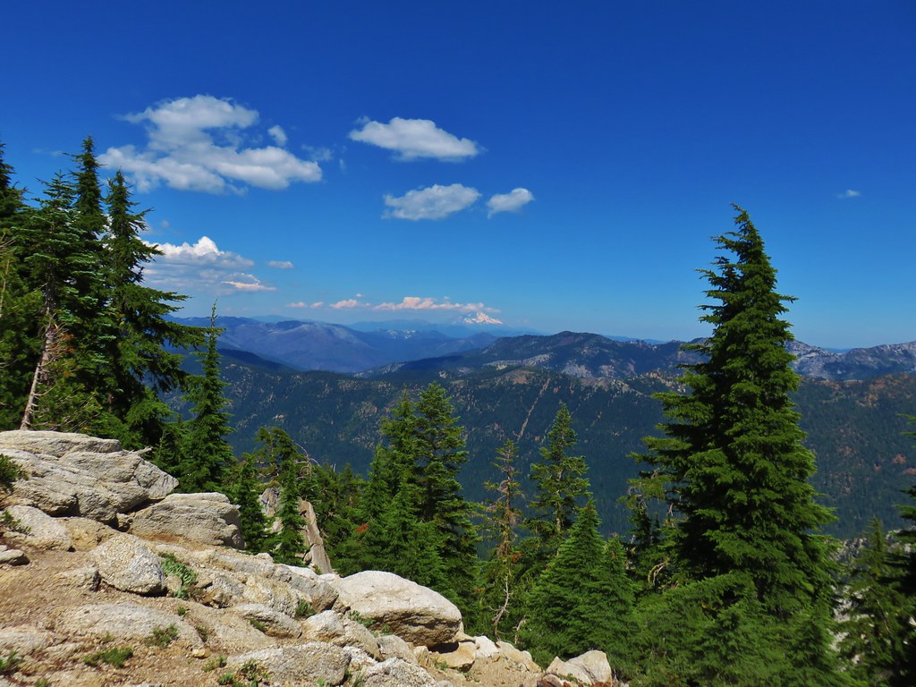
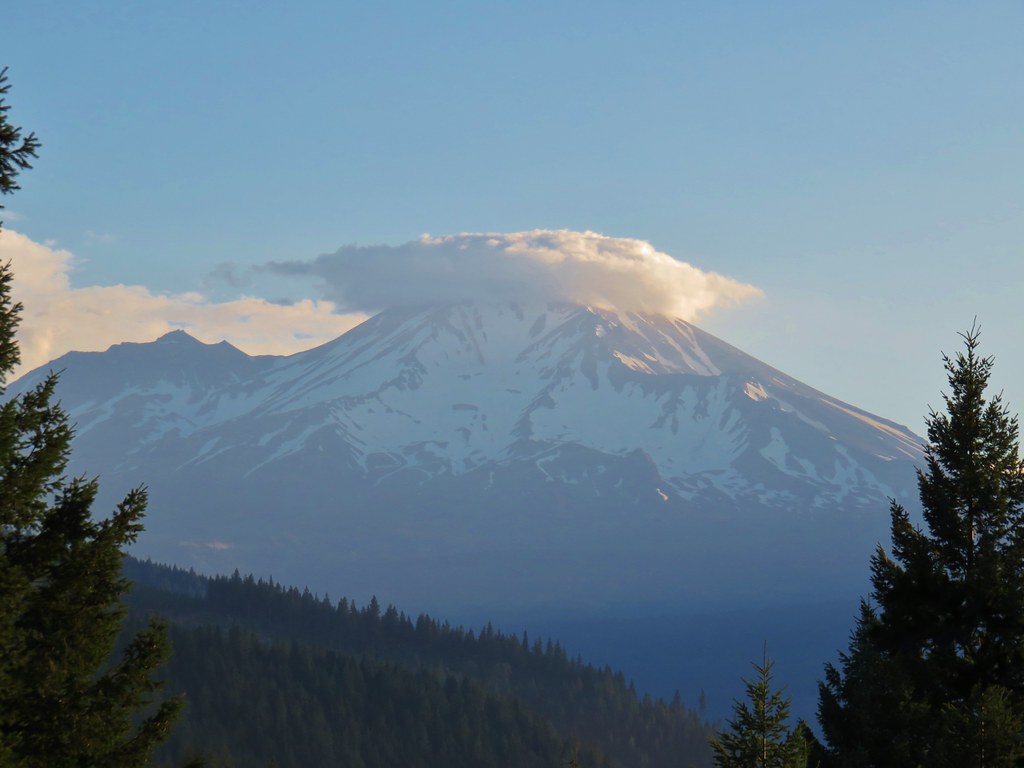
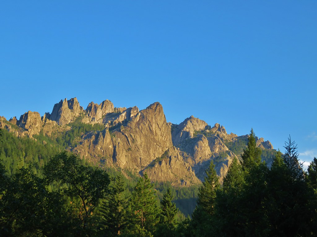
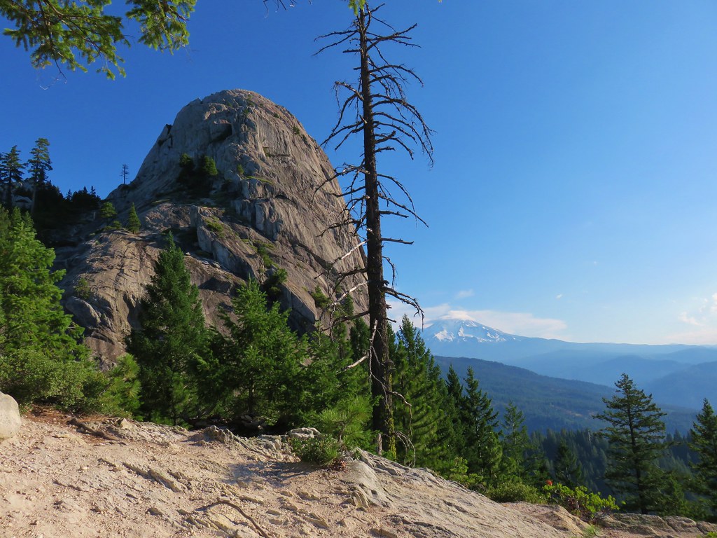
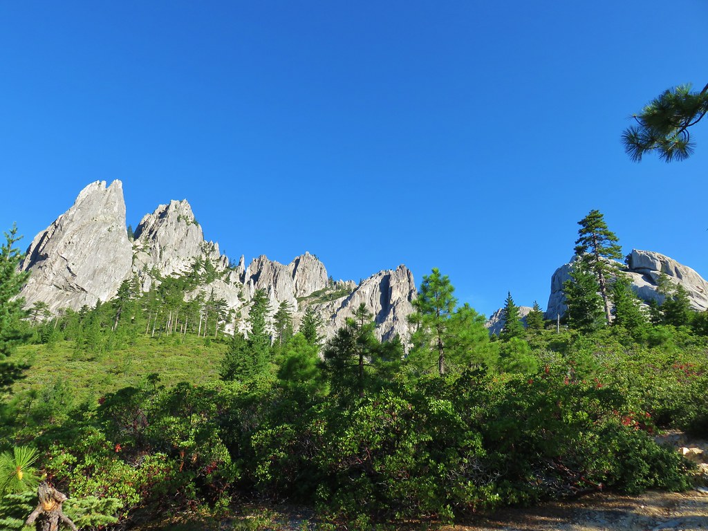
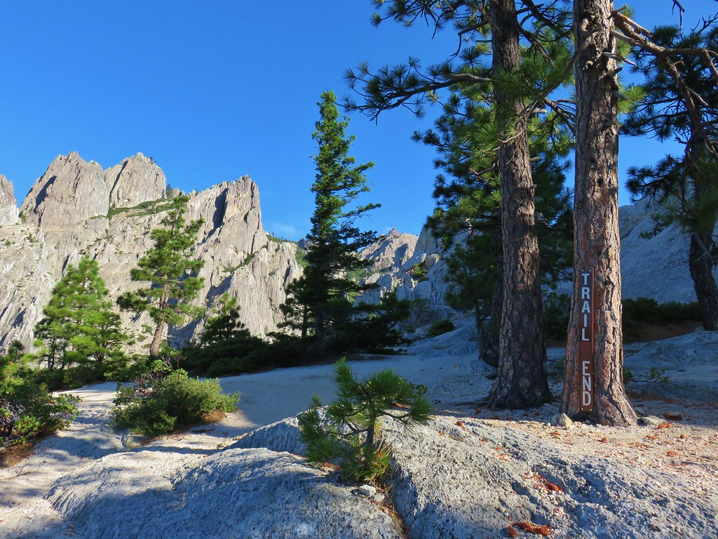
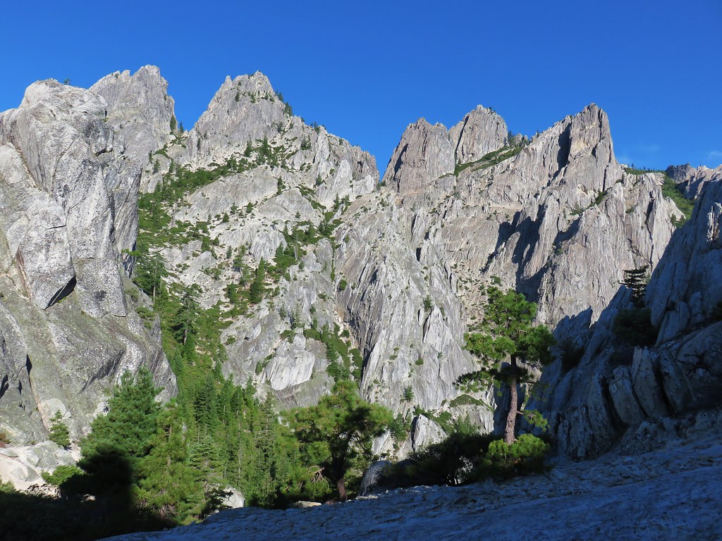
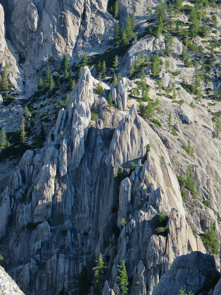
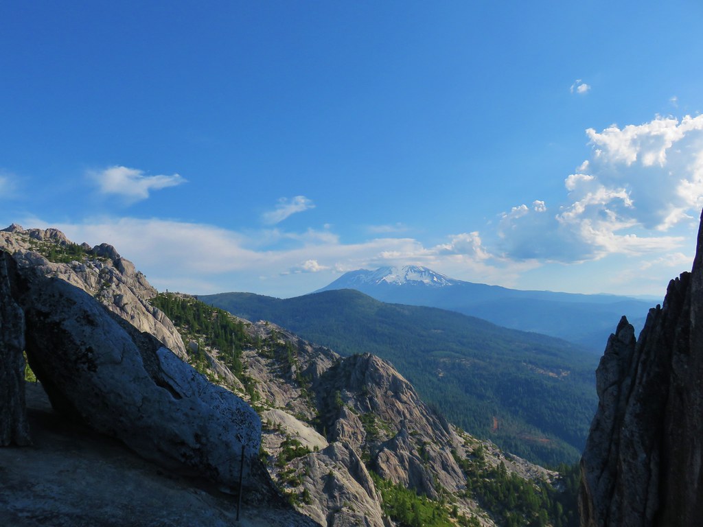
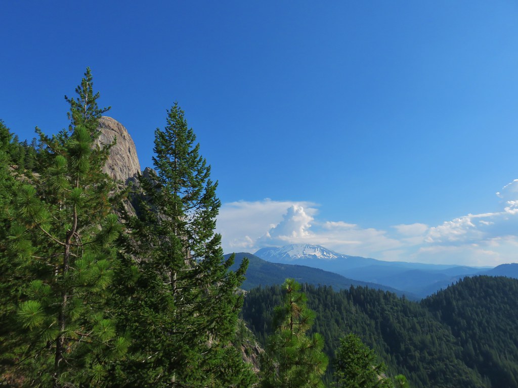
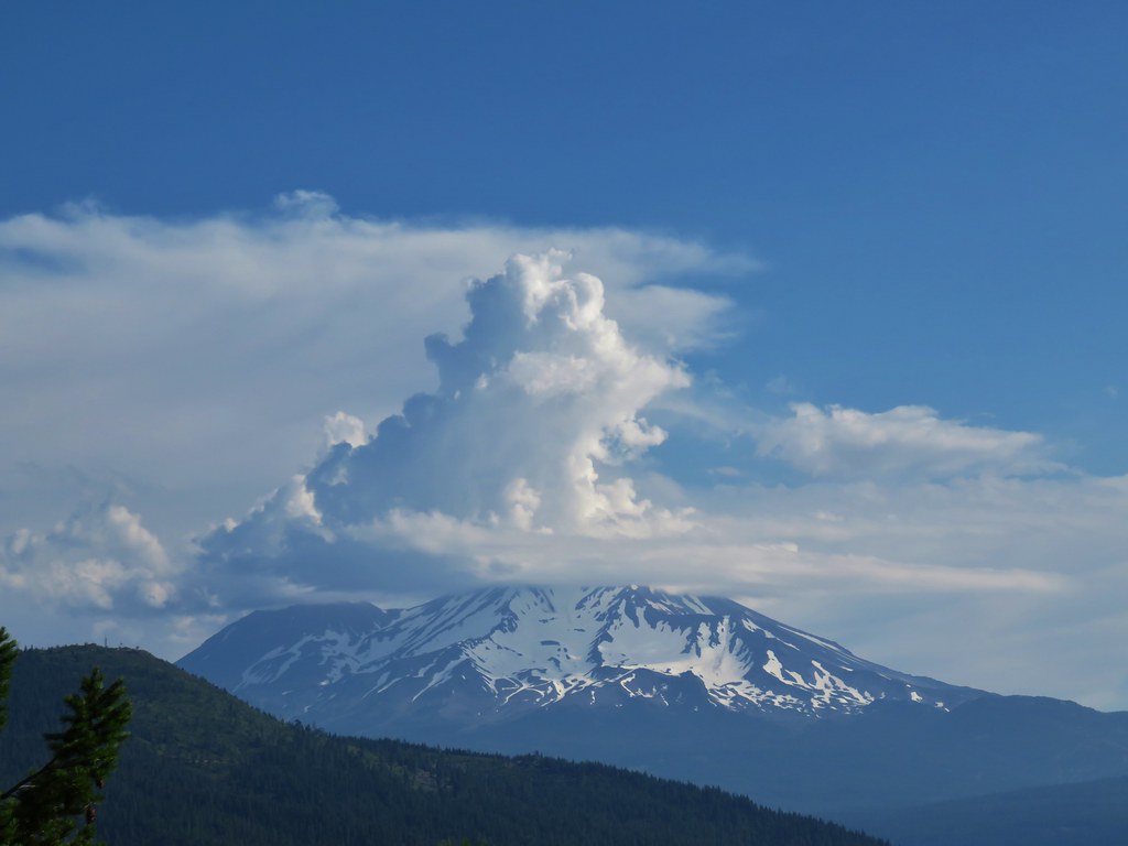
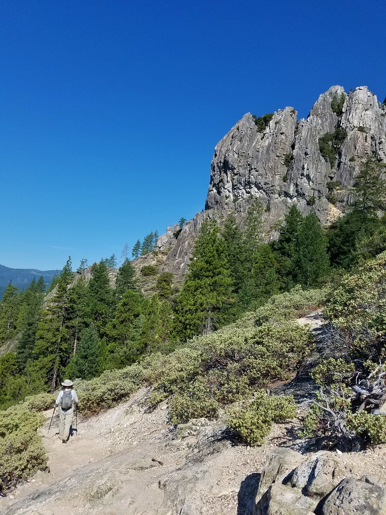
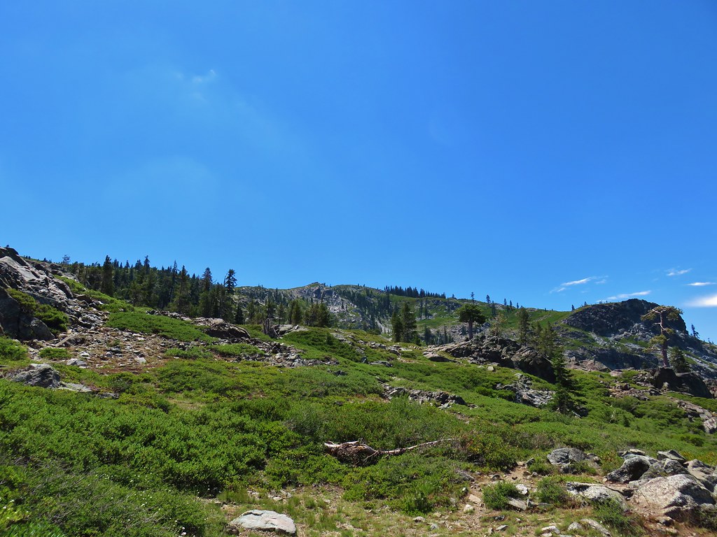
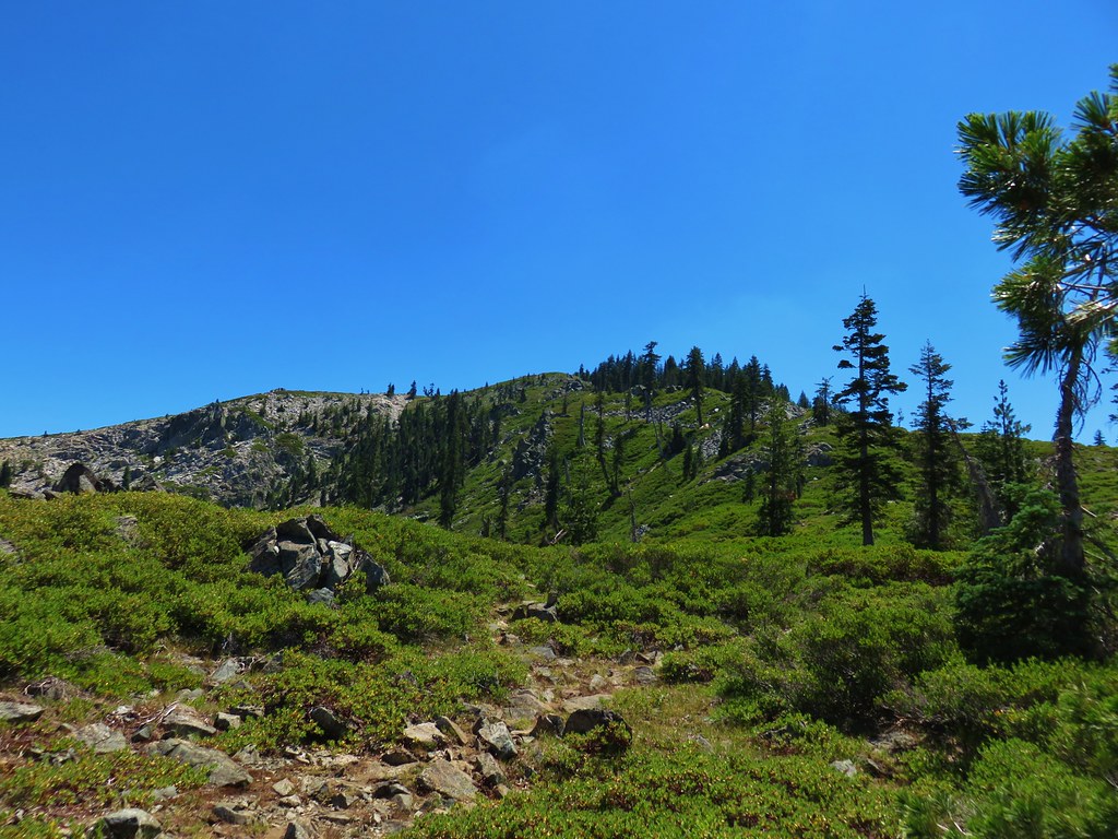
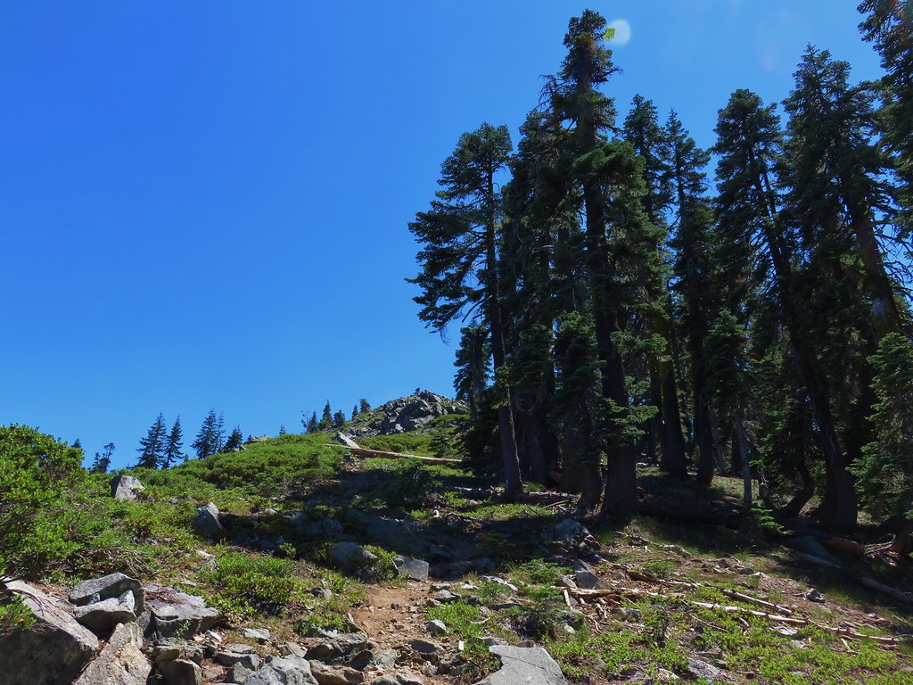
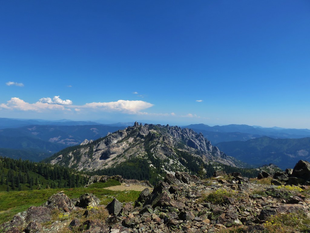
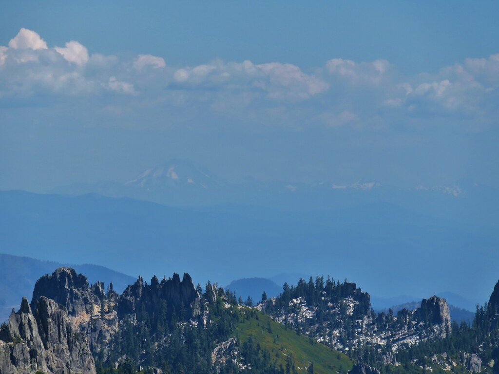
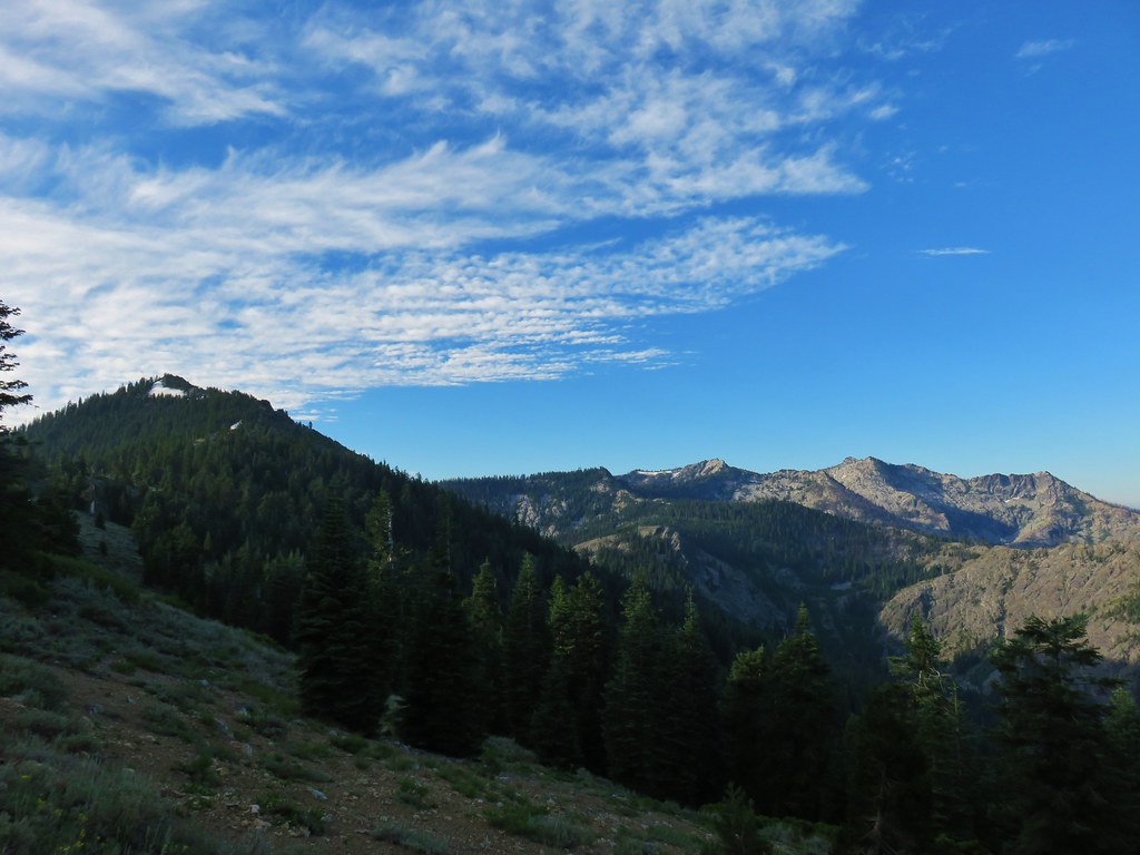
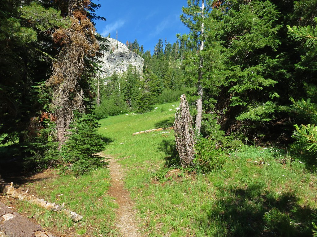
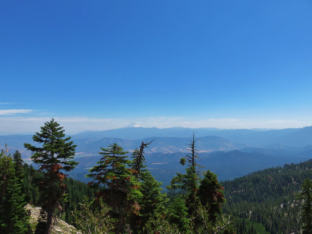
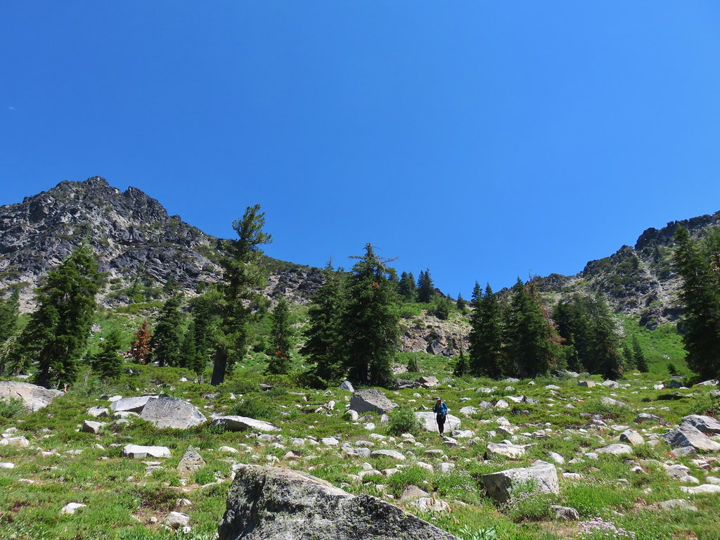
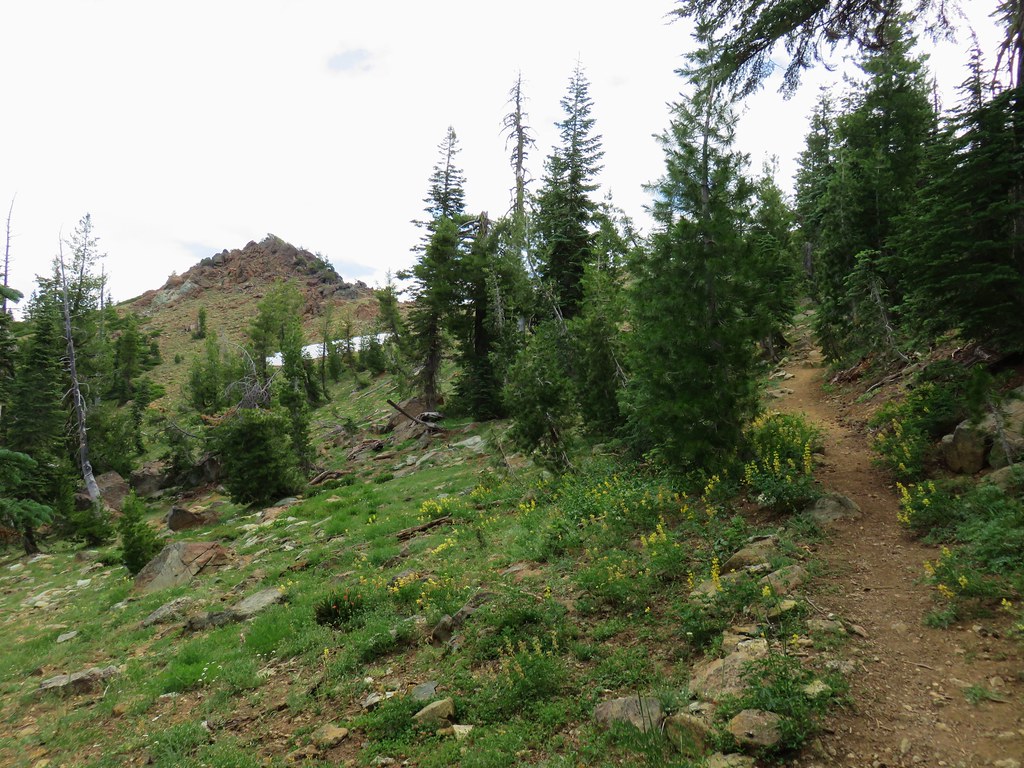
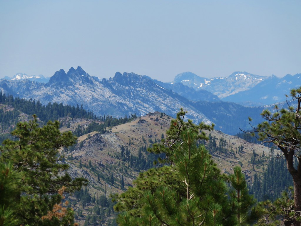
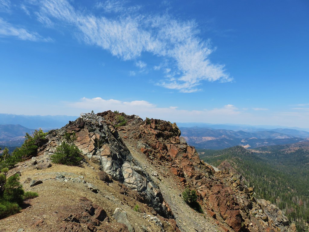
 Pinnacle Ridge


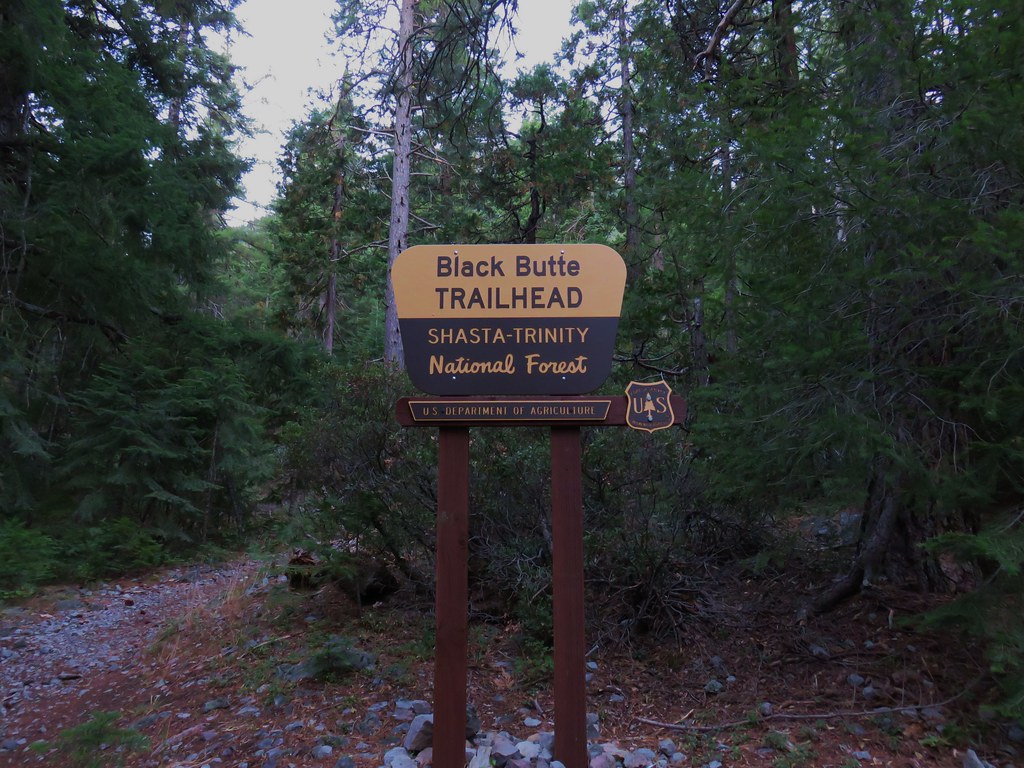
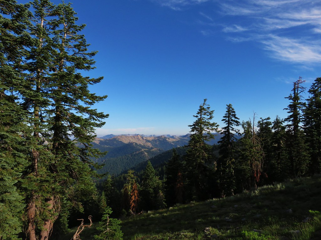
 Patjens Lake Trail – August 2012
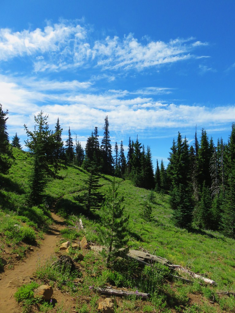
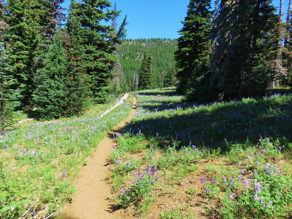
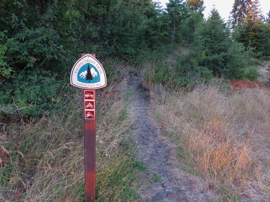
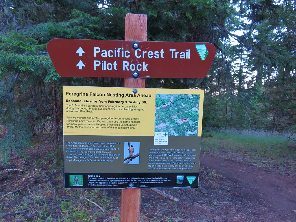
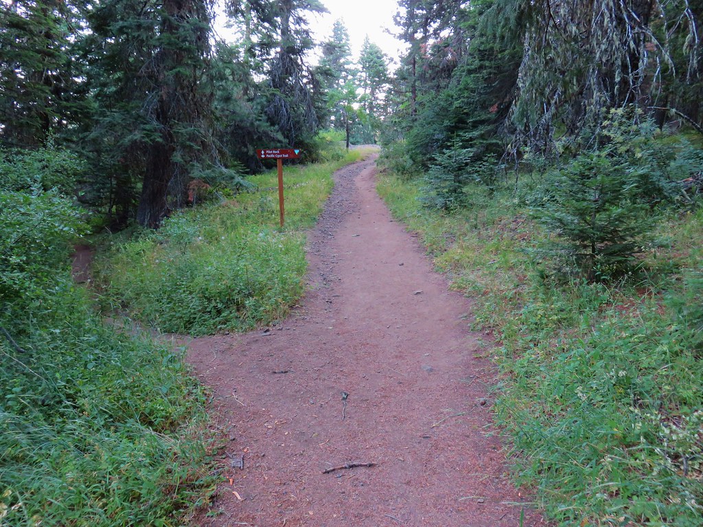
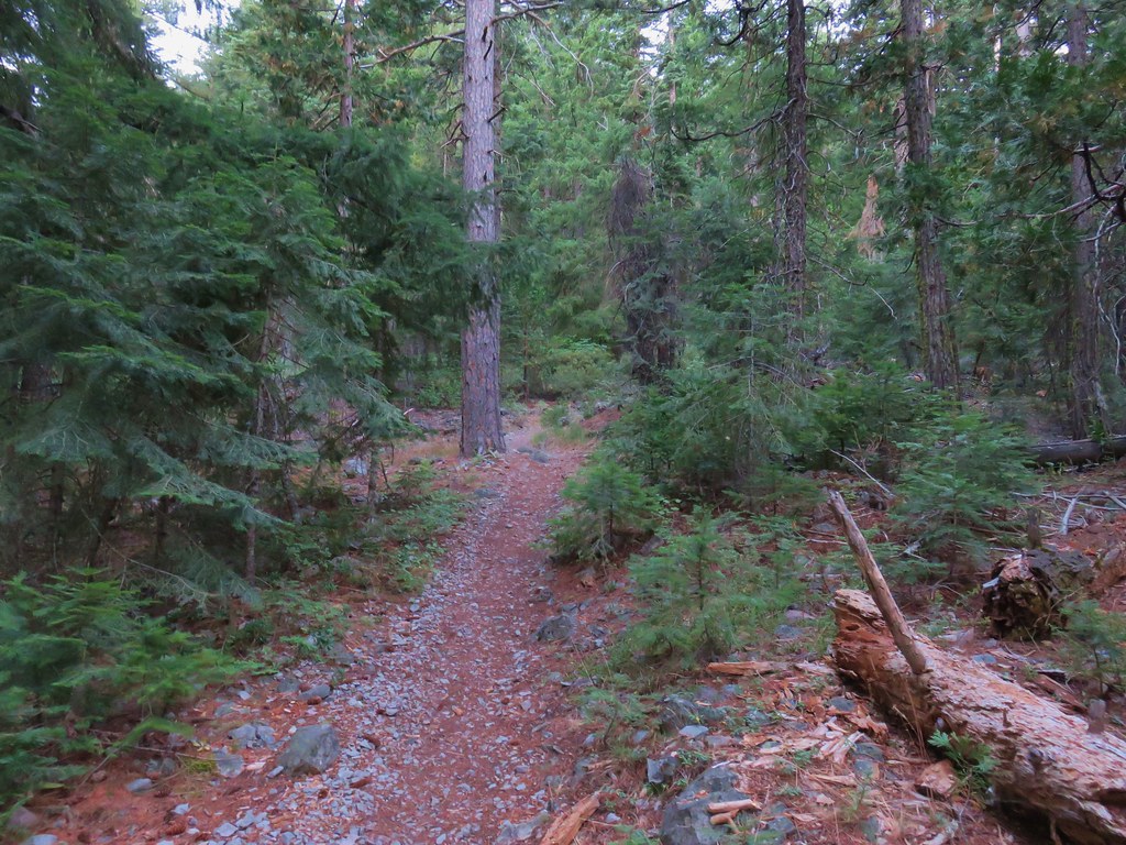
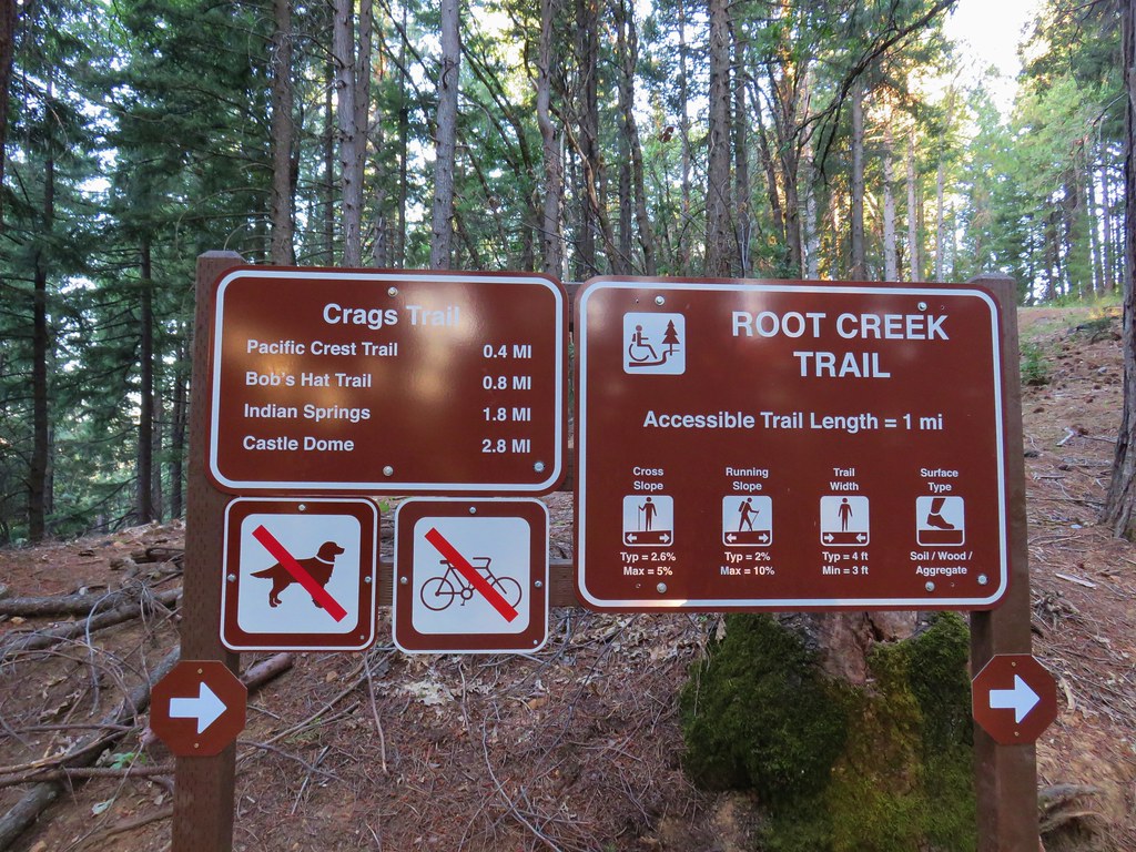
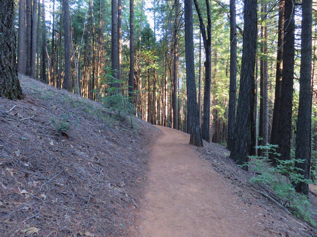
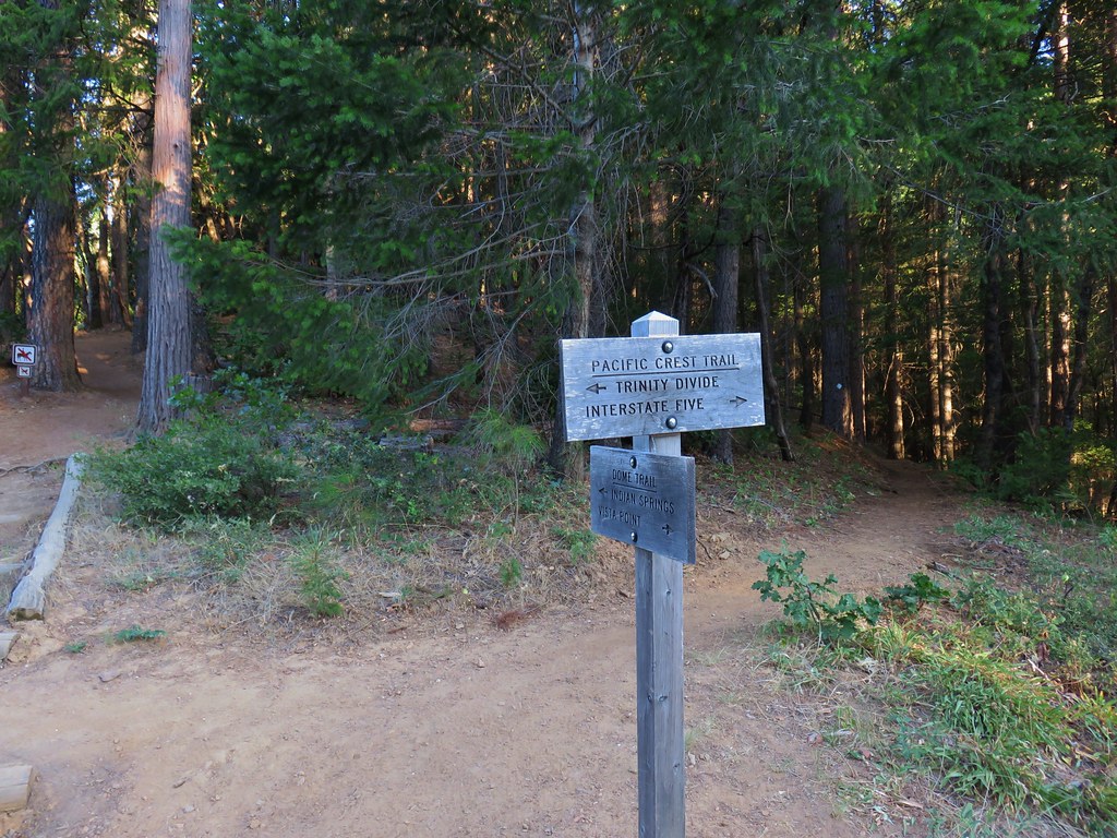
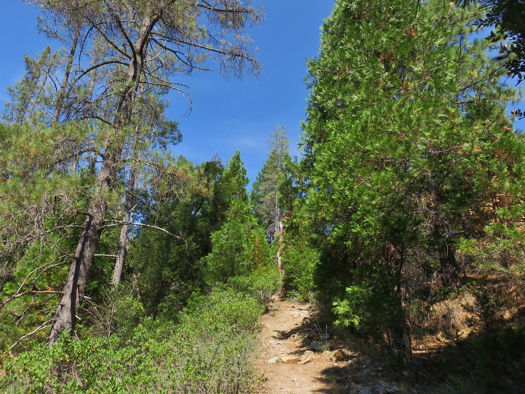
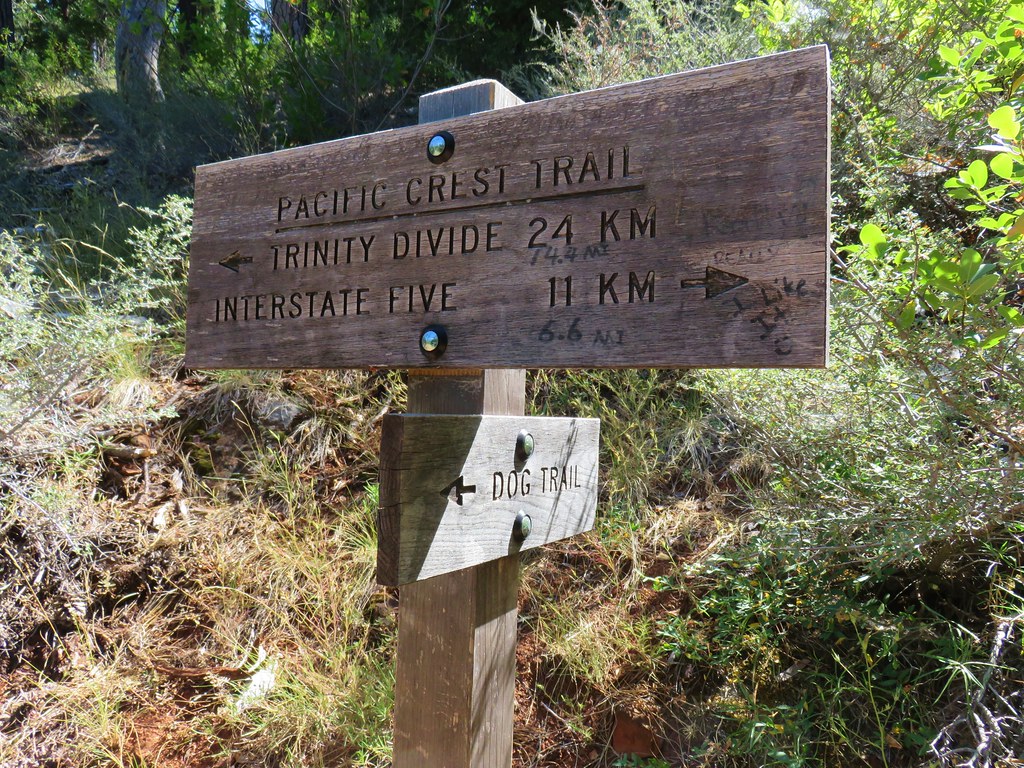
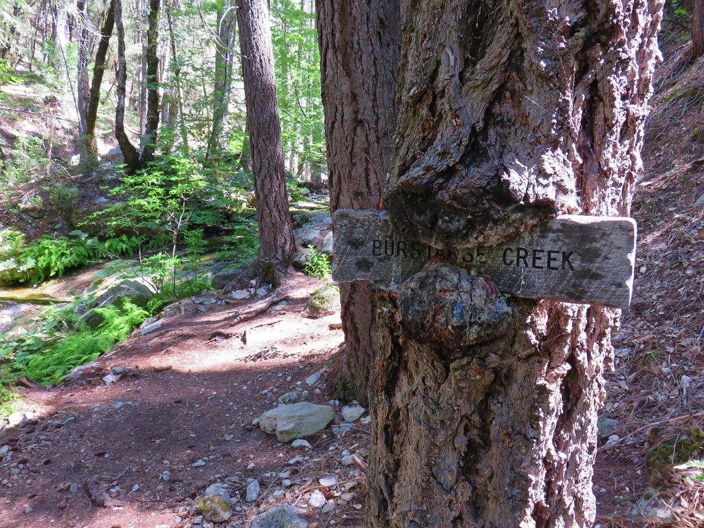
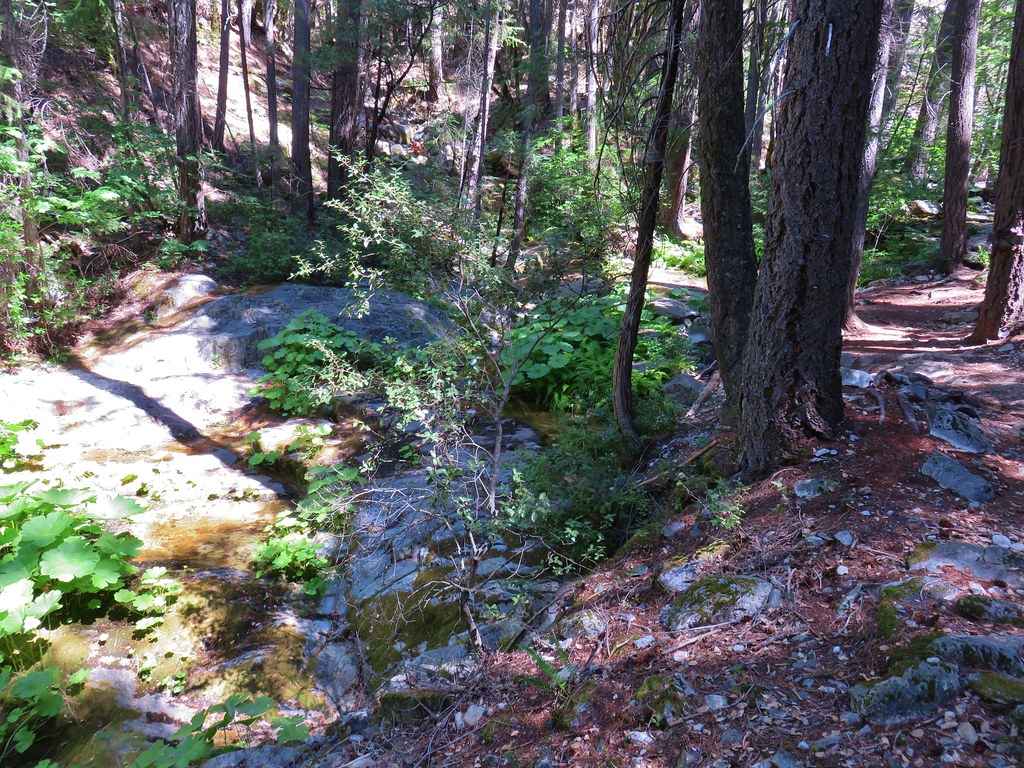
 Pacific Crest Trail – August 2017


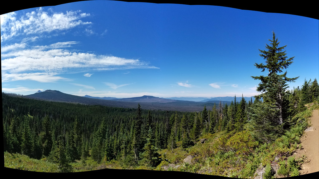
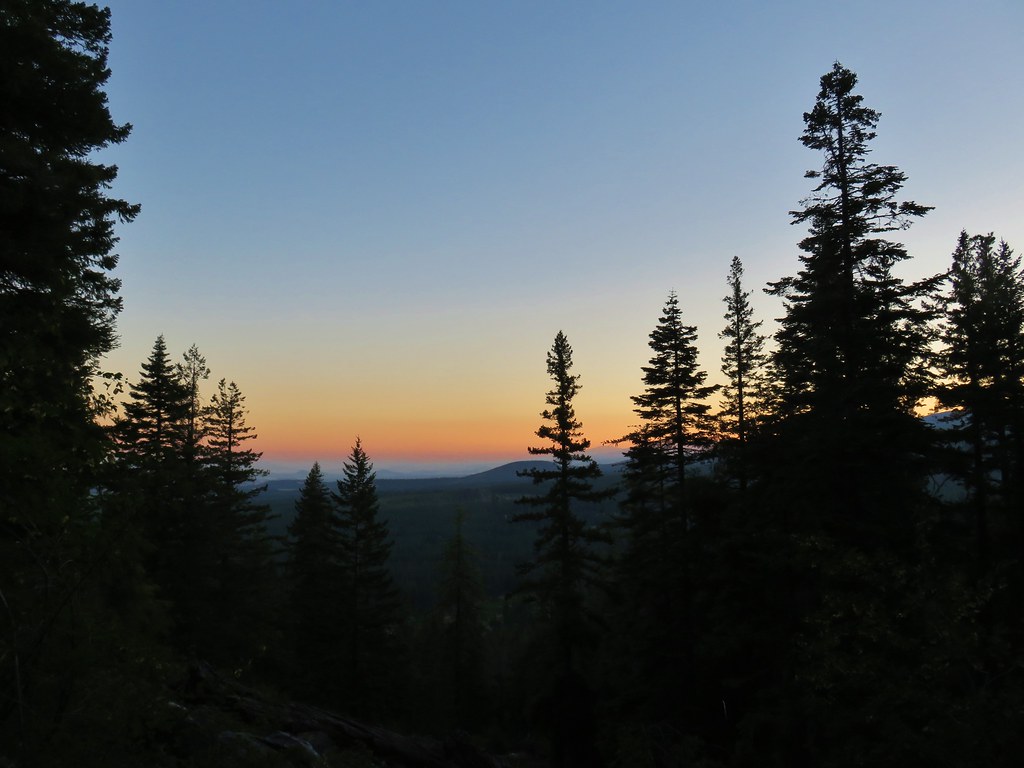
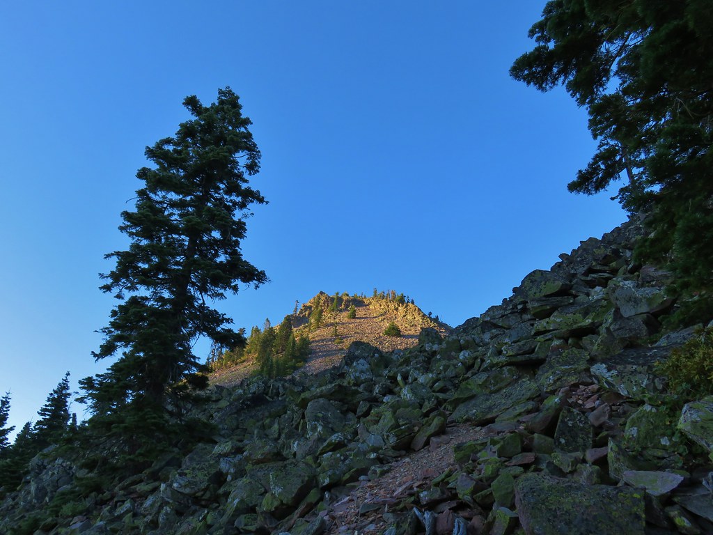
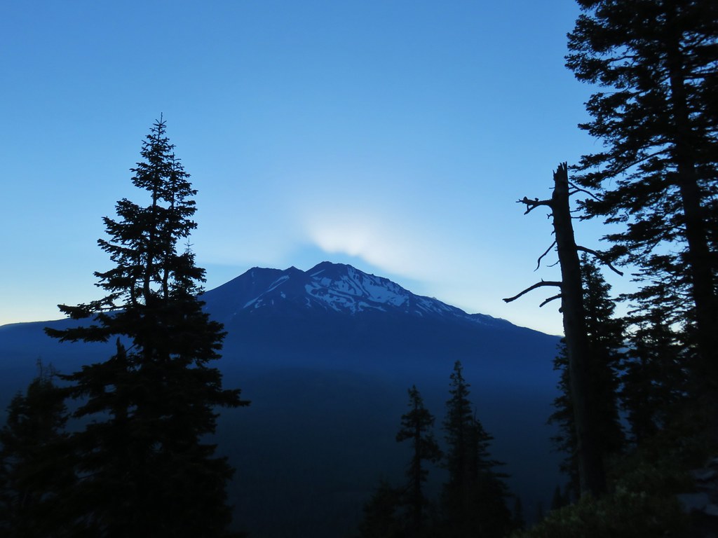
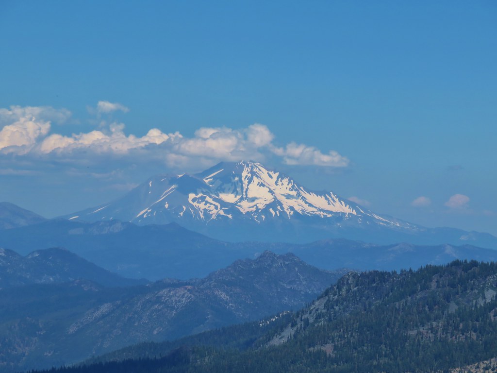
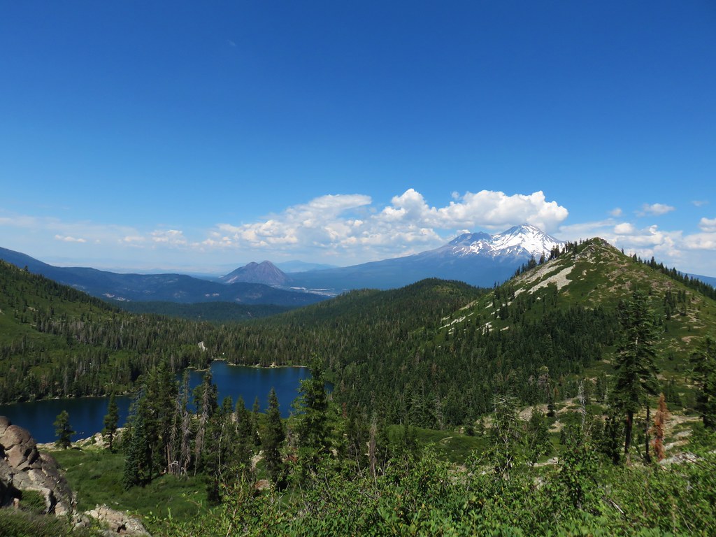
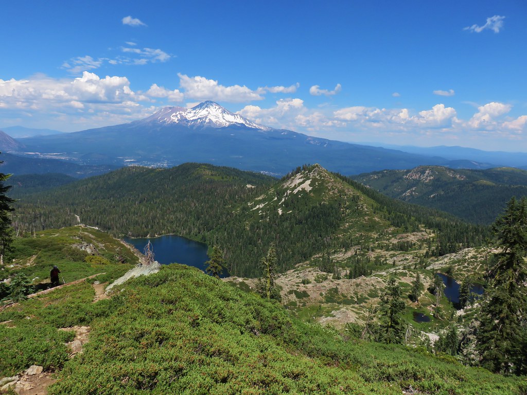
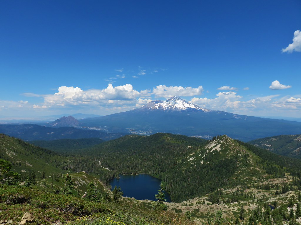
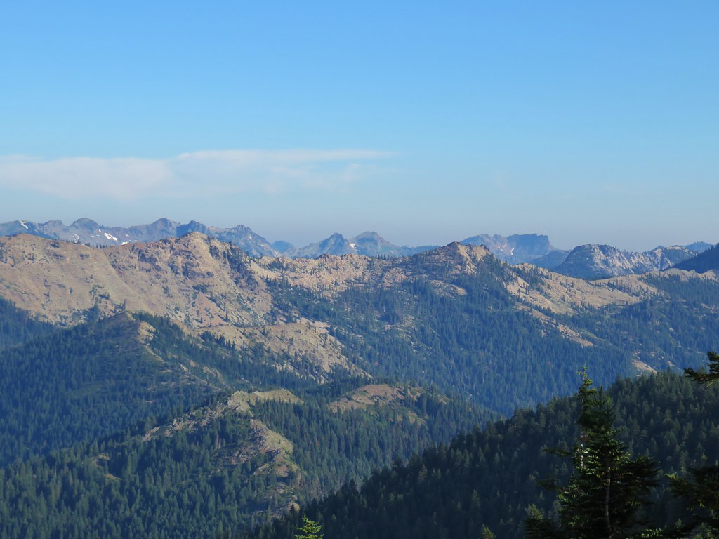
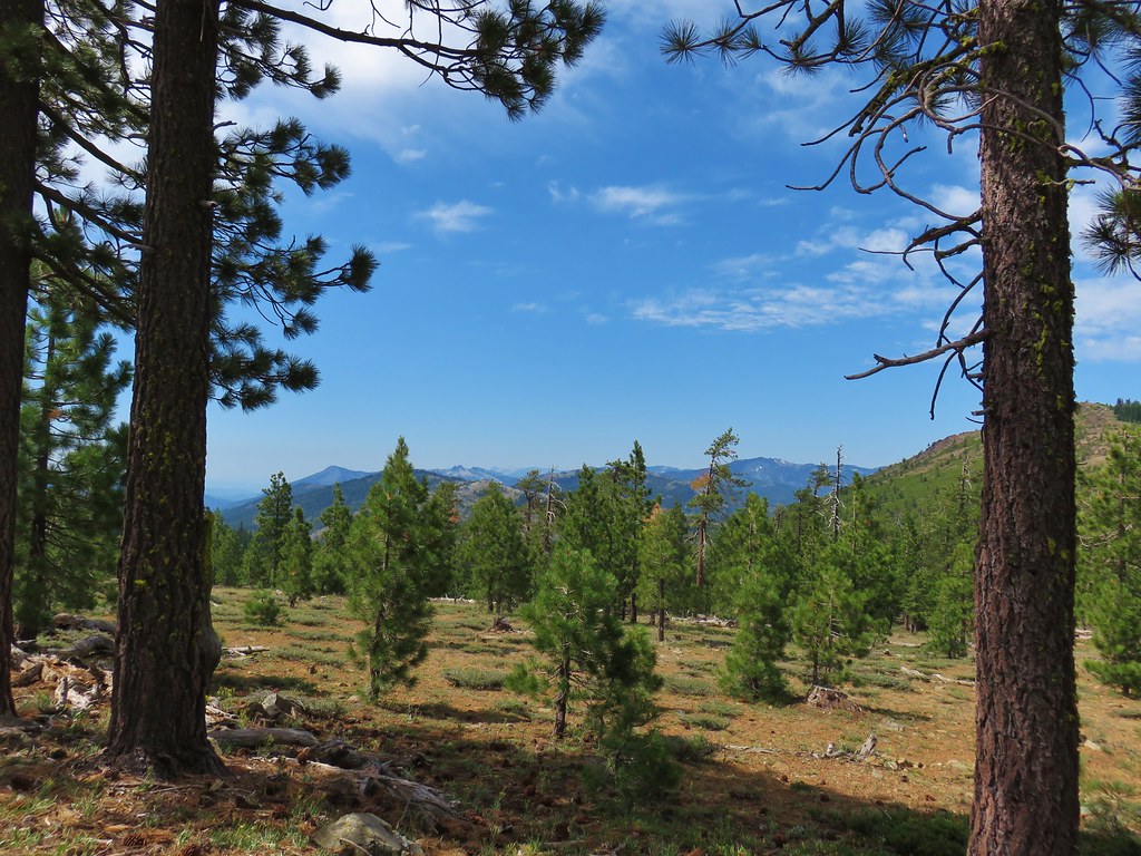
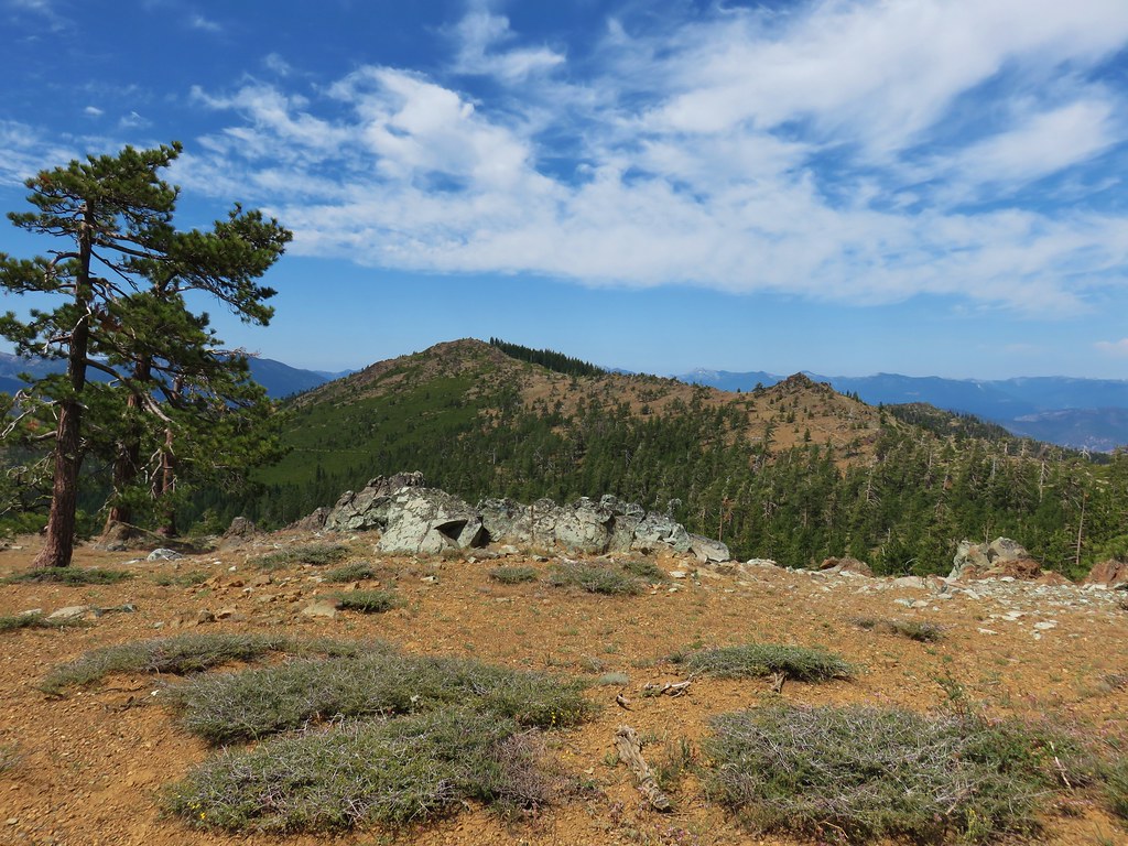
 North & Middle Sister with Belknap Crater
 Scott Mountain
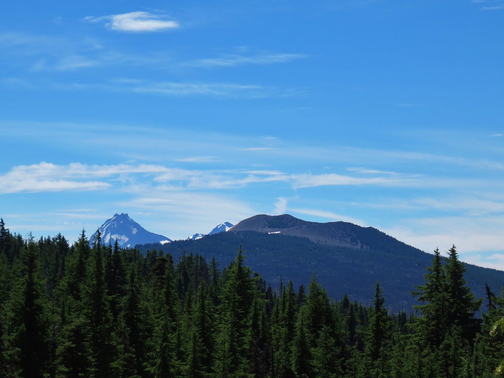
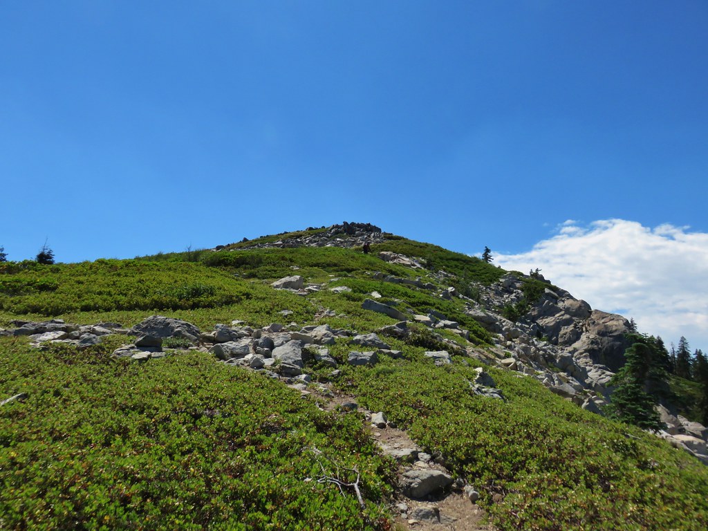


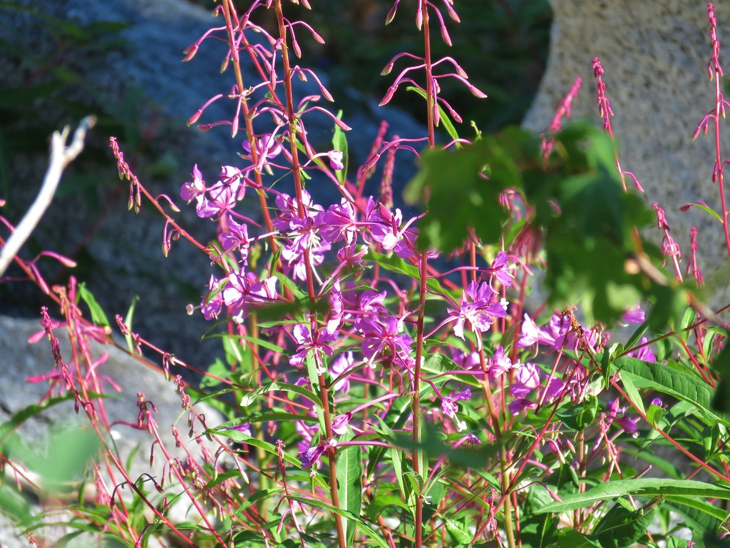

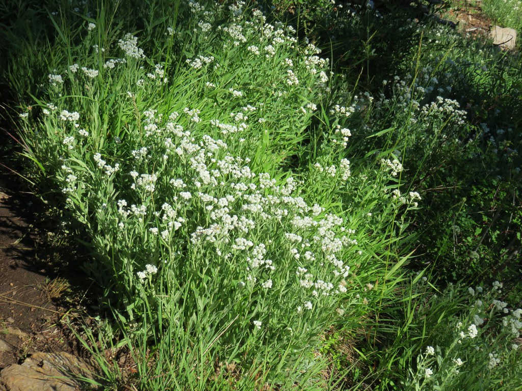


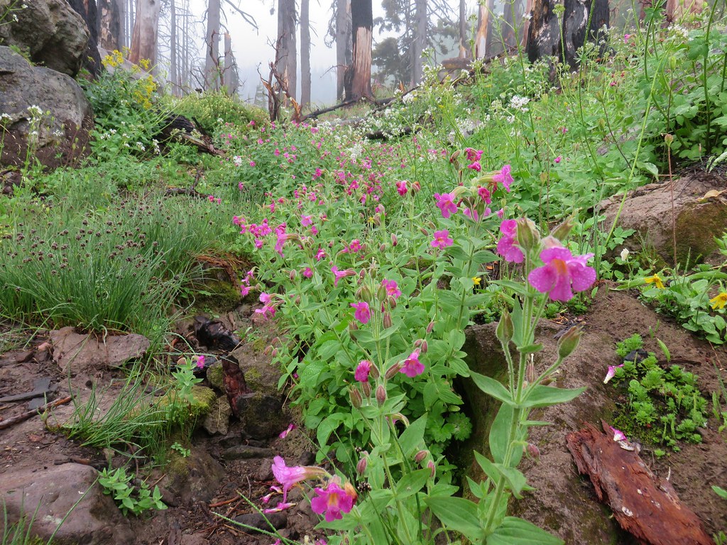
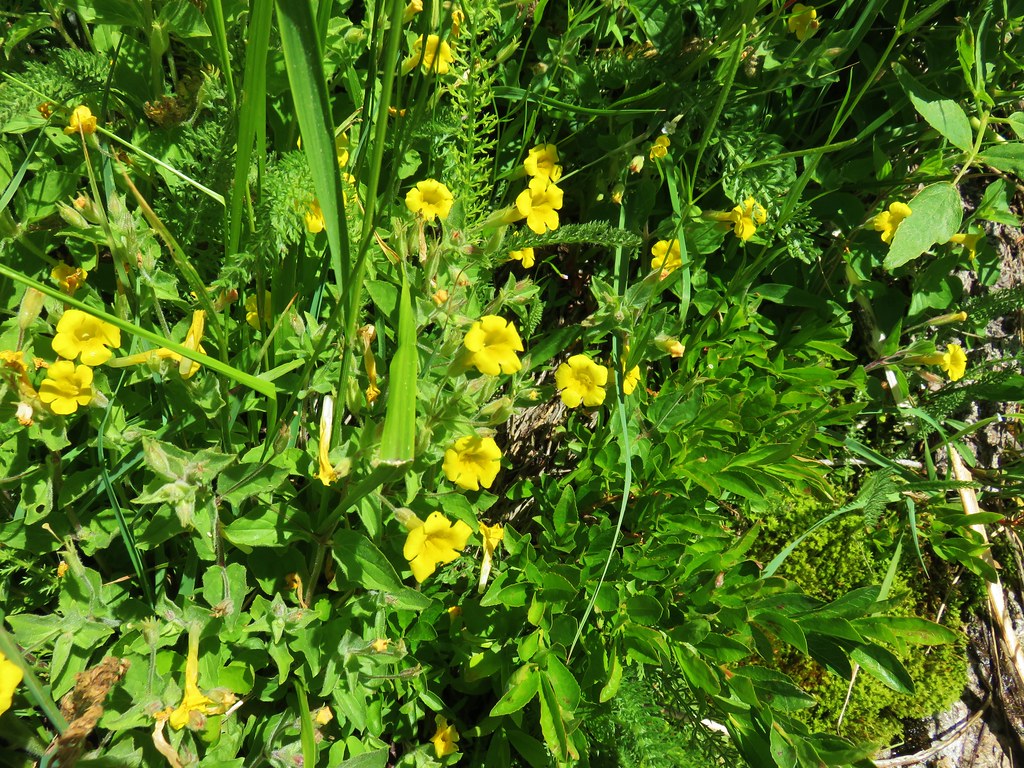
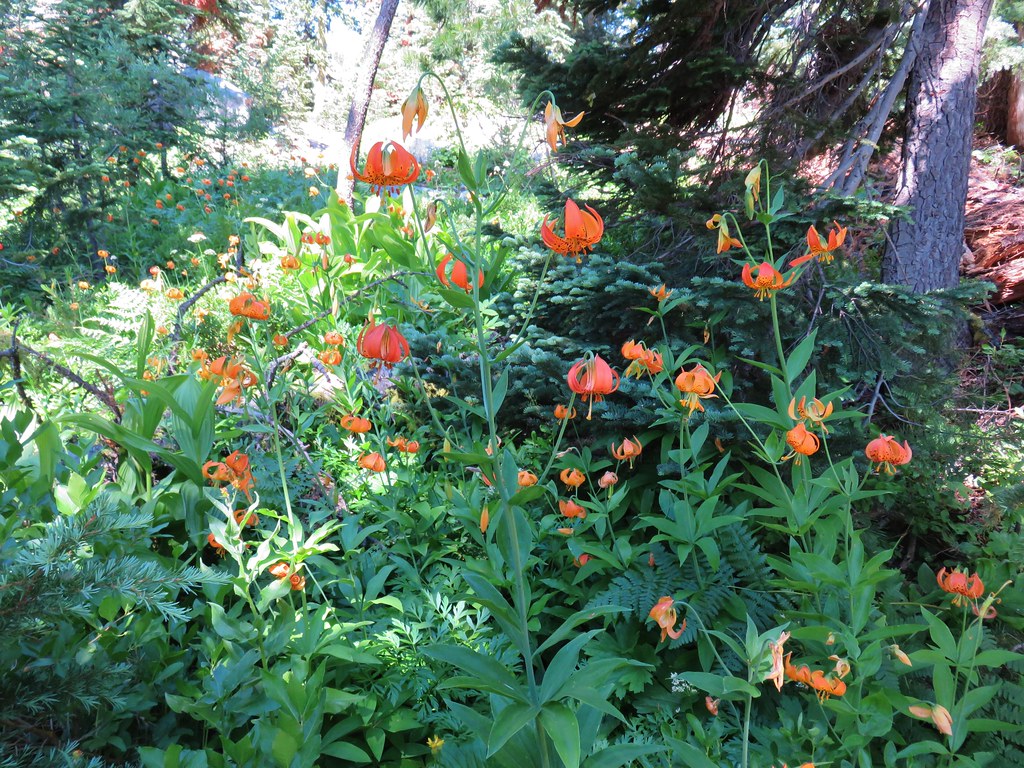
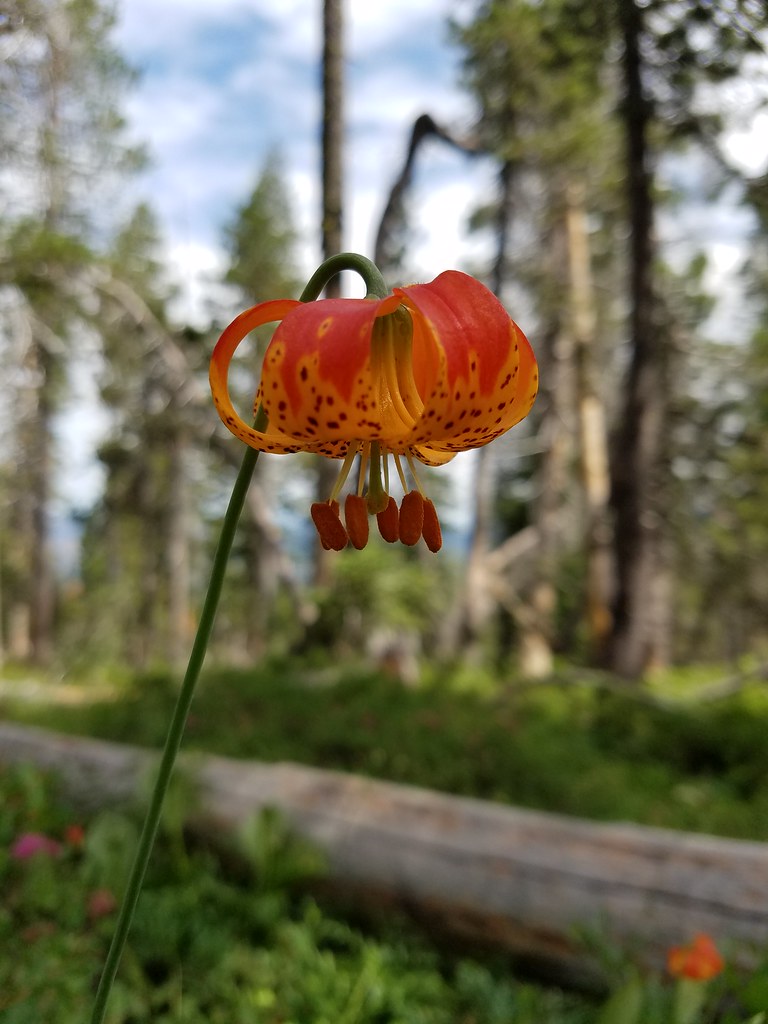
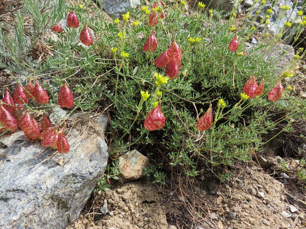
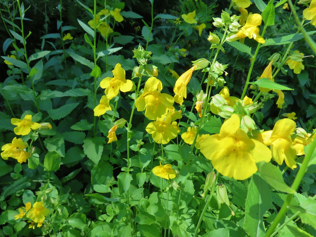 Monkeyflower
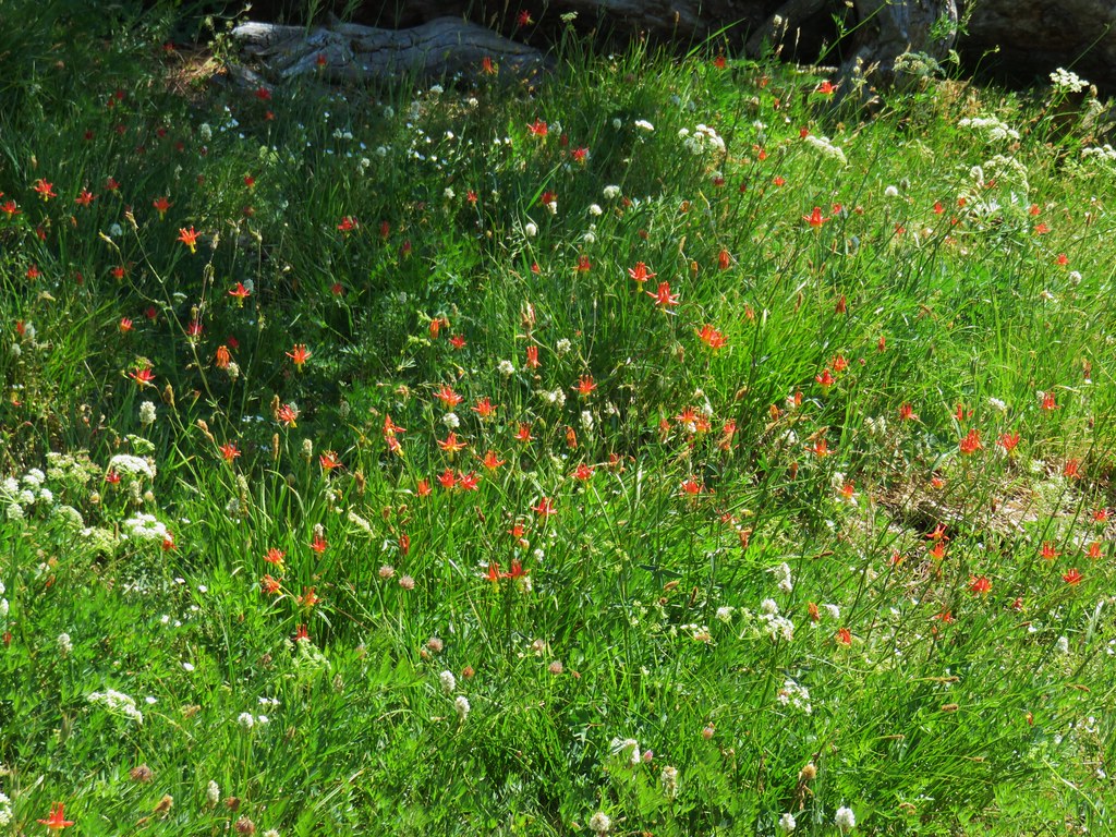
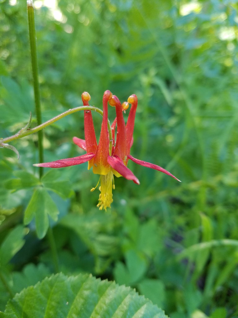 Columbine
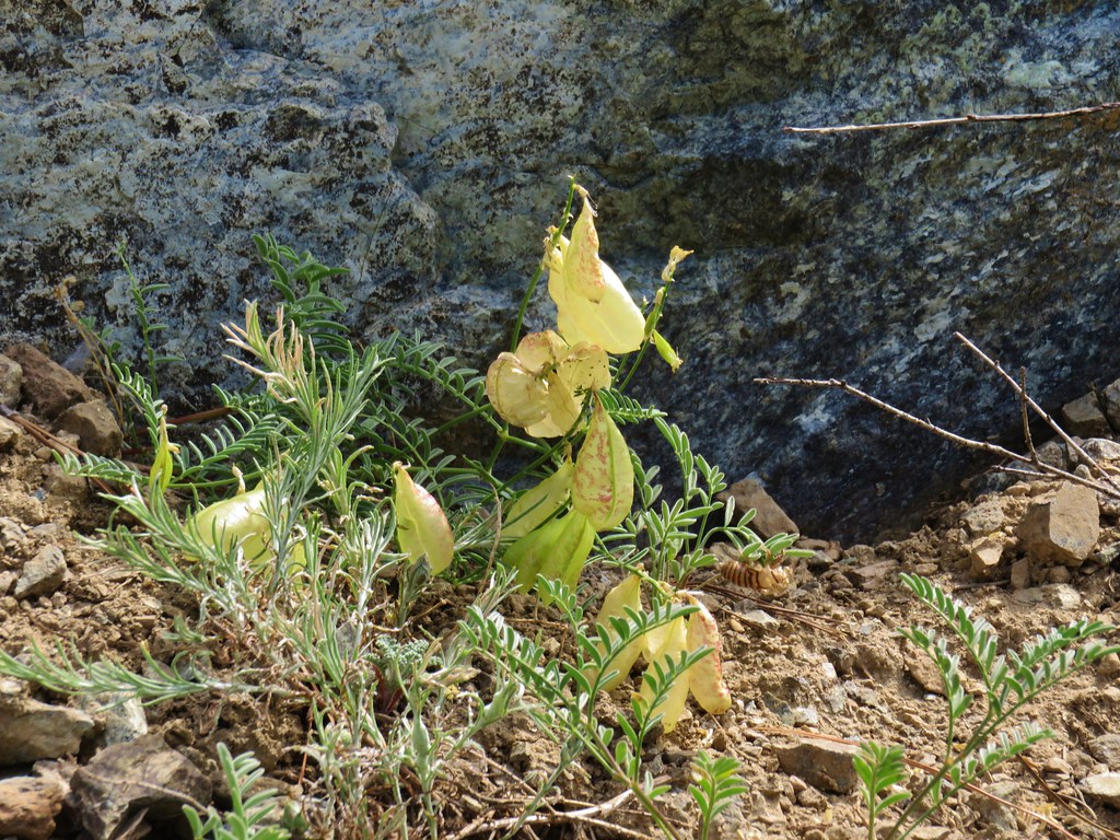
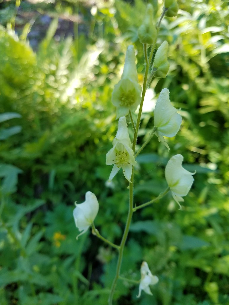 Monkshood
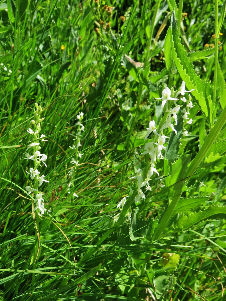
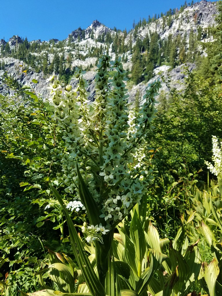
 Featherbells
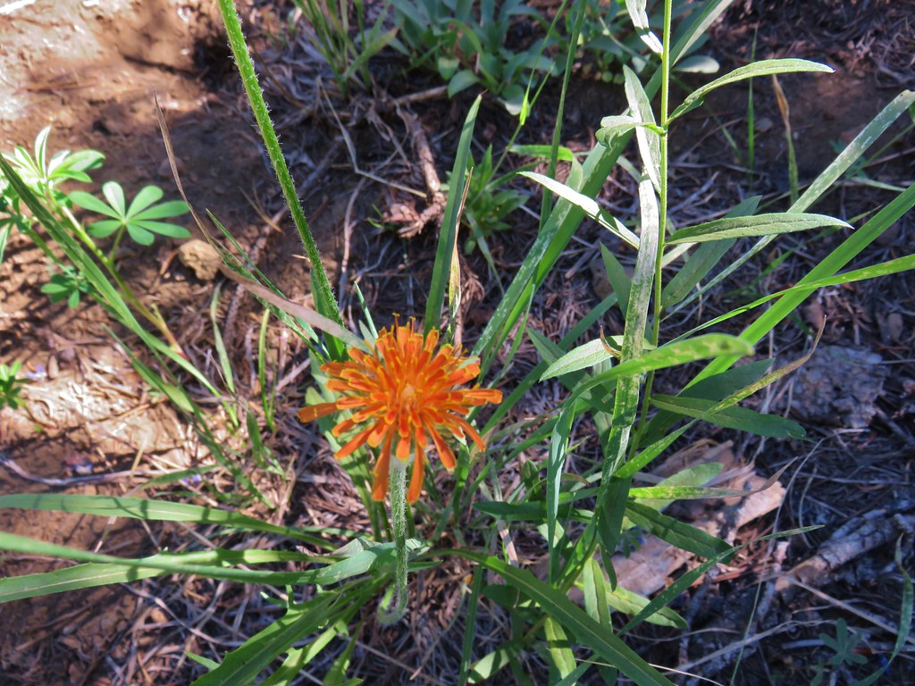
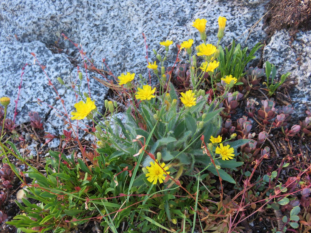
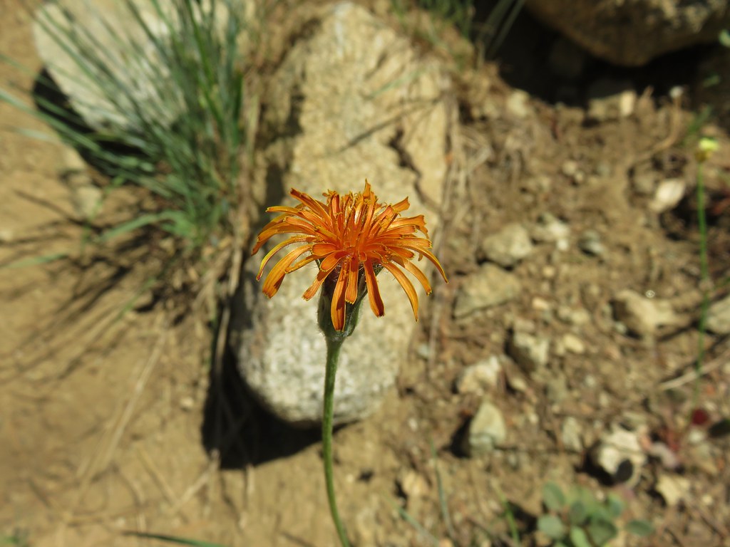
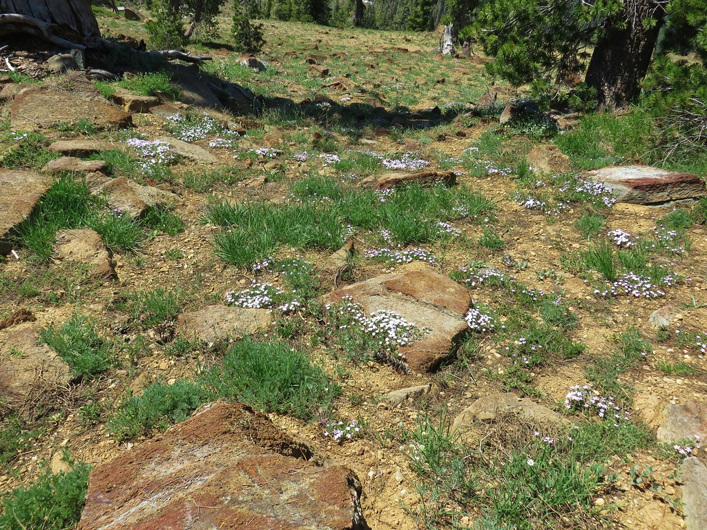
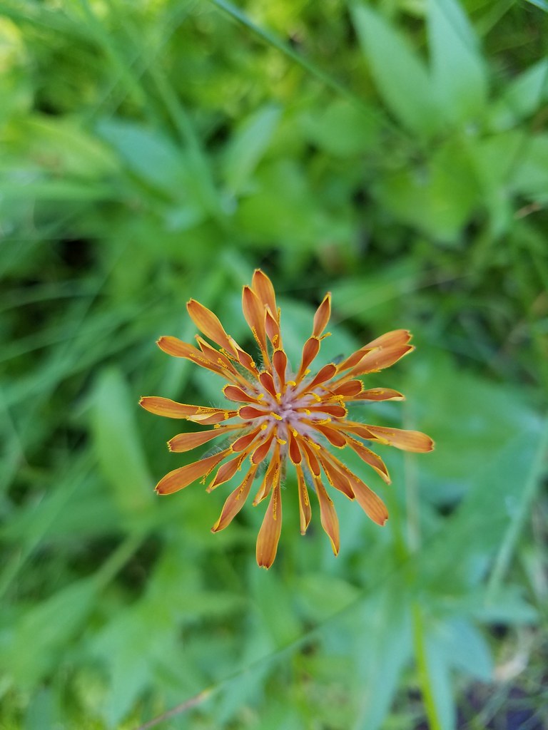 Orange agoseris
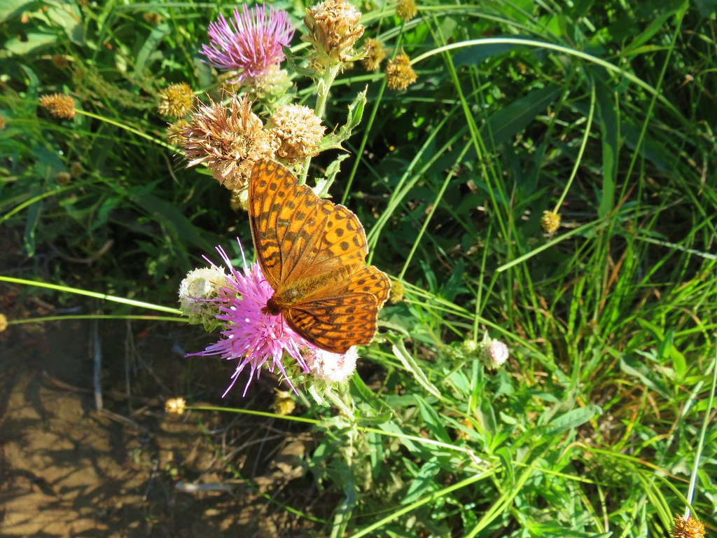
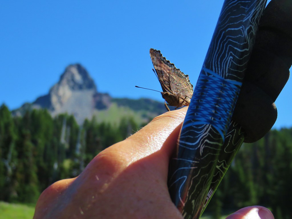
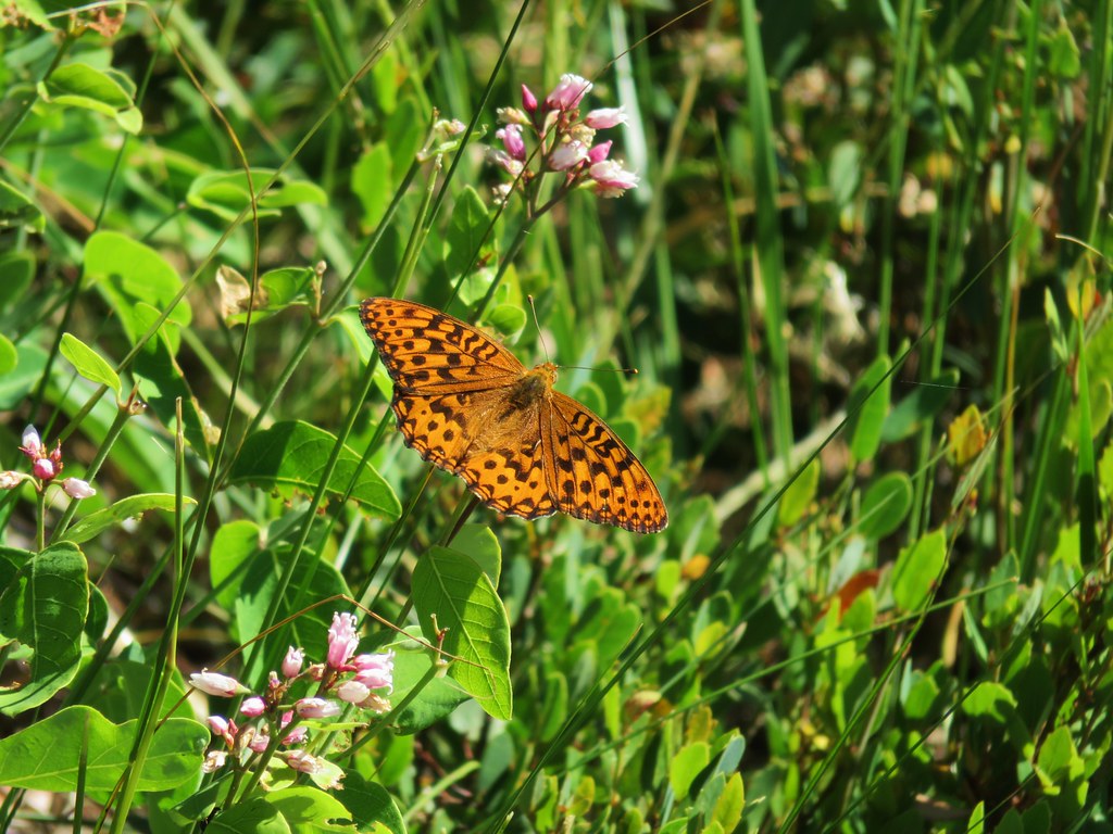
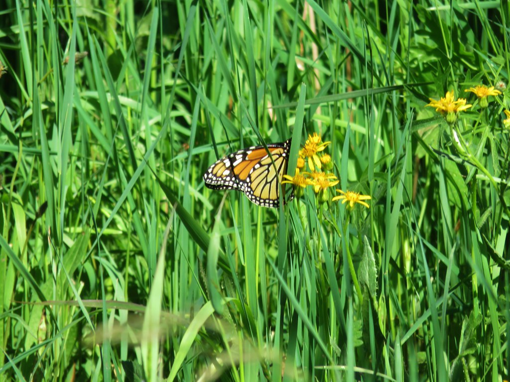
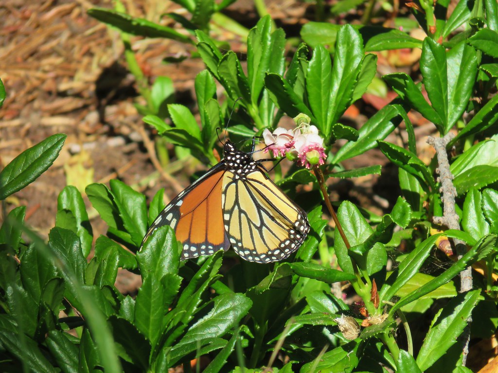 Monarch butterfly

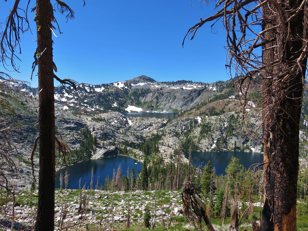
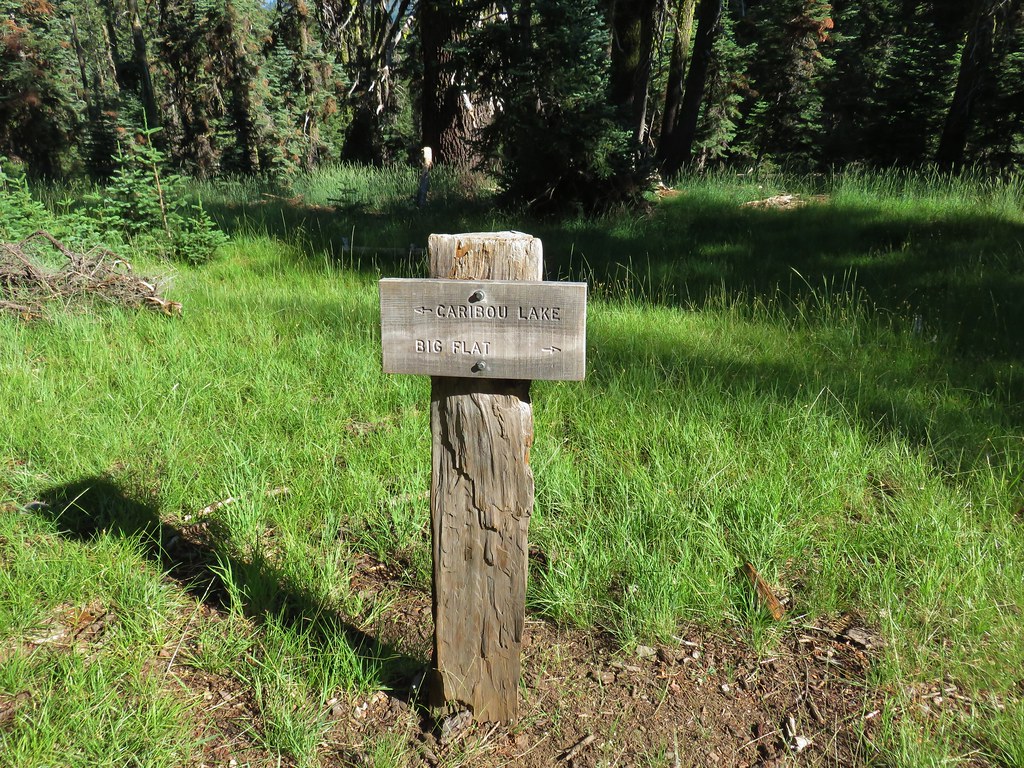
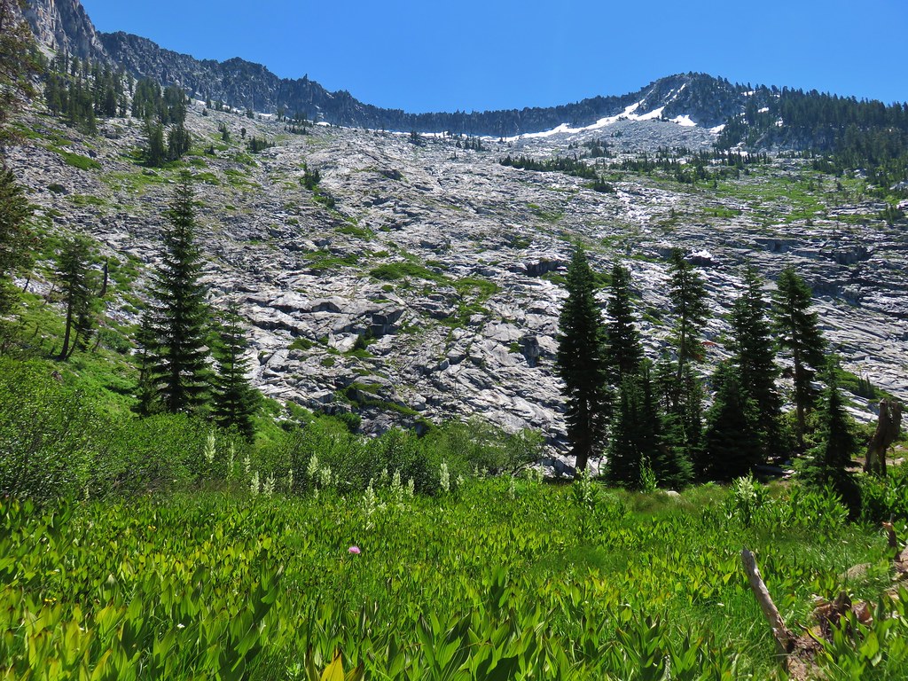
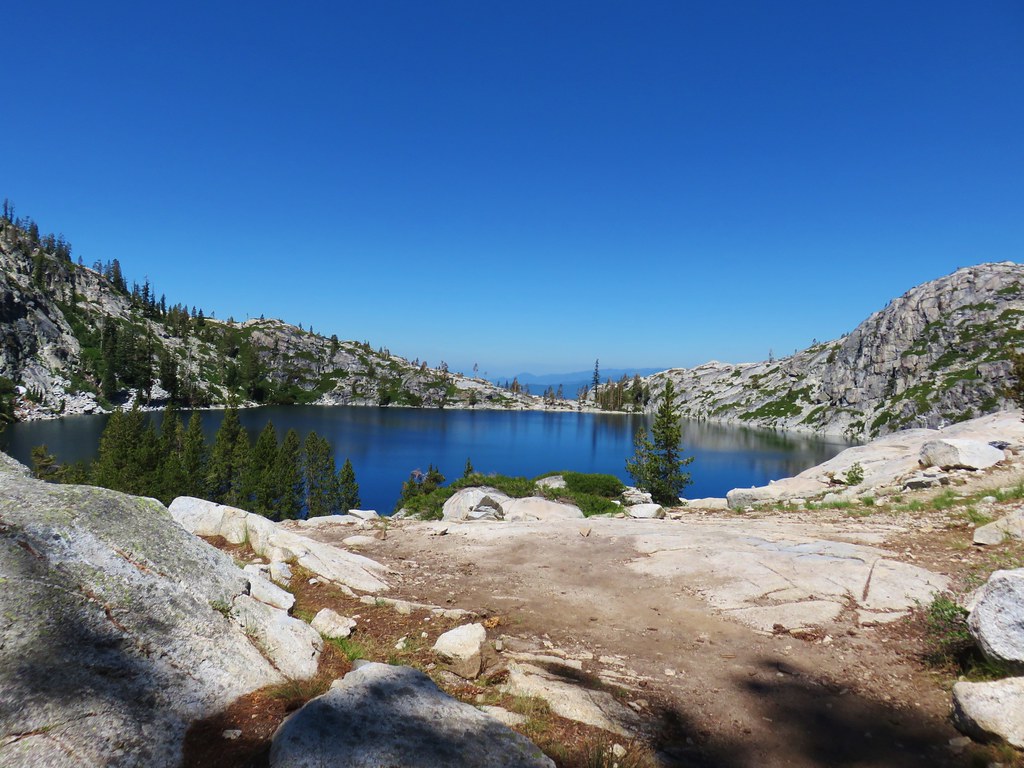
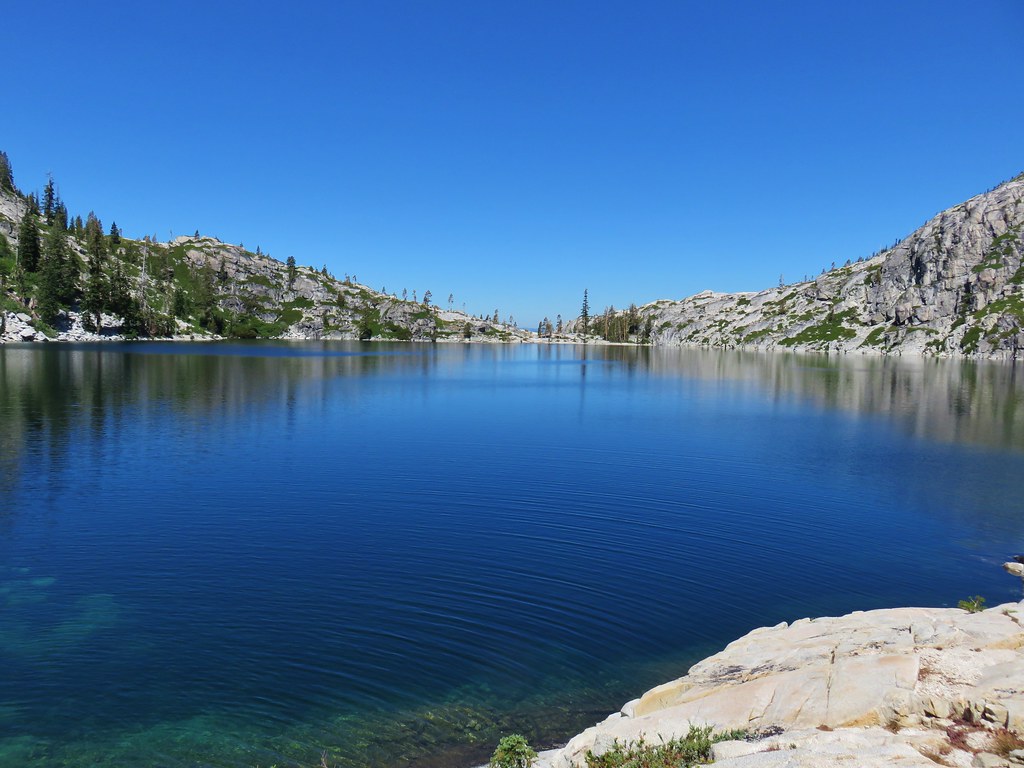
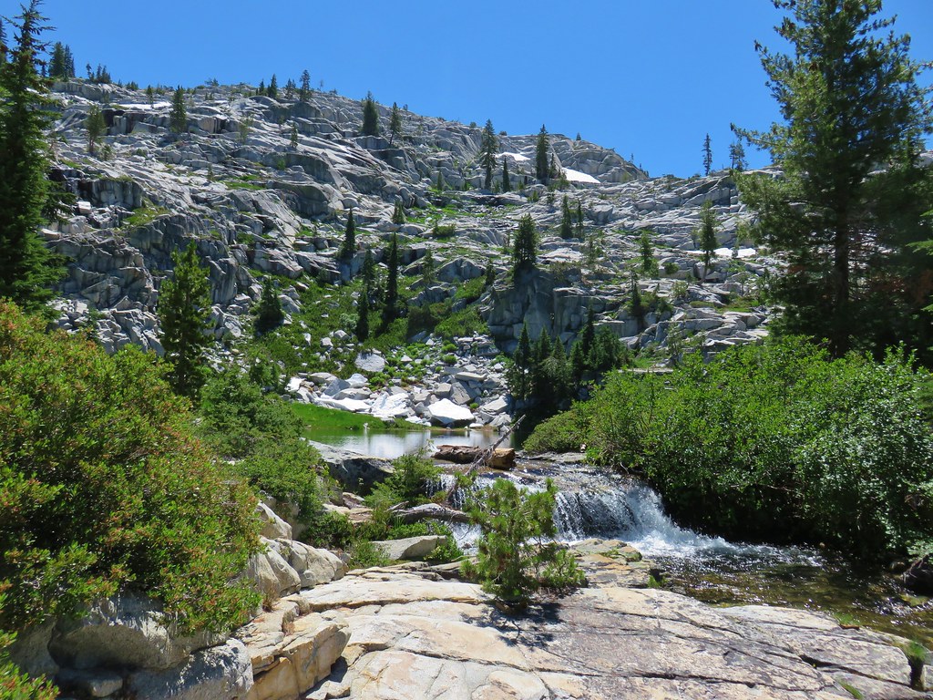
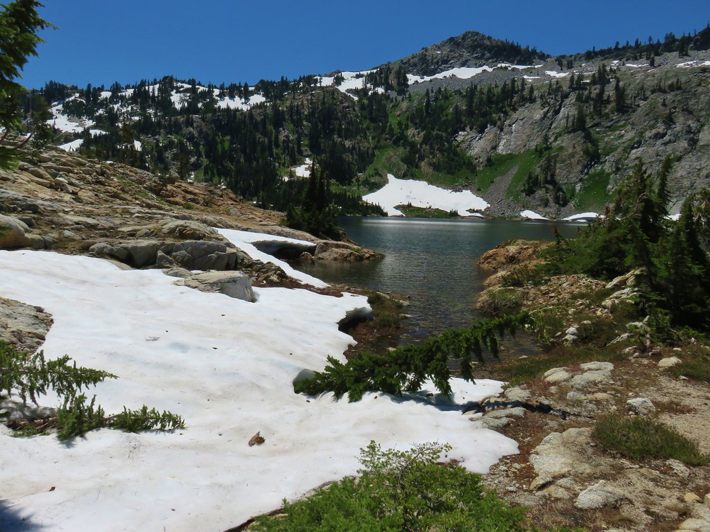
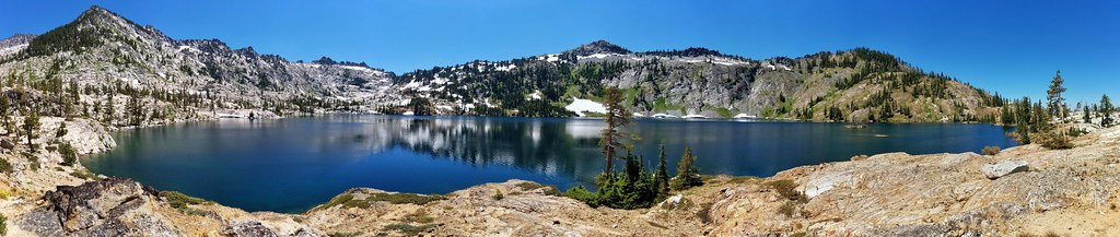
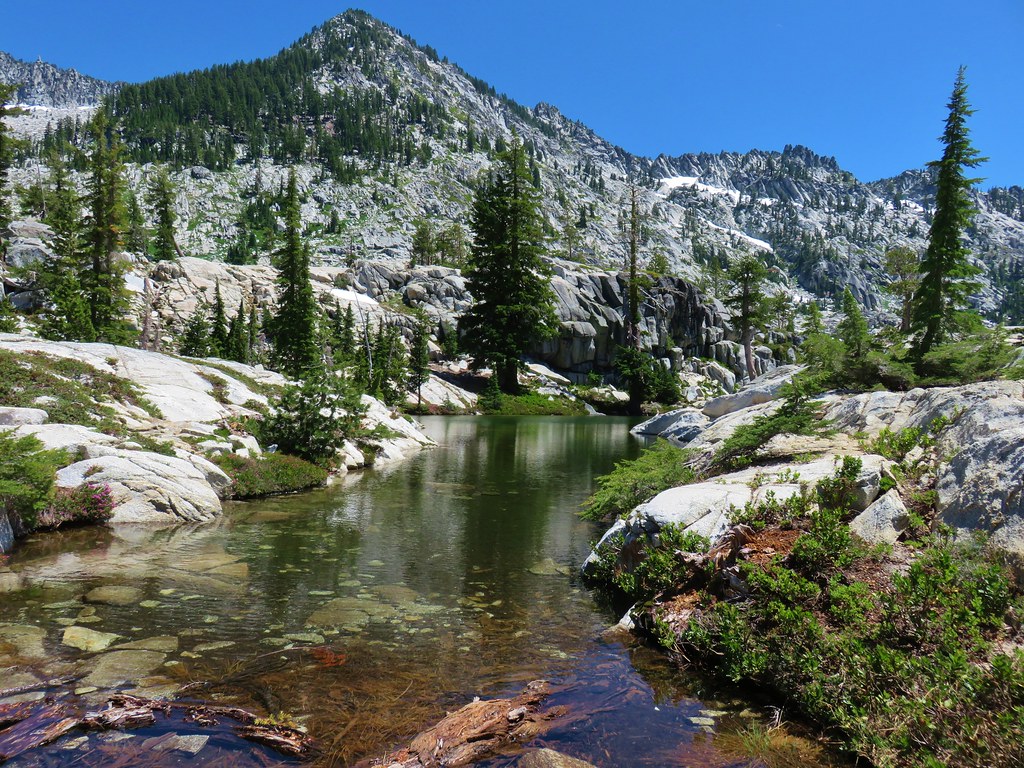
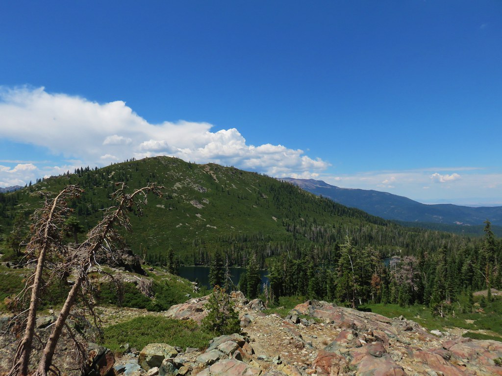
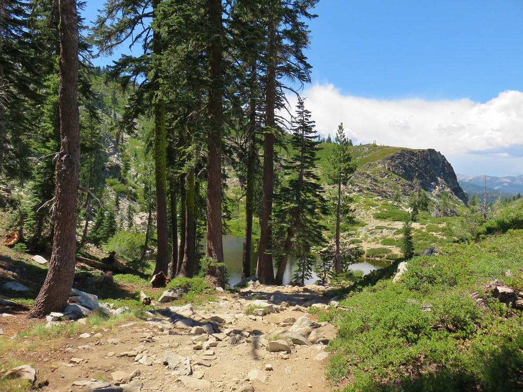
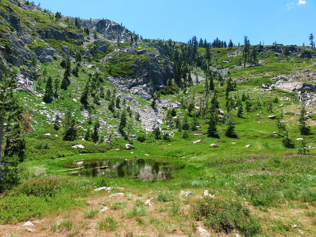
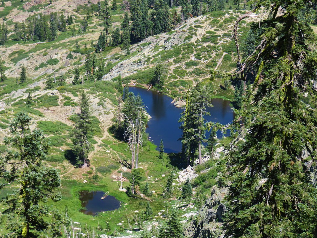
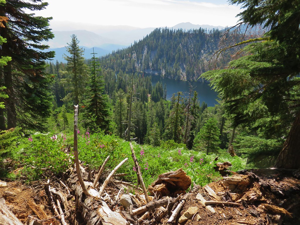
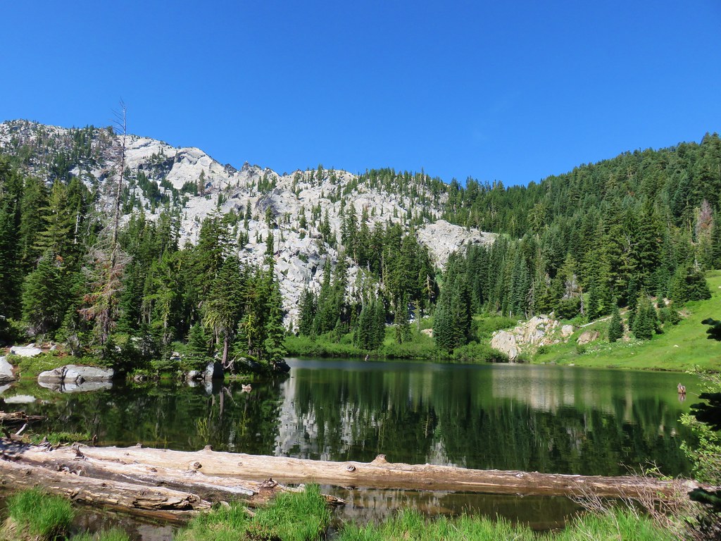
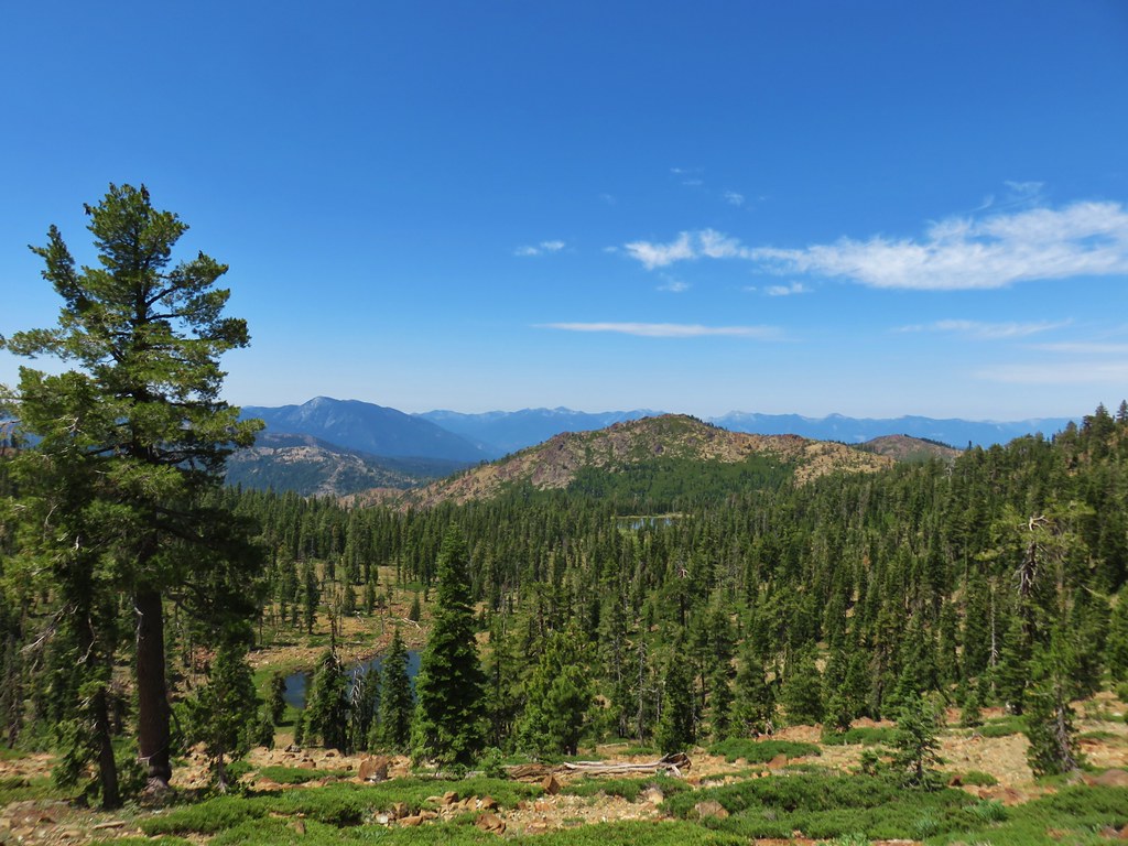
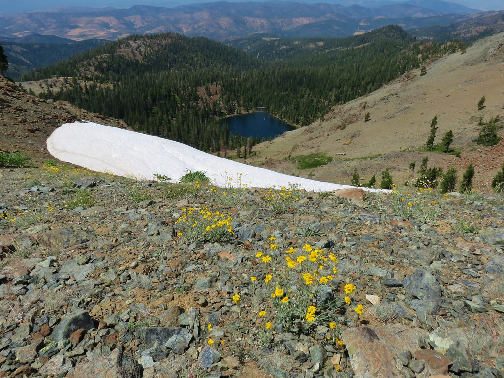
 Caribou Lake
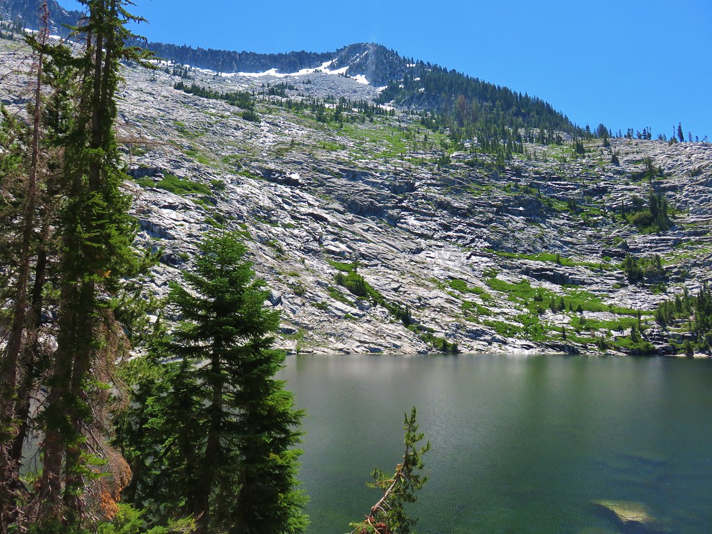
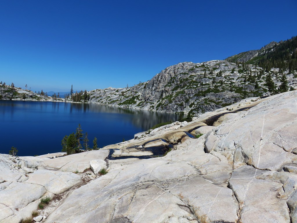
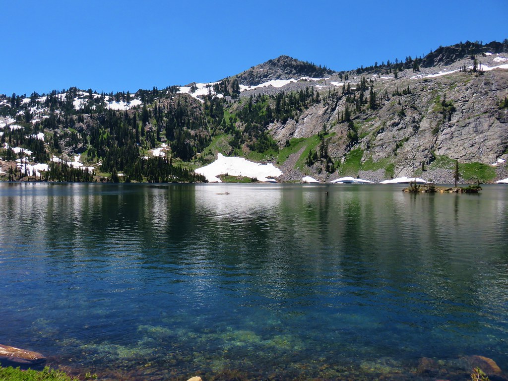
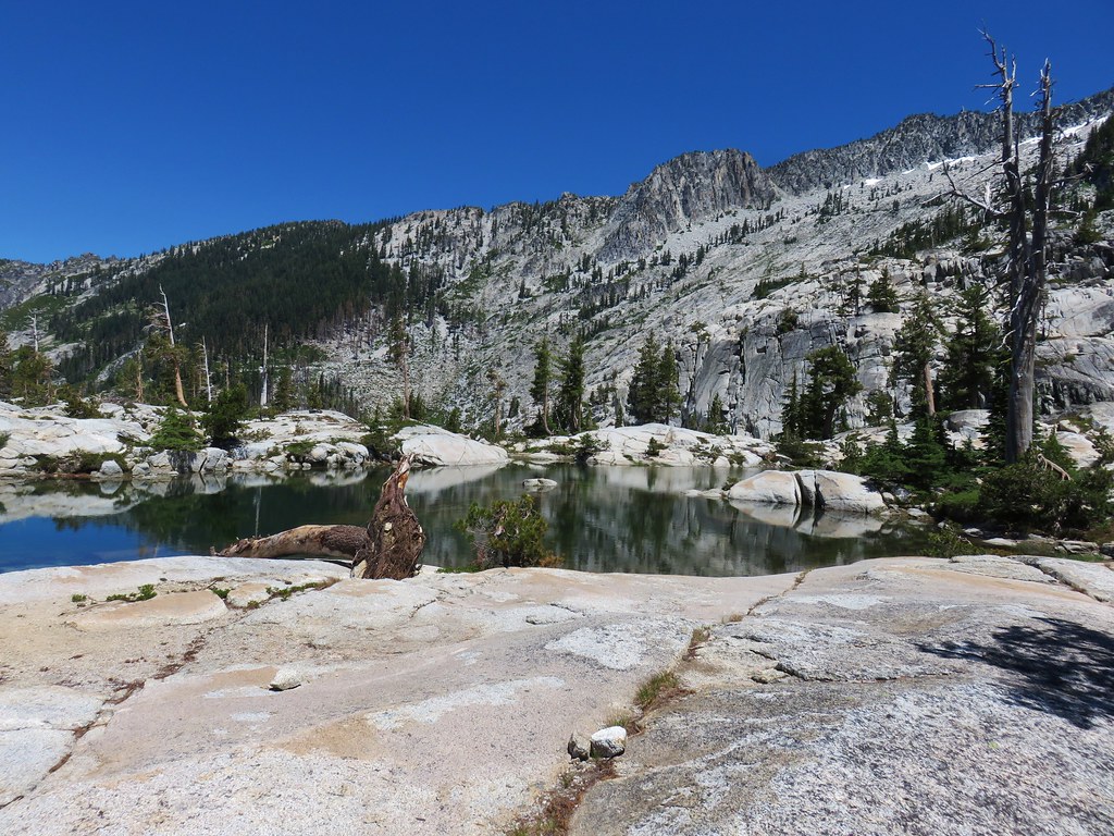
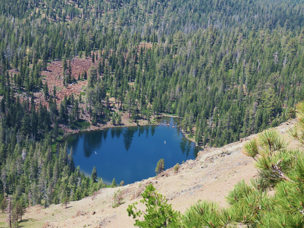
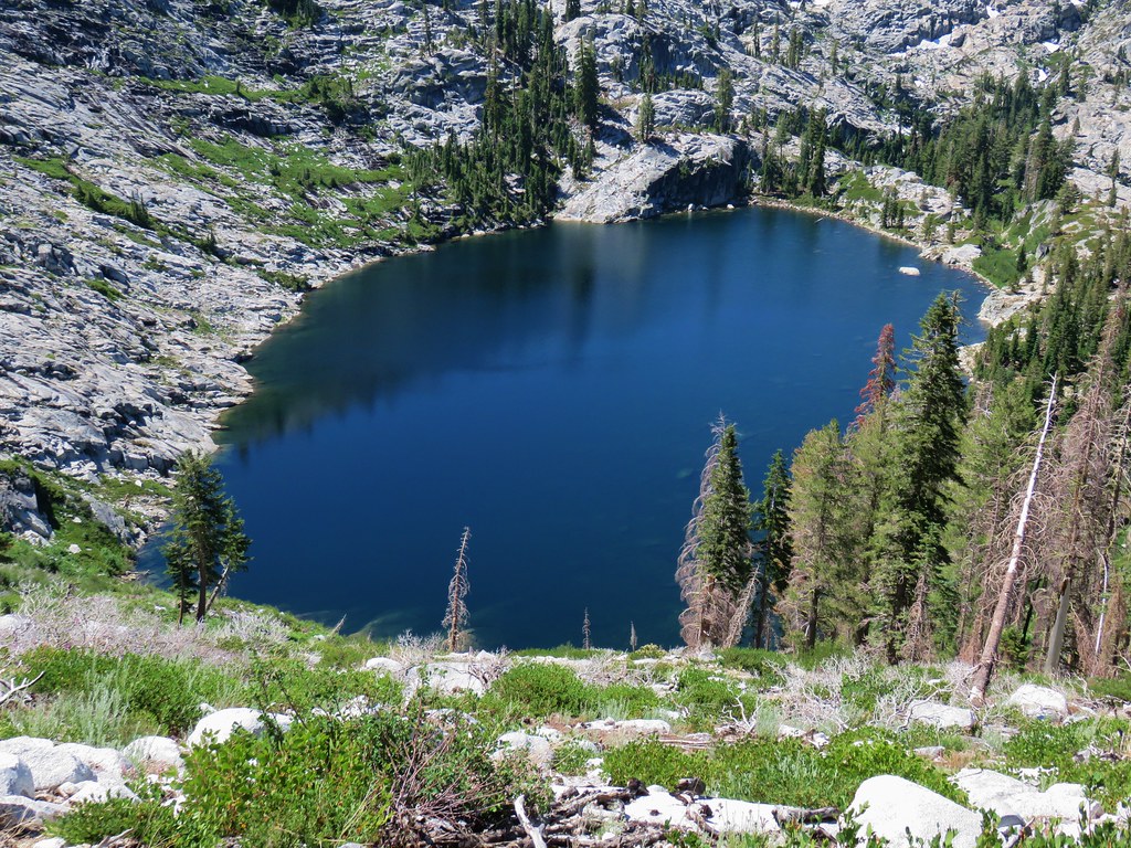 Snowshoe Lake
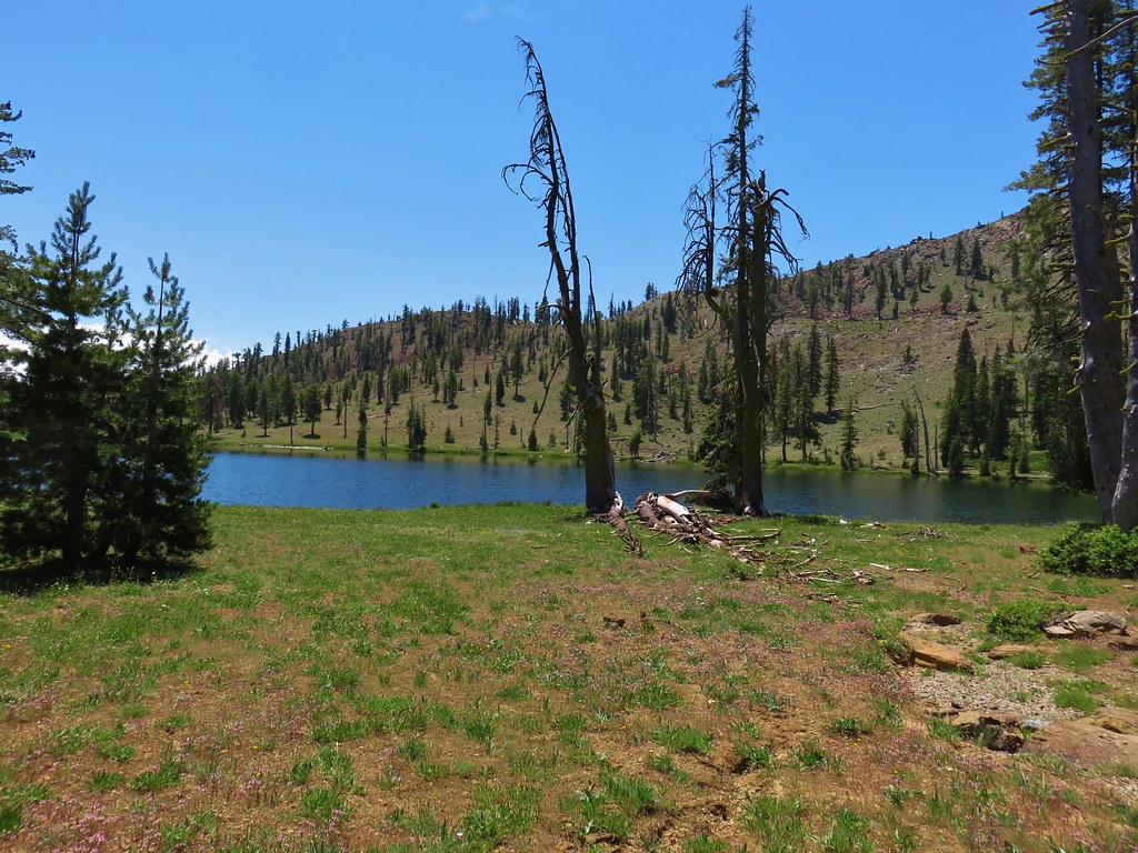
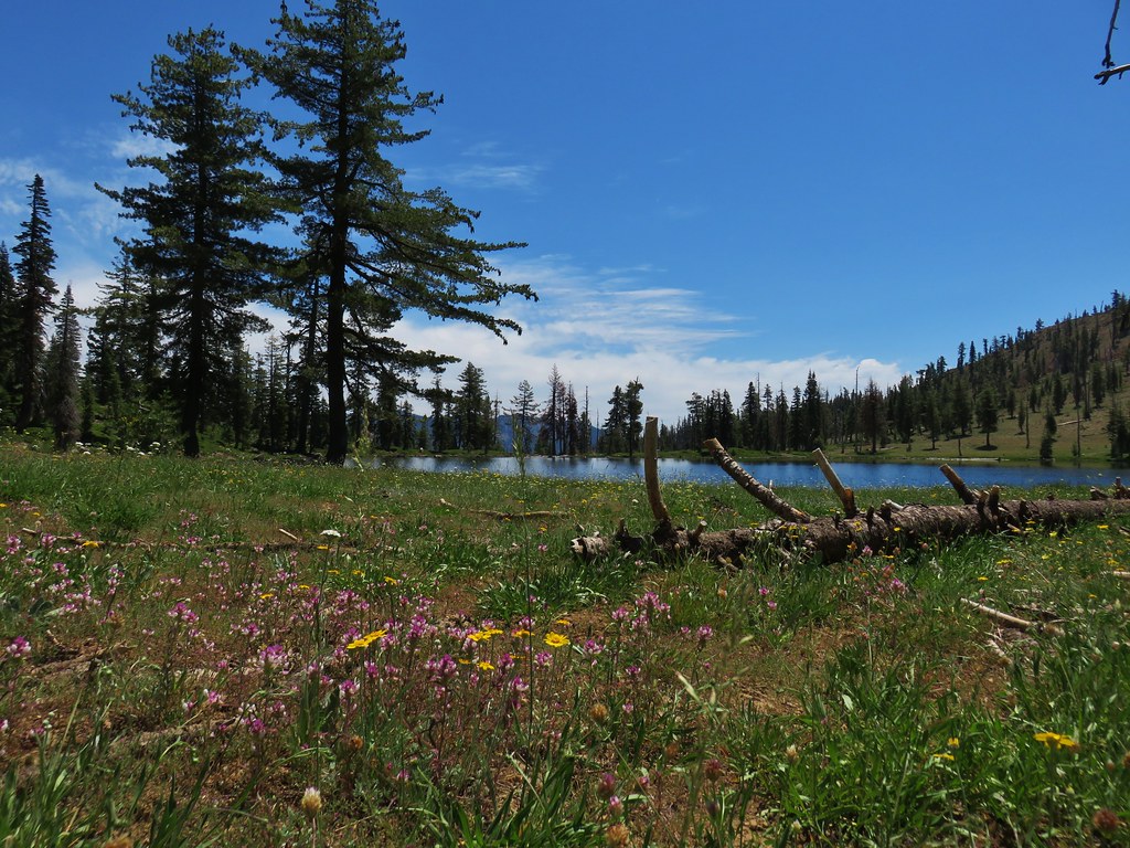
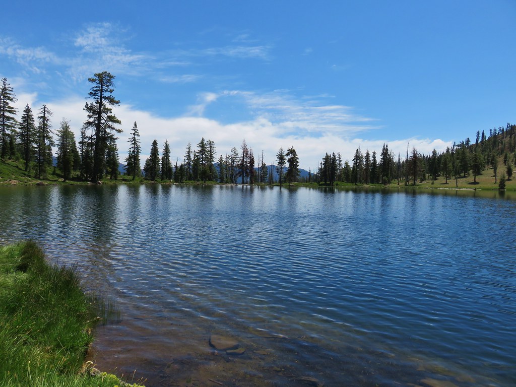
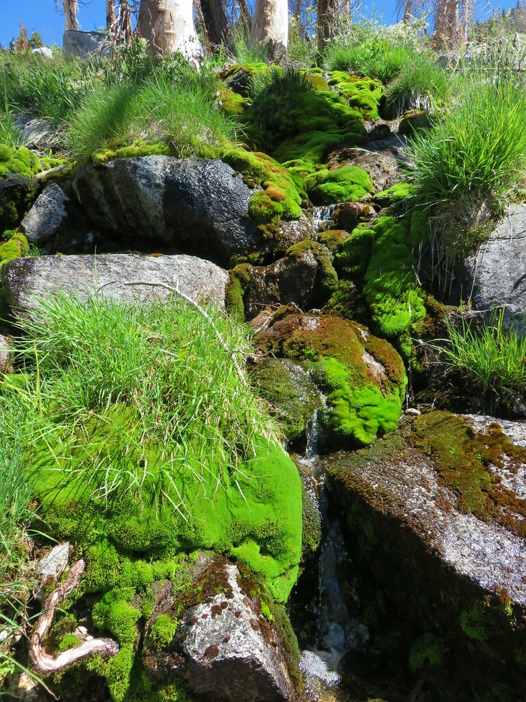


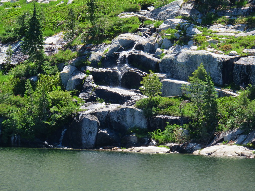
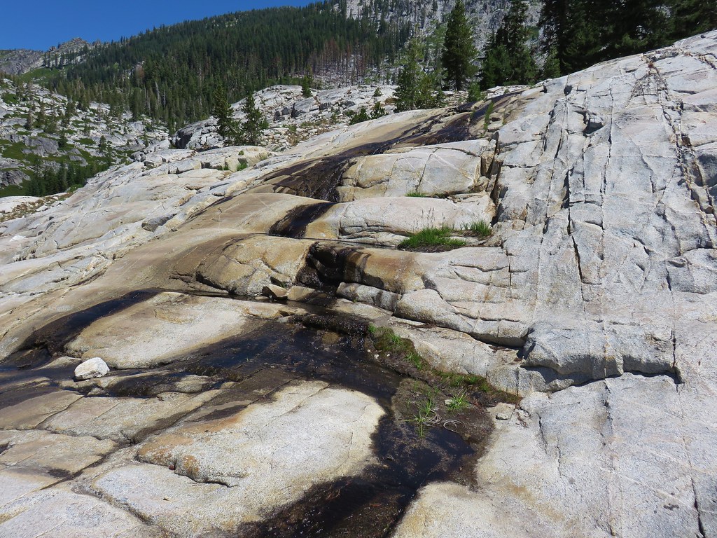
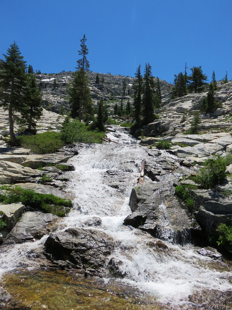
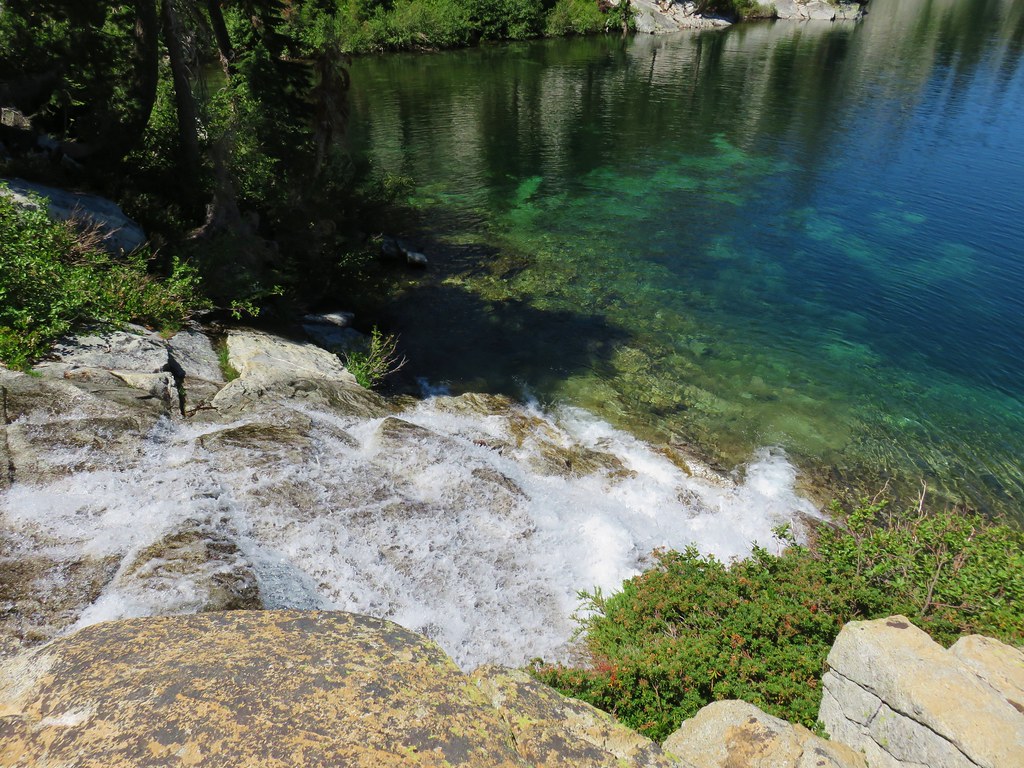
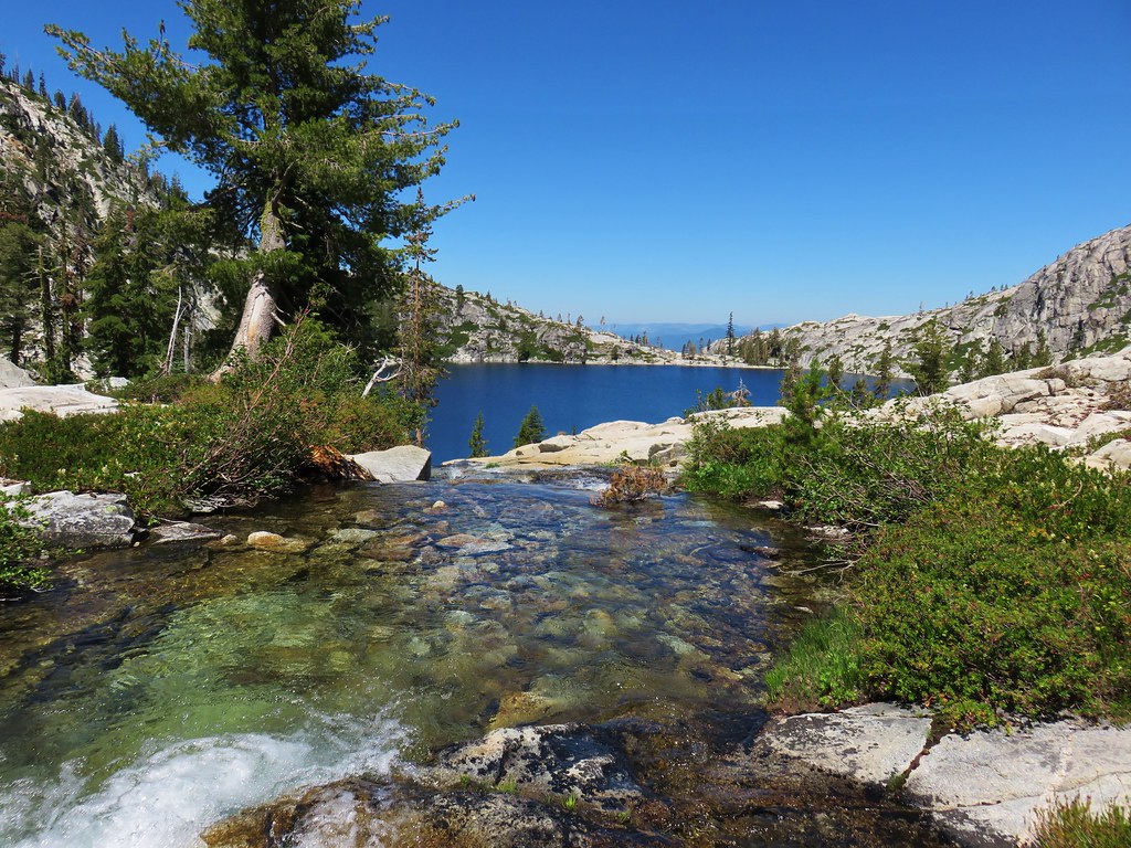
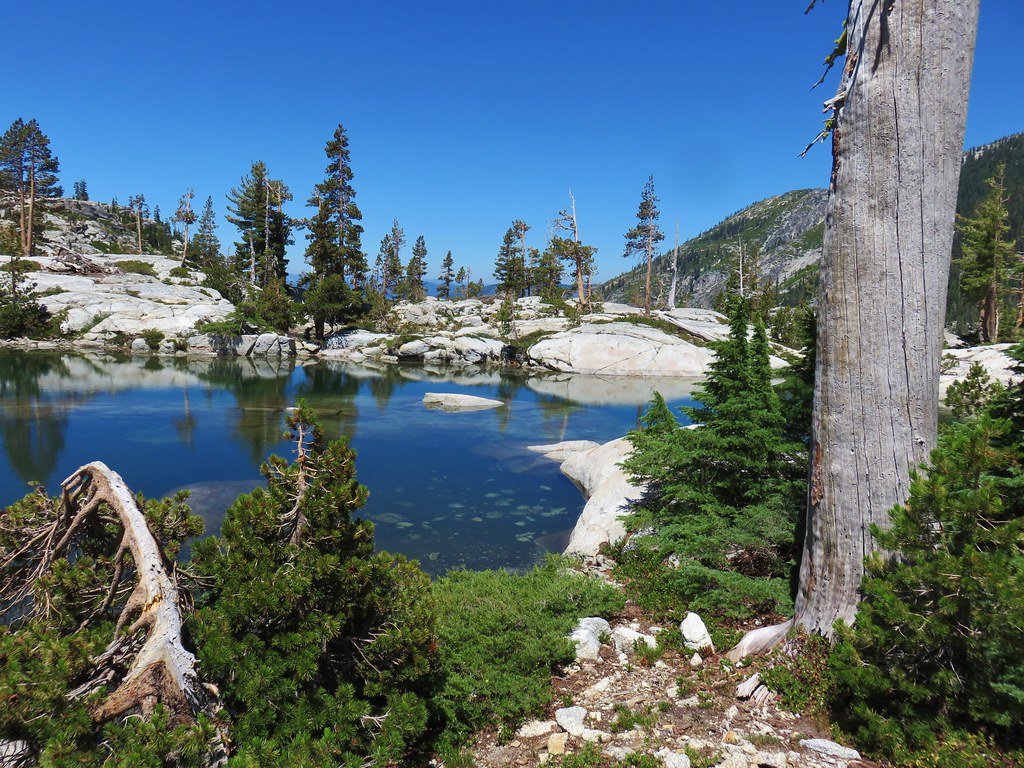
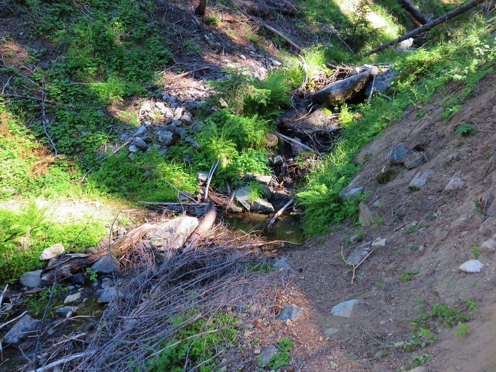
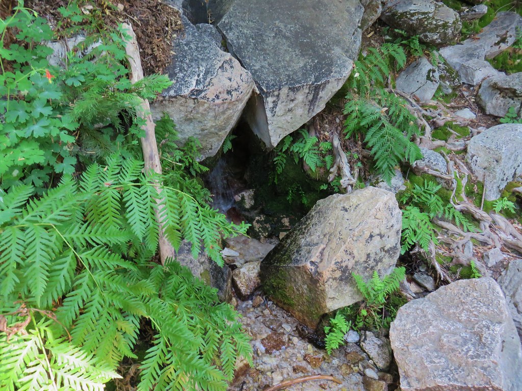
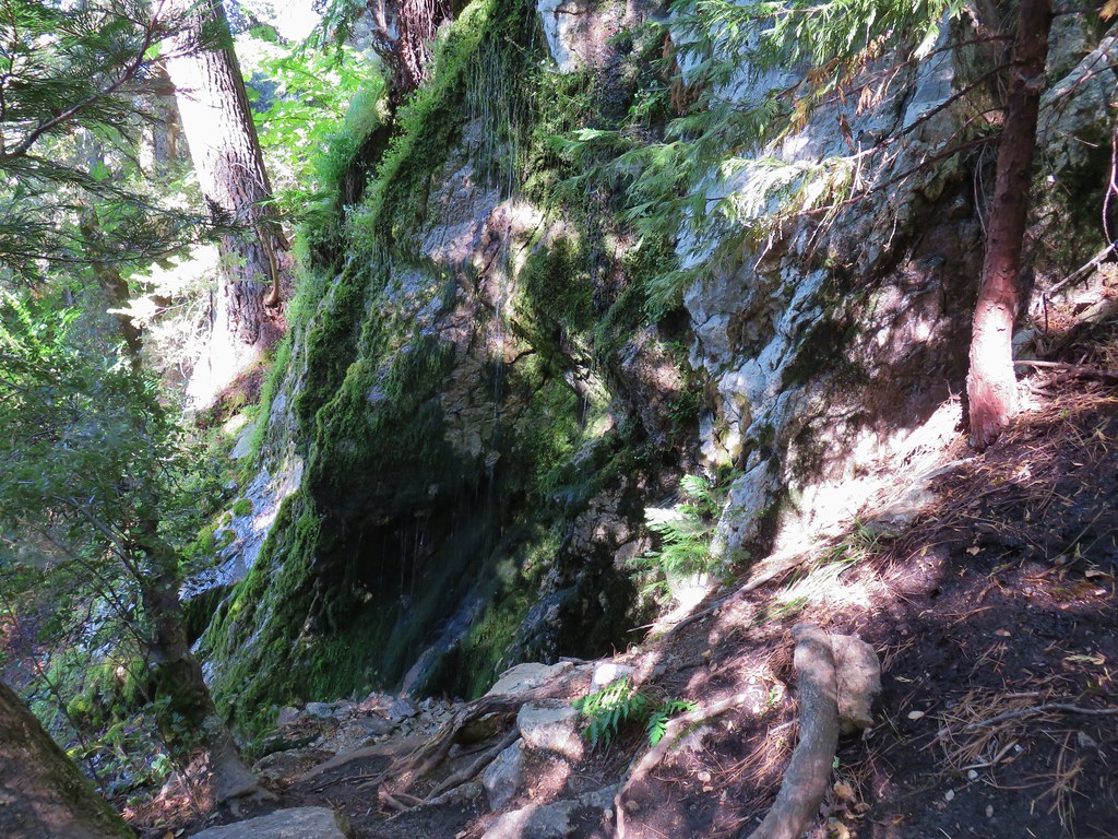
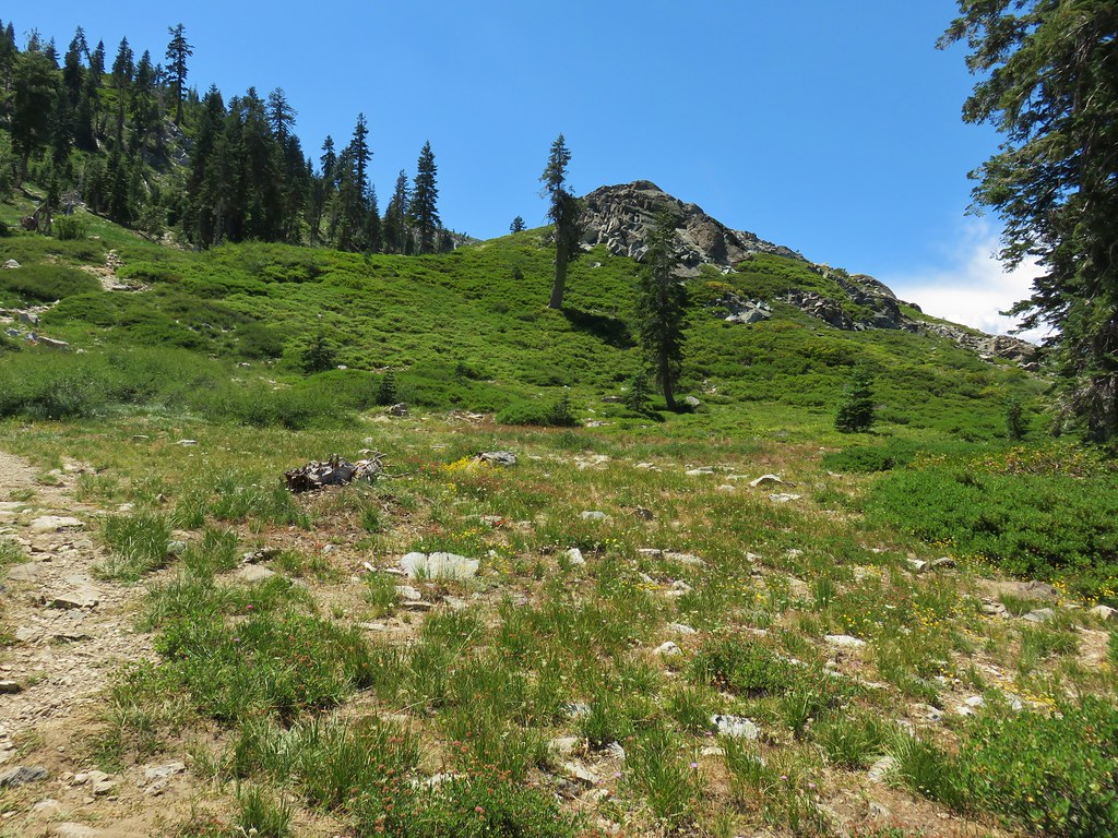
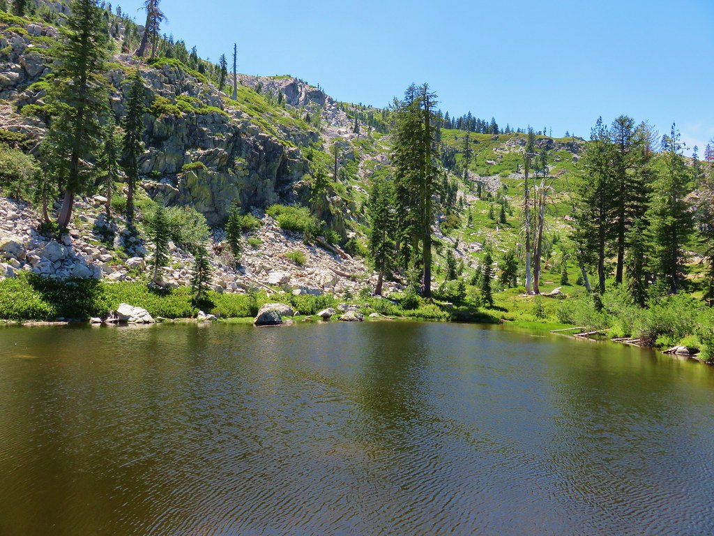
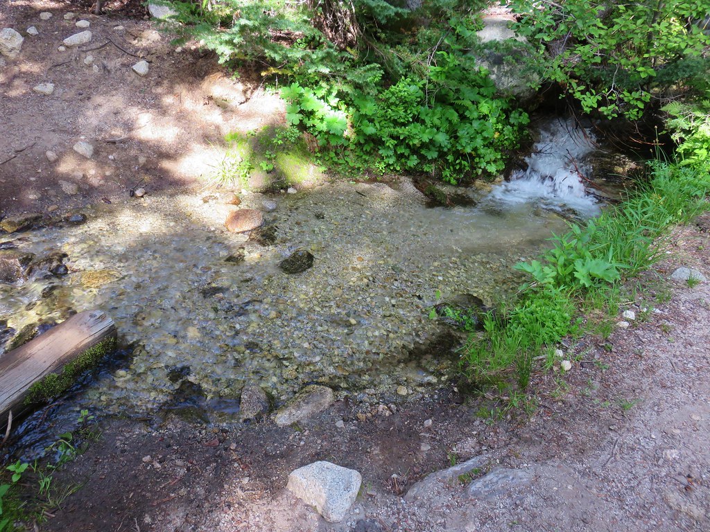
 Snowshoe Lake’s outlet creek


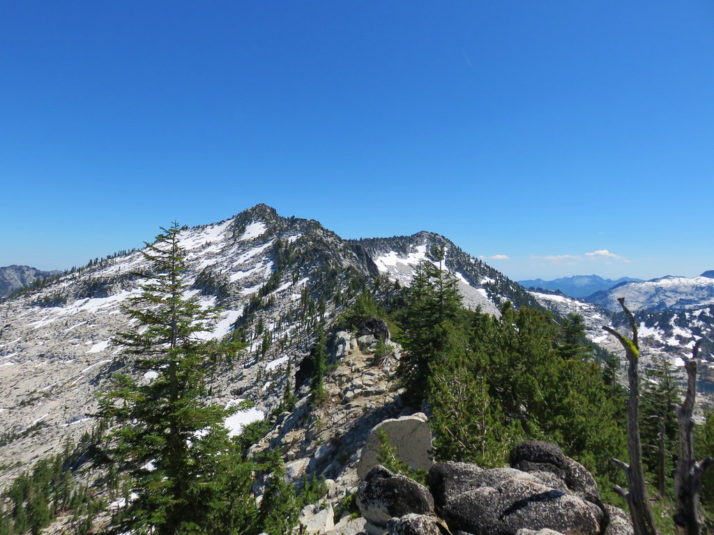


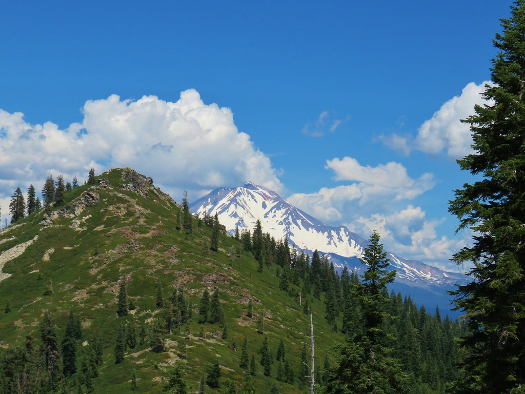


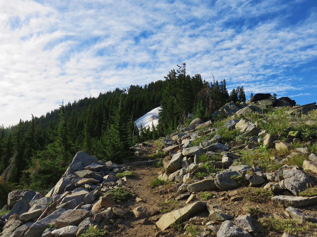


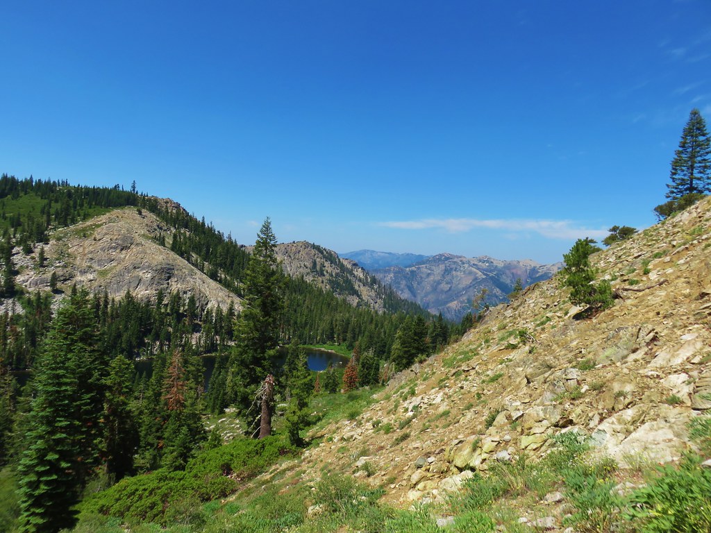


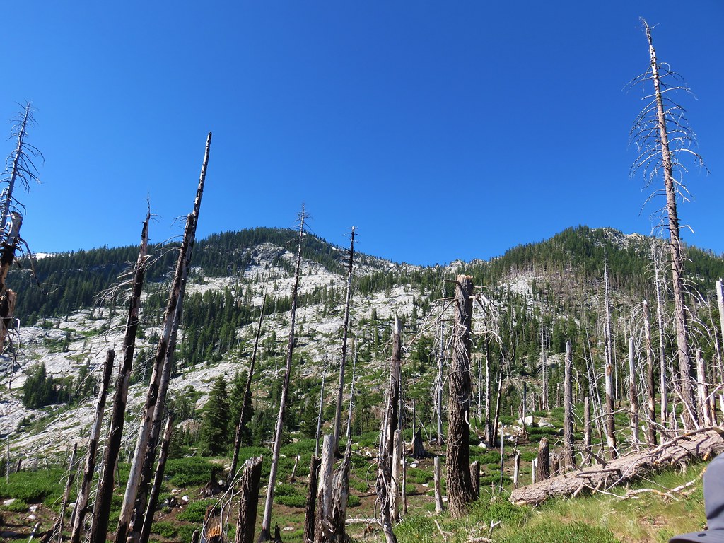
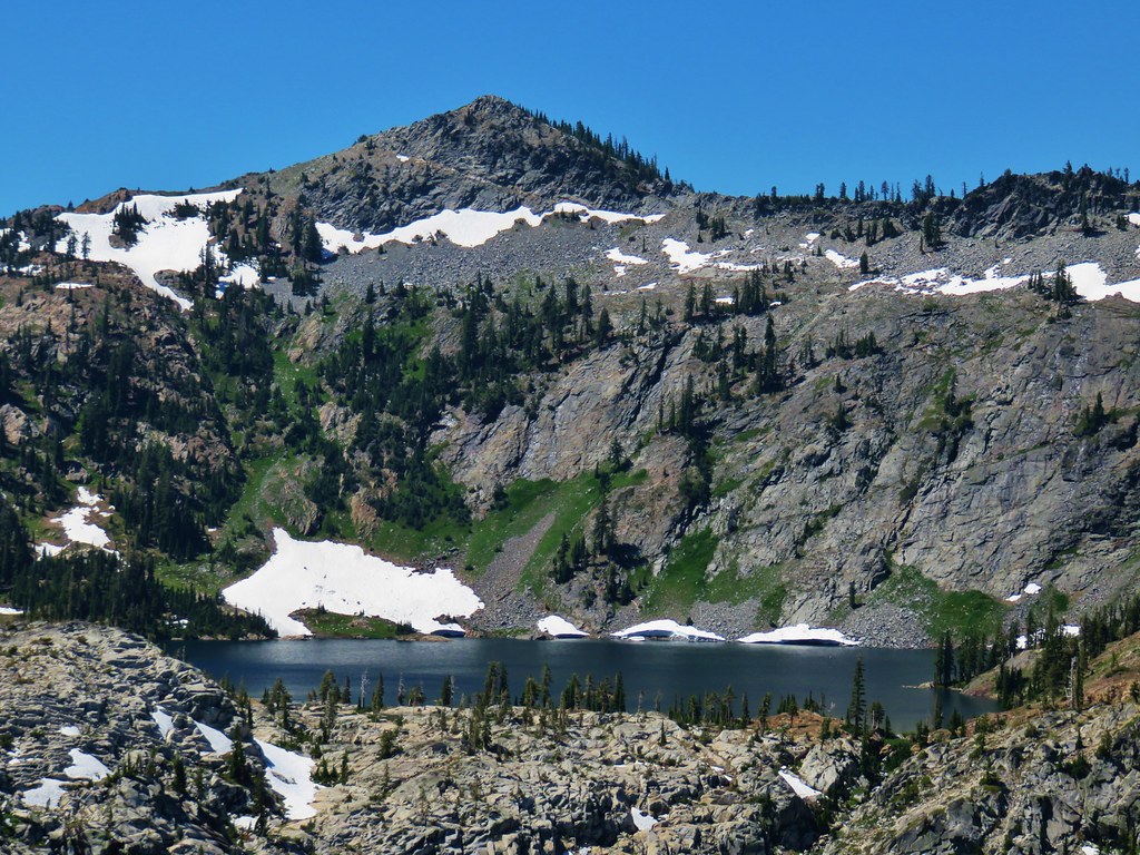
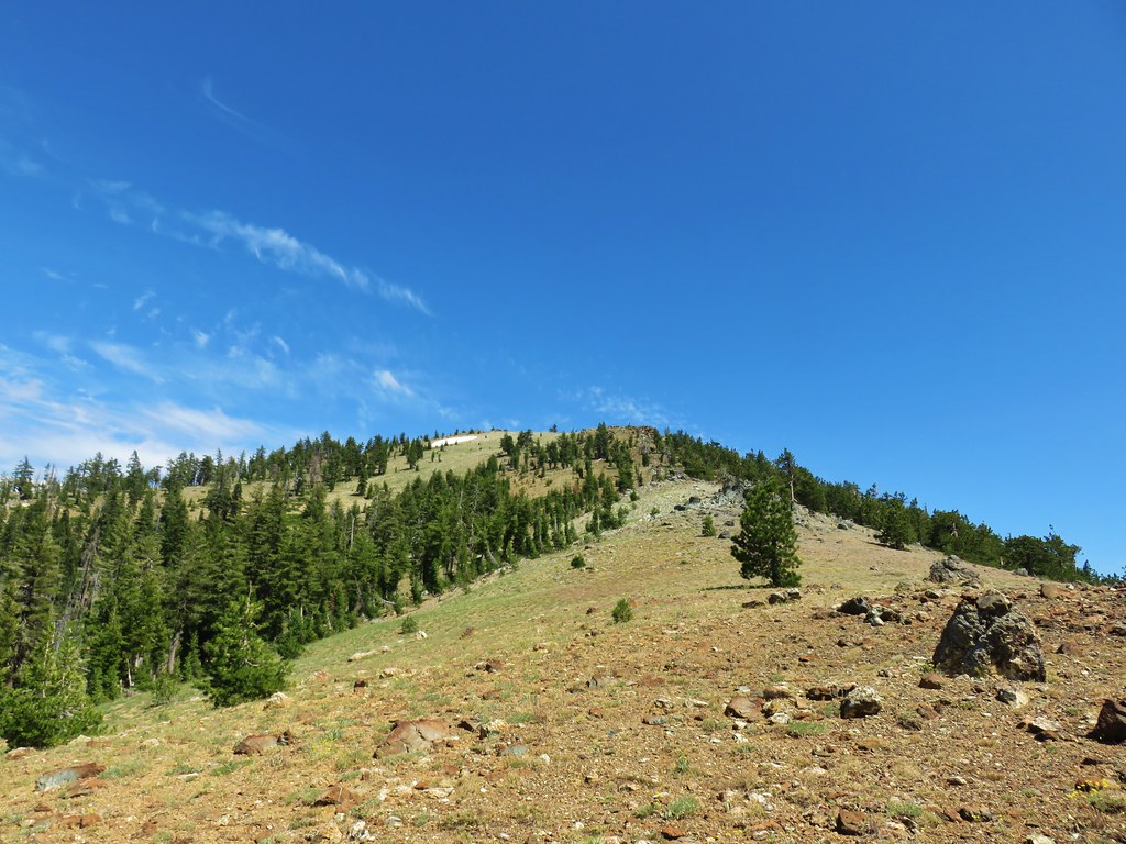
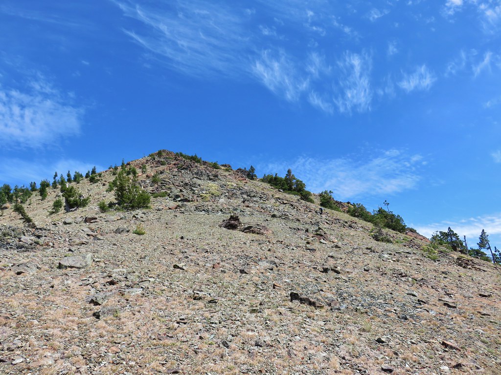 Looking back up at Cory Peak.
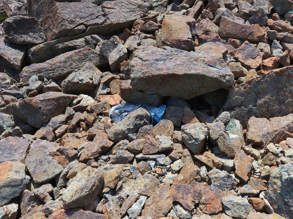 Mylar balloon.
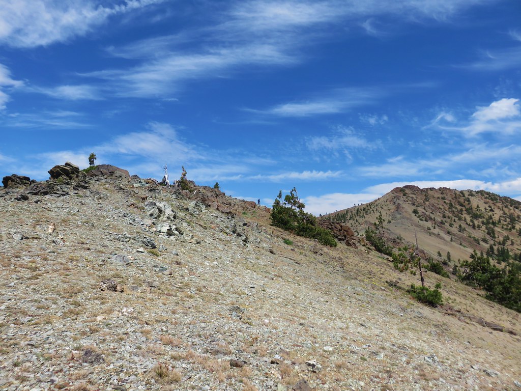 Looking back along the ridge to Cory Peak.
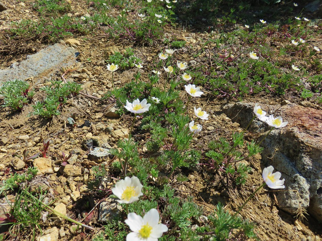
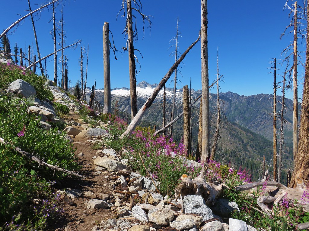
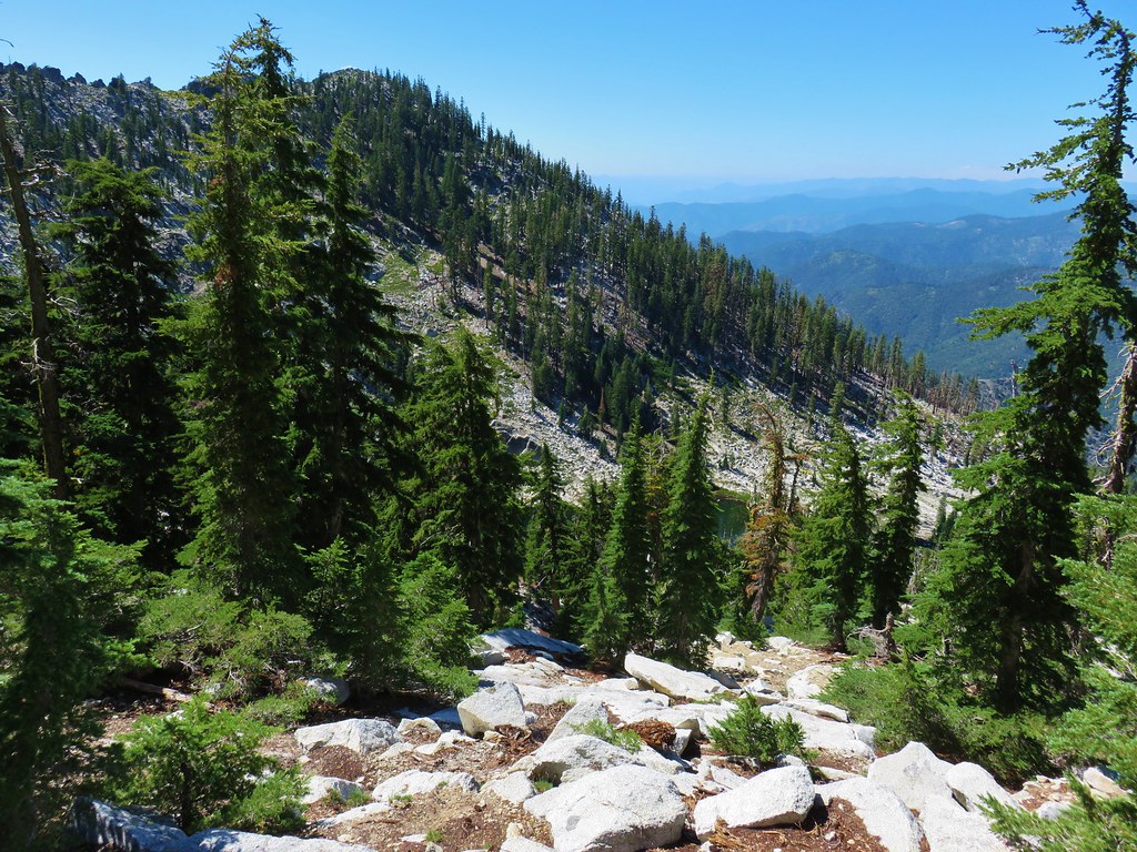
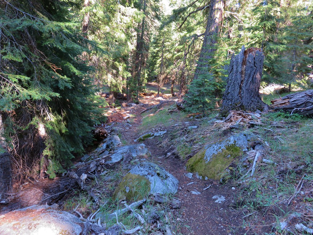
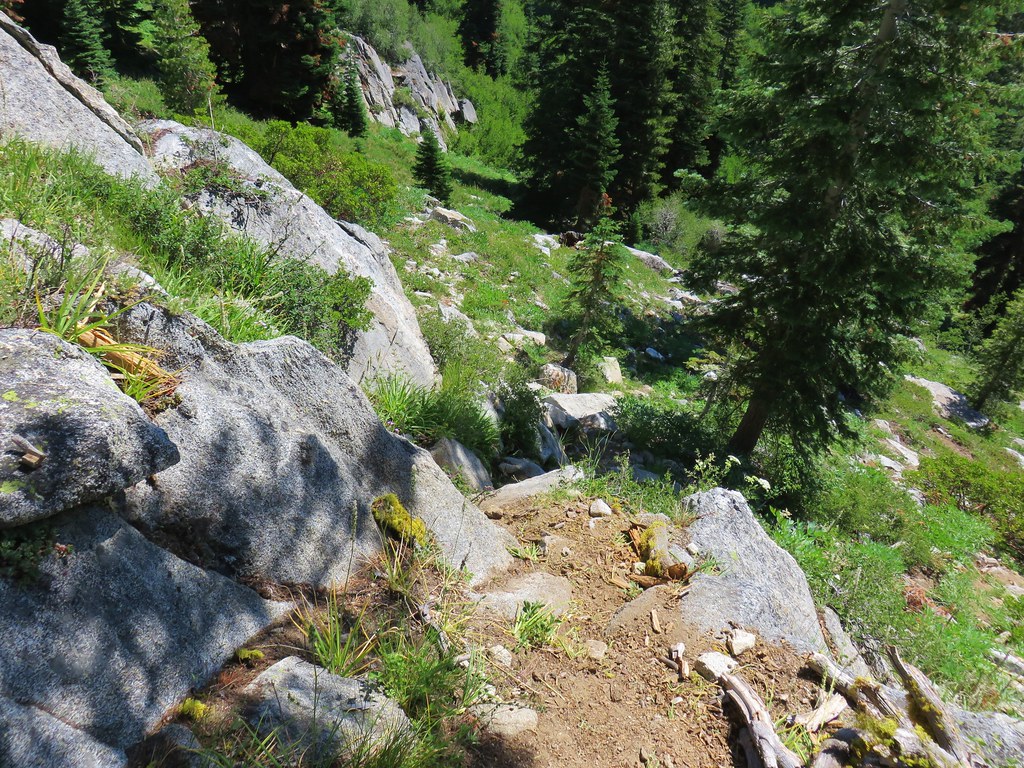
 More of the ridge we descended.
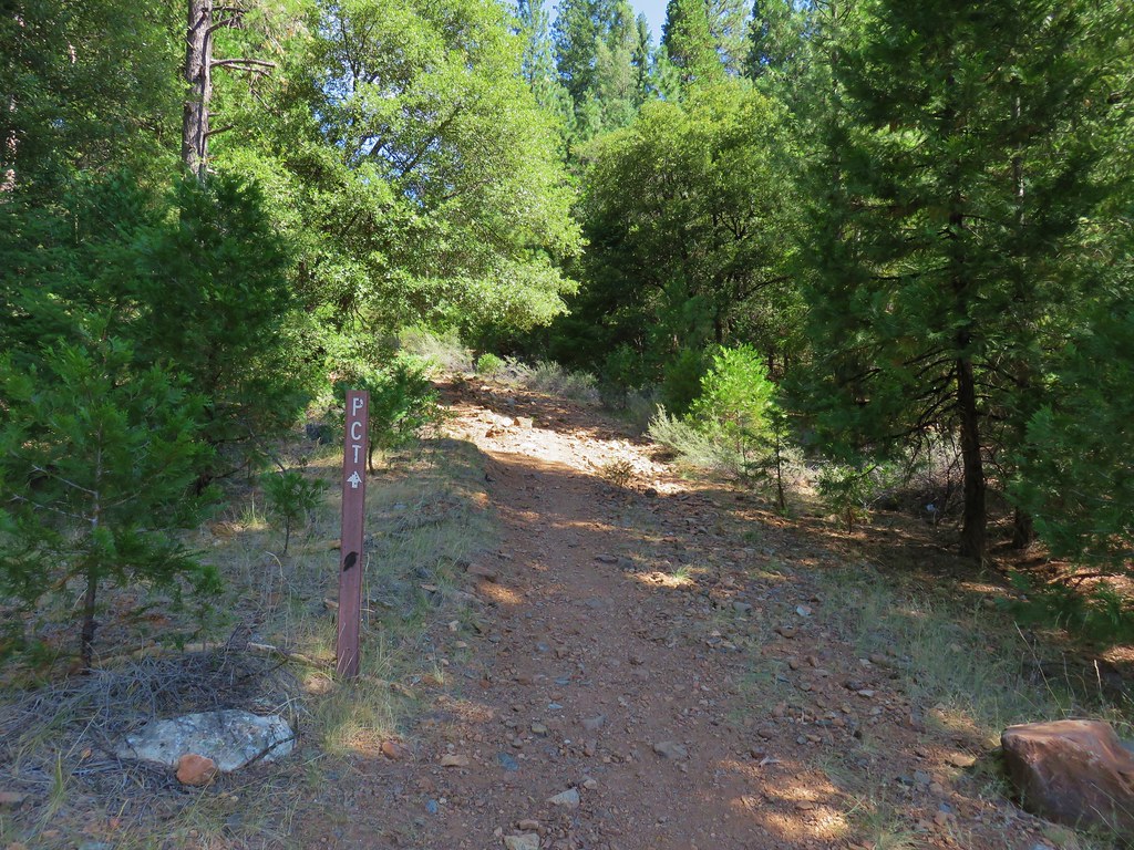
 Final stretch down to the PCT.