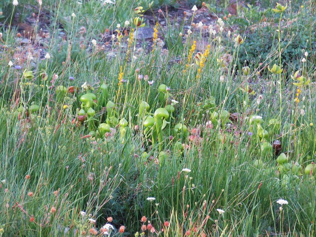
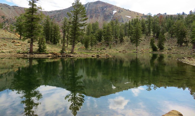
Knowing that trails would be busy over the holiday weekend we looked for an option that might provide some solitude and turned to another Matt Reeder hike at BLM managed Criterion Tract (BLM map). Reeder features this hike in his “PDX Hiking 365” guidebook and lists April as the best time to visit. His reasoning is that April to early May is the usually the peak wildflower blooms. With this years blooms running a couple of weeks late we hoped that Memorial Day weekend wouldn’t be too late. I couldn’t find any information other than the map linked above on the BLM website but in addition to Reeder’s entry there is a route featured in the Oregonhikers.org field guide and Sullivan features a route starting along the Deschutes River in his 2022 “100 Hikes Eastern Oregon” guidebook (not the edition we are using for our quest of his featured hikes).
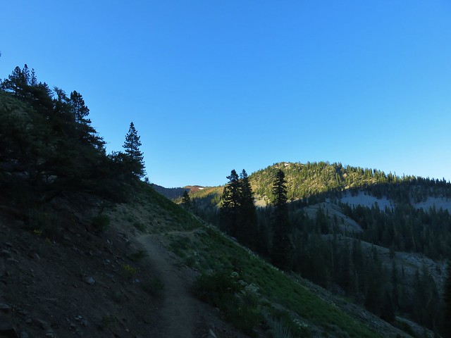
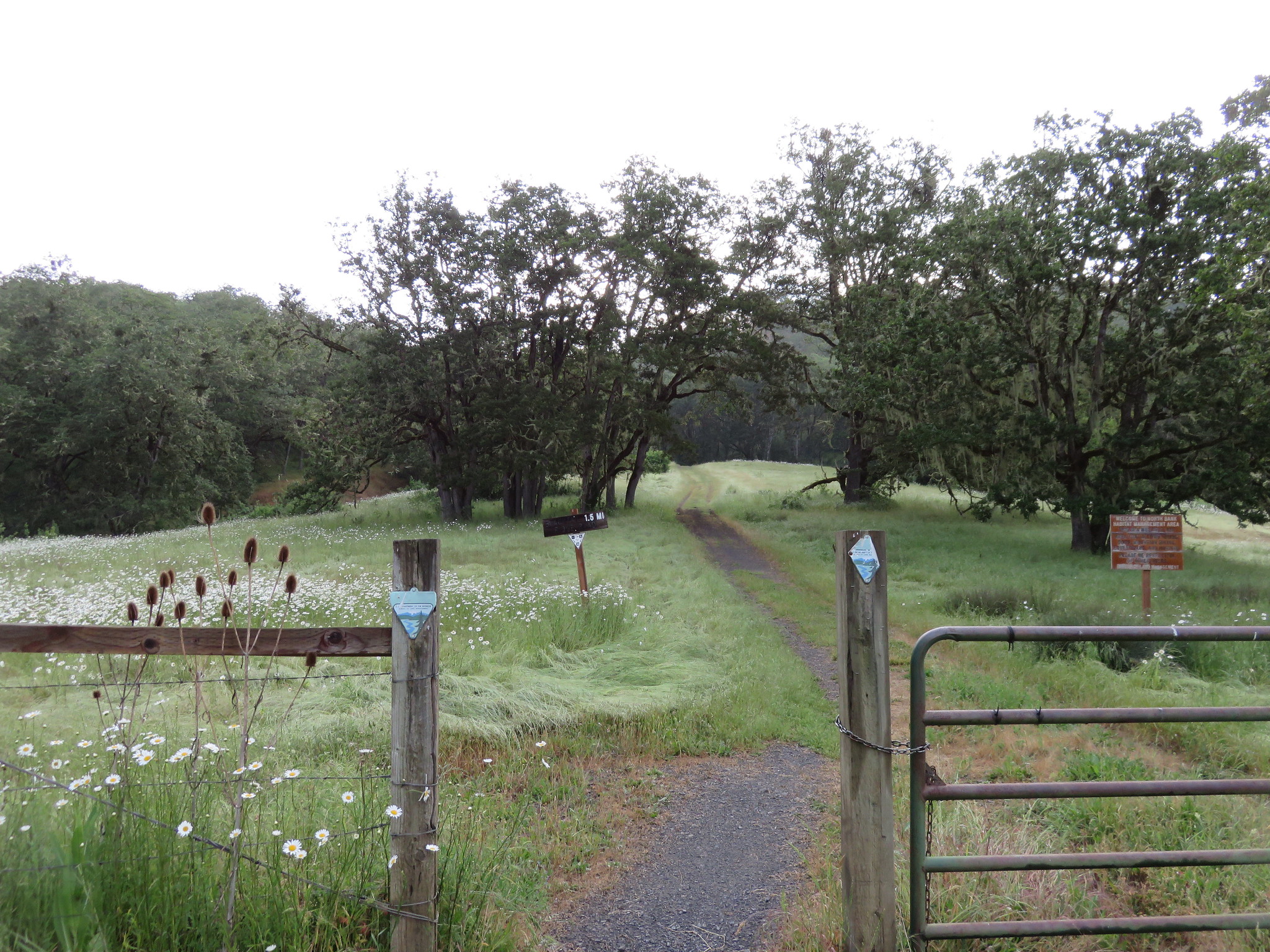
While there are several possible access points we started at the Criterion North Trailhead.

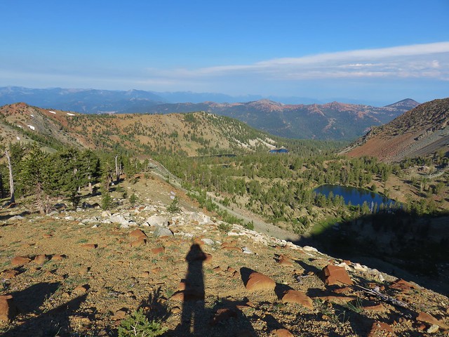
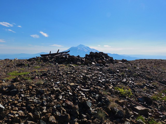
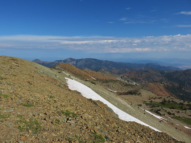
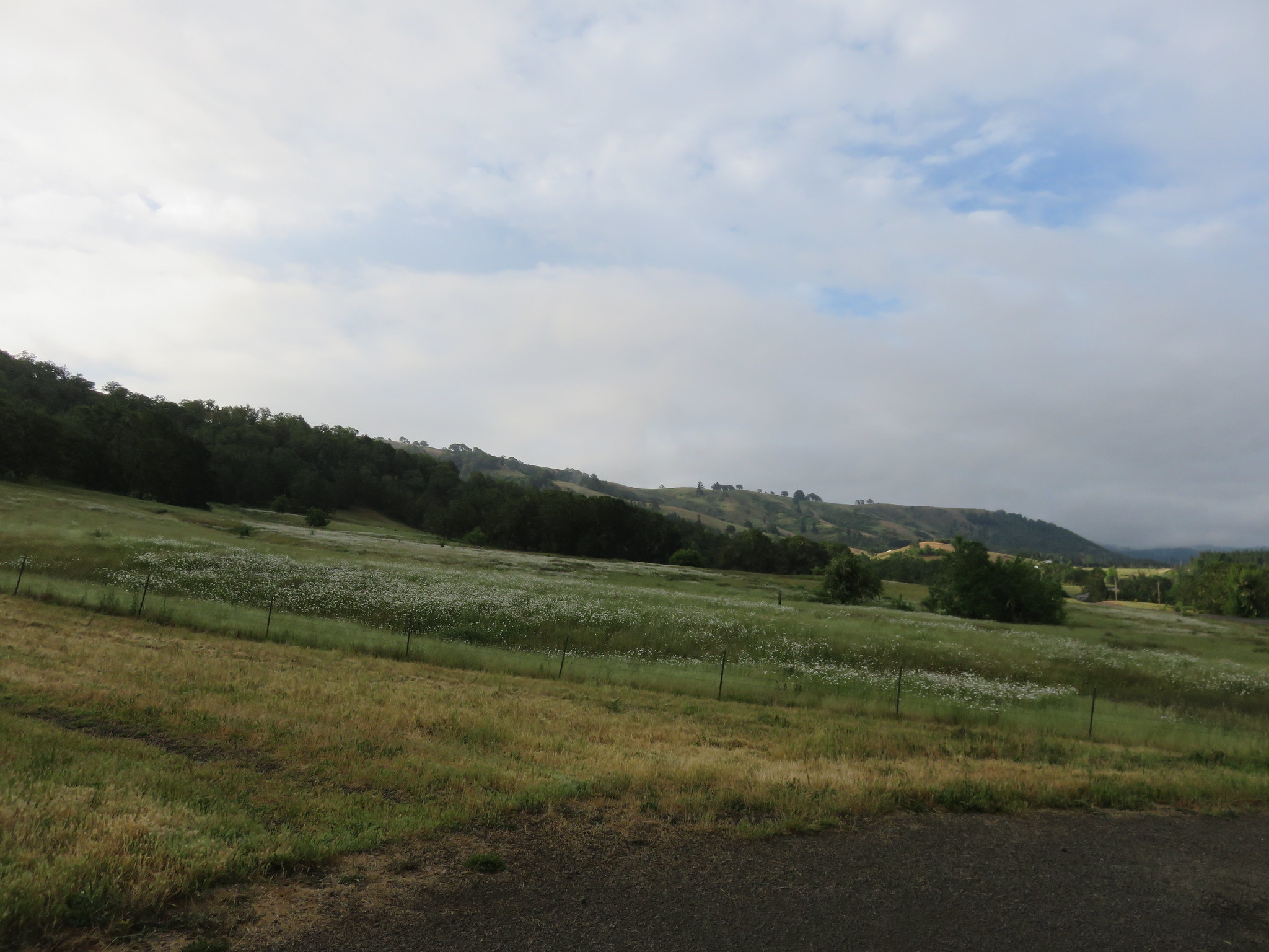
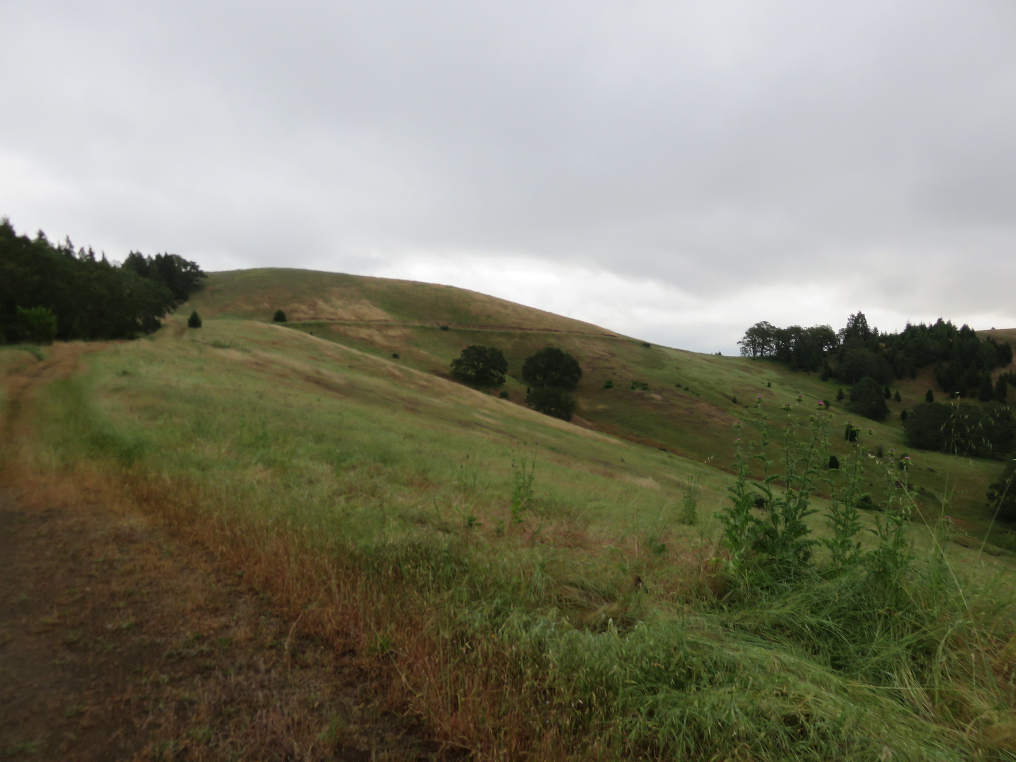
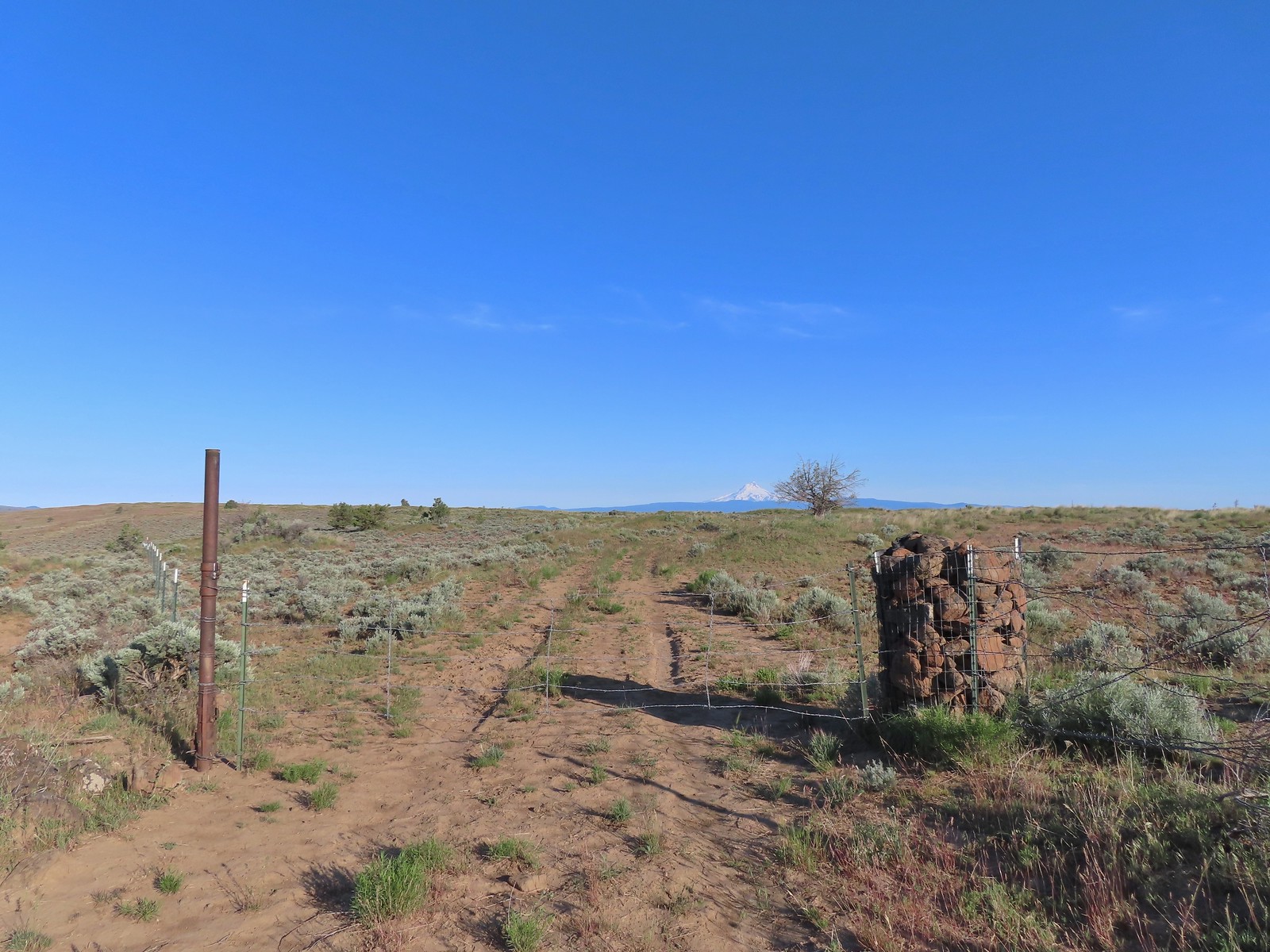
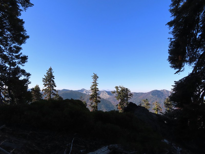
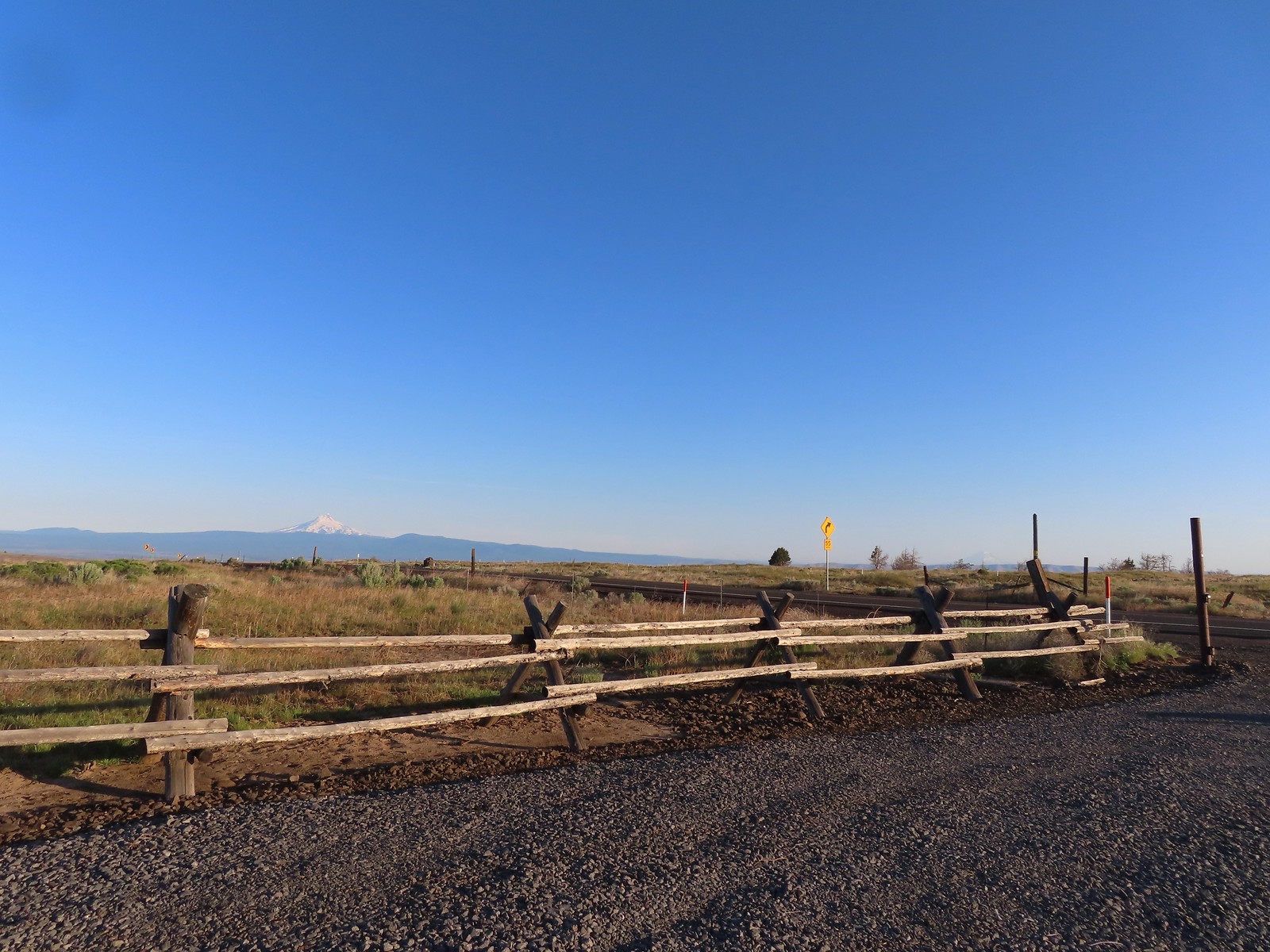 Mt. Hood and Mt. Adams from the trailhead which is the high point of the hike.
 Mt. Hood
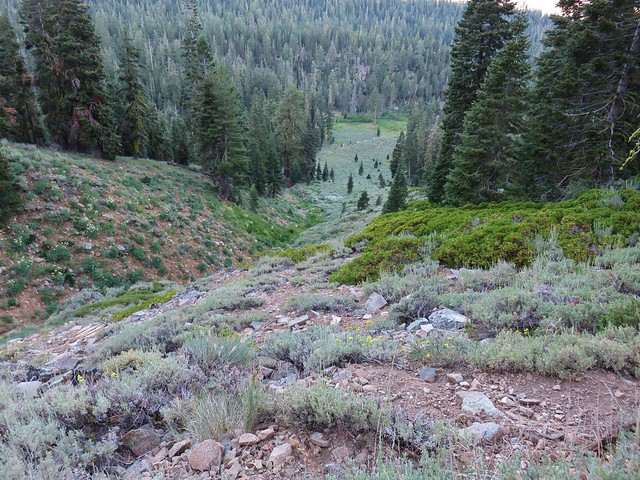
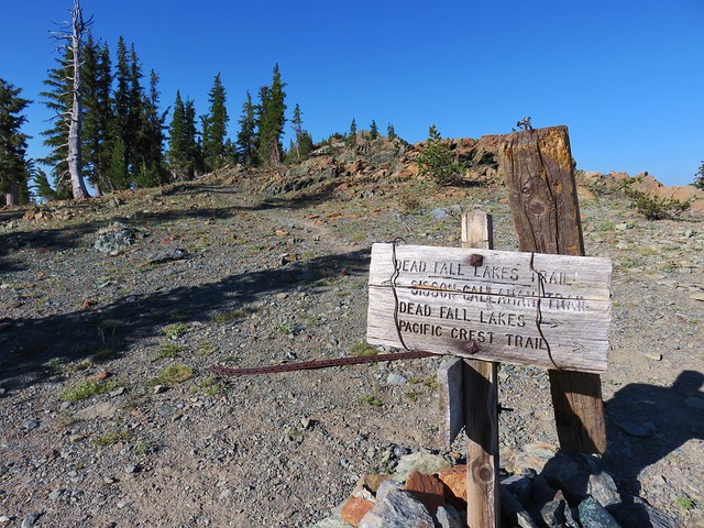
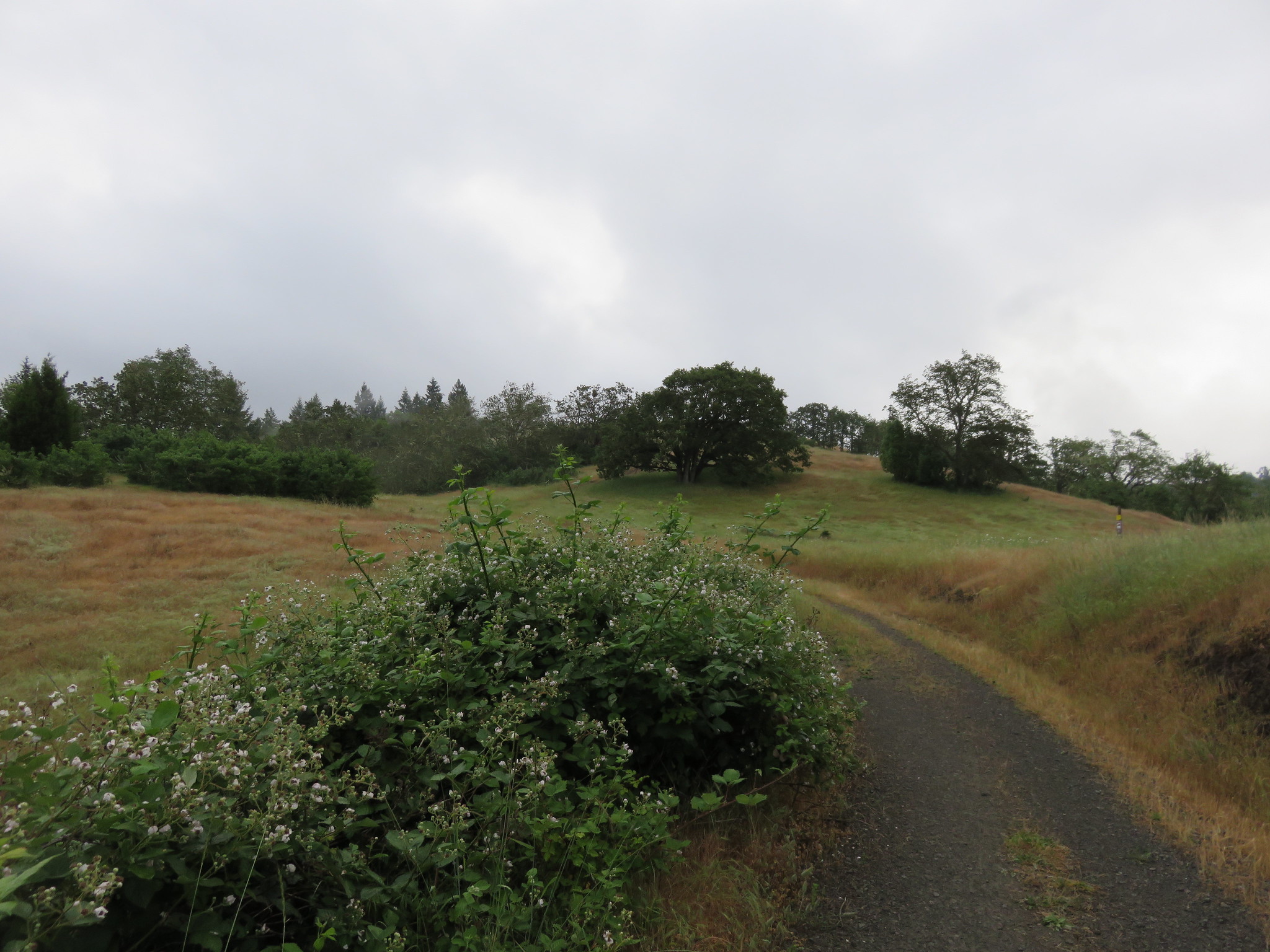
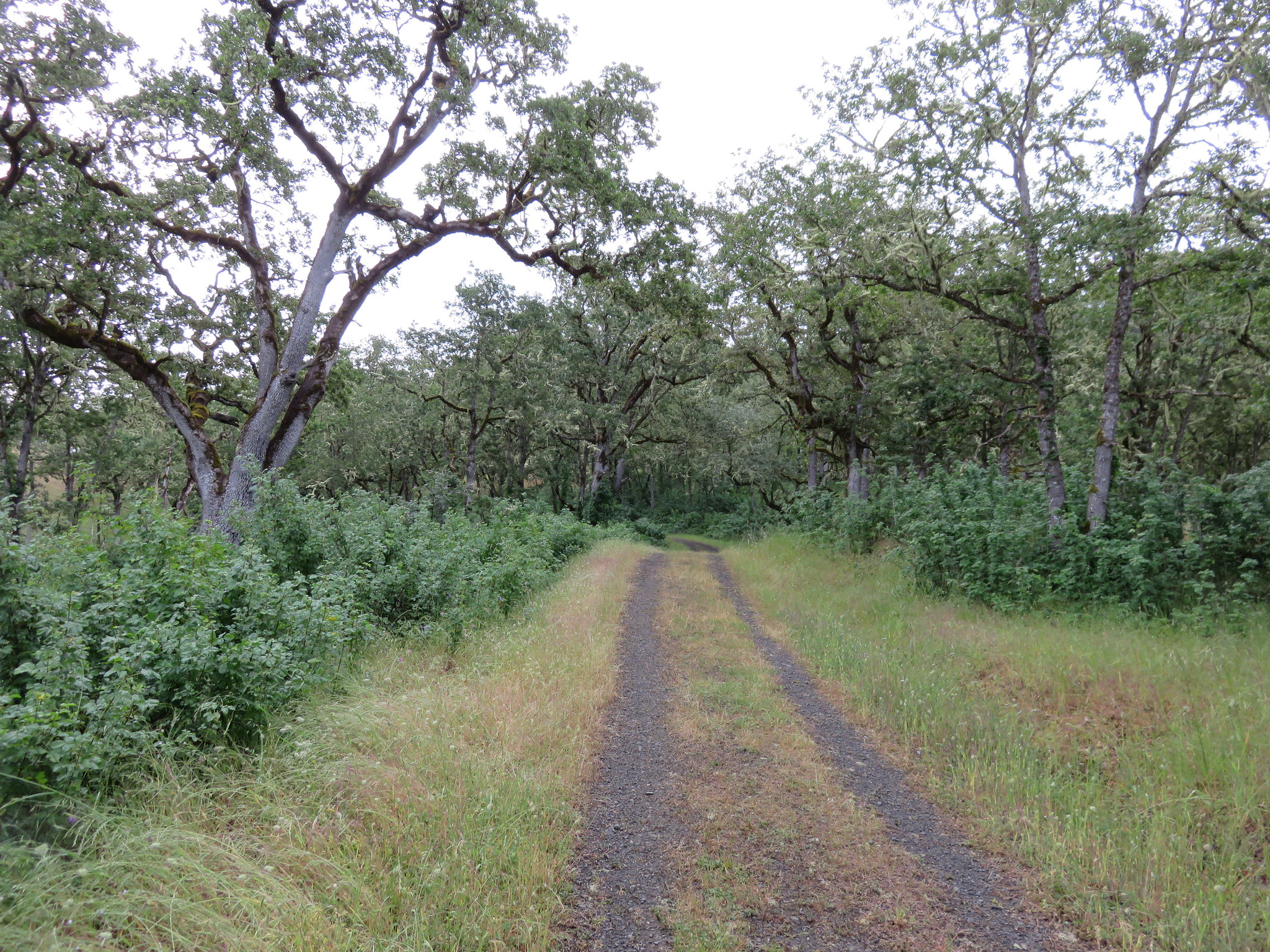
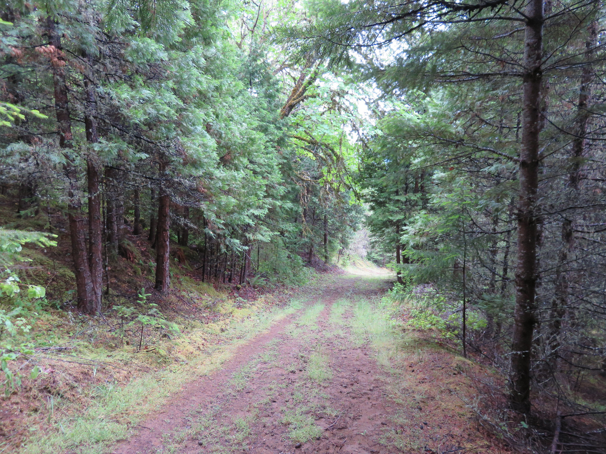
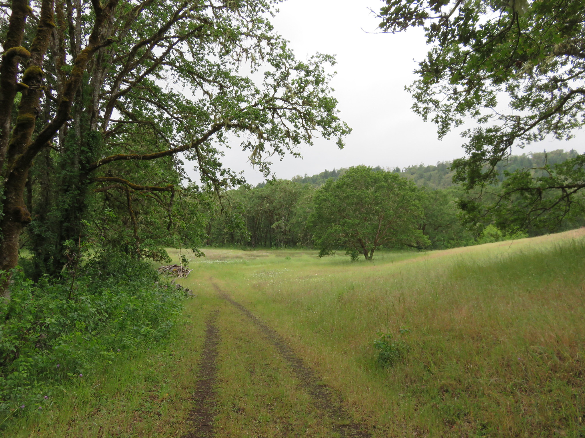
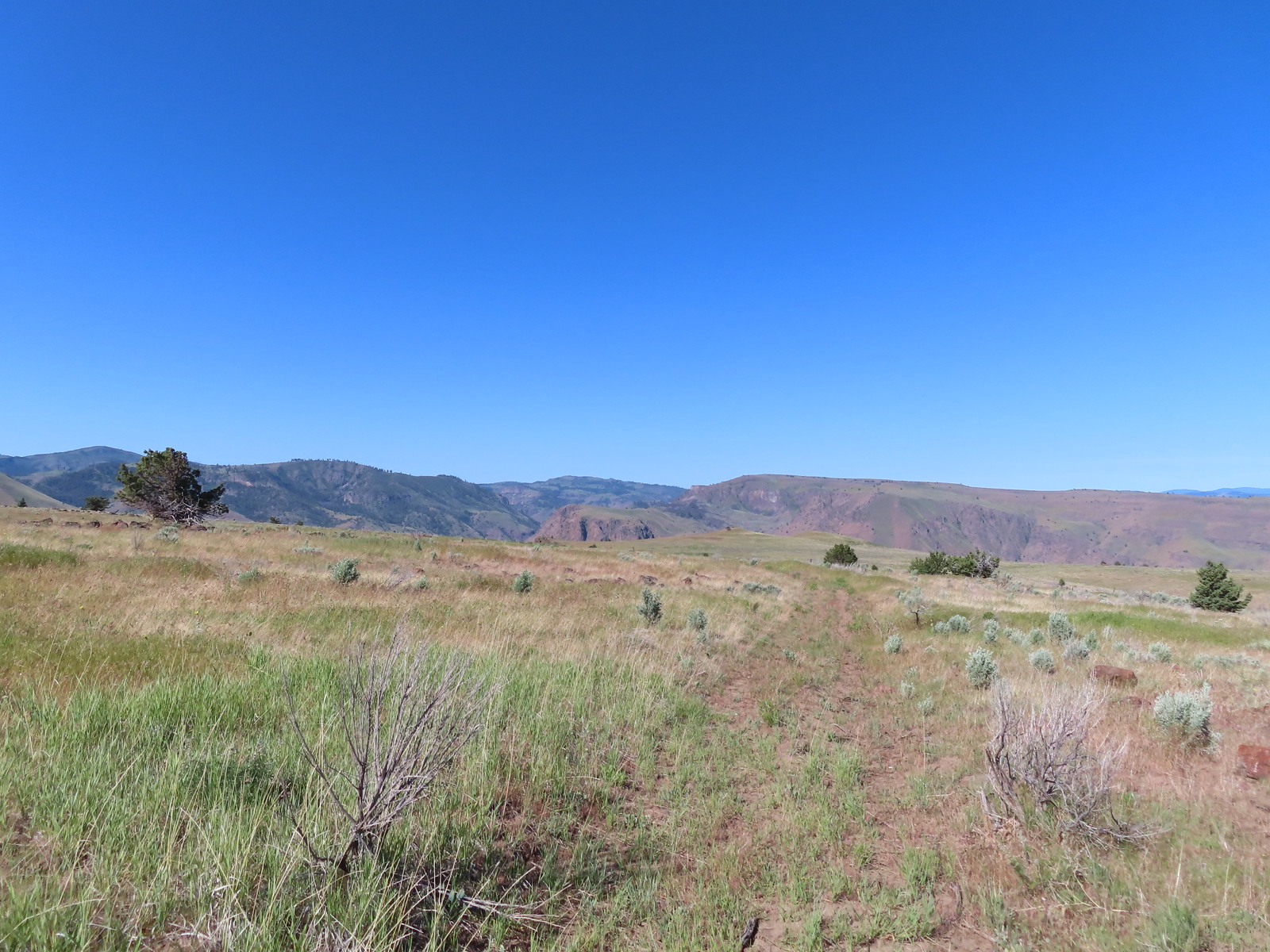
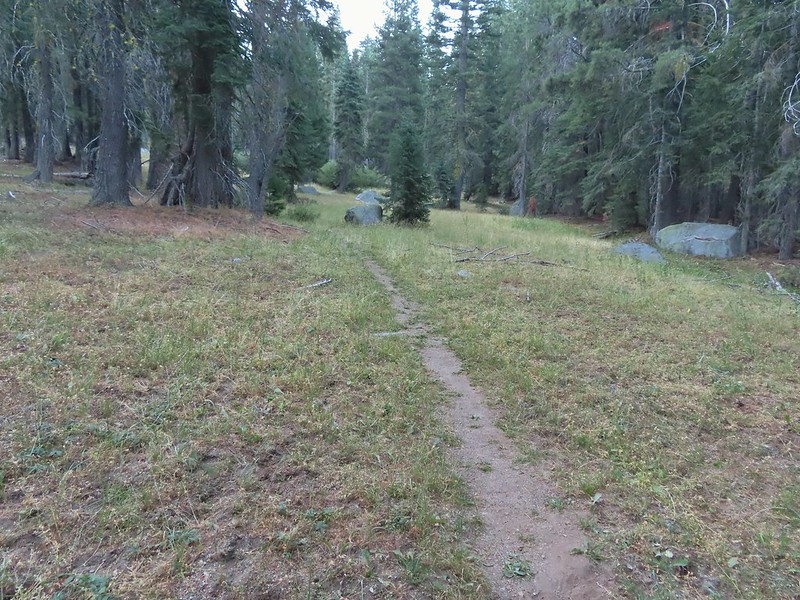
The “trails” here consist of old jeep tracks that are closed to motorized use (other than BLM administrators) and not maintained so some have become faint. We passed through a green gate and onto what the Oregonhikers.org map shows as Criterion Crest Road.
 Cattle sometimes graze in the area and the combination of their hooves with the unmaintained roads makes for some pretty rough surfaces.
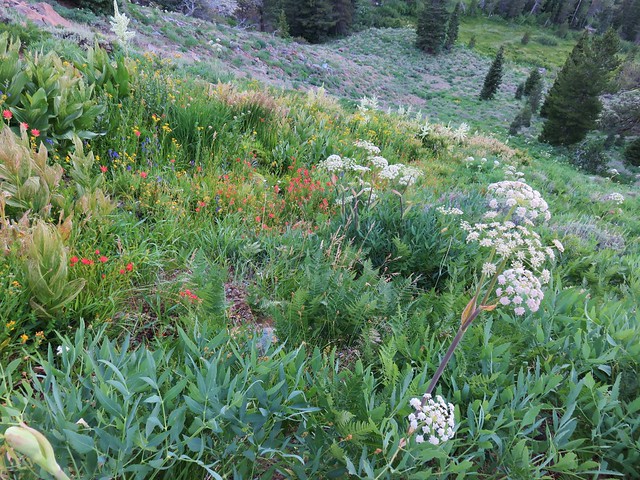
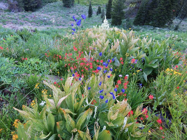
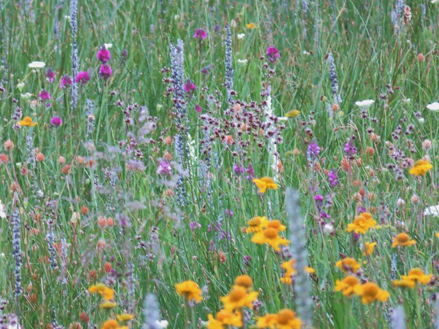
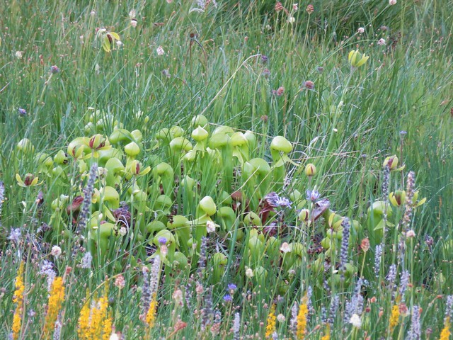
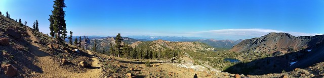
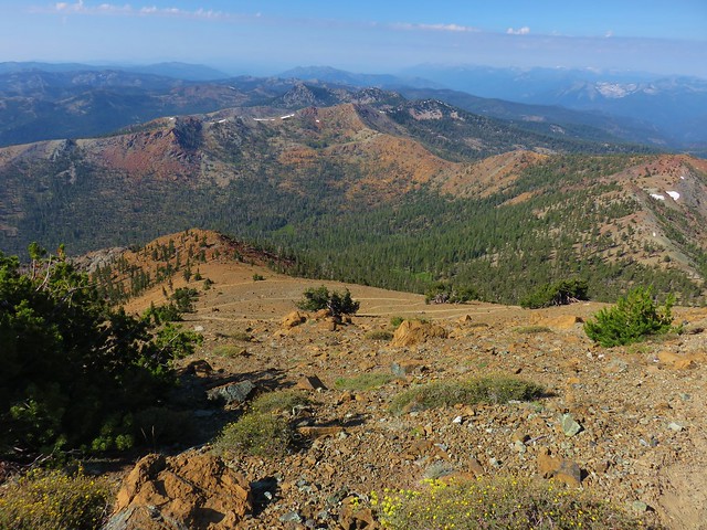
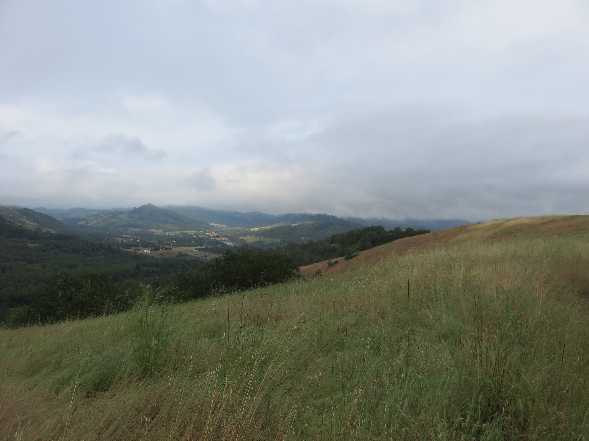
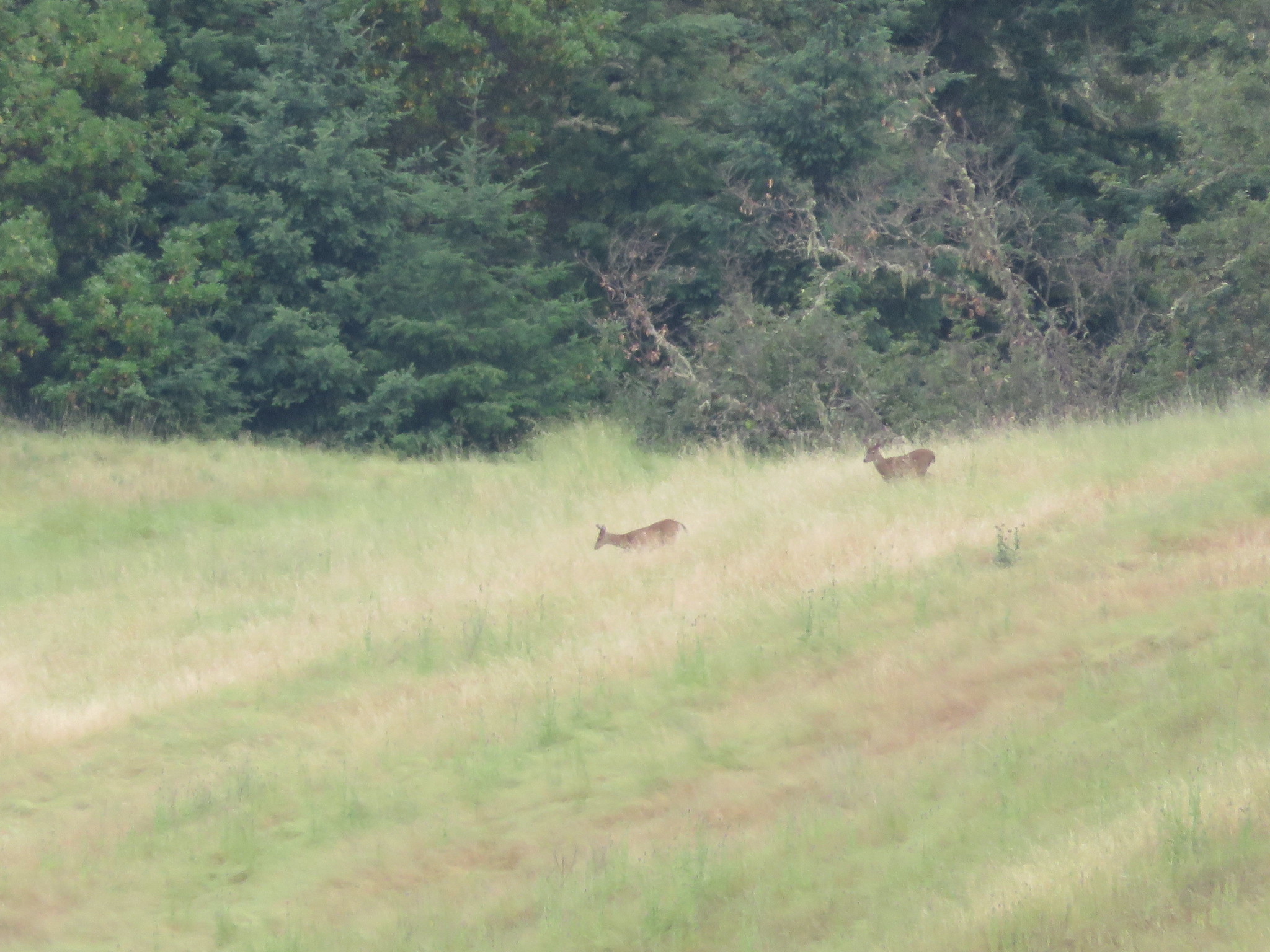
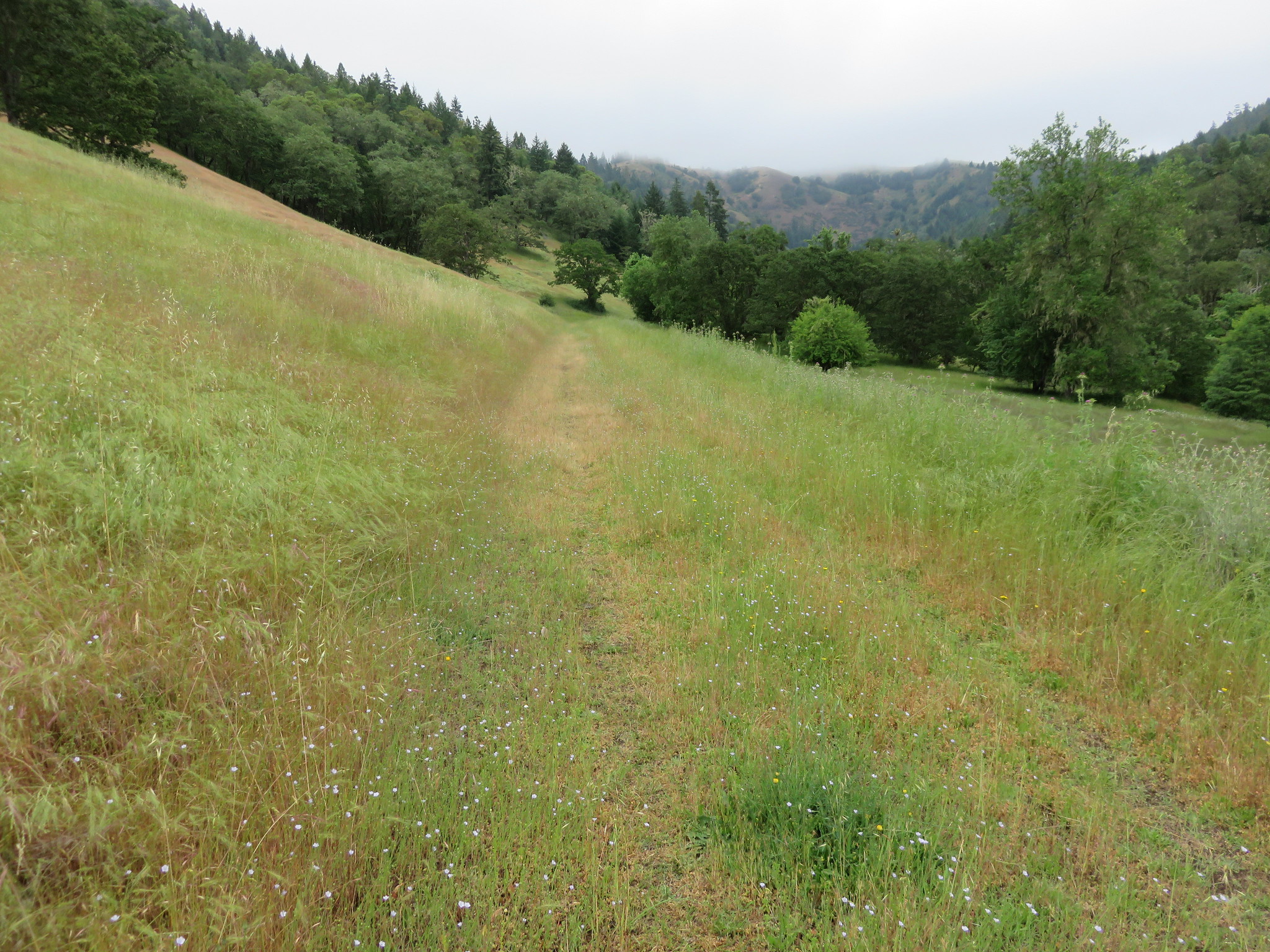
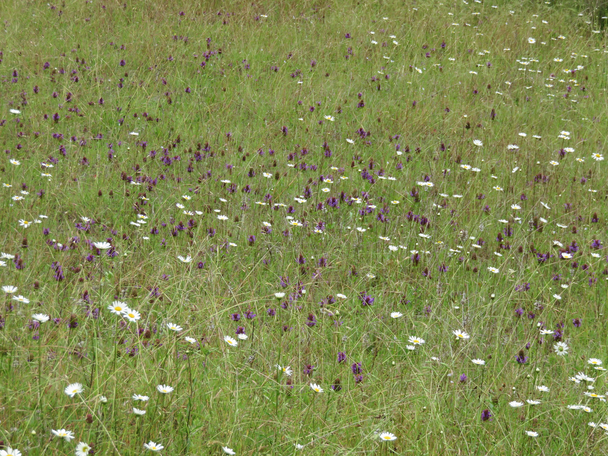
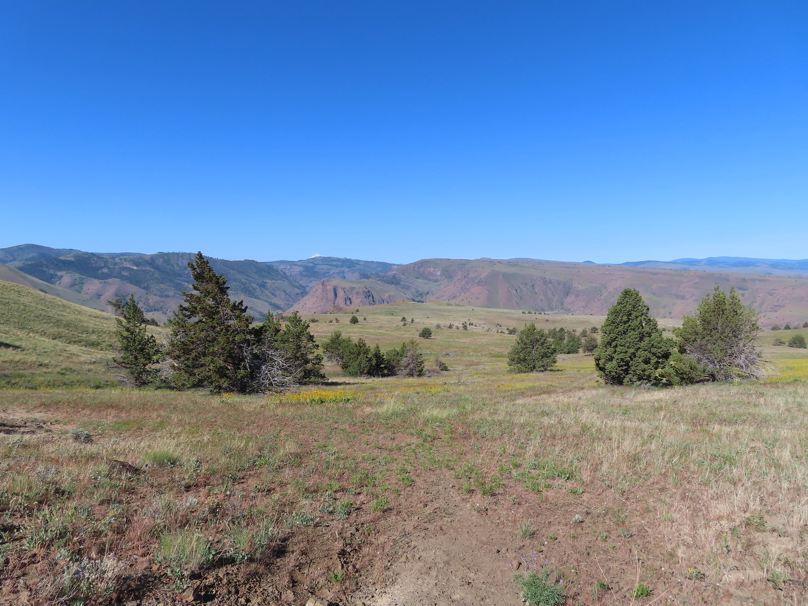
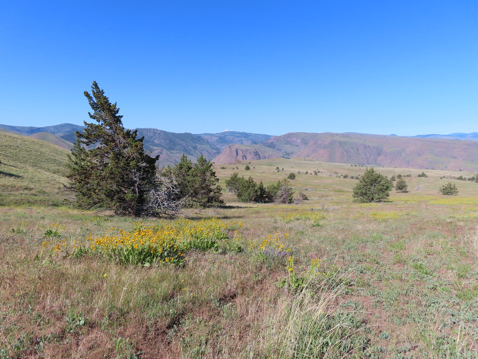
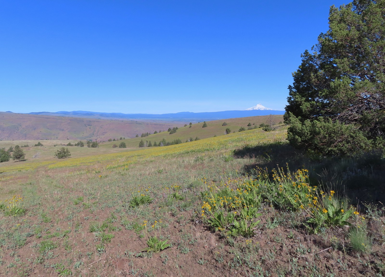
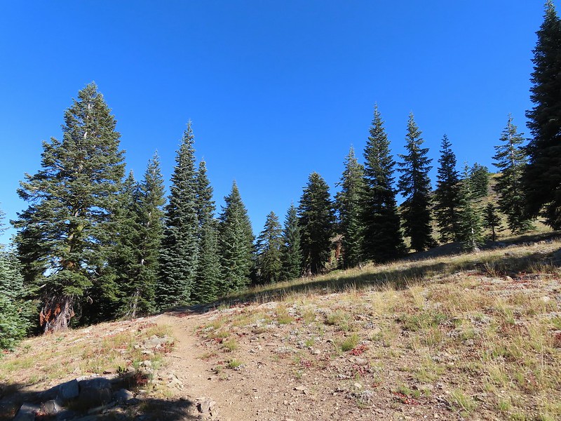
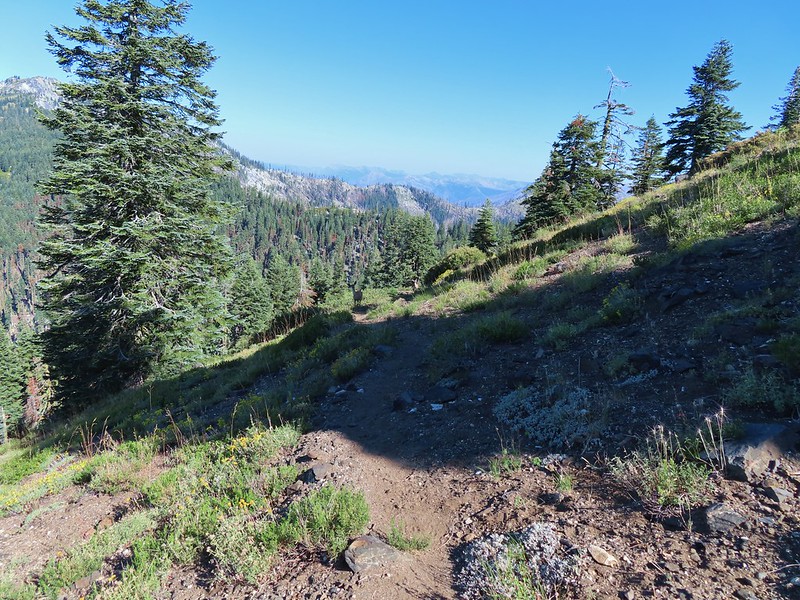
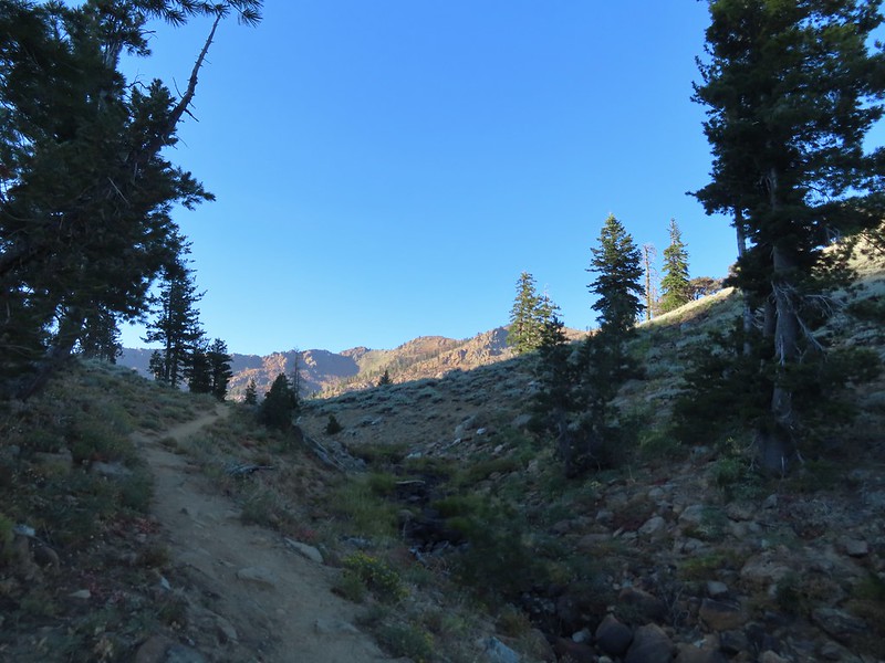
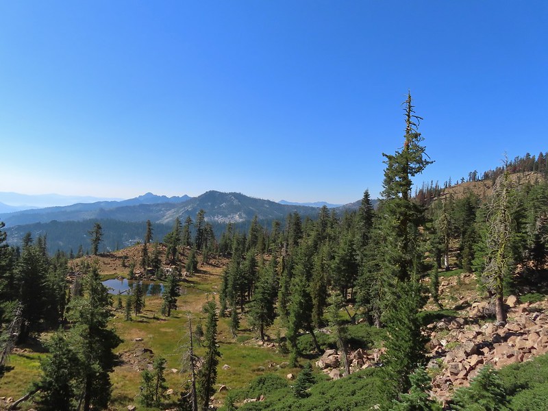
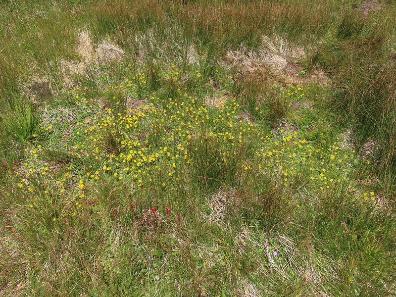
Reeder has you follow this road for nearly four miles before turning downhill through a gate at a faint 4-way junction. He doesn’t mention any other markers along the way but the road passes under a set of power lines, followed by another gate, then the power lines again, a third gate, and passes an abandoned trailer before reaching the 4-way junction. Mountain views stretched from Mt. Bachelor to the South to Mt. Adams in Washington to the North. We saw plenty of wildflowers and a lot of birds as well as deer and elk sign, but we didn’t see any hooved mammals (including cows thankfully).
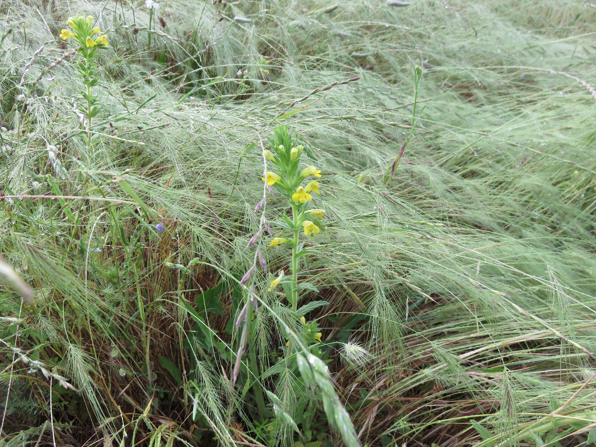
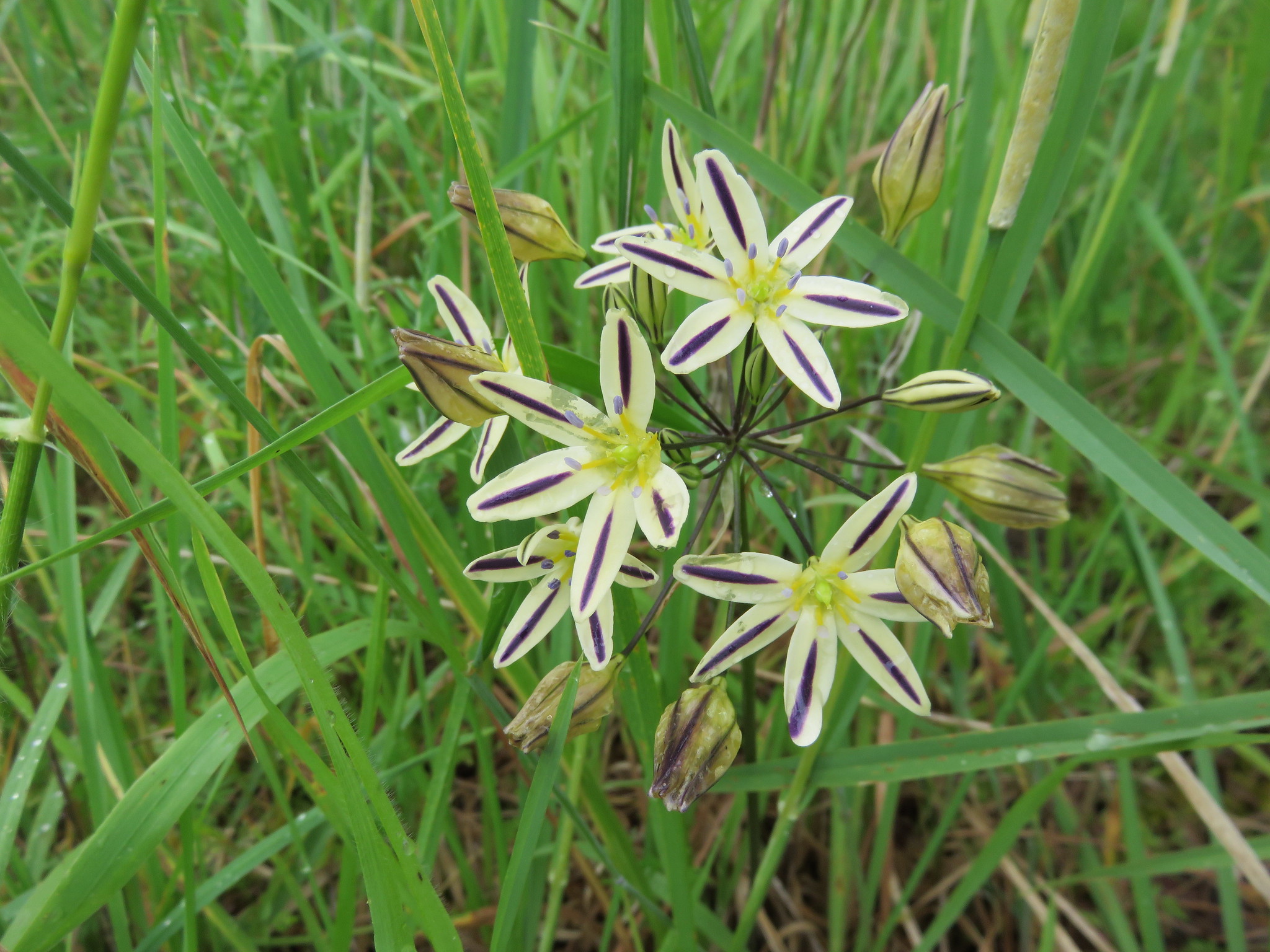
 Rough-eyelashweed. There was a lot of this blooming along the road.
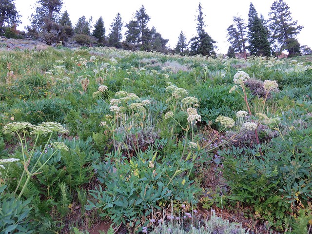
 A couple of lomatiums.
 Howell’s milkvetch
 Idaho milkvetch
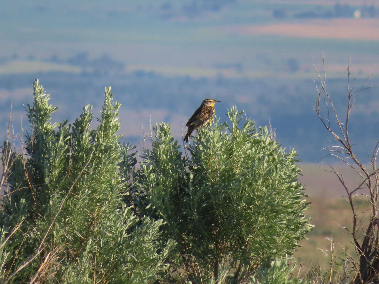 Western meadowlark
 A buckwheat
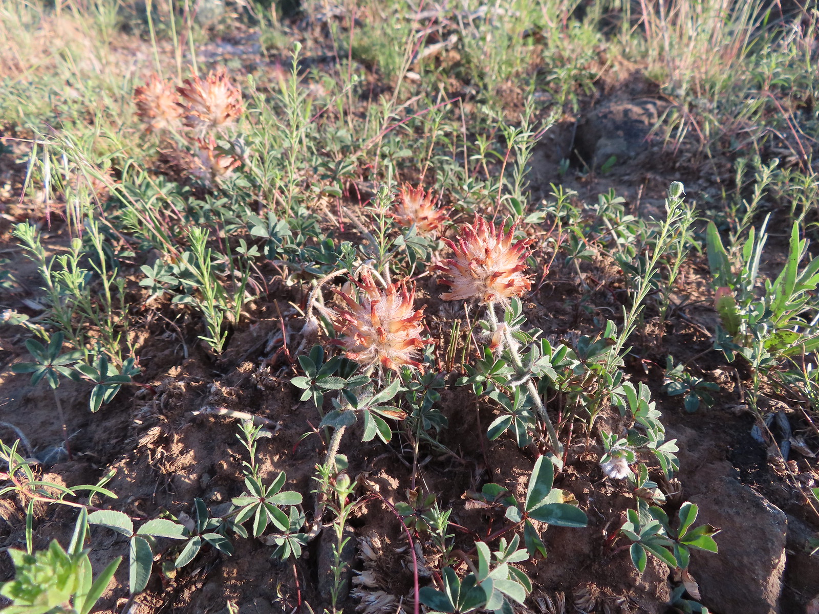
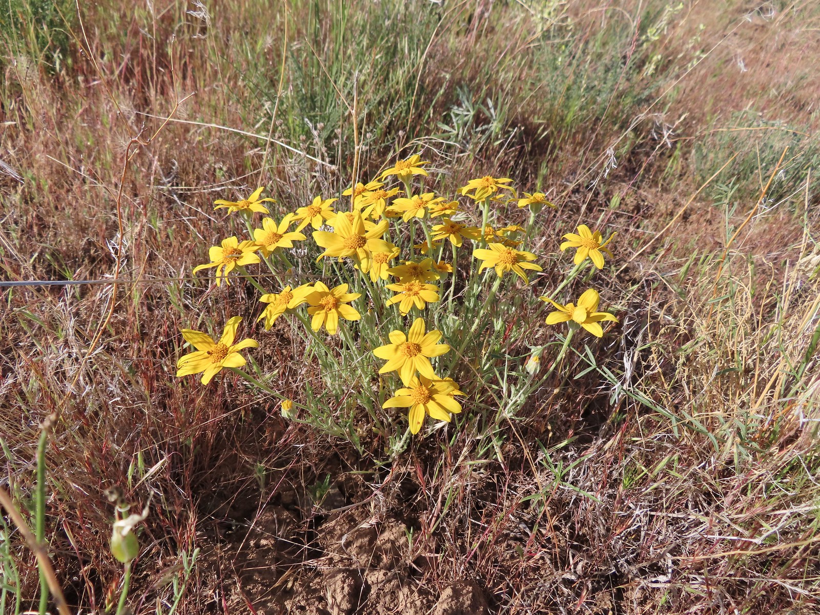
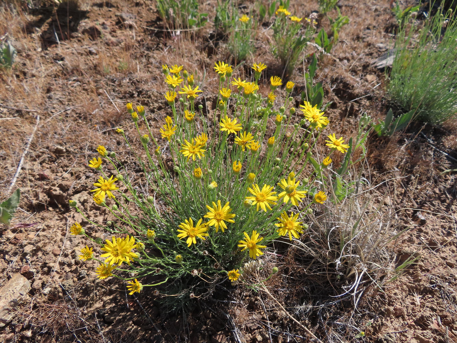
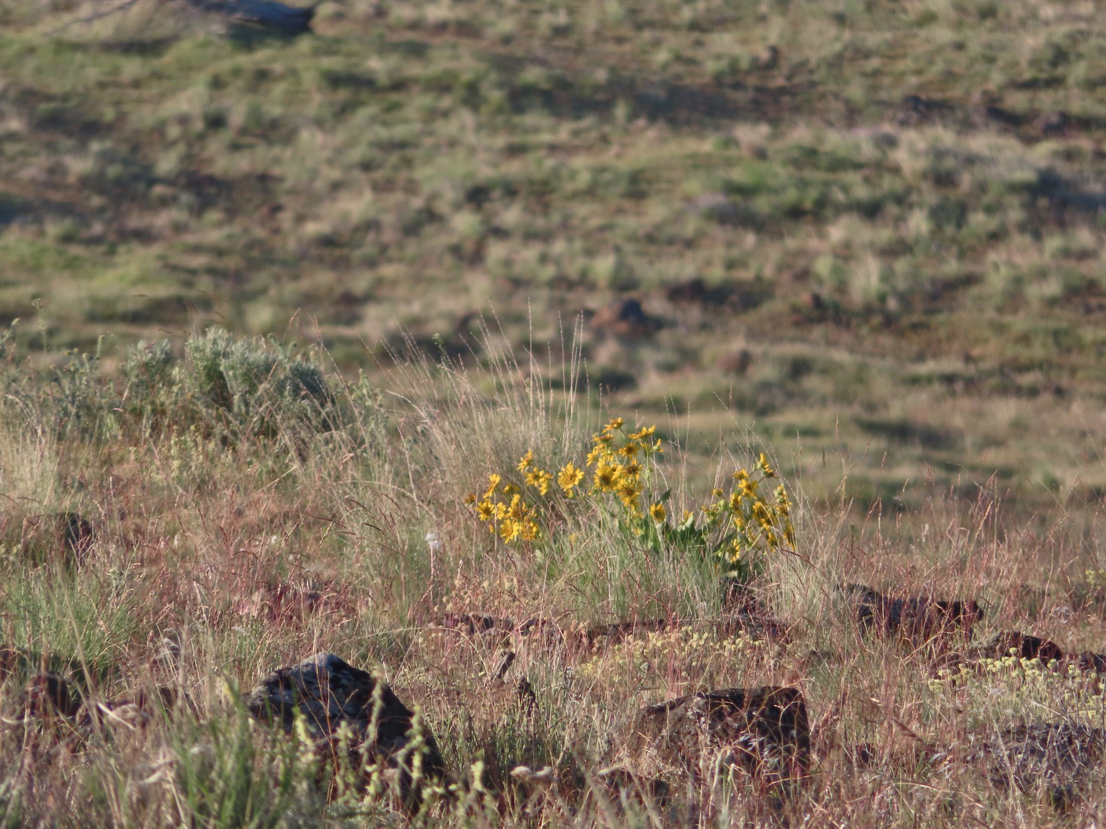 Carey’s balsamroot
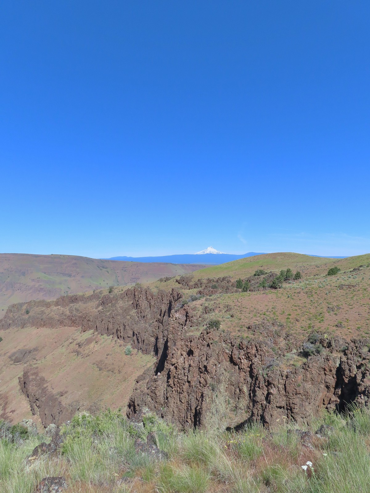
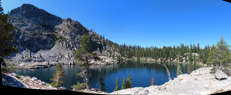
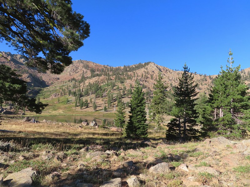
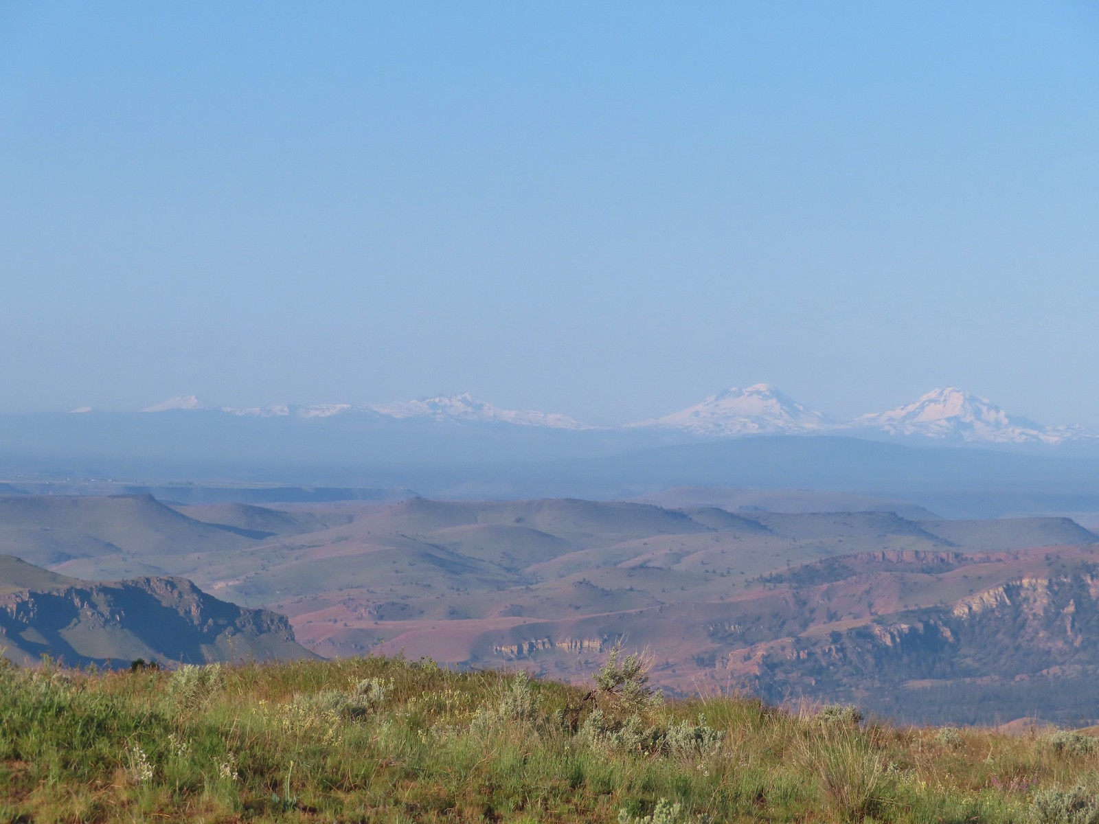 Mt. Bachelor, Broken Top and the Three Sisters
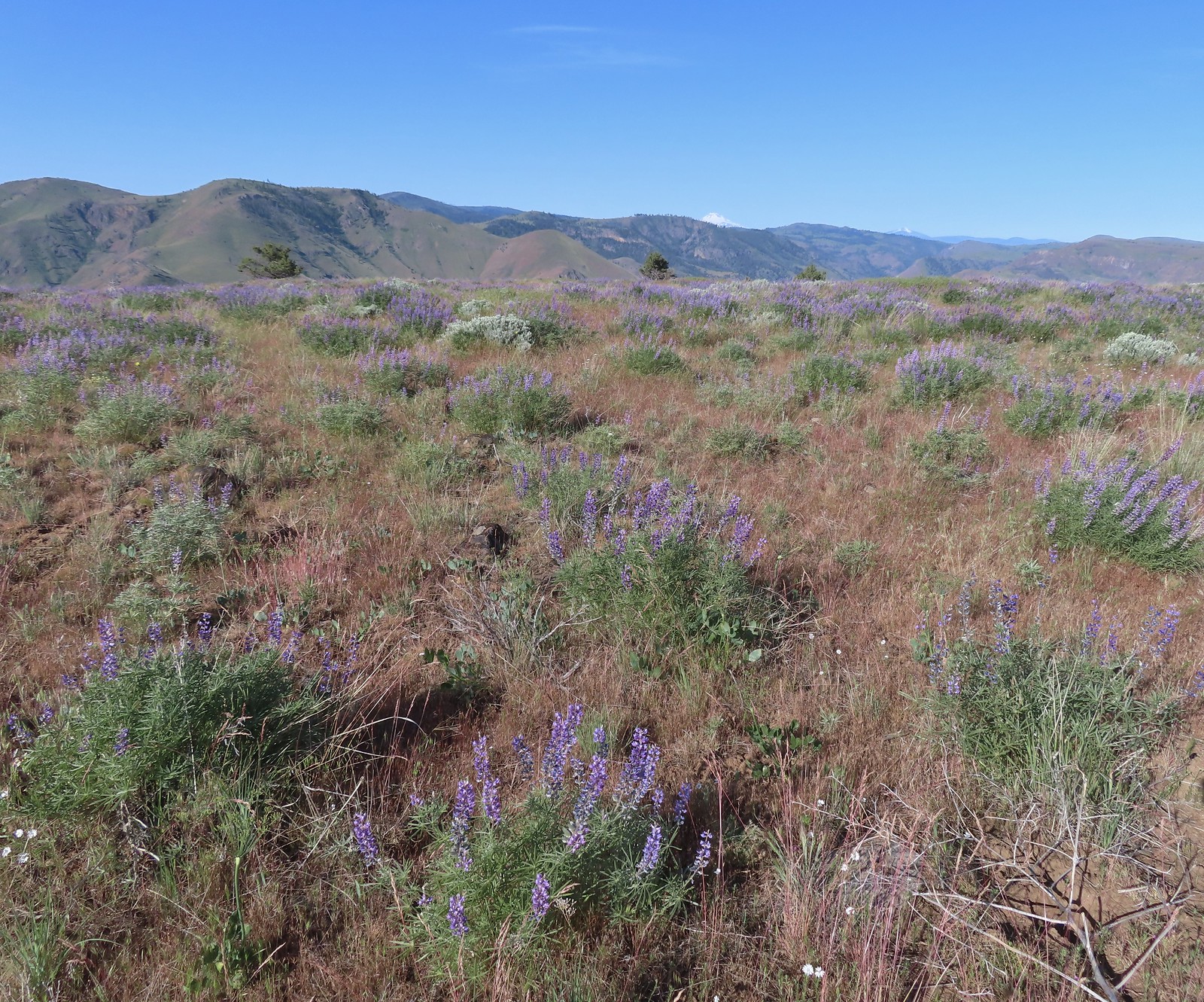
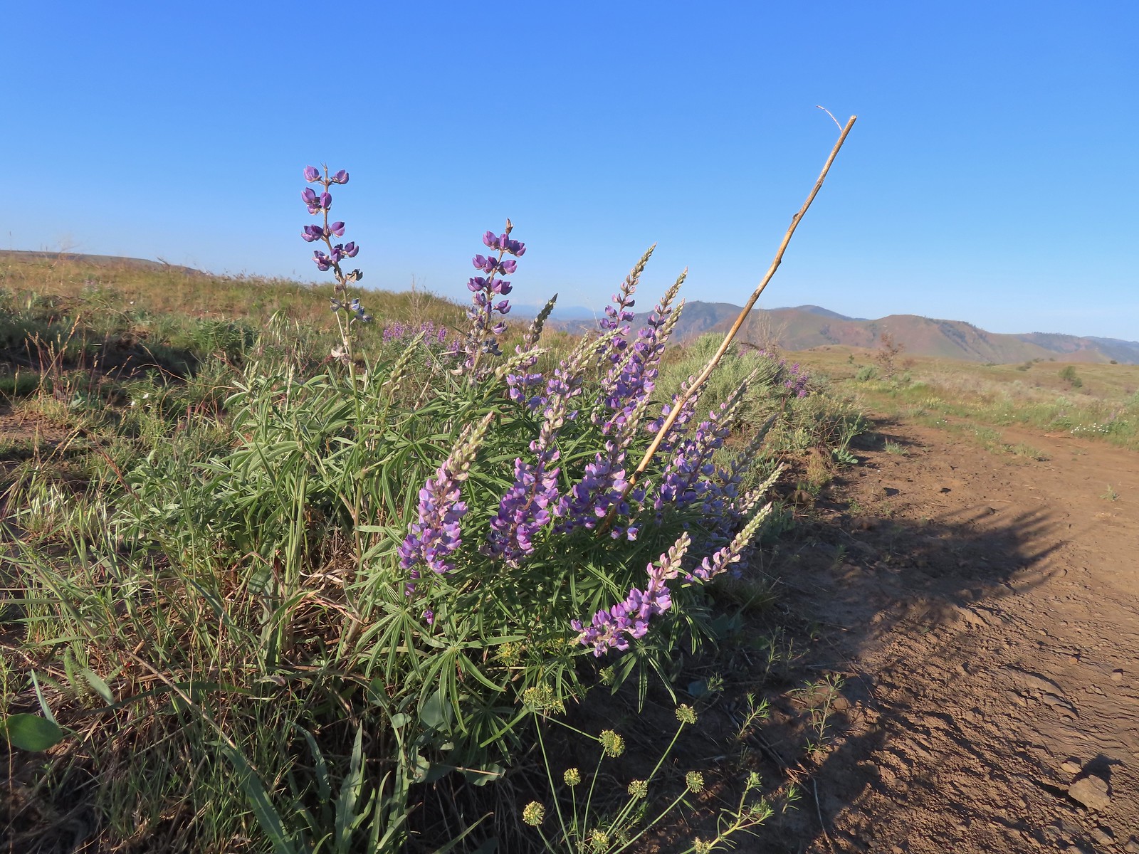 Lupine
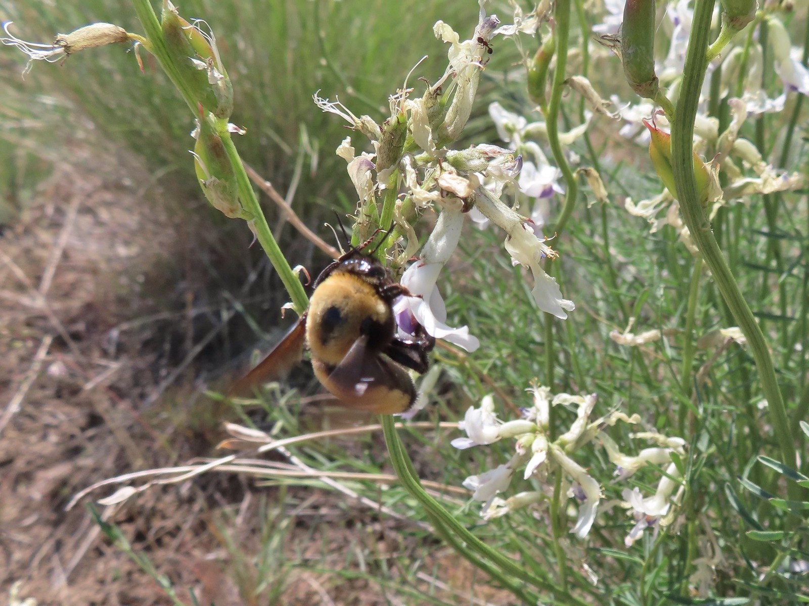
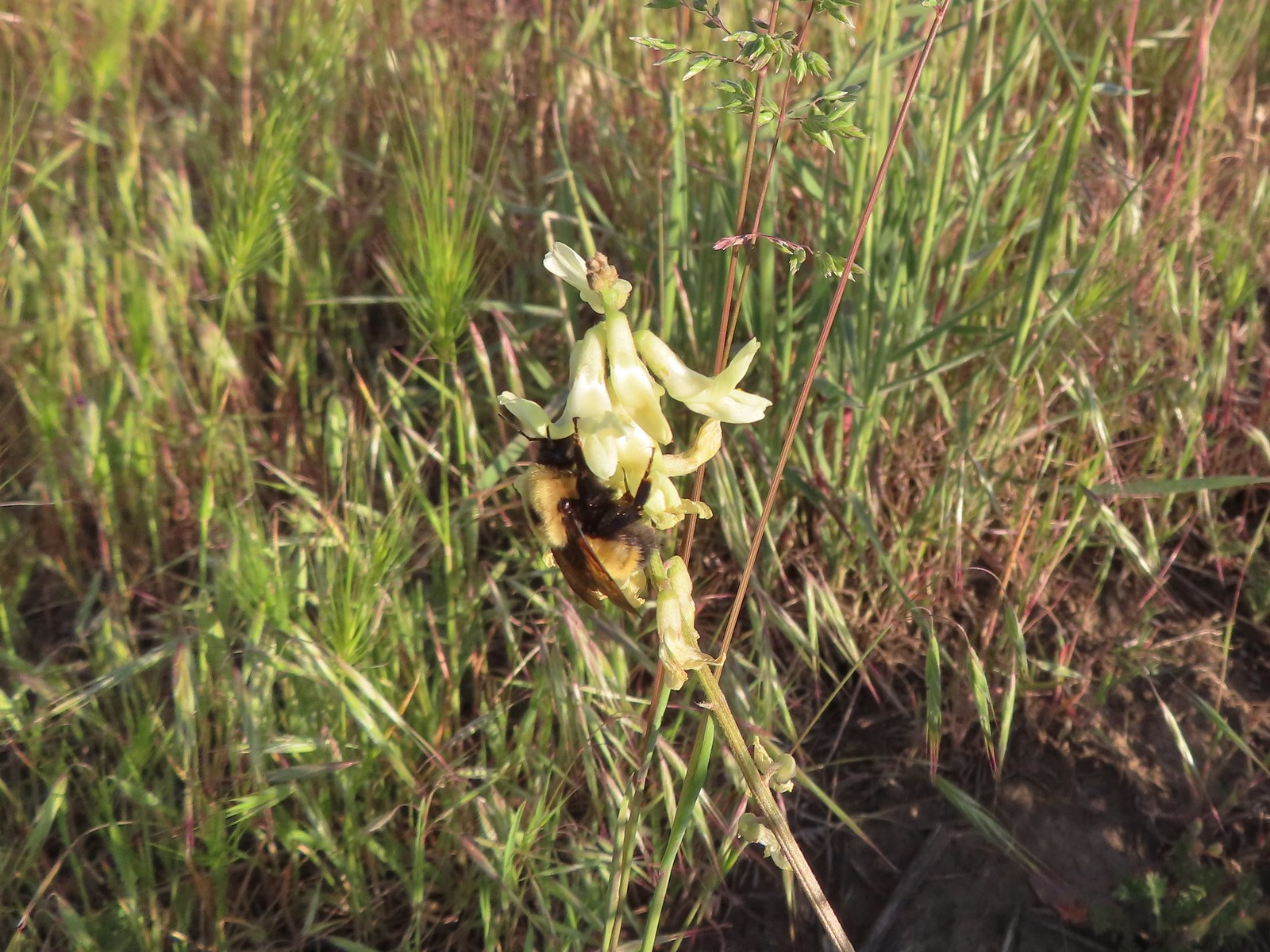 Bumble bee on Howell’s milkvetch
 Lark sparrow
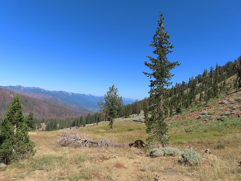
 We spent a lot of time heading toward Mt. Hood.
 Sparrow?
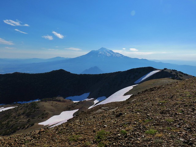
 Mt. Adams
 Mt. Hood
 We were a little too late for the large-head clover.
 Western meadowlark giving a performance.
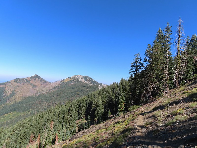
 The third gate with Mt. Hood in the distance.
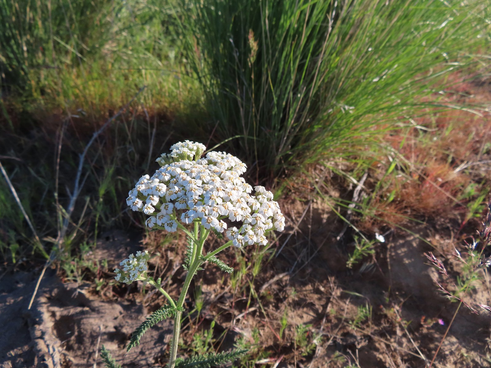 Yarrow
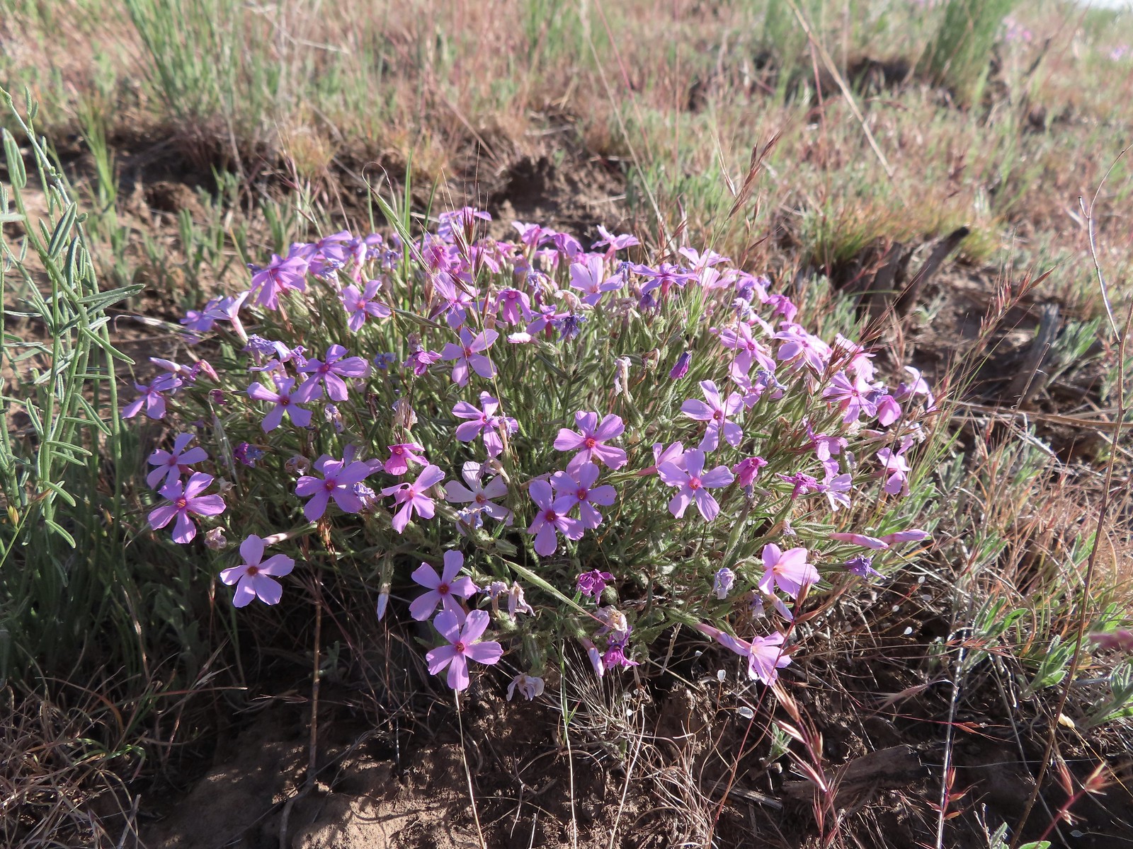 Phlox
Phlox
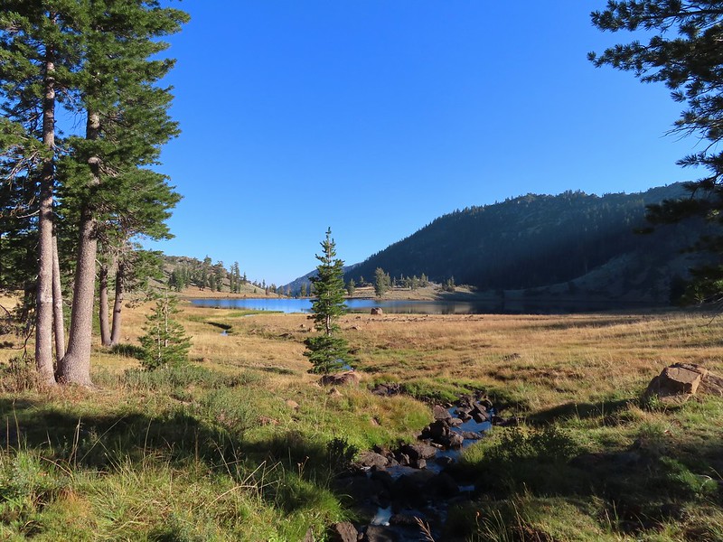
 The Deschutes River winding through the valley below.
 Rough eyelashweed and lupine with Mt. Hood behind.
 Caterpillar
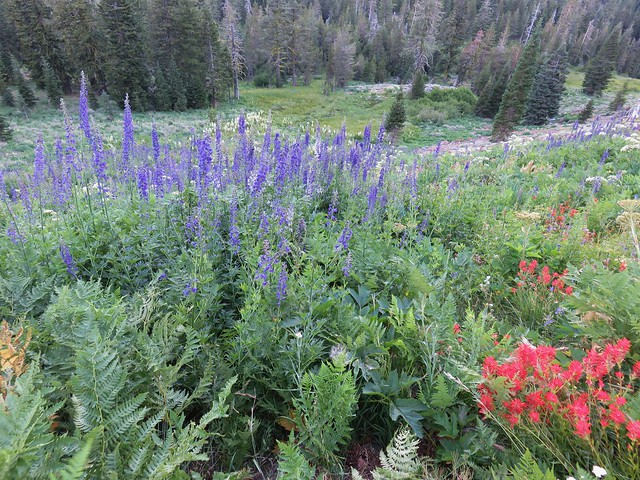
 Lupine with Mt. Jefferson in the background.
 Horned lark
 Mt. Jefferson behind the abandoned trailer.
 Mt. Jefferson was hidden at times but this gap in the hills provided a nice view.
 Oregon sunshine
 Skipper
 Mt. Jefferson and Olallie Butte (post) behind the lupine.
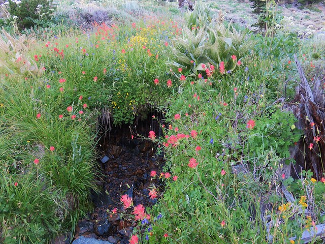
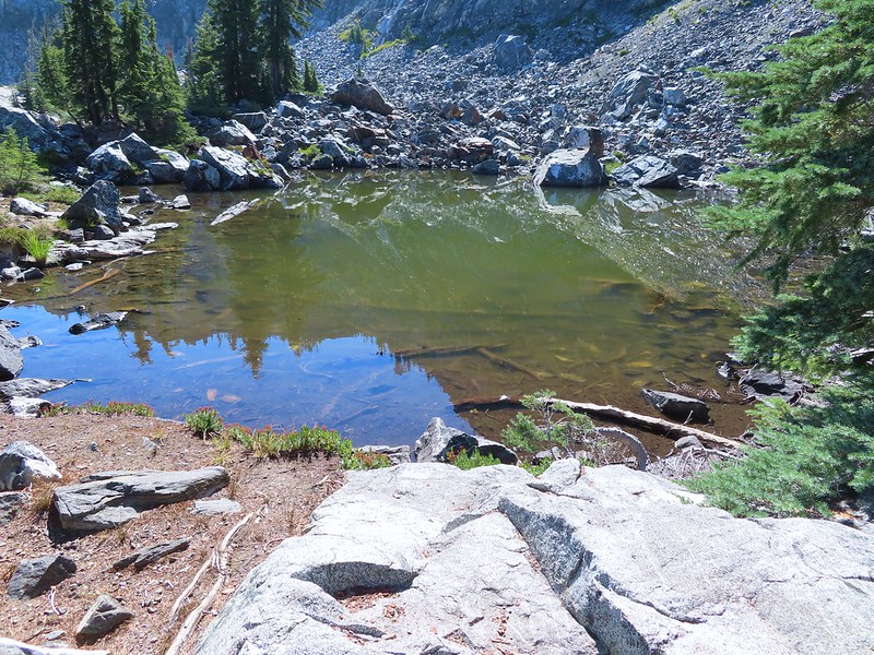
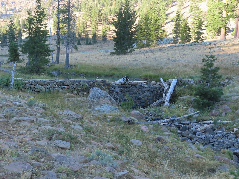
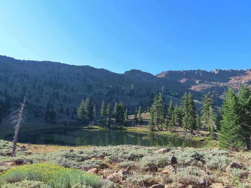
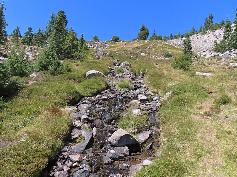
 A small watering hole.
 Leaning toward an Acmon blue but not sure.
 Another in the Lycaenidae family.
 Large marble on a fiddleneck.
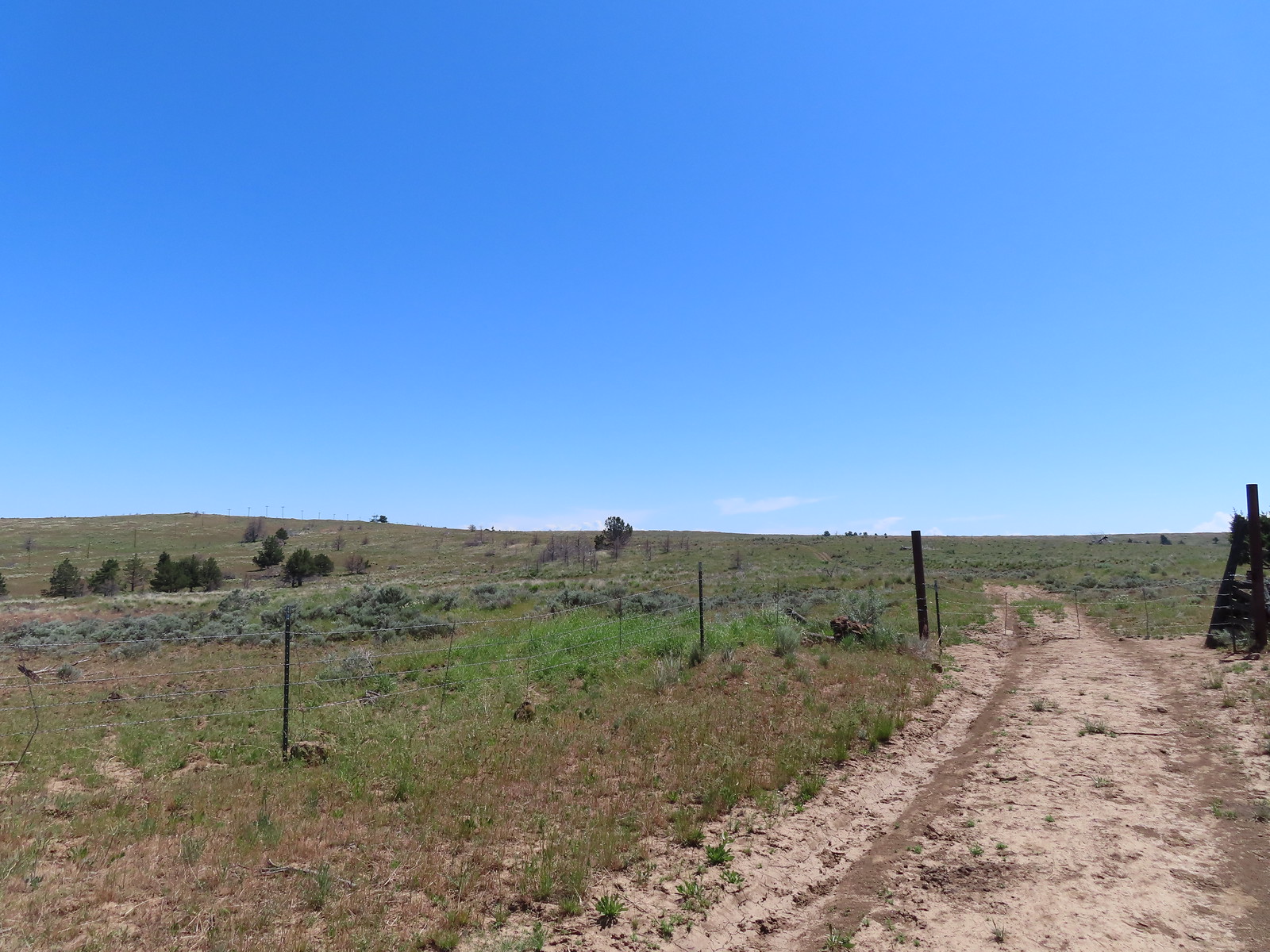
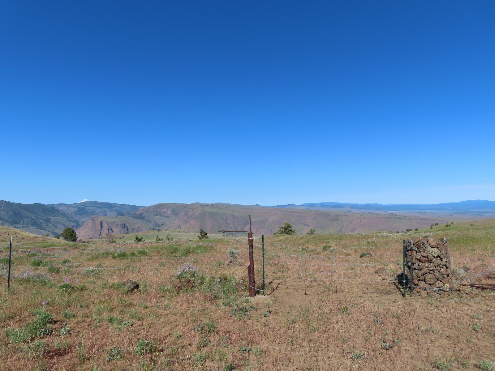 The fourth gate at the 4-way junction.
 Mourning dove
We took a short break by the gate before passing through. As we descended on the jeep track we came to a split where the clearer track curved to the left while a faint track headed straight downhill through a field of balsamroot. Reeder’s map showed his route was along the fainter track so we stayed straight.
 The more “obvious” jeep track curving left.
 The fainter track angling slightly right.
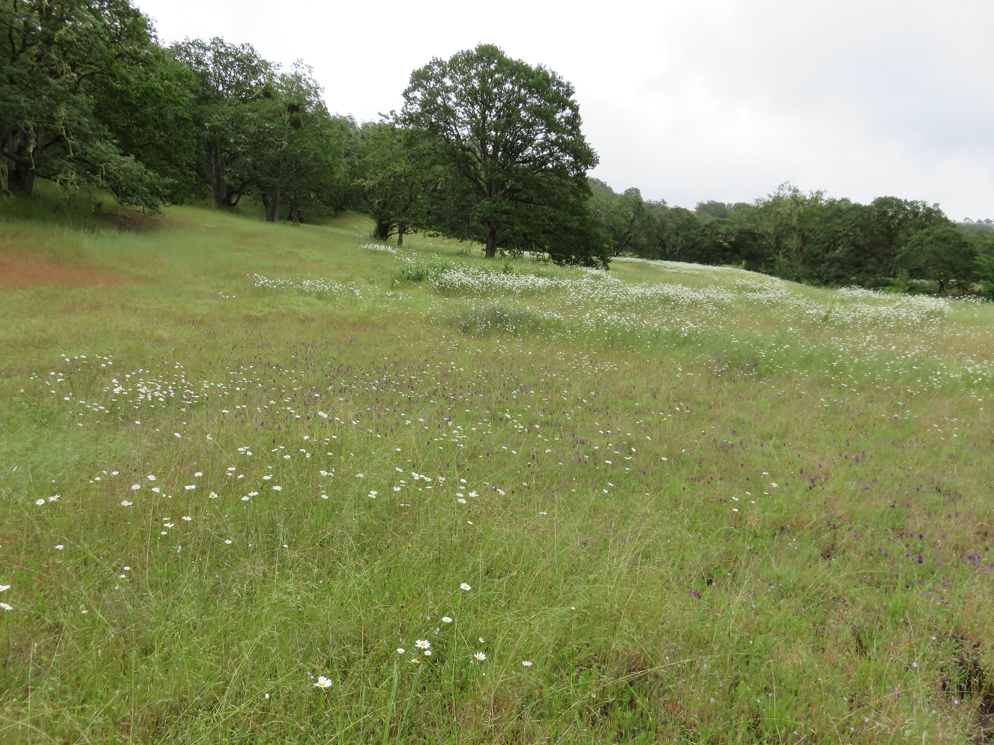
We were a couple of weeks late for the peak balsamroot bloom, but there were enough remaining blooms/petals to color the hillside yellow.
 Ochre ringlet on rougheyelashweed.

We soon rejoined the other jeep track where we turned right.

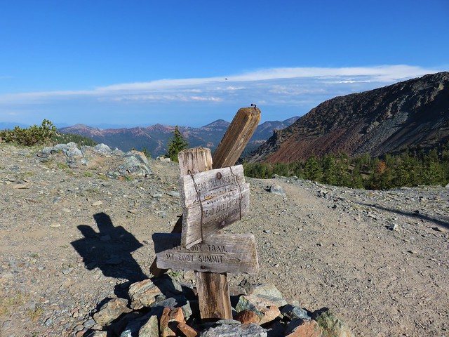
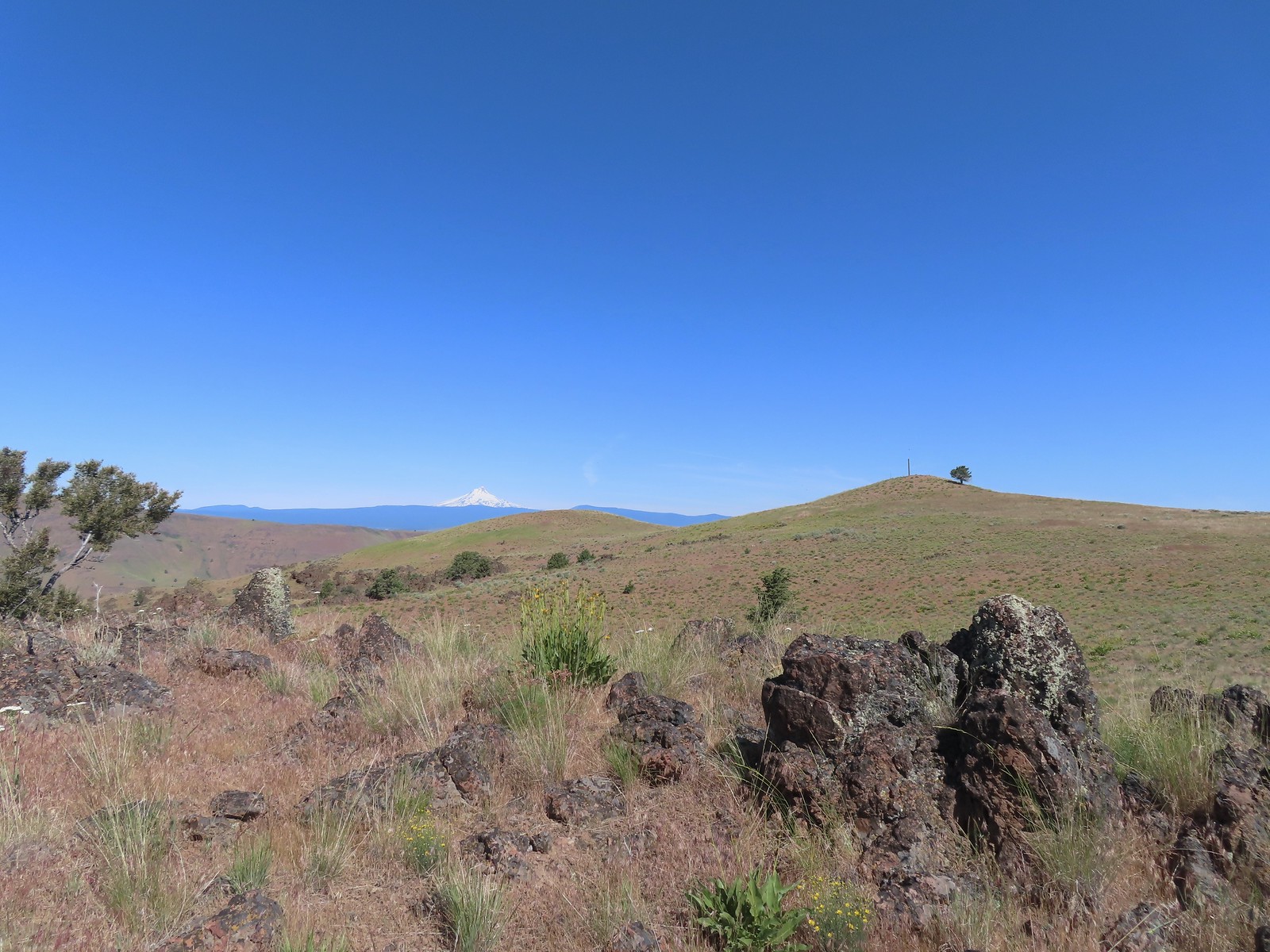
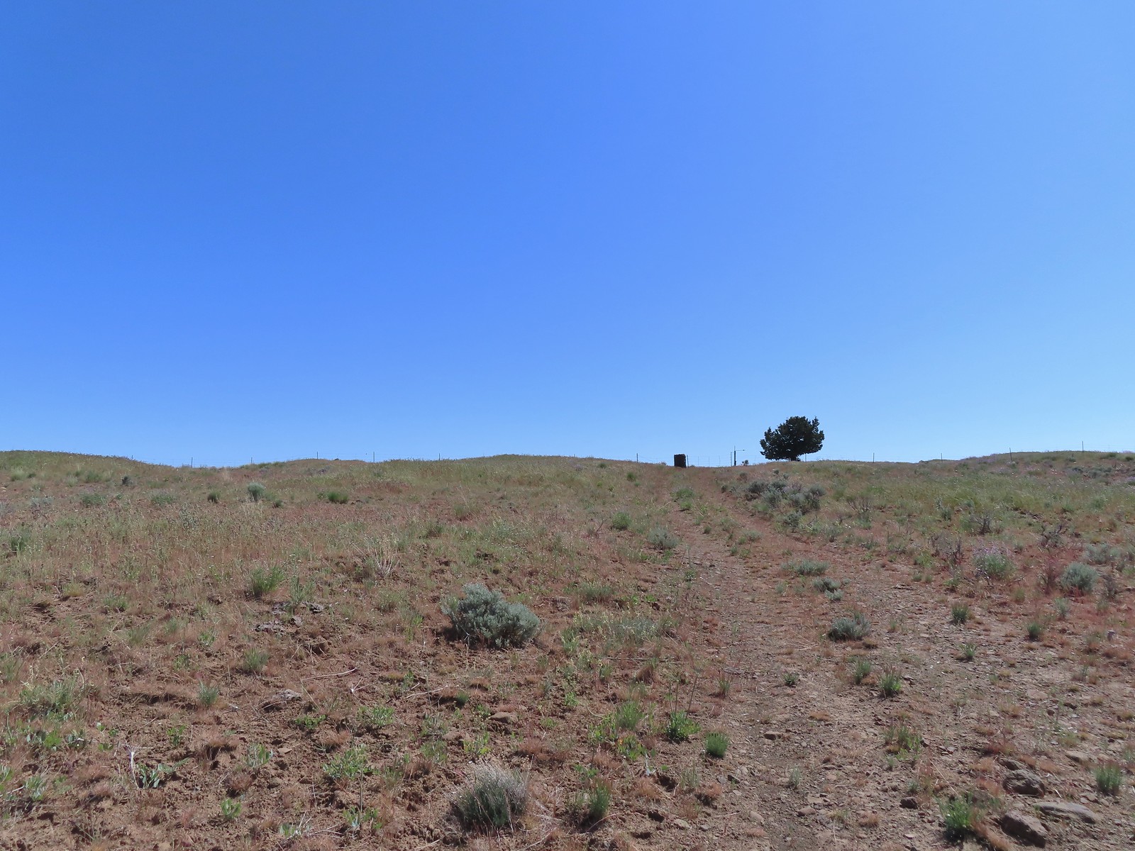
The terrain had leveled out and we continued on the track watching for Stag Point, a knoll with a post on top, which was Reeder’s turn around point.
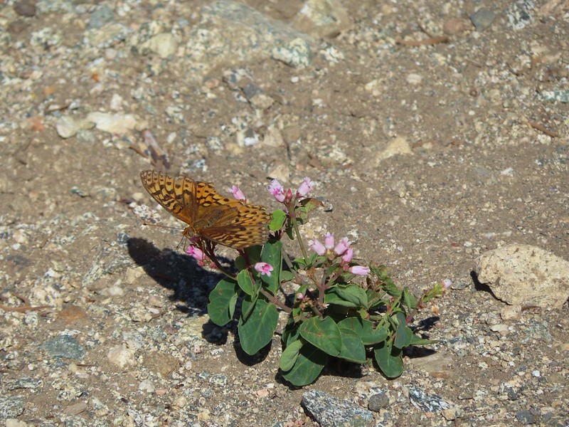
 Zerene fritillary
 Zerene fritillary on salsify
 We thought we spied the post and used the camera to zoom in and confirm.
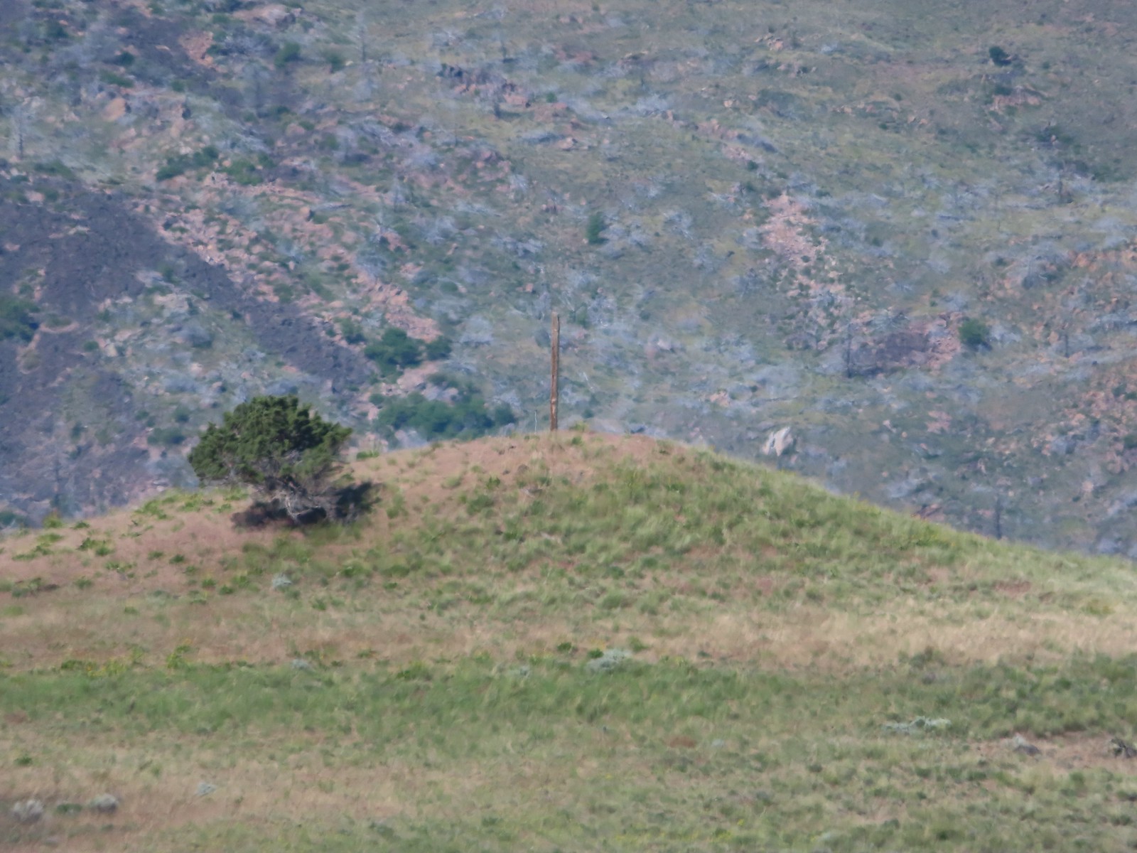 This was the only knoll with a juniper as well as the post.
 Largeflower hawksbeard
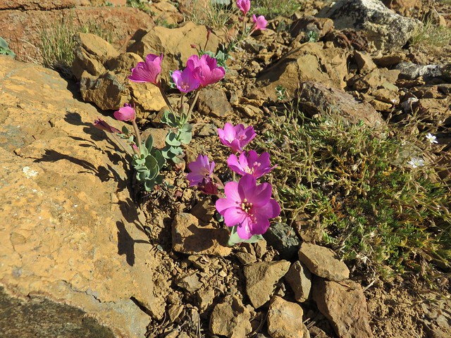
 Paintbrush
 To reach Stag Point we had to go cross country, so we looked for the most gradual looking climb.

 Mt. Hood from Stag Point.
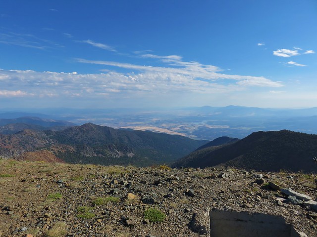
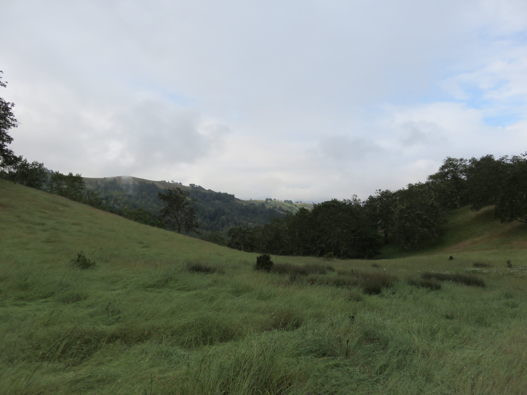
 The Deschutes River from Stag Point.
The view was good from Stag Point, but we were hoping to see more of the river and decided to do a little more cross country exploring by heading SE along the rim from Stag Point to a promising looking rock outcrop.
 Mt. Hood and Mt. Adams from Stag Point.
 Looking back over the route we’d come down.
 Ladybug and an Oregon swallowtail.
 Desert yellow fleabane
 Heading out to the rock outcrop.
 Mt. Hood and Stag Point from the outcrop.
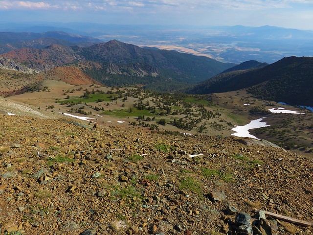
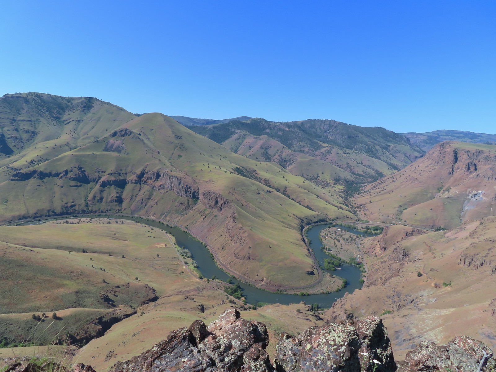 A better view of the Deschutes.
 Mt. Hood beyond the cliffs.
 A buckwheat
Satisfied now with the view we took a short break on the outcrop before heading back. We made our way back to the jeep track by angling back toward the rim where we’d descended. Once we’d reached the track we simply followed it back uphill to the gate at the 4-way junction.
 Stink bug
 Silverleaf phacelia
 Back on the jeep track.
 Lupine and balsamroot
 The cows had really chewed this section of the jeep track up.
 The gate ahead.
 Horned lark guarding the gate.
After passing through the gate we retraced our route back to the trailhead. Butterflies were now out in force and we spotted a couple of lizards.
 Mt. Jefferson and Olallie Butte
 Grand collomia
 Time for some sun.
 A butterfly and fly.
 Three butterflies and a fly.
 Busy bee
 This swallowtail was a little rough around the edges.
 Another horned lark on lookout.
 Nothing brings fritillary butterflies together like a good pile of scat.
We had been trying to figure out where the Oregonhikers loop had veered off Criterion Road and as we were discussing it on the way back it donned on us that it must follow the powerlines for a short distance. Neither of us had noticed another jeep track leading off around the powerlines but it made sense because there is almost always an access road below lines. Sure enough when we arrived at the power lines there was a jeep track clear as day.
 Another option for another time. We were just happy to have solved that mystery.
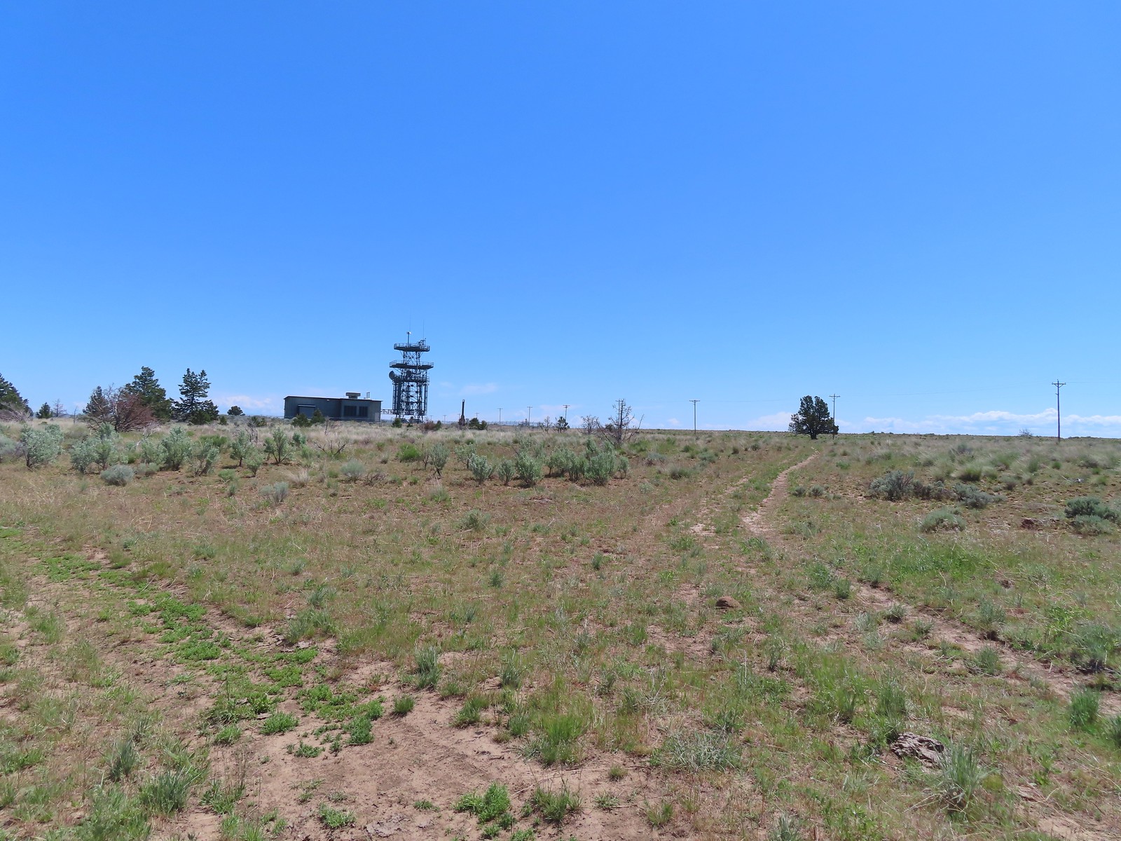
 The Radio Towers on the hill were right next to the trailhead.
 The Three Sisters (from this angle it looks like two)
 Three butterflies and a beetle on buckwheat.
 Another mystery was where did the trail from the South Trailhead (just on the other side of the radio towers) connect. We’d missed the track on the right on our first pass, another question answered.
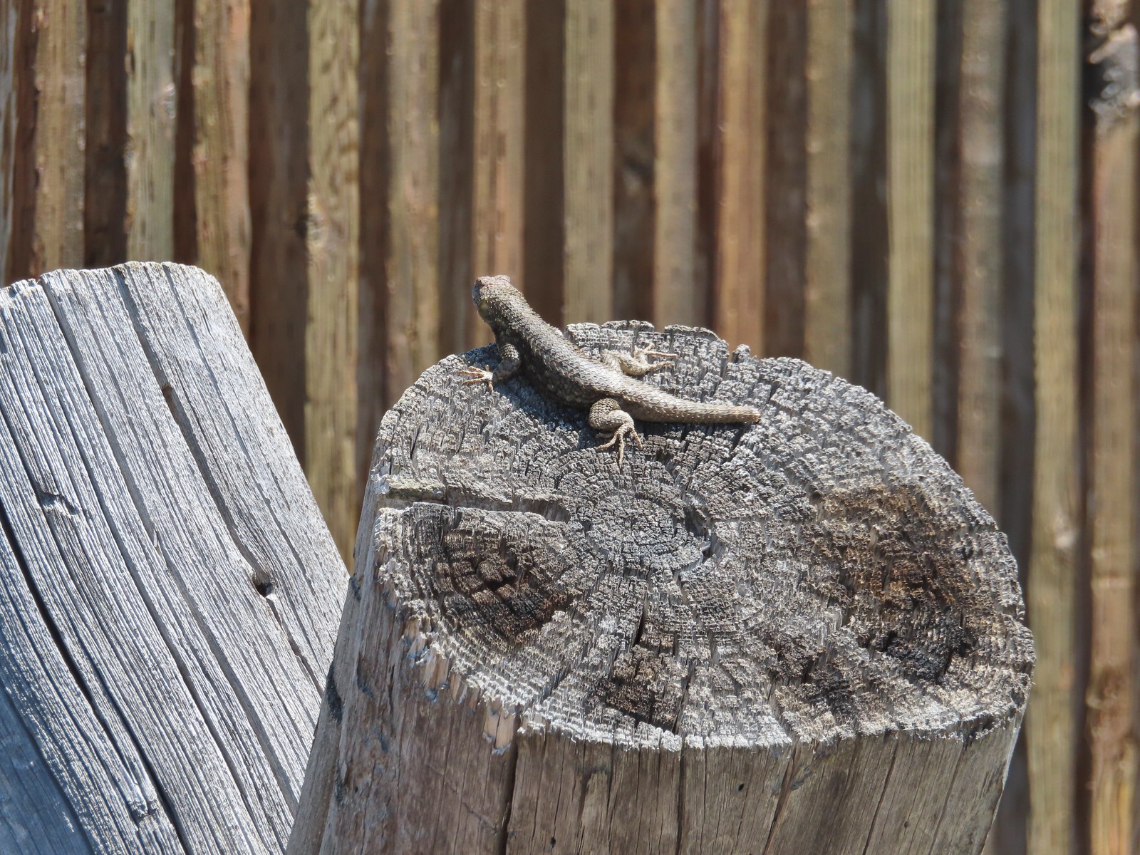 Lizard with half a tail at the trailhead.
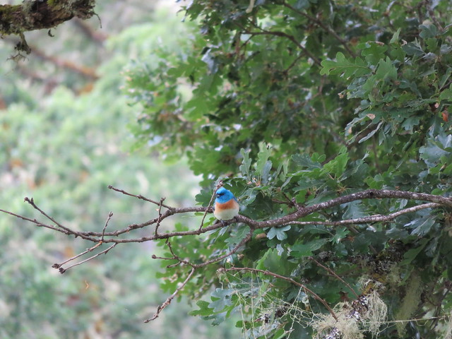
 This mountain bluebird was acting odd when we arrived at the gate. It was flying back and forth with something in its mouth. (Mt. Adams is in the background.)
It turned out to be a grasshopper that it was waiting to feed its young who were apparently in a nest in some nearby rocks.

After we passed by we heard the chicks calling and watched it fly into the rocks with their meal.
This turned out to be an excellent choice for the holiday weekend. We only encountered one other person, a trail runner we passed on our way back to the 4-way junction from Stag Point. The late wildflower season played to our advantage and the weather was good. It can get really hot and/or really windy there but on this day a reasonable breeze kept the temperature down without blowing us around. The rough tread was really the only downside to the hike, but that wasn’t too bad overall.
Our hike came in at 10.6 miles with roughly 700′ of elevation gain.

We definitely plan on returning to try Sullivan’s route from below someday and possibly trying to follow the Oregonhikers loop sometime as well. Happy Trails!
Flickr: Criterion Tract

 Our first rhododendron blossom of the year.
 We turned right when the trail met an old logging road.

 Blowout Arm
 Blowout Creek flowing into Blowout Arm.
 We found our first beargrass on the other side of the bridge.
 Swimmers at Blowout Arm.
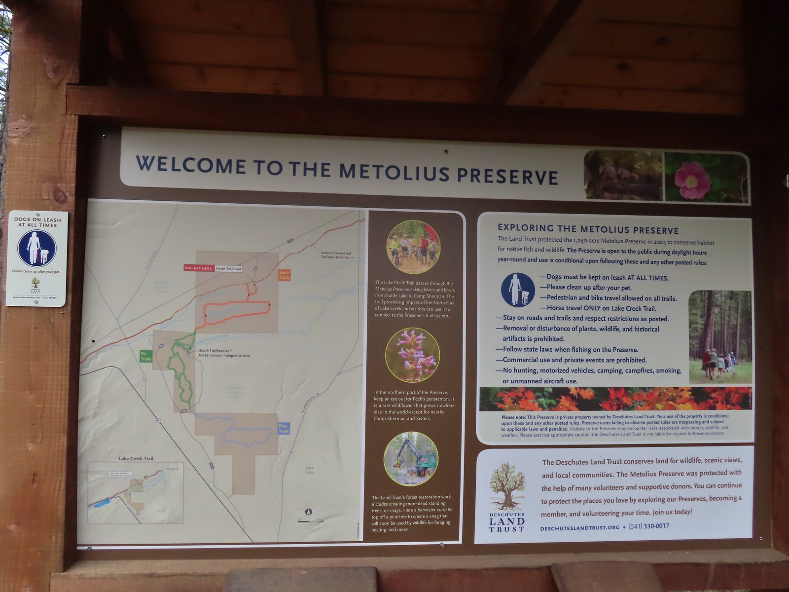
 Sign for the Lake Creek Trail.
 Lake Creek Trail
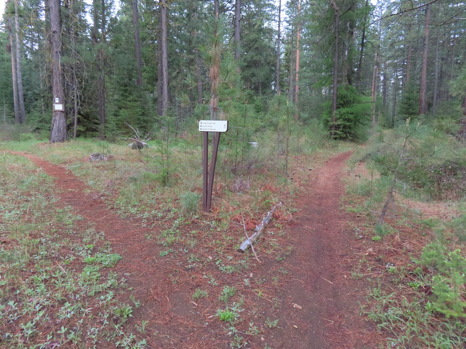 Pointer for the Larch Trails.
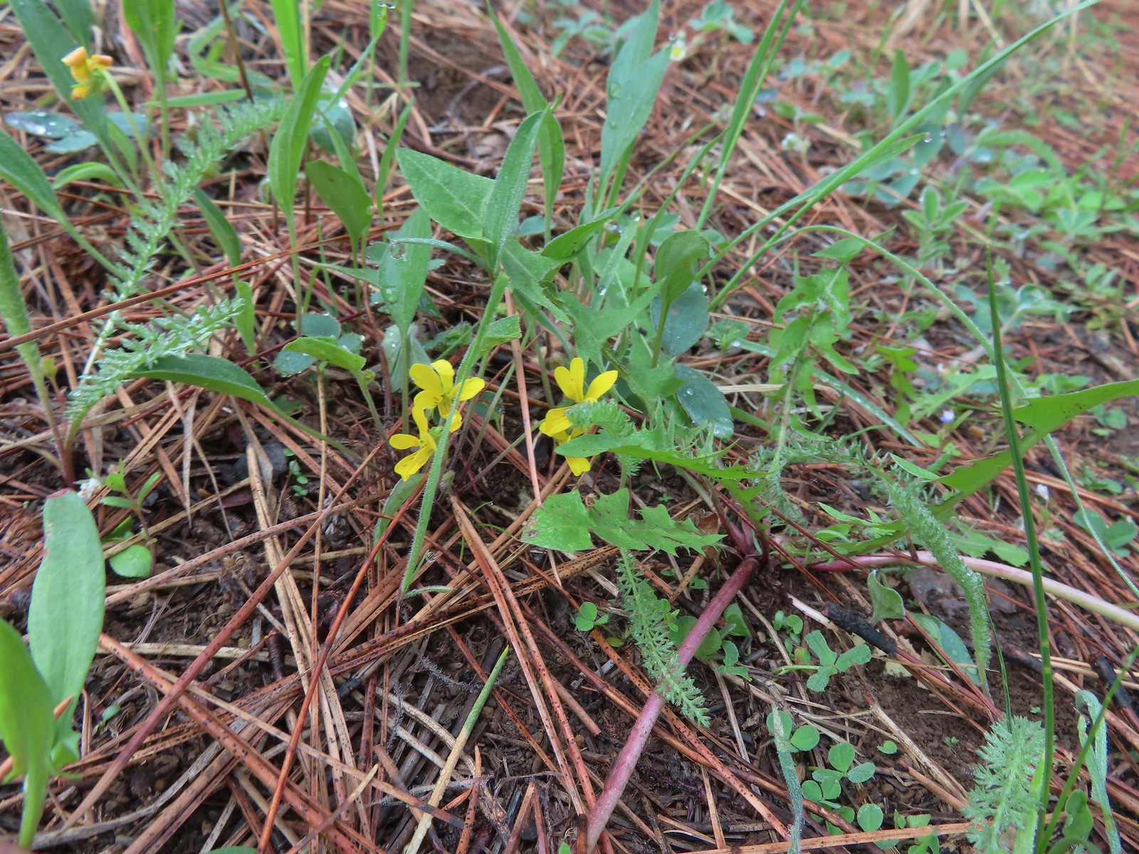 Violets
 Star-flowered solomonseal
 Serviceberry
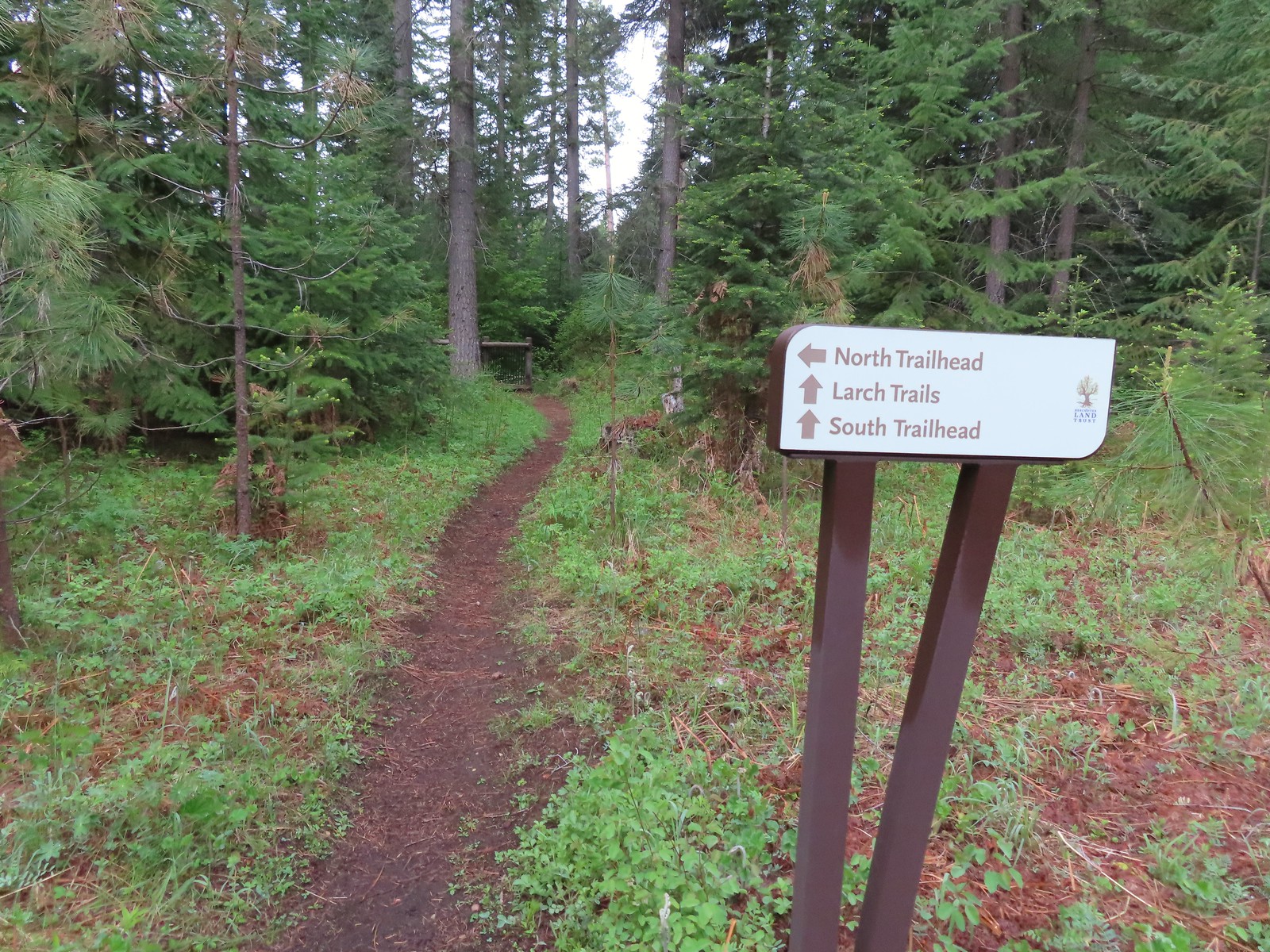

 North Fork Lake Creek

 Middle Fork Lake Creek
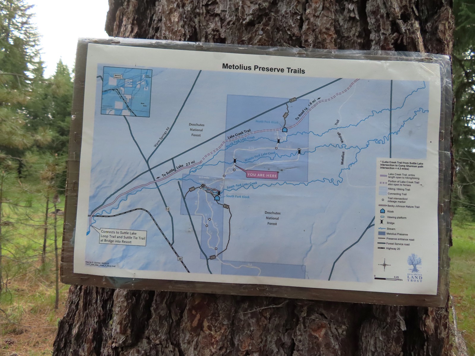 Between the pointers at junctions and a few well-placed maps it was relatively easy to stay on course, as long as we were paying attention.
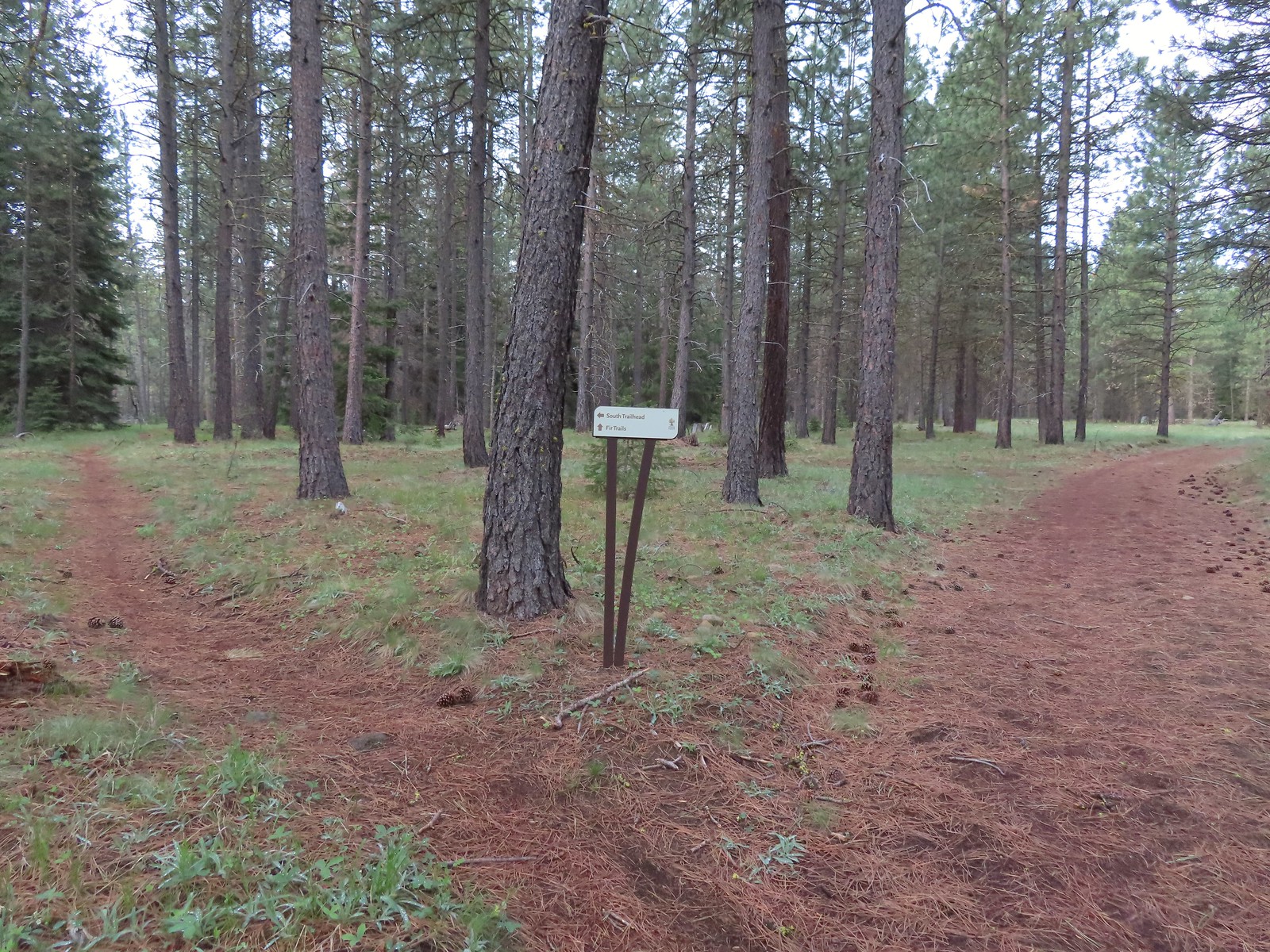 We stayed right again here at the start of the Fir Trails.
 A seasonal tributary of Middle Fork Lake Creek.
 Balsamroot
 Fir Trail reaching a bridge over the South Fork Lake Creek.
 Interpretive sign at the South Fork Lake Creek.
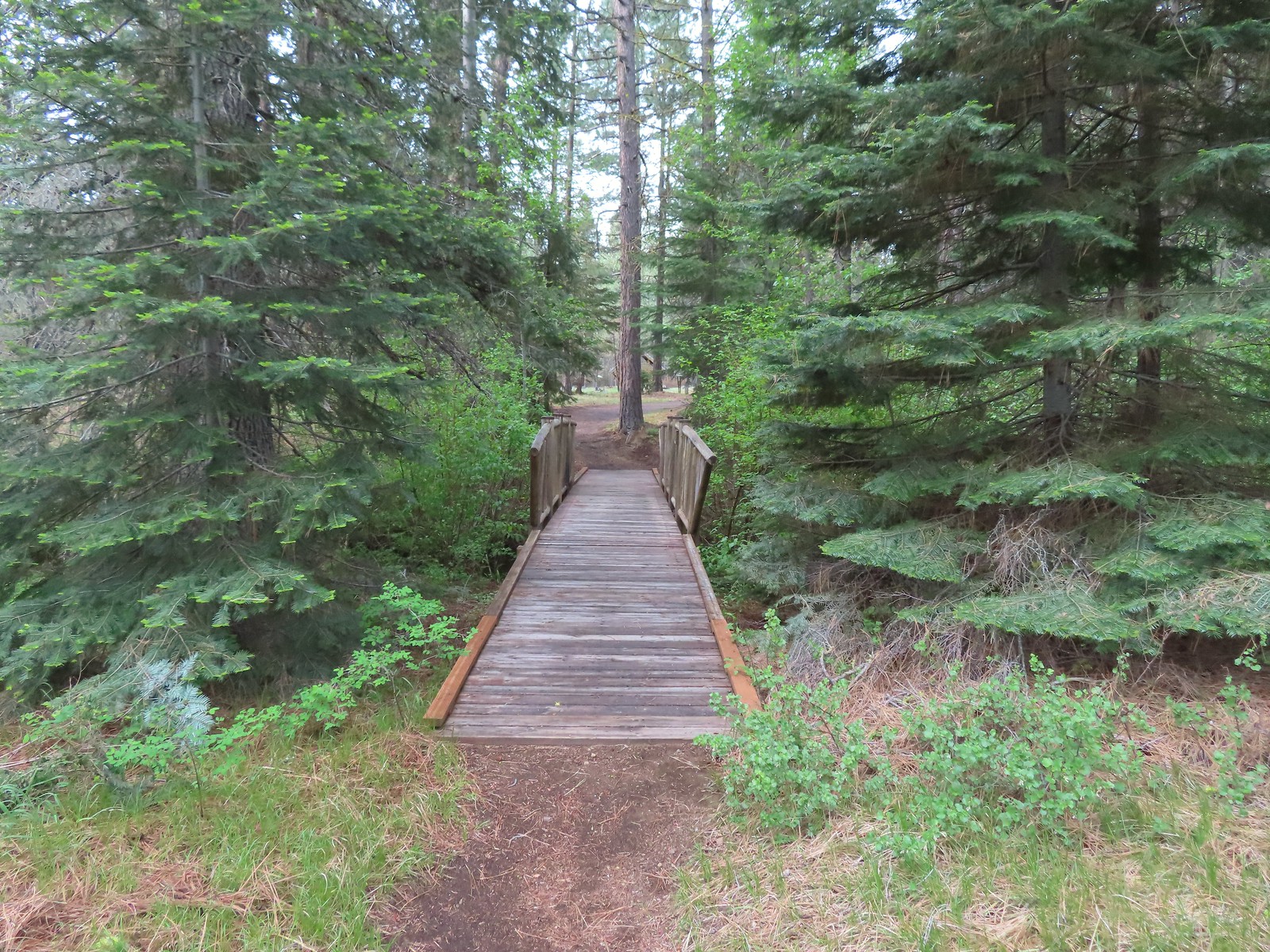 A second footbridge over another branch of the Lake Creek.
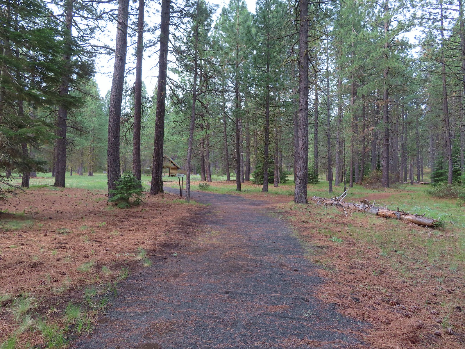
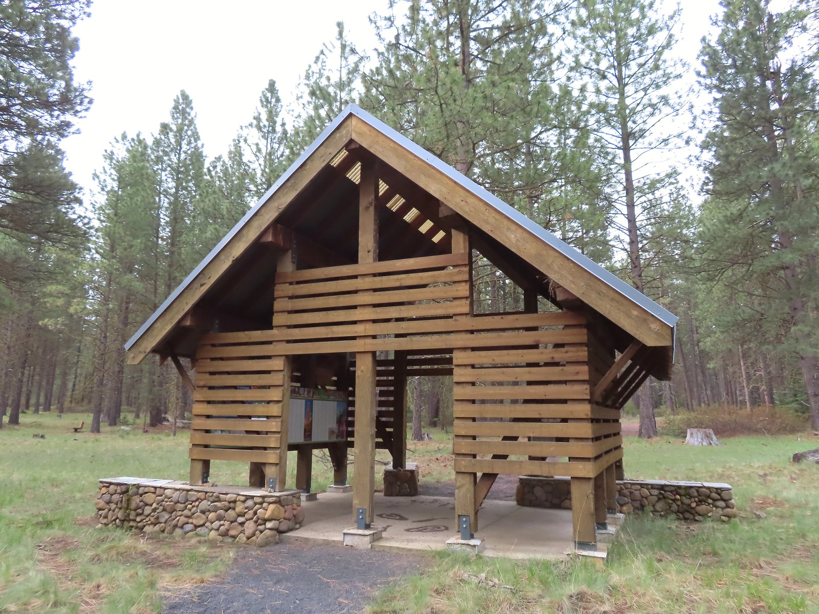 Shelter at the South Trailhead
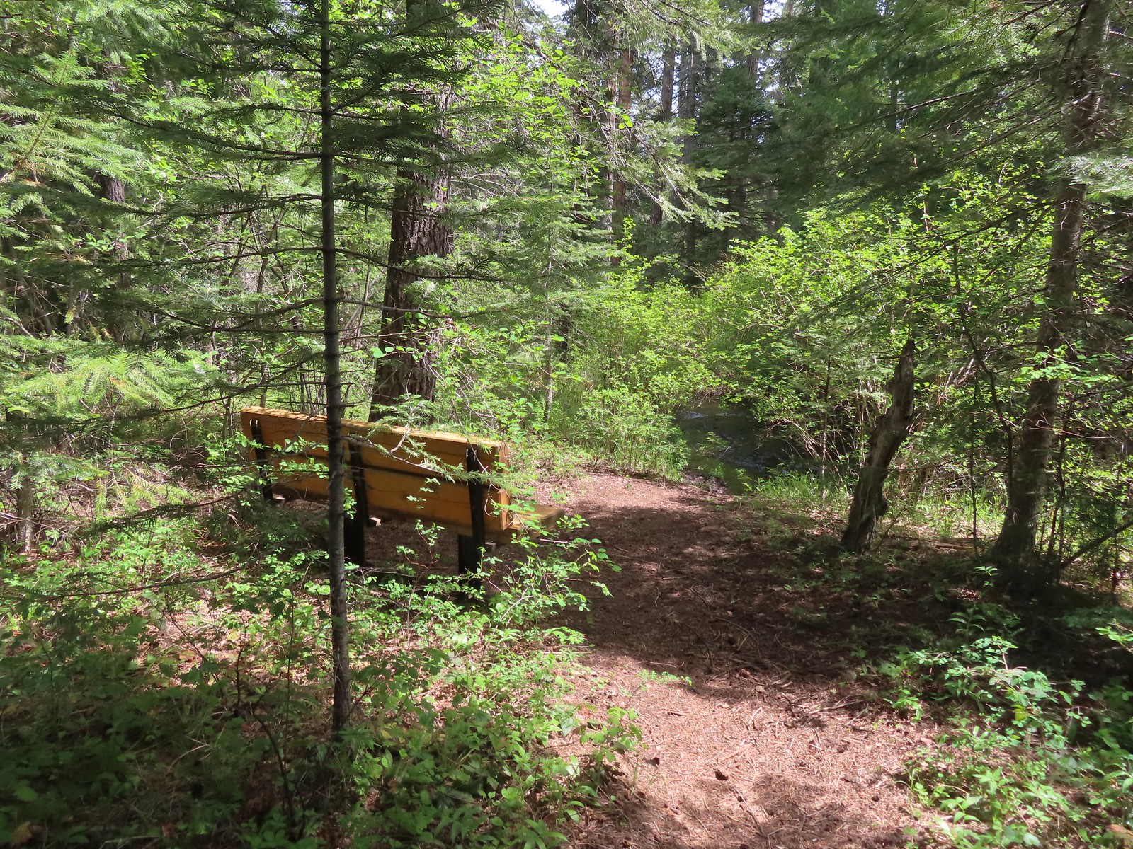
 The first overlook didn’t have much of a view of the creek but the second one did, along with a nice bench.
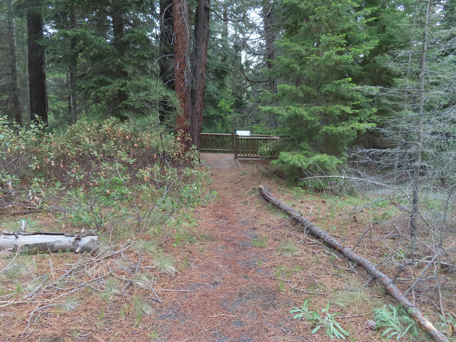 The second overlook.
 Interpretive sign at the second overlook.
 South Fork Lake Creek

 Hound’s tongue with a caterpillar.

 The Fir Trails end at Road 500 (the entrance to the South Trailhead) and the Pine Trails start on the far side.
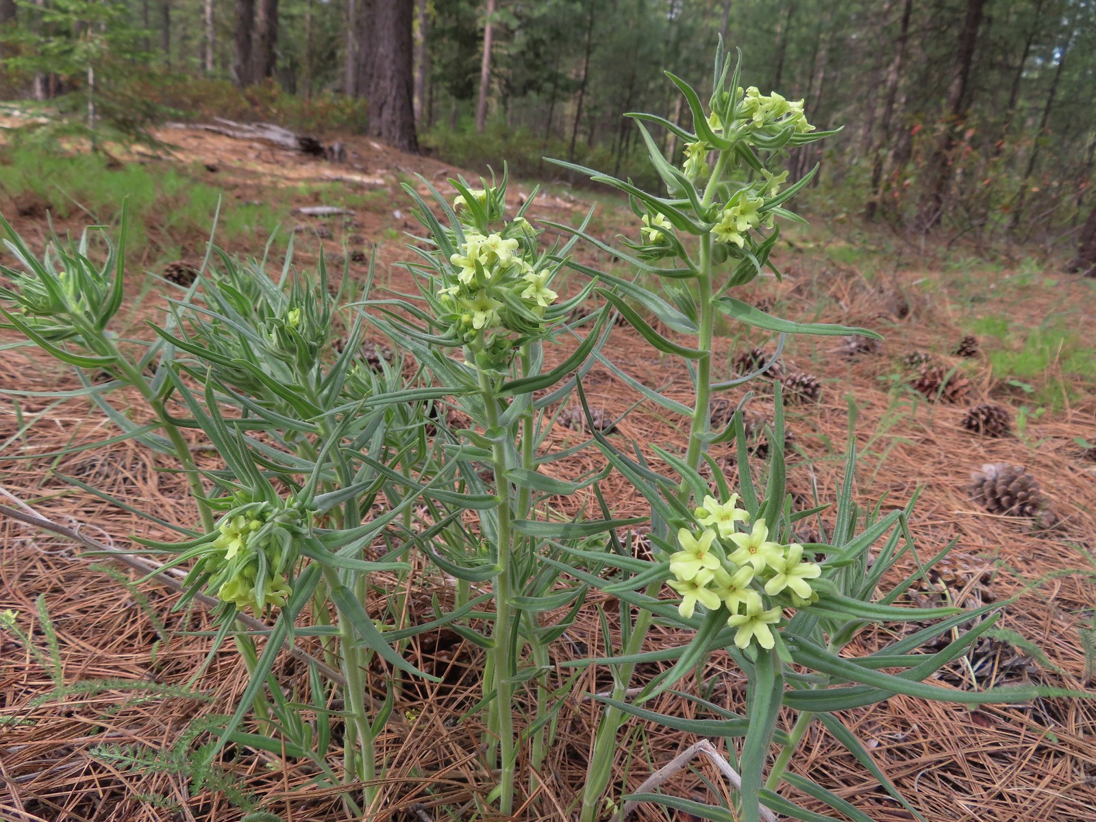 Western stoneseed
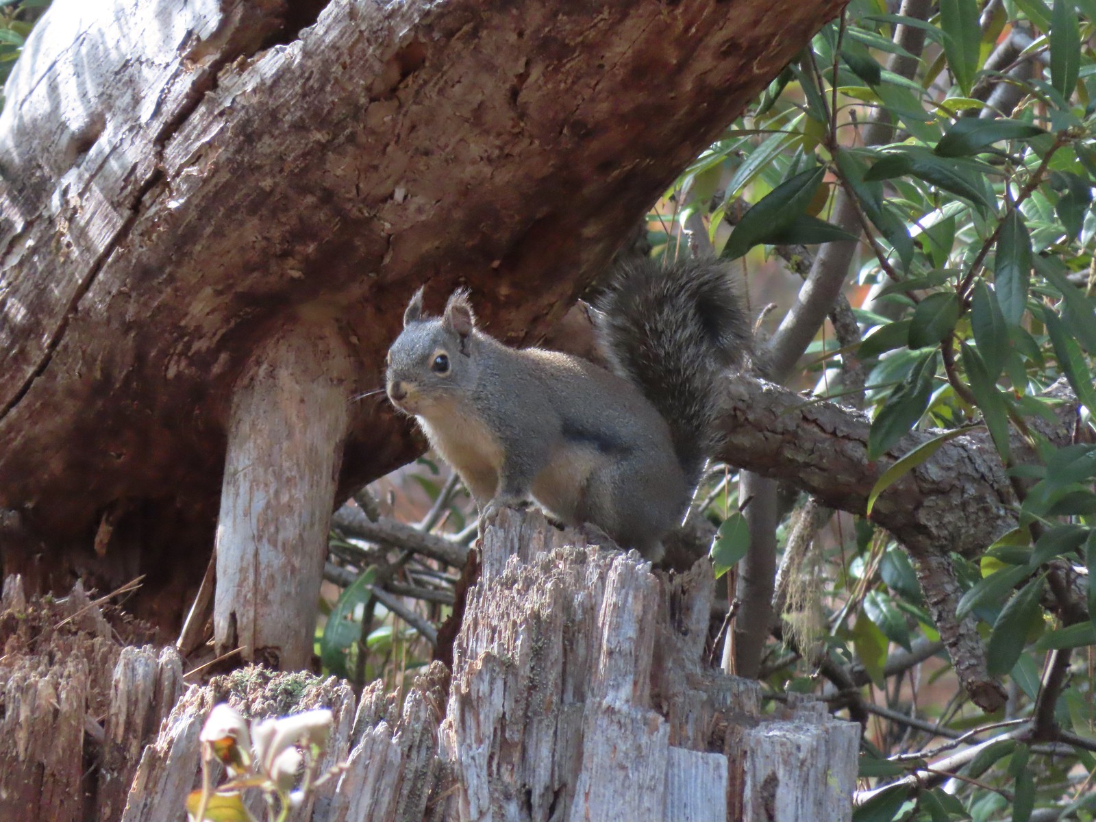 Squirrel
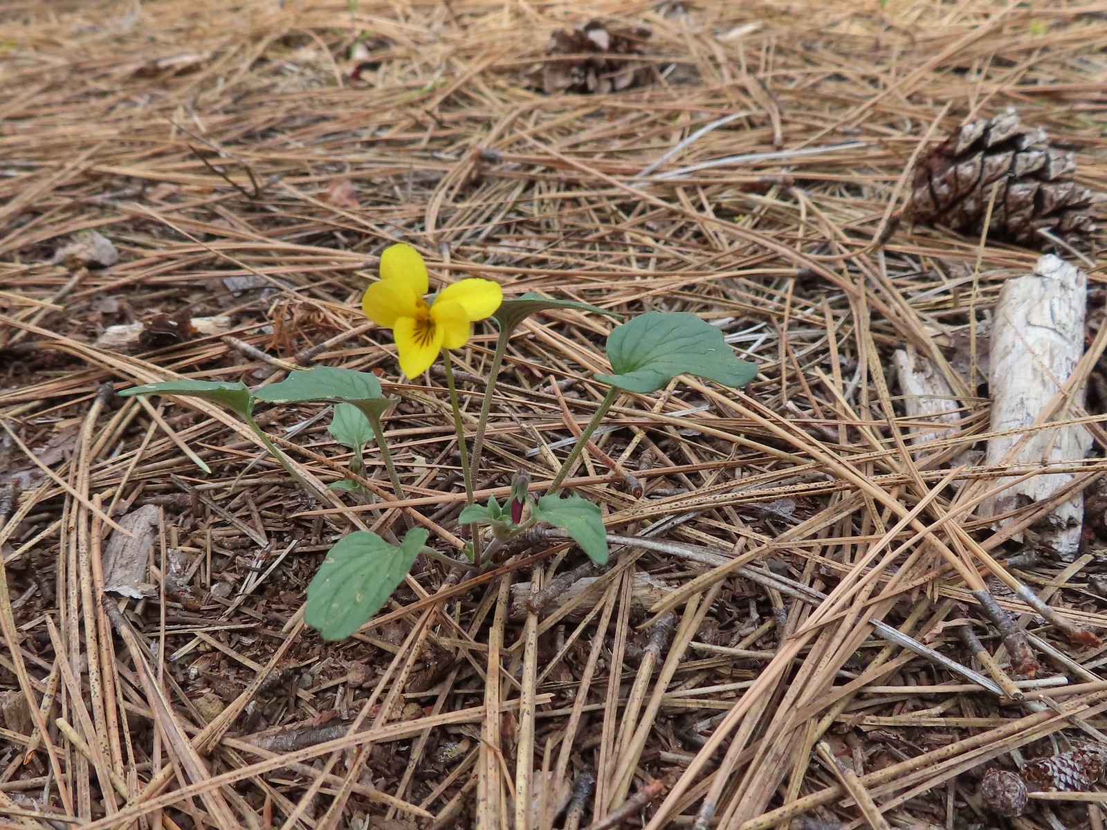 Goosefoot violet
 One of the non-trail roadbeds to the right along the Pine Trails.
 Balsamroot along the Pine Trails.
 There had been some fairly recent thinning happening along the Pine Trails.
 Chirpping sparrows
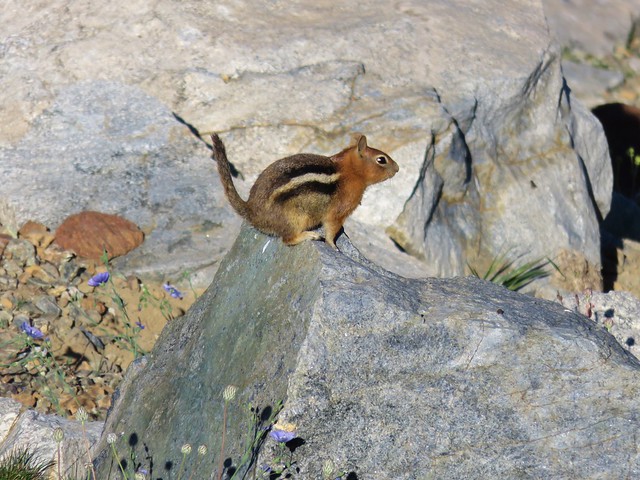
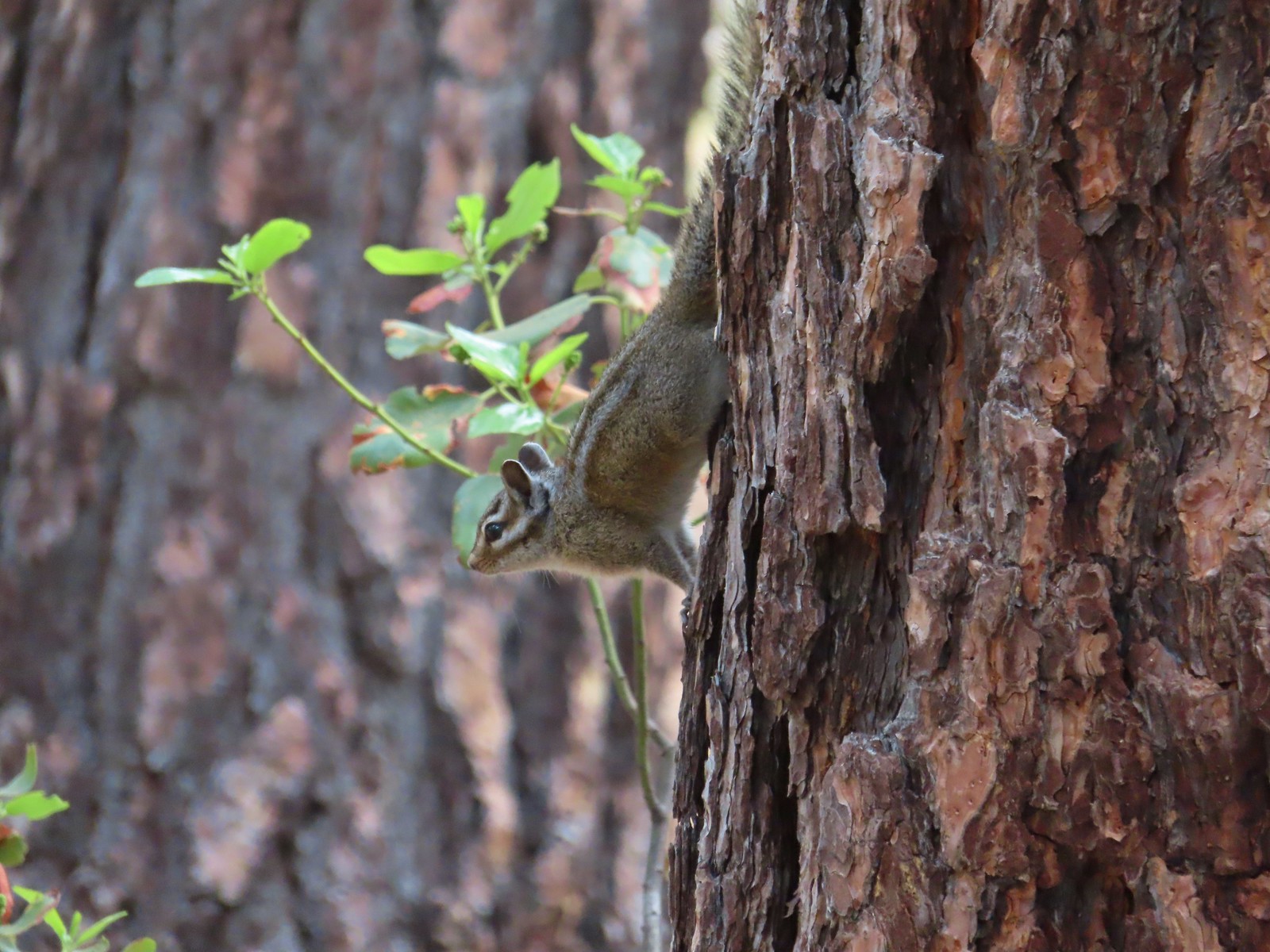 Chipmunks
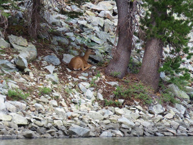
 Deer along the Fir Trails.
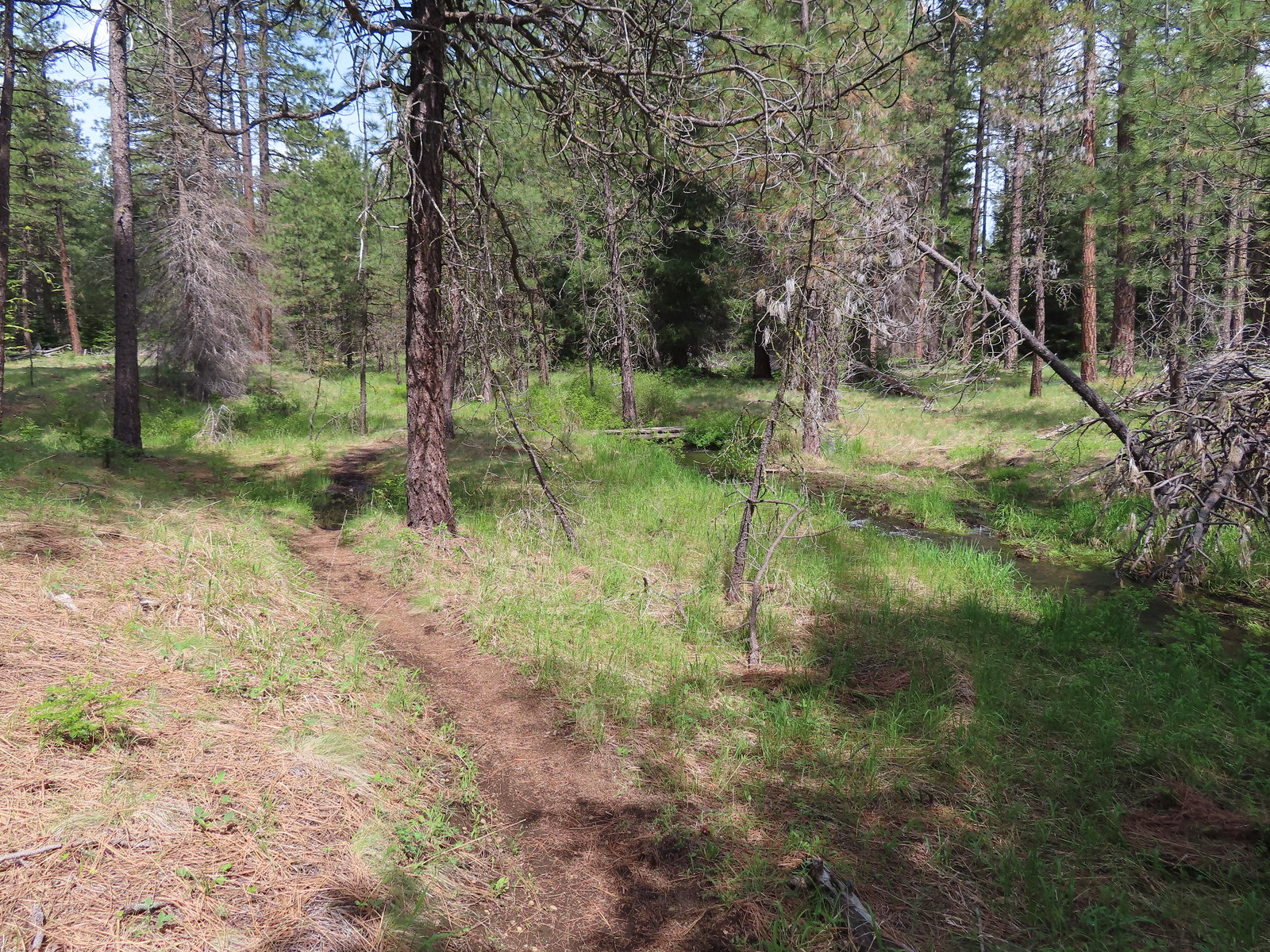 The Fir Trails crossed the seasonal branch on a small footbridge.
 Slender phlox and narrowleaf miner’s-lettuce.

 I took this photo of a swallowtail and then later realized there was a second butterfly on the Oregon grape.
 Lunch
Lunch Bridge over the North Fork Lake Creek.
 Bench along Lake Creek near the North Trailhead.
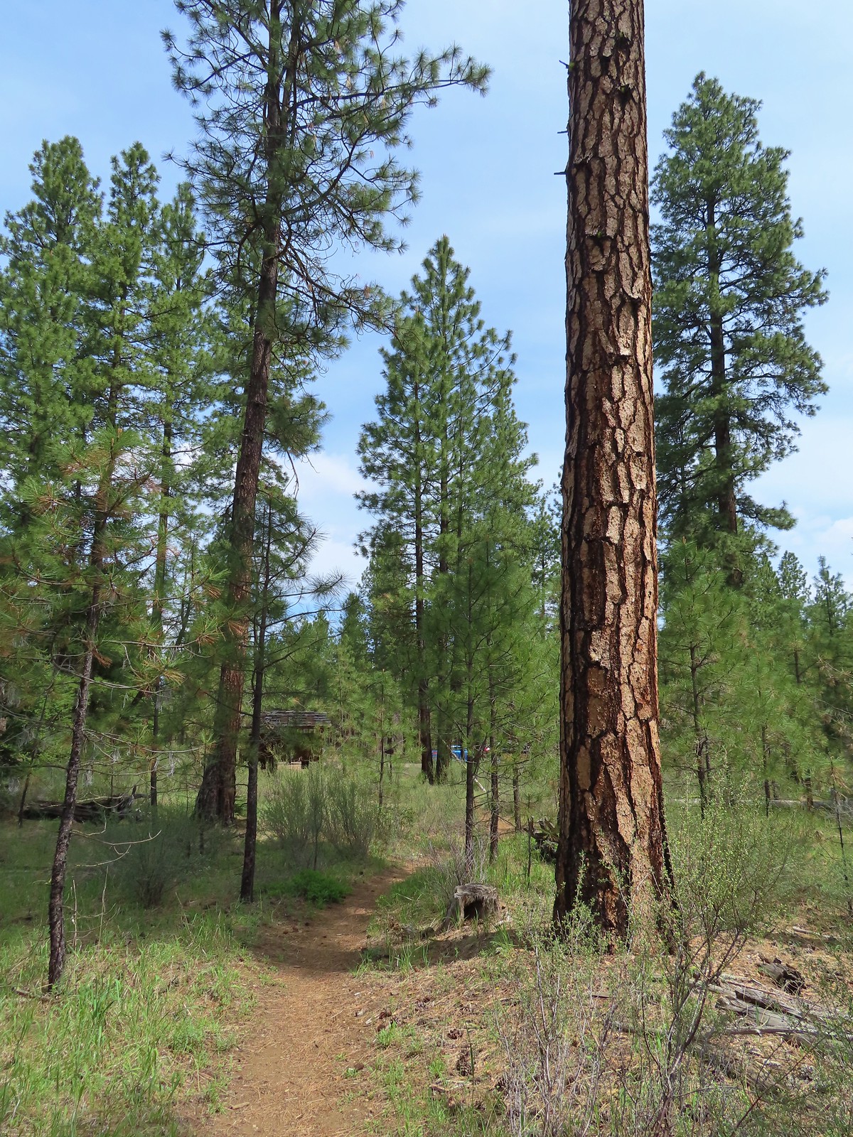 Arriving back at the trailhead.


 An aster (or a fleabane, it’s so hard to tell).
 Musk monkeyflower
 Tiny green frog.
 It was easy to spot where the creek was based on the green.
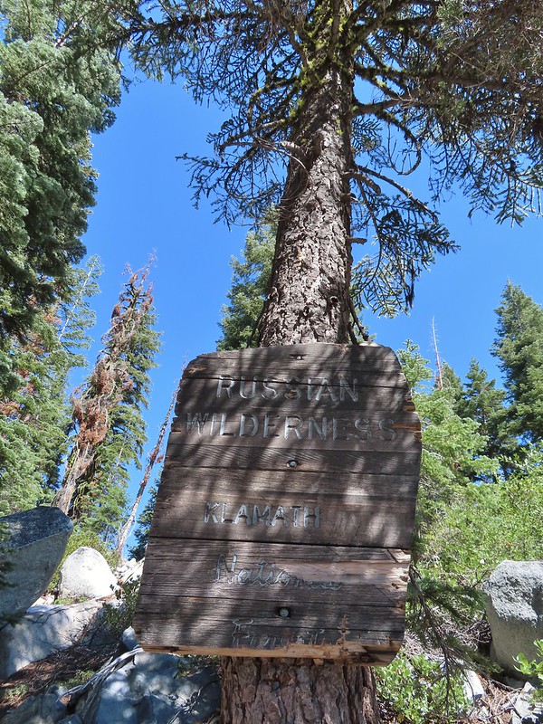
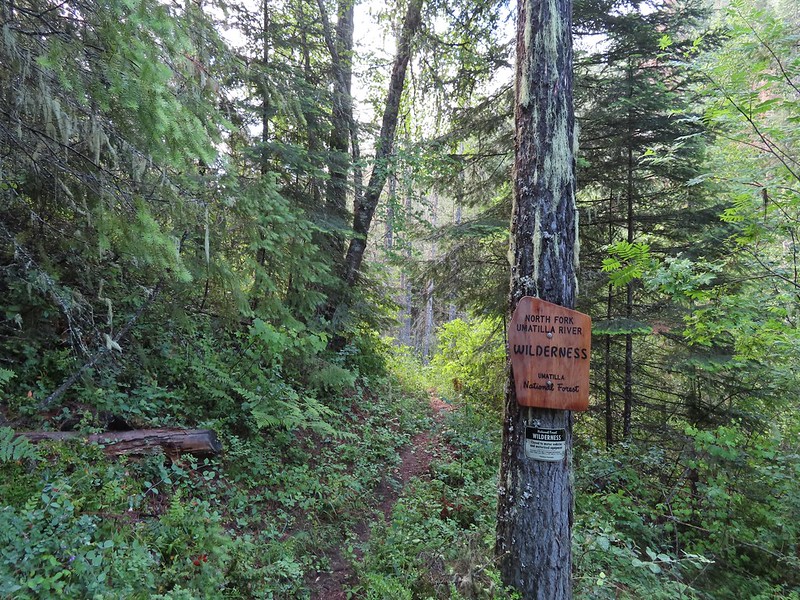
 The wilderness boundary.
 The creek crossing.
 Paintbrush
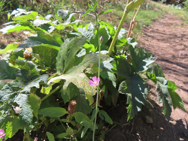 A checker-mallow near the creek.
 A junco. We saw a large number of small birds flying around during our trip, mostly junco’s and chickadees but they rarely ever sat still where we could see them.
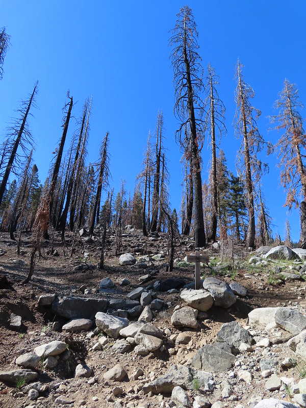 Pointer for Trail Gulch Lake 0.8 miles from the Creek Crossing.
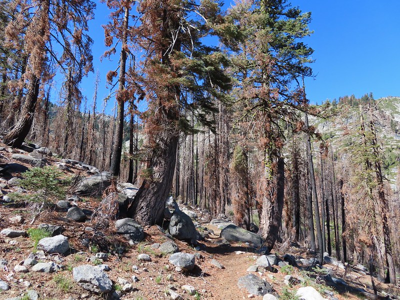


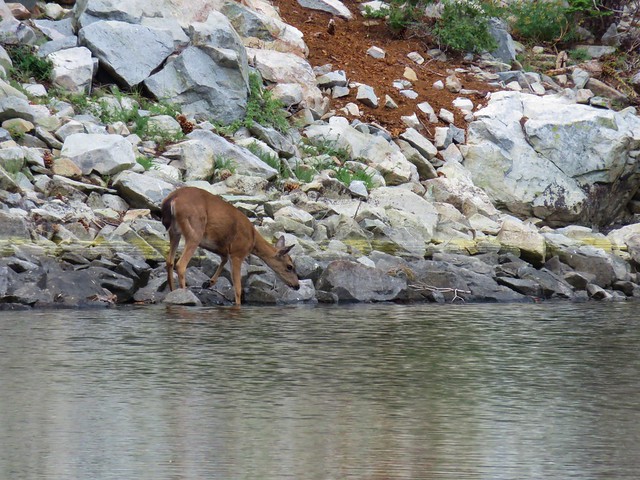
 One of several deer seen running uphill as we made our way up the trail.
 View back down Trail Gulch.
 Paintbrush
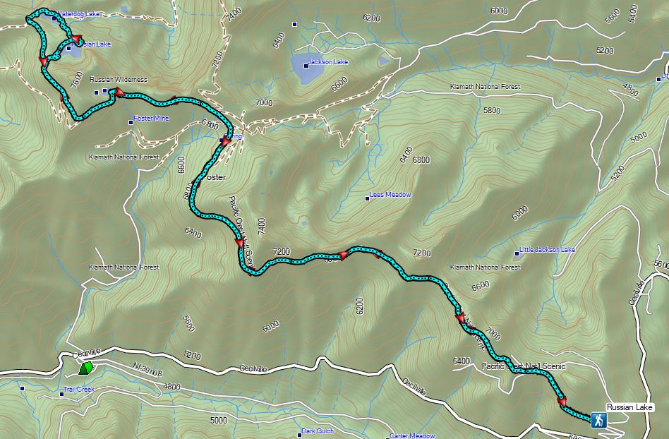
 Peaks in the Russian Wilderness.
 Arriving at the pass.
 Trail Gulch Lake from the pass.
 Clark’s nutcracker
 The sign for Steveale Meadows where we went uphill on the trail to the right.


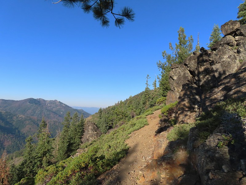
 View south from the tie trail.
 Approaching the pass.
 Sullivan mentions that it is possible to scramble 0.2 miles to the right along this ridge to get a view of Mt. Shasta and the heart of the Trinity Alps but with the smoke on the horizon we didn’t feel it was worth the effort and skipped that option.
 Looking down into Long Gulch from the pass.


 To the north we could see much of the route we’d taken the day before on the way to Siphon and Russian Lakes.
 Chipmunk with a snack.

 The outlet creek.
 Long Gulch Trail passed to the north of Long Gulch Lake for a quarter mile.
 The pass that the trail came down is along the ridge to the left here.
 Parnassian on mountain coyote mint.
 Skipper on mountain coyote mint.


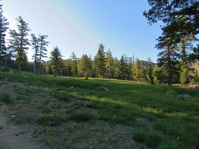
 Meadow with a number of big trees that survived the fire.
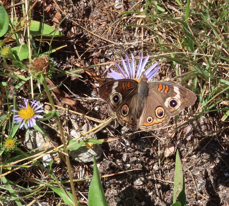 Common buckeye
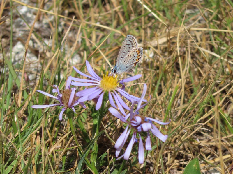 A copper or blue
 Lorquin’s admiral
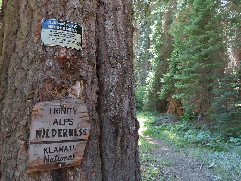 Leaving the Trinity Alps Wilderness.
 The trail briefly followed the Long Gulch Creek.
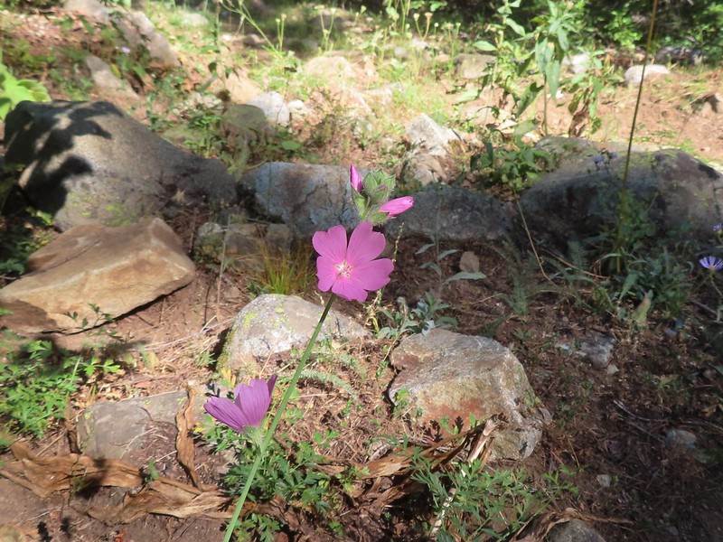 Checker-mallow
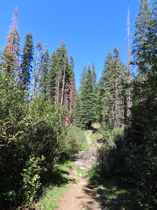 The trail crossed the creek just under 2 miles from the junction.
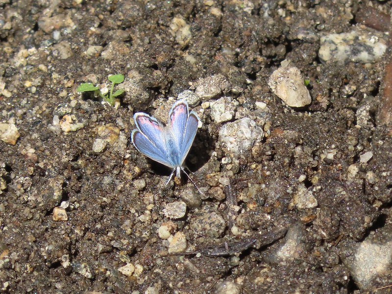
 Arriving at the Long Gulch Trailhead.


 We did pass a sign for the horse trail along the road.
 To the far right of the photo in between the green and orange branches is where it landed.

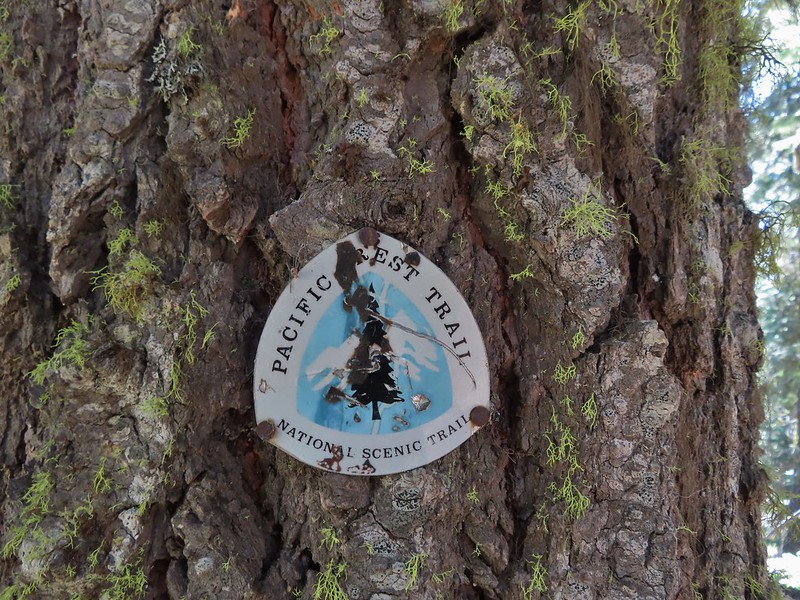
 PCT below FR 39N48.
 Tail and Long Gulches in the
  Lots of buckwheat along the ridge.
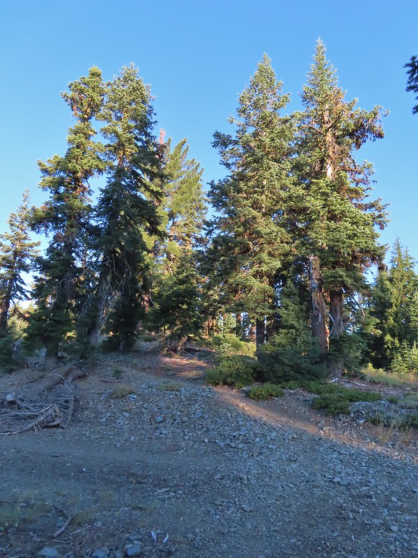

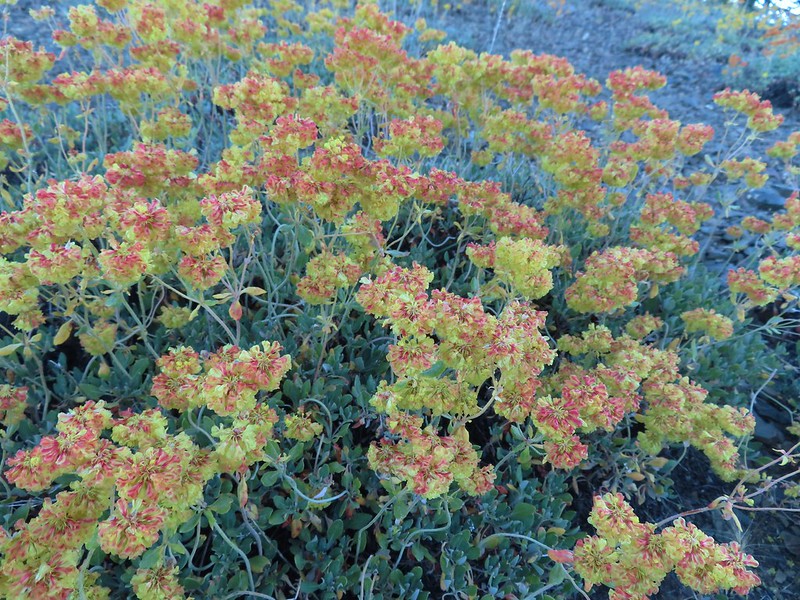 Buckwheat

 Trinity Alps Wilderness
 Caesar and Thompson Peak
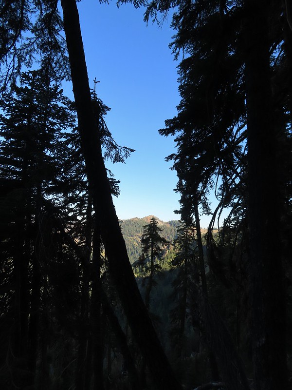 We would be passing below the peak in the distance later.
 Small buck on the hillside above the PCT.
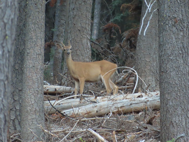
 The Deacon Lee Trail was visible crossing the opening on the far hillside.

 Checker-mallow
 Crescent butterfly
 Small spring along the PCT.
 The junction with the Deacon Lee Trail.


 Dwarf lupine

 Fritillary butterfly on spreading dogbane.
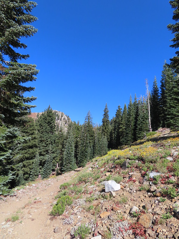 Nearing Siphon Lake.
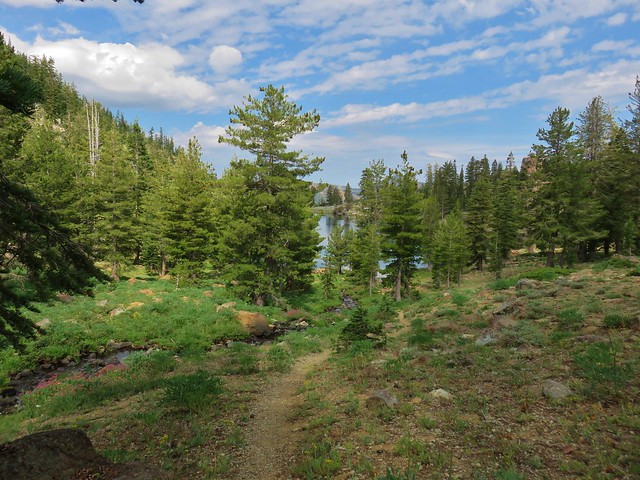
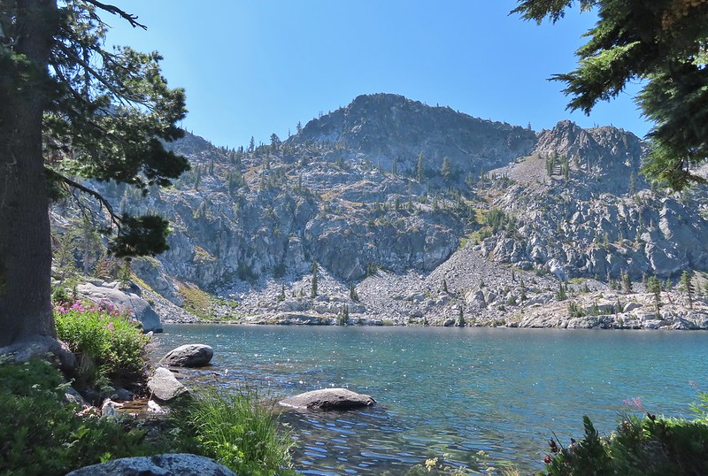
 Siphon Lake was just under a mile from the PCT.
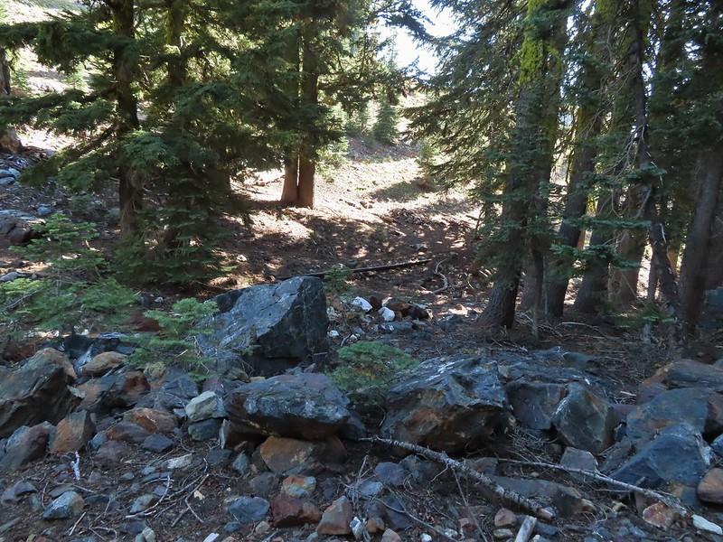 Old pipe that used to bring water down to mines lower on the hillside.


 Zoomed in on the pair.
 The curious fawn.
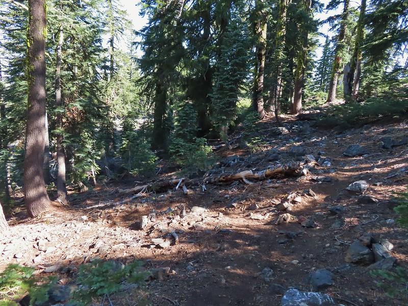


 The pond was full of tadpoles.
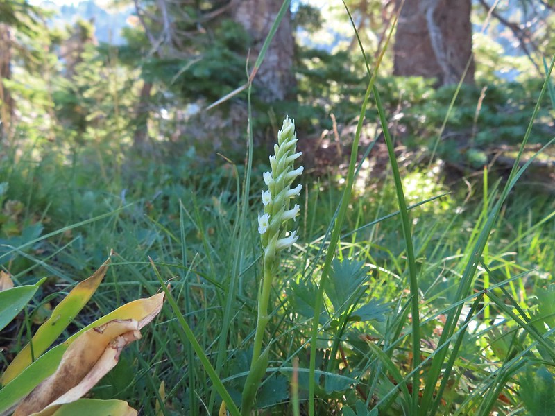 Hooded ladies tresses
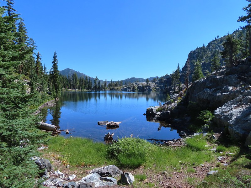
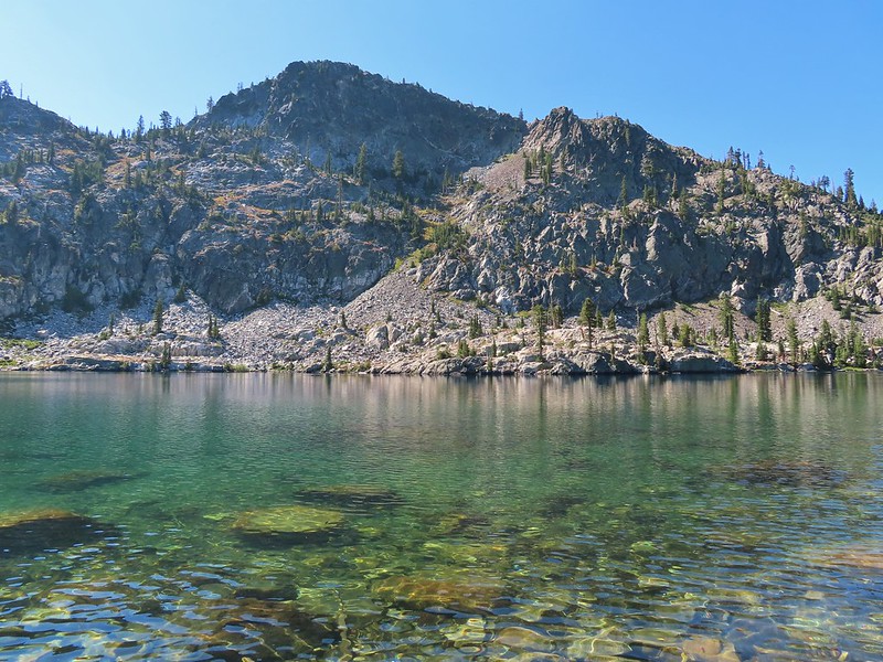
 View from the outlet creek.
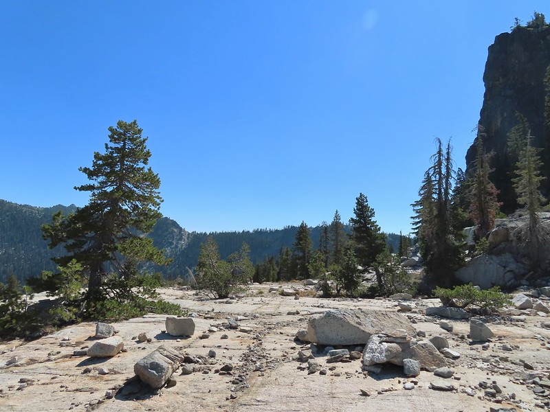
 Russian Peak
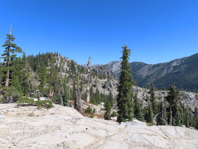


 Fireweed near the outlet.
 Large boykinia

 Saxifrage seed head
 It was a pretty good drop down to Waterdog Lake.
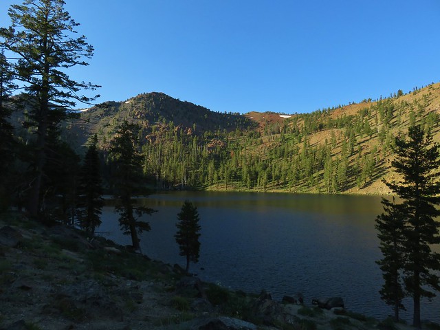
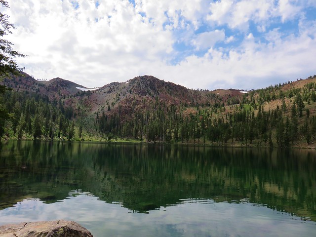
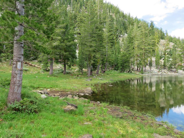
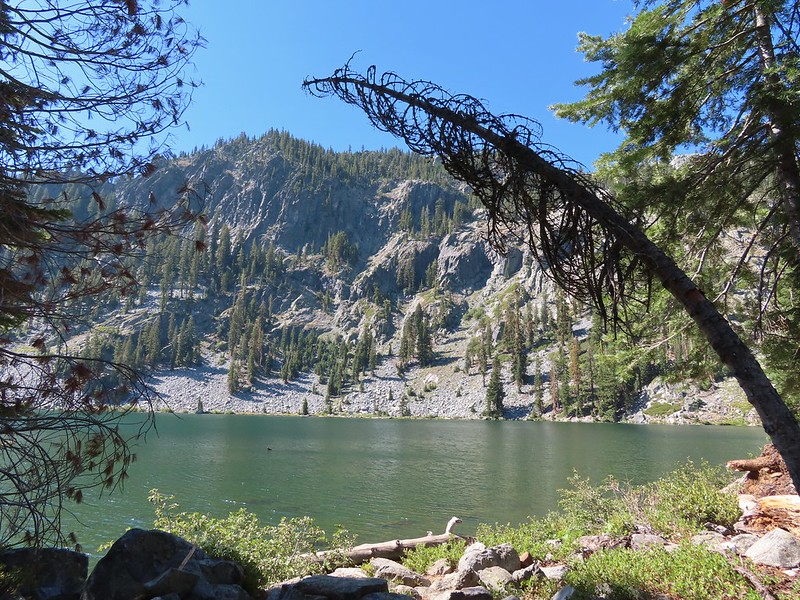
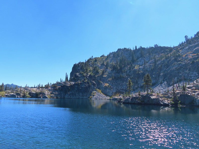
 Waterdog Lake.

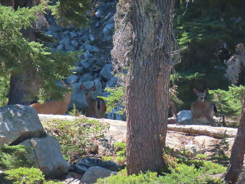
 The deer were across the lake in those trees.
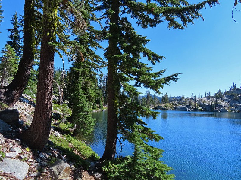
 Looking back along the lake.
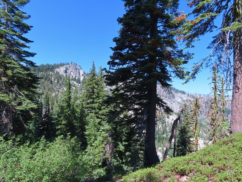


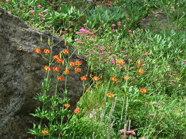
 Paintbrush
 There were dozens of lizards scurrying across the trails all day but not many stopped long enough for photos.
 Haven’t been able to identify this one yet.
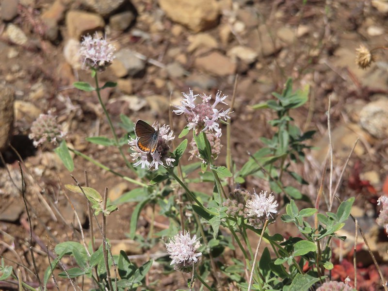 Butterfly on mountain coyote mint
 Another butterfly on mountain coyote mint.
 Grasshopper that became obsessed with Heather’s glove.
 Cricket
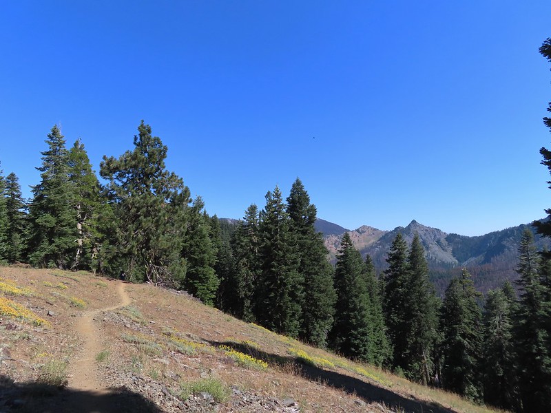


 Entering the
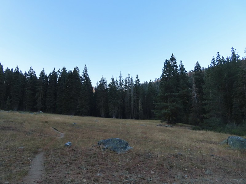

 First view of the small waterfall.
 Bigelow’s sneezeweed
 Marsh grass-of-Parnassus
 Not sure what these little guys are.
 Checker-mallow
 Western snakeroot
 Passing the waterfall.
 Peaks in the
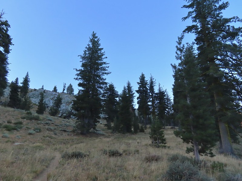
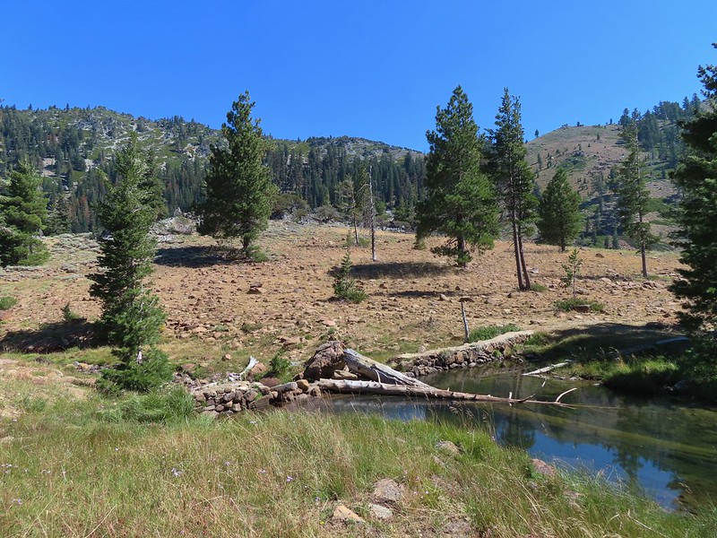
 Dam near East Boulder Lake.
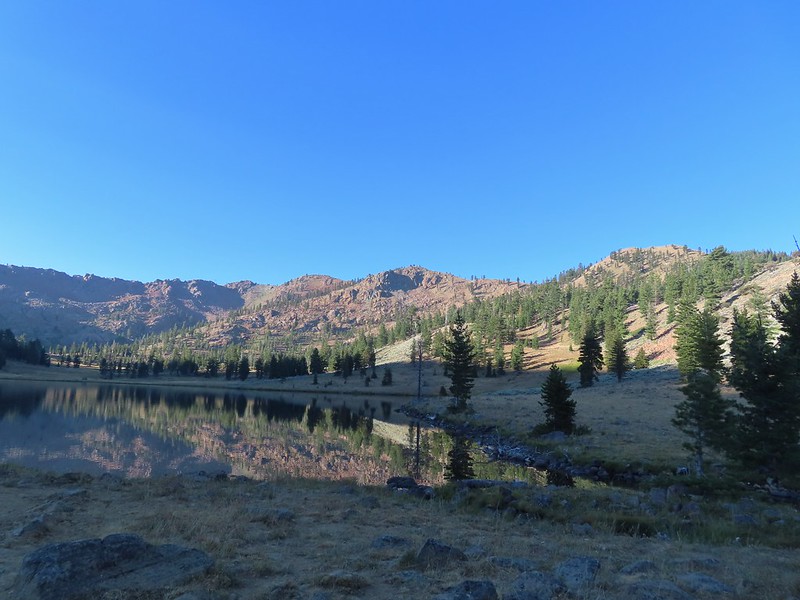


 There were cows out there somewhere but we couldn’t see them.
 View from the dam. We had to watch out for frogs here.
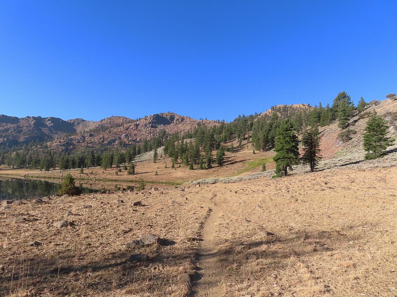

 We should have stuck closer to the lake.
 Buckwheat
 Back on the trail where the cows were just leaving.
 Upper Boulder Lake
 Upper Boulder Lake in the background.
 One of the cows on the far side of the lake to the left.
 Toothed owl’s clover
 Ducks on Upper Boulder Lake.
 The climb was fairly steep at times.
 All four lakes in view.
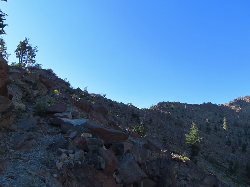 Almost to the pass.
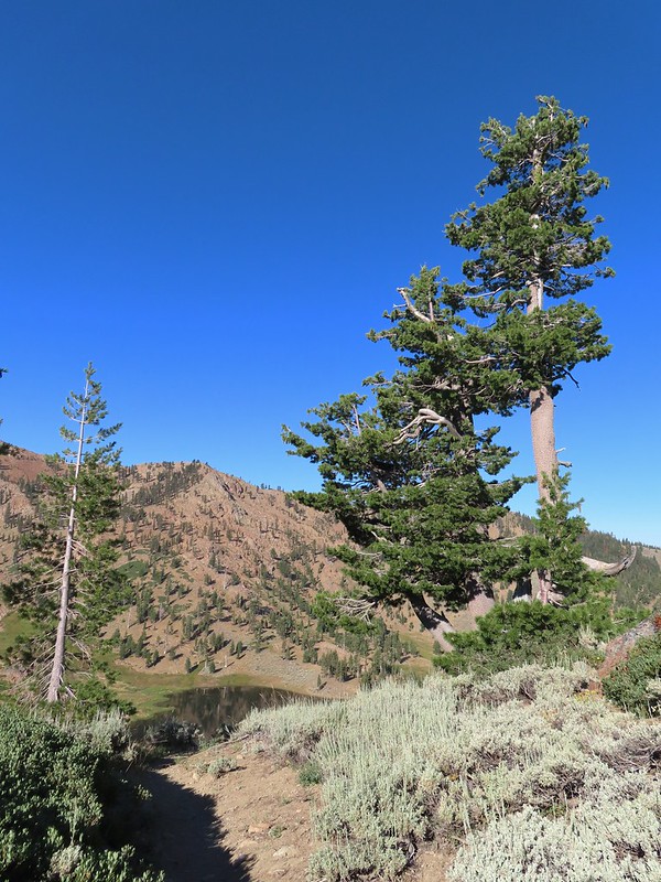 At the pass.
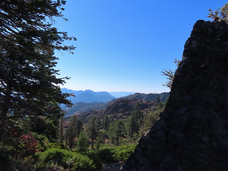 Looking south further into the Trinity Alps Wilderness.


 Balloon-pod milk vetch
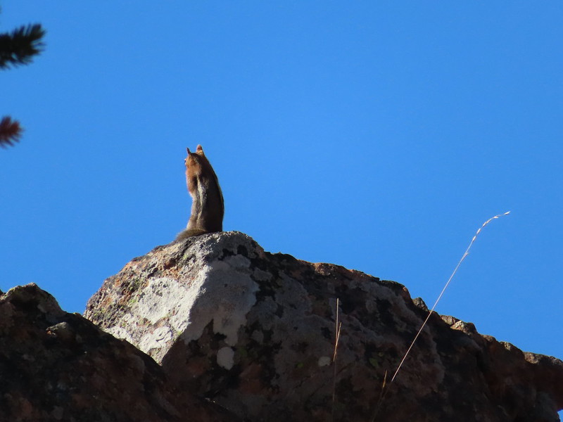 Golden-mantled ground squirrel taking in the views.
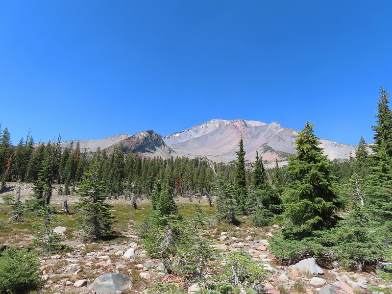
 Mt. Shasta over Mt. Eddy through the haze. I believe the lake below to the right is Big Marshy Lake.
 Fireweed in the rocks.
 Paintbrush
 A bit of water from a spring along the PCT.
 The water was coming from somewhere up there.
 Looking back along the PCT.
 Snack time.
 Caesar and Thompson Peak
 This northern flicker looks like its head is on backwards.
 A little bit of burned forest near the pass.
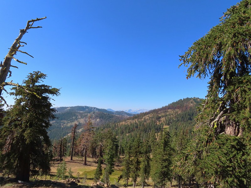 More peaks in the heart of the Trinity Alps.
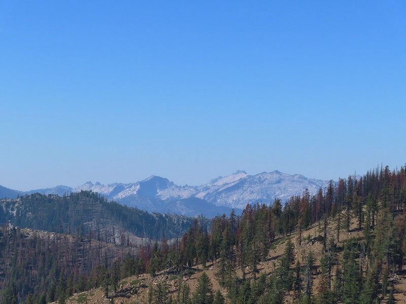 Caribou Mountain (
 The pass above Middle Boulder Lake.
 Middle Boulder Lake is just visible beyond two smaller unnamed lakes.
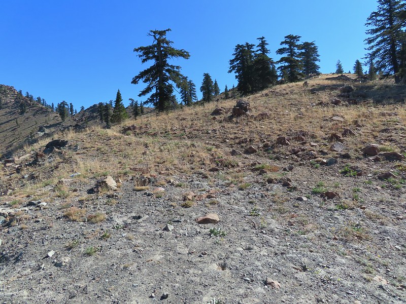 Middle Boulder Lake Trail at the pass.
 The Middle Boulder Lake Trail traversing down the hillside.
 A sulphur butterfly.
 The trail stayed above the two unnamed lakes.
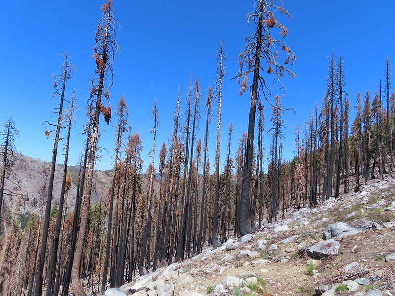
 The trees on the far hillside were burned in the 2021 fire.
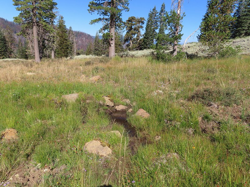


 The cairn to the right of the downed tree.
 This may be Autumn dwarf gentian
 One of the more obvious cairns.
 Butterfly on a seed head.
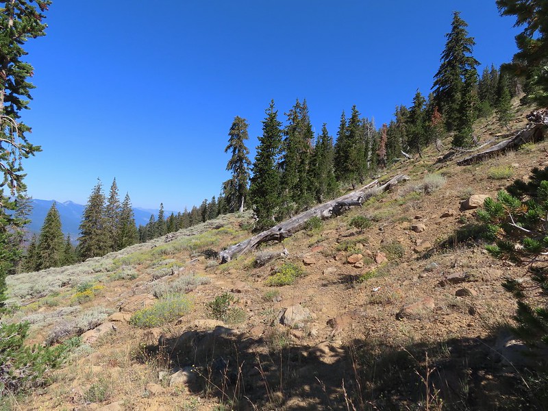 The tread getting clearer.
 Middle Boulder Lake
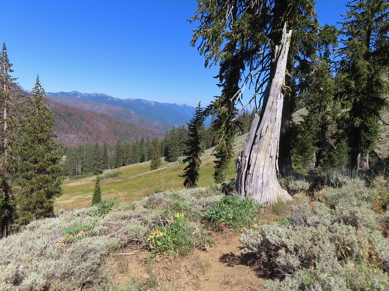 Back on good tread.


 Orange agoseris
 Passing through a bit of forest before climbing to the saddle.
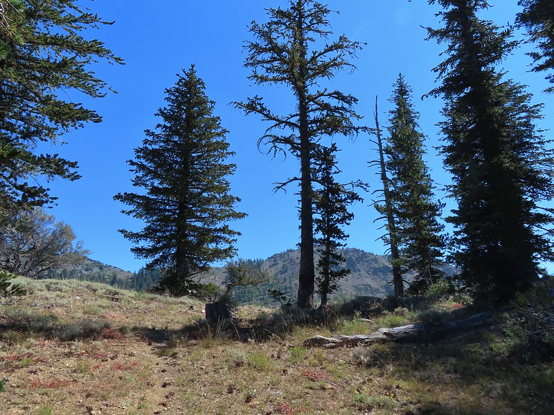

 Approaching the dam.
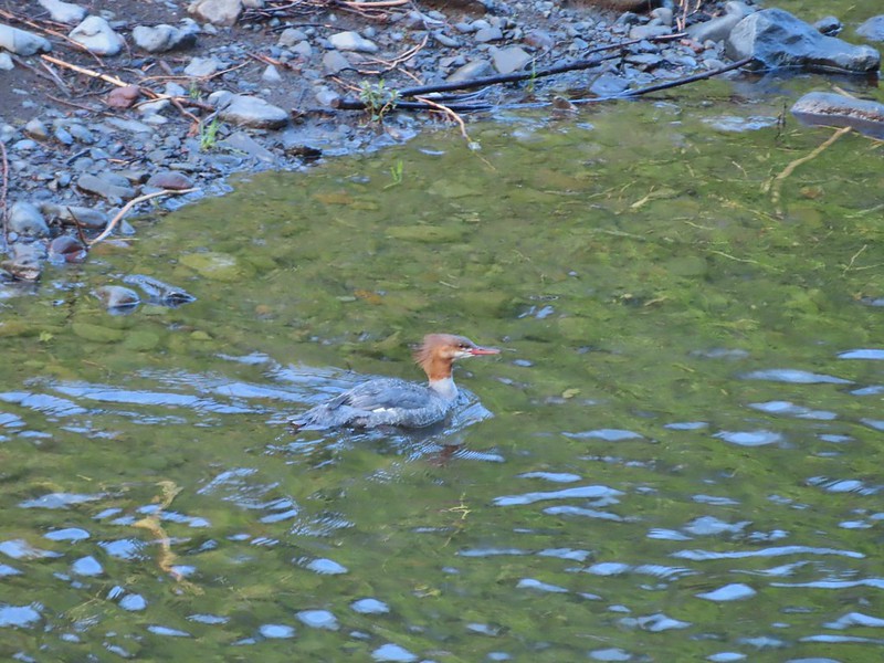
 Fish in East Boulder Creek.
 Descending near the waterfall.
 An aster or fleabane.
 Butterfly
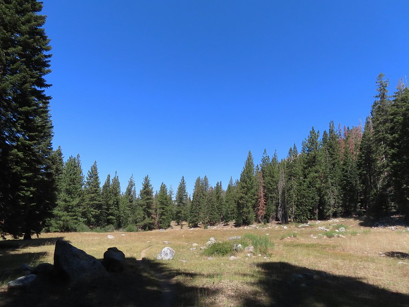
 Woodpecker
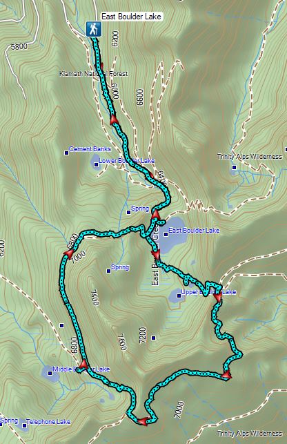

 Lupine at the trailhead.
 A line of smoke over the Castle Crags (
 Castle Crags
 Green Butte and Mt. Shasta
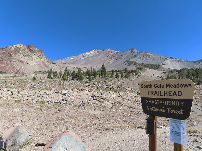
 Common buckeye

 Red Butte from the pass.
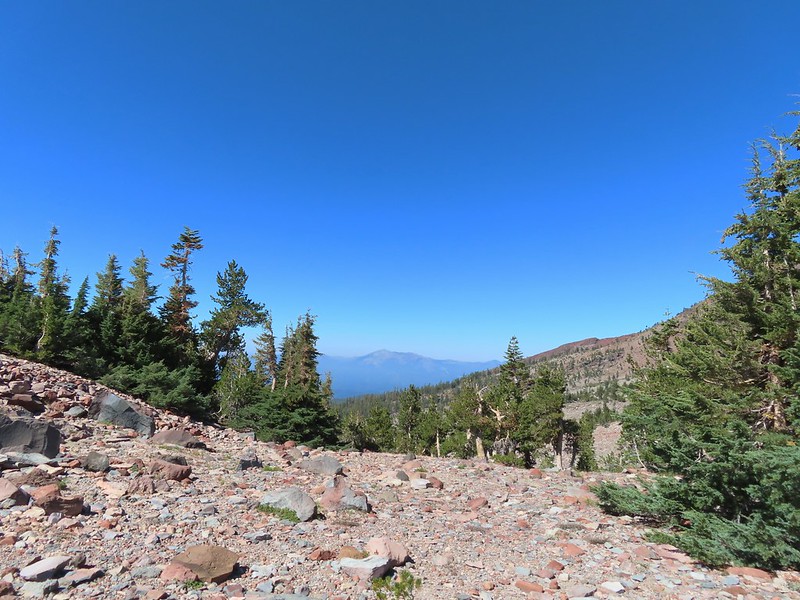 Mount Eddy from the pass.
 Heather standing at the wilderness boundary.
 A dry spring along the trail. Ideally we would have been doing this hike (and trip) in late July for more wildflowers but sometimes the circumstances dictate when and where we wind up.
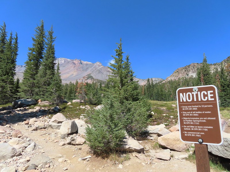
 Approaching The Gate.
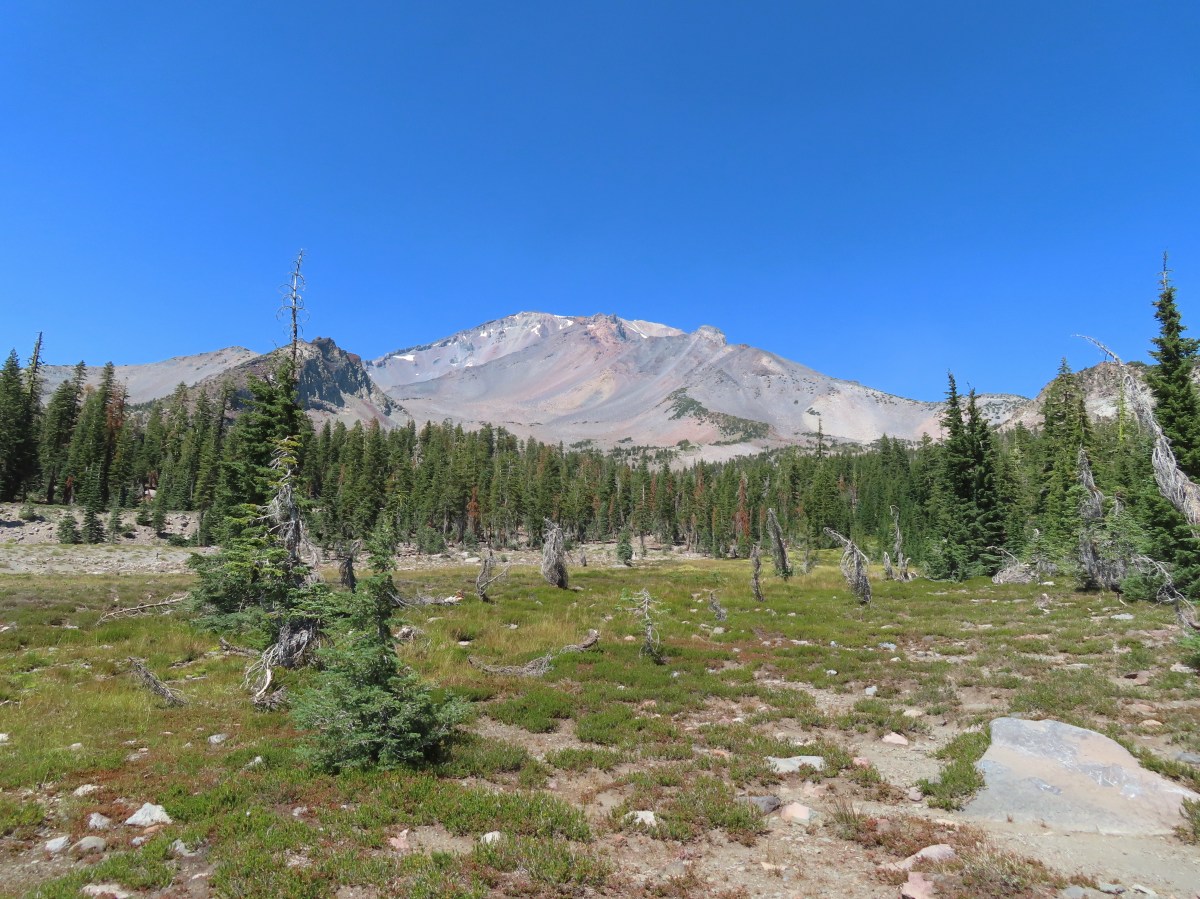
 Shastarama Point and Thumb Rock
 Gray Butte
 The trail junction near The Gate. The trail to the right would be our return route to make a loop through Panther Meadows, but for now we went left following the pointer for South Gate Meadows.
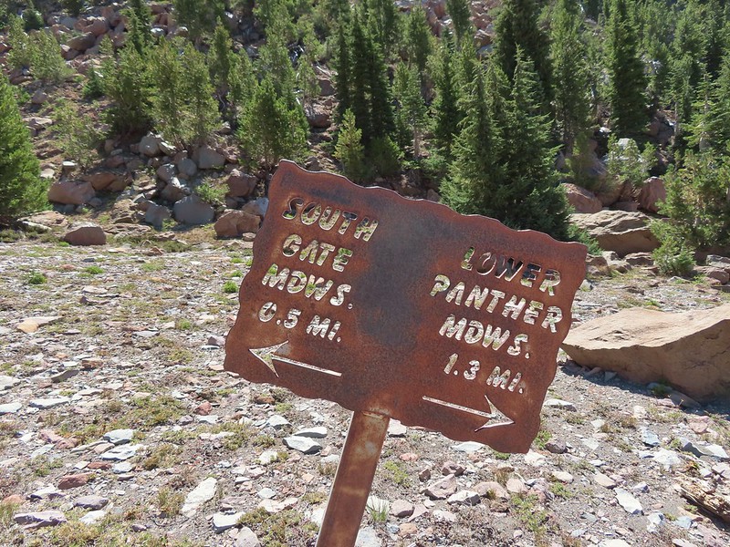


 A paintbrush and aster.
 Penstemon
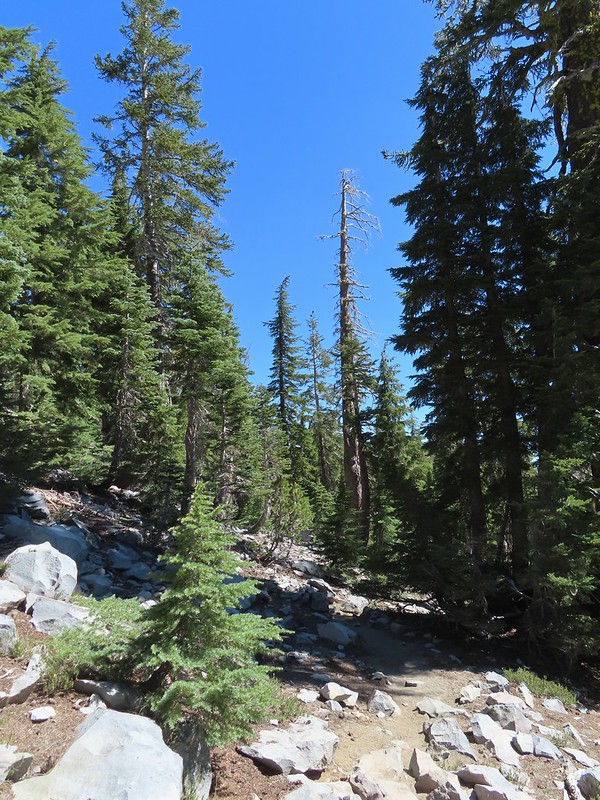
 Some haze to the south but we could make out Lassen Peak which is one we rarely ever get to see.
 Lassen Peak
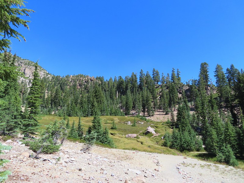

 Primrose monkeyflower
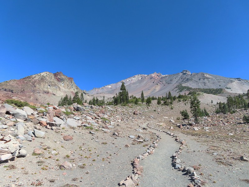
 The use trail crossing the creek.
 In sight of the circular meadow.
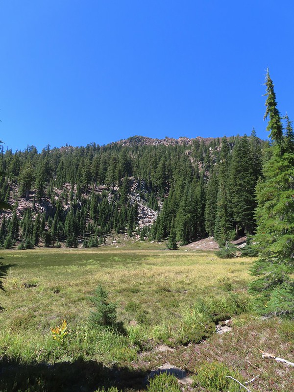
 Marsh grass-of-Parnassus
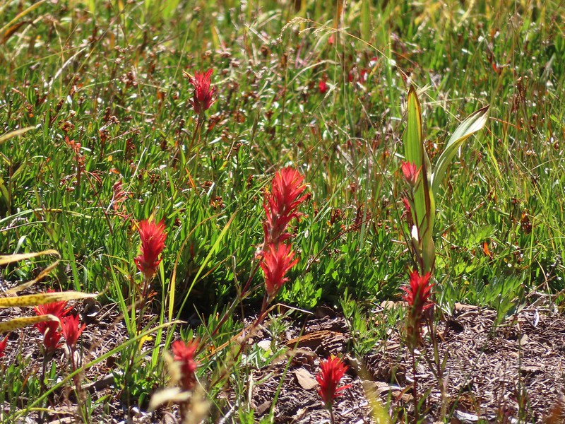 Paintbrush
 Back at the meadows.
 A pair of common buckeyes.
 Primrose monkeyflowers and paintbrush
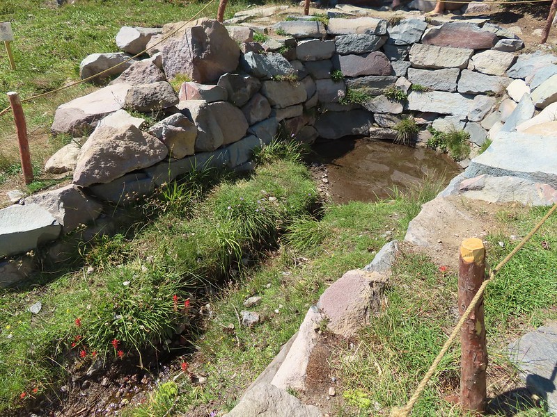
 Not the “monkeyflower” spring but a smaller one along the way up.
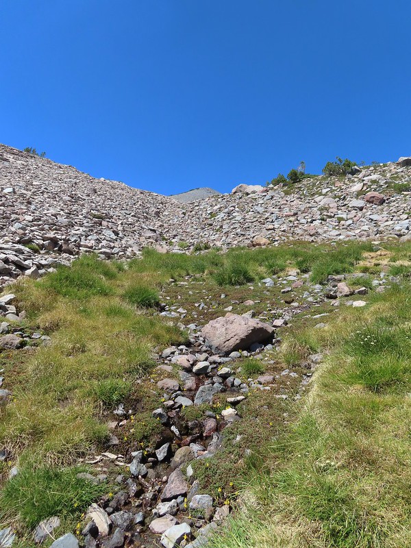 The “monkeyflower” spring.
 A couple of monkeyflowers and a buckeye.
 I climbed a bit above the spring to check out the view.
 Heather arriving at the spring.
 A Clark’s nutcracker also taking a break.
 Two types of monkeyflower and bog St. John’s wort,
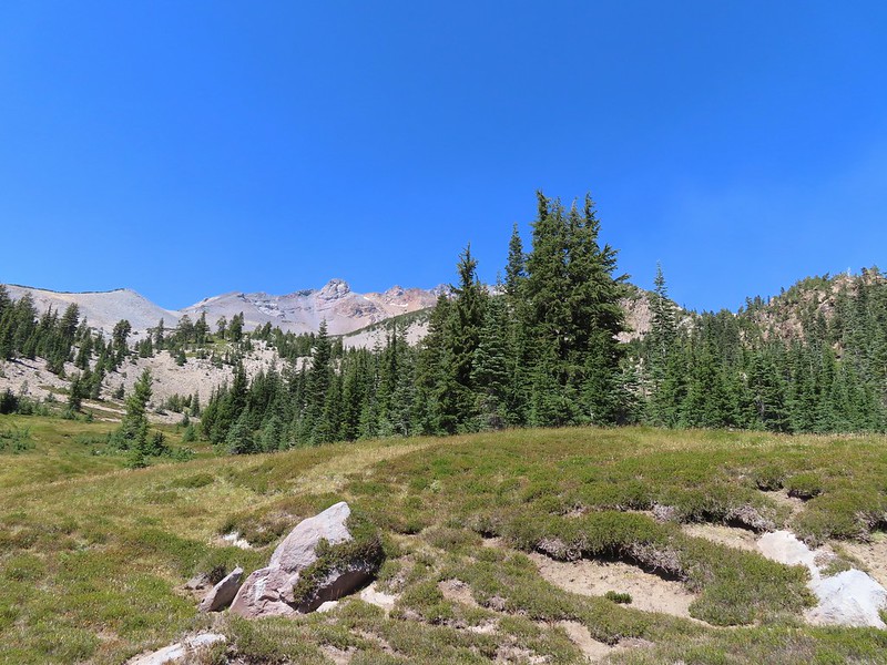 One last pass through South Gate Meadows.
 Red Butte
 Shasta knotweed
 Back at The Gate.
 Mt. Shasta from the trail.
 Red Butte
 Glaciated rock.
 Mt. Shasta and Sargents Ridge.
 Into the forest.
 The trail left the wilderness along the way.
 The junction with Gray Butte behind the trees.
 Another Clark’s nutcracker. They are boisterous birds and other than first thing in the morning we get a kick out of listening to them.
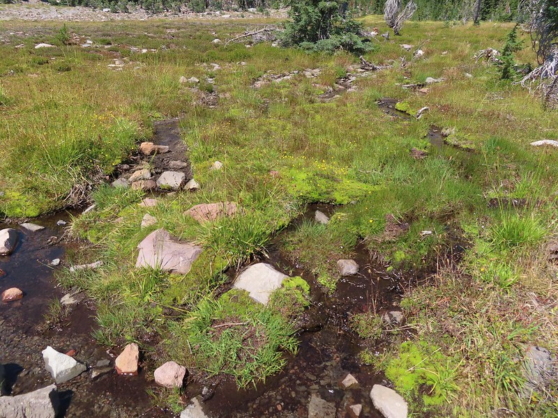 Stream flowing through the meadows.
 Gray Butte from Panther Meadows.


 Picnic tables at the trailhead.


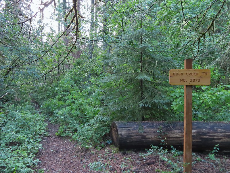
 Buck Creek Trailhead
 Buck Creek Trail straight ahead with the Buck Mountain Trail to the right. Notice that the Buck Mountain Trail didn’t receive a nice new sign. (Not pictured is the Ninemile Ridge Trail to the left.)
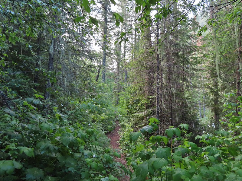
 Nice new wilderness sign along the trail.
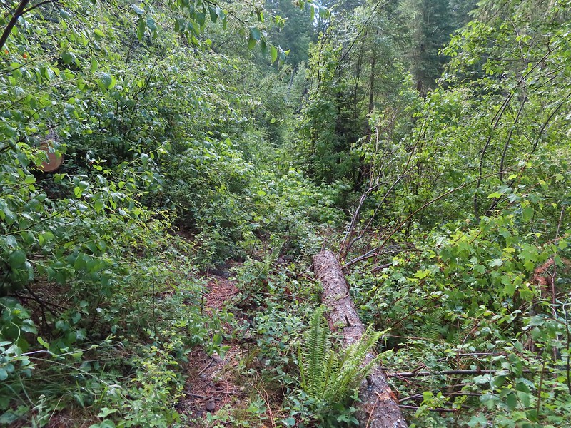
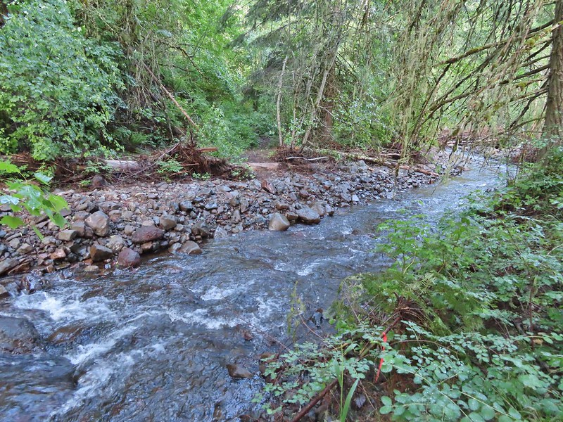
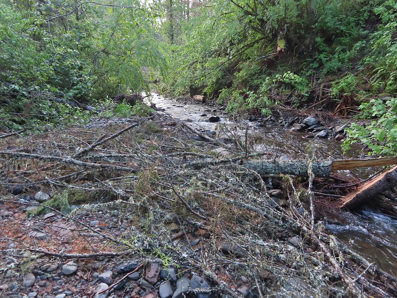
 Signs of the flooding.
 Blue sky
 Washed out section of trail.
 Recent trail repair here.
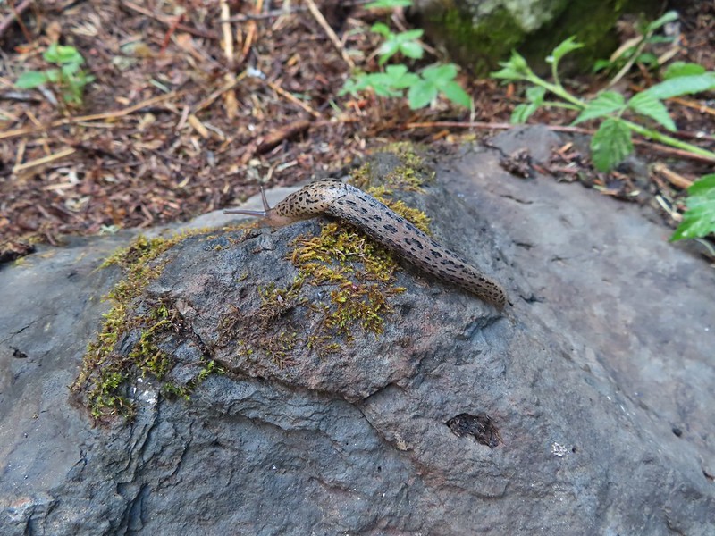 Slugs didn’t mind the damp conditions.
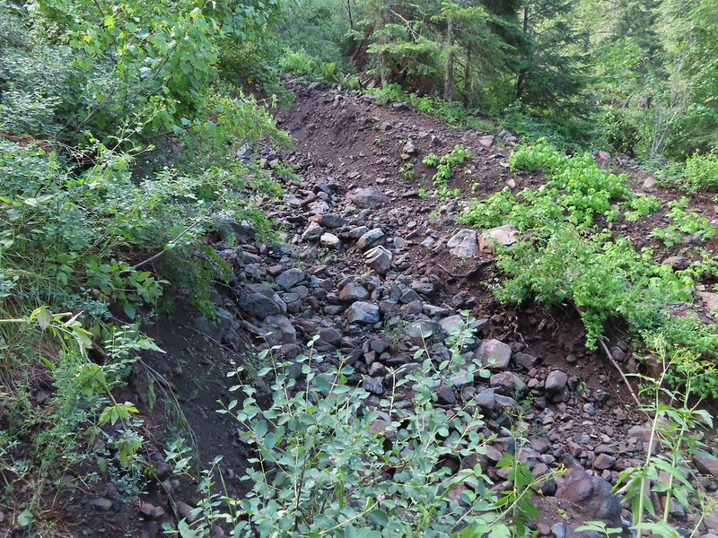
 Honeysuckle was everywhere in this wilderness, on all three hikes.
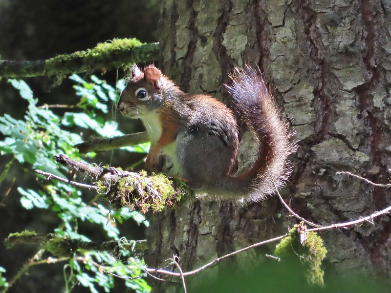 Squirrel!


 Closed portion of Bingham Springs Road (NF 32).
 We had completely missed this trail along NF-32 the day before having been distracted by the large number of butterflies in the area.

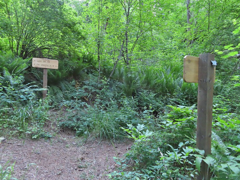 We stayed right at this junction to head down to the North Fork Umatilla Trail.
 Spreading dogbane
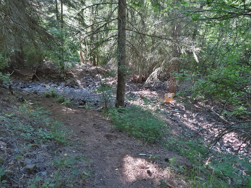 Evidence of the February 2020 flooding covering the North Fork Umatilla Trail, also there is a squirrel on the base of the tree at center.
 Some signs of recent maintenance.
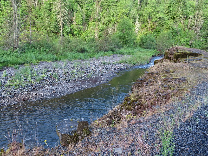
 North Fork Umatilla River


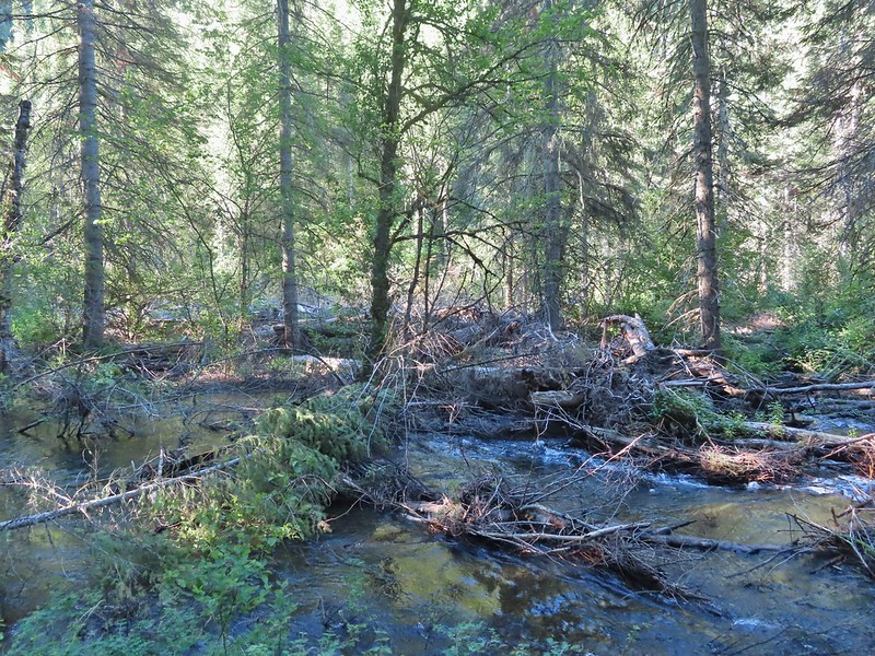 Debris from the flood in what appeared to be a new route for the river.
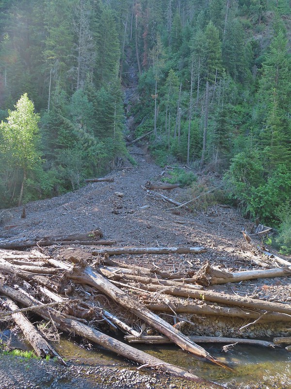 This big slide was across the river.
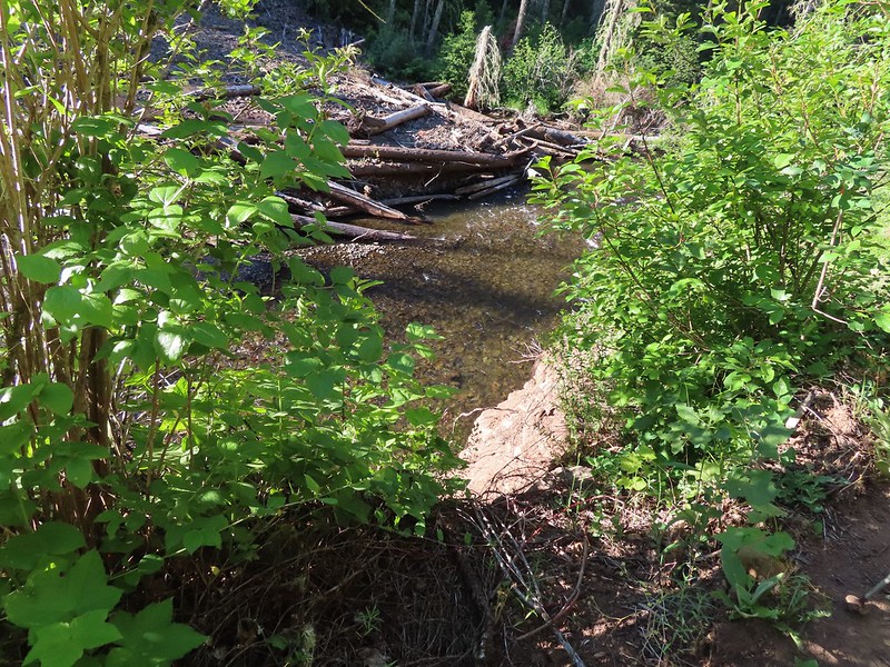 Some of the trail side was also lost.
 Lorquin’s admiral
 A section of trail that survived intact.
 Looking down another small slide.
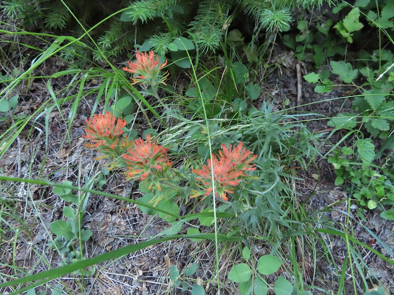 Paintbrush
 More maintenance along another washout.
 Arnica
 A number of slugs on the trail, Heather counted at least two dozen in just a few feet.
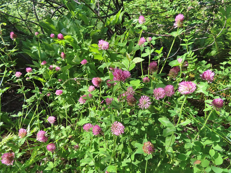 Clover
 Monkeyflower
 Alpine pennycress
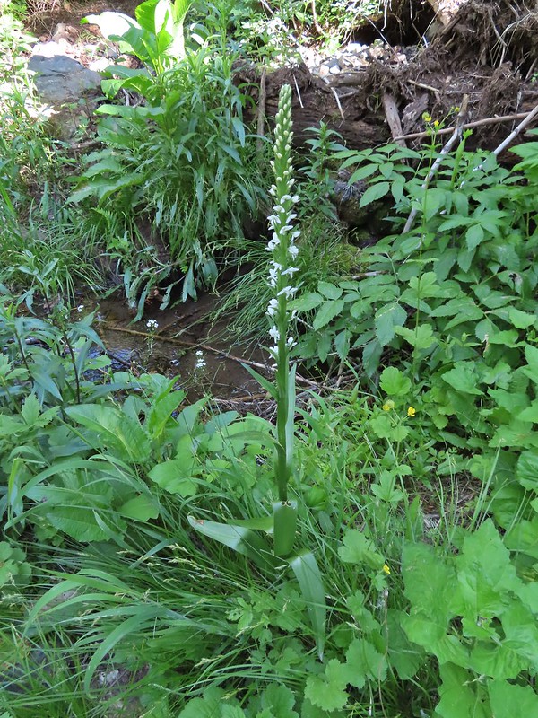 Bog orchid
 Stonecrop along an exposed section.
 Ragged robin in the exposed area.
 At one point this guy was hitching a ride on my pant leg.
 View from the trail.
 This section was a little overgrown.
 I believe this is Sabin’s lupine.
 Spur trail to a large campsite near Coyote Creek and the North Fork Umatilla River.
 Missing a footbridge.
 I crossed on that log.
 Found the footbridge.
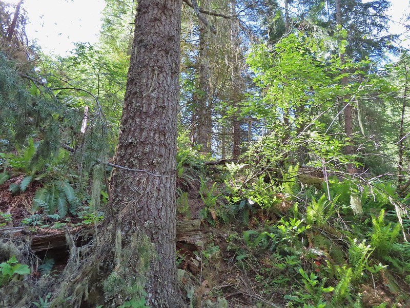 Flagging for the scramble route.
 Flagging for the North Fork Umatilla Trail
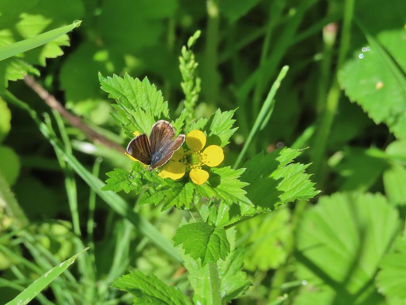 Butterfly on a cinquefoil?
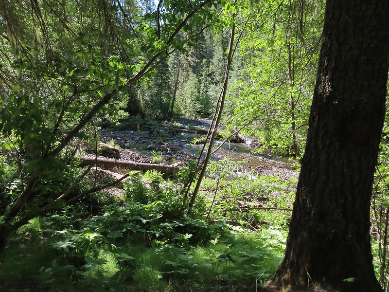 Confluence of Coyote Creek and the North Fork Umatilla River.
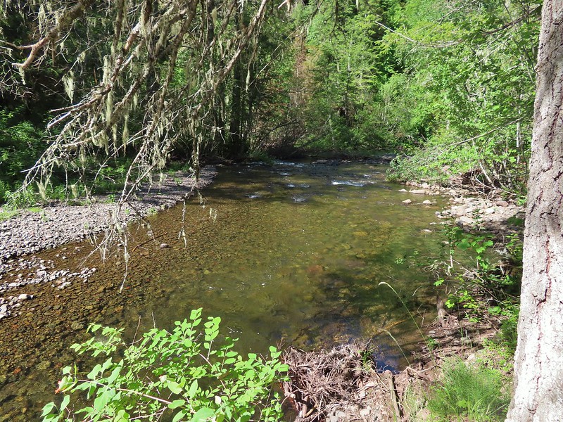 Deep hole below the campsites along the North Fork Umatilla
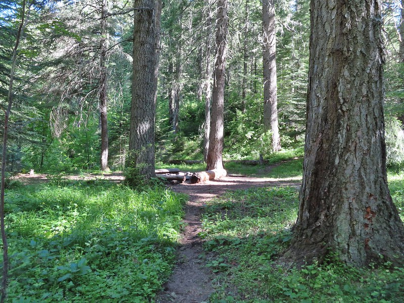 Campsite near Coyote Creek.
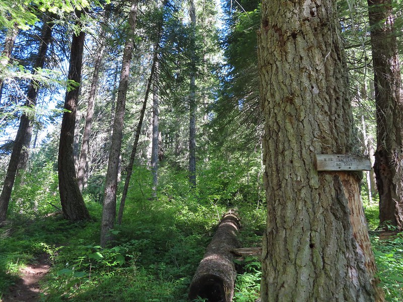 Heading back on the trail.
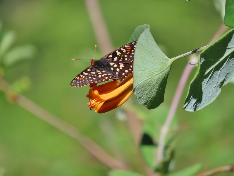 Checkerspot on honeysuckle
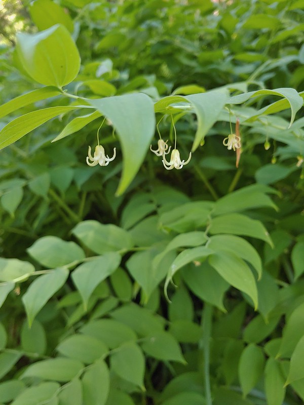 Twisted stalk
 Spotted coralroot
 Phantom orchid
 Houndstongue
 Signboard at the trailhead.
 Sign for the
  Not swallowtails but these lorquin’s admirals sure liked this scat.
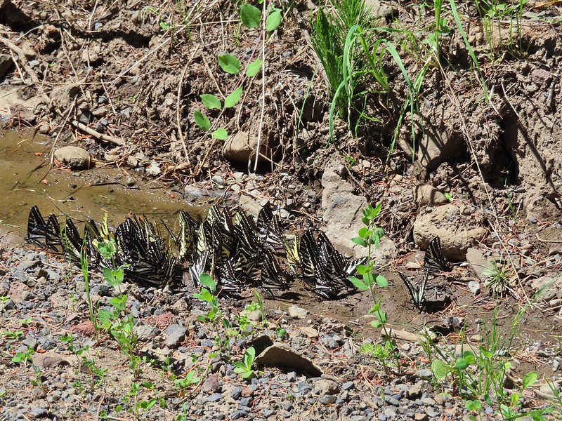
 The first mass of swallowtails was on the far side of the river along this stretch.
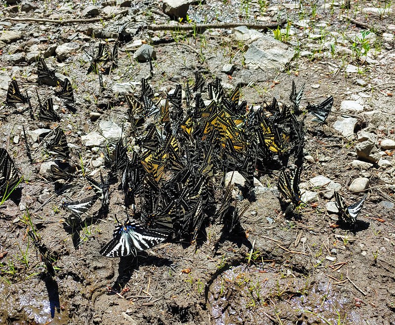
 The second and larger group was at this wet spot along the road.