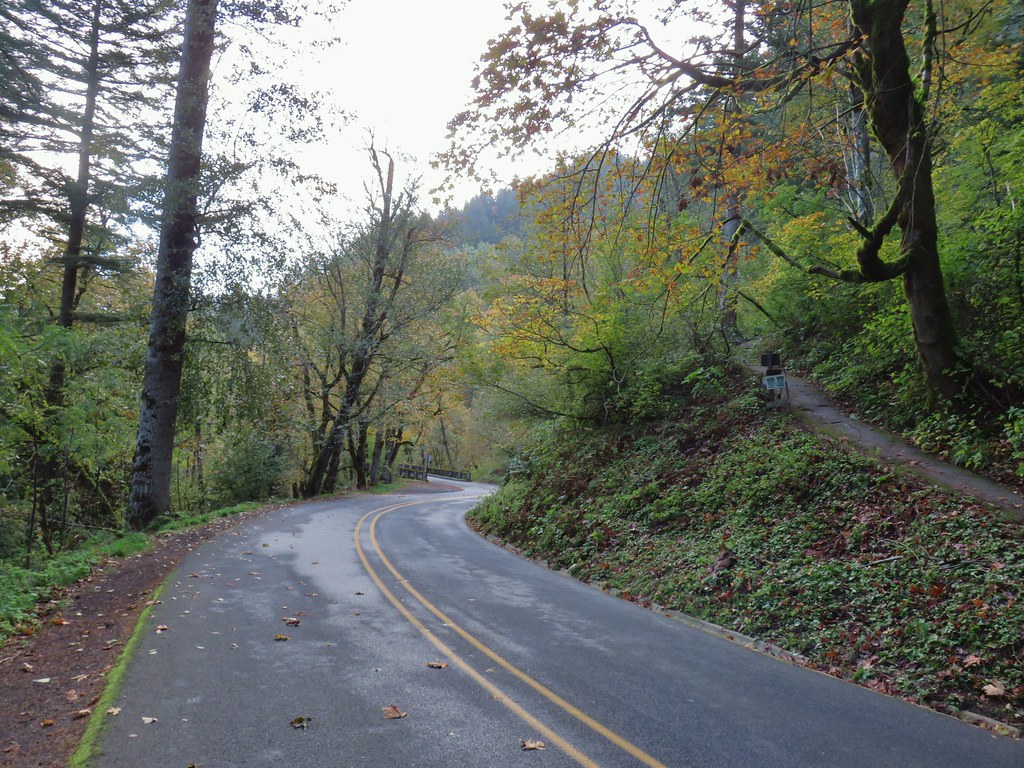
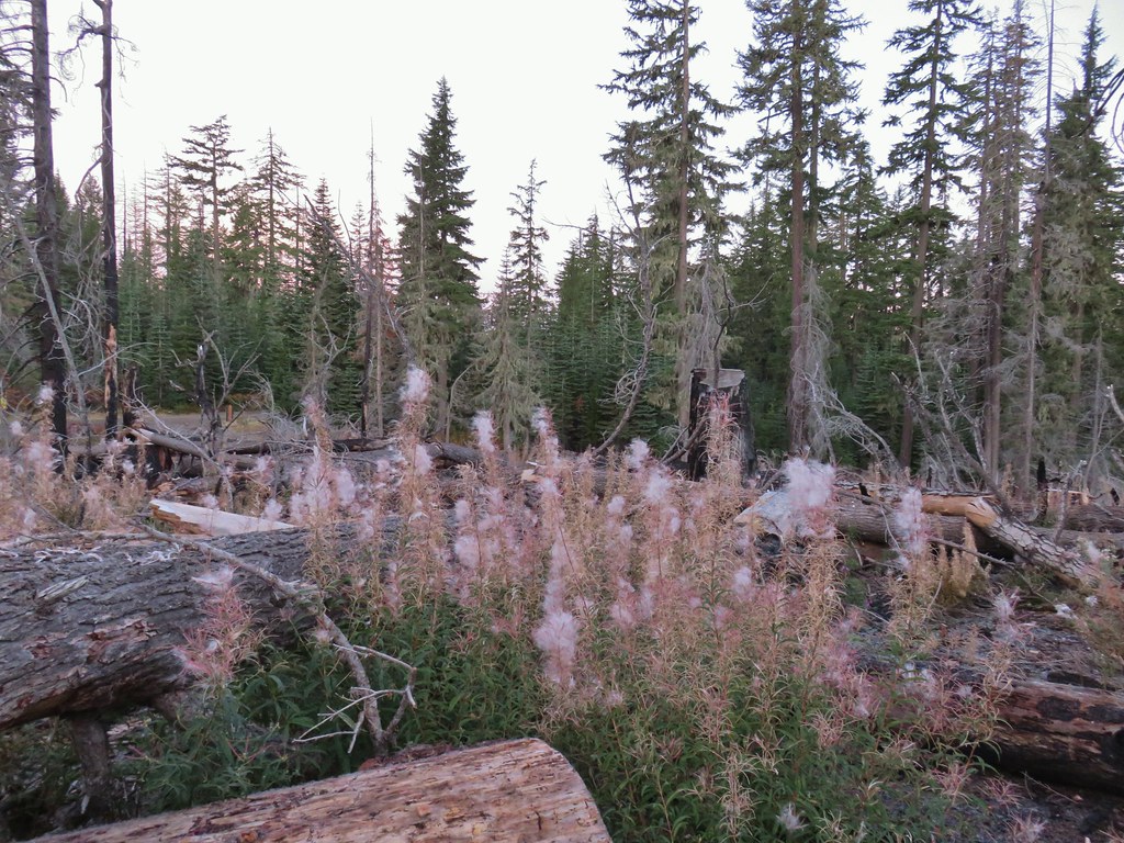
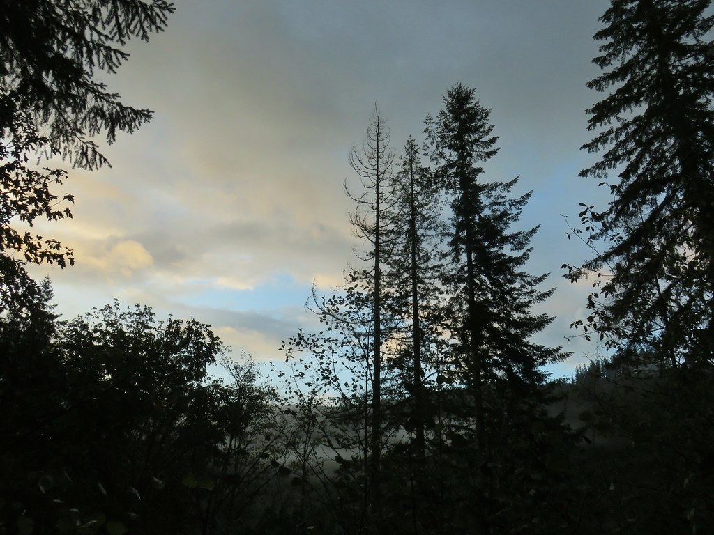
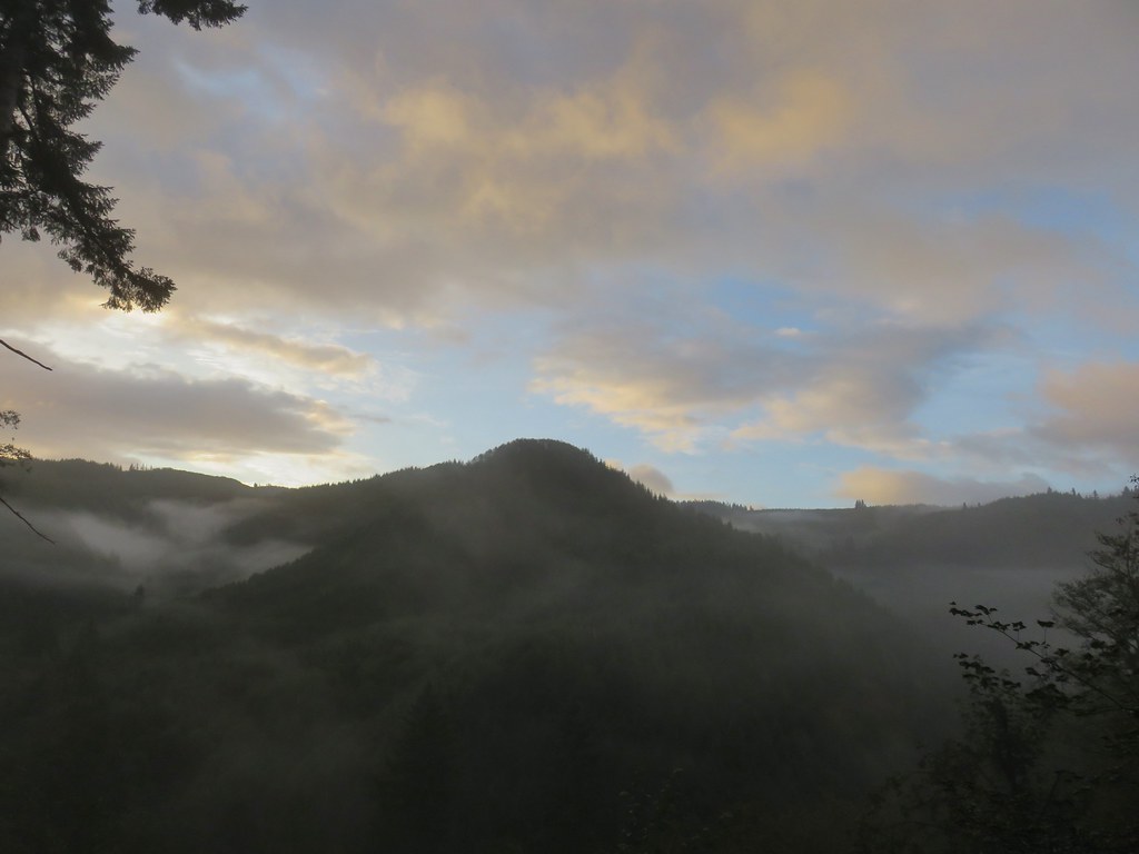
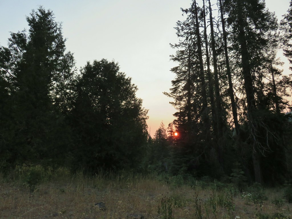
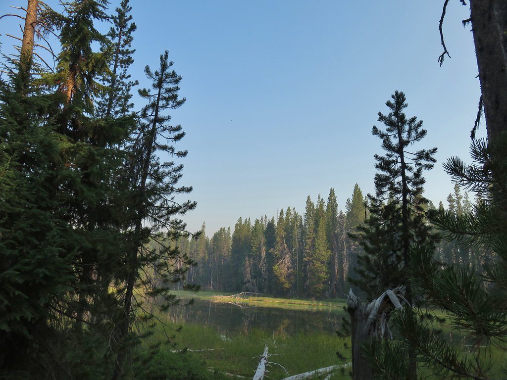
We wrapped up our “official” 2020 hiking season on Halloween with a pair of hikes in the Columbia River Gorge. Latourell Falls and Larch Mountain were two of the remaining eight featured hikes we had yet to do from Sullivan’s “100 Hikes/Travel Guide Northwest Oregon & Southwest Washington”. We started our morning at Guy Talbot State Park for the short loop hike to Lower and Upper Latourell Falls. We arrived before 7:30am in an attempt to avoid the crowds that would likely be arriving later in the day which worked out as the only other car that was there when we arrived soon left. The downside was that the Sun was still working it’s way up leaving the conditions less than perfect for photos.

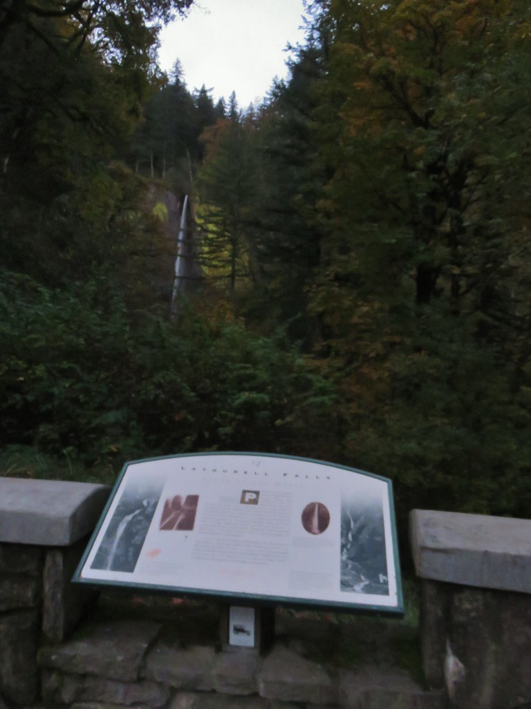
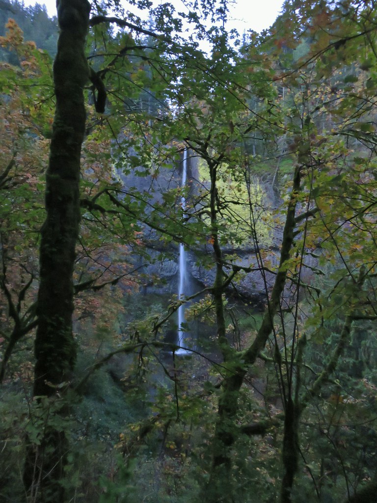
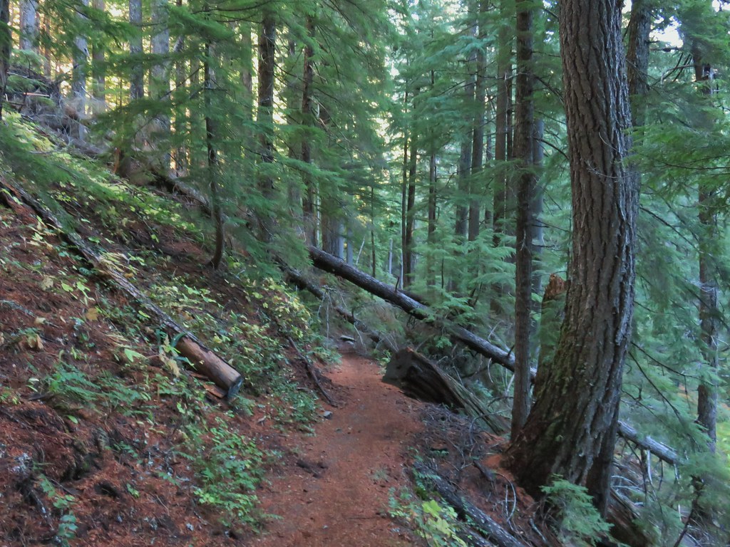
The loop starts at the trailhead with a paved path to the right leading down to the splash pool below Lower Latourell Falls and the left hand fork leading uphill .8 miles to Upper Latourell Falls. With the lack of light we chose to head for the upper falls first to let the Sun get a little higher before visiting the lower falls. Just over a quarter mile up the trail we arrived at a viewpoint overlooking Lower Latourell Falls.
There were a few more views of the falls as the trail continued to climb beyond the viewpoint.


There was also a view across the Columbia River of Silver Star Mountain (post).

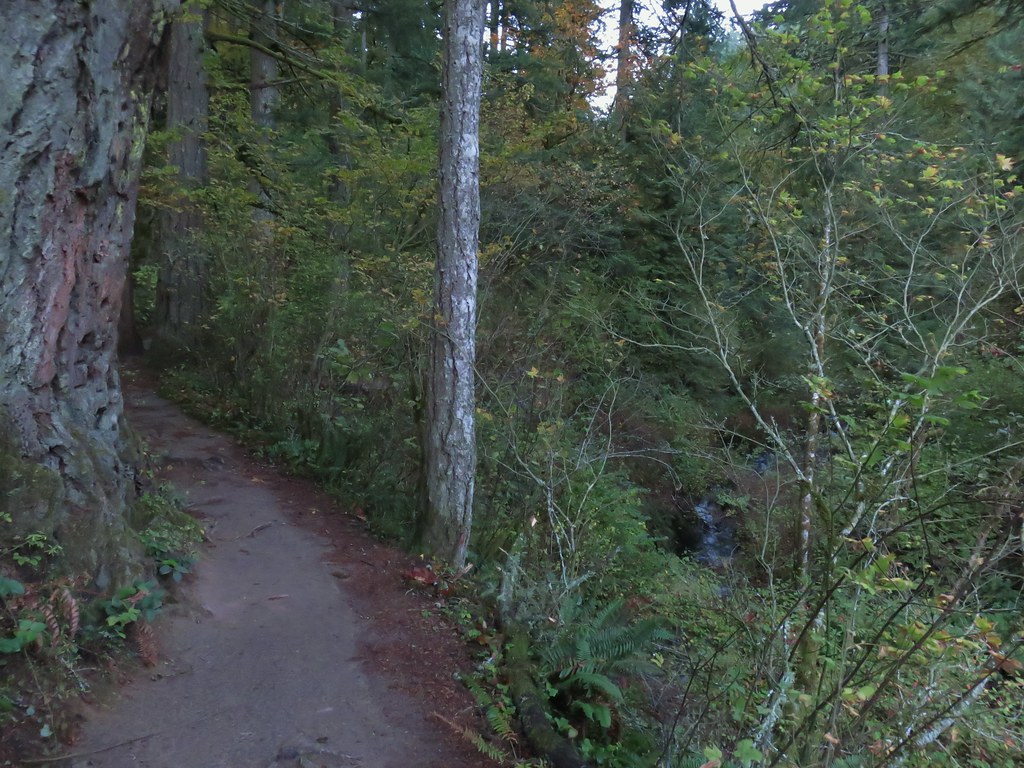
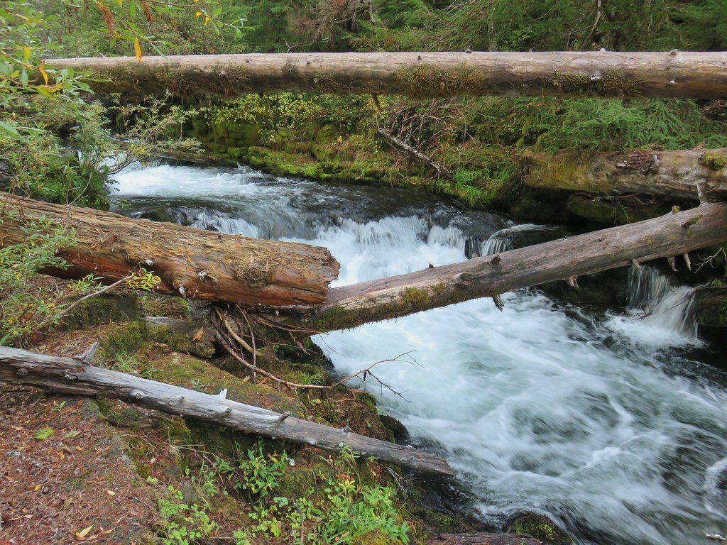
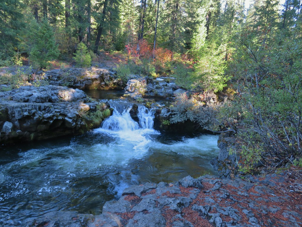
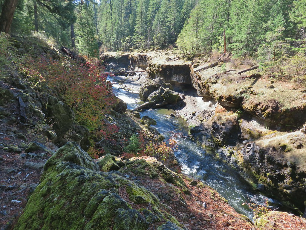
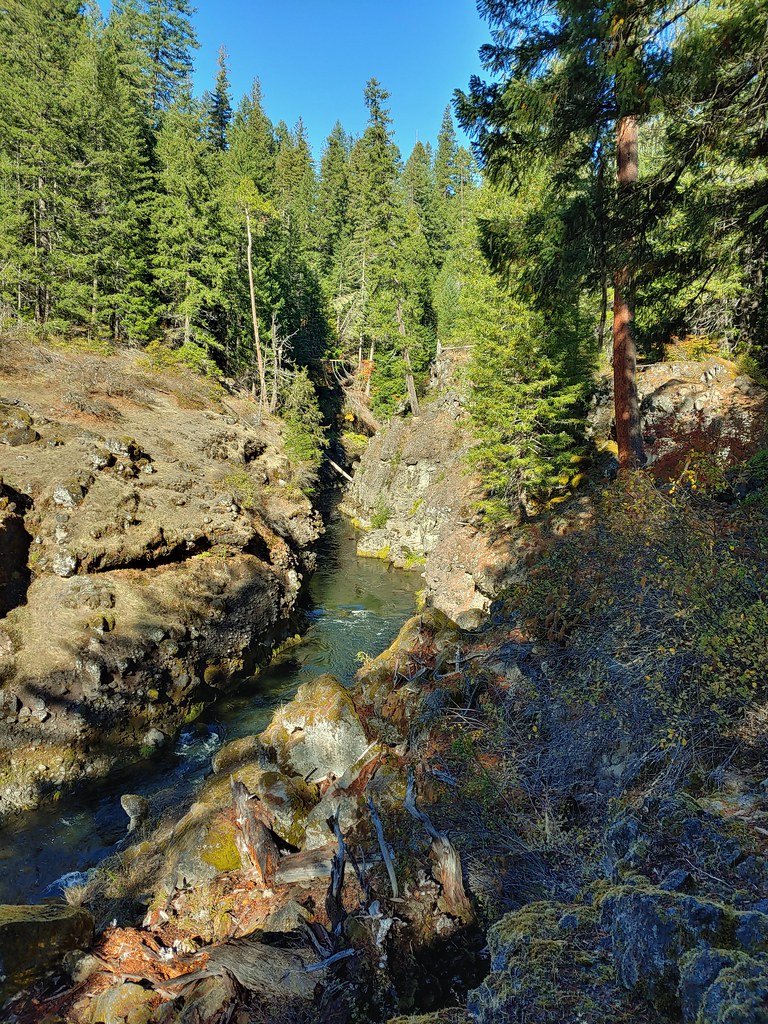
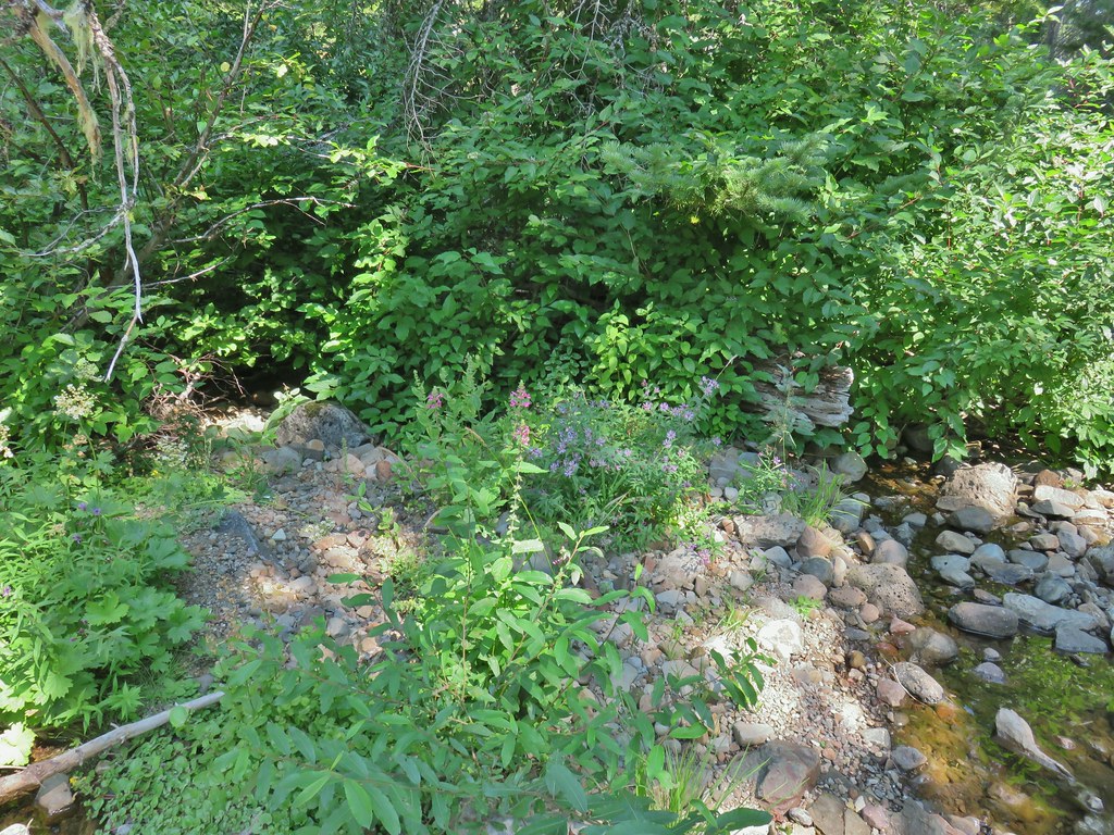
Above the lower falls the trail followed Henderson Creek up a narrow canyon to the upper falls.
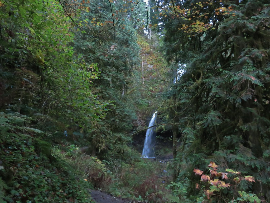
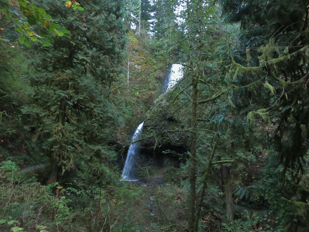
This 120′ waterfall consists of an upper slide before the water turns sharply right through a chute before a final plunge into the splash pool.

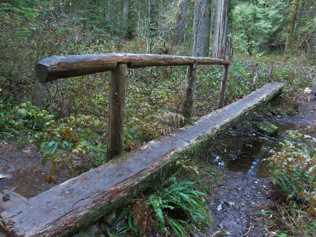
We crossed the creek on a footbridge below the splash pool then explored behind the falls under the basalt.


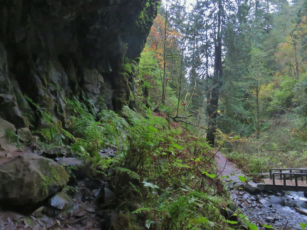
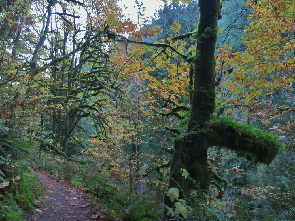
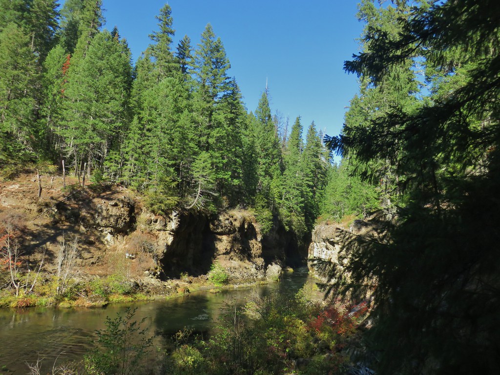
Beyond the falls the trail headed downhill on the opposite side of the creek.


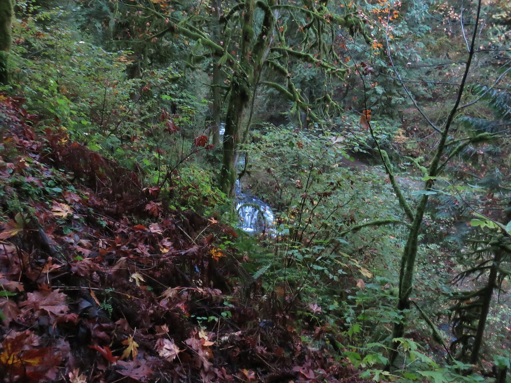
After a half mile a short spur trail led downhill to a viewpoint above Lower Latourell Falls (the falls were not visible from here).
 Silver Star Mountain in the background with the cliffs of Cape Horn (post) along the Columbia River.
After checking out the viewpoint we continued on the loop passing another viewpoint across the Columbia a short distance later.
 Looking east down the Columbia River.
 Looking NW across the Columbia.
 Silver Star Mountain again.
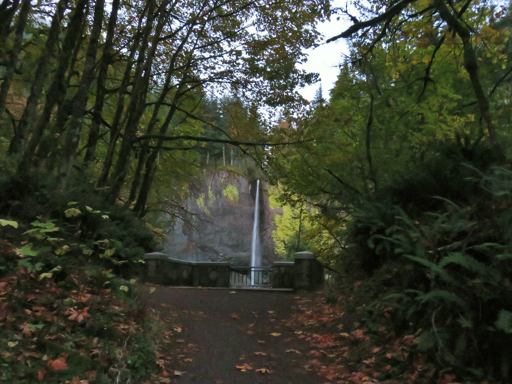
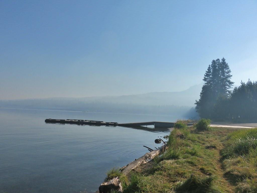
The trail crossed Historic Highway 30 before dropping into the picnic area of the park then led under a bridge to the base of Lower Latourell Falls.


At 249′ Lower Latourell Falls is the 3rd tallest fall in the Columbia River Gorge. It was at the base of the falls that we finally crossed paths with other people. There was a pair of hikers and then a wedding party arrived for pictures.


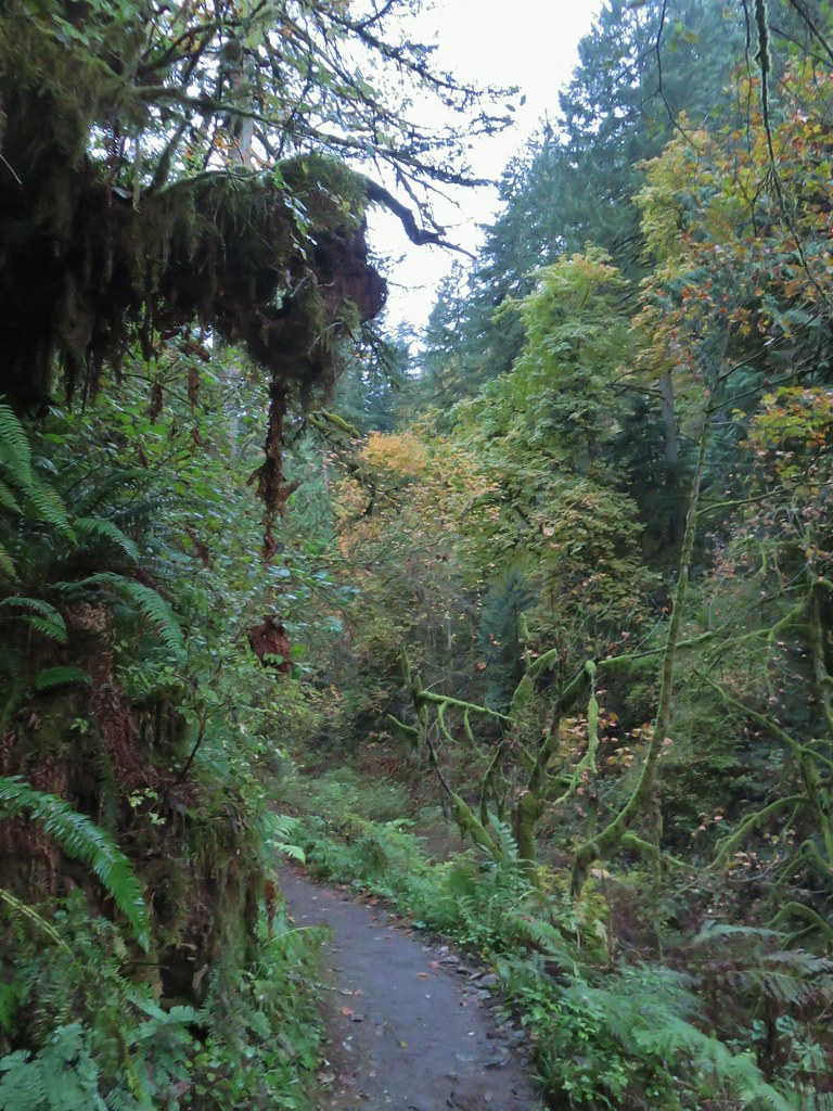
We left the falls to the photographers and climbed back up to the trailhead. This loop is approximately 2.5 miles (a little more if you do any exploring) with 600′ of elevation gain.
We then drove west on Highway 30 toward Corbett, OR turning onto Larch Mountain Road which we followed for 11.6 miles to a sharp right hand corner. At the corner is a small pullout at a gated road which is where we were planning on starting our hike. There were already a couple of cars parked here so we continued 100 yards up the road to a small pullout on the right.
 Looking down toward the corner from the small pullout on the right.
The official trailhead is located at the end of Larch Mountain Road and requires a NW Forest Pass. The upper trailhead also provides for a much shorter hike to the viewpoint atop Sherrard Point.
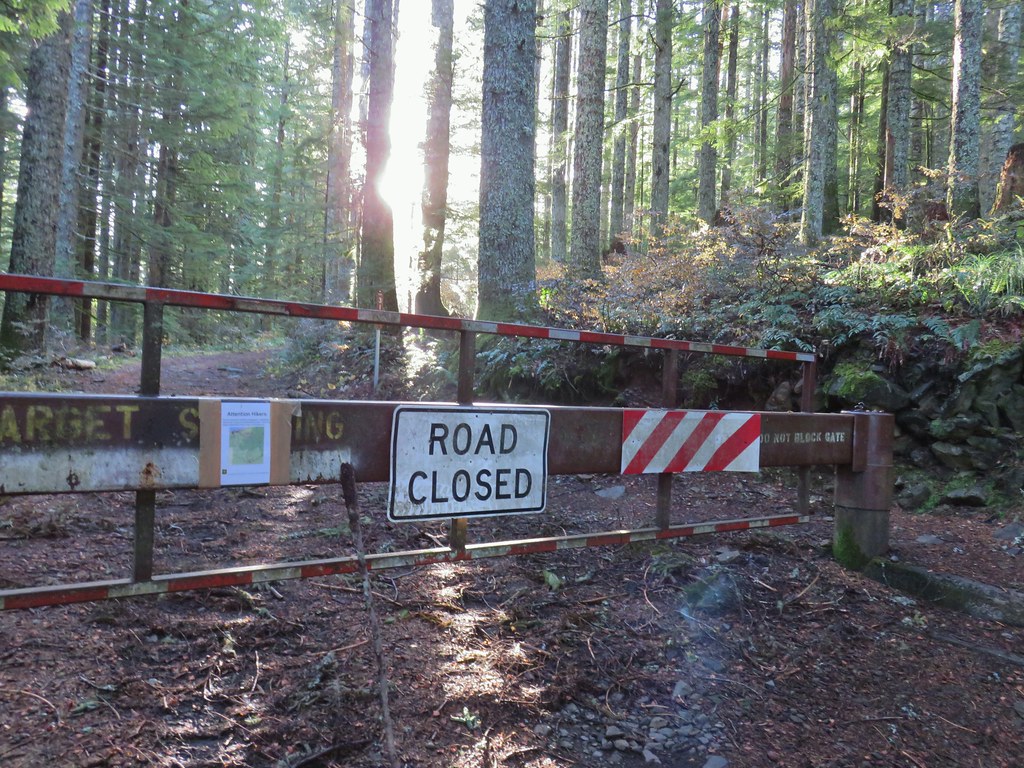
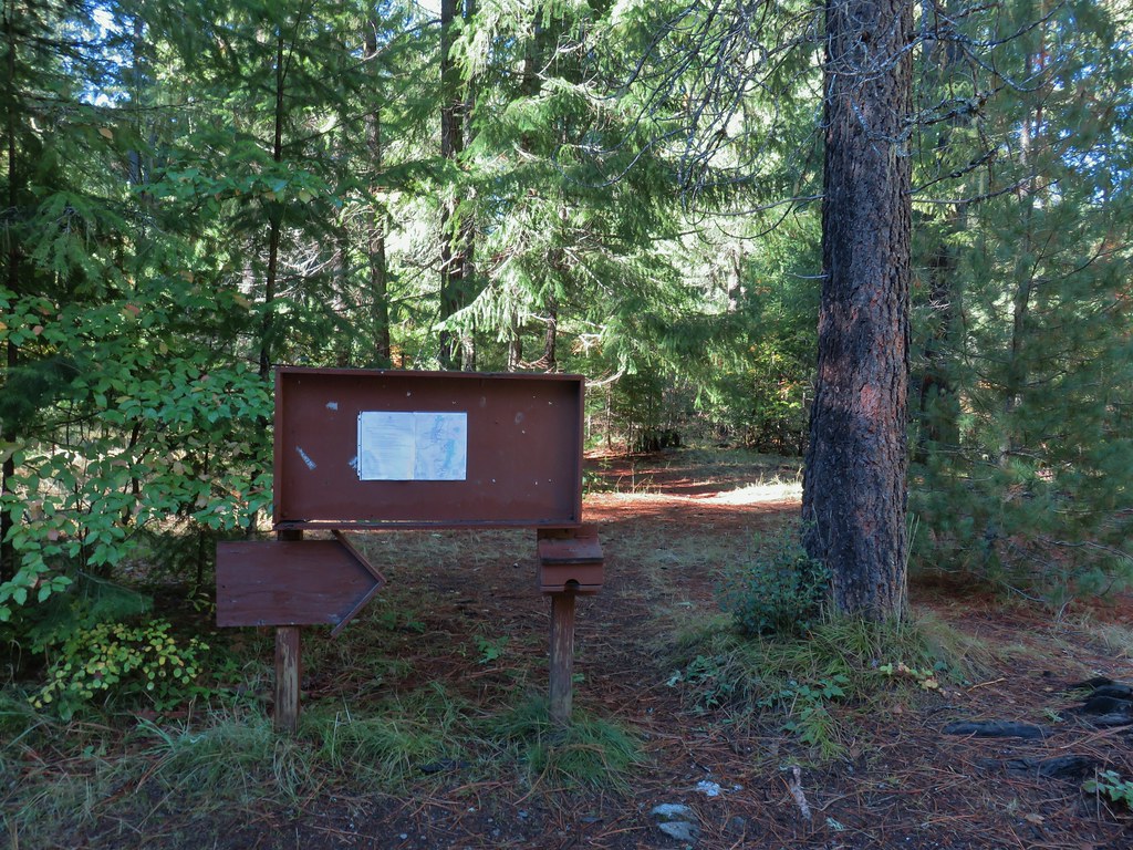
We walked along the shoulder of Larch Mountain road to the gate, checking the posted Forest Service notice regarding closures to make sure our planned route was indeed open.
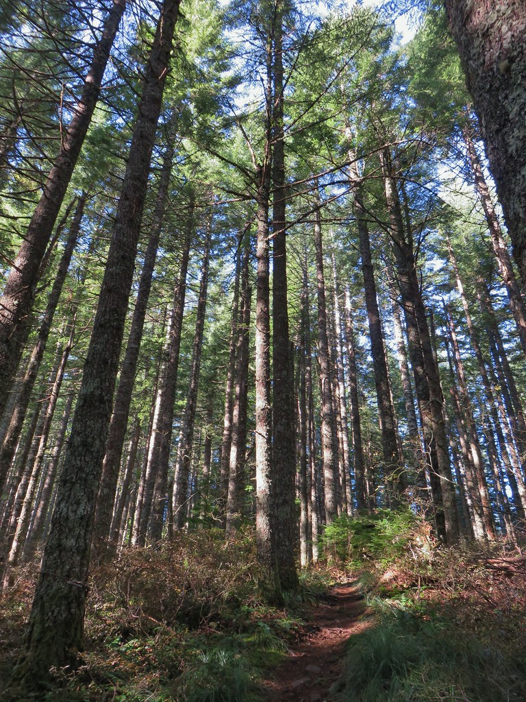
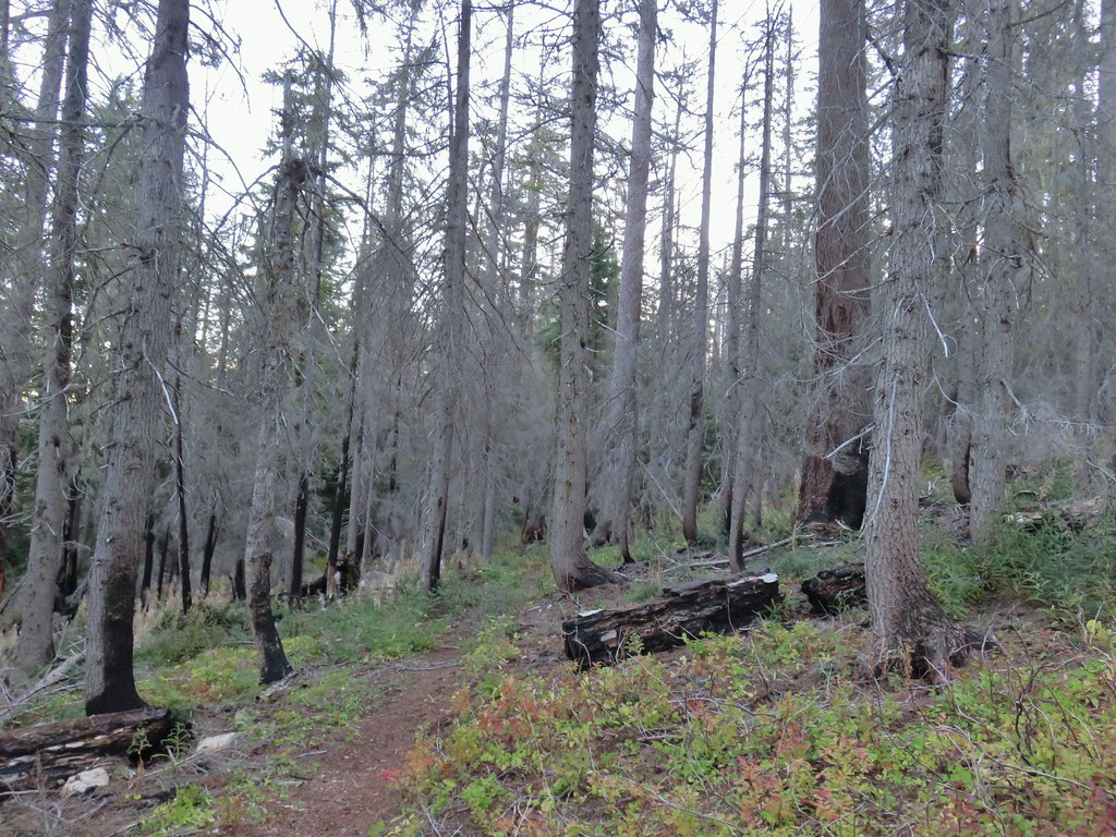
All the trails along our route were indeed open so we started up the old roadbed following it for a little over a quarter mile to the Larch Mountain Trail.


The 6.8 mile Larch Mountain Trail runs between Multnomah Falls (post) and Larch Mountain. The trails around Multnomah Falls are currently closed or limited by reservation only due to COVID-19. A right turn uphill on the Larch Mountain Trail would have brought us to the upper trailhead in 1.5 miles while turning downhill to the left would also get us to Larch Mountain in approximately 5 miles. We turned left for two reasons, first Sullivan’s description has you go that way and second we wanted to give the Sun more time to get overhead in hopes of having a better view of Mt. Hood.
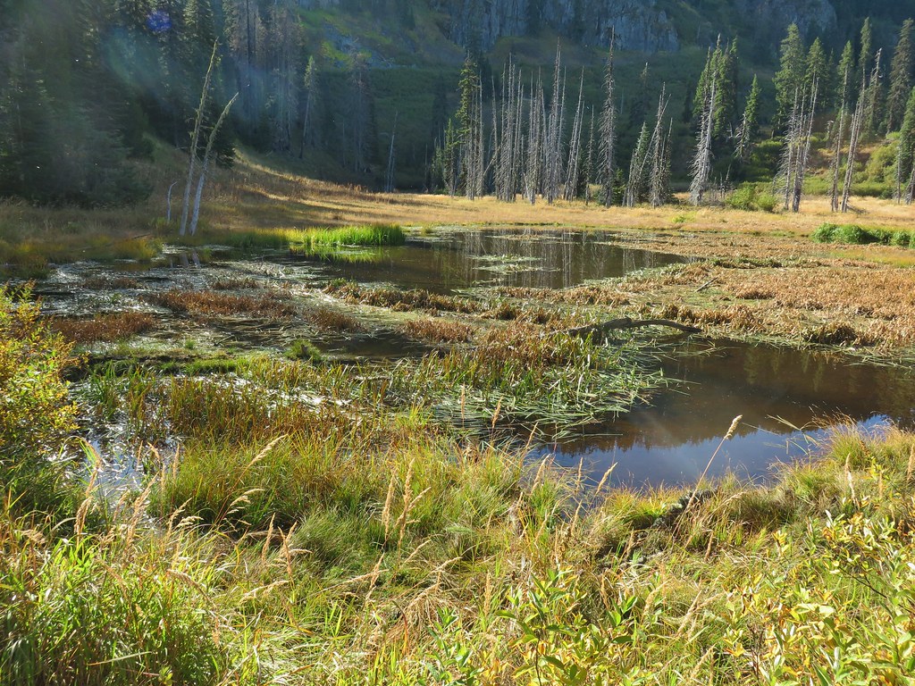
The Larch Mountain Trail dropped over 300′ in the next .4 miles before arriving at a junction with the Multnomah Creek Way Trail.


 Multnomah Creek Way Trail.
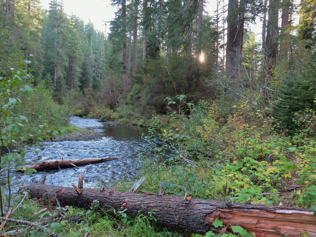
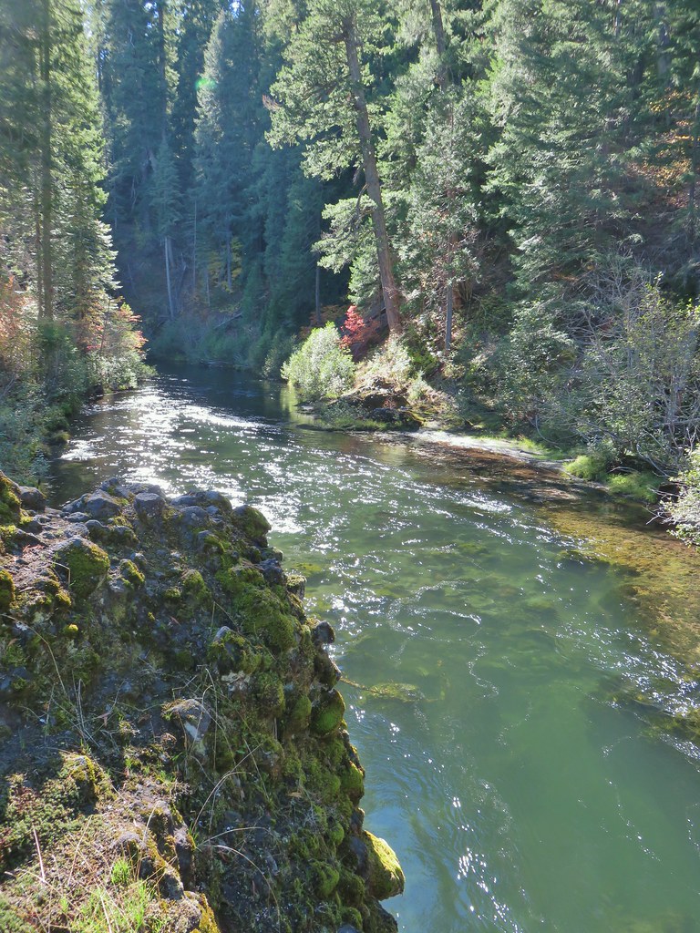
We followed this trail downhill for .2 miles to a footbridge over Multnomah Creek.
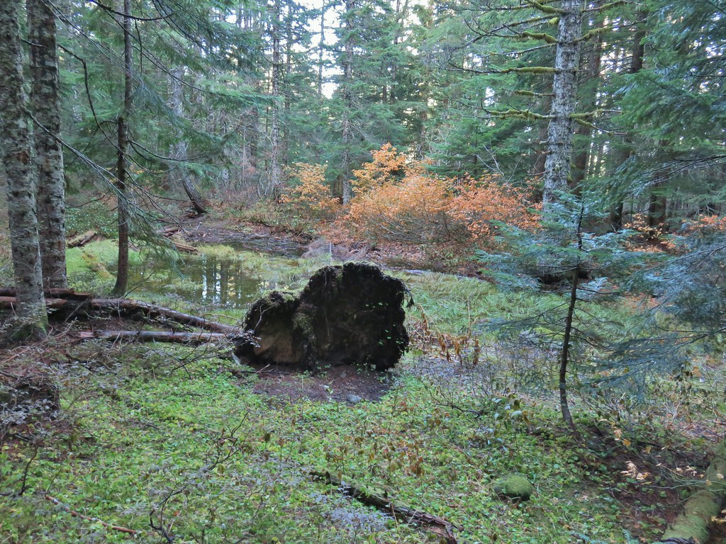
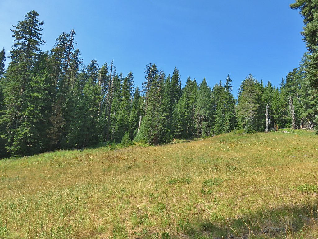
After crossing the creek the trail turned uphill following the creek up into the Multnomah Basin.


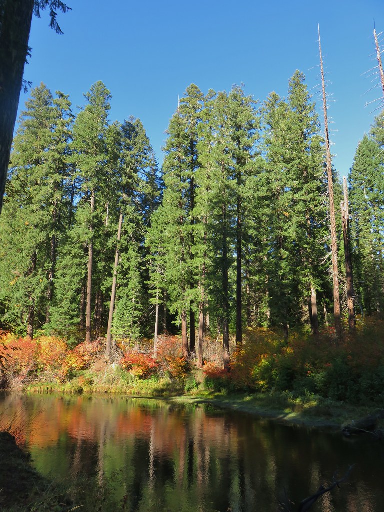
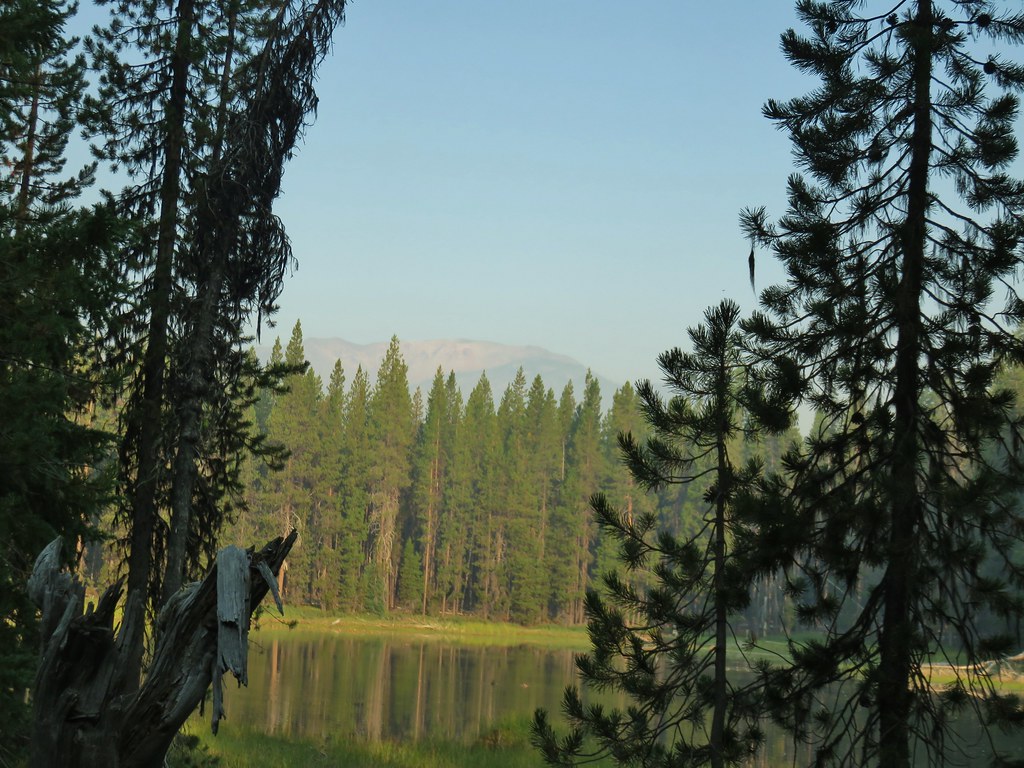
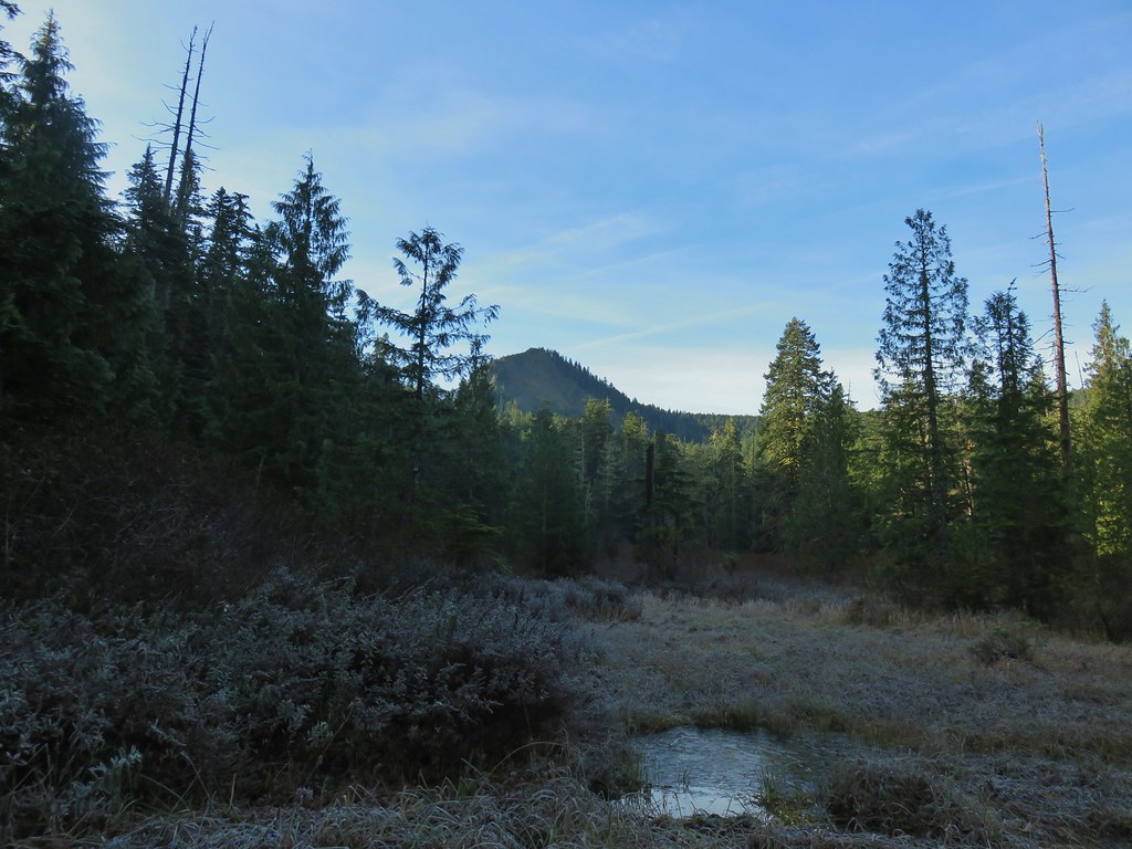 Larch Mountain from Multnomah Basin

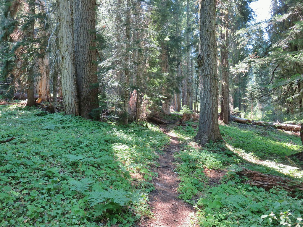
The trail climbed out of the basin and eventually joined an old roadbed as it wrapped around a ridge end.

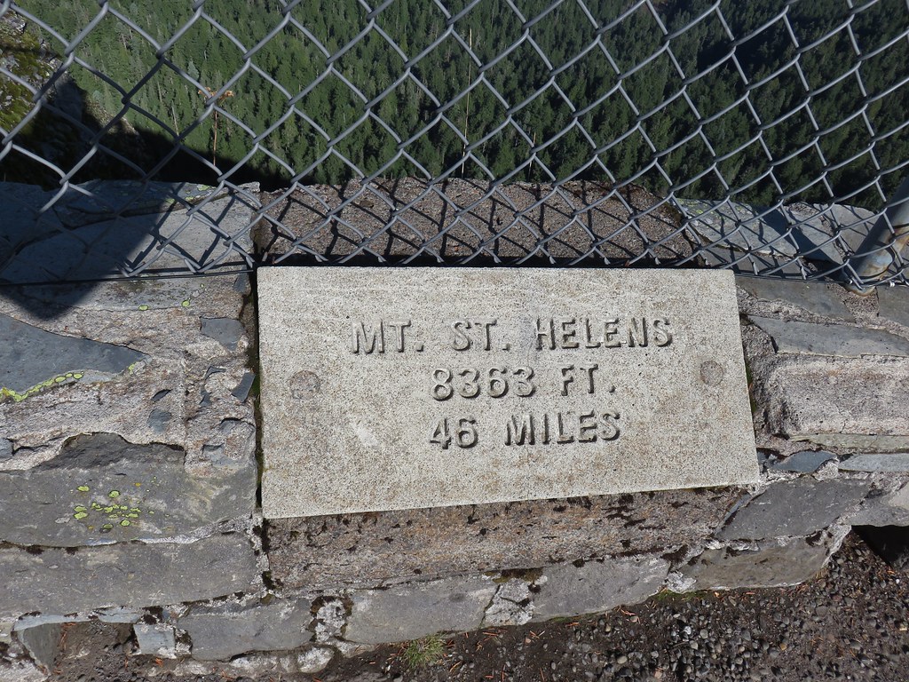
 Mt. St. Helens (behind some tress) and Mt. Rainier.
A little over 2.75 miles from the footbridge we arrived at a junction with the Oneonta Trail where we turned uphill to the right.

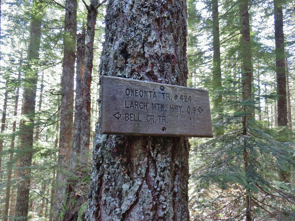
The Oneonta Trail followed the ridge uphill to Larch Mountain Road in .9 miles. Aside from a couple and their dog at the footbridge we hadn’t seen any other hikers until this stretch when we started to occasionally pass other hikers.
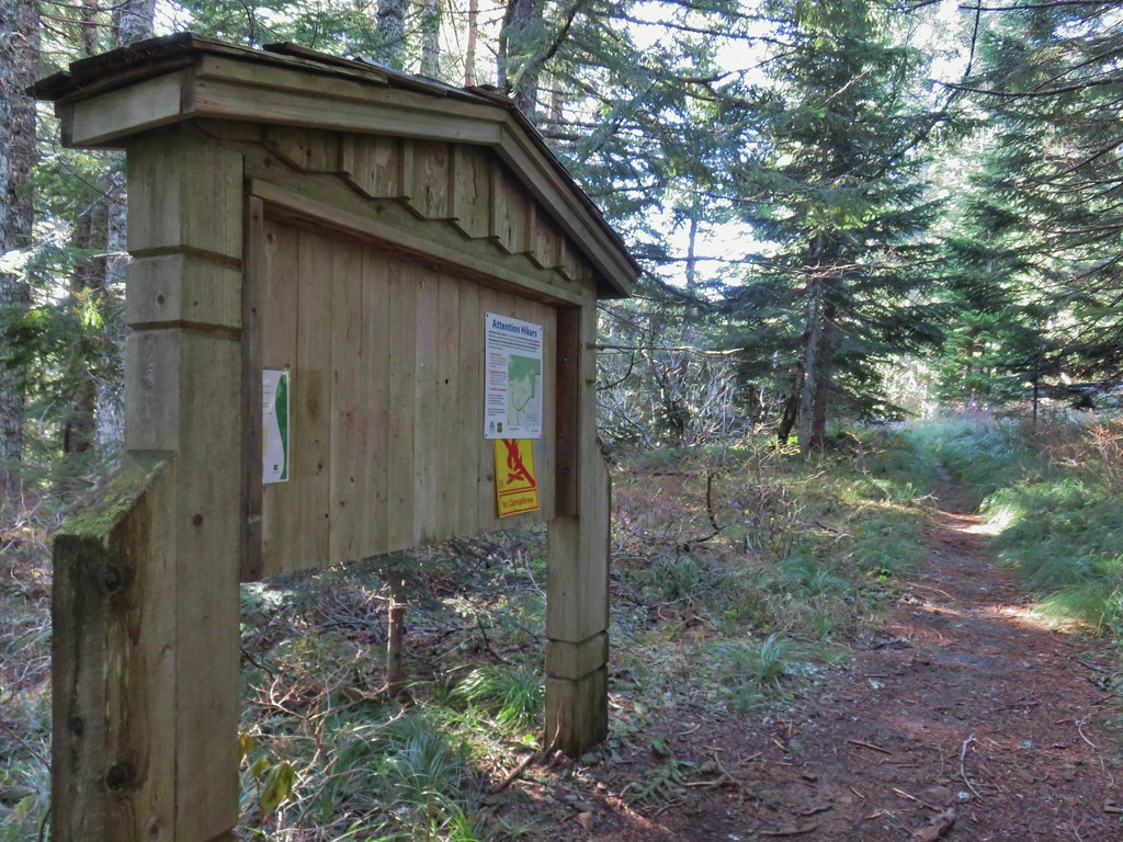 Signboard near Larch Mountain Road.
 Larch Mountain Road from the end of the Oneonta Trail
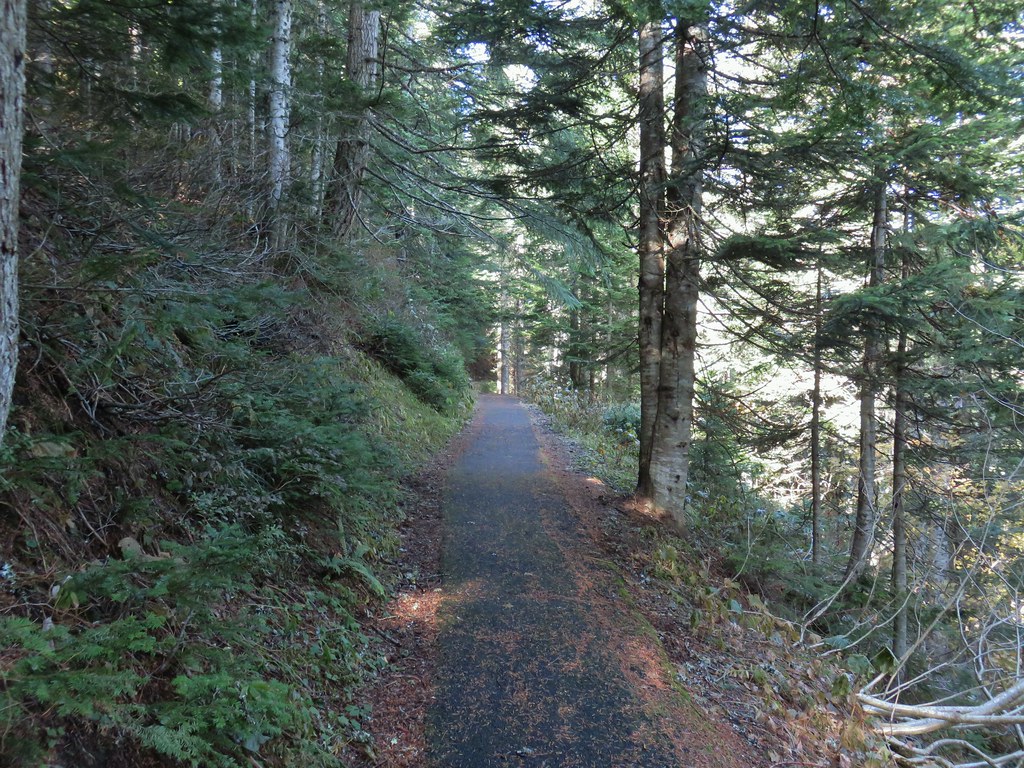
We turned right and followed the road uphill a half mile to the upper trailhead.


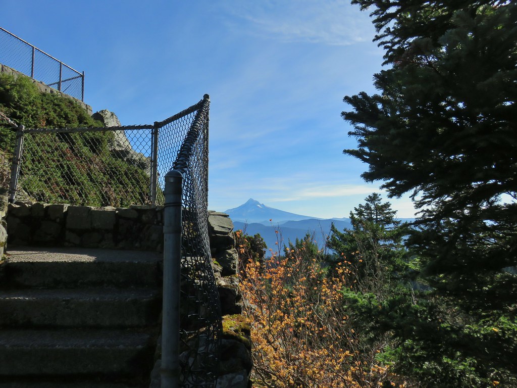
From the parking lot we followed a paved path .2 miles to Sherrard Point.
 Just a few of the steps up to Sherrard Point.

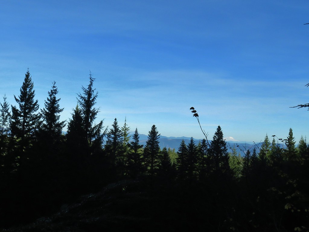
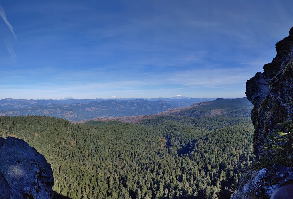
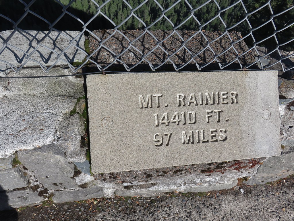
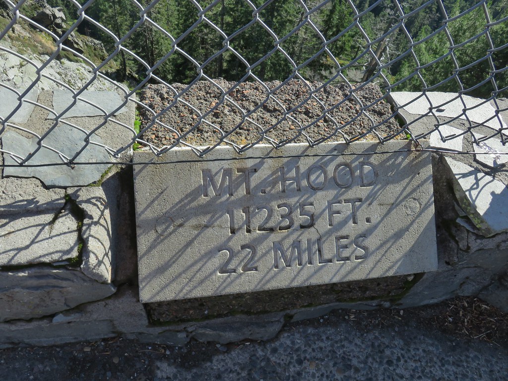
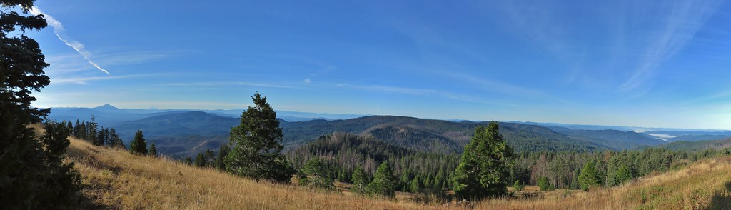
It had turned out to be a beautiful day and we had clear views of 5 Cascade volcanoes; Mt. St. Helens, Mt. Rainier, Mt. Adams, Mt. Hood and Mt. Jefferson.
 Mt. St. Helens, Mt. Rainier, and Mt. Adams.
 Mt. Hood
The Sun was just a bit of an issue when looking at Mt. Jefferson.
 Mt. Hood with Mt. Jefferson to the right.
 Mt. Jefferson
One neat feature at Sherrard Point are the plaques identifying the mountains, their elevations, and their distance from the viewpoint.


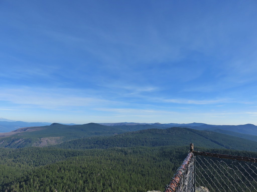 View east from Sherrard Point.
After enjoying the view we headed down and took an unsigned right hand fork uphill to the picnic area.

From there we stayed right at forks heading downhill until we reached the Larch Mountain Trail at another unsigned junction near some old picnic tables.


We followed the Larch Mountain Trail downhill back to the junction with road bed where we had started our loop then followed the road bed back to Larch Mountain Road and our car.


We were expecting this hike to be about 6.5 miles with 1300′ of elevation gain but both of our GPS units had us a little over 7.5 miles. Regardless it was an excellent hike with a nice variety of scenery and some great views. We were pleasantly surprised that it hadn’t been too crowded at Sherrard Point allowing for plenty of space between people. It was a great way to end what has been the strangest hiking season that we’ve had yet. Happy Trails!
 .
.

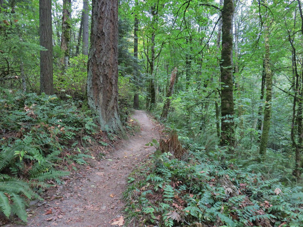
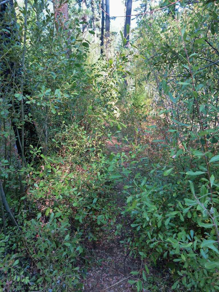
 Switchback along the Wild Cherry Trail.
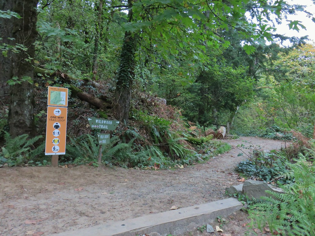


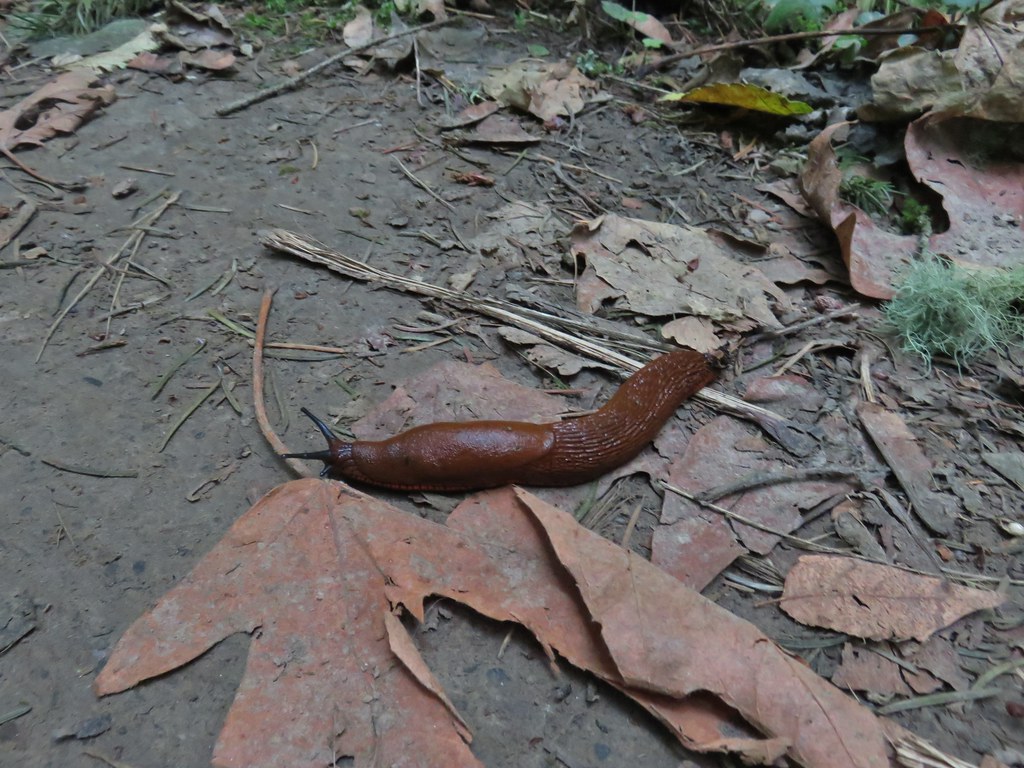 This was the first slug we recall seeing of this color.
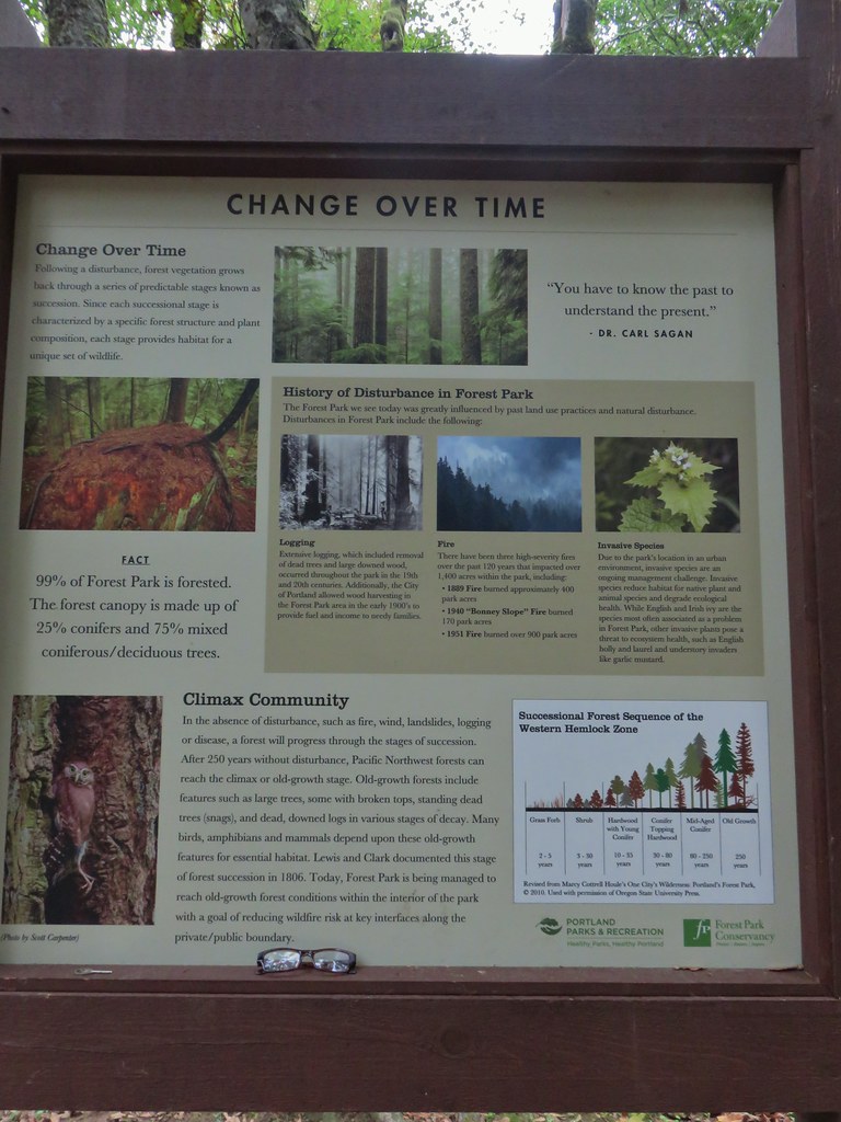 Interpretive sign at the NW 53rd parking area.
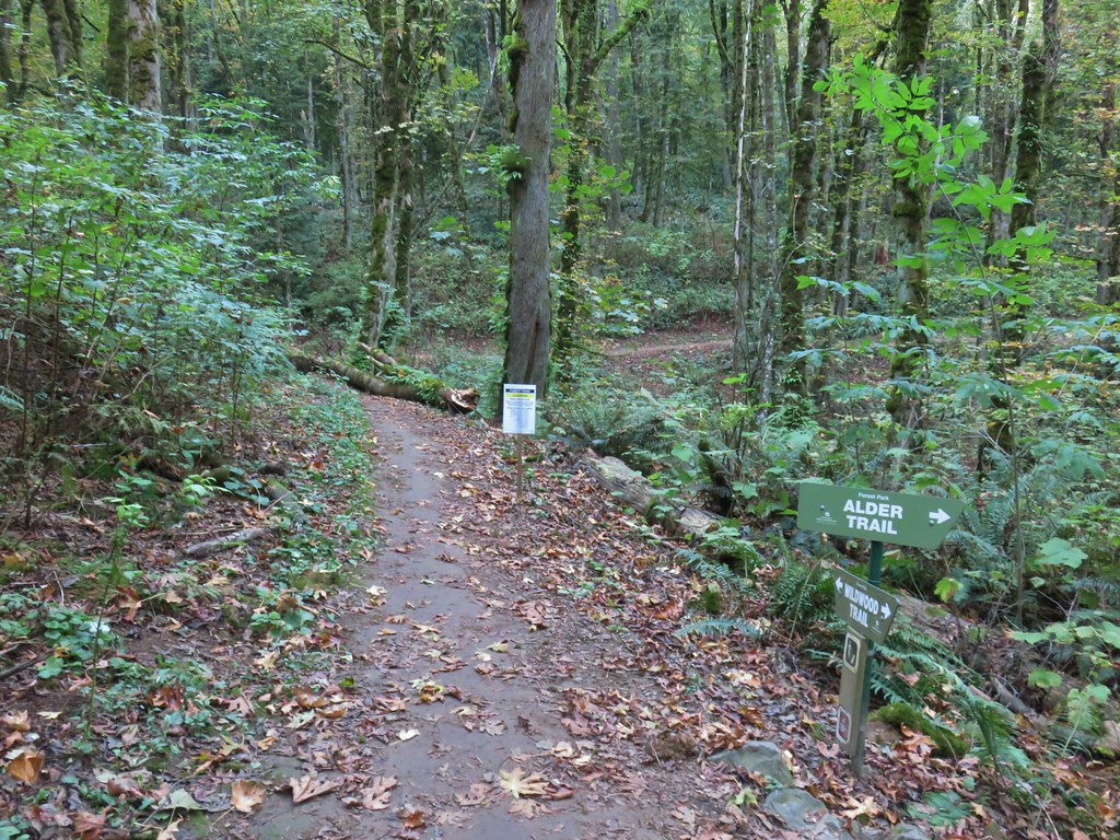


 The bridge damage was not an issue.
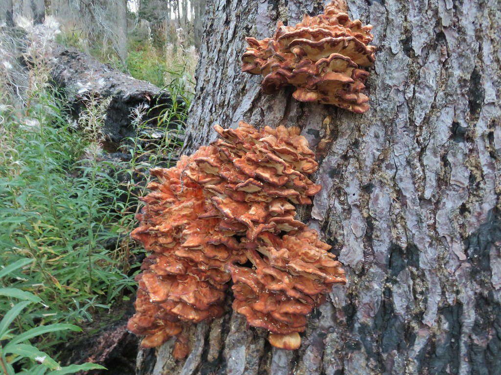
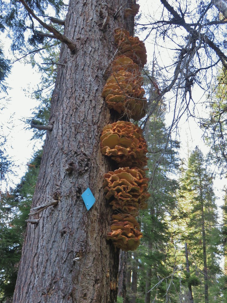
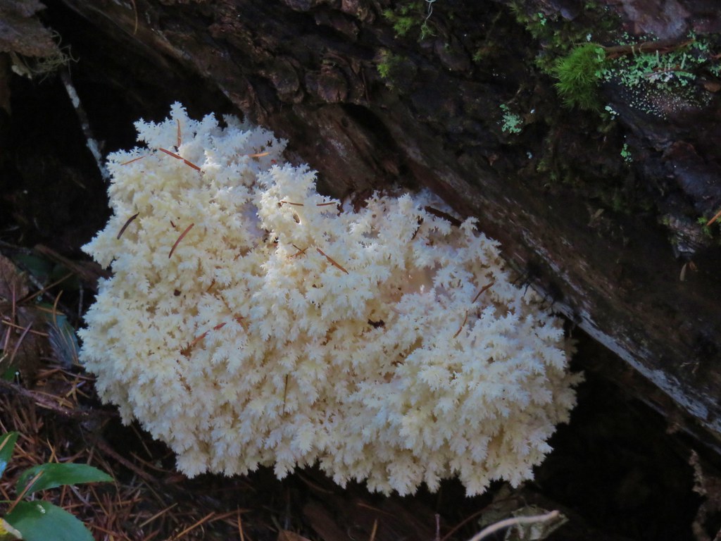
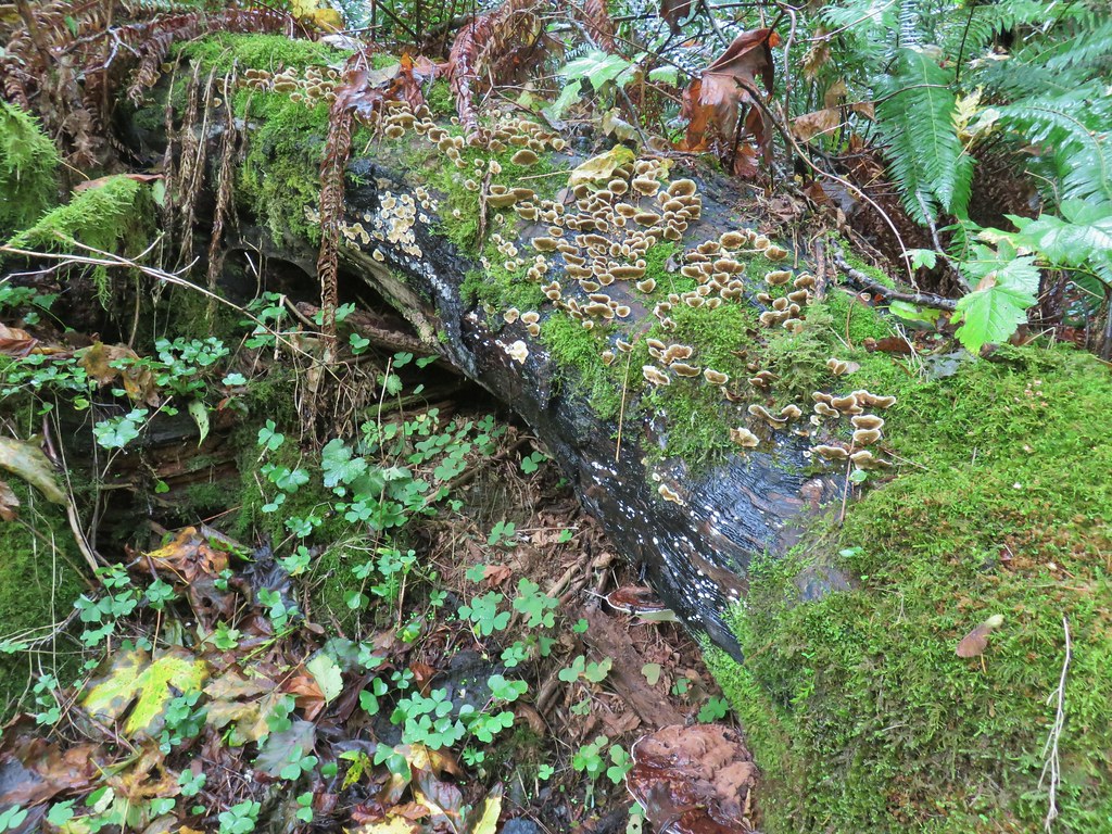
 Another bunch of musrhooms.

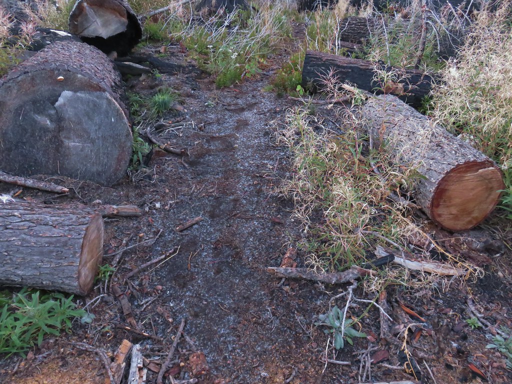
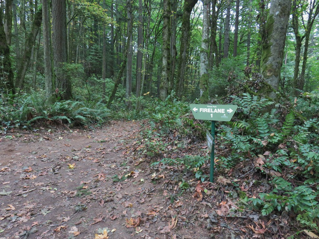 Firelane 1 junction.

 The fork, left was downhill right up.


 Firelane 1
 Somewhere along Leif Erikson there was supposed to be a view of Mt. St. Helens, Mt. Adams and Mt. Hood along the way but the clouds never burned off like the forecast had called for.
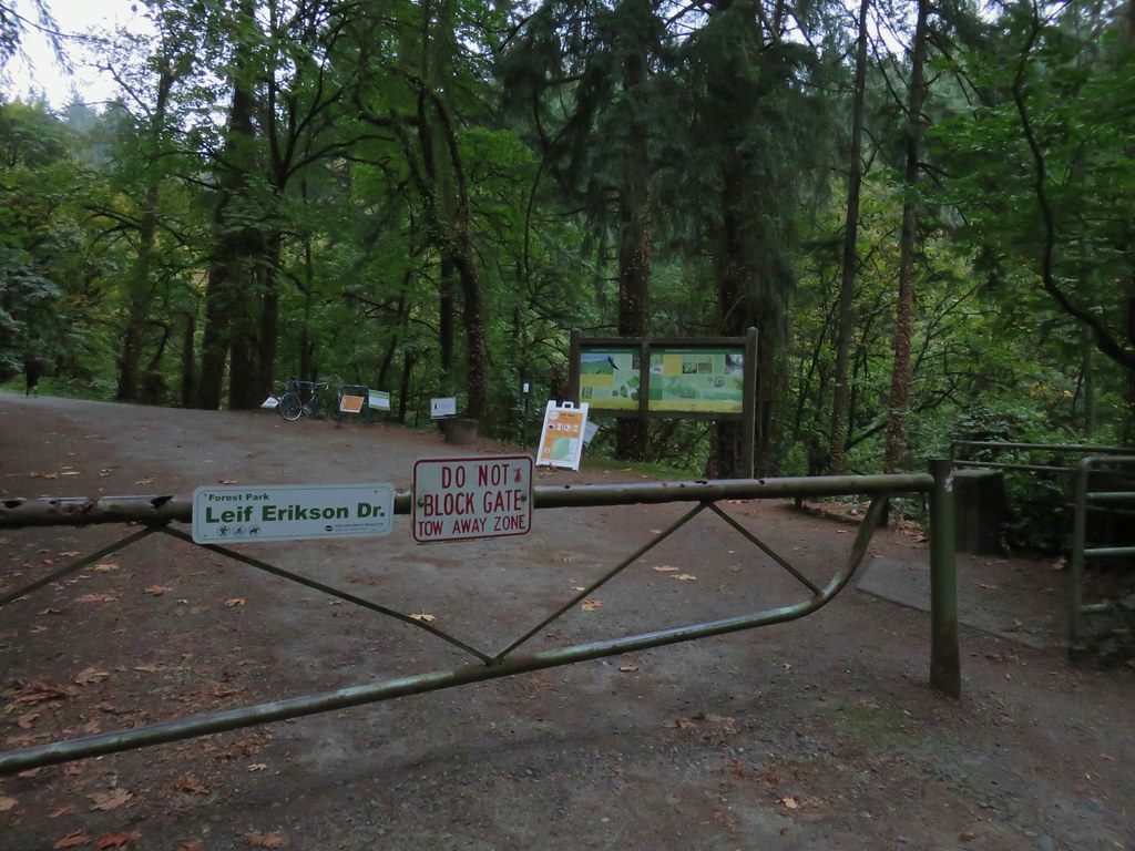
 The Alder Trail at Leif Erikson Dr.
 An orange one-way marker along Leif Erikson Drive between the Dogwood and Wild Cherry Trail junctions.
 Union Peak and Mt. McLoughlin on our drive to the trailhead.
 The peaks of Crater Lake National Park
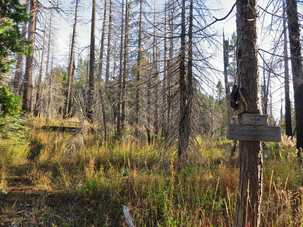
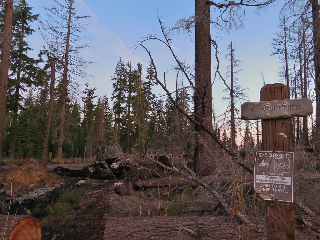 Abbott Butte Trailhead
 Huckleberry bushes
 A section of green trees along the trail.
 Quartz Mountain
 Passing below Quartz Mountain
 Abbott Butte from the trail.
 On the roadbed
 Pearly everlasting
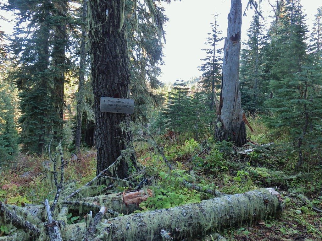
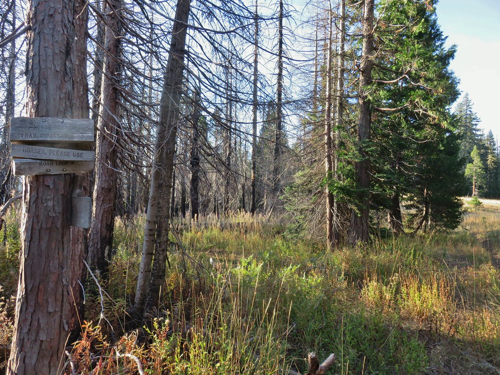 Sign indicating the non-existent trail is not suitable for horses.

 Mt. McLoughlin and Mt. Shasta and a whole lot of other peaks that I should know.
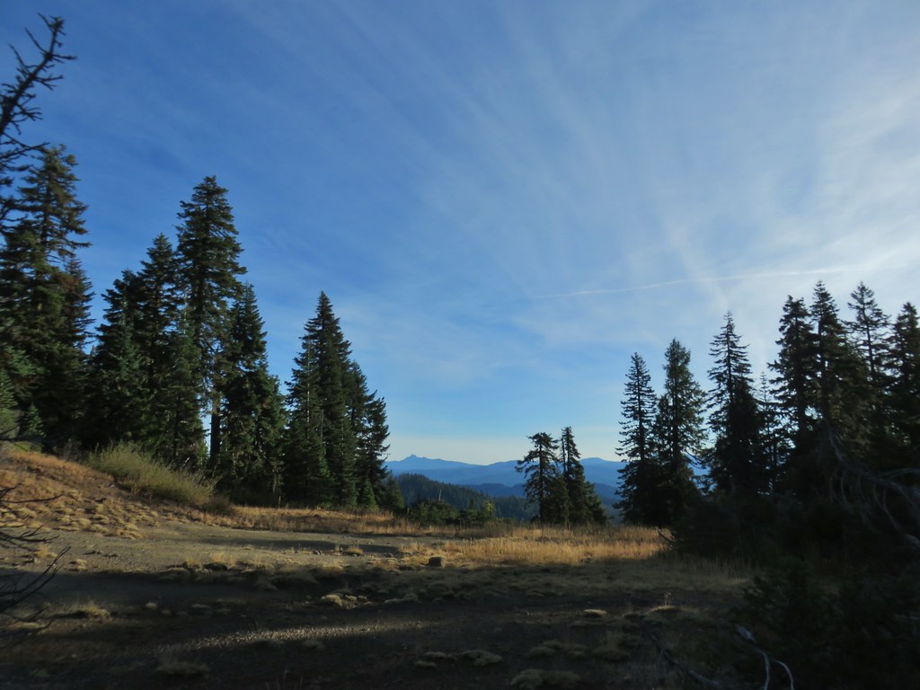 Mt. Thielsen
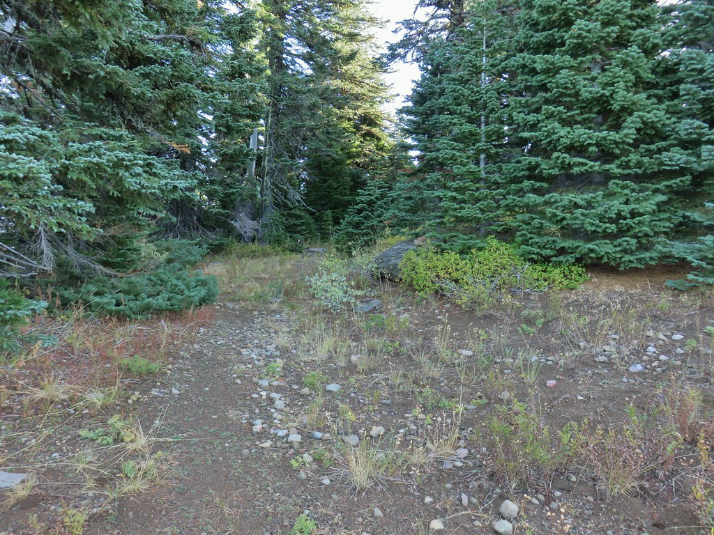 Nearing the summit.
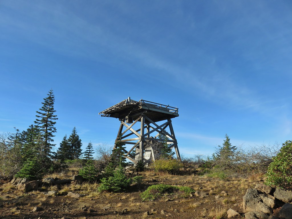 The old lookout on Abbott Butte
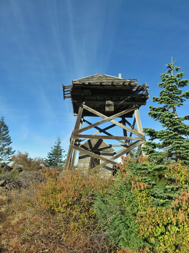
 The old outhouse?
 Mt. Thielsen and the peaks of Crater Lake.
 Flagging marking the route.
 A cairn along the tread ahead.
 This meadow is where we heard the voice.
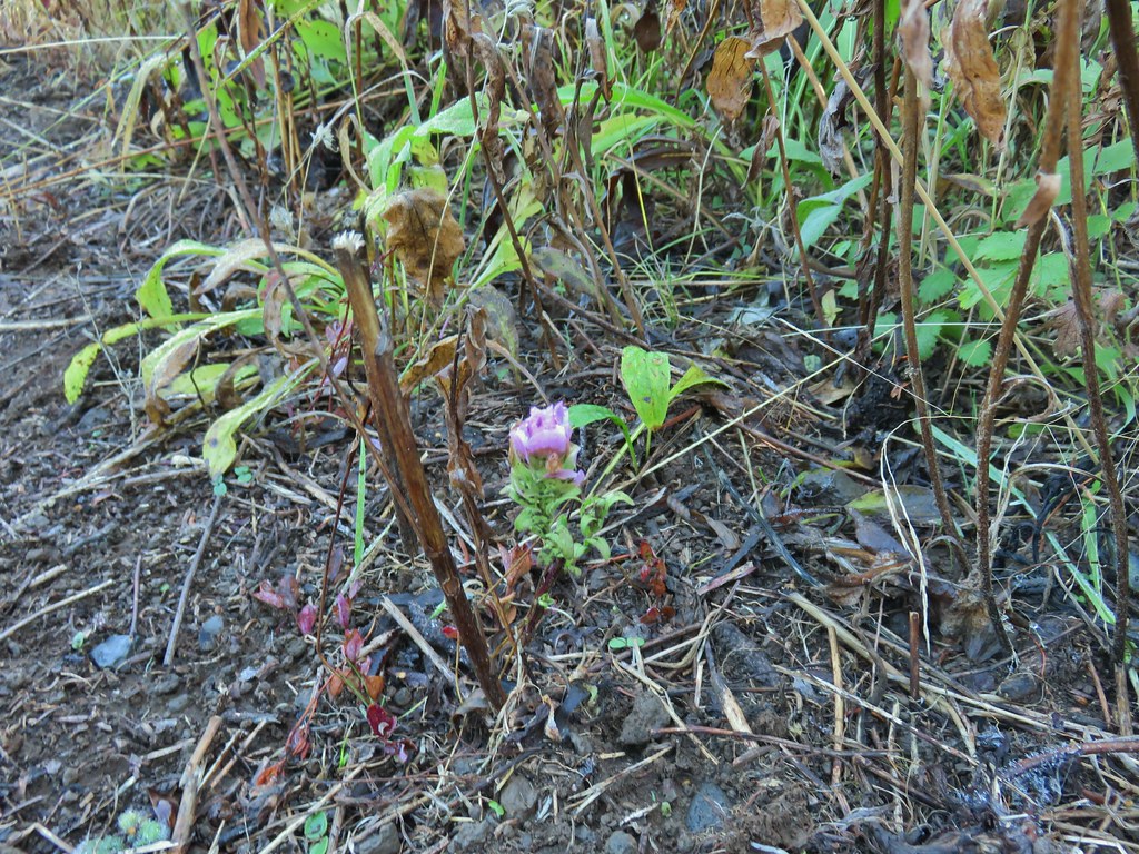
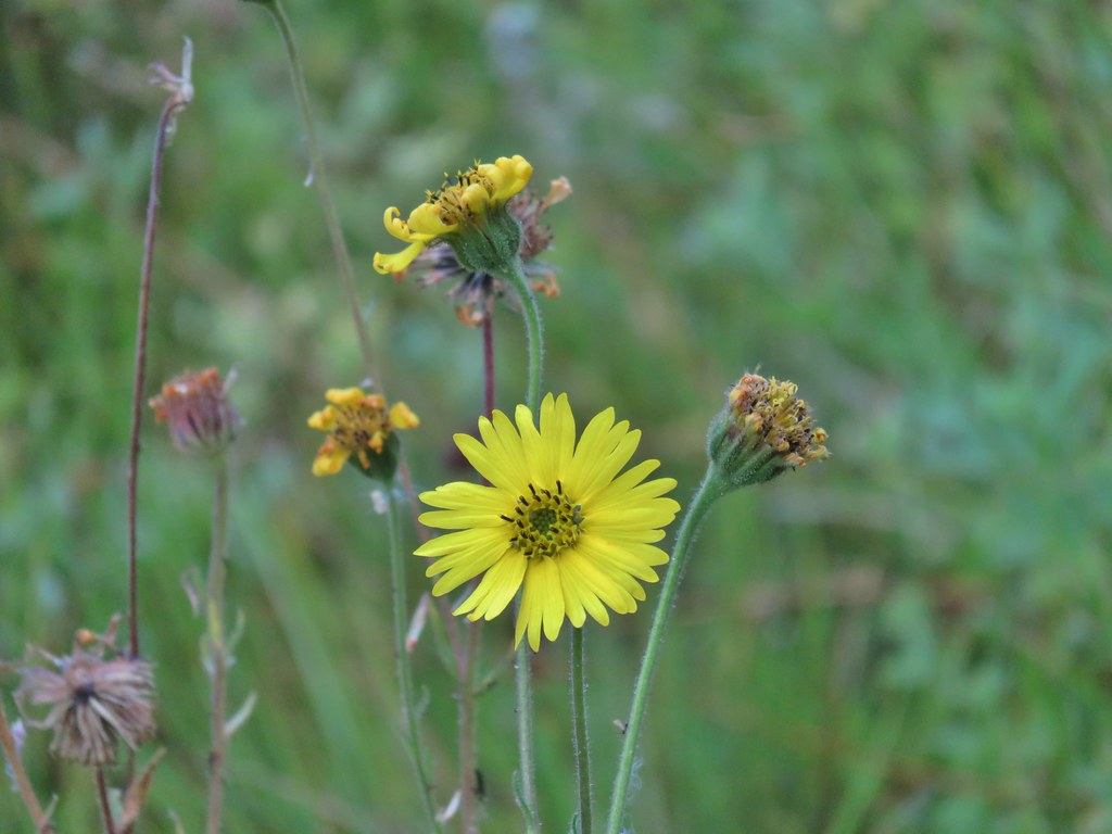
 Another late flower
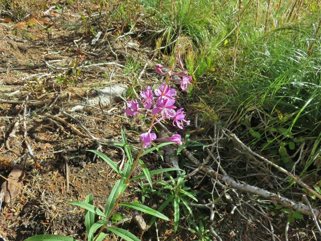 Fireweed that hadn’t gone to seed.
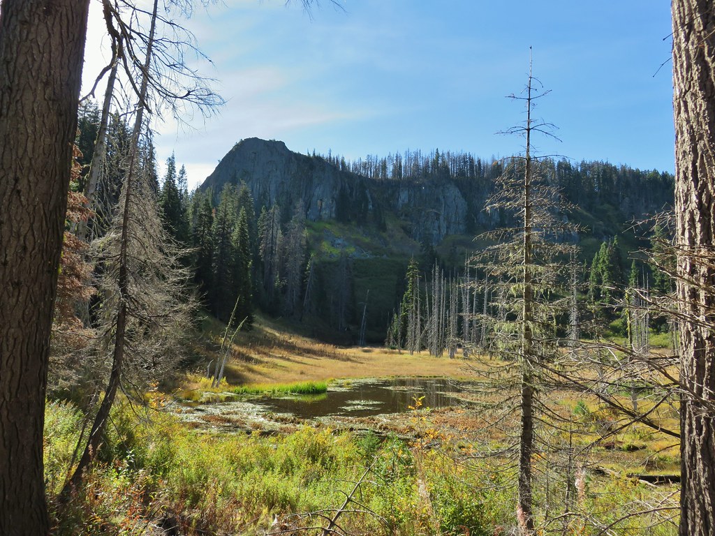
 An owl’s clover
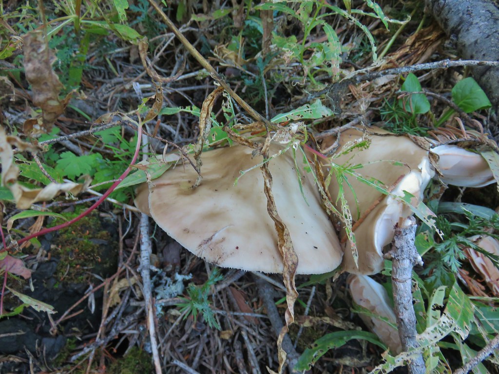
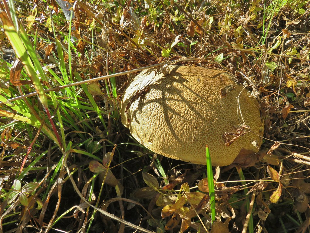 It’s hard to tell from the photo but this mushroom was big.
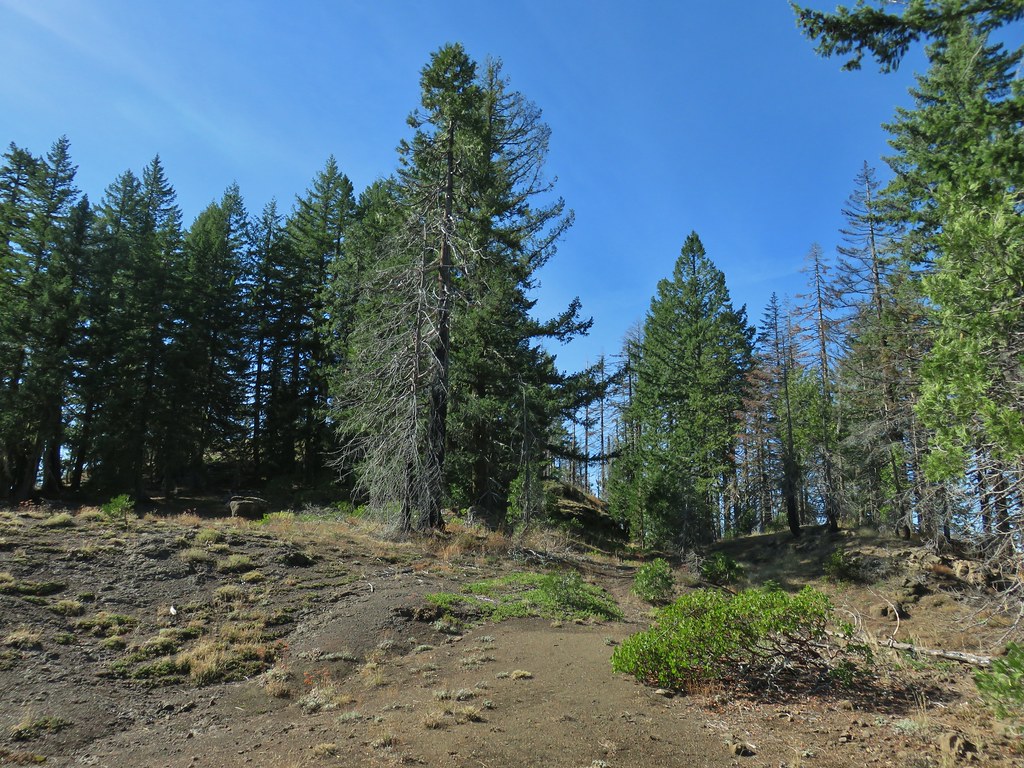


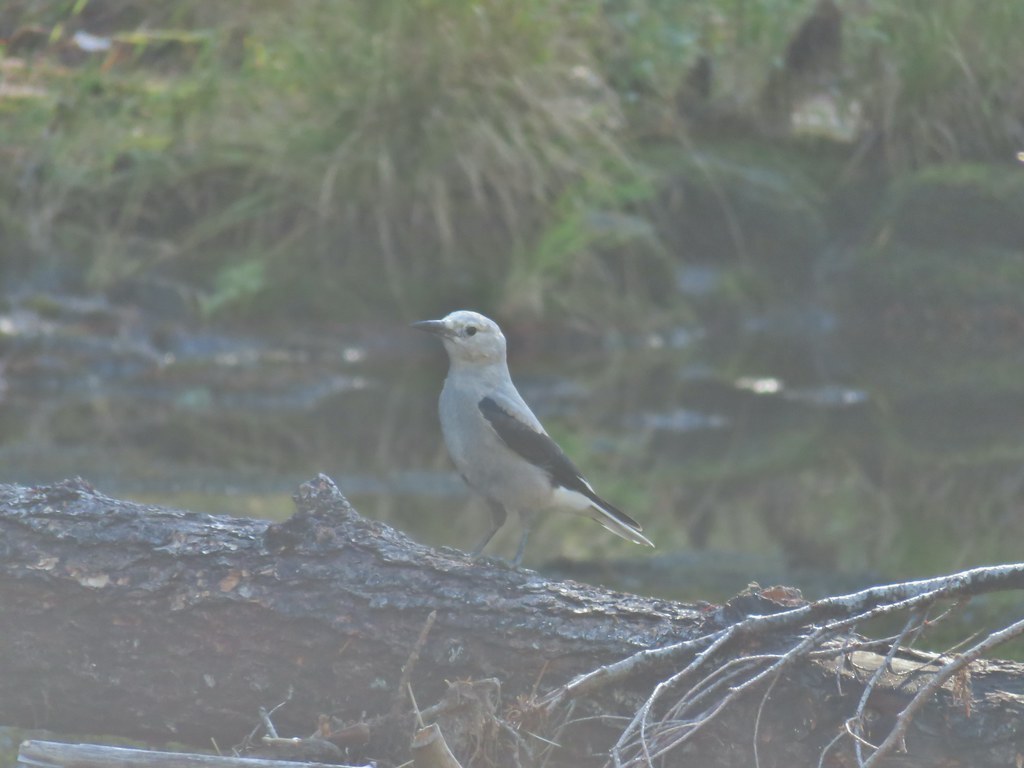
 The broken zoom function didn’t let me get a good shot but the ouzel is on a rock in the middle of the creek.
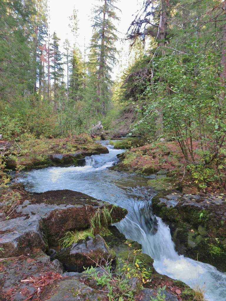
 Sunrise from the parking area.


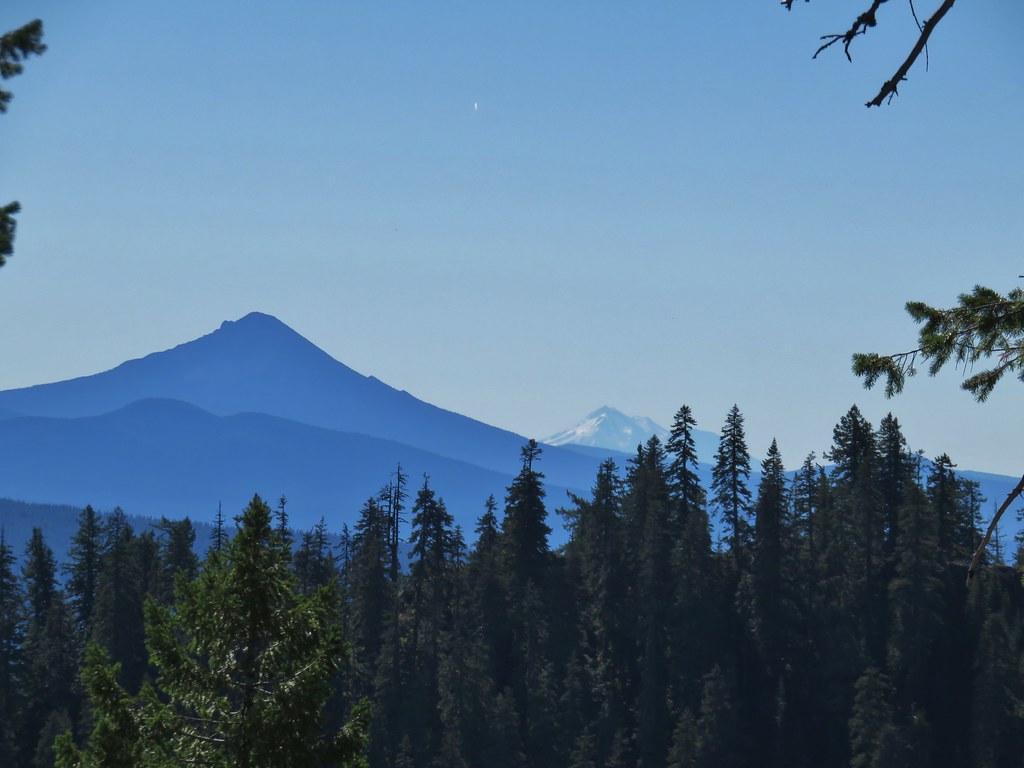
 Mt. Bailey, Howlock Mountain, and Mt. Thielsen
 Arant Point, Union Peak, Goose Egg, Klamath Point, Lee Peak, Devils Peak, Pelican Butte, Lucifer Peak, Venus, Rabbit Ears, Mt. McLoughlin, and Mt. Shasta (among others).
 Mt. McLoughlin and Mt. Shasta
 Rabbit Ears
 Sun over Crater Lake National Park

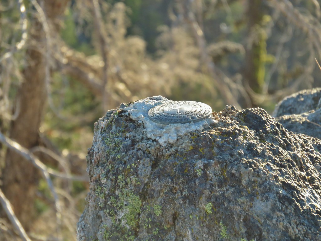 Survey marker at the summit.
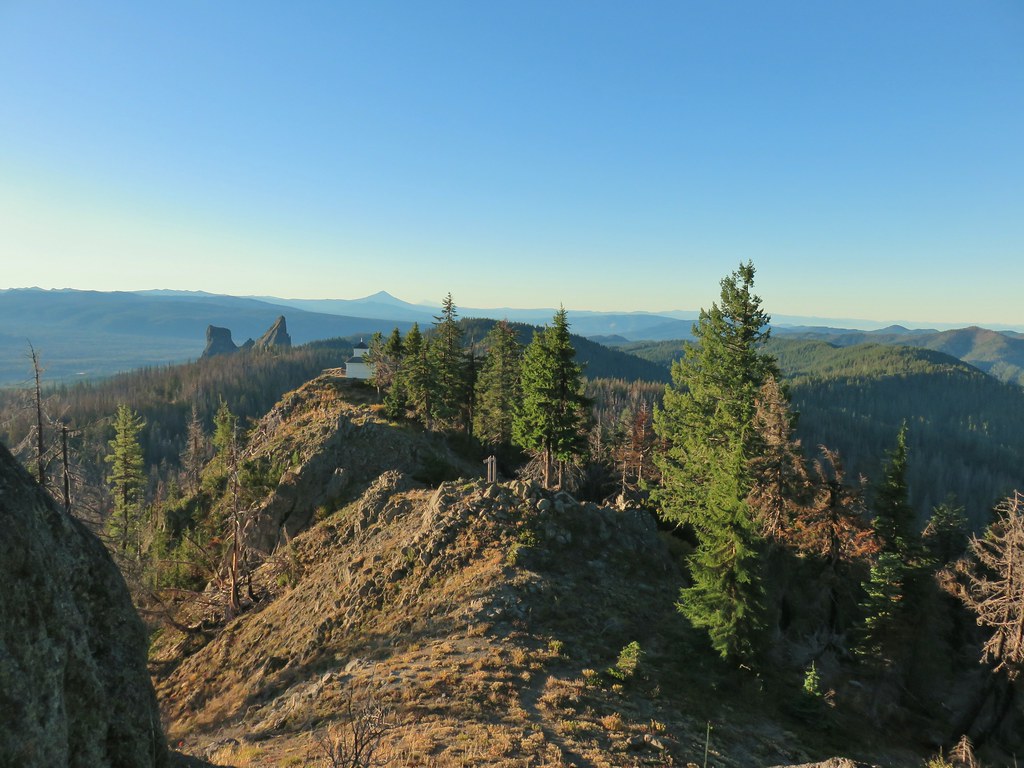 The sign, lookout, Rabbit Ears, Mt. McLoughlin, and Mt. Shasta coming back from the summit.
 Acker Divide Trail leaving FR 580.
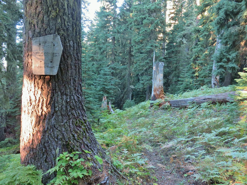

 Another cairn to the right of the tree ahead.
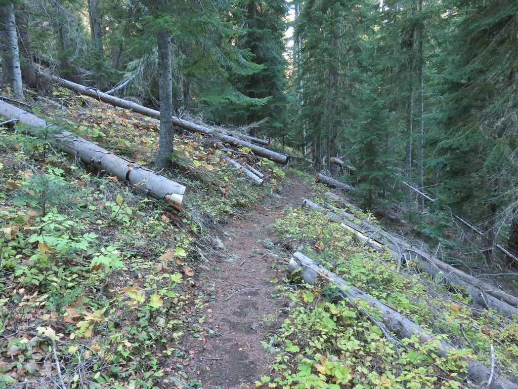

 A lonely flower along the Acker Divide Trail
 Mushroom near the meadow.
 Toad Meadow
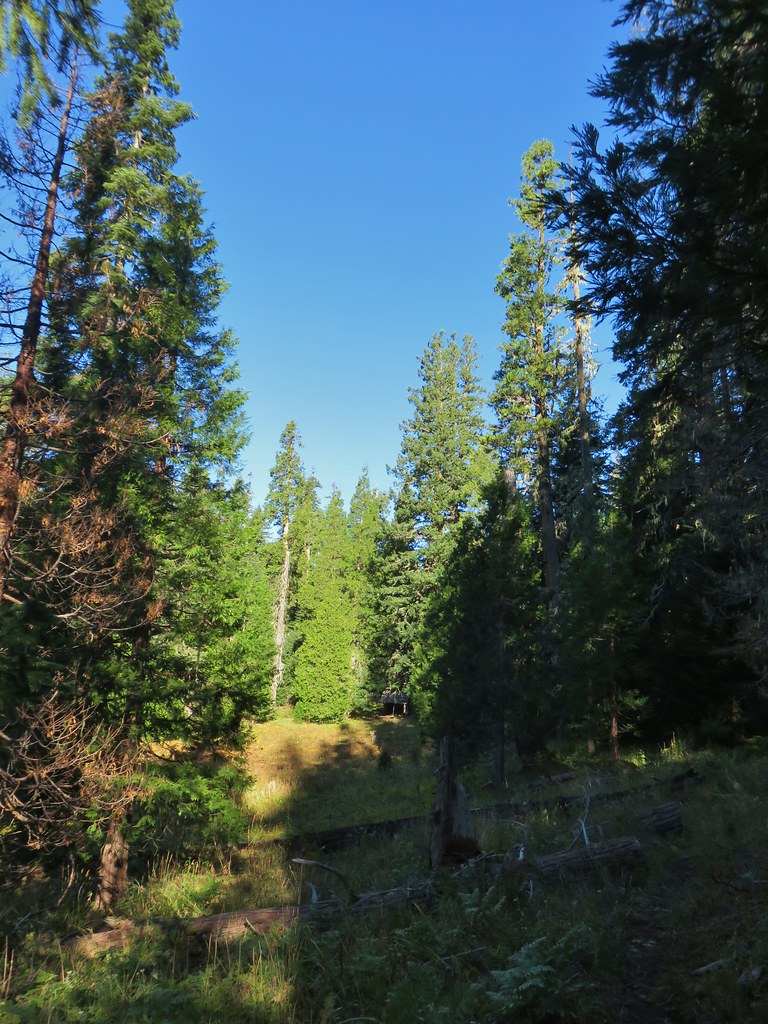


 Tis the time of year for Mushroom to replace flowers.
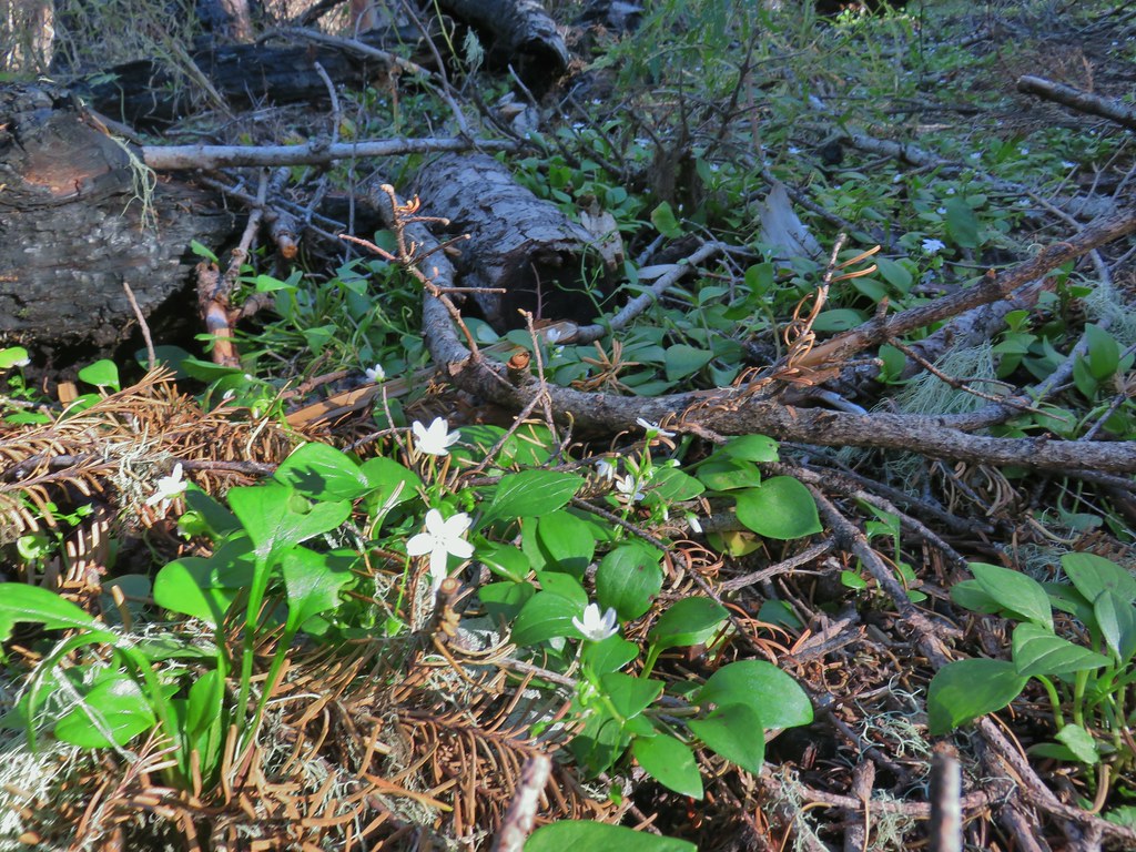 Candyflower
 Pullout along FR 6515
 Trail to Rabbit Ears
 The split
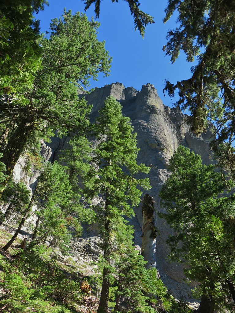


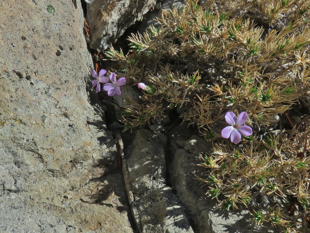 We were surprised to find these phlox blossoms still looking good.

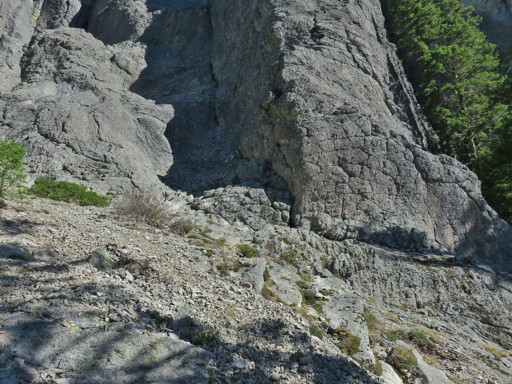
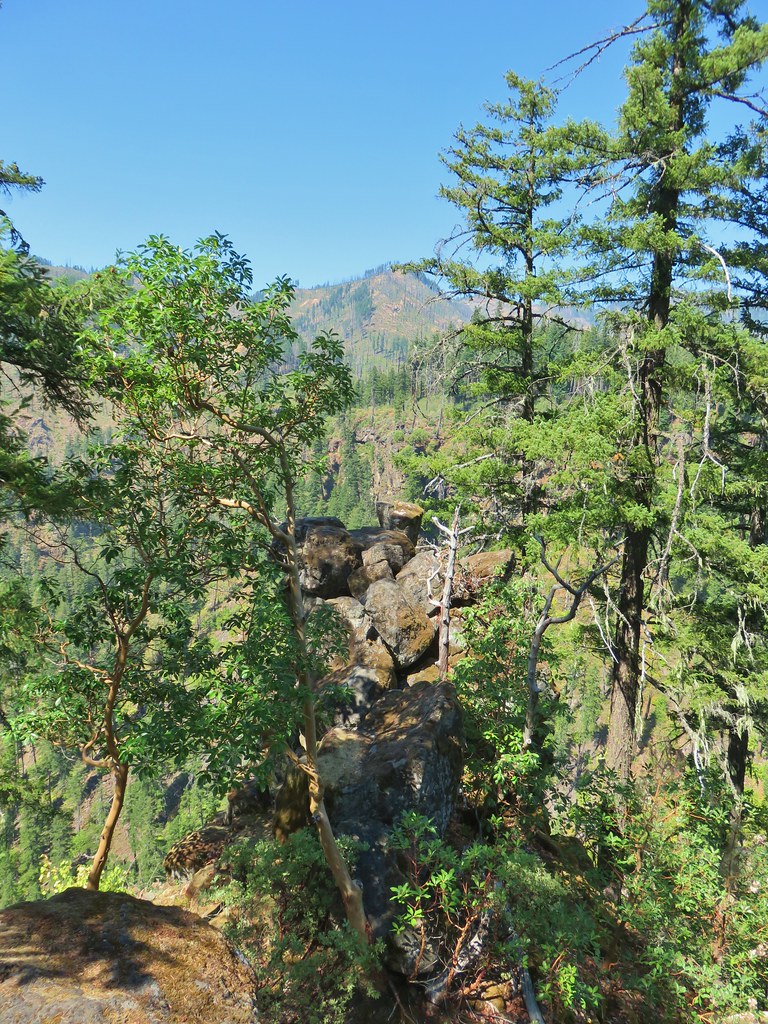
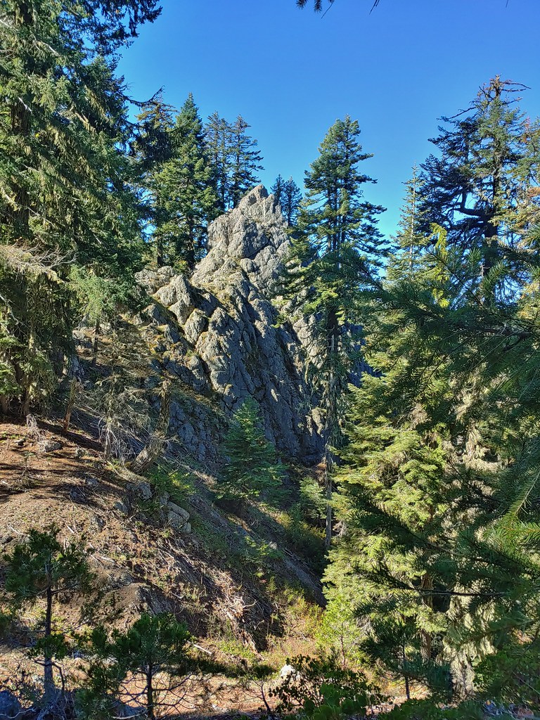 Smaller rock formation along the trail.
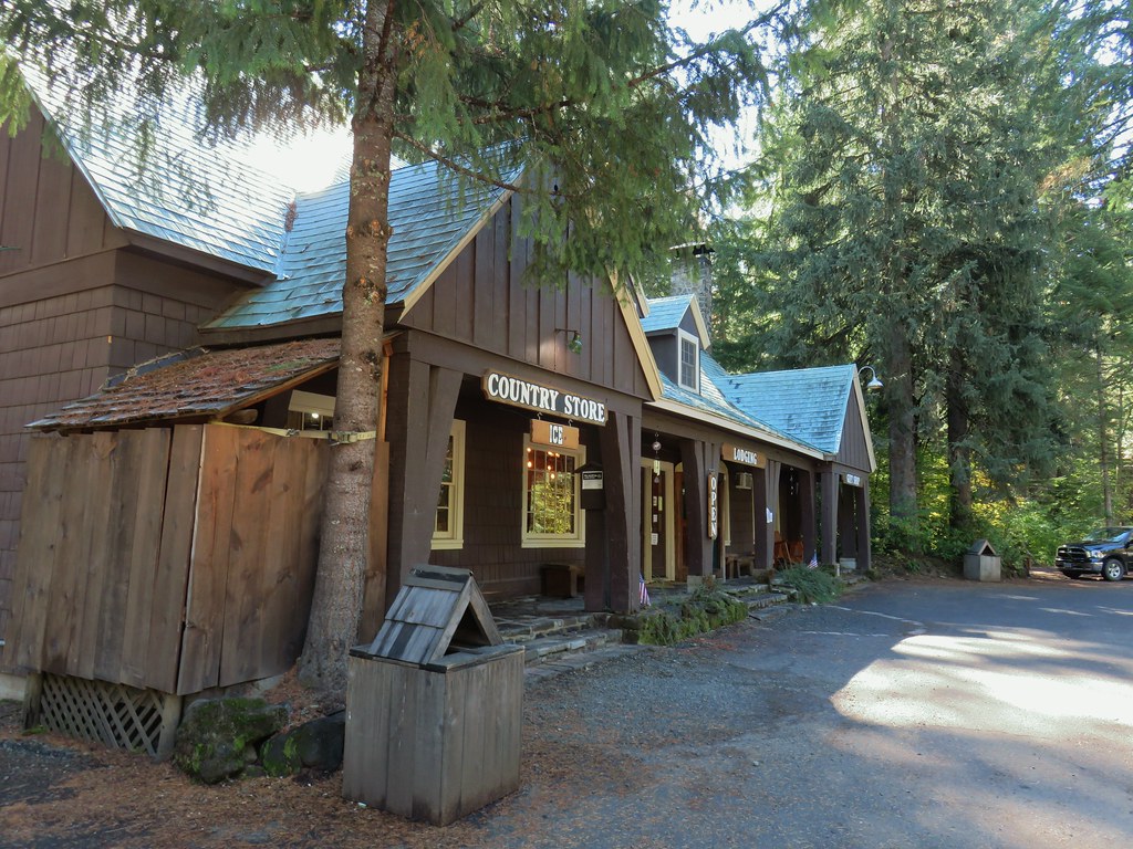
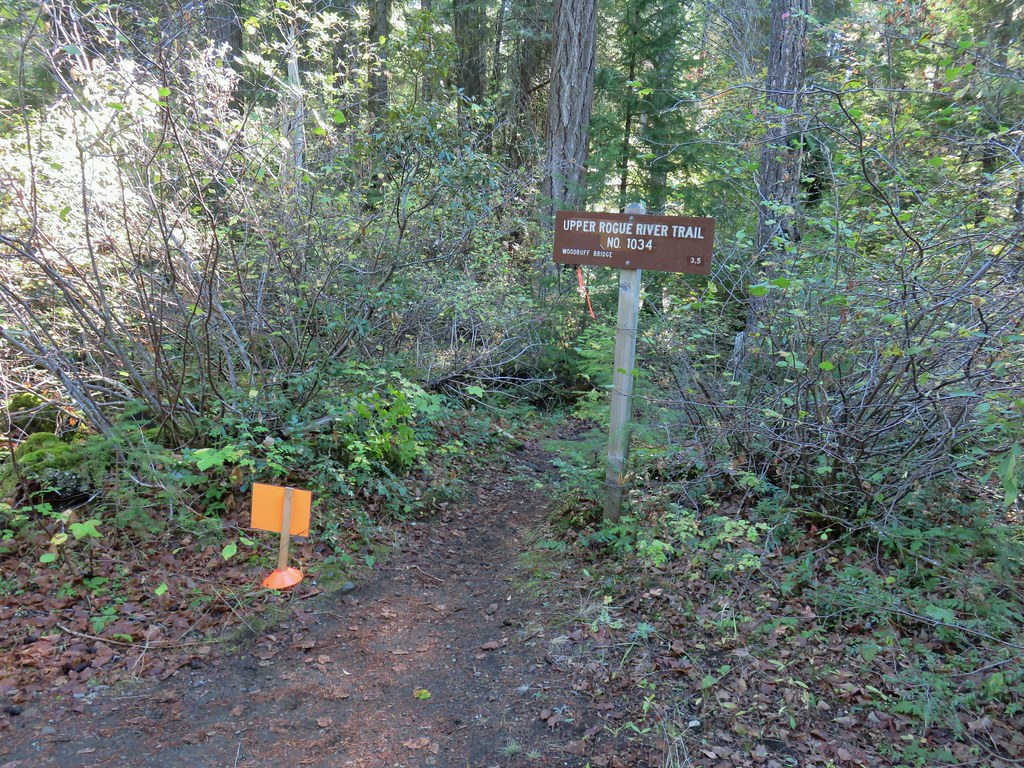
 The Ice Cream shop and to it’s right the sign for the trail to the Rogue Gorge Viewpoint.
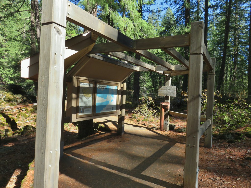 Interpretive signs at the parking area.
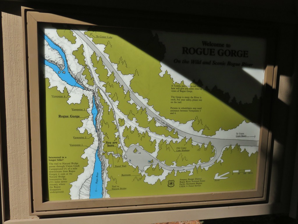
 Viewpoint 4
 Rogue River at viewpoint 4.
 Viewpoint 3
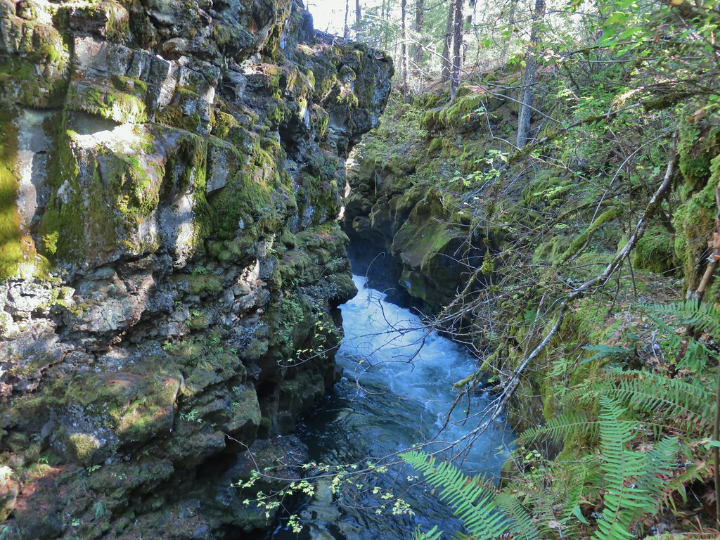 View upriver from viewpoint 3.
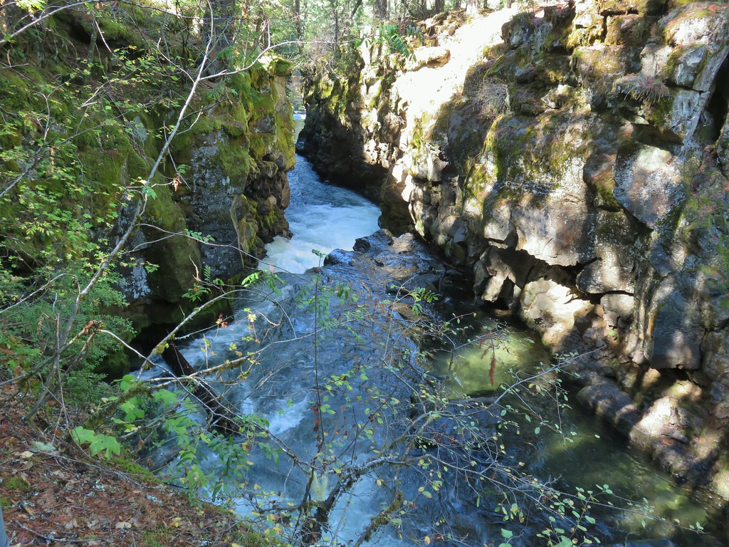 Downriver from viewpoint 3.
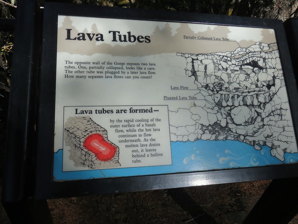 Interpretative sign at the viewpoint.
 The lava tubes.
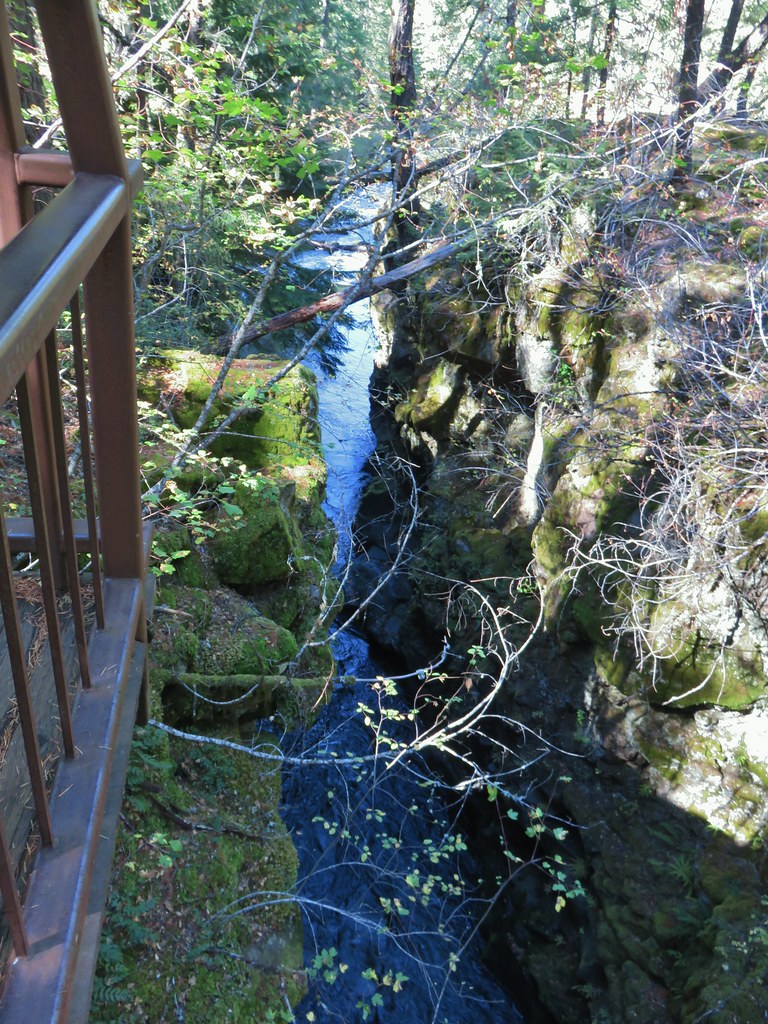 Viewpoint 2
 Viewpoint 1 above the end of the Rogue Gorge.


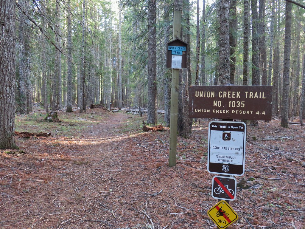
 Union Creek Campground
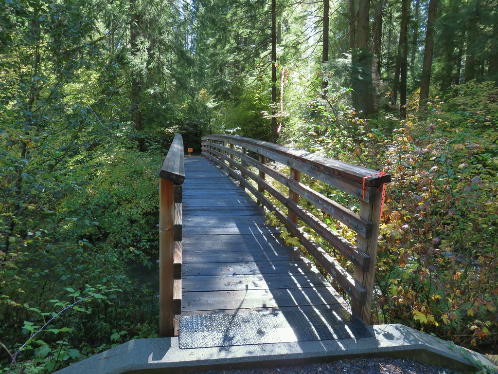 The orange sign and flagging was for a 50k being run the following day.
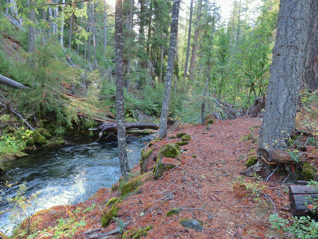
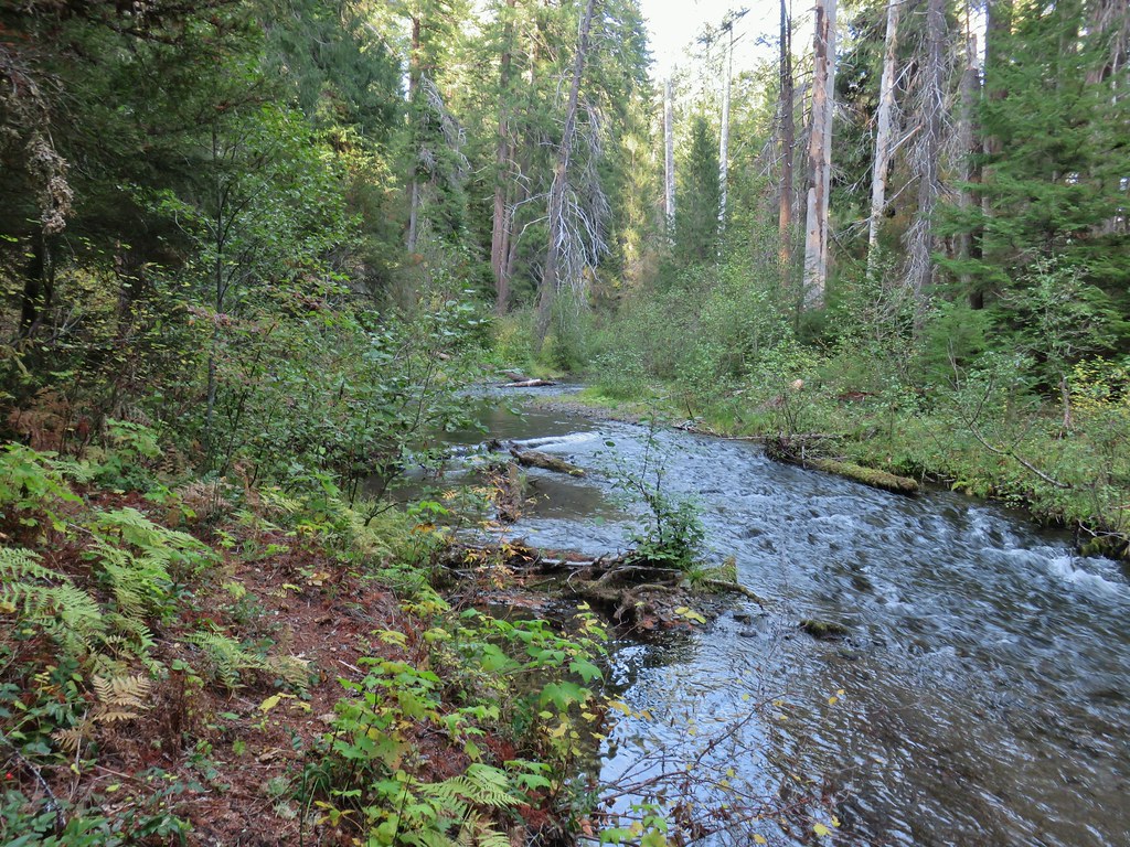
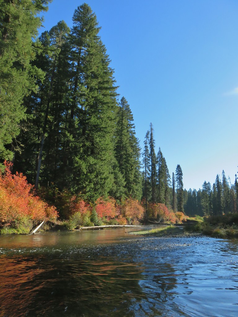
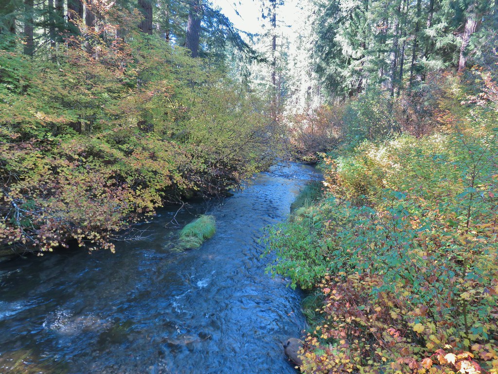 Union Creek


 A Clark’s nutcracker
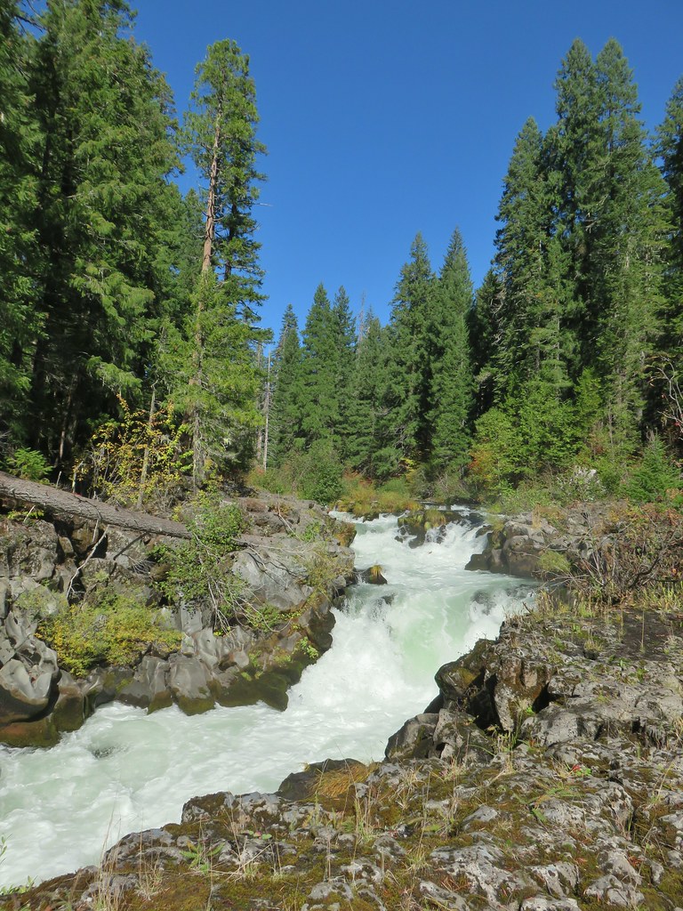
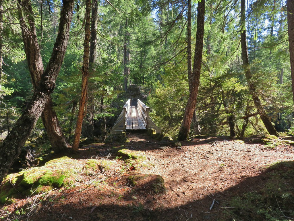
 The footbridge to the upper left.
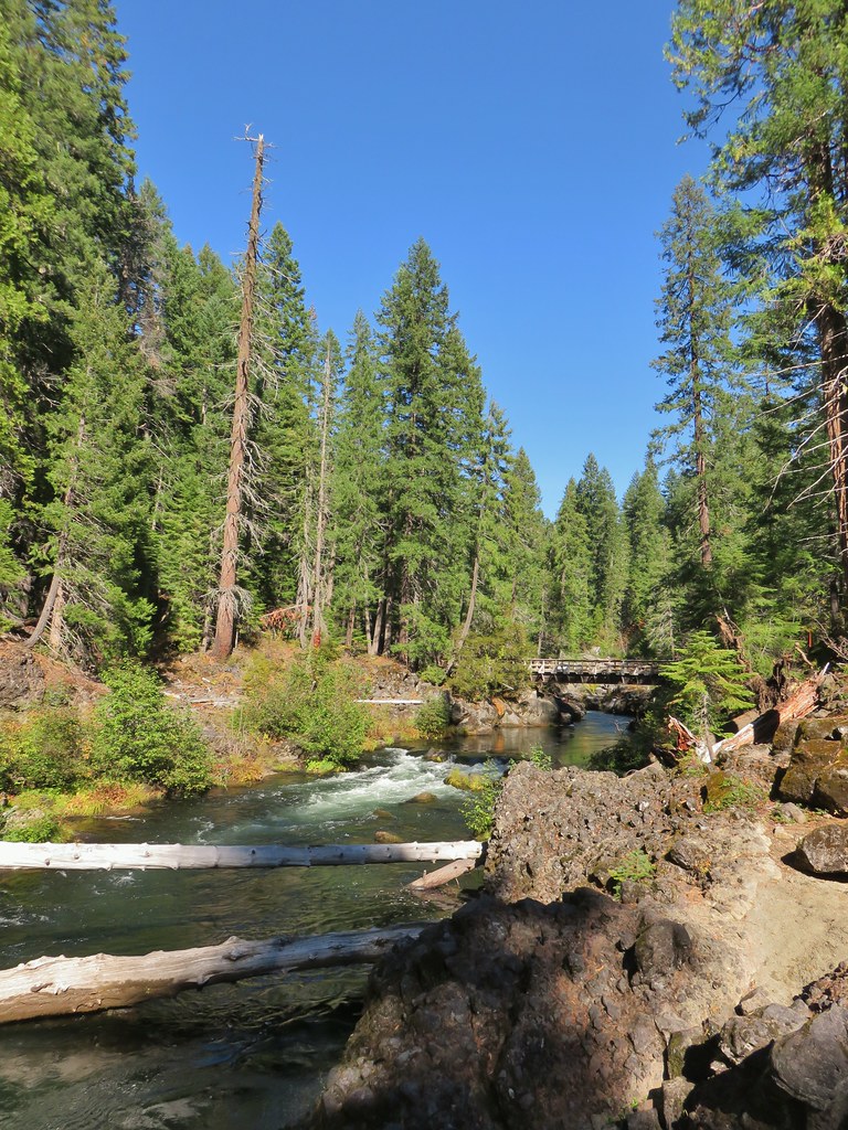
 Rogue River on the other side of the footbridge.


 The inlet


 There was just a little bit of blowdown to navigate on the way down.
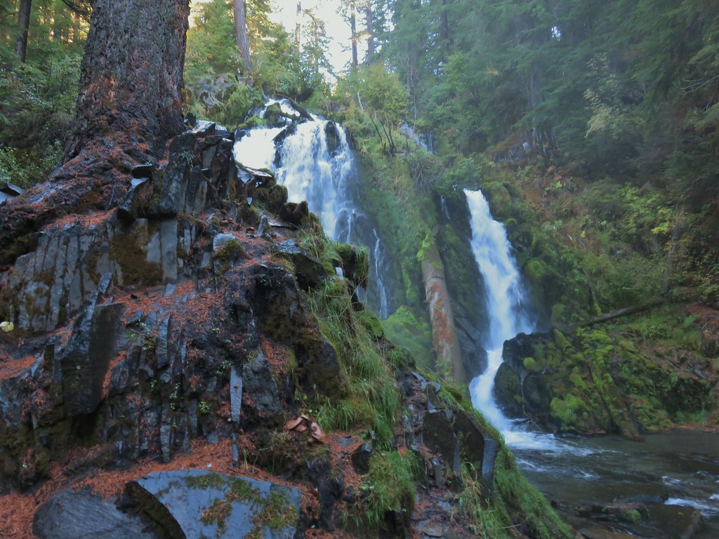 National Creek Falls
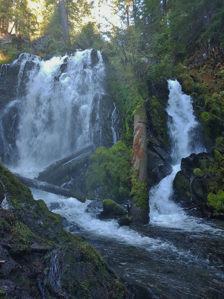
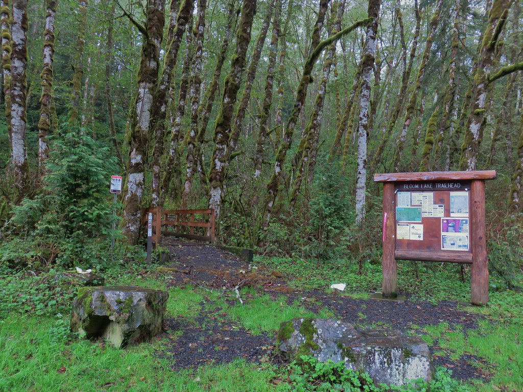
 Signboard at the pullout.


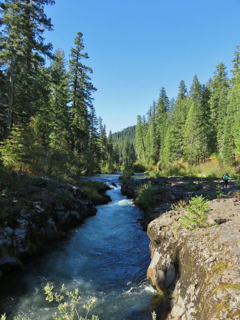
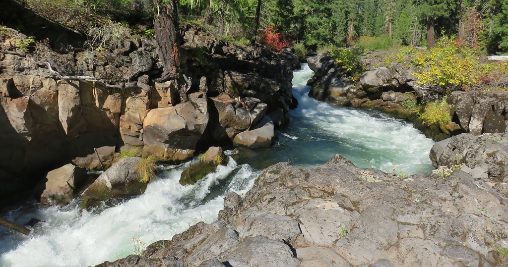
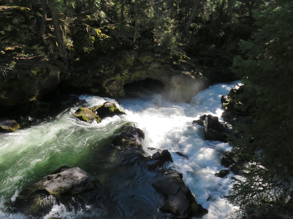
 Rogue River emerging from a channel.


 Rogue River emerging from Takelma Gorge.

 Ouzel
Ouzel
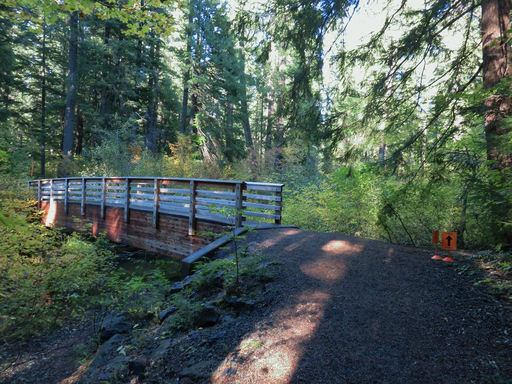
 River Bridge


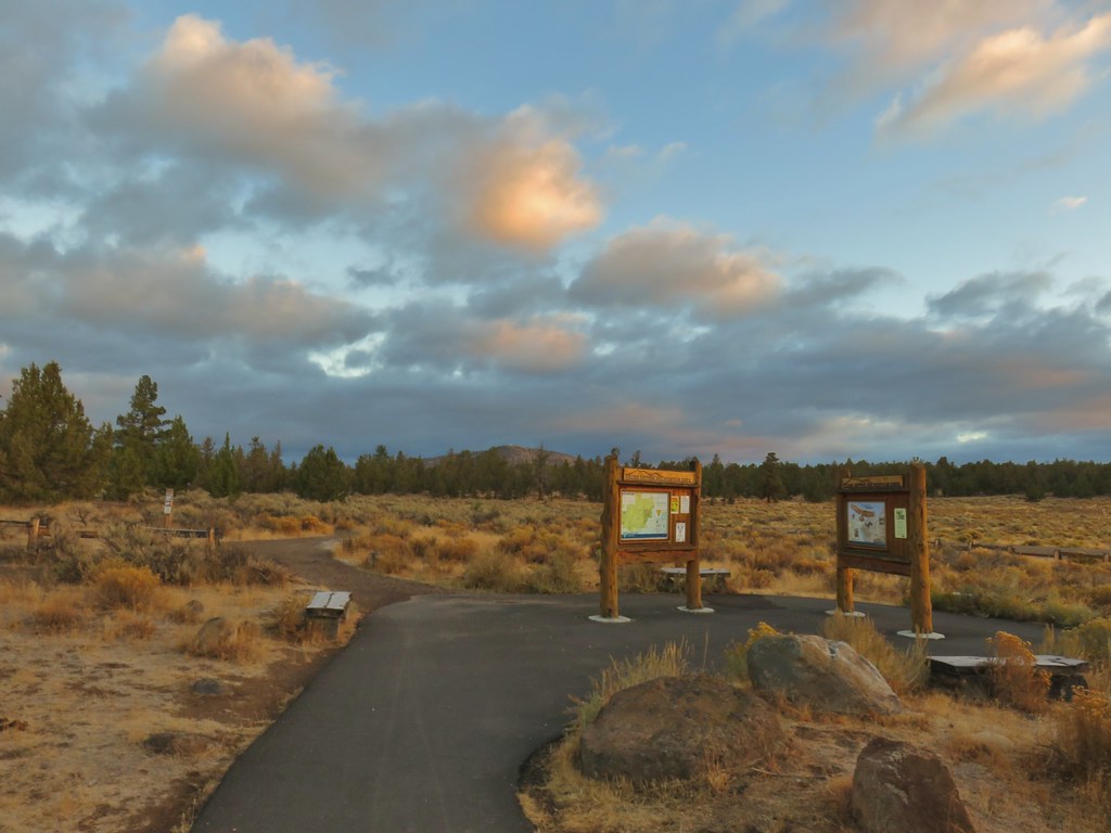 Cline Buttes from the Maston Trailhead.
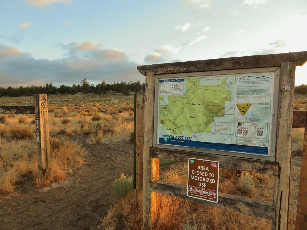

 Interpretive sign at the Maston Trailhead telling the story of the settlers.
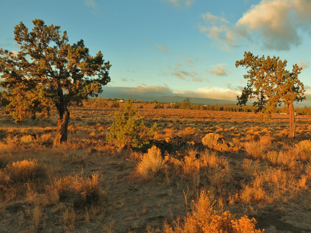 Stone foundation of one of the abandoned buildings along the Settlement Trail.
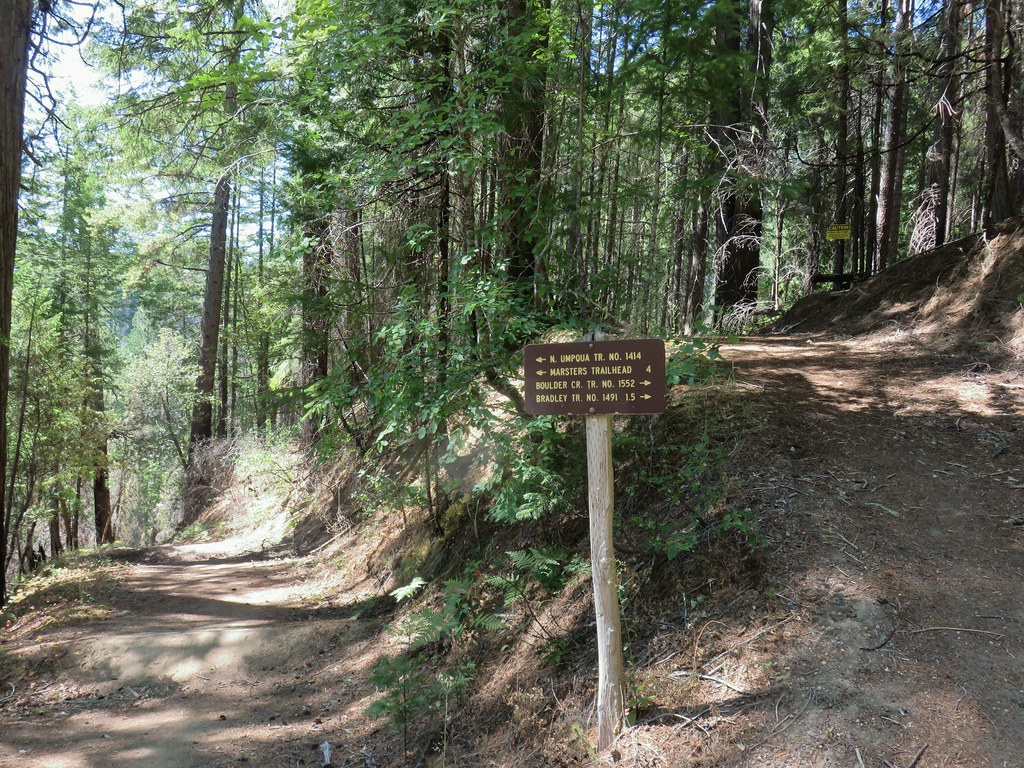
 Typical sign at a junction. Not all of the junctions had signs and not all of the signs identified which trail/junction it was so having a copy of the trail system map is a really good idea.
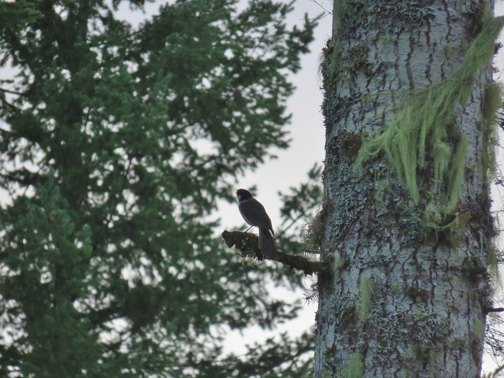
 This one may be a sparrow of some sort, it was signing quite a bit.
 Possibly another sparrow or a finch or something else.
 Maybe a bluebird?
 Wildcat Canyon Trailhead off to the right.
 I managed to snap one photo and of course the camera focused on said juniper instead of the rabbit beyond.
 Wildcat Canyon on the right joining the Deschutes River Canyon
 The Deschutes River near where the canyons meet.
 Grizzly Mountain in the distance beyond the Deschutes River.
 Another of several viewpoints along the rim.
 Some Fall color along the Deschutes River.
 Rock dove
 A viewpoint along the Rockbar Trail.
 Looking south up the river canyon.
 A calm pool along the Deschutes.
 I could see this one, a Stellar’s jay.
 Coming up to the road.


 This was Junction 2 (one of the junctions with an identifying sign). We stayed right on the Headgate Trail here.
 Tam McArthur Rim is left center with South Sister in the center and North Sister to the right center.
 Heather and Dominique on the Maston Trail.
 Coming up on the Settlement Trail.


 The open gate and Lost Lake Road from a logging road.


 Hardhack
 Spruce Run Creek Trail on the left.

 Leaving the logged area.
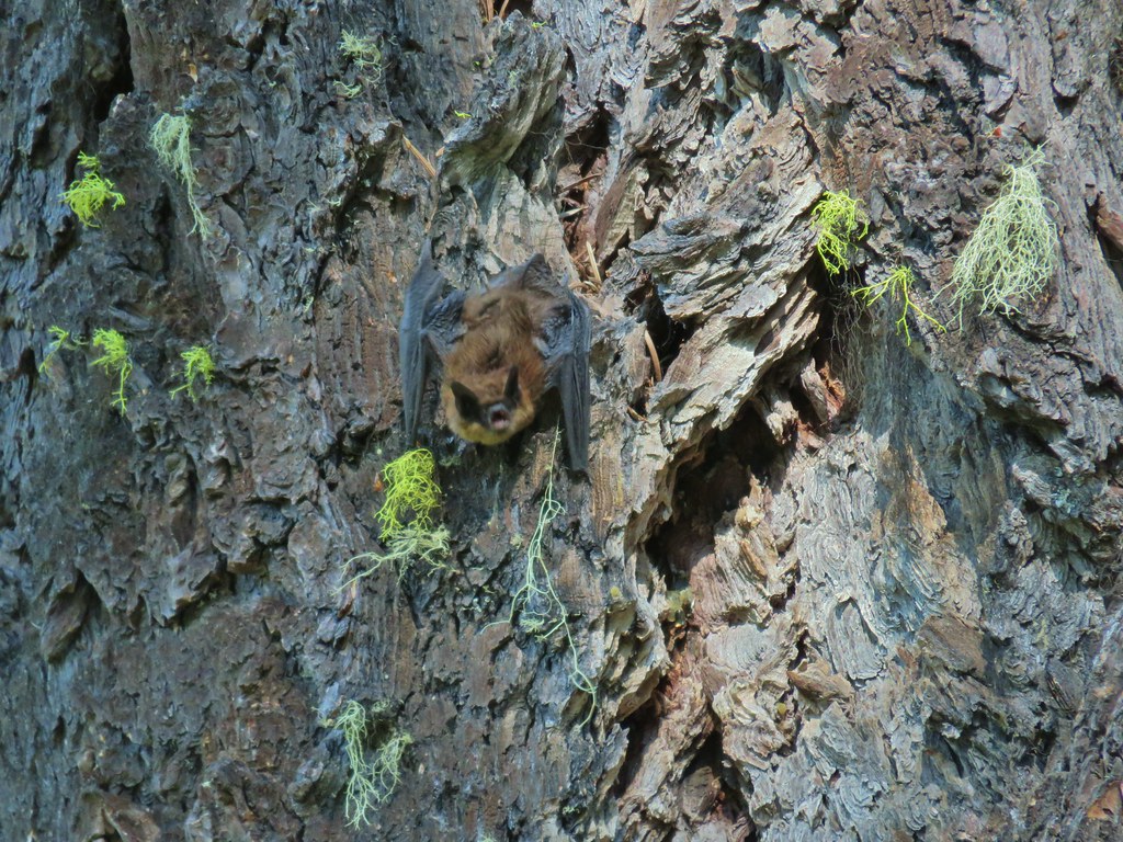
 Rough skinned newt near Spruce Run Lake.
 One of many damp spider webs in the meadow.
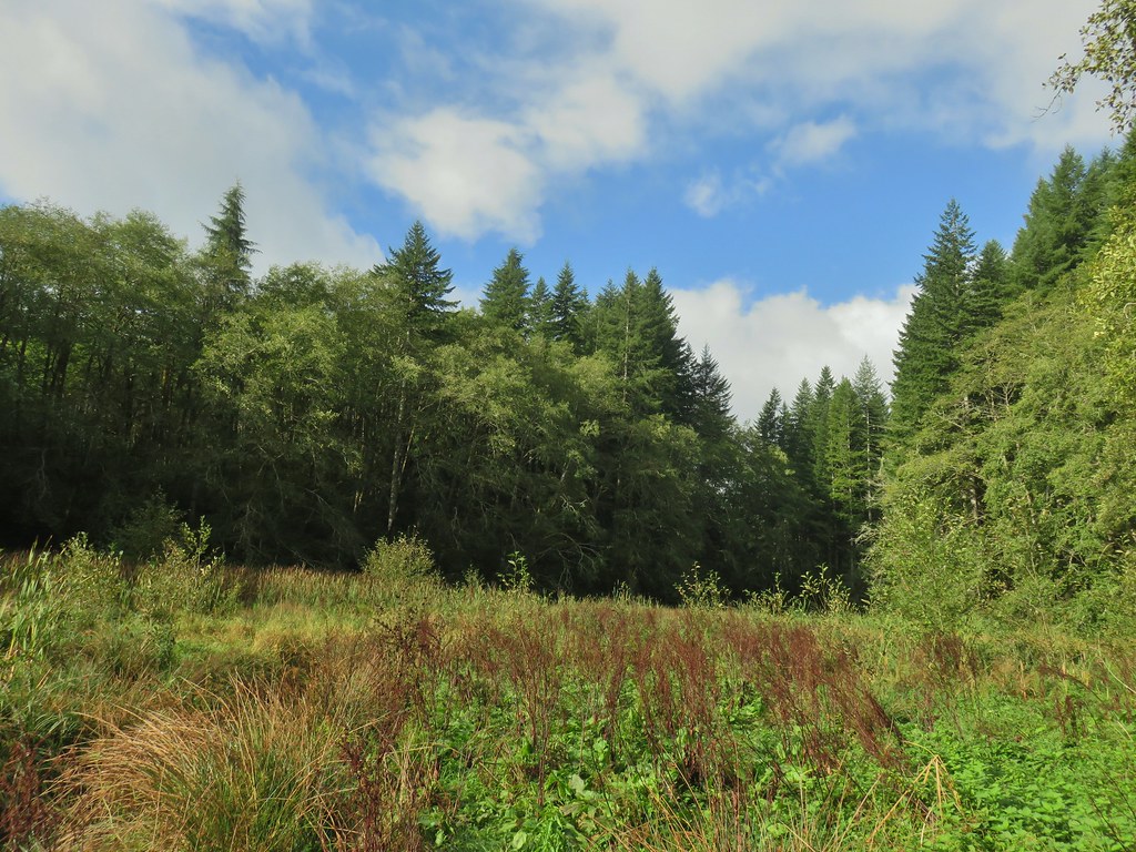 The meadow from the bank of Spruce Run Creek
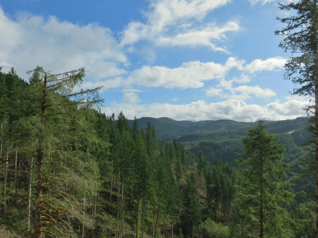
 Bleeding heart
 Scouler’s bluebell
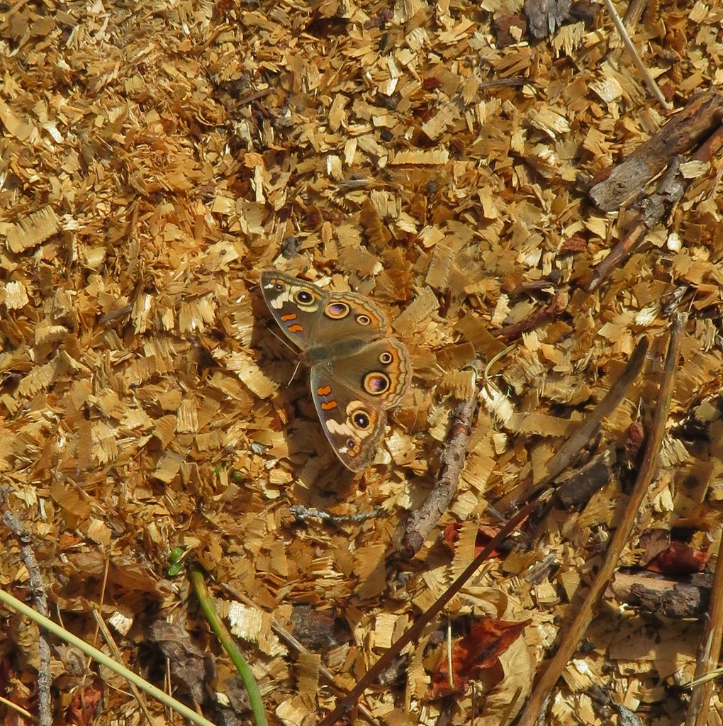
 A little butterfly
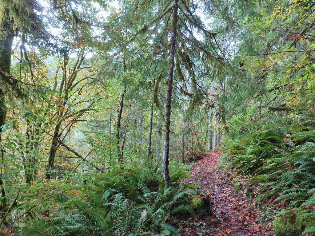


 Fall means mushrooms start replacing wildflowers.
 August Fire Road

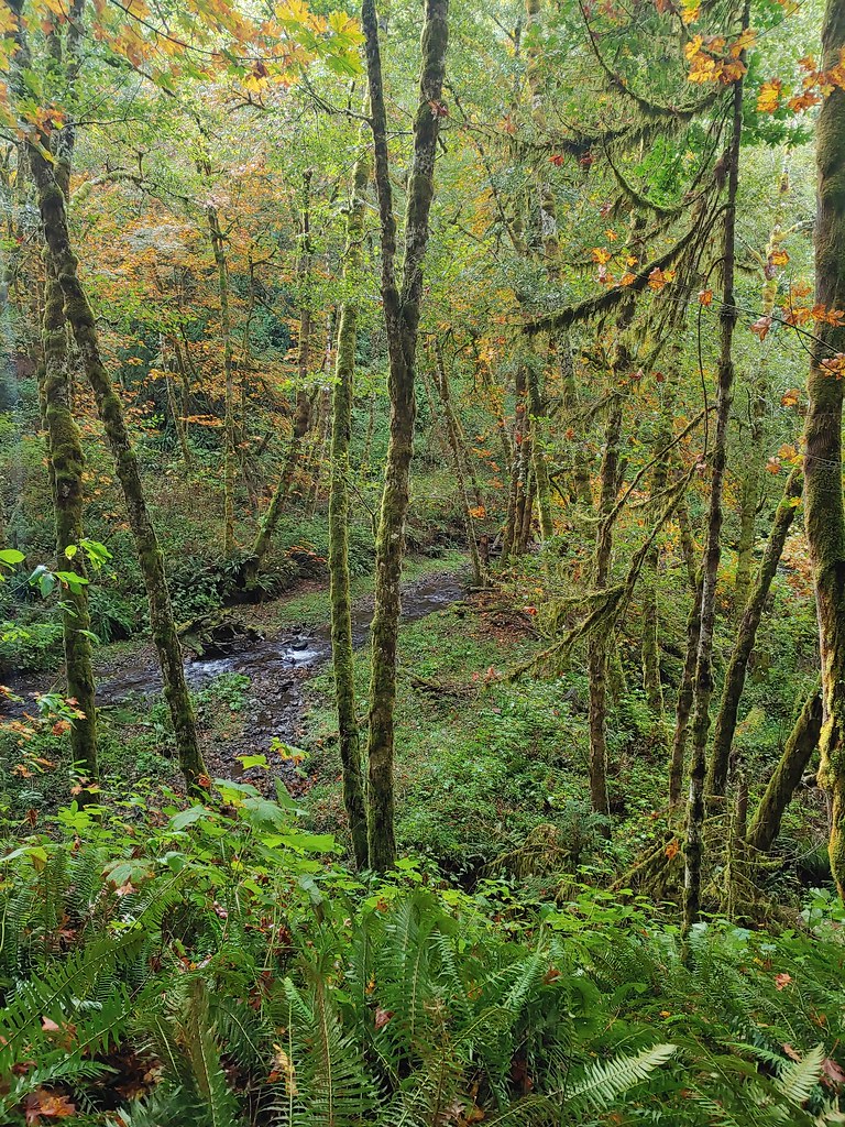
 Snail near Bloom Lake.
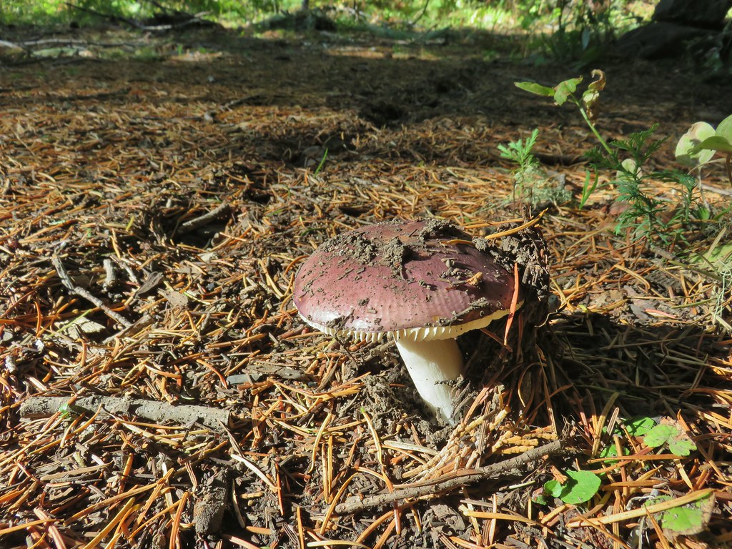
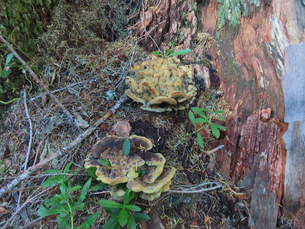
 Mushrooms
 More mushrooms
 Buck Canyon Trail
 View from the Buck Canyon Trail
 Hummingbird Meadows Trail


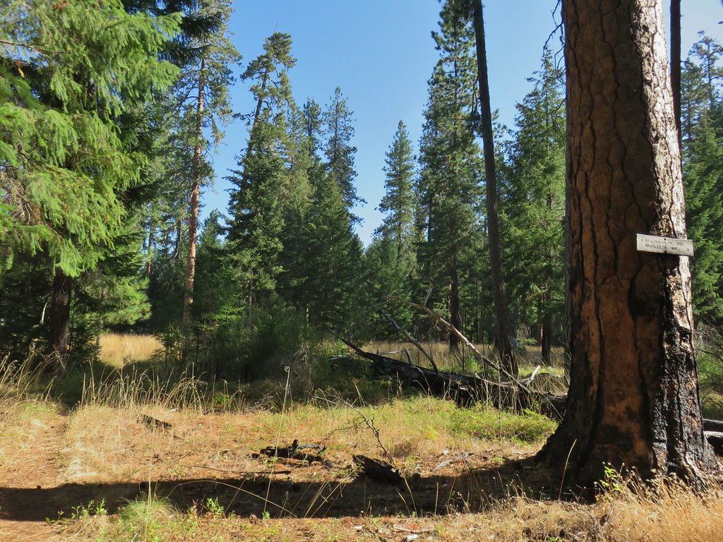
 Bradley Trail passing below some cliffs.
 A lot of the poison oak was turning color which made it easier to spot.
 Entering the 2017 fire scar.
 Lizard
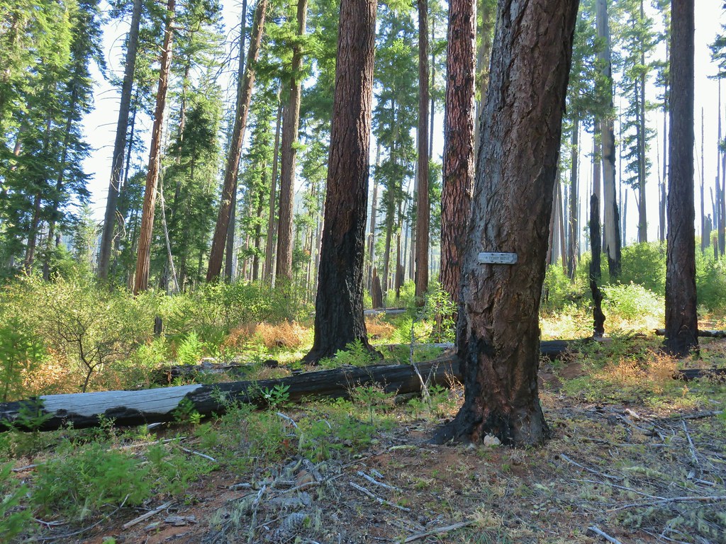
 Bradley Trail arriving at Pine Bench.
 Rock formation visible from the Bradley Trail.

 Common wood nymph
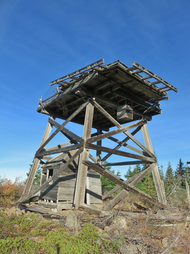
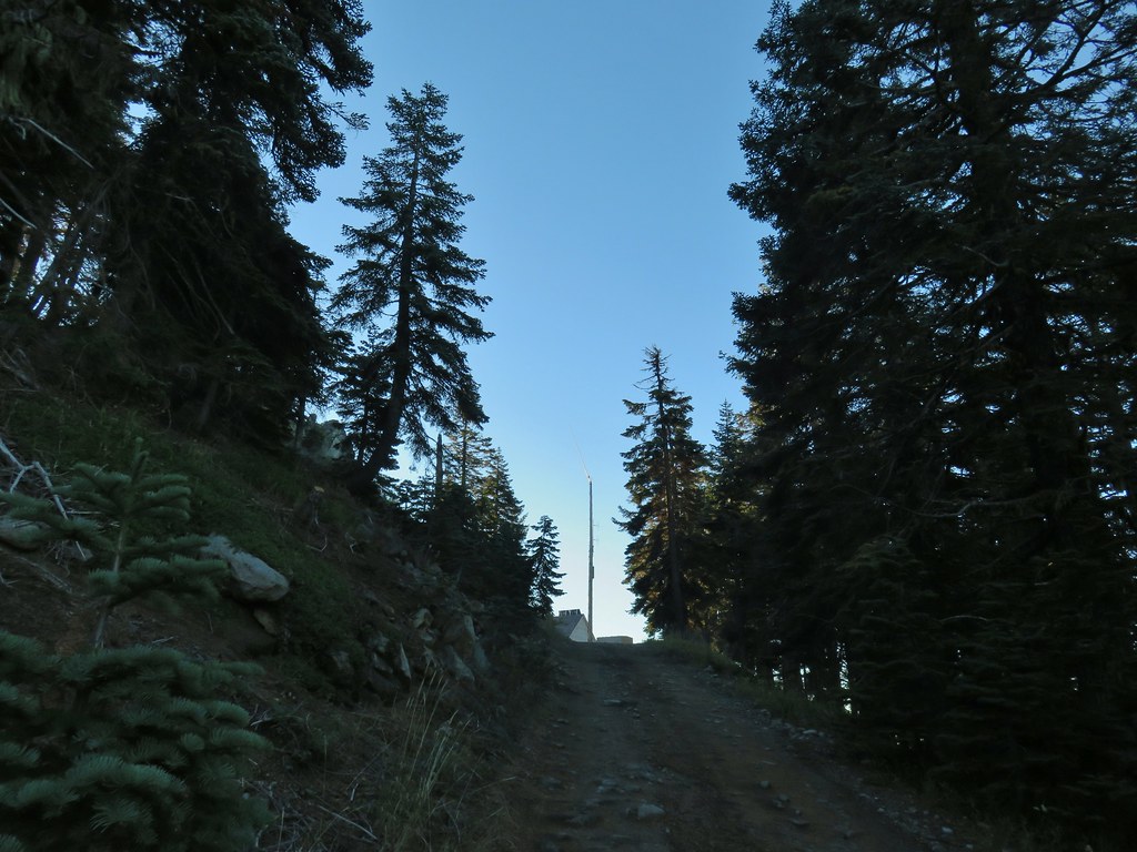
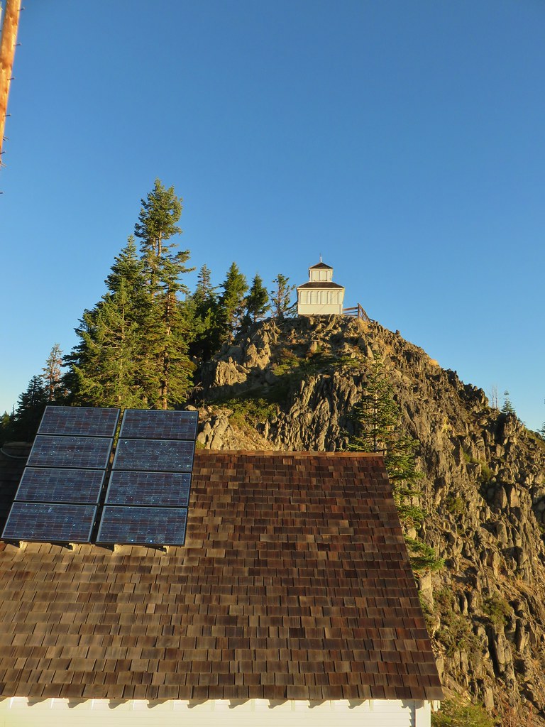
 Illahee Rock Lookout

 Spur trail to the left.
 Just over half a mile from the campsite we passed the very faint Perry Butte Trail.
 Trail maintenance and ripe blackberries.
 Looking up the Boulder Creek Valley
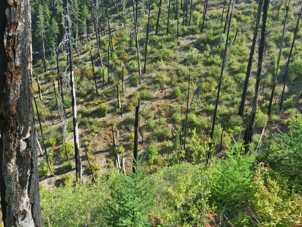 Looking down at the trail across a side drainage.
 Looking across the Boulder Creek valley.
 Small fall on Boulder Creek
 Final drop down to Boulder Creek.
 Boulder Creek
 The continuation of the Boulder Creek Trail on the far side of Boulder Creek which reportedly becomes even fainter and more wild.
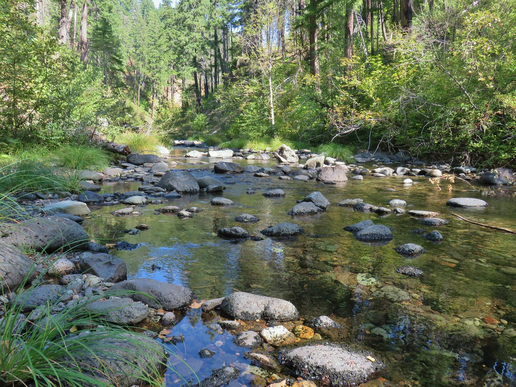


 Fern tree along the Boulder Creek Trail.
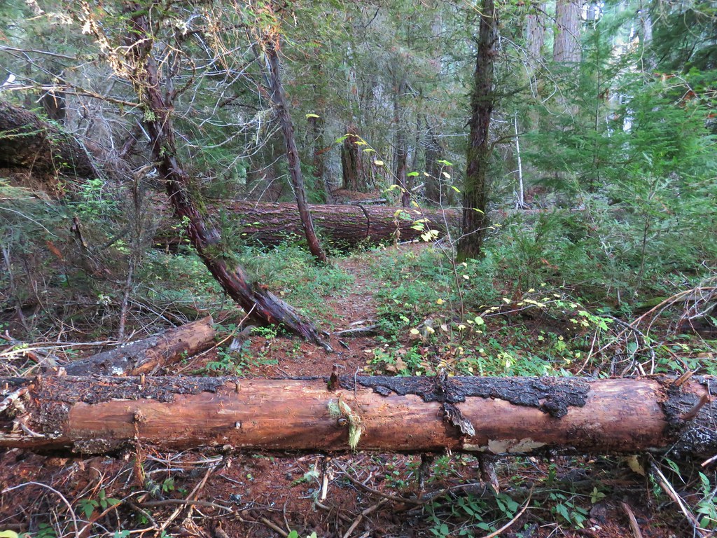
 This log was the trail.
 Another switchback with poison oak on all sides of the trail.


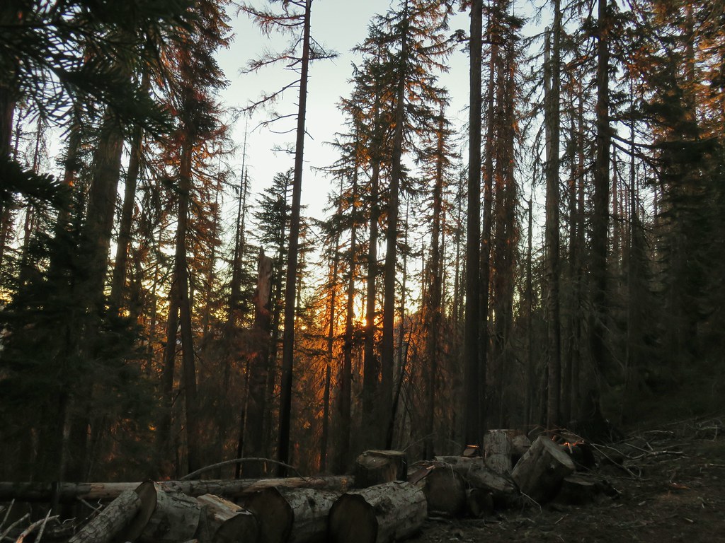
 Smokey skies turning the Sun red.


 Little trees surrounding a giant.
 A downed giant.

 Madia
Madia Paintbrush
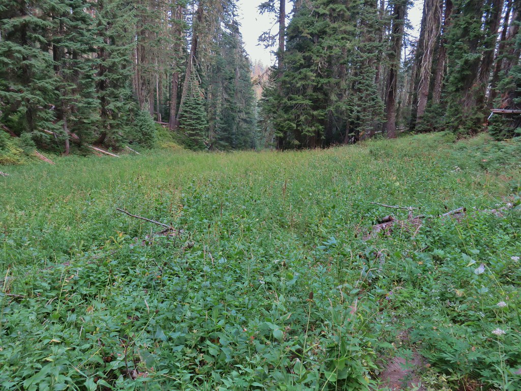


 Goldenrod and other flowers.
 Arnica?
 Columbine
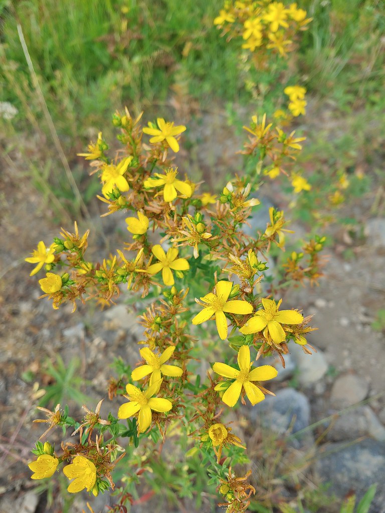 St. John’s wort
 Fleabane (or aster) and coneflower


 The trail sign on the left wasn’t particularly descriptive.
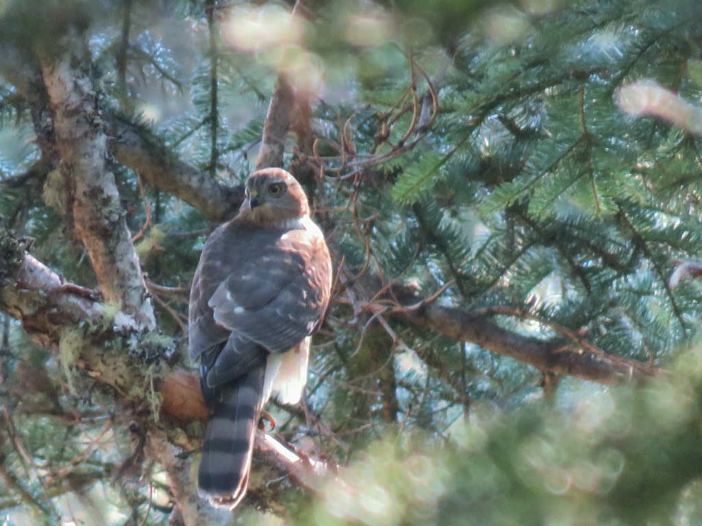
 The owl is in the center of the picture behind the branch with green needles.
 Small stream crossing
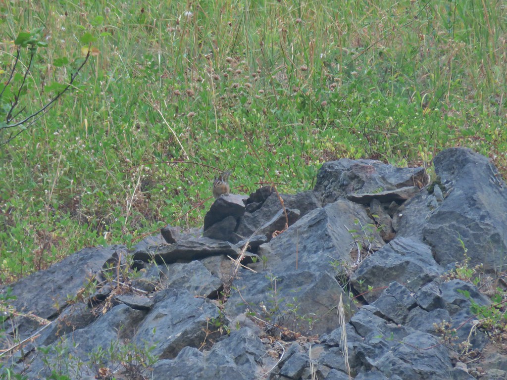 Chipmunk


 Windy Gap
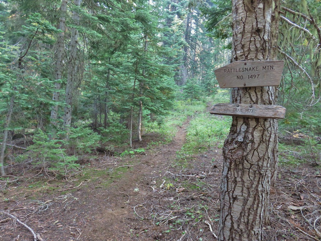


 Near the upper end of the 1.2 mile section we entered a burn scar with views of Mt. Bailey, Mt. Thielsen and Crater Lake.
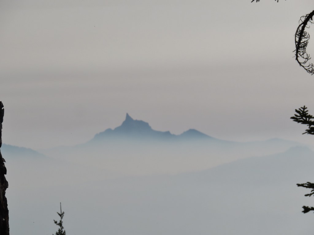 Mt. Thielsen
 High points along the rim of Crater Lake above the smoke.
 A bee photobomb with Mt. Bailey and Mt. Thielsen to it’s right.
 Flagging in the burn scar.
 Nuttall’s linanthus
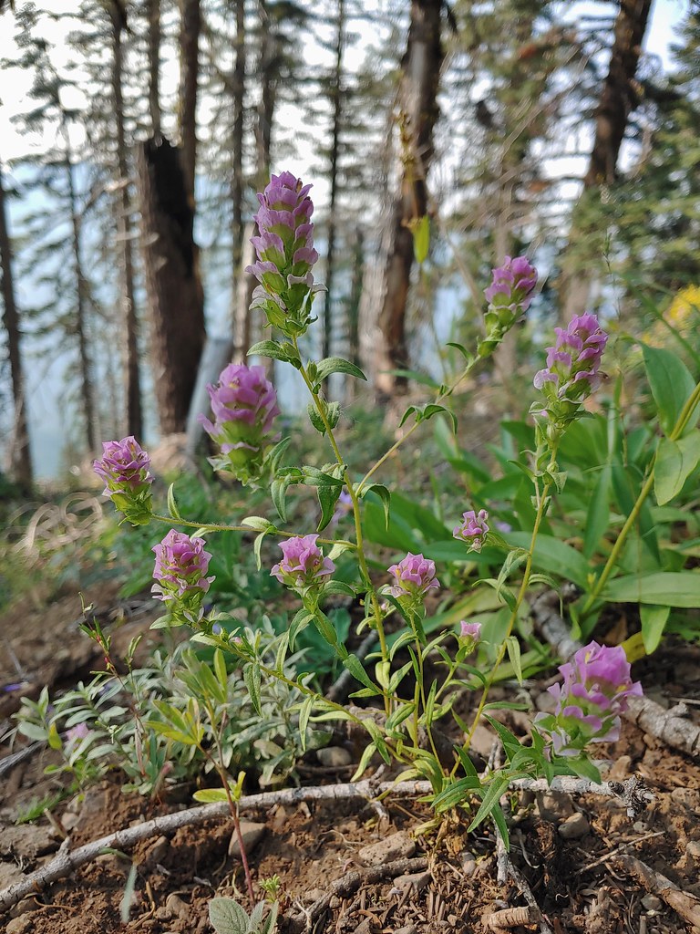 Owls clover
 Golden-mantled ground squirrel.
 The rock cairn.
 Nearing the summit.
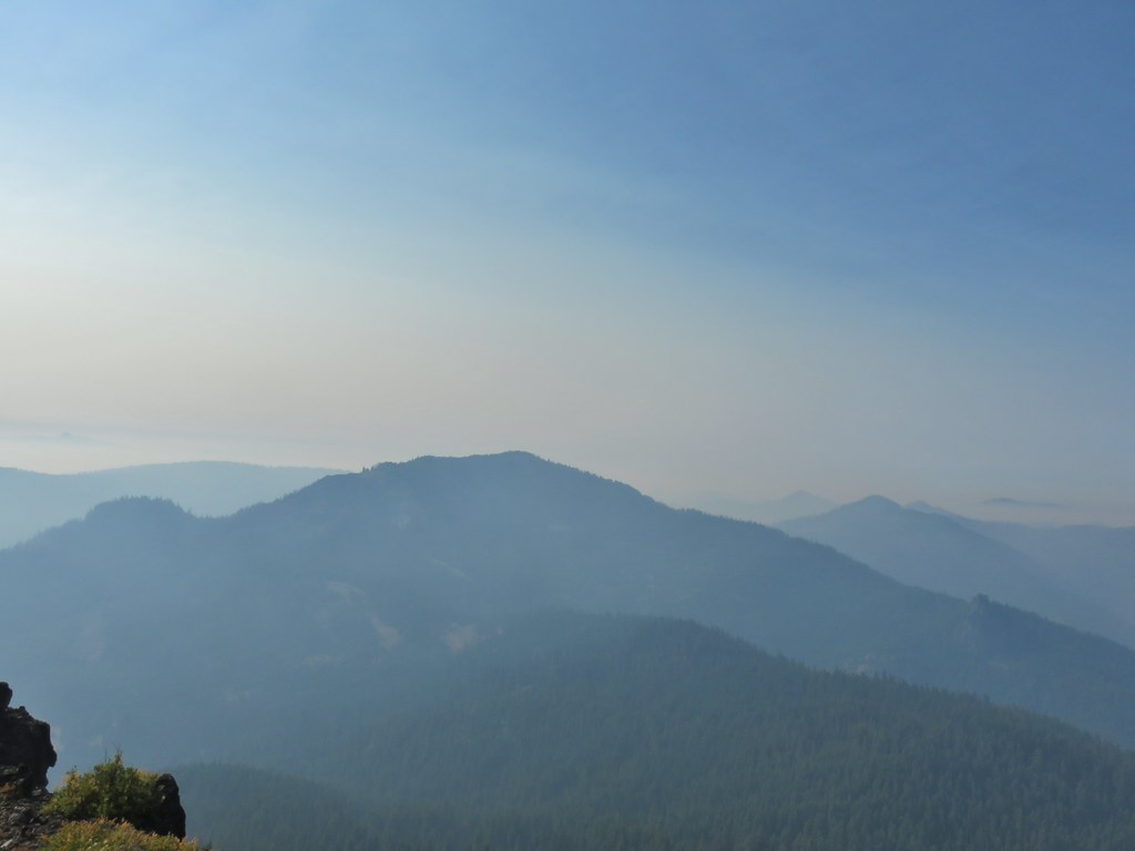
 Mt. McLoughlin
 Hillman Peak and The Watchman at Crater Lake
 Butterfly and bees.
 For some reason this cracked us up.
 Heather spotted this cricket on my shoulder (I always have some sort of insect on me for some reason).

 We’d lost the trail here and were just heading for the Castle Creek Trail.
 We came across this faint tread in the trees before reaching the Castle Creek Trail and started following it.
 Apparently it was the actual trail as it popped us out at a trail sign along the Castle Creek Trail.

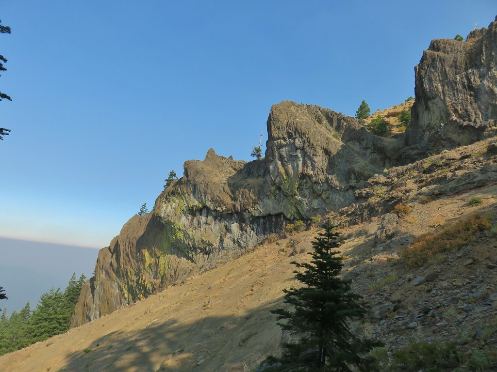
 Rattlesnake Mountain
 Happy Camp Trailhead
 Rattlesnake Mountain
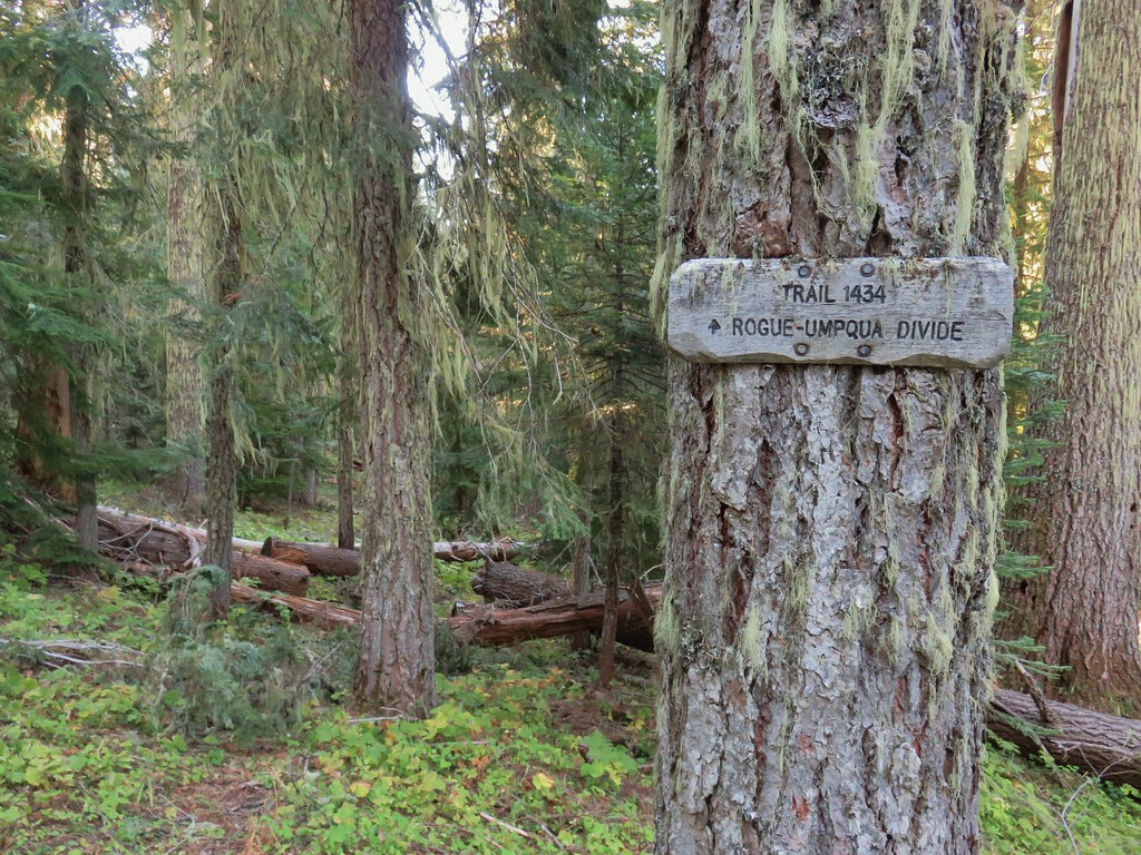
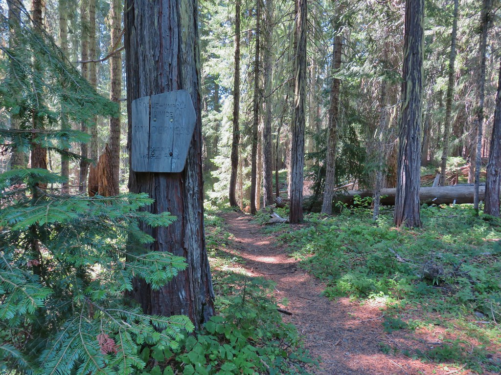
 Rogue-Umpqua Divide Trail
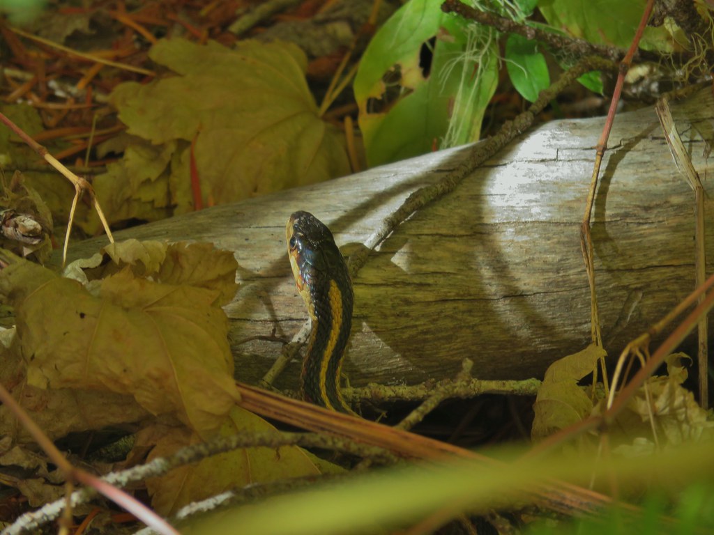
 Snake in Fish Creek
 Scarlet gilia
 Fish Creek
 Fish in Fish Creek
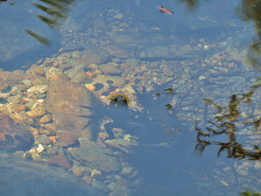 Frog in Fish Creek

 Monkshood
 This frog decided that under Heather’s pack was a nice spot to chill.
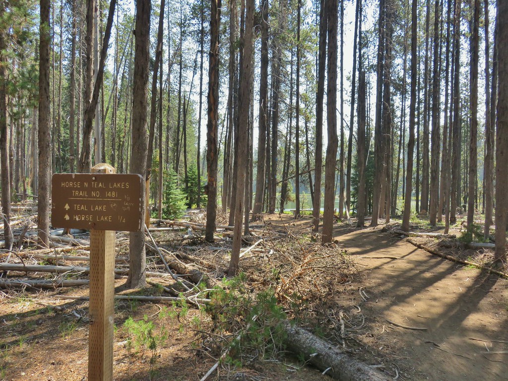
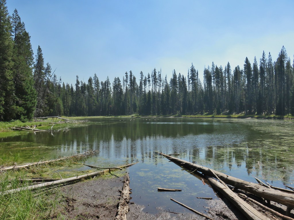
 Horse Lake
 Lesser yellowlegs
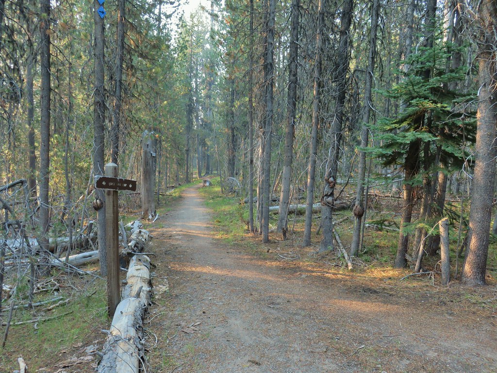


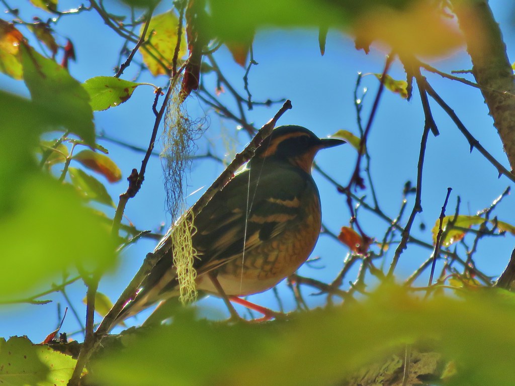
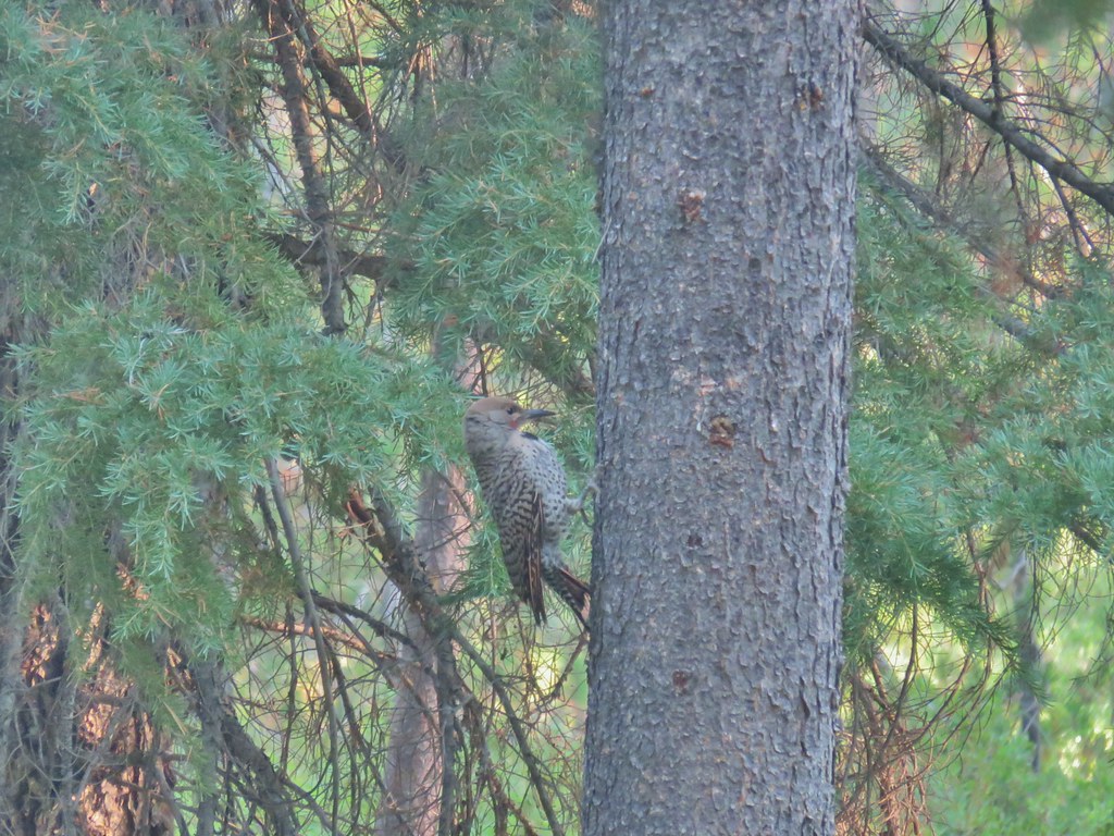 Northern flicker

 Mt. Bailey beyond the meadow.
 Mt. Thielsen from the South Shore Picnic Area
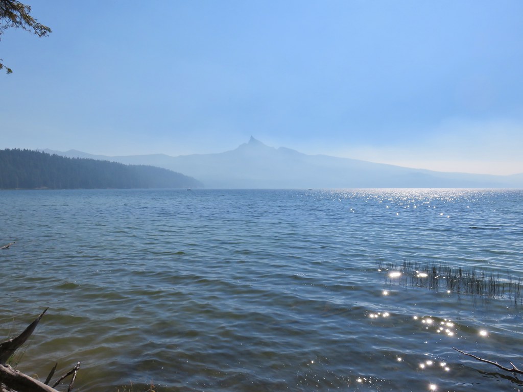
 Diamond Lake underneath the smoke.
 Mt. Bailey
 Mt. Thielsen from the boat dock.
 Picnic tables in the picnic area.
 Short Creek (it really is short)
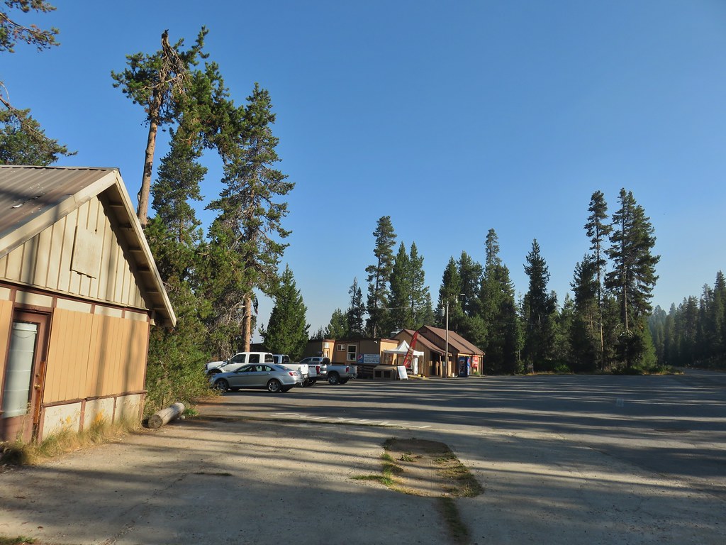 Resort buildings between the RV park and campground.
 Sign instructing users to follow painted bike symbols through the campground.
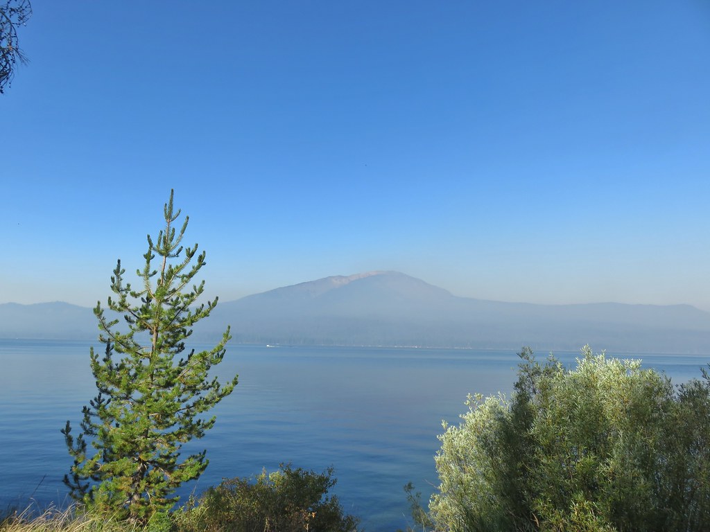
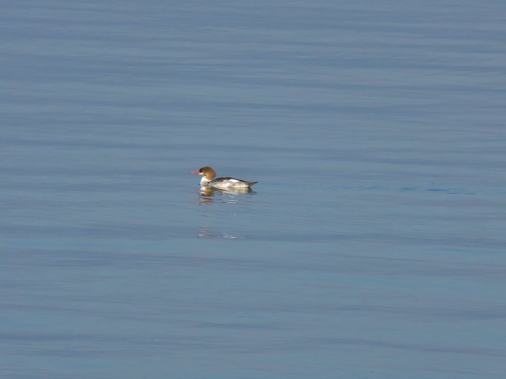 Common merganser
 Goldeneyes
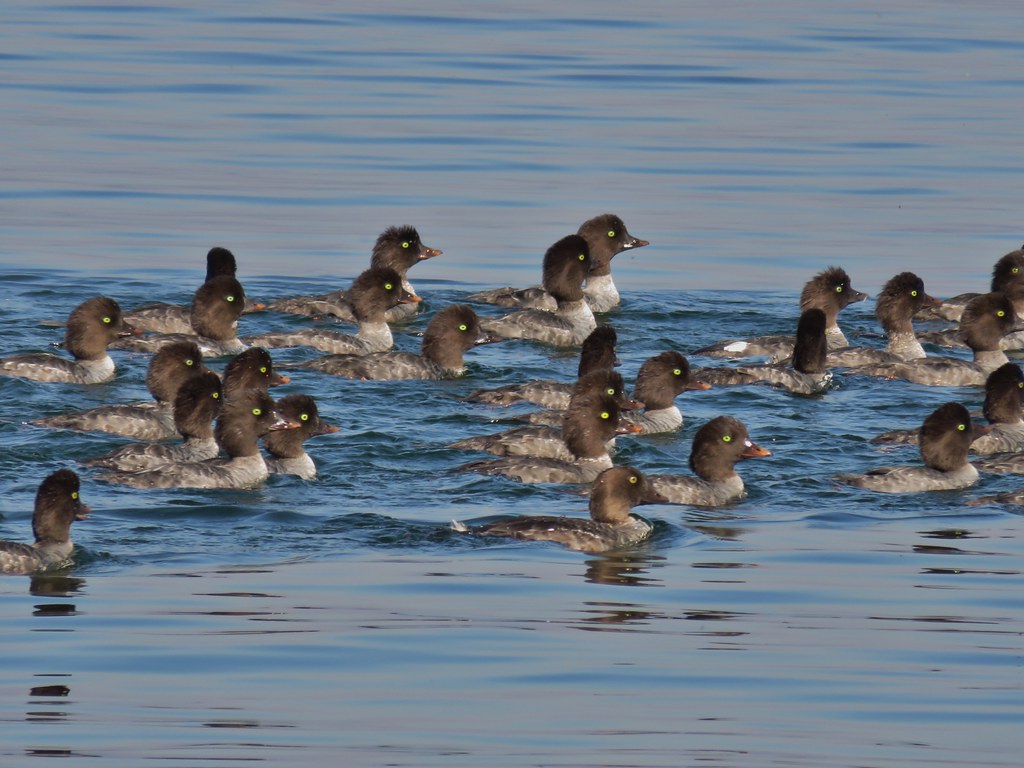

 Mt. Bailey again.
 Arriving at the lodge area.
 Seagulls


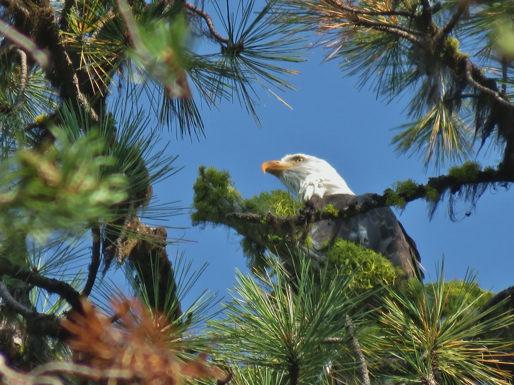 Bald eagle
 I’ve been spotted
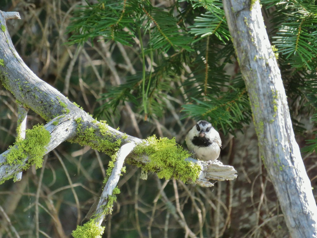 Chickadee with a seed or nut.
 Junco in some fireweed.
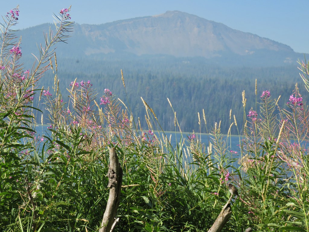 The junco with Mt. Bailey in the background.
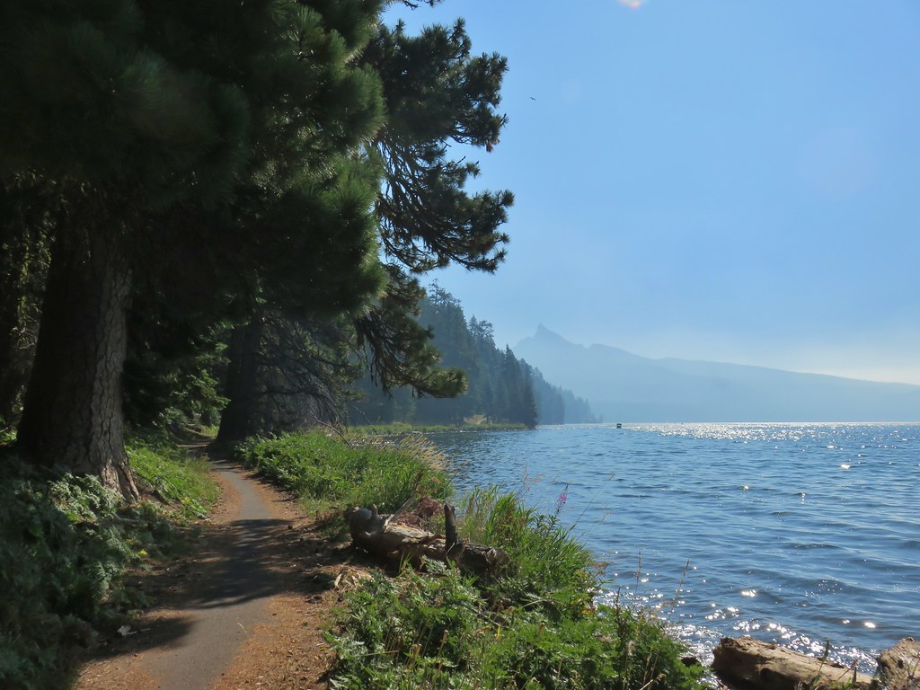 Looking back at Mt. Thielsen
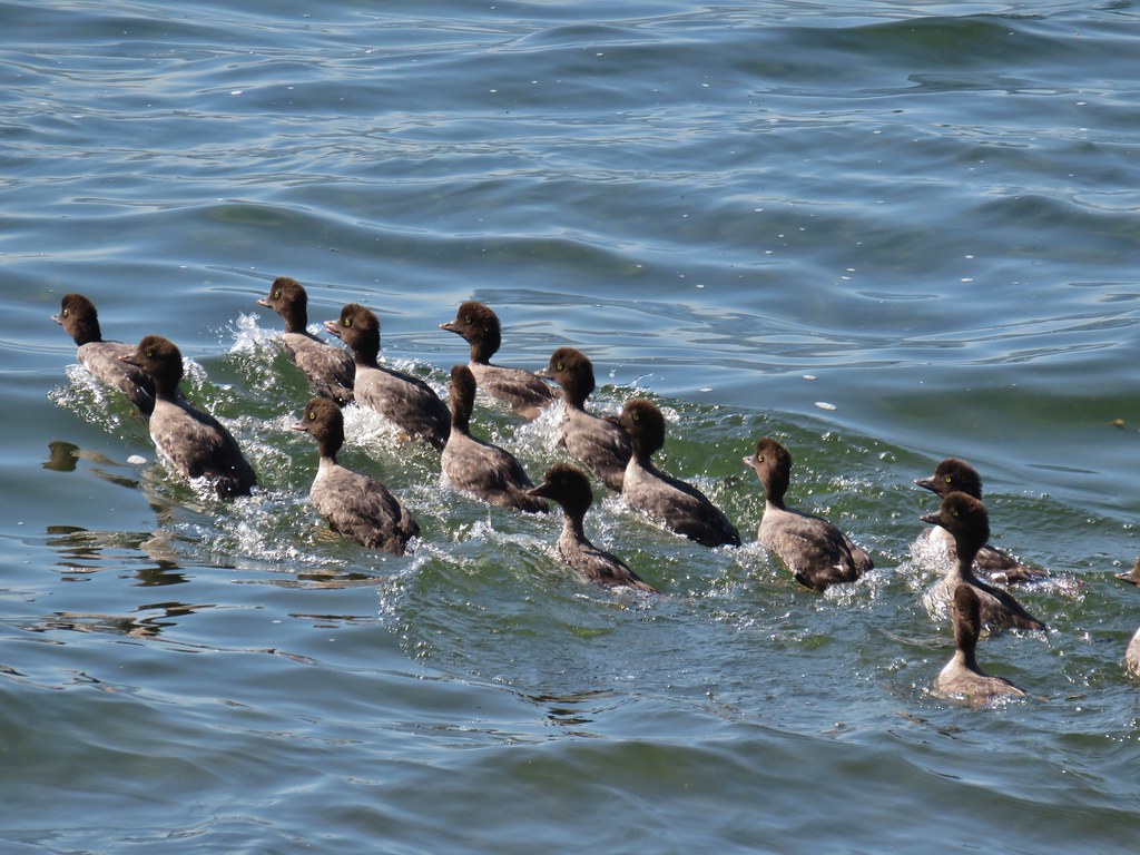 More goldeneyes
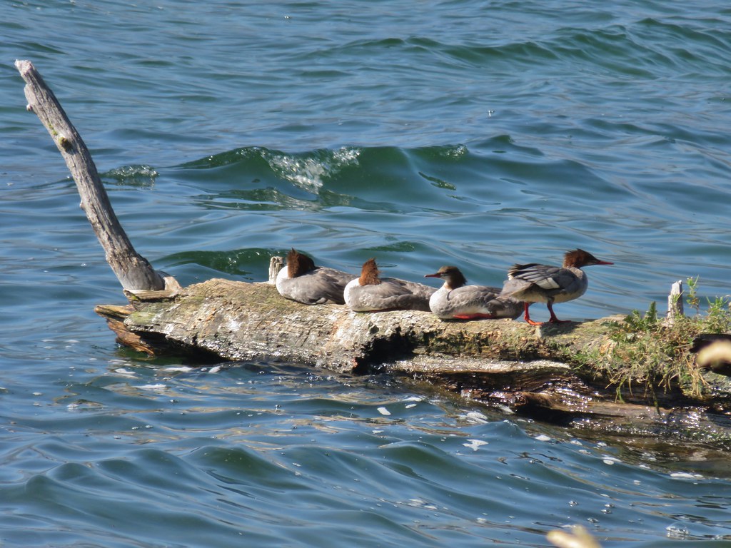 Mergansers


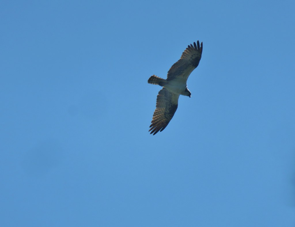 Osprey

 Cormorant
 Howlock Mountain to the left and Mt. Thielsen


 Back on the lake side of FR 4795.


 Canada geese at Teal Lake.
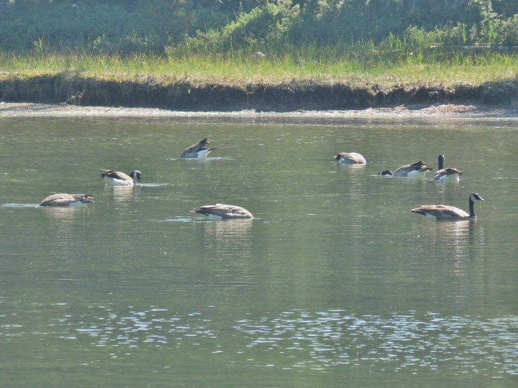


 hedgenettle and aster.
 Monkeyflower
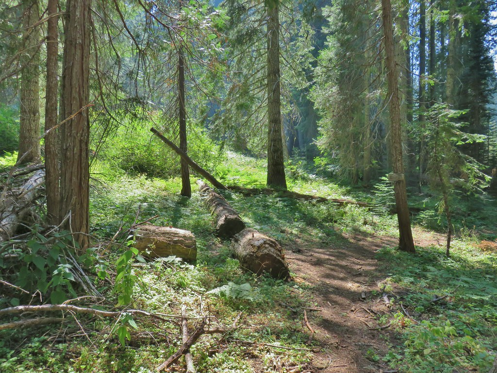


 Wiley Camp Trail on the right.

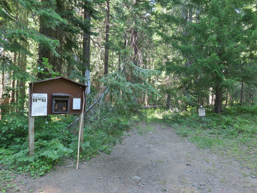
 Wiley Camp sign

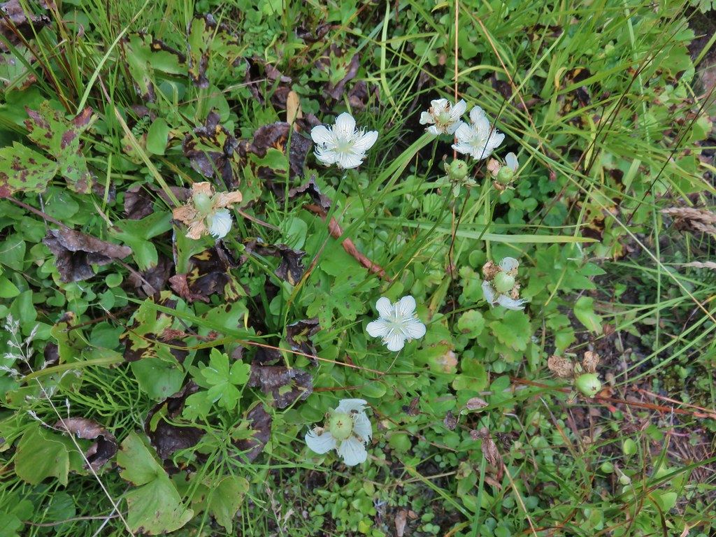 Grass of parnassus
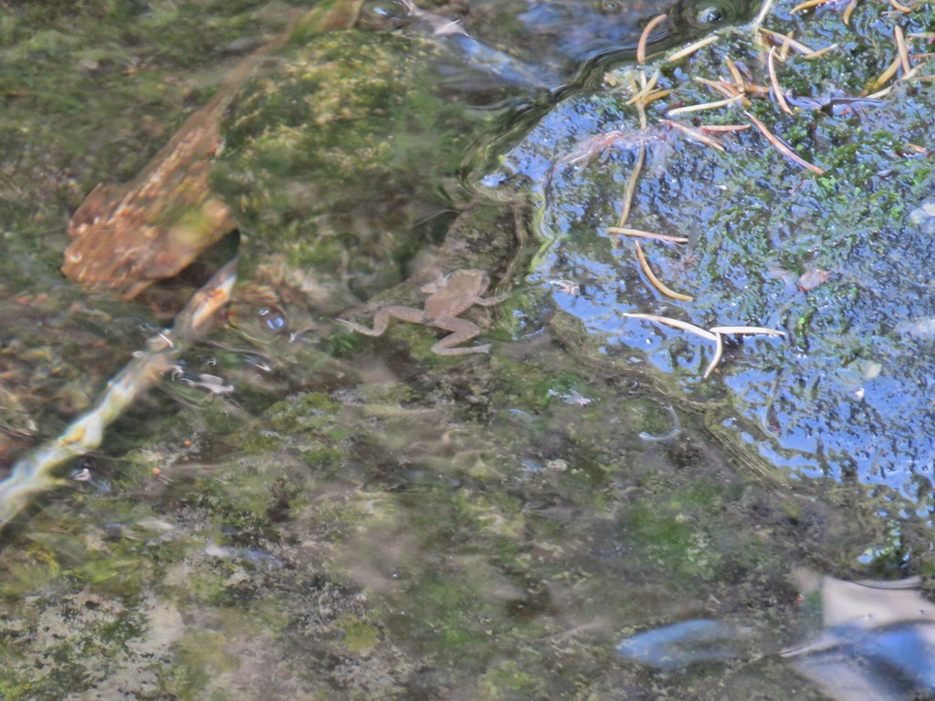 Frog
Frog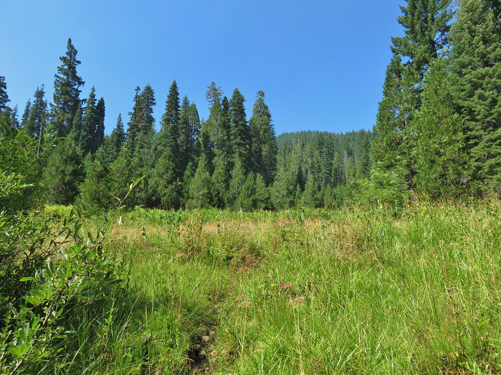 Trail leading up from the creek into the meadow.
 Big cedar at the edge of the meadow.
 Cairn and pink flagging (small tree to the right) marking the Wiley Camp Trail.
 Elder berry
 Twisted stalk

