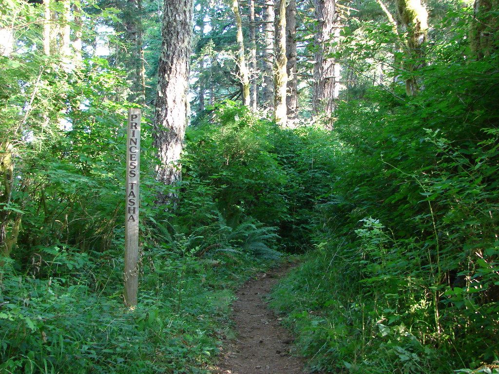
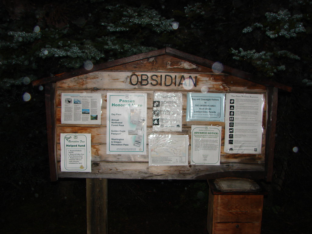
We officially kicked off our 2018 hiking season with a pair of hikes toward the eastern end of the Columbia River Gorge. We started our day off by driving east of Mosier on I84 and parking at the Memaloose Rest Area. At the western end of the rest area a gated service road serves as the trailhead.
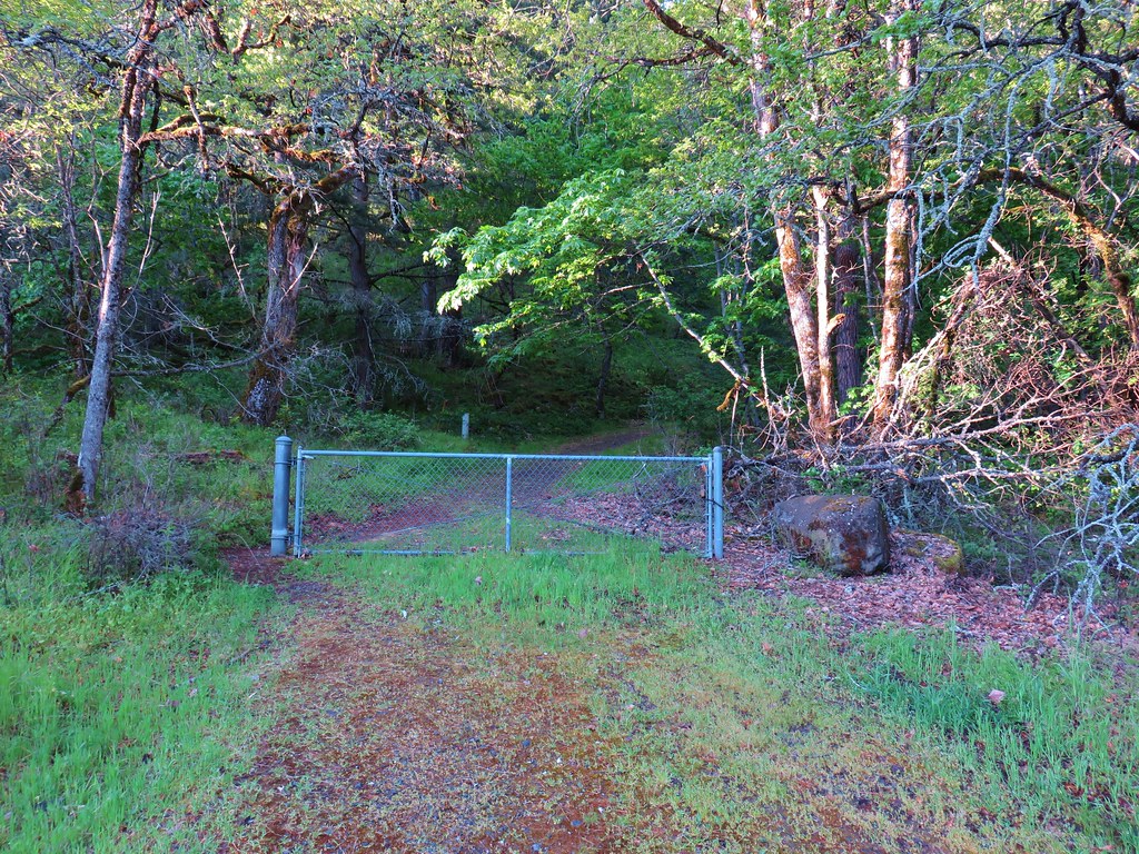
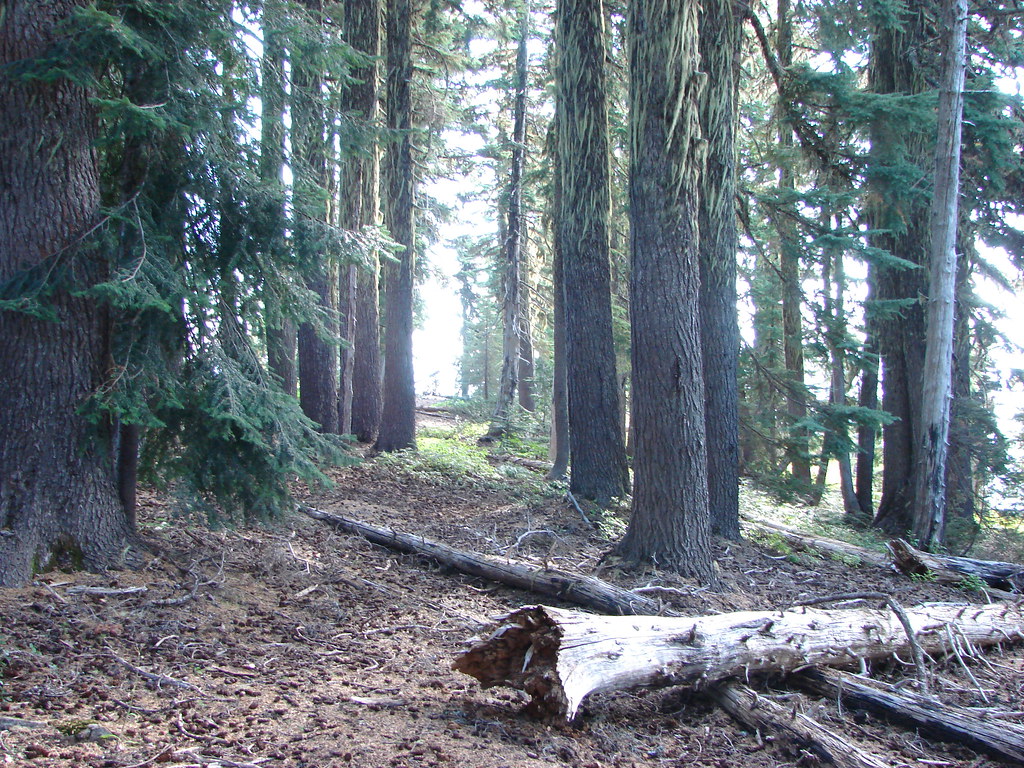
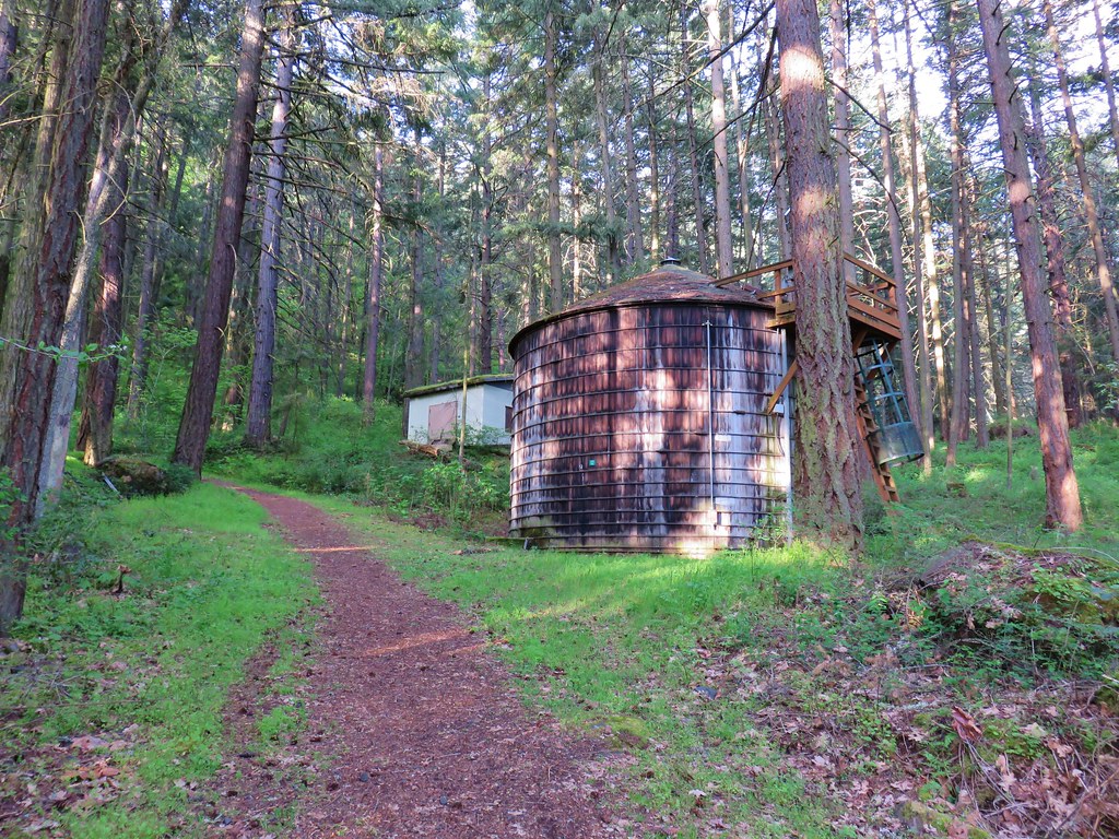
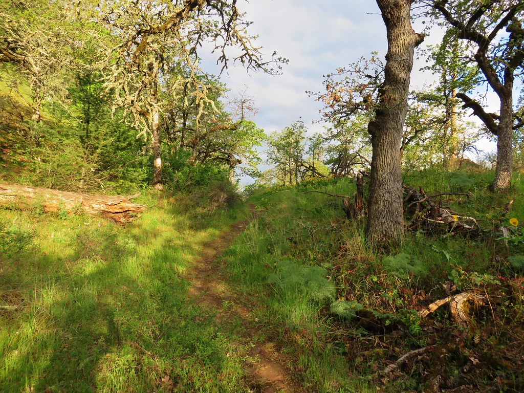
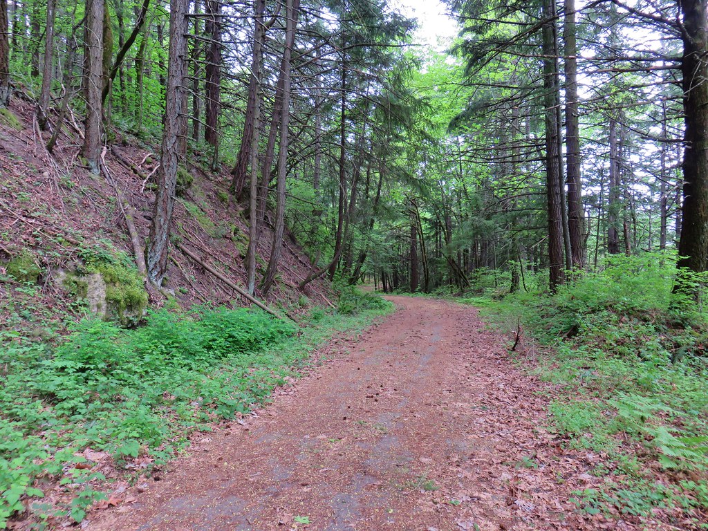
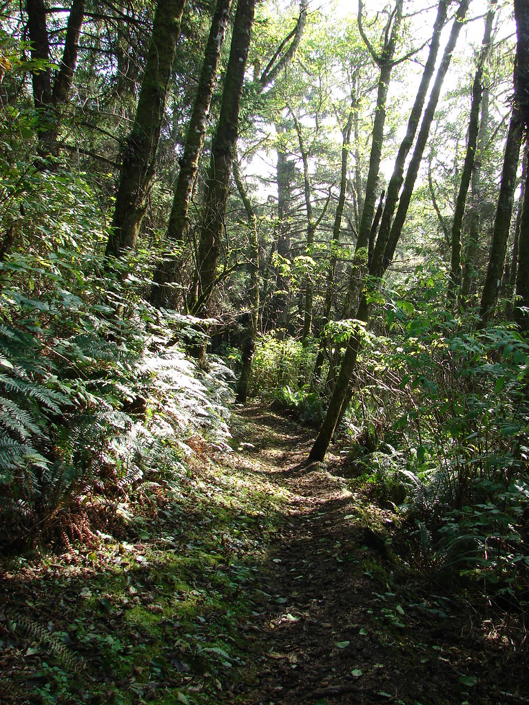
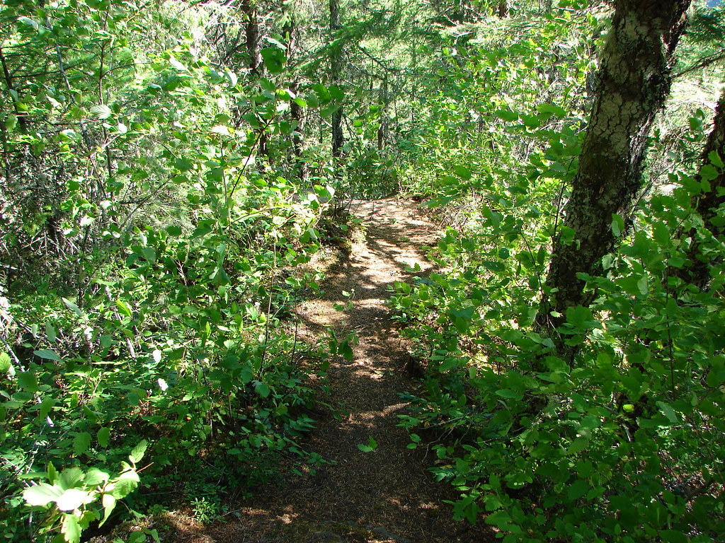
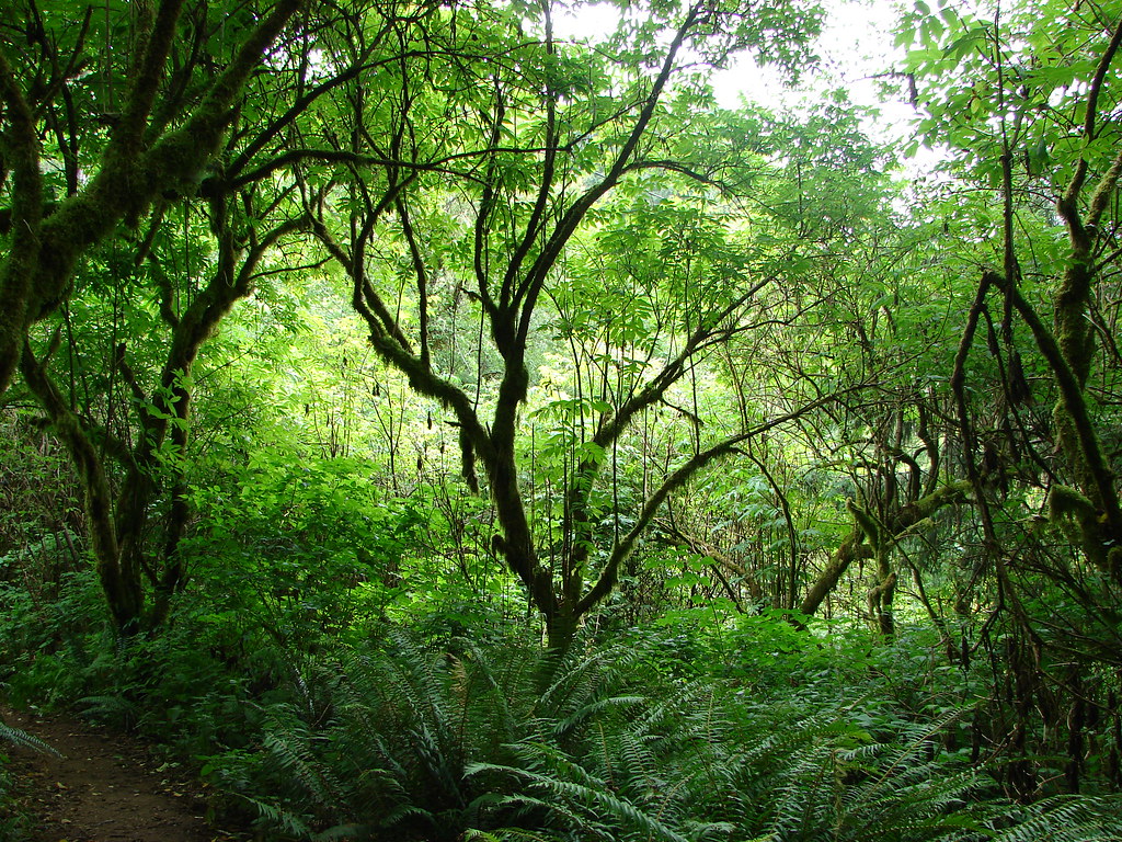
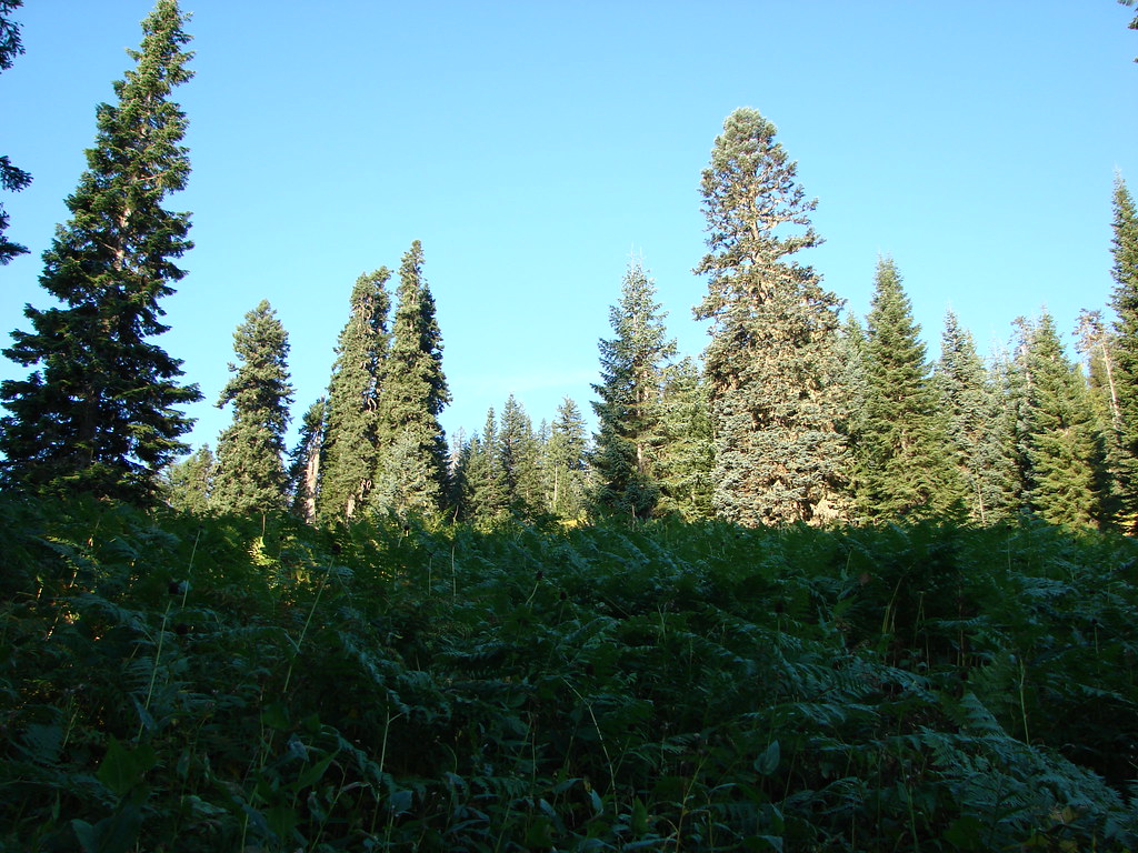
We followed the forested old road uphill past some old structures.

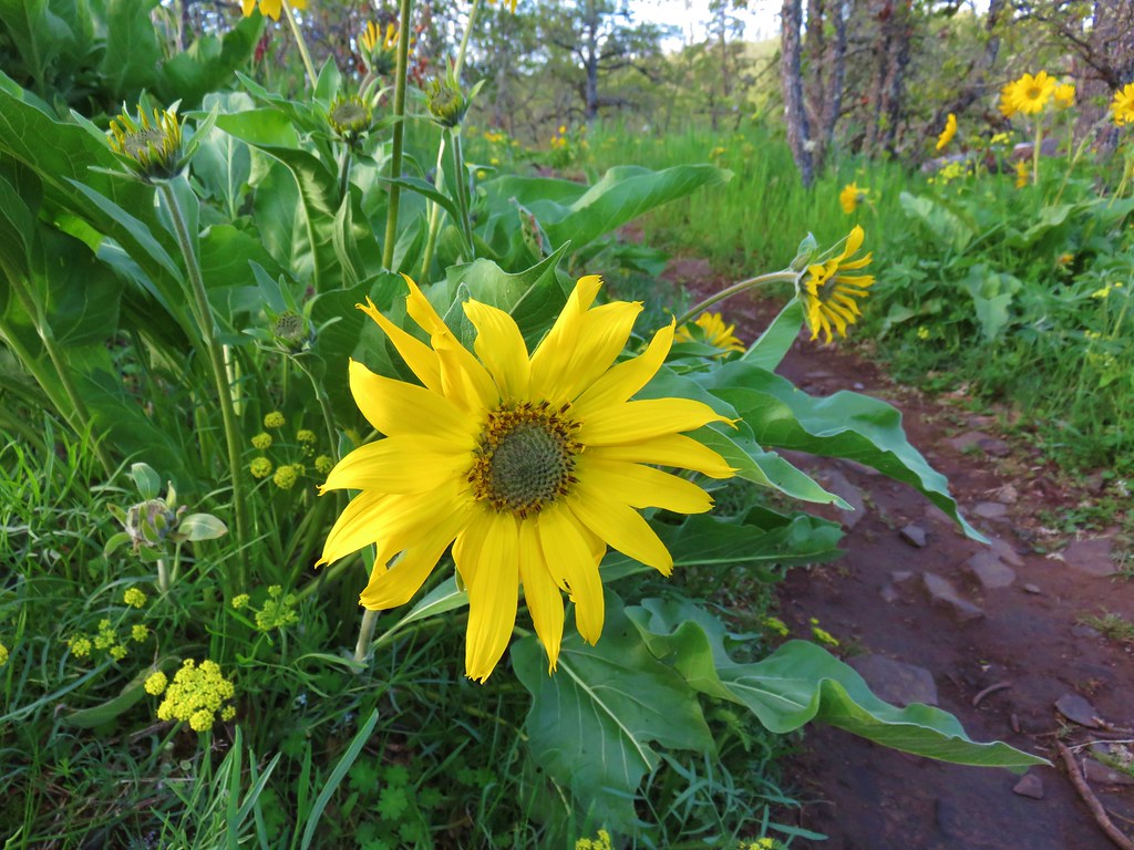
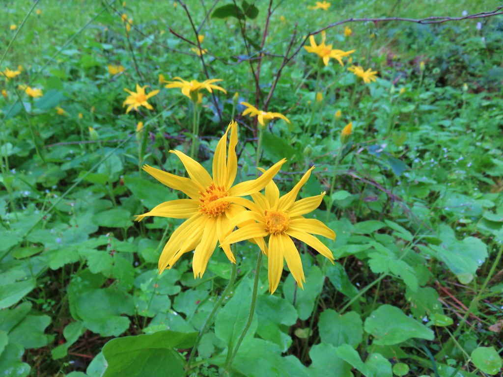 Arnica
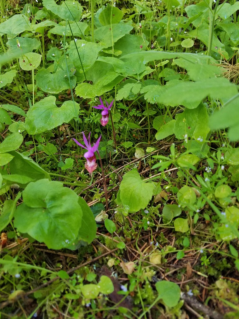 Fairy slippers
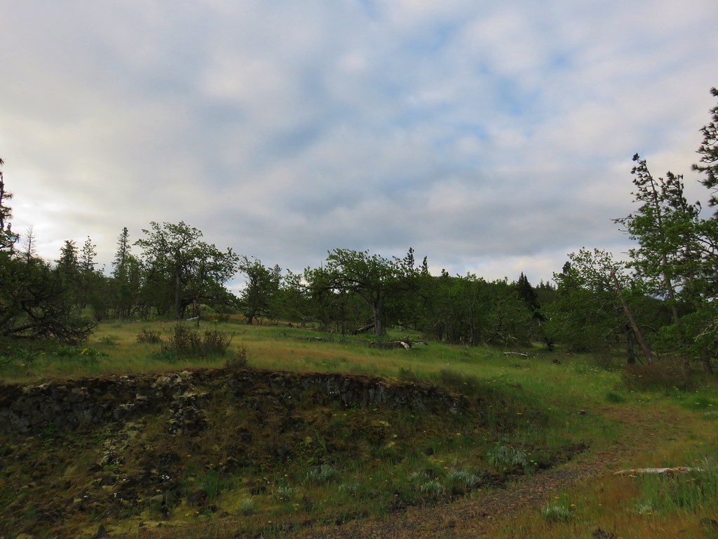
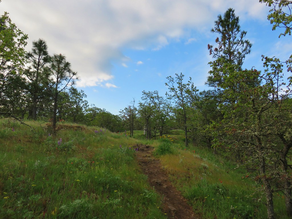
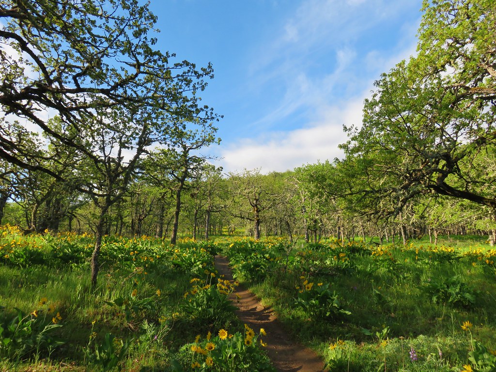
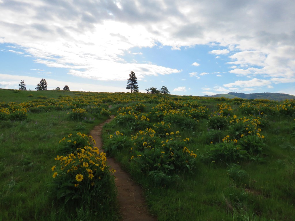
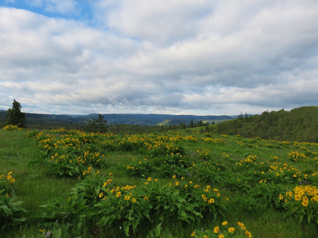
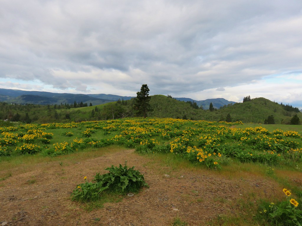
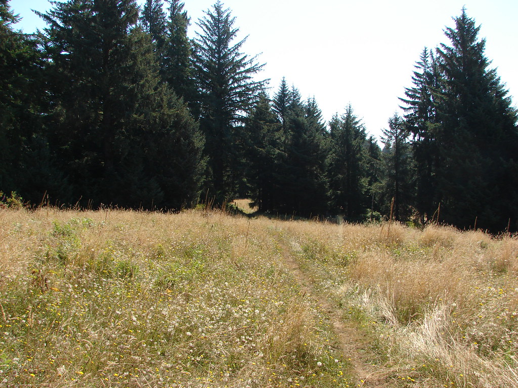
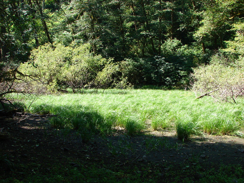
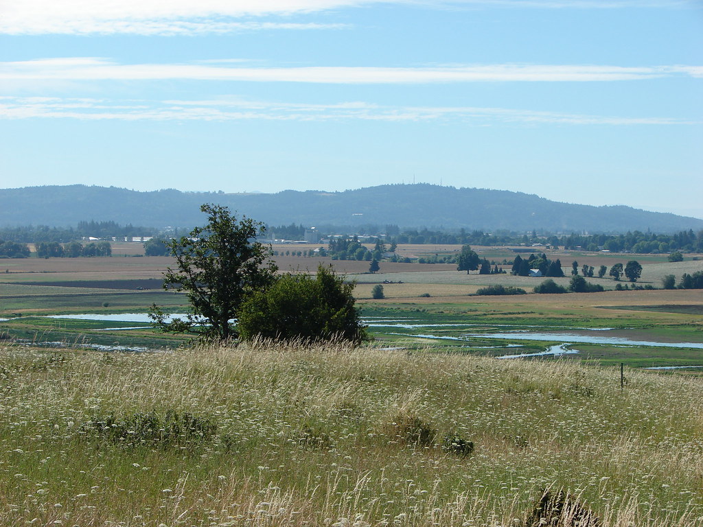
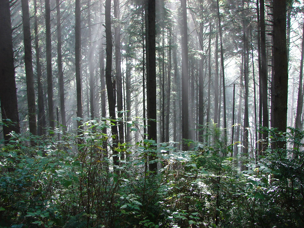
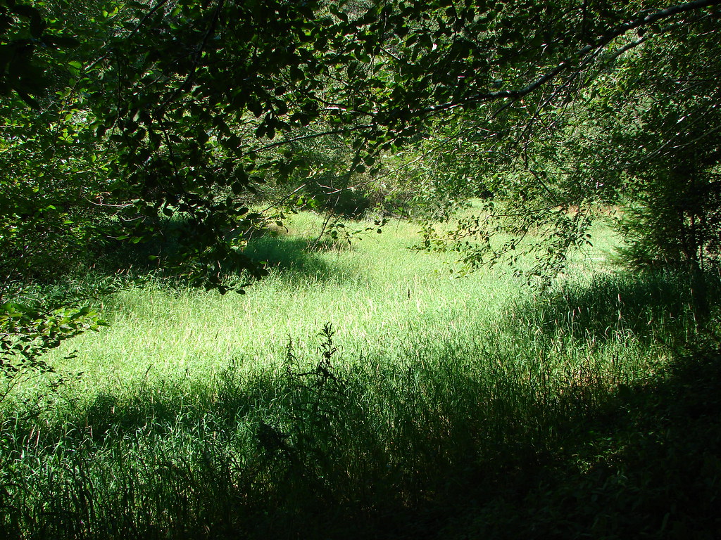
As we climbed the forest began to give way to an oak grassland.

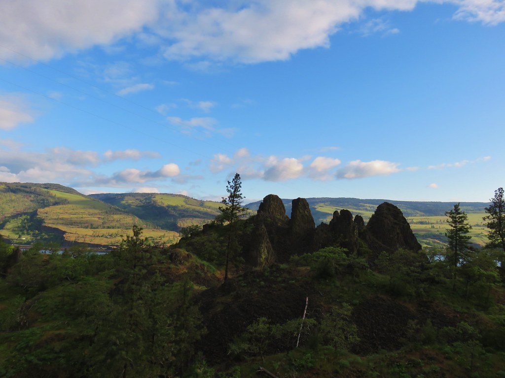
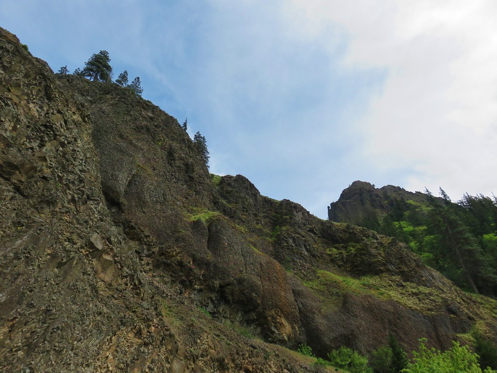
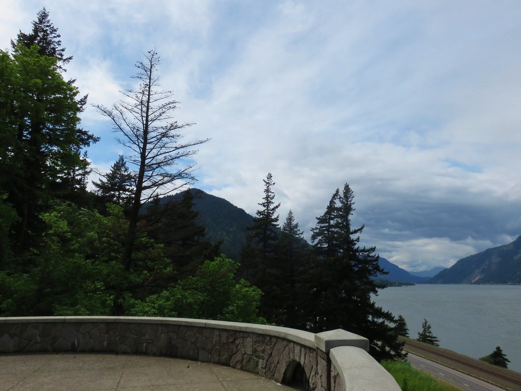
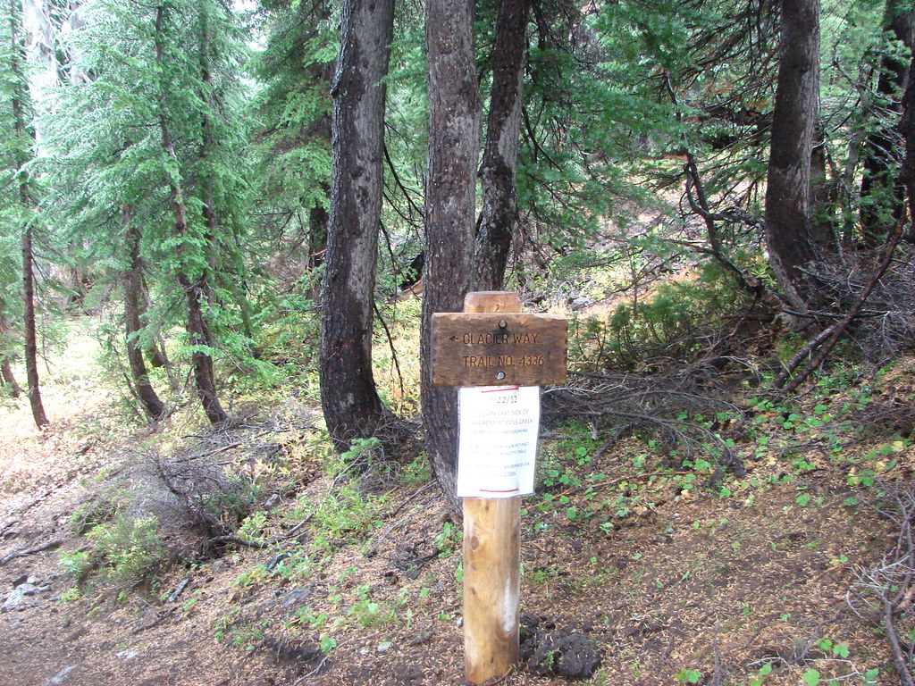
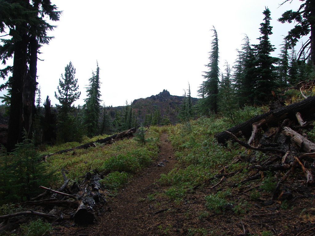
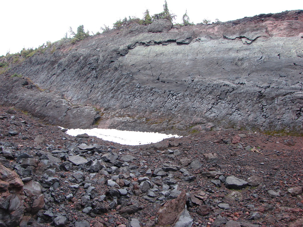
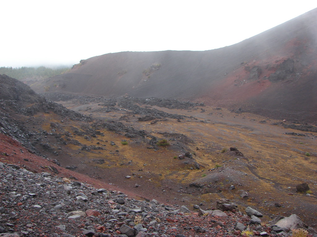
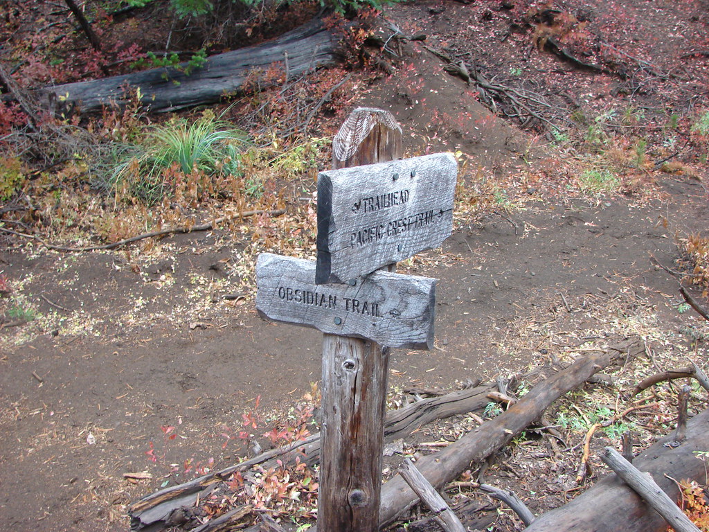
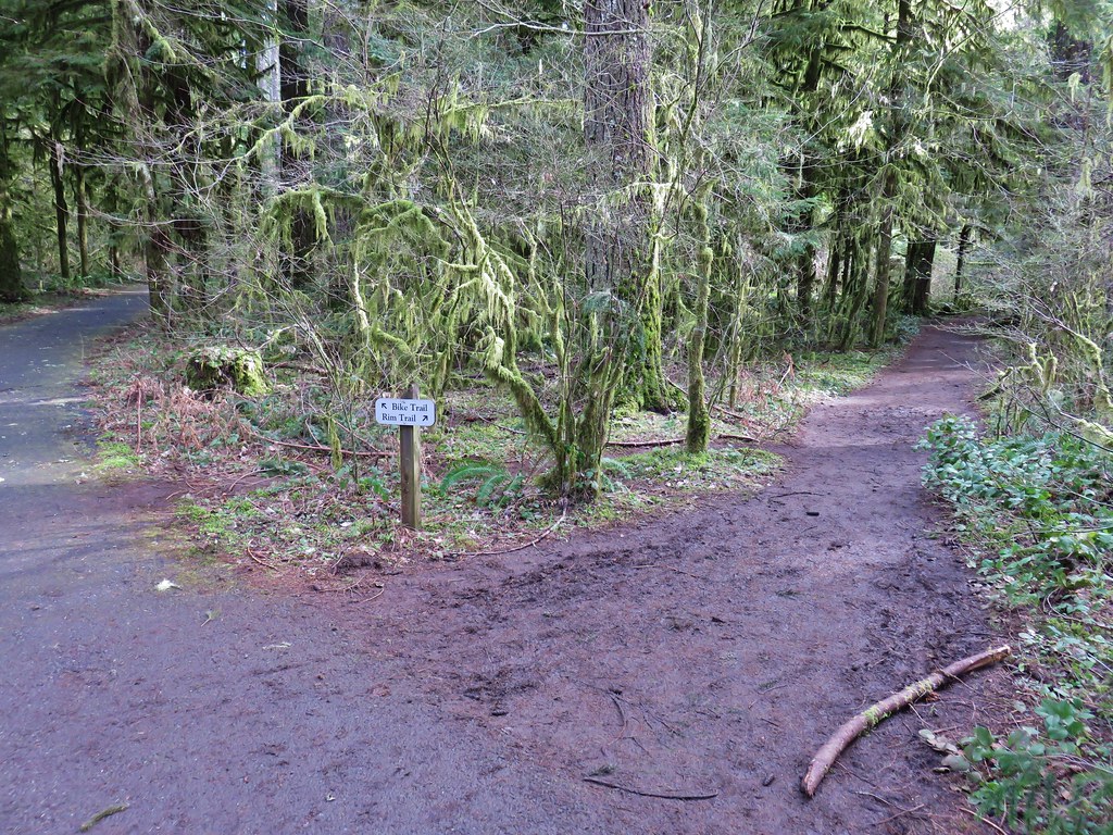
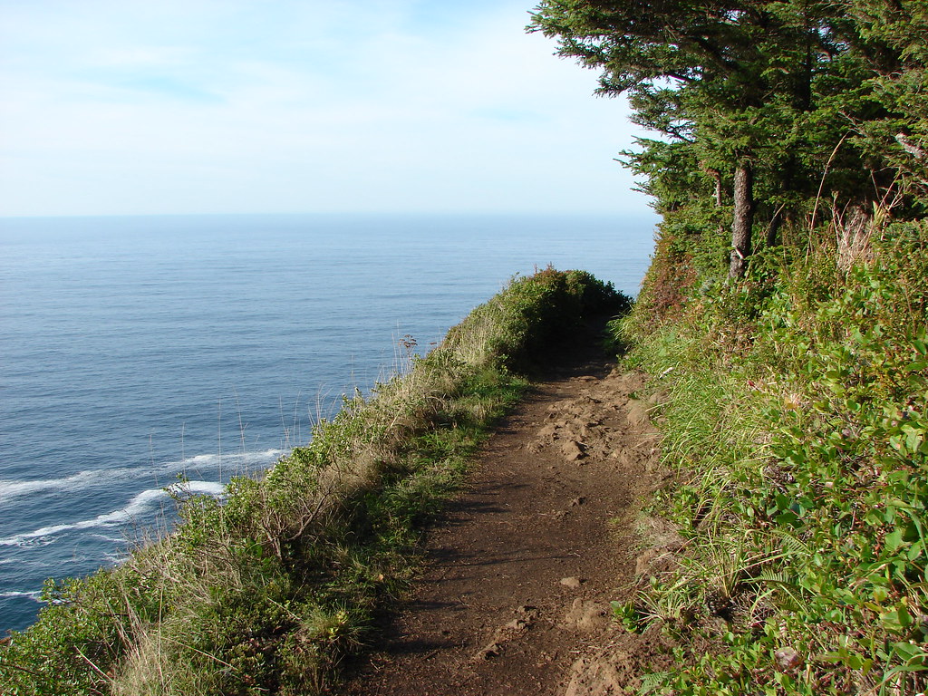
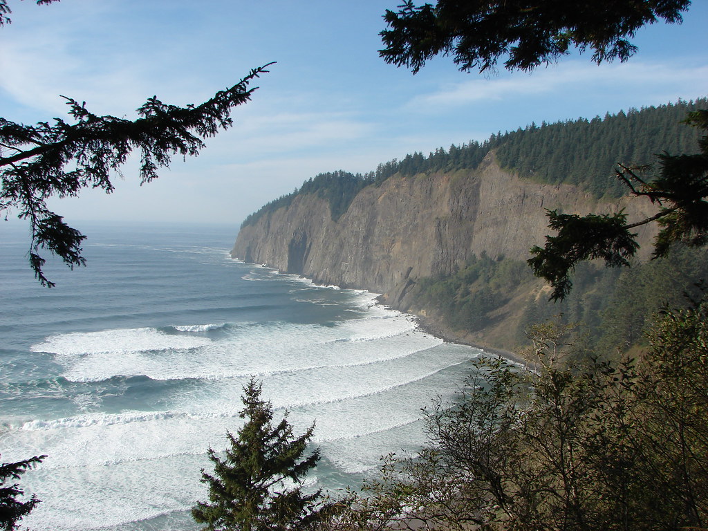
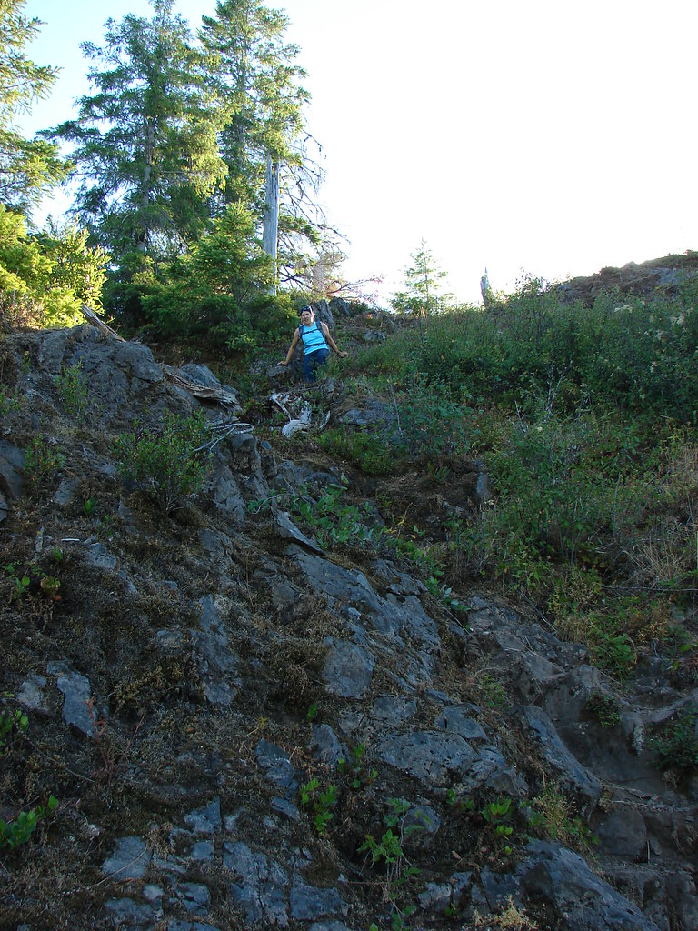
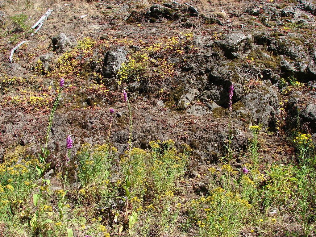
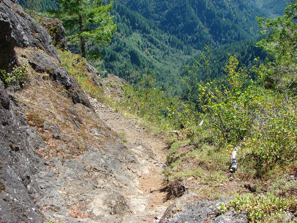
The old road passed by the Memaloose Pinnacles, a group of basalt towers.
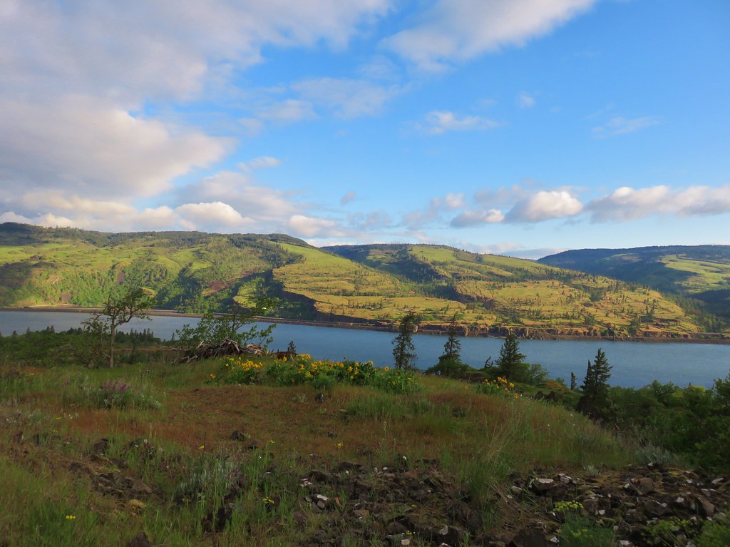
Just over a half mile from the rest area the trail left the old road. Here a small viewpoint looked across the Columbia River to the Coyote Wall/Catherine Creek (2016 trip report) areas of Washington.
We turned uphill to the left climbing up toward the Memaloose Overlook.
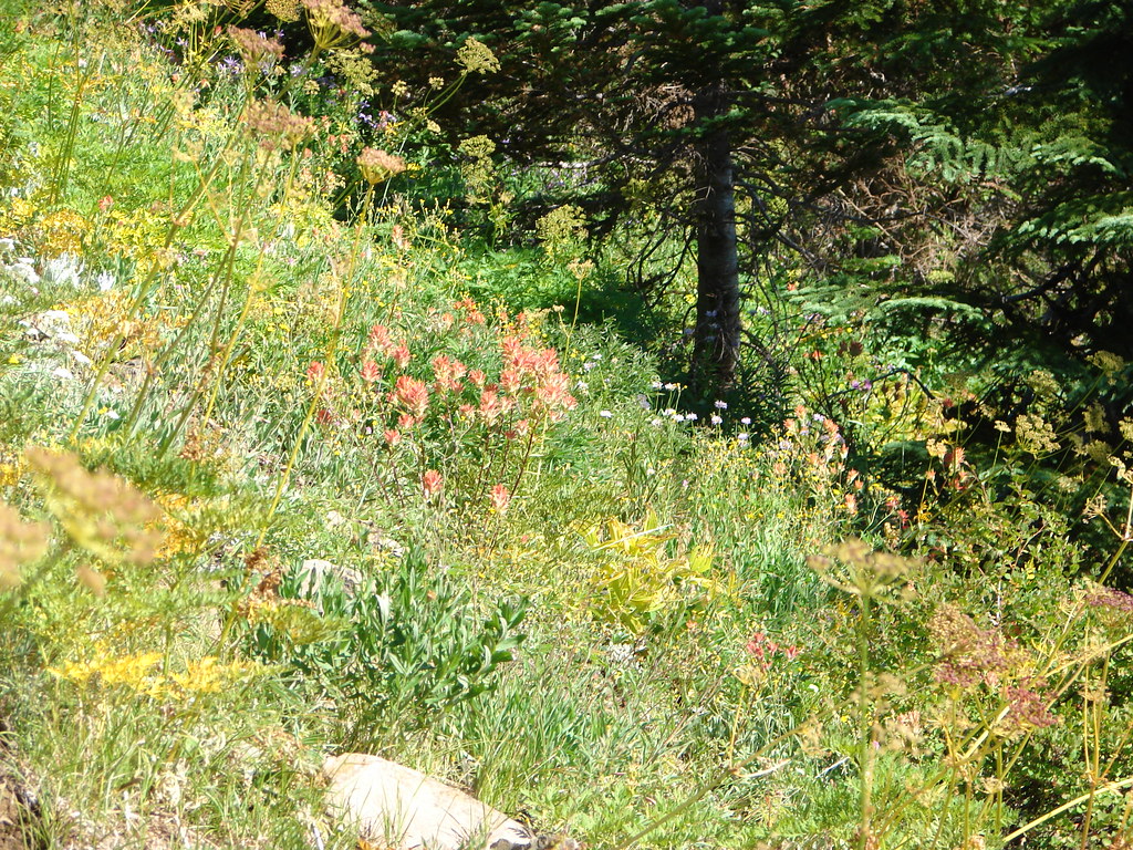
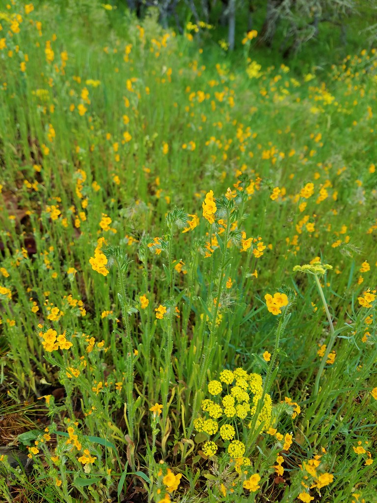
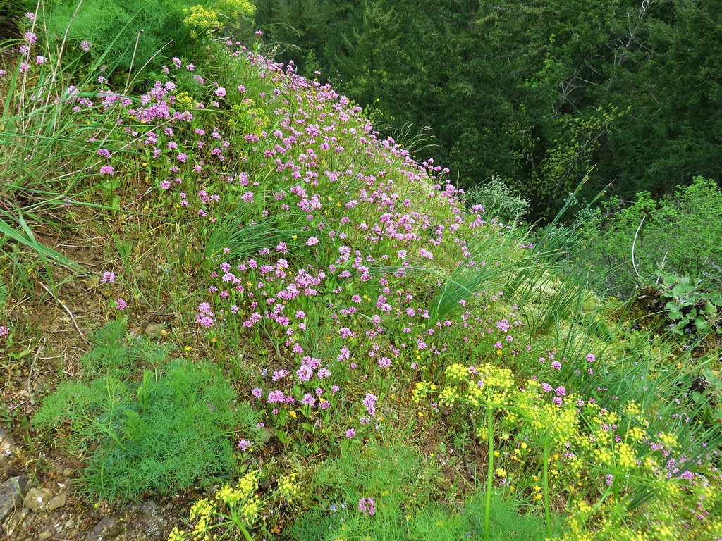
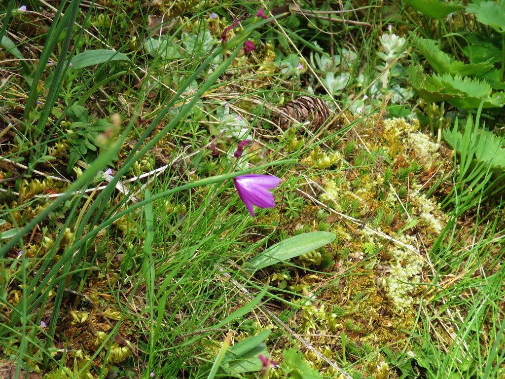
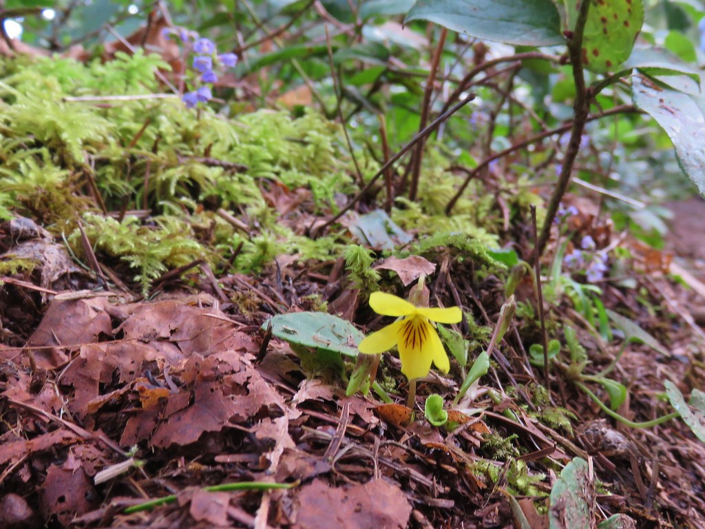
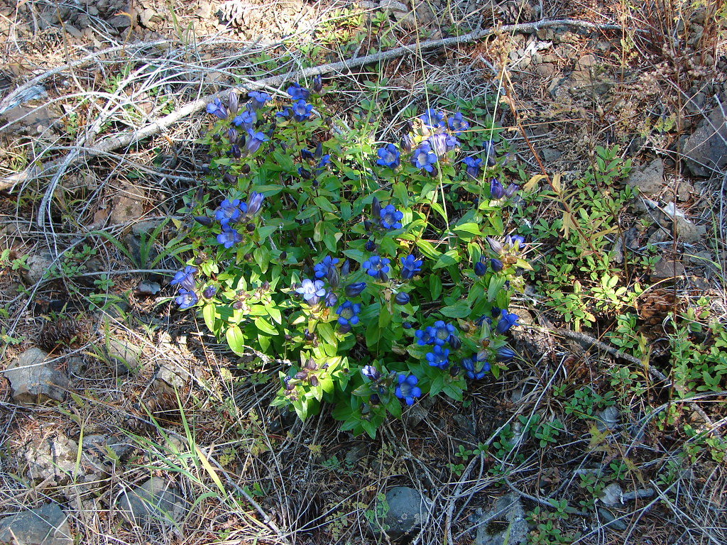
Our pace was slowed as we searched the grassland for different wildflowers. It felt good to get reacquainted with our old friends some of which we hadn’t seen in quite some time.
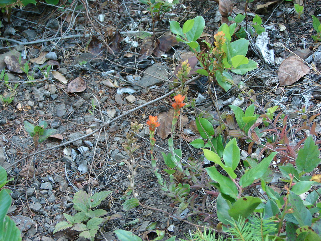
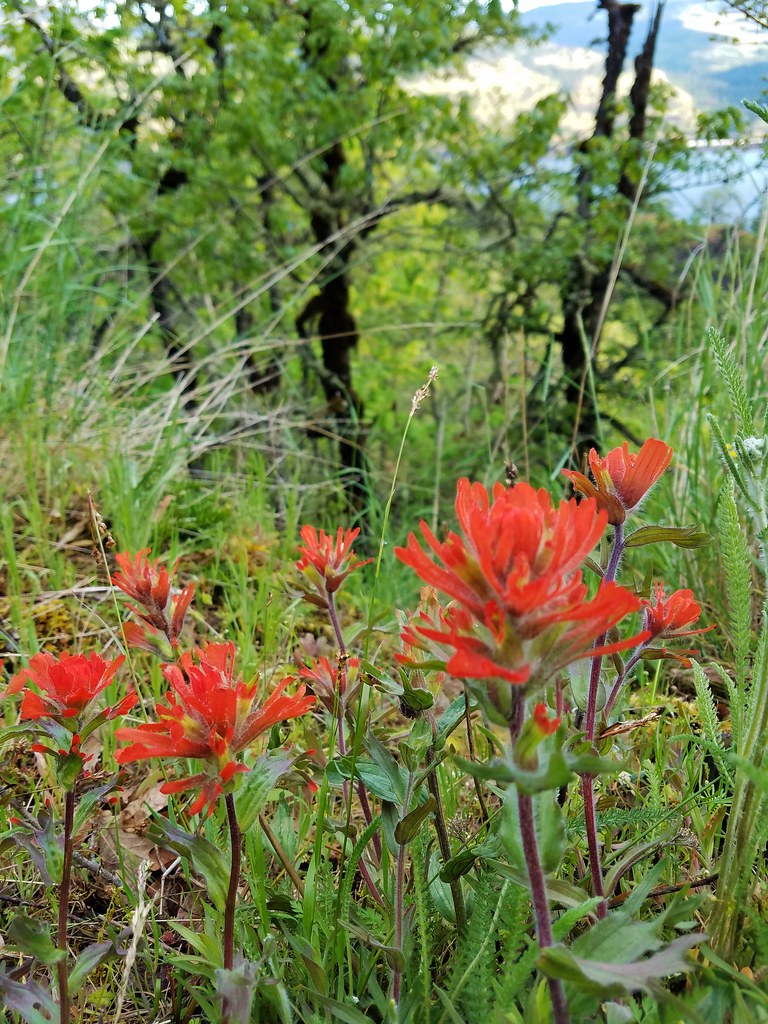 Paintbrush
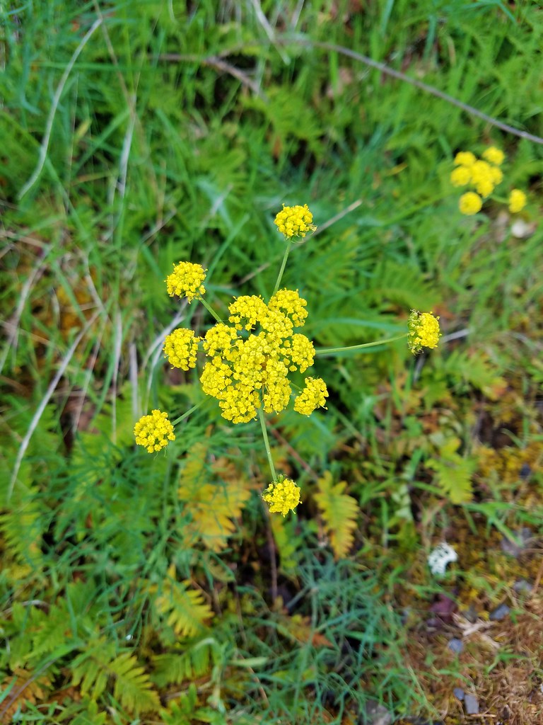 Desert parsley
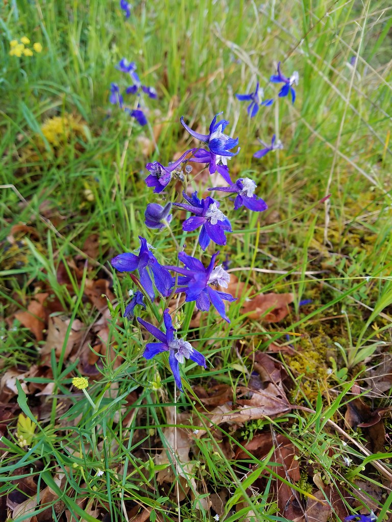 Larkspur
 Vetch
Vetch
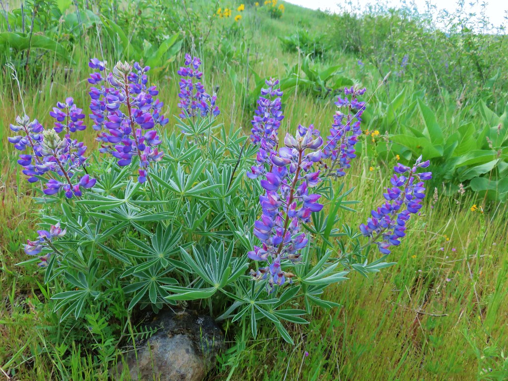
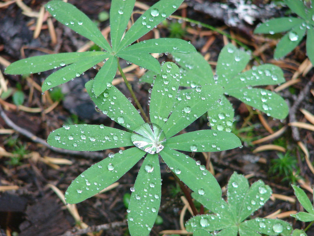
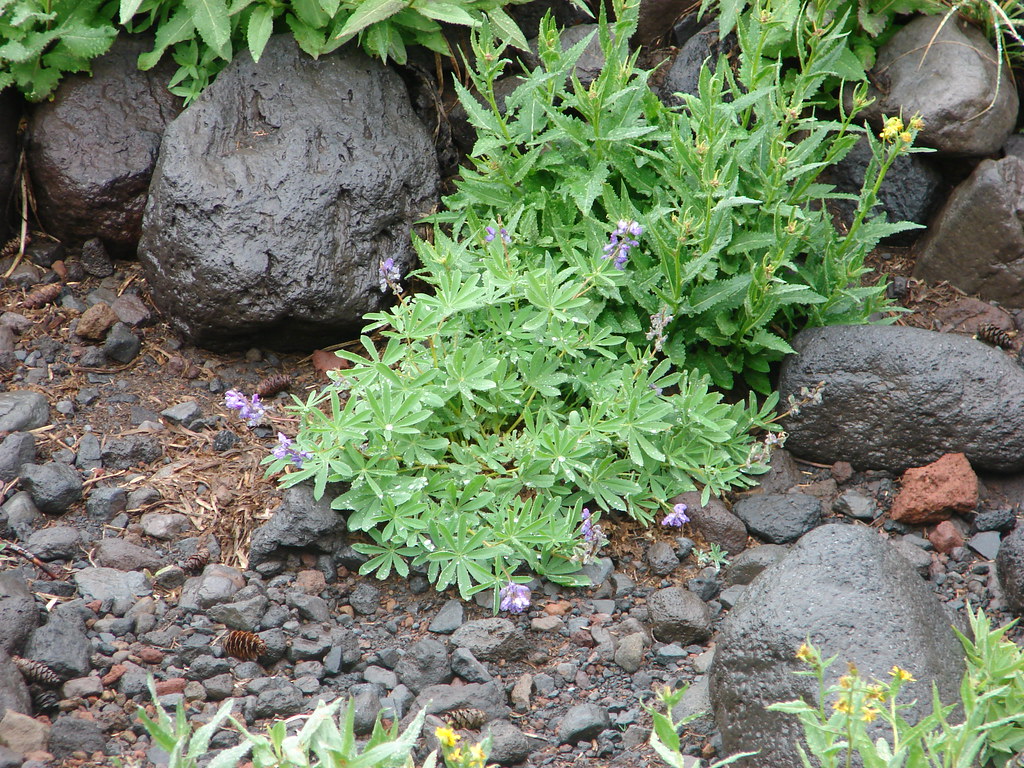
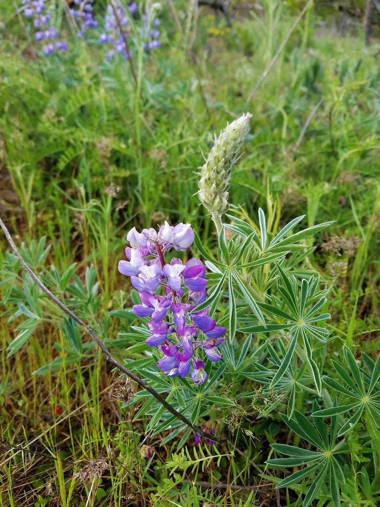 Lupine
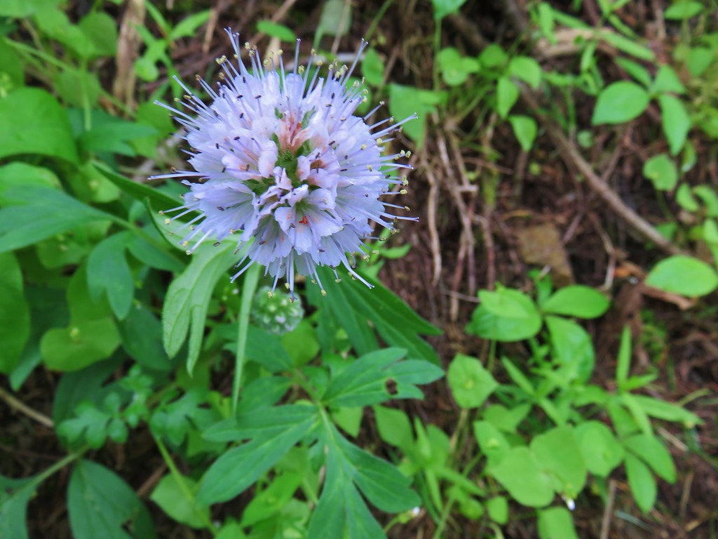
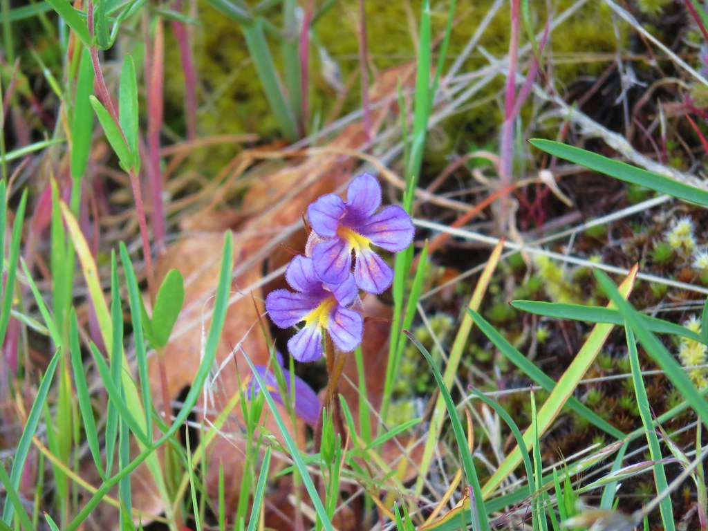 Broomrape
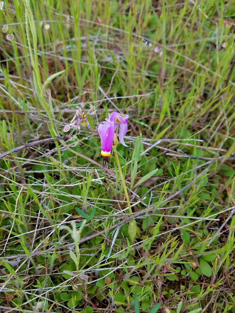 Shooting star
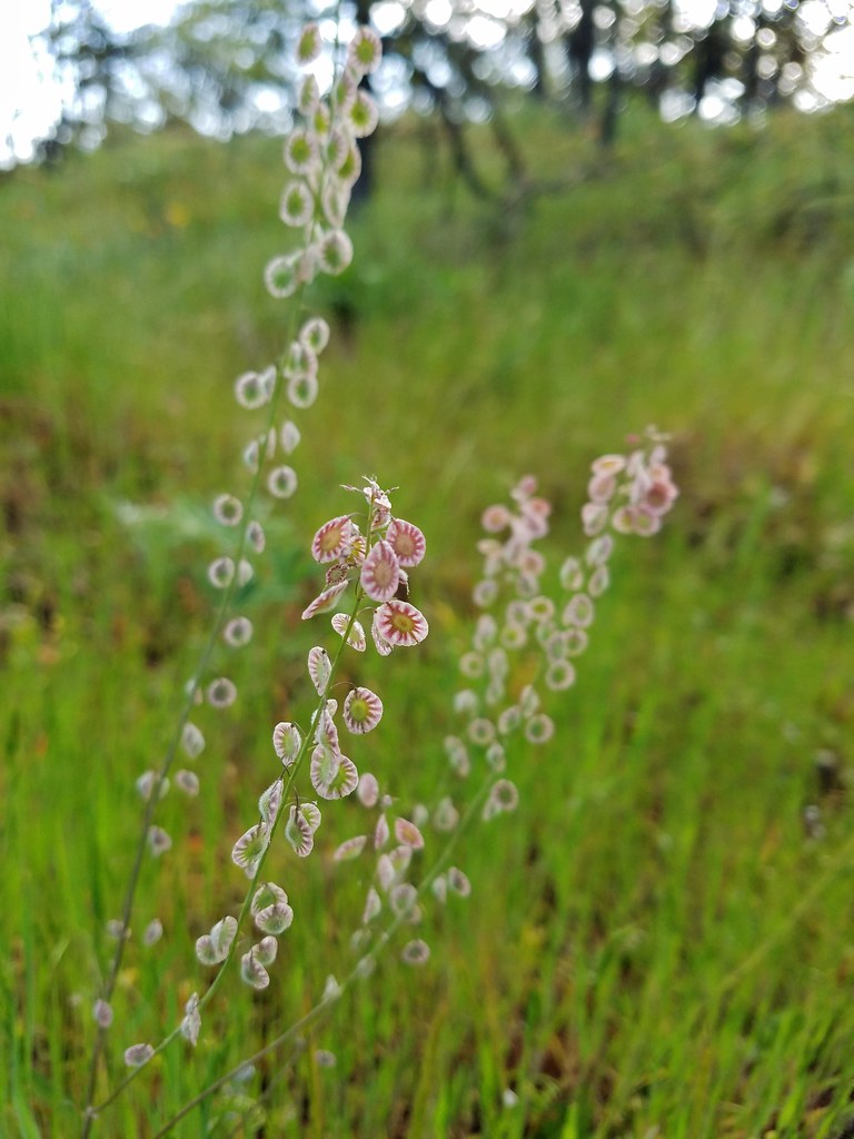
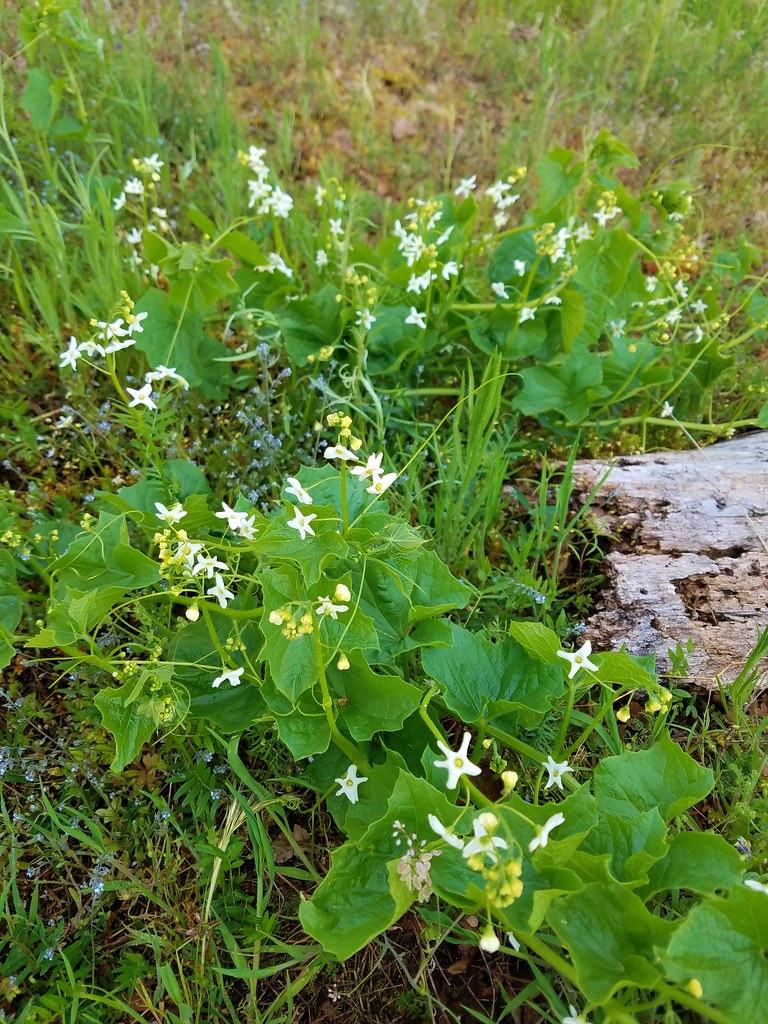 Manroot
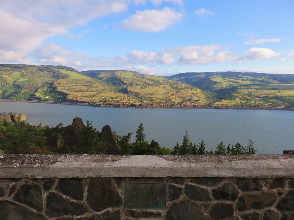
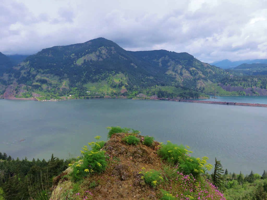
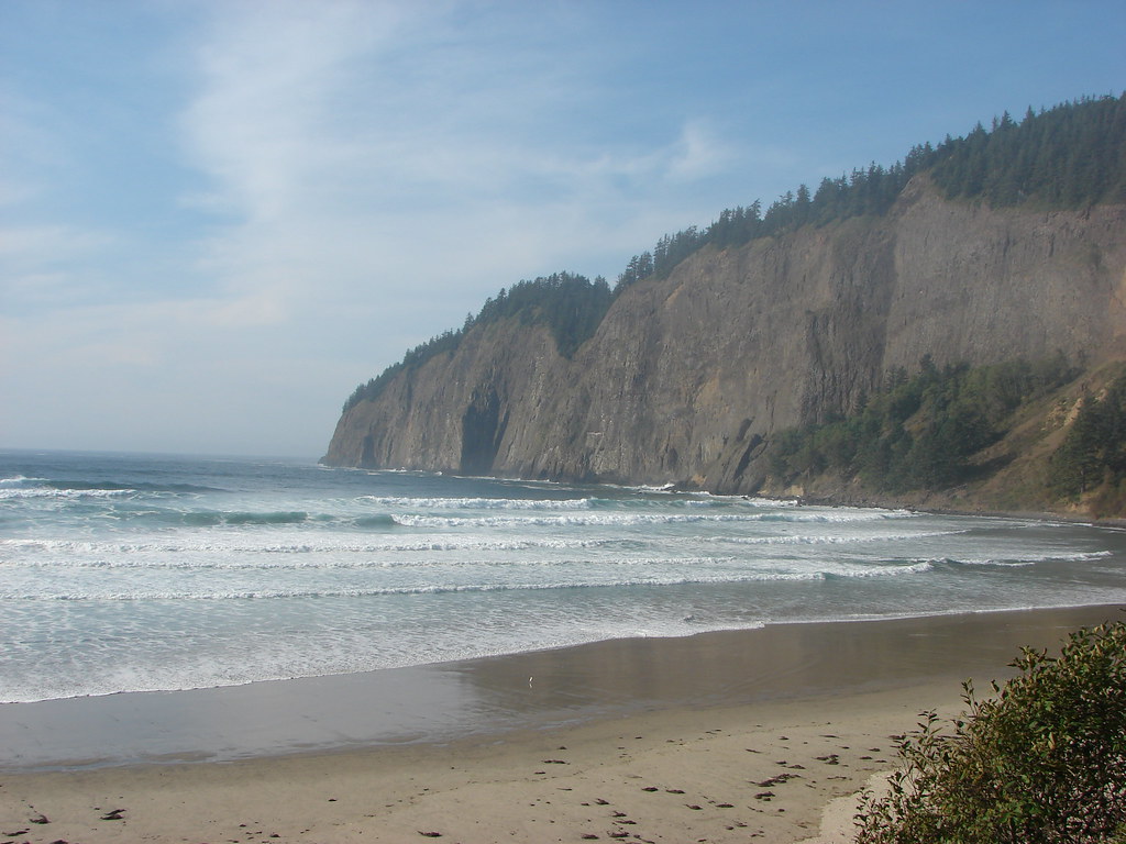
We arrived at the overlook a mere .8 miles from the rest area.

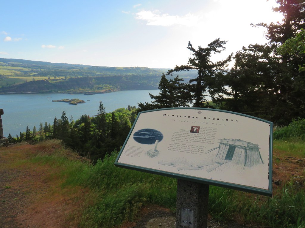
The overlook is along Highway 30 which makes it a possible alternate trailhead.
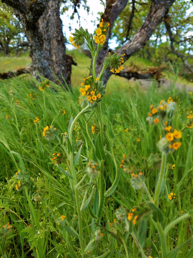
There was a large patch of fiddleneck near the overlook.
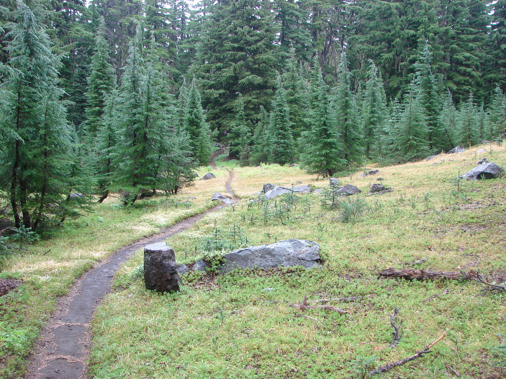
After admiring the view from the overlook we crossed the highway and continued uphill.
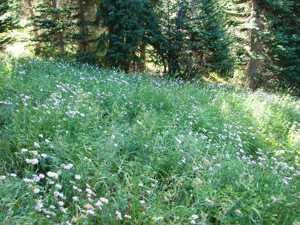
The flower show not only continued but it picked up as we climbed.
 Prairie star
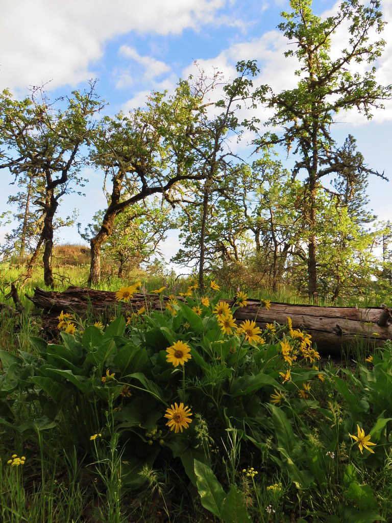
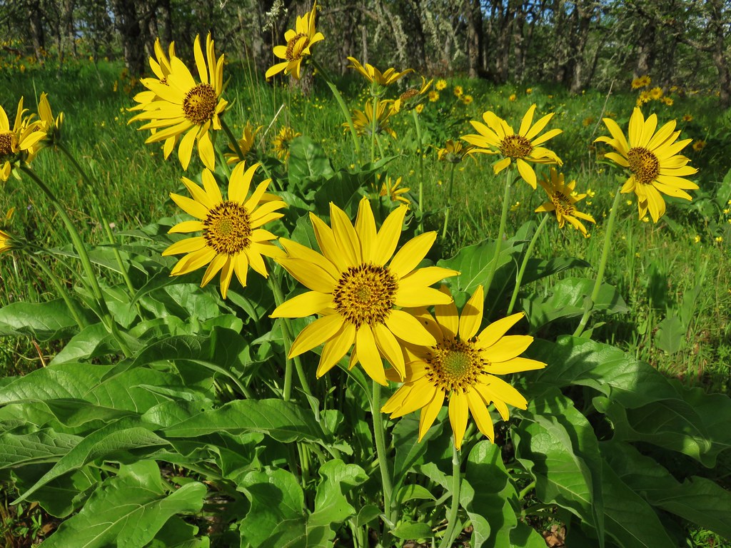
 Balsamroot
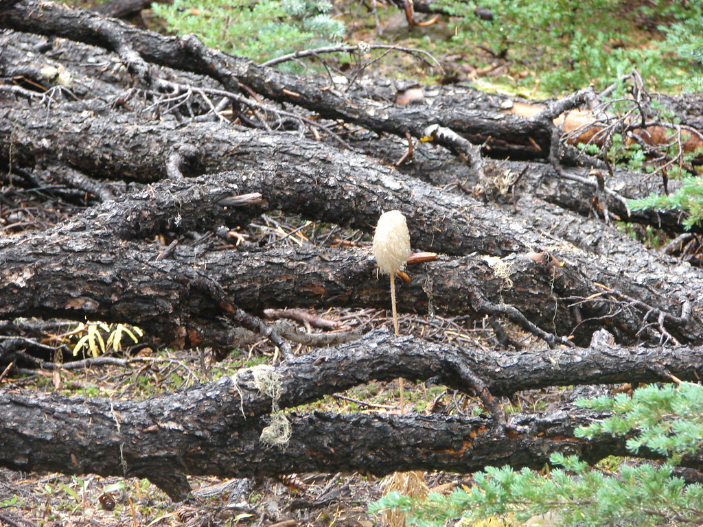
Even some of the seed heads were photogenic.
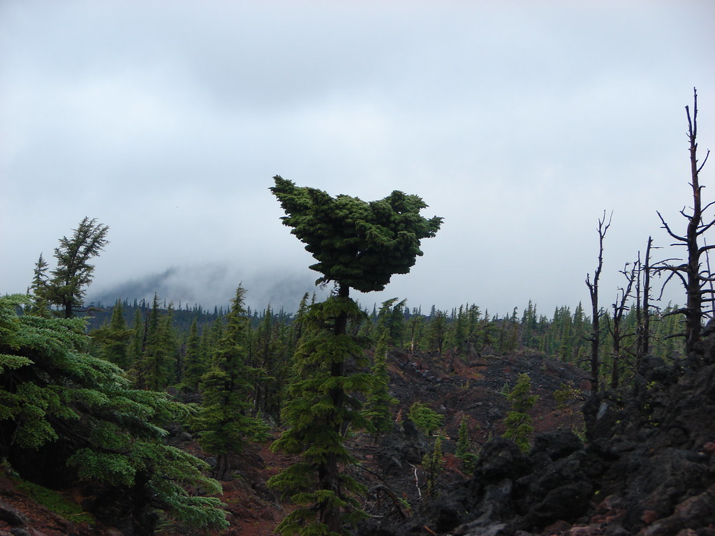
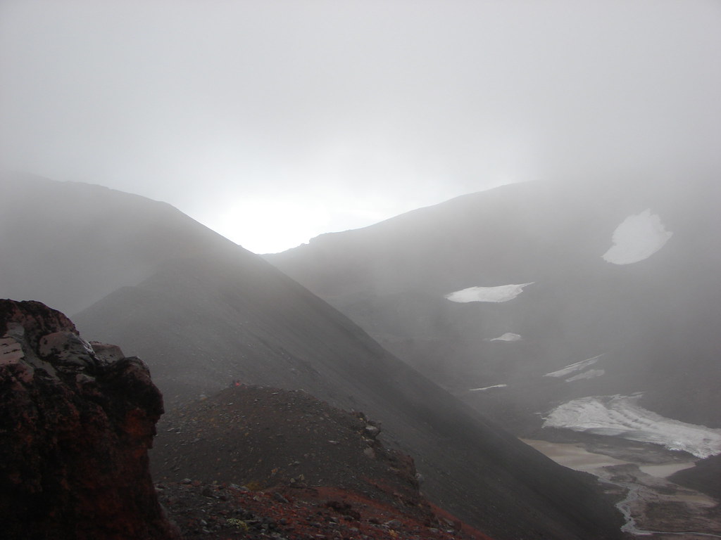
The forecast had called for a chance of showers but the showers weren’t materializing and instead we got some nice sun breaks.

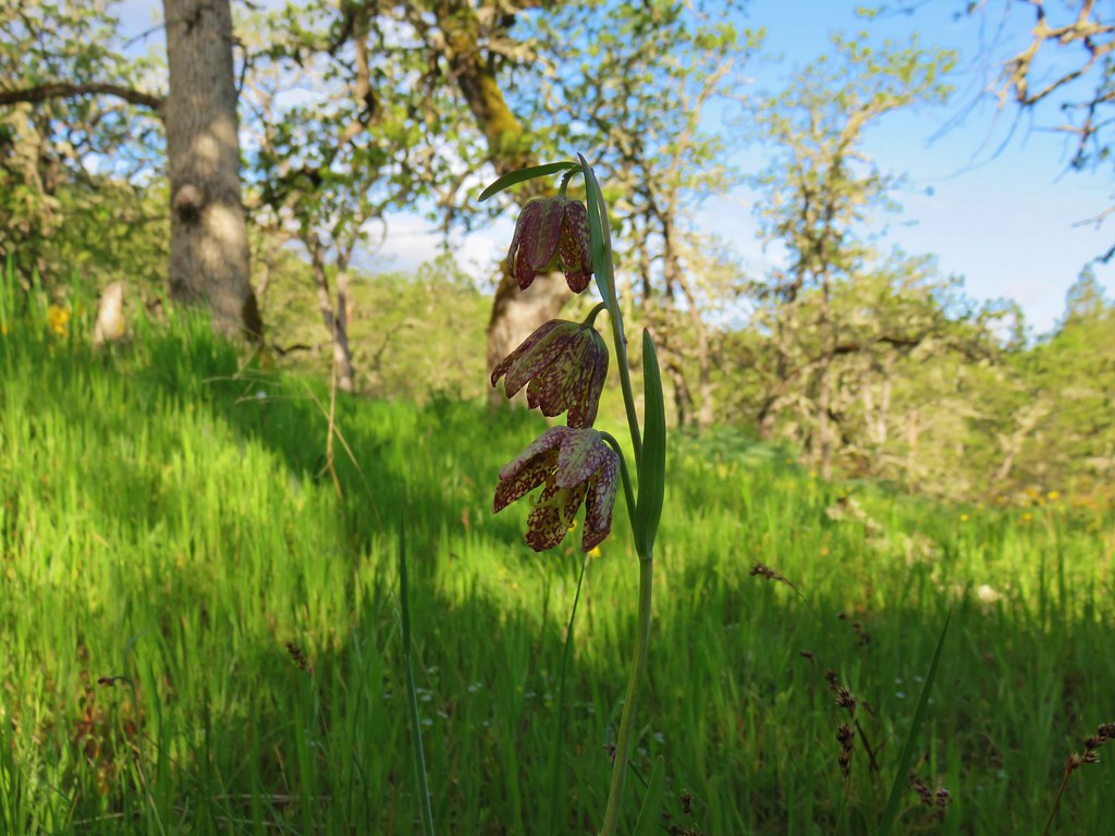
With all the flowers we had been discussing there were some we had yet to spot. One such flower was the chocolate lily which we suddenly began seeing with some frequency.
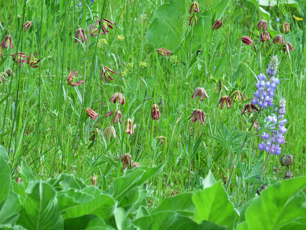
The star of the hike though was the balsamroot which was thick in areas.

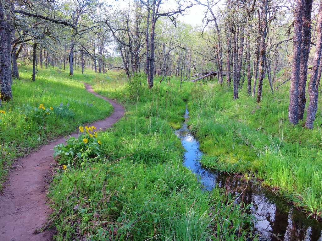
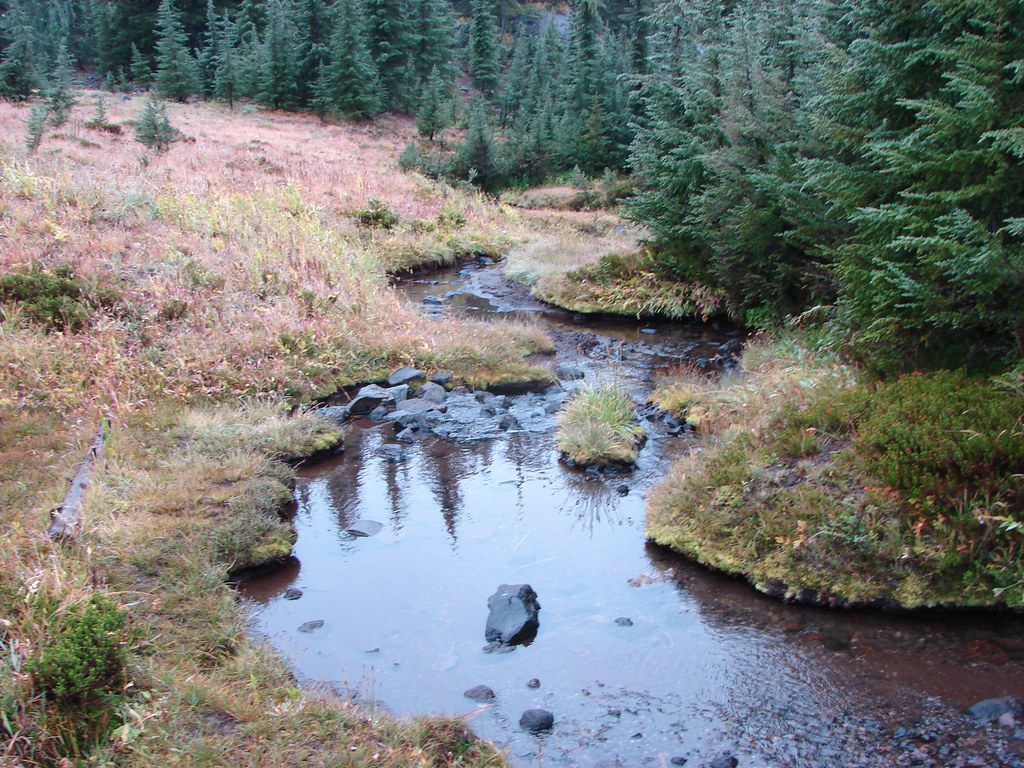
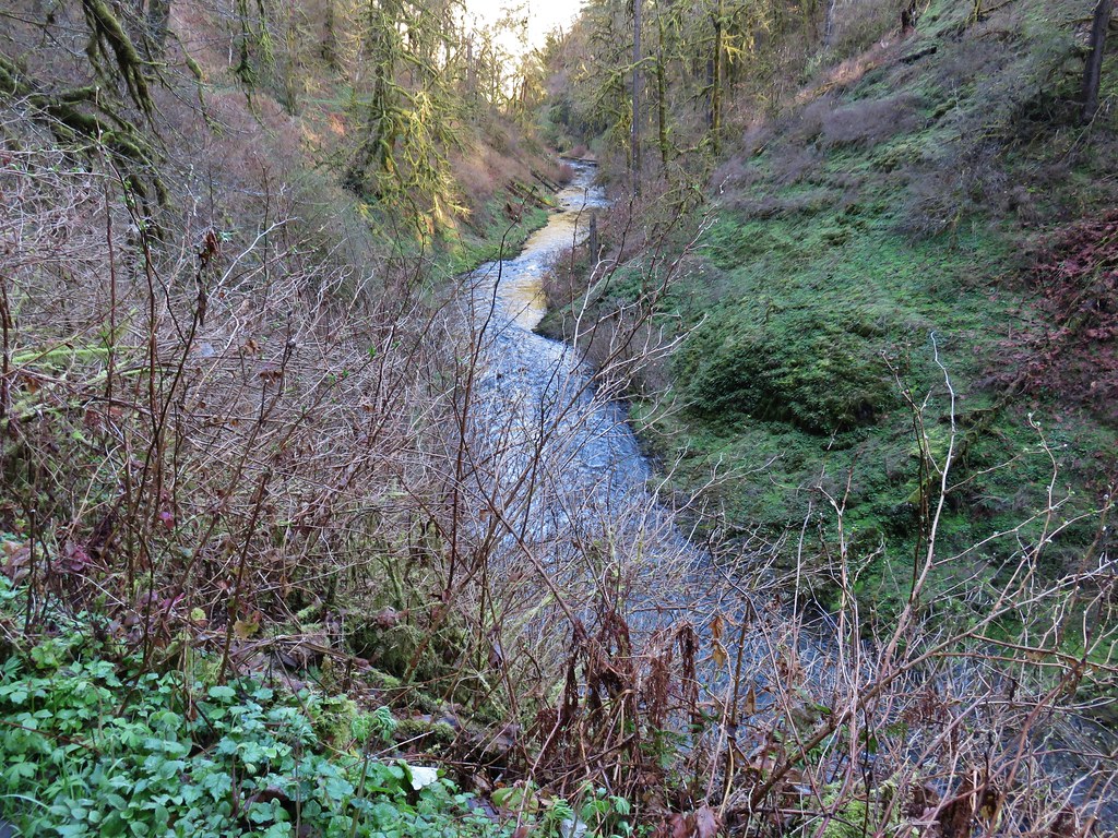
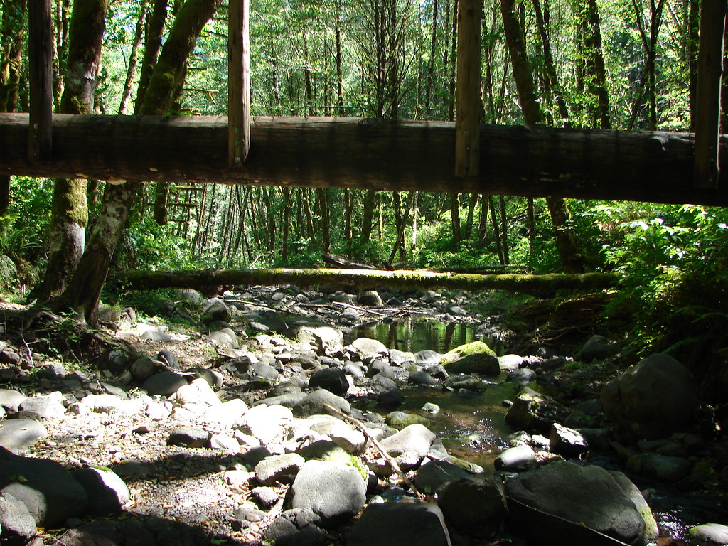
The trail crossed a small stream which we hopped across.

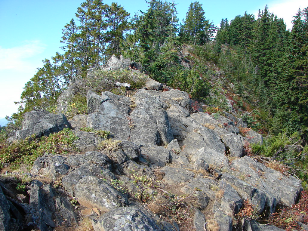
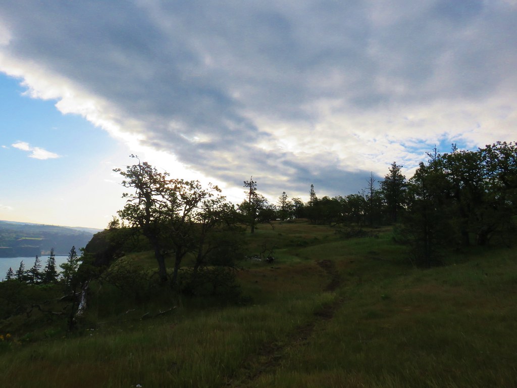
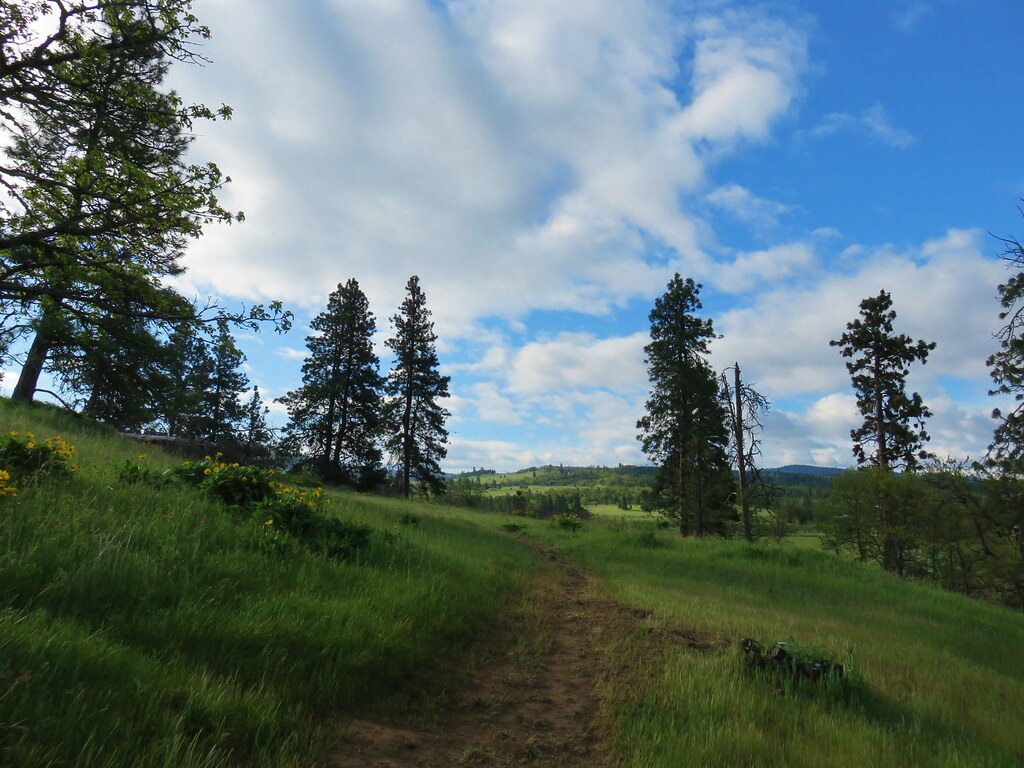
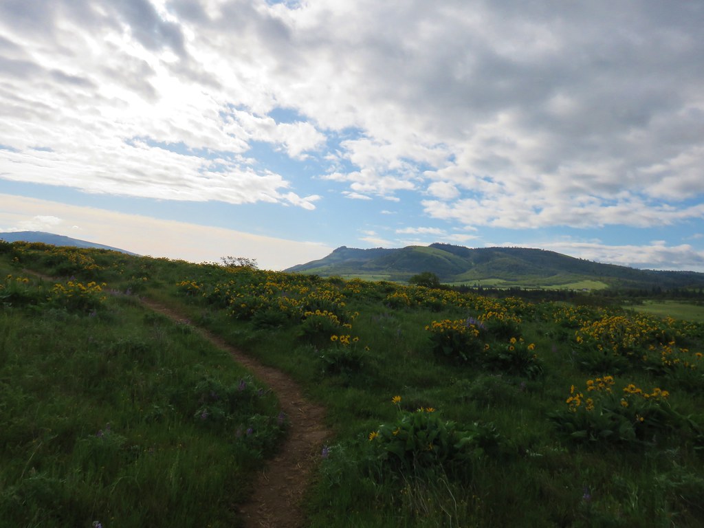
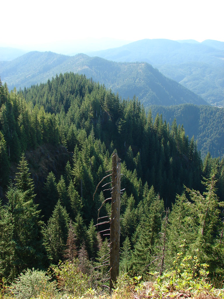
Not far from the stream crossing was a four-way junction. The right hand path would have eventually led to the top of 957′ Chatfield Hill which on a clearer day would have offered views of Mt. Adams and Mt. Hood along with wildflower meadows. The left hand path would have led to nowhere in particular. We went straight and headed up 822′ Marsh Hill.
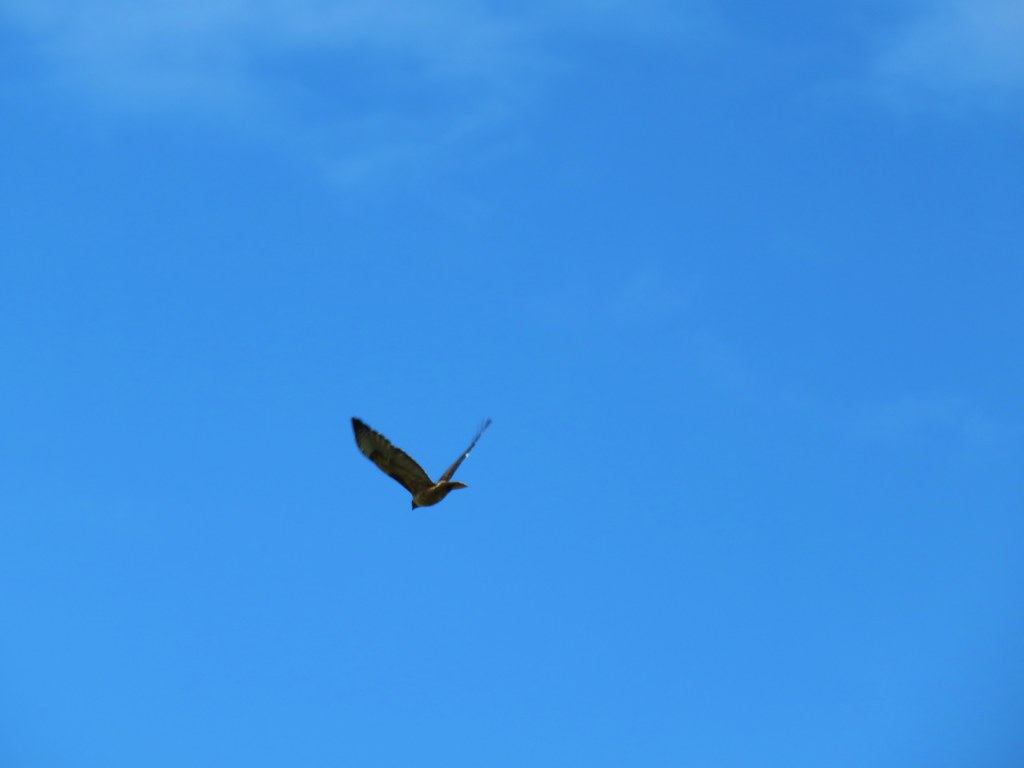
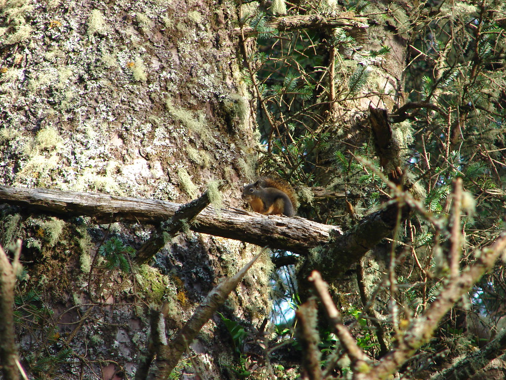
As we began our climb a pair of hawks flew overhead engaged in an aerial duel. I did my best to capture some of it but it’s not easy with a point and shoot camera.


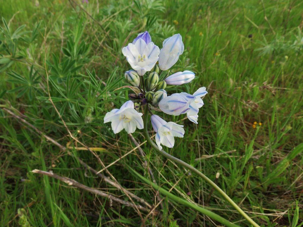
Much of Marsh Hill was covered in yellow balsamroot with purple lupine and white large-flowerd triteleia scattered about.

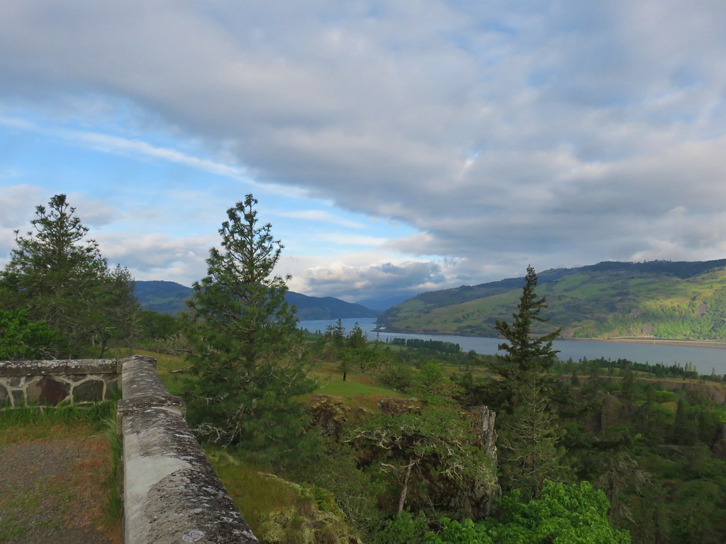
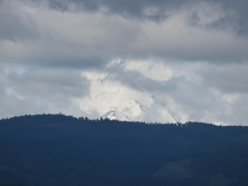
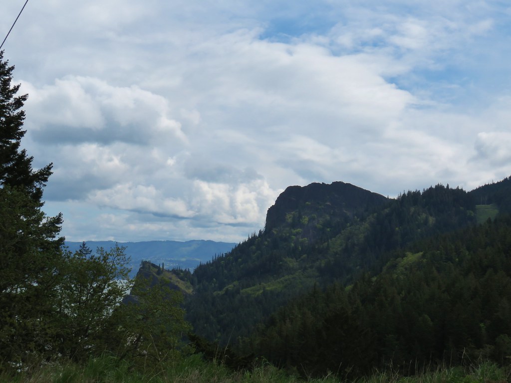
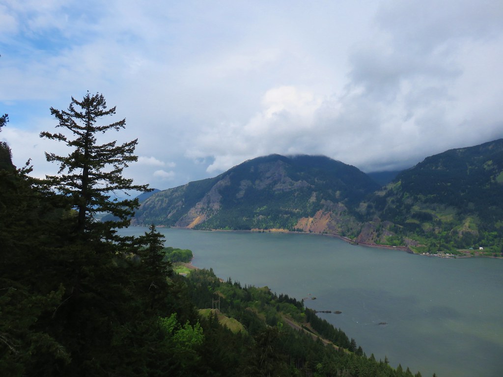
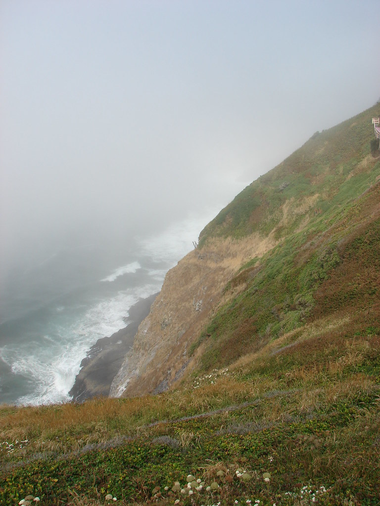
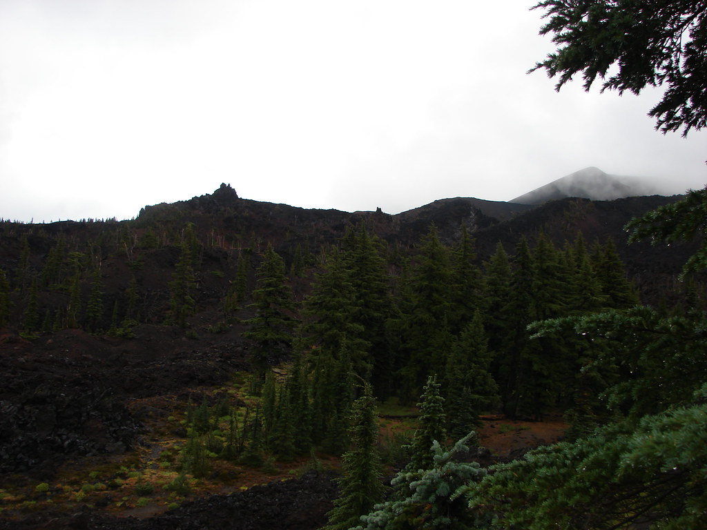
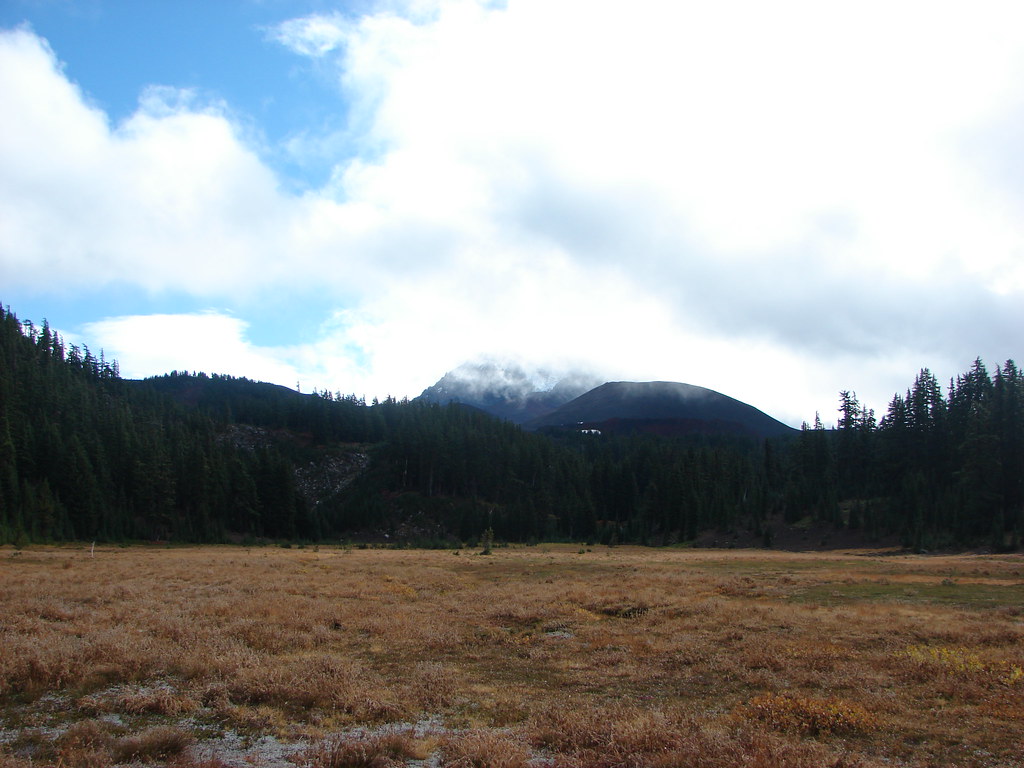
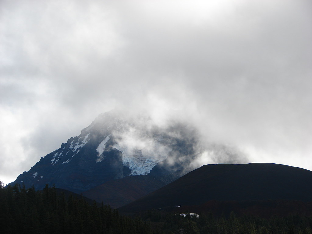
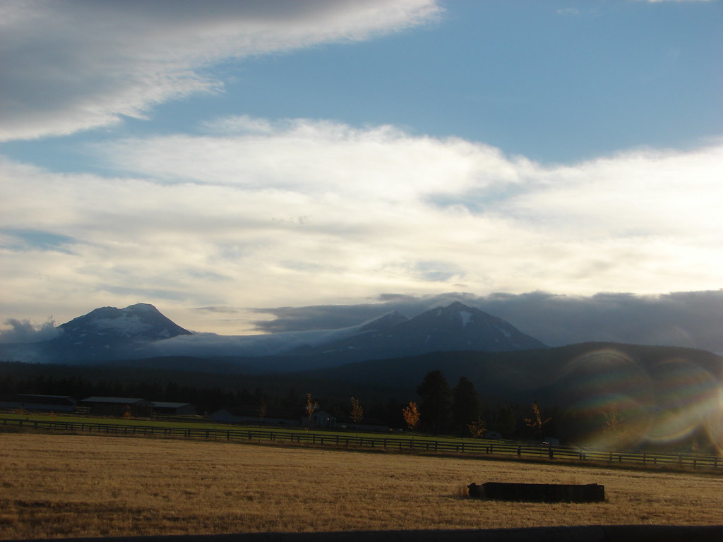
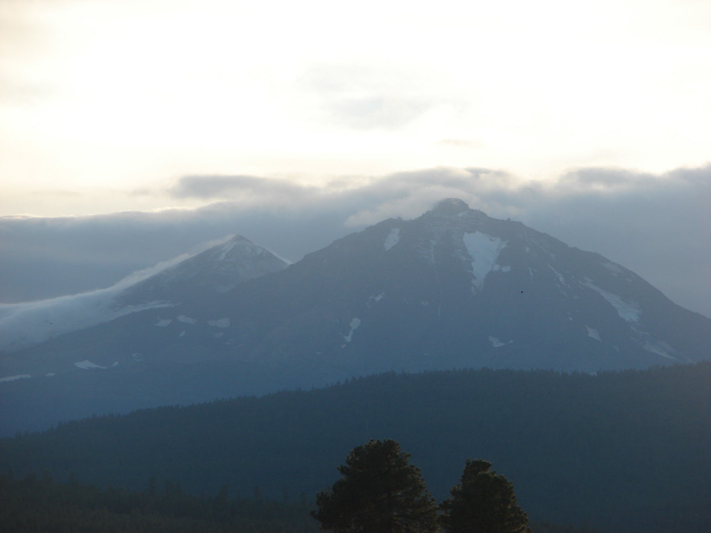
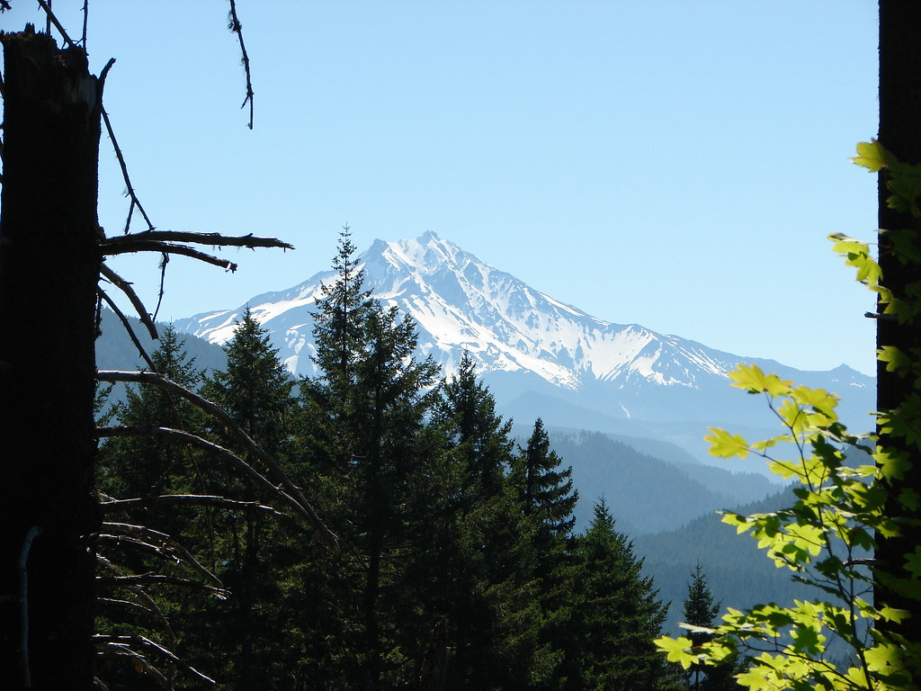
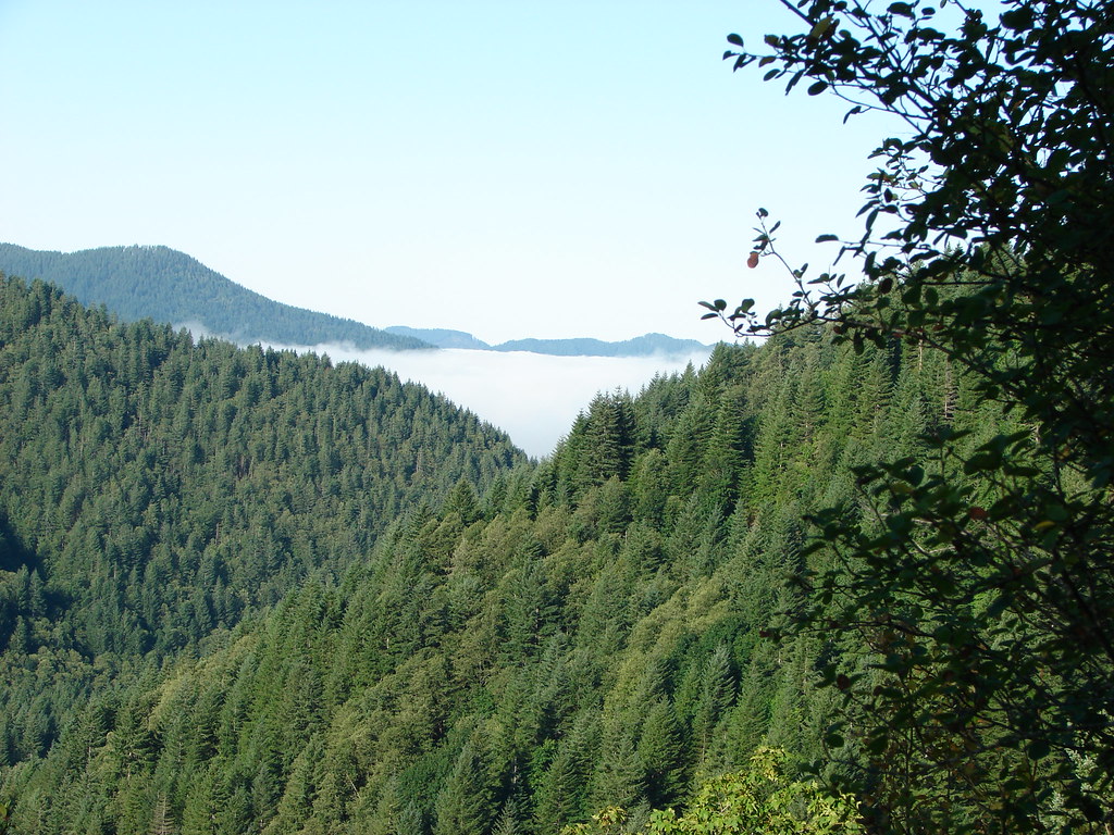
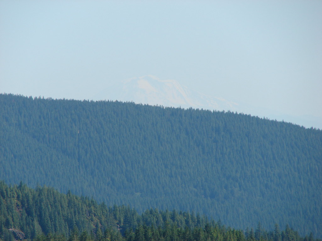
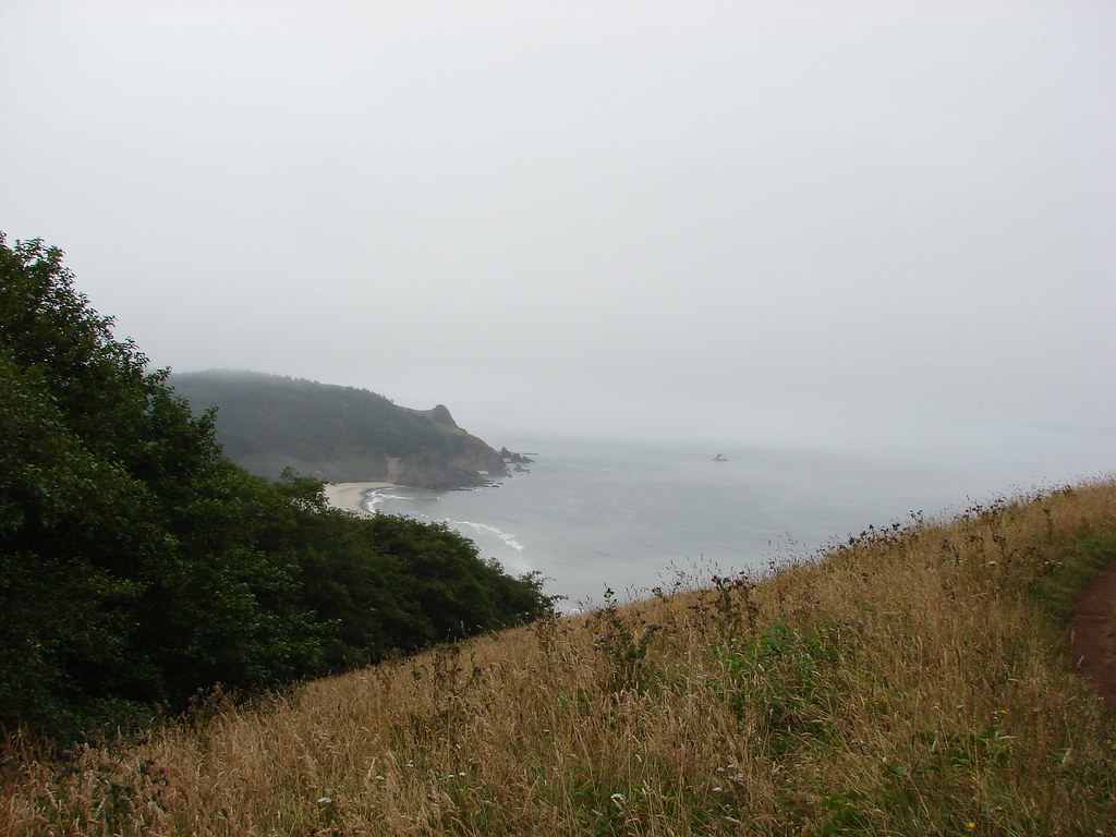
From the hill we could make out part of Mt. Hood to the south through the clouds.
To the east the grassy southern slope of Tom McCall Point (2015 trip report) was easy to identify.
The green hillsides of the Washington side of the gorge rose above the blue waters of the Columbia River to the north.
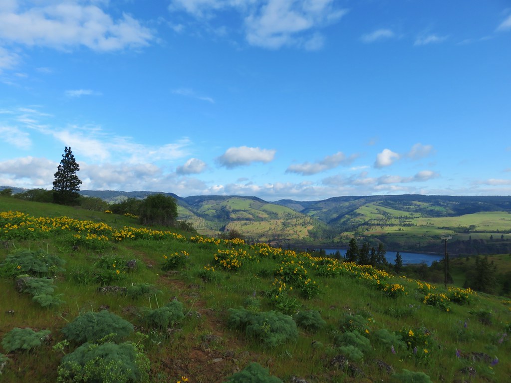
To the west was nearby Chatfield Hill.
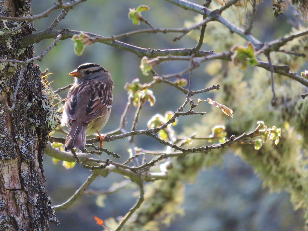
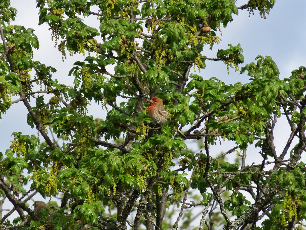
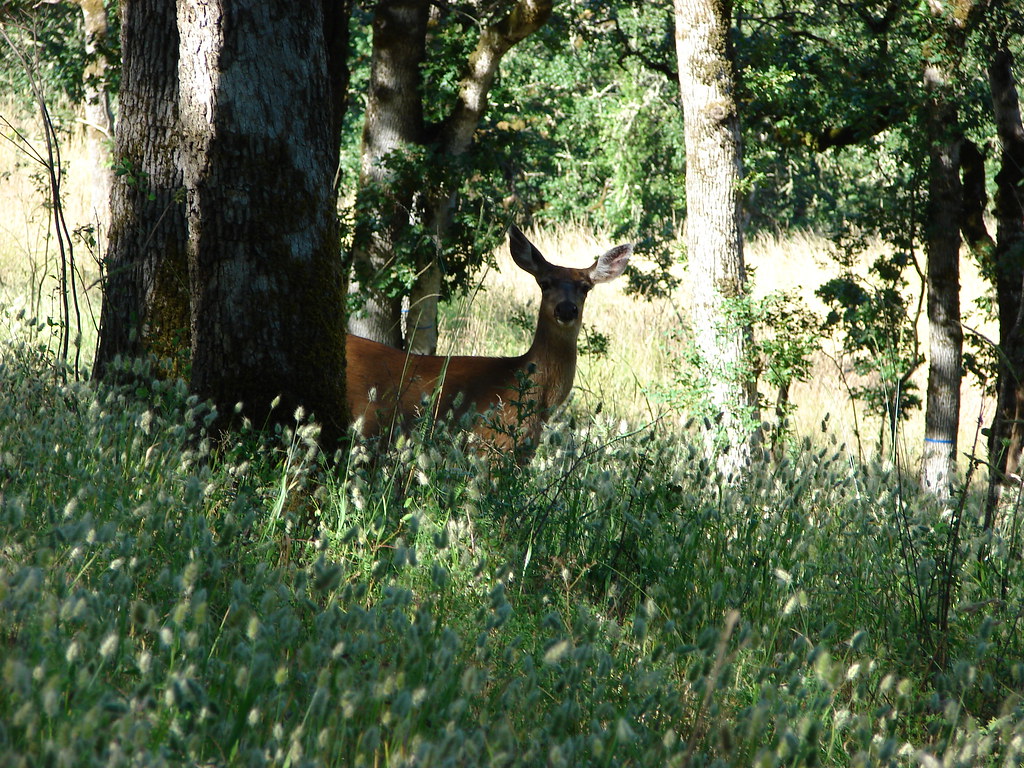
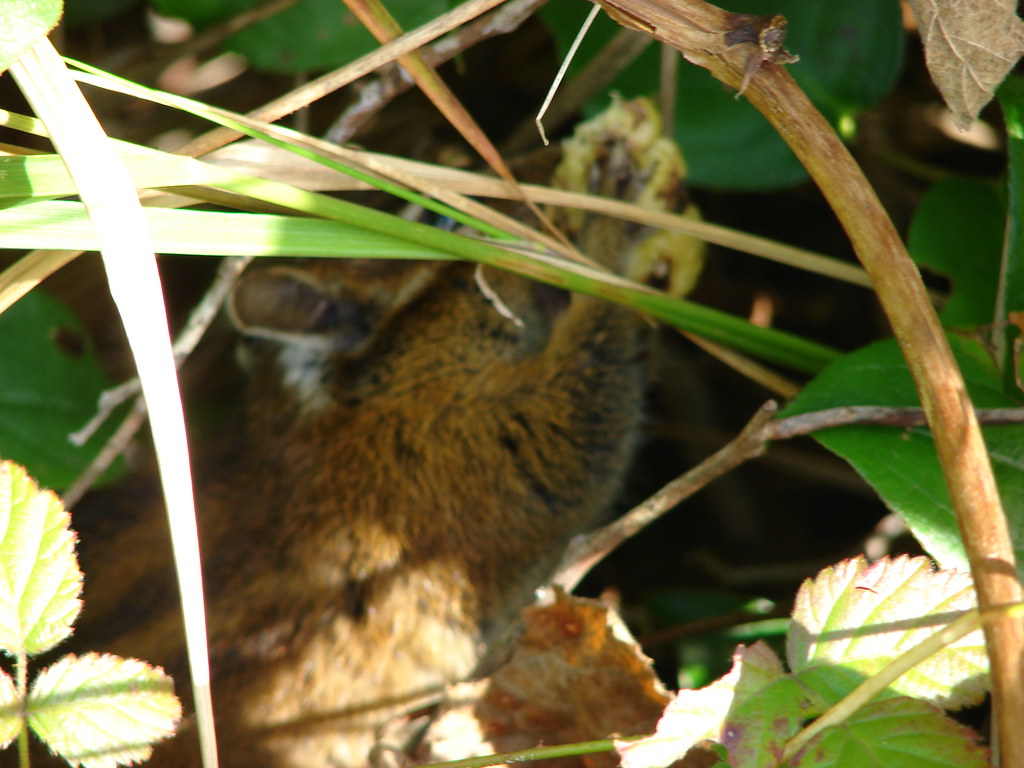
We stuck around on the summit for awhile hoping that there would be enough of a break in the clouds for Mt. Hood to pop out but it soon became clear that wasn’t going to happen. We decided to save Chatfield Hill for another year given the clouds weren’t going to let the mountains come out and play. We returned the way we’d come. We only saw a few other hikers, no rattlesnakes (they are prevalent here), didn’t notice any ticks, and stayed out of the poison oak.In addition to the dueling hawks we did see countless smaller birds.
This first hike came in just under 4 miles which is why we’d had a second stop planned. That next stop was at the Mitchell Point Trailhead. The order in which we chose to do these hikes proved inconvenient from a driving perspective as both trailheads are only accessible by eastbound traffic on I84. In addition neither trailhead provides access to westbound I84 so in order to reach the Mitchell Point Trailhead from the rest area we headed east on the interstate to the Rowena exit (76) where we could get back onto the interstate headed west. We then had to drive by Mitchell Point to the Viento State Park exit (56) where we again exited the interstate only to immediately return heading in the other direction. After driving up and down I84 we arrived at the trailhead right around 10am.

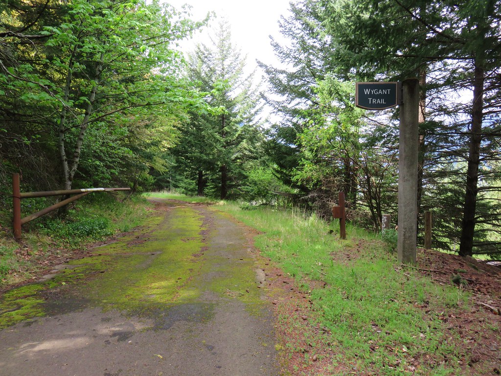
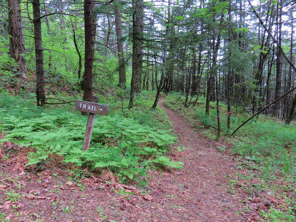
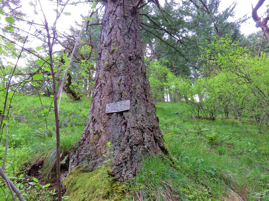
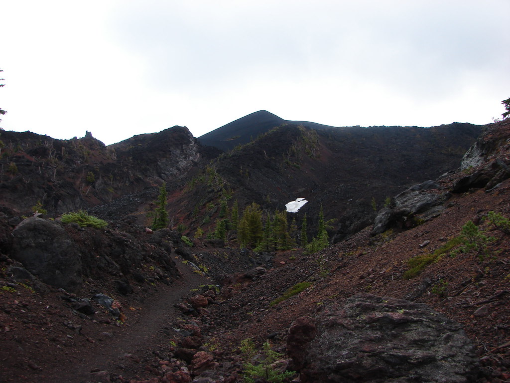
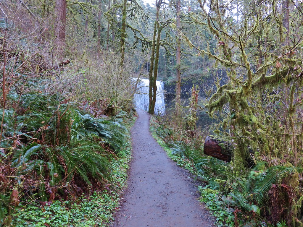
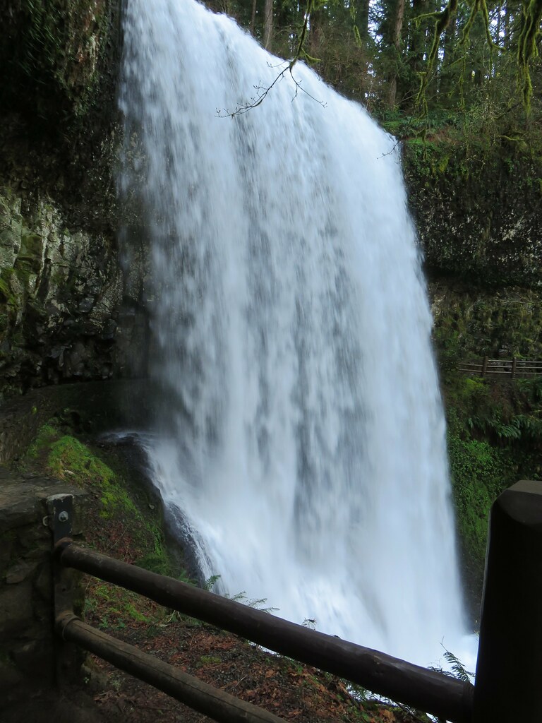
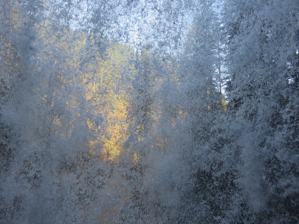
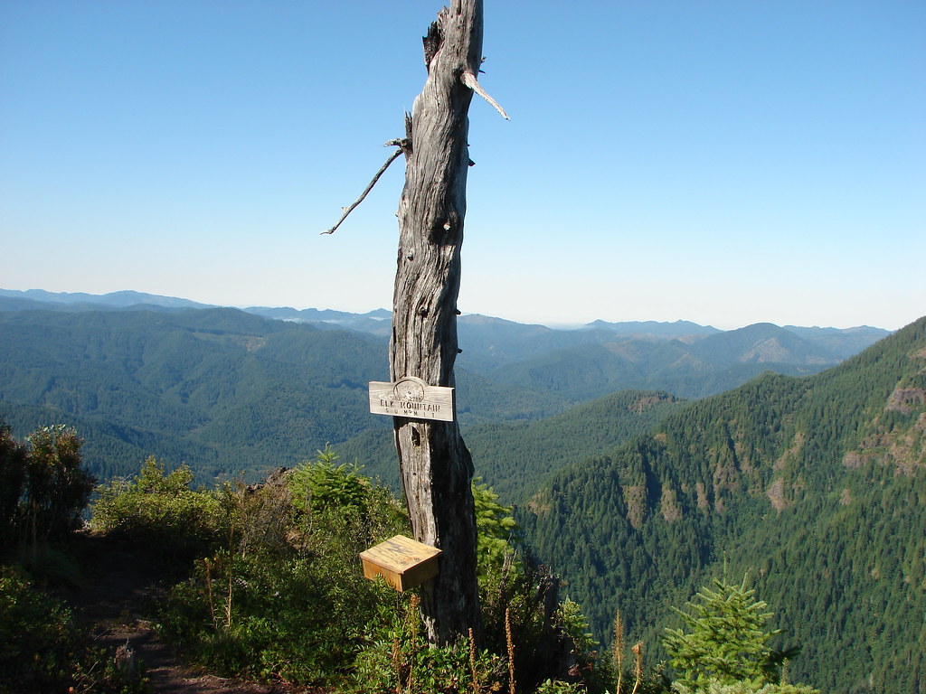
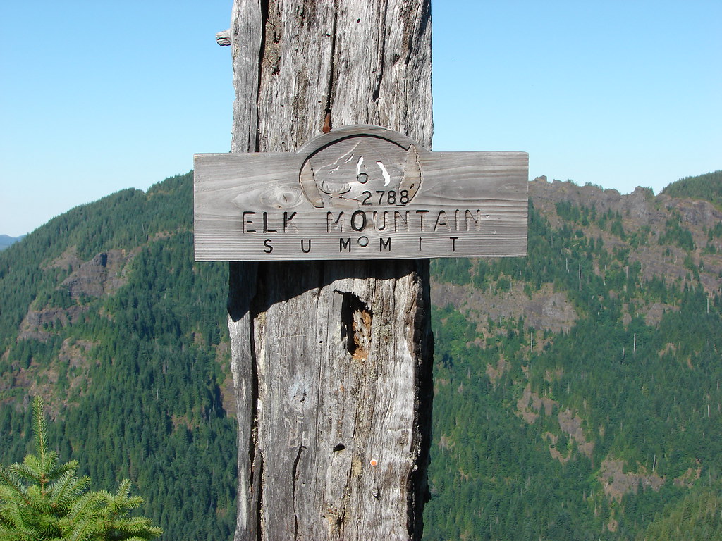
There are a couple of trails that start from the Mitchell Point Trailhead. The Mitchell Point Trail climbs to the top of Mitchell Point in just over a mile and the Wygant Trail which leads to the top of Wygant Peak. Our trail for this visit was the Wygant Trail although our goal was not the view-less peak itself which is 4.2 miles from the trailhead. We were headed for the last good viewpoint along the trail which was only approximately 3 miles up the trail.
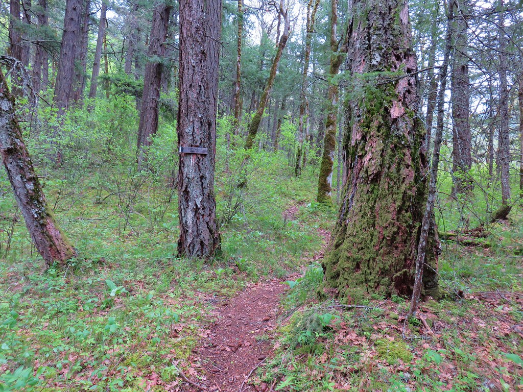
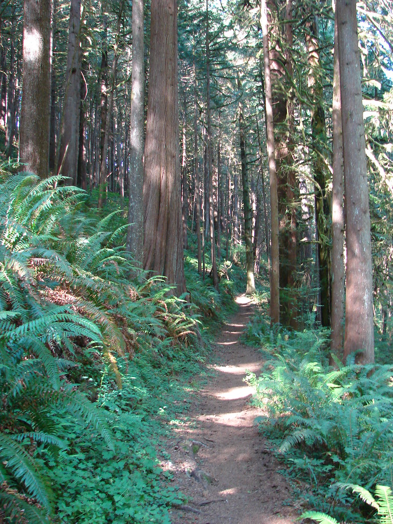
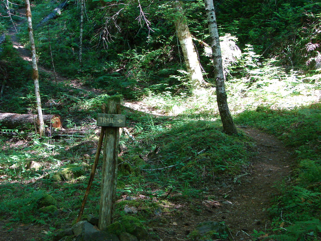
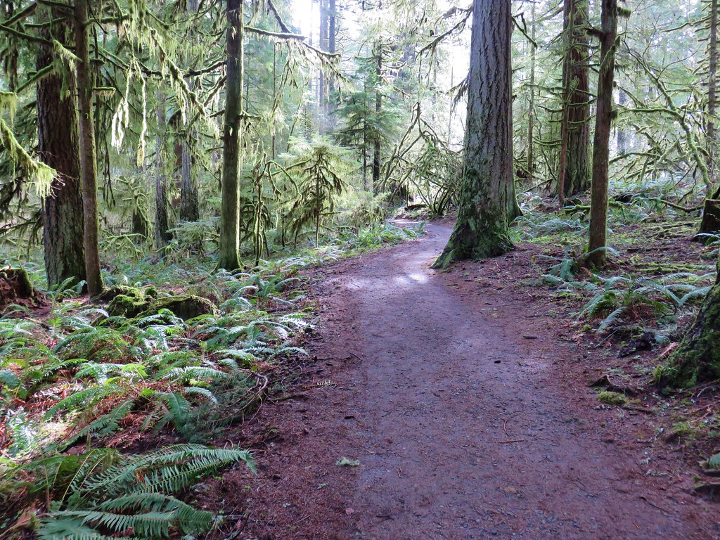
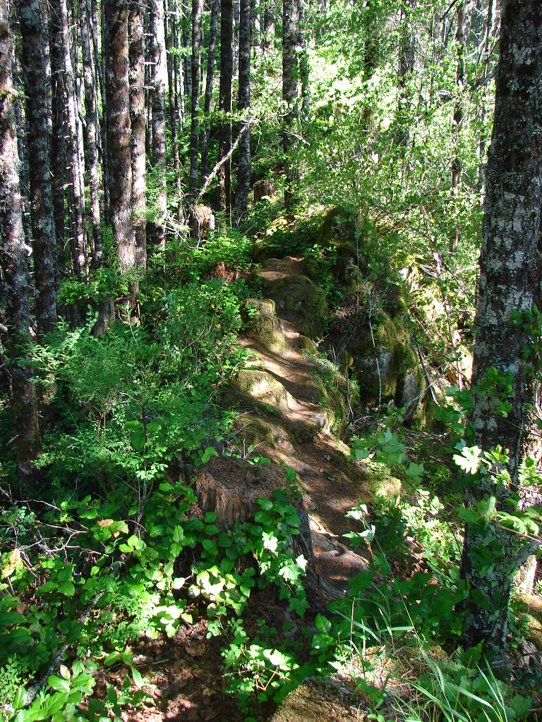
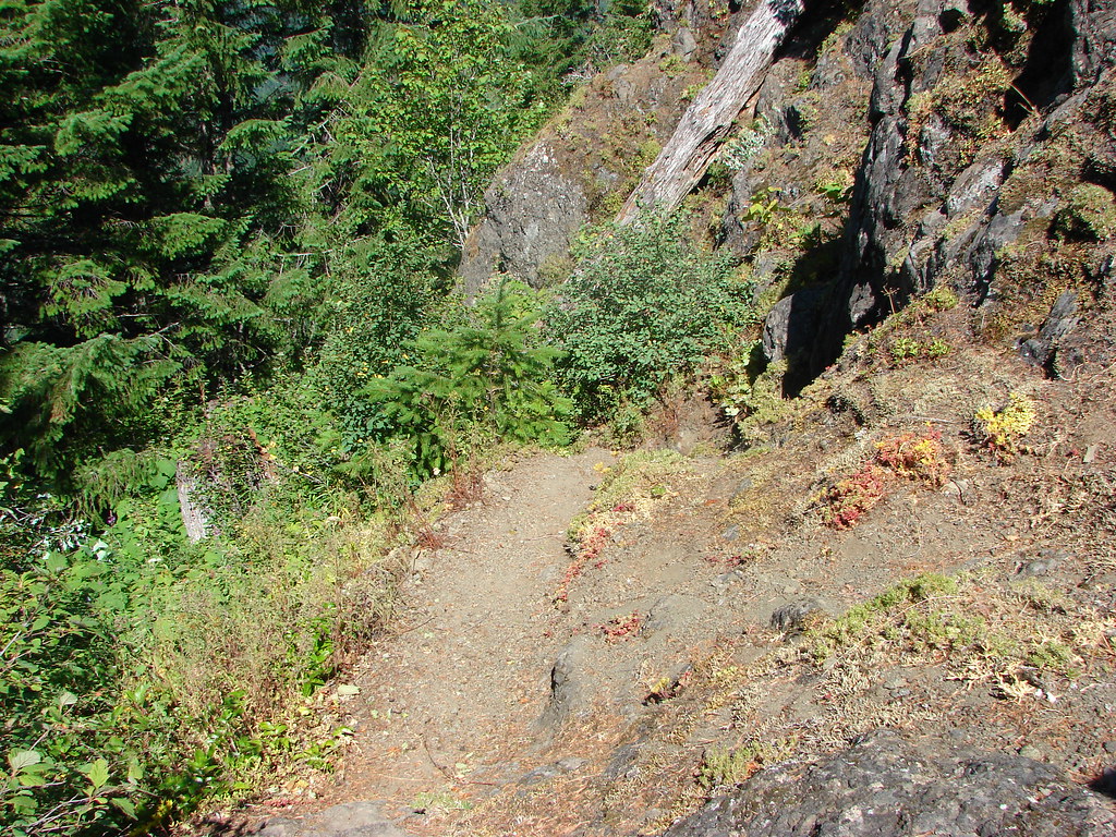
The Wygant Trail is located to the west of the parking area and begins along an abandoned section of the Historic Columbia River Highway.
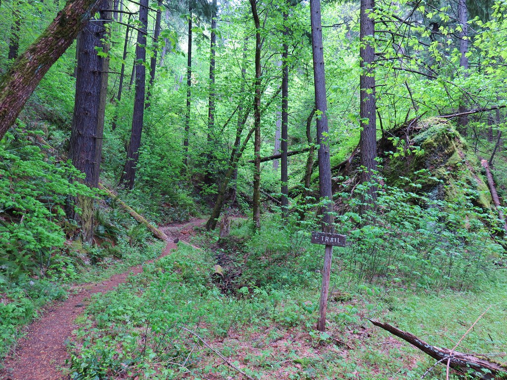
We followed an old road bed for a quarter mile then followed a trail sign when the road veered left.
We soon rejoined the road for another half mile before turning left at another sign.
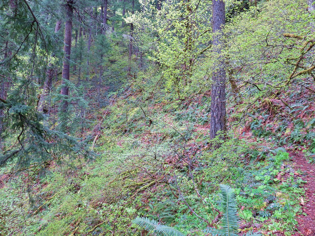
The Trailkeepers of Oregon have been working on this trail which was one of the earlier trails to reopen after the 2017 Eagle Creek Fire. The fire didn’t reach this particular trail but it had been closed none the less. A work party from TKO had been out the day before working on the trail and their efforts did not go unnoticed.
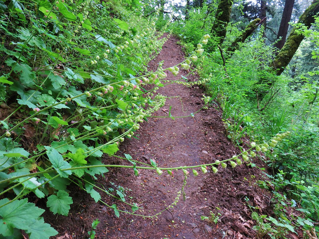
There is a lot of poison oak along the majority of the trial so a big thank you to the volunteers that have been clearing the brush. The difference between the sections that they had worked and those that had not was huge.
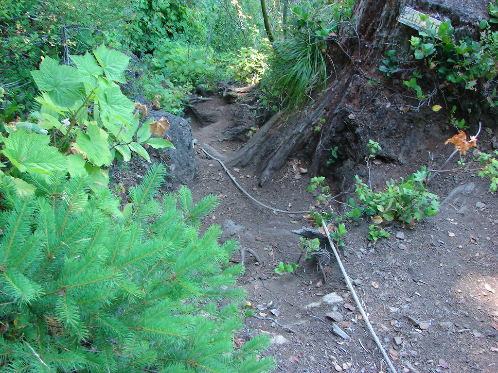
After a mile we spotted a sign for the abandoned Chetwoot Loop to the left of the trail.
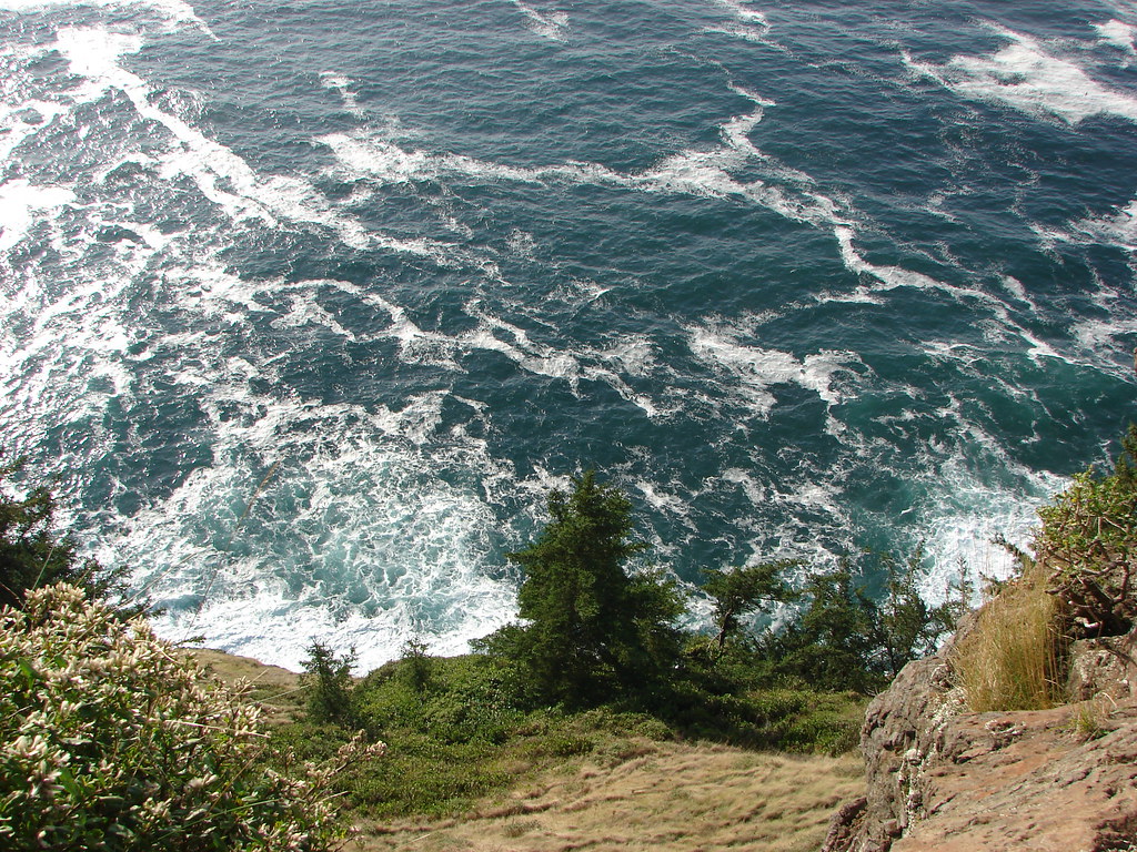
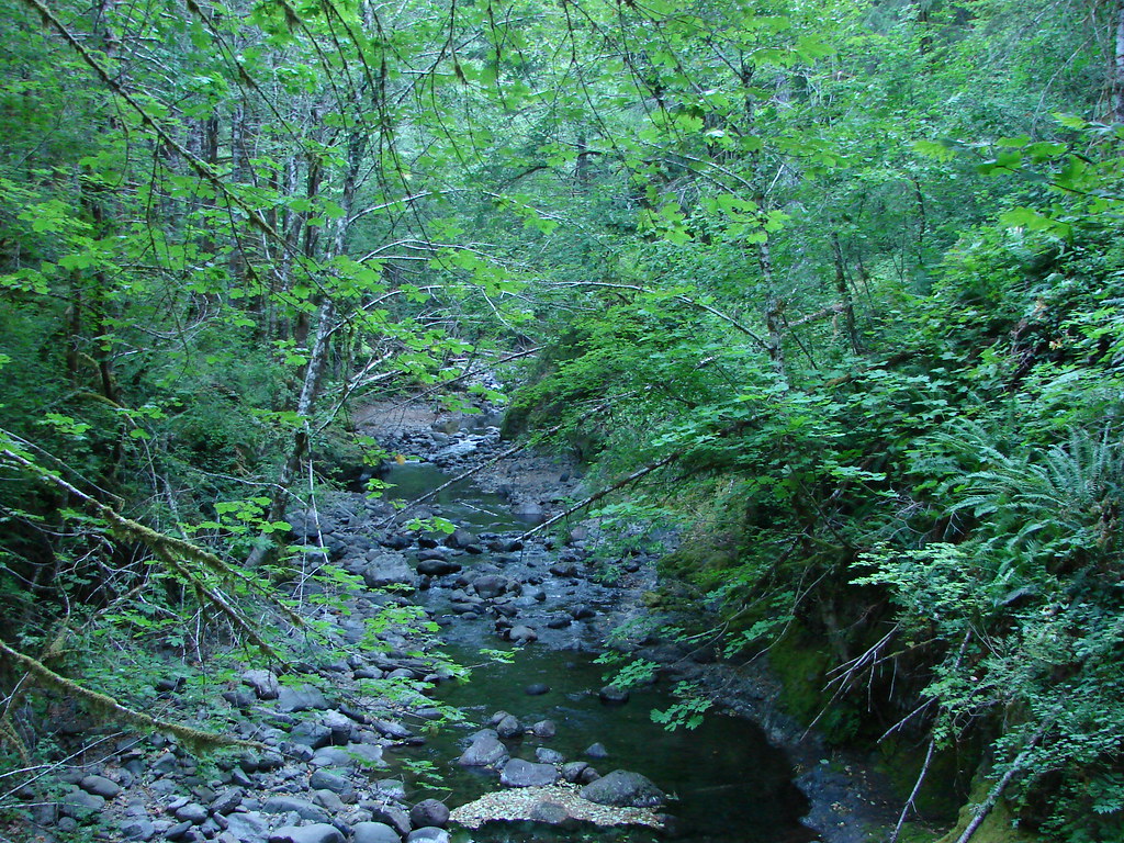
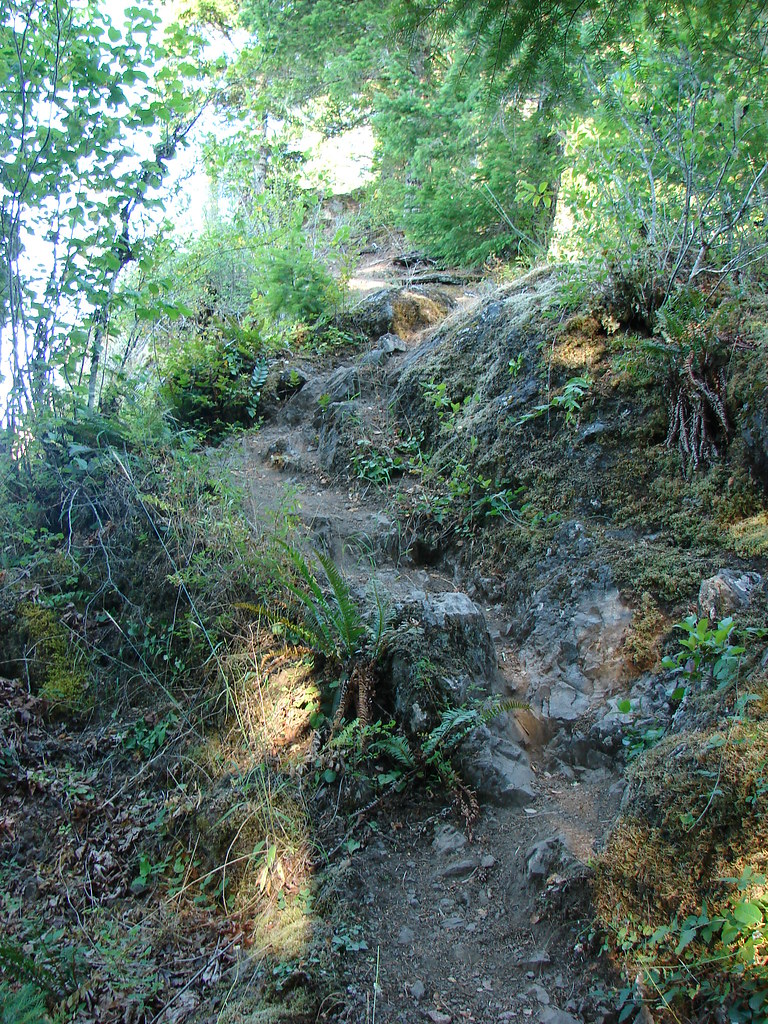
Soon after the sign for the Chetwoot Loop we arrived a ridge above Perham Creek.
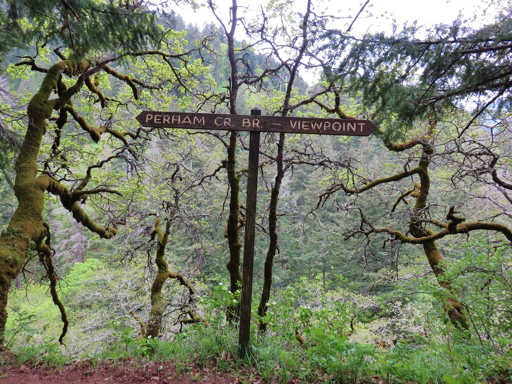
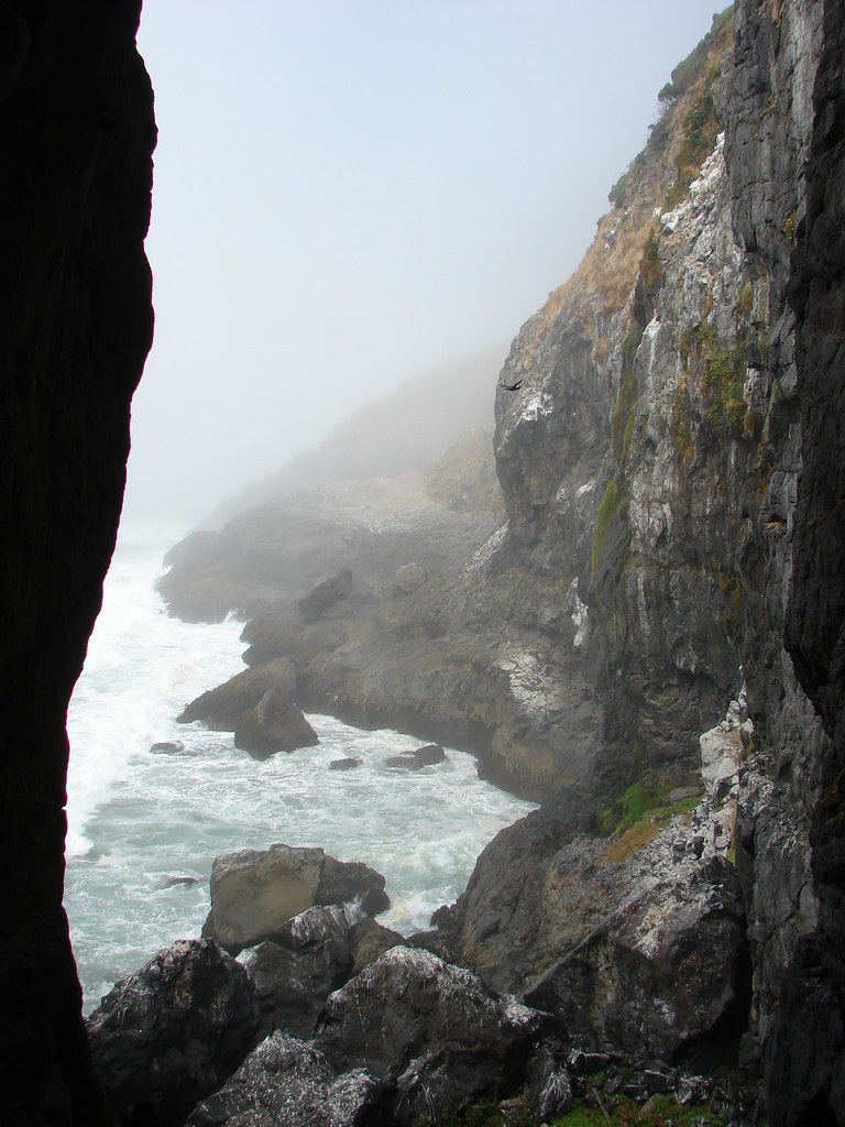
We chose not to follow the viewpoint sign here due to the amount of poison oak seemingly lining the trail in that direction so we turned left and headed down to Perham Creek. A footbridge had spanned the creek up until 2016 when a slide washed it out.
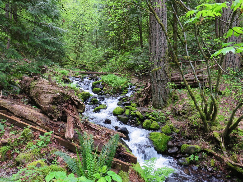
Interestingly it didn’t appear that it was the creek that did the bridge in but rather a slide down a small gully on the east side of the creek.

A decent sized log served as an adequate replacement for the bridge allowing us to cross dry footed.
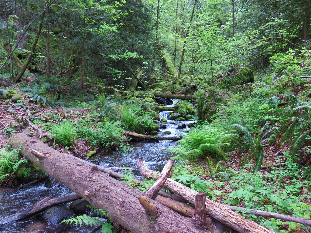
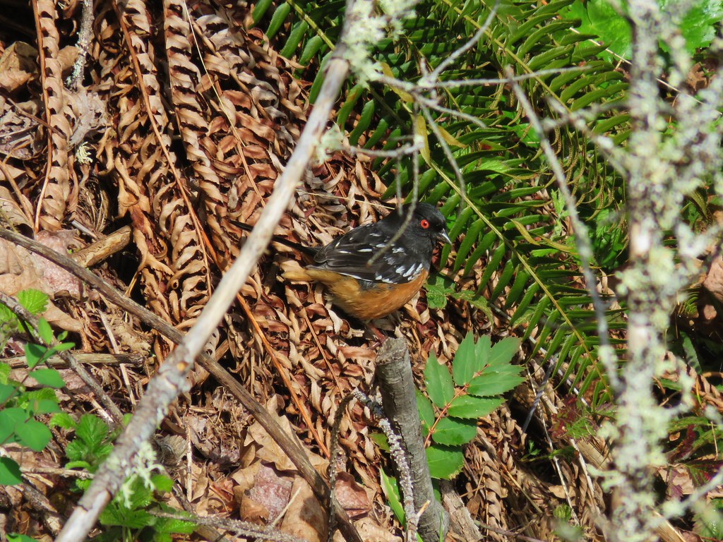
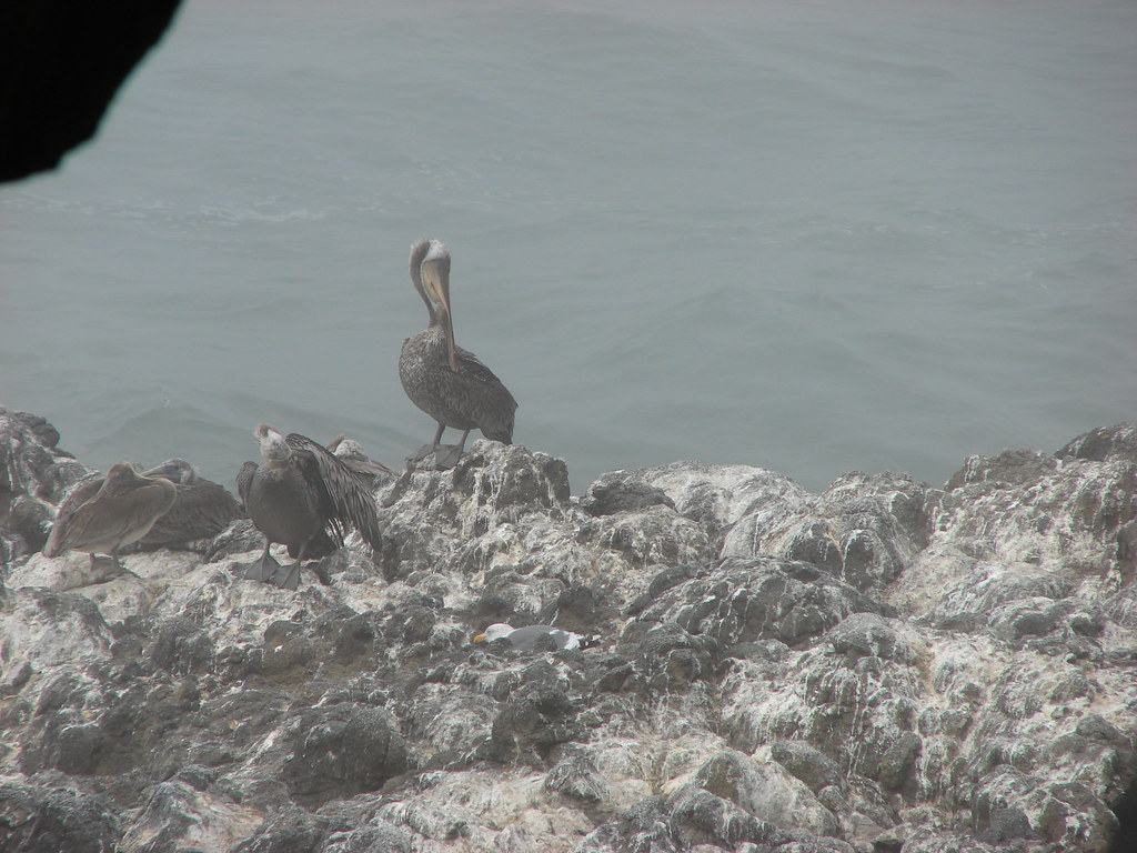
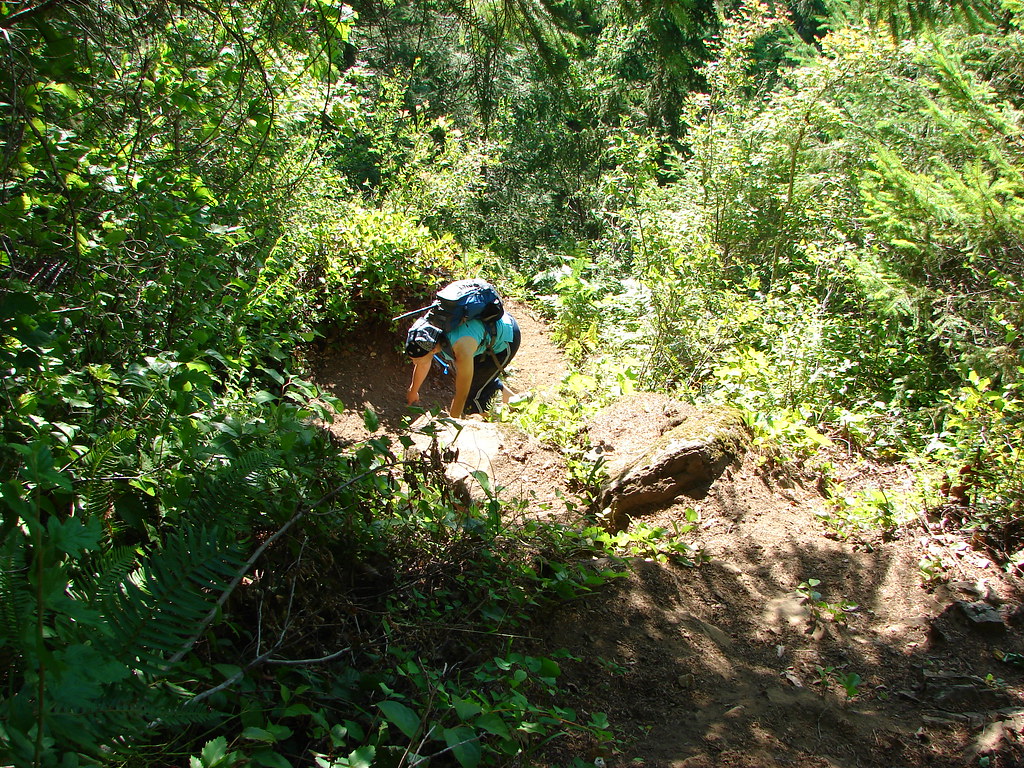
The trail then climbed away from the creek, at times fairly steeply. As we passed through a brushy clearing we spotted a spotted towhee.
We continued on watching closely for the ever present poison oak arriving at a lower viewpoint after a little over a mile and a half. Here we had a nice view of Mitchell Point to the east.
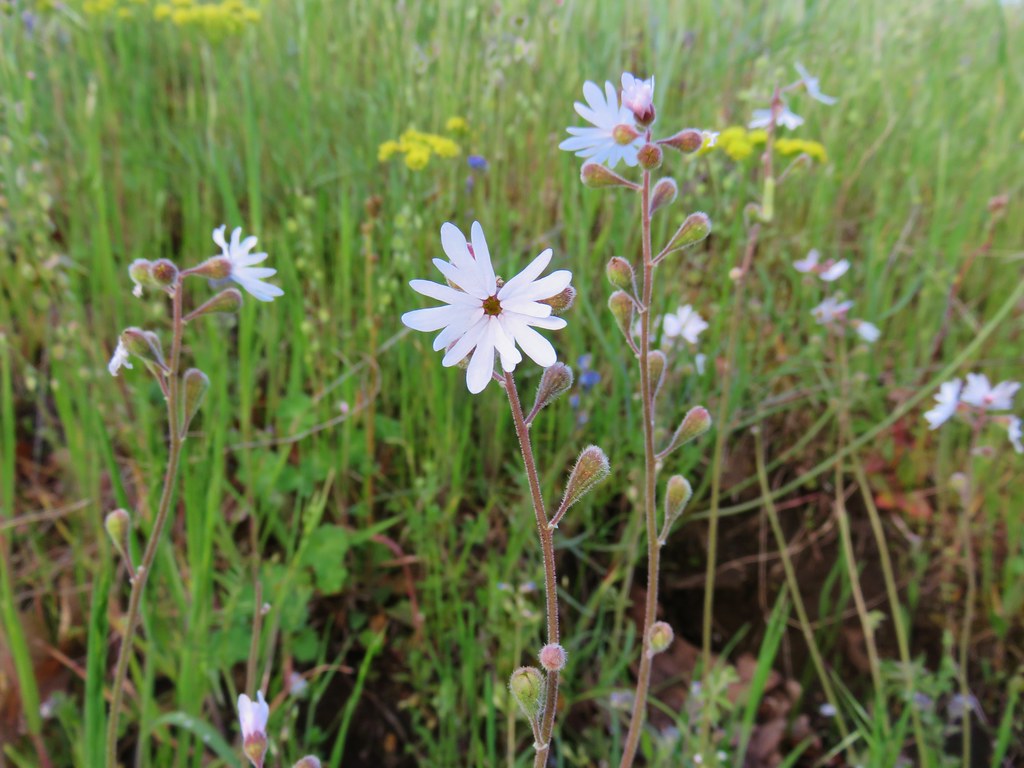
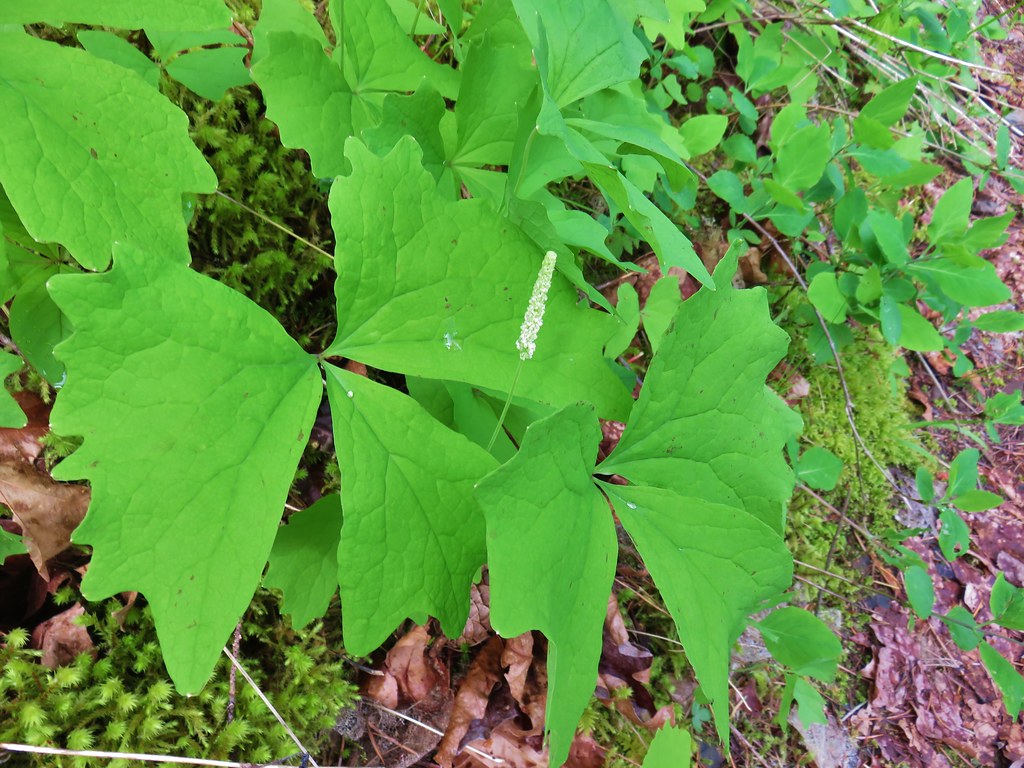
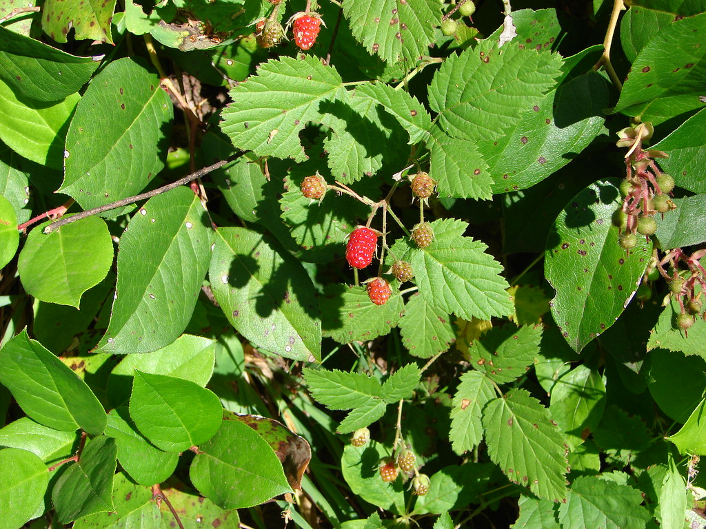
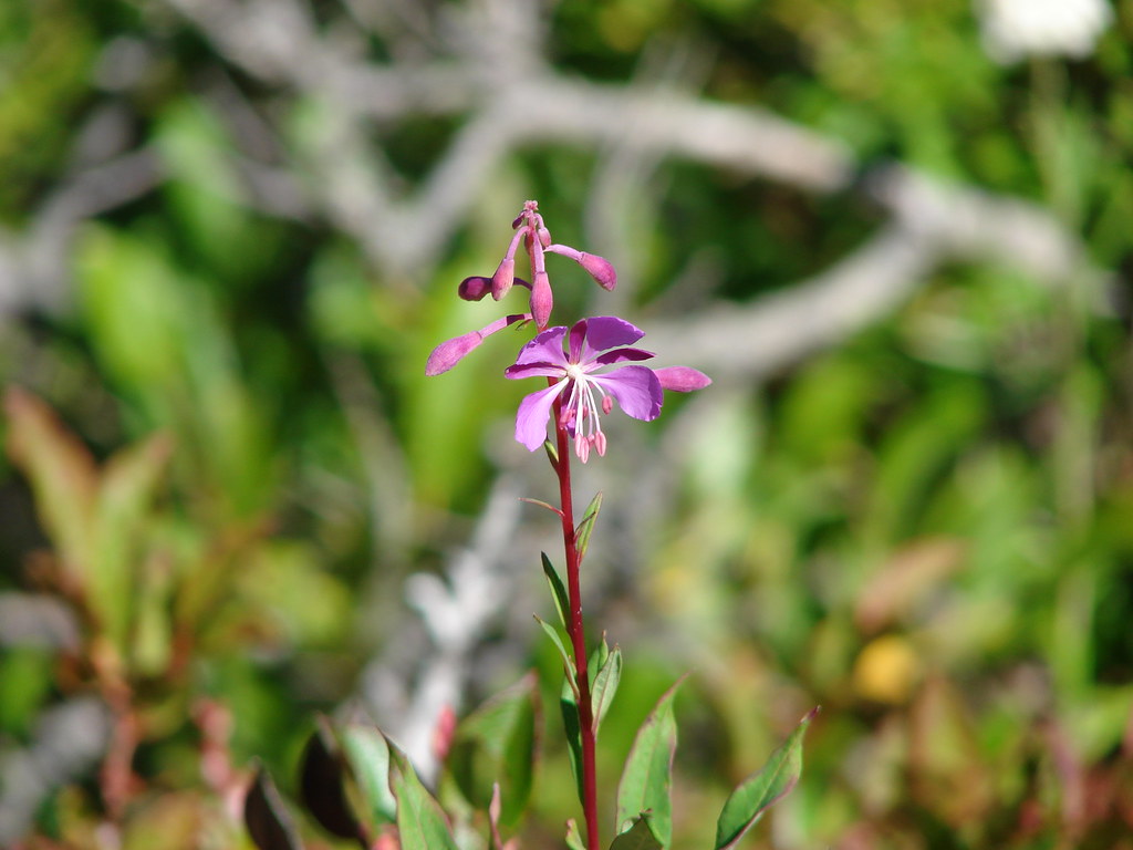
Despite this not being a wildflower hike like our previous stop there were some flowers present, including varieties we hadn’t see in the Memaloose Hills.
 Vanilla Leaf
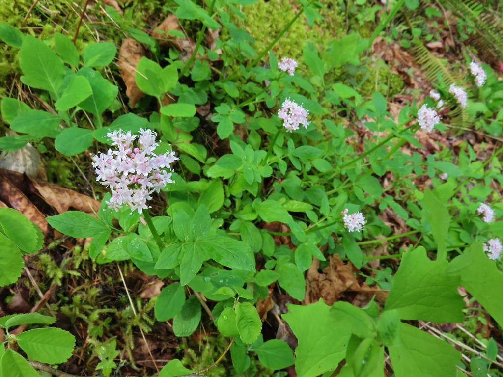 Valerian
 Ballhead waterleaf
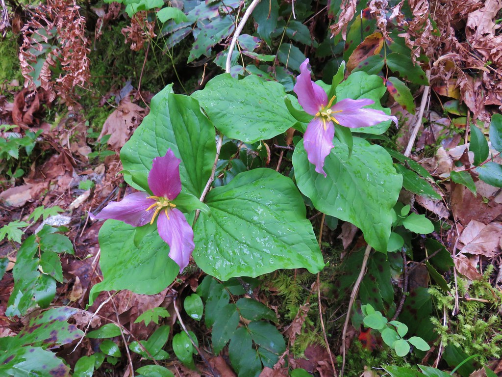 Trillium
At the 2.5 mile mark a side trail led to a middle viewpoint.

 Dog Mountain
This viewpoint was covered in pink plectritis.
Just uphill from this viewpoint we passed the upper junction with the Chetwoot Loop Trail.
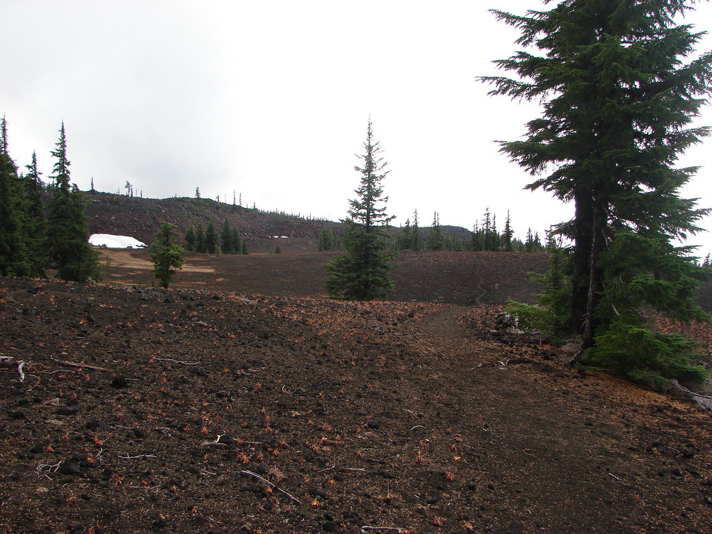
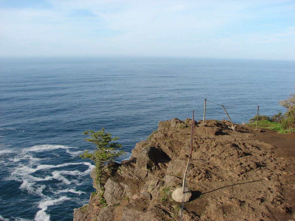
From the junction it was just another .6 miles to our goal at the upper viewpoint. It was pretty good climb during which we passed the only other hiker we’d see on this trail. This section of trail had not been cleared yet and was somewhat crowded by the poison oak. I also had picked up a couple ticks which were flicked off. The good news was another TKO work party was planned for the following Friday.
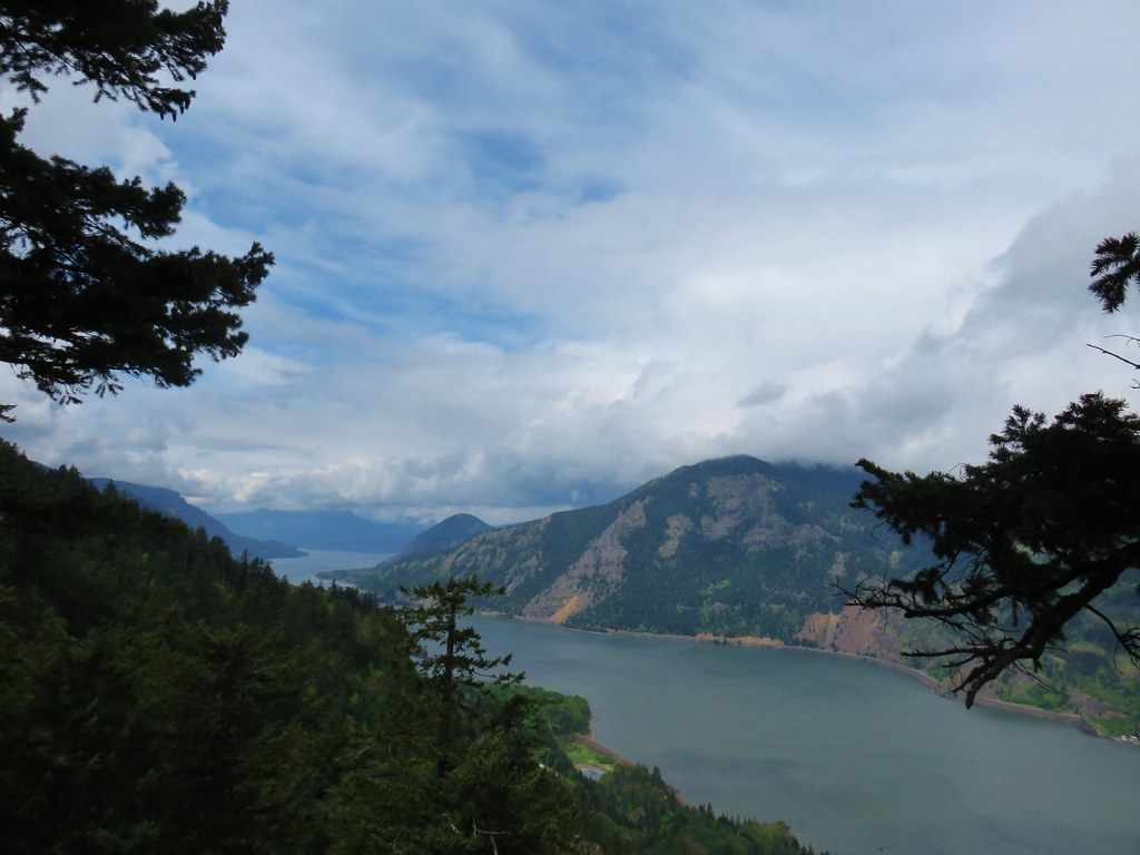
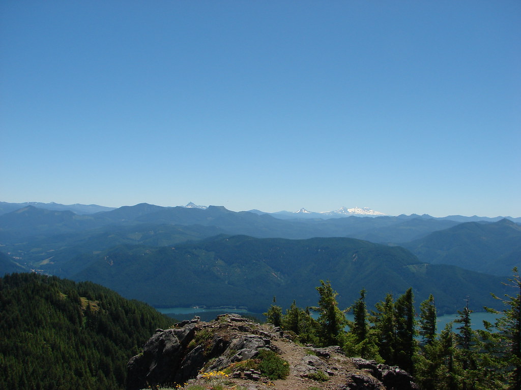
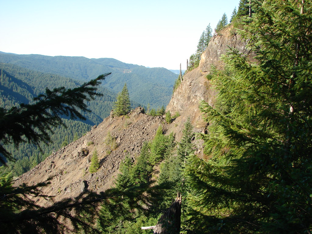
The upper viewpoint had a nice view west down the Columbia River and of Wind and Dog Mountain (2016 trip report) on the Washington side of the gorge.
We were a bit surprised to see what appeared to be a grass widow blooming at the viewpoint.
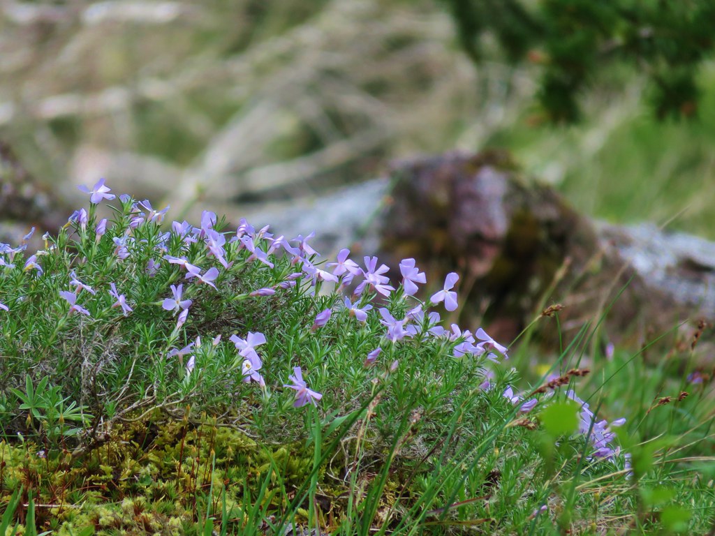
There was also a couple of clumps of phlox present.
We headed back down to the trailhead dodging the poison oak and keeping an eye out for any more ticks (one did manage to make it all they back home with us before being apprehended). We had briefly considered doing the Mitchell Point Trail before we’d started on the Wygant Trail but that idea had completely left the building by the time we arrived back at the trailhead.
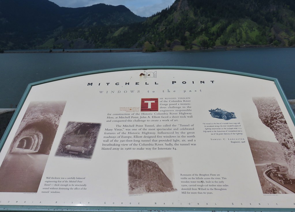
We have plans for that trail at a future date. We did however walk over to the Mitchell Point Overlook before heading home where the forested top of Wygant Peak could be seen to the west.
It was a nice way to start our season. A total of 10.2 miles hiked with a decent, but not insane, amount of climbing to get us started. The views and the wildflowers had been good and aside from a couple of sprinkles while on the Wygant Trail the weather had exceeded our expectations. The difference in the terrain and vegetation between these two hikes was also enjoyable given that they are less than miles apart as the crow flies. Happy Trails!


 Sister Spring
 North Sister and the Collier Cone
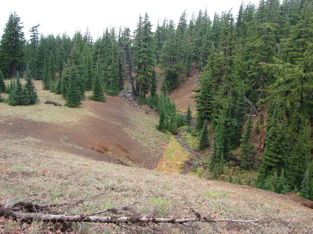


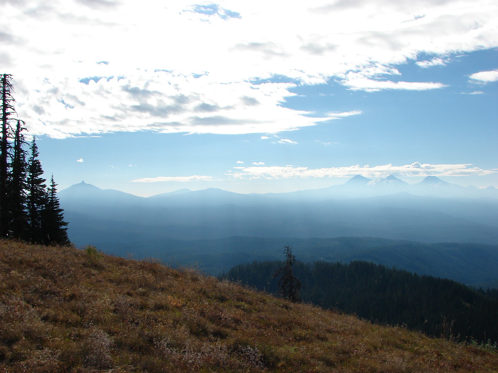
 Mt. Jefferson
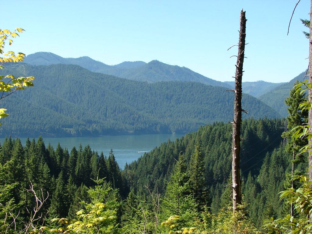 Detroit Lake
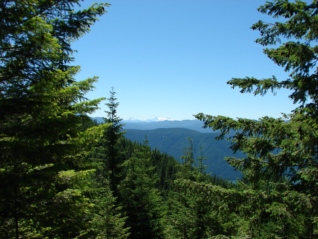 Mt. Washington and the Three Sisters
 Mt. Washington and the Three Sisters
 Mt. Jefferson
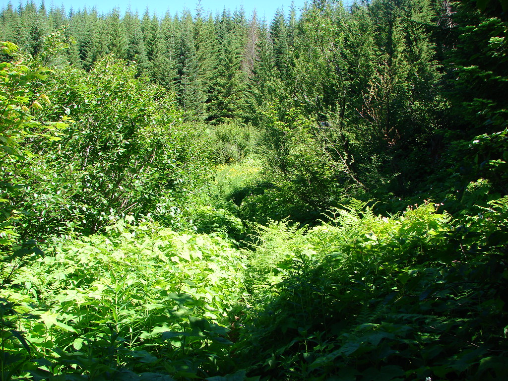

 Coffin and Bachelor Mountains in front of Three Fingered Jack, Mt. Washington, and The Three Sisters
 Tumble Lake
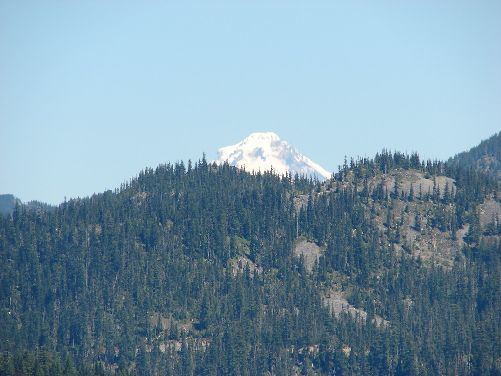 Mt. Hood
 Close up of Mt. Jefferson


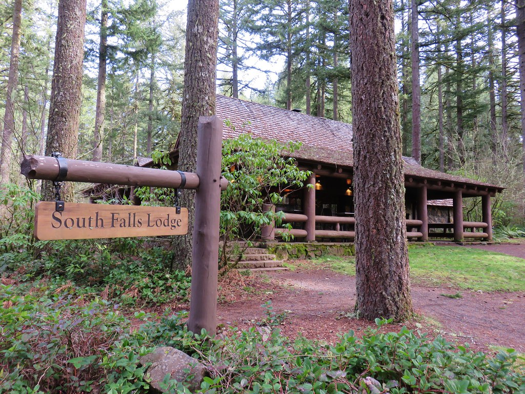
 March 29, 2018
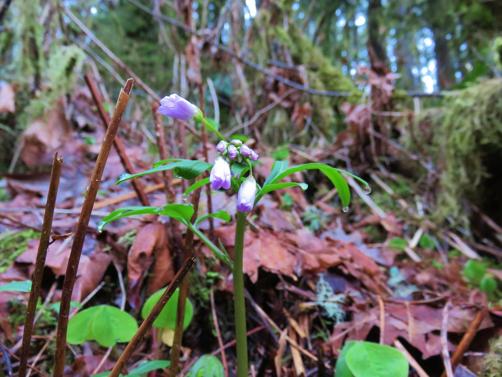 Toothwort
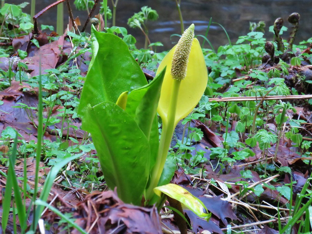 Skunk cabbage
 Salmonberry
 Indian plum


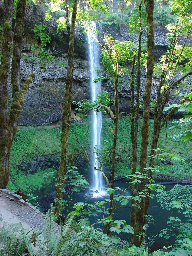
 July 7, 2006
 July 30, 2010
 March 29, 2018
 July 7, 2006
 July 30, 2010
 March 29, 2018


 July 7, 2006
 July 30, 2010
 March 29, 2018
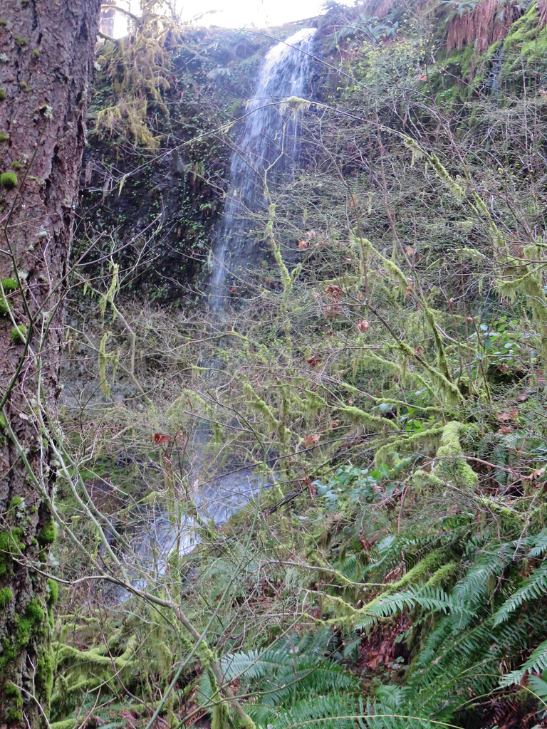
 July 30, 2010
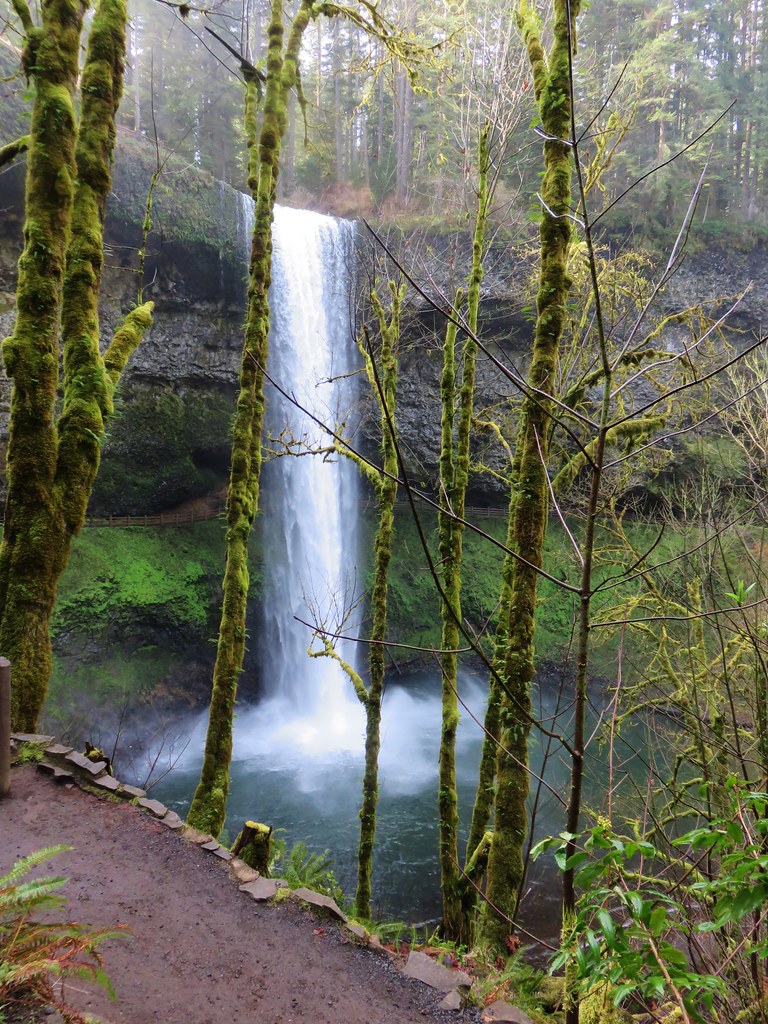 March 29, 2018


 Mt. Jefferson and Three Fingered Jack
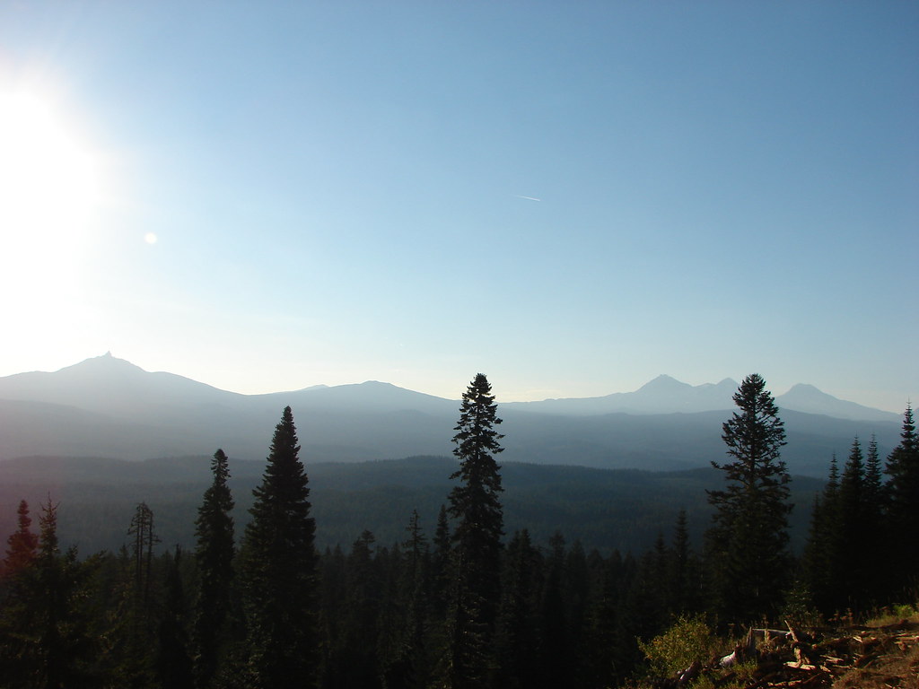 Mt. Washington and the Three Sisters