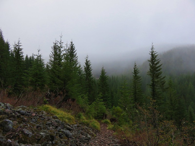
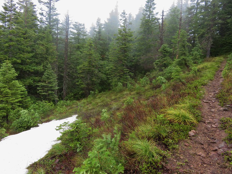
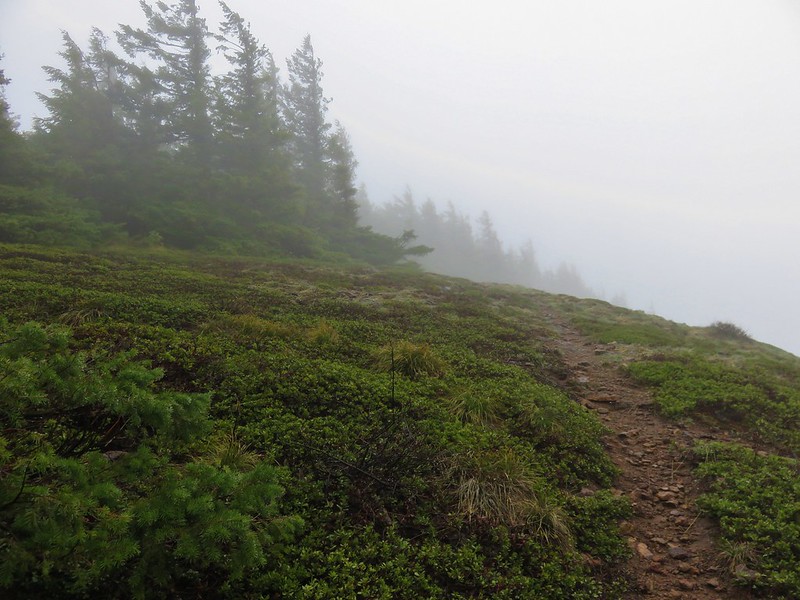
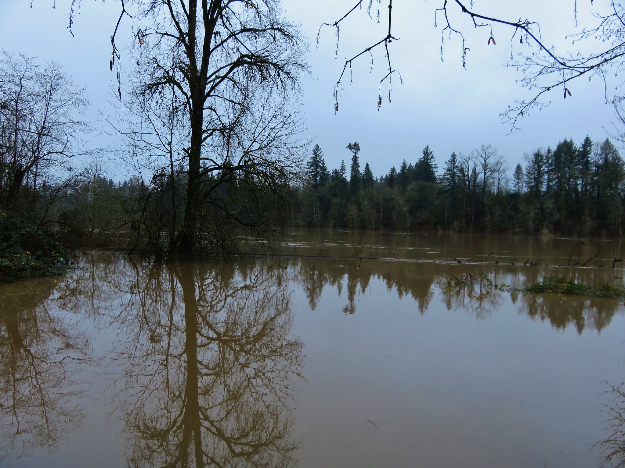
This was our second visit to Dog Mountain and probably our final one for several years at least. While the wildflower meadows on Dog Mountain are arguably the best in the Columbia Gorge, that distinction brings crowds. We do our best to avoid crowded hikes, but our visit in May 2014 was on a morning when low clouds covered the upper meadows limiting views of the gorge and the flowers. https://wanderingyuncks.wordpress.com/2014/05/18/dog-mountain/
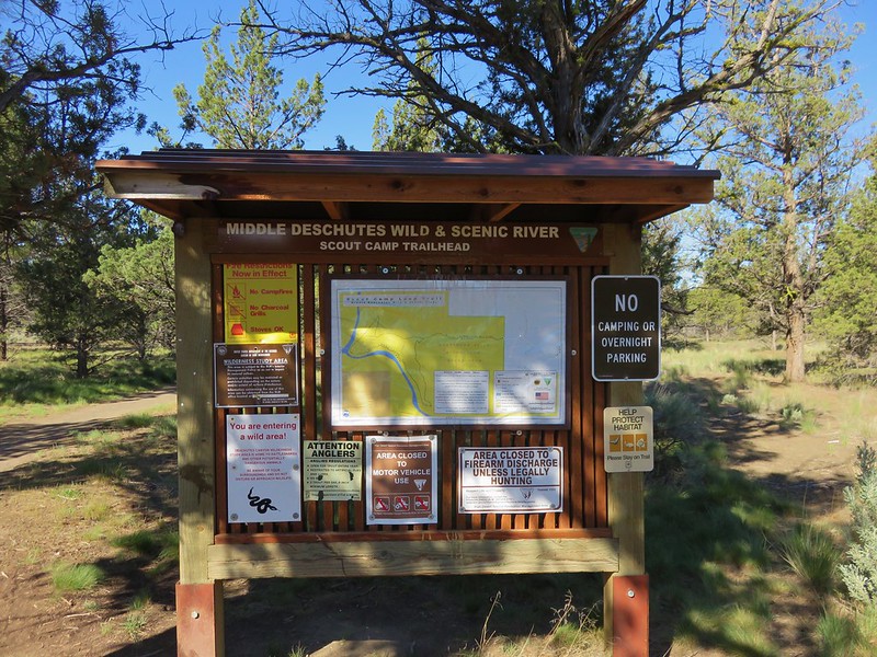
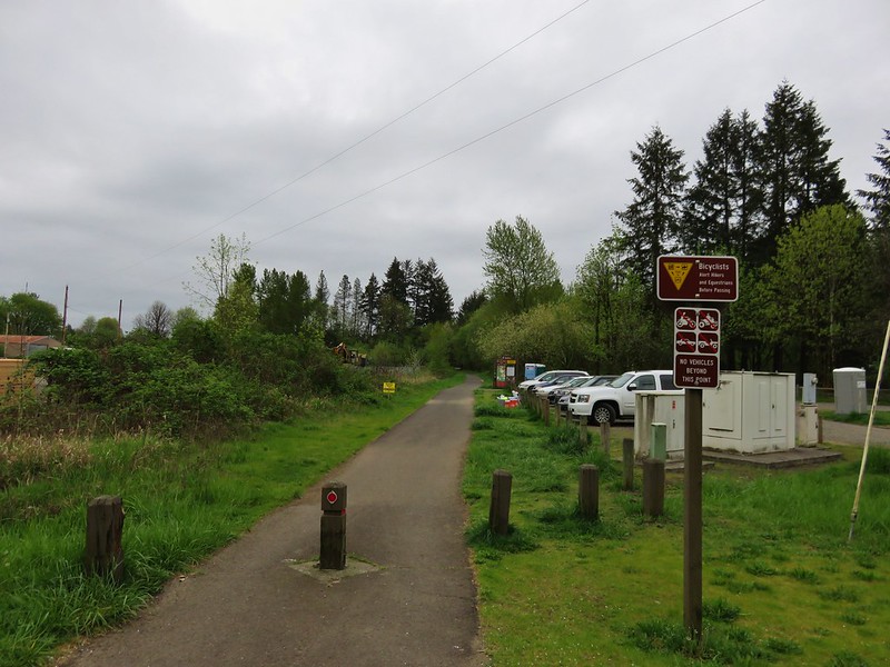
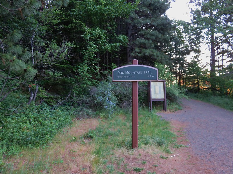
Reports of the flower show being near peak and the promise of a sunny day brought us back to Dog Mountain for the views we missed and an additional visit to Augspurger Mountain which we had done on our previous trip. We left extra early arriving at the trailhead just after 6am to find close to a dozen cars already in the parking area. The parking area has recently gone through some changes reducing the number of spots from 200 to 75. For more information check out http://www.oregonhikers.org/forum/viewtopic.php?f=14&t=23519.
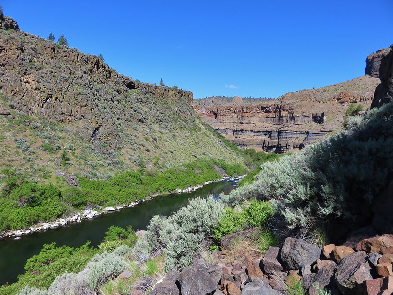
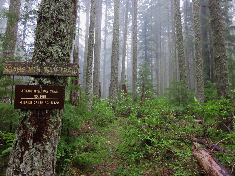
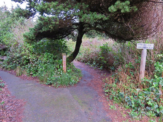
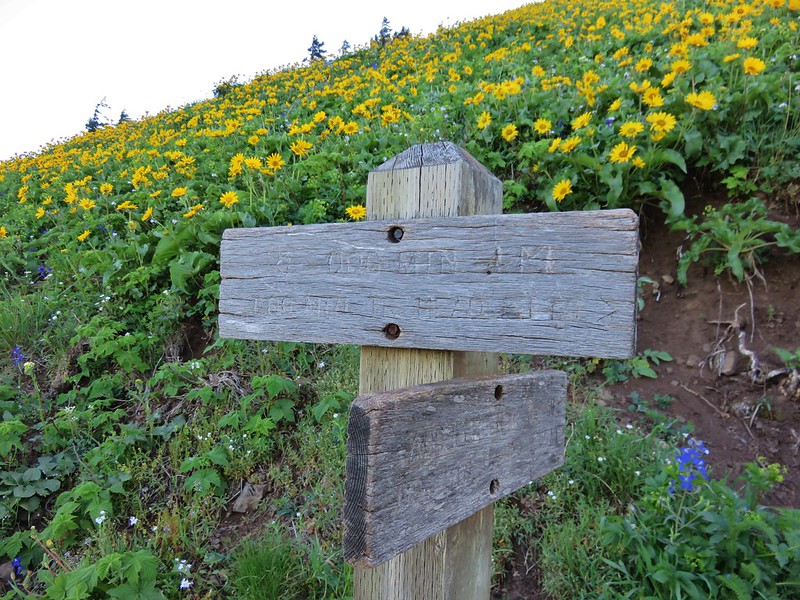
Two trails start from the parking lot, the Dog Mountain and Augspurger Trail, which make an 7 mile loop possible. The Augspurger trail also continues 4.7 miles beyond its junction with the Dog Mountain Trail past the summit of Augspurger Mountain to meadows with views of 3 Washington volcanoes.
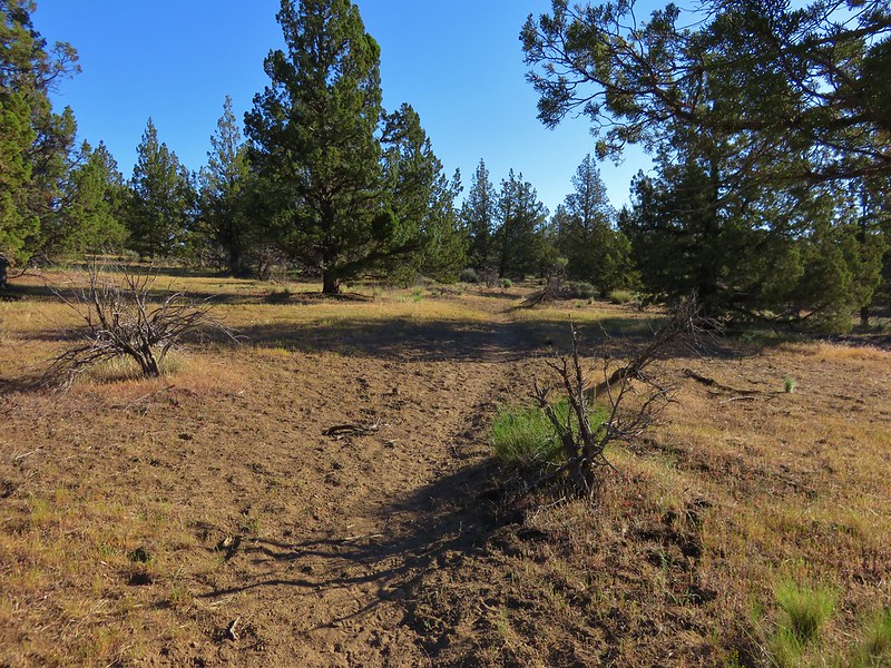
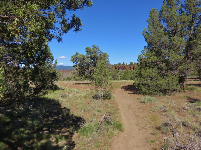
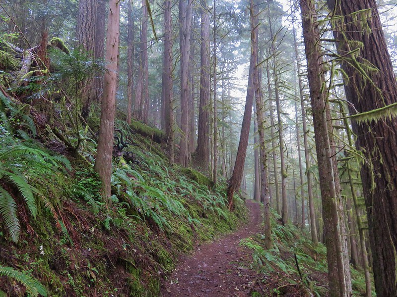
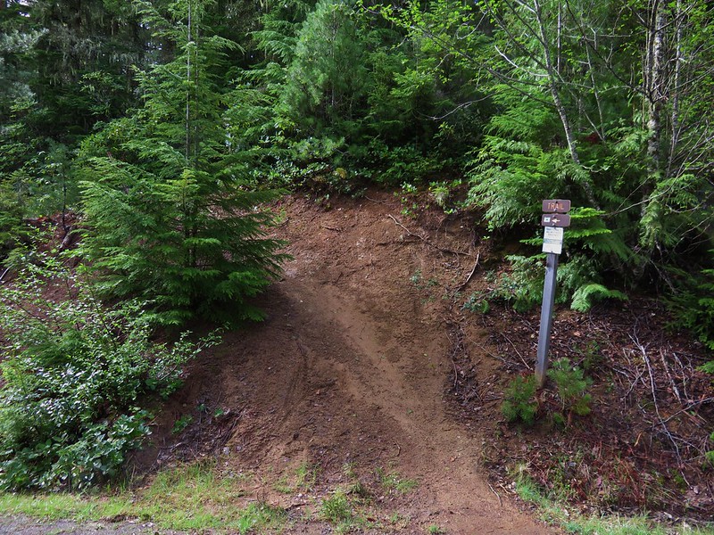
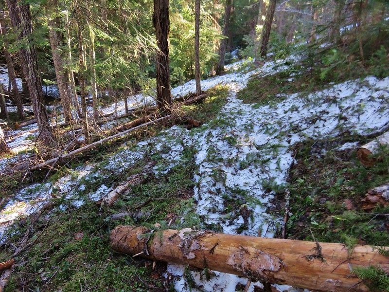
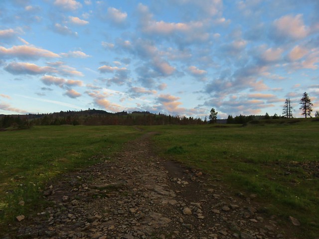
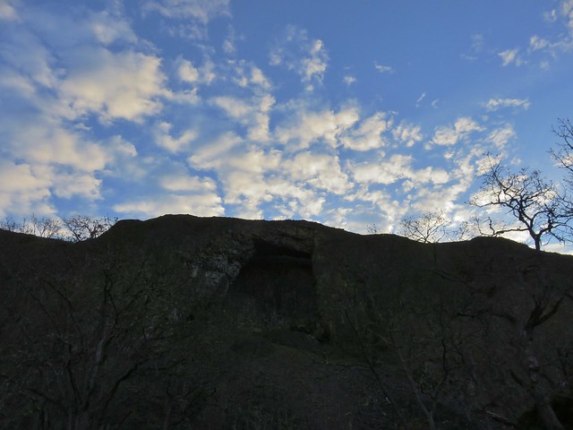
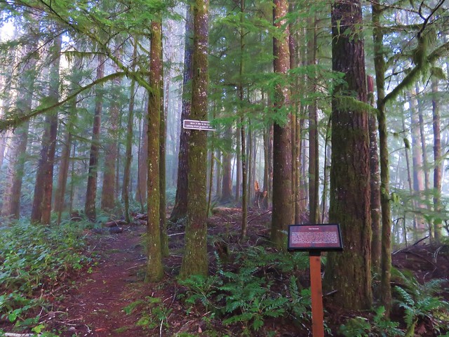
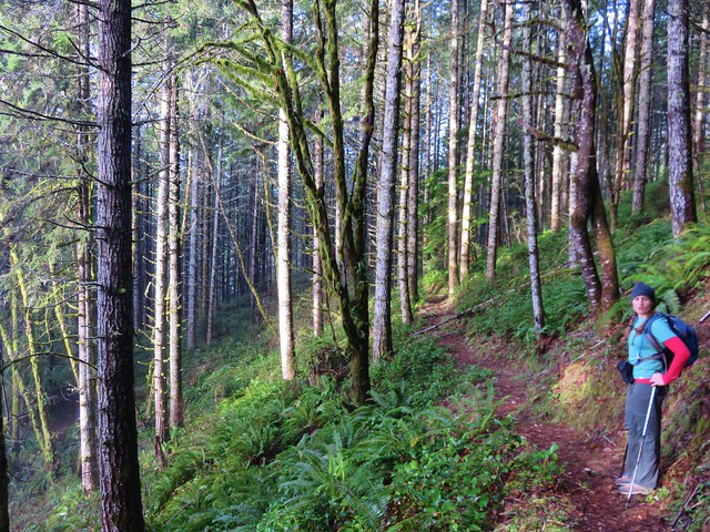
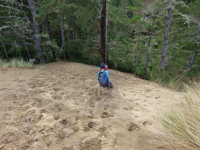
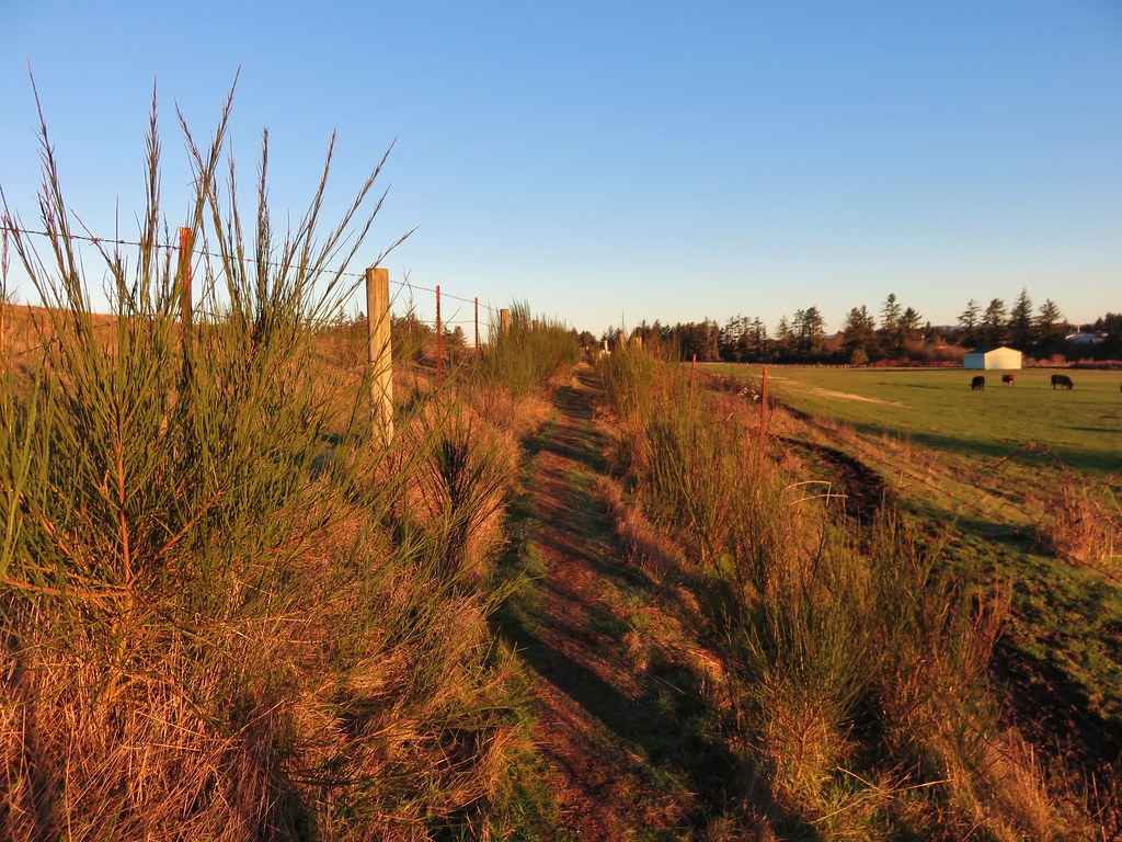
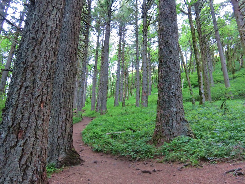
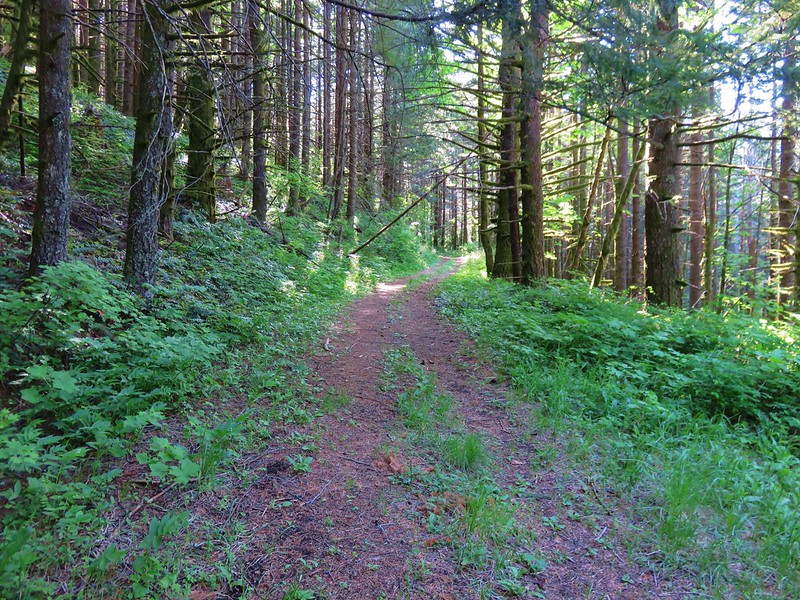
We started up hill on the Dog Mountain Trail gaining almost 700′ in the first half mile to a junction in the forest.
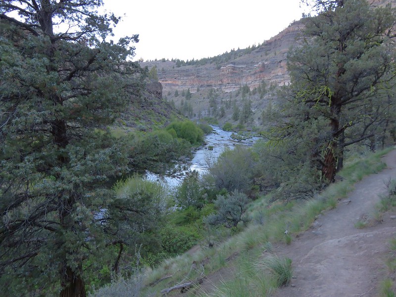
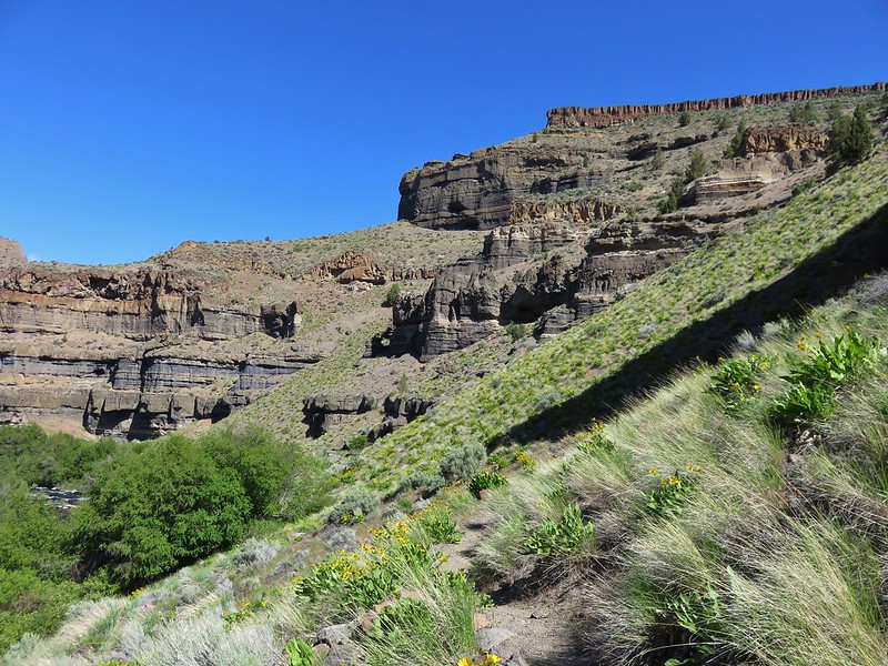
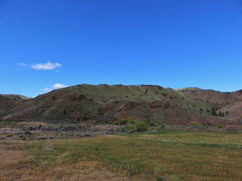
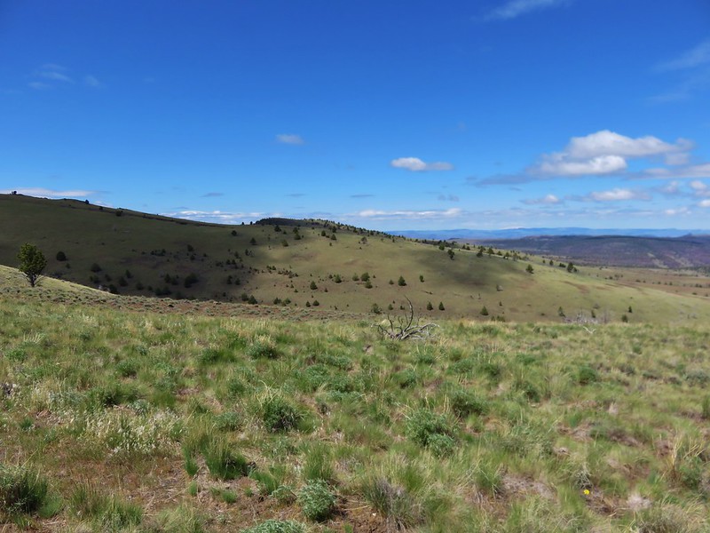
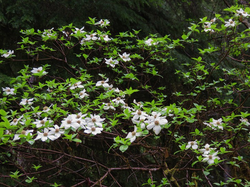
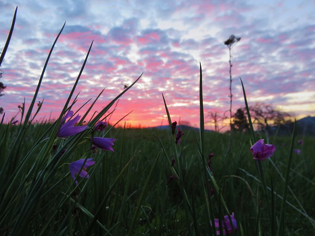
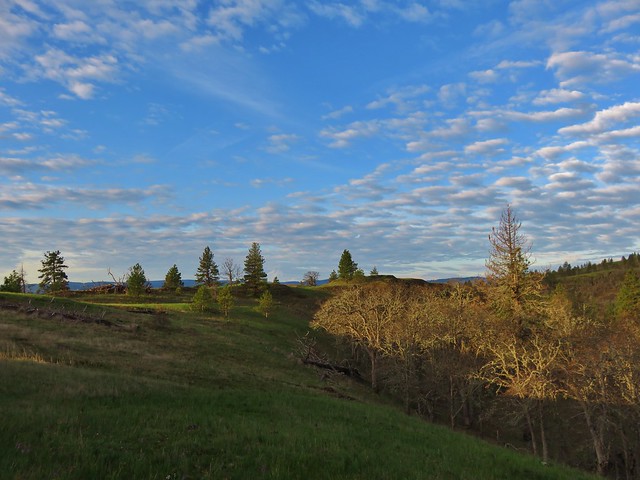
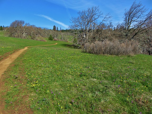
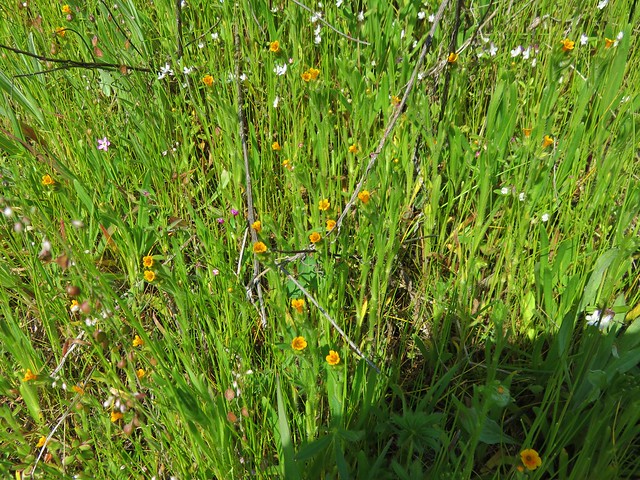
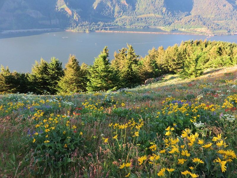
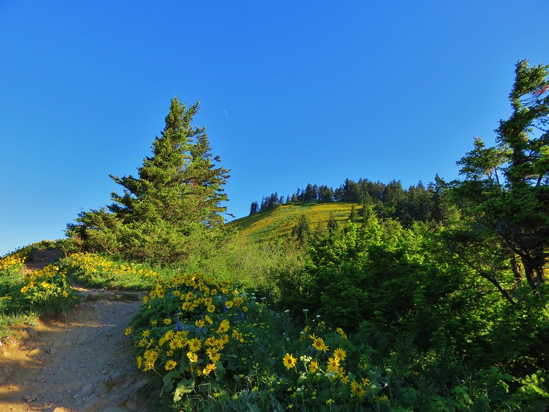
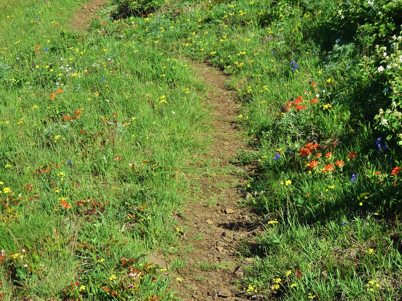
We forked right at the junction following the slightly longer, less difficult, and more scenic trail. After another mile (and another 800′ of elevation gain) we arrived at the lower meadow. The flowers were still in pretty good shape here and the view was better than during our first visit.
 //embedr.flickr.com/assets/client-code.js


The less and more difficult trails rejoined after another half mile back in the forest.
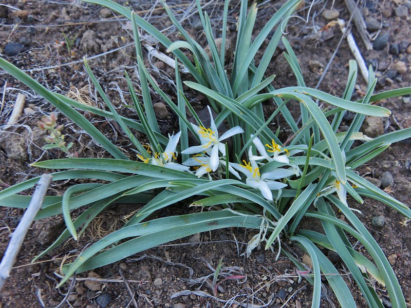
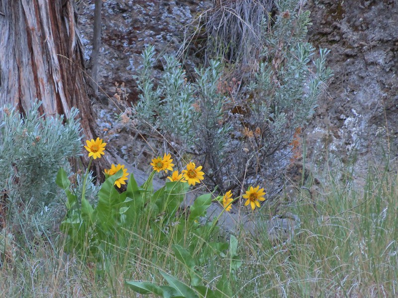
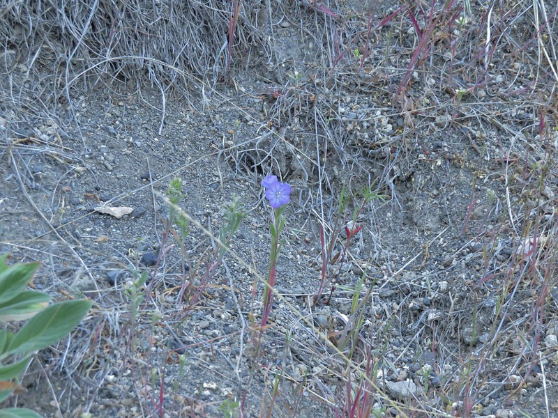
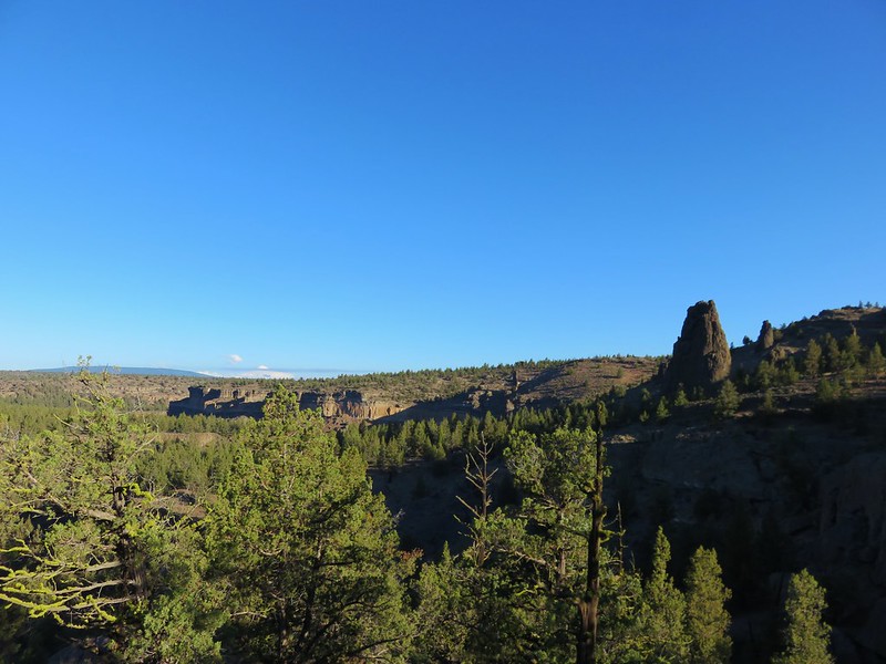
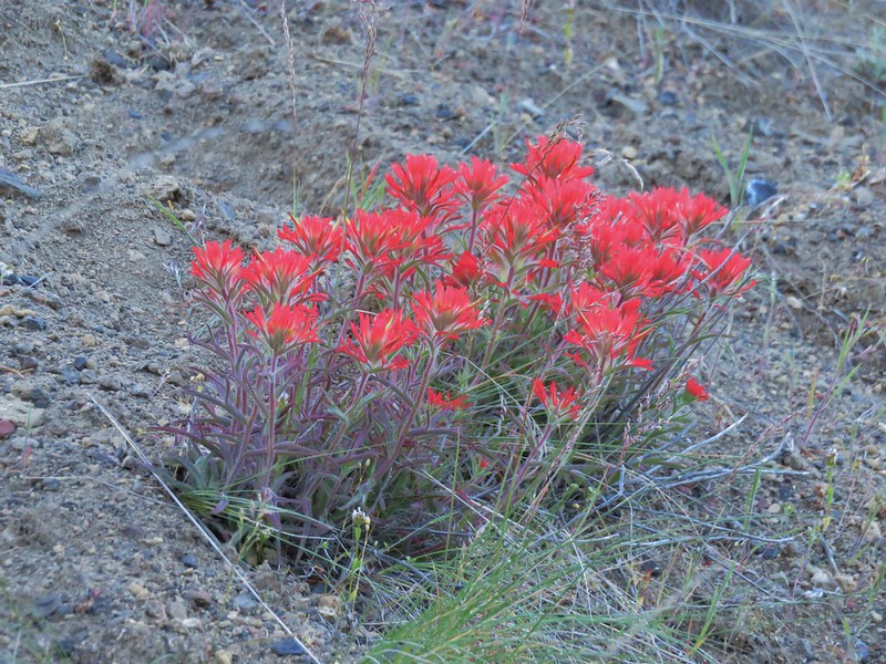
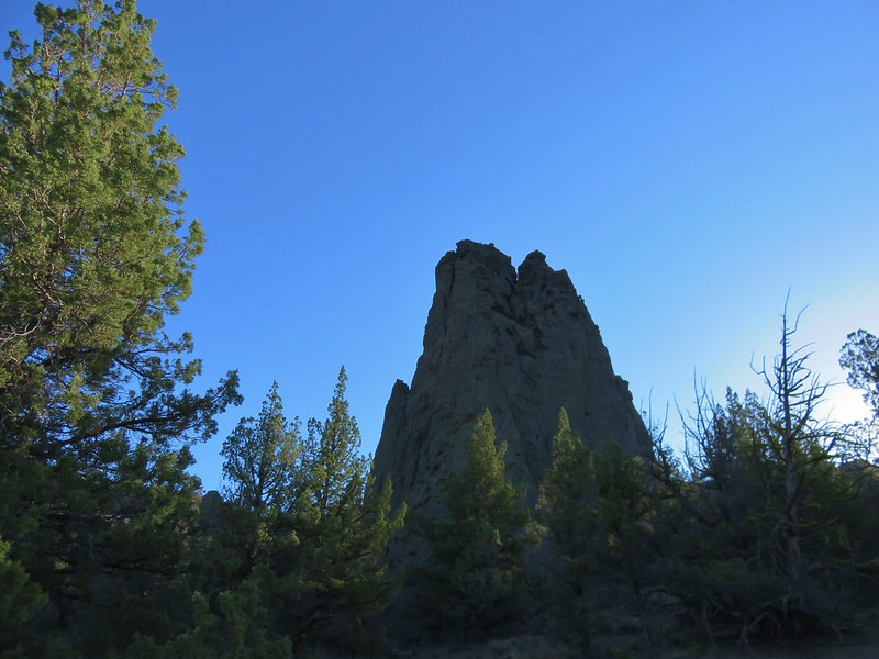
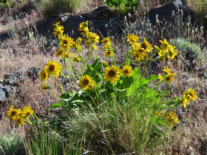
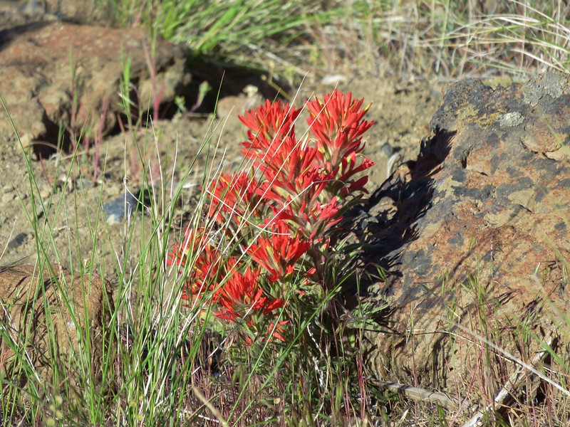
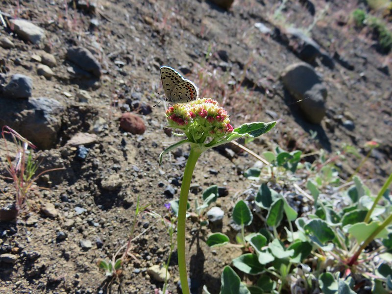
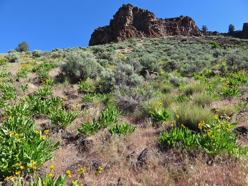
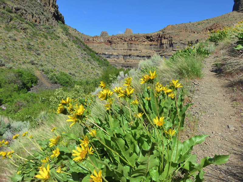
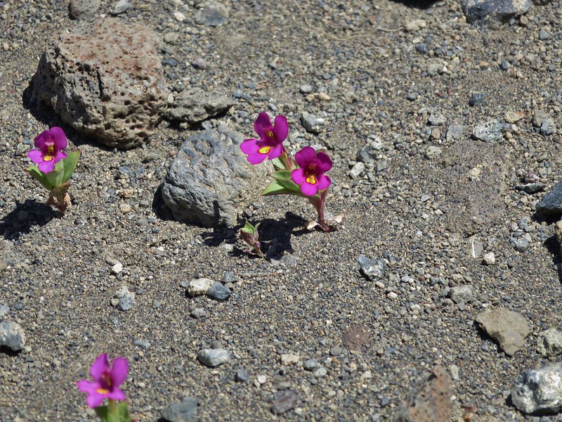
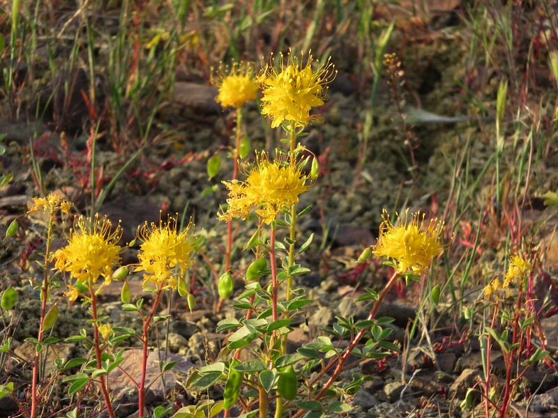
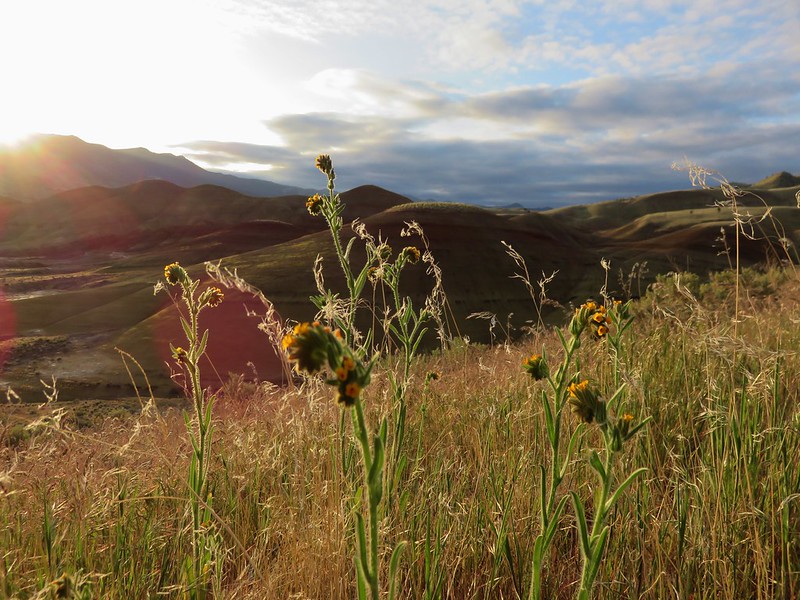
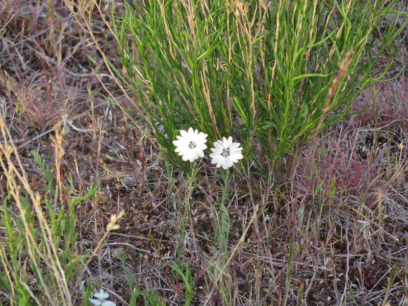
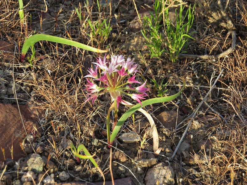
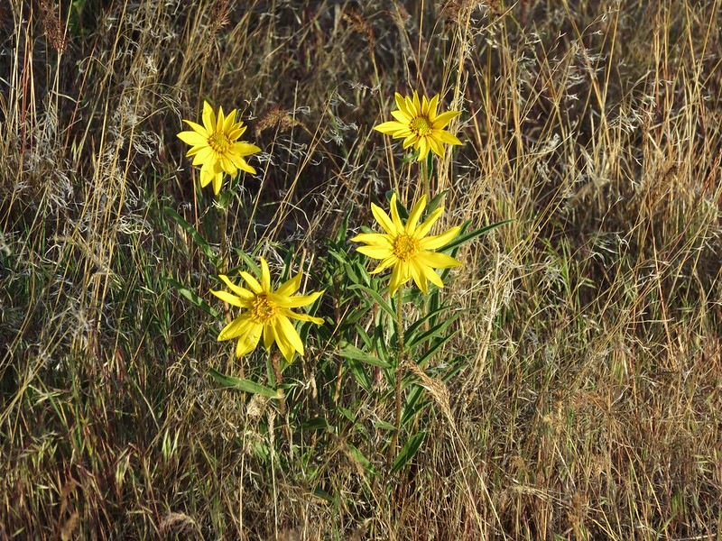
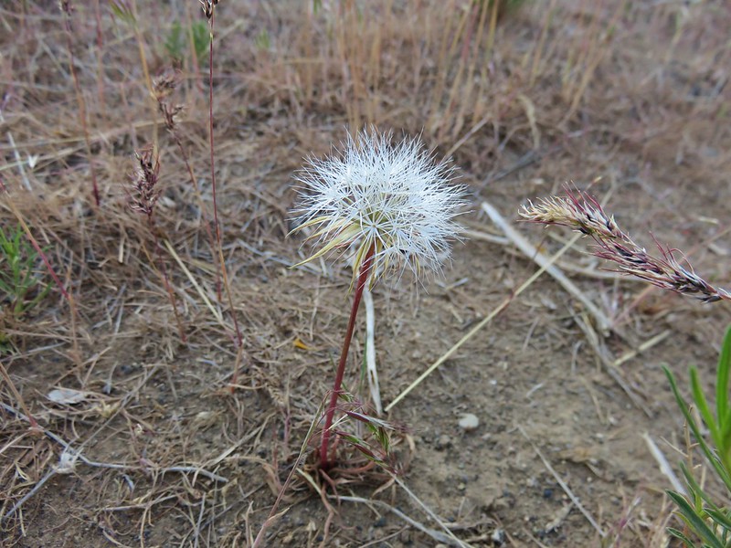
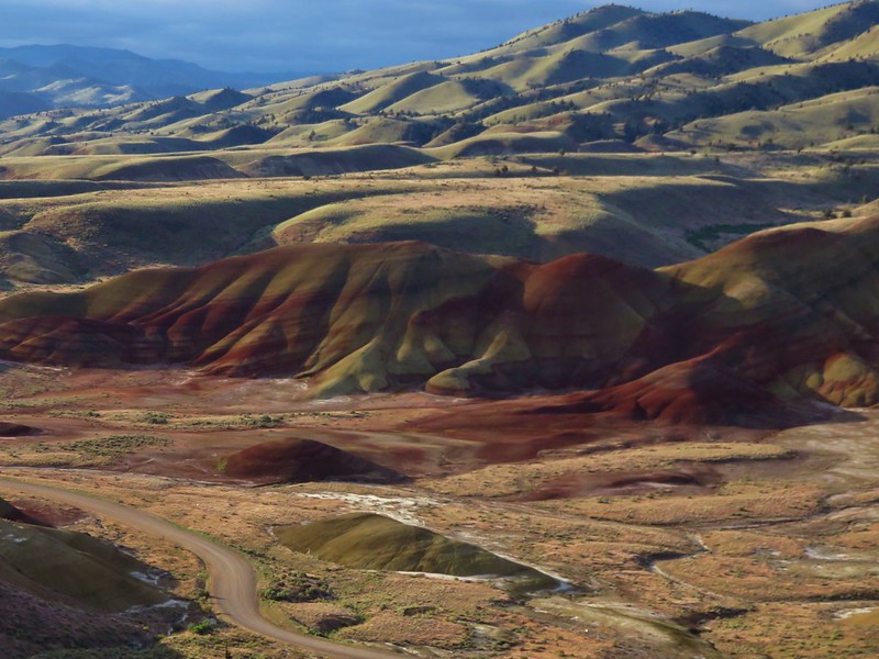
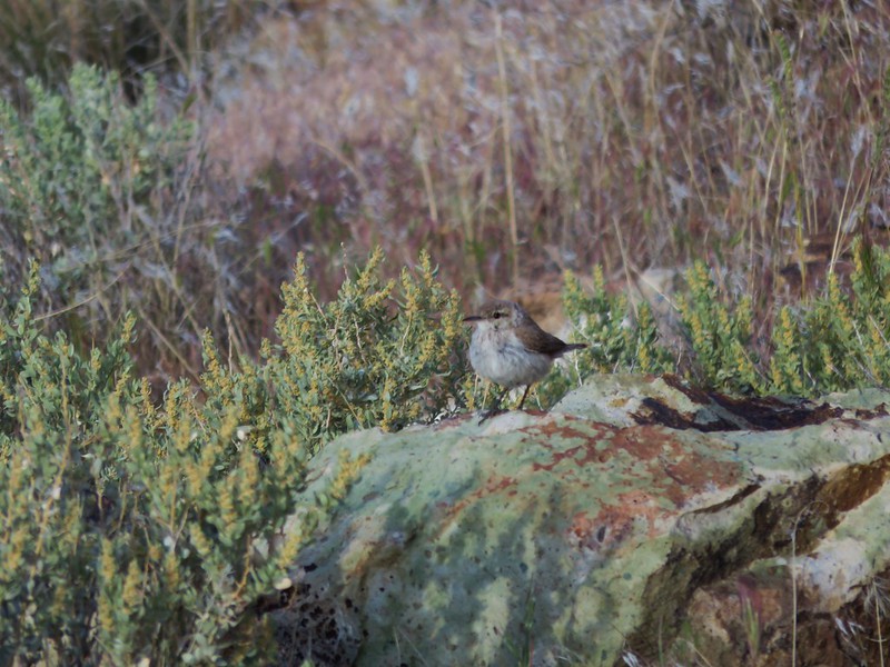
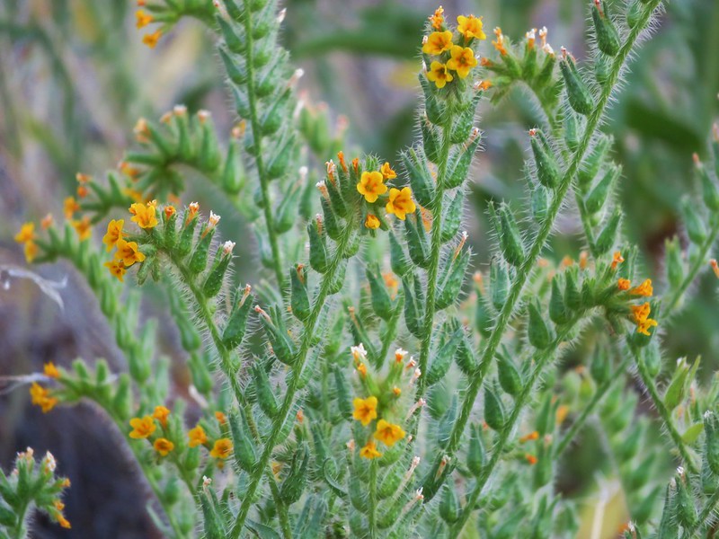
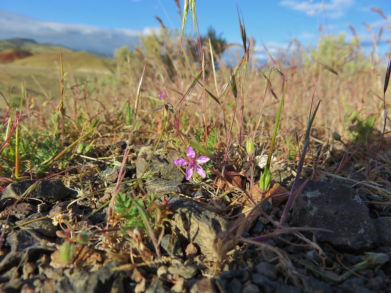
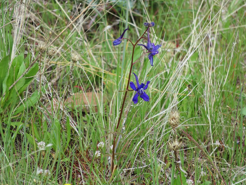
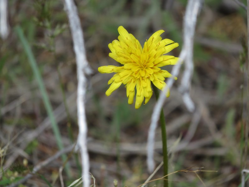
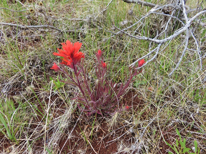
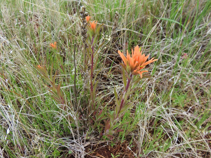
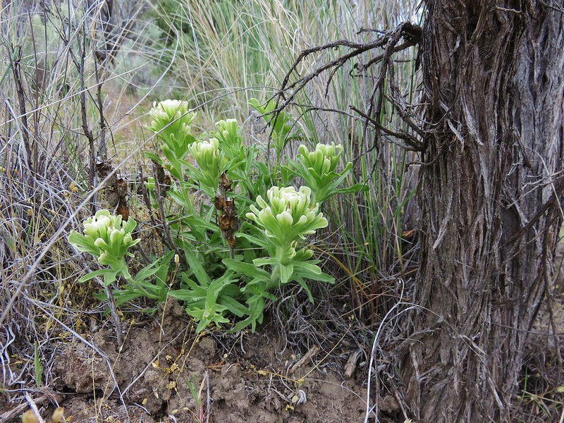
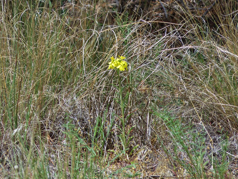
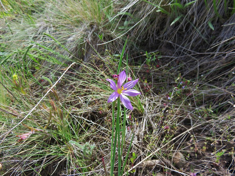
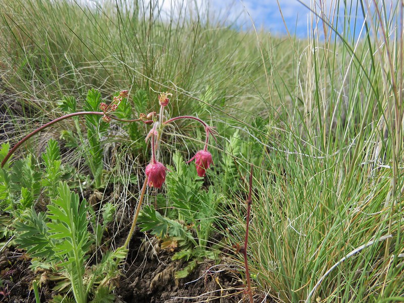
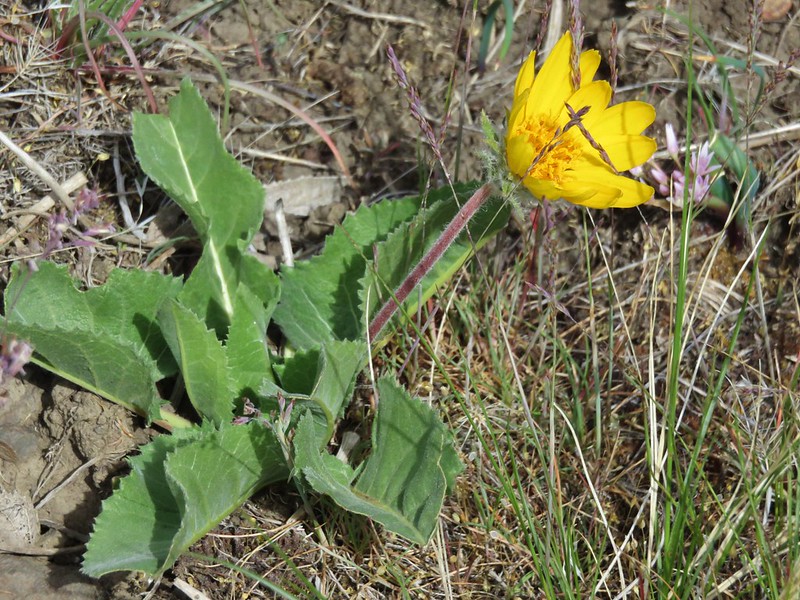
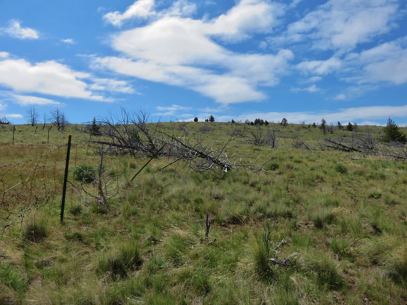
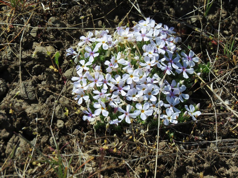
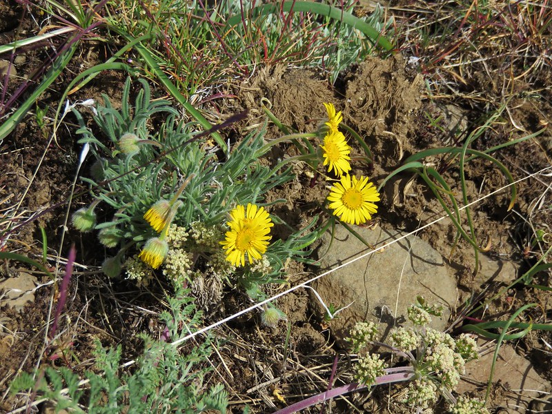
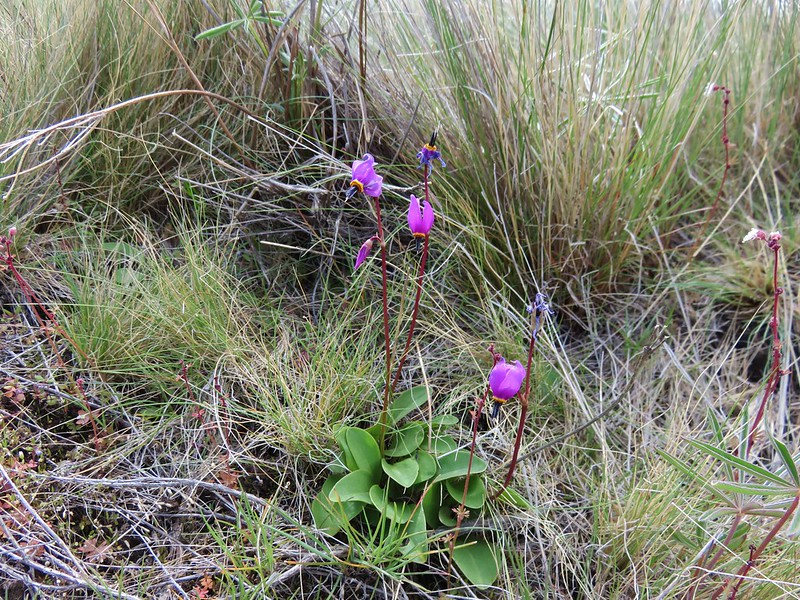
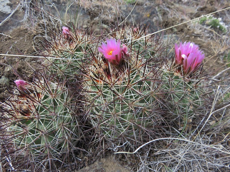
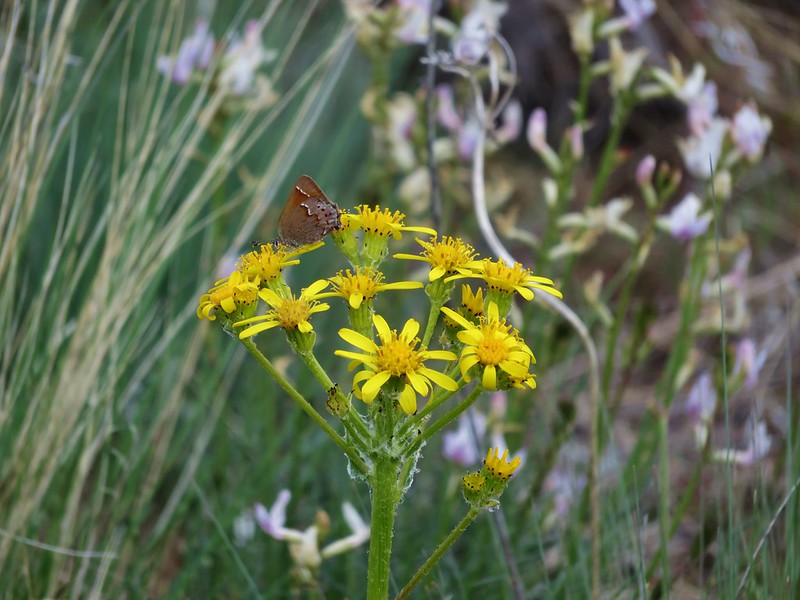
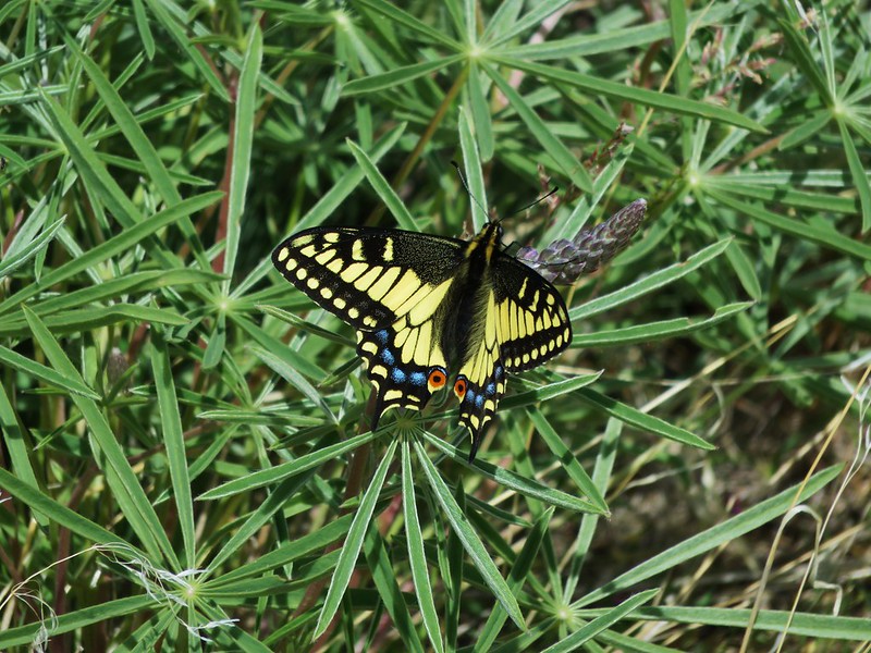
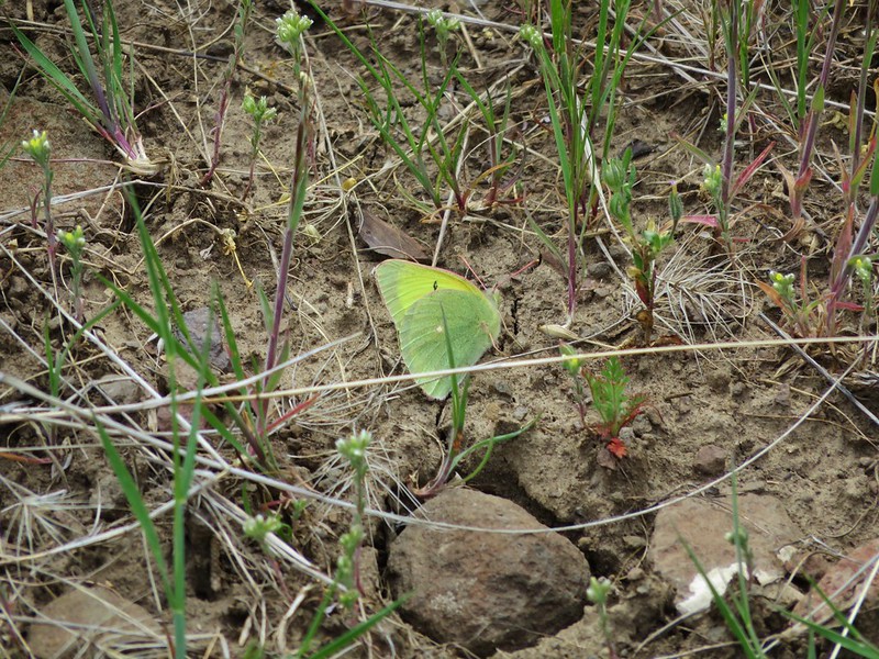
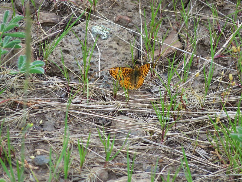
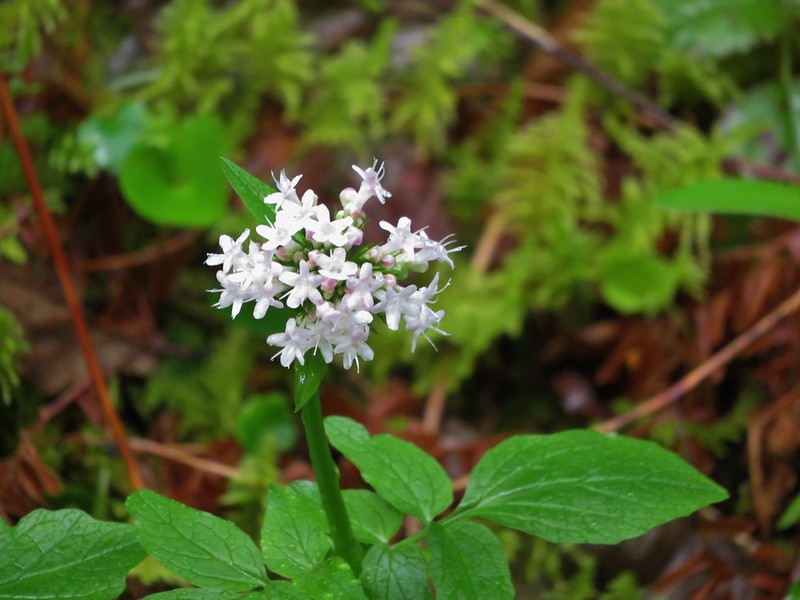
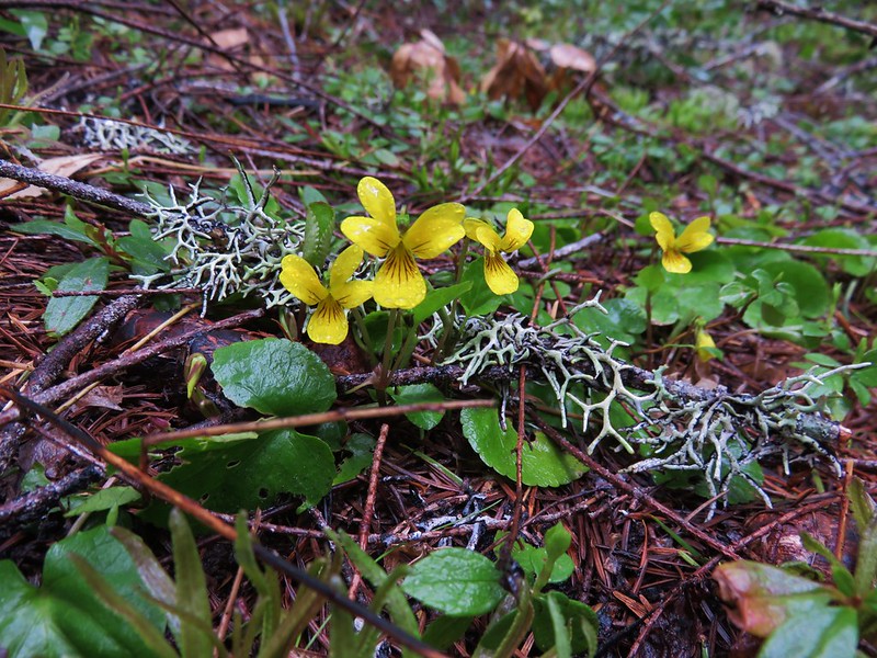
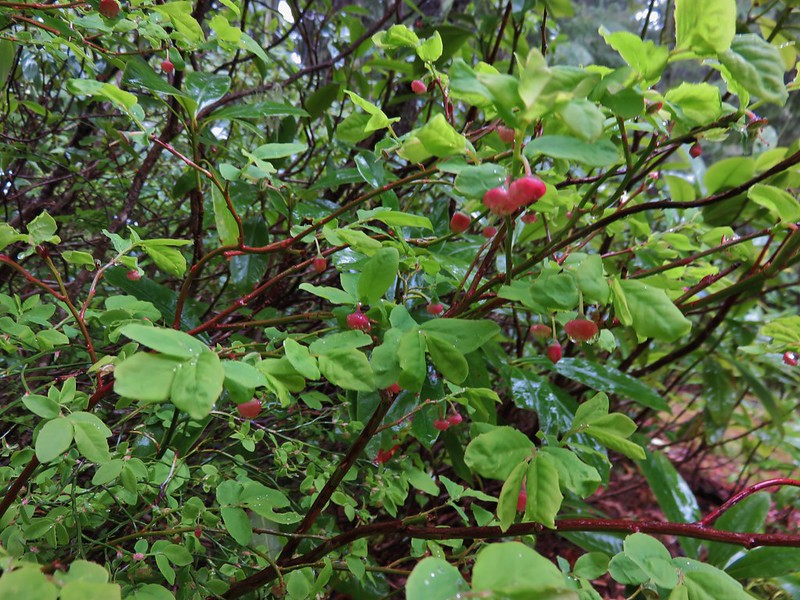
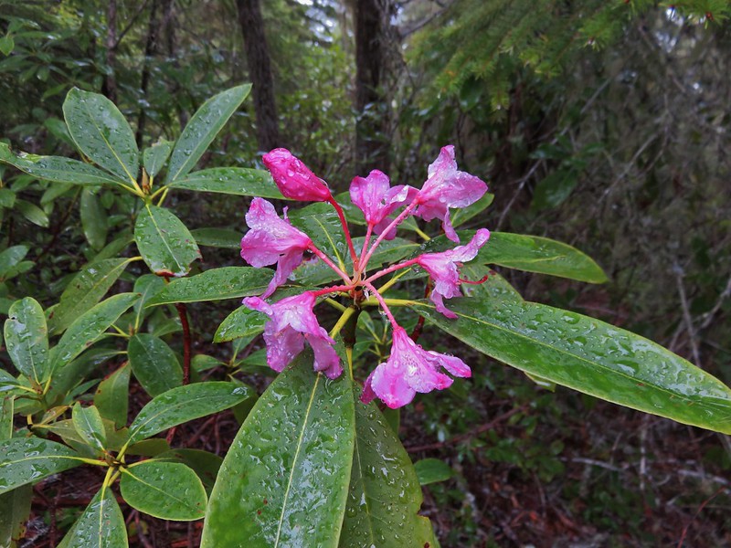
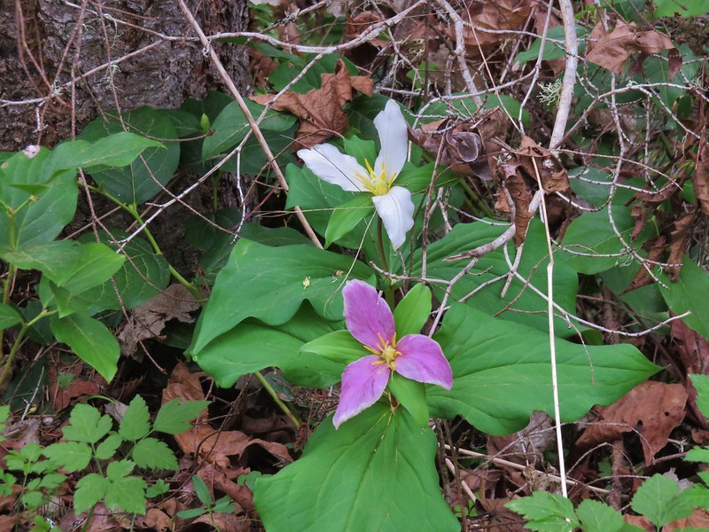
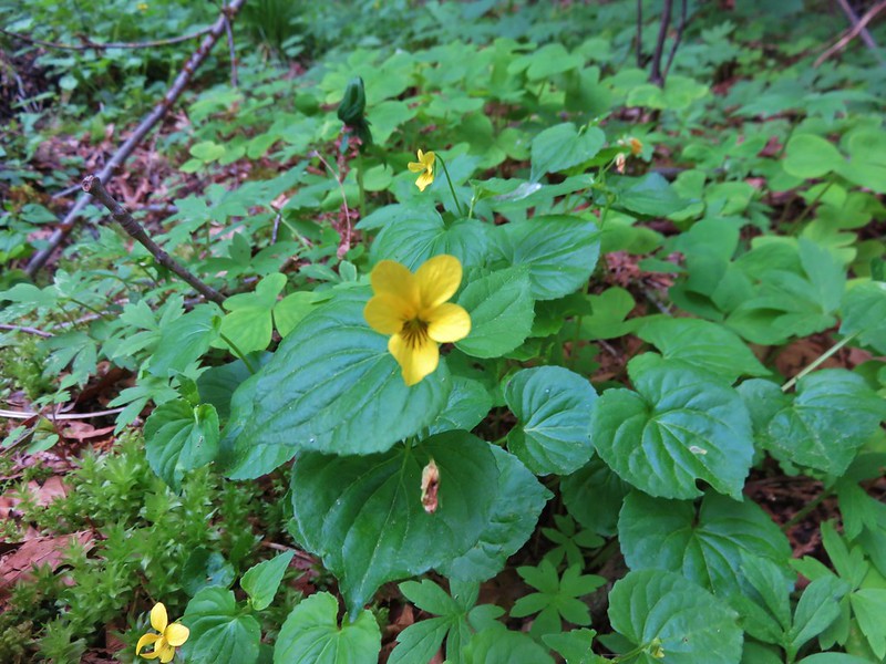
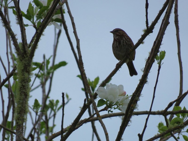
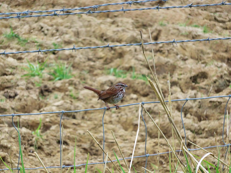
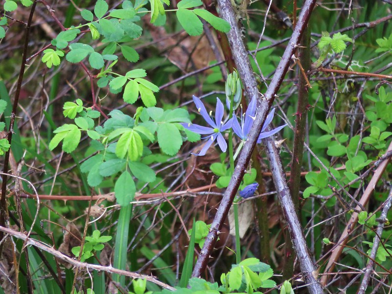
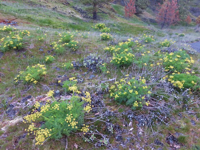
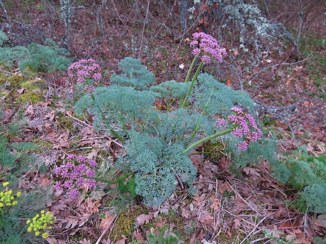
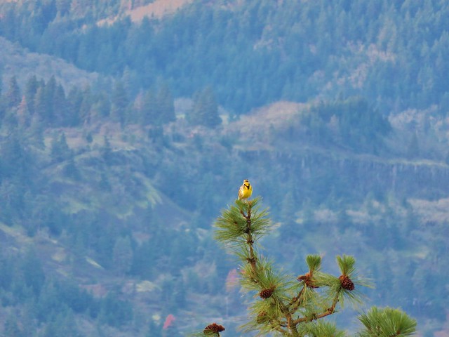
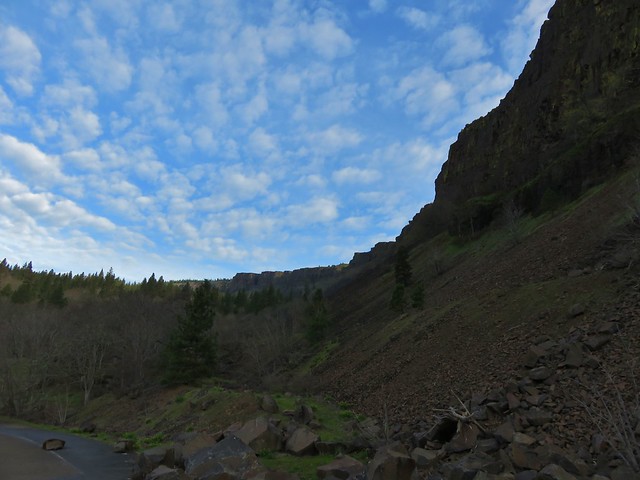
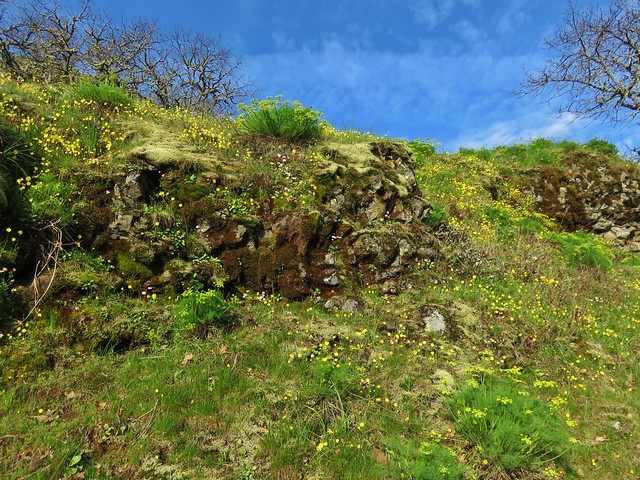
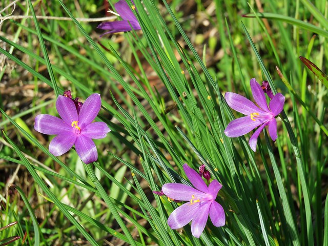
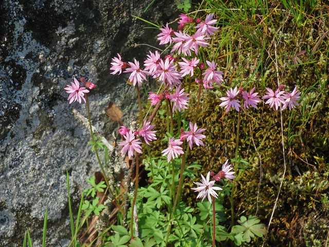
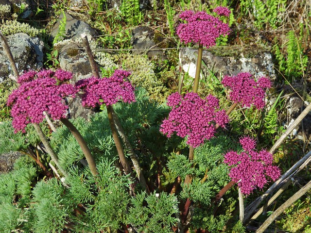
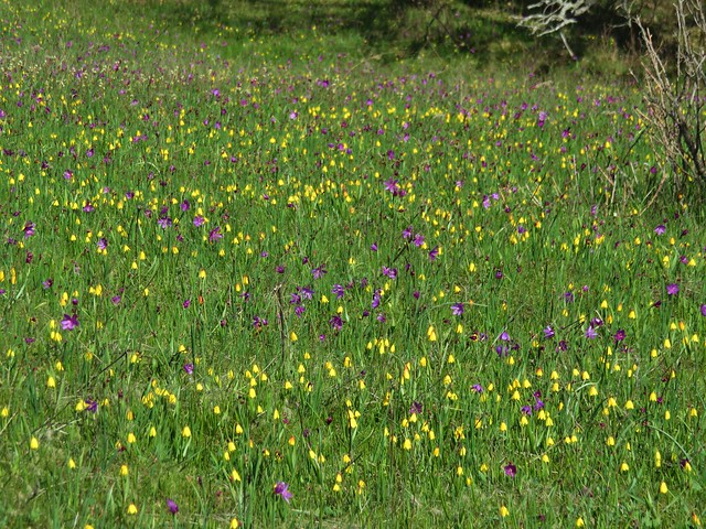
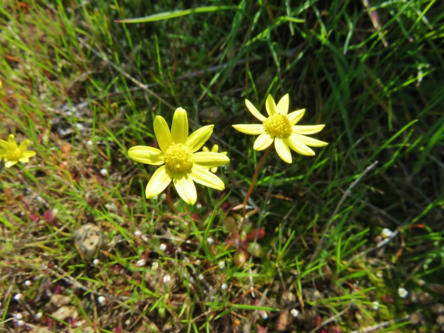
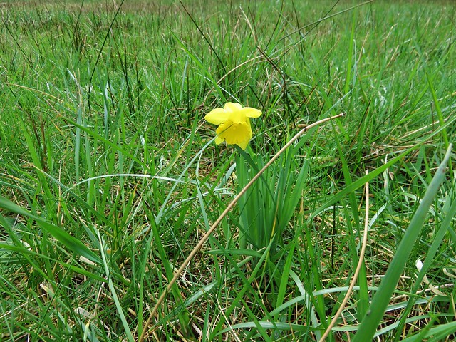
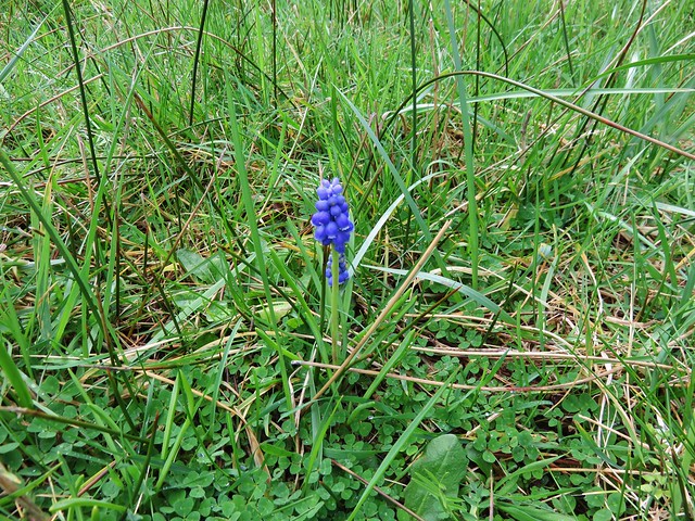
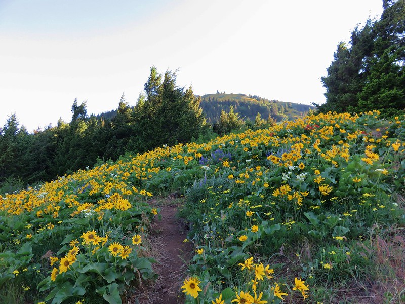
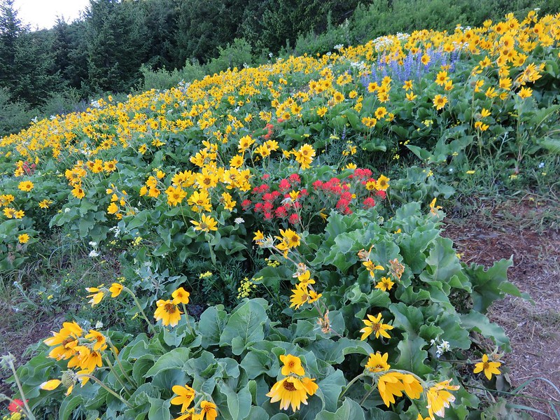
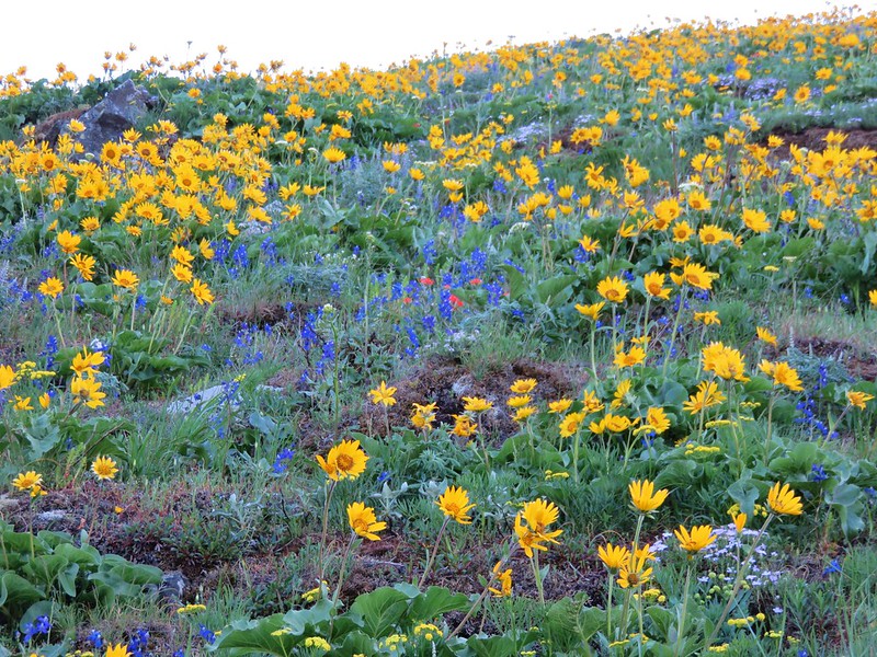
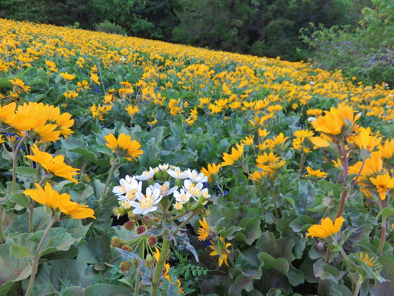
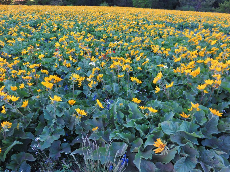
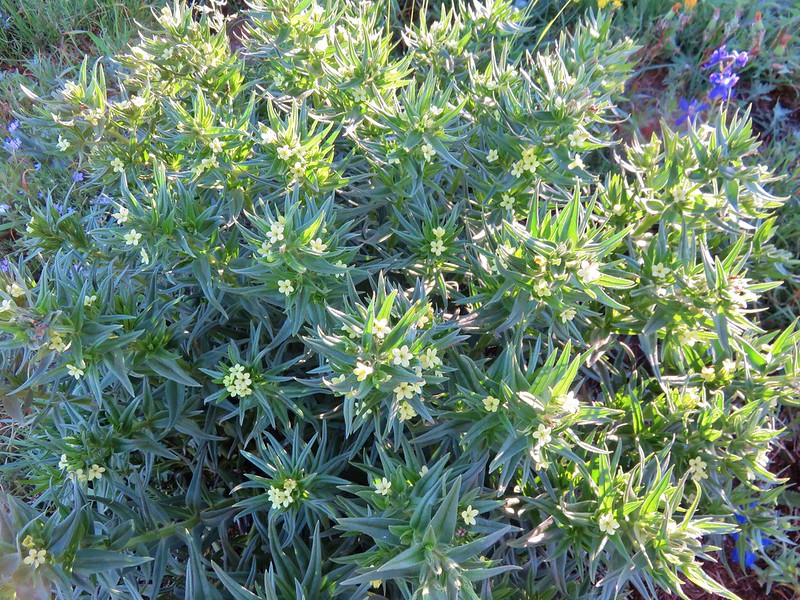
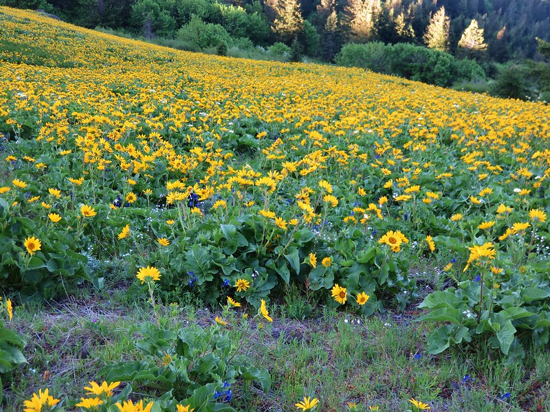
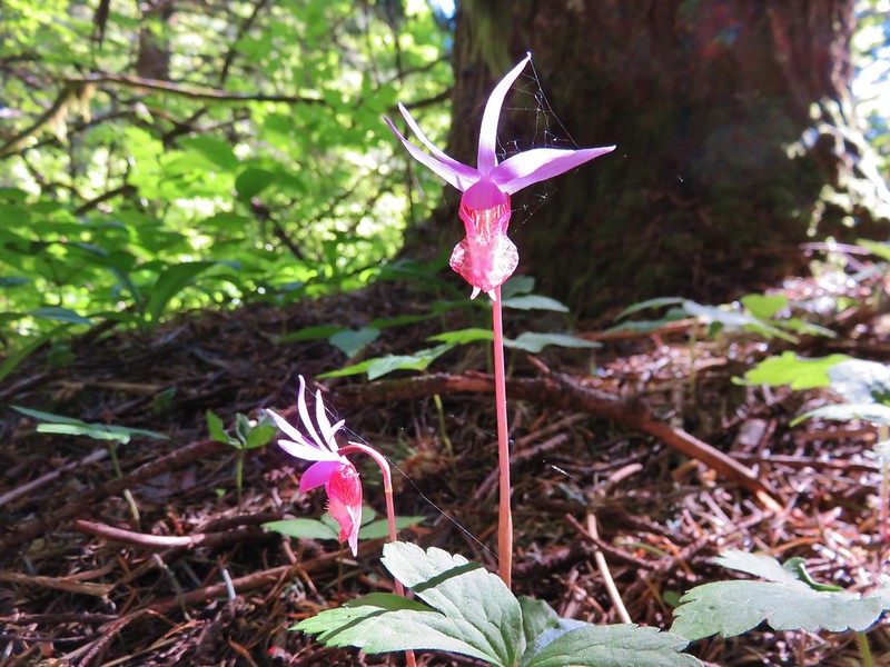
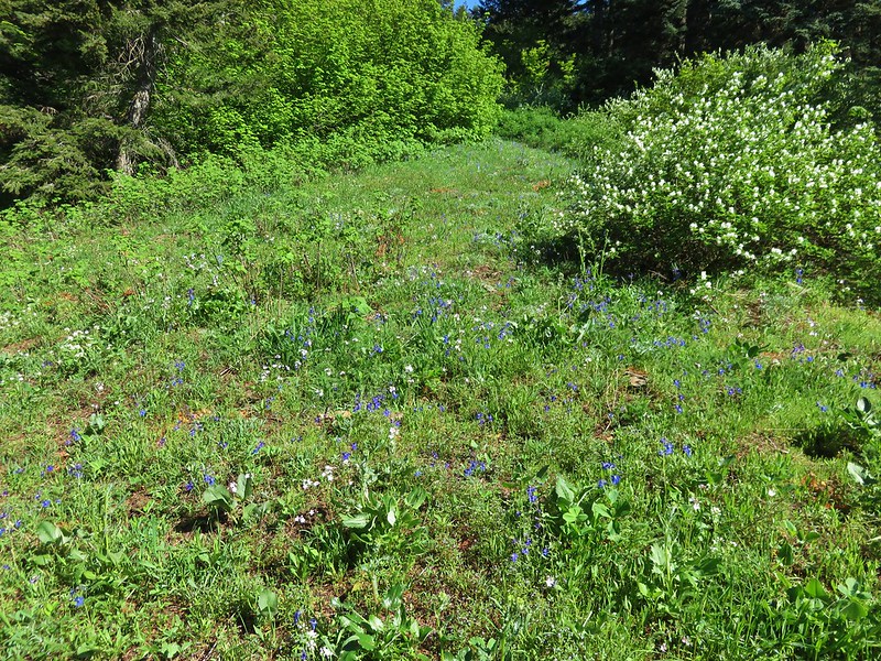
Another 550′ climb over the next half mile brought us to the site of a former lookout at the lower end of Dog Mountain’s upper meadow. The balsamroot painted much of the hillside yellow. Other flowers were mised in adding splashes of red, white, and purple to the color palette.


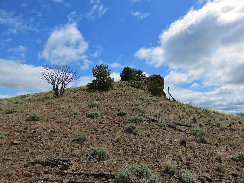
We continued .4 miles from the former lookout site to a signed junction where a .1 mile path led up to the trails high point at the top of the meadow.
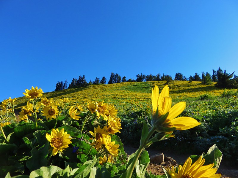


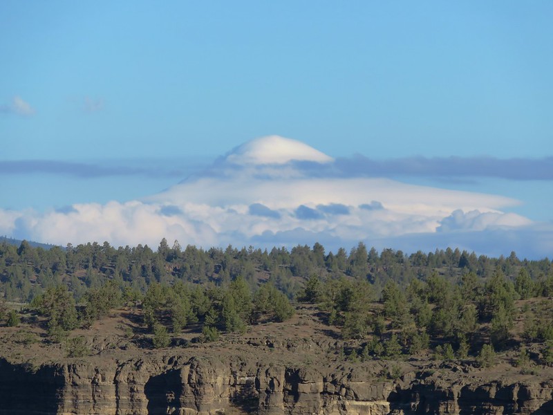
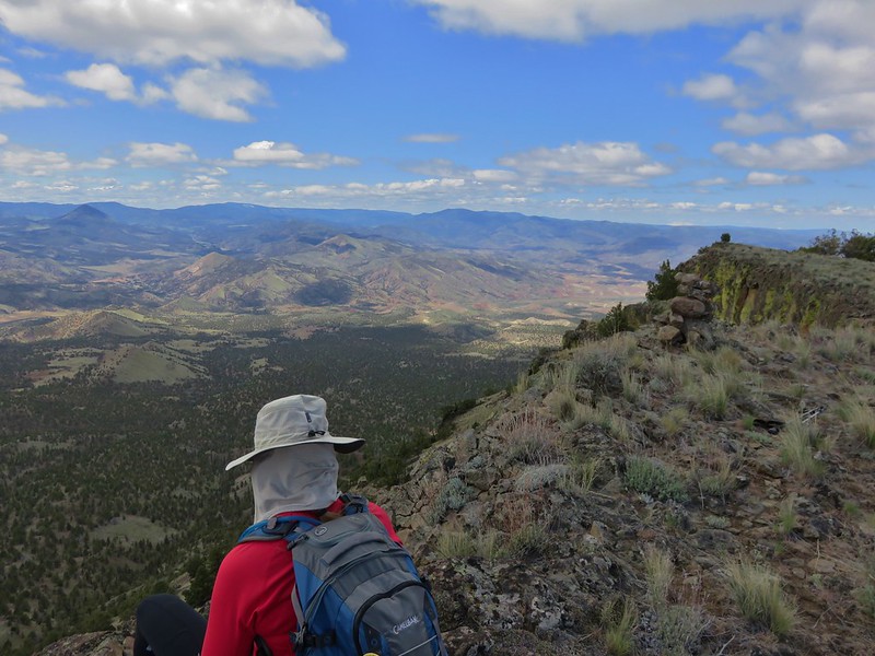
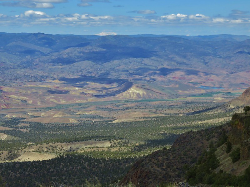
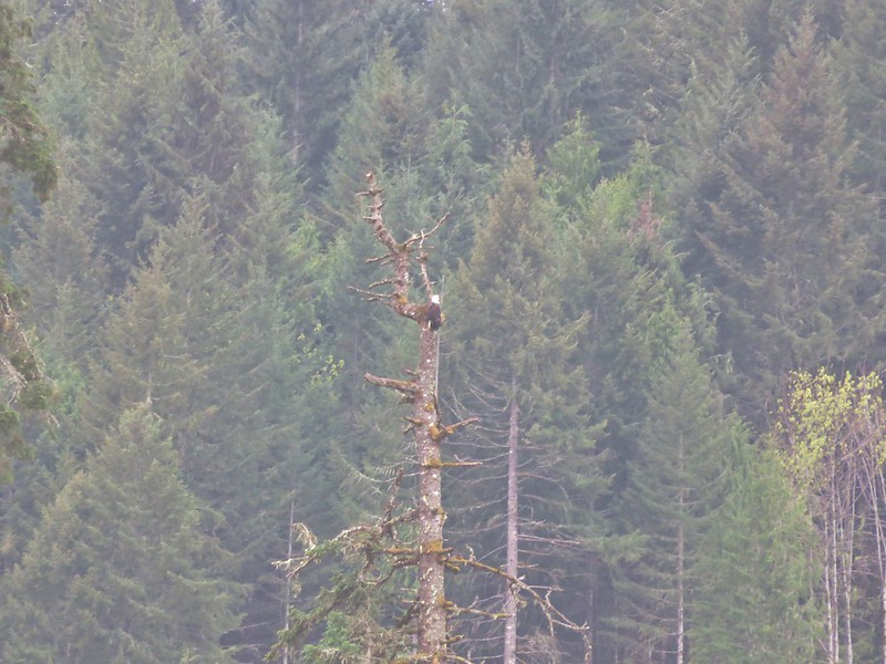
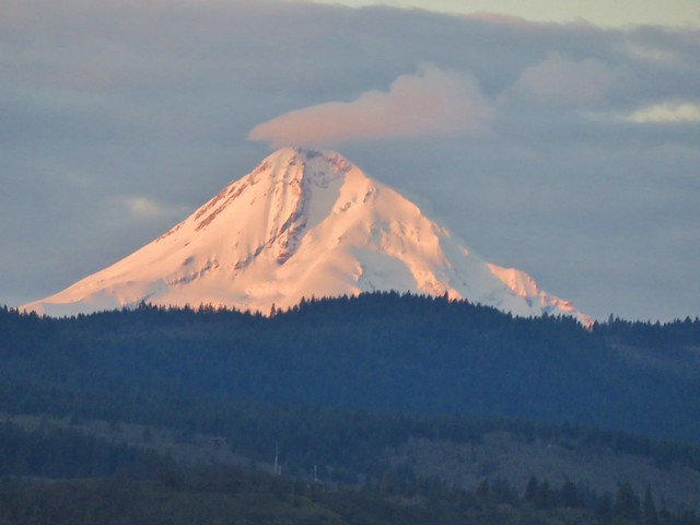
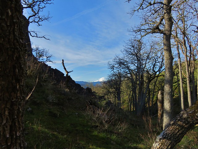
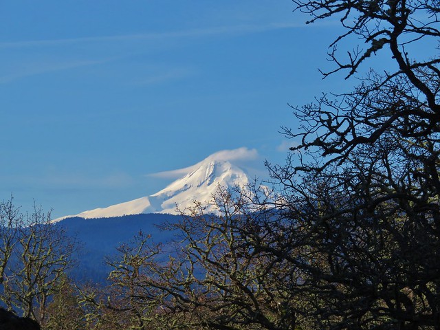
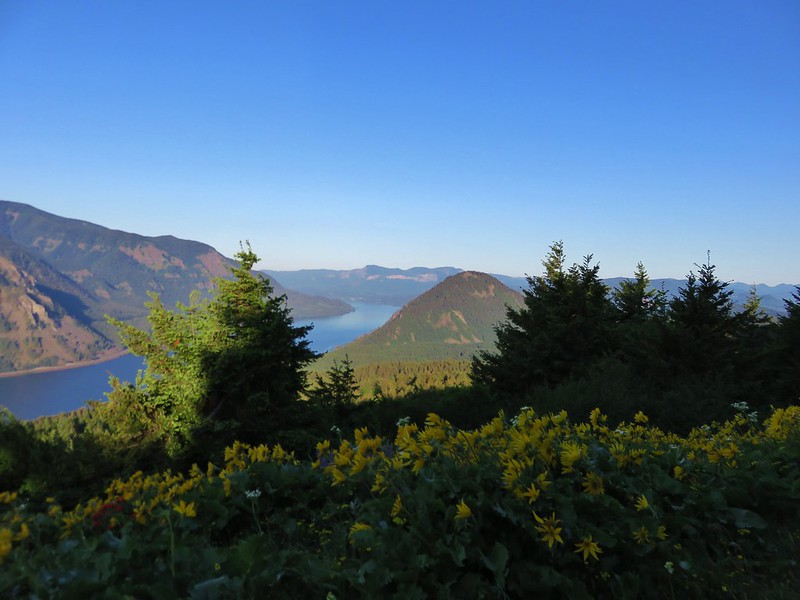
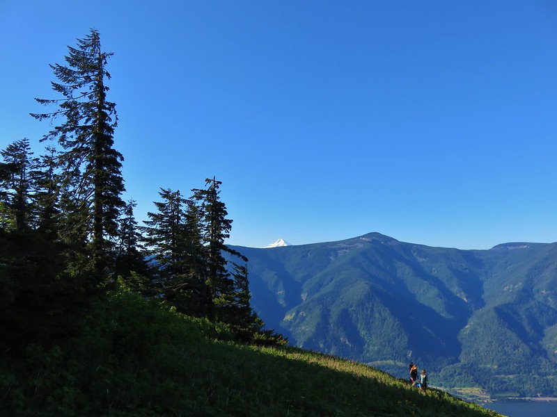
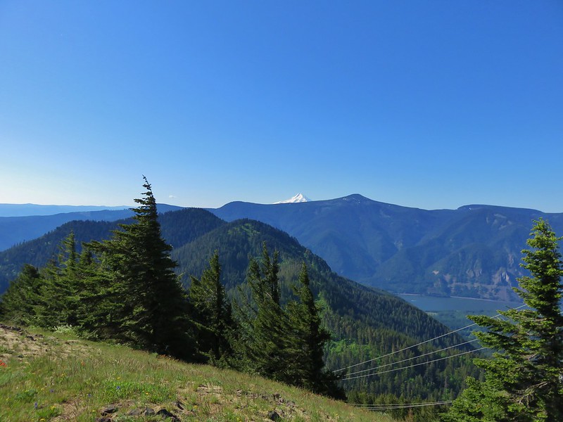
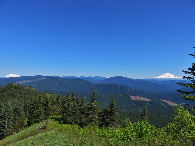
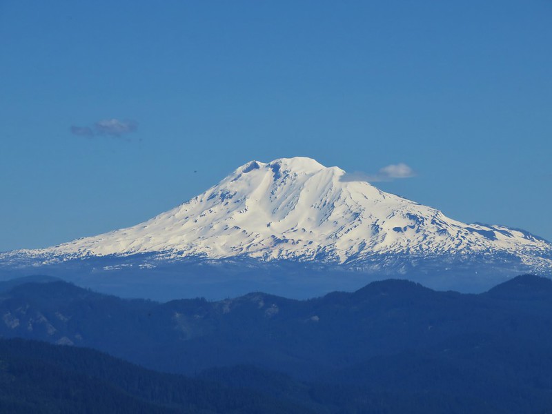
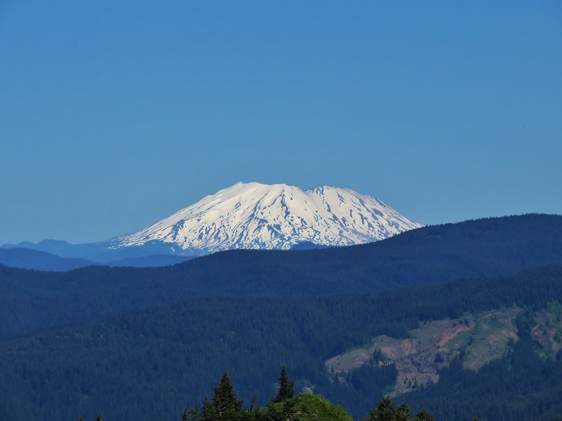
The trail had not been too crowded, but we had already encountered more people in the first three miles than we had on our previous thirty-three miles of trail. It wasn’t the people that chased us from the top of the meadow though, it was the bugs. There was no breeze to keep them down and there were a lot of them including some biting flies. After taking in the view including Mt. Hood and Mt. Defiance to the south and Mt. St. Helens to the west we headed back down to the junction.


We continued on the Dog Mountain Trail another 1.1 miles, passing more wildflowers and fewer people, to its junction with the Augspurger Trail.


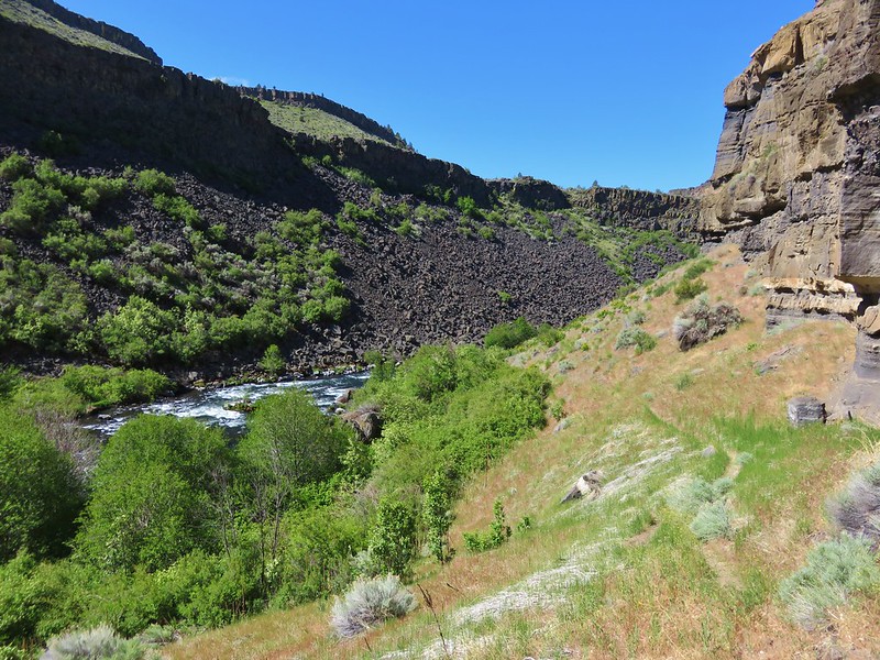
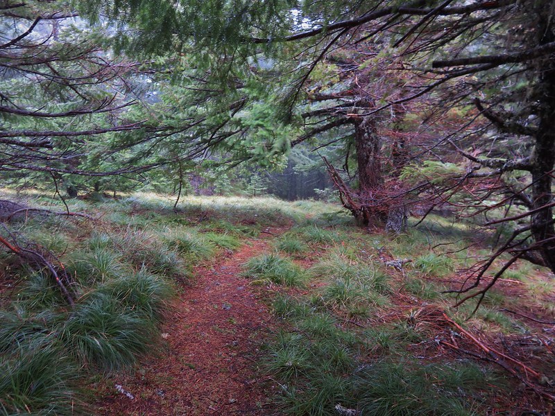
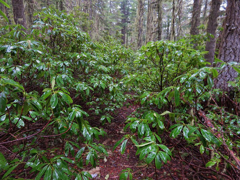
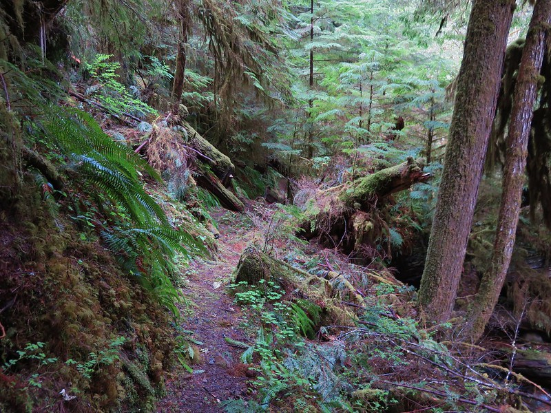
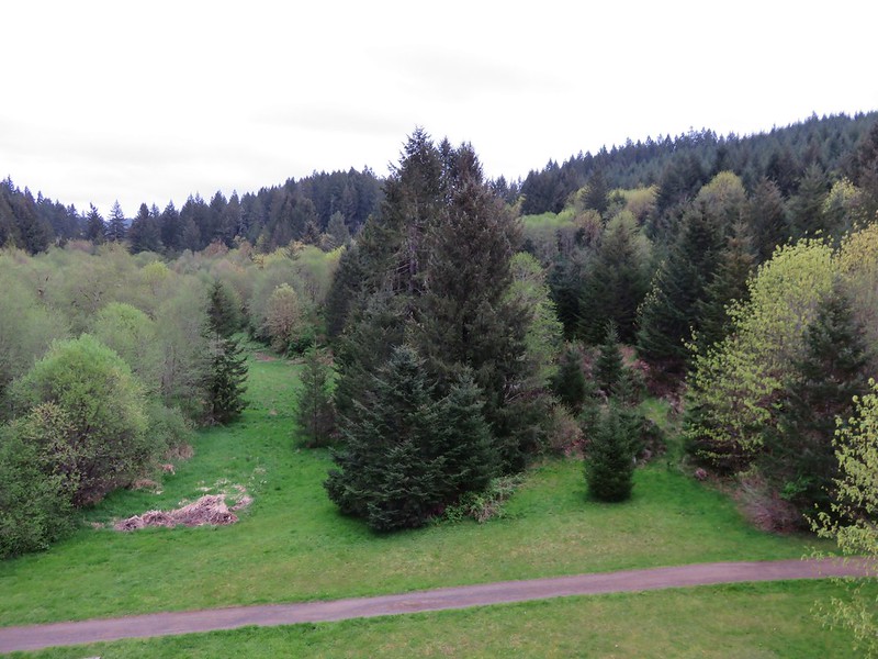
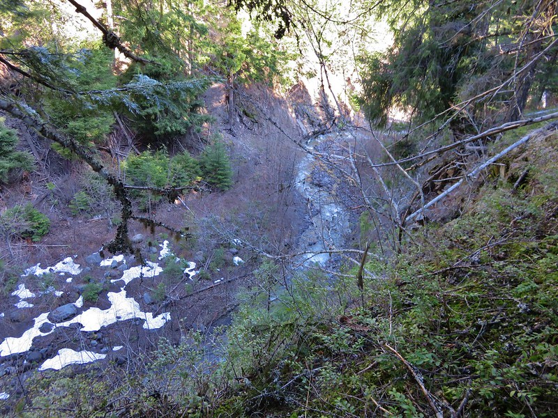
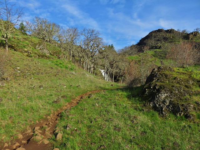
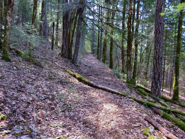
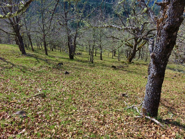
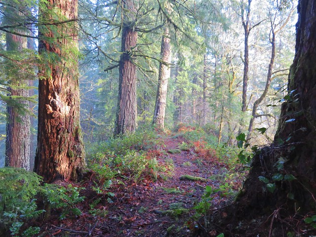
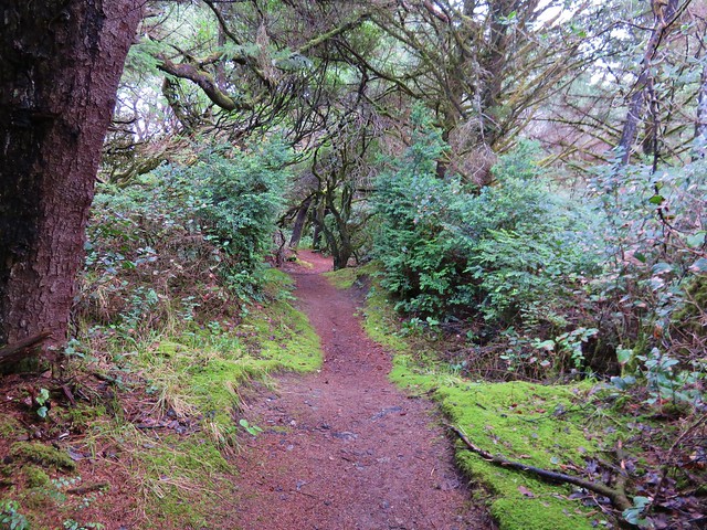
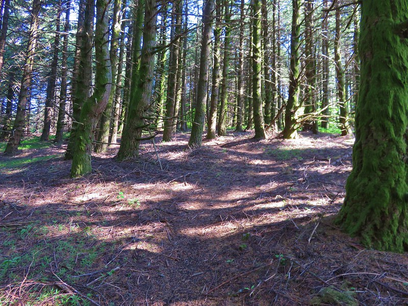
We turned right at the junction and headed for Augspurger Mountain. It was immediately obvious that far fewer hikers used this portion of the trail. Brush crowded the path as it followed a wooded ridge dropping 400′ into a small valley.

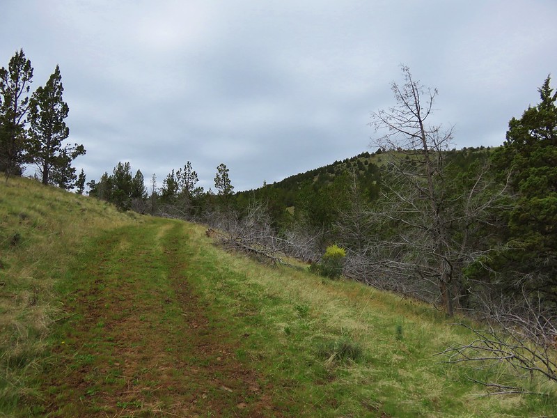
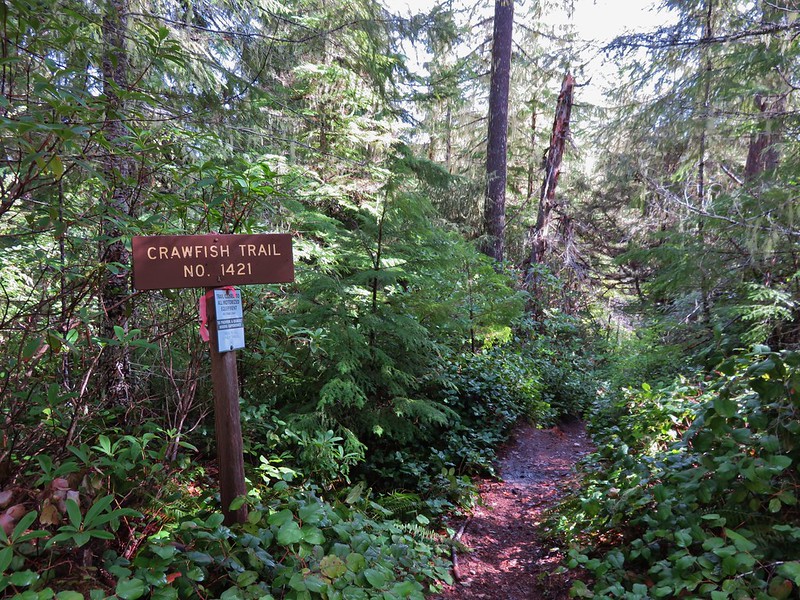
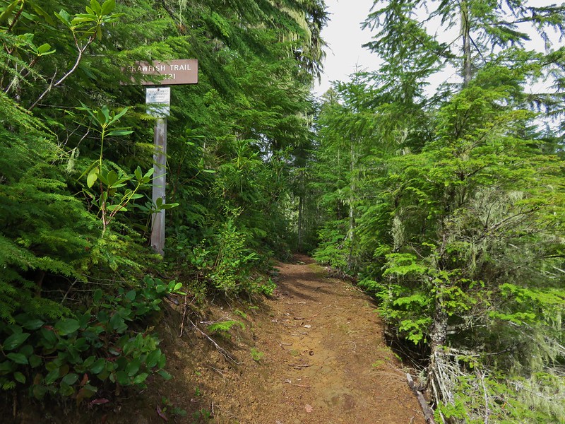
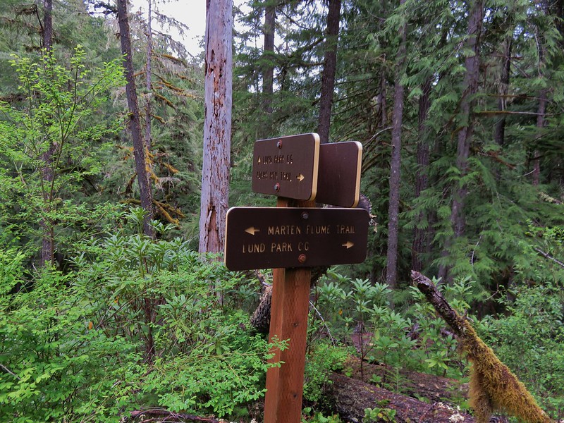
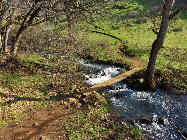
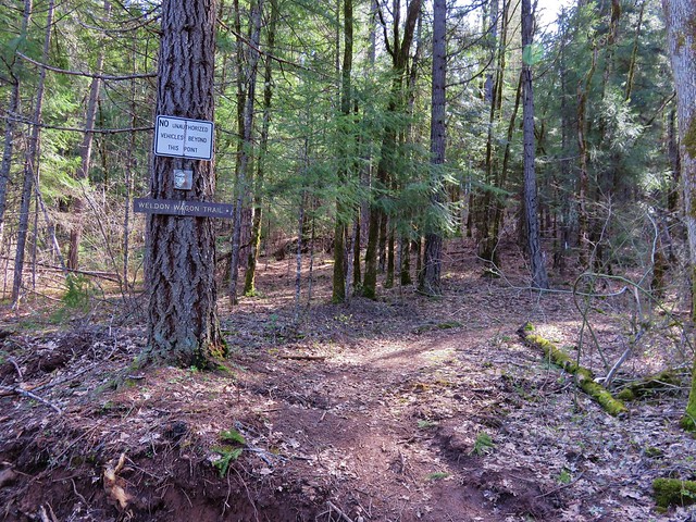
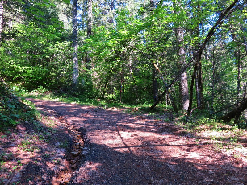
A fairly steep climb on the far side of the valley brought us to a dirt road which we followed uphill to the right. After passing under some powerlines the road reentered the forest. At a sharp right hand turn markers indicated the continuation of the Augspurger Trail.
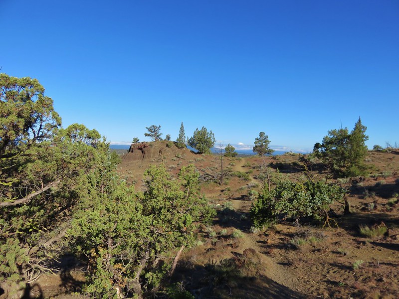
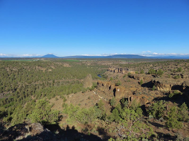
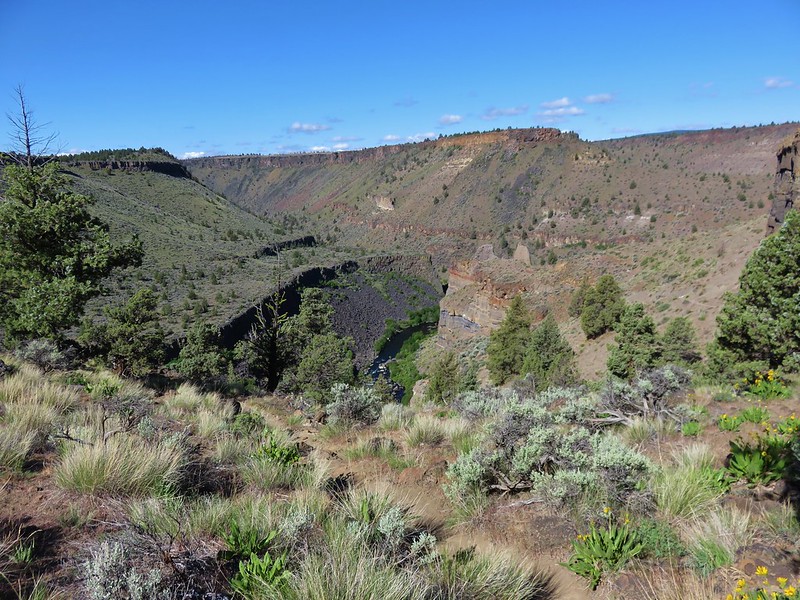
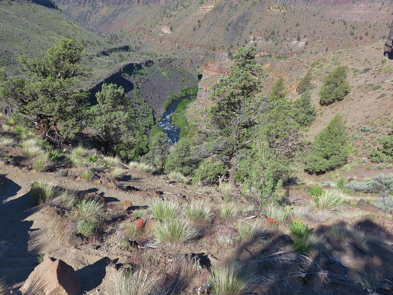
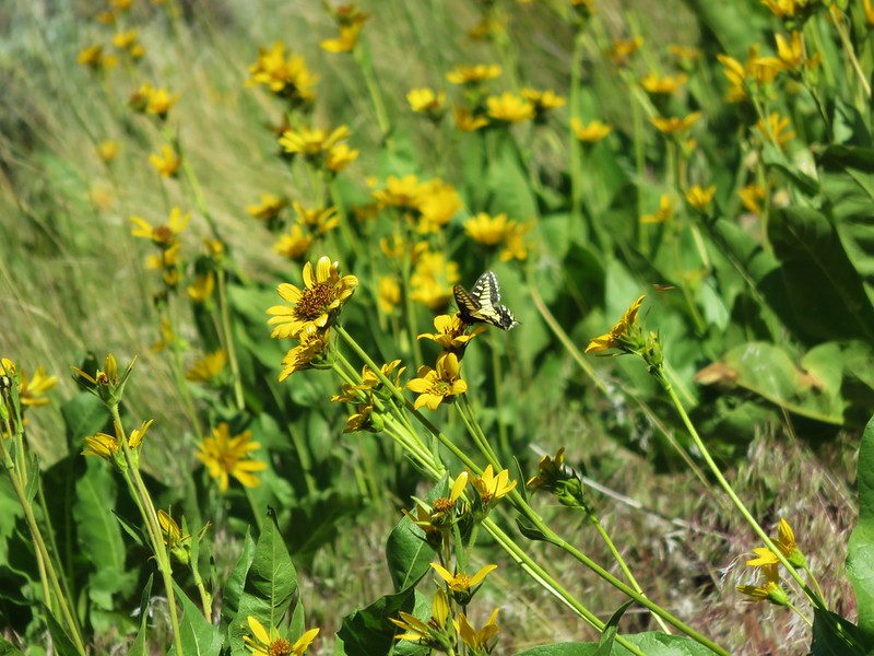
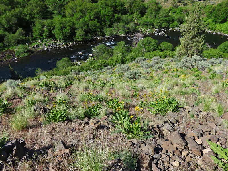
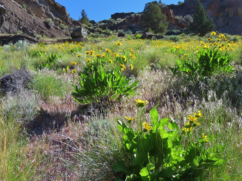
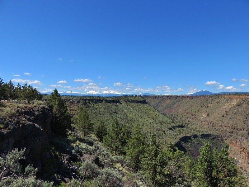
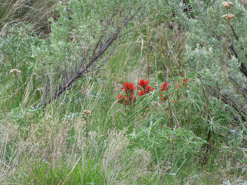
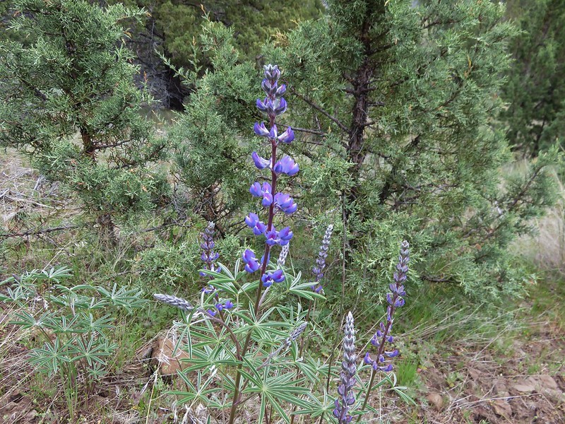
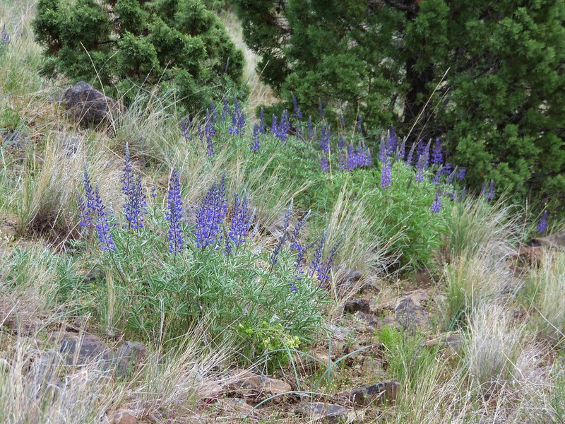
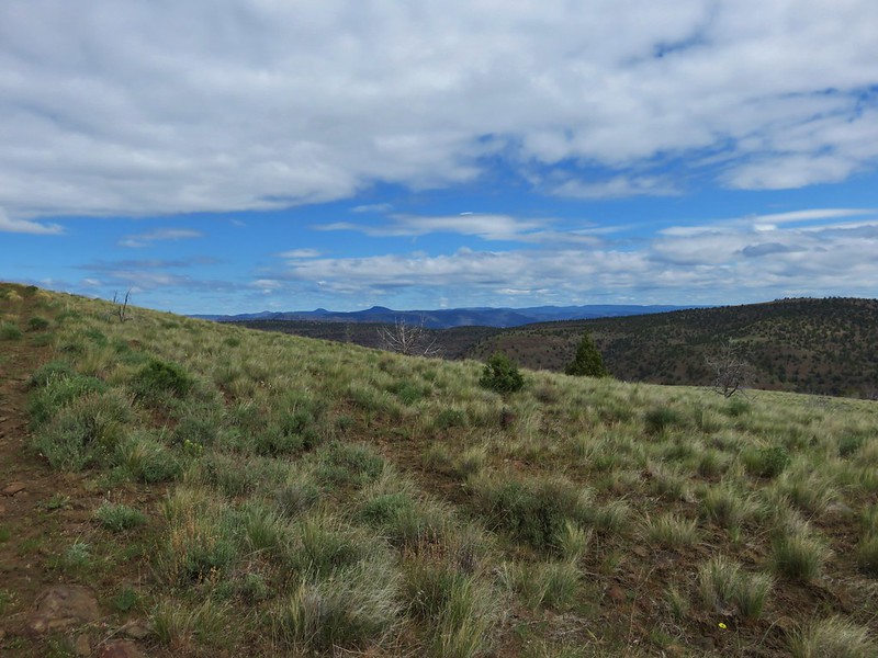
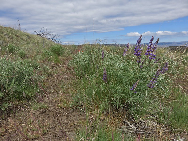
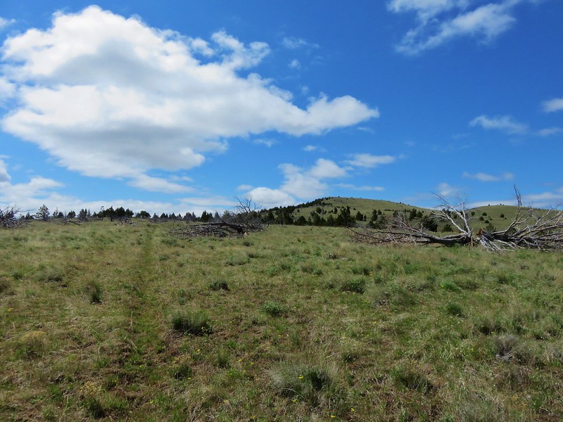
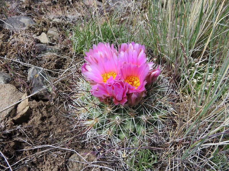
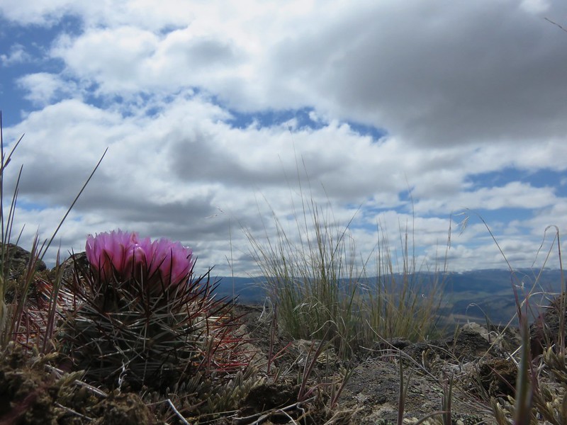
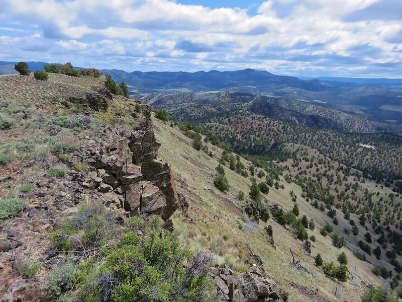
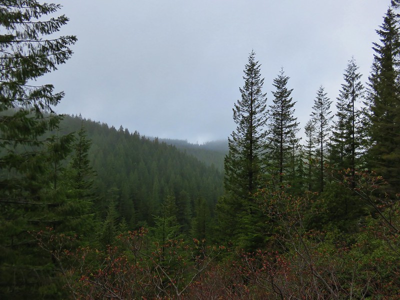
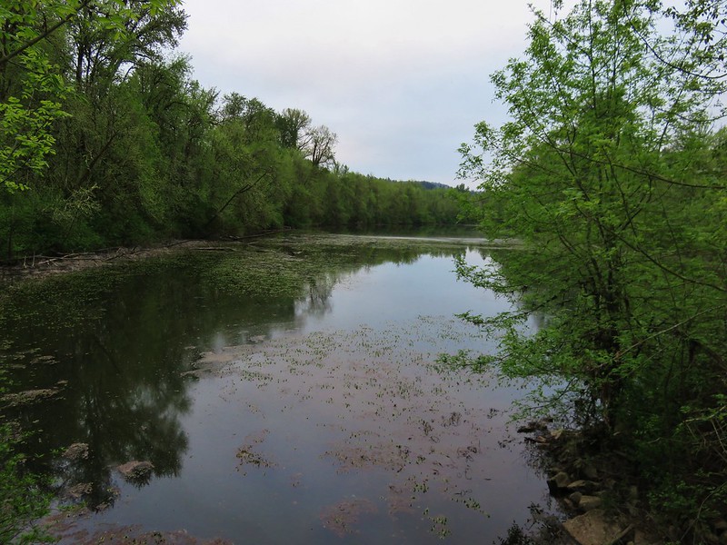
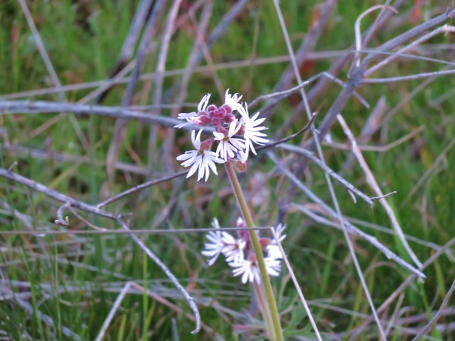
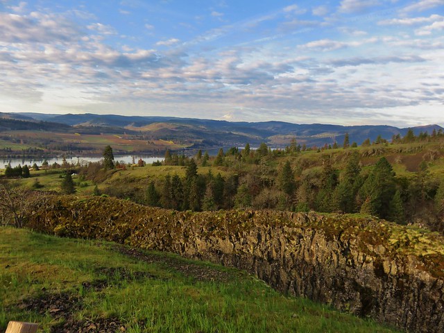
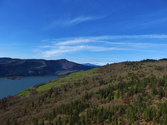
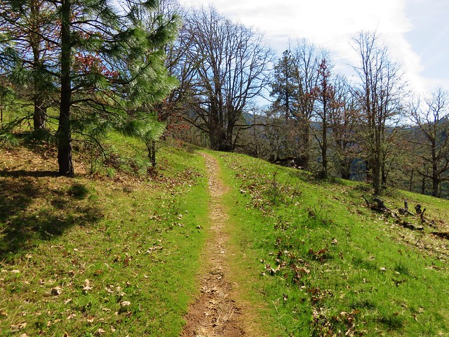
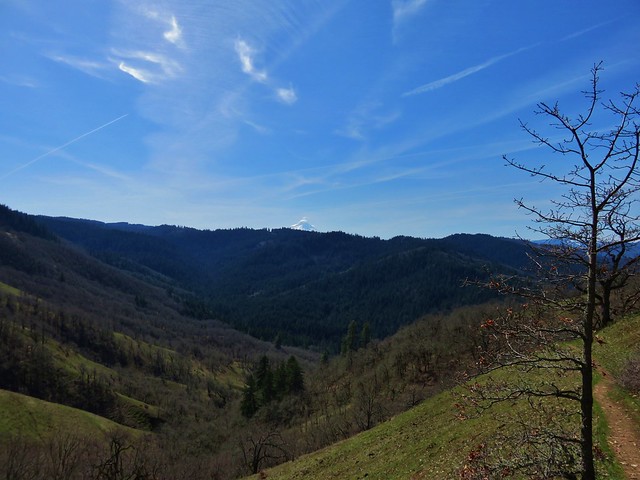
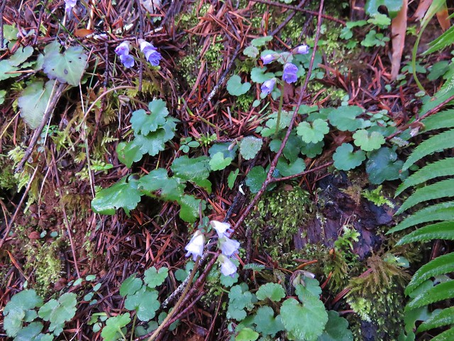
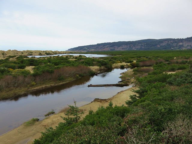
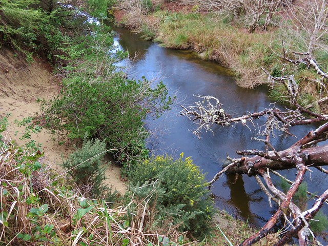
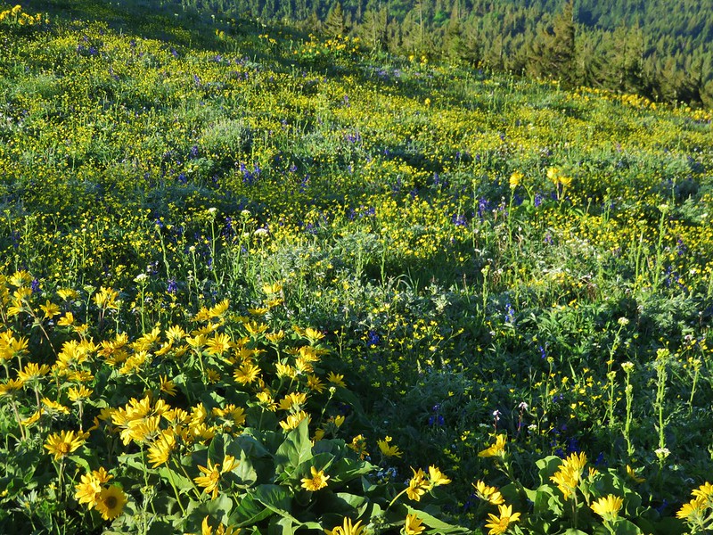
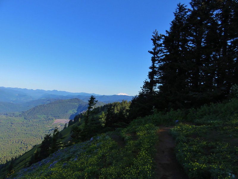
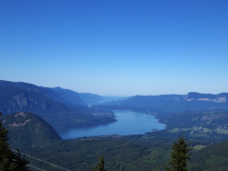
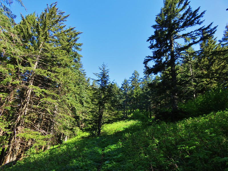
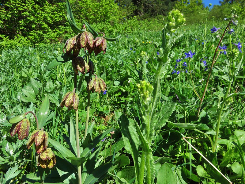
Another half mile of climbing brought us to the first of several small meadows. This one had wildflowers and views back to Dog Mountain and Mt. Hood and to the west down the Columbia River.
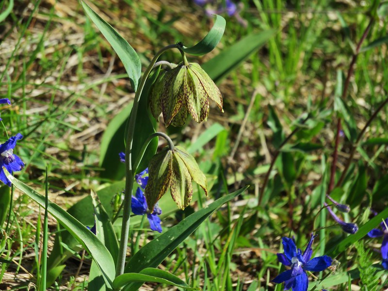

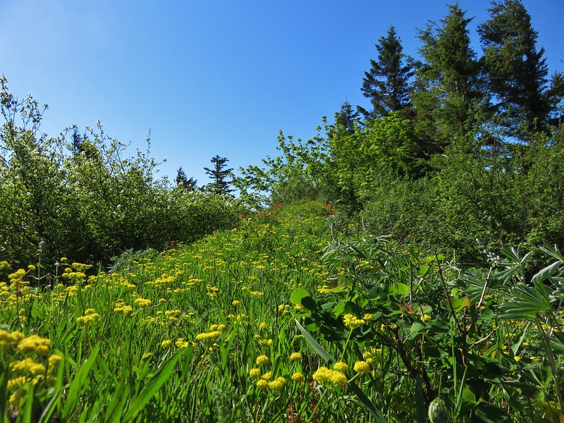
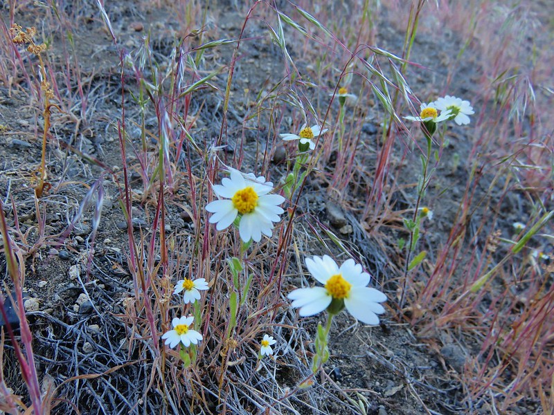
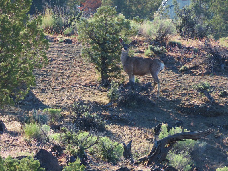
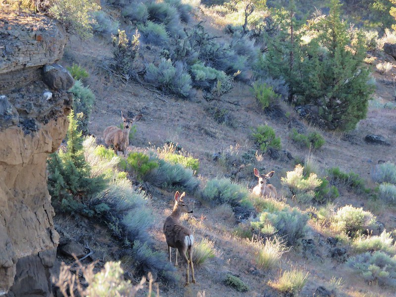
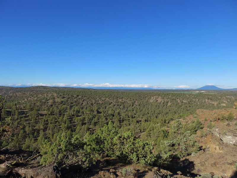
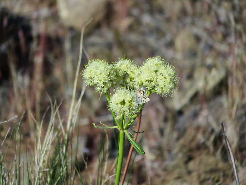
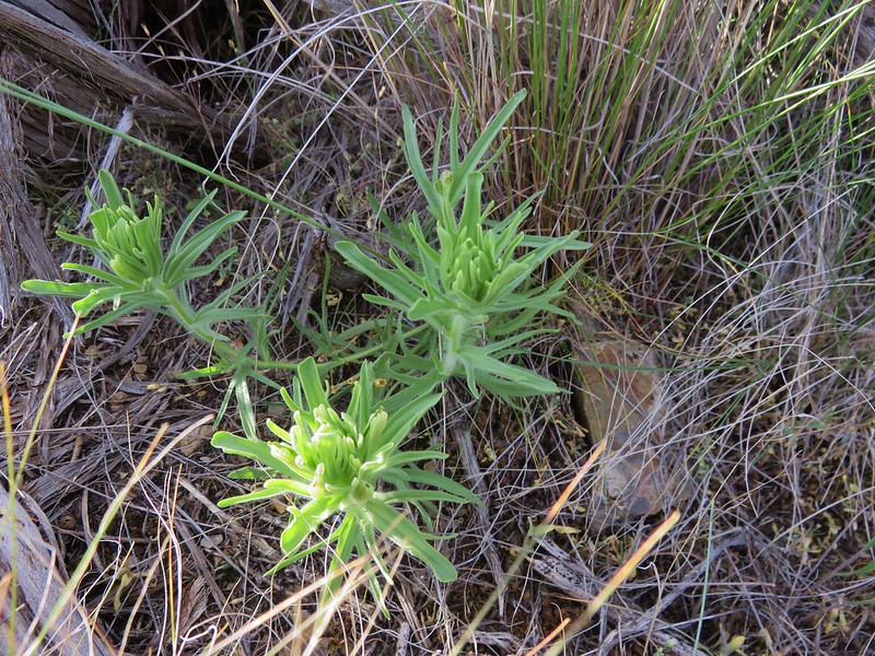
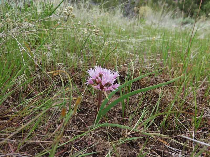
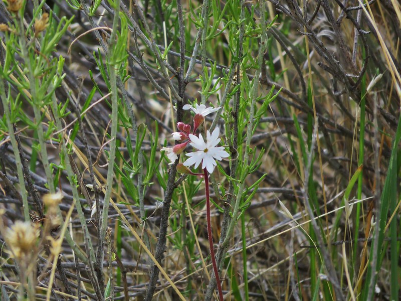
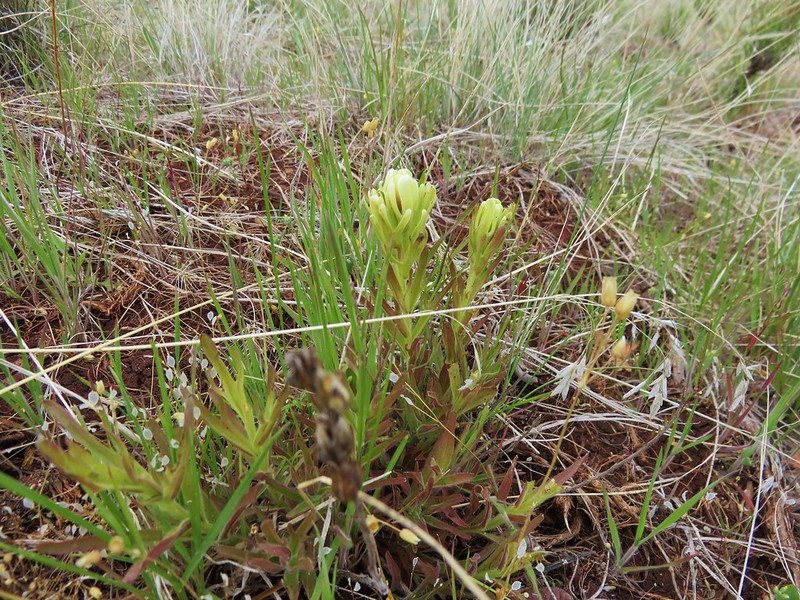
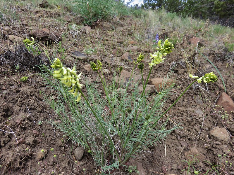
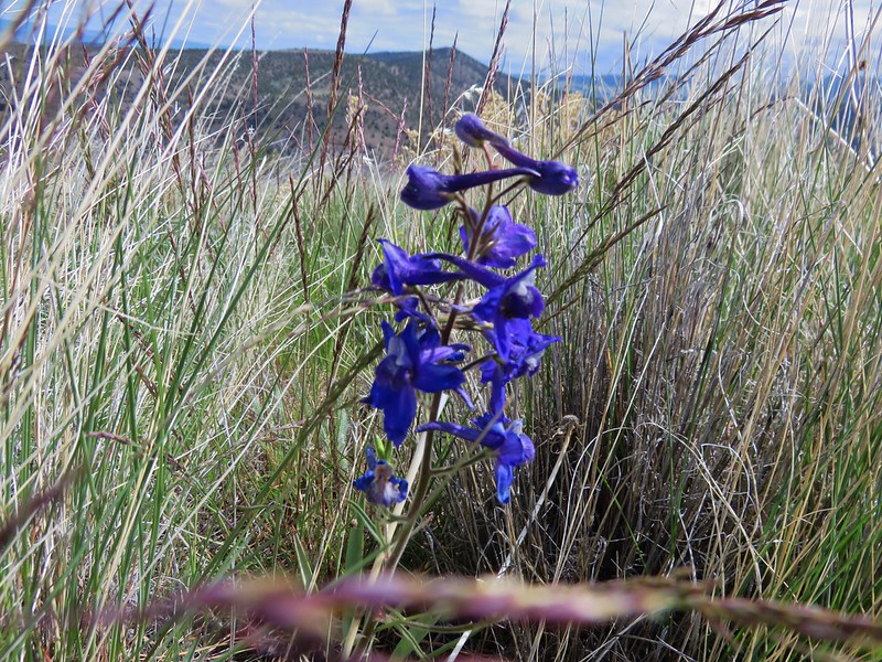
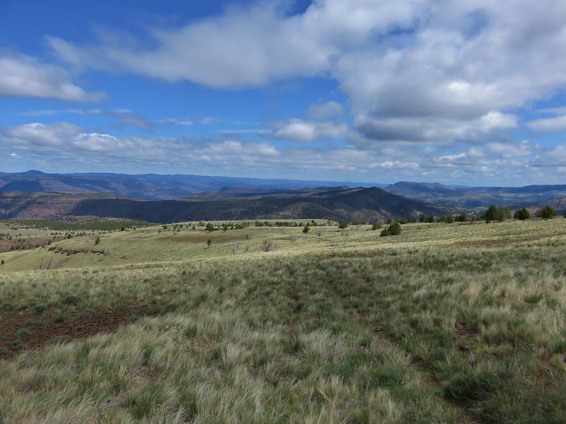
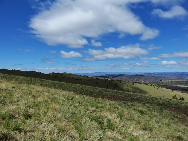
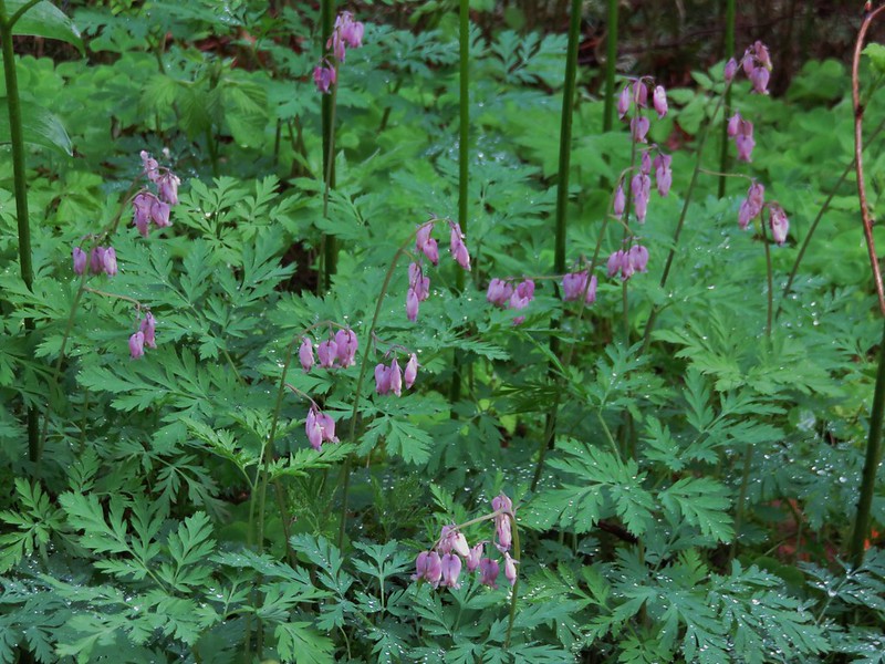
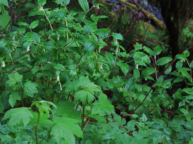
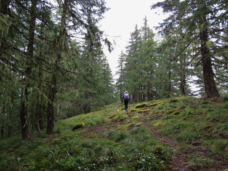
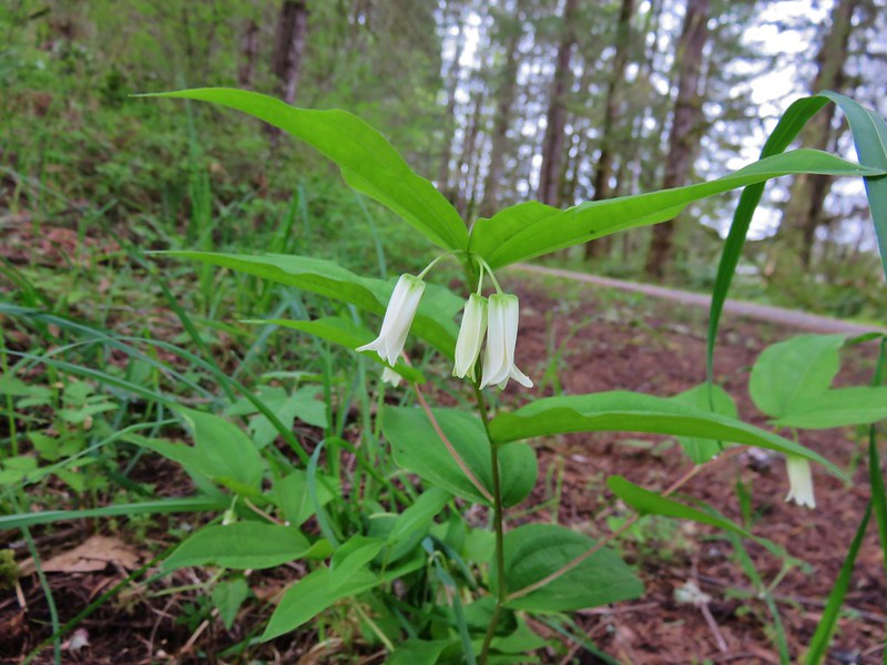
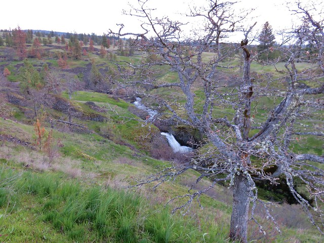
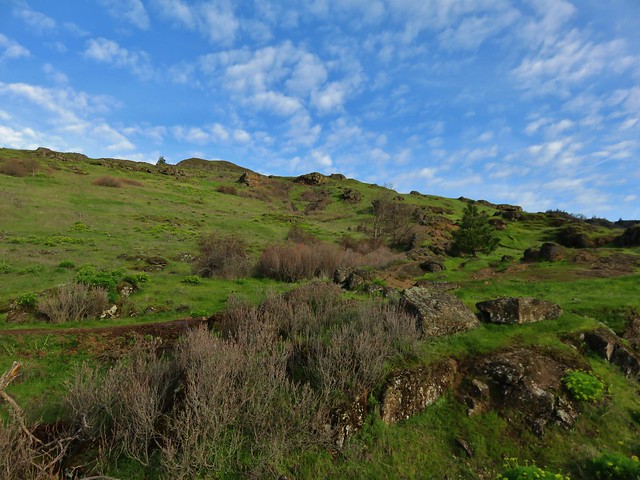
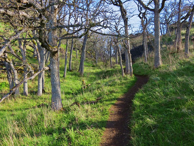
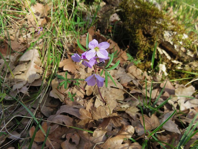
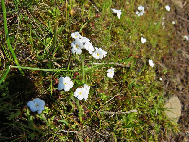
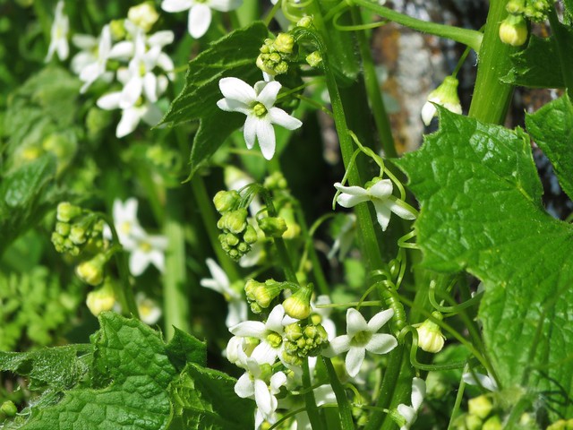
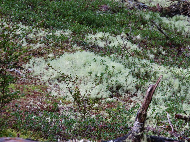
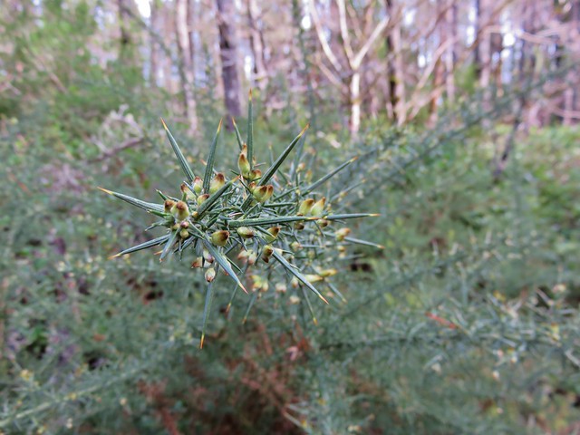
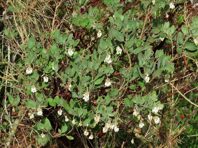
For the next 2+ miles the trail alternated between trees and meadows as it followed a ridgeline up Augspurger Mountain. Each meadow seemed to host a different combination of flowers and plants and the sections of forest all had different feels to them.

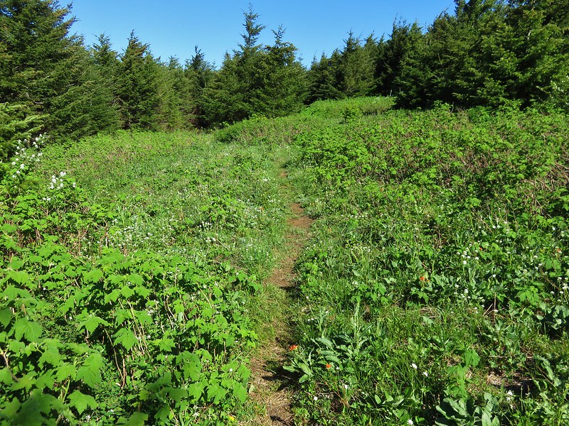


We momentarily lost the trail in the final meadow near the top of the mountain. Between some downed trees and new growth it was hard to tell where the trail was. I thought I had found it leaving from the right side of the meadow but quickly lost an sign of it in the trees. We went back to the meadow and picked up a faint but clear path heading to the left out of the top of the meadow.

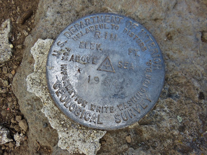
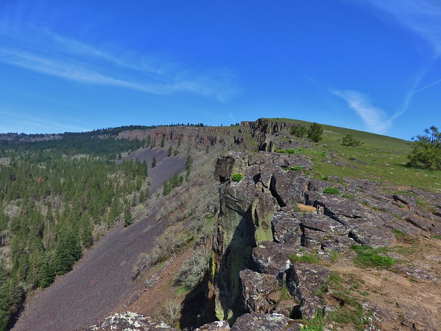
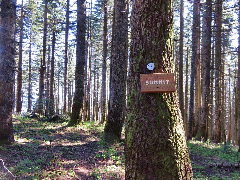
We followed this path into the trees. We were passing below the summit of Augspurger Mountain when we spotted a “summit” sign on a tree above us to the right. We headed uphill to tag the summit before continuing.
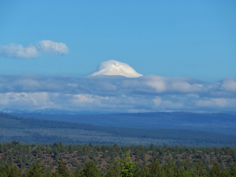
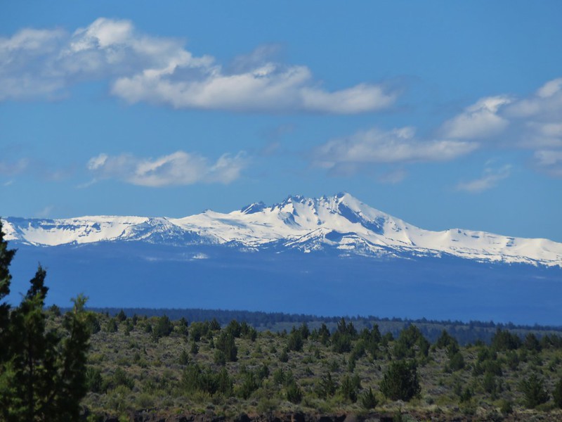
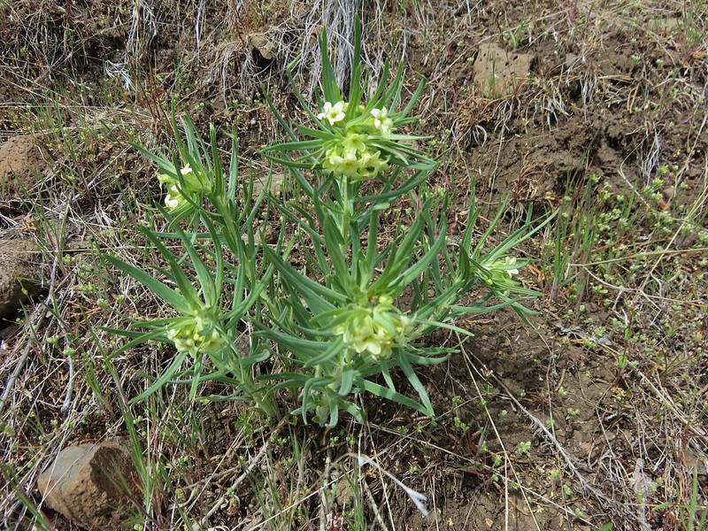
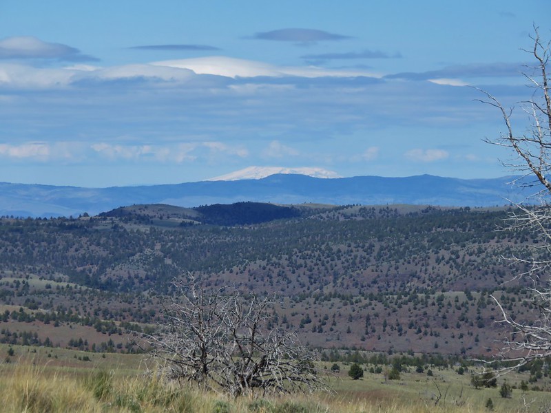
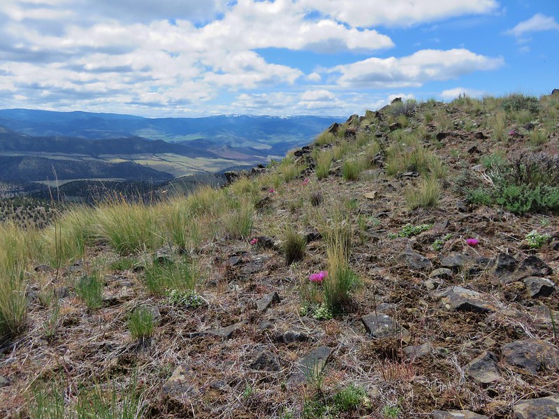
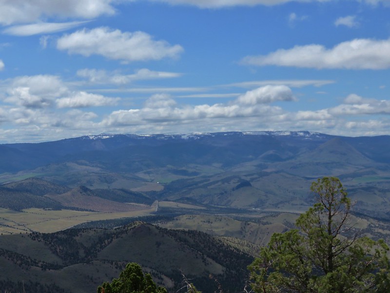
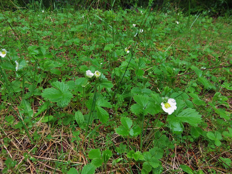
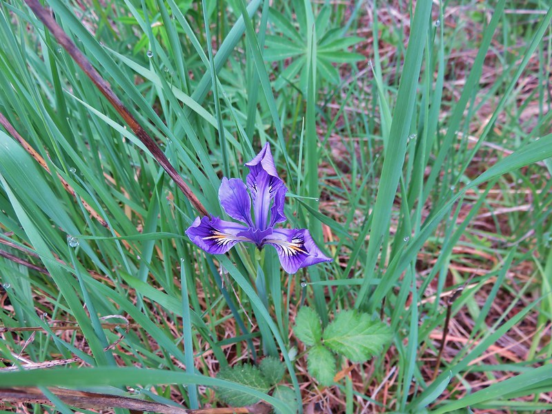
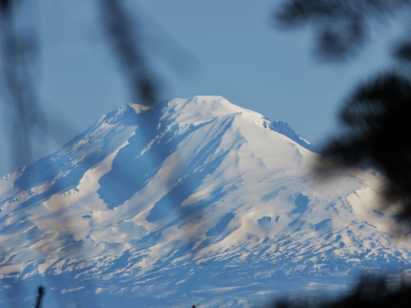
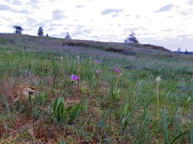
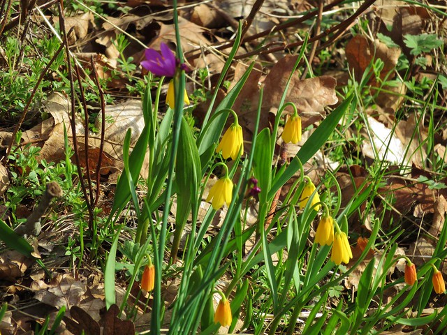
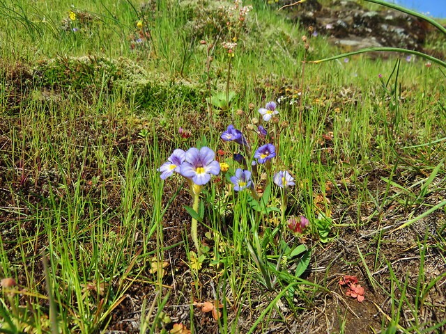
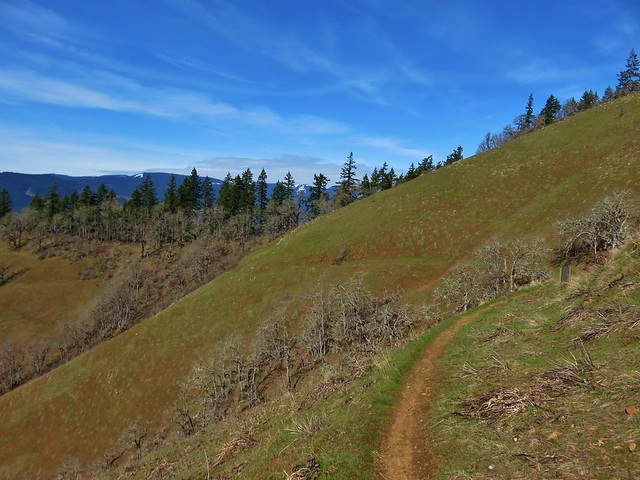
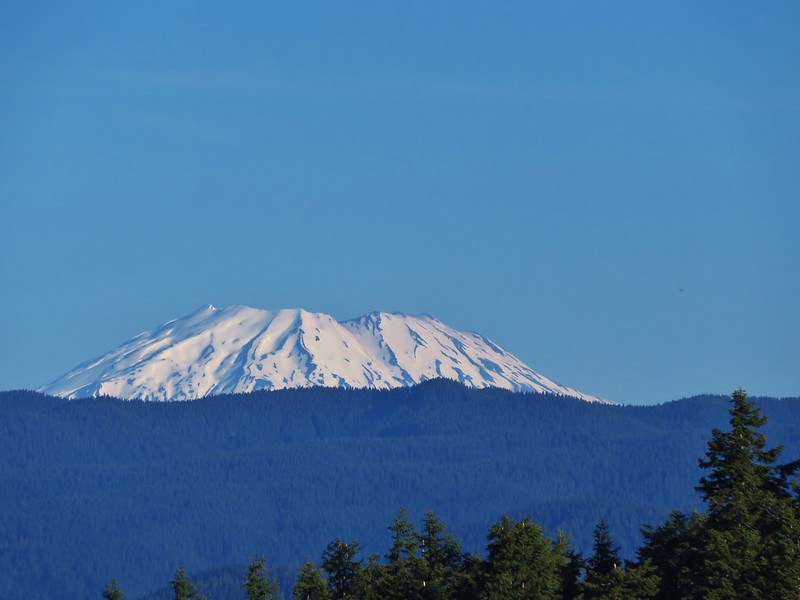
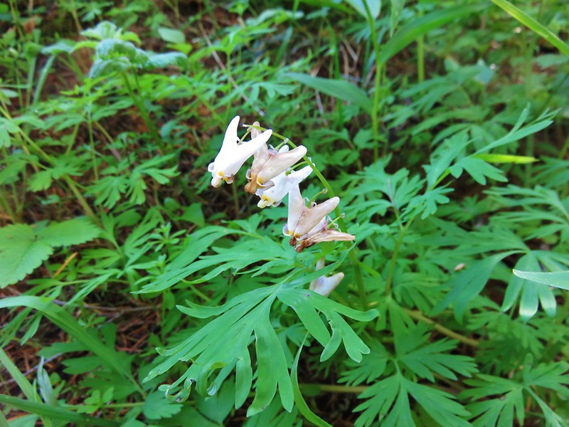
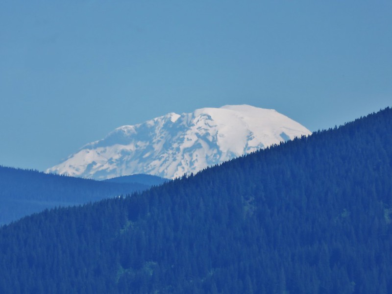
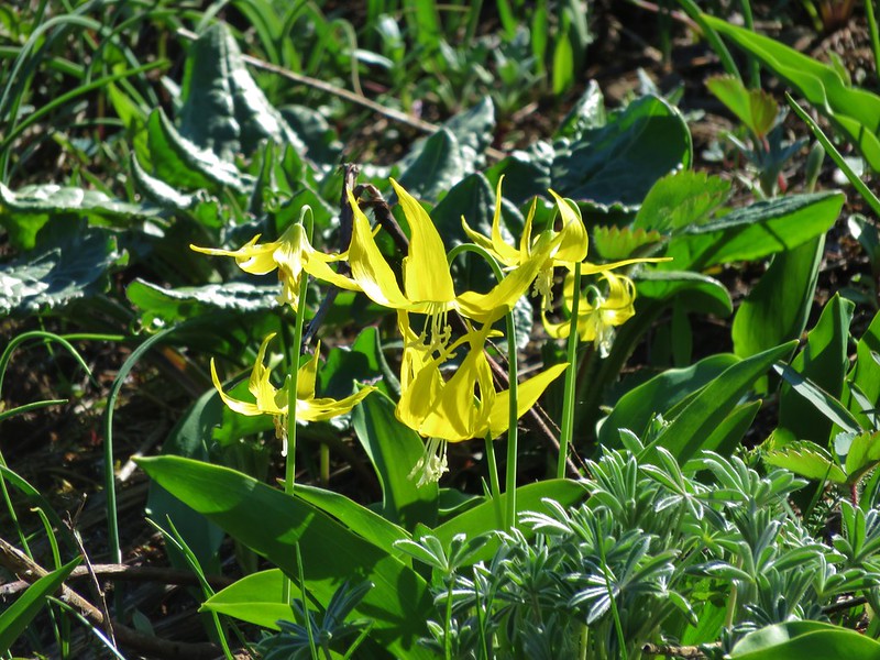
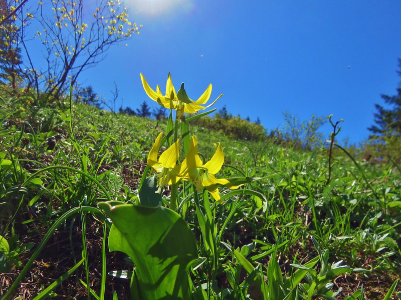
The path then began to lose elevation and entered another long meadow. This meadow provided views of Mt. Adams and Mt. Rainier in addition to Mt. St. Helens and also contained a fair amount of glacial lilies.
The one constant in all the meadows we’d been through was the bugs. The trail continued faintly down through the meadow which we could have followed down another couple of tenths of a mile, but we didn’t really want to have to regain any more elevation than we were already going to need to so after a brief rest we began our return trip.

We ran into two other groups of hikers along the Augspurger Trail on the way back to the Dog Mountain Trail junction. There was a good deal of traffic on the final 2.8 mile stretch from the junction down to the trailhead, most of which was headed in our same direction. The parking lot was packed when we arrived back at the trailhead a little after 1pm and people were walking along the highway to cars they had parked along the shoulder. We had managed to get the wildflower and mountain views that had eluded us in 2014 and now we’ll leave Dog Mountain for others to enjoy. After all there are plenty of less popular trails we have yet to explore and even though they may not have the wildflowers to rival Dog they’re all worthy of a visit. Happy Trails!
Flickr: https://www.flickr.com/photos/9319235@N02/albums/72157668107094945