It’s hard to believe that it’s already time to recap our 2016 hiking year, and what a great year for hiking it turned out to be! I spent our off-season (Nov-Apr) putting together a 7 year plan (yes I have an issue) to help us achieve two of the goals we’ve set for ourselves. One is to hike each of the featured hikes in each of William L. Sullivan’s five “100 Hikes/Travel Guide” books and the second is to visit each of Oregon’s 45 designated wilderness areas. (There are 47 but the Oregon Islands and Three Arch Rocks Wilderness Areas are off-limits.) In previous years I had only put together a schedule for the upcoming year, but by looking further ahead I was able to make sure we weren’t going to miss any hikes and they were scheduled at what should be good times to visit. We also now had a handy list of options, laid out by the best times to visit, to pick from if we needed to change plans for any reason. The schedule remains a work in process but as it stands today we will finish visiting all the wilderness areas with Grassy Knob in 2022 and 460 of the 500 featured hikes in Sullivan’s books by the end of 2023. The remaining 40 hikes are too far away for day trips so they are incorporated into vacations that will need to happen further down the road.
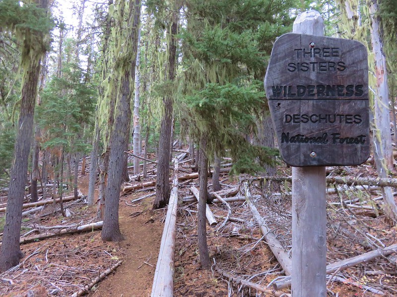
The first draft of our 2016 hikes was completed on 12/18/15 and consisted of 57 days worth of hikes totaling 624.4 miles. History had shown that those numbers (and the hikes themselves) would change as the year played out, but it was a solid starting point. That again proved to be the case as 10 of the original hikes were swapped out for others and 4 additional hikes were added, and the total mileage rose by over 150 miles to end at 792.8. We visited 8 wilderness areas for the first time knocking 7 more off the Oregon list. They were the Oregon Badlands, Kalmiopsis, Menagerie, Eagle Cap, Mountain Lakes, Sky Lakes, and Lower White River Wildernesses in Oregon and the Marble Mountain Wilderness in California. In addition to the new areas we hiked in the Mt. Hood, Mt. Jefferson, Three Sisters, Mt. Washington, and Mark O. Hatfield Wildernesses as well as the the John Day Fossil Beds National Monument and the Mt. St. Helens Volcanic National Monument.
Our travels took us on hikes further to the west (Cape Sebastian State Park), east (West Fork Wallowa Trail – Eagle Cap Wilderness), and south (Cliff Lake – Marble Mountain Wilderness) than ever before. Our trips to the Marble Mountain and Eagle Cap Wilderness areas were our first 5 day/4 night backpacking trips which proved to be just about the limit on how long we can stay out given our current gear.
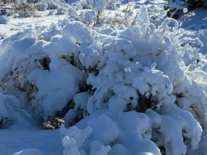
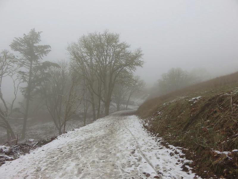
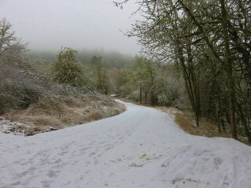
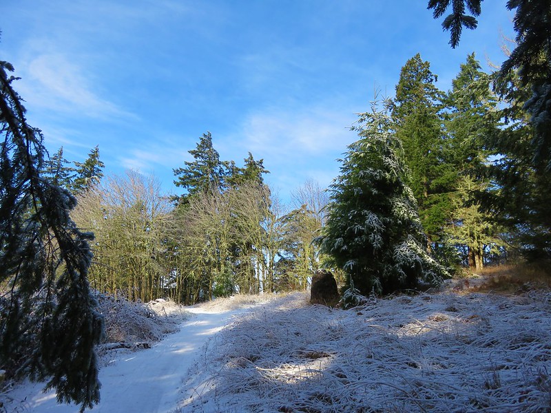
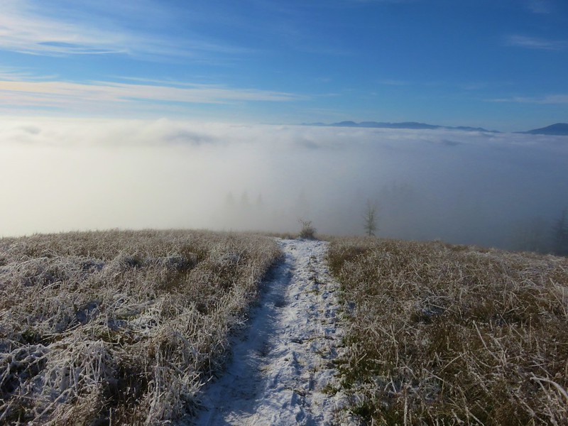
The weather was exceptional for nearly all of our hikes. Early winter storms left a more normal snow pack which helped make 2016 a pretty good wildflower year and we only ran into two weather related issues. The first was a slight chance of rain for our vacation week in May during which we’d planned on visiting the desert in SE Oregon. Any precipitation in that area would have made it impossible to reach our planned trailheads so we put that vacation off and headed to the Southern Oregon Coast instead which wound up being a great plan B. The second was a July hike on Scar Ridge in the Old Cascades which was swapped for Fifteenmile Creek on the east side of the Mt. Hood National Forest due to probable thunderstorms.
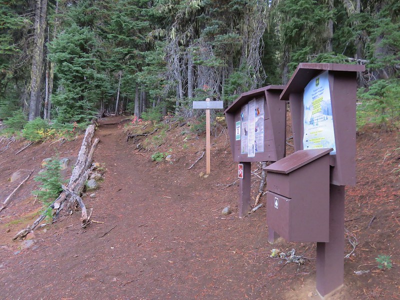
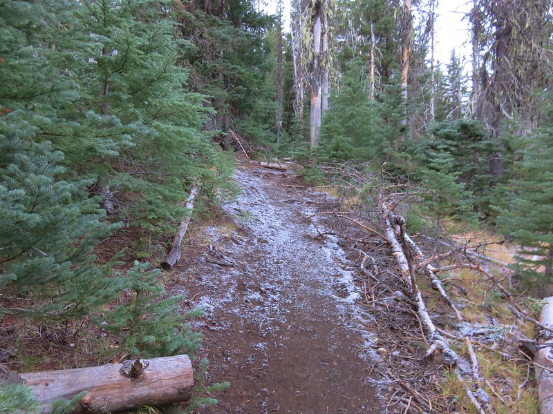
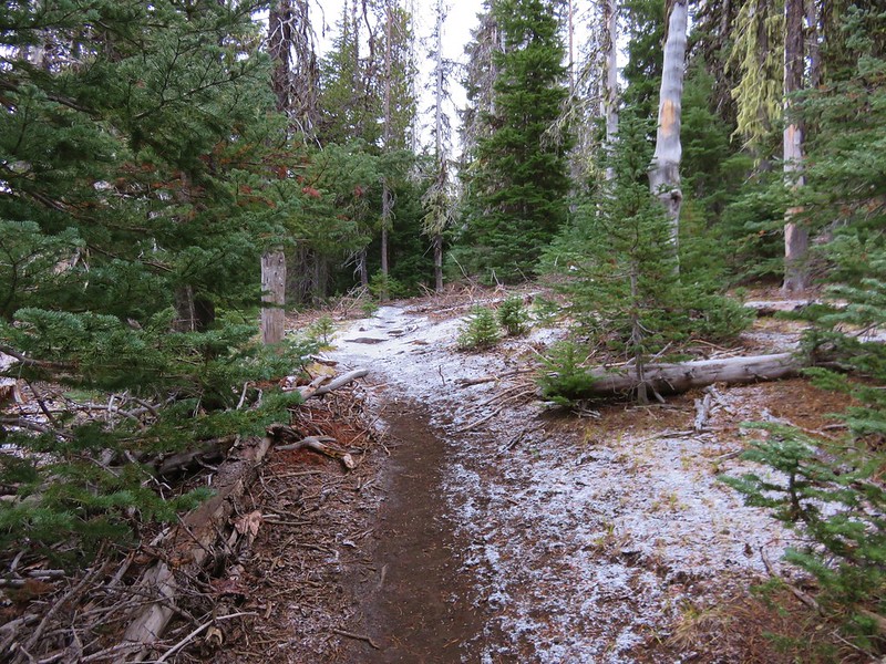
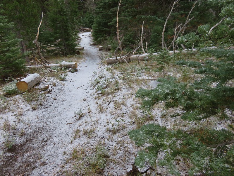
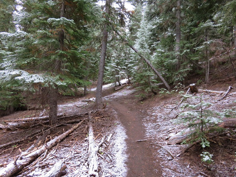
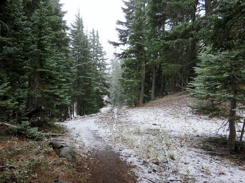
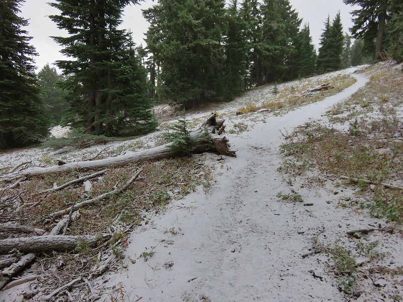
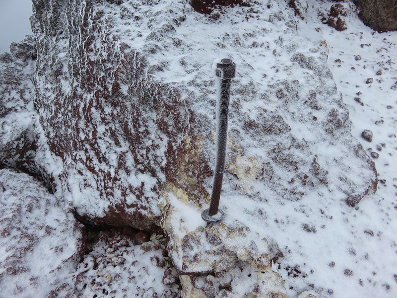
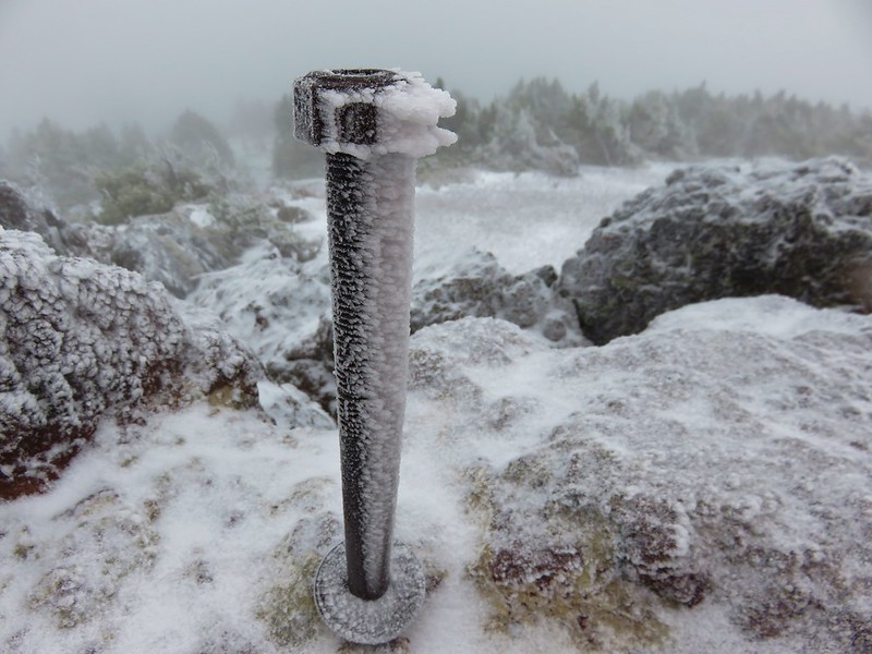
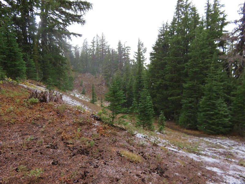
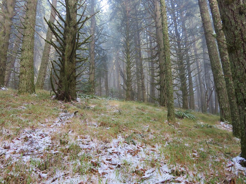
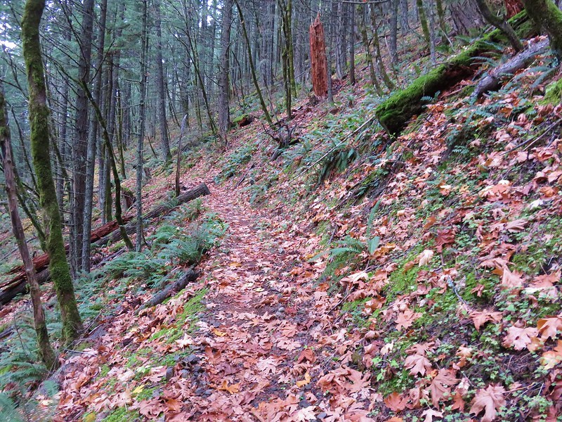
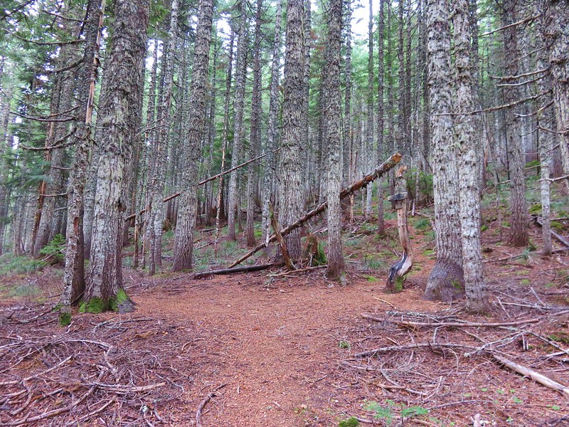
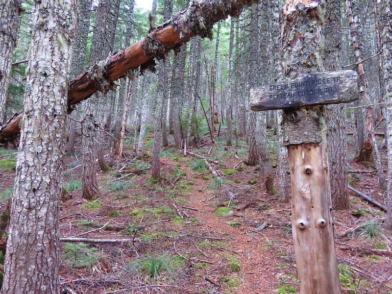
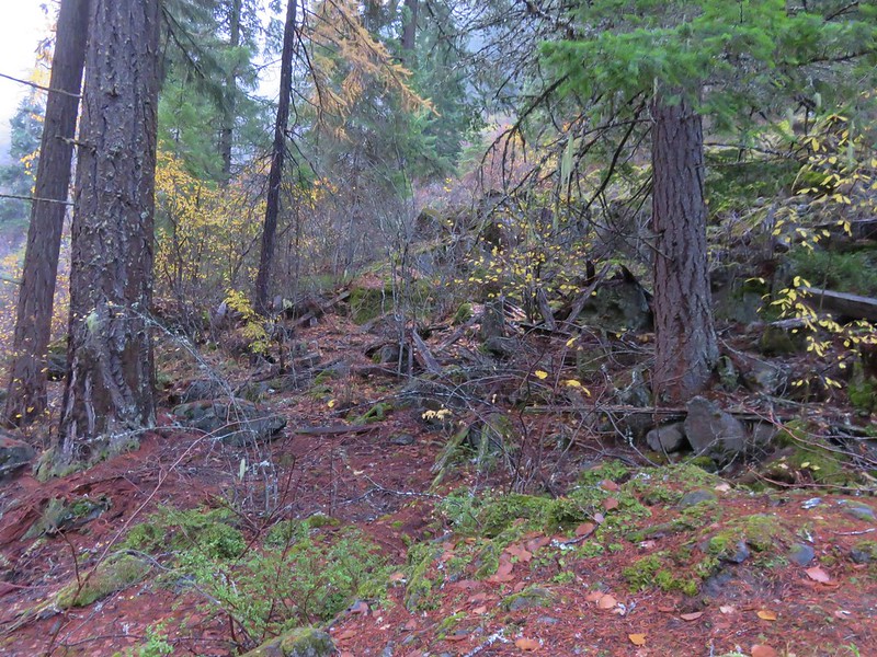
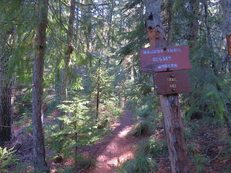
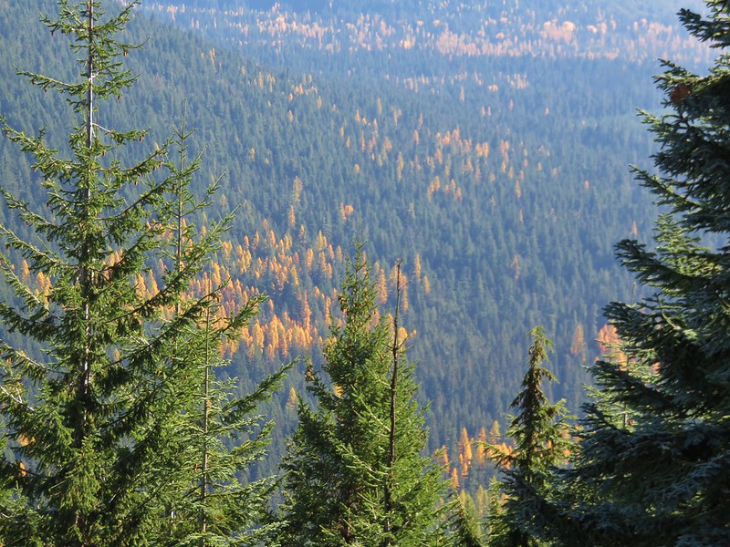
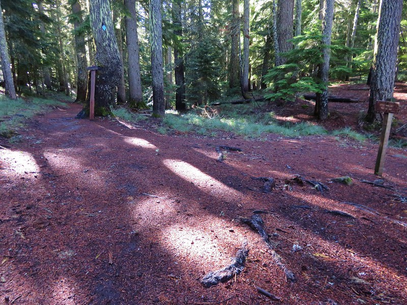
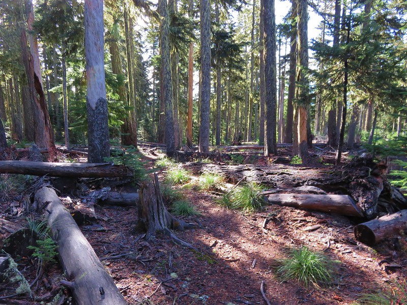
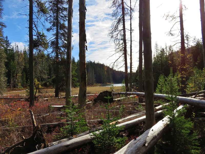
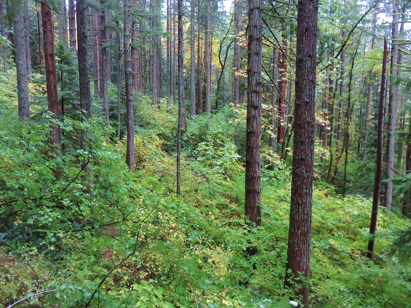
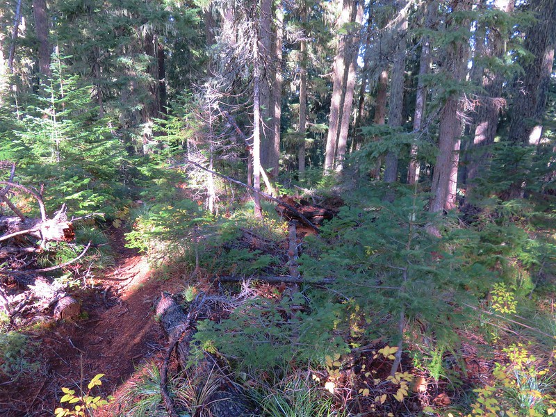
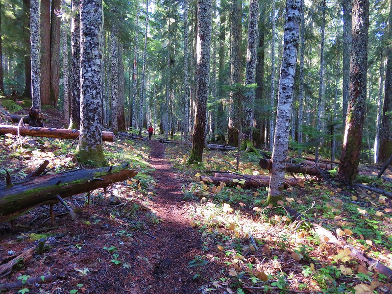
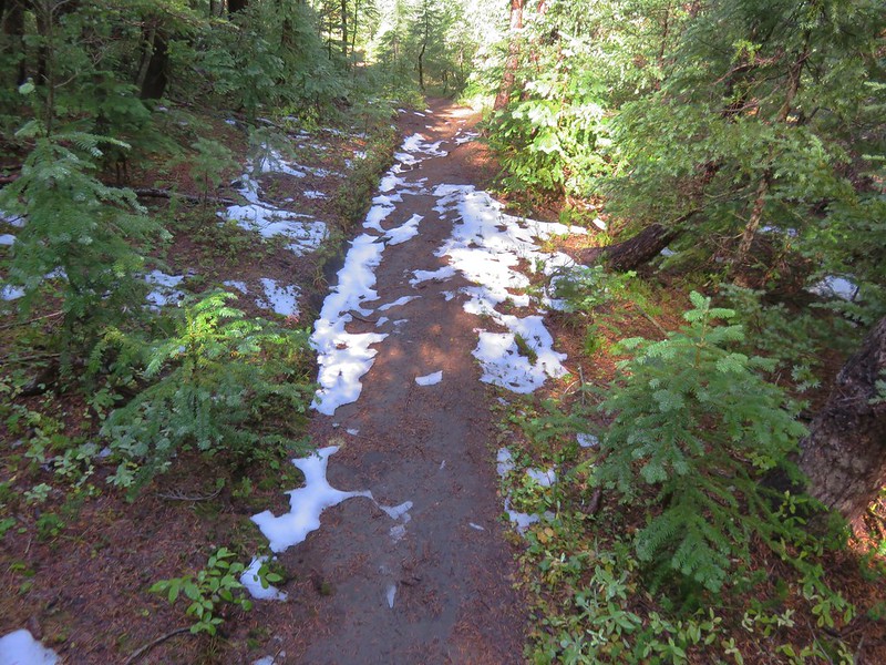
Although the weather conditions were almost always great the same couldn’t be said for the condition of a few of the trails. During our May vacation we encountered a host of ticks along the Illinois River Trail. Later in the year it was blowdown that proved to be the biggest obstacle. In the Sky Lakes Wilderness a section of the Badger Lake Trail to the Pacific Crest Trail was a mess.
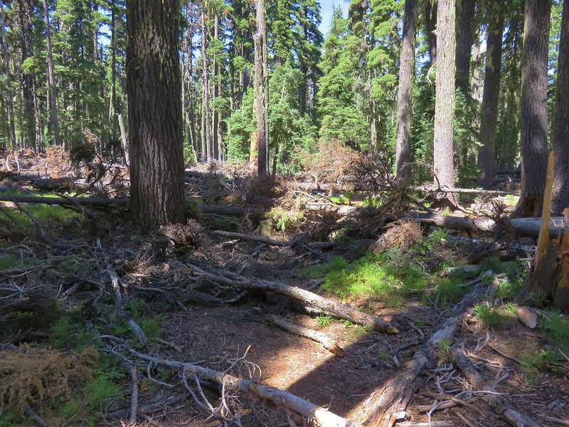
This was also the case along much of the Bowerman Lake Trail in the Mt. Jefferson Wilderness.
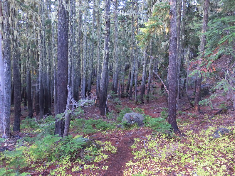
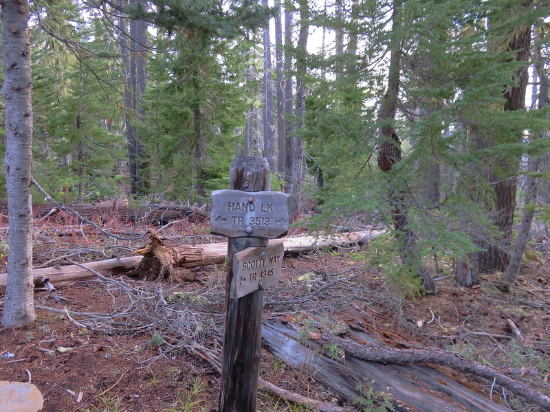
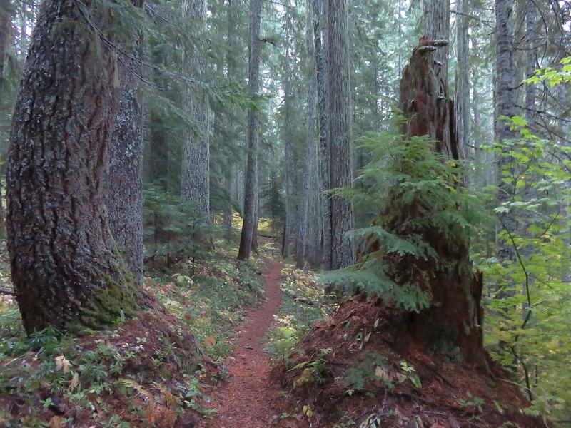
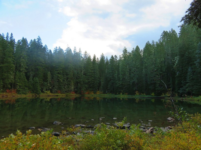
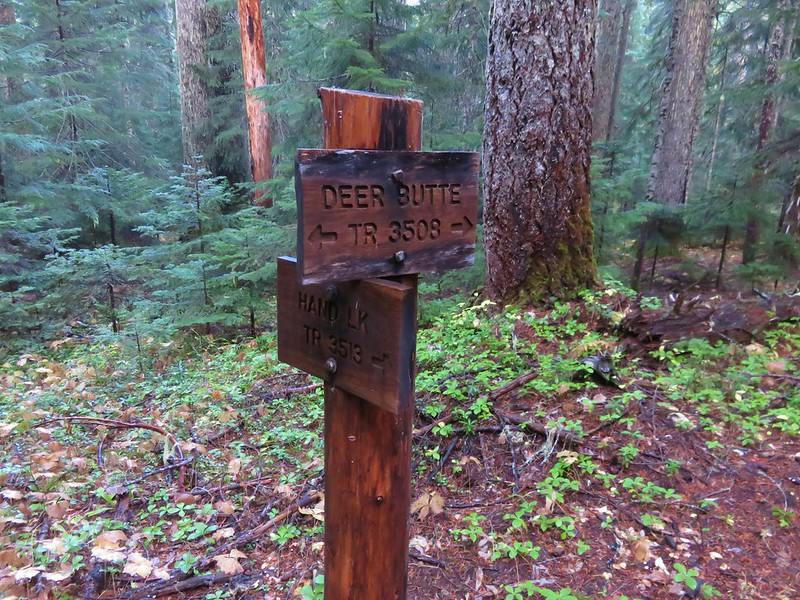
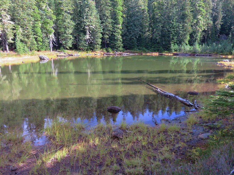
As well as the Hand Lake Trail in the Mt. Washington Wilderness.

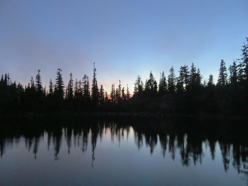
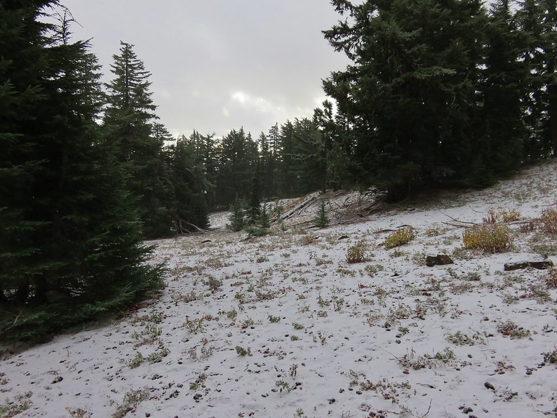
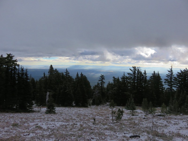
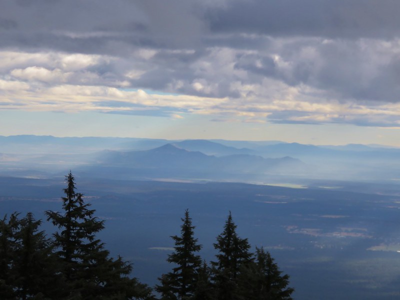
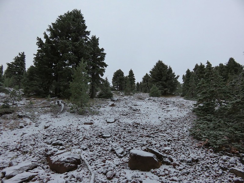
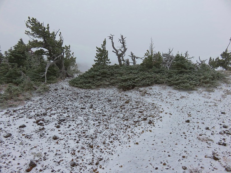
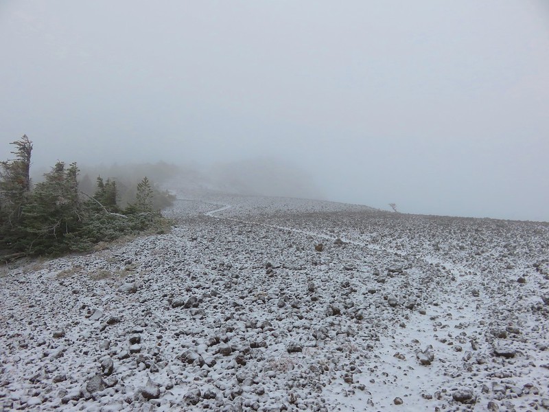
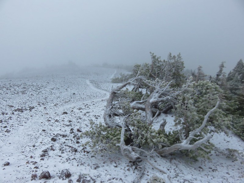
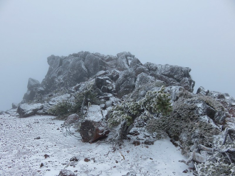
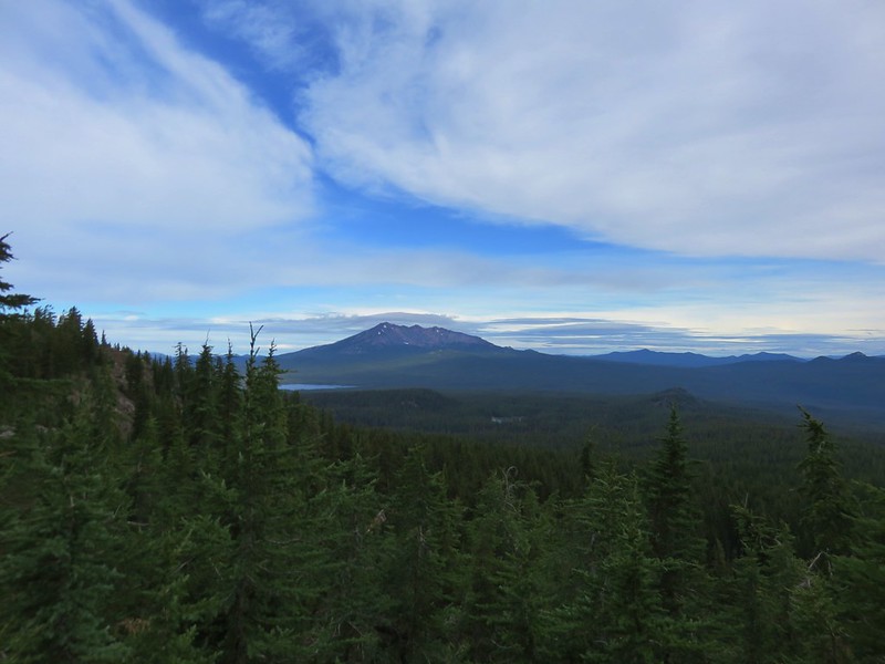
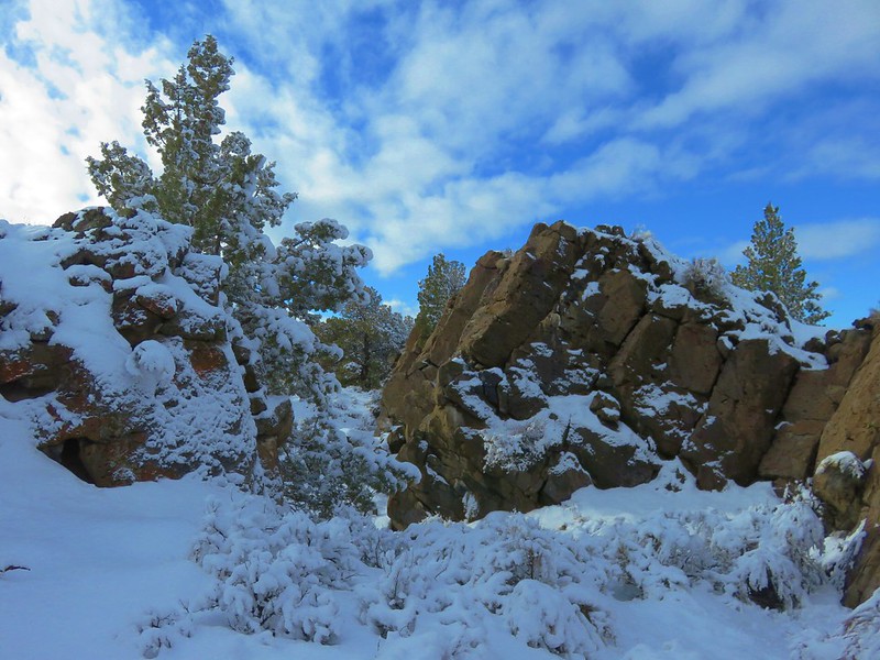
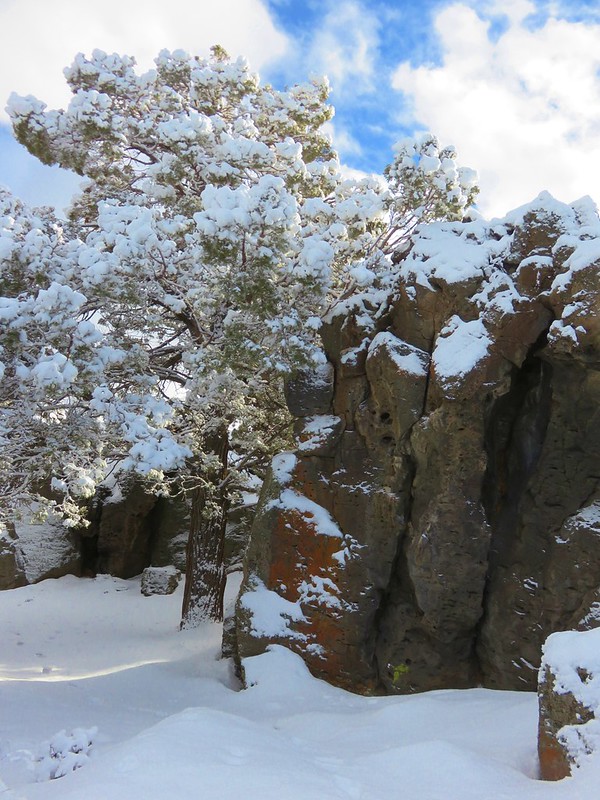
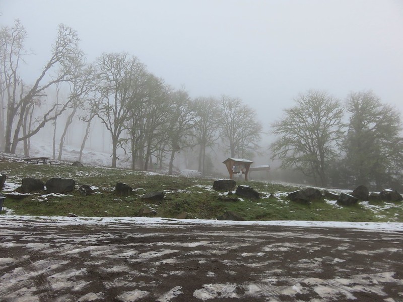
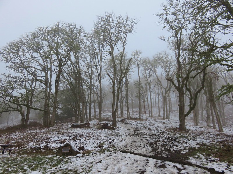
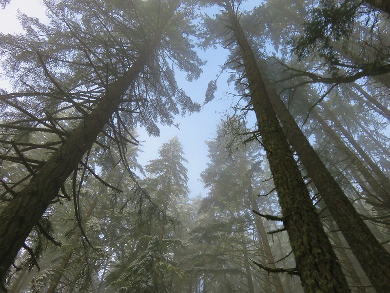
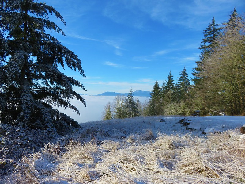
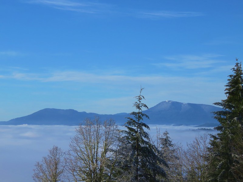
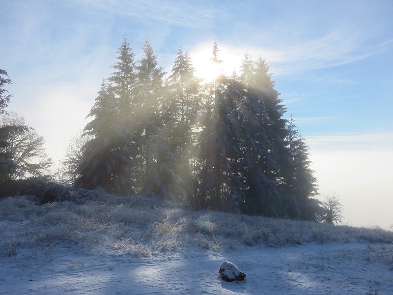
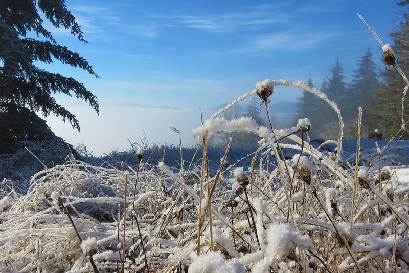
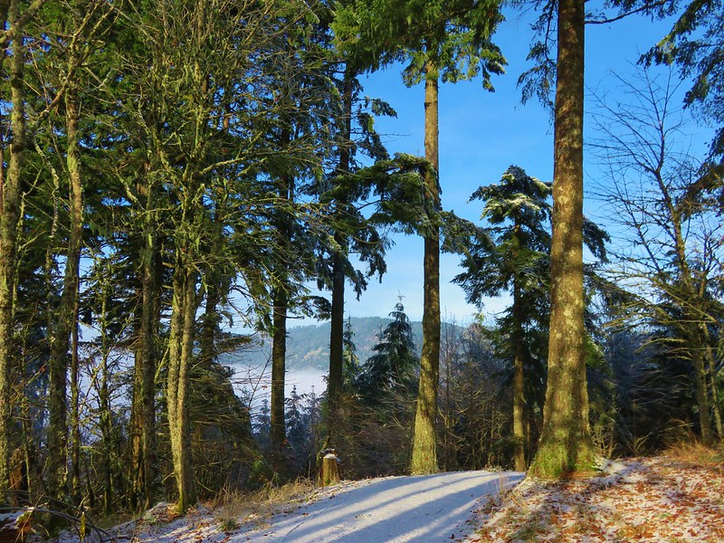
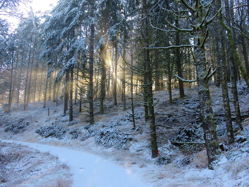
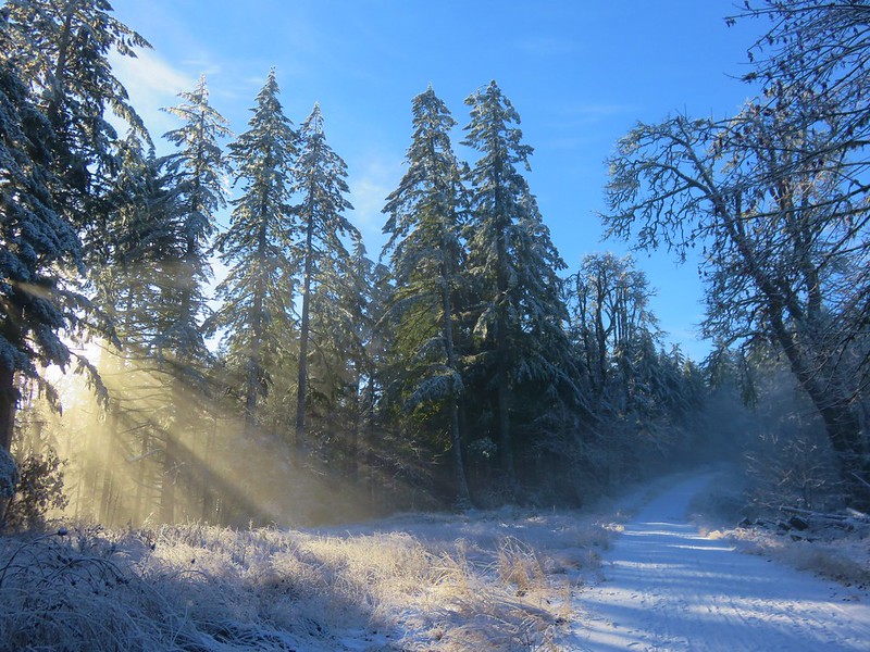
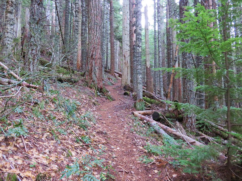
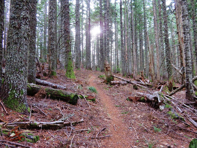
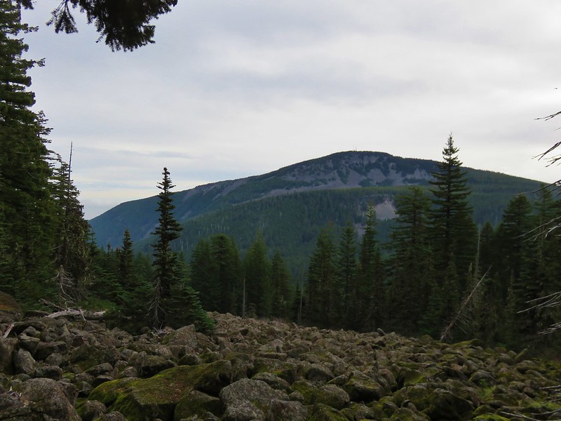
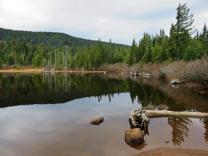
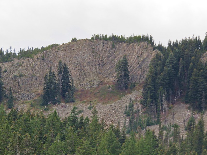
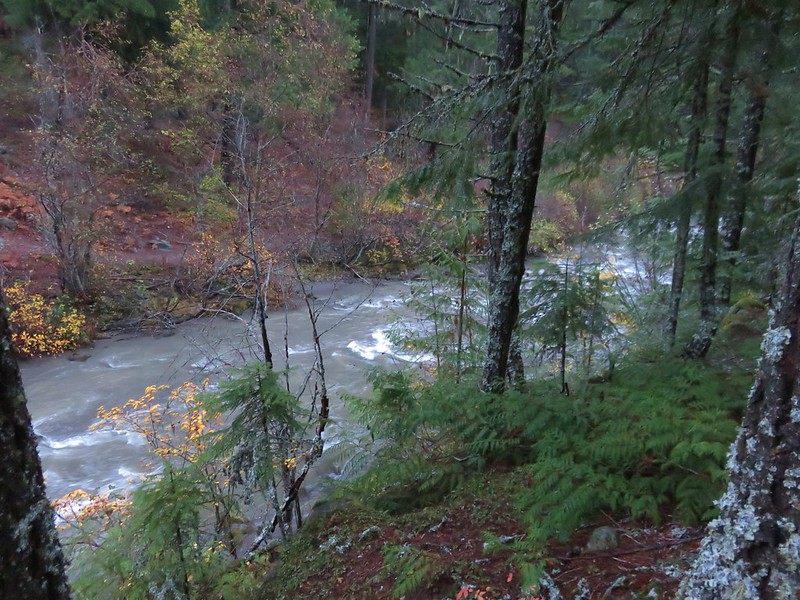
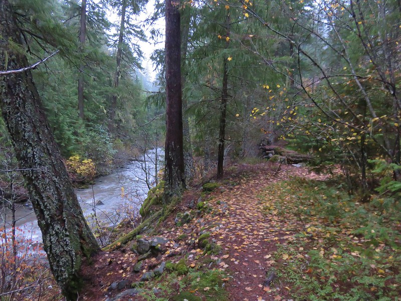
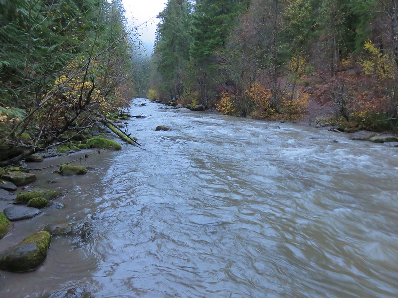
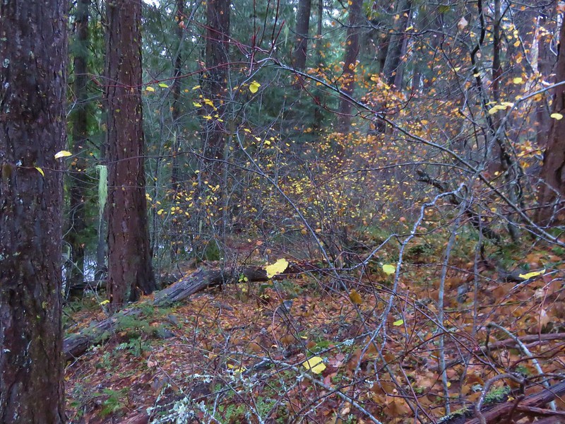
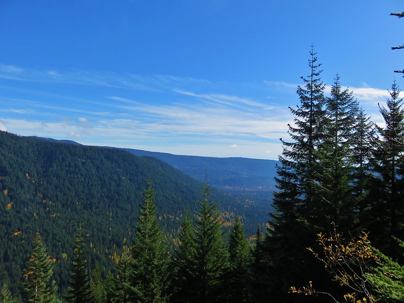
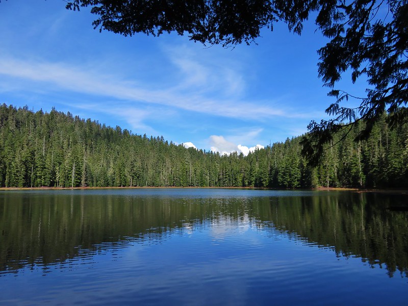
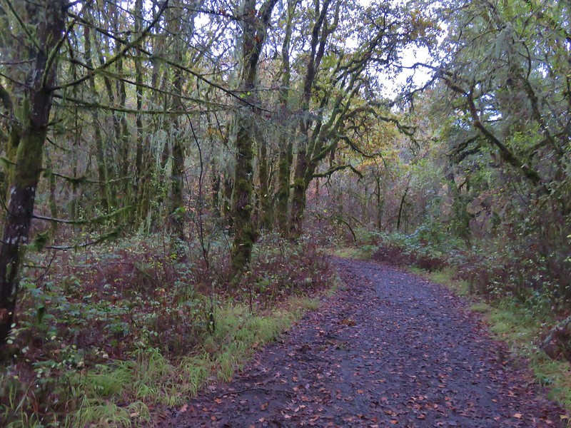
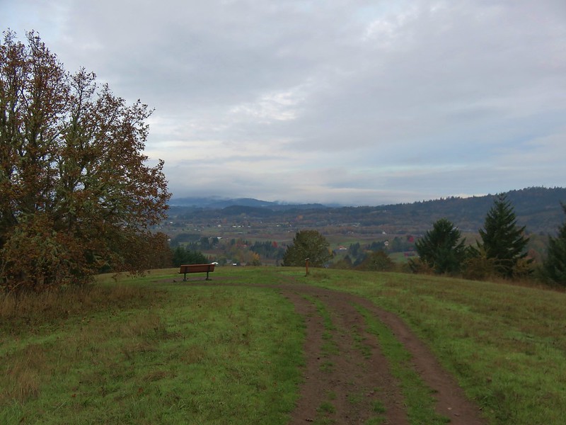
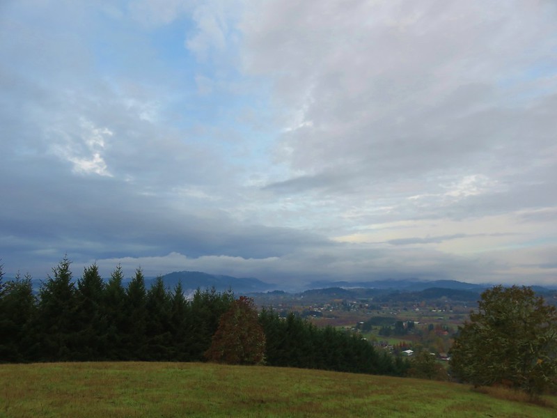
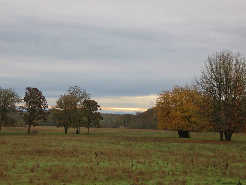
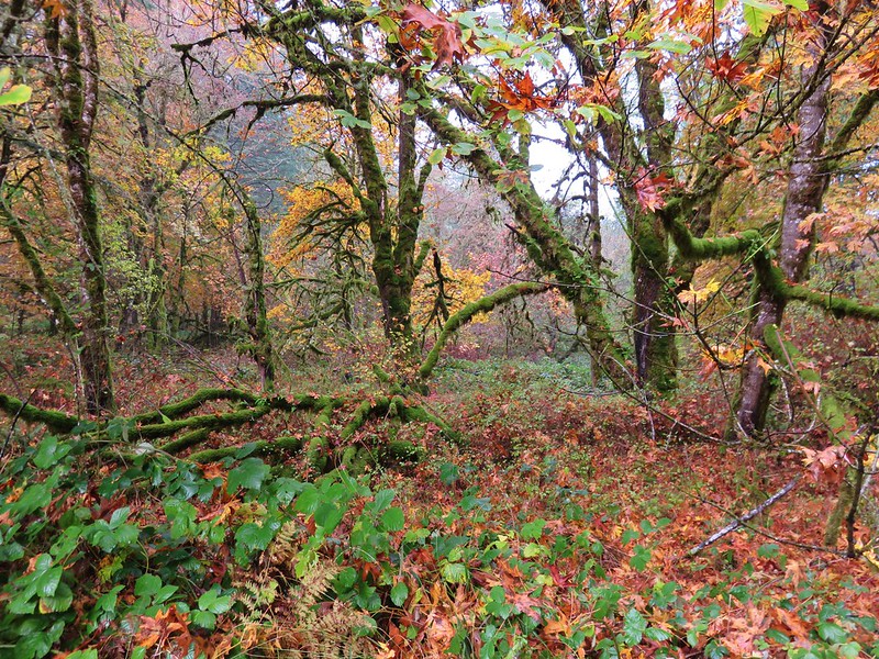
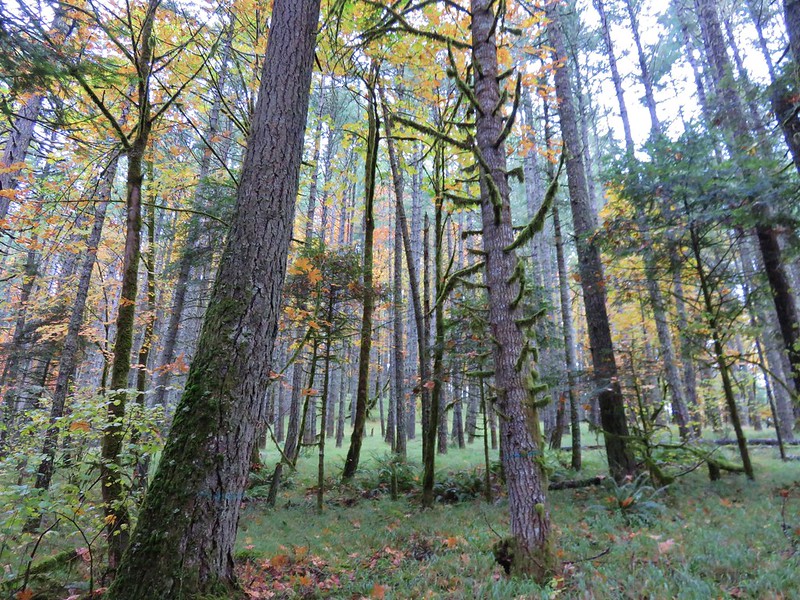
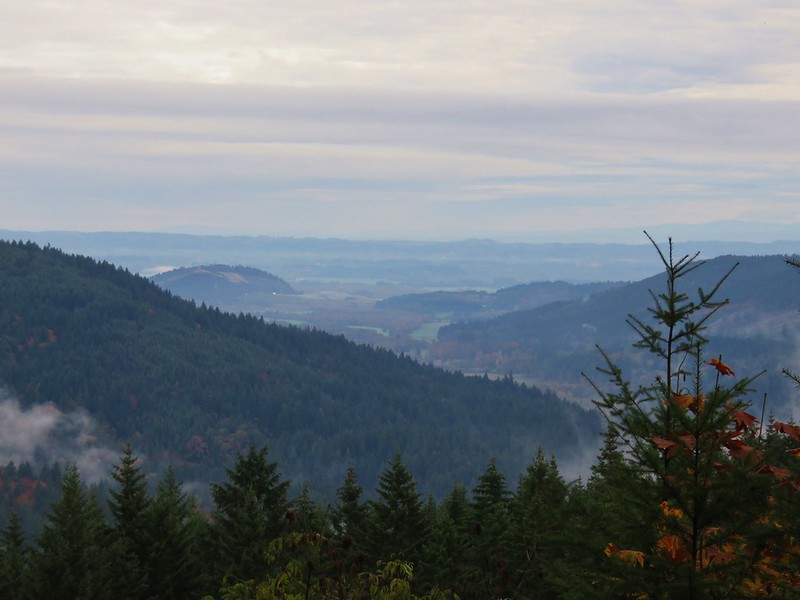
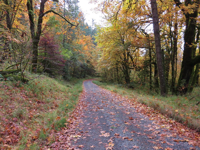
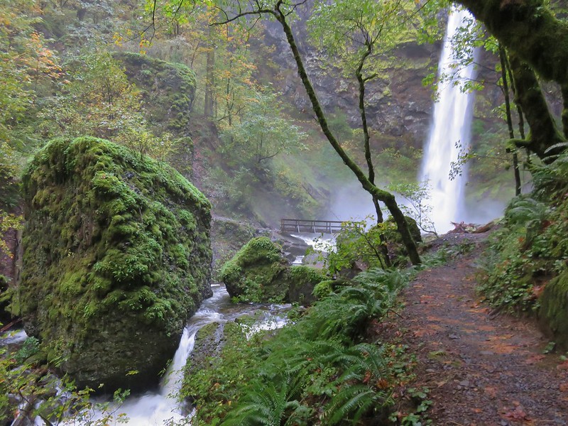
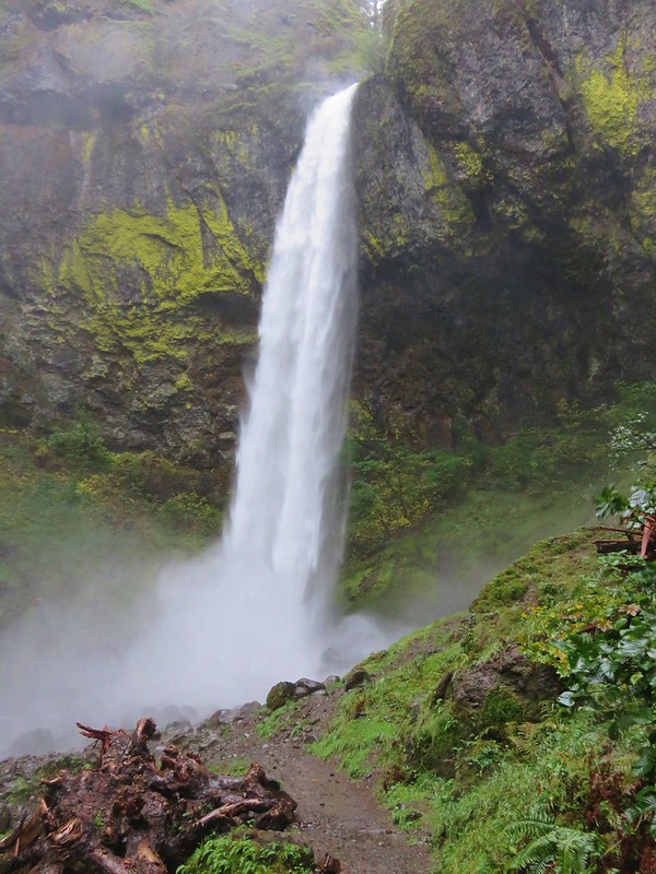
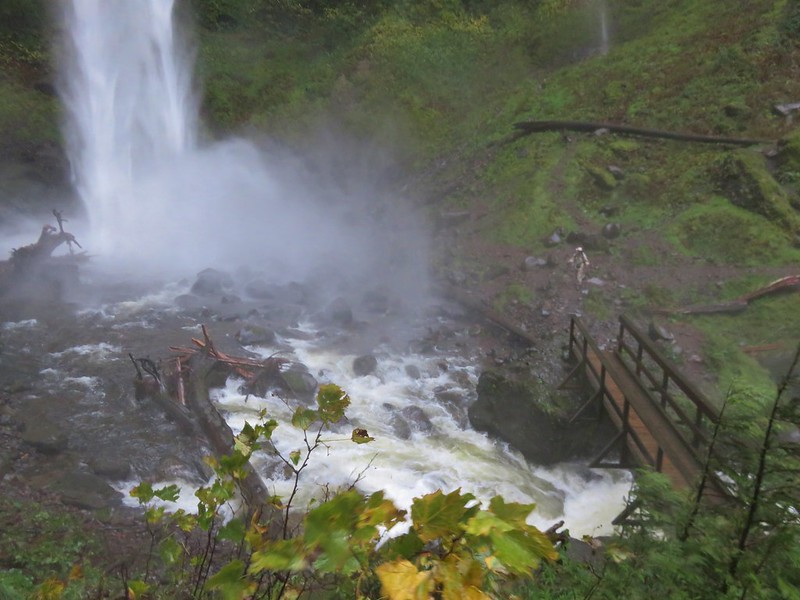
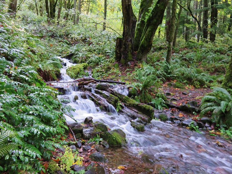
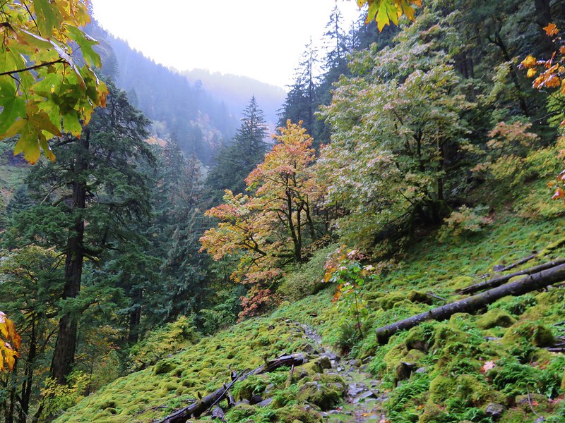
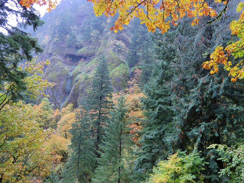
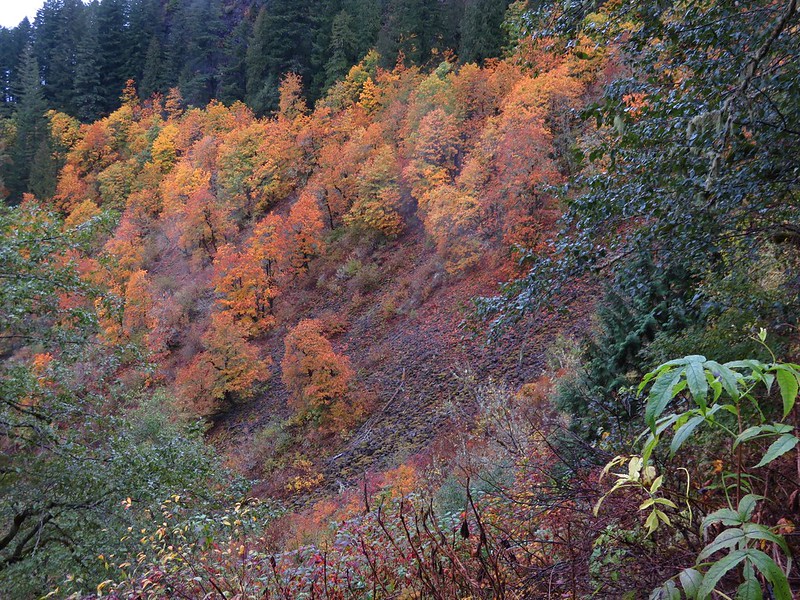
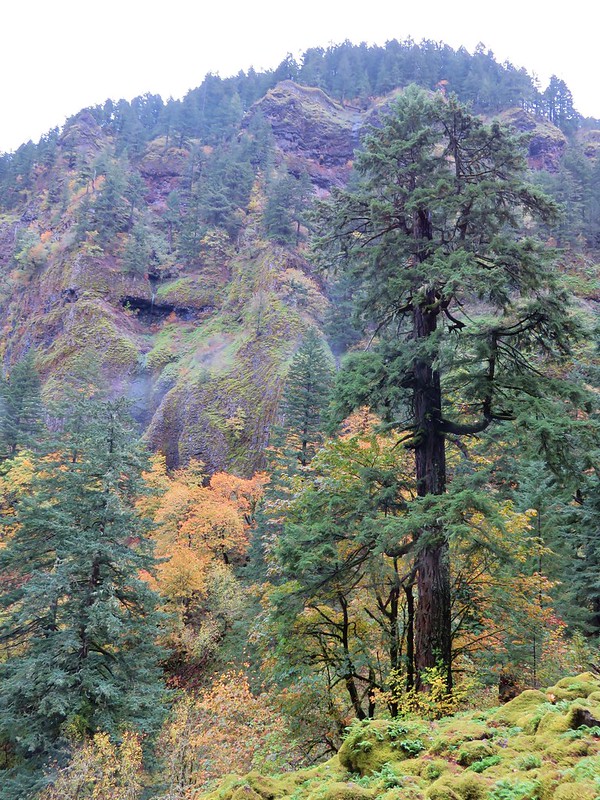
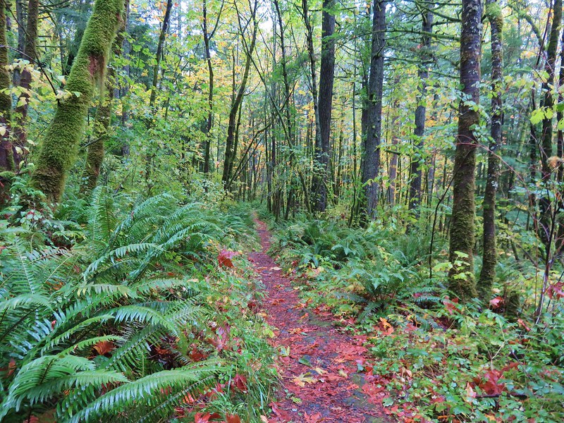
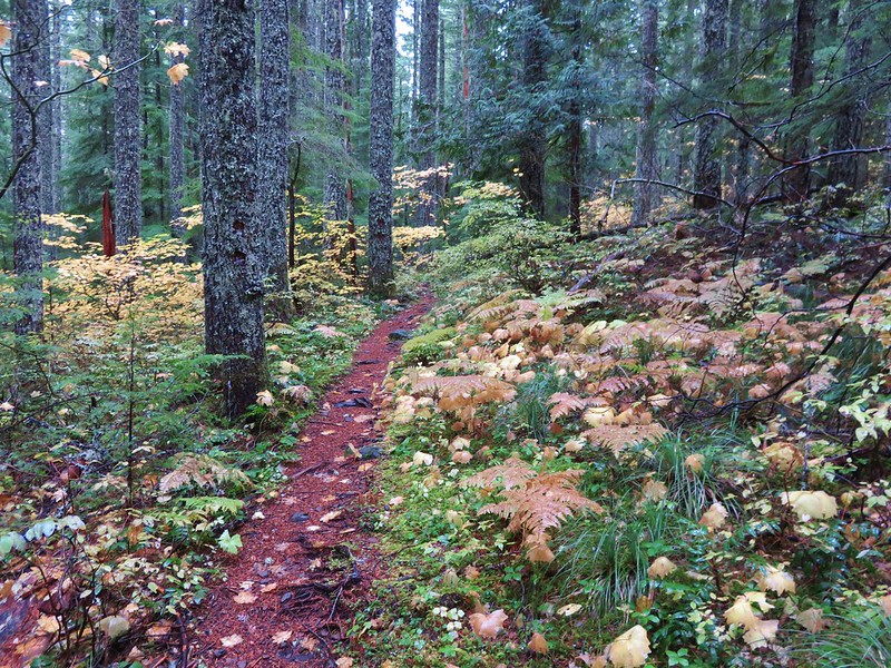
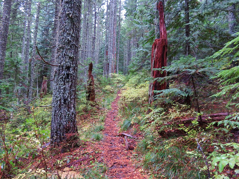
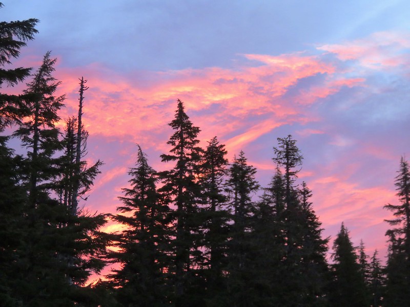
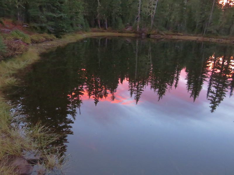
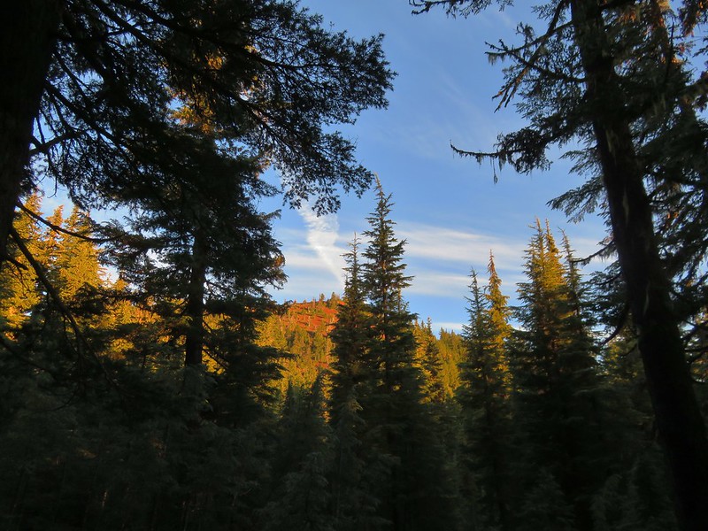
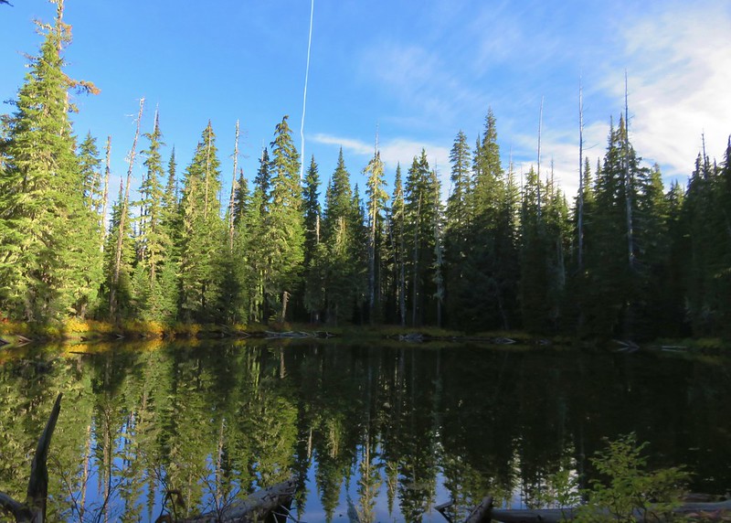
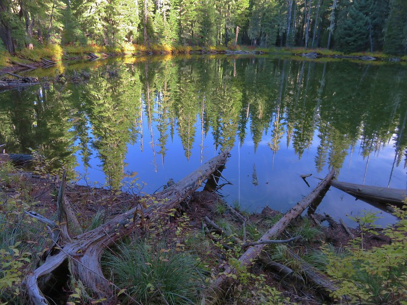
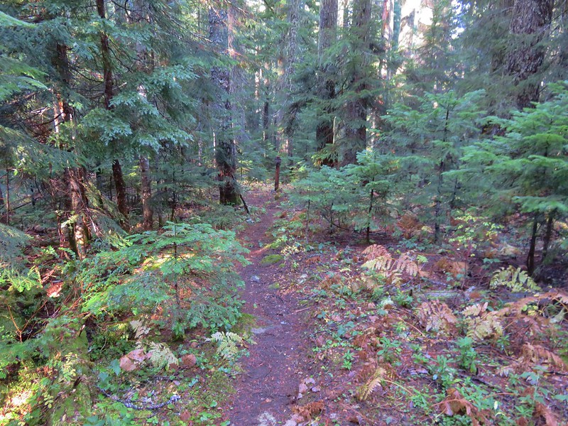
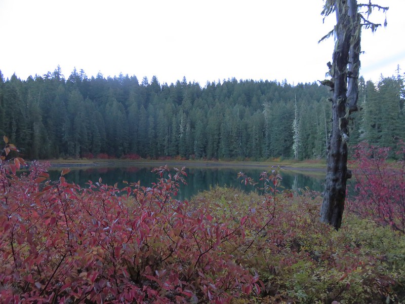
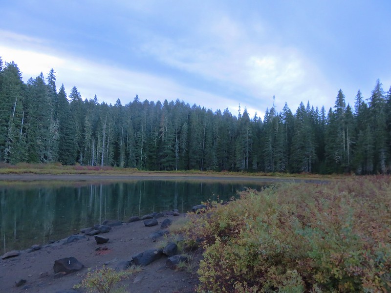
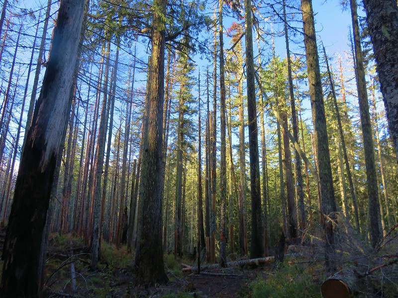
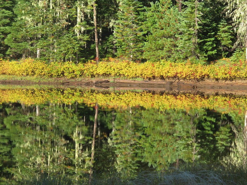
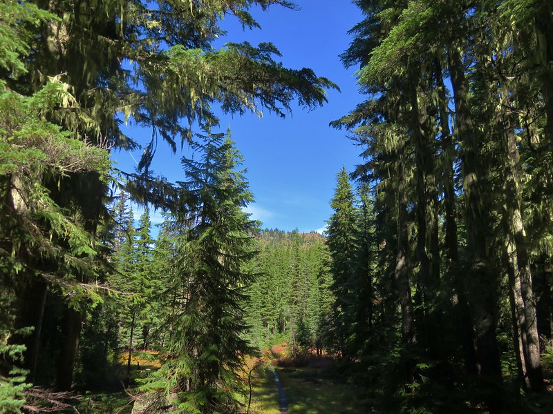
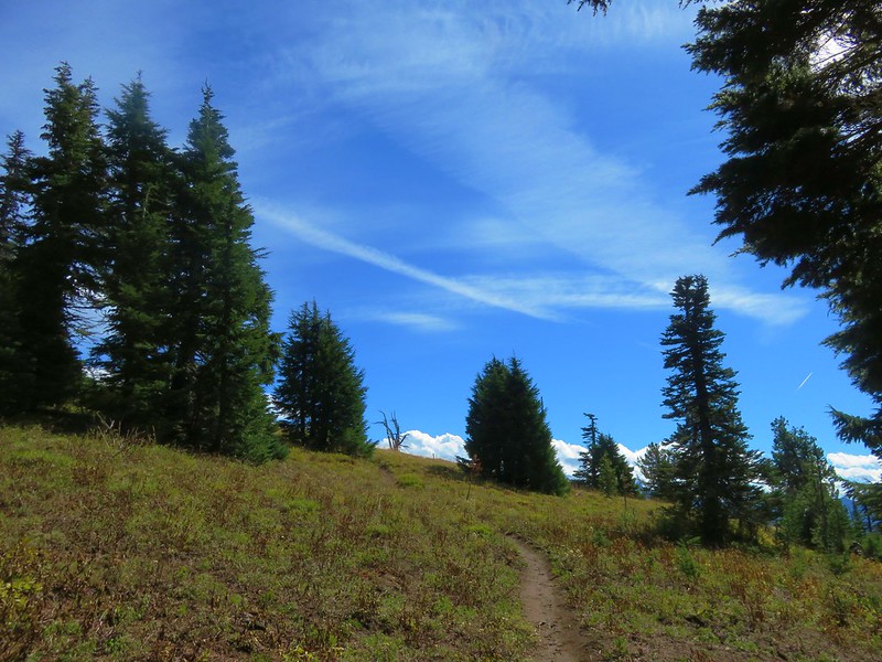
The one consistent regardless of the location, weather, or trail conditions was the beauty and diversity that makes the Pacific Northwest so special. From west to east starting with the Oregon Coast:
Tillamook Head from the Fort-to-Sea Trail
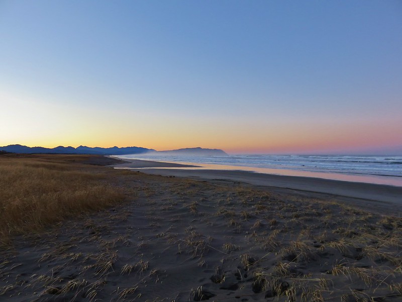
Lone Ranch Beach from Cape Ferrelo
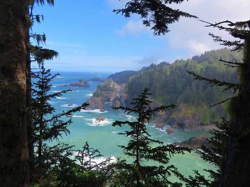
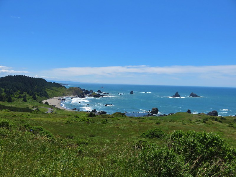
View from the Oregon Coast Trail in Samuel H. Boardman State Park
Past the Klamath Mountains in Southern Oregon and Northern California:
Little Vulcan and Vulcan Lake below Vulcan Peak
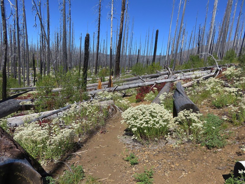
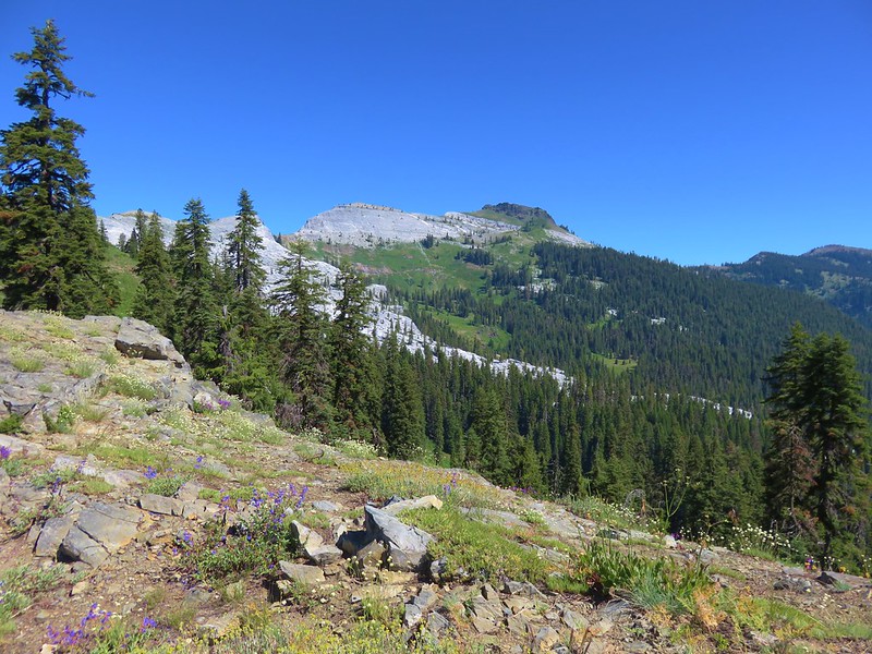
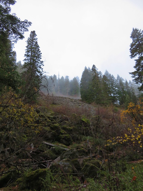
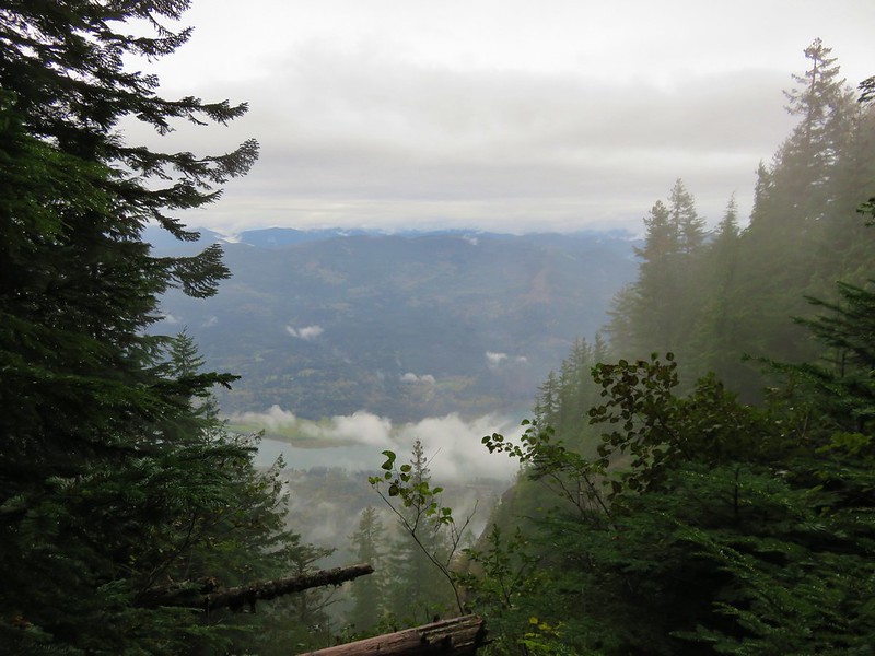
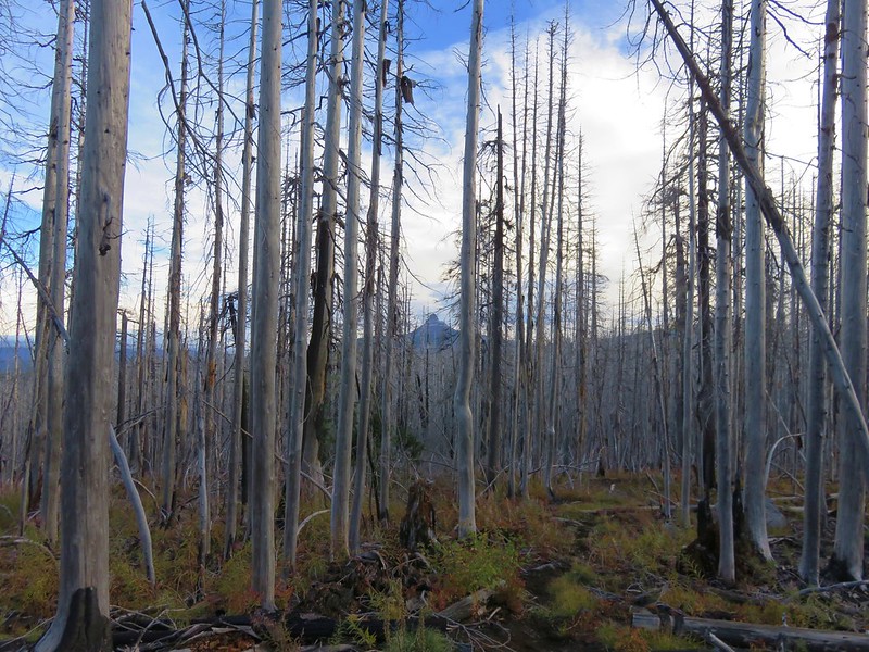
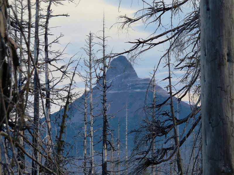
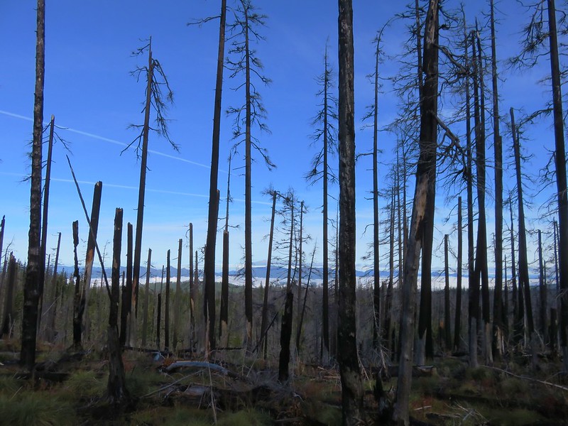
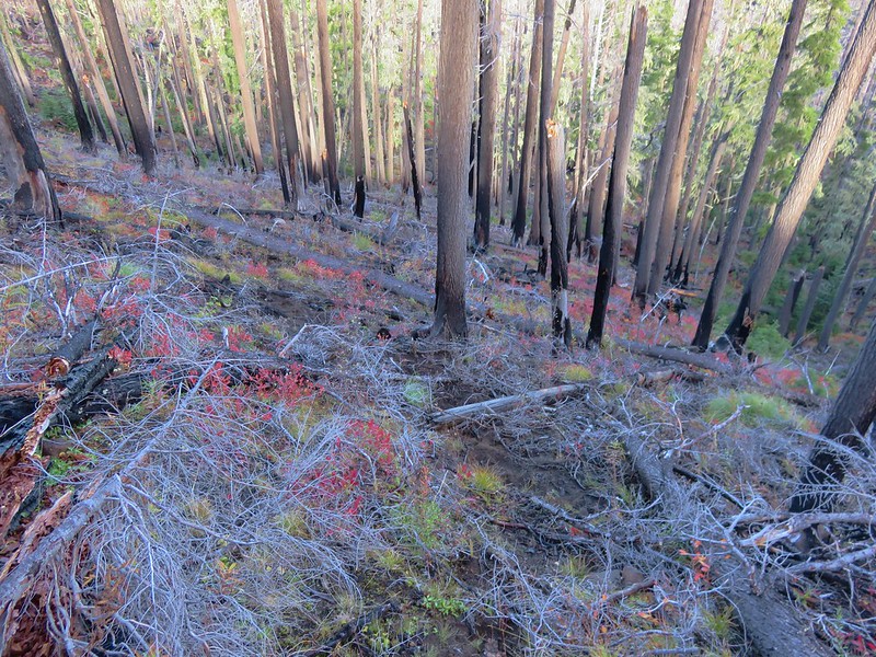
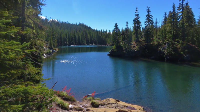
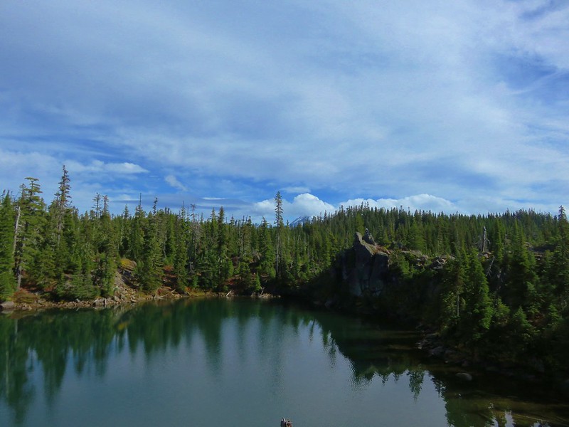
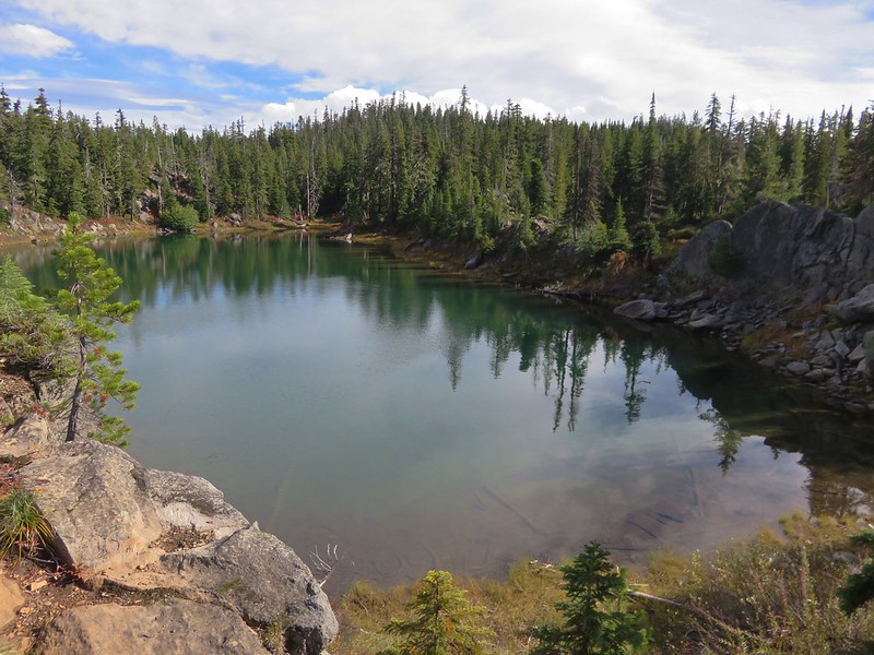
Kalmiopsis Wilderness
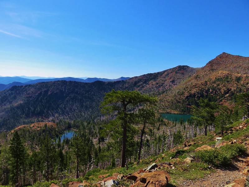
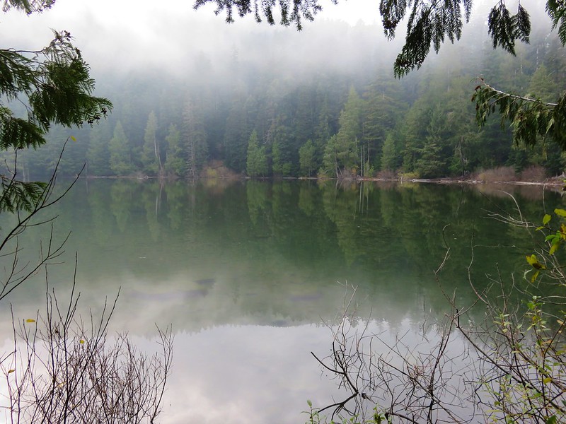
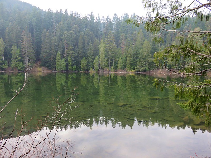
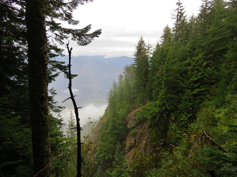
Marble Mountain Wilderness
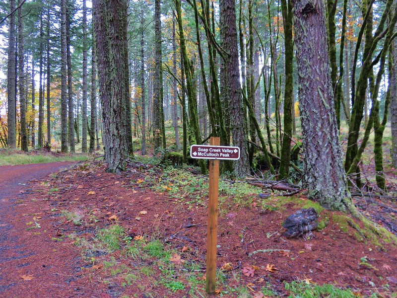
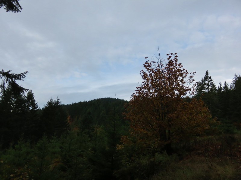
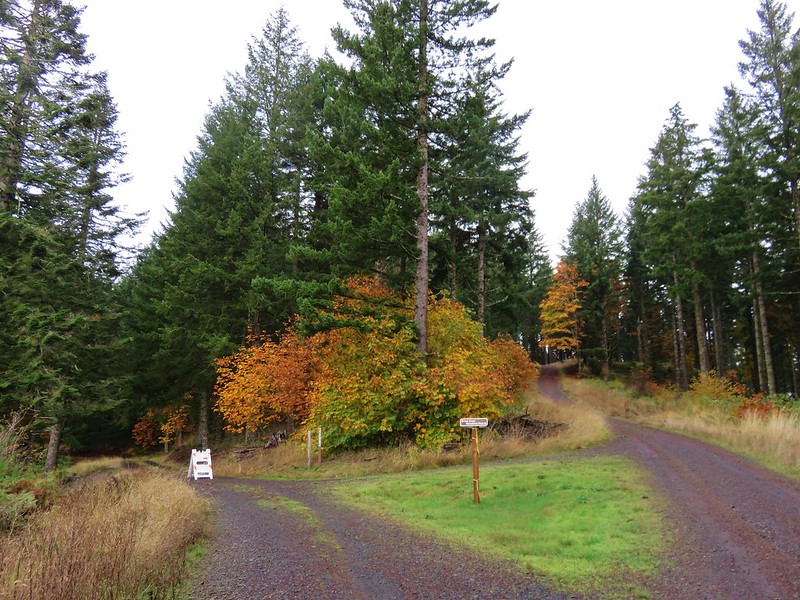
and the Coast Range to the north:
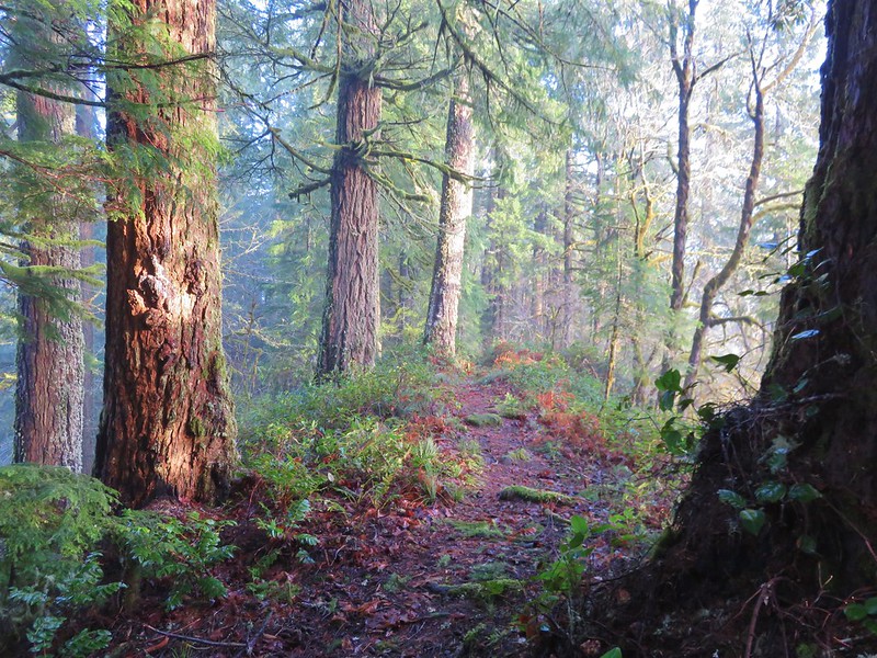
Old Growth Ridge Trail in the Siuslaw National Forest
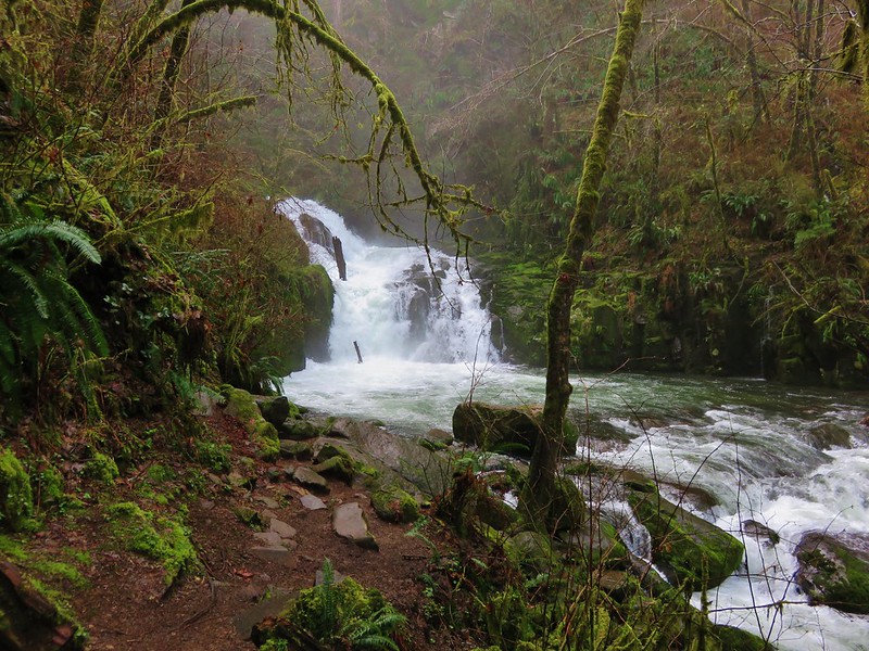
Sweet Creek Falls
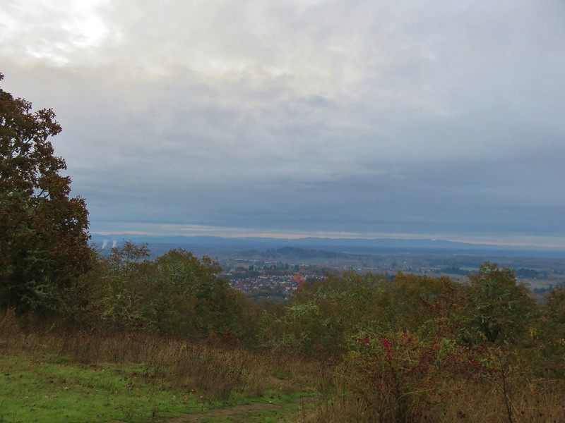
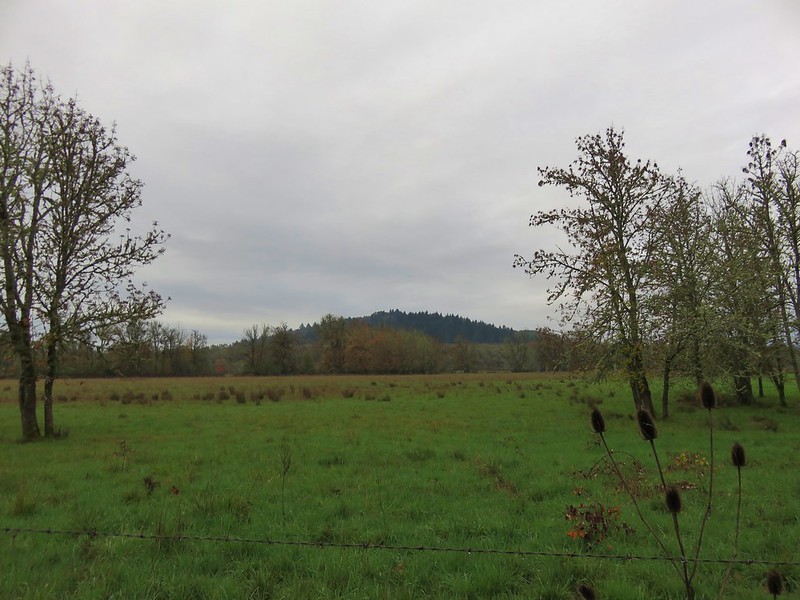
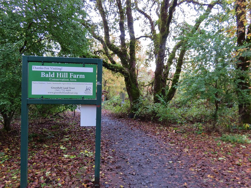
across the Willamette Valley: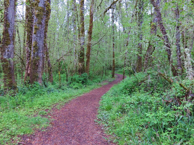
Minto-Brown Island Park

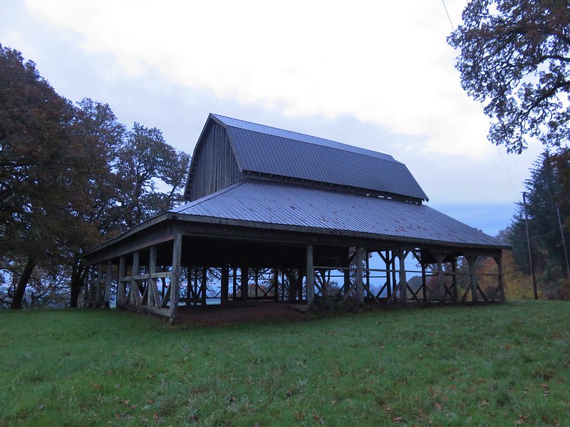
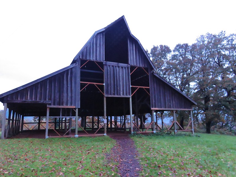
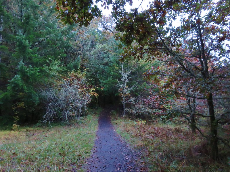
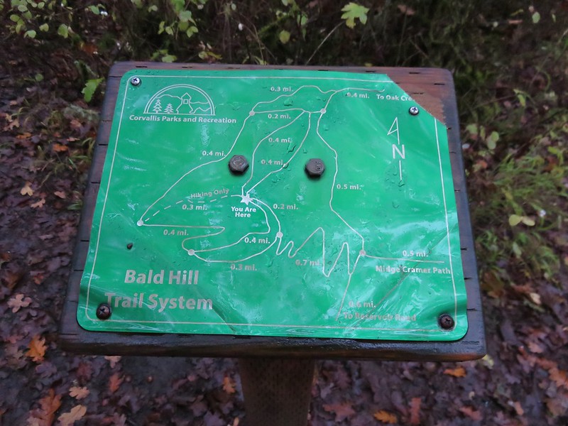
Bald Hill
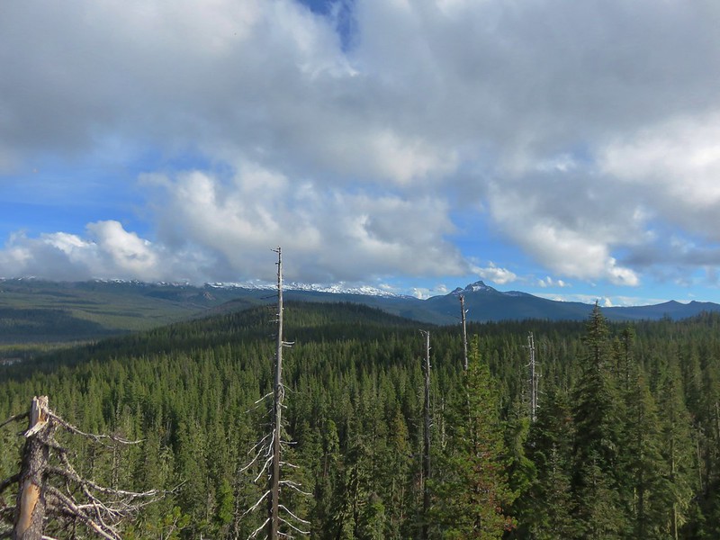
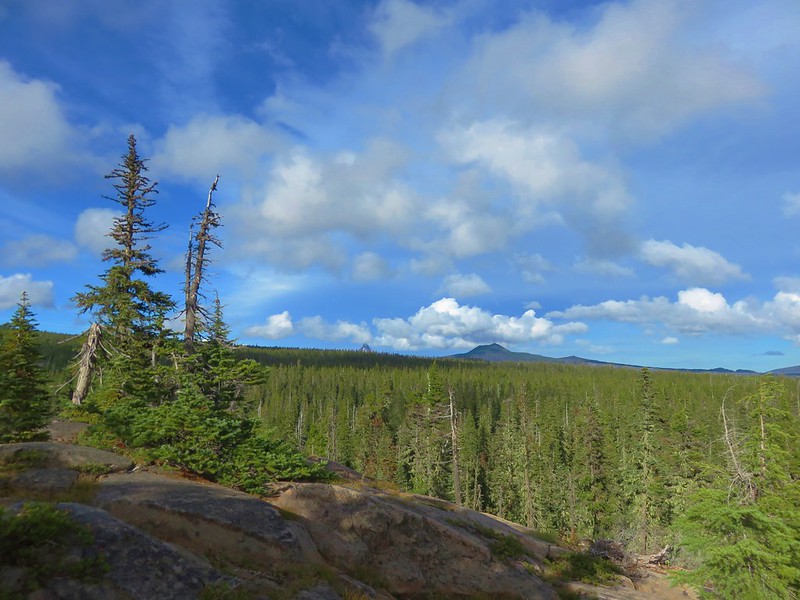
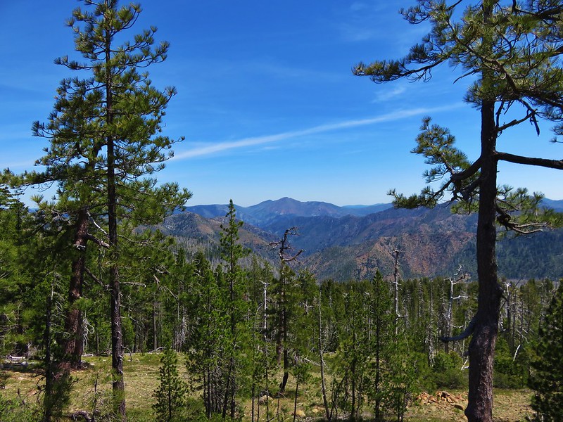
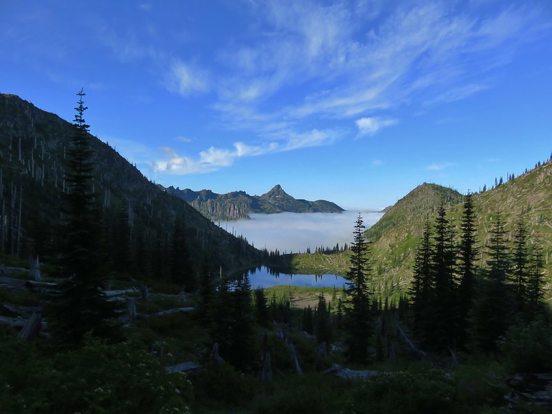
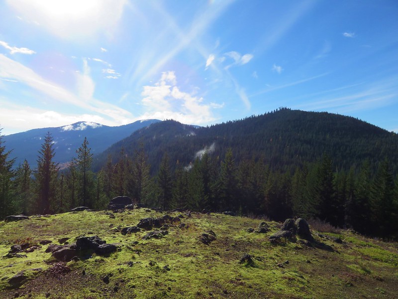
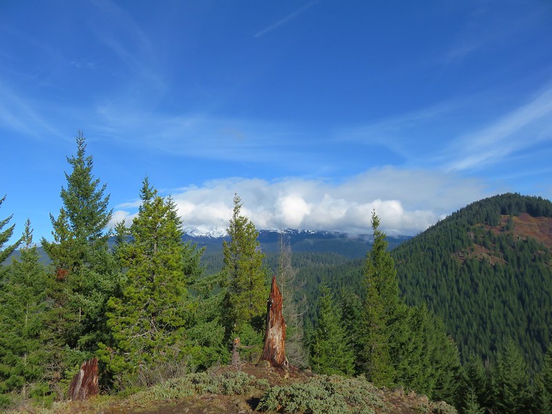
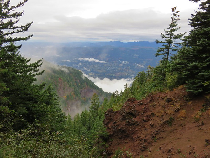
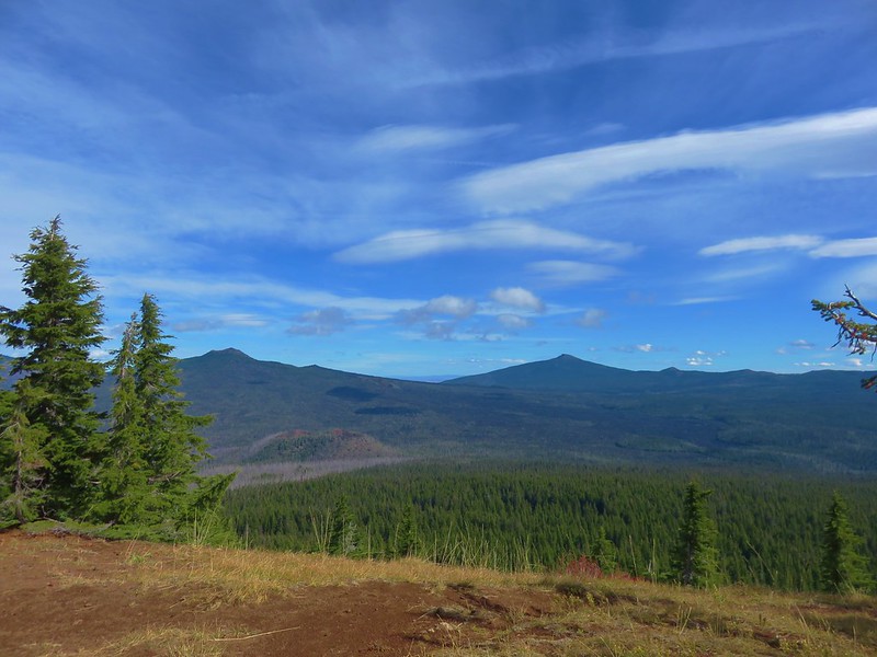
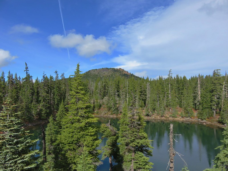
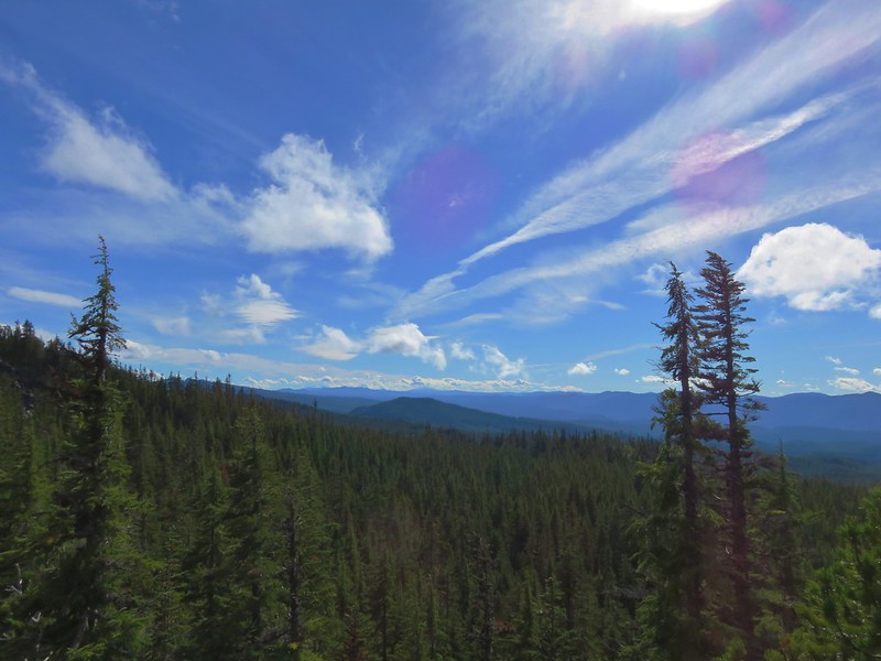
into the Old Cascade Mountains:
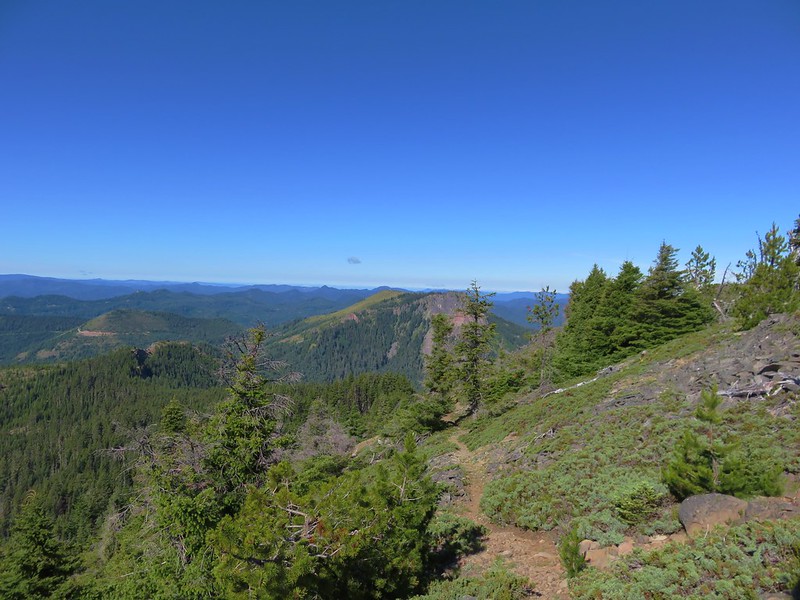
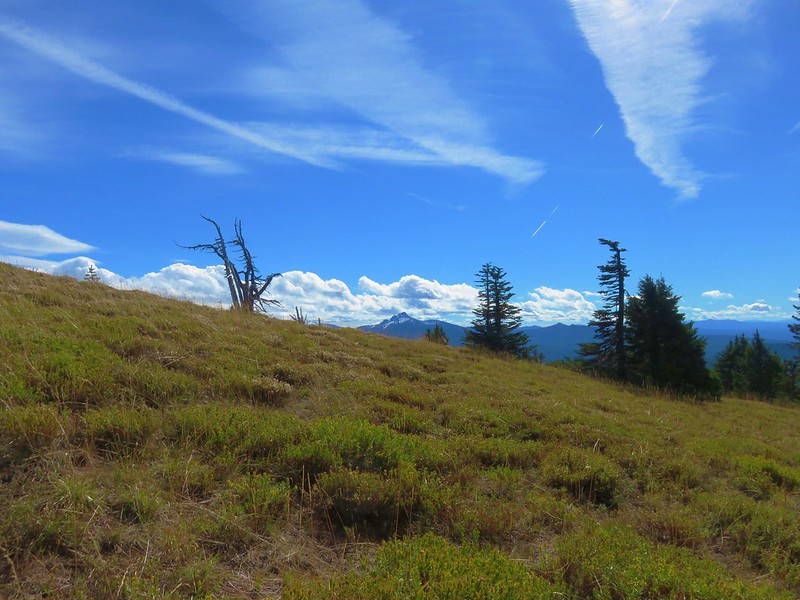
Coffin Mountain from Bachelor Mountain
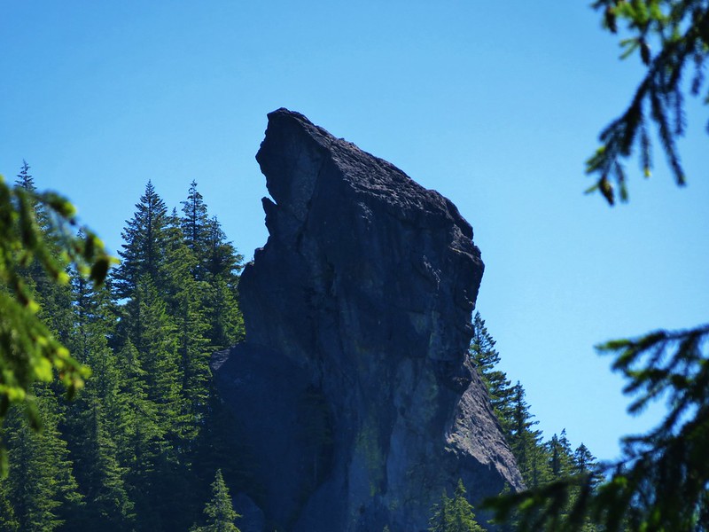
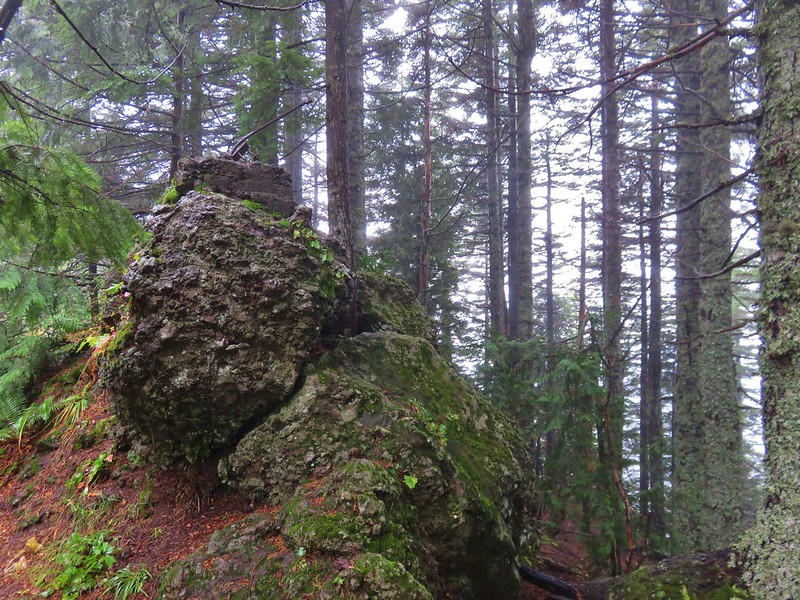
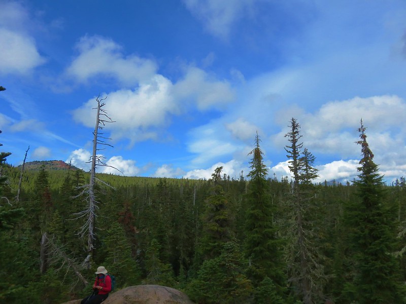
Rooster Rock in the Menagerie Wilderness
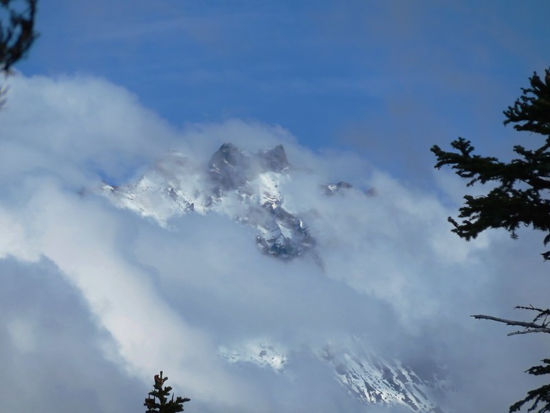
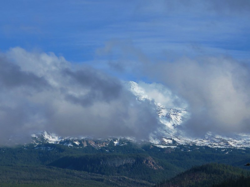
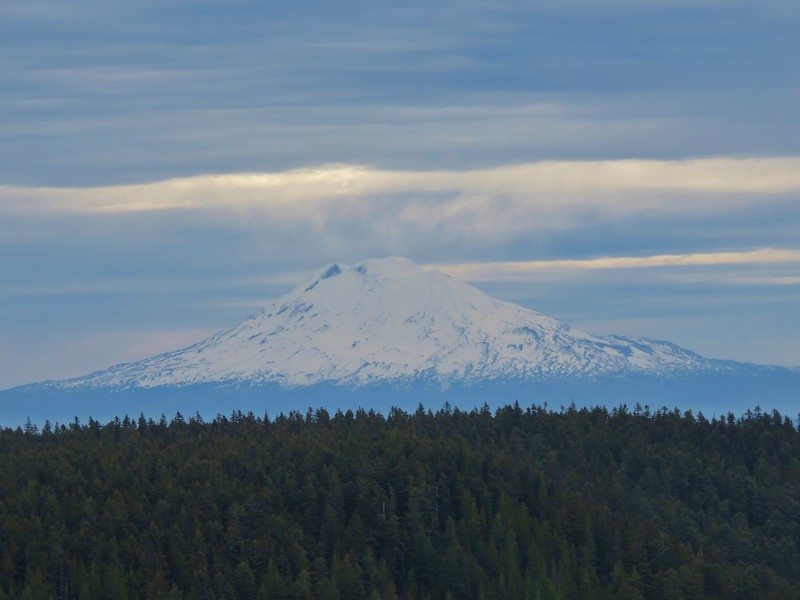
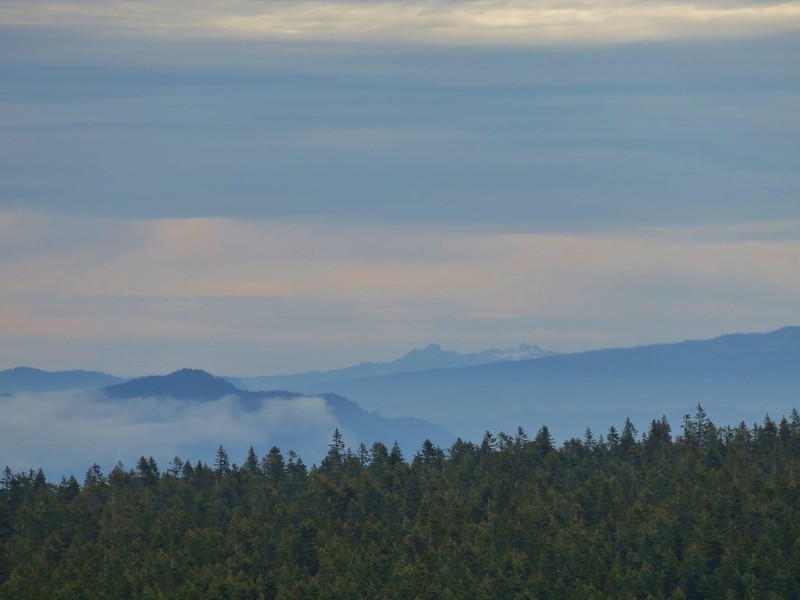
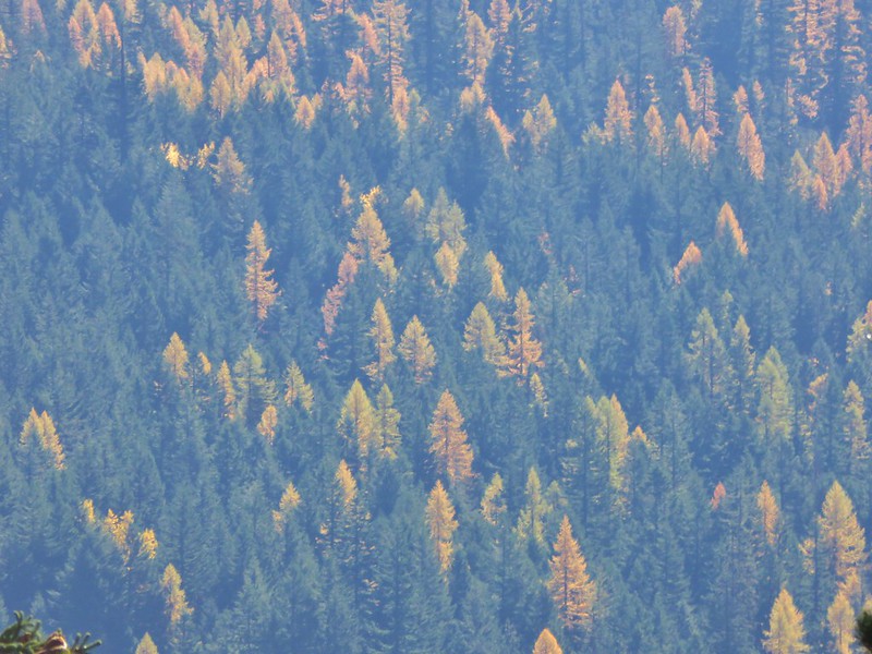
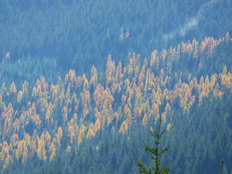
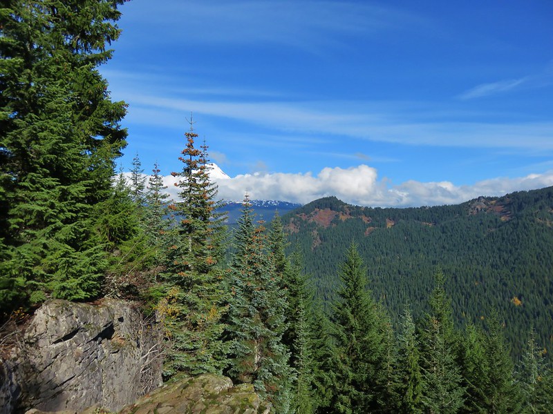
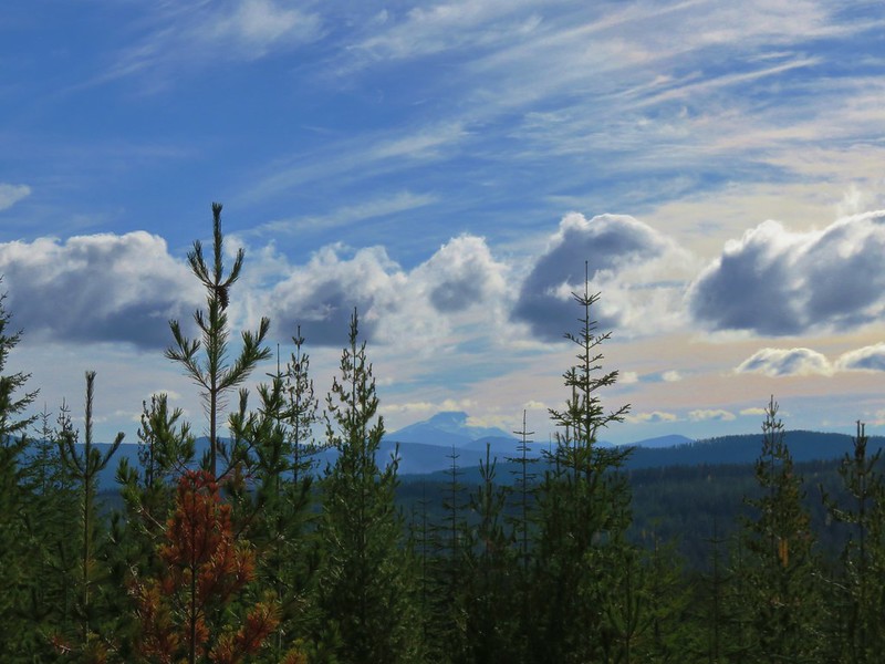
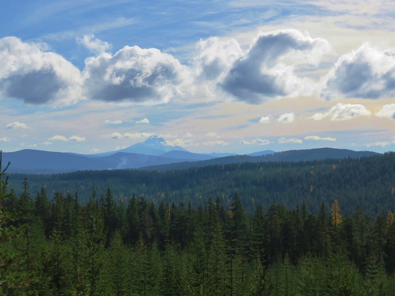
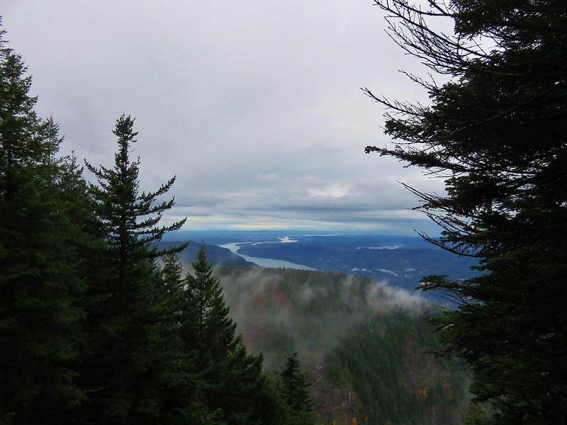
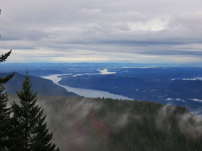
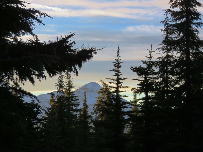
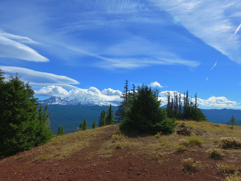
over the Cascade Mountains:
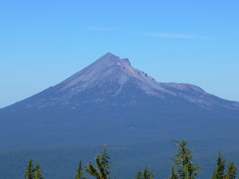
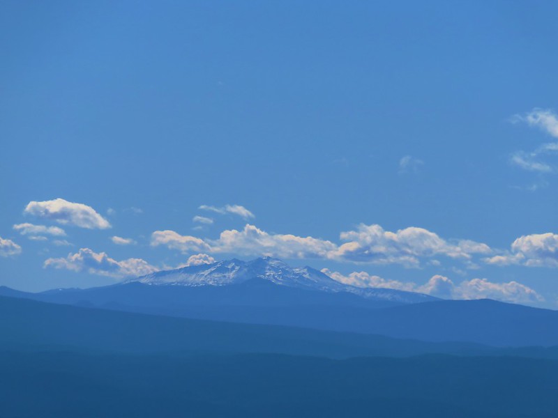
Mt. McLoughlin
Diamond Peak

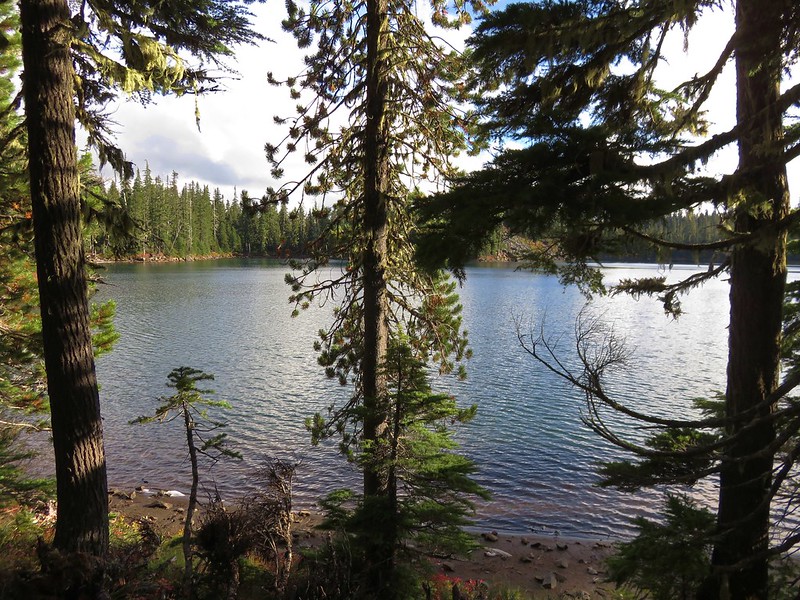
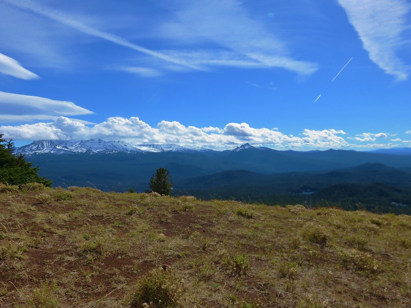
The Three Sisters
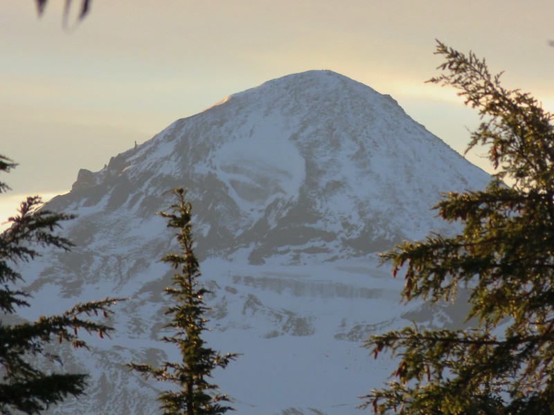
Mt. Washington

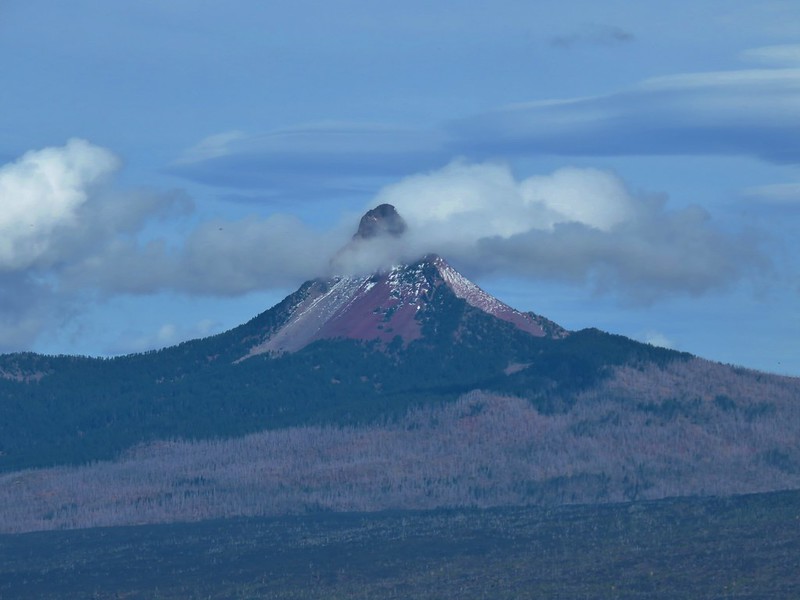
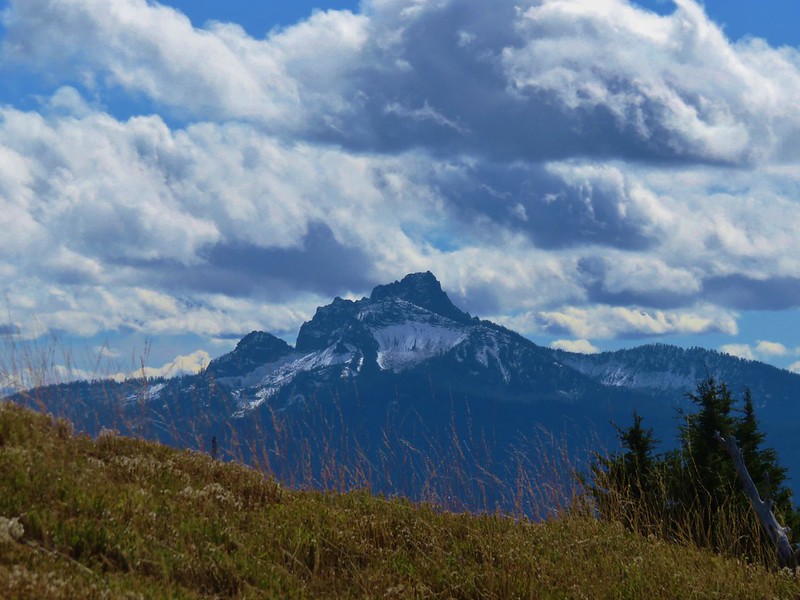
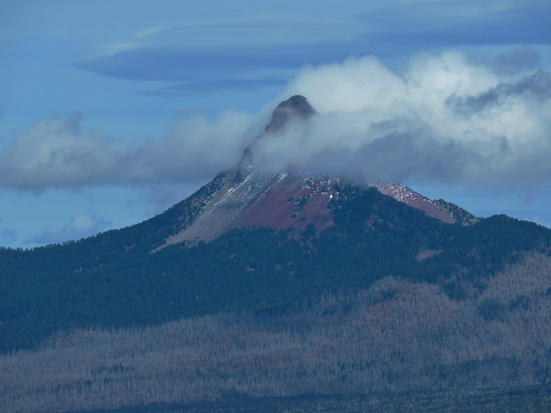
Three Fingered Jack
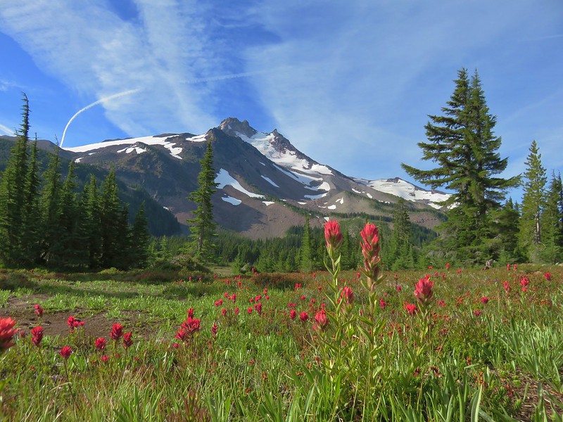
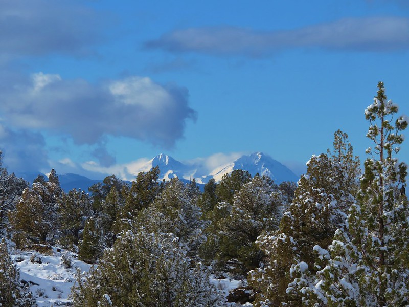
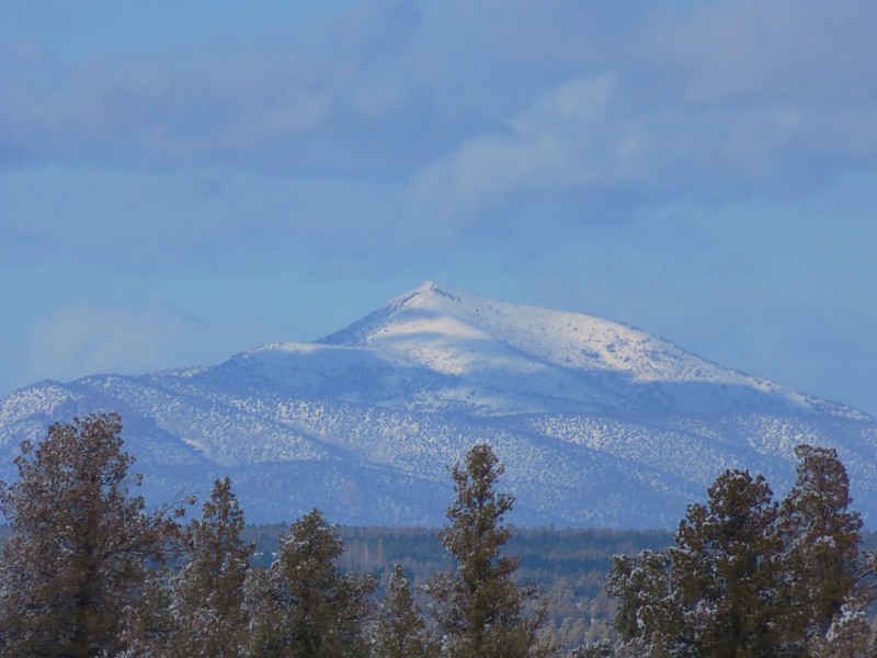
Mt. Jefferson
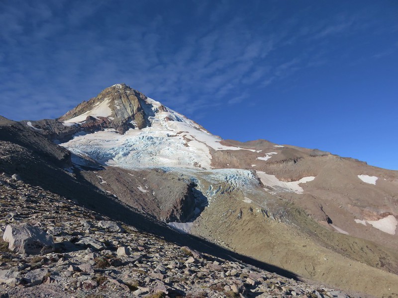
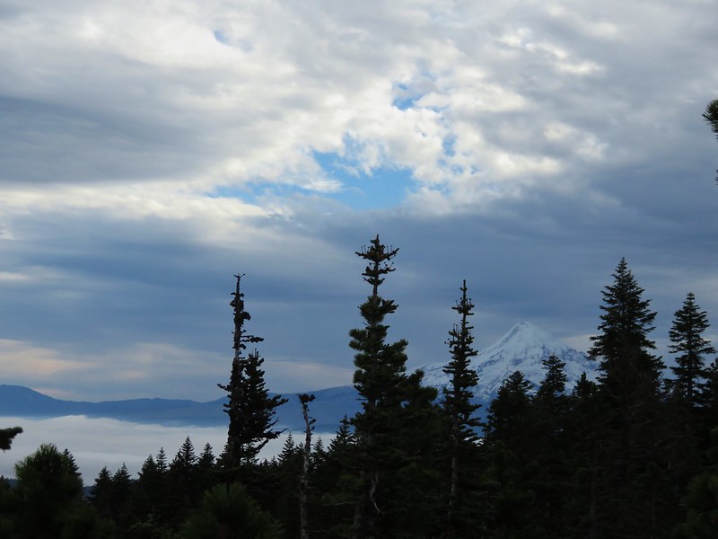
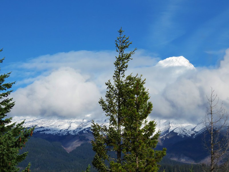
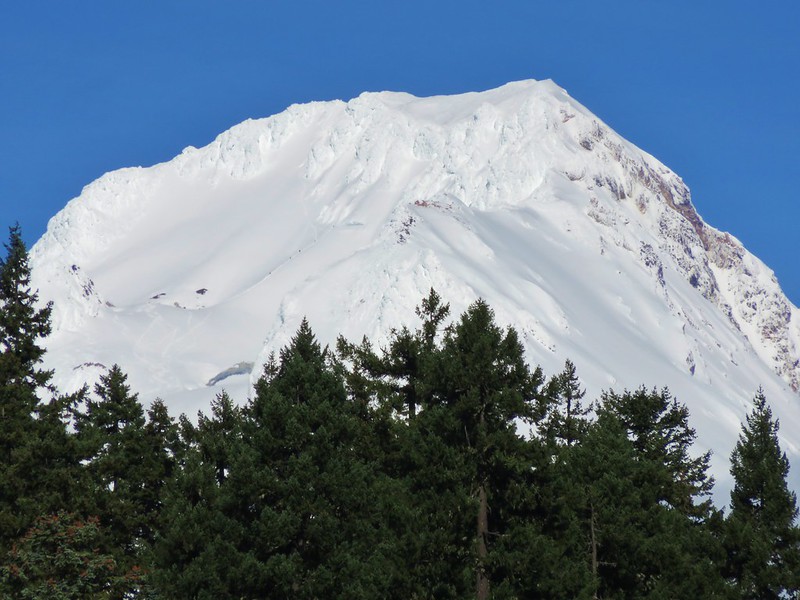
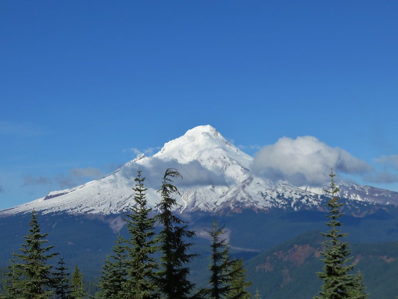
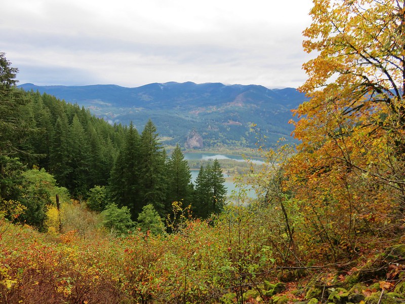
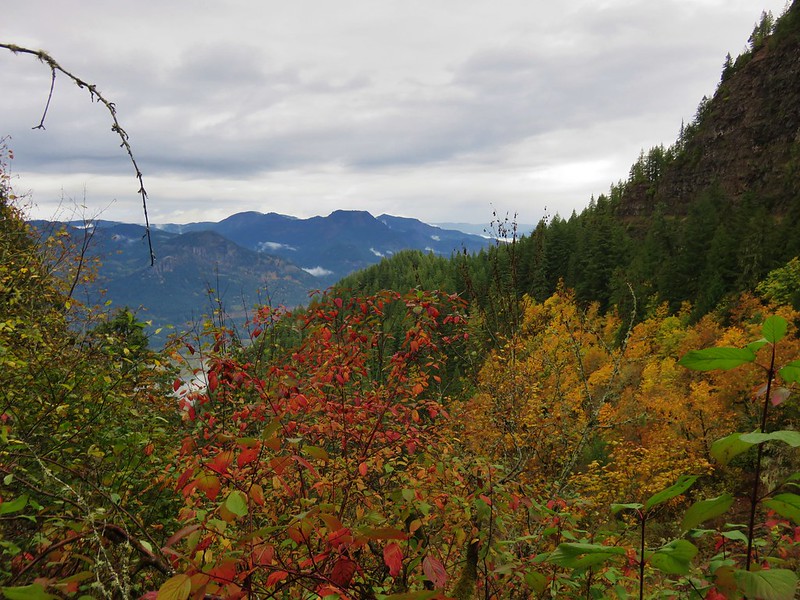
Mt. Hood
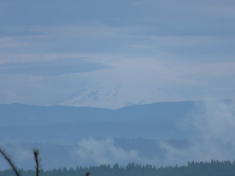
Coldwater Peak and Snow Lake – Mt. Margaret Backcountry, Mt. St. Helens Volcanic National Monument
into the High Desert of Central Oregon:
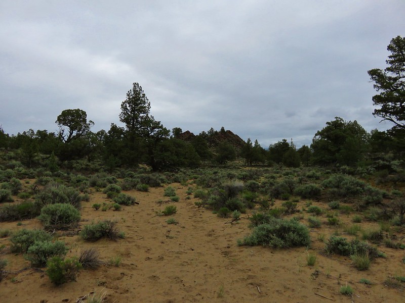
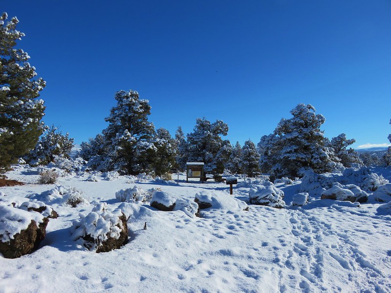
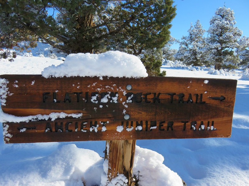
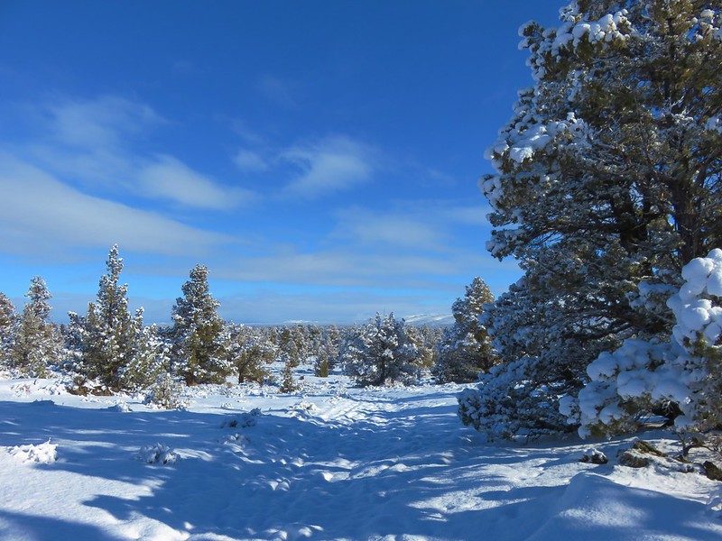
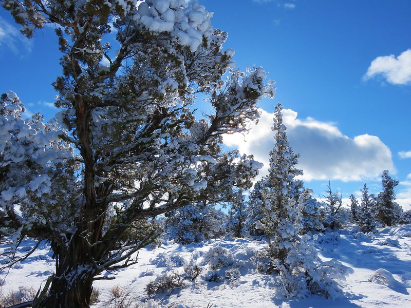
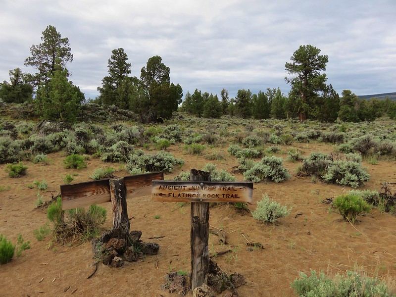
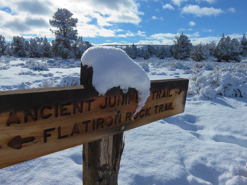
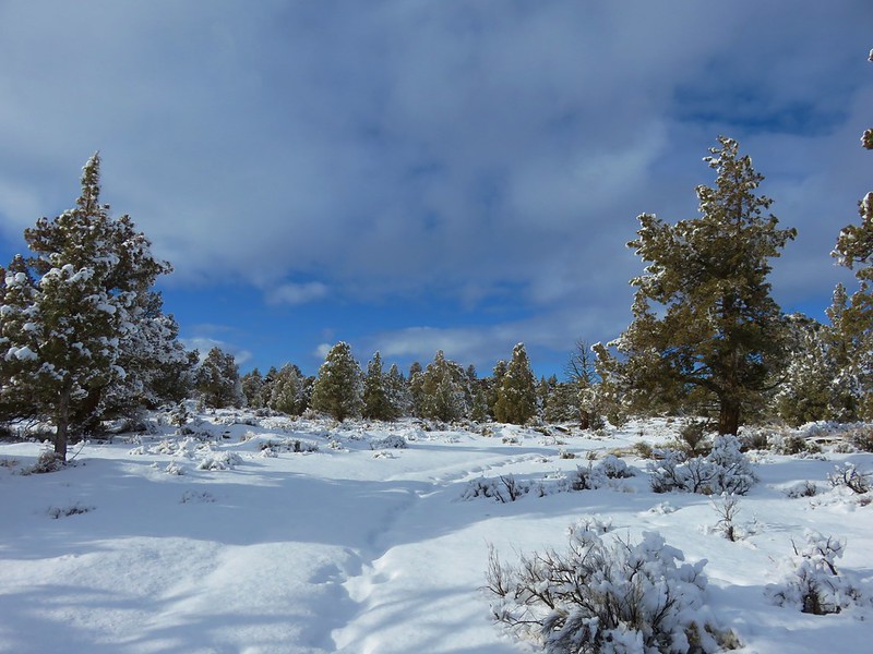
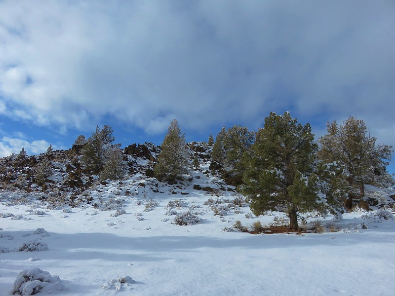
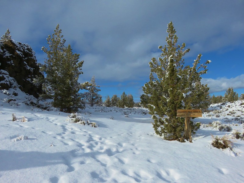
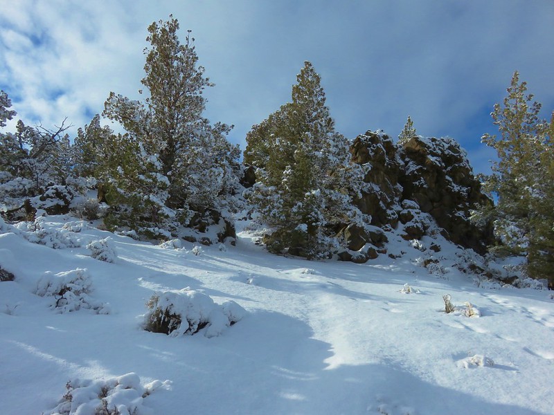
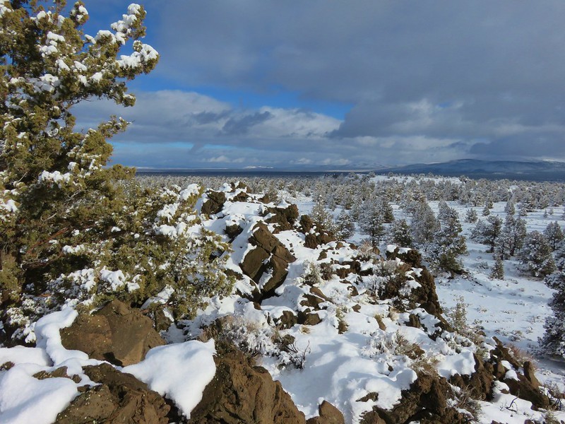
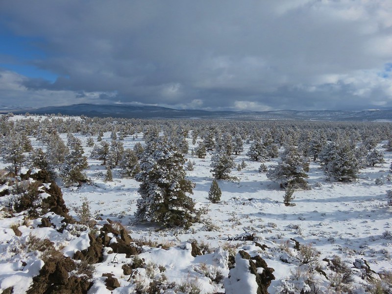
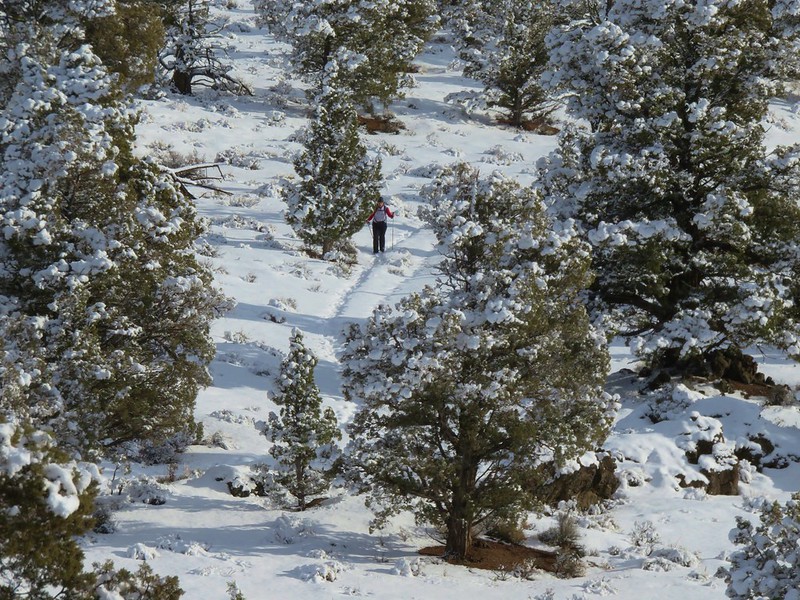
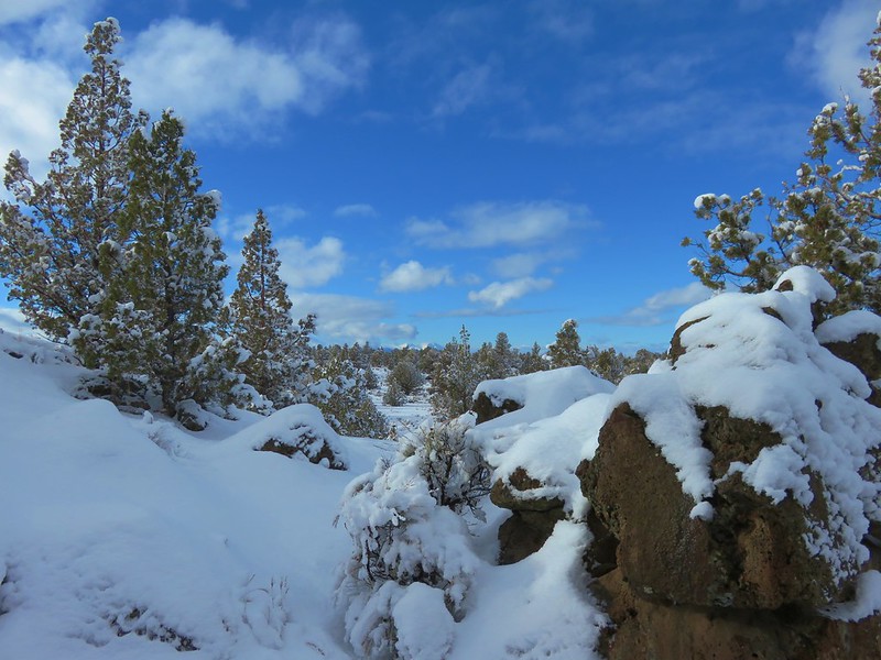
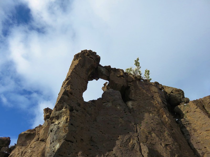
Badlands Rock – Oregon Badlands Wilderness
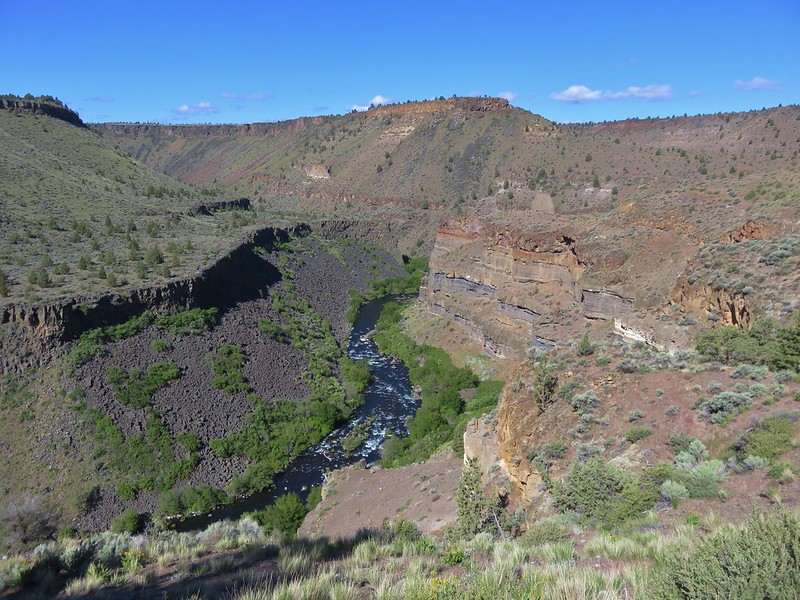
Deschutes River
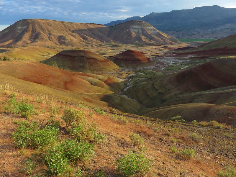
Painted Hills – John Day Fossil Beds National Monument
NE to the Wallowa Mountains:

Ice Lake and the Matterhorn
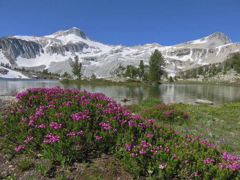
Glacier Peak and Eagle Cap from Glacier Lake
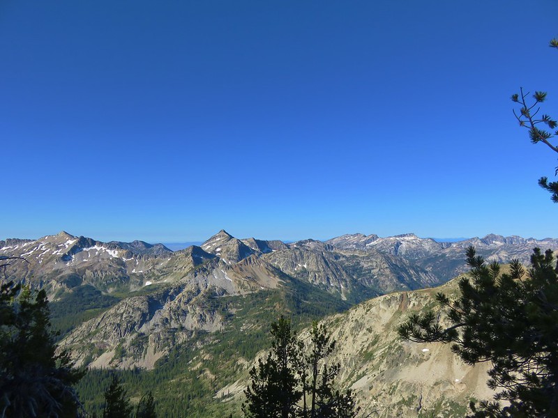
Eagle Cap Wilderness
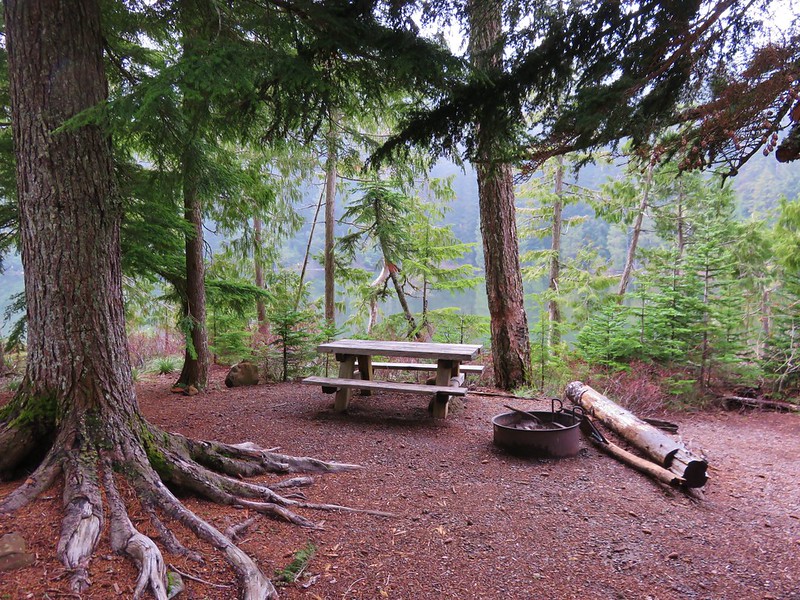
Here is a look at the locations of our hikes. The hiker symbols are the trailheads and the yellow house icon denotes the approximate location of our campsites.
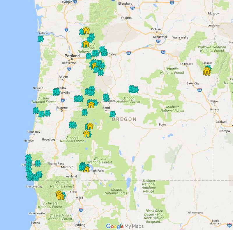
An interactive version can been accessed here and includes all of our previous hikes.
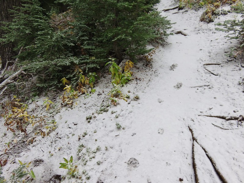
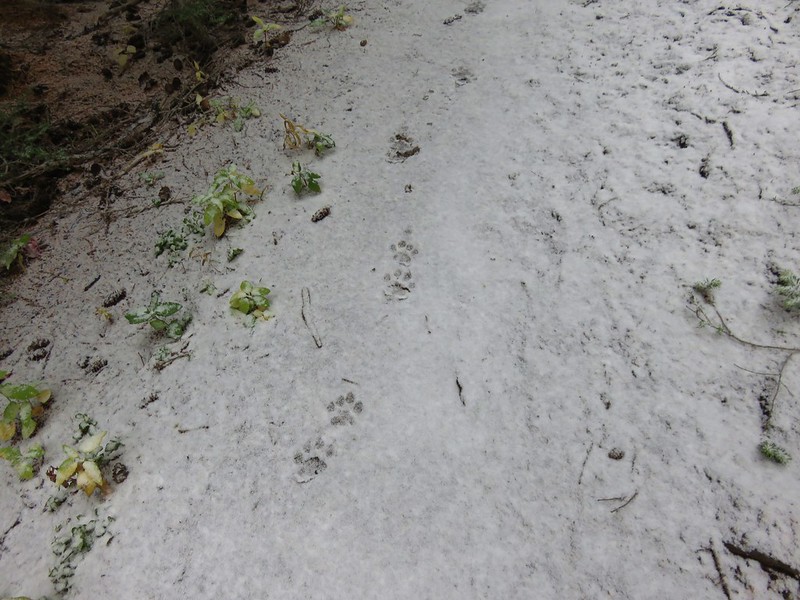
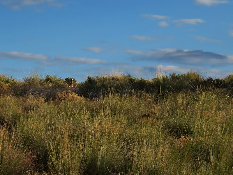
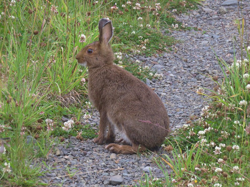
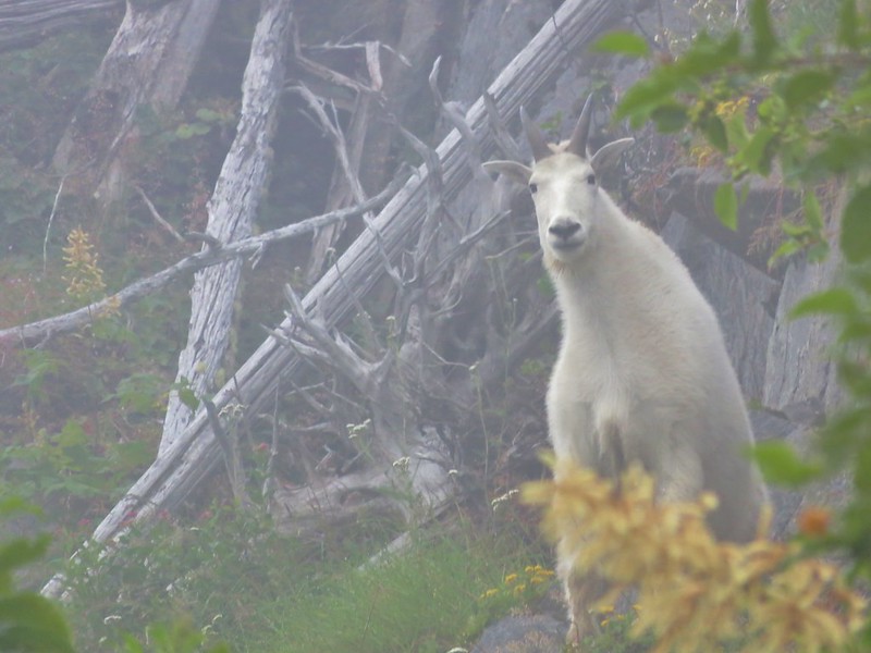
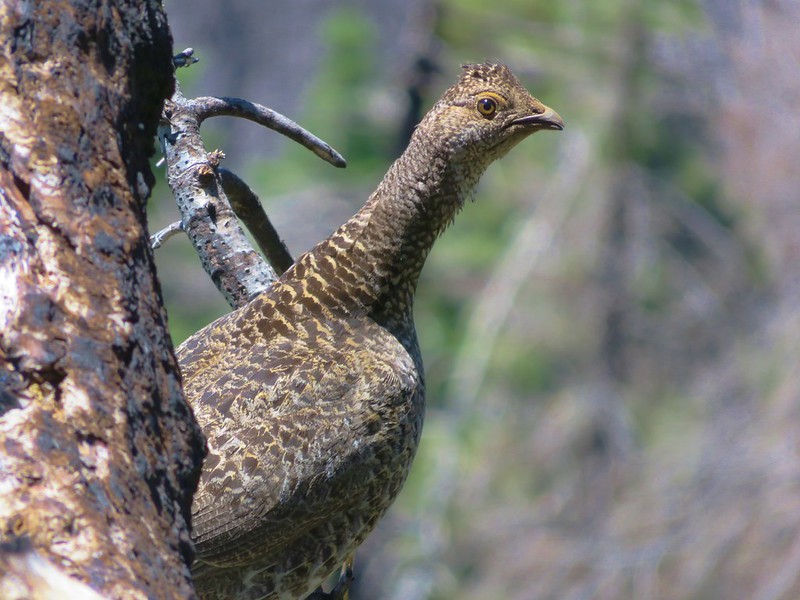
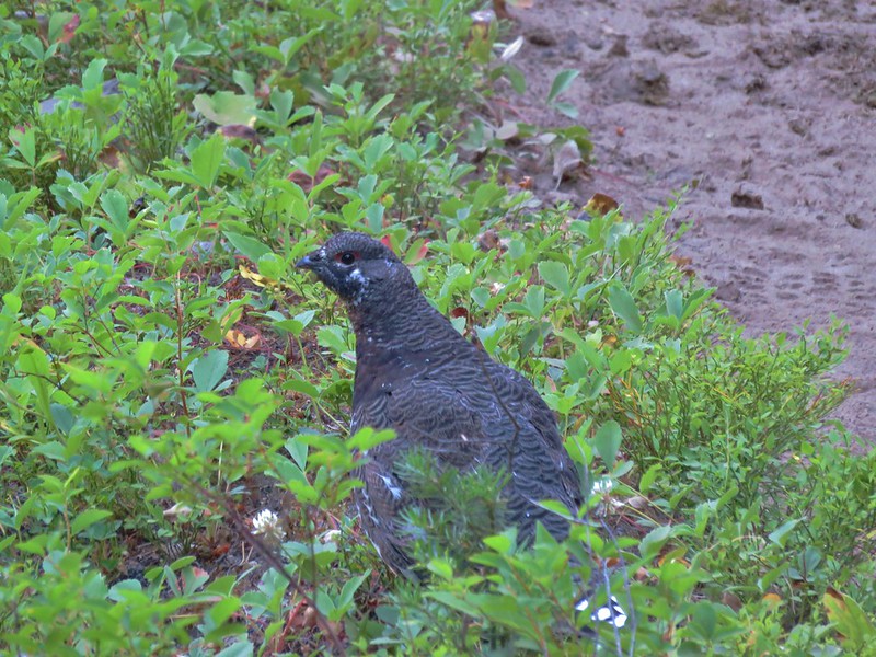
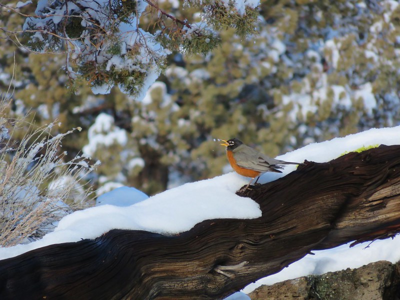
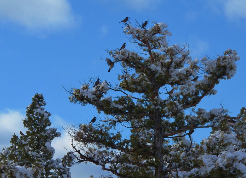
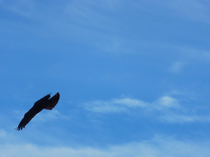
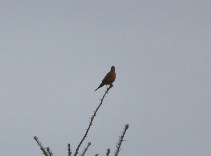
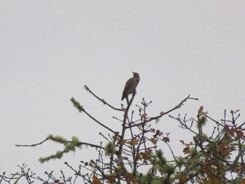
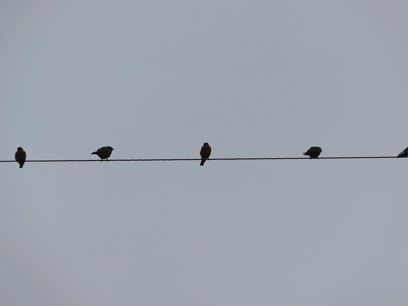
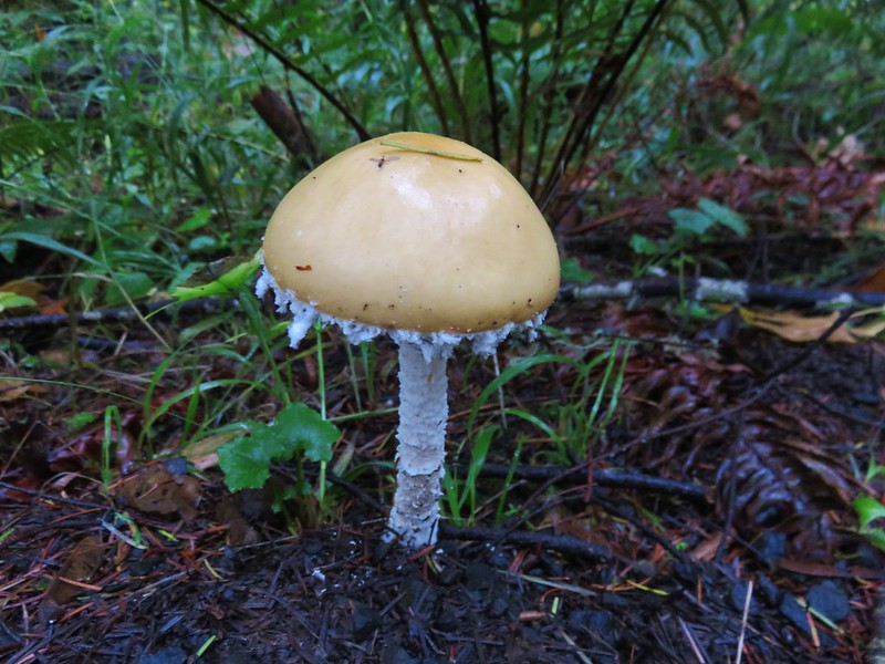
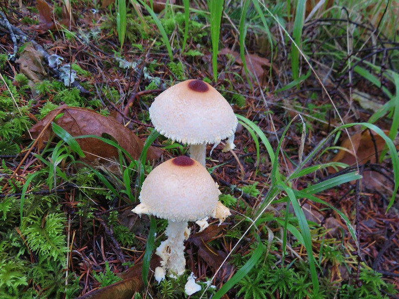
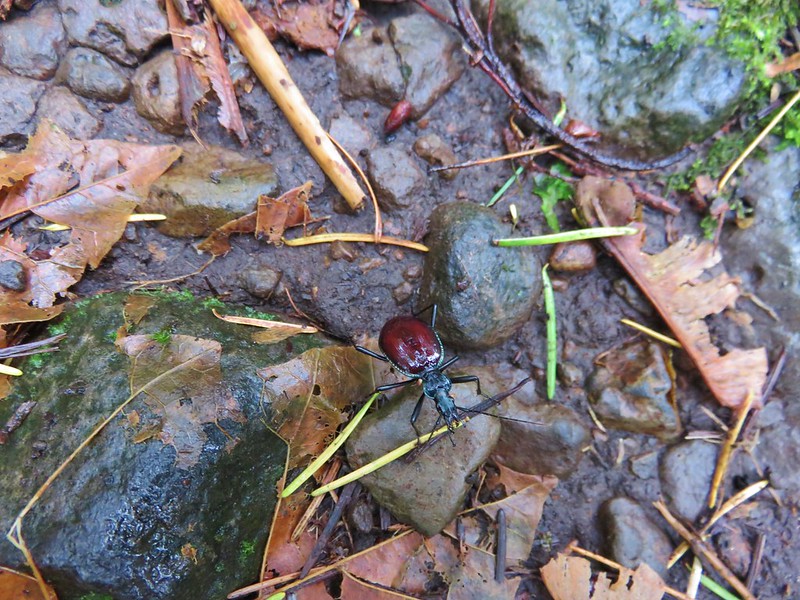
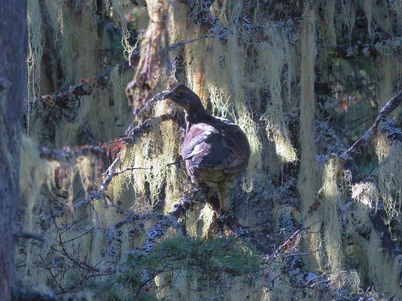
In addition to the spectacular views the areas provided a wonderful variety of wildlife and vegetation.
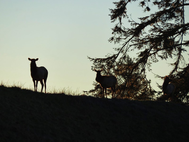
Elk
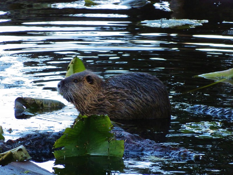
Nutria
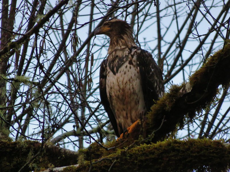
Bald eagle
Chukars
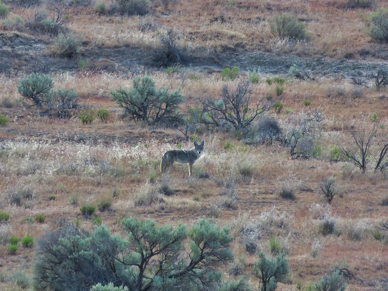
Coyote
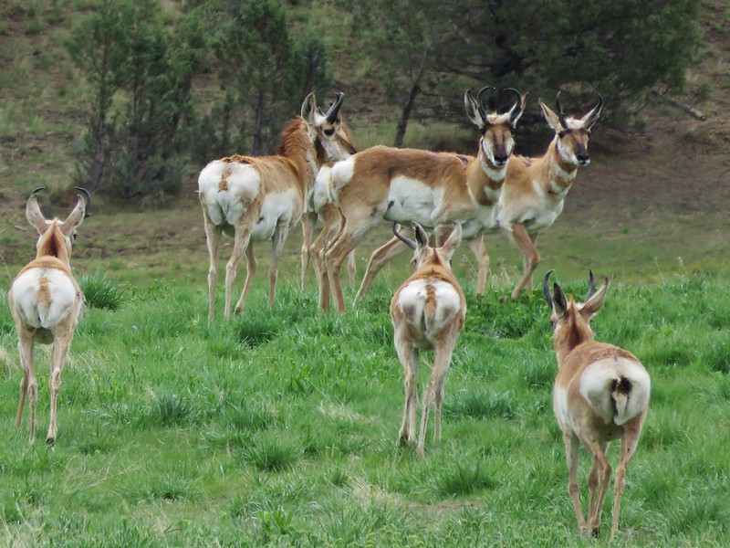
Pronghorn
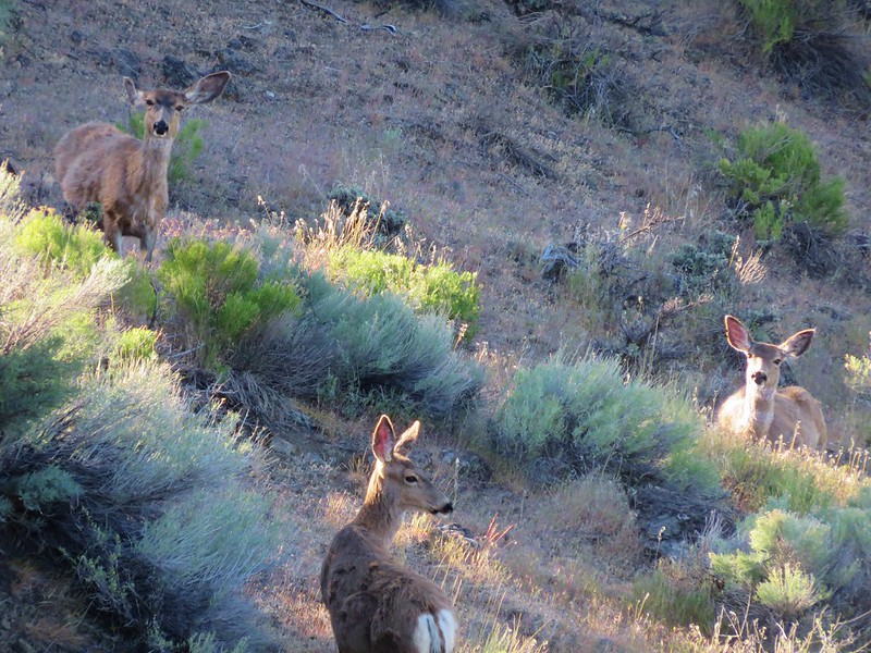
Deer
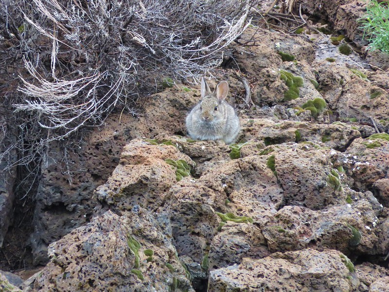
Rabbits
Mountain Goats

Bear

Grouse

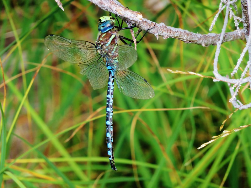
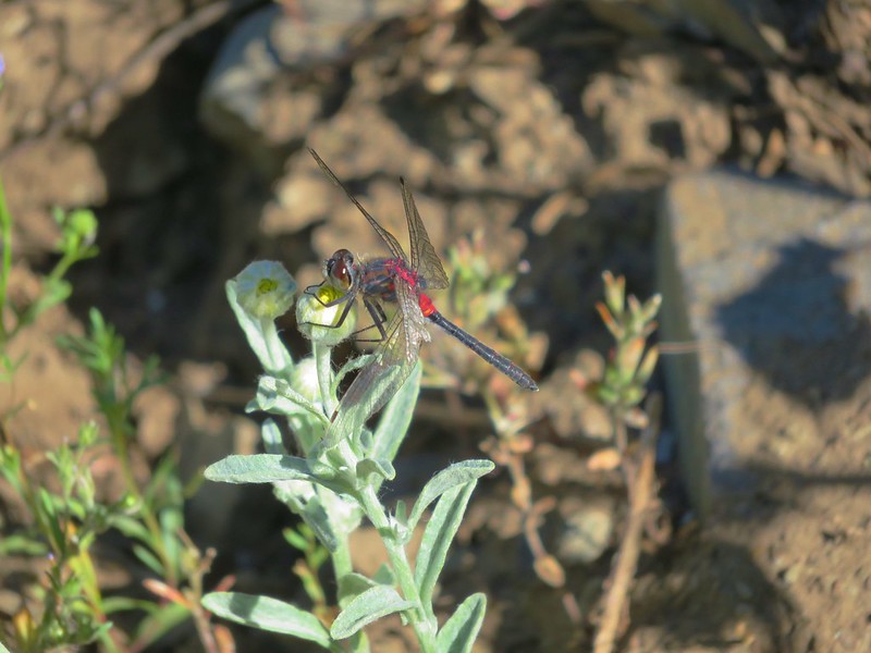
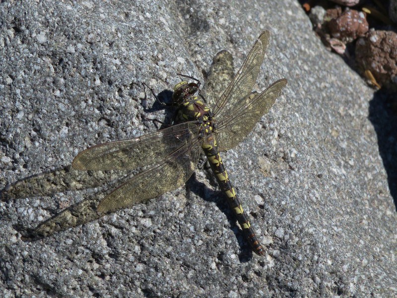
Dragonflies
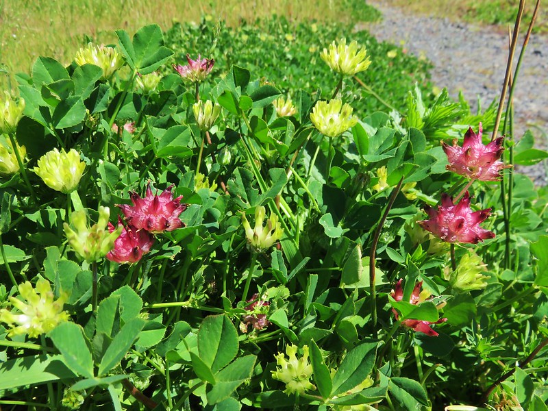
We encountered a number of flowers for the first time this year.

Sea fig
Cows clover
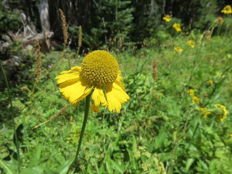
Bigelow’s Sneezeweed
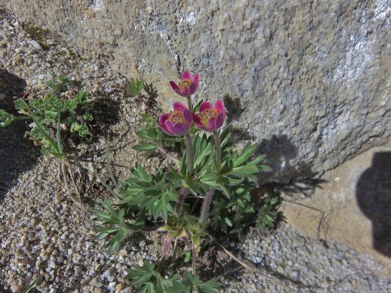
Cut-leaf anemone
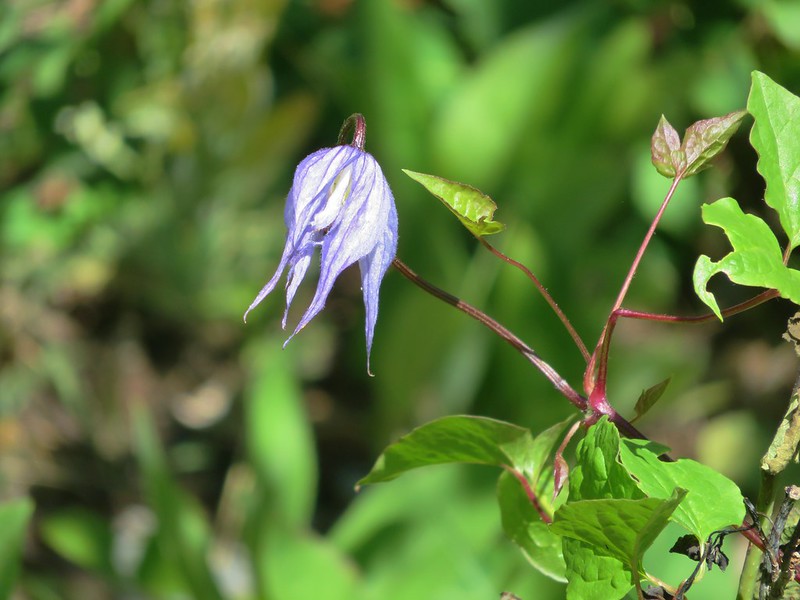
Western blue clematis
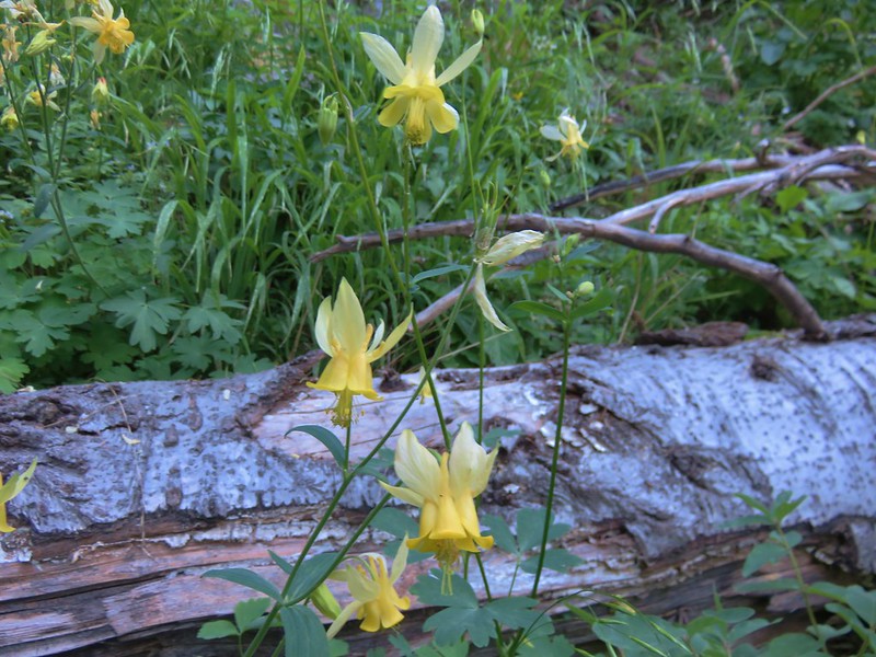
Yellow Columbine
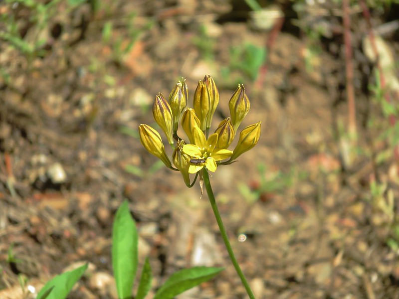
Pretty Face
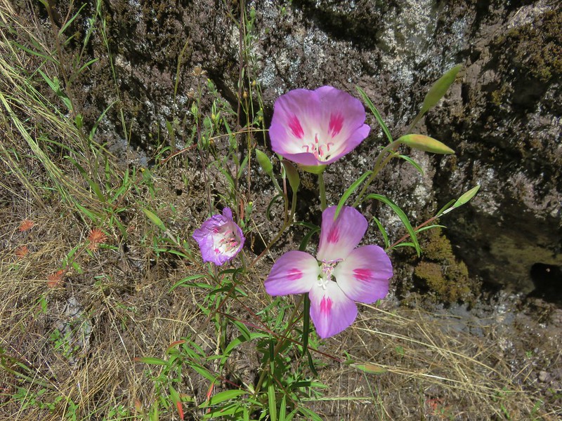
Farewell-to-Spring
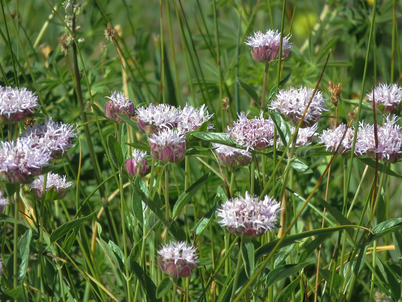
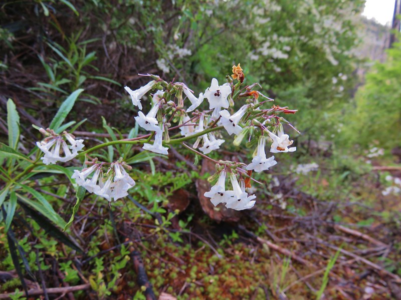
Mountain coyote mint
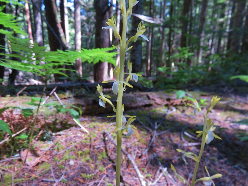
Yellow coralroot
Sea fig
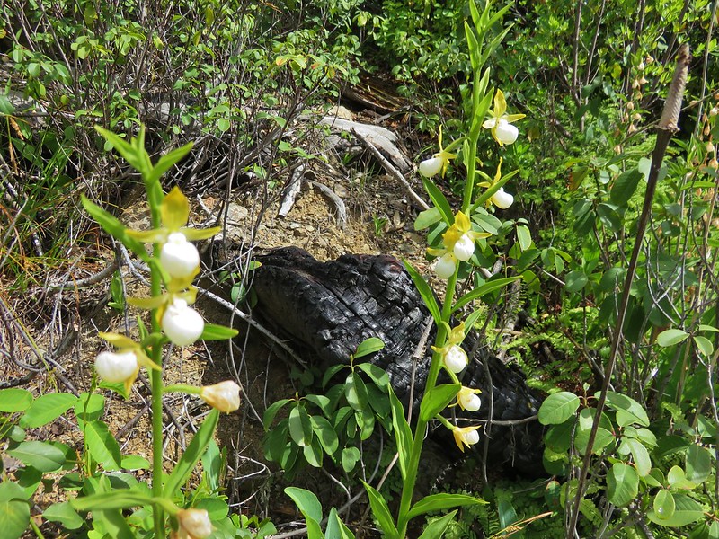
California Lady Slippers
California Yerba Santa
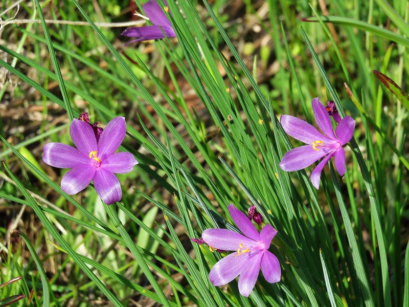
Grass widows
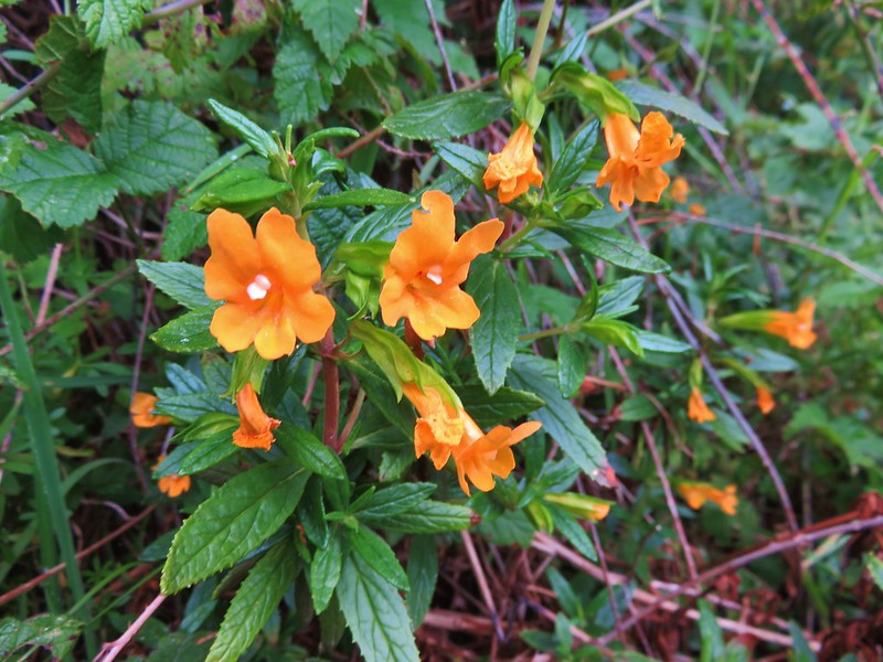
sticky monkey-flower
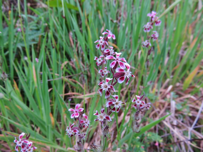
Some sort of catchfly

Sea thrift
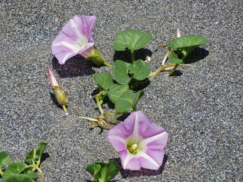
beach morning-glory

Yellow sand-verbena
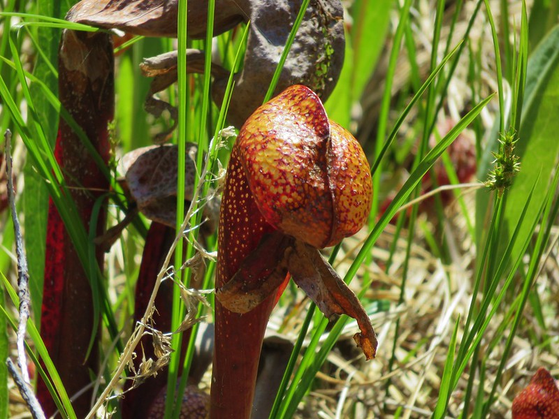
California pitcher plant (Darlingtonia californica)
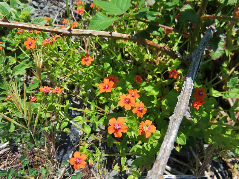
Scarlet pimpernel
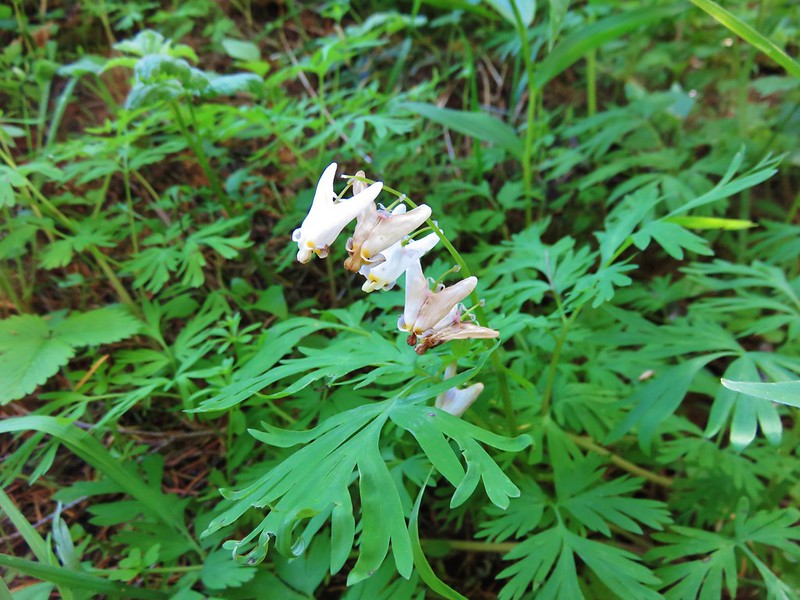
Dutchman’s breech
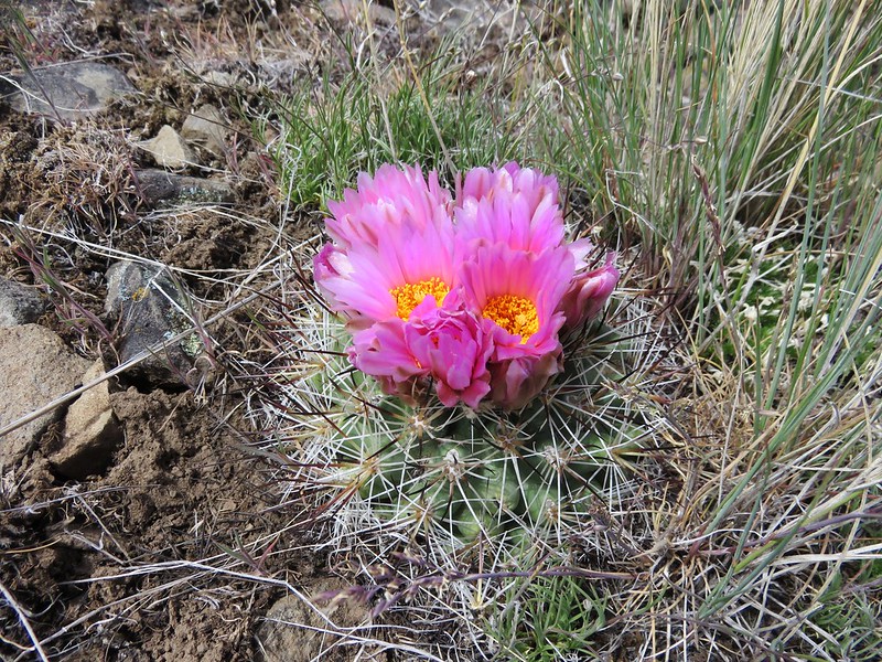
Hedgehog cactus
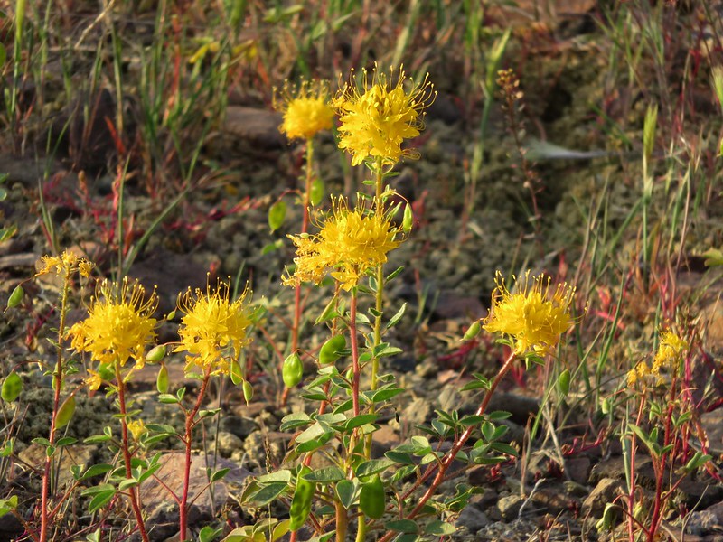
Golden Bee Plant
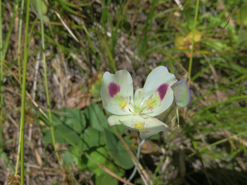
White mariposa lily
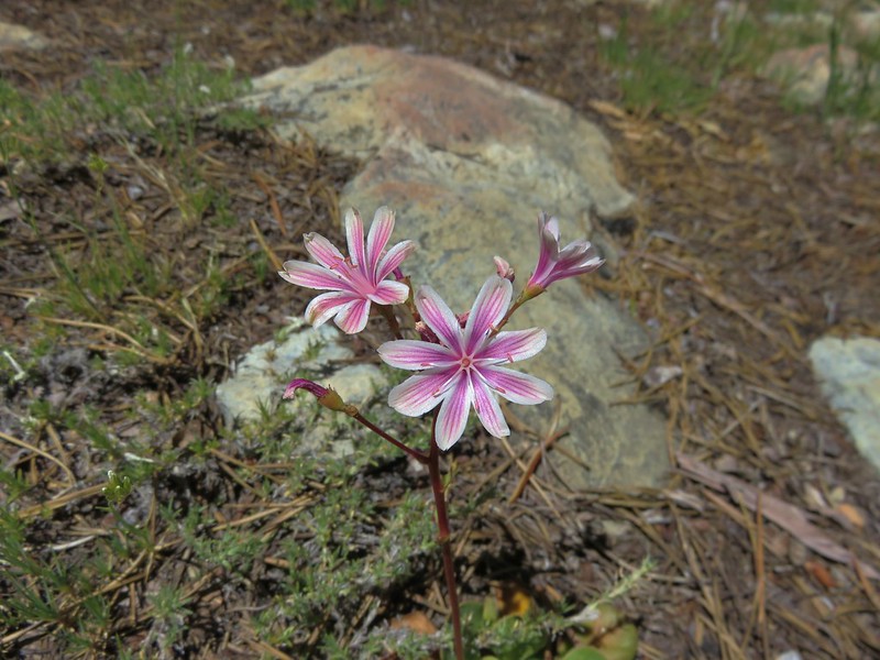
Siskiyou lewisia
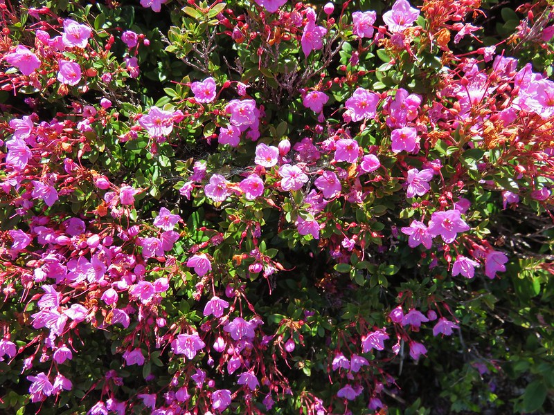
kalmiopsis leachiana
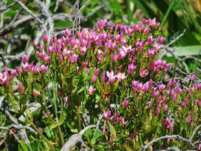
Muhlenberg’s centaury
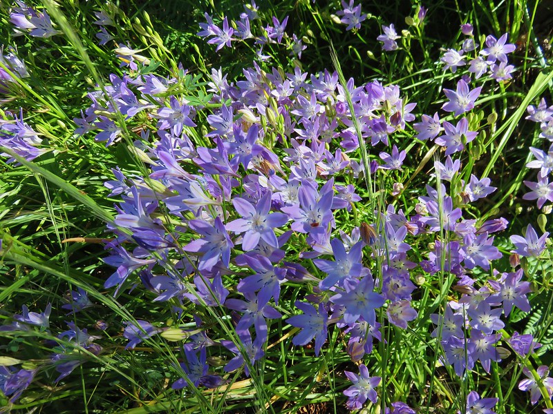
Bridge’s brodiaea
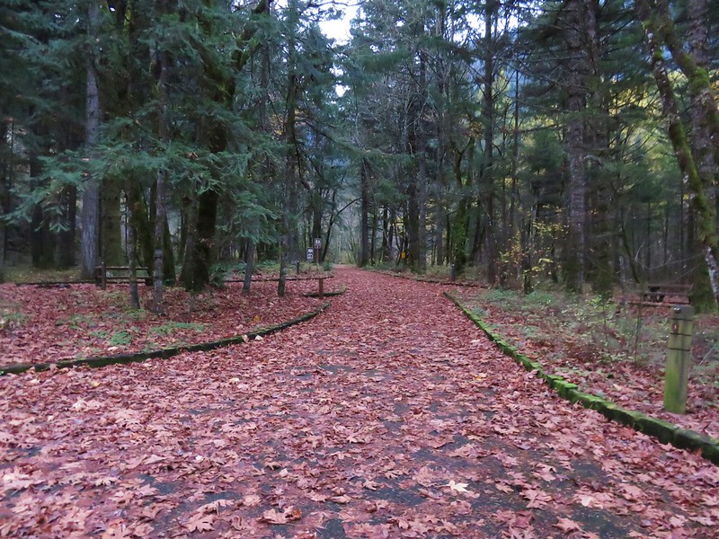
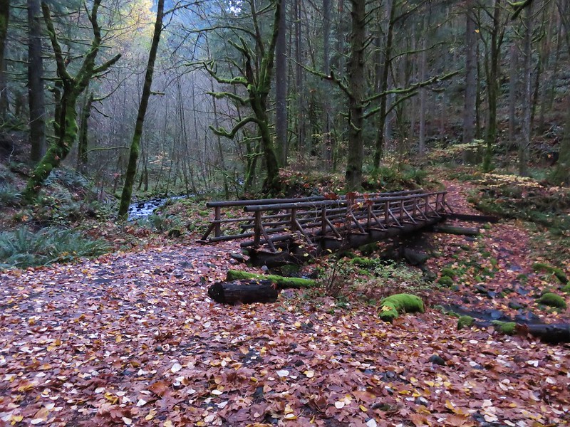
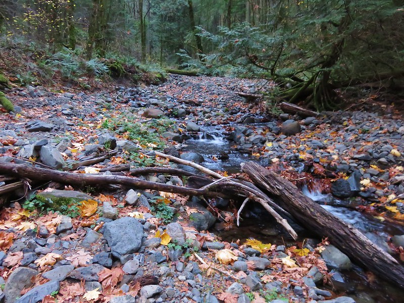
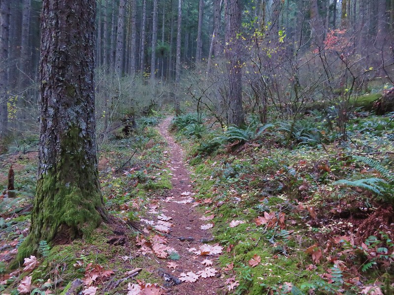
There were just too many sights to fit into a year end wrap up so to see a sample from each of our hikes this album contains a few photos from each hike which attempt to show the beauty of each trail. There are a lot of photos (793 – One for each mile hiked) but then again there is a lot of beauty in God’s creation.
Happy Trails in 2017 and beyond!


 <
<


 <
<