As I write up this trip report the Diamond Lake Resort, like many other areas in Oregon, has been evacuated due to a wildfire. The tragic loss of homes and lives happening right now is truly heartbreaking. Right now the Thielsen Fire is moving away from the lake but a shift in the winds could change that in an instant.
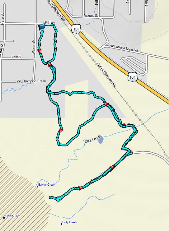
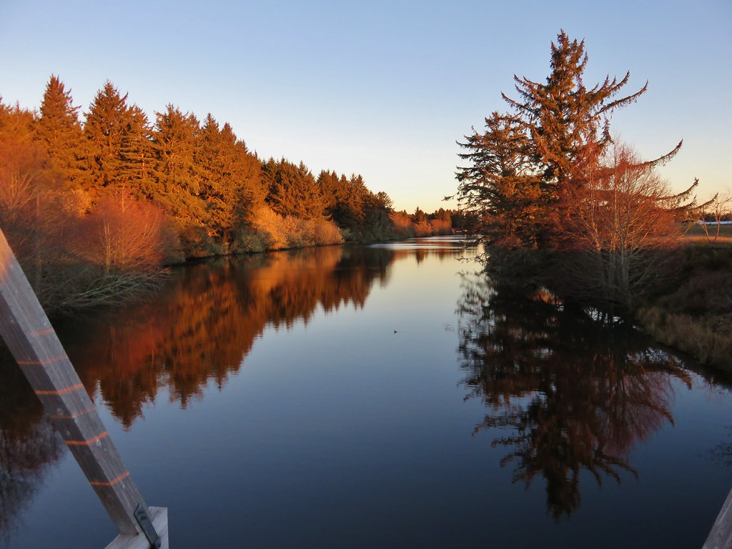
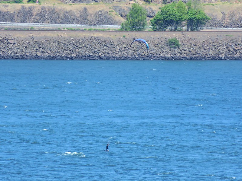
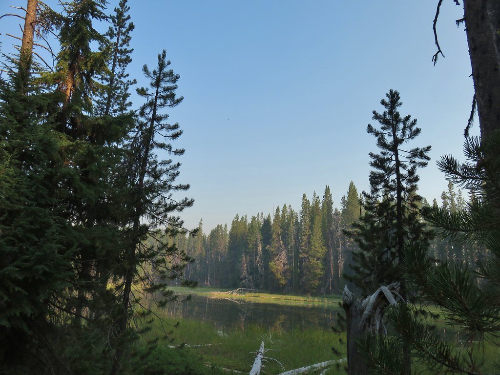
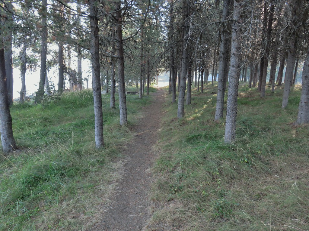
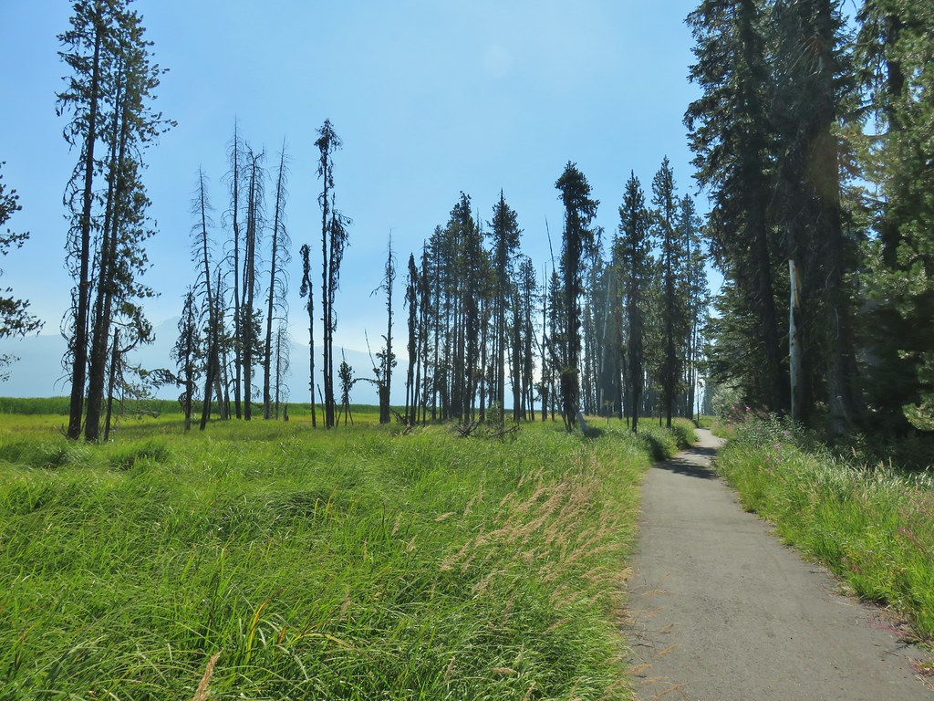
We visited Diamond Lake to kick off our Labor Day Weekend hiking the full loop around the 3,015 acre lake. There are numerous possible starting points for the loop and we chose to park at Horse Lake where we could follow the Horse N Teal Trail to the Dellenback Trail which is the paved trail around Diamond Lake. There was quite a bit of smoke from wildfires in California in the air which limited visibility as we set off from Horse Lake on the trail.

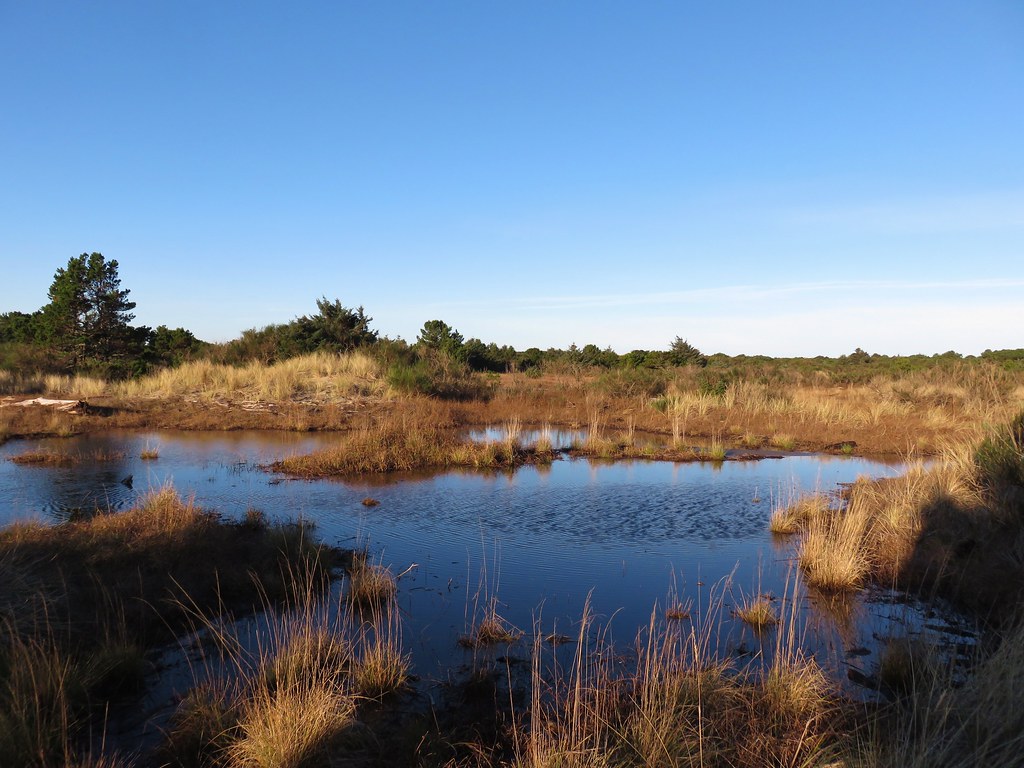
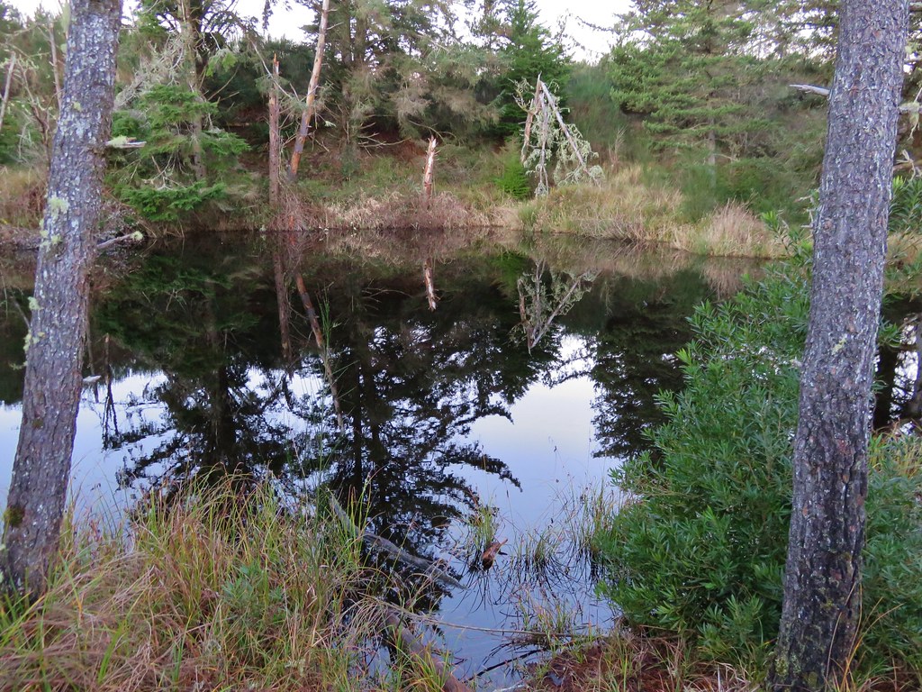
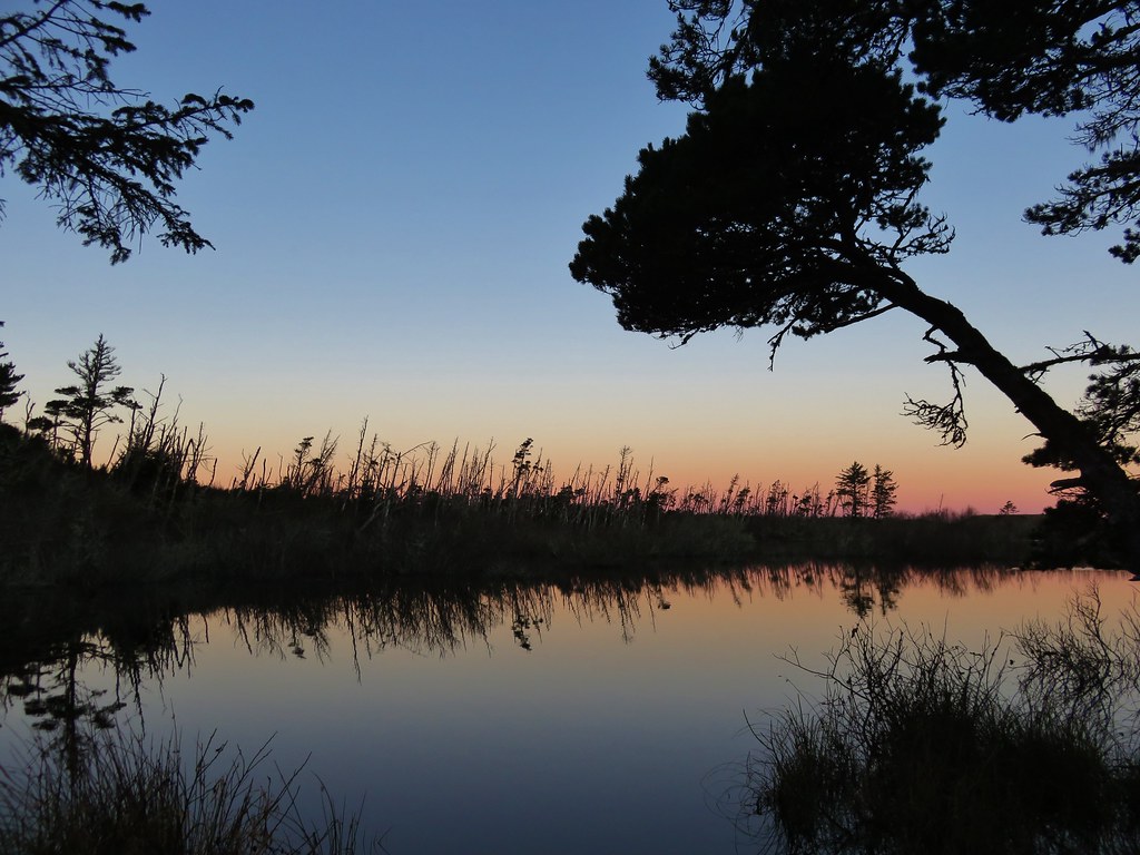
 Horse Lake
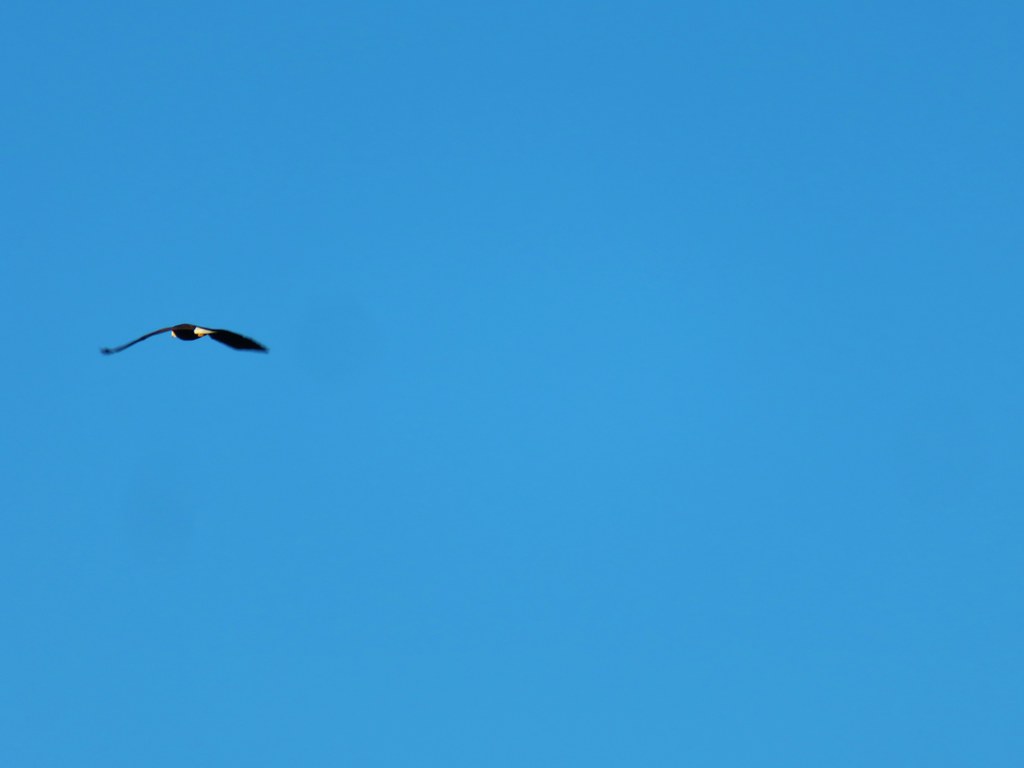
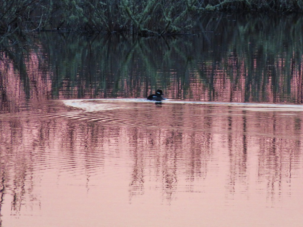
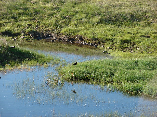
 Lesser yellowlegs
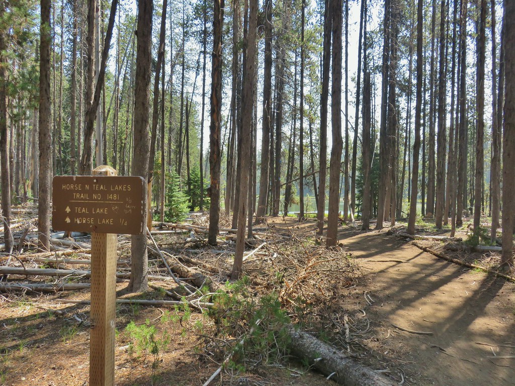
We opted not to make the short loop around Horse Lake and turned right at a junction toward Forest Road 4795 and Teal Lake.
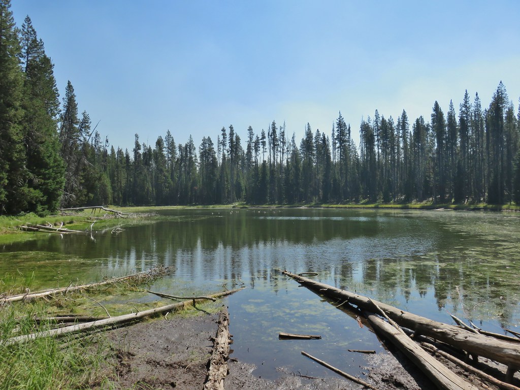
The trail crossed the road and then descended a short distance to Teal Lake.


There is also a loop around Teal Lake so we had the choice of going left or right. We had planned on hiking counter-clockwise around Diamond Lake so we went right here and passed around the east side of Teal Lake where there was a hazy view of Mt. Bailey (post).
At the north end of the lake a very short connector trail led to the paved Dellenback Trail where we again turned right.


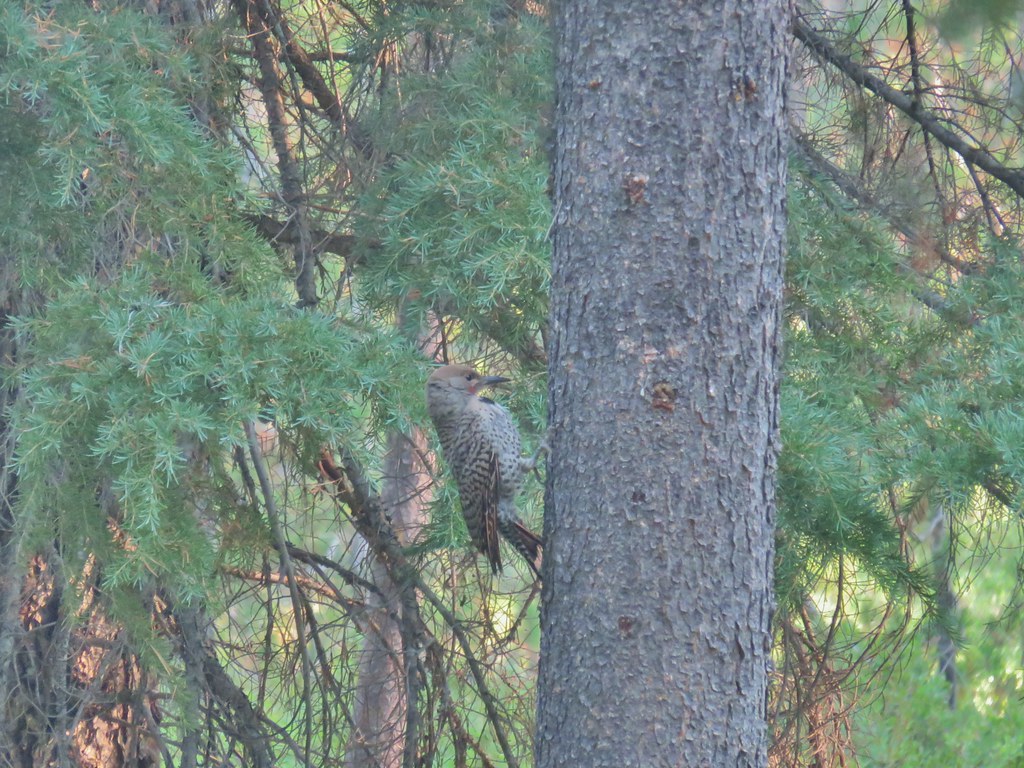 Northern flicker
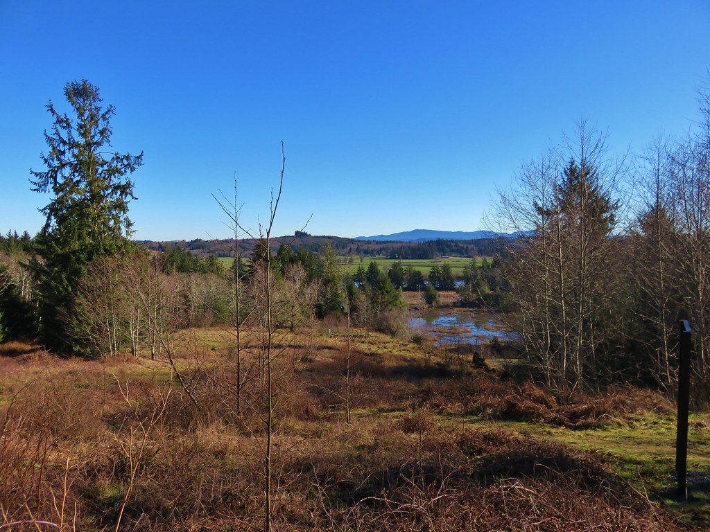
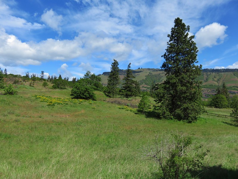
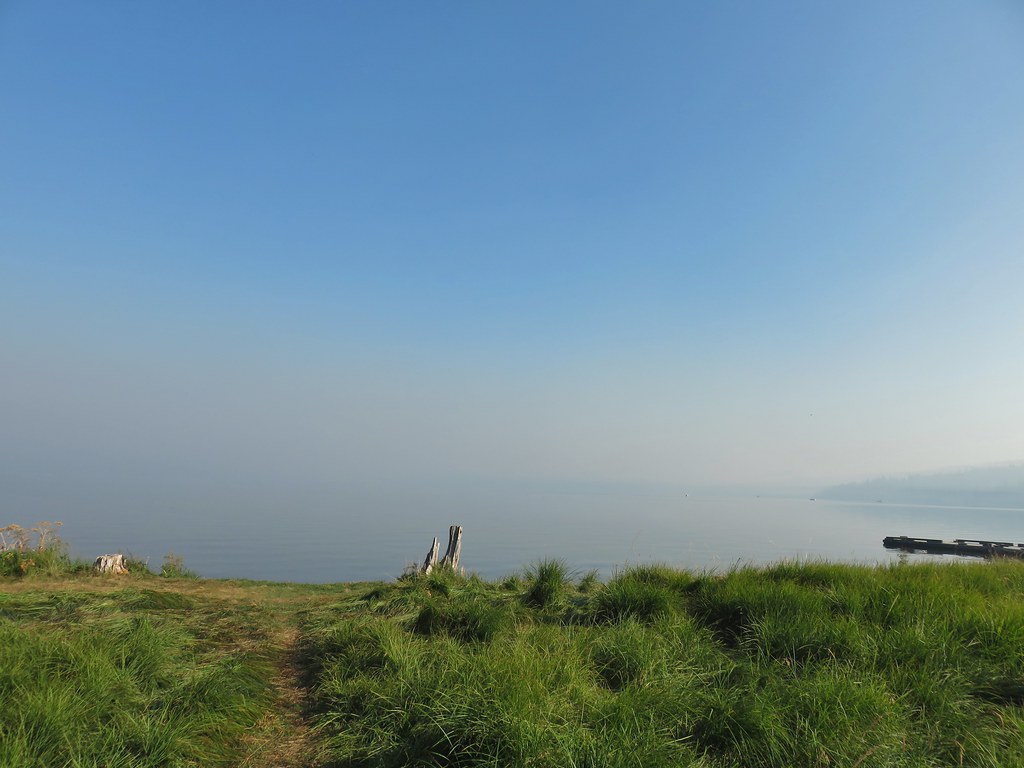
A large meadow separates the trail from the lake here.

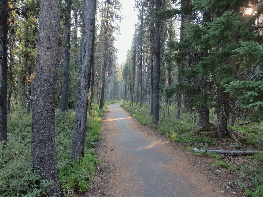
We followed the path through the forest ignoring side trails for a mile where we arrived at the South Shore Picnic Area.

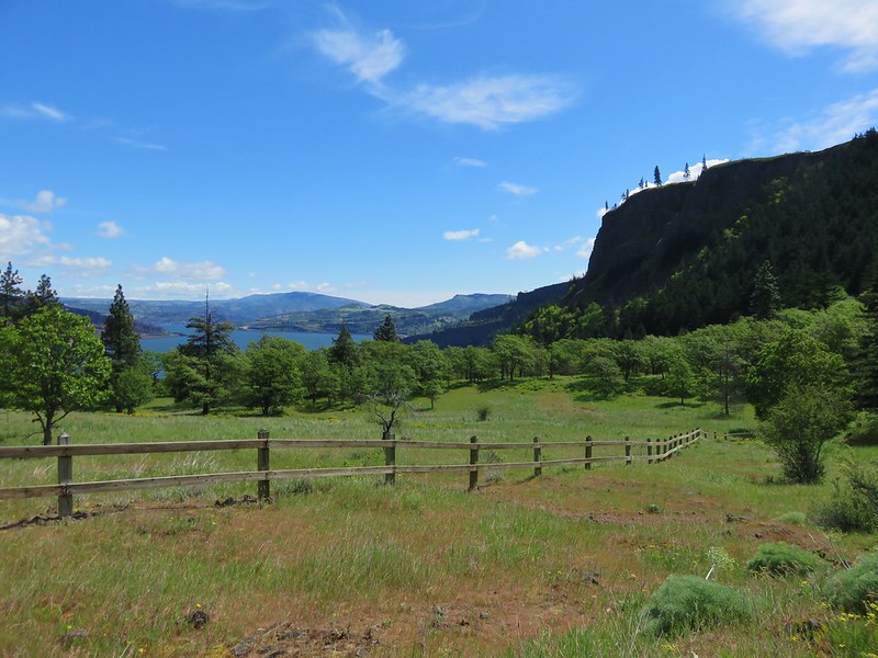
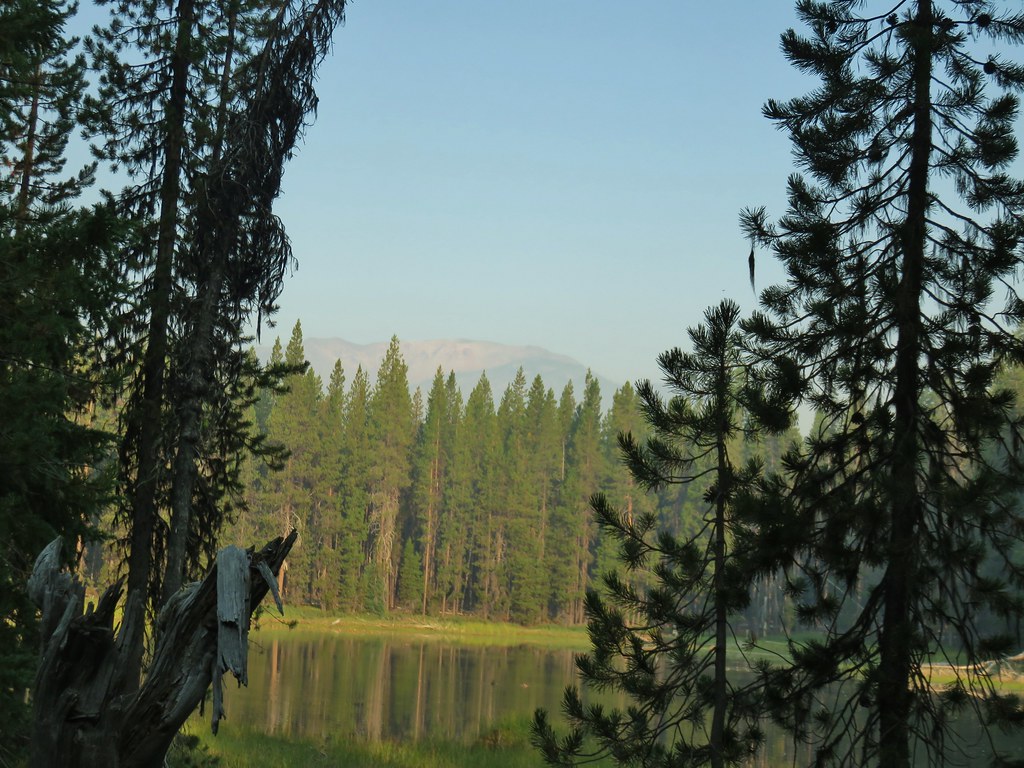
 Mt. Bailey beyond the meadow.

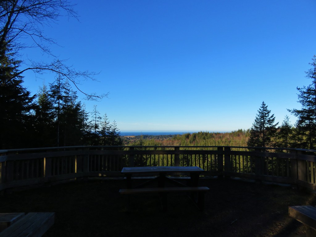
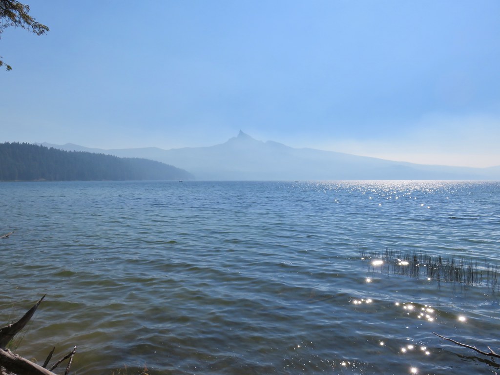
 Mt. Thielsen from the South Shore Picnic Area
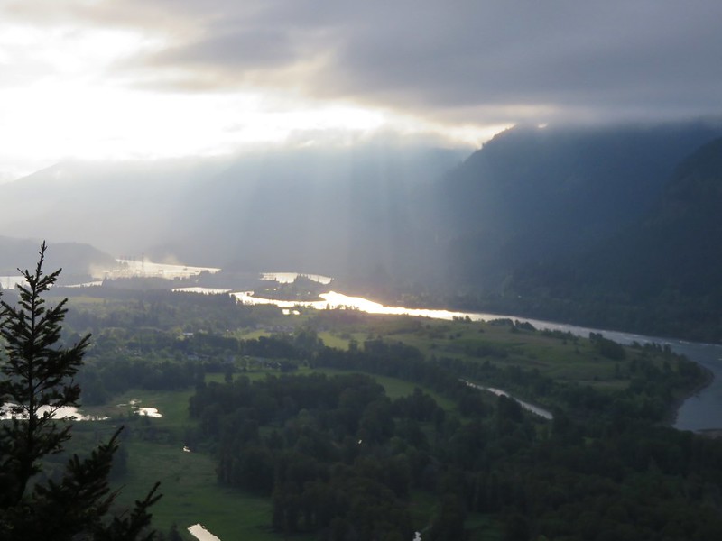
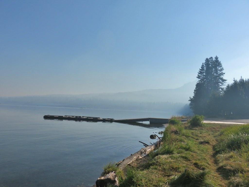
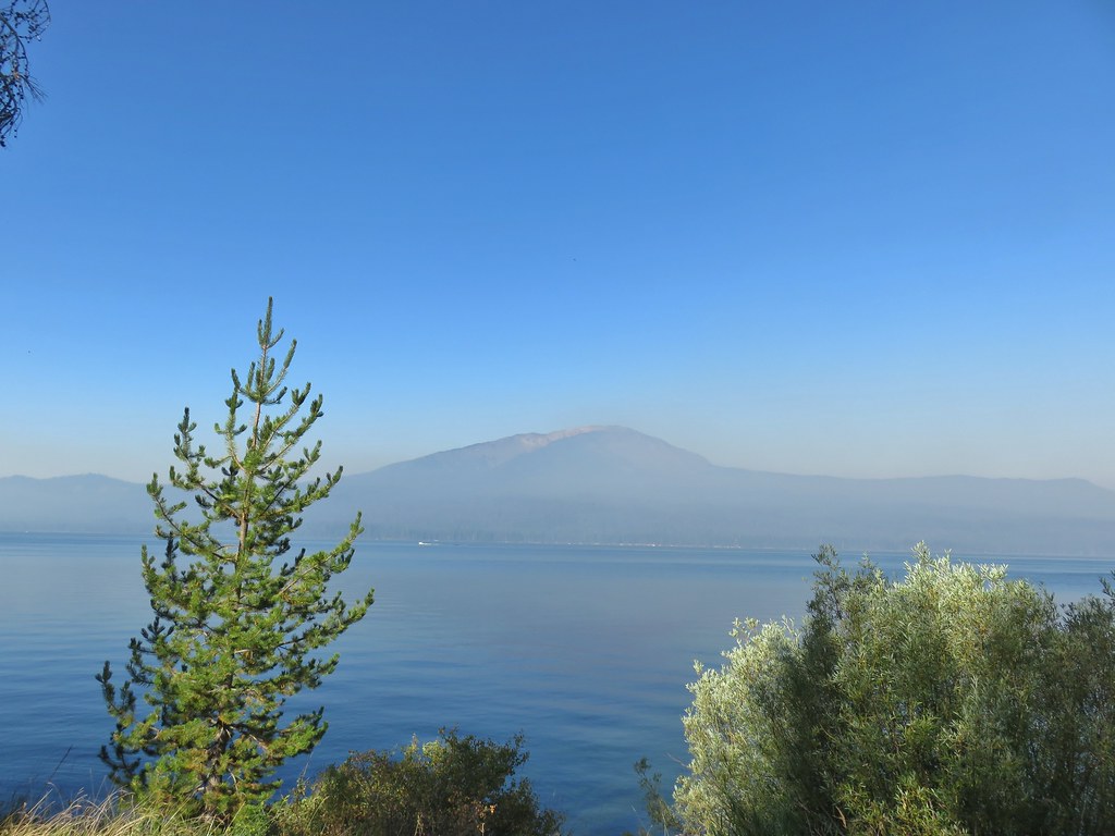
 Diamond Lake underneath the smoke.
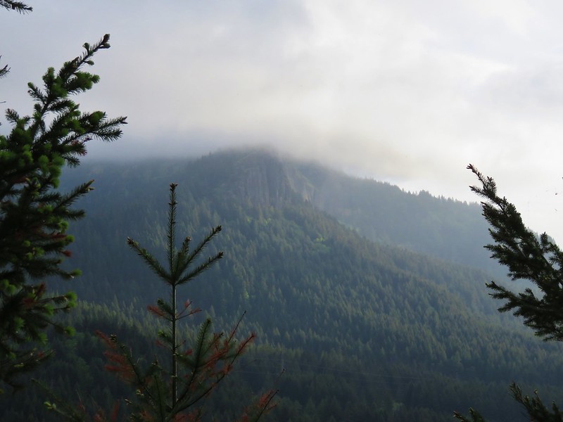
 Mt. Bailey
 Mt. Thielsen from the boat dock.
We had expected the lake to be busy given it was Labor Day weekend and Diamond Lake is a very popular spot and we were right. We utilized our masks as we passed through the picnic area and continued past an RV park and into the Diamond Lake Campground which stretches along most of the eastern side of the lake.
 Picnic tables in the picnic area.

 Short Creek (it really is short)
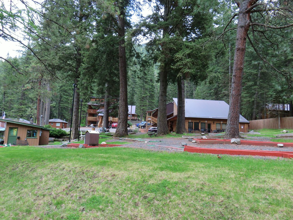
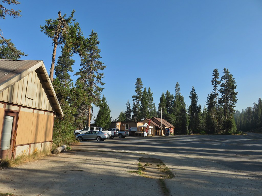 Resort buildings between the RV park and campground.
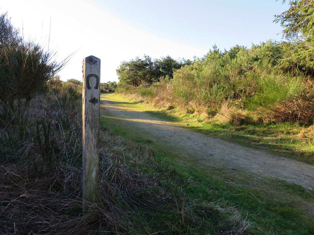
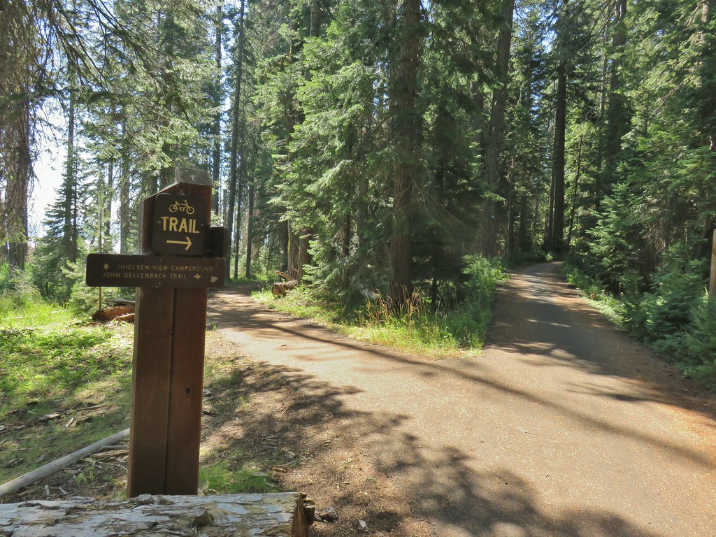
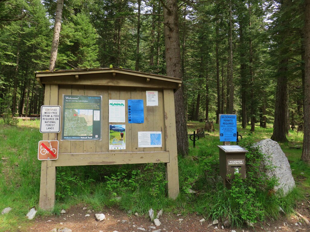
 Sign instructing users to follow painted bike symbols through the campground.
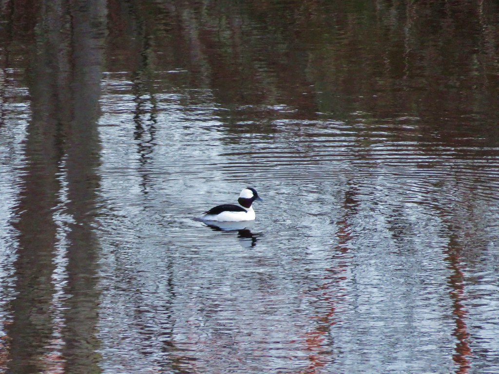
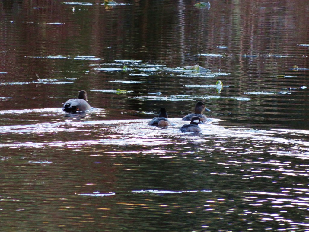
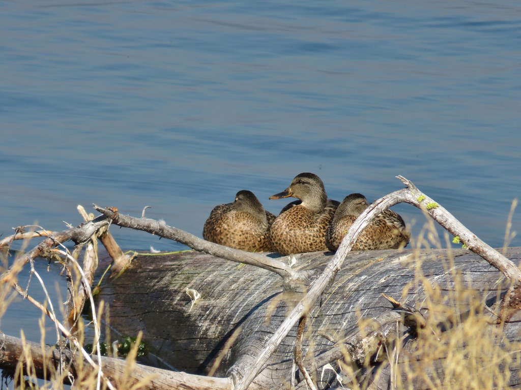
Despite passing through the busy campground there were a number of good views of Mt. Bailey across the lake. There were also quite a few ducks in the area.
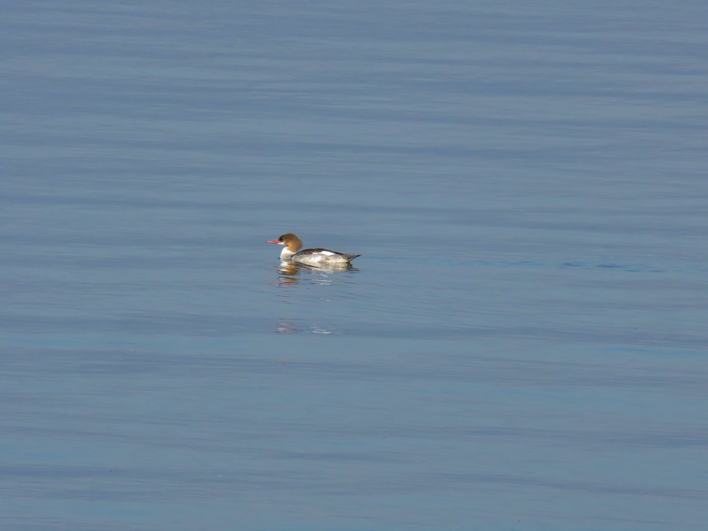 Common merganser

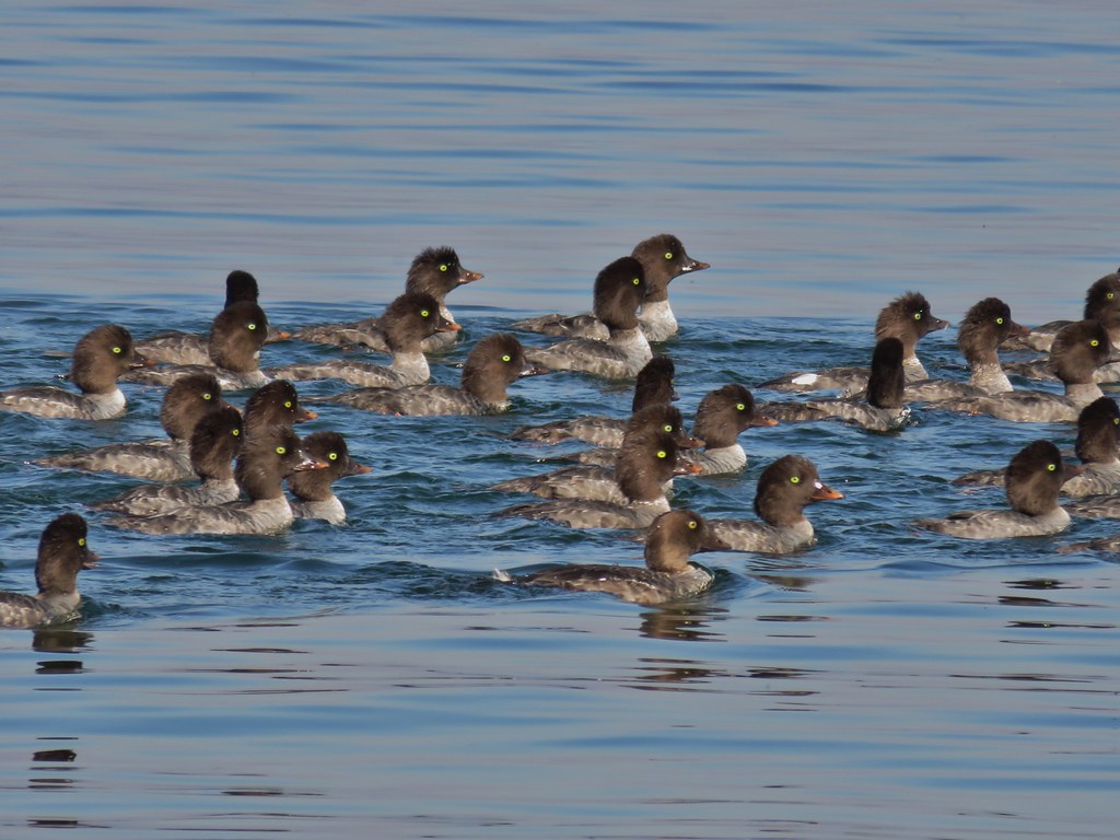
 Goldeneyes
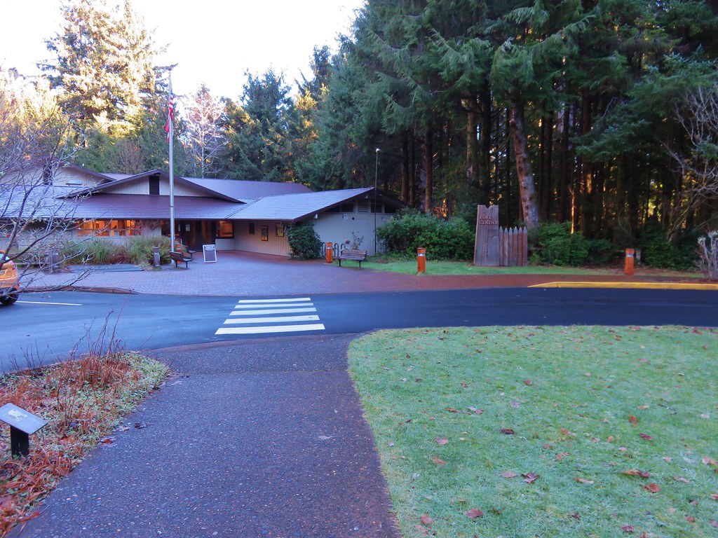
The trail left the campground and then in a quarter mile arrived at the Diamond Lake Lodge area.

 Mt. Bailey again.
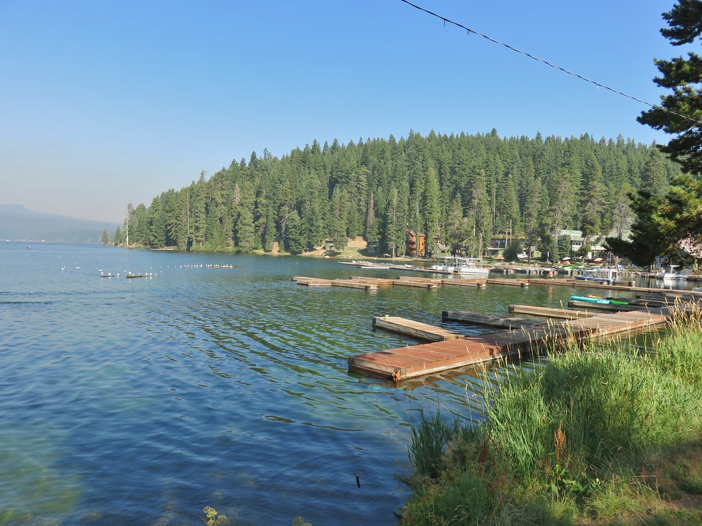 Arriving at the lodge area.
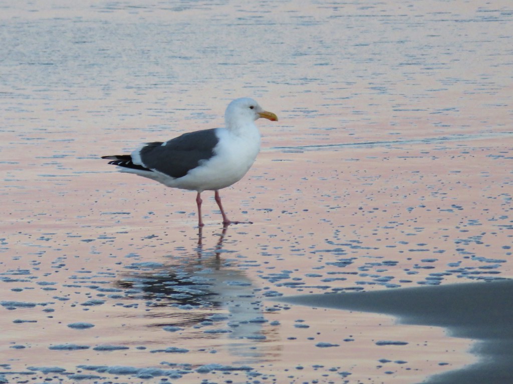
 Seagulls


We passed by the lodge along the grassy lake shore and then returned to the trail on the far side. We were now far enough around the lake that we could once again see Mt. Thielsen.

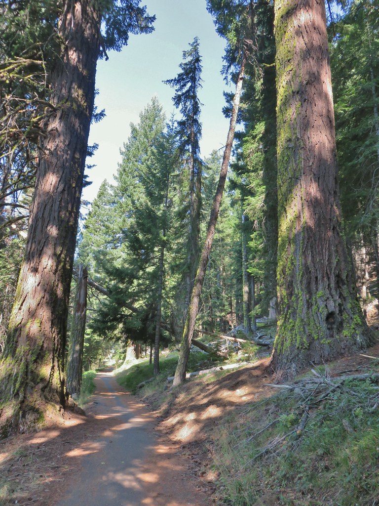
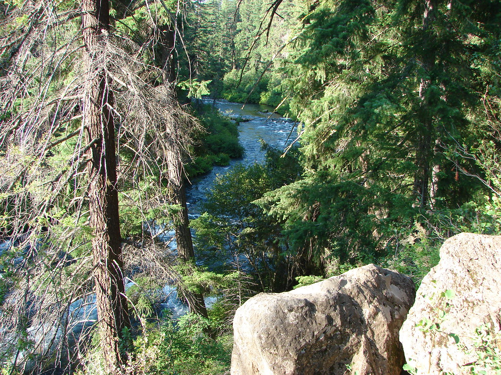
This section of trail was lined with larger and more diverse trees and is also the side closest to the Thielsen Fire as of this writing.

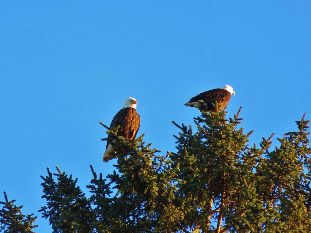
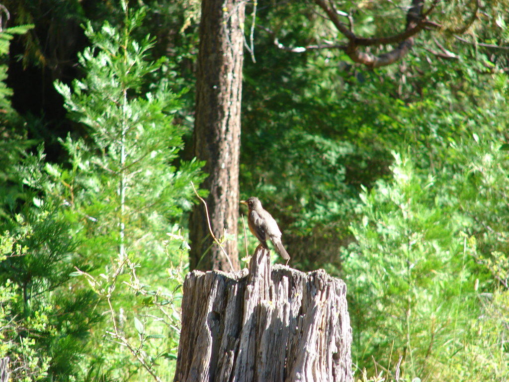
There were fewer people along this stretch but a steady stream of bicycle riders did pass by. More entertaining though were the birds.
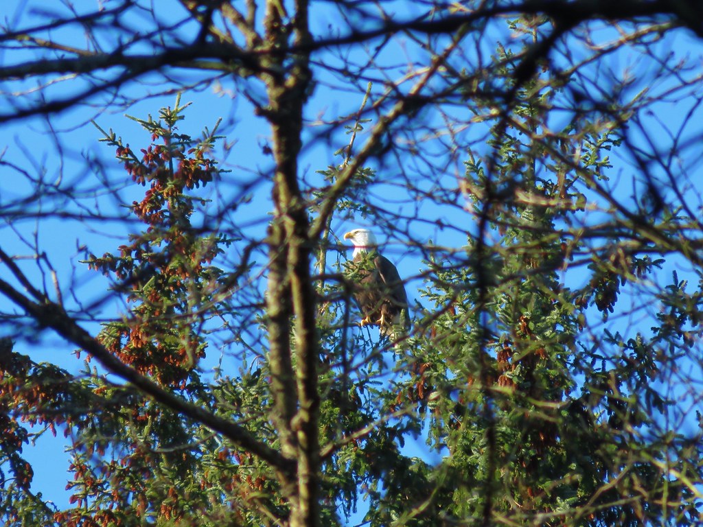
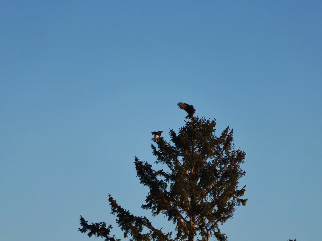
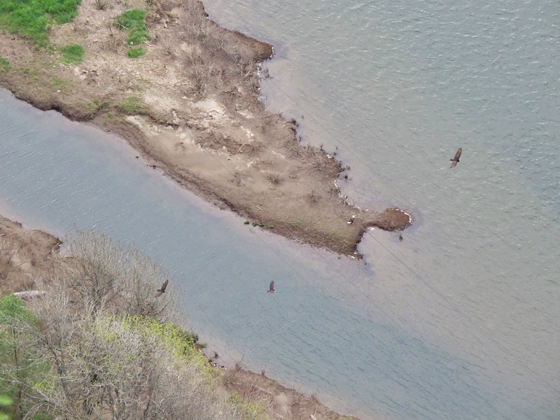
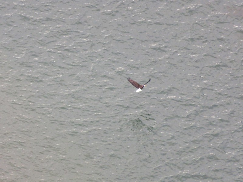
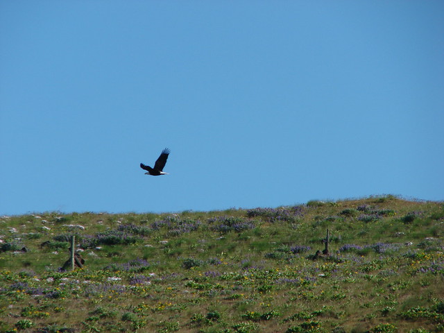
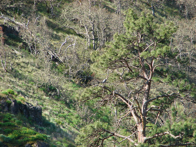
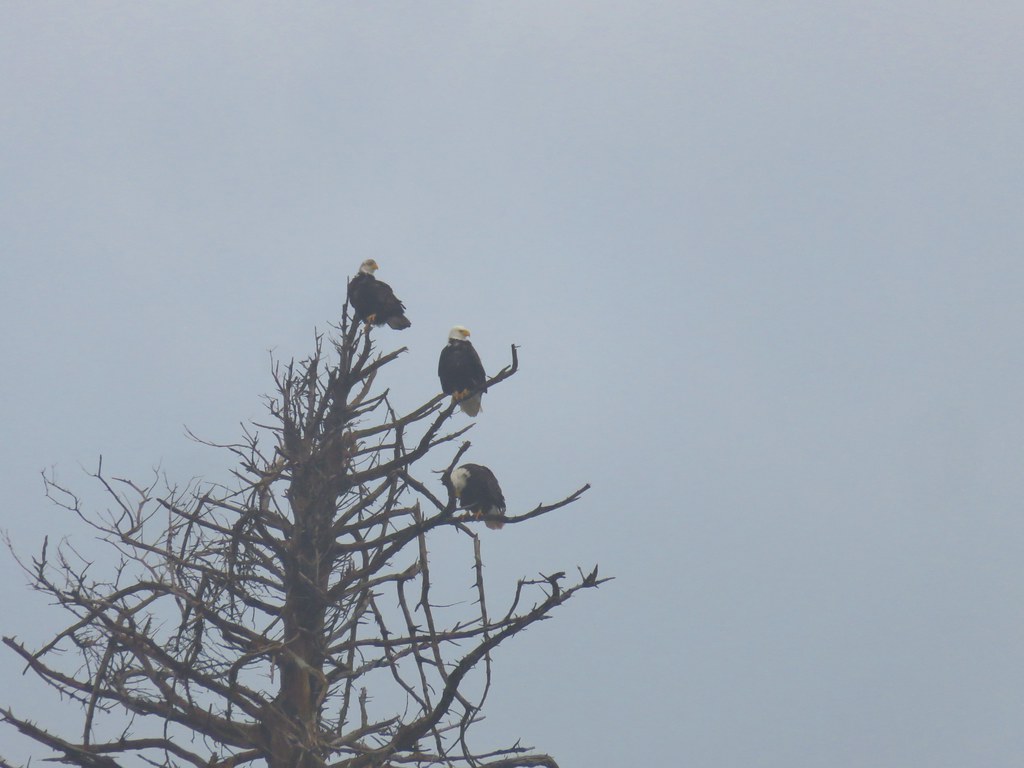
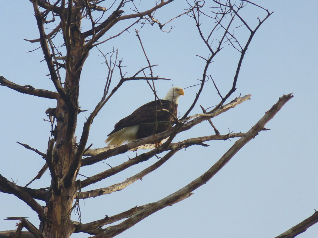
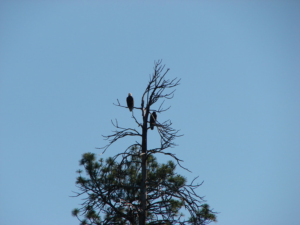
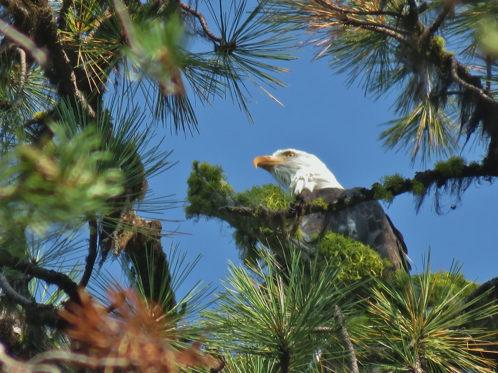 Bald eagle
 I’ve been spotted
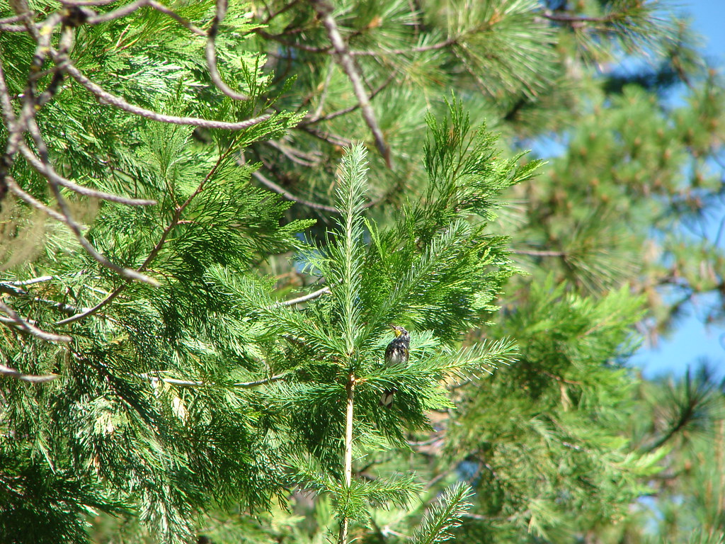
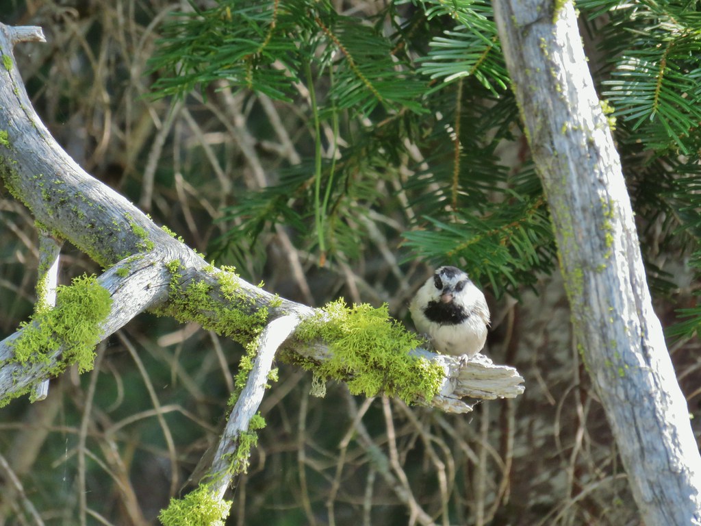 Chickadee with a seed or nut.
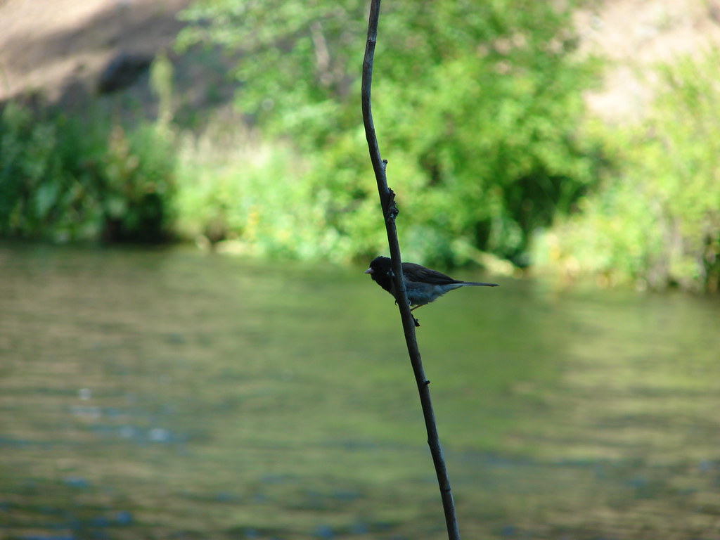
 Junco in some fireweed.
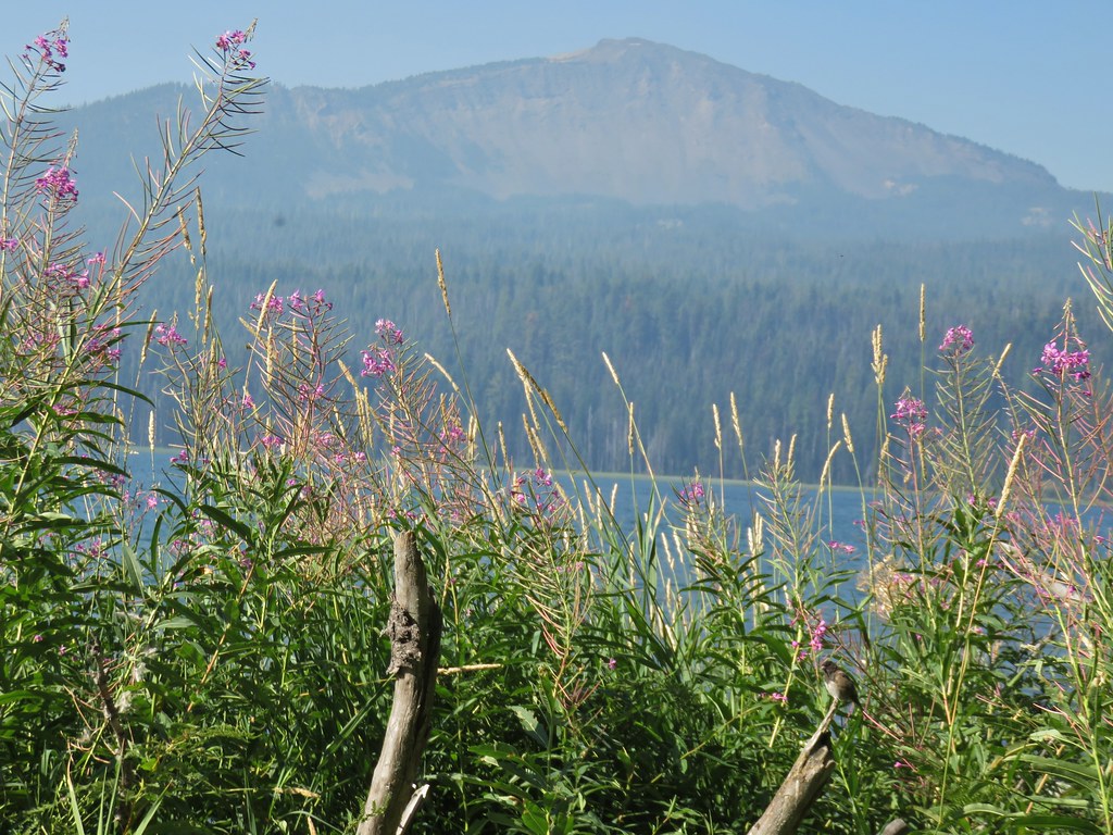 The junco with Mt. Bailey in the background.
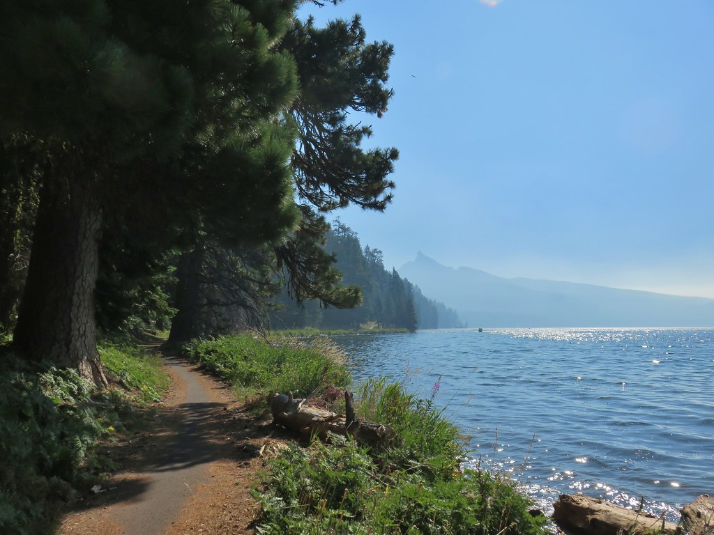 Looking back at Mt. Thielsen
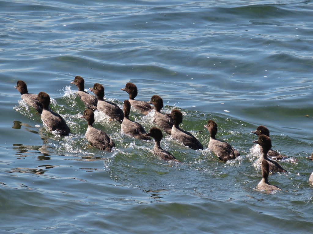 More goldeneyes
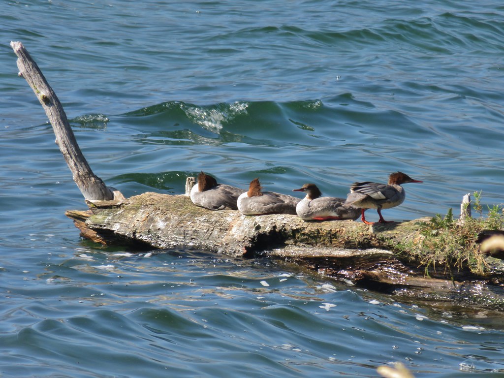 Mergansers
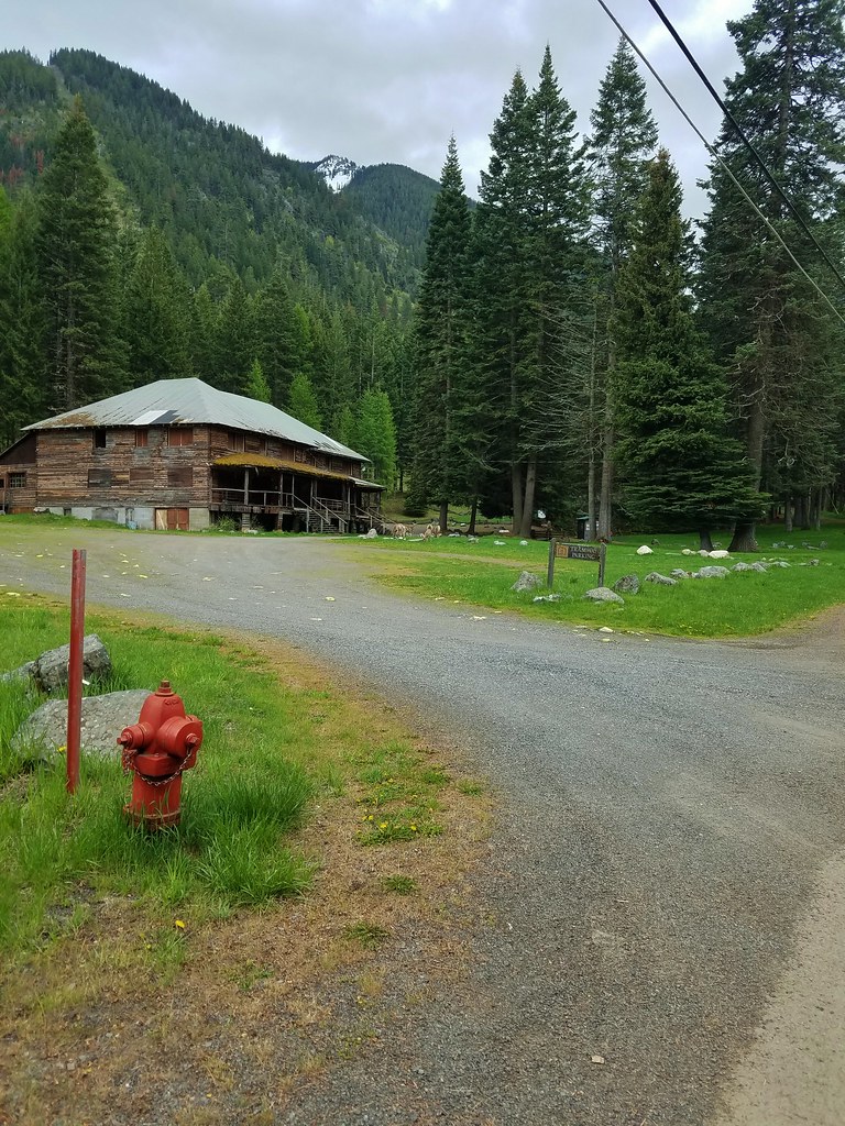
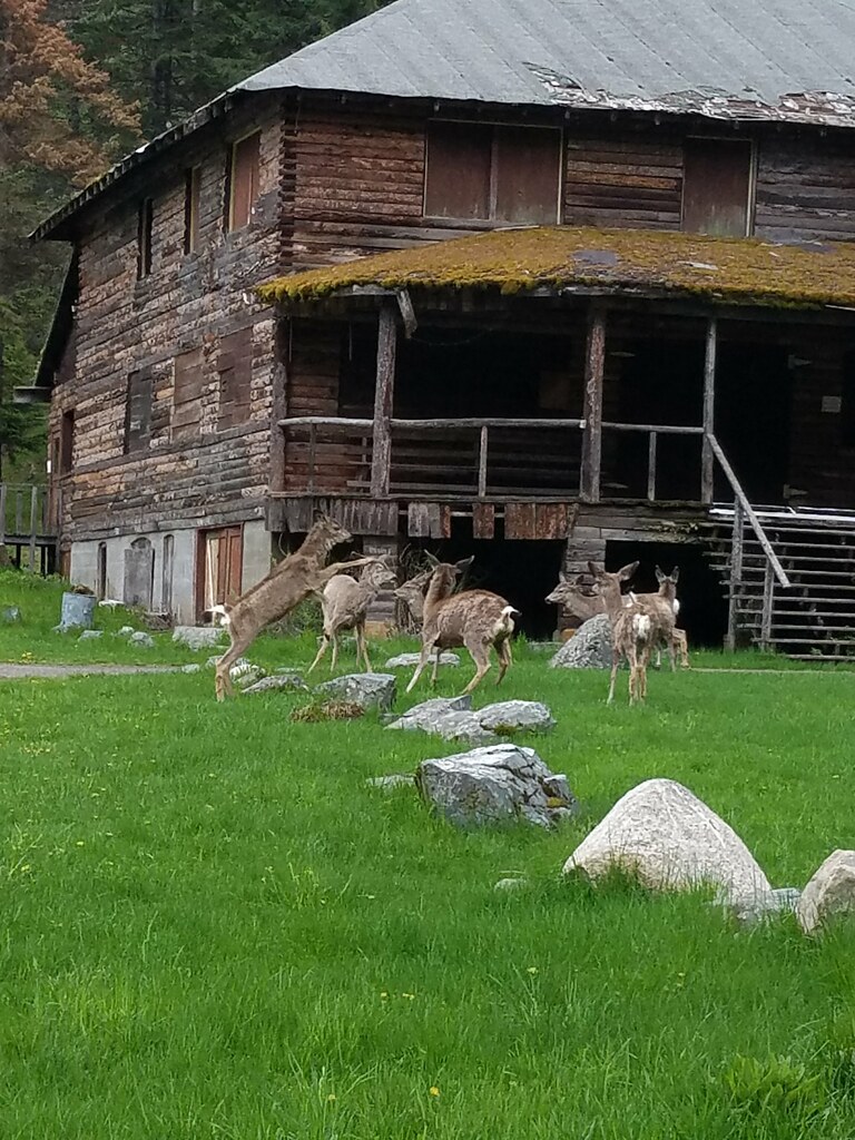
The trail joined FR 4795 again 1.7 miles from the lodge to avoid what appeared to be an old guard station or possibly just a private cabin near Lake Creek.


After crossing the creek the trail continued with the Rodley Butte Trail on the opposite side of the road.

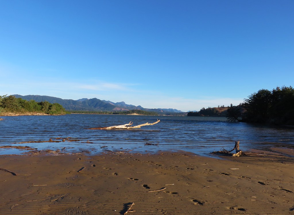
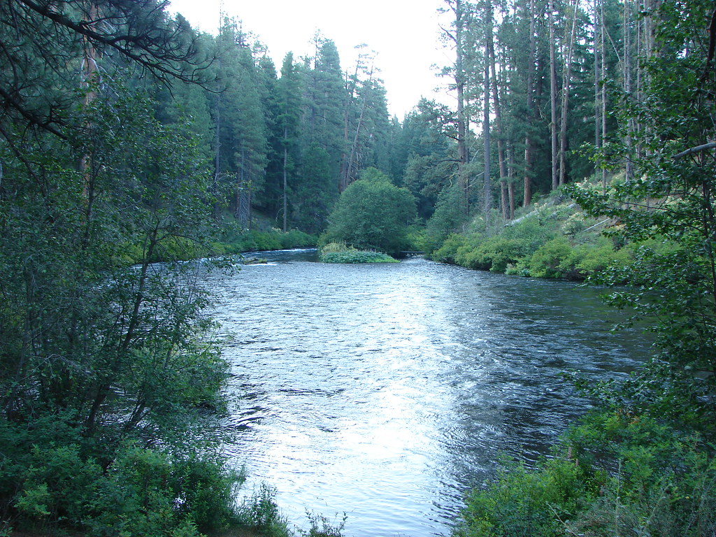
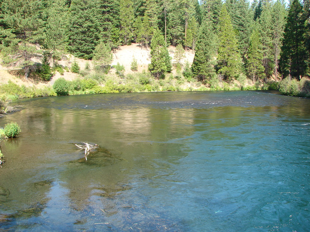
The trail then passed a nice little sandy beach with a view of Mt. Thielsen.
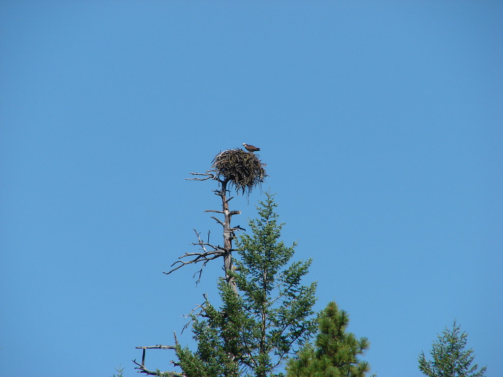
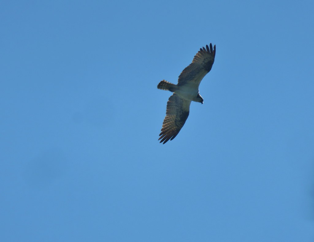 Osprey
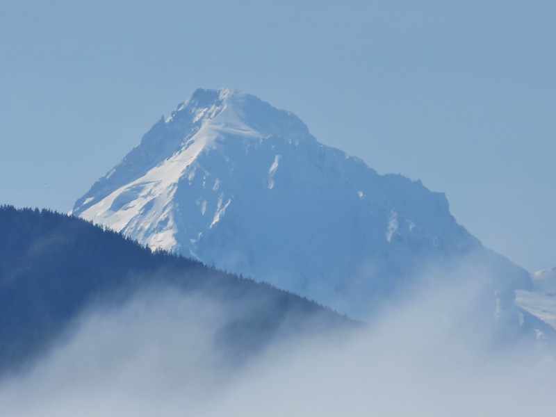
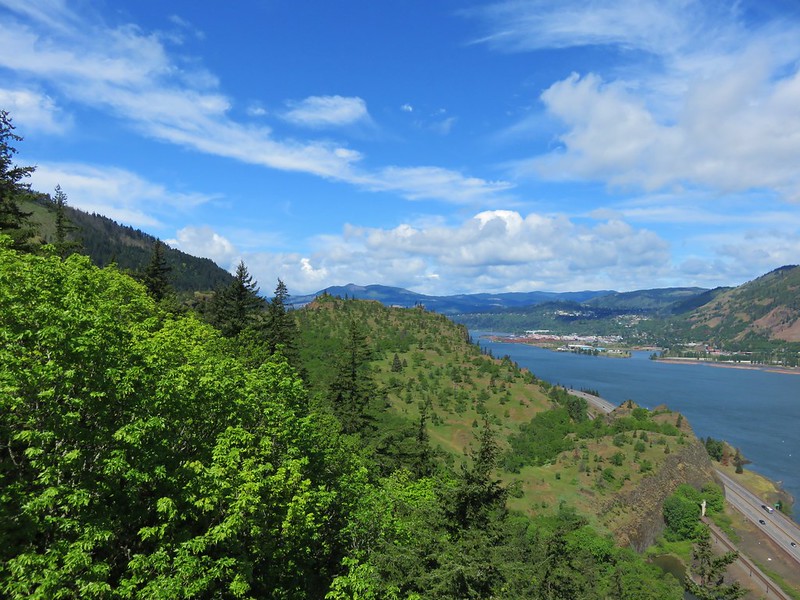
We were now heading south along the western side of the lake which provided good views of Mt. Thielsen and Howlock Mountain despite the smoke.

 Cormorant
 Howlock Mountain to the left and Mt. Thielsen
The mountain views would be interrupted just over a mile from Lake Creek when the Dellenback Trail veered away from the lake to avoid the Thielsen View Campground.
We again crossed FR 4795 and continued through the trees for nearly three miles before recrossing the road.


 Back on the lake side of FR 4795.
We were now passing by the large meadow at the south end of the lake, only this time it was Mt. Thielsen not Mt. Bailey beyond the meadow.


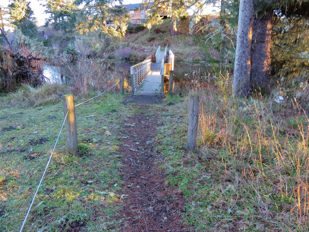
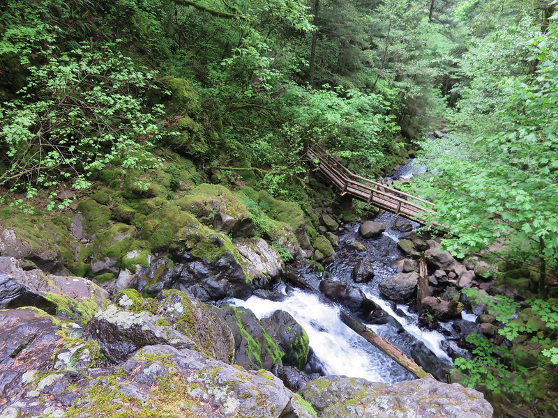
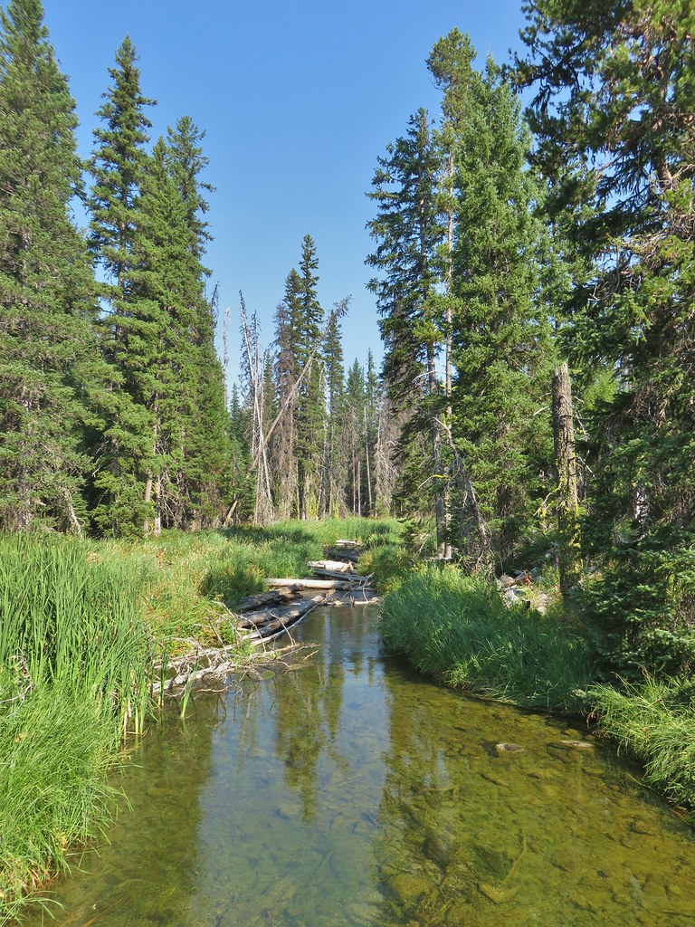
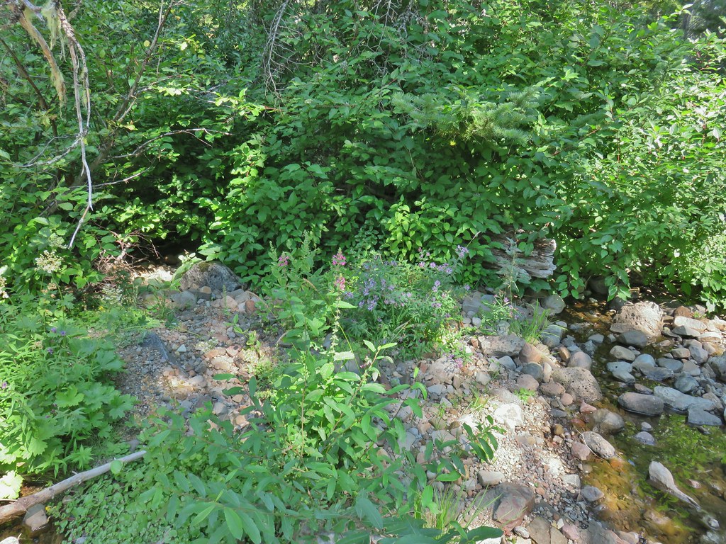
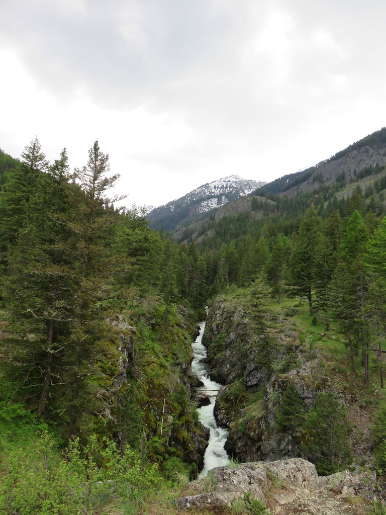
Just under a mile after recrossing FR 4795 we arrived at a scenic footbridge over Silent Creek.


A quarter mile beyond Silent Creek we arrived back at the Horse N Teal Trail junction near Teal Lake.
We turned up this trail and passed by Teal Lake on the opposite side from that morning thus completing that loop.
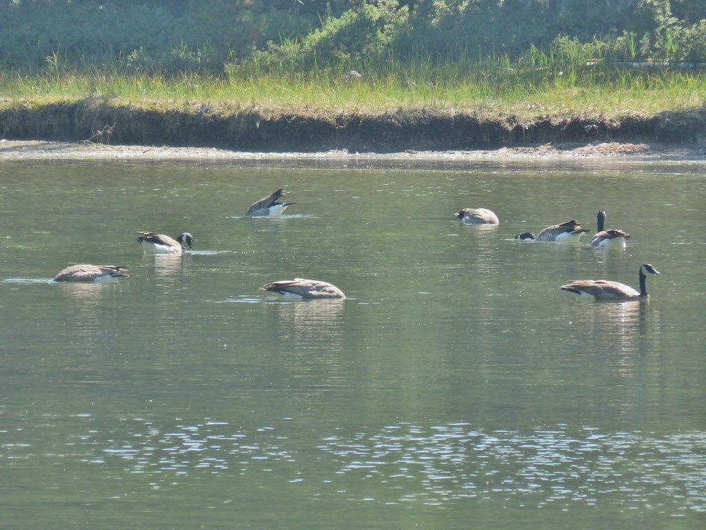
 Canada geese at Teal Lake.
We arrived back at Horse Lake after 11.6 miles of hiking. This managed to be a somewhat easy yet hard hike at the same time. The lack of elevation change and obstacles along the trail made for easy, quick hiking, but the paved surface is a lot harder on the feet than dirt. We hadn’t stopped much at all along the way either due to the number of other trail users and our attempting to do our best to stay properly socially distanced.
Our day wasn’t done after the lake loop though. We were planning on spending the weekend in the area with Sunday’s hike being to Rattlesnake Mountain in the Rogue-Umpqua Divide Wilderness. We left Diamond Lake and took Highway 230 toward Medford to the Hummingbird Meadows Trailhead which was devoid of other vehicles.
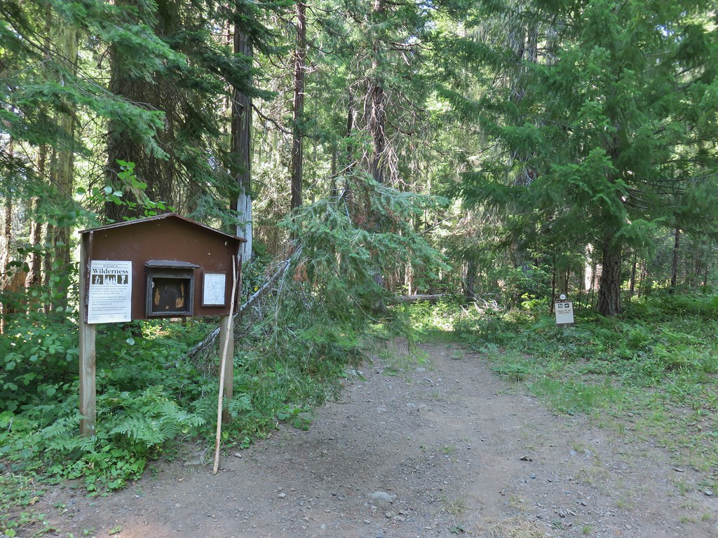
We had brought our backpacking gear with thoughts of setting up camp somewhere between the trailhead and Wiley Camp.

We had been to Hummingbrid Meadows before (post) but on that hike we had come in on the Buck Canyon Trail. On that trip we had also not visited Wiley Camp. For this trip we were planning on spending the night in our tent then using the Wiley Camp Trail to hike up to the Rogue-Umpqua Divide Trail and complete the Rattlesnake Mountain hike described in Sullivan’s “100 Hikes/Travel Guide Southern Oregon & Northern California” guidebook. The status of Wiley Camp and the Wiley Camp Trail was a little confusing. The Forest Service websites mention the trail but in almost every instance “area not available” followed the reference. A 2018 trip report from vanmarmot.org though showed that just two years before the trail was still there and passable.
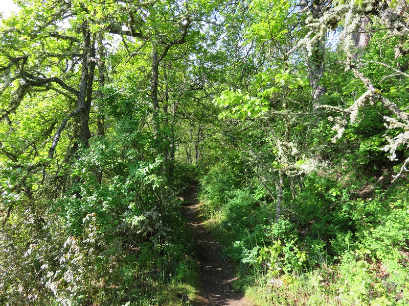
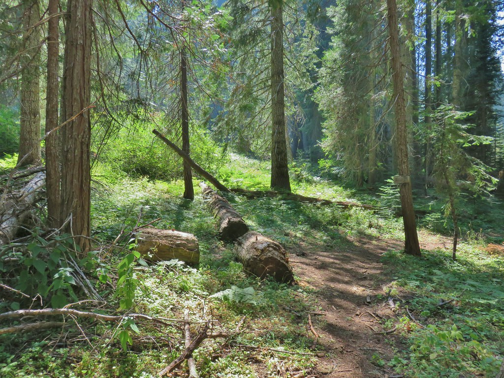
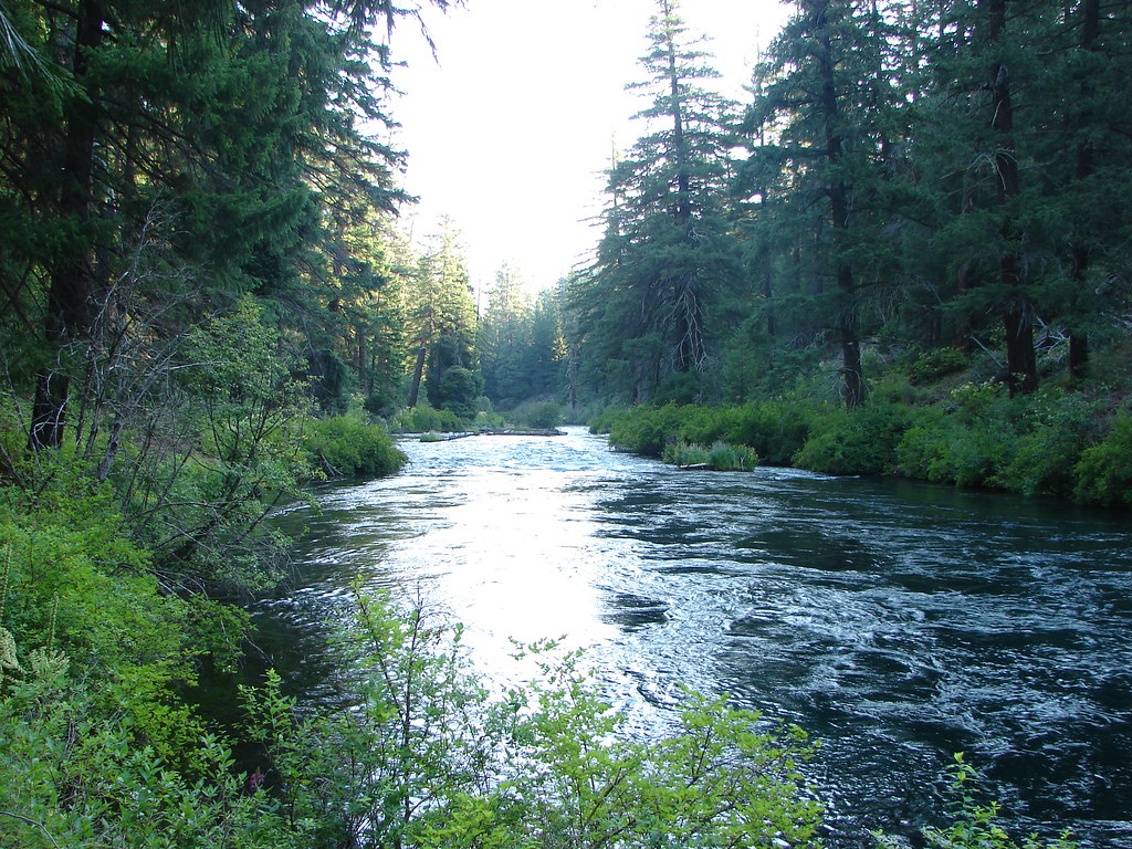
We followed the Hummingbird Meadows Trail into the wilderness where we were quickly met with some downed trees.
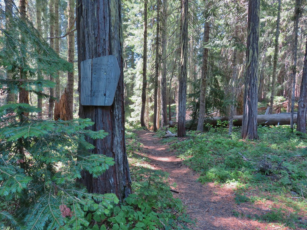
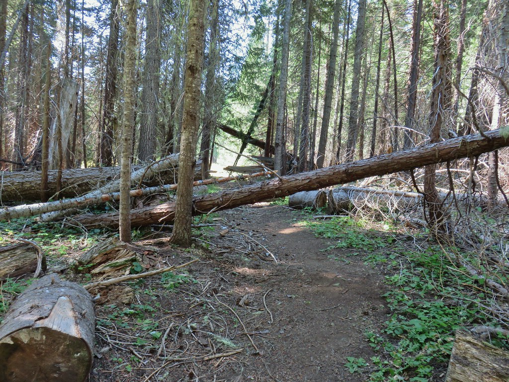
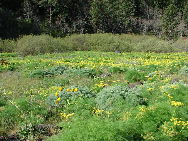
The trail then passed through a meadow and dropped to a crossing of the West Fork Muir Creek where we thought we might find a campsite but there really wasn’t anything that caught our eye.


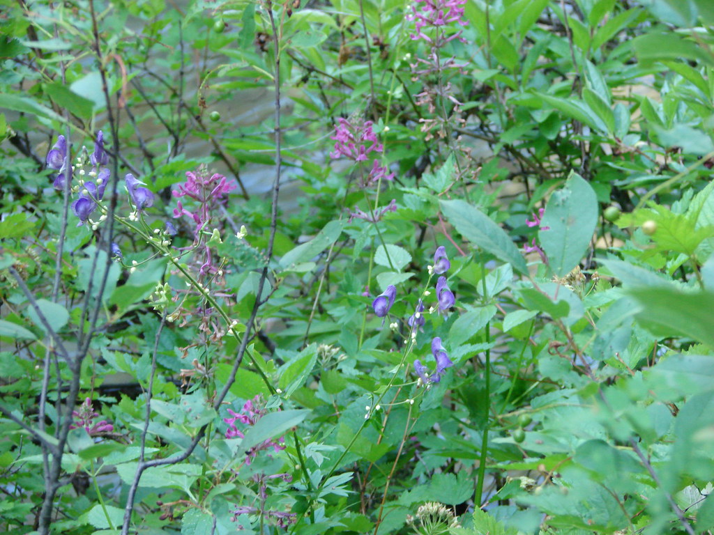
 hedgenettle and aster.
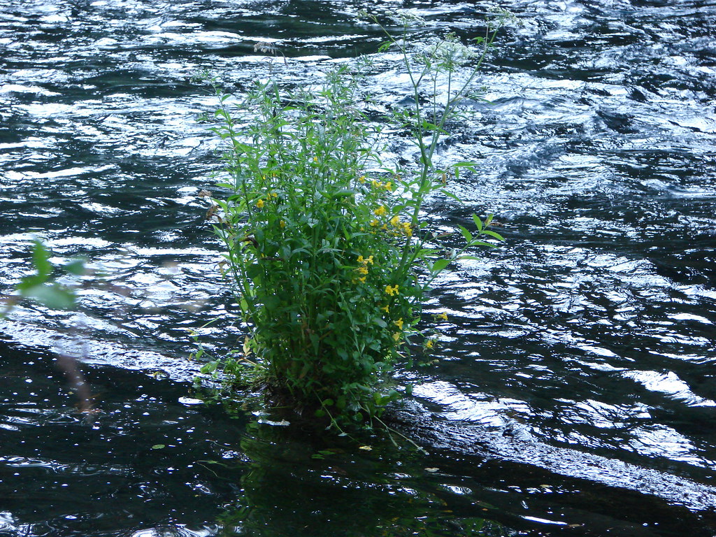
 Monkeyflower
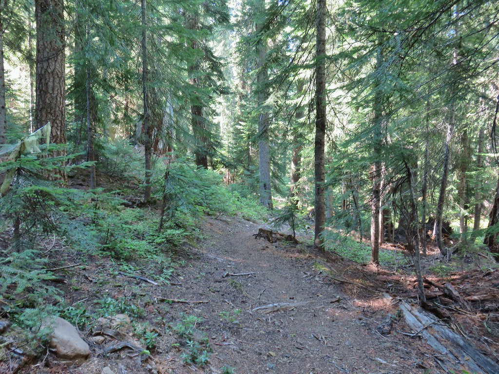
The trail climbed away from the creek and in 100 yards arrived at the Buck Canyon Trail junction (approx .4 miles from the trailhead).

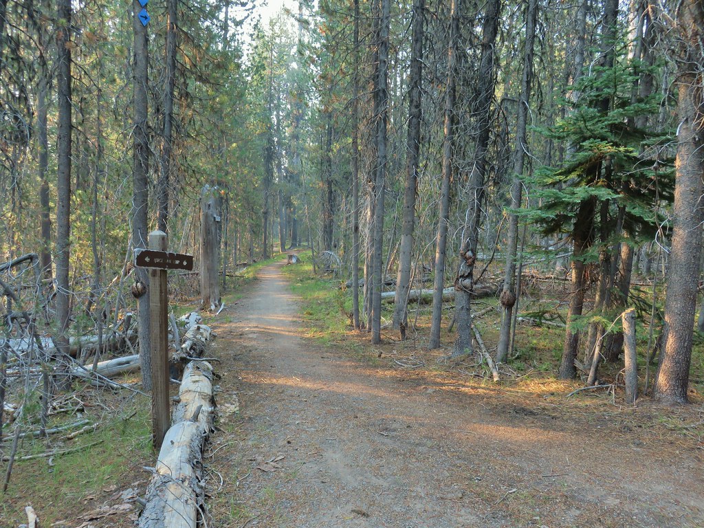
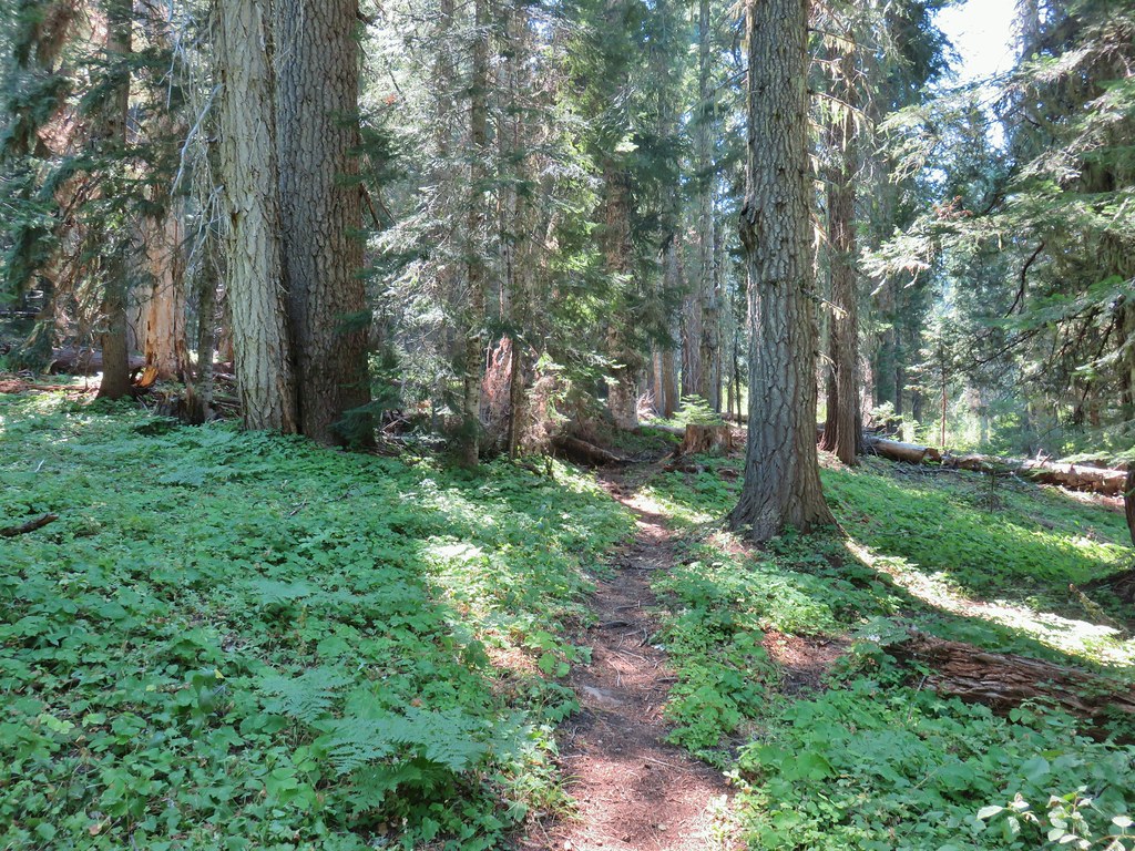
We turned right onto the Buck Canyon Trail which passed through Hummingbird Meadows before arriving at the Wiley Camp Trail junction in 1.6 miles. There were quite a few downed logs as trail maintenance in the area appears to be way down the Forest Service’s list of priorities but nothing was unmanageable. We had been watching for any campsites but nothing stood out so we decided to just go to Wiley Camp since it was only a little over 2 miles from the Hummingbird Meadows Trailhead.

 Wiley Camp Trail on the right.
We turned down the Wiley Camp Trail which was in no worse/better shape than the Buck Canyon Trail arriving at Wiley Camp after a quarter of a mile.

 Wiley Camp sign
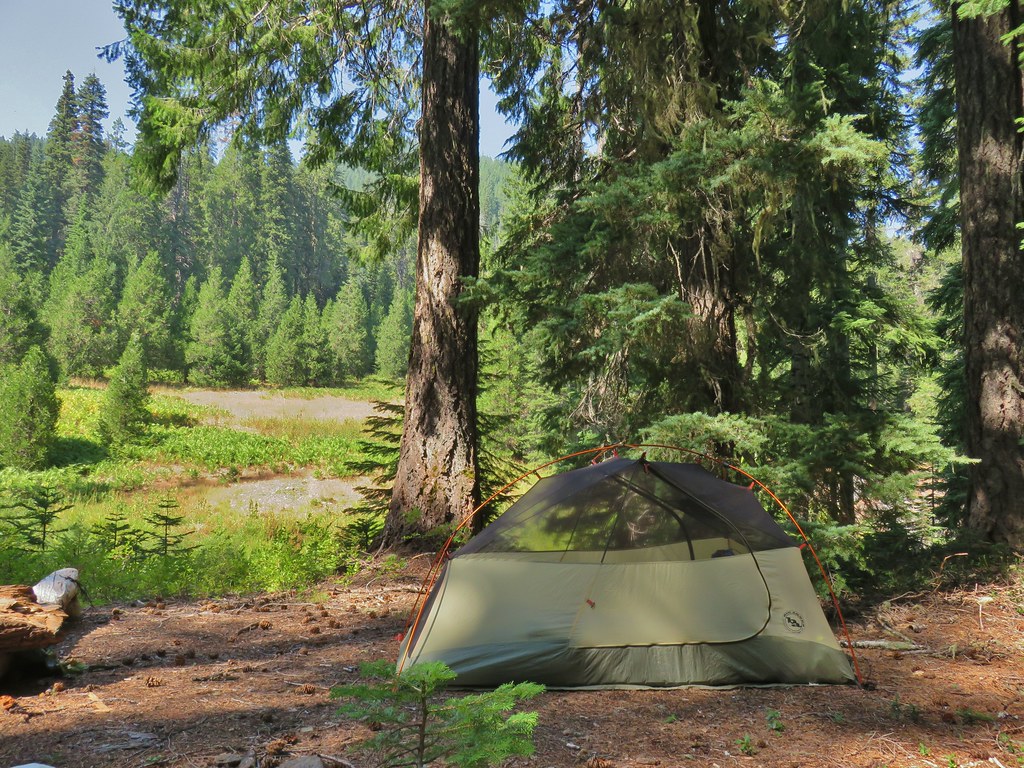
Unlike the busy Diamond Lake area there was no one else to be seen in this area. We picked a tent site and set up camp on the hillside above the West Fork Muir Creek.
We spent the rest of the afternoon/evening down at the creek and doing a quick survey of the Wiley Camp Trail for the next day. Clear tread led up from the creek into the meadow on the far side where it quickly vanished. After heading too far left (west) into some trees we located a small cairn and some pink flagging leading the way out of the meadow.

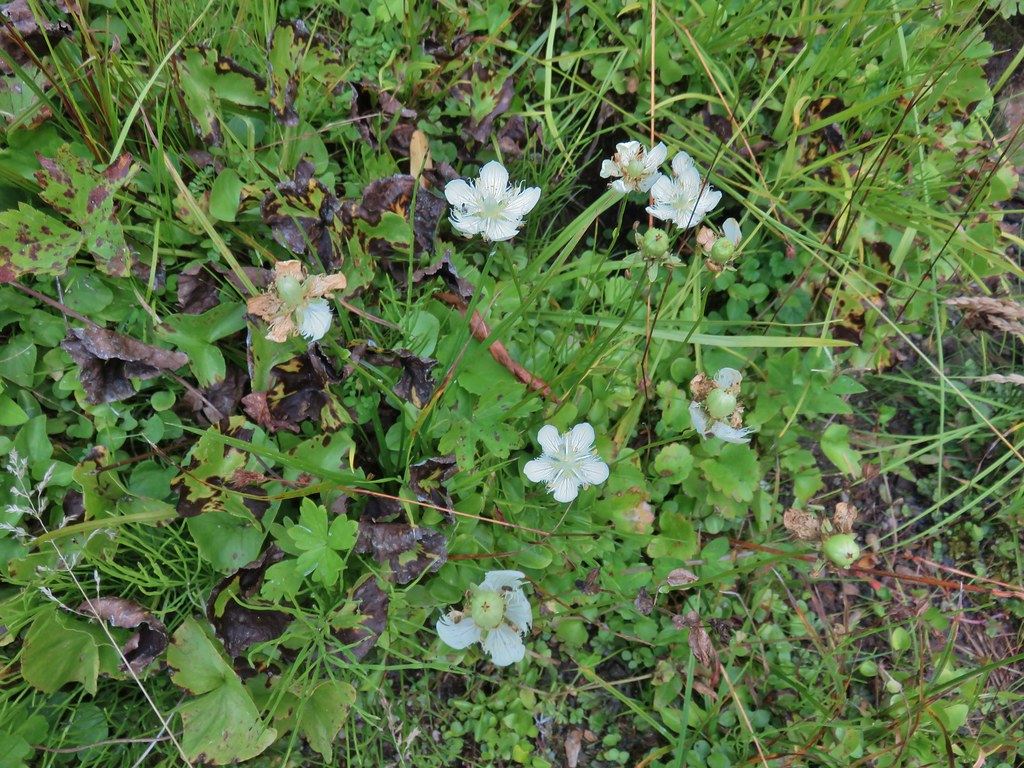 Grass of parnassus
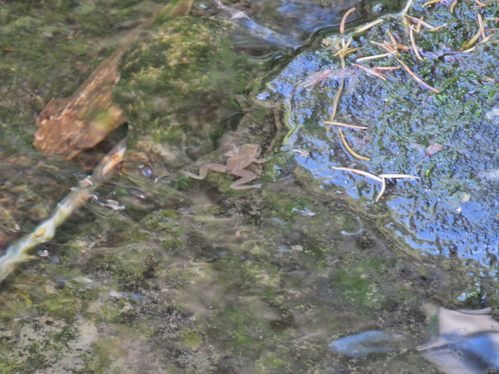 Frog
Frog
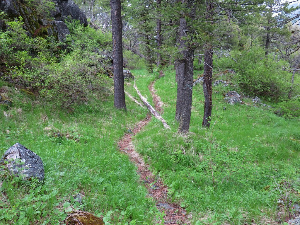
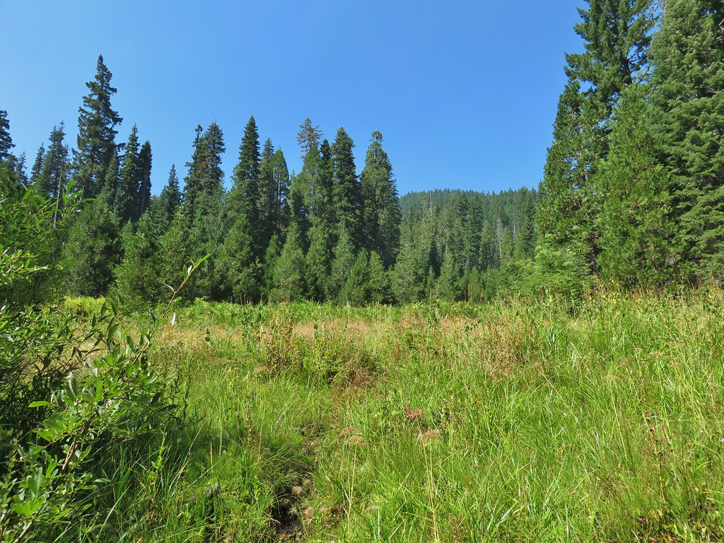 Trail leading up from the creek into the meadow.
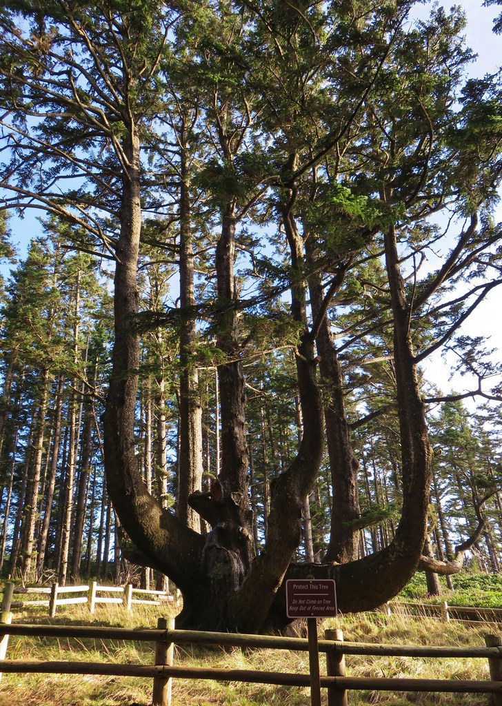
 Big cedar at the edge of the meadow.
 Cairn and pink flagging (small tree to the right) marking the Wiley Camp Trail.
 Elder berry
 Twisted stalk
No one else ever showed up to Wiley Camp, at least no people. A bright Moon helped light the area where we could see many bats darting about.


Hopefully the forest and features in this trip report will look similar for years to come and this isn’t a memorial of what once was. Happy Trails!
Flickr: Diamond Lake Loop


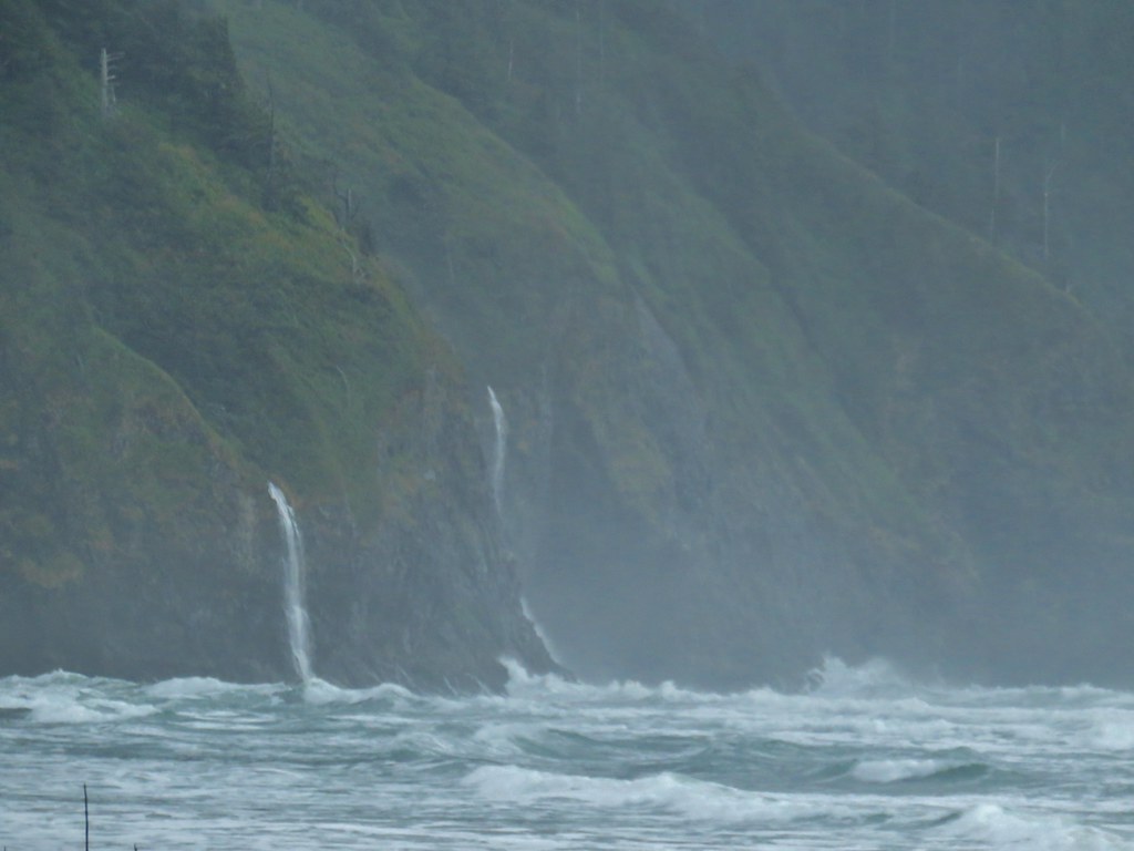

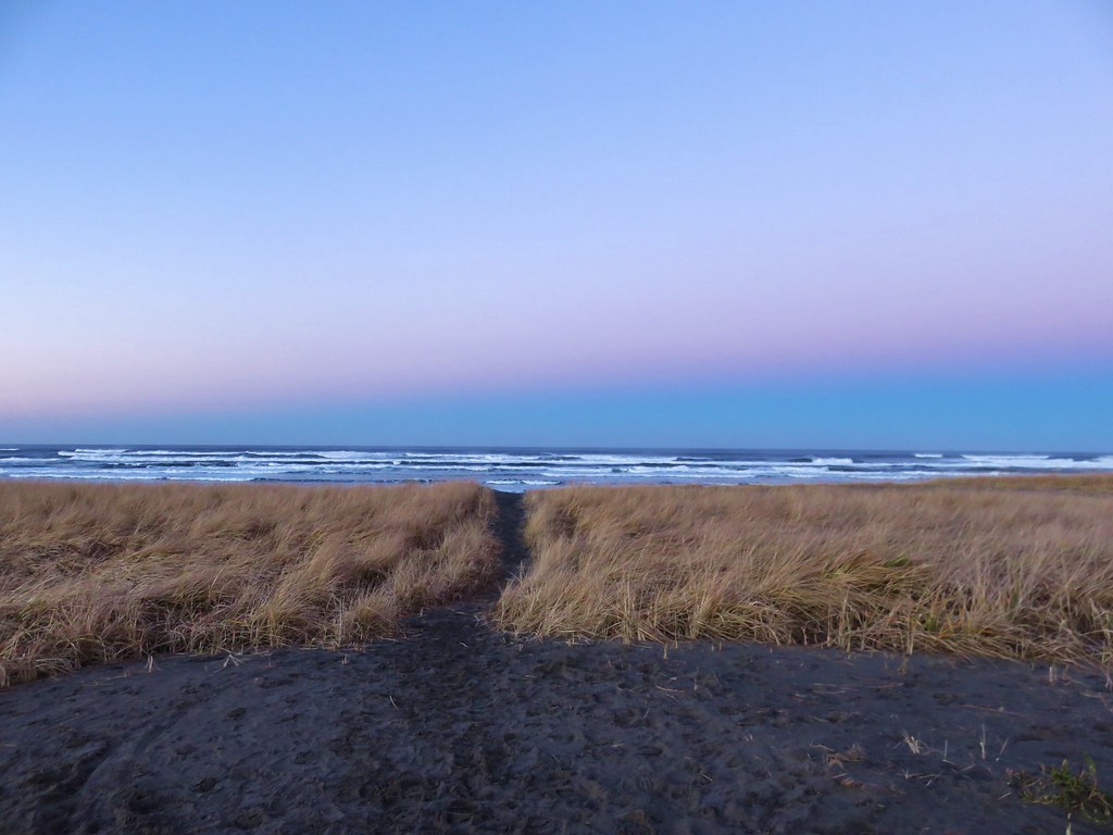
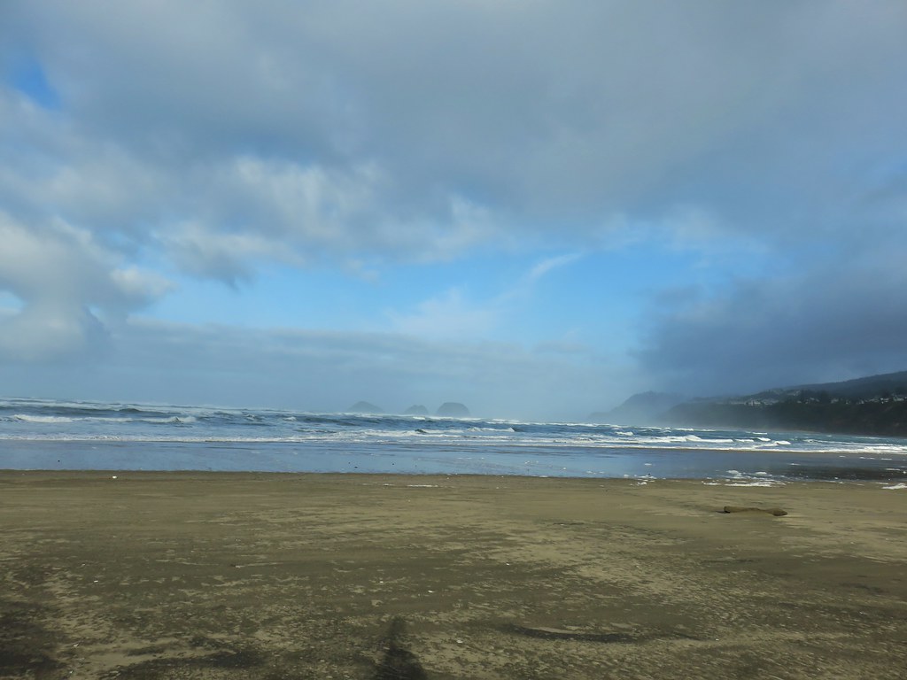
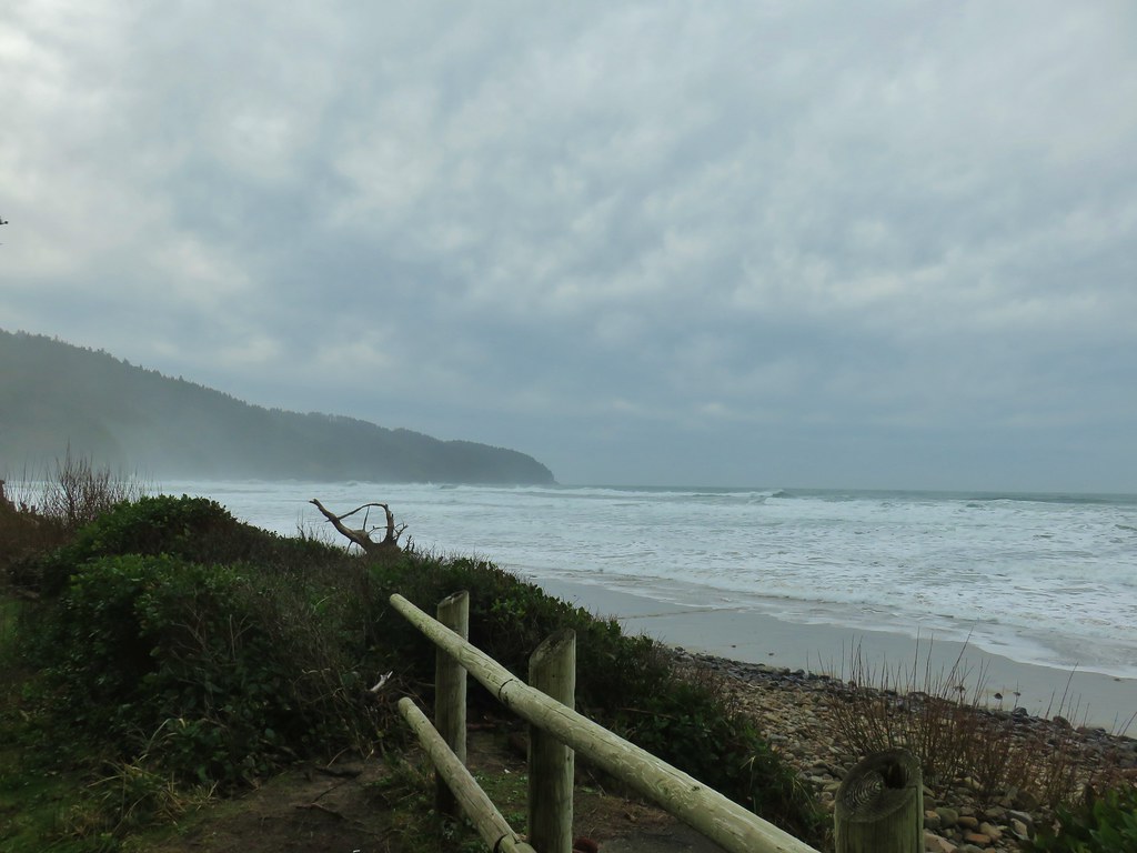
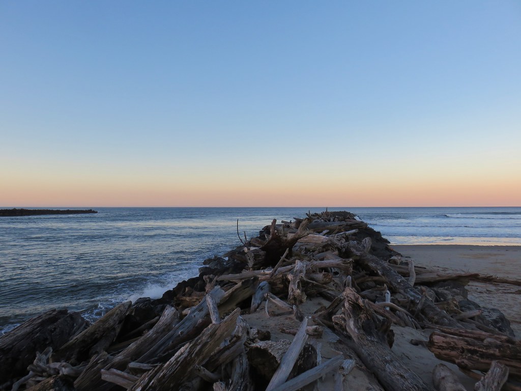
 Ocean coming right up to the rocks.


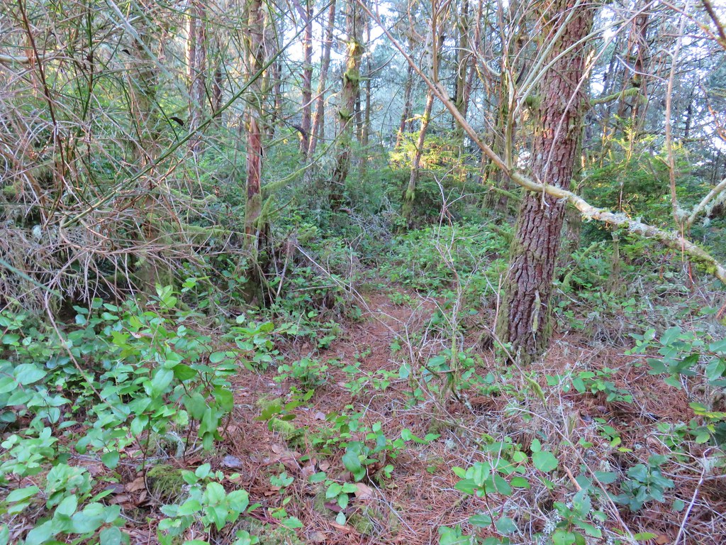
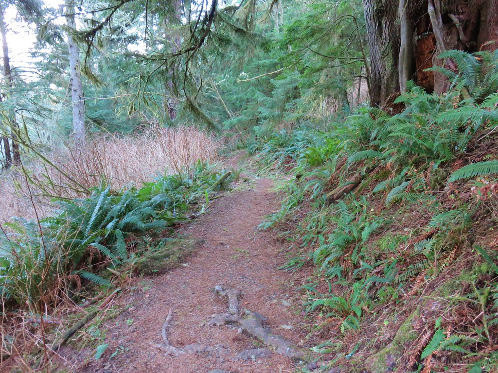
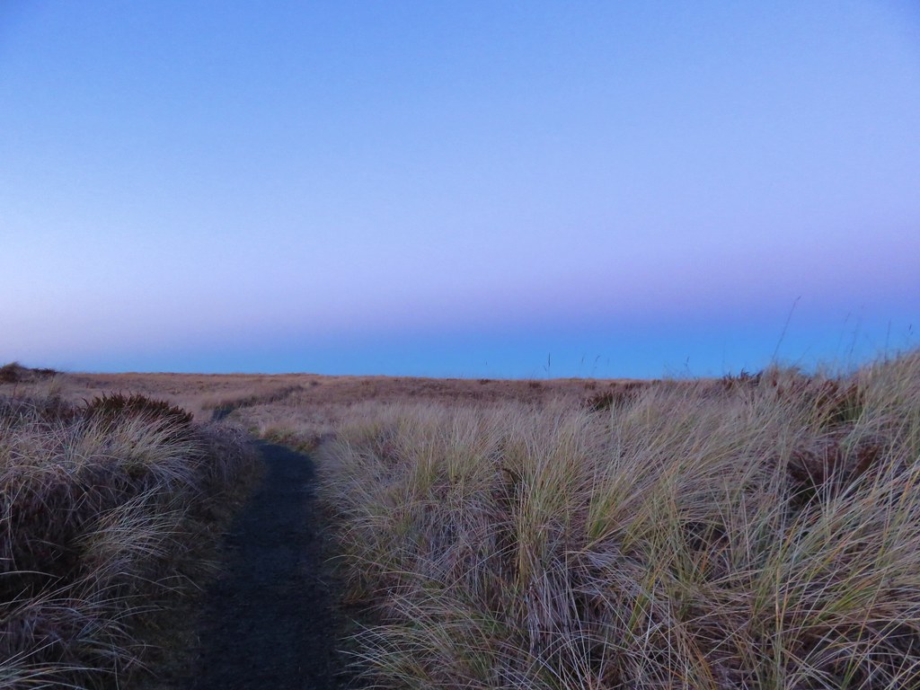
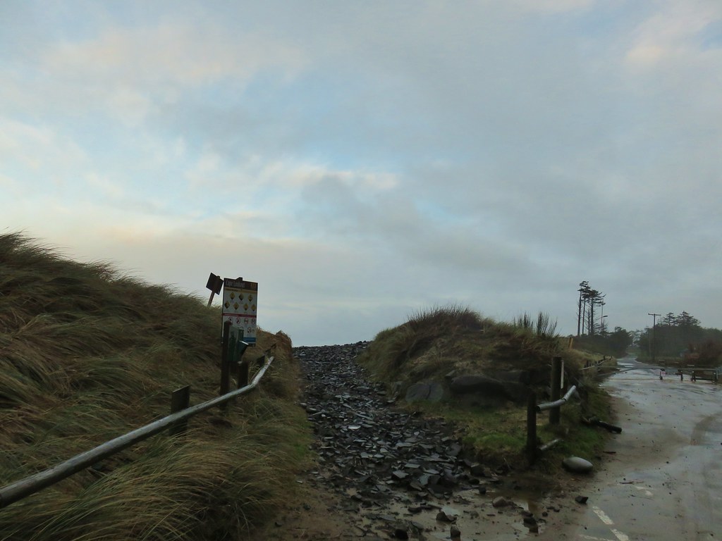
 Trail at lower right with a little standing water.
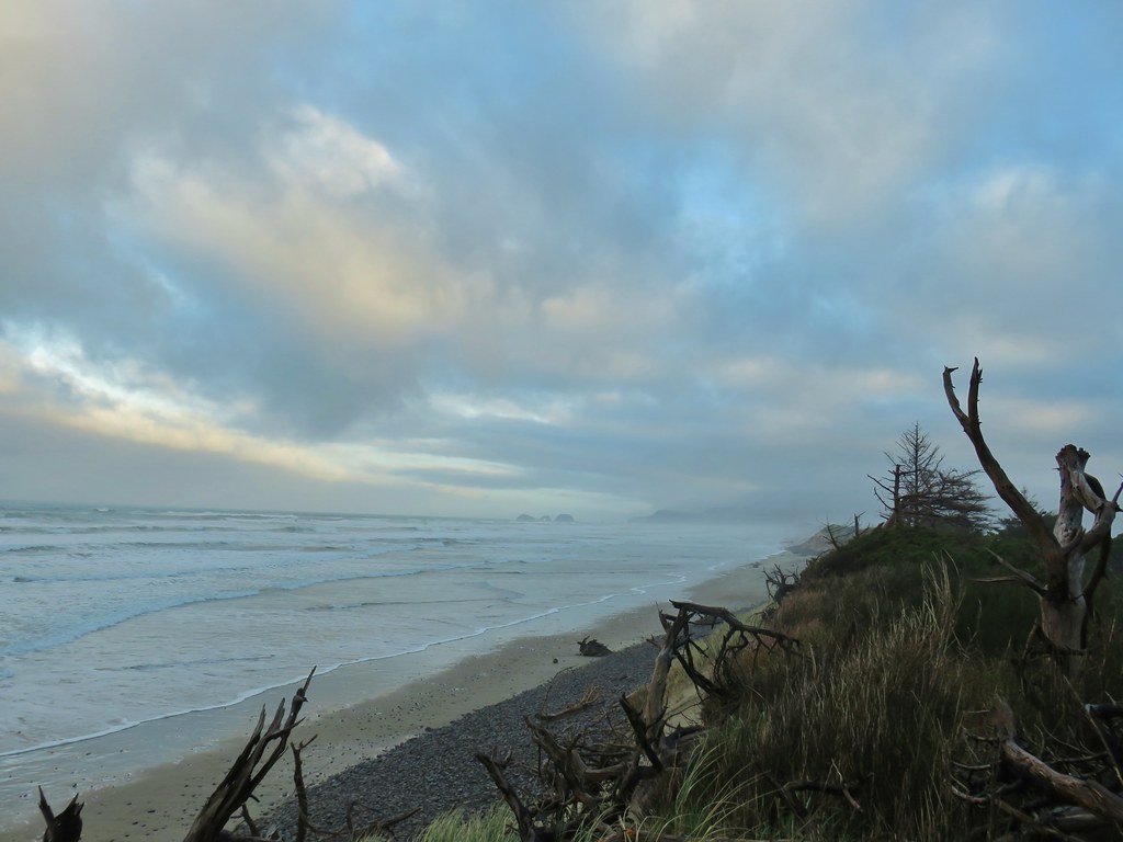
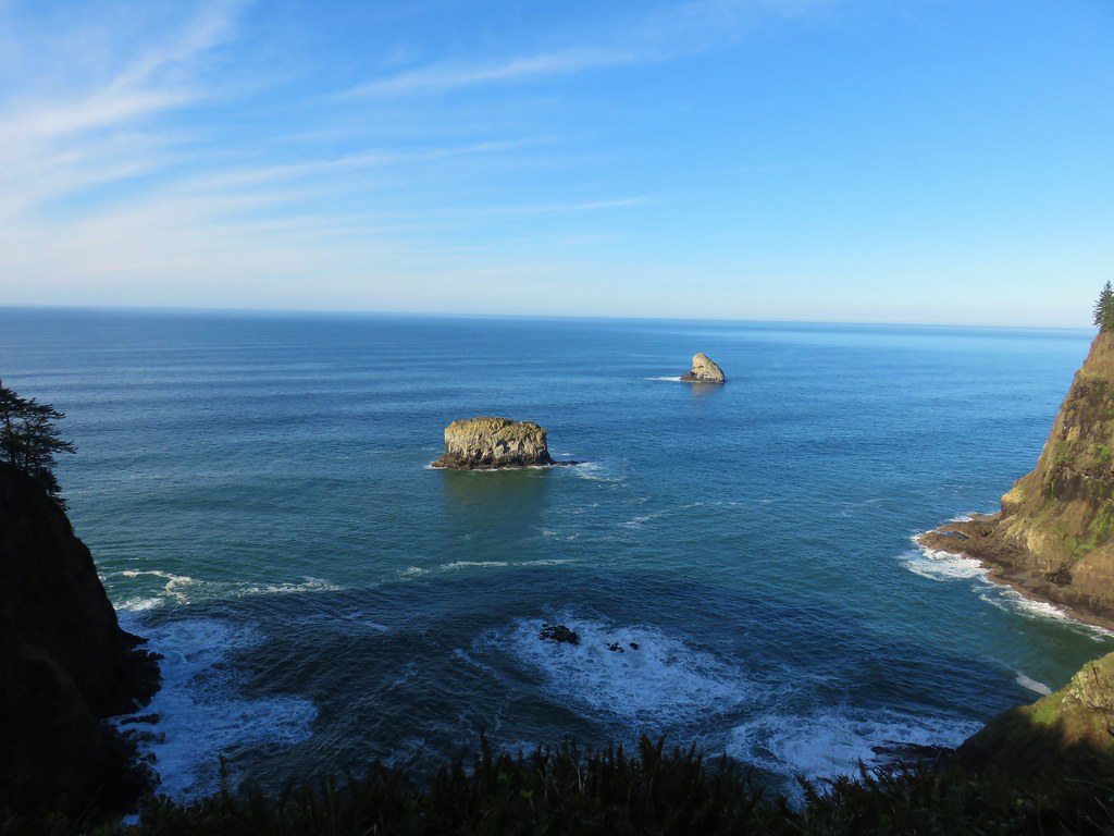
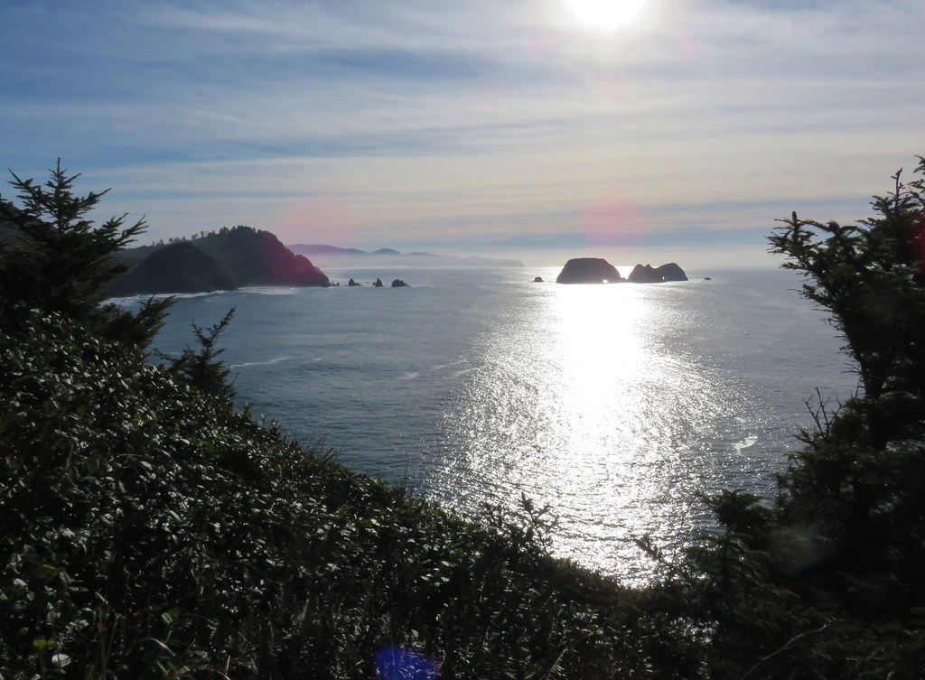
 Three Arch Rocks – one of two wilderness areas in Oregon off limits to visitors.


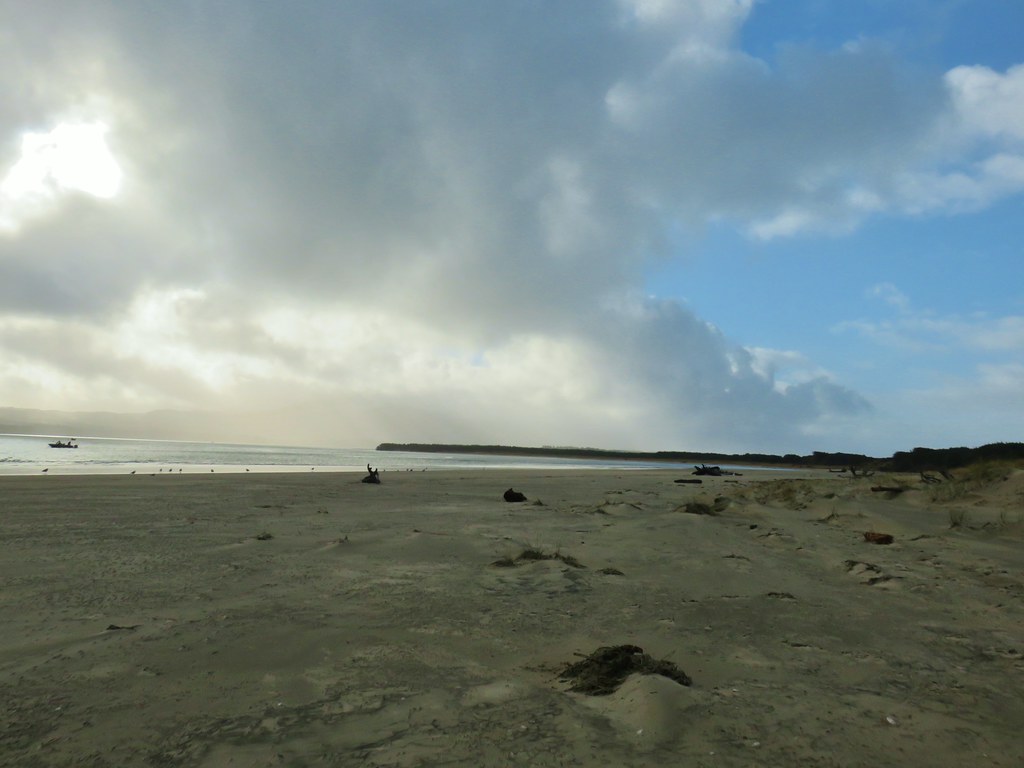

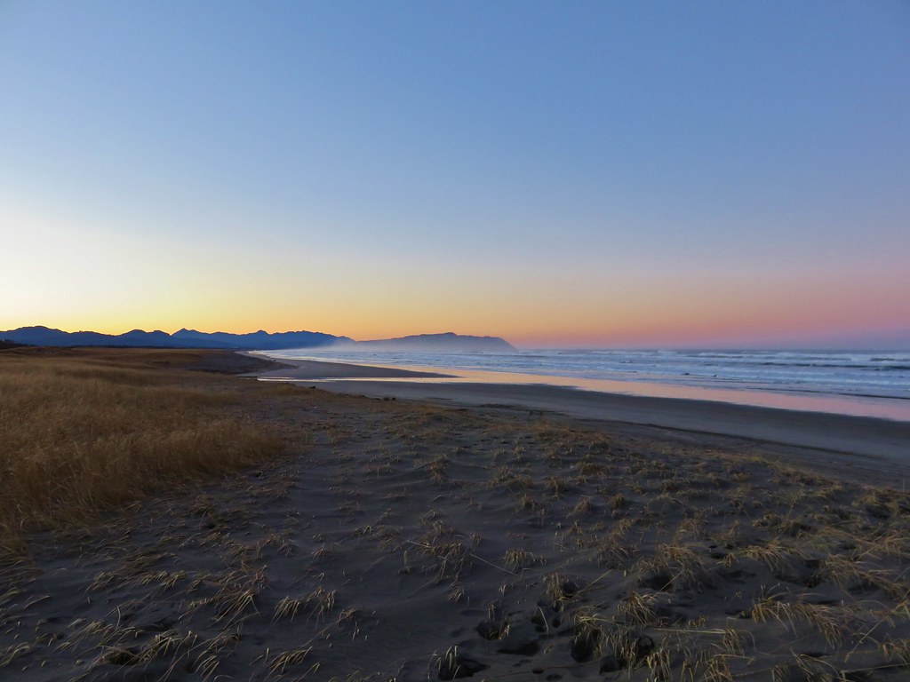
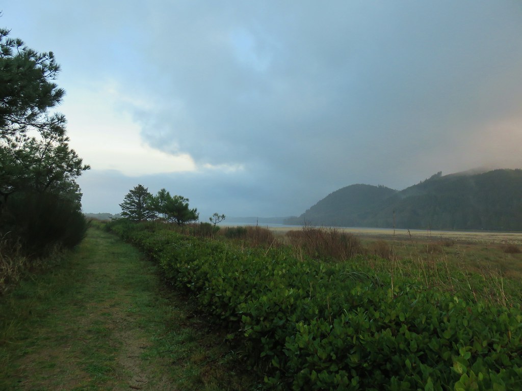
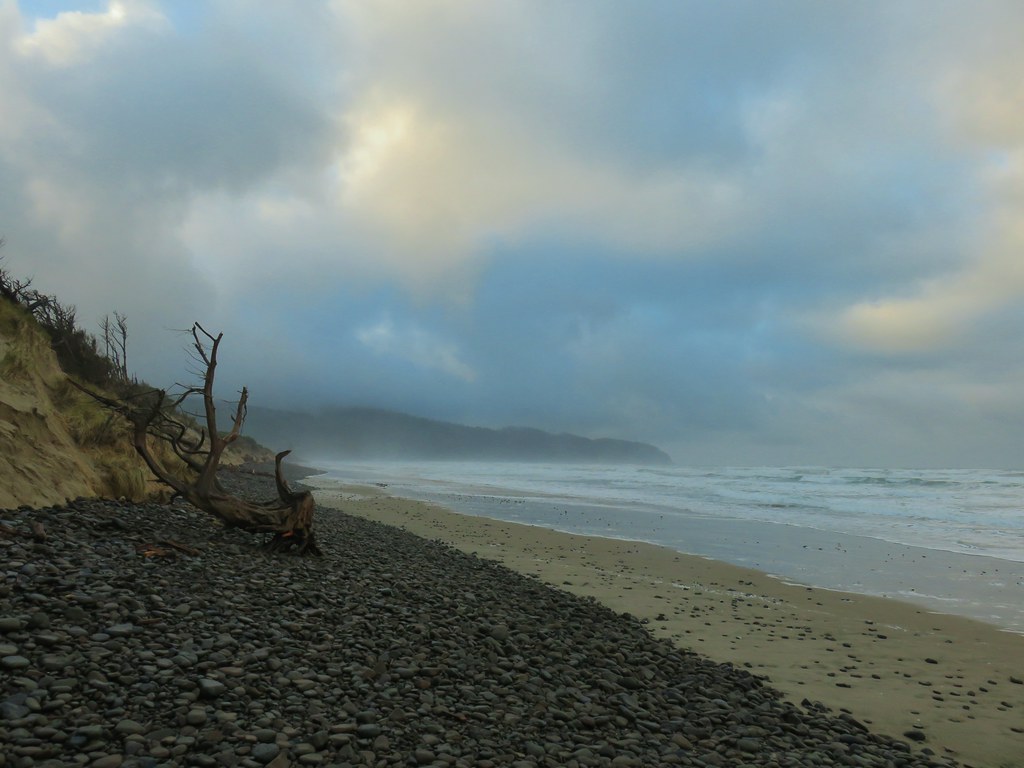
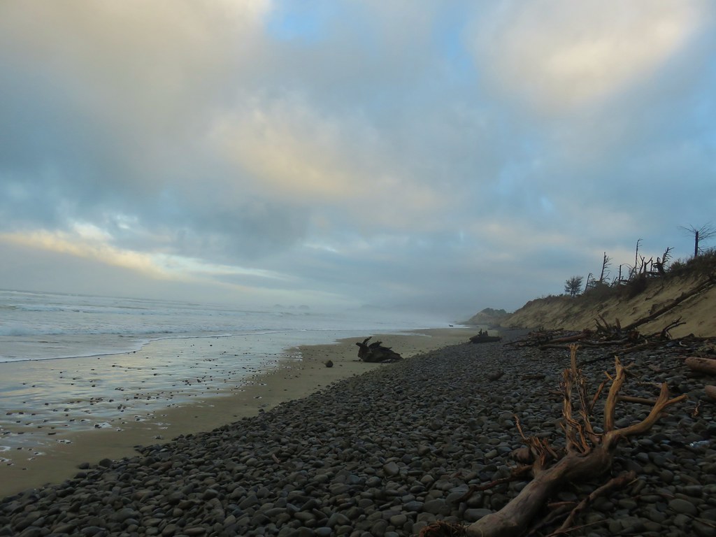
 Looking back north from the dune crest.
 Looking north at what was to come.
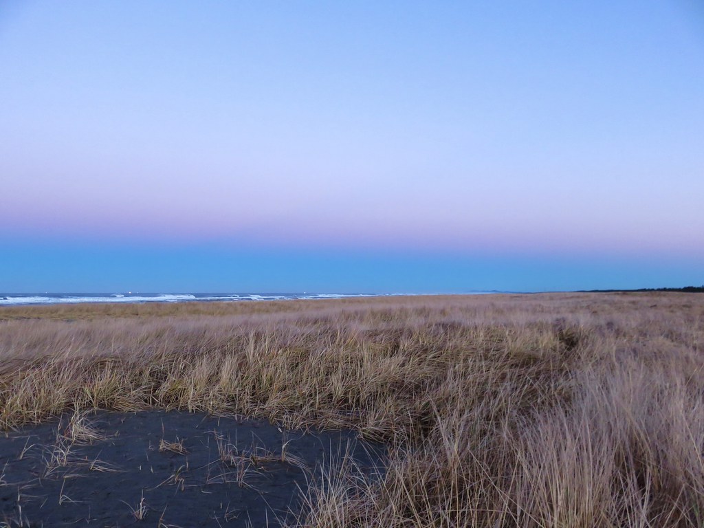
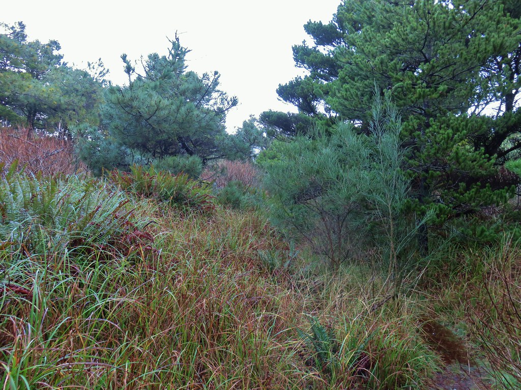
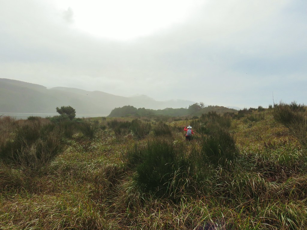
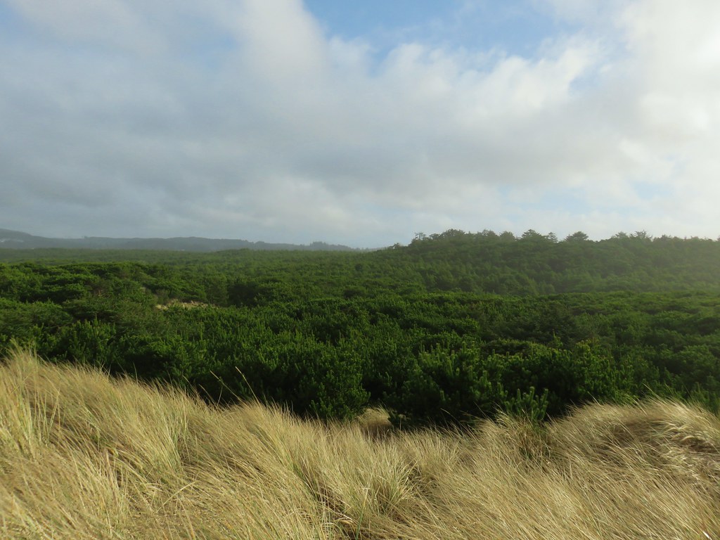 Thick forest between the bay and the dune.
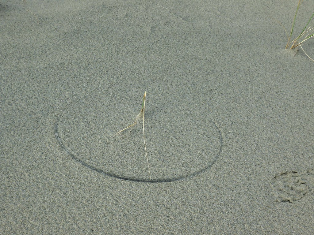 One of several semi-circles created by grass going back and forth.

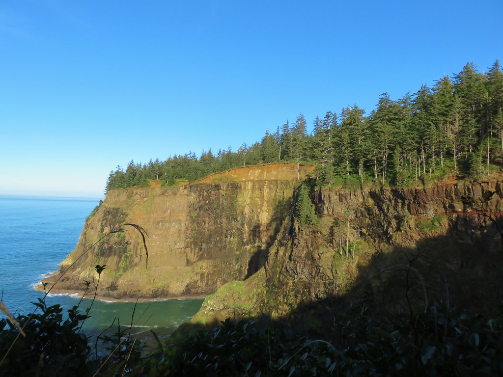
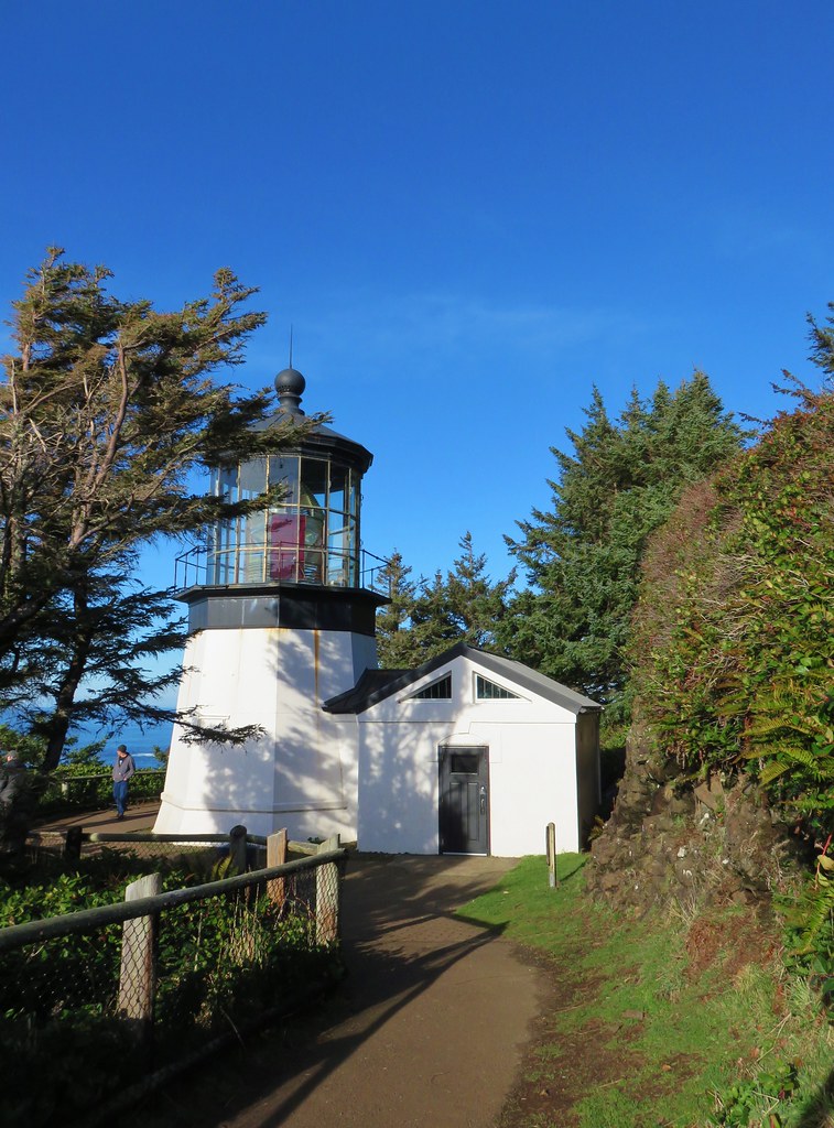
 Cape Lookout from the trail to the picnic shelter.
 Seagull atop the shelter.
 Yarrow


 First coyote in the grass.
 Second coyote racing off through the grass.
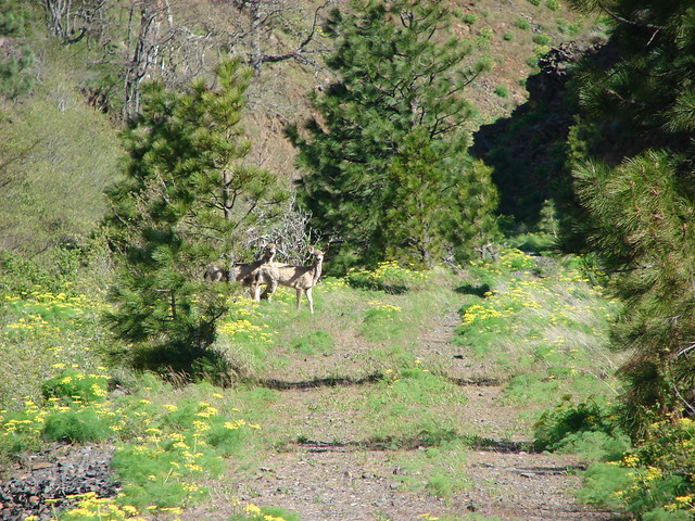
 One of the deer running off.
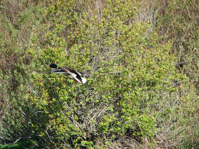
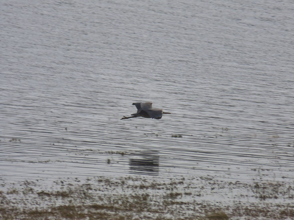
 Great blue heron flying off.
 White pelicans circling overhead.

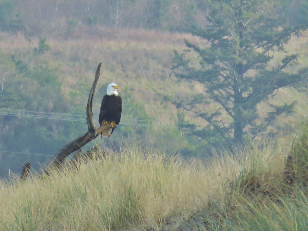
 Bald Eagle
 Wild Rose
 Butterfly
 Killdeer
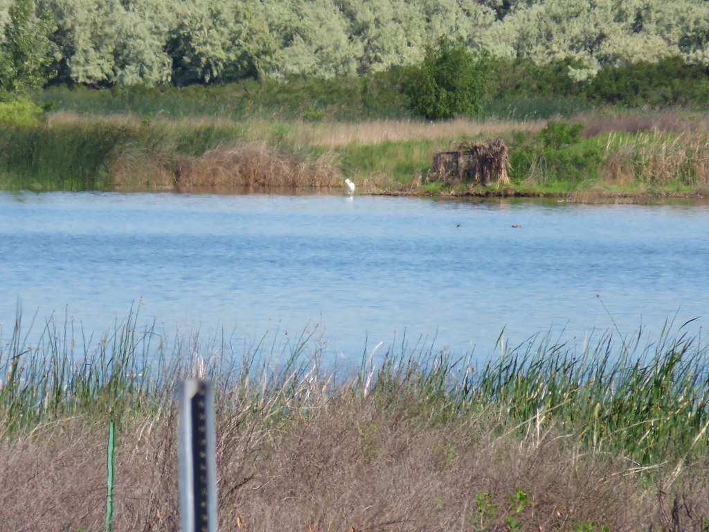 An egret on the other side of the slough.
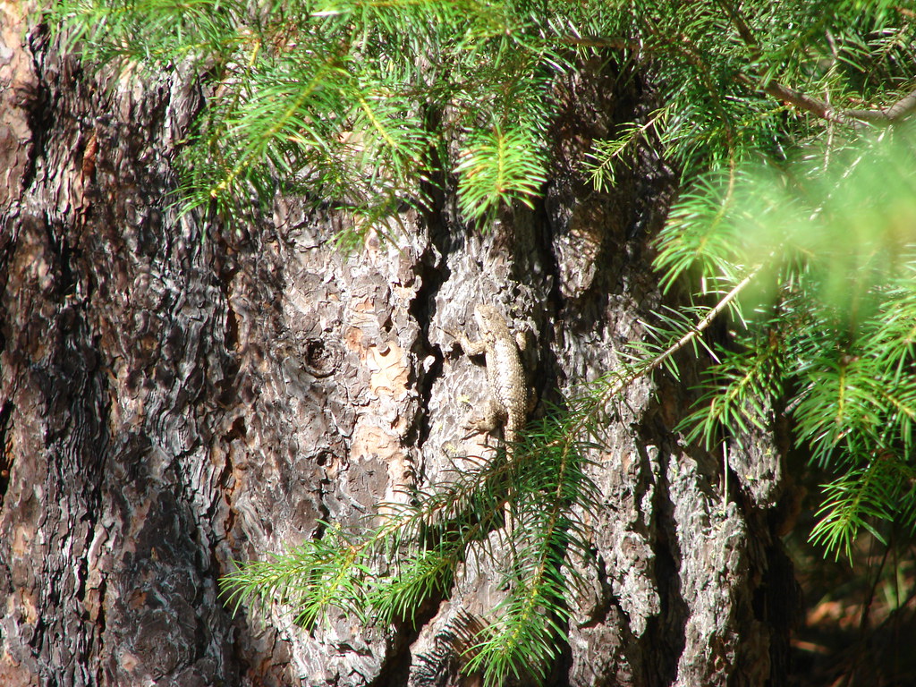
 Sagebrush lizard
 Another butterfly
 Deadly Nightshade
 A goose in the reeds.
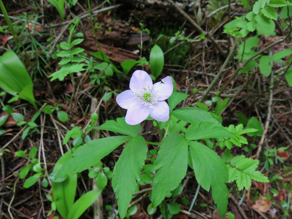 Anemone
 Fairyslipper
 Arnica


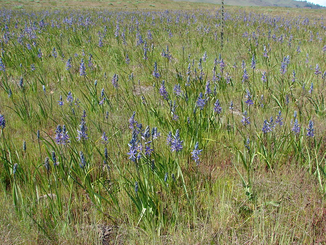
 Bluebells
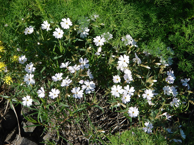
 Prairie stars
 More rock clematis
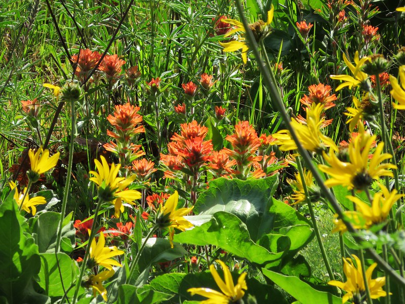
 Paintbrush
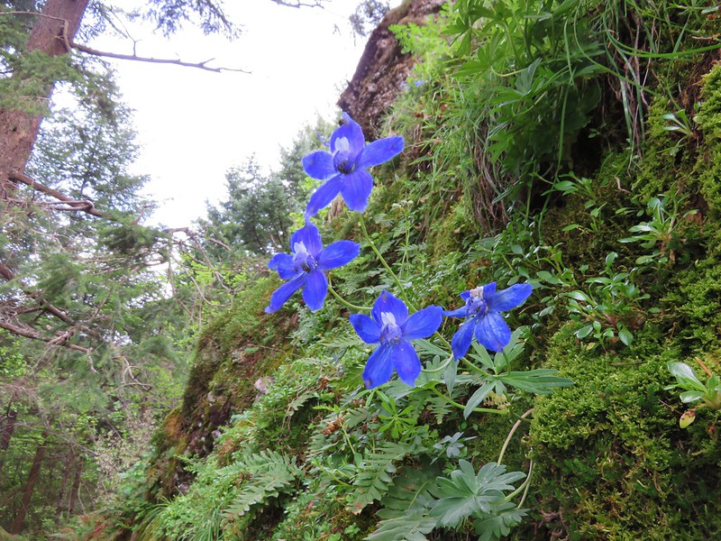
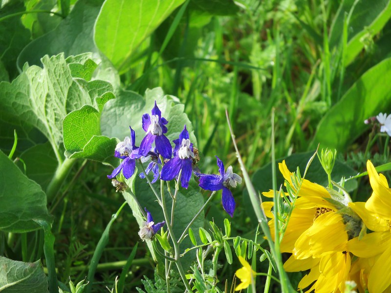
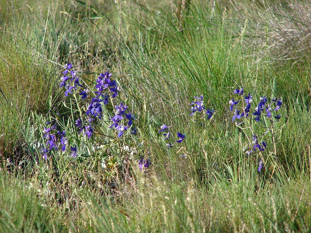
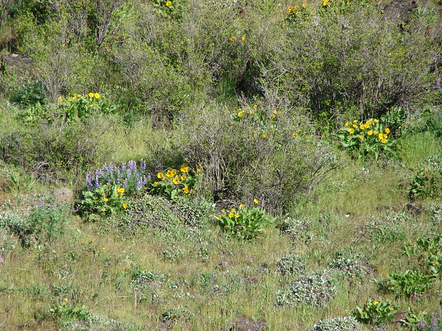
 Larkspur
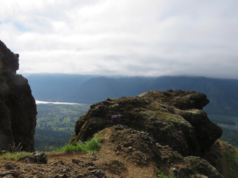
 Area near the viewpoint.
 Looking further into the Wallowas.
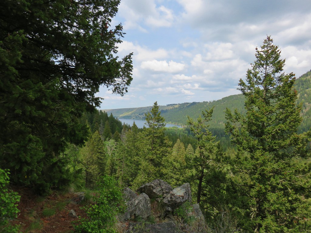 Wallowa Lake


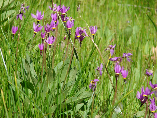
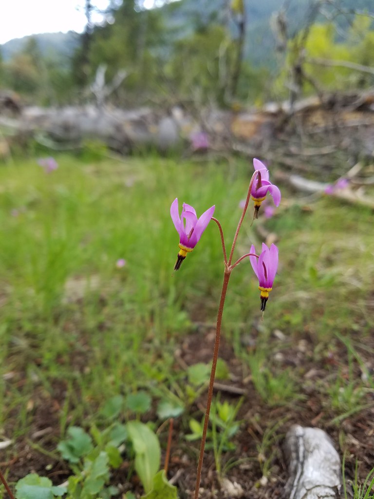 Shooting star
 Old man’s whiskers
 Possibly a checkermallow
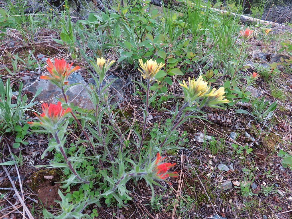 Paintbrush


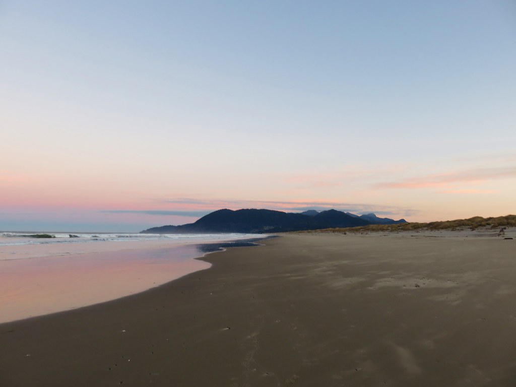
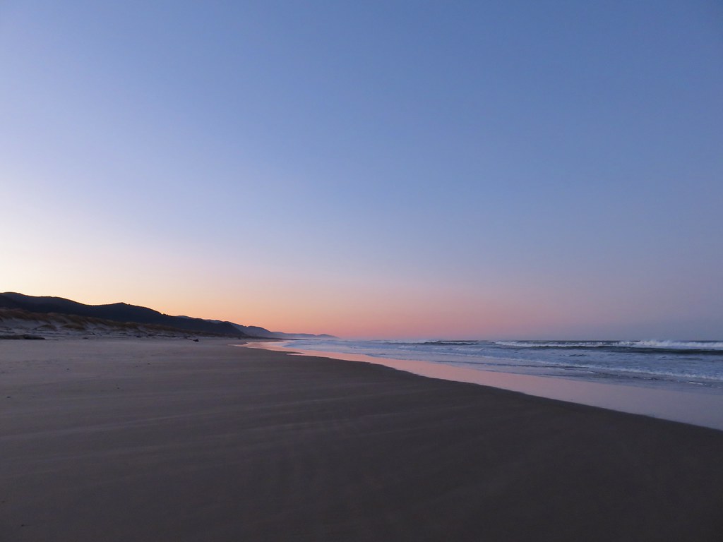

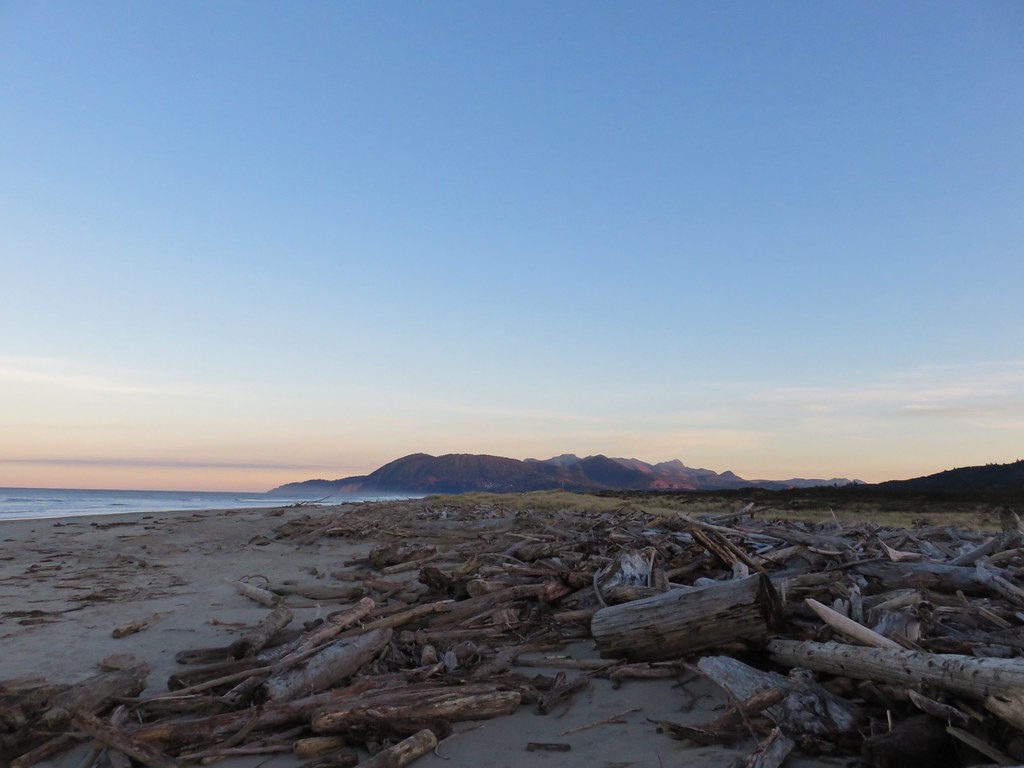

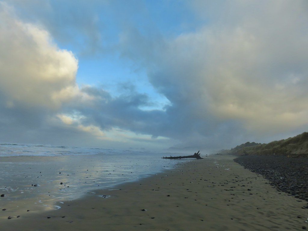
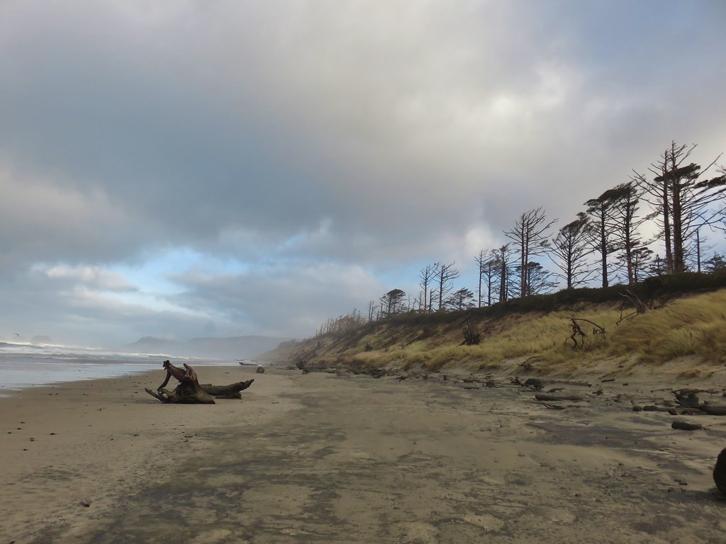
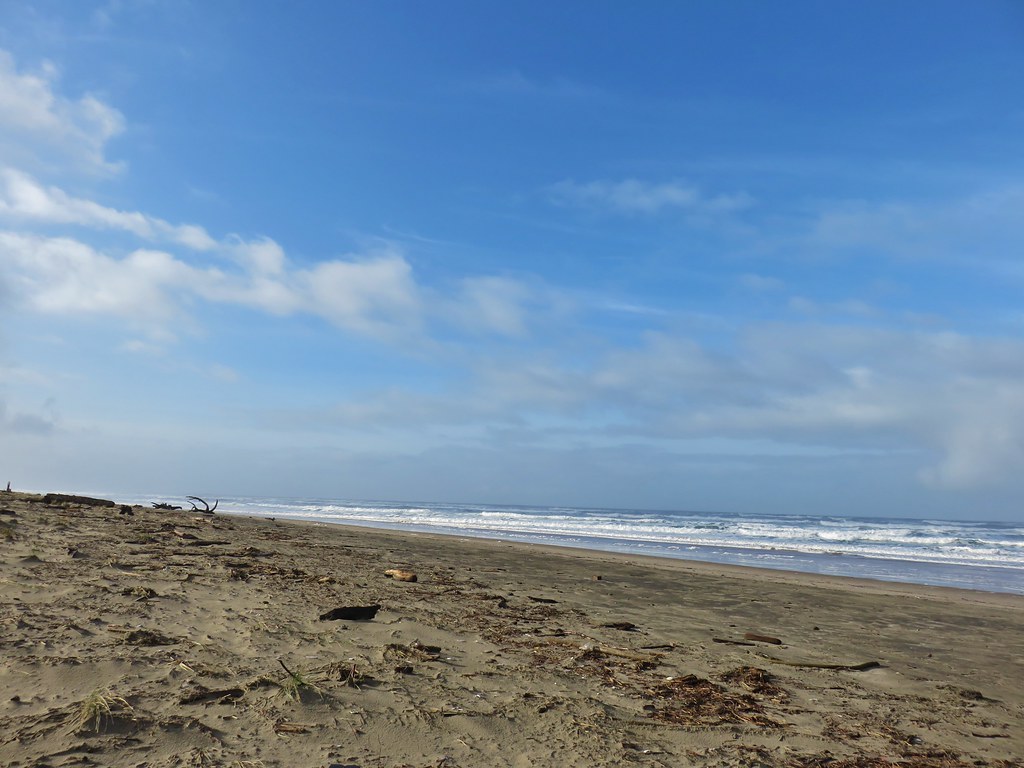
 Nehalem Beach ahead