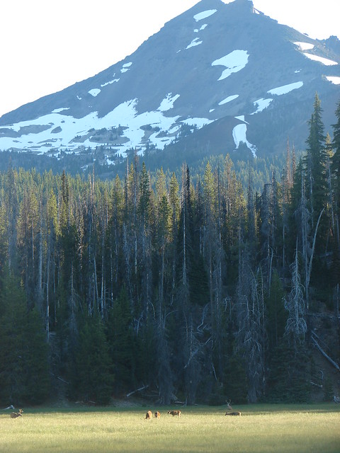
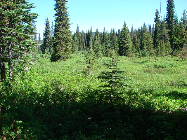
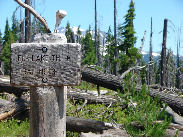
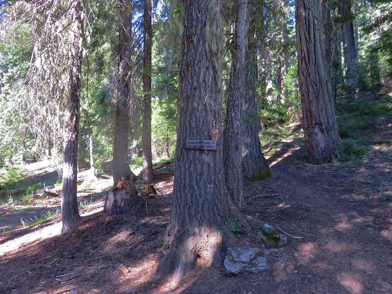
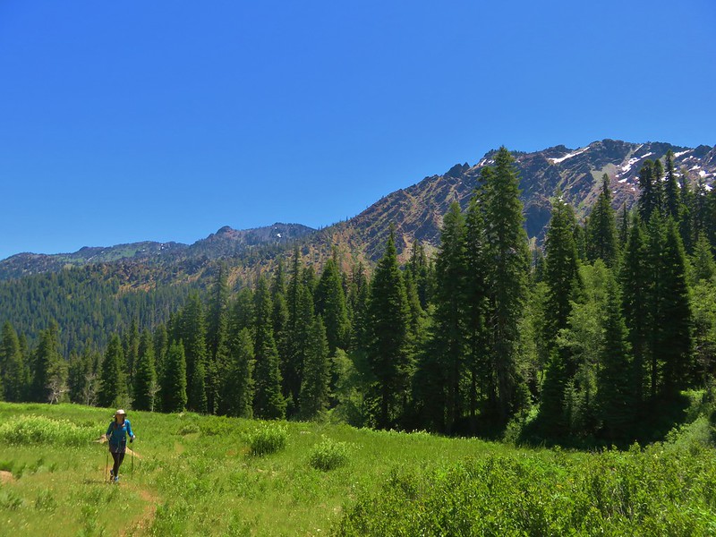
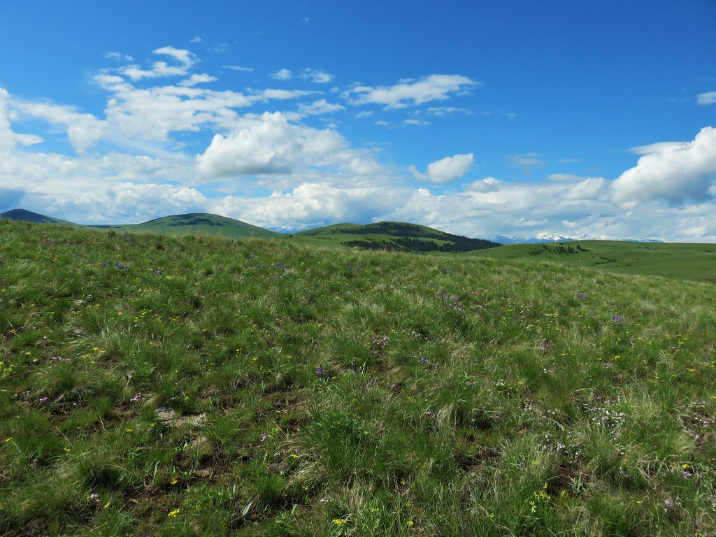
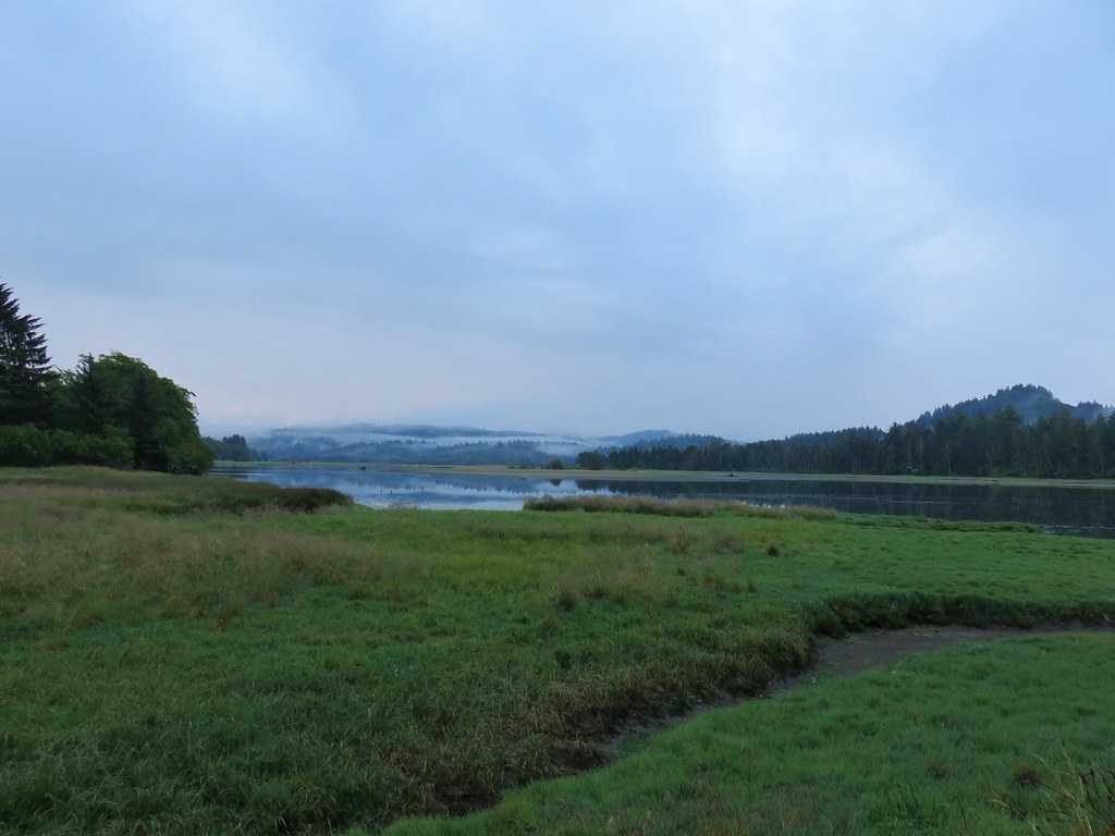
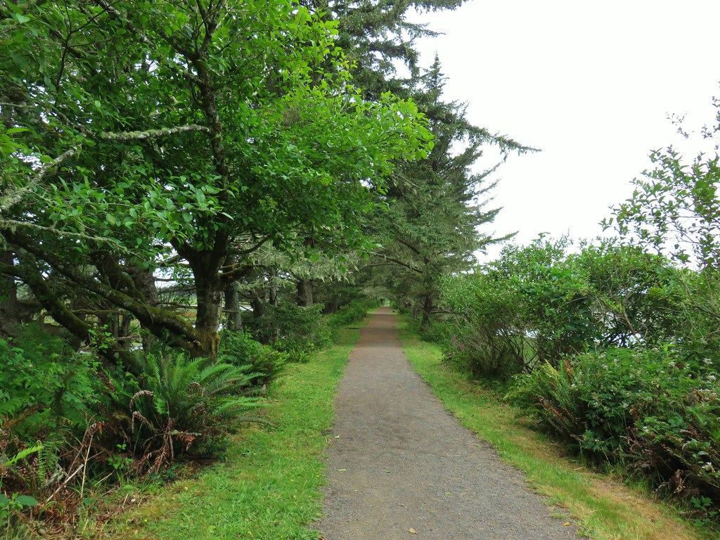
For our last day of hiking on our Memorial Day weekend trip to NE Oregon we planned on visiting Zumwalt Prairie. Managed by the Nature Conservancy there are four trails open to hikers totaling approximately 9.5 miles combined. We had originally planned on doing all four but for reasons to be explained later we wound up skipping the Canyon Vista Trail this trip.
We had had a mix of weather so far during the trip with a snow shower on Friday (post) and nearly 80 degree temperatures on Saturday (post). Sunday was again up in the air as the forecast called for a 50% chance of showers and possible thunder storms after 11am. We got our typically early morning start and made the 45 minute drive from Wallowa Lake to the the preserve.
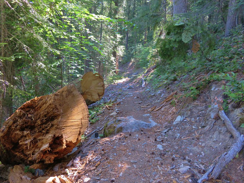
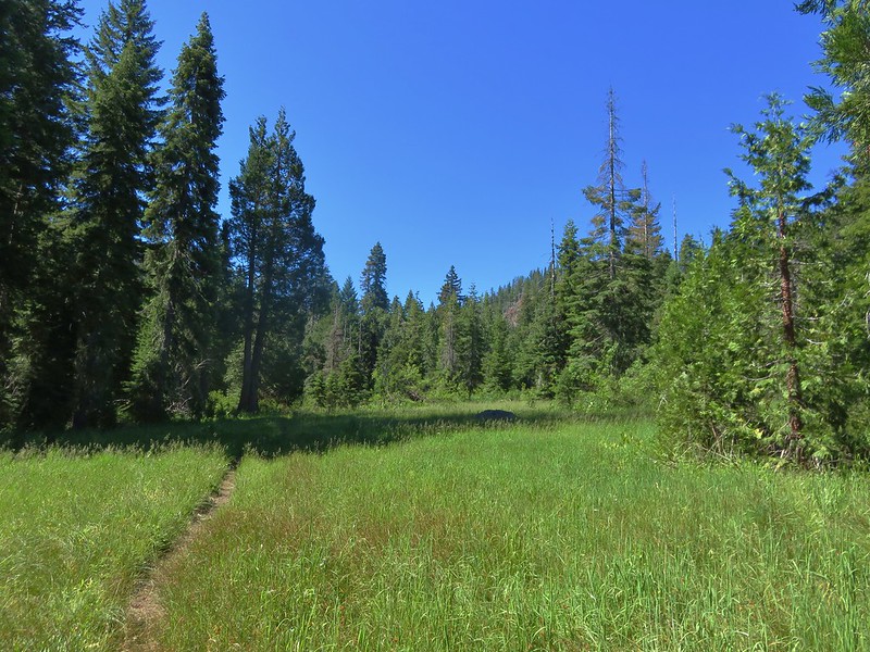
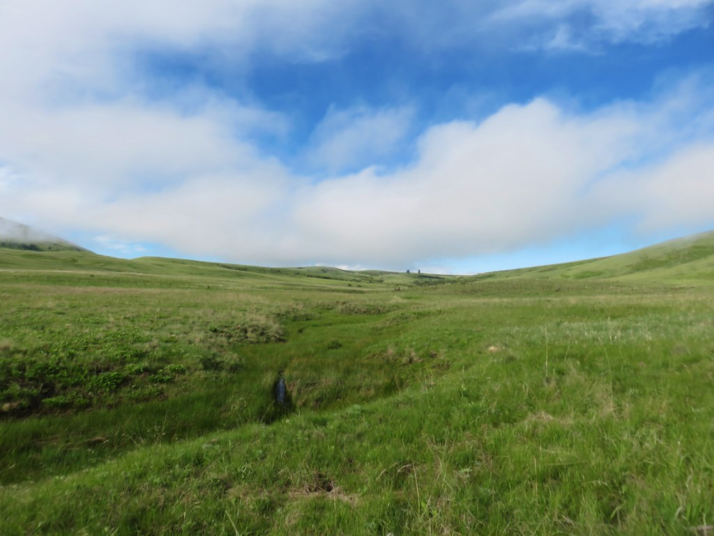
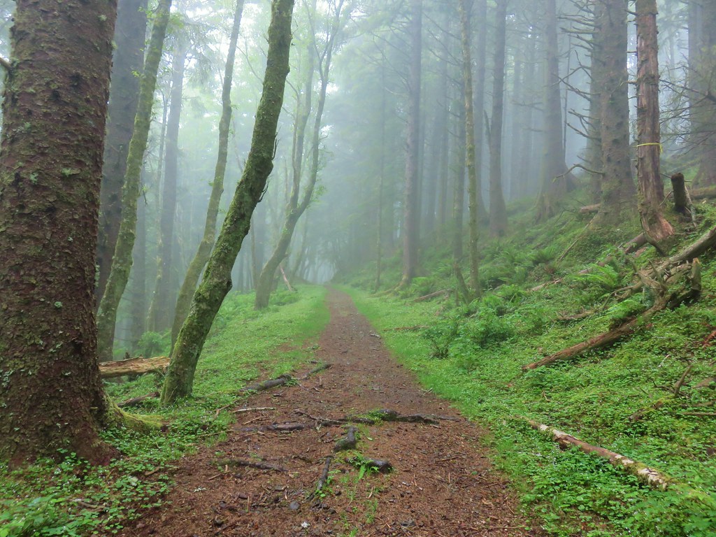
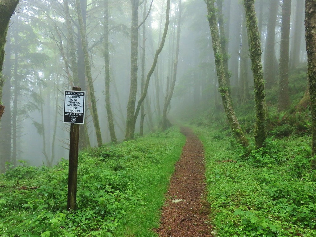
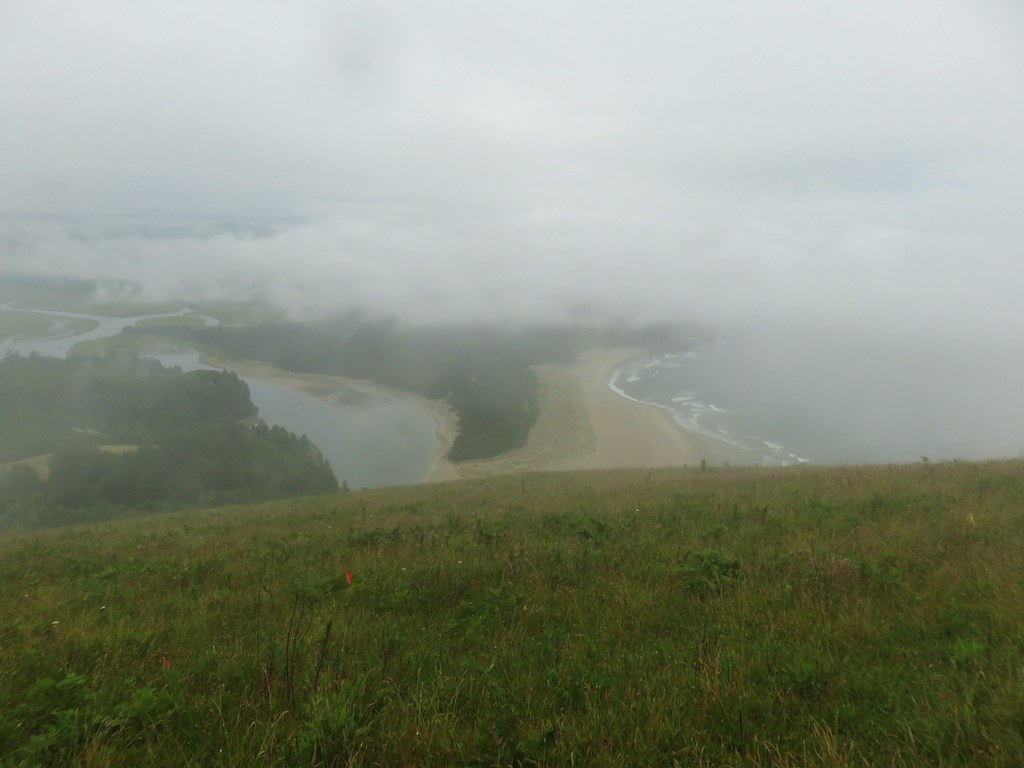
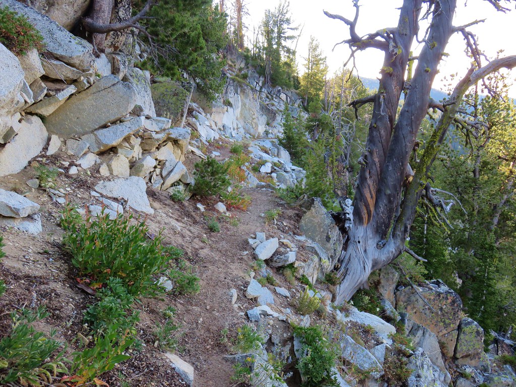
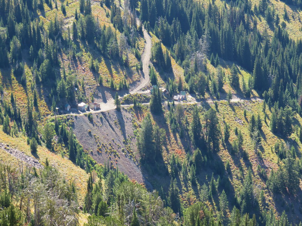
As we left Wallow Lake we were surprised to see that the Wallowas were mostly cloud free so on the way to the hikes we decided to start with the viewpoint hikes first in hopes of getting some nice looks at both the Wallowas and the Seven Devils in Idaho. Based on the trailhead locations we thought we might start with the Canyon Vista Trail but as we turned onto Duckett Road and passed Duckett Barn and the information kiosk there we noted how rough and wet the dirt road was. The map of the preserve mentioned that between the turn off for the Harsin Butte Trail and the Canyon Vista Trailhead “high clearance /4wd vehicles are recommended….This road may be impassable at times during the winter or when wet”. We decided that there was no reason to risk getting stuck, especially since there seemed to be quite a bit of fog toward the area where the trail looked to be. When we reached the spur road for the Harsin Butte Trail we turned down it and started our day there.
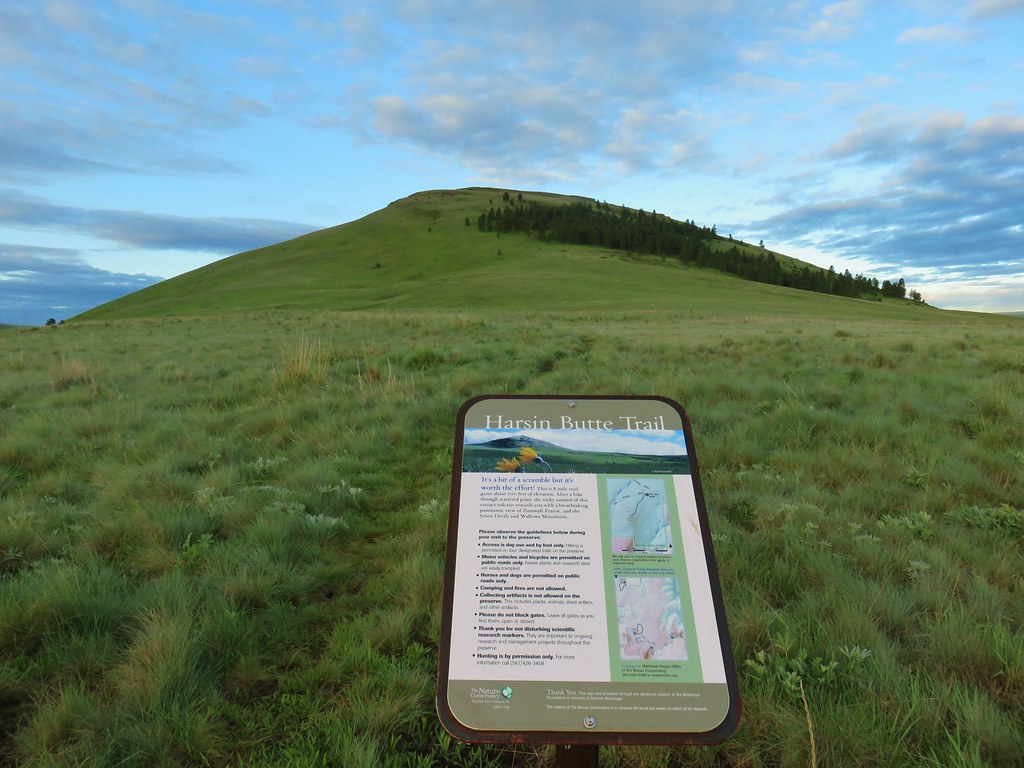
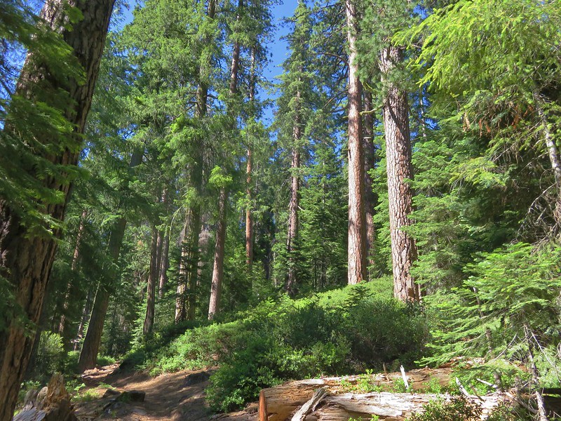
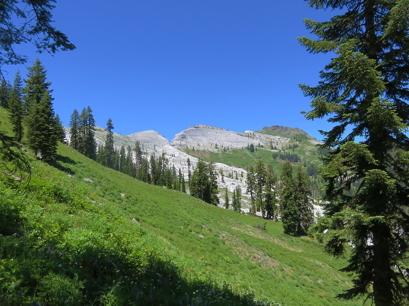
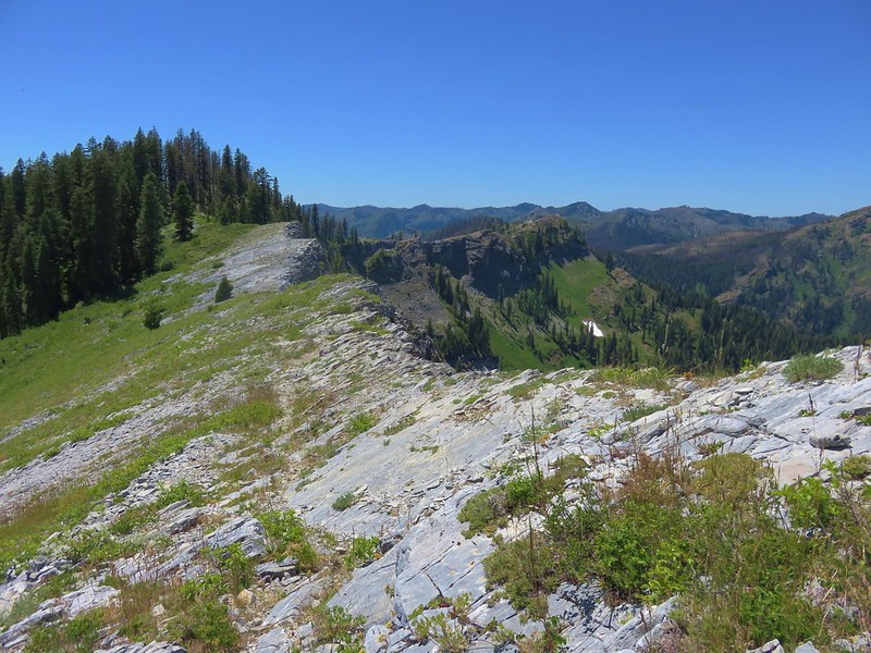
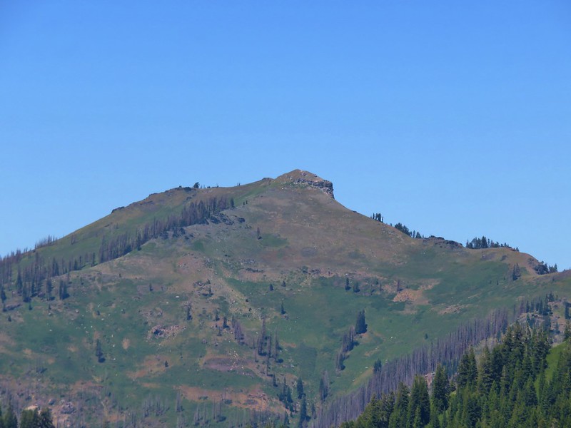
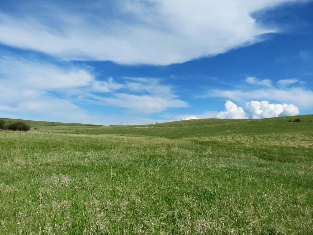
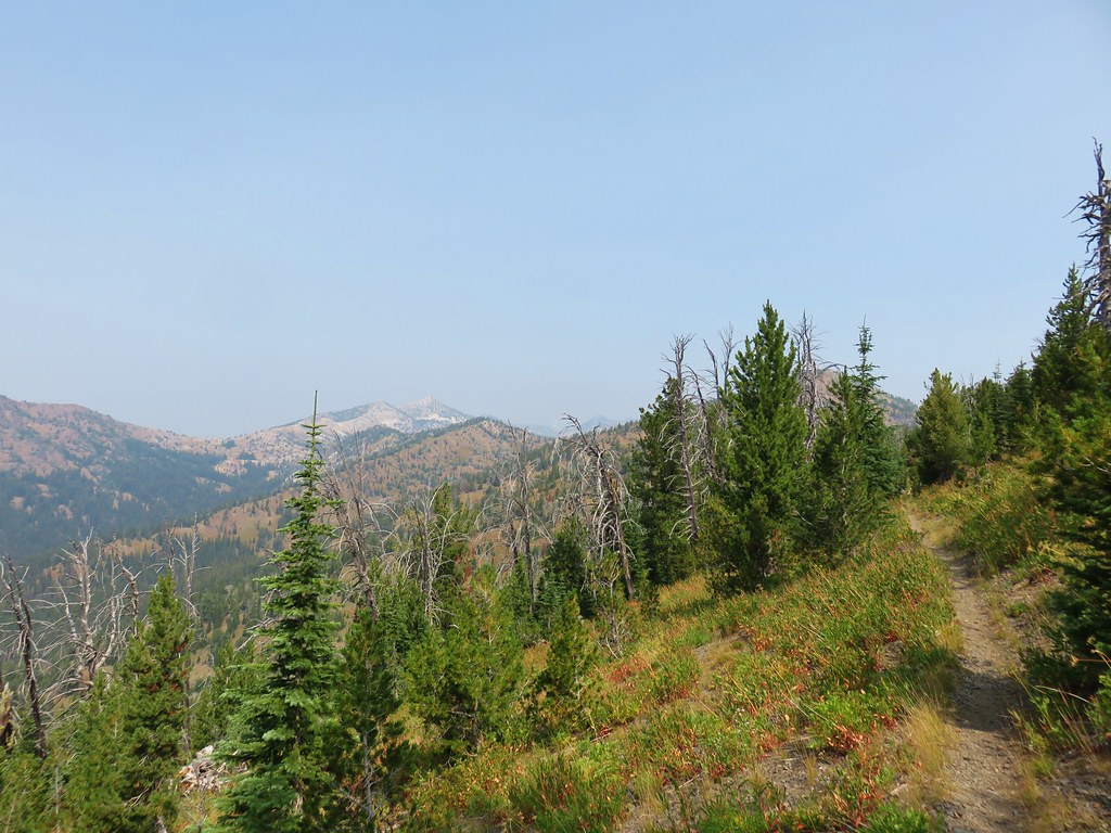
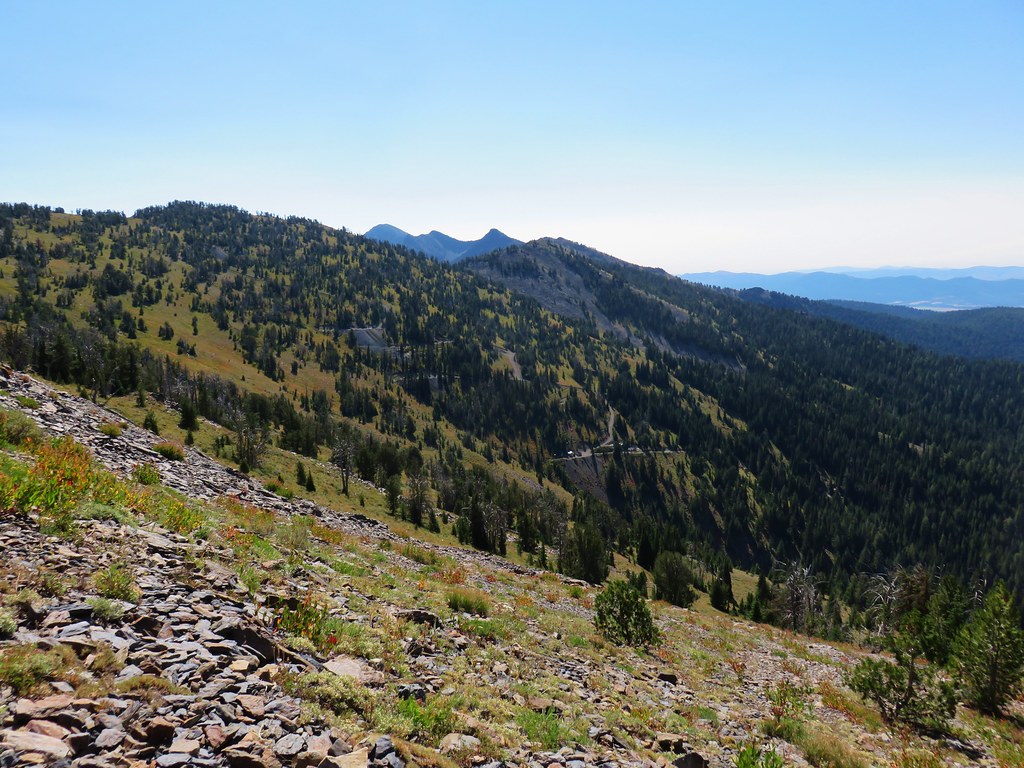
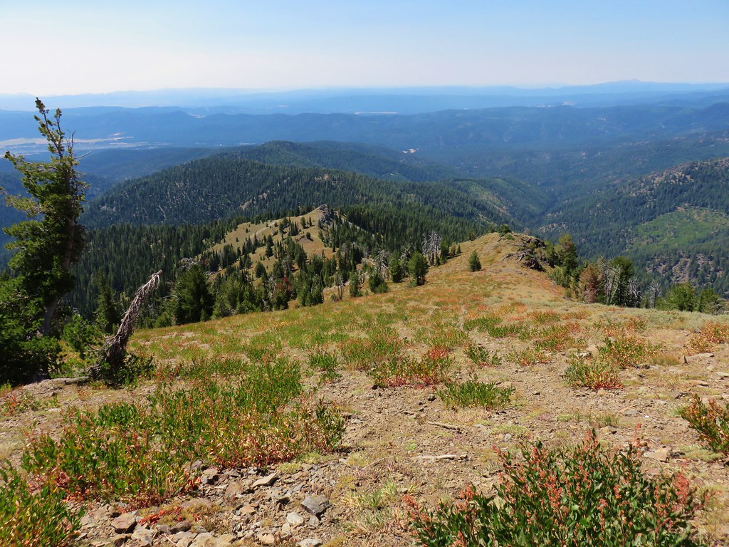
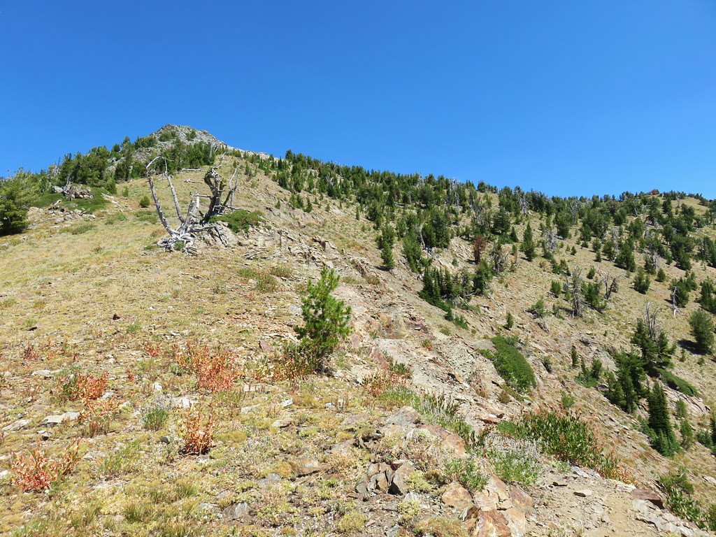
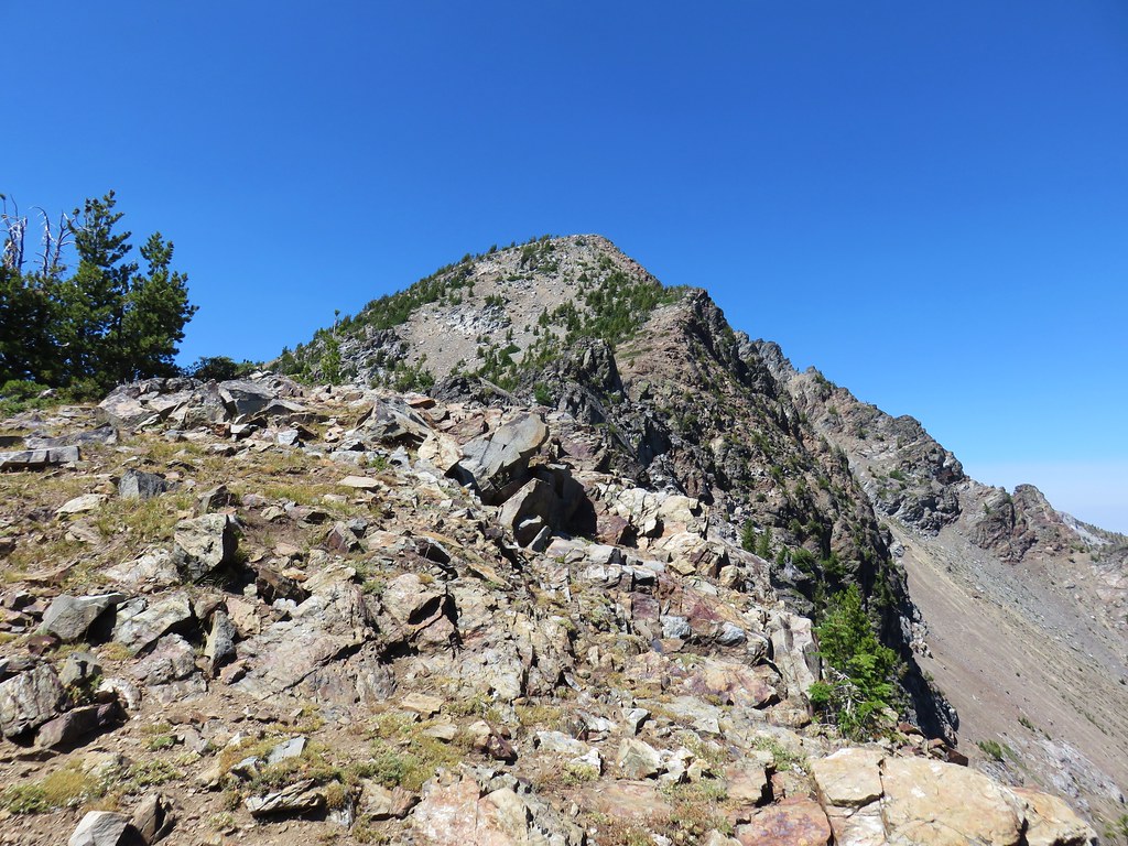
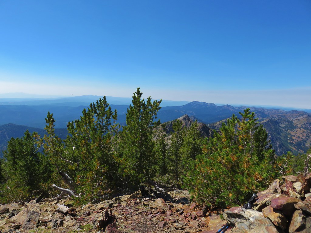
Described as sort of a scramble route the Harsin Butte Trail gains just under 700′ in .8 miles to the summit viewpoint. Even before we started climbing though the views were good.
 Looking toward the Seven Devils in Idaho
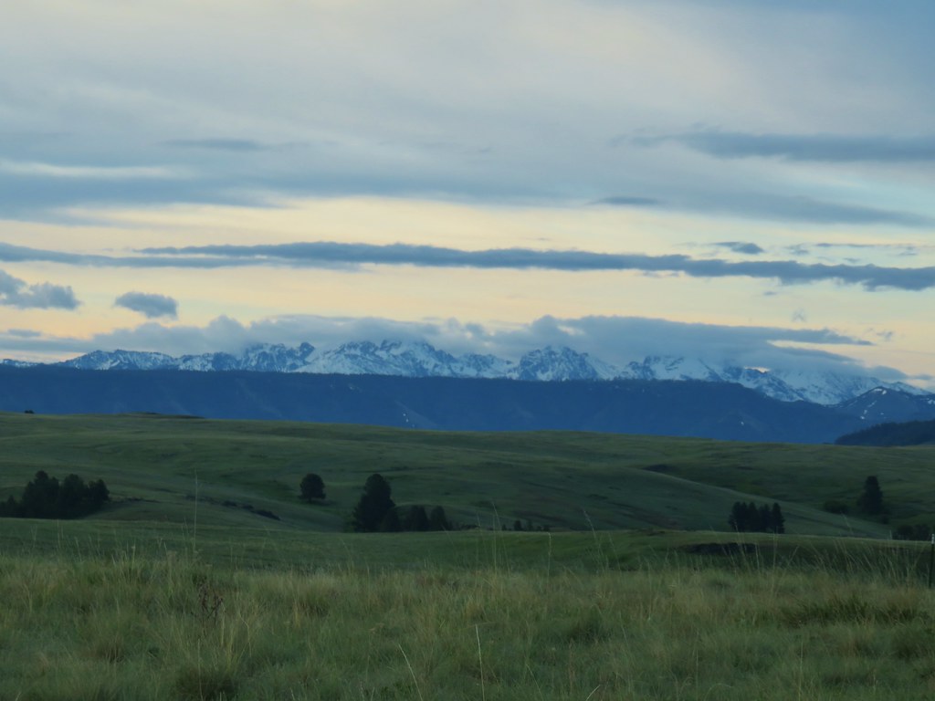

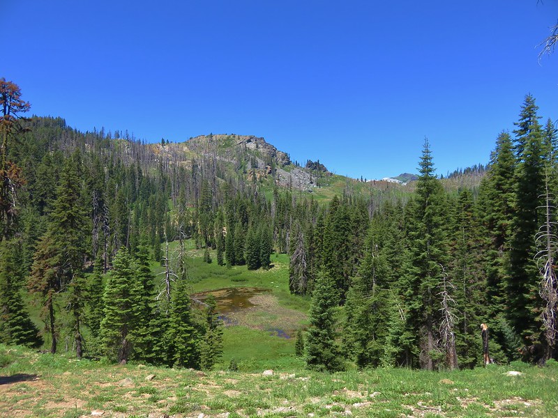
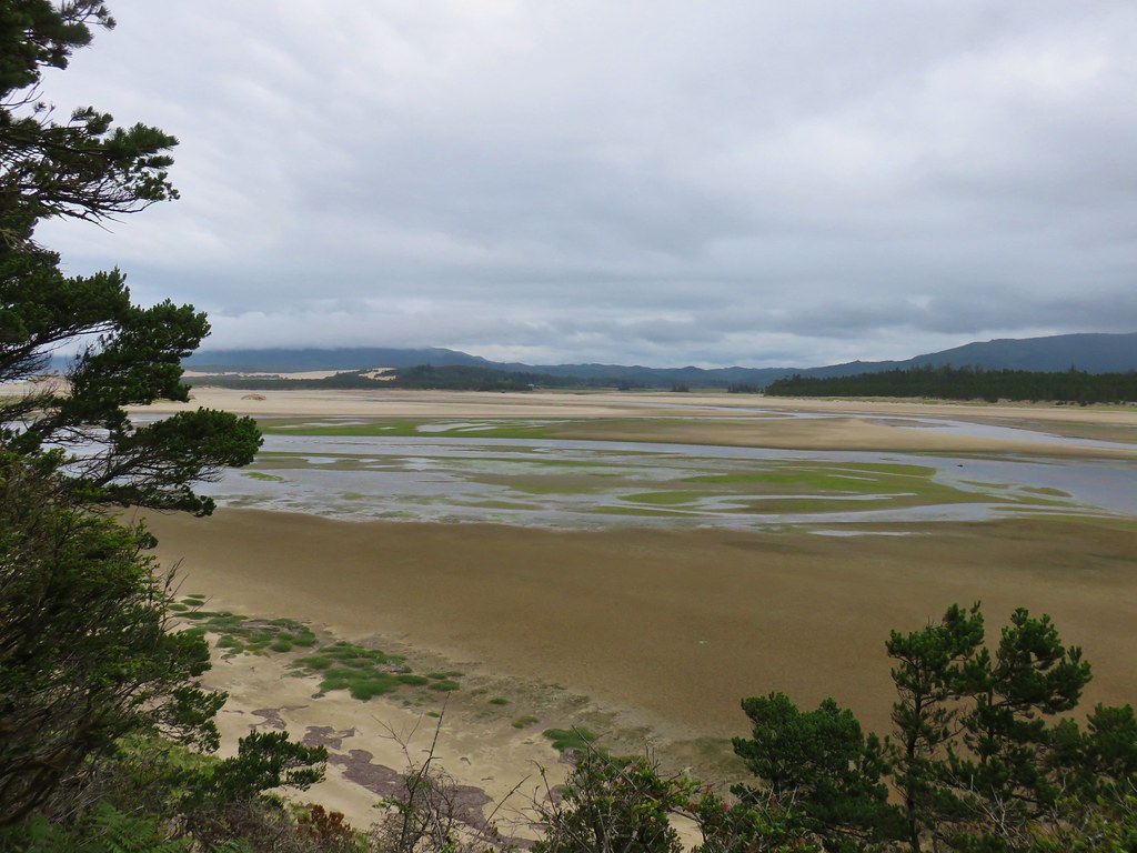
 Findley Buttes (You can see some of the standing water on Duckett Road on the right hand side.)
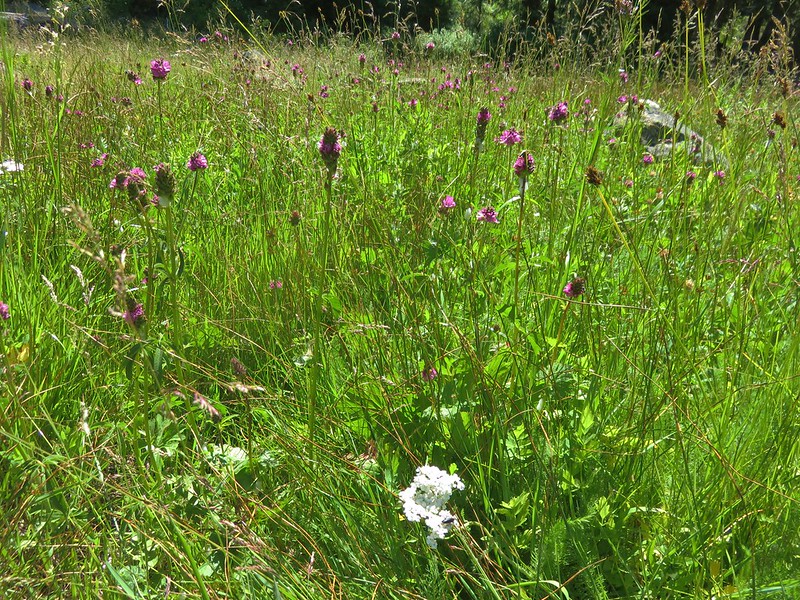
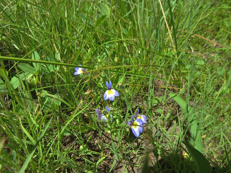
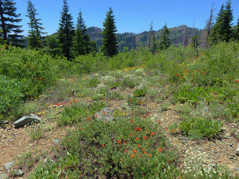
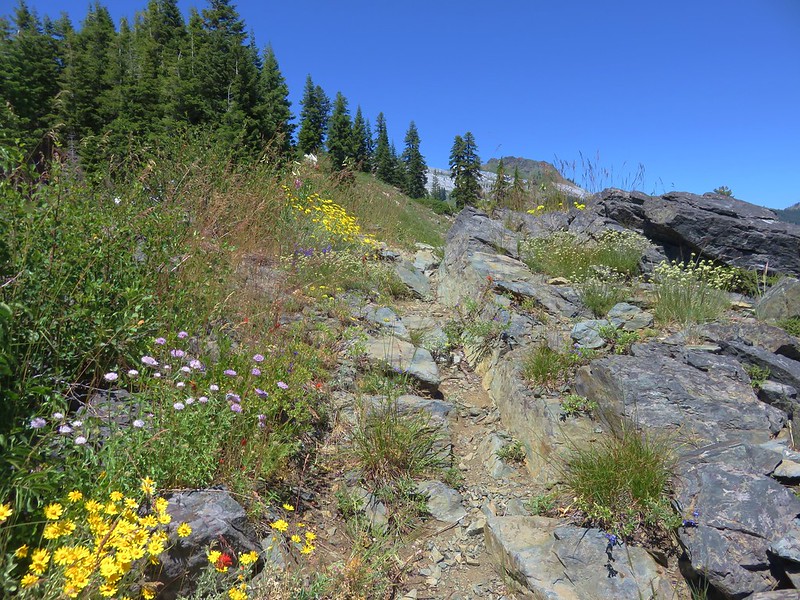
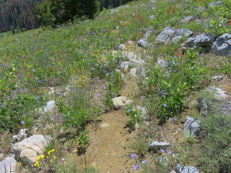
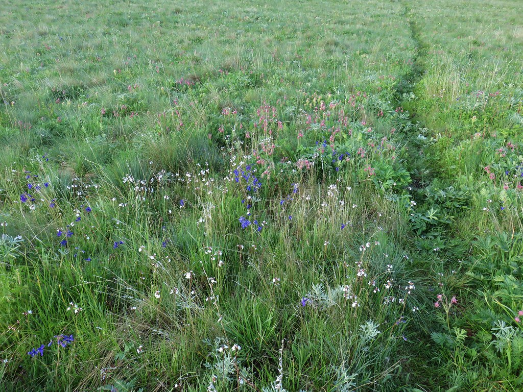
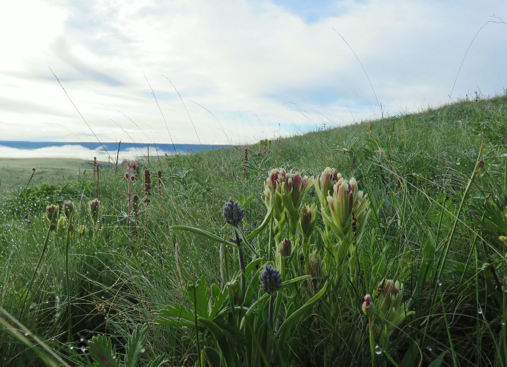
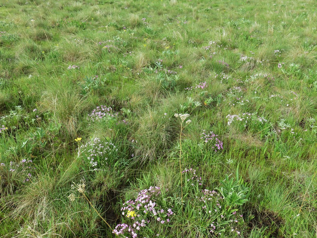
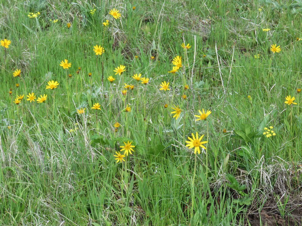
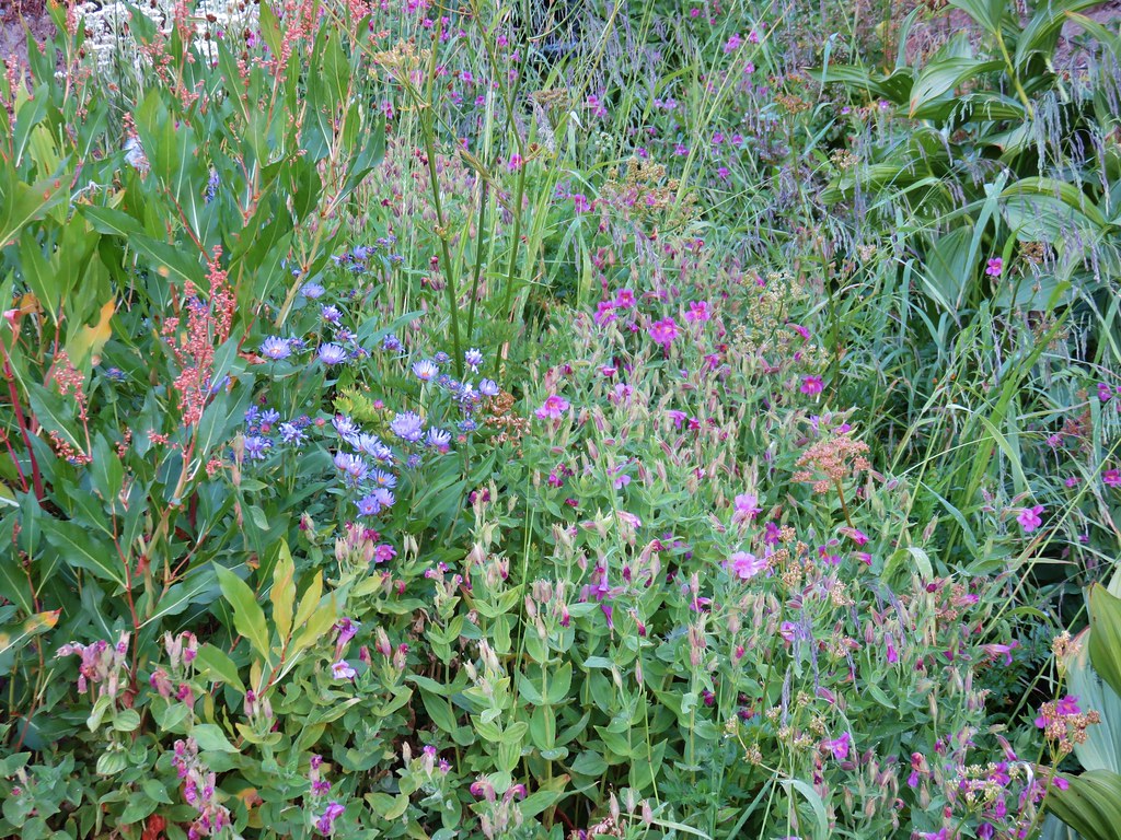
From a distance and especially while driving it’s a bit difficult to notice all the flowers but once we got onto the trail we realized there were a whole lot of different flowers present.

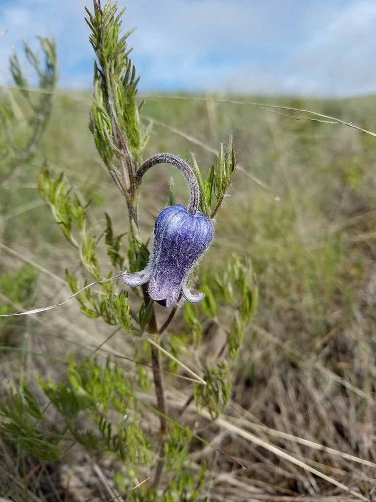
 Old man’s whiskers
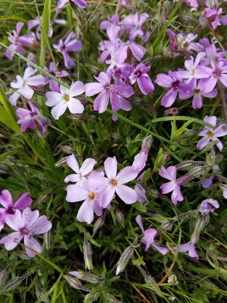
 Phlox with larkspur in the background
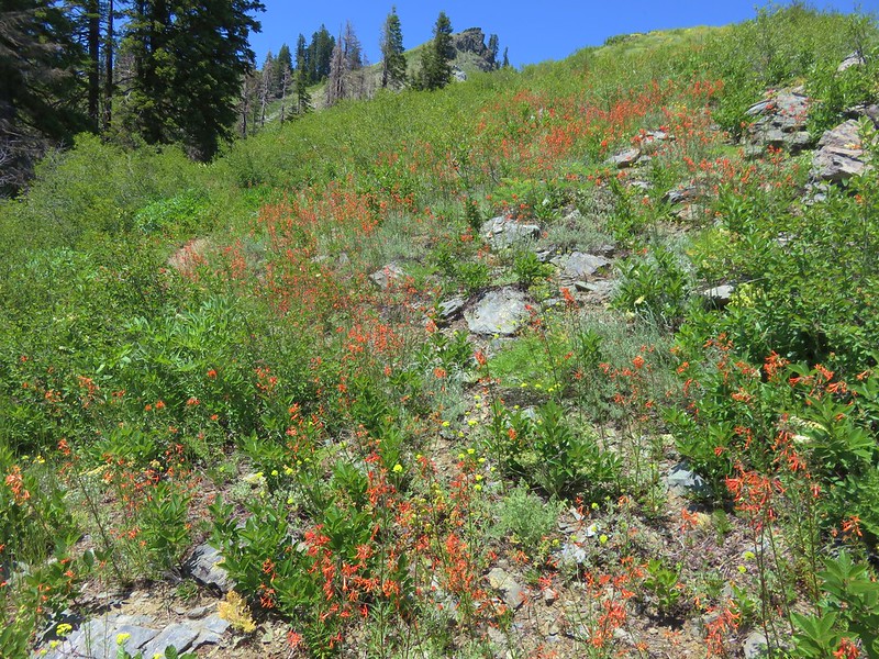
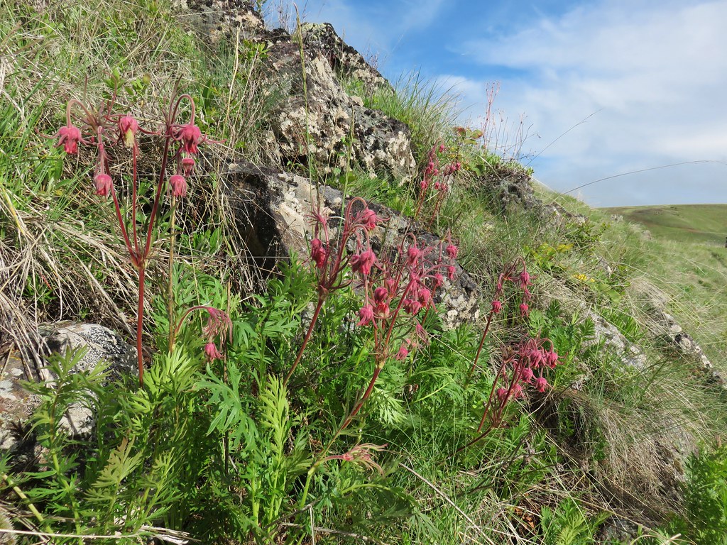
 Cusick’s paintbrush
 White-stem frasera
 Paintbrush
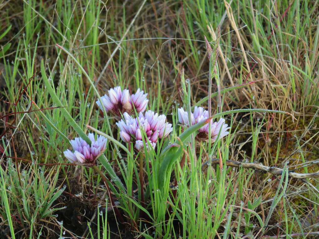 A wild onion
 Larkspur
 Milk vetch
 Chickweed
 Woodland stars
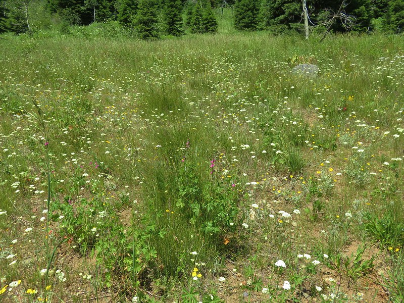
 An assortment of flowers
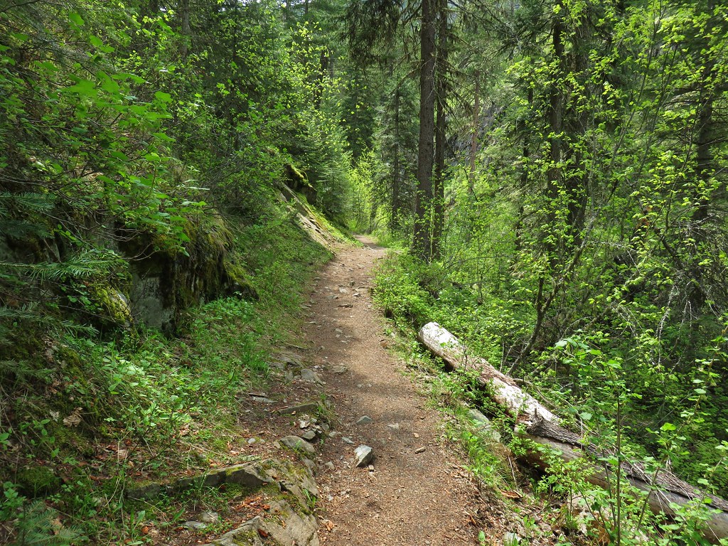
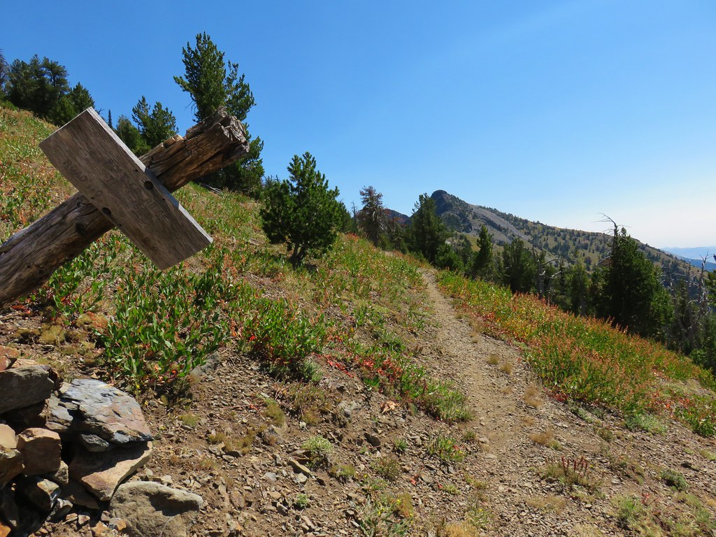
We were following a clear path and could see the continuation of the path going up the side of Harsin Butte so we were a little confused when we passed a couple of rock cairns about a quarter mile from the trailhead.
 One of the carins and the trail going up Harsin Butte in the background.
We ignored the cairns and stayed on the clear path.

After another quarter mile of walking we realized that this was not the trail to the butte, it was heading around the west side of the butte to what looked like a corral instead. We backtracked to the cairns and followed them to find the continuation of the correct path.

It seemed the higher up we went the more flowers we were spotting.
One exciting find for us were the monument plants which we don’t get to see all that often.
 Monument plant
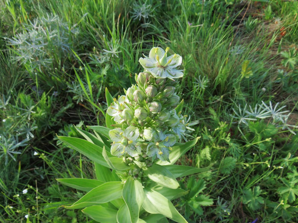 Top of the monument plant
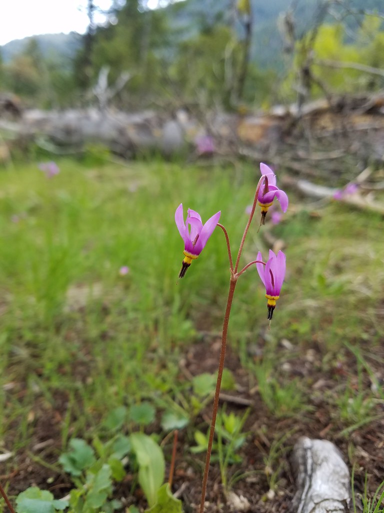
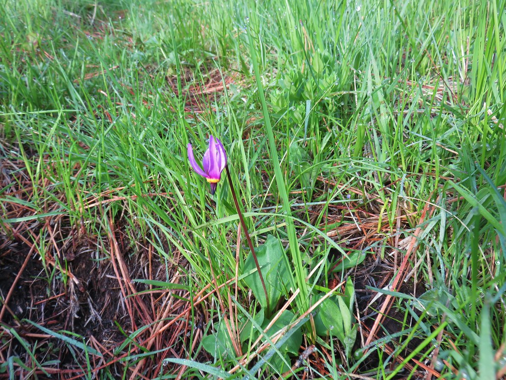 Shooting star
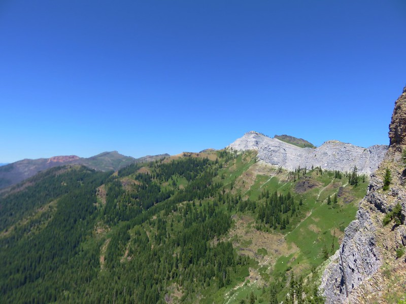
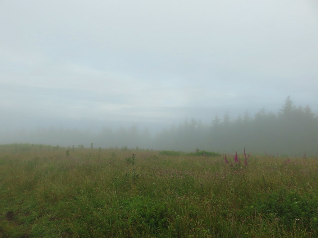
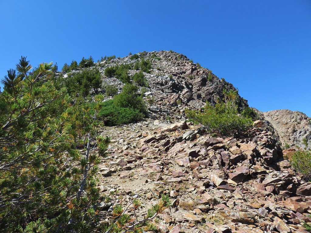
As we were climbing we noticed that the low clouds behind us seemed to be moving our way fairly quickly. I decided to try and double time it up to the summit in an attempt to avoid being over taken by clouds before getting to see the view. Apparently 3 days of hiking had taken more of a toll on me than I had realized and I was quickly sucking wind. The 5000′ elevation probably wasn’t helping me any and I regretted my decision every time I had to stop to try and catch my breath.
 Here comes the clouds.
One of the times that I found myself gasping for air I noticed this rockcress.

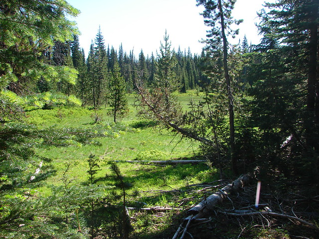
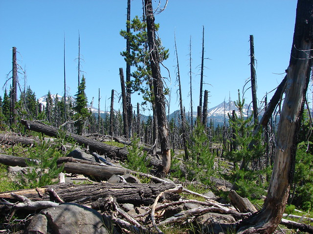
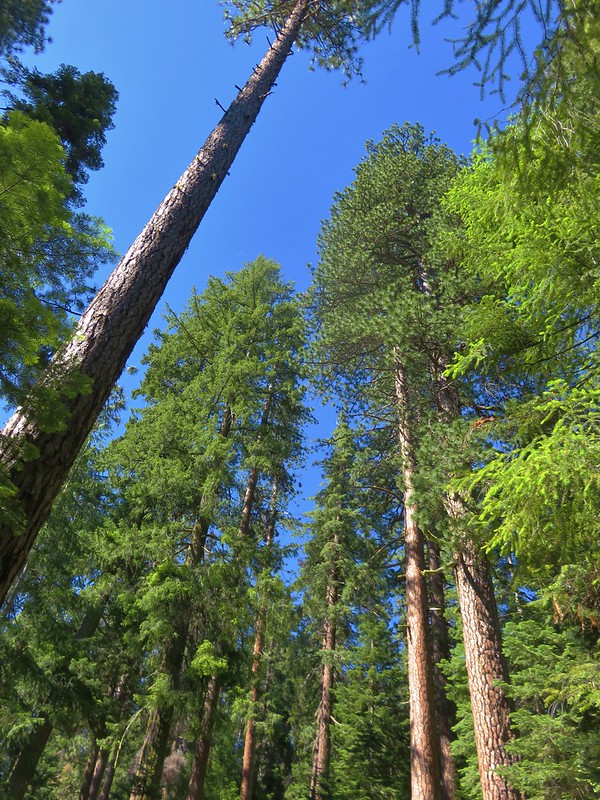
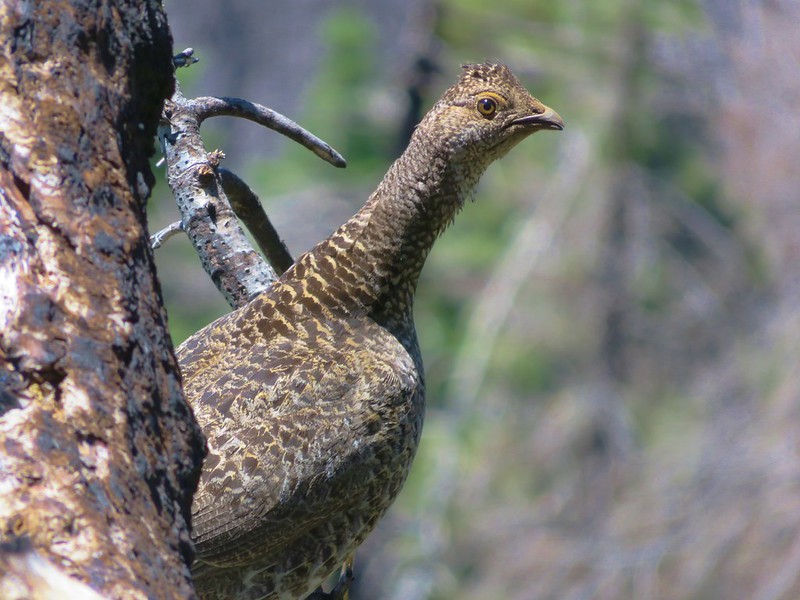
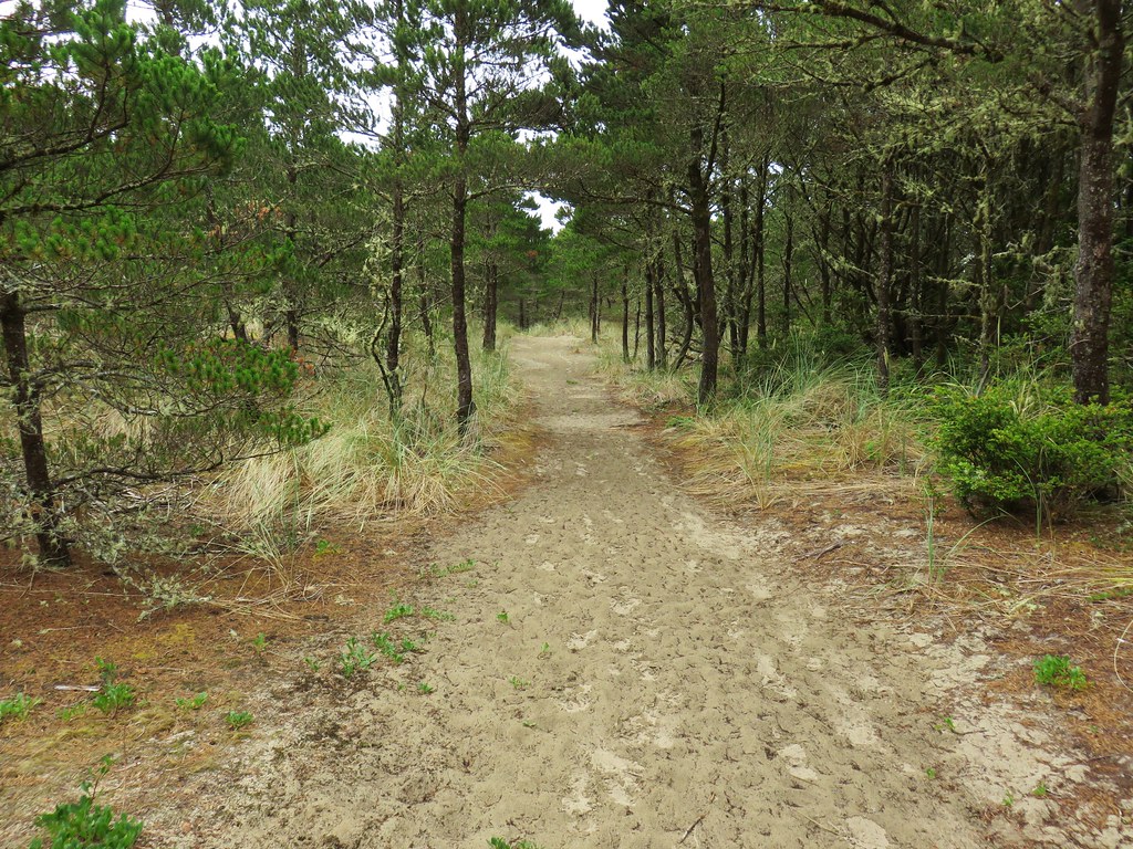
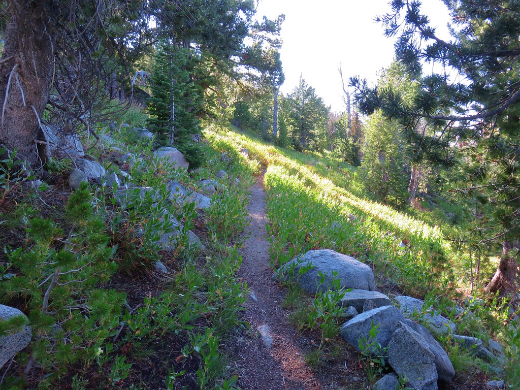
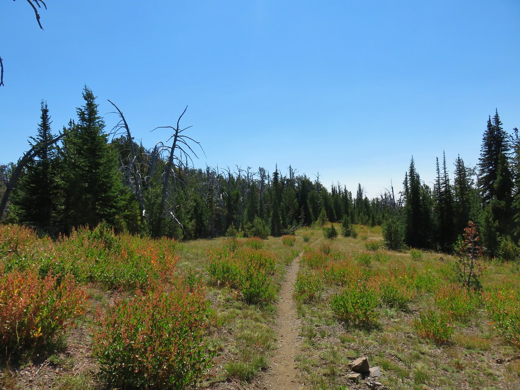
The path led briefly into a stand of pines where game trails crisscrossed and elk sign abounded.
A few different flowers showed up in this area.
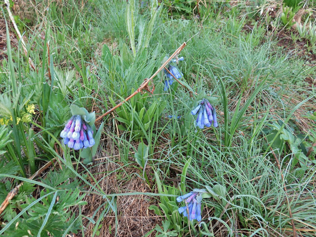 Bluebells
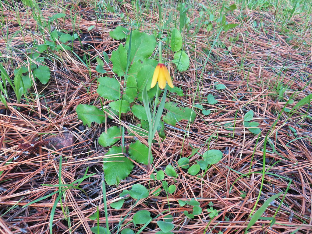 Yellow bell
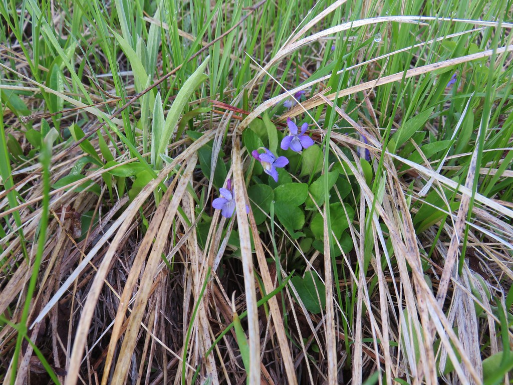 Violets
 Ball-head waterleaf
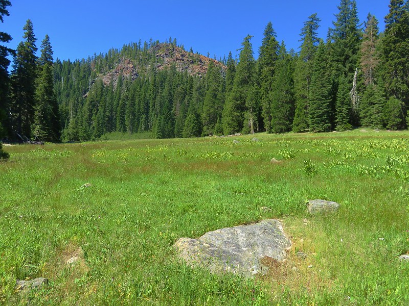
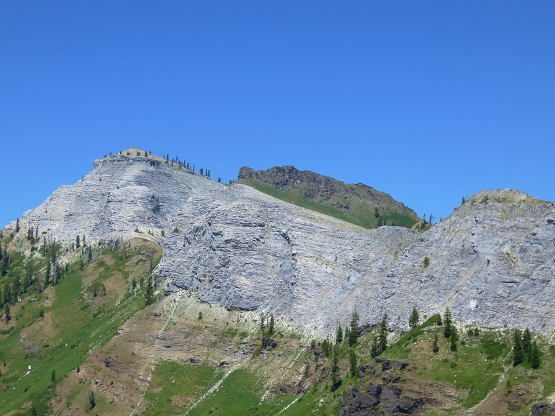
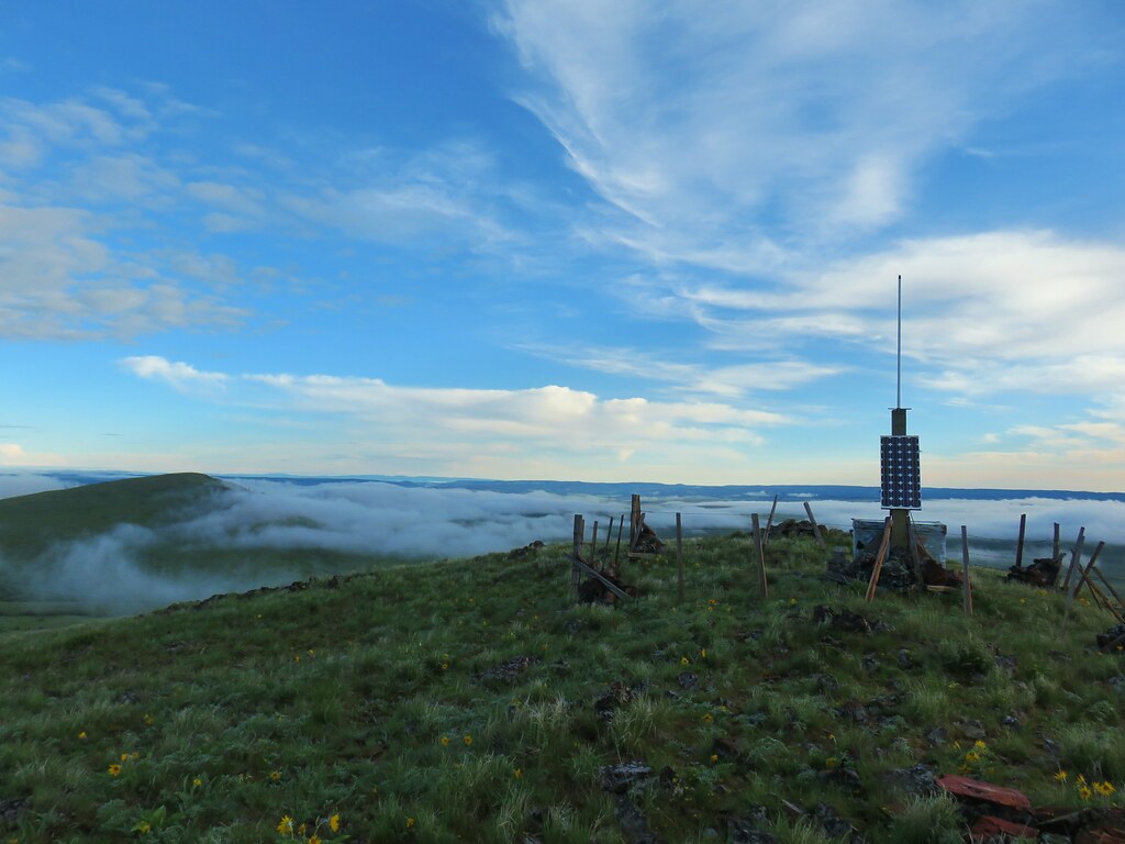
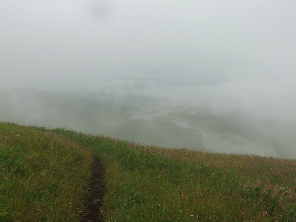
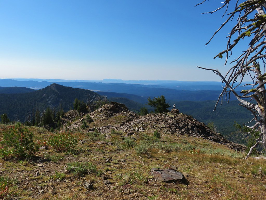
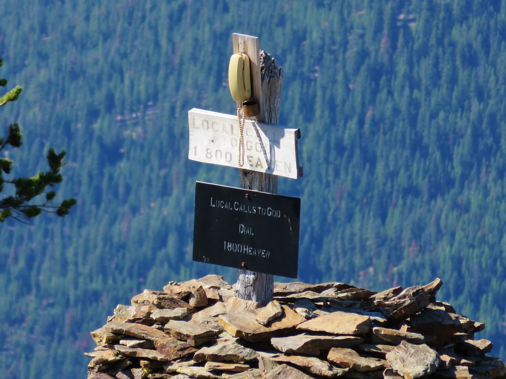
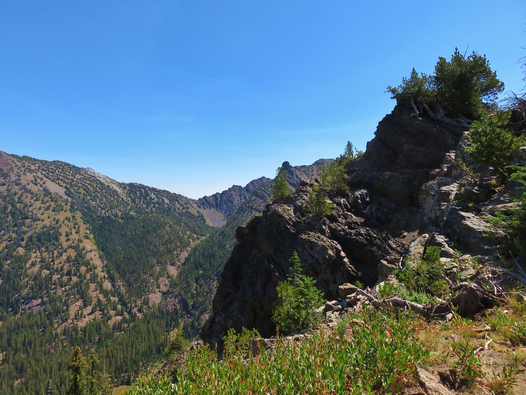
After a brief disappointment upon realizing there was a false summit I made it up to the actual summit with its solar powered antenna.

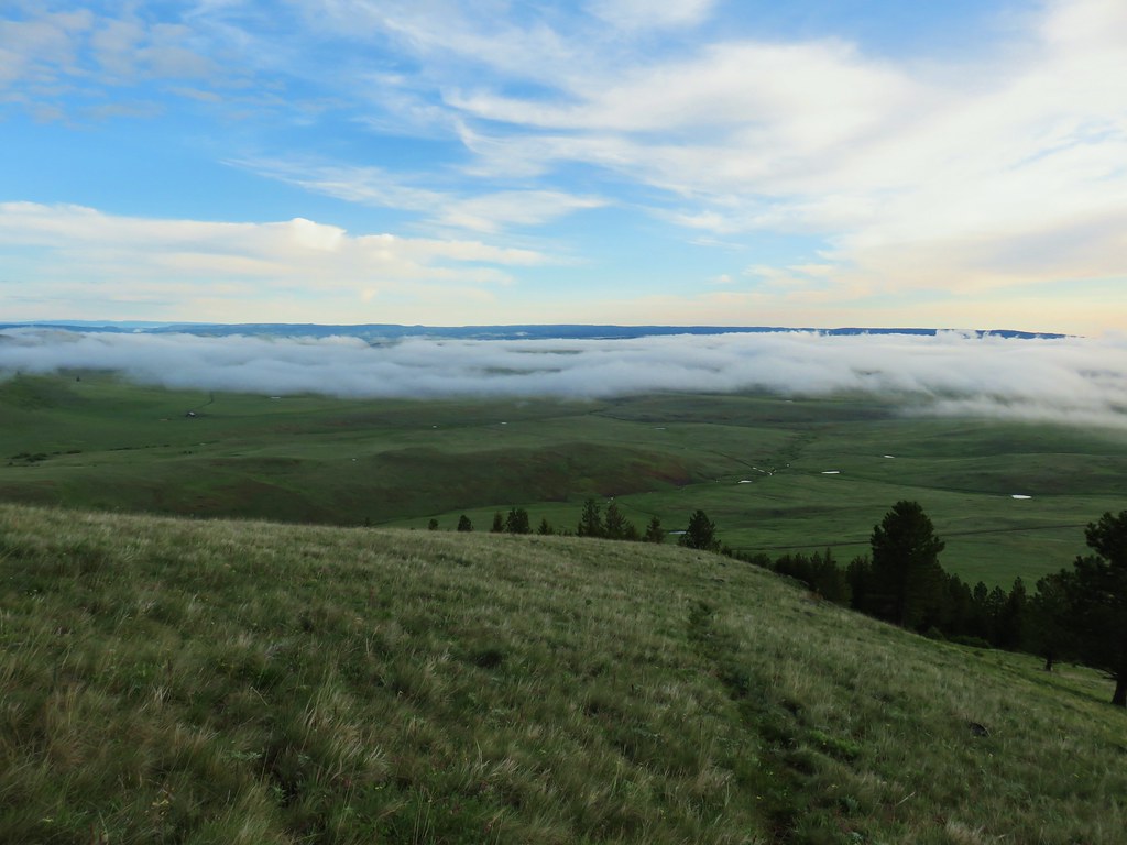
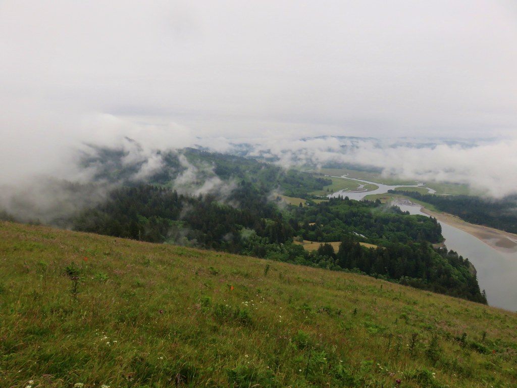
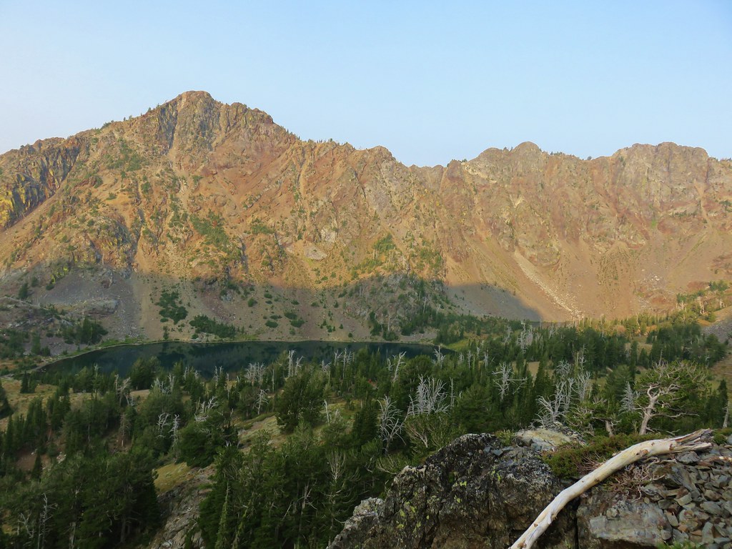
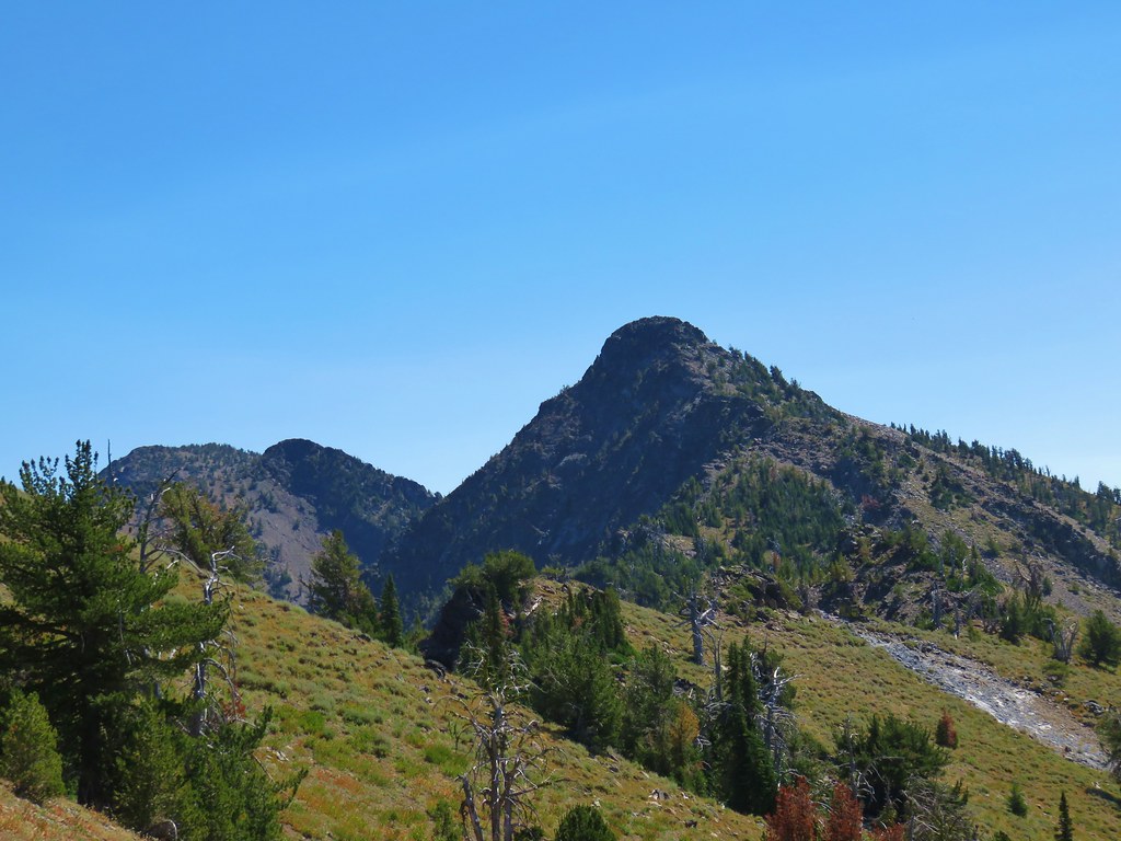
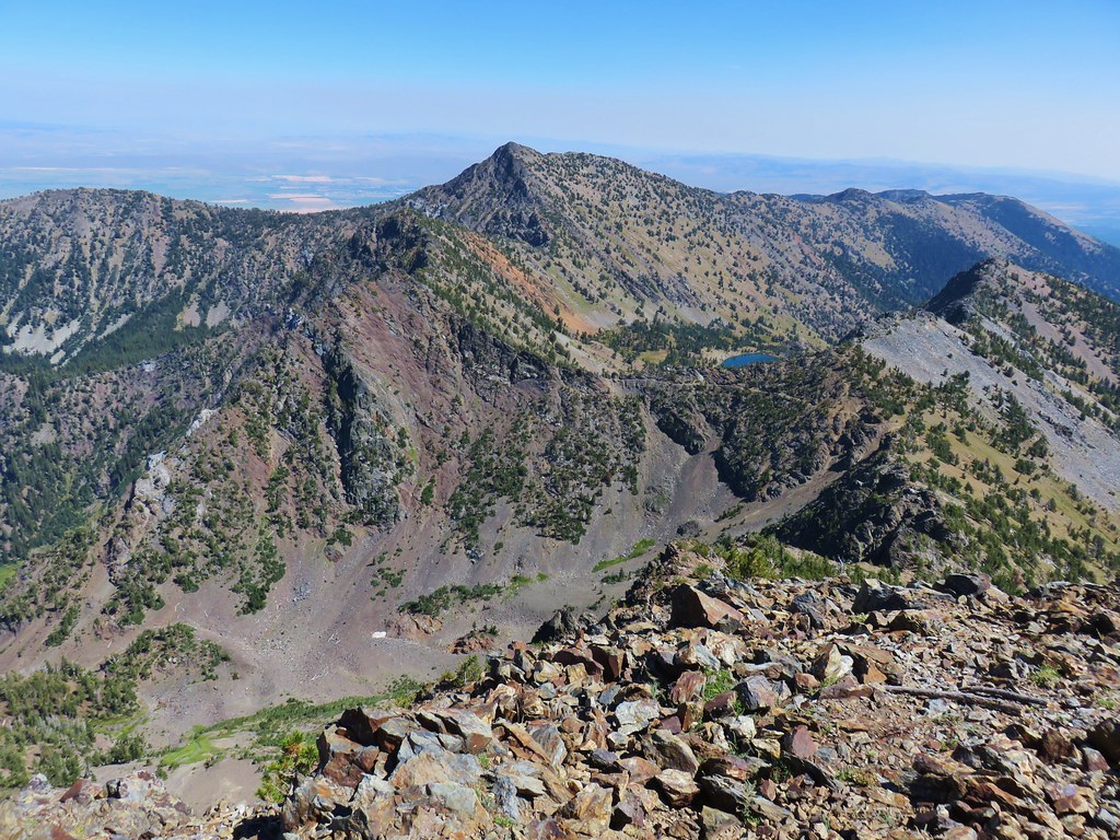
The cloud scare proved to be a false alarm, at least for the moment as they passed to the north of Harsin Butte between it an one of the Findley Buttes.
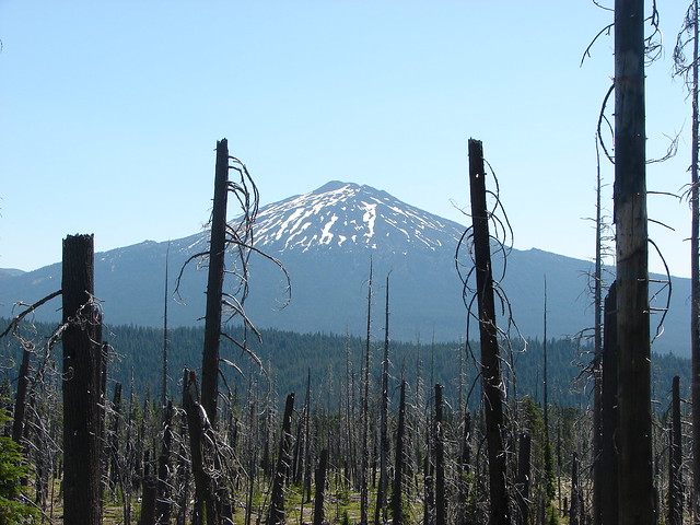
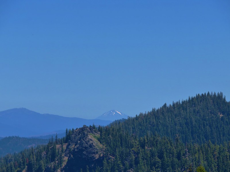
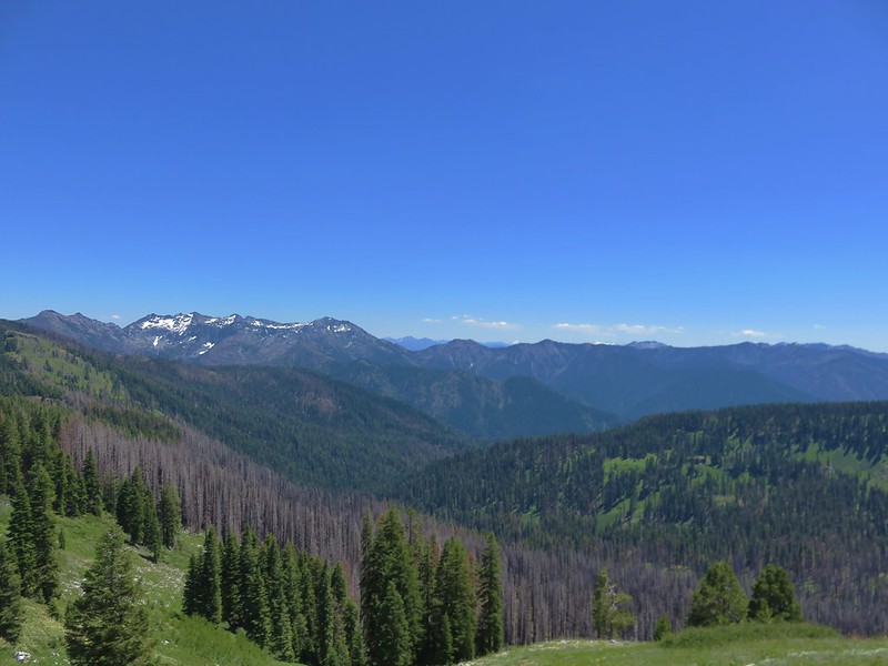
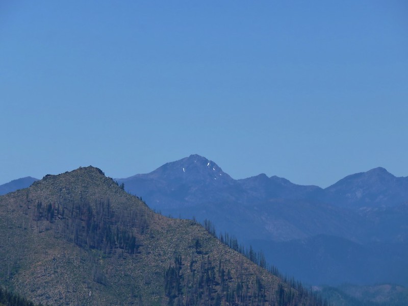
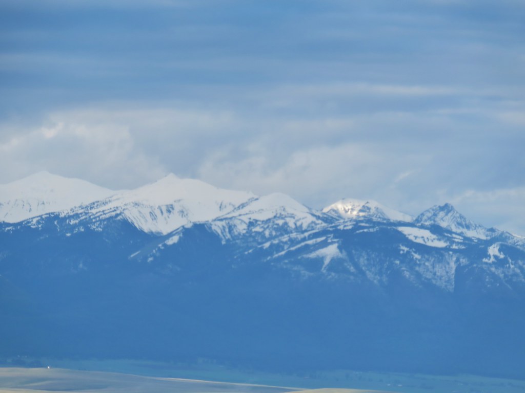
There were a few clouds over the Wallowas to the southwest but also some sun shining on the northern end.


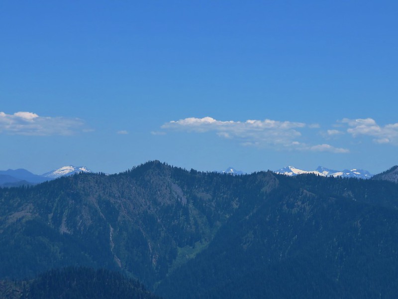
To the southeast the Seven Devils had a similar look.


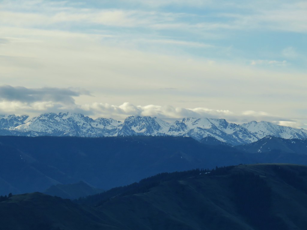
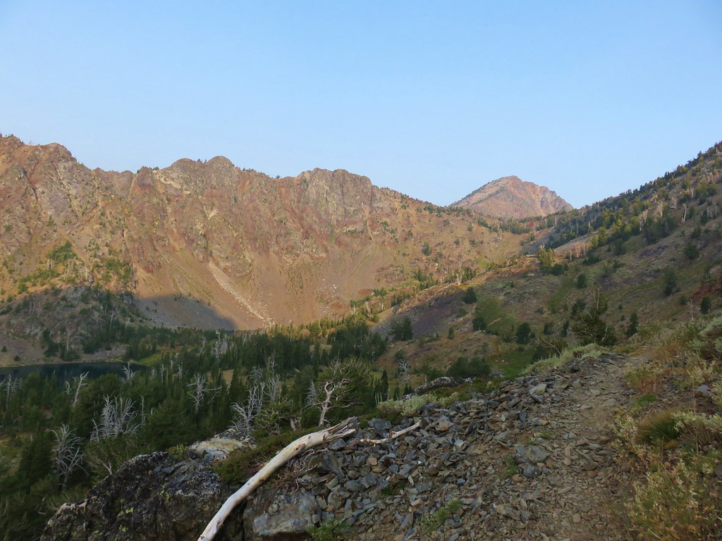
After a nice rest (I needed it) at the summit we headed back down. The clouds over the northern end of the Seven Devils lifted a little reveling a little more of the mountains.


By the time we were finished, with what turned into a 2.1 mile hike, our shoes were pretty well soaked from the dew on the grass but the flowers seemed to love it.

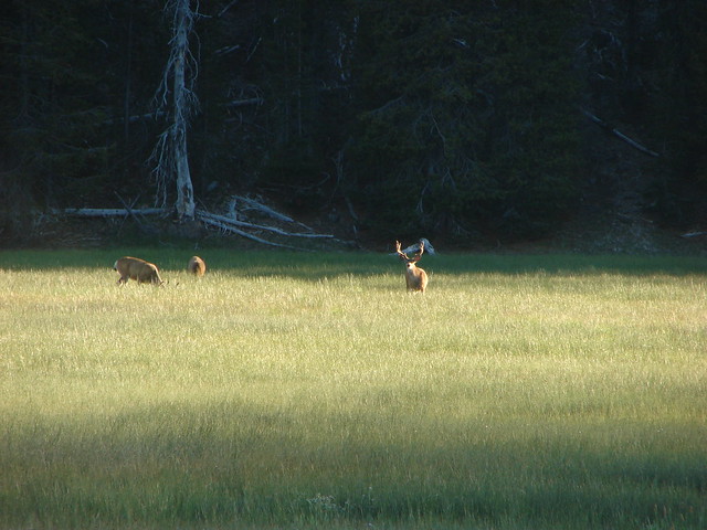
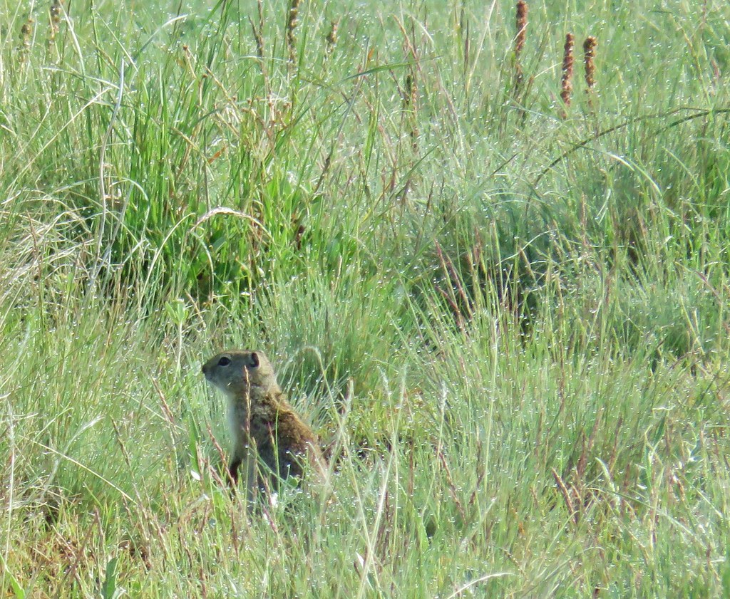
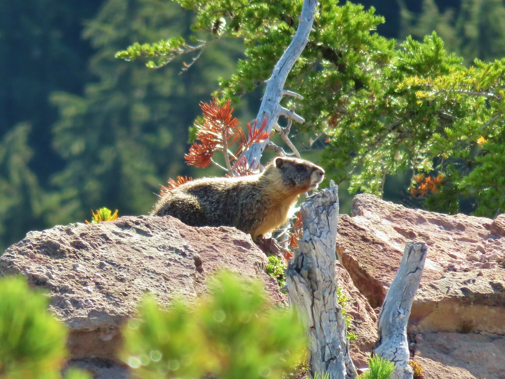
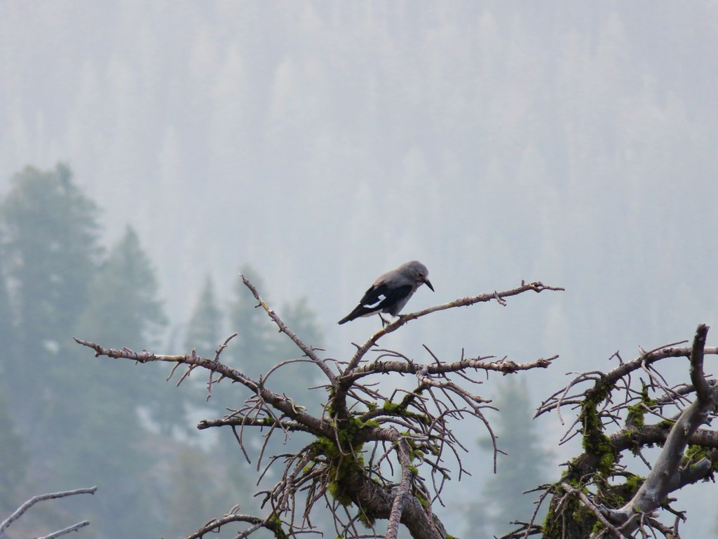
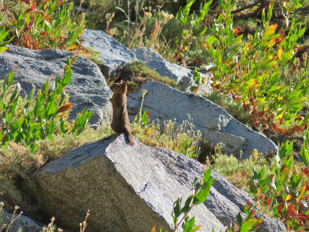
We didn’t see any elk but we did spot a Belding’s ground squirrel who had popped up to check us out.
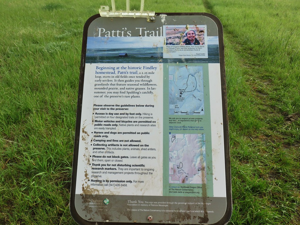
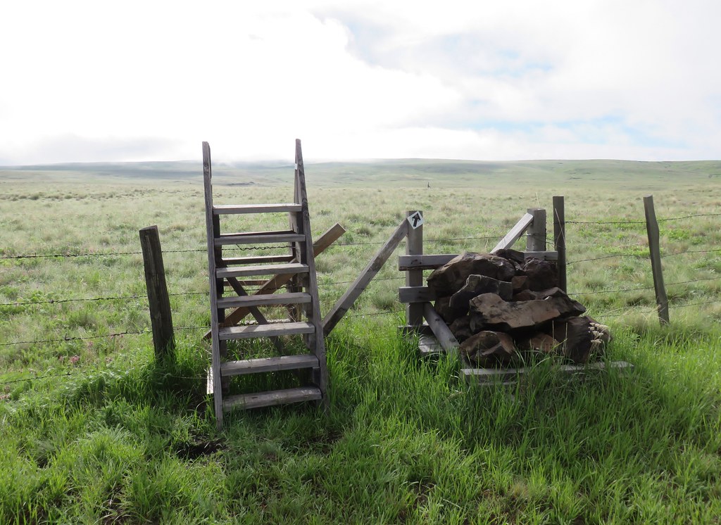
We hopped back in the car and drove back to the Duckett Barn and parked at the information kiosk there.

Those clouds we’d been watching were starting to move overhead as we set off on Patti’s Trail, a short lollipop loop which began on the opposite side of Duckett Road from the kiosk.


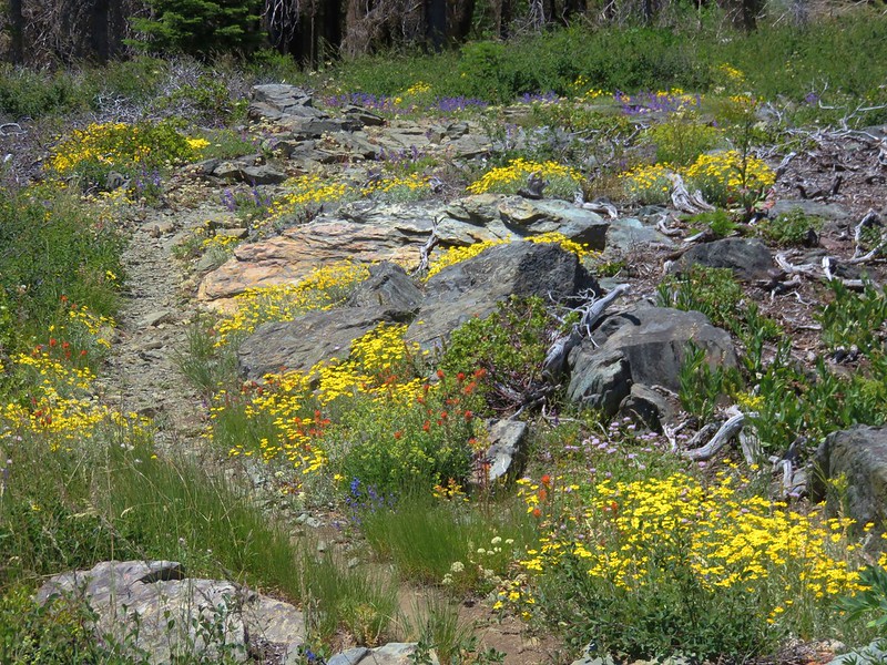
There weren’t as many flowers along this trail as we had seen on Harsin Butte but there were still quite a few and some that we had not seen during the first hike.
 Camas
Camas
 Old man’s whiskers and white-stem frasera
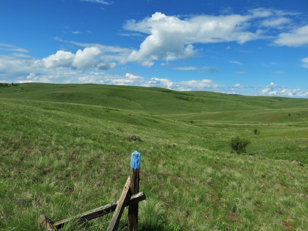
We followed blue posts and pointers to a fence.
This area was a bit rockier and had quite a bit of phlox and large head clover.
 Lots of phlox
 Phlox
Phlox
 Large head clover, larkspur, and wild onion
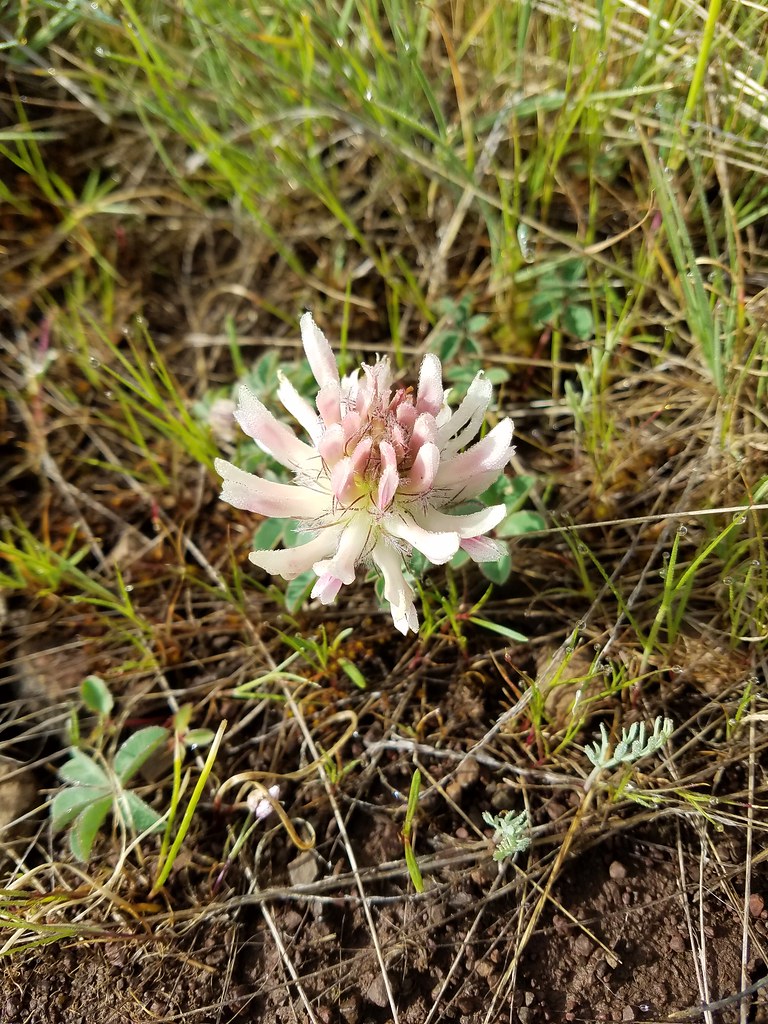 Large head clover
 Wild onion
The trail descended slightly as it approached Camp Creek. Although we still had some clouds passing overhead we had a clear view of the prairie and the flowers we were passing by.
 Duckett Barn starting to disappears as we descended.
 Possibly hoary balsamroot
 Hoary balsamroot?
 Phlox
Phlox
 Diffuseflower evening-primrose
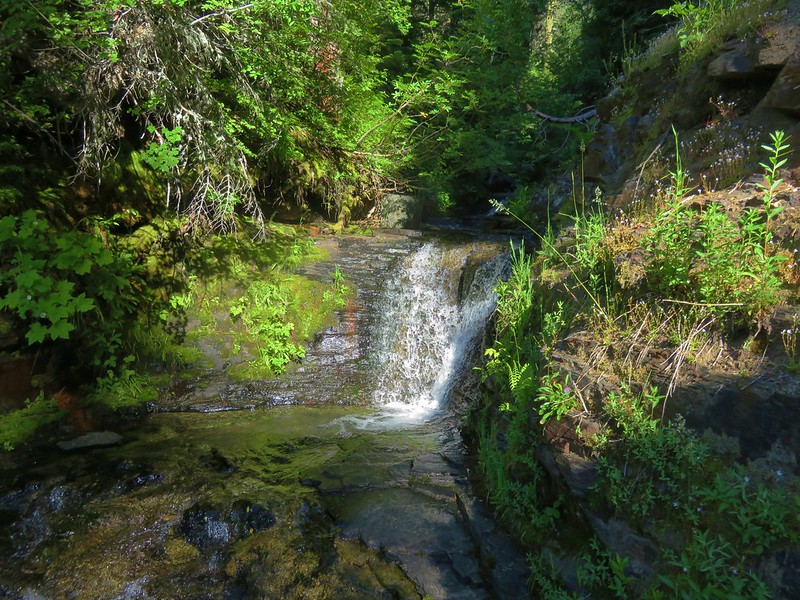
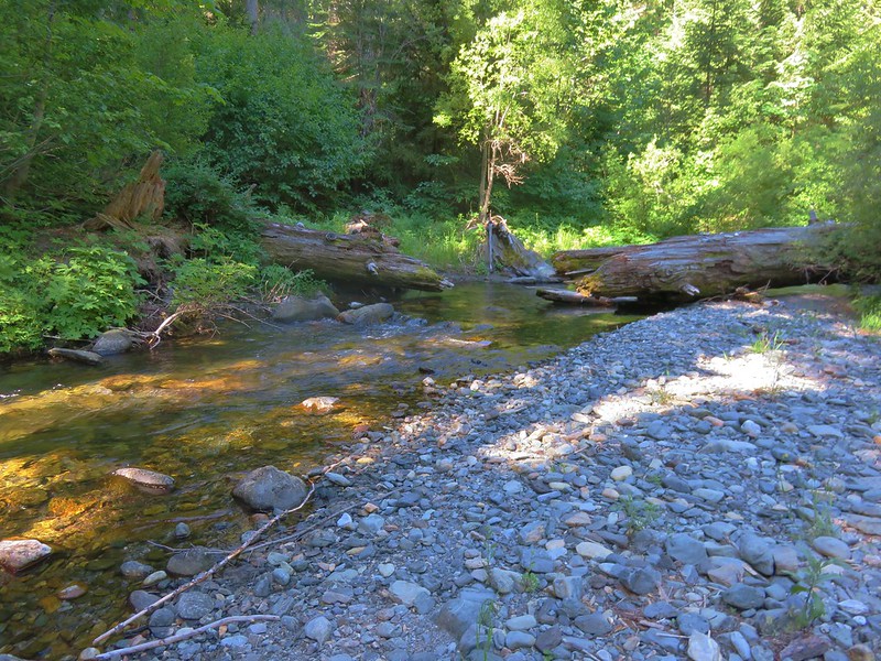
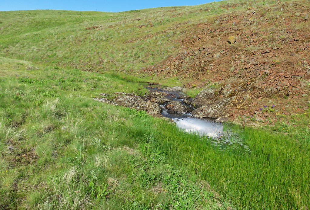
 Camp Creek
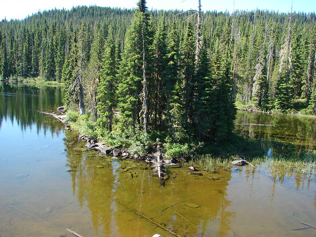
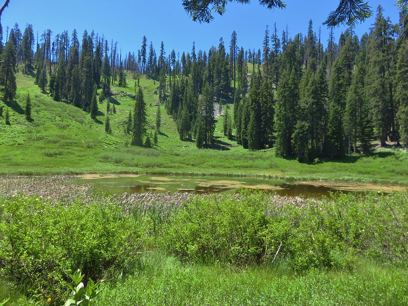
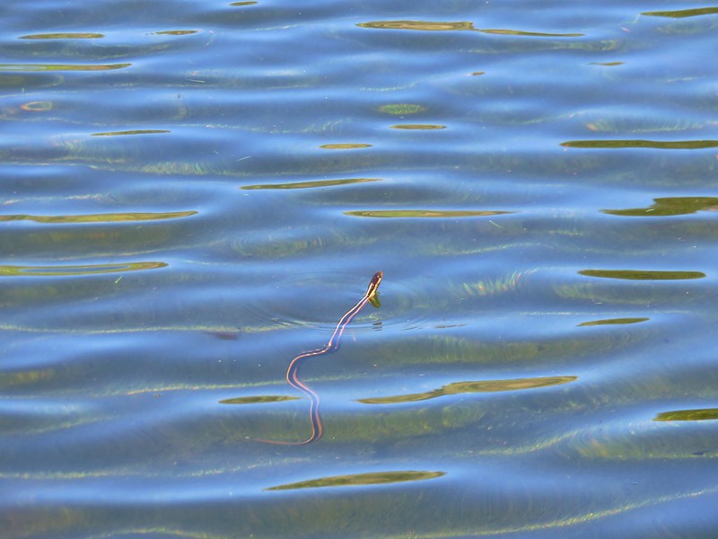
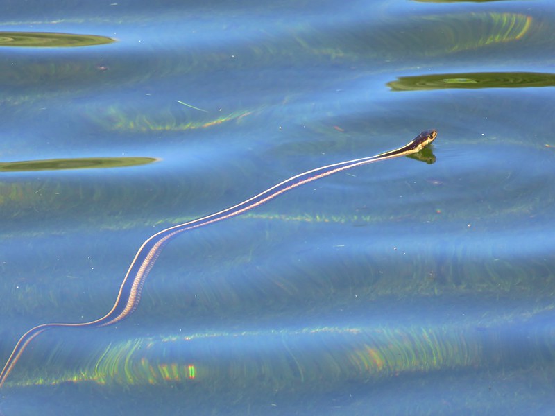
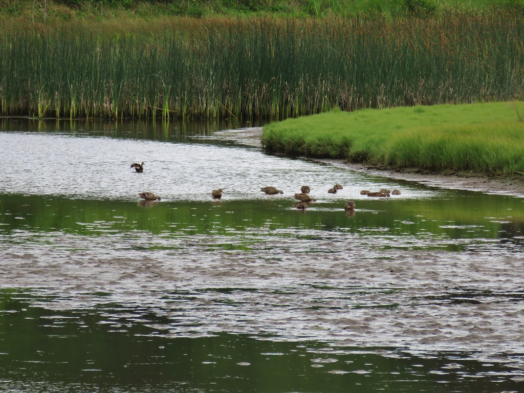
Patti’s Trail followed along Camp Creek to a small pond where red-winged black birds were hanging out.

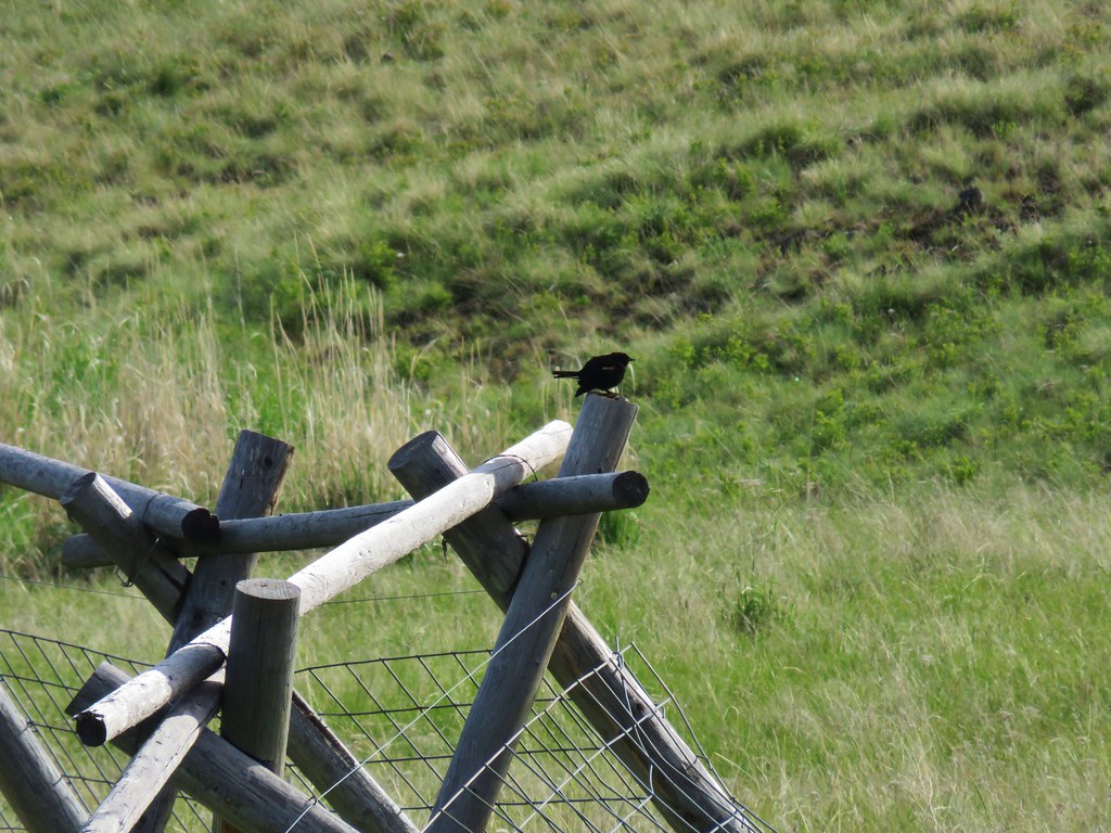
Beyond the pond the trail continued following the creek passing more flowers and blackbirds along the way.

 Possibly a mustard
 White-stem frasera blooming
 Violets
 Hairy clematis
 Old man’s whiskers


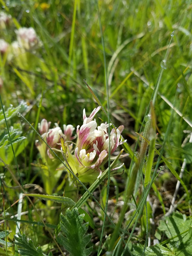 Cusick’s paintbrush
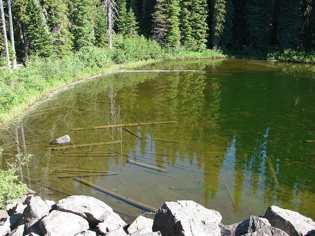
The trail veered left at a stock pond.

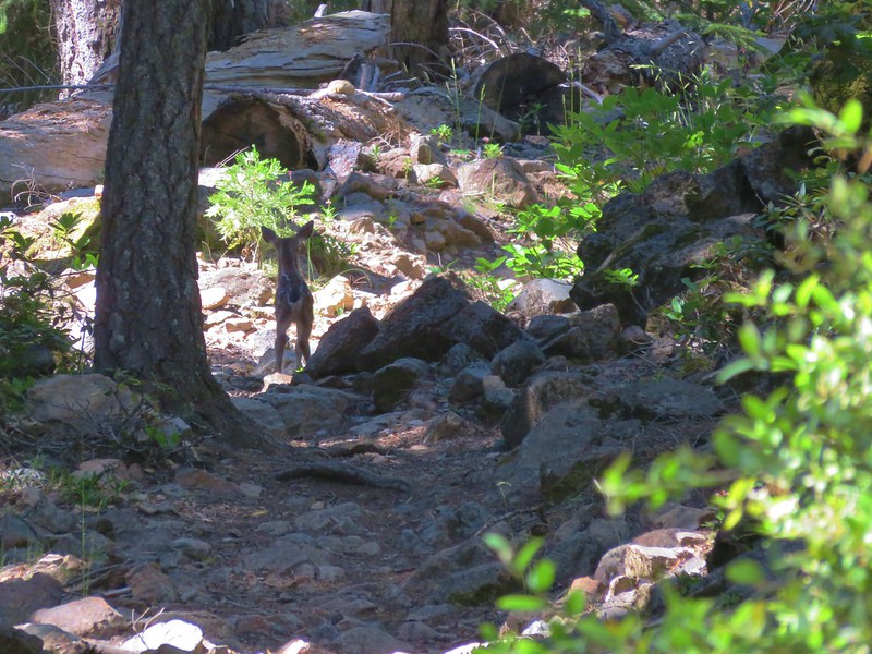
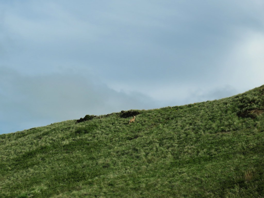
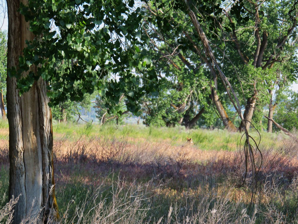
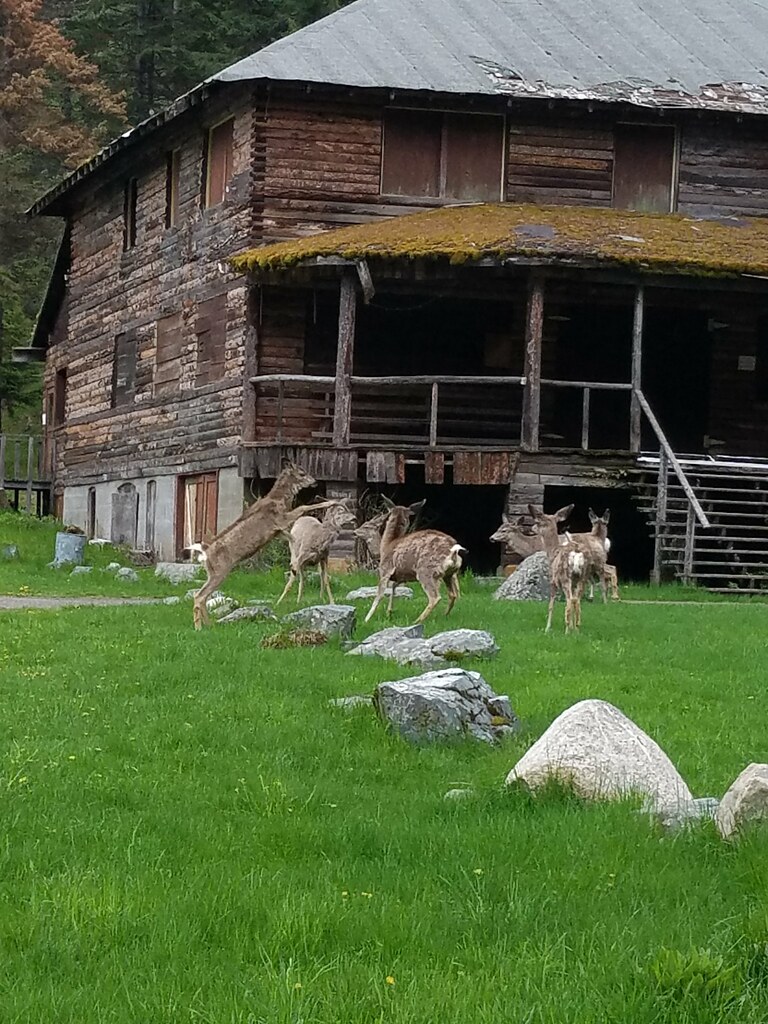
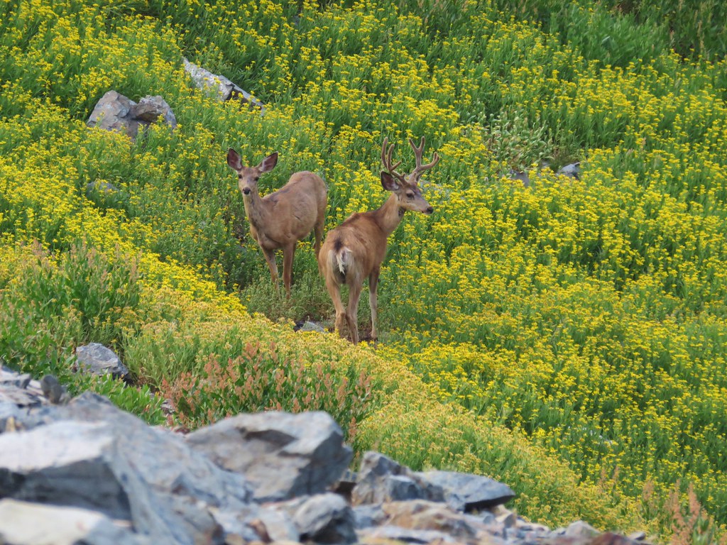
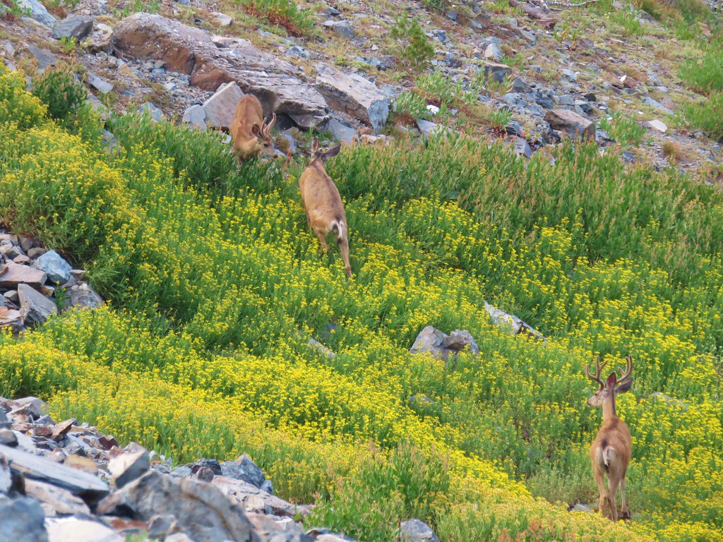
We paused at the pond and Heather spotted a deer running up a nearby hillside.

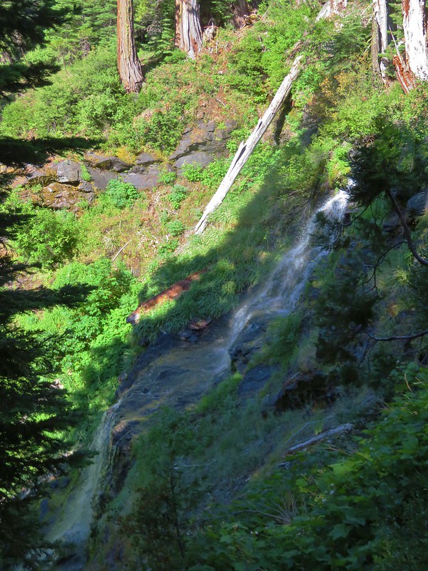
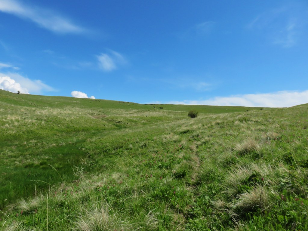
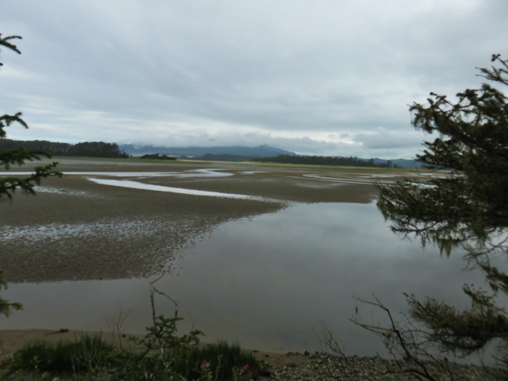
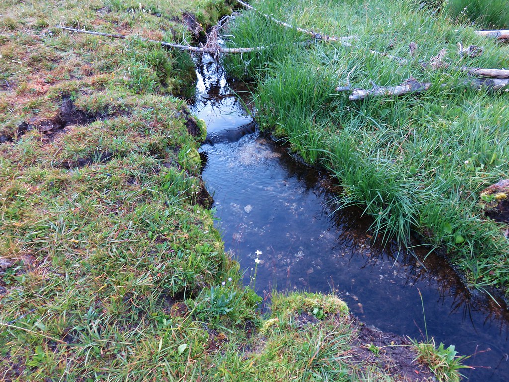
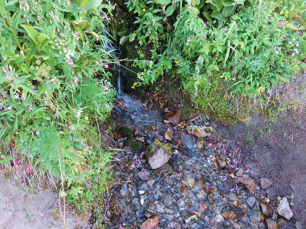
The trail continued to bend back around to the left following what was described as the swale of a dry creek but again with the recent precipitation there was water flowing creating a nice little stream.

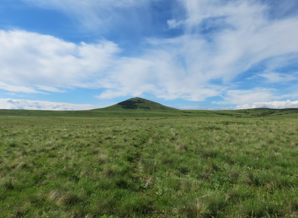
The trail eventually left the creek and was headed straight for Harsin Butte in the distance.

We’d lost sight of the posts at one point and were just sticking to what appeared to be the main track and ended up veering left of the butte and coming to a small watering hole where the track petered out.

Looking back from this higher vantage point we could see the next post we should have been aiming for so we backtracked and found another fainter track that put us back on the right course.
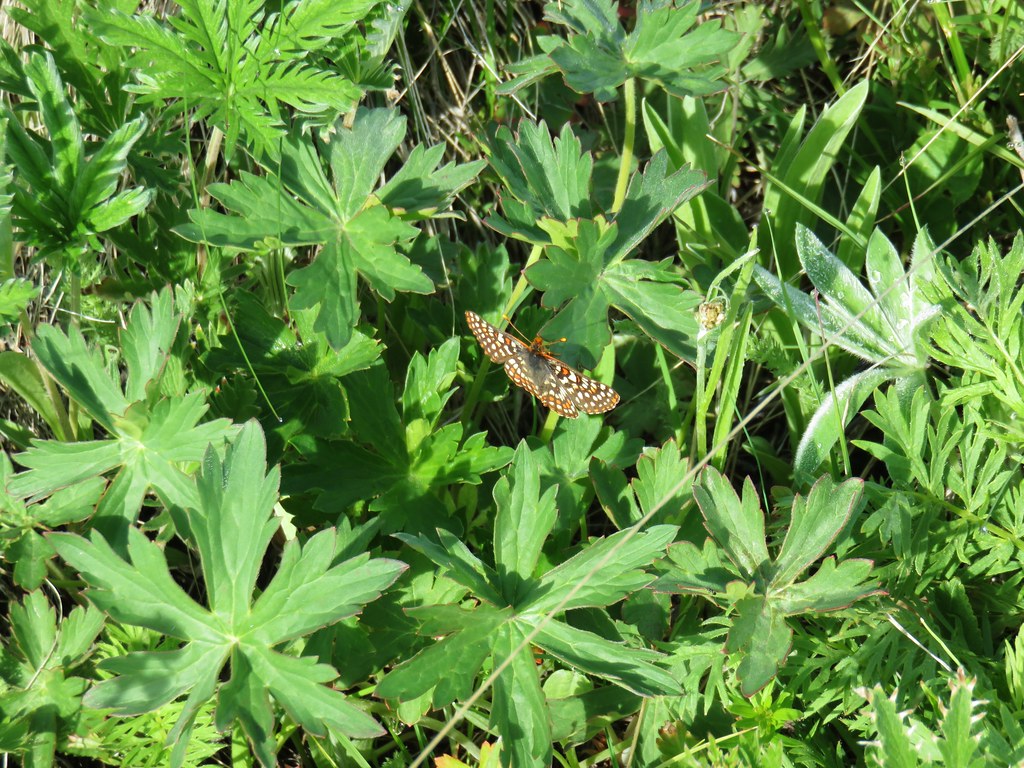
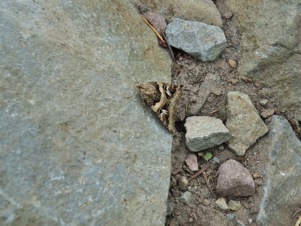
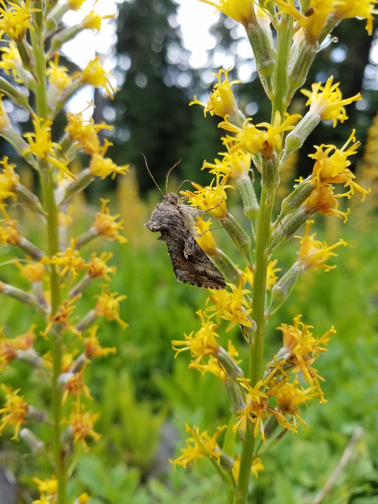
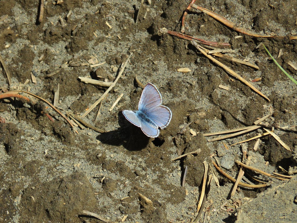
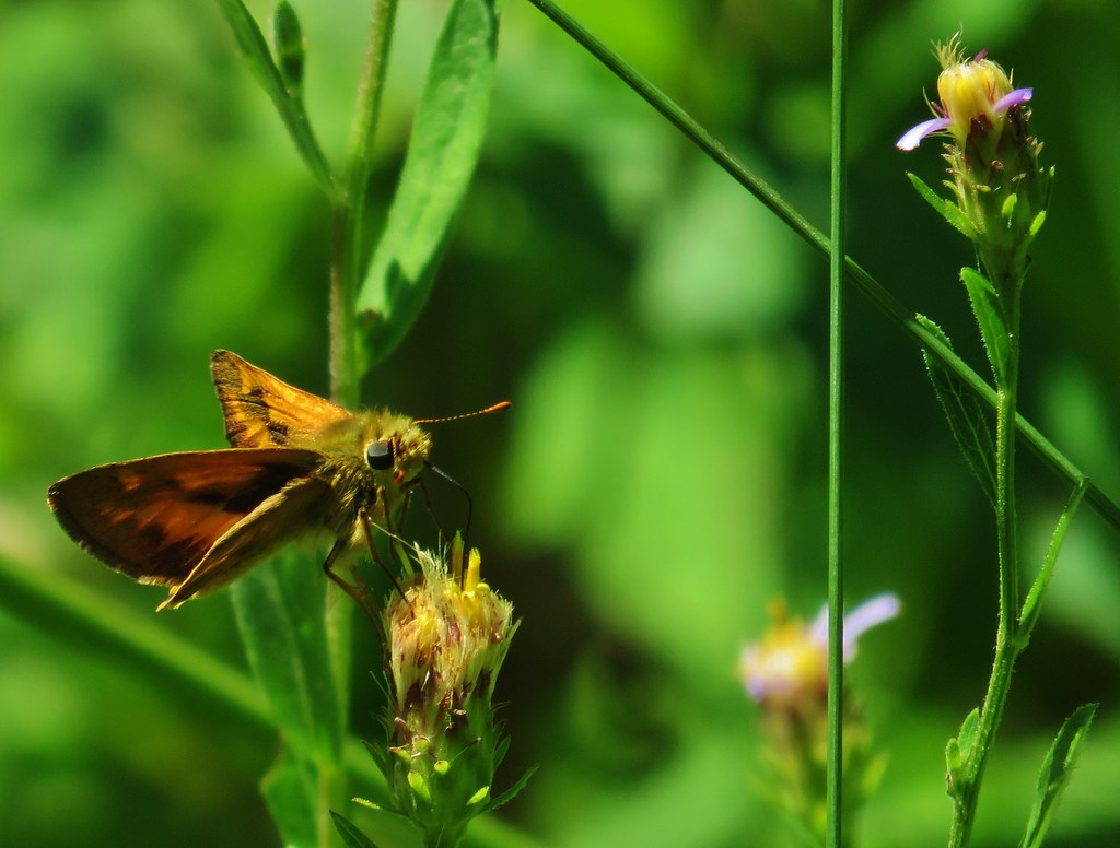
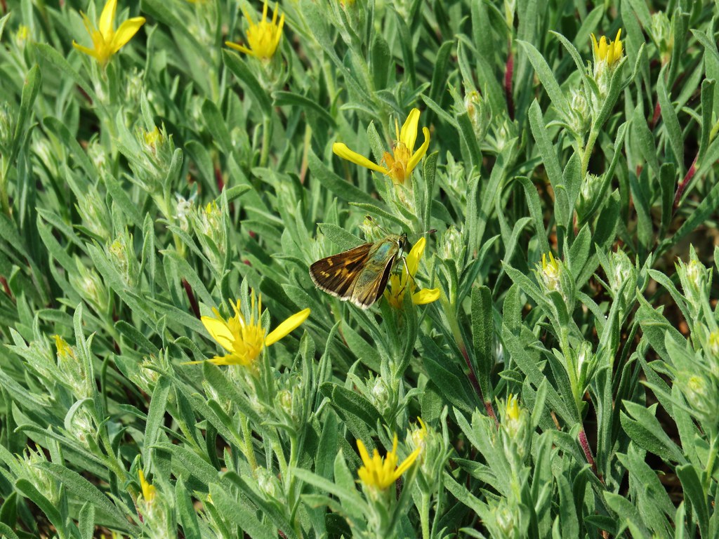
The clouds were breaking up nicely as we ended this hike and the butterflies were coming out.


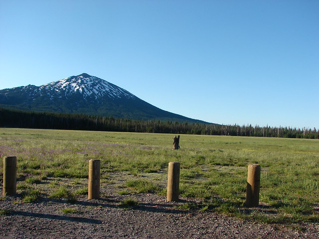
After completing the loop and returning to our car we headed back toward Zumwalt-Buckhorn Road and our final hike of the day and trip on the Horned Lark Trail. While we were still on Duckett Road though we spotted a pair of elk running up the Findley Butte near the barn and stopped to get a picture.

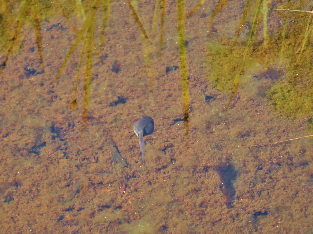
Shortly after turning right onto Zumwalt-Buckhorn Rd we stopped again to get a picture of a Wilson’s snipe. One had flown up from the grass while we were on Patti’s Trail but we hadn’t been able to get a picture of that one.

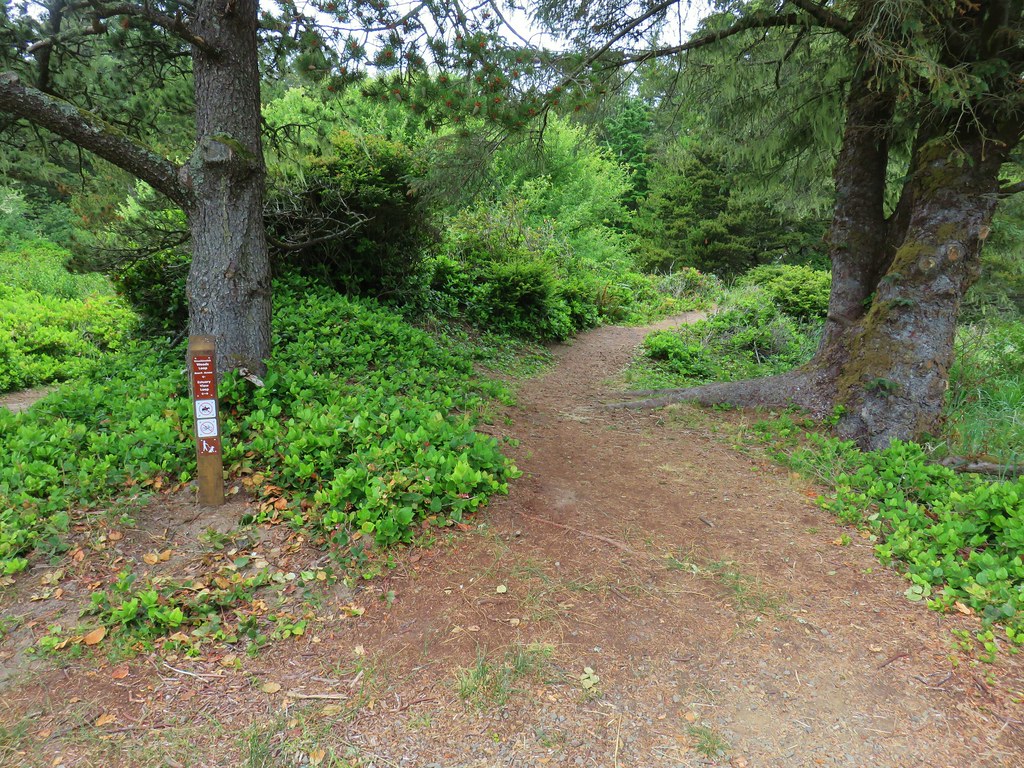
When we were finally done with stopping for wildlife we parked at the Horned Lark Trailhead just over 3 miles from Duckett Road.

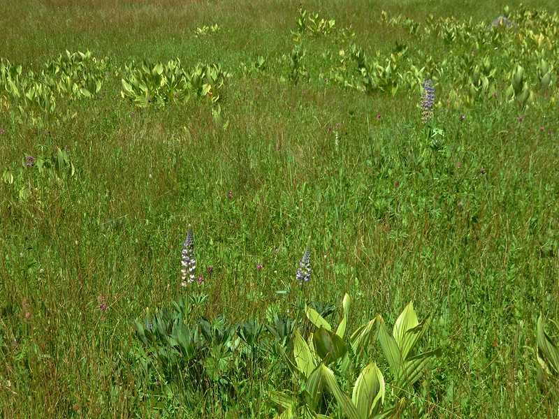
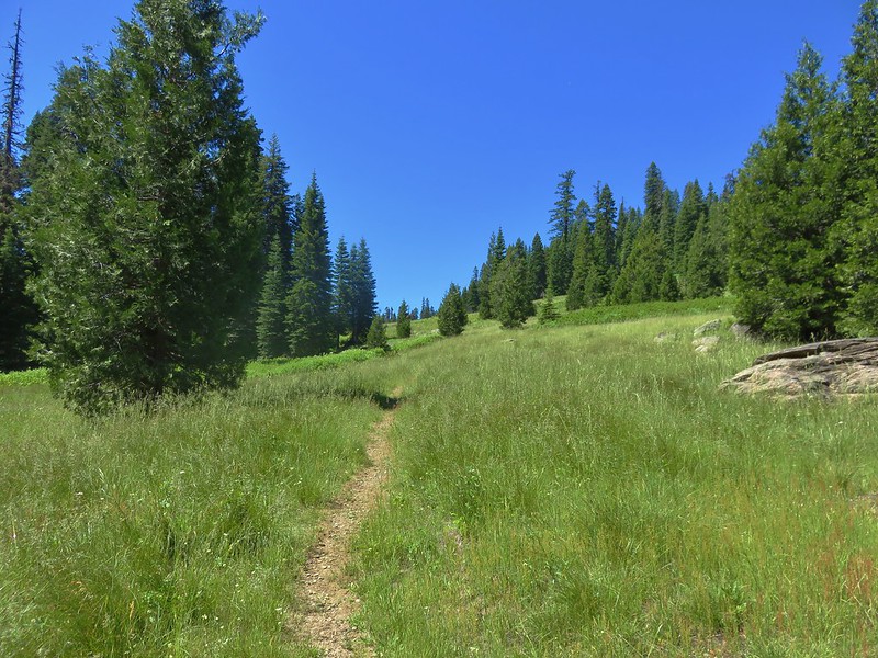
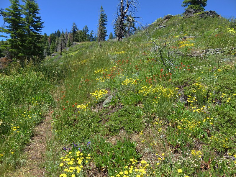
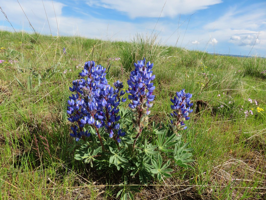
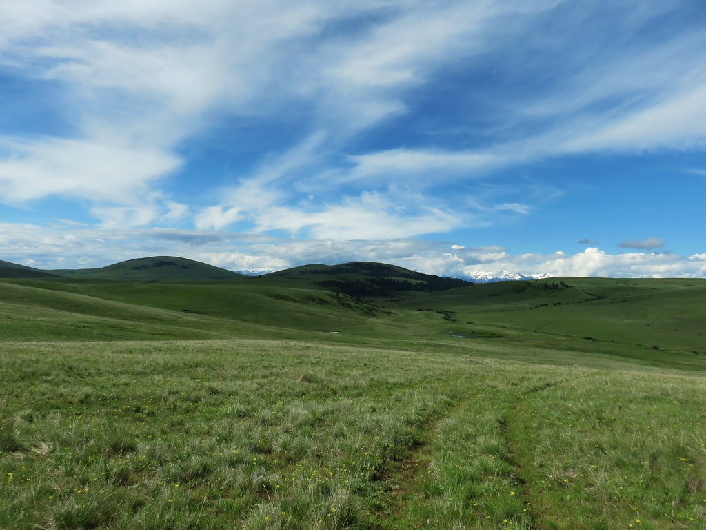
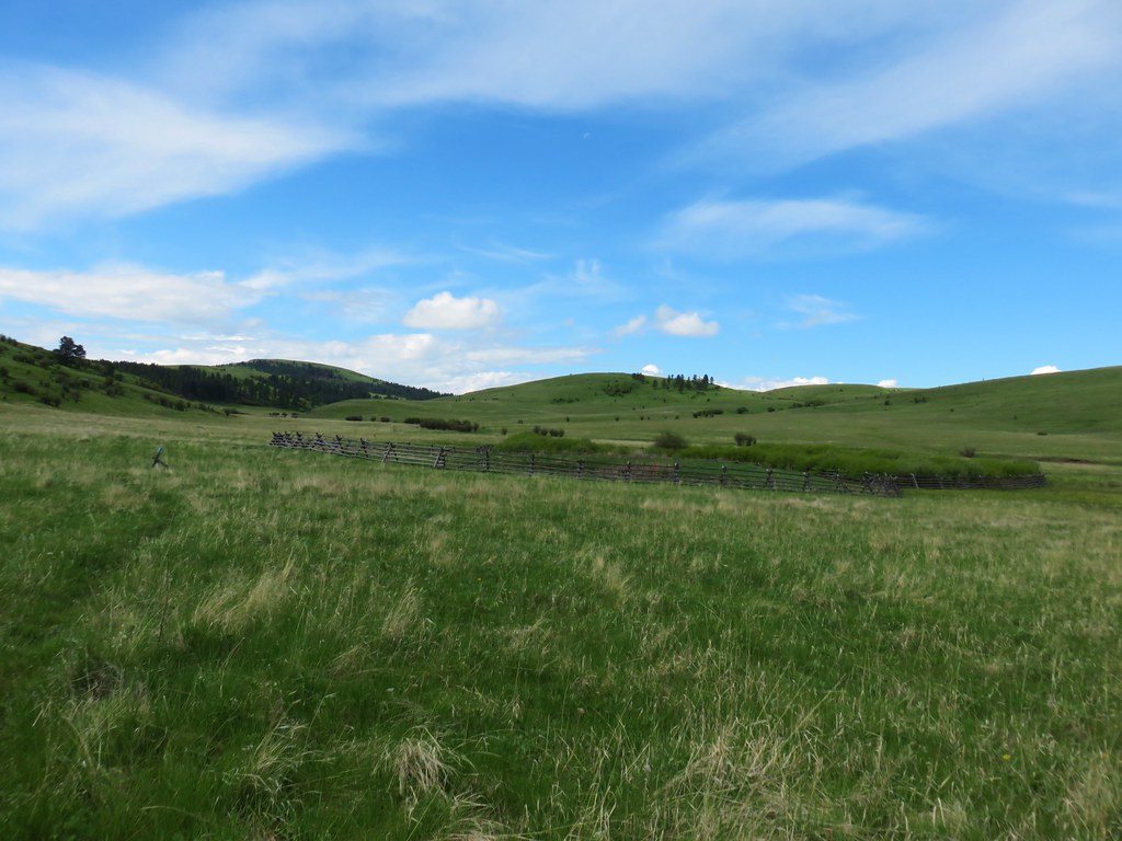
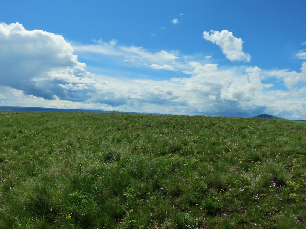
This trail was described as an “easy 1.9 mile loop which sounded like a perfect way to end our trip. We began by following a clear double track through the prairie. Lupine was blooming nicely in this area and there was a view of the Wallowa Mountains beyond the Findley Buttes.


As with Patti’s Trail the route of the Horned Lark Trail was marked by blue posts.

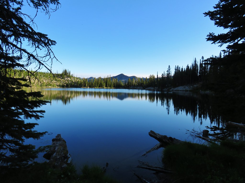
The trail descended toward a pond near Pine Creek.
Once again flowers were good supply.
 Paintbrush and biscuitroot
 A ragwort or groundsel (I think)
 False sunflower?
 Old man’s whiskers and milk vetch
 Western stoneseed
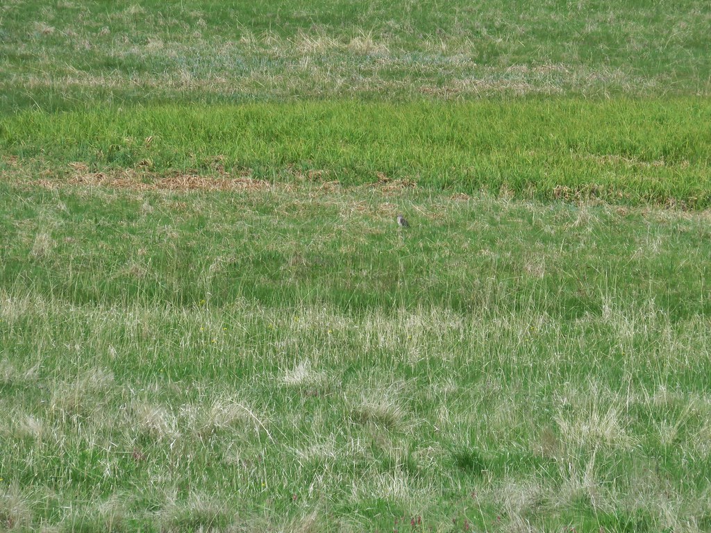
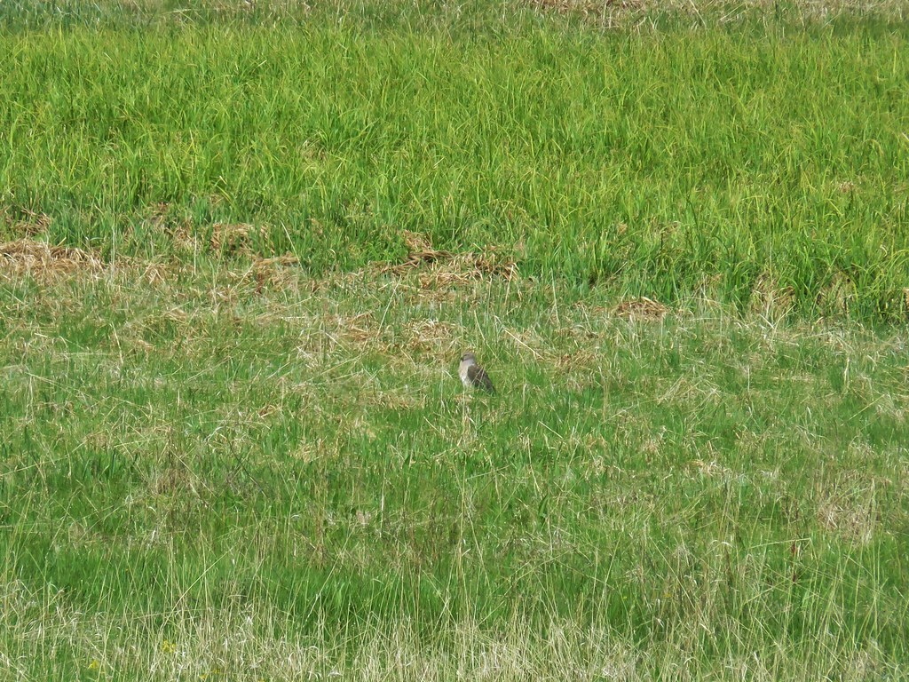
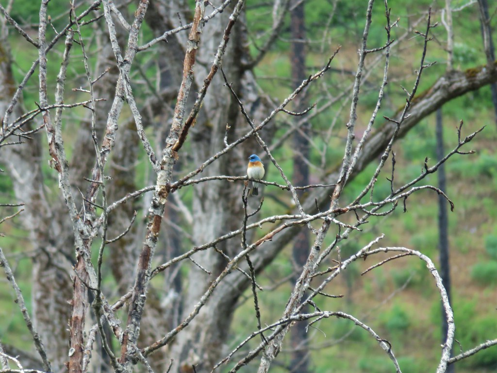
We spotted another ground squirrel ahead in the path.

He may have been on high alert due to the presence of a merlin nearby.
 I had to dip into the digital zoom to get this photo so it’s a bit blurry.
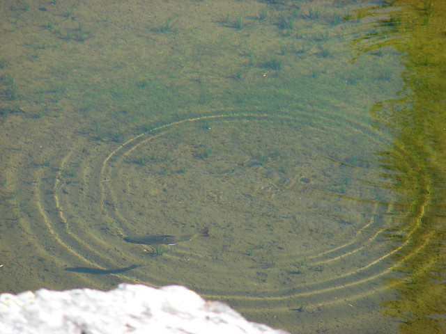
We followed the path and posts to the fenced pond but the path disappeared near a post a bit beyond the pond.

We consulted the map that we’d printed out and it appeared to show the trail following a fenceline near Pine Creek so that’s what we did until we were able to spot another post in the distance.

The fence was popular with the birds.


We picked up a faint path and followed it toward the post.
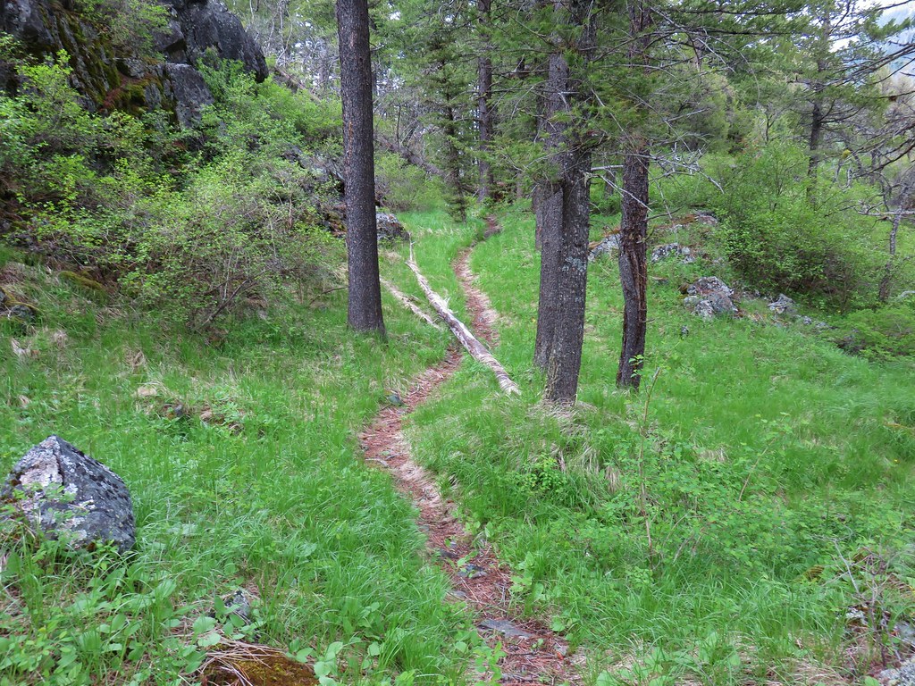
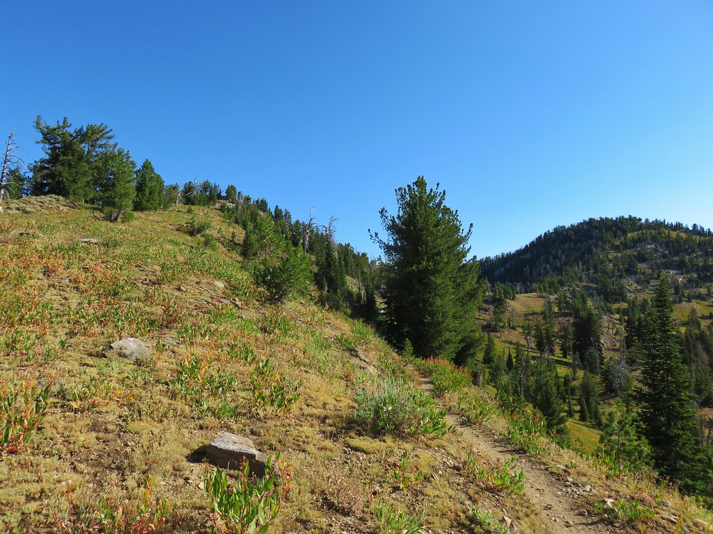
We followed the posts up a draw where the tread was often indiscernible.
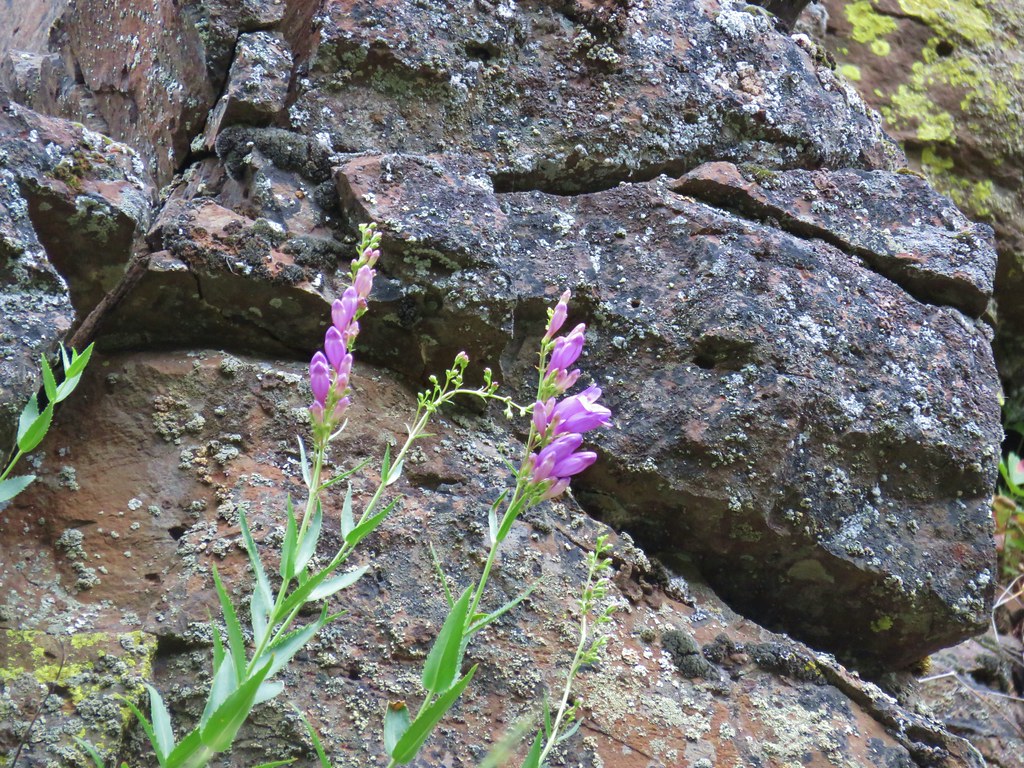
Even now we were still seeing different flowers.
 Dwarf yellow fleabane
 Blue dicks
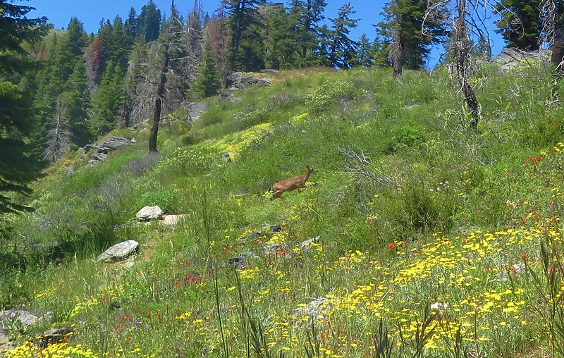
Maybe it was simply due to the fact that this was our fourth staight day of hiking and it was early in our hiking season but this loop despite being only 2 miles long didn’t feel easy. The deer that we spotted bounding up and over the hill ahead of use didn’t seem to think it was too difficult though.

 Looking back down the draw.
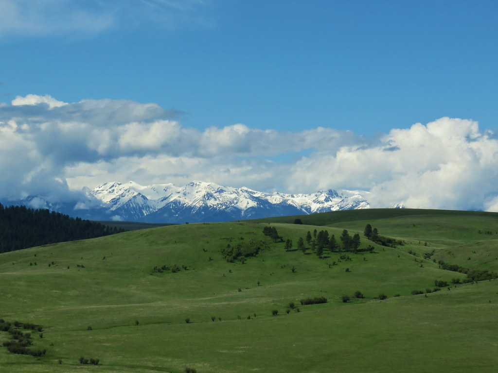
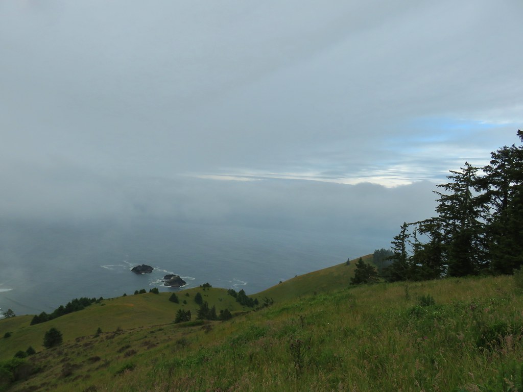
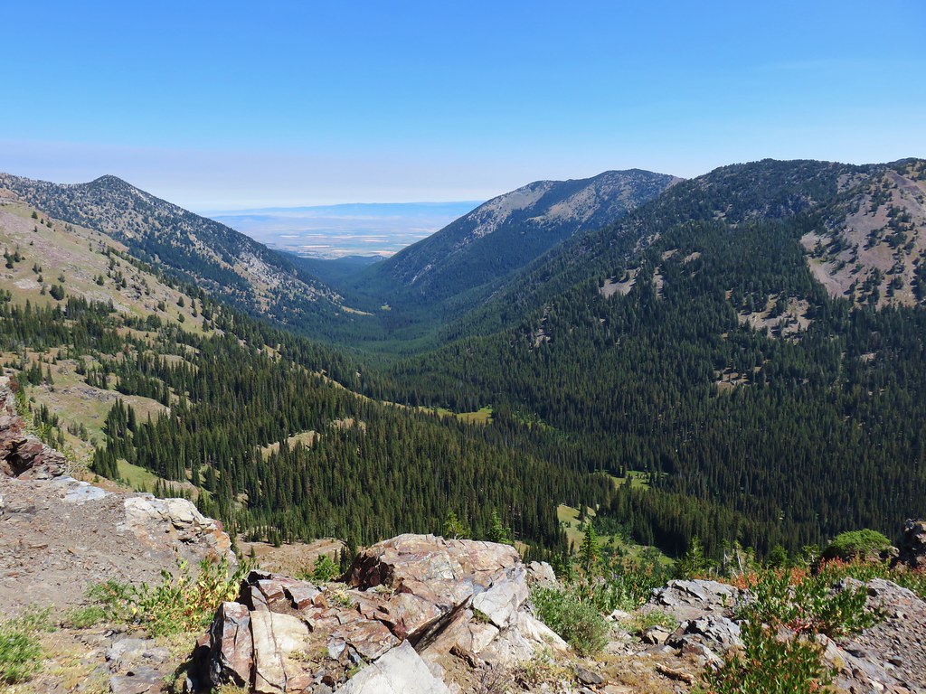
Back on top we were headed ESE and could see the Seven Devils and Harsin Butte on the horizon.
The Wallowas were still visible too behind Harsin Butte and the two Findley Buttes (from left to right).
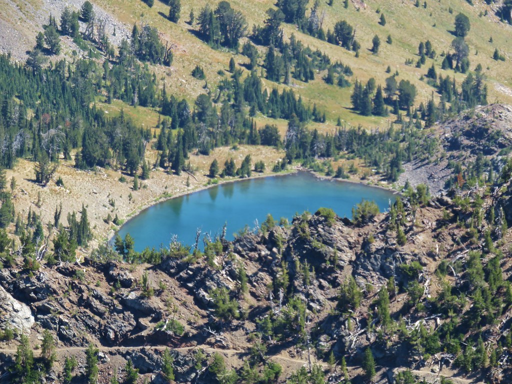
With the completion of the Horned Lake Trail our total milage for the three hikes came to 6.9 miles. It would have been a bit less had we not followed a couple of wrong paths. Harsin Butte was the most difficult with the 700′ elevation gain followed by the Horned Lark Trail with the easiest being Patti’s Trail. The Canyon Vista Trail which we skipped would have been about 3.6 miles round trip and possibly around 500′ of elevation gain. It was a beautiful place to visit and I guess we have a good reason to go back with one trail left undone.
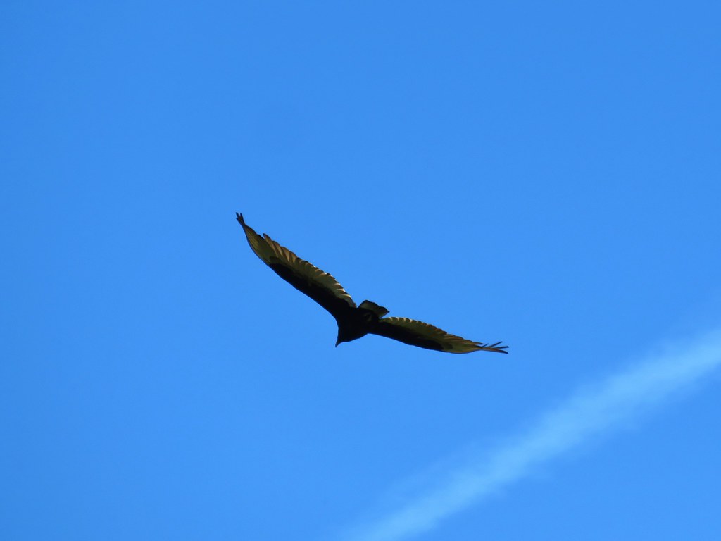
As we were driving back toward Enterprise we encountered a vehicle stopped in the road. They flagged us down and let us know that they thought there was a golden eagle sitting on a rock on the hillside. Between the distance and the angle of the sun it was hard to tell but then the bird flew and it looked awfully small for a golden eagle. It landed on a telephone pole allowing us to see that it was indeed only a hawk, but it was a nice scene regardless.


We said goodbye to the Wallowas and drove into Pendleton for the night where, after having been threatened by their possibility all weekend we finally got a thunderstorm. Luckily we had already walked back from our dinner at OMG! Burgers and Brew where we had another excellent meal. Happy Trails!
Flickr: Zumwalt Prairie


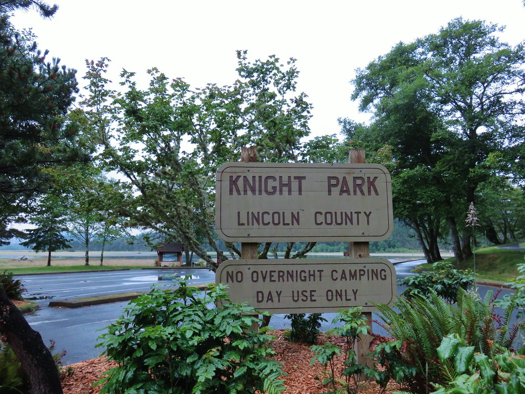
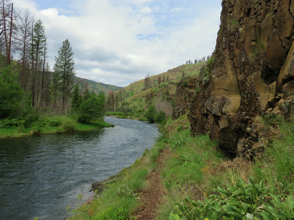
 Salmon River at Knight County Park


 One of the bridges.
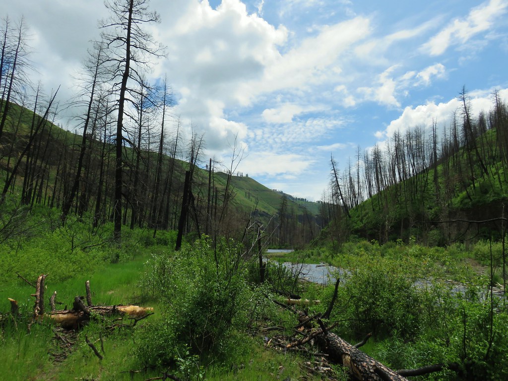
 Overgrown stream
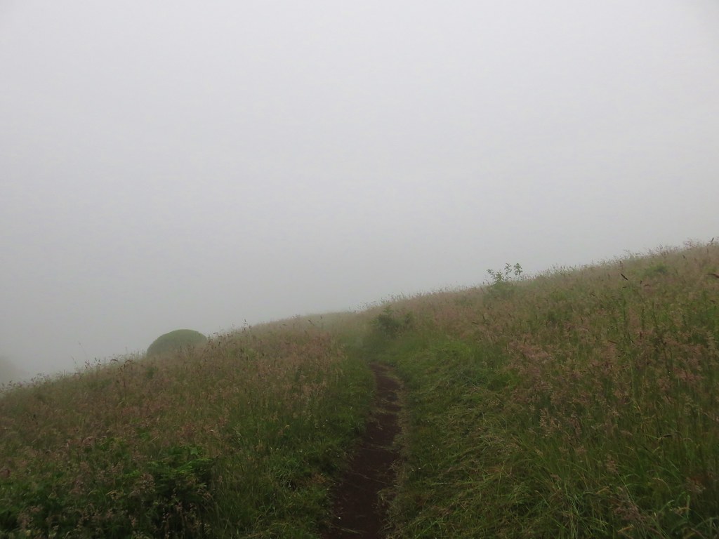
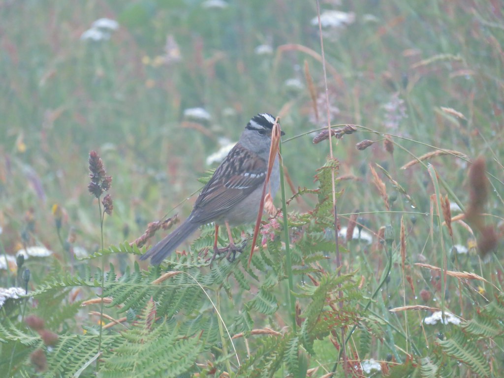 White crowned sparrow
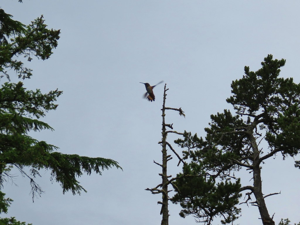
 One of three hummingbirds
 Another white crowned sparrow
 Checkerbloom
 Monkeyflower
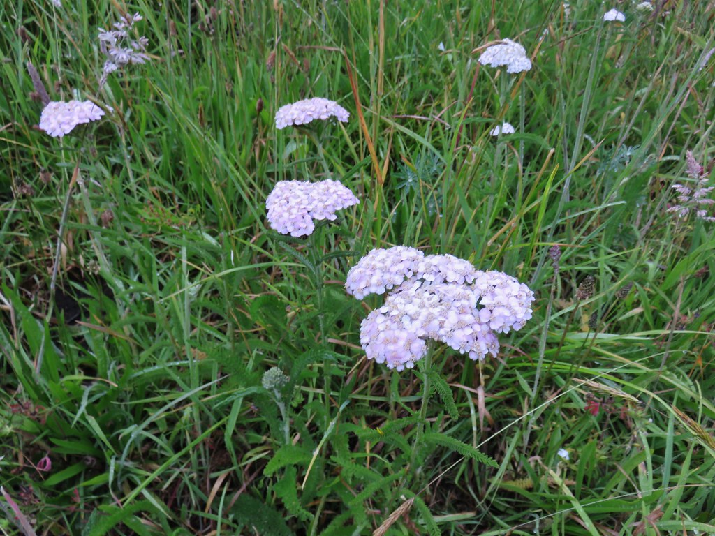 Yarrow
 Field chickweed
 Lupine
 Foxglove with a spider web
 Clovers
 Iris
Iris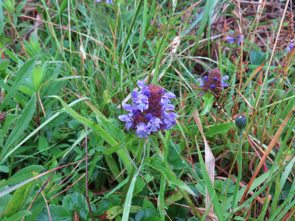 Self-heal
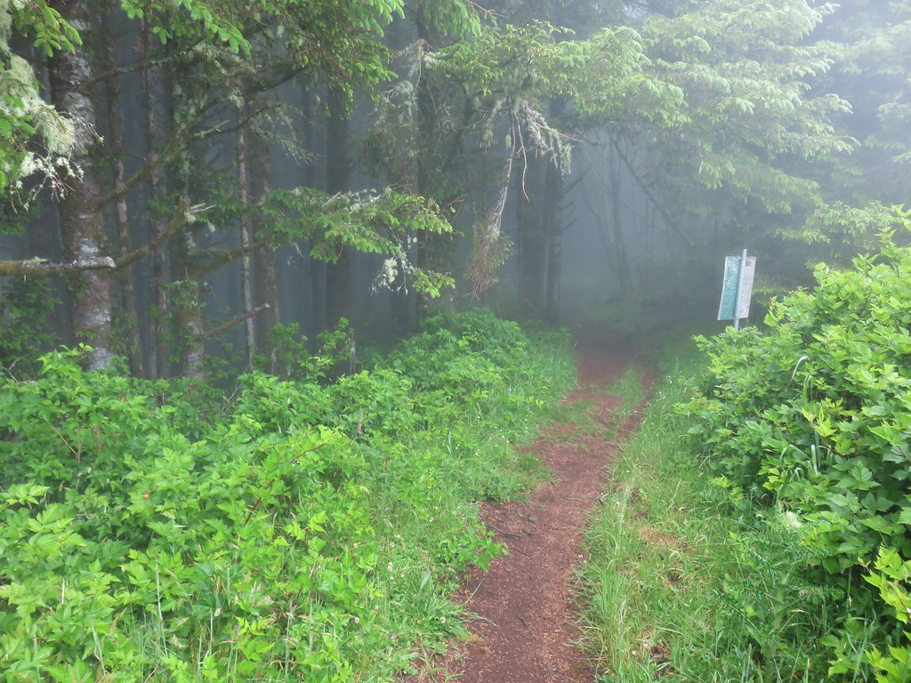
 Look for the head to the right of the tall foxglove stalk.


 Lupine
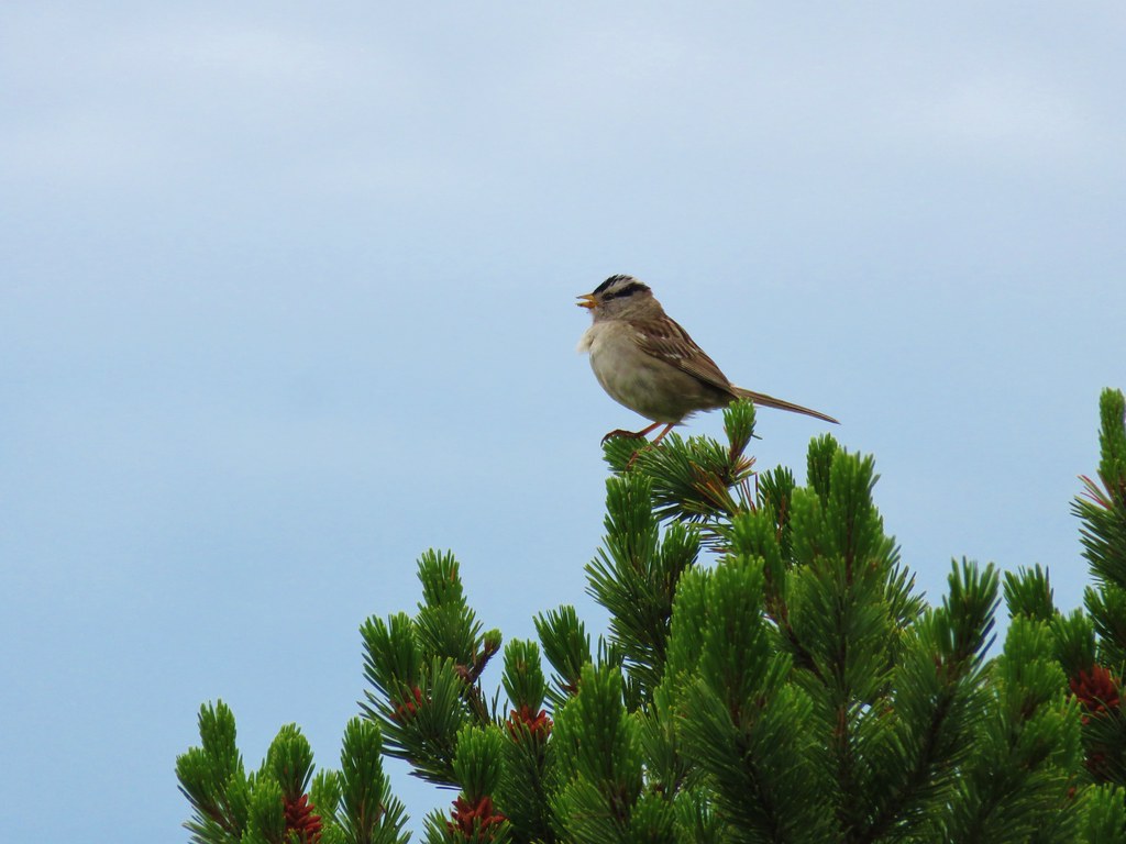 White crowned sparrow
 Cape Lookout (
 Beach morning glory
 Groundcone
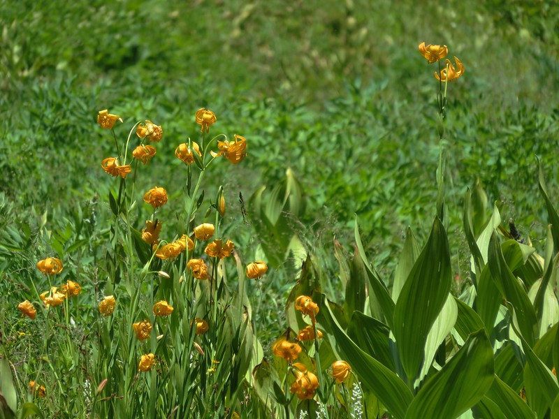
 Tiger lily


 Obstacle hanging over the trail.


 Vetch
Vetch Spreading dogbane
 Yarrow
 Houndstongue
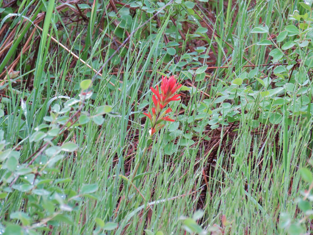 Paintbrush
 Catchfly
 sticky purple geranium


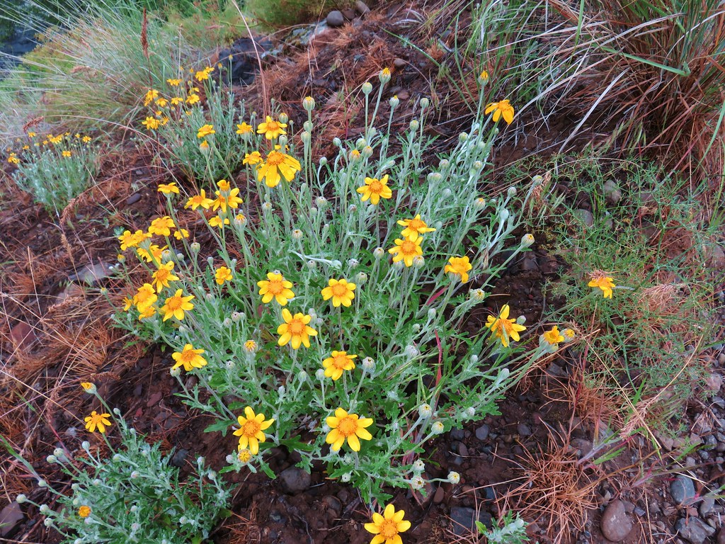 Oregon sunshine
 Monkey flower
 Watercress?
 Fiddleneck
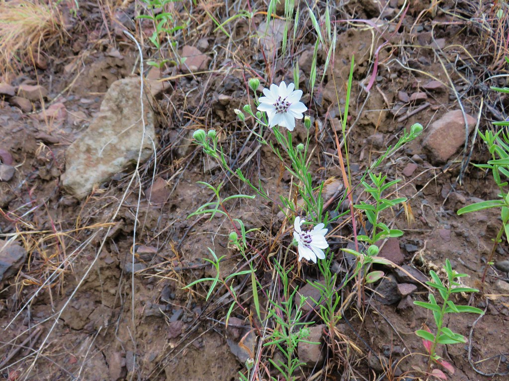 Rough eyelashweed
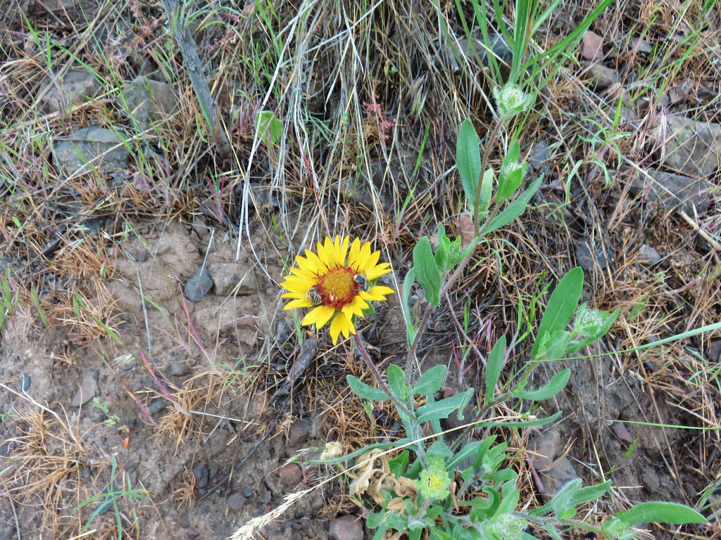 Blanket flower with two sleeping bees
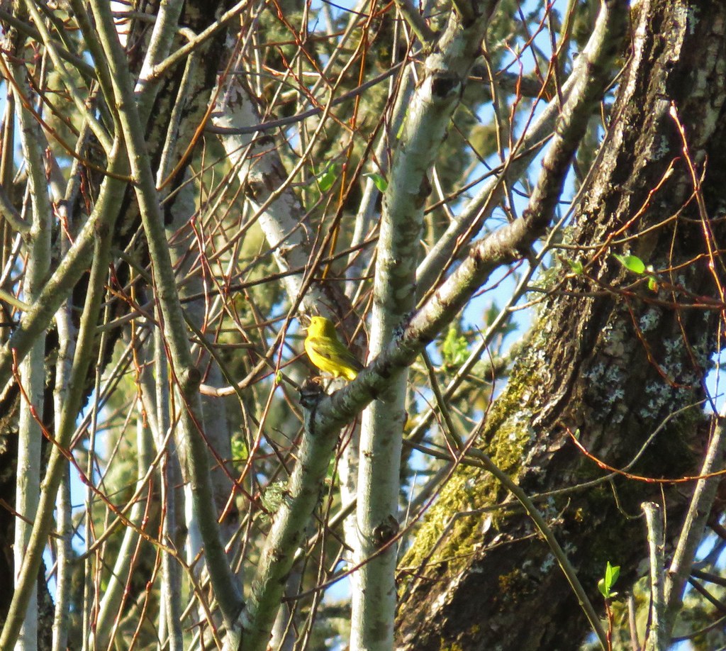
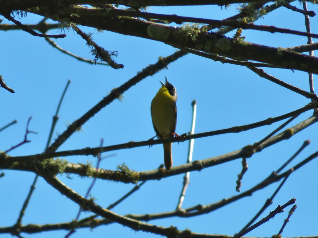
 Yellow breasted chat
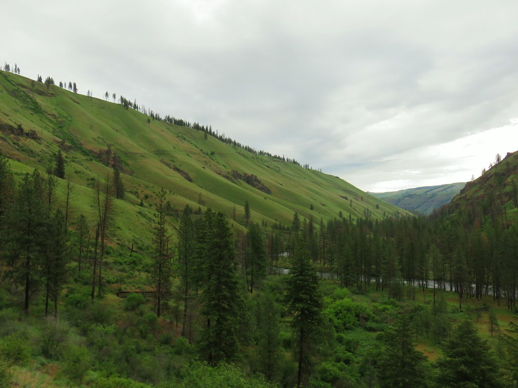


 Penstemon
 Clarkia
 Phlox
Phlox More spreading dogbane
 Buckwheat
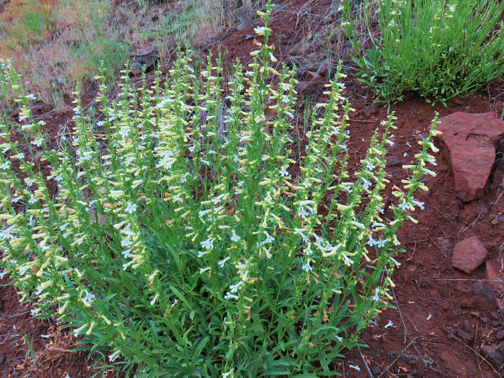 Scabland penstemon
 Cinquefoil?


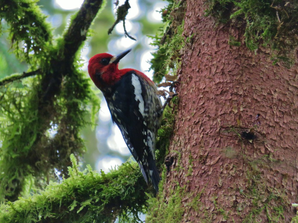
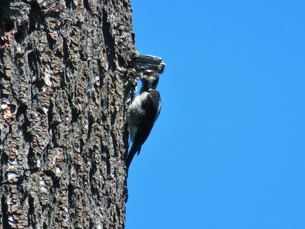
 Woodpecker with a snack.
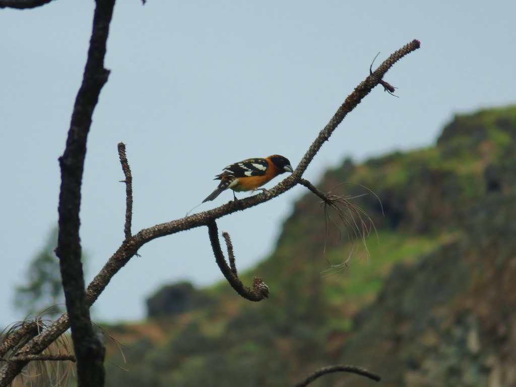 Black headed grosebeak
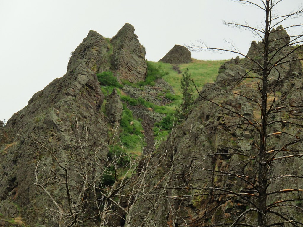
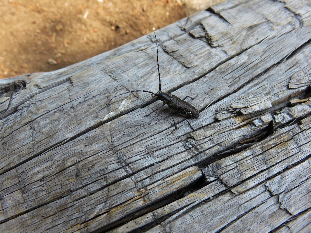
 Blue dicks with a beetle
 Lupine
 Salsify
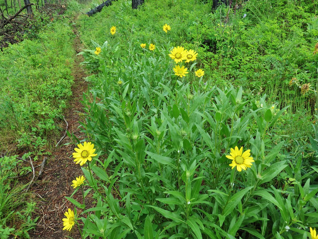 False sunflowers
 Balsamroot
 Clarkia with beetles
 View from the ridge end.
 Another bunting
 Wallflower


 Geranium

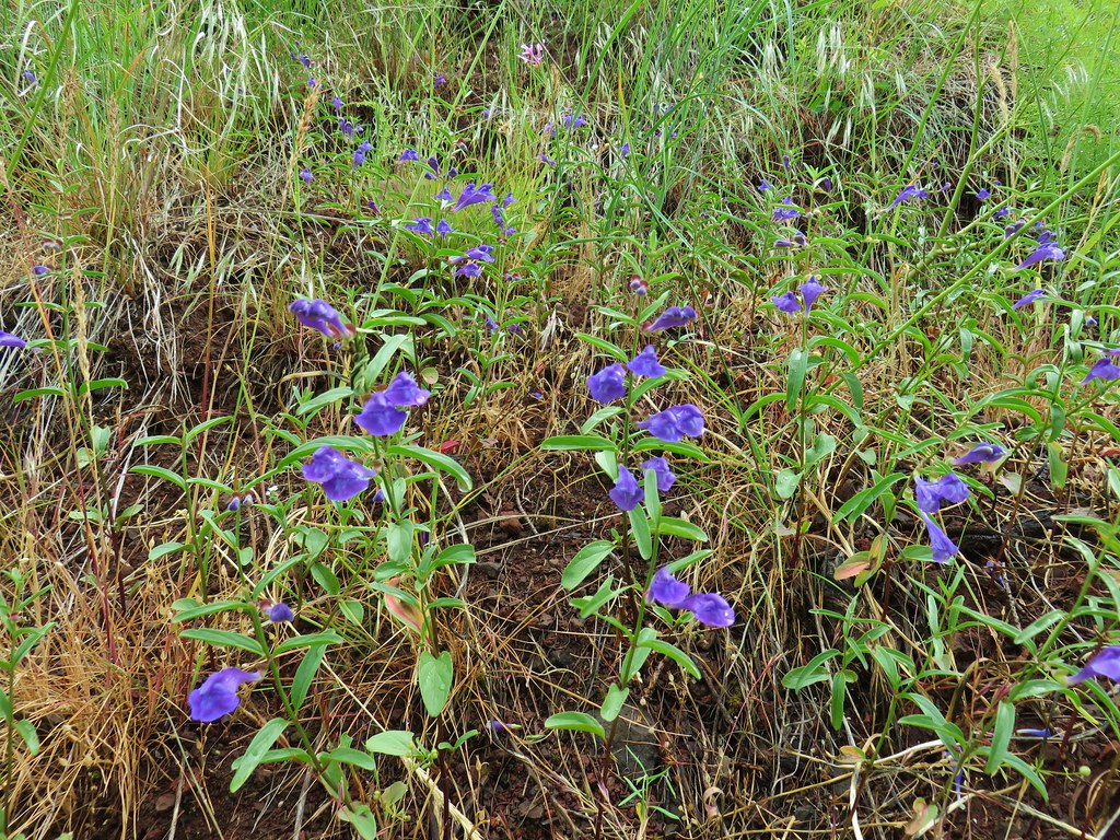 Skullcap
 Stream globemallow
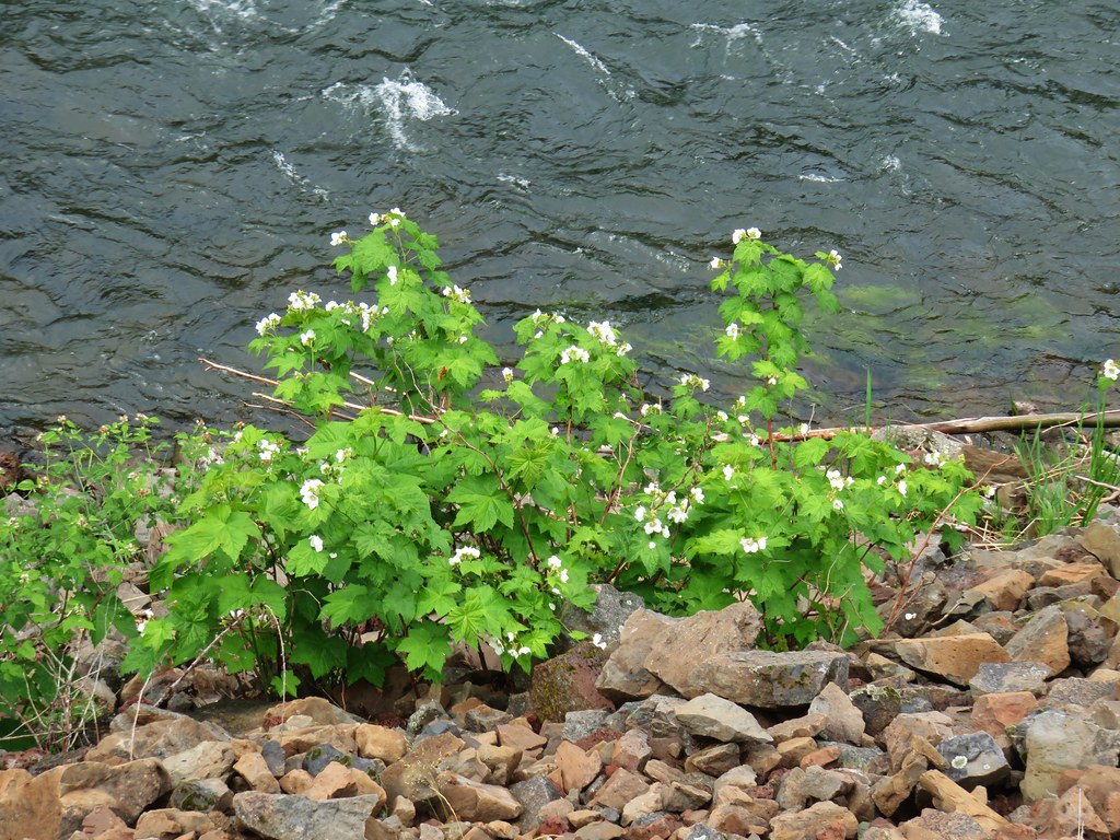 Thimbleberry
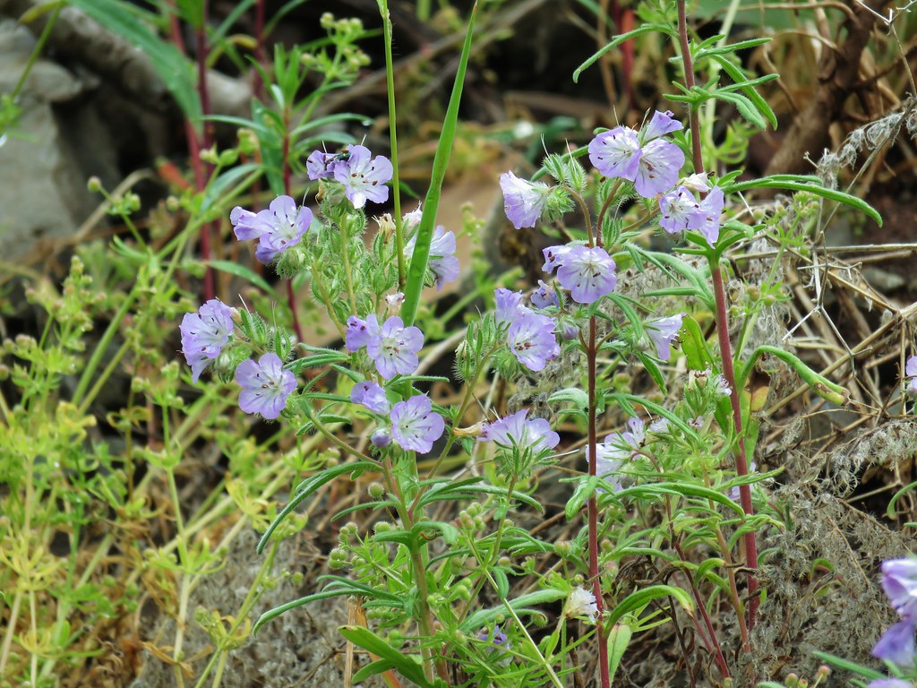 Threadleaf phacelia


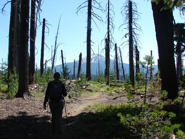
 Officially inside the wilderness
 Blue sky
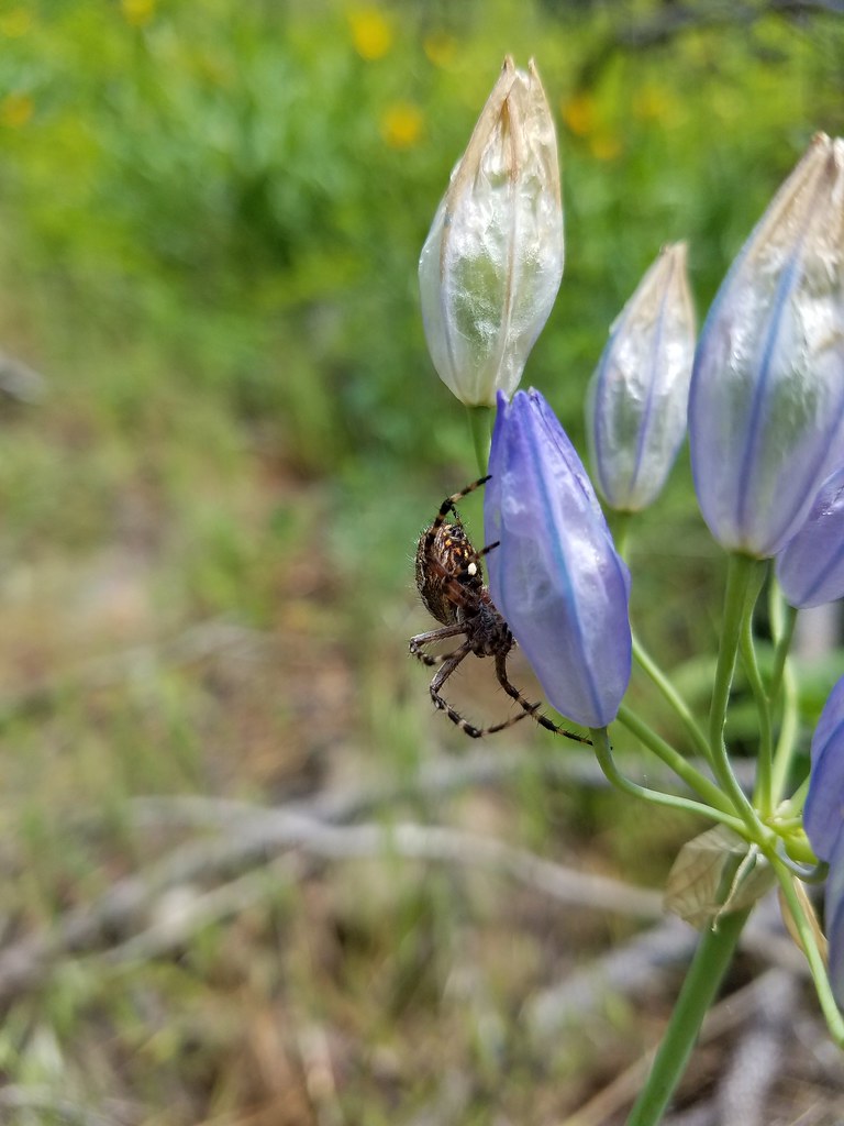
 Spider and blue dicks
 Old man’s whiskers
 Wild onion


 The bees woke up at some point.
 Yarrow


 Second coyote racing off through the grass.
 One of the deer running off.
 Great blue heron flying off.
 White pelicans circling overhead.

 Bald Eagle
 Wild Rose
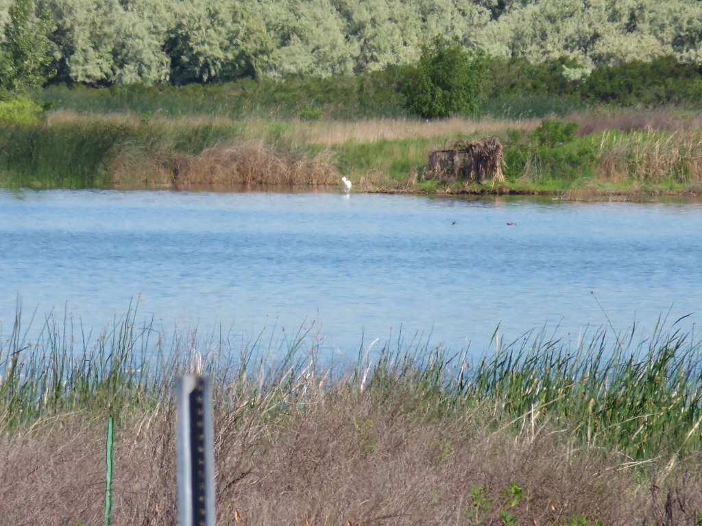 An egret on the other side of the slough.
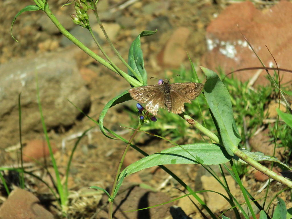
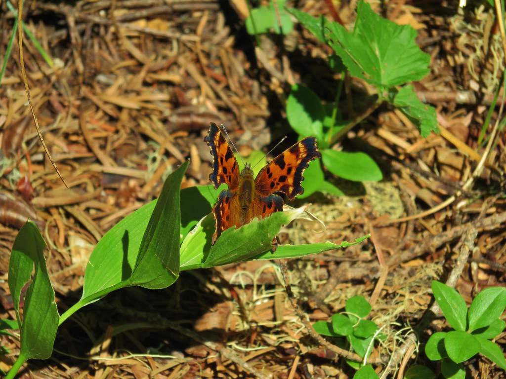
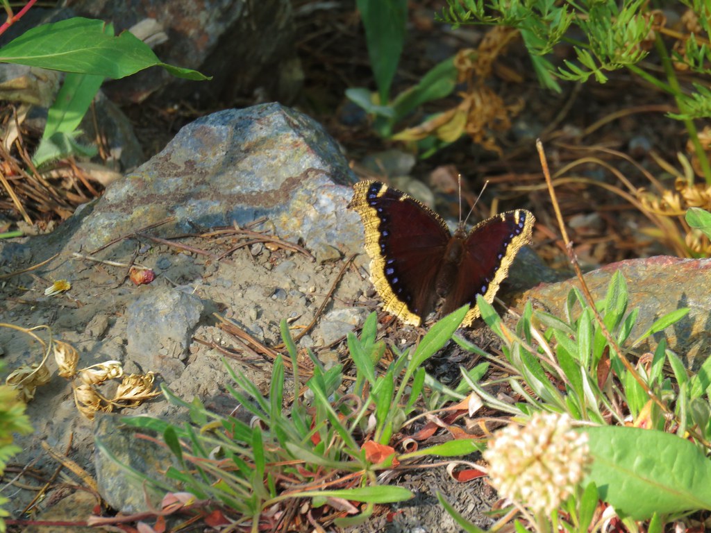
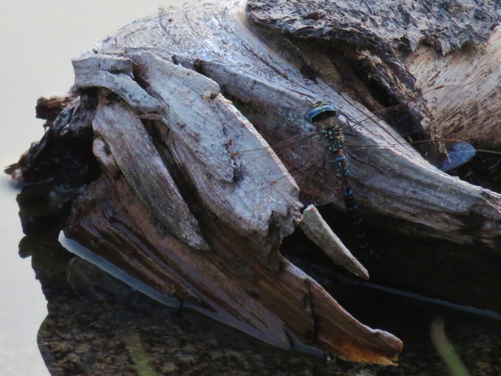
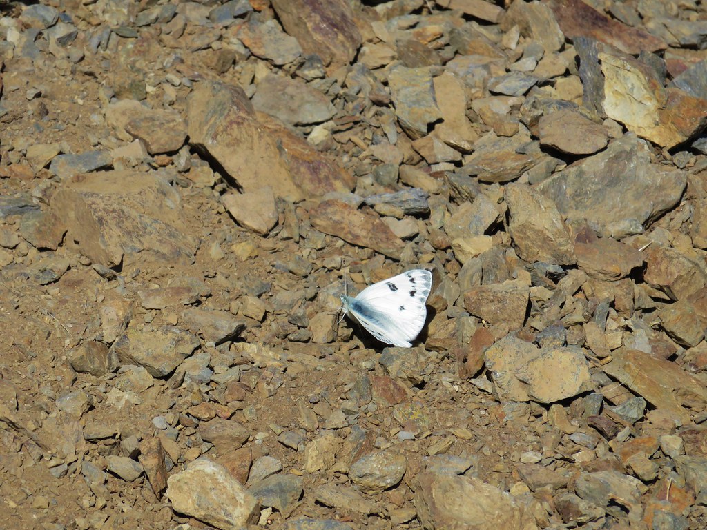
 Another butterfly
 Deadly Nightshade
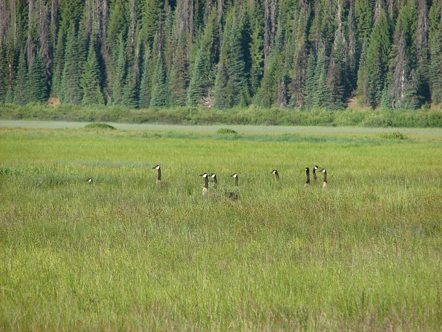
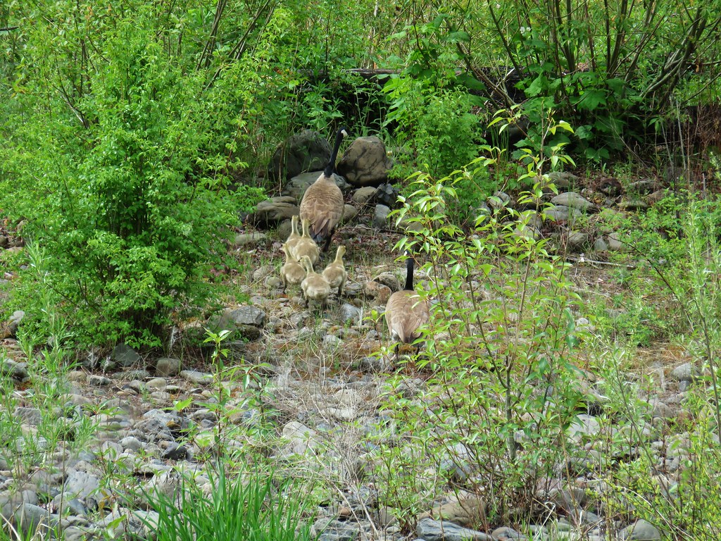
 A goose in the reeds.
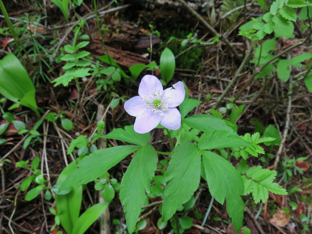 Anemone
 Fairyslipper
 Arnica


 Bluebells
 Prairie stars
 More rock clematis
 Paintbrush
 Larkspur
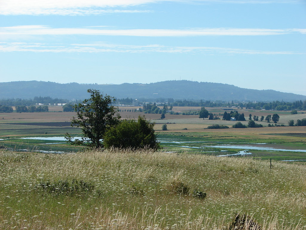
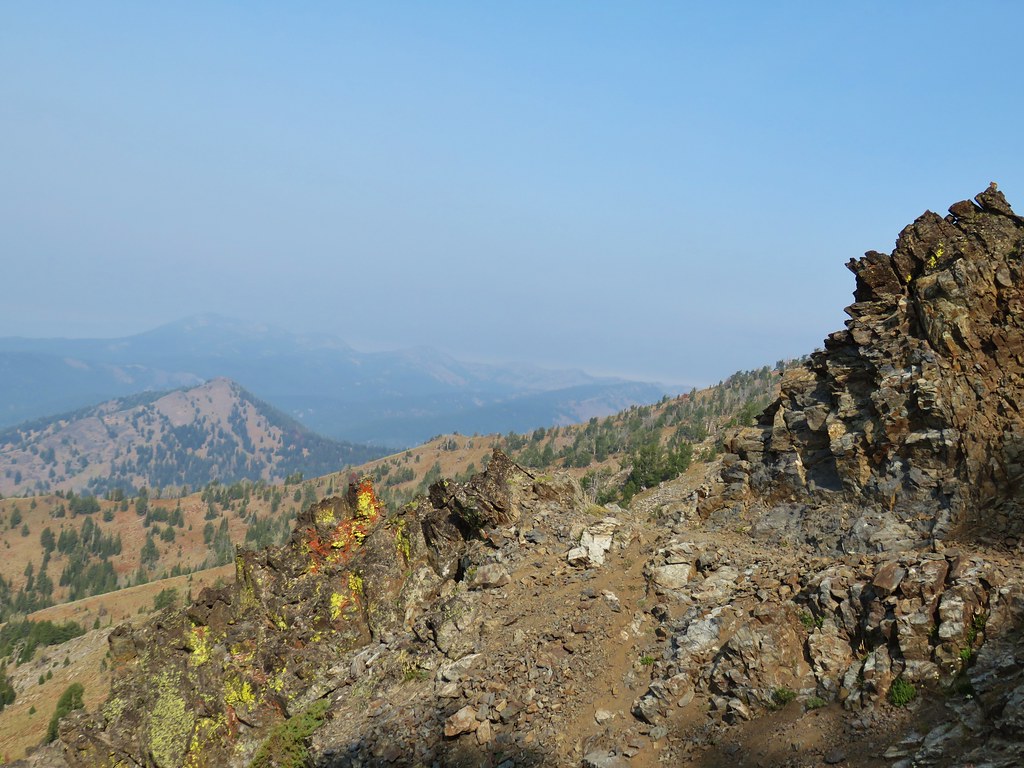
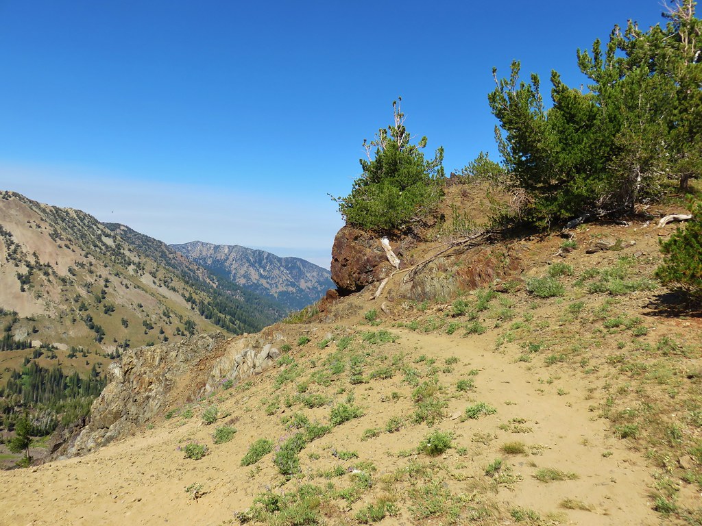
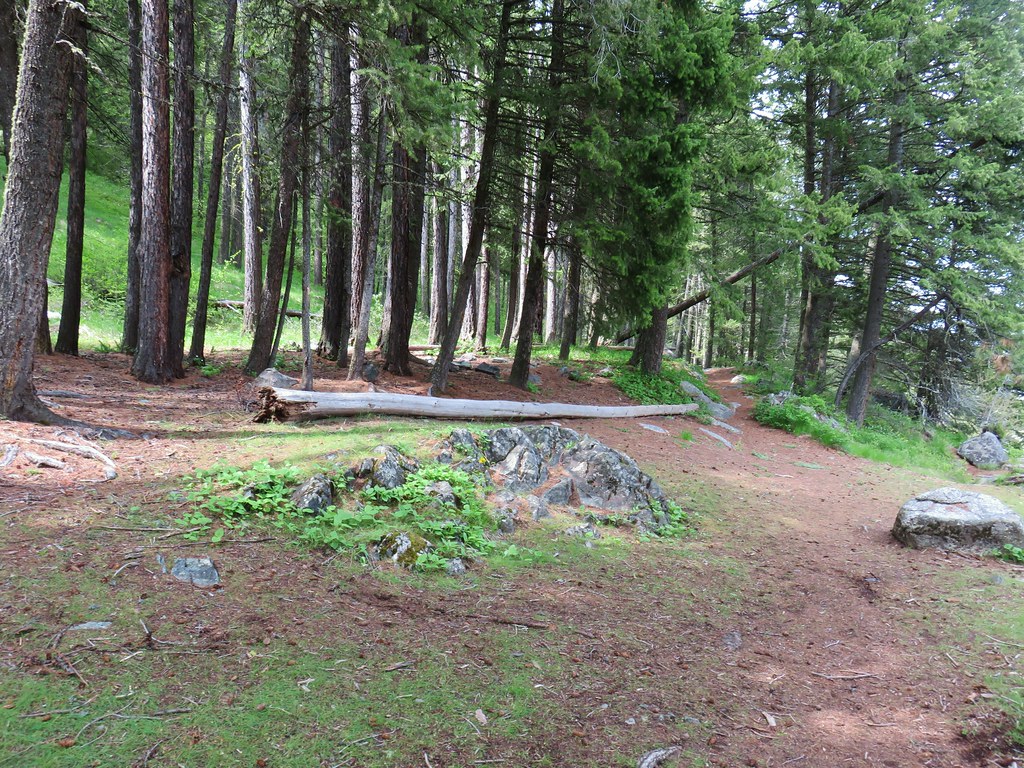 Area near the viewpoint.
 Looking further into the Wallowas.
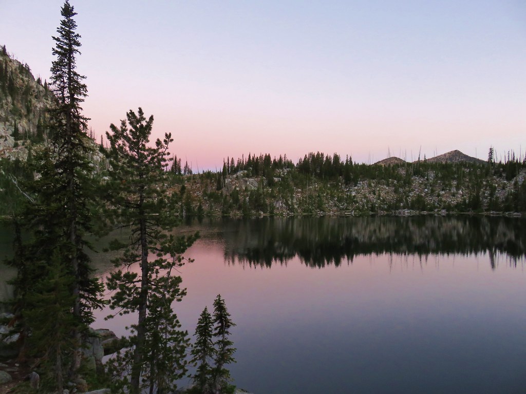
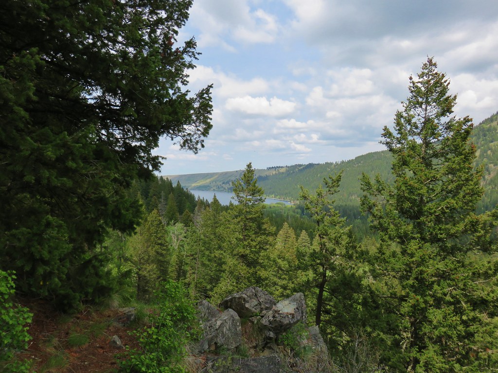 Wallowa Lake


 Shooting star
 Old man’s whiskers
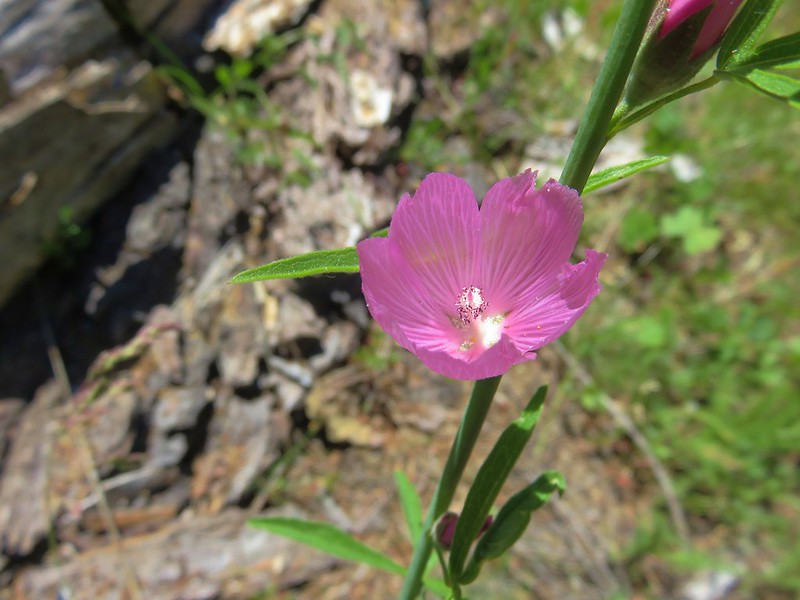
 Possibly a checkermallow
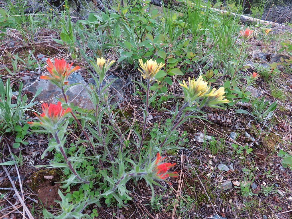 Paintbrush


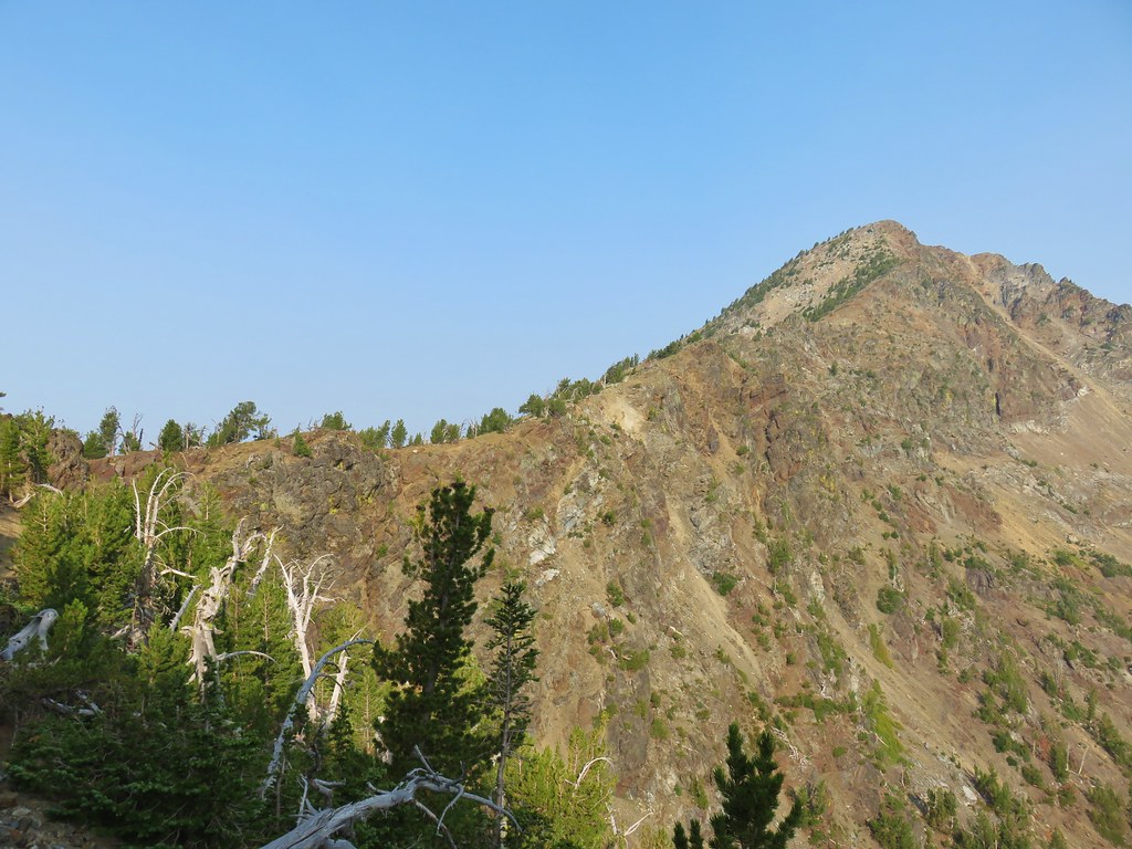


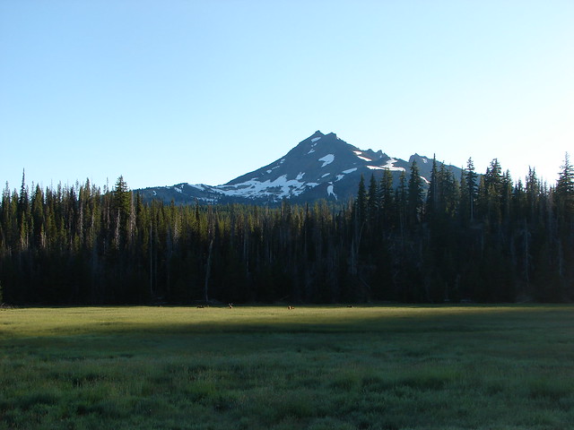
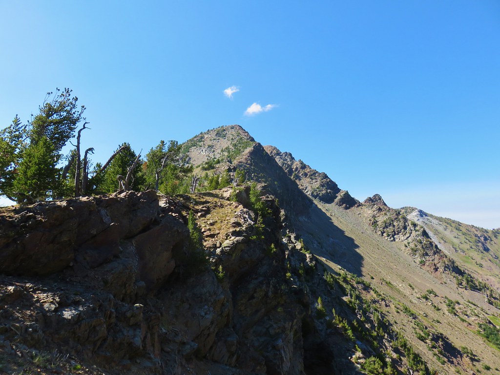
 Mt. Ruth to the north
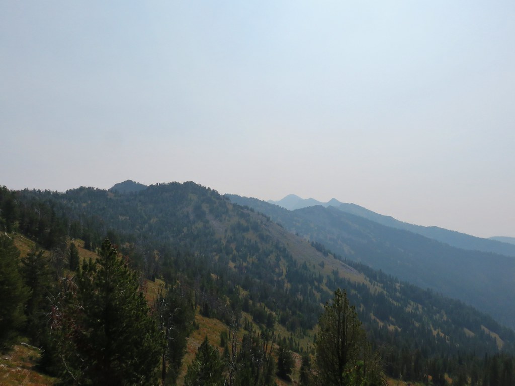 Rock Creek Butte to the south
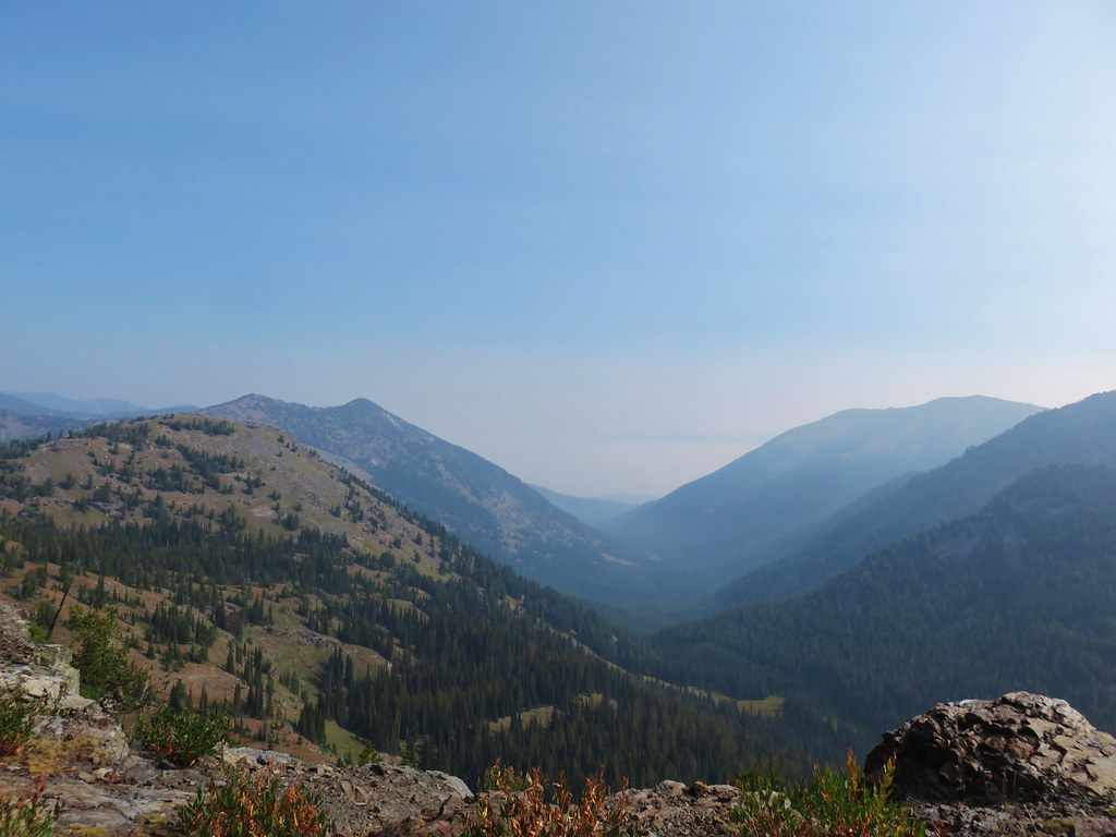 Looking east toward the Wallowas
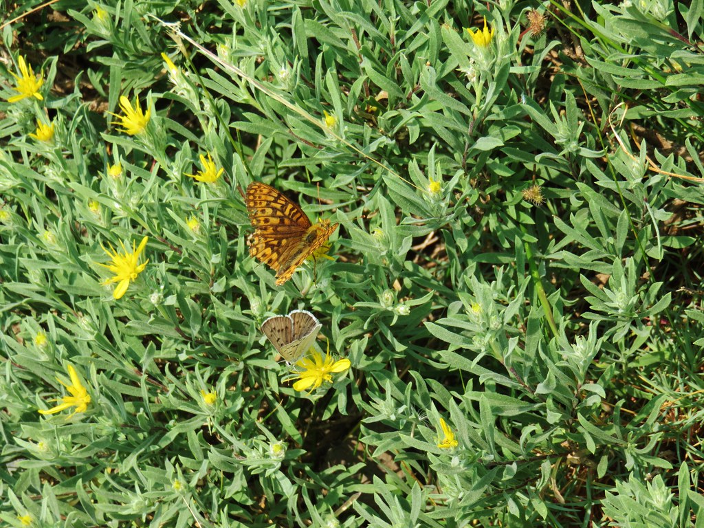
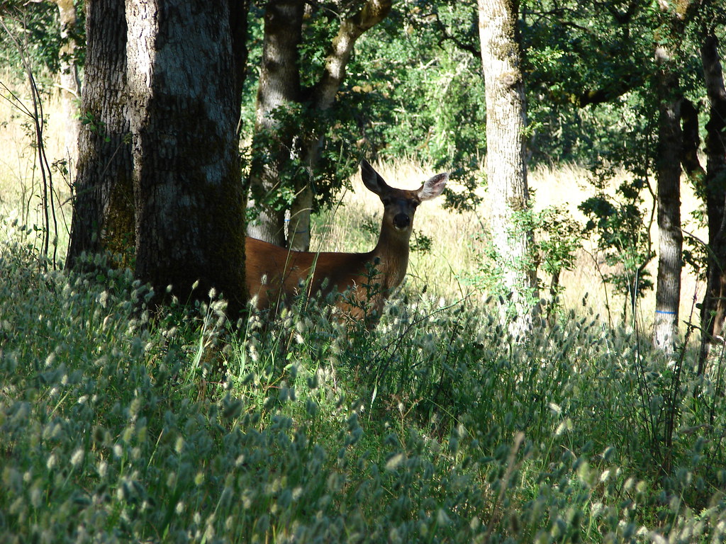
 One of the does (the fawn dashed by moments later)
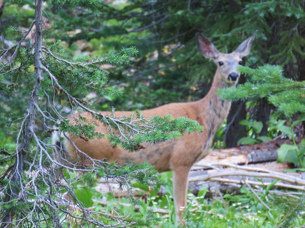 Close-up of the doe


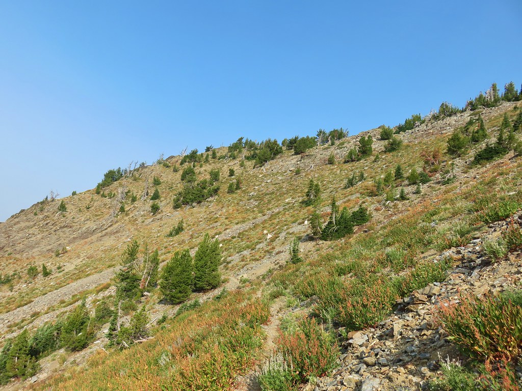
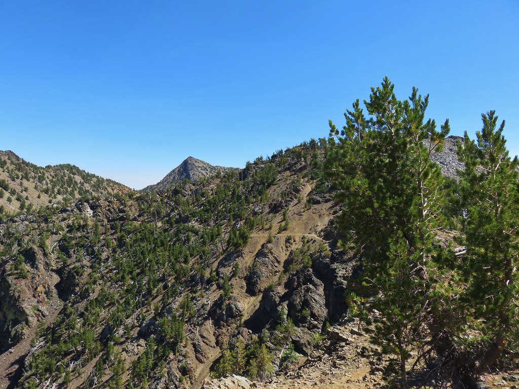
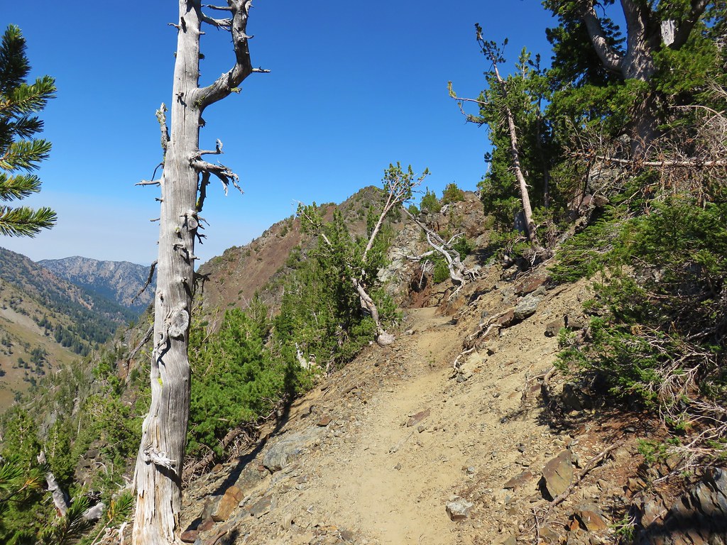
 Looking up “not” Rock Creek Butte
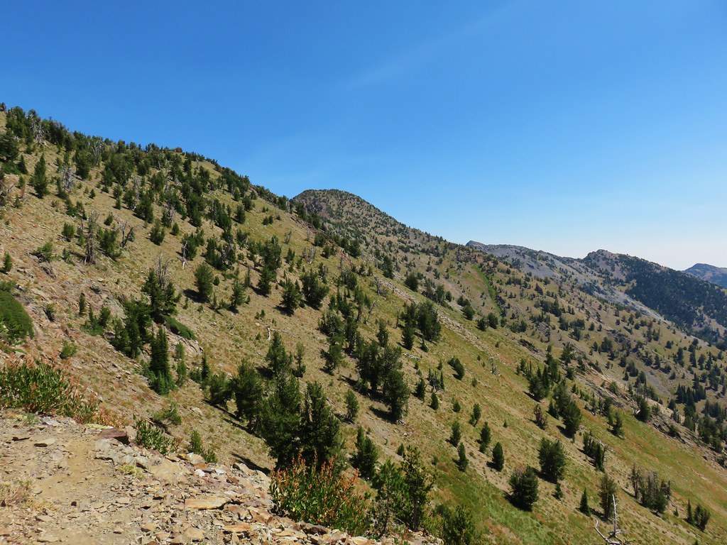 Rock Creek Butte is still a little ways away.
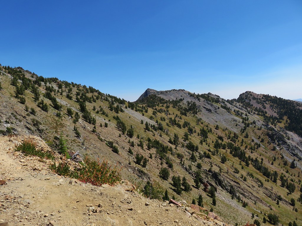 Looking ahead to the saddle.
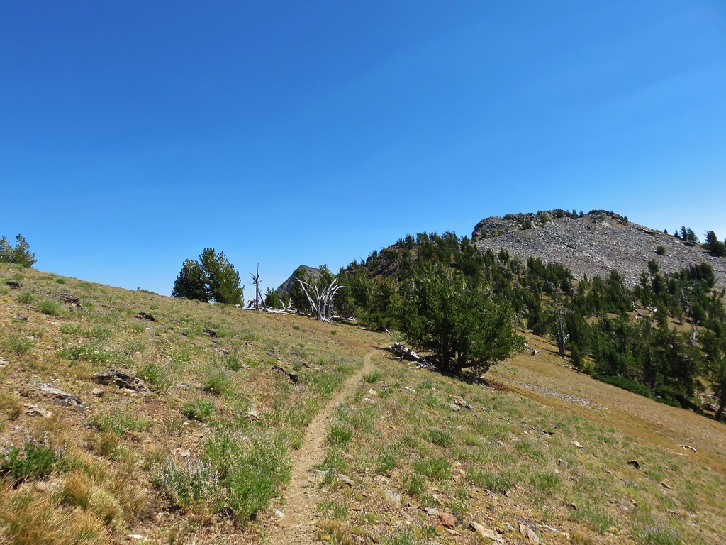 Nearing the saddle.
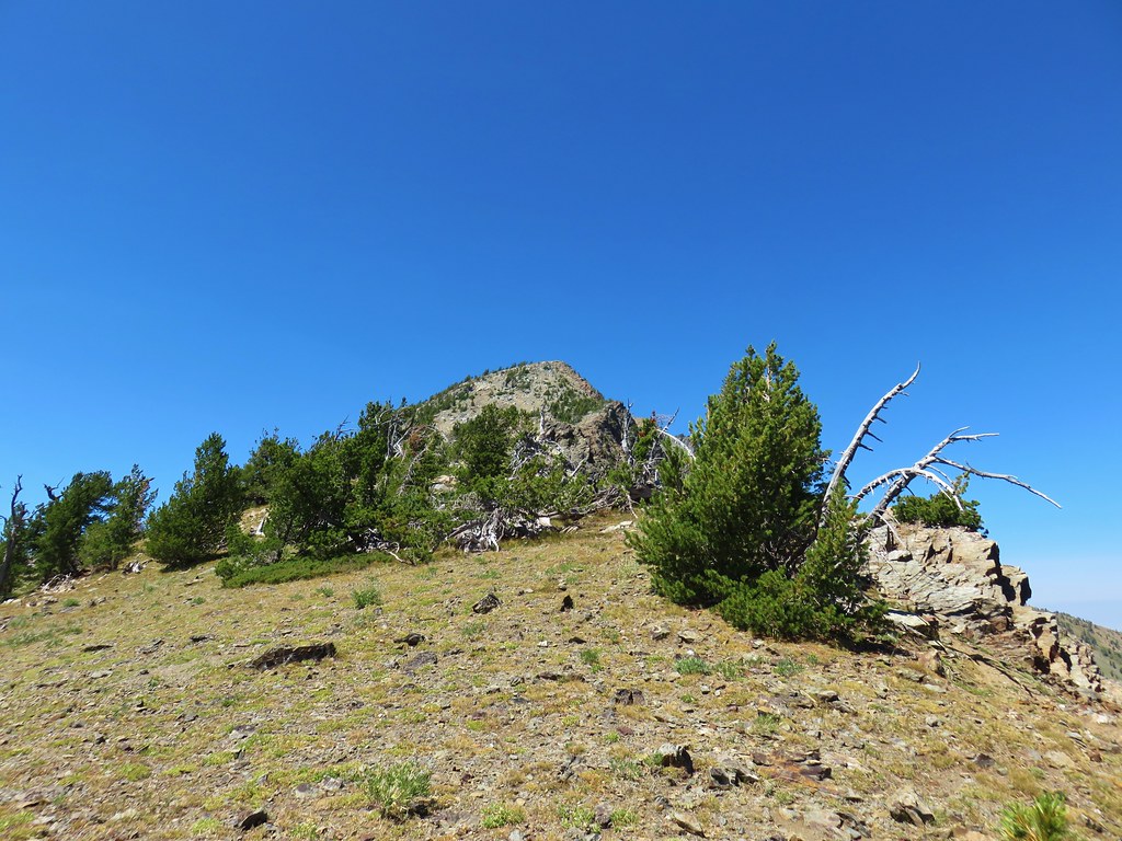
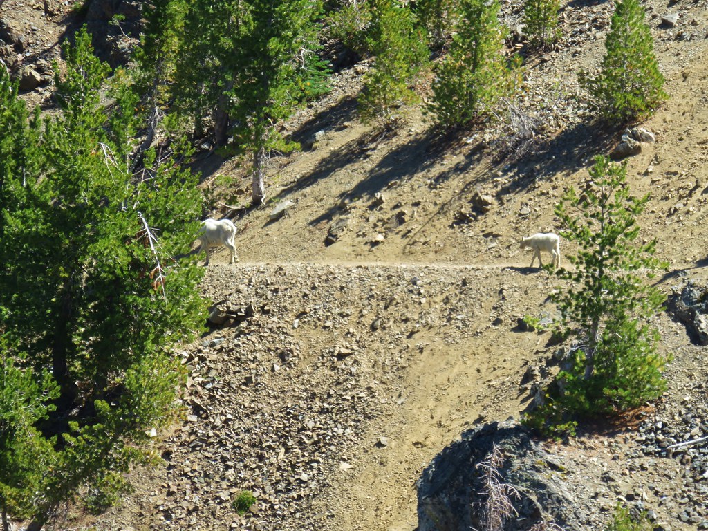
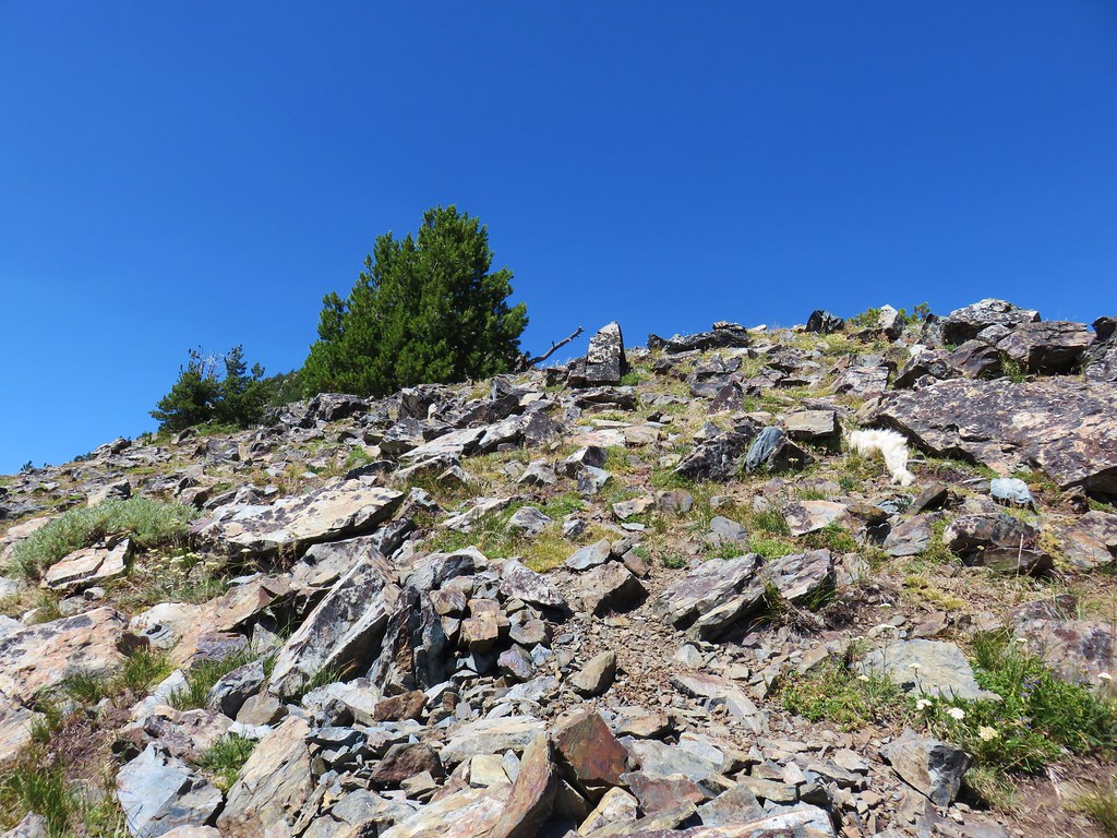


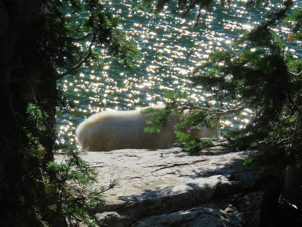
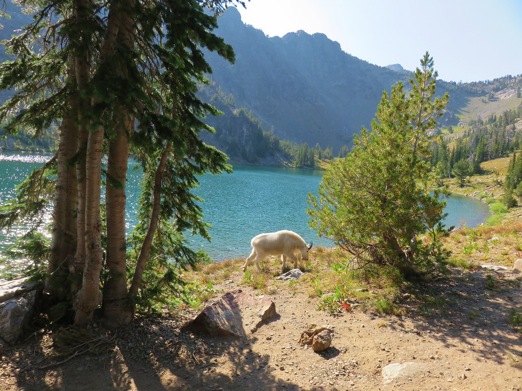
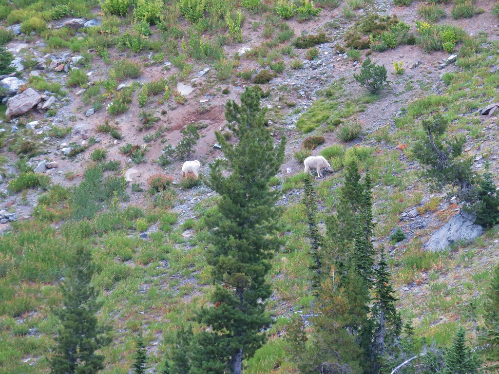
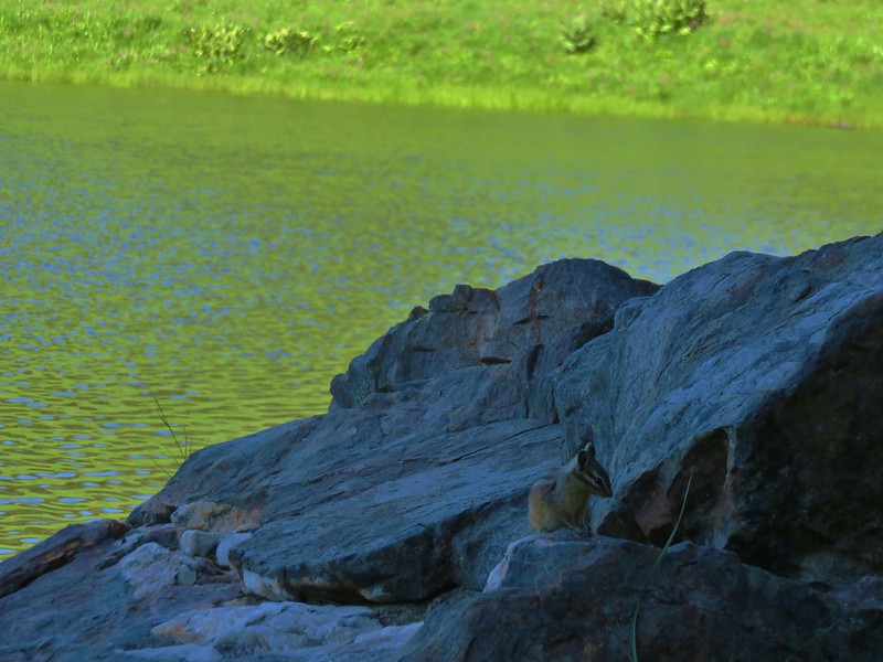
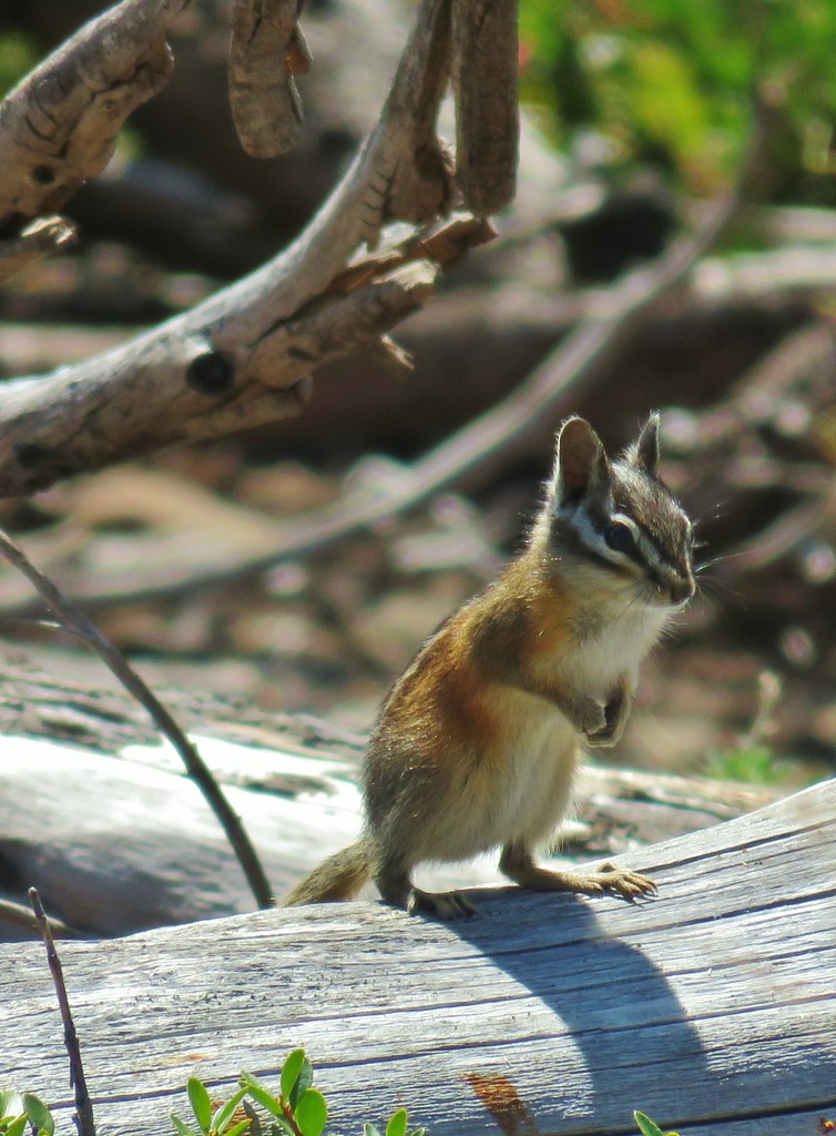
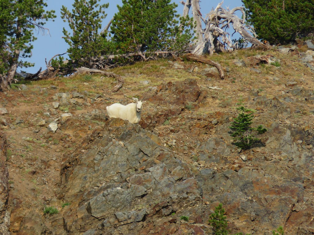
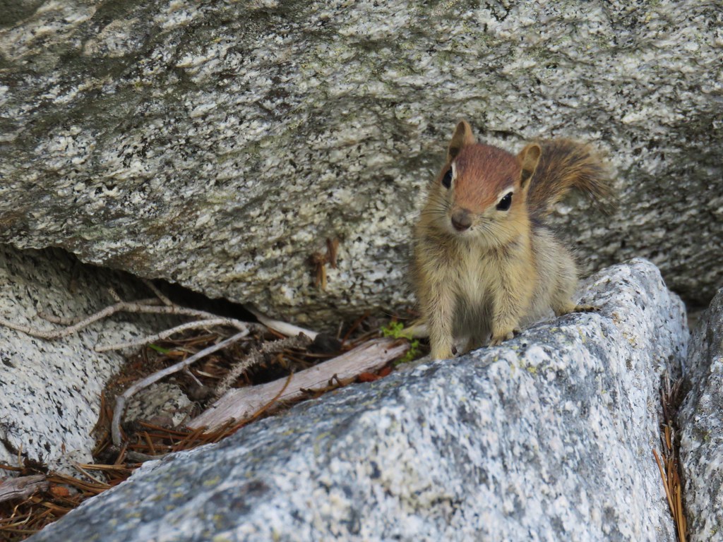
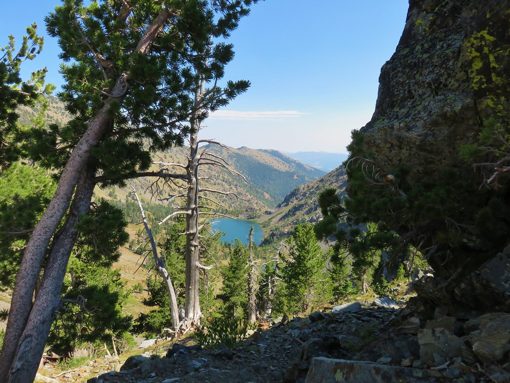
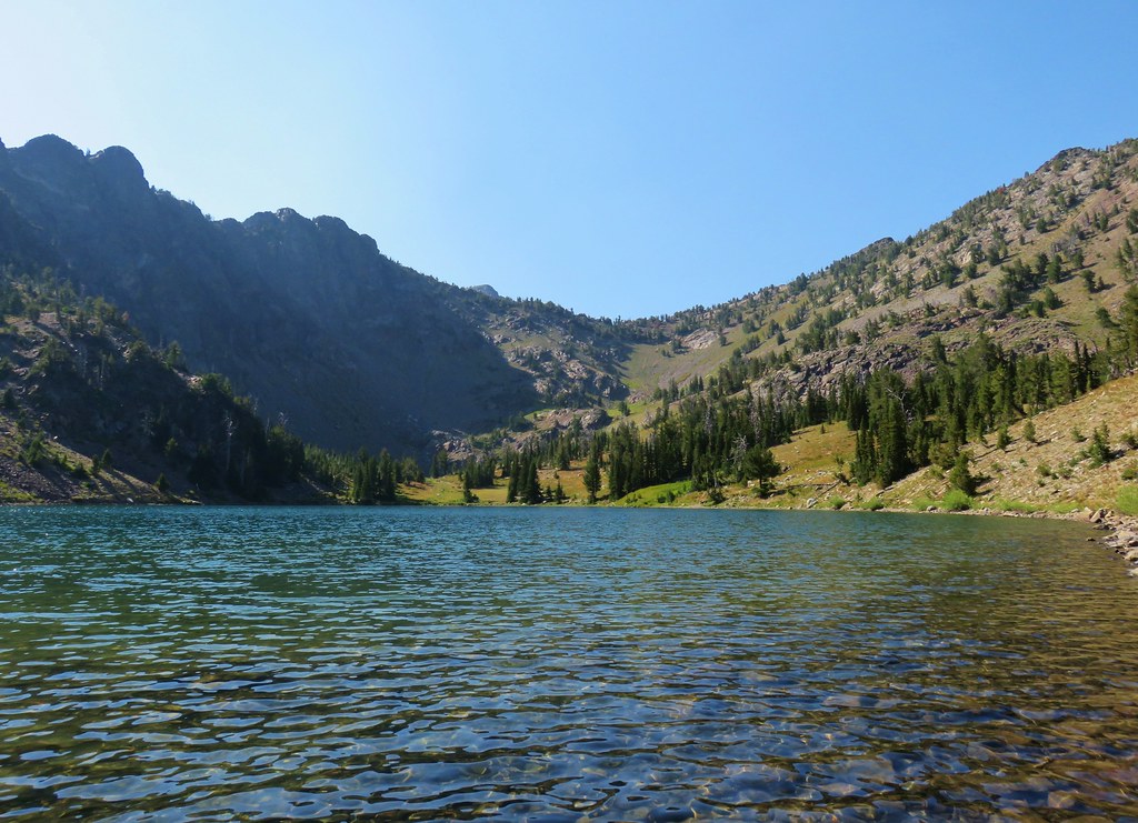
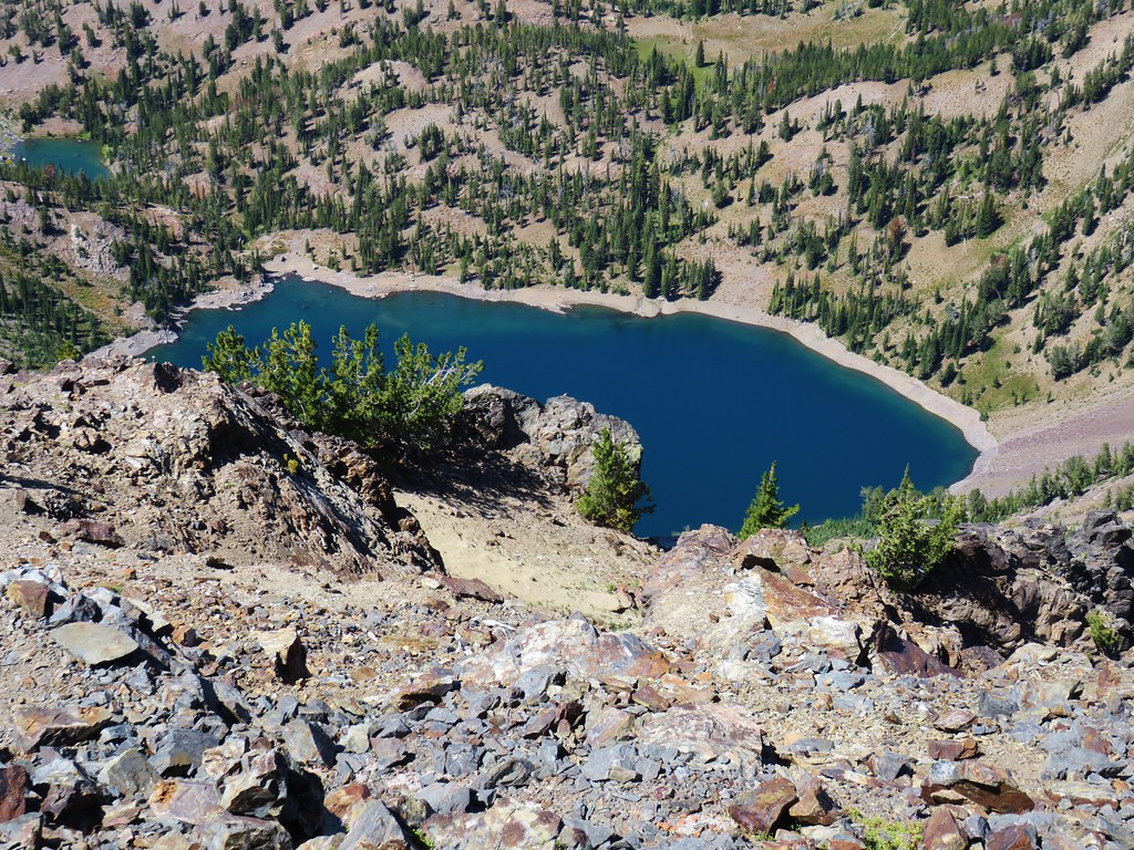 Notice the golden-mantled ground squirrel sitting atop the large rock overlooking the lake.
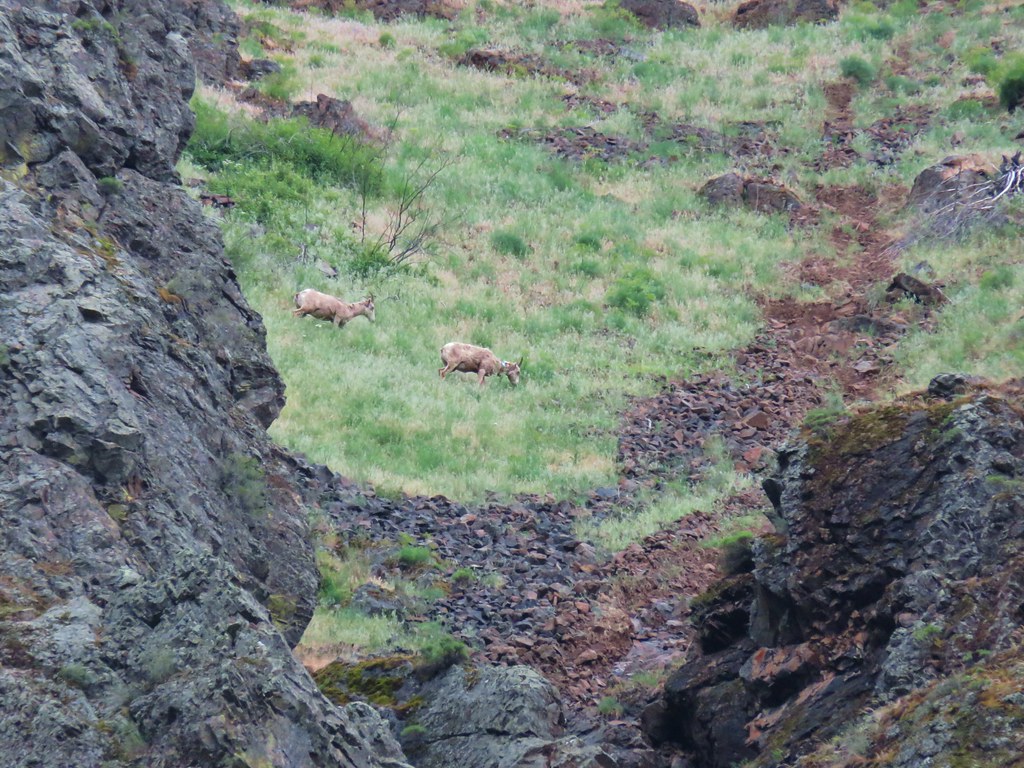
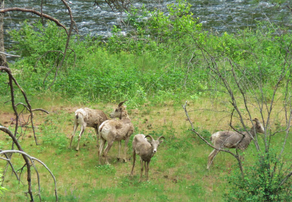
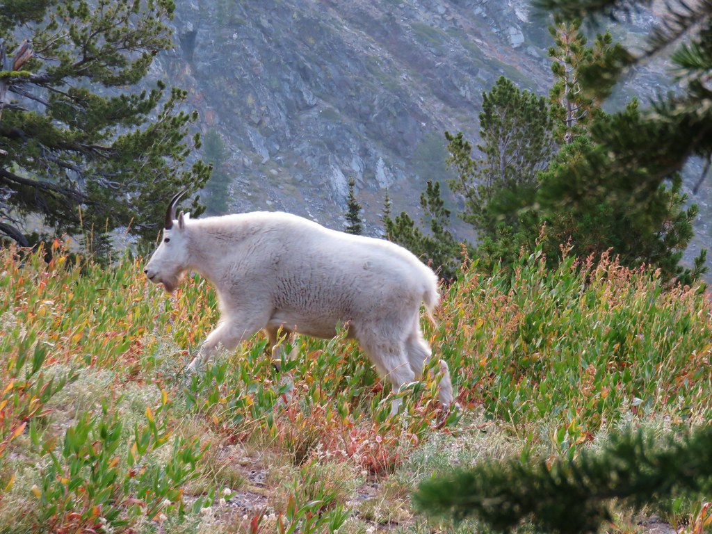
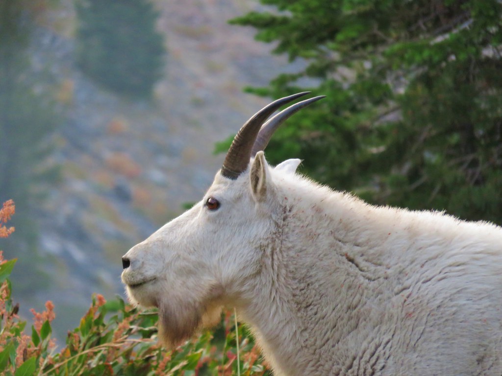
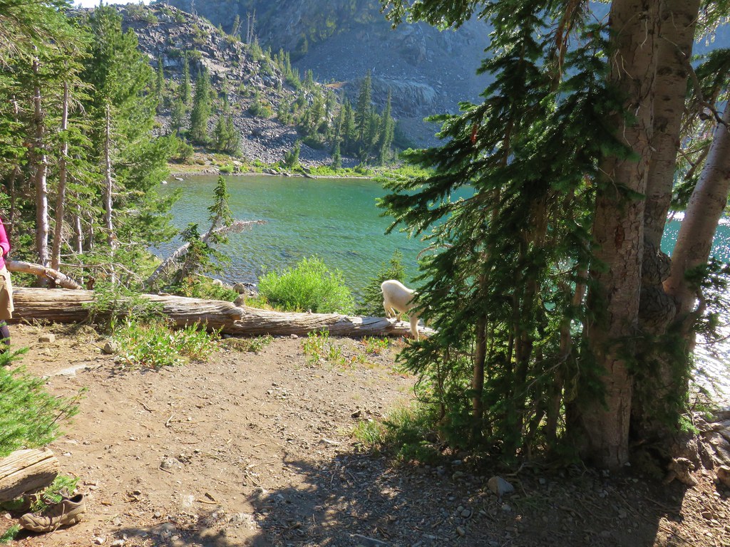
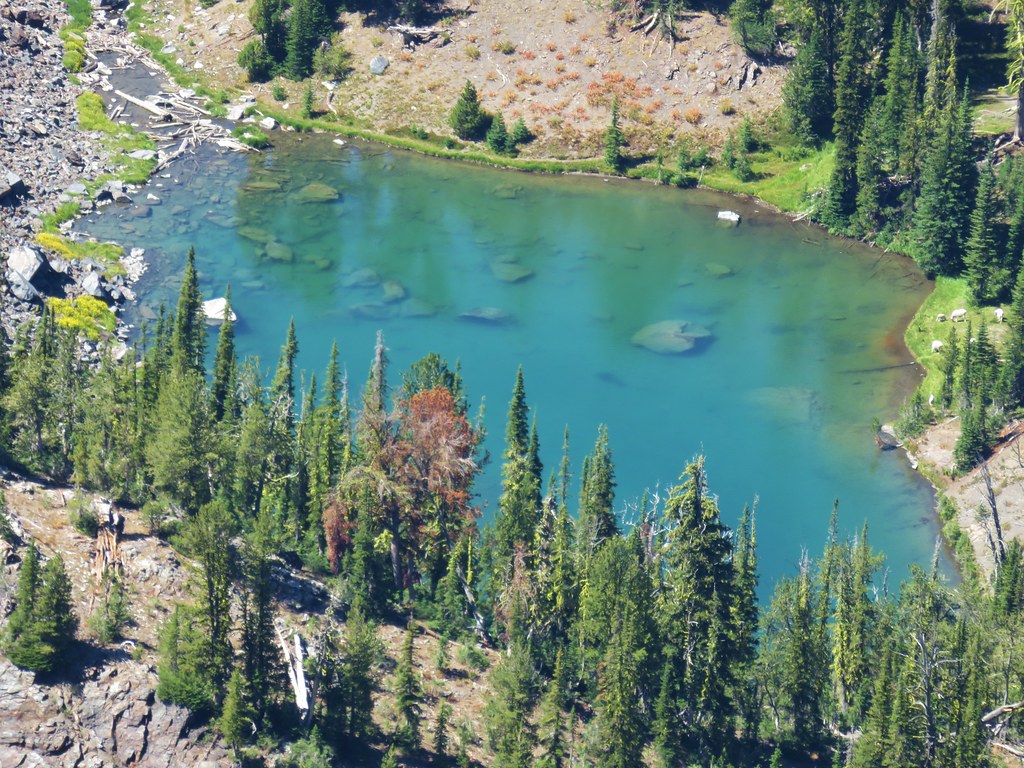 (Full disclosure neither of us noticed the goats until I was looking through the pictures at home.)
 Looking back at the summit cairn from the Rock Creek Lake overlook.
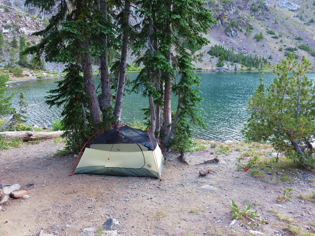
 You can see Heather’s arm on the left side of the photo.