**Note the 2017 Mili Fire burned a portion of this hike.**
After finally successfully hiking Canyon Creek Meadows the next day we headed to McKeznie Pass to visit the Matthieu Lakes. We had been in this part of the Three Sisters Wilderness the previous October on a dreary day that left us without any views of the mountains and too late in the year for flowers. We arrived at the trail head at about 6:30am and were quickly reminded of how cold it is in the Cascades early in the morning. Looking behind us from the parking area we could see the spire of Mt. Washington as the morning sunlight reflected off the volcanic rock. We had already seen one more mountain than we had the previous year and we hadn’t even started hiking yet.
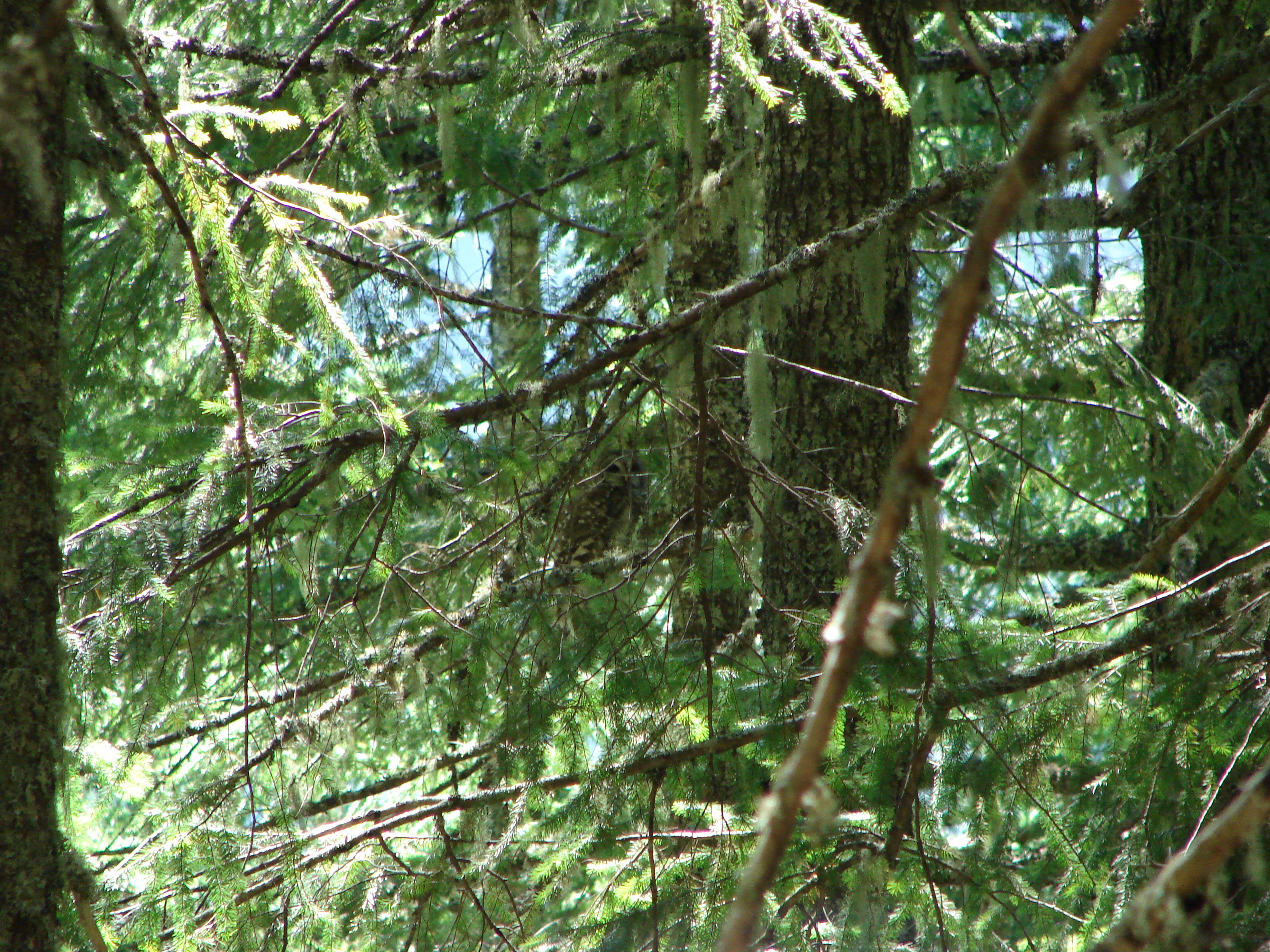
A short path led to the Pacific Crest Trail which we turned left on and started a gradual climb up to the start of the Matthieu Lakes loop. At the loop junction we kept on the PCT and headed toward South Matthieu Lake. As we climbed the tress began thinning out giving us glimpses to the north and west. The further we went the more we could see and soon a string of volcanoes was lined up on the horizon.

When we reached South Matthieu Lake North and Middle Sister had joined the visible volcanoes to the south. They rose above the small lake making for a pretty scene.

At the north end of the lake was a trail junction for the return loop, but first we continued on the PCT heading for the meadow at the Scott Trail junction. In October we had come from the other direction on the PCT and then taken the Scott Trail back to our car and we could see the potential for the meadow to be a beaut at the right time.
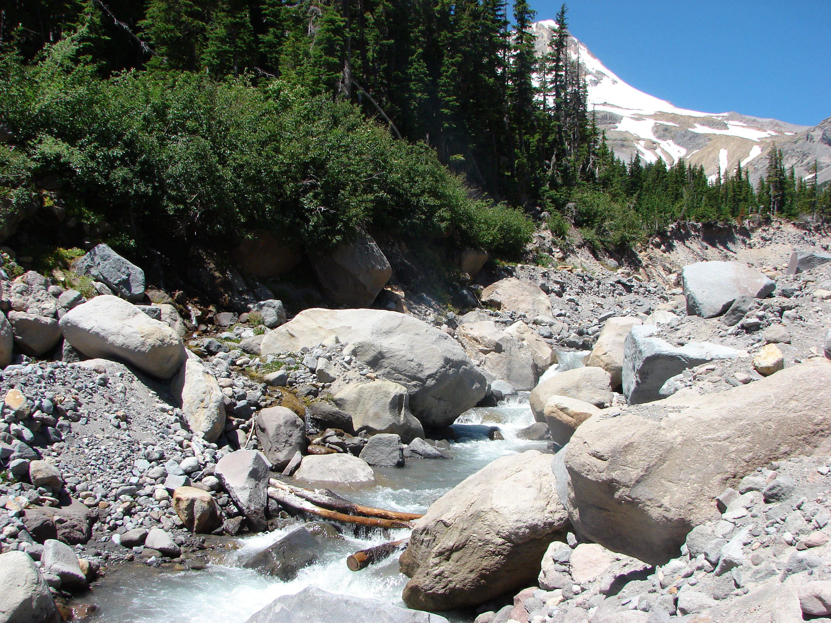
This section of the PCT started along side a lava flow where we spotted a Pika who seemed to be as interested in us as we in it.

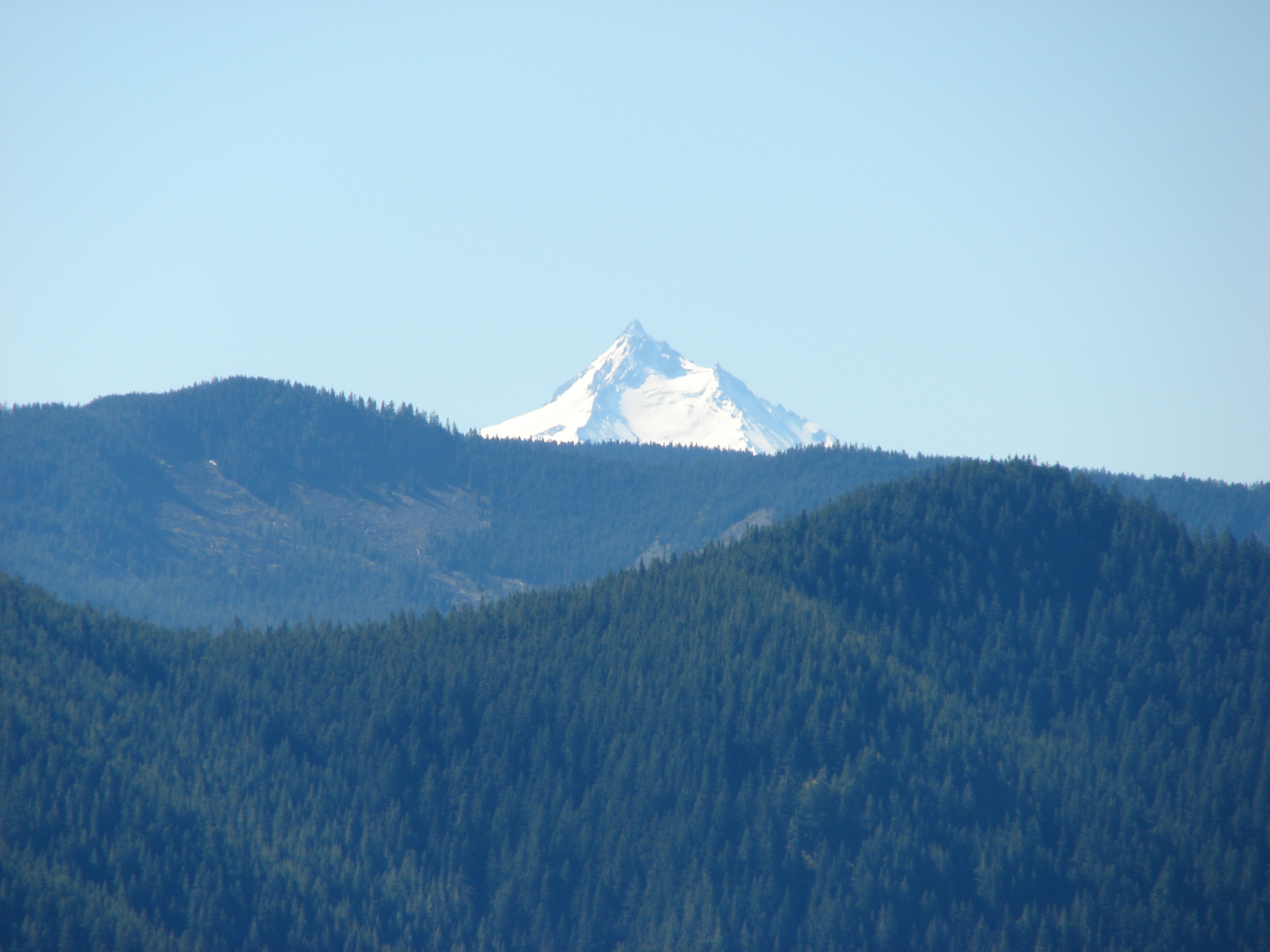
The trail then passed over the lava flow and headed for Yapoah Crater, one of many cinder cones that helped create the volcanic landscape. The Sisters got larger as we neared and to the north the view became even better as we gained elevation. As we contoured around Yapoah Crater we could even see the top of Mt. Adams in Washington join the volcanic line beyond Mt. Hood. Here the crater hid the Sisters, but as we came around they came into view joined by The Little Brother.

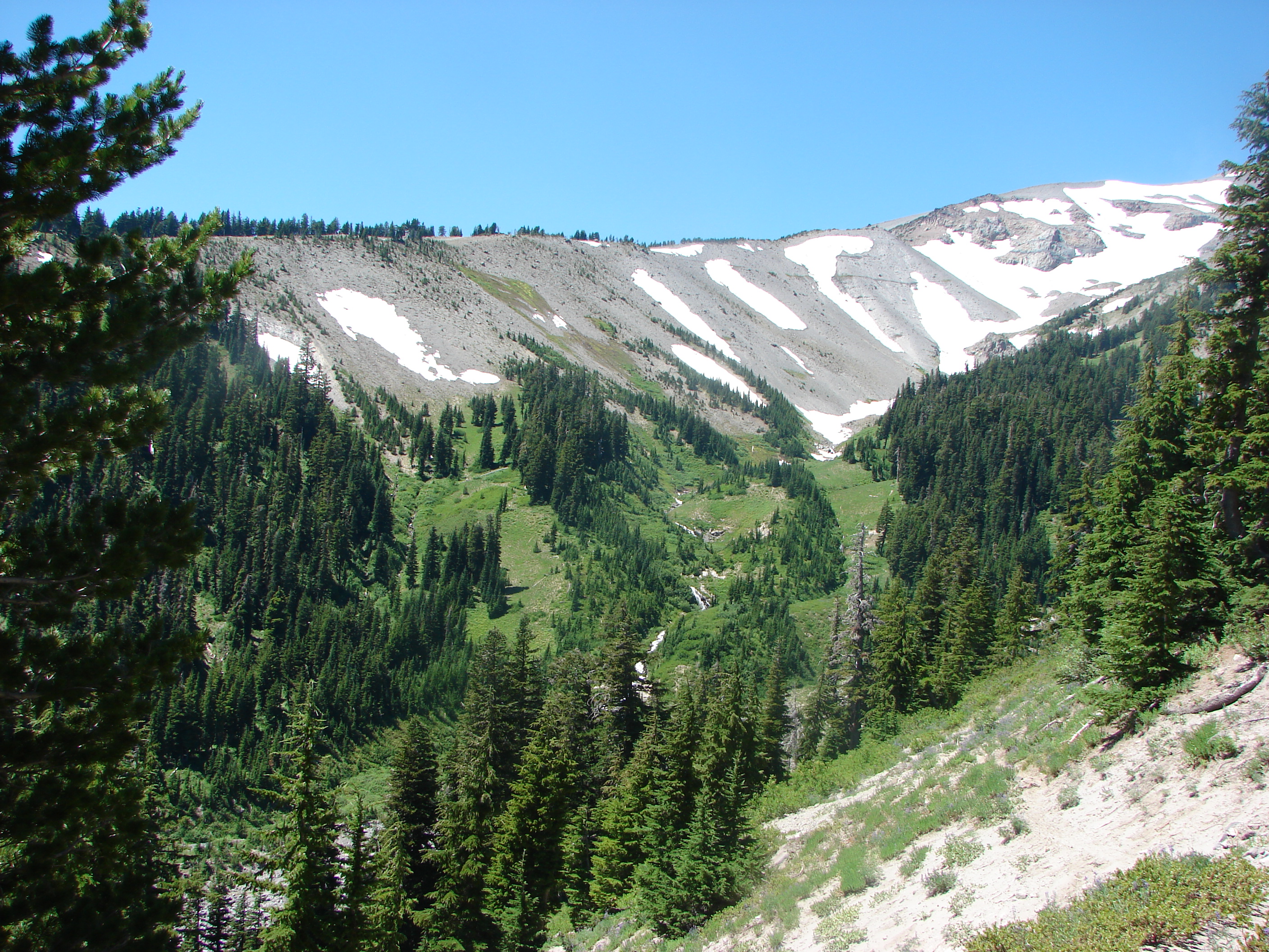
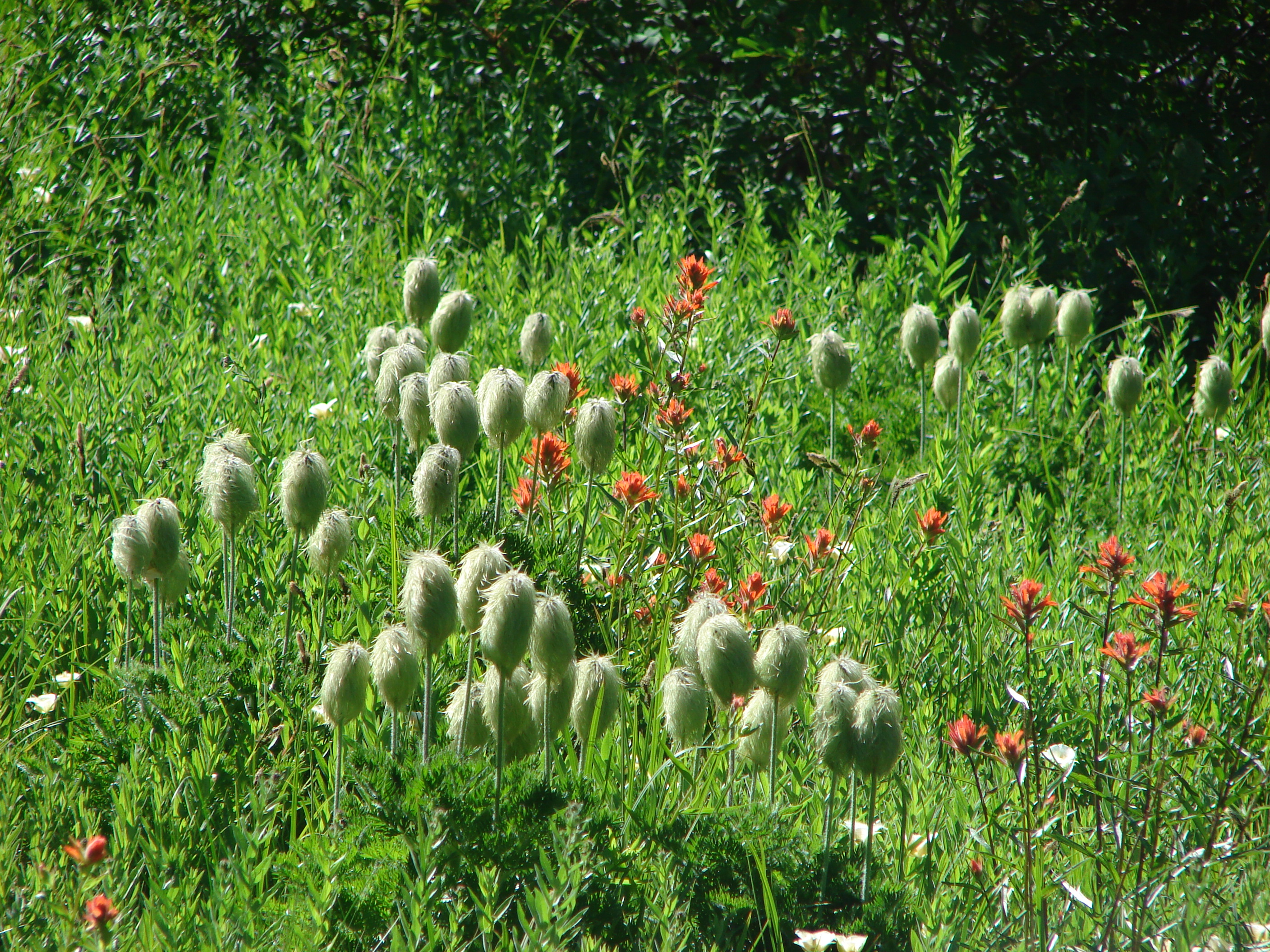
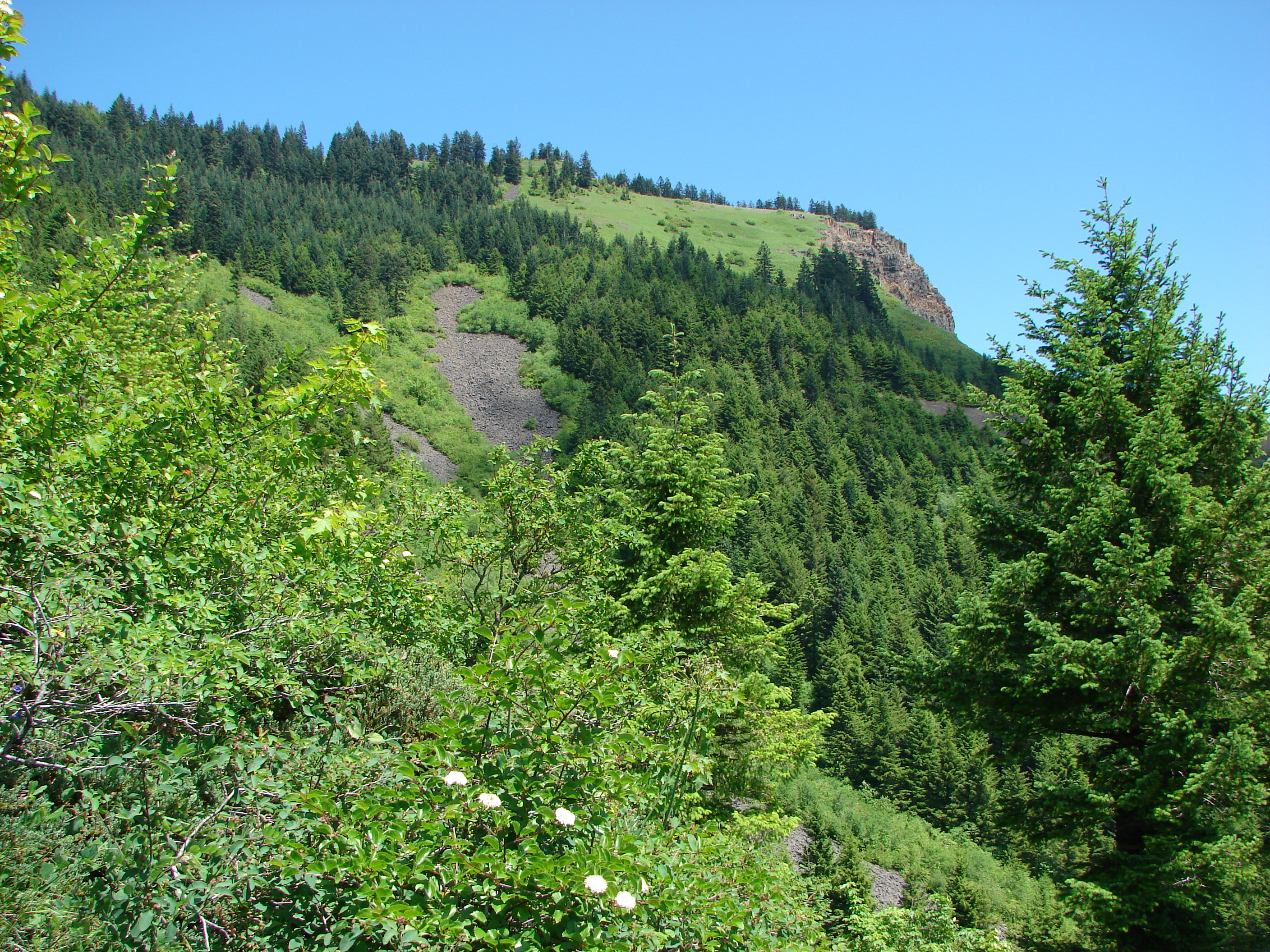
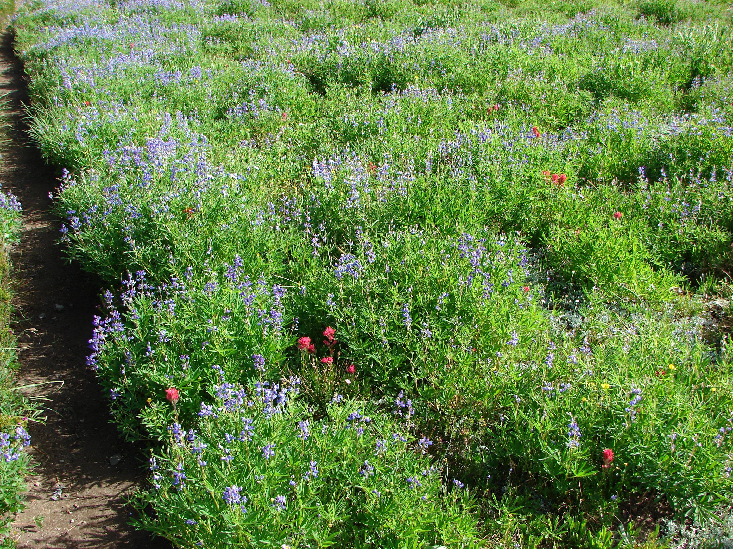
A short while later we reached a ridge looking down into the meadow. The purple patches of lupine were visible from above and as we descended other flowers became evident. Pink heather, red paintbrush and several different yellow flowers were joined by a single western pasque flower at the meadows edge. Here we also ran into our first mosquitoes of the day but they were not too bad. The meadow itself was filled with flowers and a view ahead to the Sisters.

Here is the same meadow from our visit last October:

We crossed through the meadow on the PCT enjoying the display of wildflowers. Had the mosquitoes been less it would have been a perfect lunch spot, but as it was we just turned around and passed back through.
When we reached South Matthieu Lake we took the North Matthieu Lake trail to visit that lake and complete our loop. North Matthieu Lake was much larger than South Matthieu, but being lower in elevation meant almost no view of The Sisters save at the very north end and then only just the tip of the North Sister was visible. What it lacked in mountain view it made up for in color. The water went from blue to green depending on where you looked.

Past North Matthieu Lake we encountered a number of small ponds. The last of which was teeming with birds. We spotted a variety of birds in the trees around the pond and sometimes in it.

Finally we passed through a small meadow beside a lava flow that was home to a number of butterflies. Here we saw our first California Tortoiseshell.

It was a great hike and really nice to be able to visit a place we had been before at a different time. It’s amazing how much timing can change the experience. It was a good reminder that it can be worth going back to a previous hike at a different time of year to see how things have changed. Happy Trails.
Facebook photos: https://www.facebook.com/deryl.yunck/media_set?set=a.10201705197258876.1073741845.1448521051&type=3
Flickr: http://www.flickr.com/photos/9319235@N02/sets/72157634853318672/