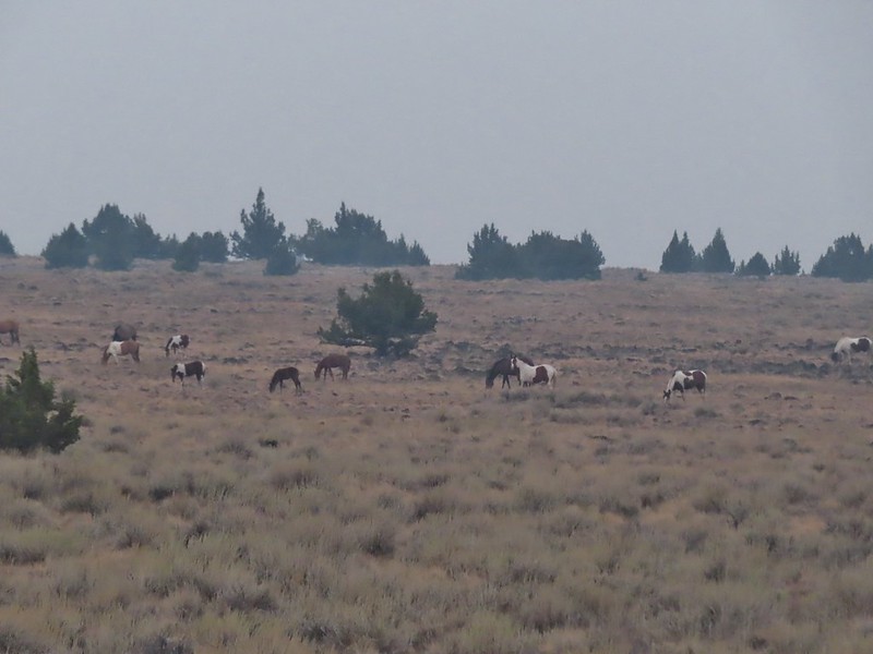
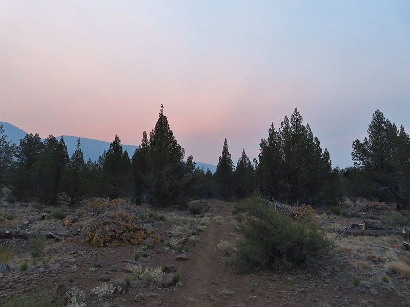
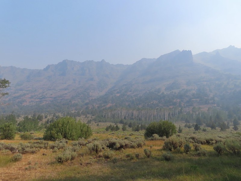
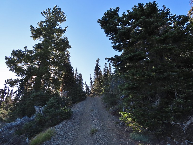
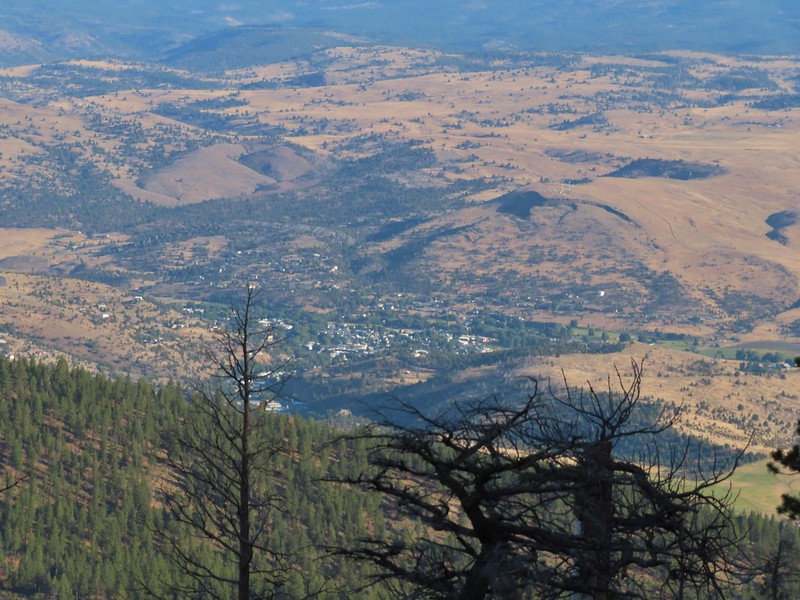
Our original plan for Tuesday had been to drive up the Steens Summit Loop Road and hike to the summit and Wildhorse Lake, one of four of Sullivan’s featured hikes (post) we were hoping to check off during the trip. With the amount of smoke in the air Monday night though we decided to wait until morning to decide if that was still the plan or if we were going to do the Big Indian Gorge hike instead. At 5am when we were heading out the door the air still smelled of smoke so Big Indian Gorge it was. We drove from the Steens Mountain Resort to Highway 205 in Frenchglen (a whopping 3.1 miles) and headed south on the highway ten miles to the southern end of the Steens Mountain Loop Road where we turned left for 18.9 miles to the South Steens Campground. This section of road passes through the South Steens Horse Management Area (HMA) and we got a chance to see some of the wild horses up close as we passed through.

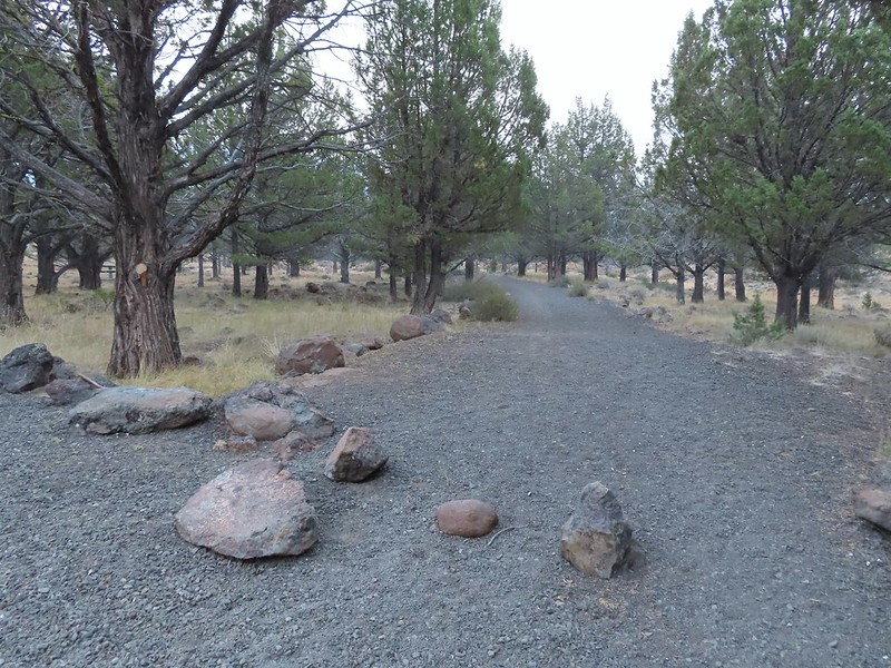
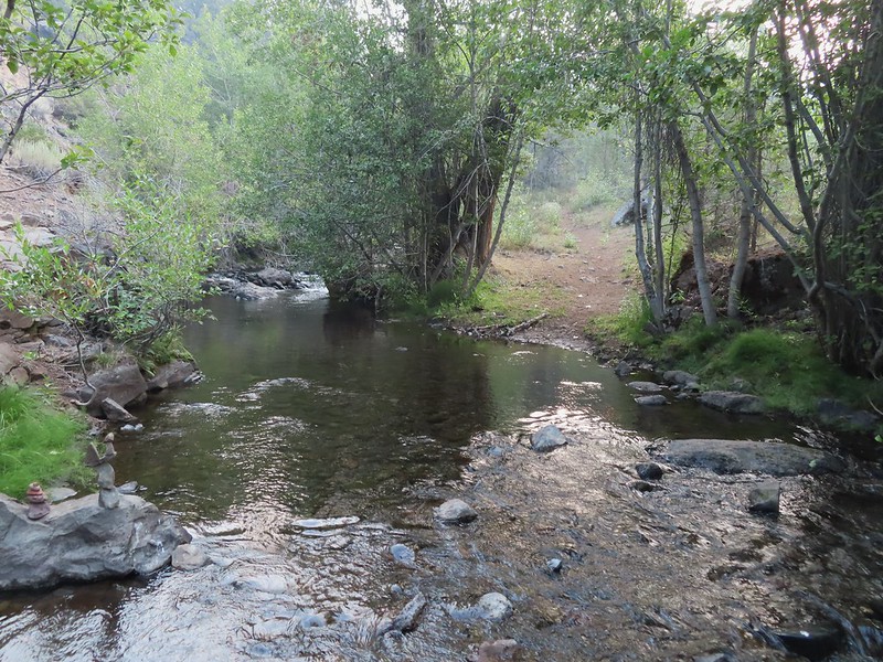
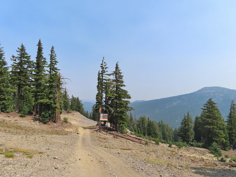
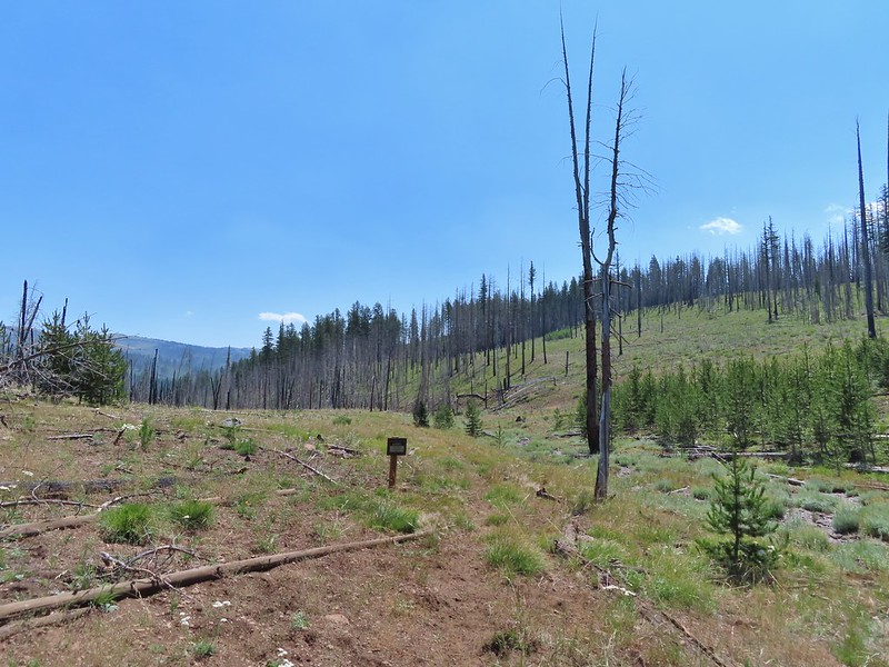
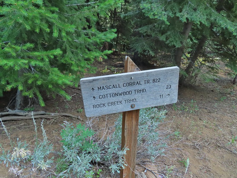
The hike up Big Indian Gorge begins at a day use area at the end of the South Steens Campground.
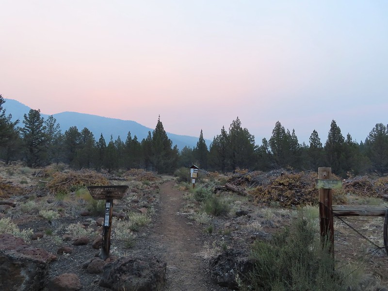
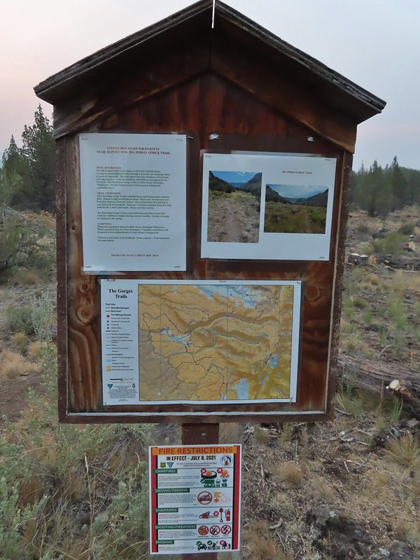
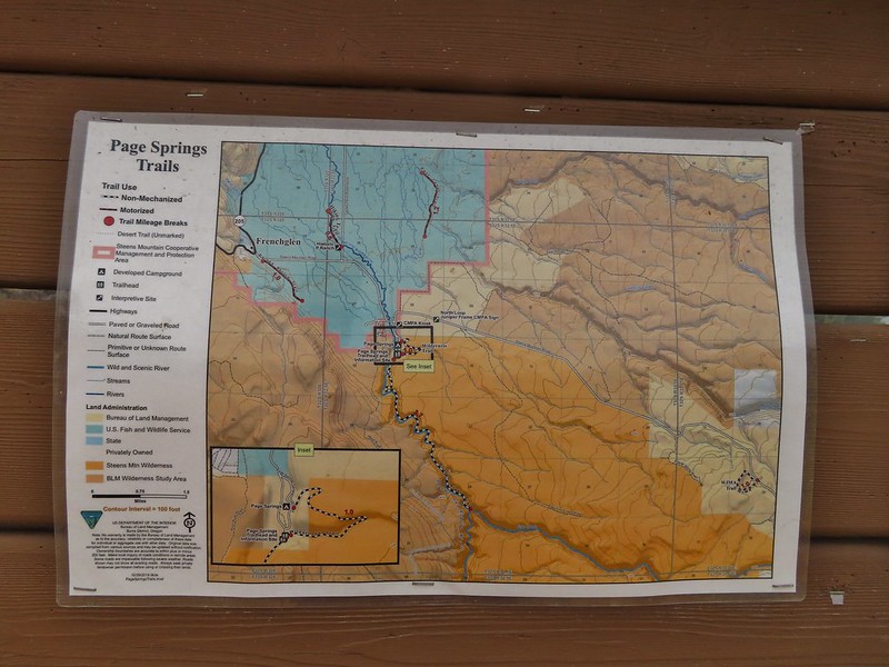
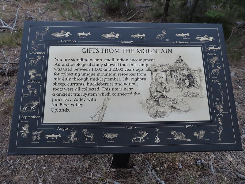
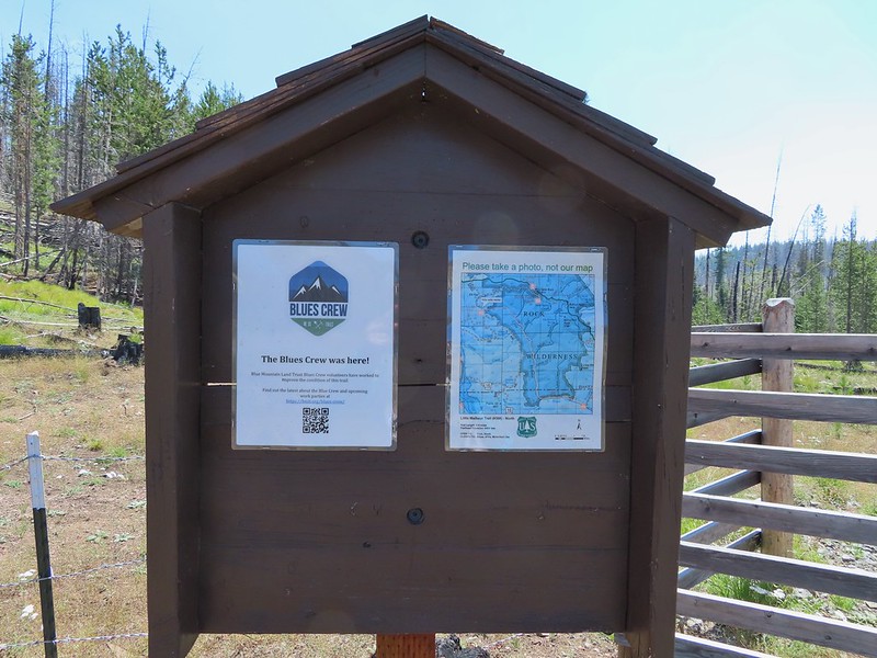
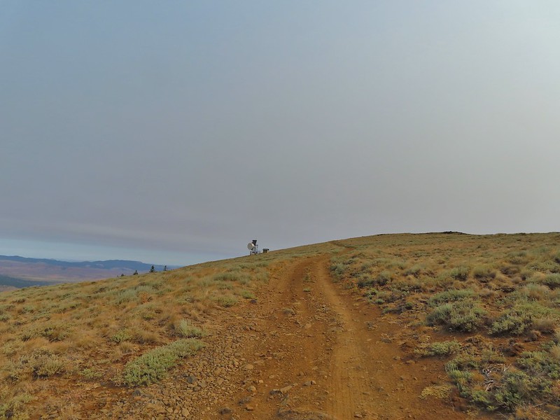
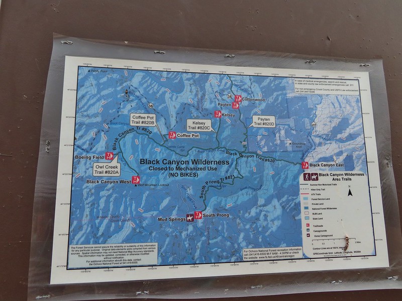
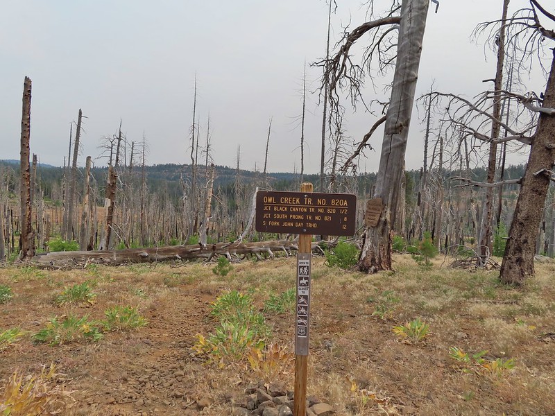
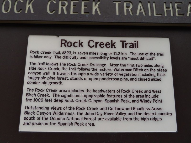
One thing that we really appreciated about the trails in the area was the quality of information the BLM had posted at all the trailheads we visited. Maps, trail condition reports and photos were posted at them all.
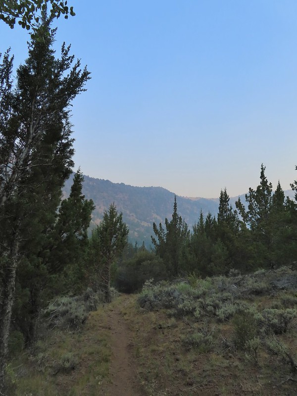
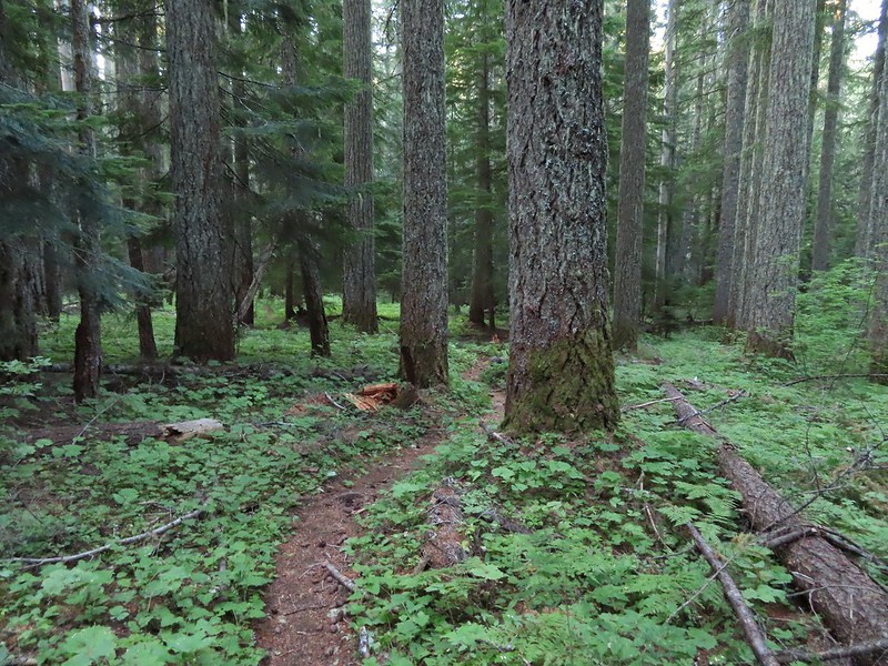
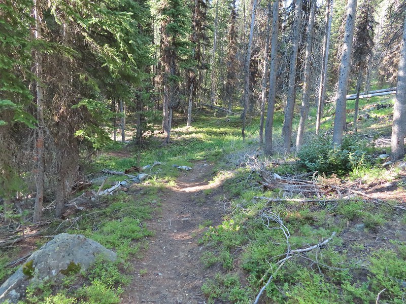
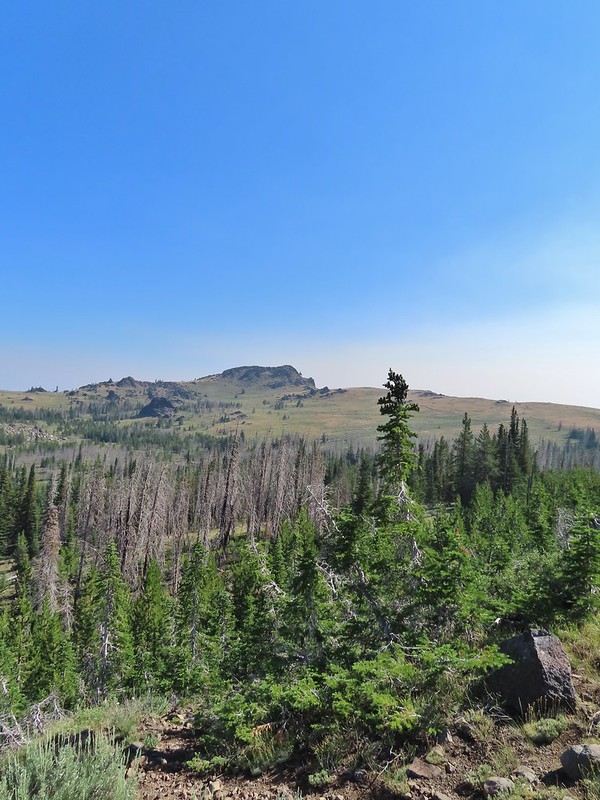
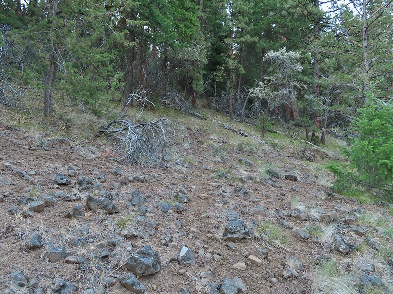
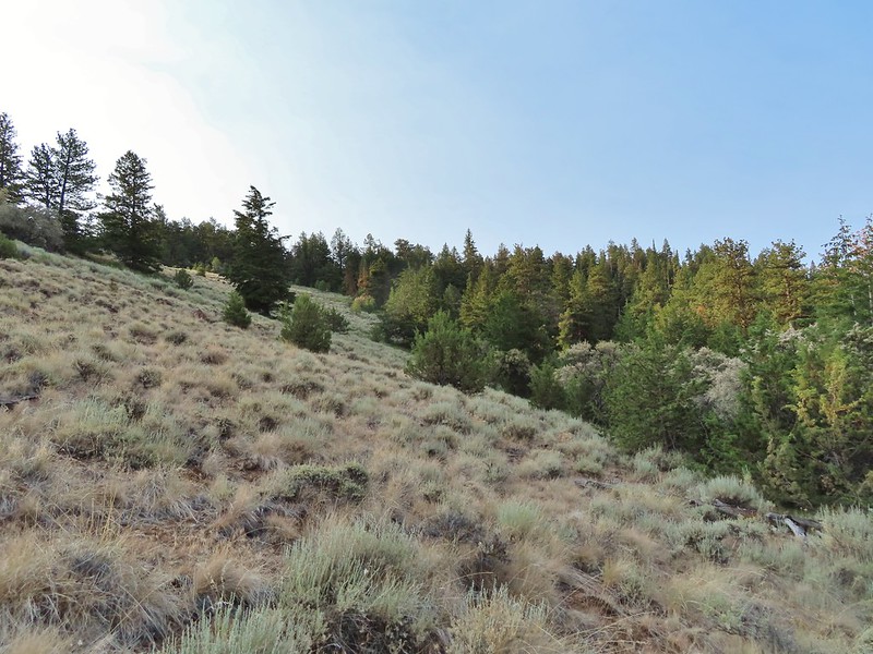
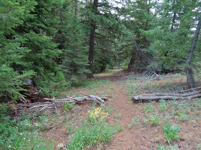
The Big Indian Gorge Trail began as an old road bed passing through juniper and sagebrush on the way to the mouth of the gorge.
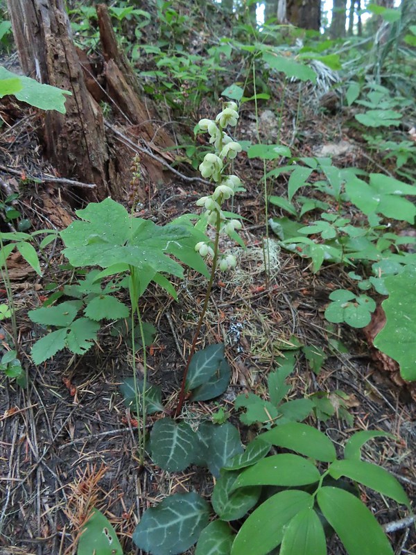
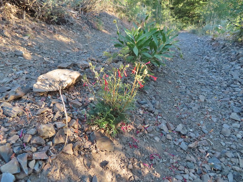
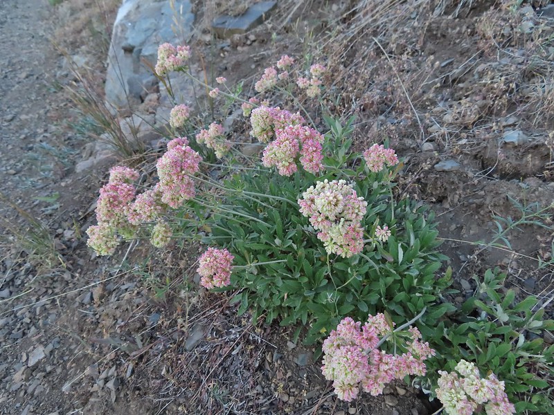
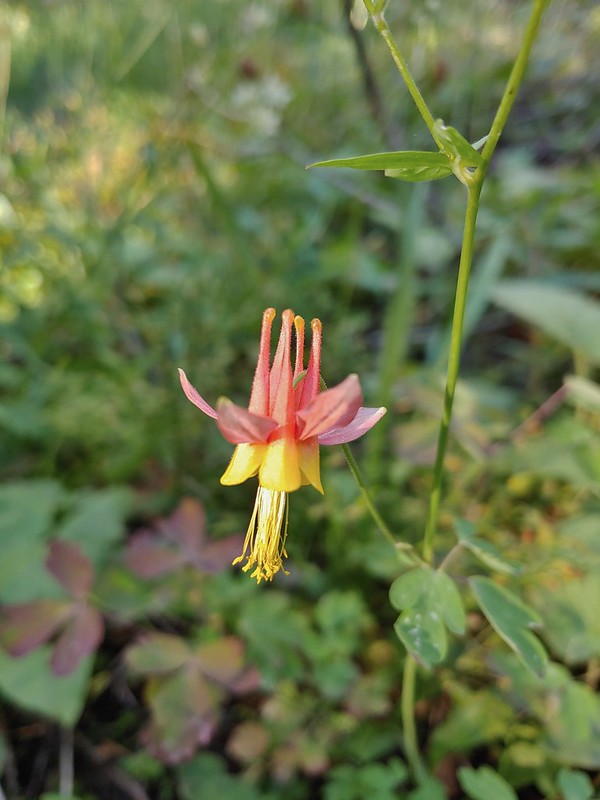
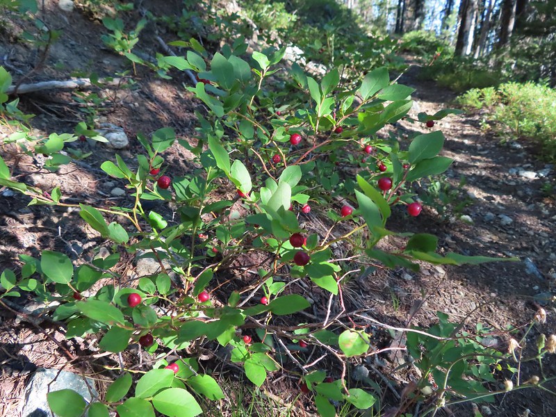
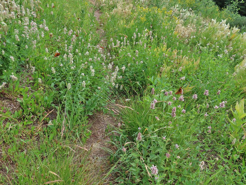
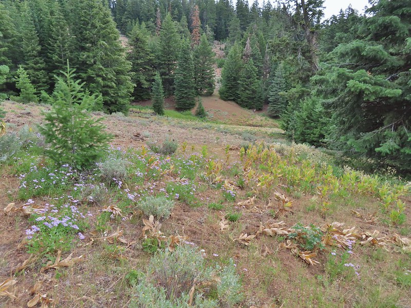
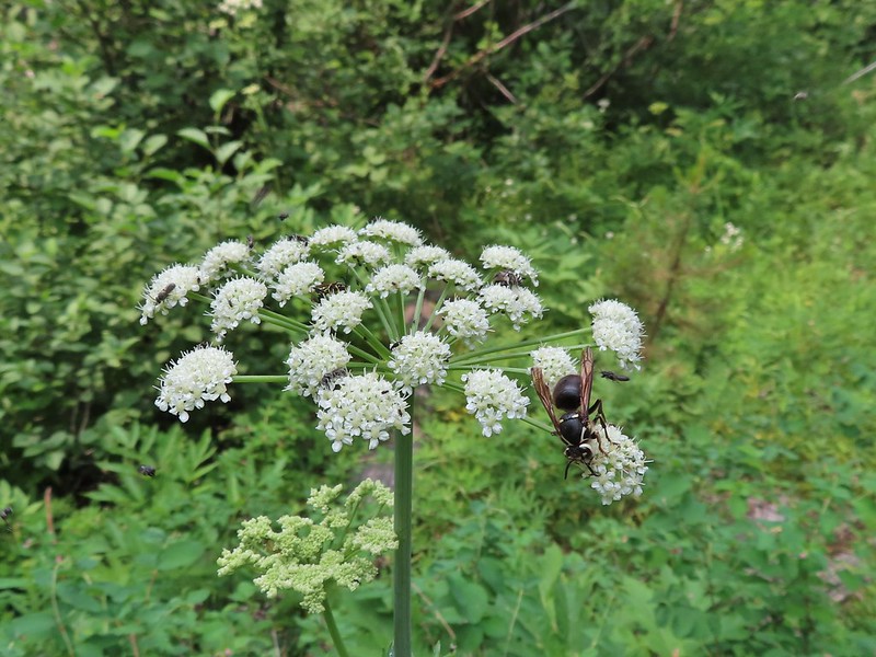
It was long past flower season but evidence of a large number of wildflowers was still visible.
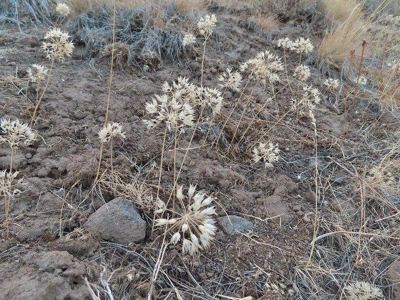 There were tons of wild onions along the way.

 Deer on one of the hillsides.
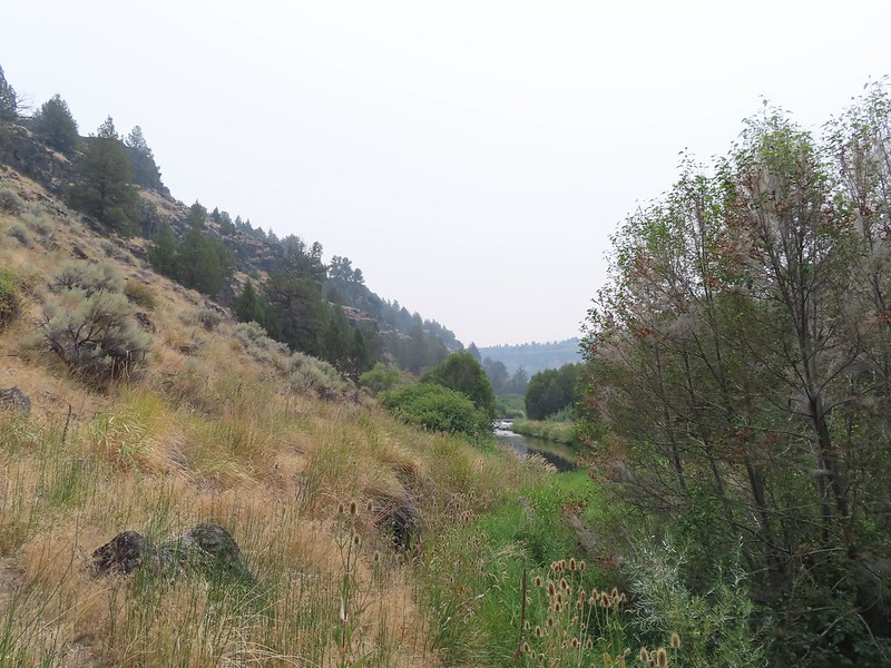
 Beginning to drop down to Big Indian Creek.
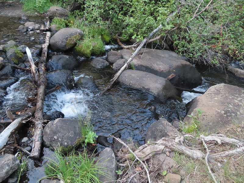
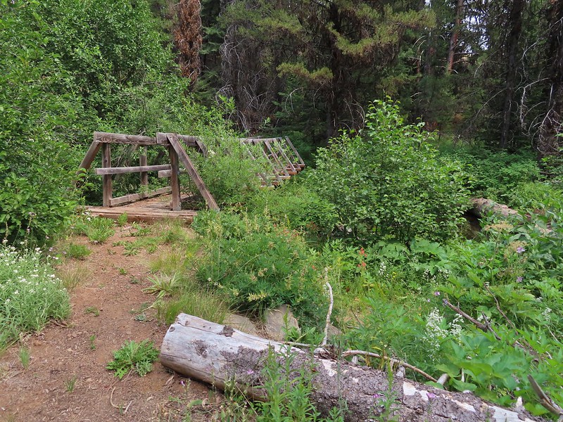
Just under two miles from the current trailhead we arrived at a much older trailhead and a ford of Big Indian Creek.

This was the first of three fords (two of Big Indian Creek and one of Little Indian Creek) which I managed to make dry footed. Heather was not so lucky, which was a change from what normally happens on these types of crossings. The ford of Little Indian Creek followed just 0.2 miles later and proved to be quite a bit easier.

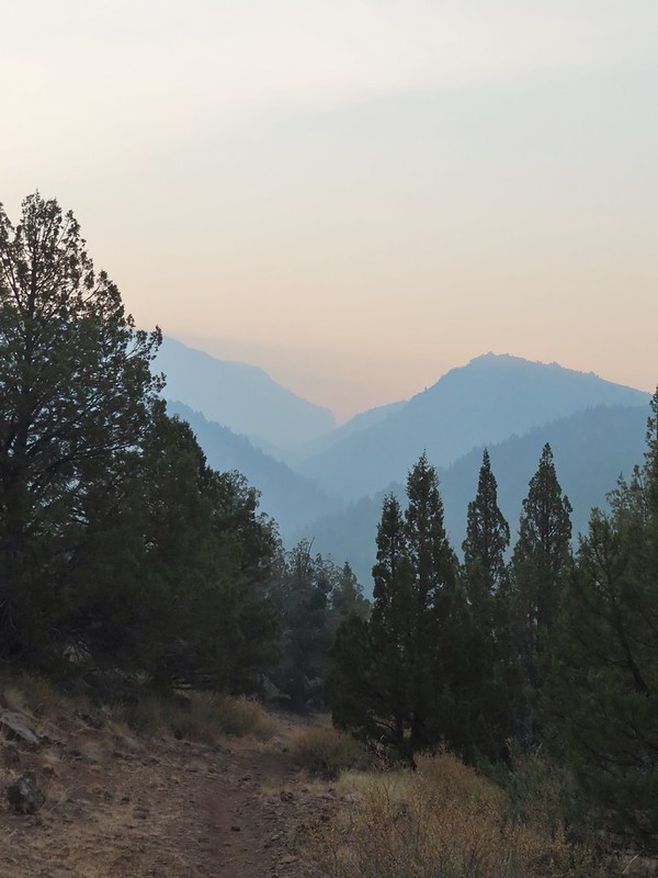
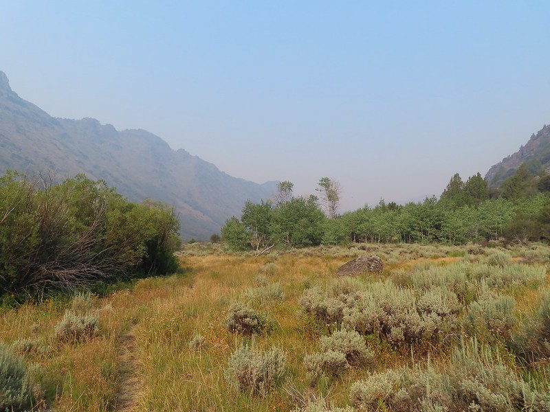
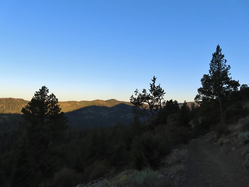
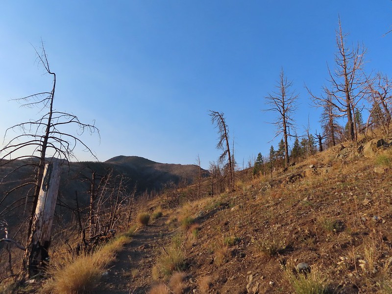
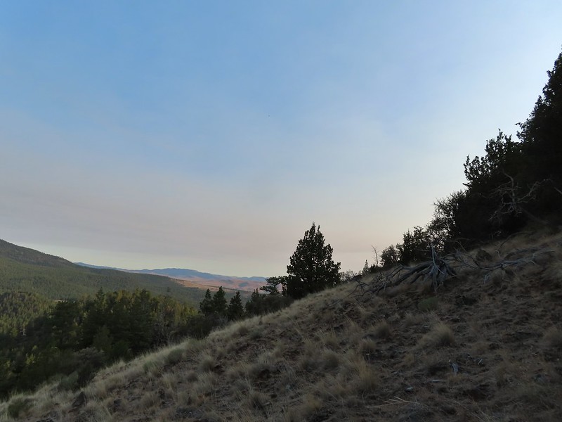
While there was still quite a bit of haze in the sky there was beginning to be some signs that things were improving.

Our goal for the day was to reach Cottonwood Camp, approximately 6.5 mile in, before turning around. Beyond Little Indian Creek the trail climbed a bit passing a collapsed cabin 0.4 miles from the second ford.


Three quarters of a mile from the cabin ruins we arrived at the third ford (3.1 miles from the trailhead). This crossing had enough exposed rocks to also make it across dry footed.
 Quacking aspen along the trail.

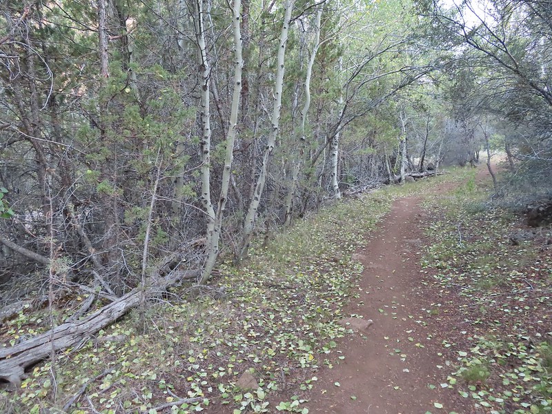
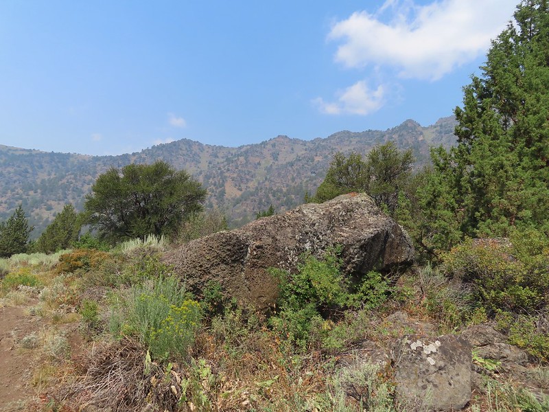
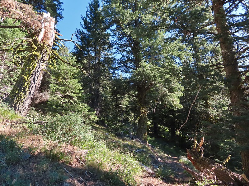
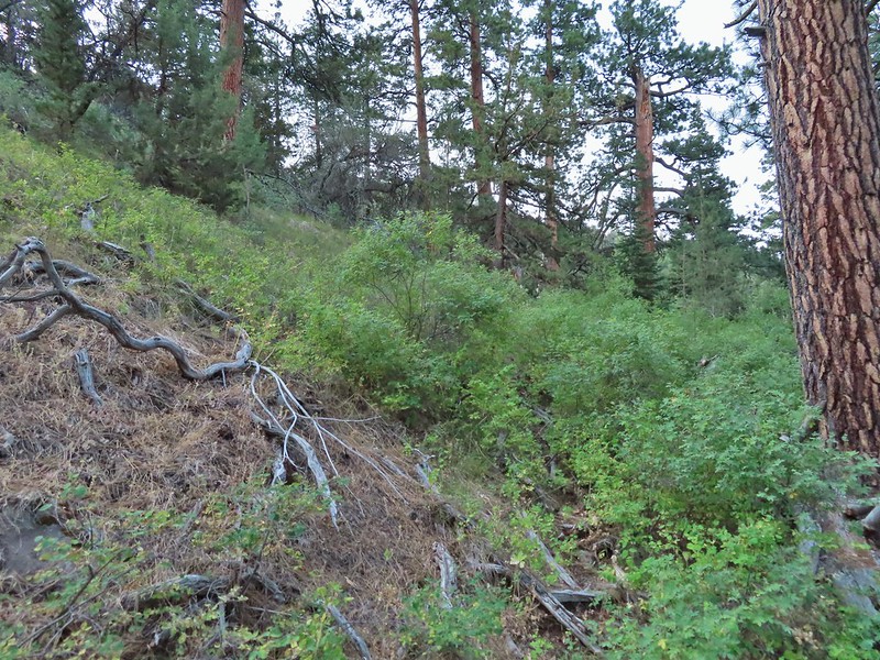
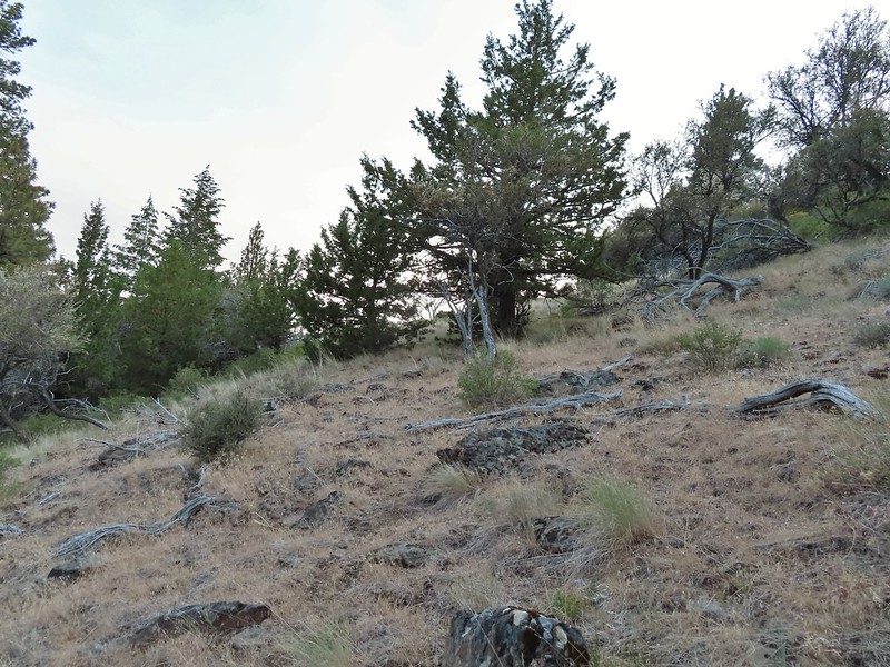
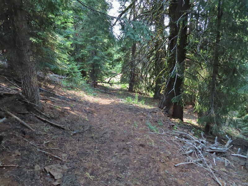
We continued on passing a rather large boulder a mile from the third crossing where we passed a backpacker on his way back to the trailhead. The landscape was a mix of juniper and sagebrush with some quacking aspen and cottonwoods scattered about. Most of the wildflowers here were also far past bloom but a few were hanging on. We did notice that there had been a lot of Brown’s peony plants in the area which we sadly missed blooming.

 One of the many Brown’s peonies along the trail.
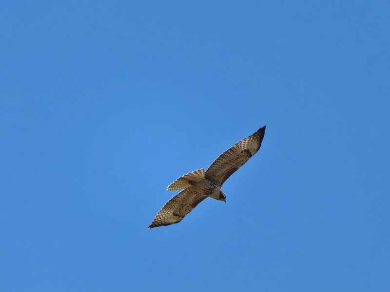
 Hawk atop a cottonwood
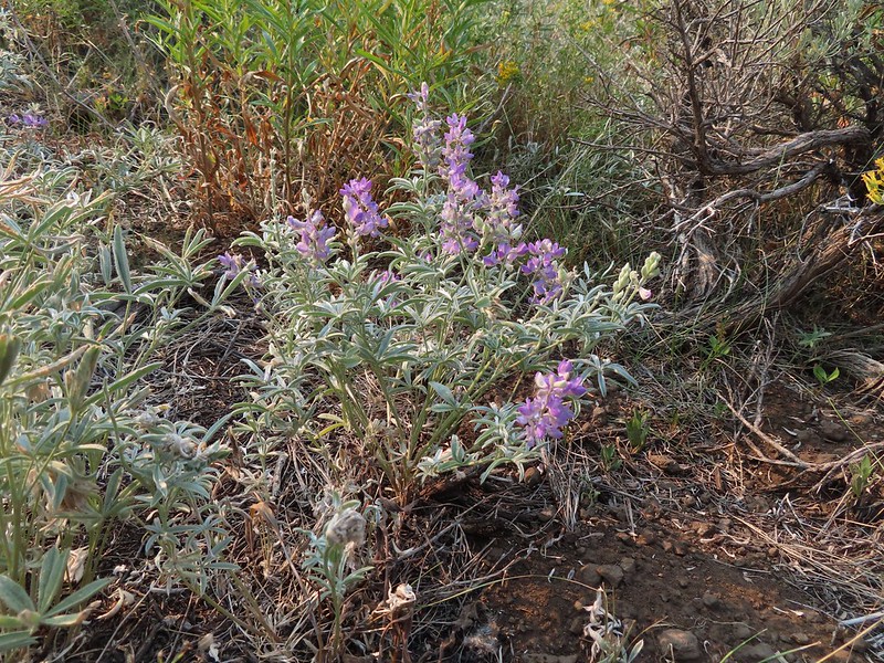
 This counts a lupine in bloom!
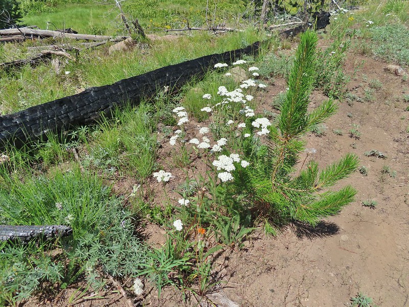
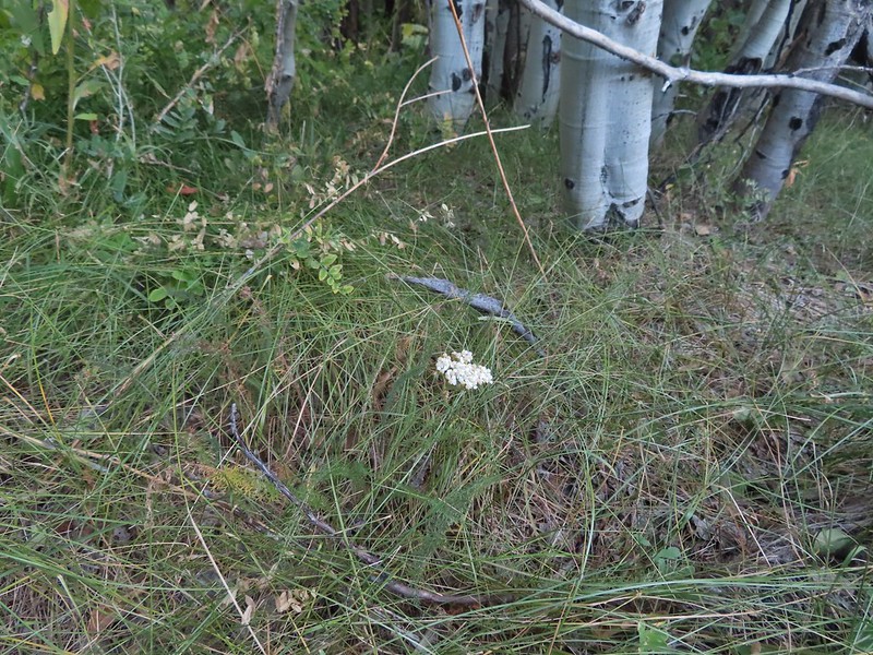 A lone yarrow
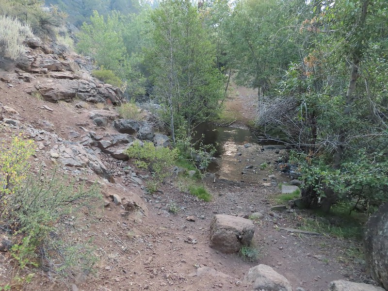
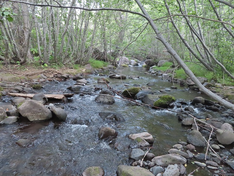
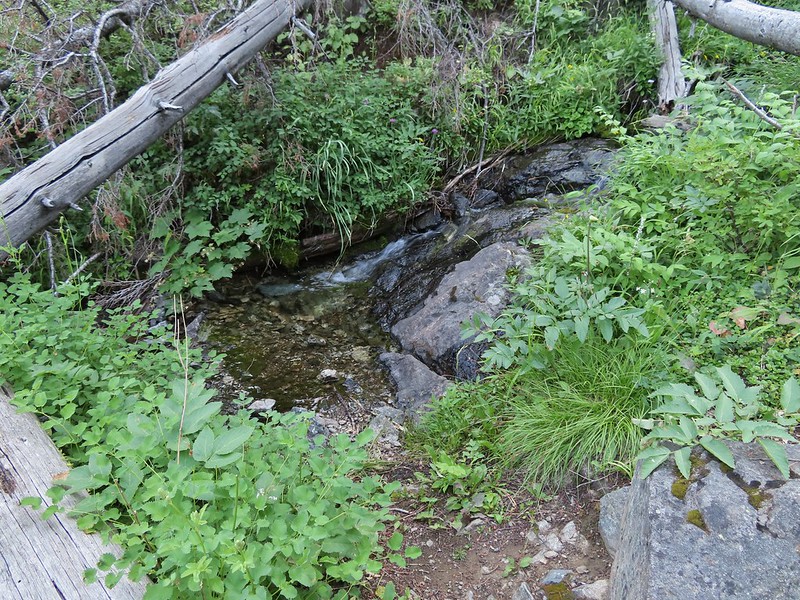
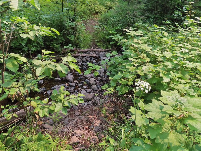
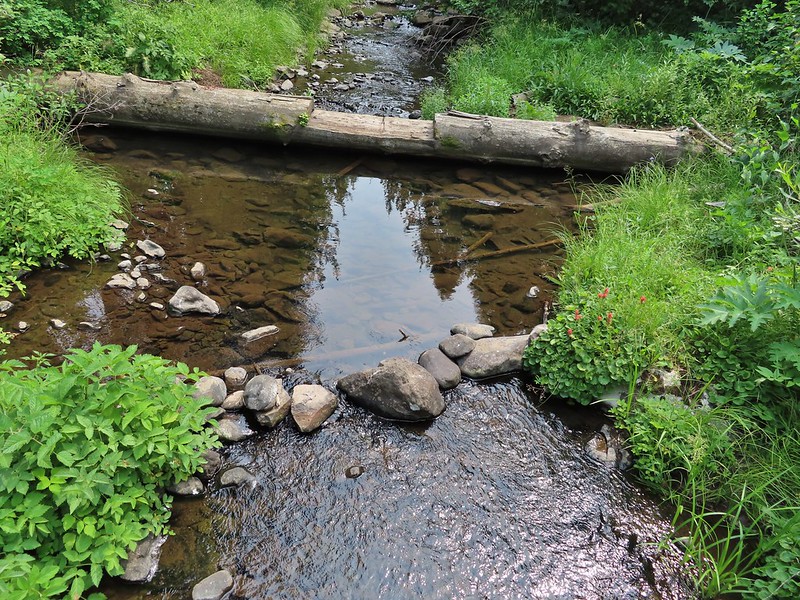
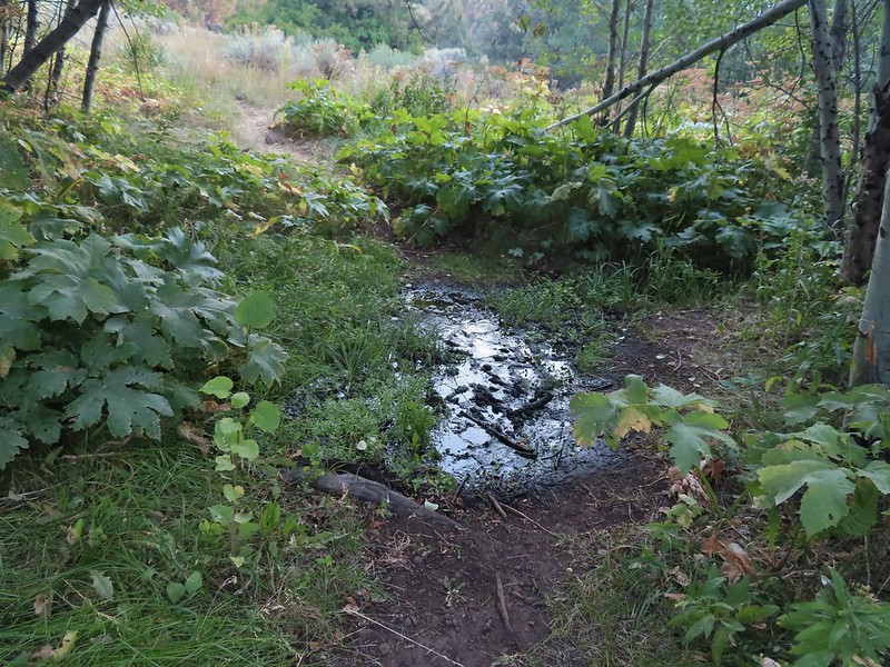 One of a couple of spring fed streams along the trail.
 Aspens and junipers
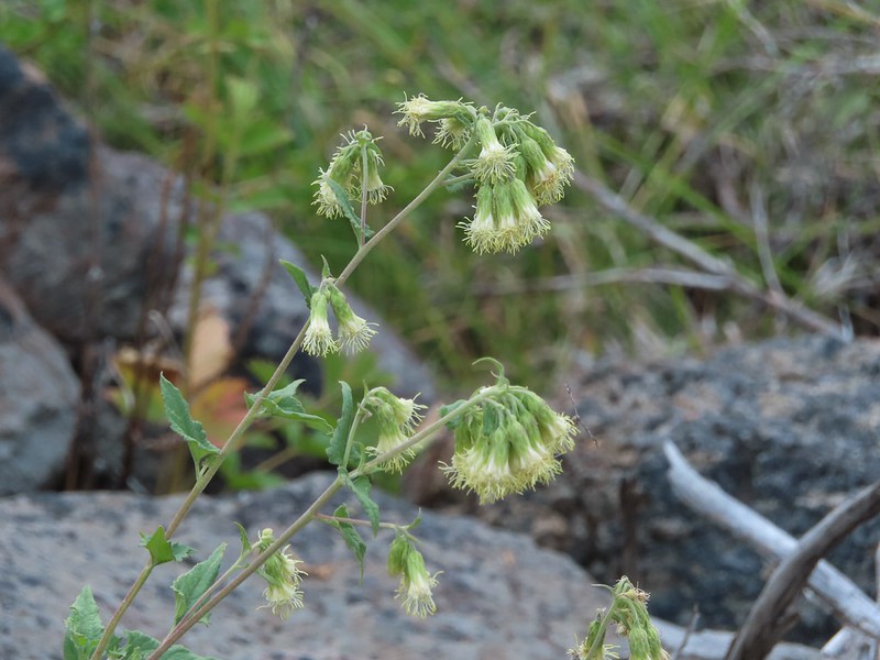 Tassel-flowered Brickellbush
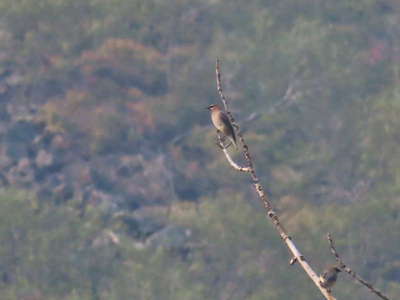 Waxwings
 The large boulder later in the day on our way out.
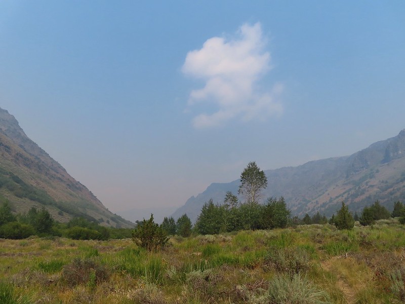
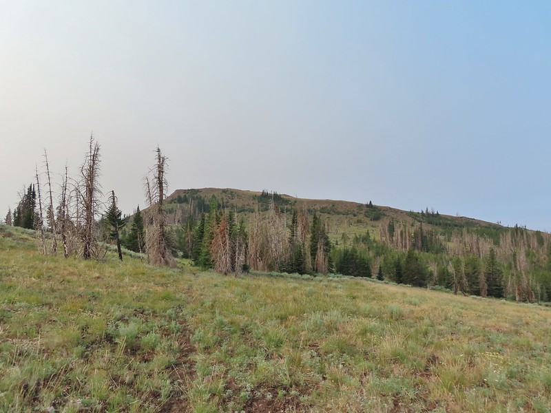
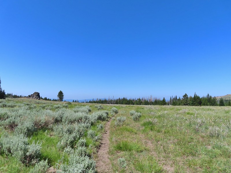
Cottonwood Camp was another 2.4 miles beyond the boulder. It was a very gentle climb through increasingly open terrain to the camp. We were heading toward the Sun which was amplifying the smokey haze ahead of us. We kept thinking we were going to be heading into increasingly thick smoke but that never really materialized.

 One of the other spring fed crossings.
 There were lots of crickets/grasshoppers bouncing about.
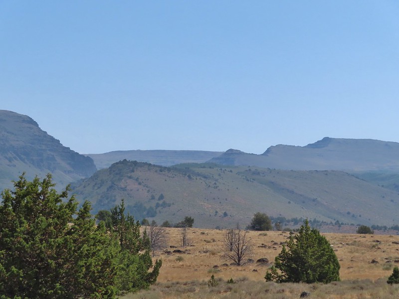
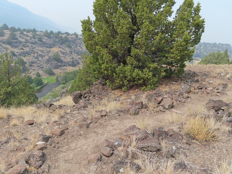
 We could see some of the closer cliffs through the haze.

 We started to see a few more lupine in bloom the further in we hiked.
 What the smoke looked like ahead.
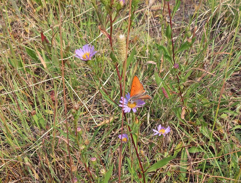
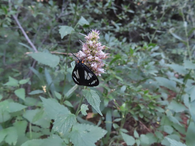
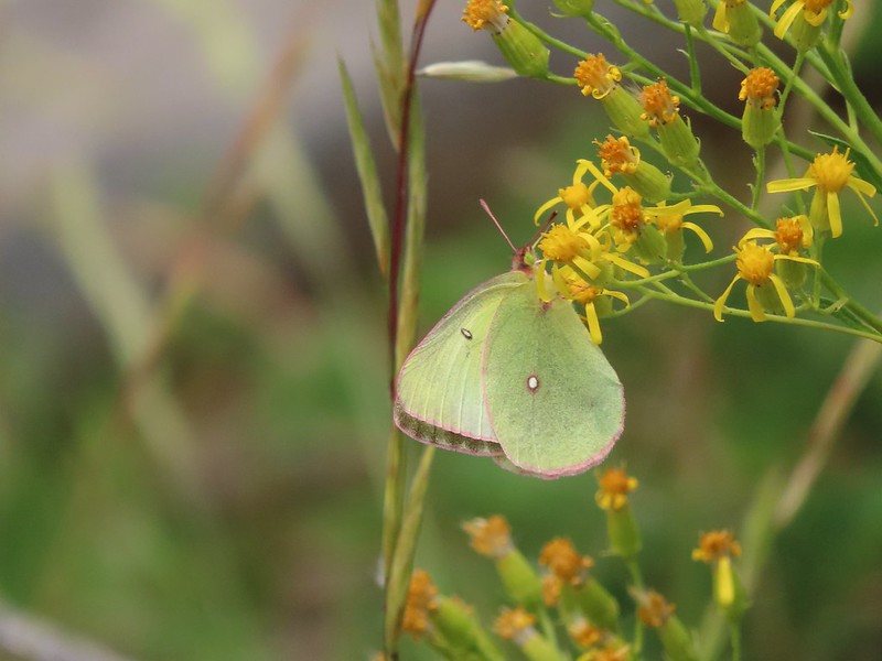
 Lots of butterflies too.
 Salsify
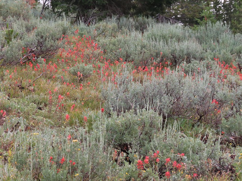
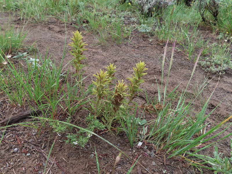
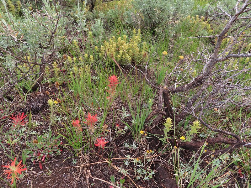
 Paintbrush
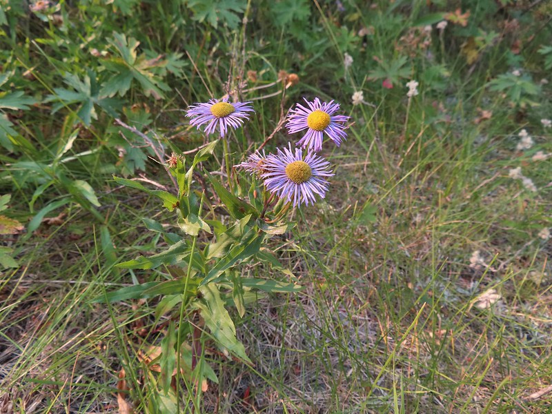 Aster or fleabane
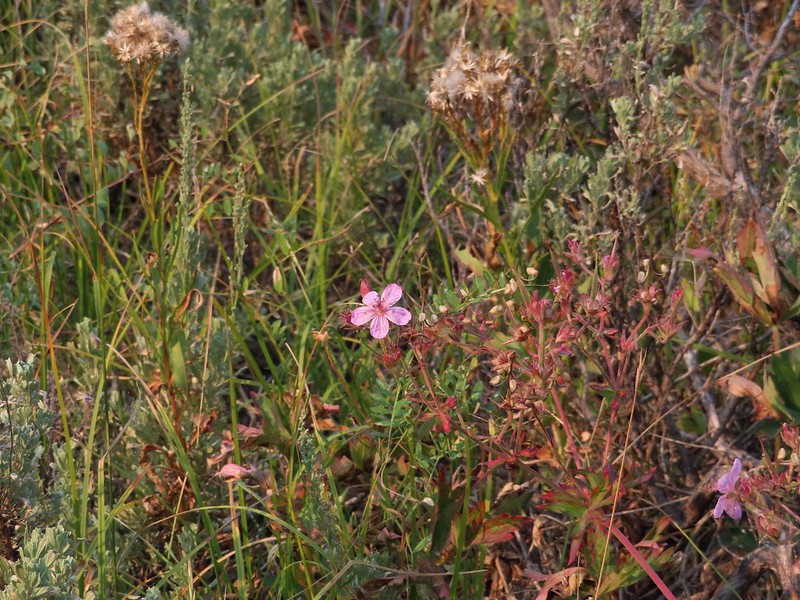 Geranium

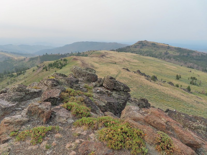
 We couldn’t see very far up the gorge because of the smoke.
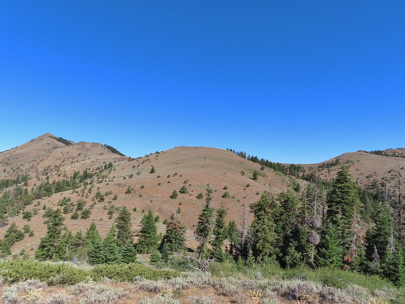
 The view was better behind us.
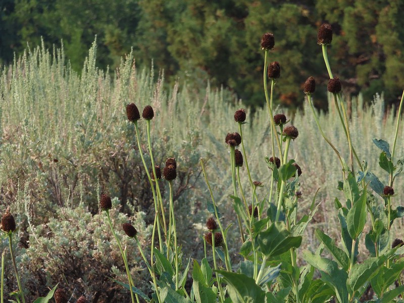 Coneflower
 Hummingbird visiting paintbrush
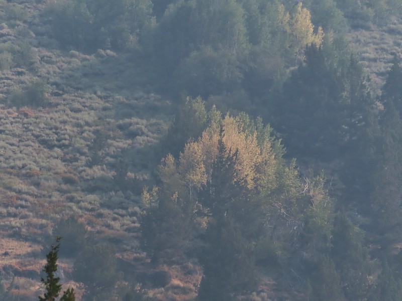 A few aspen already turning golden.
 Cottonwood Camp down to the right.
 Looking up Big Indian Gorge from the trail near Cottonwood Camp.
 Genitian
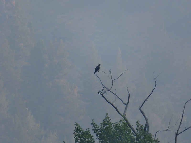
 Raptor
We took a short side trail to the large camp site and took a nice break amid the cottonwoods. It hadn’t gotten too warm yet and as we rested a nice breeze picked up which kept the temperature down and started to push the smoke out.
 Cottonwood Camp
 View across the gorge when we arrived at the camp.
 Big Indian Creek
 A few white clouds started to appear along with the breeze.
 The near wall above Big Indian Creek and Cottonwood Camp.
By the time we started back we could at least make out the headwall and other features further up the gorge through the haze that was left.

The view heading out of the gorge continued to improve as we made our way back to the fords and eventually the trailhead.
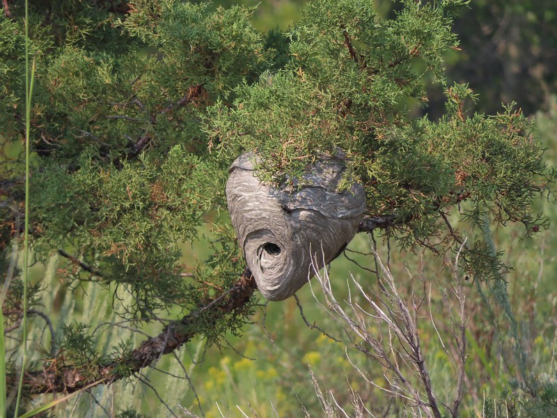 We missed this nest on the first pass. It was about 30 yards off the trail.
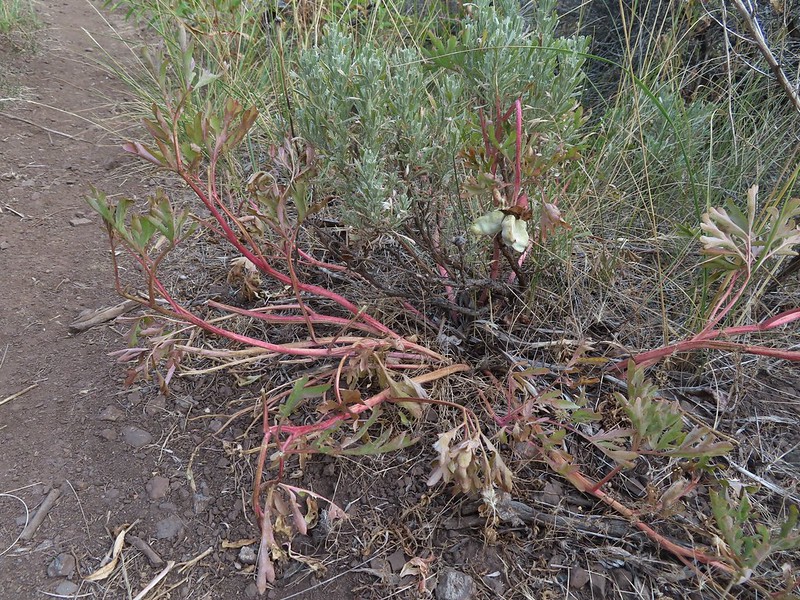
 We also missed this Nuttall’s linanthus blooming along the trial.
 Improving views
 This was a very pretty butterfly that for some reason the camera just didn’t want to focus on.
 Clearer skies above.
 Skipper
 Clouds building up over Steens Mountain
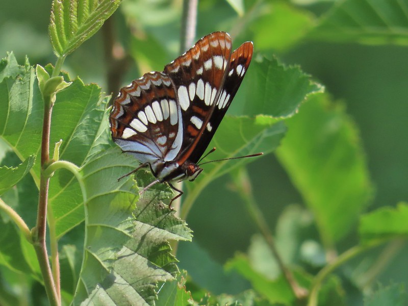
 Lorquin’s admiral
 Ground squirrel
 Some type of wood nymph.
 Back to the first ford, which I again managed to cross dry footed giving me a perfect record for the day which is unheard of.
 A comma of some sort.
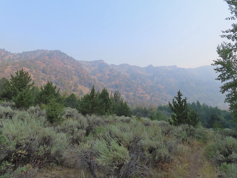
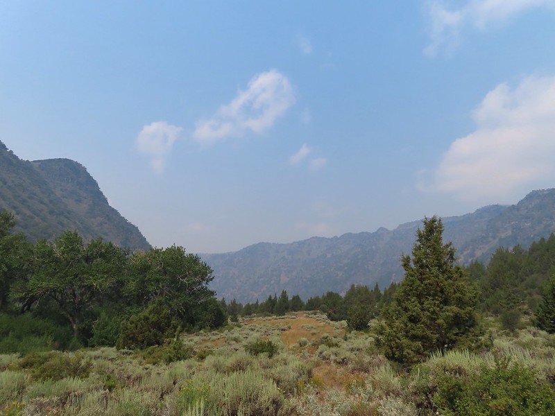
 A vast improvement over the morning.
 Looking back toward the gorge from the old road bed.
 What a difference a few hours can make.
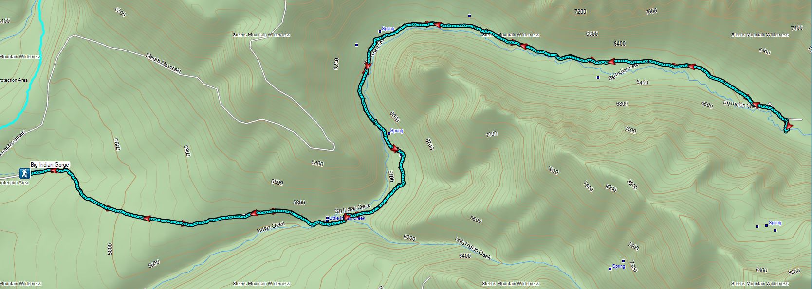
After our hike we drove back to the Steens Mountain Resort where the views had also improved greatly over the previous afternoons. Happy Trails!
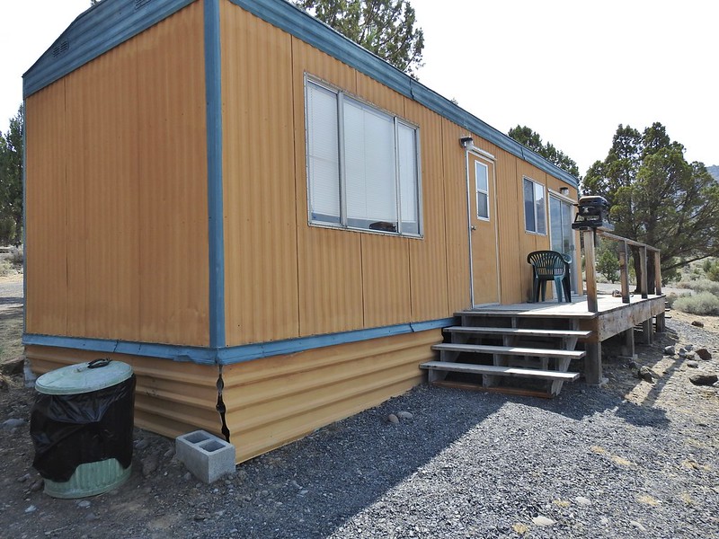 Our accommodations.

Flickr: Big Indian Gorge
 Trailhead sign at the south end of the rest stop. Brochures were located in the small box under the sign.
 Map on the trailhead sign.
 Red Sun through the smoke.

 The Harney Valley to the east.
 This stop was for a juniper that was blown apart by a lightning strike.
 The rest area from the loop.
 The last stop was to discuss the relationship between the junipers and the Idaho fescue that grows underneath.
 Deer in the nearly dry Marshall Pond
 Yellow headed blackbird
 California quail
 Owl
Owl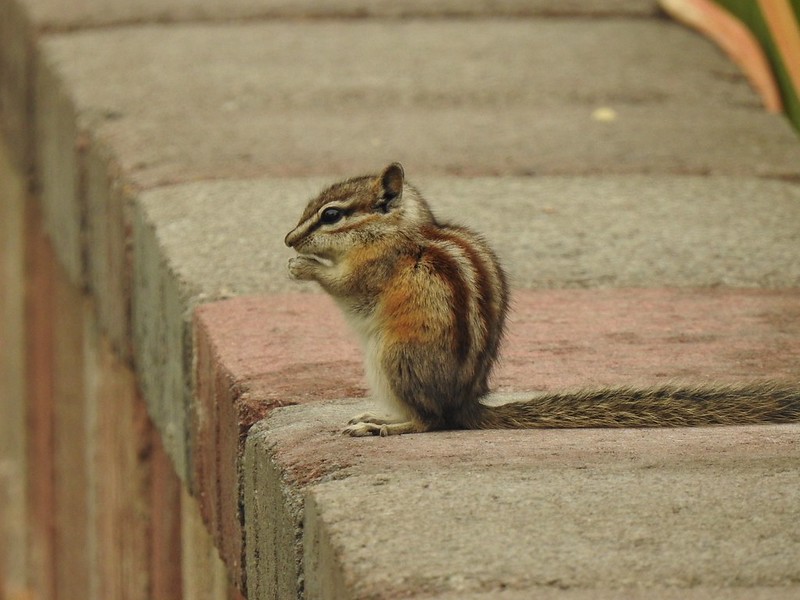 Chipmunk
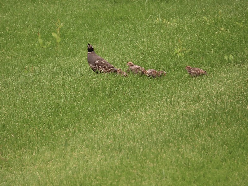 More quail
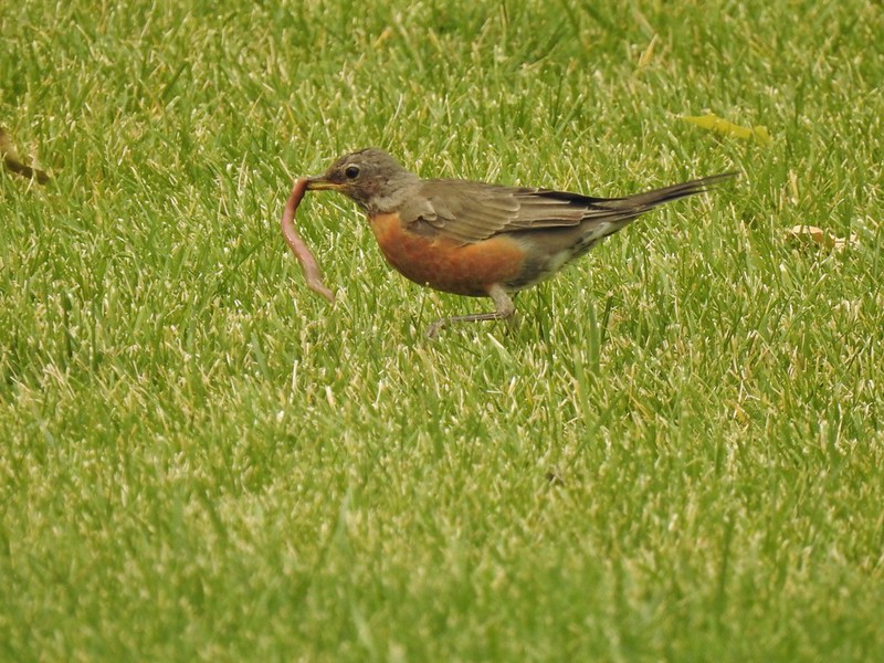 The early bird
 Hummingbird
 Little bird on a feeder
 Shrike
 Hawk and a magpie
 Osprey
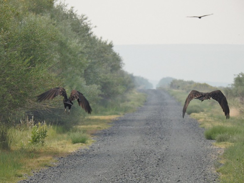 Turkey vultures
 Coyote
 Mourning doves
 Egrets and ducks at Benson Pond
 Old cabin at Benson Pond
 Another owl
 Another turkey vulture
 Grasshopper
 White faced ibis
 Great blue heron amid the ducks.
 A couple types of egrets it appears.
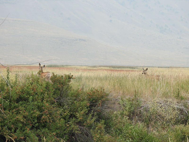 Deer that were in the Blitzen River
 Bounding fawn
 Ducks and coots at Knox Pond


 Bee and a butterfly
 A brushy section.
 A bee and a skipper
 Praying mantis
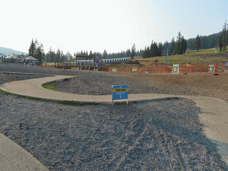
 The “other” trail on the hillside at the 0.7 mile mark.
 A wren?
 Fence crossing
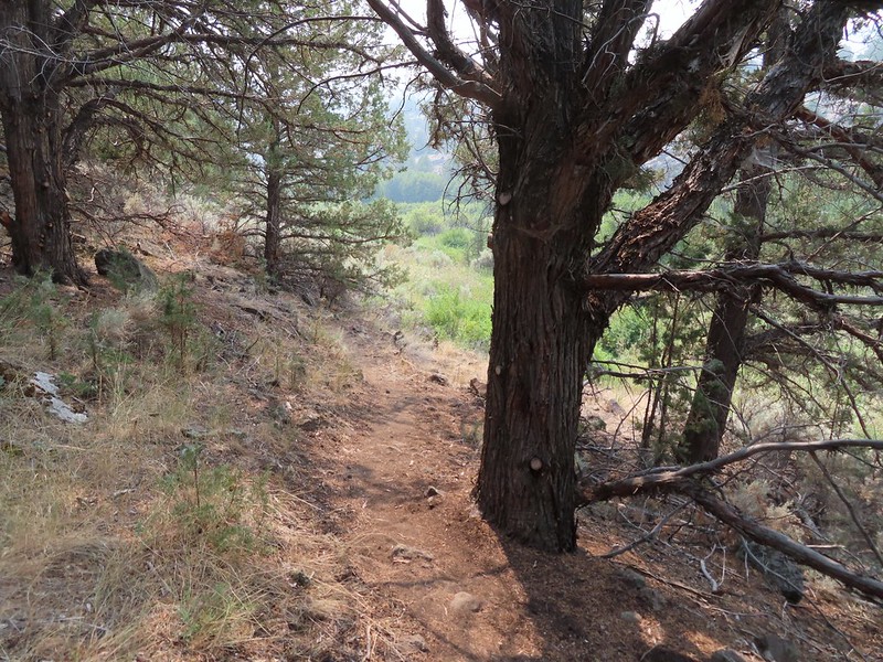 Rejoining the Donner und Blitzen Trail at the 0.4 mile mark.
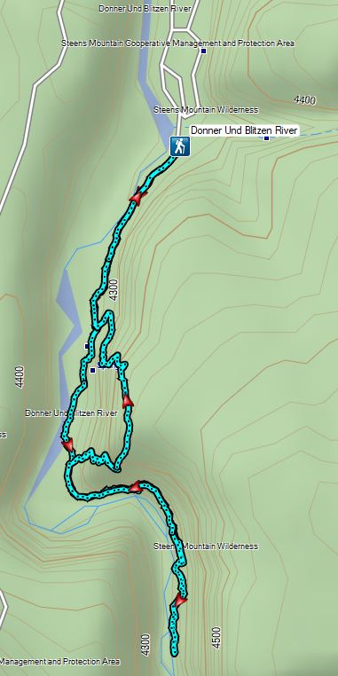


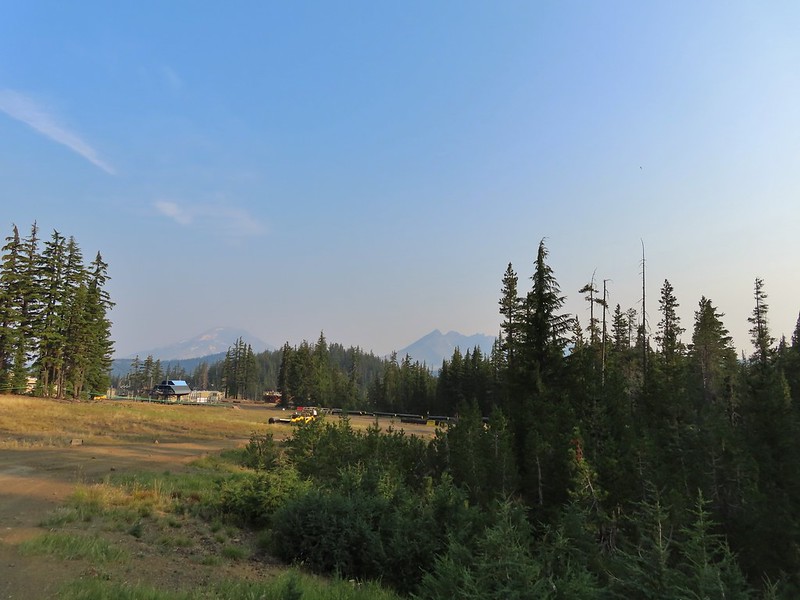 A hazy look at the South Sister and Broken Top.

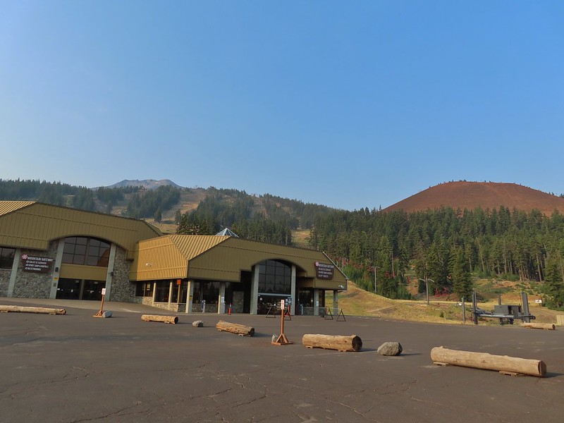
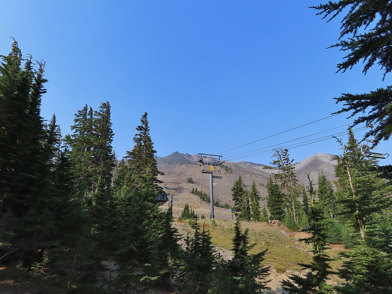
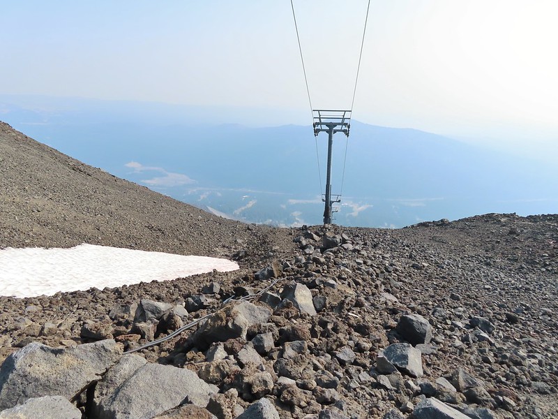
 Passing under the Skyliner Express
 The ski runs gave us a good look at the top of the mountain.
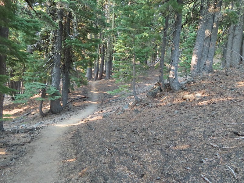

 Turning uphill
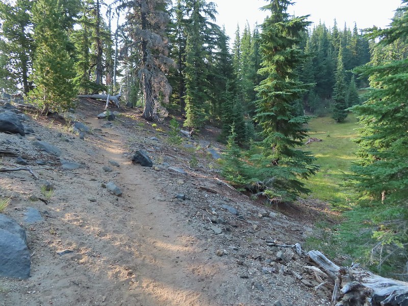 Spotted a grouse hen and her chicks in this little meadow.
 Two of the chicks.
 Passing under the Sunrise lift.
 Nearing the top of the Sunrise lift.
 Another hazy look at the nearby mountains.
 South and Middle Sister through the haze.
 The top of Sunrise and the bottom of the Summit lifts.
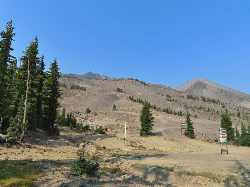 Looking up from the top of Sunrise.
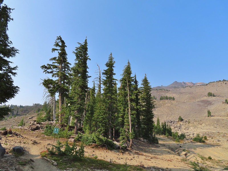


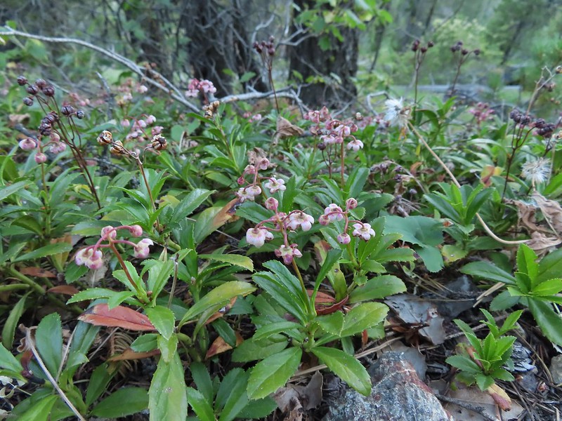
 A few saxifrage blossoms still left.
 Alpine buckwheat and paintbrush
 The first patch of snow we passed.
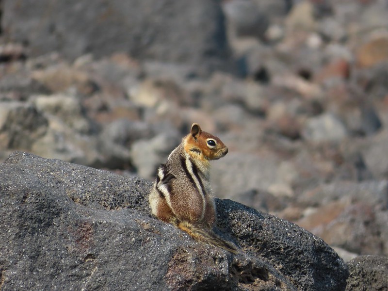 Golden mantled ground squirrel
 Tumalo Mountain (
 Looking down from beneath the Summit Express.
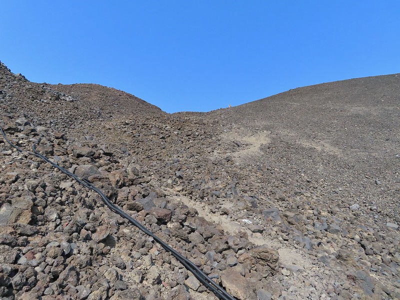 We could really feel the elevation affecting our breathing and by this point we were both sucking wind.
 Dwarf alpinegold
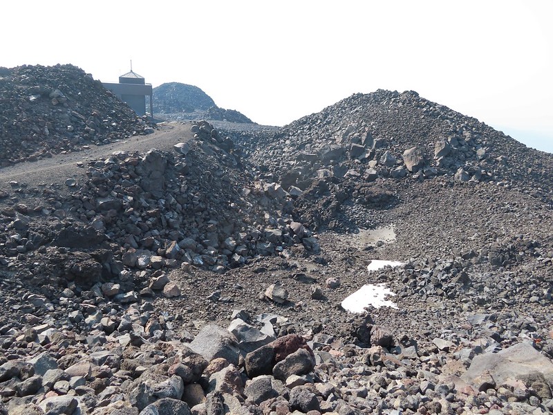 Looking back at the Summit Express.
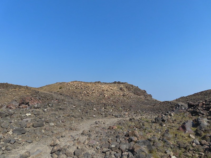 Heading for the high point.
 A mountain bluebird near the summit.
 South Sister and Broken Top with Sparks Lake (

 It’s our rule not to feed the wildlife but it was obvious that many don’t adhere to that LNT principle. I had to put my pack back on to avoid having a hole chewed through my pocket.
 View of the summit.
 Broken Top, the Pine Marten Lodge halfway up the mountain, the West Village Lodge and parking area below and Tumalo Mountain across the Cascade Lakes Highway.

 A little better view of Broken Top and Tumalo Mountain on the way down.
 Clark’s nutcracker

 Left leads up to the Pine Marten Lodge atop the Pine Marten Express, right to the West Village Lodge.
 A decent look at Tumalo Mountain
 Warning sign for a bike crossing.
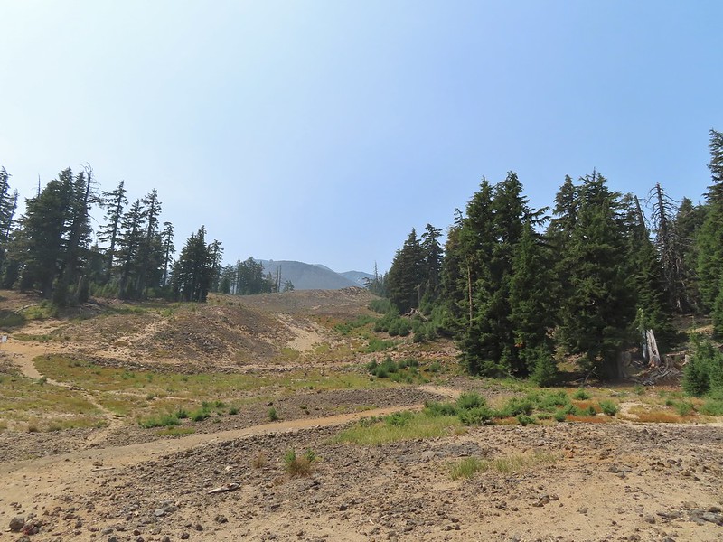 A look at some of the mountain bike trails and some haze moving in overhead.
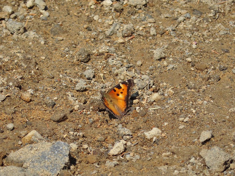 A tortoiseshell butterfly on the road.

 At least we could see the mountains a little better from here.


 Unnamed lakelet/pond between Pika and Fir Lakes.
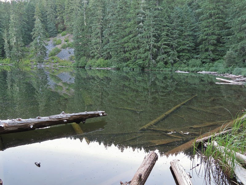
 Fir Lake
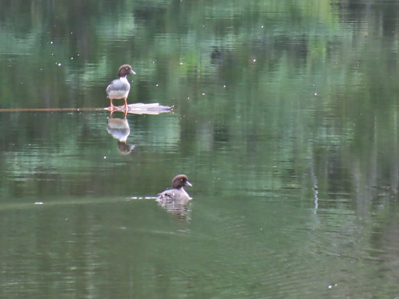 Goldeneyes
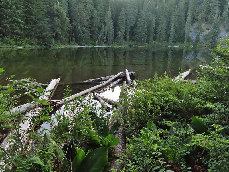


 A lone interpretive sign near the beginning of the trail.
 The saddle
 Fields Peak from the saddle.
 Heather arriving at the saddle.
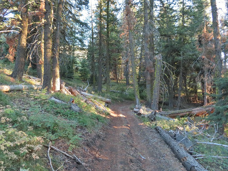 A rare level section.
 Scarlet gilia in the middle of the OHV track.
 Nearing the trail junction.
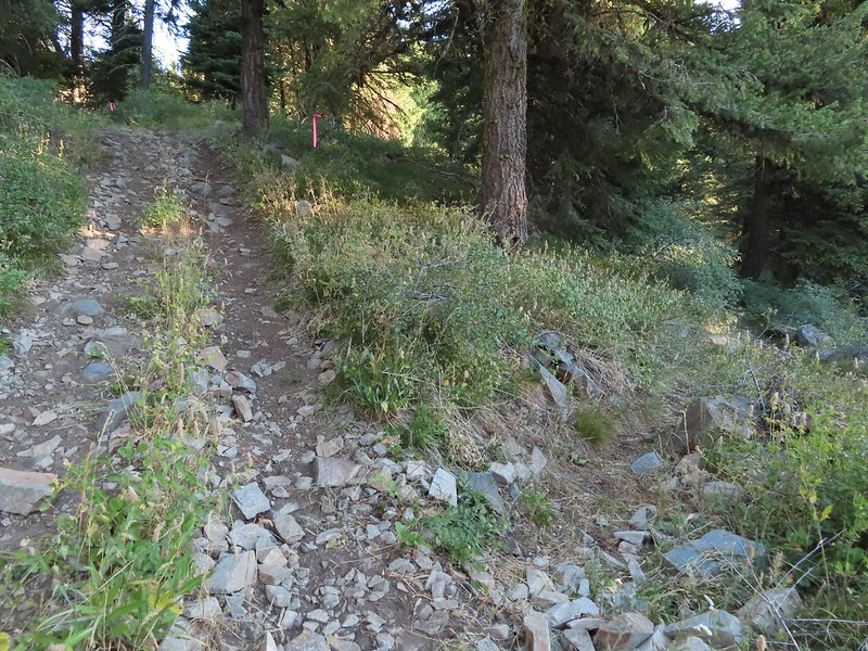 The McClellan Mountain Trail to the right.
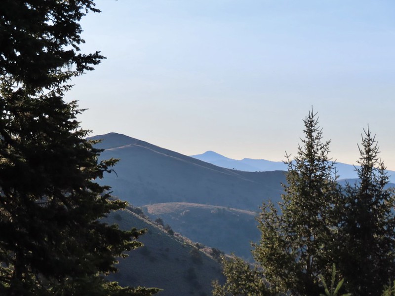 A peak east to McClellan Mountain and the more distant Strawberry Mountain (
 We saw a number of these moths sleeping on the hyssop.
 Hyssop and sunflowers
 Paintbrush
 Looking up Fields Peak.
 Mountain coyote mint
 Shadow of Fields Peak
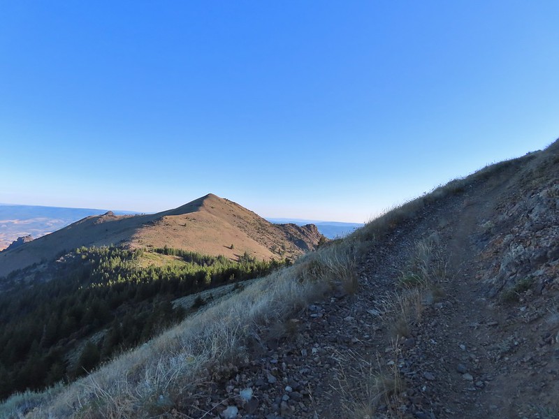
 Buckwheat
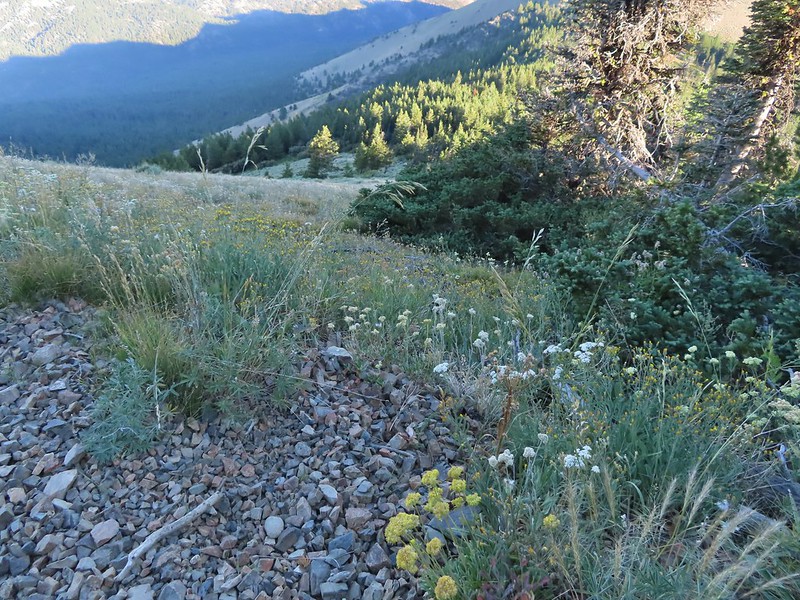
 A few trees near the top.
 Final steep pitch to the summit.
 View west, Aldrich Mountain is the high point to the near right.
 View north
 McClellan Mountain and the Strawberry Mountain Range to the east.
 Logan Valley to the SE.
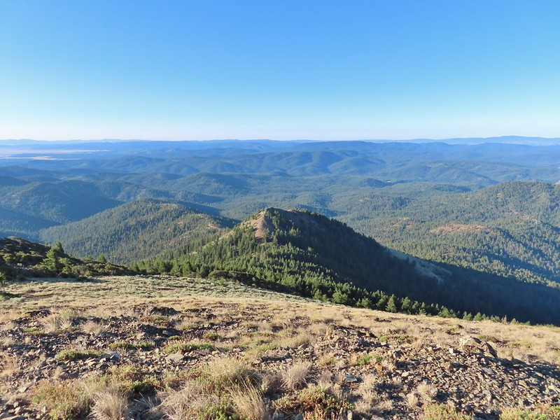 The view south.

 More moths
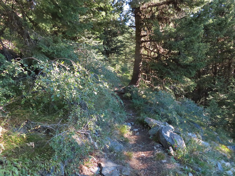
 Hillside above the trail.
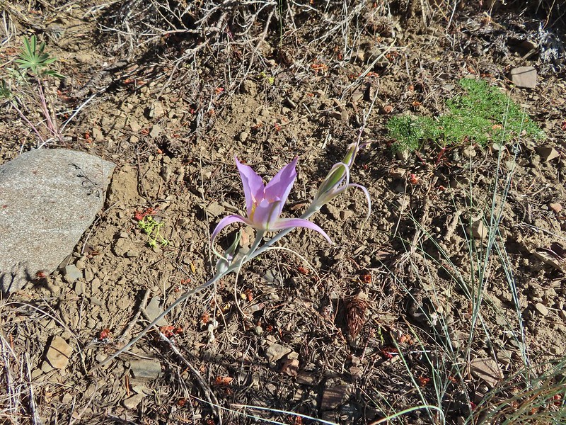 Sagebrush mariposa lily
 Approaching the saddle where we would cross the the north side of the hill ahead.
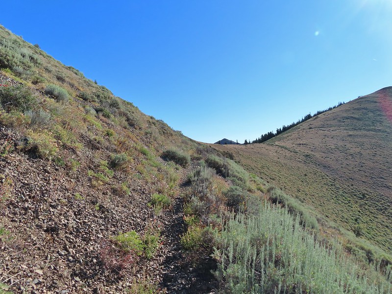 The first saddle with Moon Mountain behind.
 Looking back along the trail.
 Looking back from the saddle.
 The north side had a few more trees.
 Looking back toward Fields Peak
 We passed through a rocky section near the second saddle.
 McClellan Mountain from the second saddle.
 Approaching the third saddle.
 Moon Mountain
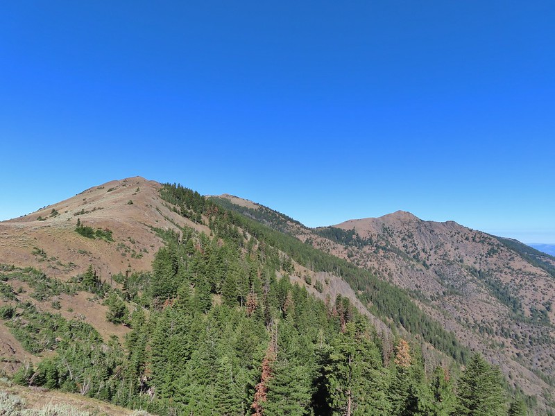 Fields Peak (center).
 McClellan Mountain as we approached the fourth saddle.
 Looking back you can sort of make out the trail angling down the near hillside.
 Looking up McClellan Mountain.
 In the middle of the center hill to the left of the tree in the foreground is the line of what turned out to be 5 bull elk.
 Blurry due to the elk moving and the deep zoom.
 Four of the bulls stopped to look back at us.
 The fifth and largest bull on top of the ridge waiting for the rest.
 An old fence line on the hill.
 Fields Peak on the left, an unnamed peak in the center and Moon Mountain on the right.
 False summit (there’s always at least one). After some debate we went to the left of the rock outcrop which worked out well.
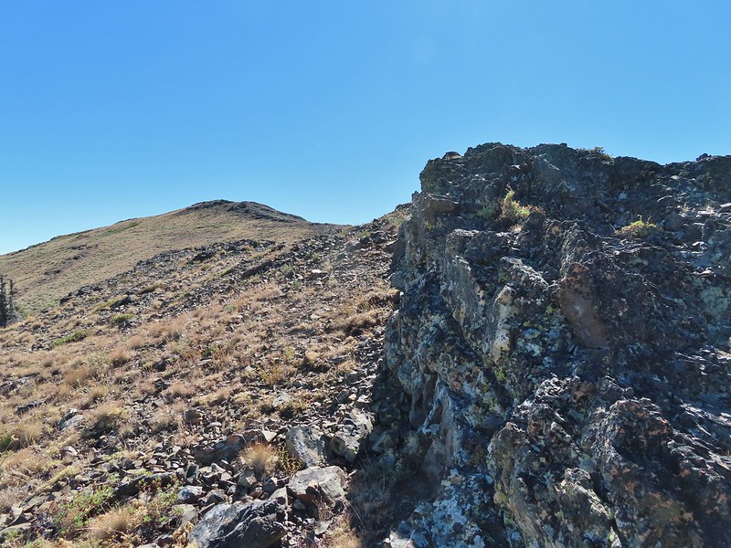 Passing the rock outcrop.
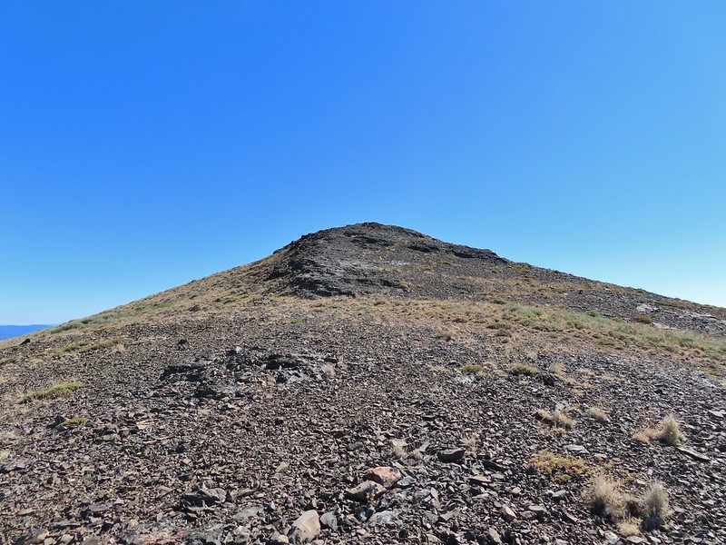 Almost there.
 The Greenhorn Mountains, Elkhorns, Dixie Butte and the Strawberry Mountains from left to right in the distance.
 Looking back at Fields Peak
 The John Day River Valley.
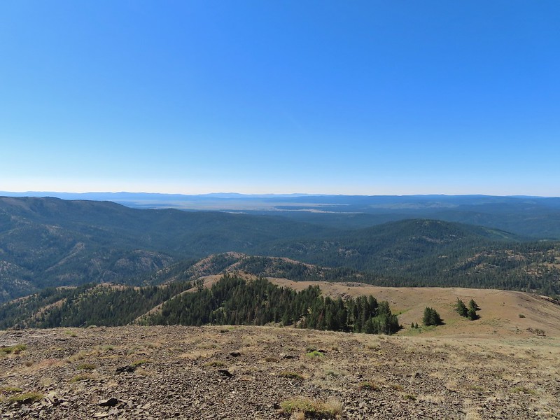 Logan Valley
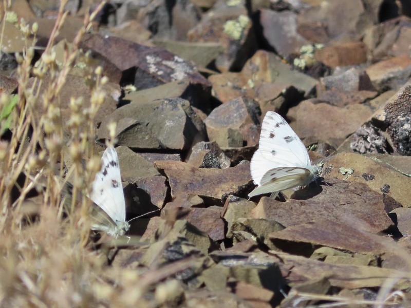 Company at the summit.
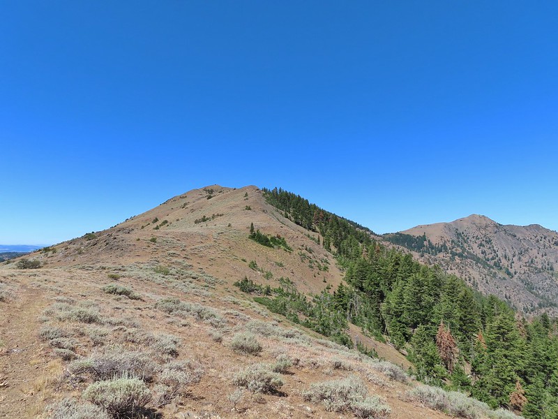 Passing back through Phlox Saddle.
 A better look at the rocky section of trail.
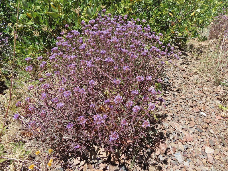 Mountain coyote mint, one of only a couple with this coloration on the stems.
 Butterfly and a beetle.
 Sagebrush mariposa lily
 Ruffed grouse
 A final look at McClellan Mountain.
 I had started up to the left at the saddle but it was steep with gullies and some debris so we carefully turned around and parked below.
 Little Canyon Mountain from the saddle. A wildfire burned the area in 2015 and the trail up to Dog Creek.
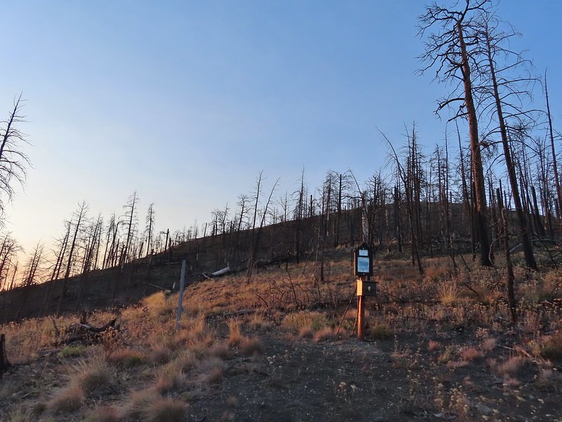 The actual trailhead.
 Little Pine Creek flowed down this valley below Canyon Mountain.
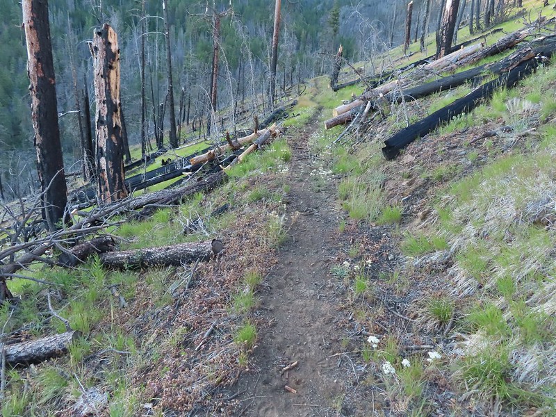 Yarrow along the trail.
 Fireweed
 Paintbrush
 Paintbrush and pearly everlasting
 Raspberries
 We don’t recall seeing a penstemon with leaves like this before.
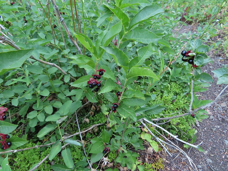 Twinberry (we did NOT sample)
 Sitka burnett (white)
 Little Pine Creek at the crossing.
 Prince’s pine
 Mountain death camas
 Fringed grass of parnassus
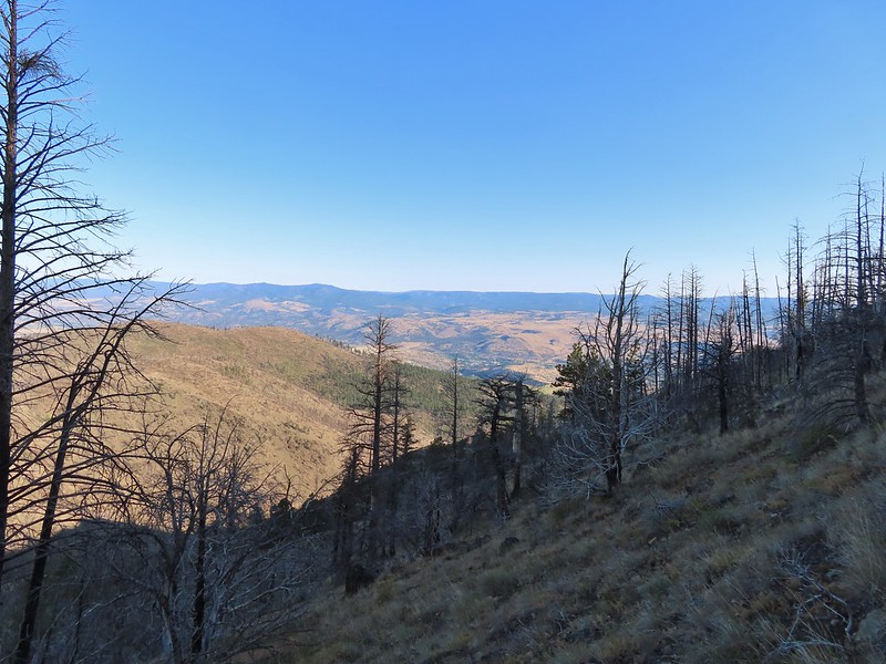
 John Day below.
 Little Canyon Mountain behind the ridge we’d come around earlier.
 The Aldrich Mountains to the west, our destination for the next day’s hike.
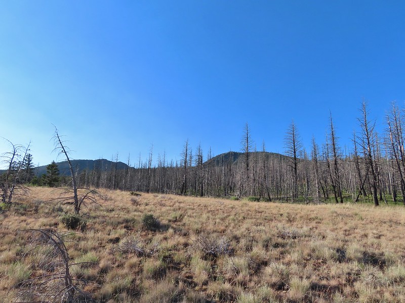 Canyon Mountain
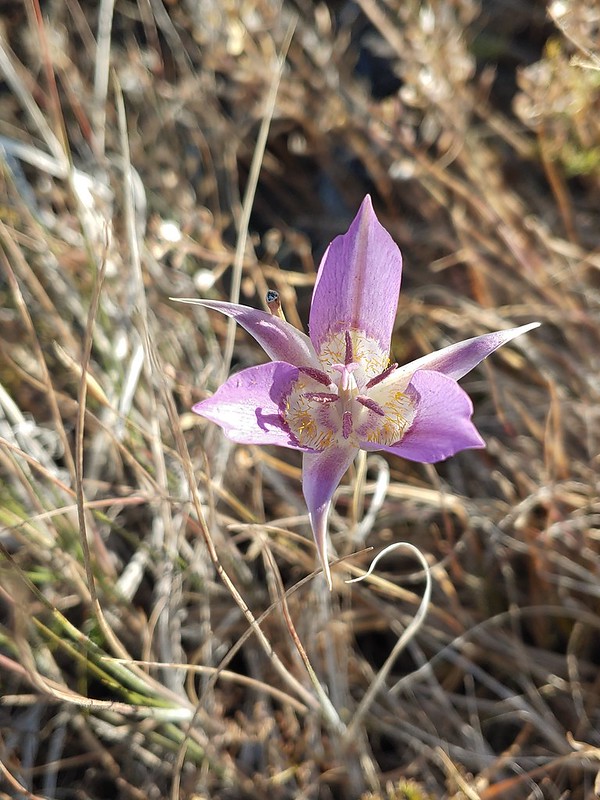 One of the sagebrush mariposa lilies.
 Dixie Butte and the Greenhorn Mountains to the NE
 Columbine
 Swamp onion
 Flowers at Dog Creek
 Twinflower
 There was a lot of elk sign along this section of the trail.
 A lot of sign.
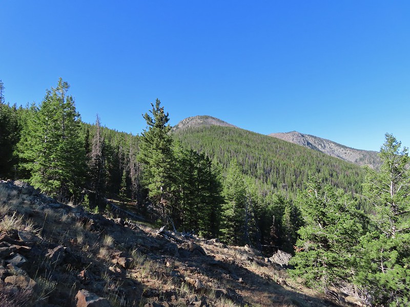 Looking back toward Canyon Mountain.
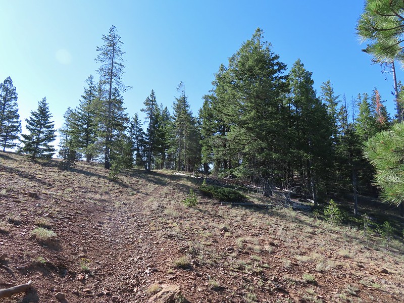 The trail crossed over the ridge in a saddle with quite a bit of mountain coyote mint.
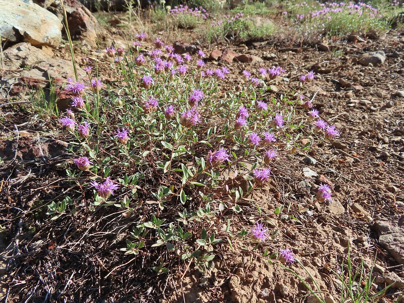 Mountain coyote mint
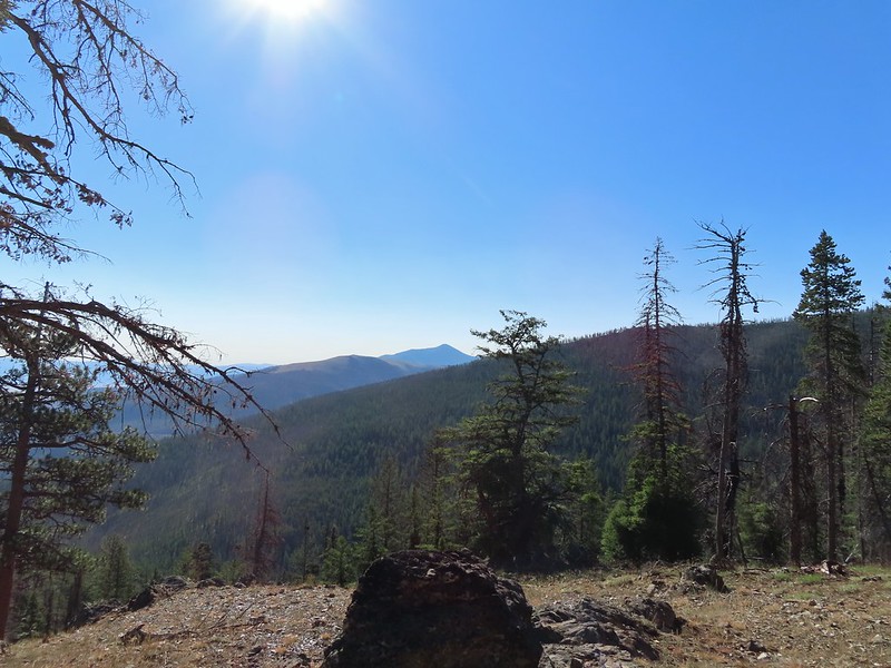 Strawberry Mountain (
 Heading toward Dean Creek now.
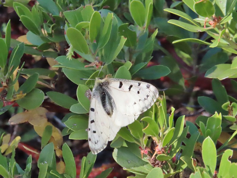
 Green Mountain on the left and Canyon Mountain on the right.
 A smaller raptor, it wouldn’t look at us so I’m not sure what type it was.
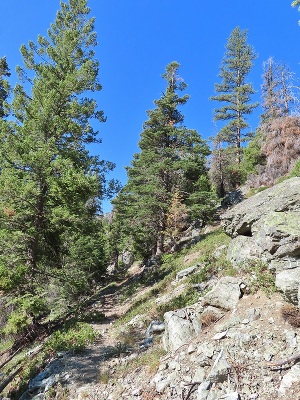
 Butterflies on western snakeroot. Side note we didn’t see a single snake or lizard all week which was really surprising to us.
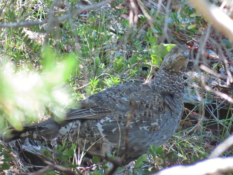 We did however see quite a few grouse.
 The trail got a little brushy nearing Dean Creek.
 There wasn’t much water in Dean Creek but there was enough for a small cascade.
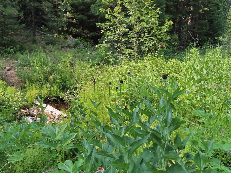
 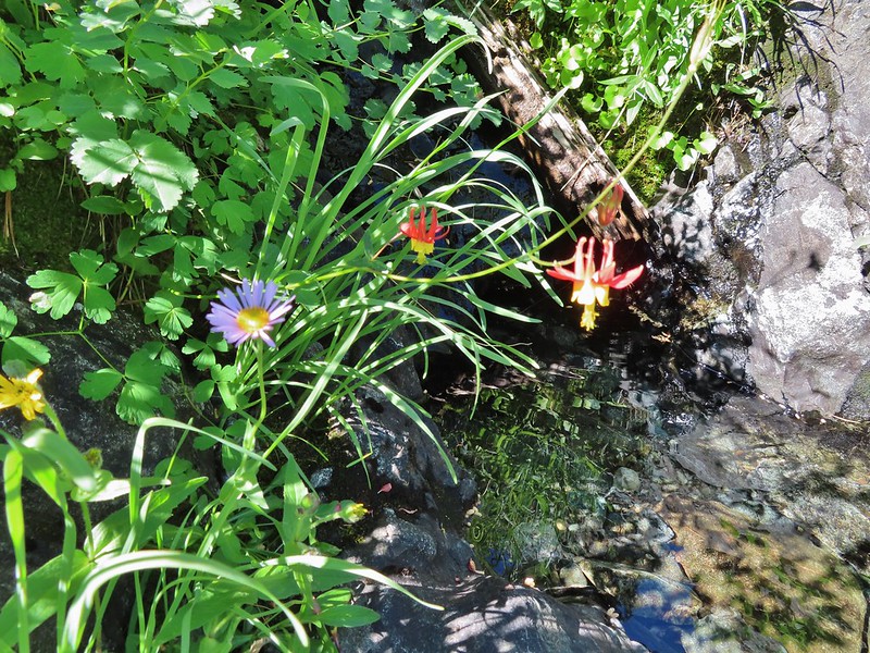 Wildflowers next to a small pool.
 Dean Creek
 Butterfly near the pool.
 Canyon Mountain
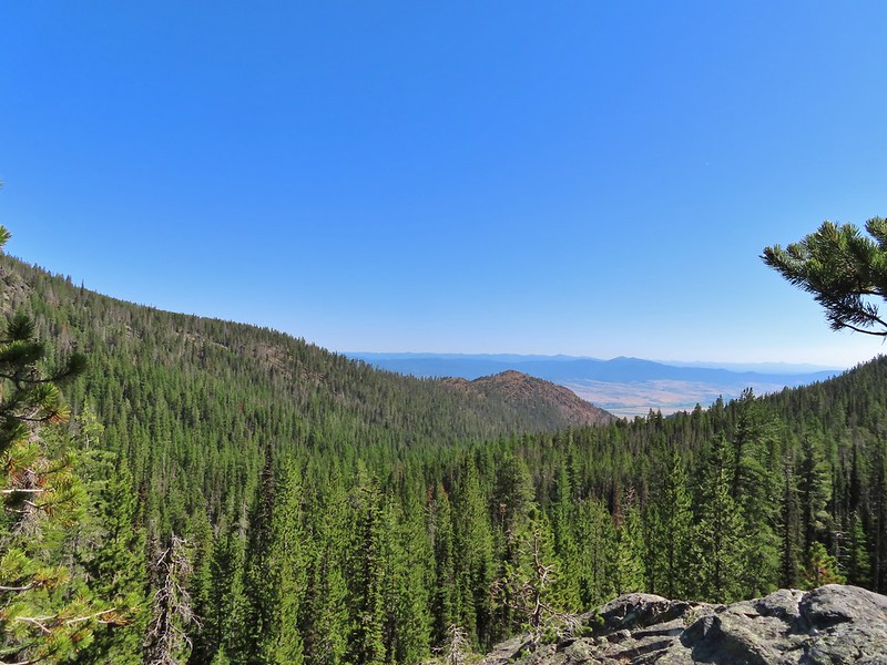 Dixie Butte with the Greenhorns on the left and the Elkhorns (
 Cones
Cones Lousewort
 Pearly everlasting, yellow flowers, and fireweed.
 An eagle?
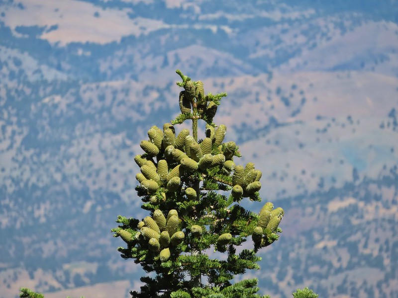 More cones
 Dragon fly
 A sulphur butterfly
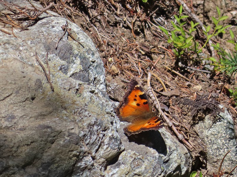 California tortoiseshell
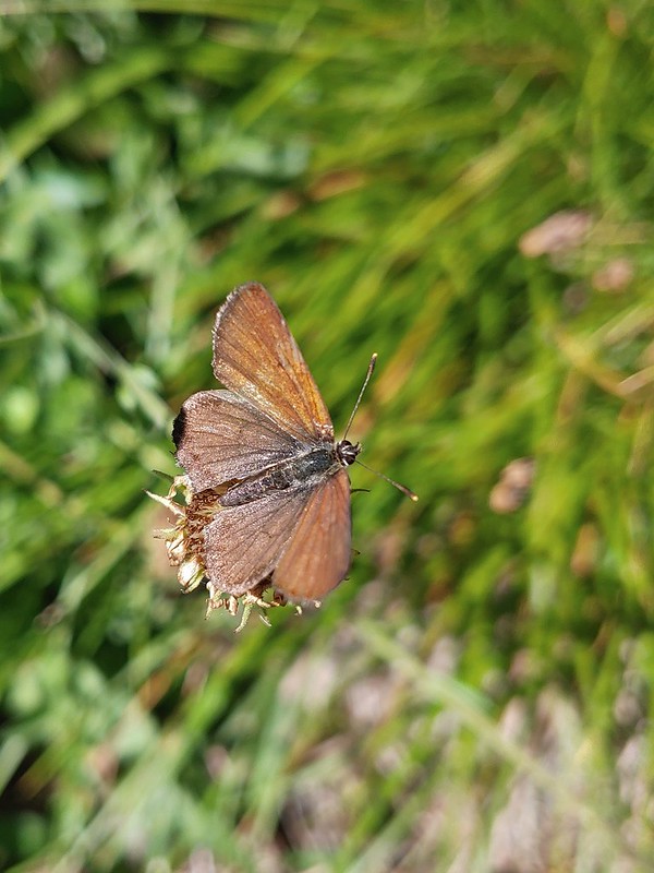
 Grouse
 Maiden fly
 Skipper
 Woodpecker
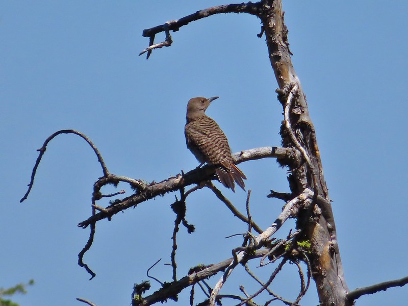 Northern flicker
 Mountain bluebird
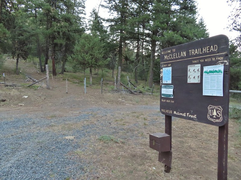
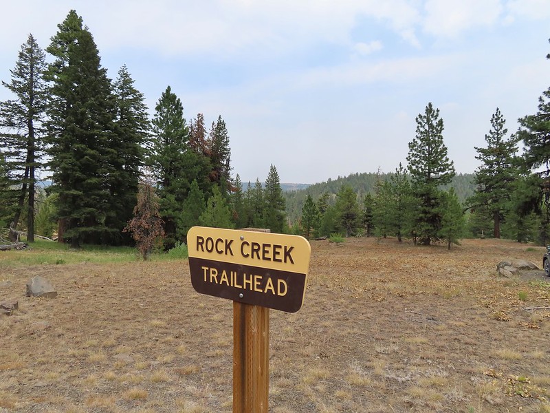
 The trailhead is at this hairpin curve below Table Rock. The road continues another 0.8 miles to the staffed Table Rock Lookout but reportedly worsens which is hard to imagine is possible.
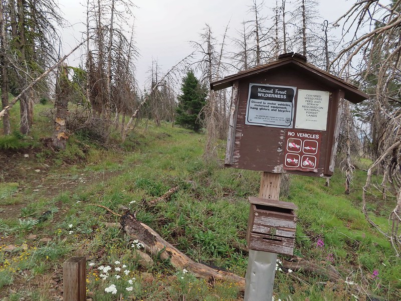
 First time seeing a wilderness sign quite like this.
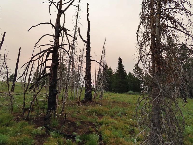
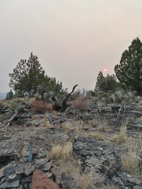
 A red Sun behind the smoke, presumably mostly from the 400,000 plus acre Bootleg Fire east of Klamath Falls in south central Oregon.
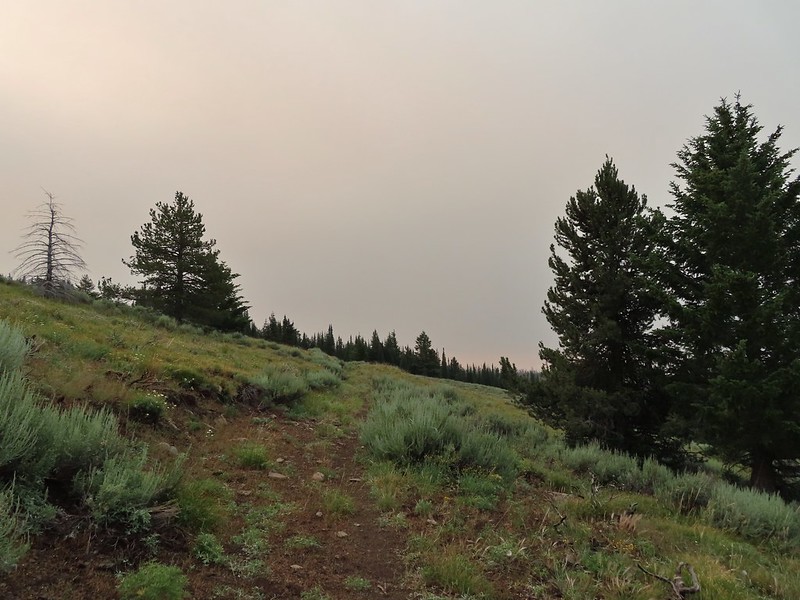
 Clark’s nutcracker
 Monument Rock in the distance.
 Paintbrush in the sagebrush.
 Ground squirrel
 There was a fair amount of this green paintbrush too.
 We believe this post (not the 1.7 mile post) marked a side trail to Rock Spring but we didn’t see any tread in the area to know for sure.
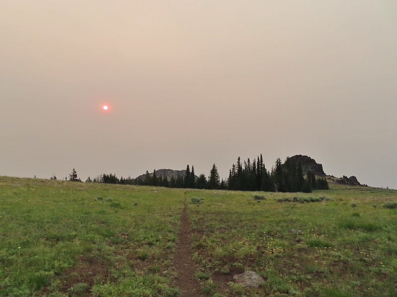 Bullrun Rock dead ahead.
 Table Rock in the distance.
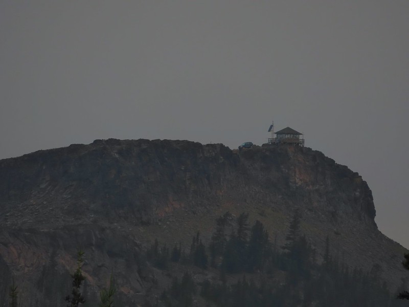 The Table Rock Lookout.
 Two kinds of paint.
 Bullrun Rock below the Sun.
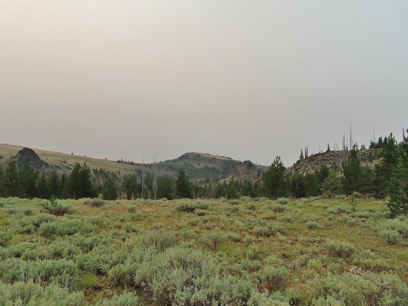 Monument Rock again.
 Old man’s whiskers
 A checkermallow
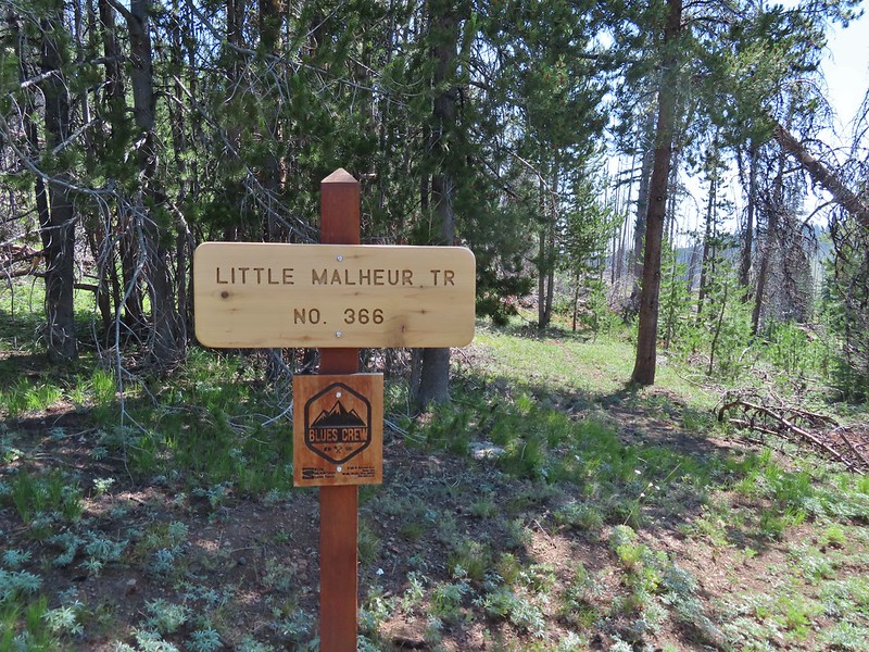
 We passed this sign for the Amelia Trail along the way but again didn’t see any trace of tread for it.
 Grazing cattle near the post.
 The post with Monument Rock in the background.
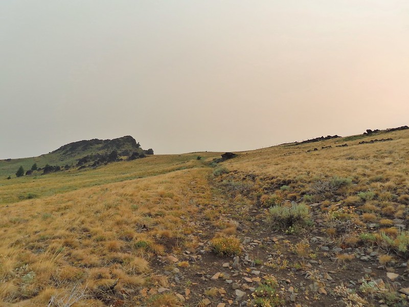

 I believe that is Ironside Mountain.
 The jeep track and Monument Rock.
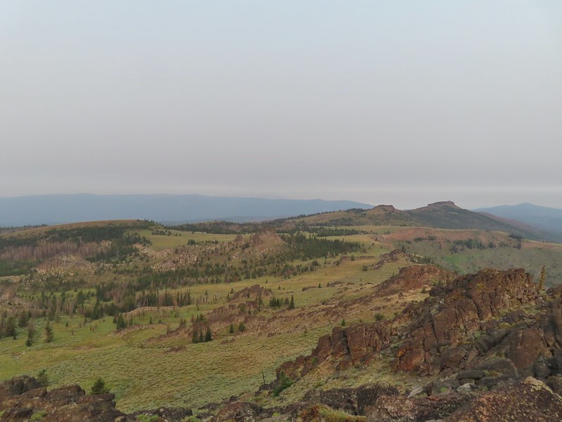 Table Rock
 Looking down into the Monument Rock Wilderness
 Woodpecker
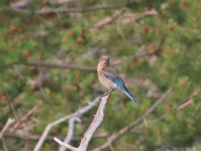 Mountain bluebird
 Looking back toward Bullrun Rock.
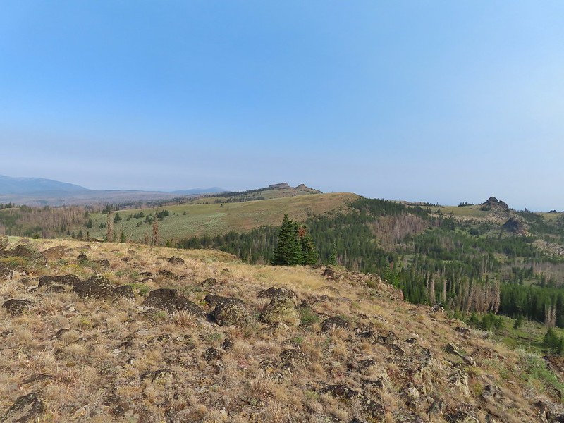 Table Rock from where we gained the ridge.
 Heading up.
 Me making my way up to the cairn.
 Bullrun Rock from the cairn.
 Table Rock from the cairn.
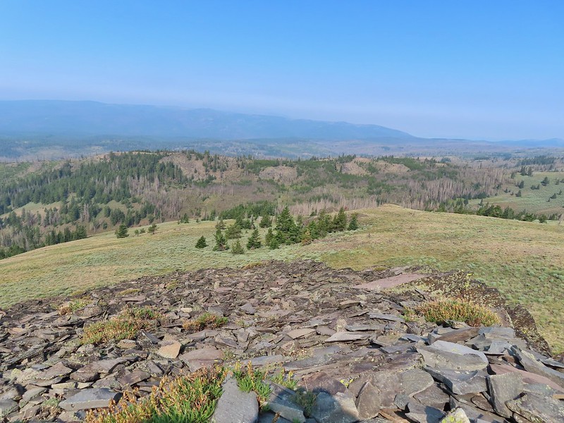 The Monument Rock Wilderness.
 The cairn on Monument Rock from below.
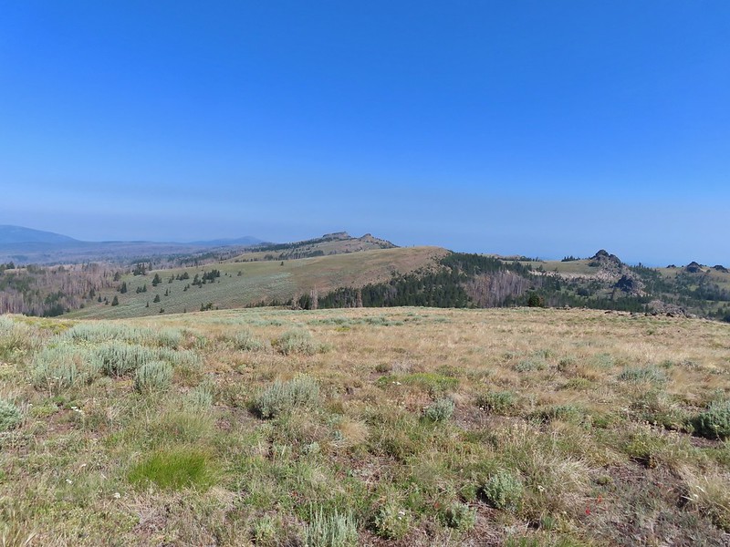 Heading downhill.
 Heather spotted this sheep moth.
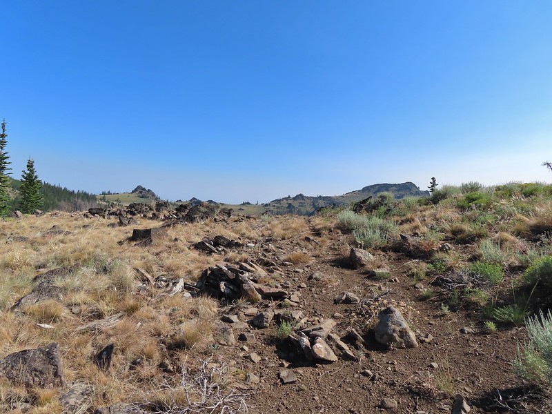
 The path leading downhill.
 Table Rock in the distance with Bullrun Rock on the right.
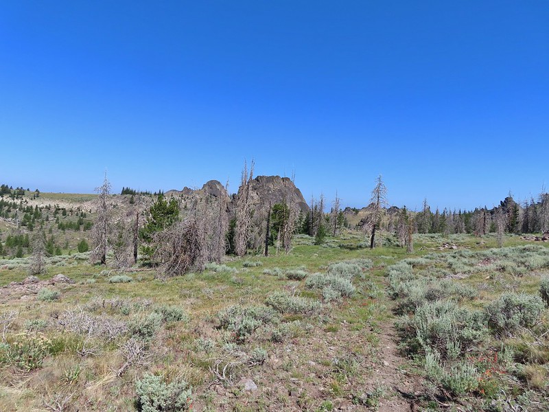


 Robin
Robin Quite a bit of a difference from the morning.
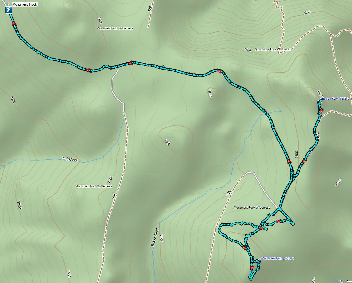


 Yarrow and an orange agoseris.
 Wilderness sign marking the boundary of the Monument Rock Wilderness.
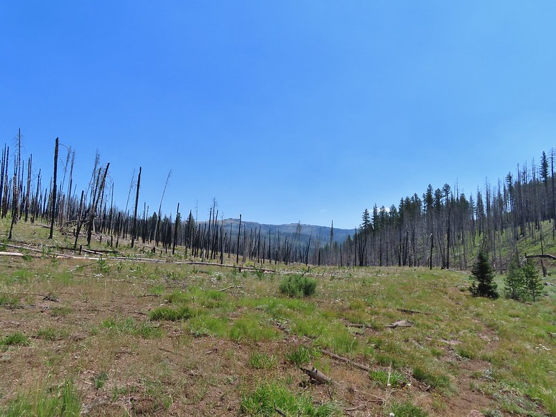 Table Rock from the trail.
 Elk Flat Creek.
 An orange flag to the right ahead.
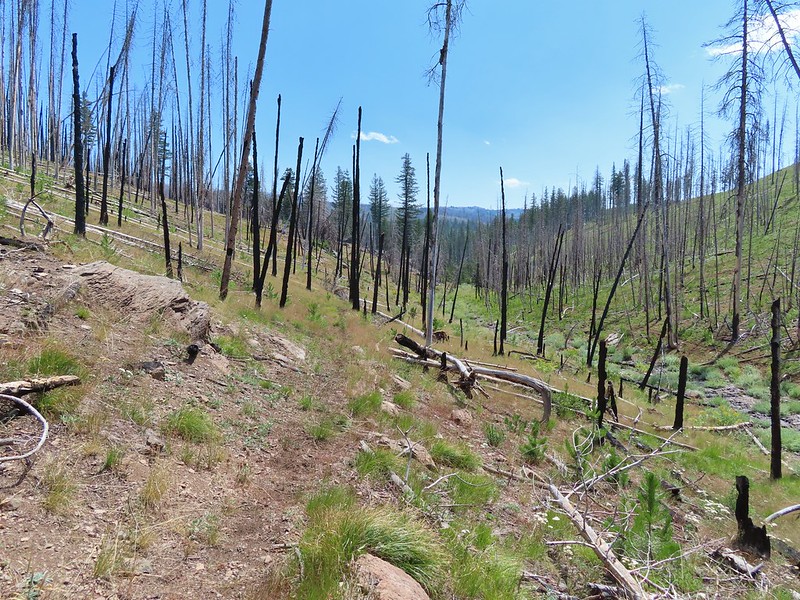 The trail following Elk Flat Creek.
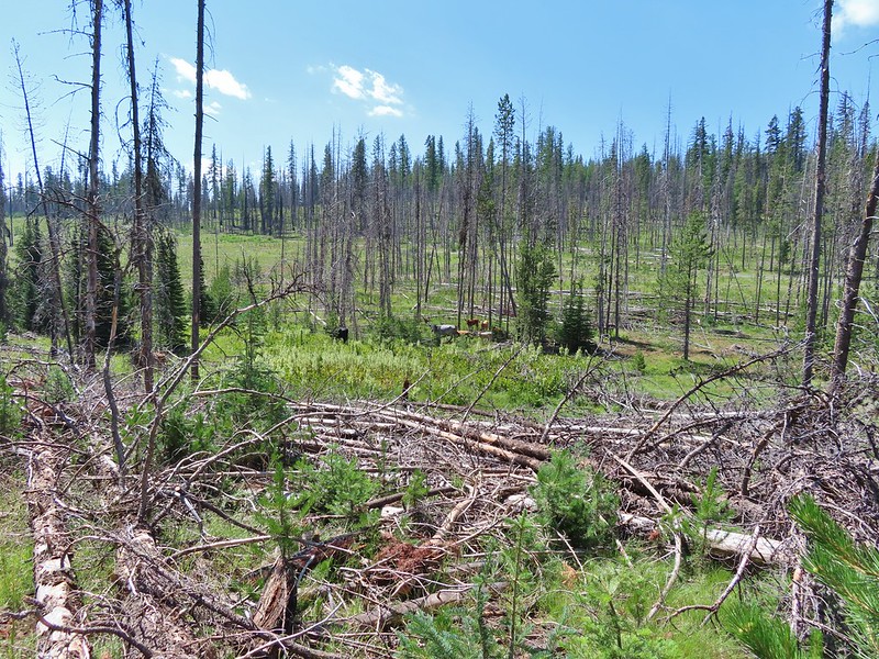
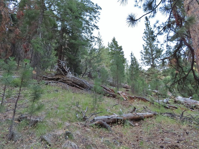
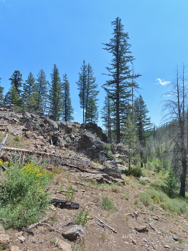 A few areas of green trees remained.


 Unnamed stream shortly before reaching the Little Malheur River.
 Monkshood along the stream.
 It appeared that quite a few trees survived along the Little Malheur.
 The trail crossing the Little Malheur River. We were especially excited to see a lot of nice pink monkeyflower along the banks.


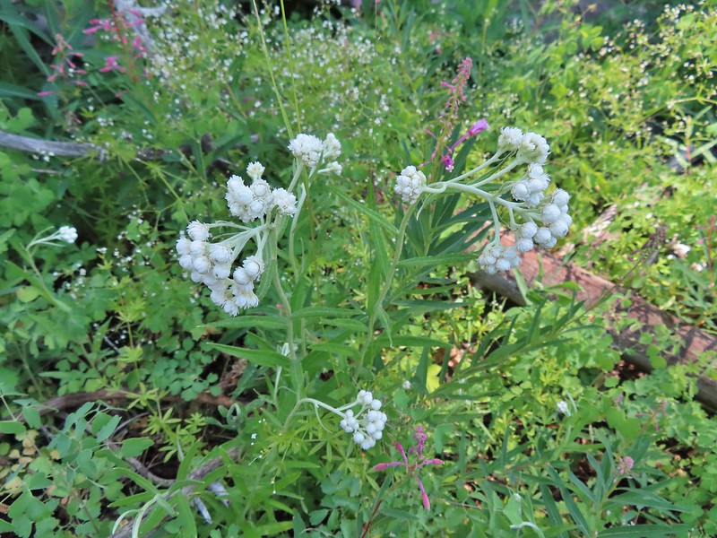 Pearly everlasting
 Ground squirrel
 Either a big ground squirrel or a small marmot.
 Another hawk.
 Fluffy clouds forming over the Monument Rock Wilderness.
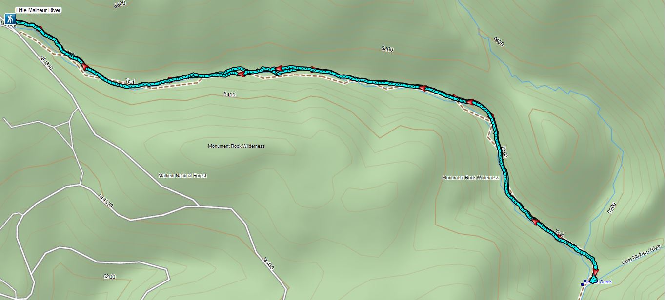
 Continuing along the Waterman Ditch.
 If this trail sign was marking a junction it wasn’t clear where the other trail was.
 Campsite at the saddle.
 The Rim Trail sign on a tree trunk.


 Rock Creek Lake
 Gaining the ridge.

 View from the rim.
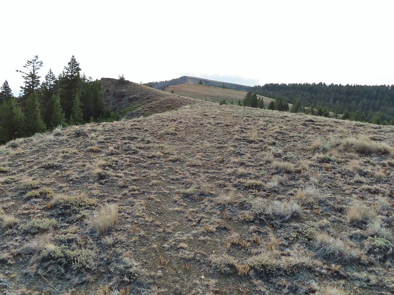 Spanish Peak
 A local
 Astter
 Some sort of delphinium I think.
 Downed trees across the trail ahead.
 Interestingly camouflaged beetle on the upper onion.
 Lupine
 A checkermallow
 Some more downed trees that we had to go around.
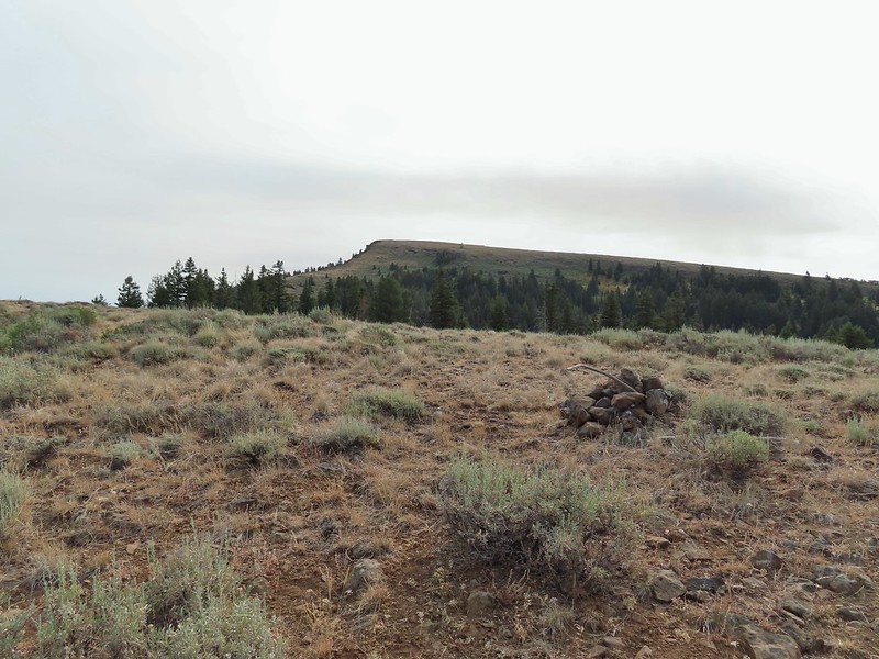


 We left the trail here, note the small cairn on the left.
 Heading uphill.
 Scarlet gilia
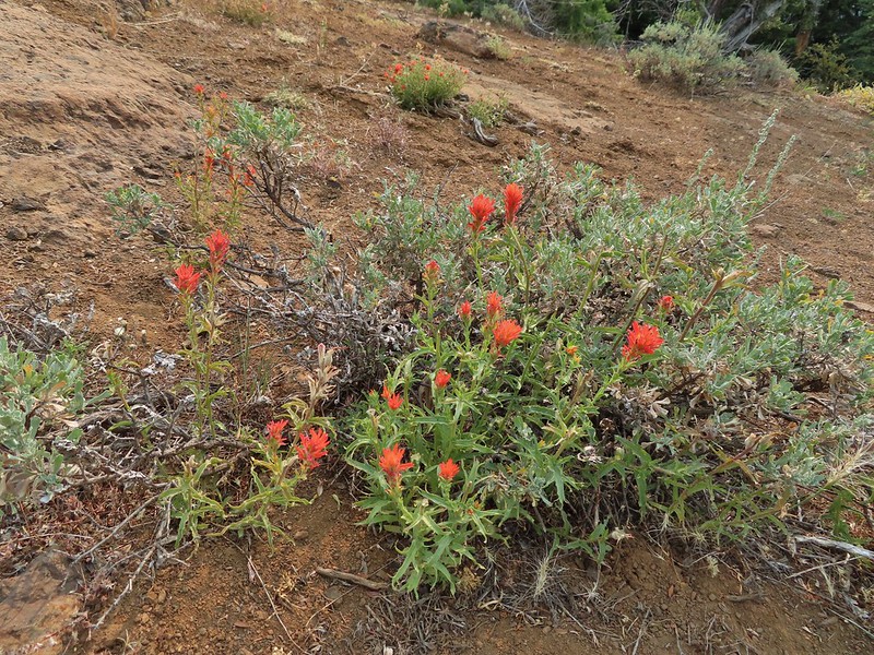 Paintbrush
 The site of the former lookout.
 Looking out toward the John Day River valley.
 SE to Windy Point.
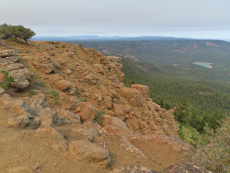 West to Rock Creek Lake and on the horizon the flat topped Lookout Mountain (
 NE to the John Day River Valley.
 Lookout and Round Mountain and the rim that we had hiked up below Spanish Peak.
 The Pisgah Lookout on the far side of the Bridge Creek Wilderness (
 A hazy Mount Hood to the NW.


 Baldy Creek was on our left.
 Red-tailed hawk
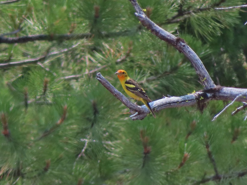 Western tanager
 Arriving at the trailhead.
 Signage at the trailhead.
 Baldy Creek below FR 3820.
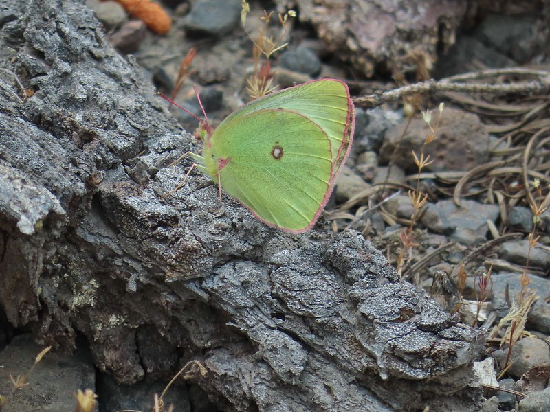 A sulphur butterfly of some sort.
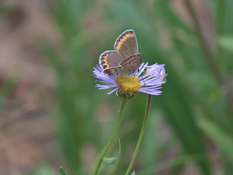
 A watermellon or June bug as we called them growing up.
 FR 3820 meeting Arvid Nelson Road.
 Spanish Peak from Arvid Nelson Road.
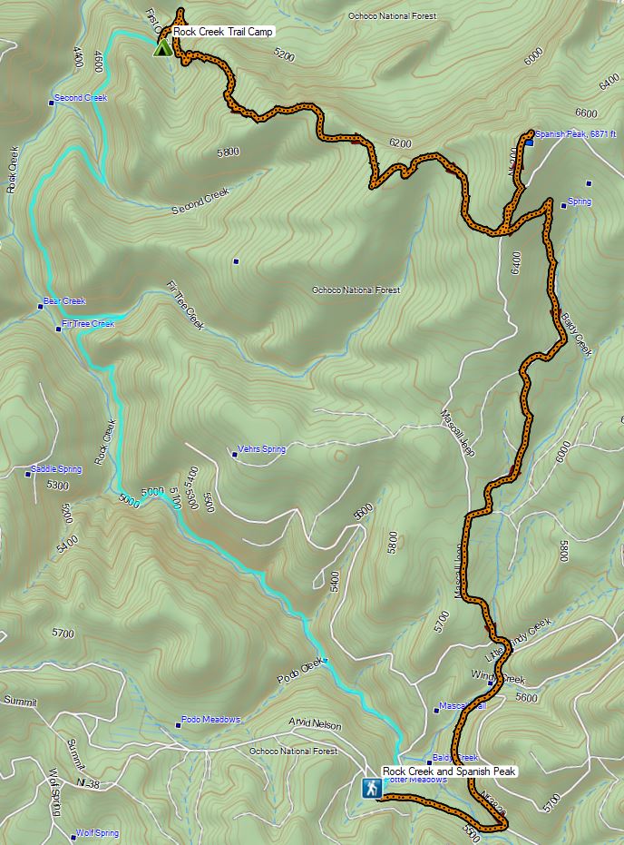


 Aster, paintbrush, and fireweed.
 Fireweed, aster, and pearly everlasting.
 Clouds and smoke mixing in the sky made it hard to tell if any thunderstorms might be developing.
 We never heard any thunder but we did briefly get sprinkled on.
 Ground squirrel.
 Columbine
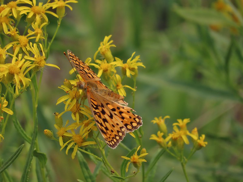 Fritillary butterfly
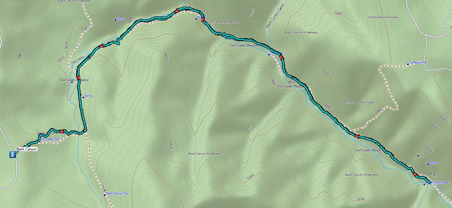
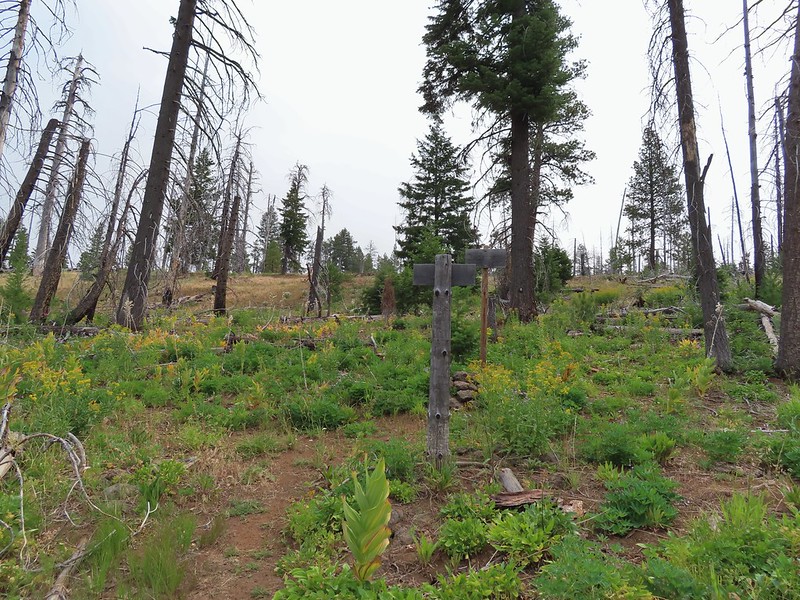 Black Canyon Trail junction.


 Owl Creek crossing approximately 1.5 miles from the junction.
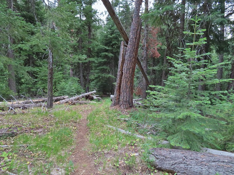


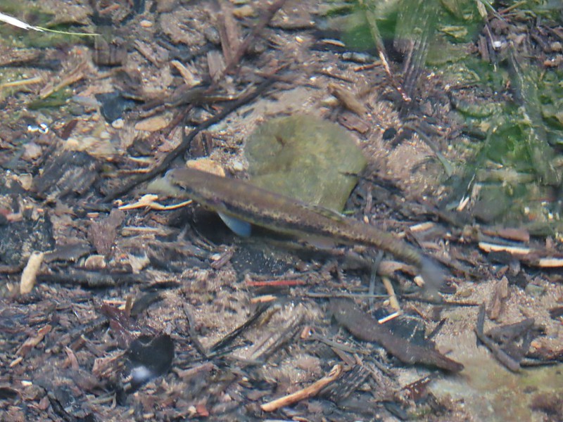 Fish in Black Canyon Creek
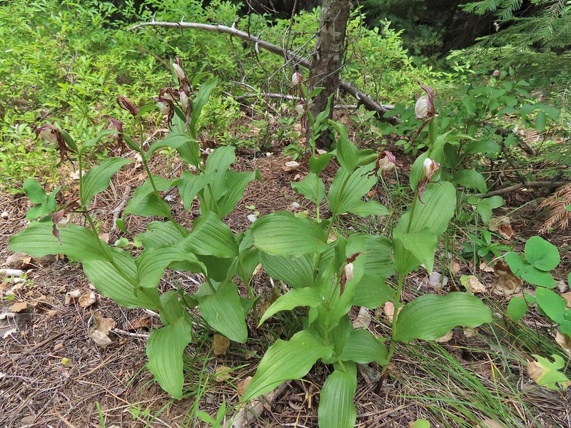


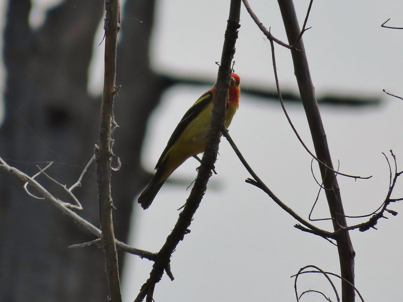 Western Tanager

 California tortioseshell
 Western Jacob’s ladder
 Black Canyon Creek


 The number of insects on the blossoms and their size differences were fascinating.
 Snacks

 Lorquin’s adrmiral

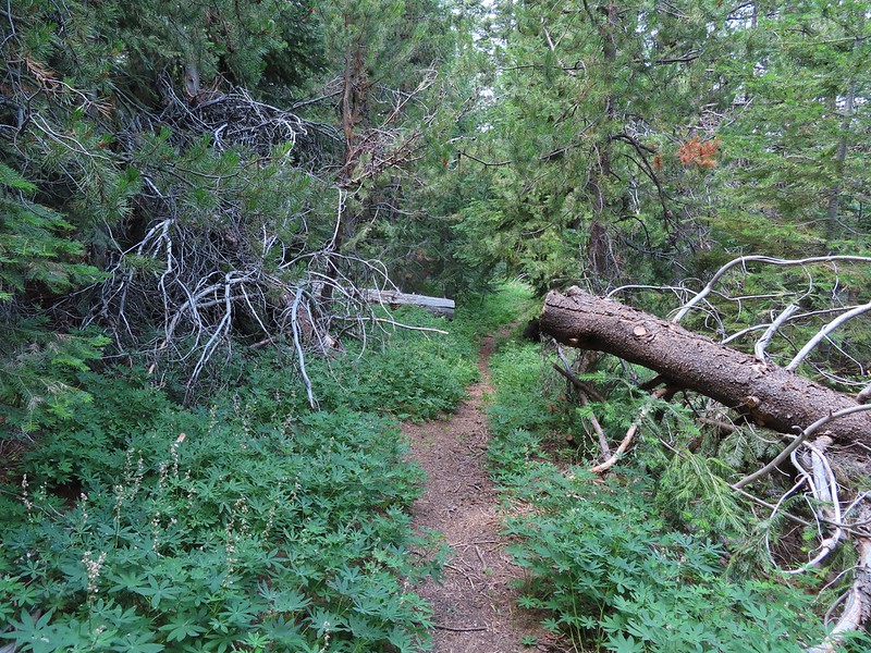
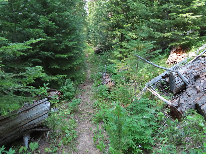
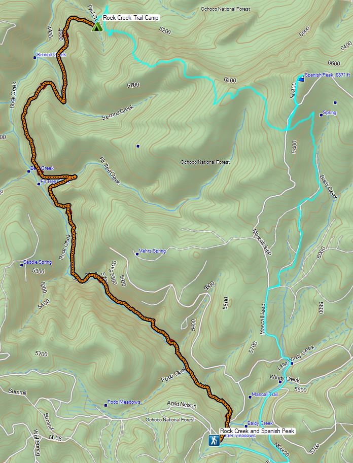
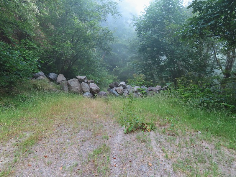
 A little light on the tread in this section.
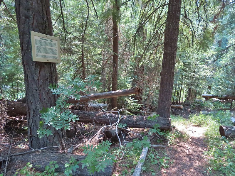


 Fir Tree Creek
 Butterflies on coneflower
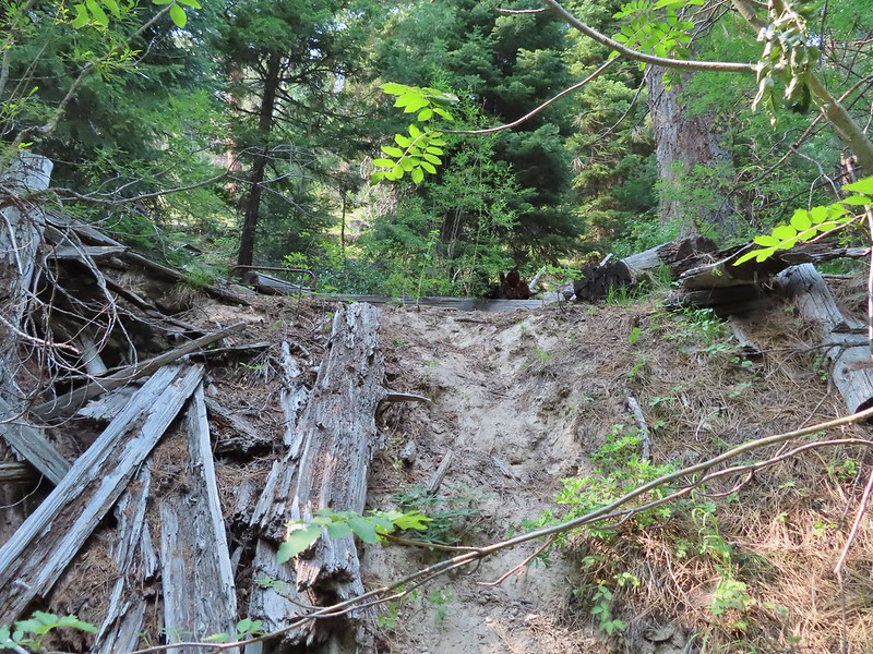 The cabin ruins.
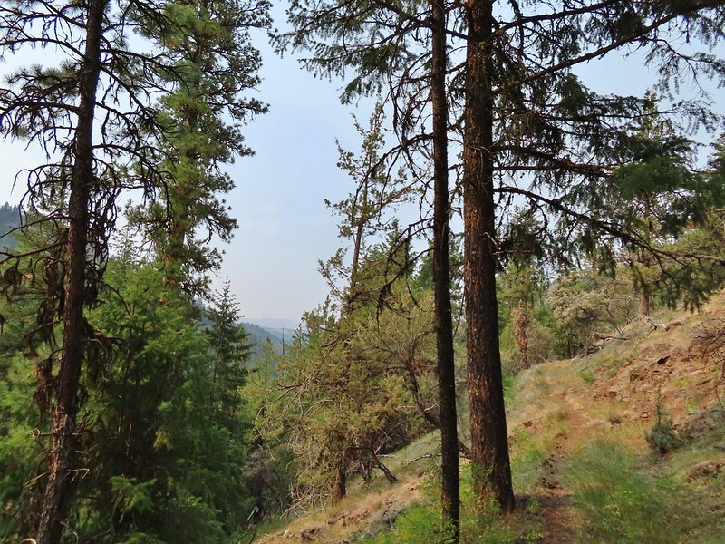
 Coming around a ridge end toward Second Creek.
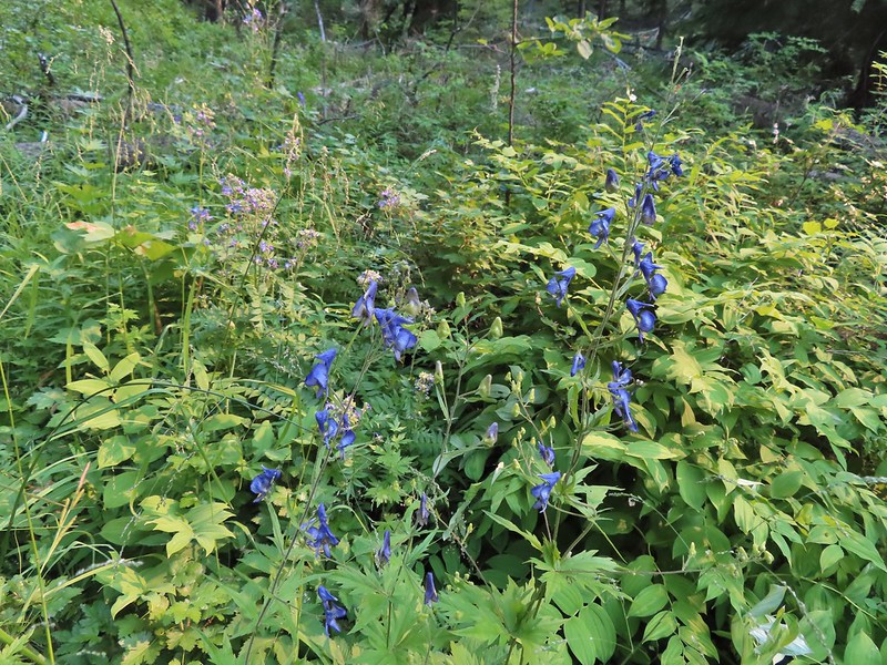 Monkshood at Second Creek
 This little guy oversaw our water pumping.
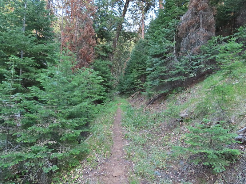


 Wilderness boundary
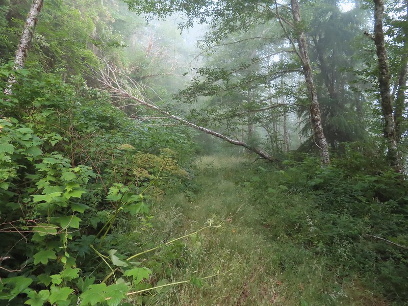
 Varied thrush
 Blackberries, we found a couple of ripe ones later as well as ripe salmonberries, thimbleberries, and red huckleberries.
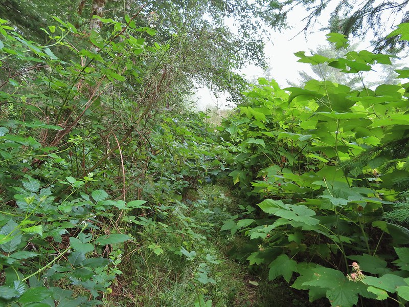 There was a lot of Himalayan blackberry to get through which caused many a scratch.
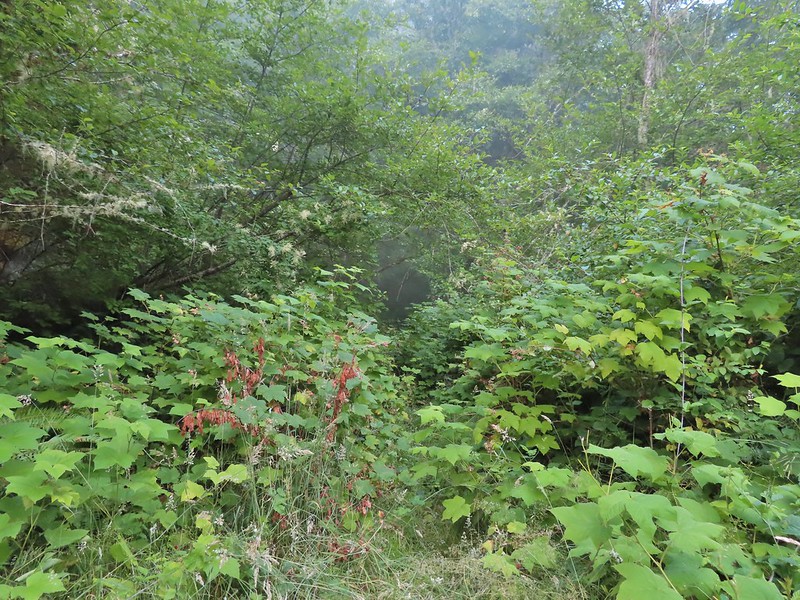

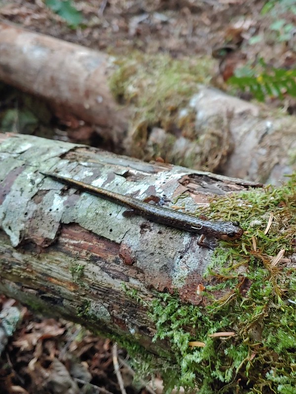 Salamander, possibly a Dunn’s.
 Snail on a fern.
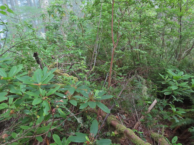
 A few rhododendron were still blooming.
 Huckleberries
 This was the only open spot the whole day. There were some thistle and yarrow blooming here along with a bit of poison oak.
 Bees sleeping on thistle.
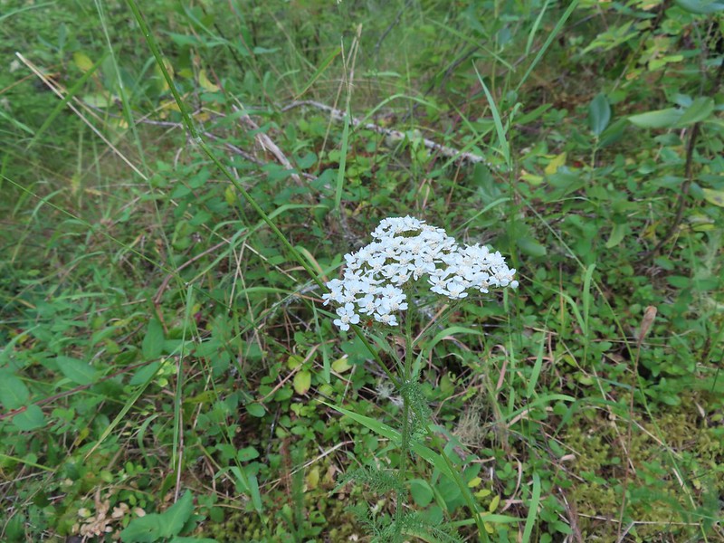 Yarrow

 The rhododendron was often so tall we could walk through them.

 The morning fog burned off by 9:30am.
 Wild cucumber (coastal manroot)
 Monkeyflower
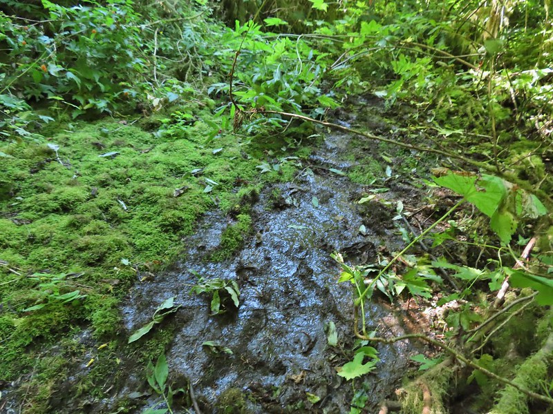 Although this picture doesn’t really convey it this section of exposed wet rock was at a fairly steep angle and was quite the challenging both coming and going.
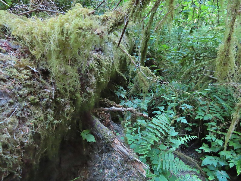

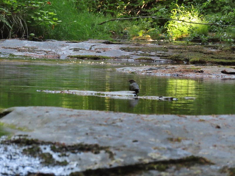 An ouzel
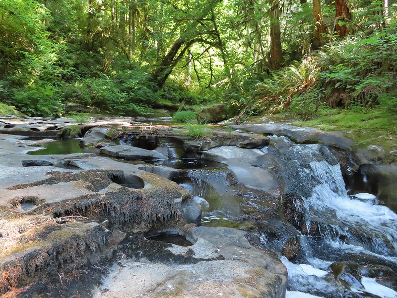
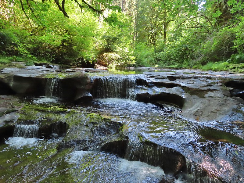
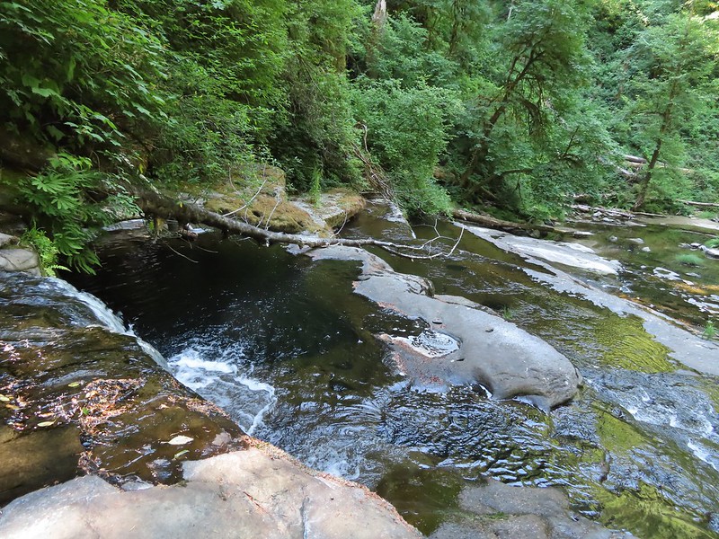 This was the ledge that we decided to not drop down off of.
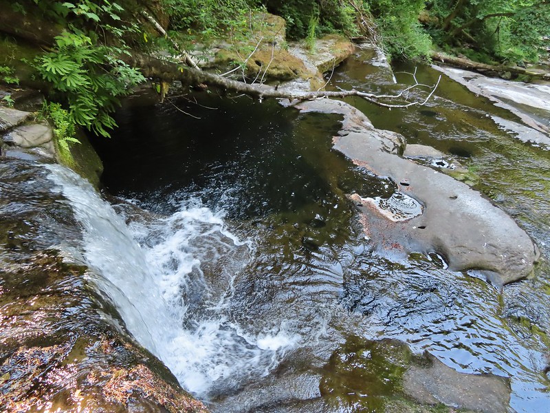 That pool is said to be approximately 20′ deep!
 We checked the little pools for rough skinned newts and this one had four and a crawdad.
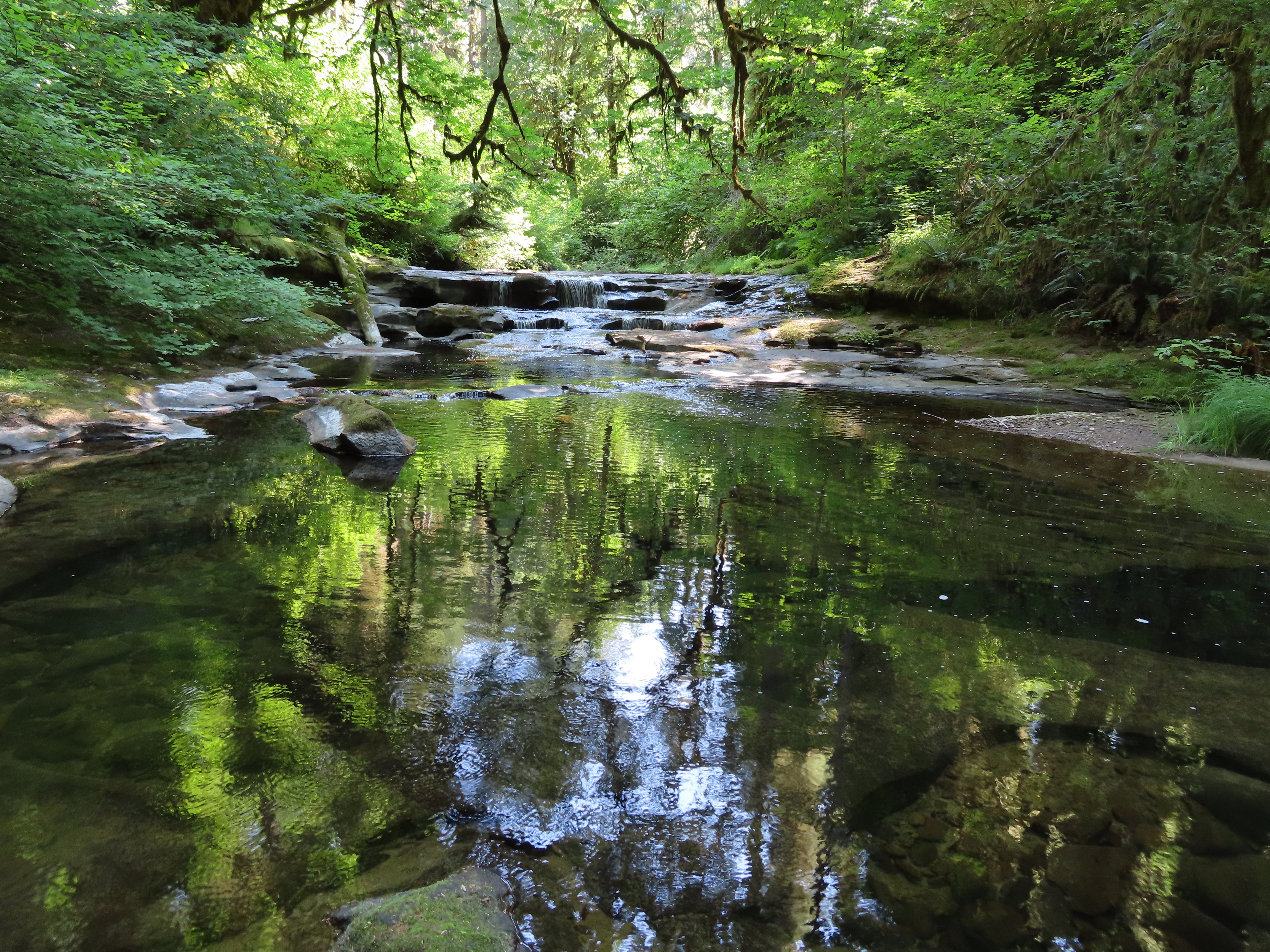


 A chickadee came to check on me as I was catching my breath under a rhododendron.
 Thimbleberries
 Salmonberries
 Swallowtail on a blackberry blossom.