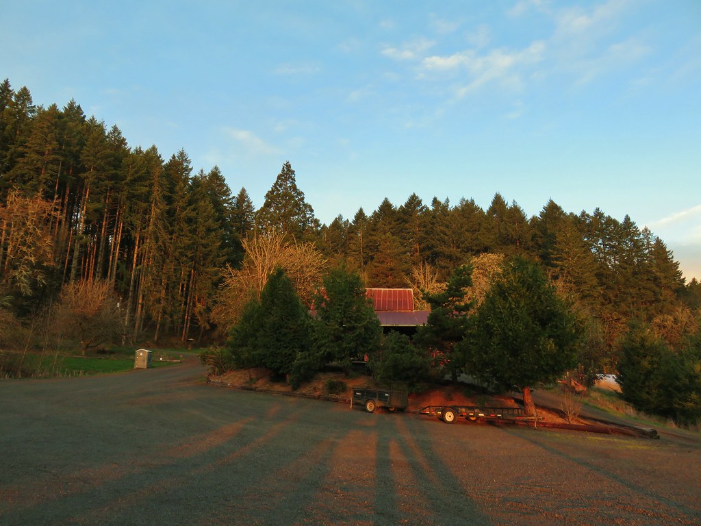
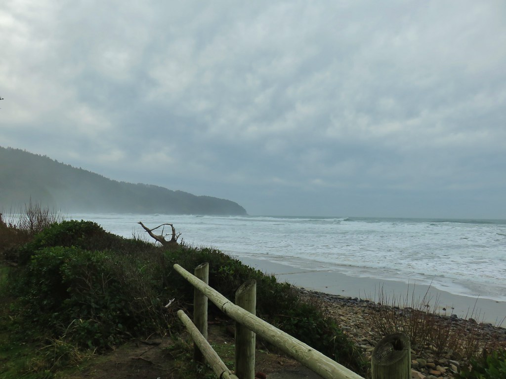
We had decided to make 3/15 (Sunday) the day for our March hike to take advantage of a clear, albeit cold, forecast and to get it in before COVID-19 becomes any larger an issue. We started our day by visiting Miller Woods, a conservation area maintained by the Yamhill Soil & Water Conservation District. The 130 acre property was donated to the district in 2004 and is open from dawn to dusk for hiking (no pets). Although there is no fee, donations are welcome and can be made online (the option we used). These donations appear to be put to good use based on the amount of obvious work that has been put into the area.
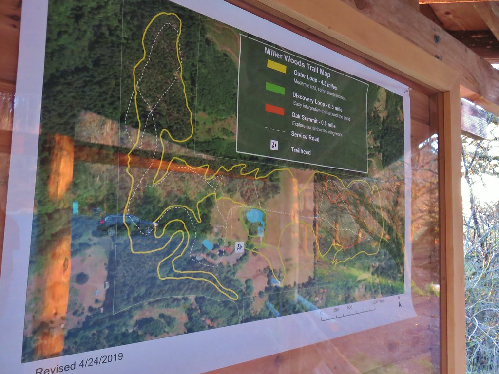
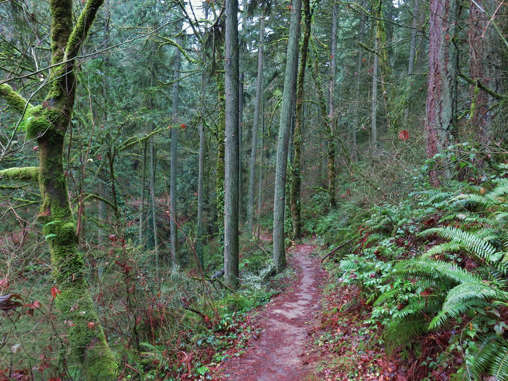
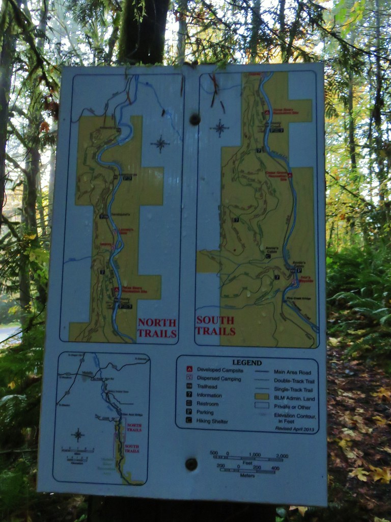
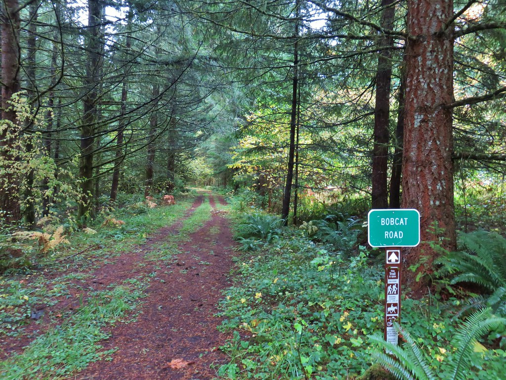
As hard as it may be to believe we were the first car in the parking lot. After stopping at the information kiosk (laminated maps were available) we set off on the Outer Loop Trail planning on going counter-clockwise around the approximately 4.5 mile loop.


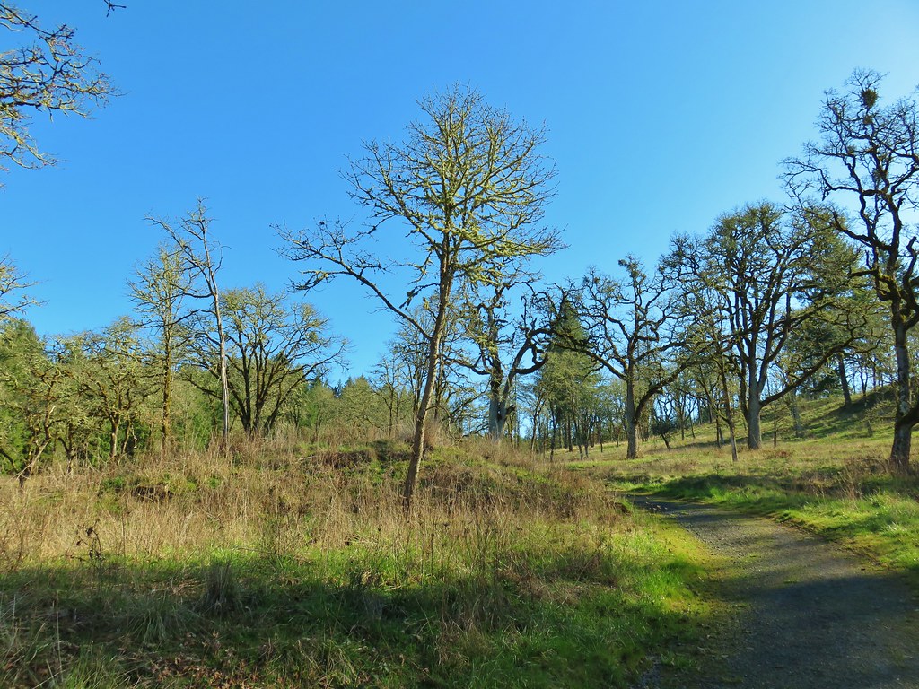
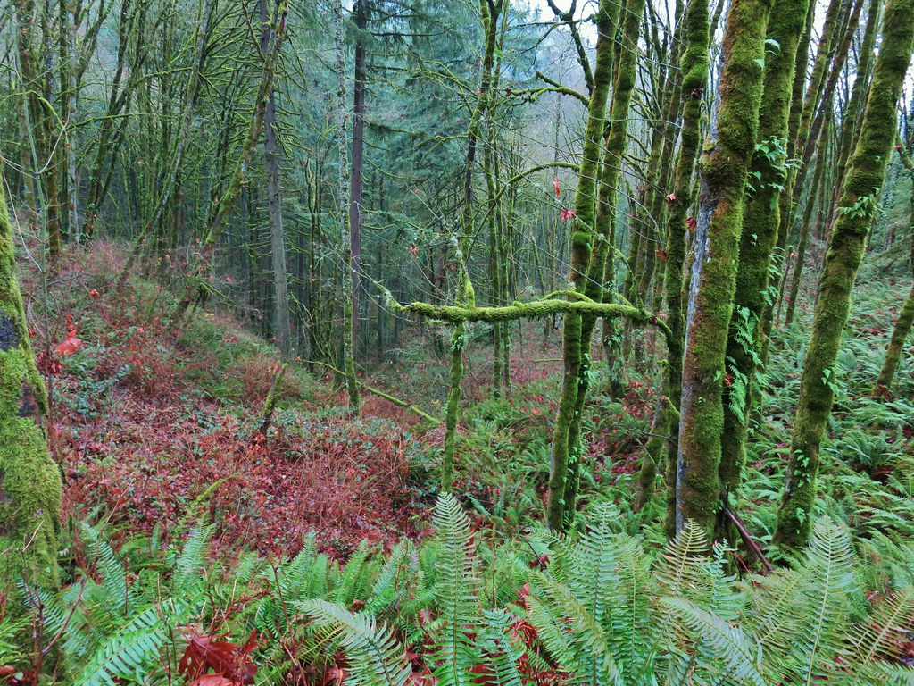
Part of the work being done at Miller Woods is Oak Savanna restoration, which is what most of the Willamette Valley was made up of prior to development.


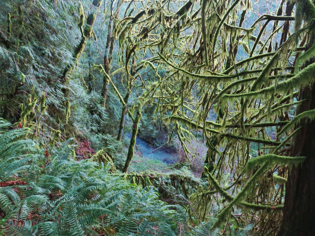
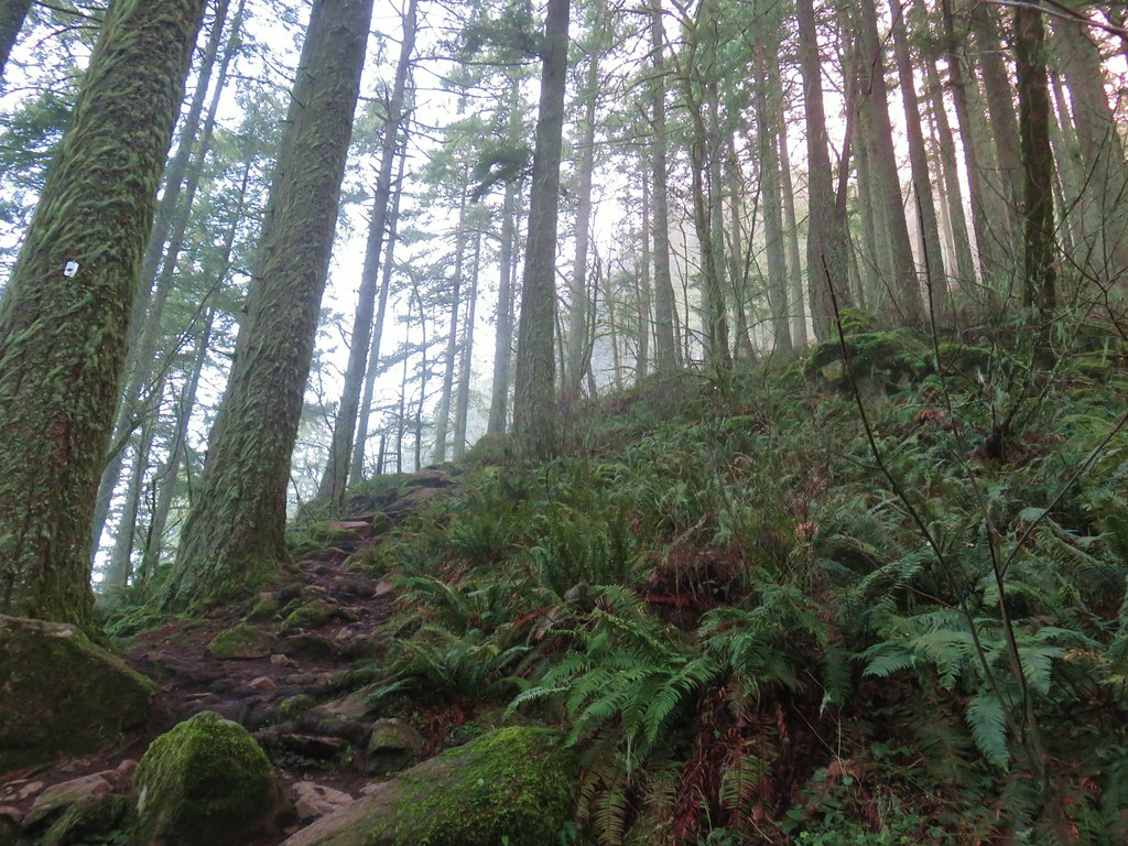
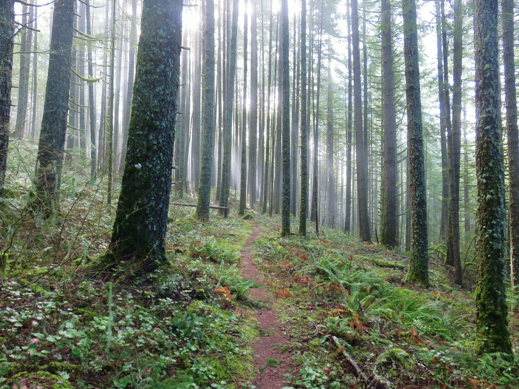
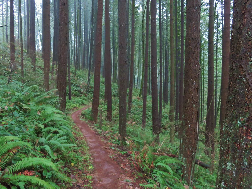
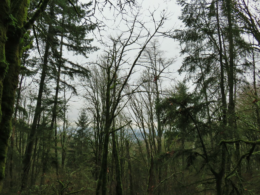
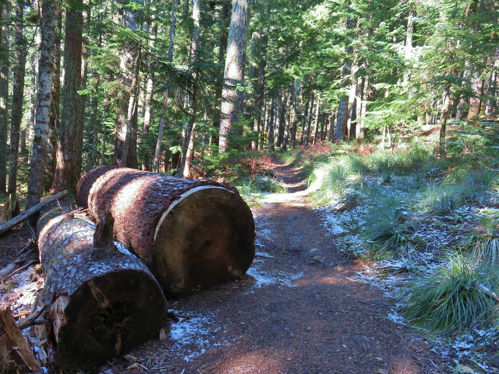
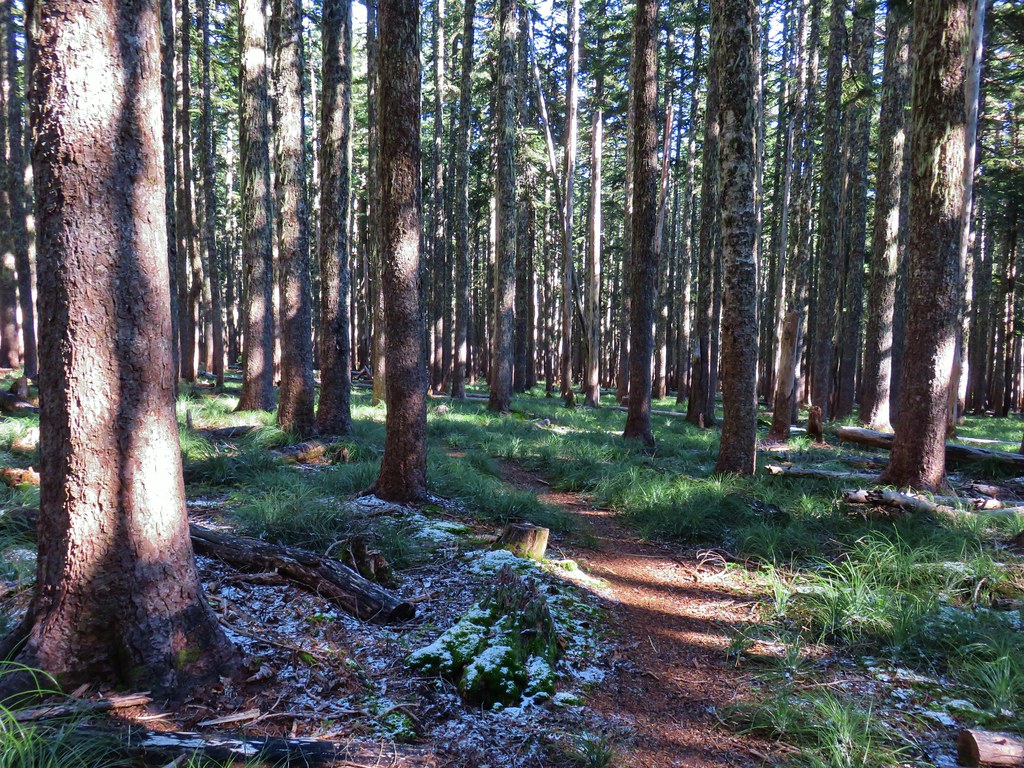
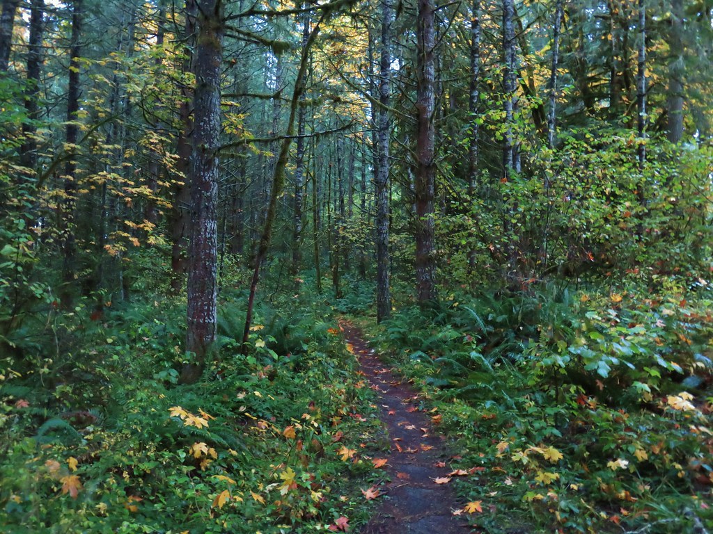
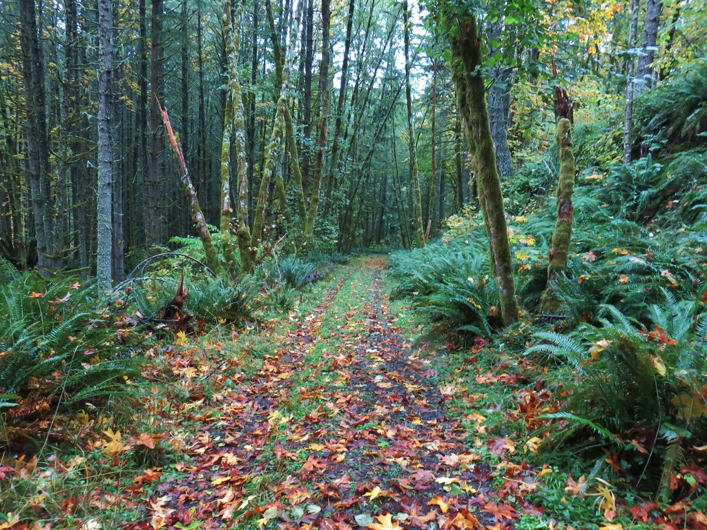
After passing some of the restoration work the trail entered a forest of Douglas firs.


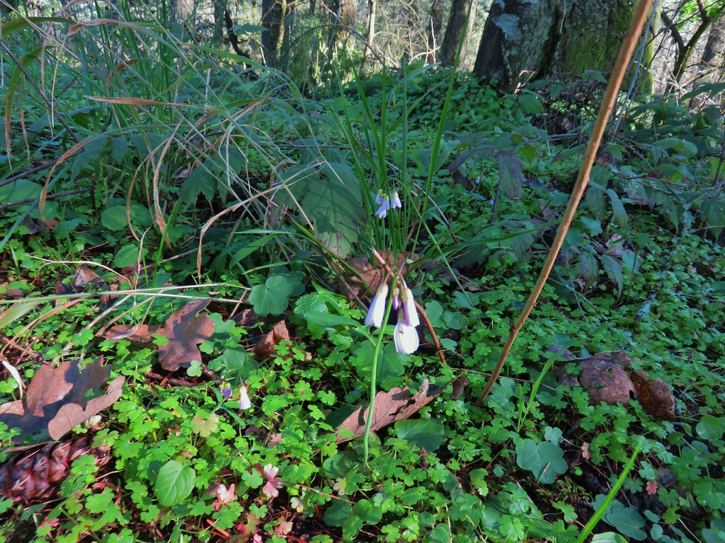
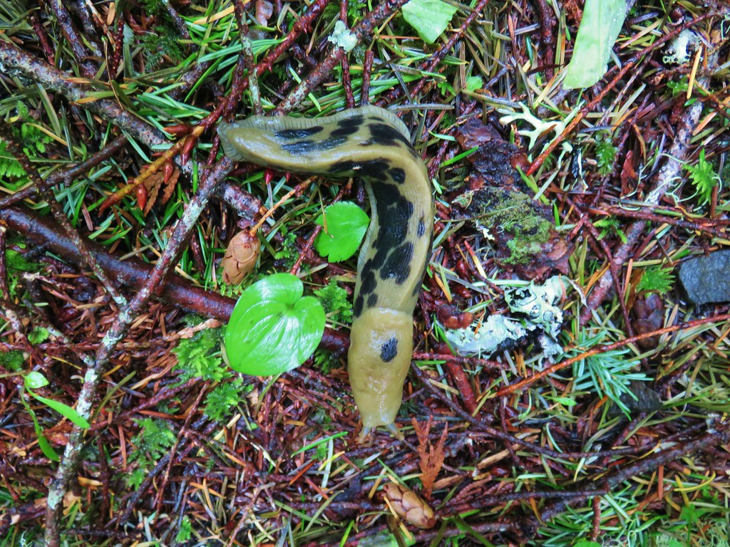
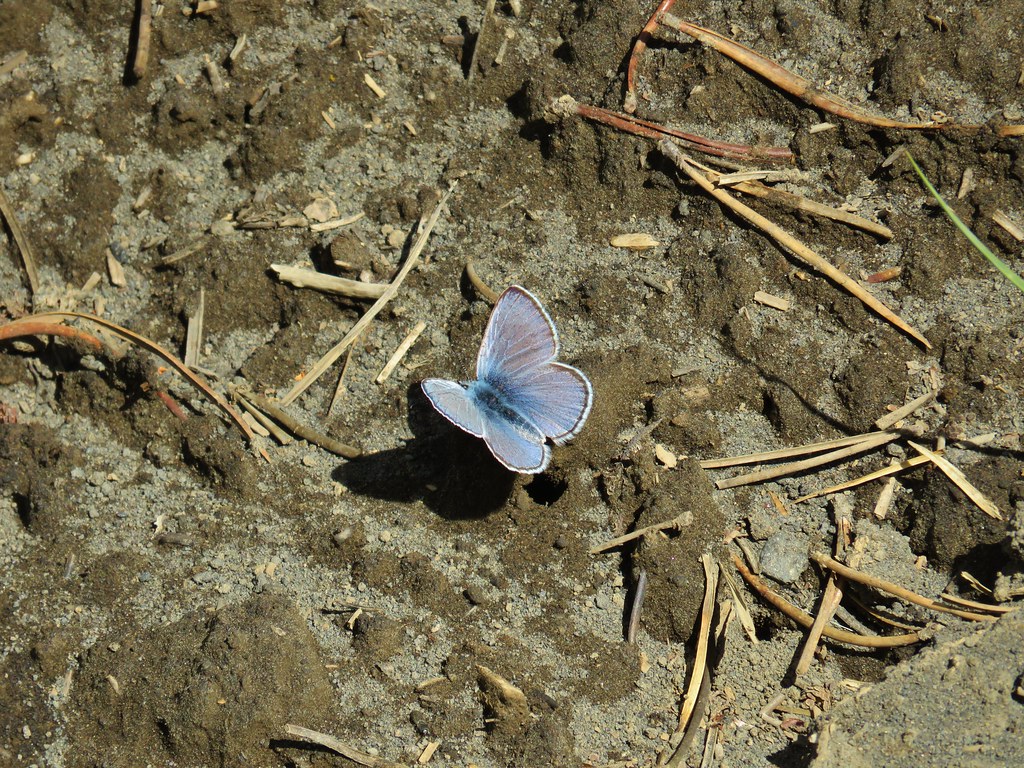
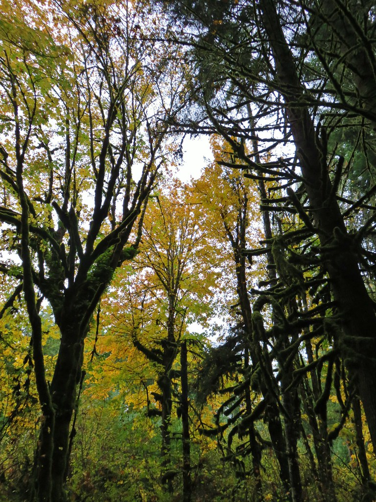
We had our first covering of snow at our house when we awoke on Saturday and the near freezing temperatures had our hands stinging by the time we had made it to the trees but in the forest we were reminded that Spring is on the way as we began to notice several of the early wildflower varieties.
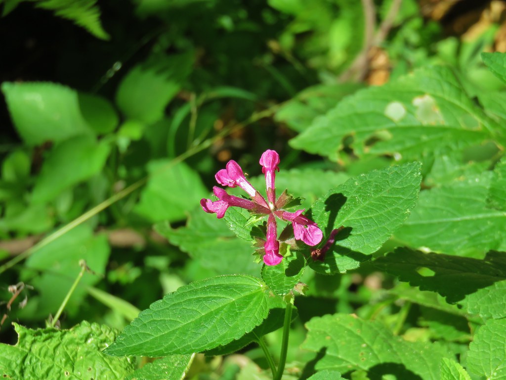
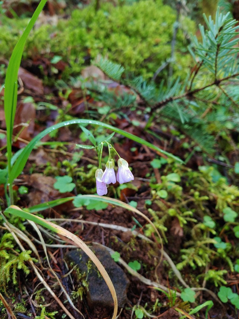 Slender toothwort
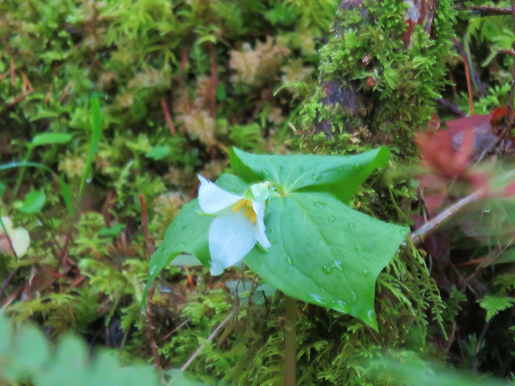 Trillium
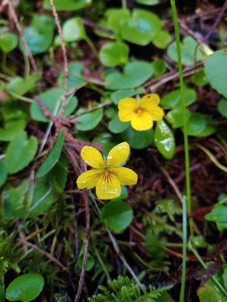 Violets
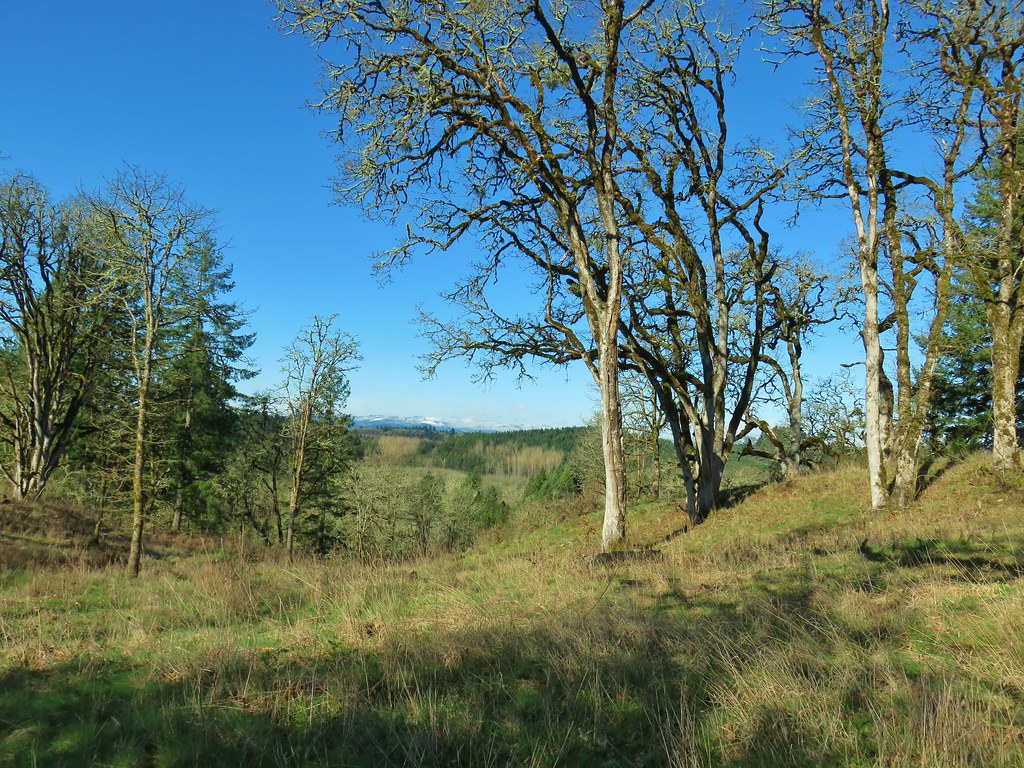
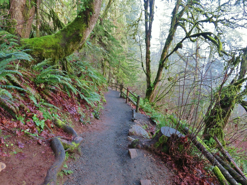
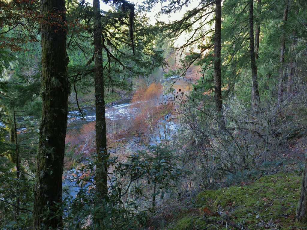
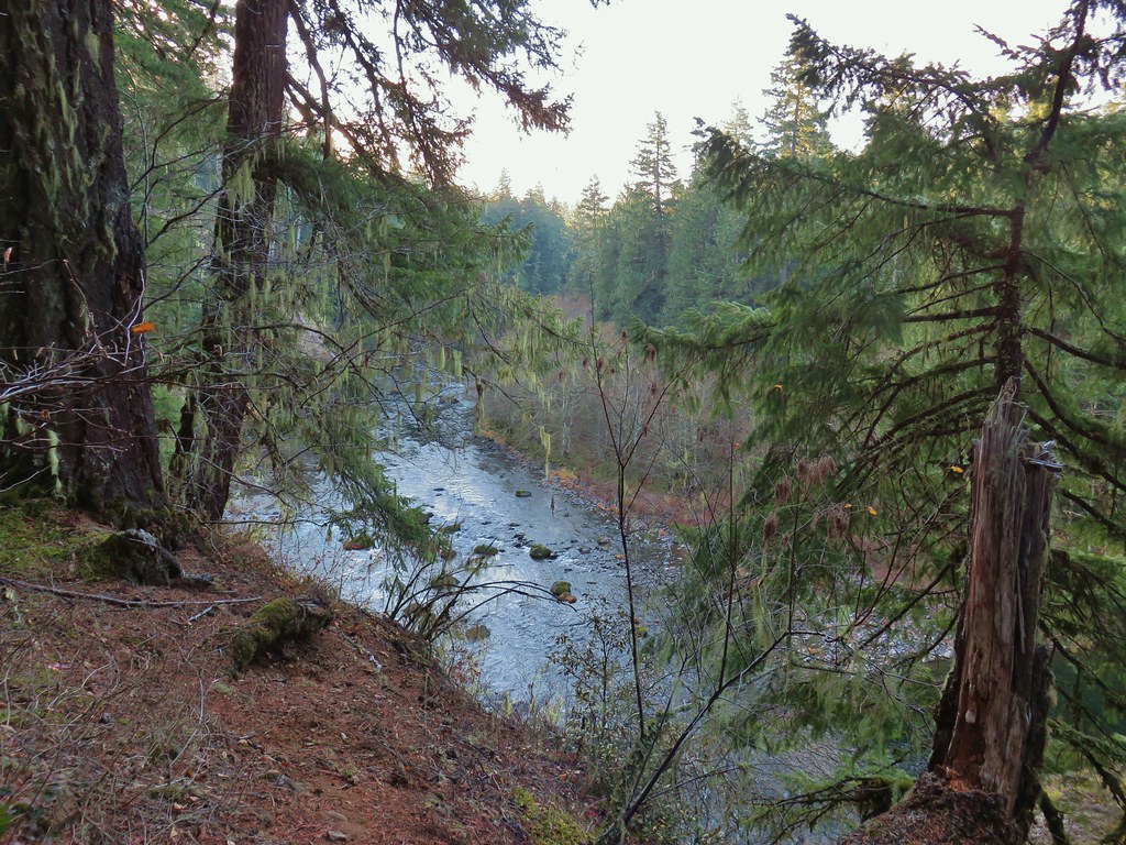
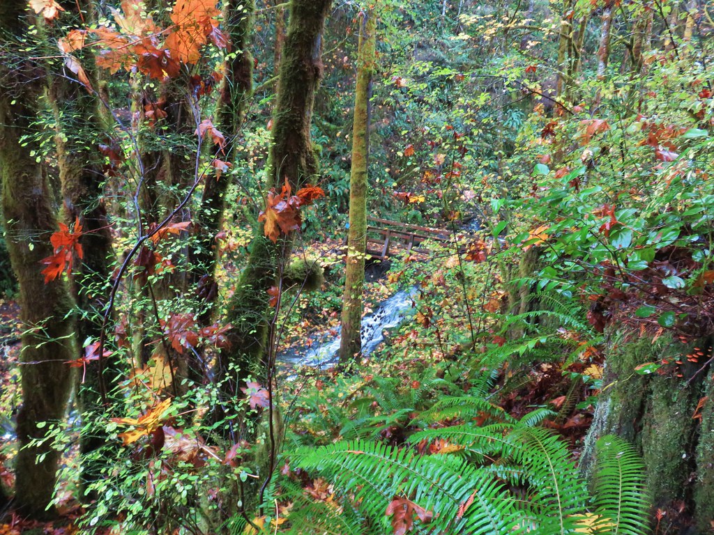
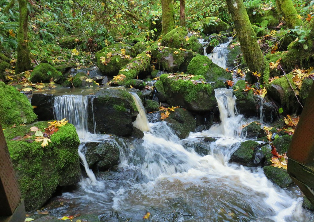
The trail wound around a hillside above Berry Creek before looping back toward the old farm fields.

 Berry Creek
 Bird’s nest that Heather spotted along the trail.

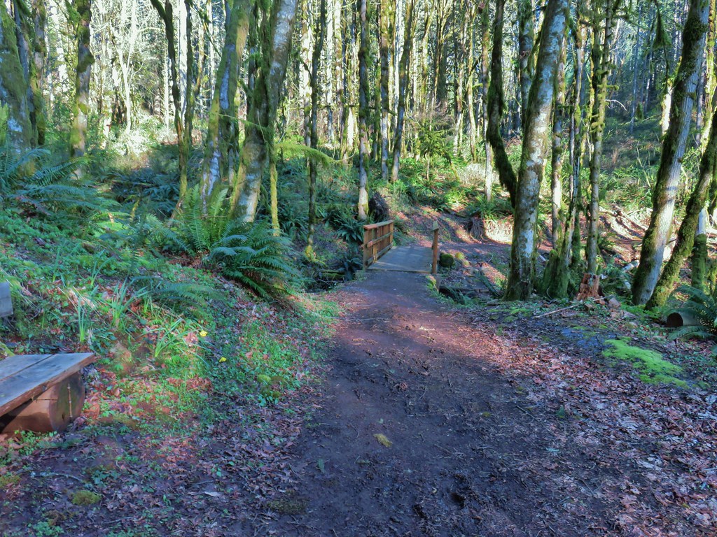
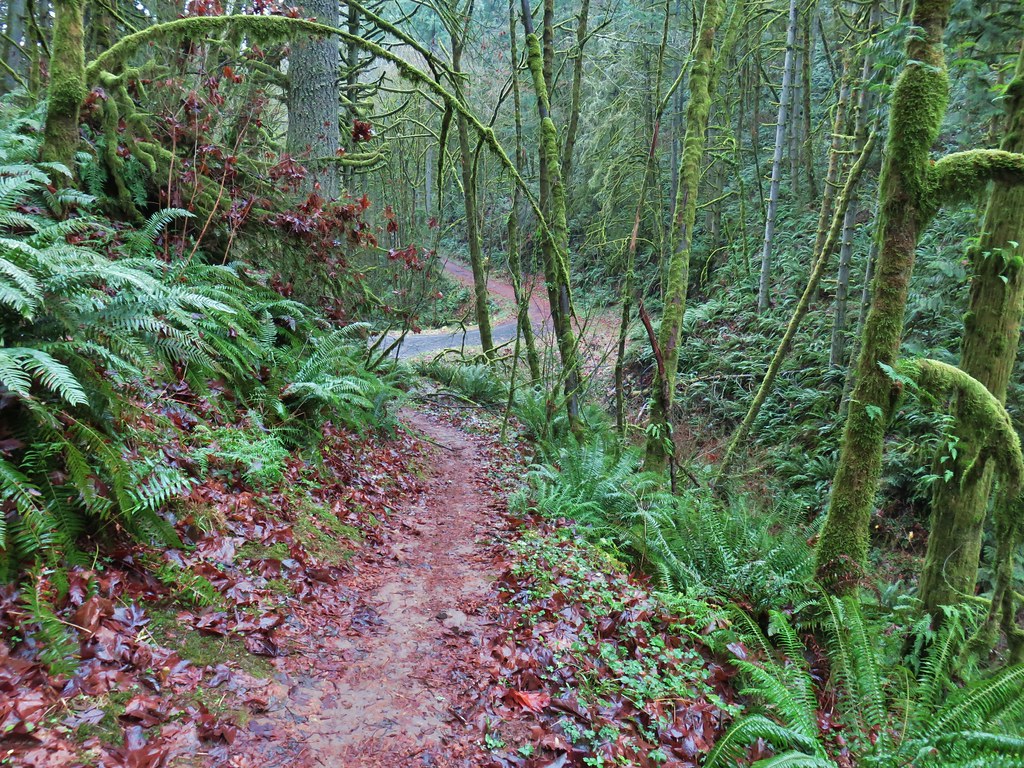
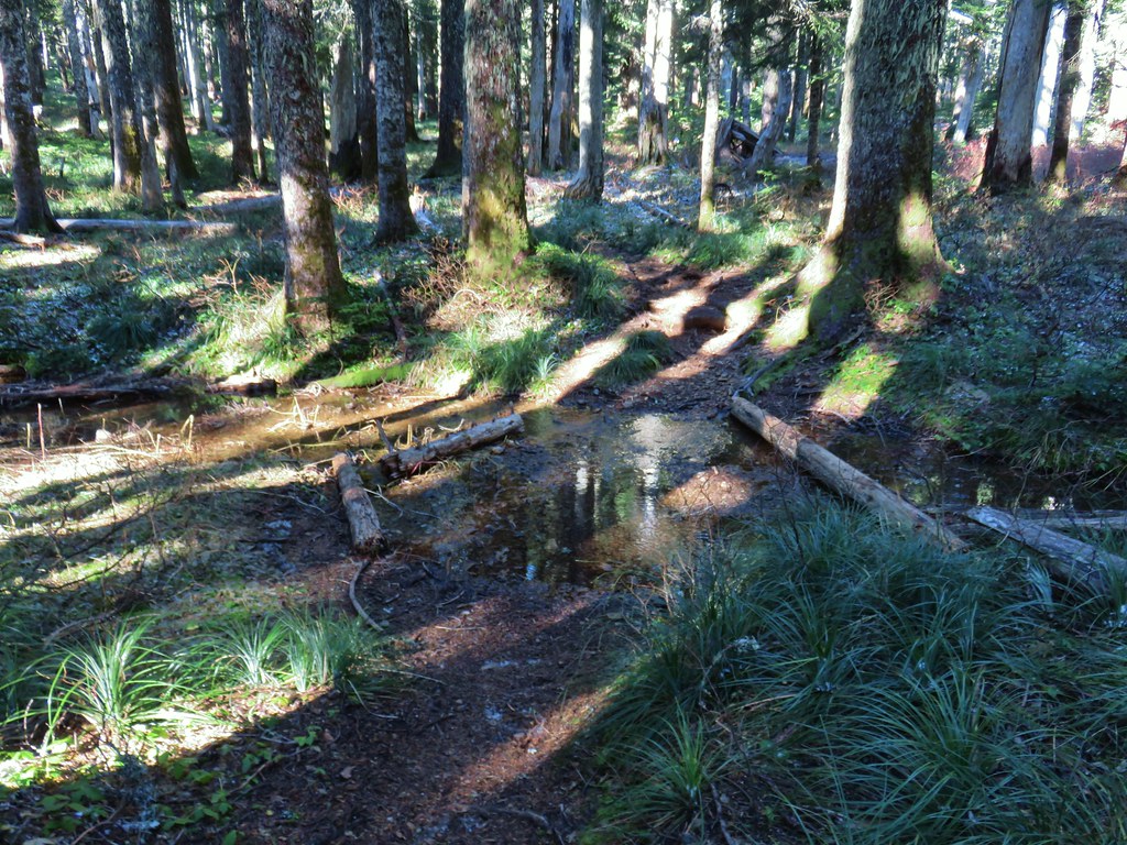
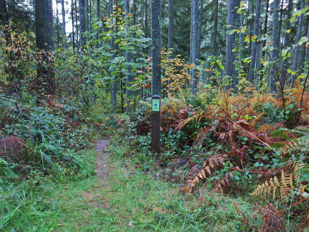
After briefly passing through the edge of the field the trail reentered the forest after crossing an outlet stream from a pond.
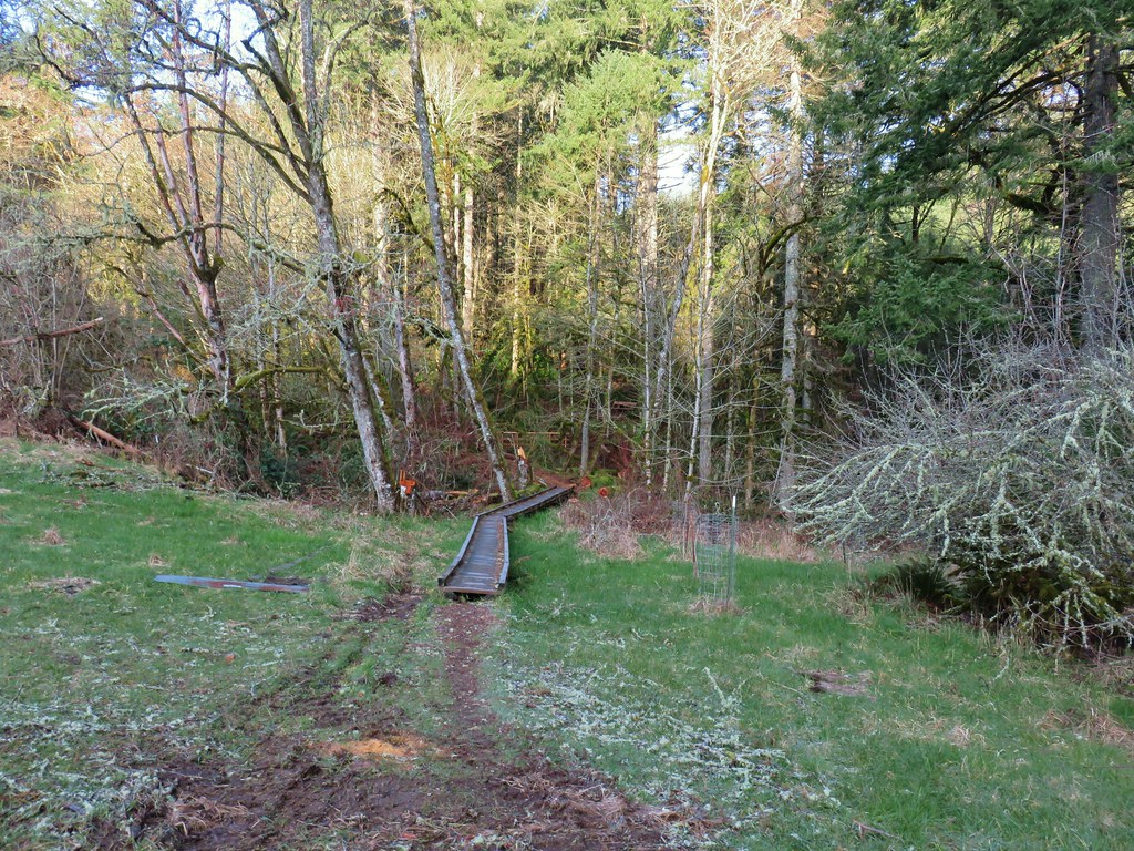

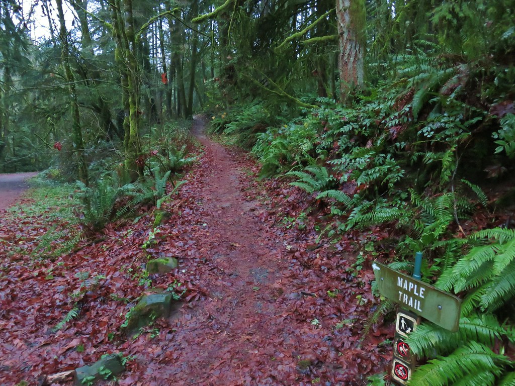
A shorter loop was possible here by taking the green Discovery Loop back to the parking area.

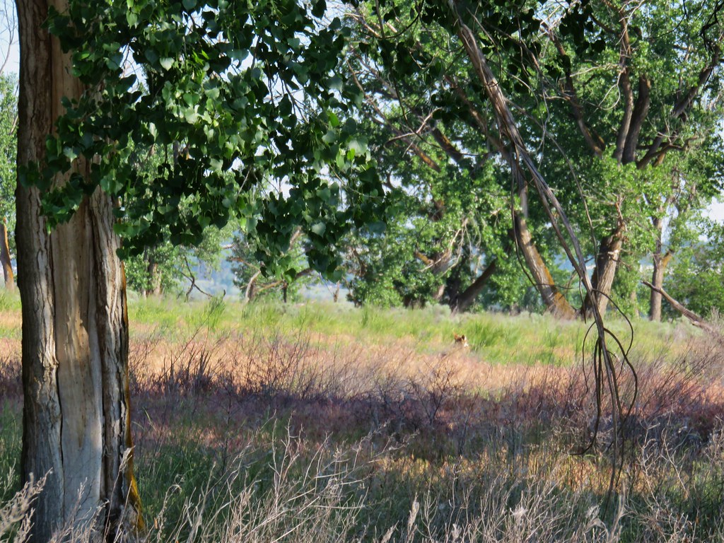
We stuck to the Outer Loop though and began a gradual climb to the loop’s high point at the 600′ K.T. Summit. As we were climbing we spotted what we thought was a pair of deer (it turned out to be three).
 The first deer we spotted (up near the top of the hill at center).
 Zoomed in shot of the second deer at upper left.
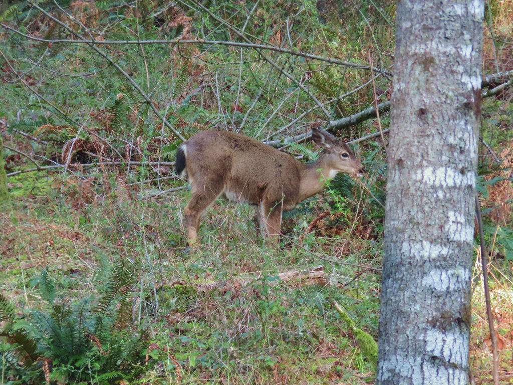 First deer again.
The trail zigzagged up the hill and wound up taking us right past the deer who seemed less than worried about us.
 First deer crossing the trail ahead of us.
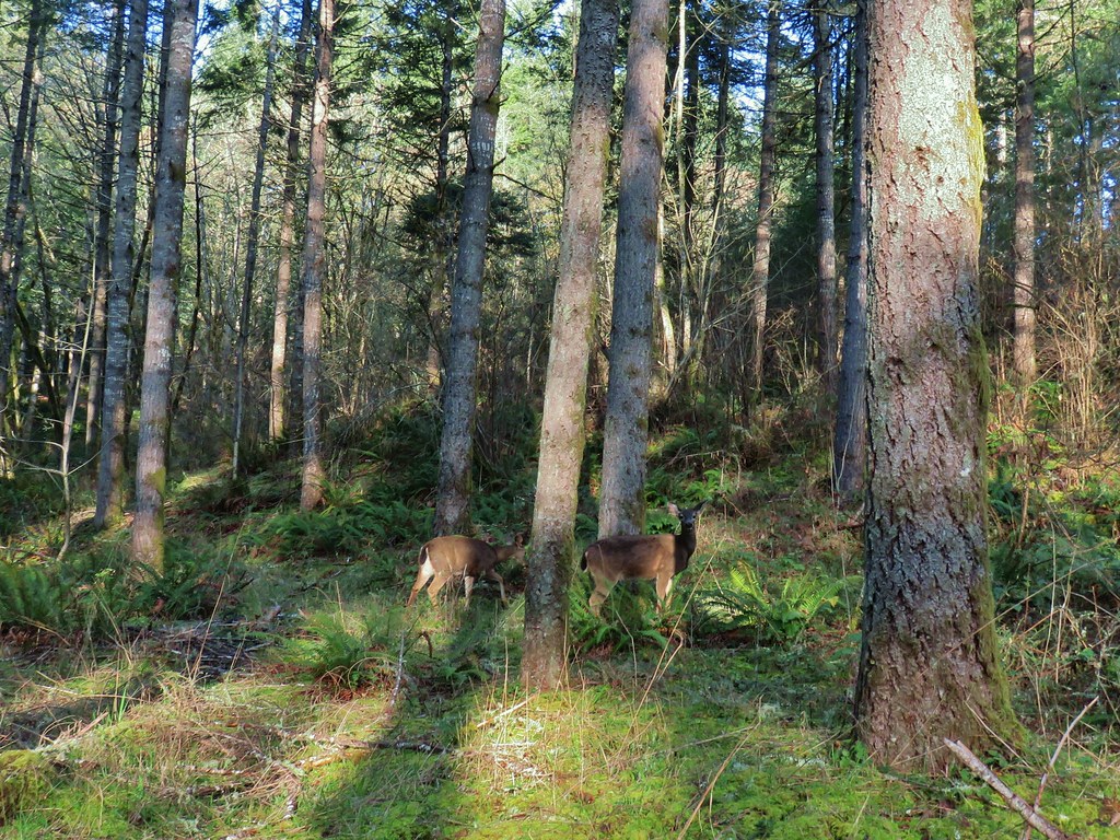 The second and third deer watching us pass.
After passing the deer we also passed a memorial to the Miller’s who had donated the property.


The summit was marked by a sign and a bench but lacked a view.

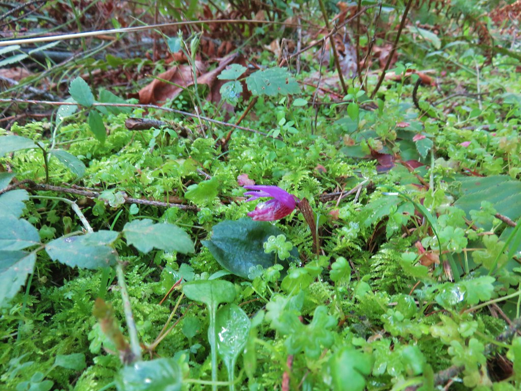
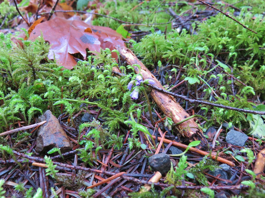
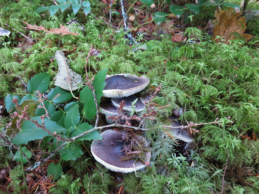
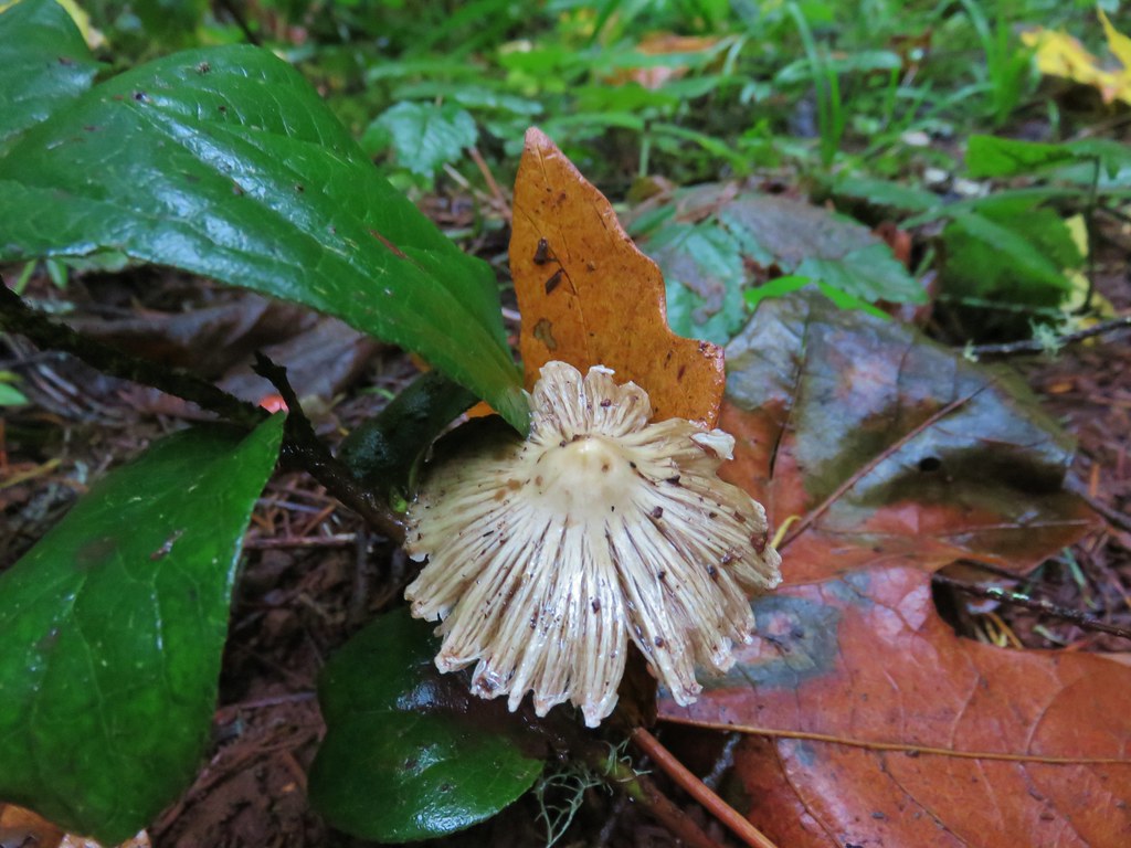
Beyond the summit the trail began to descend back down to the fields. The forest here was a little more mature and we spotted another early wildflower getting ready for Spring when we noticed a fairy slipper emerging from some green moss.
We also noticed a little dusting of snow left on a few leaves and stumps.

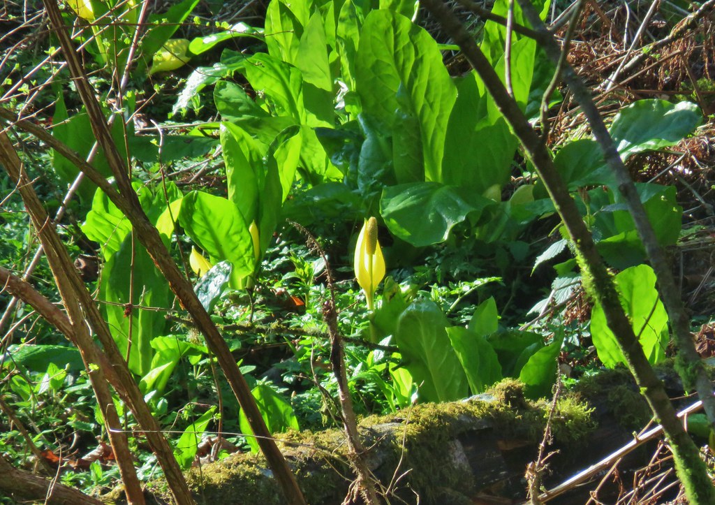
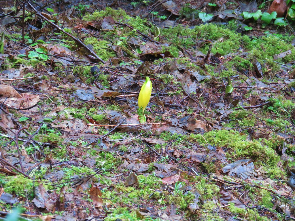
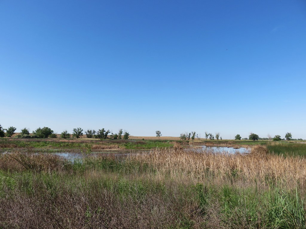
The trail wound down to a crossing of the pond’s inlet creek where some skunk cabbage was putting on a nice display.

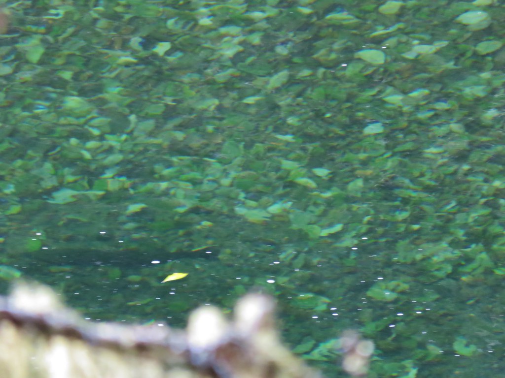
We emerged from the forest and followed the trail to the pond where the trail split. We went left passing the pond on our right and made our way back to the trailhead.

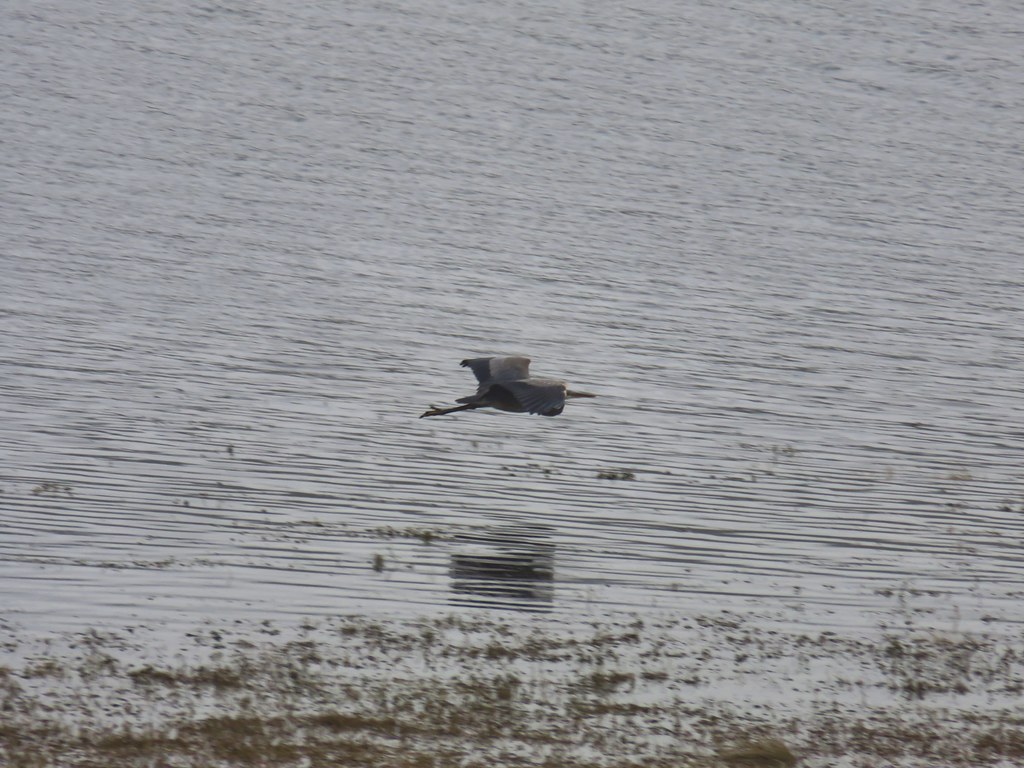
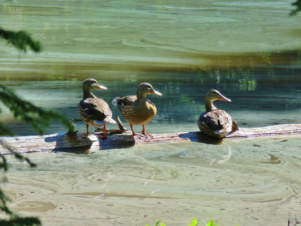
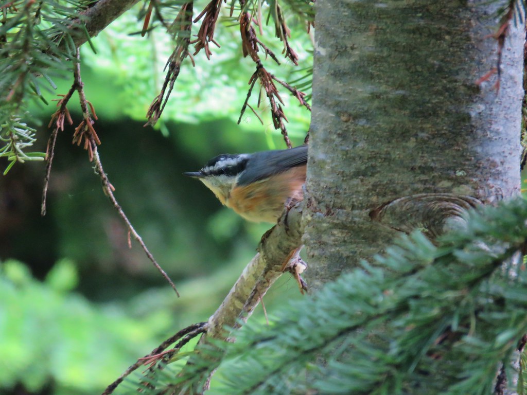
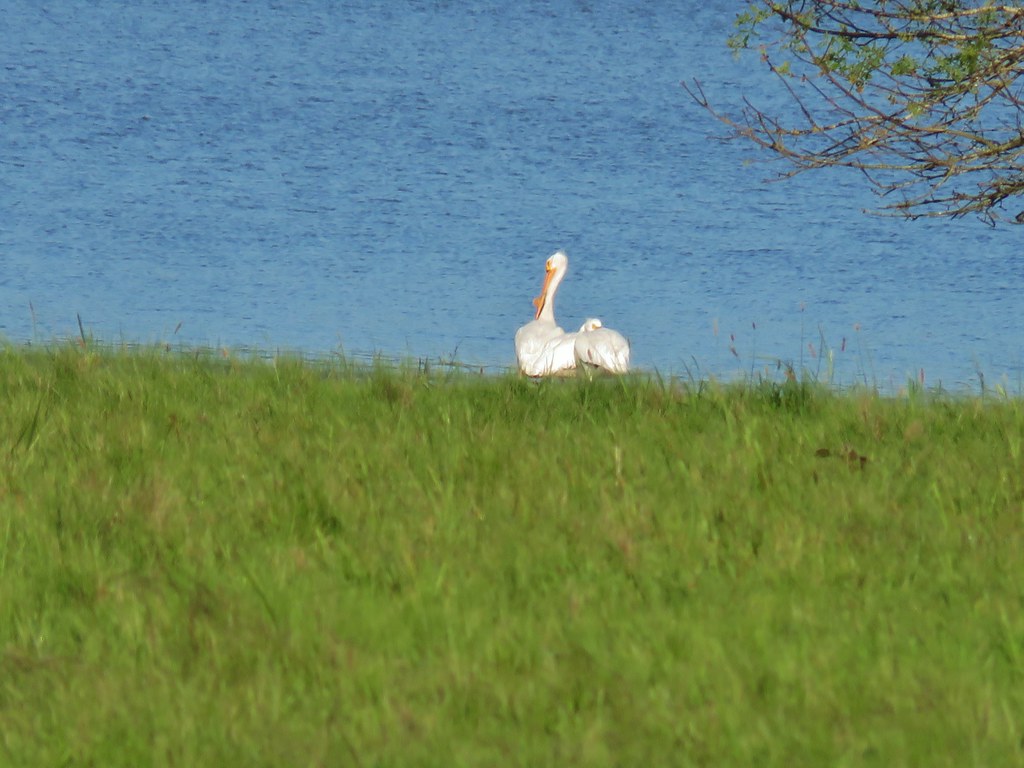
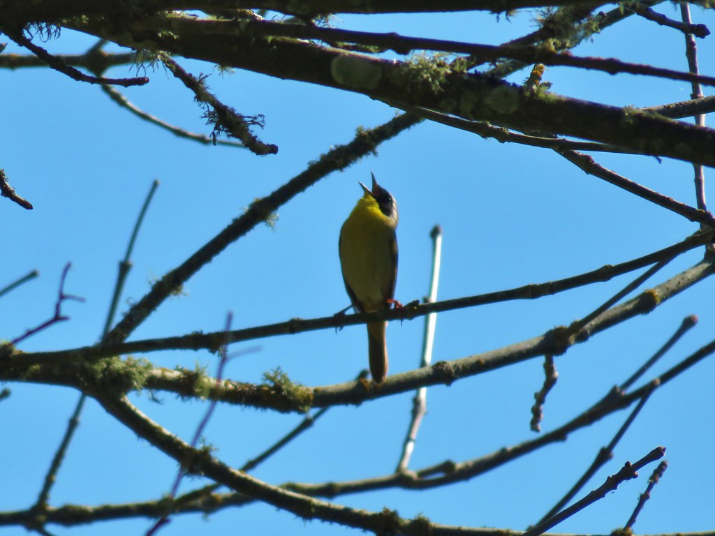
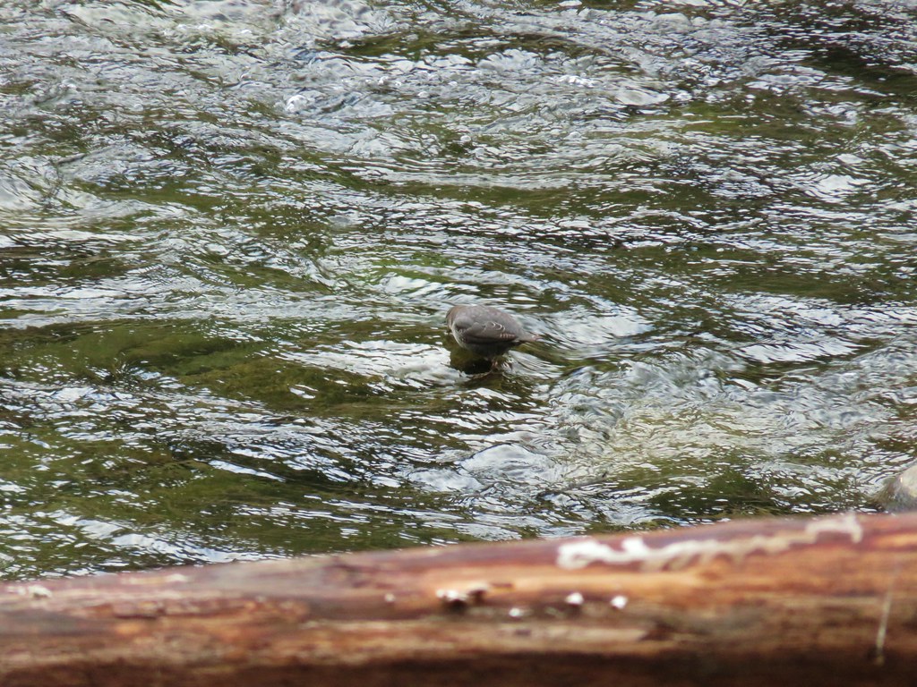
 The area around the pond was popular with the birds.
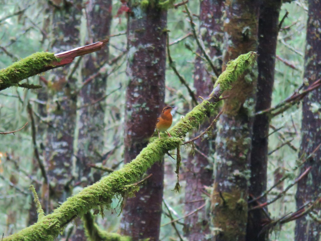
 There were quite a few robins about.
From Miller Woods it was just a 15-20 minute drive to Our Lady of Guadalupe Trappist Abbey.
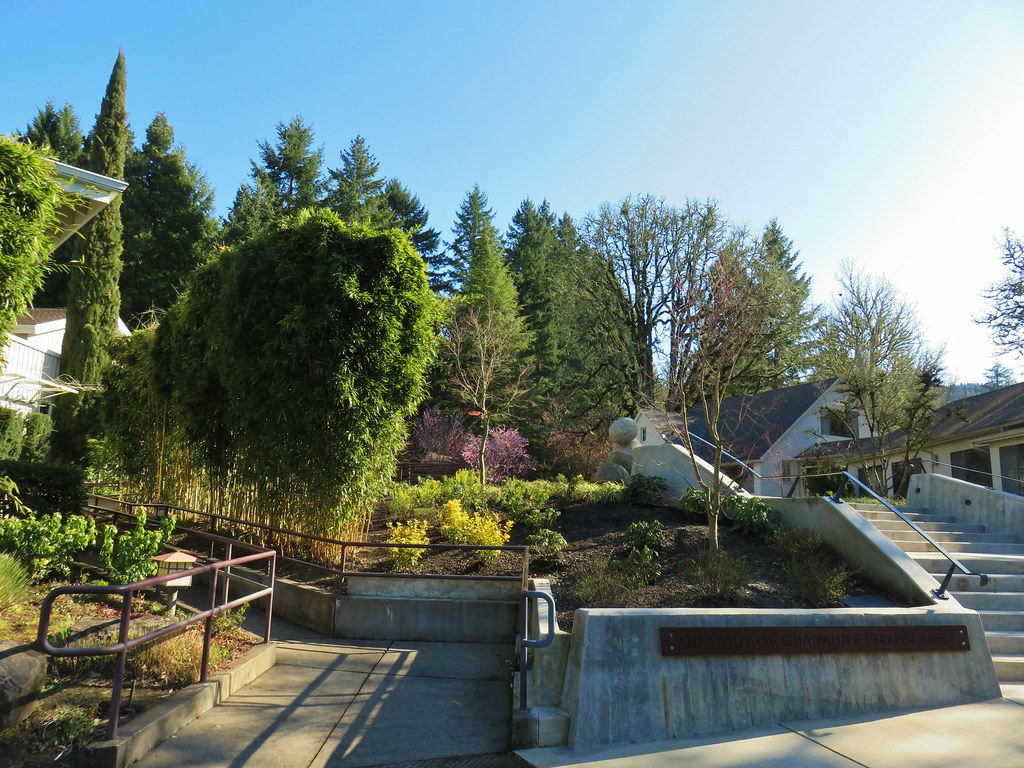
Book binding, a bakery, a wine warehouse and forestry all occur at here and a gift shop sells fruitcakes and honey. Given that “social distancing” is a thing right now we opted not to enter the gift shop or any of the other buildings on this visit and walked through the courtyard to a gravel path leading between two ponds.
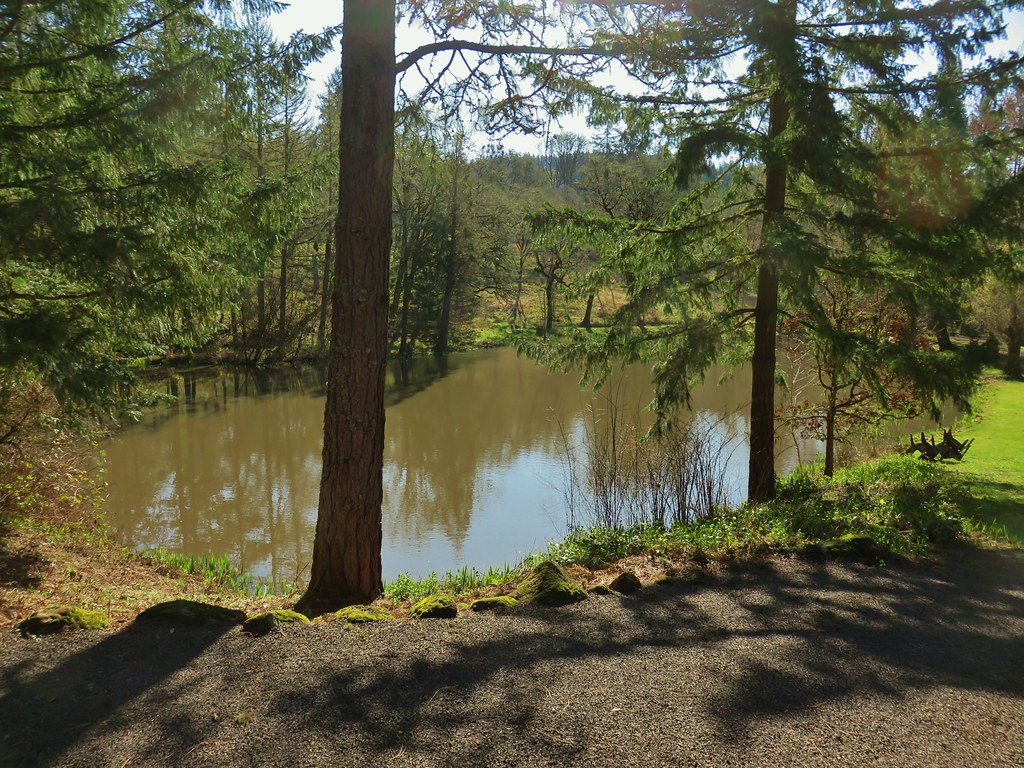 Larger of the two ponds
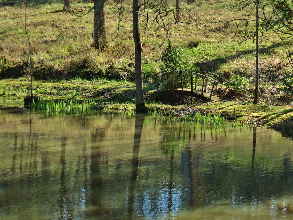 Little footbridge by the large pond
 Smaller pond
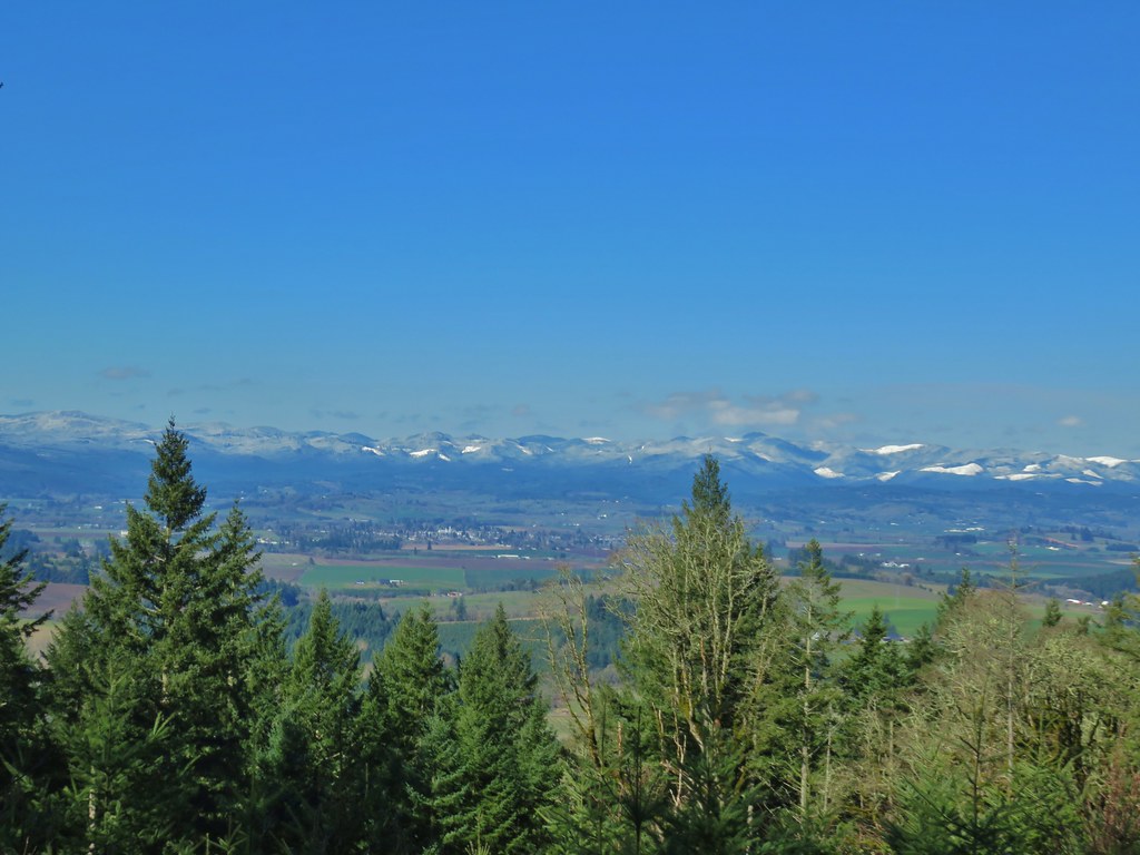
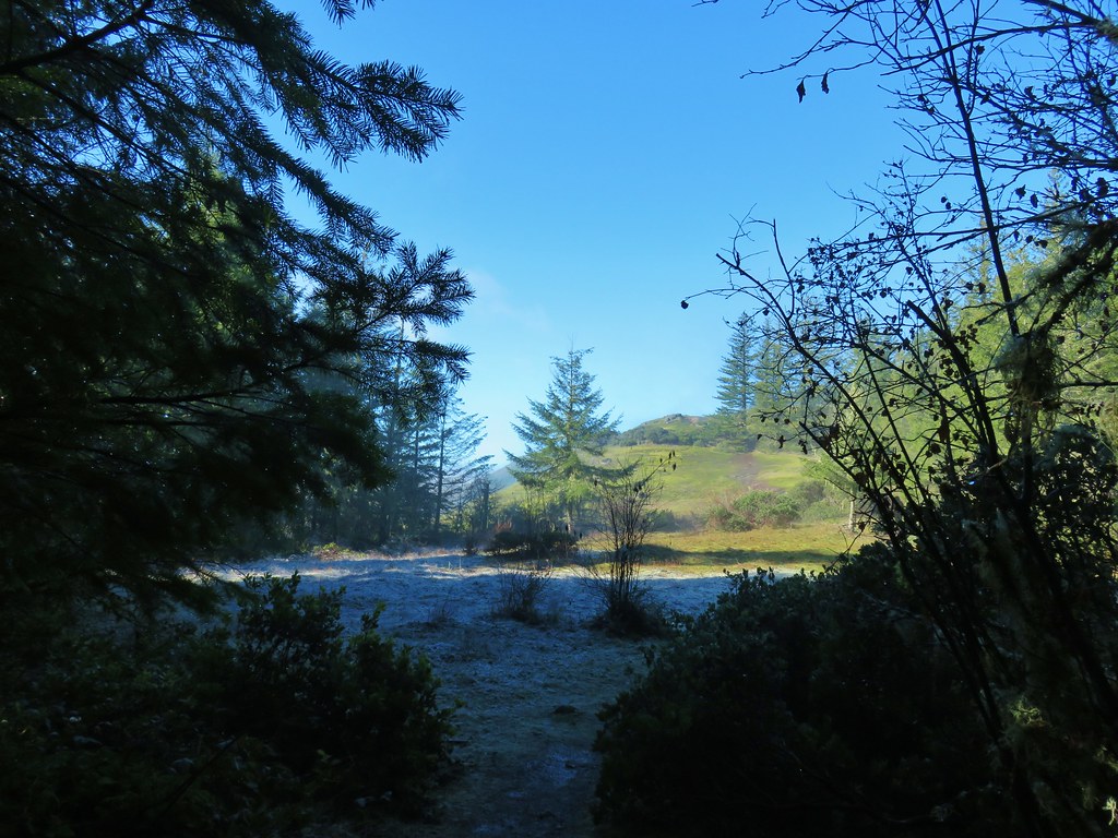
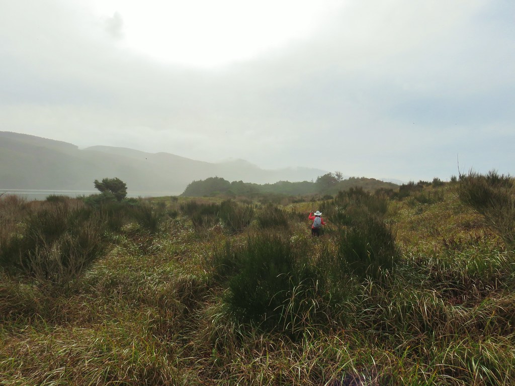
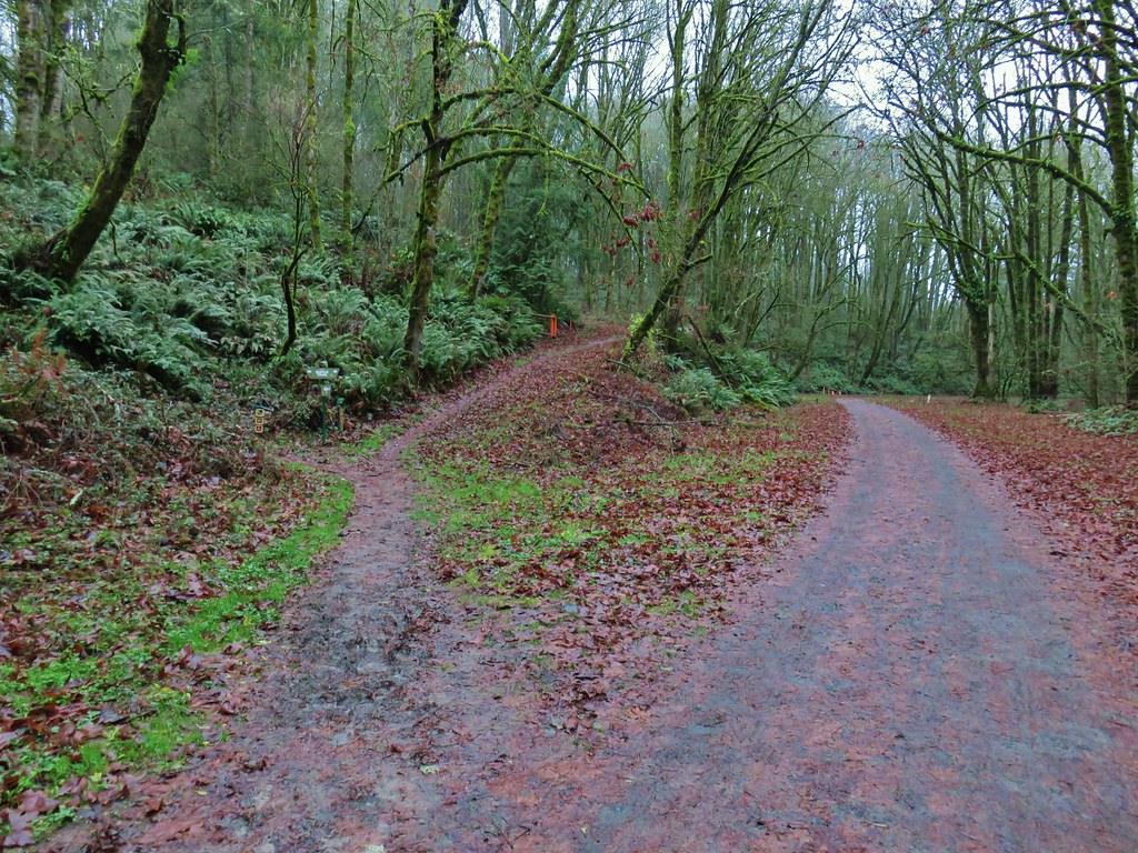
Beyond the ponds we turned uphill on an old roadbed.
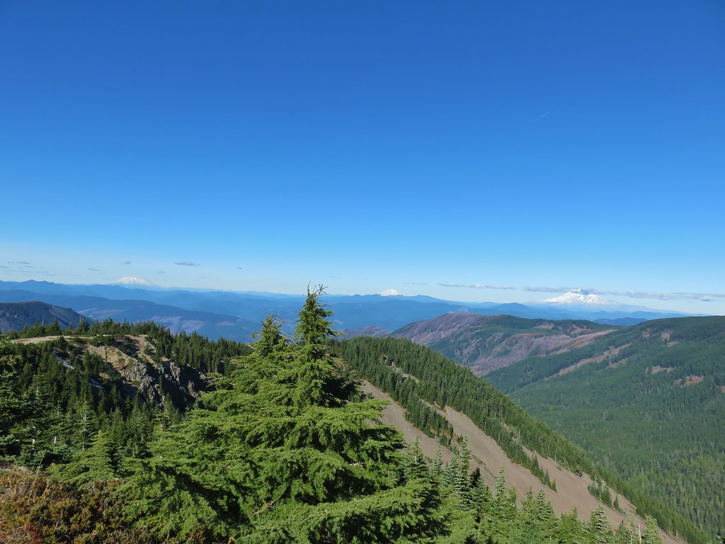
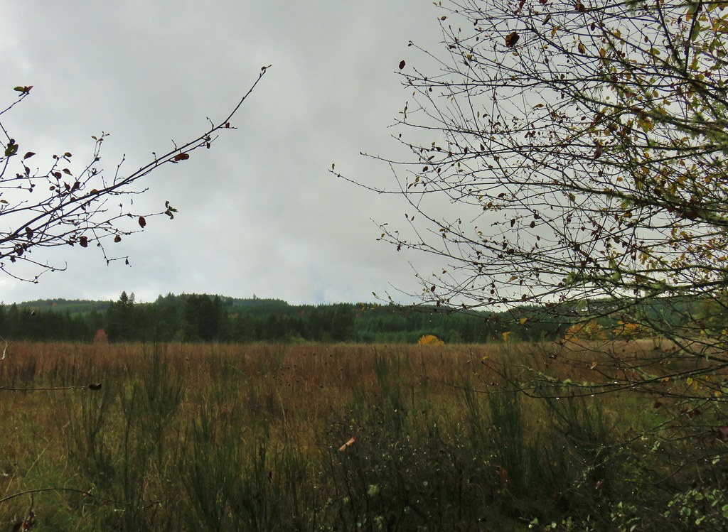
We followed the road as it climbed up a tree thined hillside gaining views to the west of the snow covered coastal range.
 We ignored the signed trails sticking to the road which was also signed as the “Guadalupe Loop”

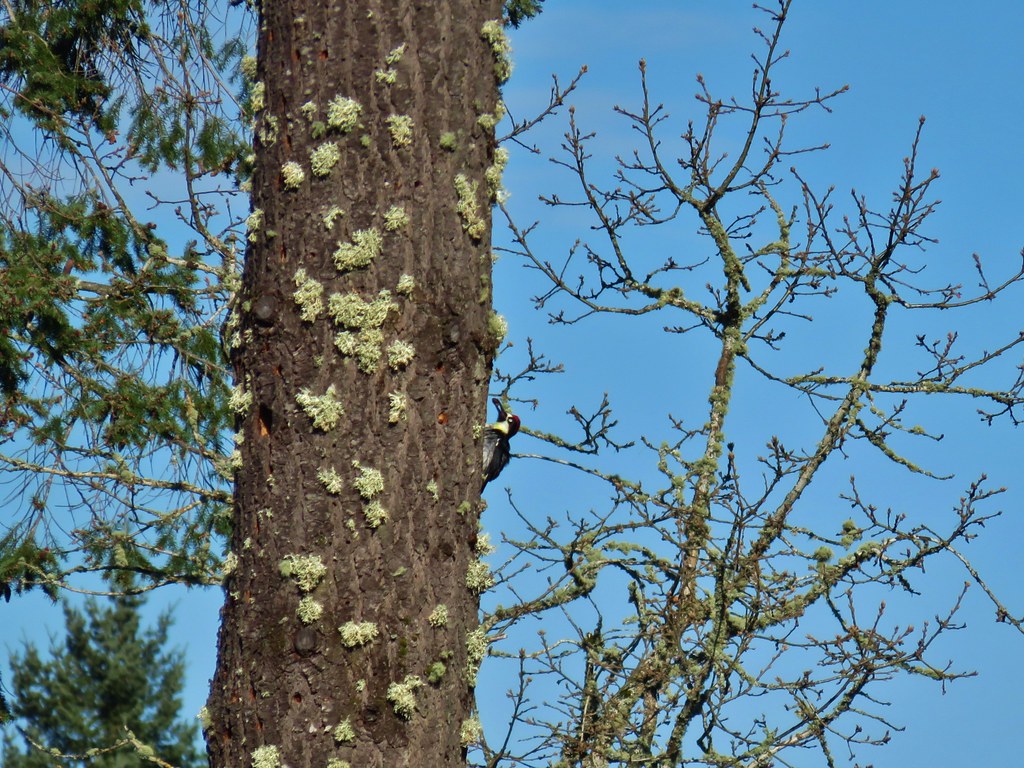
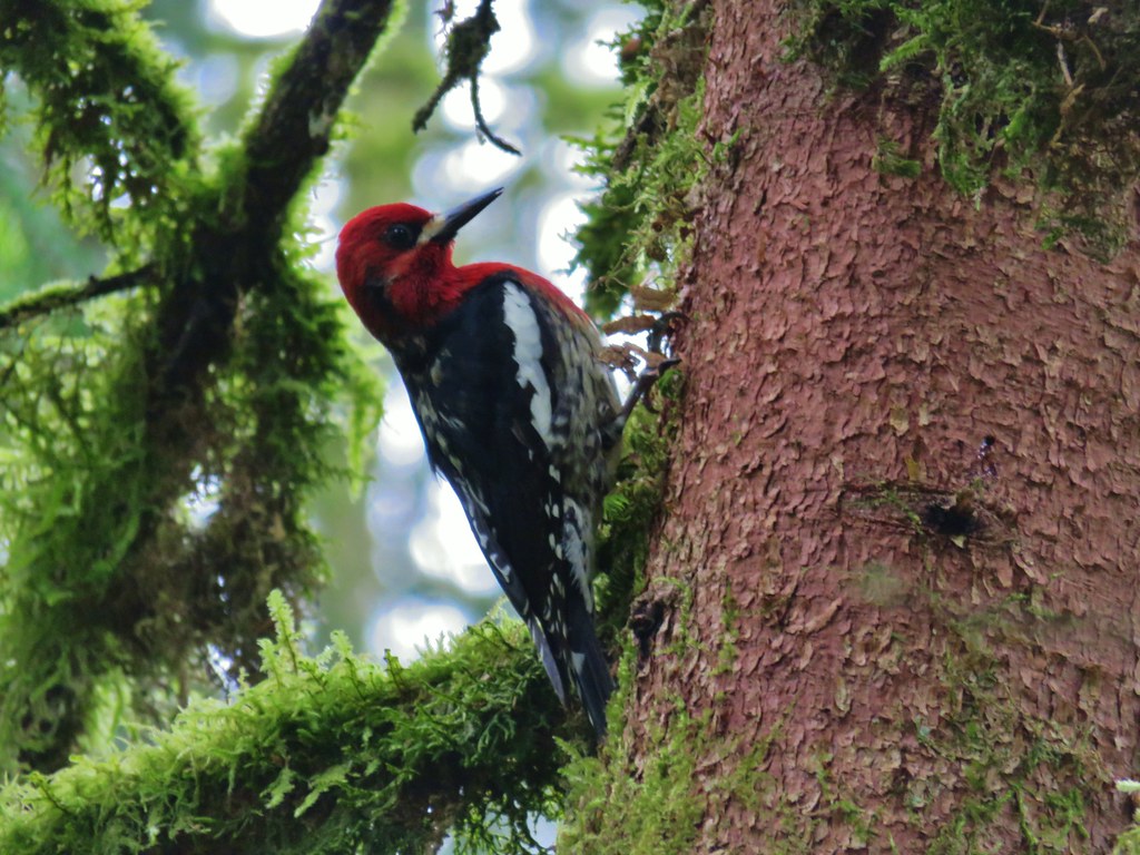
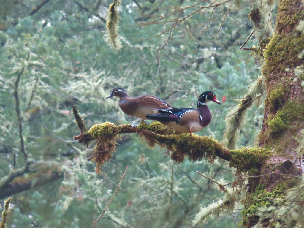
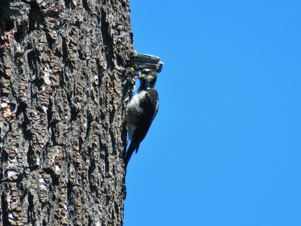
There were quite a few birds in the remaing trees. We watched a pair of acorn woodpeckers for a bit and a spotted towhee was busy picking through some grass while stellars jays could be heard but seldom seen.
 Acorn woodpecker
 Second acorn woodpecker
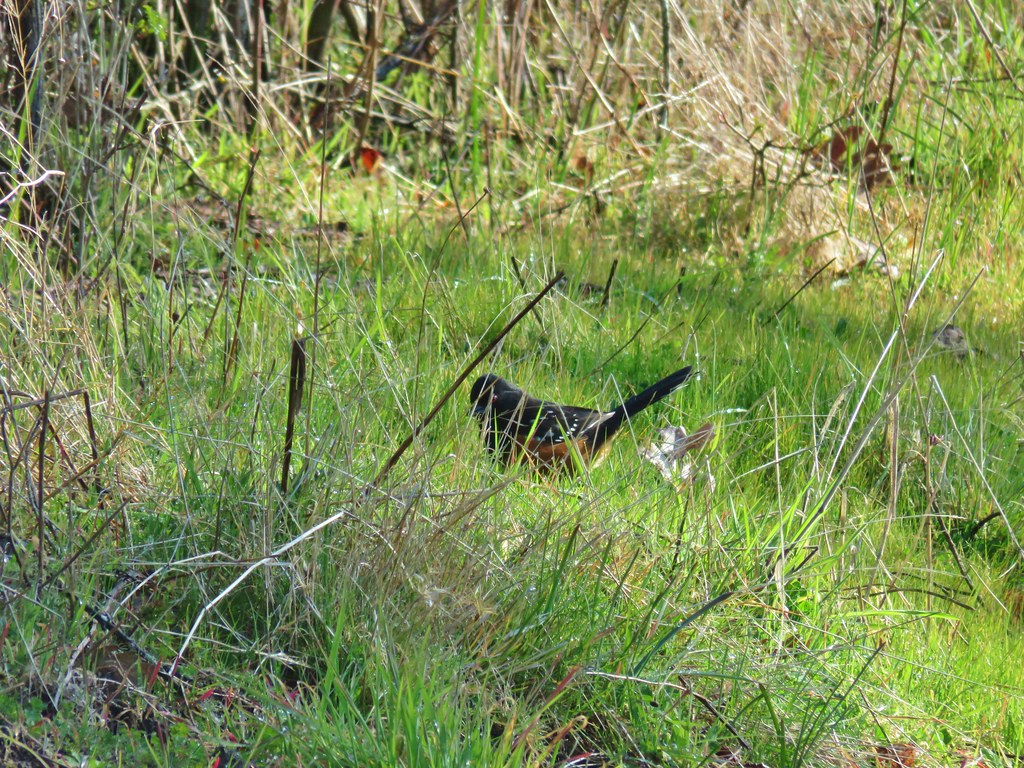 Spotted towhee
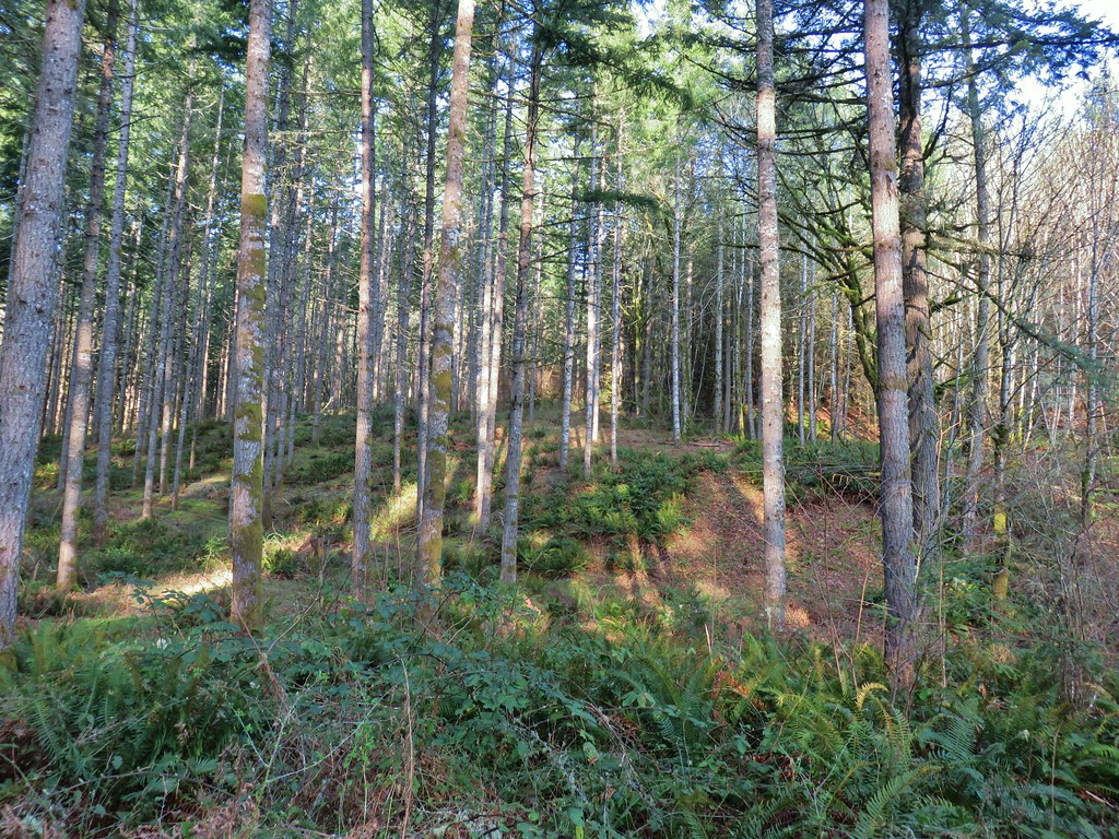
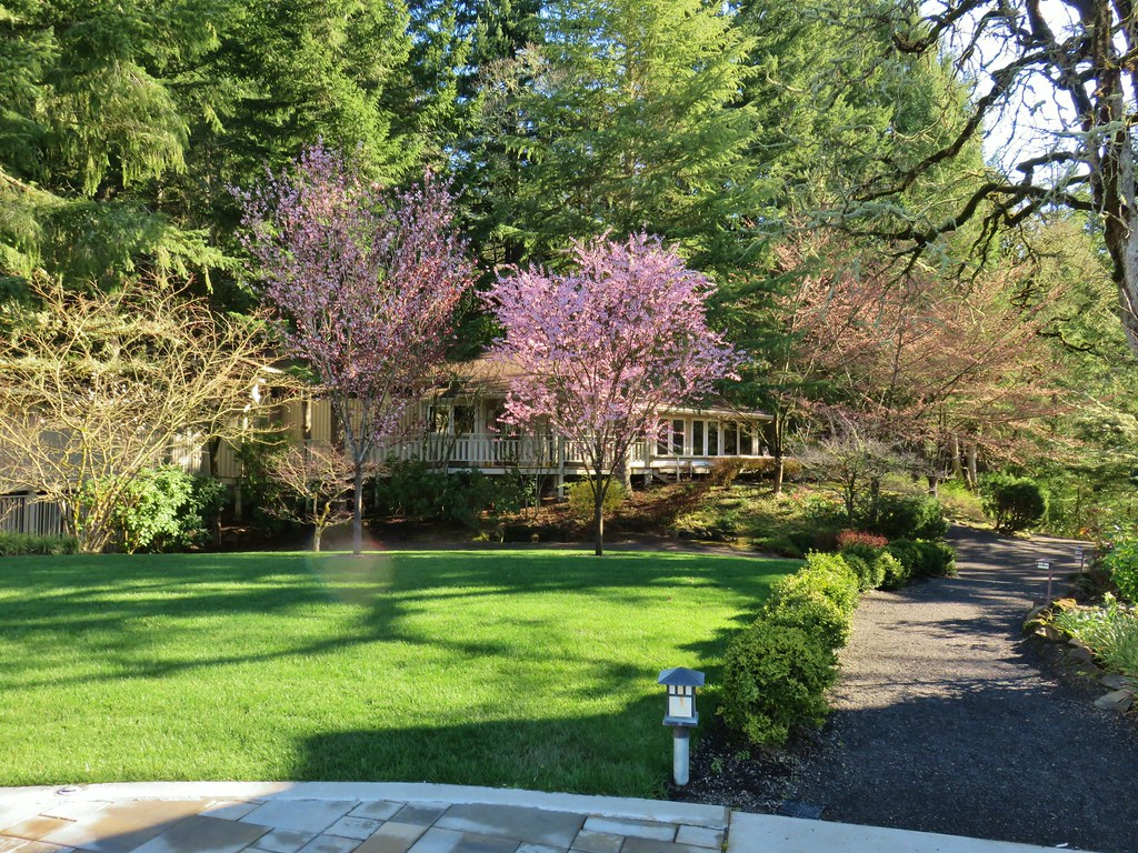
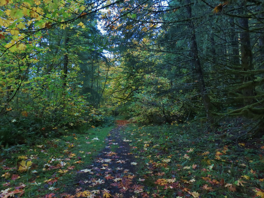
We soon left the thinned area and entered a forest where we spotted more toothwort and some sort of blooming tree.


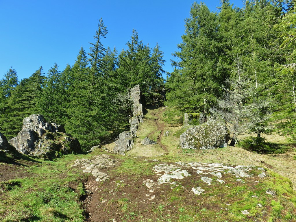
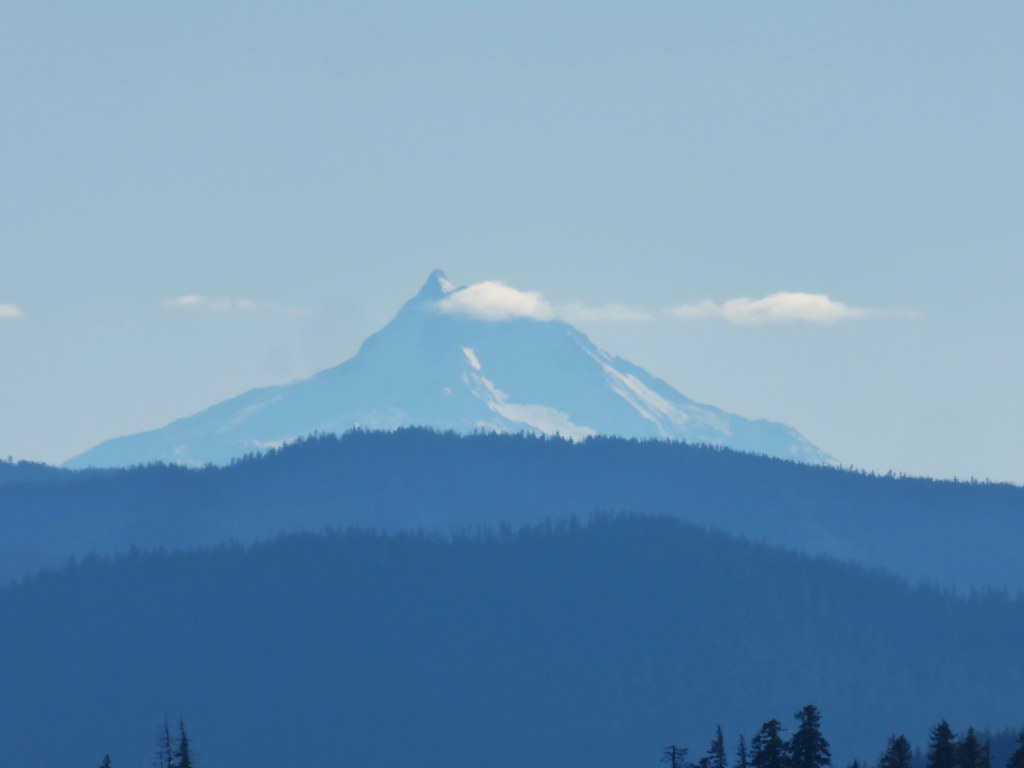
After about a mile we came to a fork in the road where the left side was gated (and posted no hiking beyond the gate). We forked right continuing uphill for a half mile to another fork. This time we went left which led a short distance to a viewpoint overlooking vineyards and Mt. Hood in the distance. (We should have taken a fork right shortly after taking the left but missed it and ended up having to backtrack a bit.)


We returned to the fork and went straight on what was still the Guadalupe Loop for just over a quarter mile to a sign for a shrine.
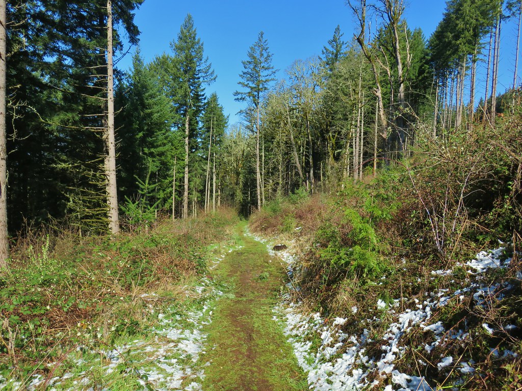
 Snow along the Guadalupe Loop

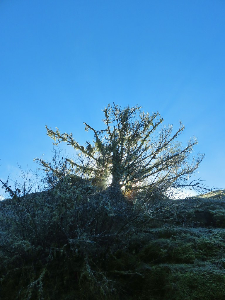
A short spur led to the shrine and a viewpoint of the Coast Range.


Our guidebook said to turn back here and return the way we’d come. We toyed with the idea of continuing on the Guadalupe Loop and started to do just that, but we weren’t certain if it was really in fact a loop or how long it might be. We decided not to tempt fate but then instead of going back the way we’d come we turned left at a sign for St. Juan Diego Pass and followed a grassy track downhill.
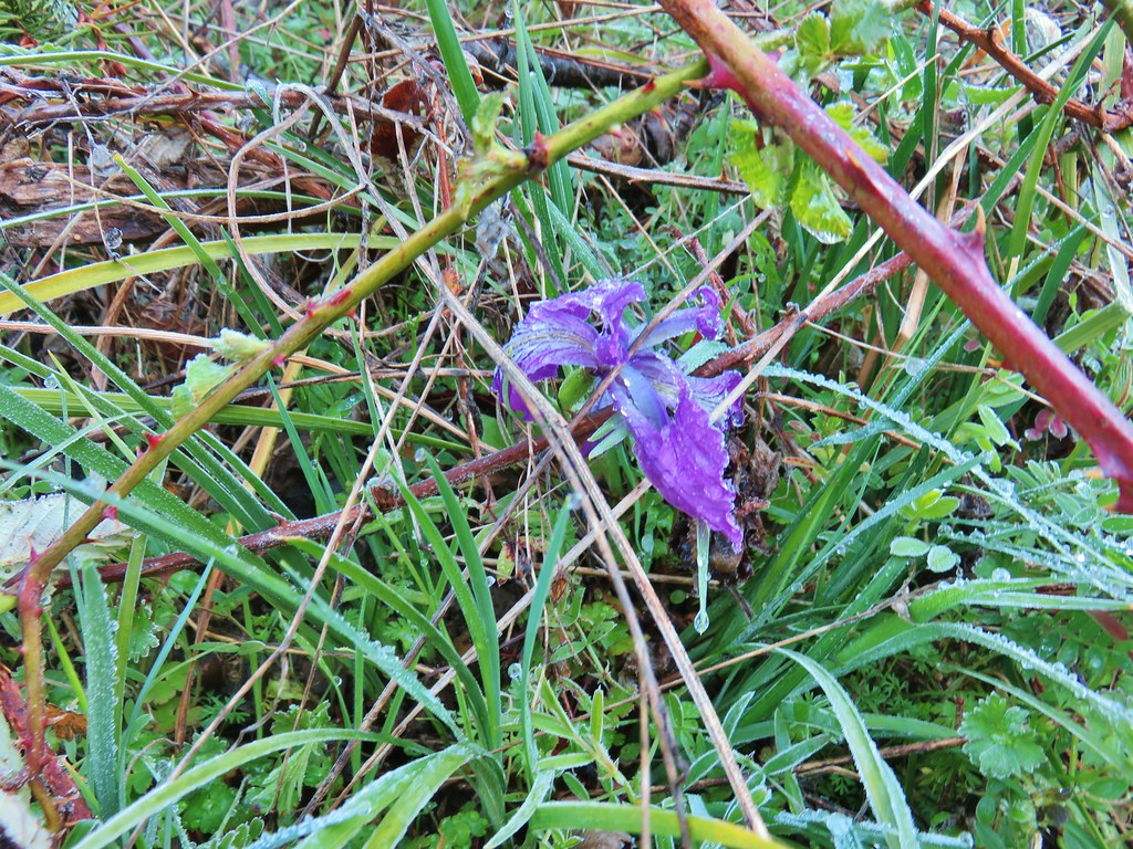
A patch of purple caught our eyes on the hillside and it turned out to be an iris that was weighted down a bit with water.
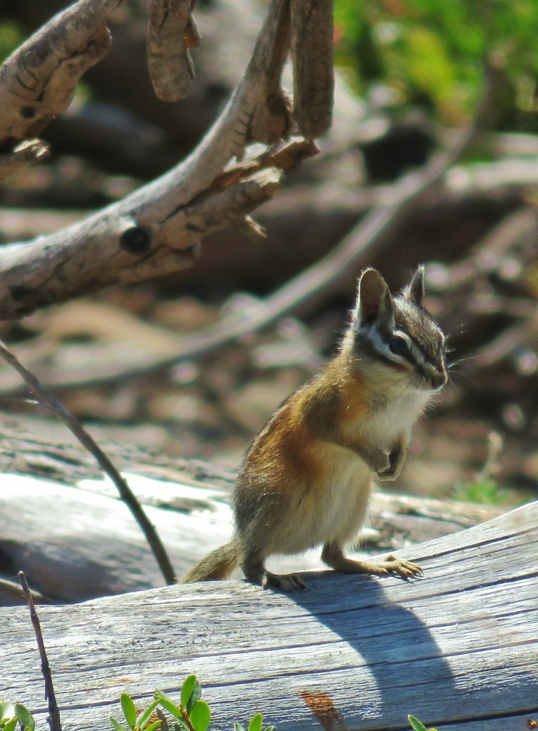
 This chipmunk also caught our attention.
We followed the path for a little over half a mile before popping back out on the Guadalupe Loop near the fork with the gated road where we turned left and hiked the mile back down to the parking area.

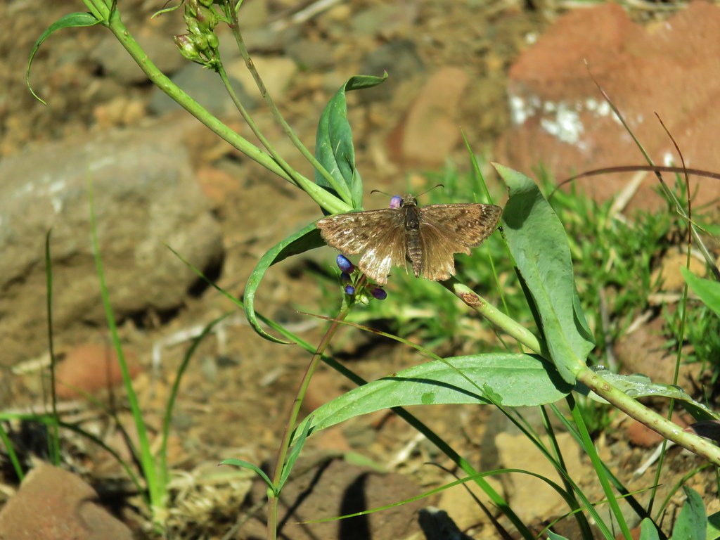
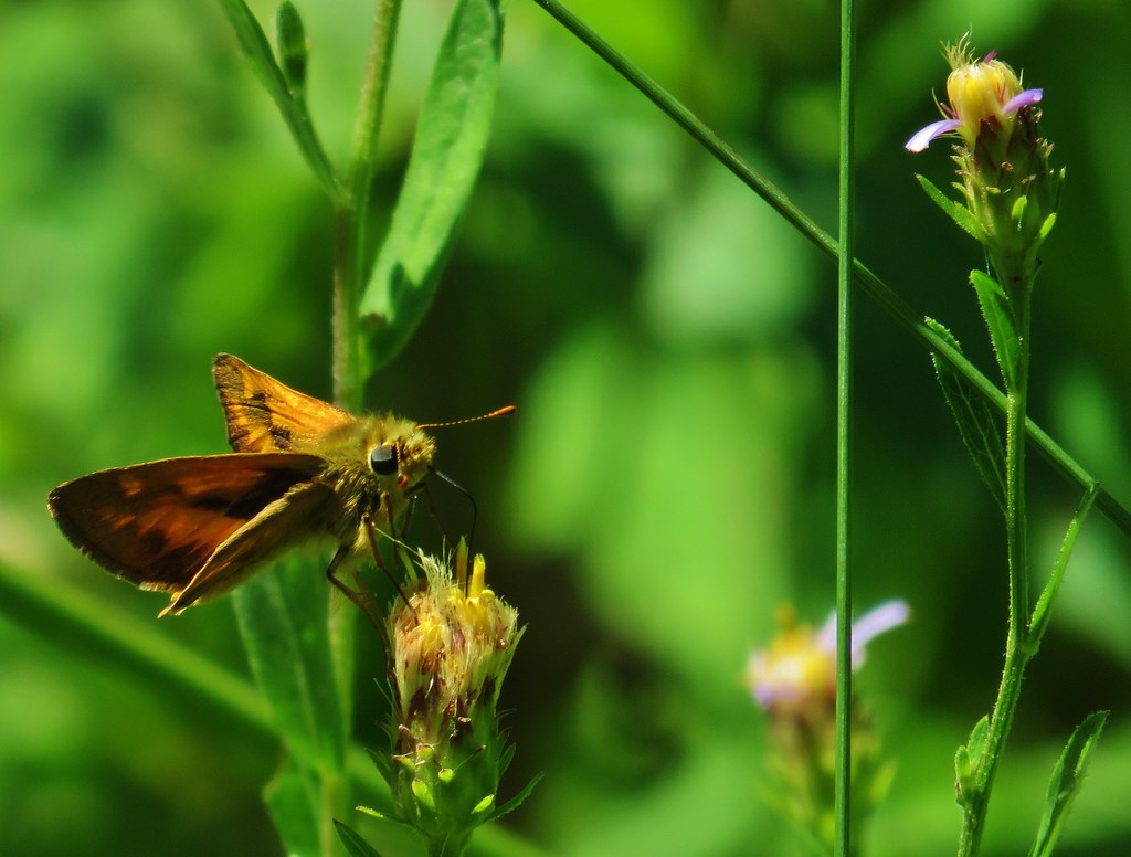
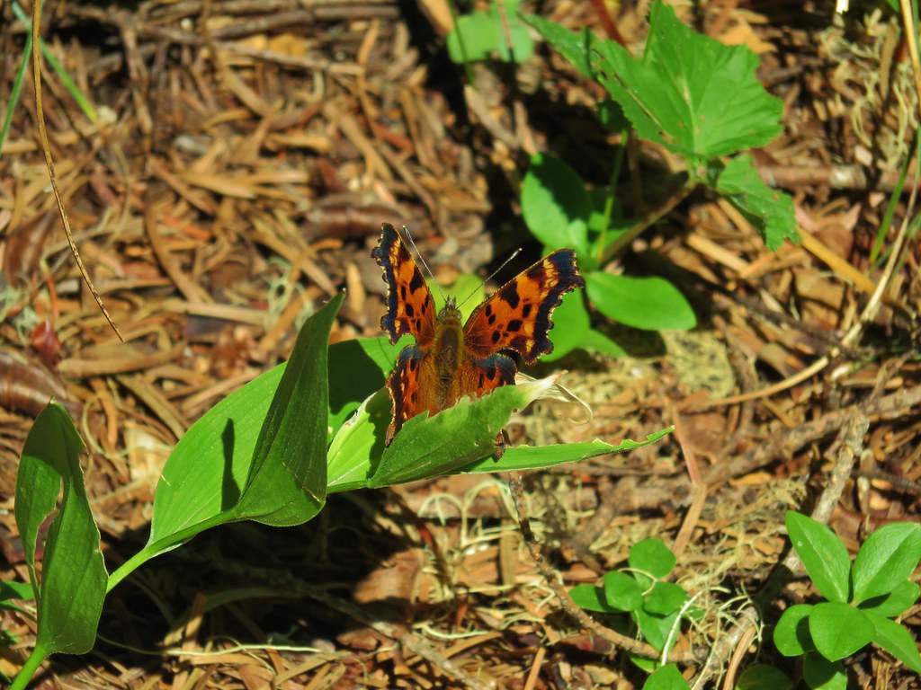
It turned out to be a beautiful day (once we thawed out from the initial frozen hands at Miller Woods) with a total of 8.2 miles of hiking (4.4 at Miller Woods and 3.8 at Trappist Abbey). There were very few folks out, we saw two trail runners at Miller Woods and passed a handful of groups at Trappist Abbey, had some wildlife encounters, and spotted a few Spring flowers along the way. Hopefully things will settle down sooner rather than later with the corona virus but until then stay safe and Happy Trails!
Flickr: Miller Woods and Trappist Abbey


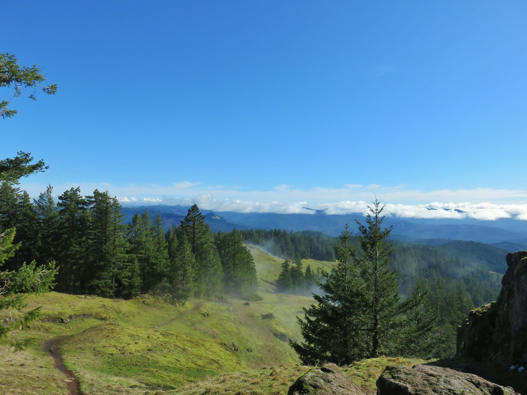
 Spencer Butte’s summit high point.
 View north from the high point towards Mary’s Peak (


 An older tree along the trail.
 Mushrooms on a trunk near the clear cut view.
 Violet


 Heather emerging from behind the outcrop.


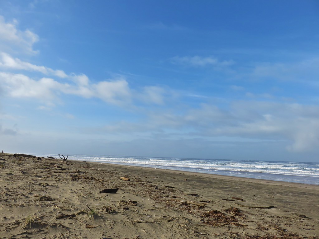
 Ocean coming right up to the rocks.


 Trail at lower right with a little standing water.
 Three Arch Rocks – one of two wilderness areas in Oregon off limits to visitors.


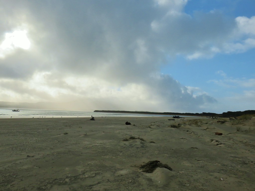

 Looking back north from the dune crest.
 Looking north at what was to come.
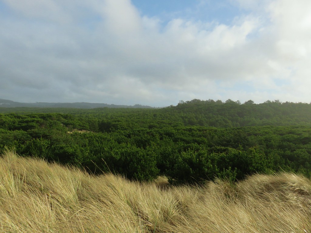 Thick forest between the bay and the dune.
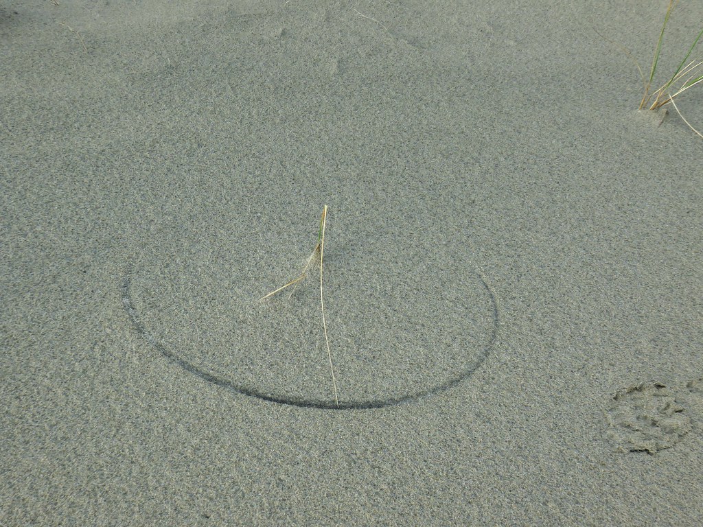 One of several semi-circles created by grass going back and forth.

 Cape Lookout from the trail to the picnic shelter.
 Seagull atop the shelter.
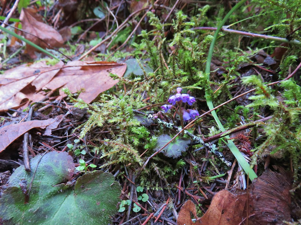 Snow queen
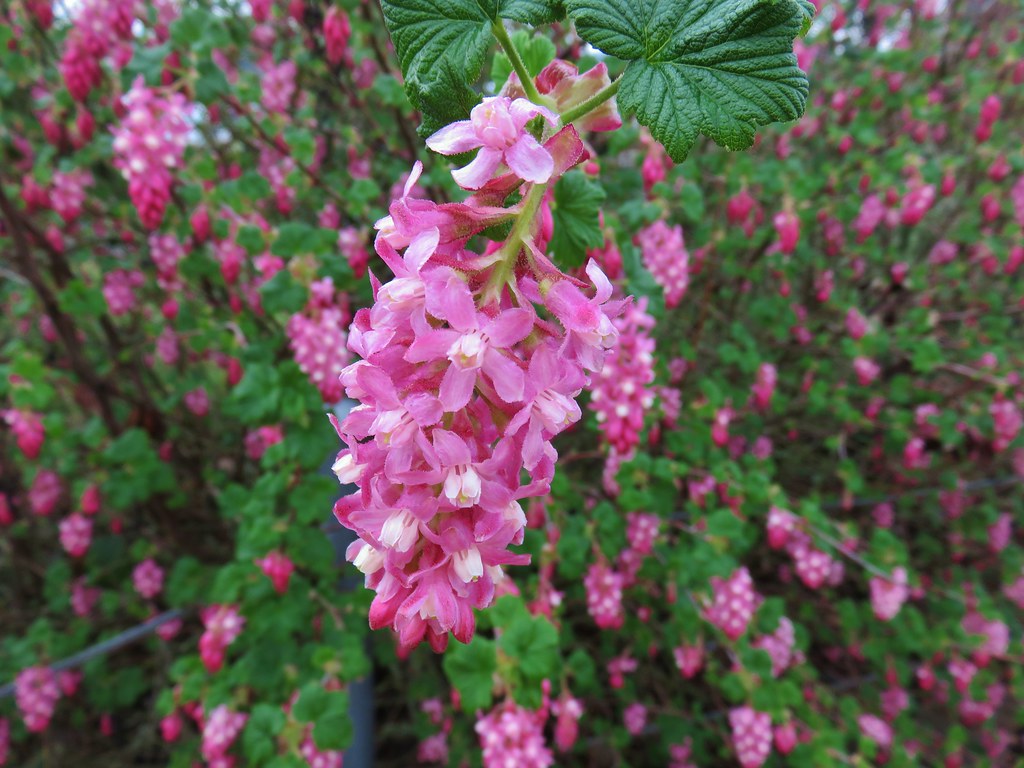 Red flowering currant
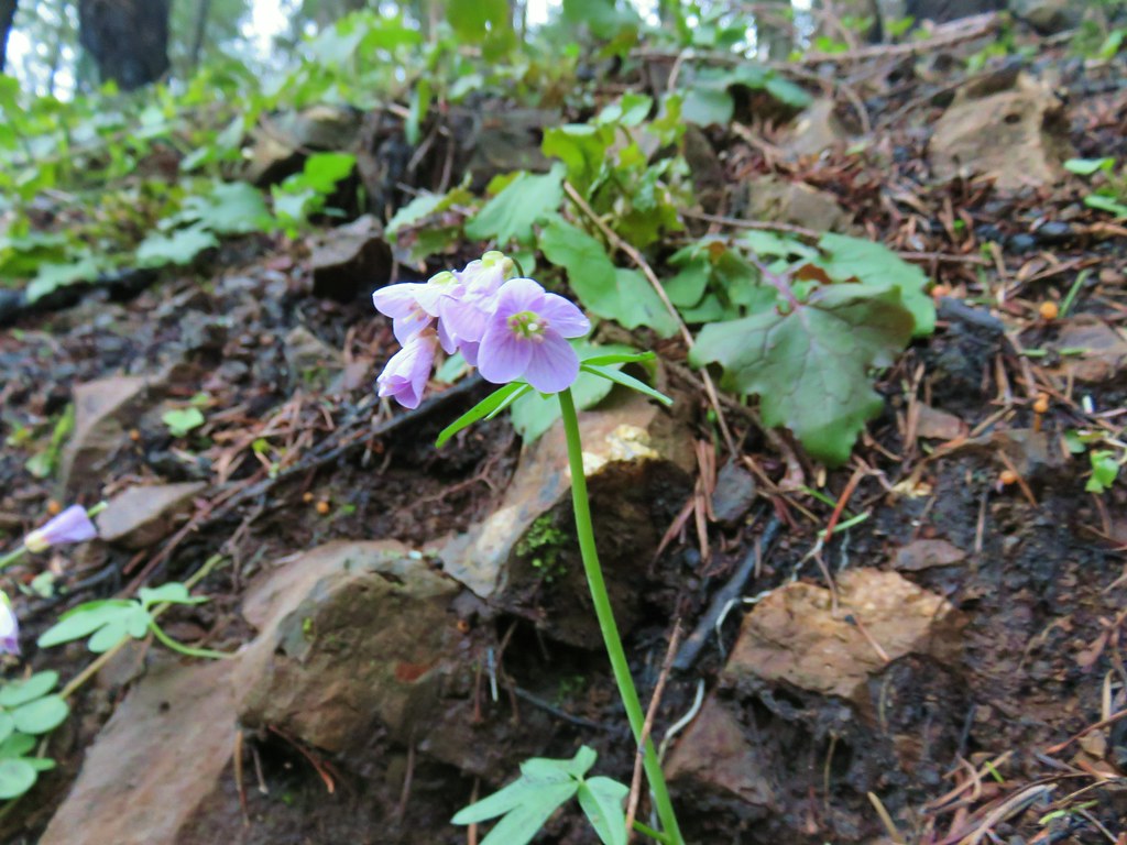 Toothwort
 Fairy slipper
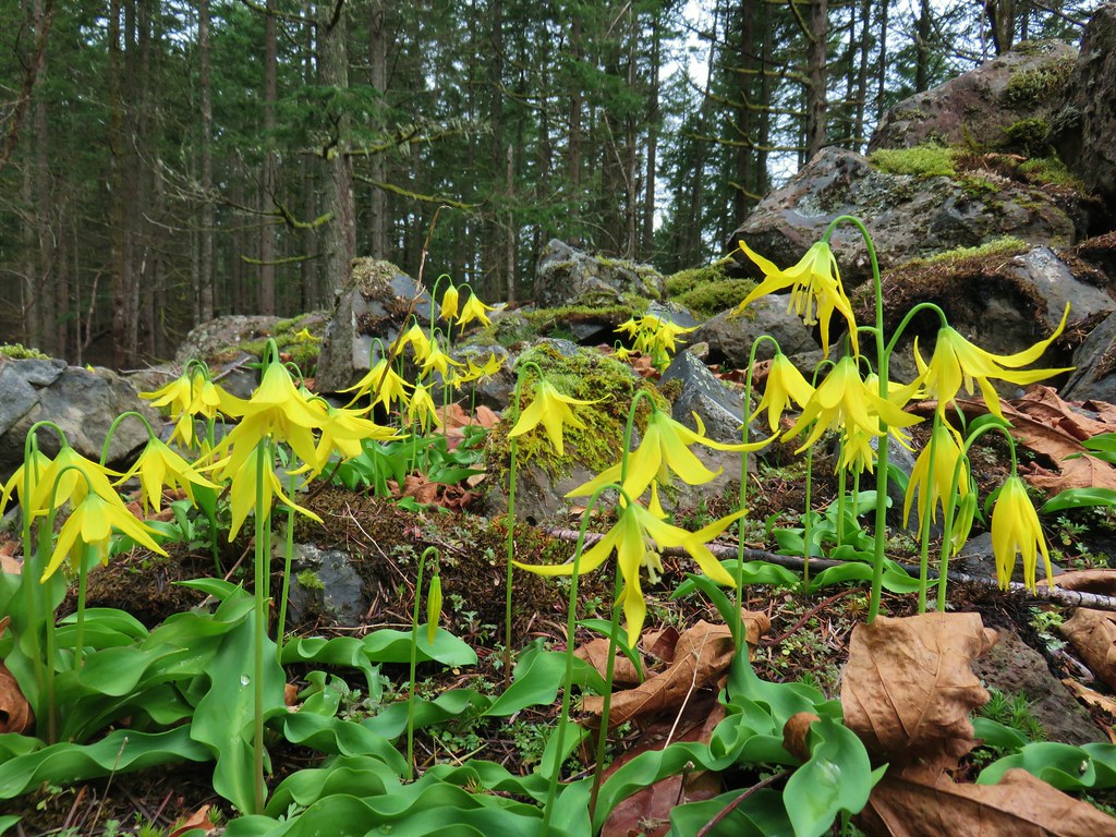 Glacier lilies
 Chickweed monkeyflower
 Giant white wakerobin
 Giant fawn lilies
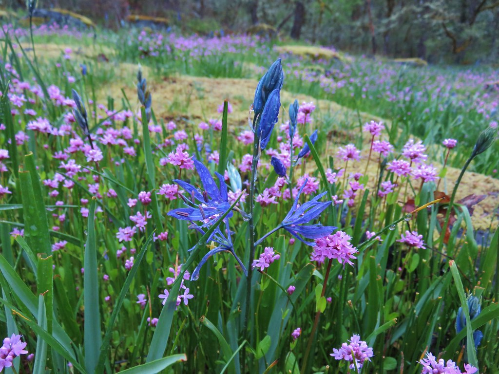 Camas and plectritis
 Fringecup
 Bleeding heart
 Bluebells?
 Dogwood
 Large solomonseal
 Vine maple
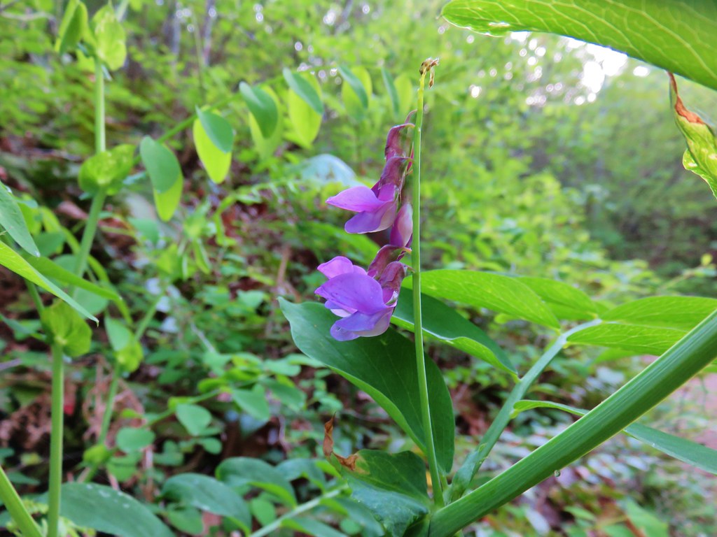
 Chocolate lilies
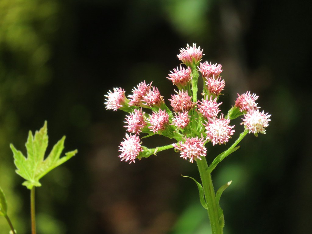 Coltsfoot
 Wild rose
 Ball-head waterleaf
 Arnica
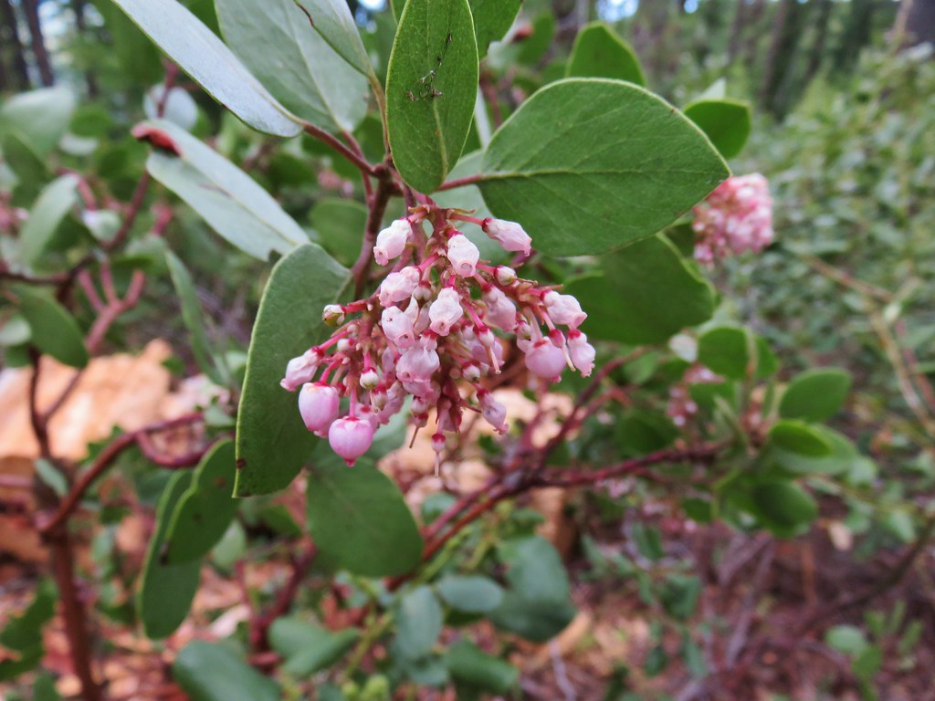 Manzanita
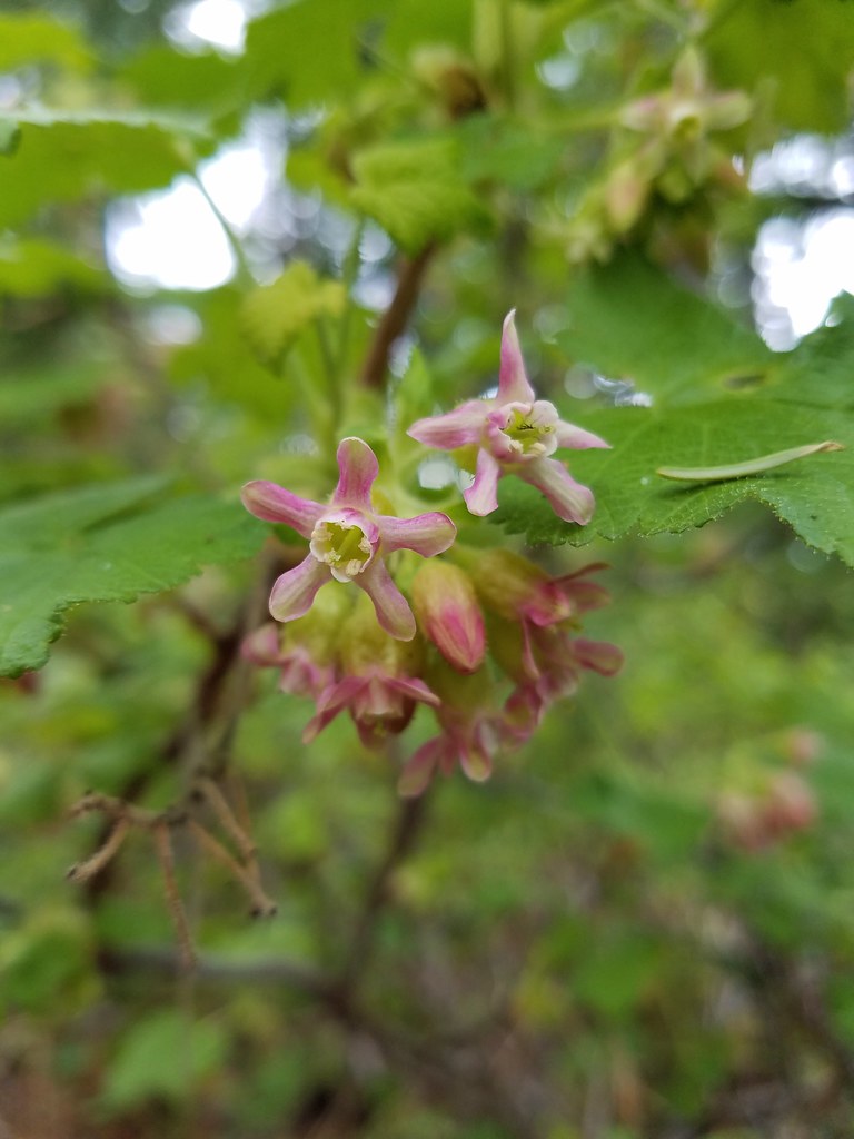 A currant
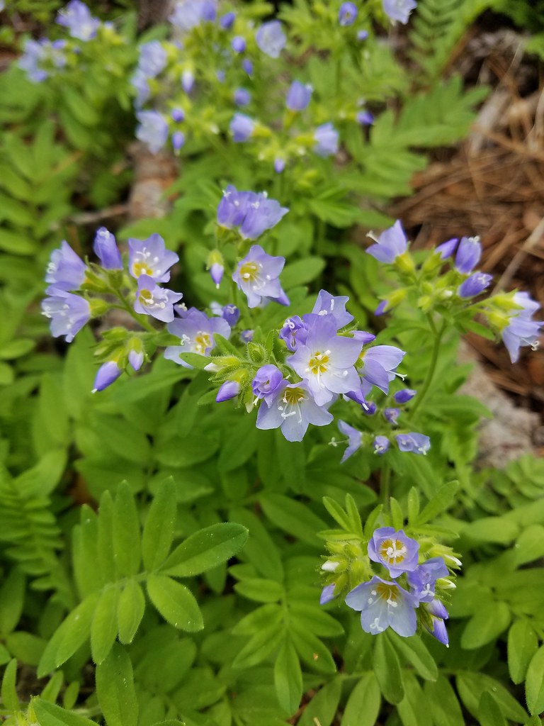 Showy jacob’s ladder
 Oregon anemone
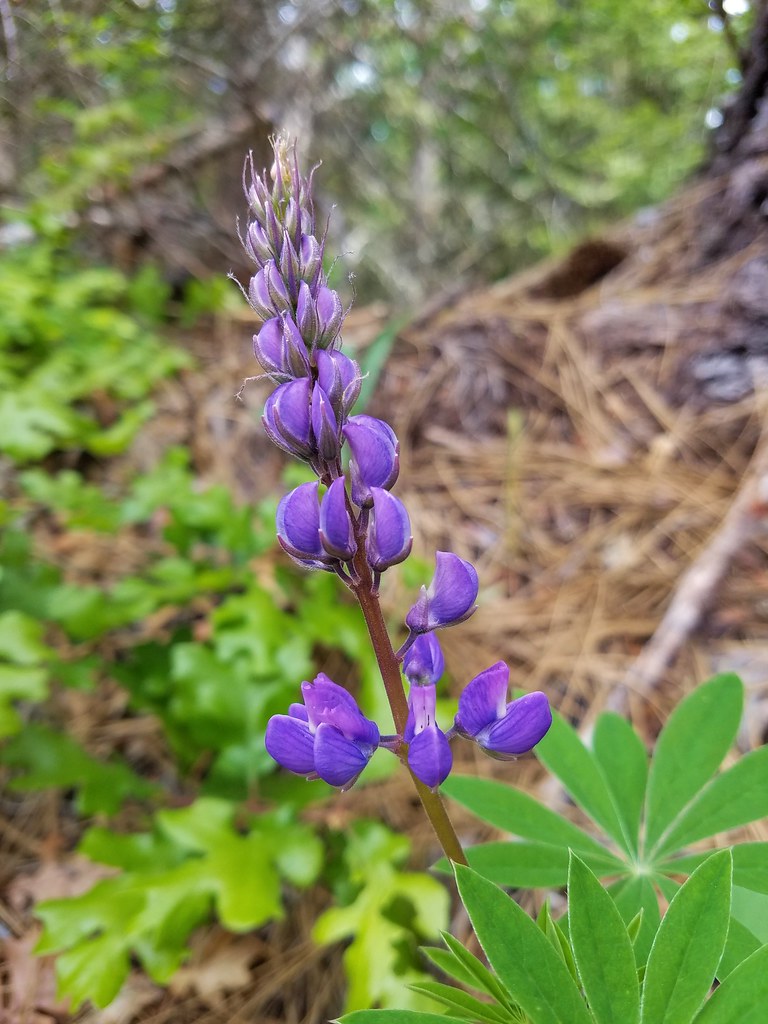 Lupine
 Vanilla leaf
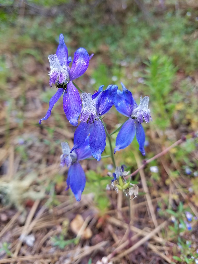 Larkspur
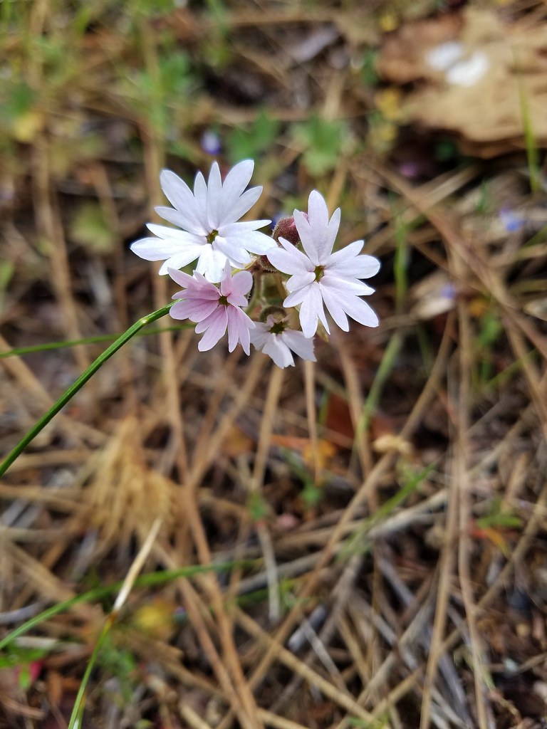 Woodland stars
 Popcorn flower
 Salsify
 Deadly nightshade
 Rock clematis
 Twinberry?
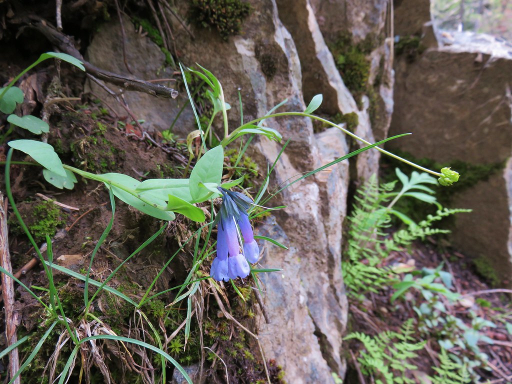 Bluebells
 Cinquefoil
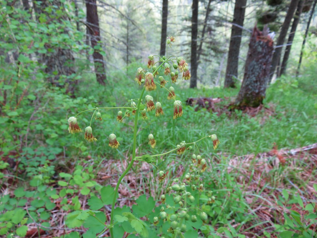 Meadowrue
 A violet
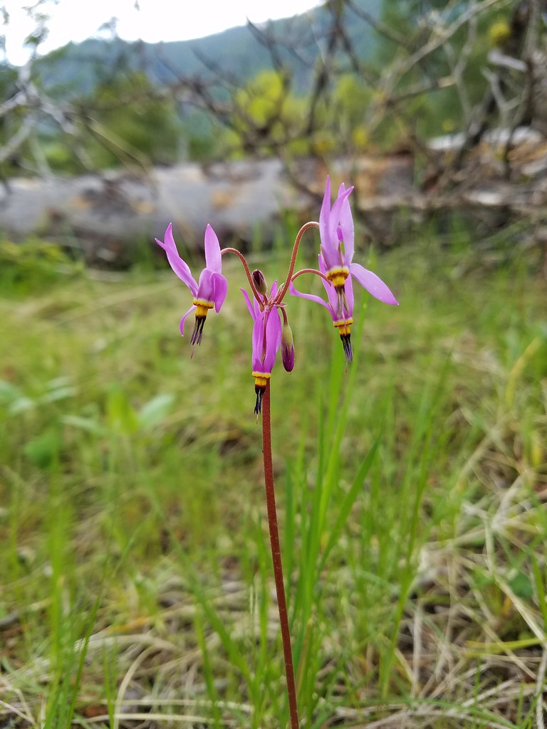 Shooting star
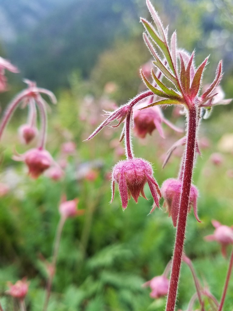 Old man’s whiskers
 Western stoneseed
 Blue dicks
 Balsamroot
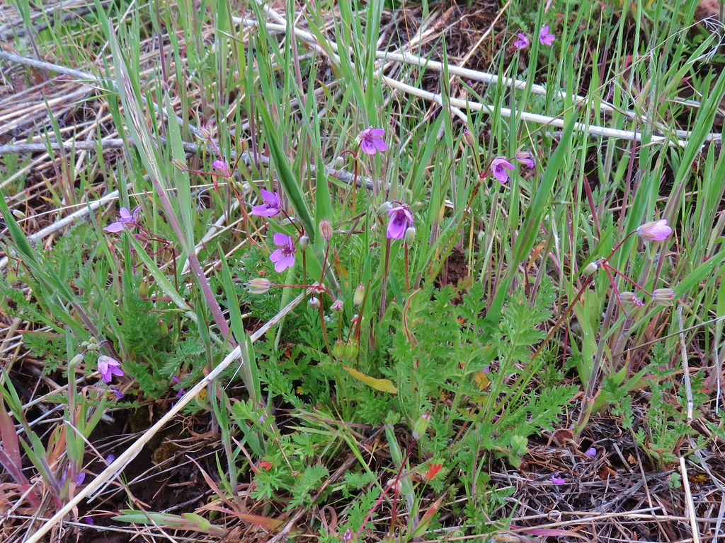 Slender phlox
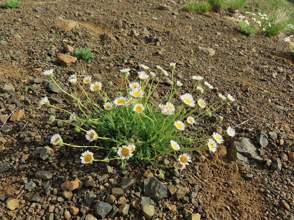 Cutleaf daisy
 Large head clover
 Kittentails
 Hairy clematis
 Yellow bell
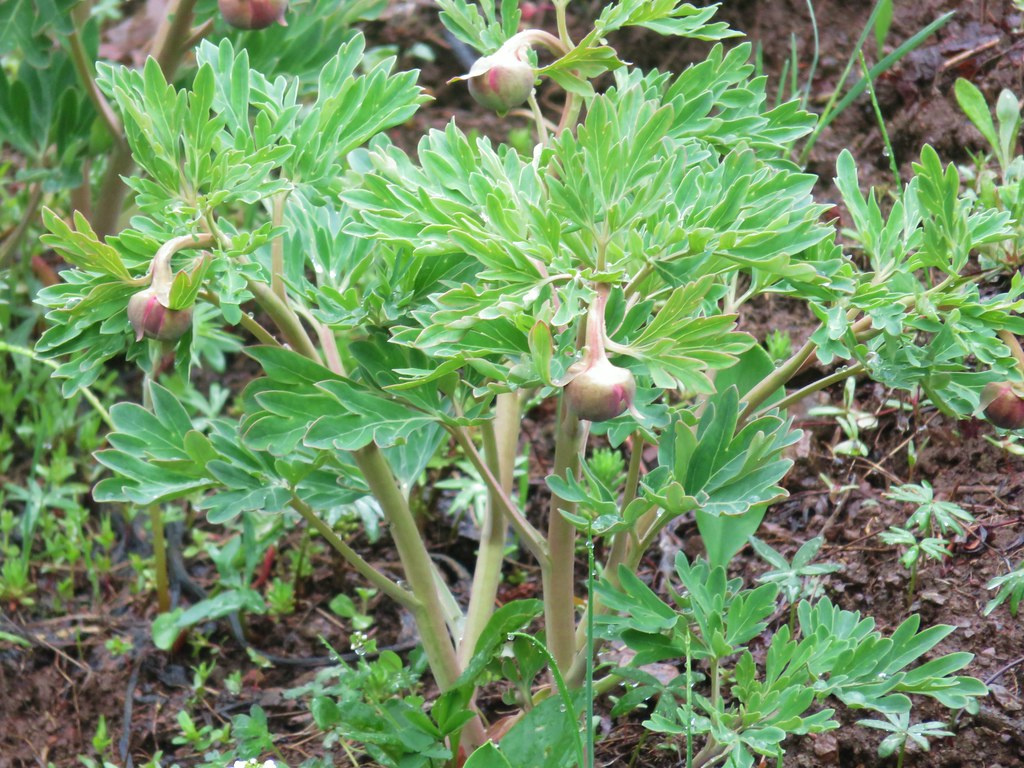 Brown’s peony (blossoms hadn’t opened yet)
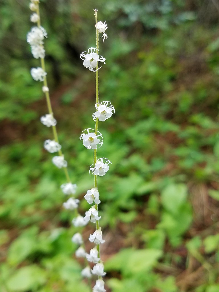 Small flower miterwort
 Vetch
Vetch Yarrow
 Houndstongue
 A catchfly
 Branched hareleaf
 Watercress
 Fiddleneck
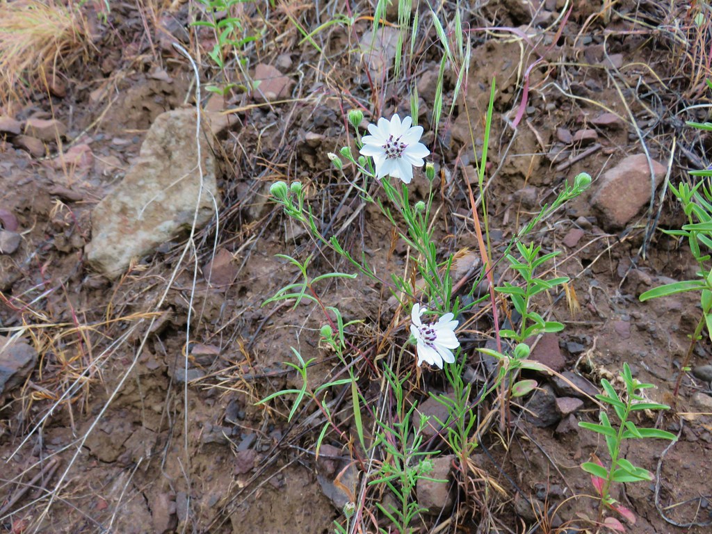 Rough eyelashweed
 Penstemon
 Phlox
Phlox Spreading dogbane
 Buckwheat
 Scab penstemon
 Oregon sunshine?
 False sunflower?
 Sticky purple geranium
 Threadleaf phacelia
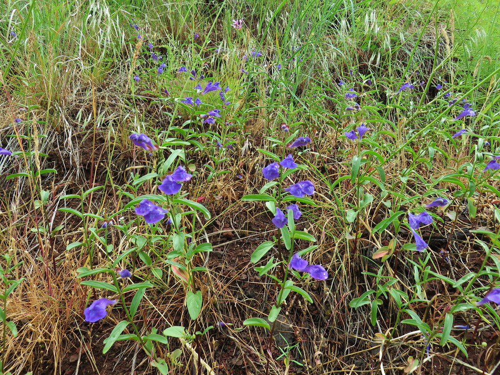 Skullcap
 Stream globe mallow
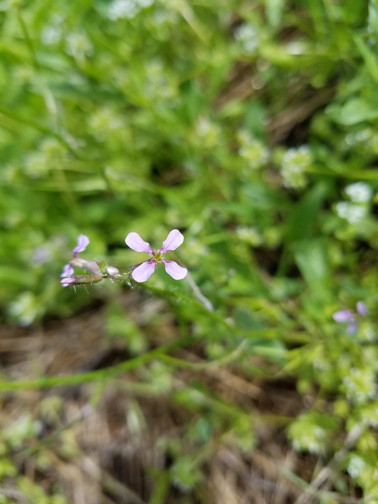 Blue mustard?
 Ragged robin
 Blanket flower
 Cusick’s paintbrush
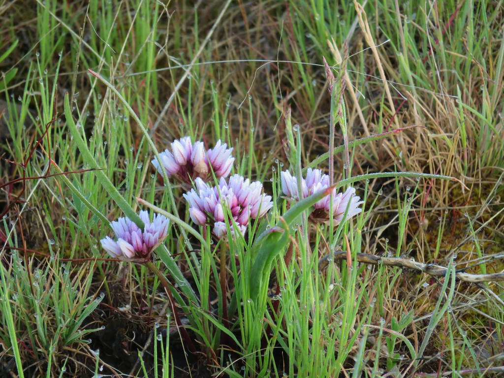 Wild onion
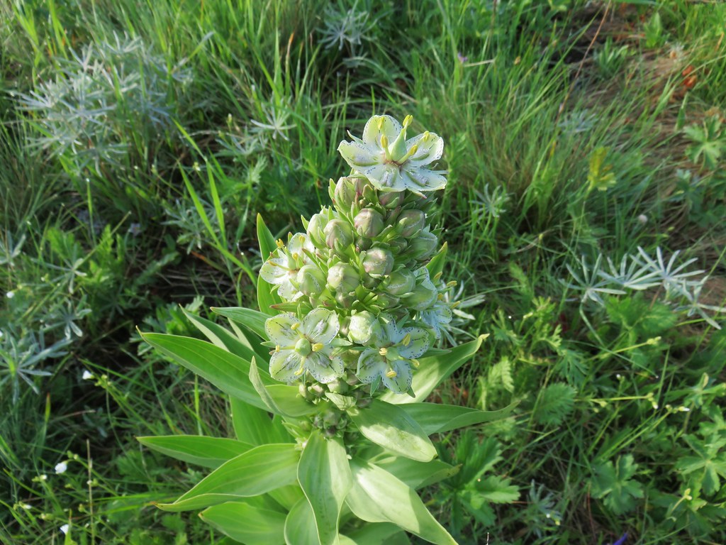 Monument plant
 Rockcress
 Hoary balsamroot
 Camas
Camas White-stem frasera
 Milk vetch
 A clover
 Dwarf yellow fleabane
 Iris
Iris Iris
Iris Paintbrush
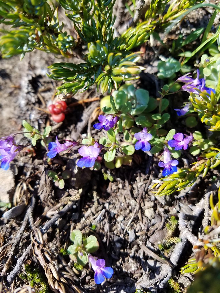 Blue-eyed mary
 Cat’s ear lilies
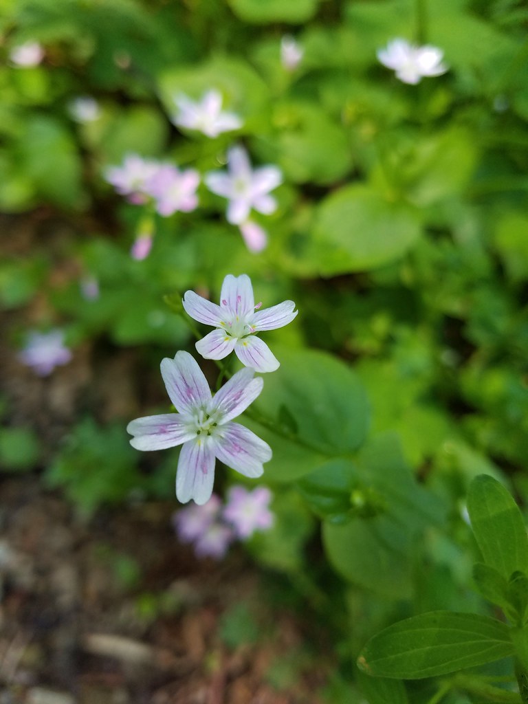 Candy flower
 Thimbleberry
 Stonecrop
 Youth-on-age
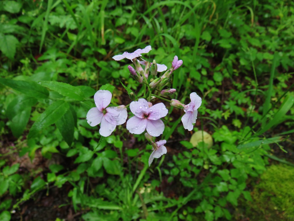
 False lily of the valley
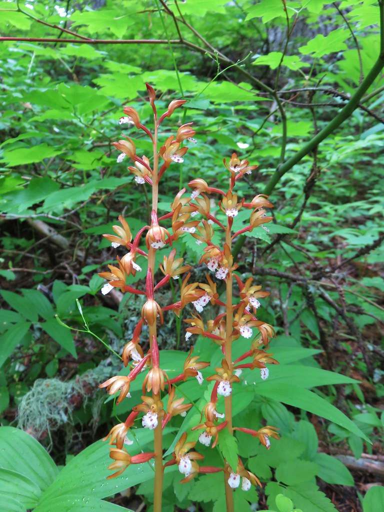
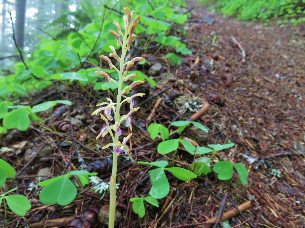 Coralroot
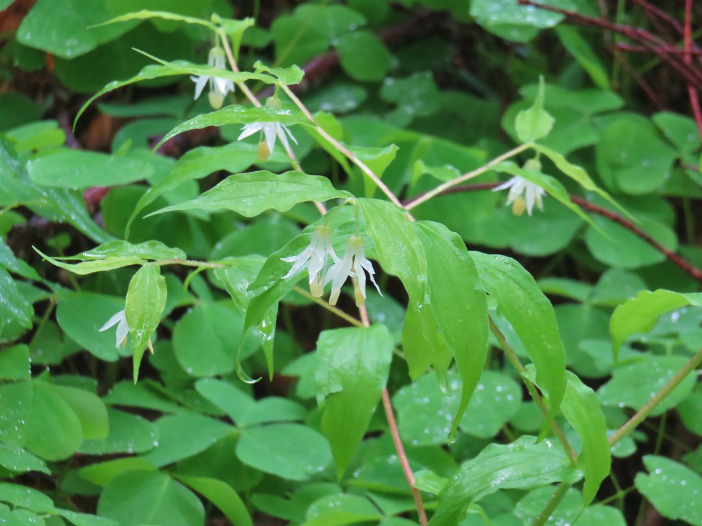 Fairybells
 Scouler’s cordyalis
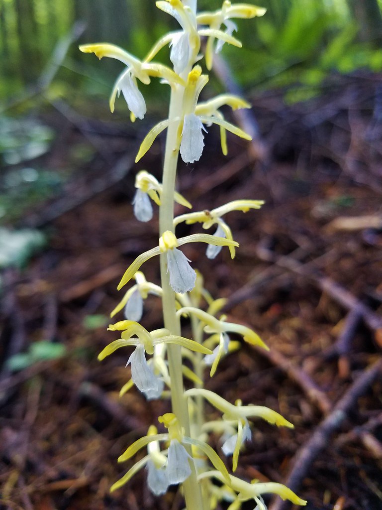 Coralroot
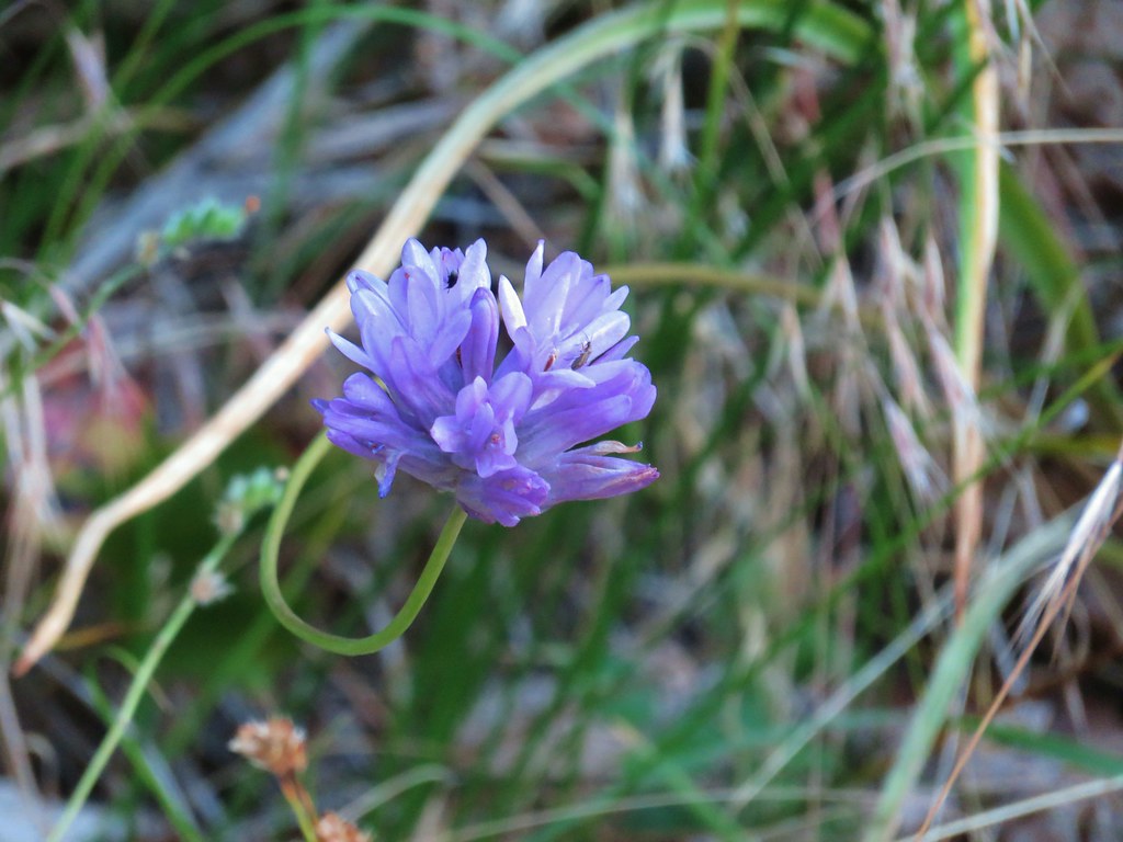 Ookow
Ookow Anemone
 Bunchberry
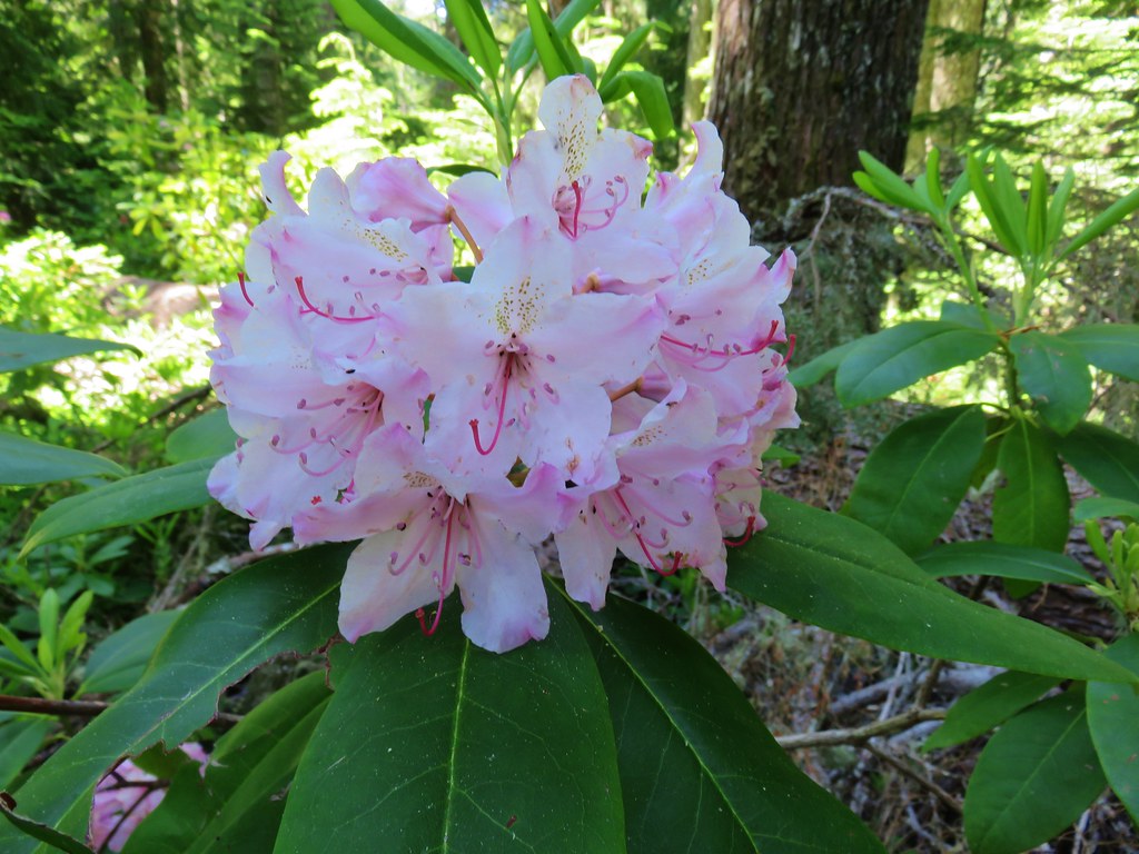 Rhododendron
 Wild bugbane
 Avalanche lilies
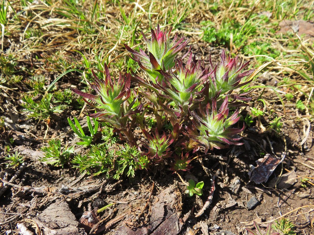 Paintbrush
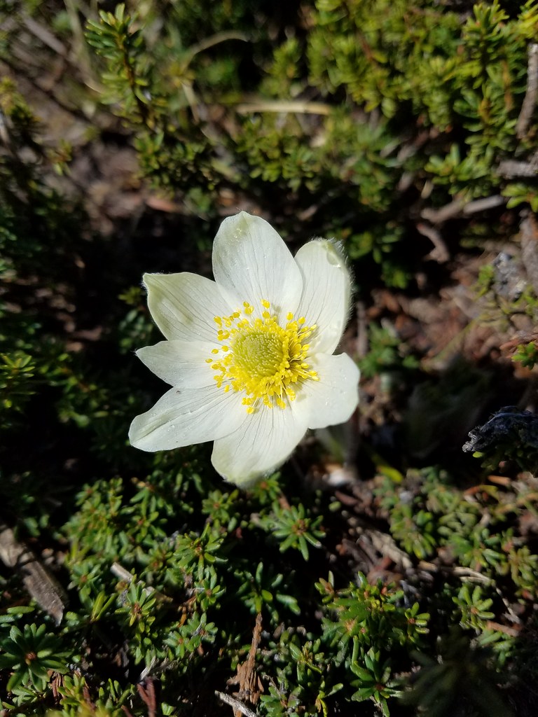 Western pasque flower
 Valerian
 Mountain heather
 Penstemon
 Manzanita
 Dwarf lupine
 Pussypaws
 White dwarf lupine
 Sagebrush false dandelion?
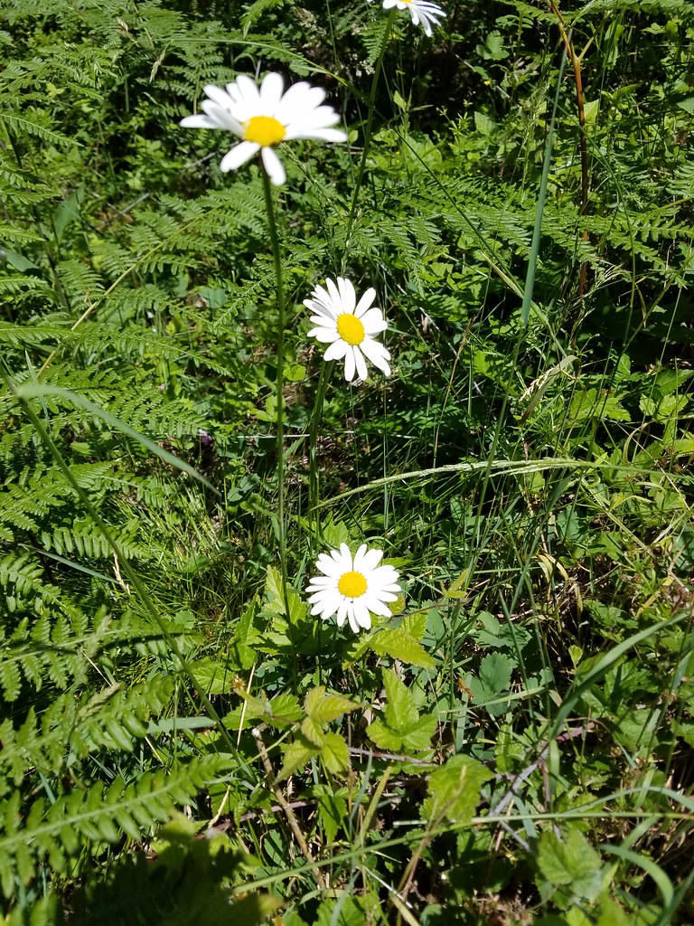 Daisies
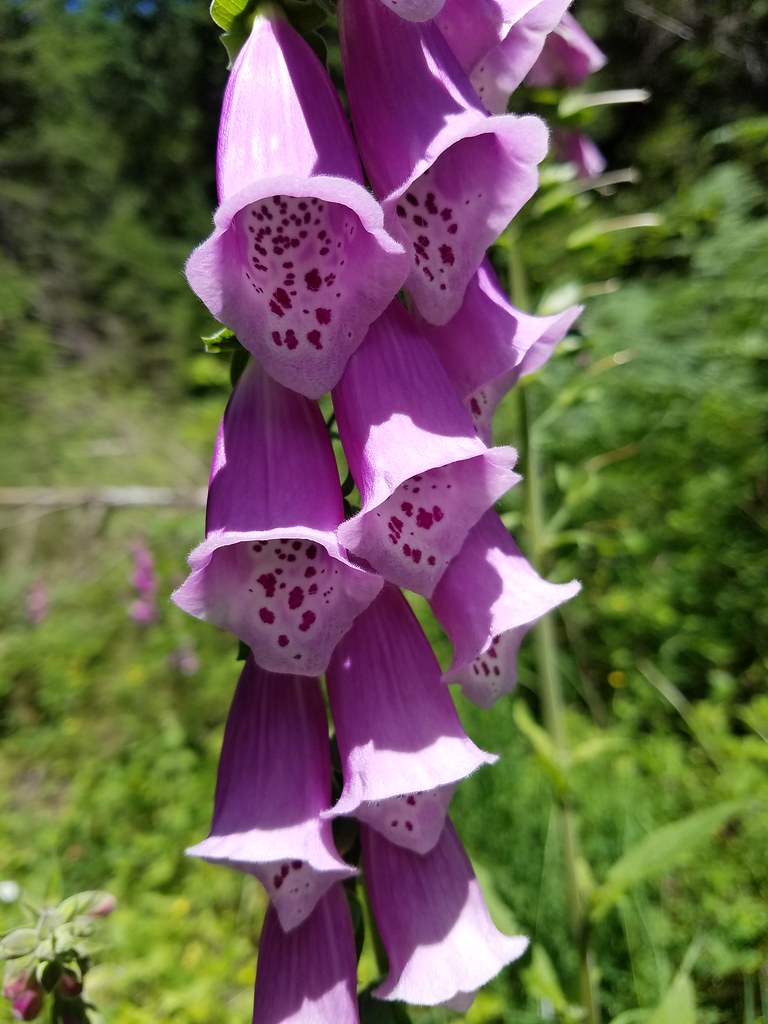 Foxglove
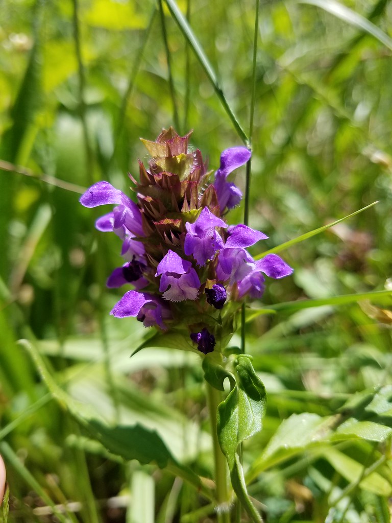 Self-heal
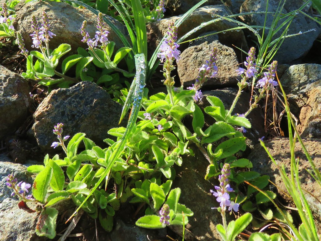 Tailed kittentails
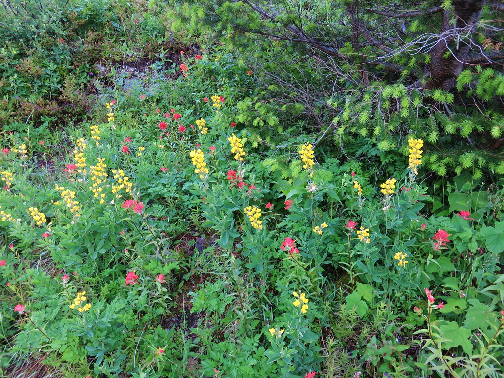 Goldenbanner?
 Vetch?
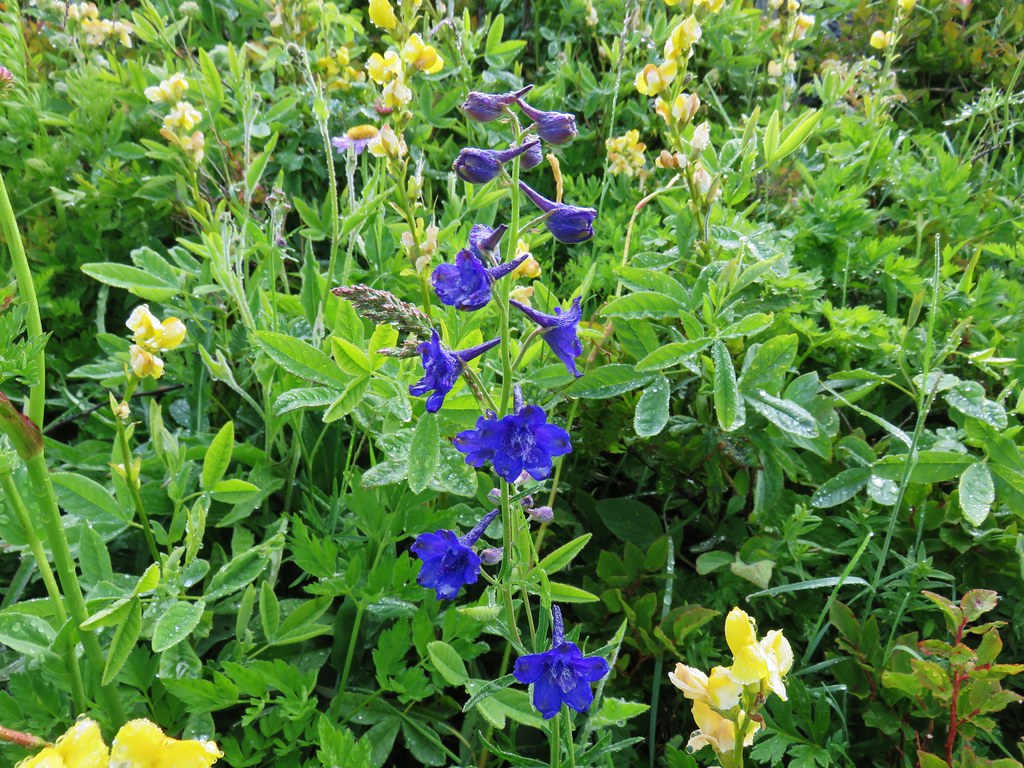 Larkspur
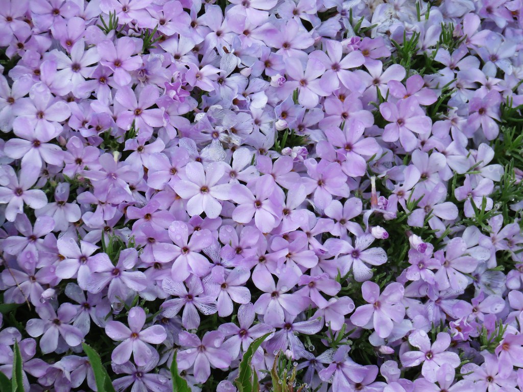 Phlox
Phlox Paintbrush
 Lupine
 Violets
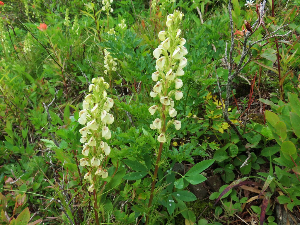 Lousewort
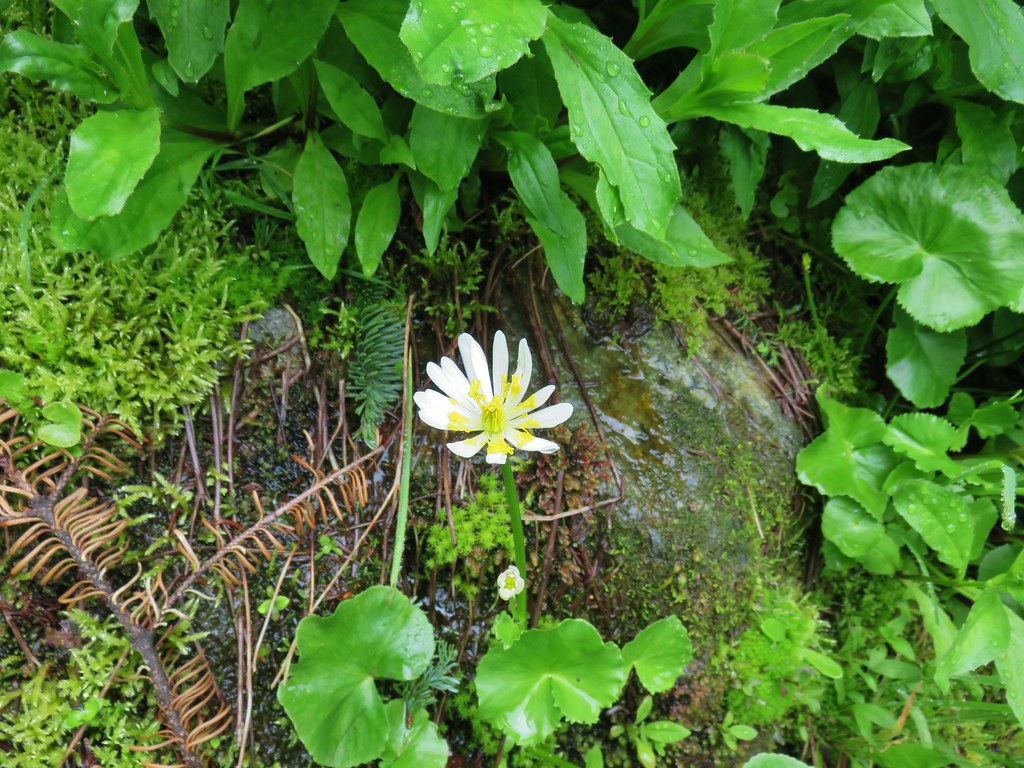 Marsh marigold
 Salal
Salal Thistle
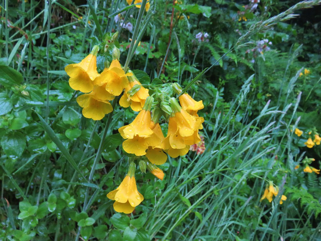 Monkeyflower
 Cultivated radish?
 A clover
 Beach morning glory
 Groundcone
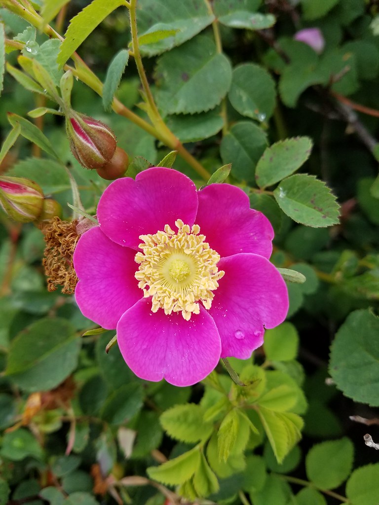 Some sort of rose
 Striped coralroot
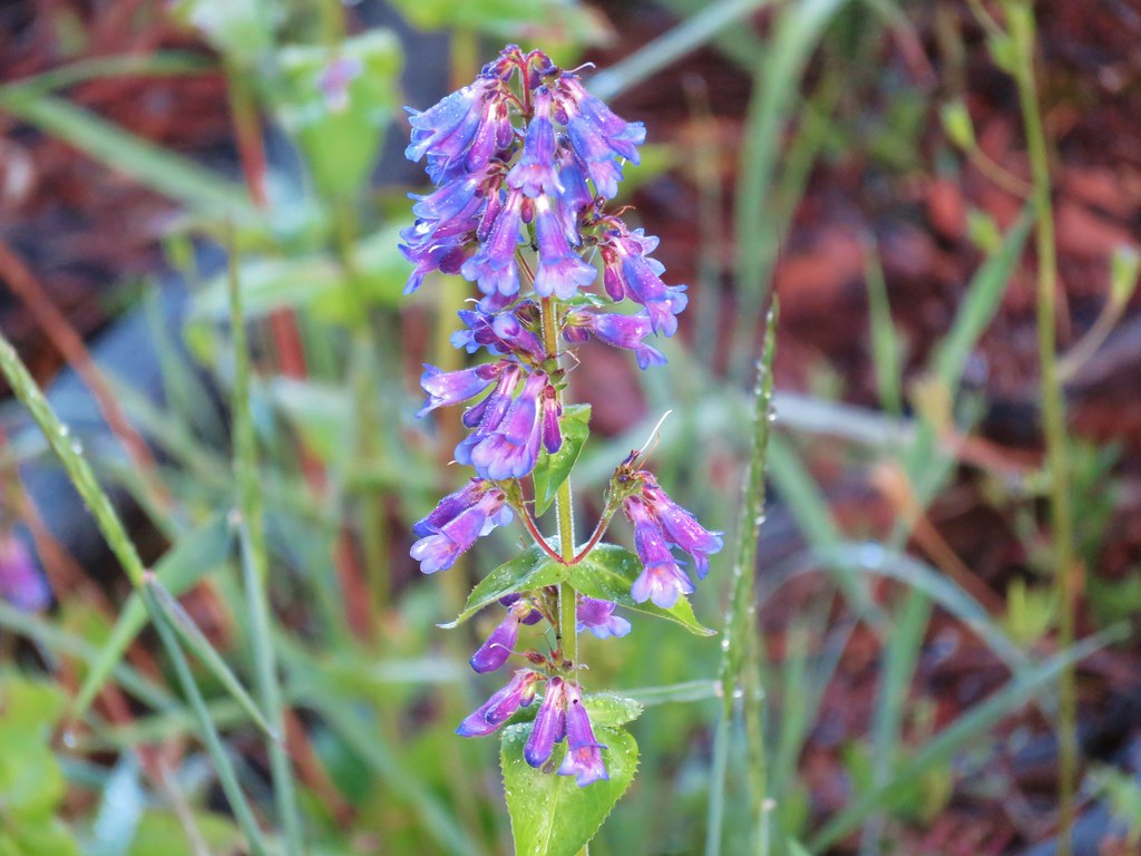 Penstemon
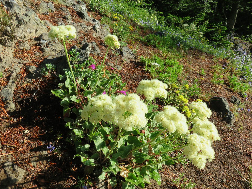 Arrowleaf buckwheat
 Star-flower solomonseal
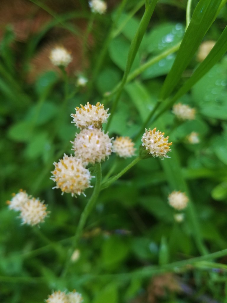 Raceme pussytoes
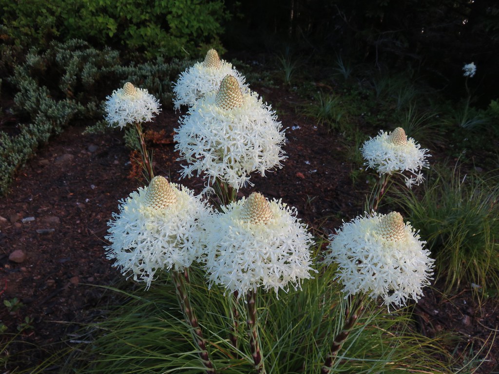 Beargrass
 Coralroot
 Blue-head gilia
 Penstemon
 Groundsel?
 Inside-out flower
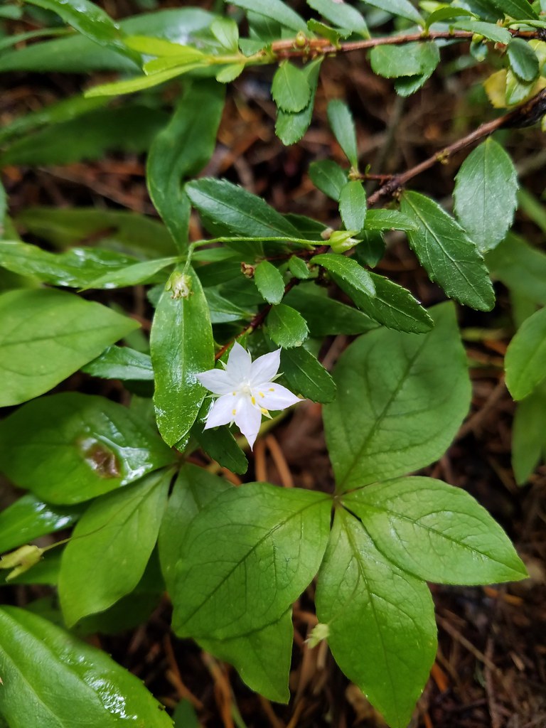 Starflower
 Candysticks
 Wild strawberry
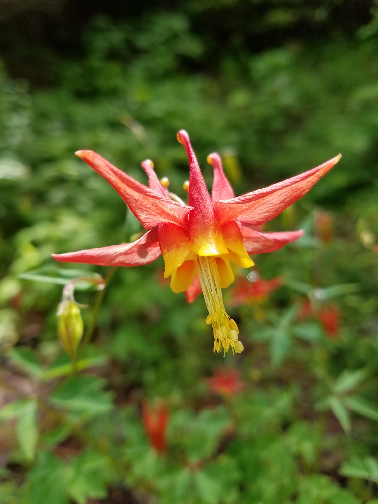 Columbine
 Showy phlox
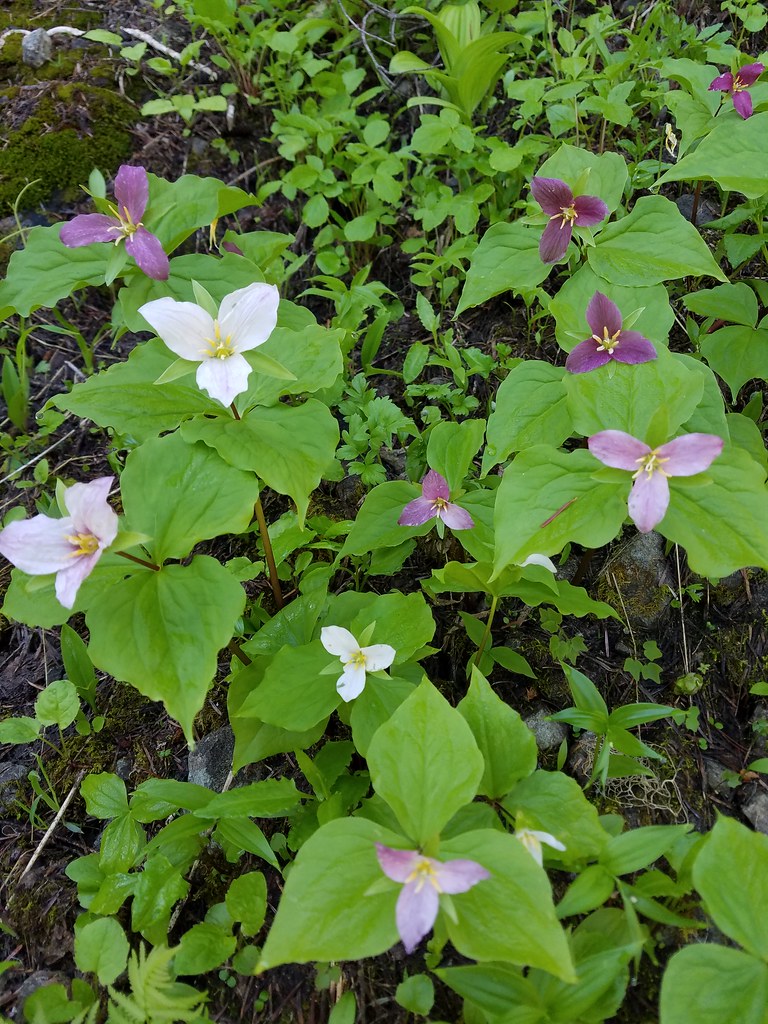 Trillium
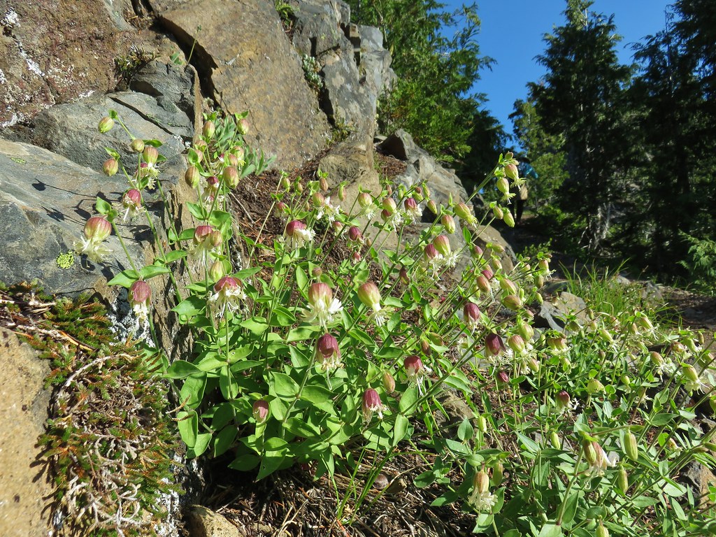 Bladder campion?
 Catchfly
 Aster or fleabane
 A currant
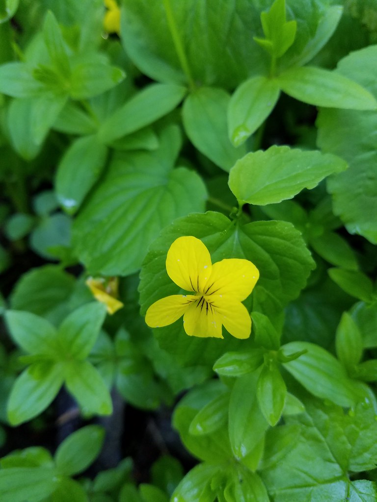 Wood violet
 Pussytoes
 Lousewort
 Jacob’s ladder?
 Wallflower
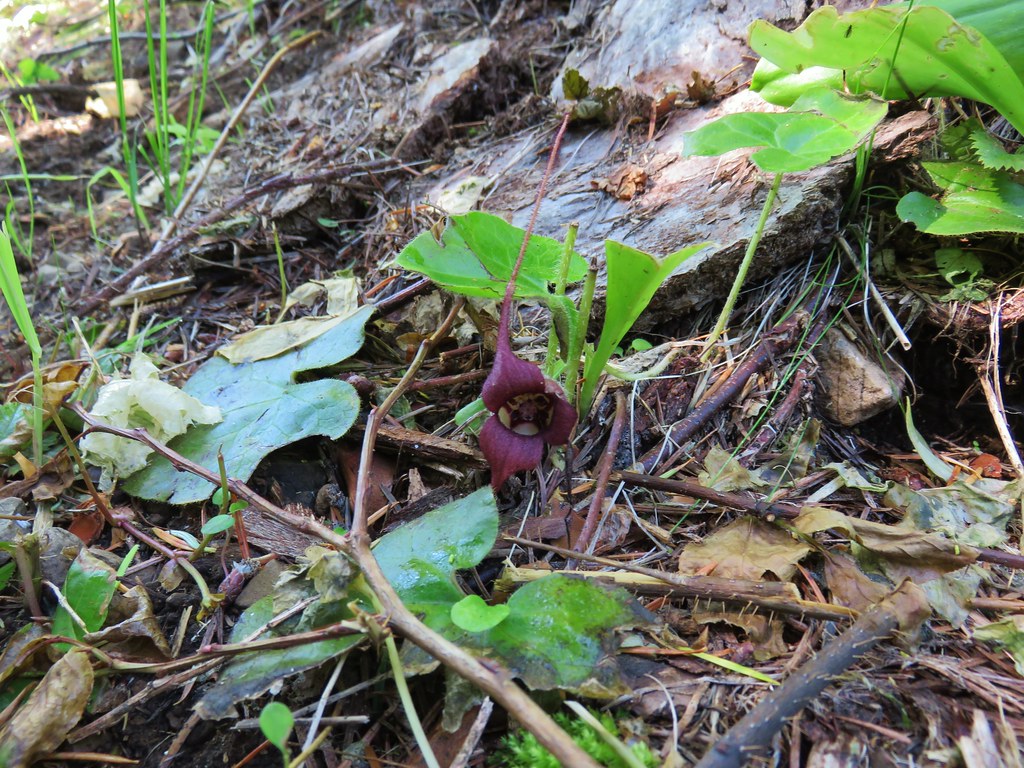 Wild ginger
 Giant blue-eyed mary
 Coneflower
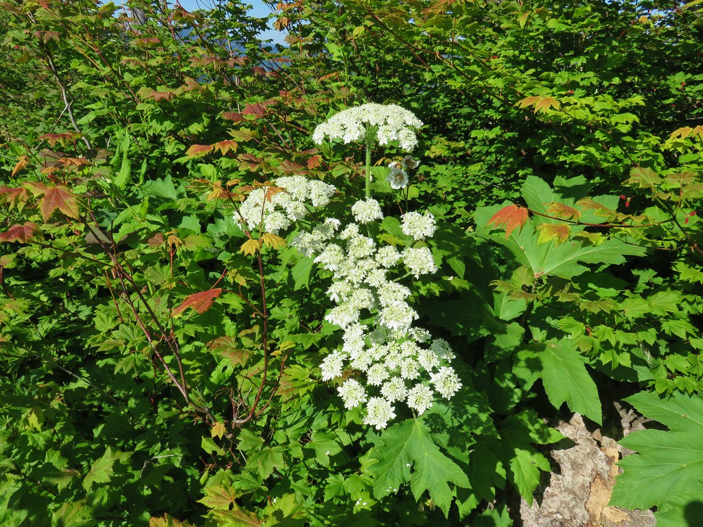 Cow parsnip
 Tall mountain bluebells
 Scarlet gilia
 Orange agoseris
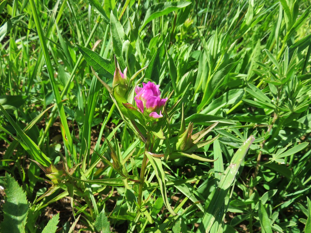 Owls clover
 Some sort of phacelia?
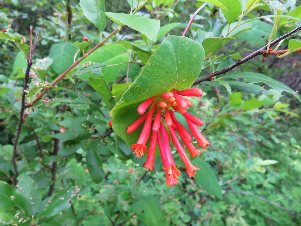 Honeysuckler
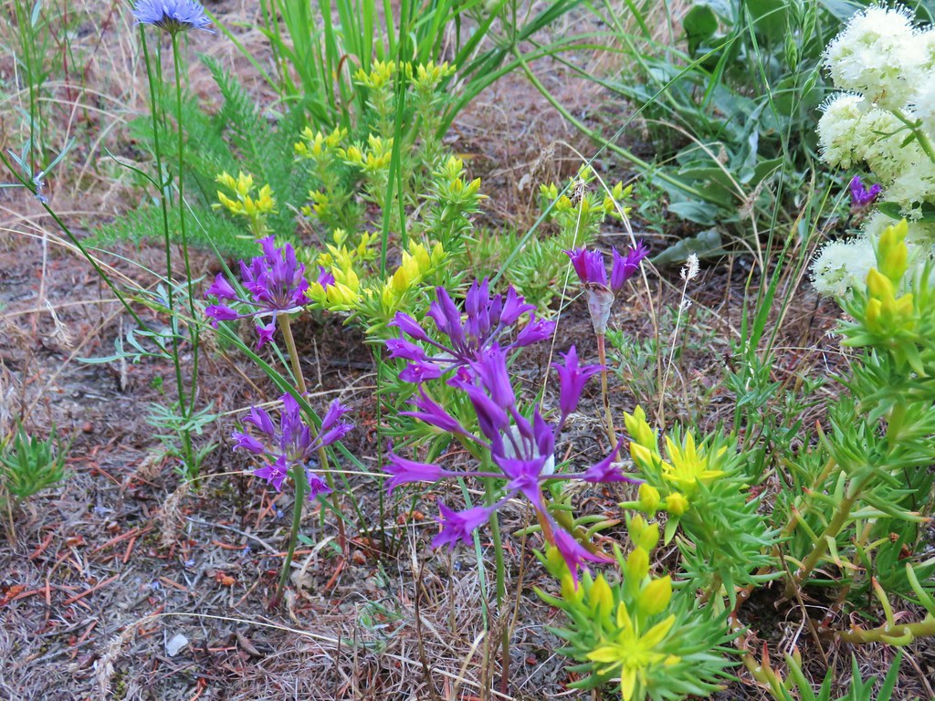 Wild onion
 Twin flower
 Penstemon
 Two types of paintbrush
 Stream orchid?
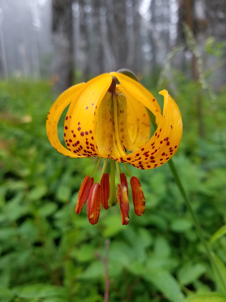 Tiger lily
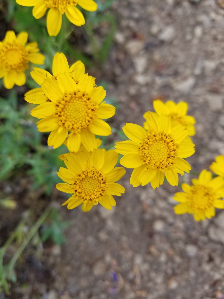
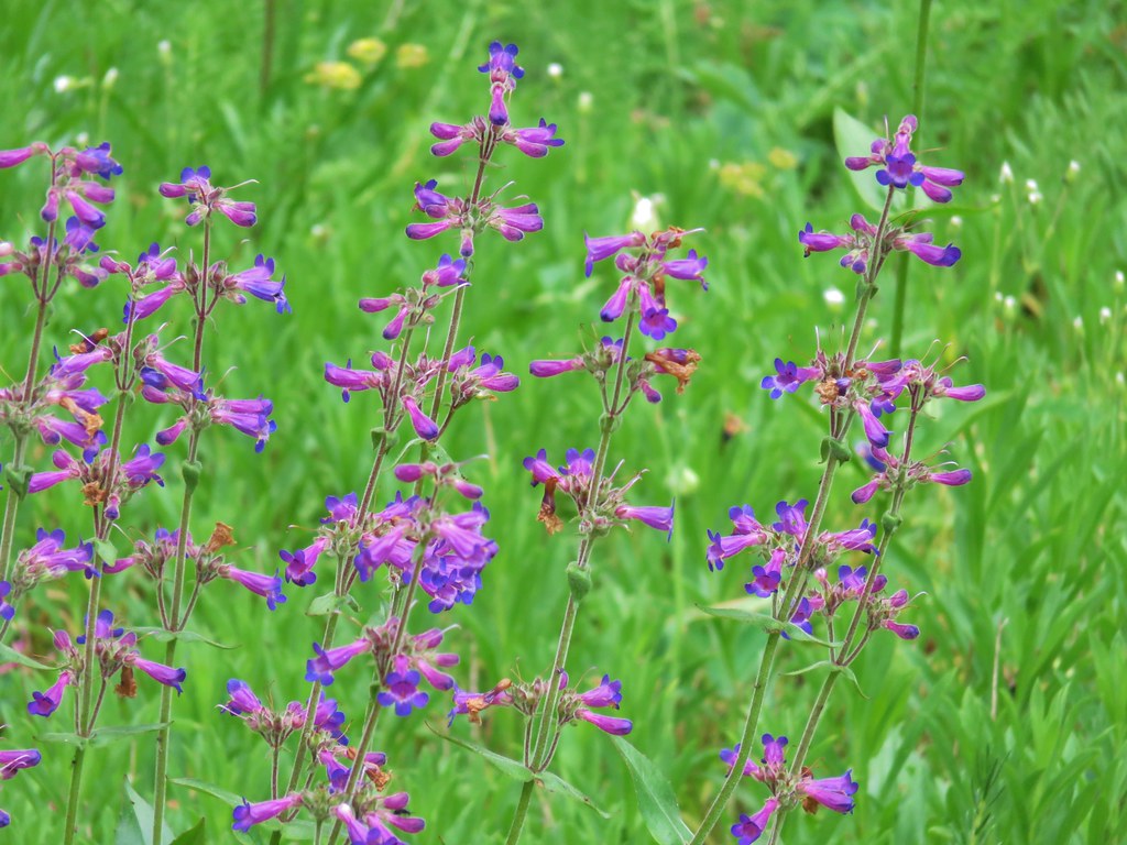 Penstemon
 Field chickweed
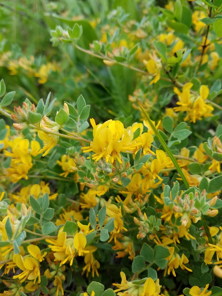
 Lupine

 Spotted coralroot
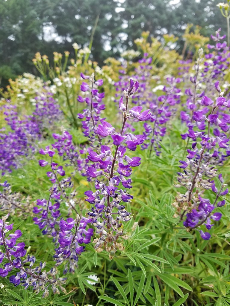 Lupine
 Avens?
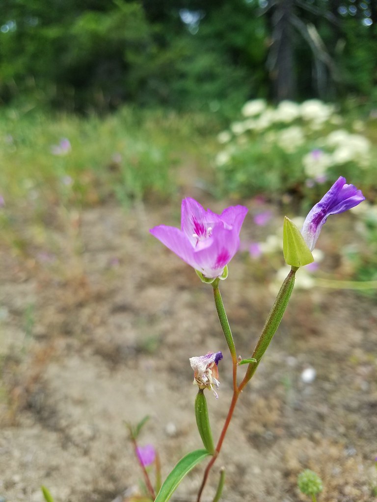 Farewell to spring
 Penstemon
 Washington lily
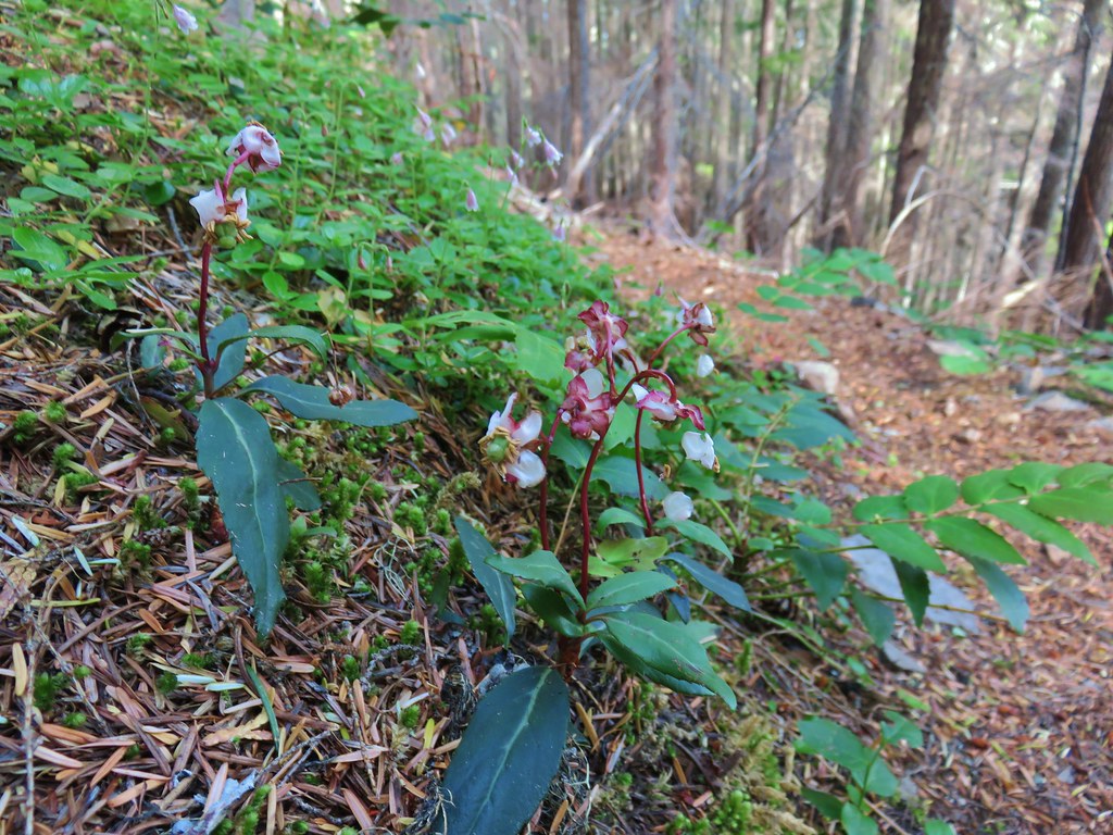 Wintergreen
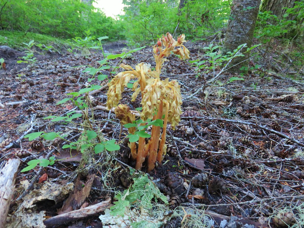 Pinesap
 Pinedrop
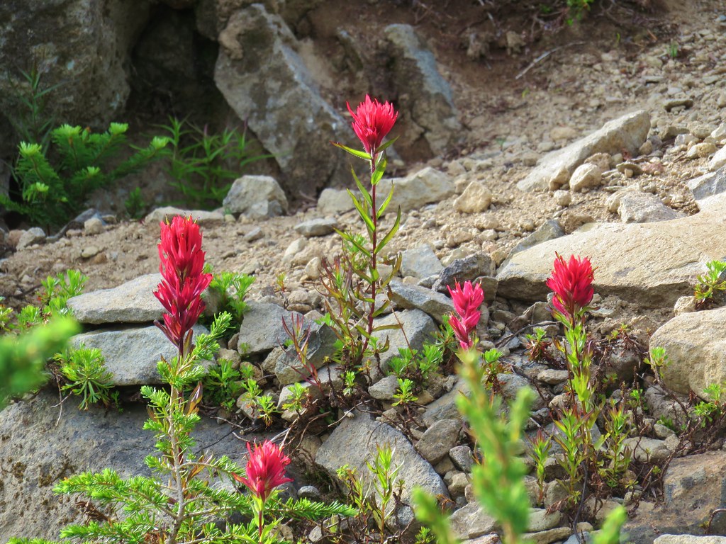 Paintbrush
 Mock orange
 Prince’s pine
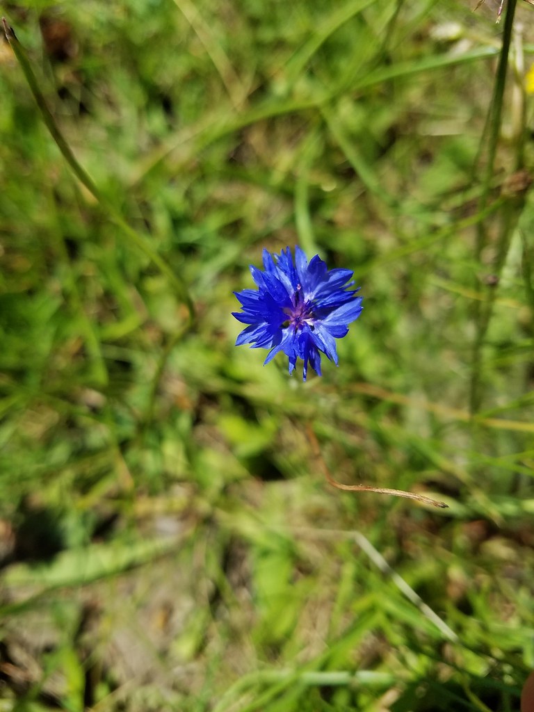 Bachelor button
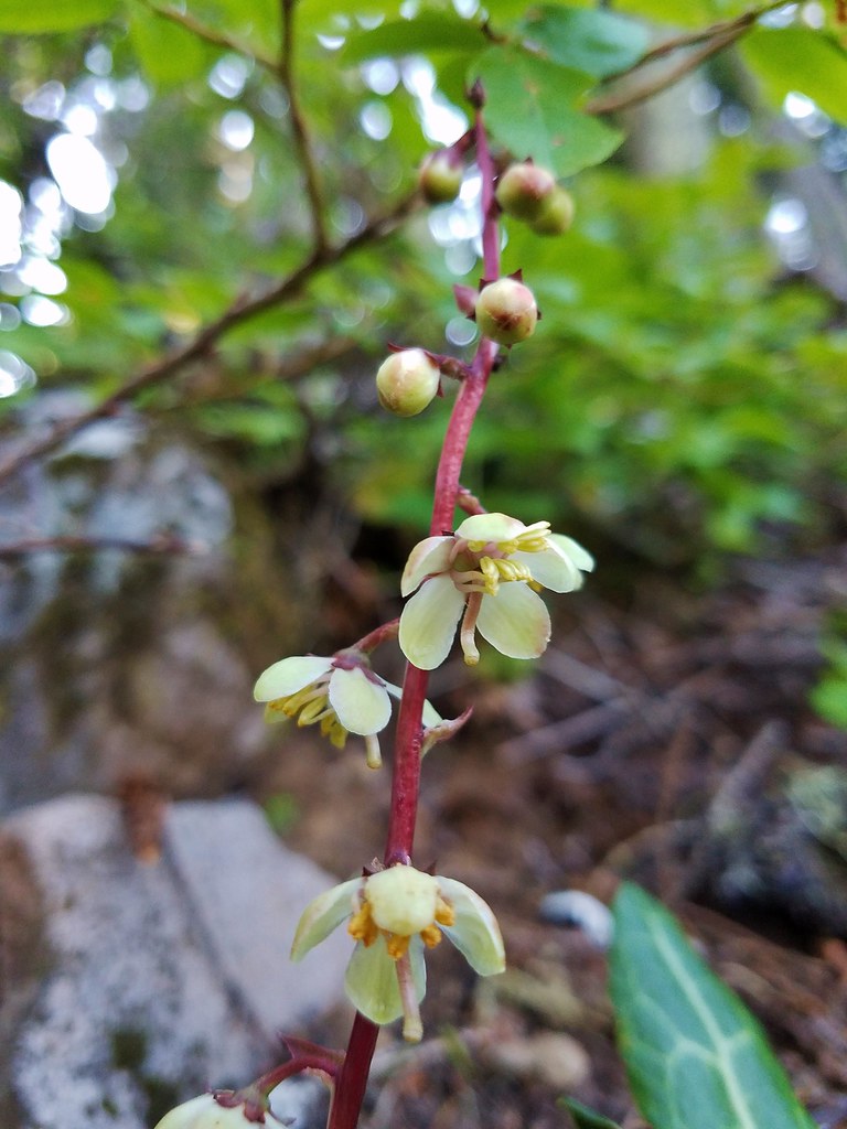 Pyrola
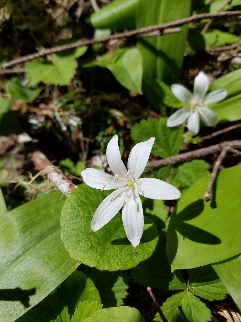 Queen’s cup
 Aster (or a fleabane)?
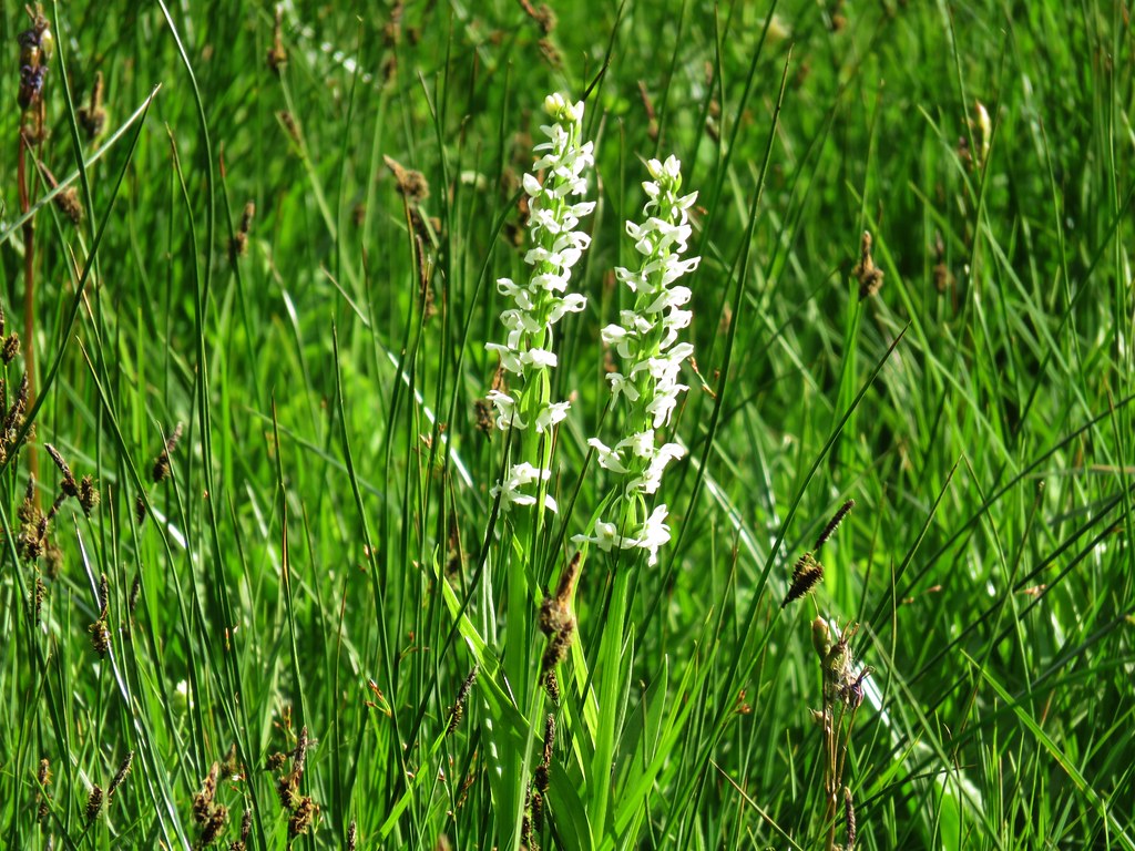 Bog orchid
 Elephant’s head
 Rainiera
 Ghost pipe
 Scouler’s bluebells
 Monkshood
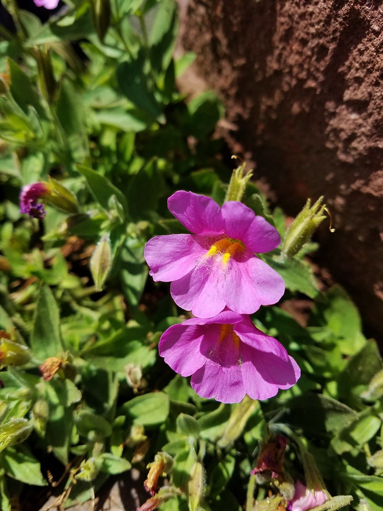 Pink monkeyflower
 Creeping wire lettuce
 Fireweed
 Penstemon
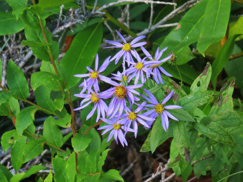 Aster (or a fleabane)
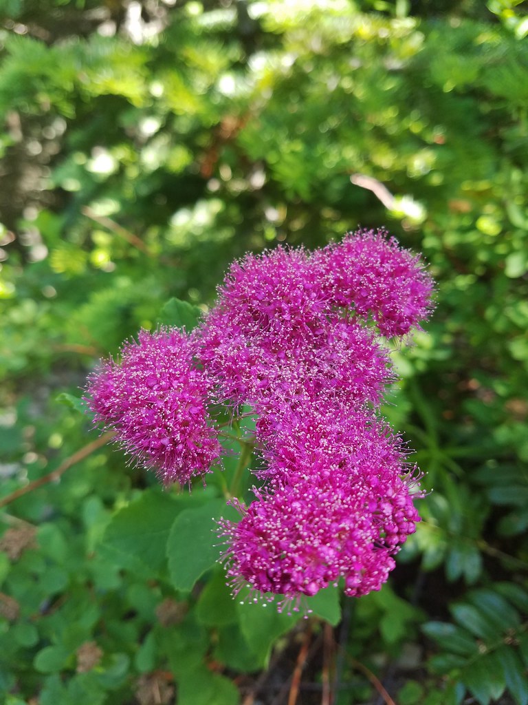 Spirea
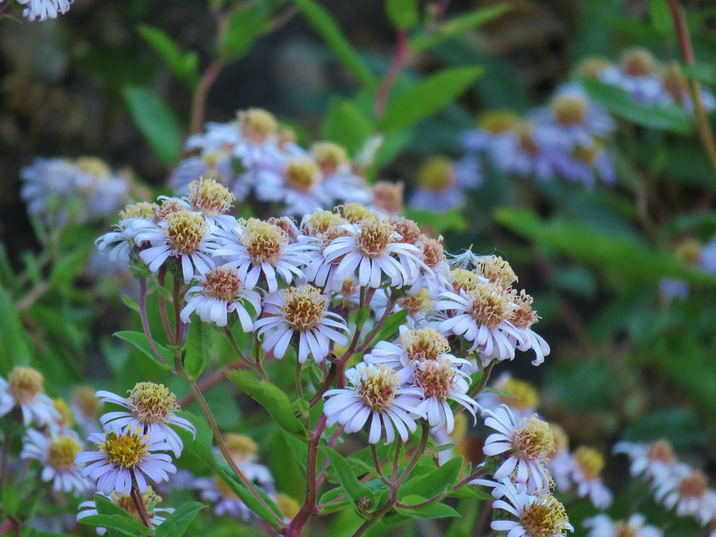
 Hedgenettle
 Scouler’s St. Johns wort
 Gentian
 Pennyroal
 Chicory
 A pea?
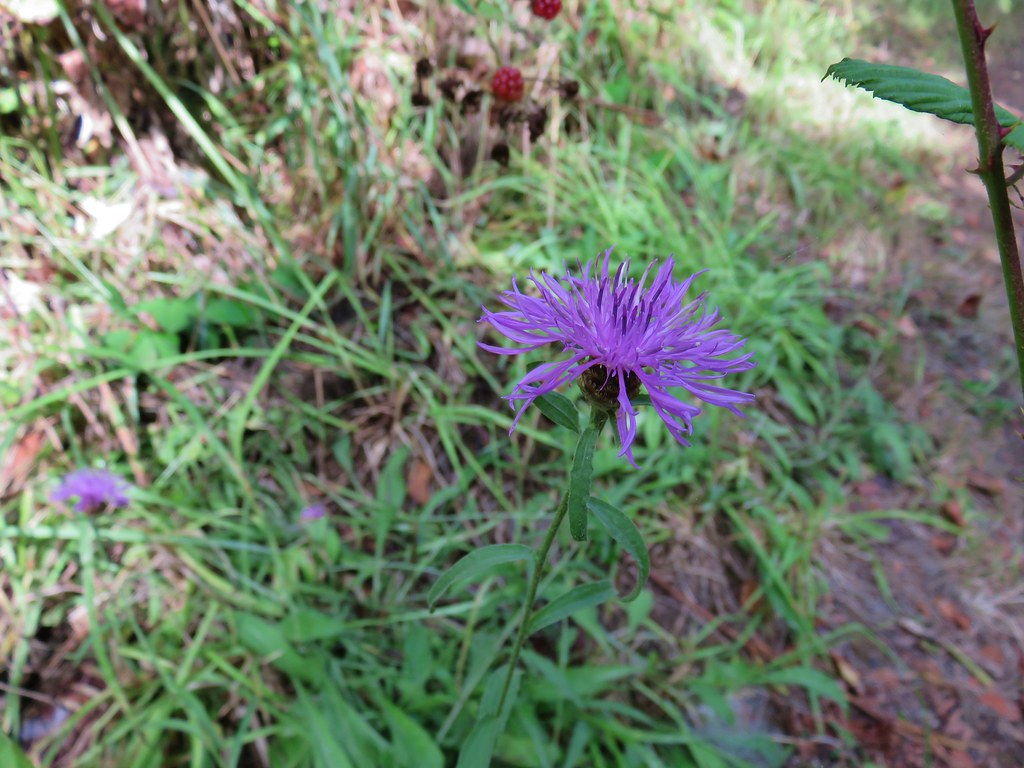 Thistle
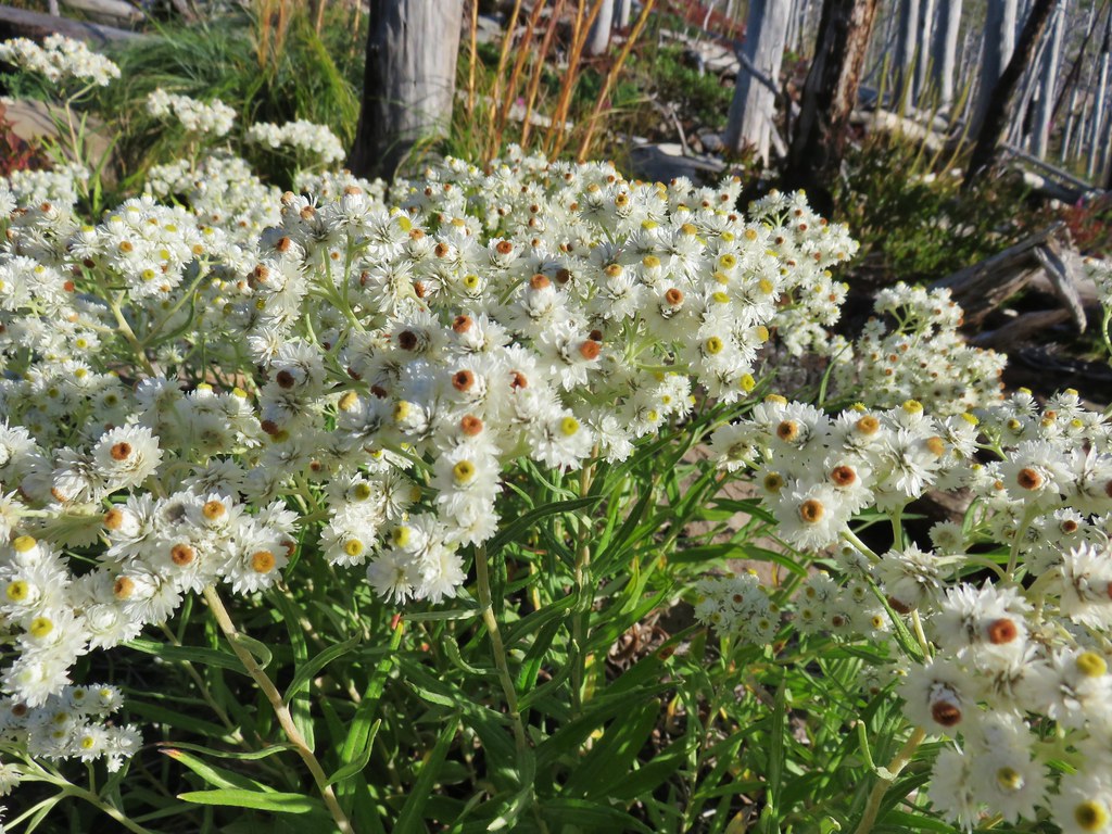 This pearly is in better shape from an August hike.


 MCormack Slough in the Umatilla Wildlife Refuge.
 Looking towards Hells Canyon from Freezout Saddle.
 Wenaha River Canyon


 Road walk at Henry Haag Lake
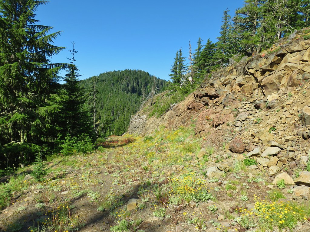 Decommissioned road to Baty Butte.
 Cross country to Thayer Glacial Lake.
 Snow falling on our Freezout Saddle hike.
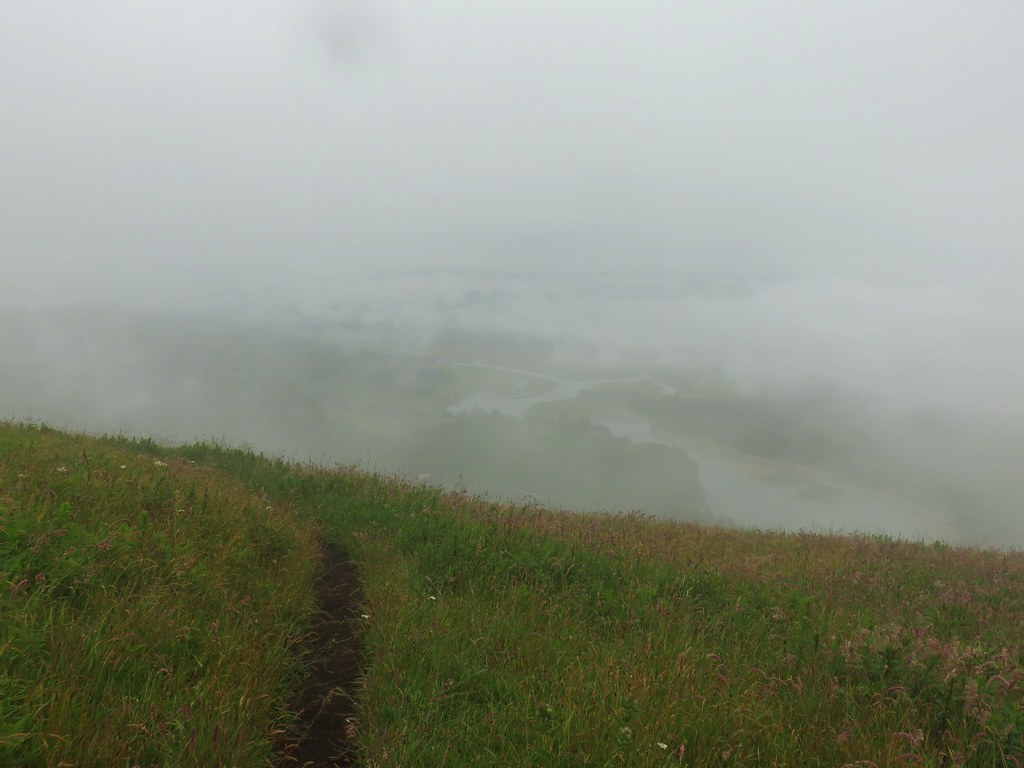 Rain shower approaching at Cascade Head.
 Taking cover under a tree in the Mollala River Recreation Area as a rain shower passes overhead.
 Rainbow framing the Wallowa Mountains from the Feezout Saddle Trail.
 View from Cascade Head after the shower.
 View from the morning across the Mollala River Canyon.
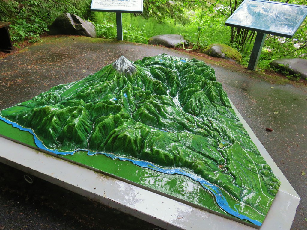 Neat 3D display at Wildwood Recreation Area.
 View atop Huckleberry Mountain.

 Gales Creek – Coast Range
 Dry Creek Falls – Columbia River Gorge, OR
 Camassia Natural Area – West Linn
 Two Chiefs and Table Mountain – Columbia River Gorge, WA
 Oak Island – Columbia River
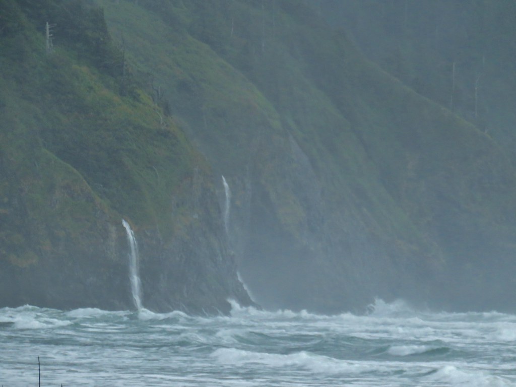
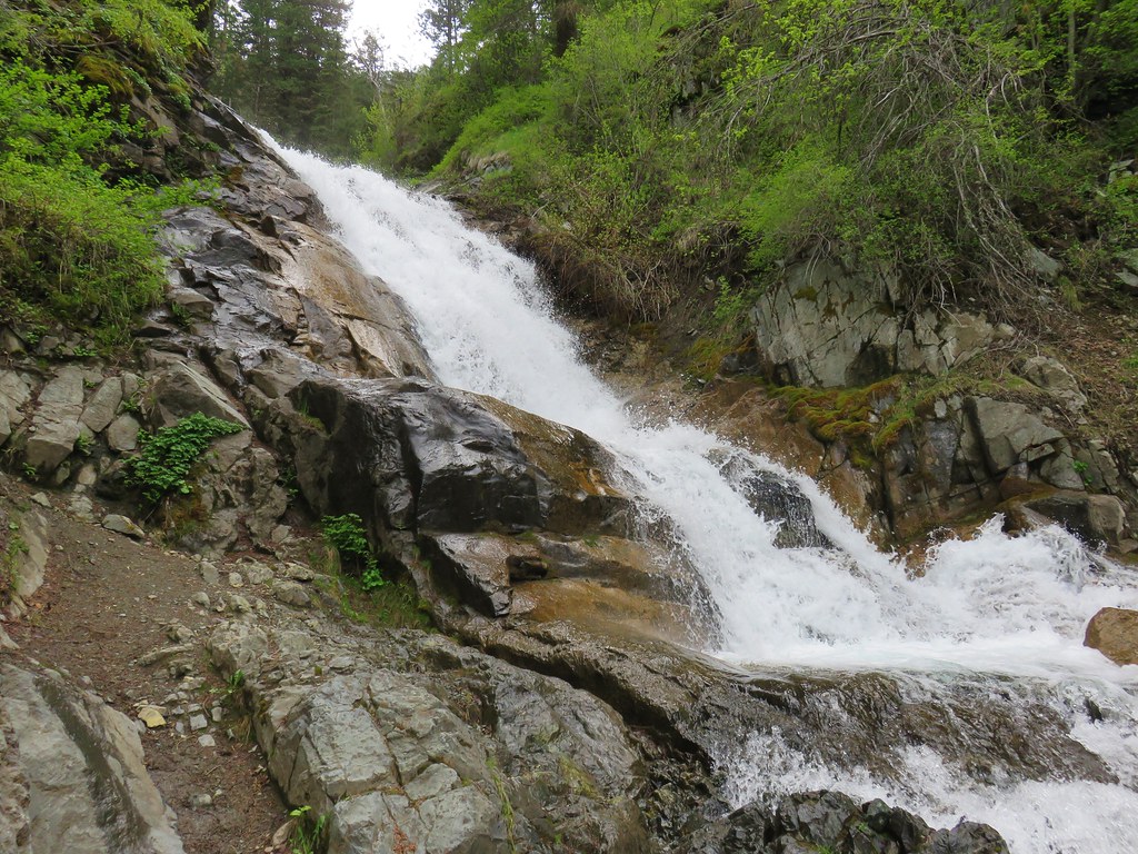 B.C. Creek Falls – Wallowa Mountains
 Wallowa Mountains
 Harsin Butte – Zumwalt Prairie
 Sardine Mountain – Willamette National Forest
 Gorton Creek Falls – Columbia River Gorge, OR
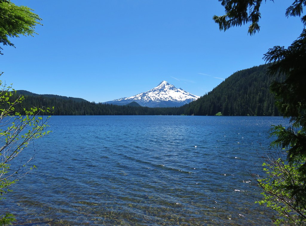 Mt. Hood from Lost Lake
 Mt. Hood from Vista Ridge
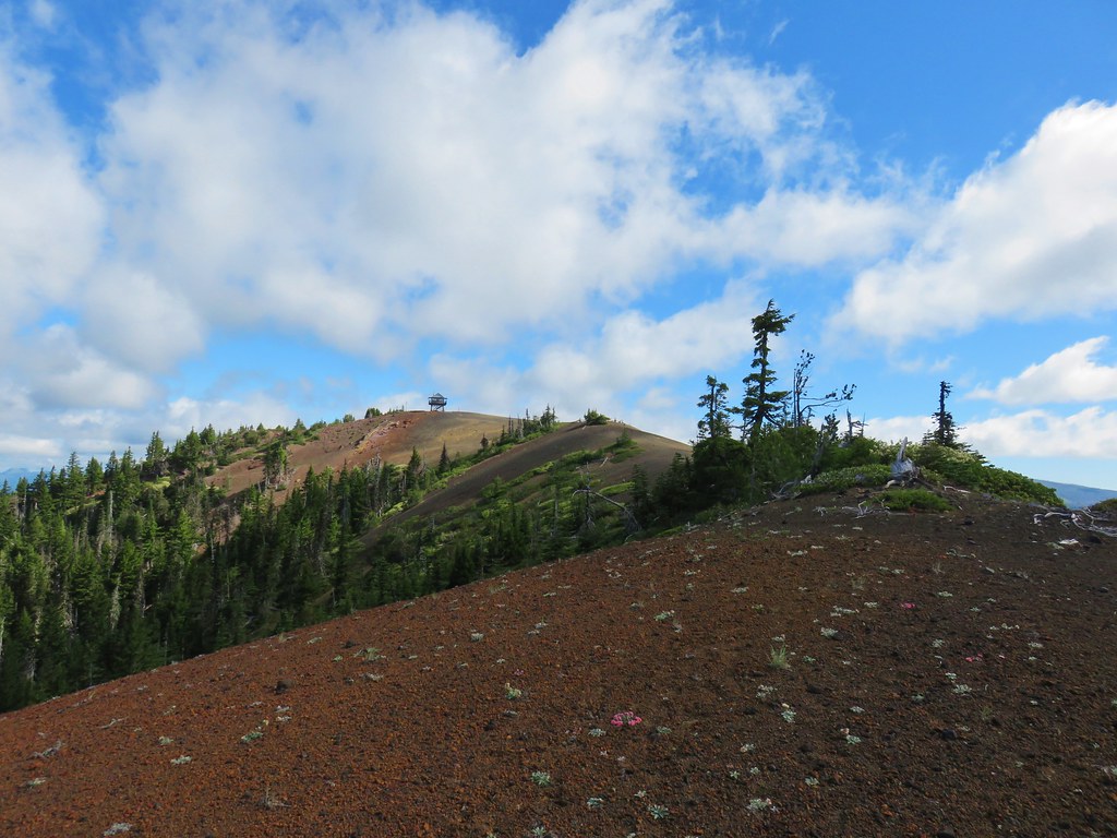 Sand Mountain Lookout – Willamette National Forest
 Cape Kiwanda and Haystack Rock from Sitka Sedge Beach
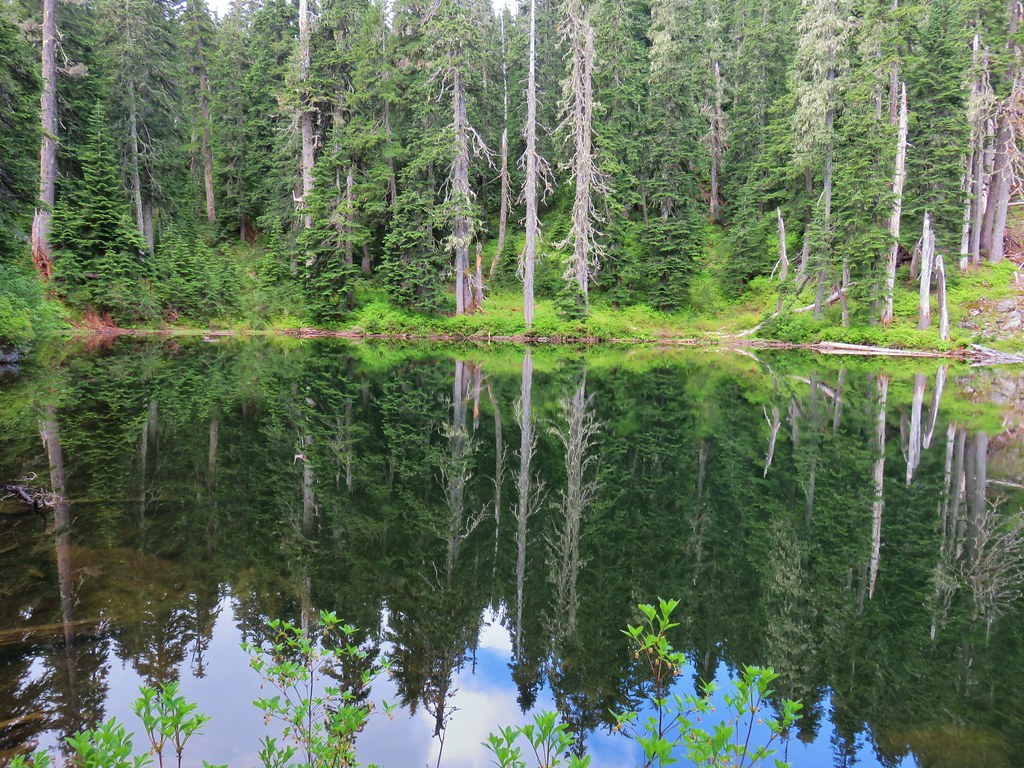 High Lake – Mt. Hood National Forest
 Tidbits Mountain – Willamette National Forest
 Bunchgrass Meadow – Willamette National Forest
 Breitenbush Cascades – Willamette National Forest
 Mt. St. Helens from Cinnamon Ridge – Mt. St. Helens National Volcanic Monument
 Mt. Jefferson from Bear Point – Mt. Jefferson Wilderness
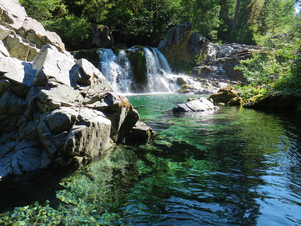 Sawmill Falls – Little North Fork Santiam River
 Three Fingered Jack, The Three Sisters, and Mt. Washington
 Scramble route to Baty Butte – Mt. Hood National Forest
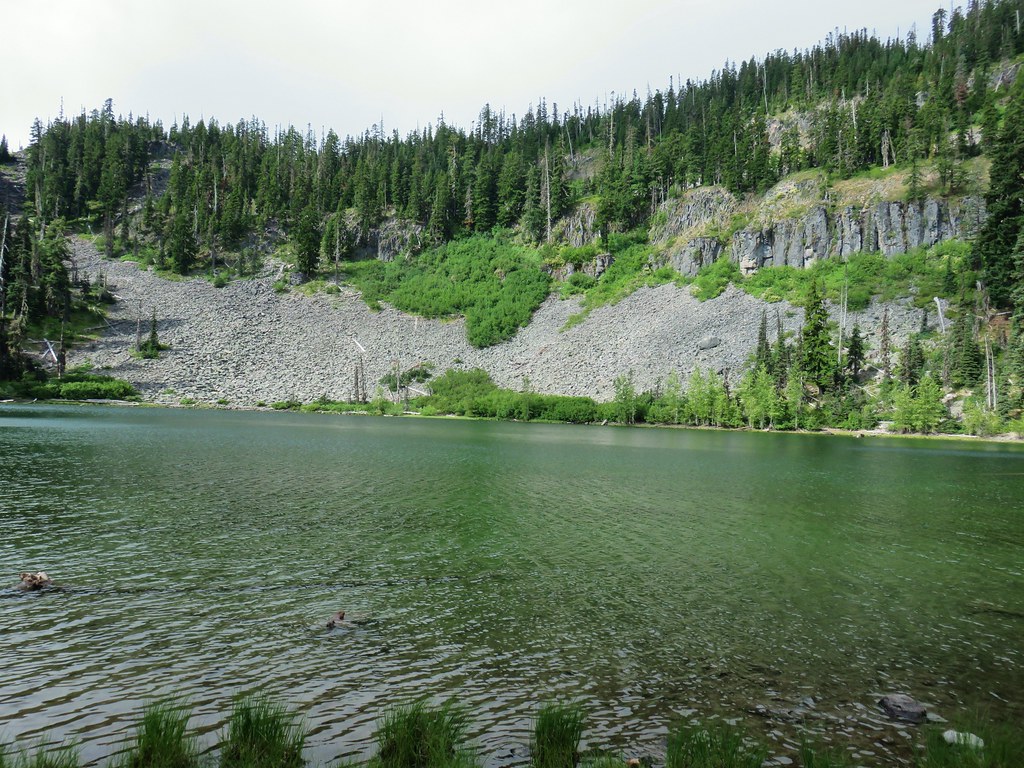 Boulder Lake – Mt. Hood National Forest
 Drift Creek – Drift Creek Wilderness
 North Sister and Thayer Glacial Lake – Three Sisters Wilderness
 North Sister, Middle Sister, and The Husband from Four-In-One Cone – Three Sisters Wilderness
 Mt. Hood from Tumala Mountain – Mt. Hood National Forest
 Bull of the Woods Lookout – Bull of the Woods Wilderness
 Mt. Hood from Elk Cove – Mt. Hood Wilderness
 Mt. Jefferson and Hunts Cove – Mt. Jefferson Wilderness
 View from Olallie Butte – Warm Springs Indian Reservation
 Lillian Falls – Waldo Lake Wilderness
 Olallie Mountain Lookout – Three Sisters Wilderness
 King Tut – Crabtree Valley
 Mt. Jefferson from Ruddy Hill – Mt. Hood National Forest
 Henry Haag Lake – Scoggins Valley
 Waldo Lake and the Cascade Mountains from The Twins – Deschutes National Forest
 Bobby Lake – Deschutes National Forest
 Indian Henry’s Hunting Ground – Mt. Rainier National Park
 Fog over the valley from Mt. Pisgah – Eugene, OR
 Twin Peaks and Gifford Lake – Olallie Lake Scenic Area
 Mt. Adams from Lookout Mountain – Badger Creek Wilderness Area
 Mollala River Recreation Area
 View toward Washington from the Pacific Crest Trail near Indian Mountain – Mt. Hood National Forest
 Clackamas River – Mt. Hood National Forest
 Forest Park – Portland, OR
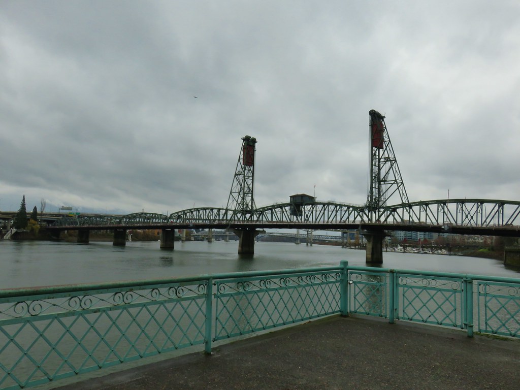
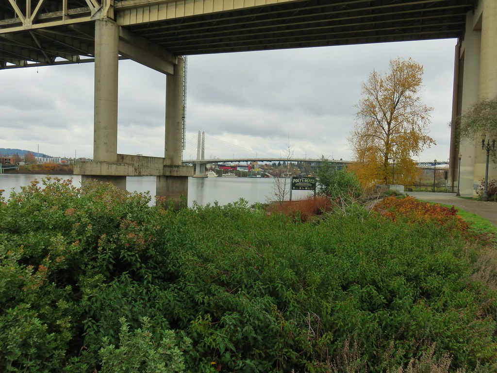
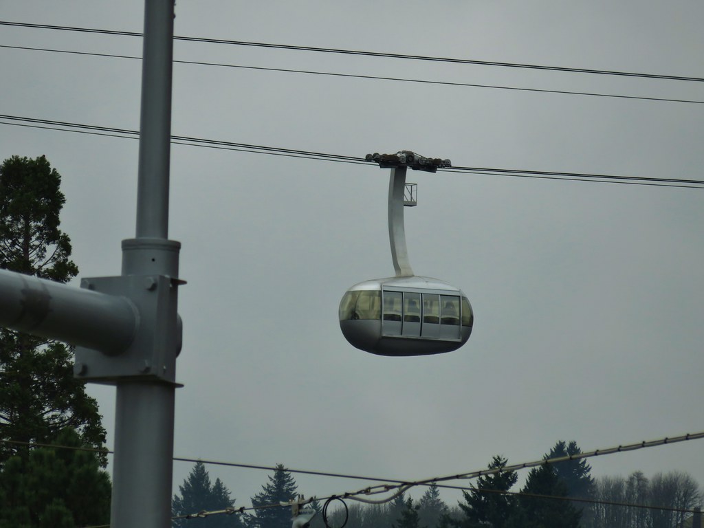
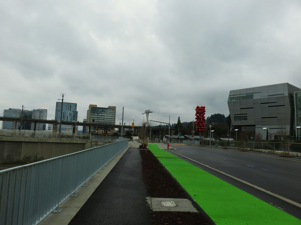
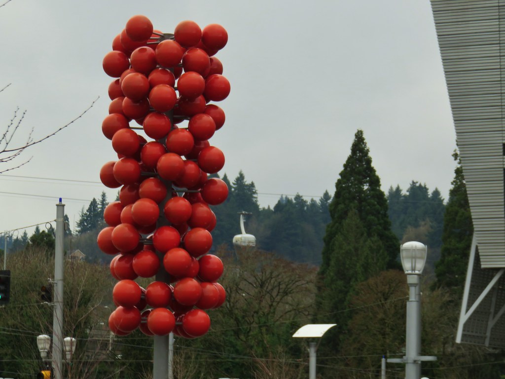
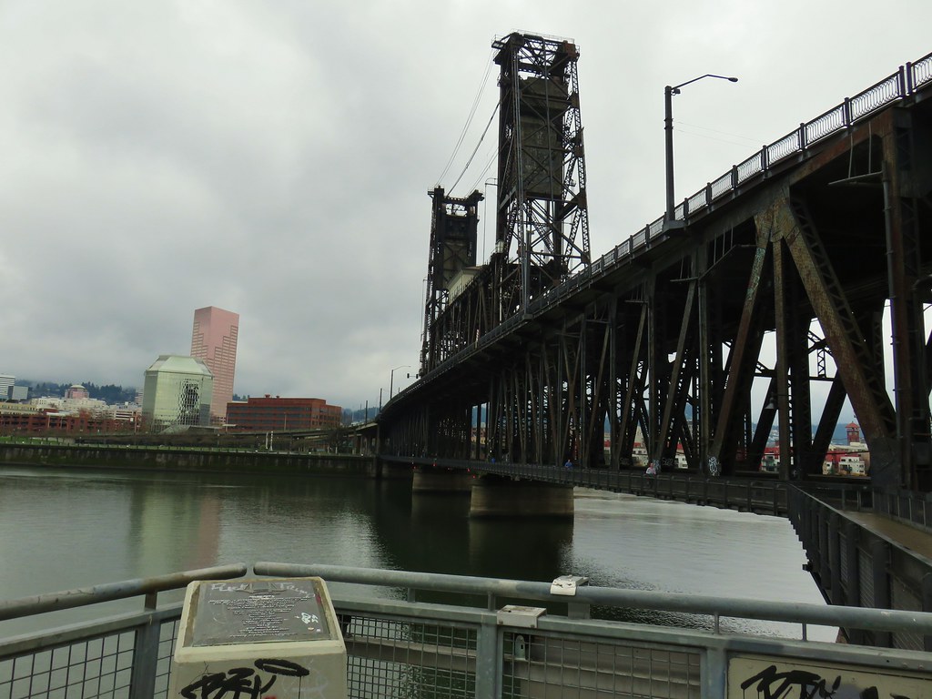
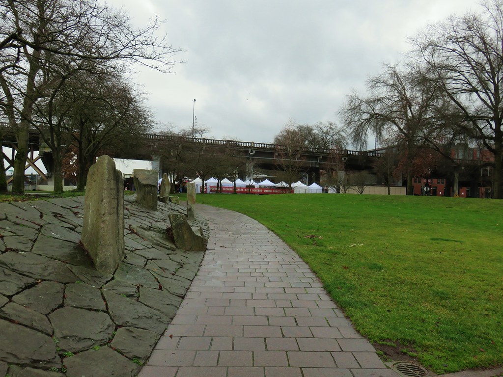
 Tilikum Crossing – Portland, OR
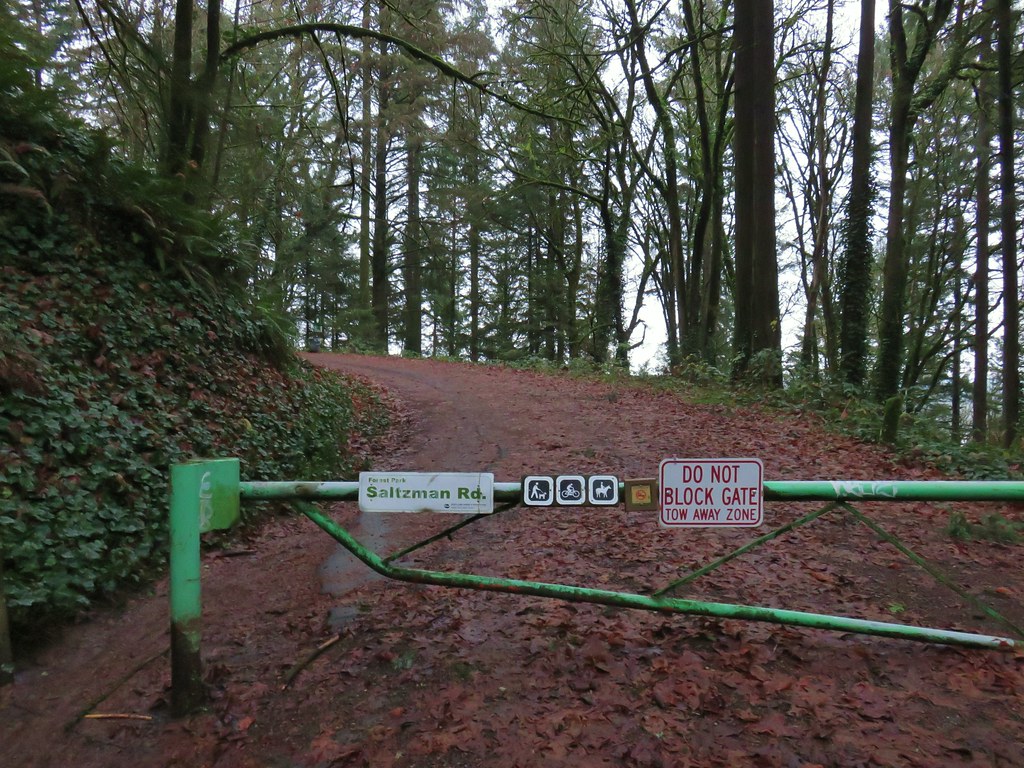
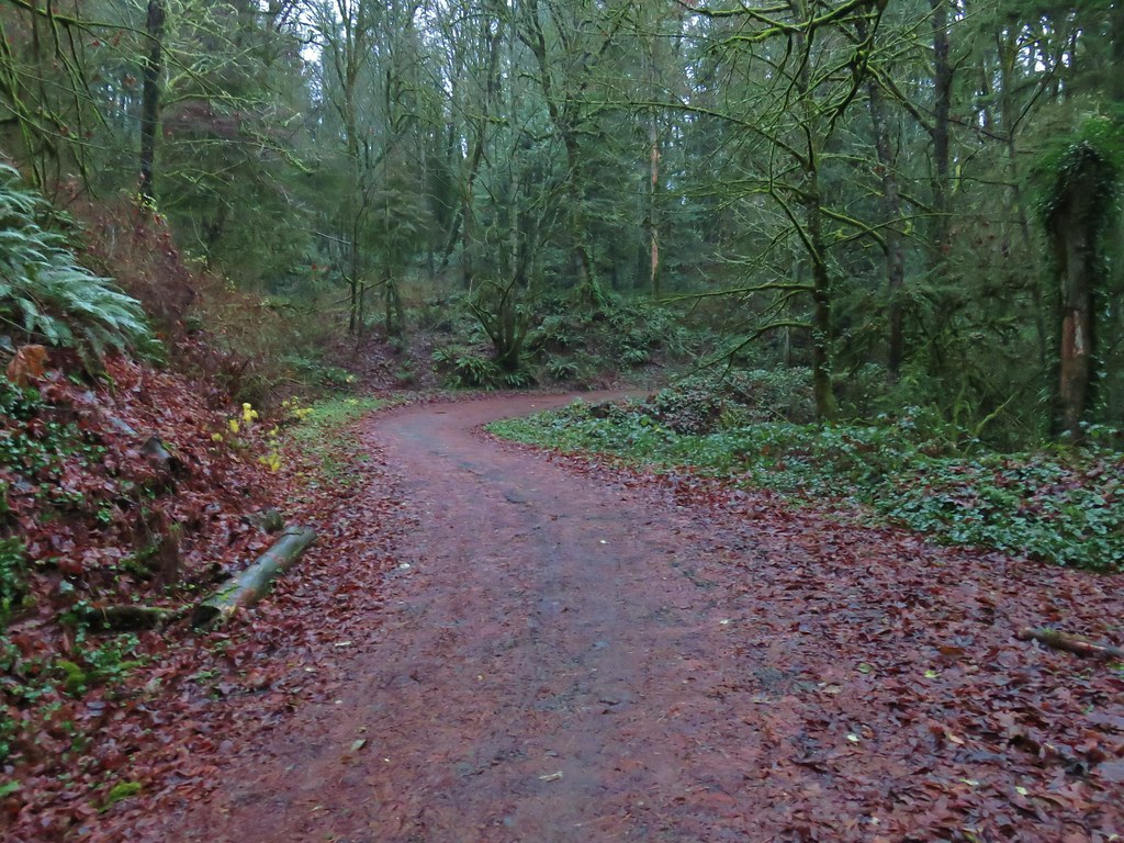

 Bridge over a small stream.
 Heading into a little bit of fog.
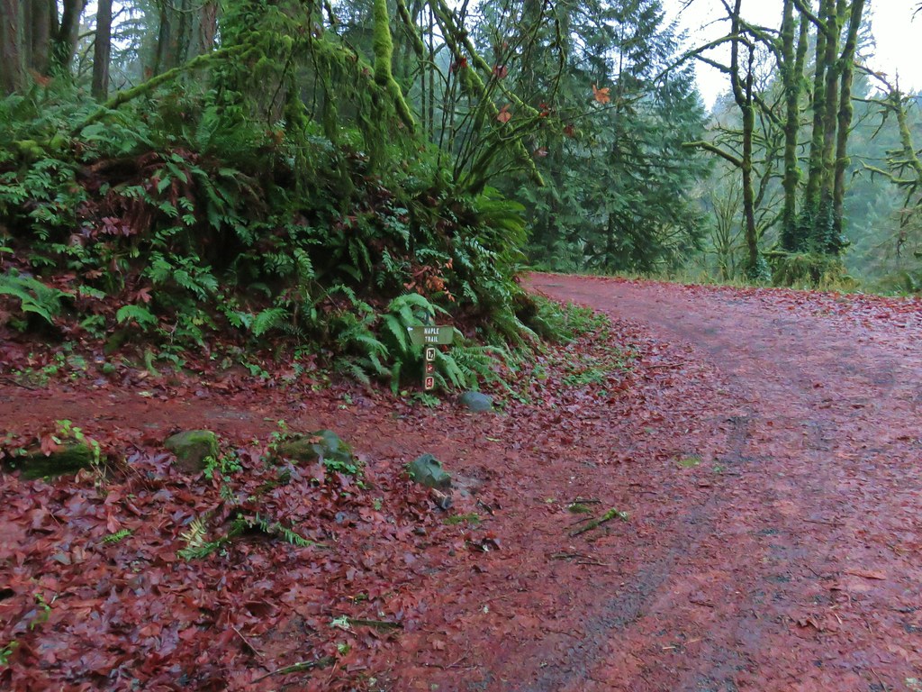
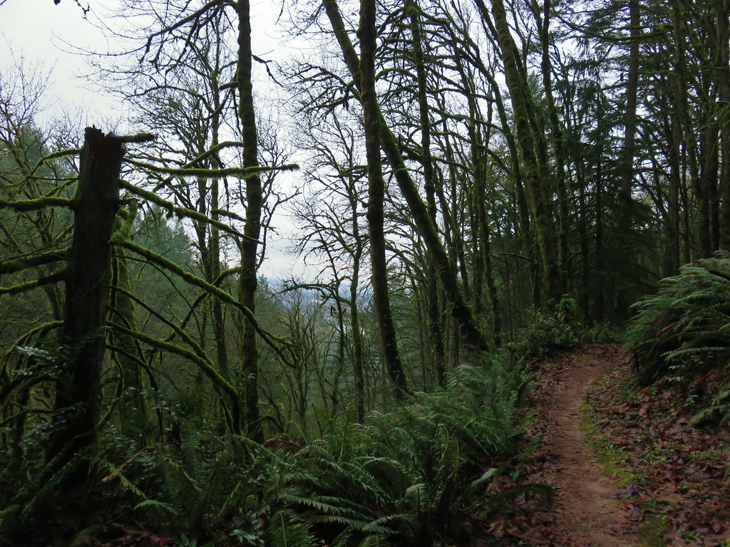 Too cloudy for any real views.


 Saltzman Road at the 2.5 mile mark of the 3.2 mile stretch.
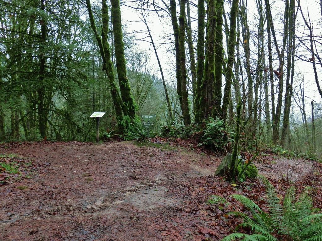

 Aproaching Leif Erikson Drive.
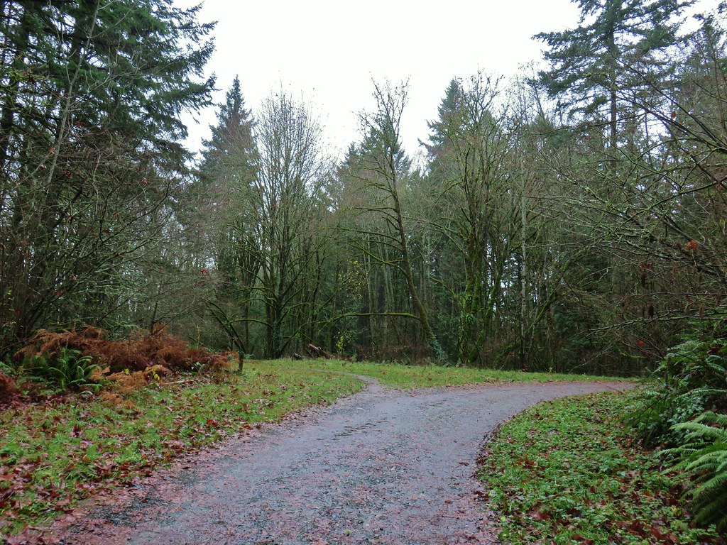


 Hawthorn Bridge


 Marquam Bridge from Tilikum Crossing.
 Behind OMSI
 Cormorants


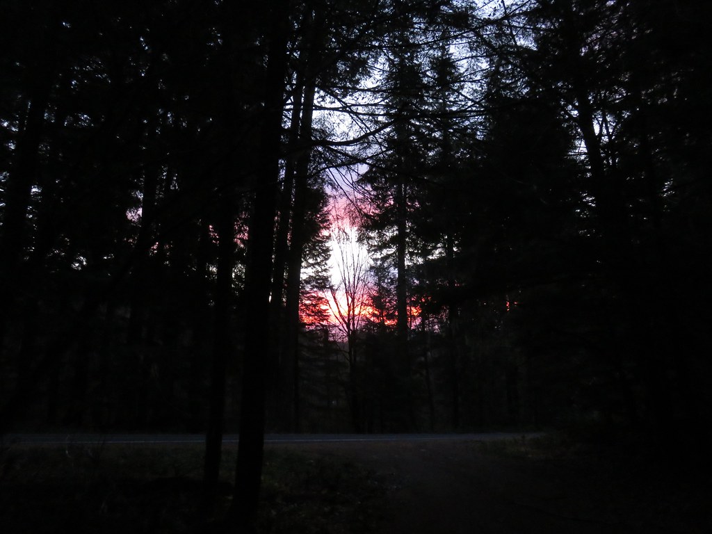 There was a nice sunrise while we waited for enough light.
 Alder Flat Trail at the trailhead.
 Passing the old beaver pond.
 Beaver pond from the former trail around it.
 The trail around the pond petered out on the far side of this log.
 Alder Flat Trail in the forest.
 Arriving at the campground.
 Swimming hole (It was a little too cold today.)
 The Rainbow Campground
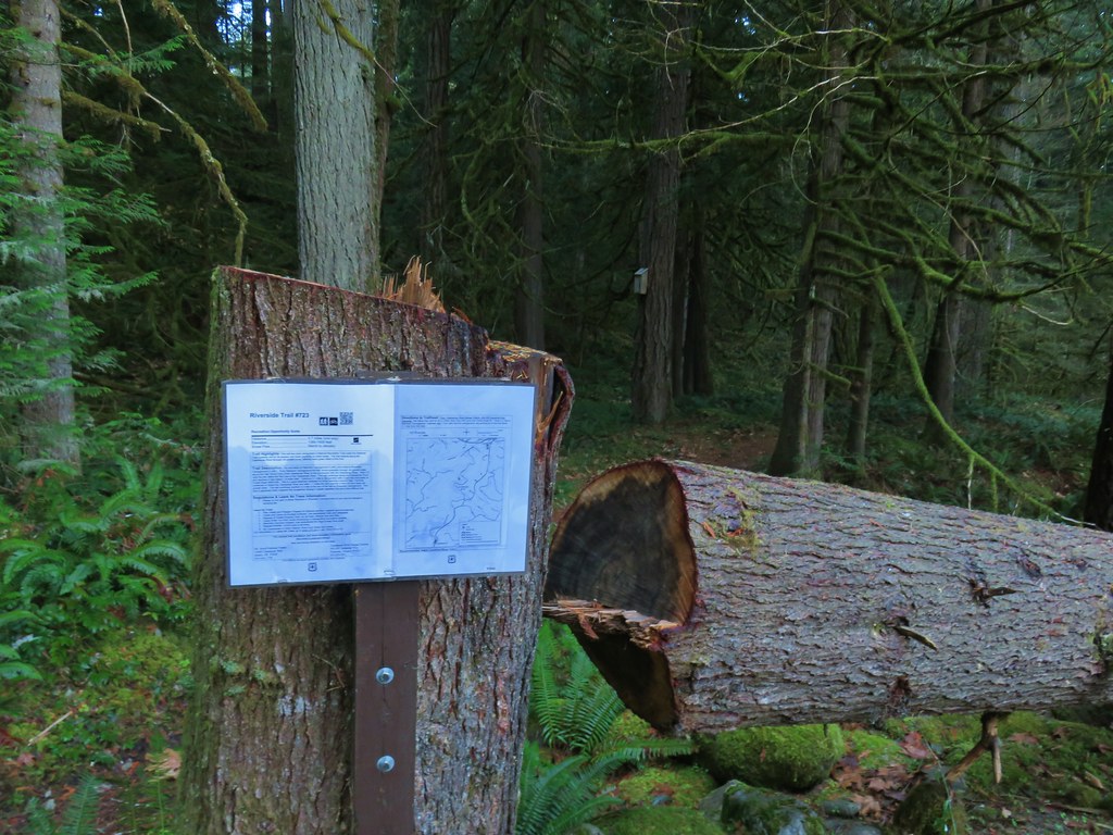


 In the forest for a bit.
 Viewpoint from above.
 Back in the forest.
 At the river.
 Sun peaking through the trees.
 one of several rock formations along the trail.
 Another view of the Clackamas.
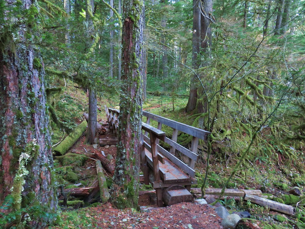 Side creek crossing.
 Back along the river.
 Rock pinnacle in the Clackamas River.
 Spur trail to the Riverside Trailhead.
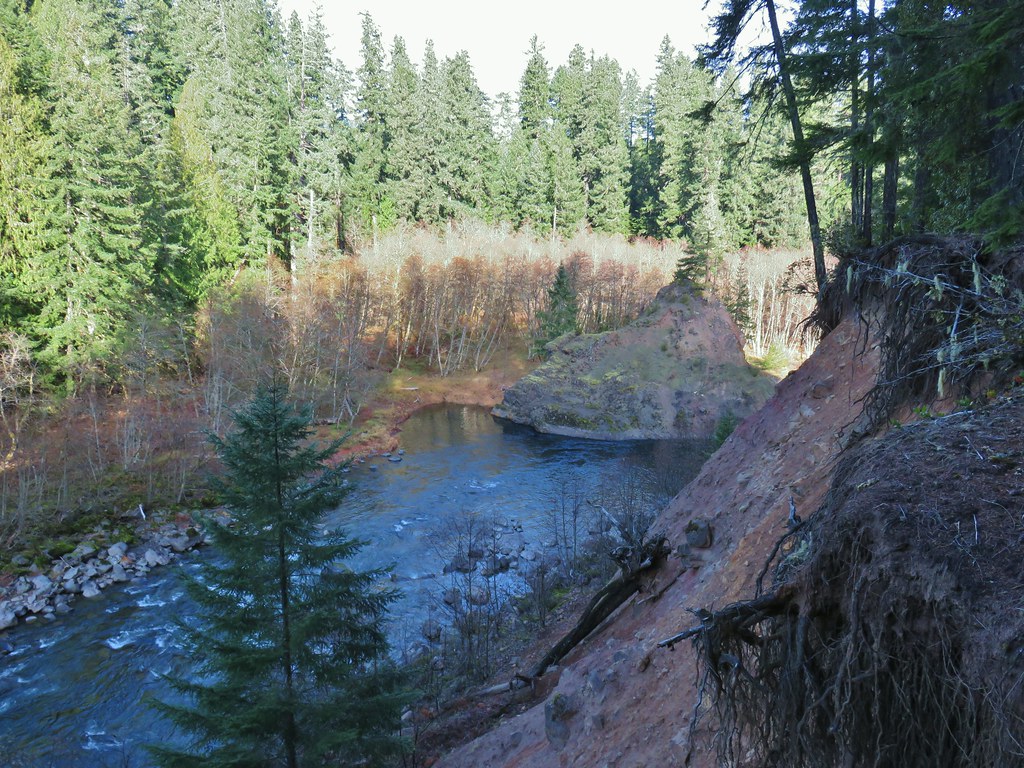 Viewpoint near the spur trail.
 Viewpoint near the spur trail.
 Another rocky beach along the Clackamas.
 Looking down river.
 Now from above the rock beach.
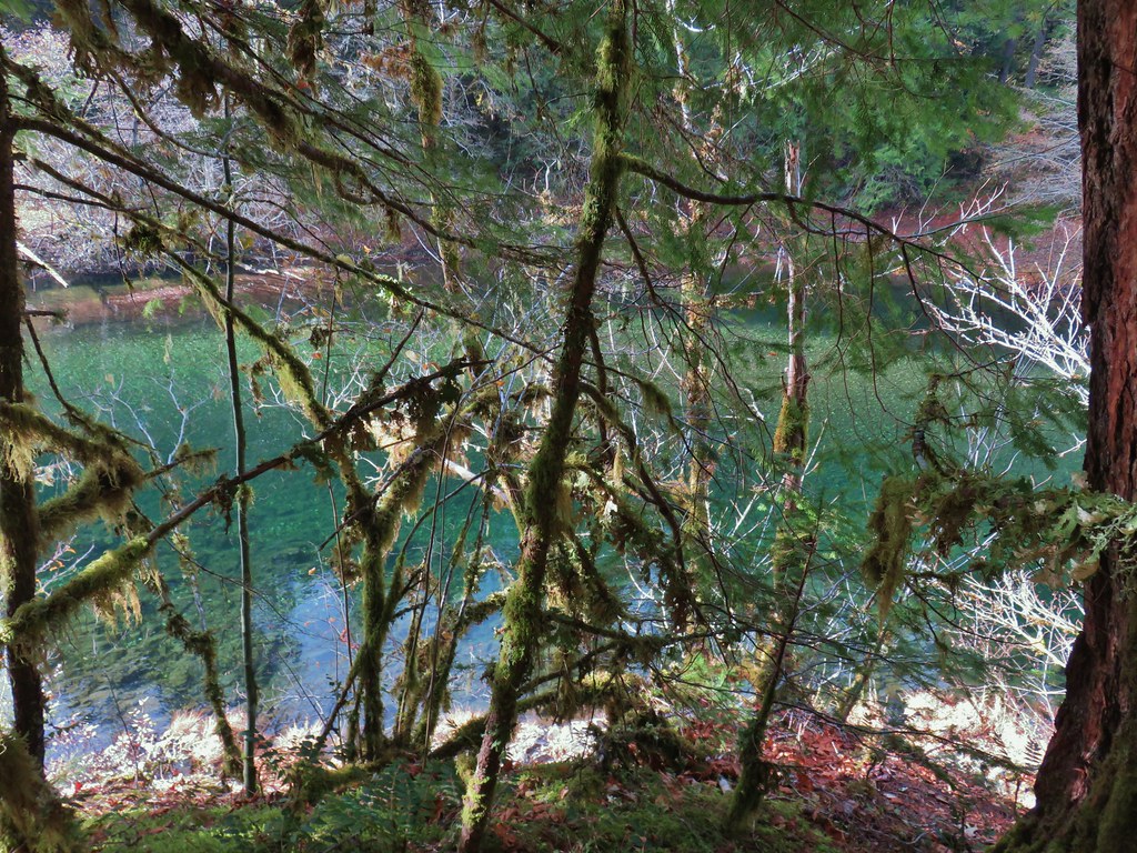


 Clackamas River at the Riverside Campground.


 Chindrie Mountain from across Wahtum Lake.


 Chindrie Mountain
 Tanner Butte
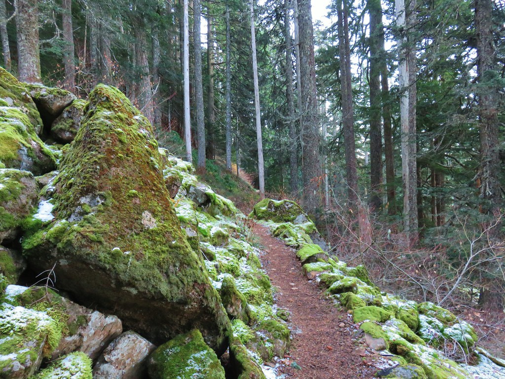
 Table Mountain
 Chindrie Mountain again.
 Indian Mountain
 Mt. Hood
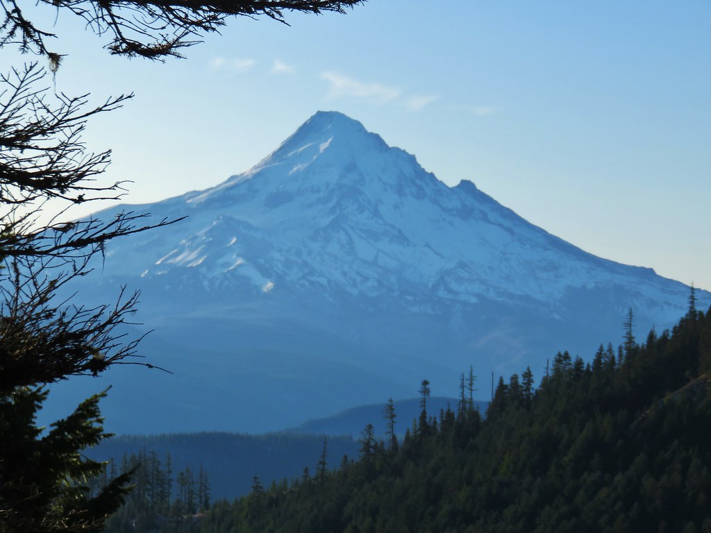


 Crossing FR 660 near Indian Springs
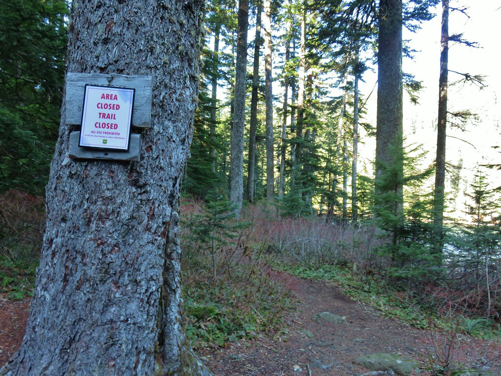
 Trail sign at the junction with the currently closed Indian Springs Trail.


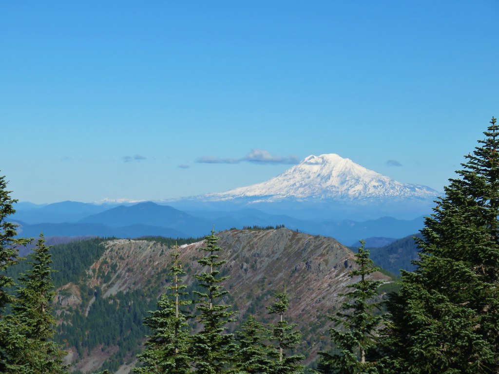
 Table Mountain and Greenleaf Peak with Mt. St. Helens in the background.
 Mt. St. Helens
 Mt. Rainier
 Goat Rocks
 Mt. Adams and Chindrie Mountain


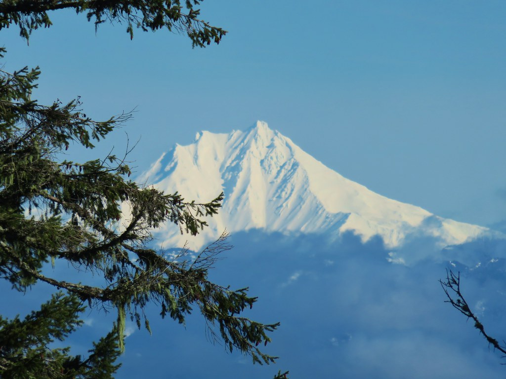
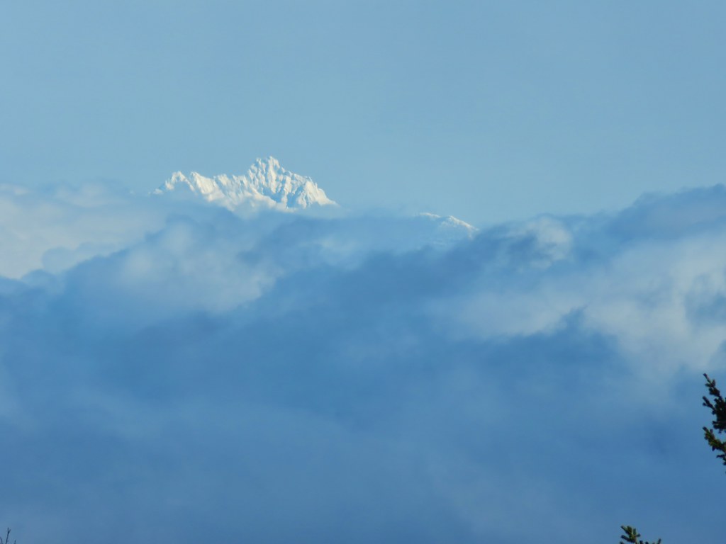
 Mt. Hood and Mt. Jefferson
 Mt. Jefferson
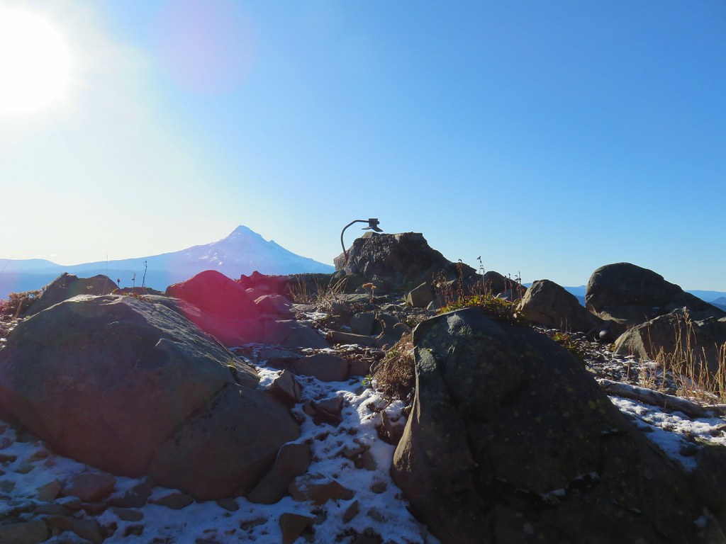 Mt. Hood from the former lookout site.
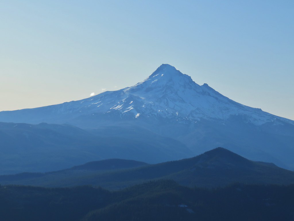 Mt. Hood with Lost Lake Butte (
 Snow on the north side, green on the south.
 Mt. St. Helens with some snow on the trees in the foreground.
 Crystals on a bush.

 Stream crossing
 Herman Creek Trail junction.


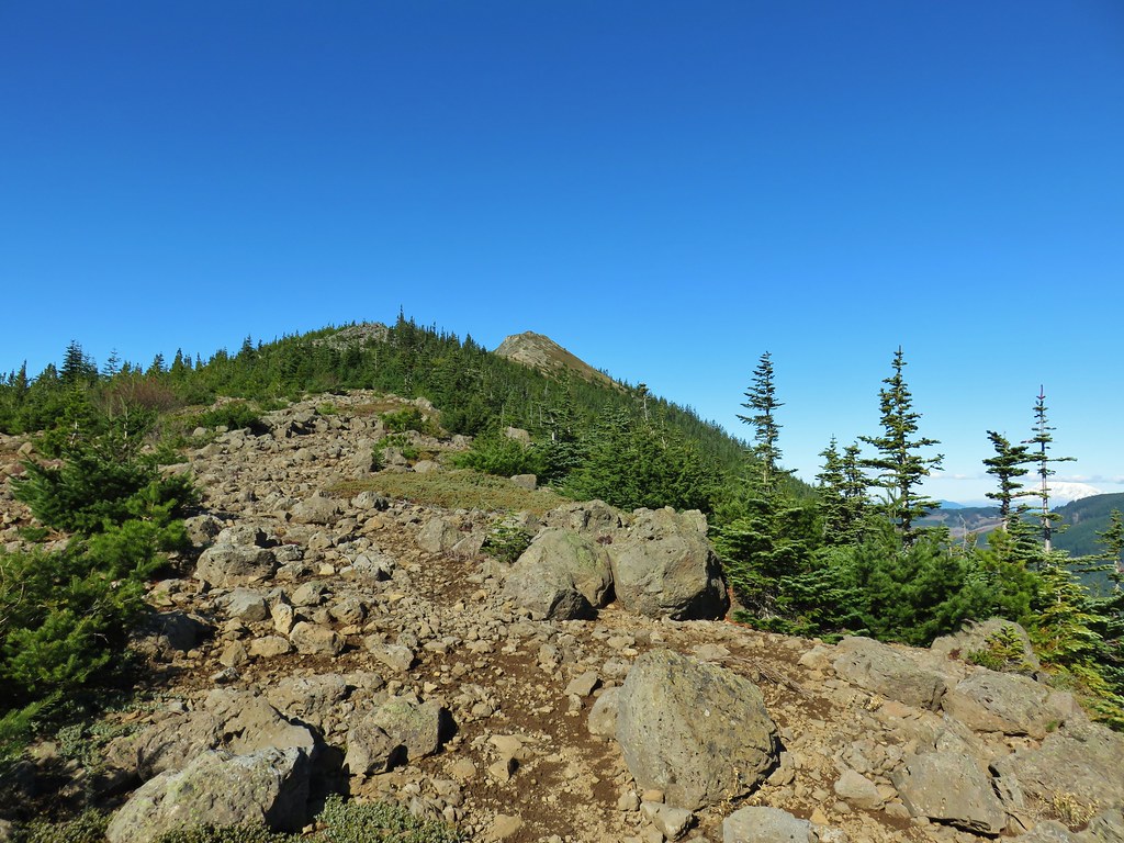
 Looking at the summit from the trail.
 Mt. Hood


 Lots of beargrass clumps.
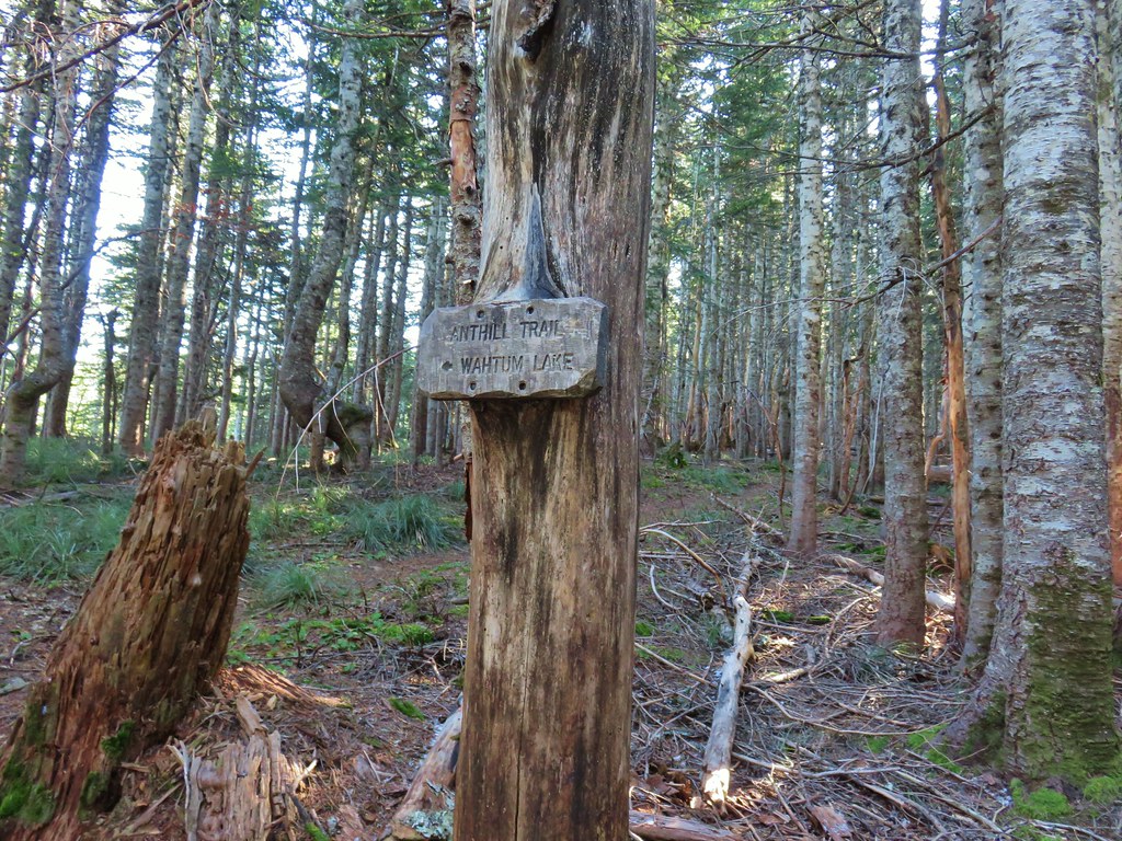
 Trail to Tomlike on the left.


 There’s at least one cairn here.

 Mt. Adams to the right.
 Mt. Hood with Indian Mountain rising up behind Chindrie Mountain to the right.
 Heather crossing the ridge below the summit.

 Mt. St. Helens, Mt. Rainier, Goat Rocks and Mt. Adams from left to right.
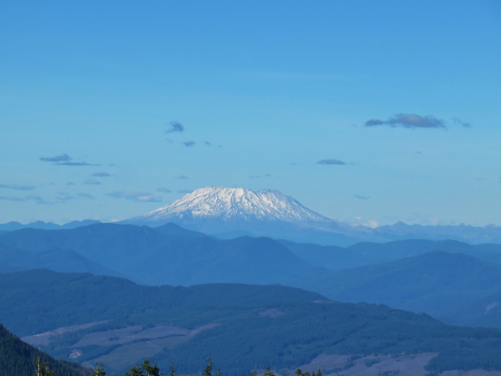 Mt. St. Helens
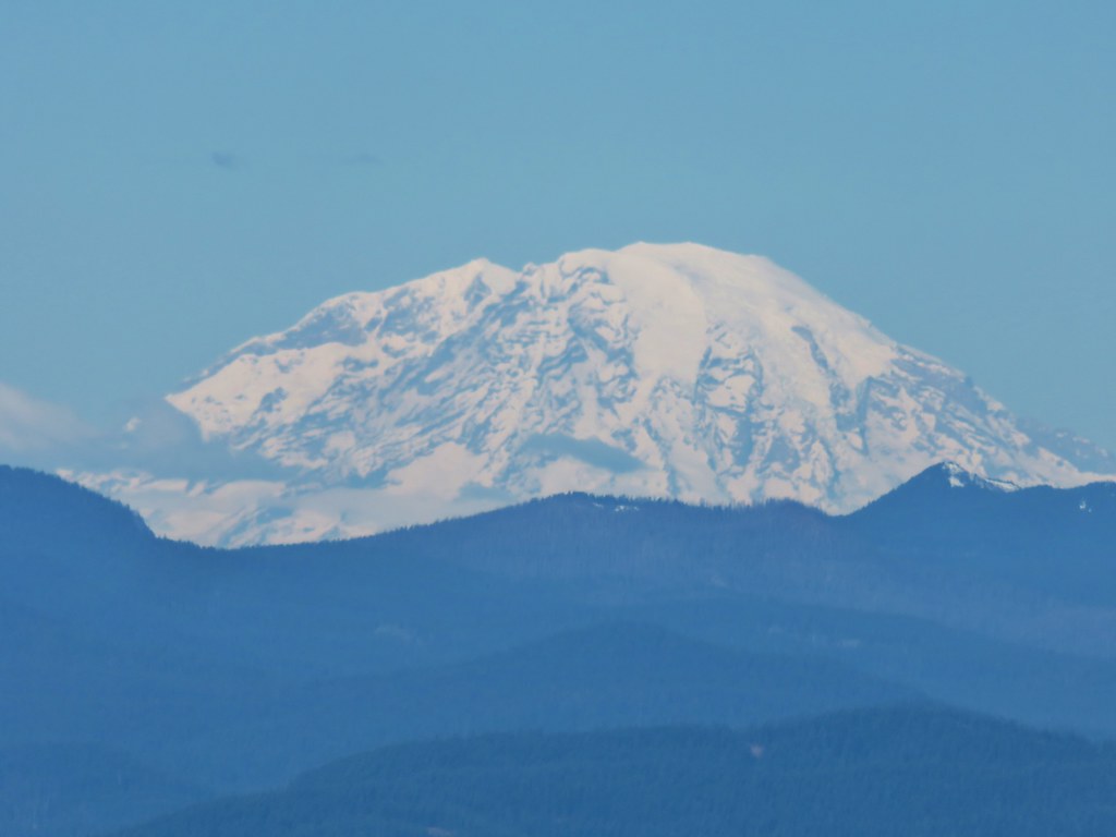 Mt. Rainier
 Goat Rocks
 Mt. Adams
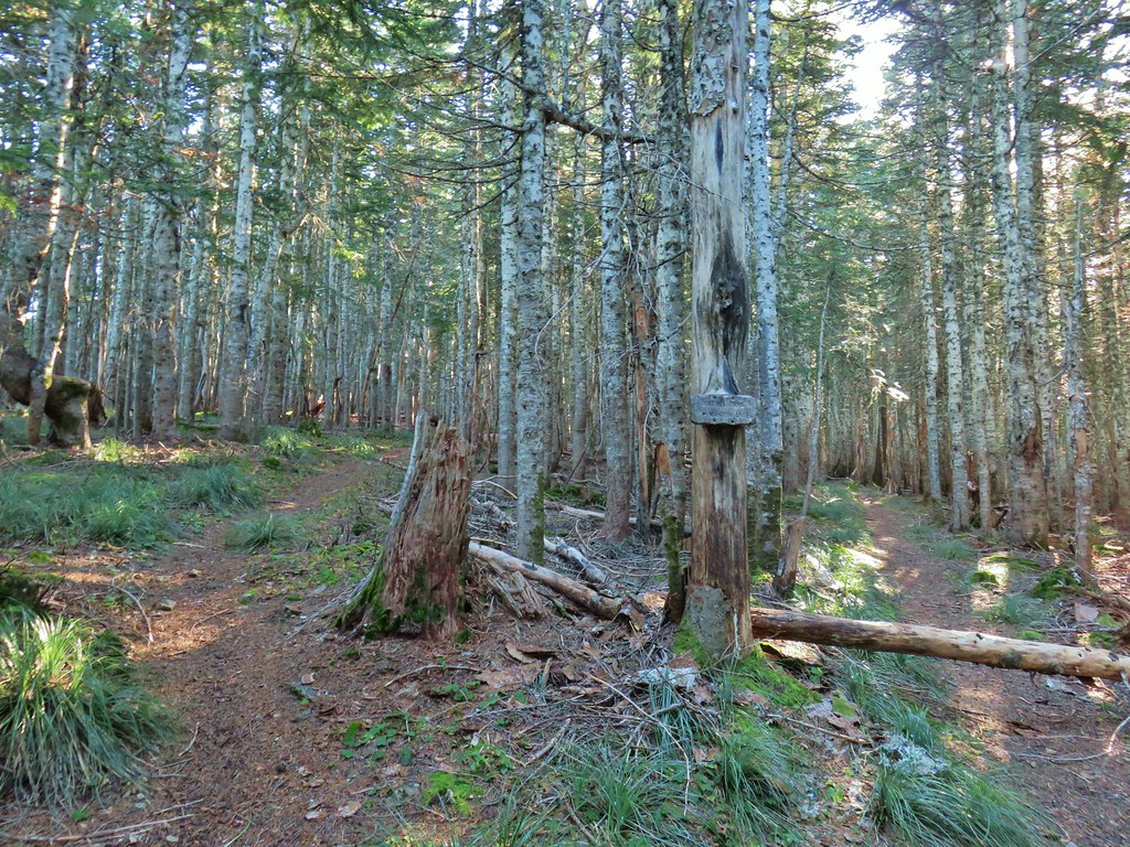 Anthill Trail on the left.
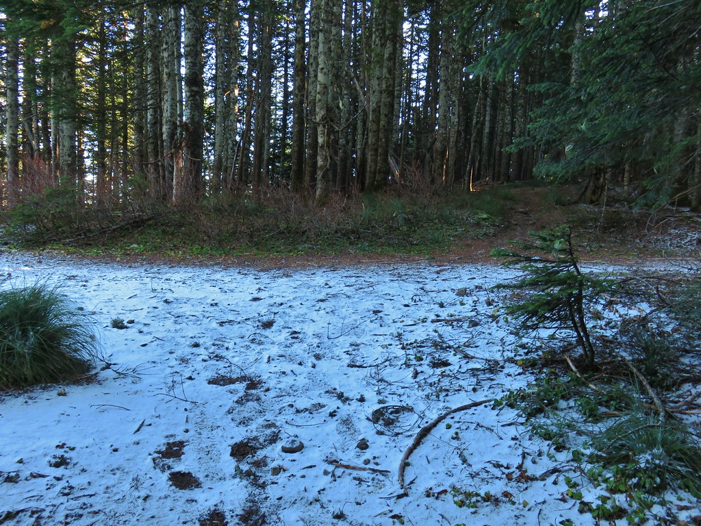


 Mt. Jefferson
 Wahtum Lake and Chindrie Mountain


 Leapfrog Loop
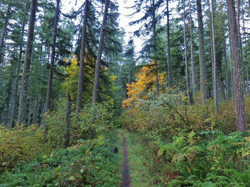
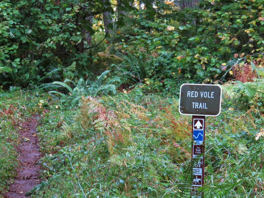
 Mark’s Trail (our return route)


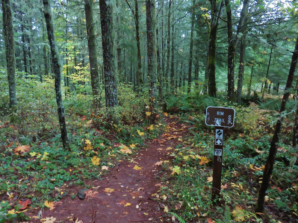
 Rim Trail


 <
<


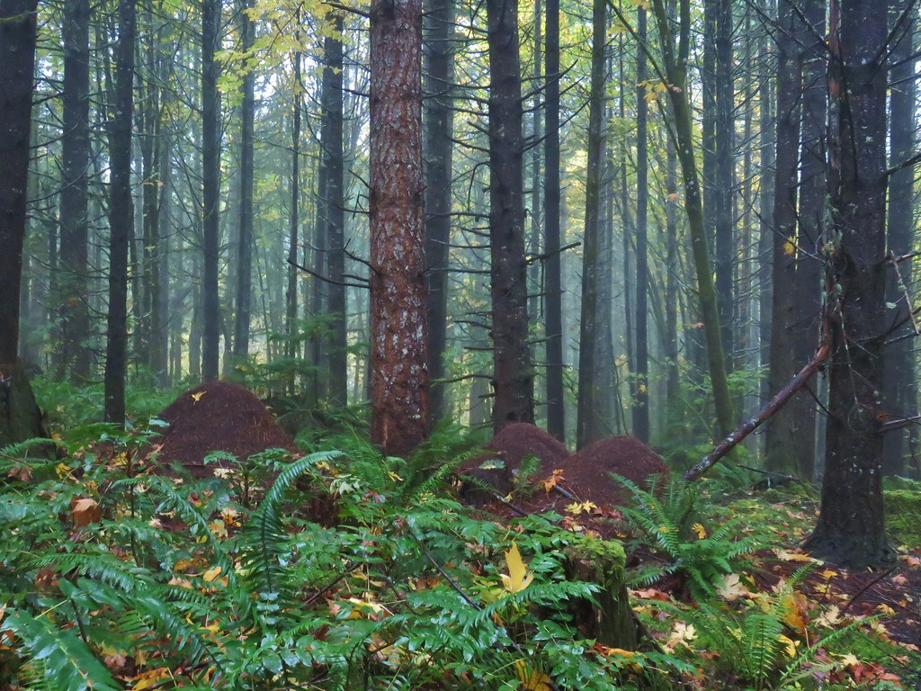 Huge anthills could be seen throughout the hike.
 Skirting the clear cut.
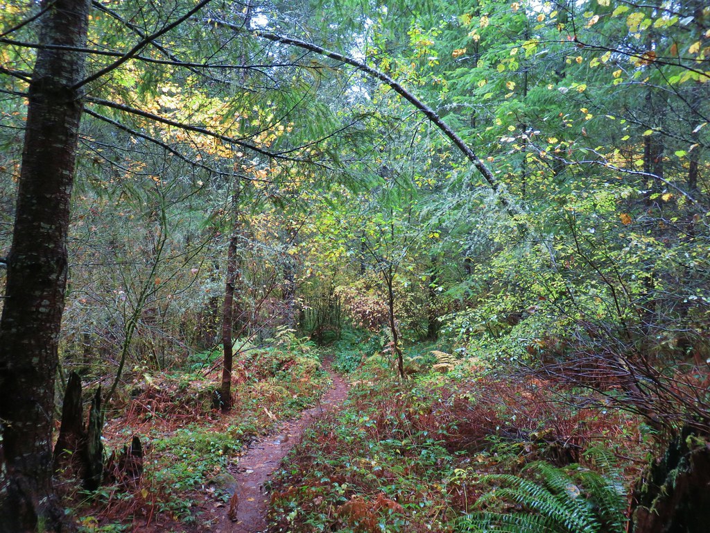


 Unnamed creek.
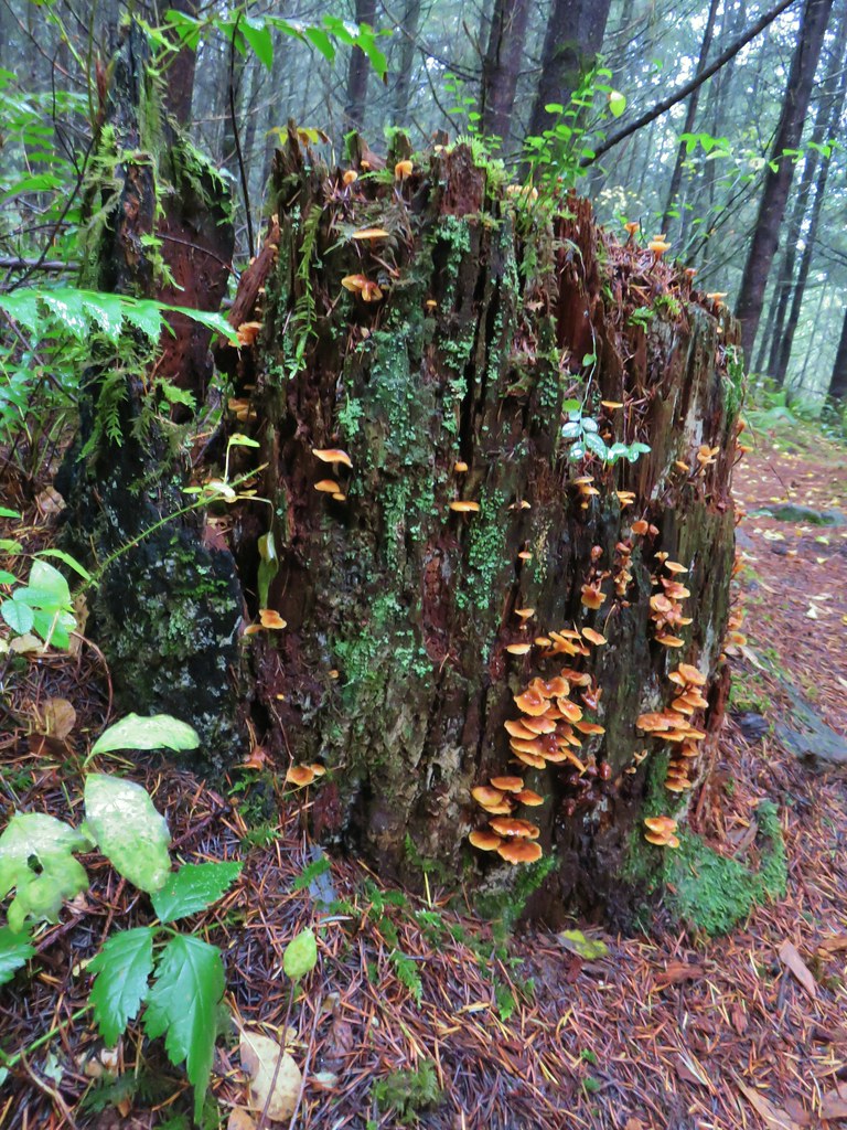

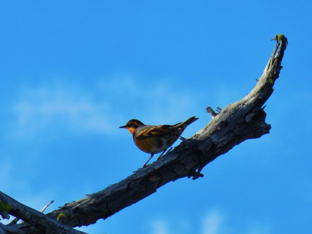
 Varied thrush
 One of the few unsigned junctions we came to.


 The Hardy Creek Trail coming up from the

 Going down.
 Going back up.


 Back at Amanda’s Trail.

