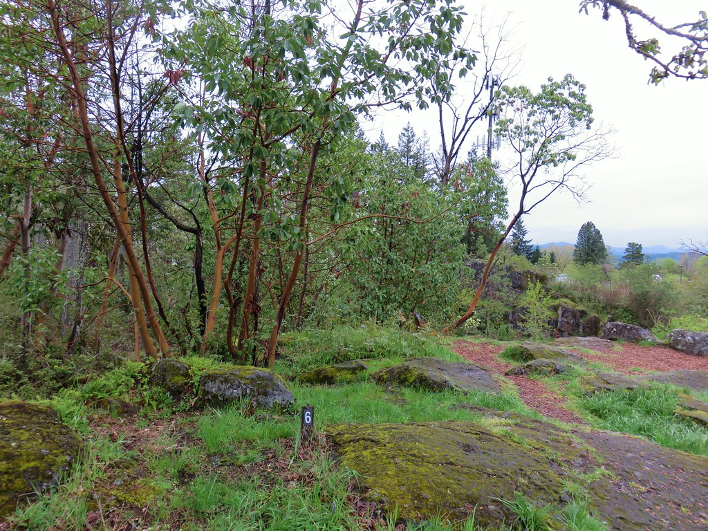
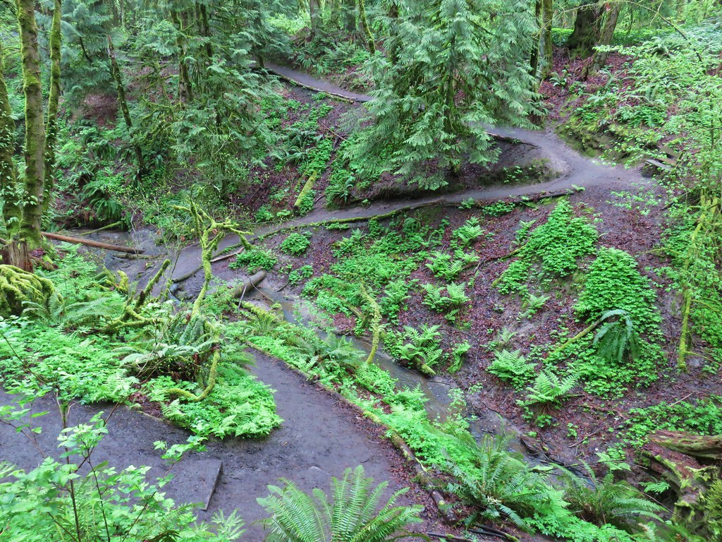
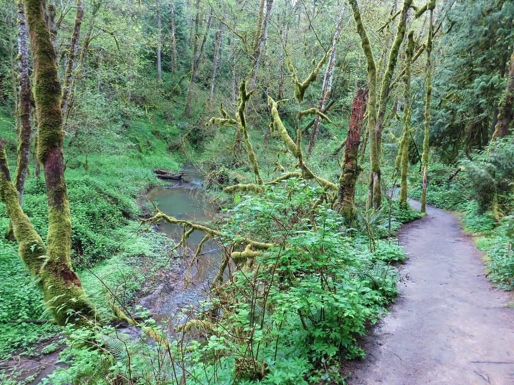
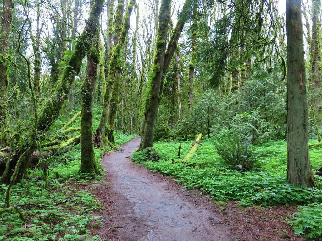
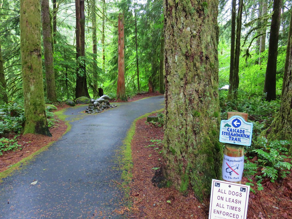
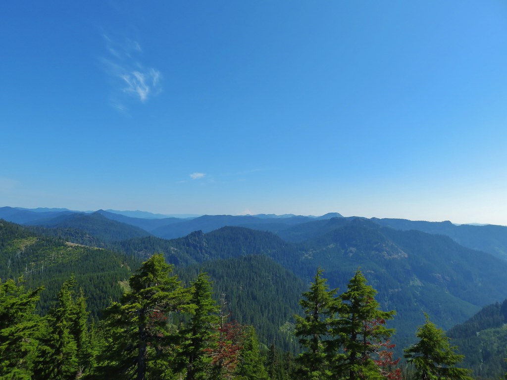
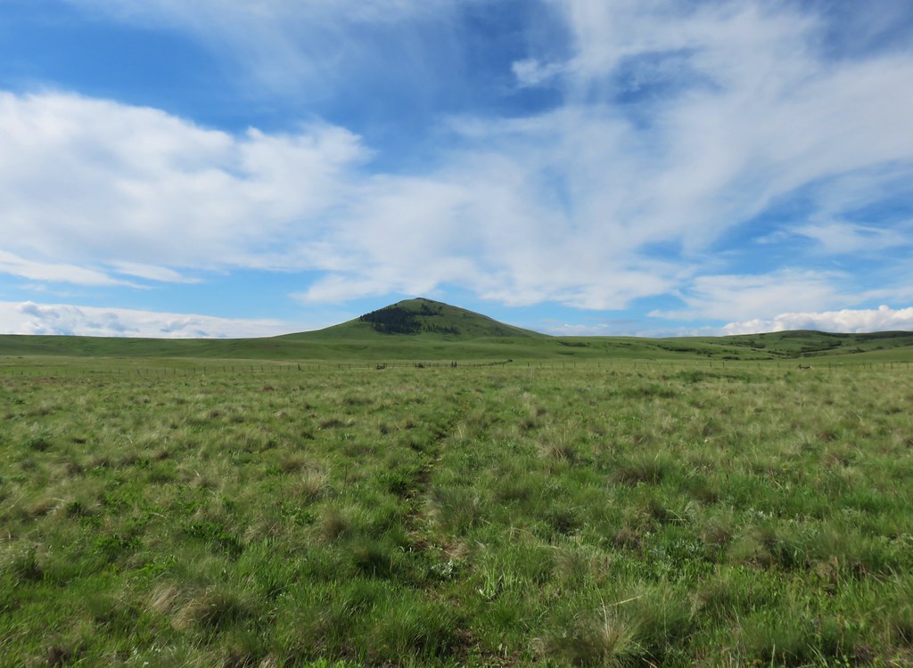
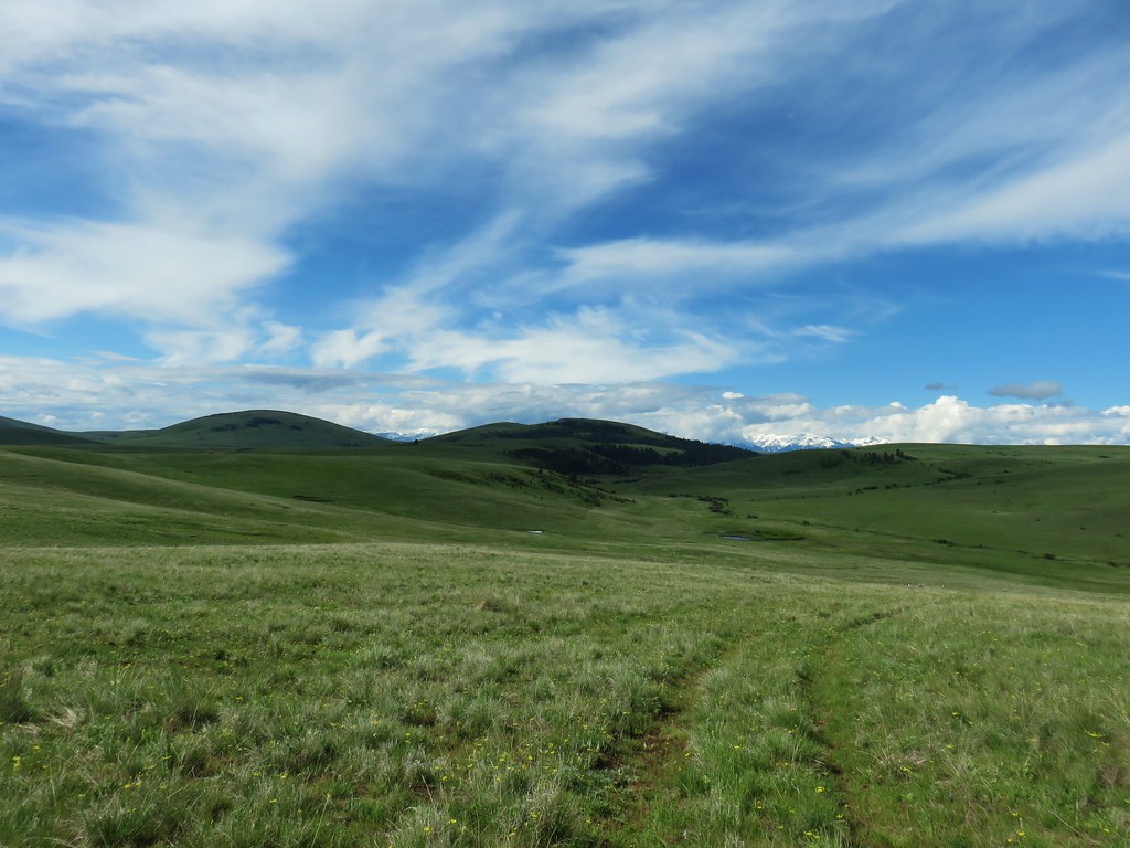
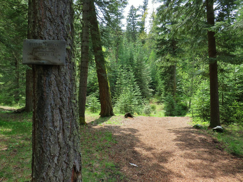
For our second trip this year we had planned on heading to the North Fork Umatilla Wilderness and then to the John Day area for a couple of days but the week before our trip our 16 year old cat Buddy wasn’t doing well. After a couple of visits to the vets (and having nearly a pound of fluid removed from his lungs) he was placed on several medications. He’s doing much better now (he is currently on my lap helping me write this entry) but we didn’t want to leave him so soon so we decided to stay home and do a series of day hikes instead.

Not only was this a fairly last minute change of plans but the forecast for the week was all over the place concerning chances of precipitation and the amount of clouds vs sun. We decided on a handful of potential hikes then checked the forecast for each one trying to come up with an optimal schedule. The process led us to choosing Sand Mountain for our second hike (Vista Ridge and Owl Point (post) being the first).
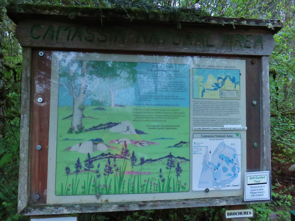
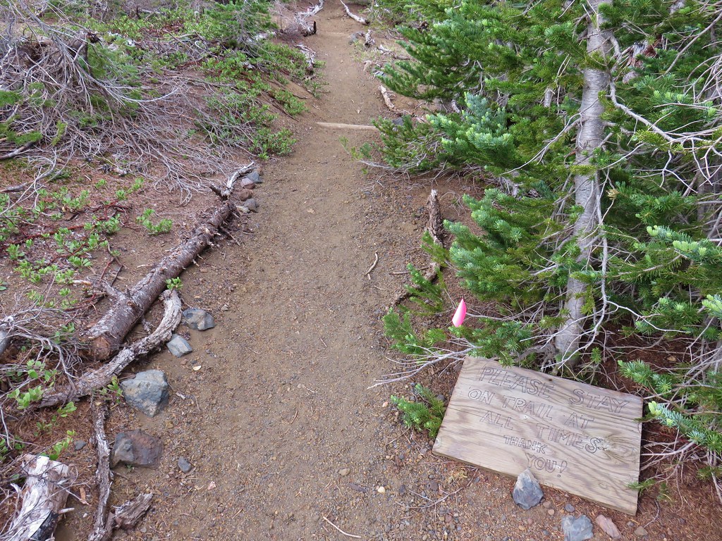
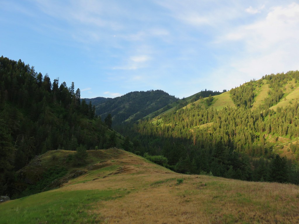
Sand Mountain is located near Santiam Pass in the Cascade Mountain and is a geologic study area. The U.S. Forest Service and the Sand Mountain Society seasonally staff the Sand Mountain Lookout in part to keep off highway vehicles from damaging the fragile area. Off trail travel off any kind is banned in the study area, but as we were shown by one of the Rangers in the lookout all the signs and barriers in the world can’t stop some morons from doing whatever it is they want to do as there were several tracks visible in the volcanic soil where OHVs or snow moblies had torn things up but I digress.
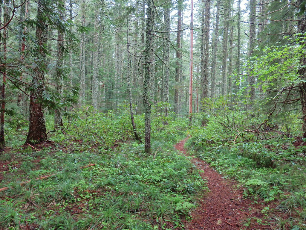
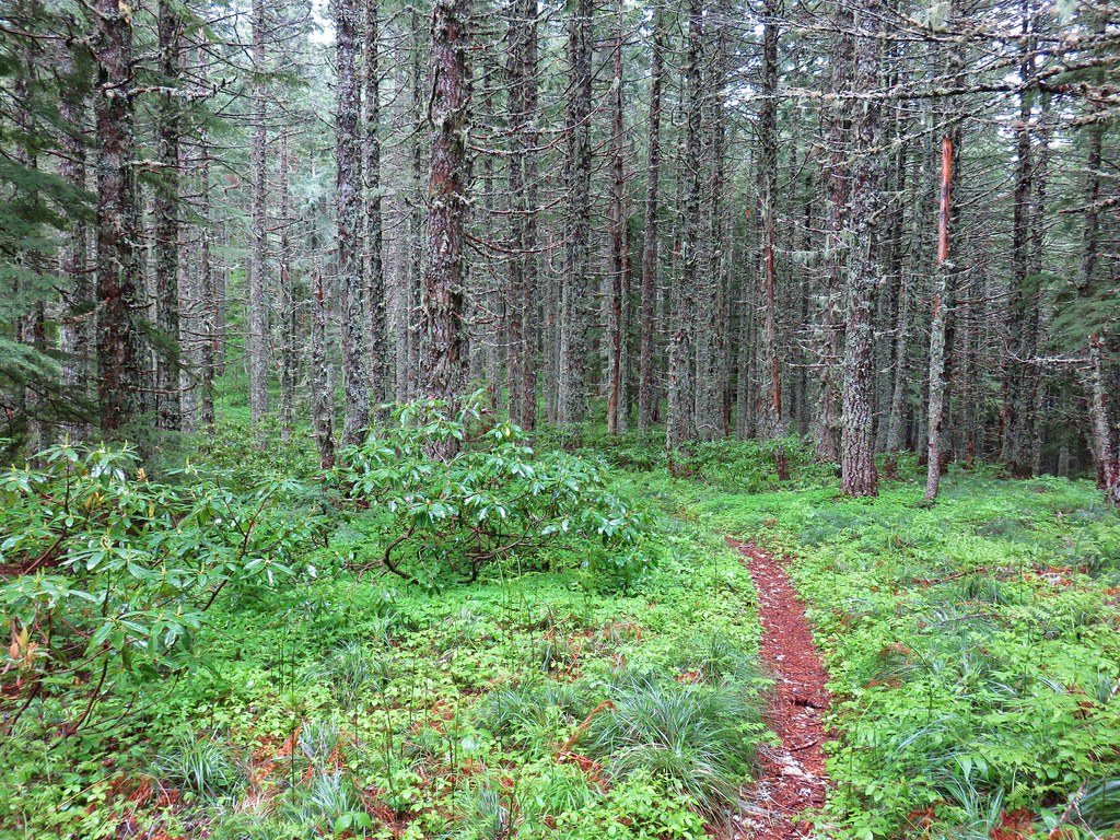
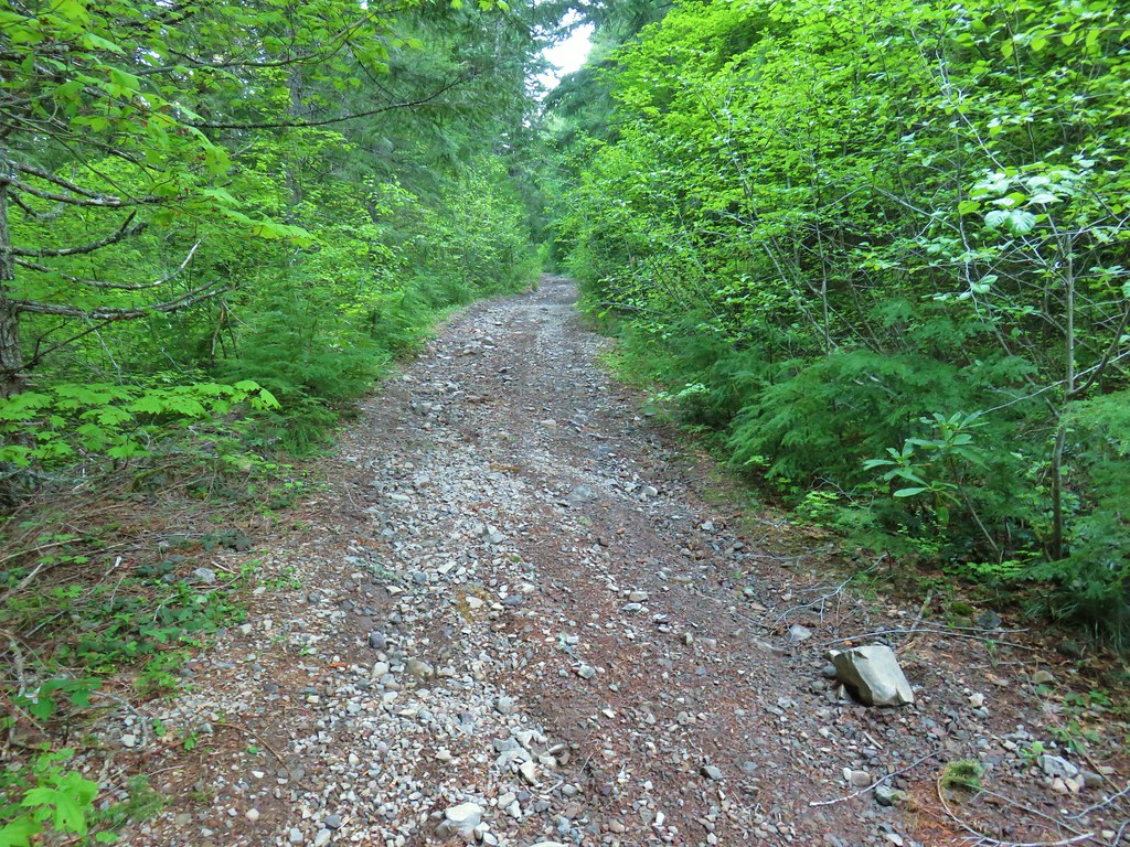
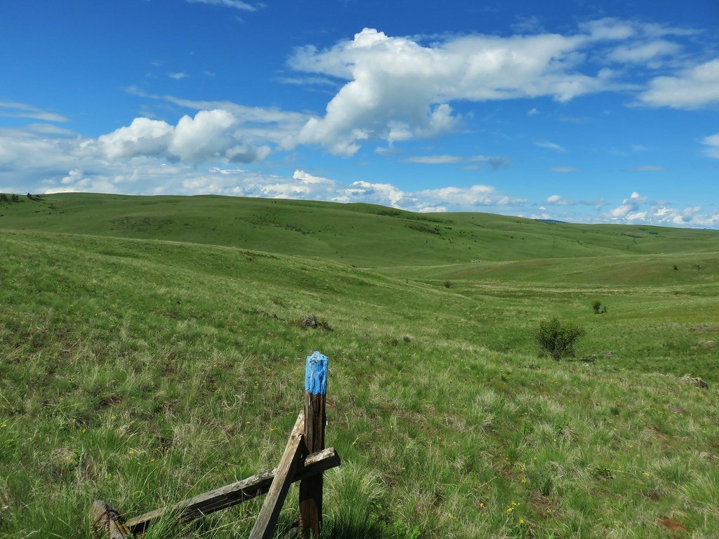
We chose to follow William L. Sullivan’s suggestion in his “100 Hikes in the Central Oregon Cascades” guidebook (hike #129 in the 4th edition) by parking at the intersection of FR 810 and Big Lake Road.
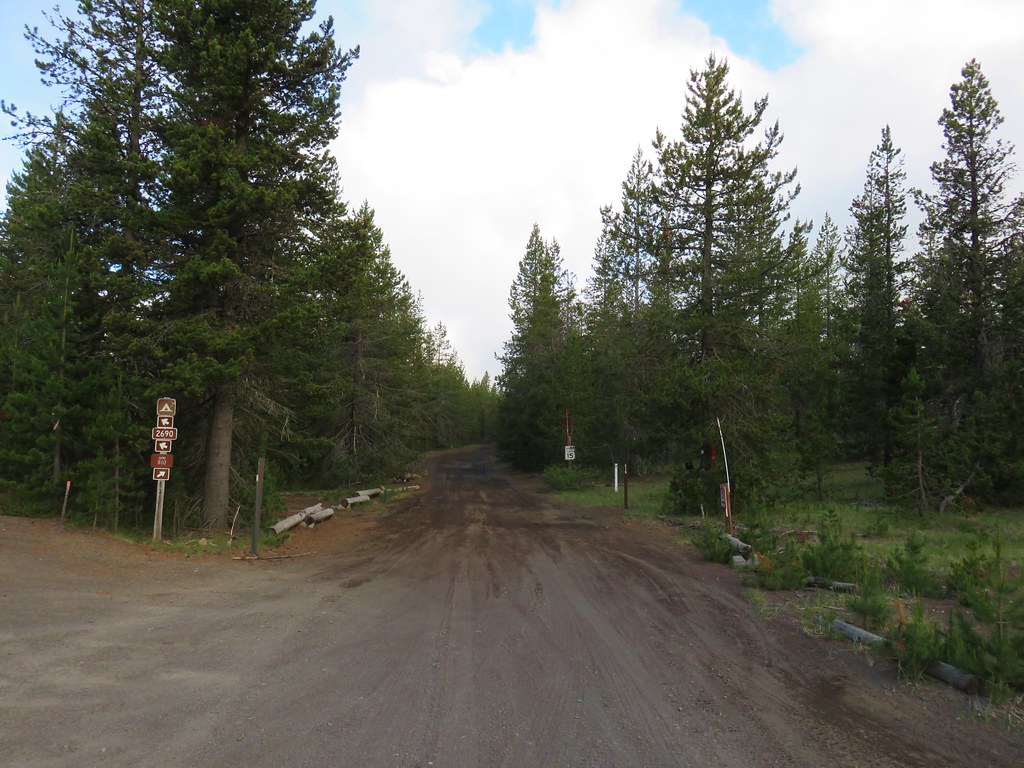
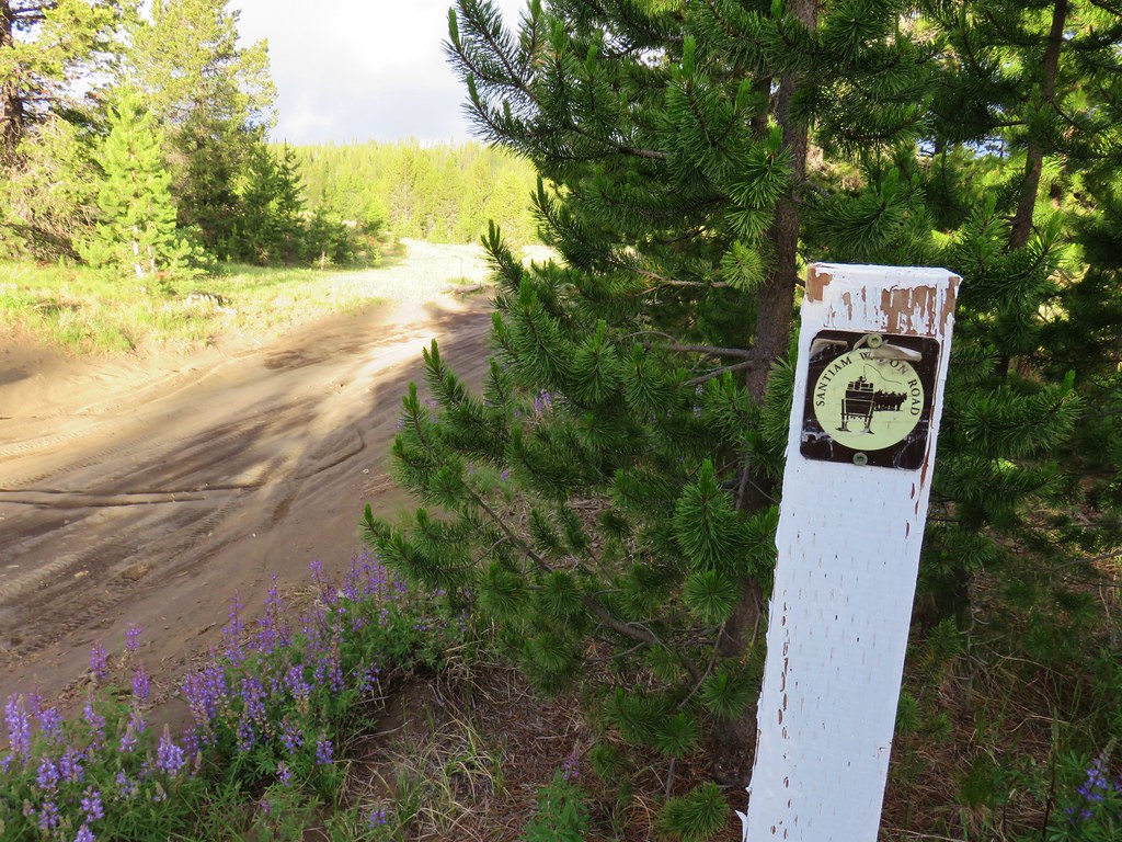
To get here turn south off of Highway 20 toward the Hoodoo Ski Area and follow Big Lake Road for 3.1 miles. FR 810 is open to vehicles which allows one to park 2.9 miles closer to Sand Mountain, but why drive on a rough 15mph dirt road if you don’t have to? Additionally FR 810 follows the route of the Santiam Wagon Road which connected the Willamette Valley to Central Oregon and was used from 1865 to 1939. The 400 mile long route is now listed on the National Register of Historic Places.
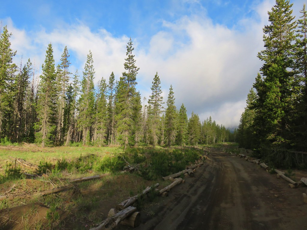
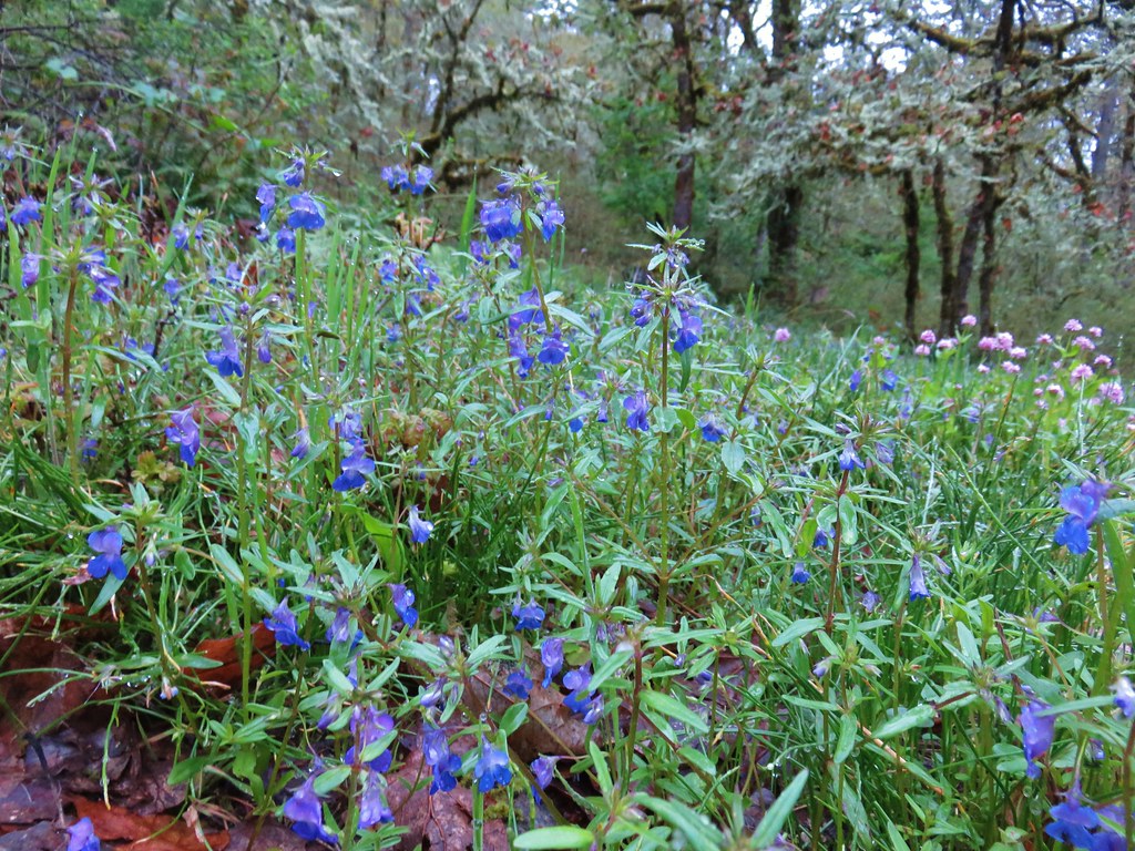
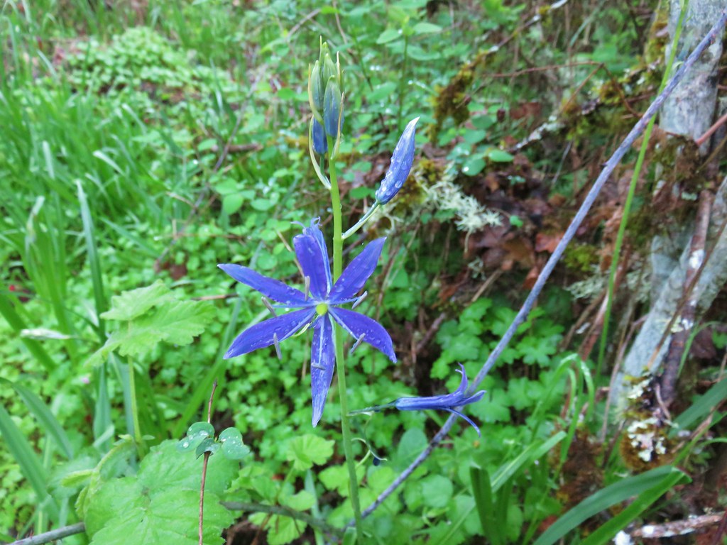
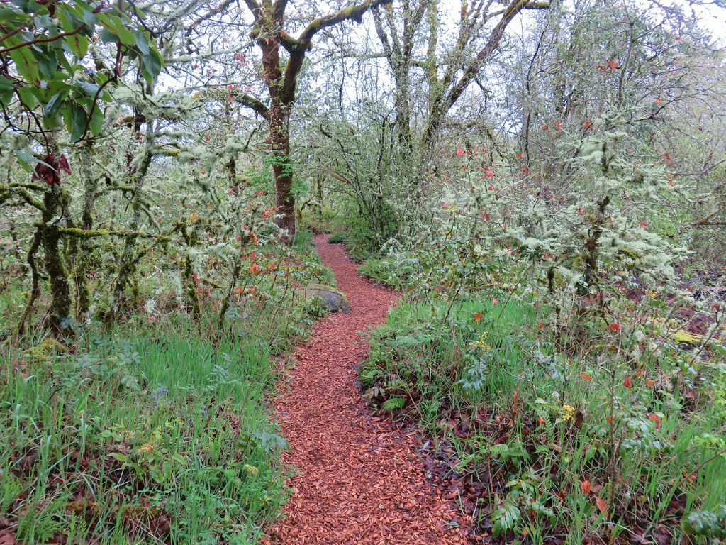
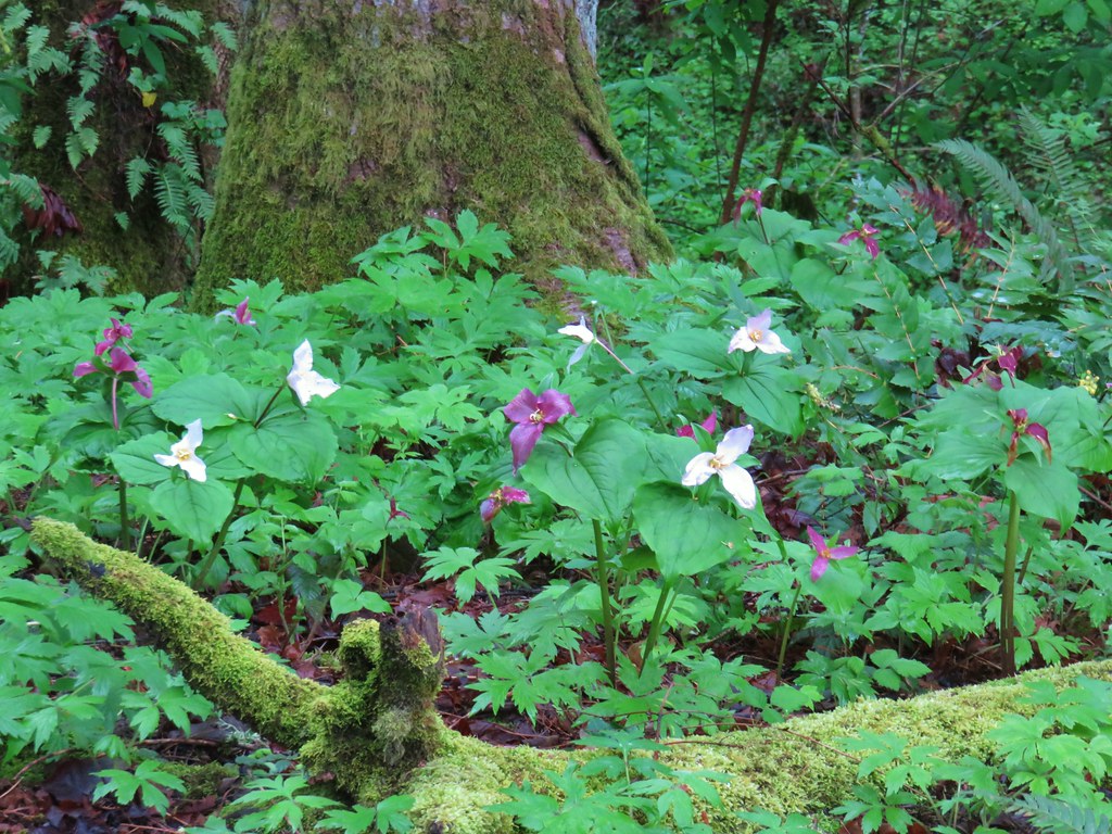
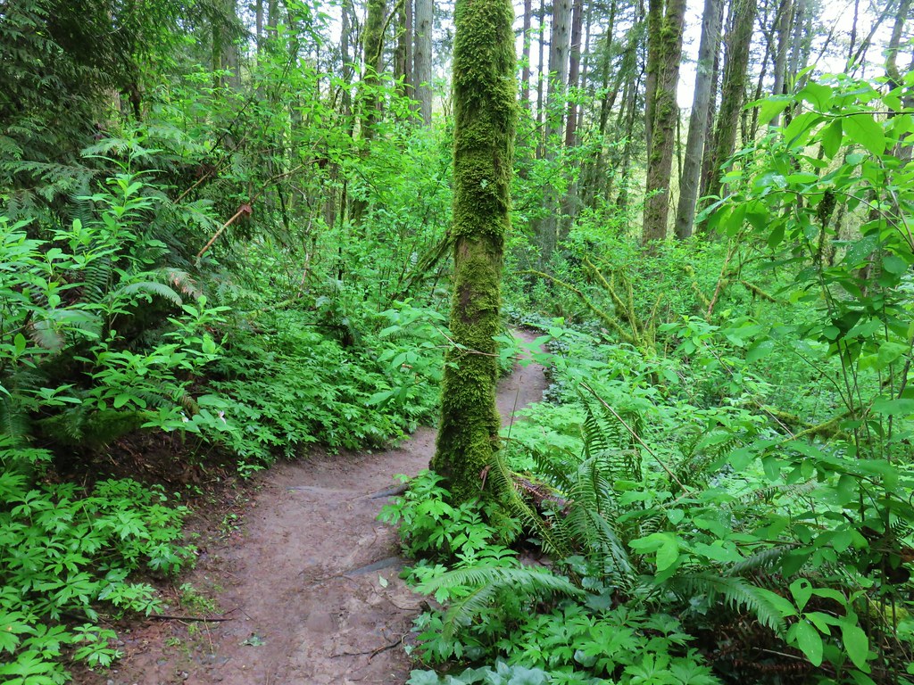
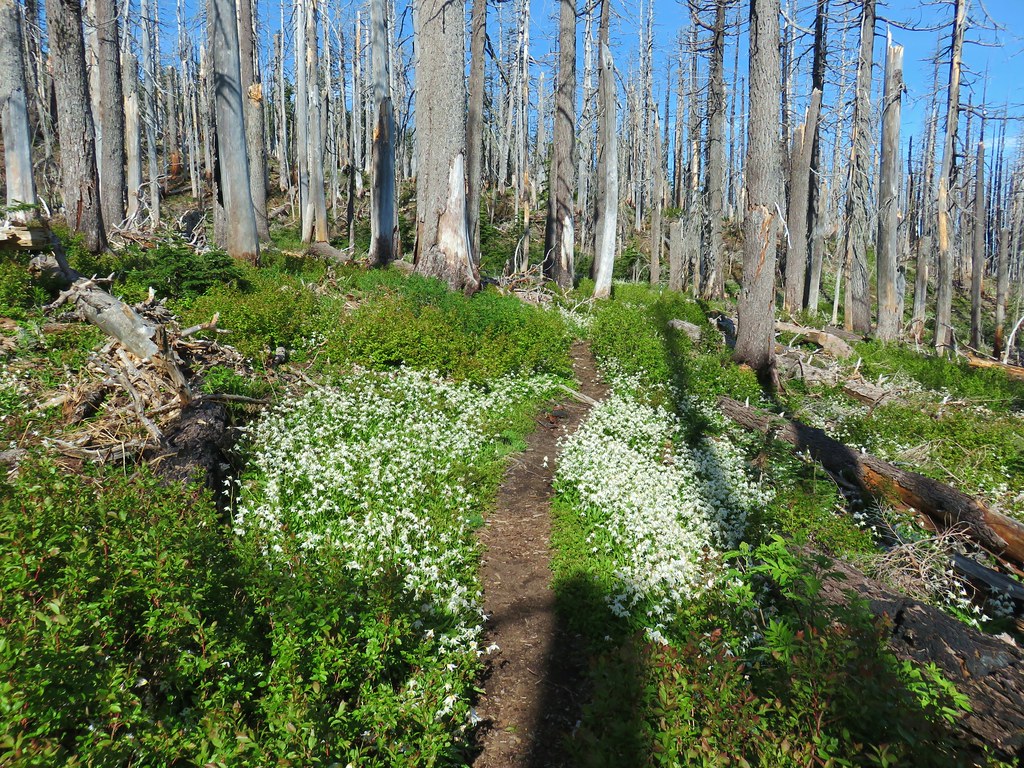
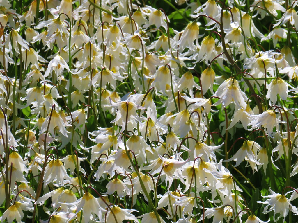
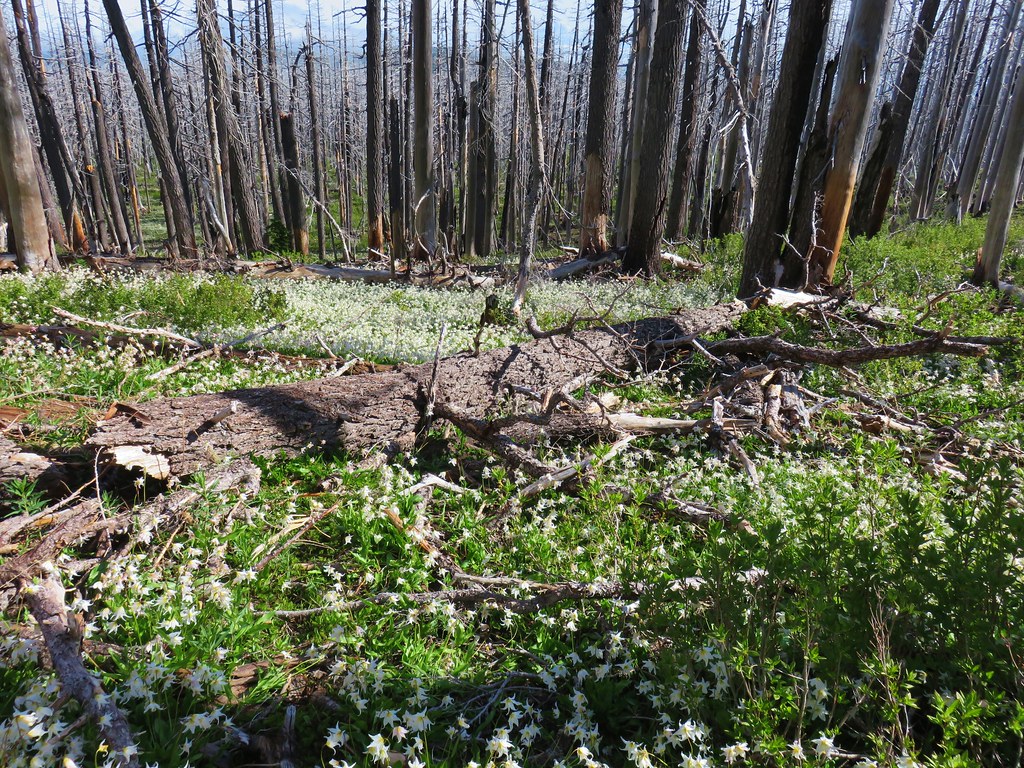
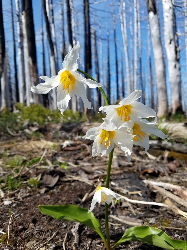
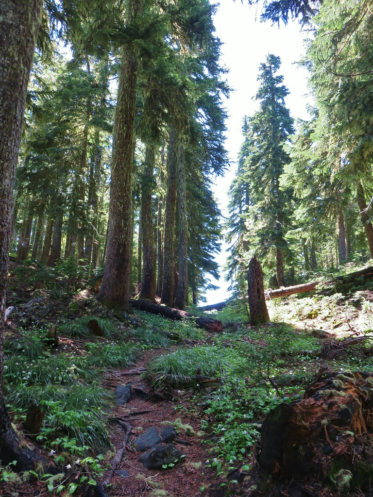
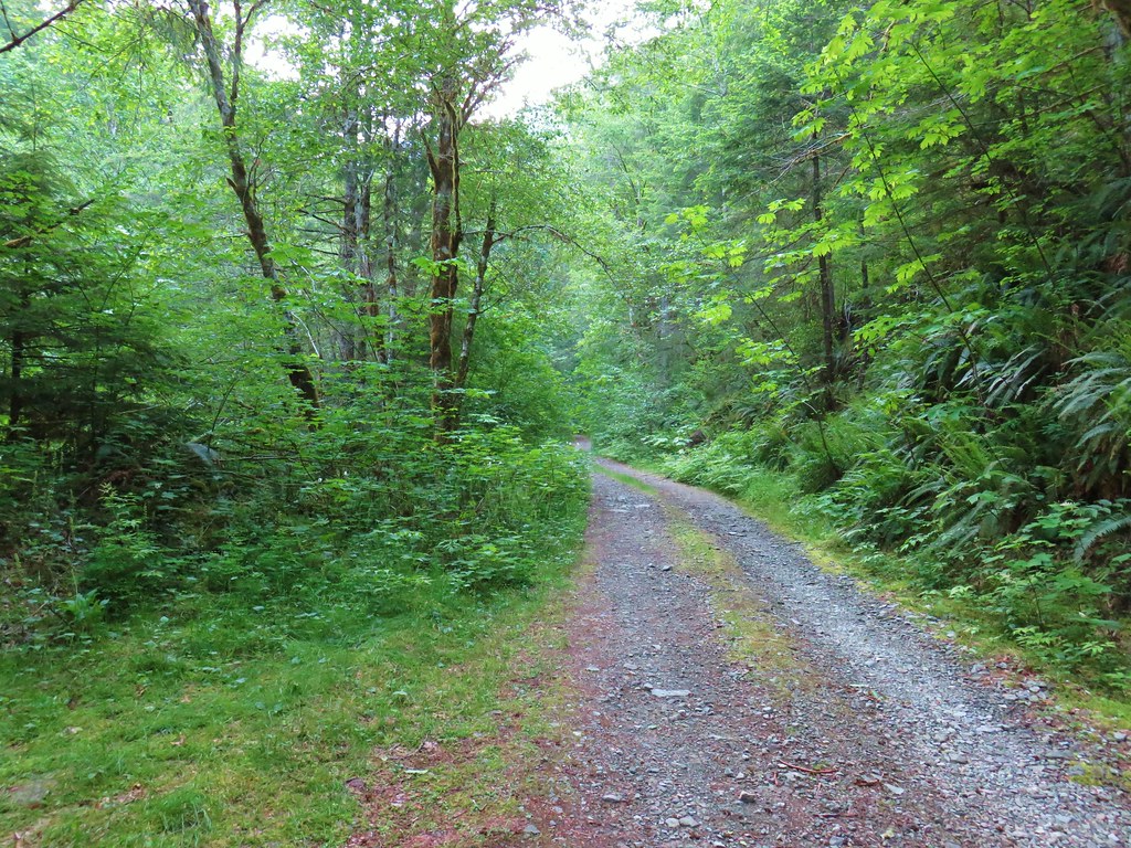
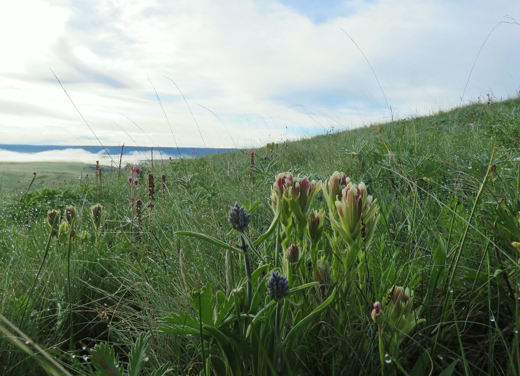
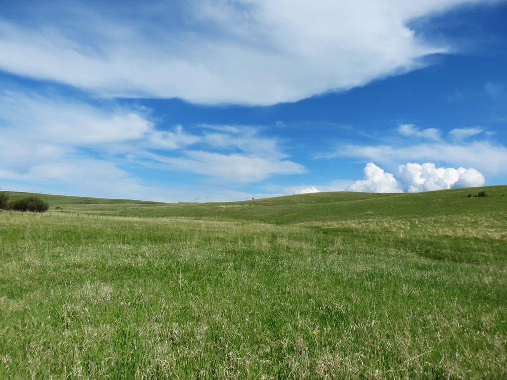
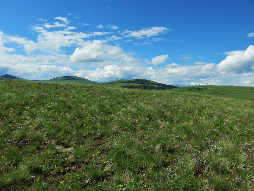
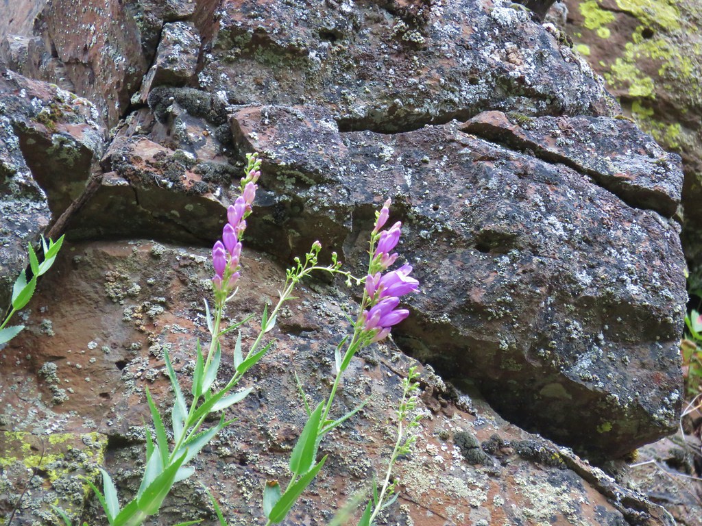
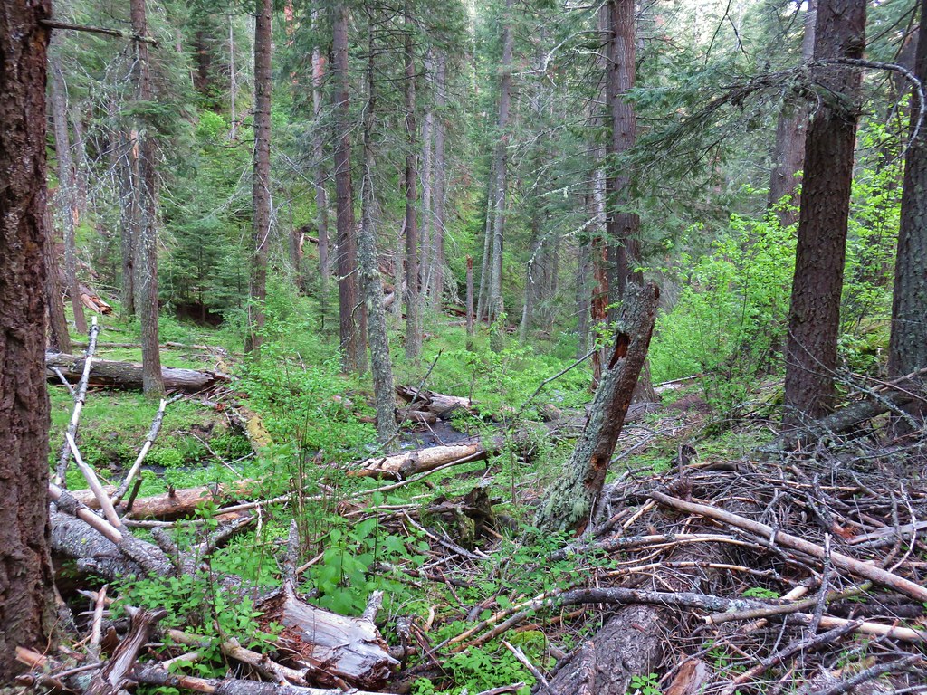
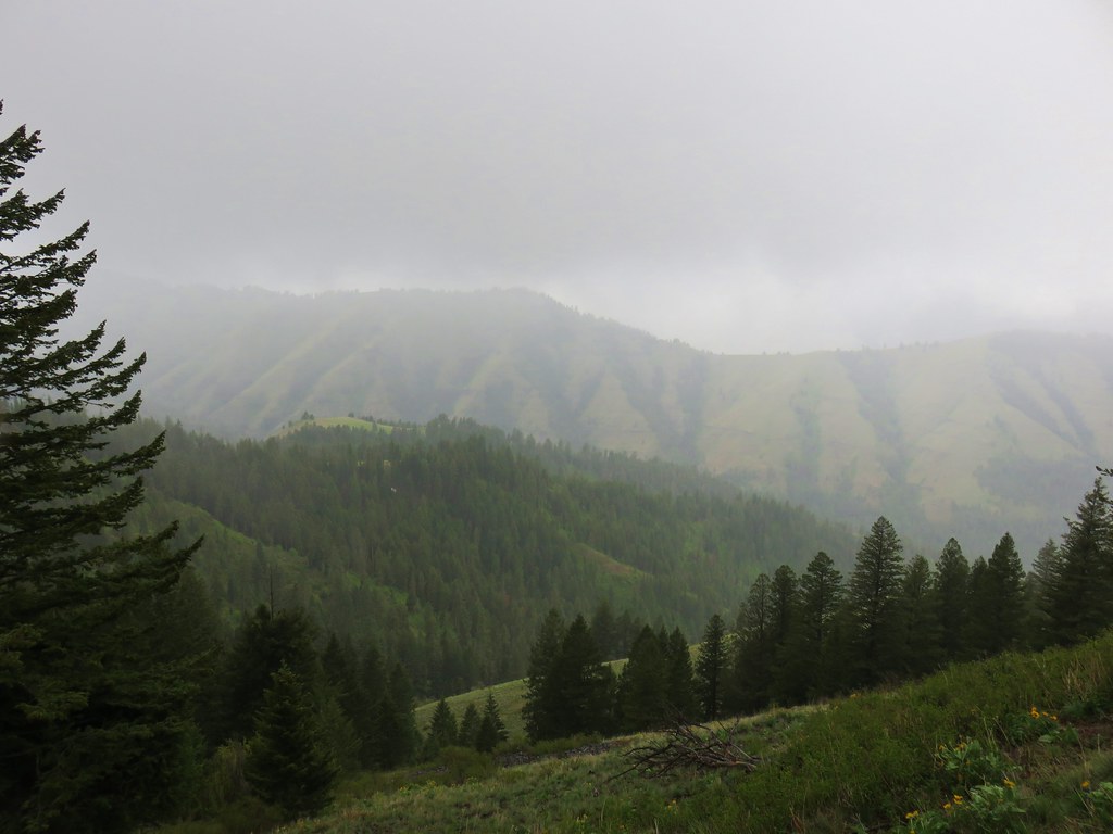
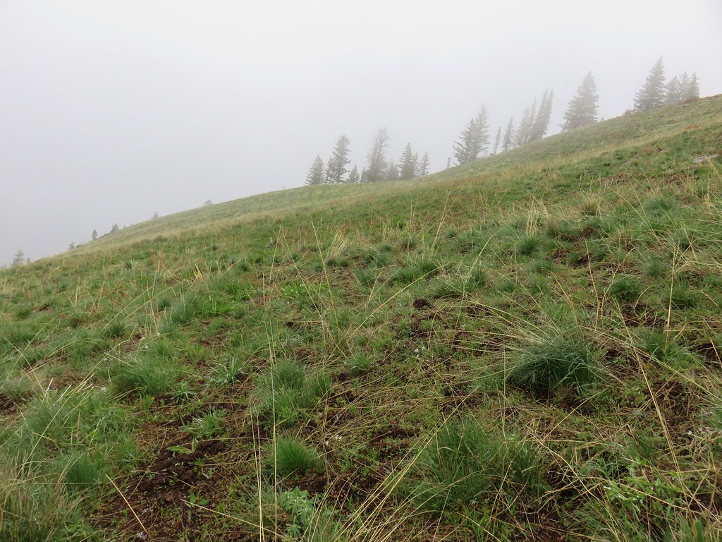
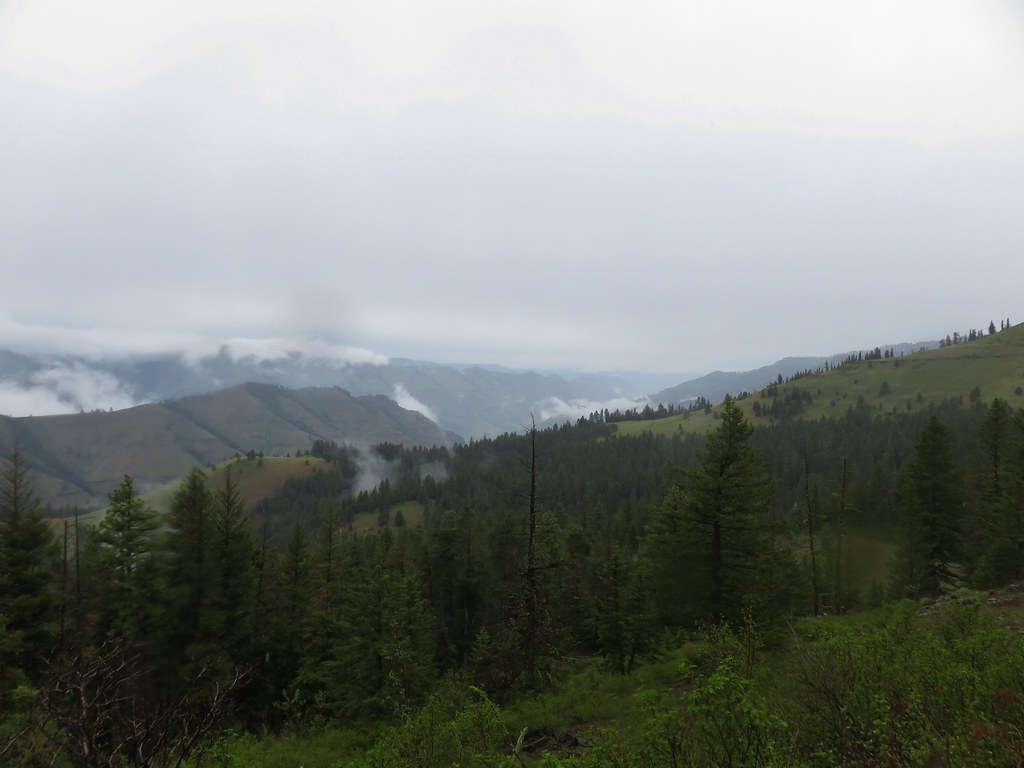
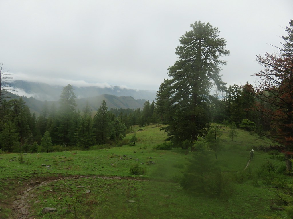
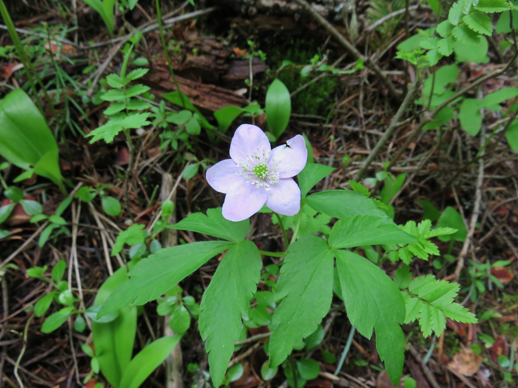
It was a pleasant walk with a few scattered flowers along the way.
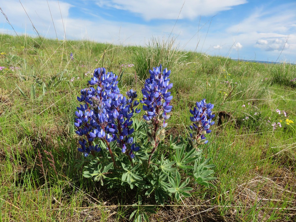
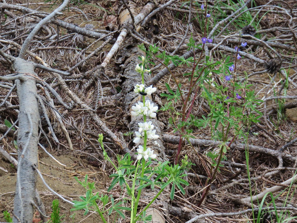 Lupine
 Beargrass plumes amid the trees
 Pussypaws
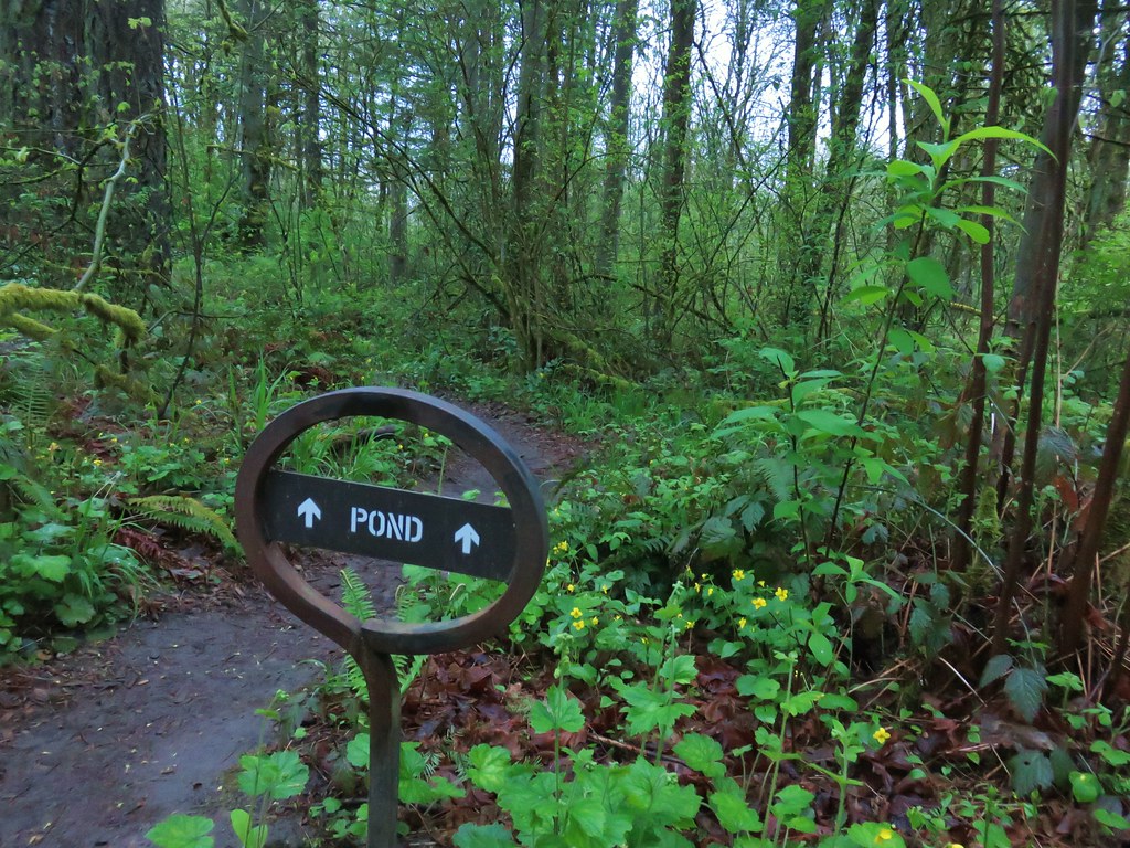
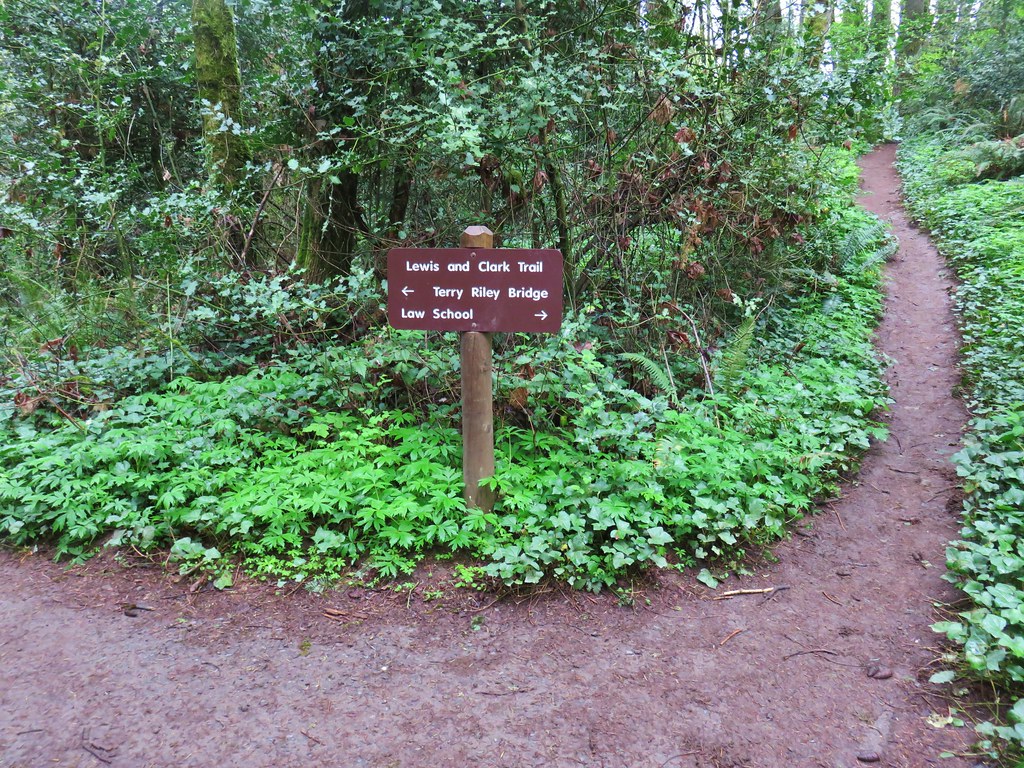
At the two and a half mile mark we came to a somewhat confusing junction.

There were snow mobile signs here, one of which had a pointer for Sand Mountain.

We turned left here following the pointer.

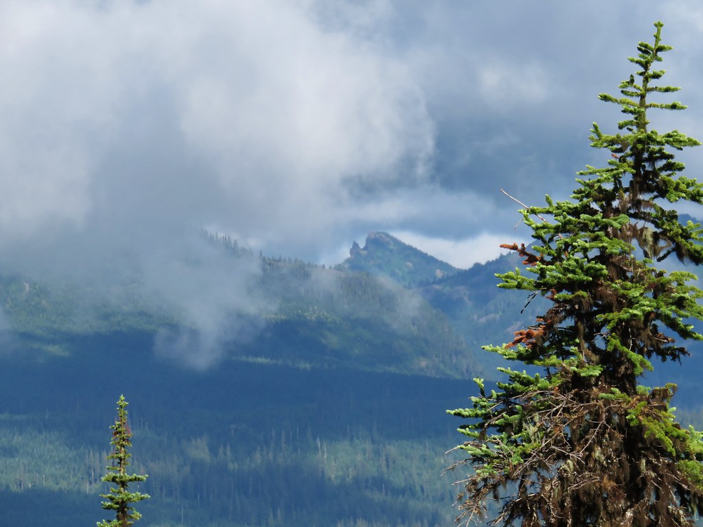
After about a third of a mile we realized that we were on the wrong side of Sand Mountain so we pulled up the map and compared it with GPS to confirm our suspicions of being on the wrong track. We were indeed so we turned around, but not before getting a decent view of the Sand Mountain Lookout which appeared to be in a bit of a cloud.


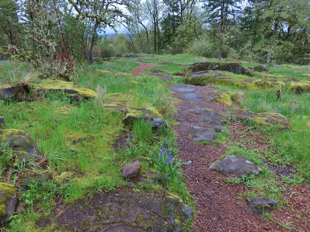
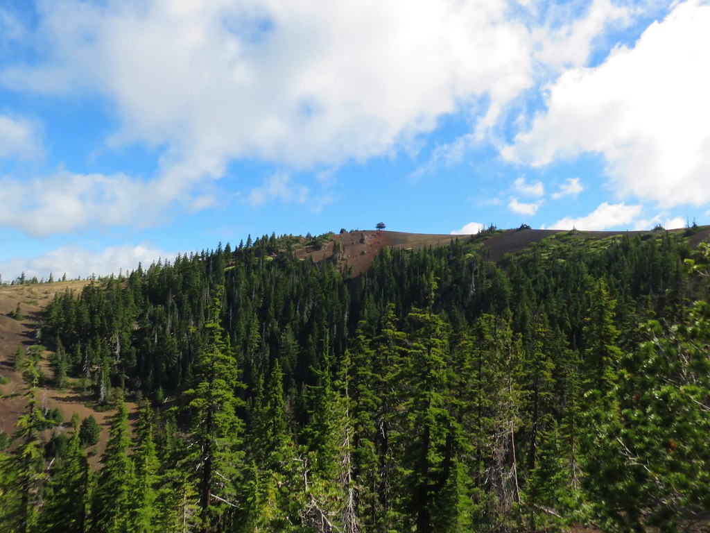
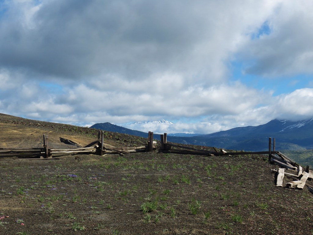
We turned left after getting back to the junction and continued on the Santiam Wagon Road another .4 miles to a sign for the Sand Mountain Special Interest Area. This would be the starting point for the shorter hike option.

Here we turned left again passing a gate and several notices regarding the prohibited activities in the area.


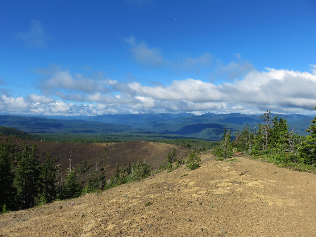
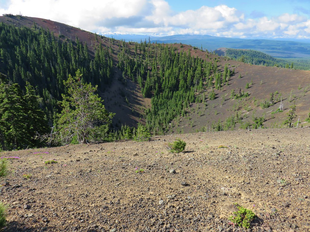
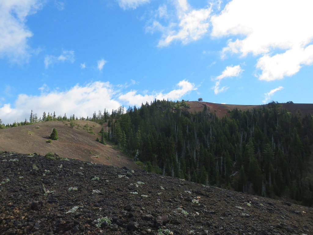
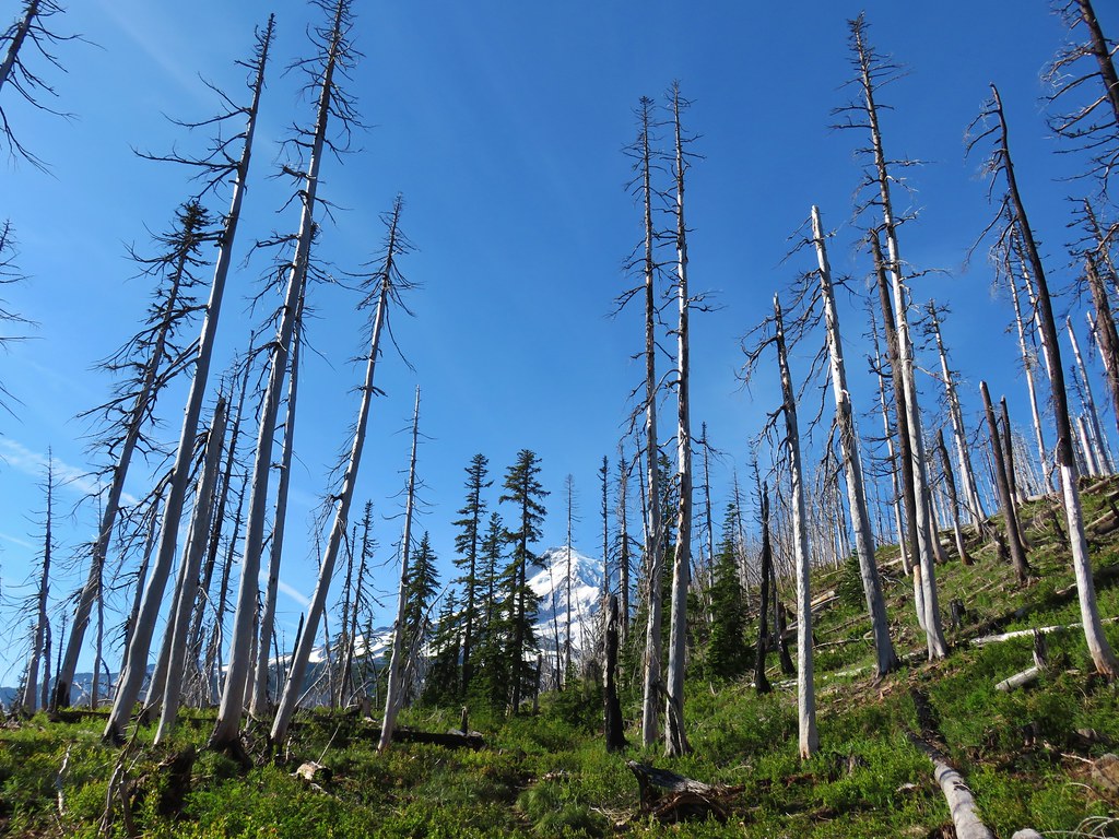
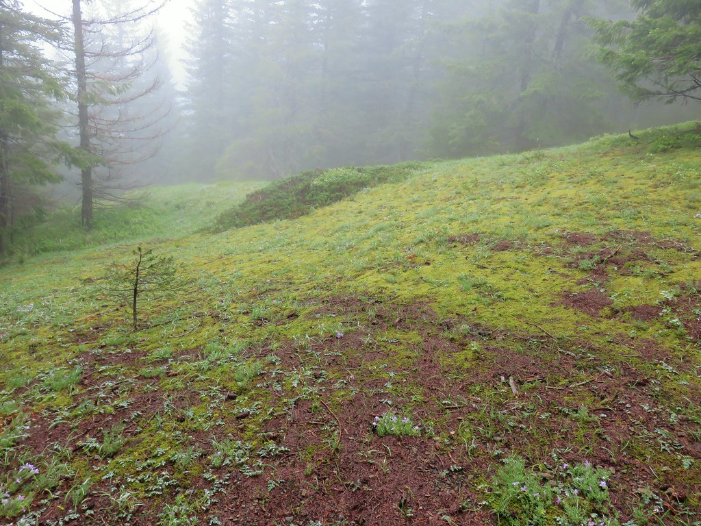
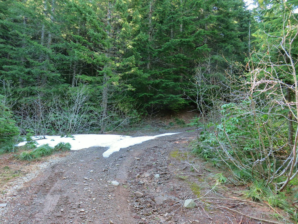
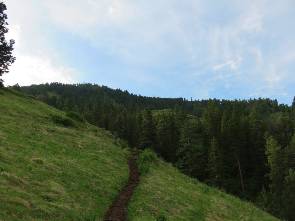
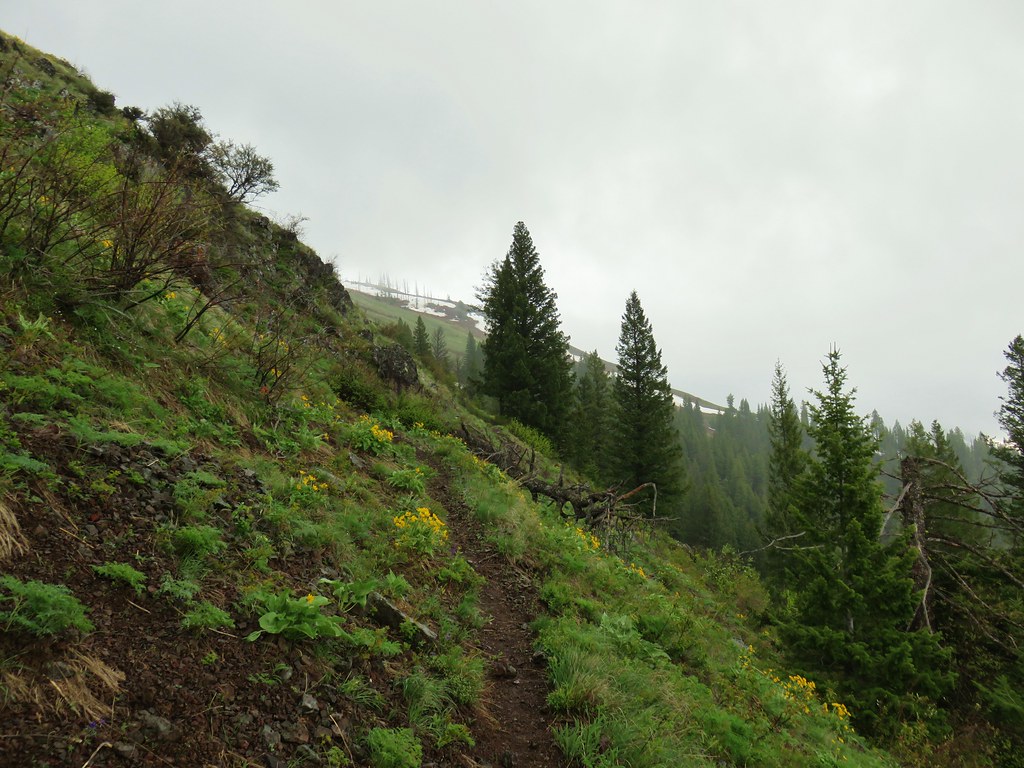
The road bed passed by a dark bed of ash as it began climbing up Sand Mountain.


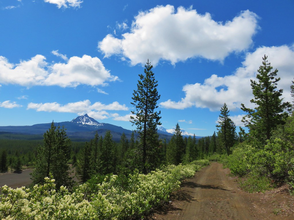
We were seeing a bit of blue sky overhead as we climbed around and up the west side of the cinder cone but the only cloud free mountain we could make out was Iron Mountain (post).

 Iron Mountain
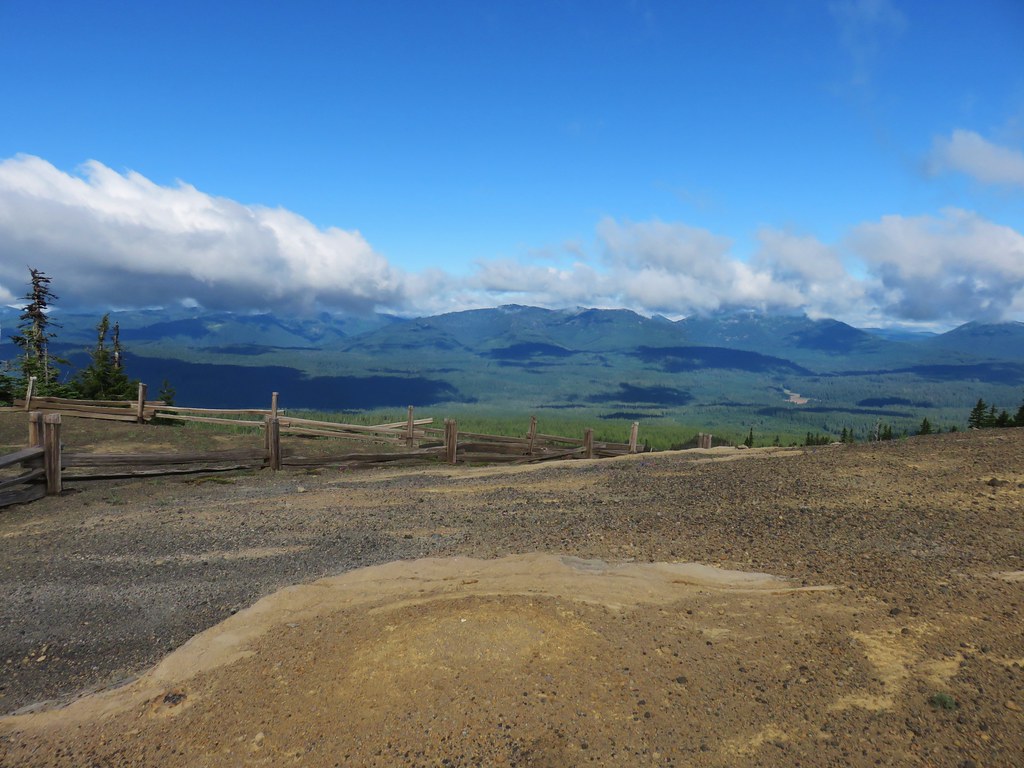
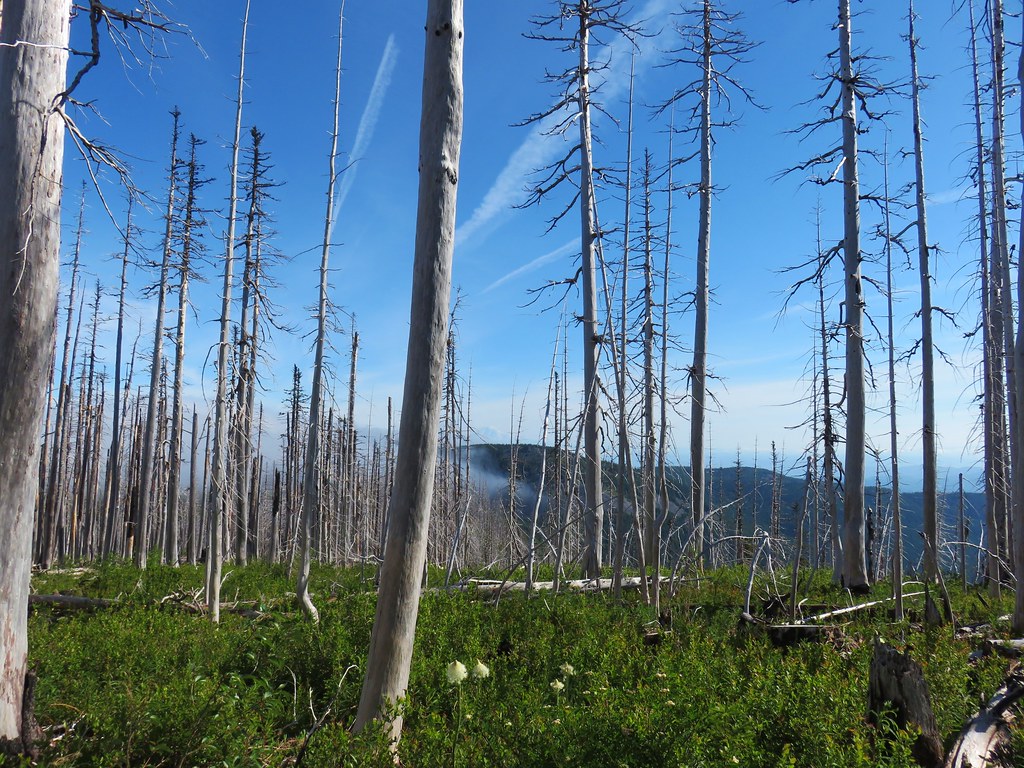
After a mile and a half we arrived at the old trailhead, now a large parking area for the Forest Service and volunteers who staff the lookout.


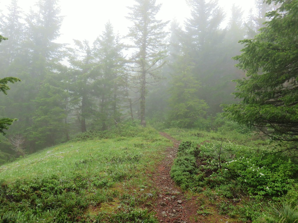
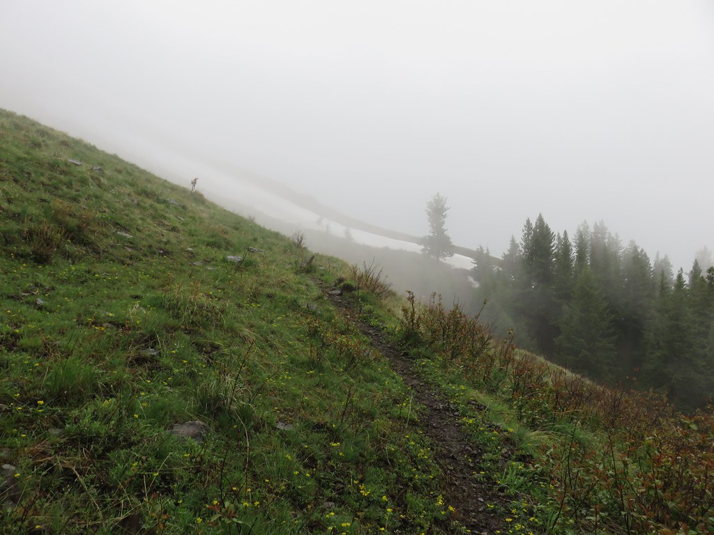
We headed up the trail which again had several notices stating foot traffic only and reminders to stay on the marked trail.


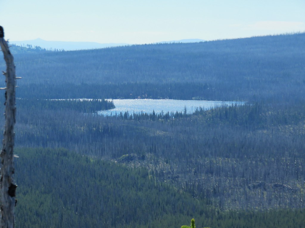
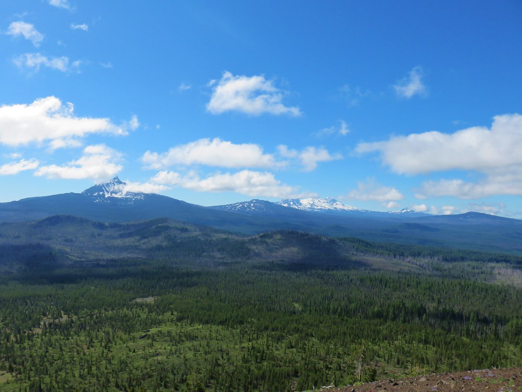
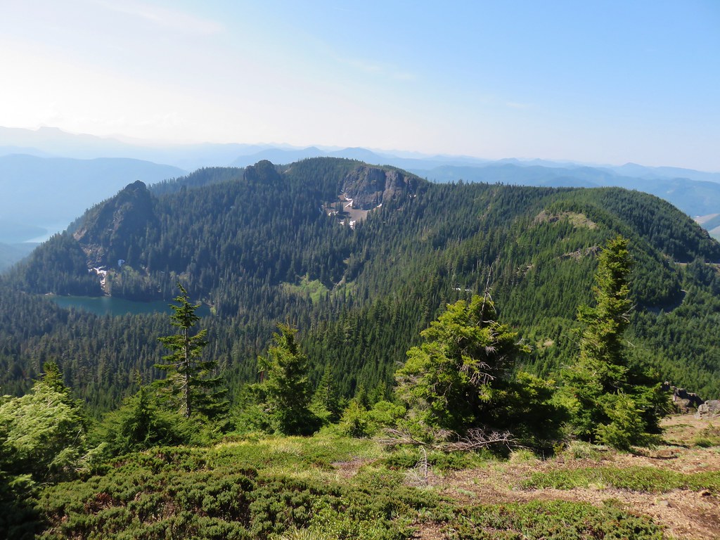
From this trail we could see Hoodoo, Hayrick Butte, and Black Butte (post)along with the blue waters of Big Lake.
 From left to right – Hoodoo, flat topped Hayrick Butte, and Black Butte (behind Cache Mountain).
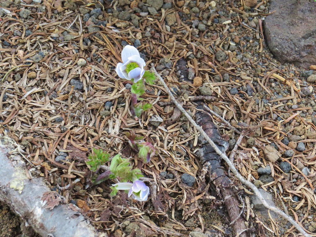
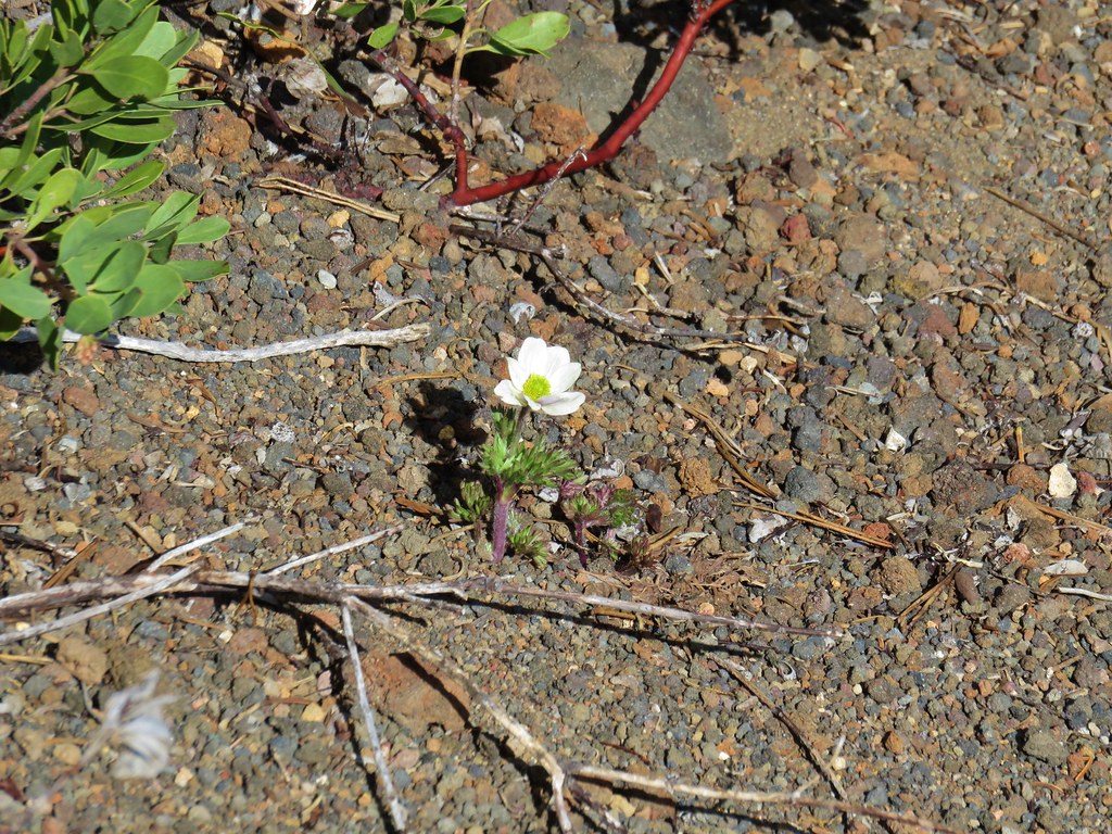
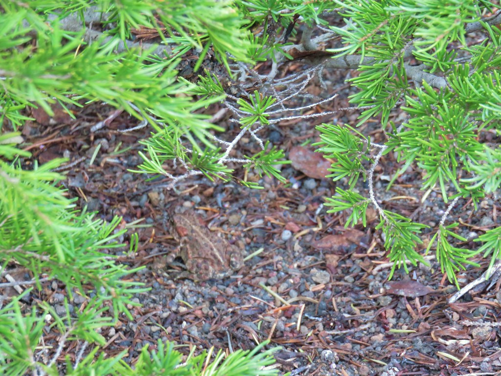
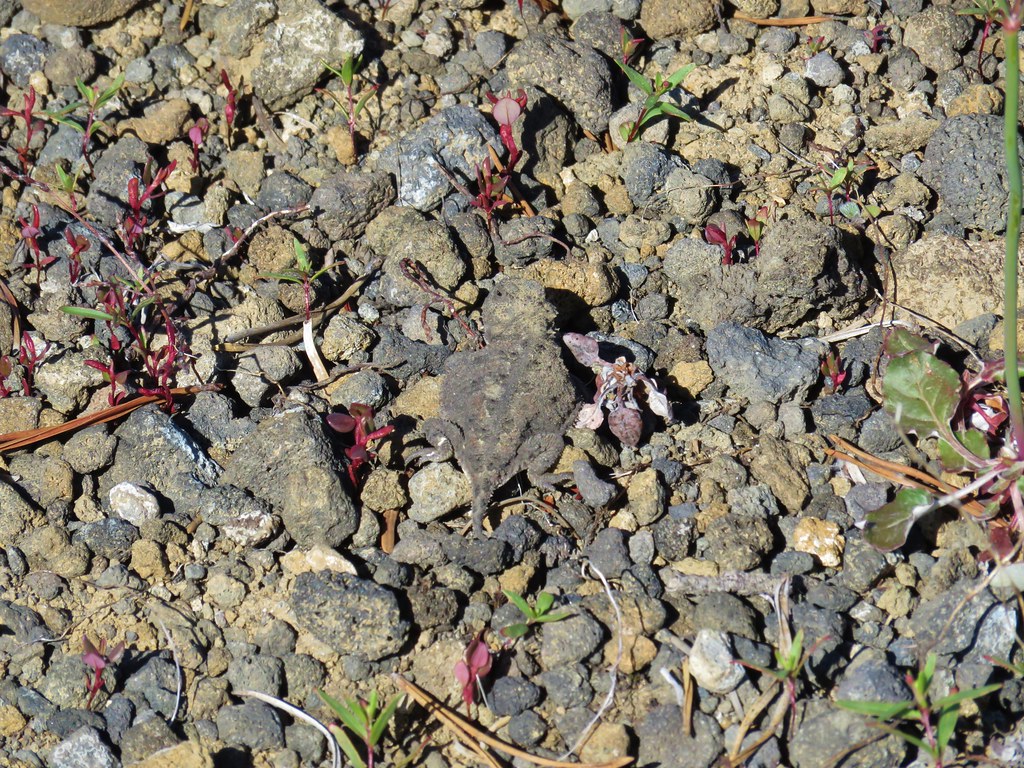
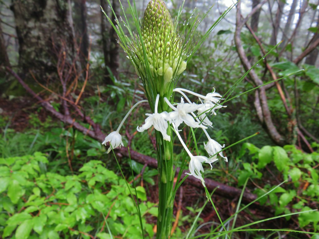
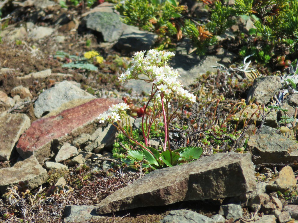
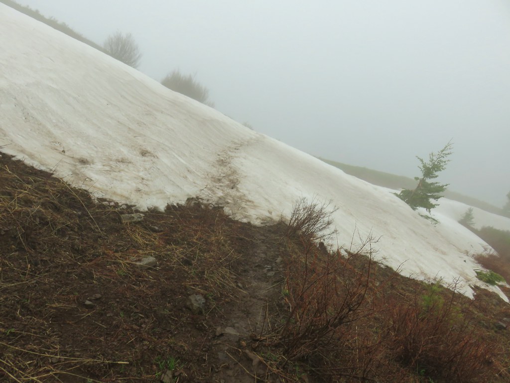
There was just a bit of snow left over on the trail and a few western pasque flowers were starting to bloom and a western toad was out and about.

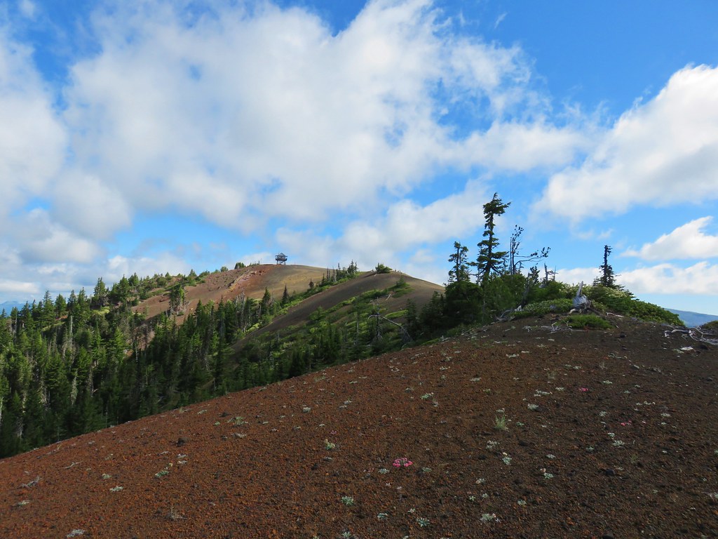
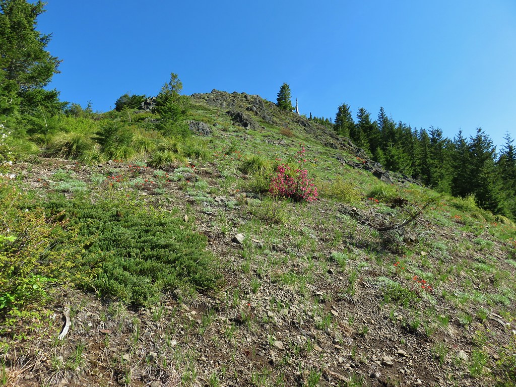
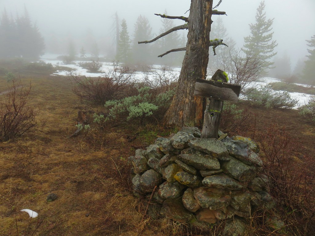
We arrived at the base of the lookout tower after climbing for about a third of a mile.

A Forest Service Ranger came out to greet us and give us an informative lesson on Sand Mountain and the surrounding geologic area. Sand Mountain is the largest in a series of 23 cinder cones formed along a N-S fissure which also includes 42 distinctive vents and over three quarters of a cubic mile of lava. She informed us that the snow melt from Sand Mountain seeps through the cinder and ash into a large aquifer where after approximately 2 years it makes its way into Clear Lake via the Great Springs and then down the McKenzie River. (post)
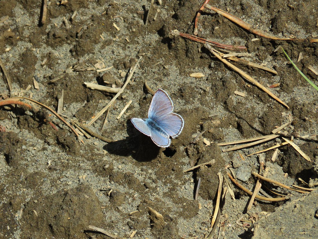
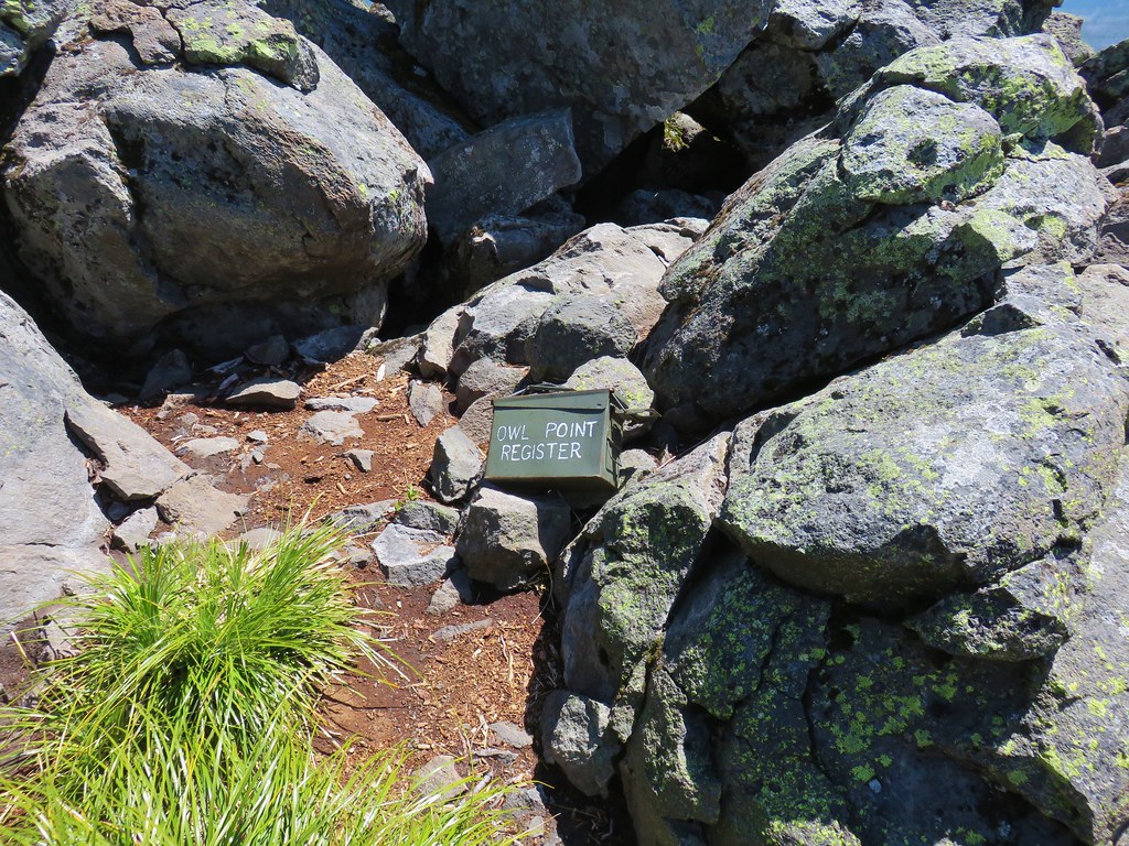
We were also informed that Sand Mountain is home to pygmy short-horned lizards but the ranger wasn’t sure that we would see any given the cloudy conditions and chilly breeze. She let us know that we could follow a path down to a viewpoint on the rim of the northern crater and that we were also allowed to hike around the rim if we wanted but she did mention that the climb up the northern end was somewhat steep. We thanked her for the information and headed down to the viewpoint.

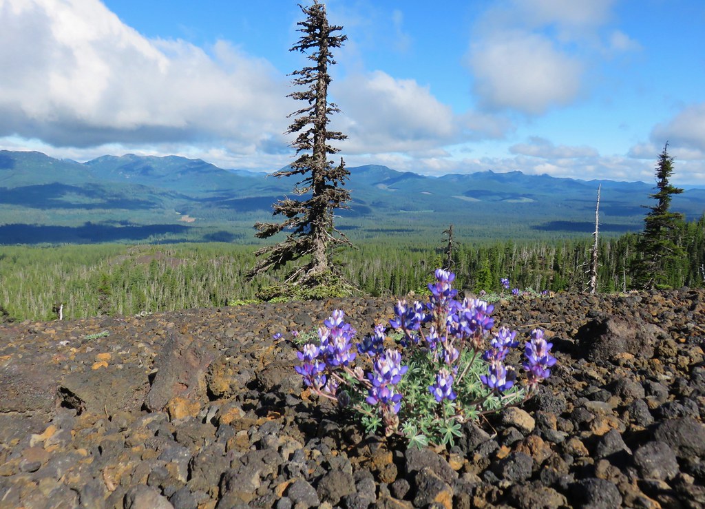
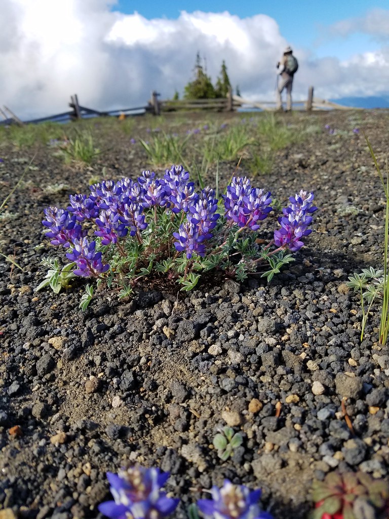 Dwarf lupine at the viewpoint.
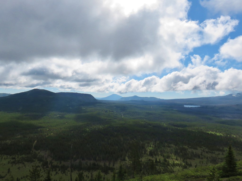
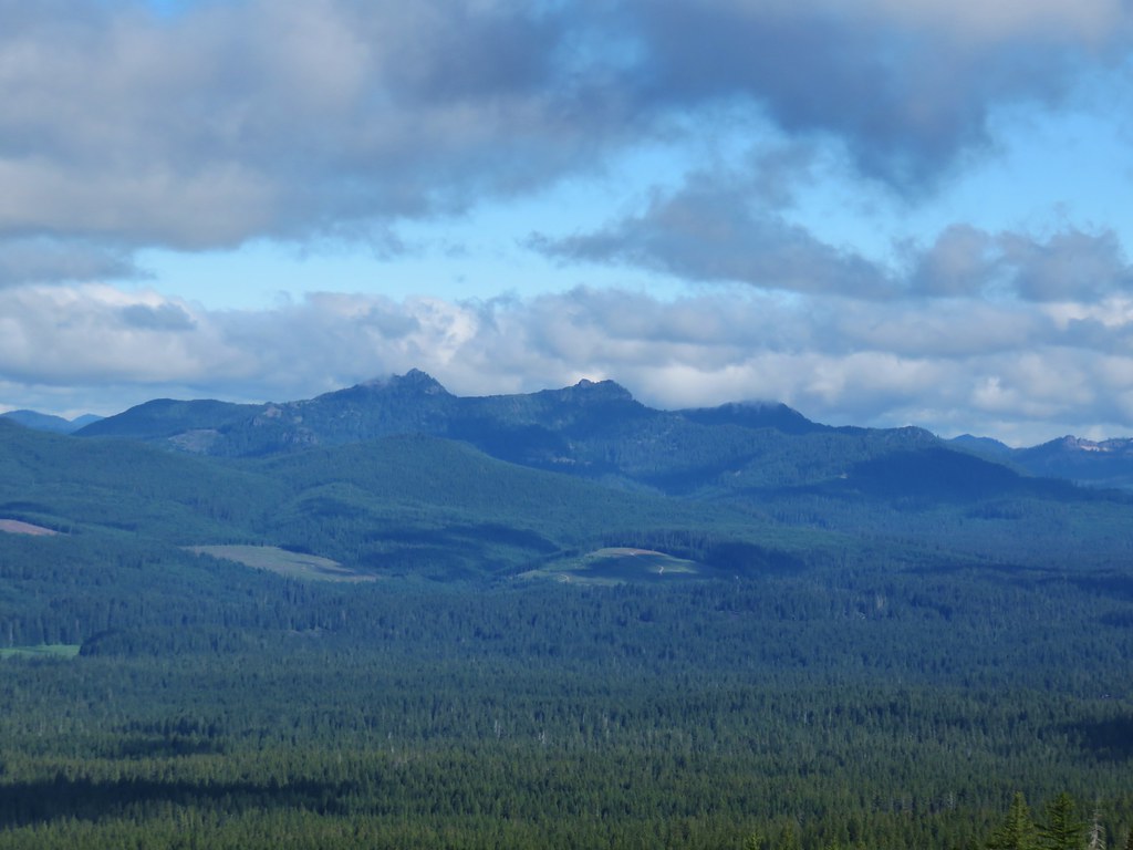
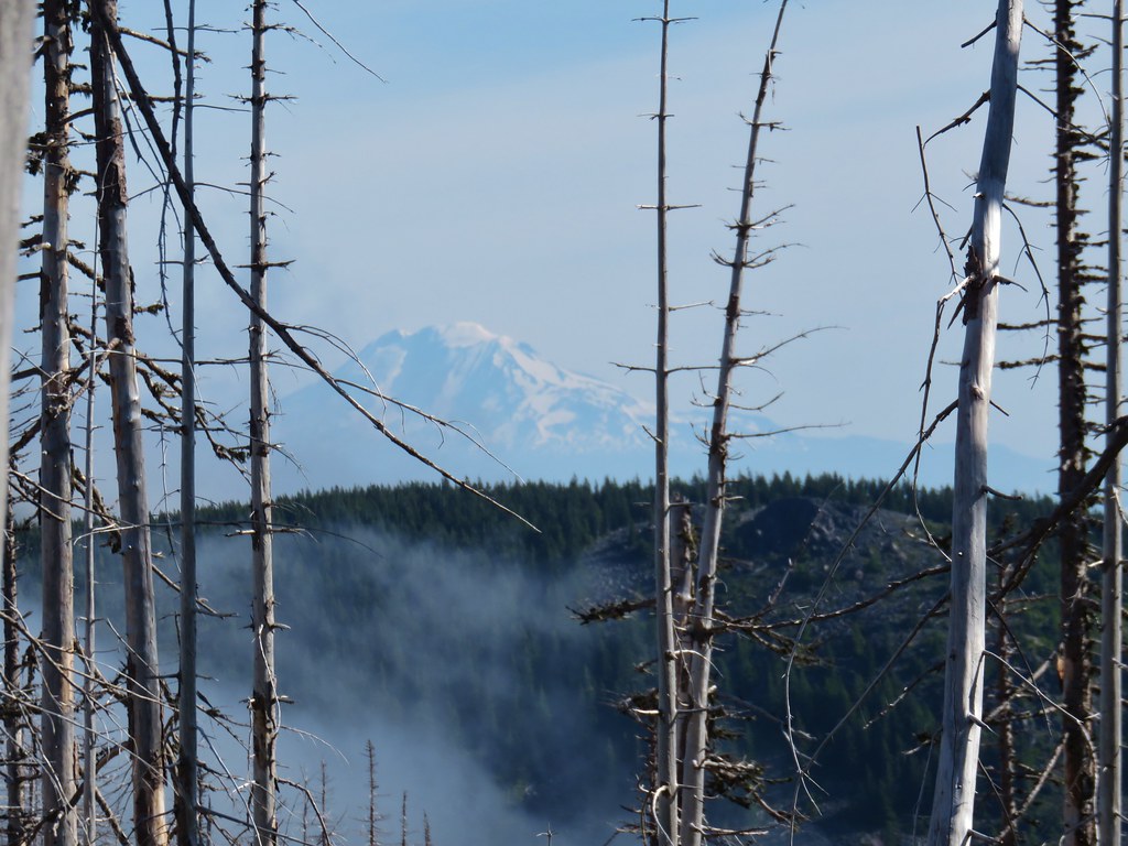
The clouds appeared to be breaking up to the west over the Old Cascades.
The same didn’t appear to be true to the SE though where the snowy Cascade Mountains were still squarely behind the clouds.

We opted to go around the rim in a counter-clockwise rotation. That way we would be hiking directly toward the Cascades as we looped around in hopes that they might yet clear up.
 Starting the loop from the viewpoint.
There really wasn’t any visible tread to speak of on the side of the rim below the lookout and we briefly wondered if we had done something wrong. We stepped as lightly as possible and avoided the patches of vegetation along the way.

 Penstemon and snowbrush
We eventually made it to what appeared to be an old road bed where the path became a bit clearer.

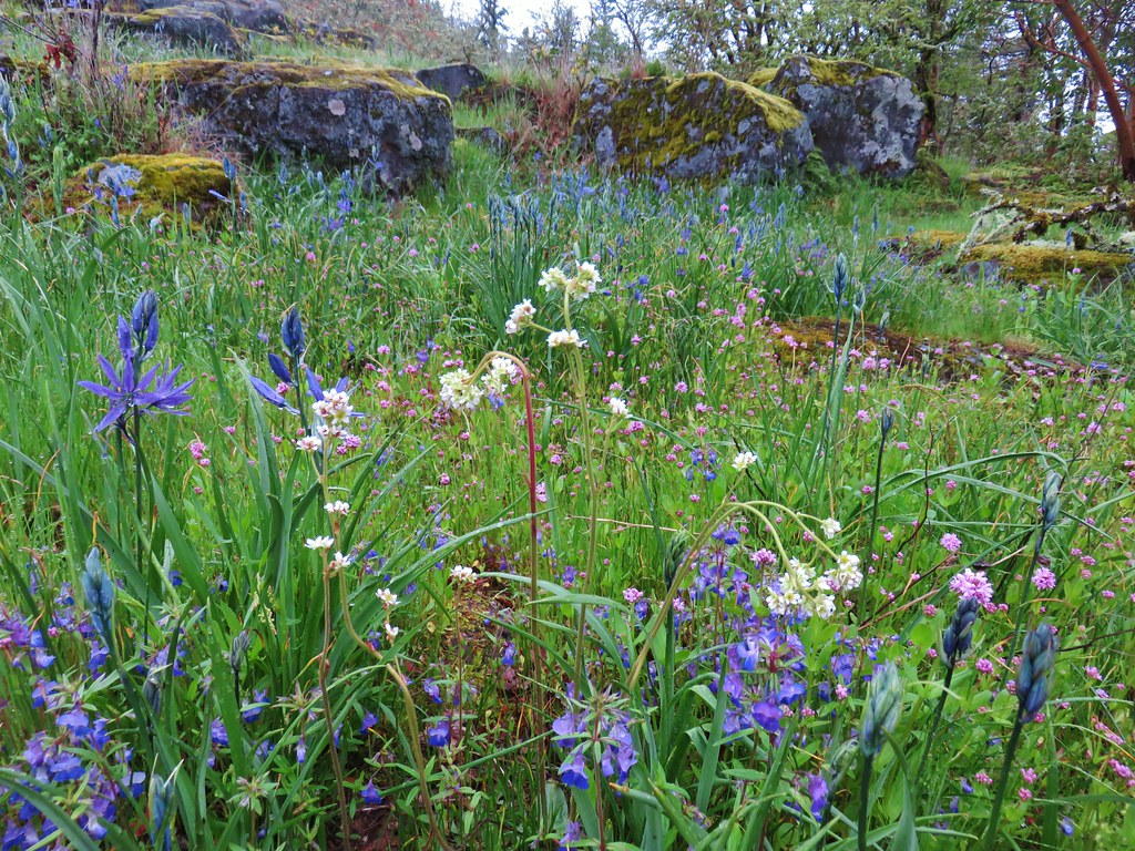
The hike around the crater was very interesting. A surprising amount of wildflowers were blooming in the rocks and the views down into the crater were impressive.


As we rounded the crater there was a nice view across to the lookout.
About this time the Old Cascades had finally shaken off their cloud cover allowing us to identify some additional features.
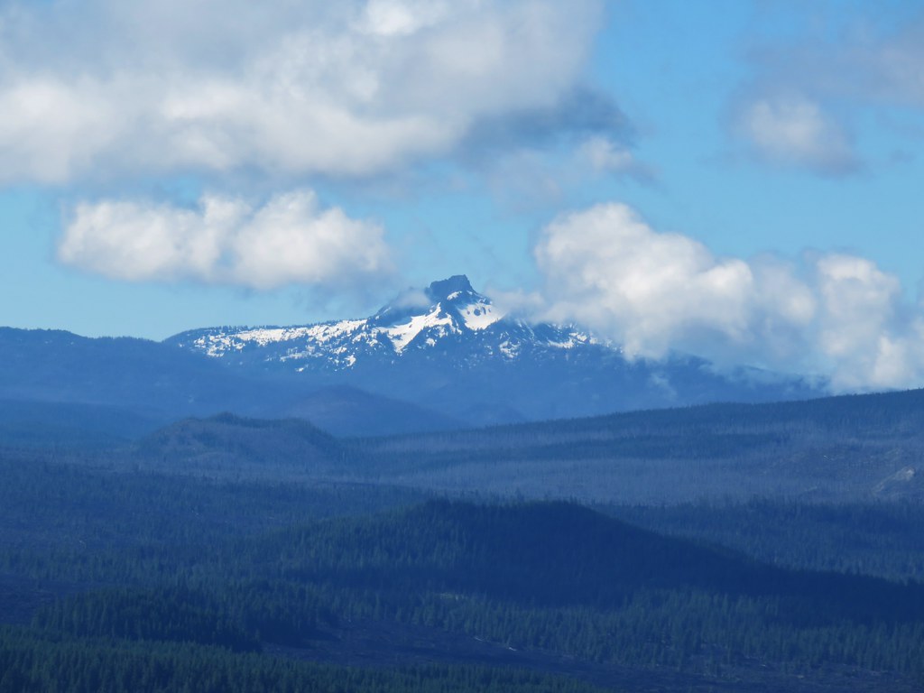
 The Three Pyramids with Scar Mountain (post) to the far right.
 Crescent Mountain (post)
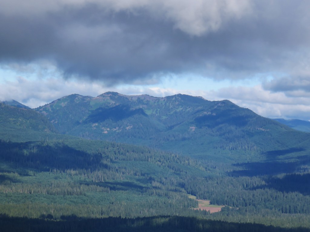
As we continued toward the Cascades things began looking up that way as well.

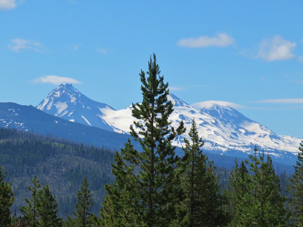
We paused when we were directly across the crater from the lookout to watch the Three Sisters become nearly cloud free.
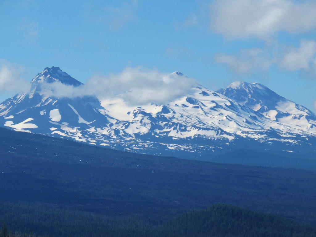
 Belknap Crater (post), the Three Sisters, and the Husband.
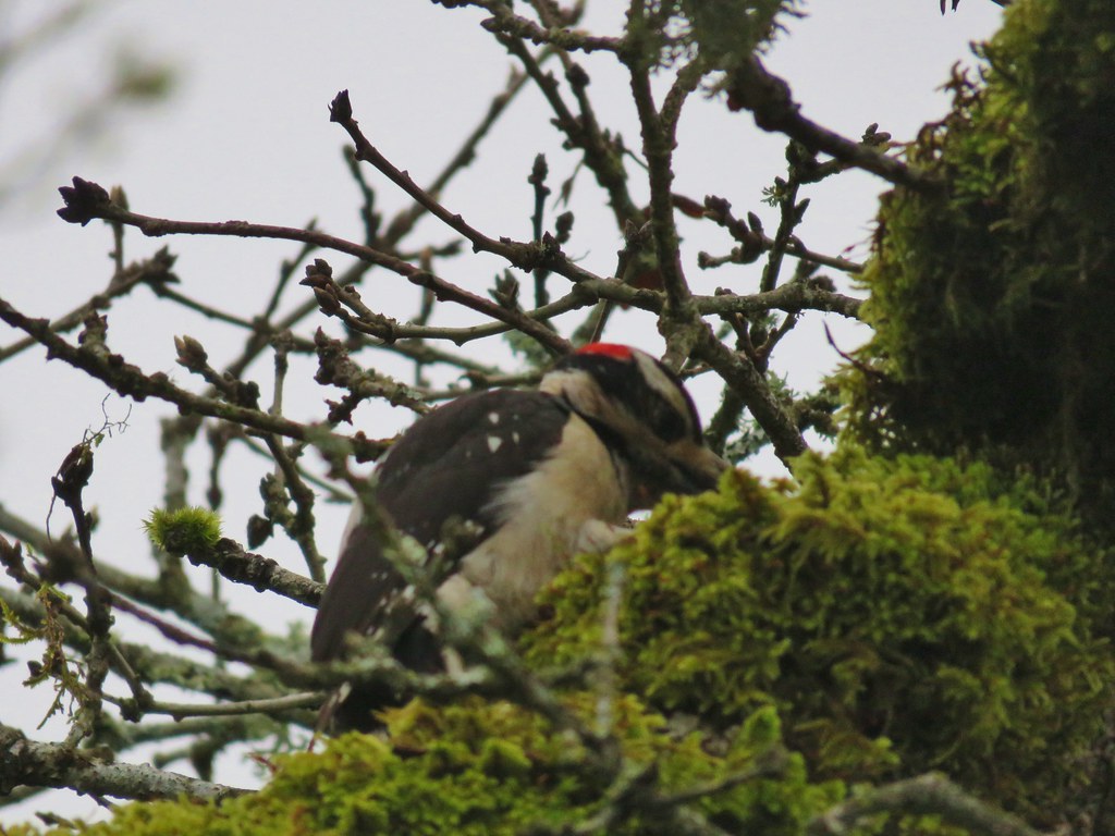
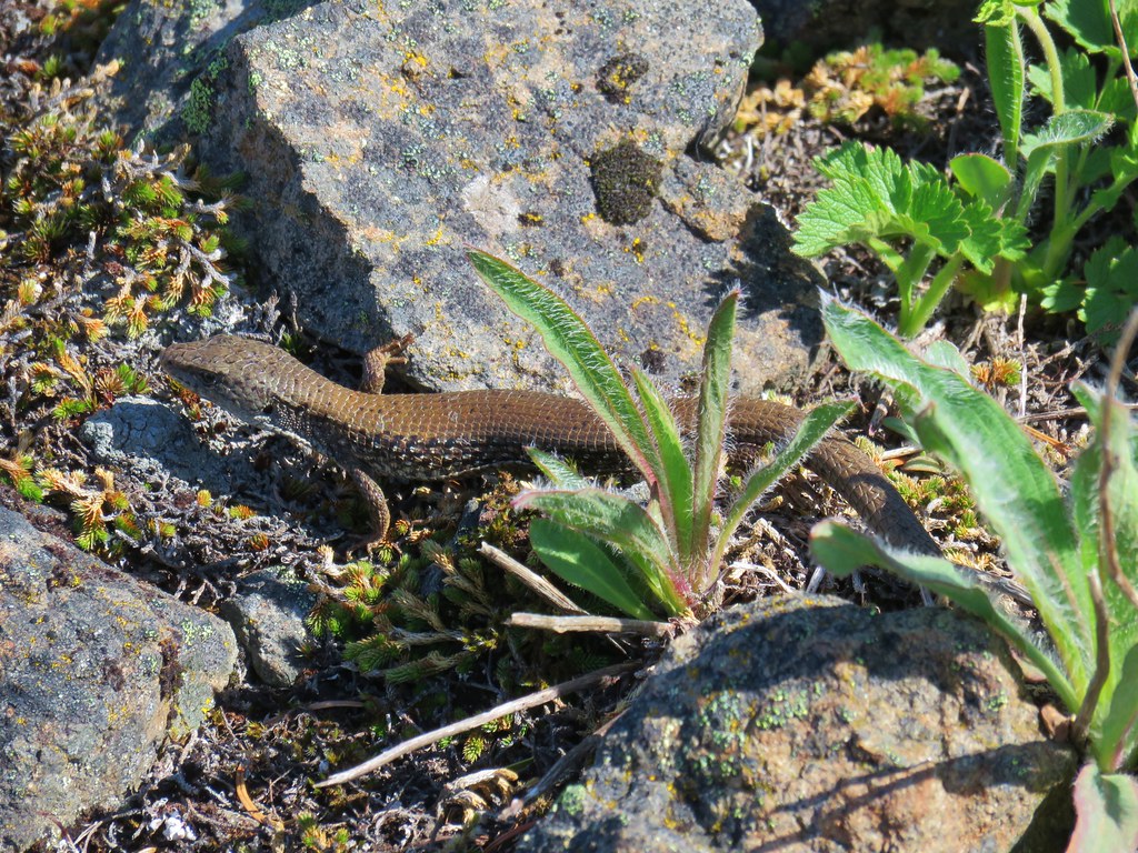
I pushed on heading steeply uphill now hoping to get a view of Mt. Washington as well. As I was climbing I thought I saw another toad, but it turned out to be on of the pygmy short-horned lizards the ranger had told us about.

 Mt. Washington joining the show.
Another short but steep section of climbing brought me up to an even better view which now also included Big Lake and to a second lizard.


I waited with the lizard for Heather who had stopped at the first lizard.
 Can you see Heather’s hat?
We hung out with our new lizard friend while we watched the mountains uncover further.
 The Husband
 Mt. Washington
 Scott Mountain (post) and a snowy Maiden Peak (post) in the distance.
The only one that wasn’t playing nice was Three Fingered Jack to the NE.

Near the viewpoint area below the lookout we spotted our third lizard.
Interestingly they all seemed to have slightly different coloration but each blended very well with their surroundings.
From the viewpoint we could now also see part of Mt. Jefferson, but like Three Fingered Jack it was still partly obscured by clouds.

 Maxwell Butte (post) in front of Mt. Jefferson.
We headed back down Sand Mountain hoping that as we did so the other peaks might come out.
 Looking toward Mt. Jefferson and Three Fingered Jack at a quarter to ten.
 Looking toward Mt. Jefferson and Three Fingered Jack at a quarter after ten.
 Looking toward Mt. Jefferson and Three Fingered Jack at a 10:23am.

As we wound our way down we ended up heading directly toward Mt. Washington and the Three Sisters. Each of the Three Sisters seemed to be working on small lenticular clouds.
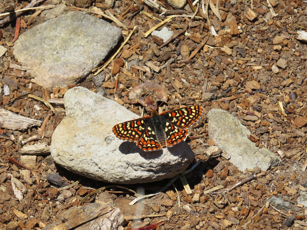
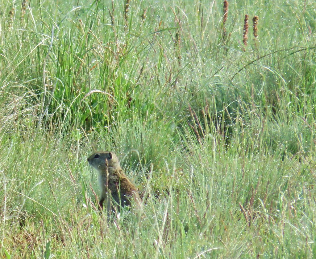
We returned the Santiam Wagon Road and headed back. On the return trip we spotted a few butterflies, a golden-mantled ground squirrel and some orange agoseris which we had somehow missed on our way in.


I also briefly detoured to check out a beargrass patch along some of the official OHV trails.

With our .6 mile detour up the snowmobile track we wound up with an 11.3 mile hike, another 5.8 of which could have been removed by driving up FR 810.
We took the long way back to Salem opting to follow Highway 20 over Tombstone Pass to stop at the Rooster Rock Trailhead.

This was less of a hike and more of a quest for a picture of a Menagerie Wilderness sign. We had hiked to Rooster Rock in 2016 (post) from a different trailhead but there had been no wilderness sign on that route. The shorter but steeper Rooster Rock Trail enters the Menagerie Wilderness less than a quarter mile from the trailhead and before the trail starts its climb so I hopped out of the car and hustled up the trail to see if there was a sign along this path.

There was part of a sign at least at the wilderness boundary which was better than nothing.

I did do a quick search in the immediate vicinity hoping to locate the other half but was unable to. Satisfied with the outcome I returned to Heather and the car and we headed home to Buddy (and Hazel our other kitty). Happy Trails!
Flickr: Sand Mountainm


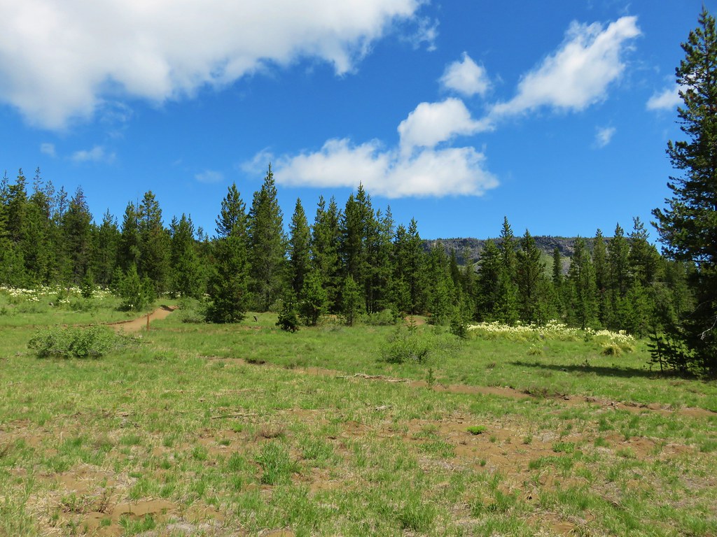
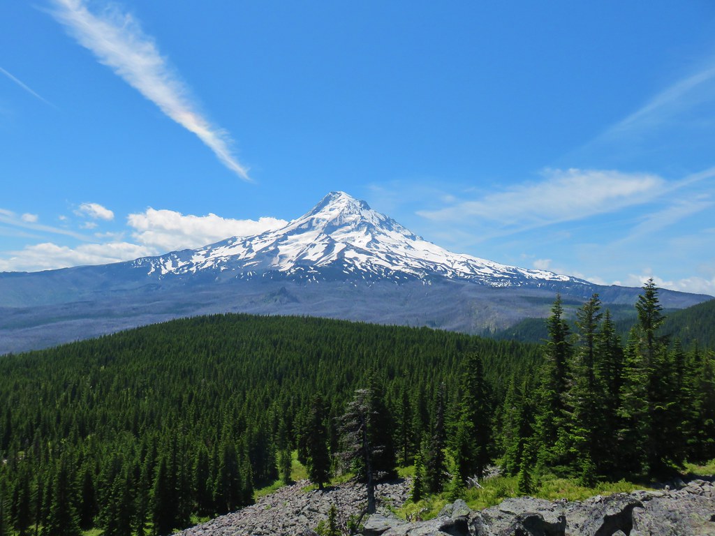
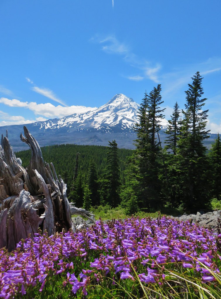
 Mt. Adams beyond Owl Point


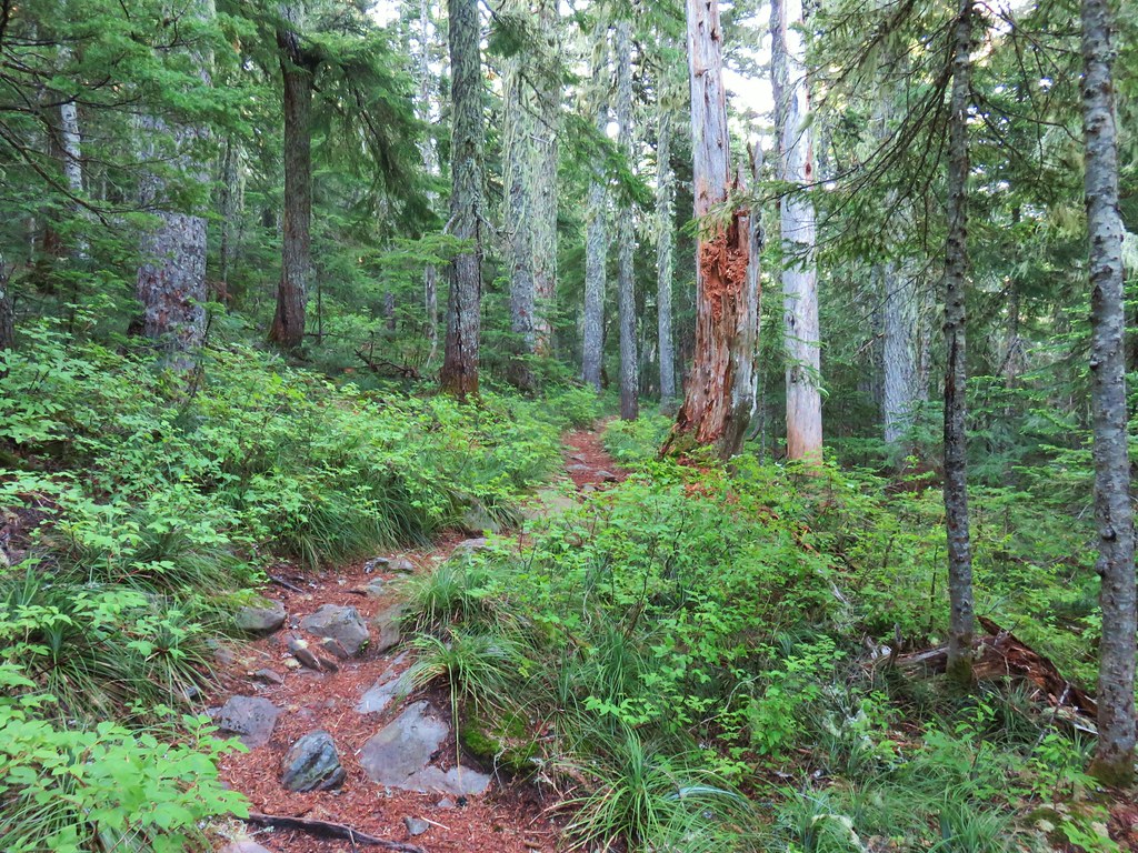
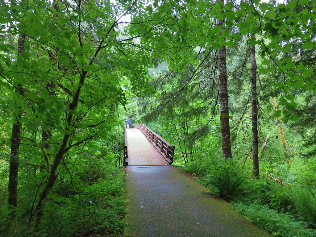
 Eden Park Trail


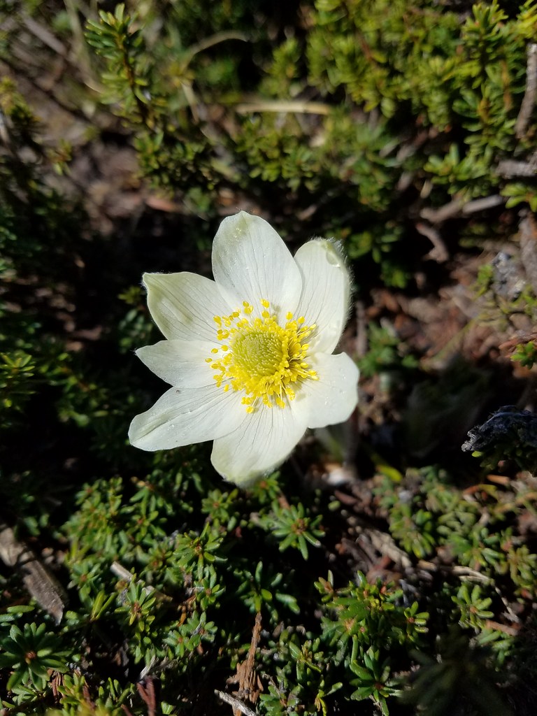
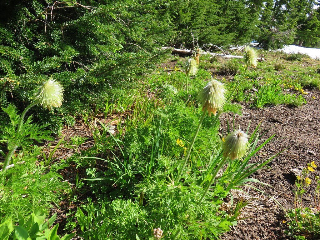 western pasque flowers already going to seed
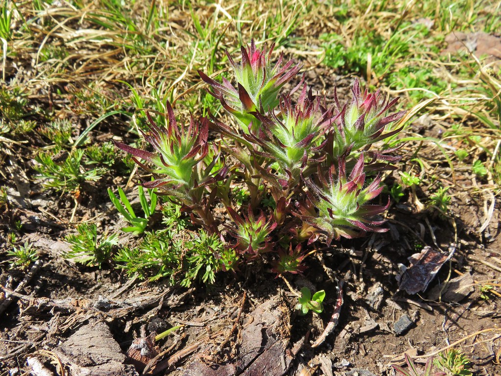


 Mt. Rainier (sort of)
 Mt. Adams


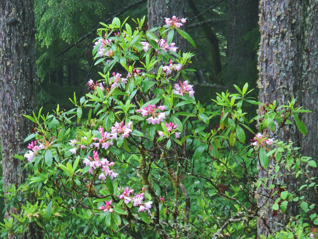 Rhododendron
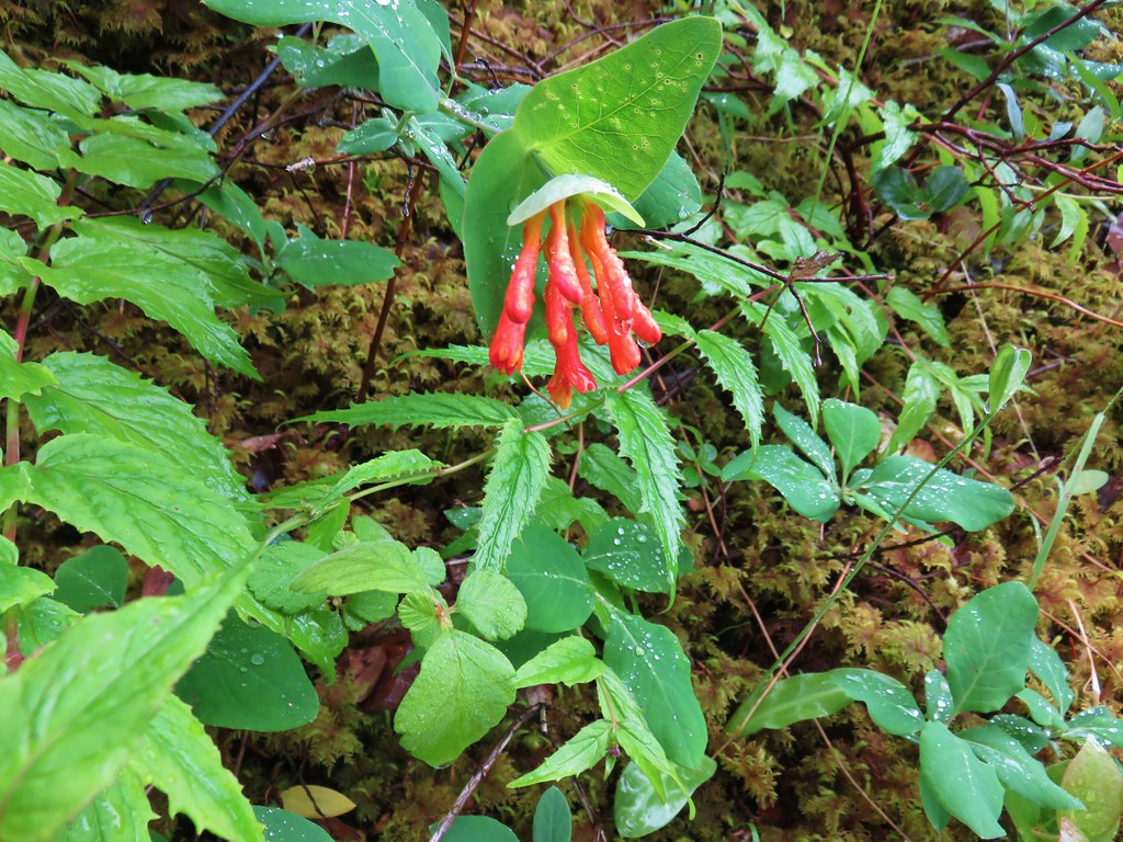 Honeysuckle
 Beargrass and rhododendron along the trail.
 Coralroot and sourgrass
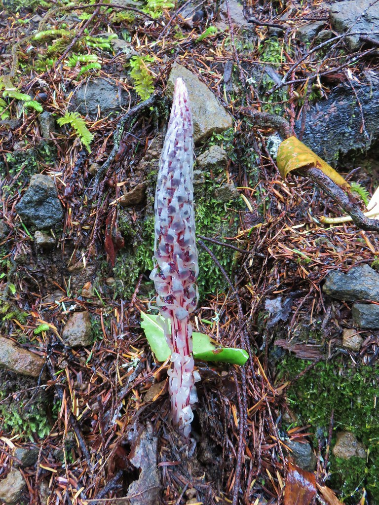 Candy stick
 Damp iris

 Green lichen
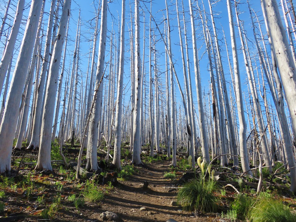
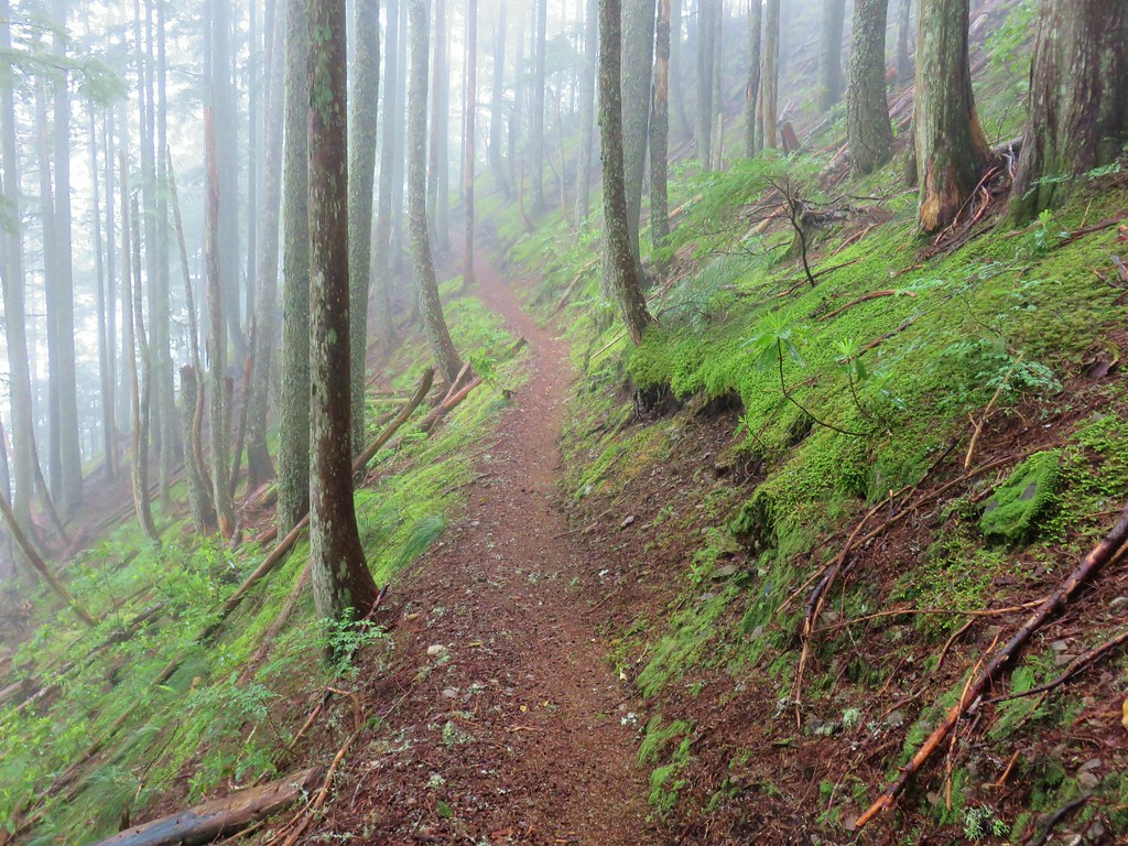
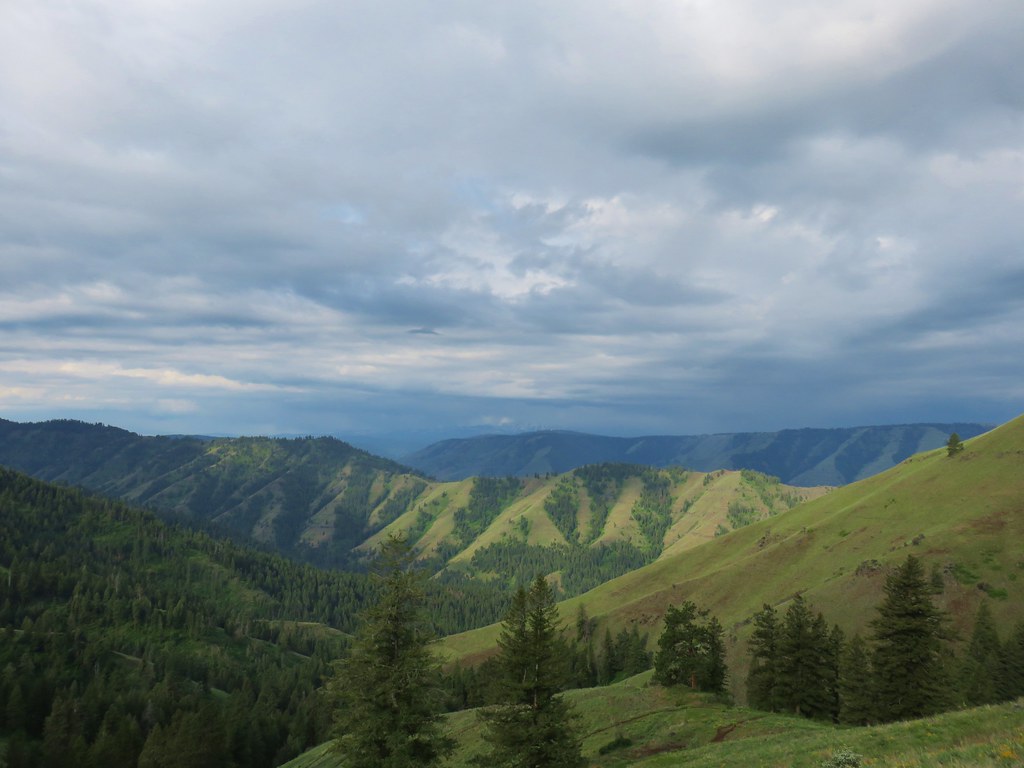
 A few trees peaking through the clouds along McIntyre Ridge (
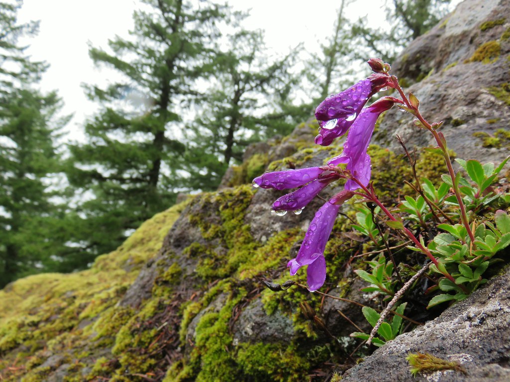 Penstemon
 Paintbrush
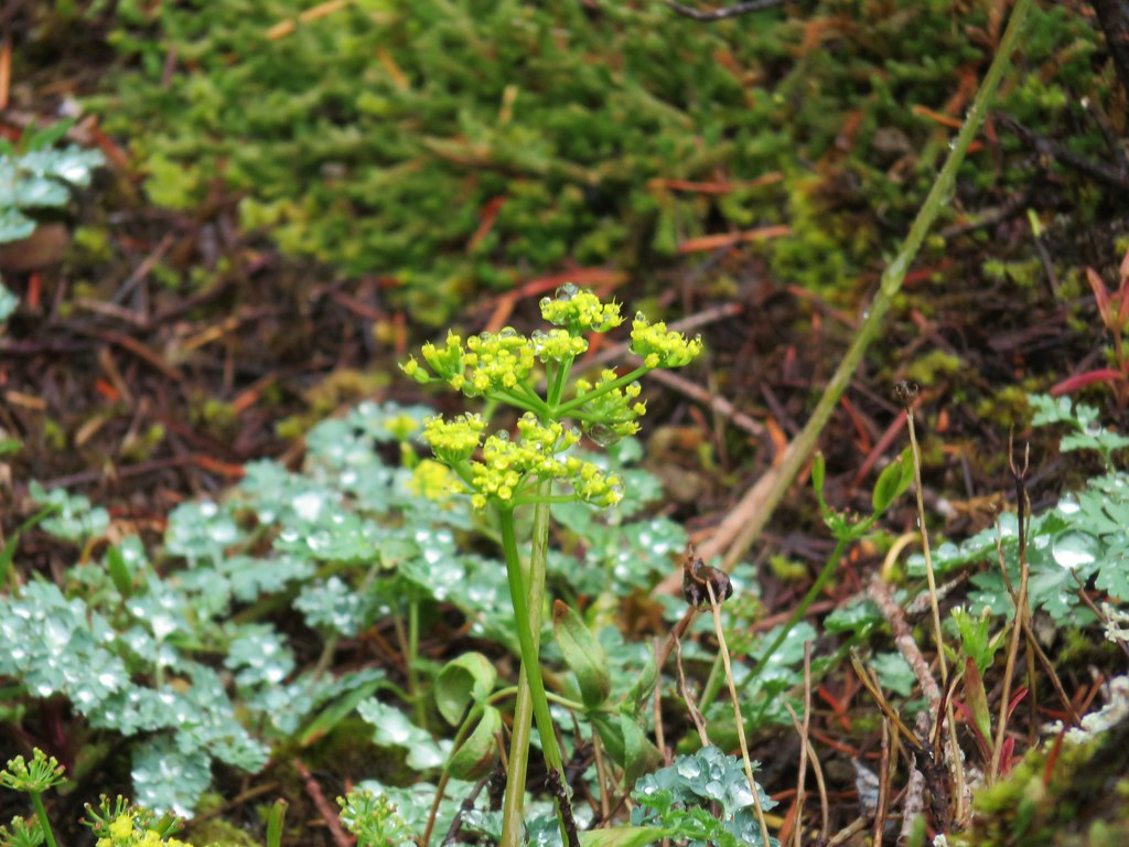 Biscuitroot
 Beargrass
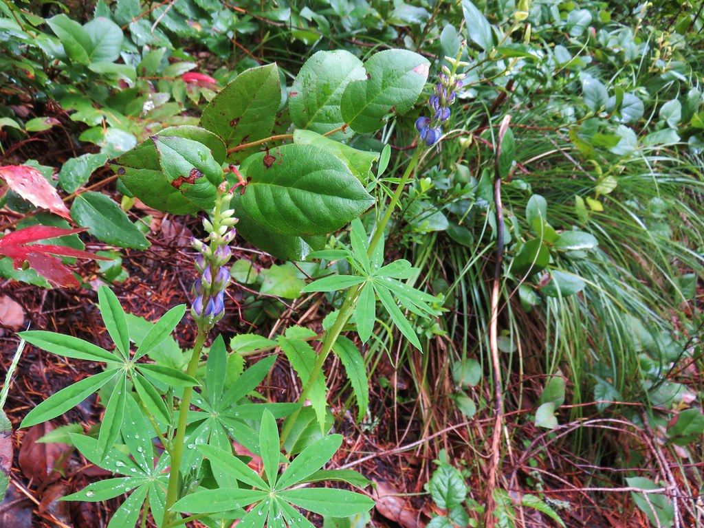 Lupine


 2019
2019 2015
2015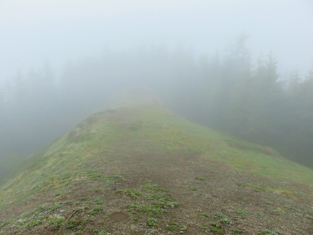
 Phlox
Phlox Paintbrush
 Penstemon
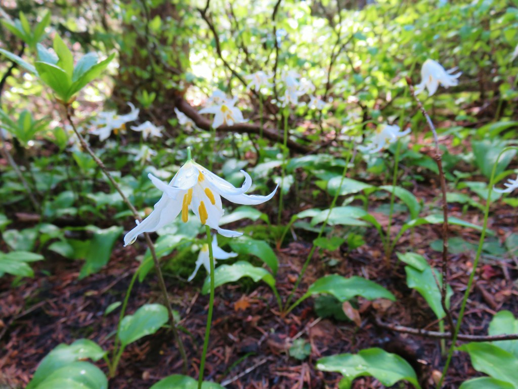
 Avalanch lily
 Wild onion


 Paintbrush above Sardine Creek
 Iris
Iris Rhododendron
 Candy flower


 Beargrass
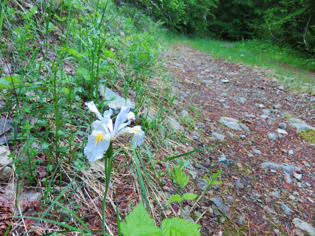 Iris
Iris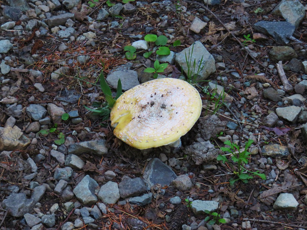 Mushroom in the middle of the road
 Valerian
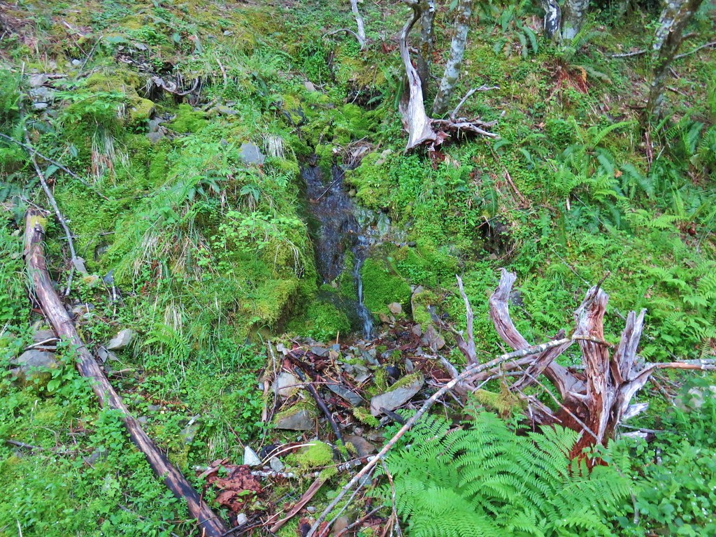 A hillside spring


 Red flowering currant


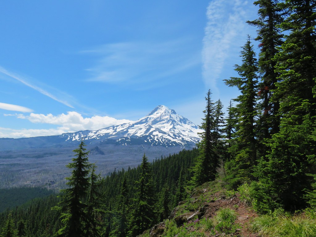
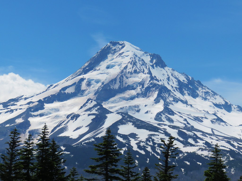
 Mt. Hood with North Dicky Peak in front.
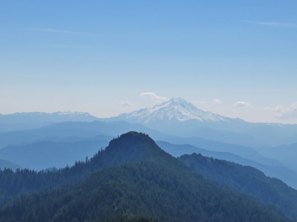


 Three Fingered Jack
 Mt. Washington and the Three Sisters
 Tumble Lake
 A saxifrage
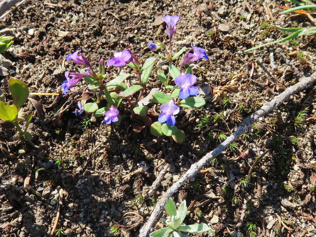 Blue-eyed mary
 Cats ears
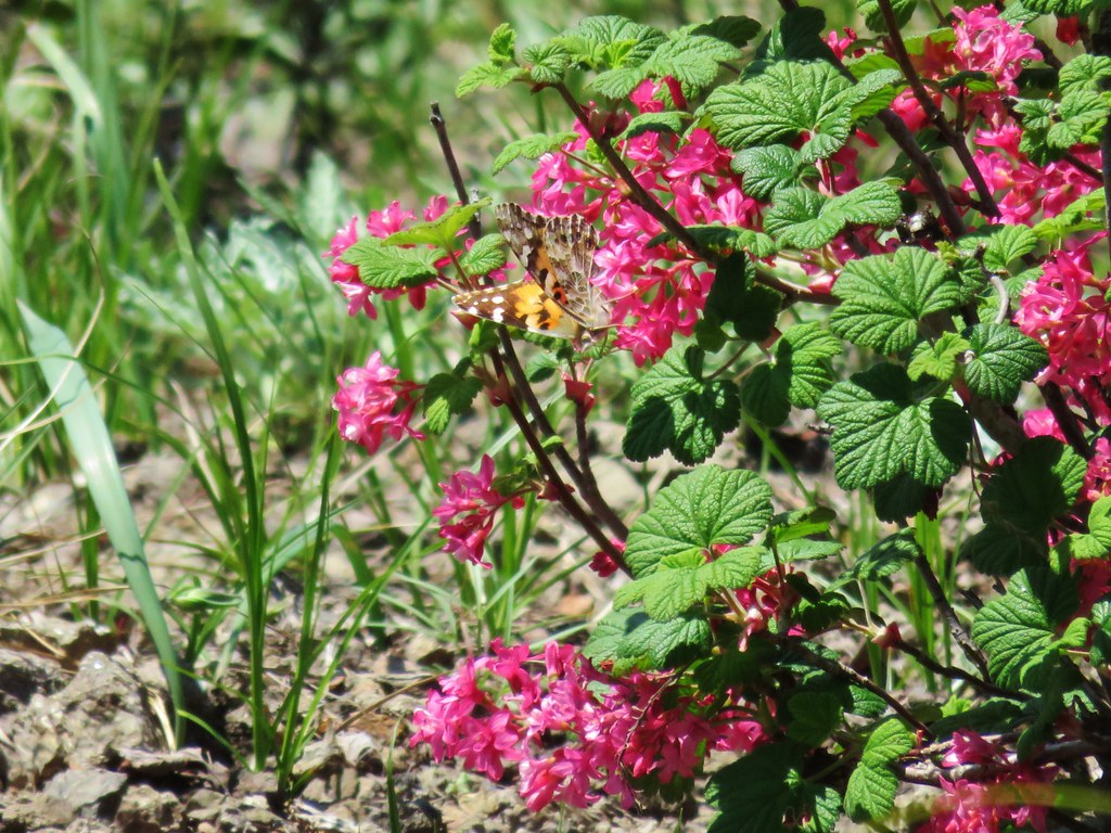 Butterfly on red flowering currant
 Rabbit
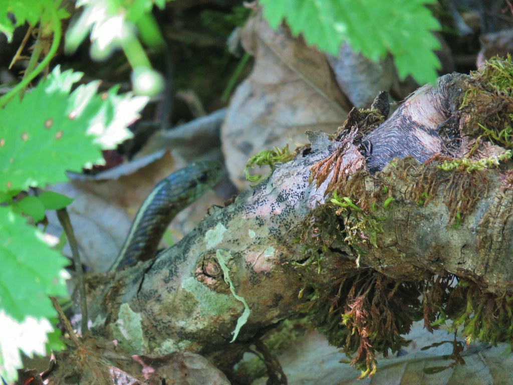
 Snake
Snake
 Another northern alligator lizard
 These two long legged spiders got into a brawl when they met crossing the road.
 Candy flower
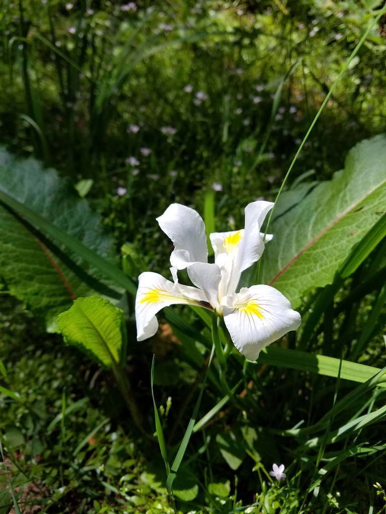 Iris
Iris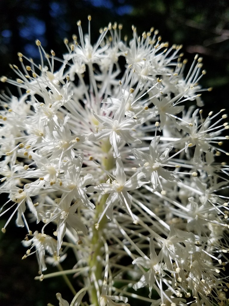 Beargrass
 Fringecup
 Monkeyflower
 Thimbleberry
 Stonecrop
 Youth-on-age with an interesting insect


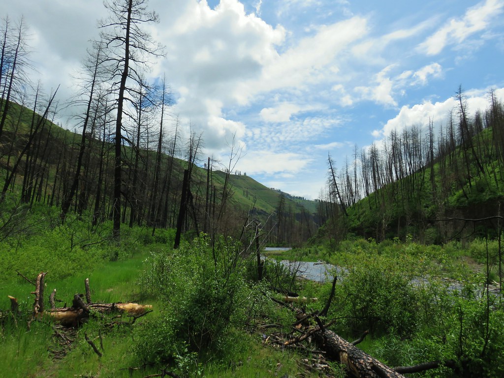
 Looking toward the Seven Devils in Idaho
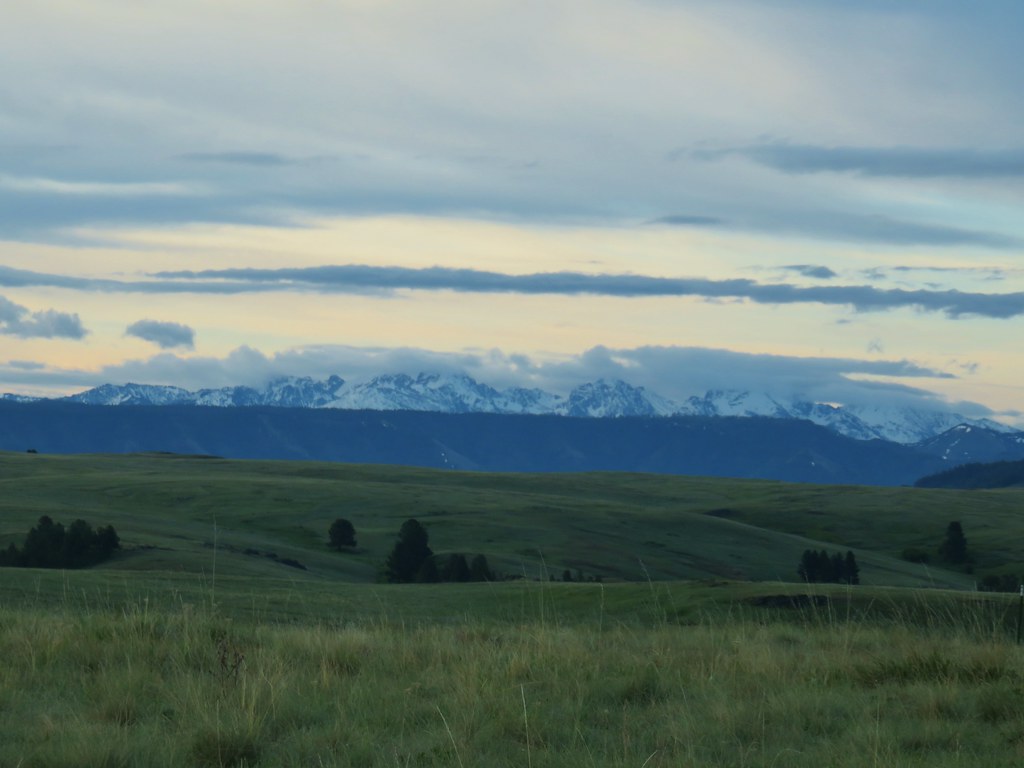

 Findley Buttes (You can see some of the standing water on Duckett Road on the right hand side.)
 Old man’s whiskers
 Phlox with larkspur in the background
 Cusick’s paintbrush
 White-stem frasera
 Paintbrush
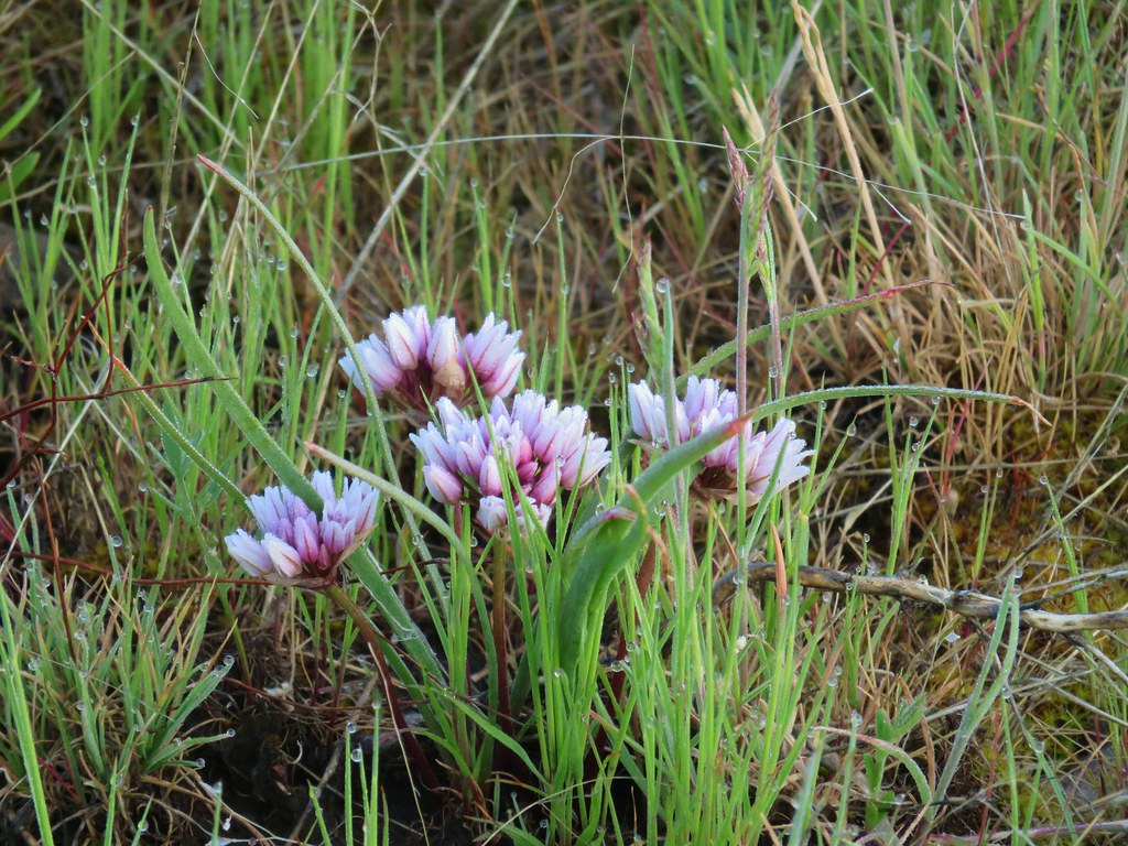 A wild onion
 Larkspur
 Milk vetch
 Chickweed
 Woodland stars
 An assortment of flowers
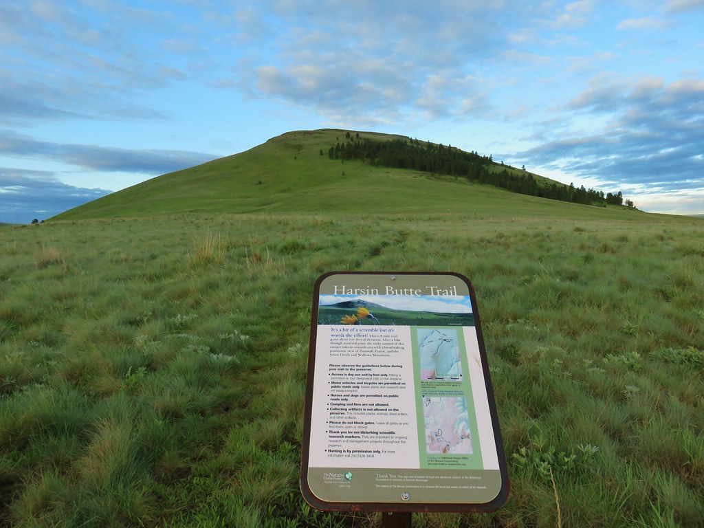
 One of the carins and the trail going up Harsin Butte in the background.

 Monument plant
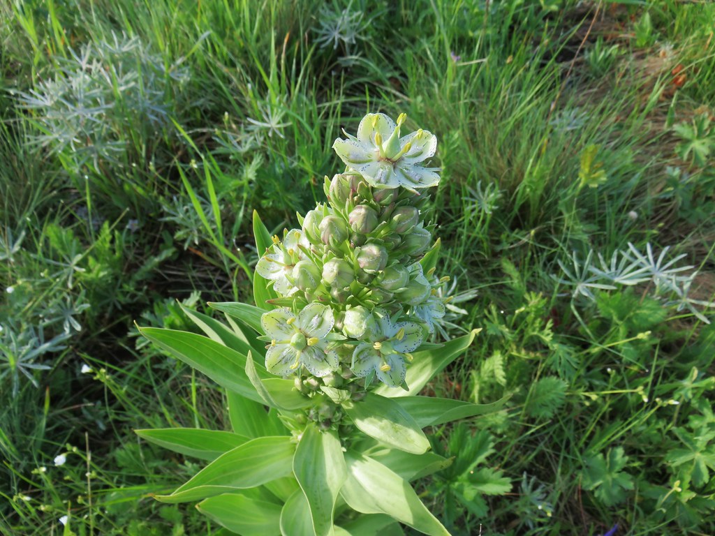 Top of the monument plant
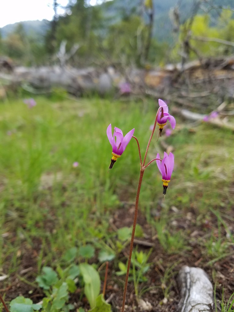
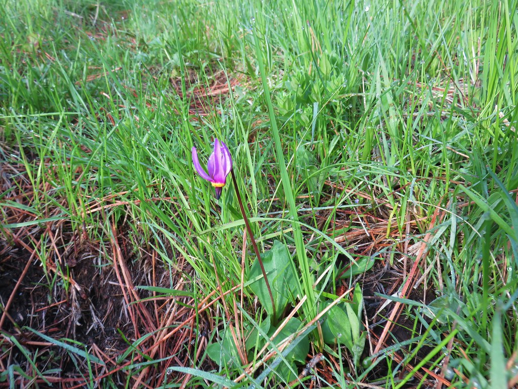 Shooting star
 Here comes the clouds.
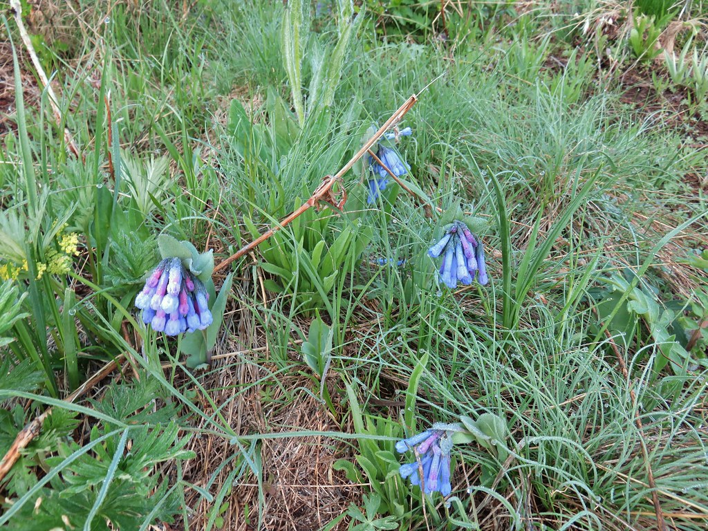 Bluebells
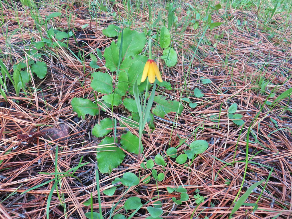 Yellow bell
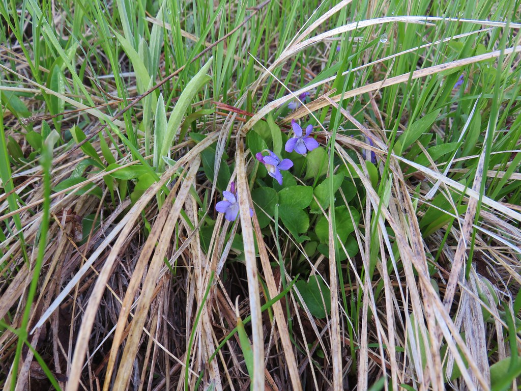 Violets
 Ball-head waterleaf


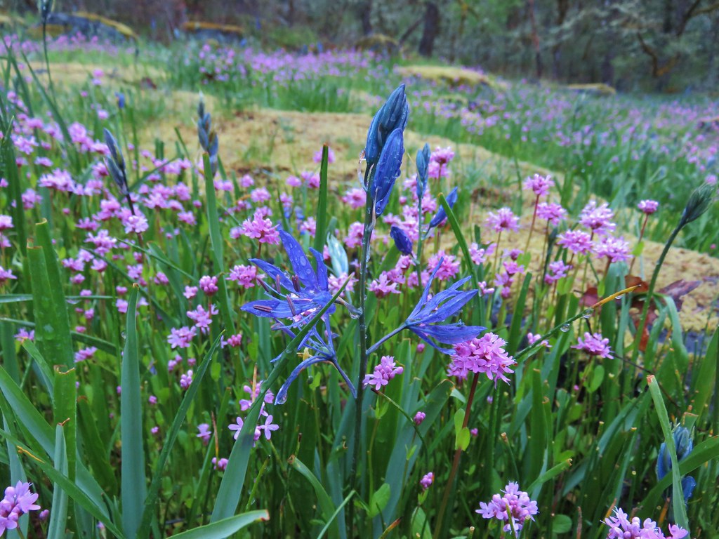
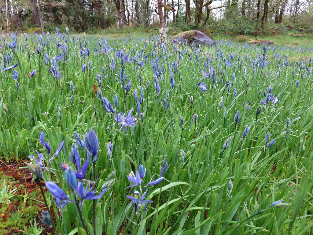
 Camas
Camas Old man’s whiskers and white-stem frasera
 Lots of phlox
 Phlox
Phlox Large head clover, larkspur, and wild onion
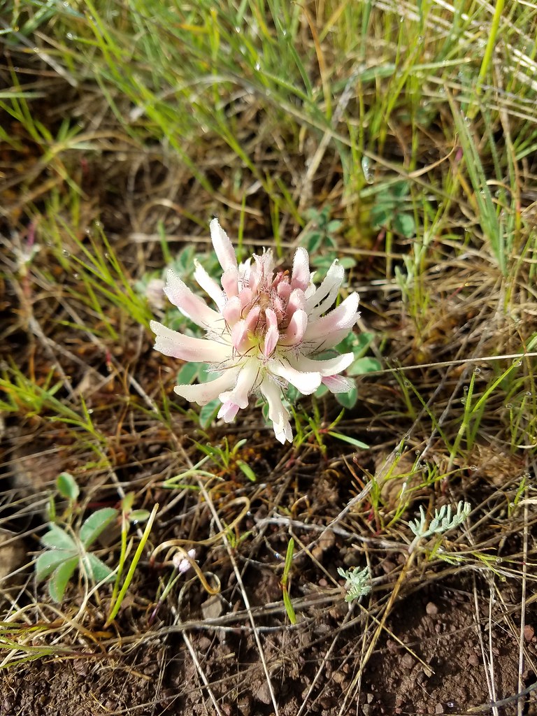 Large head clover
 Wild onion
 Duckett Barn starting to disappears as we descended.
 Possibly hoary balsamroot
 Hoary balsamroot?
 Phlox
Phlox Diffuseflower evening-primrose
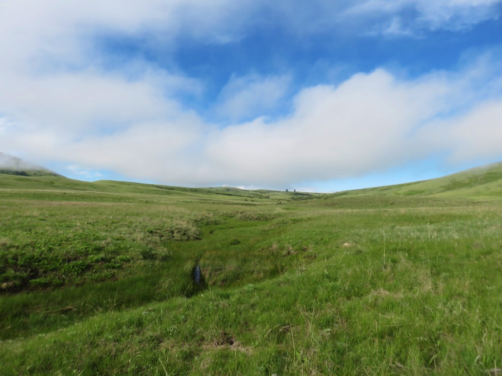 Camp Creek

 Possibly a mustard
 White-stem frasera blooming
 Violets
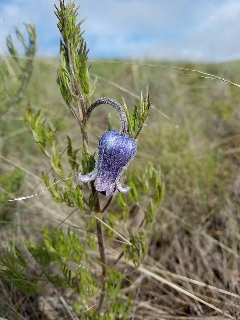 Hairy clematis
 Old man’s whiskers

 Cusick’s paintbrush


 Paintbrush and biscuitroot
 A ragwort or groundsel (I think)
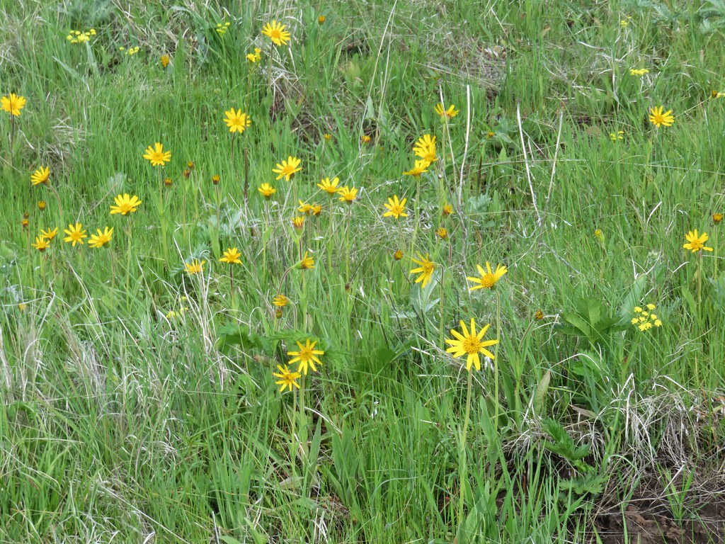 False sunflower?
 Old man’s whiskers and milk vetch
 Western stoneseed
 I had to dip into the digital zoom to get this photo so it’s a bit blurry.
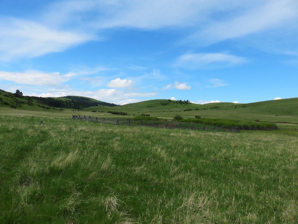


 Dwarf yellow fleabane
 Blue dicks
 Looking back down the draw.
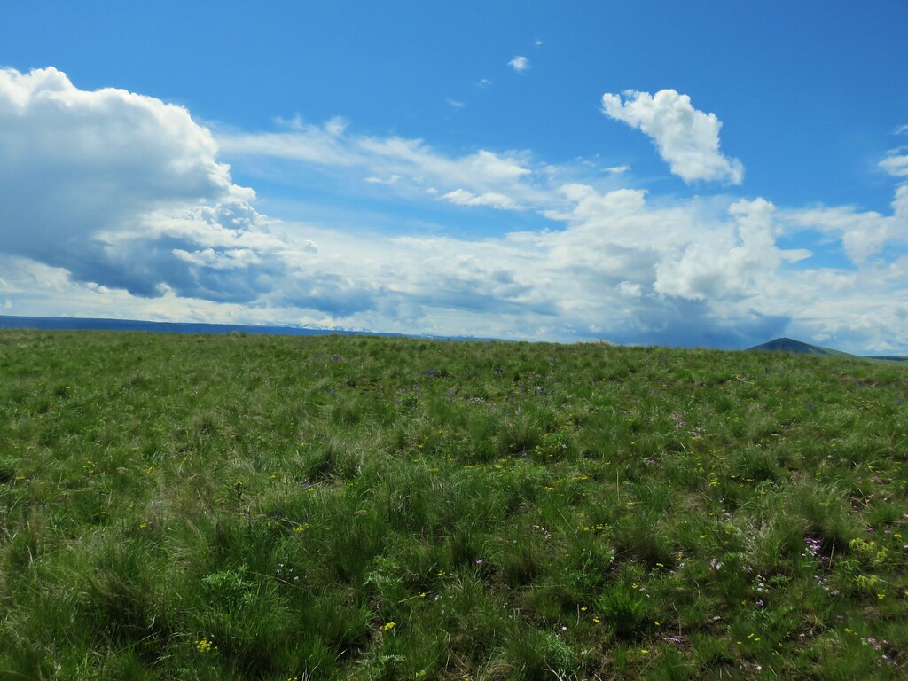


 Vetch
Vetch Spreading dogbane
 Wild rose with a beetle
 Yarrow
 Houndstongue
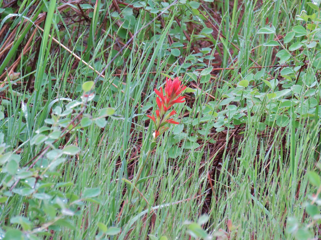 Paintbrush
 Catchfly
 sticky purple geranium


 Oregon sunshine
 Monkey flower
 Watercress?
 Fiddleneck
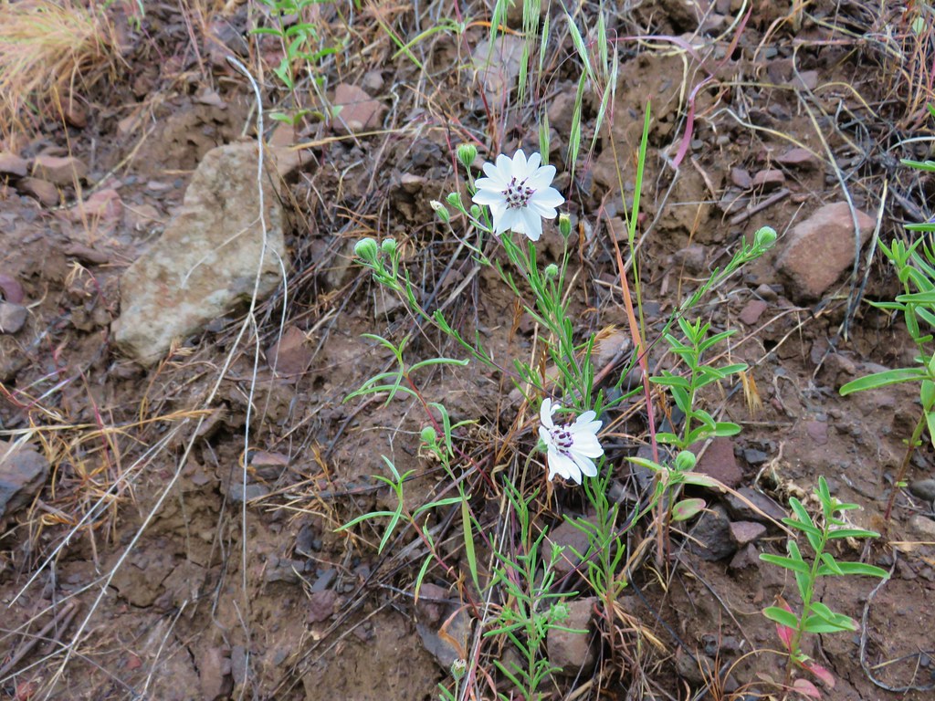 Rough eyelashweed
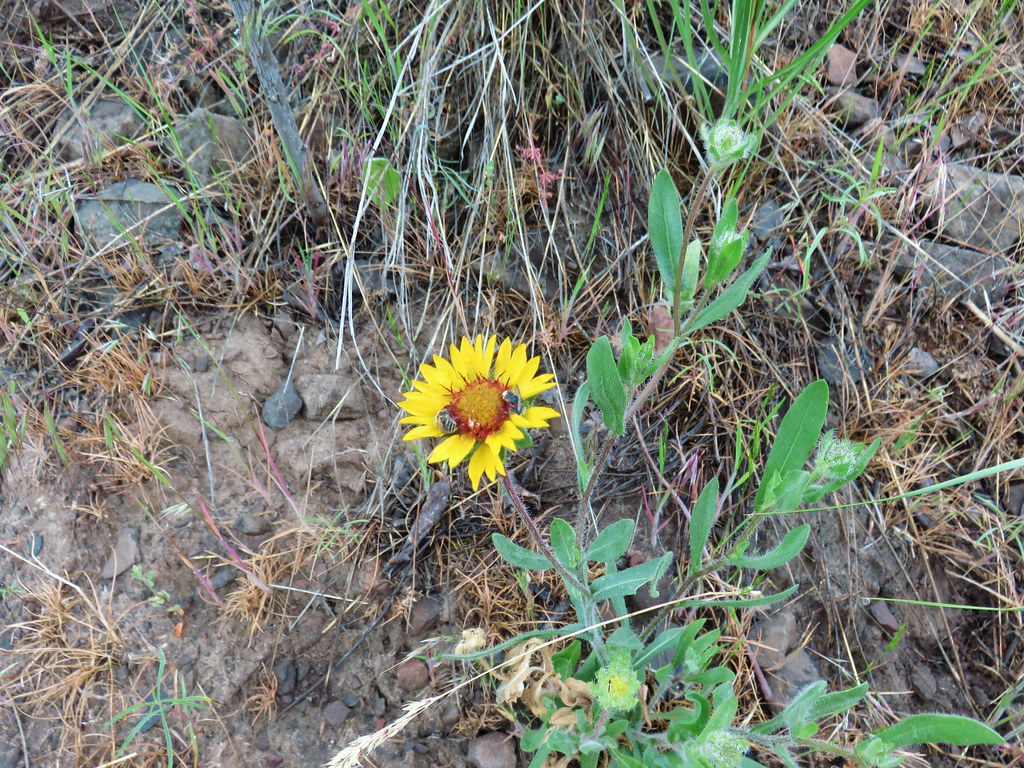 Blanket flower with two sleeping bees
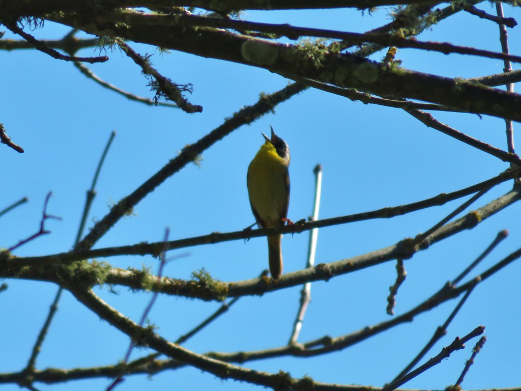
 Yellow breasted chat
 Lazuli bunting


 Penstemon
 Clarkia
 Phlox
Phlox More spreading dogbane
 Buckwheat
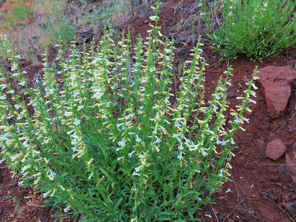 Scabland penstemon
 Cinquefoil?


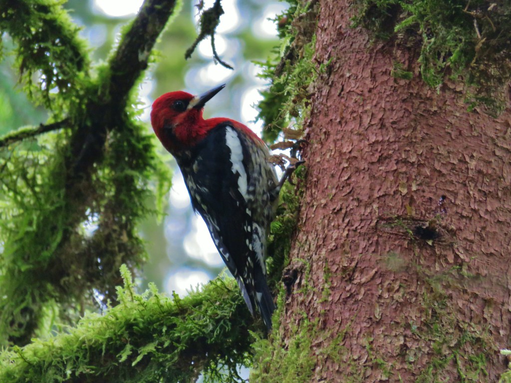
 Woodpecker with a snack.
 Northern flicker
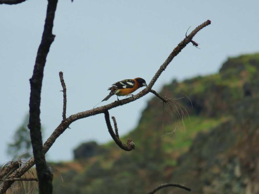 Black headed grosebeak
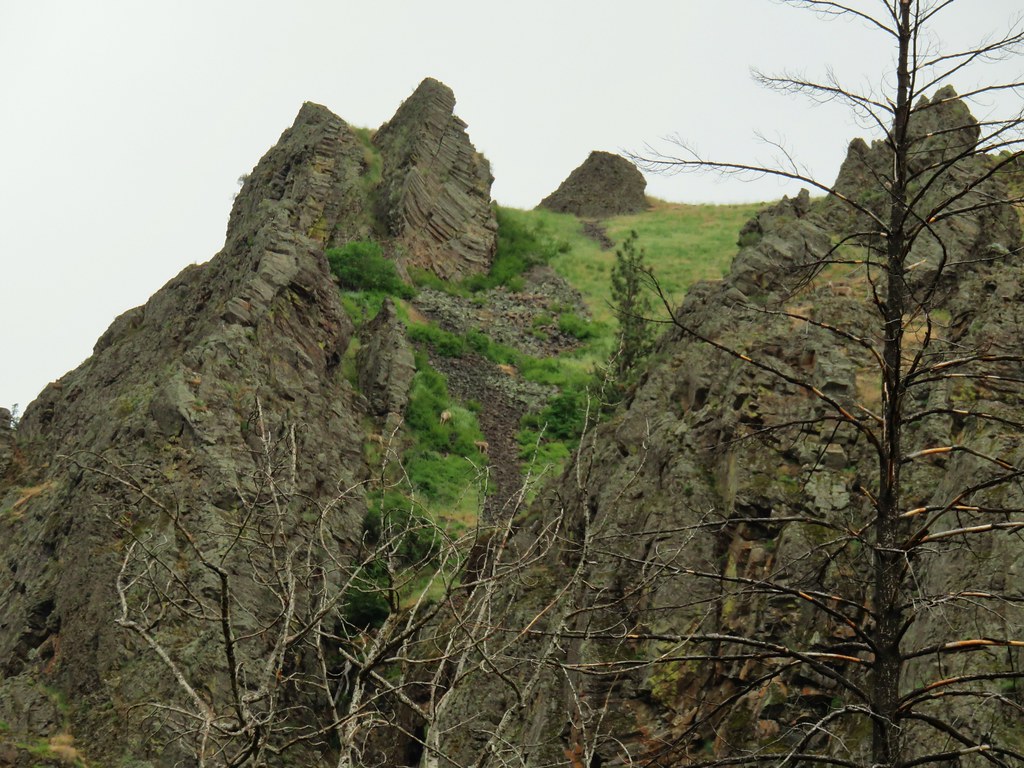
 Blue dicks with a beetle
 Lupine
 Salsify
 False sunflowers
 Balsamroot
 Clarkia with beetles
 View from the ridge end.
 Another bunting
 Wallflower
 Another chat


 Geranium

 Skullcap
 Stream globemallow
 Thimbleberry
 Threadleaf phacelia


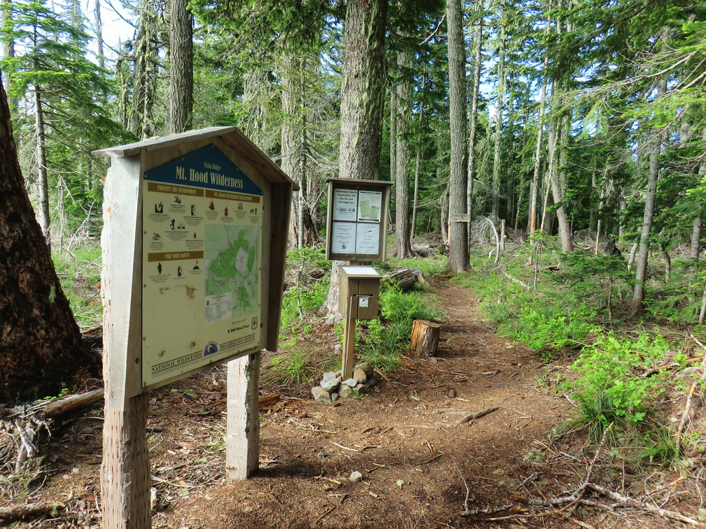
 Officially inside the wilderness
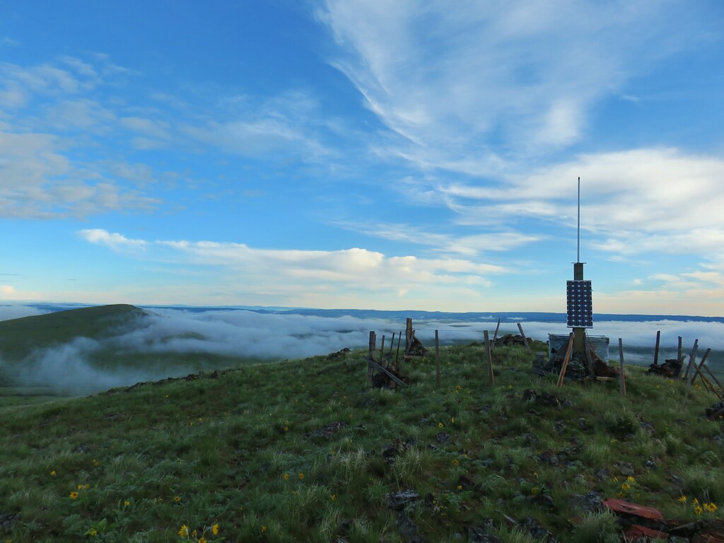
 Blue sky
 Wren
Wren Spider and blue dicks
 Old man’s whiskers
 Wild onion


 The bees woke up at some point.
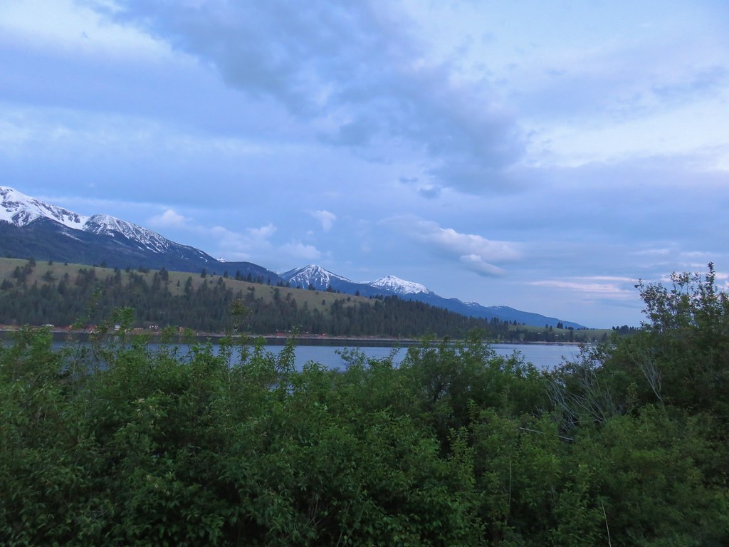


 (The black dot in the center of the hill is one such cow.)
 Western stoneseed
 Prairie stars
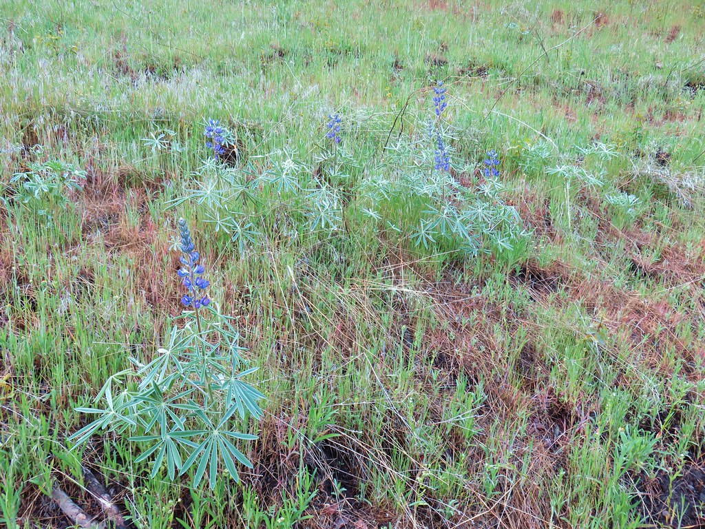 Lupine
 Heather emerging from the brushy section.


 Blue Dicks
 Balsamroot
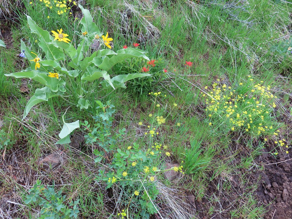 Balsamroot, paintbrush and biscuitroot
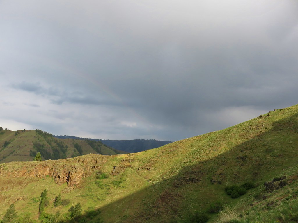


 Larkspur and monkeyflower
 Paintbrush
 Chickweed
 Possibly going to be a penstemon
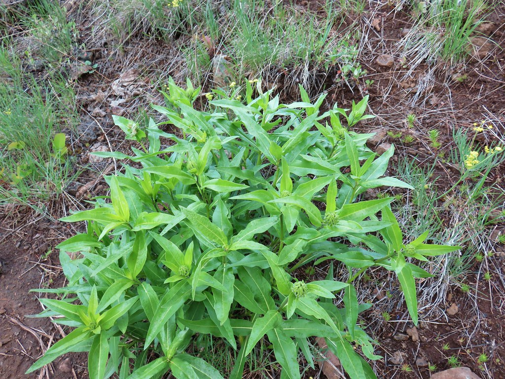 Unkown
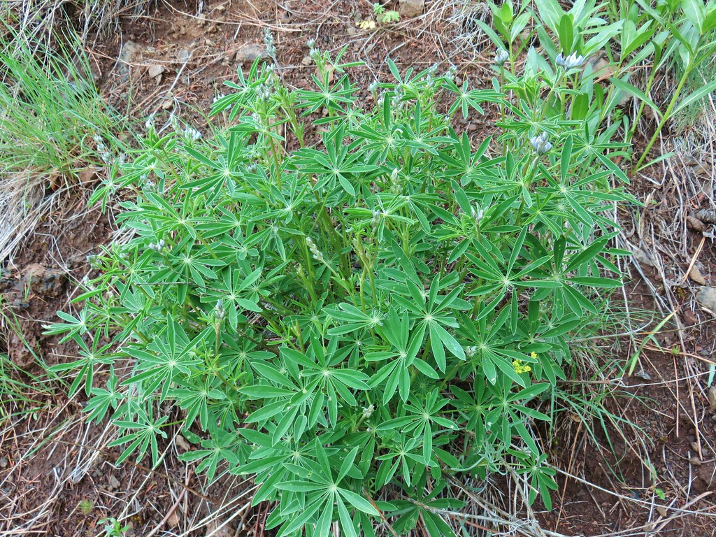 Lupine
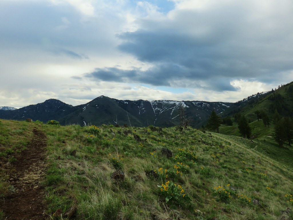

 West to the quickly vanishing Wallowa Mountains.
 North
North South
South East into Hells Canyon
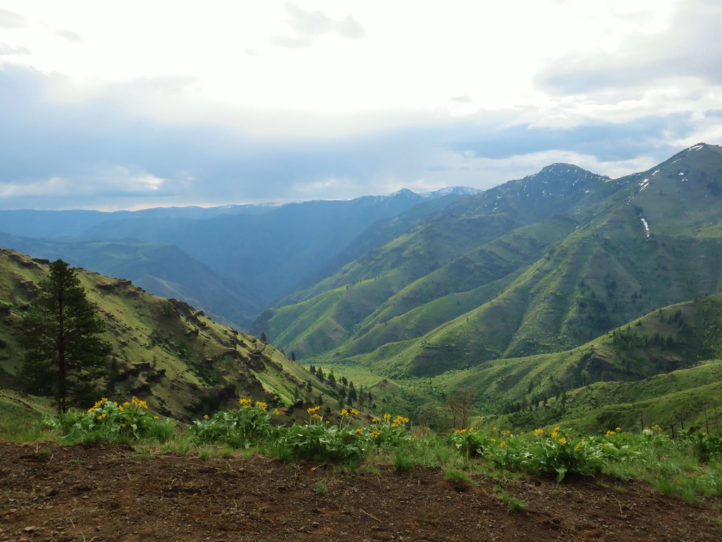
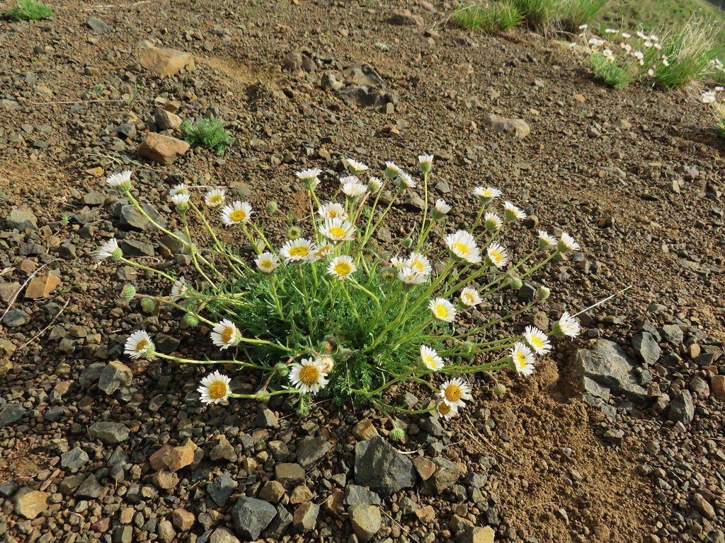 Cutleaf daisy
 Largehead clover


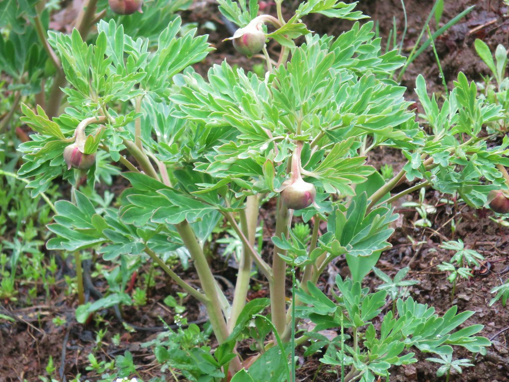 Brown’s peony getting ready to bloom.
 Mariposa lily starting to open.


 Small flower miterwort


 Yarrow


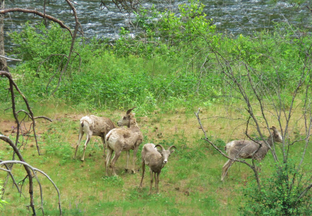
 First coyote in the grass.
 Second coyote racing off through the grass.
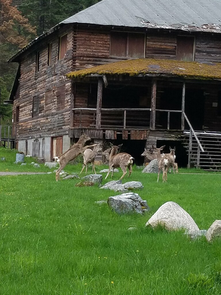
 One of the deer running off.
 Great blue heron flying off.
 White pelicans circling overhead.

 Bald Eagle
 Wild Rose
 Butterfly
 Killdeer
 An egret on the other side of the slough.
 Sagebrush lizard
 Another butterfly
 Deadly Nightshade
 A goose in the reeds.
 Anemone
 Fairyslipper
 Arnica


 Bluebells
 Prairie stars
 More rock clematis
 Paintbrush
 Larkspur
 Area near the viewpoint.
 Looking further into the Wallowas.
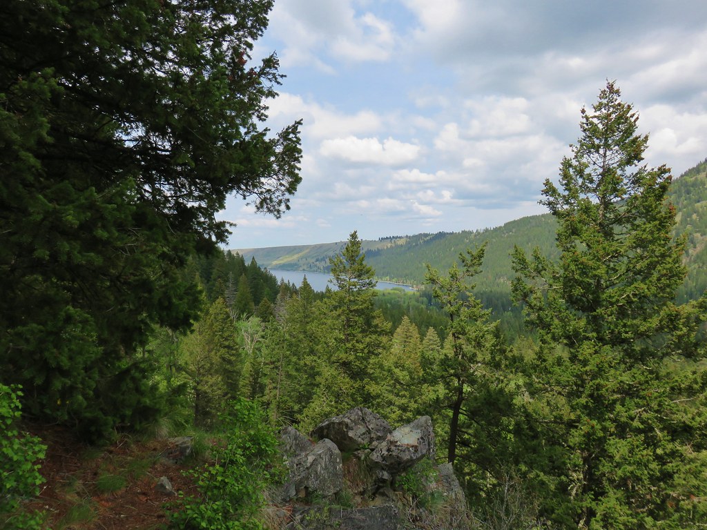 Wallowa Lake


 Shooting star
 Old man’s whiskers
 Possibly a checkermallow
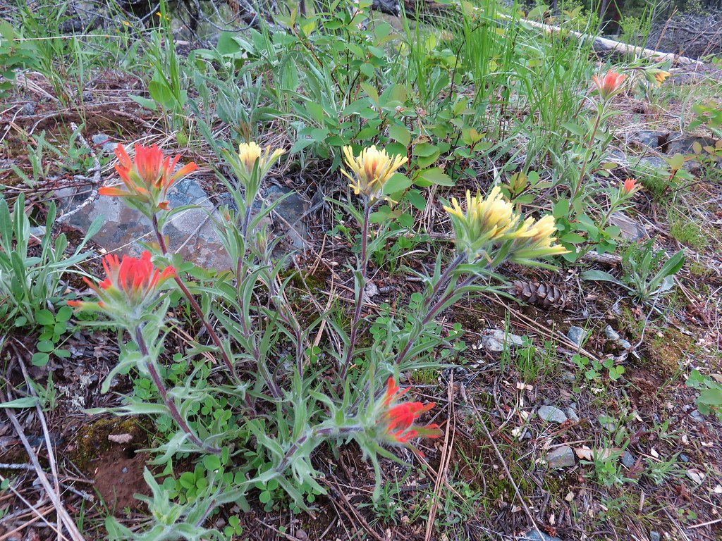 Paintbrush


 Black-headed grosbeak


 Mallards with a great blue heron in the distance.
 Cinnamon teal and a mallard
 Pied-billed grebe


 Looking back at the gate.

 Looking toward Steelman Lake from the Narrows.
 The Narrows. Another lake, Mud Lake, is on the other side of the trees.
 Mt. Adams (it is really there)
 Mt. St. Helens


 Mt. St. Helens and an Osprey nest.
 Female
 Male
Male

 Mt. St. Helens again.


 1905 Columbia County Courthouse