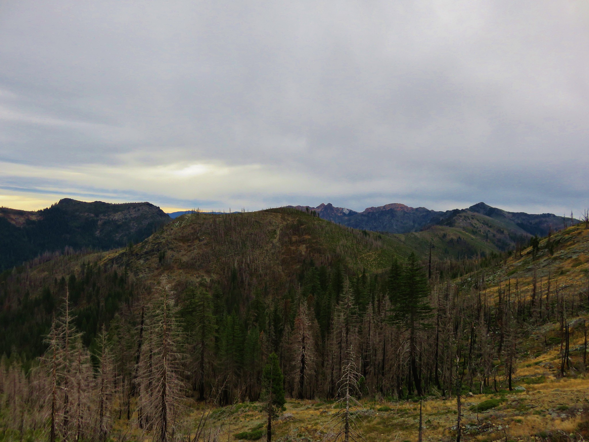
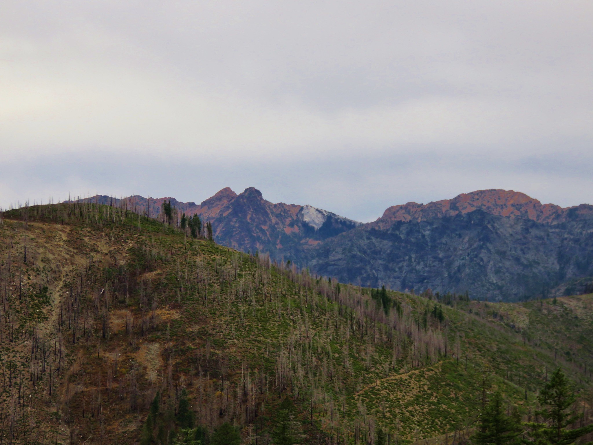
Categories
High Cascades Hiking Mt. Jefferson Area Oregon Trip report

Jefferson Park via Woodpecker Ridge

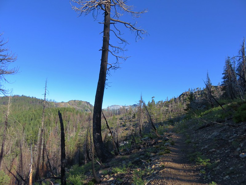
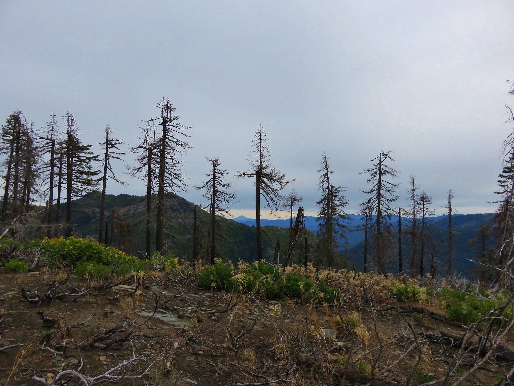
**Note the 2017 Whitewater Fire burned a portion of this hike.**

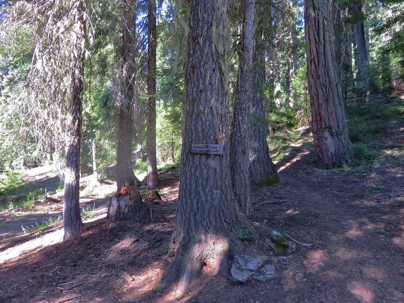
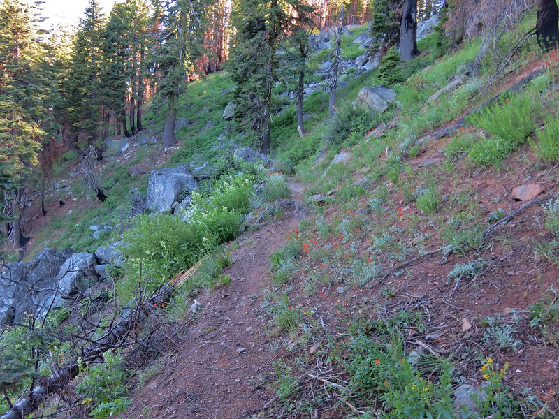
We deiced to try a new approach this year for our annual trip to Jefferson Park. Our plan was to hike the Woodpecker Ridge Trail to the Pacific Crest Trail and then on to Jefferson Park with a possible bushwack to see Russell Creek Falls on the way back. We parked at the Woodpecker Ridge Trailhead which is a little over 5 miles along Forest Road 040.
Woodpecker Ridge Trailhead

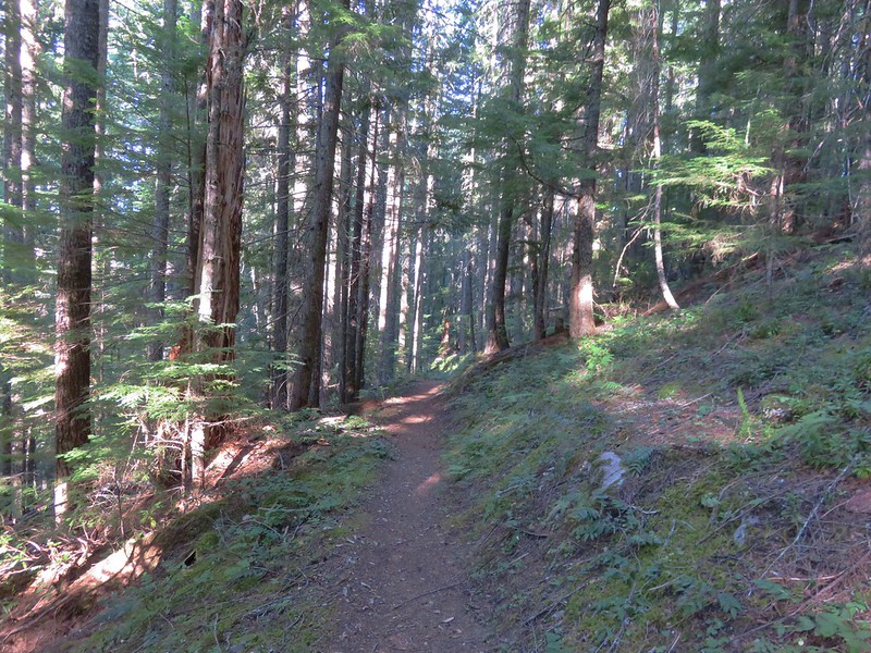
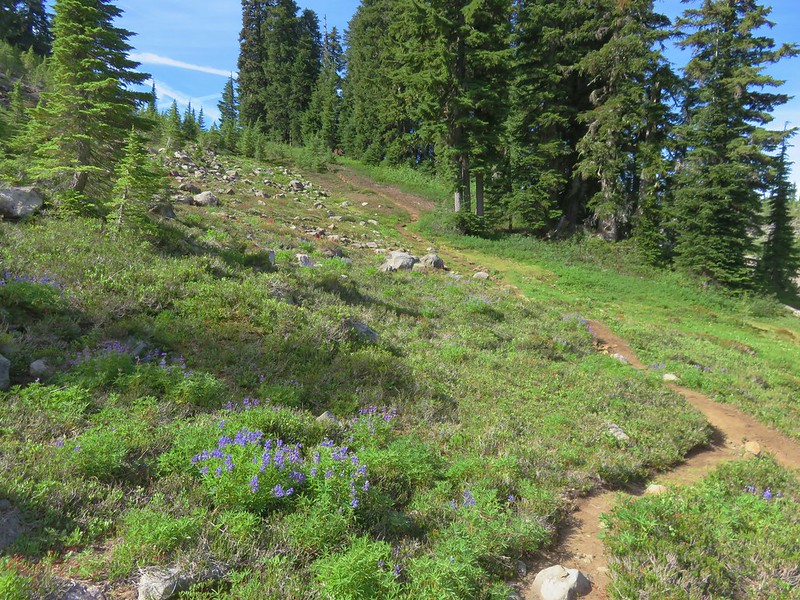
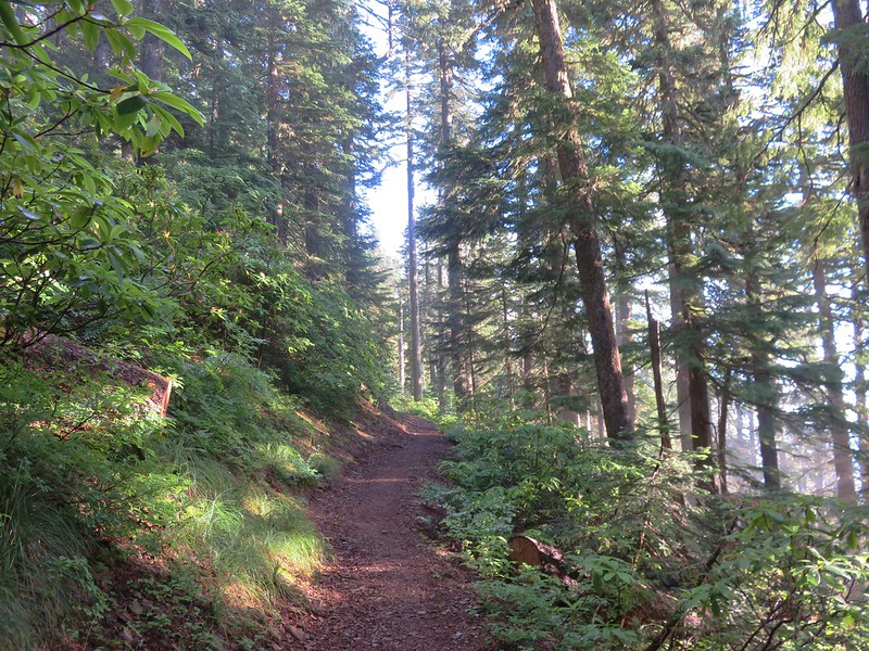
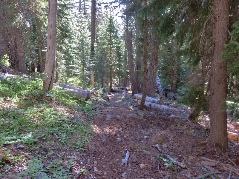
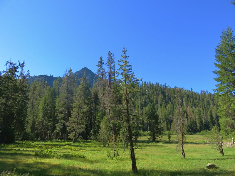
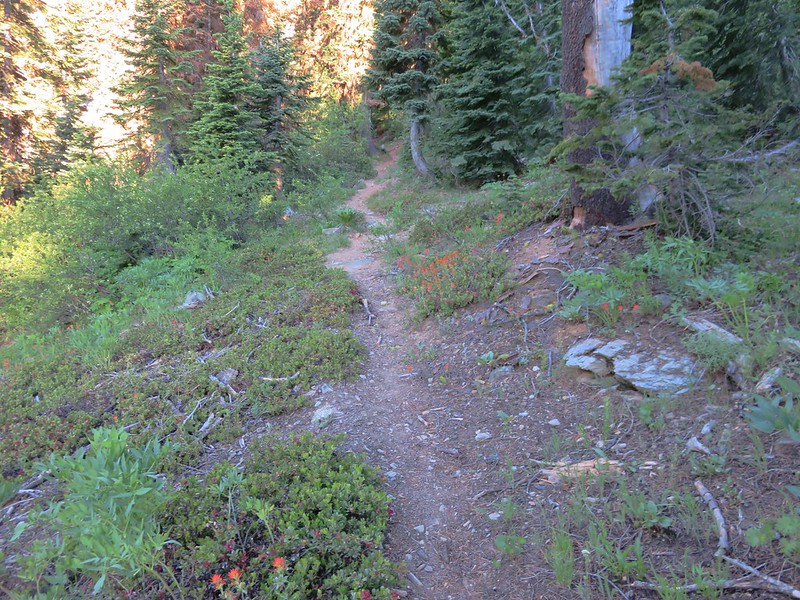
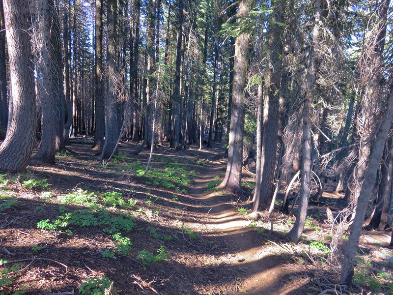
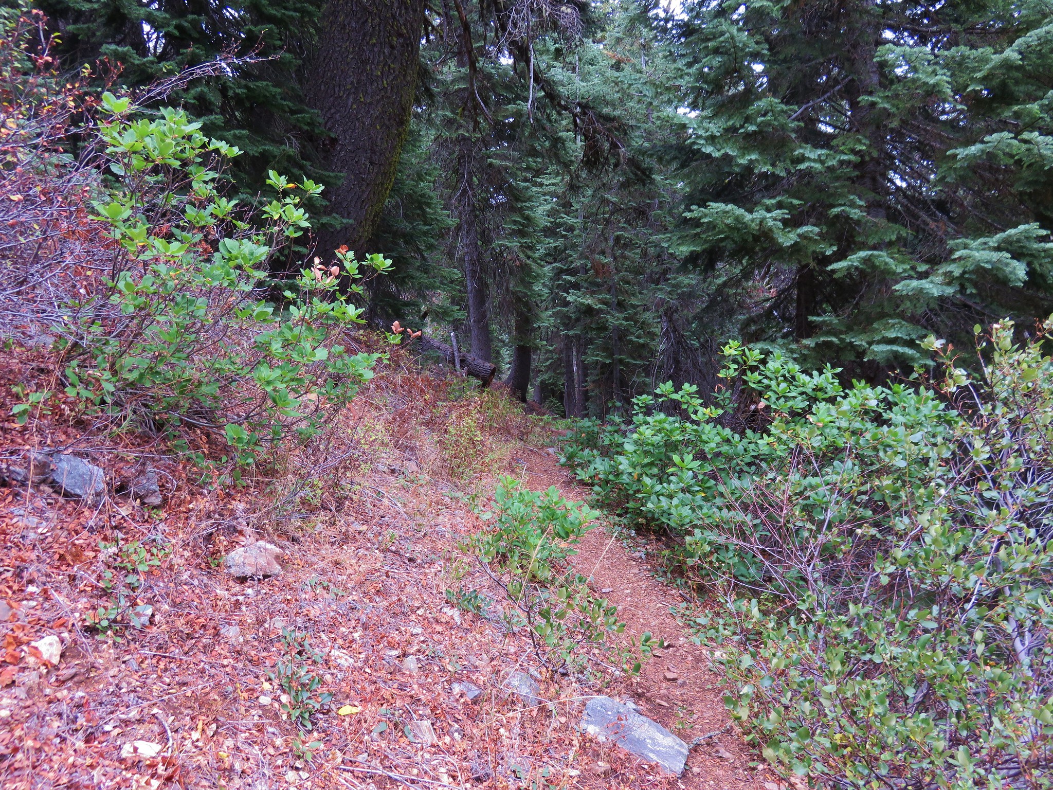
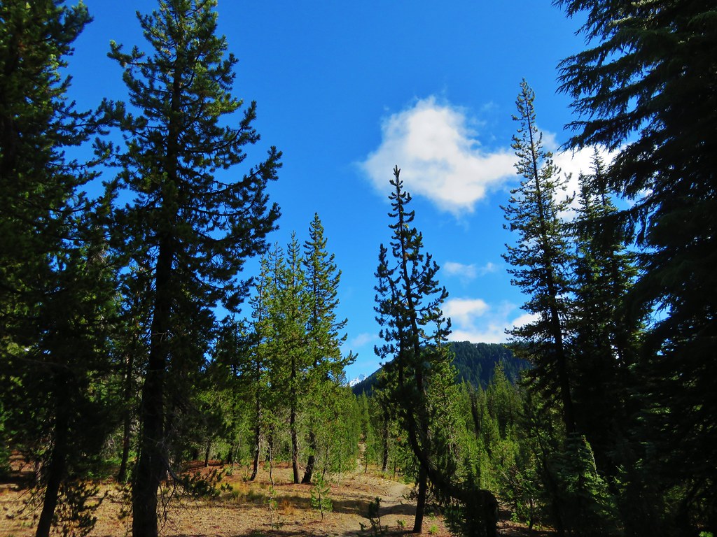
The Woodpecker Ridge Trail extends approximately 1.8 to the Pacific Crest Trail in the Mt. Jefferson Wilderness. The trail starts off with a steep climb through the forest before gaining the ridge and leveling out. There were lots of juicy ripe huckleberries along this section. As we hiked along the ridge we entered the Mt. Jefferson Wilderness.
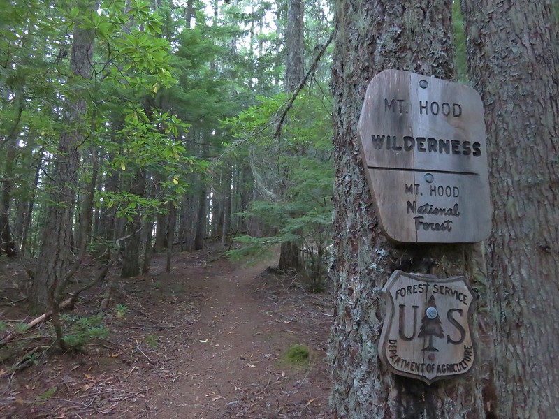
Entering the Mt. Jefferson Wilderness on the Woodpecker Ridge Trail

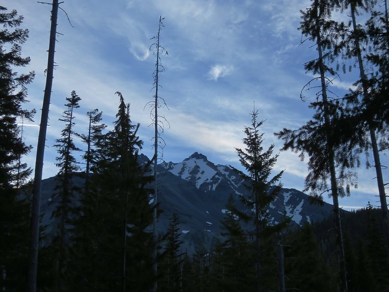
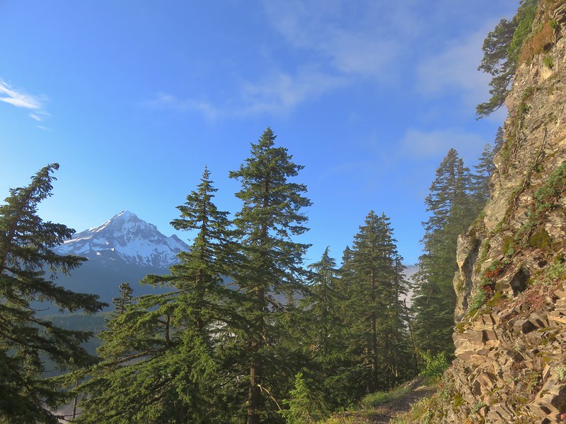
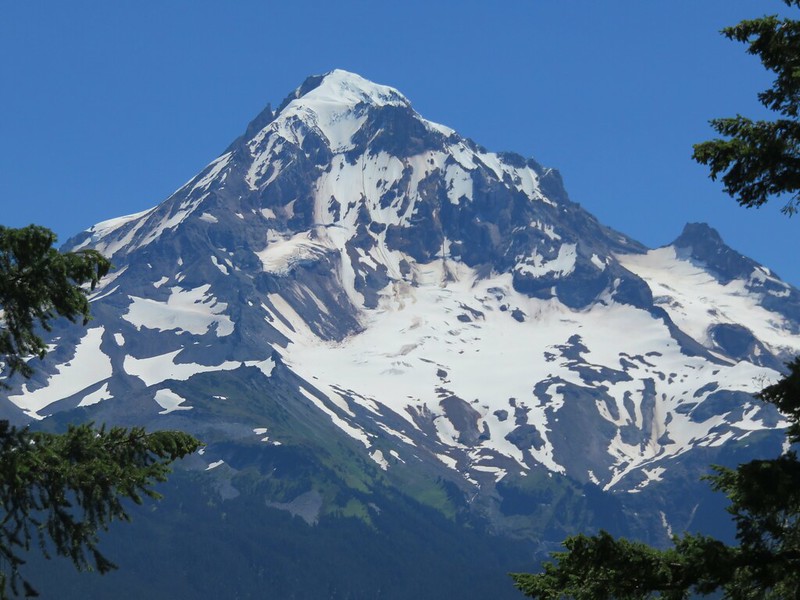
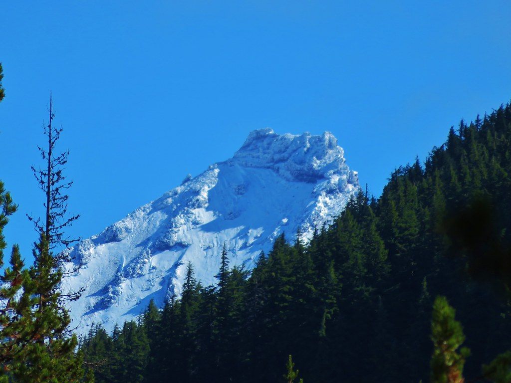
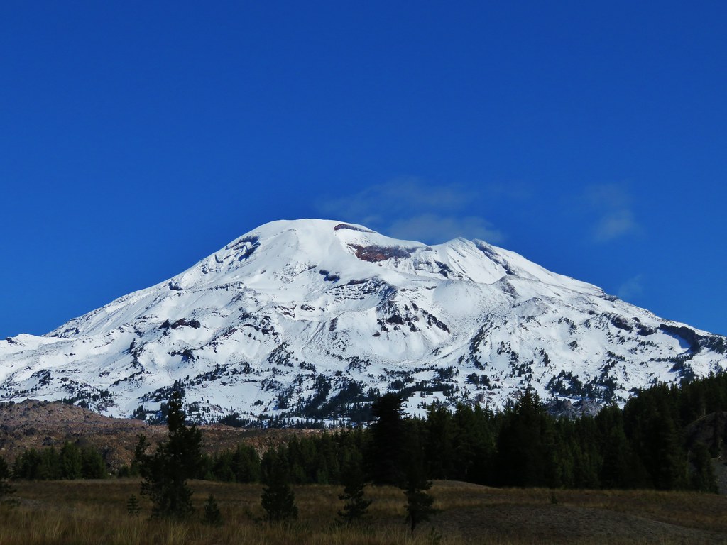
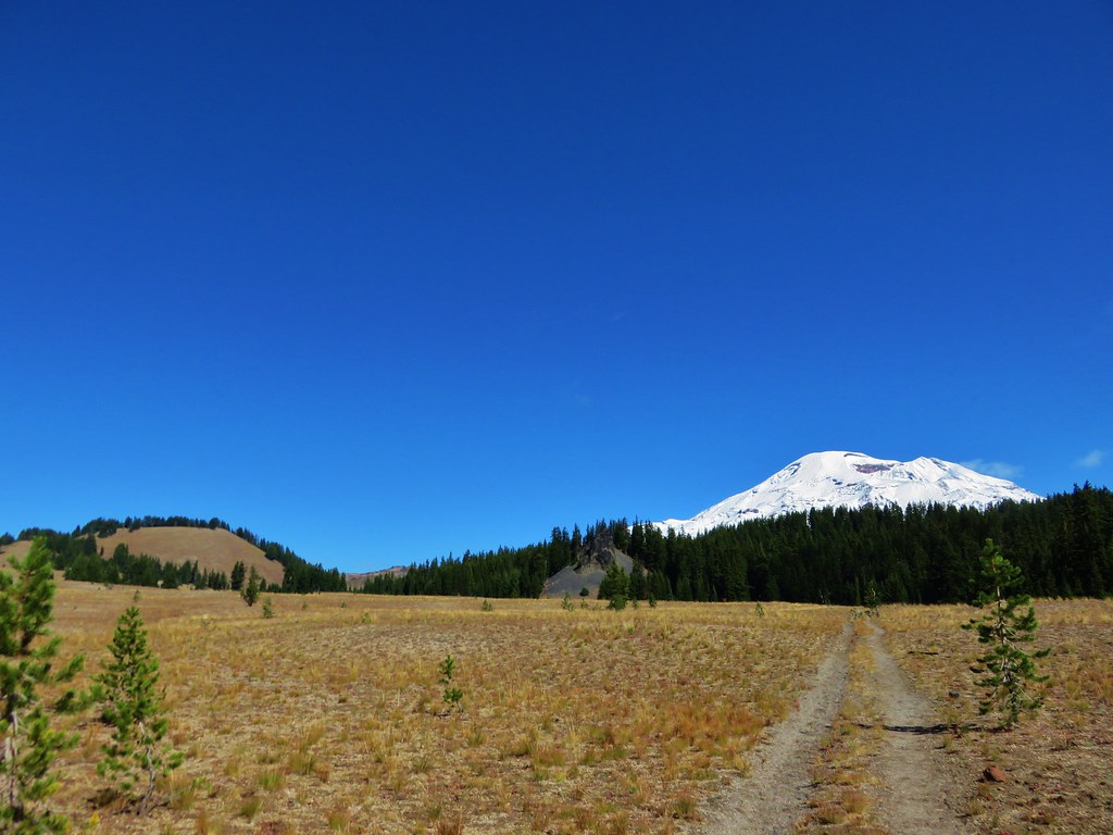
Unlike some of the other trails that lead to Jefferson Park Mt. Jefferson remained mostly hidden from the Woodpecker Ridge Trail. Only near the end did we get a look at the mountain.
Mt. Jefferson from the Woodpecker Ridge Trail

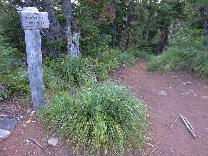
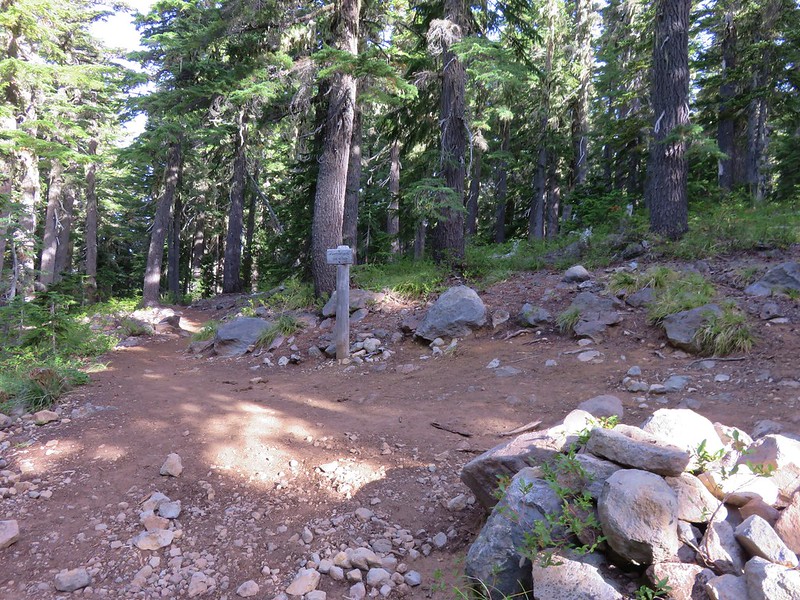
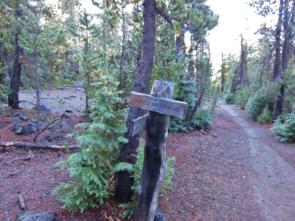
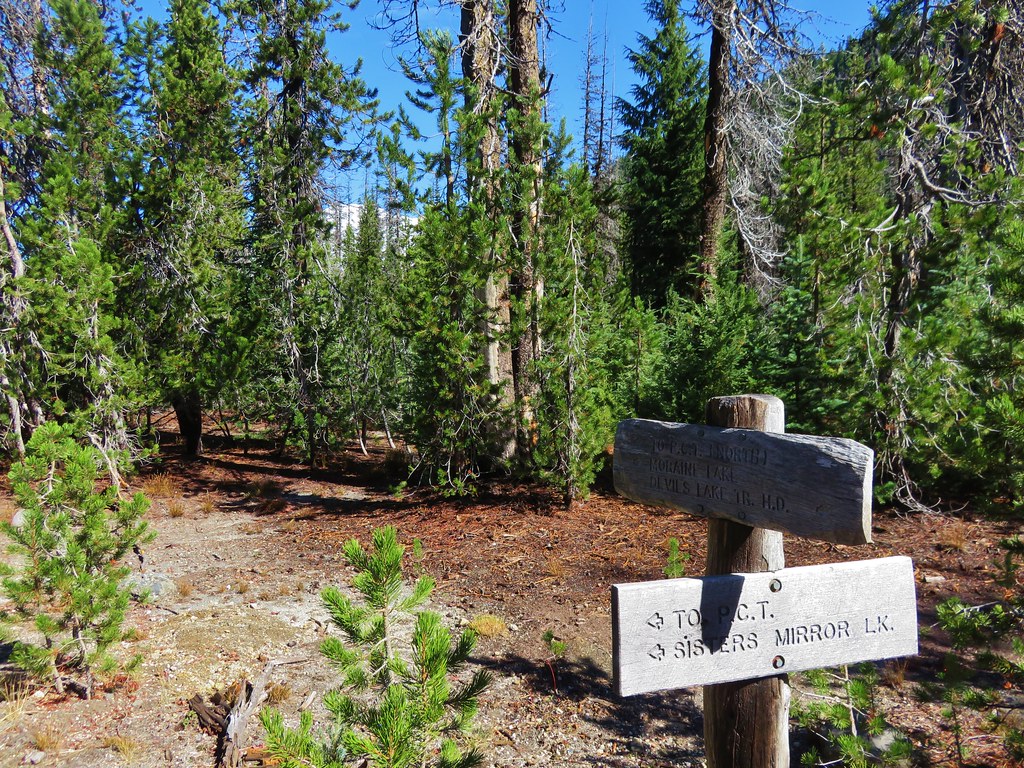
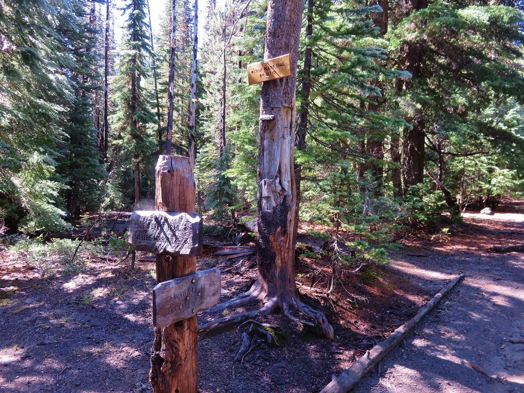
Shortly after getting our first look at the mountain we arrived at the Pacific Crest Trail and turned left.
Woodpecker Ridge Trail junction with the PCT

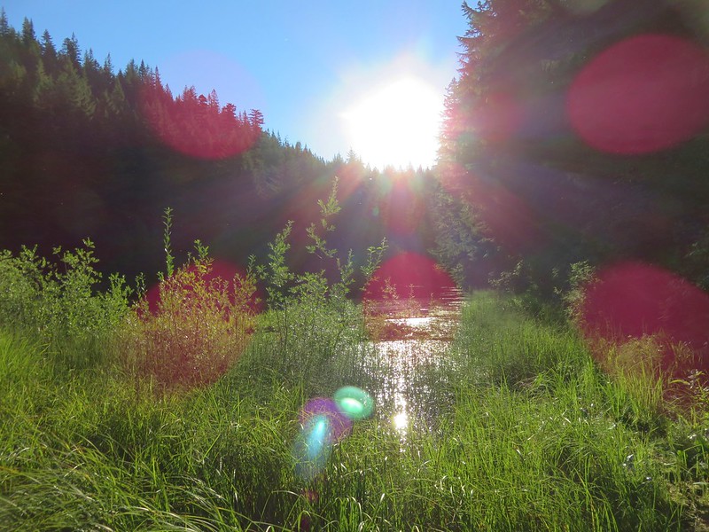
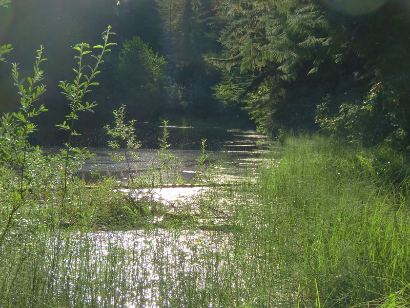
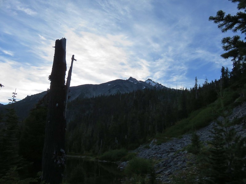
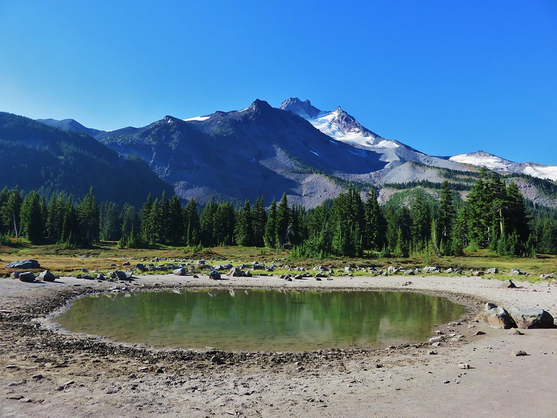
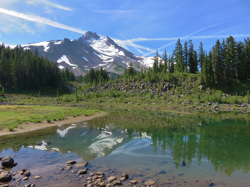
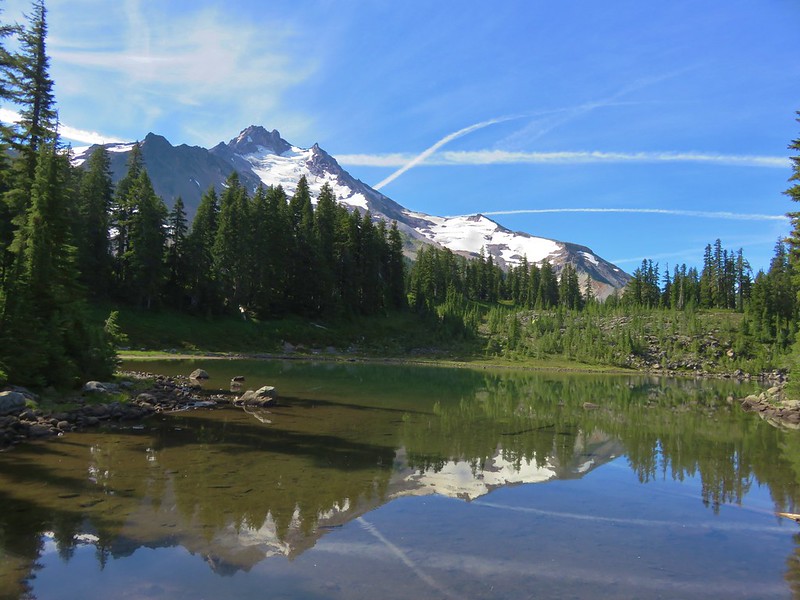
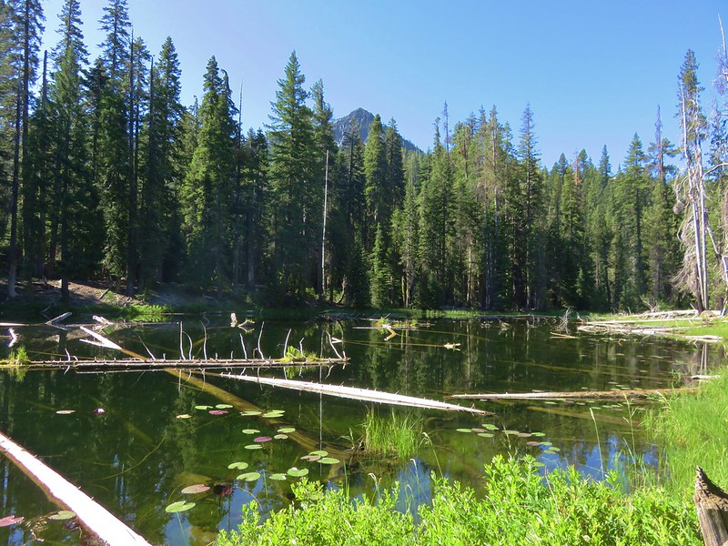
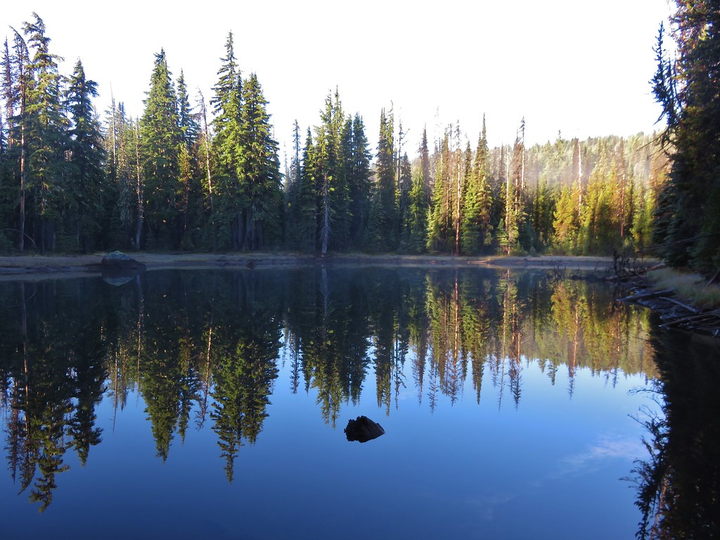
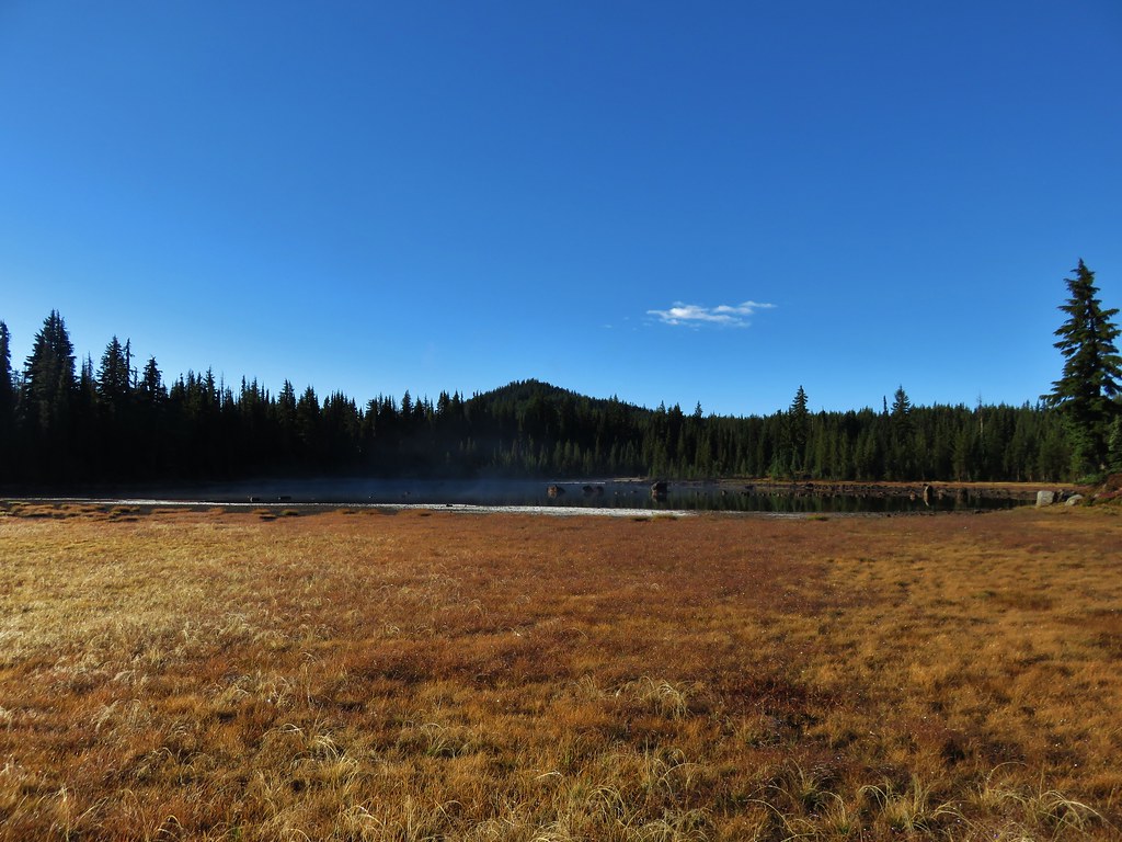
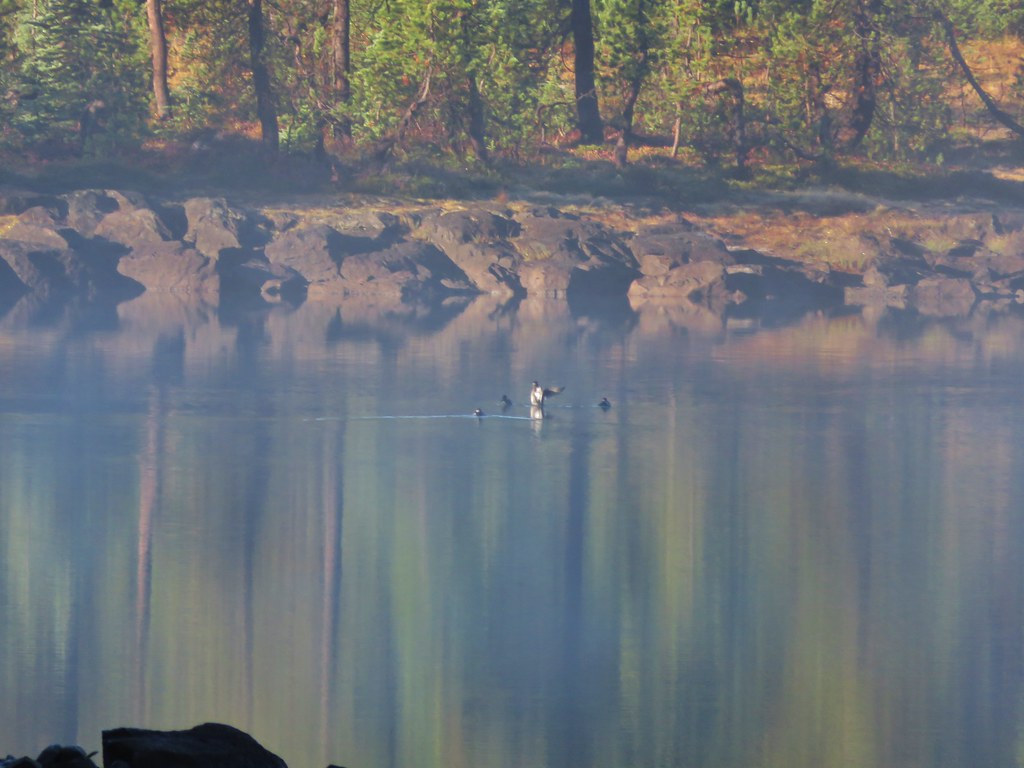
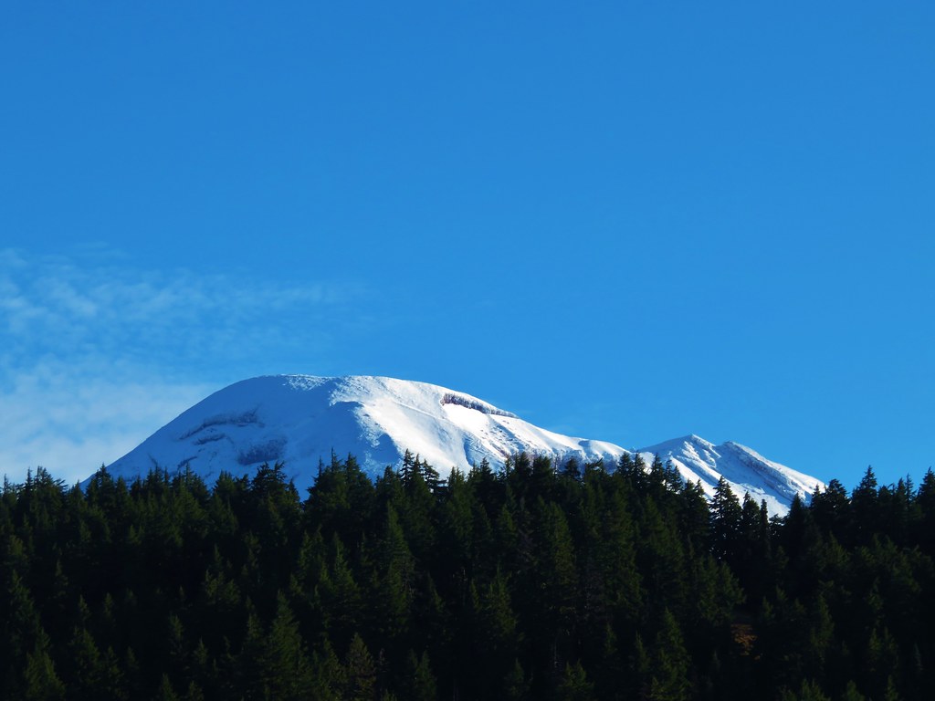
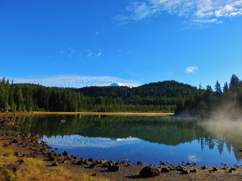
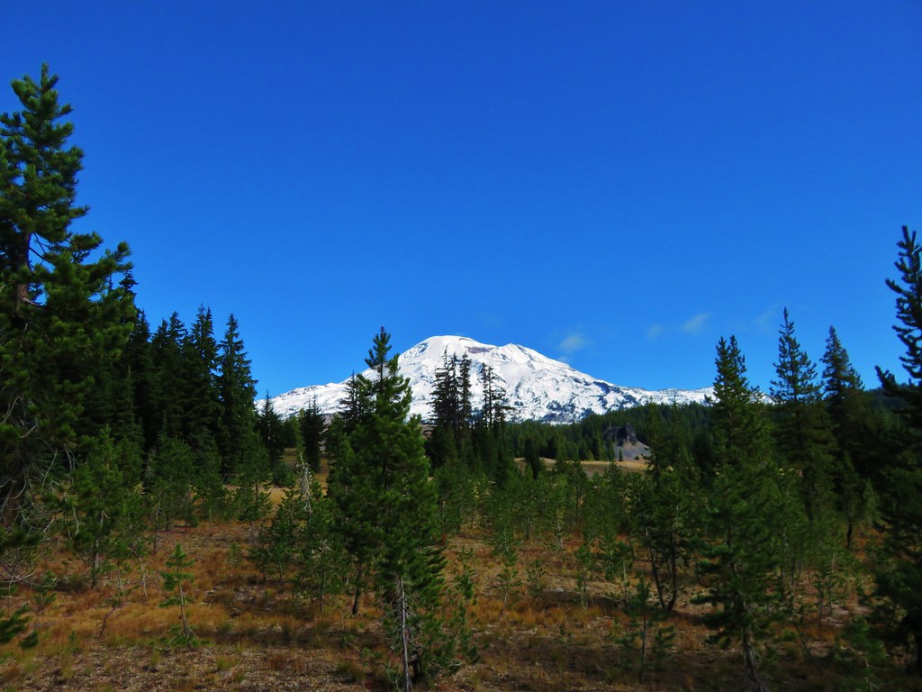
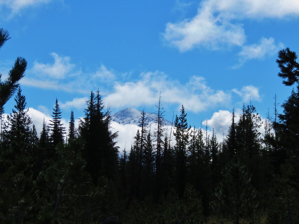
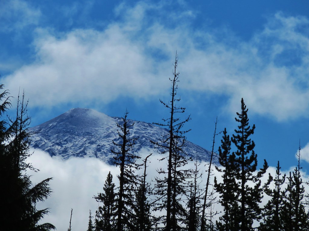
We had another Mt. Jefferson sighting from a pond not far from the junction.
Mt. Jefferson from a pond along the Pacific Crest Trail

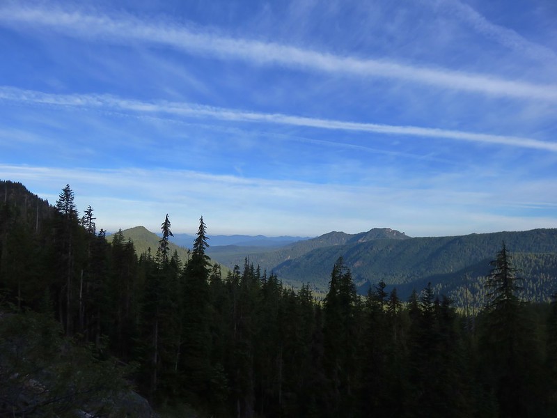
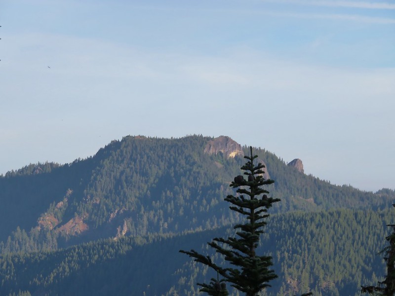
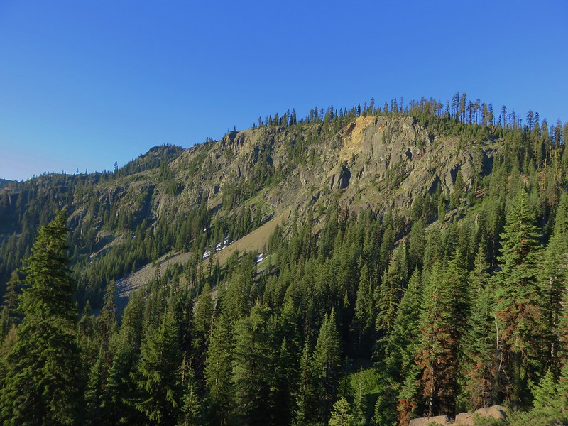
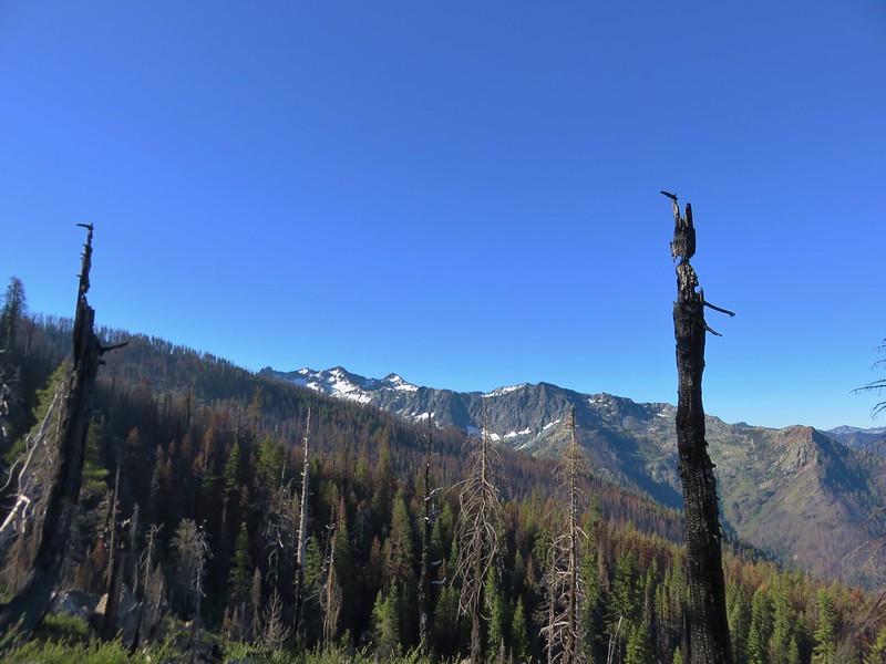
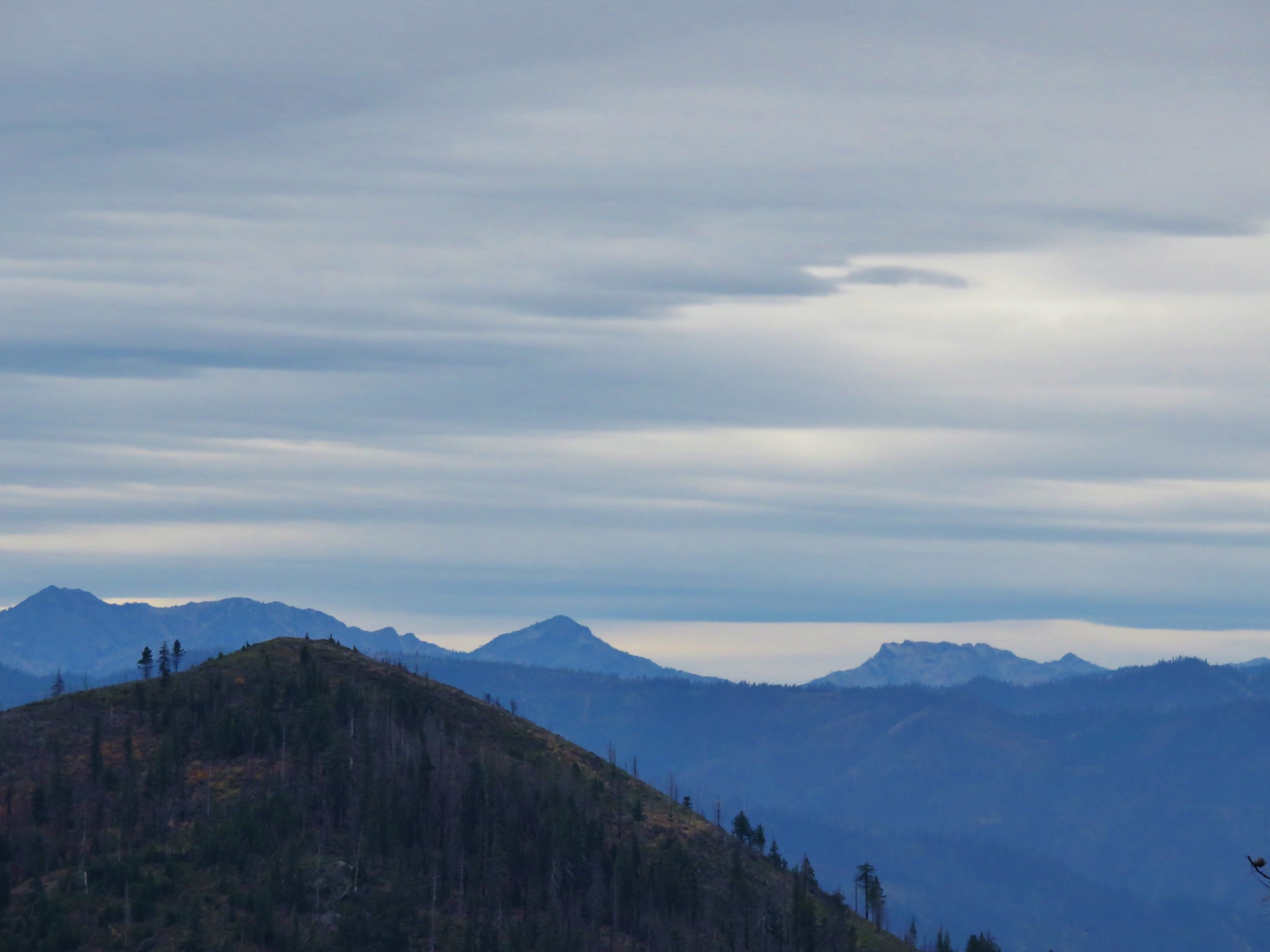
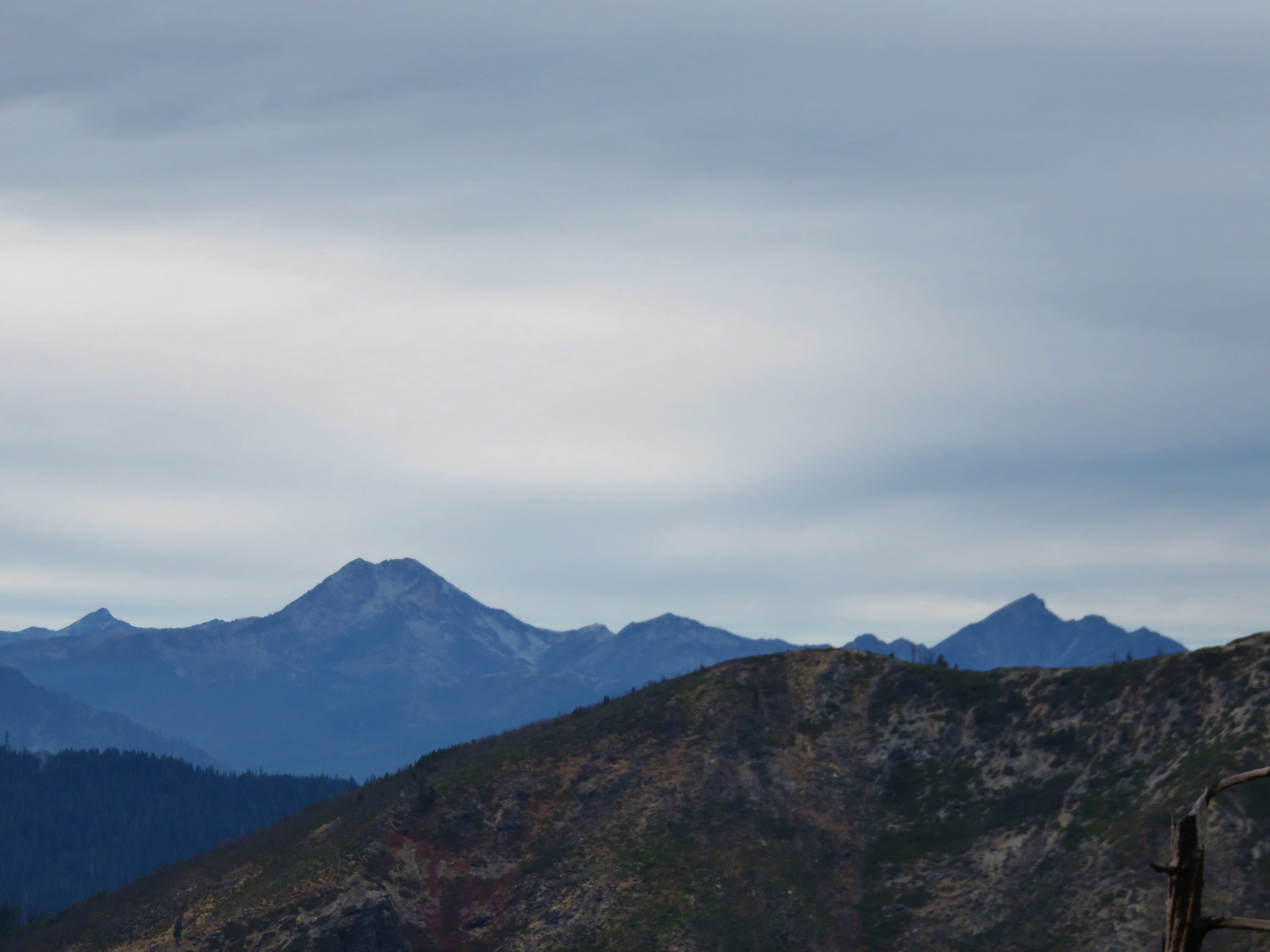
Most of the views along the PCT were to the NW across the Whitewater Creek drainage to Triangulation Peak and Bocca Cave
Triangulation Peak and Bocca Cave from the Pacific Crest Trail

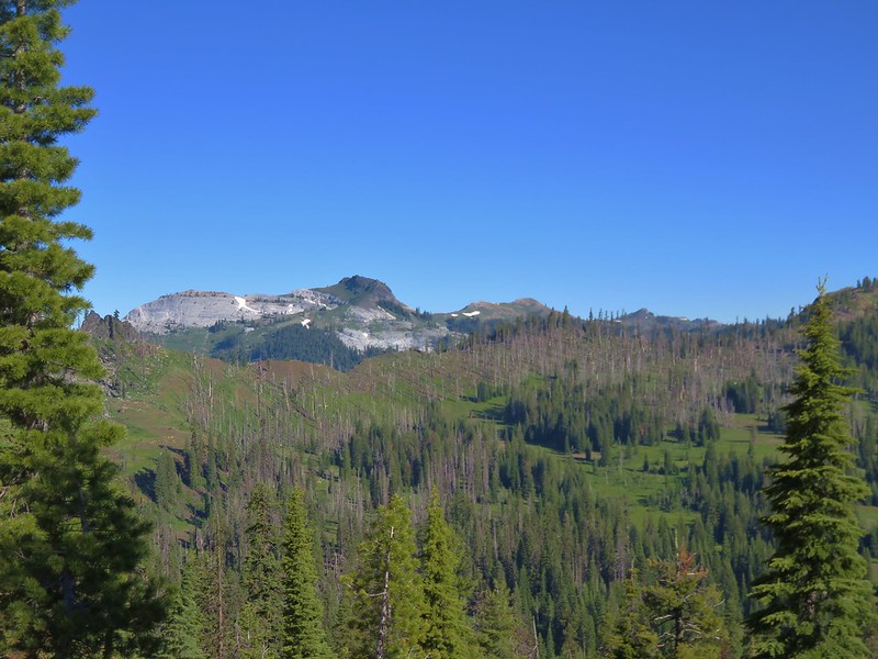
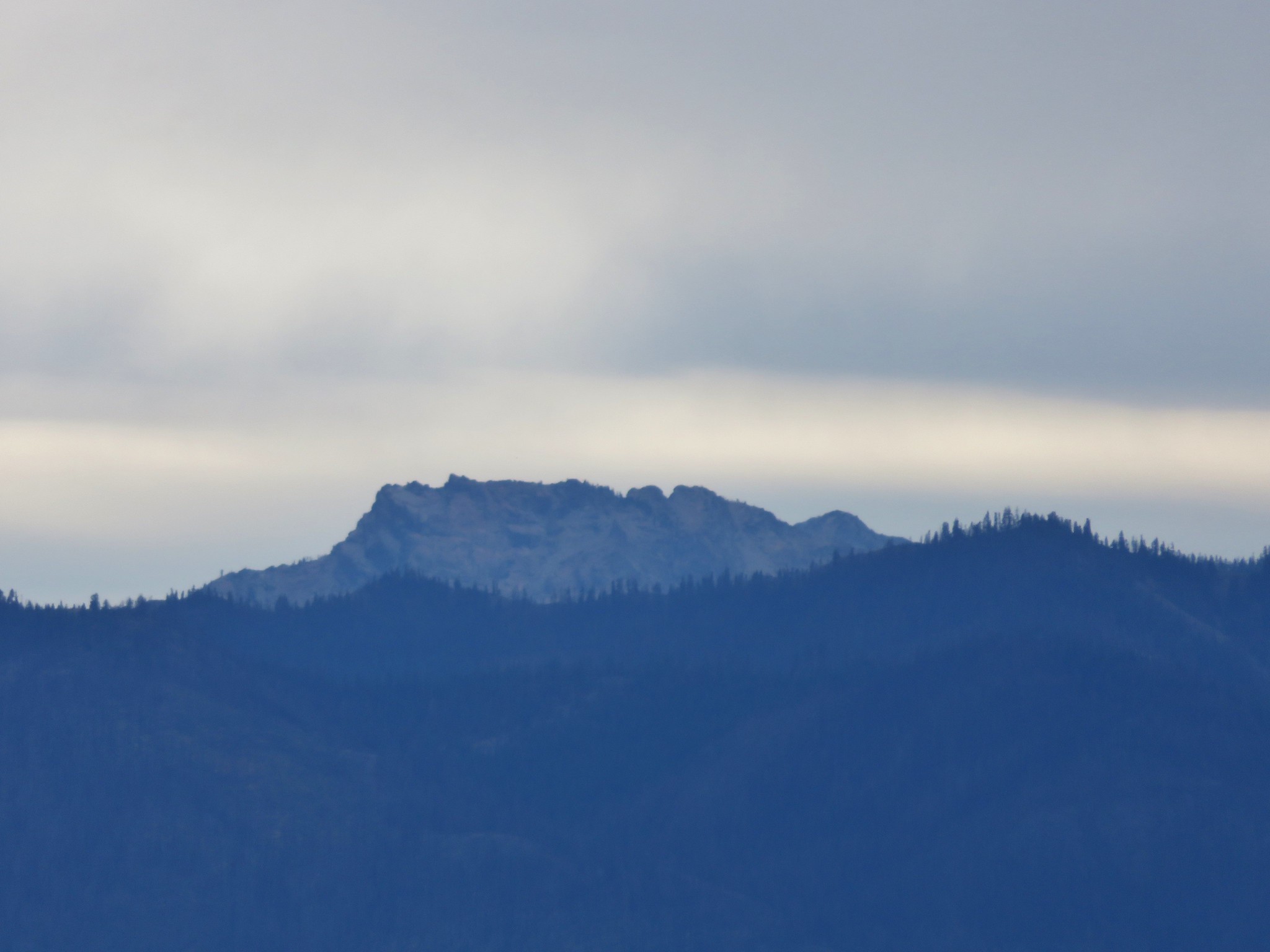
Bocca Cave and Triangulation Peak

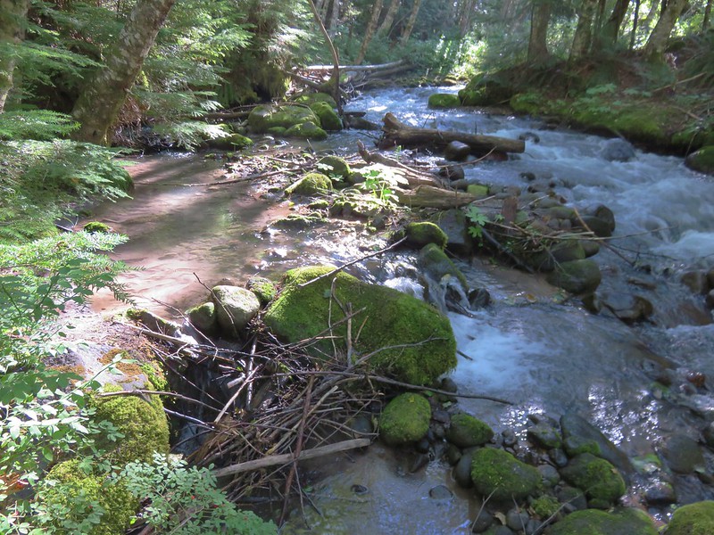
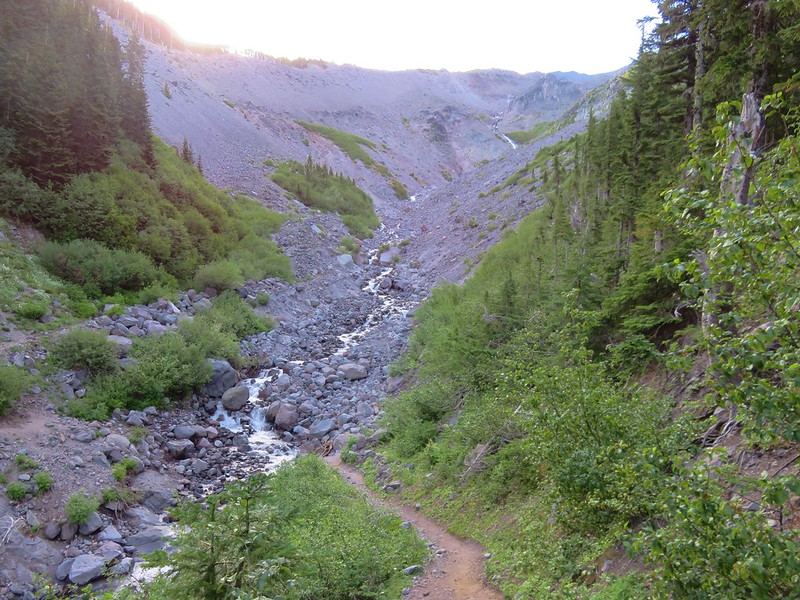
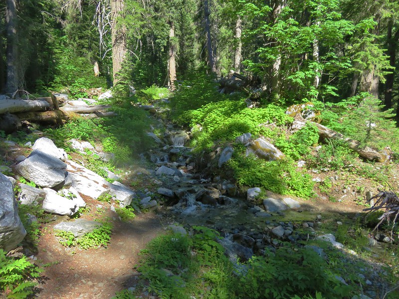
One of the other differences between this approach and the other trails leading to Jefferson Park is the presence of a sometimes tricky creek crossing. The bridge-less crossing of the glacier fed Russell Creek can be dangerous during high water flow. It was a mostly dry crossing on this morning though.
Russell Creek crossing

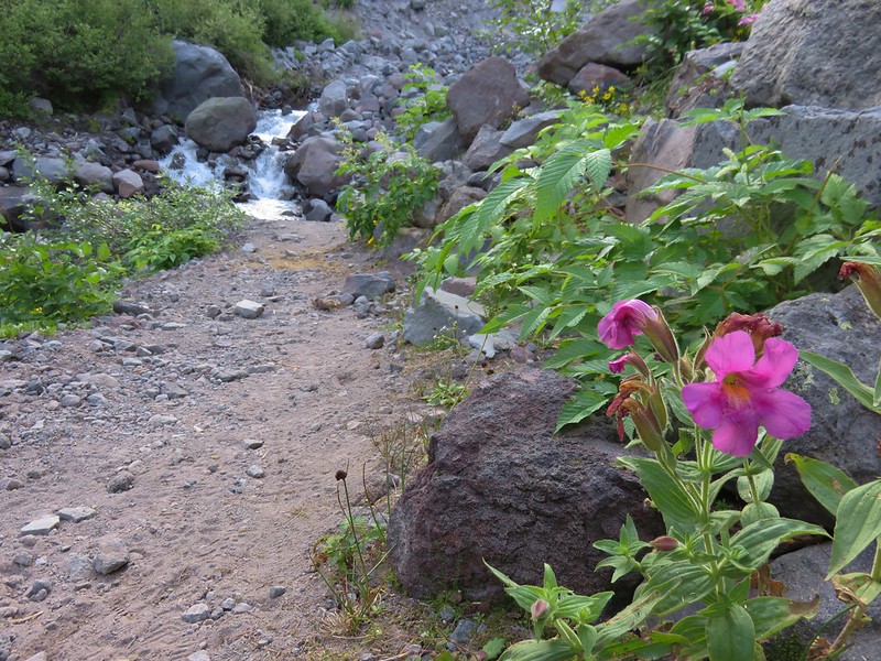
Monkeyflower

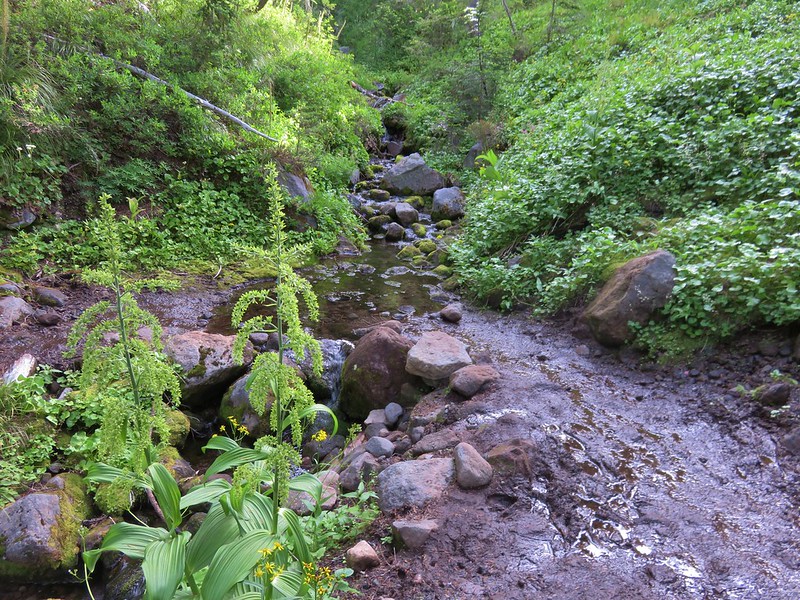
Russell Creek crossing

Our plan was to recross the stream before too much additional water was added to the flow as the temperatures rose during the day. A few smaller creek crossings brought us to the familiar junction with the Whitewater Creek Trail after a total of 3.2 miles on the PCT.
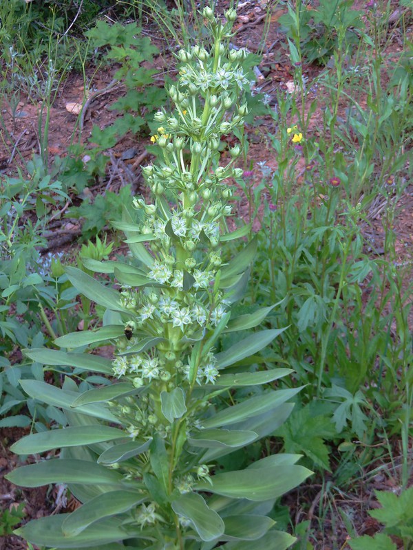
False hellbore

Junction with the Whitewater Creek Trail

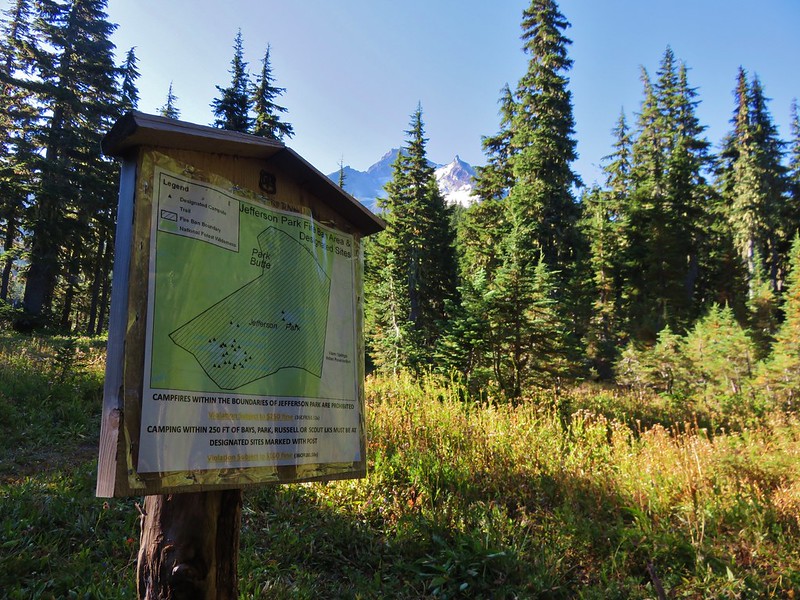
We had come up the Whitewater Trail on our previous visit on 8/8/2015 and were anxious to compare the scenery given how dry the prior year had been. It had looked more like Fall than Mid-Summer on that visit but this year had seen more snow so we were expecting more water, more green, and more flowers. The difference was already noticeable when we arrived at the informational sign for Jefferson Park.

8/8/2015
Entering the Jefferson Park area

8/13/2016
Mt. Jefferson

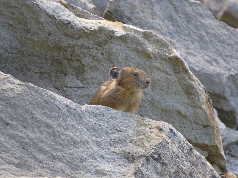
Shortly after passing the sign the trail passes through a small rock field where we had seen a pika the year before. One greeted us this year in almost in the exact same spot.
Pika

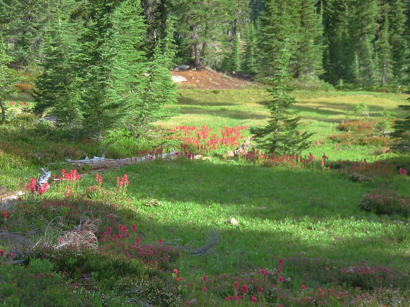
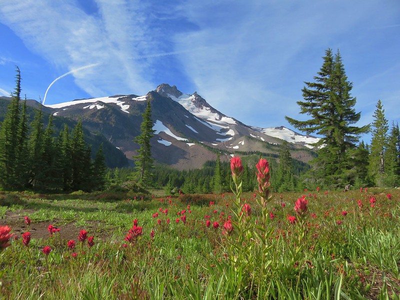
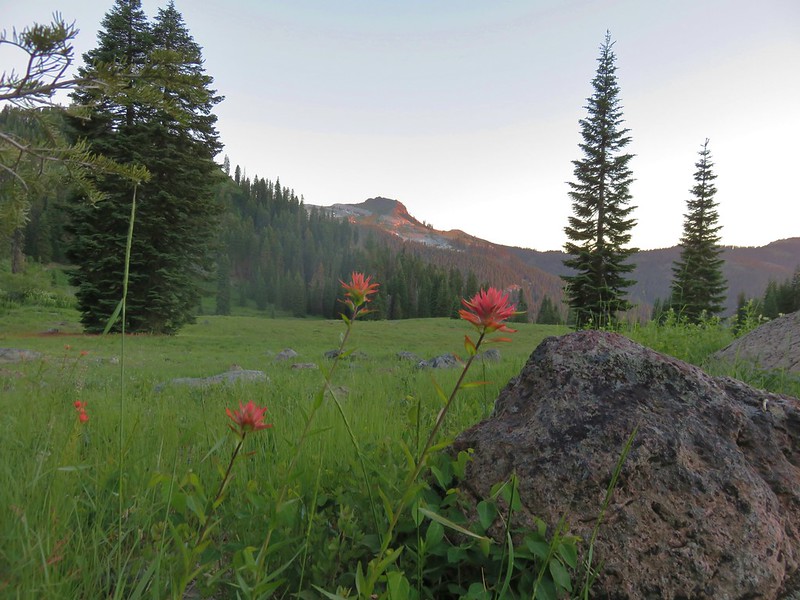
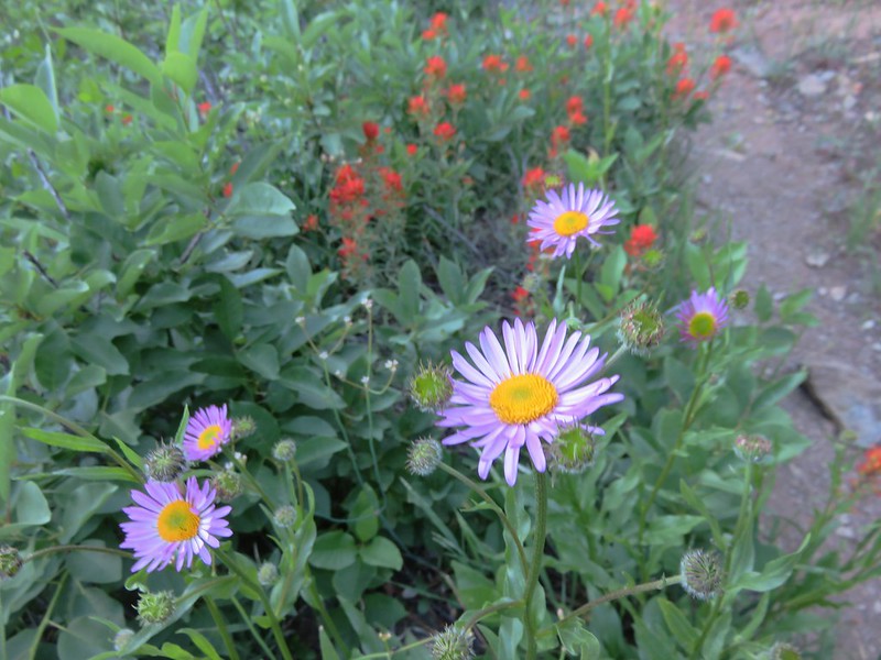
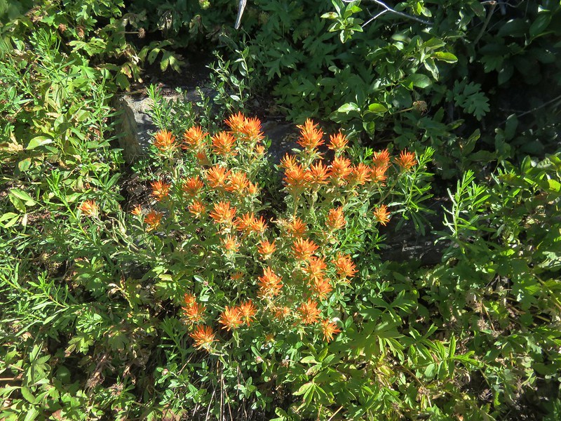
A nice display of paintbrush greeted us as we entered Jefferson Park.
Paintbrush in Jefferson Park

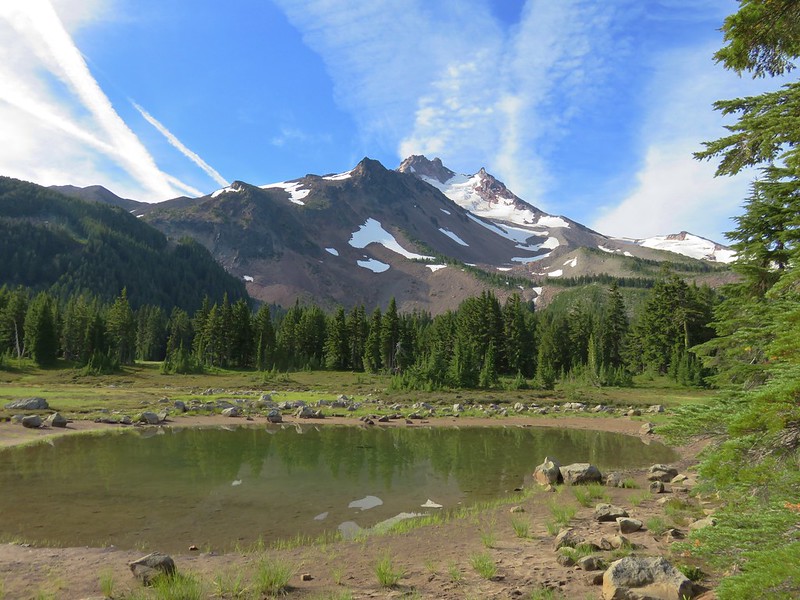
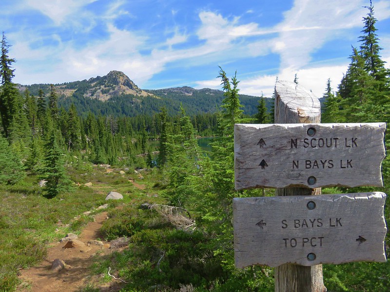
We stuck to the Pacific Crest Trail ignoring the signed trails to Bays and Scout Lakes as we headed for Russell Lake at the far end of Jefferson Park. Along the way we passed a small pond that gave another good example of the difference a year can make.

2015
Pond in Jefferson Park

2016
Mt. Jefferson from Jefferson Park

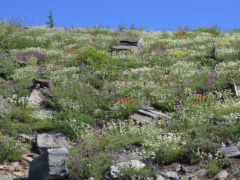
Patches of paintbrush dotted the meadows along the way providing beautiful scenes.
Mt. Jefferson from Jefferson Park

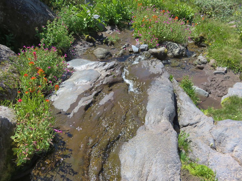
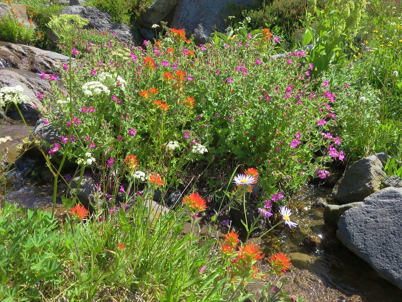
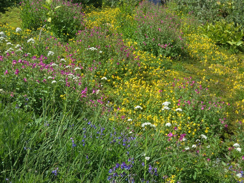
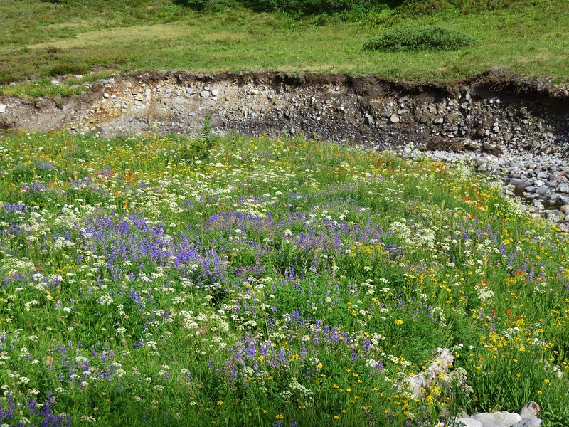
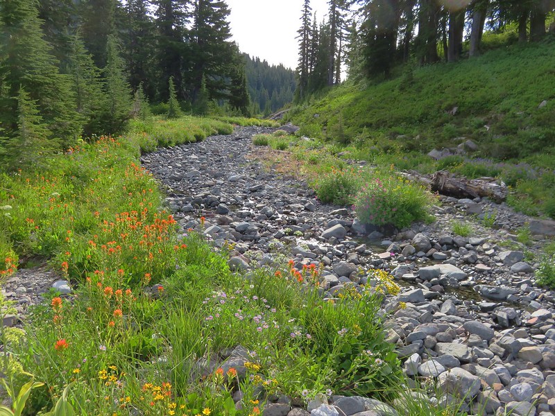
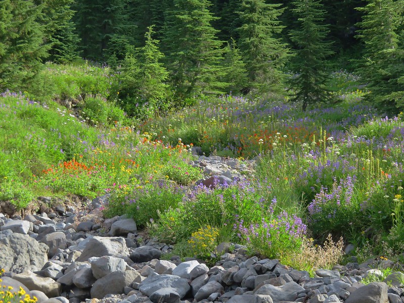
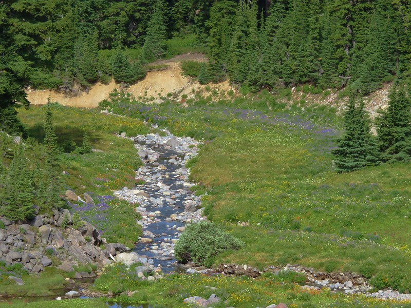
We followed the PCT to the South Breitenbush River which was lined with wildflowers.
Wildflowers along the South Brietenbush River

Wildflowers along the South Brietenbush River

South Brietenbush River

Wildflowers along the South Brietenbush River

Wildflowers along the South Brietenbush River

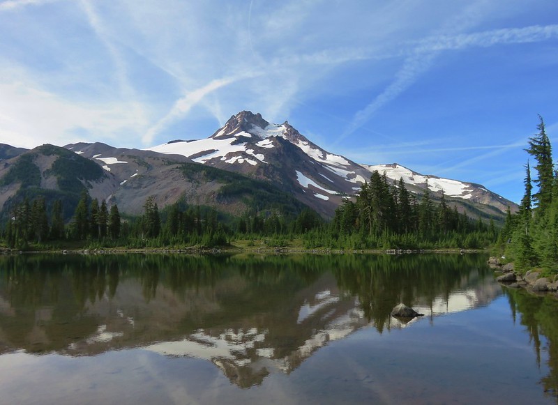
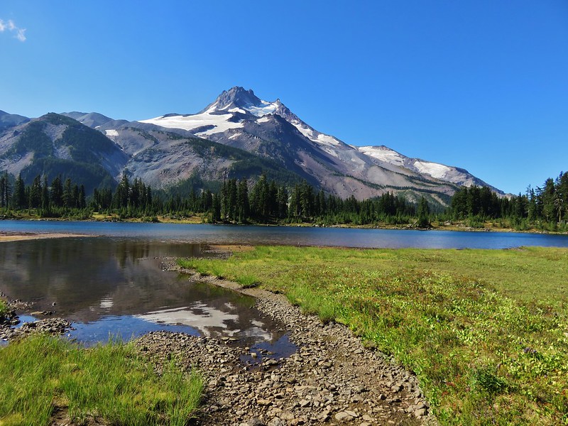
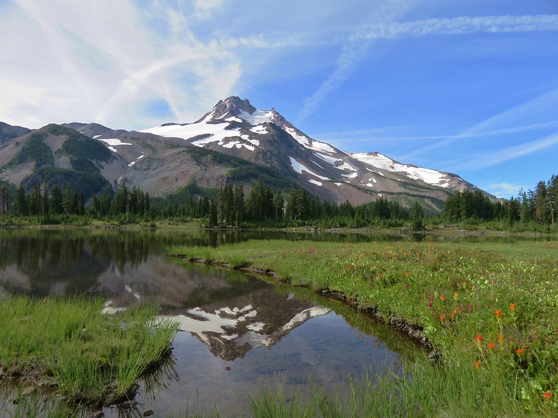
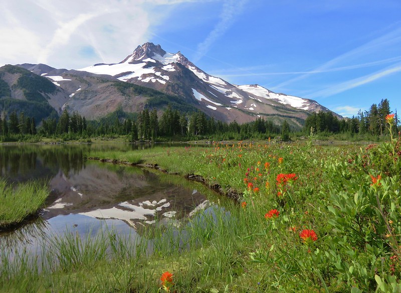
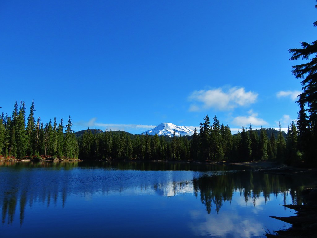
We turned off the PCT and crossed the river to Russell Lake where Mt. Jefferson was reflecting nicely.
Mt. Jefferson from Russell Lake

Once again the difference in water level and flowers from the prior year was obvious.

2015
Mt. Jefferson from Russell Lake

2016
Mt. Jefferson from Russell Lake

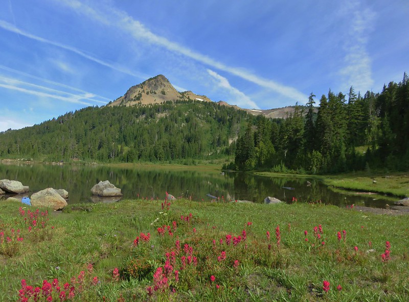
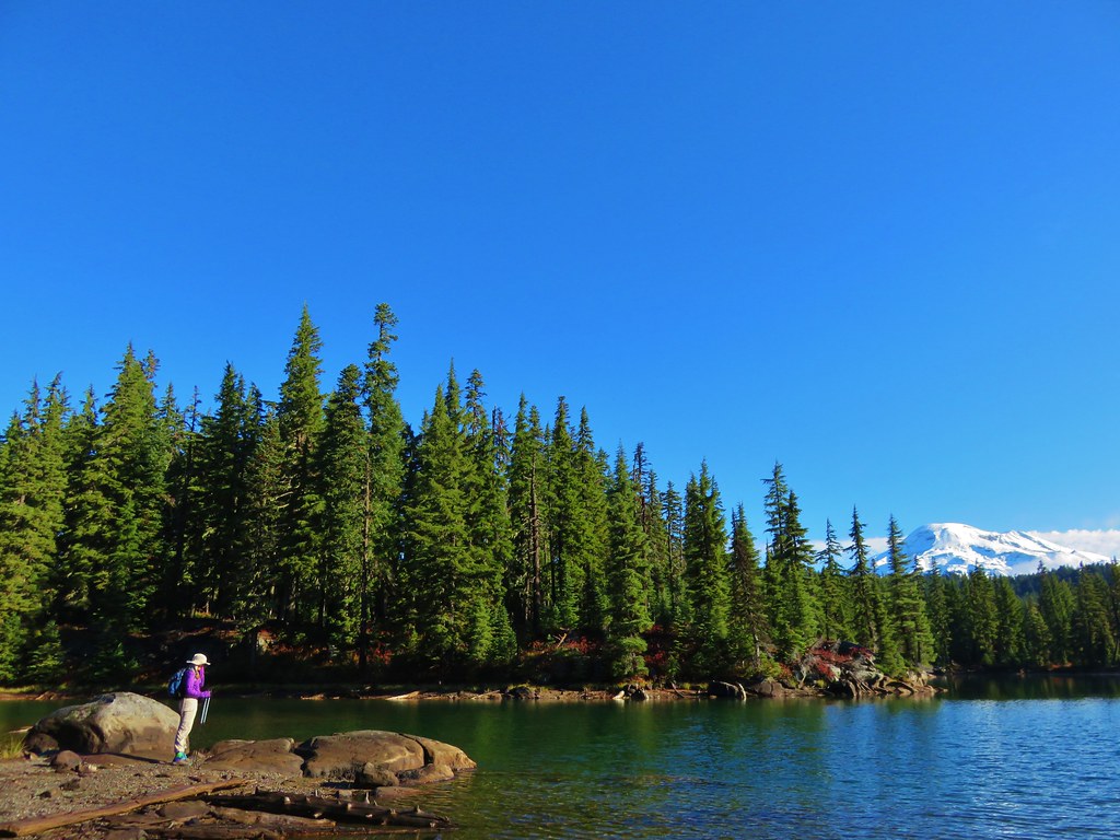
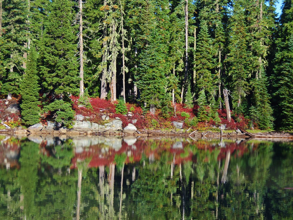
Patches of red paintbrush lined the lake as we made our way around its shore.
Mt. Jeffferson from Russell Lake

Paintbrush along Russell Lake

Park Butte from Russell Lake

After circling Russell Lake we returned to the Pacific Crest Trail and then turned down the South Breitenbush Trail.
Junction with the South Breitenbush Trail

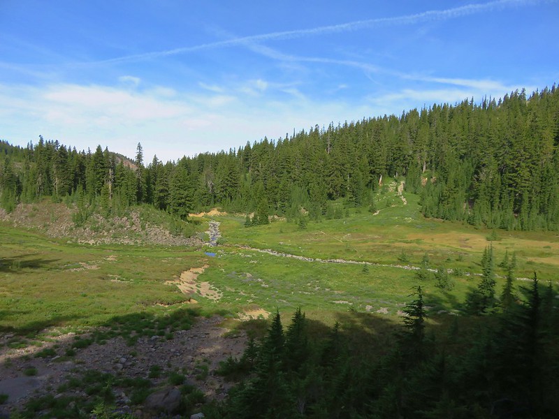
We followed this trail to a meadow overlooking the river.
South Breitenbush River

Wildflowers along the South Breitenbush River

Wildflowers along the South Breitenbush River

At a rock cairn in the meadow we turned left and headed up a small hill to Park Lake.
Trail to Park Lake

Mt. Jefferson from Park Lake

From Park Lake we followed a trail along a dry creek bed up to Rock Lake.
Mt. Jefferson from Rock Lake

After passing by Rock Lake we crested another small hill and arrived at Bays Lake.
Mt. Jefferson from Bays Lake

We left Bays Lake after a short rest and headed toward Scout Lake passing a small unnamed lake along the way.
Mt. Jefferson from the lake between Bays and Scout Lakes

Park Butte and Scout Lake

Mt. Jefferson from Scout Lake

After visiting Scout Lake we returned to the PCT and headed out of Jefferson Park. We arrived back at the Russell Creek crossing at 11:15am and found that there hadn’t been much change in the water level yet.
Russell Creek Crossing

The butterflies were out now though.
Skipper

Fritillary butterfly on yarrow

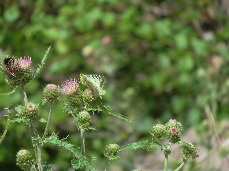
Butterfly on thistle

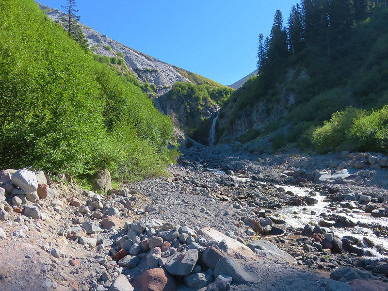
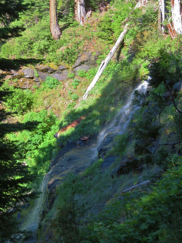
After recrossing the creek we began watching for a spot to leave the PCT in order to bushwack down to a view of Russell Creek Falls. This waterfall was on my radar based on a report by a fellow hiker and avid waterfall hunter. He had warned of a steep cliffy approach so we weren’t sure if we’d be successful or not. I had done some preliminary scouting using Google Maps and a topographic map to find what had looked like the most suitable ridge to head down. Just off the trail we found an old campsite and then plunged into the forest.
Bushwack to a view of Russell Creek Falls

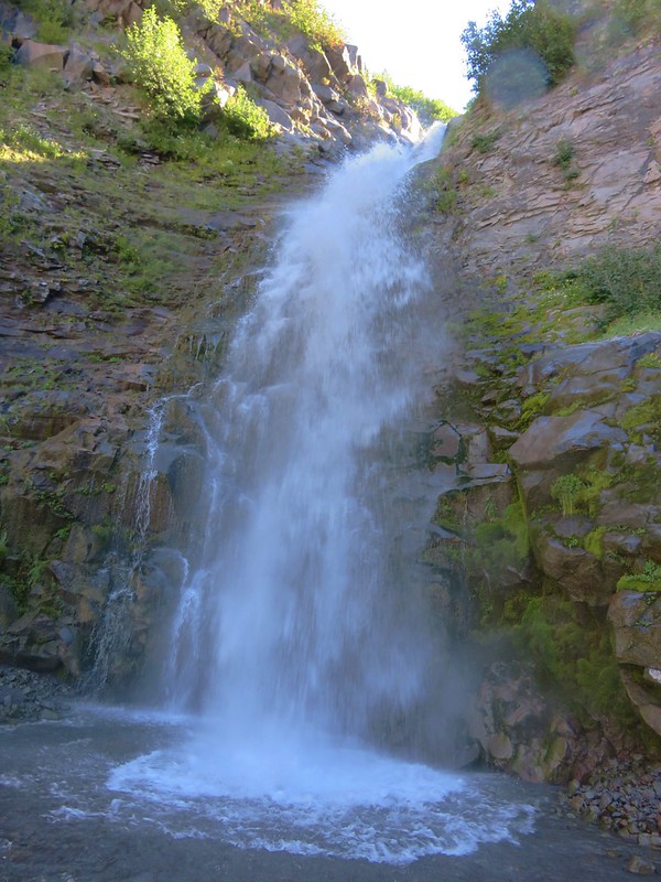
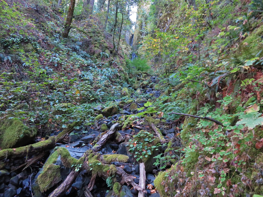
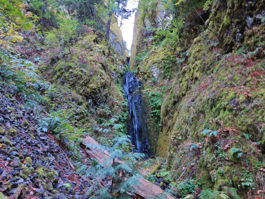
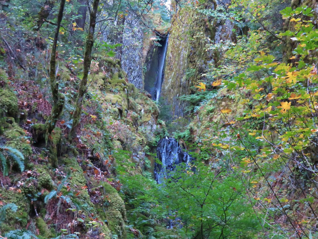
The ridge was indeed extremely cliffy on the Russell Creek side so we began fighting our way through the brush on the opposite side. We were glad that at least there weren’t any rhododendron plants at that elevation. As we continued down we kept looking for a way back toward the creek but the terrain and forest pushed us further away. After getting quite a ways downstream from the falls we found what appeared to be a possible gully. I began to work on finding a way down but it was very steep and after struggling and slipping twice I began looking to see if we could side hill back upstream. That wasn’t going to happen due to the cliffs lining the creek. I climbed back up to where I had left Heather and we adjusted our plan. We headed back upstream sticking as close to the top of the ridge as possible hoping to get some sort of view of the falls. We managed to find another gully closer to the falls where another steep descent brought us to a view halfway down the cliffs.
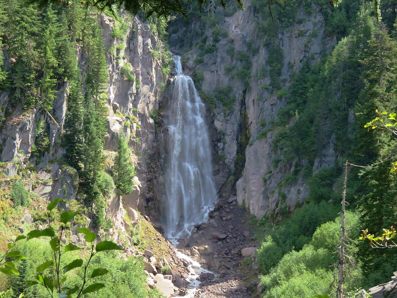
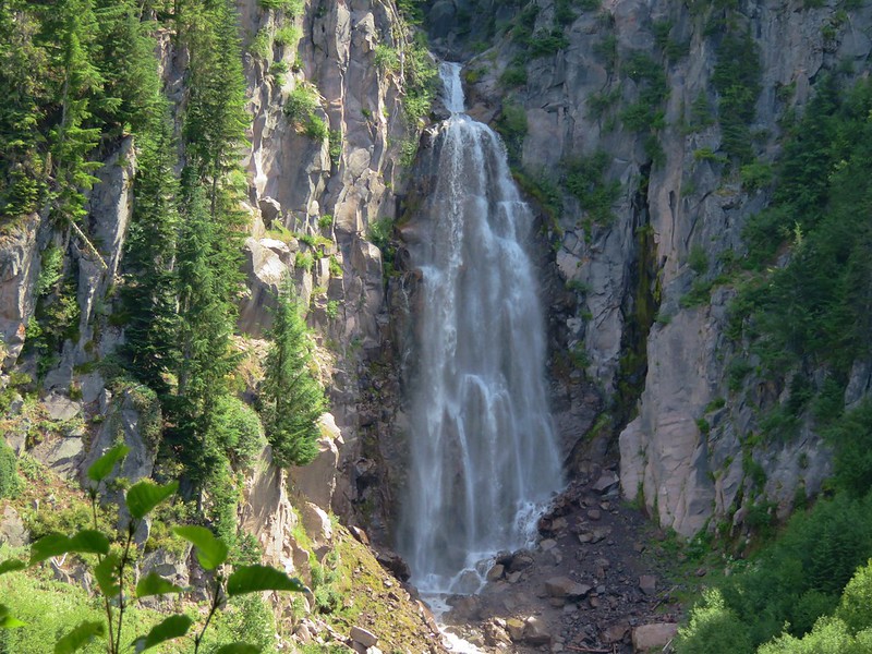
Russell Creek Falls

Russell Creek Falls

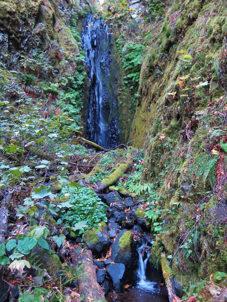
Russell Creek Falls

There wasn’t any way down from the view that looked even close to safe so we declared victory here and took a break before climbing back up to the PCT. The 151′ waterfall was indeed impressive but we can’t recommend attempting to see it. The steep slopes and abrupt cliffs make this a difficult and dangerous goal.

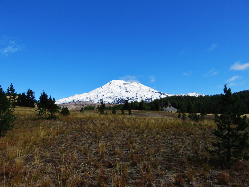
After fighting our way back to the PCT we headed for the Woodpecker Ridge Trail saying goodbye to Mt. Jefferson as we passed the pond.
Mt. Jefferson from a pond along the Pacific Crest Trail

We made it back to the car after a total of 15.5 miles. I thought I had escaped relatively unscathed after the bushwacking adventure but after changing into a pair of shorts I was ambushed by an evil yellow jacket (or jackets) and received a pair of stings on my leg. Those things are just plain mean.

Happy (yellow jacket free) Trails!

Flickr: https://www.flickr.com/photos/9319235@N02/albums/72157672410754435

Categories
High Cascades Hiking Mt. Hood Area Oregon Trip report

Buck Peak

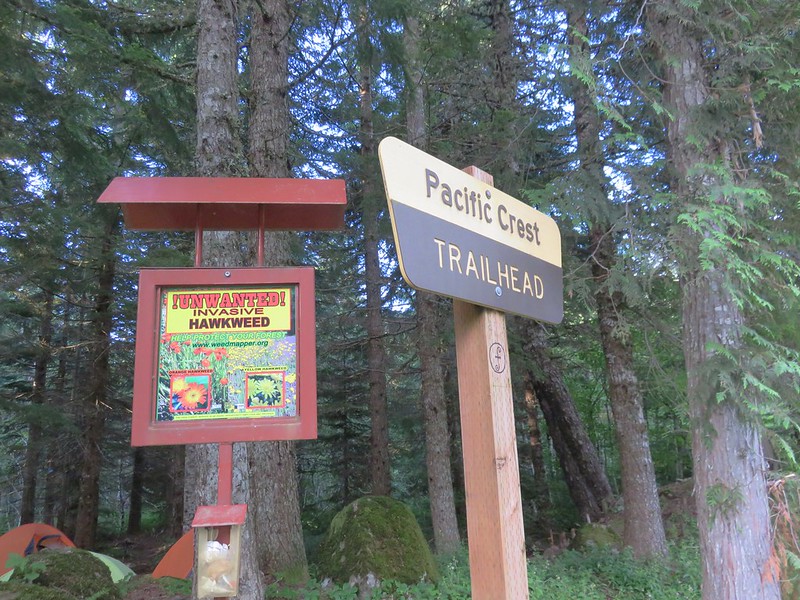
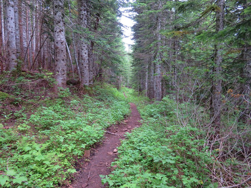
A week out from our somewhat cloudy visit to the Mount Margaret Backcountry we found ourselves heading back into the clouds on the Pacific Crest Trail. Our goal for the day was the viewpoint atop Buck Peak which is just off the PCT to the NW of Lost Lake in the Mt. Hood National Forest. We began our hike at the Pacific Crest Trailhead at Lolo Pass.
IMG_2482

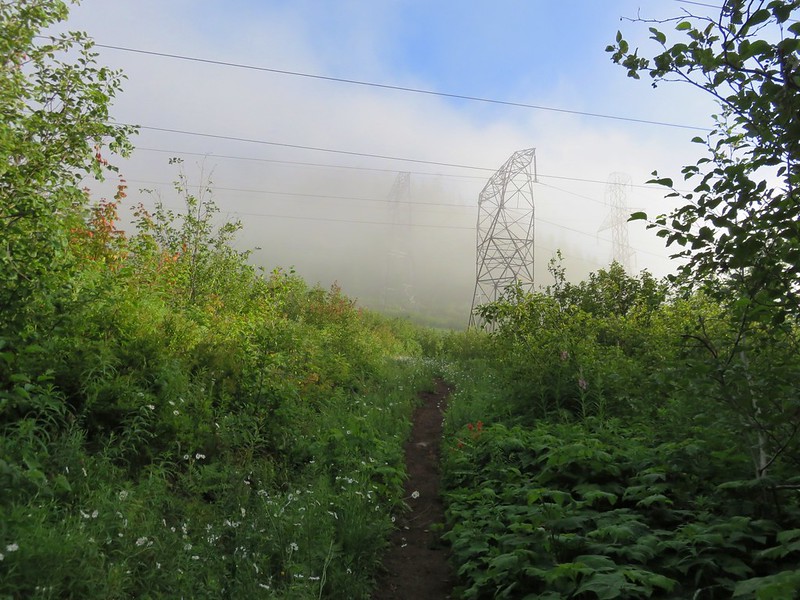
We headed north on the PCT which quickly passed under some power lines where we met our first clouds.
IMG_2487

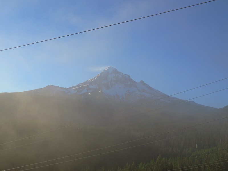
Looking back toward Mt. Hood from the power lines it looked like blue skies around the mountain.
IMG_2492

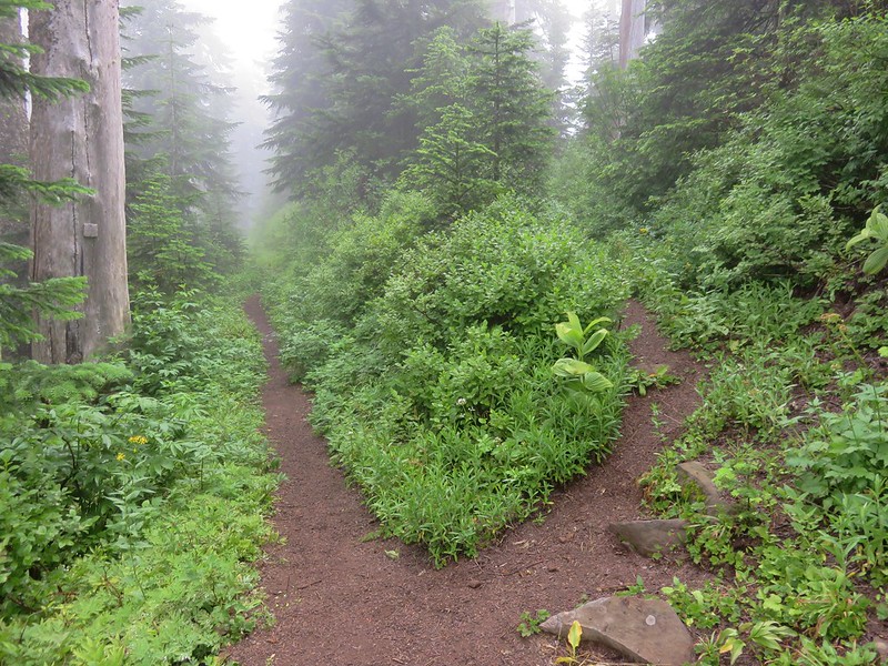
The PCT climbed gently up a ridge where we had a few views between the clouds that were passing over.
IMG_2498

IMG_2516

IMG_2533

IMG_2530

IMG_2538

A decent variety of flowers could be found along the more open portions of the trail.
Rhododendron
IMG_2493

Pink pyrola
IMG_2496

Tiger lilies
IMG_2506

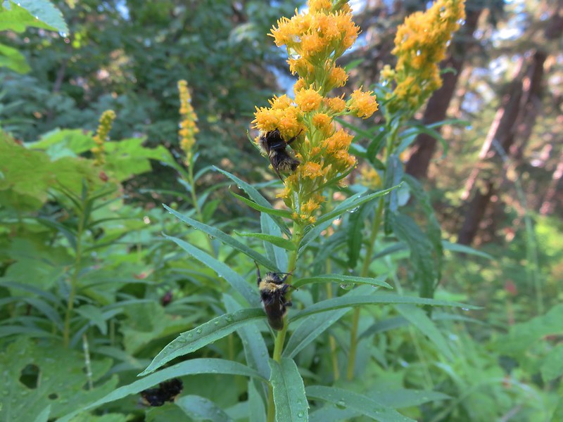
Bees on goldenrod
IMG_2512

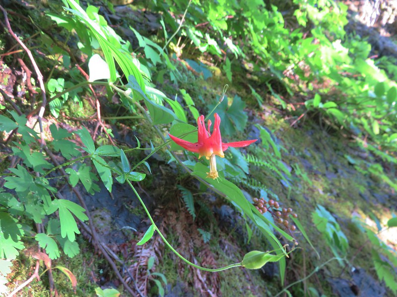
Columbine
IMG_2520

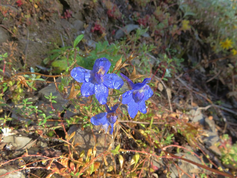
Larkspur
IMG_2523

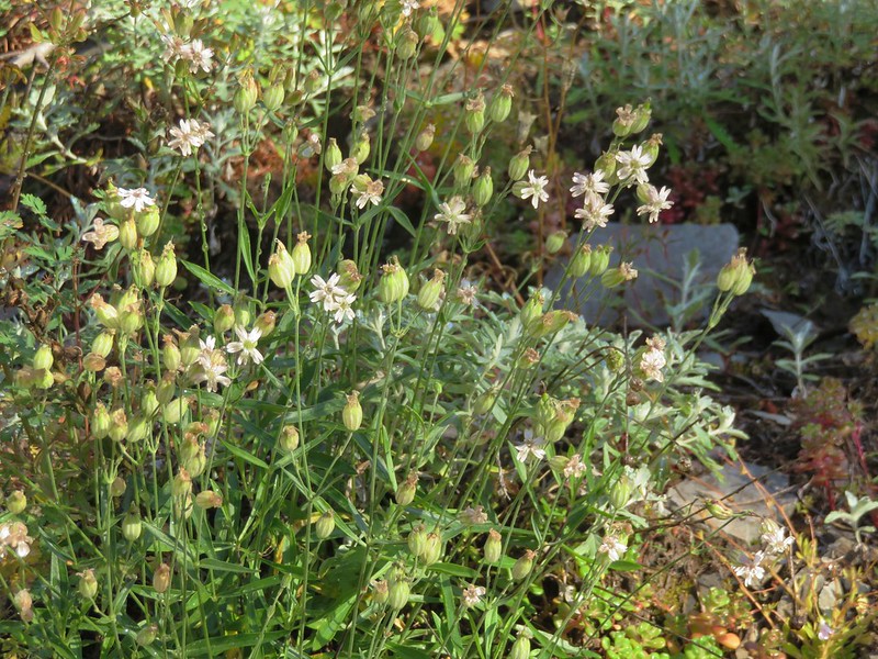
Catchfly
IMG_2526

Oregon sunshine
IMG_2529

Lupine
IMG_2541

Penstemon
IMG_2544

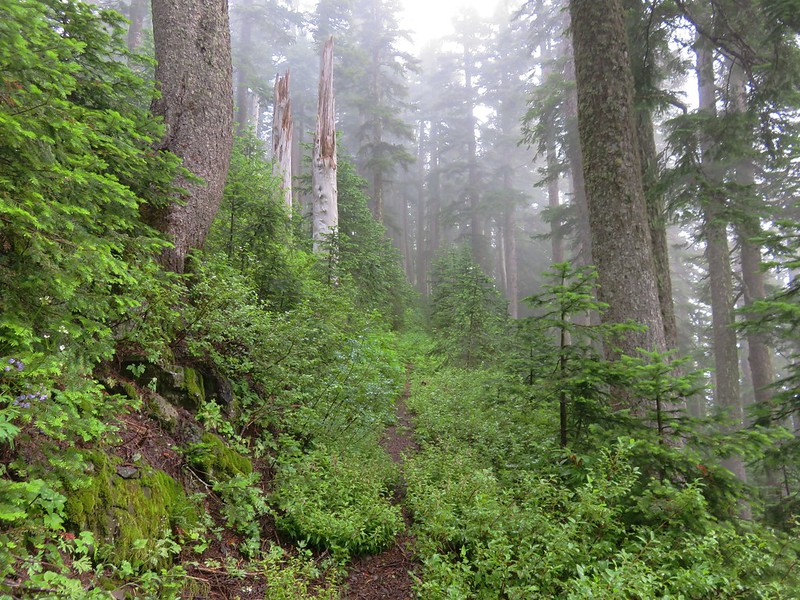
The trail soon entered the trees where it remained for the majority of remainder of the hike to Buck Peak. The forest was full of huckleberries and some salmonberries.
IMG_2545

IMG_2548

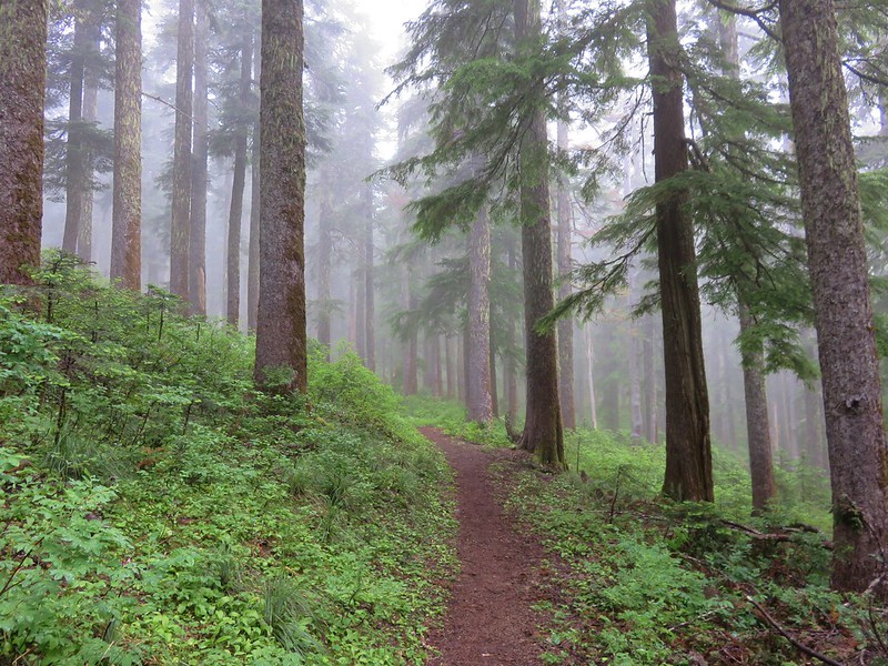
It was increasingly foggy as we gained elevation.
IMG_2552

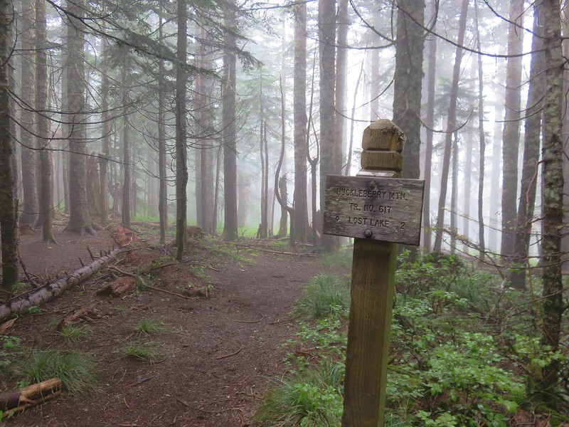
Approximately 4.5 miles from Lolo Pass we arrived at a junction with the Huckleberry Mountain Trail which led down to Lost Lake.
IMG_2553

We continued on the PCT passing a spur trail to Salvation Spring and heading further into the clouds. There were a number of downed trees across the trail after the Huckleberry Mountain junction but nothing impassable. With the forest and the clouds, views were few but we did get a couple of glimpses of Lost Lake along the way. The majority of the time we were just looking at the different flowers along the way.
Beargrass
IMG_2553

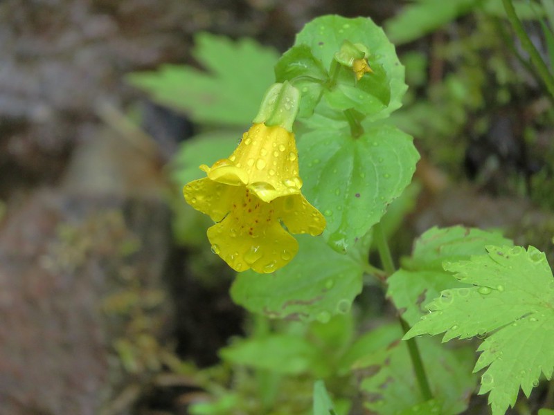
Monkeyflower
IMG_2556

Parrot’s beak lousewort
IMG_2557

False hellbore
IMG_2561

IMG_2561

Coralroot
IMG_2568

IMG_2586

The trail to Buck Peak was unsigned but easy to spot as it split up and to the right from the PCT.
IMG_2590

The trail was a little brushy and the clouds had left the plants rather damp which in turned soaked us pretty quickly.
IMG_2591

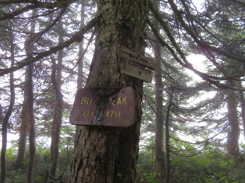
After a half-mile on the Buck Peak Trail we arrived at the signed summit.
IMG_2594

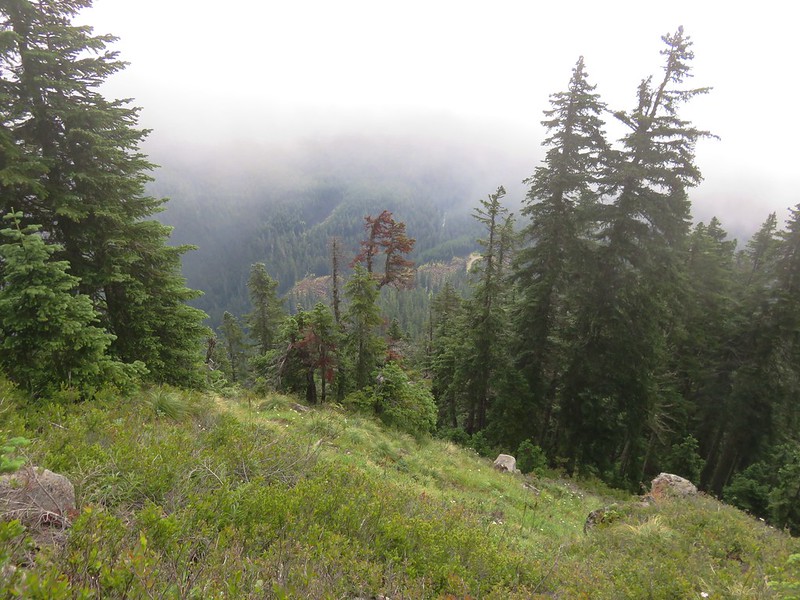
The panoramic viewpoint of several Cascade Mountains was on the fritz and we were lucky to get a couple of looks at Lost Lake below.
IMG_2599

IMG_2603

IMG_2605

We sat on the rocky viewpoint for awhile watching the clouds pass over hoping to wait them out but finally decided it could be hours before the view cleared and headed back down. Things had already cleared up some along the PCT and the views were starting to open up as we made our return trip.
Lost Lake Butte above Lost Lake
IMG_2619

IMG_2622

Buck Peak still in a cloud.
IMG_2624

Eventually the sky had cleared enough to provide some great views of Lost Lake, Mt. Hood, and even Mt. Adams in Washington.
IMG_2630

IMG_2641

IMG_2653

The butterflies had come out in the afternoon and as we passed the rockier section of trail they were busy pollinating the flowers.
IMG_2665

IMG_2676

Mt. Hood loomed large as we passed under the power lines and finished up our hike.
IMG_2674

The hike was over 15 miles round trip but really didn’t feel that long. The approximately 1500′ of elevation gain was gradual and spread out nicely. One item to note is that this section of the PCT and the Buck Peak Trail are in the Bull Run Watershed Management Area which is the primary source of drinking water for Portland and is closed to the public. Hikers are required to remain on the trails within the area’s boundary. Happy Trails!

Flickr: https://www.flickr.com/photos/9319235@N02/albums/72157671458188065

Categories
California Hiking Klamath Mountains Marble Mountains Trip report

Marble Mountain Wilderness Day 5 – Frying Pan Lake to Shackleford Trailhead

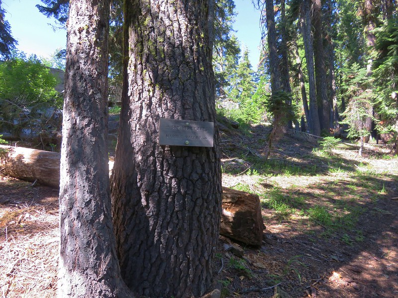
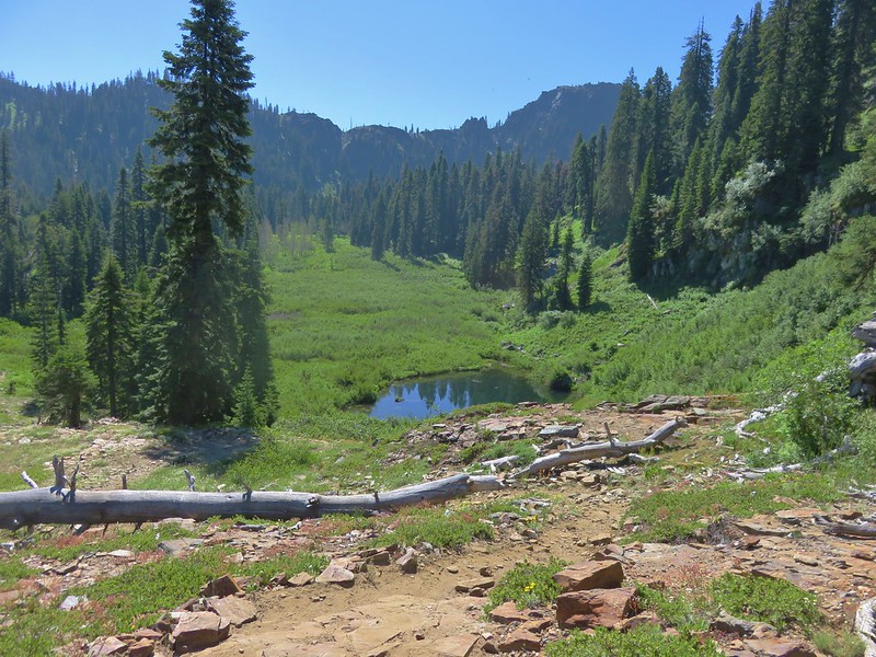
The final day of our Marble Mountain trip began with us packing up camp shortly after 5am followed by some coffee and granola for breakfast. We began hiking just after six climbing back up to the Pacific Crest Trail and saying goodbye to the Sky High Lakes.
IMG_0772

We followed the PCT back to the trail to Summit Lake and followed that trail down to the lake. Most of the blowdown was still over the trail, but the trees that we had been forced to go around at the beginning of this .7mi section of trail had been cleared. The trail crews had been busy and we’d see more evidence of recent maintenance all the way back to the trailhead.

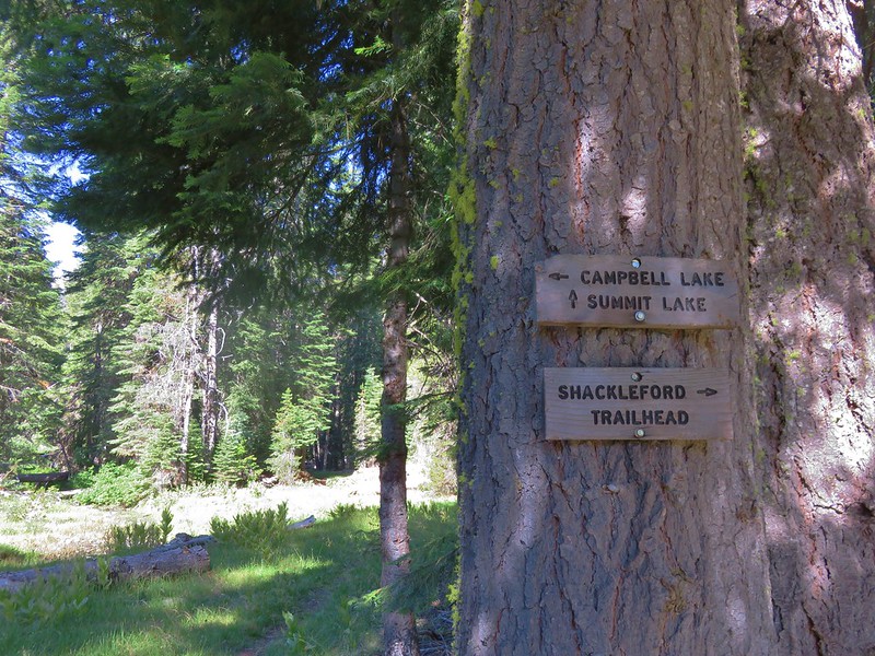
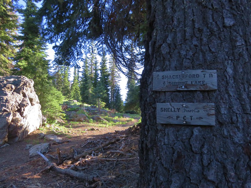
We stayed on the Shackelford Trail at Summit Lake. This was a section of trail we had not hiked on the first day so the scenery was new. We descended 1.6 miles to a junction with the Campbell Lake Loop Trail.
IMG_0812

IMG_0817

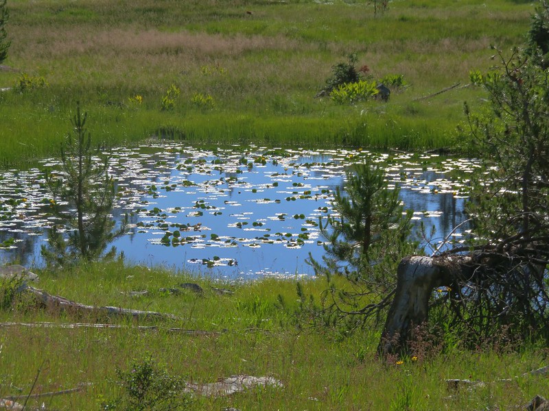
The next 1.2 mile section of trail passed through a meadow with a lily pad pond.
IMG_0821

IMG_0822

We then entered a forested section of the trail before reaching Log Lake where we found some nice bigelow sneezweed in bloom.
IMG_0829

IMG_0842

IMG_0828

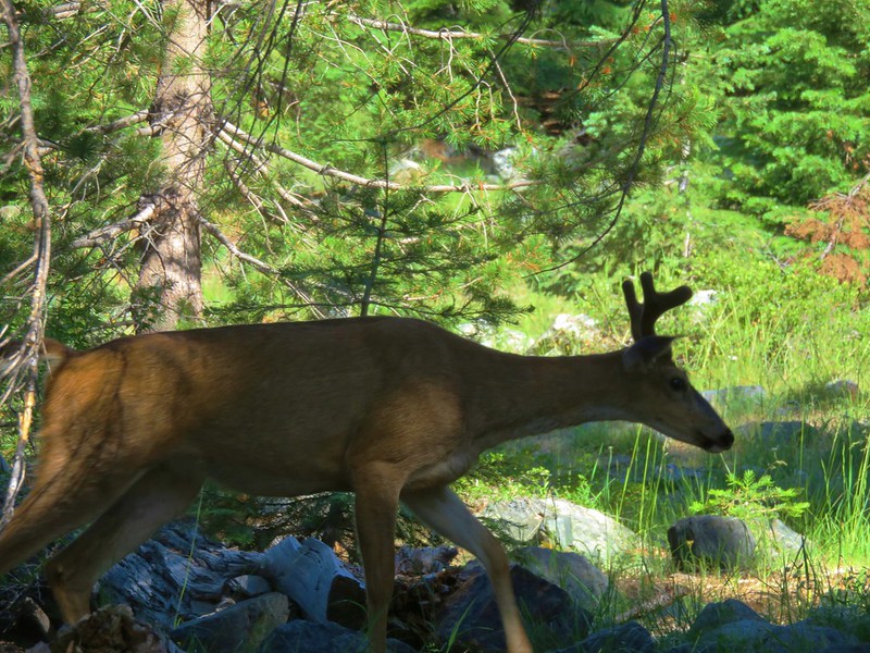
While we were resting at Log Lake a black tailed buck walked by on the trail. It appeared to be favoring it’s right rear leg.
IMG_0832

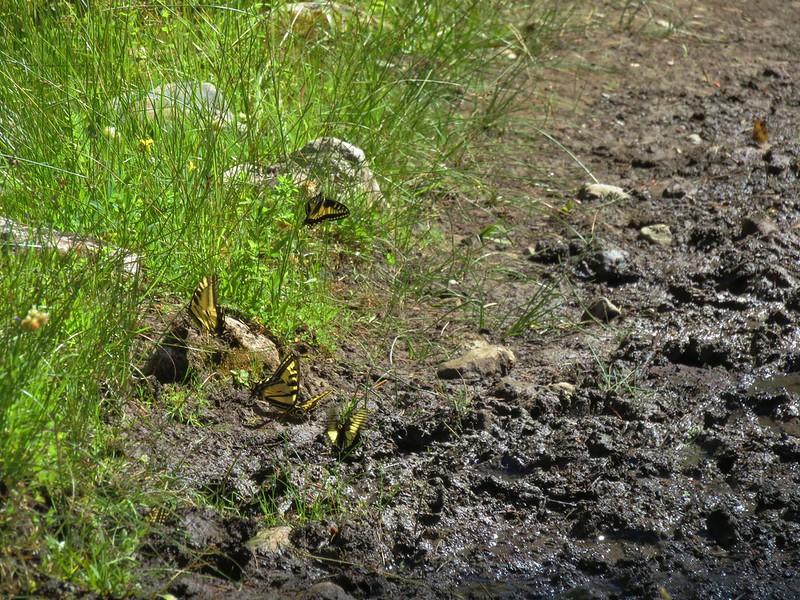
At the end of the 1.2 mile section we were back on familiar trail again just 2.8 miles from the Shackleford Trailhead. The butterflies were again plentiful in the meadows along this section, including around one particular muddy patch of trail.
Five swallowtails
IMG_0855

Various butterflies on the Shackleford Trail
IMG_0867

Not far from the trailhead we met a Wilderness Ranger and another Forest Service employee heading into the wilderness. They asked about our trip and seemed as surprised as we were that we had not seen any bears during the five days. We logged a total of 64 miles during our trip and saw plenty of other wildlife. In addition there were plenty of wildflowers and all around amazing scenery. The Marble Mountains had not disappointed. Happy Trails!

Flickr: https://www.flickr.com/photos/9319235@N02/albums/72157669884816212

Categories
California Hiking Klamath Mountains Marble Mountains Trip report

Marble Mountain Wilderness Day 4 – Red Rock Valley & Marble Rim

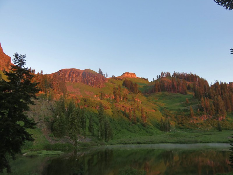
We woke to nature’s alarm clock on Thursday. Birdsong was coming from a vast variety of birds. A soft morning light was falling in the valley and we watched as the bright sunshine made its way down the mountain sides.
It was going to be another warm day and we were happy to be free of our large packs for a day.
IMG_0469

IMG_0473

After breakfast we threw on our day packs and hiked around the far side of Frying Pan Lake and headed back out of the valley eventually picking up the trail we’d come in on the previous day.
IMG_0478

IMG_0483

We came to a junction where the right hand fork led back up to the Marble Valley Shelter.
IMG_0497

From that point we had another 3.3 miles to go to reach the Red Rock Valley Trail. We soon crossed a branch of Canyon Creek below a small cascade and above a nice little waterfall that was difficult to get a good view of.
IMG_0508

IMG_0511

This portion of the Canyon Creek Trail crossed a couple of other side streams as it gradually descended through the forest towards the Lovers Camp Trailhead.
IMG_0514

IMG_0519

IMG_0520

When we reached the Red Rock Valley Trail junction we turned right and quickly found ourselves at a bridge-less crossing of Canyon Creek.
IMG_0523

IMG_0525

We didn’t feel like fording the creek and soaking our shoes this early in our hike so we found a way across on some rocks and debris. The trail then began to climb up and around a ridge end.
IMG_0526

When we finally came around the ridge we were suddenly in a different forest. Ponderosa pine trees replaced the Douglas firs along Canyon Creek.
IMG_0529

IMG_0530

On the way down the Canyon Creek Trail we’d been discussing the fact that we hadn’t seen any large wildlife other than the lone doe near Paradise Lake on the second morning of our trip. We’d seen signs of deer and bear all over the place so we were surprised at the lack of sightings. Coming up the Red Rock Valley Trail that started to change when a doe and her fawns ran up the trail in front of us.
IMG_0533

We took a break to let them put some distance between us, then continued on. The trail soon left the drier forest and entered a series of meadows.
IMG_0537

The meadows didn’t have quite as many flowers as those along the Shackleford Trail, but there were some and with the open views we could see the red peridotite bedrock that gave the valley its name.
IMG_0543

Checkmallows
IMG_0549

Lupine
IMG_0550

Checkerbloom
IMG_0563

Cascade calicoflower
IMG_0569

IMG_0578

IMG_0580

IMG_0591

Tiger lilies
IMG_0585

IMG_0595

The trail continued to climb up through the open meadows as the day grew warmer. The further up the valley we went the steeper the trail became as well. As we trudged up the valley we began to think that doing the loop in the opposite direction might have been a better idea since the climb would have been along the forested Canyon Creek Trail providing some protection from the Sun. With our minds elsewhere we were startled by a grouse hen and her chicks noisily taking flight. They disappeared quickly and left us startled on the trail.

Nearly 4 miles along the Red Rock Valley Trail we reached the small unnamed lake at the head of Red Rock Creek. There were more tents here than we’d seen in the Sky High Valley which we found a bit perplexing.
IMG_0601

As we were passing by the lake Heather spotted a strange looking large insect which turned out to be a wood wasp.
IMG_0604

From the lake the trail really launched uphill for the final climb up to the PCT.
IMG_0605

A distant Mt. McLoughlin came into view on the way up.
IMG_0618

Once we were back on the PCT we were on familiar trail having hiked this section on the way to Paradise Lake two days earlier. The flowers were still wonderful and a new addition this time was another grouse hen and her chicks.
IMG_0631

After 2.2 miles on the PCT we arrived at the 3-way junction with the Big Elk Lake and Marble Rim Trails. This time we headed straight on the Marble Rim Trail climbing a wildflower lined ridge.
IMG_0643

IMG_0649

IMG_0652

IMG_0662

As we climbed a doe darted across the trail ahead of us and vanished over the ridge.
IMG_0664 (2)

The trail passed through a couple of small stands of trees but for the most part remained in open meadows gaining views of the Marble Mountains and Trinity Alps.
IMG_0670

IMG_0680

IMG_0681

Wildflowers were everywhere in the meadows.
IMG_0677

IMG_0694

Our goal was a marble cliff that we’d seen from the PCT which offered a dramatic view of the Marble Mountains.
IMG_0699

IMG_0703

IMG_0704

We also had a nice view of the south side of Kings Castle which we’d climbed up two days earlier and of Preston Peak in the Siskiyou Wilderness.
IMG_0705

IMG_0710

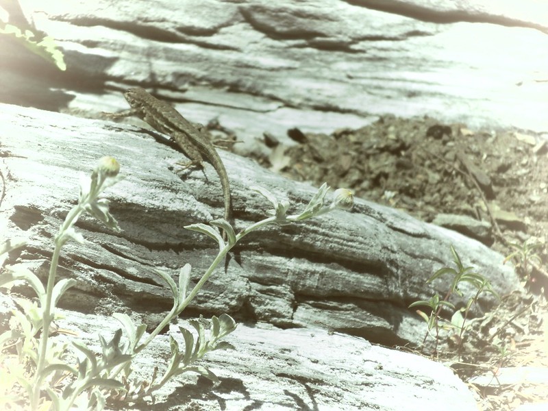
On the way back down to the PCT we were seeing lizards scurrying everywhere, but the only pictures I was able to get was of one hiding behind some grass and another with the camera on some weird effects setting.
IMG_0716

IMG_0724

Once we were back on the PCT we had to backtrack a half mile to the Sky High Lakes Trail. This trail went up and over the ridge then dropped down to the Sky High Lakes. We’d been looking forward to taking this trail to find out the route that it took. We had not been able to tell from the lakes exactly where the trail was located even though we knew the general area.
IMG_0738

IMG_0739

IMG_0740

IMG_0744

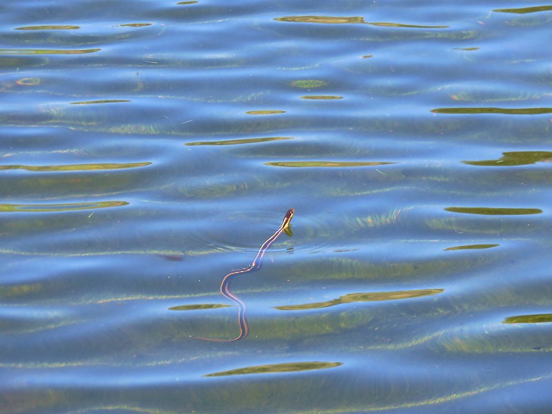
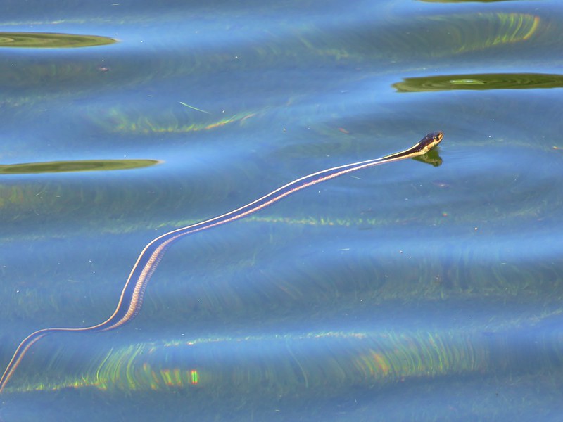
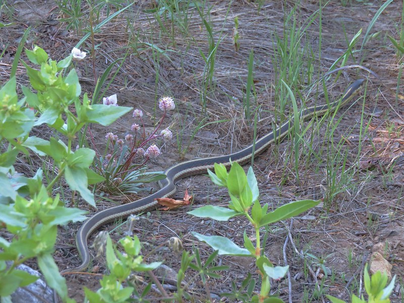
After returning to camp we grabbed our chairs and headed back down to Frying Pan Lake. Heather was sitting on a rock letting her feet soak when I looked over and noticed something in the water. At first I though it was either a newt or tadpole coming up for air, or some dragon flies that had landed on the water. Then I noticed a long tongue sticking out and realized it was a garter snake swimming around.
IMG_0753

IMG_0757

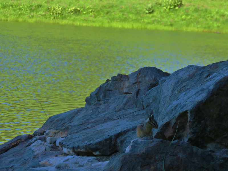
Heather decided that was enough of being in the water and surrendered her rock to a chipmunk.
IMG_0759

We went to sleep that night knowing we’d be hiking out the next day. It was a bittersweet feeling knowing our trip was almost over but also feeling a little excited to eat some cheap fast food, take a shower, and see our cats. Before we could do any of that we needed to fall asleep though and to do that we needed the little bee that had seemingly become obsessed with Heather to stop buzzing outside our tent. Happy Trails!

Flickr: https://www.flickr.com/photos/9319235@N02/albums/72157669916059431

Categories
California Hiking Klamath Mountains Marble Mountains Trip report

Marble Mountains Wilderness Day 3 – Paradise Lake to Sky High Lakes

After being serenaded all night by the frogs around Paradise Lake we woke to the sounds of happy birds singing at the morning’s first light. I got out the tent and wandered around for a bit spotting a doe near the meadow full of shooting star flowers. It was still too dark to get a picture so I just watched her nibble at the plants as she walked north along the PCT.

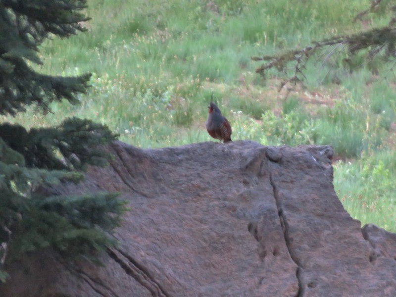
As the sun light began to reach Kings Castle we heard a loud bird calling from behind our campsite. It turned out to be a mountain quail, a bird I had only seen in pictures. It was still too dark to get a clear picture of him.
IMG_0249

IMG_0258

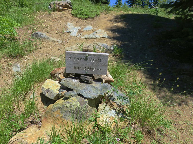
We had originally planned on continuing north along the PCT then going down to either Bear or Tuck Lake but after hiking over 15 miles on the previous day and being pretty wiped out by the heat and cumulative elevation gain we decided we were going to see enough lakes during our trip. After breakfast we packed up and headed south on the PCT retracing our steps back to the Marble Valley Shelter. It was shaping up to be a hot day and we were already feeling the effects of the heat when we reached Box Rock Camp. We took a break there before continuing. At the shelter we took yet another break then set off on the Canyon Creek Trail before following a pointer for the Sky High Lakes.
IMG_0286

We continued toward the Sky High Lakes for almost 2 miles passing small Gate Lake and entering the meadows of Sky High Valley.
IMG_0304

IMG_0317

IMG_0318

IMG_0322

IMG_0325

IMG_0326

We spotted the Sky High Shelter along the way which we would visit later after finding a camp site.
IMG_0327

IMG_0332

It was humid in the meadows which added to the heat from being exposed to the Sun and we were anxious to get our packs off. The first lake we arrived at was Lower Sky High Lake.
IMG_0341

IMG_0344

We followed the trail along the lake passing one possible camp site and another that was occupied.
IMG_0345

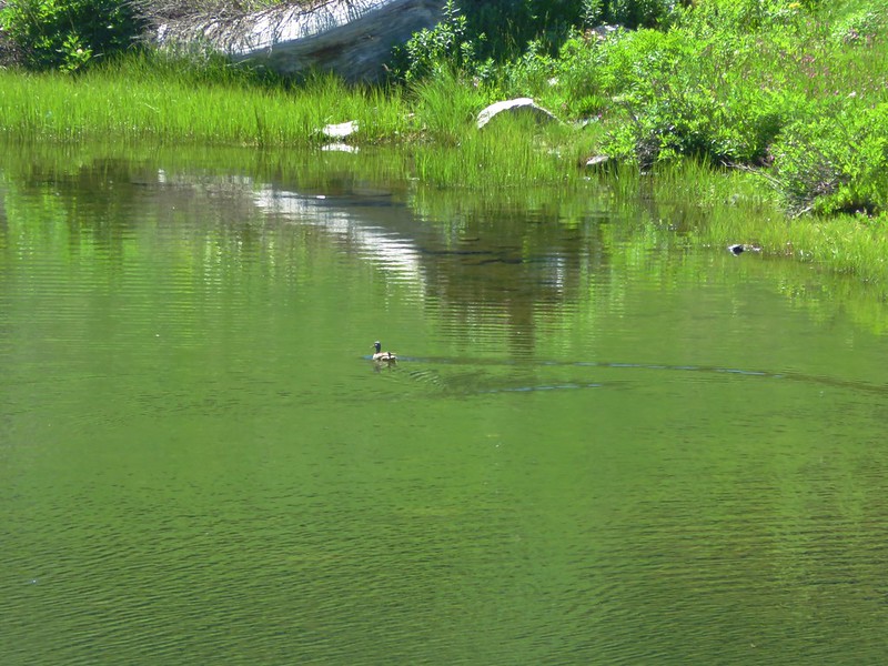
Next up was Upper Sky High Lake. There weren’t any sites along this lake but there were some nice trout, some newts, and a duck in the lake.
IMG_0350

IMG_0354

The final lake in the valley was Frying Pan Lake (named after its shape).
IMG_0367

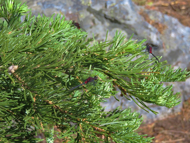
The smallest of the lakes this one was swarming with dragon flies.
IMG_0361

We found a spot for our tent on a small hill east of the lake.
IMG_0370

IMG_0375

We had camp set up before 11:30am and spent the rest of the day relaxing and exploring the area around the lakes. There weren’t many mosquitoes to speak of except for in the thicker stands of trees so we were able to really enjoy the scenery and wildlife.
IMG_0373

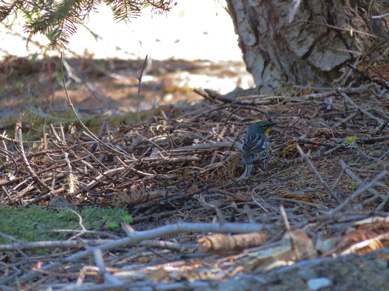
Yellow-rumped warbler
IMG_0381

IMG_0387

IMG_0394

Grand collomia
IMG_0399

Mariposa lilies
IMG_0404

Western tanager
IMG_0414

Sky High Shelter
IMG_0418

Black Marble Mountain from the Sky High Shelter
IMG_0419

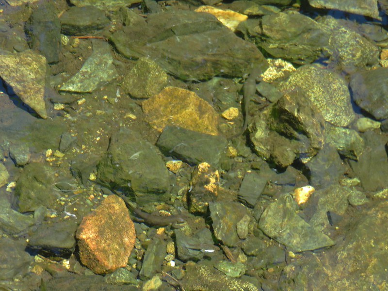
Fish in the outlet creek of Lower Sky High Lake
IMG_0424

Newts in the outlet creek
IMG_0426

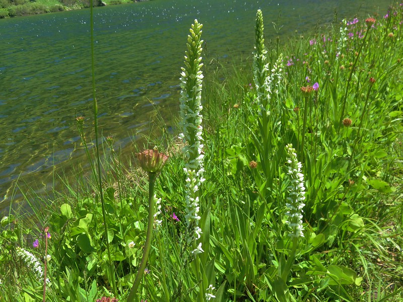
Bog orchids
IMG_0431

IMG_0444

Dragon flies near Frying Pan Lake
IMG_0456

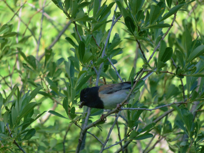
Junco
IMG_0459

IMG_0465

Shooting stars along Frying Pan Lake
IMG_0440

The afternoon turned out to be the cloudiest it would be during our whole trip.
IMG_0435

We turned in that night well rested and looking forward to a day of hiking without our full packs on Thursday. It was quiet that night and we were awoken by the sound of something running nearby our campsite and a little later I heard something splash into Frying Pan Lake and move around in the water for a bit. Finally a frog began to croak and a few others joined in helping me fall back asleep. Happy Trails!

Flickr: https://www.flickr.com/photos/9319235@N02/albums/72157670427784056

Categories
California Hiking Klamath Mountains Marble Mountains Trip report

Marble Mountain Wilderness Day 2 -Summit Lake to Paradise Lake

We began our second day in the Marble Mountain Wilderness by waking up early and watching the morning sunlight hit the cliffs above Summit Lake.
IMG_9695

We had originally planned on eating breakfast on the rocks at the north end of the lake, but more hikers had arrived the night before and someone had set up camp there. The mosquitoes were out and Heather had quite a few bites already so after packing up camp, setting out just after 6am, we decided to have breakfast somewhere on the trail.

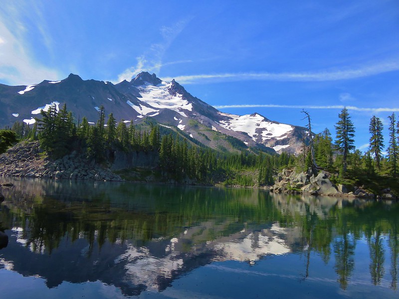
We were headed for the Pacific Crest Trail, a .7 mile climb from the lake. The trail began on the west side of the outlet creek and was obscured by some blowdown. There was a fair amount of it along this section of trail but nothing that was too difficult to get around. The scenery along the trail was beautiful alternating between forest and meadows.
IMG_9700
IMG_9705

Near the top of a series of switchbacks we stopped to cook breakfast on a large rock outcropping next to a meadow that could have passed for a lawn.
IMG_9713

IMG_9707

The rocks offered views and wildflowers as well as some protection from mosquitoes.
IMG_9714

Sierran woodbeauty
Sierran woodbeauty

Lewis flax
IMG_9716

We climbed through another damp meadow with shooting star, marsh marigolds and western pasque flowers before reaching the junction with the PCT.
IMG_9723

IMG_9725

IMG_9727

IMG_9722

IMG_9736

We reached the PCT junction just in time to meet a thru-hiker on his way to Canada. We couldn’t help but be a little envious as he sped off with his lighter pack. We knew he lacked some of the luxuries we were carrying, but his seemingly effortless walk was a stark contrast to the labored climb we’d just made.

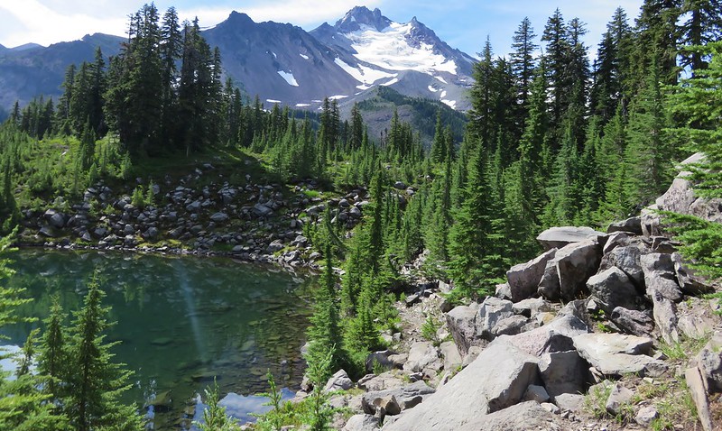
We were glad to be on the PCT and after a short break we started north toward Paradise Lake which was 10.3 miles away. The 3.5 mile section from where we had started to the junction with the trail to the Sky High Lakes was wonderful. Because the PCT sticks to ridgelines whenever possible it provides some good views and minimizes elevation changes. There were some areas where the trees had burned but there were lots of wildflowers along the way and other areas where the trees were not burnt.
IMG_9740
IMG_9759

IMG_9760

IMG_9764

Torrey’s blue-eyed mary and Jepson’s monkeflower
IMG_9765

Monument plant
IMG_9775

IMG_9785

Catchfly
IMG_9804

Ballhead sandwort
IMG_9808

Penstemon
IMG_9810

Oregon Sunshine
IMG_9812

IMG_9814

IMG_9831

IMG_9848

IMG_9850

IMG_9872

Trinity Alps in the distance.
IMG_9873

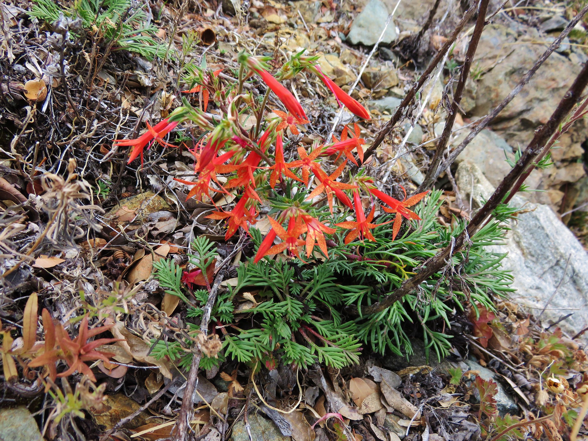
Scarlet gilia
IMG_9876

We had been considering staying at Shadow Lake on the 3rd and 4th nights of our trip so when we reached the signed trail for it, we decided to detour down to the lake to check it out.
IMG_9880

There had been a fire in the area at some point in the last few years and the trail was further north than our map or GPS showed it. We had already passed another spot where a second trail was shown on our maps without seeing any sign of it. This trail started out climbing up a ridge before beginning to descend down to Shadow Lake’s basin.
IMG_9881

IMG_9889

From the ridge we could see Frying Pan and Lower Sky High Lakes in the Sky High Lakes Valley which was below the basin that held Shadow Lake.
IMG_9891

We wound up turning back when we encountered a decently sized snow drift over the trail.
IMG_9898

We could see a little bit of the lake from there and just didn’t feel like it was worth it to attempt to navigate the snow given the steepness of the trail and having our full packs on.
IMG_9899

We would run into another couple the next day who did make it down and camp at the lake. They had found a way around the snow with the help of another gentleman but said that it was pretty “sketchy” so we were glad we had chosen not to continue.

Back on the PCT the flower show was only getting better as we approached the Sky High Lakes junction.
Buckwheat
IMG_9902

Blue Gilia
IMG_9904

Paintbrush
IMG_9906

Aster
IMG_9910

Nettle-leaf Giant-hyssop
IMG_9928

IMG_9937

IMG_9939

From the Sky High Lakes junction the PCT remained on the ridge for another .5 wildflower filled miles to a three way trail junction.
Orange agoseris
IMG_9946

Mountain coyote mint
IMG_9949

IMG_9961

IMG_9954

Grand collomia
IMG_9957

Penstemon lined trail
IMG_9958

Marble & Black Marble Mountains
IMG_9967

Washington lily
IMG_9969

Toothed owl’s clover
IMG_9978

At the junction the PCT headed downhill to the right toward Marble Valley. The trail to the left headed to Big Elk Lake while the Marble Rim Trail continued straight ahead. We were tentatively planning on hiking on the Marble Rim on Thursday but for now we stuck to the PCT.
IMG_9980

The PCT descended beneath the marble of Marble Mountain for 1.1 miles to the locked Marble Valley Shelter.
IMG_9983

IMG_9996

IMG_9997

IMG_9999

IMG_0001

IMG_0004

We took a break near the shelter before beginning the climb out of Marble Valley. The trail was fairly level as we passed the Marble Gap Trail on our left and crossed Canyon Creek. Then we began to regain the elevation we’d lost coming down into the valley. We began encountering patches of snow and glacier lilies below Black Marble Mountain.
IMG_0042

IMG_0044

Marble and meadows dominated the scenery as we continued north of Black Marble Mountain toward Box Rock Camp.
IMG_0056

IMG_0058

IMG_0061

IMG_0063

IMG_0064

From Box Rock Camp the trail climbed through more meadows to a junction with the Box Camp Trail at a saddle known as “Jumpoff”.
IMG_0065

Views to the south included the snowy peaks of the Trinity Alps.
IMG_0074

IMG_0082

IMG_0089

Views to north opened up here and we spotted the familiar Kangaroo Mountain and Red Buttes.
IMG_0090

IMG_0093

The PCT switchbacked down a couple of times before leveling out again. Patches of snow lingered on the trail in spots. Most were easily crossed or bypassed with one exception. One large, sloped drift extended quite a way downhill into the trees and required some careful maneuvering. Beyond that patch there was one other large snowfield over a creek but it was much more level and other hikers and created a nice track to follow across.
IMG_0097

Not long after that snowy creek crossing Kings Castle came into view.
IMG_0124

Our destination, Paradise Lake, lay below that peak and we were anxious to get there. It had been a beautiful day, but it was warm and we were pretty drained when we passed the Paradise Lake Trail coming up from the right.
IMG_0126

Our first impression of Paradise Lake was to wonder how it got it’s name. The setting was pretty impressive, but the lake itself was fairly shallow, a little muddy, and had some vegetation on the surface.
IMG_0127

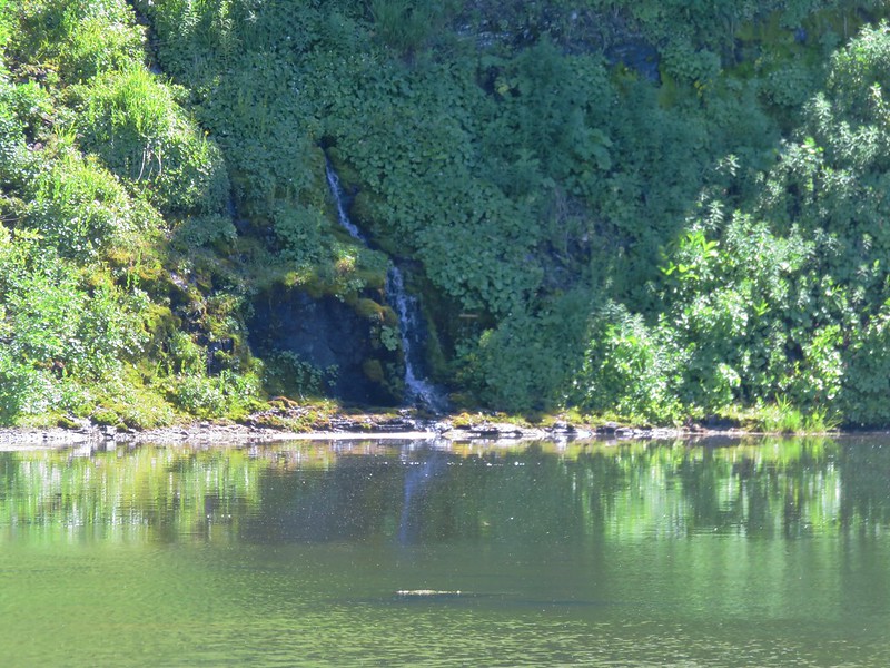
Despite the lake not being spectacular the area had some other nice features including a small waterfall cascading into the lake and a meadow full of shooting star.
IMG_0141

IMG_0134

IMG_0135

A nearby osprey indicated that there were fish in the lake.
IMG_0130 (2)

We picked out a camp site, pulled out our Alite Mayfly chairs and plopped down for a rest.
IMG_0139

We had originally planned on taking a climbers trail up to the summit of Kings Castle in the afternoon/evening, but we were having second thoughts after the long hot day of hiking. The longer we sat and looked at Kings Castle the higher it seemed to get.

We had passed the hikers who had made the tracks in the snowfield and they arrived and set up camp on the other end of the lake after we had settled in. Several thru hikers also passed by including one gentleman from France who stopped to take a picture of our campsite. He was attempting to document all the possible camp sites along the PCT. His impression of the lake was the same as ours, with a name like Paradise Lake he was expecting a lake with clear blue water.

We had almost talked ourselves out of attempting the climb up Kings Castle and were now thinking of trying it in the morning before we broke camp. We had not been able to definitively make out any trail heading up from the lake but after having dinner we decided to at least see if we could locate the climbers trail to see if it was even worth trying in the morning. We put our day packs on just in case and set off on a trail we’d seen across from the inlet creek at the south end of the lake. The trail led up a small hill then turned into a small stream. The other hikers had gone this way to the small waterfall where they had taken a swim earlier so we knew we could go further. We veered off the trail onto a rock shelf above the lake to bypass the flooded trail. Just before the stream that fed the waterfall we cut back through the brush to pick up the climbers trail.
IMG_0150

The climbers trail was faint but there were a few small cairns to help in locating it. Being just after 6pm, we knew we had enough light if we wanted to try and make the summit, so we sallied forth.
IMG_0156

We had to pass through a cloud of small bugs before starting the steep ascent to the ridge along the south side of Kings Castle.
IMG_0151

IMG_0152

IMG_0157

We lost and picked up the trail a couple of times until we hit a meadow on the steep slope below the ridge. Here the trail became clearer as it switchbacked up to a saddle.
IMG_0159

IMG_0165

IMG_0166

IMG_0167

The trail became even fainter as we continued toward Kings Castle. The hillside was covered with wildflowers and we did our best to avoid stepping on them as we made our way up.
IMG_0171

IMG_0173

IMG_0174

IMG_0183

Split-hair Indian paintbrush
IMG_0182

We also had to watch out for the local residents.
IMG_0179

To reach the summit we had to swing out and around the rocky south eastern face of Kings Castle to reach the summit where someone had fashioned a rock bench.
IMG_0201

The 360 degree view included Mt. Shasta to the NW. This would be the only time the 14,180′ mountain would be visible to us during the trip.
IMG_0197

IMG_0198

Marble Mountains and Trinity Alps
IMG_0202

IMG_0205

Red Buttes
IMG_0212

As we sat atop Kings Castle we were glad we’d wound up making the climb after all. We eventually climbed down and returned to our tent to turn in for the night. As we were falling asleep a chorus of frogs began croaking. It was a sound we hear all the time in TV shows and movies but in reality most nights in the tent are nearly silent except for the sounds of wind or running water. Maybe the lake was named correctly after all. Happy Trails!

Flickr: https://www.flickr.com/photos/9319235@N02/albums/72157667735301193

Categories
California Hiking Klamath Mountains Siskiyou mountains Trip report

Red Buttes Wilderness Day 2 – Azalea Lake to Echo Lake

**Note the 2020 Devil Fire burned a portion of this hike.**

After a good nights sleep at Azalea Lake we packed up and got ready to hit the trail.
IMG_2072//embedr.flickr.com/assets/client-code.js

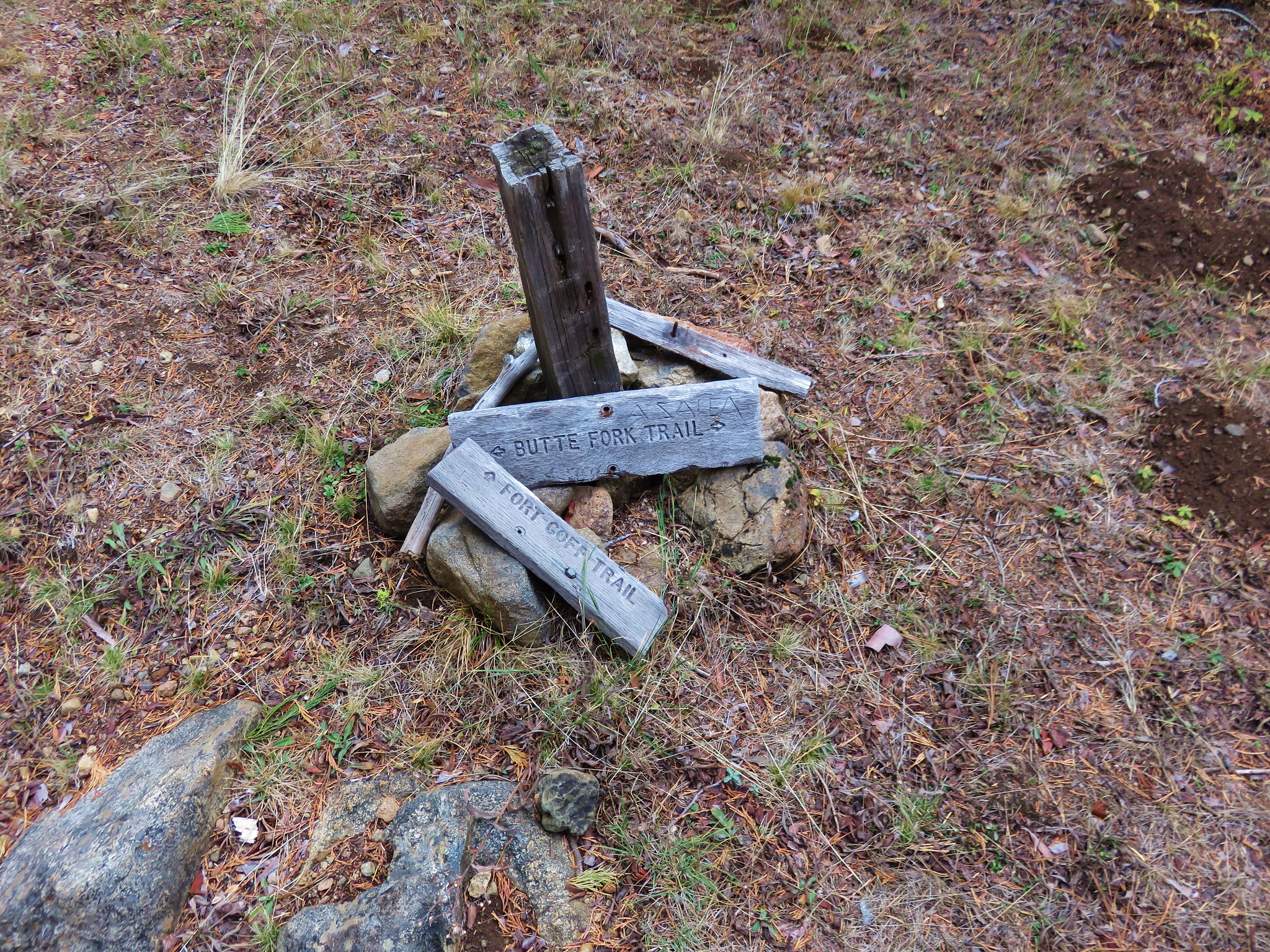
We followed the Butte Fork Trail from the lake and headed downhill toward Cedar Basin which was .9 miles away.
IMG_2079//embedr.flickr.com/assets/client-code.js

At a trail junction in the basin we turned right following a pointer for Fort Goff.
IMG_2078//embedr.flickr.com/assets/client-code.js

This trail began climbing gradually through beargrass meadows in a forest that had been impacted by the 2012 Fort Complex Fire.
IMG_2082//embedr.flickr.com/assets/client-code.js

IMG_2090//embedr.flickr.com/assets/client-code.js

After almost a mile and a half we took a side trail to the right to visit Lonesome Lake where we had originally planned on staying the night before. As it turned out much of the area around the lake had been burned by the same fire and there didn’t seem to be many places to set up a tent.
IMG_2091//embedr.flickr.com/assets/client-code.js

IMG_2093//embedr.flickr.com/assets/client-code.js

From Lonesome Lake the trail continued to climb up to the Siskiyou Crest where views extended ahead to the Red Buttes. To Echo Lake, our goal for the day, we would need to make it around the back side of the buttes where we would pick up the Horse Camp Trail and descend a half mile to the lake.
IMG_2097//embedr.flickr.com/assets/client-code.js

IMG_2099//embedr.flickr.com/assets/client-code.js

While looking back at the hillsides above Lonesome Lake I spotted something that looked brown and thought that maybe it was a deer.
IMG_2100//embedr.flickr.com/assets/client-code.js

As I was busying zooming in on a rock Heather spotted a bear moving across the rocky slope to the right of were I was looking. She lost it in this clump of trees but I took a picture anyway. There is a suspicious black thing in front of the trees but we couldn’t tell if it was in fact the bear or if it is a piece of burnt wood.
IMG_2103//embedr.flickr.com/assets/client-code.js

After crossing over the crest we were now on the Boundary Trail which followed the crest east joining the Pacific Crest Trail on the shoulder of Kangaroo Mountain. The Fort Complex Fire over-swept the entire section of the trail between Lonesome Lake and the PCT as well as a portion of the PCT. This left a lot of burnt trees and some sections of thick brush that has since grown up along the trail.
IMG_2105//embedr.flickr.com/assets/client-code.js

IMG_2118//embedr.flickr.com/assets/client-code.js

The brush was the thickest in the first quarter of a mile or so and then it thinned out some. The trail here was a little tricky to follow so we had to make sure we were paying close attention to it’s location both ahead on the hillside and directly in front of us.
IMG_2109//embedr.flickr.com/assets/client-code.js

IMG_2121//embedr.flickr.com/assets/client-code.js

The views along the trail were great. With very few trees left we could see unobstructed in every direction. It was a cloudy day but they were high enough in the sky to reveal many of NW California’s peaks, most of which we were unfamiliar with.
IMG_2117//embedr.flickr.com/assets/client-code.js

IMG_2135//embedr.flickr.com/assets/client-code.js

IMG_2116//embedr.flickr.com/assets/client-code.js

Polar Bear Mountain, Preston Peak, and El Capitan
IMG_2132//embedr.flickr.com/assets/client-code.js

To the NE were some more familiar peaks.
Mt. McLoughlin
IMG_2141//embedr.flickr.com/assets/client-code.js

IMG_2144//embedr.flickr.com/assets/client-code.js

Mt. Bailey and Mt. Thielsen
IMG_2167//embedr.flickr.com/assets/client-code.js

Mt. Thielsen and the peaks around the rim of Crater Lake
IMG_2168//embedr.flickr.com/assets/client-code.js

We were also beginning to see more and more interesting rocks along the trail.
IMG_2108//embedr.flickr.com/assets/client-code.js

IMG_2153//embedr.flickr.com/assets/client-code.js

IMG_2160//embedr.flickr.com/assets/client-code.js

Often we could see the trail further ahead easier than it was to pick out directly in front of us. A good example of this was the trail leading up and around Desolation Peak.
IMG_2158//embedr.flickr.com/assets/client-code.js

IMG_2161//embedr.flickr.com/assets/client-code.js

The trail climbed in a series of switchbacks on the side of Desolation Peak where we were surprised to find some scarlet gilia still in bloom.
IMG_2175//embedr.flickr.com/assets/client-code.js

Switchback on Desolation Peak
IMG_2175//embedr.flickr.com/assets/client-code.js

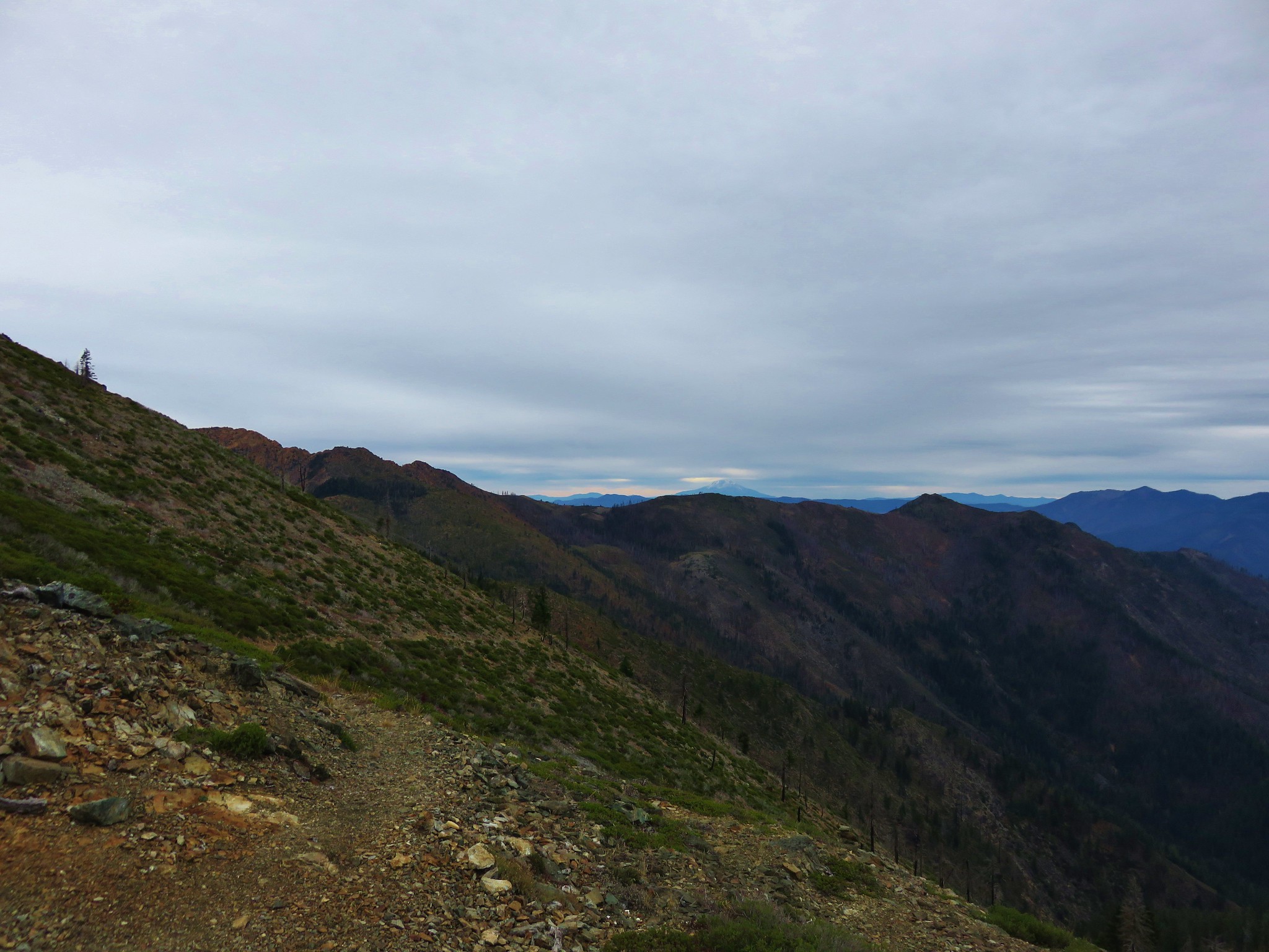
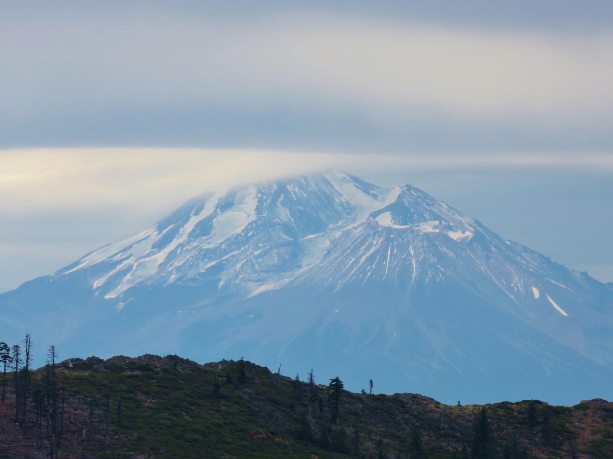
After getting around Desolation Peak we got our first look at Mt. Shasta.
IMG_2181//embedr.flickr.com/assets/client-code.js

IMG_2189//embedr.flickr.com/assets/client-code.js

We had passed around Goff Butte, Rattlesnake Mountain, and Desolation Peak and up next was Kangaroo Mountain where we would find the PCT.
IMG_2200//embedr.flickr.com/assets/client-code.js

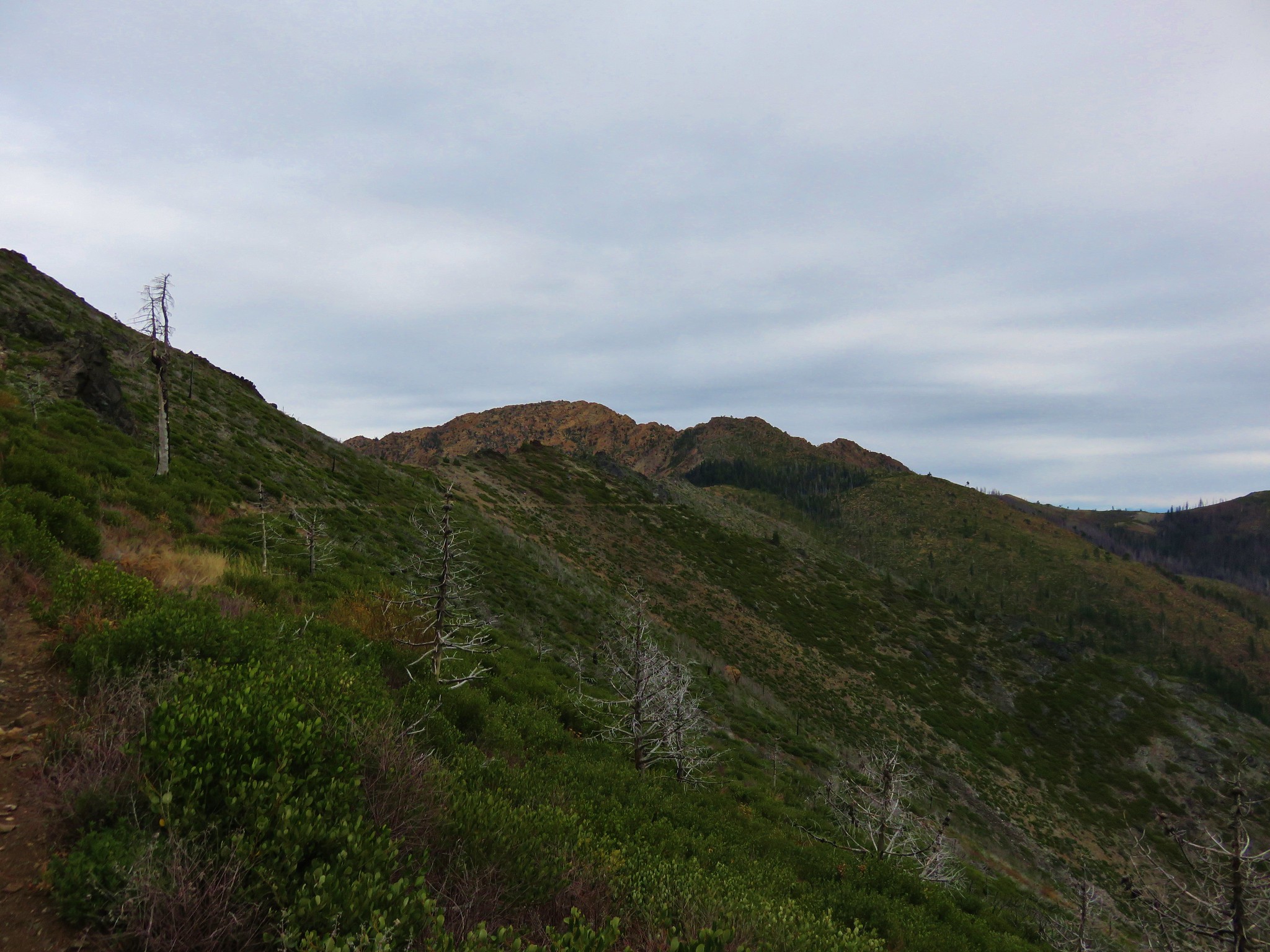
Kangaroo Mountain is made up of the same type of red rock, peridotite, as Red Buttes.
IMG_2207//embedr.flickr.com/assets/client-code.js

IMG_2208//embedr.flickr.com/assets/client-code.js

We met the PCT on the south side of Kangaroo Mountain and took a celebratory break.
IMG_2210//embedr.flickr.com/assets/client-code.js

While the Boundary Trail has seen little to no maintenance since the 2012 fire the PCT has been. While we were sitting on a log having a snack we saw our first other humans of the trip. Three members of the Forest Service out on a tree survey were hiking up the PCT and heading back to their vehicle. After a brief conversation they went on and we soon followed heading toward Red Buttes.
IMG_2213//embedr.flickr.com/assets/client-code.js

IMG_2220//embedr.flickr.com/assets/client-code.js

Kangaroo Mountain was by far the widest peak that we’d gone around that day and the backside was an interesting mix of rocks with marble outcrops dotting the red peridotite.
IMG_2225//embedr.flickr.com/assets/client-code.js

IMG_2223//embedr.flickr.com/assets/client-code.js

We arrived at Kangaroo Spring to find the springs dry although there did appear to be some water further offtrail on the downhill side of the PCT.
IMG_2234//embedr.flickr.com/assets/client-code.js

IMG_2232//embedr.flickr.com/assets/client-code.js

IMG_2229//embedr.flickr.com/assets/client-code.js

Next we passed Lily Pad Lake where several ducks were paddling about.
IMG_2240//embedr.flickr.com/assets/client-code.js

IMG_2242//embedr.flickr.com/assets/client-code.js

We were coming out of the burn area and passing a series of meadows that still held a few wildflowers.
IMG_2248//embedr.flickr.com/assets/client-code.js

IMG_2249//embedr.flickr.com/assets/client-code.js

IMG_2251//embedr.flickr.com/assets/client-code.js

IMG_2253//embedr.flickr.com/assets/client-code.js

IMG_2254//embedr.flickr.com/assets/client-code.js

We popped out of the trees below Red Buttes near Bee Camp.
IMG_2265//embedr.flickr.com/assets/client-code.js

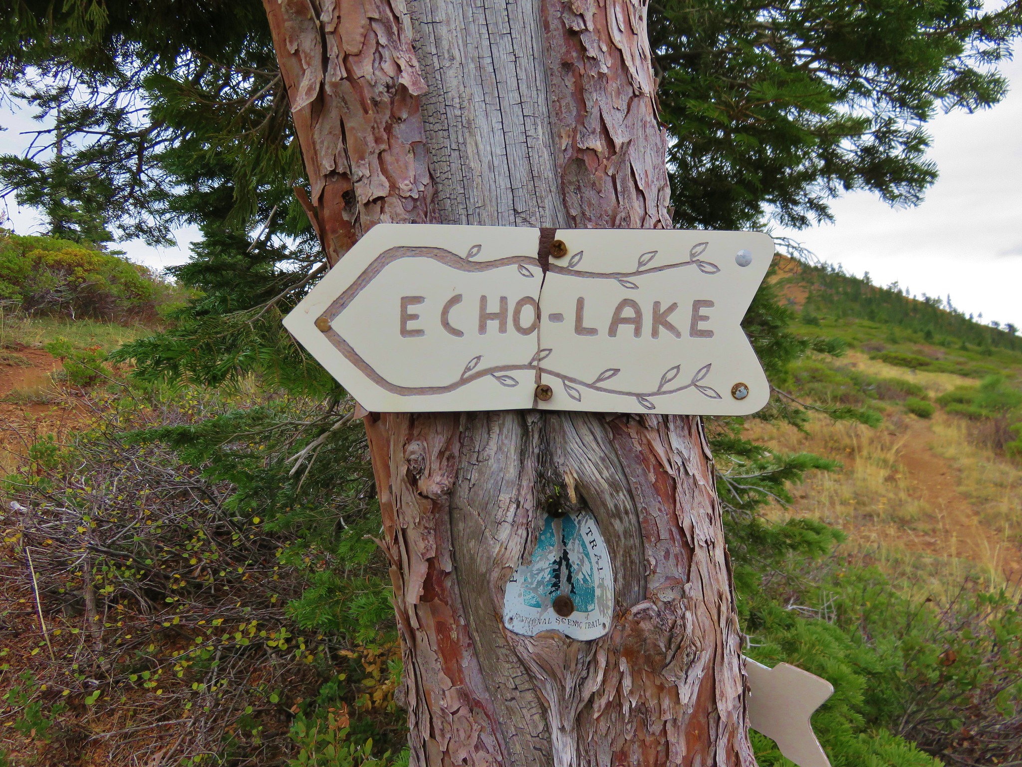
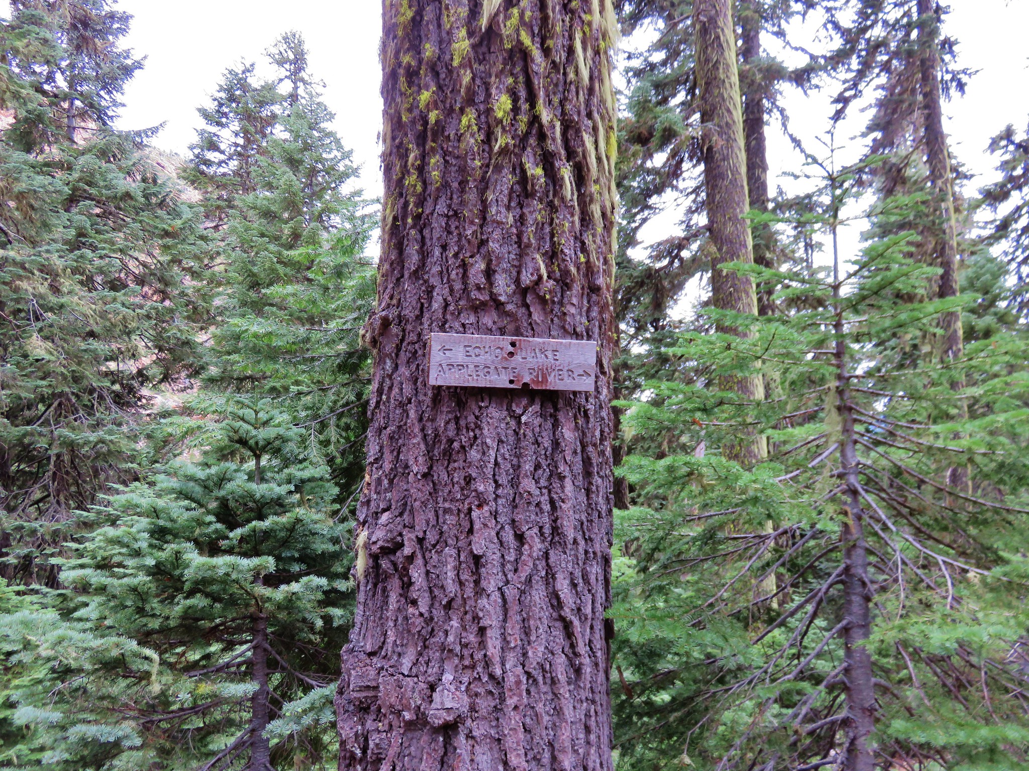
A half mile after crossing an old road we arrived at the junction with the Horse Camp Trail and a unique pointer for Echo Lake.
IMG_2272//embedr.flickr.com/assets/client-code.js

We took a moment to take in the view then spied the lake below us and began the half mile descent to the lake.
IMG_2275//embedr.flickr.com/assets/client-code.js

IMG_2276//embedr.flickr.com/assets/client-code.js

IMG_2278//embedr.flickr.com/assets/client-code.js

IMG_2280//embedr.flickr.com/assets/client-code.js

We turned left at another pointer for Echo Lake before arriving at the pretty little lake.
IMG_2284//embedr.flickr.com/assets/client-code.js

IMG_2285//embedr.flickr.com/assets/client-code.js

IMG_2288//embedr.flickr.com/assets/client-code.js

We set up out tent and rainfly as the forecast when left had been for a chance of showers Tuesday night and rain on Wednesday.
IMG_2291//embedr.flickr.com/assets/client-code.js

No sooner had we gotten settled into the tent when it began to rain. The wind blew and the rain fell all night long. We got what sleep we could wondering what Wednesday would be like and just how wet we were going to get. Happy Trails!

Flickr: https://www.flickr.com/photos/9319235@N02/albums/7215766058094952

Categories
Columbia River Gorge South Hiking Oregon Trip report

Indian Point and Pacific Crest Falls

**Note the 2017 Eagle Creek Fire burned a portion of this hike.**

My Grandmother recently celebrated her 91st birthday and we wanted to take her out for a birthday dinner in Portland so we planned a trip up to the Columbia River Gorge to check another of the many area hikes off our to-do list. We chose a pair of hikes beginning at the same trailhead for the Herman Creek Trail.

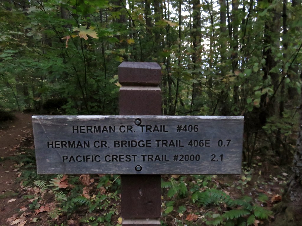
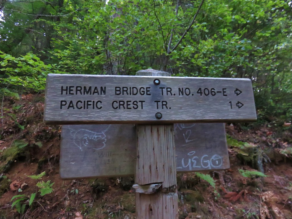
Our plan was to start at the Herman Creek Campground near Cascade Locks visiting Pacific Crest Falls and then hiking out to Indian Point. We set off on the Herman Creek Trail and followed it for .6 miles to a fork where we headed right on the Herman Bridge Trail toward the Pacific Crest Trail.
IMG_1064//embedr.flickr.com/assets/client-code.js

IMG_1072//embedr.flickr.com/assets/client-code.js

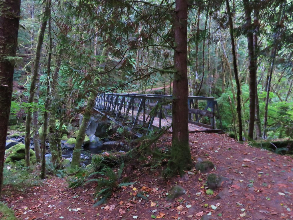
The Herman Bridge Trail descended .4 miles to a footbrdige over Herman Creek. This was the only place that we would encounter the creek on the trails.
IMG_1079//embedr.flickr.com/assets/client-code.js

IMG_1080//embedr.flickr.com/assets/client-code.js

We reached the Pacific Crest trail in another .8 miles passing through some nice forest and getting some decent views.
IMG_1087//embedr.flickr.com/assets/client-code.js

IMG_1088//embedr.flickr.com/assets/client-code.js

The views improved after we turned right on the PCT with Table Mountain and Greanleaf Peak visible across the river.
IMG_1096//embedr.flickr.com/assets/client-code.js

Greenleaf Peak
IMG_1093//embedr.flickr.com/assets/client-code.js

Table Mountain
IMG_1097//embedr.flickr.com/assets/client-code.js

We weren’t sure what we would find when we arrived at Pacific Crest Falls just .4 miles up the PCT. It was October in an unusually dry year so we weren’t too surprised when we arrived at a nearly dry creek bed. We couldn’t see the falls as we approached but we could hear them up the narrow canyon. From the far side of the creek we could see the two tiered fall back in the canyon and we decided to scramble up the creek bed for a closer look.
IMG_1100//embedr.flickr.com/assets/client-code.js

IMG_1113//embedr.flickr.com/assets/client-code.js

IMG_1102//embedr.flickr.com/assets/client-code.js

IMG_1104//embedr.flickr.com/assets/client-code.js

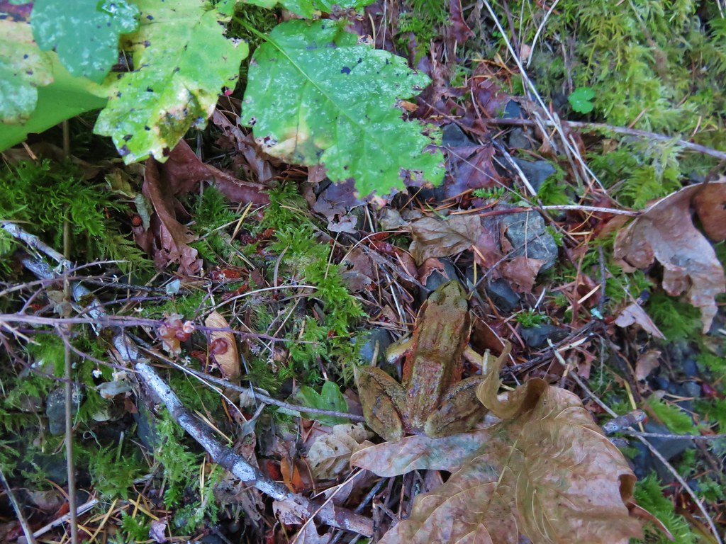
Despite there not being much water the musical sound of the cascade was relaxing. As we were making our way back from the falls we spotted a frog that really blended in with the fallen leaves.
IMG_1118//embedr.flickr.com/assets/client-code.js

IMG_1121//embedr.flickr.com/assets/client-code.js

IMG_1122//embedr.flickr.com/assets/client-code.js

We had gone a little under 4 miles when we arrived back at the fork with the Herman Creek Trail which is why we had made Indian Point our second goal for the day. We took the Herman Creek Trail uphill toward a large trail junction .7 miles away.
IMG_1126//embedr.flickr.com/assets/client-code.js

IMG_1127//embedr.flickr.com/assets/client-code.js

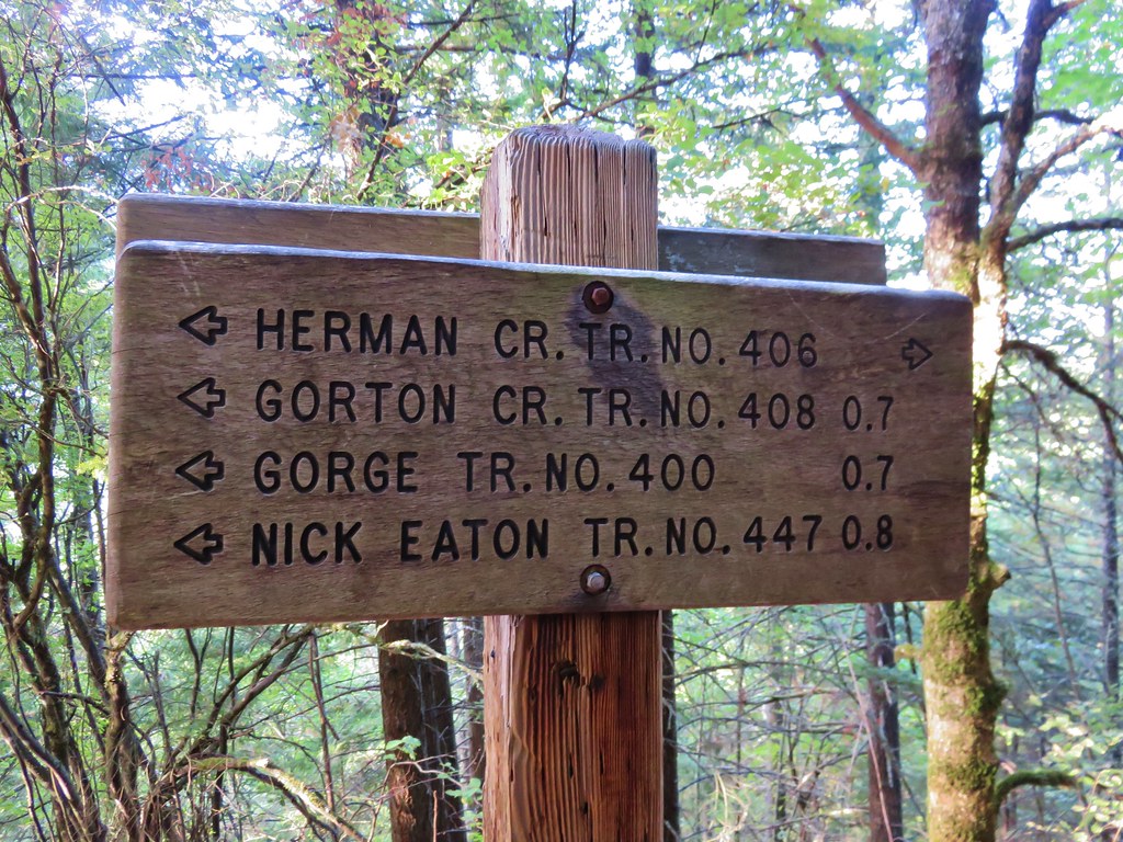
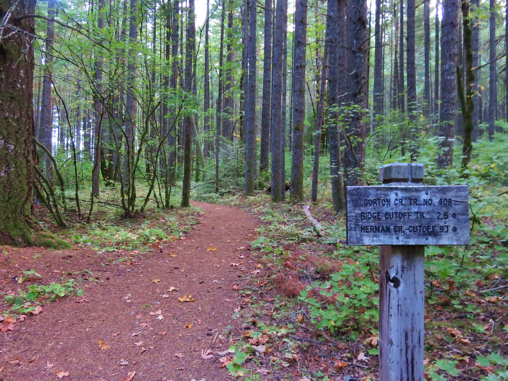
Several trails arrived at the trail junction near Herman Camp. The left hand trail was the Gorge Trail which led to Wyeth while the right hand trail was the continuation of the Herman Creek Trail. We took the Gorton Creek trail which was the middle trail .
IMG_1128//embedr.flickr.com/assets/client-code.js

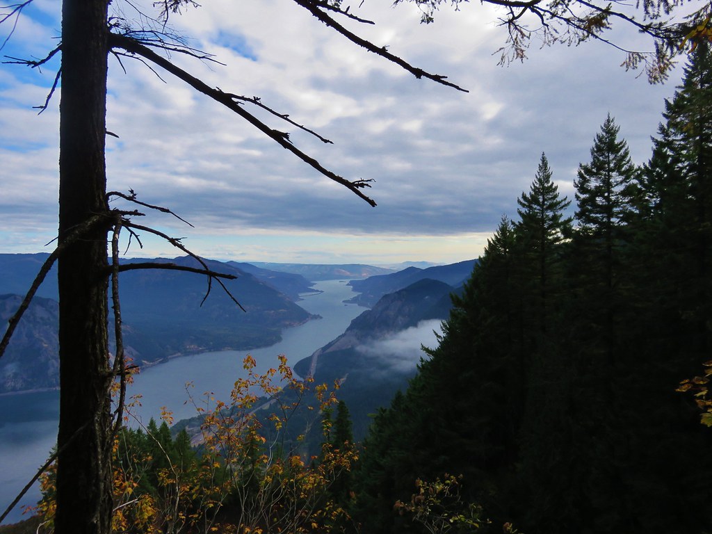
This trail climbed gradually offering occasional glimpses across the Columbia River to Washington.
IMG_1129//embedr.flickr.com/assets/client-code.js

IMG_1134//embedr.flickr.com/assets/client-code.js

IMG_1138//embedr.flickr.com/assets/client-code.js

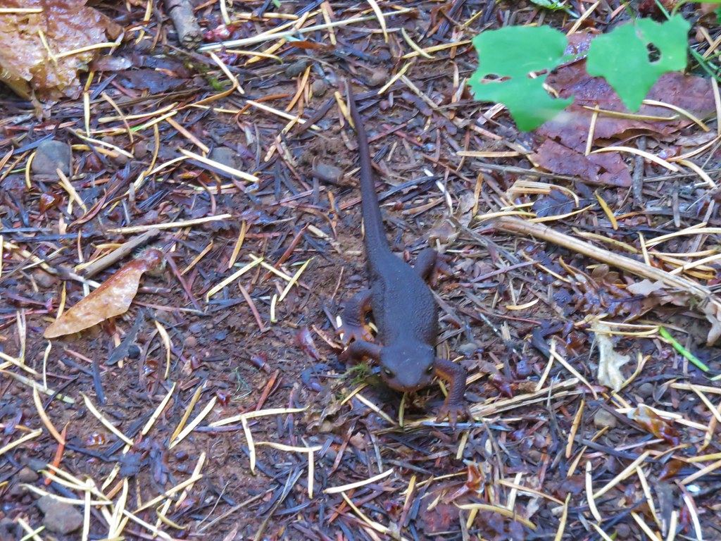
Along the way we had a momentary standoff on the trail with a rough skinned newt that wasn’t about to budge.
IMG_1131//embedr.flickr.com/assets/client-code.js

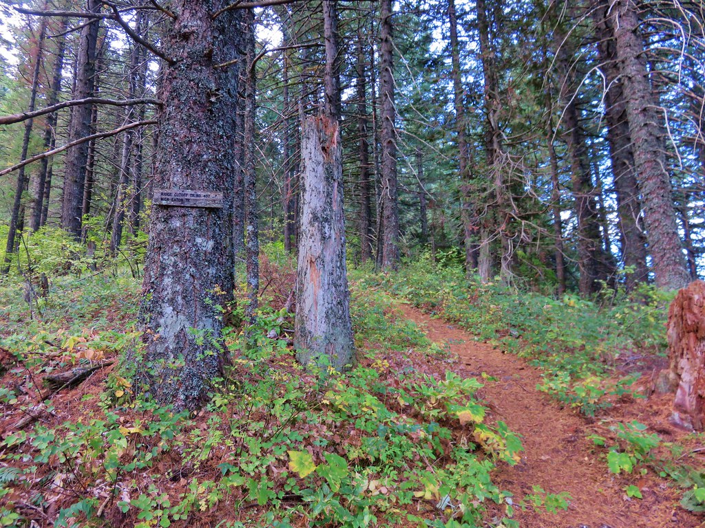
We arrived at the Ridge Cutoff Trail after 2.6 miles which we would take for a loop back to the junction near Herman Camp, but before heading uphill on that trail we continued a short distance on the Gorton Creek Trail to an unsigned path on the left.
IMG_1140//embedr.flickr.com/assets/client-code.js

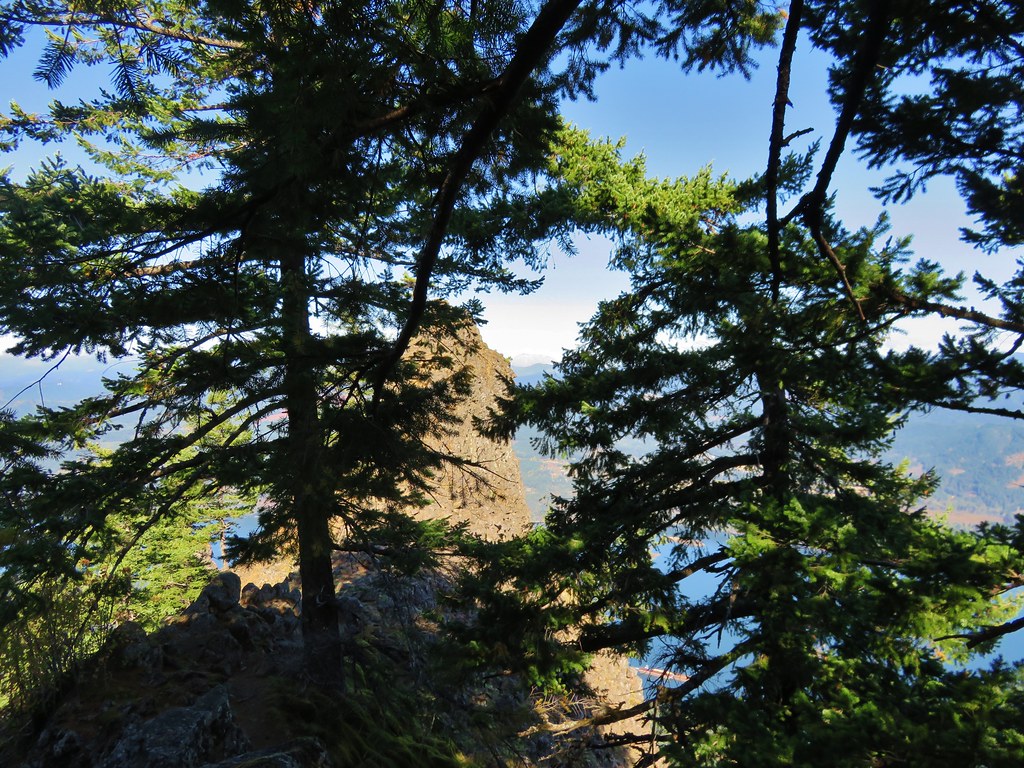
The side path led steeply downhill to a ridge which we followed out to a rocky saddle below Indian Point.
IMG_1157//embedr.flickr.com/assets/client-code.js

IMG_1149//embedr.flickr.com/assets/client-code.js

Several prominent landmarks were visible from the saddle.
Wind and Dog Mountians
IMG_1151//embedr.flickr.com/assets/client-code.js

Mt. Adams
IMG_1148//embedr.flickr.com/assets/client-code.js

Mt. St. Helens
IMG_1159//embedr.flickr.com/assets/client-code.js

We declared victory at the end of the saddle directly below Indian Point and enjoyed a surprisingly wind free break before climbing back up to the Gorton Creek Trail. We then returned to the Ridge Cutoff Trail and headed uphill toward the Nick Eaton Ridge Trial. The cutoff trail climbed for a bit then leveled off before reaching the Nick Eaton Trail in a total of .6 miles.
IMG_1167//embedr.flickr.com/assets/client-code.js

We turned right on the Nick Eaton Ridge Trail and continued our loop heading downhill at an impressive clip. The trail popped out into some grassy hillside meadows before beginning a series of unrelentingly steep switchbacks.
IMG_1170//embedr.flickr.com/assets/client-code.js

IMG_1171//embedr.flickr.com/assets/client-code.js

IMG_1178//embedr.flickr.com/assets/client-code.js

IMG_1175//embedr.flickr.com/assets/client-code.js

It quickly became obvious why our guidebook recommended doing the loop clockwise as we descended the seemingly never ending switchbacks. After two miles of downhill hiking we arrived back at the Herman Creek Trail just a few hundred yards from Herman Camp. After retracing our steps back to the trailhead we drove to Grandma’s house ending our day with a nice visit and dinner. Happy Trails!

Flickr: https://www.flickr.com/photos/9319235@N02/albums/72157659046209928

Categories
High Cascades Hiking Oregon Three Sisters Area Trip report

Sisters Mirror Lake

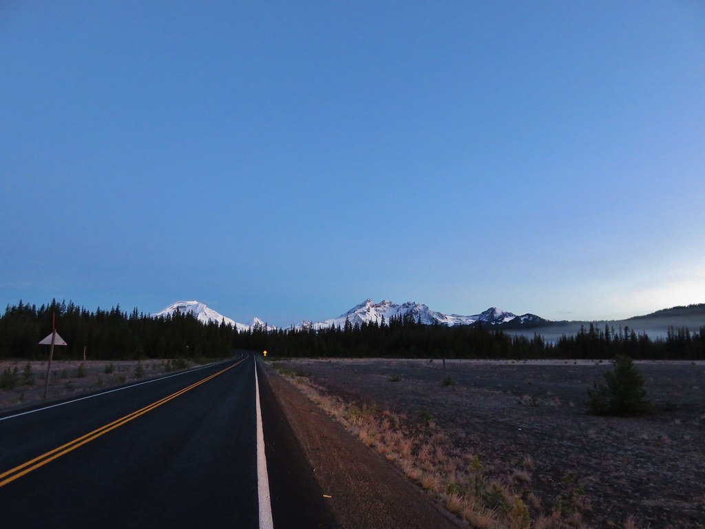
Thursday had been the wettest day of our vacation week but the clouds began clearing overnight and Friday promised to be mostly sunny. We wanted to get some views of the fresh snow on the Cascades so we headed up the Cascade Lakes Highway past Mt. Bachelor and Devils Lake to the Sisters Mirror Lake Trailhead. We stopped for quick pictures of the mountains along the way.
Three Sisters and Broken Top
IMG_0725//embedr.flickr.com/assets/client-code.js

Broken Top
IMG_0728//embedr.flickr.com/assets/client-code.js

Mt. Bachelor
IMG_0729//embedr.flickr.com/assets/client-code.js

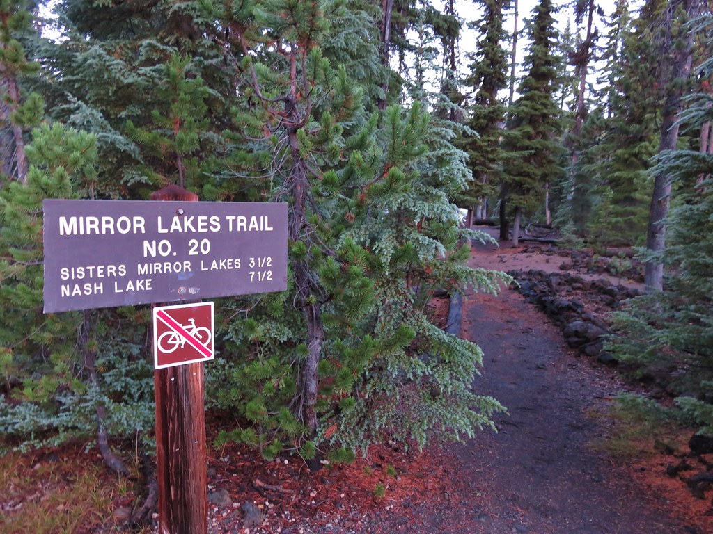
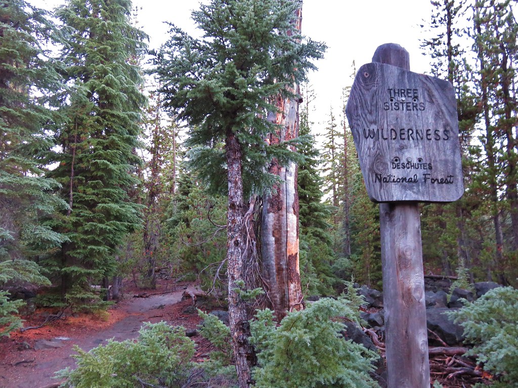
It was damp and a little chilly as we set off on the Mirror Lakes Trail and entered the Three Sisters Wilderness.
IMG_0731//embedr.flickr.com/assets/client-code.js

IMG_0733//embedr.flickr.com/assets/client-code.js

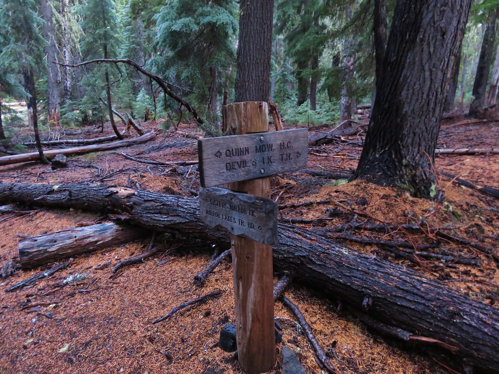
At the .4 mile mark we came to a signed trail. Our plan was to do a clockwise loop hike and return to this junction form the north.
IMG_0734//embedr.flickr.com/assets/client-code.js

Beyond the junction the trail passed ponds, lava flows, and Junco Lake before arriving at the Pacific Crest Trail.
IMG_0738//embedr.flickr.com/assets/client-code.js

IMG_0741//embedr.flickr.com/assets/client-code.js

IMG_0744//embedr.flickr.com/assets/client-code.js

Junco Lake
IMG_0748//embedr.flickr.com/assets/client-code.js

IMG_0758//embedr.flickr.com/assets/client-code.js

We turned left on the PCT then right toward Sisters Mirror Lake after .2 miles.
IMG_0764//embedr.flickr.com/assets/client-code.js

IMG_0761//embedr.flickr.com/assets/client-code.js

We followed trails around the lake to the SW side where the snowy white peak of South Sister was visible.
IMG_0778//embedr.flickr.com/assets/client-code.js

IMG_0784//embedr.flickr.com/assets/client-code.js

IMG_0785//embedr.flickr.com/assets/client-code.js

IMG_0800//embedr.flickr.com/assets/client-code.js

IMG_0812//embedr.flickr.com/assets/client-code.js

After enjoying the view at Sisters Mirror Lake we began to wander off trail visiting the numerous other lakes and ponds in the area and getting better views of South Sister.
IMG_0818//embedr.flickr.com/assets/client-code.js

IMG_0823//embedr.flickr.com/assets/client-code.js

IMG_0822//embedr.flickr.com/assets/client-code.js

We eventually made our way to Denude Lake where we picked up a clear trail again.
IMG_0829//embedr.flickr.com/assets/client-code.js

IMG_0840//embedr.flickr.com/assets/client-code.js

IMG_0841//embedr.flickr.com/assets/client-code.js

IMG_0851//embedr.flickr.com/assets/client-code.js

IMG_0852//embedr.flickr.com/assets/client-code.js

We followed the path to the next lake which was Bounty Lake.
IMG_0856//embedr.flickr.com/assets/client-code.js

IMG_0857//embedr.flickr.com/assets/client-code.js

After Bounty Lake we came to Lancelot Lake.
IMG_0864//embedr.flickr.com/assets/client-code.js

IMG_0869//embedr.flickr.com/assets/client-code.js

IMG_0870//embedr.flickr.com/assets/client-code.js

We spent some time at Lancelot Lake. First we explored the area just west of the lake where some ducks were enjoying a cold swim in a small lake/pond.
IMG_0870//embedr.flickr.com/assets/client-code.js

IMG_0878//embedr.flickr.com/assets/client-code.js

Then we wandered out to the rock wall that damned the lake and took a relaxing break in the sun.
IMG_0895//embedr.flickr.com/assets/client-code.js

IMG_0885//embedr.flickr.com/assets/client-code.js

IMG_0896//embedr.flickr.com/assets/client-code.js

After our break we continued around the lake marveling at the clear yet colorful water of Lancelot Lake.
IMG_0900//embedr.flickr.com/assets/client-code.js

IMG_0903//embedr.flickr.com/assets/client-code.js

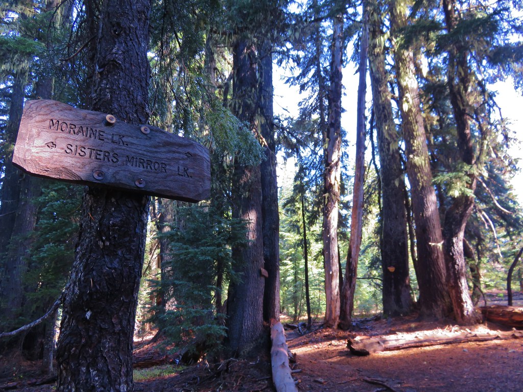
We then made our way back to Sisters Mirror Lake and back to the PCT where we turned left for .4 miles passing the trail junction we had arrived at earlier and then leaving the PCT at a sign for Moraine Lake.
IMG_0917//embedr.flickr.com/assets/client-code.js

We had expected to have some nice views of the South Sister on this portion of the hike. It looked like we would be passing along the edge of the Wickiup Plain, a pumice flat that we had passed by on our South Sister Loop the year before. As we hiked it became increasingly apparent that the trail would be staying in the forest and not reaching the pumice plain offering only brief glimpses of the tops of the South Sister and Broken Top.
IMG_0919//embedr.flickr.com/assets/client-code.js

IMG_0920//embedr.flickr.com/assets/client-code.js

IMG_0921//embedr.flickr.com/assets/client-code.js

We could tell we were close to the plain so we made the decision to head cross country through the trees in order to reach the better views of the Wickiup Plain.
IMG_0923//embedr.flickr.com/assets/client-code.js

IMG_0925//embedr.flickr.com/assets/client-code.js

IMG_0926//embedr.flickr.com/assets/client-code.js

IMG_0961//embedr.flickr.com/assets/client-code.js

We wound up finding a path which led across the plain so we followed it toward Kaleetan Butte.
IMG_0930//embedr.flickr.com/assets/client-code.js

Mt. Bachelor Joined the view along the way.
IMG_0941//embedr.flickr.com/assets/client-code.js

IMG_0942//embedr.flickr.com/assets/client-code.js

We wound up arriving at a familiar trail junction on the far end of the plain. It was the trail we had taken from Moraine Lake during our South Sister Loop. We also noticed a small sign at this end of the path we were following stating it was closed. Had we known we wouldn’t have followed it, but there were no signs at the other end. We turned right at the junction following an old road bed that predated the wilderness designation.
IMG_0963//embedr.flickr.com/assets/client-code.js

After a half mile we arrived at the trail junction where we would have come out if we had stayed on the trail instead of heading for the plain.
IMG_0964//embedr.flickr.com/assets/client-code.js

We headed toward Devils Lake descending around Kaleetan Butte for a mile where we arrived at another junction.
IMG_0970//embedr.flickr.com/assets/client-code.js

We followed the pointer for Elk Lake which would lead us back to the Mirror Lakes Trail in 1.6 miles passing Blacktail Spring and Sink Creek along the way.
IMG_0972//embedr.flickr.com/assets/client-code.js

IMG_0974//embedr.flickr.com/assets/client-code.js

IMG_0977//embedr.flickr.com/assets/client-code.js

It was really nice to see the mountains with some fresh snow on them after the dry Summer we’d had. The weather that had forced us to change our vacation plans had provided some great scenery for our final hike. Happy Trails!

Flicker: https://www.flickr.com/photos/9319235@N02/albums/72157658876331925

Categories
High Cascades Hiking Mt. Washington Area Oregon Trip report

Belknap Crater

We had originally planned on backpacking around Mt. Hood on the Timberline Trail on our recent vacation but the weather had a different idea. The forecast called for rain and snow showers for most of the week so we started searching for a Plan B. Between active fires and less than encouraging weather forecasts we decided that a backpacking trip wasn’t in the cards. My parents provided a solution though and we were able to pay them a visit in Central Oregon and do some day hikes from there. We stopped on our way over to Bend to take our first hike visiting Little Belknap and Belknap Crater in the Mt. Washington Wilderness.

The hike started off at the Pacific Crest Trail crossing of the McKenzie Pass Highway.
001//embedr.flickr.com/assets/client-code.js

We followed the PCT through a forest on a small hill surrounded by a lava flow produced by Little Belknap.
003//embedr.flickr.com/assets/client-code.js

006//embedr.flickr.com/assets/client-code.js

010//embedr.flickr.com/assets/client-code.js

Black Crater rose above the lava flow to the NE.
012//embedr.flickr.com/assets/client-code.js

The trail left the forested hill and briefly entered the lava flow before reaching a second forested hill.
016//embedr.flickr.com/assets/client-code.js

Belknap Crater and Little Belknap were visible ahead while the North and Middle Sister loomed on the horizon behind.
019//embedr.flickr.com/assets/client-code.js

023//embedr.flickr.com/assets/client-code.js

The closer we got to Little Belknap the more detail we could make out of the colors and textures of this geologic feature.
022//embedr.flickr.com/assets/client-code.js

The lava flow offered many interesting features and it was interesting to see the few plants that had managed to find a foothold in the rocky landscape.
Lichen on the lava
037//embedr.flickr.com/assets/client-code.js

Turtle
041//embedr.flickr.com/assets/client-code.js

043//embedr.flickr.com/assets/client-code.js

Little tree
045//embedr.flickr.com/assets/client-code.js

Ewok waving
046//embedr.flickr.com/assets/client-code.js

Rock hill
047//embedr.flickr.com/assets/client-code.js

057//embedr.flickr.com/assets/client-code.js

Just under 2.5 miles from the highway we reached the Little Belknap Trail with a view of Mt. Washington and distant Mt. Jefferson.
059//embedr.flickr.com/assets/client-code.js

063//embedr.flickr.com/assets/client-code.js

The Little Belknap Trail climbed to the summit of Little Belknap.
060//embedr.flickr.com/assets/client-code.js

Along the way the trail passes three caves.

Lower cave
071//embedr.flickr.com/assets/client-code.js

Middle & Upper caves
072//embedr.flickr.com/assets/client-code.js

Middle cave
073//embedr.flickr.com/assets/client-code.js

076//embedr.flickr.com/assets/client-code.js

078//embedr.flickr.com/assets/client-code.js

Upper cave (beware it drops about 40′ right near the opening.
084//embedr.flickr.com/assets/client-code.js

085//embedr.flickr.com/assets/client-code.js

The final pitch to the summit is on a dark red cinder path.
093//embedr.flickr.com/assets/client-code.js

The 360 degree view includes several Cascade Mountains as well as some lower peaks.
Mt. Washington, Three Fingered Jack, and Mt. Jefferson
113//embedr.flickr.com/assets/client-code.js

Belknap Crater
112//embedr.flickr.com/assets/client-code.js

North and Middle Sister
115//embedr.flickr.com/assets/client-code.js

Broken Top
107//embedr.flickr.com/assets/client-code.js

Diamond Peak
067//embedr.flickr.com/assets/client-code.js

Black Butte & Black Crater
100//embedr.flickr.com/assets/client-code.js

The Husband
108//embedr.flickr.com/assets/client-code.js

Scott Mountain
109//embedr.flickr.com/assets/client-code.js

After visiting Little Belknap we continued on the PCT until it left the lava flow. Shortly thereafter the trail split at an unsigned junction.
121//embedr.flickr.com/assets/client-code.js

The PCT continued straight but we forked left on the unofficial trail toward Belknap Crater. The trail climbed gradually through a sparse forest to the base of the crater. The views here were great. The blue sky was dotted with white clouds high above the summit.
124//embedr.flickr.com/assets/client-code.js

We were surprised by the various colors and different features on Belknap Crater now that we had gotten close.
129//embedr.flickr.com/assets/client-code.js

The trail skirted up around the north side of the crater before launching more steeply up toward the summit.
132//embedr.flickr.com/assets/client-code.js

134//embedr.flickr.com/assets/client-code.js

140//embedr.flickr.com/assets/client-code.js

The views were excellent from the long summit ridge, especially of Mt. Washington.
168//embedr.flickr.com/assets/client-code.js

151//embedr.flickr.com/assets/client-code.js

171//embedr.flickr.com/assets/client-code.js

155//embedr.flickr.com/assets/client-code.js

181//embedr.flickr.com/assets/client-code.js

There was a large crater on the SE side of the summit which consisted of various colored rocks.
183//embedr.flickr.com/assets/client-code.js

After checking out the summit and crater we began descending down the west side of Belknap Crater toward a smaller crater on the NW flank.
190//embedr.flickr.com/assets/client-code.js

This crater wasn’t as colorful as it was made up of darker lava rocks. At the bottom we could see lots of tracks in the sand.
191//embedr.flickr.com/assets/client-code.js

193//embedr.flickr.com/assets/client-code.js

There was an interesting line going up along the east side of Belknap Crater. We couldn’t tell if it was a game trail or just some odd feature but it didn’t appear to be a trail used by people.
206//embedr.flickr.com/assets/client-code.js

207//embedr.flickr.com/assets/client-code.js

We took a final break on a downed tree near the PCT junction with a great view of Belknap Crater.
208//embedr.flickr.com/assets/client-code.js

The sky was becoming increasingly cloudy as we headed back to the car. It was a sign of things to come. On this day though the weather had been nearly perfect, and we were looking forward to the rest of the weeks hikes.
251//embedr.flickr.com/assets/client-code.js

267//embedr.flickr.com/assets/client-code.js
Happy Trails!

Flickr: https://www.flickr.com/photos/9319235@N02/albums/72157658844385675