Categories
High Cascades Hiking Mt. Washington Area Oregon Trip report

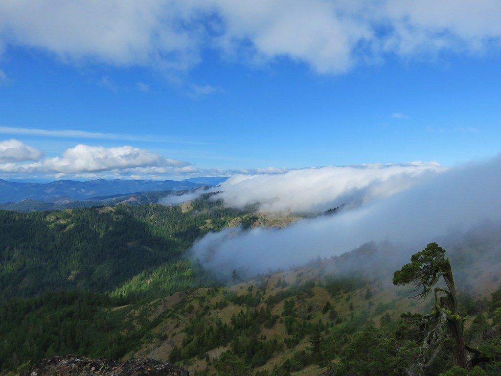
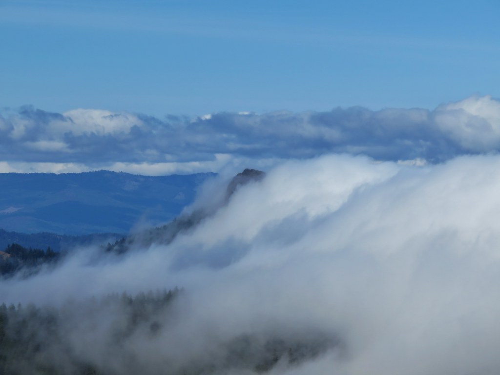
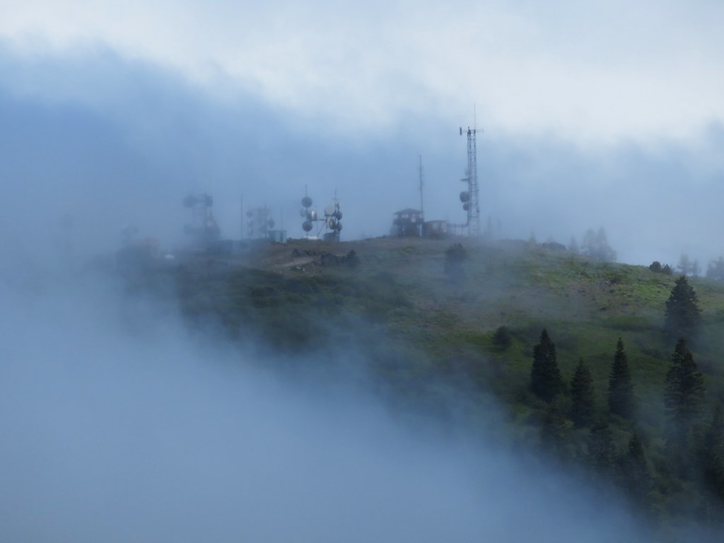
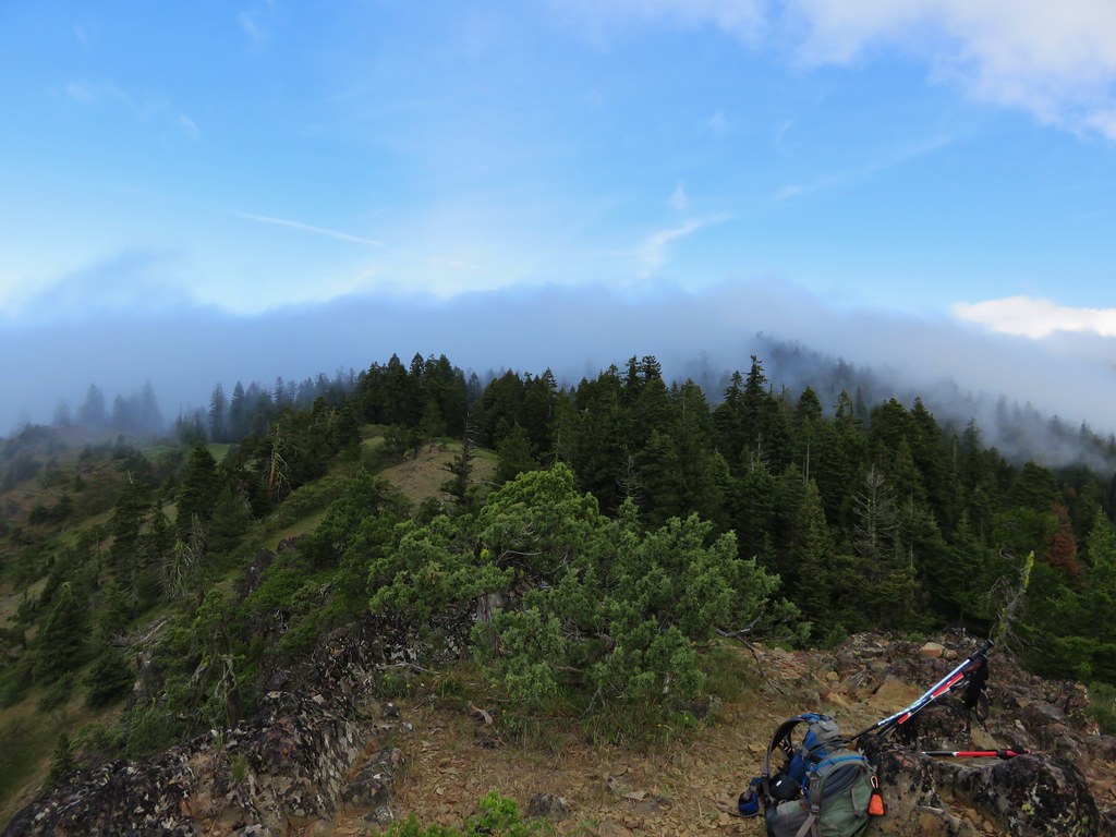
Belknap Crater

We had originally planned on backpacking around Mt. Hood on the Timberline Trail on our recent vacation but the weather had a different idea. The forecast called for rain and snow showers for most of the week so we started searching for a Plan B. Between active fires and less than encouraging weather forecasts we decided that a backpacking trip wasn’t in the cards. My parents provided a solution though and we were able to pay them a visit in Central Oregon and do some day hikes from there. We stopped on our way over to Bend to take our first hike visiting Little Belknap and Belknap Crater in the Mt. Washington Wilderness.

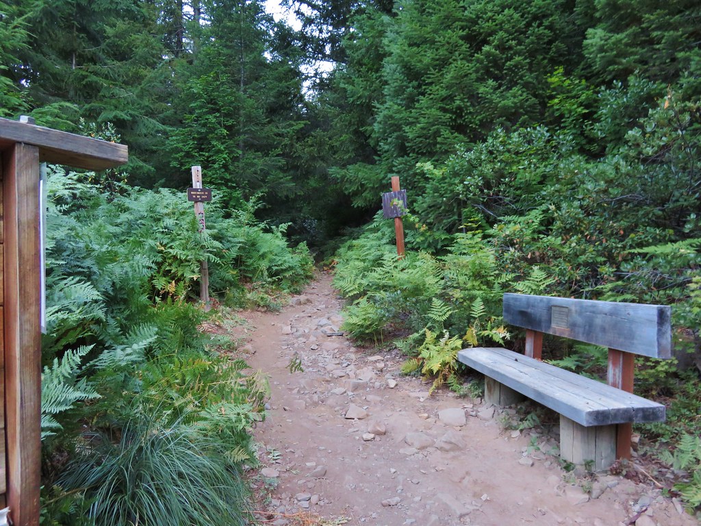
The hike started off at the Pacific Crest Trail crossing of the McKenzie Pass Highway.
001//embedr.flickr.com/assets/client-code.js

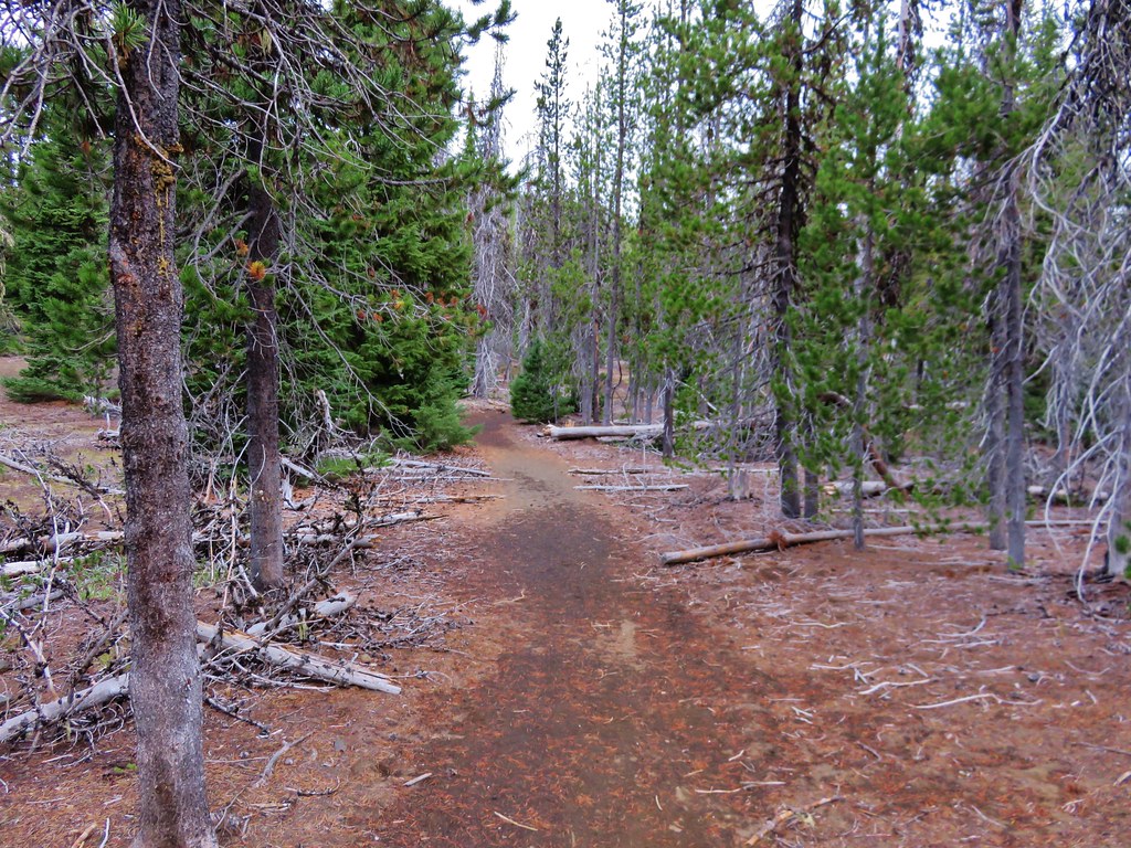
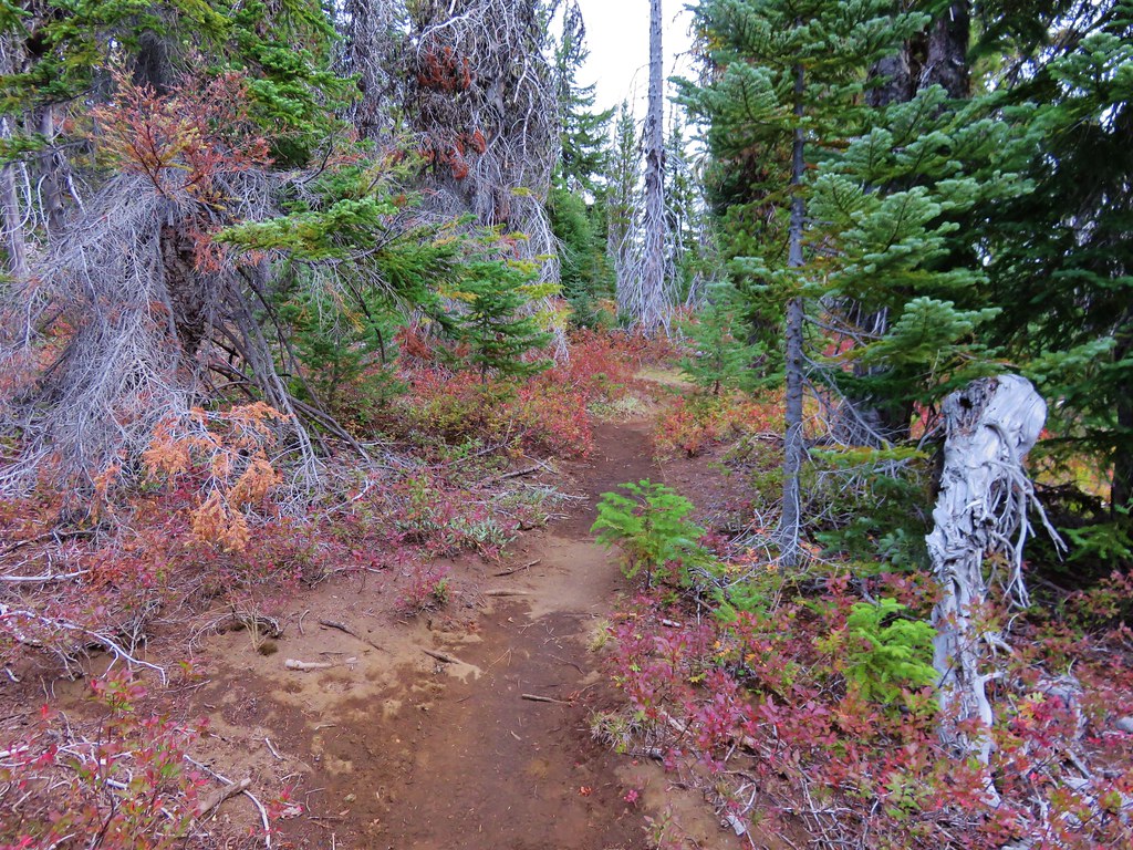
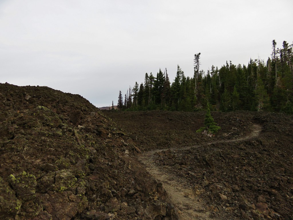
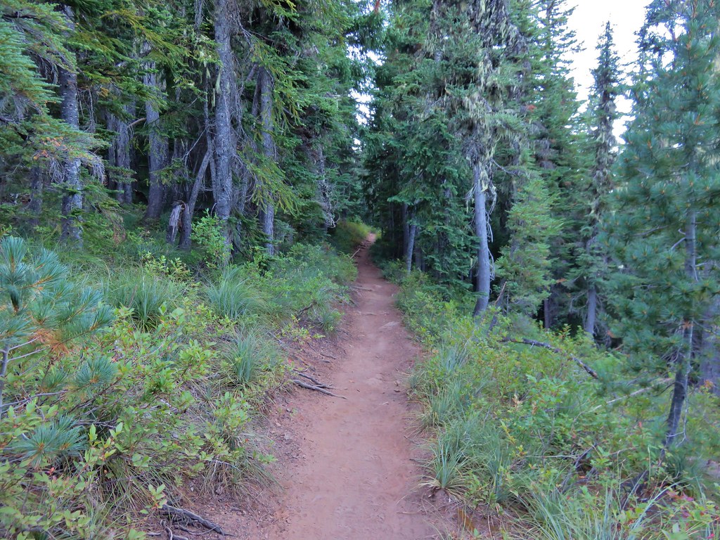
We followed the PCT through a forest on a small hill surrounded by a lava flow produced by Little Belknap.
003//embedr.flickr.com/assets/client-code.js

006//embedr.flickr.com/assets/client-code.js

010//embedr.flickr.com/assets/client-code.js

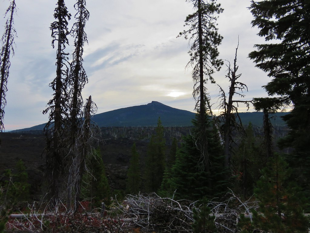
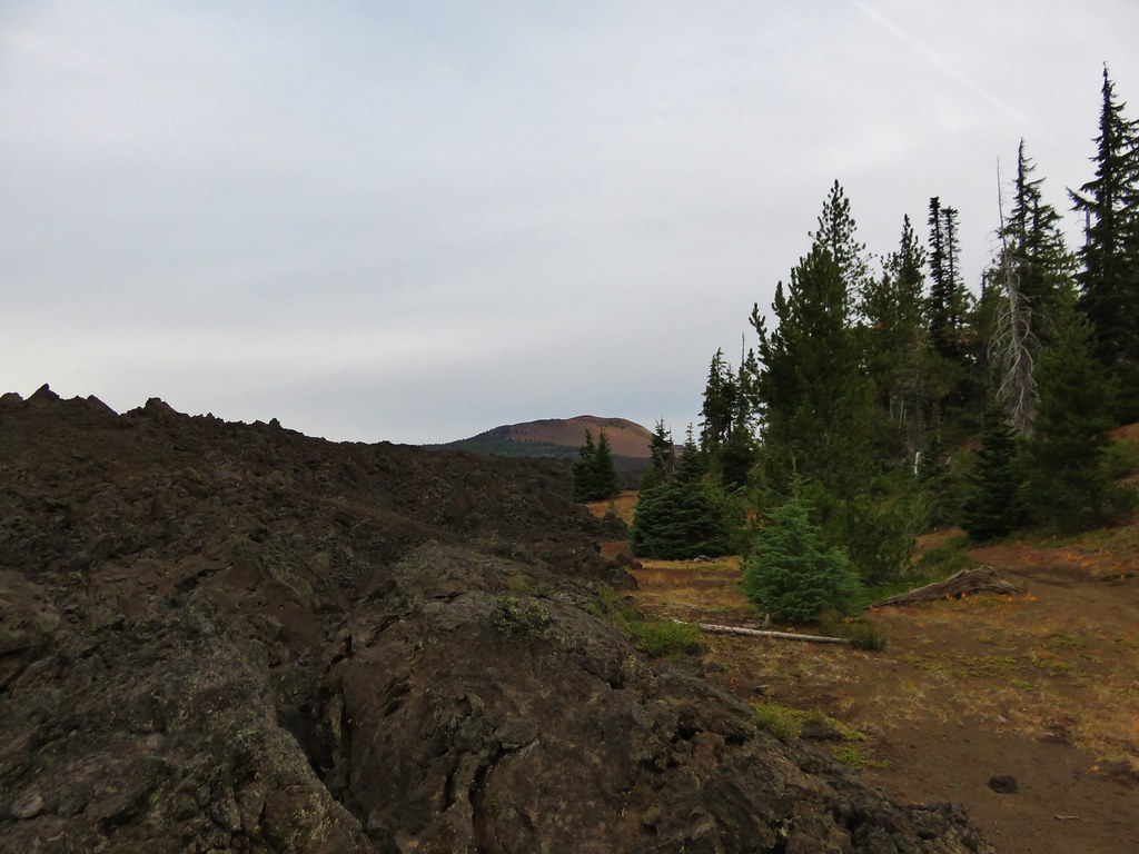
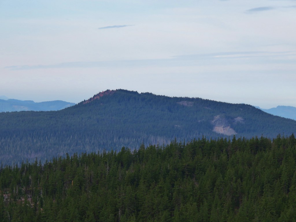
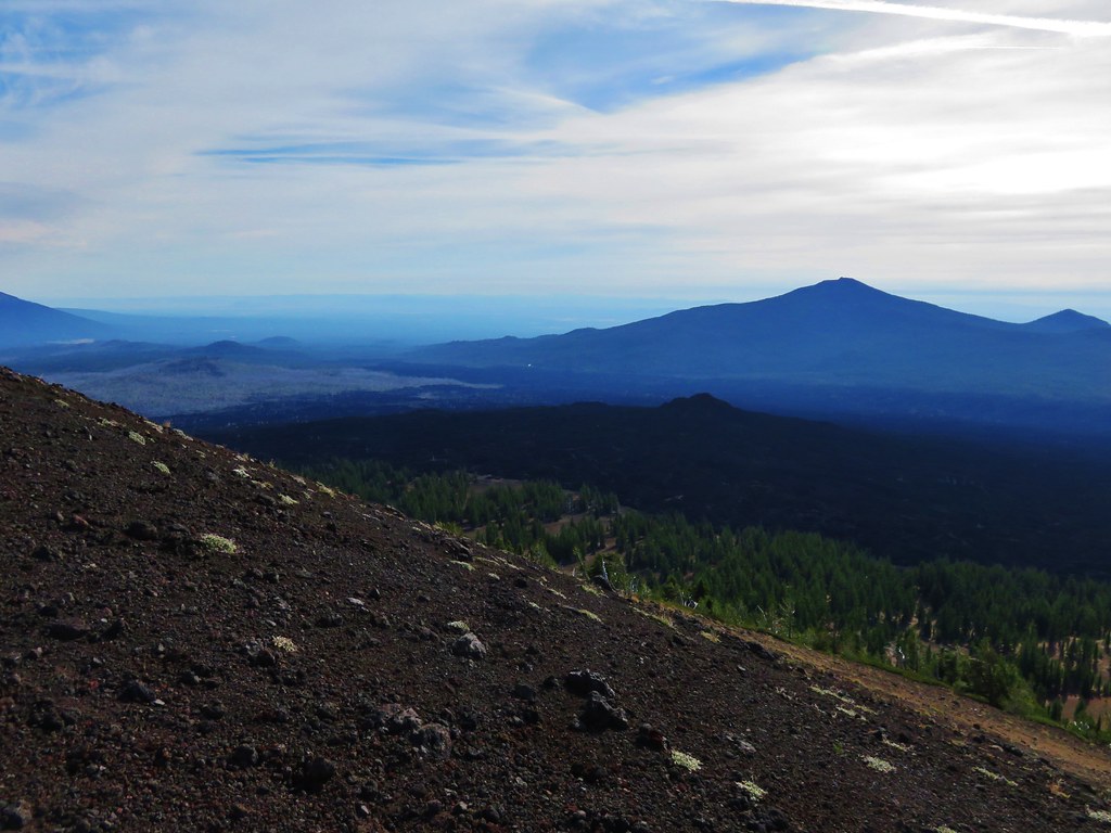
Black Crater rose above the lava flow to the NE.
012//embedr.flickr.com/assets/client-code.js

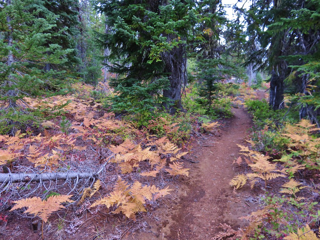
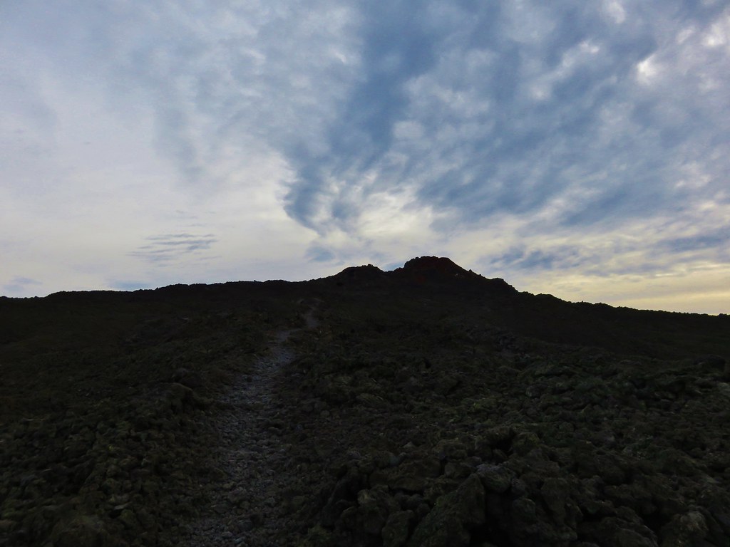
The trail left the forested hill and briefly entered the lava flow before reaching a second forested hill.
016//embedr.flickr.com/assets/client-code.js

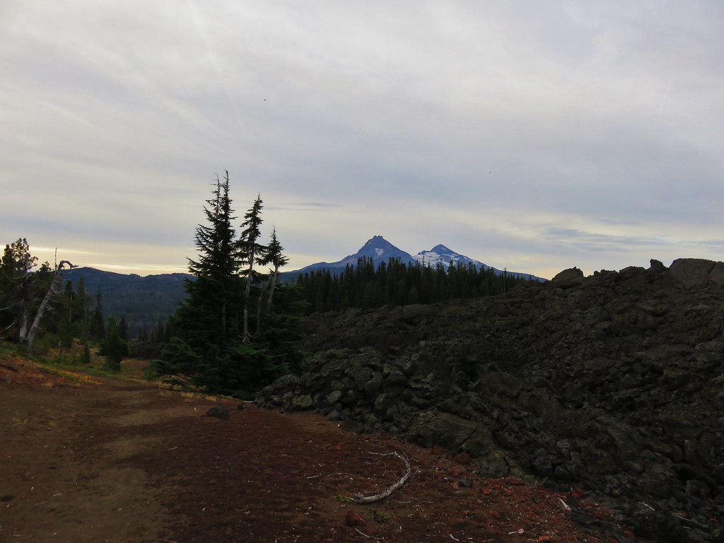
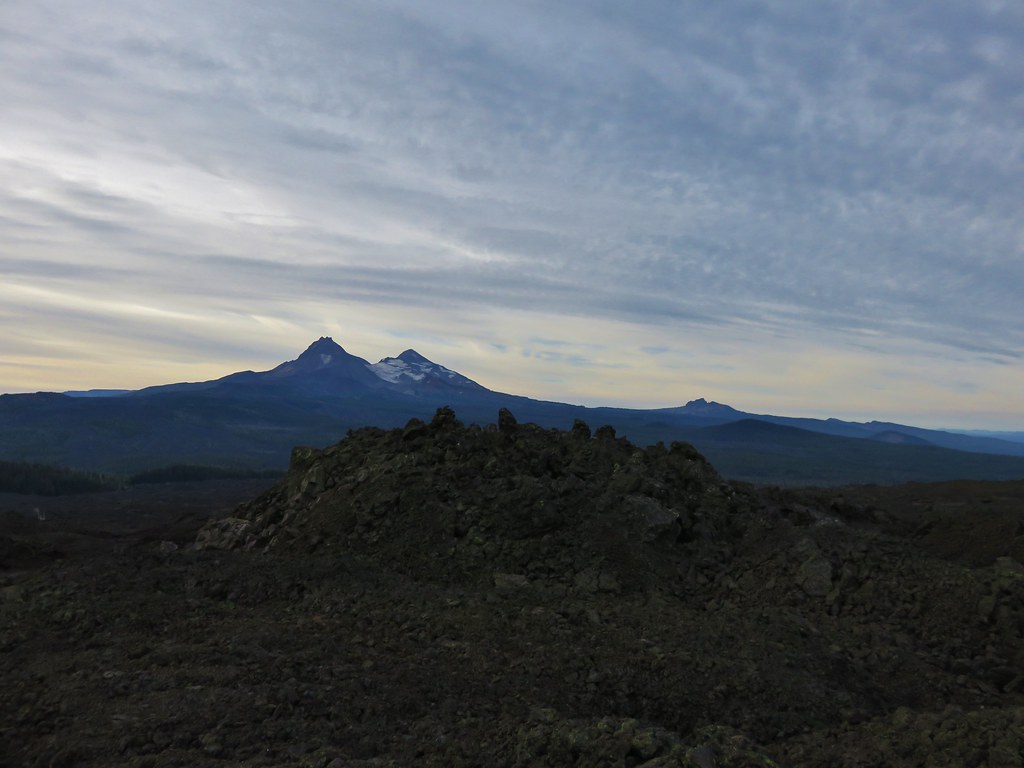
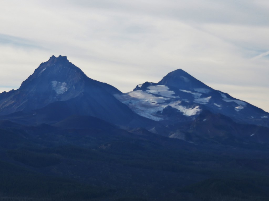
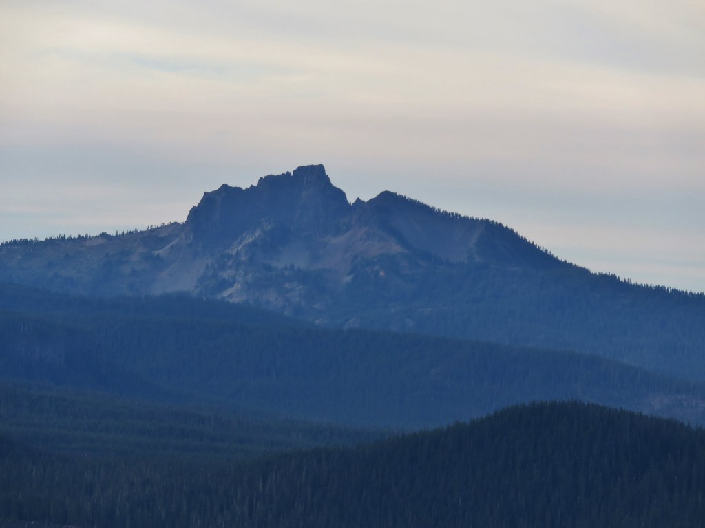
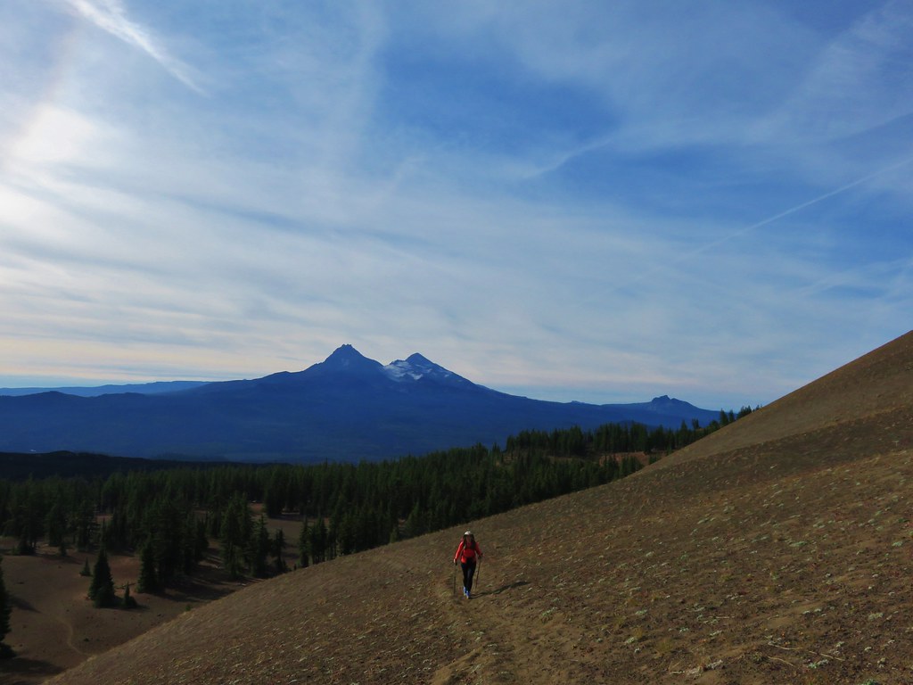
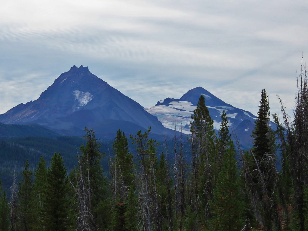
Belknap Crater and Little Belknap were visible ahead while the North and Middle Sister loomed on the horizon behind.
019//embedr.flickr.com/assets/client-code.js

023//embedr.flickr.com/assets/client-code.js

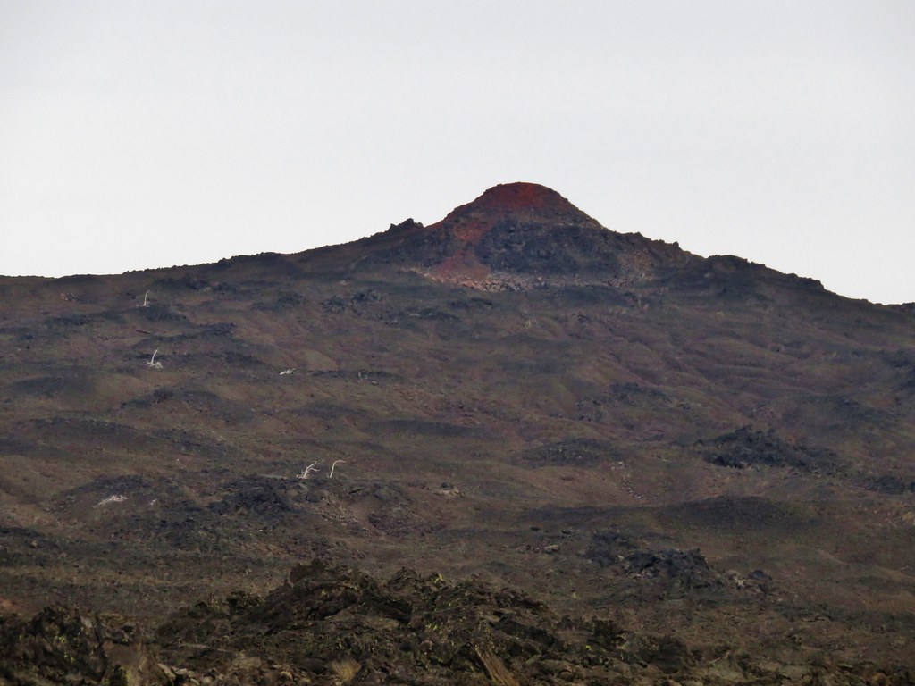
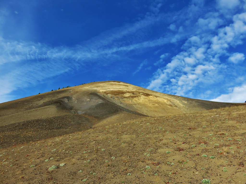
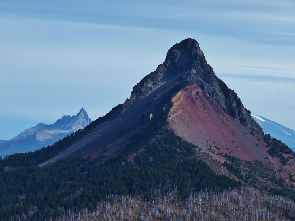
The closer we got to Little Belknap the more detail we could make out of the colors and textures of this geologic feature.
022//embedr.flickr.com/assets/client-code.js

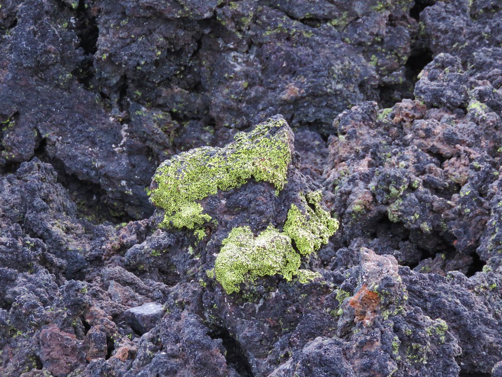
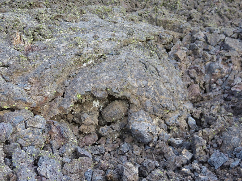
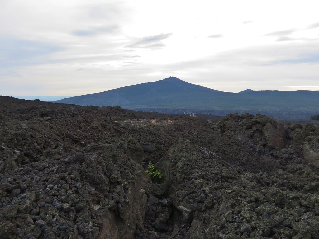
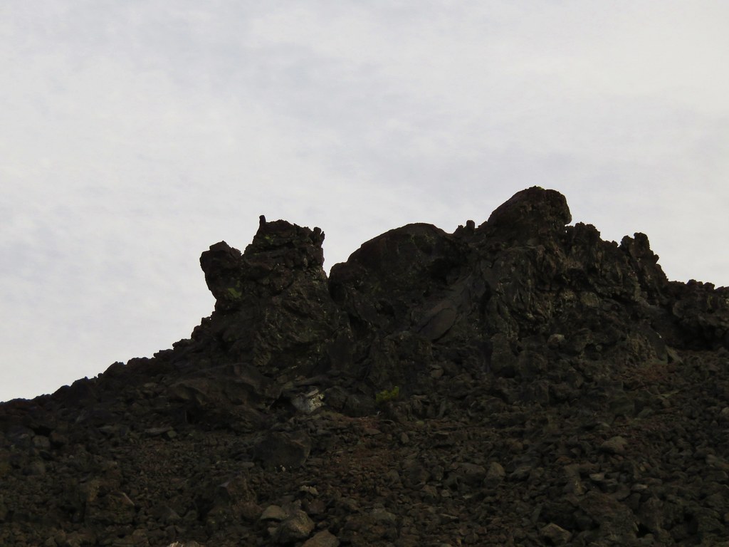
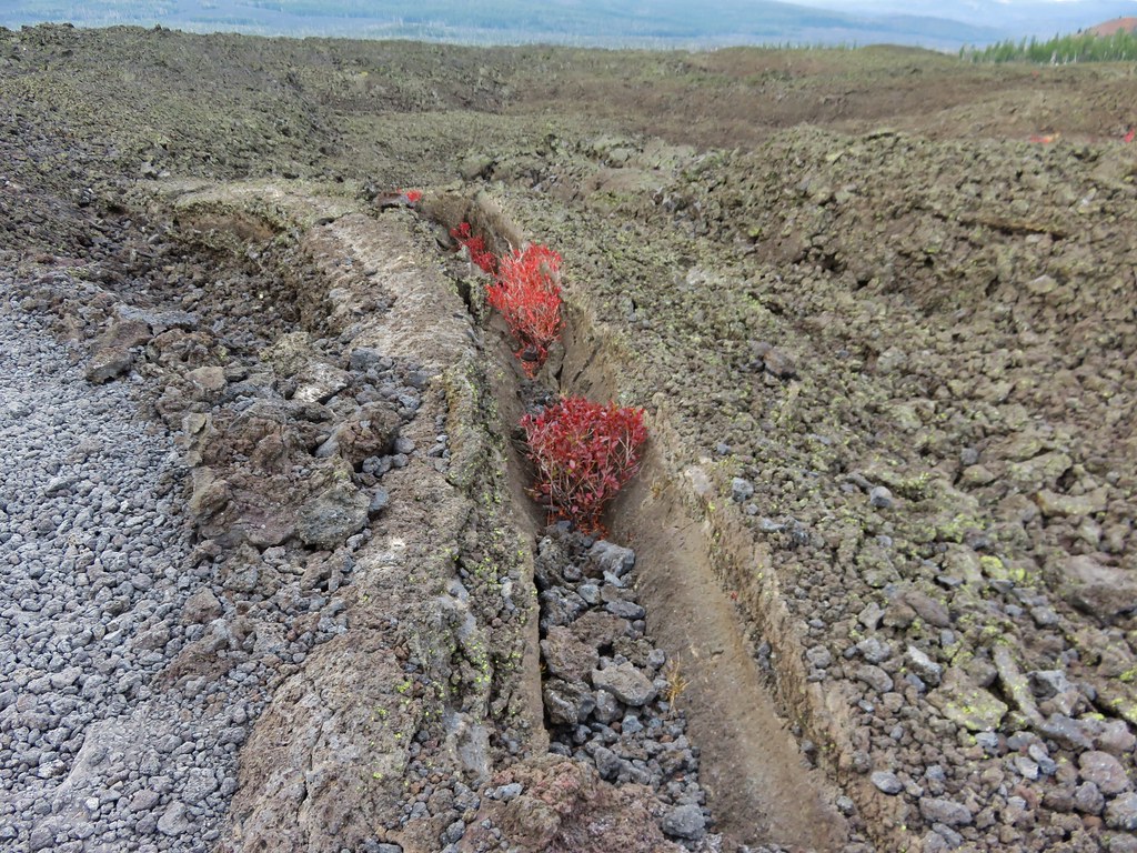
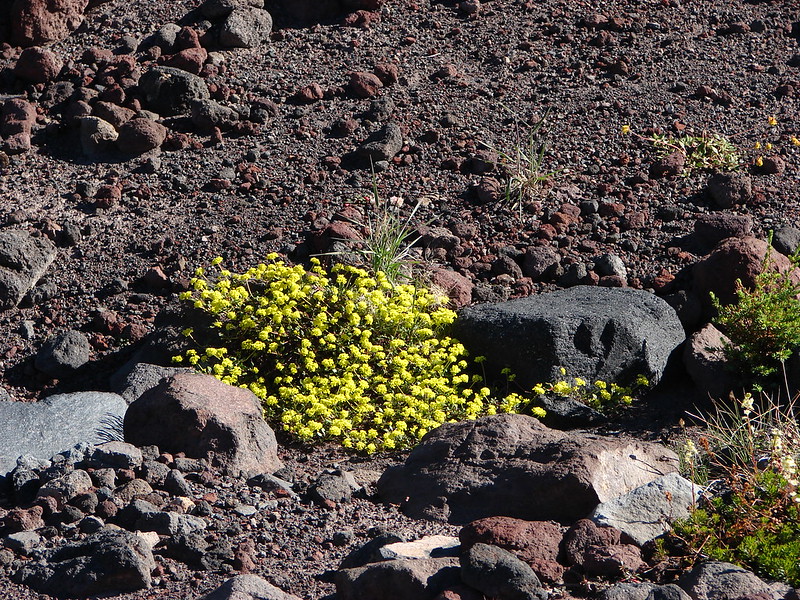
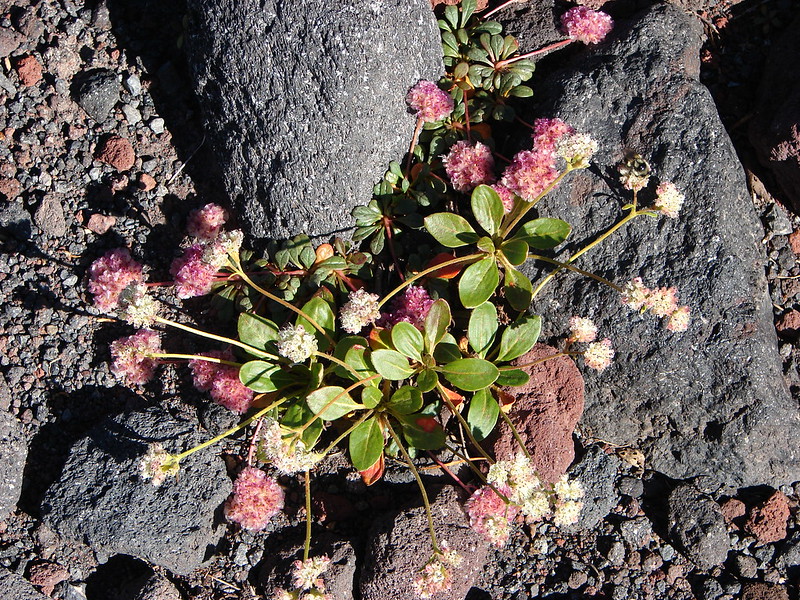
The lava flow offered many interesting features and it was interesting to see the few plants that had managed to find a foothold in the rocky landscape.
Lichen on the lava
037//embedr.flickr.com/assets/client-code.js

Turtle
041//embedr.flickr.com/assets/client-code.js

043//embedr.flickr.com/assets/client-code.js

Little tree
045//embedr.flickr.com/assets/client-code.js

Ewok waving
046//embedr.flickr.com/assets/client-code.js

Rock hill
047//embedr.flickr.com/assets/client-code.js

057//embedr.flickr.com/assets/client-code.js

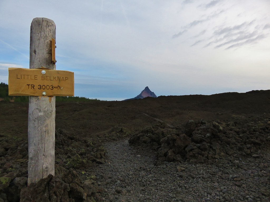
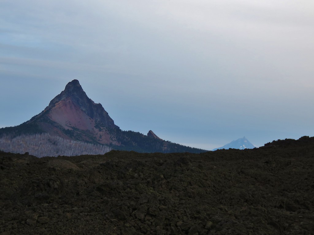
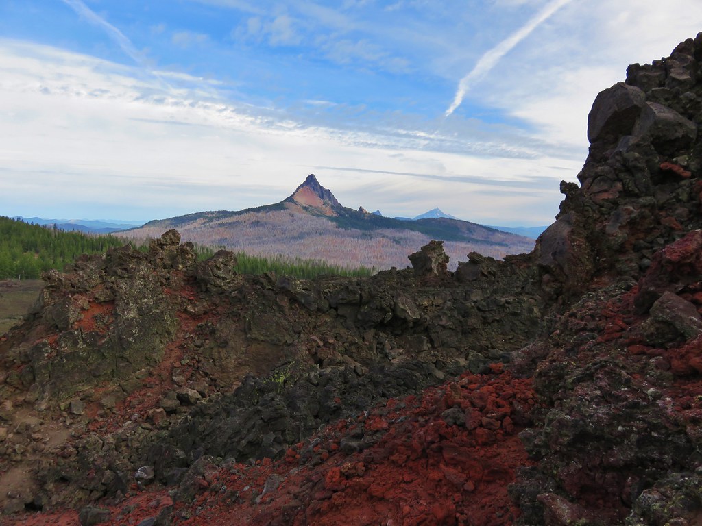
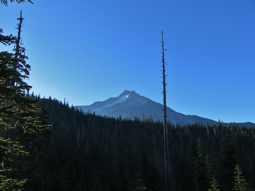
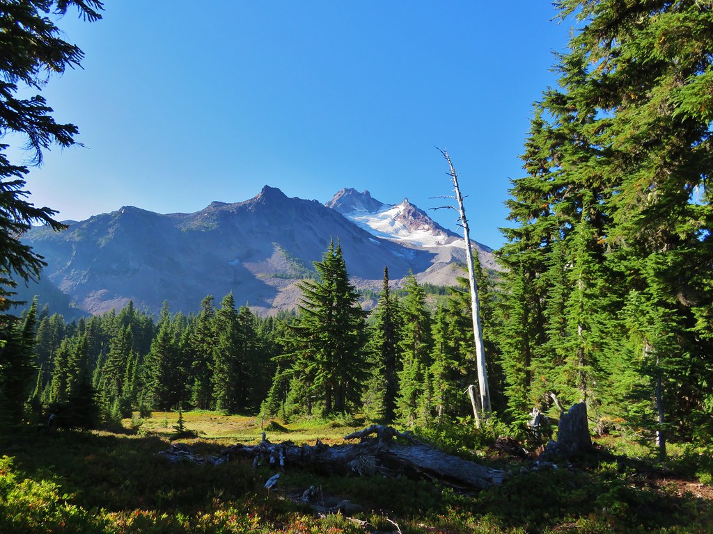
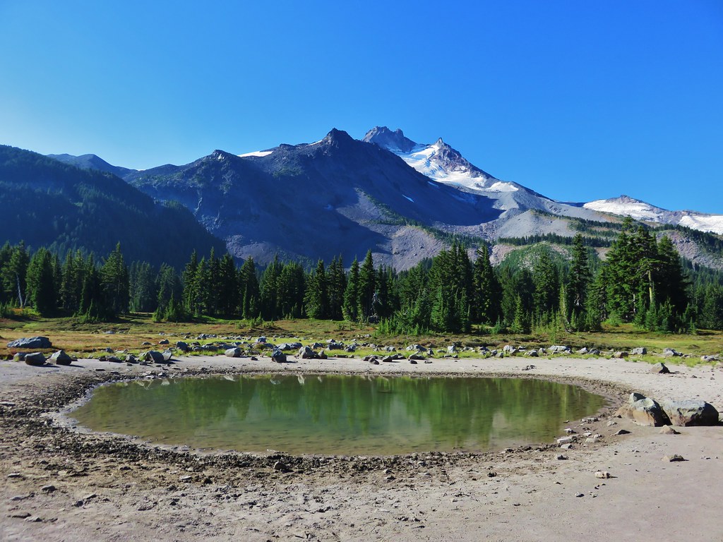
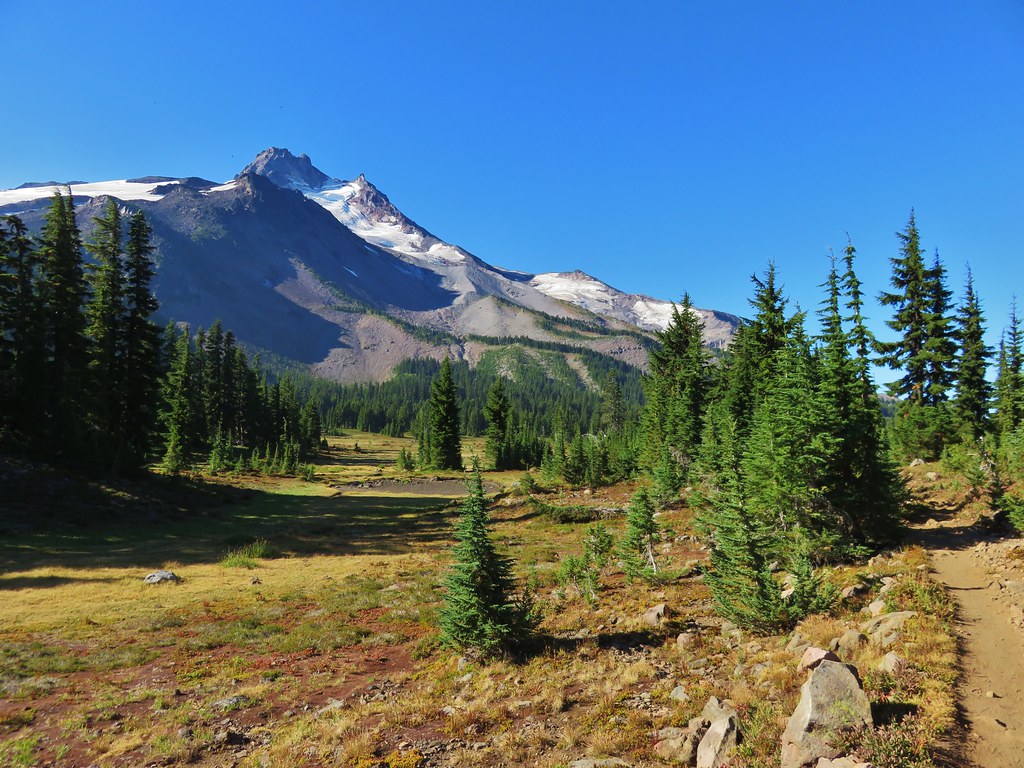
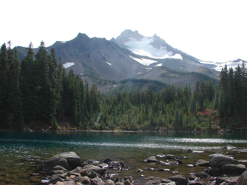
Just under 2.5 miles from the highway we reached the Little Belknap Trail with a view of Mt. Washington and distant Mt. Jefferson.
059//embedr.flickr.com/assets/client-code.js

063//embedr.flickr.com/assets/client-code.js

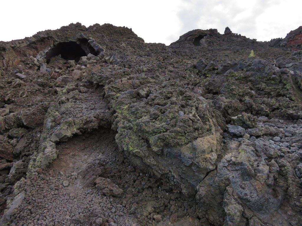
The Little Belknap Trail climbed to the summit of Little Belknap.
060//embedr.flickr.com/assets/client-code.js

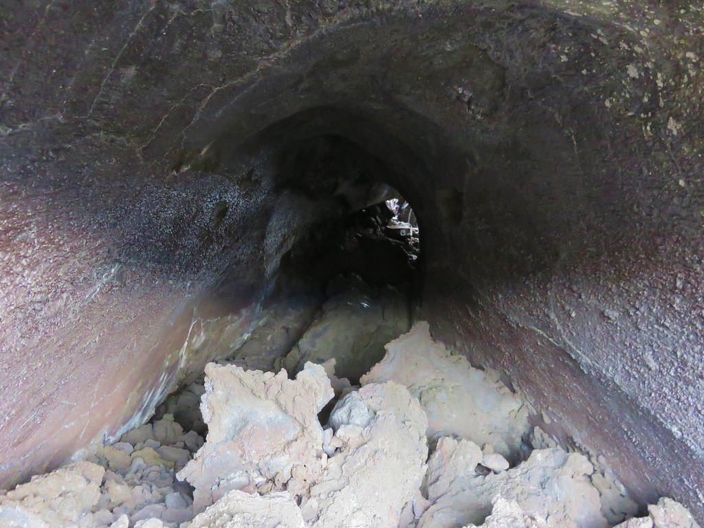
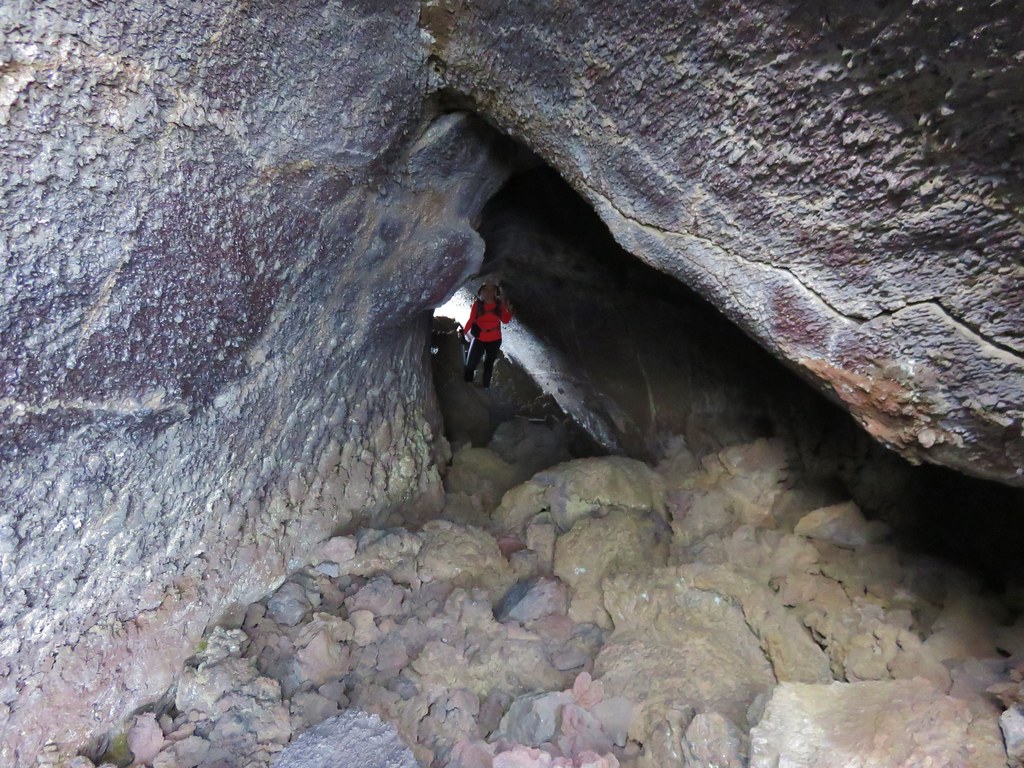
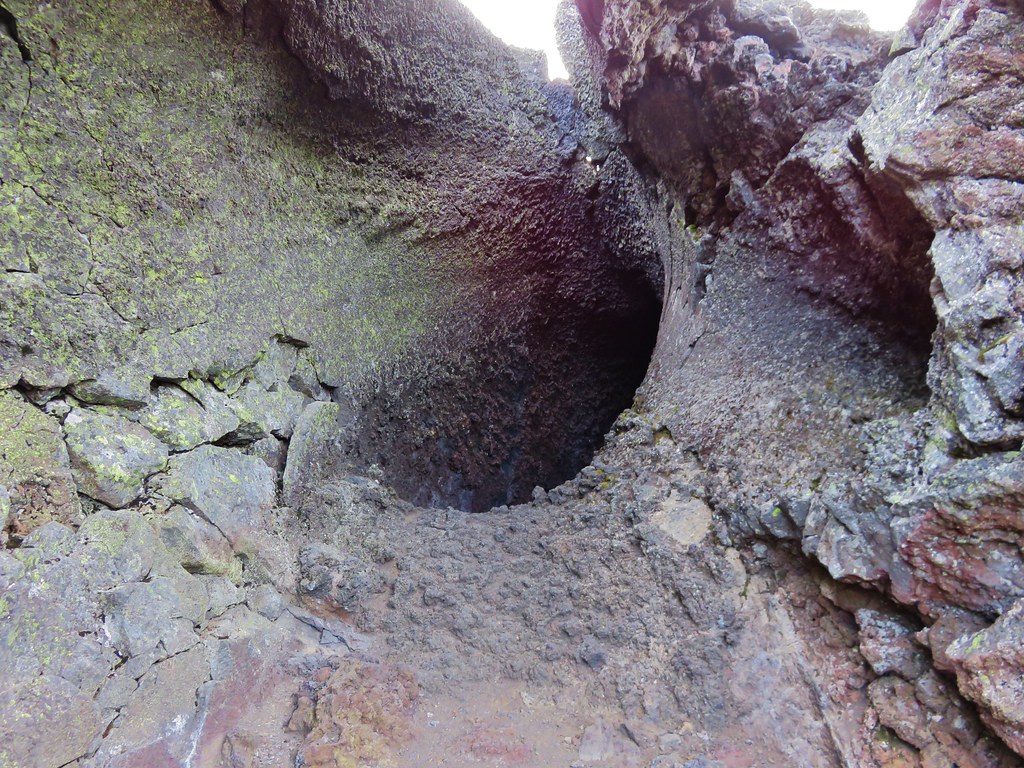
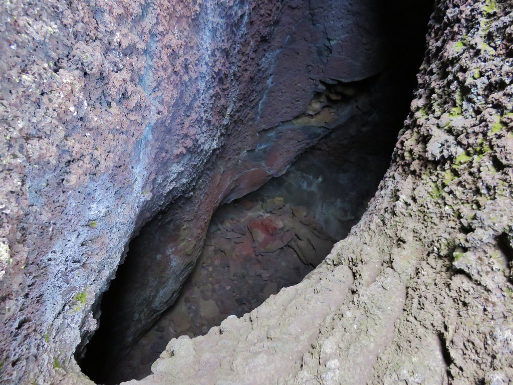
Along the way the trail passes three caves.

Lower cave
071//embedr.flickr.com/assets/client-code.js

Middle & Upper caves
072//embedr.flickr.com/assets/client-code.js

Middle cave
073//embedr.flickr.com/assets/client-code.js

076//embedr.flickr.com/assets/client-code.js

078//embedr.flickr.com/assets/client-code.js

Upper cave (beware it drops about 40′ right near the opening.
084//embedr.flickr.com/assets/client-code.js

085//embedr.flickr.com/assets/client-code.js

The final pitch to the summit is on a dark red cinder path.
093//embedr.flickr.com/assets/client-code.js

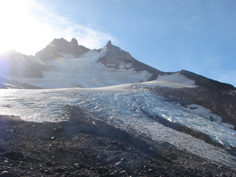
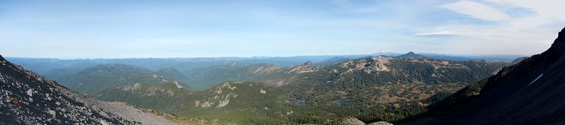
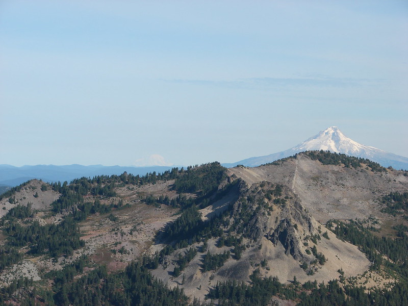
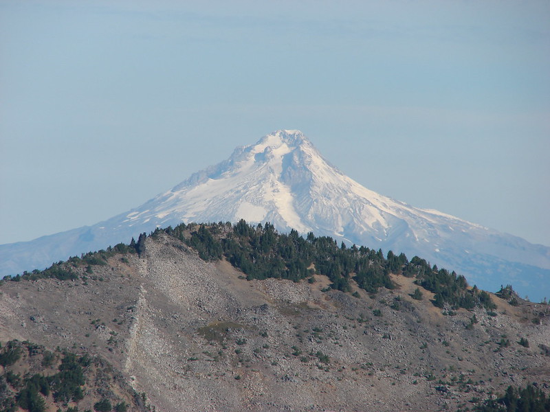
The 360 degree view includes several Cascade Mountains as well as some lower peaks.
Mt. Washington, Three Fingered Jack, and Mt. Jefferson
113//embedr.flickr.com/assets/client-code.js

Belknap Crater
112//embedr.flickr.com/assets/client-code.js

North and Middle Sister
115//embedr.flickr.com/assets/client-code.js

Broken Top
107//embedr.flickr.com/assets/client-code.js

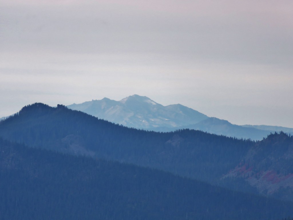
Diamond Peak
067//embedr.flickr.com/assets/client-code.js

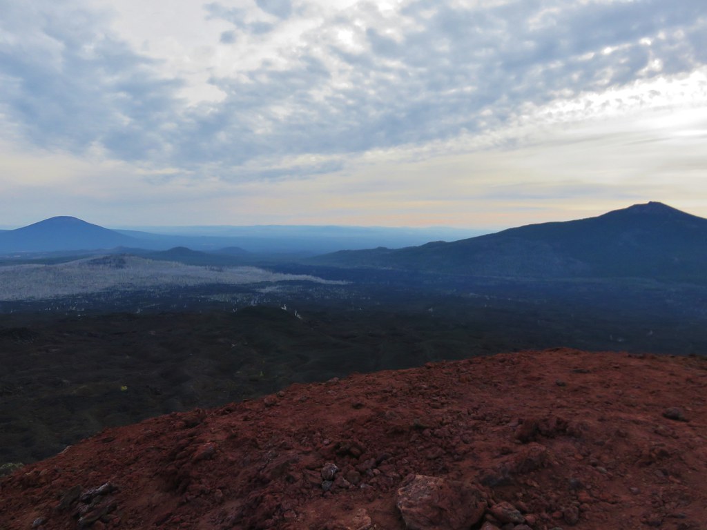
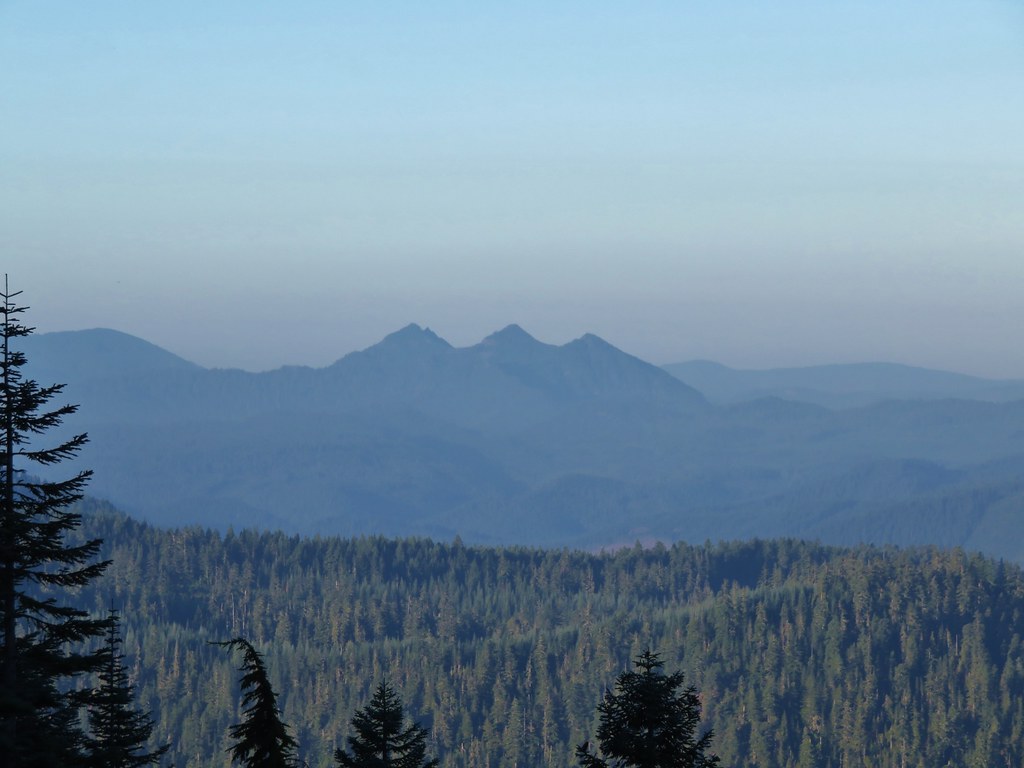
Black Butte & Black Crater
100//embedr.flickr.com/assets/client-code.js

The Husband
108//embedr.flickr.com/assets/client-code.js

Scott Mountain
109//embedr.flickr.com/assets/client-code.js

After visiting Little Belknap we continued on the PCT until it left the lava flow. Shortly thereafter the trail split at an unsigned junction.
121//embedr.flickr.com/assets/client-code.js

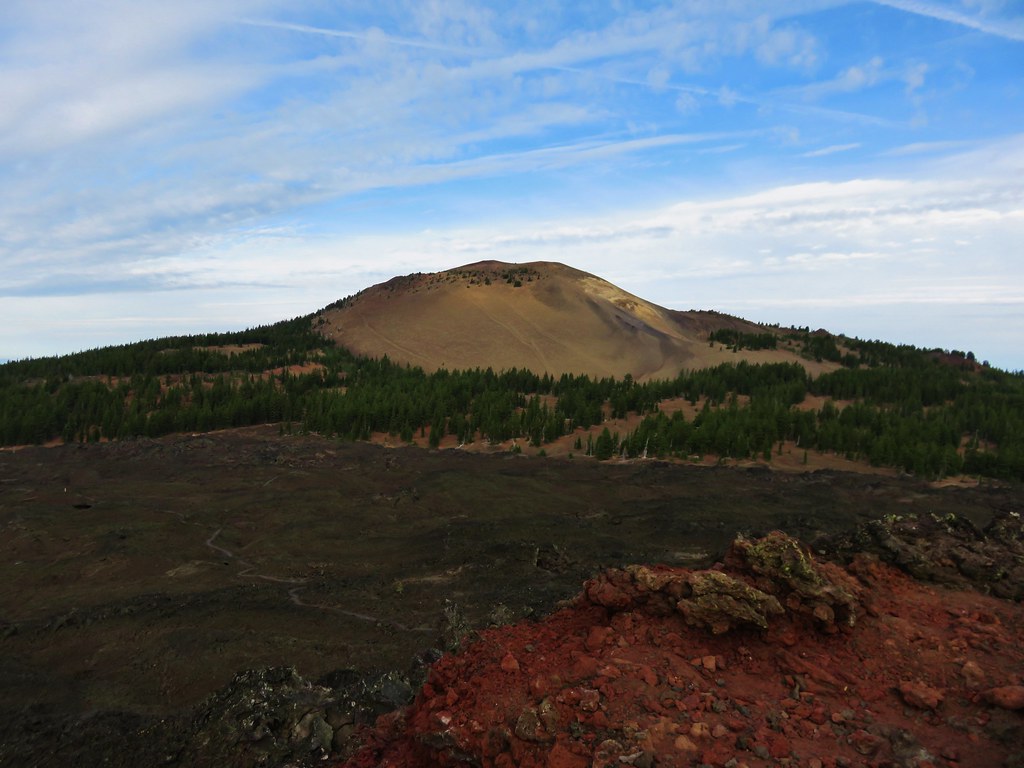
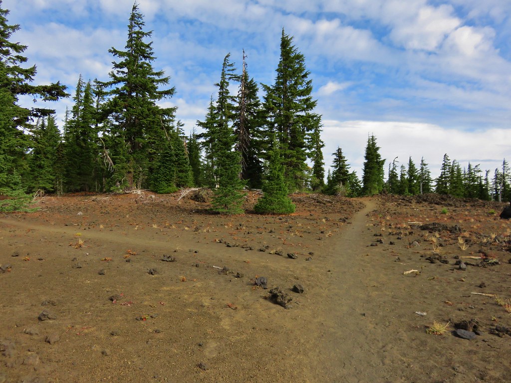
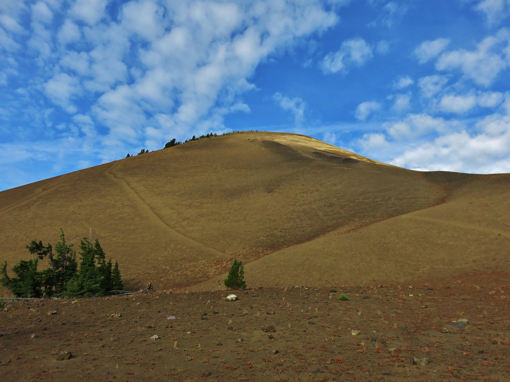
The PCT continued straight but we forked left on the unofficial trail toward Belknap Crater. The trail climbed gradually through a sparse forest to the base of the crater. The views here were great. The blue sky was dotted with white clouds high above the summit.
124//embedr.flickr.com/assets/client-code.js

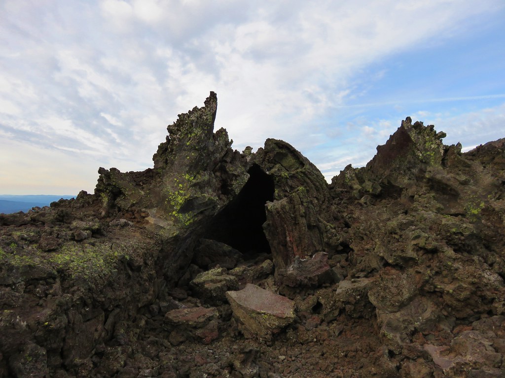
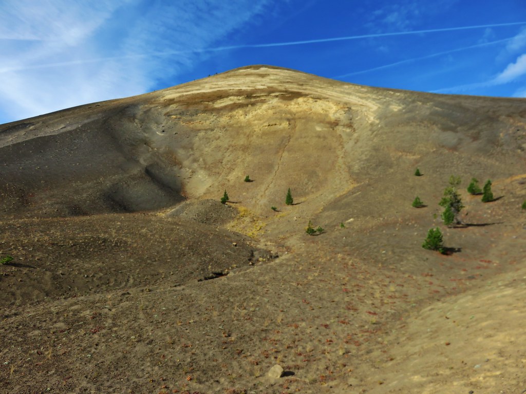
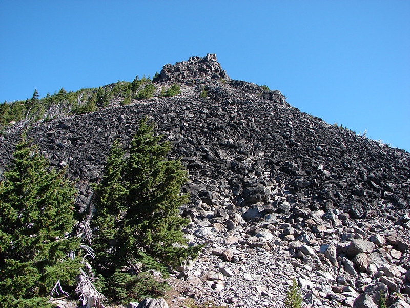
We were surprised by the various colors and different features on Belknap Crater now that we had gotten close.
129//embedr.flickr.com/assets/client-code.js

The trail skirted up around the north side of the crater before launching more steeply up toward the summit.
132//embedr.flickr.com/assets/client-code.js

134//embedr.flickr.com/assets/client-code.js

140//embedr.flickr.com/assets/client-code.js

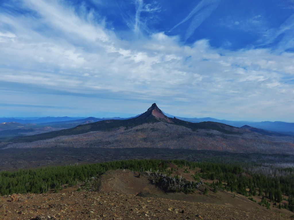
The views were excellent from the long summit ridge, especially of Mt. Washington.
168//embedr.flickr.com/assets/client-code.js

151//embedr.flickr.com/assets/client-code.js

171//embedr.flickr.com/assets/client-code.js

155//embedr.flickr.com/assets/client-code.js

181//embedr.flickr.com/assets/client-code.js

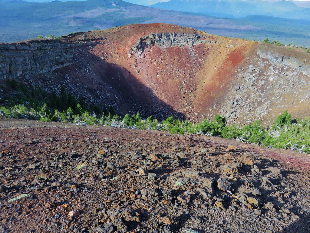
There was a large crater on the SE side of the summit which consisted of various colored rocks.
183//embedr.flickr.com/assets/client-code.js

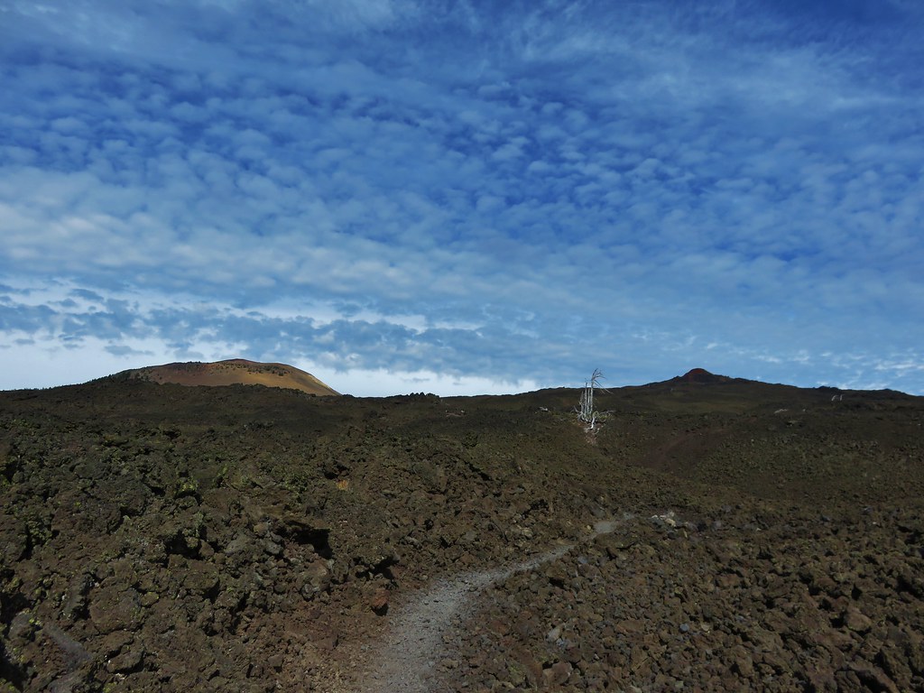
After checking out the summit and crater we began descending down the west side of Belknap Crater toward a smaller crater on the NW flank.
190//embedr.flickr.com/assets/client-code.js

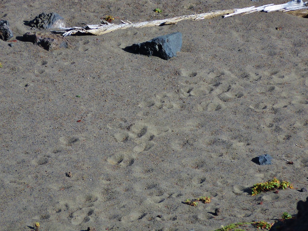
This crater wasn’t as colorful as it was made up of darker lava rocks. At the bottom we could see lots of tracks in the sand.
191//embedr.flickr.com/assets/client-code.js

193//embedr.flickr.com/assets/client-code.js

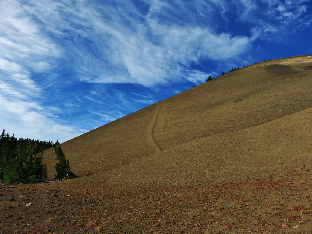
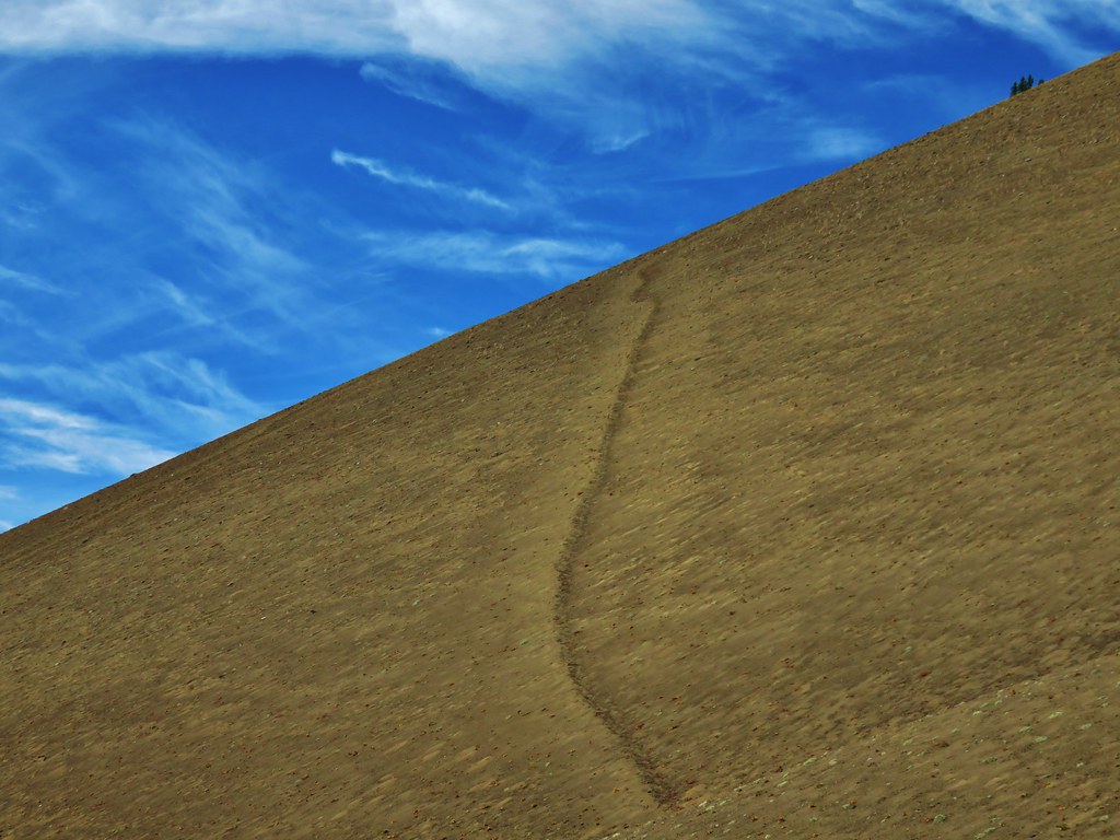
There was an interesting line going up along the east side of Belknap Crater. We couldn’t tell if it was a game trail or just some odd feature but it didn’t appear to be a trail used by people.
206//embedr.flickr.com/assets/client-code.js

207//embedr.flickr.com/assets/client-code.js

We took a final break on a downed tree near the PCT junction with a great view of Belknap Crater.
208//embedr.flickr.com/assets/client-code.js

The sky was becoming increasingly cloudy as we headed back to the car. It was a sign of things to come. On this day though the weather had been nearly perfect, and we were looking forward to the rest of the weeks hikes.
251//embedr.flickr.com/assets/client-code.js

267//embedr.flickr.com/assets/client-code.js
Happy Trails!

Flickr: https://www.flickr.com/photos/9319235@N02/albums/72157658844385675

Categories
Hiking Indian Heaven Trip report Washington Washington Cascades

Panther Creek Falls and Indian Heaven Wilderness

**Note the 2017 East Crater Fire burned a portion of this hike.**

What a difference a week makes. On our previous hike to the Olallie Lake Scenic Area we spent our time in a chilly damp fog and then dealt with the occasional rain shower. Our most recent hike to the Indian Heaven Wilderness was the exact opposite with sunny skies and temperatures in the upper 70s. This was a hike that had been pushed back a couple of weeks first due to smoke and next the weather conditions of the previous week.

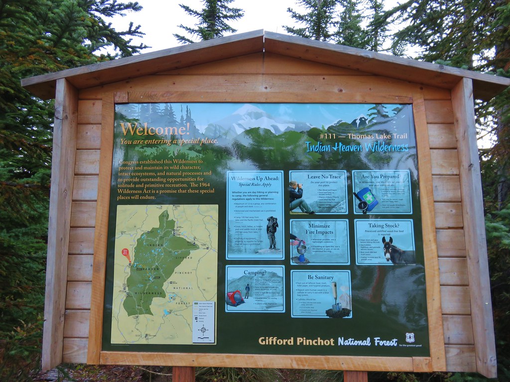
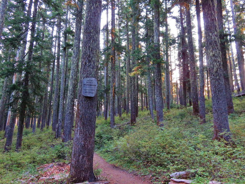
The Indian Heaven Wilderness is located in Washington State southeast of Mt. Adams. http://www.wilderness.net/NWPS/wildView?WID=258 This was our first visit to this particular wilderness and we had chosen the Thomas Lake Trailhead as our starting point. The trailhead is located along Road 65 (Panther Creek Road) approximately 21 miles from the city of Carson, Washington. We planned on taking the Thomas Lake Trail to the Pacific Crest Trail (which runs north-south through the entire wilderness) and then following the PCT north to Junction Lake where we could do a 4 mile loop past several lakes before returning to the car. We also had the option of going off-trail and hiking up Gifford Peak before reaching the PCT.

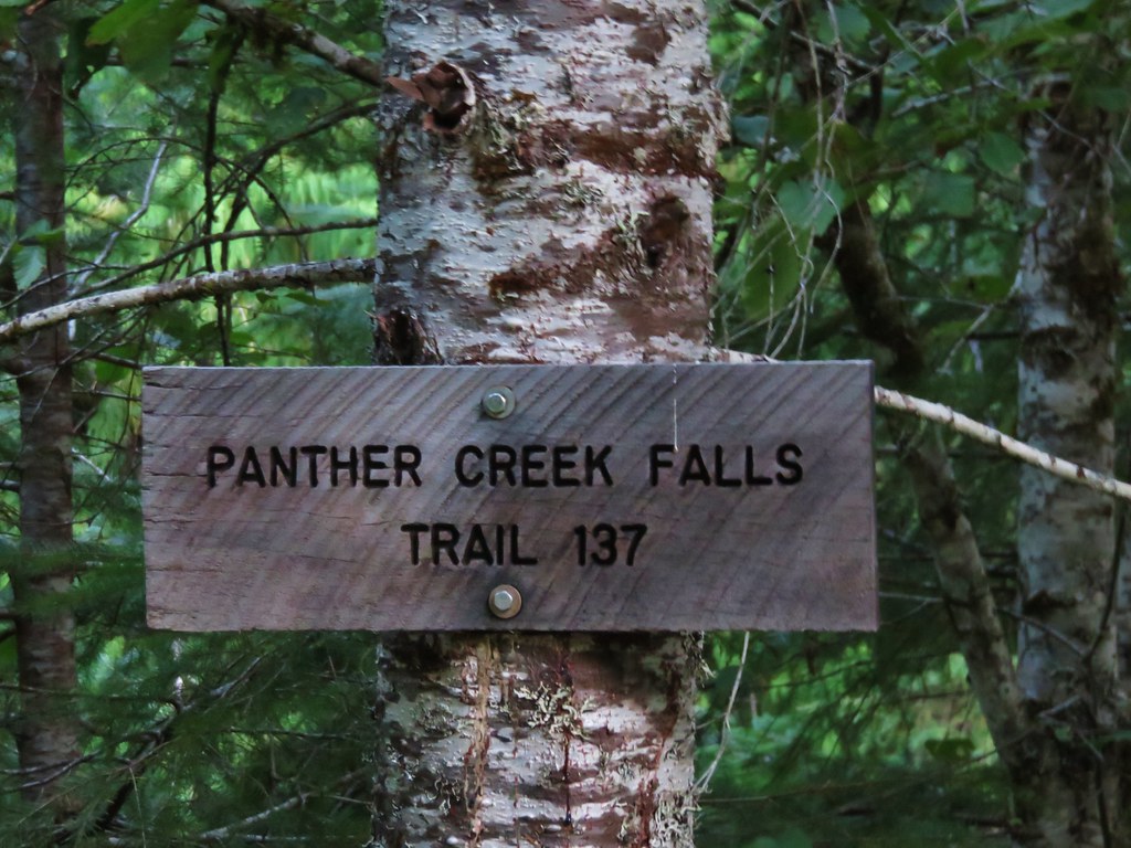
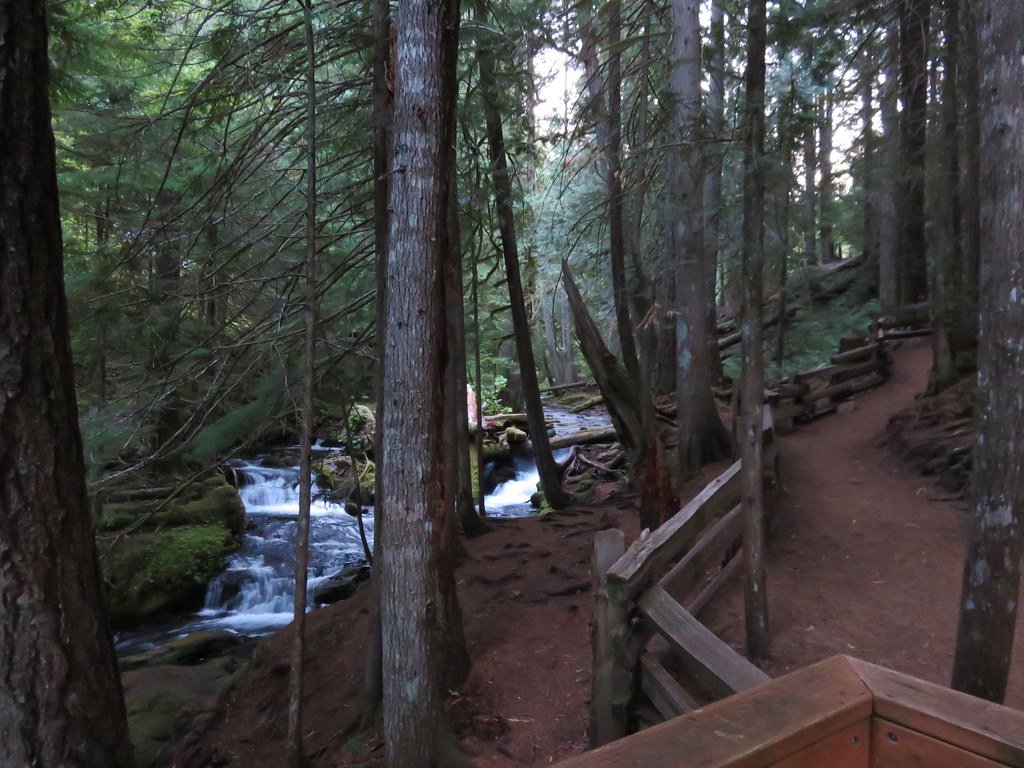
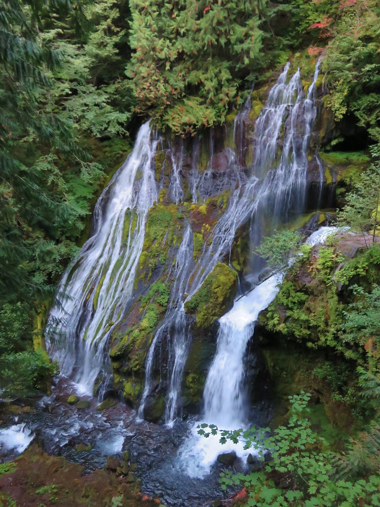
Before we got to any of that though we stopped along Road 65 at the Panther Creek Trailhead to take the short path down to see the falls.
IMG_9085//embedr.flickr.com/assets/client-code.js

IMG_9089//embedr.flickr.com/assets/client-code.js

IMG_9087//embedr.flickr.com/assets/client-code.js

After checking out the falls we continued on to the Thomas Lake Trailhead.
IMG_9091//embedr.flickr.com/assets/client-code.js

The parking area was nearly full at 7:30am which told us we’d be seeing plenty of other people on this hike as we set off on the trail.
IMG_9093//embedr.flickr.com/assets/client-code.js

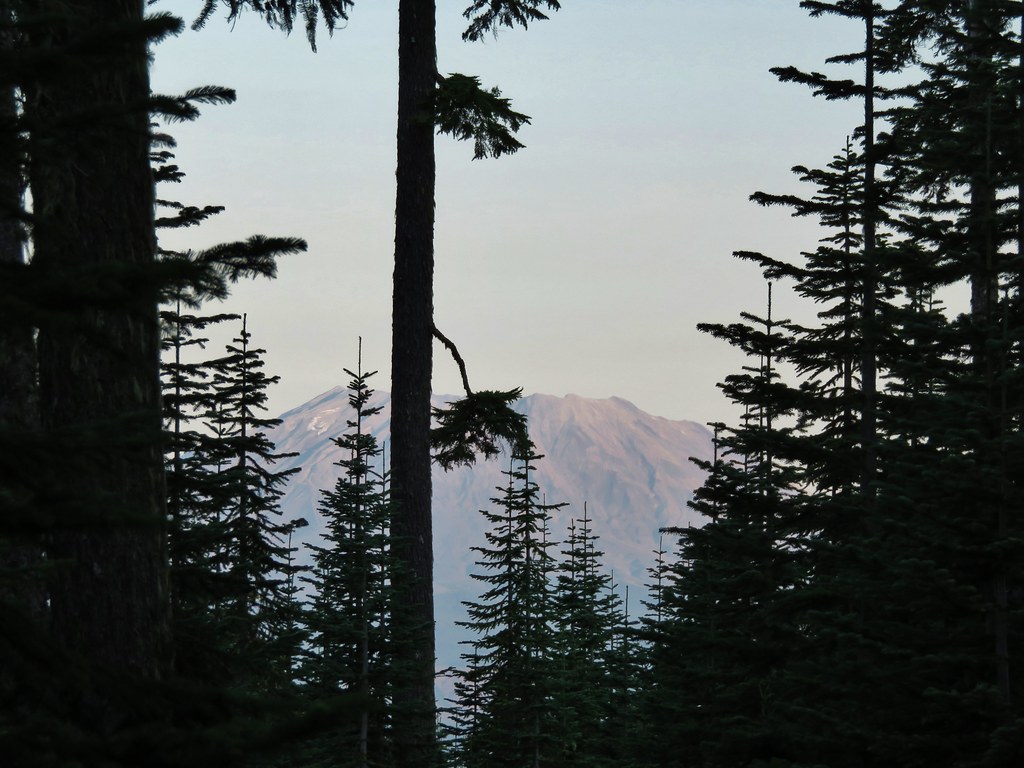
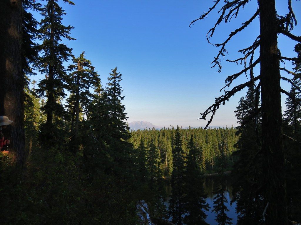
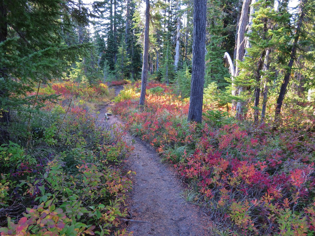
There were occasional views of Mt. St. Helens as we followed the trail up through the huckleberry filled forest toward Thomas Lake.
IMG_9095//embedr.flickr.com/assets/client-code.js

IMG_9098//embedr.flickr.com/assets/client-code.js

IMG_9099//embedr.flickr.com/assets/client-code.js

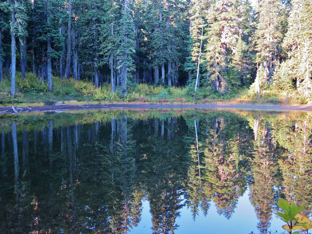
We reached the first set of lakes after a half mile.
Thomas Lake
IMG_9102//embedr.flickr.com/assets/client-code.js

Dee Lake
IMG_9104//embedr.flickr.com/assets/client-code.js

Heather Lake
IMG_9107//embedr.flickr.com/assets/client-code.js

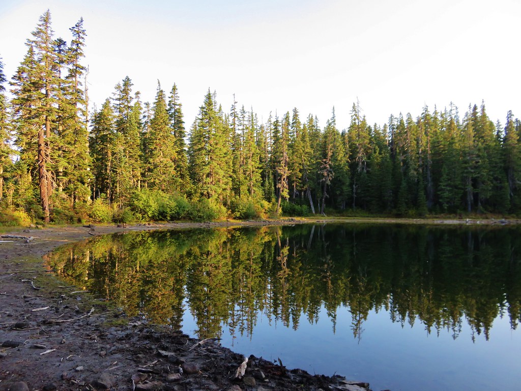
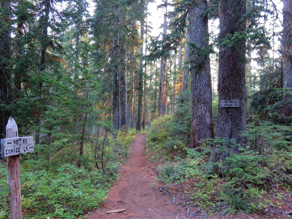
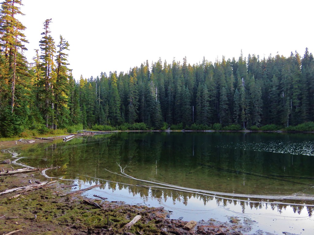
Just past the first three lakes was a trail junction with a short path to Eunice Lake.
IMG_9109//embedr.flickr.com/assets/client-code.js

IMG_9112//embedr.flickr.com/assets/client-code.js

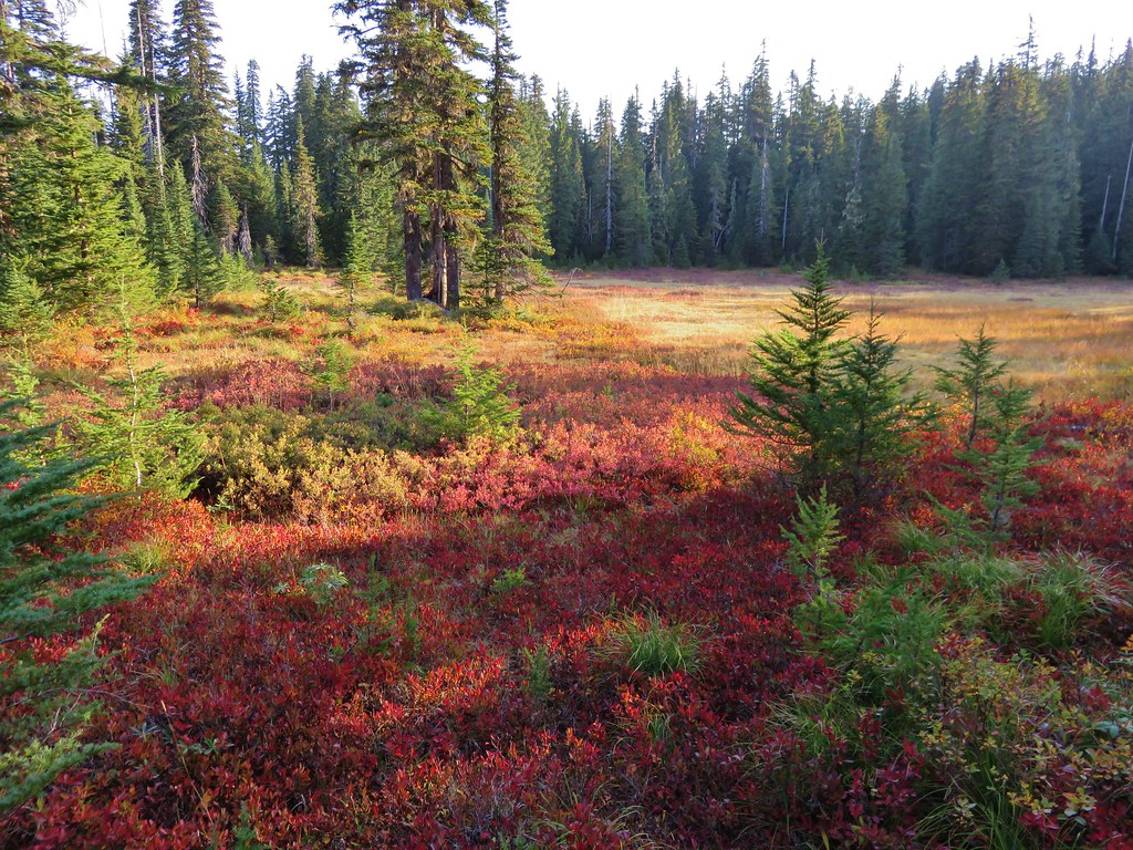
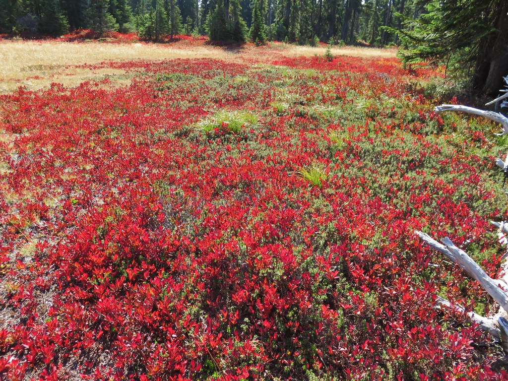
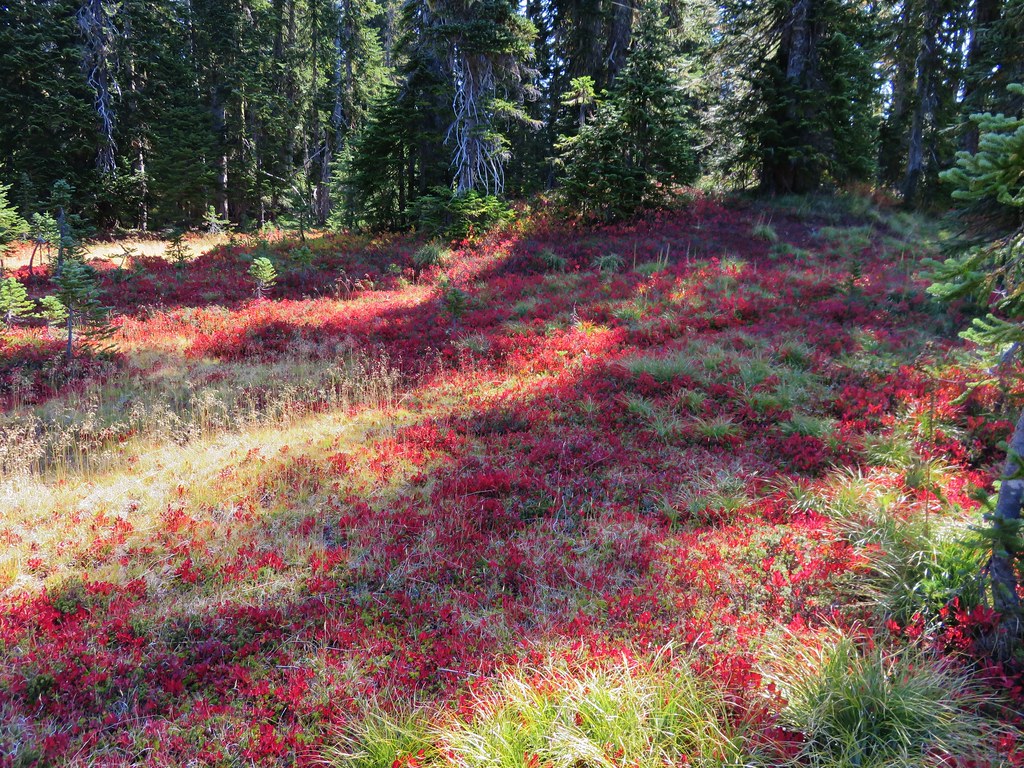
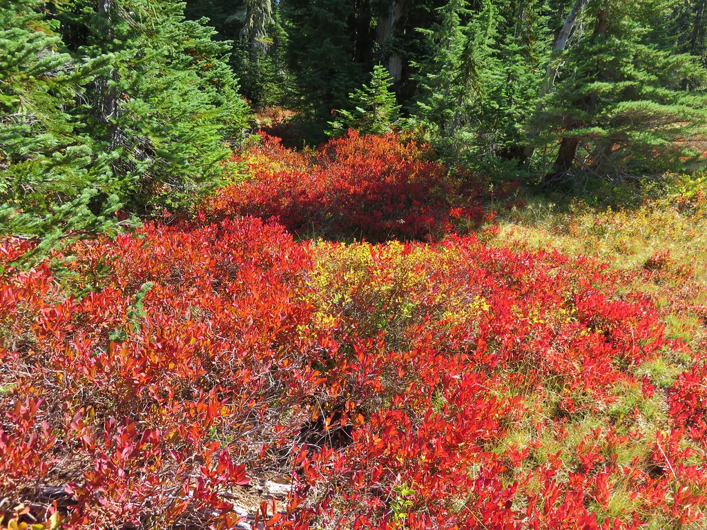
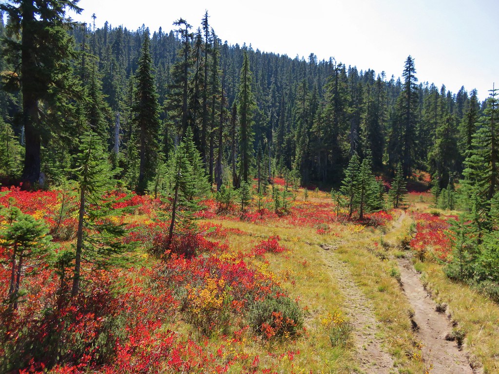
After visiting Eunice Lake we returned to the Thomas Lake Trail which climbed steeply up above those lakes before leveling out through meadows ablaze with red huckleberry leaves.
IMG_9117//embedr.flickr.com/assets/client-code.js

IMG_9124//embedr.flickr.com/assets/client-code.js

IMG_9126//embedr.flickr.com/assets/client-code.js

IMG_9139//embedr.flickr.com/assets/client-code.js

IMG_9140//embedr.flickr.com/assets/client-code.js

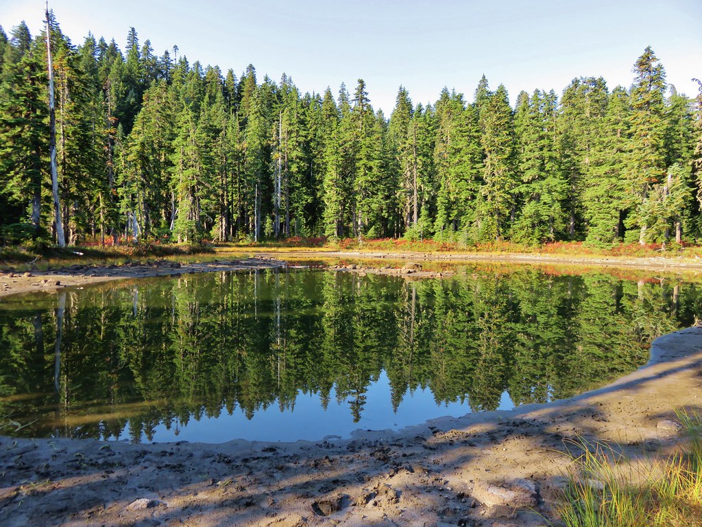
More lakes and ponds awaited along this stretch of trail.
Brader Lake
IMG_9129//embedr.flickr.com/assets/client-code.js

IMG_9132//embedr.flickr.com/assets/client-code.js

Unnamed lake/pond
IMG_9133//embedr.flickr.com/assets/client-code.js

Naha Lake
IMG_9136//embedr.flickr.com/assets/client-code.js

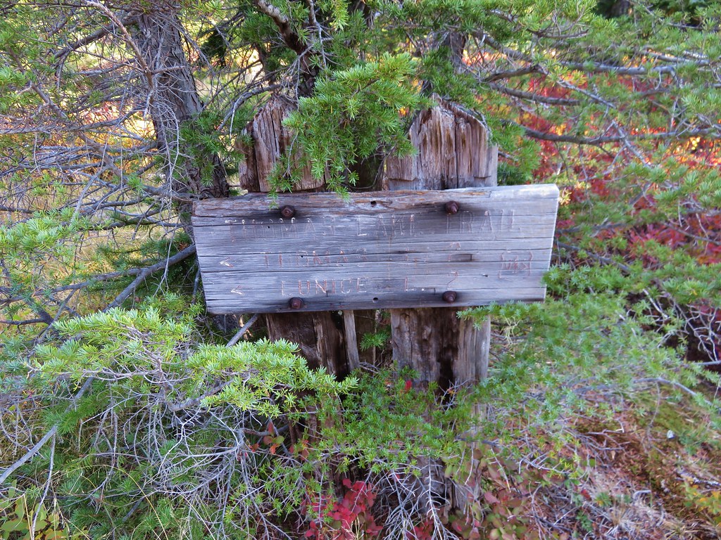
About two miles from the trailhead the trail took a sharp right at a trail sign.
IMG_9141//embedr.flickr.com/assets/client-code.js

There were a few more trees along this section of trail but also still plenty of berry bushes and lakes/ponds.
IMG_9143//embedr.flickr.com/assets/client-code.js

IMG_9148//embedr.flickr.com/assets/client-code.js

IMG_9153//embedr.flickr.com/assets/client-code.js

After about a mile when the trail crossed a small creek we needed to decide if we were going to try the 0.8 mile climb of Gifford Peak. We were below a rocky outcropping but it appeared that we could sidehill up steeply to a saddle where we hopped to pick up the ridge and follow it to the top.
IMG_9197//embedr.flickr.com/assets/client-code.js

With the help of the topographic map loaded on the GPS unit we gained the ridge and found a path that was fairly easy to follow.
IMG_9156//embedr.flickr.com/assets/client-code.js

The first section up to the saddle proved to be the steepest and the rest of the climb was more gradual. Openings near the summit offered views of Mt. Hood, Mt. St. Helens, and Mt. Rainier.
Mt. Hood
IMG_9160//embedr.flickr.com/assets/client-code.js

IMG_9162//embedr.flickr.com/assets/client-code.js

Mt. St. Helens
IMG_9163//embedr.flickr.com/assets/client-code.js

IMG_9164//embedr.flickr.com/assets/client-code.js

Mt. Rainier
IMG_9168//embedr.flickr.com/assets/client-code.js

IMG_9169//embedr.flickr.com/assets/client-code.js

It wasn’t exactly the clearest of skies as there seemed to be a haze in every direction. Whether it was smoke from fires or just due to the heat/humidity in the area we weren’t sure but it was still a nice view. We reached the summit to find a small summit register and a view of Mt. Adams and Goat Rocks.
Mt. Adams
IMG_9175//embedr.flickr.com/assets/client-code.js

IMG_9176//embedr.flickr.com/assets/client-code.js

Goat Rocks
IMG_9183//embedr.flickr.com/assets/client-code.js

After making our way back down to the trail we continued on passing Lake Sahalie Tyee before reaching the impressive Blue Lake below Gifford Peak.
Lake Sahalie Tyee
IMG_9201//embedr.flickr.com/assets/client-code.js

Blue Lake
IMG_9205//embedr.flickr.com/assets/client-code.js

IMG_9207//embedr.flickr.com/assets/client-code.js

We arrived at the PCT at the far end of Blue Lake.
IMG_9210//embedr.flickr.com/assets/client-code.js

We turned left and headed north toward Junction Lake which was 2 miles away. At Junction Lake we took the Lemi Lake Trail to start our loop.
IMG_9226//embedr.flickr.com/assets/client-code.js

Some of the best fall colors were in the meadows between Junction Lake and Lemi Lake.
IMG_9231//embedr.flickr.com/assets/client-code.js

IMG_9232//embedr.flickr.com/assets/client-code.js

IMG_9234//embedr.flickr.com/assets/client-code.js

IMG_9242//embedr.flickr.com/assets/client-code.js

IMG_9244//embedr.flickr.com/assets/client-code.js

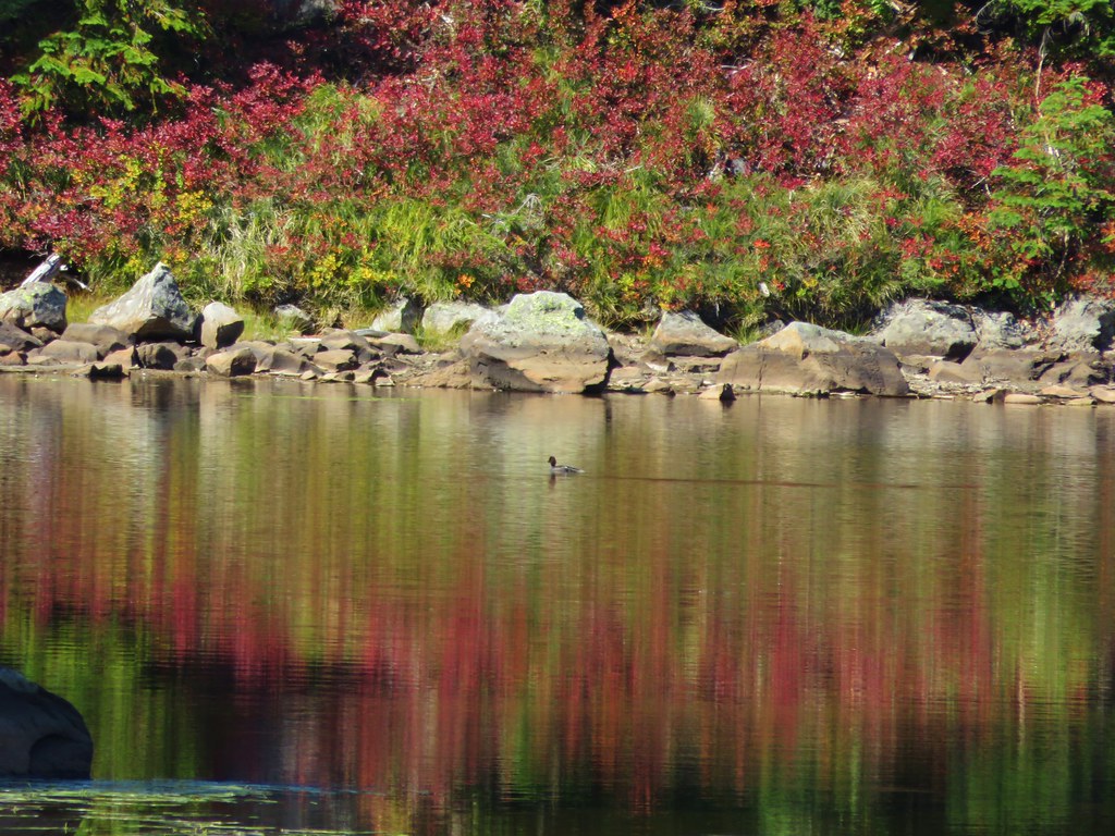
As we reached Lemi Lake we were discussing the differences in the lakes on this hike verses in the Olallie Lake area and one of the things we’d noticed was that we hadn’t seen any ducks on this hike. Just as we were discussing that we noticed a lone duck floating on Lemi Lake.
IMG_9254//embedr.flickr.com/assets/client-code.js

IMG_9253//embedr.flickr.com/assets/client-code.js

The Lemi Lake Trail ended just over 2 miles from Junction Lake at the Indian Heaven Trail.
IMG_9261//embedr.flickr.com/assets/client-code.js

We turned left continuing on our loop and passing above the busy Clear Lake.
IMG_9263//embedr.flickr.com/assets/client-code.js

We arrived back at the PCT after just .3 miles and took another left passing Deer Lake and more ducks.
IMG_9265//embedr.flickr.com/assets/client-code.js

IMG_9269//embedr.flickr.com/assets/client-code.js

IMG_9268//embedr.flickr.com/assets/client-code.js

Not far from Deer Lake was Bear Lake where we decided to rest for a bit and have a snack. Bear Lake rivaled Blue Lake with it’s impressive colors.
IMG_9270//embedr.flickr.com/assets/client-code.js

IMG_9275//embedr.flickr.com/assets/client-code.js

When we had completed our loop and returned to Junction Lake we decided to take a shortcut back by following an old abandoned trail to the Thomas Lake Trail near Rock Lakes.
IMG_9277//embedr.flickr.com/assets/client-code.js

This abandoned trail was still easy to follow and passed through even more scenic meadows and past additional ponds.
IMG_9278//embedr.flickr.com/assets/client-code.js

IMG_9285//embedr.flickr.com/assets/client-code.js

IMG_9288//embedr.flickr.com/assets/client-code.js

IMG_9291//embedr.flickr.com/assets/client-code.js

After 1.7 miles we arrived at Rock Lakes.
IMG_9296//embedr.flickr.com/assets/client-code.js

IMG_9297//embedr.flickr.com/assets/client-code.js

IMG_9298//embedr.flickr.com/assets/client-code.js

We picked up the Thomas Lake Trail at the sign where we had taken the sharp right earlier that day. From there it was just over 2 miles back down to the trailhead.
IMG_9299//embedr.flickr.com/assets/client-code.js

The total distance of the hike was 14.9 miles in the wilderness plus .3 miles at Panther Creek Falls which made for a nice full day. It was a great first visit to the wilderness and we look forward to going back to check out some of the other trails in the area. Happy Trails!

Flickr: https://www.flickr.com/photos/9319235@N02/albums/72157658130857169

Categories
High Cascades Hiking Mt. Jefferson Area Oregon Trip report

Red Lake Trail – Olallie Lake Scenic Area

**Note the 2020 Lionshead Fire burned the area covered by this hike.**

We hadn’t been out on a single night backpacking trip yet this year so when a somewhat favorable forecast for the Labor Day weekend presented itself we decided to take advantage and make return trip to the Red Lake Trail. Our first visit had been in October 2013 when an early snowfall resulted in a winter wonderland. https://wanderingyuncks.wordpress.com/2013/10/15/red-lake-trail/
On that hike we had not gotten the views of Mt. Hood and especially Mt. Jefferson that we had hoped for. Were hoping that either the partly sunny skies on Saturday or the mostly sunny skies on Sunday that were called for would offer up those views this time around.

The plan this time around was to start at the west end of the Red Lake Trail along Road 380 and hike to the Pacific Crest Trail. We were hoping we would find a suitable camp site near Neknoberts Lake a little off of the PCT then take the rest of our day to explore the area. We planned on doing a small loop using the Red Lake Trail and PCT to visit Olallie Lake then take the PCT south to the Ruddy Hill Trail where we hoped to climb to the former lookout site for a grand view of Mt. Jefferson. We also planned on climbing Double Peaks, which we had done the last trip, on our way back to camp. The second day we would pack up and revisit Potato Butte on the way back to the trailhead.

Our first inkling that the forecast may have been a bit off came when we arrived at the trailhead where a low sheet of clouds hung above the forest.
IMG_8729//embedr.flickr.com/assets/client-code.js
IMG_8737//embedr.flickr.com/assets/client-code.js\\

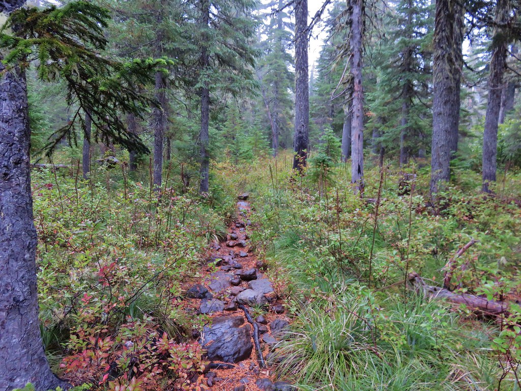
We began climbing up toward Red Lake and quickly entered a misty fog which did a wonderful job of soaking our shoes, socks, and pant legs. By the time we had reached the short side trail to Red Lake the fog was so thick the lake wasn’t really visible. We passed by Averll Lake next which was a little less foggy.
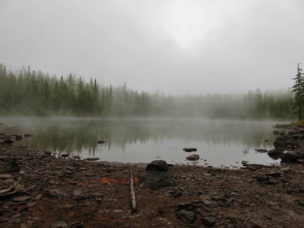
IMG_8740//embedr.flickr.com/assets/client-code.js

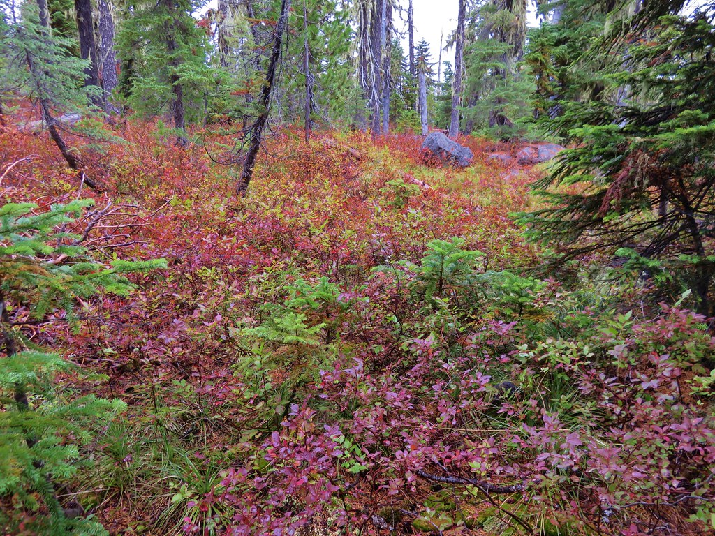
The lakes were proving difficult to see but the fall colors showing along the trail weren’t as we passed Wall Lake.
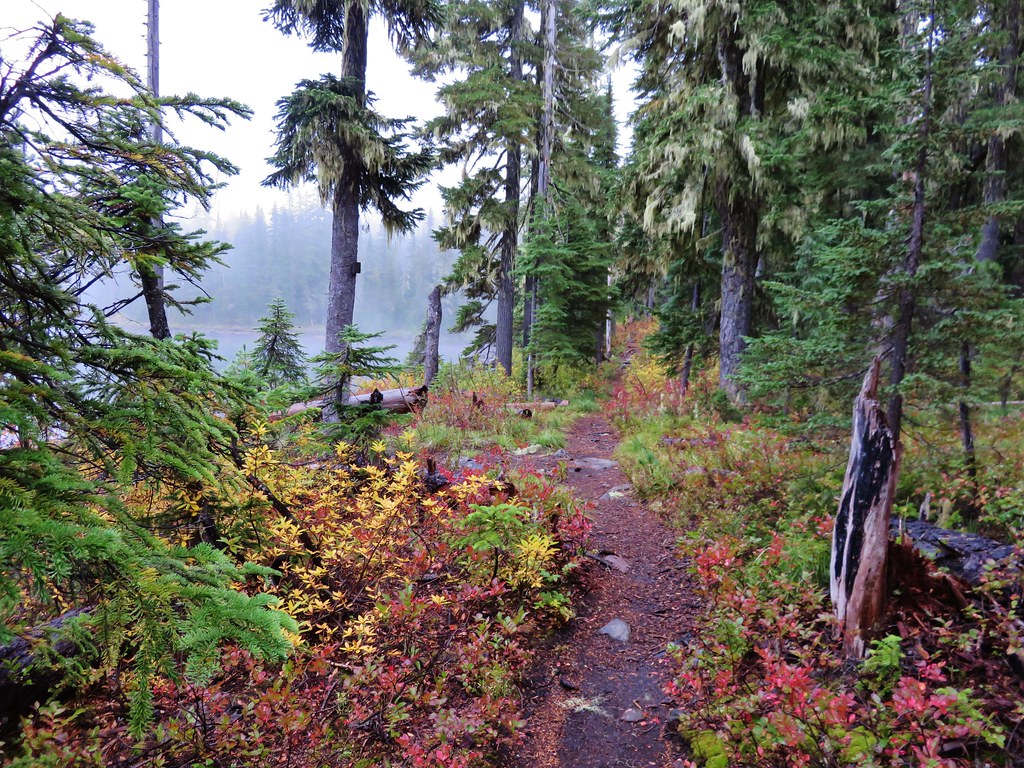
IMG_8741//embedr.flickr.com/assets/client-code.js
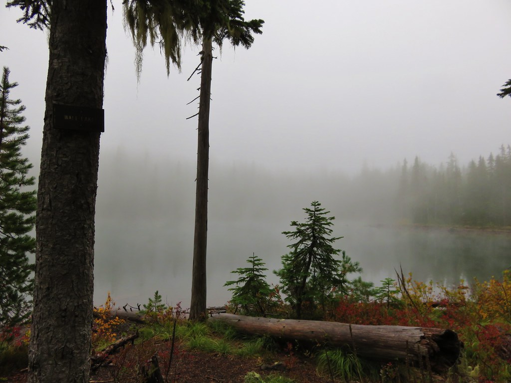
IMG_8743//embedr.flickr.com/assets/client-code.js

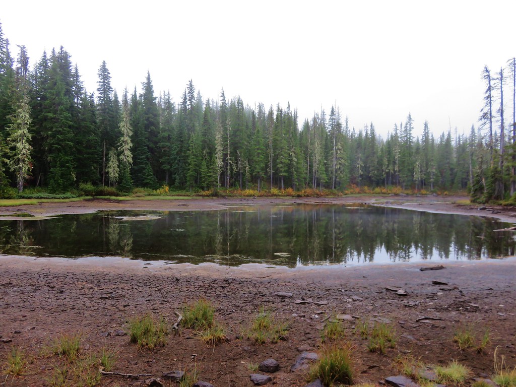
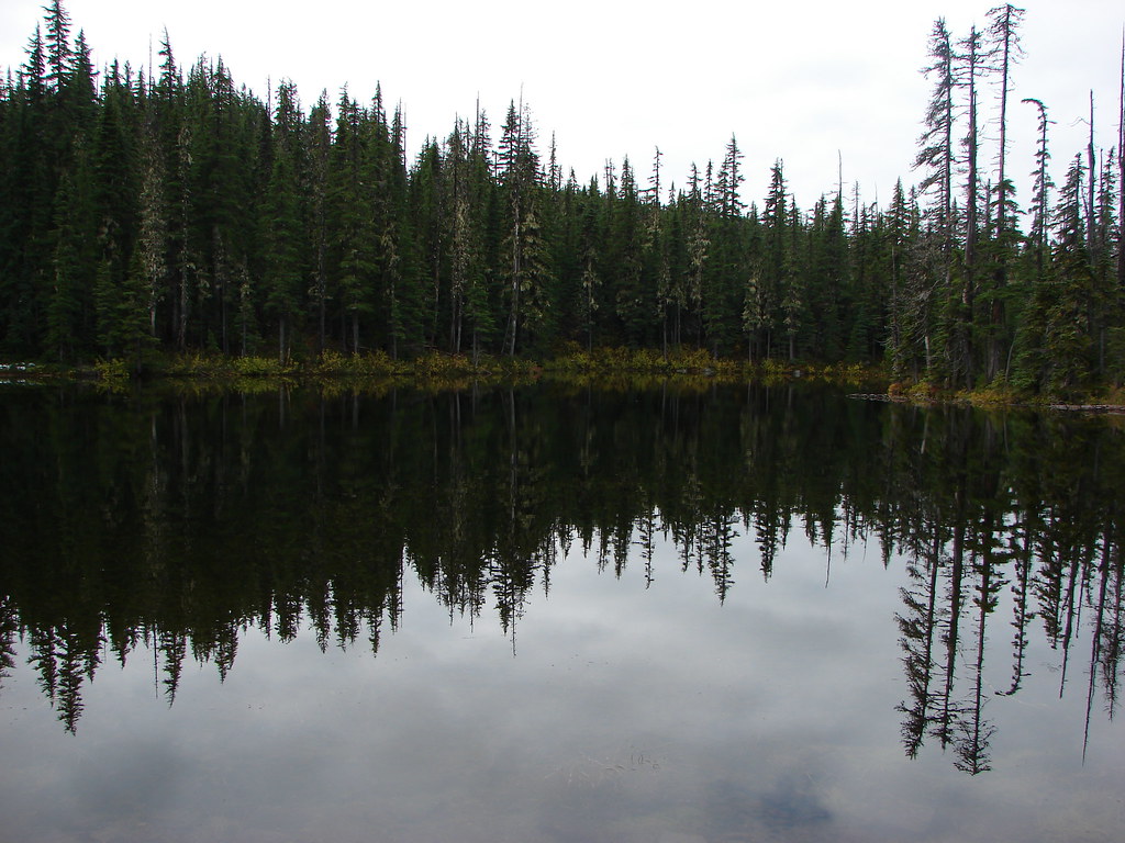
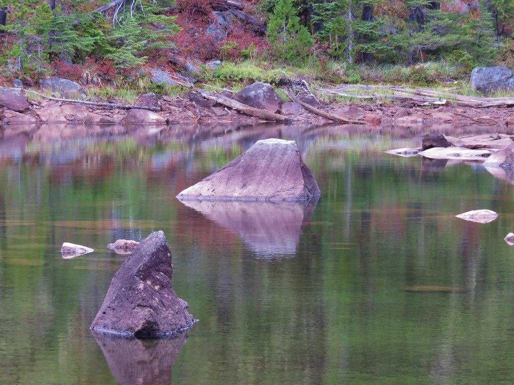
We were finally able to get a good look at one of the lakes when we reached Fork Lake. It was a lot lower than it had been in 2013 giving a good indication of the drought conditions we experienced this year.
IMG_8744//embedr.flickr.com/assets/client-code.js

Fork Lake October 2013
133//embedr.flickr.com/assets/client-code.js

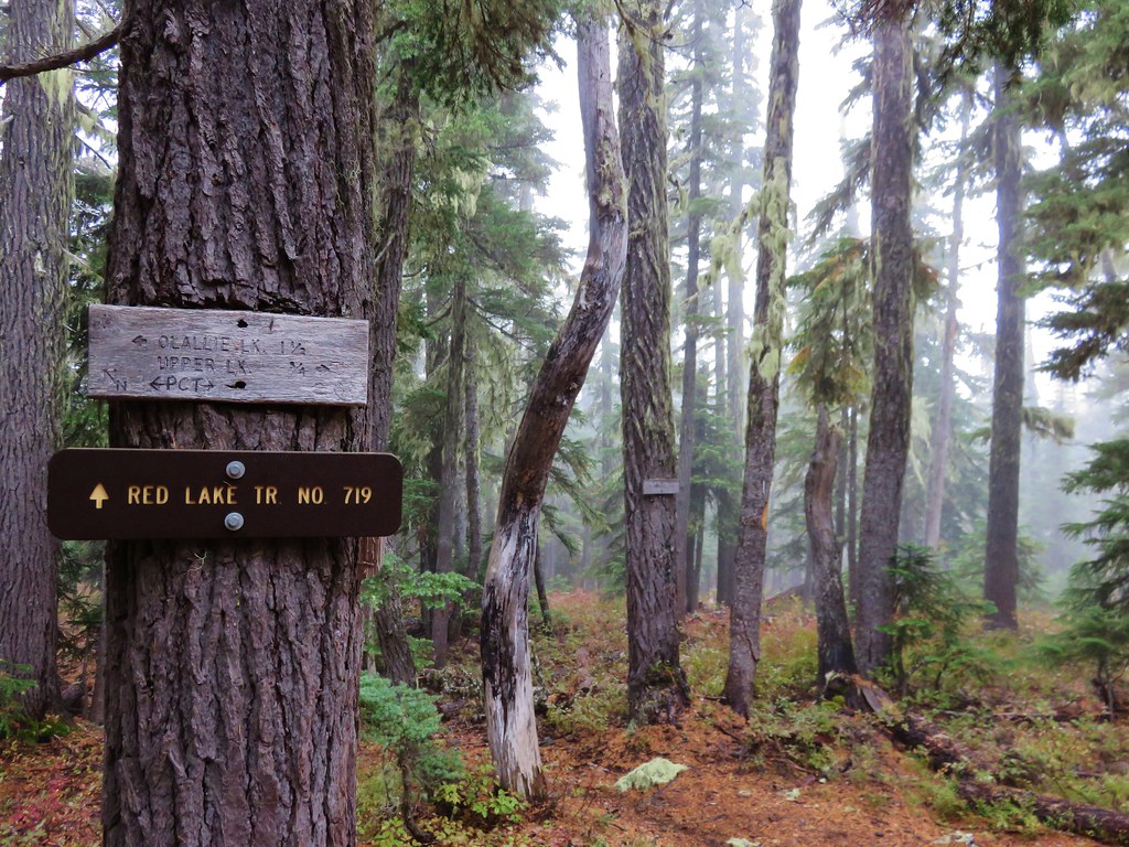
We arrived at the Pacific Crest Trail after 4.3 miles at a four way junction.
IMG_8752//embedr.flickr.com/assets/client-code.js

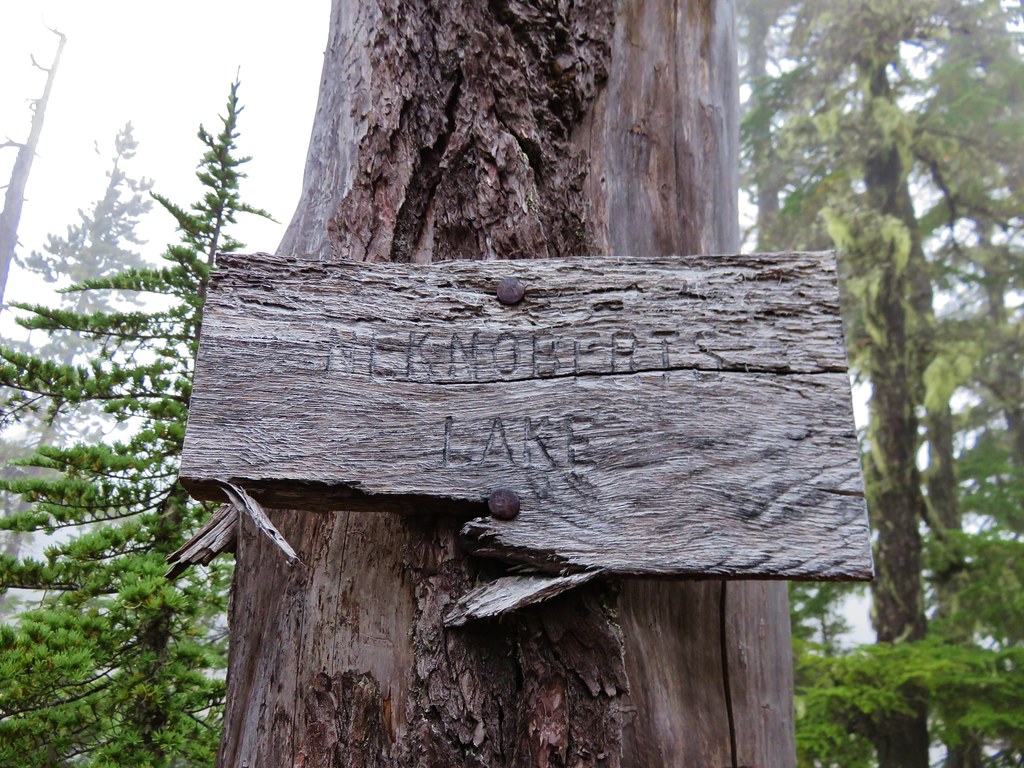
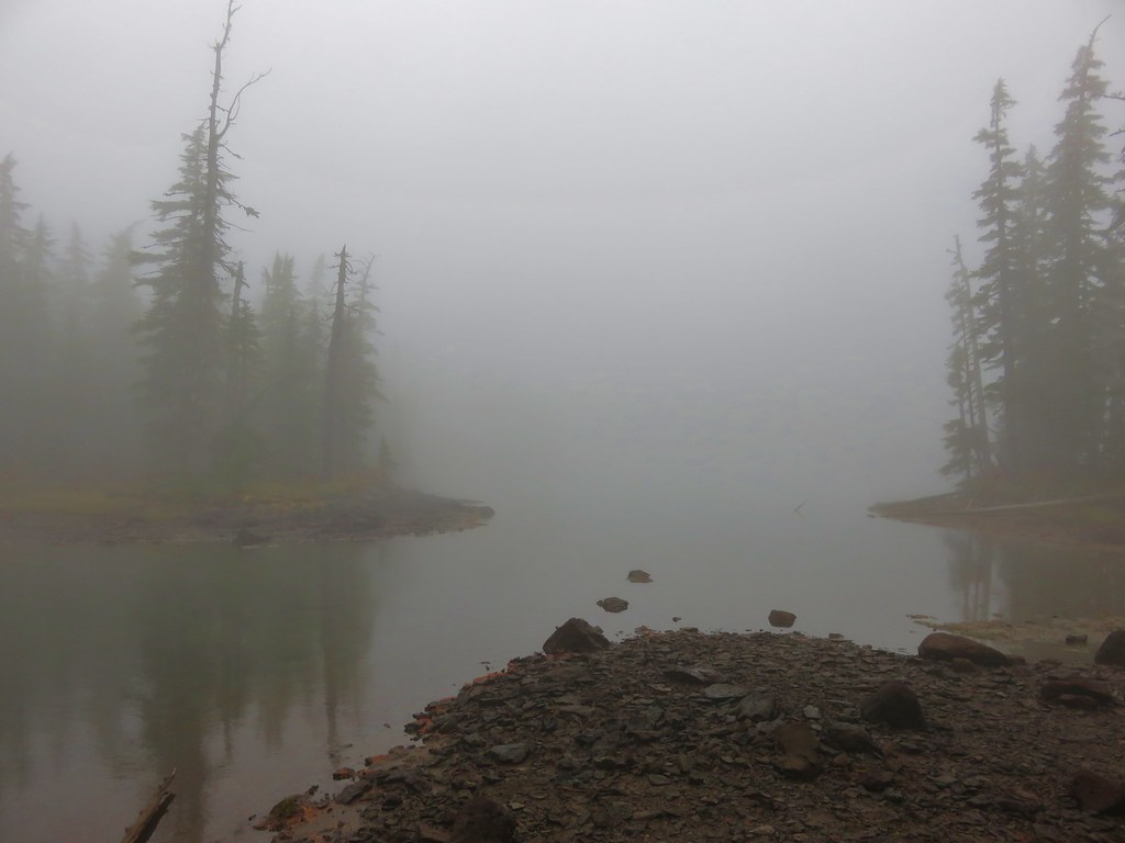
Here we turned right (south) on the PCT. We were looking for a low spot where we could turn off the trail and head cross-country to nearby Neknoberts Lake. With the help of our GPS unit we were able to make our way to the lake where we found an old sign.
IMG_8753//embedr.flickr.com/assets/client-code.js
IMG_8754//embedr.flickr.com/assets/client-code.js

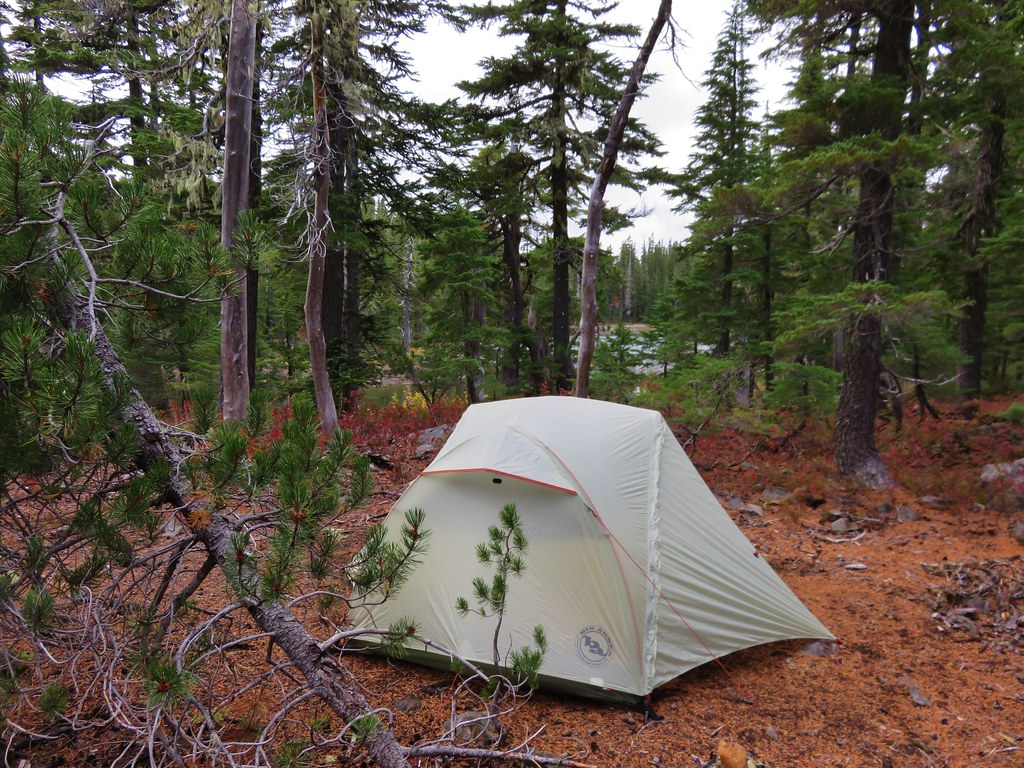
There were a few suitable camp sites so we picked one out and set up our tent.
Campsite (after the fog had lifted)
IMG_8933//embedr.flickr.com/assets/client-code.js

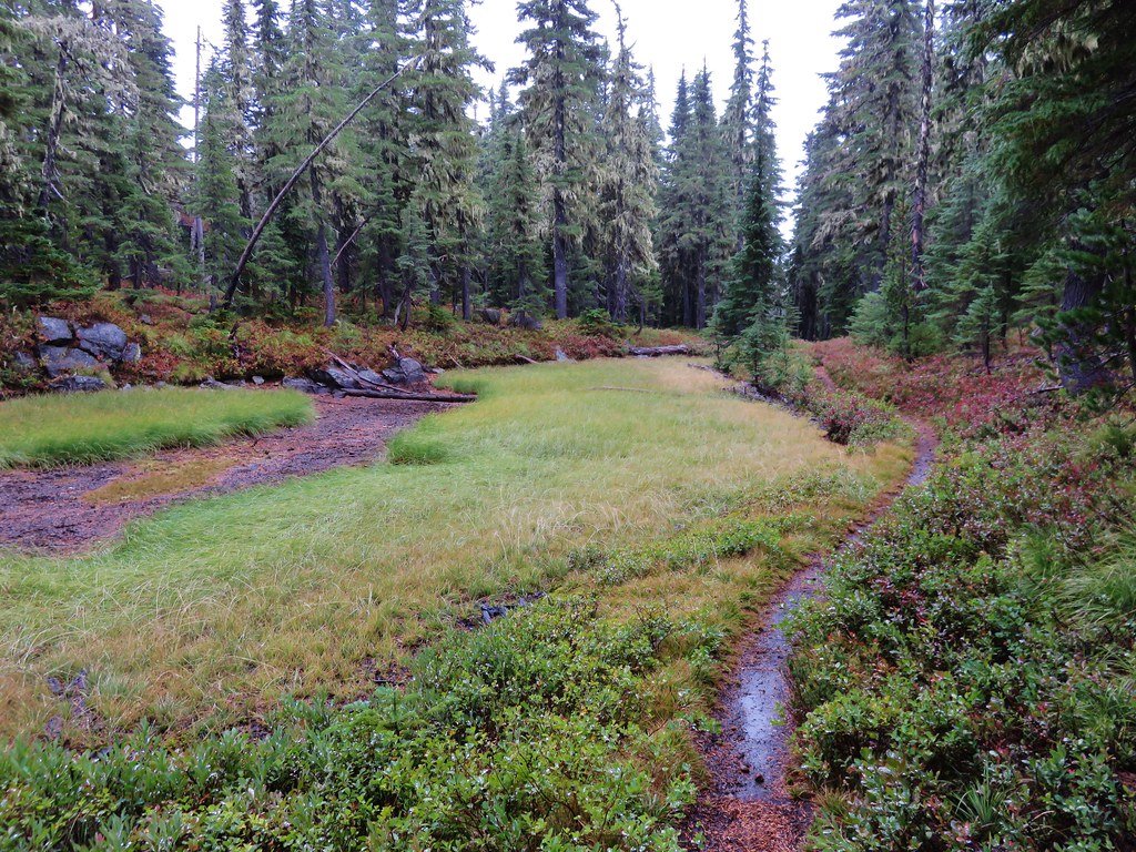
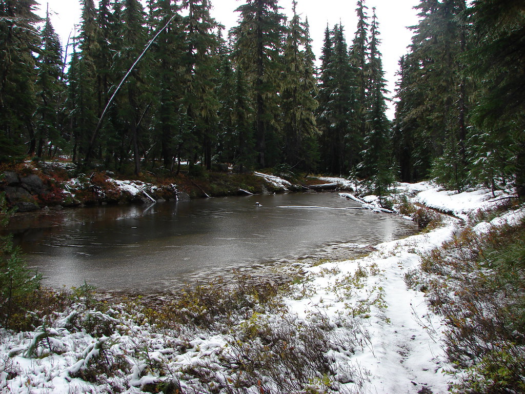
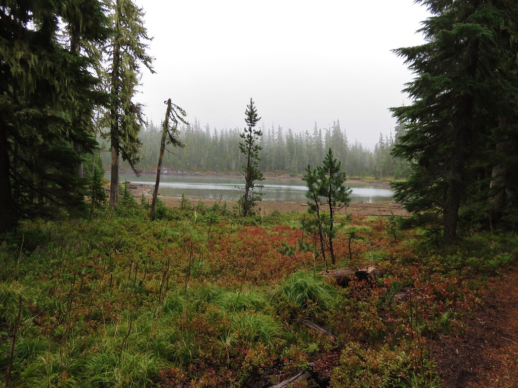
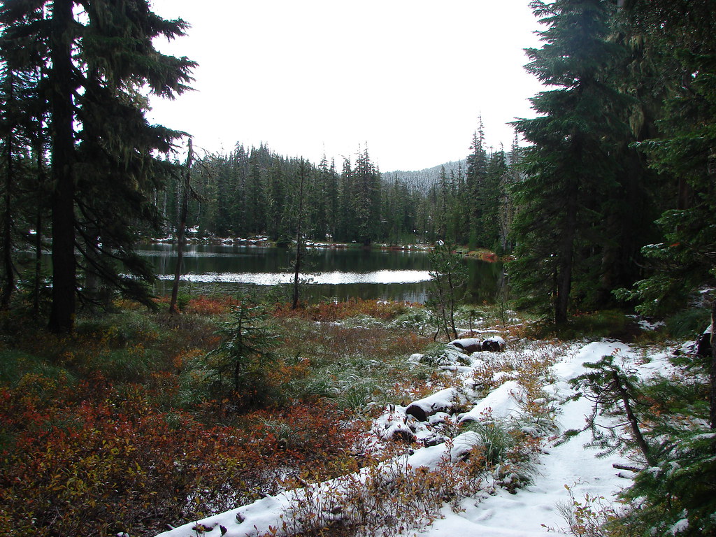
The fog seemed to be lifting by the time we finished getting situated. We threw on our day packs and headed back to the trail. The original plan had been to take the PCT north from the 4-way junction to Olallie Lake then return to the junction on the Red Lake Trail. When we got back to the 4-way junction though I forgot the plan and we turned right down the Red Lake Trail toward Top Lake. In the end it didn’t matter which way we went but it did manage to confuse me a bit when I realized that we would have to go north briefly instead of south from Olallie Lake to complete the loop. We had taken this portion of trail down to Top Lake on our previous visit and it was interesting to see the differences along the way.
2015
IMG_8758//embedr.flickr.com/assets/client-code.js

2013
159//embedr.flickr.com/assets/client-code.js

2015
IMG_8760//embedr.flickr.com/assets/client-code.js

2013
162//embedr.flickr.com/assets/client-code.js

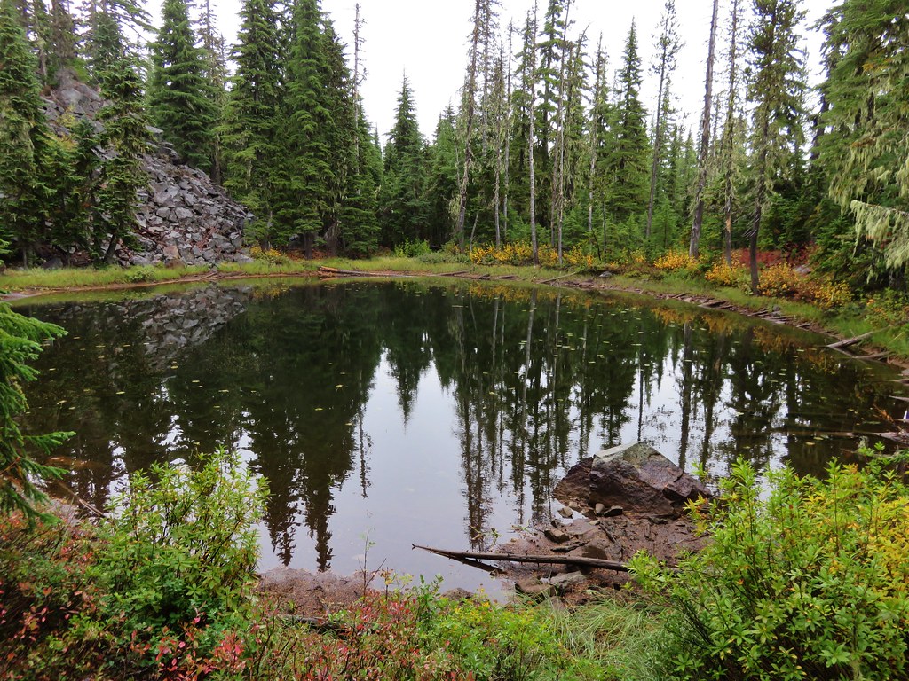
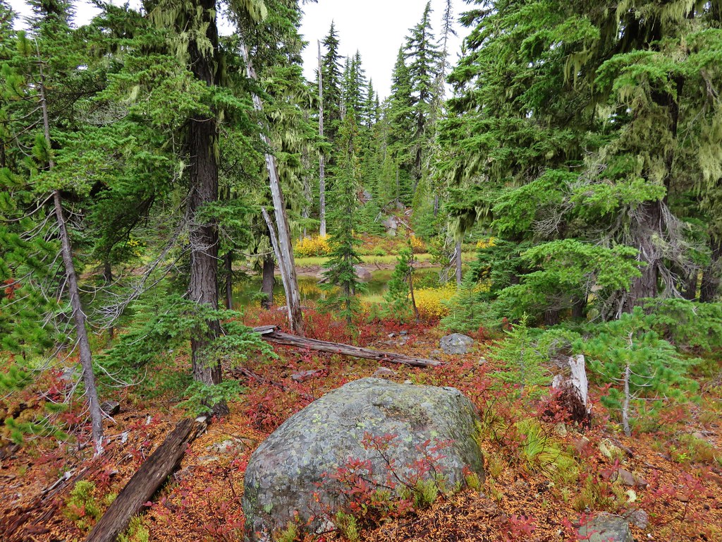
From Top Lake we continued downhill on the Red Lake Trail passing several ponds lined with color.
IMG_8768//embedr.flickr.com/assets/client-code.js
IMG_8776//embedr.flickr.com/assets/client-code.js

Just over a mile from Top Lake we arrived at the eastern end of the Red Lake Trail on Skyline Rd. A .3 mile road walk brought us to the Olallie Lake Picnic Area.
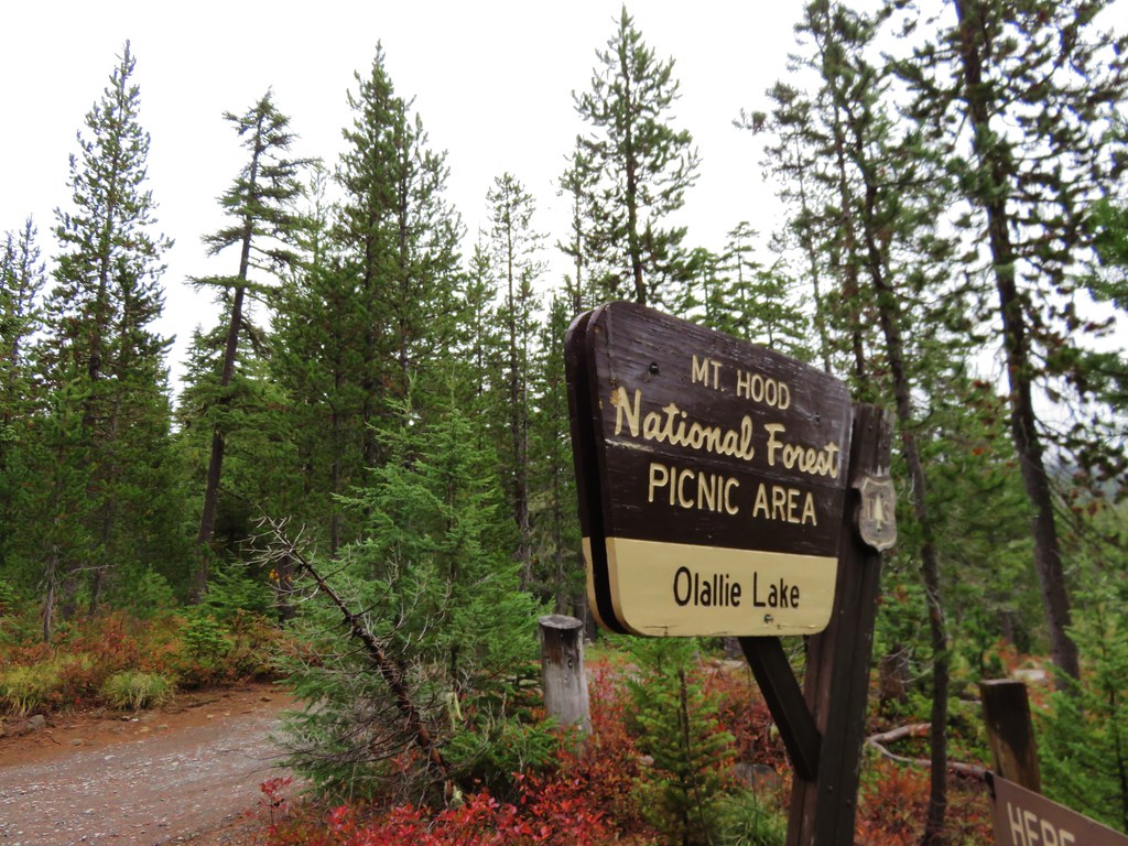
IMG_8781//embedr.flickr.com/assets/client-code.js

There wasn’t much of a view form the lake due to the low clouds but we wandered along the shore for a bit hoping that things would improve before we headed for Ruddy Hill.
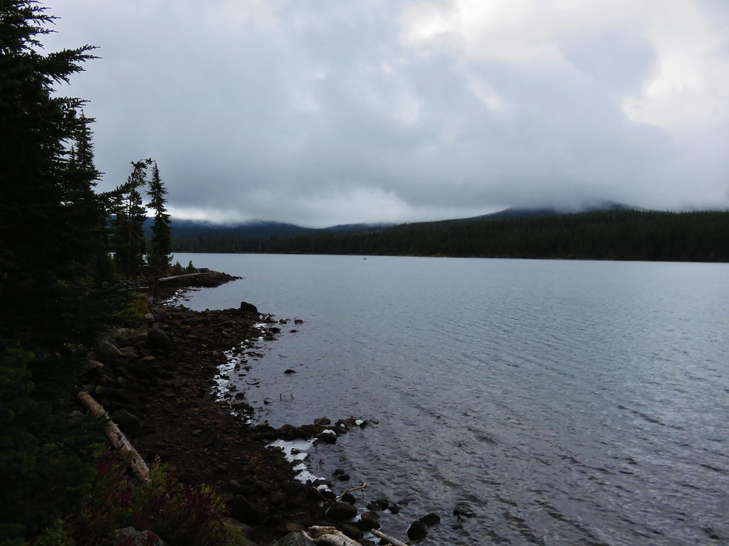
IMG_8783//embedr.flickr.com/assets/client-code.js

From Olallie Lake we went north on Skyline Rd for about a tenth of a mile where we connected back up with the Pacific Crest Trail at Head Lake. Swimming is banned in Olallie Lake but this lake had a little platform in the water for warmer days.
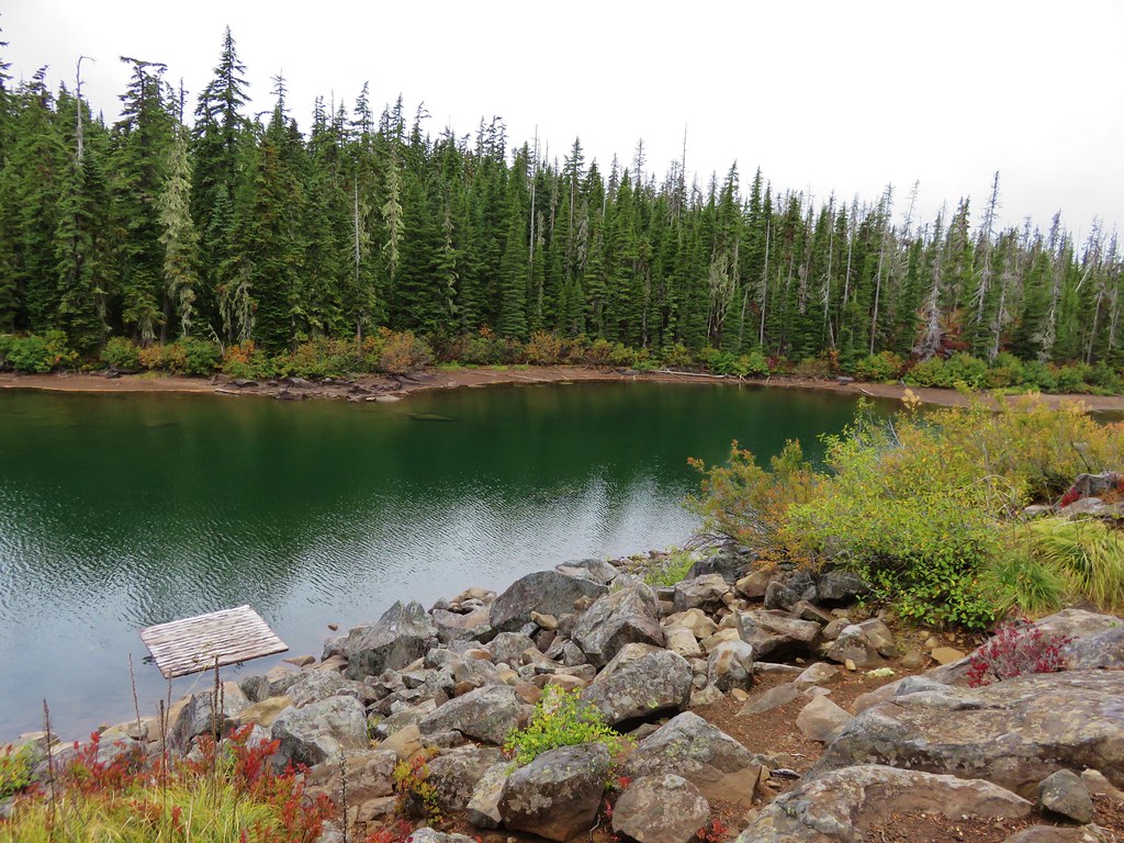
IMG_8790//embedr.flickr.com/assets/client-code.js

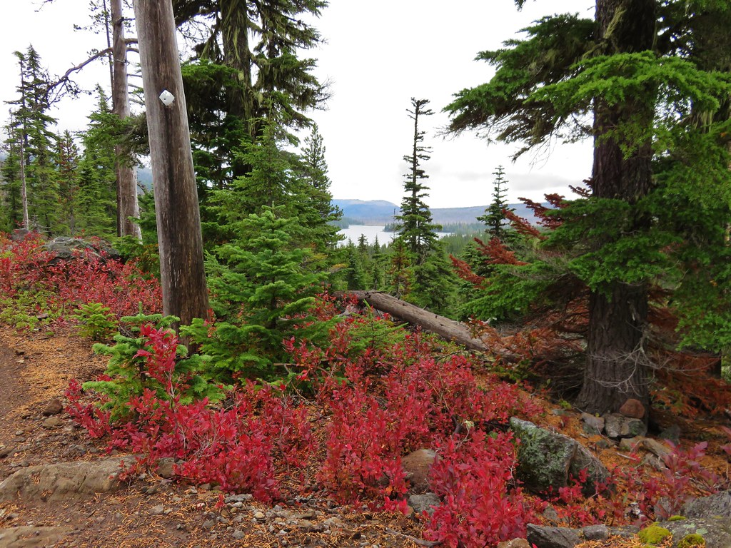
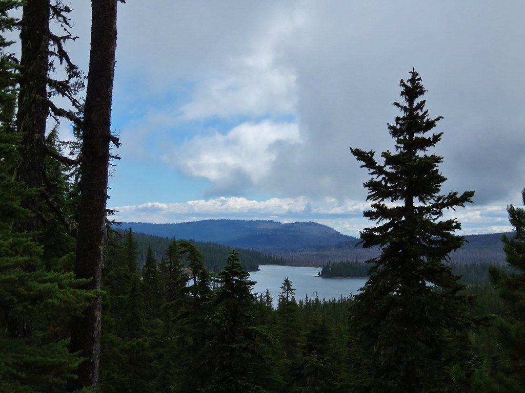
It was 1.4 miles from Head Lake back to the junction. Along the way we passed another small lake/pond, more fall colors, and some views back down of Olallie Lake.
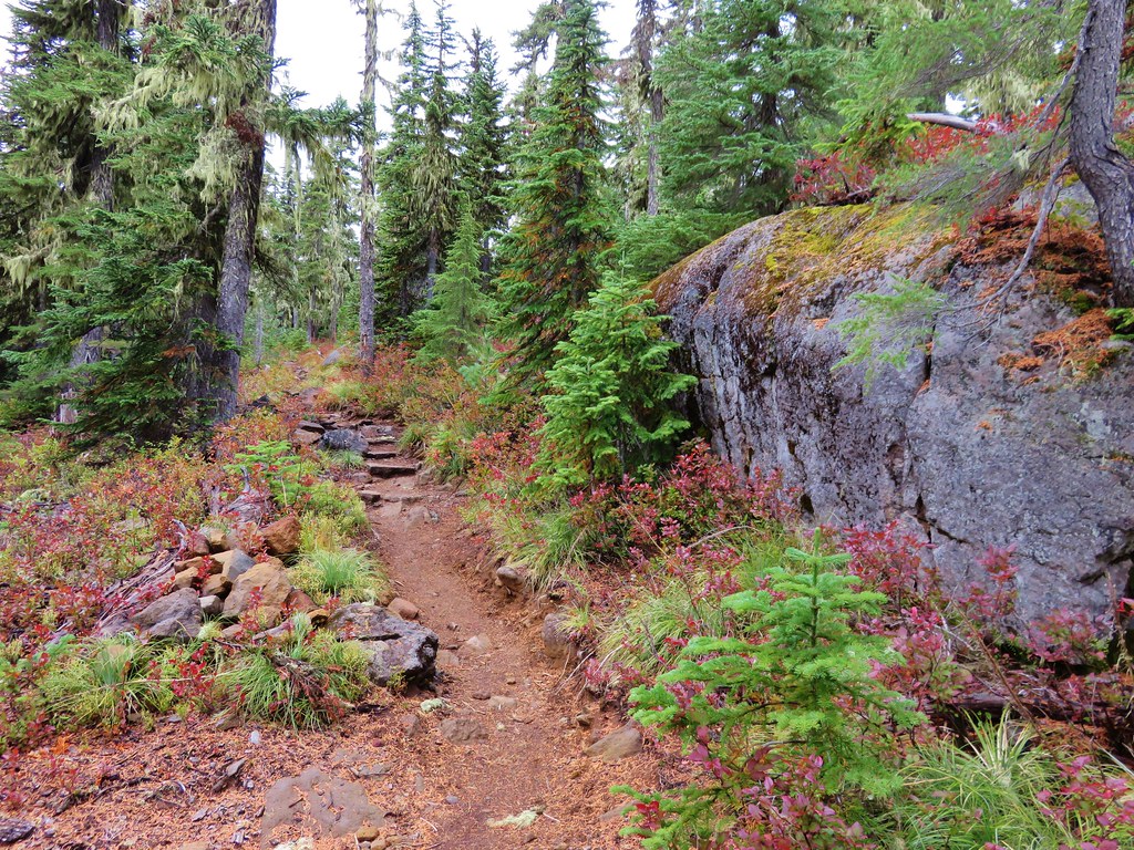
IMG_8800//embedr.flickr.com/assets/client-code.js
IMG_8801//embedr.flickr.com/assets/client-code.js
IMG_8807//embedr.flickr.com/assets/client-code.js
IMG_8814//embedr.flickr.com/assets/client-code.js
IMG_8810//embedr.flickr.com/assets/client-code.js

We passed the 4-way junction for the third time that day staying on the PCT and making for Cigar Lake, just a half mile away.
IMG_8817//embedr.flickr.com/assets/client-code.js

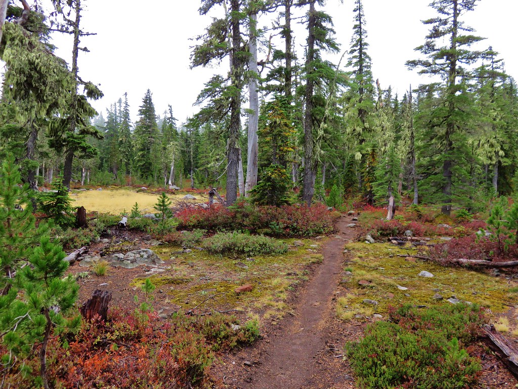
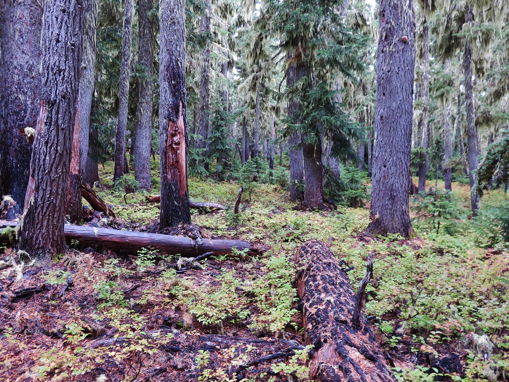
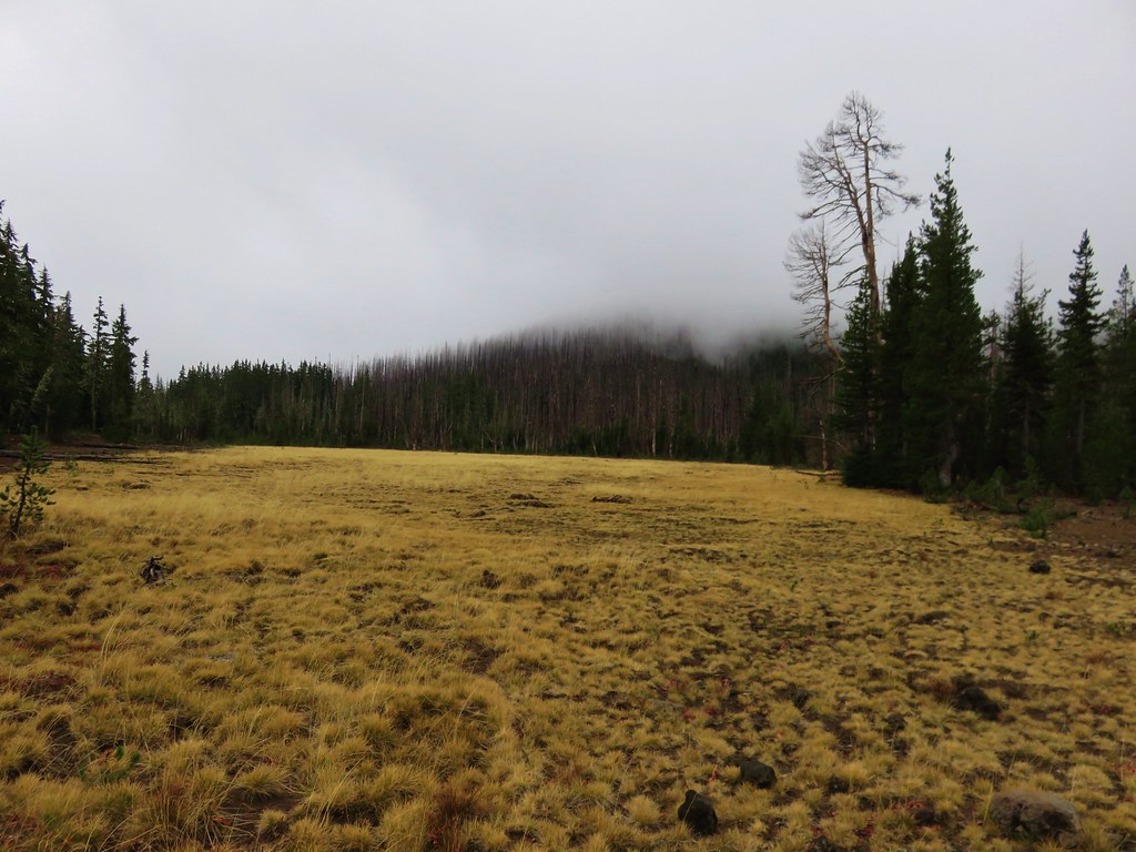
We passed the trail to Double Peaks here and continued south. We were headed for the Ruddy Hill Trail which was another 2.3 miles down the PCT. The scenery along this section was an interesting mix. There were ponds, meadows, forested sections, and large Upper Lake.
IMG_8823//embedr.flickr.com/assets/client-code.js
IMG_8824//embedr.flickr.com/assets/client-code.js

IMG_8826//embedr.flickr.com/assets/client-code.js
IMG_8836//embedr.flickr.com/assets/client-code.js
IMG_8840//embedr.flickr.com/assets/client-code.js

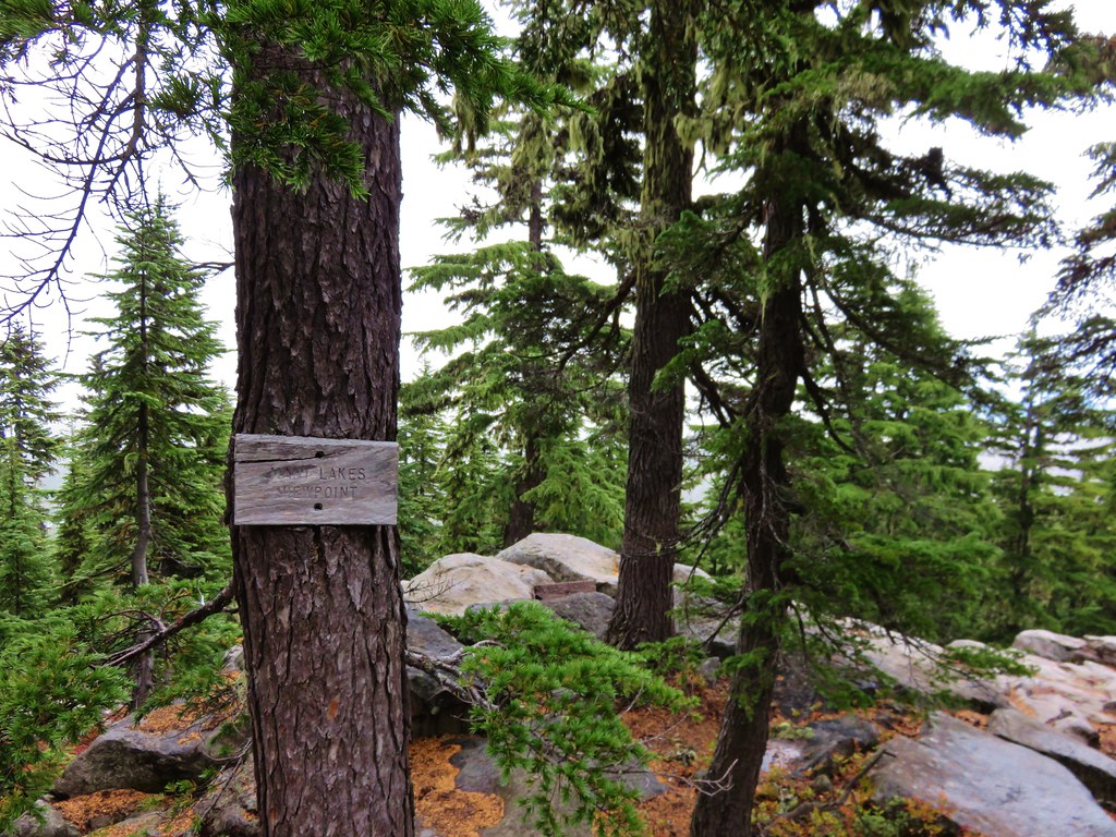
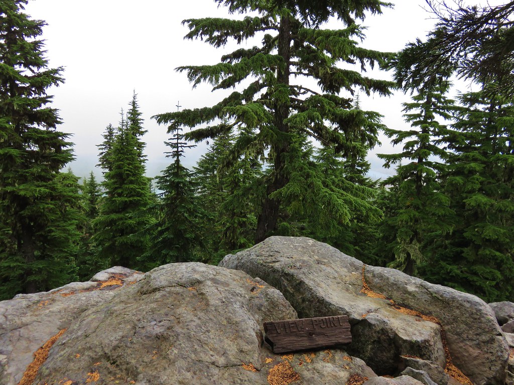
We also passed the signed “Many Lakes Viewpoint”.
IMG_8841//embedr.flickr.com/assets/client-code.js
IMG_8842//embedr.flickr.com/assets/client-code.js

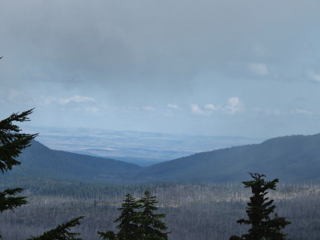
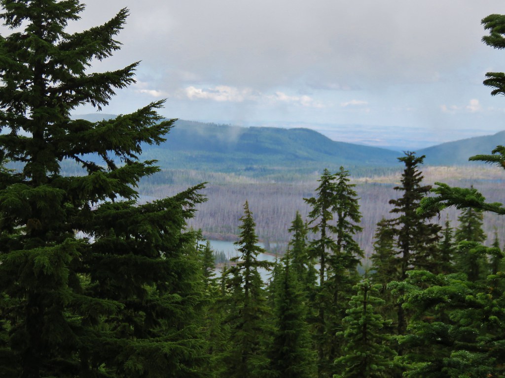
Most of the lakes were hidden by the clouds but we were able to make out a few.
IMG_8845//embedr.flickr.com/assets/client-code.js
IMG_8849//embedr.flickr.com/assets/client-code.js
IMG_8852//embedr.flickr.com/assets/client-code.js

We arrived at the Ruddy Hill Trail resigned to the reality that we weren’t likely to have any kind of a view from the top, but we weren’t about to let that stop us so we headed on up.
IMG_8856//embedr.flickr.com/assets/client-code.js

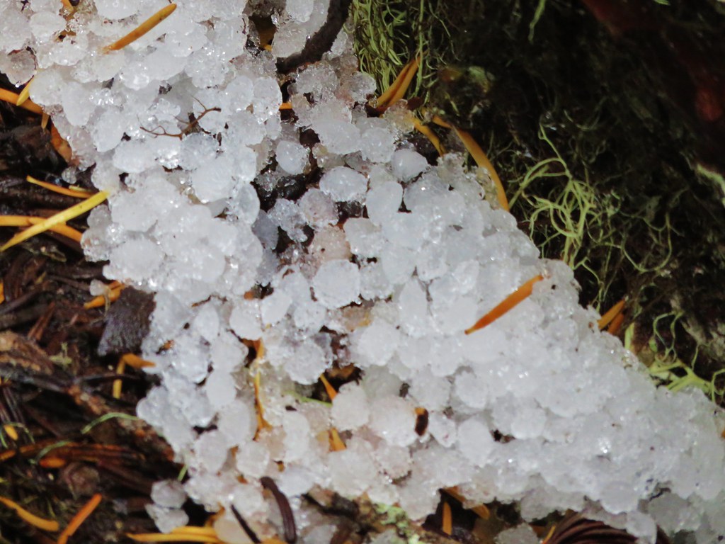
The half mile trail to the top was a steep one. As we trudged up the hill we noticed what looked like it might be snow.
IMG_8858//embedr.flickr.com/assets/client-code.js

Upon closer inspection though it appeared to be hail that must have recently fallen.
IMG_8859//embedr.flickr.com/assets/client-code.js

It must have been a pretty good storm because there was still a fair amount if it left in spots along the way.
IMG_8864//embedr.flickr.com/assets/client-code.js

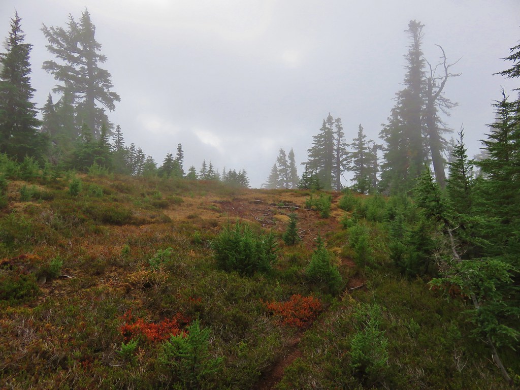
As we neared the top we passed a large group of hikers who were headed down. They confirmed that the summit was socked in and there weren’t any views to be had.
IMG_8865//embedr.flickr.com/assets/client-code.js

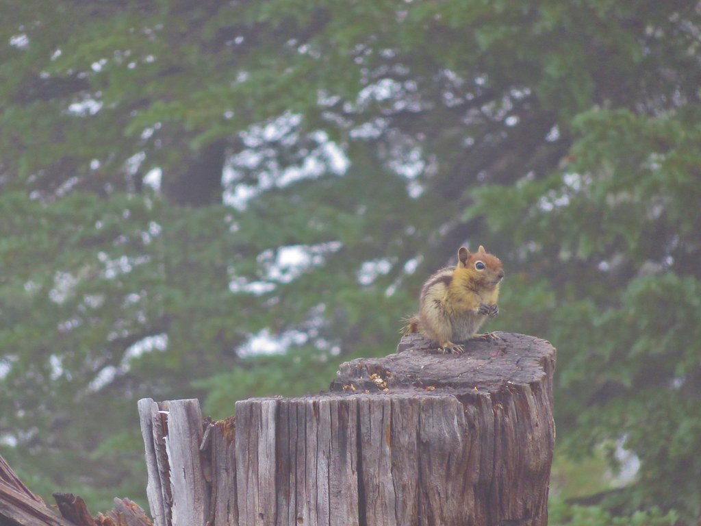
It was actually pretty nice up on the summit and we took a short break with one of the locals before heading back down.
IMG_8868//embedr.flickr.com/assets/client-code.js

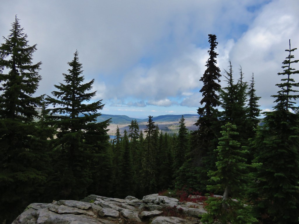
As we headed back toward Cigar Lake on the PCT we decided that we would only climb Double Peaks if we could see the summit when we reached that trail. It was hard to tell but things had been improving all day which was evidenced when we passed the Many Lake Viewpoint again.
IMG_8871//embedr.flickr.com/assets/client-code.js

When we did reach the Double Peaks Trail we had a tough decision to make. There was just thin bit of cloud hanging on the summit and it appeared to be lifting as we watched.
IMG_8874//embedr.flickr.com/assets/client-code.js

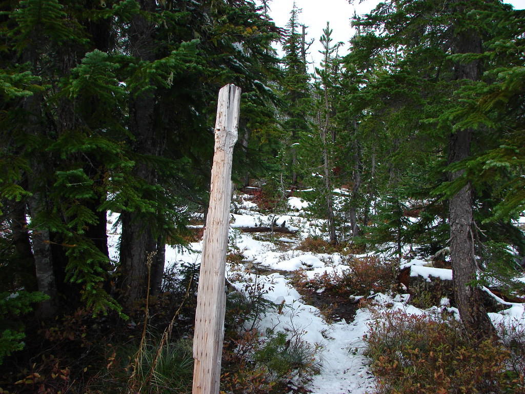
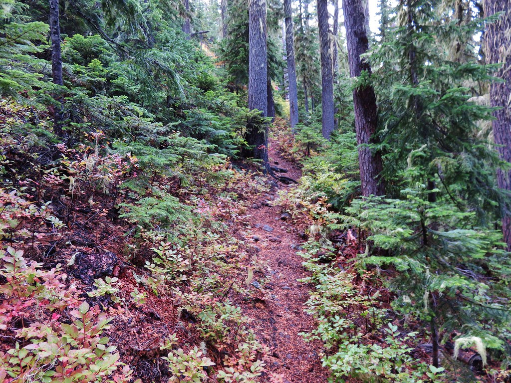
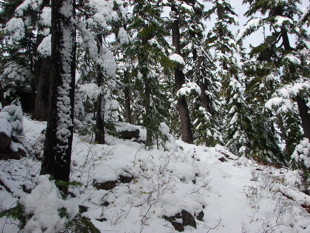
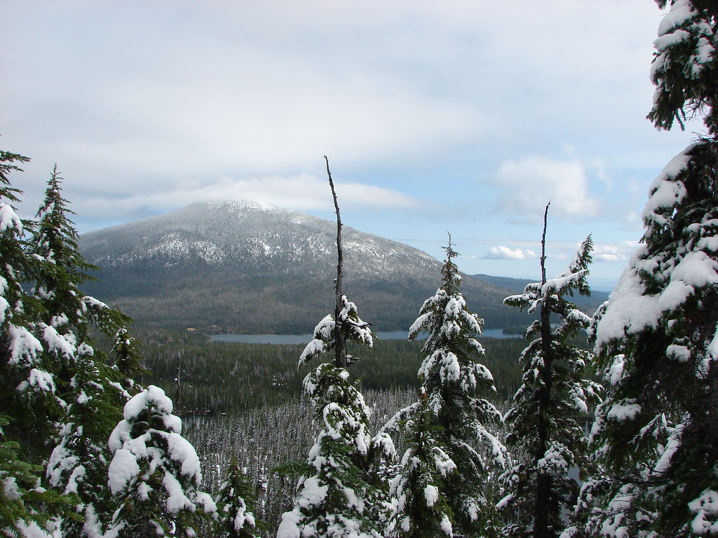
It was just under a mile up to the summit via another steep climb. We debated whether or not we should give it a shot and in the end decided that if we didn’t and the clouds did lift then we’d regret it so up we went. Here again the contrast in scenery from our last visit was huge.
2015
IMG_8876//embedr.flickr.com/assets/client-code.js

2013
190//embedr.flickr.com/assets/client-code.js

2015
IMG_8881//embedr.flickr.com/assets/client-code.js

2013
197//embedr.flickr.com/assets/client-code.js

2015
IMG_8892//embedr.flickr.com/assets/client-code.js

2013
212//embedr.flickr.com/assets/client-code.js

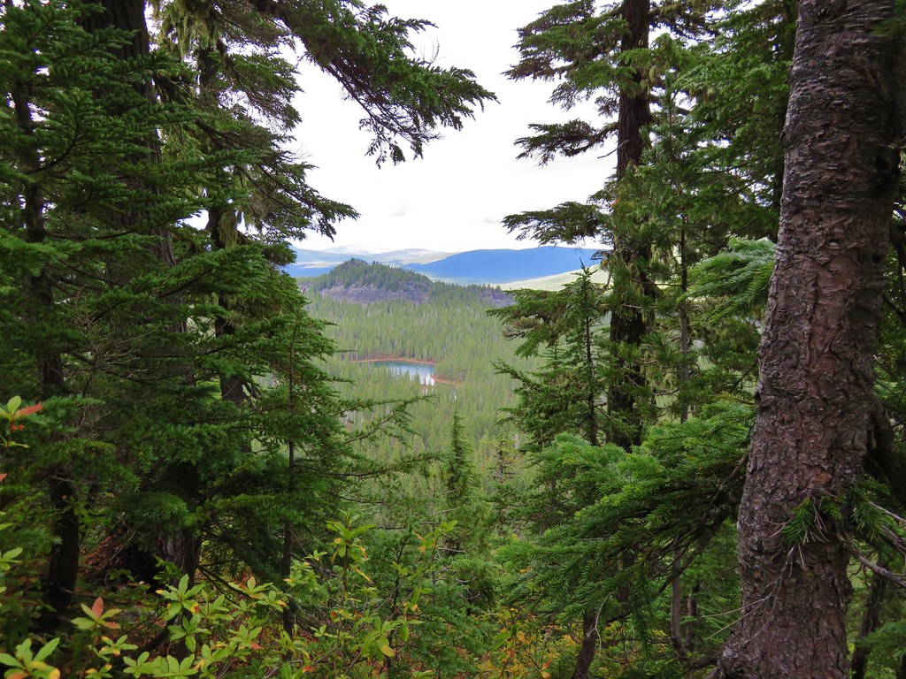
As we climbed we got a good view of Neknoberts Lake where we’d set up camp.
IMG_8890//embedr.flickr.com/assets/client-code.js

Once we reached the top of Double Peaks we headed for the western summit first. The clouds were beginning to break up but they just kept coming from that direction.
IMG_8899//embedr.flickr.com/assets/client-code.js
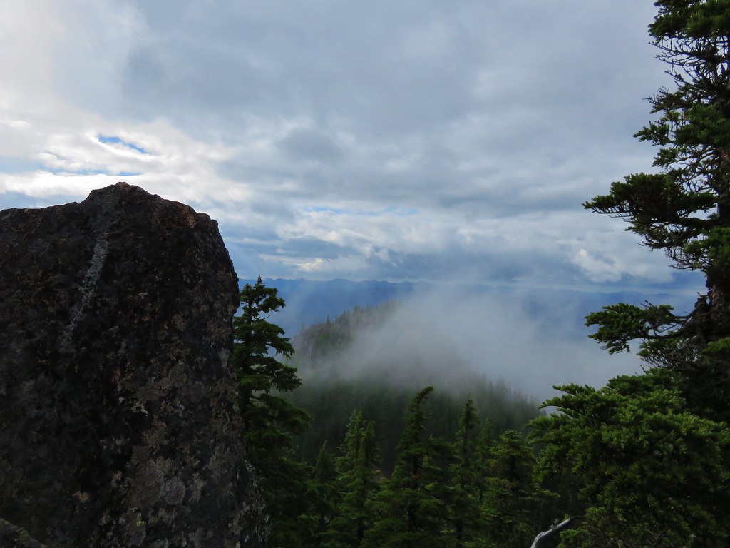
IMG_8902//embedr.flickr.com/assets/client-code.js

We then headed over to the eastern summit where the views were better.
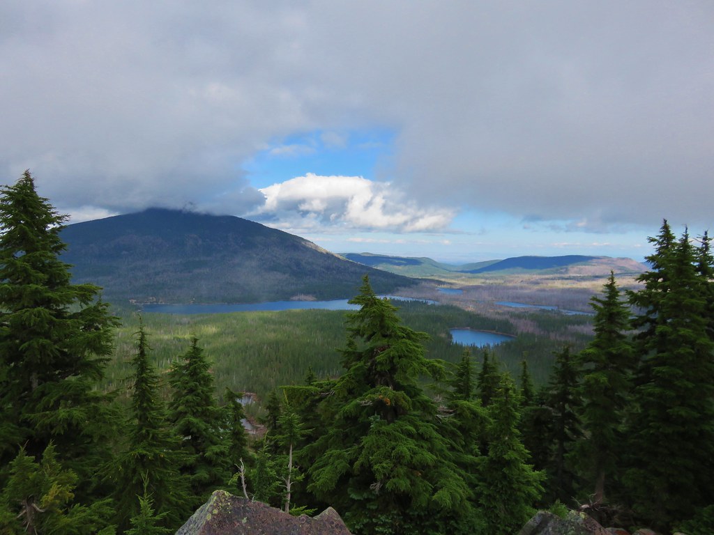
IMG_8909//embedr.flickr.com/assets/client-code.js

IMG_8911//embedr.flickr.com/assets/client-code.js

The view we were really hoping for had eluded us again though as Mt. Jefferson was once again hidden by clouds.
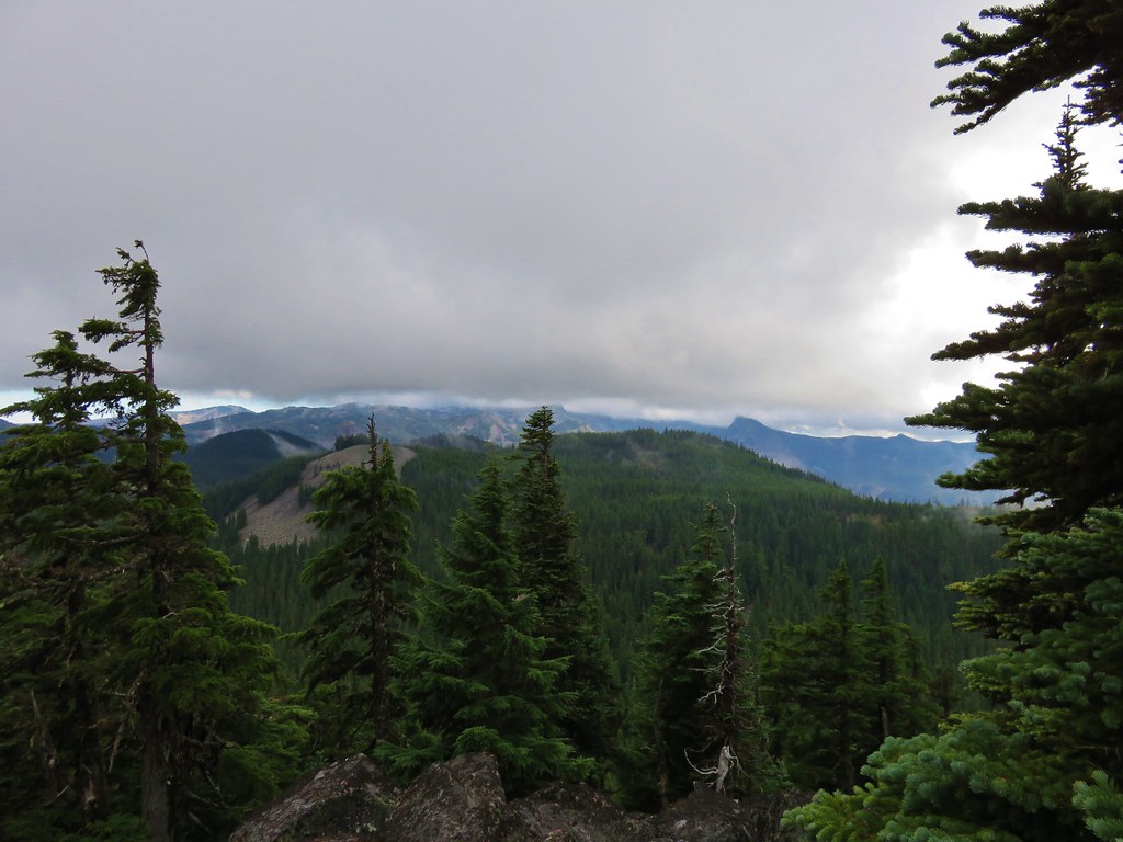
IMG_8921//embedr.flickr.com/assets/client-code.js

After watching the clouds go by for quite awhile we returned down to the PCT and headed back to Neknoberts Lake. We stopped briefly at nearby Ring Lake where we had a good view of a cloud free Double Peaks.
IMG_8928//embedr.flickr.com/assets/client-code.js

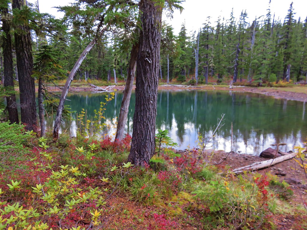
We got a much better look at Neknoberts Lake when we arrived back at camp.
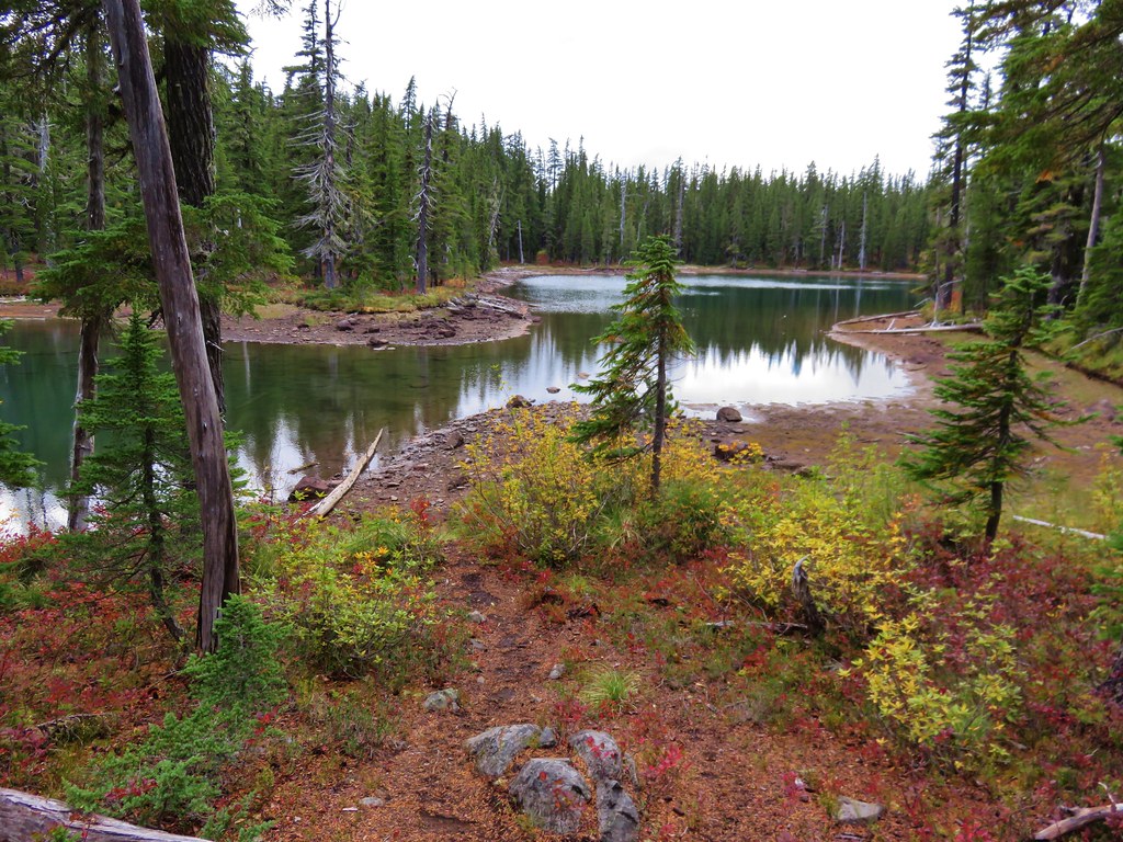
IMG_8935//embedr.flickr.com/assets/client-code.js
IMG_8937//embedr.flickr.com/assets/client-code.js

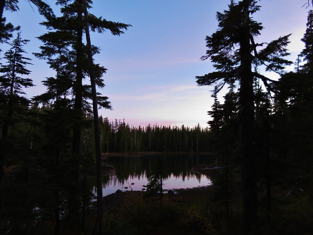
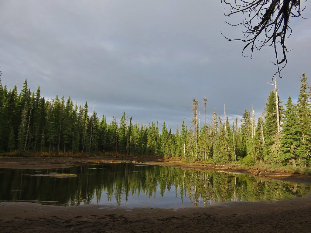
We fixed ourselves dinner and then turned in for the night having covered 17.9 miles that day. The next morning we woke to much clearer skies.
IMG_8949//embedr.flickr.com/assets/client-code.js

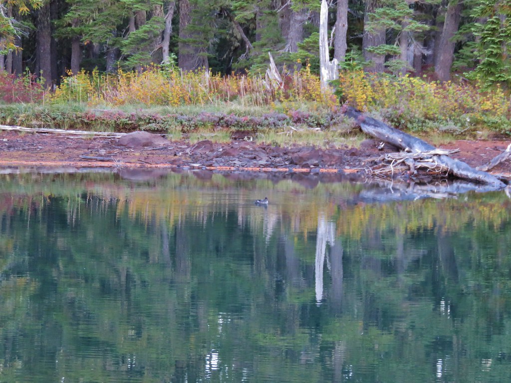
We had had the lake to ourselves other than a lone duck that paddled around as we packed up.
IMG_8965//embedr.flickr.com/assets/client-code.js

We headed back to the PCT and the 4-way junction and turned left on the Red Lake Trail. We were enjoying some nice sunshine and hoping they were an omen of good views atop Potato Butte. The closer we got to the Potato Butte Trail though the less likely that looked. The blue skies of the morning were already being replaced by another curtain of grey clouds at Fork Lake.
IMG_8976//embedr.flickr.com/assets/client-code.js

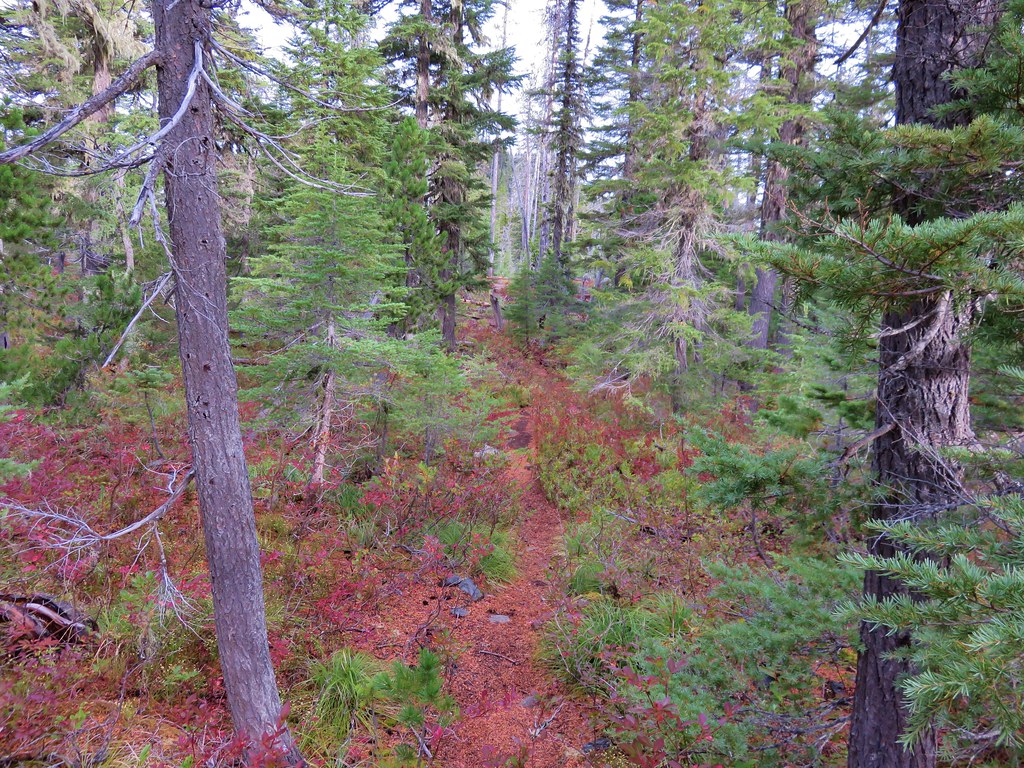
When we reached Sheep Lake we turned right on the unsigned Potato Butte Trail.
IMG_8983//embedr.flickr.com/assets/client-code.js

We stopped briefly to watch a busy Downy Woodpecker searching for breakfast.
IMG_8993//embedr.flickr.com/assets/client-code.js

IMG_8997//embedr.flickr.com/assets/client-code.js

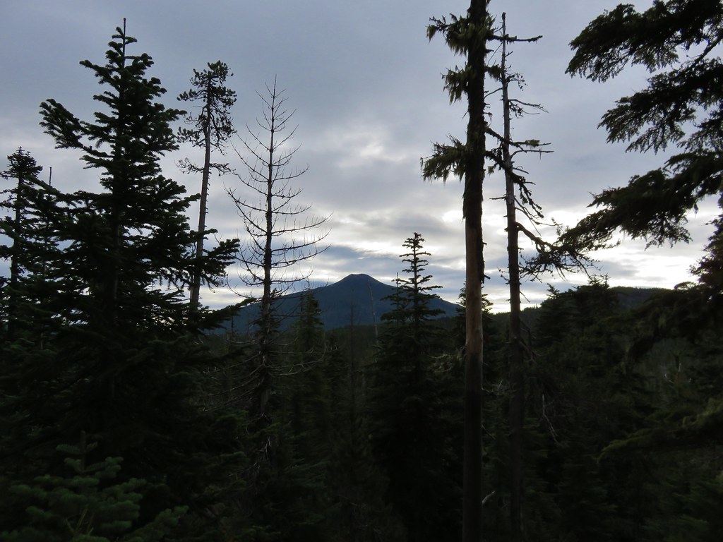
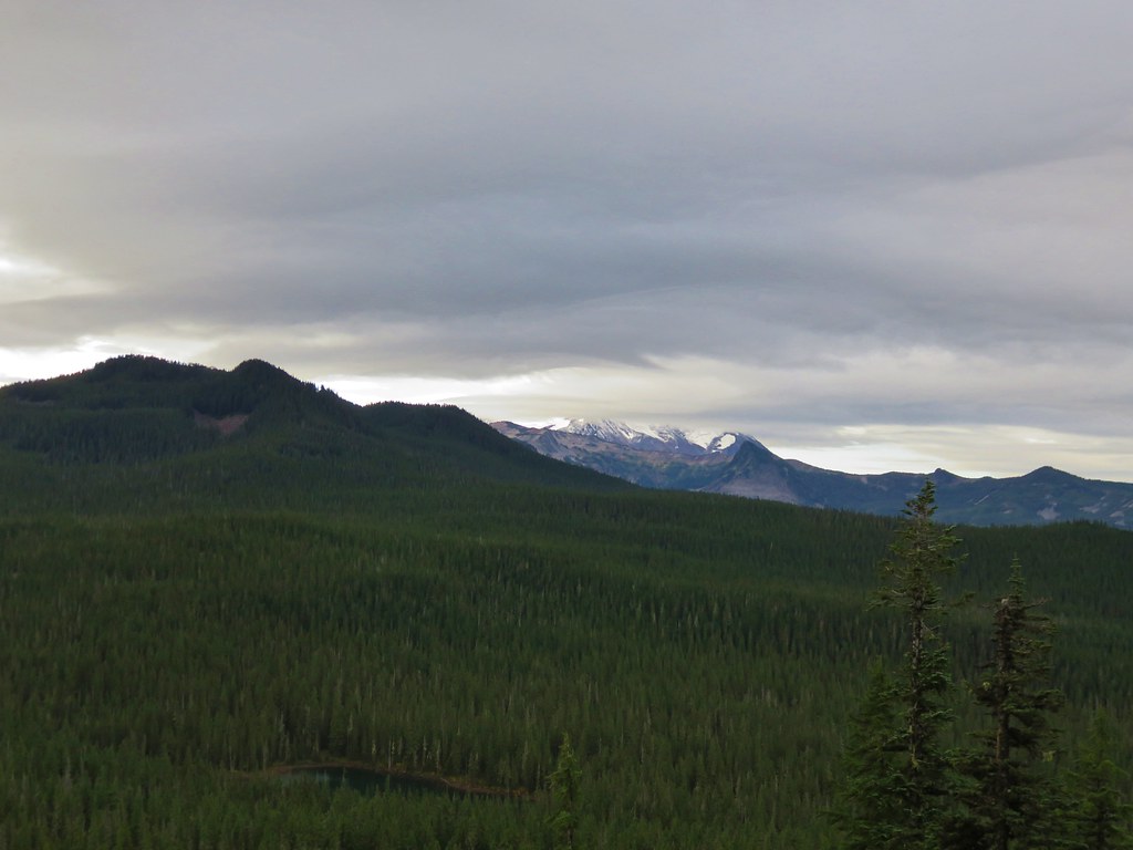
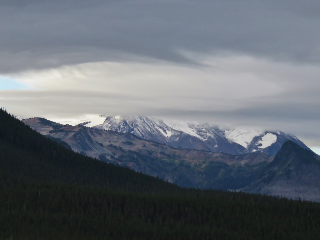
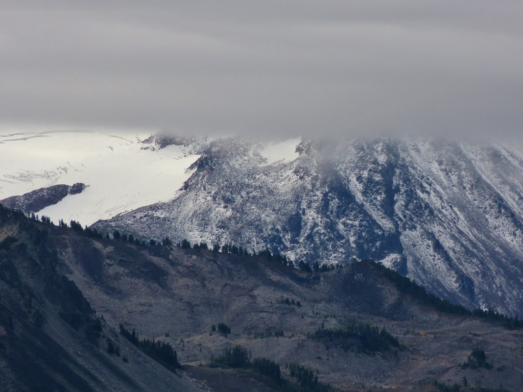
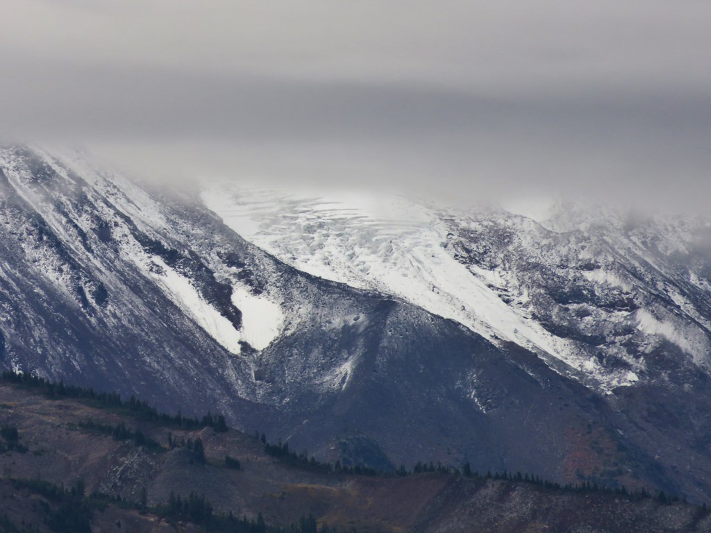
Yet another steep climb awaited us to reach the top of Potato Butte. We took a short side trail near the top to a rocky viewpoint facing Mt. Jefferson. Olallie Butte was cloud free, but alas Mt. Jefferson was not. At least it was a better view than the day before as we could see the lower portion of the mountain including some of the Whitewater and Jefferson Park Glaciers. A dusting of newer snow also showed on the slopes.
IMG_9001//embedr.flickr.com/assets/client-code.js
IMG_9009//embedr.flickr.com/assets/client-code.js
IMG_9010//embedr.flickr.com/assets/client-code.js
IMG_9012//embedr.flickr.com/assets/client-code.js
IMG_9013//embedr.flickr.com/assets/client-code.js

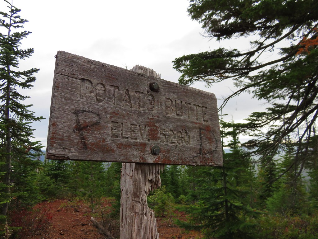
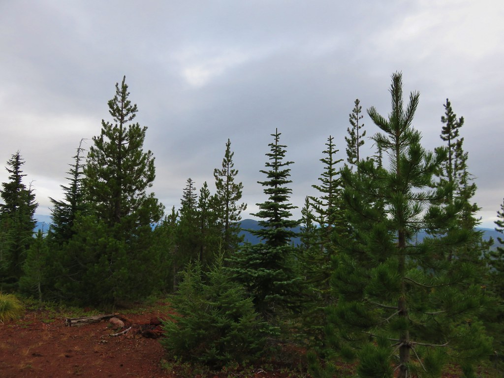
We continued on to the summit even though we knew there was virtually no chance that we’d get a glimpse of Mt. Hood to the north.
IMG_9027//embedr.flickr.com/assets/client-code.js
IMG_9031//embedr.flickr.com/assets/client-code.js

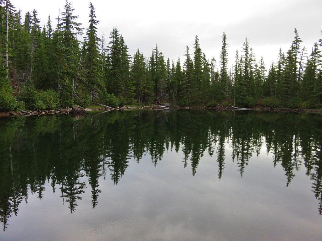
We headed back down to the Red Lake trail stopping at all the lakes to take a final look.
Unnamed lake below Potato Butte
IMG_9034//embedr.flickr.com/assets/client-code.js
IMG_9037//embedr.flickr.com/assets/client-code.js

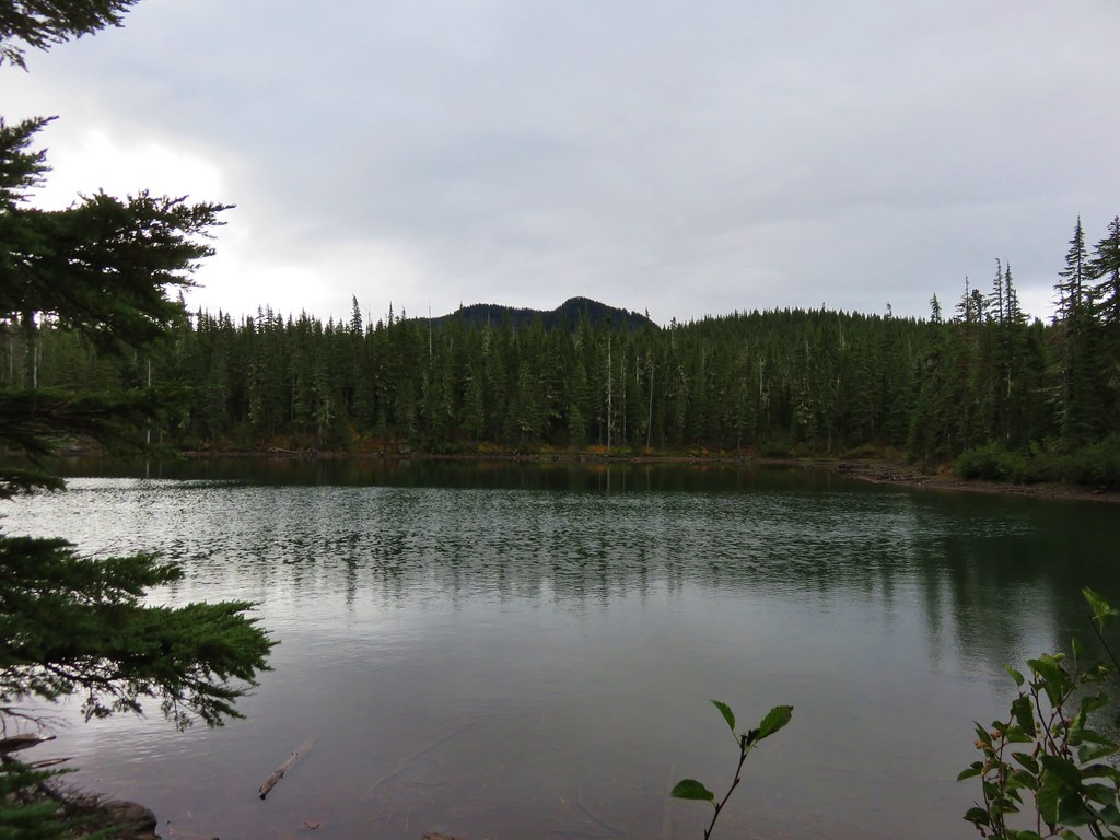
Double Peaks from Sheep Lake
IMG_9043//embedr.flickr.com/assets/client-code.js

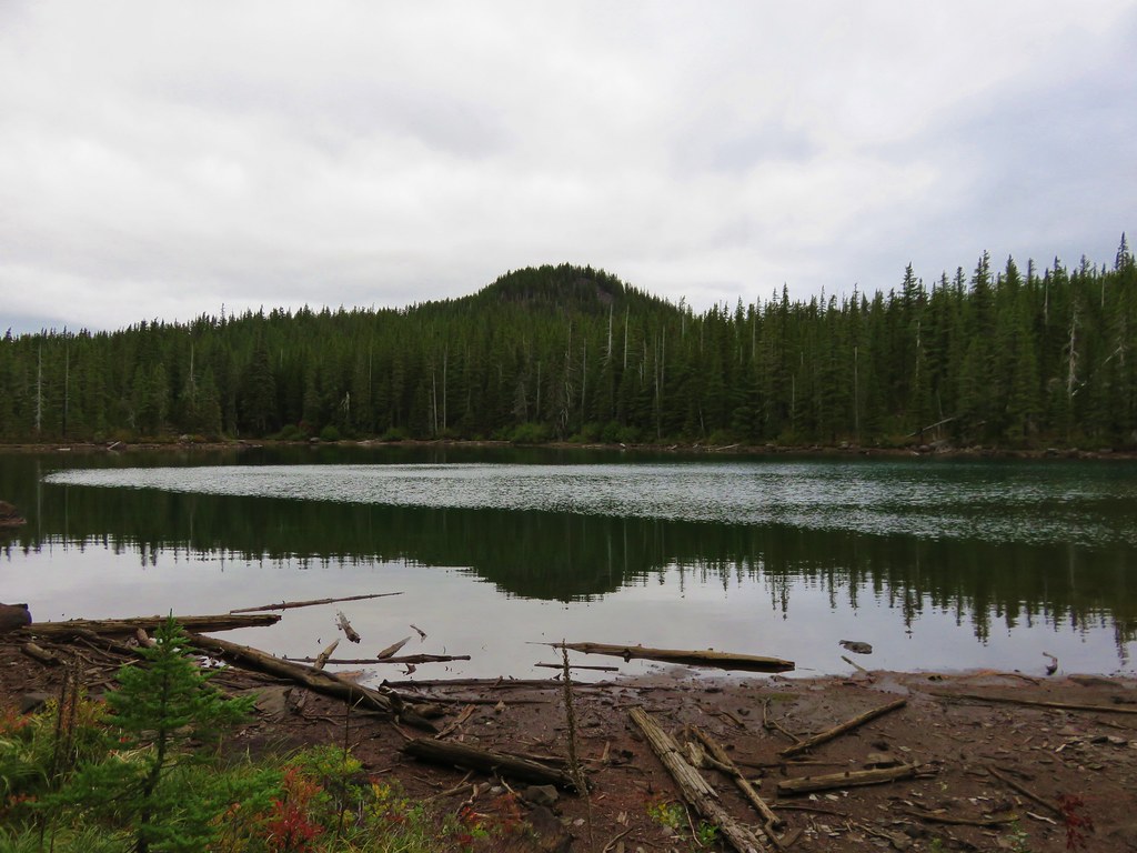
Potato Butte from Wall Lake
IMG_9051//embedr.flickr.com/assets/client-code.js

Double Peaks from Averill Lake
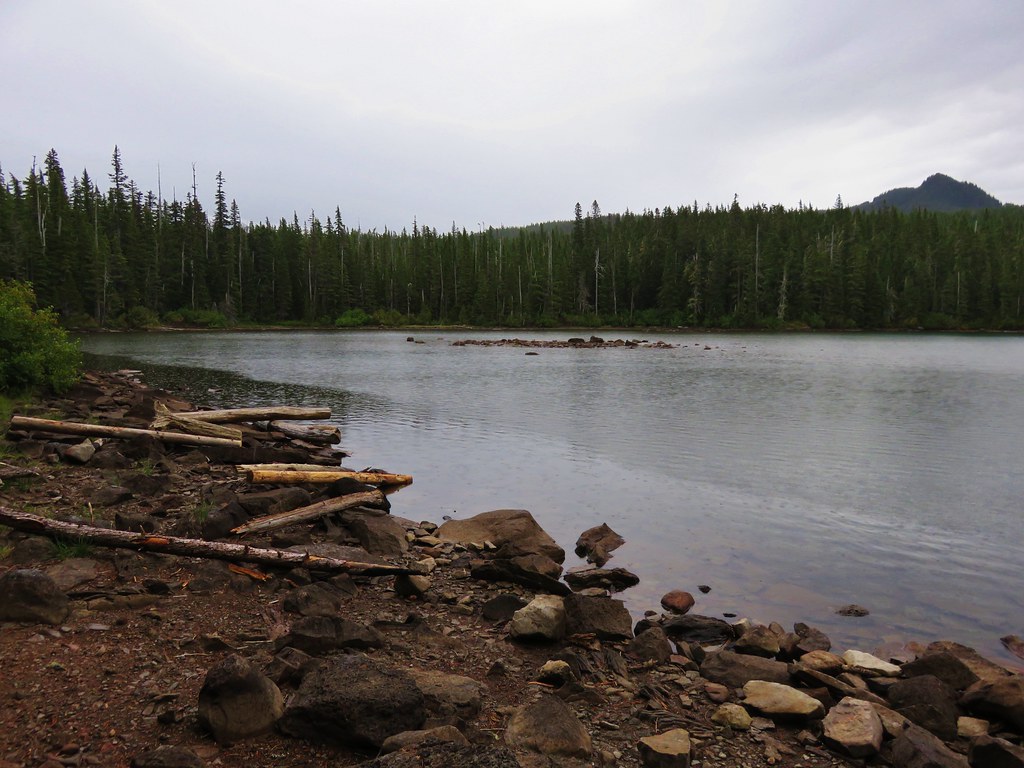
IMG_9063//embedr.flickr.com/assets/client-code.js

Red Lake
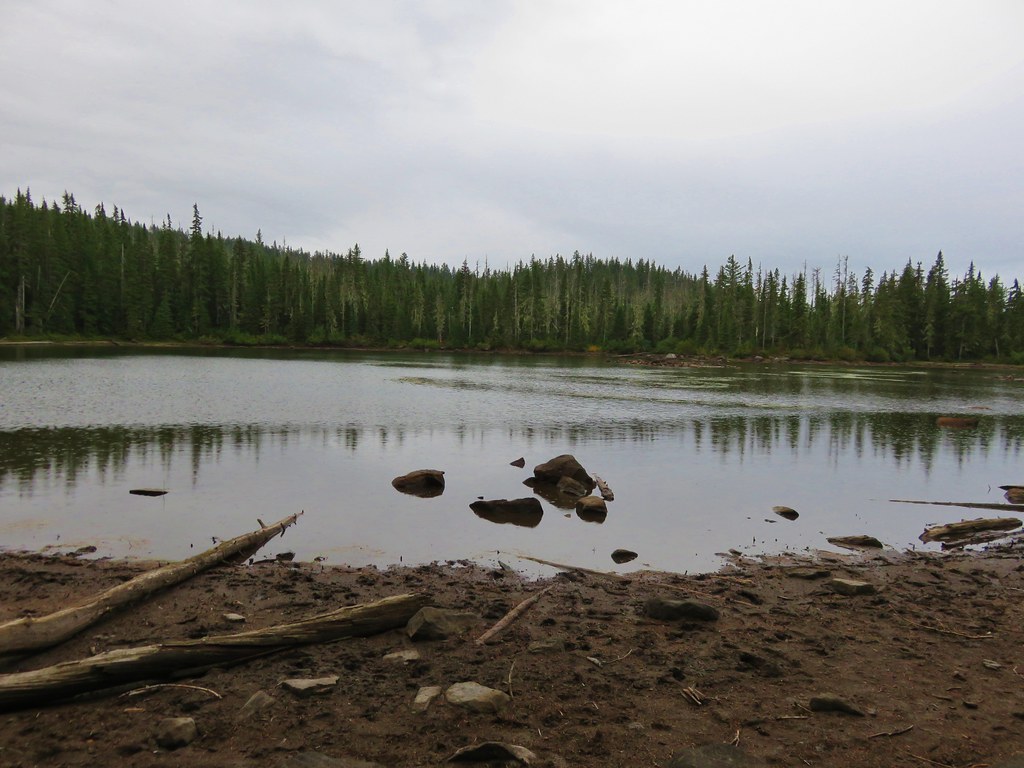
IMG_9066//embedr.flickr.com/assets/client-code.js

It had started raining off and on while we were on Potato Butte so we didn’t stay long at any of the lakes and we were quickly headed back down the trail from Red Lake for the final 1.6 mile stretch.
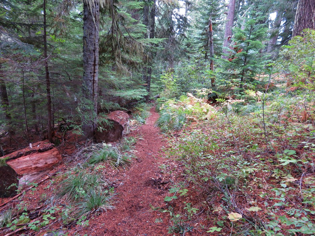
IMG_9070//embedr.flickr.com/assets/client-code.js
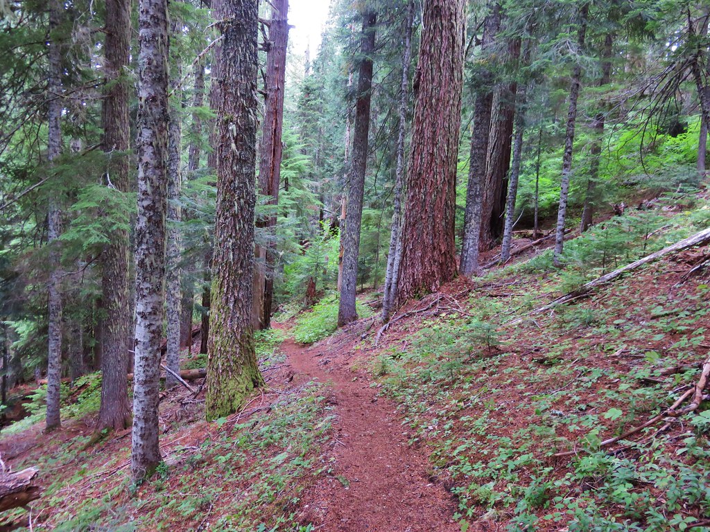
IMG_9072//embedr.flickr.com/assets/client-code.js
IMG_9079//embedr.flickr.com/assets/client-code.js

It had been a nice trip and the fall colors were great, but we still hadn’t managed to experience the areas mountain views. I was already thinking of other places we could visit in the area as an excuse to come back and try again for the elusive views. Happy Trails!

Flickr: https://www.flickr.com/photos/9319235@N02/albums/72157657878053358
Categories
High Cascades Hiking Mt. Jefferson Area Oregon Trip report
Jefferson Park – 2015

**Note the 2017 Whitewater Fire burned a portion of this hike.**

Since 2011 Jefferson Park has been the one destination that has been on our schedule every year. This year we planned a joint outing with my parents who had not been to Jefferson Park yet. We picked them up bright and early from the Whispering Falls Campground and drove to the Whitewater Trailhead arriving shortly after 6am. We had agreed that we would hike at our own paces and would look for each other in Jefferson Park and if we didn’t meet up there we would do so back at the car. What we failed to do was set a time that we would start back to the car at in case we didn’t run into them. After giving my parents a brief description of what to expect from the trail on the way up we set off.
Whitewater Trailhead

The forest showed the same signs of the warm and dry year we’ve had. Everything seemed to be at least a month ahead of schedule. Few flowers remained and some of the leaves were already starting to turn color.
IMG_7249

The sky to the south was a bit hazy with smoke from fires in Southern Oregon, but Mt. Jefferson was enjoying relatively blue skies.

The Three Pyramids
IMG_7253

IMG_7259

At the 1.5 mile mark the Triangulation Trail joined from the left at a saddle. This marked the end of the steepest portion of the hike which is never really all that steep to begin with. Approximately a mile from that junction the trail enters a small rock field with a view of the top of Mt. Jefferson.
Mt. Jefferson from the Whitewater Trail

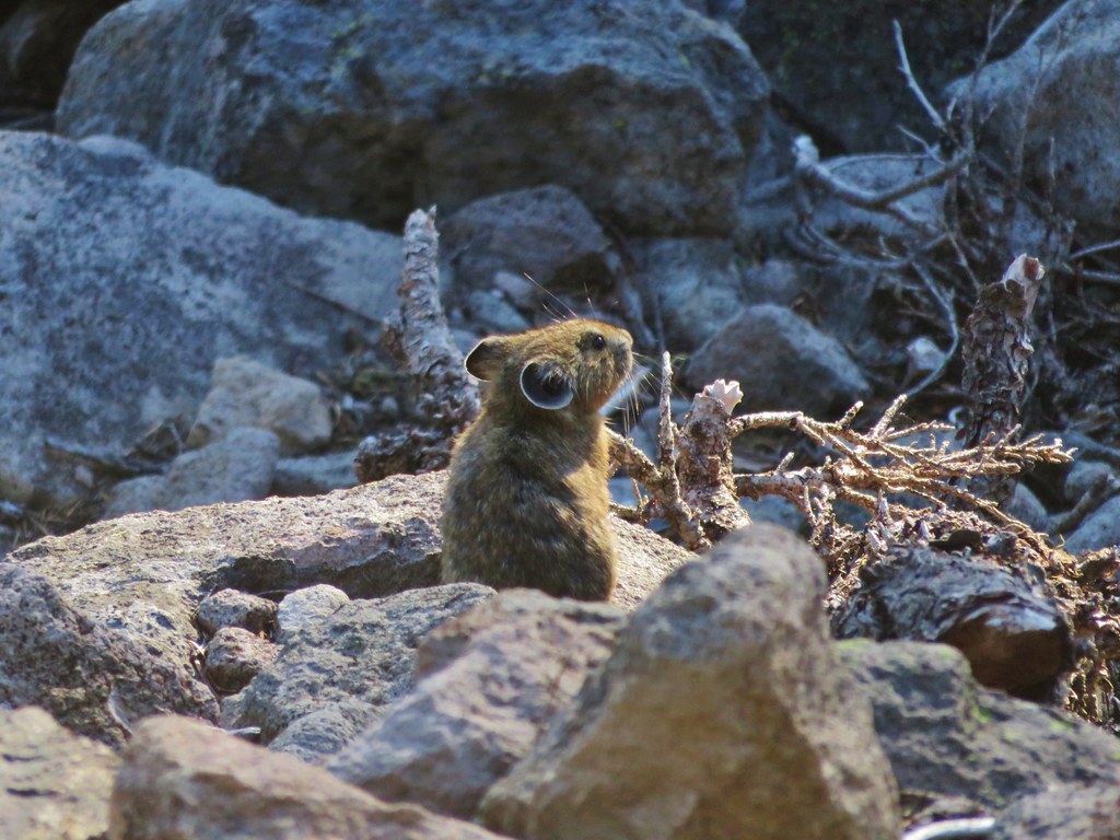
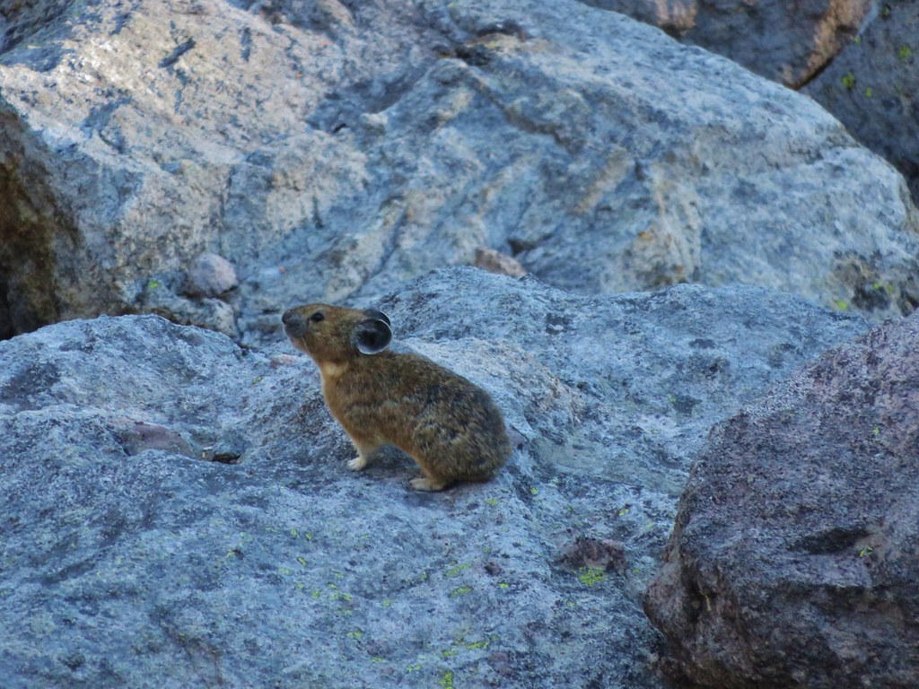
As I was taking a picture of the mountain I noticed movement in the rocks to my left. I looked over to see a pika dart out onto the rocks.
Pika

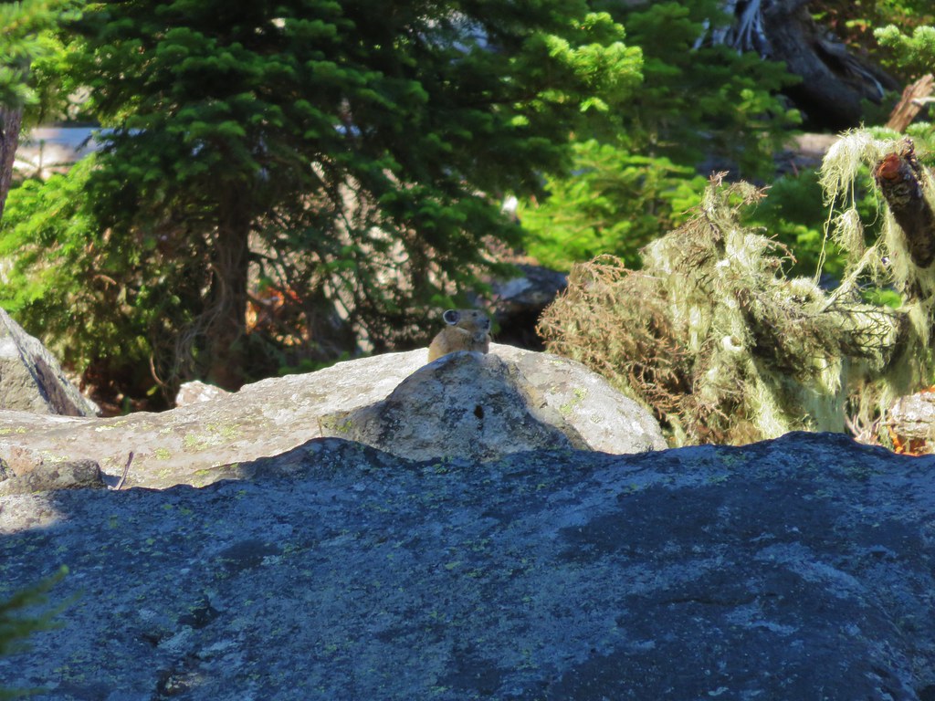
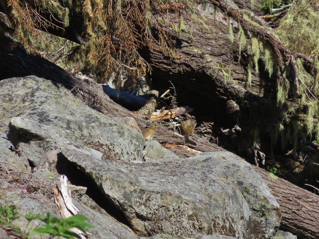
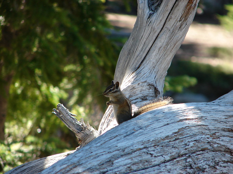
We love pikas and were excited to be getting such a good look at this one since we typically only hear their “meep” warning of our presence. As we were watching the first pika we began to notice others. In the end we’d spotted 5 different pikas and a chipmunk in the area.
Pika

IMG_7277

Pika and a chipmunk

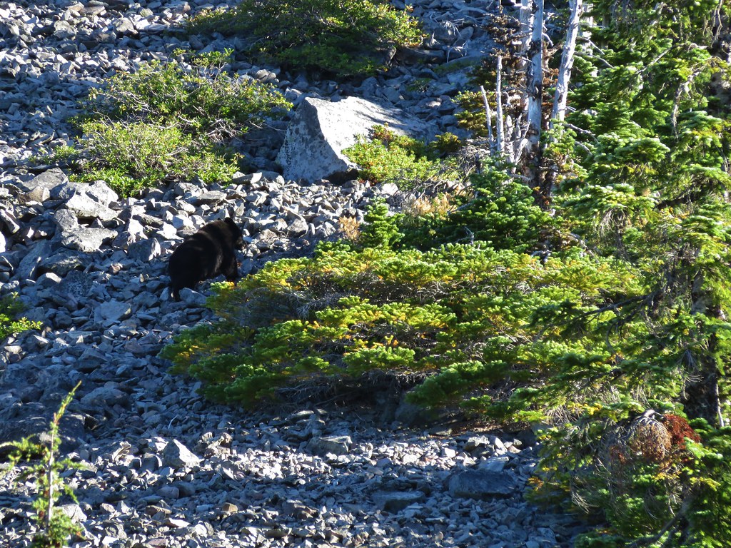
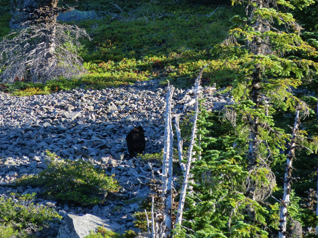
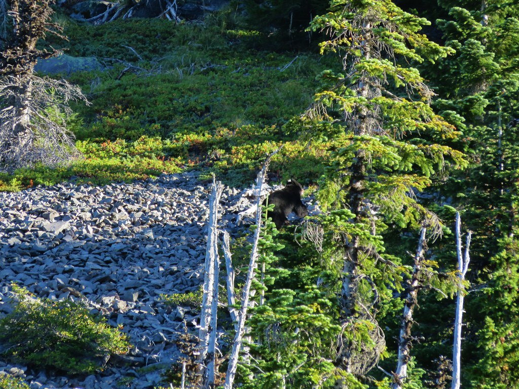
We wound up seeing a sixth pika a little further along the trail making this the highest number of pikas we’d seen on a single hike. Normally seeing a pika, let alone 6, would be the wildlife highlight of a hike, but shortly before reaching the first crossing of the Whitewater Creek around the 4 mile mark the pikas were topped. As we passed a small meadow at the base of a butte we heard some rocks sliding. My first thought was mountain lion because of a recent discussion on how many of the cougar sightings I heard about were the result of hikers hearing rocks moving. When we looked over toward the source of the noise the animal we saw was black so we knew it wasn’t a cougar. It was a bear. This was only the second bear we’d seen while hiking and the first one had run away so quickly that I wasn’t able to get a picture. This time I had my camera ready and the bear was running up an exposed rock slide so I was able to get a few pictures before it disappeared.
Black Bear

IMG_7289

IMG_7290

IMG_7291

We continued on to the Pacific Crest Trail energized from the excitement of seeing the bear. At the PCT we turned left, re-crossed Whitewater Creek, and entered Jefferson Park.
IMG_7301

Shortly after entering the park we came to a signed junction and needed to decide where we wanted to go this time.
IMG_7324

We settled on heading north on the PCT and trying to find a climbers trail that was shown on one of our maps leading up to the Whitewater Glacier. As we made our way through the park we were struck by just how dry it was and how far past all the flowers already were. The scenery was still amazing though.
IMG_7326

IMG_7331

IMG_7333

Pond in Jefferson Park

IMG_7336

We found what appeared to be a decently used trail in what seemed to be the correct area and set off toward the mountain. The trail we were following started bending back to the south though so we were forced to abandon it and take a more direct route toward the ridge where we hoped to pick up the climbers trail. We found another clear path and began following it but then it petered out on a tree covered ridge.
IMG_7345

We seemed to be in the correct area according to the map and GPS, but we were unable to spot anything that looked like a trail so we decided to go to plan b and head to Russell Lake where we could pick up the PCT again and decide what to do from there.

We found a few flowers around Russell Lake but again the dry year was evident. The lake was at the lowest level we’d seen and there was no water flowing out of the lake to the South Breitenbush River.
Mt. Jefferson from Russell Lake

IMG_7367

IMG_7369

There was still a little water coming down another branch of the river from Park Ridge allowing some monkeyflowers to still be blooming.
IMG_7387

IMG_7388

IMG_7386

We had considered following the PCT part way up Park Ridge and visiting Sprauge Lake which we had not done before, but after looking up at the climb we’d need to do we decided to save that for another trip and instead we headed for the South Breintenbush Trail.
IMG_7399

As we reached the South Breitenbush Trail we ran into another couple who recognized my Portlandhikers button. They had stayed overnight near Bays Lake and were on their way up to Park Ridge. After talking for a bit we continued on watching for the side trail to Park Lake which we’d find in a hillside meadow above the river.
IMG_7407

The water level at Park Lake was also lower than we’d ever seen, but we realized it was a deeper lake than we’d thought as we looked down into the green water.
IMG_7409

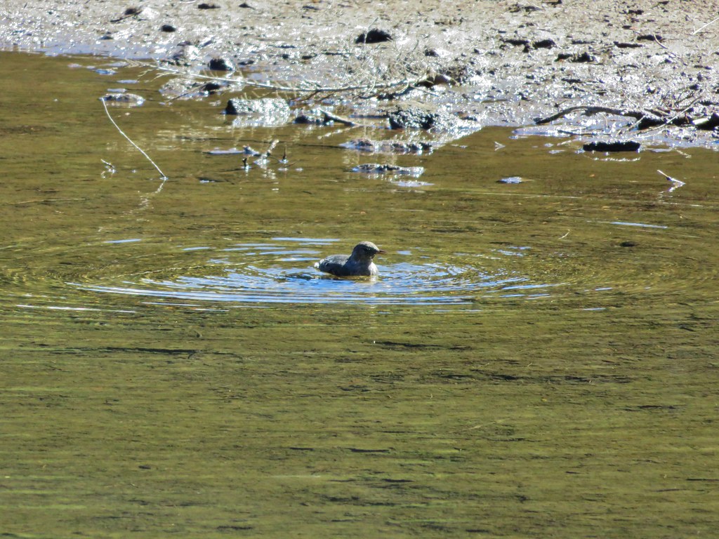
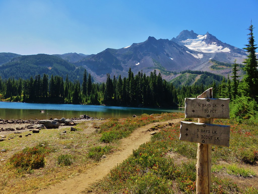
Next up along the trail was Rock Lake. Like all the lakes in Jefferson Park this one has colorful water and great views of the mountain. We spotted some trout in the lake as we passed by and got a kick out of watching a happy bird bathing along the shore.
IMG_7414

IMG_7422

IMG_7425

IMG_7437

From Rock Lake we made our way to Scout Lake where we thought we might find my parents. It was around 11am and we thought they might have stopped at the lake for a break. We didn’t see them, just more wonderful Jefferson Park scenery.
IMG_7440

IMG_7447

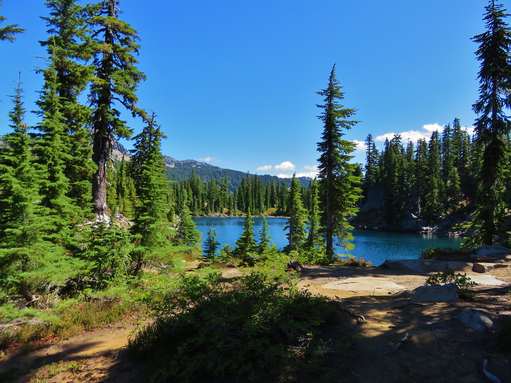
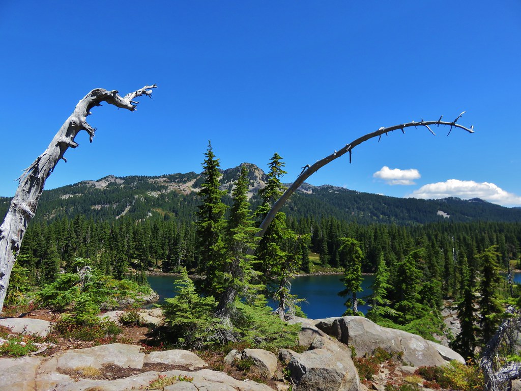
Our next thought was that they might be at Bays Lake so we headed over to the south end of that lake to take a look. We hadn’t spent much time on that side of Bays Lake so we decided to do some exploring.
IMG_7463

Park Butte from Bays Lake

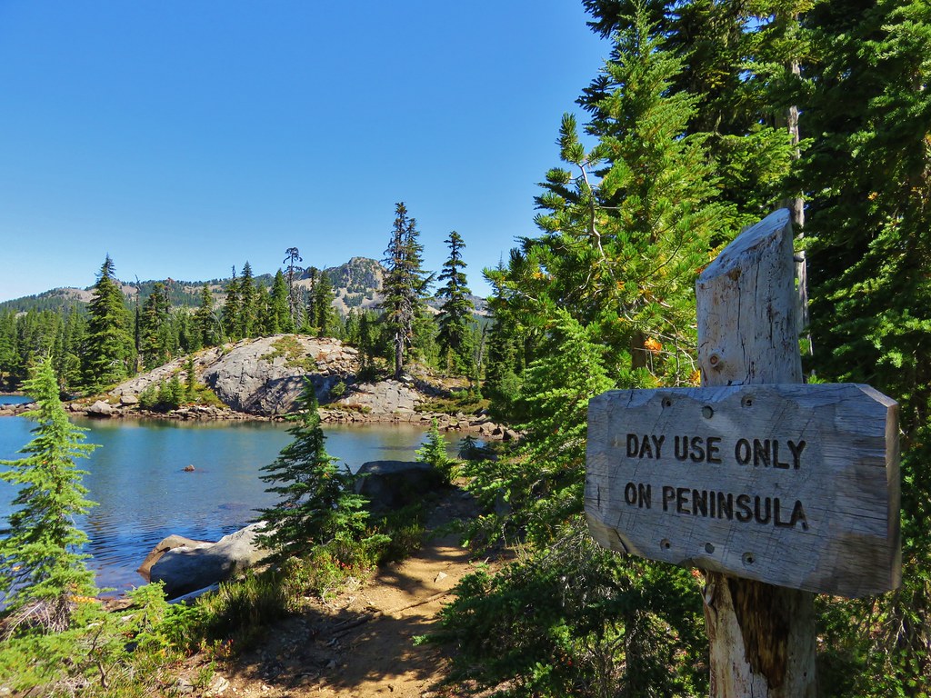
We headed down to the day use peninsula and removed our packs to take a break and check out the area.
IMG_7468

IMG_7472

Mt. Jefferson from Bays Lake

IMG_7496

When we resumed our hike we decided to just loop around the rest of the lake and then head back to Scout Lake.
IMG_7506

IMG_7514

IMG_7526

IMG_7534

We still hadn’t seen any signs of my parents by the time we had made it back to the PCT from Scout Lake and we debated on whether to head back to the car or go up the PCT again toward Russell Lake in search of them. It was at this point that we realized that it would have been a good idea to establish a time at which we would head back to the car. We made it all the way back to Russell Lake without running into them which had us a little concerned that they may not have made it all the way to the park. Heather had come up with a theory though, she suggested that they might have gone directly to Russell Lake since that was the ultimate goal for my Mom. If they had done that we easily could have missed them while we were touring the other lakes and then missed them again while we were on the PCT if they had taken one of the other signed trials to Scout Lake. Either way we were fairly certain they were either on their way back to the car or were already there waiting so we headed back down ourselves.

Heather asked a group of young hikers that were on their way up if they’d seen anyone matching my parents description and they had, which made us feel better. We didn’t think to ask how far ahead of us they were though. We picked up our pace but kept getting distracted along the way. It was interesting to see how much the water level had risen in Whitewater Creek as the heat caused an increase in the glacial runoff.
IMG_7297

IMG_7564

We also kept looking back at the views of Mt. Jefferson.
IMG_7574

IMG_7575

IMG_7576

We were still making pretty good time trying to catch them when we rounded a little bend in the trail and saw a gentleman trying to dust himself off. He was covered in dirt with some scratches on his head and there was a camera mounted on a tripod behind him on the trail. He explained that he had set the timer on the camera and was running up the trail to get in position for the picture when he had tripped. He said he was fine but hadn’t realized he was bleeding until Heather pointed it out. Luckily none of the cuts were deep and there was no real damage. He told us that it wasn’t going to affect his enjoyment of his hike. Just more proof that there is no such thing as a bad hike.

We never did catch up to my parents and I half expected to see them sitting on the bench along the trail at the trailhead, but instead we found them at a picnic table just a few feet away. We found out that they had indeed gone straight to Russell Lake and relaxed there awhile before heading to Scout and Bays Lakes. Heather had been right again. We didn’t know how far we’d wound up hiking with all the wandering we’d done, but we found out when I plugged the Garmin into the computer. According to the GPS we’d covered 18.1 miles, a little bit more than we’d planned on but that’s what can happen with a place as scenic as Jefferson Park. Happy Trails!

flickr: https://www.flickr.com/photos/9319235@N02/sets/72157656592737940

Categories
Hiking Klamath/Siskiyou Mountains Oregon Trip report

Mt. Ashland Meadows

After hiking to Boccard Point in the morning and resting for a couple of hours back at the Green Springs Inn we headed into Ashland. Our plan was to pick up a meal to go and then eat it at Grouse Gap Shelter on Mt. Ashland. The shelter makes for a good turnaround point for a moderate hike along the Pacific Crest Trail on the flanks of Mt. Ashland. After picking up some sandwiches from the Greenleaf Restaurant we headed toward the Mt. Ashland ski area south of Ashland. The Pacific Crest Trail crosses Mt. Ashland Rd. (Road 20) just beyond the 7 mile marker which is where we parked at a pullout with a signboard to begin our hike.
IMG_3214

We crossed the road and headed south on the PCT.
IMG_3215

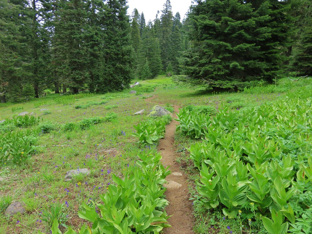
The first section of trail passed through forest before emerging in the first of the meadows.
IMG_3217

IMG_3222

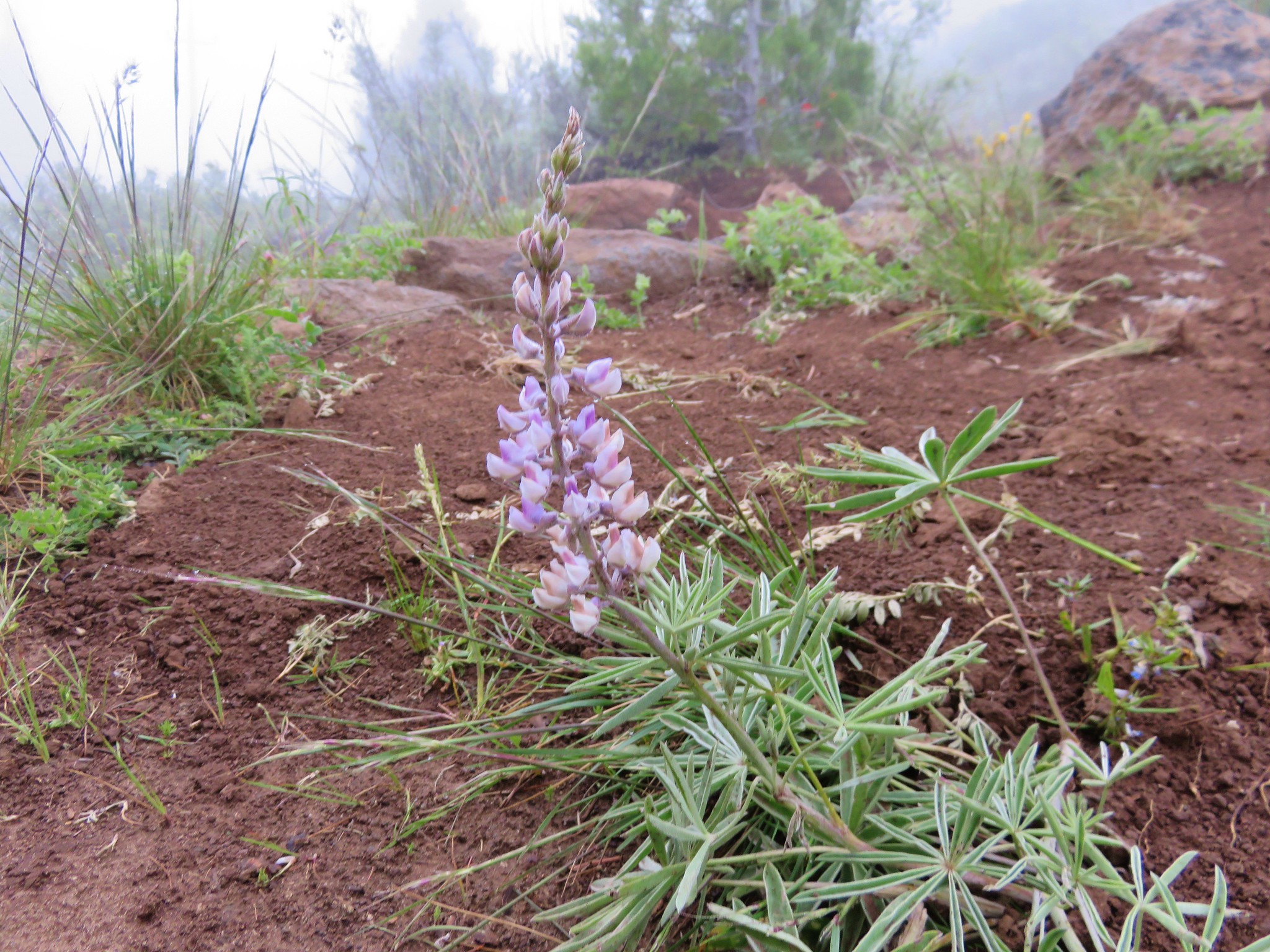
It was a little early in the year for most of the flowers but we spotted a few.
IMG_3231

IMG_3232

IMG_3233

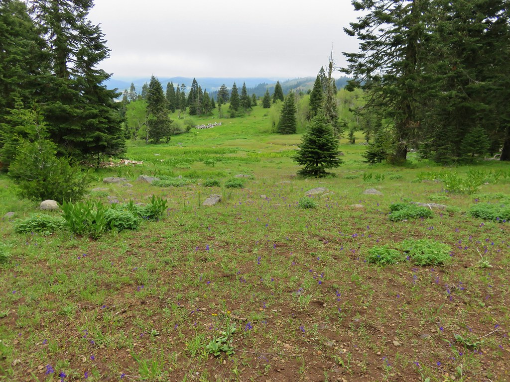
In the second meadow we had views of the now mostly cloud covered Mt. Shasta and the now cloud free Pilot Rock. A near reversal from that mornings hike.
IMG_3247

IMG_3250

IMG_3253

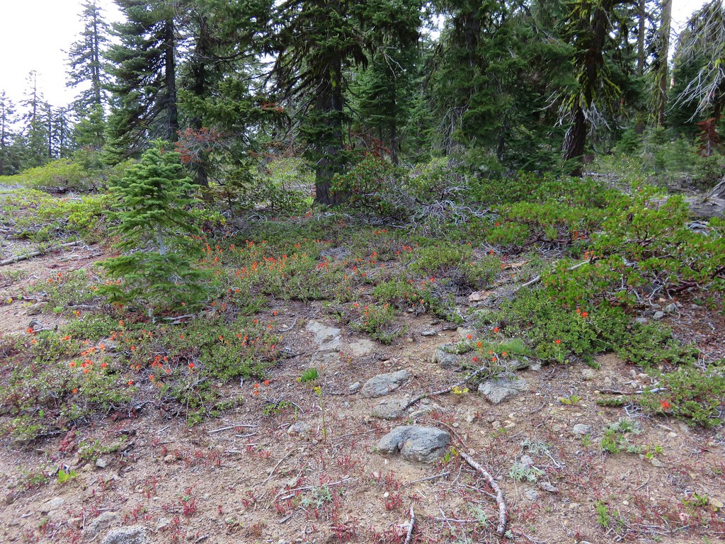
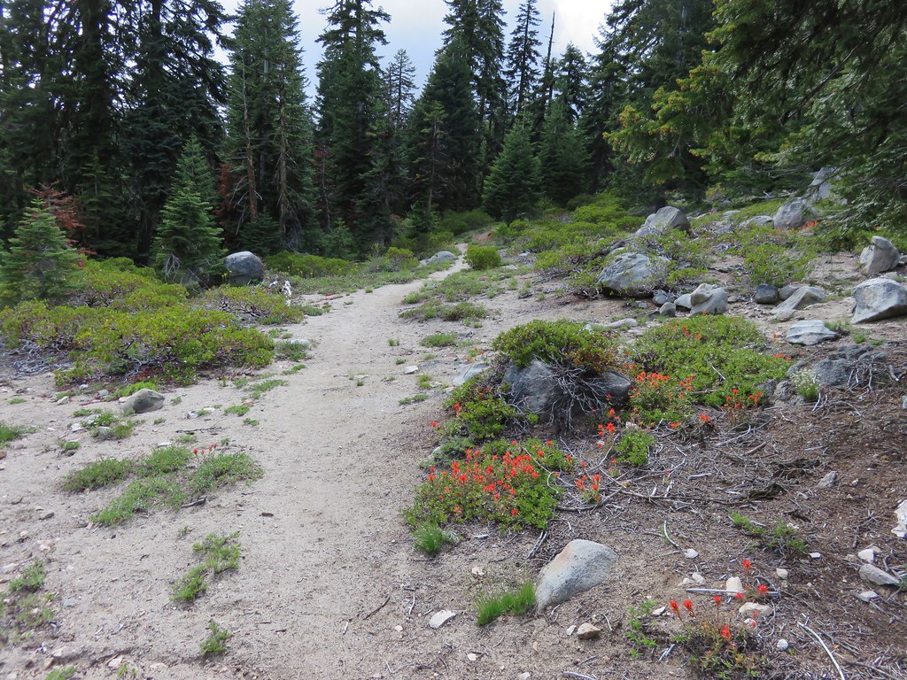
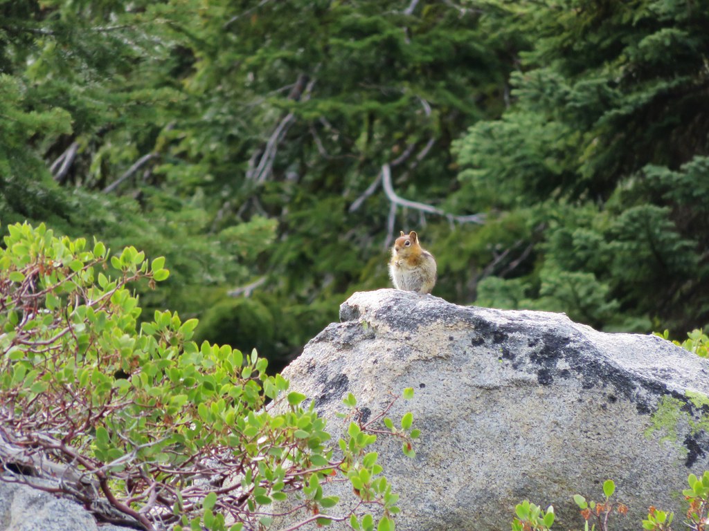
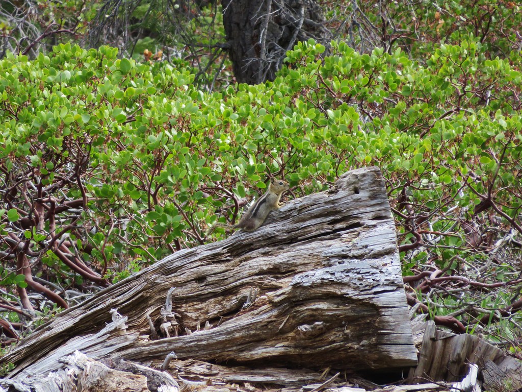
After leaving the second meadow the PCT crossed a drier slope dotted with red paintbrush and manzanita. We were also joined by some golden-mantled squirrels.
IMG_3266

IMG_3274

IMG_3273

IMG_3264

After about a mile and a half we crossed a gravel road and entered another meadow.
IMG_3281

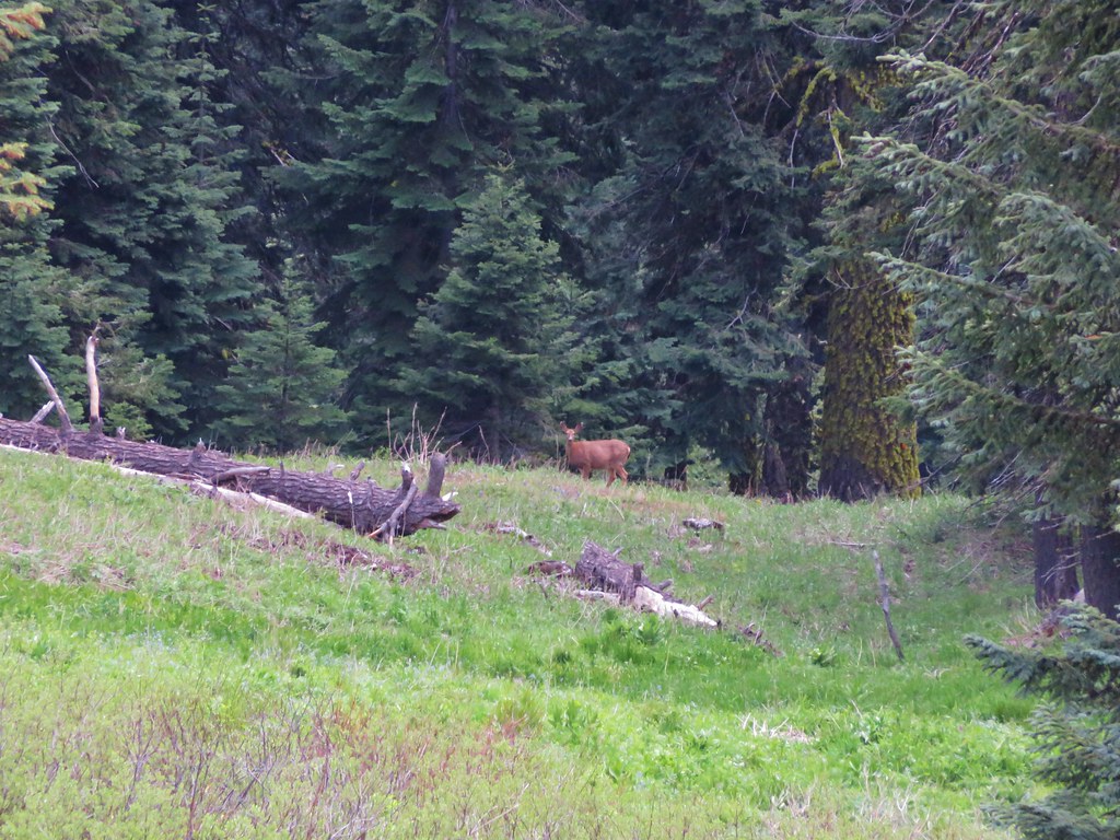
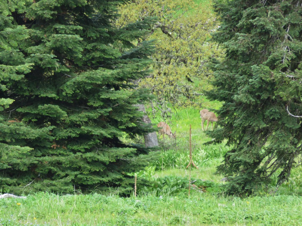
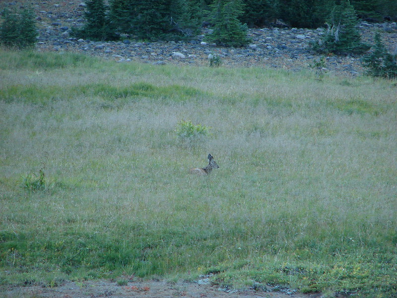
Just beyond this meadow was another smaller meadow where we spotted a deer far below at the meadows end.
IMG_3301

IMG_3306

The trail continued to pass through alternating meadows and forest before entering the final broad meadow before the Grouse Gap Shelter. It was still early for flowers but this large meadow had the most we’d seen on this hike.
IMG_3314

IMG_3317

IMG_3333

IMG_3346

IMG_3347

IMG_3351

IMG_3353

From the meadow we could see the shelter at the far end.
IMG_3361

A quarter mile road led from the PCT down to the shelter.
IMG_3368

IMG_3372

IMG_3373

The shelter looks out across the meadow toward the summit of Mt. Ashland. We were below the clouds this time but the summit wasn’t.
IMG_3377

IMG_3381

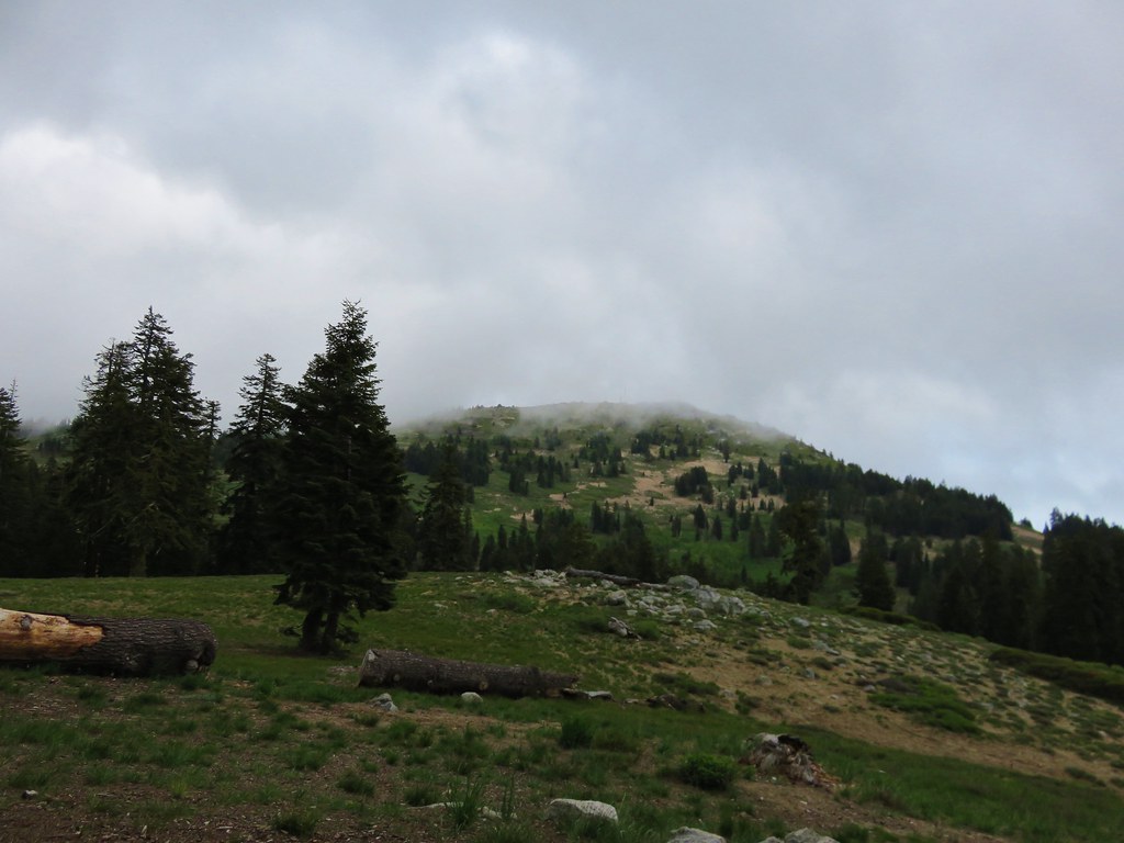
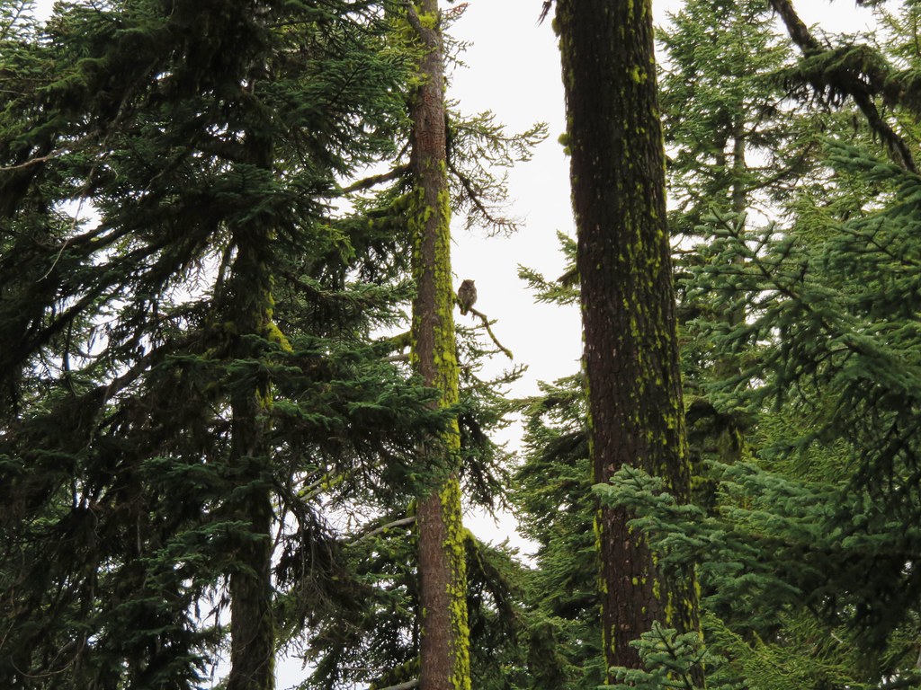
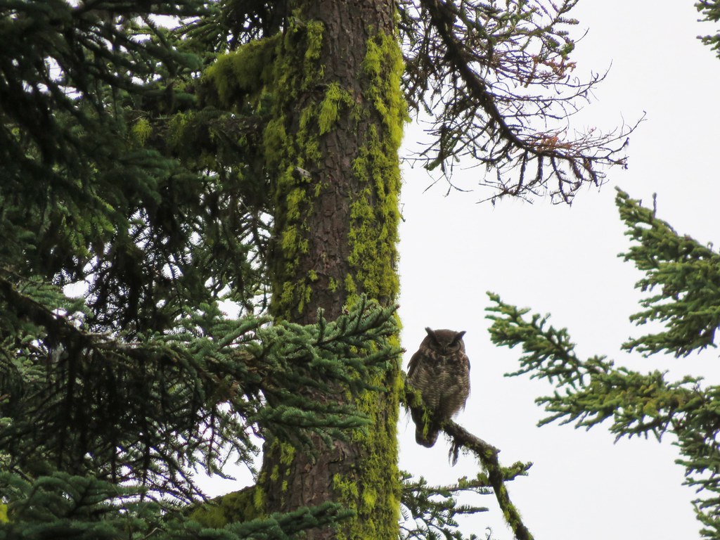
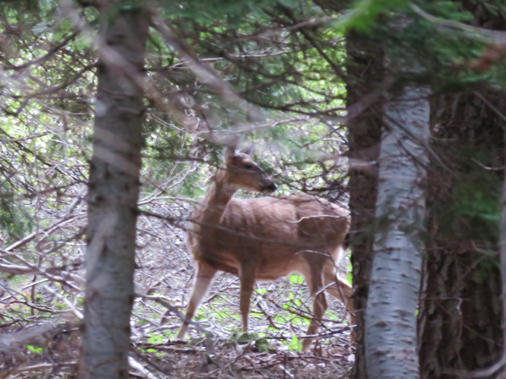
After eating our sandwiches we headed back. On the way we spotted another deer in the same meadow we had seen the earlier deer in, an owl who was nice enough to sit and have its picture taken, and a final deer amid the hillside trees.
IMG_3399

IMG_3411

IMG_3419

IMG_3435

IMG_3436

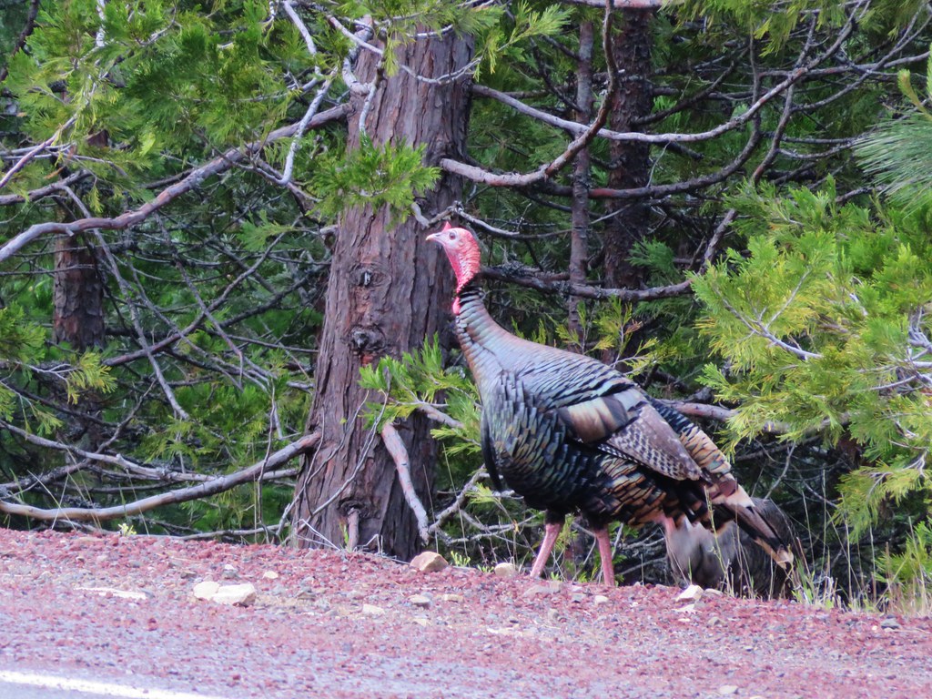
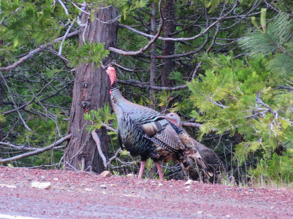
Then as we were driving back down the mountain a pair of turkeys emerged from the forest.
IMG_3442

IMG_3443

This hike wound up being a little over 7 miles long with about 700′ of elevation gain. The Grouse Gap Shelter proved to be a perfect place to stop for a meal making this a great relaxing hike to end the day. Happy Trails!

flickr: https://www.flickr.com/photos/9319235@N02/sets/72157651795646153

Categories
Cascade-Siskiyou National Monument Hiking Oregon Trip report

Boccard Point – Soda Mountain Wilderness

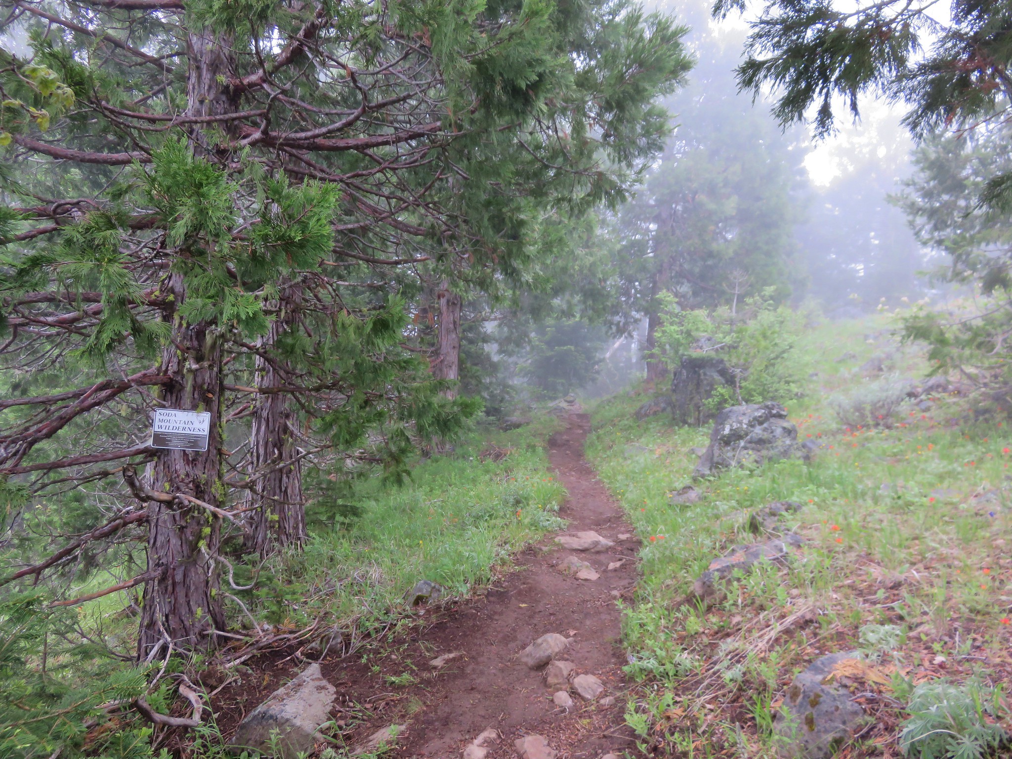
After attending Pericles the day before we spent our third day in the Ashland area hiking. We were staying east of town at the Green Springs Inn and Cabins on Highway 66 in the Cascade-Siskyou National Monument under two miles from where the Pacific Crest Trail crosses that highway on its trek from Mexico to Canada. We were also only 20 minutes from the Hobart Bluff Trailhead where the PCT crosses Soda Mountain Road as it emerges from the Soda Mountain Wilderness. Our hike to Boccard Point started at the Hobart Bluff TH, but instead of heading north on the PCT toward Hobart Bluff we headed south into the wilderness. It was a damp and foggy morning as we set off.
IMG_2940

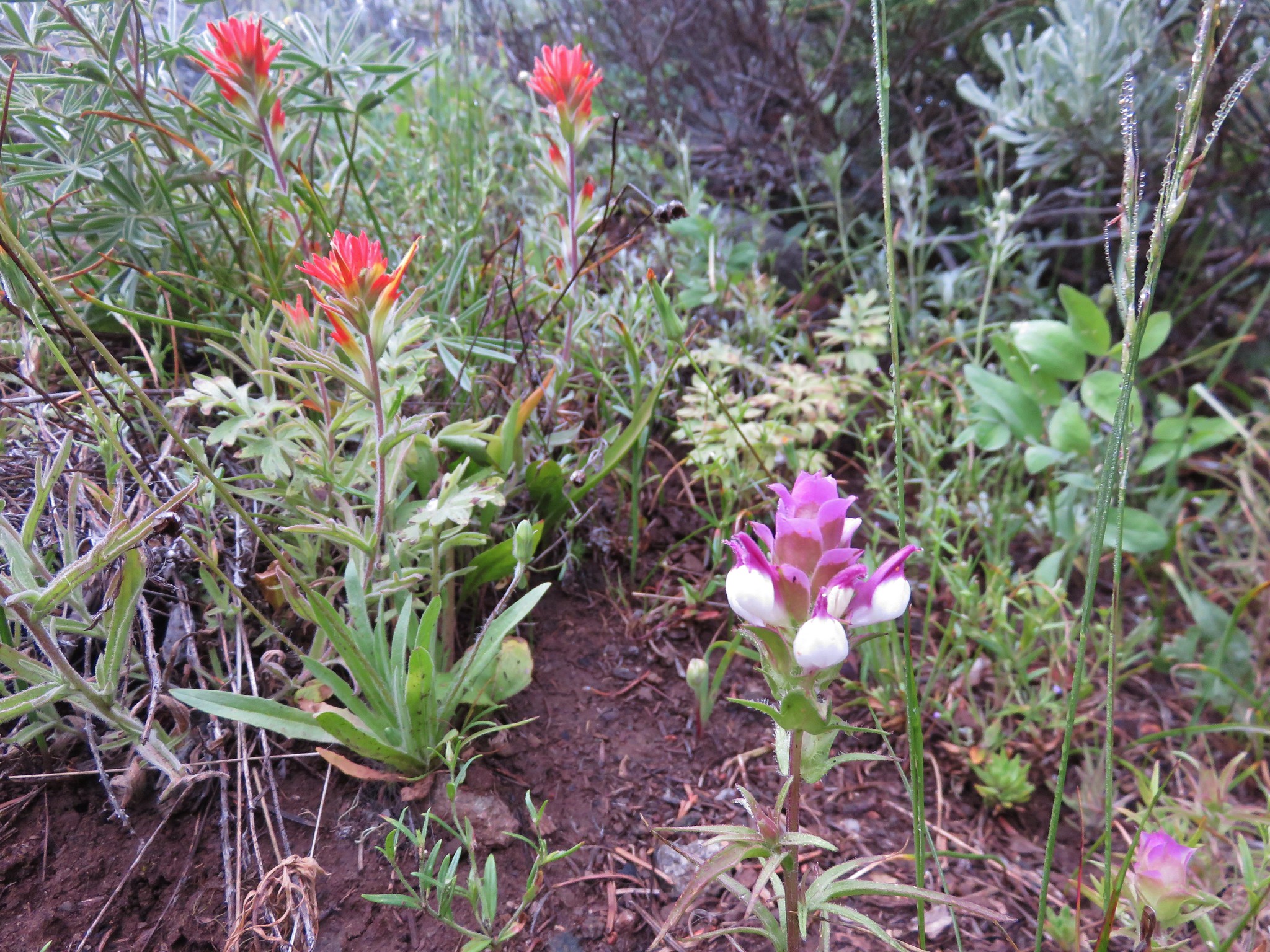
We spotted a number of different flowers before we even made it into the wilderness.
IMG_2941

IMG_2943

IMG_2946

IMG_2952

IMG_2954

Shortly after passing under some powerlines we entered the wilderness.
IMG_2965

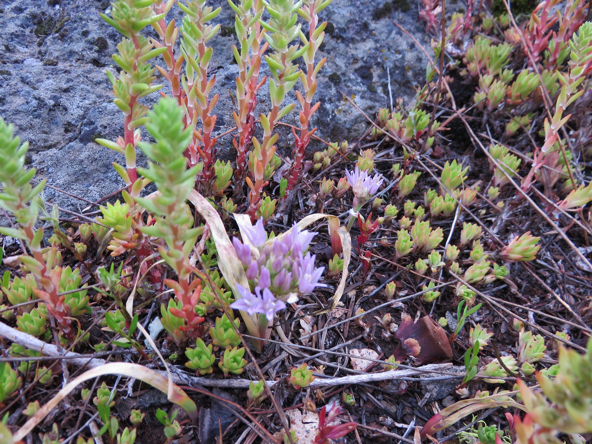
The flower show continued as the trail passed several rocky meadows.
IMG_2972

IMG_2973

IMG_2974

IMG_2982

IMG_2985

IMG_2989

IMG_3011

IMG_2999

The PCT also traveled through some more forested areas with other flowers.
IMG_3013

IMG_3025

IMG_3035

IMG_3036

After 2.9 miles at a large wilderness sign the PCT meets an old road junction. Here we left the PCT and headed deeper into the wilderness on an abandoned road just to the left of the sign.
IMG_3044

IMG_3049

Along this stretch of trail the old road curved around a damp wildflower meadow where there were many nearby birds and other wildlife.
IMG_3059

IMG_3061

IMG_3065

IMG_3077

IMG_3068

IMG_3070

IMG_3074

IMG_3076

IMG_3079

We had been in the fog almost the entire hike but just as we were starting the final quarter mile stretch to Boccard Point we emerged from under the clouds and were greeted with a view of Mt. Shasta.
IMG_3082

IMG_3083

As the rocky outcrop of Boccard Point approached the views to the south kept getting better.
IMG_3089

IMG_3096

To our right the edge of the clouds were lapping over Pilot Rock.
IMG_3093

IMG_3104

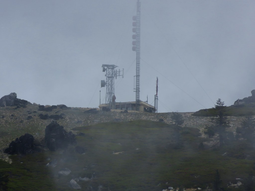
To the left the clouds were busy drifting over the lookout tower on the summit of Soda Mountain.
IMG_3119

IMG_3118

And behind us was the cloud that we had spent the morning in.
IMG_3109

The rocky terrain around Boccard Point was also dotted with wildflowers.
IMG_3091

IMG_3134

IMG_3130

IMG_3136

IMG_3138

IMG_3139

IMG_3140

IMG_3143

We headed back under the cloud. On the way back by the damp meadow we spotted more wildlife including a pair of deer that Heather spied.
IMG_3151

IMG_3162

IMG_3167

The fog had at least lifted as we traveled back to the trailhead revealing more of the meadows we had passed earlier that morning.
IMG_3194

IMG_3195

We skipped heading up to the lookout based on the cloud situation given the views we did get on Boccard Point. The total distance for the hike ended up being 10.5 miles with only about 1200′ of elevation gain. It was a gentle enough hike that we decided to head out again that afternoon after a brief rest back at the Green Springs Inn and Cabins. Happy Trails!

flickr: https://www.flickr.com/photos/9319235@N02/sets/72157653708085508

Categories
Diamond Peak Area High Cascades Hiking Oregon Trip report

Midnight & Yoran Lakes – Diamond Peak Wilderness

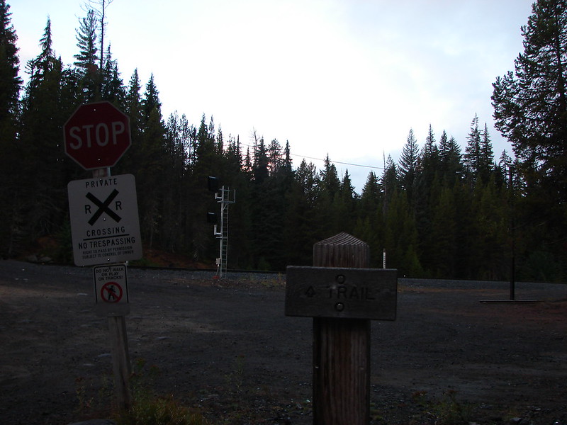
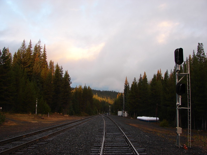
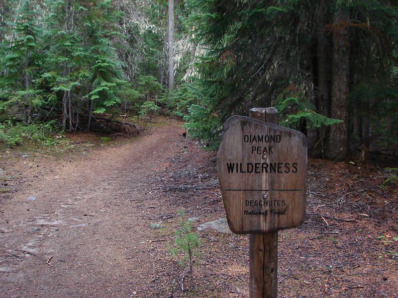
Our final October hike brought us to the Diamond Peak Wilderness for our second ever visit. This 52,611 acre wilderness is home to numerous lakes and 8,744′ Diamond Peak. Our plan for this visit was to start at the Trapper Creek Trailhead and take the Yoran Lake Trail to Yoran Lake then head cross-country to the Pacific Crest Trail returning on a loop past Midnight Lake. It was a rainy drive for most of the morning but we arrived at the West Odell lake Access off Highway 58 under clouds that were beginning to break up. Parking for the trail is located across from the Shelter Cove Resort next to some railroad tracks.
DSC07839

DSC07841

DSC07842

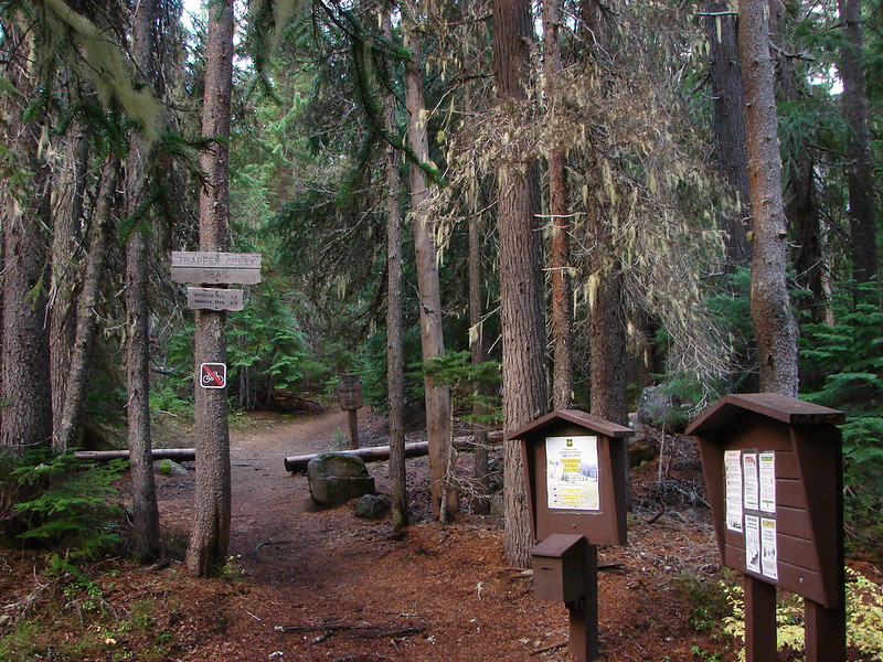
The actual trail started on the far side of the tacks and quickly entered the wilderness.
DSC07845

DSC07846

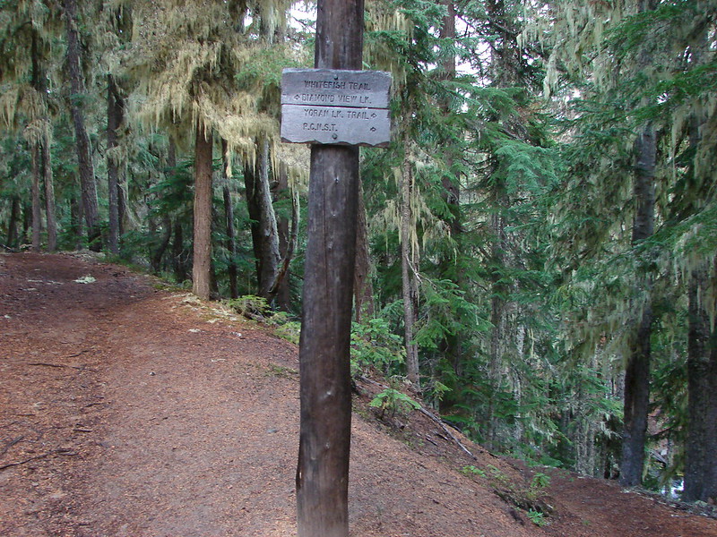
Just a short while after entering the wilderness the trail split. The left fork led to Diamond View Lake and the right to the Yoran Lake Trail.
DSC07847

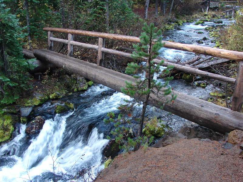
We took the right hand fork which briefly followed Trapper Creek passing a small waterfall just before crossing the creek on a footbridge.
Small waterfall on Trapper Creek

DSC07853

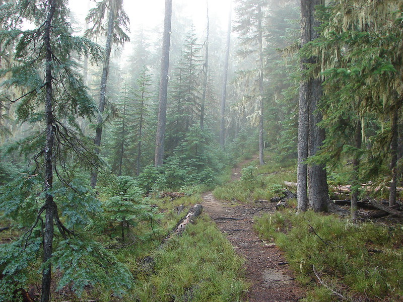
The trail split again at the Yoran Lake Trail which headed uphill to the left while the path on the right led to Pengra Pass and the PCT. We began the steady climb up to Yoran Lake as a little fog rolled through the forest.
DSC07854

DSC07859

Yoran and Midnight Lakes were only two of several lakes we were going to be visiting on the hike as well as a number of smaller ponds. We came to the first small lake after 3 miles on the Yoran Lake Trail.
Unnamed Lake along the Yoran Lake Trail

DSC07870

In another mile we arrived at Karen Lake.
Karen Lake

On a clearer day we would have had a great view of Diamond Peak but we had to settle for some briefs peeks of the peak.
DSC07887

Just to the NW of Karen Lake we found Yoran Lake at the end of the Yoran Lake Trail. Diamond Peak was again hidden by the clouds, but we had a little better view of Mt. Yoran.
Yoran Lake

DSC07898

Yoran Lake

We made our way around the lake to the northern end where there was a pair of small islands.
DSC07929

DSC07926

We left the lake shore when we passed the second island, crossing a pretty little inlet creek, and headed true north toward the PCT.
DSC07930

At first we were following a faint path but we lost the tread as we passed by a pair of small ponds.
DSC07931

DSC07932

A couple of quick checks of the GPS showed we were on course to arrive at Liles Lake which lies next to the PCT. Our guidebook said to go around the left side of the lake but we arrived closer to the right side. We picked up a trail going around the lake and decided to just follow it around that side.
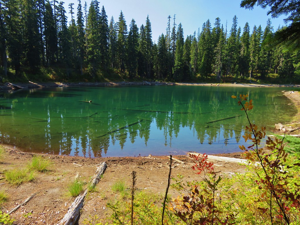
Lils Lake

DSC07941

It looked like the right side might be difficult to go around earlier in the year when the water level would have been higher but we had no problem following the path and hooking up with the PCT on the north side of the lake. We turned right and started downhill passing some small ponds and passing through some interesting forest.
DSC07950

DSC07953

The next lake we came to was Hidden Lake.
Hidden Lake

We passed several more pretty little ponds between Hidden Lake and the next named lake which was Arrowhead Lake. It was pretty clear why this forest is full of mosquitoes most of July and August with ponds and lakes seemingly everywhere.
DSC07961

DSC07963

DSC07965

We almost passed by Arrowhead Lake waiting for a clear path to it, but when we didn’t find one we made our own. We were glad we did because this lake had some of the prettiest water we had seen that day.
Arrowhead Lake

Continuing down the PCT from Arrowhead Lake we passed a rock that Heather dubbed Gorilla Rock due to it’s interesting shape. She thought it looked like a gorillas head and arm.
Gorrilla Rock - named by Heather

Shortly after passing the rock we spotted movement through the trees further down the trail. I thought we’d seen another person or dog coming up the trail and then we saw a second flash of color which we could tell was an elk. A total of four elk cows had crossed the trail and passed in virtual silence through the forest and over a small ridge. I was snapping pictures every time one appeared through the trees but I never got more than the back half of one.
DSC07978

The final named lake we visited was Midnight Lake.
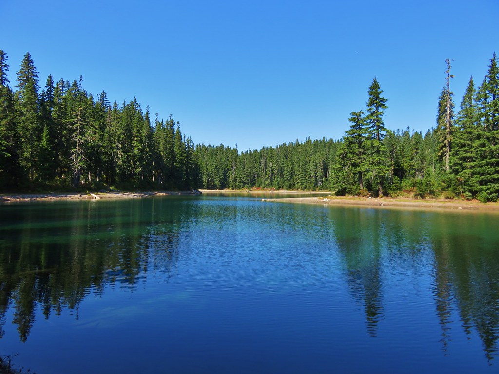
Midnight Lake

We stopped at one final unnamed lake/pond before arriving at Pengra Pass.
Small lake/pond along the PCT in the Diamond Peak Wilderness

We left the PCT at Pengra Pass and followed an old road right .4 miles where a trail split off from the right hand shoulder.
DSC07997

It was only another .6 miles back to the Yoran Lake Trail and .7 more back to our car. On our way home we made a pit stop at Salt Creek Falls, the previous hike we’d taken in the Diamond Peak Wilderness. https://wanderingyuncks.wordpress.com/2013/07/07/salt-creek-falls/
Salt Creek Falls

All the lakes were very nice and we are hoping to do some backpacking in the area sometime. Diamond Peak is a non-technical climb and there are trails all the way around the mountain making for numerous possible destinations. More ideas for future trips 🙂 Happy Trails!

flickr: https://www.flickr.com/photos/9319235@N02/sets/72157648430549439/
facebook: https://www.facebook.com/media/set/?set=a.10205280662043261.1073741917.1448521051&type=1

Categories
High Cascades Hiking Mt. Jefferson Area Oregon Trip report

Jefferson Park – 2014

**Note the 2017 Whitewater Fire burned a portion of this hike.**

The only location we have visited in each of the last three years is Jefferson Park in the Mt. Jefferson Wilderness. For awhile it looked like that streak might be broken this year, but then Heather accidentally signed up for a 5k race on what was to be our final weekend of hiking in October. We rescheduled our final October hike and I decided to take advantage of the Columbus Day holiday and head to Jefferson Park to keep my streak alive.

We had rotated the trails we used to reach Jefferson Park between the three most popular approaches – The Whitewater Creek Trail, the Pacific Crest Trail from the north, and the South Breitenbush Trail. Since the Whitewater Creek Trail offered the shortest drive and hike I decided to revisit that trail.
DSC07602
It is also the most popular approach but the parking area was nearly empty when I arrived. It was a surprisingly warm morning despite the forecast of snow for the very next day and I was able to leave my hat and gloves in my pack as I set off. I’d dressed for a typically chilly Fall morning and I wound up having to remove my two lower layers before I’d gone a quarter mile, but once I got my clothing situation corrected I was able to set a nice pace as I climbed along the Sentinel Hills.

The trail started off in the trees offering only brief glimpse of the top of Mt. Jefferson. One and a half miles in an unmarked trail joined from the left coming from Triangulation Peak. Another mile from the junction is where the views started unfolding as the trail wound up and around the Sentinel Hills.

The Three Pyramids
DSC07609

Triangulation Peak
DSC07612

Mt. Jefferson
DSC07622

Fall was on display in the wilderness and the forest was full of color.
DSC07624

DSC07630

DSC07637

DSC07641

The trail joined the Pacific Crest Trail at the 4.2 mile mark which I continued North on for another .9 miles to Jefferson Park.
DSC07655

The view of Mt. Jefferson from the park is the main attraction.
DSC07653_stitch

There are many other attractions in the park though including five named lakes, the South Fork Breitenbush River, and wildflower meadows (If you time it right). We had visited all the lakes and the river and seen some of the wildflowers, but we had never headed toward the mountain itself. I decided that was what I was going to do on this visit so I took the first well worn trail leading off to the right from the PCT and headed for Mt. Jefferson.
DSC07661

I wasn’t sure where this trail was going to lead as it climbed through a series of meadows.
DSC07662

Eventually I came to the tree line where a series of rock cairns appeared to lead up a ridge of loose rocks.
DSC07669

I kept going following the cairns as best as I could. As I was climbing I noticed a fellow hiker higher up along the ridge. The view behind was getting better by the minute as the elevation gain was allowing for a great look down at Jefferson Park.
DSC07671_stitch

Soon I could see Mt. St. Helens with a fresh ring of snow on its upper reaches.
DSC07675

The final push to the crest of the ridge was steep and full of loose footing and the wind was whipping up dust devils.
DSC07681

The wind had been fairly strong but it was nothing compared to the gusts that met me as when I finally gained the ridge crest. It nearly knocked me off balance so I got low and found a nice big rock to sit down on. The other hiker was about 30 yards up the ridge doing the same thing. We were at the foot of the Jefferson Park Glacier staring up at the summit of Mt. Jefferson.
DSC07694
DSC07695

Unfortunately the Sun was also almost directly in front of us making pictures difficult in that direction but the view back toward Jefferson Park did not have that same problem. Mt. Hood and Mt. Rainier had joined Mt. St. Helens on the horizon and the entirety of Jefferson Park was spread out below.
DSC07688_stitch

Mt. Rainier & Mt. Hood beyond Park Butte
DSC07685

DSC07684

To the northwest I could see Triangulation Peak and Bocca Cave where we had been about a month earlier. https://wanderingyuncks.wordpress.com/2014/09/14/triangulation-peak-boca-cave-via-cheat-creek/
DSC07713

It appeared that it would have been possible to continue east up the ridge along the glacier but the wind was blowing too hard to attempt going any further so I began my descent back down into the park. Once I had made it back down into the meadows I turned right on the first good trail I came to thinking I had hit the PCT already. It was still early enough I had decided to head across the park and visit Russell Lake and hoped to return past the other four named lakes. I quickly realized that I wasn’t on the PCT and I had taken one of the use trails that crisscross through the park. I decided to continue along it as it was leading me in the correct direction for the lake through a series of meadows. I even found some aster still in bloom along the way.
DSC07730

DSC07735

DSC07734

DSC07737

DSC07739

DSC07740

I ended up at the SE end of Russell Lake which was perfect since we had not been to this side of the lake on our previous trips.
DSC07744

Again the Sun was in a position to wash out some of the picture but the the view from the lake was as amazing as ever.
DSC07746_stitch

DSC07752

I walked around the north end of the lake and located the PCT which I turned left on and started to head back. Near the South Fork Breitenbush River I was surprised to see a single paintbrush still blooming in the middle of a meadow.
DSC07754

When I reached the South Breitenbush Trail I left the PCT and headed west. As the trail began descending a small hillside toward the river I turned left at a switchback marked with a rock cairn. This trail led to Park Lake.
DSC07759_stitch

Staying to the left of Park Lake I followed the path up to Rock Lake.
DSC07764_stitch

DSC07768_stitch

And then continued on to Bays Lake.
DSC07772_stitch

I took a break at Bays Lake and soaked my feet for a bit before heading to the East and Scout Lake.
DSC07786_stitch

DSC07793

DSC07799_stitch

Just a short distance to the East of Scout Lake I was back on the PCT right where I had left it that morning. It was time to say goodbye to Jefferson Park for another year.
DSC07808_stitch

On the way back down to the trailhead I was finally able to get a few pictures of the mountain without interference from the Sun.
DSC07823

The ridge that I had been on earlier.
DSC07825

The only real bummer of the day was not having Heather there to hike with. This was my first solo hike and I have to say I really missed sharing the experience with her. I found it hard to just stop and enjoy the surroundings as much as we normally would. It was an interesting experience but hopefully not one that happens often. Happy Trails!

flickr: https://www.flickr.com/photos/9319235@N02/sets/72157648750622555/
facebook: https://www.facebook.com/media/set/?set=a.10205245182556296.1073741916.1448521051&type=1

Categories
High Cascades Hiking Oregon Three Sisters Area Trip report

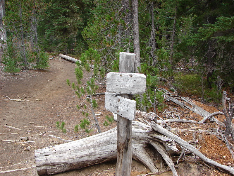
Six Lake Trail – Three Sisters Wilderness

Following our attempt at catching the sunrise from Tumalo Peak we took a day off then headed back out to the trails. The weather was still a bit cloudy but it was okay this time because our goal was a series of lakes and not mountain views. We arrived at the trail just as it was becoming light.
Six Lakes Trailhead

DSC06847

Shortly after setting off we entered the Three Sisters Wilderness.
DSC06849

The trail climbed gradually to the first lake which was Blow Lake which we arrived at just as the clouds began turning colors with the rising Sun.
DSC06859
DSC06860
BLow Lake Sunrise

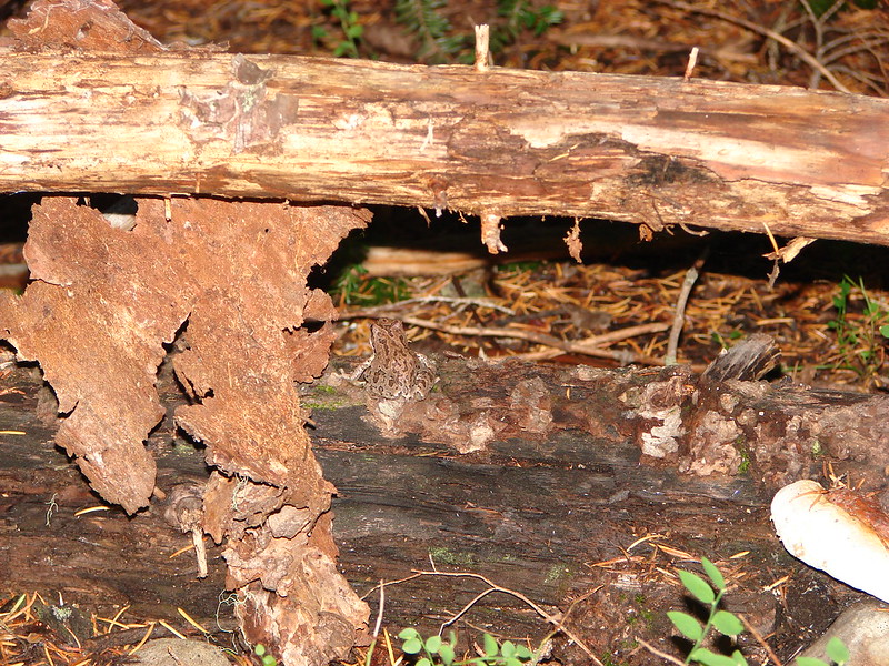
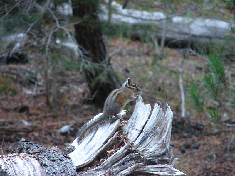
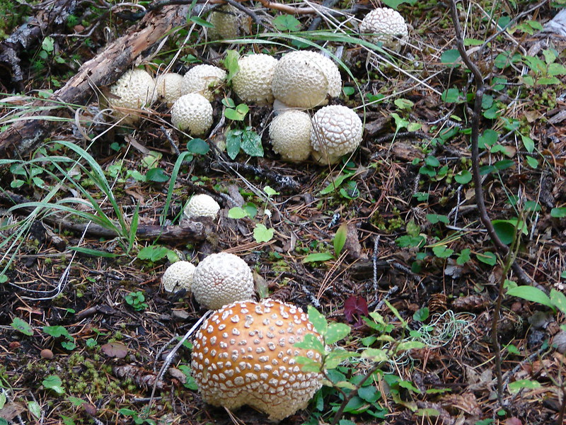
We left Blow Lake and followed the trail another mile and a half to Doris Lake. Along the way we met a couple of the locals and spotted an interesting group of mushrooms.

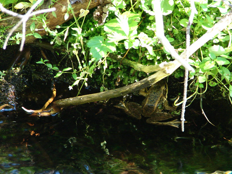
Frog on a log.
DSC06873

Chipmunk (On a different log.)
DSC06884

Mushrooms
Mushrooms along the trail

Doris Lake
Doris Lake

From Doris Lake we followed the Six Lakes Trail for close to another mile to a trail junction where we then took a short .6 mile side trip to see Senoj Lake.
DSC06894

Senoj Lake

We returned to the Six Lake Trail and continued two more miles to the Pacific Crest Trail. We then took the PCT south for 1.6 miles past several small bodies of water to an unmarked side trail on the left at a small rock pile. We took the side trail which led us to the Cliff Lake Shelter and Cliff Lake, our turnaround point.

Ponds along the trail
DSC06911
DSC06918

Cliff Lake Shelter
DSC06925

DSC06928

Cliff Lake

DSC06945

We left our gear at the shelter and spent some time exploring a rocky bank and enjoying the lake. When we got back to the shelter we noticed that a squirrel, chipmunk, and a golden-mantled squirrel had all taken an interest in our packs. They scurried off when we approached but soon several grey jays came in to check us out.
Grey Jay at the Cliff Lake Shelter

There were also lots of dragon flies and a butterfly flitting about.
DSC06951

We left the shelter and headed back the way we’d come (minus the side trip to Senoj Lake). There had been a slight chance of showers forecast but the weather had been great and the skies increasingly blue. When we arrived back at Doris Lake we went back down to the shore and followed a trail along it for awhile.
DSC06961

Near the end of the hike we even got a mountain view.

Mt. Bachelor
DSC06963

It turned out to be a very pleasant hike. Each lake was unique and trails were were well maintained and never very steep. Our Garmin showed a total distance of 16.7 miles which was a bit more than we’d expected but the ease of the trail made it seem like less. Happy Trails!

flickr: https://www.flickr.com/photos/9319235@N02/sets/72157647774074649/
facebook: https://www.facebook.com/media/set/?set=a.10205149078033743.1073741911.1448521051&type=1

Categories
High Cascades Hiking Oregon Three Sisters Area Trip report

South Sister Loop – Day 2

We woke up early on day 2 anxious to see what surprises awaited us. It didn’t take long for the first one. We had seemingly been the only ones camped around Linton Meadows but when we awoke we found we were not alone.
DSC05451

The sun was just starting to rise as we packed up and headed to Linton Creek to replenish our water supply before heading back to the Pacific Crest Trail.
DSC05458

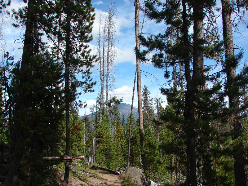
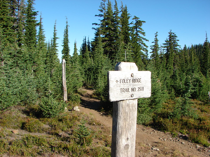
After getting water we headed South on the James Creek trail returning to the 5 way trail junction we had passed the day before. At the junction we turned left on the Foley Ridge Trail and climbed a mile to the PCT.
DSC05474

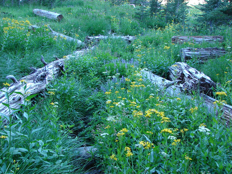
We turned right on the PCT and headed toward Reese Lake where we hoped to pick up a climbers trail that would lead us between the Middle and South Sister. There were still some pretty good flowers lining the PCT.
DSC05476
DSC05478

We turned off the PCT at little Reese Lake. The small lake had crystal clear water and a nice view of the South Sister.
DSC05486
DSC05488

Working our way around the North side of the lake we picked up a trail leading East which we hopped would lead us to Separation Creek and the climbers trail. We chose wisely and arrived at Separation Creek on a clear path. We had seen Separation Creek back in May when we hiked to Separation Lake https://wanderingyuncks.wordpress.com/2014/05/04/proxy-falls-separation-lake/. Crossing the creek was very different this close to its source.
DSC05496

Separation Creek below Separation Lake in May.
DSC03721

There was a well worn trail following the creek up toward the saddle between the two mountains.
DSC05500 Stitch

It was an interesting landscape. There were numerous types of rocks, wildflowers, and volcanic formations all around.
DSC05509
DSC05525
DSC05515
DSC05514
DSC05522
DSC05537

After a stiff climb through over a forested ridge we came to the Frazier Upland and the first of the Chambers Lakes.
DSC05549
DSC05559
DSC05566
DSC05568

We passed by the first lake, crossed a snowfield, and climbed another ridge to find the second Chambers Lake.
DSC05584

There are a number of lakes that make up the Chambers Lakes each tucked in a depression surrounded by moraines but these were the only two our route would take us past. There was a good sized snowfield near the second lake which we would either need to cross or drop below. Not wanting to climb any more than we absolutely had to we opted to try crossing the snowfield. It was warm enough that the snow was soft and we easily made it across without needing to break out our Yaktrax.
DSC05594 Stitch

We had one last ridge to climb before dropping down to Camp Lake and an “official” trail. The final ridge was covered in wind bent whitebark pines. They seemed to be making a gateway to Central Oregon and the East side of the mountains.
DSC05599
DSC05609

The scenery at the pass was some of the best we’d seen. The contrast in colors of the various rocks, snow, trees, and even some flowers was otherworldly.
DSC05612
DSC05616
DSC05618

We passed a group of backpackers that had just come up from Camp Lake. They were happy to be finished with the climb and we quickly understood why after seeing what they had come up.
DSC05624

It was a steep descent but we were happy to be going the direction we were instead of having to go up it. The view at the bottom was gorgeous.
DSC05632 Stitch

We arrived at the breathtaking Camp Lake and took our packs off. It was time to soak our feet and give our shoulders a rest.
Camp Lake

While we were resting a couple from Coos Bay, that we had seen earlier going the other direction at the second Chambers Lake, returned and we had a nice conversation before continuing on. Camp Lake offered one last photo op when the wind calmed enough to get a nice reflection of the South Sister.
DSC05657

We were now on the Camp Lake Trail and headed to the Demaris Lake Trail junction on the bank of the North Fork Wychus Creek. As we continued to descend to the East, the Middle and South Sister were joined by the North Sister and Broken Top.
DSC05672
DSC05675

When we reached the Demaris Lake junction we turned right and took the .8 mile trail to the lake. We had chosen Demaris Lake simply because it would mean a slightly shorter hike on day 3 and we like to visit as many places as possible if we are in the area. As it turned out Demaris Lake was much nicer than we had anticipated. It had many camp sites, mountain views, and lot of big dragon flies zooming about.
DSC05697
DSC05702

We were really surprised that there was no one else at this lake. We had seen several groups of people going the other direction on the climbers trail and the couple at Camp Lake, but no one was here except for some wildlife.
DSC05717
DSC05719

We picked out our camp site and then set about exploring the area.
DSC05764

Our afternoon explorations led to some totally unexpected discoveries.
DSC05704
DSC05733
DSC05734
DSC05737
DSC05744
DSC05749
DSC05752
DSC05758

We returned to Demaris Lake re-energized by the discoveries which turned out to be an issue. Neither one of us could fall asleep despite having been awake by 5:30 and hiking 34 miles in two days. Sometime after midnight we finally dozed off but it wouldn’t be for long, Day 3 was coming and it would be full of even more surprises.

Happy Trails!

Flickr: https://www.flickr.com/photos/9319235@N02/sets/72157646908180516/
Facebook: https://www.facebook.com/media/set/?set=a.10204870070898739.1073741904.1448521051&type=1