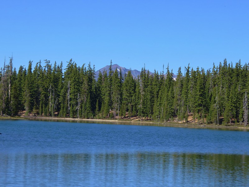
More potential thunderstorms were forecast for the fourth day of our stay in Mount Shasta City, but then it looked like the threat would be past so we decided to stick close by and spend a day hiking in the Castle Crags Wilderness.
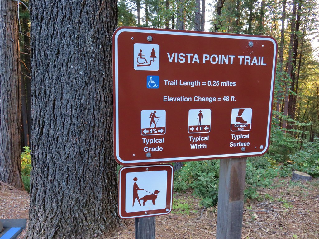
We had three hikes lined up for the wilderness starting with a climb to the base of Castle Dome. For that hike we started at the Vista Point Trailhead in Castle Crags State Park. There was an $8 day use fee for the park which turned into a bit of a fiasco because we only had a twenty, a five, and a one on us and there was no one manning the booth yet to make change. I had hoped that there would be a debit/credit card option but there wasn’t so we had to drive back to Dunsmire to break the twenty.
After obtaining the day use permit we drove the narrow, winding 2.1 mile road to the Vista Point parking area.
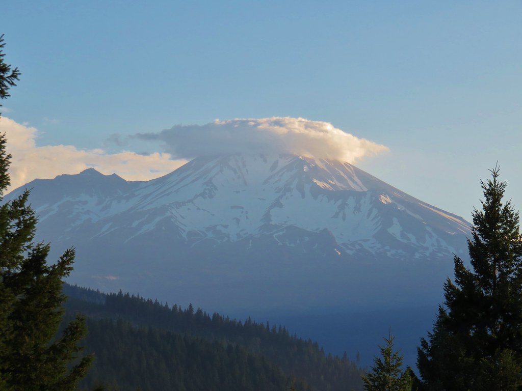
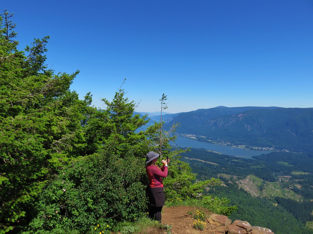
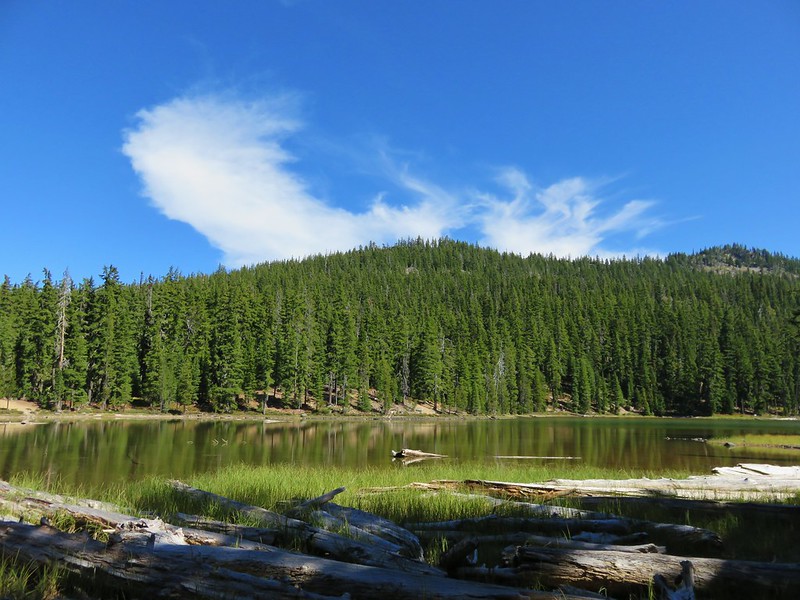
A short walk on the Vista Point Trail brought us to a viewpoint where Mt. Shasta, Gray Rocks, and of course the Castle Crags were visible.
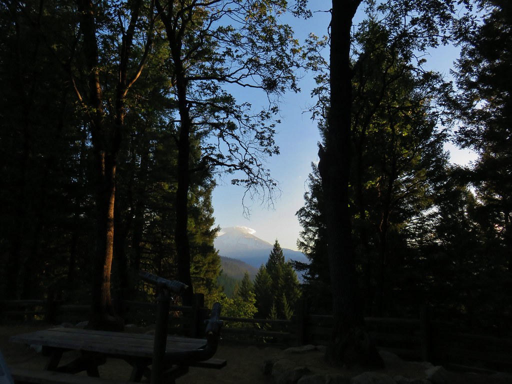
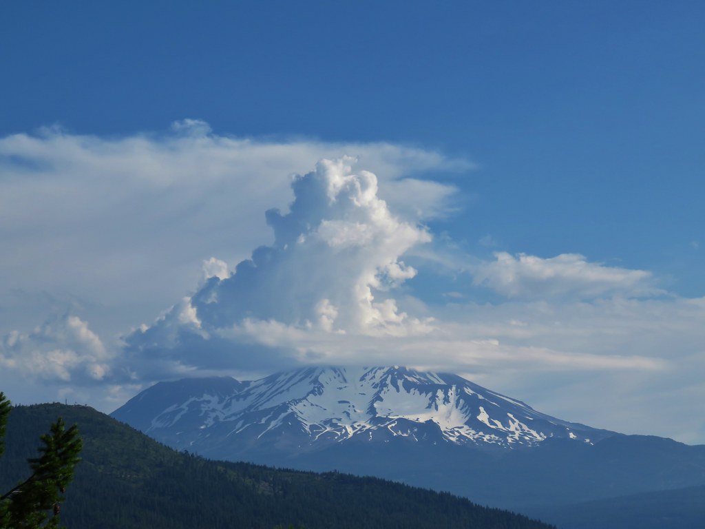
For the first time during the week Mt. Shasta was sporting a bit of a lenticular cloud.
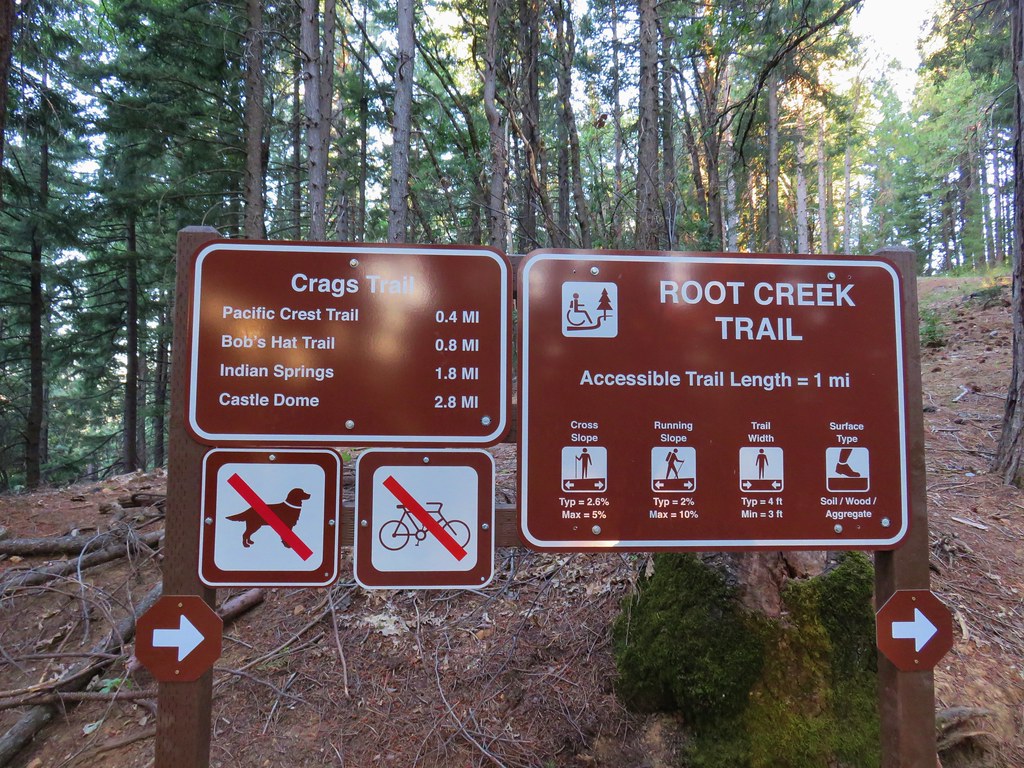
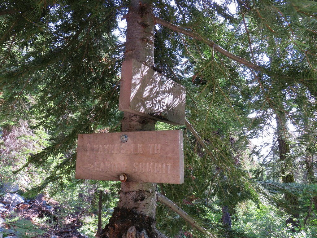
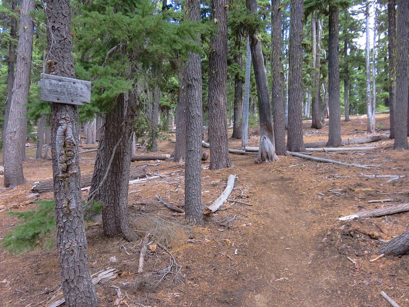
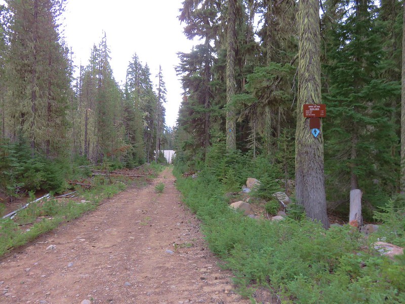
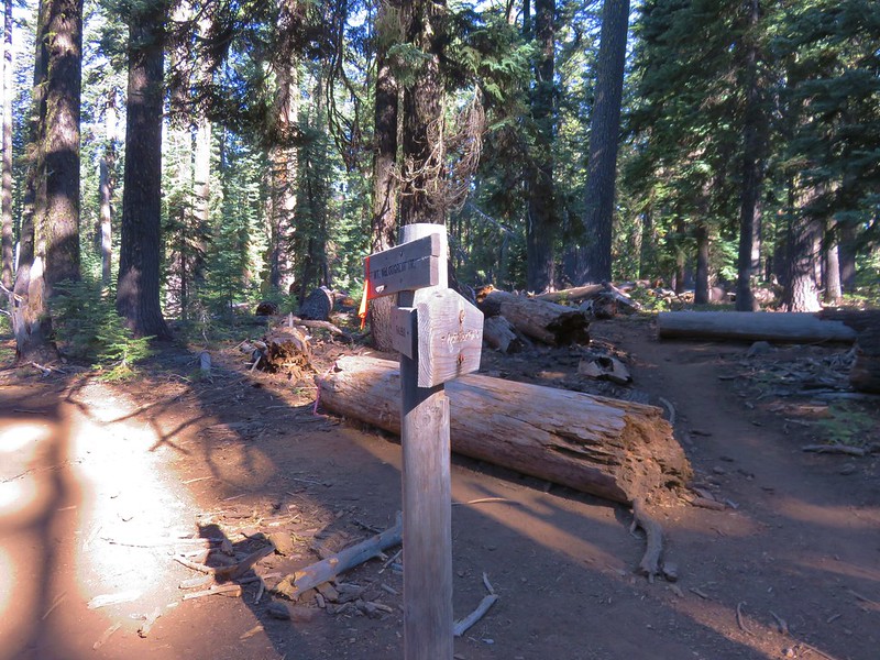
After checking out the view from Vista Point we returned to the parking area and crossed the road to a sign for the Crags and Root Creek Trails.
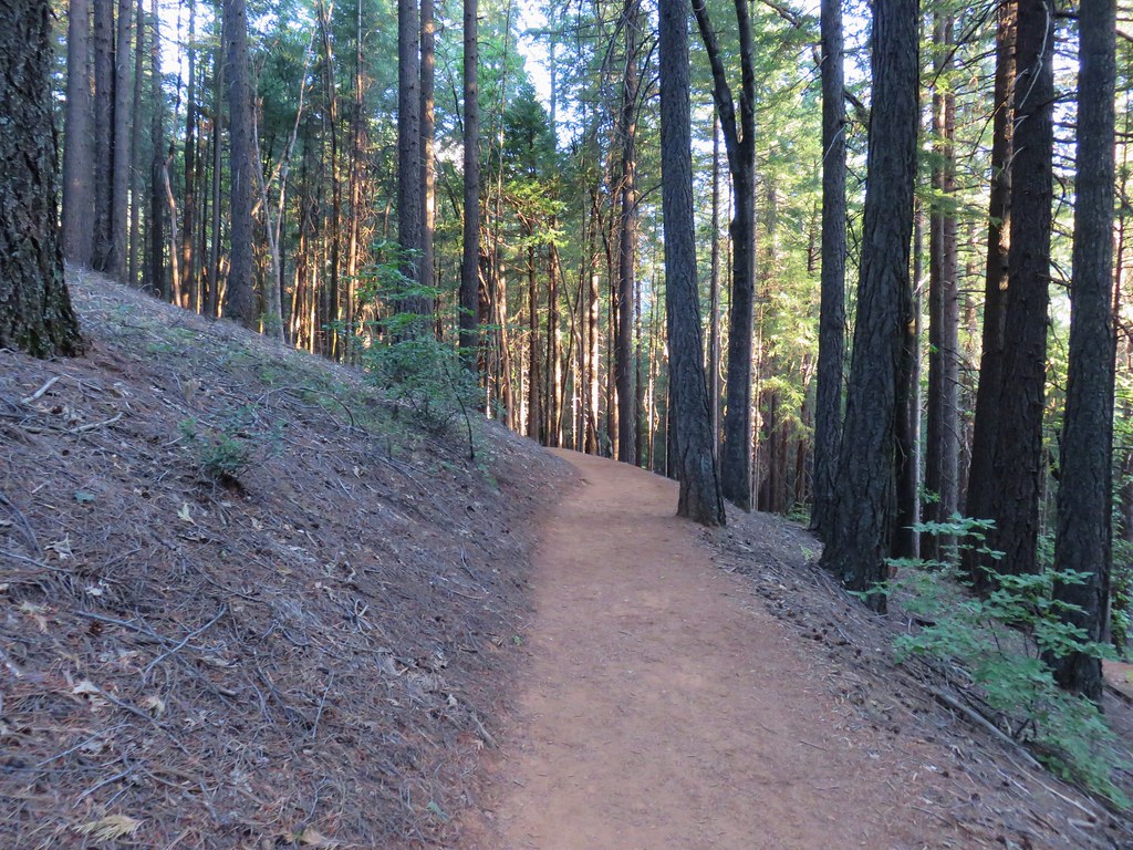
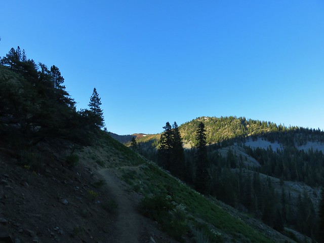
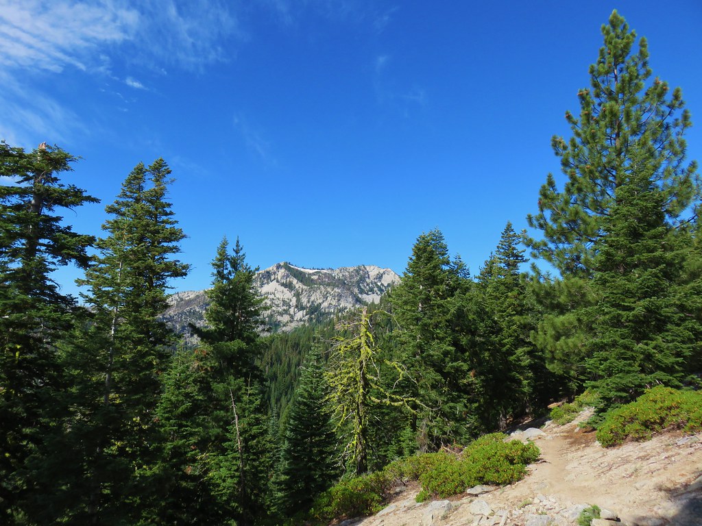
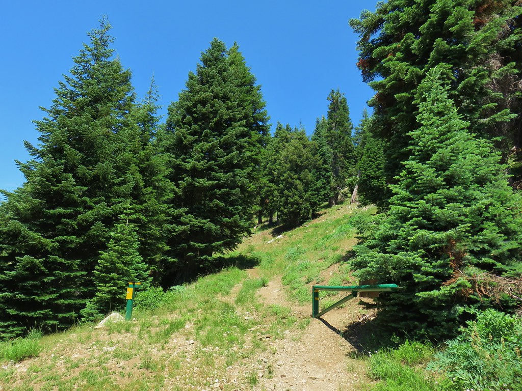
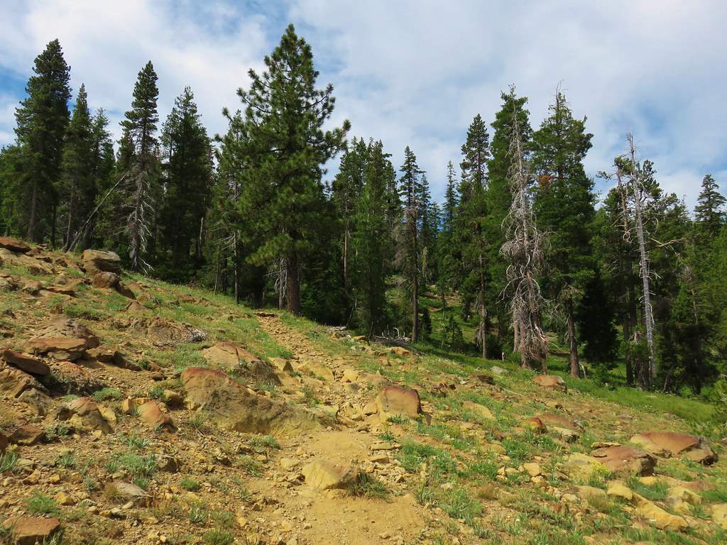
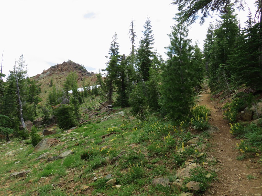
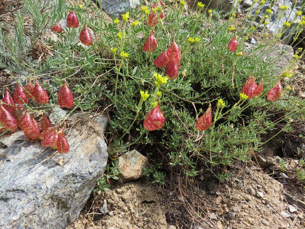
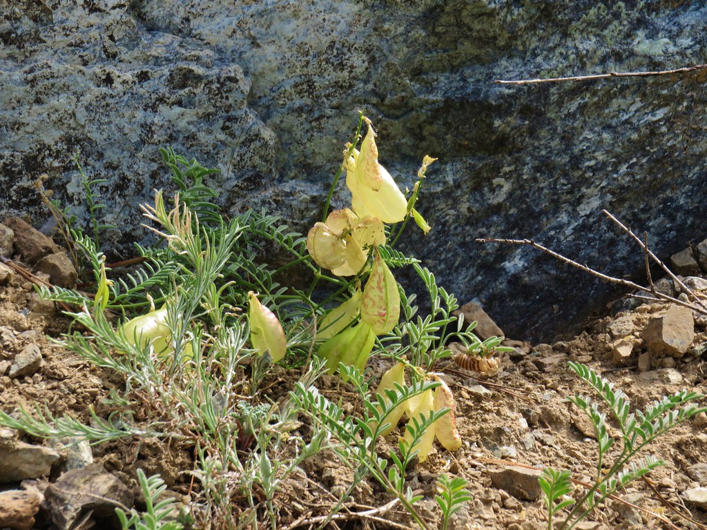
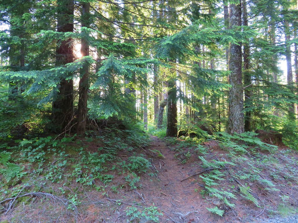
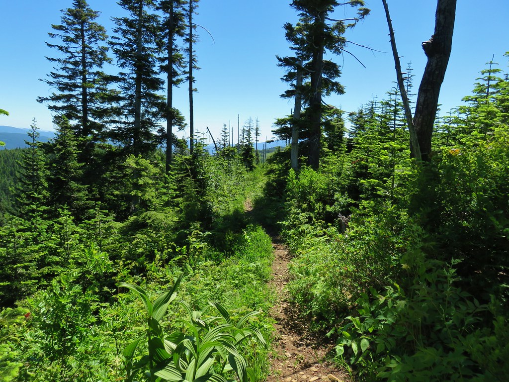
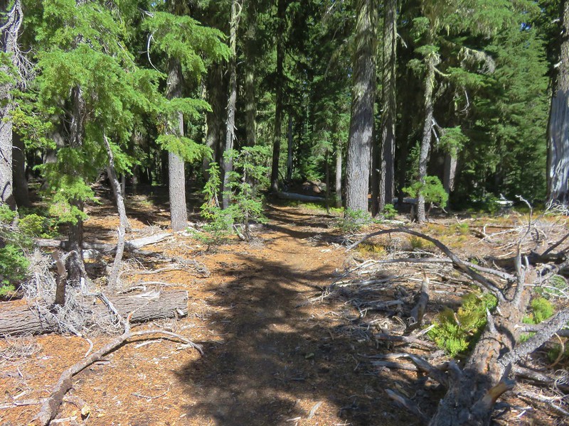
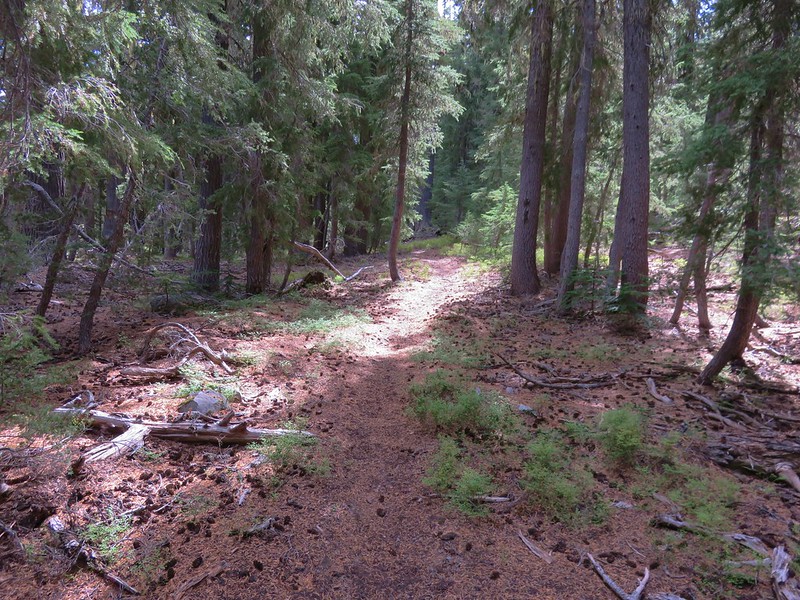
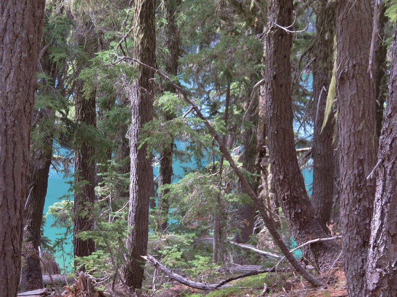
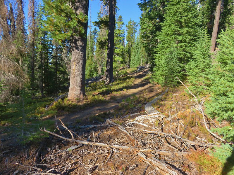
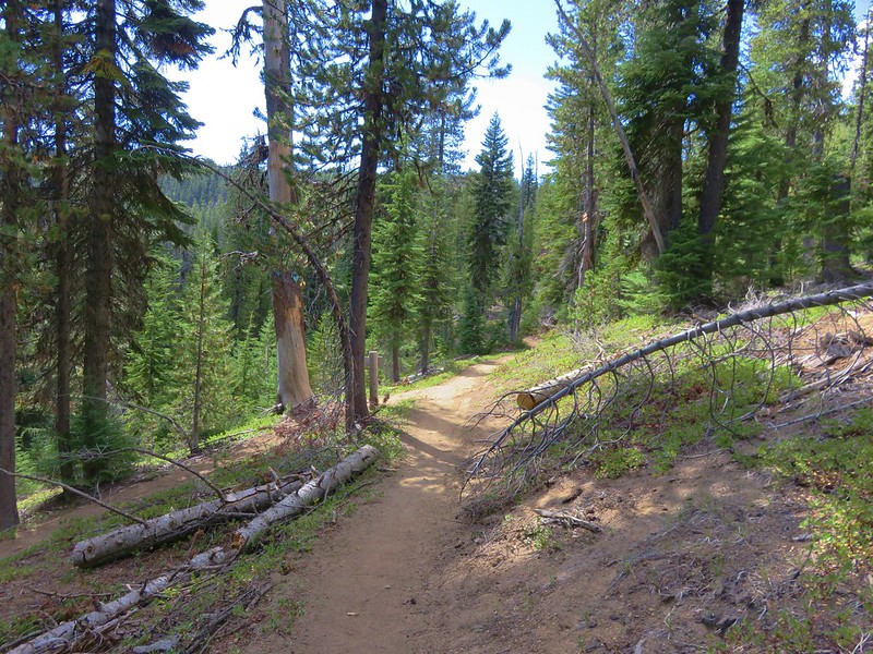
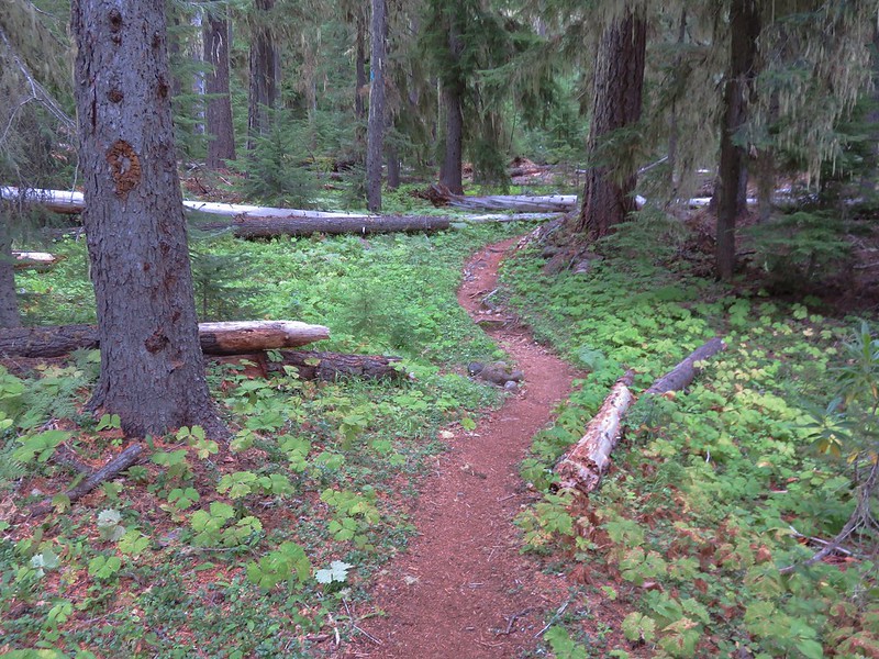
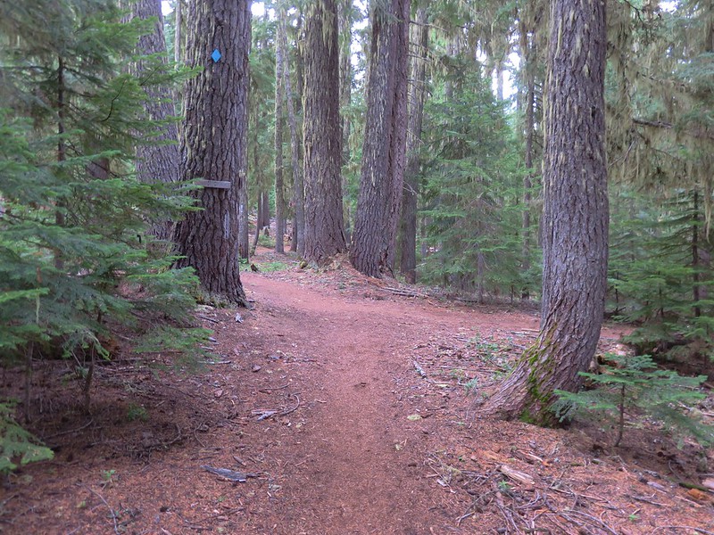
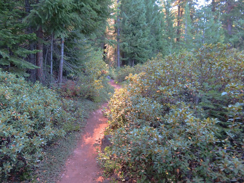
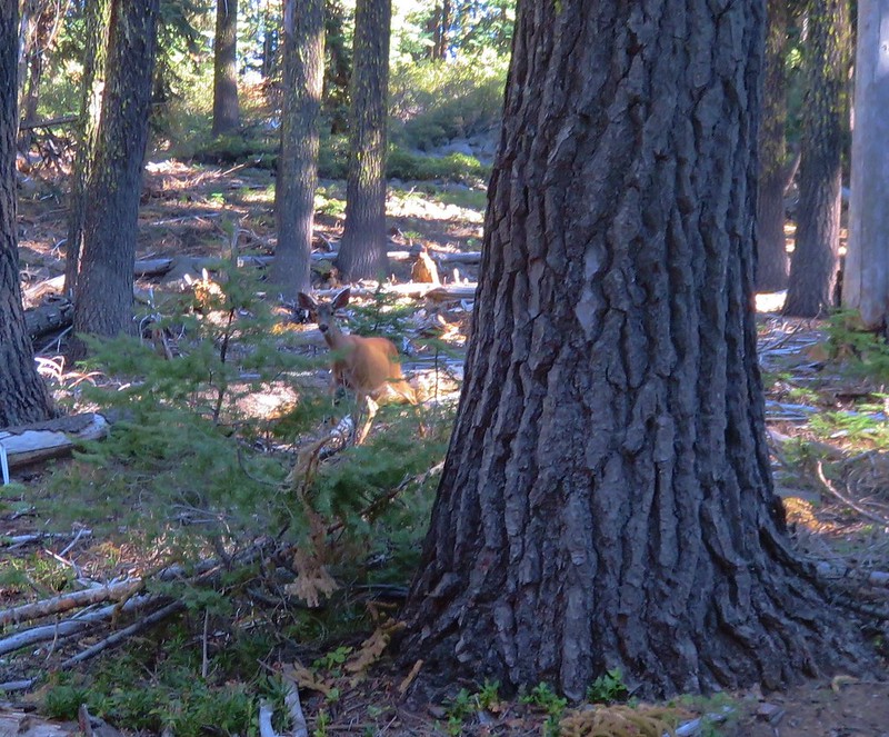
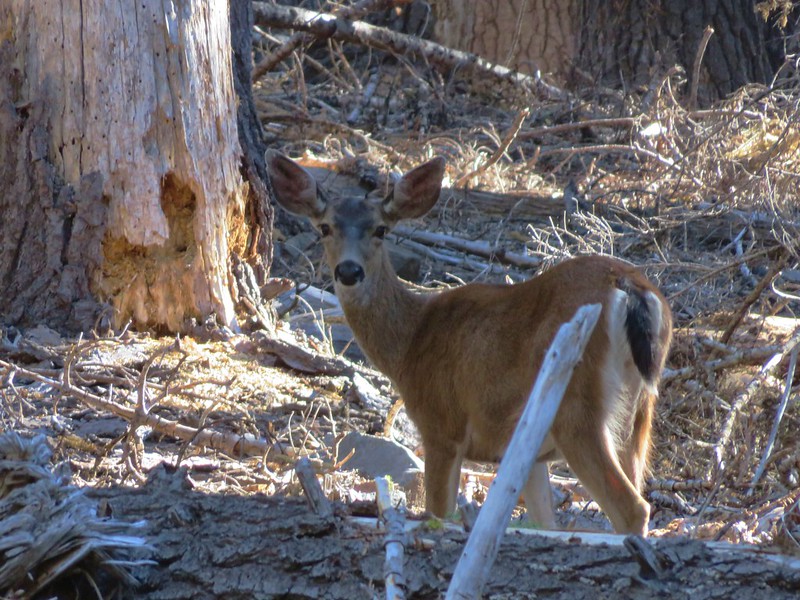
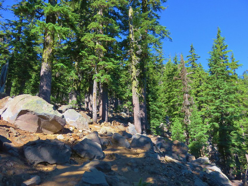
The trail passed through a forest with a bit of poison oak here and there.
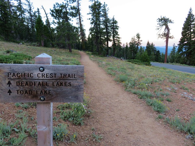
We stuck to the Crag Trail when the Root Creek Trail split off to the right and crossed the Pacific Crest Trail after .4 miles.
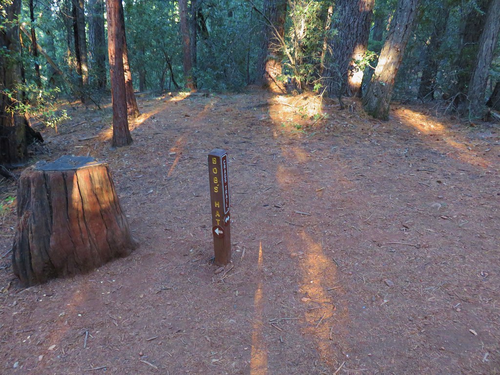
Another .4 miles brought us to a junction with the Bob’s Hat Trail.
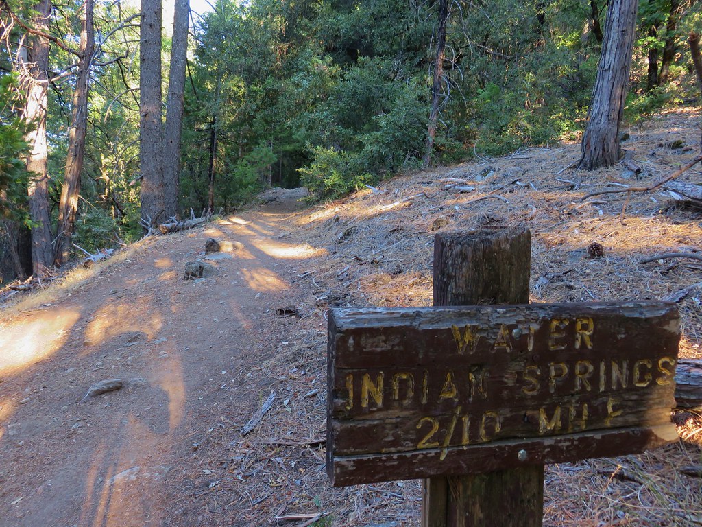
A mile later we passed the .2 mile side trail to Indian Springs.
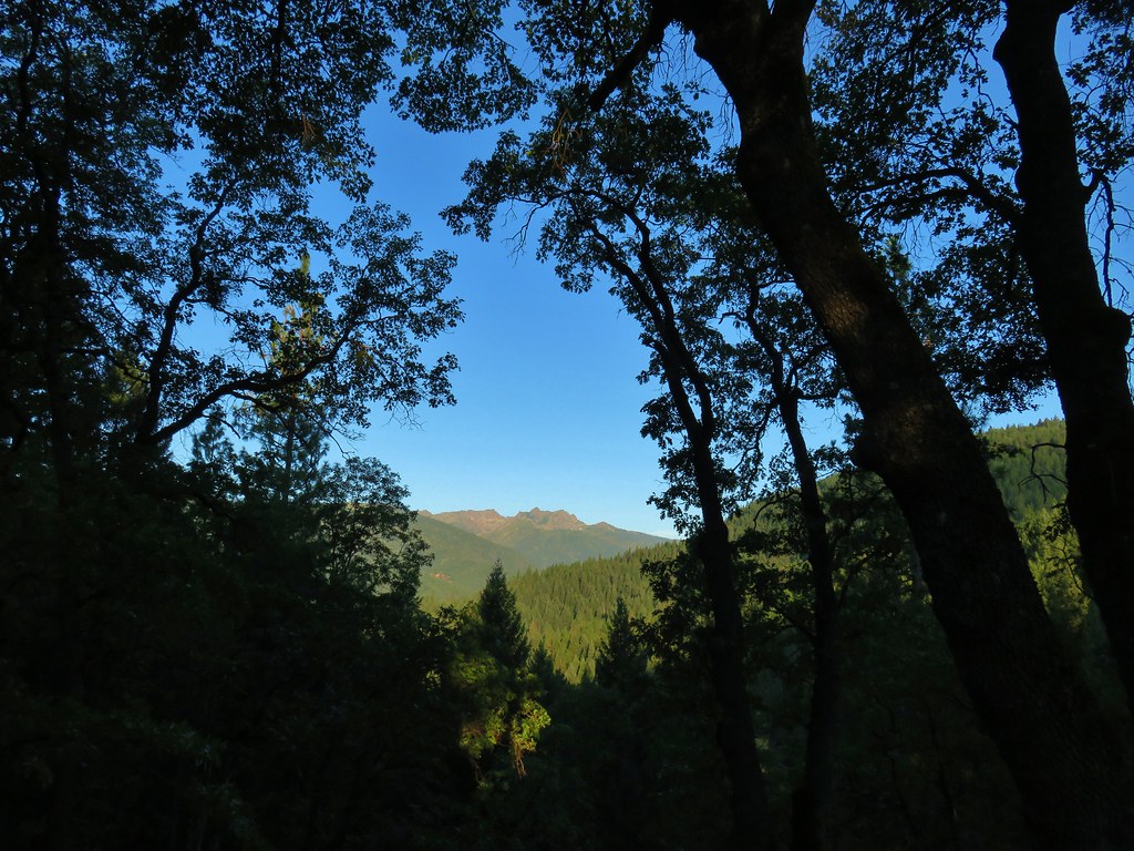
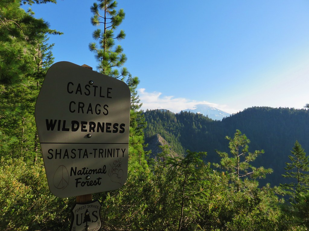
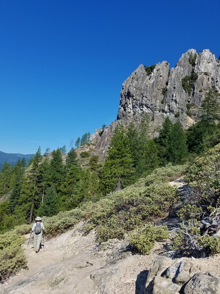
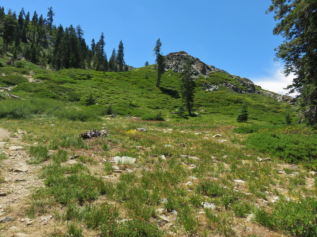
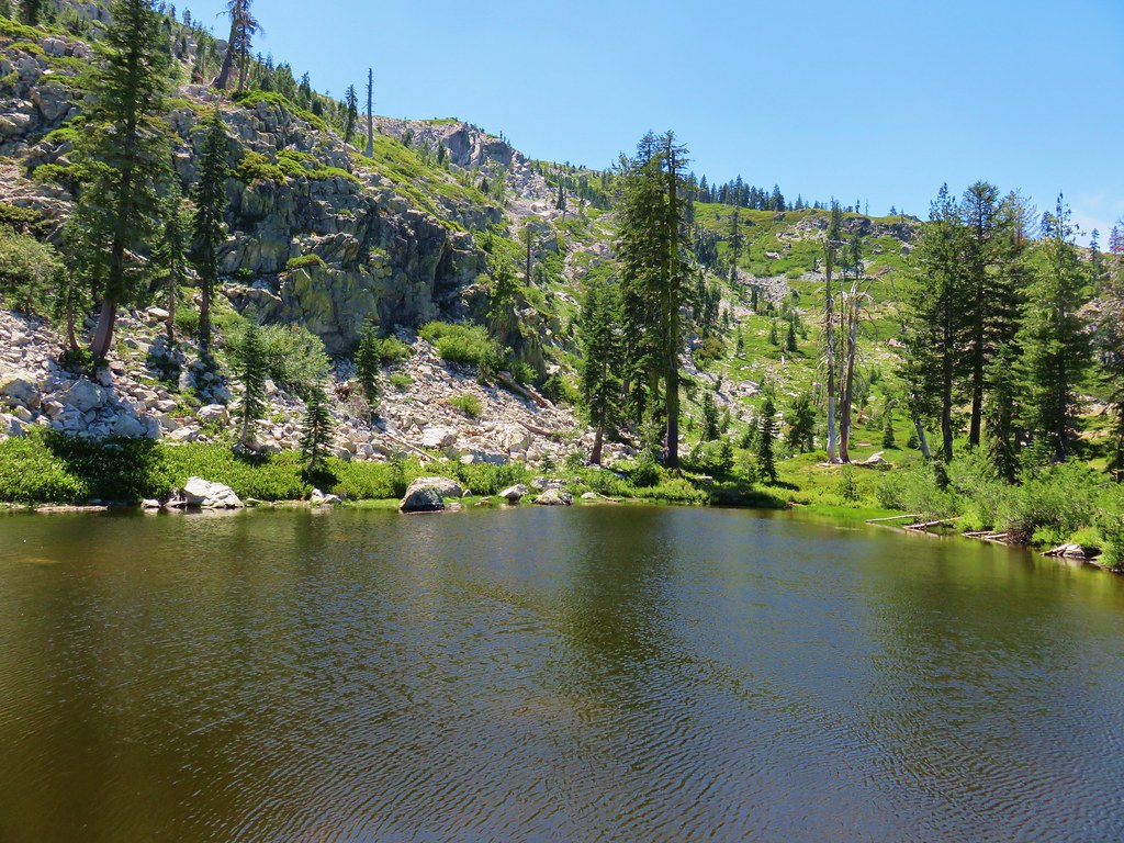
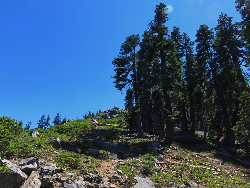
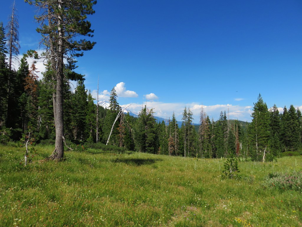
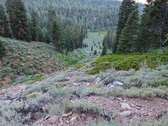
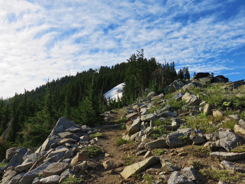
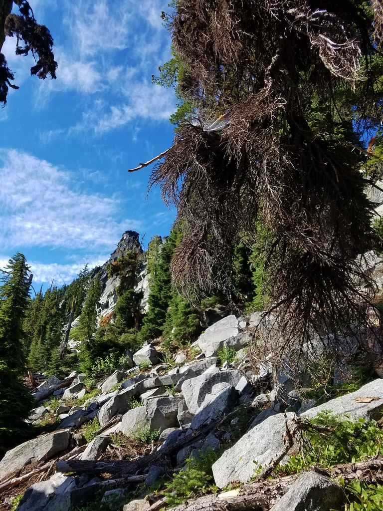
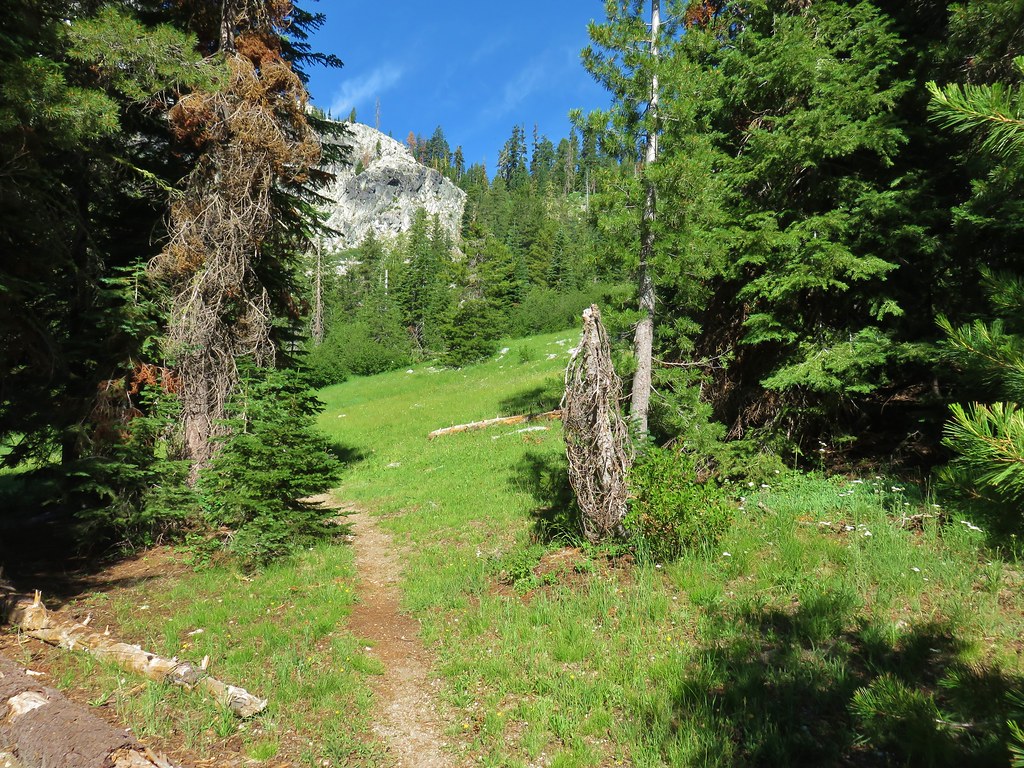
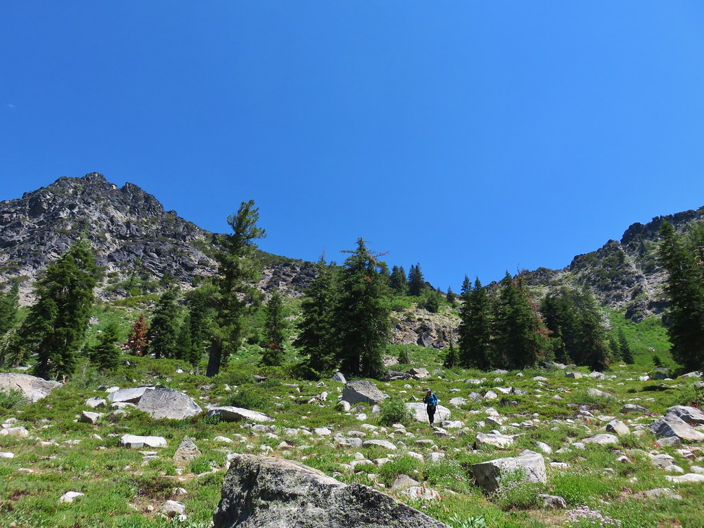
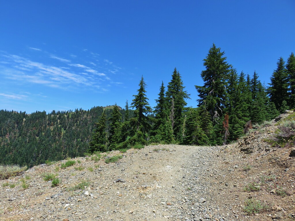
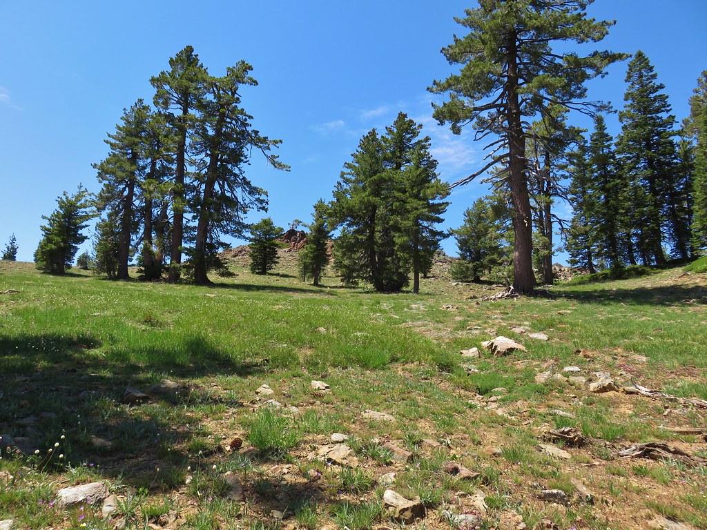
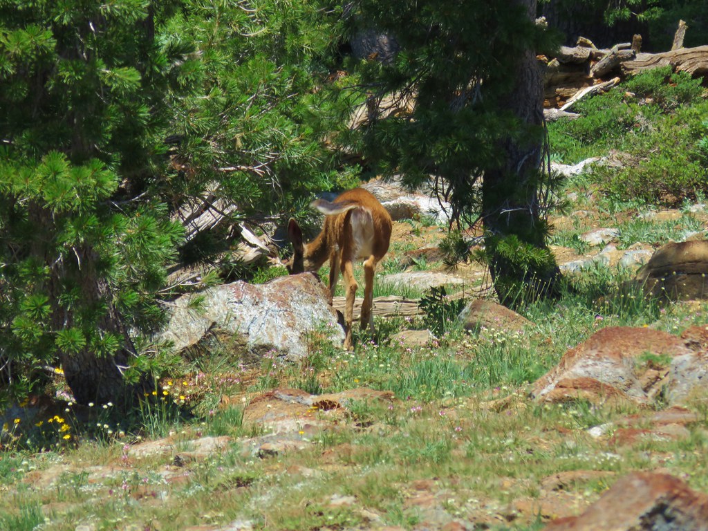
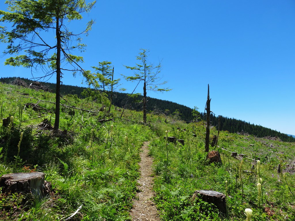
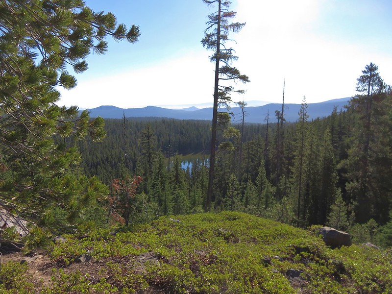
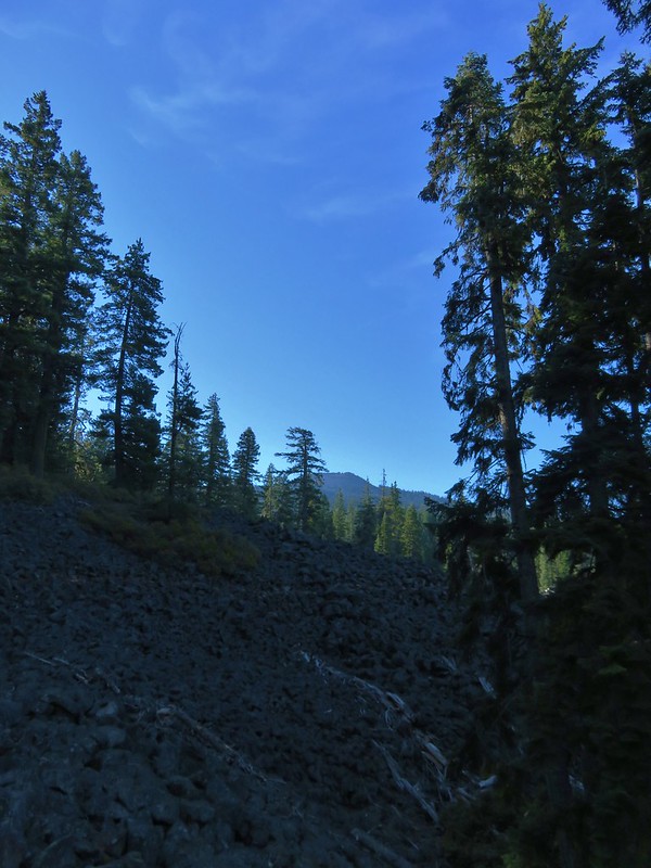
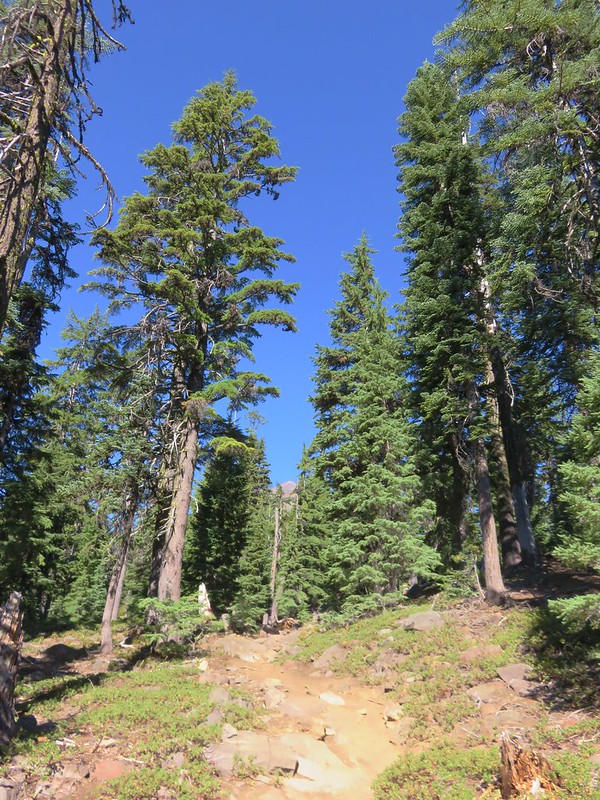
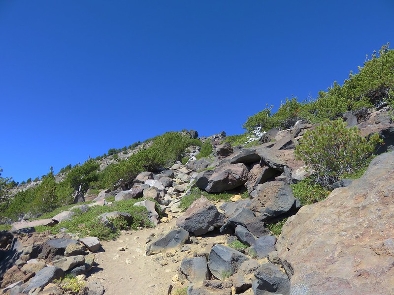
The forest began to thin not long after we’d passed the Indian Springs Trail and we soon entered the Castle Crags Wilderness.

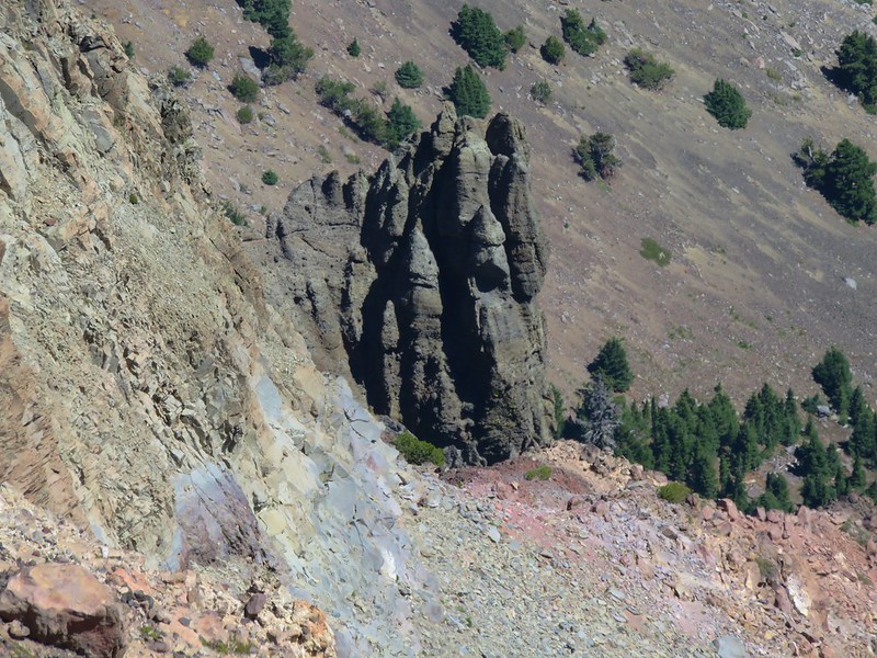
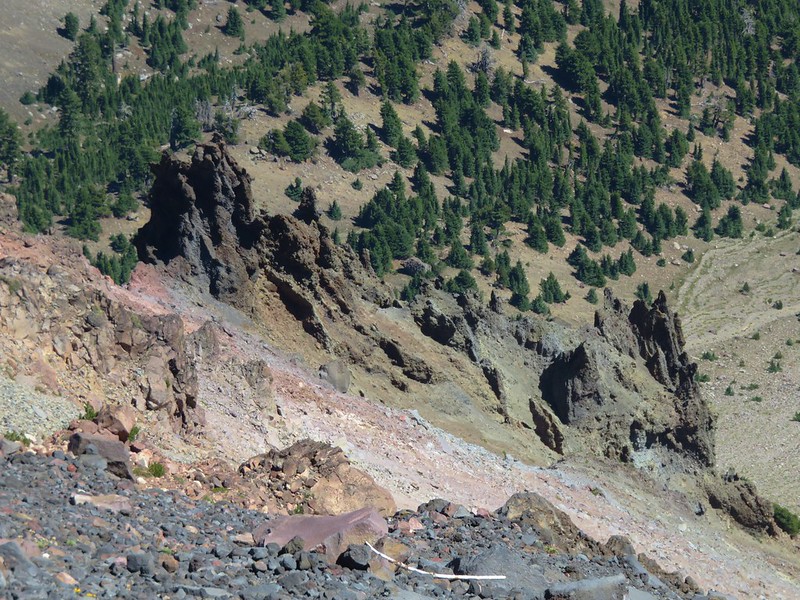
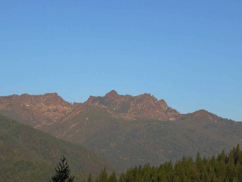
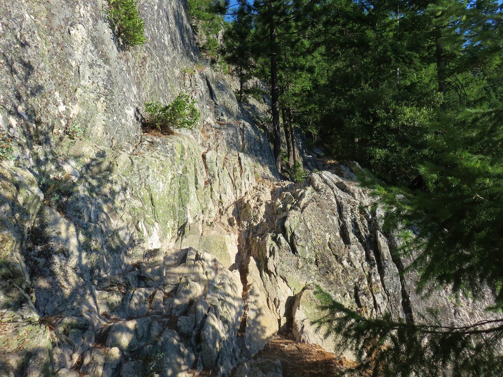
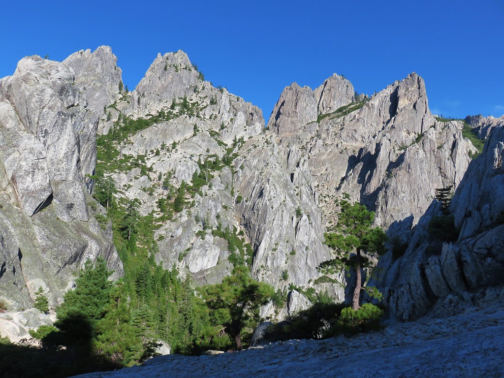
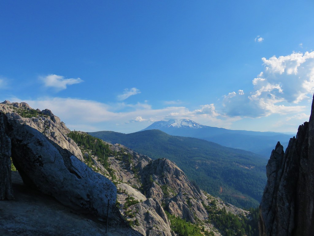
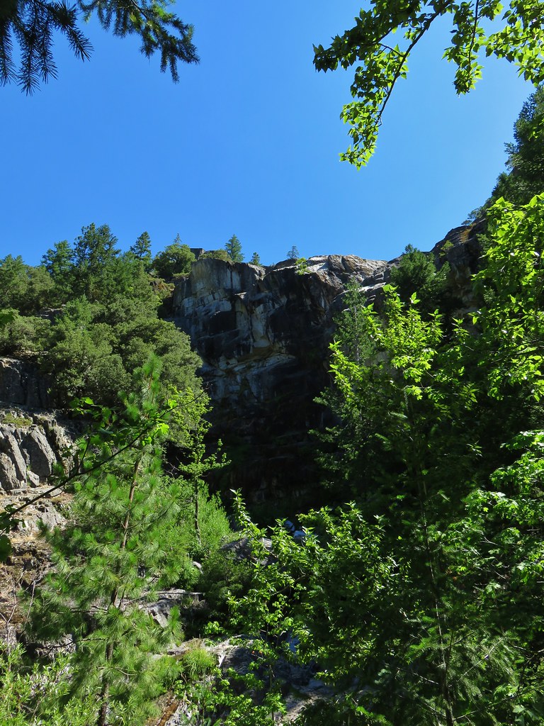
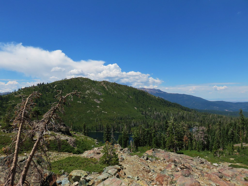
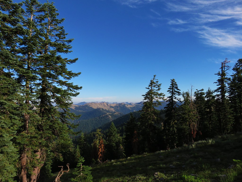
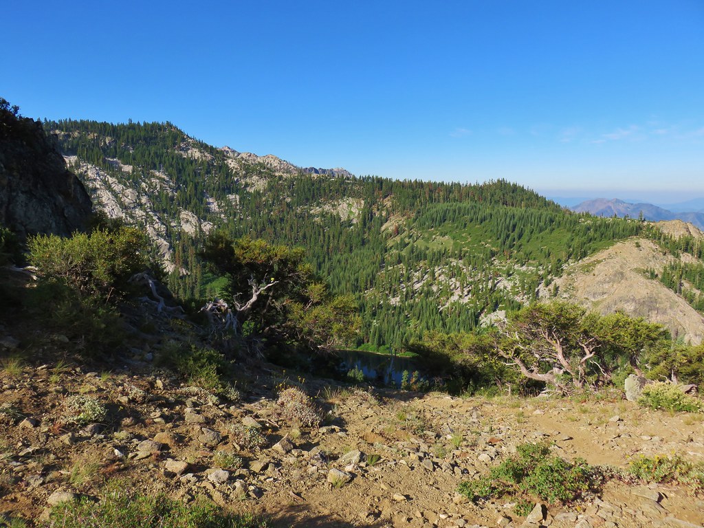
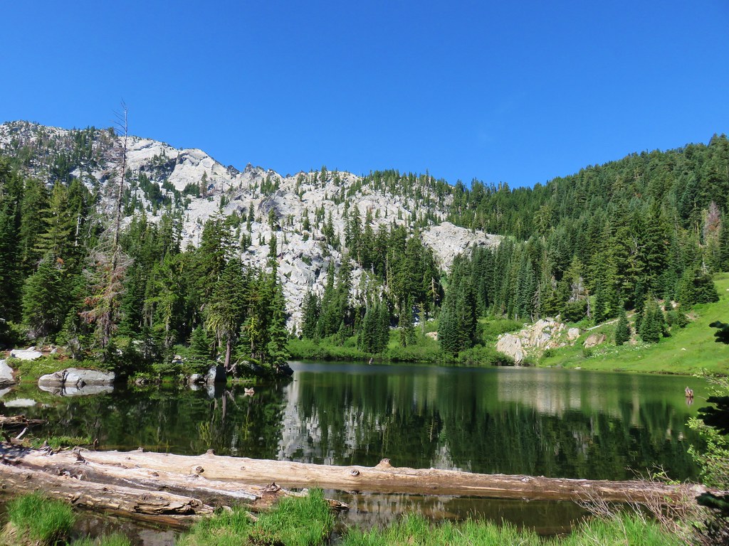
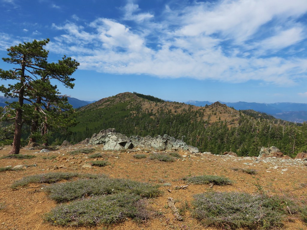
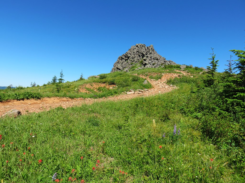
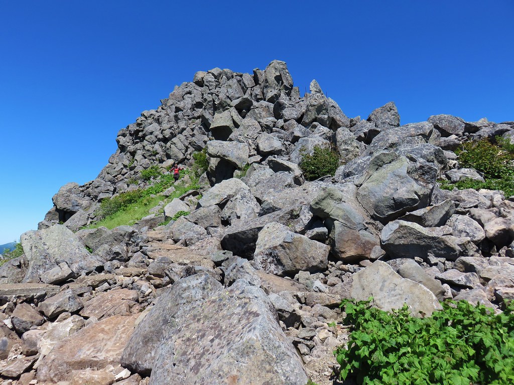
From there it didn’t take long to reach the base of the granite spires of the Castle Crags and climb up the rock.


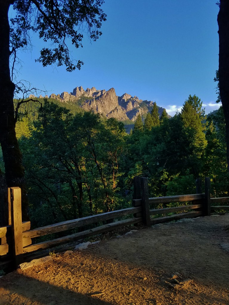
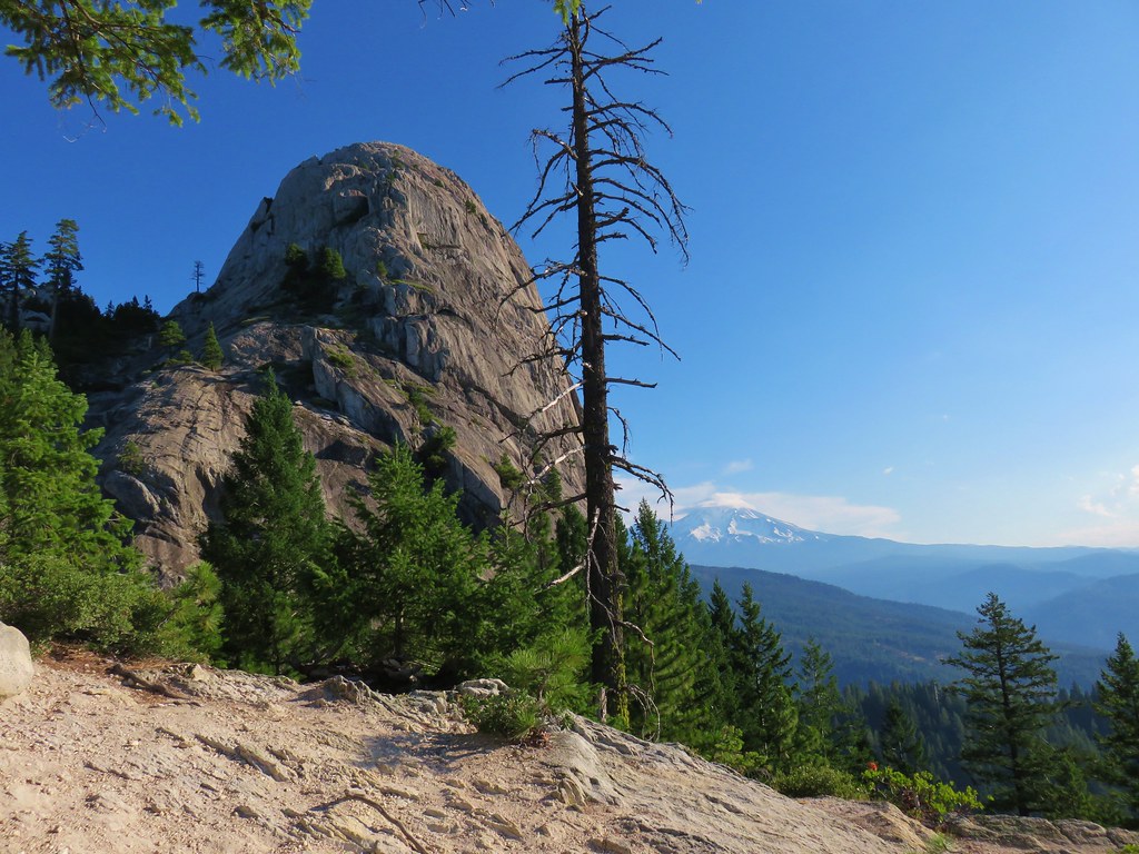
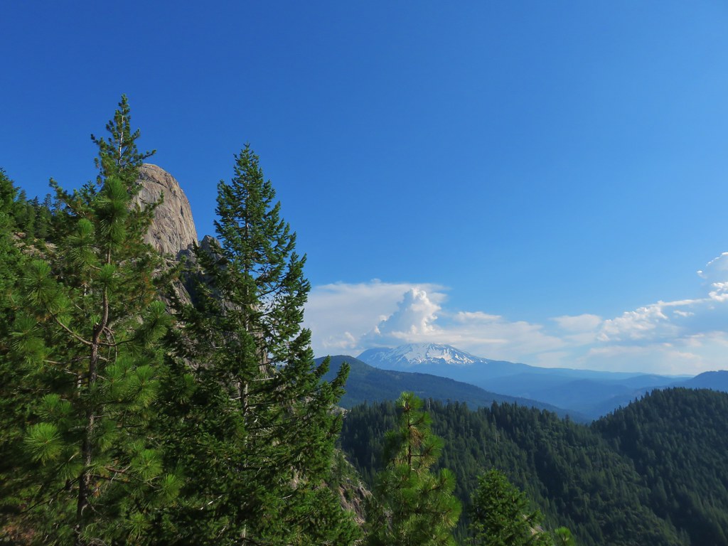
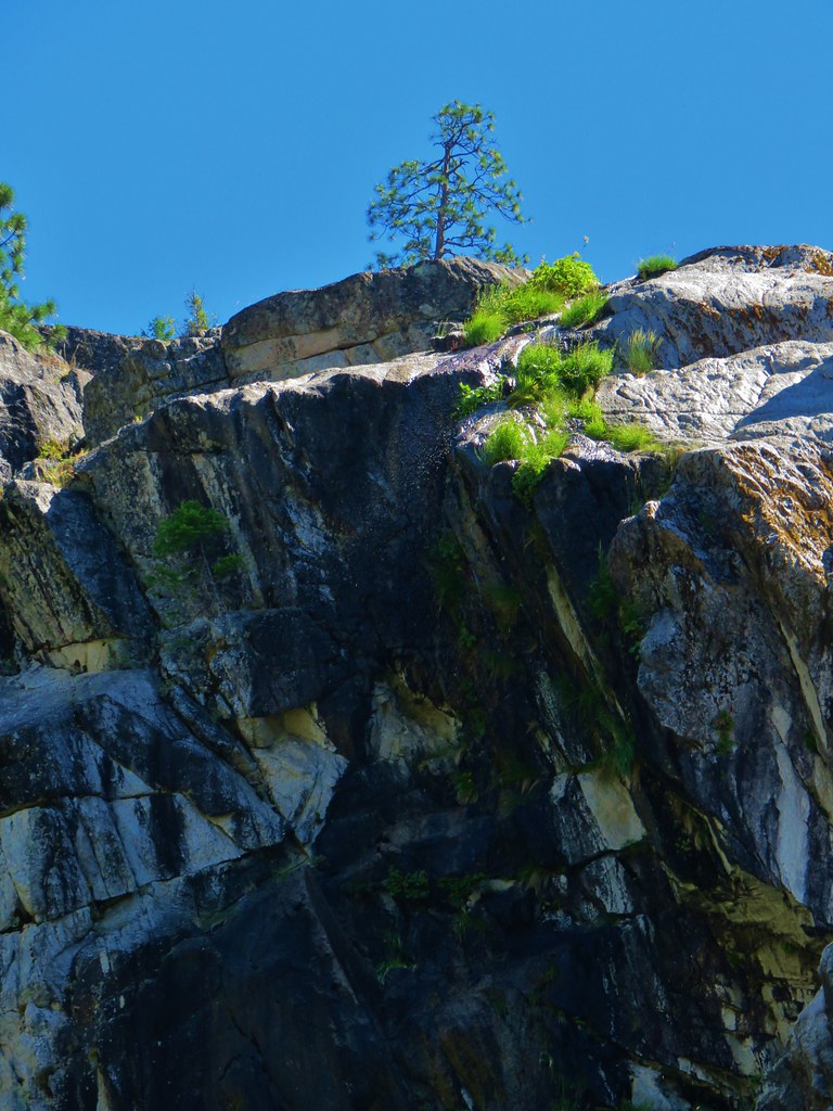
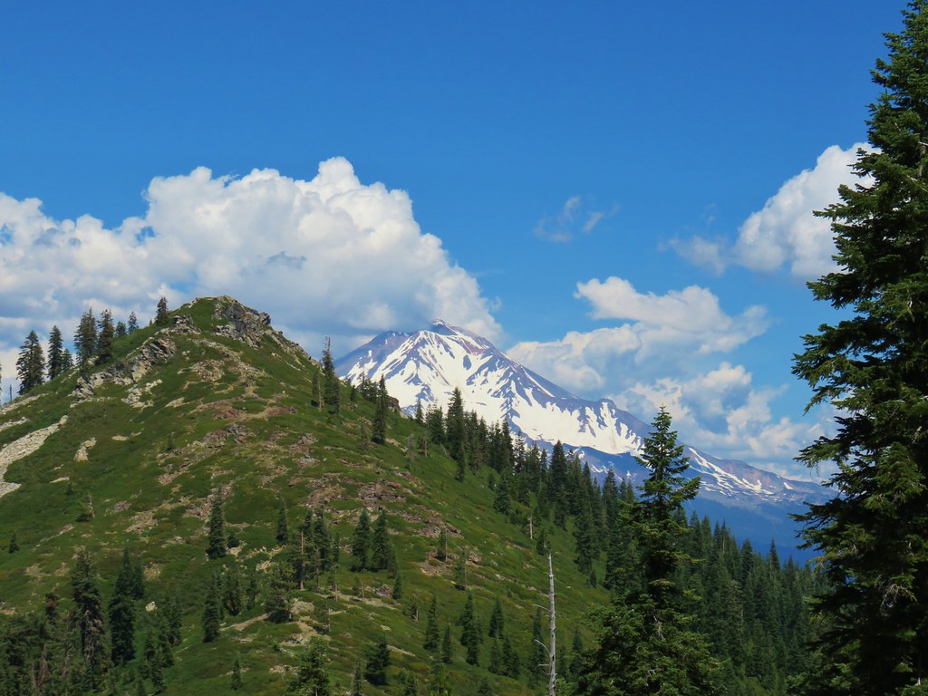
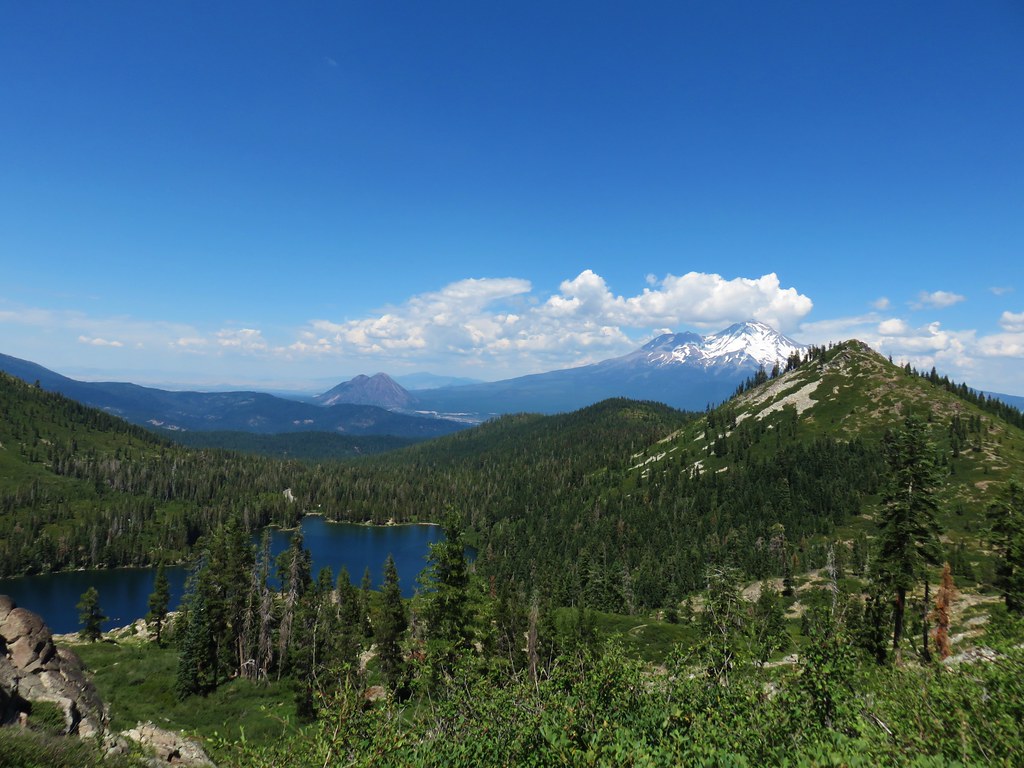
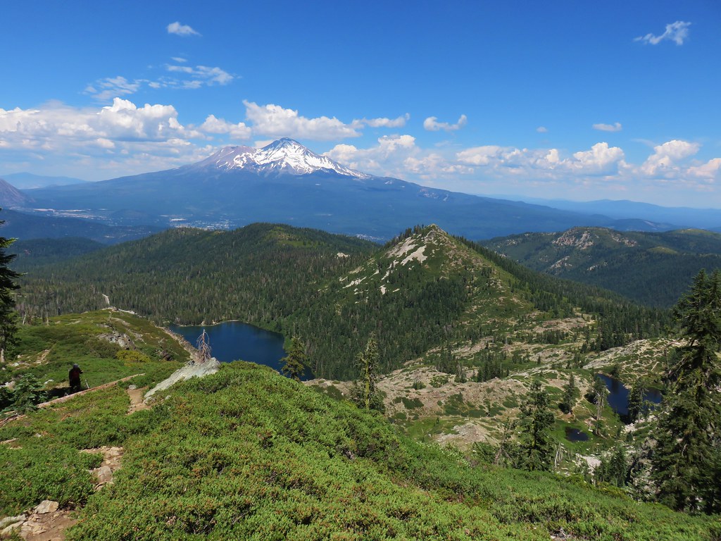
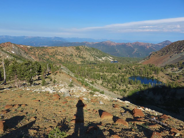
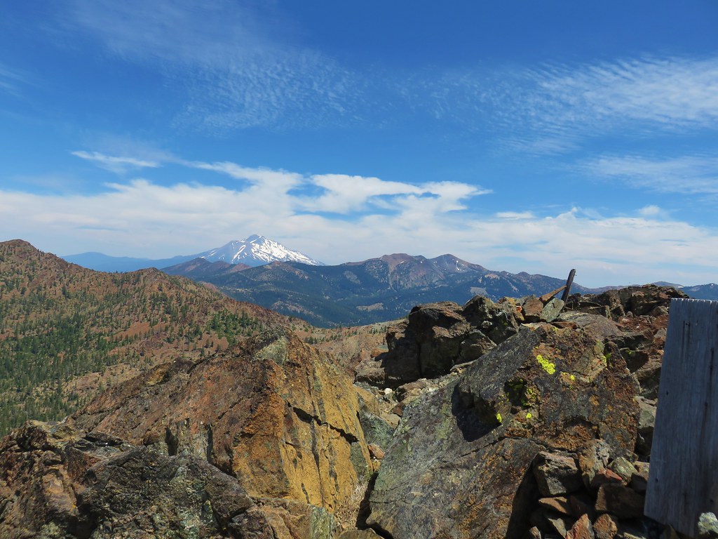
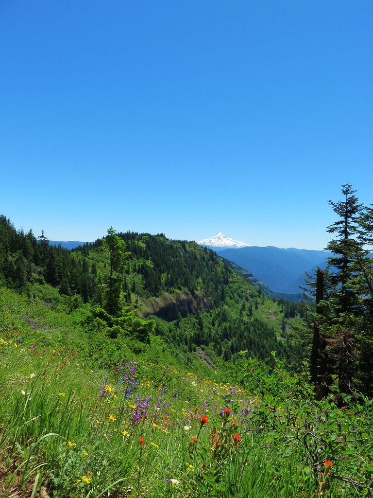
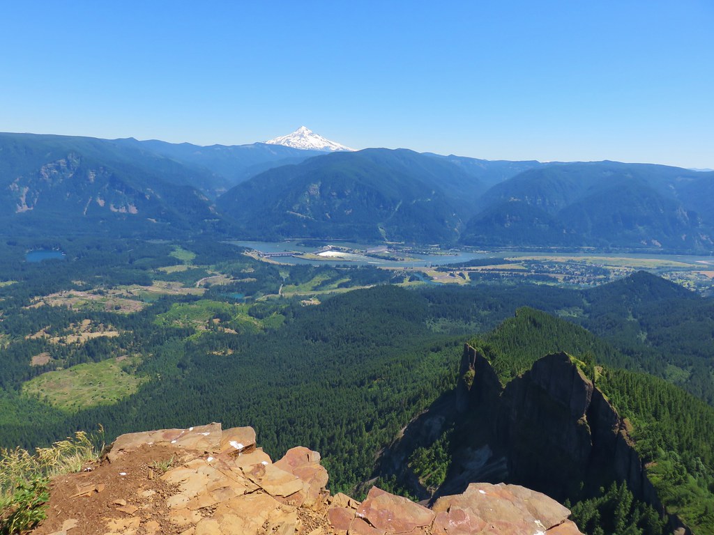
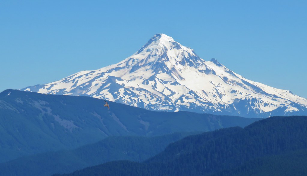
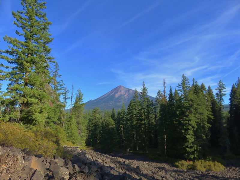
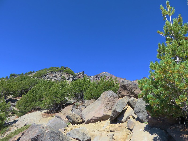
The views really opened towards the end of the official trail. Castle Dome and Mt. Shasta lined up nicely as we passed the base of rounded spire.

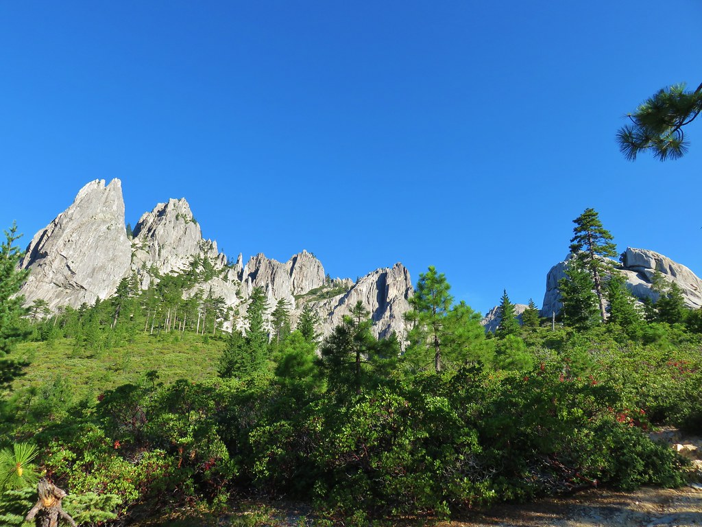
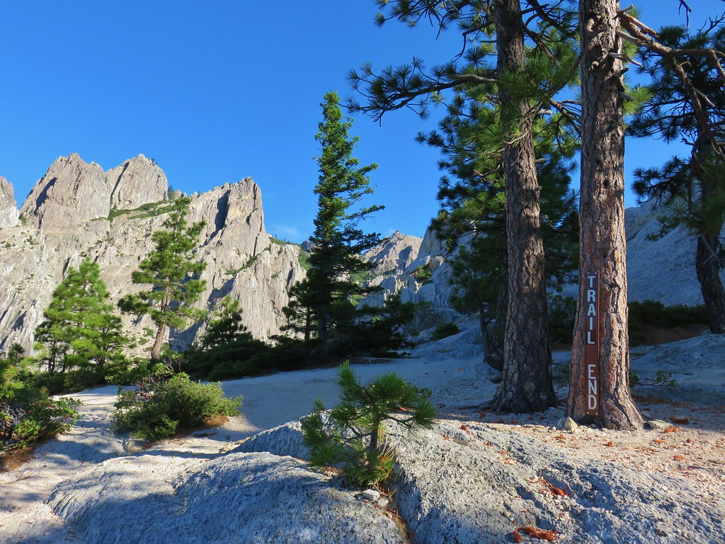
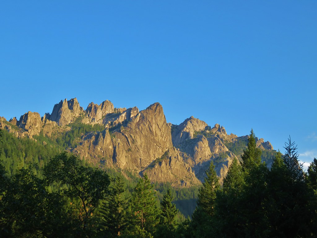
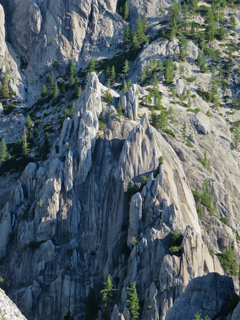
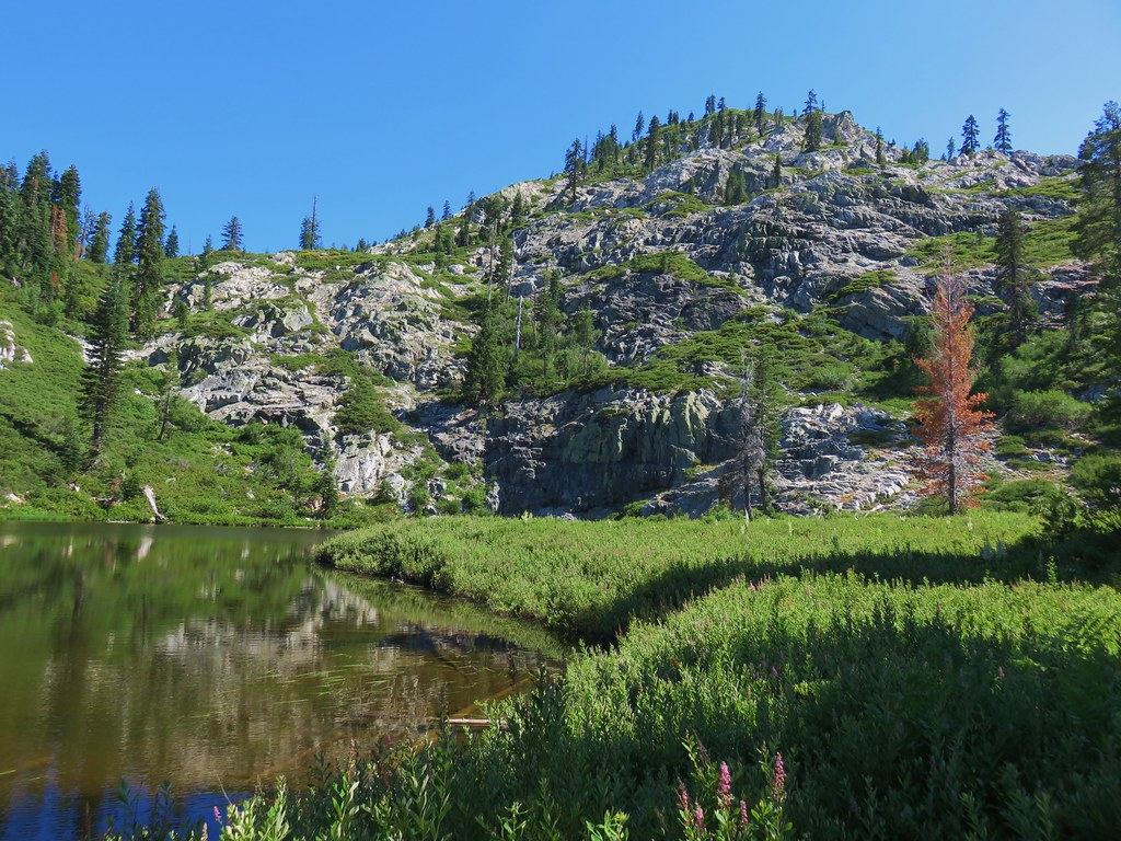
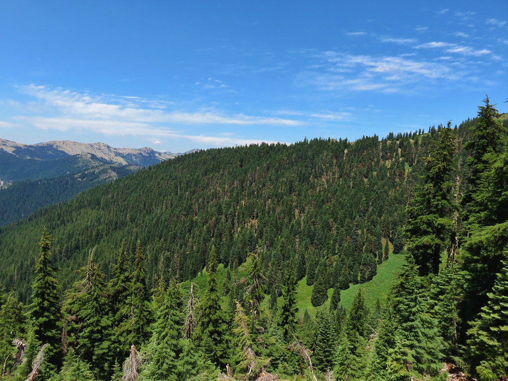
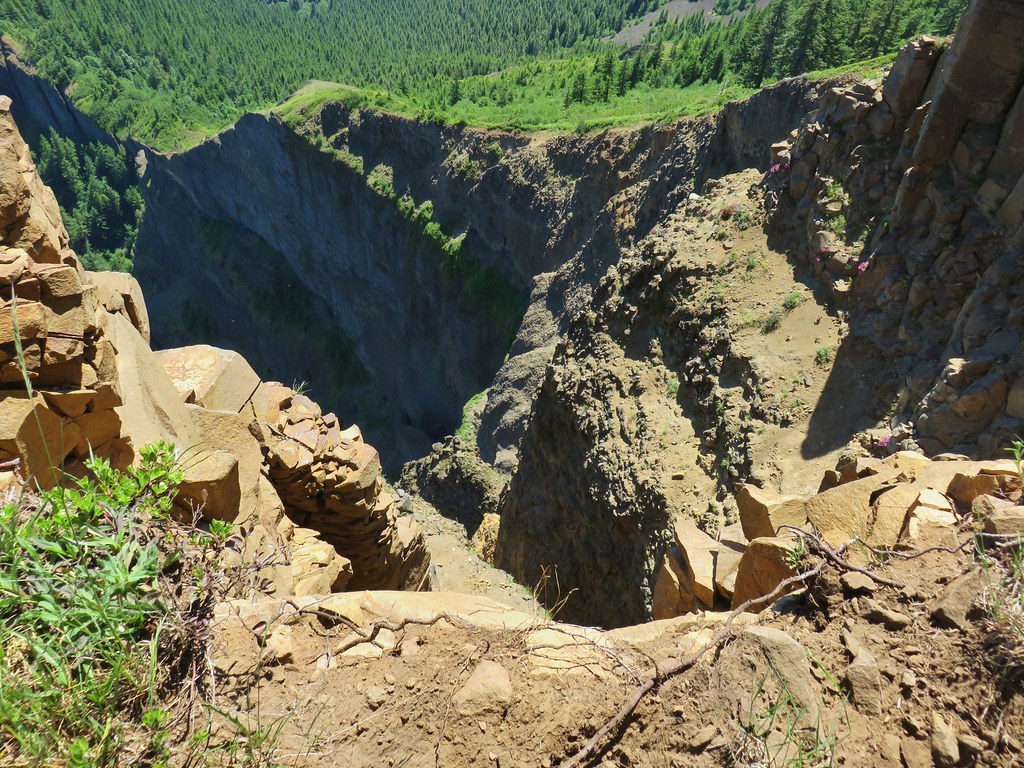
It was possible to continue beyond the end of the trail sign a bit and explore the area a little more. The rock formations were spectacular, it was hard to process everything we were seeing.

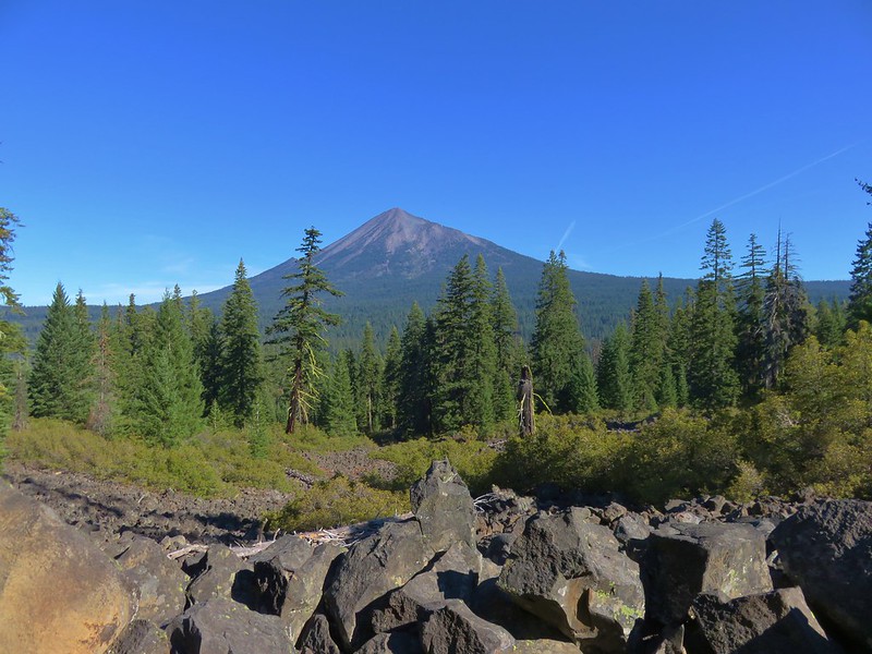
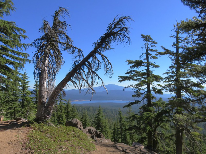
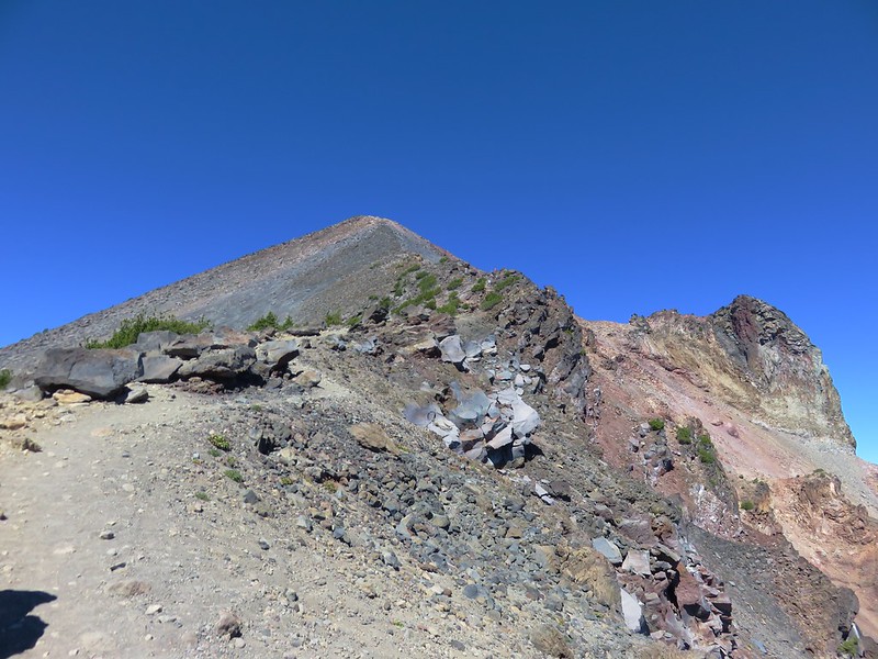
A viewpoint below Castle Dome provided a nice view of Mt. Shasta as well as a look up the granite tower.

Although it’s possible to climb Castle Dome, knowing our limitations, neither of us had any intention of attempting to do so. After a long rest in the cool breeze that provided some nice relief after what had been a warm climb up we headed back down. On the way down we noticed that the cloud above Mt. Shasta had morphed.
After a mile we turned toward Indian Springs to check them out.

There were quite a few mosquitoes near the springs so we didn’t stick around long before heading back and returning to our car.
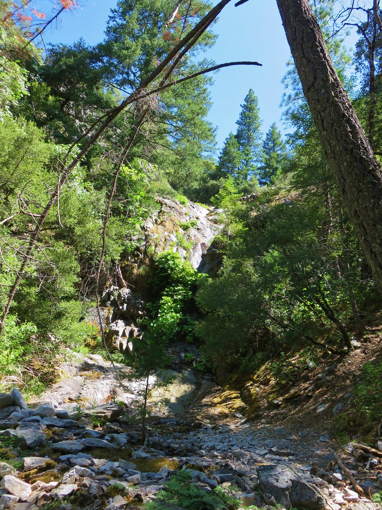
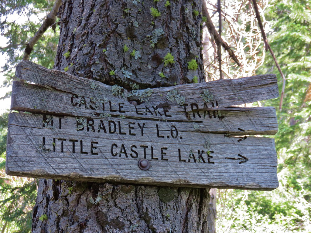
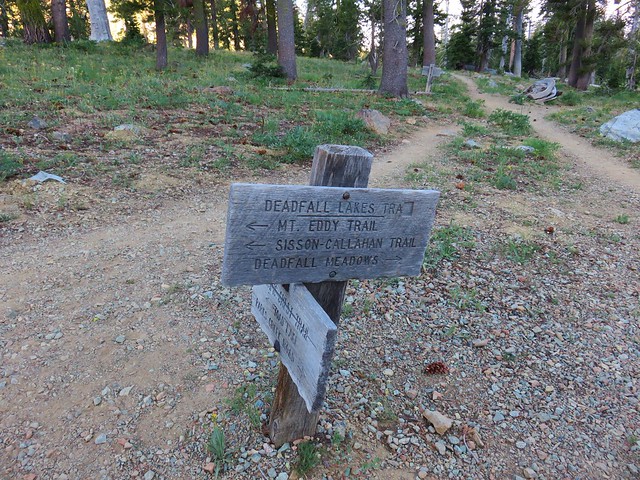
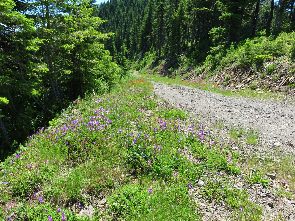
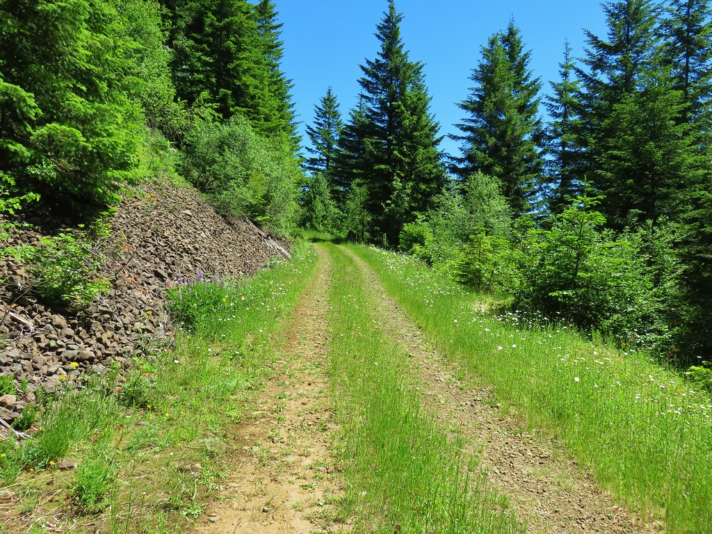
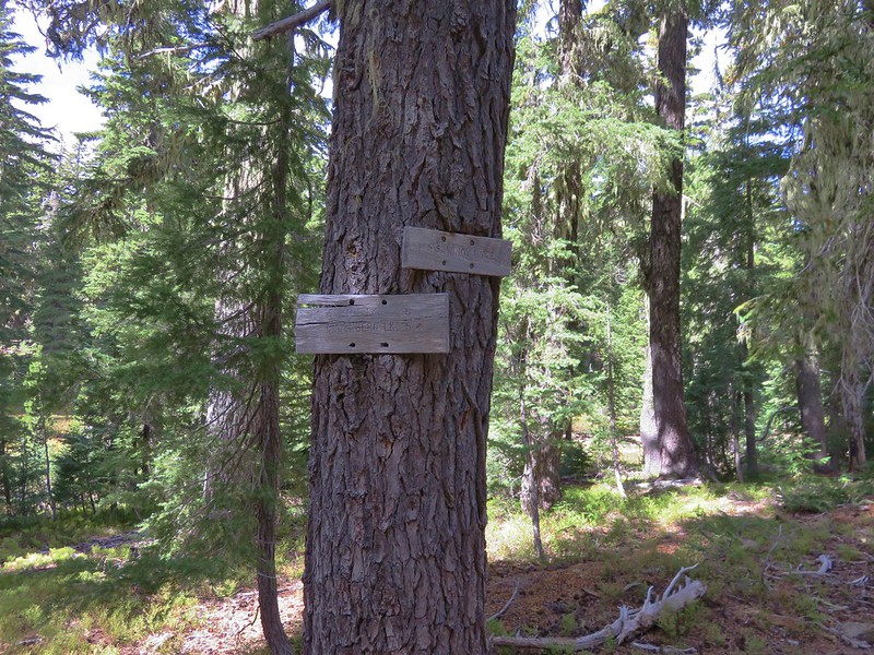
The trailhead for our second hike was a mere 3 miles from the park entrance so after exiting the park we turned right on Castle Creek Road and pulled into a large parking area on the right. The goal for this hike was Burstarse Falls which we hoped might still have a little water flowing over it. We followed the hike described here on Hike Mount Shasta.
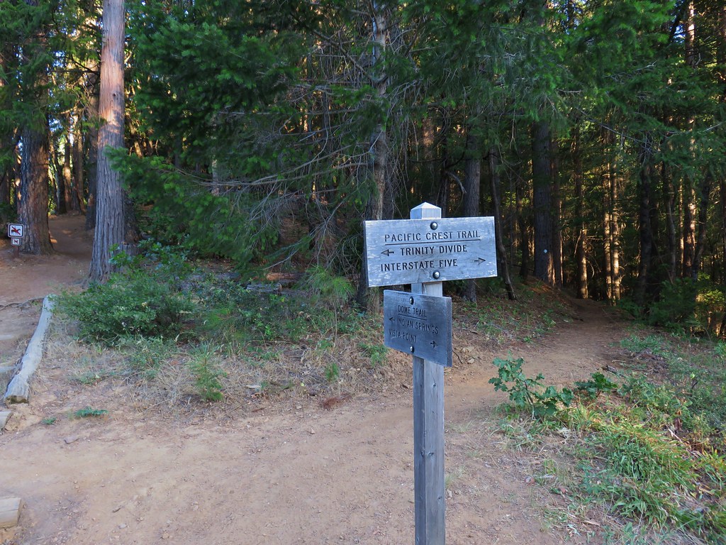
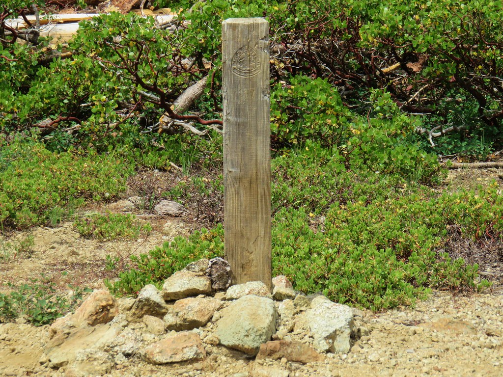
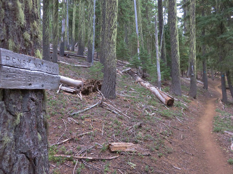
The trail was marked by a metal post with an arrow for the PCT.
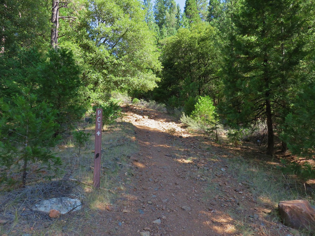
The Dog Trail, so named because dogs are not allowed on the PCT in the Castle Crag State Park so hikers on that trail must go around the park and rejoin the PCT on the other side, climbed for just over a half mile to the PCT.

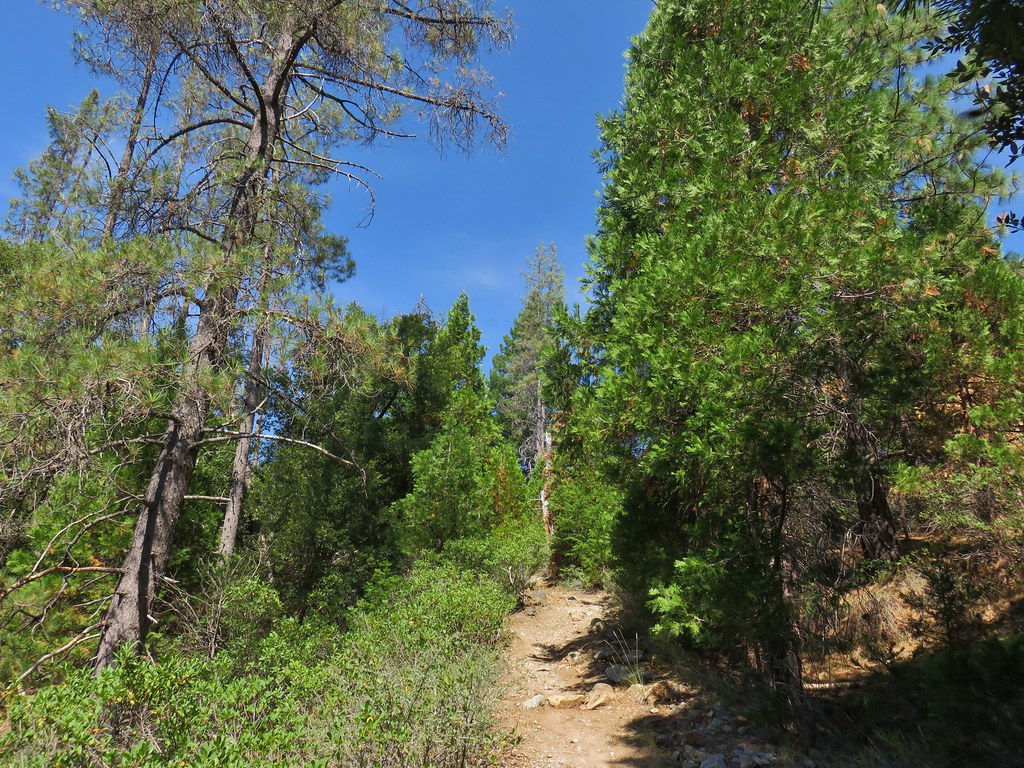
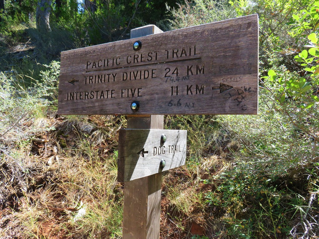
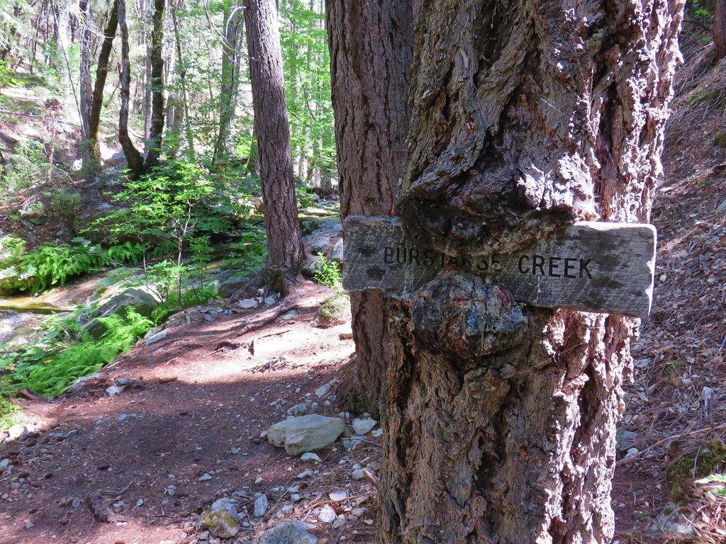
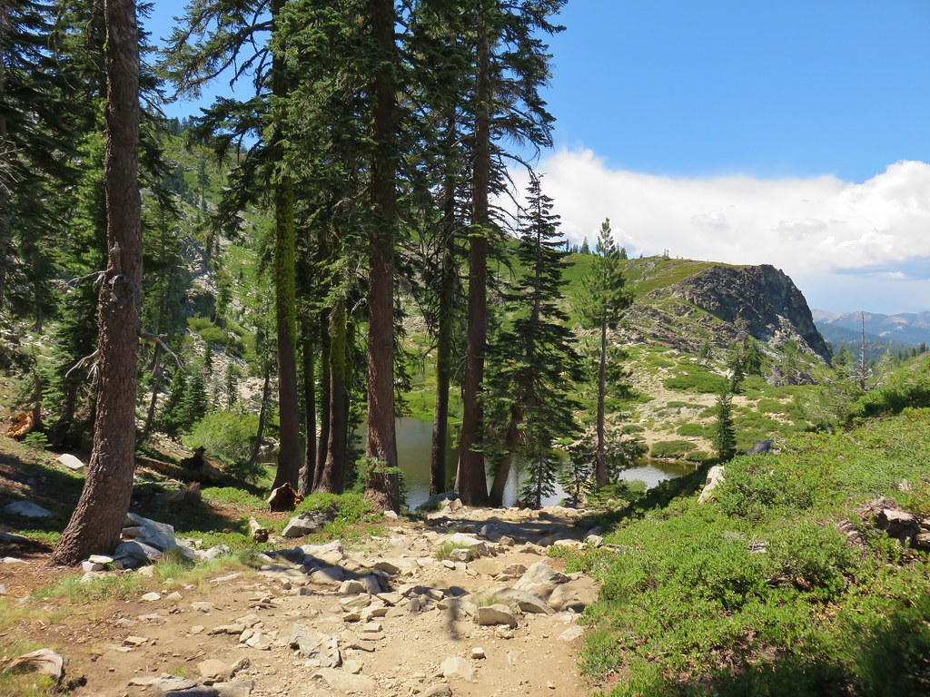
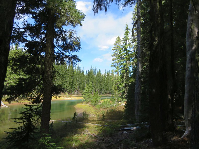
We turned left on the PCT and followed it for approximately 1.7 miles to Burstarse Creek where a hungry tree was devouring a sign for the creek.

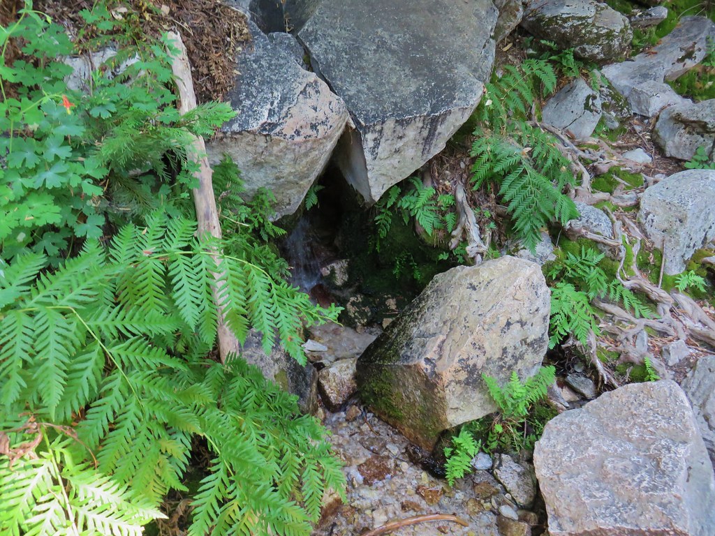
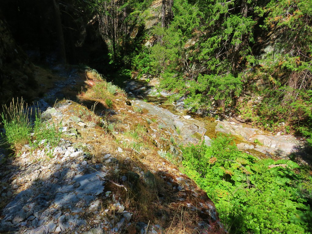
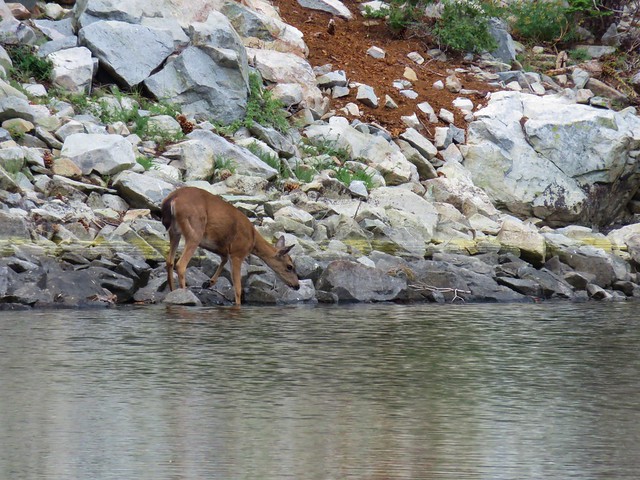
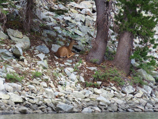
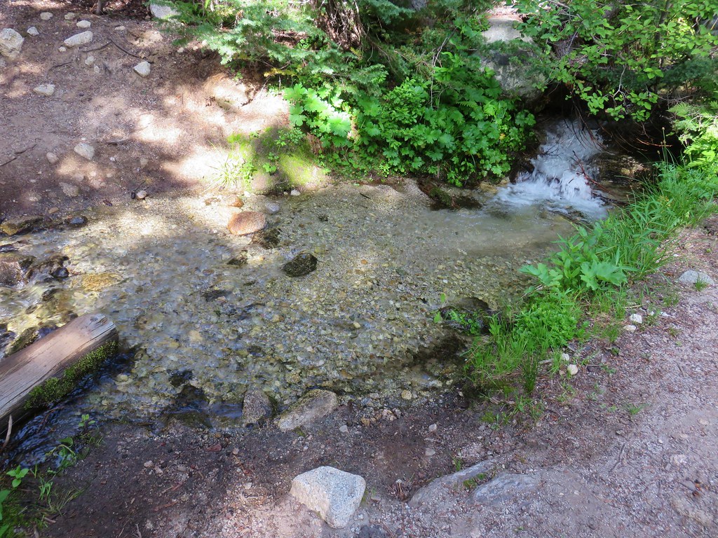
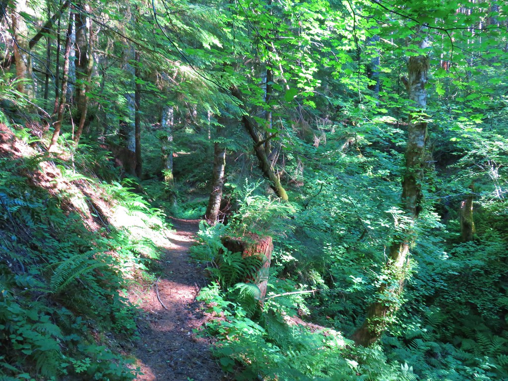
There had been some poison oak along the trail so we kept our eyes open as we turned onto the use trail on the south side of the creek. The creek did have some flowing water but it wasn’t much.
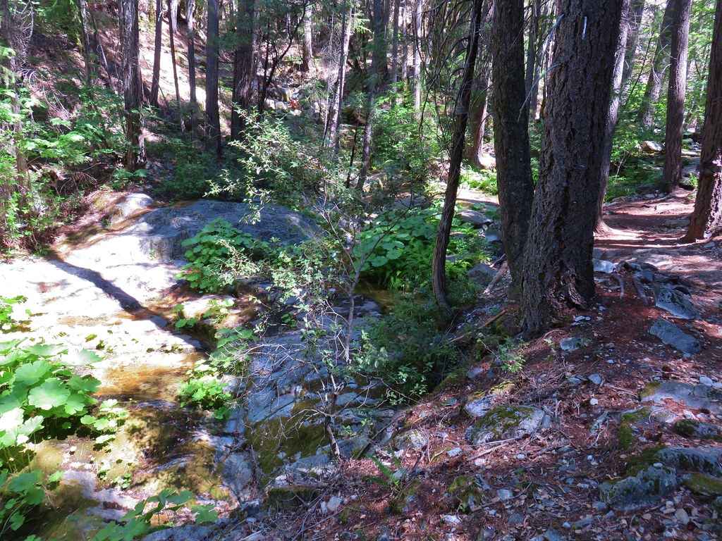
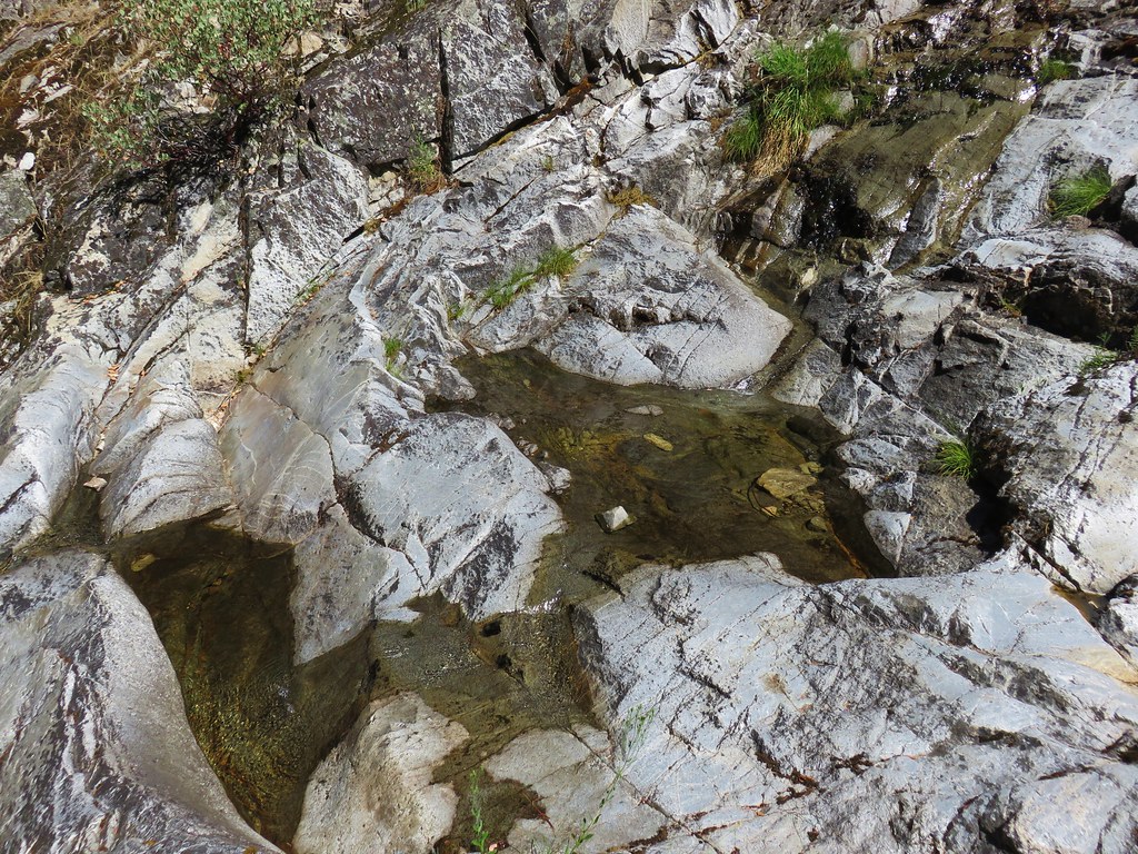
The use trail was easy enough to follow especially in conjunction with the information from Hike Mt. Shasta. We arrived at the lower falls to find just a trickle of water running down it. We knew that coming this late in the summer would probably mean little to no water but as long as we were in the area it was worth checking out.
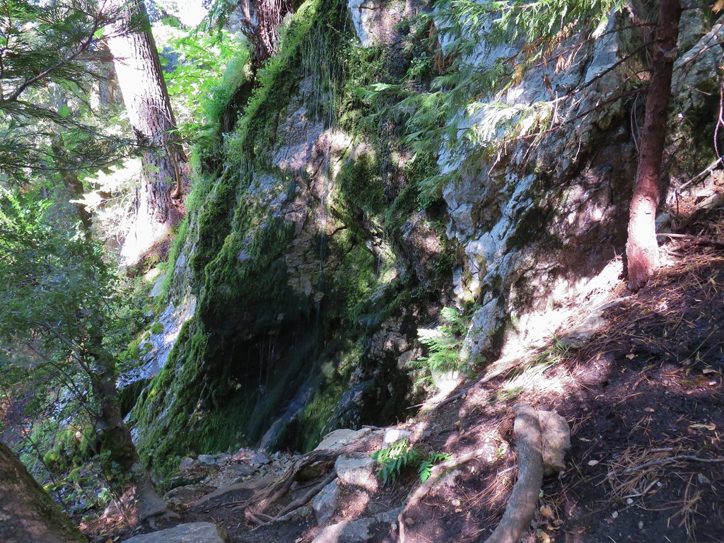
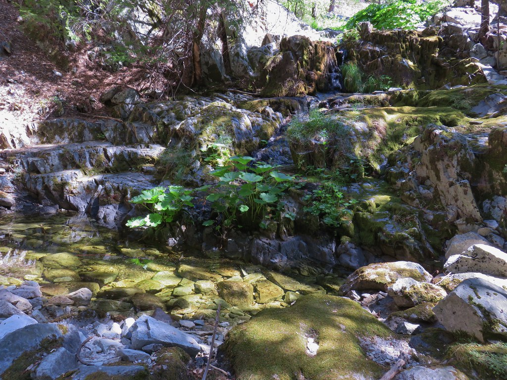
Heather remained at the lower falls while I continued on scrambling above the falls on the right then crossing and recrossing the creek bed before arriving at the upper falls.
The sight of the basalt amphitheater gave me a decent idea of how nice the falls must be when the water is freely flowing. I settled for a small spray of water cascading over the lip of the rocks.
I headed back down to the lower falls to rejoin Heather.
We headed back to the car once again and were soon on our way to the third and final hike of the day.
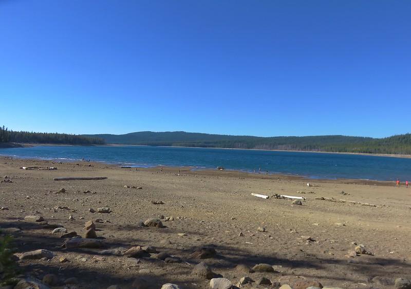
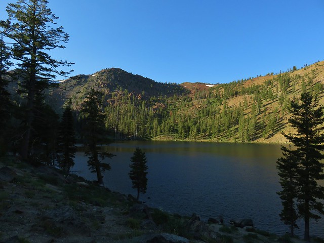
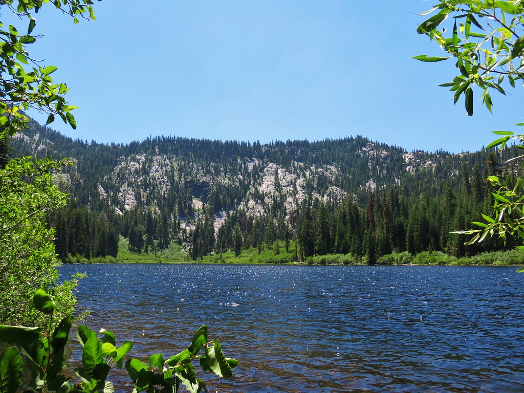
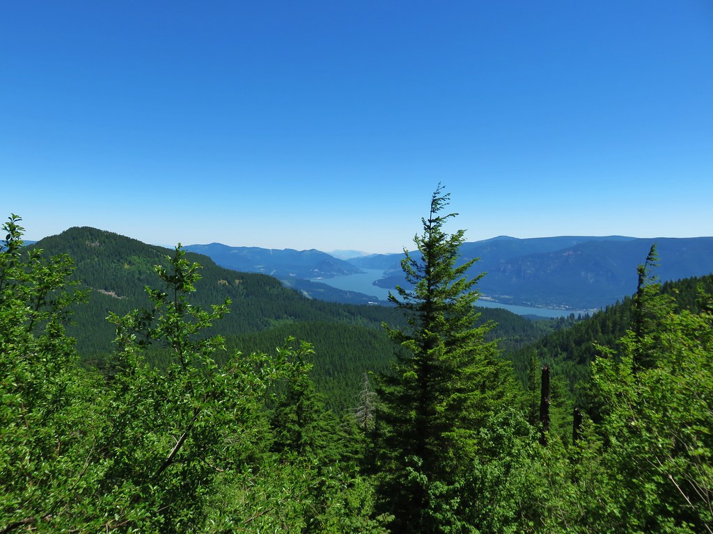
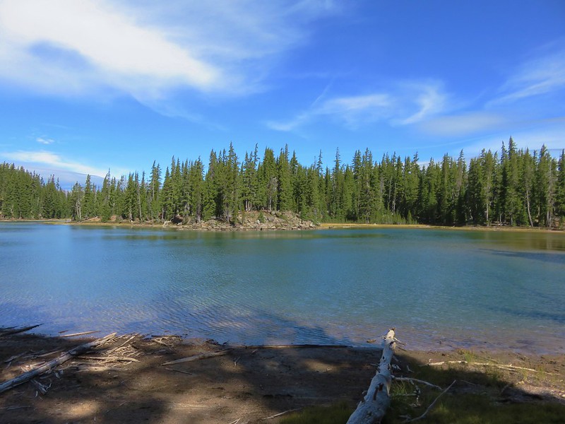
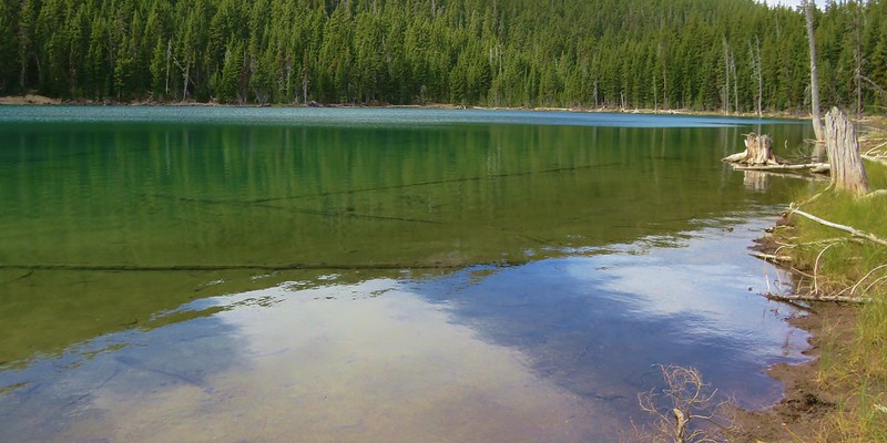
For our last hike we returned to I-5 and drove north back almost to Mount Shasta City before turning west and heading for Castle Lake.
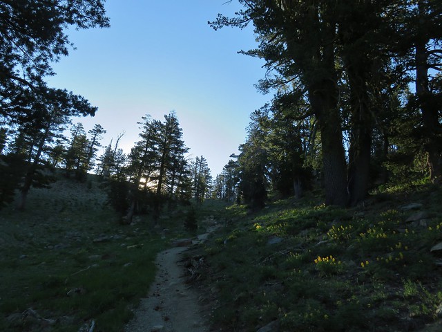
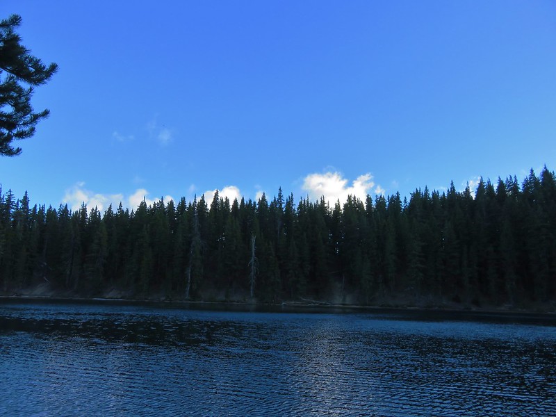
It was an unusually late time for us to start a hike (1:30pm) and it was a hot day. When we arrived at Castle Lake at the end of paved Castle Lake Road we found a whole lot of cars. We parked in the first spot we saw and walked past the mass of cars to the trail.

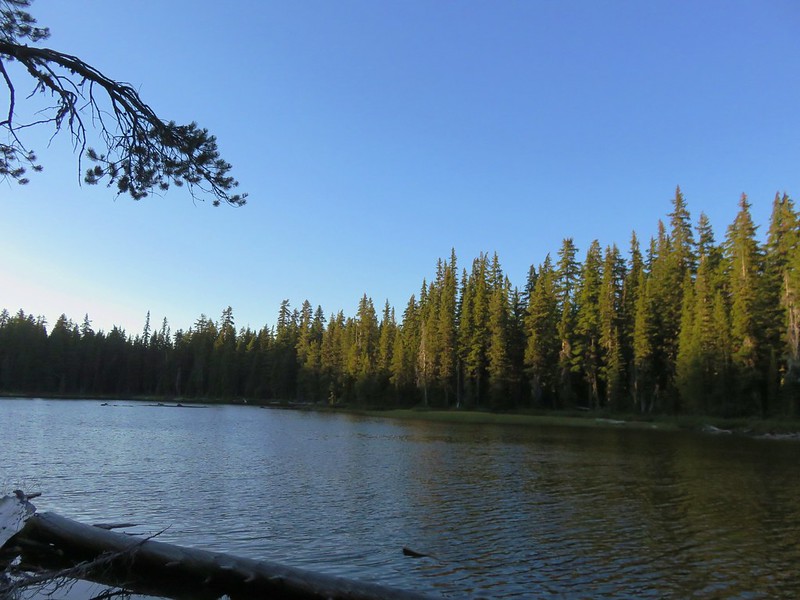
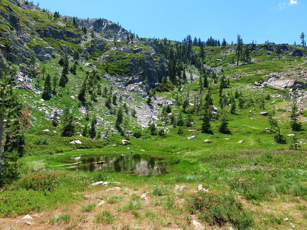
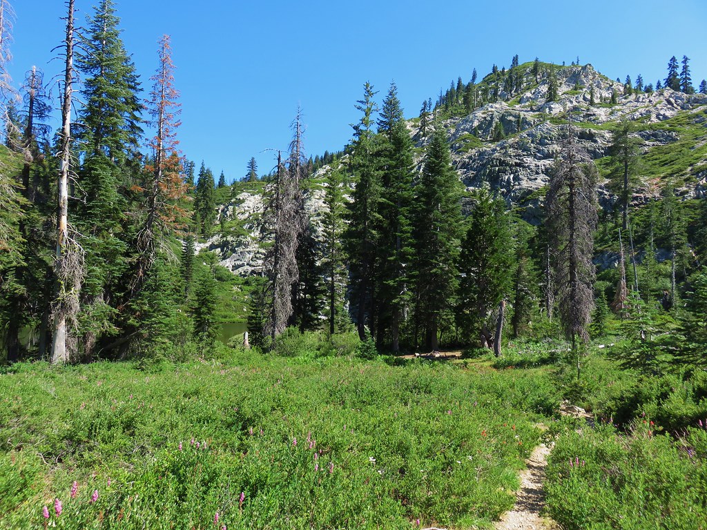
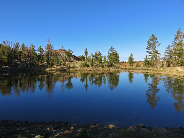
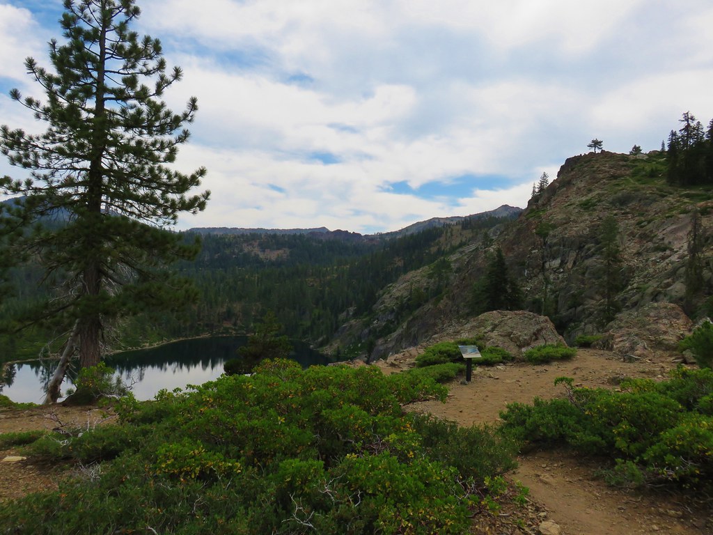
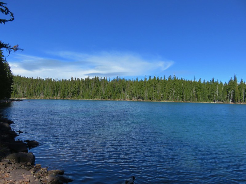
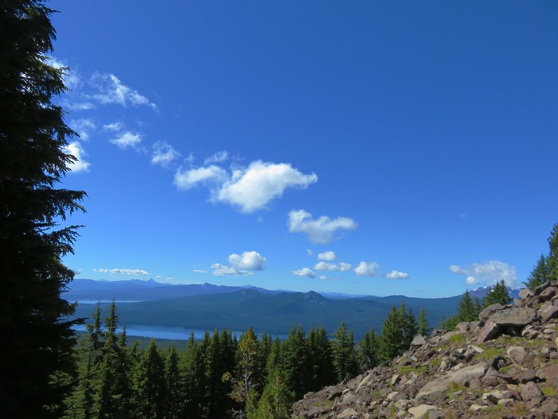
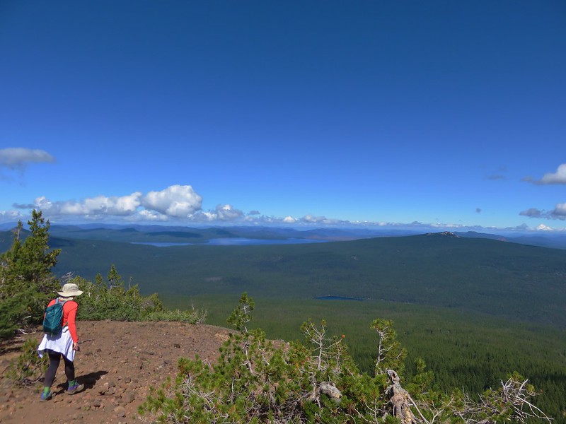
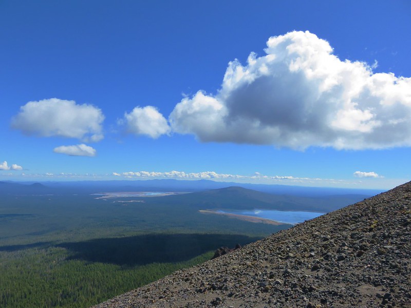
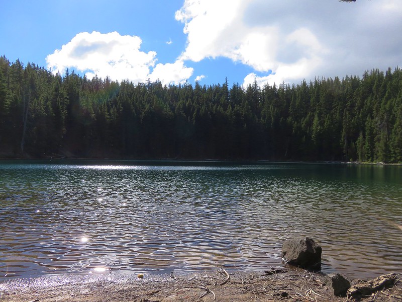
We bypassed Castle Lake settling for views along the trail which we were following to Heart Lake.

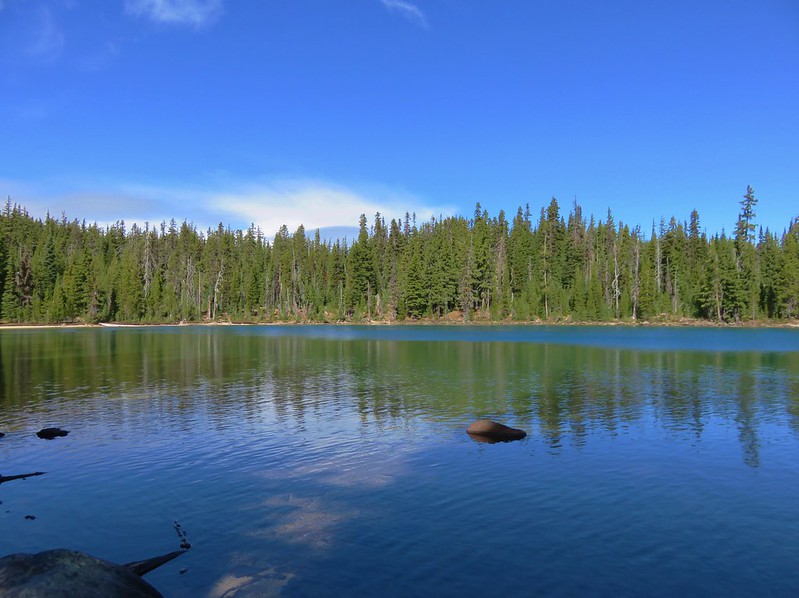
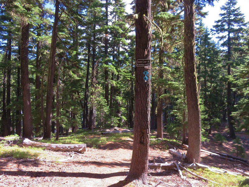
After a .7 mile climb we found ourselves at a pass above Castle Lake. A confusion of trails appeared to head in every direction.
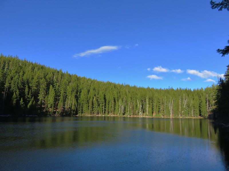
Heart Lake lay to our right so we just picked a path and headed in that direction.
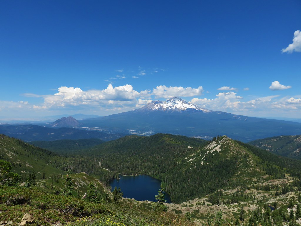
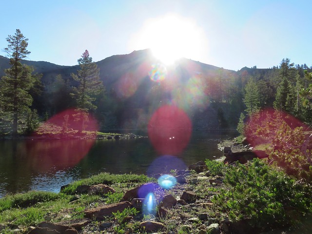
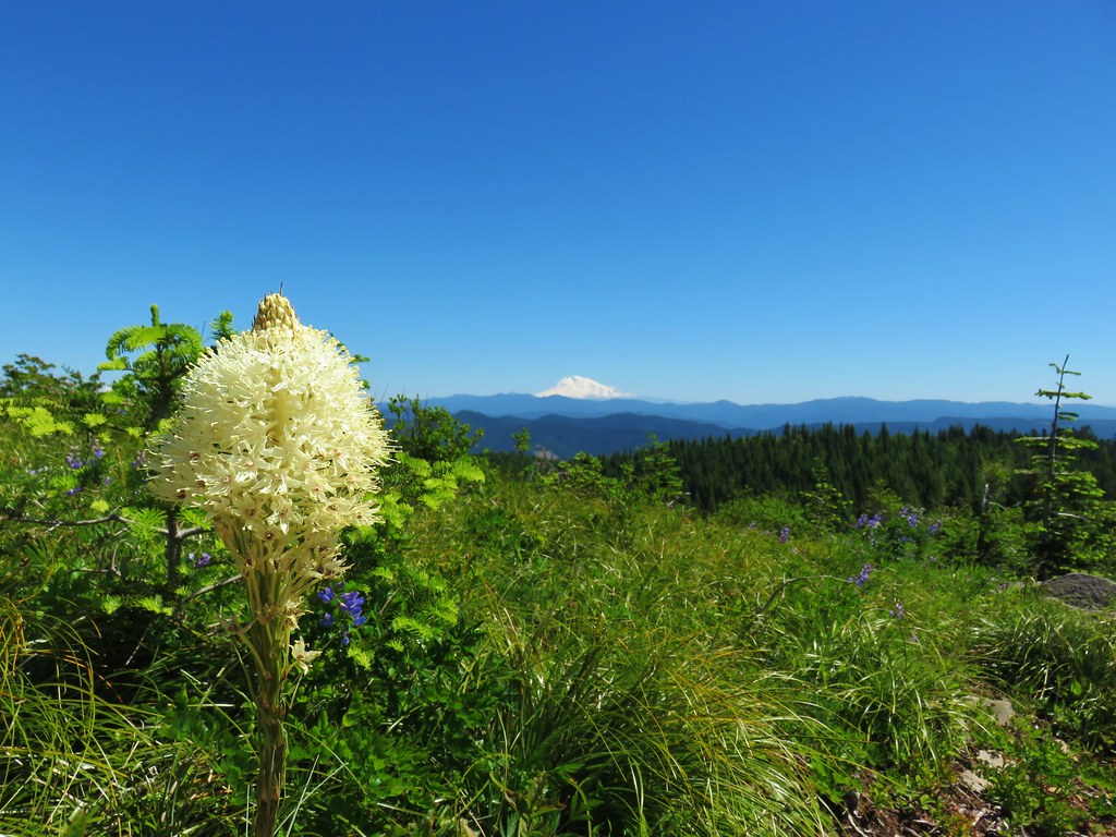
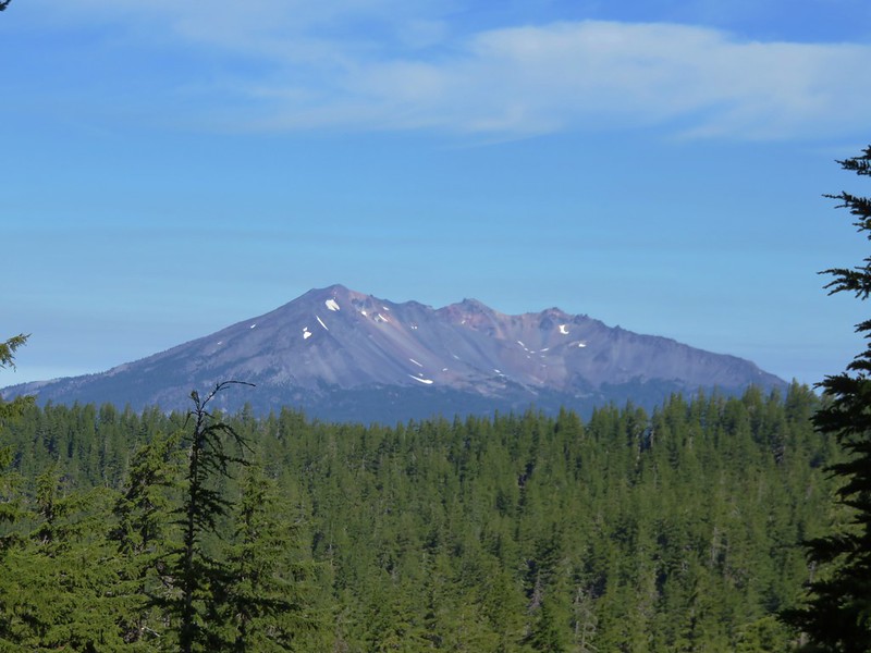
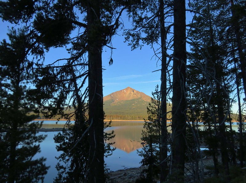
Mt. Shasta emerged from behind a peak to the east over our shoulders as we made our way to Heart Lake.
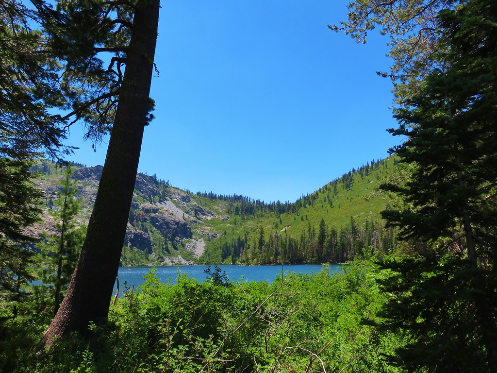
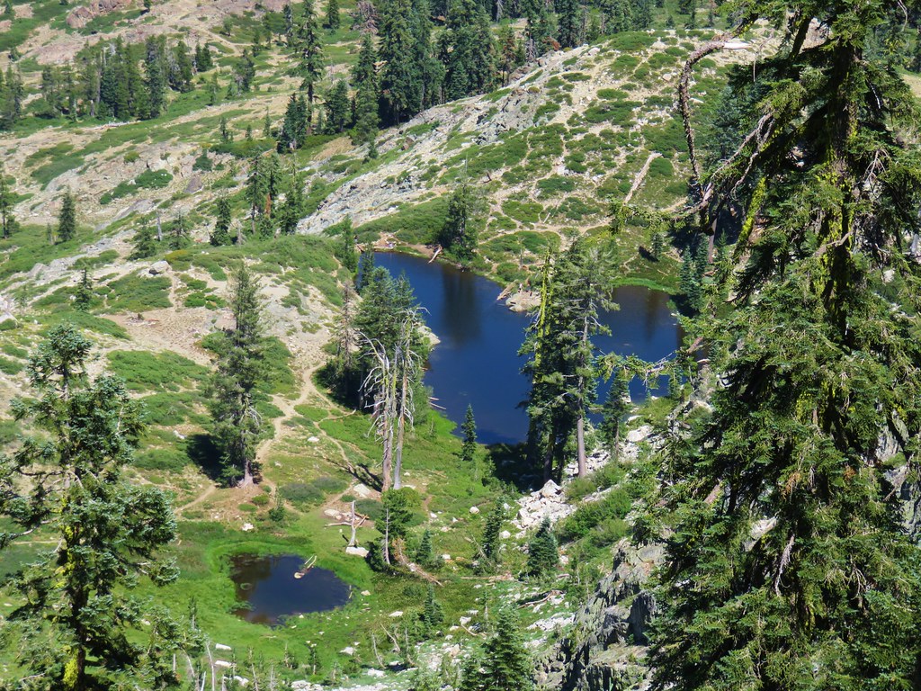
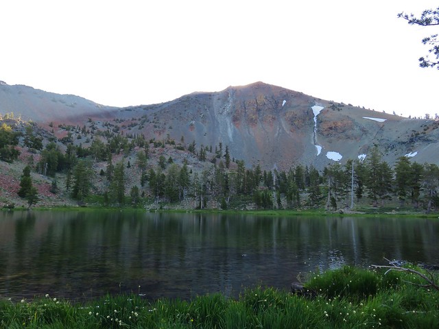
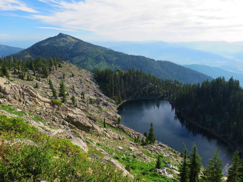
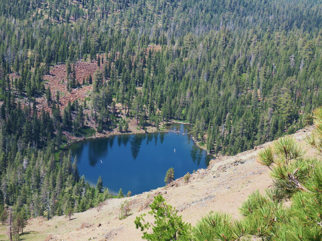
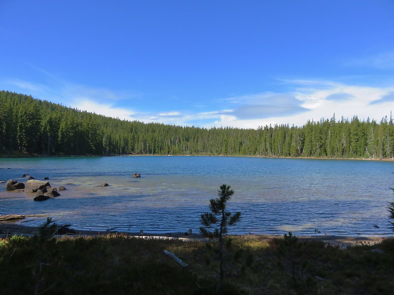
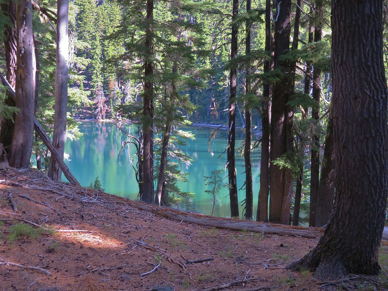
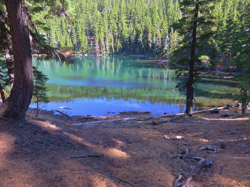
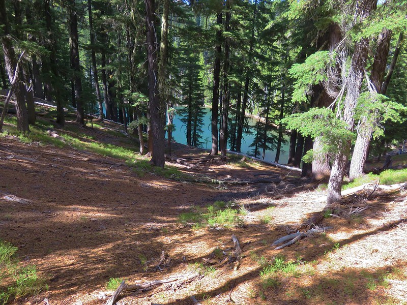
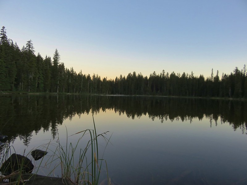
After cresting the lip of a glacially carved cirque we spied the lake.
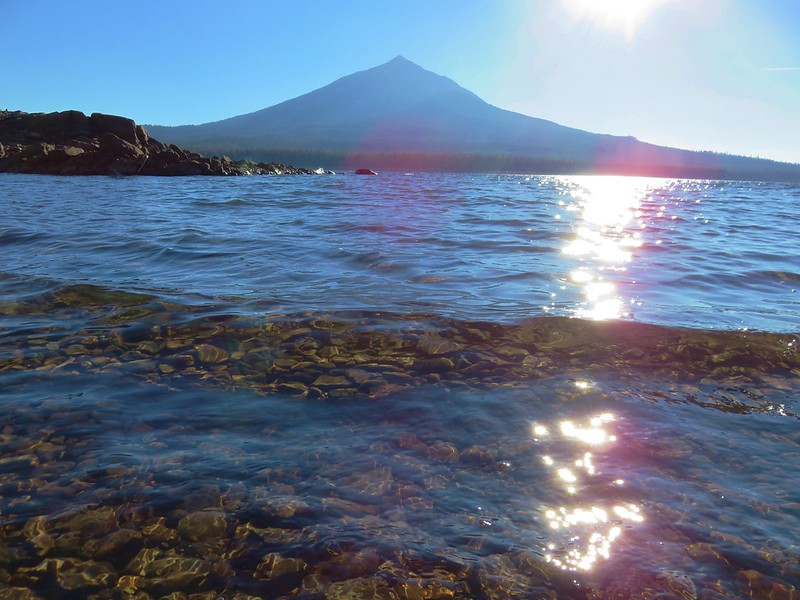
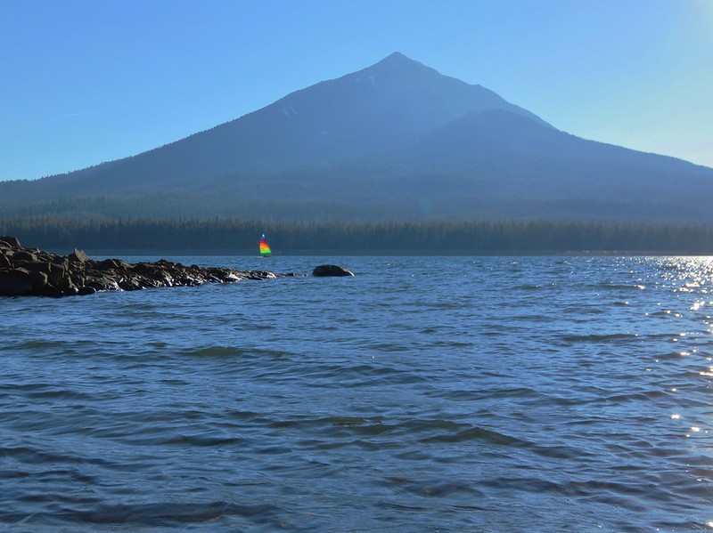
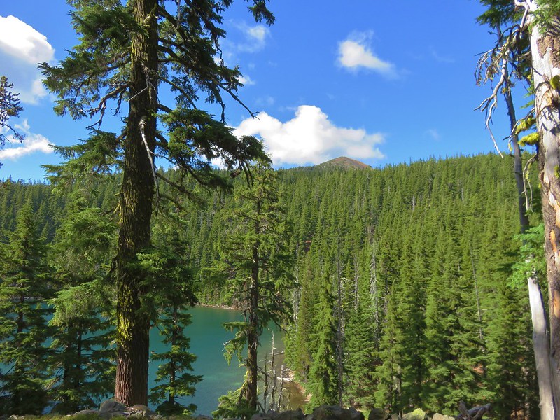
There is a spectacular view of Mt. Shasta beyond Heart Lake which can be seen here. We did not get this iconic image due to a group of young bikini clad girls taking turns posing for Instagram photos at the edge of the lake in the gap where Mt. Shasta was visible. They were oblivious to everyone else hoping to get an unobstructed picture of the scene.
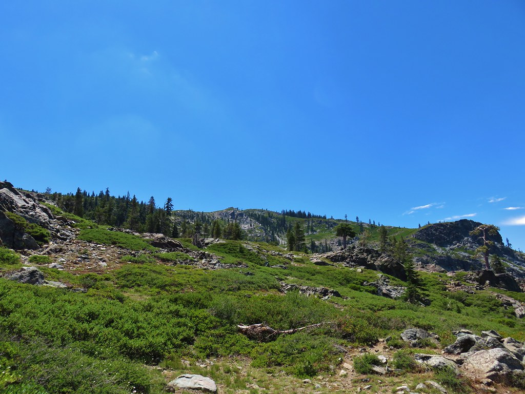
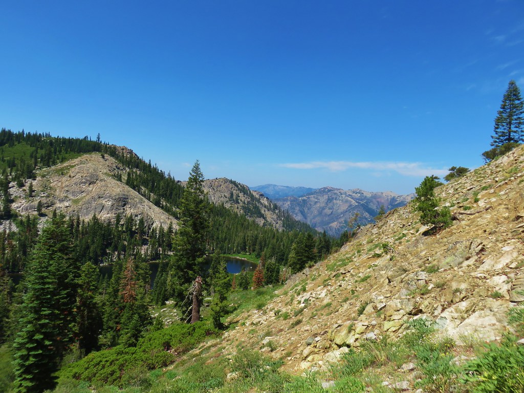
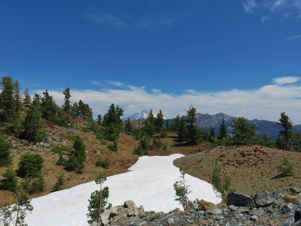
We continued on past Heart Lake (and the Instagrammers) planning on following another route recommended by Bubba Suess at Hike Mt. Shasta. His recommendation was to continue west from the lake and follow a ridge up and around to Castle Peak then return down the far side to complete a small loop with some big views. We continued west past a small tarn then headed up hill on a faint but visible use trail.
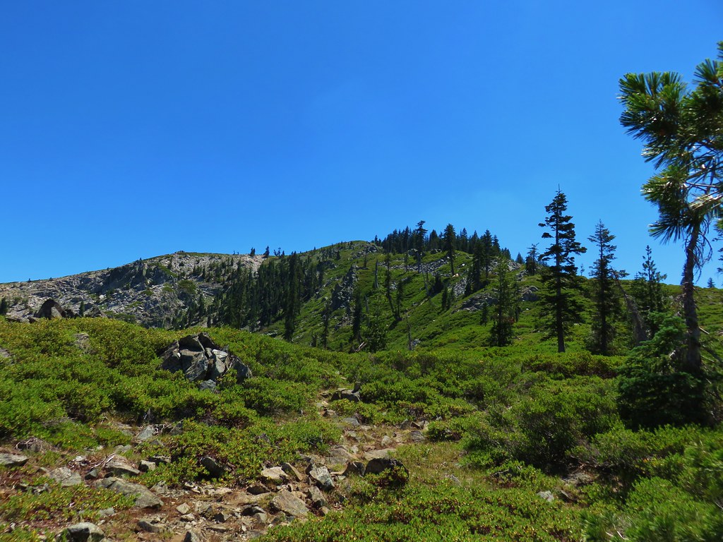
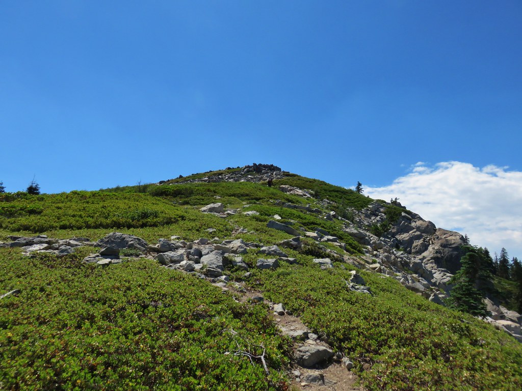
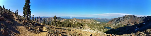
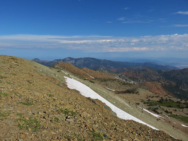
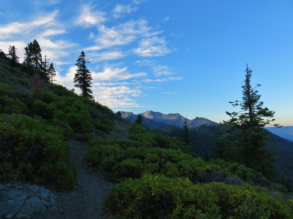
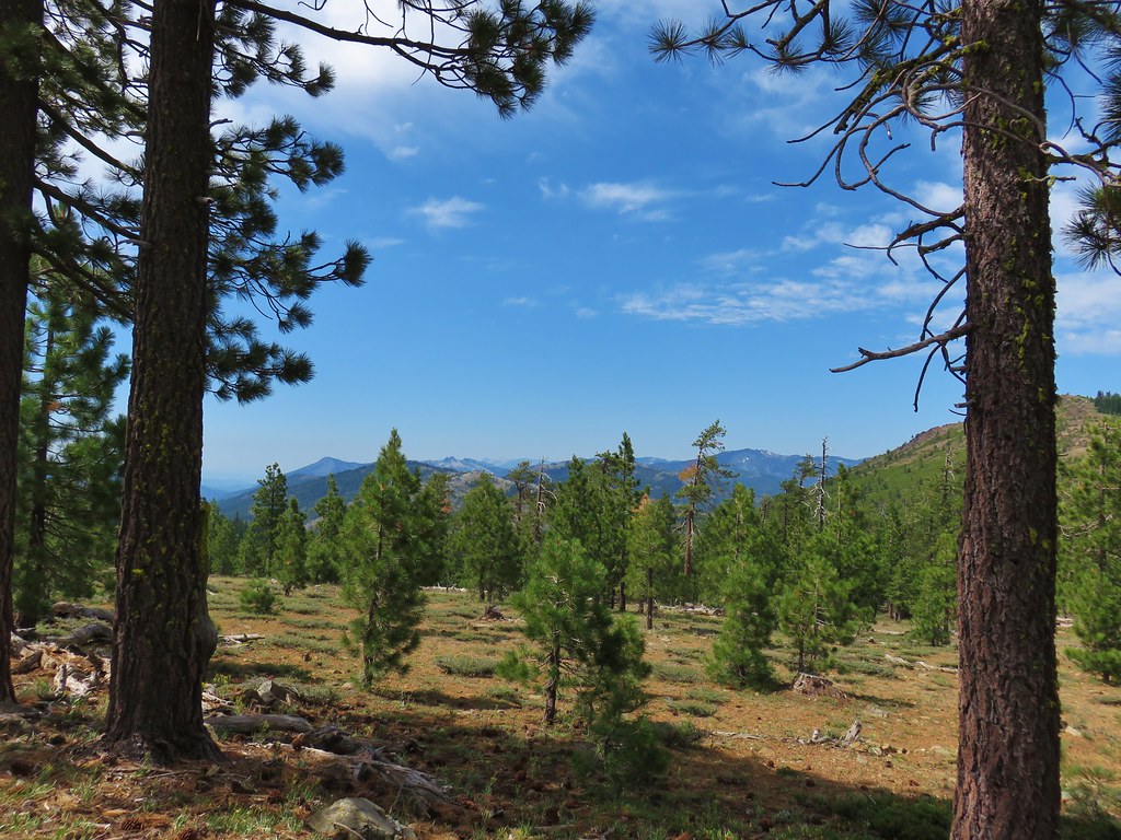
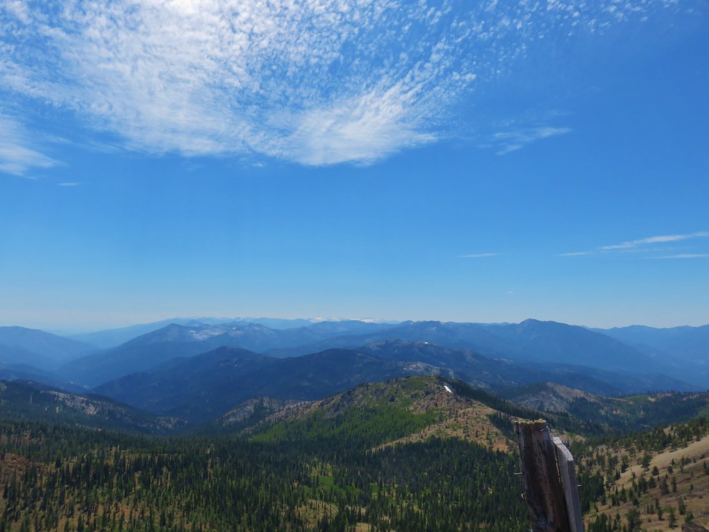
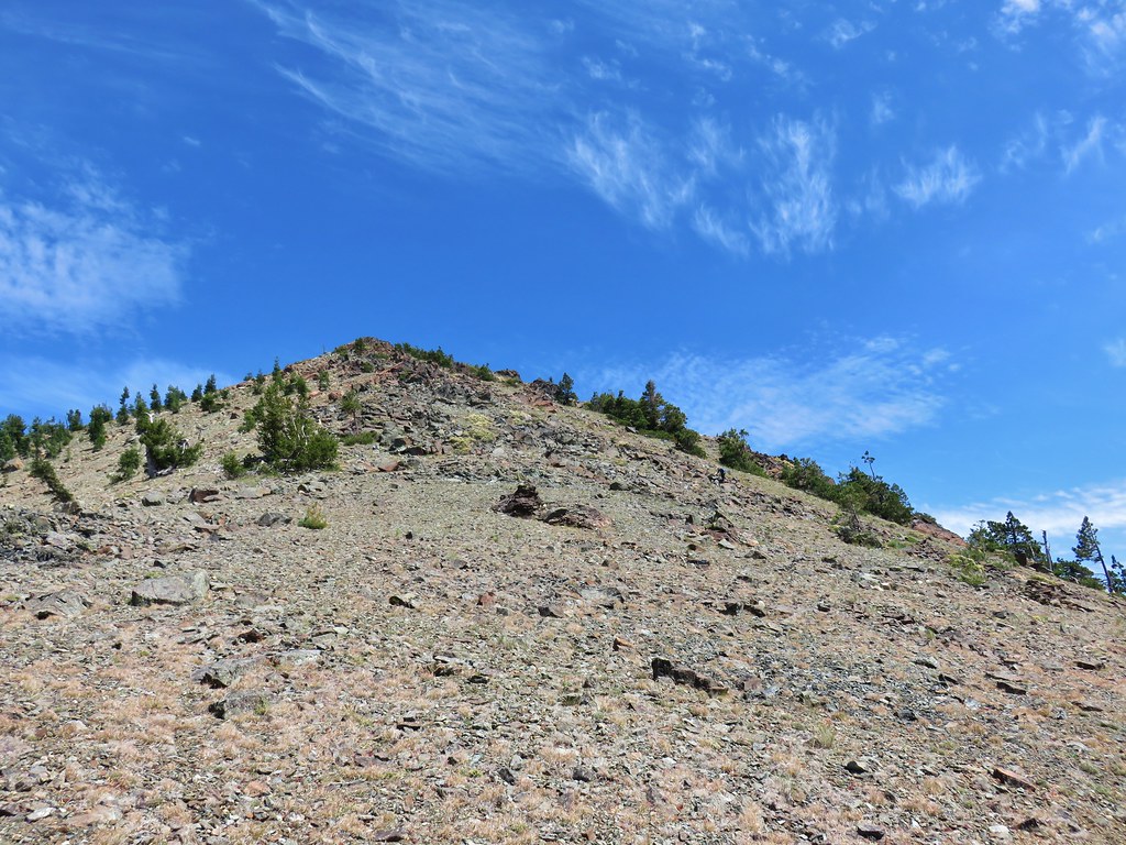
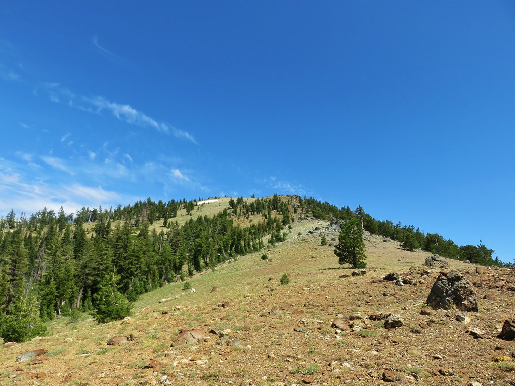
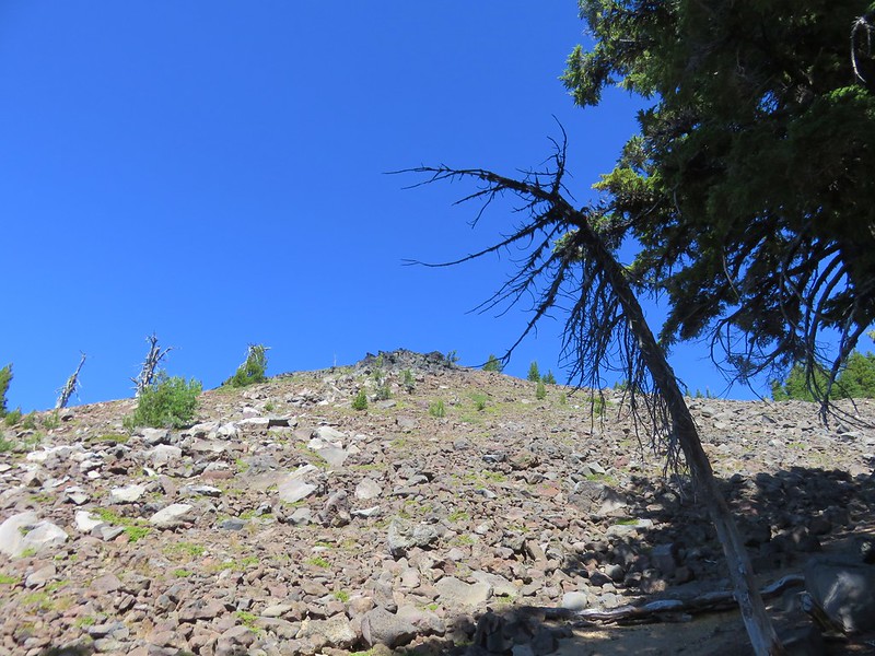
An initial steep climb brought us to the top of the ridge where we were rewarded with a great view.

We still had a ways to go to reach Castle Peak though.
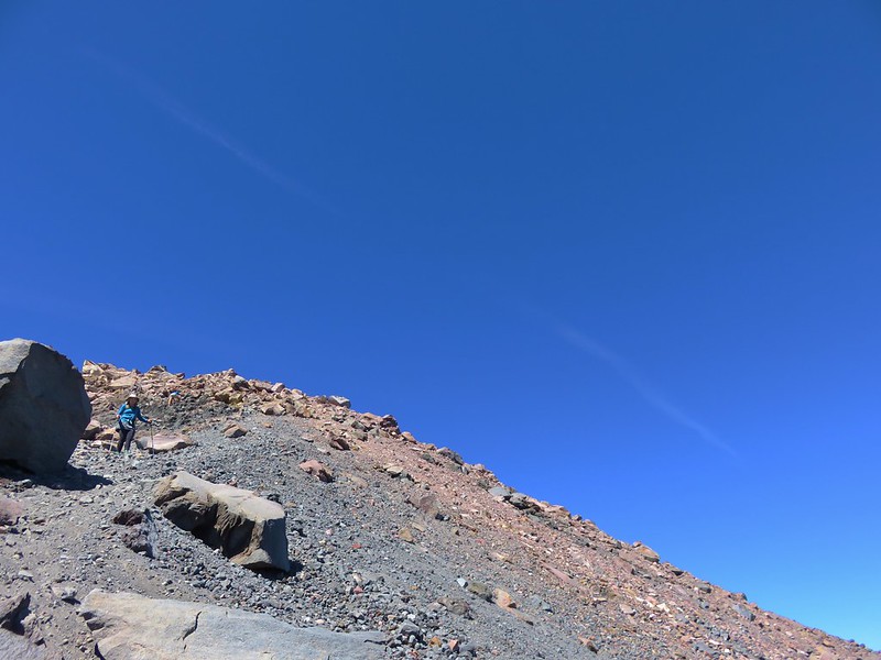
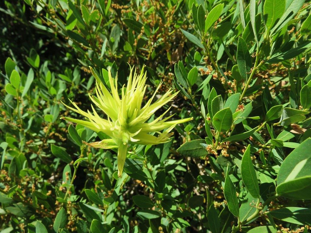
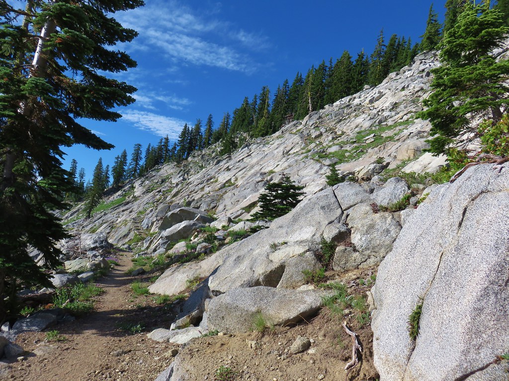
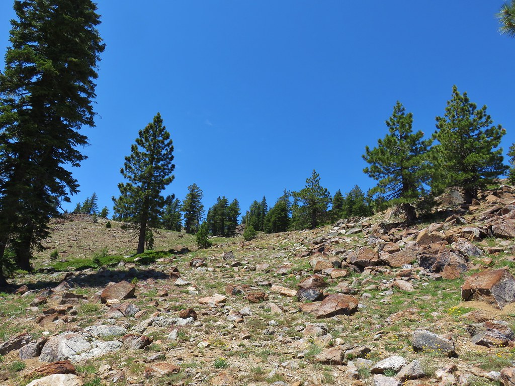
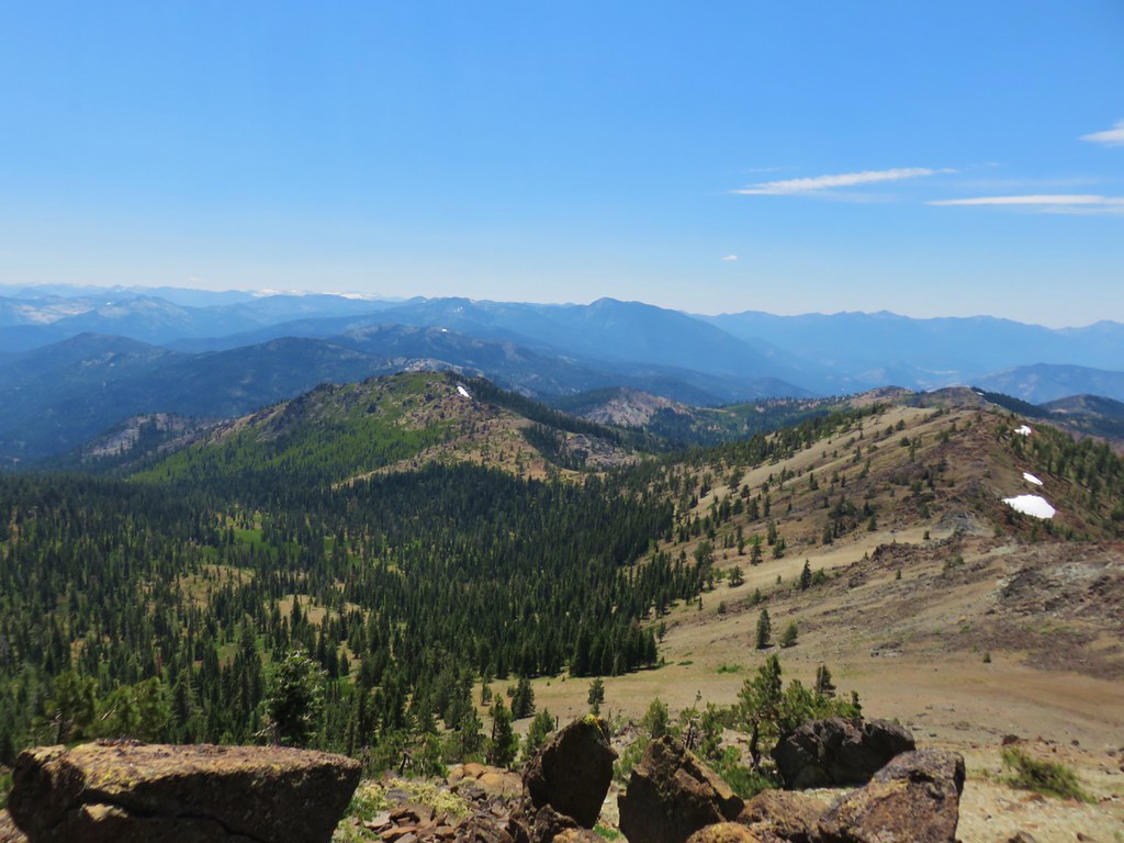
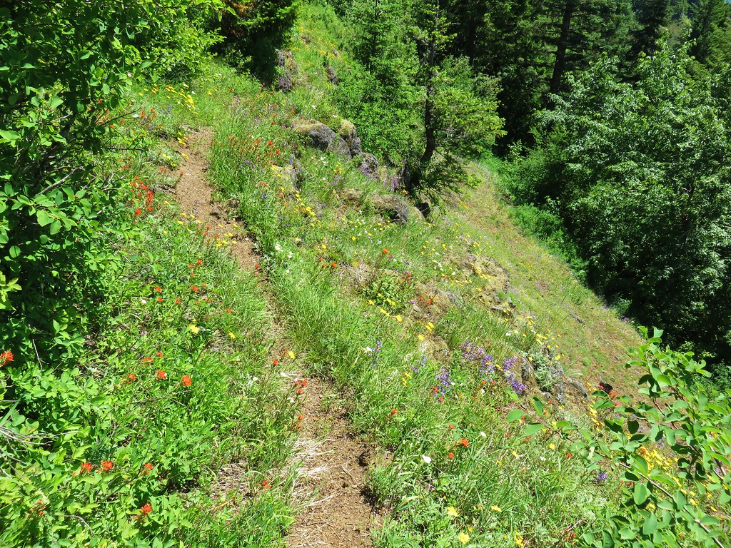
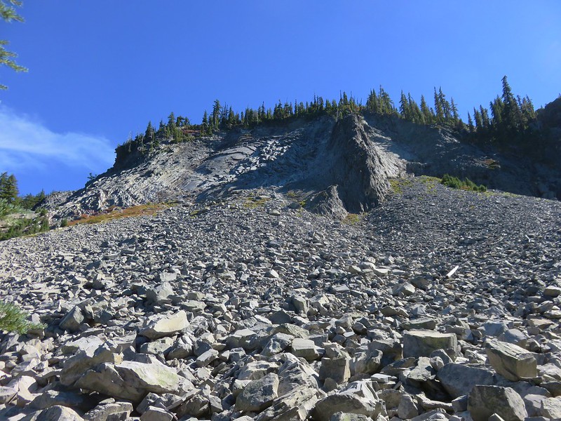
The route was pretty brushy and at times we weren’t sure if we were following the correct path, but we kept making our way up the ridge.
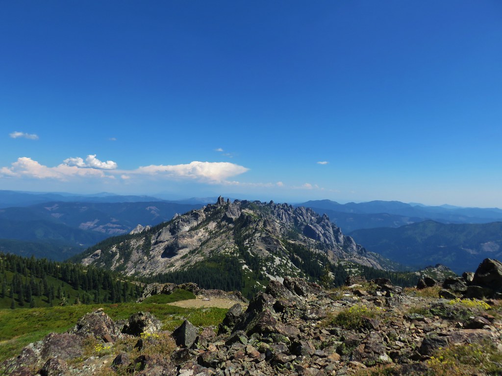
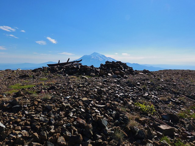
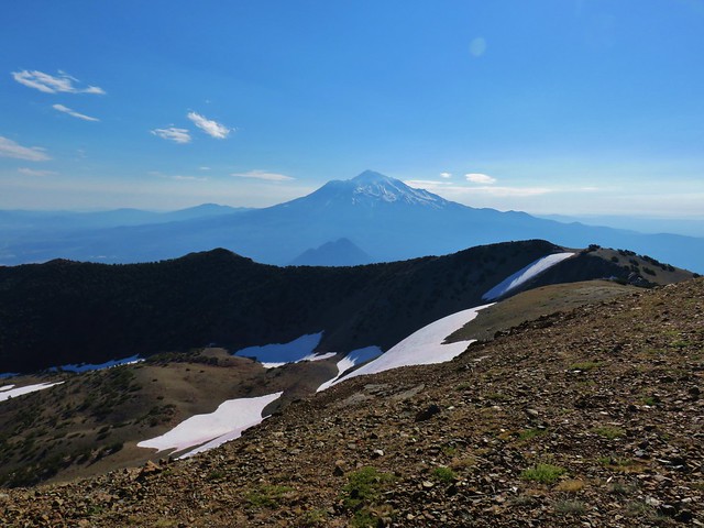
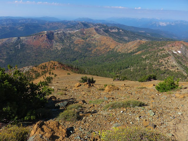
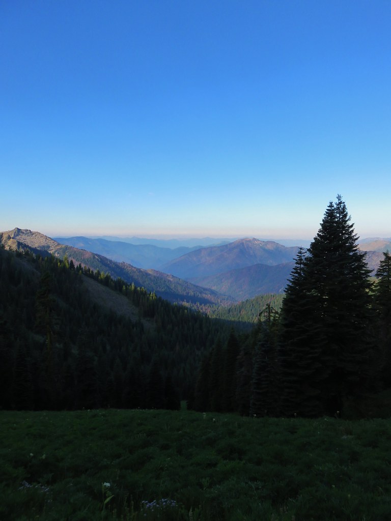
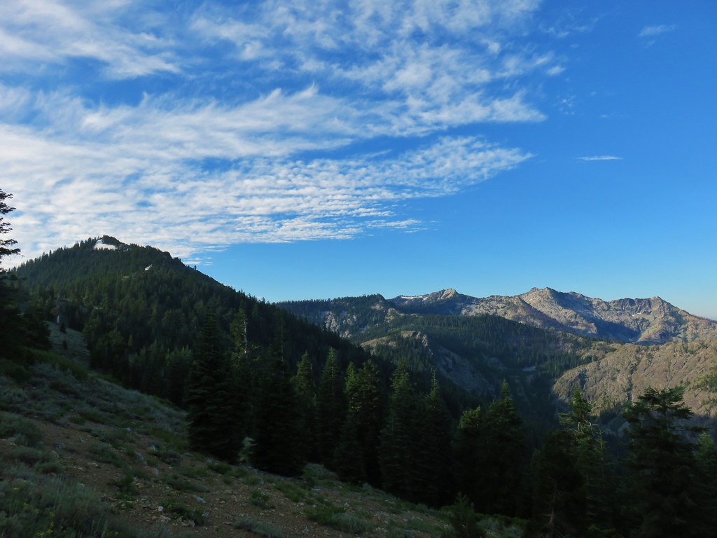
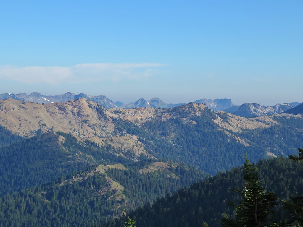
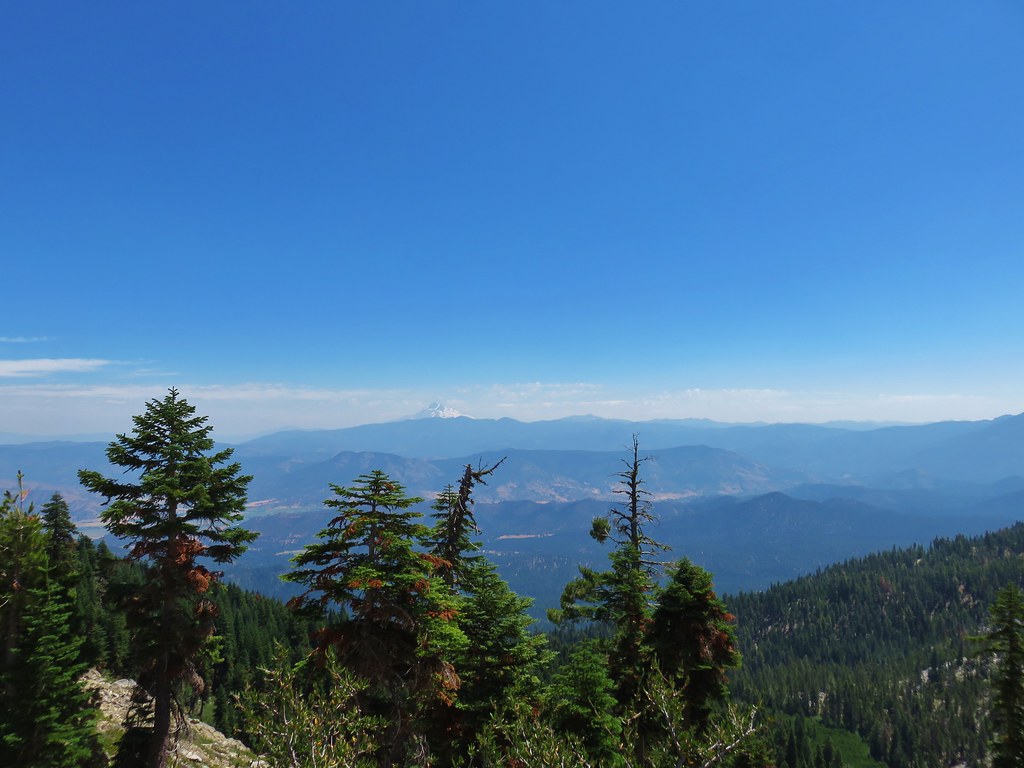
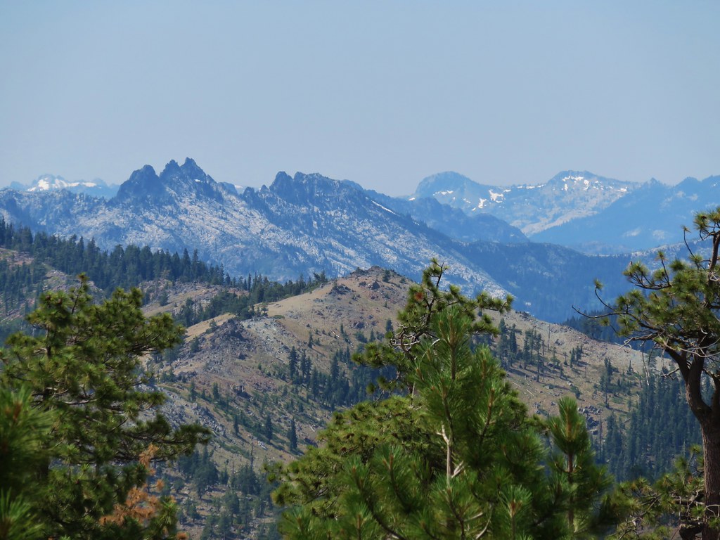
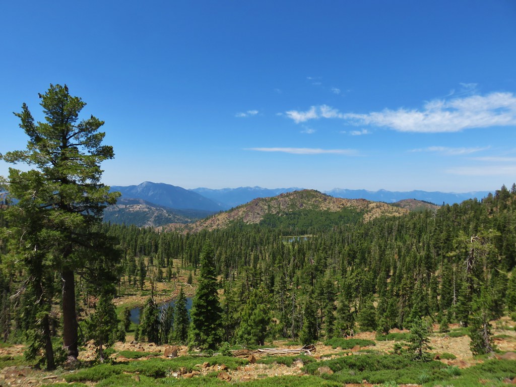
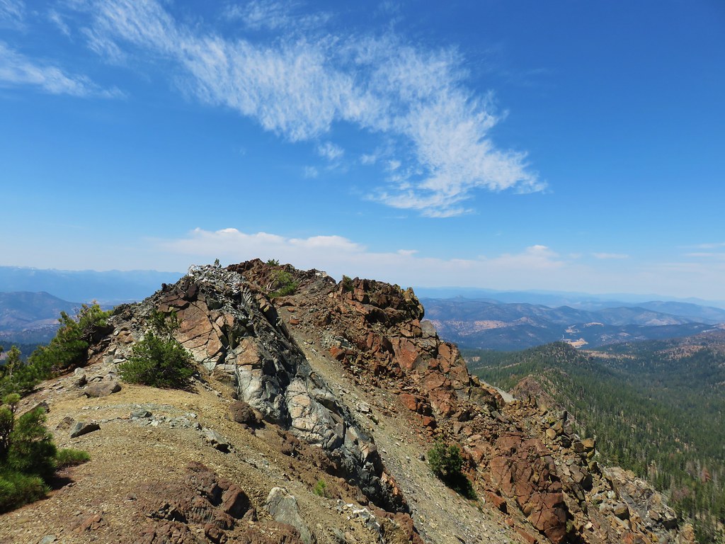
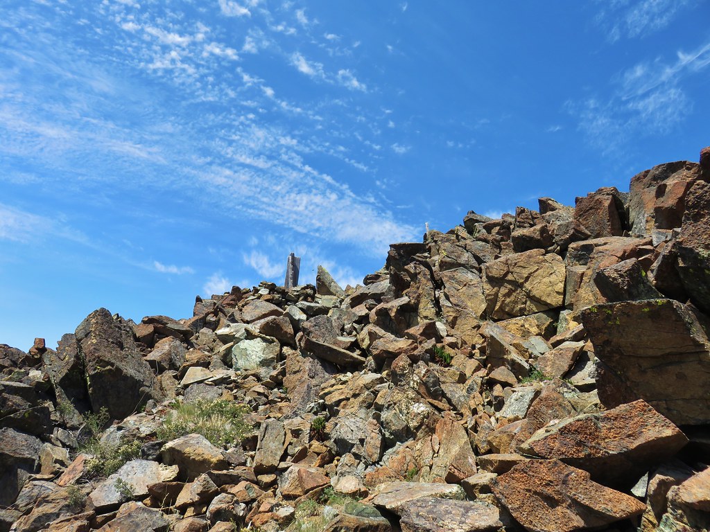
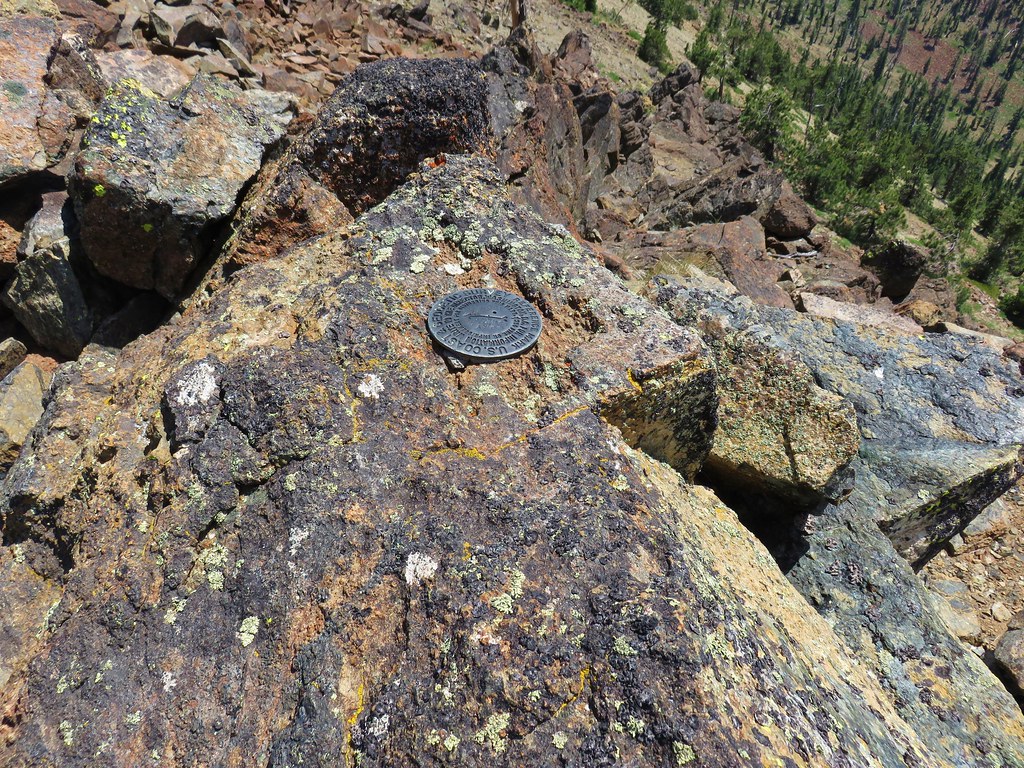
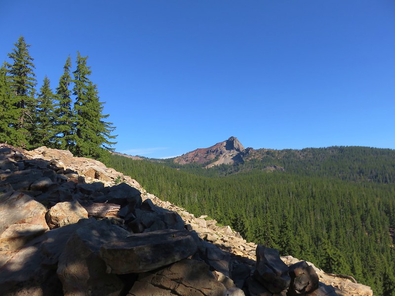
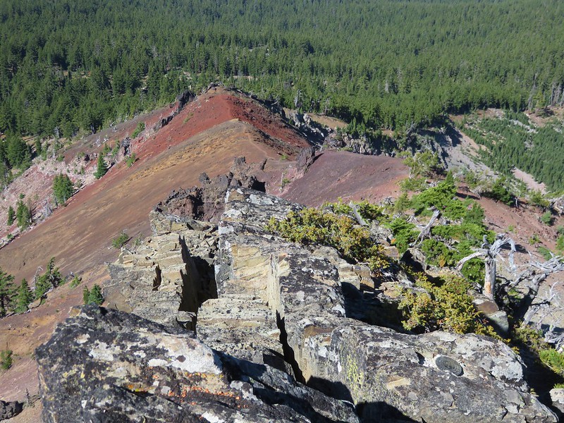
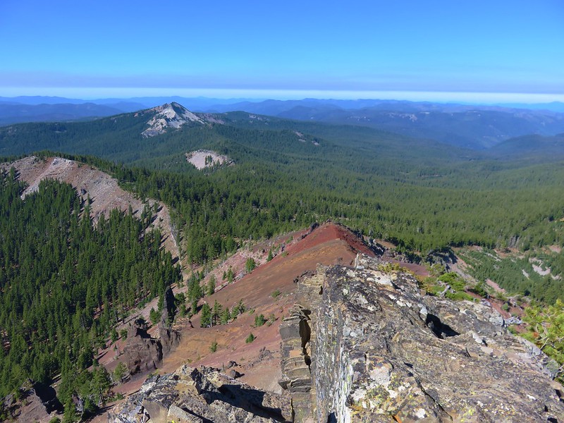
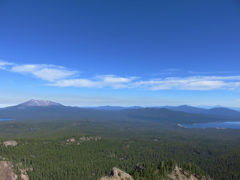
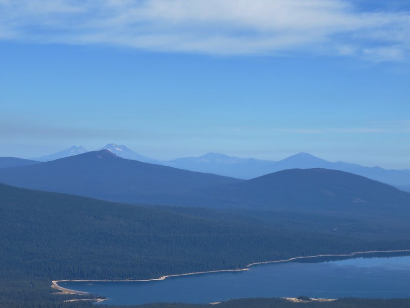
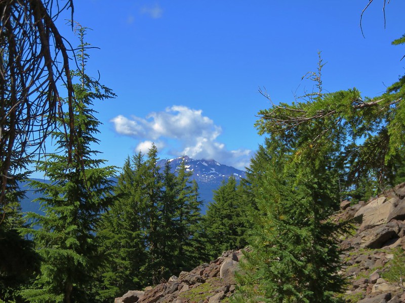
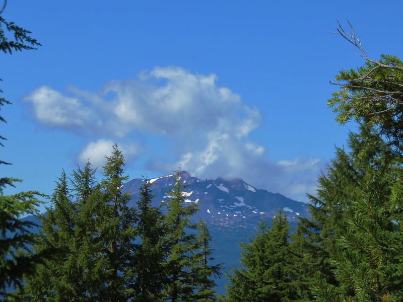
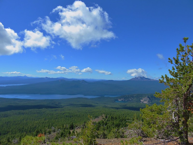
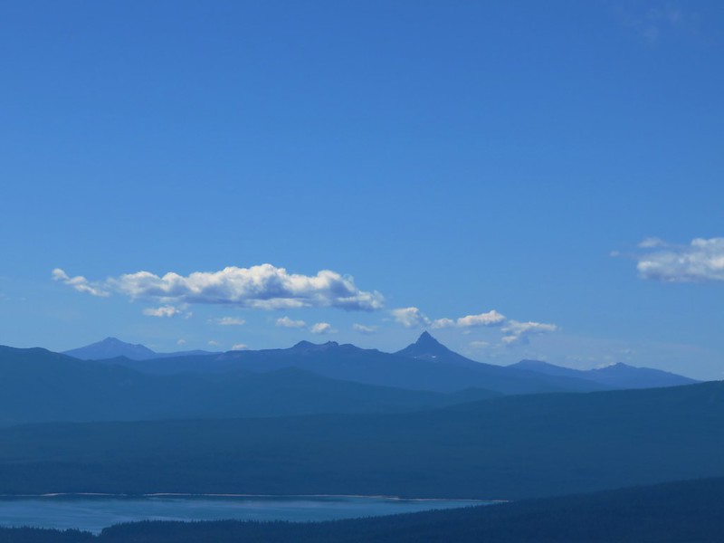
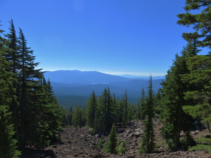
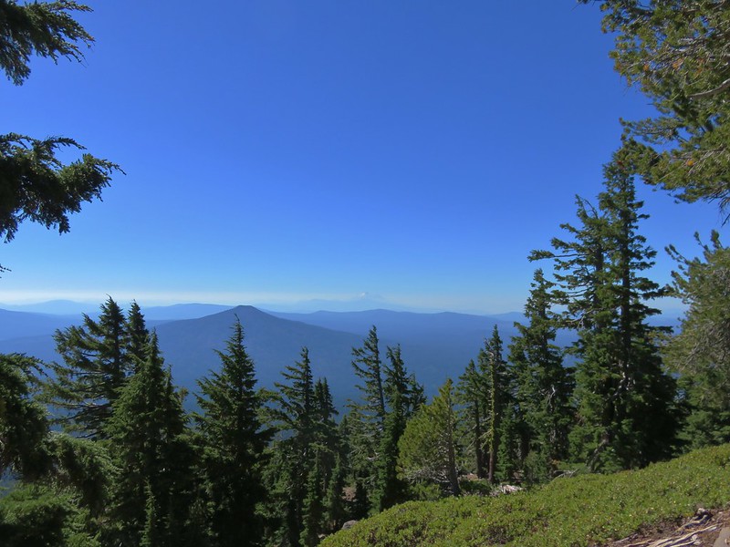
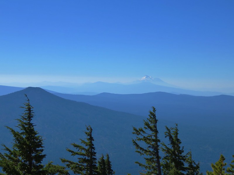
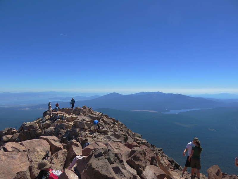
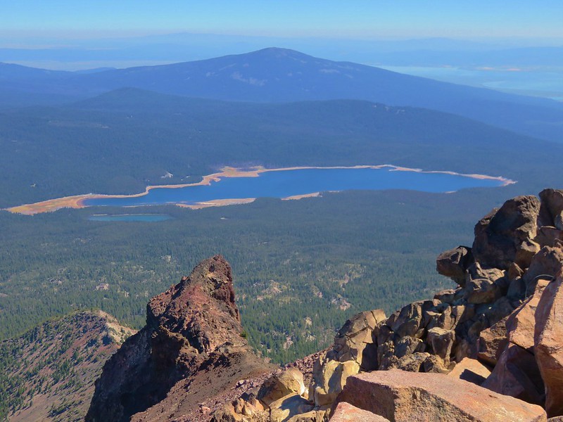
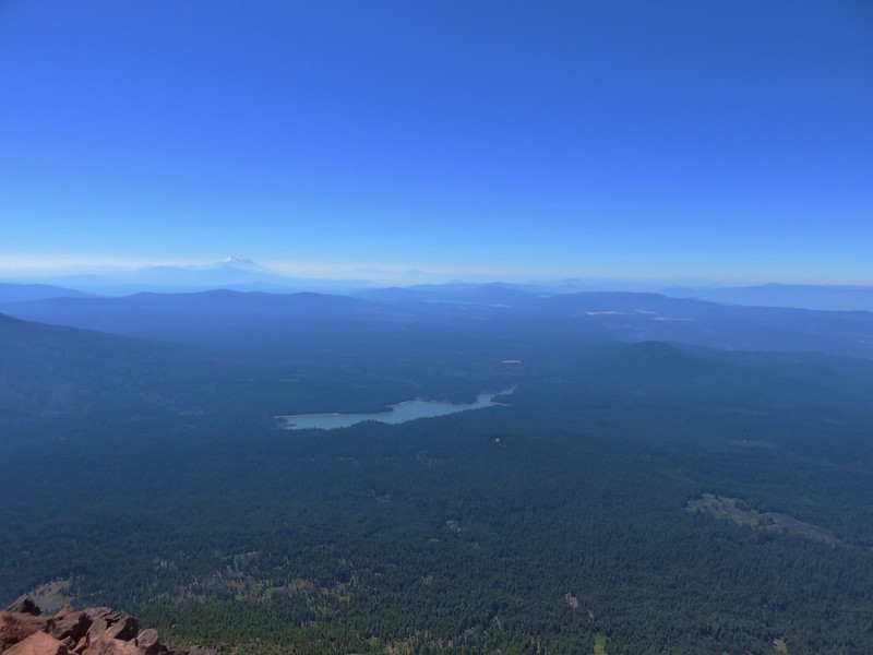
When we arrived at the summit of Castle Peak we found one other gentleman who had seen us coming up behind him. The 360 degree view was impressive with the Castle Crags jutting up to the south.
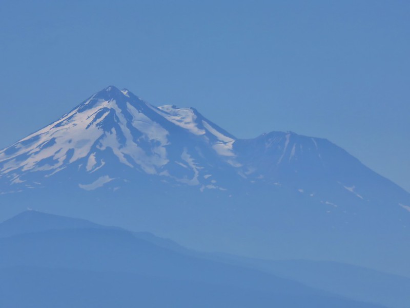
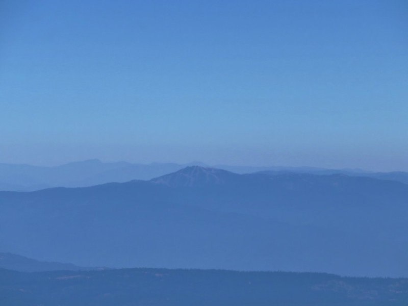
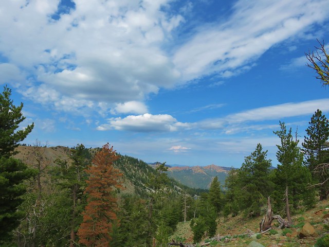
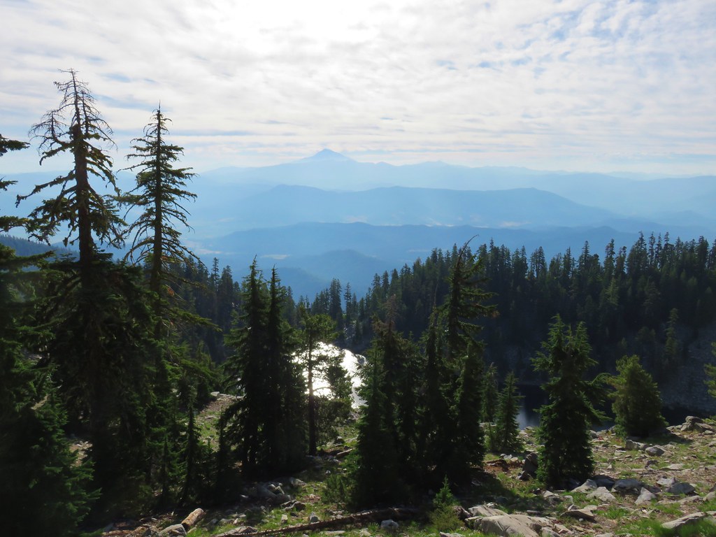
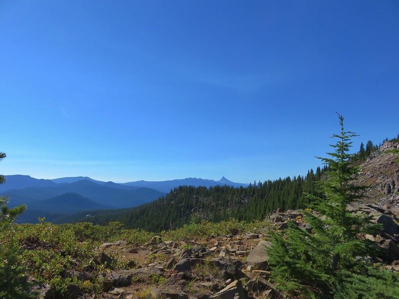
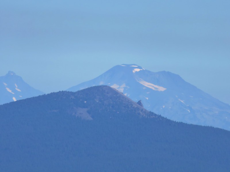
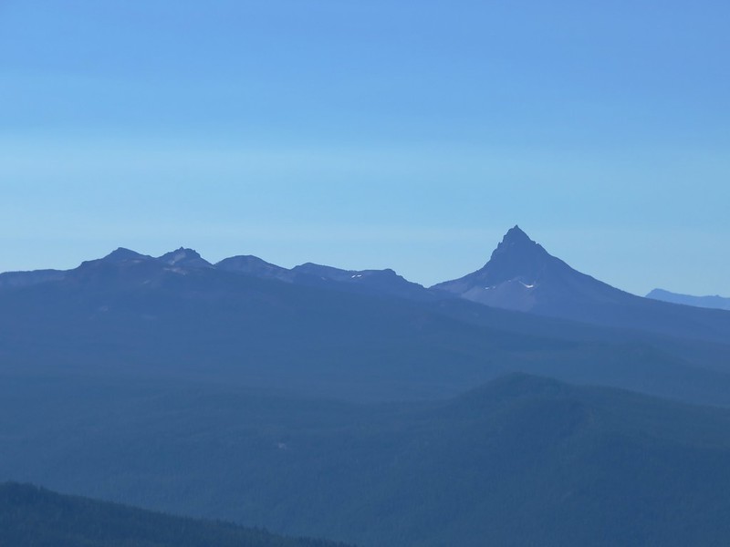
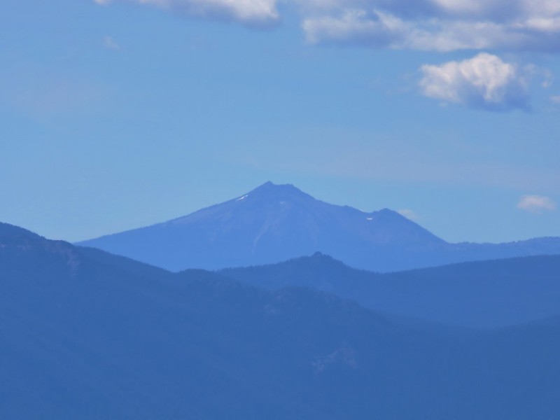
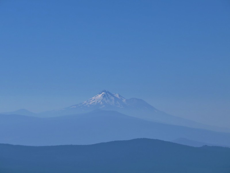
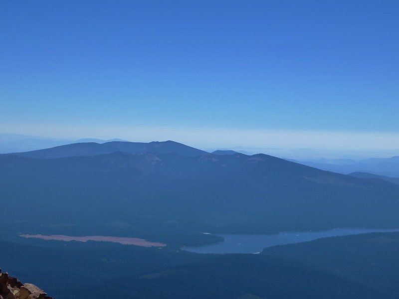
Further away through the haze we had our best view of the trip of Mt. Lassen.
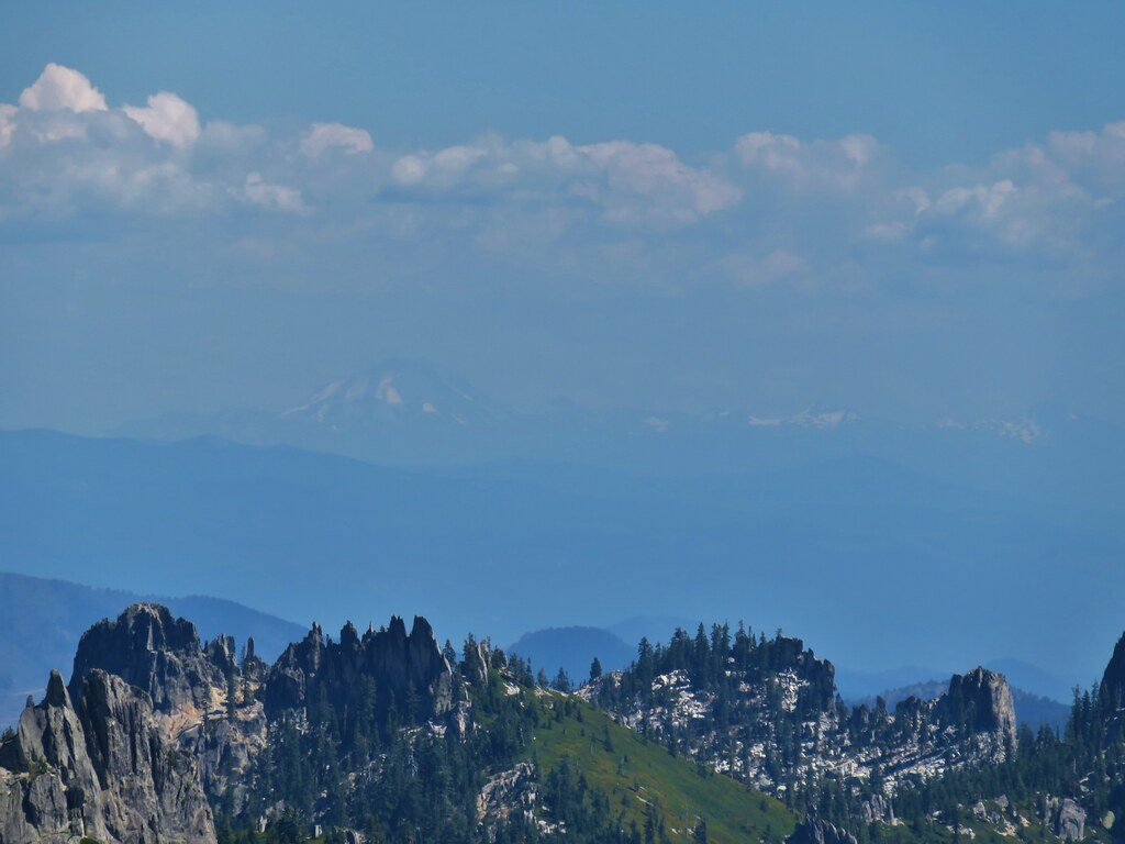
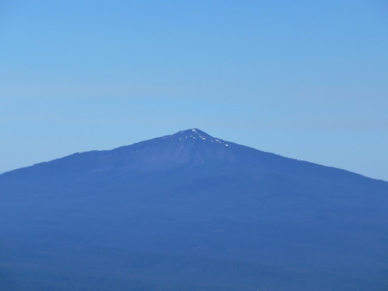
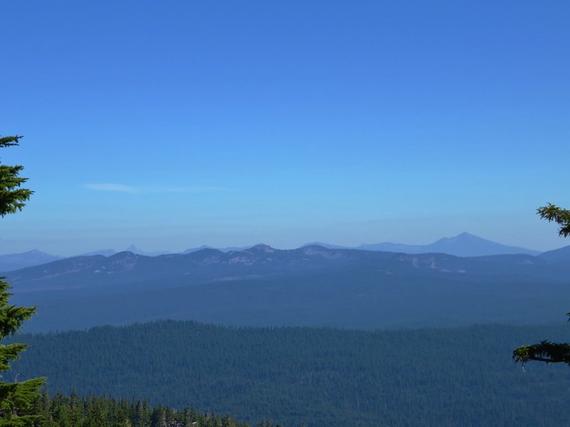
To the north the size disparity between Black Butte and Mt. Shasta was striking.
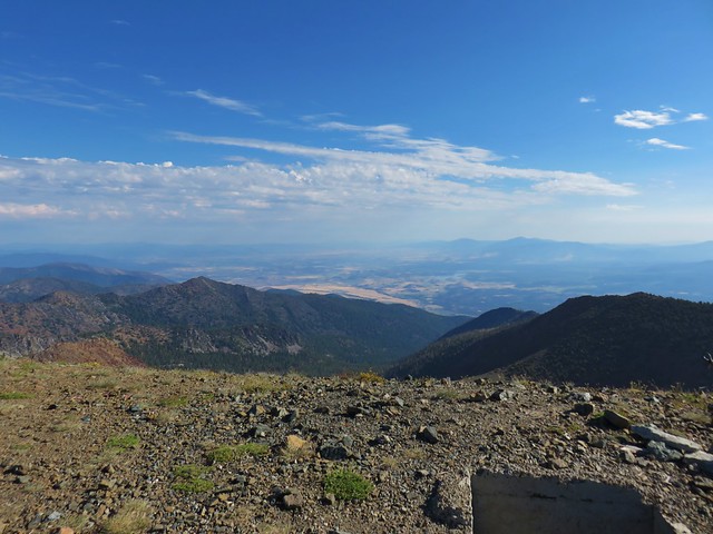
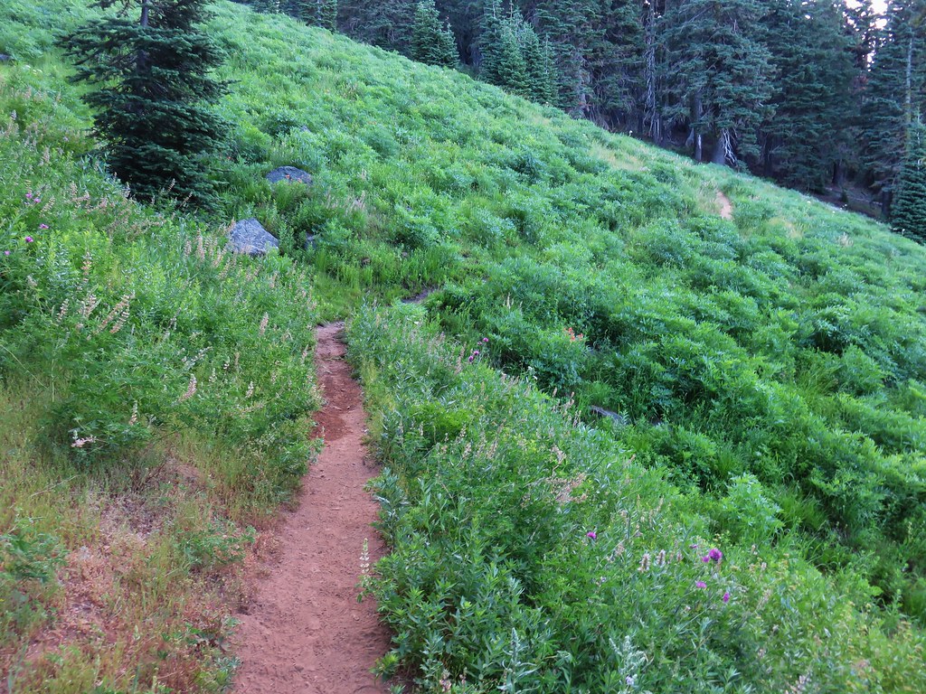
When it was time to continue on we headed east down the the other side of Castle Peak. Again the brush made it difficult to tell what was in fact supposed to be the trail and we found ourselves just lumbering through whatever route looked easiest.
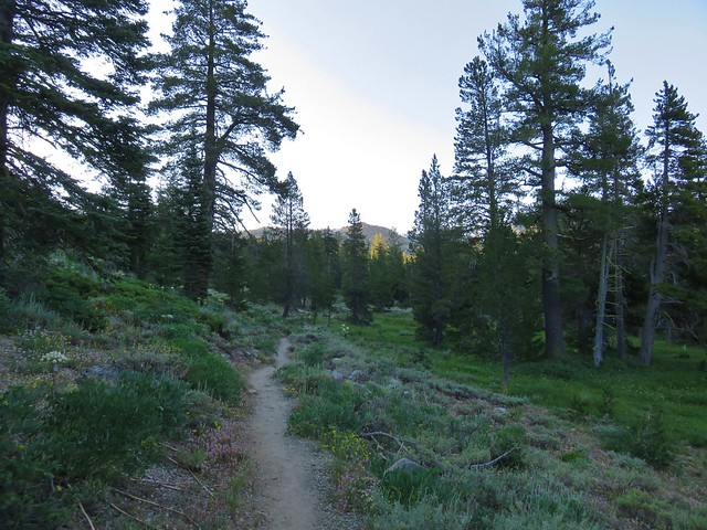
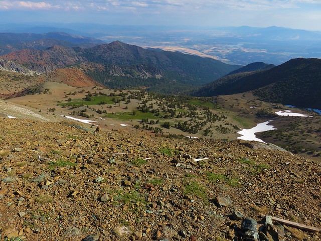
I had been attempting to match our GPS track to the one shown on Hike Mt. Shasta but we wound up turning downhill earlier than we should have which caused us to have an unnecessarily steep descent back to the trail to Heart Lake. Once we were back on that trail we turned right and kept right making our way to the trail down to Little Castle Lake.
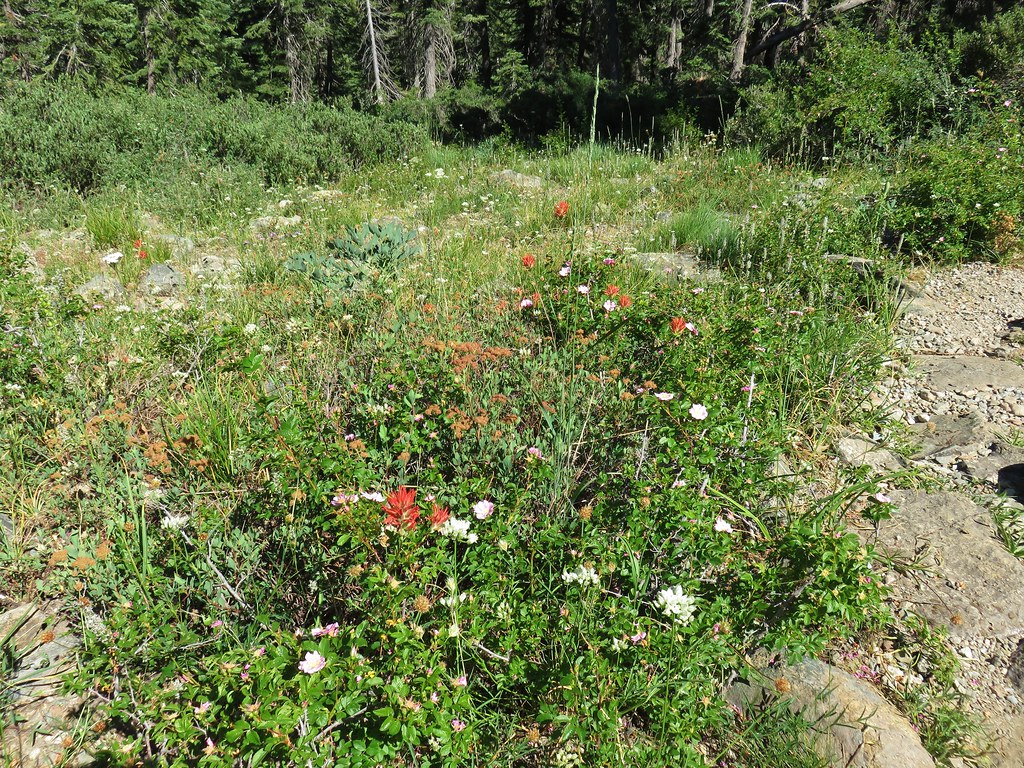
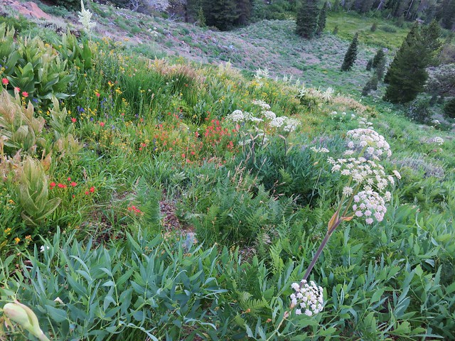
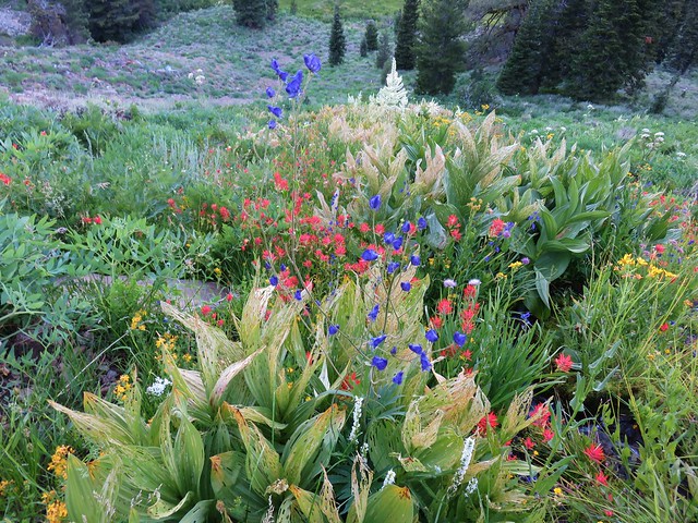
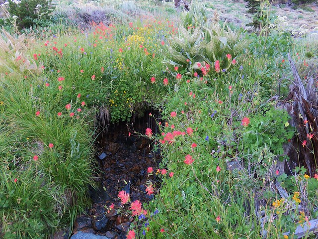
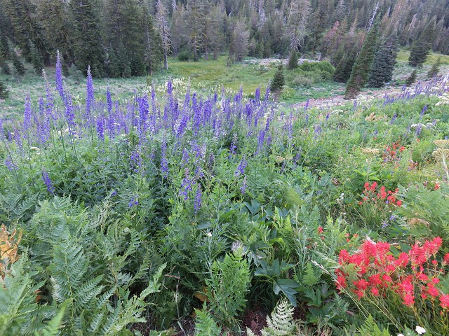
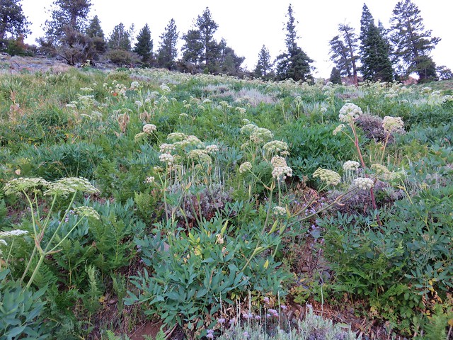
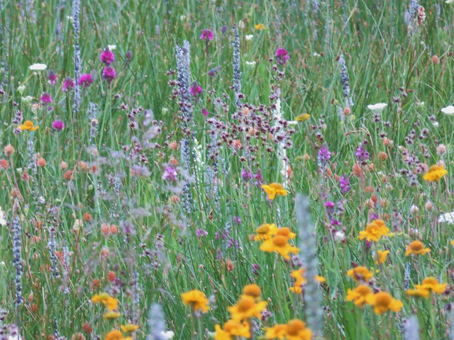
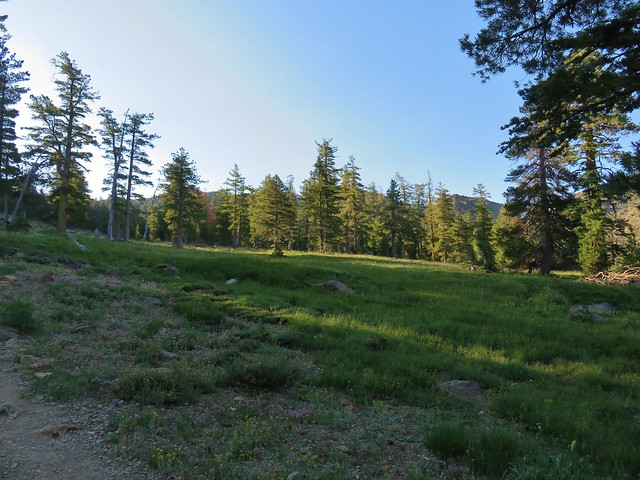
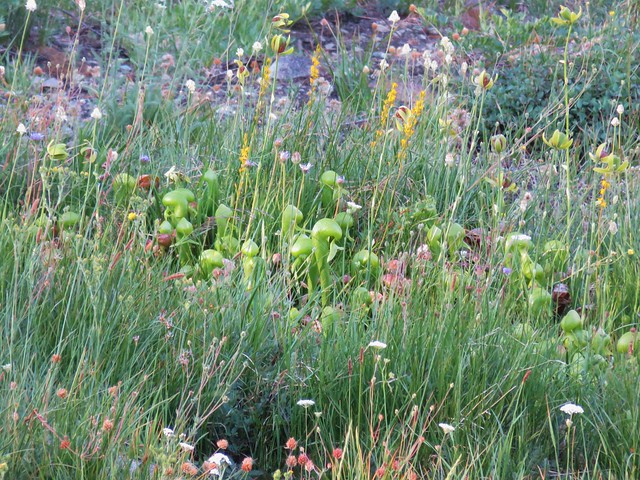
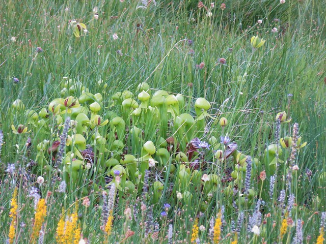
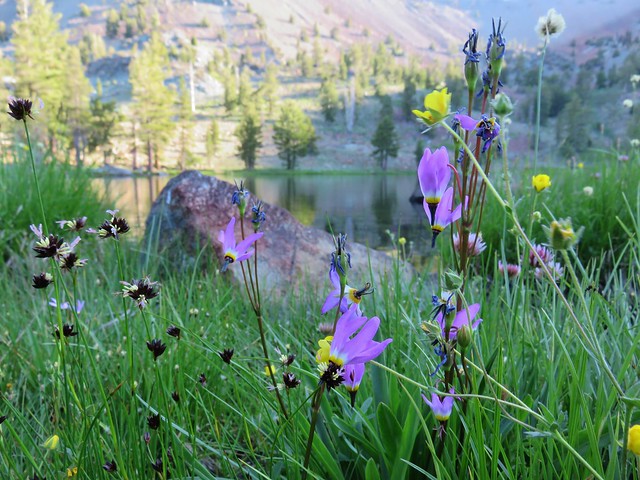
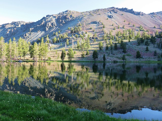
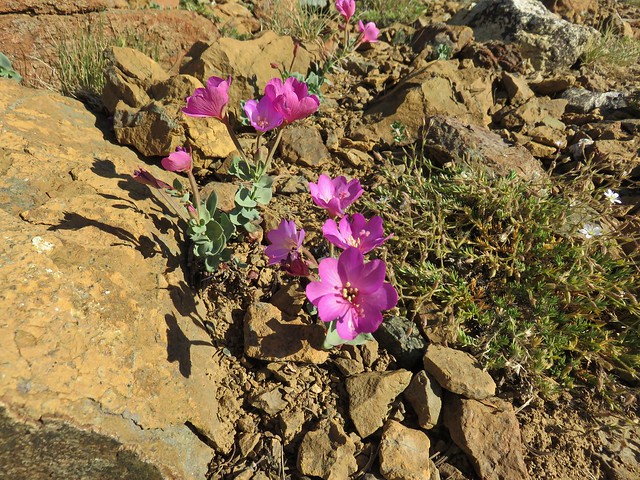
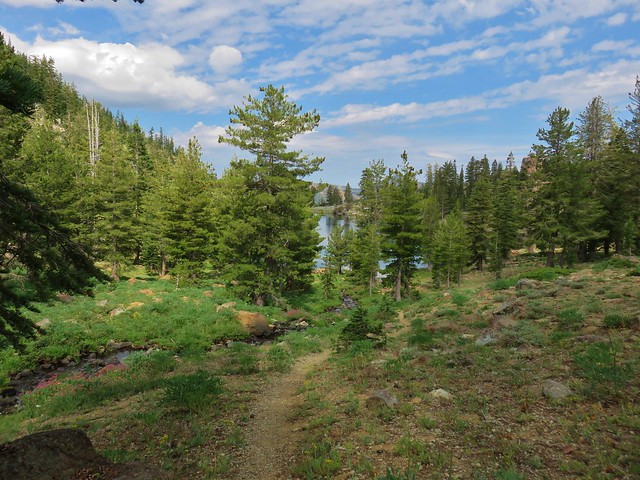
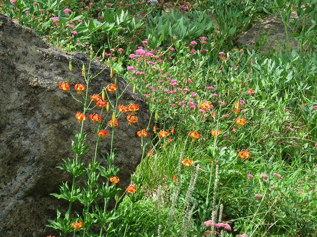
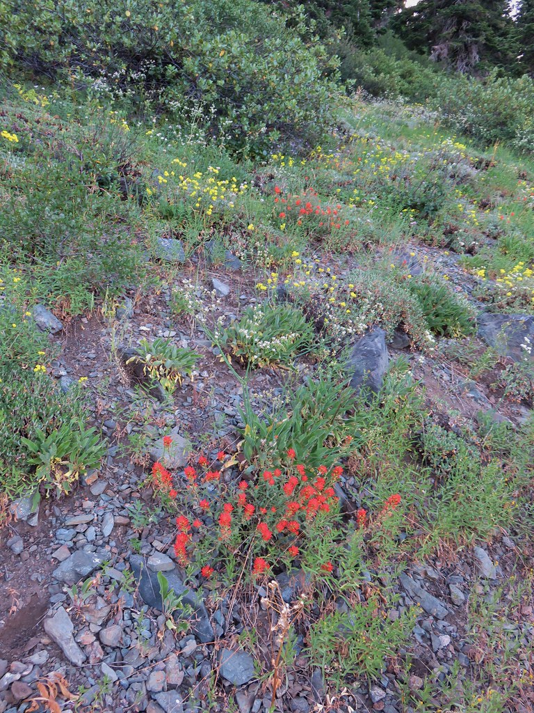
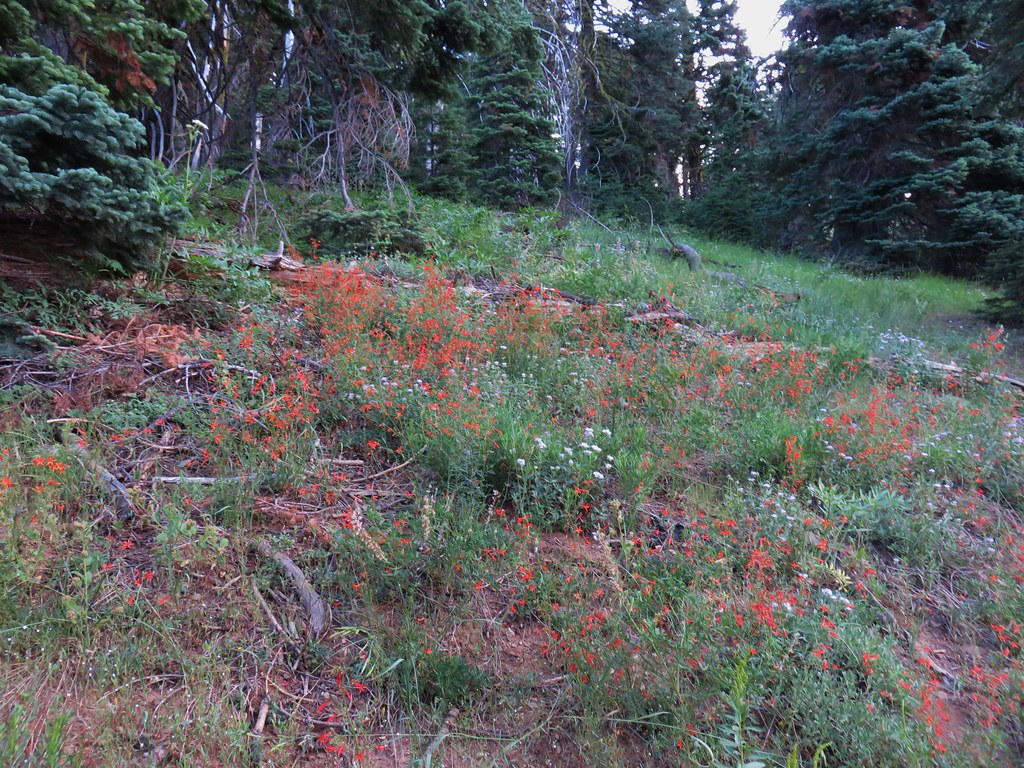
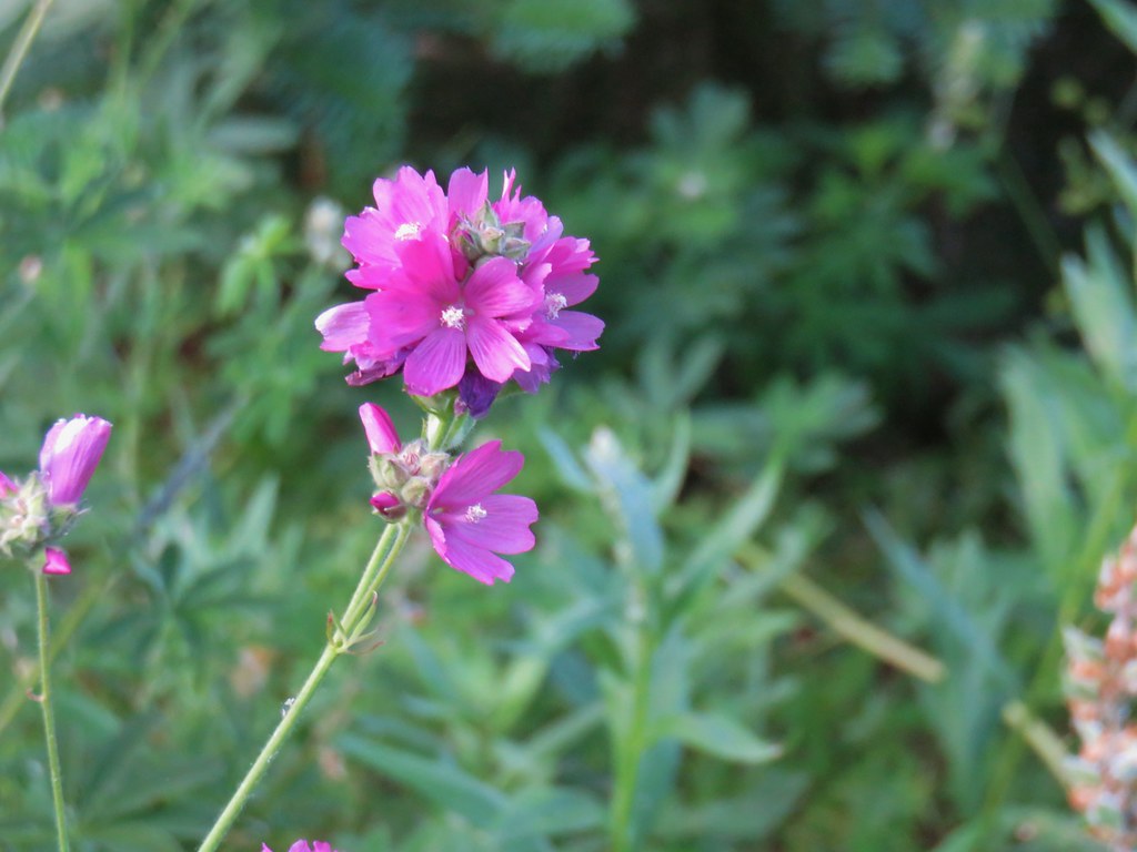
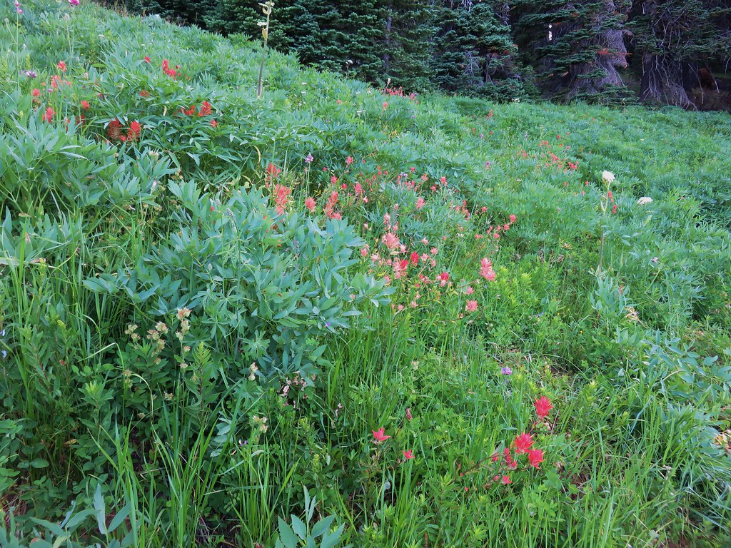
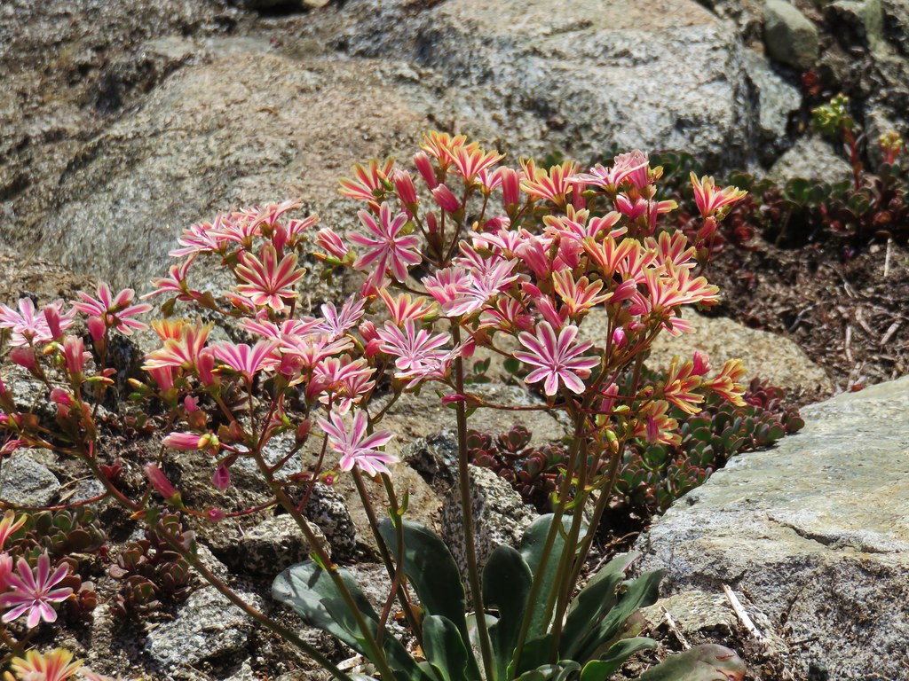
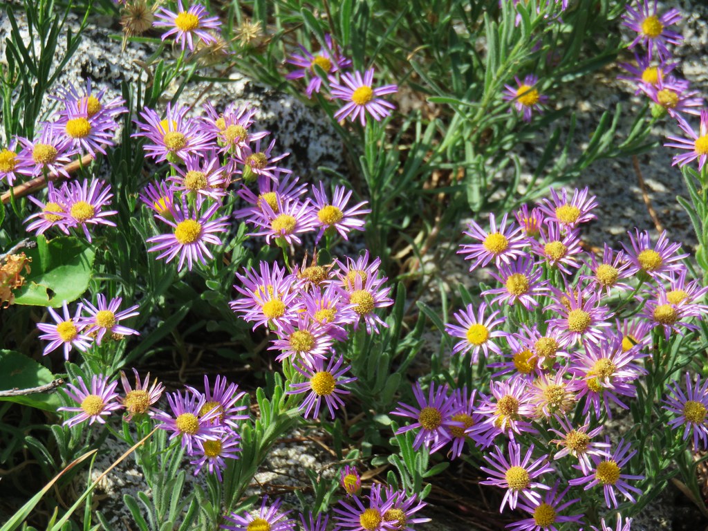
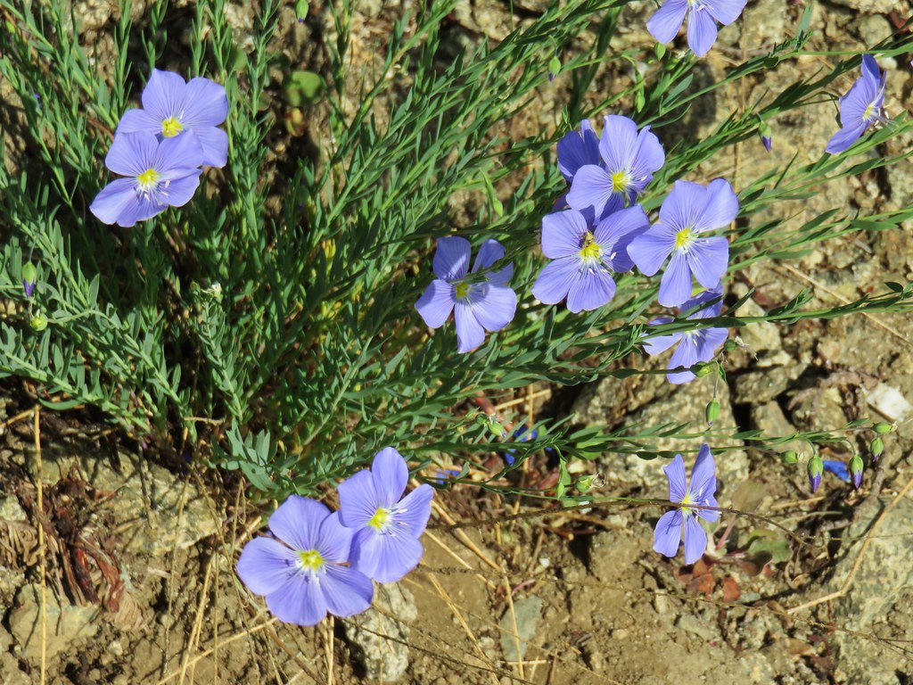
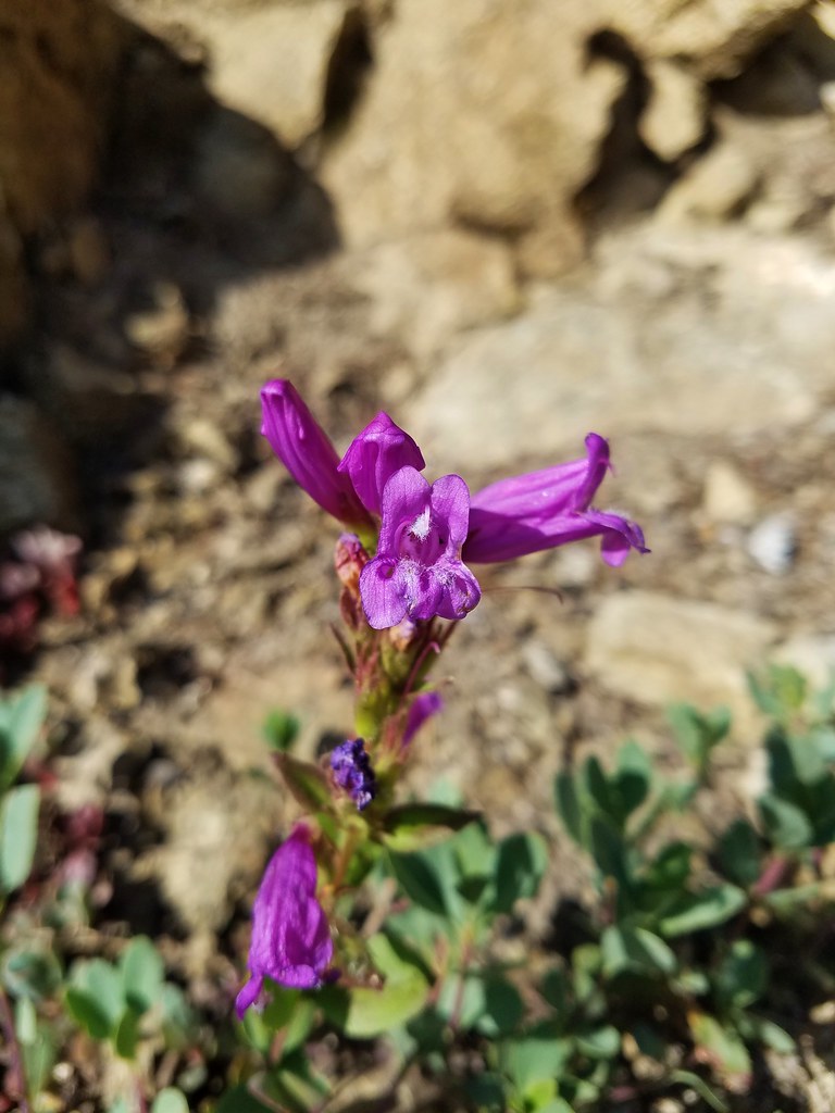
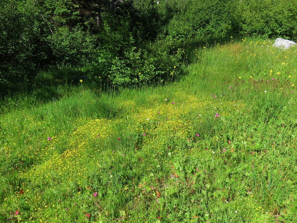
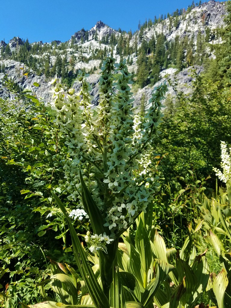
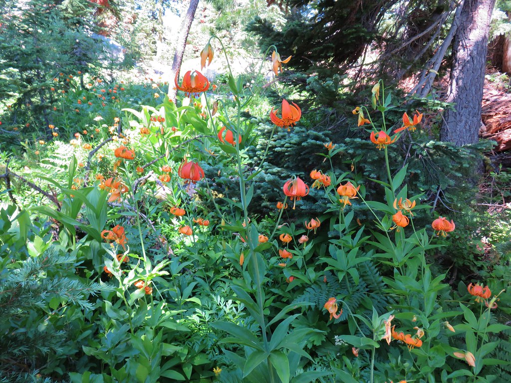
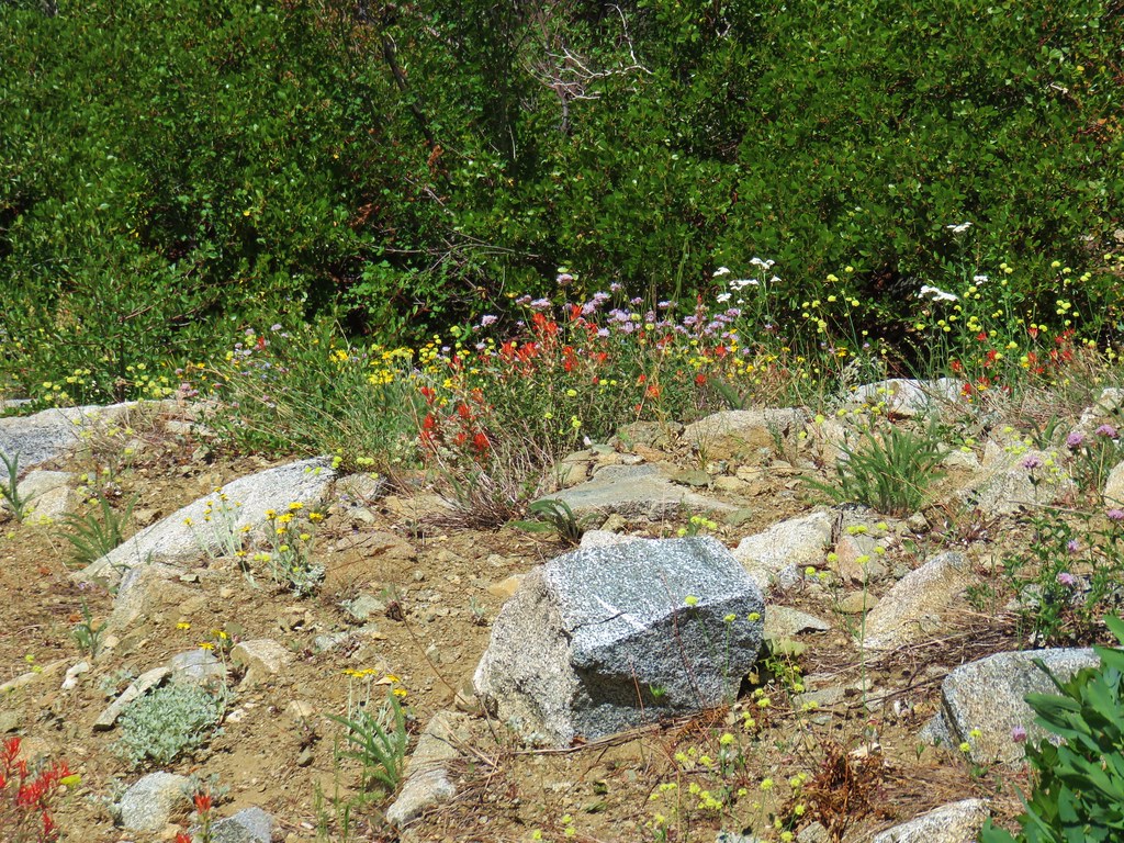
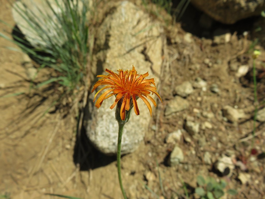
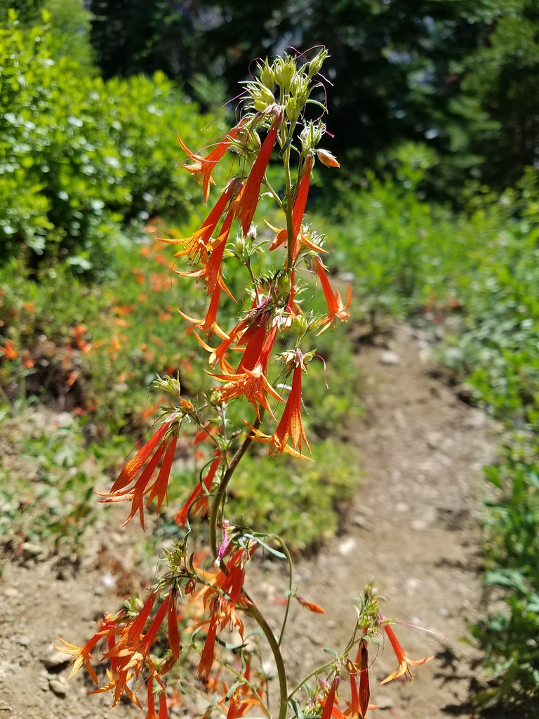
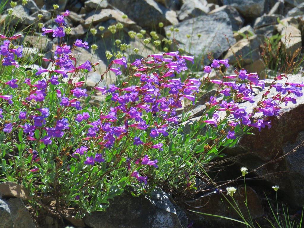
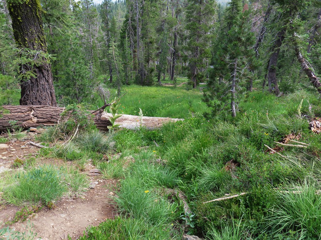
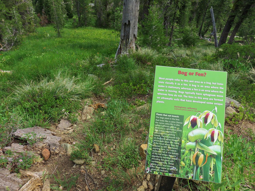
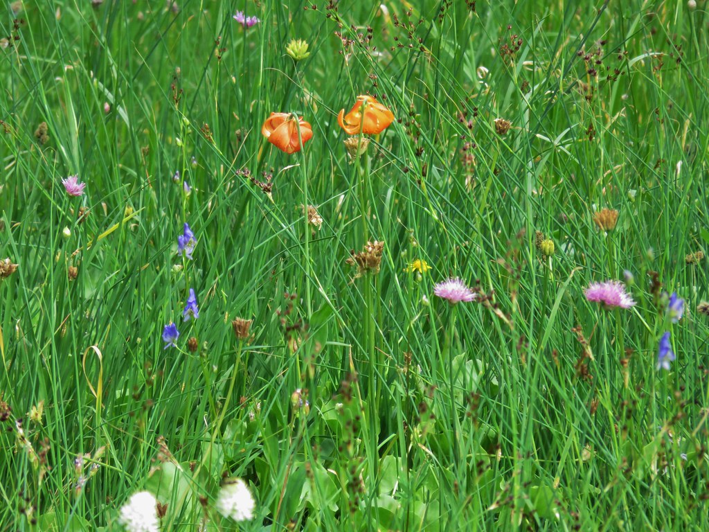
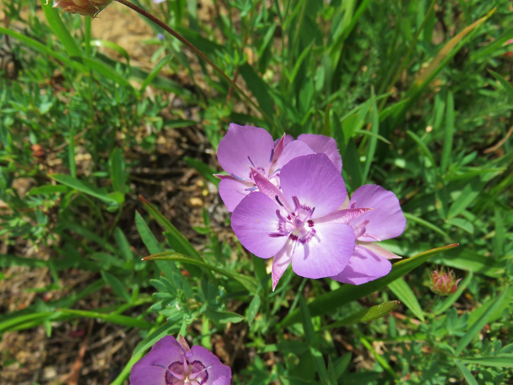
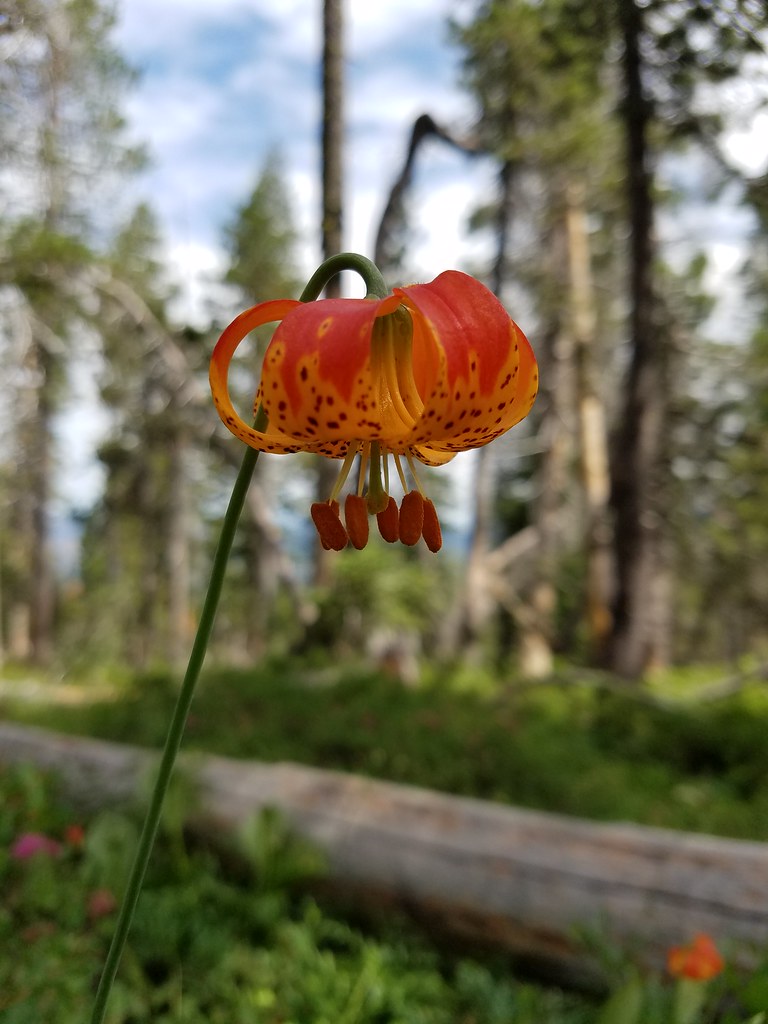
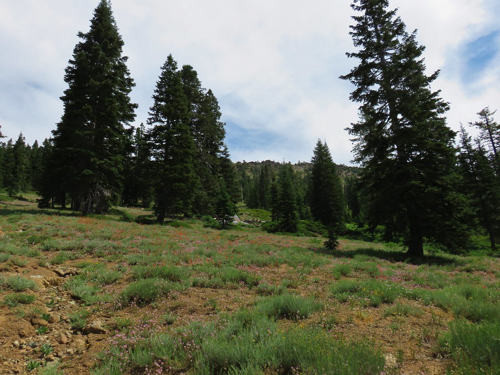
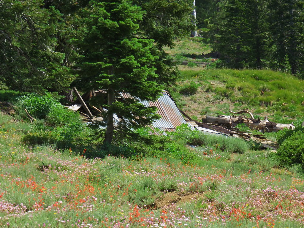
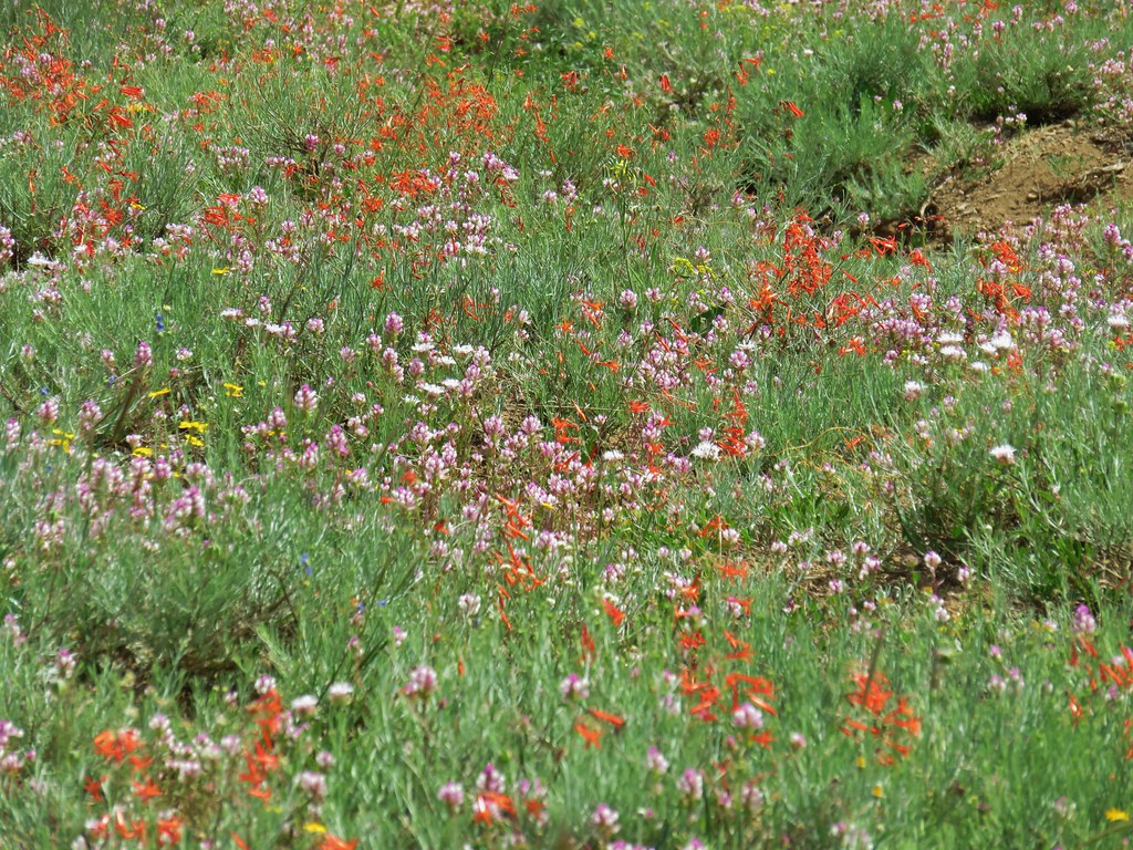
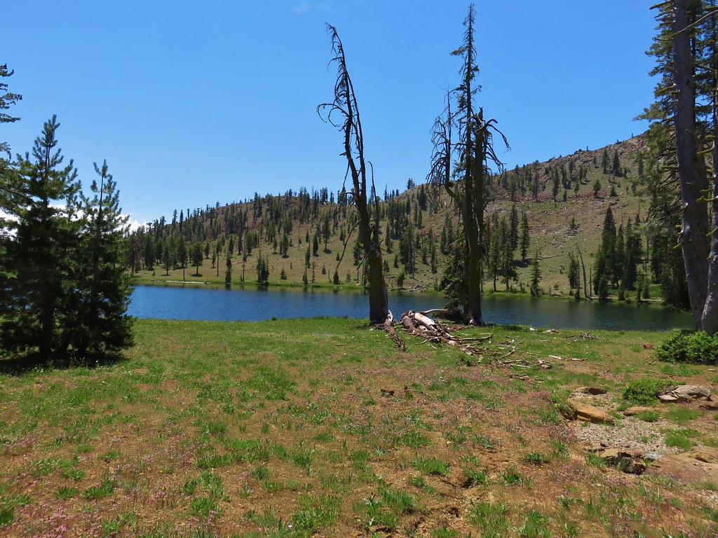
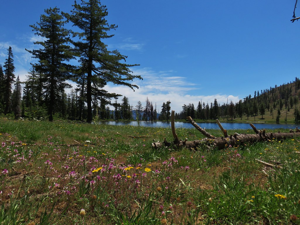
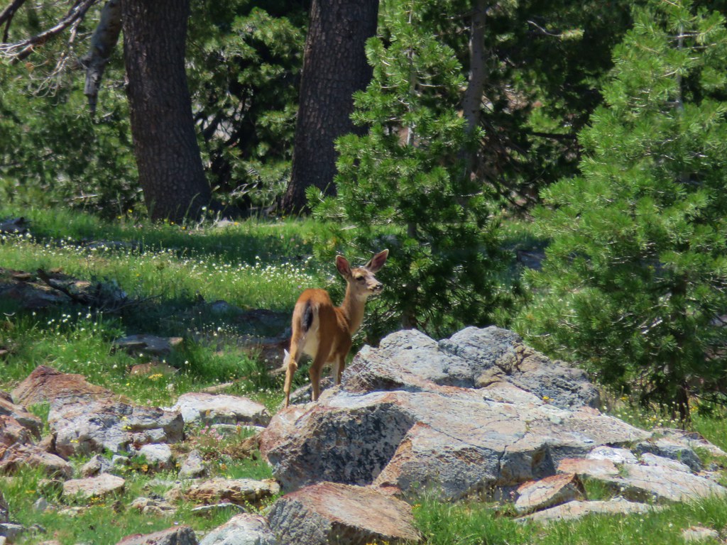
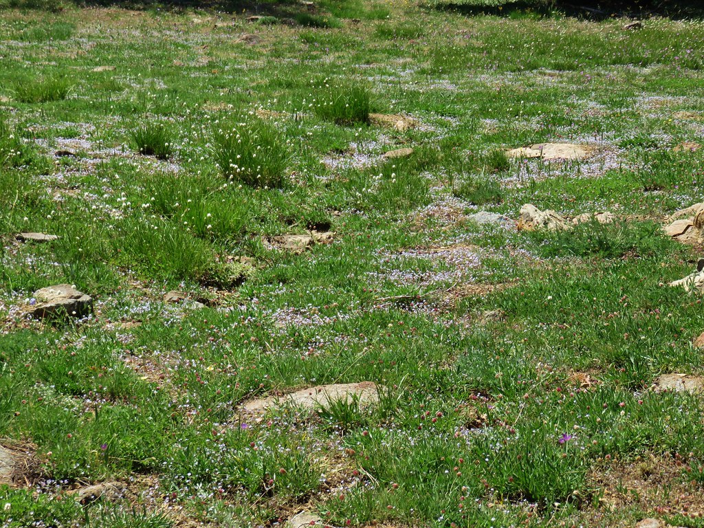
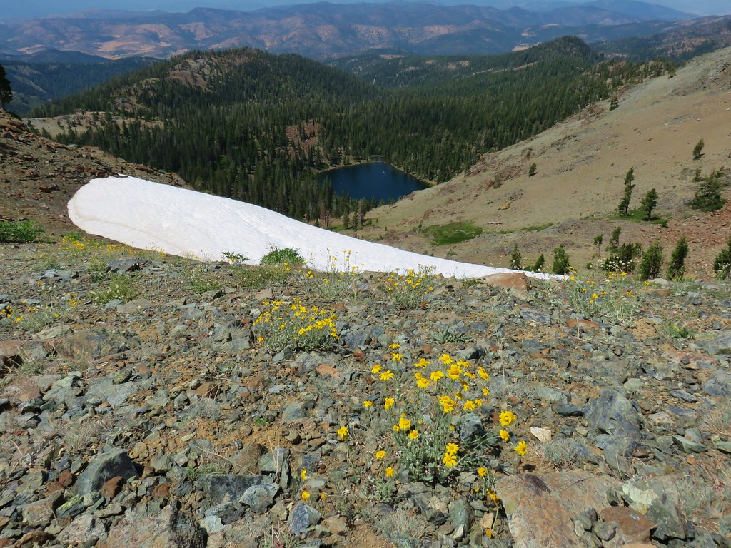
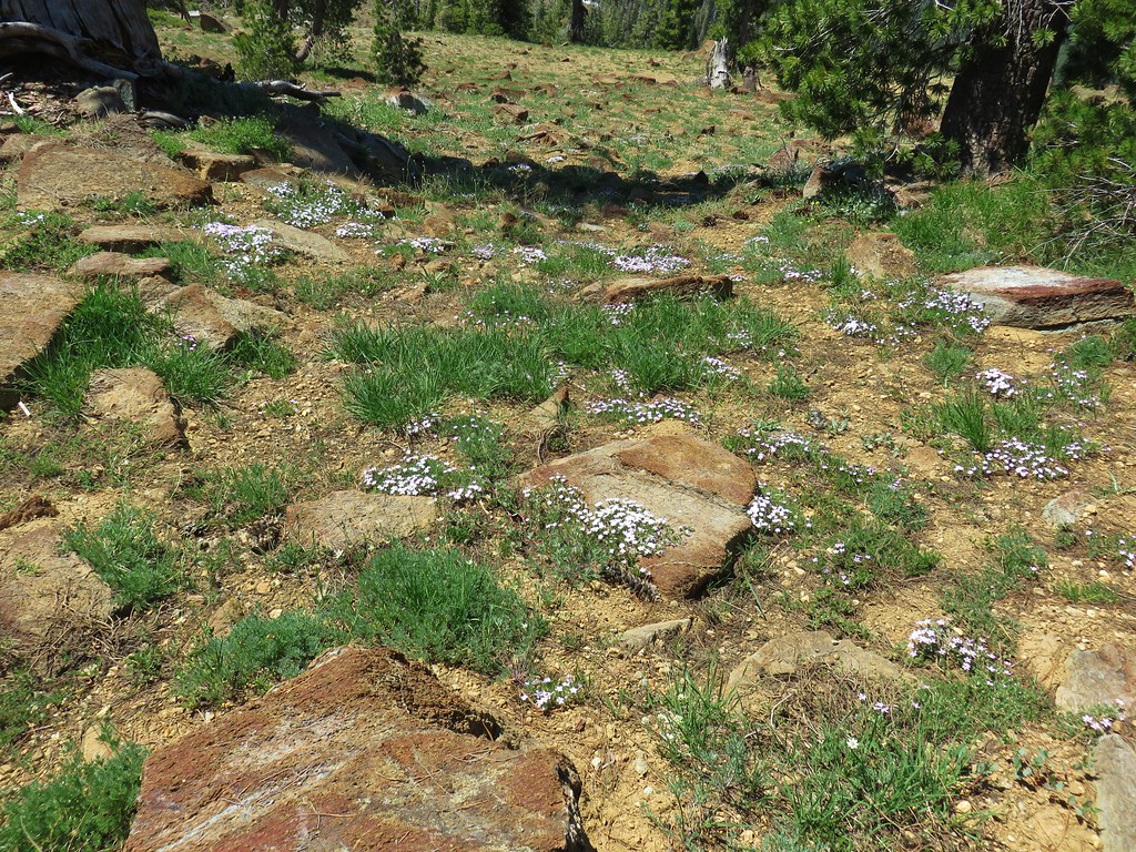
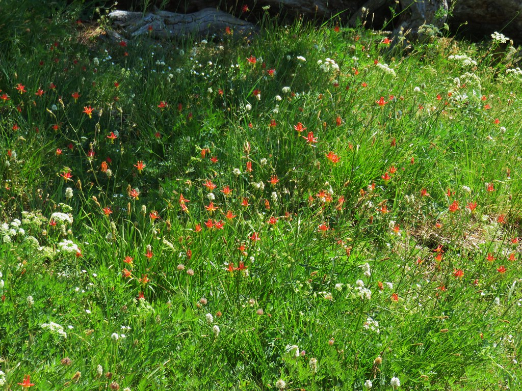
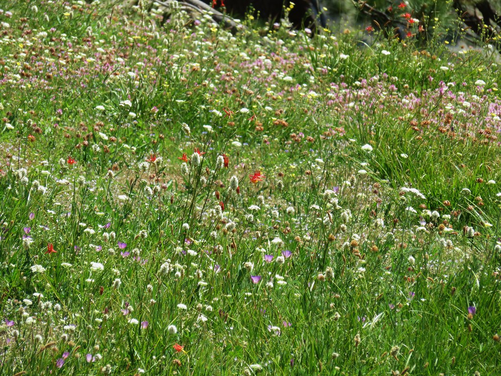
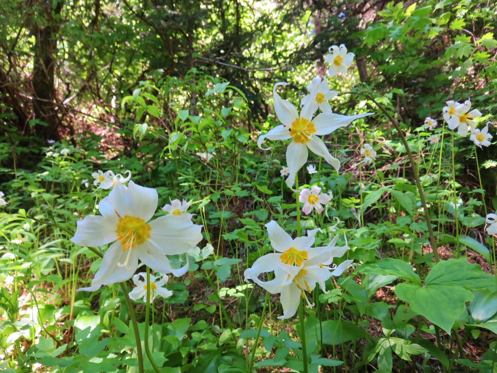
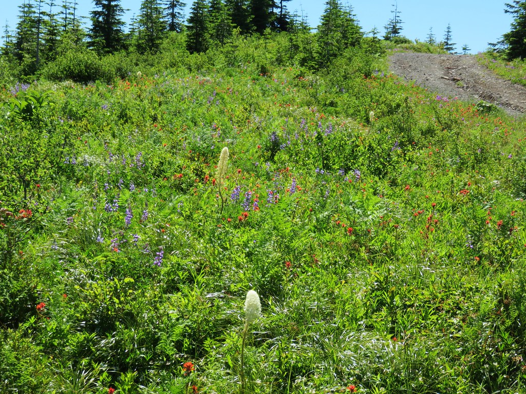
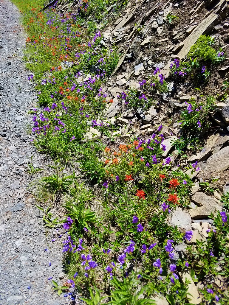
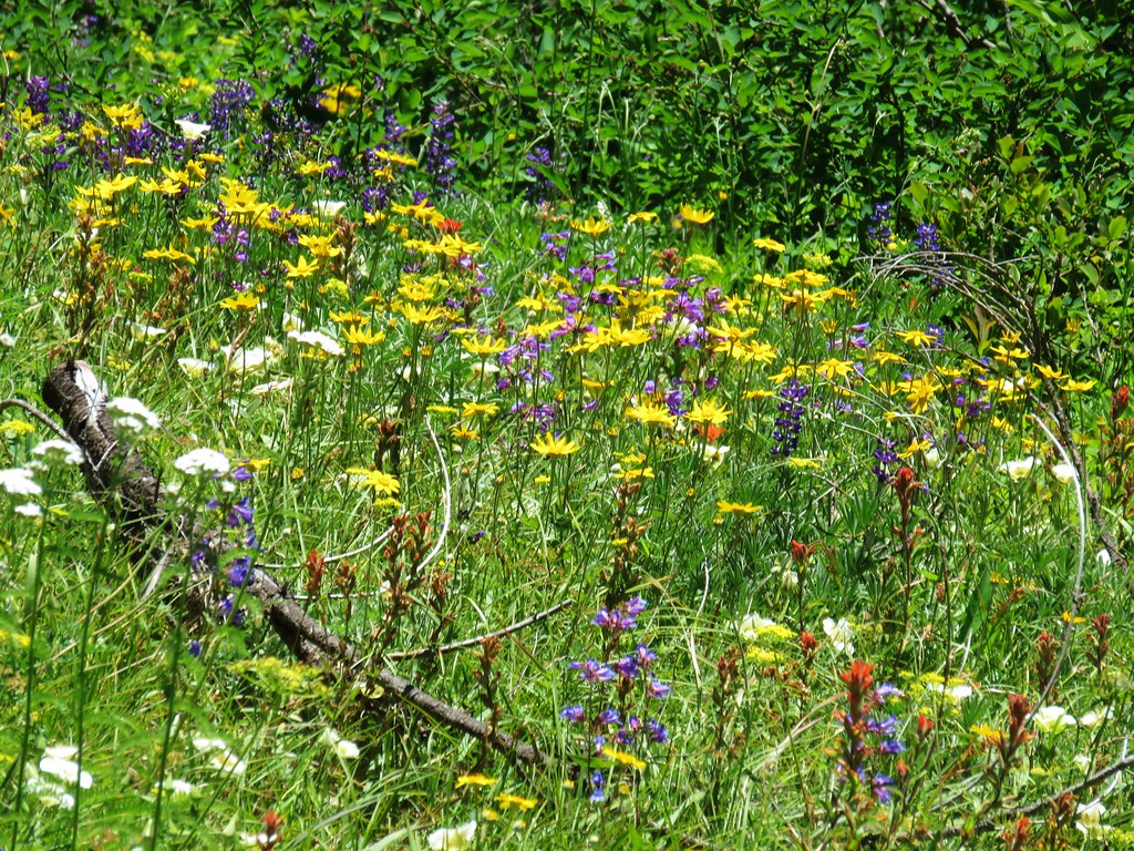
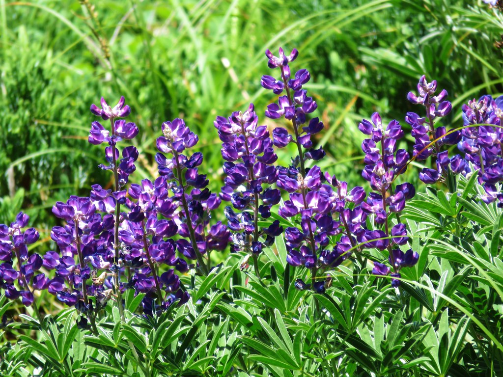
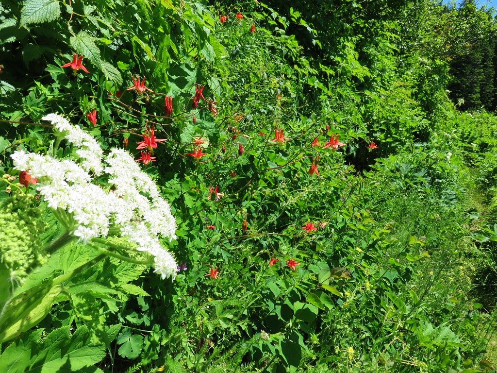
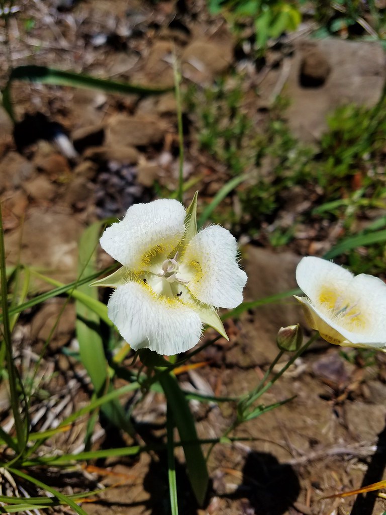
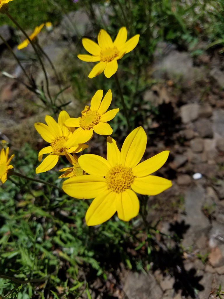
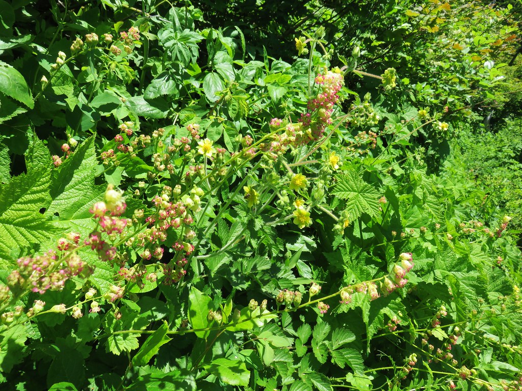
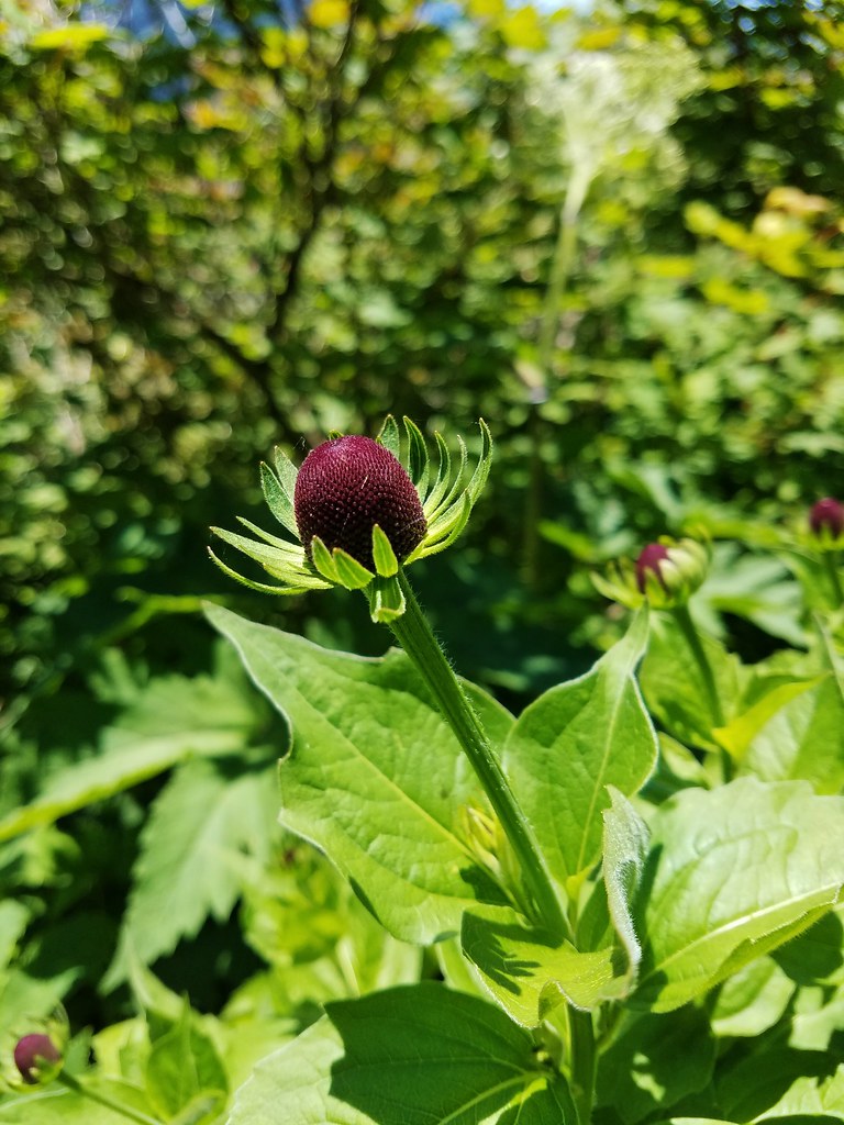
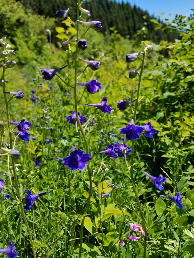
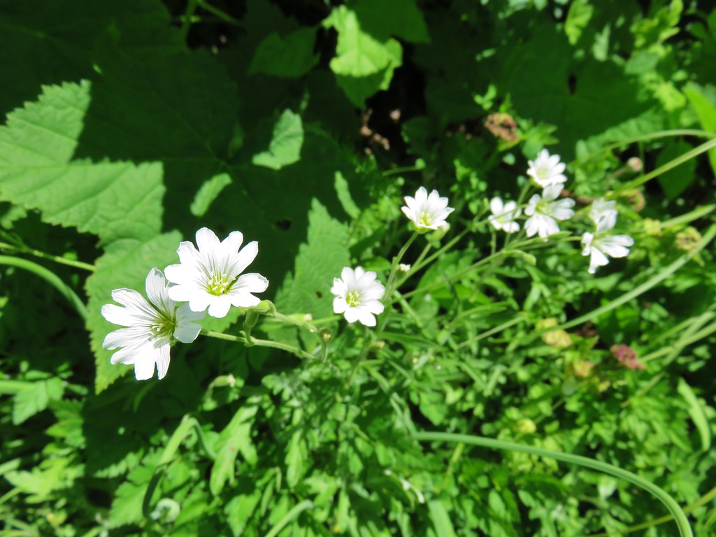
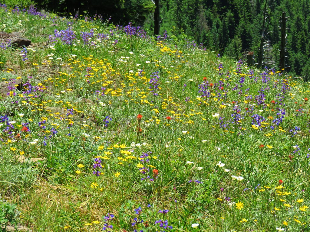
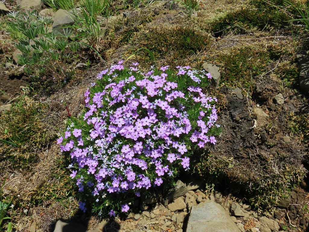
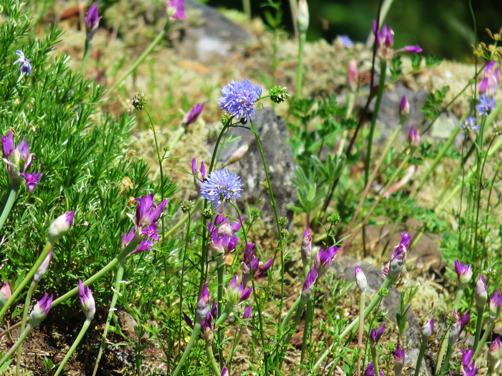
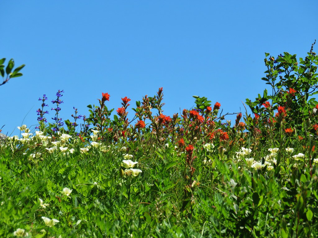
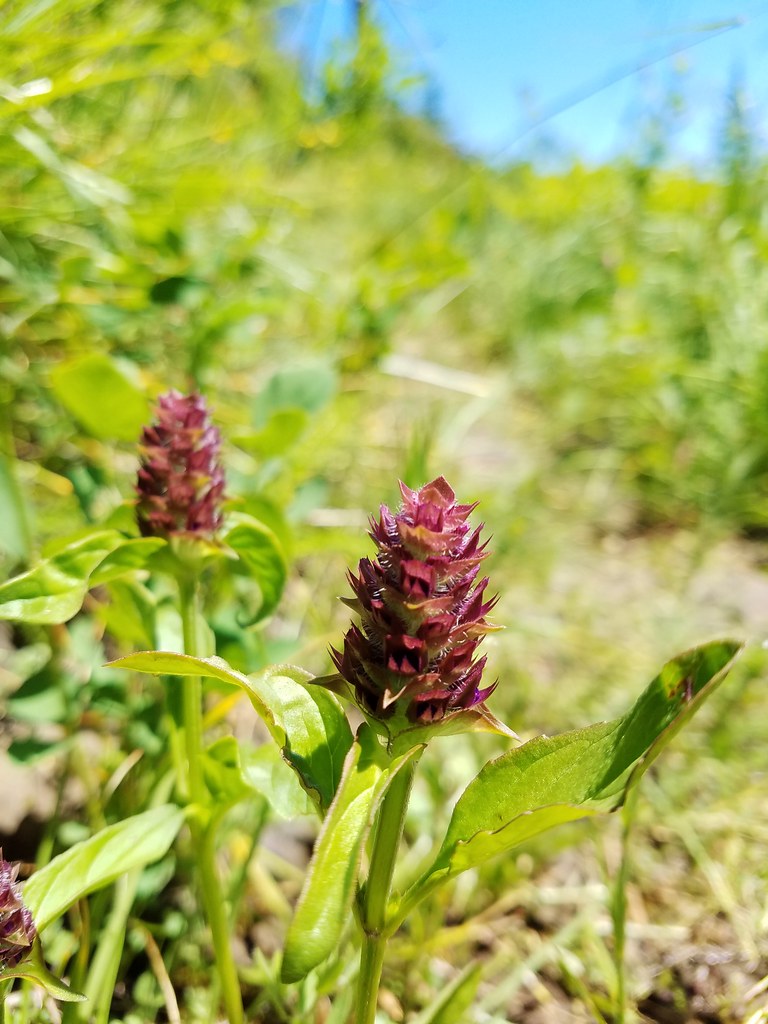
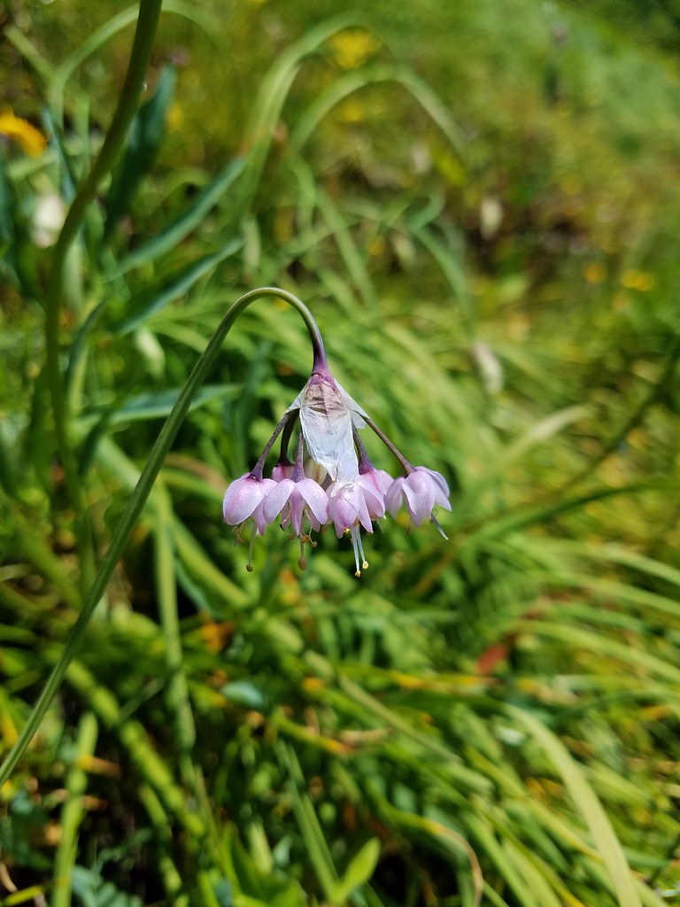
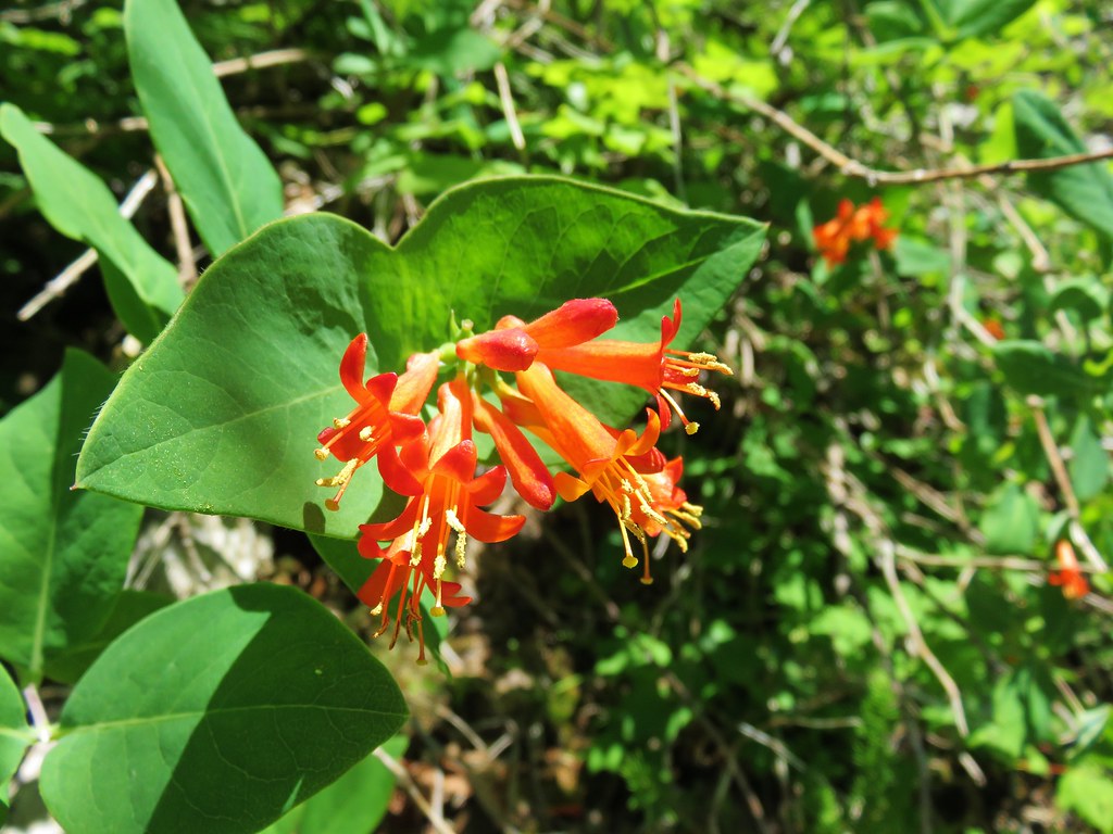
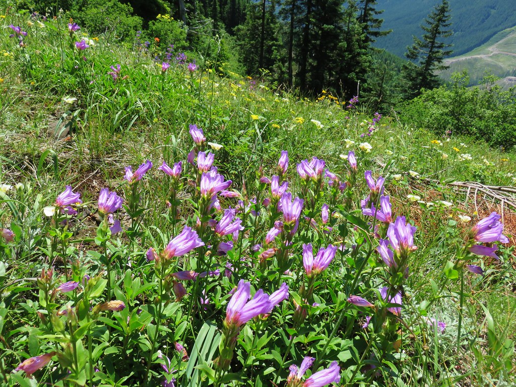
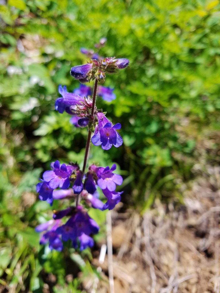
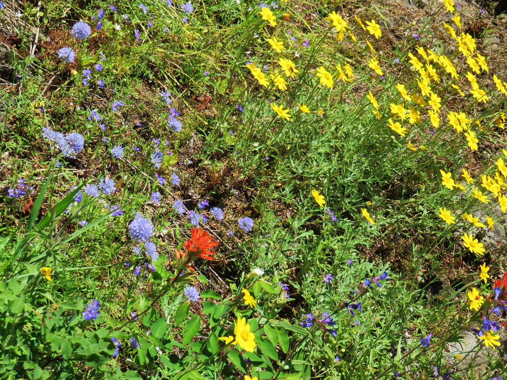
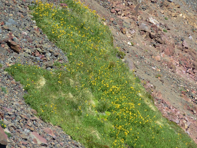
This trail dropped down from the pass to a meadow with quite a few wildflowers.
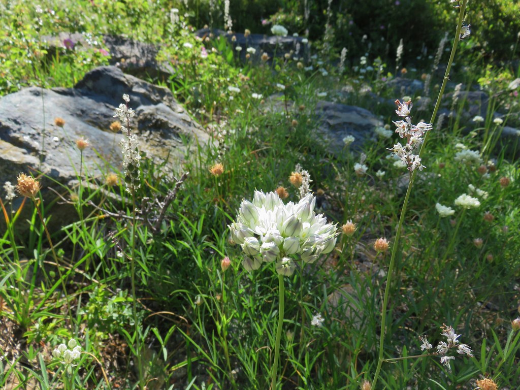
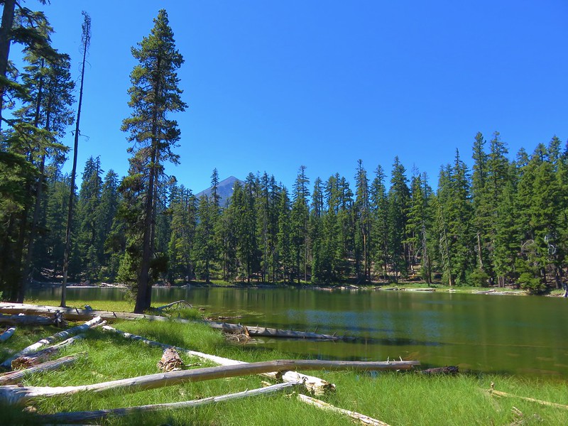
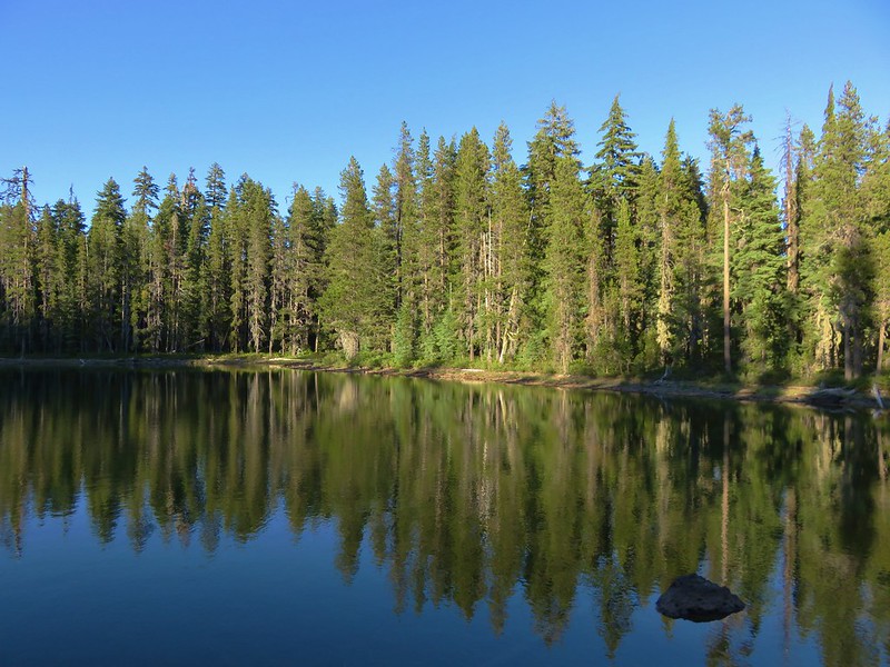
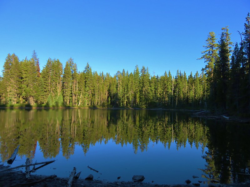
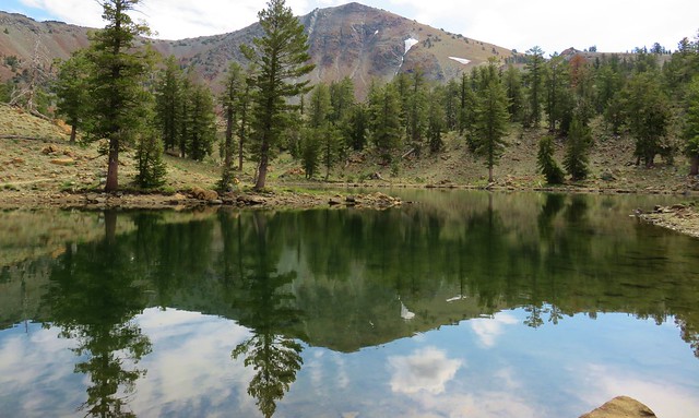
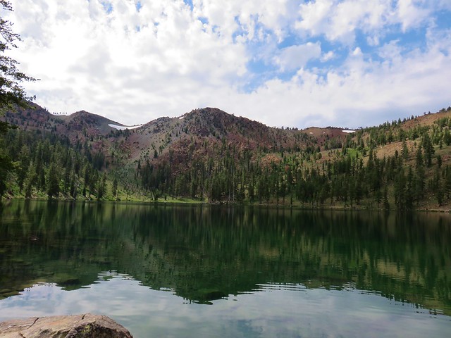
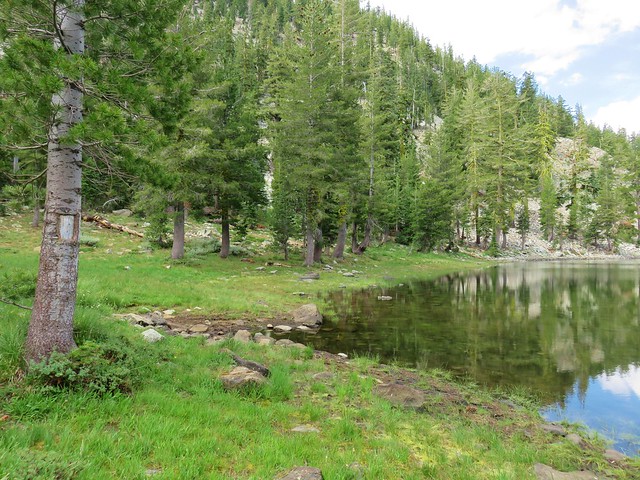
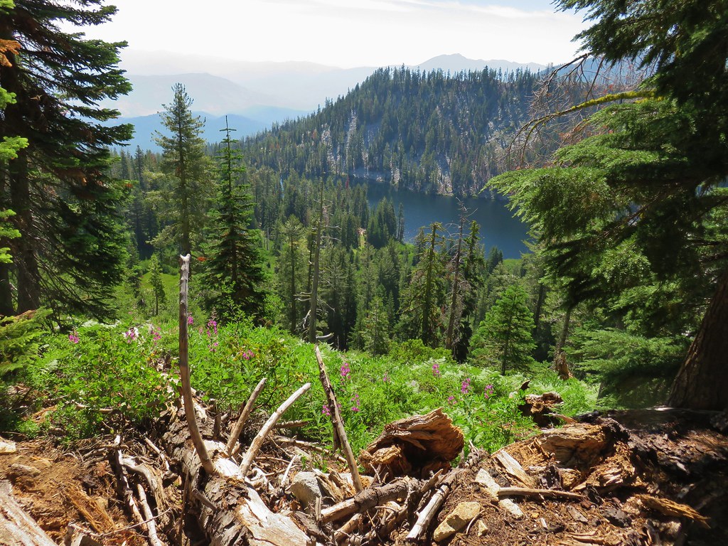
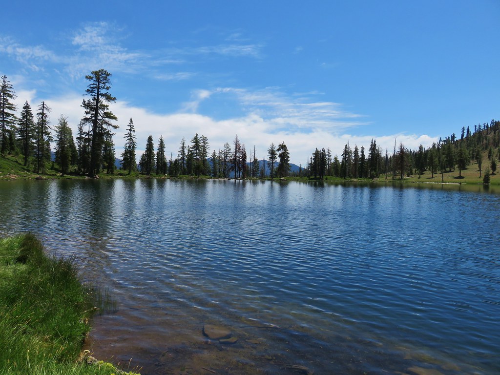
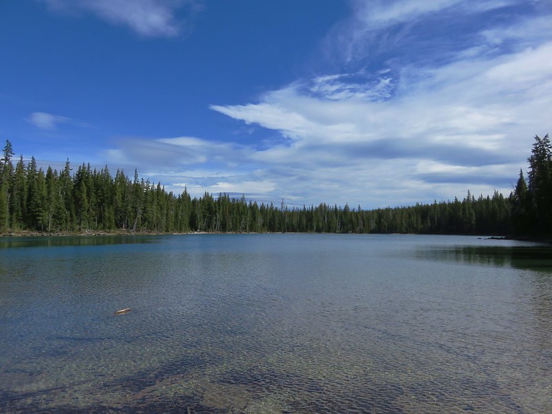
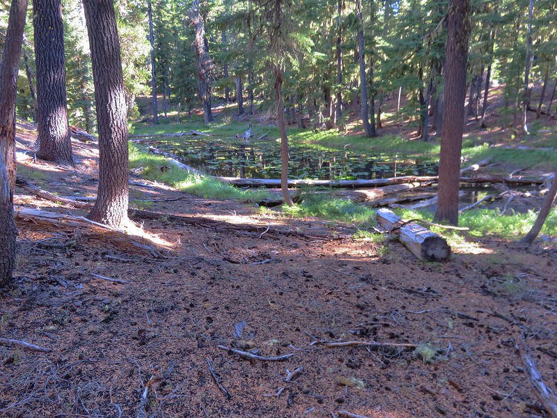
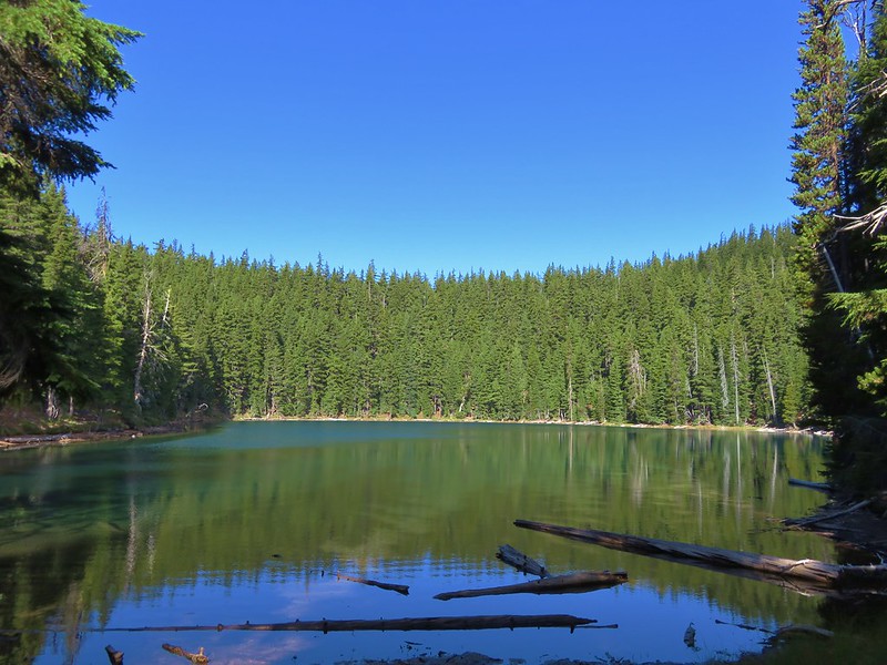
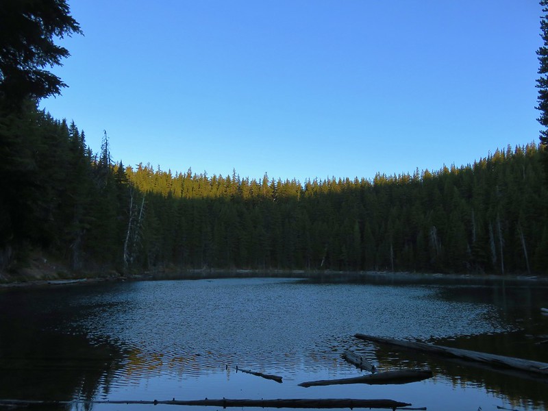
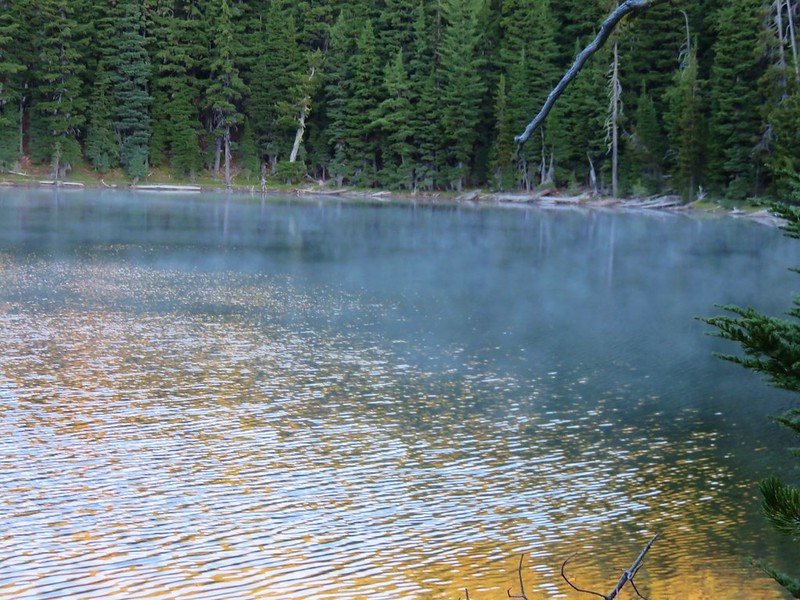
A short distance from the far end of the meadow was Little Castle Lake.
After visiting this final lake we headed back down to Castle Lake. On the way we passed a group of naked hikers which was not something we had expected to see. They were a friendly group that was on their way up to Heart Lake. It made for an unexpected end to an interesting day in the Castle Crags Wilderness. Happy Trails!
Flickr: Castle Crags Wilderness


 Looking back up at Cory Peak.
 Mylar balloon.
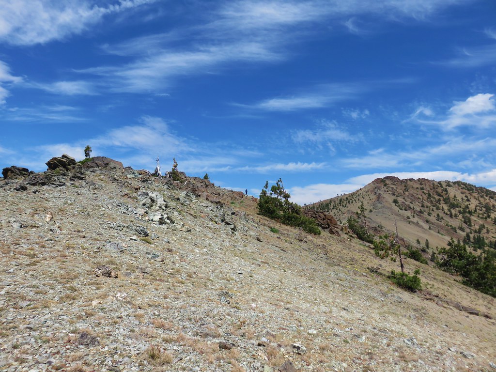 Looking back along the ridge to Cory Peak.
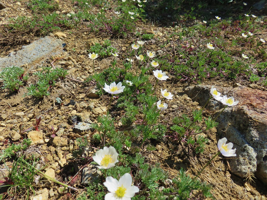
 More of the ridge we descended.
 Final stretch down to the PCT.


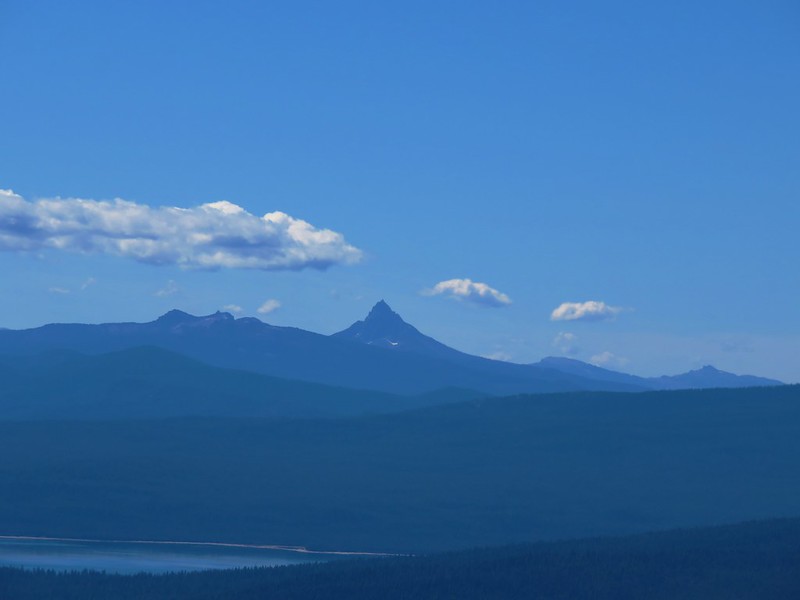
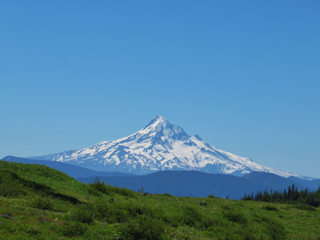 Mt. Hood
 Mt. Jefferson
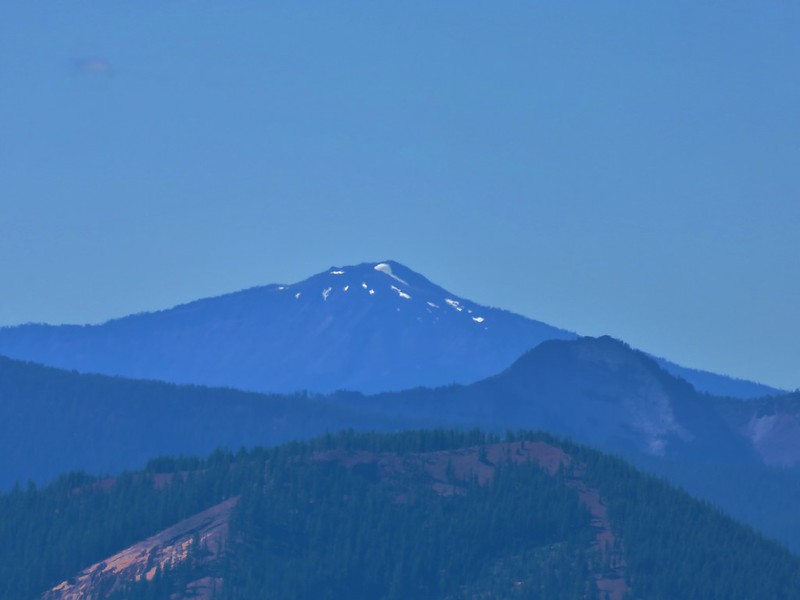
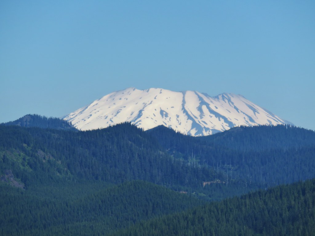 Mt. St. Helens
 Mt. Rainier
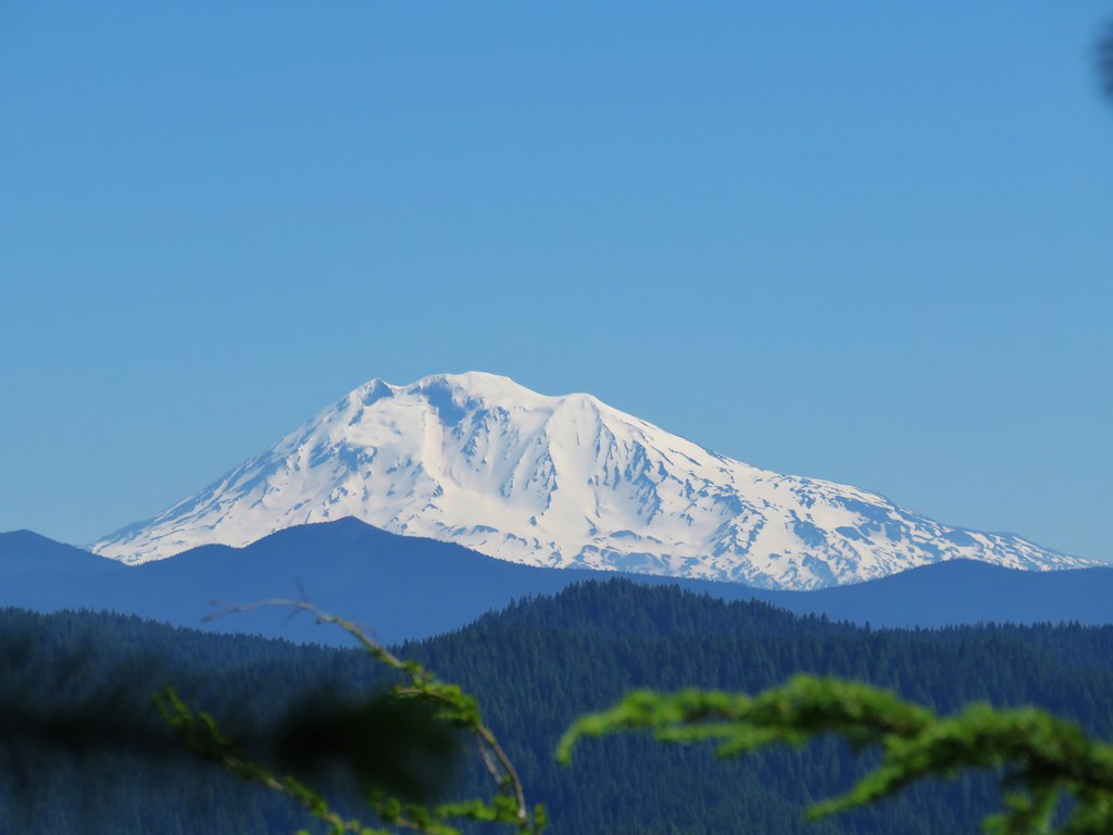
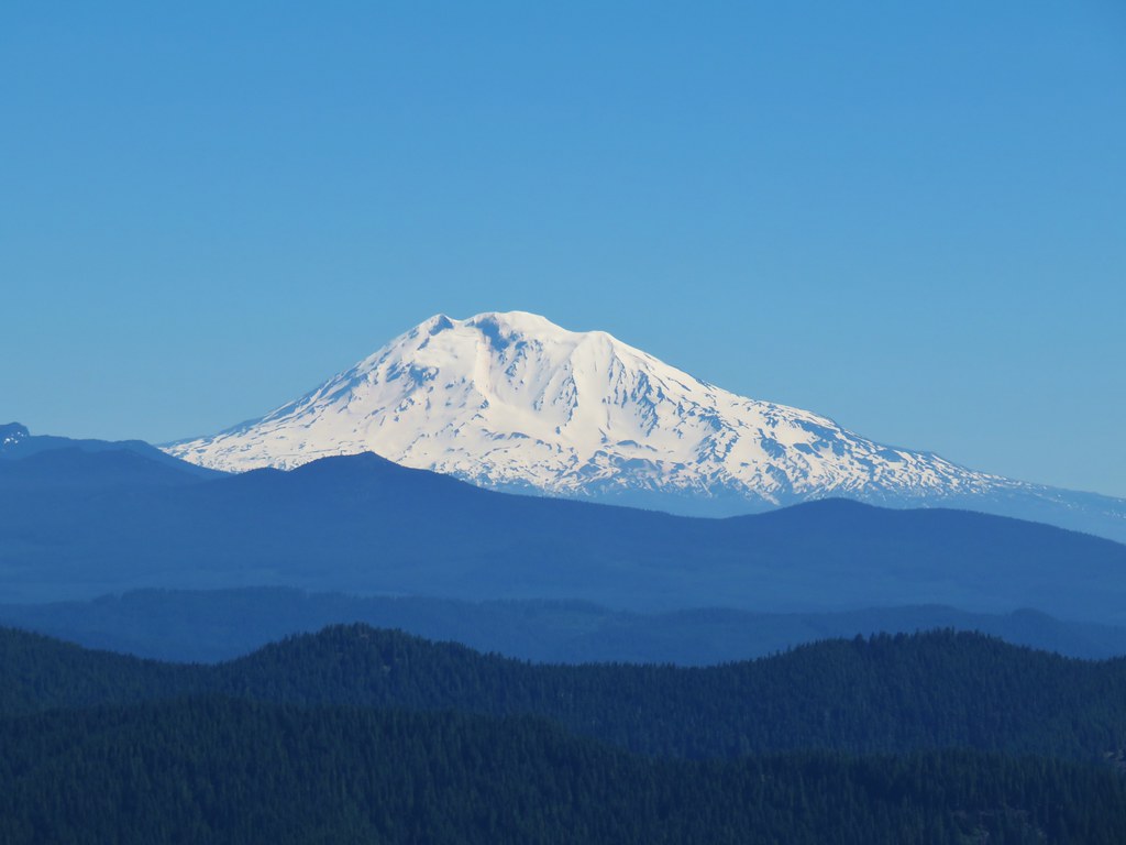 Mt. Adams
 Goat Rocks


 <
<