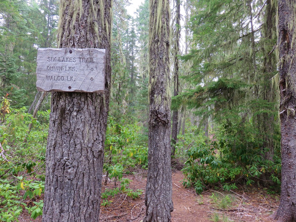
The second day of our Southern Oregon trip was forecast to be the wettest so we headed for the Sky Lakes Wilderness where the cloudy conditions wouldn’t hinder our views too much. Our goal for the day was to hike to Island Lake via Blue Lake Basin then possibly return via Cat Hill Way. The out-and-back to Island Lake is featured hike #40 in Sullivan’s “100 Hikes/Travel Guide Southern Oregon & Northern California” guidebook (edition 4.2). We had visited Island Lake in 2016 (post) but from the other direction. Since that visit only covered 0.1 miles of the featured hike and the hike is titled “Blue Lake Basin” not Island Lake we had not considered it done.
We began at the Blue Canyon Trailhead.

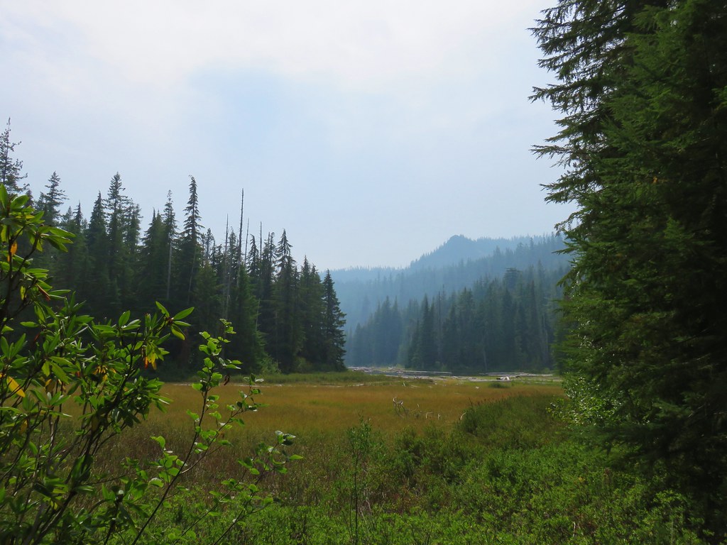
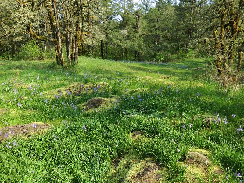
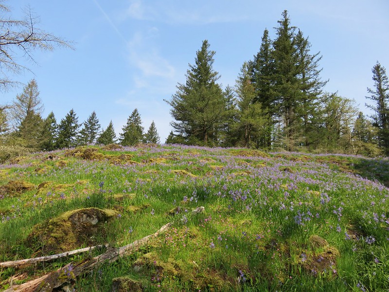
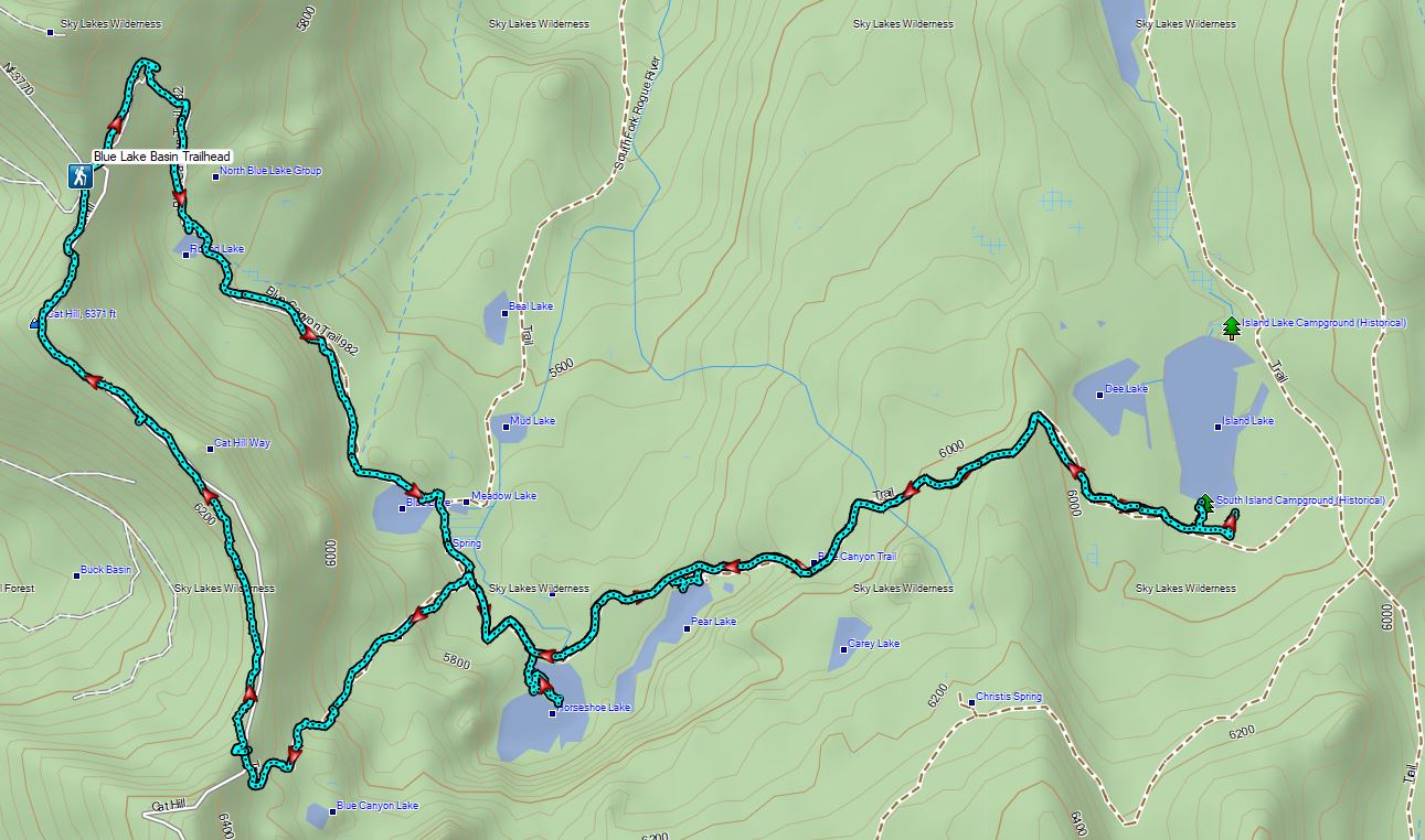
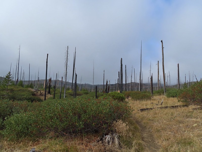
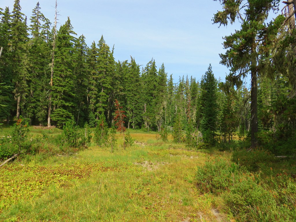
A crisp wind blew through the small meadow near the trailhead encouraging us to hustle downhill on the trail into the trees which provided some relief.
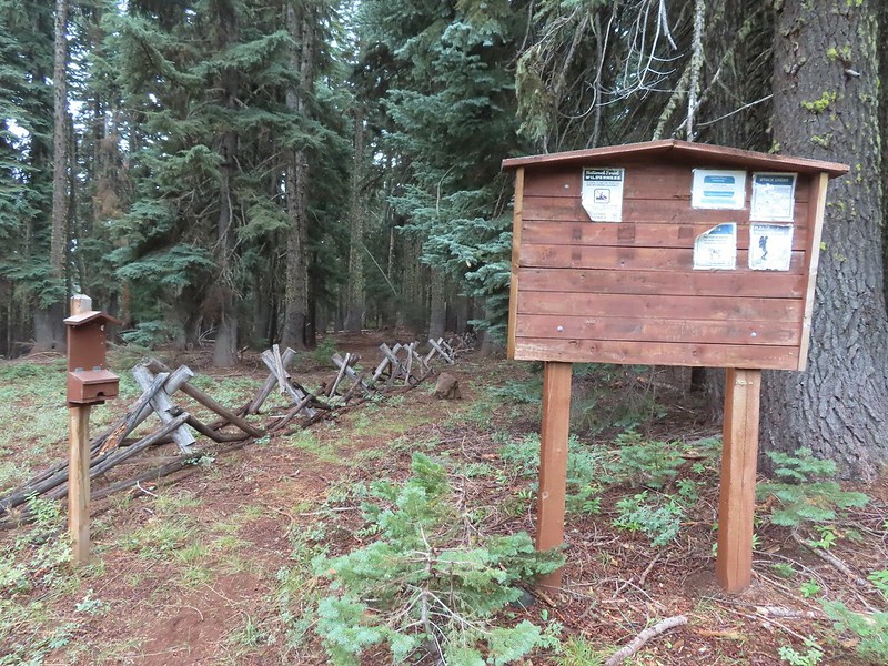
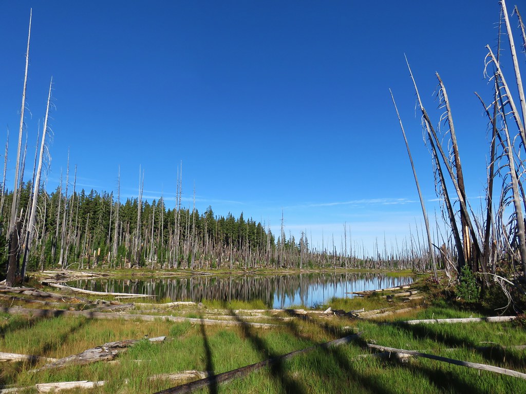
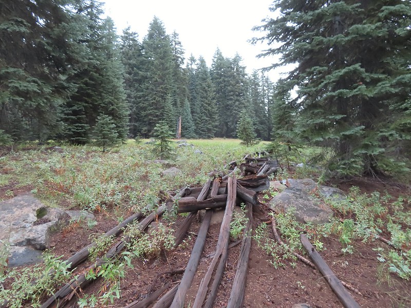 An old fence in the meadow.
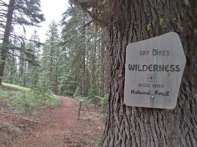 Entering the Sky Lakes Wilderness.
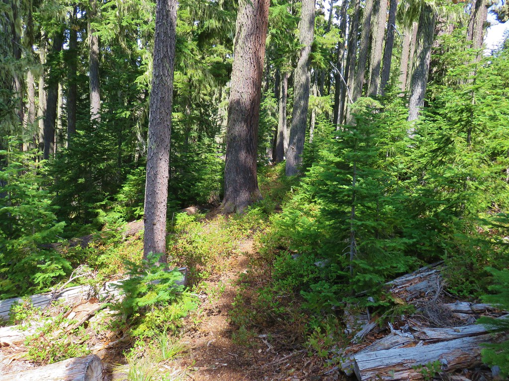
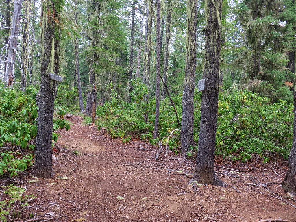
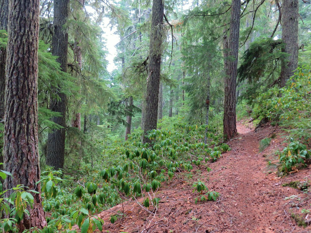
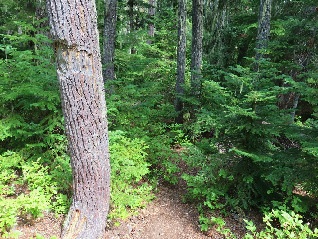
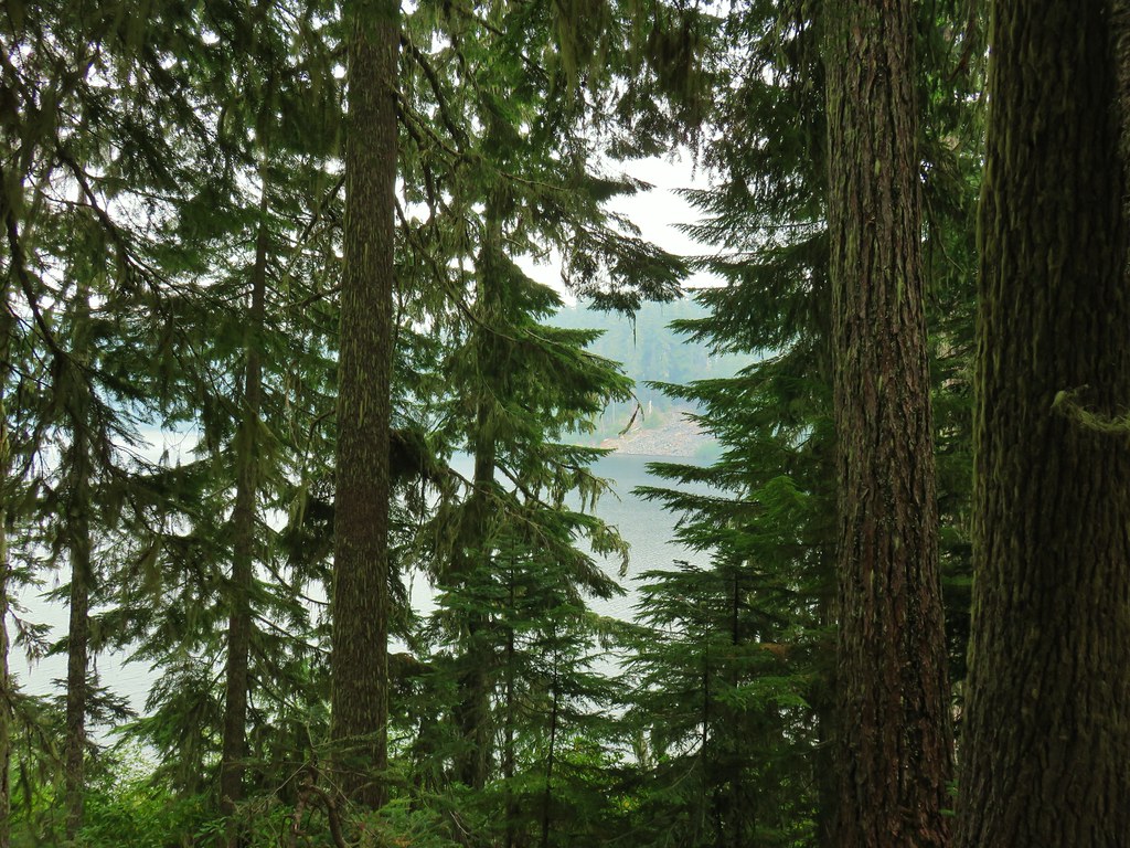
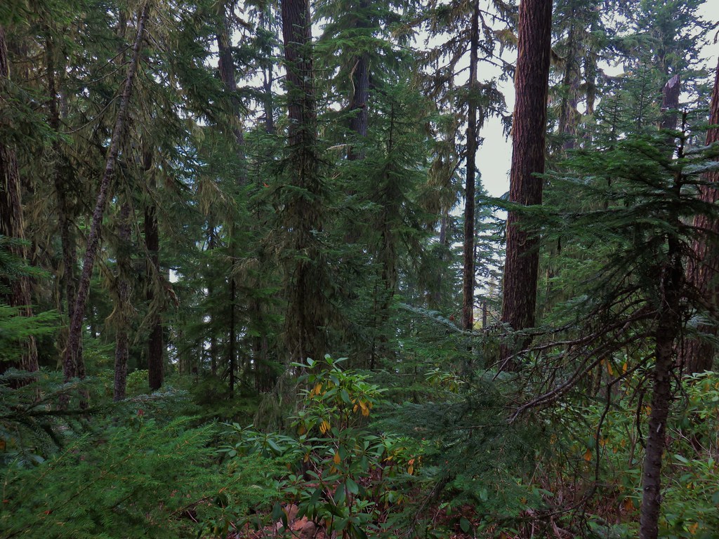
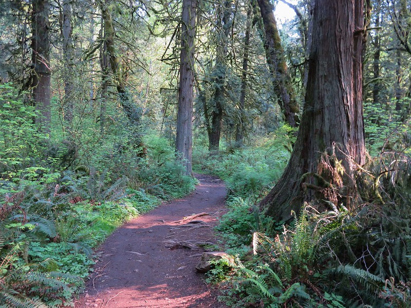
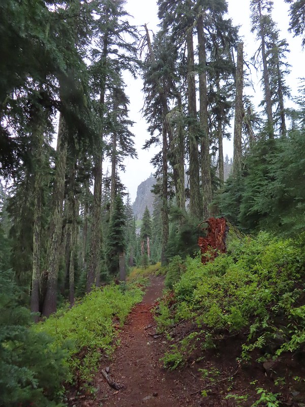
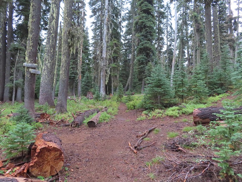
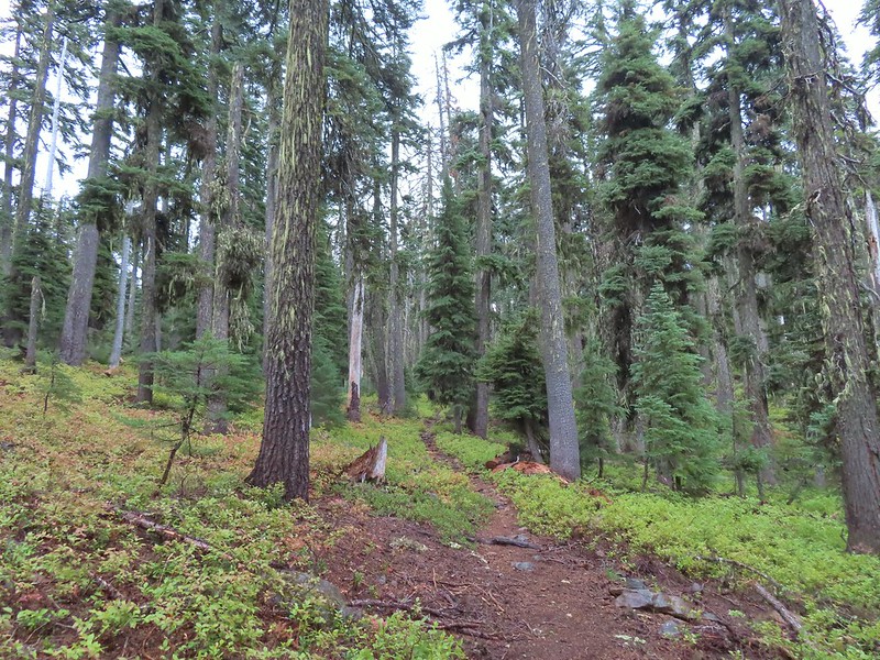
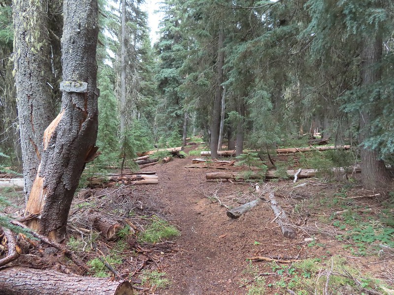
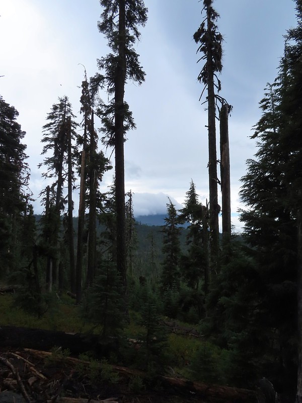
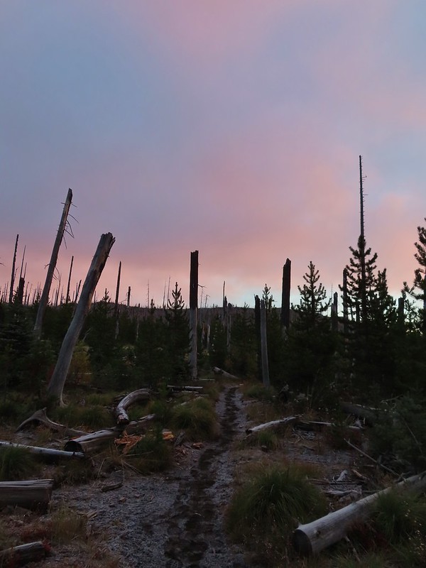
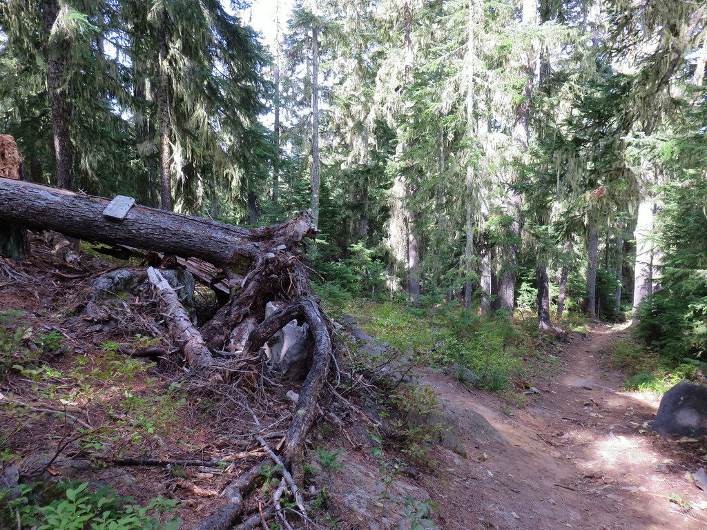
 Into the trees we go.
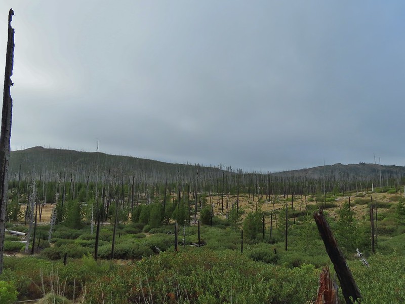
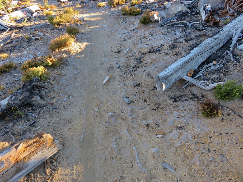
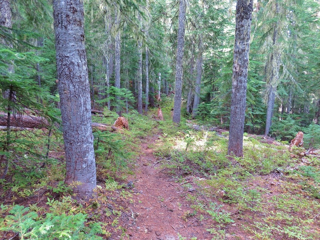
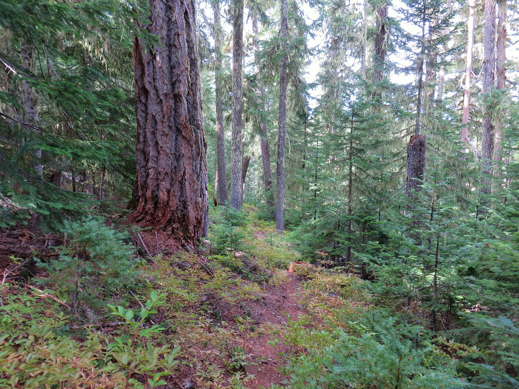
It had been a while since we’d actually been cold starting out on a hike and it was kind of nice. We hoped that the wet weather was also present over the Cedar Creek Fire to the north near Waldo Lake. Here there was no sign of smoke as we hiked through the damp forest.

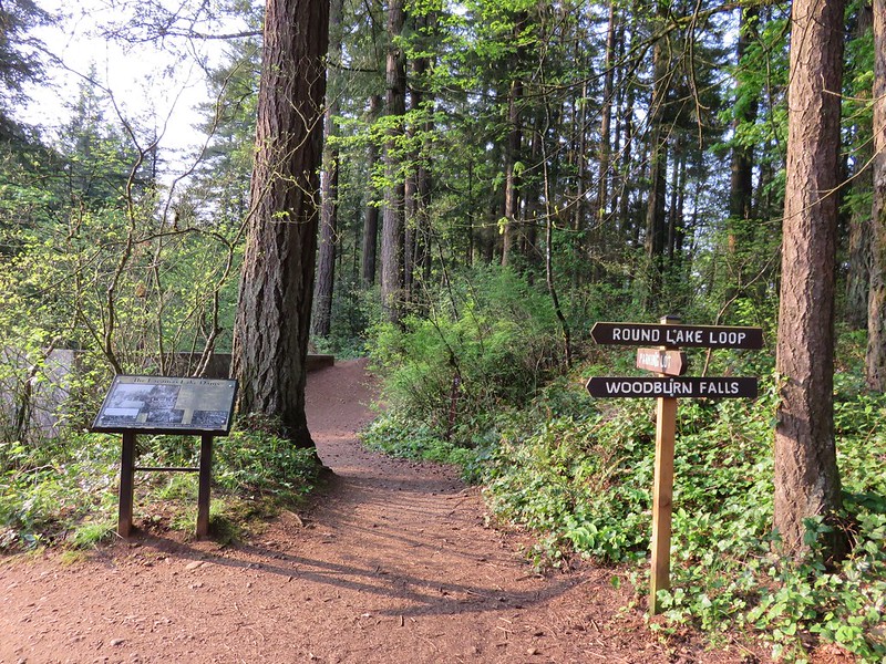
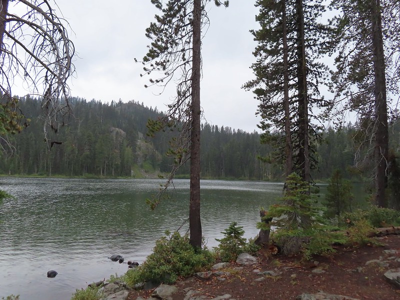
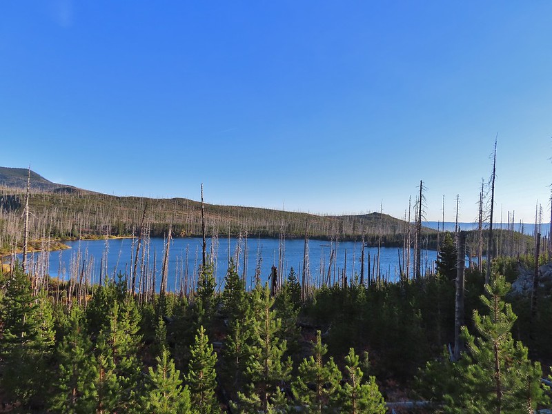
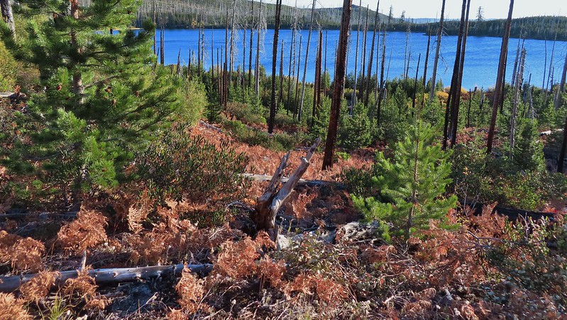
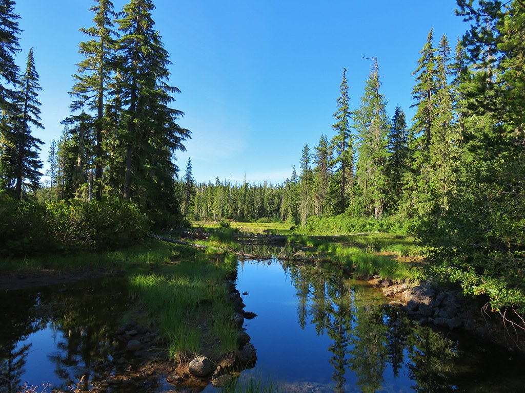
Just over a mile from the trailhead we arrived at our first lake of the day, Round Lake.


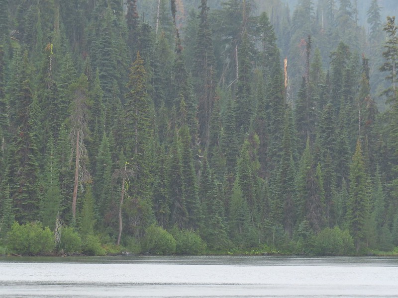
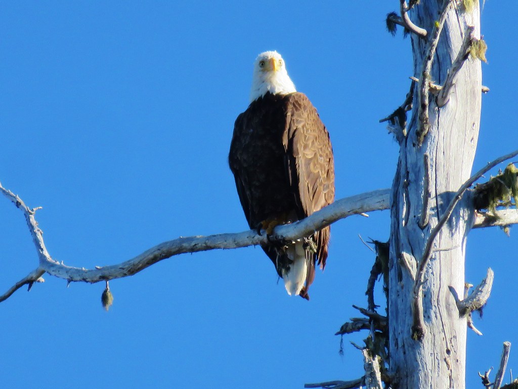
We continued on the Blue Canyon Trail another 1.2 miles to Blue Lake where a bald eagle startled me when it took off from a tree directly over my head.
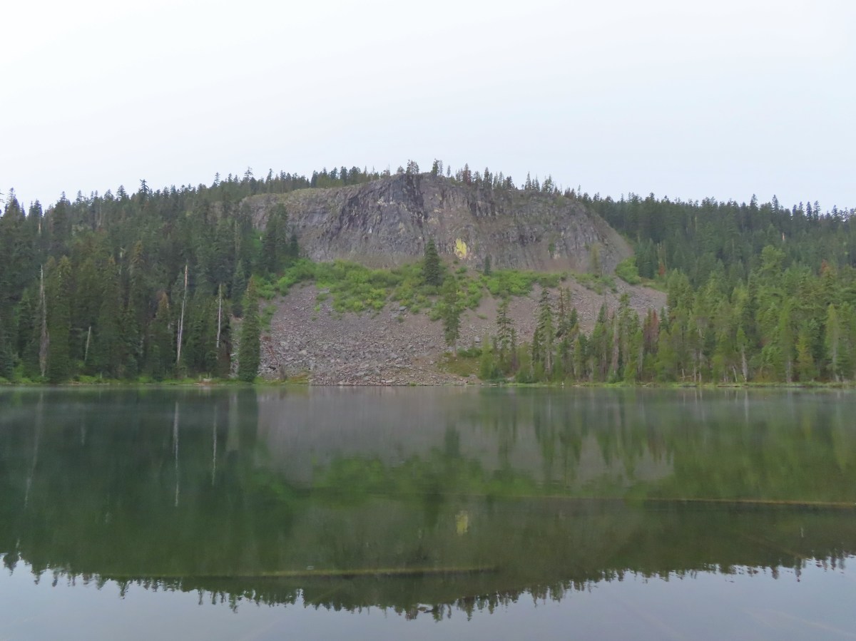
 The cliff face above Blue Lake ahead from the trail.
 Hiking along Blue Lake.
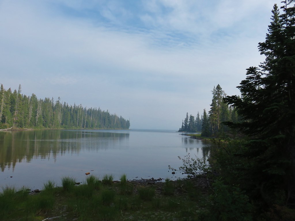
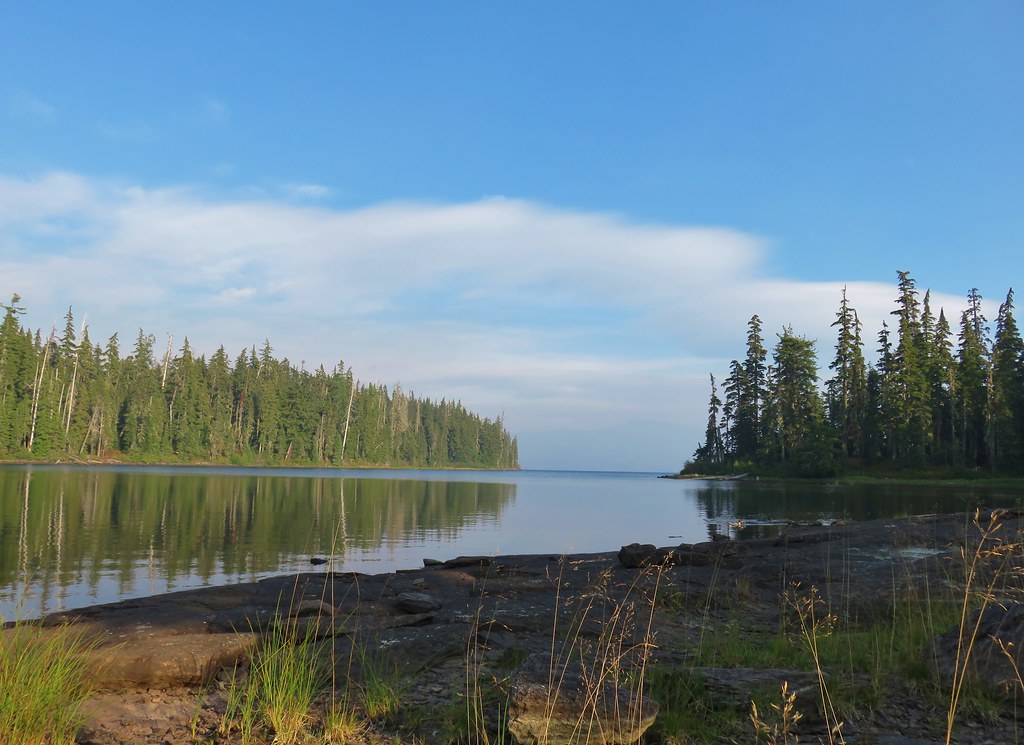
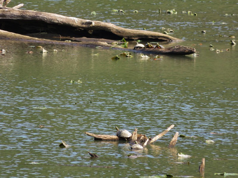
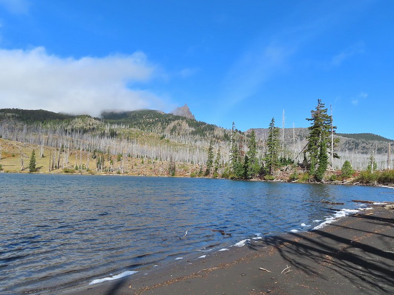
 Blue Lake
 The bald eagle across the lake after startling me.
The combination of cool temperatures, wet ground and light rain kept us from lingering too long at the lake and we were soon on our way to the next one. Just beyond Blue Lake we veered right at a trail junction to stay on the Blue Canyon Trail.
 The South Fork Trail went to the left past Meadow Lake and the Mud Lake before following the South Fork Rogue River to Road 720.
The Blue Canyon Trail passed to the right of Meadow Lake before arriving at a junction with the Meadow Lake Trail in a quarter mile.
 Meadow Lake

 Meadow Lake Trail junction.
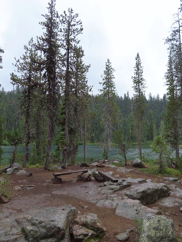
For now we stuck to the Blue Canyon Trail which brought us to Horseshoe Lake in another half mile.

 Just beyond this small pond south of the trail we turned right on a use trail which led out onto Horseshoe Lake’s peninsula.
 Camping is prohibited on the peninsula which is signed in multiple places.

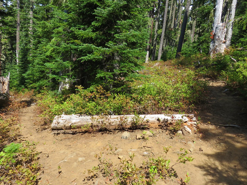
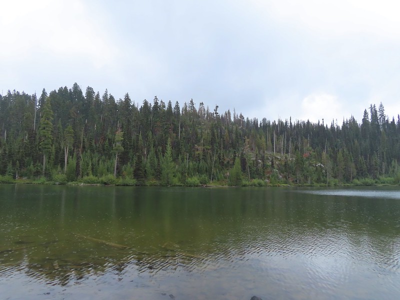
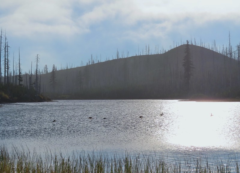
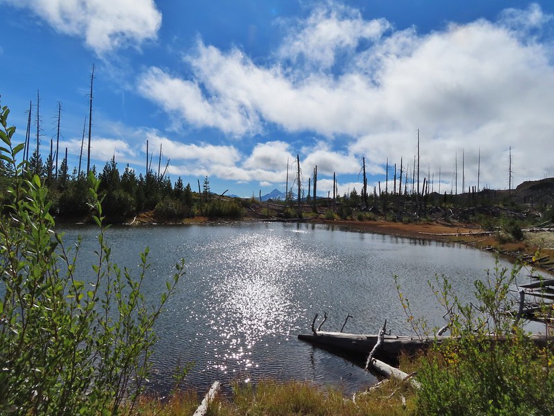
After exploring the peninsula we returned to the Blue Canyon Trail and followed it to the next lake, Pear Lake, which was just over a half mile away. We took another use trail down to the shore of this lake which is not at all shaped like a pear. (Unless it’s named after the core then maybe but it would still be a stretch.)


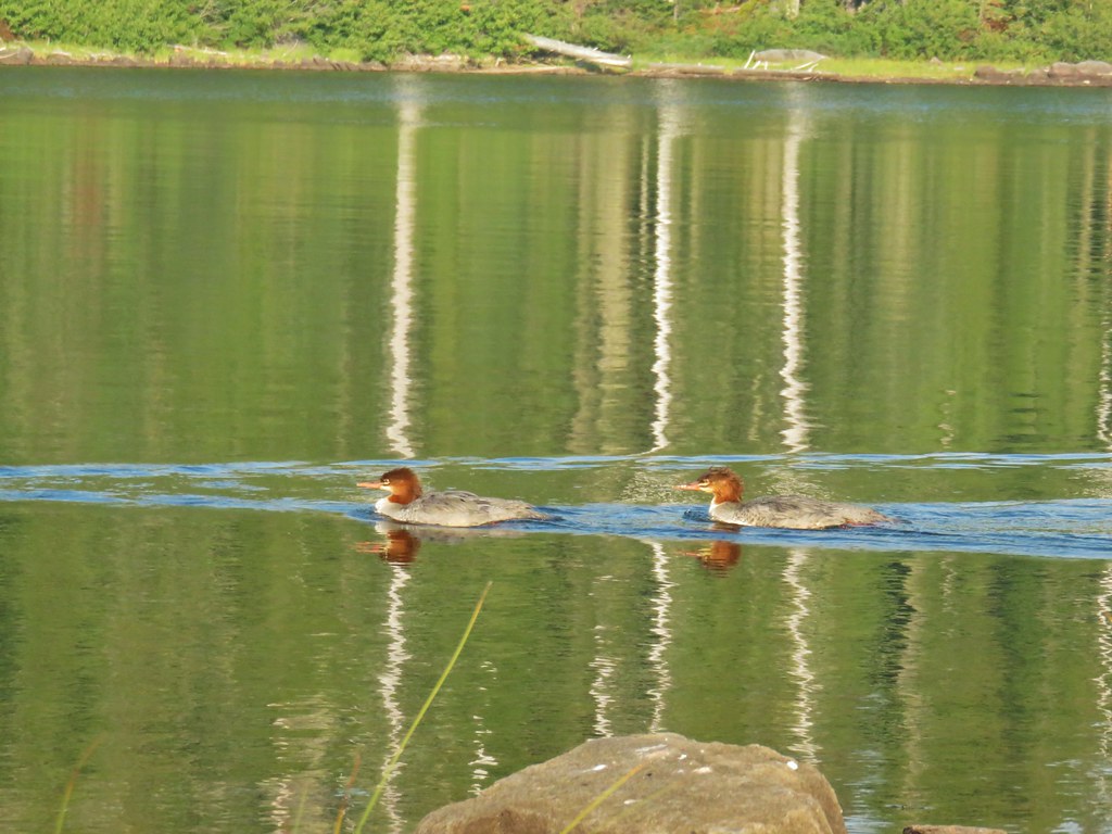
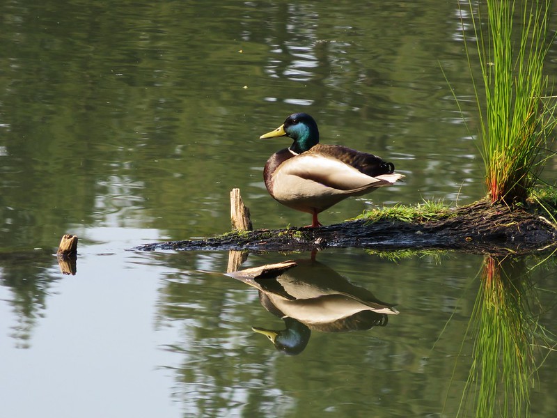
 Ducks flying further down the lake.
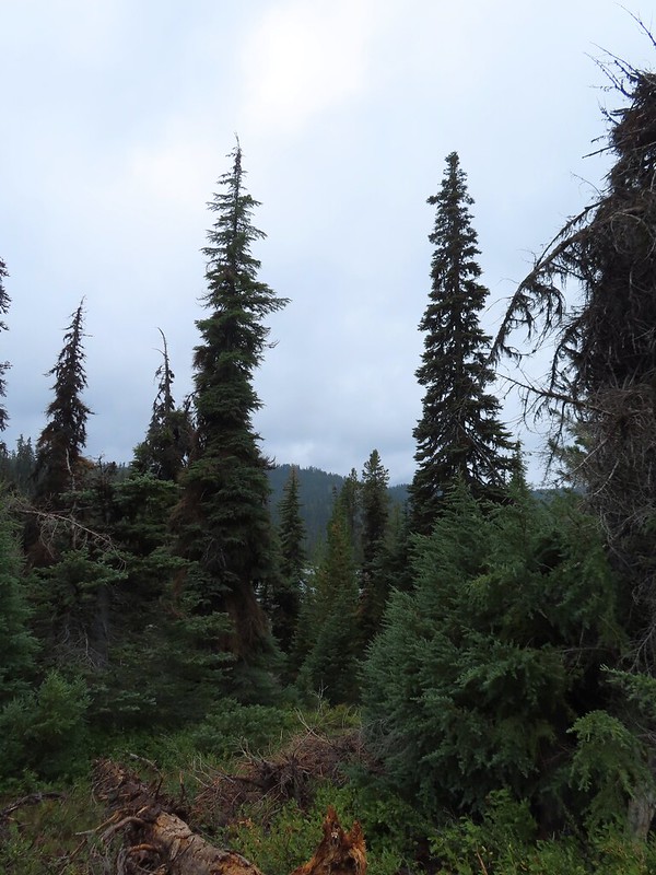
From Pear Lake it was just over 1.75 miles to Island Lake. The trail climbed up and over a ridge passing above Dee Lake before dropping into Island Lake’s basin.
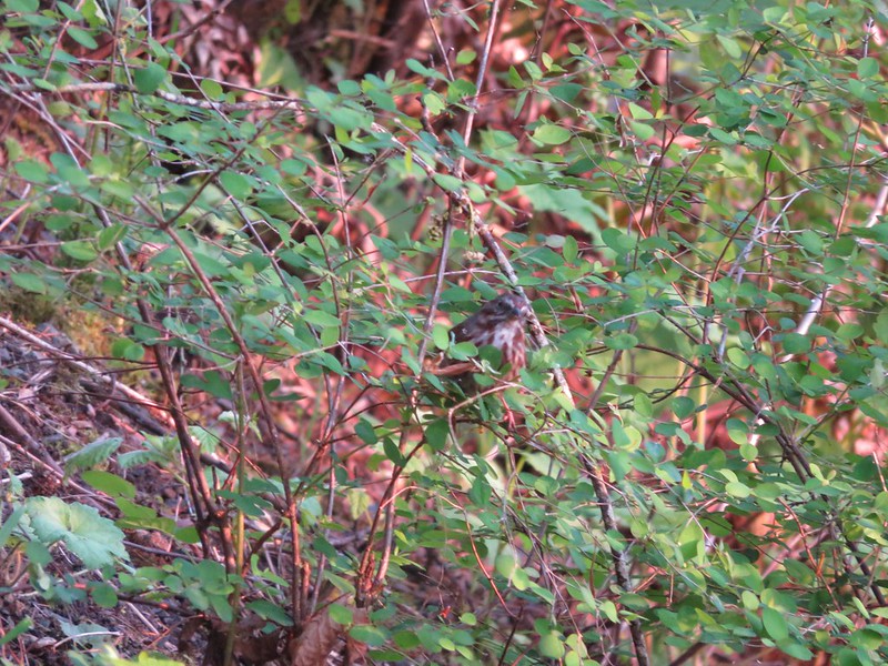
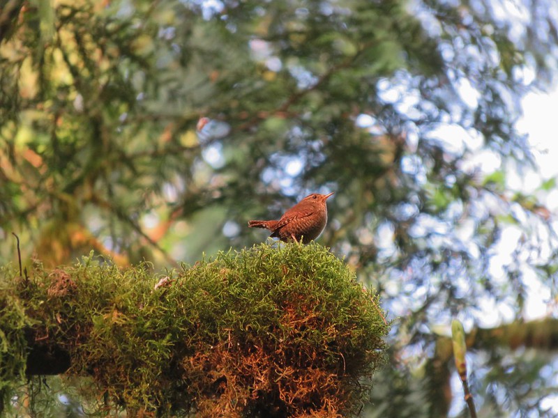
 Grouse
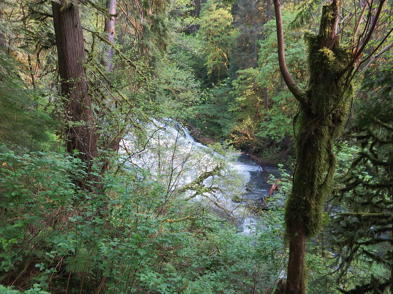
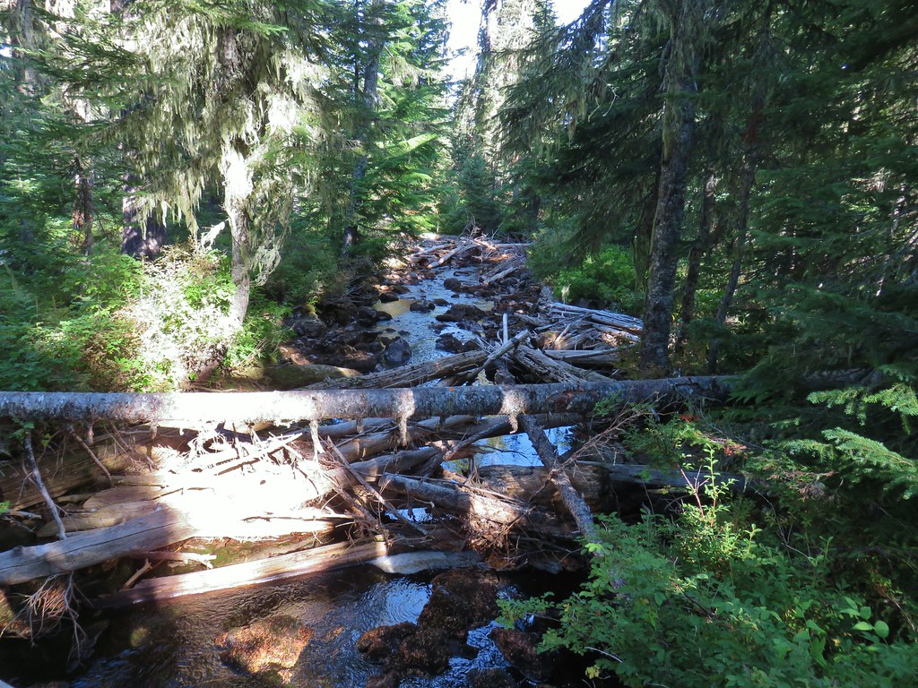
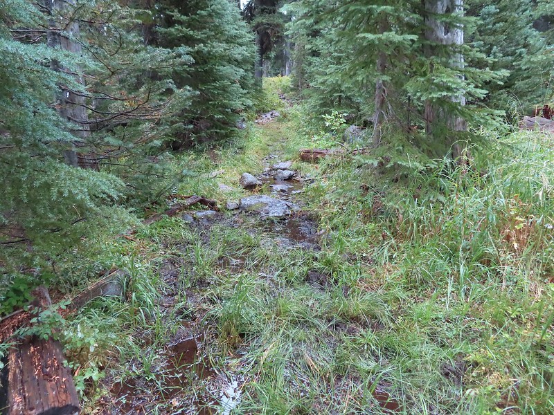 The only flowing water we’d encounter on this day after not crossing any streams the day before at Union Peak (post) either.
 Dee Lake barely visible through the trees.
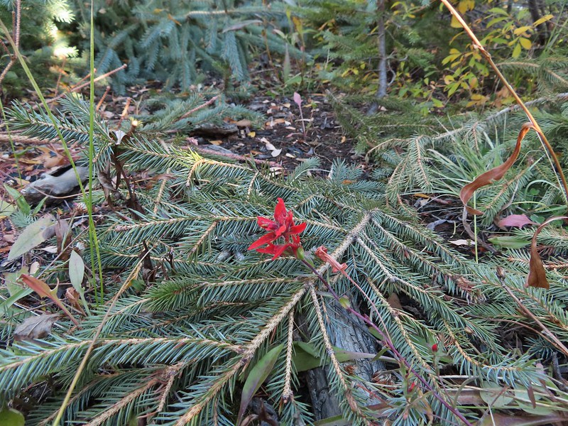
 Bigelow’s sneezeweed
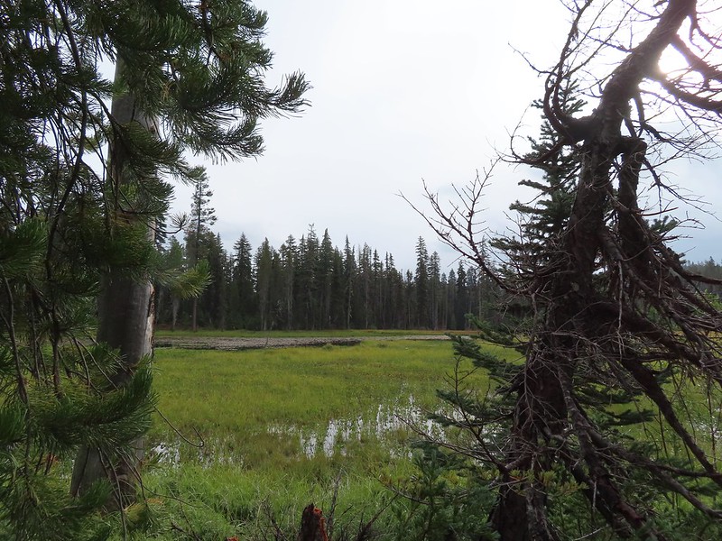
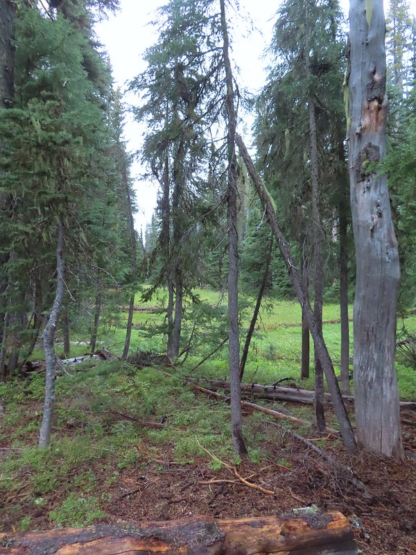 Meadow near Island Lake.
 A Horse Camp sign.
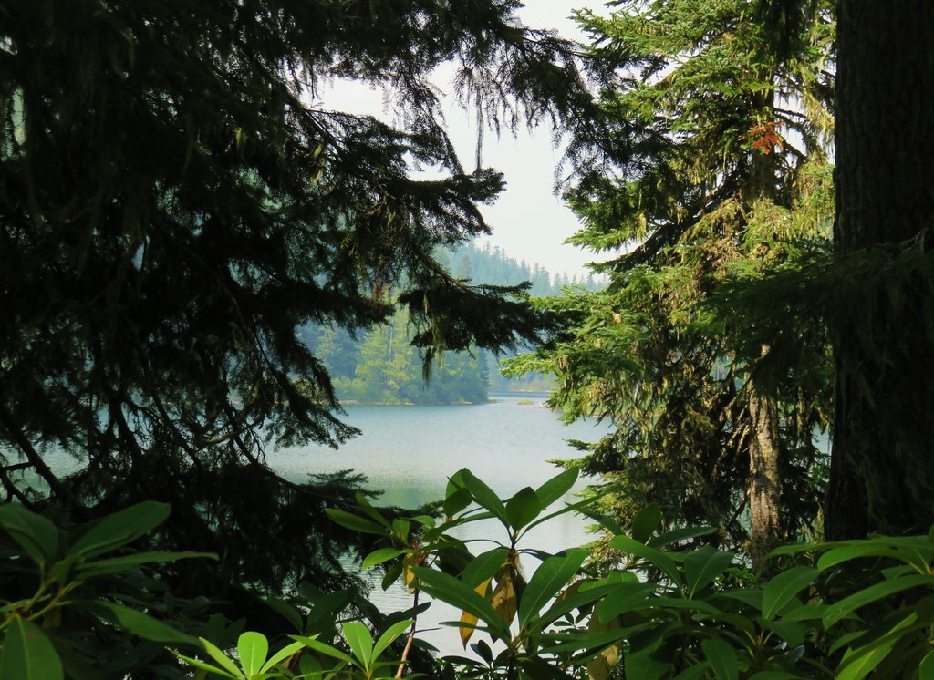
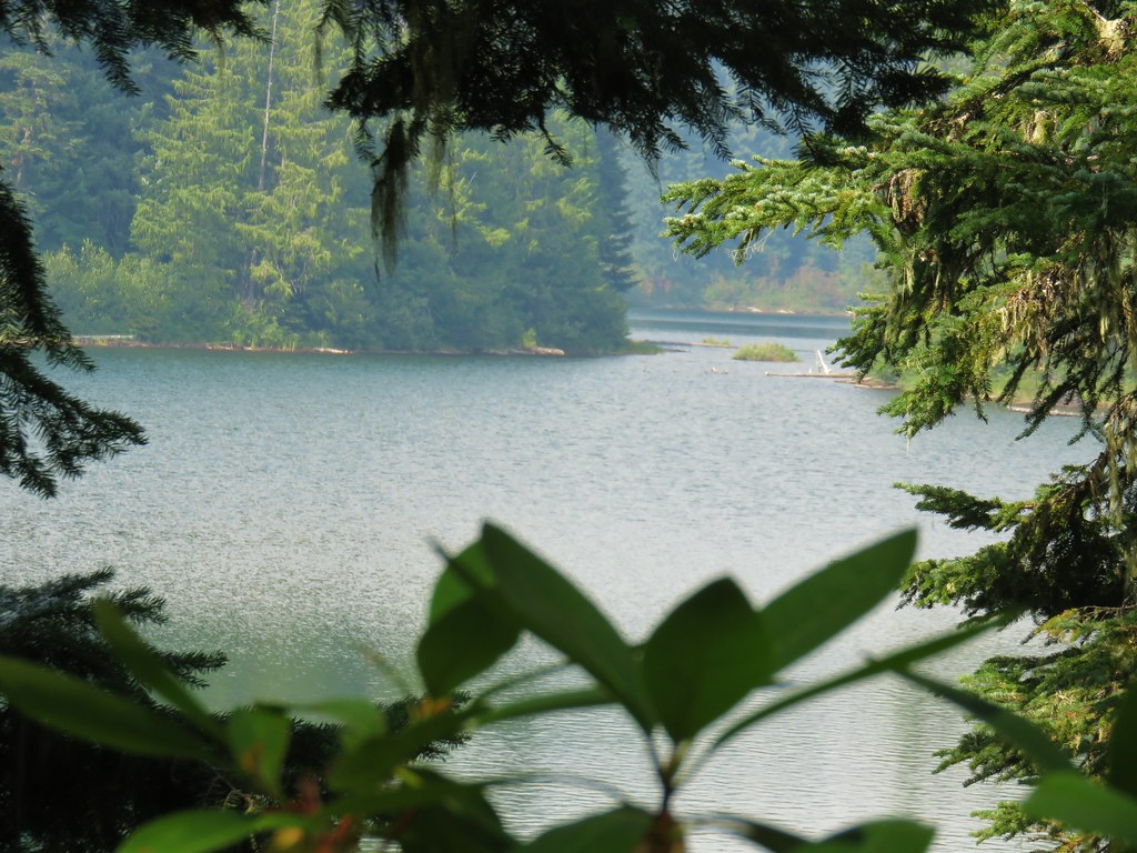
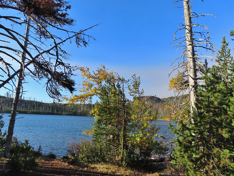
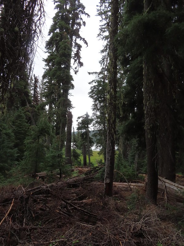 Island Lake through the trees.
We couldn’t remember exactly where we’d gone down to the lake on our previous visit, just that it had been a short trail to the Judge Waldo Tree. We turned left on a clear use trail which brought us down to the lake but not to the tree we were looking for.


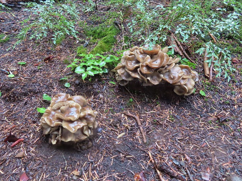
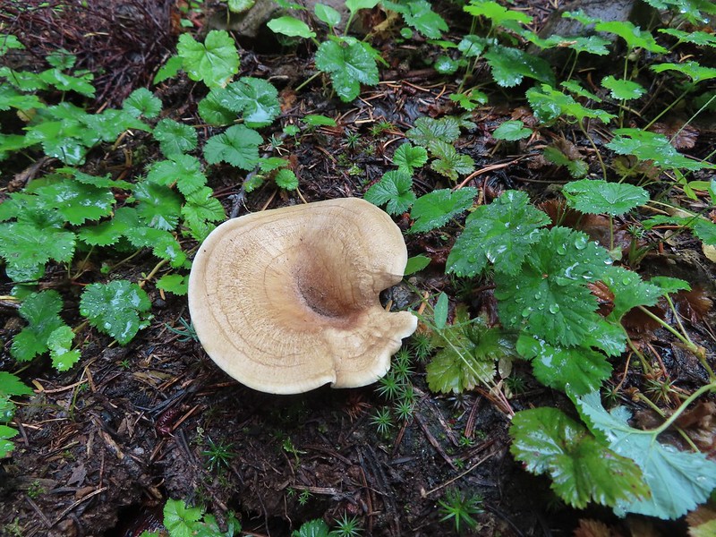
 There were a lot of mushrooms down by the water though.
We returned to the Blue Canyon Trail and continued around the lake to another use trail and again turned left. This one looked familiar and indeed brought us to the Judge Waldo Tree.


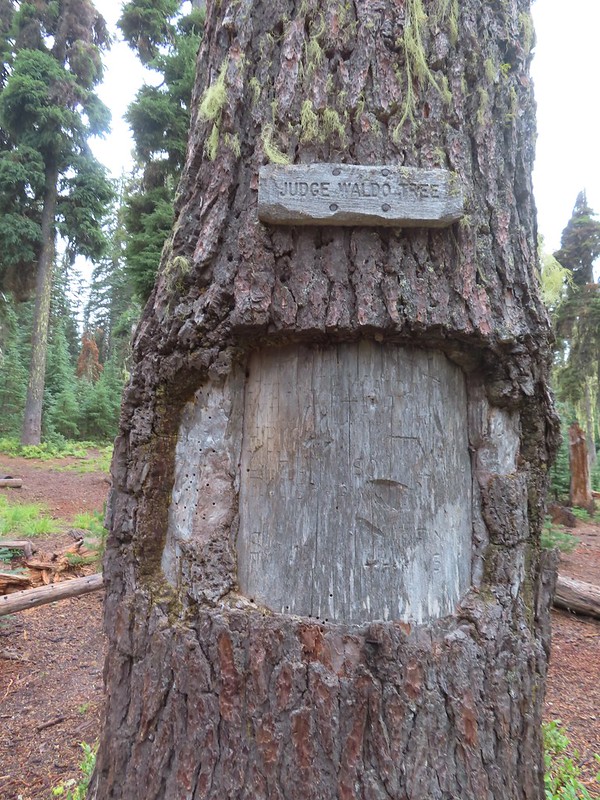
 For those interested the 1888 inscription reads:
Judge J.B. Waldo
William Taylor
H.P. Minto
E. J. Humason
F. W. Isherwood
September 13, 1888
Judge Waldo was an early voice for conservation of the Cascade forests (today he most likely would not have carved his name into the tree like that).
Now that we’d linked the two hikes together we were content to head back. When we’d made it back to the Meadow Lake Trail junction we turned uphill onto that trail.
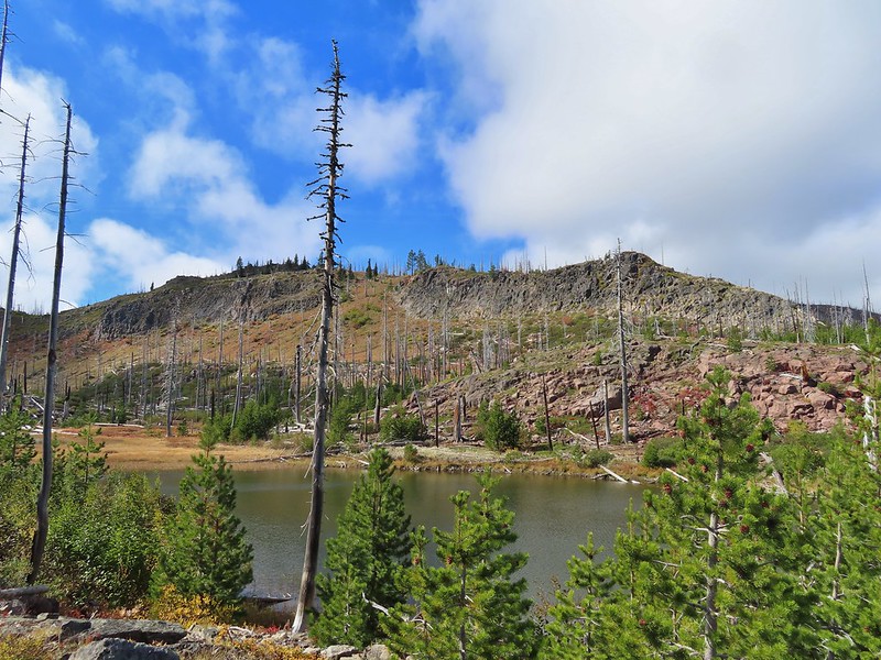
 Pear Lake from the Blue Canyon Trail.
 Back at the Meadow Lake junction.
 Heading up the Meadow Lake Trail.
This trail was much steeper than the Blue Canyon Trail had been and if we were to do the hike again we most likely would opt to come down this way.

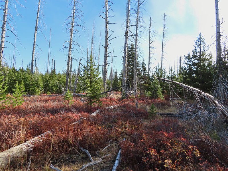
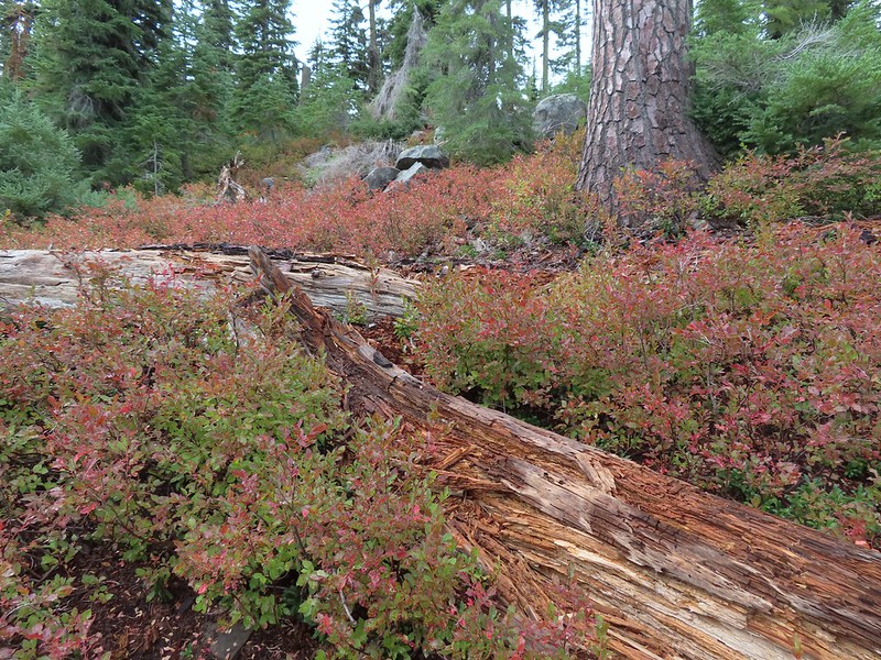 The huckleberries don’t lie, Autumn was right around the corner.
 Approaching the ridge top.
 Not sure what we missed here but imagine it was some of the peaks in the Sky Lakes Wilderness.
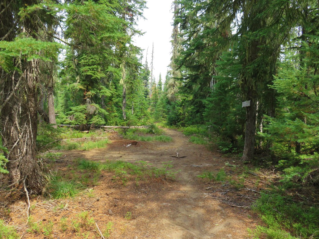
Just over a mile from the junction the Meadow Lake Trail ended at Cat Hill Way.

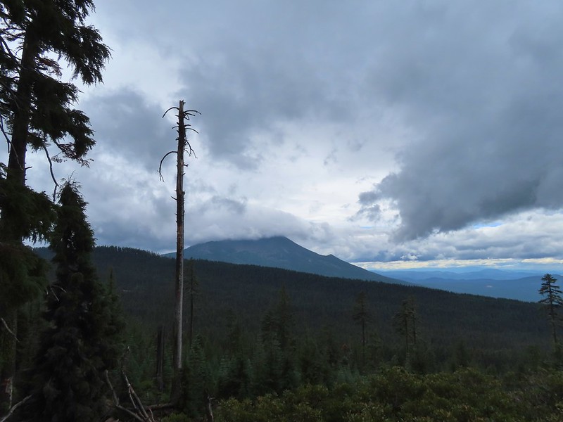
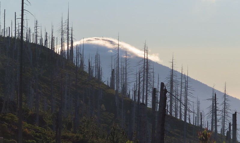
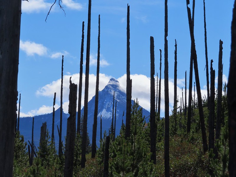
This trail ran between the Pacific Crest Trail (1.5 miles to the left) and The Blue Canyon Trailhead (2.25 miles to the right). We turned right following a very old roadbed that climbed gradually just below the summit of Cat Hill before descending to the meadow at the trailhead. While the other trails had been well maintained this one had a number of downed trees that were fairly easily navigated. This trail did provide a view of Mt. McLoughlin (post) albeit limited on this day due to the cloud cover.


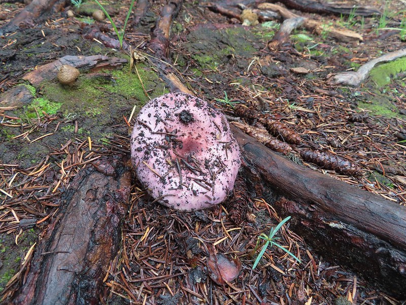
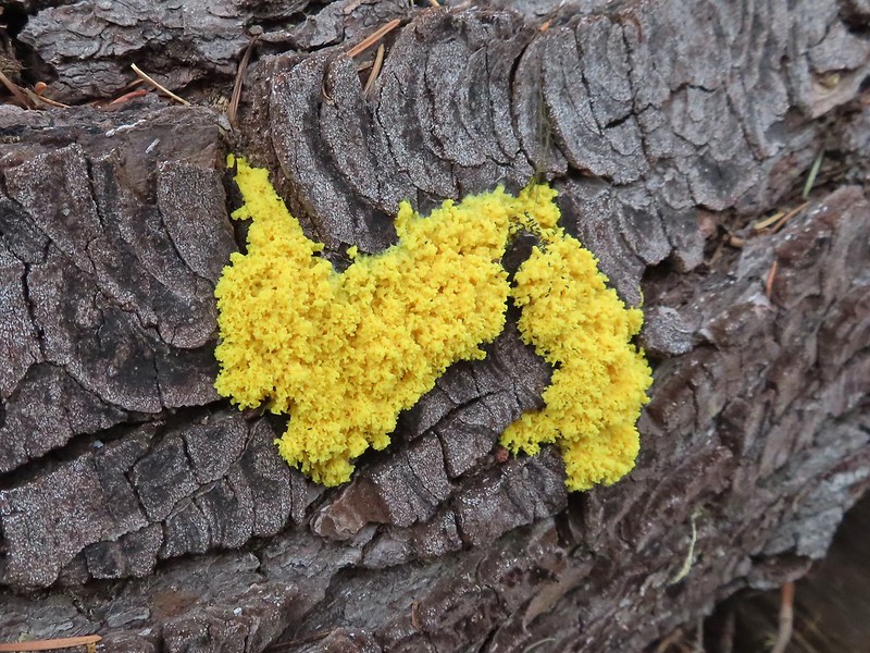 Colorful fungus
 Mt. McLoughlin
 A little fresh snow, a welcome sight.
 A nice little viewpoint just off the trail.
 Passing below Cat Hill.

 Back to the trailhead.
Our hike came in at 12.2 miles with approximately 1700′ of elevation gain.
We only saw a few other people which was surprising even with the wet weather given how popular this area is in the Summer. It had sprinkled off and on for most of the morning but we didn’t ever feel the need to put our rain gear on. We drove back to Shady Cove and after changing headed to 62’s Burgers and Brews for a late lunch/early dinner. The clouds were once again breaking up which was encouraging as we were heading back to Crater Lake the following day where we would be hoping for some good views. Happy Trails!
Flickr: Blue Lake Basin

 Black Crater (

 Black Crater and North Sister
 Black Crater, the top of Broken Top, some of the Sisters, and part of Mt. Washington.
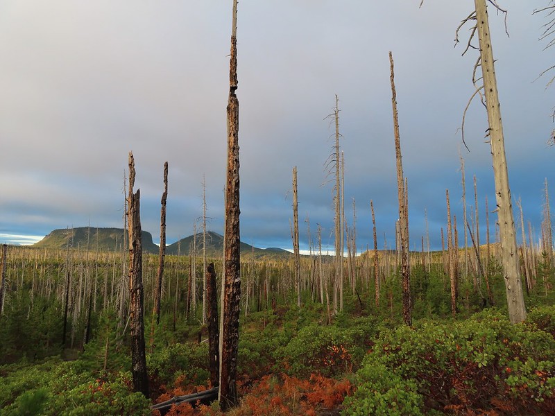 Hayrick and Hoodoo
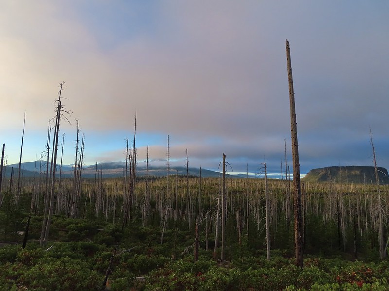 Between Mt. Washington and Hayrick Butte is Scott Mountain (
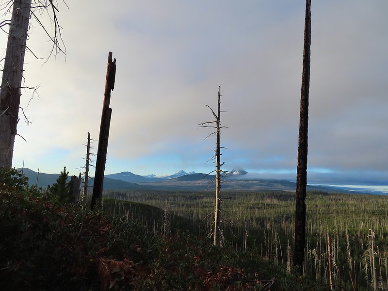 Cache Mountain is the high point furthest to the left.
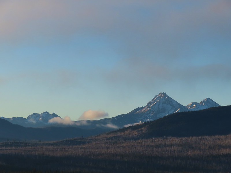 Broken Top and the Three Sisters
 Mt. Washington
 The Three Sisters. The summit of South Sister is between North and Middle Sister behind 9321′
 Black Butte (
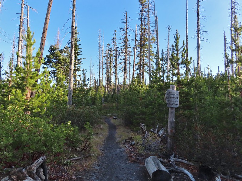
 A different angle from 2012.

 One white rump with a black tail amid the ferns near the center of the photo (good luck).
 The only paintbrush we would see all day.
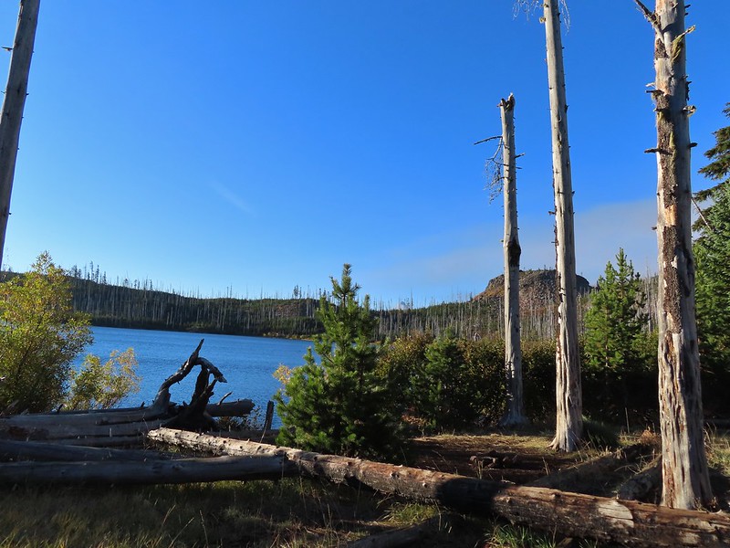 The top of Mt. Washington is just visible on the other side of Square Lake.

 Mt. Washington’s spire again.
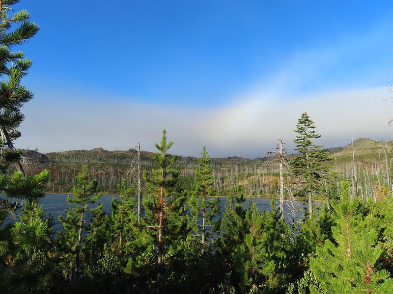 A rainbow was trying to form to the west.

 Lodgepole pine seeds require fire in order to be released from their tight cones.
 Our first sighting of Long Lake (zoomed in).
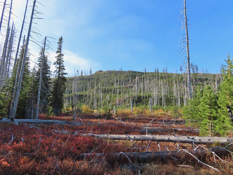

 Ducks taking off from Long Lake.
 This is one of the areas that we could see getting pretty muddy/wet.
 Rainbow
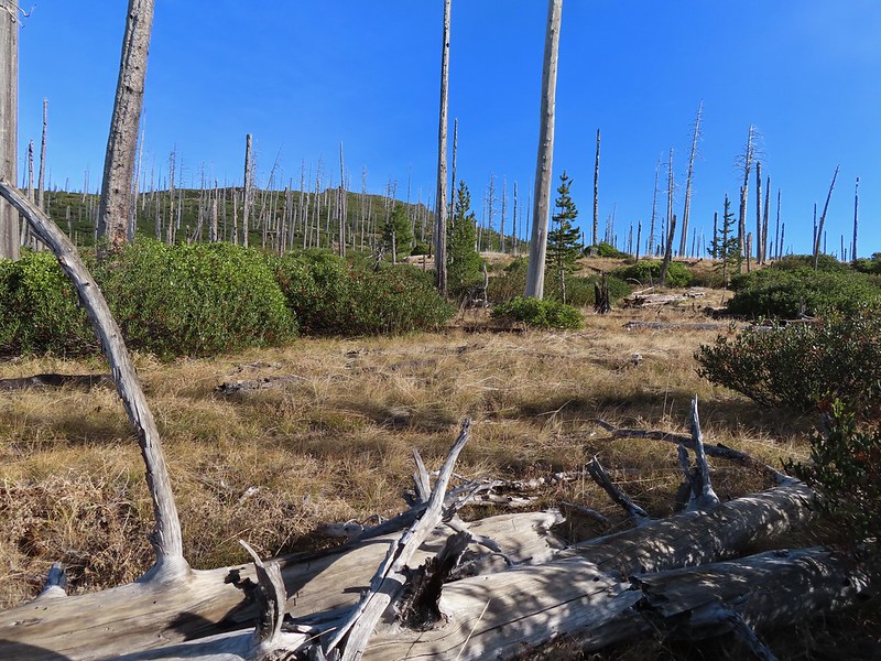 The Round Lake Trail just on the other side of the downed tree.
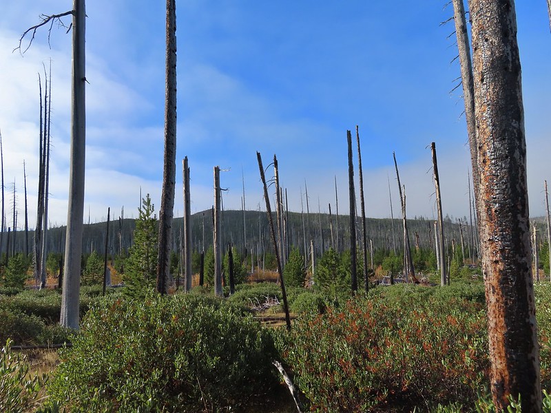 Long Lake is back down that way somewhere.
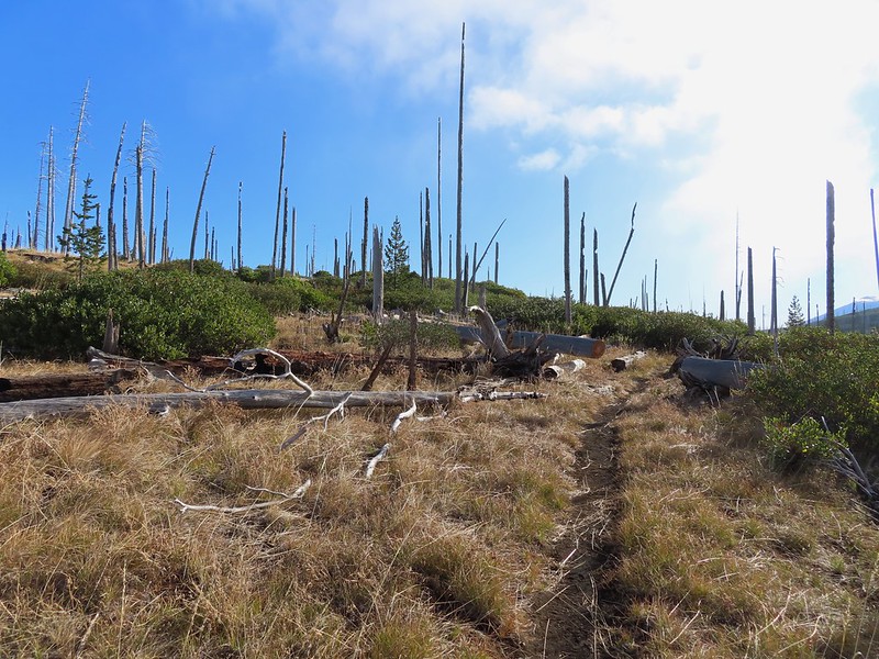 Back on the Round Lake Trail.
 Black Butte shedding the morning clouds.
 The top of Three Fingered Jack behind some thin clouds.
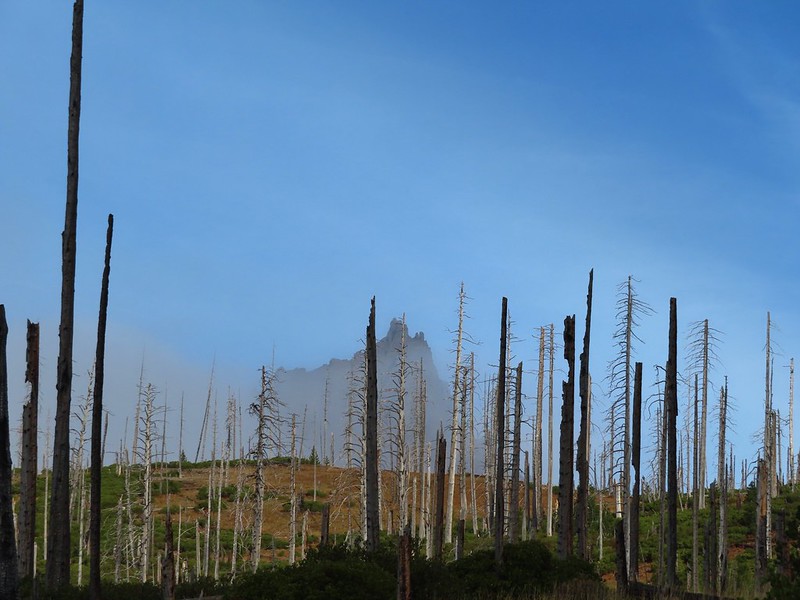
 Green Ridge (
 A better look at Three Fingered Jack.
 First glimpse of Round Lake.


 Starting to look kind of grey.
 A mountain bluebird adding a splash of blue to the green backdrop.
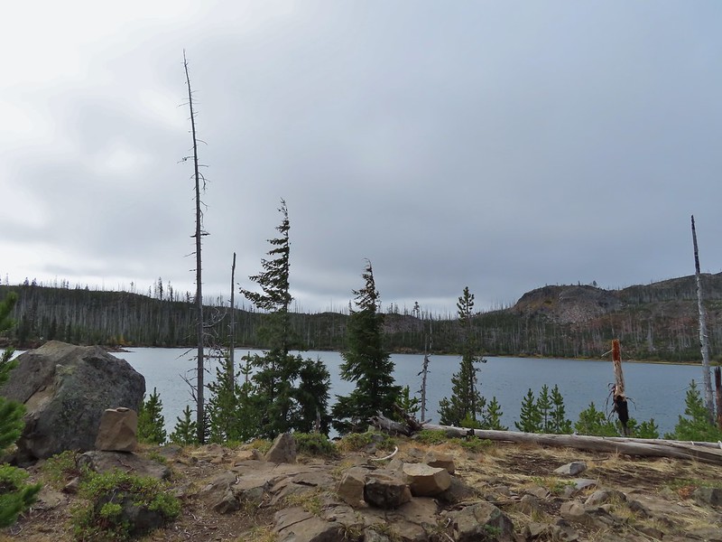 Clouds over Square Lake.
 A few scarlet gilia blossoms.
 The unnamed lake is about halfway up the far hillside.
 Black Butte and Long Lake from the trail.
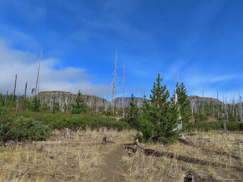 Heading toward Three Fingered Jack we got back under blue skies.
 Square Lake still under a clouds,
 The unnamed lake that drew our attention.
 Similar view from 2012.
 The trail at the gap. It was grey and cloudy to the west.
 Still at the gap, it was blue skies to the east.
 There is Three Fingered Jack.
 A good look at Green Ridge.
 A lupine that was late to the party.
 Booth Lake
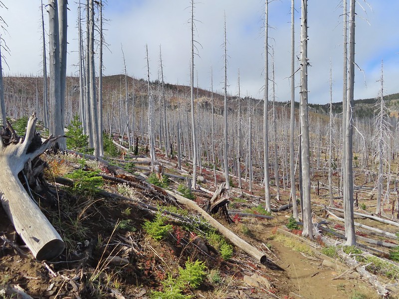


 The trail cut on the far hillside.
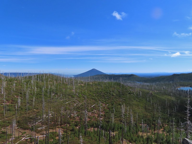 Black Butte, Long Lake, and part of Square Lake.
 Square Lake along with Broken Top and the Three Sisters (Mt. Washington was hiding in the clouds still).
 Part of the rock ledge.
 Three Fingered Jack had once again disappeared.
 Where’s Heather.

 View climbing away from Square Lake.
 Similar view in 2012.
 2012
2012

 Finally clear!
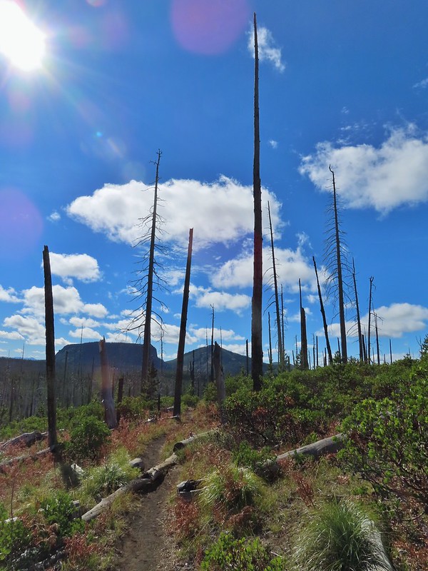 Hayrick Butte and Hoodo as we neared the trailhead.


 Diamond Peak to the left and Fuji Mountain directly behind the island

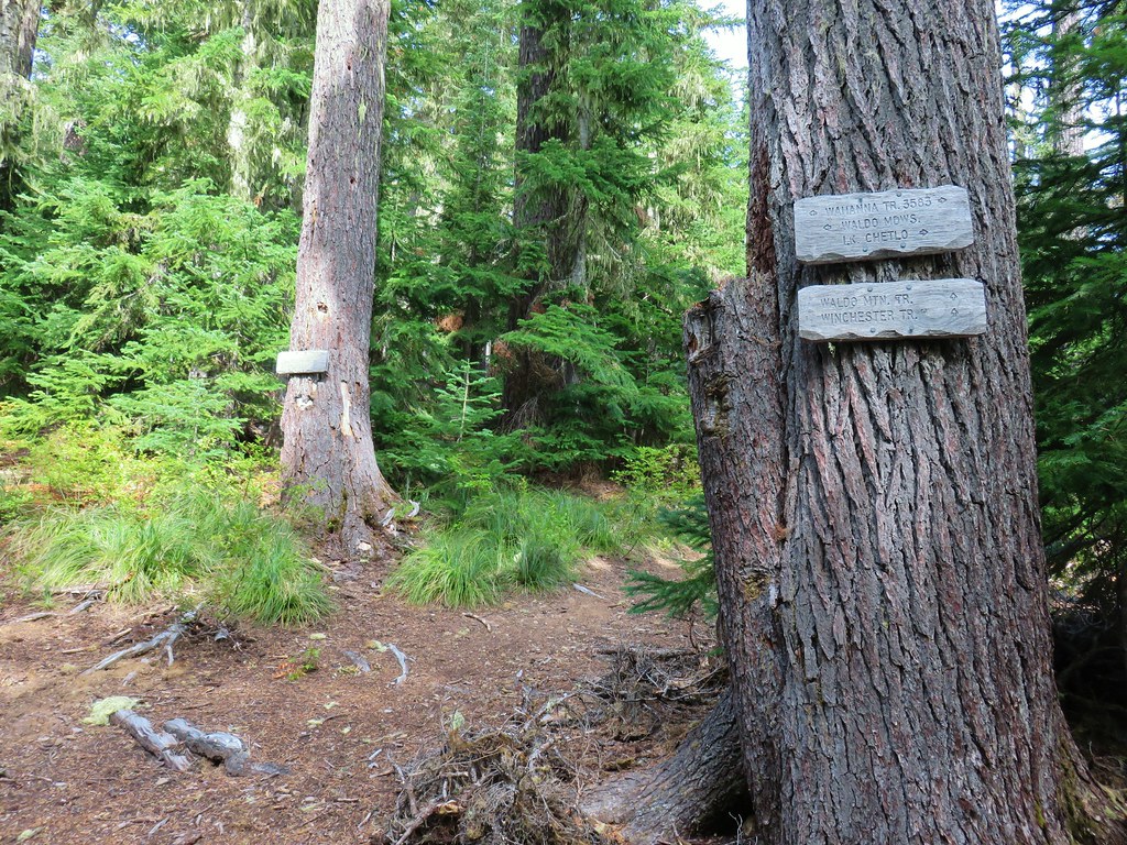
 Wahanna Trail
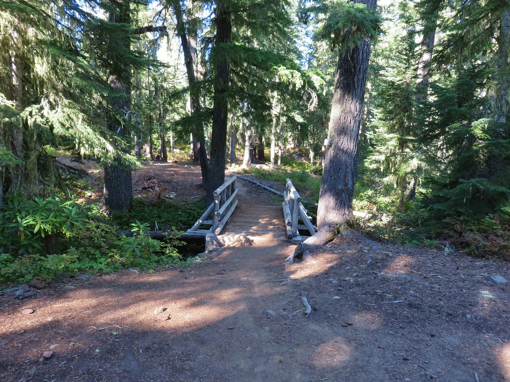
 Dam Camp is to the left in the trees and rhododendron


 South Sister
 The Three Sisters
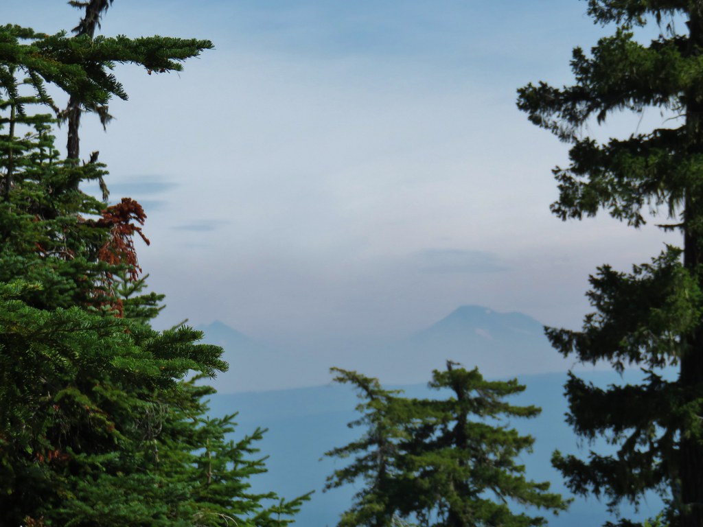
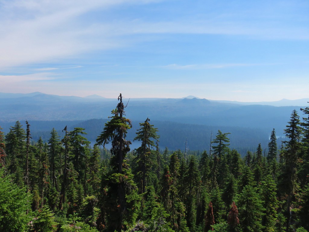 Rigdon Butte beyond the Eddeeleo Lakes from the Winchester Ridge Trail