Categories
Year-end wrap up

The hikes of 2013 – A year in review.

What an amazing year of hiking it was! As we reach then end of 2013 we thought we’d make one final entry recapping the beautiful areas and unique features we were blessed enough to encounter while out on our “wanderings”. We began the year in February at the Oregon Coast, hiking at Gwynn Creek and Cape Perpetua then finished up just a couple of weeks ago, once again on the Oregon Coast at Tillamook Head, 140 miles north of where we had started. Sandwiched in between these two hikes were 40 other adventures in which we climbed mountains, crossed rivers, and scrambled cross-country to explore a small sampling of the trails of NW Oregon and SW Washington. We put together a map of the approximate location of the trailheads for each of the hikes.
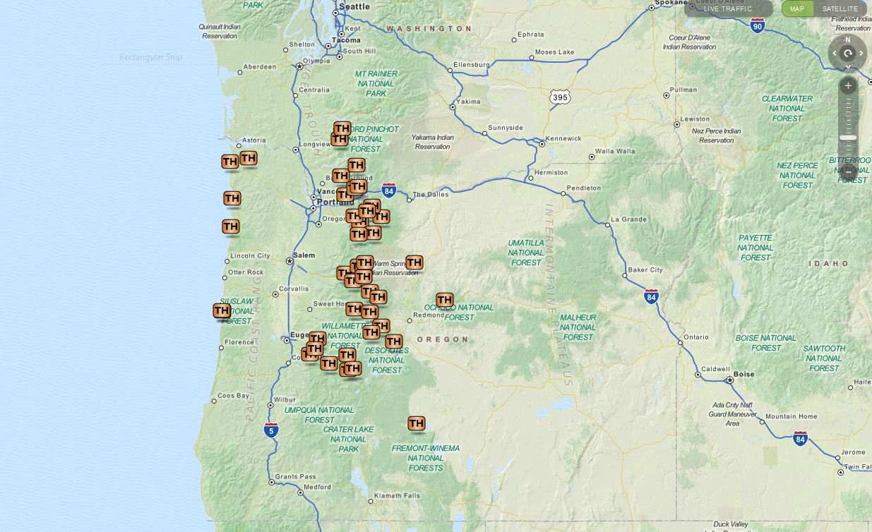
2013 Trailheads
An interactive version can be viewed on mapquest using the following link.
http://mapq.st/1bQXoXo

I’ve always been interested in numbers so I have kept quite a few statistics regarding these 42 hikes. Here are some of those that I found most interesting. We visited 10 wilderness and 2 scenic areas in 8 different national forests. In addition to the national forests we hiked in 4 state parks and at a national volcanic monument. Some of the other numbers are as follows:
Total Miles (according to the Garmin) – 515.2
Cumulative Elevation Gained (approx.) – 88,000′
Minimum/Maximum Elevation – sea level/10,358′
Total Moving Time (per the Garmin) – 240hrs 36min
Total Time on the Trails (per the Garmin) – 280hrs 6min
Total Miles Driven (approx.) – 7550 miles

For the most part the weather was good. We had a warm, dry end to Winter which carried into Spring clearing many trails of snow earlier than normal. This allowed for some earlier visits to some of the higher elevation areas and also an early bloom for most of the wildflowers including the bear grass which only blooms every 2nd or 3rd year. A mild summer kept temperatures bearable and despite the dry beginning to the year the fire season wasn’t too bad. Fall brought an early snowstorm and left an early winter wonderland at mid-elevations and some unusually cold temperatures of late created some interesting ice displays.

Words can’t do justice to the beauty of God’s creation that we experienced this so year I’ll try to keep them to a minimum and attempt to let pictures show what they can.
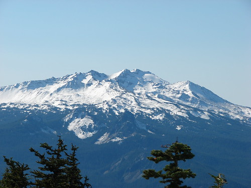
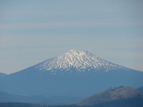
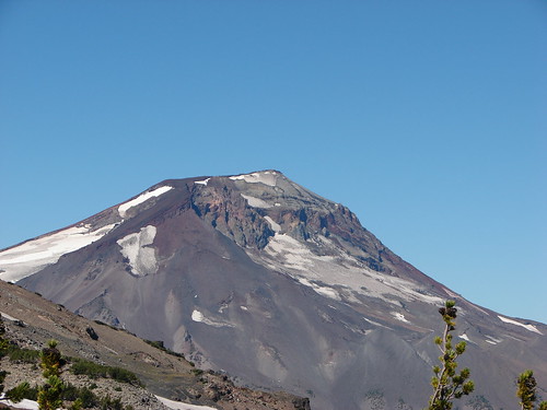
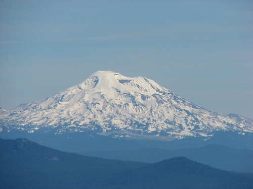
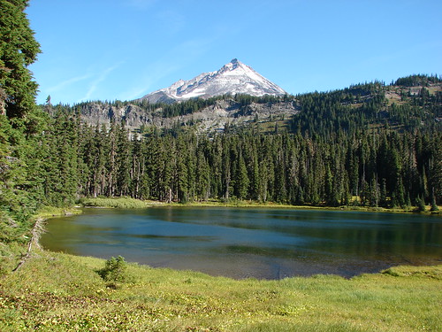
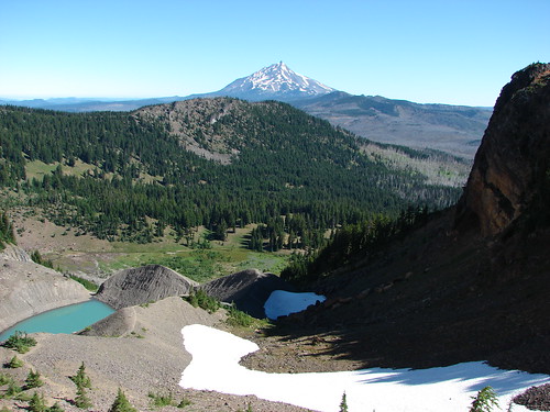
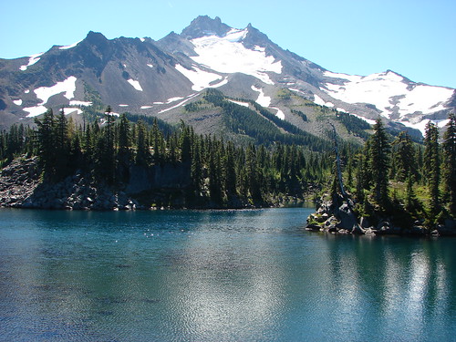
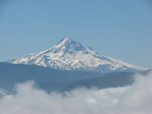
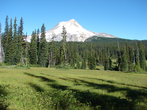
I have to start with the Cascade Mountains. The most awe inspiring creations, these steadfast beacons that on clear days dot the horizon always seem to draw our attention.

From the rim of Crater Lake in the south to Mt. Rainier in the north they rise above the other ridges, rooted in their positions, yet ever changing in order or varying in appearance depending on what our location was. Some of the views we had were amazing.

Mt. Scott, Mt. Thielsen, Mt. Baily, & Diamond Peak from the South Sister Summit
View from the South Sister
Cascade Peaks from Mt. Bachelor to Mt. Hood (minus the North Sister which was hidden behind the Middle) from Mt. Fuji
Waldo Lake
Mt. Washington to Mt. Hood from the Pacfic Crest Trail near Yapoah Crater
Belknap Crater, Mt. Washington, Three Fingered Jack, Mt. Jefferson & Mt. Hood
Mt. Washington to Mt. Bachelor from Three Fingered Jack
Broken Top, Mt. Bachelor, The Three Sisters, Mt. Washington and The Husband
Mt. Rainier, The Goat Rocks, and Mt. Adams from Wildcat Mountain
Mr. Rainier, The Goat Rocks, and Mt. Adams
Mt. St. Helens, Mt. Rainier, and Mt. Adams from Silver Star Mountain
View from Ed' Trail

Individual peaks working from the south to the north.
Mt. Thielsen:
From Fuji Mountian
Mt. Thielsen

Diamond Peak:
From Waldo Mountain
Fuji Mountain and Diamond Peak
From Fuji Mountain
Diamond Peak

Mt. Bachelor:
From Fuji Mountain
Mt. Bachelor
From Tam MacArthur Rim
Mt. Bachelor

Broken Top:
From above Moraine Lake
Broken Top and Moraine Lake
From Fuji Mountain
Broken Top and Ball Butte
From Tam MacArthur Rim
Broken Top

South Sister:
From above Moraine Lake
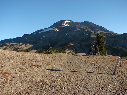
South Sister Climbers Trail
From Tam MacArthur Rim
South Sister
From Fuji Mountain
South Sister

Middle & North Sister
From Tam MacArthur Rim
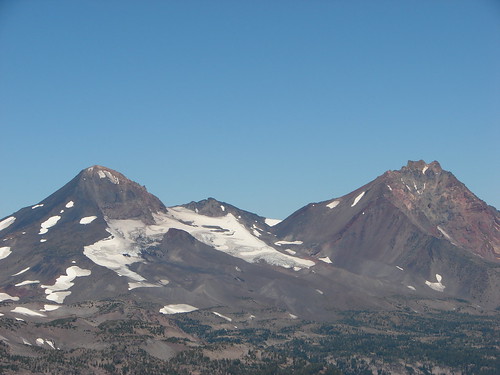
Middle and North Sister
From Scott Meadow
North & Middle Sister and Little Brother from Scott Meadow
From the South Sister
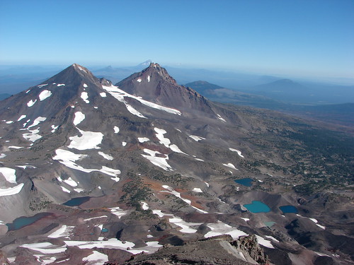
South Sister summit view

Mt. Washington
From the Matthieu Lakes Trail
Mt. Washington
From Fuji Mountain
Mt. Washington and Belknap Crater
From Three Fingered Jack
Mt. Washington and The Husband

Three Fingered Jack:

From the Matthieu Lakes Trail
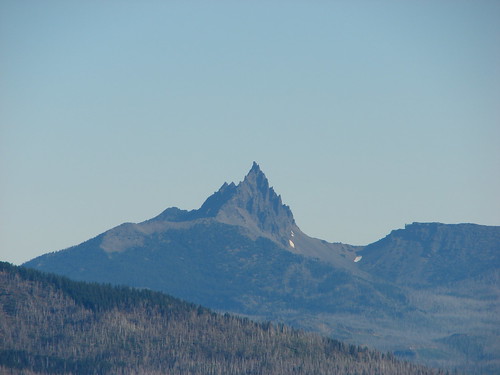
Three Fingered Jack
From Canyon Creek Meadows
Three Fingered Jack from the upper meadow

Mt. Jefferson:
From Fuji Mountain (Dwarfing Three Fingered Jack)
Mt. Jefferson and Three Fingered Jack
From Hanks Lake
Hank's Lake
From Three Fingered Jack
Looking back down
From Bays Lake in Jefferson Park
Bays Lake in Jefferson Park

Mt. Hood:
From Barrett Spur
Mt. Hood from Barrett Spur
From Table Mountain
Mt. Hood from Table Mountain
From Elk Meadows
Mt. Hood from Elk Meadows
From Lamberson Butte
Mt. Hood
From Youcum Ridge
Mt. Hood from Yocum Ridge
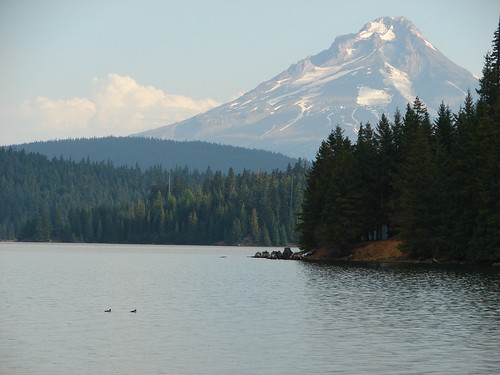
From Timothy Lake
Mt. Hood from Timothy Lake

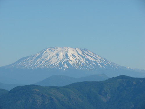
Mt. St. Helens:
Mt. St. Helens
From the Loowit Trail on Mt. St. Helens
Mt. St. Helens from the Loowit Trail
From Johnston Ridge
Mt. St. Helens

Mt. Adams:
From Silver Star Mountain
Paintbrush, penstemon and Mt. Adams

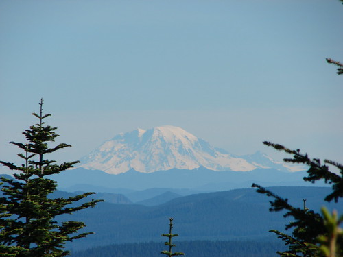
Mt. Rainier:
From Wildcat Mountain
Mt. Rainier

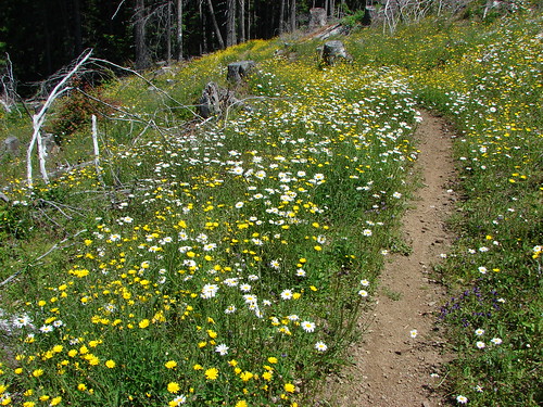
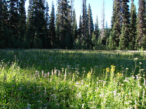
From the giant rock towers of the mountains we move on to the delicate meadows full of wildflowers that often times call the mountains home. We visited amazing wildflower displays near Mt. Hood, Mt. Jefferson, and Three Fingered Jack but the Cascades were possibly outdone by Silver Star Mountain in Washington.
Bear Grass on Mt. St. Helens
Mt. St. Helens from a beargrass meadow along the Loowit Trail
Balsam Root and Paintbrush in the Ochoco National Forest
Paintbrush and balsamroot
Clearcut on Silver Star Mountain
Tarabell Trail
Meadow on Salmon Butte
An arnica in  a meadow of plectritis, larkspur and monkeyflower
Elk Meadows
Elk Meadows
Near Heather Creek on Mt. Hood
Wildflowers along the Timberline Trail at Heather Creek
Mt. Hood Meadows
Wildflowers in Mt. Hood Meadows
Lupine in Canyon Creek Meadows
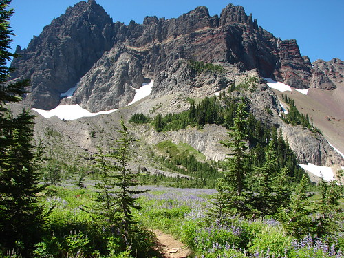
Three Fingered Jack
On Coffin Mountain
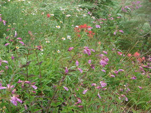
Aster, penstemon and paintbrush
Avalanche Lilies on the Timberline Trail
Avalanche lilies
Western Pasque flowers and Paintbrush near Elk Cove
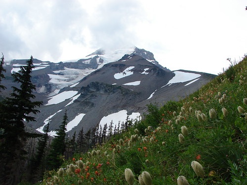
Mt. Hood from the Timberline Trail near Elk Cove
Barret Spur on Mt. Hood
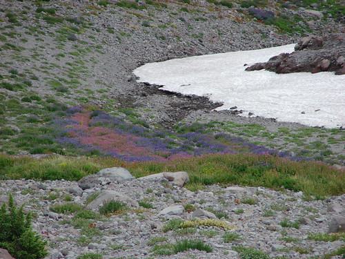
Lupine and monkeyflower
Gentians in Jefferson Park
Gentians
Jefferson Park
Wildflowers along the South Breitbenbush Trail
Along the South Brietenbush River in Jefferson Park
Wildflowers along the South Breitenbush River
Aster on Yocum Ridge
Aster field on Yocum Ridge
On Yocum Ridge
Wildflowers along the Yocum Ridge Trail
More from Yocum Ridge
Paintbrush and aster

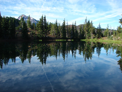
There weren’t many hikes where the presence of water was not felt. We encountered it in various forms and in an array of colors. There were lakes, creeks, rivers, waterfalls, springs, and the Pacific Ocean adding sights and sounds to our hikes.
Roaring Creek
Roaring Creek
McKenzie River
Mckenzie River
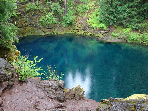
Tamolitch Pool
Tamolitch Pool
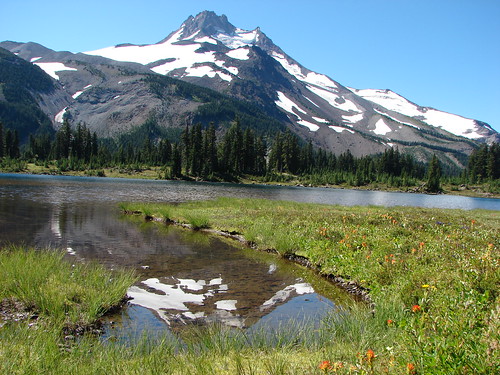
Russell Lake
Mt. Jefferson from Russell Lake
Umbrella Falls
Umbrella Falls
Diamond Creek Falls
Diamond Creek Falls
Heather Creek
Waterfall on Heather Creek
South Matthieu Lake
South Mattieu Lake
Benham Falls
Benham Falls
Carver, Camp, and the Chambers Lakes
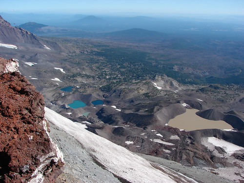
Carver, Camp and some of the Chambers Lakes
Lewis Tarn
Lewis Tarn
Creek near Pamelia Lake
Waterfall near Pamelia Lake
Timothy Lake
Timothy Lake
Little Crater Lake
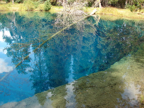
Little Crater Lake
Frozen pond near Fuji Mountain
Half frozen pond
Birthday Lake
Birthday Lake
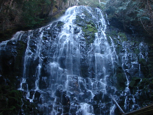
Ramona Falls
Ramona Falls
Pacific Ocean at Tillamook Head
View from Ecola State Park
Pacific Ocean from Cape Perpetua
Looking south from Cape Perpetua
Last but not least the most unpredictable of the sights out on the trails are the creatures that call these places home. From flying ants on Coldwater Peak to the black bear who left its tracks in the snow on Fuji Mountain we were the tourists traipsing through their neighborhoods. We spotted our first elk, snow shoe hare, and sooty grouse this year. We also had the mysterious case of “mouse rain” on Salmon Butte which you can read about here:https://wanderingyuncks.wordpress.com/2013/06/20/salmon-butte/
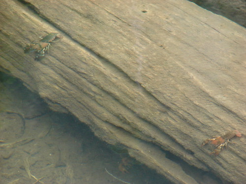
Crawdads in Middle Rock Lake
Tide pool at Cape Kiwanda
Snail
Rough skinned newt
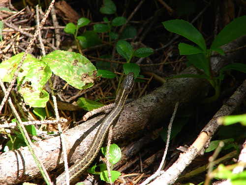
Snake
Tree frog
Spider along the Tam McArthur Rim Trail
Bug on Fuji Mountain
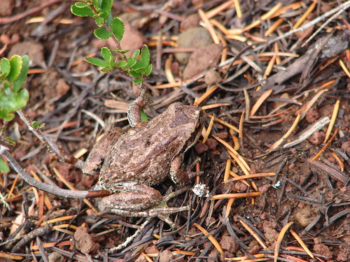
Frog
Butterflies
Zerene fritillary butterfly
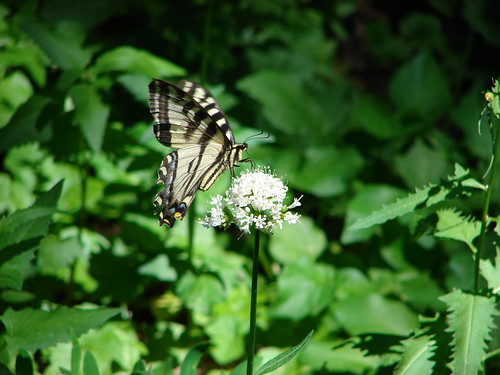
Swallowtail butterfly
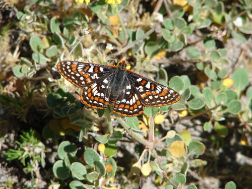
Edith's checkerspot
Milbert's Tortoiseshell Butterfly on the way up Coldwater Peak
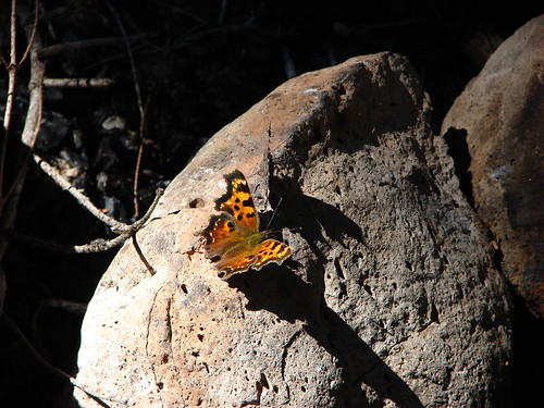
Hoary Comma
Hoary Comma
Clodius parnassian
Birds
Bald eagle
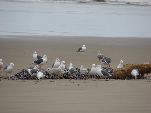
Seagull buffet
Yellow-Rumped Warbler
Owl
Gray jay taking a bath
Duck family
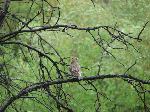
Northern Flicker
Osprey
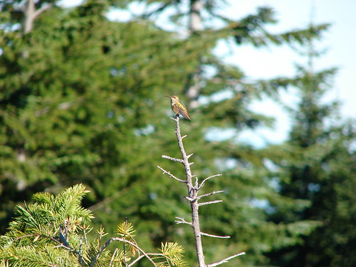
Hummingbird
Red Crossbill
Osprey flying over ducks on Timothy Lake
Hummingbird
Canada geese
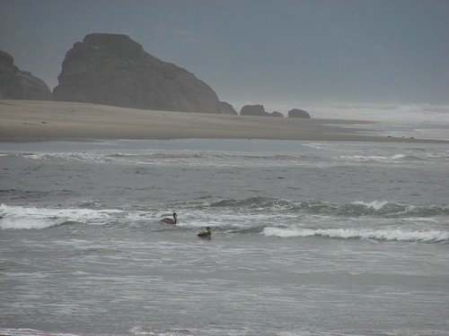
Pelicans
Common goldeneyes on Wall Lake
Great Blue Heron
Little guys
Chipmunk
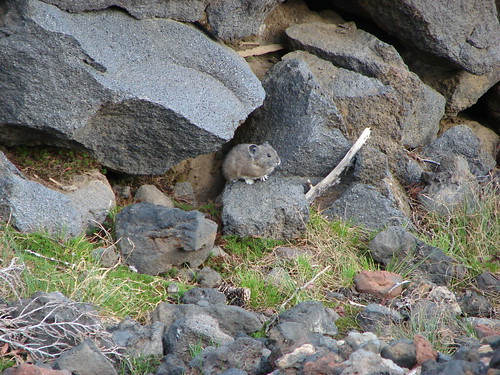
Pika
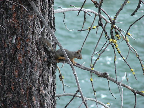
Douglas squirrel
Golden Mantled Squirrels
Snowshoe hare

Big Guys
Our first elk sighting. Near the Observation Peak Trailhead
Columbia Black Tailed Deer
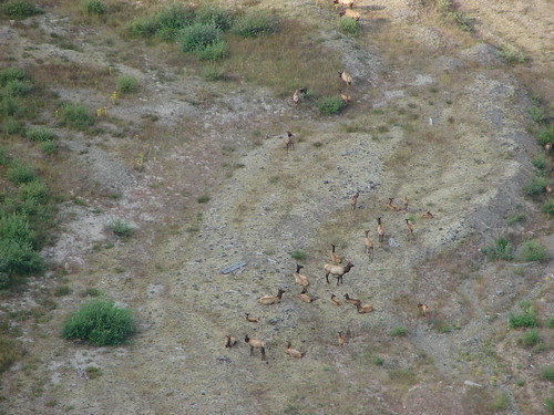
Elk herd on the far shore of the Deschutes River
Elk
Deer near the Lower Black Butte Trailhead

We’d like to leave you with what each of us found to be their favorite hike and the most difficult. For myself Elk Meadows was my favorite. https://wanderingyuncks.wordpress.com/2013/07/24/elk-meadows/ The variety and beauty we encountered on that hike put it atop my list. As for the most difficult I chose Silver Star Mountain https://wanderingyuncks.wordpress.com/2013/07/04/silver-star-mountain/ which was also in the running for my favorite. The heat on that day made it the hardest one for me.

After much deliberation Heather chose the same hike as I did her favorite, Elk Meadows; something about that day had her mesmerized as we traveled up Gnarl Ridge towards Mt. Hood. For the most difficult she picked Observation Peak due in part to having fallen shortly after we stared the hike and spraining her hand and wrist. It made for a more challenging and uncomfortable hike as she endeavored to keep her injury elevated above her heart during most of the journey. https://wanderingyuncks.wordpress.com/2013/07/09/observation-peak/

Dominique chose Fuji Mountain for his favorite. There was snow and a great view with a reasonable amount of distance. https://wanderingyuncks.wordpress.com/2013/10/09/fuji-mountain/ For the most difficult he picked Table Mountain and the climb up Heartbreak Ridge. https://wanderingyuncks.wordpress.com/2013/06/14/table-mountain/

I am already hard at work putting together a 2014 itinerary which will include some overnight backpacking trips and hopefully visits to the Goat Rocks Wilderness and Mt. Adams in Washington. If all goes as planned we will kick things off in January, take things slow until we’ve recovered from our April half or full marathons, and then be ready to crank things up in May. Until 2014 here is a link to a 2013 hikes in pictures album on Flickr http://www.flickr.com/photos/9319235@N02/sets/72157635497870439/

Merry Christmas & Happy Trails!
Categories
High Cascades Hiking Mt. Hood Area Oregon Trip report

Yocum Ridge

Yesterday we completed what turned out to be our longest hike to date – Yocum Ridge. According to our 100 hikes guidebook the distance of the trail is 8.7 miles one way to a viewpoint of Mt. Hood’s Sandy Galcier. With that in mind we were anticipating a total distance around 17.5 miles, but by the time we were done exploring Yocum Ridge our garmin showed a total distance of 19.7 miles. :O Our original plan was to meet my parents at the trail head and hike together to Ramona Falls, but they were unfortunately unable to make it so Heather and I were off on our own just before 7am.

It was a cloudy morning as we crossed the Sandy River and made our way along Ramona Creek toward the falls.

Crossing the Sandy River

Ramona Creek is one of the prettiest creeks we’ve hiked along, but the dense forest always seems too dark to get any pictures to really do it justice.

Ramona Creek
Ramona Creek

When we arrived at Ramona Falls it was just as impressive as we had remembered it from our first visit the previous July.

Ramona Falls
Ramona Falls

From Ramona Falls we took the Timberline Trail north for .7 miles to the Yocum Ridge trail and began our climb. We were presently surprised by the gentle grade of the trail which climbs nearly 3000′. The lower portion of the trail was heavily forested with lots of mushrooms and red huckleberries. We spotted one pika (and heard many more) and a small frog along the trail as well. The clouds were low and a light fog filled the trees making it impossible to tell if the trail offered any views. We passed a couple of small ponds and some meadows that had been home to flowers earlier in the year.
048

We were holding out hope that we would eventually climb above the clouds and into blue skies but we began to think that was just wishful thinking. We caught our break though as we approached the south side of the ridge near a rock field and wild flower meadow. When we came out of the trees in the meadow we were greeted by blue sky and sunlight. Looking up toward Mt. Hood the summit was visible above the tree tops.

Mt. Hood above the tree tops.

The clouds were still all around so we decided to double time it up the trail not knowing how long the views would last. We were slowed by the increasingly scenic wildflower meadows and views to the south across Paradise Park to the distant summit of Mt. Jefferson.

Paint & aster meadow


Paradise Park & Mt. Jefferson

As we hurried up the trail other flowers such as western pasque, bistort, fireweed, and groundsel showed up in the meadows. The trail then entered a series of spectacular meadows as it traversed around the ridge finally revealing a view of Mt. Hood.
110
Small clouds were passing in front of the mountain as we approached through the meadows. From this side of the ridge we had an up close view of Illumination Rock and the Reid Glacier.

Reid Glacier & Illumination Rock

The wildflower meadows were on all sides as the trail headed straight for the mountain.
129

The trail eventually came to the edge of the Sandy River canyon where melt water from the Reid Glacier feeds the Sandy River. A series of waterfalls could be seen (and heard) below.
145
We explored the area and spotted another good sized water fall further down and across the canyon. This one was flowing from the Paradise Park area down into the Sandy River.

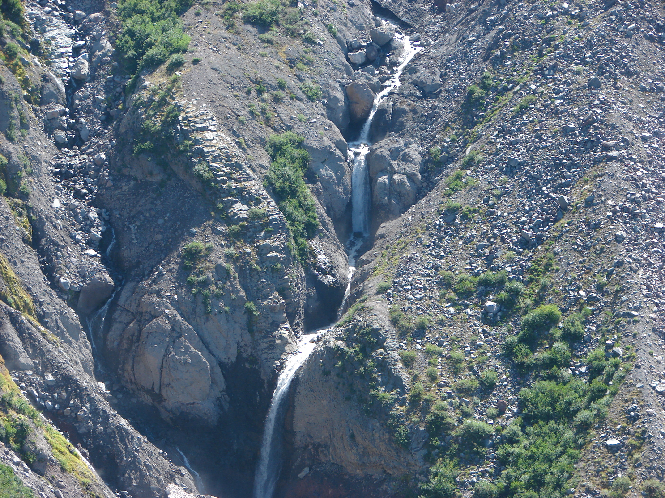
Waterfall along the Paradise Park branch of the Sandy River

We finally pulled ourselves away from the spectacular views and continued on the trail toward the north side of the ridge. The trail climbed as it crossed the ridge and passed through many more wildflower meadows. When we reached the north side of the ridge we found the clouds again. There was a bank of clouds settled over the valley between Yocum Ridge and McNeil Point. Here the trail turned up the ridge at it’s steepest grade. We reached a small saddle below the rocky cliffs that top the ridge where we found a couple of camp sites and lingering snow patches. To the right of the cliffs we could see blue sky, but on the left it was all clouds. We decided to continue on what appeared to be a faint path across loose rocks and sand to see if we could once again rise above the clouds. The “faint path” completely disappeared and visabillity was all but gone when we decided to turn around and go back. We looked at some trip reports later that showed we had been headed straight for the mountain with the Sandy Glacier to our left but we’d have never known it.

Heather returning on the “faint path”.

Back at the saddle the clouds began to rise keeping the mountain hidden but giving us a better look at the flowers surrounding this area. He we found lupine, cat’s ears, and even a few avalanche lilies. While exploring the tent sites we stumbled on a small group of scotch bluebells.

Avalanche lilies
Avalanche lilies
Cat's ear
Cat’s ear


Scotch bluebells
Scotch bluebells

When we started our return trip the clouds had risen from the valley floor giving us views below, but when we arrived at the Reid Glacier viewpoint Mt. Hood was hidden. We found a couple of fellow hikers here that we had met near Ramona Falls and asked if they had made it in time to see the mountain and they had not. We all stuck around waiting to see if we would catch another cloud break since there was still plenty of blue sky around. While we were waiting a Red Tailed hawk circled overhead checking us and the meadow out.

Red Tailed hawk
Red Tailed hawk

While I was attempting to catch the hawk in flight Mt. Hood decided to make an encore appearance.

Red Tailed hawk over Mt. Hood

The clouds continued to roll in allowing us brief glimpses of the mountain before we decided it was time to start our return trip.

On the way down we were provided some new views due to the rise in the cloud levels. We spotted the bottoms of Mt. Jefferson and Mt. Adams, Lost Lake, and the large waterfall coming from Paradise Park.
360
We stopped briefly at Ramona Falls where a large crowed now milled about and then continued on the final 3.4 mile leg along the Sandy River to our waiting car. It was a long hike and we only got to see half of the views, but in the end it didn’t matter. What we did see was amazing enough and now we have an excuse to return since we have unfinished business on the north side :). Happy Trails.

Facebook photos: https://www.facebook.com/media/set/?set=a.10201968046749949.1073741852.1448521051&type=1
Flickr: http://www.flickr.com/photos/9319235@N02/sets/72157635221888570/

Categories
High Cascades Hiking Mt. Hood Area Oregon Trip report

Barrett Spur via the Mazama Trail

After a short break following our vacation in Central Oregon we were back on the trails exploring the north side of Mt. Hood. Our scheduled hike was the Mazama Trail which climbs to the Timberline Trail along Cathedral Ridge. From the Timberline Trail we would head clockwise around the mountain passing through Cairn and Wy’East Basins to a viewpoint overlooking Elk Cove. Then the plan was to head up to Dollar Lake then on to the 7300′ knoll on Barrett Spur and go cross-country back down to Wy’East Basin and back to our car, possibly visiting Eden Park on the way back. If that sounds like a lot it’s because it was. 🙂

The forecast called for isolated thunderstorms beginning at 1pm so we made sure we got our usual early start. There had been a nice storm that came through the previous night and clouds lingered near the mountain as we drove toward the trail head.

Mt. Hood from Lolo Pass Rd.

When we arrived at the parking area a group from the Mazamas was camped there. We found out they had been doing trail maintenance for 4 days. One of the group informed us that Search and Rescue had come down the trail the day before looking for a hiker that was missing from the Ramona Falls area and that we should keep on the lookout (We found out later that he was found after the S&R team had spoken with the Mazama group). From the trail head we had a great view of Mt. Hood with Barrett Spur just below and to the left and Cathedral Ridge to our right.
009

The Mazama Trail was reconstructed by the Portland Mazama Club and they also maintain the trail. The group that had been doing the recent trail work had done an excellent job and the trail was in great shape. The trail sets off in a forest of Rhododendron but quickly comes to a rock slide which it switchbacks up through. After reentering the forest a second series of switchbacks ensue. This may have been the most switchbacks we’ve encountered in such a short distance but they made the climb a bit easier than it would have been otherwise. Near the bottom of the switchbacks we met a snowshoe hare on the trail.
017
Once we had completed the switchbacks the trail climbed more gradually sometimes through burnt forest and others in the green trees. The previous days rain kept the dust and ash from being an annoyance in the burnt sections and the 4.2 miles of the trail went by surprisingly quickly.

When we reached the Timberline Trail we took a left and headed for Cairn Basin. We had been on this section of the trial the previous year when we had hiked up the Top Spur Trail to McNeil Point. It was interesting to find that even though we were visiting almost two weeks earlier in the year the flowers were already at a later stage due to the low snow pack and early Spring. Still the displays were impressive.
073

We crossed Ladd Creek, passed through Cairn Basin, crossed another branch of Ladd Creek, and made our way to Wy’East Basin.

Aster field in Wy'East Basin
Aster field in Wy’East Basin

It would have been possible to head up to Barrett Spur from here, but we were unsure of the path so we decided to go on to the Elk Cove viewpoint and then up past Dollar Lake and try and come down to this point instead so I marked it on the Garmin for later reference.

The “unofficial” trail to Dollar Lake is approximately .7mi from Wy’East Basin, but we wanted to check out the Elk Cove viewpoint which was just an additional .2mi according to William Sullivan’s description. I didn’t do a very good job of reading his description though so we walked past the viewpoint and continued down the Timberline Trail toward Elk Cove a ways before I realized we had dropped further than we had intended. We consulted our topo maps, the garmin, and Sullivan’s book and climbed back to the correct viewpoint then walked back to find the path to Dollar Lake just as it was described in the guide book. The saving grace of the extra descent and subsequent climb was a nice field of western pasque flowers and paintbrush with a mountain view.
181

We took the path up to Dollar Lake and easily spotted the trail heading up Barrett Spur on the opposite side. We took the sometimes faint path up along the edge of Elk Cove’s Canyon. Flowers dotted the ridge adding color to the climb and below in Elk Cove a vibrant display of flowers surrounded a patch of melting snow.
215
At one point we heard an odd noise that we couldn’t place at first. We paused looking back down toward Elk Cove where the sound had come from when we heard it again. This time it was clear as a bell as it rose up the canyon walls, it was a Bull Elk bugling. 🙂

As we neared the knoll, clouds began to cover Mt. Hood and by the time we had reached the wind break atop it we were in the clouds and Mt. Hood was hidden.
228
We settled in at the wind break to have lunch and hopefully have the clouds pass which they quickly began to do. As they lifted we were gifted with some spectacular views of the mountain.
268

When it was time to head back down we could see the Timberline Trail below and after once again consulting our maps we decided on the correct ridge to follow down to Wy’East Basin. On the way up we’d spotted a small cairn that seemed to mark a possible path we could follow so when we reached it we veered left. A series of cairns led us along the ridge past several snow fields. Clumps of lupine and paint managed to grow amid the rocks in the gully.
323
We followed the path down through the gully and wound up right where we had hoped in Wy’East Basin.

Back on the Timberline Trail I threw out the idea of taking a slightly longer return route by dropping down into Eden Park. We decided a different path was worth the extra .7 miles and took the Vista Ridge Trail for .3 miles and then turned right on an unmarked trail toward Eden Park. More floral displays greeted us along the way and Eden Park did not disappoint.
407

From Eden Park we climbed back up to the Timberline Trail at Cairn Basin and hung a right to get back to the Mazama Trail. This time the trail felt all of the 4.2 miles despite the fact we were going downhill. When it was all said and done we had covered 16.2 miles and climbed a cumulative 5089′. The weather had remained nice despite the forecast and we still had a good view of the mountain as we prepared to drive home.
463
Happy Trails.

Facebook photos: https://www.facebook.com/media/set/?set=a.10201808005669022.1073741849.1448521051&type=1
Flickr: http://www.flickr.com/photos/9319235@N02/sets/72157635036745114/