
When we decided to try and hike all 100 featured hikes in a single edition of each of the five areas covered in William L. Sullivan’s 100 Hikes books (post) we decided that the criteria for being able to check off a hike was doing (or attempting to do) at least a portion of the hike. Sullivan often provides multiple options for each featured hike with some options being 20+ mile one-way trips or nearly 30-mile loops. Doing every option in their entirety just wasn’t feasible when you also factor in having to deal with trail closures due to fires, damage, or restricted access.
In 2023 we completed the southern Oregon & northern California area (post), but missed out on a portion of three hikes in Crater Lake National Park. On Saturday we’d finished up two of the hikes, The Pinnacles and Lady of the Woods (post). The third hike that we’d been unable to do in its entirety was on Wizard Island which requires taking a boat from Cleetwood Cove (post). The boats did not operate in 2023, an issue caused by the previous contracted concessionaire, so we were only able to hike down to the docks at the cove on that trip.
We reserved tickets ahead of time for the Wizard Island shuttle which is a 15-minute boat ride from Cleetwood Cove to Wizard Island. There were two other tours available, one a trip around the lake, and the other stops at Wizard Island on its way around the lake. Had we not needed to get home the same day we would have opted for the latter, but a tour around the lake would need to wait for another time. We nearly blew the whole thing though.
Somehow we got it into our heads that our shuttle left Cleetwood Cove at 12:30pm. We slept in and left our room so that we’d arrive at Beckie’s Cafe in Union Creek when it opened at 8am. After eating, and buying a whole blackberry pie to share with my parents, we made our way to the park and stopped at several viewpoints along the rim to admire the views. The overcast and smokey skies from the day before had given way to big fluffy white clouds and relatively blue sky.
 Llao Rock and Wizard Island
 The docks on Wizard Island.
 The views were so good even the golden-mantled ground squirrels were taking them in.
 Mt. McLoughlin (post) and Union Peak (post).
 Cassin’s finches
 Mount Scott (post) across the lake.
 Wizard Island’s Fumarole Bay
 The Watchman (post)
 Mt. Bailey on the left and Mt. Thielsen (post) on the right. You can’t really make it out in the photo but with the naked eye we could see Diamond Peak (post) in between the two in the distance.
 Smoke from the Middle Fork Fire burning inside the park boundary.

Fire information at one of the viewpoints.
 At this pull out we got out and hiked a little of the Rim Trail. I decided to just continue on to Merriam Point while Heather was nice enough to drive the car down and meet me.
 Western pasqueflower seed heads.
 Silvery raillardella
 Hillman Peak (post)
 The Watchman and Hillman Peak
 Dwarf lupine

We were intentionally taking our time so we wouldn’t arrive way too early for our boat tour. We had been targeting 11am to give us an hour and a half but wound up arriving a little before 10:30. That wound up being a good thing because when we went to check in we noticed that there were two shuttle times listed, 9am and 11:30. After some confusion with our tickets, Heather inadvertently pulled up our Wallow Lake Tram (post) tickets from 7/26 (issued by the same online company Fareharbor), the attendant was able to find our reservation. It had been for the 9am shuttle and there was never a 12:30 shuttle. We’d messed up pretty good. The young man was very understanding and let us know that they still had three openings on the 11:30 shuttle and that he could move us to two of those spots. We were very thankful and quickly headed down the 1.1-mile Cleetwood Cove Trail to the check in at the dock there.

 From left to right: Dutton Cliff, Applegate Peak, and Garfield Peak (post).
 Our shuttle arriving at the docks below.
We checked in and got our boarding instruction then spent some time watching people jump into the lake from the rocks.


When it was time we boarded the boat which zipped us over to the island.

 The boat traveled at about 35mph so I didn’t have too many chances to take photos. The exception was when we had to briefly circle back to retrieve someone’s hat that had flown off into the lake.
 Nearing the island.
There are two short trails on the island, one leads to Fumarole Bay and the other to the top of Wizard Island’s cone. Most of the people in our group headed for the cone with a few heading to the bay to either fish or swim. We were also going to head up the cone first and had decided to split up and do our own thing then meet back up at the docks later.
 The trails shared tread for the first tenth of a mile. (Toilets were to the right.)


In the line heading up to the cone.
Part of the reason we’d decided to hike our own hikes is because I have a slight competitive streak and tend to speed up when there are people ahead of us. It wasn’t long before I’d passed most of the other hikers and was just following a pair of younger guys from San Diego.

Looking up the cone.
 The Watchman and Hillman Peak from the trail.
 These two were setting a crisp pace and the only reason I was able to keep up was because they would occasionally stop for pictures and to admire the views.

Mount Scott
 The trail was well graded keeping the 750′ climb from ever feeling too steep.

Prince’s pine
 Buckwheat
 Paintbrush

I managed to pass the Sandiegans shortly below the summit while they were taking a few more photos. Just before the summit a hiker from a different tour passed me as she was descending and mentioned that there wasn’t anyone left at the summit.
 The summit crater also known as the Witches Cauldron.
A 0.3-mile loop circles the crater so I headed clockwise around the loop. The pair from San Diego caught up while I was taking photos and asked if I could take one of them before continuing on.
 Mt. Scott from the loop.
 Llao Rock
 Dutton Cliff, Applegate Peak, and Garfield Peak

 Crater Lake lodge on the rim to the right of Garfield Peak.
 Crater Lake lodge.
 Hikers across the crater starting the loop.

 Looking down toward the dock area.
 The Watchman and Hillman Peak.
 Looking toward Cleetwood Cove.

Fumarole Bay is to the left of lava flow.
 Pool in the lava flow.
After completing the loop I headed down for the Fumarole Bay Trail.

 Dwarf alpinegold
 Another boat tour heading around the island.


I had passed Heather on her way up and we spoke for a moment before going our separate ways.


 Heading toward Fumarole Bay.
It’s approximately a half mile to Fumarole Bay on a very rocky trail due to it being in a lava flow.


The Watchman from the trail.
 Fumarole Bay. Note the person fishing on the rocks to the right.
 Fumarole Bay
 Stream flowing into Crater Lake.
 Hillman Peak
The trail continued around the bay for almost another half mile.


 Bleeding heart

The Watchman

I believe this may be Felt-leaf everlasting.

An even fainter, rockier, trail continued beyond the sign marking the end of the maintained trail. I followed it for just a bit before losing it in the lava where I decided to turn around.

I made my way back around the bay and returned to the dock where I found Heather soaking her feet in the water.


Heather below at the edge of the lake. She had opted not to visit the bay.
I joined Heather as we waited for our return shuttle. In the meantime she took a quick dip in the lake to cool off.

 Here comes our ride.
Once they herded everyone back to the dock we boarded the boat and rode back to Cleetwood Cove.
 Arriving back at the cove.
We split up again on our way up the busy Cleetwood Cove Trail.


It got a little hazier as the day went on.
I was glad to make it back to the parking area where I changed into cooler clothes before using the restroom.

I ran into Heather as I came out of the restrooms so we walked back to the car together and prepared for our drive home. My Wizard Island hike came to 6.6 miles including 2.2 miles to and from Cleetwood Cove. Total elevation gain was a little over 1450′. Seven hundred of that was up from Cleetwood Cove which was steeper in sections than anything on Wizard Island had been.
 Track including the boat rides.
 My Wizard Island track.
It had been a beautiful day and a lot of fun to see the lake and surrounding peaks from the island. The smoke had somehow stayed away and so had the thunderstorms. Unfortunately storms did hit other parts of the Cascades along with central and eastern Oregon igniting more wildfires. We hit heavy smoke on our drive home between Odell Lake and Oakridge reminding us of just how bad this fire season has been. A big thank you to all the firefighters working hard to try and minimize the damage. Hopefully conditions will improve sooner rather than later. Happy Trails!
Flickr: Merriam Point and Wizard Island


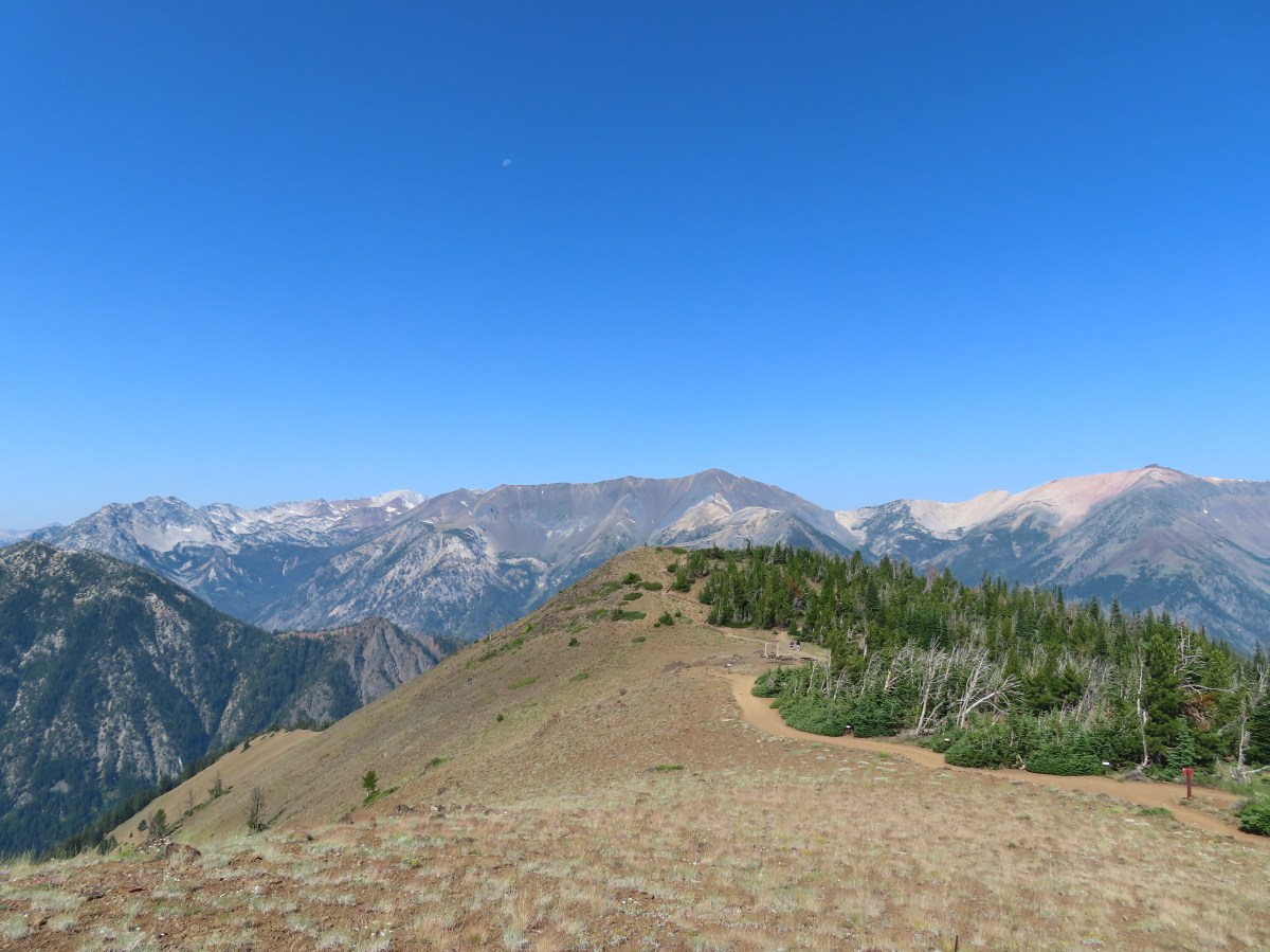


 View after coming back down.

 The tramway from the top.
 Pointer for the Royal Purple Overlook (right) and Summit Overlook (left).
 Penstemon
 Heading out to the Royal Purple Overlook.
 They do hold weddings up on the mountain.
 Lewis flax
 Mountain coyote mint
 The Hurwal Divide, Point Joseph and Ruby Peak from left to right.
 Pete’s Point, West Aneroid Peak, Eagle Cap the furthest away (
 Closer look at Eagle Cap.
 Craig Mountain and the Matterhorn (
 East Peak
 Pano that Heather took with her phone.
 Buckwheat
 Pointer for the Summit Overlook.
 View from the Summit Overlook. Heather is standing on the Royal Purple Overlook.
 Buek’s groundsel
 Point Joseph
 East Peak as I neared the Summit Overlook.
 The Seven Devils poking up above the smoke from Idaho.
 Seven Devils
 Mount Melissa to the left and East Peak straight ahead.
 The 4-way junction.
 East Peak from the 4-way junction.

 Mountain bluebird
 Climbing to the saddle.
 The view from the saddle.
 Wood blocking the lower end of the “short-cut”.
 Looking back at the Summit Overlook during one of my several breaks during the climb up.
 There were a few obstacles to avoid along the climb as well.
 The Royal Purple Overlook from the trail.
 Up, up I go.
 Golden-mantled ground squirrel watching me navigate some blowdown.
 The views helped keep my mind off the climbing.
 The second saddle in sight.
 The angle was enough different from the saddle that I could see a couple of additional peaks.
 The Matterhorn on the left and now Sacajawea Peak behind the Hurwal Divide to the Matterhorns right.
 The saddle provided a brief level stretch before the trail launched steeply uphill again.

 East Peak
 Lots of buckwheat along this section.
 Buckwheat and lupine above the trail.
 The fork. According to Sullivan the righthand fork peters out in about 0.2-miles and then it’s possible to scramble up East Peak in another three quarters of a mile. I went left heading for the spring.
 The McCully Creek Trail which we hiked a couple of days earlier (
 A phacelia
 Lyall’s Goldenweed
 Wallflower
 Looking back at the trail.
 Flowers near the springs.
 Shrubby cinquefoil surrounded by bistort and mountain death-camas.
 Mountain death-camas and bistort
 Looking up at the springs.
 Monkeyflower
 There were several smaller streams below East Peak.
 Aneroid Mountain
 Ground squirrel
 View from my turn around point.
 Looking back at my route to the second saddle.

 Dusty maidens near the springs.
 Heading down to the saddle.
 Cairn at the saddle.
 Milbert’s tortoiseshell
 Pale agoseris
 Climbing back up to the 4-way junction.
 Back on the Summit Loop.
 Crossing the service road coming up from McCully Creek.
 Mountain Heather
 Pointer for the Valley Overlook.
 Spur trail to the Valley Overlook.
 Flag at the Valley Overlook.
 Wallowa Lake below the Valley Overlook.
 Wallowa Lake
 East Peak peaking up over the trees.

 Wallowa Paintbrush
 The upper terminal.
 Apparently Heather was busy making a friend while I was visiting the springs even though she did not feed any animals.
 The straight line is the tram ride.
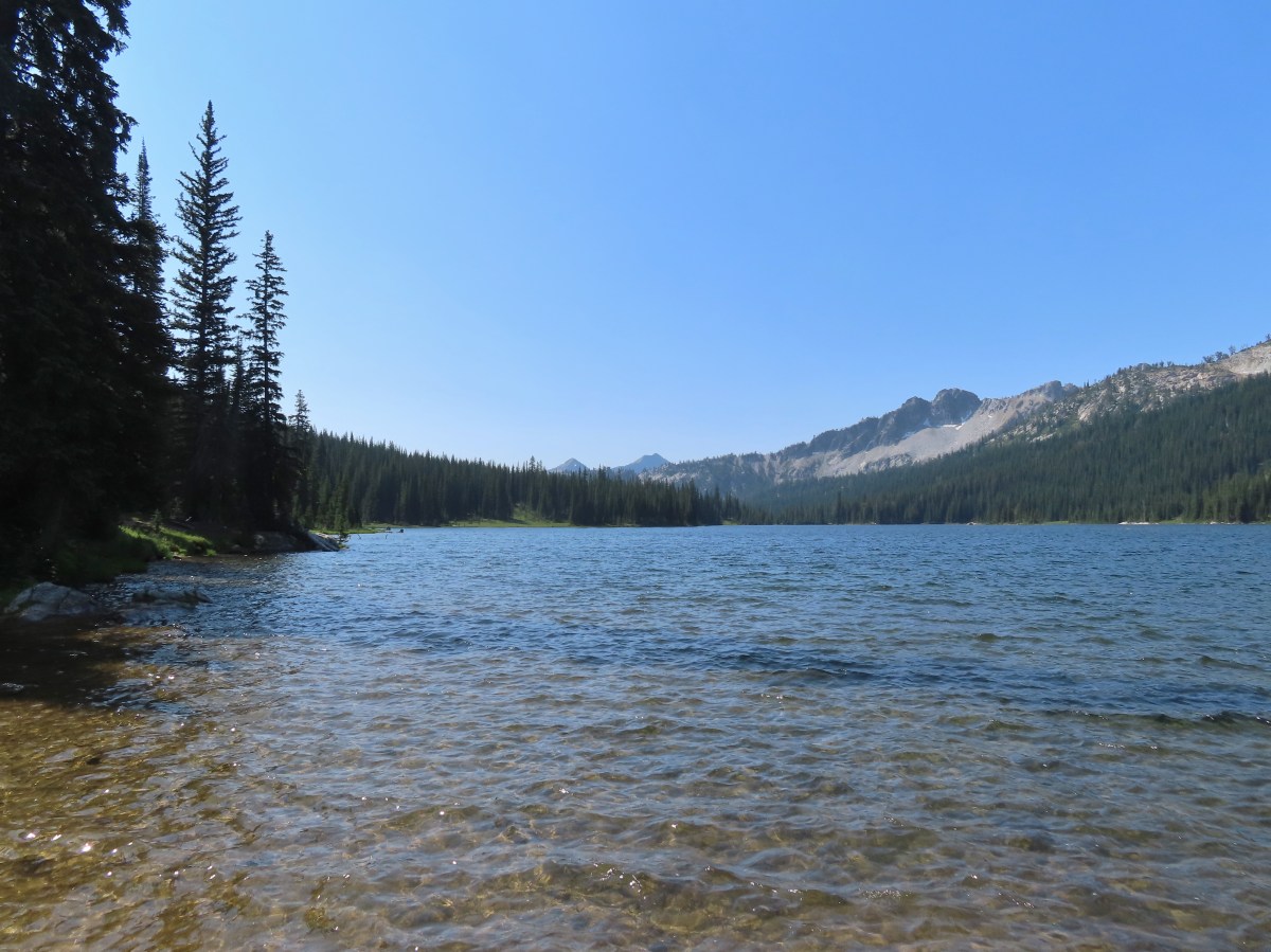

 Even at 6am on a Thursday the trailhead parking was nearly full.
 This was a neat feature.
 We both counted our steps, for me it was 50 and Heather 60.
 The Lostine River.
 Entering the Eagle Cap Wilderness just before the trails split.
 Trail sign at the fork.
 Bridge over the East Fork Lostine River.
 East Fork Lostine River
 The storm overnight had provided a little much needed rain.
 Huckleberries (I’d already picked the ripe ones.)

 Elkhorn Peak
 Monkshood

 Some of the river channels were very calm and crystal clear.
 We passed through a section of bent and snapped trees which were probably a result of an avalanche.

 Glacier Mountain
 Looking back at the other side of Elkhorn Peak.
 Nuttal’s linanthus
 Looking back down one of the steeper sections. We passed another couple heading out along this section.
 Looking up the Copper Creek drainage. Glacier Mountain on the left and Elkhorn Peak on the right.
 Off-trail waterfall. We could hear this from the trail, and it was a fairly easy bushwack to get a good view.
 The river crossing.

 Yellow columbine
 A little hazy looking toward the Sun.

 Elephants head
 Unnamed creek
 An easier crossing of the river here.


 First view of Minam Lake.
 Minam Lake
 Common mergansers
 Needle Point is the peak in the distance to the far left.
 Shooting stars
 We could have stared at the rocks along the ridges for hours.
 Heading back.
 Violet
 Groundsquirrel
 Robin
Robin Fritillary
 Orange agoseris
 The fire was burning up in that basin somewhere.
 The talus section in the afternoon.
 Spirea

 Butterflies and moths were out in force.
 Police car moth and another interesting looking pollinator (out of focus).

 Prince’s pine
 Back at the junction with the East Fork Lostine River Trail.
 Left for hikers and right for stock.

 We managed to get started about ten minutes before 6am.


 Bugbane and paintbrush
 A 2022 wildfire burned the first 3-miles of the trail and left the old footbridge damaged. A steep scramble trail led down to it.
 Big Sheep Creek

 Paintbrush and lupine
 Wildfire smoke filling the valley behind us.


 Phacelia
 Butterfly on buckwheat.
 Some of the trees survived the fire.
 White mariposa lilies in a meadow along the trail.
 Junction with the Wing Ridge Trail.
 North Fork Big Sheep Creek
 Lewis Monkeyflower along the creek.


 Canada milk-vetch
 Grass-of-parnassus
 Bog orchid
 Checker-mallow
 Bee heading for some monkshood.
 Me in some fireweed.

 Getting eyed by a western tanager.


 When fires burn too hot they damage the soil which makes it difficult for all plants to obtain the necessary nutrients to grow.
 A few plants had been able to take hold.
 A healthy patch of paintbrush.
 Middle Fork Big Sheep Creek
 Monkeyflower
 Brook saxifrage
 Another severely burned section.
 The Bonny Lakes Trail forking to the right off of the Tenderfoot Wagon Road Trail.
 Wildflowers along the Bonny Lakes Trail.
 The wildflowers were profuse along this stretch of trail.
 American sawwort
 Police car moths
 Larkspur and fleabane
 The trail recrossed the Middle Fork Big Sheep Creek.
 Orange agoseris


 Taper tip onions
 White mariposa lilies


 False hellebore
 Checker-mallow
 Penstemon on the outcrop.
 Mountain larkspur
 Pika!
Pika! Gathering plants for the Winter store.


 On the steep climb.
 Mountain heather
 Ground squirrel
 The creek was below between the ridges here.

 Stonecrop
 Swamp onions

 Wallowa paintbrush
 Aneroid Mountain and Lower Bonny Lake.
 Aneroid Mountain to the right and an unnamed peak on the left.


 Shrubby cinquefoil
 Cutleaf anemone seed heads.
 Possibly a sandwort.

 Upper Bonny Lake
 Lower Bonny Lake
 Aneroid Mountain from the knoll.

 Spotted sandpiper
 Elephants head

 White mariposa lily and buckwheat
 Jacob’s ladder
 Checker-mallow and white mariposa lilies along the trail.
 Scouler’s woolly-weed

 Gentians

 Goldenrod and yarrow
 Nuttal’s linanthus


 North Fork Big Sheep Creek
 The haze from the morning had improved now that the Sun had moved on from the east.
 Looking down at the un-damaged bridge over a side stream.
 Yellow columbine
 Big Sheep Creek.


 East Peak
 Spreading dogbane
 The start of the McCully Creek Trail (to the left).


 Paintbrush and pussytoes along with the lupine.
 Pink pyrola
 Monkshood
 Tall bulebells
 Penstemon
 Entering the Eagle Cap Wilderness.
 Yellow columbine
 Arnica and fleabane
 Coiled lousewort
 The McCully Creek crossing.
 Elephants head at the crossing.
 Paintbrush in the meadow.
 Fleabane (or aster) in the meadow.
 Wallowa paintbrush
 Cusick’s speedwell

 The first blowdown we encountered.

 Heading cross-country to McCully Creek.
 Where I recrossed the creek.
  Heading down to a flat opening which could serve as a campsite.
 Arriving at the first meadow.
 Aneroid Mountain

 A few flowers in the meadow.
 Bistort
 Shooting stars

 Looking down toward where I left the trail to bushwack to the meadow.
 Jacob’s ladder
 Orange agoseris
 Fritillary
 Crescent
 Bog orchid
 Tortoiseshell
 Red-breasted nuthatch


 The gate on the service road had been opened at some point.
 Swallowtail


 Canadian milk-vetch
 The Falls Creek Trail on the right.


 Mock orange
 The Falls Creek crossing.
 Twin Peaks from Falls Creek.
 Geranium
 Paintbrush

 A paintbrush hiding in fleabane.
 Robin
Robin The trail crossed a rocky area caused by an avalanche.
 Doe with one of her two fawns that were down at the creek at the avalanche area.
 Mountain death-camas
 The Hurwal Divide to the left of Sacajawea Peak.
 Rosy pussytoes
 Hurricane Divide (south)

 Deadman Creek
 Western tanager
 Hurricane Creek


 Slick Rock Creek flowing down from the right in the distance.


 The creek crossing.
 Harebells and stonecrop
 Paintbrush below the falls.
 Arnica
 Wallowa paintbrush, yellow columbine, milk-vetch, and northern sweetvetch.
 Faint rainbow in the falls.
 Butterfly on Rocky Mountain goldenrod.
 Yellow fleabane
 This may be common butterwort, but I’m not positive.
 Yellow columbine
 Spider hunting a moth. There was a brief scuffle, but the moth escaped unharmed.
 Penstemon

 Sagebrush mariposa lily

 Despite all the wildfires the views were pretty good as long as the Sun was at our backs.


 Nuttal’s linathus
 Wood nymph
 There was haze to our backs though.
 Rose along the trail.
 A Sulphur butterfly.
 A pale crescent on fleabane.
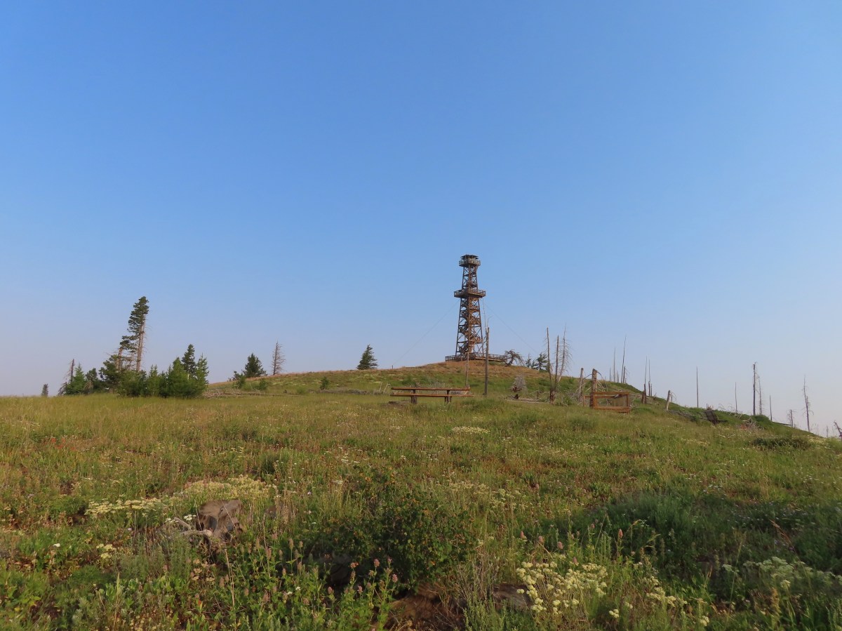
 It was warm and smokey at the viewpoint.

 Yarrow
 White mariposa lily
 Aster
Aster Sulphur buckwheat
 Scarlet gilia
 Bee visiting some penstemon
 Imnaha River canyon
 A small section of the loop was lost in a 2022 wildfire.
 The other end of the missing trail.
 One of several interpretive signs along the loop.
 Nettle-leaf giant hyssop
 This appeared to be the last of the elkhorn clarkia in bloom.
 Looking down wasn’t bad, but we couldn’t really make out any of the mountain peaks in the distance.
 Taper-tip onions
 A smokey Sun was heating things up fast.
 Grouse
 One of a pair of hawks.
 The Hat Point Lookout from the parking area.
 Paintbrush
 The start of the loop.
 Fireweed
 The lookout staffer?
 Sunlight reflecting off of the Snake River in Hells Canyon.
 Hidden in the haze are the Seven Devils mountains in Idaho.
 Penstemon
 The tower was closed to the public due to safety concerns.

 Hells Canyon is deeper than the Grand Canyon from its highest point, 9,393′ He Devil in Idaho at 8,043′ from the river. The depth from Hat Point to the river is 5,632′.
 Mountain coyote mint
 Lewis flax


 The tread was faint in spots amid the patches of wildflowers.
 There was a small rock outcrop at the ridge end.
 This is where we turned around not wanting to lose anymore elevation and have to climb back up on what was already an uncomfortably warm day. As it turns out we were just about at the boundary of the
  The lookout from our turn around point.


 Hat Point Trail sign near the quarters.
 This trailhead sign was in a large parking area near the quarters, but there were “No Parking” signs along the road here.
 Lupine

 Imnaha River canyon
 Imnaha from the Five Mile Overlook.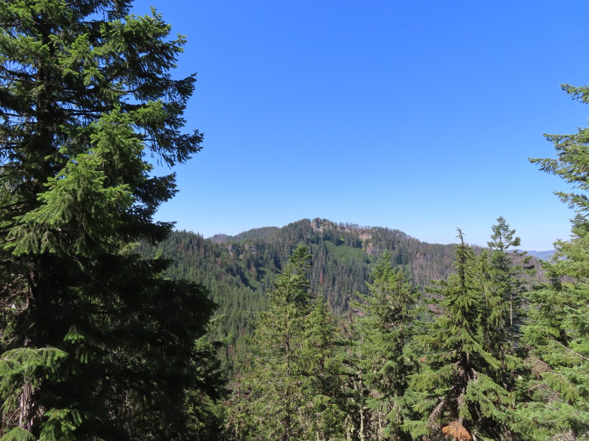
 The unsigned trail enters the forest across from a small pullout.
 Bunchberry


 Fish
Fish Rough skinned newt


 Flagging and some old trail maintenance along the Baty Butte Trail.
 We could see the tread continuing on the other side of the thicket.
 Vegetation covering the trail.
 The trailhead is located at a turnaround at the end of BLM road 7-4E-11.1.
 Oregon sunshine, lupine and paintbrush.
 Larkspur, paintbrush, and Oregon sunshine.
 Penstemon, paintbrush, and valerian.

 Westen featherbells
 Bistort
 Arnica

 Bear sign on the trail.
 Paintbrush and lousewort
 Nasty Rock from the trail.
 Entering the fire scar.
 The trail was especially overgrown in the fire scar.
 Penstemon
 Columbine along the trail.
 Valerian
 Exiting the fire scar after less than 100 yards.
 While none of the several downed trees posed much of an issue the condition of the trail made for slow going.

 Nasty Rock sticking up ahead.
 Not Nasty Rock further along the ridge and in the Beachie Creek fire scar.
 Wildflowers were blooming in the openings along the ridge.
 Arrowleaf buckwheat
 Checkerspot on Oregon sunshine
 Oregon sunshine
 Table Rock (
 Mt. Hood peecking up from behind a ridge.
 Scarlet gilia
 Nasty Rock from the trail.
 Flowers below the trail.
 Flowers above the trail.
 Buckwheat


 There were a lot of nice Washington lilies below Nasty Rock with more to come over the next week or two.
 Wintergreen
 Nasty Rock from the trail.
 The trail below Nasty Rock.
 Nasty Rock from the end of the “trail”. Prior to the 2020 fire a rougher use trail continued on to Not Nasty Rock, but we didn’t see any obvious tread. (We weren’t really looking though either.) We made the fairly easy scramble to the top of Nasty Rock and took a short break.
 Mt. Jefferson from Nasty Rock.
 Mt. Jefferson with the flat-topped Battle Ax (
 Mt. Hood in the distance.

 Looking out across the Molalla River drainage to the Table Rock Wilderness.
 Rooster Rock is the rock outcrop to the left with Table Rock the tall feature to the right. Pechuck Lookout can be seen on the lower hilltop in the center foreground.
 Not Nasty Rock from Nasty Rock. The highest peak diagonally left of Not Nasty Rock is Rocky Top (
 We were joined at the summit by a swarm of flying ants obsessed with this fir tree.
 Checkerspot on Oregon sunshine
 Swallowtail resting on serviceberry.
 Blue bells of Scotland
 Fritillaries on mountain coyote mint
 Clodius parnassian on mountain coyote mint.
 Fleabane
 Buckwheats, paintbrush, Oregon sunshine and at least one butterfly.
 Scarlet gilia
 Larkspur
 Washington lily
 Inside-out flower
 Fritillary
 Beardtongue
 Pink pyrola
 Bead lily a.k.a. Queen’s cup
 Bunchberry
 Cat’s ear mariposa lily
 Approaching the road.
 Larkspur and yarrow
 Checkerspots on Oregon sunshine


 Ash Creek


 In addition to the single doe we spotted a variety of birds along our route.
 Passing the dog park.
 Sign at the start of the sports park.
 Bird in a nest.
 Interpretive sign along the trail.

 Stellar’s jay
 Flowers along the path.
 Eventually the field on the left will be developed into sports fields.
 Vetch
Vetch Morning sunlight showing why it’s a robin “red breast”.
 Sparrow
 Going around the open field brought is into the sunlight, but it still hadn’t warmed up too much.
 Swallows
 Spotted towhee with breakfast.
 Amphitheater at Riverview Park.
 Willamette River
 Killdeer


 Pointers on South Main Street.

