Our 2024 hiking year has gotten off to a bit of a rocky start. We try and get a hike in on New Years Day, but I was dealing with COVID for the first time. Then an ice storm arrived just as I was feeling up to hiking. With the final weekend of January being our last chance to get a January hike in we resolved to head out regardless of the weather if it was at all possible.
Heading into the month our plan had been to visit Forest Park in Portland to hike a section of the Wildwood Trail that we haven’t before, but the ice storm hit Portland hard resulting in lots of downed trees so we were in need of a Plan B. While no ice or snow was forecast, an atmospheric river was heading in which carried the possibility of bringing several inches of rain between Friday and Sunday so we were looking for an appropriate hike. Fortunately, we recently became members of the Hike Oregon website and one of the members only hikes there is a section of the Corvallis to Sea Trail. The hike was also listed as a good rainy-day hike, so it seemed like the prefect Plan B. The Corvallis to Sea Trail, or C2C Trail, is a 60-mile route connecting the city of Corvallis, OR to the Oregon Coast at Ona Beach State Park (post). Much of the trail is on roads which may be abandoned or gated and others open to vehicle traffic. For more information on the entire trail please visit the C2C Trail’s official website.
Our intent was to start our hike by parking at “The 4-way”, a 4-way junction of logging roads atop a hill on Shot Pouch Road. Google Maps labels this as the “C2C Trail Sugar-Bowl Kiosk” located approximately four and a half miles south of Burnt Woods and U.S. Highway 20. When we arrived at the 4-way though we discovered that there had been some very recent logging activity which had torn up the shoulders where cars would park leaving muddy ruts all over. In addition, in the final tenth of a mile of Shot Pouch Road mud was piled high enough in the center that it scrapped the bottom of our Subaru as we passed over. Not being comfortable parking near the 4-way we retreated four tenths of a mile back down the hill to the intersection of Shot Pouch Road and Shot Pouch Trail Road where there was enough of a shoulder for us to pull off and park.
The C2C follows Shot Pouch Trail Road for approximately 4-miles then turns up Shot Pouch Road to the 4-way so we were still starting on the actual trail.
From our parking spot we crossed Shot Pouch Creek on Shot Pouch Road and hiked back up to the 4-way. Just before the bridge over Shot Pouch Creek is a spur trail for water which is reportedly scarce along the entire 60-mile route.
A swollen Shot Pouch Creek.
Following the trail/road up to the 4-way.
This was one of a handful of similar structures in the area. So far we haven’t found any information on their history.
Nearing “The 4-way”. Just ahead is where the Subaru bottomed out slightly.
The 4-way
We took the center road at the 4-way which led downhill to a kiosk and yellow gate. Trail marker with the kiosk and part of the gate in the distance.
After filling out a card at the trail register we passed the gate and continued downhill on what at first was a very rocky old road.
Cloudy and wet morning as expected.
The rocks on the first stretch were not a pleasant surface to walk on but it wasn’t too long before we left the rocks behind.
Small cascade along a side creek.
A decent rain shower had passed overhead while we were on the really rocky road, but after that conditions improved and we encountered no more significant precipitation. It was however unseasonably warm with temperatures in the mid 50s. The combination of the warm weather and wet conditions seemed to have brought all the rough-skinned newts out to explore. The first of the newts we spotted. They blend well with the leaves so we tried to really keep our eyes open to avoid accidently stepping on any. Over the course of the hike we saw several dozen and who knows how many we didn’t see.
The trail was well marked wherever an old roadbed split off and where the Sugar Bowl Creek Trail segment split off from the roadbed a little over a mile from the kiosk. C2C Trail marker along the left-hand (downhill) fork.
This was the only significant blowdown we encountered on the hike and the tree here was a fairly easy duck under.
The Sugar Bowl Creek Trail segment leaving the old road. This was the only portion that was true singletrack along the Sugar Bowl segment. Here the trail passes through a portion of the Siuslaw National Forest.
The Sugar Bowl Creek Trail switchbacked downhill to the East before turning back to the SW in the Sugar Bowl.
The trail eventually rejoined the old roadbed.
Actual blue sky.
Arriving at Mary’s Peak Road.
Signage along Mary’s Peak Road for the C2C.
We followed Mary’s Peak Road just over a mile to another kiosk and gate near Harlan Road where we turned around.
This particular newt was not about to move out of Heather’s way.
A side creek flowing toward Sugar Bowl Creek.
Sugar Bowl Creek was never visible from the C2C but it was out there somewhere.
The Harlan Road Gate and kiosk.
The uphill hike back was a little warmer than we were prepared for, and it didn’t help that we were needlessly wearing raingear which doesn’t breathe.
Coral fungus
Unnamed creek
Back on the rocky roadbed below the 4-way.
Back at the gate and kiosk.
Aside from getting a little sweaty the hike was great. We didn’t see anyone else all morning and the lack of rain was a pleasant surprise. While there isn’t anything along this part of the C2C that is going to blow you away visually it was indeed a perfect rainy winters day hike. With our starting point the roundtrip hike was 7.2 miles with a little over 700′ of elevation gain.
It felt great to finally get our 2024 hiking year underway. We’re looking forward to seeing where our wanderings wind up taking us this year. Happy Trails!
Our hike this week took second fiddle to our son’s birthday which we planned to celebrate by taking him out to lunch/dinner in Eugene. We still wanted to get a hike in that morning, so we looked for something in the general direction of Eugene. Our original plan had been to visit Vivian Lake near Diamond Peak, but a forecast of rain, followed by snow, then more rain had us look elsewhere. Looking at my list of future hikes a couple of hikes between Corvallis and Newport caught my eye. They were more or less on the way to Eugene and the weather forecast looked good. The two hikes had been Strom Boulder Ridge and Olalla Reservoir. Double checking the status of the hikes revealed that Georgia Pacific, who manages Olalla Reservoir, had closed access due to low water at the beginning of September so that hike was out. I then turned to the Oregon Hikers Field Guide to look for another short hike in the area and found the Big Creek-Forest Park Hike in Newport.
A trail begins near the restrooms at a footbridge over Big Creek.
Big Creek in the morning.
The trail follows Big Creek toward Highway 101 then recrosses it leading to a tunnel under the highway. A short section of the trail was paved.
At the eastern end of the parking area we came to this new kiosk that is being installed marking the start of the Agate Beach TRACK Trail. There was also a path directly to the parking lot from the kiosk which we used upon our return.
The tunnel under Highway 101. The stairs at the far end lead up to a city street while the trail makes a hard right to briefly follow the highway back across Big Creek.
A series of boardwalks crosses the marshy bottomlands of Big Creek.
While the kiosk was a new work in process there were a number of older looking interpretive signposts. This was one of only a handful that still contained an interpretive sign.
The bottomlands.
There were no signs at junctions but for the TRACK Trail stick to the level fork and ignore anything going uphill.
Further along the trail Big Creek could actually be seen flowing.
A non-boardwalk section along Big Creek.
Approximately three quarters of a mile from the kiosk the trail arrived at Big Creek Road at another new signboard.
The signboard at Big Creek Road didn’t have any information on it yet.
We turned right on Big Creek Road passing a large overflow parking lot for Big Creek Park and Reservoir, crossed Big Creek, and then turned left into Big Creek Park.
Stellar’s Jay
Northern flickers on the picnic shelter.
A signboard near the picnic shelter marked the start of the Forest Park Trail. Map on the signboard.
Don’t be fooled by the footbridge over Anderson Creek to the right of the signboard, the Forest Park Trail follows an old gravel roadbed steeply uphill to the left of the sign. Anderson Creek, the footbridge, and signboard from the roadbed.
The Forest Park Trail
While the Track Trail had gained almost no elevation the Forest Park Trail climbed over 200′ in its first half mile to a pair of water towers. A nice sitka spruce forest lined the old roadbed.
Mushrooms
Sunlight hitting the trees.
The Pacific Ocean through the trees near the water towers.
Passing the water towers.
Beyond the towers the trail dropped 160′ to wetlands along Jeffries Creek then climbed nearly another 90′ to a gate at the Fogarty Street Trailhead.
The drop to Jeffries Creek.
Jeffries Creek
Wood ducks in the wetlands.
The gate near Fogarty Street.
The Forest Park Trail from the other side of the gate.
We returned to the kiosk at the start of the TRACK Trail the way we’d come then cut to parking lot and returned to our car. The hike came to 4.0 miles with just over 550′ of elevation gain, nearly all of which was on the Forest Park Trail. The TRACK Trail seems like a good option for kids with the Forest Park Trail adding some short, steep climbs for those looking for more of a workout. The ability to visit Agate Beach from the parking lot is a huge bonus. We didn’t have time today to visit the beach but had in 2018 during our Yaquina Bay hike (post).
For our next stop at Strom Boulder Ridge we drove East on Highway 20 from Newport to Burnt Woods and turned right onto Harlan-Burnt Woods Road. We followed this road for 2 miles then turned right onto the unsigned gravel Burnt Woods Forest Road. I found this hike on Alltrails which I have somewhat reluctantly been looking at more frequently, mostly to check for recent trip reports but there are also some obscure “hikes” that don’t appear in any of our guidebooks or in the Oregon Hikers Field Guide. Strom Boulder Ridge is one such “hike” which is really just a 7.5-mile loop on drivable gravel logging roads on Oregon Department of Forestry managed lands. As such there is no official trailhead (although Google Maps seems think there is). The loop begins 0.7-miles up the forest road but we decided to park at a pullout next to a gravel pile halfway to the start of the loop.
Morning fog was still burning off at 9:30am.
One thing to note is that there isn’t any signage and because the area is actively logged roads may be added or closed depending on operations. I had downloaded the Alltrails track and we had our GPS units with us. Almost immediately we passed a logging road coming downhill on the left that was not shown on either the Alltrails or Garmin maps. A car by the gravel pile to the left with the road coming down the hillside to the right. Interestingly Google Maps labels this as “Burnt Woods Ridge Road” which both Alltrails & Garmin showed as the left-hand fork where our loop would begin. (Google doesn’t show a road there at all but you can see the road in the trees by looking at the aerial view.) Numerous times throughout the hike we relied on comparing the Alltrails Track to the GPS map and our track to that point to determine where we were and which road(s) to take.
The trip reports on Alltrails had all mentioned how quite this hike was and it was (we saw no other hikers and only passed one pickup truck on the loop) other than the gunfire that we heard almost immediately and then off and on throughout the majority of the hike. We followed the road uphill to a saddle then dropped slightly to a fork marking the start of the loop.
There was some room to park here at the start of the loop (this is not where Google marks the TH) as well as many pullouts along the loop where one could choose to start.
We forked right following the suggested direction shown on the Alltrails track sticking to the Burnt Woods Forest Road. Over the next three and a half miles the road swung out and around several ridges in a series of ups and downs resulting losing a cumulative 580′ but regaining over 400′ along the way. As we descended we found ourselves back in the fog for a while before it finally burned off.
Heading down into the fog.
One positive to the fog is that it can create some dramatic Sun rays.
Vine maple
Blue sky in the upper left hand corner.
The road to the right is an example of a road that wasn’t labeled on any map we had.
Emerging from the fog.
Looking back through the fog to blue sky and the Sun.
The only other “hiker” we saw on the loop.
We couldn’t see it but just over three miles from the start of the loop the road crossed Cline Creek which was the first time we heard what sounded like a decent amount of flowing water.
A little over a tenth of a mile beyond Cline Creek we left Burnt Woods Forest Road and forked uphill to the left onto Cline Creek Road.
Cline Creek Road climbed gradually for approximately a half mile at which point it steepened and climbed for another mile to a junction with Burnt Ridge Road. Arriving at a clearcut. Much of Cline Creek Road was along different clearcuts.
Mylitta crescent
Red-tailed hawk soaring over the clearcut.
Trying to get the red-tailed hawk in flight.
Lots of Fall colors starting to pop.
The first signs we’d seen (noticed anyway) were at the Cline Creek/Burnt Woods Ridge Road junction.
We turned onto Burnt Ridge Road and climbed some more gaining just over 150′ in the next 0.3-miles to the loop’s highpoint along the ridge (1558′). From there the road followed the ridge in a series of ups and downs for another mile and a half before making a sharp left and beginning a steeper descent back to the Burnt Woods Forest Road.
Arriving at the high point which was actually the first good viewpoint being above one of the clearcuts.
Looking North at more of the Coast Range.
Theoretically we should have been able to see both Mt. Hood and Mt. Jefferson from here but between haze from the fog and clouds we couldn’t make either out.
Mt. Jefferson is out there somewhere. The fact that the Cascades have some snow again doesn’t help them stand out in the haze and clouds.
Yet another unsigned road junction. Sticking to the ridge is the key.
After crossing a saddle we gained views SE to Mary’s Peak (post)
The tower and summit meadow of Mary’s Peak.
The hard left prior to the steep descent. The road on the far hillside in the clearcut is part of the road Google Maps has labeled as Burnt Ridge Road but doesn’t show on Alltrails or the Garmin maps.
We followed the ridge downhill for a little over a mile to complete the loop then followed the Burnt Woods Forest Road back to our car.
The end of the loop at the bottom of the hill.
Due to where we parked our hike came in at 8.5-miles with a little over 1200′ of cumulative elevation gain.
While it wasn’t the most exciting hike there was enough variety for it to be pleasant and aside from the gunfire it was quiet. It’s a decent option for a moderate workout, especially after rains when the road walk would be less wet/muddy than many trails. I would probably avoid weekdays if there is active logging occurring though. One other thing of note – Alltrails entry for the hike mentions the Siuslaw National Forest requiring a recreation pass but this is not National Forest land (and there is no developed trailhead) so no passes are currently needed.
After the hike we drove to Eugene and met Dominique at Ubon Thai for a late lunch/early dinner for his birthday. Good food and as someone who enjoys spicy foods, they didn’t disappoint with their heat scale. We followed the meal up with a slice of cake we’d brought down from Gerry Frank’s Konditorei. A great way to end a nice day. Happy Trails!
At the start of the year I scheduled a week of vacation in September just in case our August backpacking trip to the Wallowa Mountains didn’t work out. That vacation worked out so I had a free week while Heather needed to work. When that happens I tend to look for longer hikes in areas where we’ve already been together.
For this outing I chose Mt. Hebo planning to hike up and over from Hebo Lake to South Lake and back. We’d been to Mt. Hebo twice before, most recently in 2015 (post), but never to the actual summit or as far as North & South Lakes. I parked at the Hebo Lake Day Use Area and walked through the campground to the signboard at the start of the Pioneer-Indian Trail.
Hebo Lake
From the trailhead it’s four miles and approximately 1500′ to the meadowed plateau of Mt. Hebo. The lower portion of the trail includes several interpretive signs. Despite it being the end of Summer the forest was a lush green.
So much green.
The trail crosses several roads along the way and near the one mile mark an equestrian trail joins from the left. All crossing and junctions were well signed. Trail sign at the equestrian junction.
The equestrian trail. In 2015 we made the mistake of turning onto it briefly.
Love the mossy trees.
One of the numerous trail signs.
This more recently thinned section was full of ripe red huckleberries.
Trail snacks.
Chestnut-backed chickadee
Crossing Road 14 near the 3-mile mark.
There was a small section where there had been a lot of blowdown that had been removed.
At the 4.4-mile mark the trail crossed Road 14 again and traversed a hillside above several tributaries of Three Rivers.
This late in the Summer there was no water.
Dry marsh at the tributaries.
Bunchberry
Another dry crossing.
The trail made another crossing of Road 14 just 0.4-miles later then rounded a wide ridge. Near the 5.5-mile mark I reached the start of the steep descent to North and South Lakes where we had turned around in 2015. This time I continued on.
After descending three quarters of a mile North Lake became visible through the trees, or I should say the dry lakebed of North Lake became visible.
The trail stayed above the lakebed and forked. The right hand fork led to Road 14 along the lake shore while the Pioneer-Indian Trail continued to the left. This was the only official junction that was not signed.
With no water in North Lake I stuck to the Pioneer-Indian Trail and hoped that South Lake wouldn’t be the same. After an initial climb over a ridge the trail gradually descended arriving at South Lake 1.3-miles from North Lake.
Road 14 – again.
South Lake through the trees.
There was water in this lake (and one car in the campground), so I followed the half mile trail around the lake.
Vine maple changing colors.
The trail around South Lake.
After completing the loop I headed back along the Pioneer-Indian Trail. I really appreciated being reminded that it was eight miles back to Hebo Lake.
I returned past North Lake and began the 600′ plus climb that needed to be made to get back up to the plateau. I couldn’t really get a good view but there was a nice meadow along the trail between the two lakes.
Oregon grape
Bridge over Three Rivers near North Lake, I almost thought I heard a slight trickle of water here.
Good sized garter snake in the trail ahead.
Normally these snakes slither off into the brush as you approach but this one coiled up in the trail, so I took a long step over it and continued on.
This was the steepest section of the climb up from North Lake.
On the way down I’d spotted two separate flagged trails along the ridge end that appeared to lead up to the plateau. There were no signs but a quick look at the GPS and maps showed a road on the plateau that connected with Road 14. I thought it might be a little shorter to go that way, or at least it might mean a little less climbing because the trail dipped as it passed the dry streams feeding Three Rivers. One of the flagged routes.
Looking up the flagged route.
I turned up the first of the routes that I came to and climbed steeply to the plateau where the tread quickly petered out.
Remains of some sort of old structure were present. The summit of Mt. Hebo could also be seen.
Turkey vulture
A lone lupine.
I could see the old roadbeds though so I followed the closest thing I could find to old tread to the first roadbed and turned left onto it.
Mountain ash and maple.
A small bird watching me from behind some sticks.
Approximately a third of a mile from the Pioneer-Indian Trail I reached a gate at the end of pavement and in another tenth found myself on Road 14.
I had a choice of turning left or staying straight on Road 14. It would have been about 0.4-miles back to the trail along the left fork, but the map showed Road 14 curved a couple of times while staying straight appeared more direct. Going the left would have also been the way to North Lake. The road apparently gets narrow and a bit rough beyond this point.
I went straight and followed Road 14 nearly 0.7-miles before arriving at a trail crossing.
I turned right at the trail marker here. As it turned out it wasn’t any shorter at all and I wouldn’t recommend this route due to a lack of tread between the flagged trail and old roadbed and then having to follow Road 14 for so long.
I followed the Pioneer-Indian Trail back through the meadows then, after almost a mile, when it neared Road 14 again I took a short path over to the road to detour up to the summit.
A hedgenettle
I took this left to cut over to Road 14.
I followed Road 14 uphill for half a mile then turned right to visit the former site of an Air Force Radar station (now radio and other towers).
A path near an interpretive sign led out to the former radar site and a view of the Pacific.
Lots of yarrow still blooming at the summit.
White-crowned sparrow
Heading toward the viewpoint.
Three Arch Rocks
Haystack Rock near Pacific City.
Closer look at Haystack Rock.
Penstemon
Meadows along the plateau of Mt. Hebo from the summit.
I returned to Road 14 and followed it back down to the Pioneer-Indian Trail and headed back to Hebo Lake. It was nearly 3.5 more miles to the lake but luckily it almost entirely downhill and it had stayed relatively cool. I did stop for a moment to talk to three hikers from Corvallis who had originally headed East that morning but realized it was too smokey to be enjoyable, so they’d come West instead.
Bead lily (Queen’s cup).
Meadow along the trail.
So many ferns.
Mushrooms
This was a good-sized mushroom.
Back at Hebo Lake.
To wrap up the outing I took the Hebo Lake Trail around the lake and back to the car.
The hike came in at 17.7 miles with a little over 3200′ of cumulative elevation gain.
The highlight of this hike was the coastal forest. The views were nice, and the lakes were fine, but the green forest stole the show. Happy Trails!
A combination of wildfire smoke, hot temperatures, and possible thunderstorms convinced us to abandon our plans to backpack over the weekend. To make matters worse thunderstorms late in the week had started at least 50 new fires across several forests. We are now at the point of the year when we just want it to start raining, and if it keeps raining that’d be fine (preferably without any flooding).
Looking at the various forecasts the only decent option for us appeared to be the central coast so I looked through our future plans for something that fit the bill. I landed on a multi-stop day which included, as originally planned, five stops for short hikes surrounding Tillamook. We wound up skipping the final planned stop at Oceanside Beach after seeing how packed the beach was and finding that there was absolutely nowhere left to park in the area.
A short loop passes through the site of the fort which operated between 1856-1866. The interpretive signs along the way provide insight into the lives of that time and provide a stark reminder of how poorly the Native American population was treated. Most of the buildings are gone but this relocated Officers Quarters is being restored.
It was hard to tell at times if it was cloudy or smokey which would be a theme for most of the day.
Flagpole behind an interpretive sign.
Most of the trail is ADA accessible but not the entire loop.
The forest was quite a contrast from the open hillside.
The loop was just a little over half a mile. The numerous interpretive signs to read made it an interesting and informative first hike.
From the heritage area we made our way to the Nestucca Bay National Wildlife Refuge.
We followed signs for the trailhead and parked in a good sized, and empty, gravel lot.
Two trails begin at the lot, the Pacific View Trail and the Two Rivers Nature Trail. We opted to start with the nature trail which started by following a gravel roadbed for a quarter mile to a trail sign.
Lots of fading flowers: yarrow, goldenrod and aster mostly.
Some of the caterpillar tents on the hillside.
We decided to follow the trail down to the viewpoint at the end of the peninsula and then take the road back up to the trailhead so at the sign we turned left onto what began as another old roadbed but quickly turned to a dirt track.
The nature trail crossed the service road after half a mile.
The continuation of the nature trail on the right.
We were pleasantly surprised at how forested this entire trail was.
There were lots of frogs hopping off the trail. Can you see this one?
Norther red-legged frog?
A little less than half a mile after crossing the road we passed a junction with a trail leading to the picnic area. We would visit the picnic area on our way back and pick up the service road there.
The trail passed a small viewpoint looking across Nestucca Bay before ending at a bench at a railed viewpoint overlooking the confluence of the Nestucca and Little Nestucca Rivers.
The Little Nestucca is to the right with the Nestucca River straight ahead.
Cormorants
After enjoying the view we headed back uphill to the junction where we turned right and made our way to the picnic area.
We disturbed a doe near the picnic area.
The doe leaving the picnic area.
A path here leads down to the bay to provide fishing access (we didn’t follow it).
From the picnic area we followed the roadbed a mile back to the trailhead.
Ground squirrel
Thistle
Wilson’s warbler
The overlook on the far hillside.
The trailhead from the service road.
Once we’d returned to the trailhead we walked to the opposite end and picked up the Pacific View Trail near the outhouse.
A paved path led uphill through the meadow to the wooden overlook.
Haystack Rock and Cape Kiwanda (post) from the trail.
Haystack Rock
Pearly everlasting, spirea, and aster.
View from the overlook.
Bench at the overlook.
Little Nestucca River from the overlook.
White-crowned sparrow
Ladybug
This was an enjoyable stop and left us wanting to return in the future to hopefully have a clearer view and see the refuge at different times of the year. With both trails this stop came in at 3.5 miles and approximately 350′ of elevation gain.
From the refuge we headed north on Highway 101 toward Tillamook but turned just before crossing the Trask River and making our way to the Peninsula Park Trailhead.
Part of the Tillamook State Forest the Peninsula Day Use Area offers a nearly 1-mile loop with views of the Trask River and picnic tables at the far end of the peninsula.
Trask River from the trailhead.
Garter snake near the trailhead.
It’s recommended to hike the loop counter-clockwise but we failed to pay attention to that hint and after staying right at the first trail pointer we forked left when the trail split again after 500′. We followed the pointer here and went right.
Here we again followed the pointer and went left. We failed to notice the pointer on the lower sign not facing us. It was also hard to tell if the rocks were actually part of a trail or just a scramble route. Turns out they are “stone steps”.
Having gone left we quickly passed a short spur down to the riverbank.
The inland clouds were breaking up giving us some nice blue sky.
Ouzel
After exploring the riverbank we returned to the trail and continued on the loop.
Big tree along the trail.
Arriving at the picnic area.
The picnic area provides access to a small sandy beach at the Trask River Bend.
After a short break at the bend we started back. From the picnic area the trail climbed up the ridge, steeply at times following it to the high point then down to fork where we’d forked left. The trail to the left.
Huge nursery log.
It’s hard to see here but this section was very steep.
Steps along the ridge.
The stone steps looked more like steps from this direction.
Arriving back at the trailhead.
Given the steepness of the trail along the ridge we could see why going counterclockwise would have been preferable, but it was a nice hike nonetheless.
Up to this point the only other people we had seen was another couple that arrived at Fort Yamhill as we were getting back into our car. That was about to change with our fourth stop of the day at the Rockaway Cedar Preserve.
The trailhead is located along Highway 101 north of Tillamook.
We wound up parking on the shoulder of the highway a short distance from the full trailhead (along with many other vehicles). We walked back along the shoulder to the trailhead and set off on the raised boardwalk.
Skunk cabbage
Bindweed
While there were quite a few people visiting the preserve there were still moments when we had the boardwalk to ourselves.
The half mile boardwalk ends at a 154′ tall western red cedar whose trunk has a circumference of 50′.
Tree root along the cedar from another tree that is growing from it.
Another big cedar, but not anywhere near as big as the other.
After admiring the huge tree we returned the way we’d come taking a short detour to the “viewing platform”.
We passed a “hiker trail” pointer which is a reportedly rough, muddy track that links up to the boardwalk near the big cedar. We had seen the other end near the smaller big cedar but there was a “trail closed” sign at that end so we hadn’t even considered taking it.
Interpretive sign at the viewing platform. There were some benches here which were mostly occupied and not much of a view.
Salal
We returned to the trailhead and drove back south to Oceanside where we had planned for a final short hike, but as I mentioned earlier the Oceanside Beach State Wayside parking lot was full with multiple cars circling for spots and the road into and through Oceanside was also lined with cars. That was enough to convince us that our day was over. We will try Oceanside again during a less busy time of the year and likely as our first hike of the morning.
This was a shorter day with the four hikes totaling 6.8-miles with 700′ of total elevation gain. It had been a fun day with a very diverse set of hikes, all of which we would revisit. The trailhead locations around Tillamook.
We still have a few trips planned this year to complete featured hikes (post) so we are hoping for some rain over the next couple of months to help control the fires and knock down the smoke. In the meantime we will have to adjust to conditions as we go. Happy Trails!
The Central Cascade Wilderness Permit system has been in place for 2 years now and for the second year in a row we gambled early and secured permits in April for a weekend backpacking trip. For the second year in a row weather prompted us to leave the purchased permits unused. Last September it was an early snow storm and this year it was a heat wave accompanied by the threat of thunderstorms. We had planned on hiking around Three Fingered Jack but after checking the forecast the morning of our departure we went to Plan B. The combination of nearly 90 degree temperatures (with an overnight low pushing 70) on trails that are 95% exposed due to passing through the 2008 B & B fire scar and the possibility of thunderstorms throughout the entire weekend just didn’t sound appealing.
We had gotten up at 4am and most of our packing already done but we needed somewhere to go. It needed to be nearby so we could get onto the trail early and short enough that we wouldn’t be out as the day warmed up. As I was trying to come up with ideas Alsea Falls came to mind. We had hiked to the falls in December 2011 (post) and had wanted to see them again when there was less water as the volume in December had been too much to see. With 3.5 miles round trip to visit both Alsea and Green Peak Falls this fit the criteria nicely and it would give us time to make a quick stop at E.E. Wilson Wildlife Area if we felt like it on the way back home.
We were the first car at the Alsea Falls Day-Use/Picnic Area and after paying the $5 fee (In 2012 we avoided this fee by parking along Miller Road which lengthened the hike.) we set off following pointers for Alsea Falls.
We stayed left here following the pointer. We later crossed the bridge on the way to Green Peak Falls.
A quarter mile from the trailhead we came to the top of Alsea Falls. The trail continued downhill providing a few different vantage points of the falls.
Heather in front of the falls.
December 2012
After checking out the falls from several spots we headed back up to the bridge and crossed the river. Looking down river from the bridge.
On the far side of the bridge we turned left following the pointer for McBee Park and Green Peak Falls.
We followed trail pointers to stay on the correct path which brought us to a road near McBee Park (Privately owned by Hull-Oaks Lumber Company).
Fireweed
We turned off the main gravel road at another sign for Green Peak Falls. Here a spur road led through a large campsite to a trail.
Green Peak Falls
Green Peak falls in December 2012.
It was interesting to see how differently the lower water levels affected the visuals of the two falls. For Alsea Falls less water allowed us to see more of the bedrock and gave the falls a little more definition and character. Green Peak on the other hand just had less water, it was still a nice waterfall but it wasn’t the thundering cascade that we’d experienced in 2012.
On the way back we crossed the river at McBee Park and explored one of the empty sites there.
Covered picnic table.
The table is one solid plank.
Instead of back tracking through the park to the trail and returning the way we’d come we decided to road walk back to the Alsea Falls Picnic Area. Sign for McBee Park along South Fork Road.
Trail down to the picnic area along South Fork Road.
This wound up being a 3.3 mile hike which was just what we were looking for. It had been warm when we started at 6:15am and it was already noticeably warmer when we got back to the car at 8am. It was still early enough though that we did decide to stop on our way home and finally check out the E. E. Wilson Wildlife Area.
The area, located just north of Corvallis, is one of several Oregon Department of Fish and Wildlife managed areas that requires a $10/day parking perming ($30 for an annual permit). Hiking options are limited here with just a 1.5 mile Interpretive Trail to a fishing pond and a 1.7 mile out-and-back to Coffin Butte. The $10 price tag for such sort hikes had kept us away but we had come into possession of an annual permit (They come with certain hunting and/or fishing licenses.) which eliminated that obstacle.
We parked at the Camp Adair Trailhead and promptly forgot to put the permit on the dashboard. Instead we got out, threw our packs on (we looked crazy for a 1.5 interpretive loop but we wanted the water that was in them), and started checking out the pheasants being raised in nearby cages.
Silver pheasant
After looking at the birds we walked through the Camp Adair Memorial Garden. Camp Adair was established approximately 6 months after Pearl Harbor and housed up to 40,000 personnel at a time comprising four infantry divisions.
Red-breasted sapsucker
Parking for the fishing pond is located on the opposite side of the memorial and at that parking lot we turned left on a road passing through a gate to a signboard.
We followed this road 0.2 miles to a “T” where we turned left.
Less than 100 yards later we came to a sign for the Fishing Pond on our right at another road junction.
We made it about a tenth of a mile up this road before I thought to ask Heather if she had put the permit on the dashboard since I’d completely forgotten about it. She had forgotten too so I left my pack with her at a bench and jogged back to the car, put the permit in the window, and (mostly) jogged back to her. We then continued on to the Fishing Pond. Bunnies in the grass near one of the benches.
Coffin Butte on the other side of Highway 99.
Turkey vulture
Wetlands on the other side of the pond.
Great blue heron
After walking a little way up along the western side of the pond we backtracked and started around the southern end where we picked up the continuation of the Interpretive Loop. The loop trail to the right.
Skipper
The loop passed through some wetlands before entering a series of fields and finally arriving back at the road.
Tadpole
We stayed left at any junction like this.
Dragon fly
Bindweed
Arriving back at the road.
We took a left on the road and retraced our steps to the memorial and then back to our car. Between our wandering and my return trip to the car to put the permit out I managed to turn this into a 2.8 mile outing but it should have been closer to 1.5. We still managed to be done just after 10am which was a good thing because it was already pushing 80 degrees. These two short hikes turned out to be a great option given the circumstances. Unfortunately as I write this several fires are burning in Northern California and the Oregon Cascades with more red flag warnings for lighting through Monday. Hopefully things won’t get too bad and we pray for the firefighters as they do their best to keep things in check. Happy Trails!
The weather finally cooperated enough for us to get back to our originally planned 2022 hikes. For this outing we were heading back to one of our earliest hikes, Elk & Kings Mountains (post) to see how much we remembered from that first visit. When we made the conscious choice to take up hiking in 2010 the loop over Elk and Kings Mountains was our eighth hike. One of only a handful of hikes rated “Very Difficult” in all five of Sullivan’s “100 Hikes” guidebooks, and the only one in the Oregon Coast book, this had been quite the challenge for us. We were curious how nearly 12 years of additional hikes, and age, might change our experience this time around. We were also hiking the trail at a better time of the year having tackled it in the heat of mid-August the first time around. Our hope was that the earlier visit would provide a different experience with wildflowers and with the streams and creeks along the route.
Before we started the difficult loop though we stopped at Killin Wetlands Nature Park just outside of Banks, OR for a short warmup hike on the 0.7 mile loop. An unintended result of having altered the plan for our two previous outings was that this stop would mark our third straight outing visiting an Oregon Metro managed park. (Orenco Woods)(Chehalem Ridge)
We set off on a clockwise loop on the Peat Swamp Trail then stayed left at its junction with the Waterfowl Way Trail.
Peat Swamp Trail.
Our 6am start time paid off as we were not only the only ones at the park but we spotted a deer (too quick for a photo), two otters, several families of Canada geese, and a gadwall and a mallard.
One of the two otters that were swimming in the wetlands.
Mallard
The gadwall amid a family of Canada geese. When we got home and looked closer at the picture we realized that one of the round shapes we took for a clump of mud was actually an animal. We can’t make out the tail to know for sure whether it was a beaver or a nutria but we’d like to think it was another beaver.
The beaver? turned a bit in this photo but we still couldn’t make out the tail. It does appear relatively large when compared to the adult goose though.
Waterfowl Way made a 180 turn and headed uphill through some small trees to return to the Peat Swamp Trail.
We stayed left again and completed the short but eventful loop.
From Killin Wetlands we headed west on Highway 6 to Elk Creek Campground and the Elk Mountain Trailhead.
We set off on the Wilson River Trail which began a 0.2 mile climb to a junction with the Elk Mountain Trail.
Fairy bells and bleeding heart.
Elk Creek below the trail.
Junction with the Elk Mountain Trail
While it had been sunny at the wetlands we had dropped under some clouds as we descended to the Wilson River Valley and found ourselves hiking steeply up into fog.
Paintbrush
Parsley
Blue-eyed Mary
Viewpoint along the Elk Mountain Trail.
The blue sky is up there.
Snow queen
The trail was as steep and rough as we’d remembered.
We did climb out of the cloud to find that blue sky again.
White service berry blossoms and a huckleberry plant.
The trail made a series of ups and downs along a ridge crossing four saddles before climbing to the 2788′ summit of Elk Mountain.
Violet
Red-flowering currant
Trillium
Anemone
Monkeyflower
One of the saddles.
Chocolate lily
Elk Mountain summit.
We spent a little time resting at the summit where we found a lone blooming beargrass with more to come. Kings Mountain from Elk Mountain.
Wilson River
Pacific Ocean
The blooming beargrass below some red-flowering currant.
Beargrass
While the 1.5 mile climb to this summit had been hard the next mile of trail beyond the summit took it up a notch. The trail dropped nearly straight down the rocky west face of Elk Mountain requiring us to use our hands as we climbed down the damp rocks. Looking down the trail.
Heather on her way down.
After navigating the rocky descent the trail passed along some cliffs then climbed atop a narrow rocky ridge which it followed to an old roadbed where the hiking became temporarily much easier.
On the ridge.
Dropping down to a saddle along the ridge.
Near the start of the road bed we spotted a hermit warbler eating something off of some huckleberry bushes.
This was the first time we’d seen one of these pretty little birds, at least that we are aware of. Who knows how many we’ve seen fly by and not been able to identify them.
Mercifully on the old roadbed.
We followed the old roadbed for about a mile as it climbed to a junction at a saddle.
A clump of trillium.
Little moth.
Getting closer to Kings Mountain.
Paintbrush
Coming up to the junction.
We turned left onto the Kings Mountain Trail which according to the pointer was 1.3 miles away.
The trail continued to follow an old road bed for a little over half a mile before dropping steeply to a ridge and switchbacking around an outcrop and finally crossing over a saddle.
Phlox, paintbrush, and chickweed.
Still on the old road.
At the ridge end above the saddle, the trail dropped down to the left then through the saddle.
Below the outcrop headed to the saddle.
Probably the most memorable part of our first hike here was needing to use a rope that had been affixed to a stump to descend a steep chute. While we both remembered that we had forgotten at what point we’d encountered the rope and after the steep drop off of Elk Mountain we convinced ourselves that the rope had been there. As we passed over the saddle we realized our mistake as the stump and rope were here and the 12 years had not been kind to the trail here.
Heather getting ready to start down.
The chute in 2010.
The rope was quite a bit longer this time, out of necessity, but we made it down and continued on. From here the trail passed below some sheer cliffs which had been a very nerve wracking experience in 2010. Apparently somewhere during the 549 outings that we’d done between visits I’d gotten much more comfortable with narrow trails with steep drop offs because this time there were no nerves but there were a couple of spots that required the use of hands to get up.
The trail is down there somewhere.
Trillium
Bleeding heart
Fringed kitten-tails
Glacier lily
The trail then climbed to a high point along the ridge which Heather initially mistook for the summit of Kings Mountain. She was less than thrilled when I pointed out the actual summit a short distance, and one saddle, away. Coming up to the high point.
Kings Mountain
View SE from the high point.
We dropped down to the saddle then made the final climb to Kings Mountain. We had seen a small number of other hikers up to this point but found several others here having come up from the Kings Mountain Trailhead. Dropping to the last saddle.
Summit register at Kings Mountain.
Pacific Ocean in the distance.
View north.
Other hikers at the summit.
Valerian
Saxifrage, possibly Saddle Mountain saxifrage.
Phlox, paintbrush, parsley, blue-eyed Mary, and chickweed.
From Kings Mountain the Kings Mountain Trail dropped steeply downhill for 2.5 miles to a 4-way junction with the Wilson River Trail. While the trail is steep and rough in a couple of spots it’s nowhere near as gnarly as the Elk Mountain Trail. We had remembered the descent as having given us trouble but in those days we hadn’t used hiking poles. Armed with proper poles this time the descent went much smoother.
One of the rougher sections.
Wood sorrel
Woodland buttercup and candy flower.
The 4-way junction.
We turned left on the Wilson River Trail to make the 3.5 mile hike back to the Elk Mountain Trailhead. While the hike had been challenging we’d been doing pretty well but we’d forgotten to bring any electrolytes with us and while we had plenty of water we both started feeling a bit off. We paused at Dog Creek which is right near the junction for a bit of a break before continuing on the final stretch.
Dog Creek
The Wilson River Trail passed a wetland fed by several small streams before making a long gradual climb up to the junction with the Elk Mountain Trail.
The wetlands
One of the smaller streams.
Monkey flower
Lily that will bloom in a few weeks.
Fringecup
Coming up on a footbridge across Big Creek.
Big Creek
Pacific waterleaf
Steadily climbing.
A pea or vetch.
Unnamed stream crossing.
Miterwort
Rosy Birdsfoot Trefoil
The third type of monkey flower we saw on the day.
The junction is on the saddle ahead.
From the junction we dropped down to the trailhead where we thankfully had some meat sticks waiting that provided some much need salt and protein. Cars to the left through the trees, we made it.
So what did we learn revisiting this challenging hike after 12 years? One is that we are more comfortable with sketchy trails and exposure after having experienced both many times since then. Secondly our bodies are 12 years older and they reminded us of that toward the end of the hike. Finally we were reminded that as much as we have learned about hiking such as the advantage that trekking poles can provide we are still prone to making mistakes and underestimating what we might need such as the electrolytes. It will likely be quite a while before you find us on a hike without some handy.
Aside from both stops being loops our two hikes for the day couldn’t have been much different from one another. The 0.7 mile loop at Killin Wetlands was short with a well graded trail that gained a total of 60′ of elevation while the Elk and Kings Mountain Loop and been over 11 miles (It’s just under 11 if you don’t wander around with over 4000′ of elevation gain. The gains were often steep, as were the losses, requiring the use of hands at times and included steep exposed drop offs. It was obvious from the number of other trail users that we encountered that most people stick to the out and back up to Kings Mountain but if you’re an experience hiker looking for a challenge or an early season training hike this is a great option. Happy Trails!
May continues to be wet this year despite being in the midst of a drought. Hopefully these rainy days will help with that to some extent but in the meantime for the second week in a row we found ourselves looking for a “Plan B” hike that was more inclement weather friendly. We decided on the recently opened (December 2021) Chehalem Ridge Nature Park. Located in the Chehalem Mountains this 1260 acre park is managed by Metro which also manages Orenco Woods where we had started last week’s hike (post). Chehalem Ridge offers a network of hiking, biking, and equestrian trails but does not allow pets/dogs. The park website states that the park is open from sunrise to sunset which I mention because Google seemed to think it opened at 6:30am and entries in the Oregon Hikers Field Guide (Iowa Hill & Chehalem Ridge) give the hours as 8am to 7pm. With sunrise being a little before 6am this time of year we gambled on the Metro website hours and arrived at the large Chehalem Ridge Trailhead at 6am to find that the gate to the trailhead was indeed open.
We had spent most of the hour drive passing through rain showers but there was no precipitation falling as we prepared to set off. We stopped at the signboard to read up on the park and to study the map to confirm out plan for the hike.
Simply put the plan was to stay right at all junctions. This meant taking the Timber Road to the Ammefu (mountain in Atfalti (Northern Kalapuya)) Trail back to the Timber Road then to the Ayeekwa (bobcat in Atfalti) Trail to Witches Butter to the Chehalem (outside place in Atfalati) Ridge Trail. We would then follow the Chehalem Ridge Trail (detouring on a small partial loop) to the Madrona Trail and follow it to it’s end at a loop near some madrone trees. Our return would be back along the Madrona Trail to the Chehalem Ridge Trail (skipping the partial loop this time) to the Mampaꞎ (lake in Atfalati) Trail then right on the Zorzal (Spanish for thrush) Trail back to the Mampaꞎ Trail to Iowa Hill where the Mampaꞎ Trail ends in a loop around the hill. From Iowa Hill we would return to the Timber Road via the Mampaꞎ Trail and follow the road downhill to the Woodland Trail which we would follow back to the trailhead. The route could have been confusing but Metro has done an excellent job with not only placing posts identifying the trails at all of the junctions but also including maps on top of the posts.
The other nice touch is that the maps on these posts were oriented differently to align with the direction of the trail with north identified in the legend which made them quicker to read.
We set off down the Timber Road past the first of three figures located throughout the park representing the traditional storytelling of the Atfalti.
The Castor (Spanish for beaver) Trail on the left, this was the only trail in the park that we didn’t hike on during our visit. It was always a left turn.
Fawn lilies
Our first right turn (left was a short connector to the Woodland Trail).
Again the posts and accompanying maps were some of the best trail identifiers we’ve run across.
Bench at the viewpoint along the Ammefu Trail.
We had to imagine the view today.
The second figure.
Back at the Timber Road and another short connector to the Woodland Trail.
Fog on Timber Road
Passing the Woodland Trail on the left which would be our right turn on the way back.
Christensen Creek
Right turn for the Ayeekwa and Witches Butter Trails.
Witchs Butter on the left and Ayeekwa on the right.
Trillium
Some of the trails were gravel which helped keep mud from being an issue given the damp conditions. In fact there was only one spot (along the Madrona Trail) where mud was an issue at all.
Another bench, this one overlooked Christensen Creek.
Common blue violet
Pioneer violets and a strawberry blossom.
Mushrooms under a fern.
Popping out on the Witches Butter Trail.
Witches Butter Trail
Witches Butter Trail winding through Douglas firs.
Turning right onto the Chehalem Ridge Trail.
There was a little more mud on the Chehalem Ridge Trail.
Spring green carpet.
A good example of the differently oriented maps, on this one north is down.
Another fir plantation. The land had been owned by a timber company prior to being purchased by Metro in 2010.
Start of the Chehalem Ridge Loop. We went right which simply swung out along the hillside before dropping down to the Madrona Trail in 0.4 miles.
The loop continued to the left but we turned right onto the Madrona Trail.
The one thing that was hard to distinguish on the maps was the topography so we were a little surprised when the Madrona Trail continued to descend the hillside. (Had we read the Oregon Hikers Field Guide more closely we would have been prepared.) The trail switchbacked a total of 11 times before arriving at an old roadbed which it continued along to the right. Still cloudy and gray but we’d experience very little if any precipitation yet.
Lots of tough-leaved iris along this trail.
One of several blooming dogwood trees.
View on the way down.
Madrone trees began to be a common sight as we descended.
One of the 11 switchbacks.
We hadn’t seen a lot of mushrooms recently but this hike had plenty.
Following the roadbed.
The trail left the roadbed at a post and dropped down to the 0.1 mile loop at the end of the Madrona Trail. Aside from one other very small (3 in diameter) tree this was the only obstacle we encountered all day.
The start of the loop along with several madrones.
As we started back from the loop Heather mentioned that there should be a deer in the brush nearby and I jokingly said that there probably was and pointed out a game trail heading down to a small stream. As soon as I had finished my remark Heather spotted a doe that emerged from the bushes along the game trail. The doe made her way to the far hillside before we could get a good look at her.
After watching the deer for a while we began the climb back up to the Chehalem Ridge Loop. It had felt like we’d come a long ways down but the climb back wasn’t any where near as bad as we expected it to be (In reality we’d only lost about 400′). It was as we were hiking back up that the first vestiges of blue sky appeared.
The Tualatin Valley and Coast Range.
We stayed right at the Chehalem Ridge Loop to finish that loop and then retraced our steps on the Chehalem Ridge Trail back to Witches Butter Trail junction where we stayed right on the Chehalem Ridge Trail to its end at a three way junction. We had only seen 3 other people all morning, a trail runner on our way to the Madrona Trail and two hikers as we were coming back. We did however need to keep our eyes out for other trail users. Either these worms were racing or it was a bird buffet. The rain had brought a lot of earthworms onto the trails.
Another trail user a rough skinned newt.
A closer look at the rough skinned newt.
We also spotted a pileated woodpecker at the top of a dead tree. Between the distance and other trees in between I couldn’t get a good picture.
It had been so foggy when we had come up the Witches Butter Trail that we hadn’t realized that there was a giant green field nearby.
The end of the Chehalem Ridge Trail with the Mampaꞎ Trail to the right and a very short connector to the Timber Road to the left.
We briefly followed the Mampaꞎ Trail then turned right onto the Zorzal Trail. Sunlight hitting the Mampaꞎ Trail.
Fairy slippers
Squirrel
The Zorzal Trail to the right.
Toothwort along the Zorzal Trail.
Stripped coralroot
The Zorzal Trail swung out and then rejoined the Mampaꞎ Trail near the Timber Road. We yet again turned right, crossed the Timber Road near a gate and continued on the Mampaꞎ Trail.
The Mampaꞎ Trail passed along Iowa Hill before turning uphill and entering a wildflower meadow on the hilltop where a loop began.
There was a large amount of lupine in the meadow but we were several weeks early and only a few plants had any blossoms. There were a few other flowers blooming and many more to come over the next few weeks. An assortment of smaller flowers.
One of the few lupines with blossoms.
Camas buds
Oak tree on Iowa Hill. Most of the larger green clumps are lupine.
On the western side of the loop was a horse hitch, bike rack and stone circle where we sat and took a break.
The third and final figure was also located near the stone circle.
As we sat and enjoyed the sun breaks and views we began spotting a few other wildflowers hiding in the lupine. Yarrow
More lupine starting to blossom.
Tualatin Valley
Plectritis
Believe this is a checker mallow.
Parsley
Camas
Iris
White crowned sparrow
Buttercups in the lupine.
After a nice rest we finished the loop and headed back to the Timber Road which we followed downhill for six tenths of a mile to the Woodland Trail. Turning down the Timber Road.
I’m not good with these little yellowish birds. It could be an orange-crowned warbler.
Black capped chickadee
Approaching the Woodland Trail on the right.
Woodland Trail
We followed this trail for 1.4 winding miles back to the trailhead. Candyflower
Coming to a switchback.
We ignored a couple of shortcuts that would have led back to the Timber Road.
We also skipped the Castor Trail which would have slightly lengthened the hike.
Lupine along the Woodland Trail as we neared the trailhead.
Much nicer conditions than we’d had that morning and way nicer than anything we had expected.
Our hike came to 12.1 miles with approximately 1200′ of elevation gain utilizing portions of all but one of the parks trails.
Again we had been fortunate enough to avoid any significant precipitation. The weather forecast had kept the crowds away though and we only encountered about 15 other hikers all day, the majority of which had been during the final hour of our hike. We were very impressed by the park and have put it on our list of nearby go to destinations when weather or other factors keep us from going someplace new. The number of different trails provide for hikes of various lengths with none of the trails being too challenging. There was also a decent variety of scenery in the park and it looks like the wildflower display on Iowa Hill toward the end of May will be amazing. Happy Trails!
A wet weather system along with a small chance of thunderstorms led us to look for a plan “B” for our second outing in May. Looking ahead to the hikes on our 2023 list for April/May gave us a suitable alternative so we moved a 2022 hike to next year and moved up an outing to visit four parks, two in Hillsboro and two SE of McMinville. These hikes were all located within an hour of Salem allowing to stay relatively close to home and we figured that the less than ideal weather might make for less crowded trails. We decided to start at the northern most trailhead and work our way south.
We arrived at the Orenco Woods Trailhead (open dawn to dusk) just before 6am and headed past the restrooms to an interpretive sign in front of the McDonald House.
Beyond the house the path forked with the right hand fork leading to the Rock Creek Trail while the left fork led to the Habitat Trail which is the way we went.
Camas
Lupine
Habitat Trail
After a third of a mile we arrived at the Rock Creek Trail near NW Cornelius Pass Road where we made our first wrong turn of the morning. We initially turned right which would have led us back into Orenco Woods. We’ll blame our inability to read this sign on it still being early in the morning. We started down the path ahead before quickly questioning the direction and correcting course.
He probably knew which way he was going.
Heading the right way now.
From Orenco Woods the Rock Creek Trail follows the sidewalk along NW Cornelius Pass Road north 150 yards to a crosswalk where it crosses the road and follows NW Wilkins Street west another third of a mile. NW Wilkins
The trail crosses NW Wilkins St below some power lines at a crosswalk and resumes as a paved path.
While there are no more sidewalk stretches of the trail until the Rock Creek Trailhead at NE Rock Creek Boulevard there are three other road crossing; NE Walker, NE Cornell, and NE Evergreen Parkway. Fortunately all of these road crossings are at signaled crosswalks.
A little over a half mile from Wilkins Street we arrived at the start of a loop in Orchard Park
We stayed left planning on completing the loop on our return.
Another trail user
Two tenths of a mile from the start of the loop the trail split. We didn’t see a sign/map here and didn’t consult the maps we had on our phones and mistook the left hand fork as simply a spur trail to a parking lot in the park and we stayed right. This was our second wrong turn of the morning.
This path led downhill and crossed crossed Rock Creek without realizing that we had curved a full 180 degrees.
Fringecup
The trail split again two tenths of a mile later and here we veered left thinking it was the continuation of the Rock Creek Trail.
After a short distance the pavement ended at a circle of stone benches.
A well worn dirt path picked up here along a fence line behind some apartements
Spotted towhee
Stellar’s Jay
This dirt path ended after a tenth of a mile at what turned out to be NW John Olson Avenue but we didn’t figure that our right away. We didn’t see any signs for the trail here so we finally consulted the maps we had in our phones but even then didn’t realize our mistake. On the map there was a slight jog right coming out of Orchard Park before crossing NE Walker so we headed right to the next street corner where we read the street sign realized this was NE Walker. The full extent of our mistake still wasn’t clear though as we followed the dirt path back past the stone benches to the fork where we’d veered left. It was here that we made our third and final wrong turn of the morning. We were actually on the Orchard Park Loop and not on the Rock Creek Trail which had veered left up to the parking lot while we had gone downhill to the right. Not realizing this we took the right hand fork which recrossed Rock Creek and then climbed back up to the Rock Creek Trail at the start of the loop
We almost made our fourth mistake here as we didn’t initially realize that we had made the full loop. It wasn’t until we spotted some familiar looking camas nearby that the light bulb went off. Second time staring at this sign.
Having finally figured it out we headed north through Orchard Park again but this time hiked uphill through the parking lot to NE Walker.
Not sure exactly how to interpret this scene – mourning, a murder, or breakfast?
The slight jog right along NE Walker.
We crossed NE Walker and a tenth of a mile later crossed NE Cornelius Pass.
The next three quarters of a mile proved to be the most active for wildlife even though portions of it were between the creek and residences.
Bridge of Rock Creek
Look a pointer for John Olsen Avenue (just a lot further north).
Mallards (A pair of wood ducks flew off at the same time the mallards headed downstream.)
We had stopped while I attempted to get a photo of a small yellow bird that was bouncing around in a tree when we heard a branch/tree crack nearby. While I continued to try and get a picture Heather went over to the creek to investigate. It turned out to be a beaver which had been one of the animals left on our list that we hadn’t yet seen on a hike (or drive to one). Before she could get my attention (or a photo) it disappeared underwater so I still haven’t seen one in the wild. Here is the only photo that I could even get with the little yellow bird visible at all.
NE Evergreen Parkway
Two tenths of a mile beyond NE Evergreen the trail passed under Highway 26 and in another 400′ arrived at the Rock Creek Trailhead.
This was our turn around point so we headed back the way we’d come. We checked again for the beaver but it was no where to be found. Since we had inadvertently completed the Orchard Park Loop earlier we went straight back through the park and made our way back to Orenco Woods. At the entrance to the park we forked left staying on the Rock Creek Trail. (Retracing the short distance that we had hiked in the morning when we had made our first wrong turn.)
Two tenths of a mile into the park we came to a footbridge over Rock Creek.
After crossing the bridge we forked left and then took another left back on the Habitat Trail.
Checkermallow
The trail looped around and downhill to pass under the footbridge before arriving at small pond with a viewing platform.
Beyond the pond the trail climbed back uphill near the McDonald House. We turned left here and made our way back to the trailhead.
While it had remained cloudy all morning there had not been any noticeable precipitation during our 7.5 mile hike here.
The orange portion is the wrong turn on the Orchard Park Loop
Our plan here was to make a counterclockwise loop using the outer most trails.
From the trailhead we headed downhill to the right behind the rest rooms.
Even though we were less than a mile from Orenco Woods we spotted a few flowers that we hadn’t seen during that hike. Trillium
Solmonseal
Fawnlilies
The trail leveled out to cross Rock Creek.
Aven
A short spur trail on the other side of the creek theoretically led to Rock Creek but the recent rains had swollen it enough that the trail ended before the actual creek.
We continued on the loop climbing toward Borwick Road Trailhead but before reaching the grassy park at that trailhead we turned right leaving the paved path for a compacted gravel/dirt trail
This trail swung to the west before making a 180 degree turn and leading to the Borwick Road Trailhead. Near a viewpoint and bench Heather spotted a barred owl being harassed by a robin.
Rock Creek from the viewpoint.
The back of the owl (middle tree 2/3 of the way up)
The viewpoint was near the turn of the trail so we got some more glimpses of the owl through the trees after the turn. A second owl began hooting and this one wound up flying off to have a conversation. We hiked past the parking area at the Borwick Road Trailhead and hopped on a the trail the map called a “wood-chip” trail. In truth it was mostly mud at this point.
Violets
We stuck to the outer trail when this trail forked.
We arrived back at the paved loop near Rock Creek. We turned right onto it, crossed Rock Creek, and then climbed back up to the Baseline Road Trailhead. Swollen creek
Fairy bells
Cinquefoil
Nearing the trailhead.
The loop here was just over a mile.
We had once again been sparred any precipitation and as we drove to our next stop at Miller Woods found ourselves under blue skies and bright sunshine. Miller Woods however was under cloud cover but we were feeling pretty confident and put all our rain gear into our packs before setting off from the trailhead. While it had been our first visit to Orenco and Noble Woods we had hiked here in March, 2020 (post).
On our previous visit we had taken the yellow Outer Loop and had considered taking one of the other trails this time but a portion of the Discovery Loop was closed due to hazardous conditions (appeared to be a slide/washout) and the Oak Summit Trail didn’t look as interesting as the Outer Loop so we followed our route from 2020 except for a short section that had been rerouted.
From the kiosk we followed the yellow pointers downhill through the grass passing camas and birds along the way down.
A wren and a white-crowned sparrow
American goldfinches
Tree swallows
As we neared the tree line the precipitation finally arrived and a light rain began to fall.
We stopped in the trees to put our rain jackets on and then began descending through the forest to an unnamed stream.
Bleeding heart near the stream.
The trail then turned NNW leveling out a bit above Berry Creek as it traversed the hillside. Berry Creek down to the right.
There was a lot of wild ginger on the hillside.
Not long after donning our rain jackets the rain stopped and sunlight began to break through again.
The trail climbed as it came around the hill and we spotted a deer in the distance.
It was a young one that was munching on plants along a service road. As we made our way by on the trail Heather noticed the mother bedded down on the road.
After leaving the deer the trail soon began to descend and leave the trees.
It was here that the trail had been rerouted since our 2020 visit. In 2020 the trail veered left to a service road and made a right turn along the road back to the tree line before reaching a bridge across a creek. Now the trail simply headed downhill sticking to the treeline.
Iris
Buttercups
One of the neat features at Miller Woods is the wildlife survey covers which are liftable metal covers that could house wildlife. We had yet to lift one and see anything more than ants though until the cover near the creek. Lifting this cover revealed a small snake.
Small garter snake
We gently replaced the cover and continued on the loop which reentered the trees after crossing the creek. Approaching the bridge and creek.
Striped coralroot
It was shortly after crossing the bridge that we discovered the trail closure which ended the question of whether we would do the different, shorter loop this time or repeat our previous hike.
Doing the longer 4.5 mile loop turned out to be great as the weather stayed dry and we spotted several more deer and some birds along the way.
Sparrow
Doe just hanging out in a patch of poison oak. (It doesn’t bother deer.)
Nearing the high point of the trail at K.T. Summit
Spotted coralroot
K.T. Summit
A very cool madrone tree.
Two more deer with a third off camera.
Another neat feature that was new for us this visit were a number of signs along the trail identifying different evergreen trees in the Miller Woods Diversity Area. There was at least one identifier for each tree listed on this sign. The signs were particularly nice because many were next to younger trees which made it easier to see the needles and bark instead of just look at a trunk and having to look up to try and see other details of the trees.
A couple of examples. Western white pine
Western larch
Vanilla leaf
Fairy slippers
The trail passes above the entrance road and swings out before dropping down to what you expect to be the parking area (there is a signed short cut to it along the way) but the Outer Loop actually loops back behind the parking area and pops out of the trees near a the pond that the Discovery Loop goes around.
Frog near the pond.
Another new feature was a platform over the pond.
Red-winged blackbird
After taking a break on the platform we hiked uphill to the parking area and headed for our last stop.
2022 track in orange
The Erratic Rock State Natural Site is located just off Highway 18 between McMinville and Sheridan. There are no amenities at the site, just a quarter mile paved trail uphill to the rock from a small pullout along Oldsville Road. While it is less than 30 miles from our house that is a stretch of highway that we never find ourselves on. I realized when I was planning this outing that it would only add about 10 minutes to our drive home from Miller Woods to detour to the site so I added it to the plans.
We missed the little pullout but found a wide section of shoulder to pull off on and walk back to the signed trail.
The Erratic Rock is a 90 ton rock from the Northern Rocky Mountains that wound up over 500 hundred miles away on a hill in Oregon after being deposited here after one of Lake Missoula’s floods. Interpretive sign at the start of the trail.
We were in a pocket of mostly blue sky as we headed up the trail. Vineyard along the trail.
Although short the trail gains over 100′ in the quarter mile to the rock and we had already hiked over 13 miles, we were relieved when we saw the trail begin to crest.
Seeing the rock there and knowing how far it had to travel to wind up there made it an impressive sight. The views from the hill were also quite nice making it a worthwhile detour.
Our total for the day came to 13.8 miles with only 920′ of cumulative elevation gain. Individually each of these hikes are worth a stop and they all have things to offer young hikers. It turned out to be a fun combination with a unexpected amount of wildlife sightings and aside from the 10-15 minutes of light rain had been a surprisingly dry day. Happy Trails!
So far in 2022 the first Saturday of every month has come with a dry and at least partially sunny forecast which meant for the third month in a row we took our hike on the first weekend. We tend to take for granted the opportunities we have to get out and enjoy nature but this outing was different. For more than a week we’ve watched as the Ukrainian people have been forced to fight for their freedom and country. We continue to pray for their safety and an end to Russian aggression.
For our March hike we decided to check out the Crown Z Linear Trail, also known as the CZ Trail or Crown Zellerbach Trail. The 24.8 mile long CZ Trail runs between the cities of Vernonia and Scappoose following former (and sometimes active) logging roads open to hikers, bicycles and horses. Multiple trailheads make it possible to hike shorter segments as either out-and-backs or between trailheads using a second car. For our first visit we used the Oregon Hikers field guide which breaks the trail up into five sections. We picked section four, the East Fork Nehalem River Section, which runs between the Nehalem Divide and Wilark Trailheads.
We began at the Nehalem Divide Trailhead which provided the shorter drive of the two and also allowed us to begin the day with a downhill.
A 100′ path leads downhill from the trailhead to the CZ Trail which passes under the Scapoose-Vernonia Highway (if you’re heading toward Vernonia). Heading down the connector trail.
Trial sign at the jct with the CZ Trail.
CZ Trail passing under the highway.
We followed the road downhill for approximately 3/4 of a mile to an interpretive wildlife sign where a path behind led downhill to the East Fork Nehalem River. The river isn’t much as it isn’t far from the headwaters, but a short distance up river is a pair of small waterfalls with the western end of the Nehalem Divide Railroad Tunnel.
Light from the eastern portal is visible at the other end but the tunnel is not safe to enter without at least a hard hat.
After checking out the old tunnel we returned to the CZ Trail and resumed our hike toward the Wilark Trailhead.
The East Fork Nehalem River next to the trail.
We detoured again briefly to check out a small seasonal fall just off the trail.
It was a little muddy in places.
Another of several interpretive signs along the trail.
Not much in the way of flowers yet but there were a few indian plum starting to blossom.
A little under four miles from the Nehalem Divide Trailhead we arrived at the Floeter Trailhead.
Beyond this trailhead the CZ Trail immediately crossed an unnamed creek on a bridge.
After crossing the bridge we detoured here yet again passing over the highway to a small trail sign for Scaponia Park.
This short path dropped us into the 7 acre park which has 12 campsites and a short network of trails. We turned right on the park entrance road then crossed the East Fork Nehalem River on a footbridge to do a short 0.4 mile loop utilizing a second footbridge to return to the road near the campground.
East Fork Nehalem River
After our little loop we returned to the CZ Trail and continued west. Pointer for the CZ Trail in Scaponia Park
For the next three quarters of a mile the trail parralled the highway.
American kestral
The trail veered away from the highway again after the highway crossed the river putting it between the road and the trail.
Just over two miles from the Floeter Trailhead we arrived at the former site of Camp 8, a logging camp established in the 1920’s.
Robin in the meadow that once was Camp 8.
Beyond the Camp 8 site the trail crossed the East Fork Nehalem River then climbed to the highway passing mile marker 19 along the way.
The orange mile marker 19 ahead.
This short section was full of birds. Juncos
Another not great picture of a varied thrush.
Sparrow
We turned around at the highway and headed back.
The clouds finally began to break up after we passed Camp 8 and soon we found ourselves under a bright blue sky.
A grey jay enjoying the emerging sunlight.
Blue sky near the Floeter Trailhead.
Surprisingly until the final tenth of a mile we hadn’t seen a single other trail user when a lone mountain biker zoomed past us heading downhill. Including our three detours our hike came in at 12.7 miles with a little over 650′ of elevation gain. A good early season workout with some nice scenery and interesting history.
At some point down the road we will return to do another section of the trail but for now this was a fun introduction to CZ Trail. Happy Trails and Slava Ukraini.
A dry forecast on my birthday provided a great excuse to head out on our November hike. We had an unusually loose plan for this outing which consisted of a stop at the Clay Creek Trail followed by a visit to the Fern Ridge Wildlife Area with a third possible stop at Meadowlark Prairie. While the 2 mile hike on the Clay Creek Trail was covered in Sullivan’s “100 Hikes/Travel Guide Oregon Coast & Coast Range” we had very little information on the Fern Ridge Wildlife Area. There was enough information available on line to know that it was open to hiking but it was unclear just how long of a hike was possible which is why we were keeping the option of Meadowlark Prairie on the table. The mostly paved 14 mile long Fern Ridge Path passes along Meadowlark Prairie on its way into Eugene, OR which would have provided some extra hiking time if we’d felt that we needed it.
We started our morning by driving to the BLM managed Clay Creek Recreation Site. The hike here is one of two hike Sullivan lists under his Siuslaw Ridge Trails entry (featured hike #65, 4th edition). We had done the other hike at nearby Whittaker Creek in 2016 (post) and while we considered that earlier hike enough to check off the featured hike from our list completed this second short hike would complete it. We parked at a small pullout on the south side of the Siuslaw River. The trailhead sign for the Clay Creek Trail is ahead on the opposite side of the road.
It was a foggy morning, much like it had been on our earlier visit to the Wittaker Creek Recreation Area. Siuslaw River
Clay Creek on the left emptying into the Siuslaw.
A short use trail led down to Clay Creek and a small gravel bench. Stairs at the Clay Creek Recreation Area across the river.
After checking out the creek we walked the short distance up the road to the start of the trail. Sullivan described the hike as a 2 mile out and back but the map on the sign at the trailhead showed a lollipop loop. (Sullivan does mention the loop in his “Trail Updates” on oregonhiking.com.)
The existence of the loop at the top was a pleasant surprise. We crossed Clay Creek on a footbridge and began the 600′ climb to the ridge top.
The Clay Creek Trail climbing above Clay Creek.
We passed a bench at the second swtichback and continued climbing to a junction 0.6 miles from the parking area.
It’s hard to tell size here but the diameter of this tree was well over 5′.
The junction for the loop.
We turned right and continued to climb through the fog to the ridge top where the trail turned left. One of several reroutes we encountered.
On the ridge top.
The trail passed several madrone trees before arriving at a bench at the high point of the ridge. Madrone trunk and bark, always fascinating.
Lots of mushrooms pushing up through the forest floor.
Good sized trees near the high point.
No idea what you might see on a clear day.
The trail then began to descend to another bench at a switchback where the map indicated there was a view.
The viewpoint.
The trail continued switchbacking downhill while it wound back to the junction.
Just before reaching the junction I nearly went head over heals trying to avoid stepping on a rough skinned newt that I spotted at the last minute.
After having a one sided conversation with said newt we continued downhill to the car. Nearing the footbridge.
The fog had lifted off the river at least.
While Sullivan indicates in his update that the loop makes this a 3.6 mile hike others still list it as 2 miles and both Heather and my GPS units logged 2 miles for the hike. Despite the fog not allowing for any view it was a pleasant little hike. Sullivan does also mention that the BLM is considering a $5 parking fee for the area in the future so be sure to check the BLM site before heading out.
We spent just over an hour on the Clay Creek Trail after driving over 2 hours to get there so a second stop was a must in order to not break our rule against spending more time driving than hiking. That’s where the Fern Ridge Wildlife Area came in. Located just west of Eugene the area consists of a dozen units broken up around Fern Ridge Reservoir. We had driven by the reservoir numerous times on the way to hike in the Coast Range and around Florence and seen signs for the wildlife area which had piqued at least my curiosity. After some online research it appeared that parking at the end of Royal Avenue between the Royal Amazon and Fisher Butte units was our best bet. The ODFW website mentions possible seasonal closures but finding detailed information on them wasn’t easy. I was eventually able to determine that these two units were open to the public from 10/16 thru 1/30 from until 2pm each day (presumably starting at sunrise). Even with the earlier hike we had arrived before 9:30am so we had plenty of time to explore. There is a $10 daily fee to park in the lots which is typical for ODFW wildlife areas (although it appeared most people simply parked along the shoulder of Royal Ave to avoid the fee).
Note that Royal Ave and the trail to the viewing platform are open year around with the other restrictions listed below.
We took a picture of this map to assist us with our route.
From the signboard we continued on the gated extension of Royal Avenue. It was a lot foggier than we had expected so the visibility wasn’t good and it was in the mid 30’s so it was chilly too.
We passed a grassy path leading to the viewing platform at the 0.4 mile mark.
We opted to pass on the platform for now hoping that visibility would improve as the morning wore on and we could stop by on our way back. We continued on the old road bed watching for birds and any other animals that might be about.
White crowned sparrow
Northern harrier on the hunt.
Wetlands in the Royal Amazon unit.
As we neared sub-impoundment one a large bird flew up from the reeds. It was our first encounter with an American bittern which was on my bucket list of animals we’d yet to see. The bittern taking off.
Not the greatest photo but enough to identify it.
We turned right on a levy/old roadbed on the other side of the sub-impoundment and followed it for 0.7 miles to Gibson Island. The highlight of this stretch was a pair of bald eagles hanging out in a snag.
A hawk on a stump.
American coots
Gibson Island (with the eagles in the snag to the far left)
A short trail at the end of the levy led onto the island before petering out.
We turned around and headed back to Royal Avenue where we turned right and continued west just to see how far we could go. A flock of geese above the coots.
There were a number of these small birds pecking around in the mud which, with some help from Molly in the comments, are American pipits.
Continuing west.
We used the stones to the right to cross the water here.
Great blue heron (with Highway 126 in the background).
Sandpiper in the roadway.
End of the line.
We imagined that much of this stretch would be under water by late Winter/early Spring but we had managed to make make it 1.7 miles from the trailhead before being turned back. We headed back past sub-impound one to the grassy path near the viewing platform where we left the road bed.
Seagull
Perhaps the same northern harrier.
The harrier taking a break.
The path to the platform.
Dunlins (thanks again to Molly)
The platform.
From the platform dikes led west and south. Since we had just come from the west we decided to go south along a body of water in Field 5.
The first signs that the fog/clouds might be breaking up.
Looking back at a little blue sky and a visible Gibson Island
We watched a group of shore birds as the alternate between foraging in the mud and performing areal acrobatics.
A little over three quarters of a mile from the viewing platform we arrived at a 4-way junction.
We turned left continuing around Field 5 for a third of a mile before arriving at a “T” junction just beyond a ditch. Fisher Butte is the low hill ahead to the right.
According to the map we’d taken a picture of at the trailhead continuing straight at the junction would lead us to the area’s boundary near Fisher Butte while the right hand path led past Field 2 to Field 1 and then to a parking area off Highway 126. We turned left walking between the ditch and Field 3. Gibson Island was now lit by direct sunlight.
In another third of a mile we faced another choice. Another dike headed to the right (east) between Field 3 and Field 4. The dike running between Fields 3 & 4.
Looking back over the ditch.
We opted to turn right having misread the map for the first time. For some reason we ignored the difference between the symbols for the dikes and boundary lines (although some online sights showed paths along the boundary lines). At first everything was fine as the dike gave way to a cut mowed track wrapping around Field 4 along the boundary. There was a pond in Field 4 where several species of ducks were gathered as well as a great blue heron and a kingfisher. California scrub jay
Northern shovelers and a bufflehead.
Buffleheads and two hooded merganser females.
Kingfisher
American robin
After wrapping around the pond for half a mile the track we were following became increasingly muddy with standing water in areas. We were very close to a gravel road so we hopped onto it for a tenth of a mile where we were able to get back onto a grassy track at a signpost. The gravel road and another small portion of the wildlife area on the other side.
Noisy geese.
Back on the mowed track.
We went straight here looking for a trail on the right that would leave us back to the parking area. The clouds were really breaking up now and lots of little birds were out enjoying the warmer weather.
A sparrow
Spotted towhee and friend.
Finch
As of yet unidentified little bird.
We found what we were looking for, at least what we thought we were looking for and turned right on a clear trail that dropped down into a mowed field then mostly disappeared. We skirted along the edge of the field toward the parking area and as we neared the trailhead a clear trail emerged, or more like submerged. We followed the wet trail almost to the signboards near the trailhead where a ditch of standing water stood in our way. Our only choice (aside from backtracking) was to get wet so get wet (or wetter) we did. Luckily our hike was over and we had a change of socks and shoes waiting in the car. We finished hiking just before 1pm and managed to get a full 7 miles in while leaving parts of the area unexplored. It was nice to find another option in the valley that offered a potential destination when getting up into the mountains is possible. While we did hear occasional gun shots from hunters we only saw two duck hunters, but we also saw some families and bird watchers. This path headed north from the trailhead, something to explore on our next visit.
Track at Fern Ridge Wildlife Area
It was a good birthday hike and we were done early enough for my parents to treat us to a great birthday dinner at The Manilla Fiesta, a restaurant I’d been dying to try. Happy Trails!


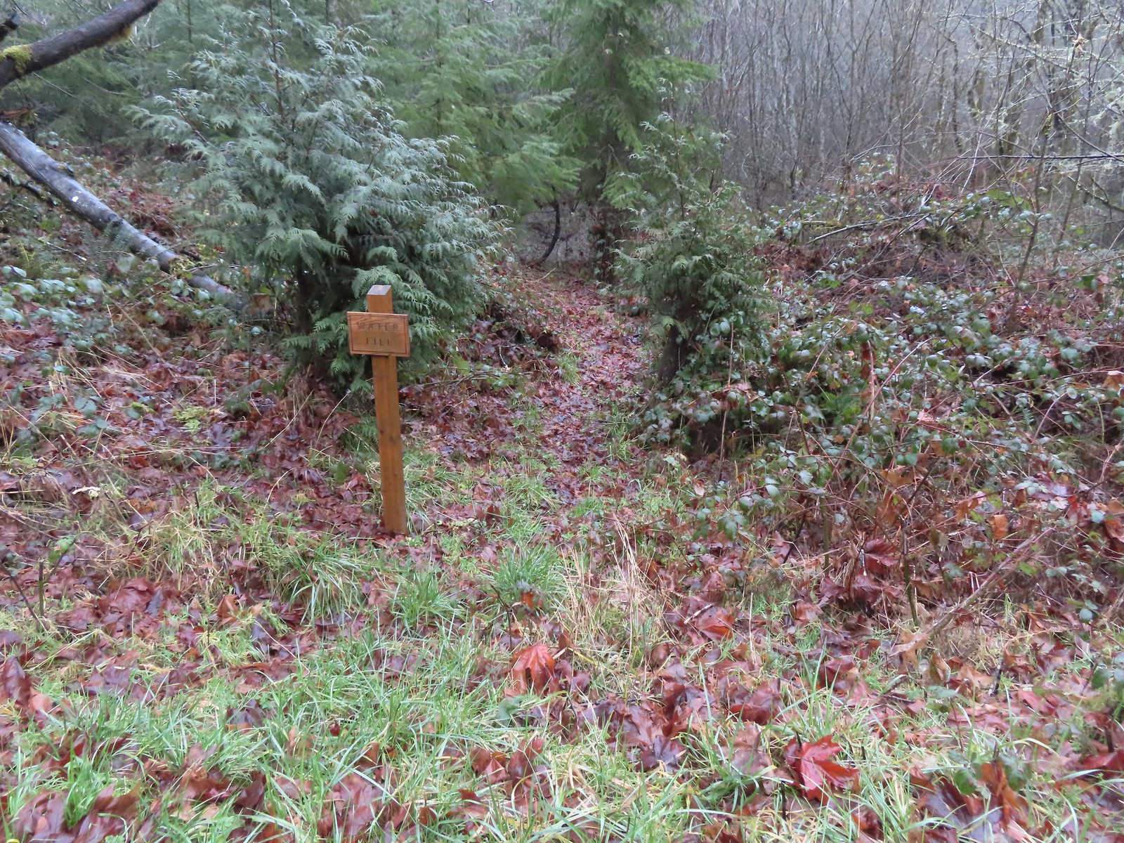 Just before the bridge over Shot Pouch Creek is a spur trail for water which is reportedly scarce along the entire 60-mile route.
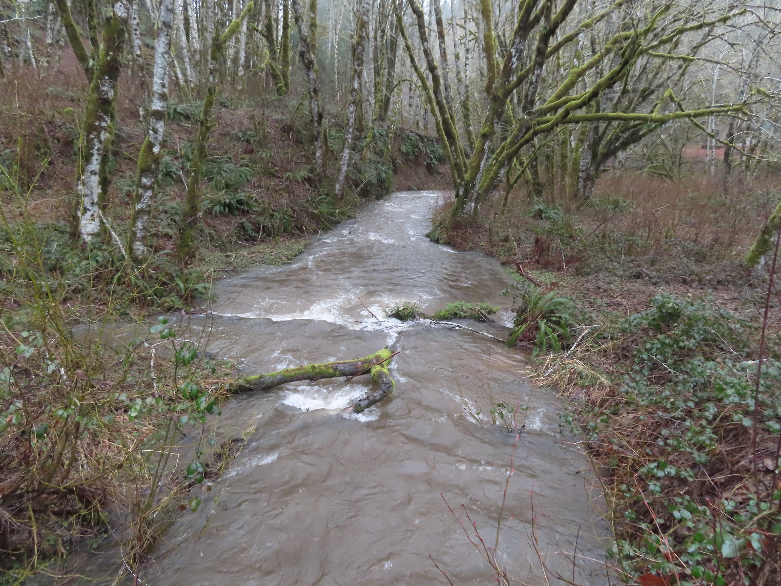 A swollen Shot Pouch Creek.
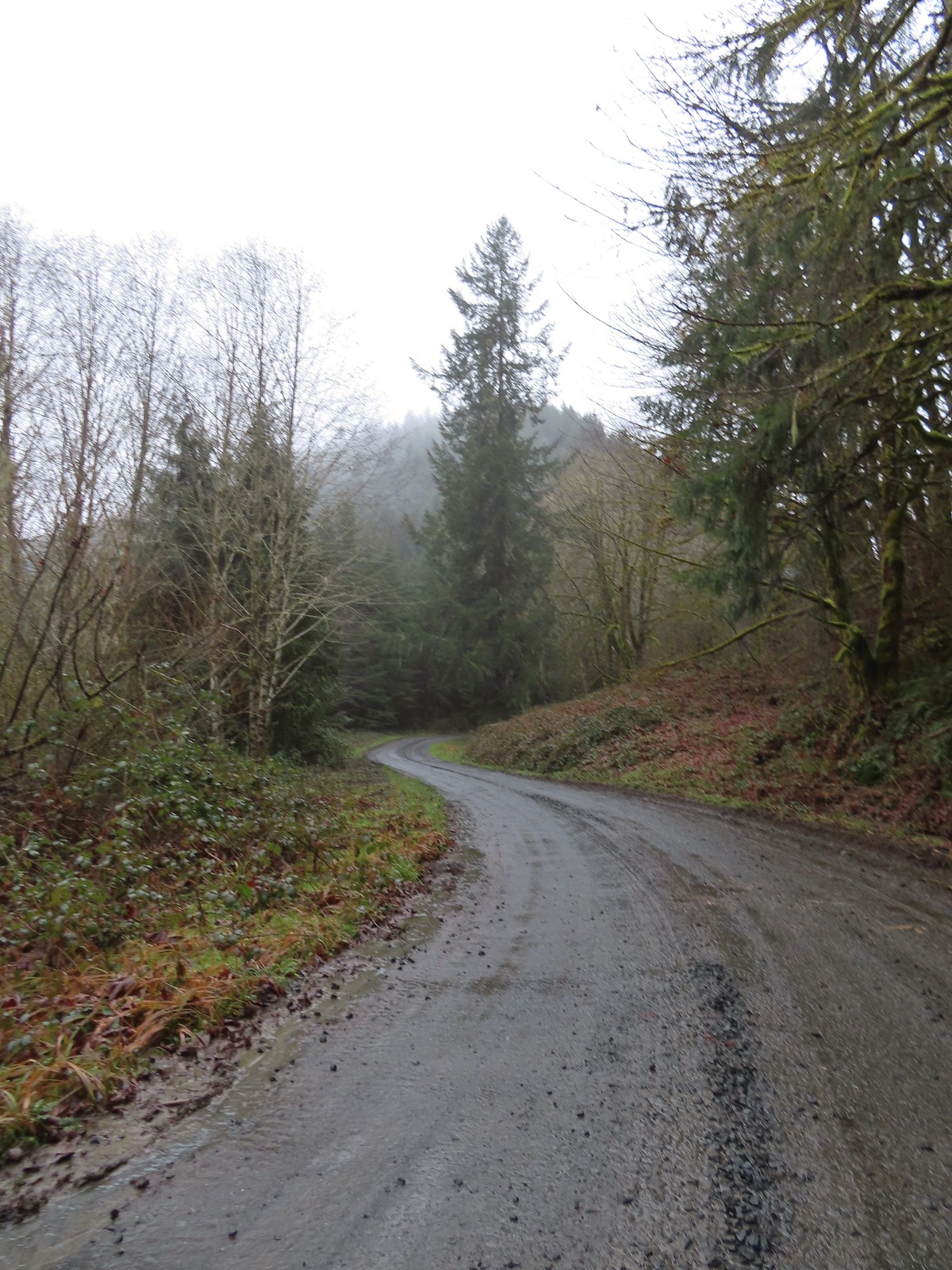 Following the trail/road up to the 4-way.
 This was one of a handful of similar structures in the area. So far we haven’t found any information on their history.
 Nearing “The 4-way”. Just ahead is where the Subaru bottomed out slightly.
 The 4-way
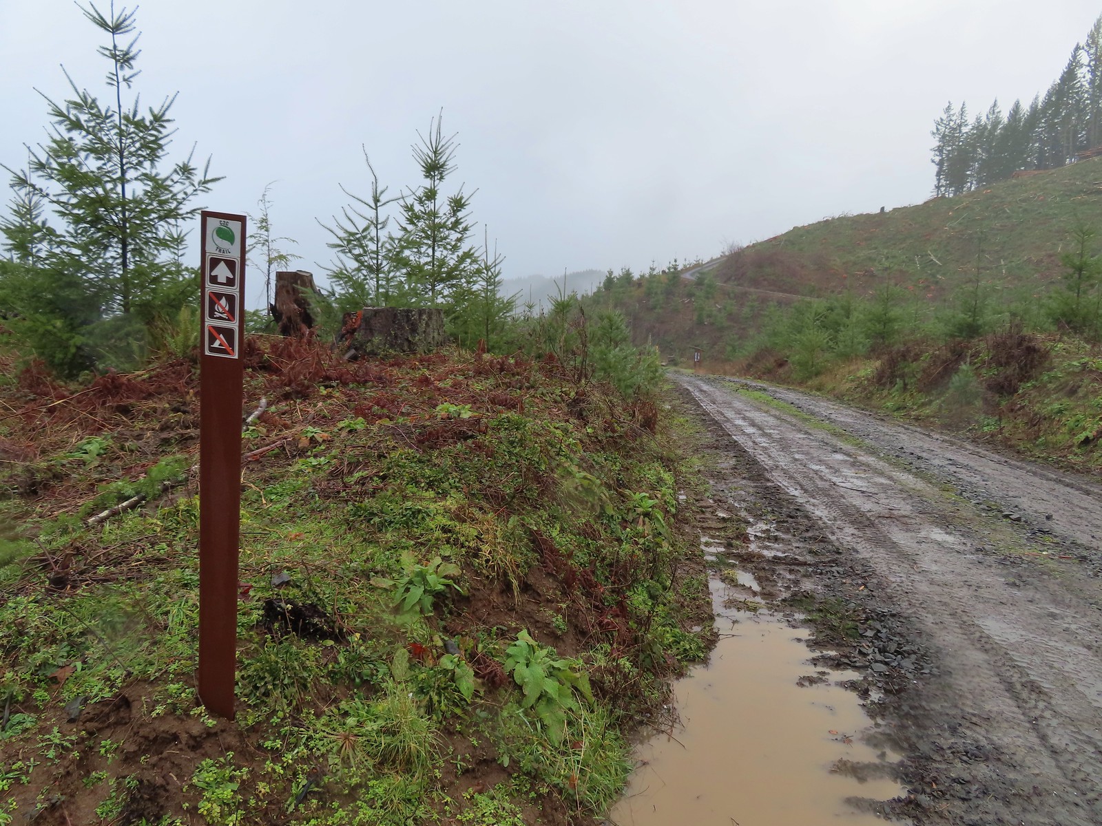 Trail marker with the kiosk and part of the gate in the distance.
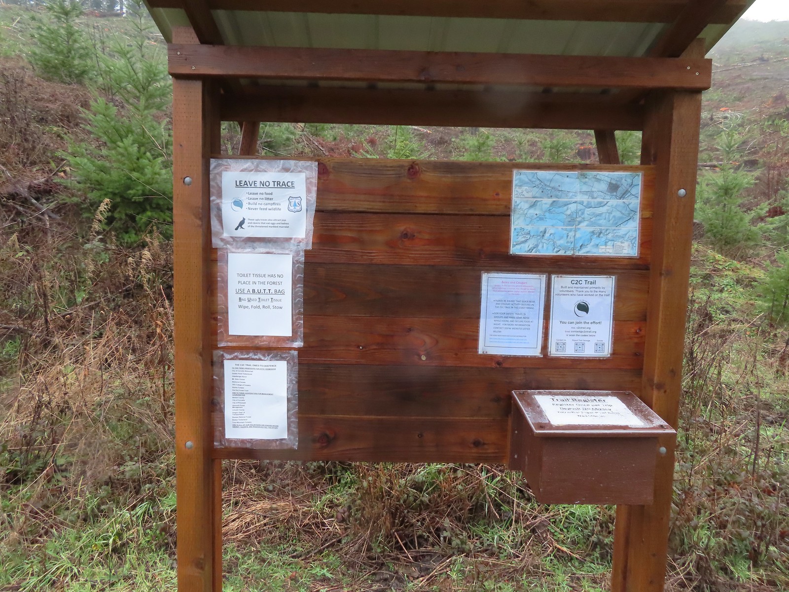
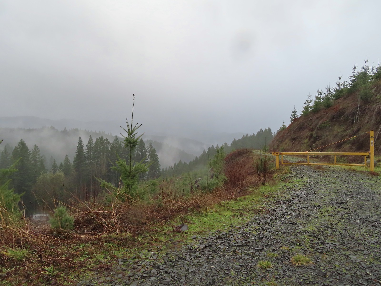 Cloudy and wet morning as expected.
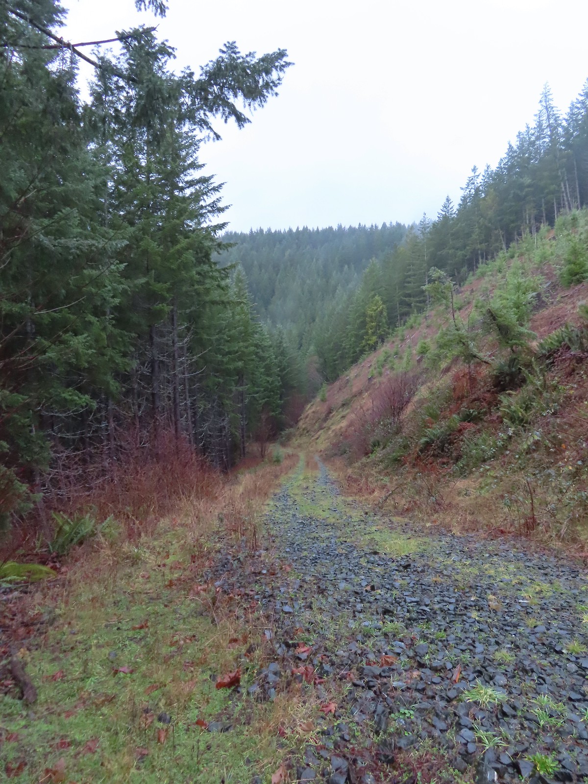
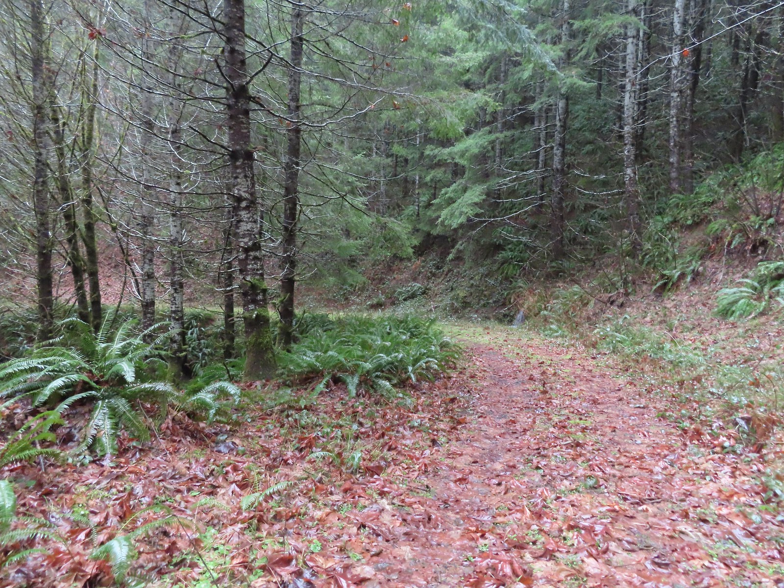 The rocks on the first stretch were not a pleasant surface to walk on but it wasn’t too long before we left the rocks behind.
 Small cascade along a side creek.
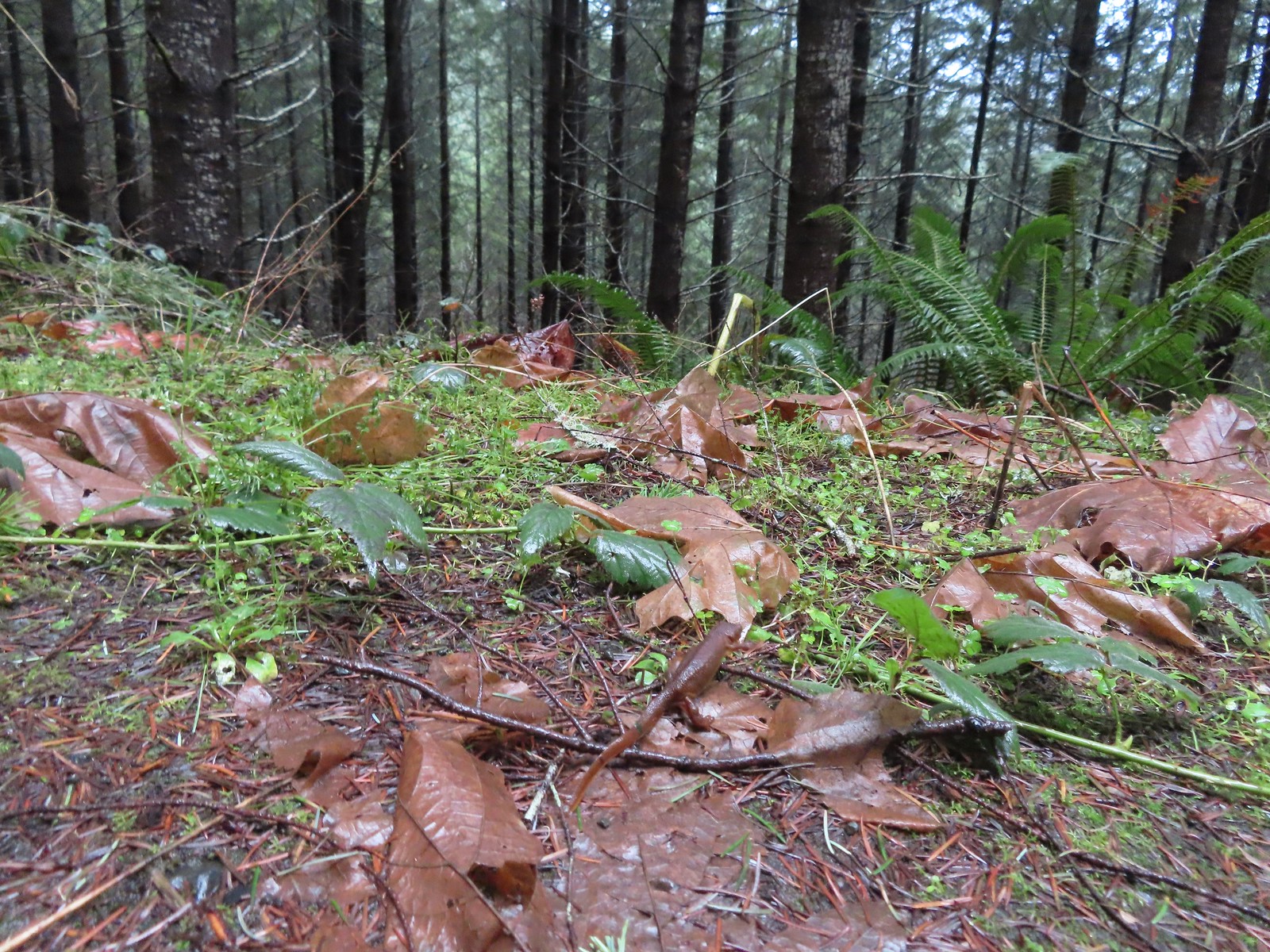 The first of the newts we spotted. They blend well with the leaves so we tried to really keep our eyes open to avoid accidently stepping on any. Over the course of the hike we saw several dozen and who knows how many we didn’t see.
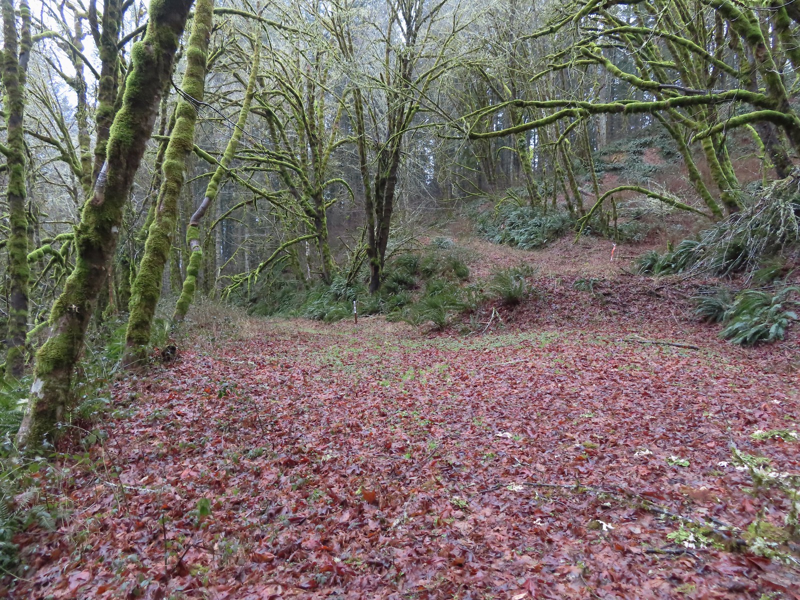 C2C Trail marker along the left-hand (downhill) fork.
 This was the only significant blowdown we encountered on the hike and the tree here was a fairly easy duck under.
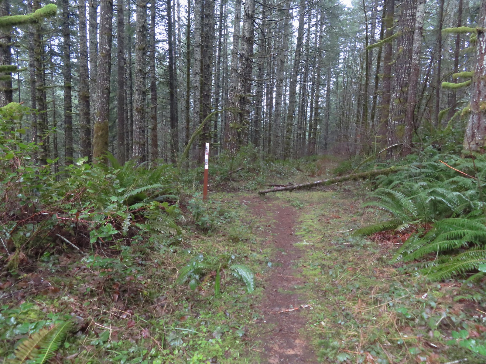 The Sugar Bowl Creek Trail segment leaving the old road. This was the only portion that was true singletrack along the Sugar Bowl segment. Here the trail passes through a portion of the Siuslaw National Forest.
 The Sugar Bowl Creek Trail switchbacked downhill to the East before turning back to the SW in the Sugar Bowl.
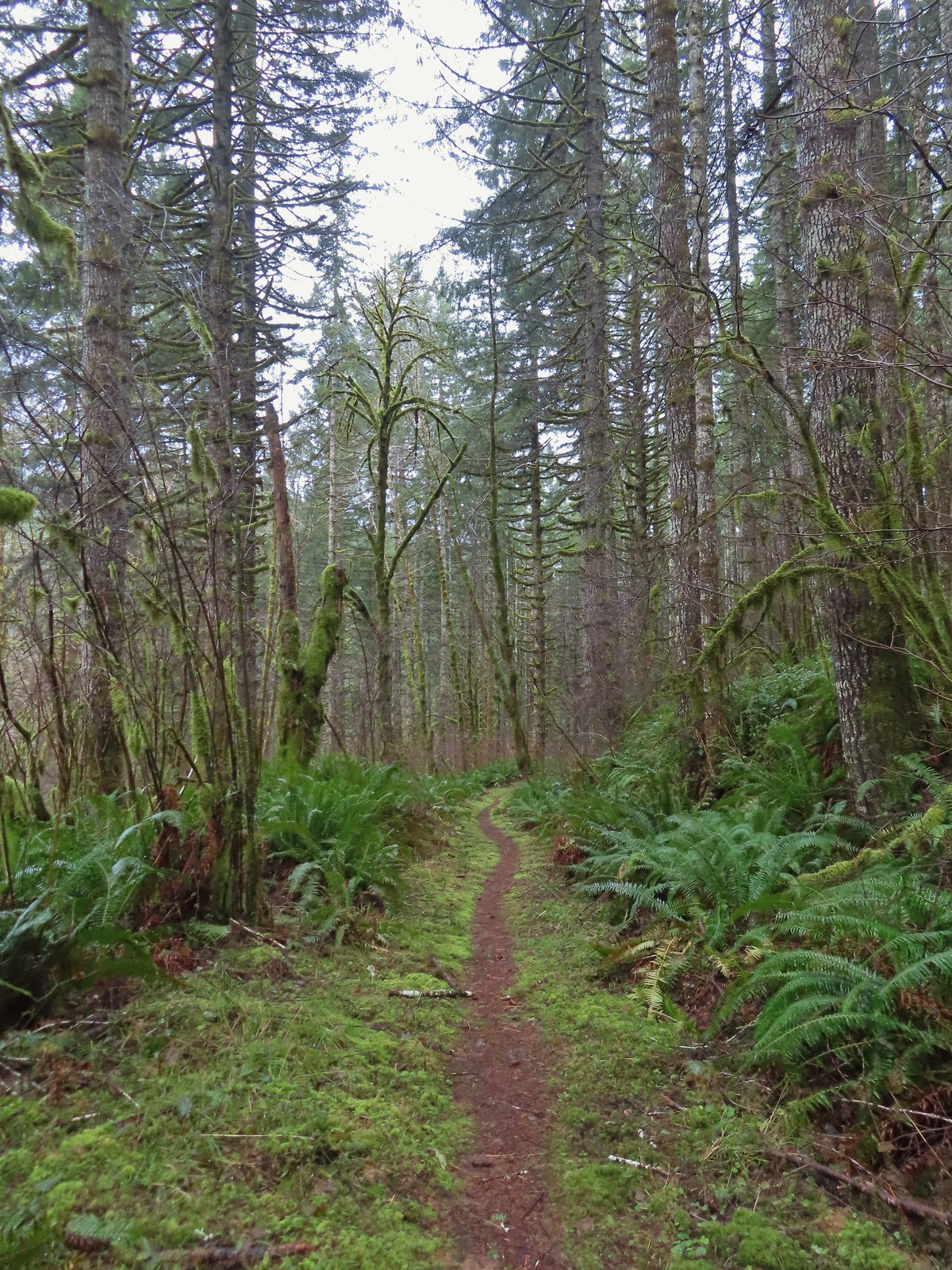 The trail eventually rejoined the old roadbed.
 Actual blue sky.
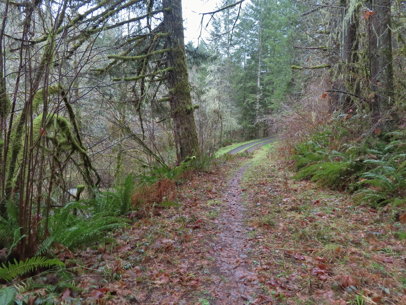 Arriving at Mary’s Peak Road.
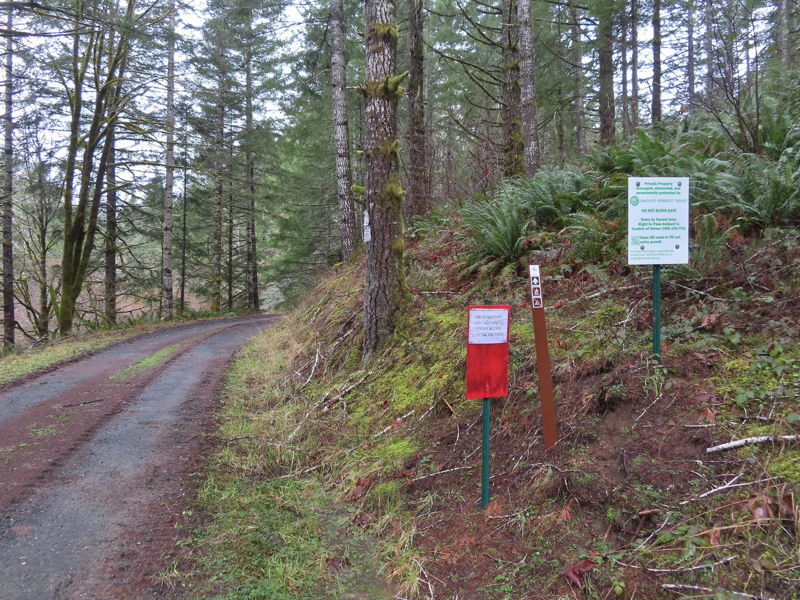 Signage along Mary’s Peak Road for the C2C.
 This particular newt was not about to move out of Heather’s way.
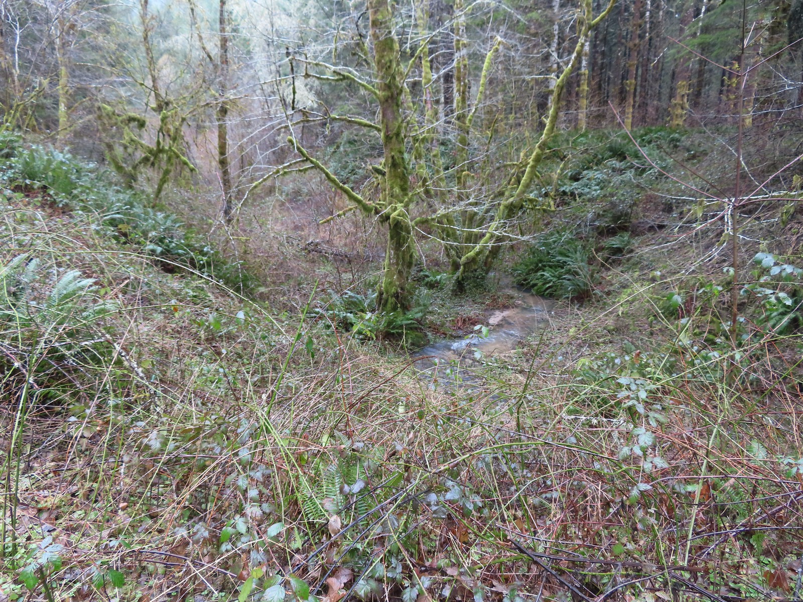 A side creek flowing toward Sugar Bowl Creek.
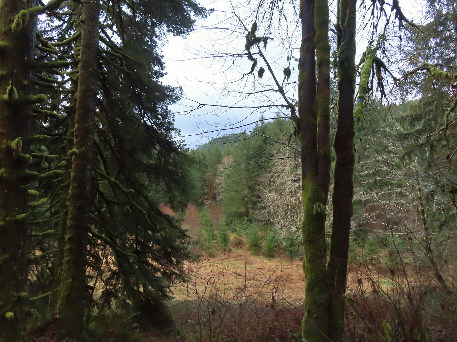 Sugar Bowl Creek was never visible from the C2C but it was out there somewhere.
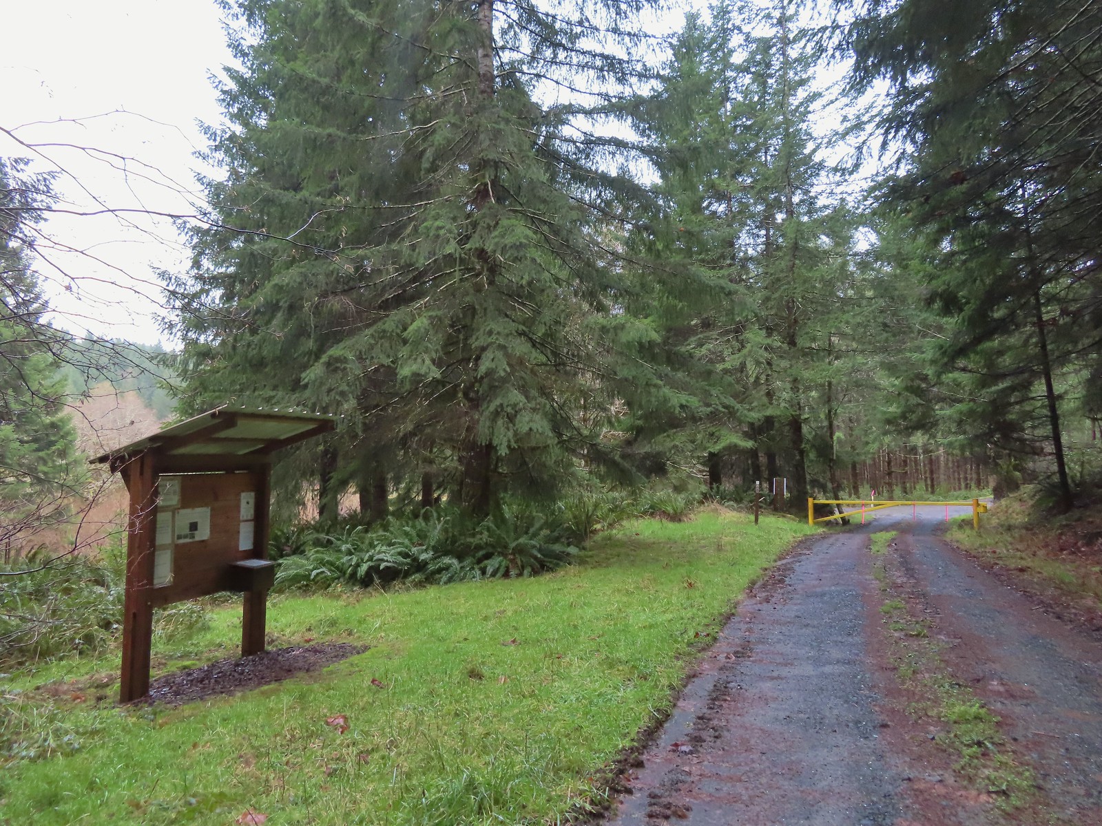 The Harlan Road Gate and kiosk.
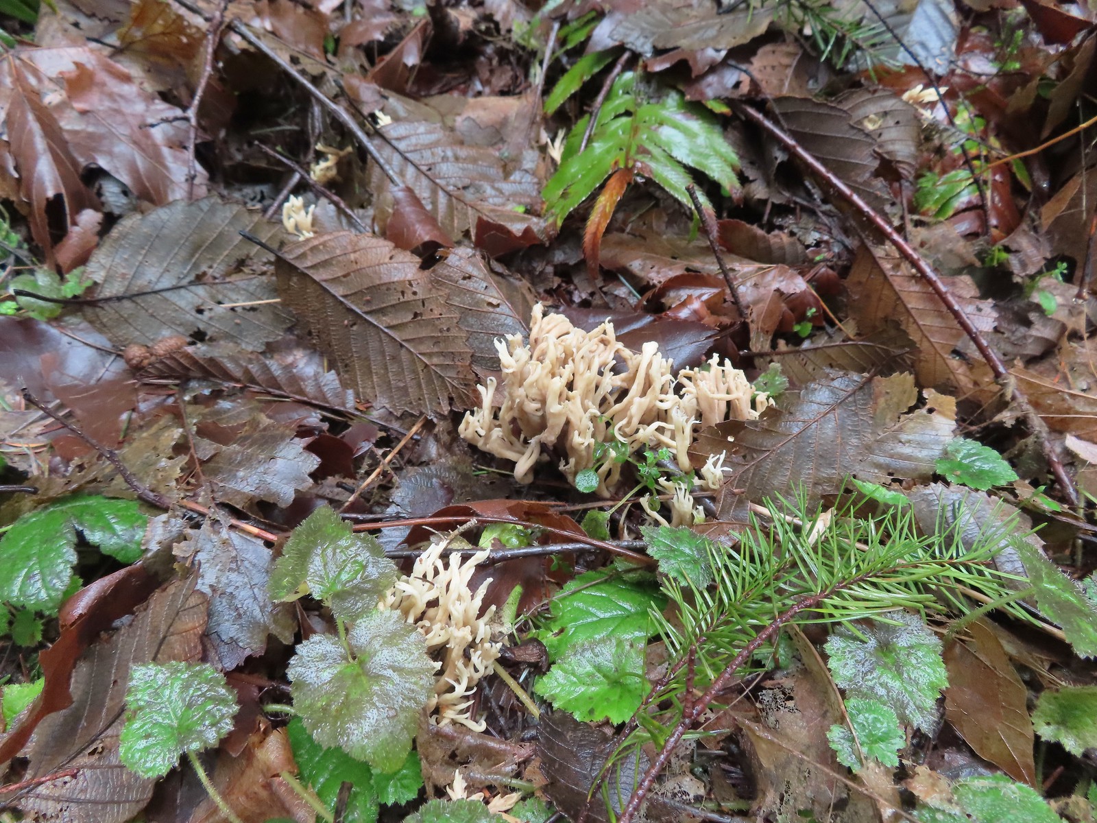 Coral fungus
 Unnamed creek
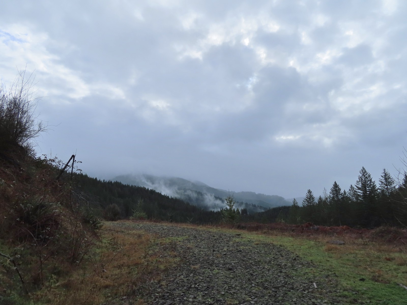 Back on the rocky roadbed below the 4-way.
 Back at the gate and kiosk.
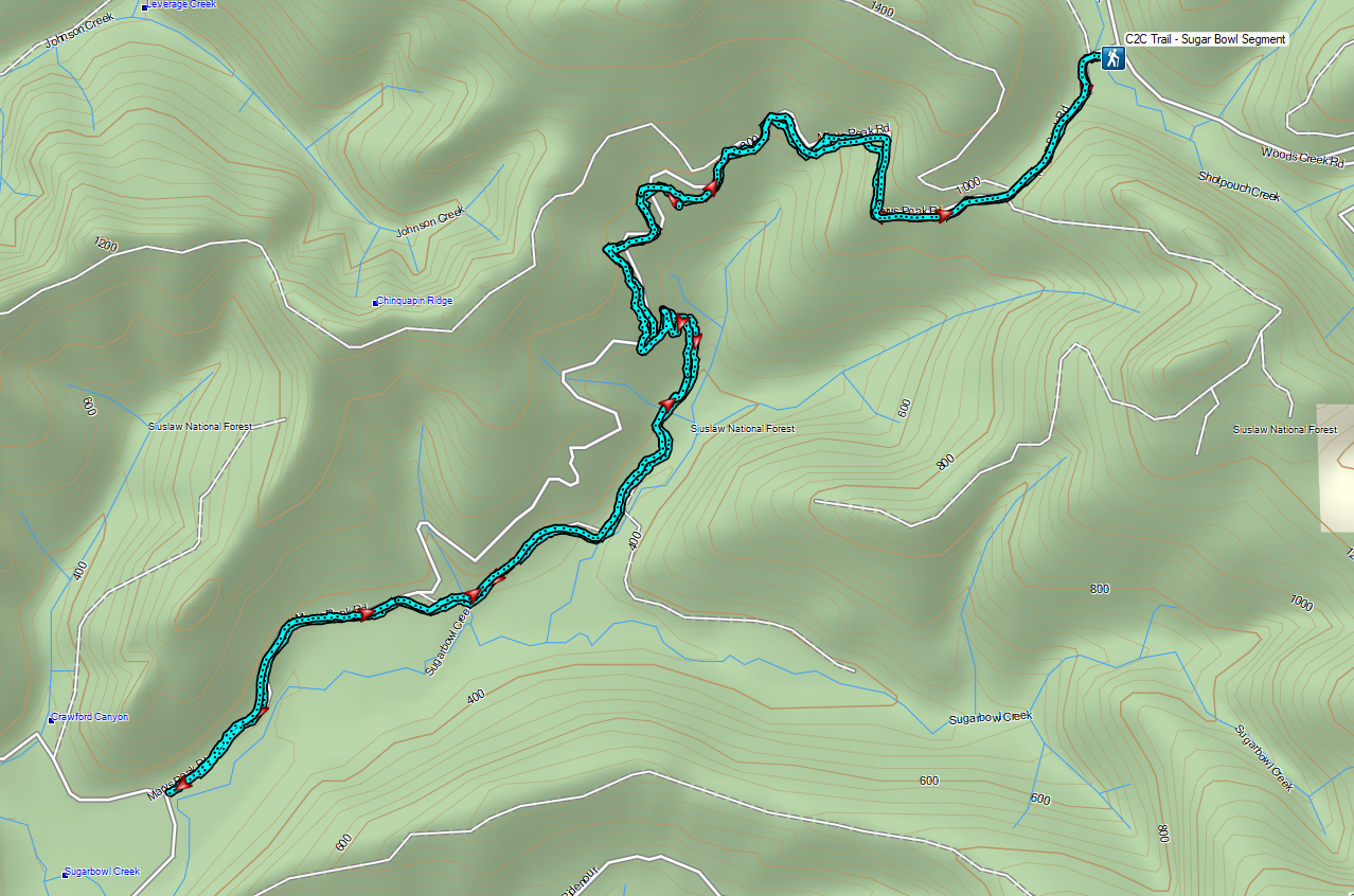


 Big Creek in the morning.
 A short section of the trail was paved.
 At the eastern end of the parking area we came to this new kiosk that is being installed marking the start of the Agate Beach TRACK Trail. There was also a path directly to the parking lot from the kiosk which we used upon our return.
 The tunnel under Highway 101. The stairs at the far end lead up to a city street while the trail makes a hard right to briefly follow the highway back across Big Creek.
 A series of boardwalks crosses the marshy bottomlands of Big Creek.
 While the kiosk was a new work in process there were a number of older looking interpretive signposts. This was one of only a handful that still contained an interpretive sign.
 The bottomlands.

 There were no signs at junctions but for the TRACK Trail stick to the level fork and ignore anything going uphill.
 Further along the trail Big Creek could actually be seen flowing.
 A non-boardwalk section along Big Creek.
 Approximately three quarters of a mile from the kiosk the trail arrived at Big Creek Road at another new signboard.
 The signboard at Big Creek Road didn’t have any information on it yet.
 Stellar’s Jay
 Northern flickers on the picnic shelter.
 Map on the signboard.
 Anderson Creek, the footbridge, and signboard from the roadbed.
 The Forest Park Trail
 A nice sitka spruce forest lined the old roadbed.
 Mushrooms
 Sunlight hitting the trees.
 The Pacific Ocean through the trees near the water towers.
 Passing the water towers.
 The drop to Jeffries Creek.
 Jeffries Creek
 Wood ducks in the wetlands.
 The gate near Fogarty Street.
 The Forest Park Trail from the other side of the gate.

 Morning fog was still burning off at 9:30am.
 A car by the gravel pile to the left with the road coming down the hillside to the right. Interestingly Google Maps labels this as “Burnt Woods Ridge Road” which both Alltrails & Garmin showed as the left-hand fork where our loop would begin. (Google doesn’t show a road there at all but you can see the road in the trees by looking at the aerial view.) Numerous times throughout the hike we relied on comparing the Alltrails Track to the GPS map and our track to that point to determine where we were and which road(s) to take.
 There was some room to park here at the start of the loop (this is not where Google marks the TH) as well as many pullouts along the loop where one could choose to start.

 Heading down into the fog.
 One positive to the fog is that it can create some dramatic Sun rays.
 Vine maple
 Blue sky in the upper left hand corner.
 The road to the right is an example of a road that wasn’t labeled on any map we had.
 Emerging from the fog.
 Looking back through the fog to blue sky and the Sun.
 The only other “hiker” we saw on the loop.
 We couldn’t see it but just over three miles from the start of the loop the road crossed Cline Creek which was the first time we heard what sounded like a decent amount of flowing water.
 A little over a tenth of a mile beyond Cline Creek we left Burnt Woods Forest Road and forked uphill to the left onto Cline Creek Road.
 Arriving at a clearcut. Much of Cline Creek Road was along different clearcuts.
 Mylitta crescent
 Red-tailed hawk soaring over the clearcut.
 Trying to get the red-tailed hawk in flight.
 Lots of Fall colors starting to pop.
 The first signs we’d seen (noticed anyway) were at the Cline Creek/Burnt Woods Ridge Road junction.

 Arriving at the high point which was actually the first good viewpoint being above one of the clearcuts.
 Looking North at more of the Coast Range.
 Theoretically we should have been able to see both Mt. Hood and Mt. Jefferson from here but between haze from the fog and clouds we couldn’t make either out.
 Mt. Jefferson is out there somewhere. The fact that the Cascades have some snow again doesn’t help them stand out in the haze and clouds.
 Yet another unsigned road junction. Sticking to the ridge is the key.
 After crossing a saddle we gained views SE to Mary’s Peak (
 The tower and summit meadow of Mary’s Peak.
 The hard left prior to the steep descent. The road on the far hillside in the clearcut is part of the road Google Maps has labeled as Burnt Ridge Road but doesn’t show on Alltrails or the Garmin maps.
 The end of the loop at the bottom of the hill.
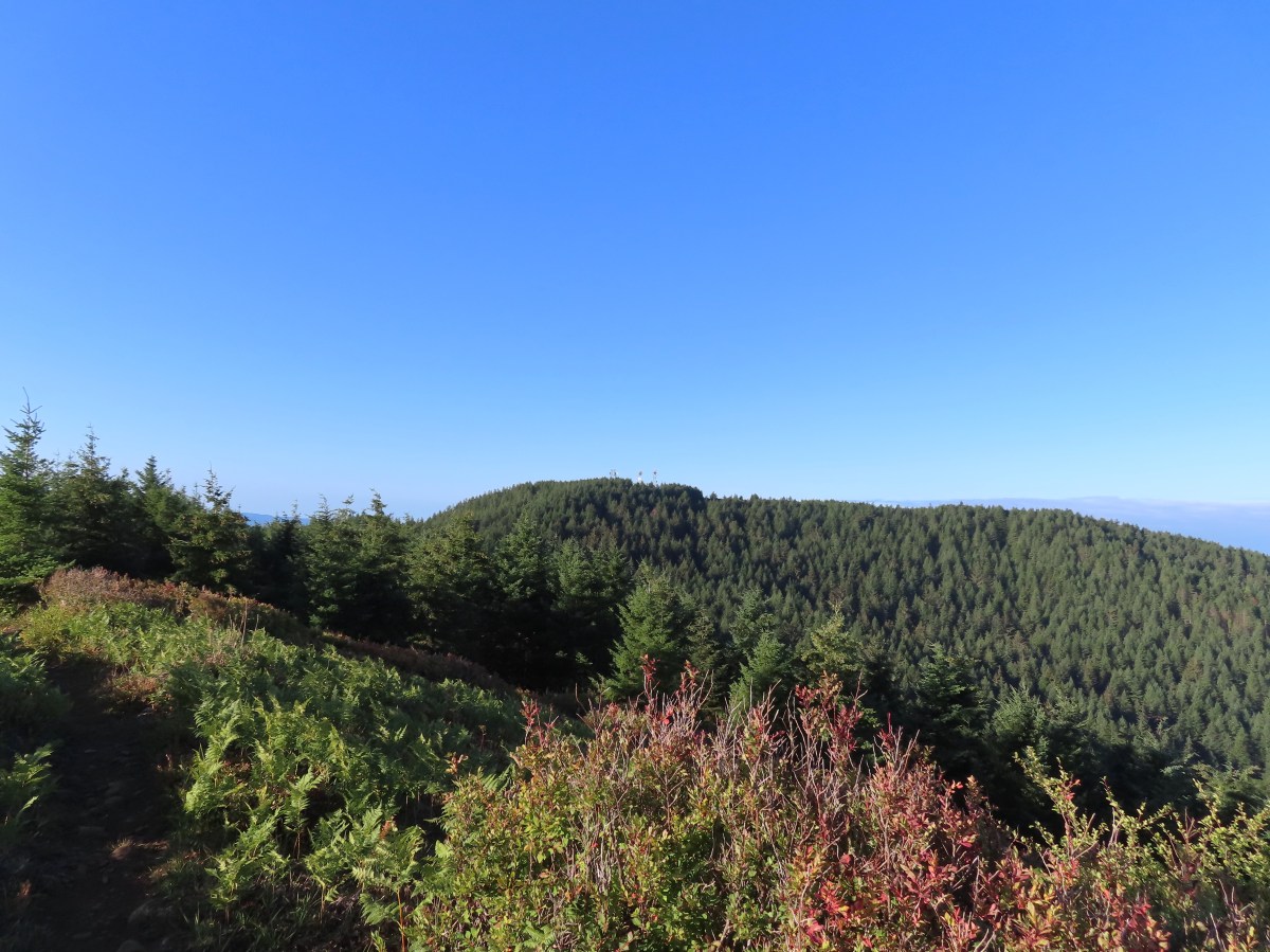

 Hebo Lake

 Despite it being the end of Summer the forest was a lush green.
 So much green.
 Trail sign at the equestrian junction.
 The equestrian trail. In 2015 we made the mistake of turning onto it briefly.
 Love the mossy trees.
 One of the numerous trail signs.
 This more recently thinned section was full of ripe red huckleberries.
 Trail snacks.
 Chestnut-backed chickadee
 Crossing Road 14 near the 3-mile mark.
 There was a small section where there had been a lot of blowdown that had been removed.
 Arriving at the meadows.
 Looking NW toward the Pacific Ocean.
 Mt. Hebo summit from the meadows.
 Bayocean Spit (
 Cape Lookout (
 Looking back across one of the meadows.
 This late in the Summer there was no water.
 Dry marsh at the tributaries.
 Bunchberry
 Another dry crossing.


 This was the only official junction that was not signed.

 Road 14 – again.
 South Lake through the trees.


 Vine maple changing colors.
 The trail around South Lake.
 I really appreciated being reminded that it was eight miles back to Hebo Lake.
 I couldn’t really get a good view but there was a nice meadow along the trail between the two lakes.
 Oregon grape
 Bridge over Three Rivers near North Lake, I almost thought I heard a slight trickle of water here.
 Good sized garter snake in the trail ahead.
 Normally these snakes slither off into the brush as you approach but this one coiled up in the trail, so I took a long step over it and continued on.
 This was the steepest section of the climb up from North Lake.
 One of the flagged routes.
 Looking up the flagged route.
 Remains of some sort of old structure were present. The summit of Mt. Hebo could also be seen.
 Turkey vulture
 A lone lupine.

 Mountain ash and maple.
 A small bird watching me from behind some sticks.
 Going the left would have also been the way to North Lake. The road apparently gets narrow and a bit rough beyond this point.

 I turned right at the trail marker here. As it turned out it wasn’t any shorter at all and I wouldn’t recommend this route due to a lack of tread between the flagged trail and old roadbed and then having to follow Road 14 for so long.


 A hedgenettle
 I took this left to cut over to Road 14.


 Lots of yarrow still blooming at the summit.
 White-crowned sparrow
 Heading toward the viewpoint.
 Three Arch Rocks
 Haystack Rock near Pacific City.
 Closer look at Haystack Rock.
 Penstemon
 Meadows along the plateau of Mt. Hebo from the summit.
 Bead lily (Queen’s cup).
 Meadow along the trail.
 So many ferns.
 Mushrooms
 This was a good-sized mushroom.
 Back at Hebo Lake.


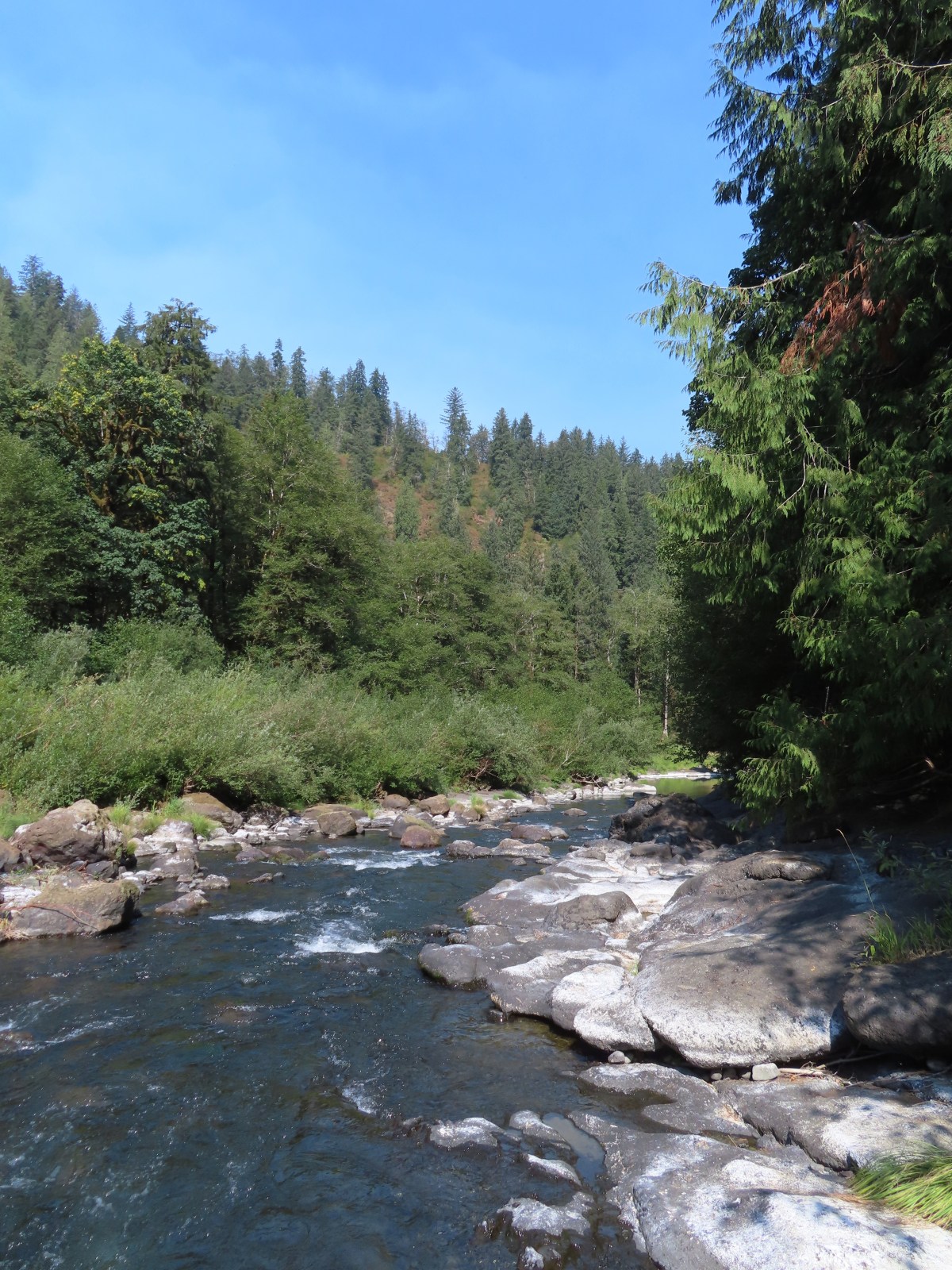

 Most of the buildings are gone but this relocated Officers Quarters is being restored.
 It was hard to tell at times if it was cloudy or smokey which would be a theme for most of the day.
 Flagpole behind an interpretive sign.
 Most of the trail is ADA accessible but not the entire loop.
 The forest was quite a contrast from the open hillside.


 Lots of fading flowers: yarrow, goldenrod and aster mostly.
 Some of the caterpillar tents on the hillside.


 The nature trail crossed the service road after half a mile.
 The continuation of the nature trail on the right.
 We were pleasantly surprised at how forested this entire trail was.
 There were lots of frogs hopping off the trail. Can you see this one?
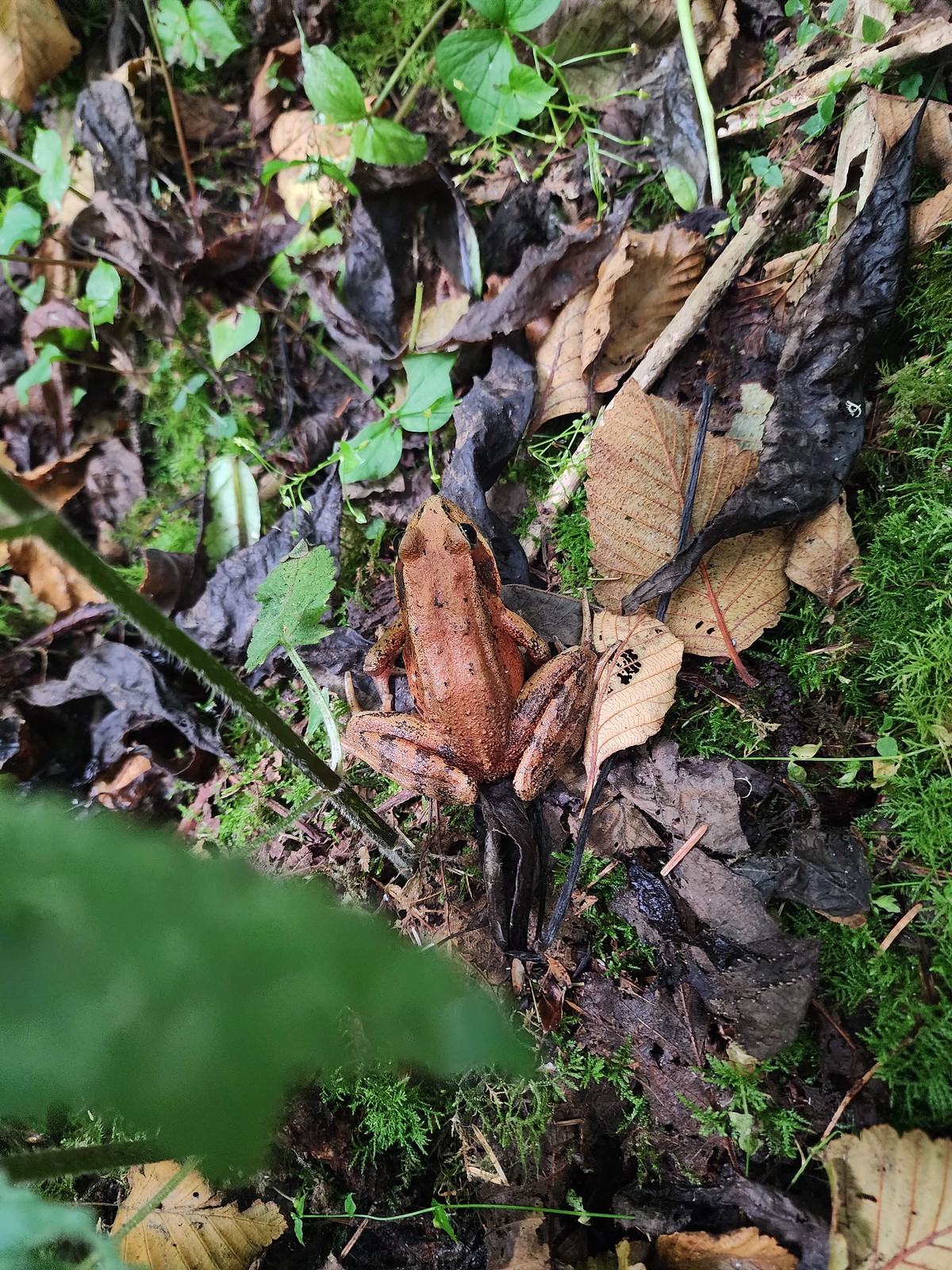 Norther red-legged frog?
 A little less than half a mile after crossing the road we passed a junction with a trail leading to the picnic area. We would visit the picnic area on our way back and pick up the service road there.

 The Little Nestucca is to the right with the Nestucca River straight ahead.
 Cormorants

 We disturbed a doe near the picnic area.
 The doe leaving the picnic area.
 A path here leads down to the bay to provide fishing access (we didn’t follow it).
 Ground squirrel
 Thistle
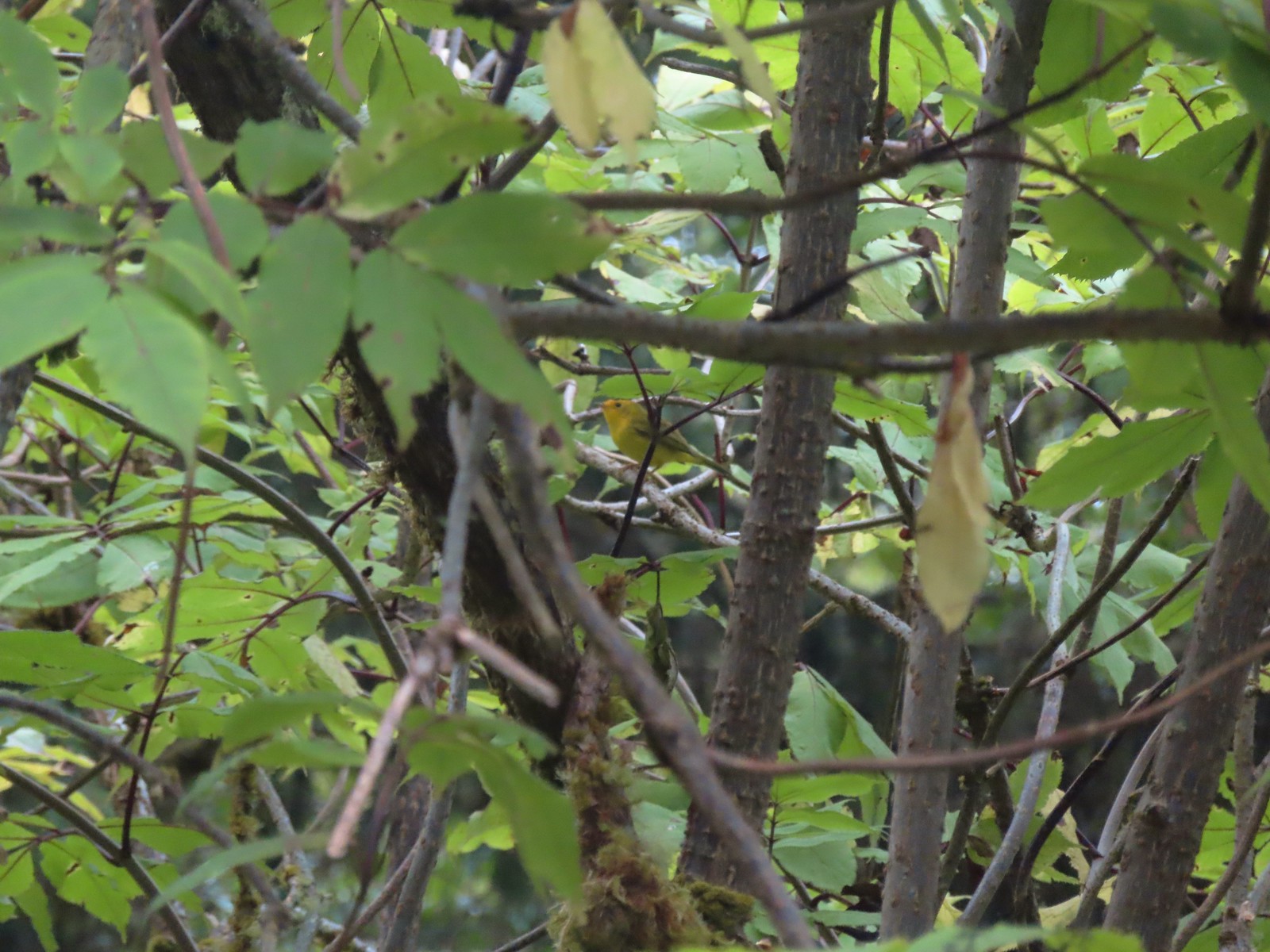 Wilson’s warbler
 The overlook on the far hillside.
 The trailhead from the service road.

 Haystack Rock and Cape Kiwanda (
 Haystack Rock
 Pearly everlasting, spirea, and aster.
 View from the overlook.
 Bench at the overlook.
 Little Nestucca River from the overlook.
 White-crowned sparrow
 Ladybug
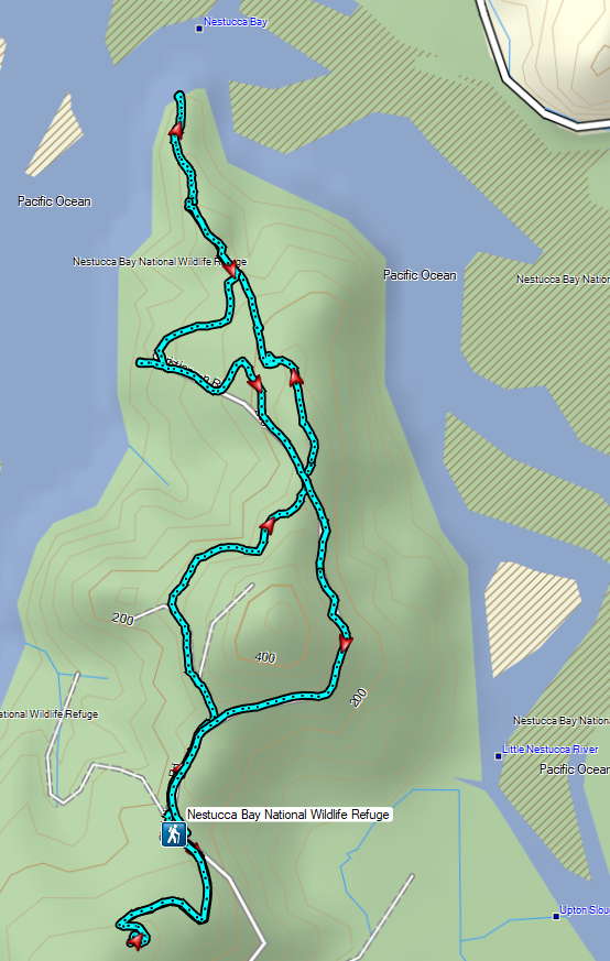


 Trask River from the trailhead.
 Garter snake near the trailhead.
 We followed the pointer here and went right.
 Here we again followed the pointer and went left. We failed to notice the pointer on the lower sign not facing us. It was also hard to tell if the rocks were actually part of a trail or just a scramble route. Turns out they are “stone steps”.
 The inland clouds were breaking up giving us some nice blue sky.
 Ouzel
Ouzel

 Big tree along the trail.
 Arriving at the picnic area.


 The trail to the left.
 Huge nursery log.
 It’s hard to see here but this section was very steep.
 Steps along the ridge.
 The stone steps looked more like steps from this direction.
 Arriving back at the trailhead.


 Skunk cabbage
 Bindweed
 While there were quite a few people visiting the preserve there were still moments when we had the boardwalk to ourselves.

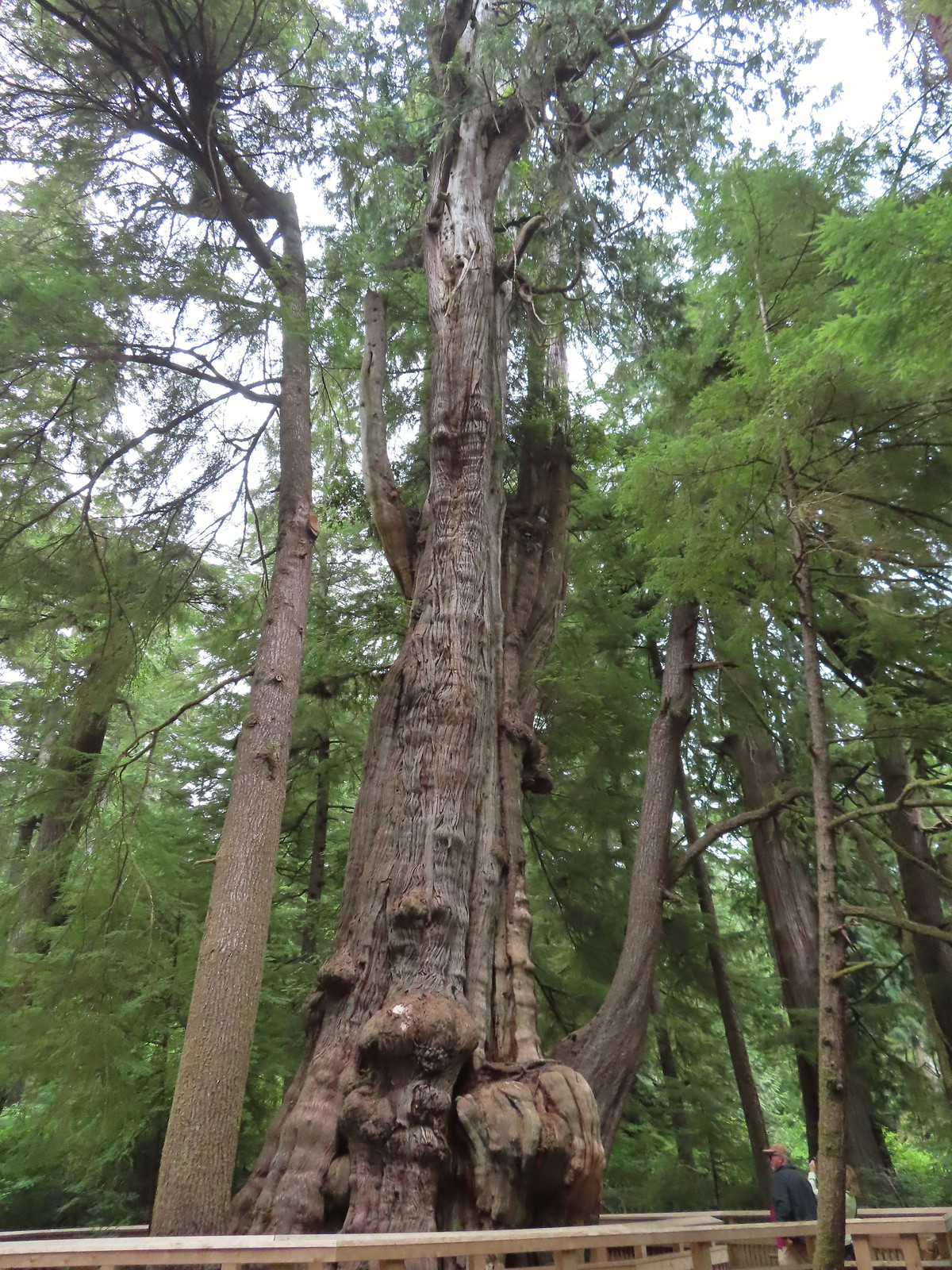


 Tree root along the cedar from another tree that is growing from it.
 Another big cedar, but not anywhere near as big as the other.
 We passed a “hiker trail” pointer which is a reportedly rough, muddy track that links up to the boardwalk near the big cedar. We had seen the other end near the smaller big cedar but there was a “trail closed” sign at that end so we hadn’t even considered taking it.
 Interpretive sign at the viewing platform. There were some benches here which were mostly occupied and not much of a view.
 Salal
Salal

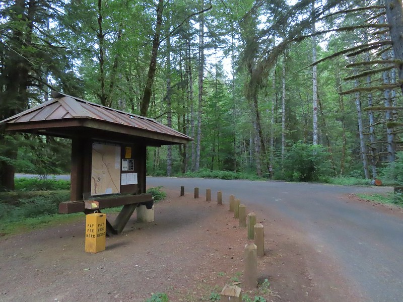


 We stayed left here following the pointer. We later crossed the bridge on the way to Green Peak Falls.
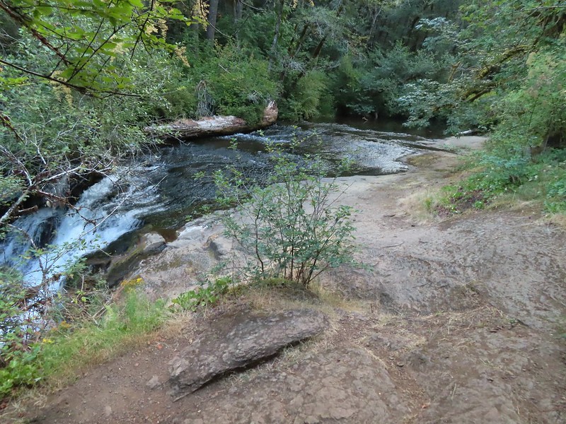

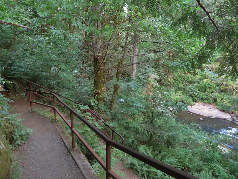

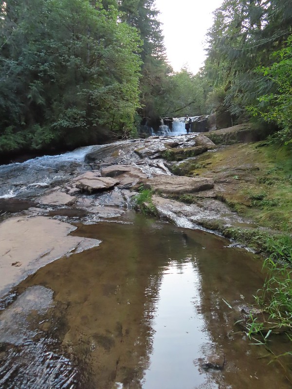 Heather in front of the falls.
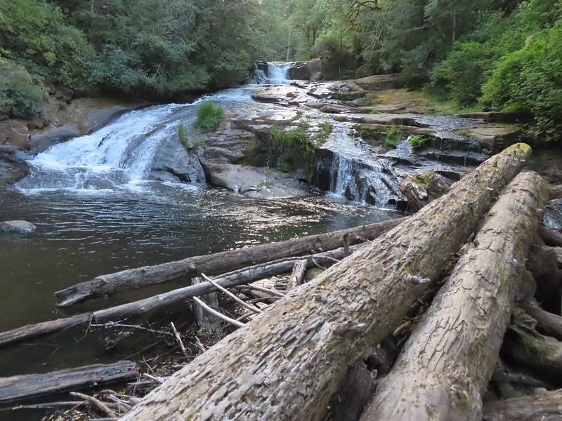
 December 2012
 Looking down river from the bridge.
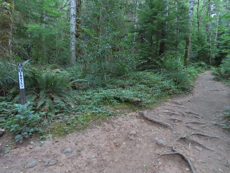
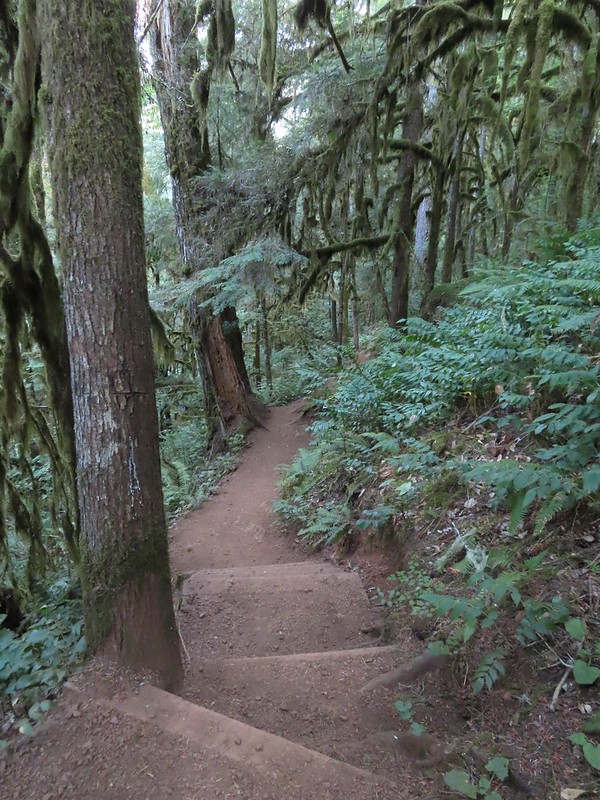

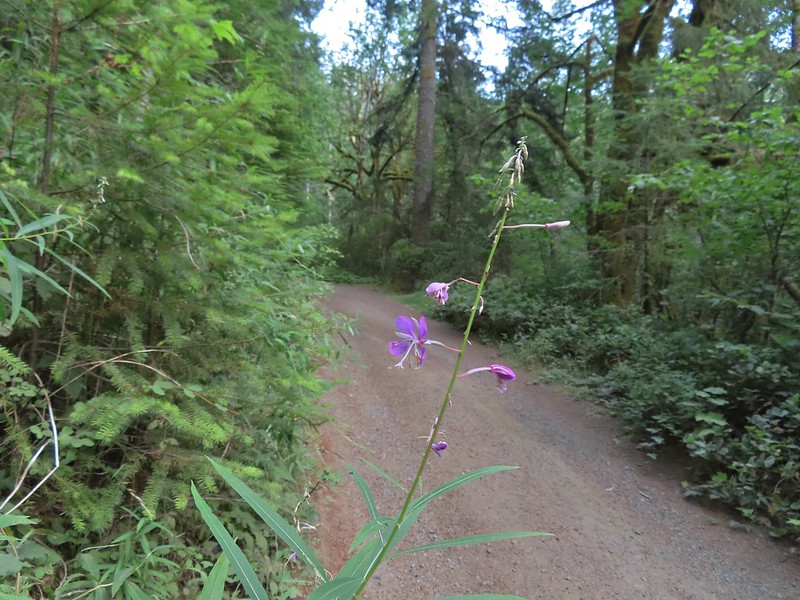 Fireweed
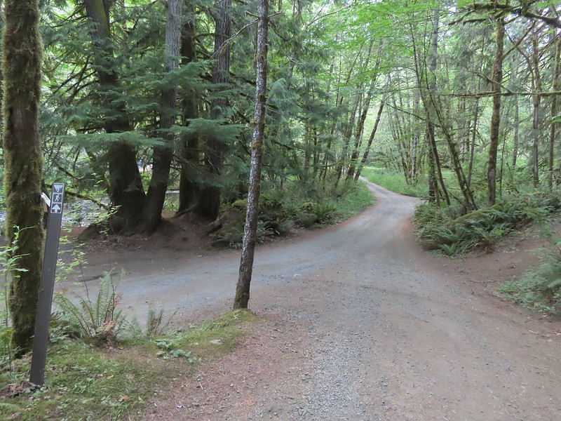

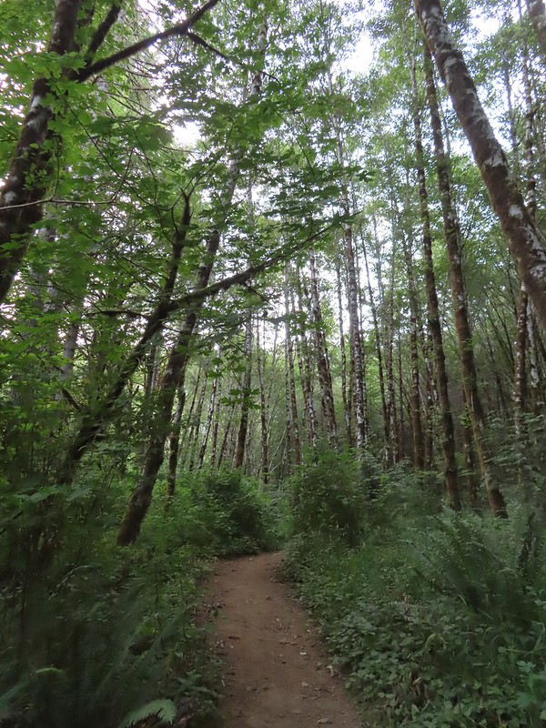


 Green Peak Falls
 Green Peak falls in December 2012.
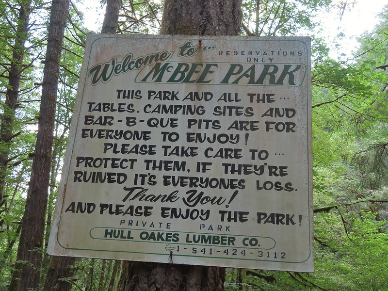
 Covered picnic table.
 The table is one solid plank.
 Sign for McBee Park along South Fork Road.
 Trail down to the picnic area along South Fork Road.
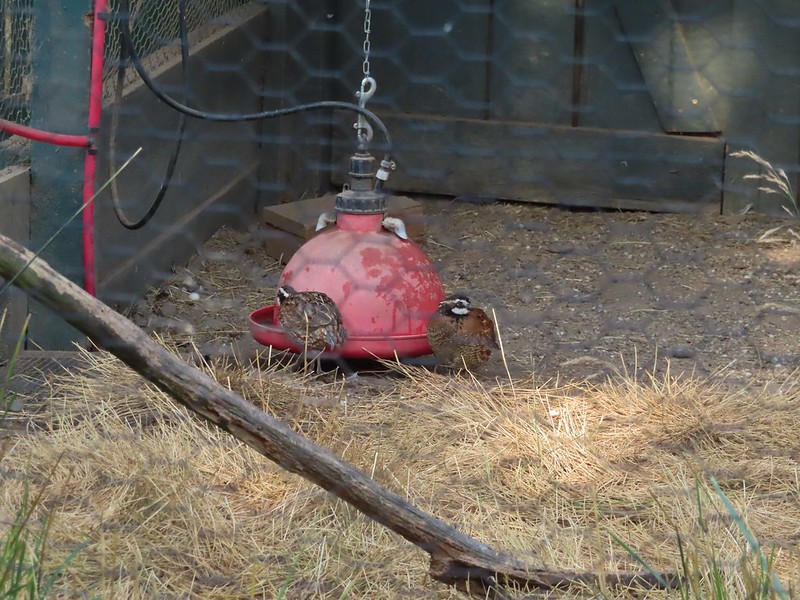
 Silver pheasant
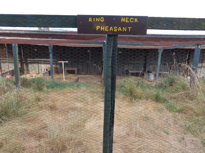


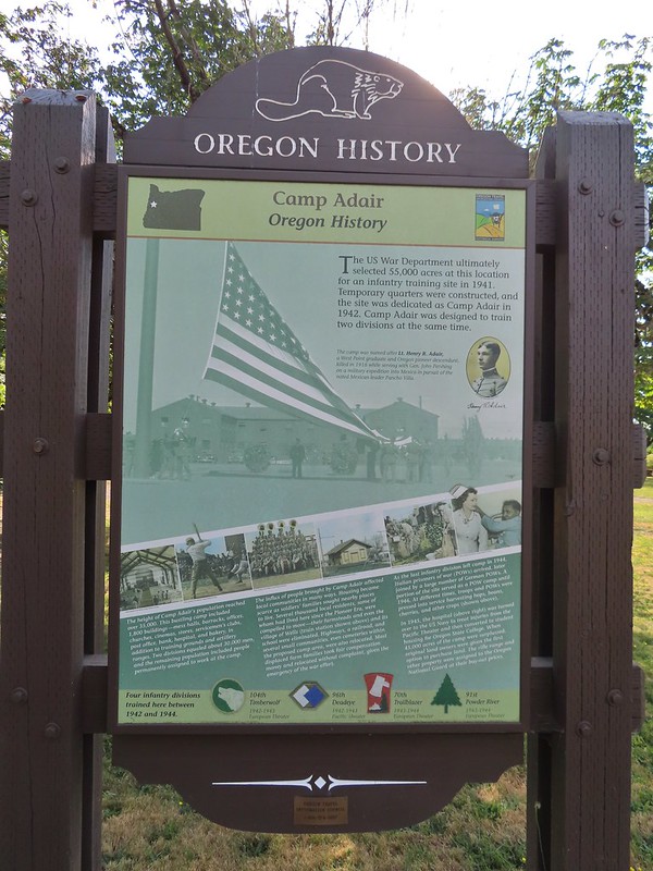
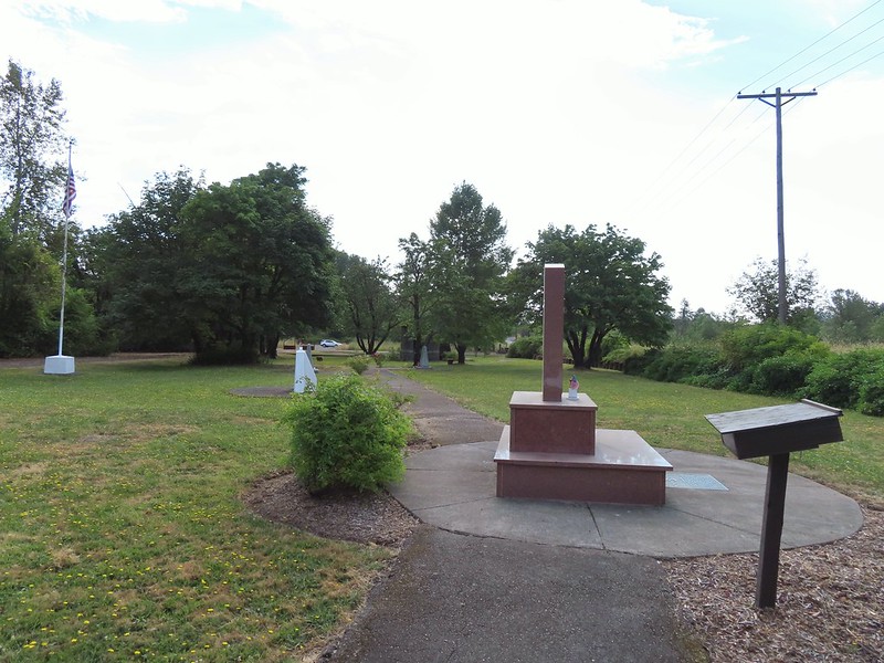
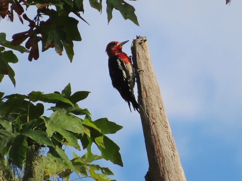 Red-breasted sapsucker
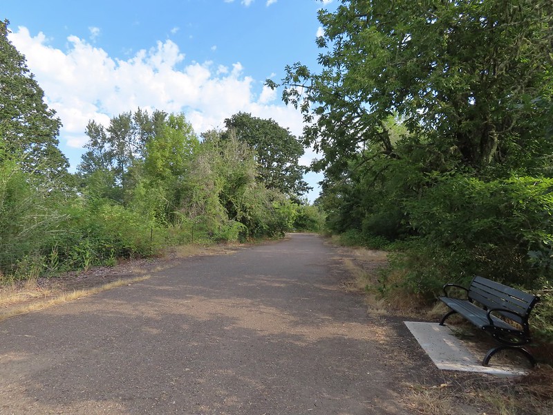


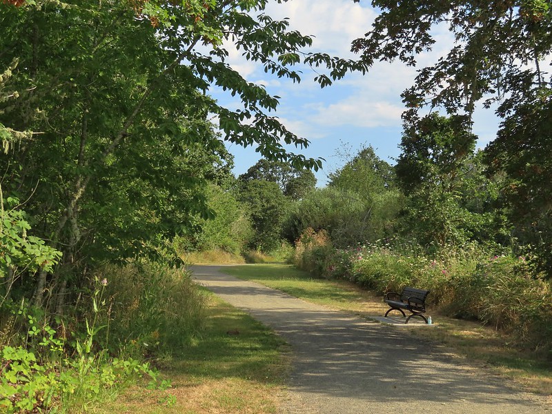 Bunnies in the grass near one of the benches.
 Coffin Butte on the other side of Highway 99.
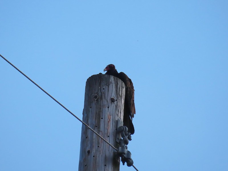 Turkey vulture


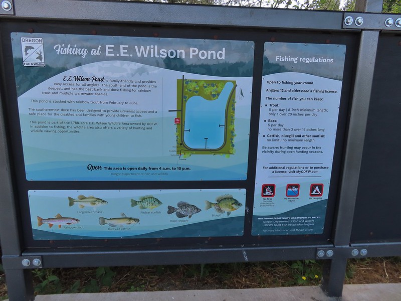
 Wetlands on the other side of the pond.
 Great blue heron
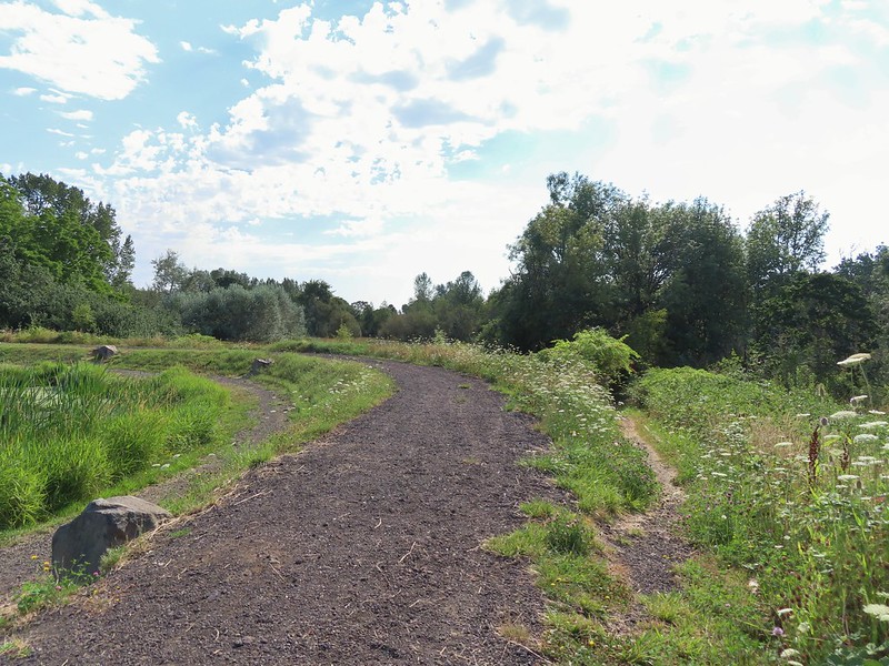 The loop trail to the right.
 Skipper
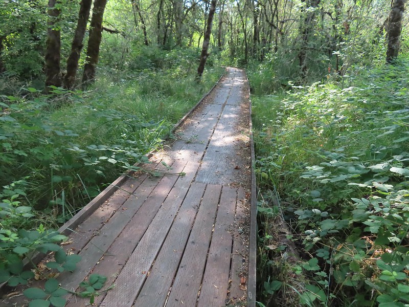
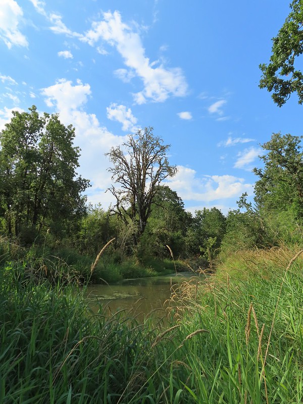
 Tadpole
 We stayed left at any junction like this.
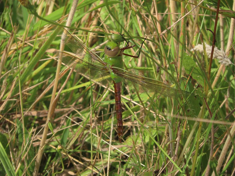 Dragon fly
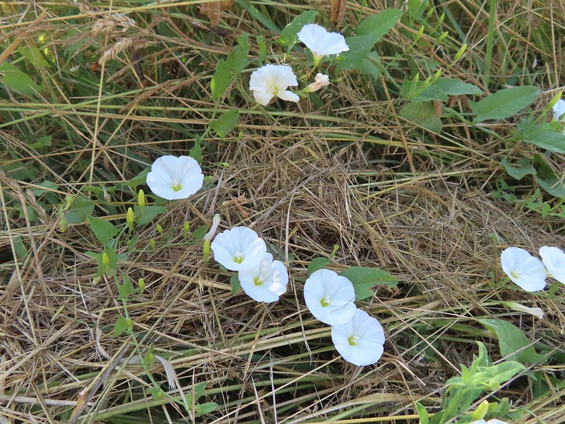 Bindweed
 Arriving back at the road.
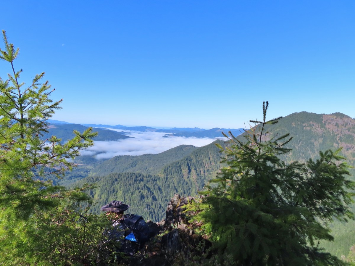


 Peat Swamp Trail.

 One of the two otters that were swimming in the wetlands.
 Mallard
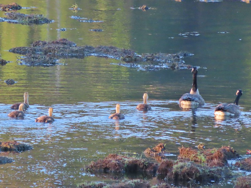
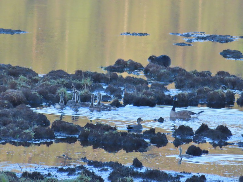 The gadwall amid a family of Canada geese. When we got home and looked closer at the picture we realized that one of the round shapes we took for a clump of mud was actually an animal. We can’t make out the tail to know for sure whether it was a beaver or a nutria but we’d like to think it was another beaver.
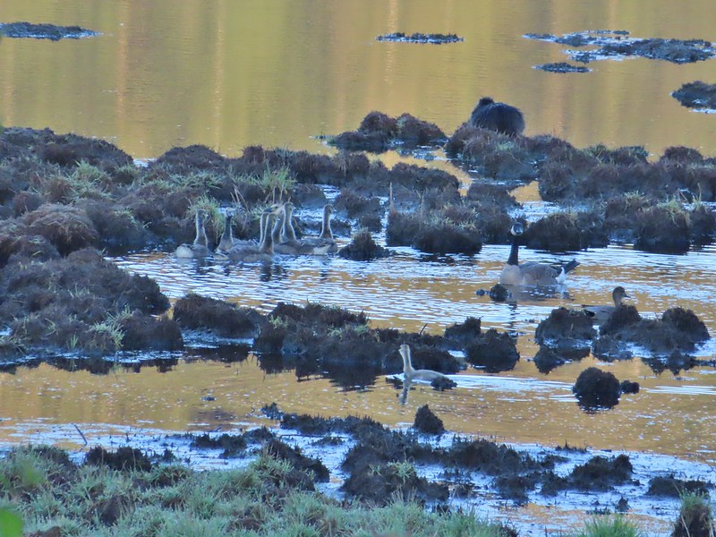 The beaver? turned a bit in this photo but we still couldn’t make out the tail. It does appear relatively large when compared to the adult goose though.
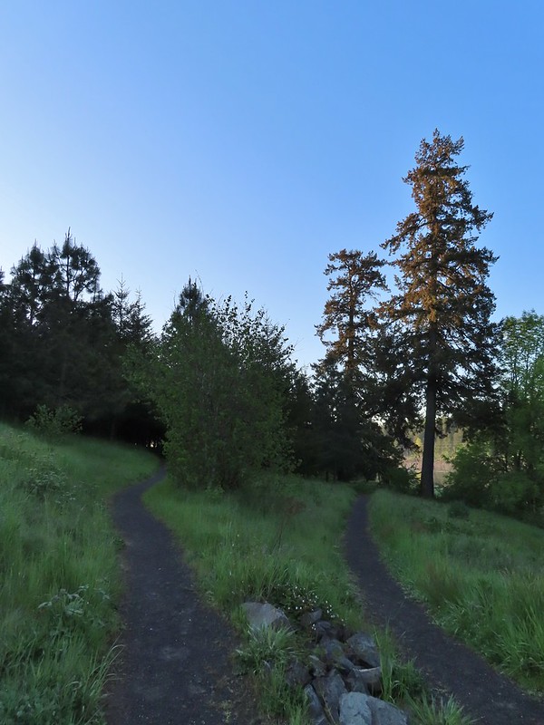


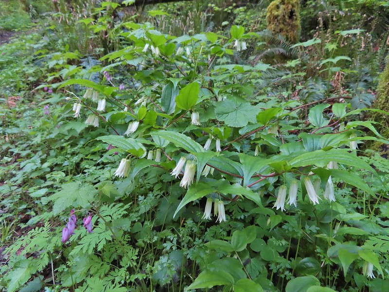 Fairy bells and bleeding heart.
 Elk Creek below the trail.
 Junction with the Elk Mountain Trail


 Paintbrush
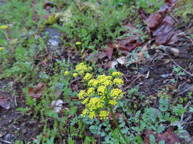 Parsley
 Blue-eyed Mary
 Viewpoint along the Elk Mountain Trail.
 The blue sky is up there.
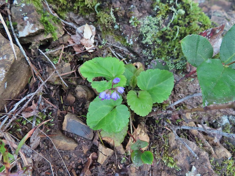 Snow queen
 The trail was as steep and rough as we’d remembered.

 White service berry blossoms and a huckleberry plant.
 Violet
 Red-flowering currant
 Trillium
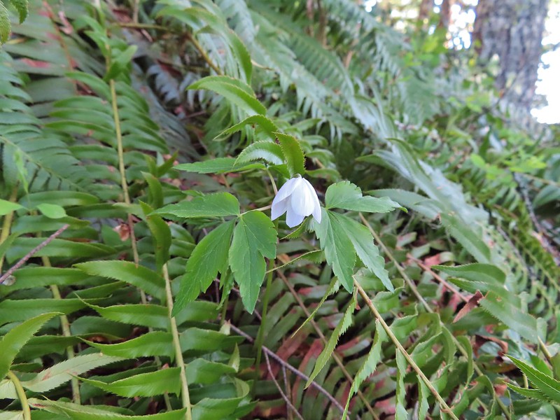 Anemone
 Monkeyflower
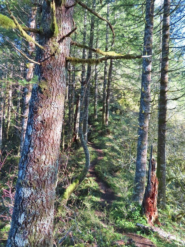 One of the saddles.
 Chocolate lily
 Elk Mountain summit.
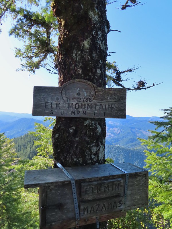
 Kings Mountain from Elk Mountain.
 Wilson River
 Pacific Ocean
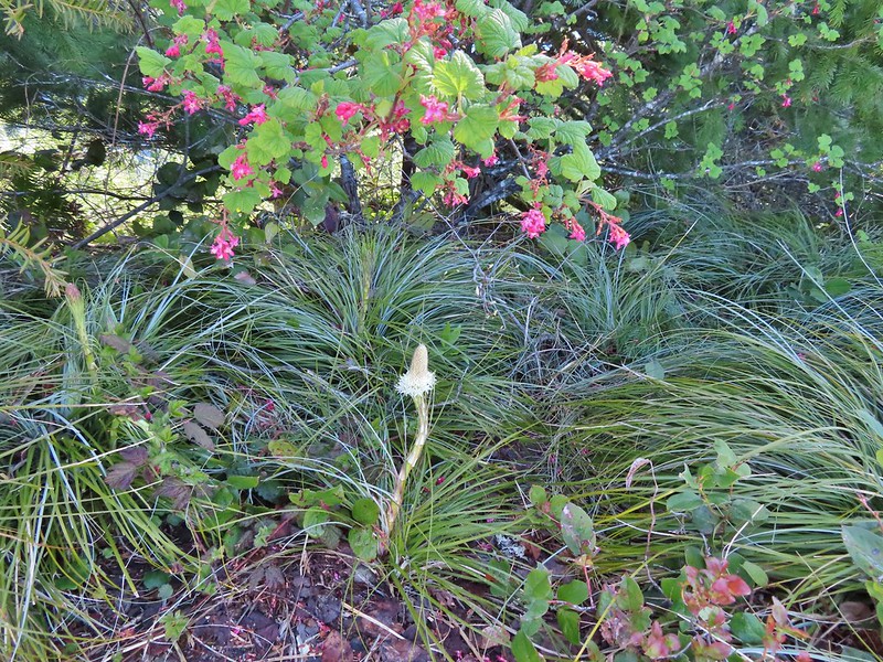 The blooming beargrass below some red-flowering currant.
 Beargrass
 Looking down the trail.
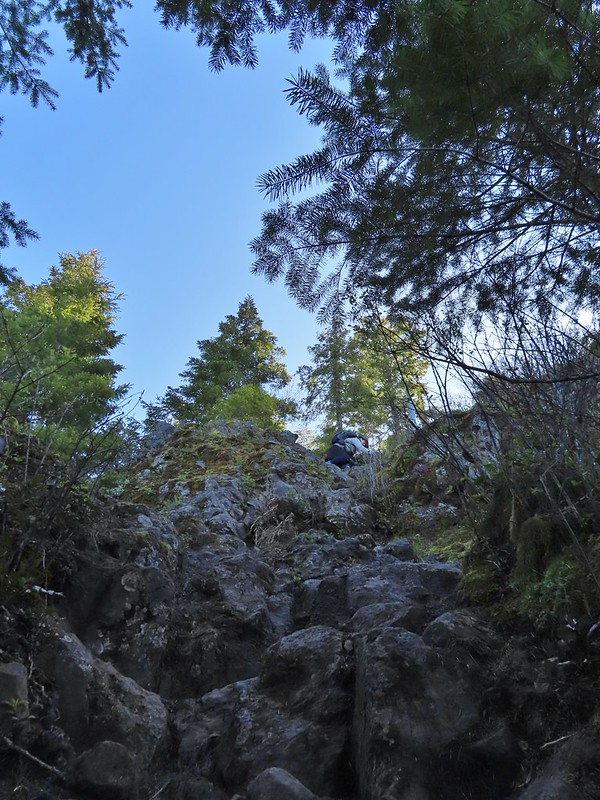 Heather on her way down.
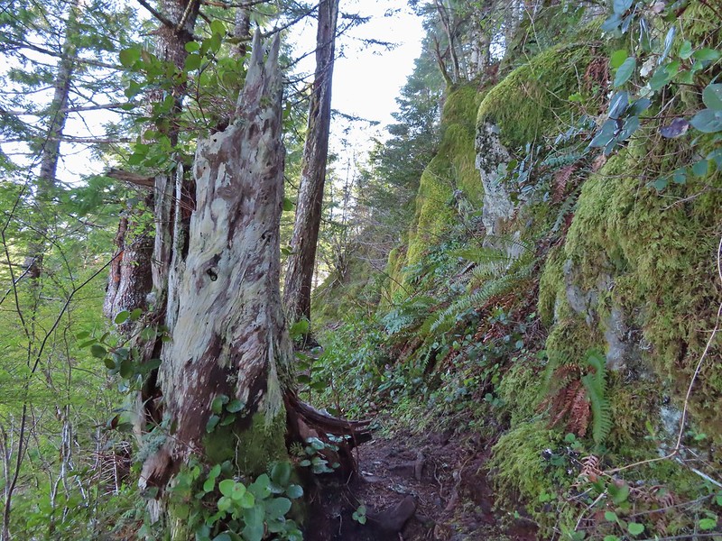
 On the ridge.
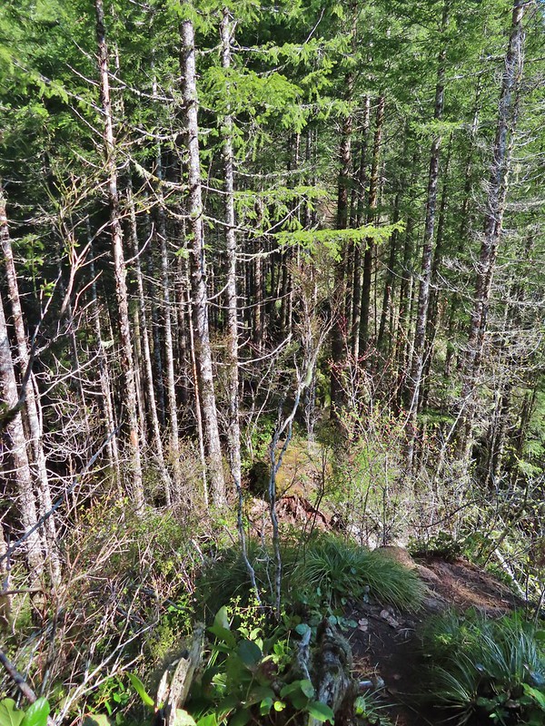 Dropping down to a saddle along the ridge.
 Mercifully on the old roadbed.
 A clump of trillium.
 Little moth.
 Getting closer to Kings Mountain.
 Paintbrush
 Coming up to the junction.
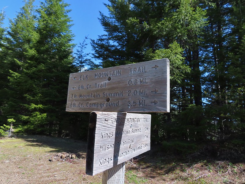
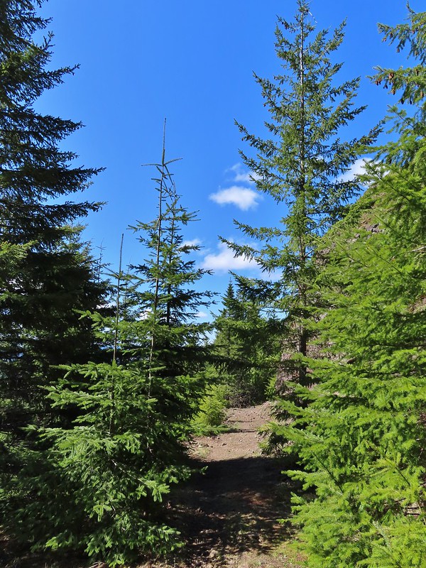
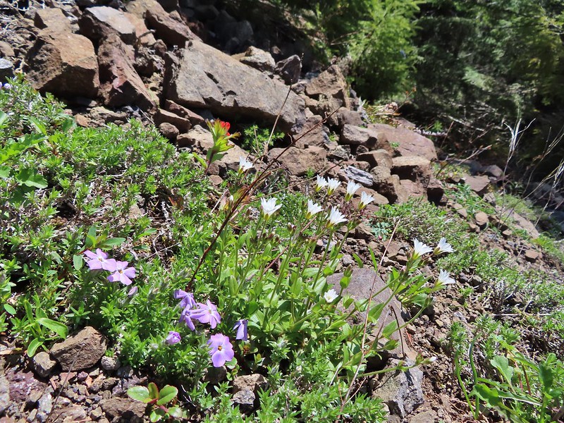 Phlox, paintbrush, and chickweed.
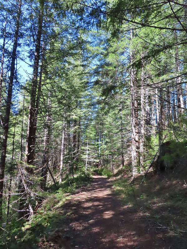 Still on the old road.
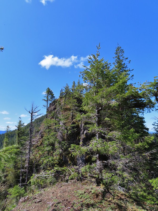 At the ridge end above the saddle, the trail dropped down to the left then through the saddle.
 Below the outcrop headed to the saddle.
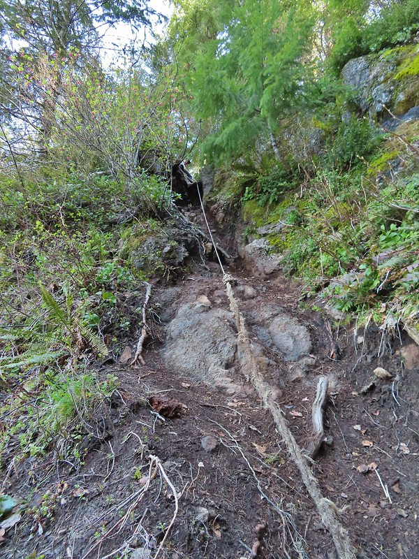 Heather getting ready to start down.
 The chute in 2010.
 The trail is down there somewhere.
 Trillium
 Bleeding heart
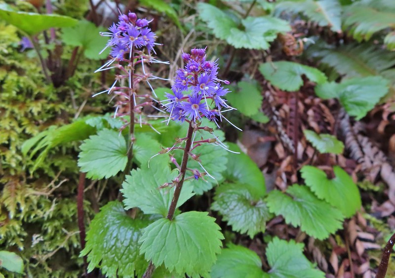 Fringed kitten-tails
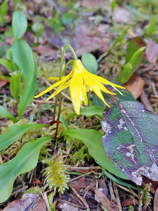 Glacier lily
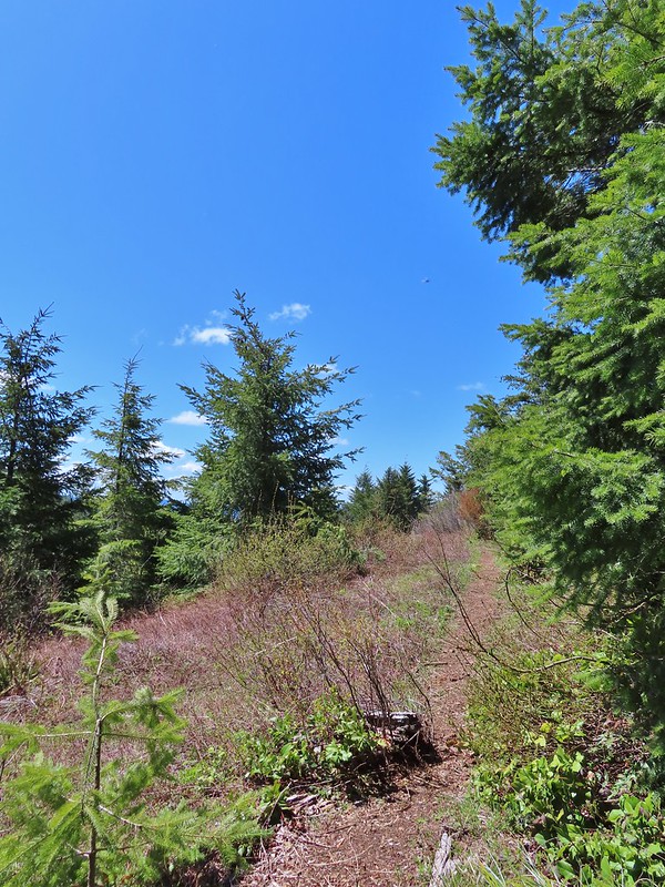 Coming up to the high point.
 Kings Mountain
 View SE from the high point.
 Dropping to the last saddle.
 Summit register at Kings Mountain.
 Pacific Ocean in the distance.
 View north.
 Other hikers at the summit.
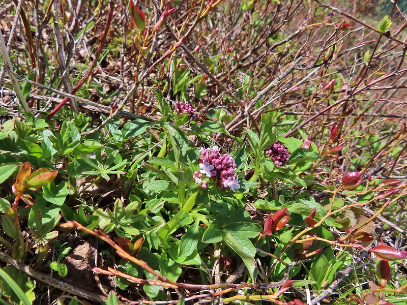 Valerian
 Saxifrage, possibly Saddle Mountain saxifrage.
 Phlox, paintbrush, parsley, blue-eyed Mary, and chickweed.
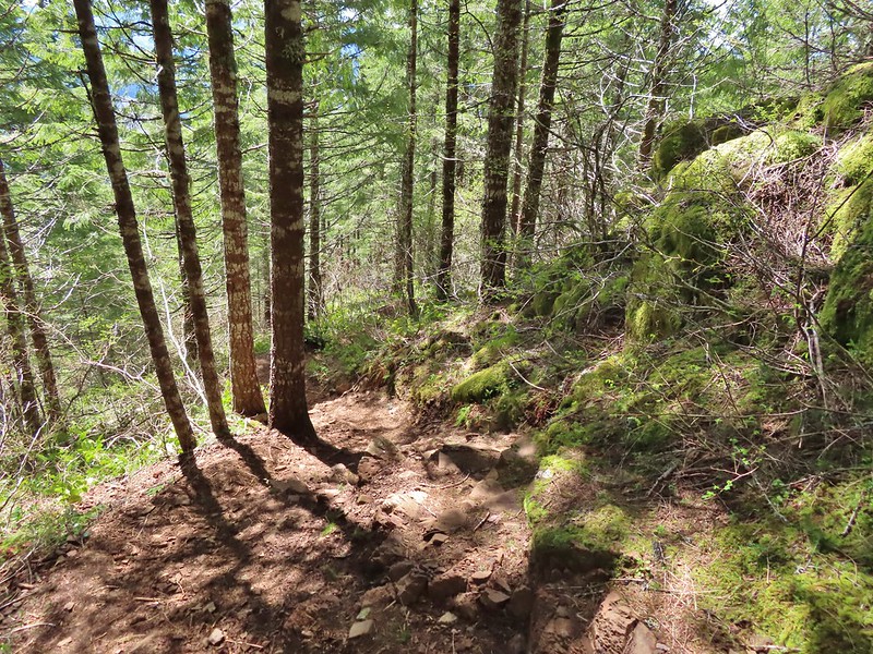 One of the rougher sections.
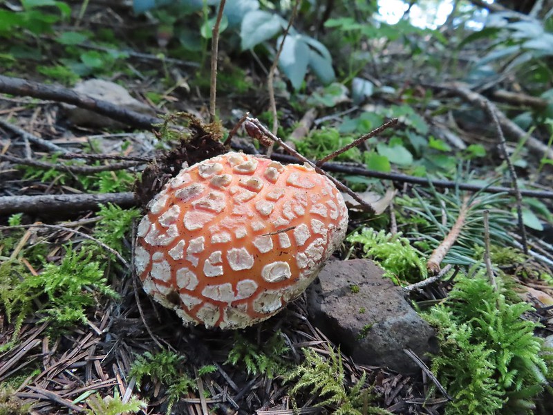

 Wood sorrel
 Woodland buttercup and candy flower.
 The 4-way junction.
 Dog Creek
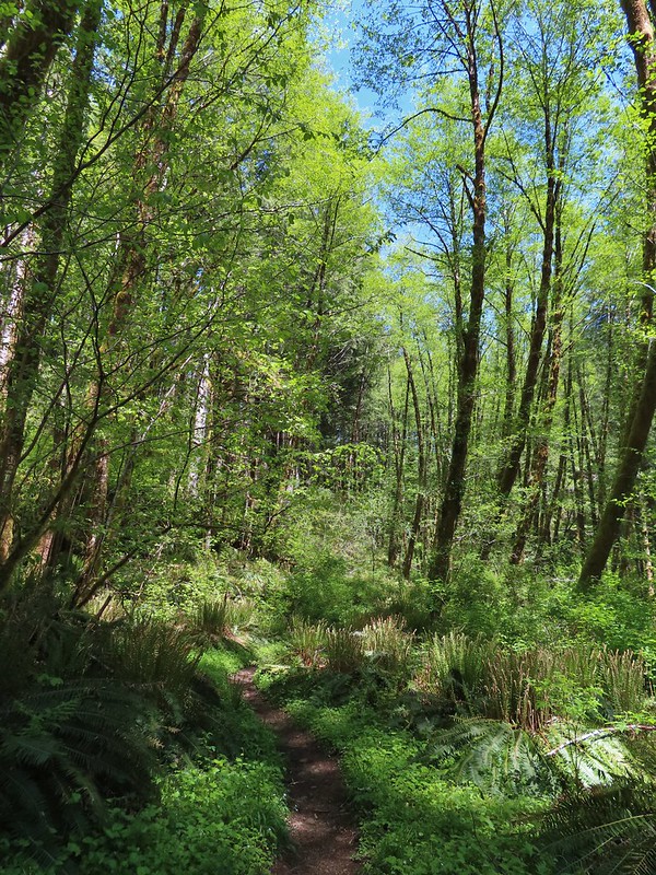


 One of the smaller streams.
 Monkey flower
 Lily that will bloom in a few weeks.
 Fringecup
 Coming up on a footbridge across Big Creek.
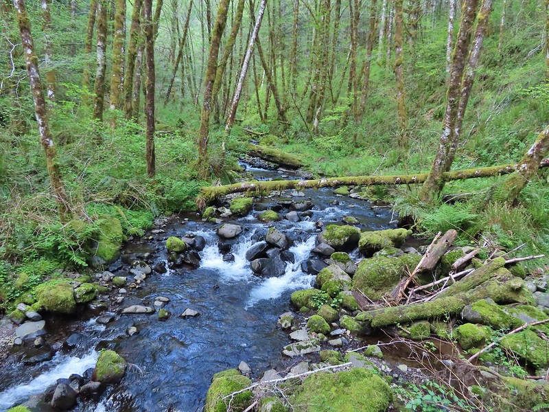 Big Creek
 Pacific waterleaf
 Steadily climbing.
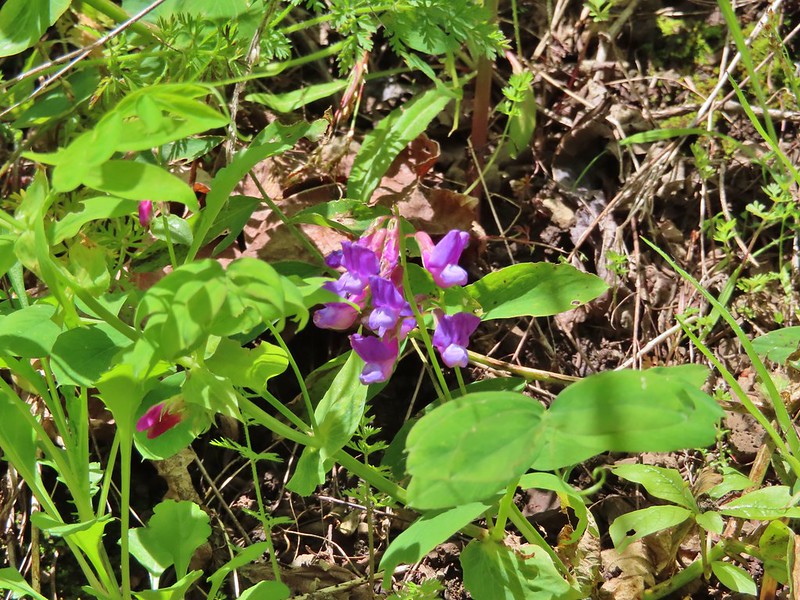 A pea or vetch.
 Unnamed stream crossing.
 Miterwort
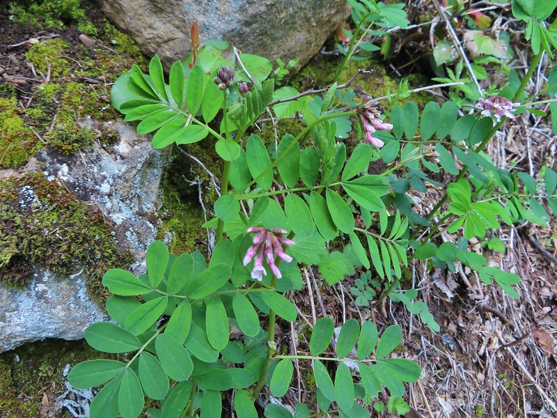 Rosy Birdsfoot Trefoil
 The third type of monkey flower we saw on the day.
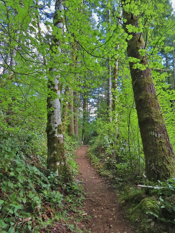 The junction is on the saddle ahead.
 Cars to the left through the trees, we made it.
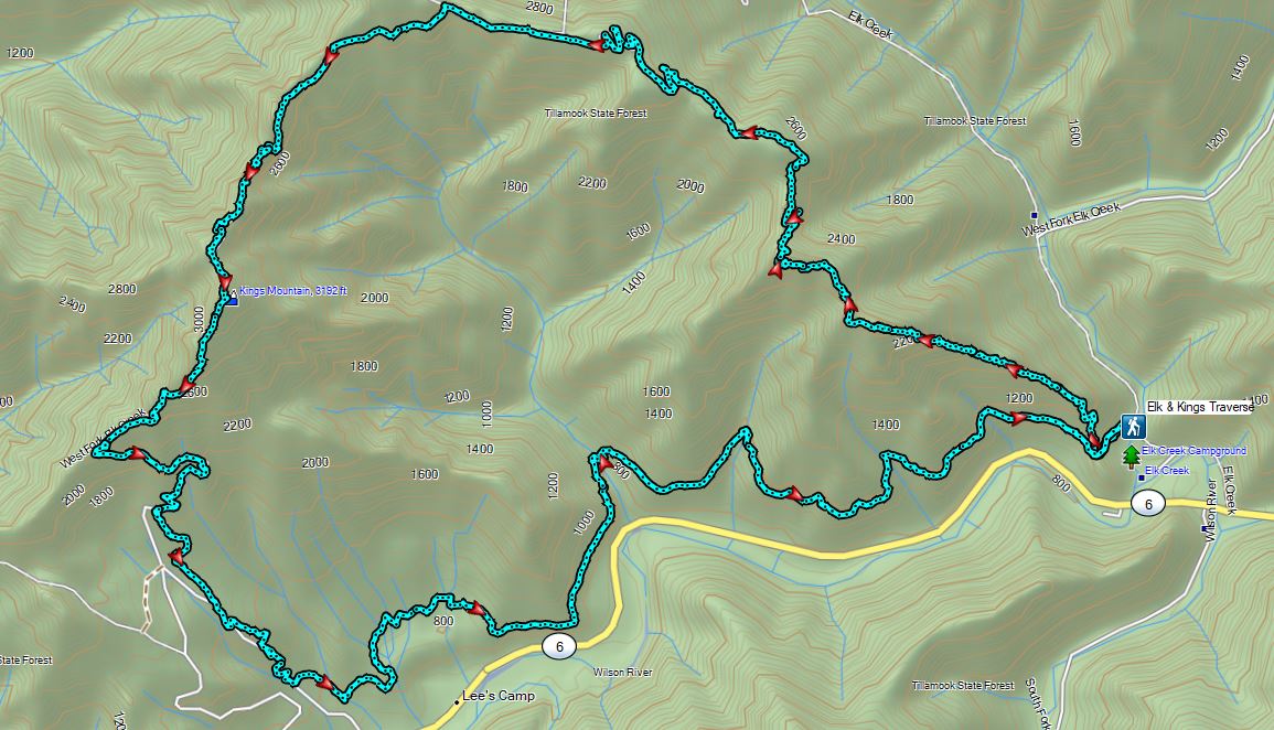
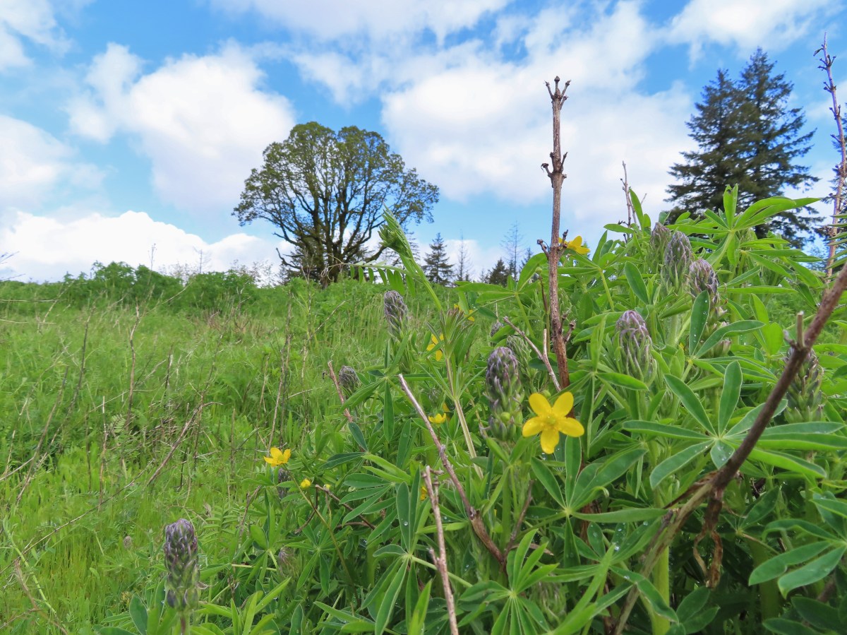


 The Castor (Spanish for beaver) Trail on the left, this was the only trail in the park that we didn’t hike on during our visit. It was always a left turn.
 Fawn lilies
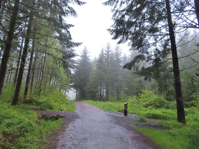 Our first right turn (left was a short connector to the Woodland Trail).
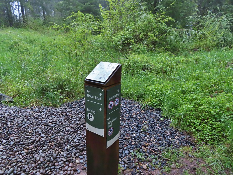 Again the posts and accompanying maps were some of the best trail identifiers we’ve run across.
 Bench at the viewpoint along the Ammefu Trail.
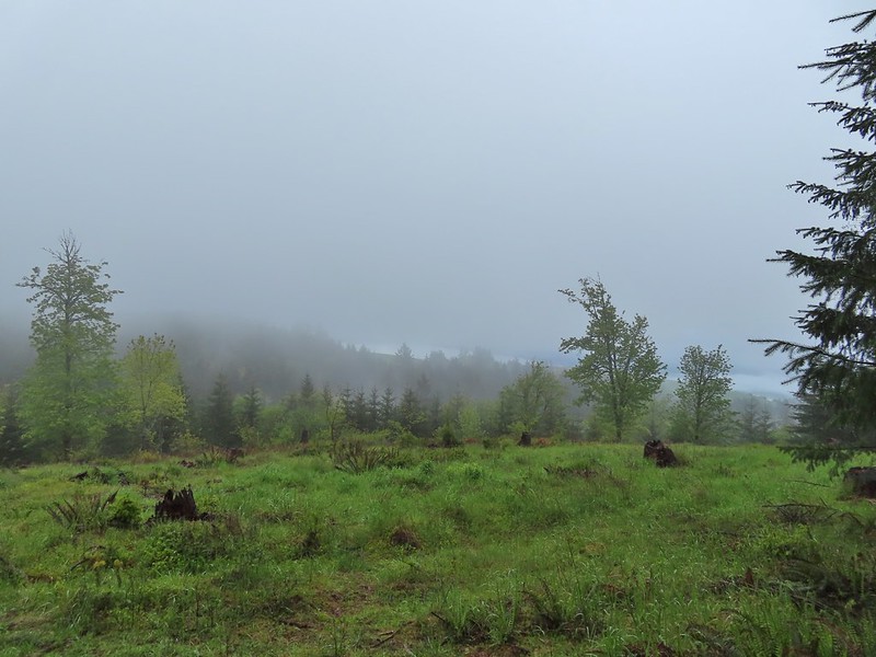 We had to imagine the view today.
 The second figure.
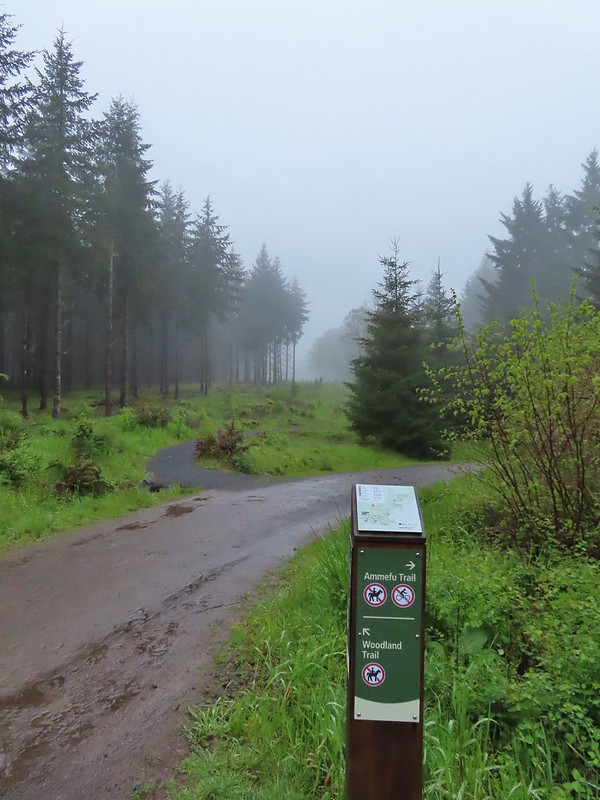 Back at the Timber Road and another short connector to the Woodland Trail.
 Fog on Timber Road
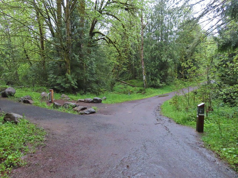 Passing the Woodland Trail on the left which would be our right turn on the way back.
 Christensen Creek
 Right turn for the Ayeekwa and Witches Butter Trails.
 Witchs Butter on the left and Ayeekwa on the right.
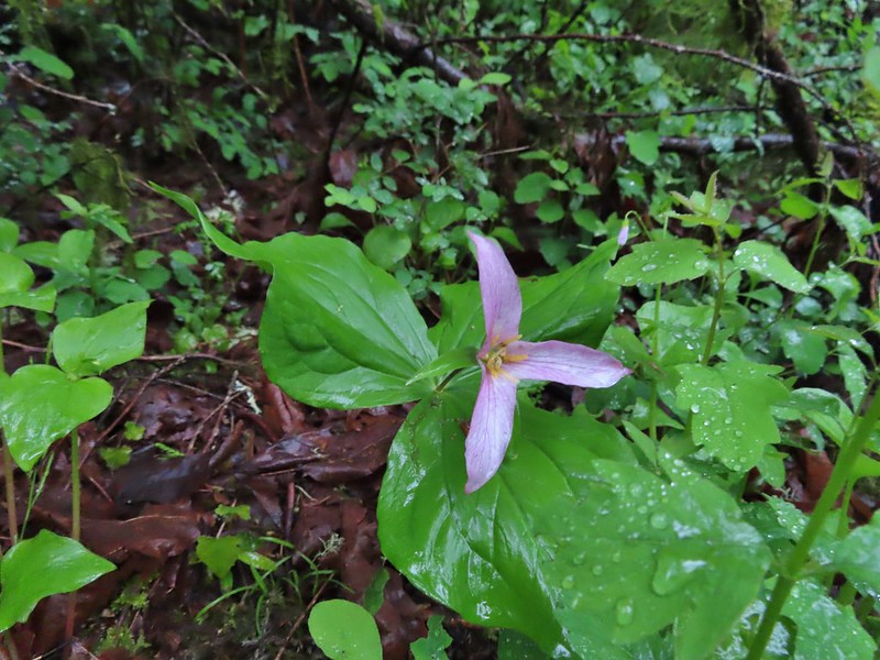 Trillium
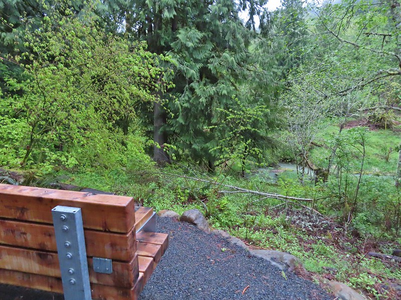 Another bench, this one overlooked Christensen Creek.
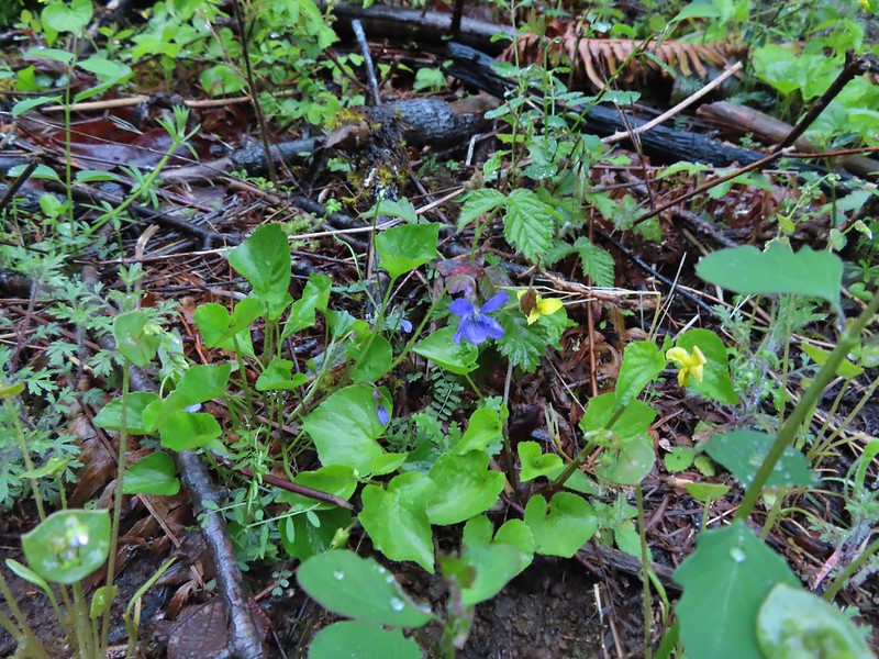 Common blue violet
 Pioneer violets and a strawberry blossom.
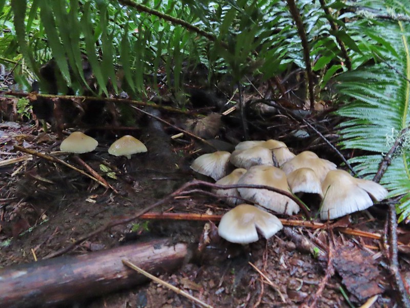 Mushrooms under a fern.
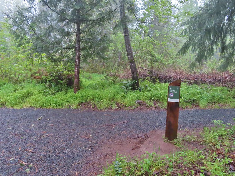 Popping out on the Witches Butter Trail.
 Witches Butter Trail
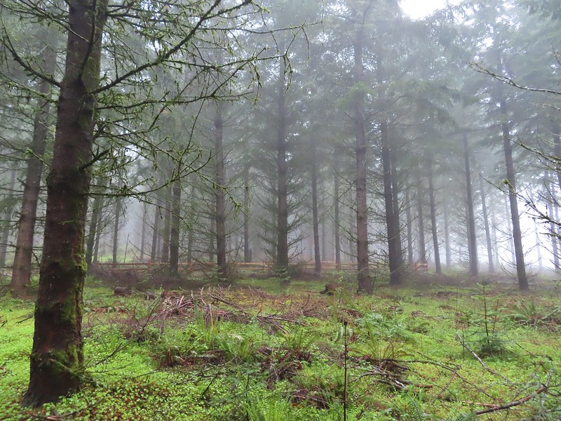 Witches Butter Trail winding through Douglas firs.
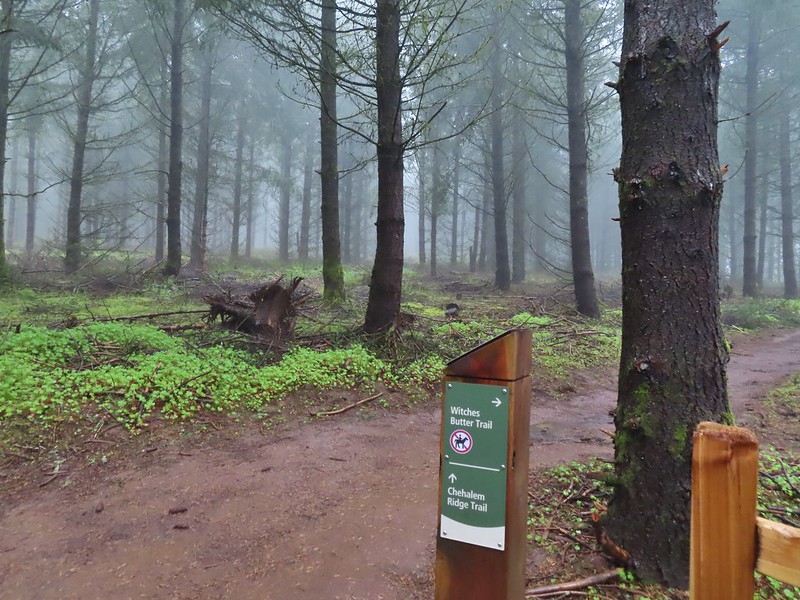 Turning right onto the Chehalem Ridge Trail.
 There was a little more mud on the Chehalem Ridge Trail.
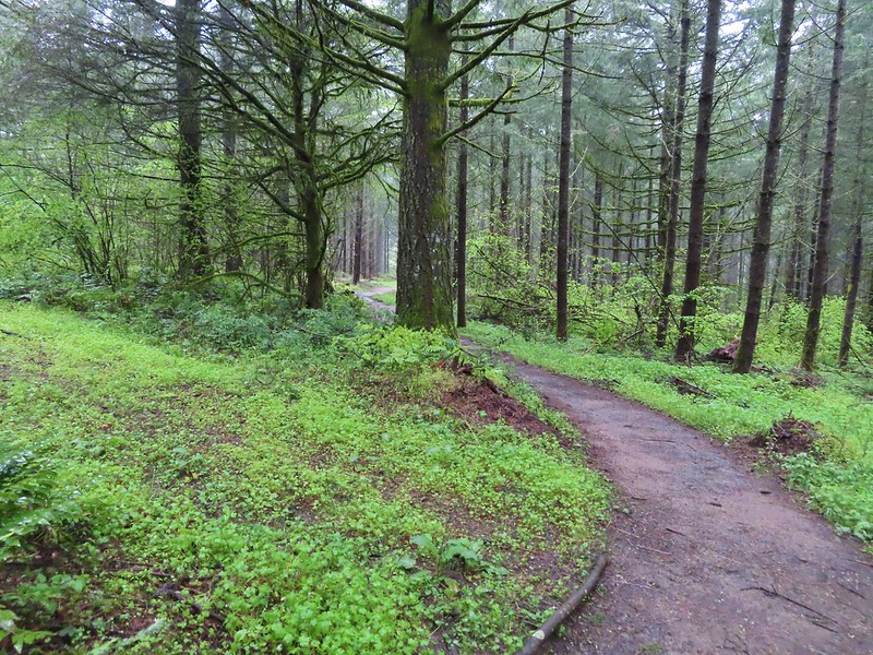 Spring green carpet.
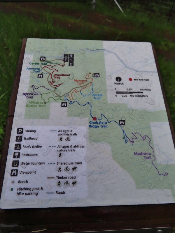 A good example of the differently oriented maps, on this one north is down.
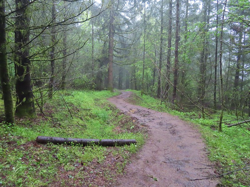
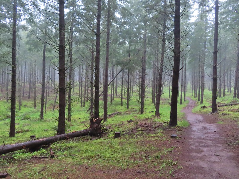 Another fir plantation. The land had been owned by a timber company prior to being purchased by Metro in 2010.
 Start of the Chehalem Ridge Loop. We went right which simply swung out along the hillside before dropping down to the Madrona Trail in 0.4 miles.

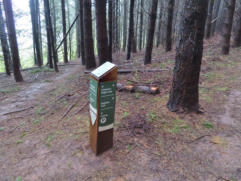 The loop continued to the left but we turned right onto the Madrona Trail.
 Still cloudy and gray but we’d experience very little if any precipitation yet.
 Lots of tough-leaved iris along this trail.
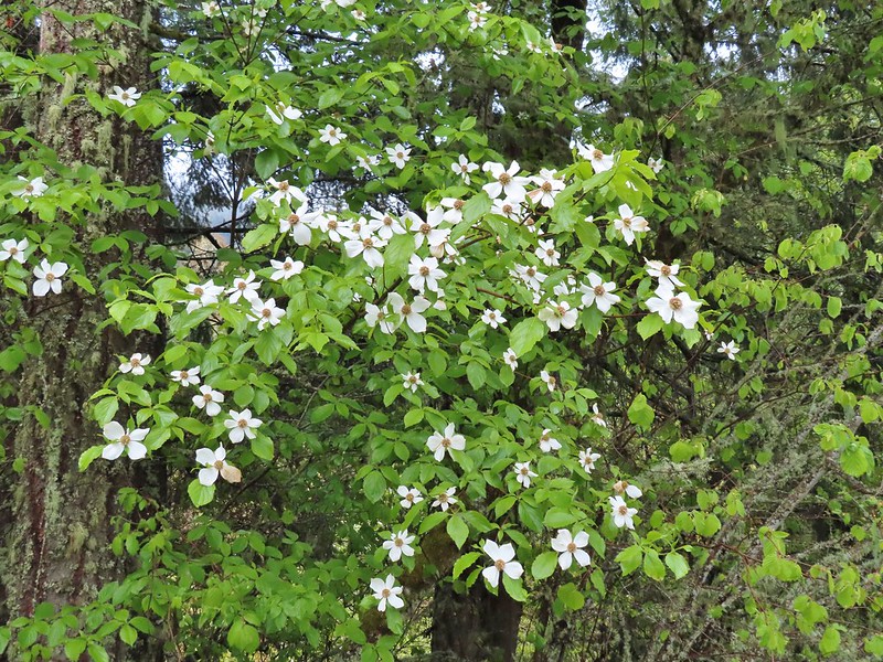 One of several blooming dogwood trees.
 View on the way down.
 Madrone trees began to be a common sight as we descended.
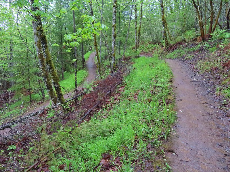 One of the 11 switchbacks.
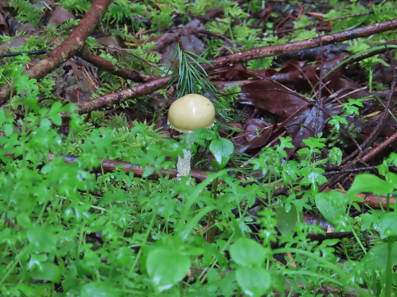 We hadn’t seen a lot of mushrooms recently but this hike had plenty.
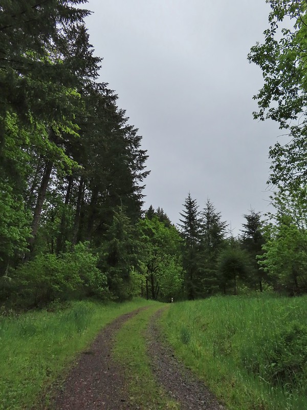 Following the roadbed.
 Aside from one other very small (3 in diameter) tree this was the only obstacle we encountered all day.
 The start of the loop along with several madrones.
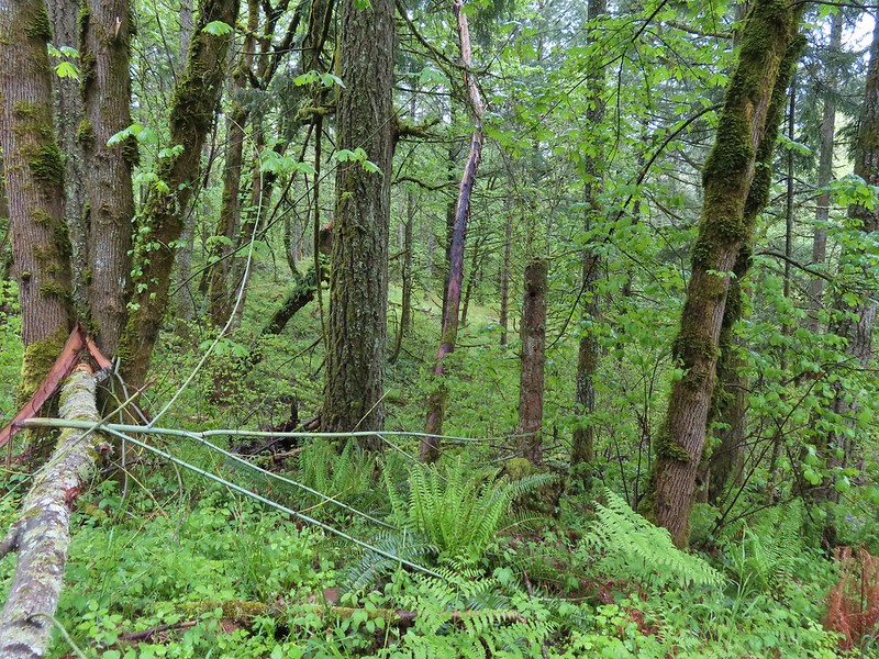


 The Tualatin Valley and Coast Range.
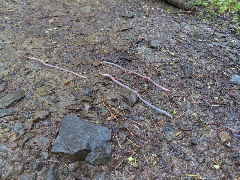 Either these worms were racing or it was a bird buffet. The rain had brought a lot of earthworms onto the trails.
 Another trail user a rough skinned newt.
 A closer look at the rough skinned newt.
 It had been so foggy when we had come up the Witches Butter Trail that we hadn’t realized that there was a giant green field nearby.
 The end of the Chehalem Ridge Trail with the Mampaꞎ Trail to the right and a very short connector to the Timber Road to the left.
 Sunlight hitting the Mampaꞎ Trail.
 Fairy slippers
 Squirrel
 The Zorzal Trail to the right.
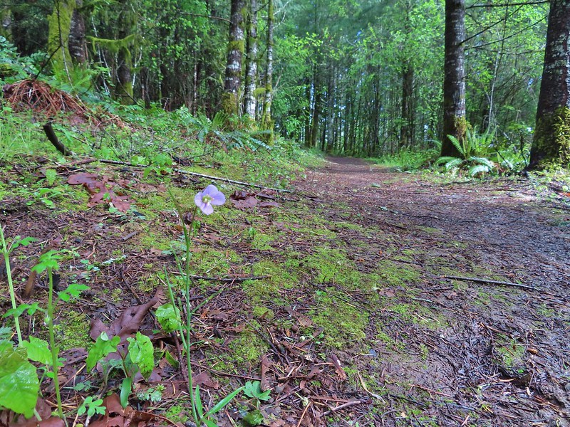 Toothwort along the Zorzal Trail.
 Stripped coralroot
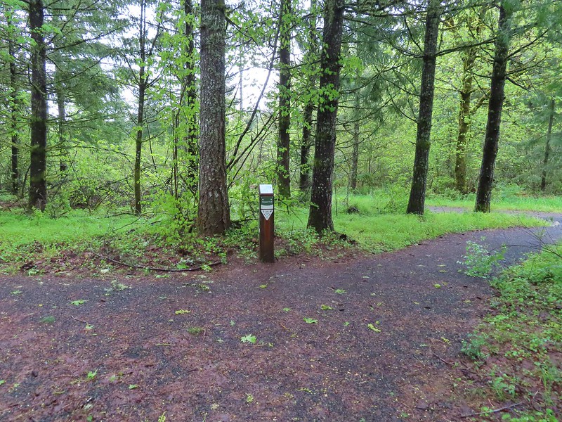
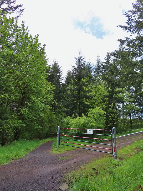


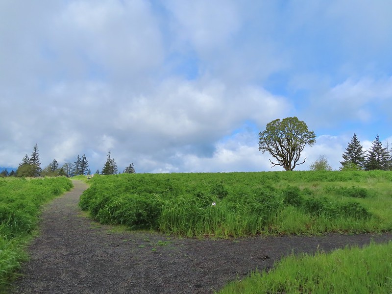
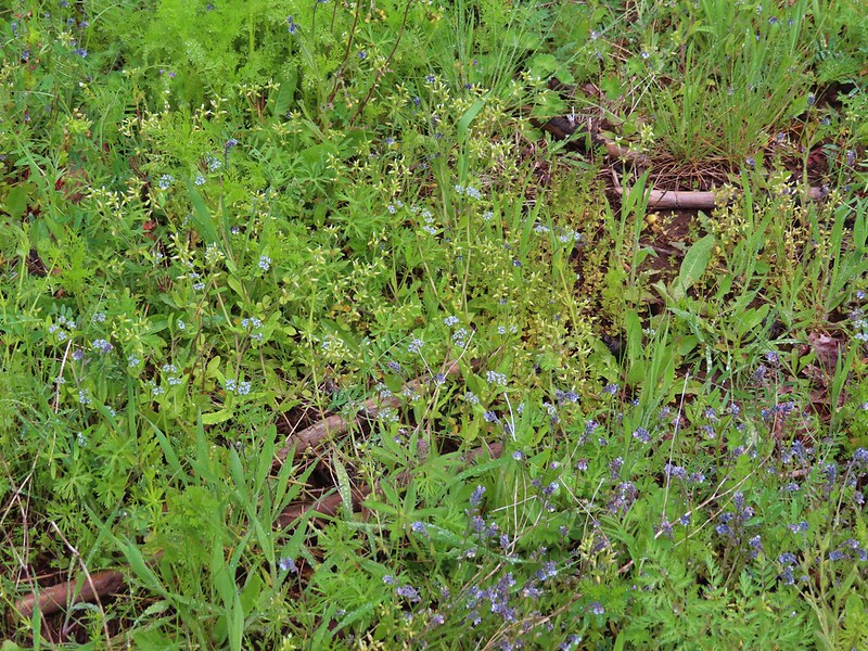 An assortment of smaller flowers.
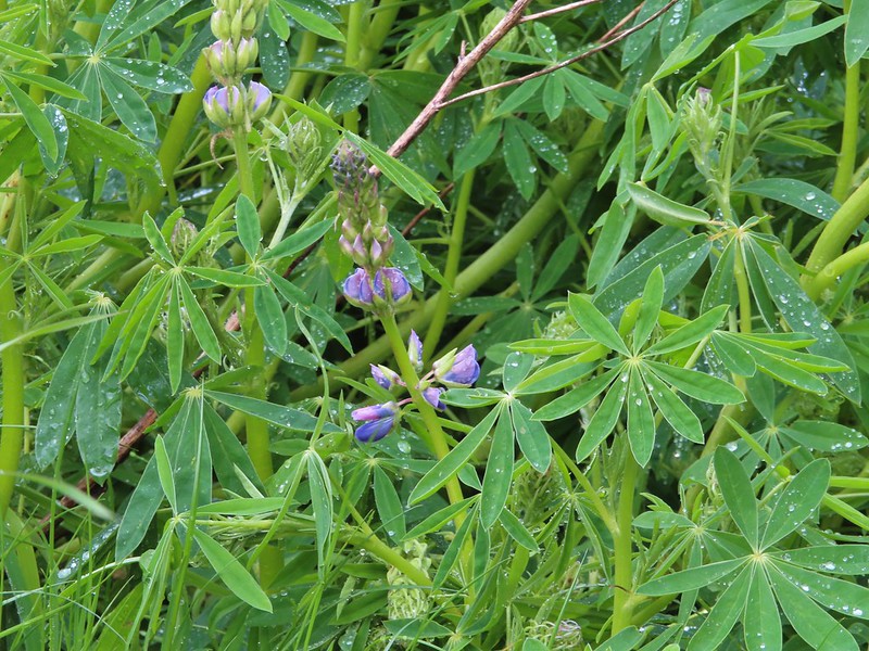 One of the few lupines with blossoms.
 Camas buds
 Oak tree on Iowa Hill. Most of the larger green clumps are lupine.
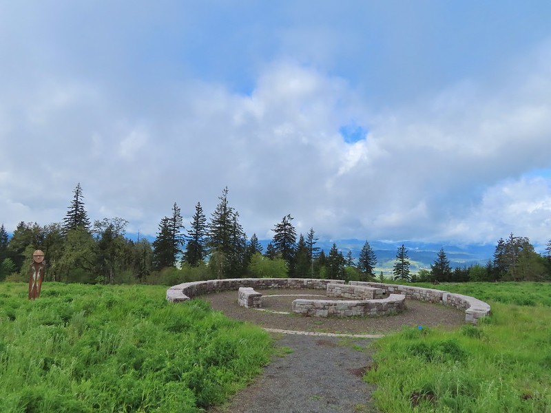 The third and final figure was also located near the stone circle.
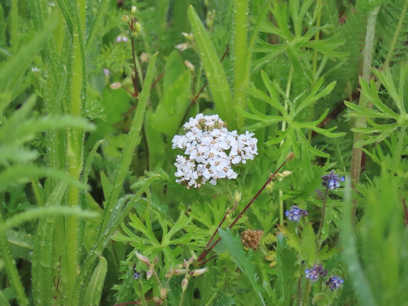 Yarrow
 More lupine starting to blossom.
 Tualatin Valley
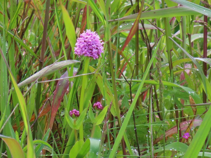 Plectritis
 Believe this is a checker mallow.
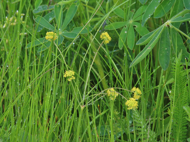 Parsley
 Camas
Camas Iris
Iris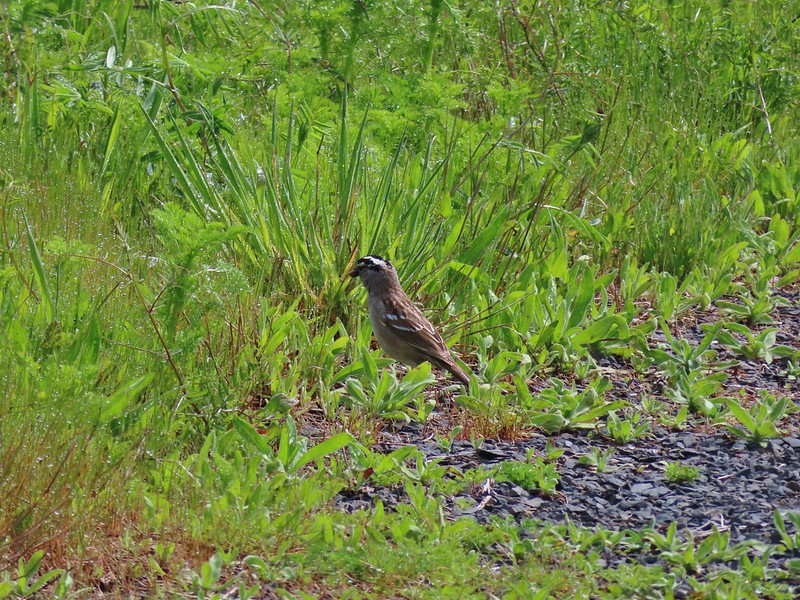 White crowned sparrow
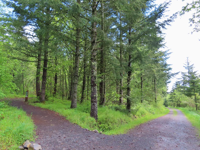 Turning down the Timber Road.
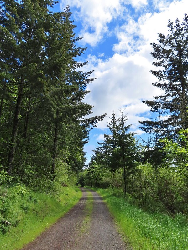
 I’m not good with these little yellowish birds. It could be an orange-crowned warbler.
 Black capped chickadee
 Approaching the Woodland Trail on the right.
 Woodland Trail
 Candyflower
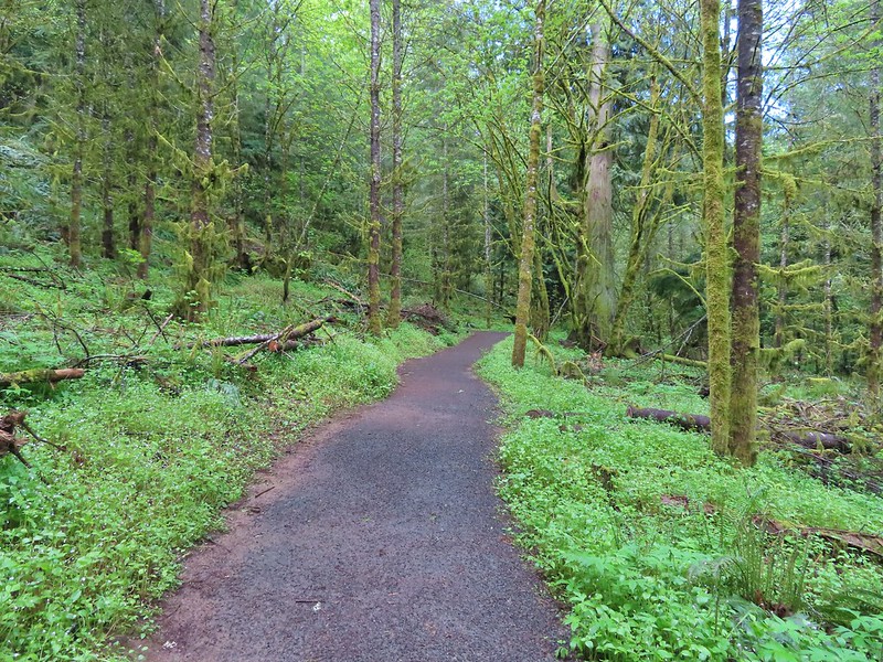 Coming to a switchback.
 We ignored a couple of shortcuts that would have led back to the Timber Road.
 We also skipped the Castor Trail which would have slightly lengthened the hike.
 Lupine along the Woodland Trail as we neared the trailhead.
 Much nicer conditions than we’d had that morning and way nicer than anything we had expected.


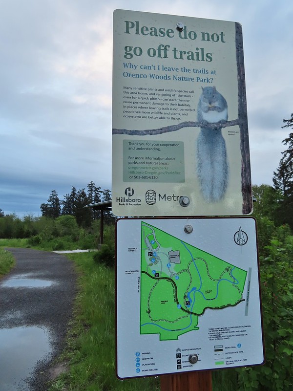
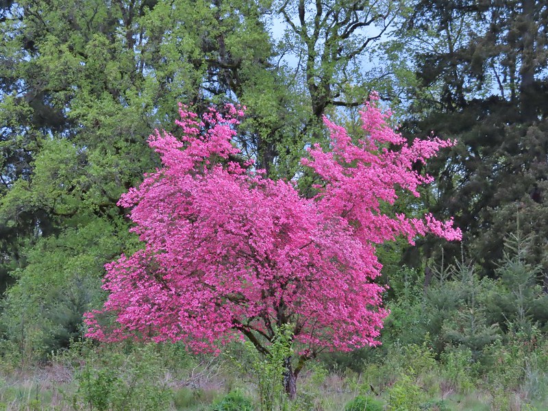
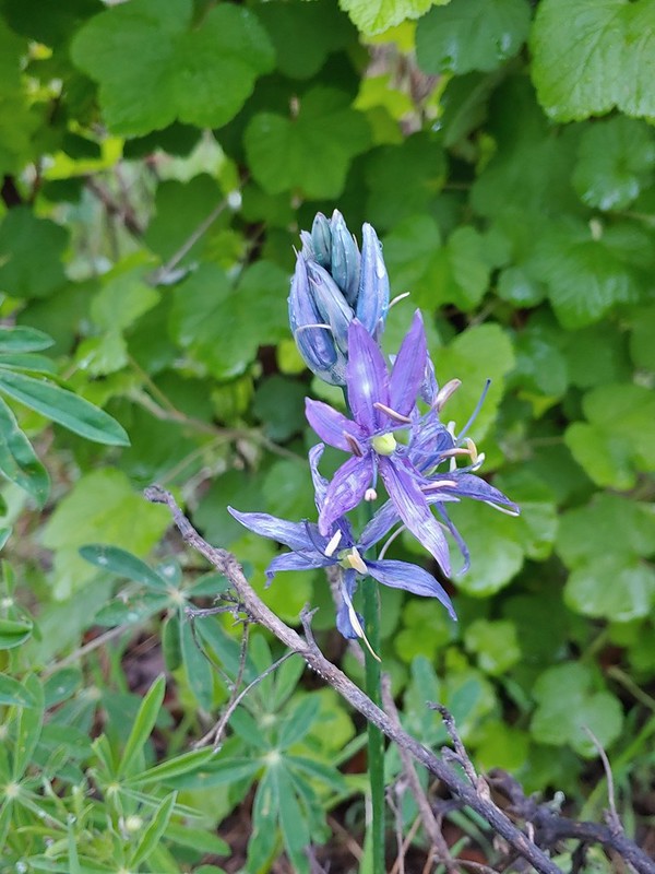 Camas
Camas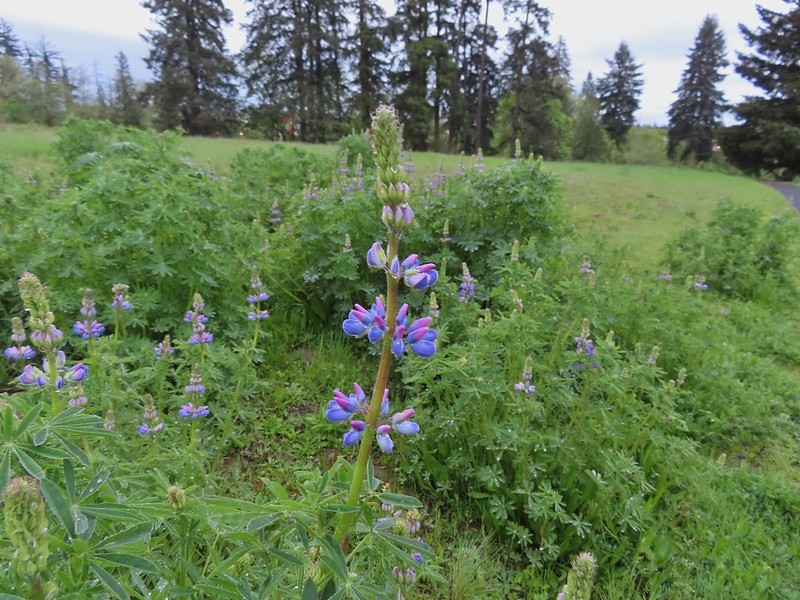 Lupine
 Habitat Trail
 We’ll blame our inability to read this sign on it still being early in the morning. We started down the path ahead before quickly questioning the direction and correcting course.
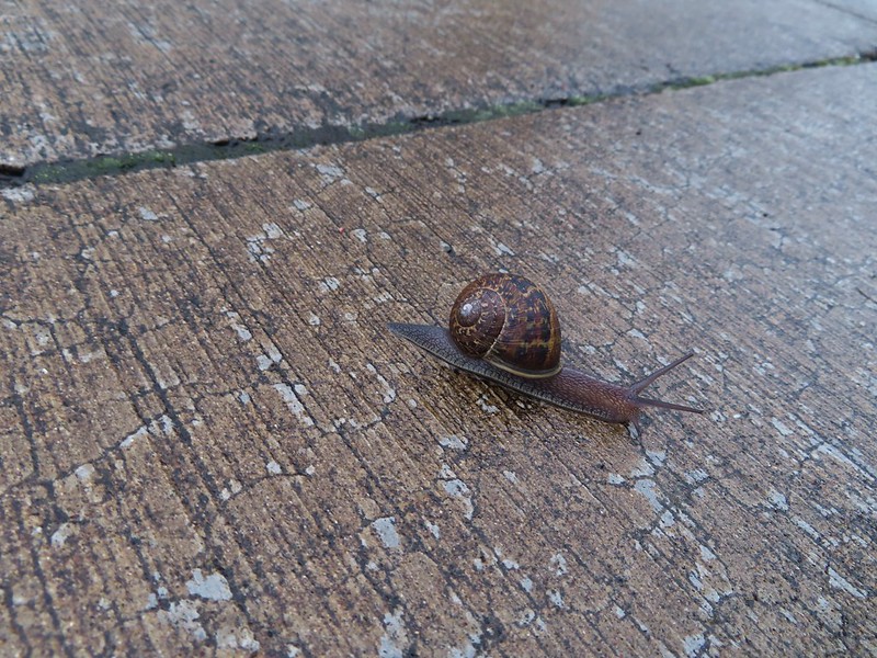 He probably knew which way he was going.
 Heading the right way now.
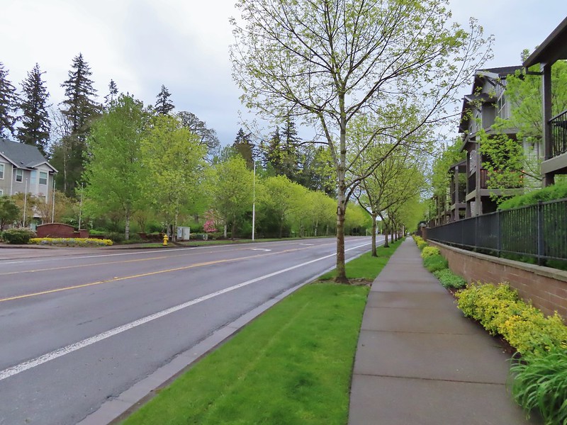 NW Wilkins


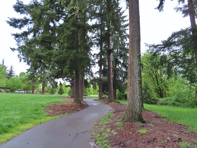
 Another trail user


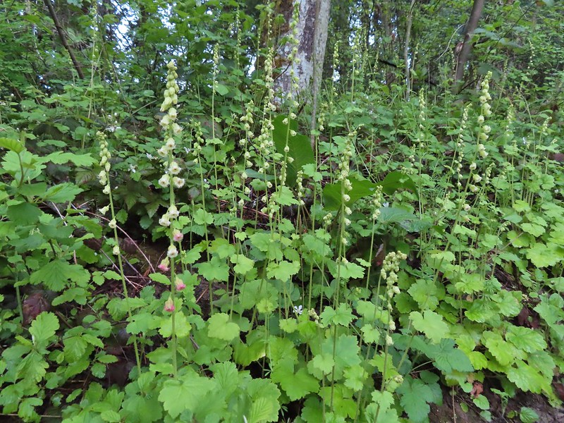 Fringecup
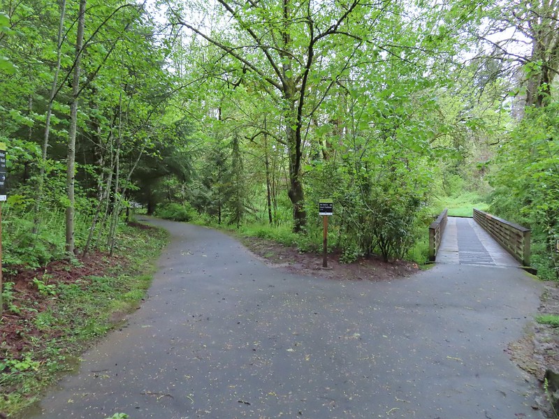
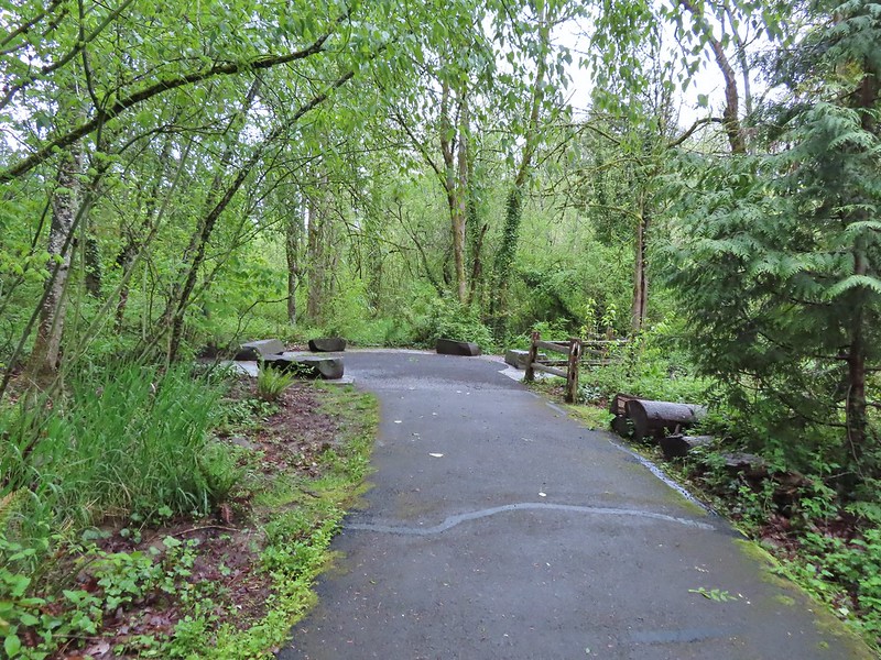

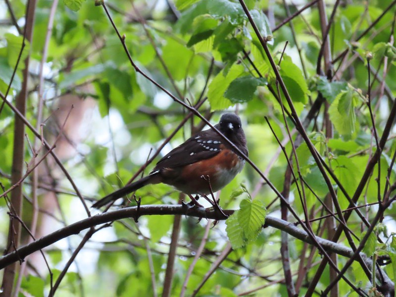 Spotted towhee
 Stellar’s Jay
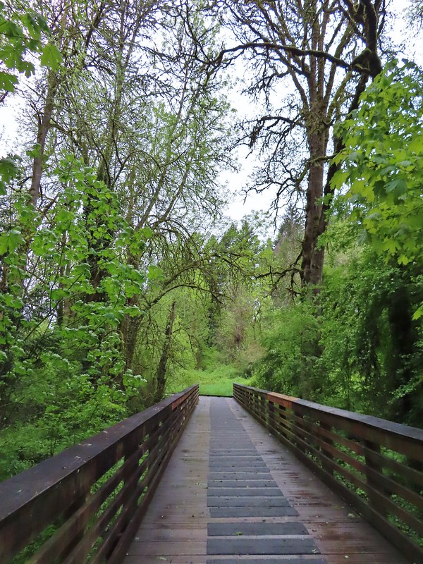
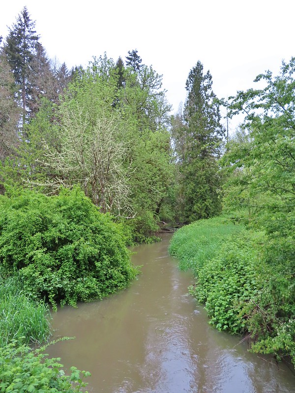
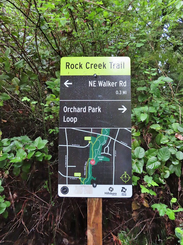 Second time staring at this sign.

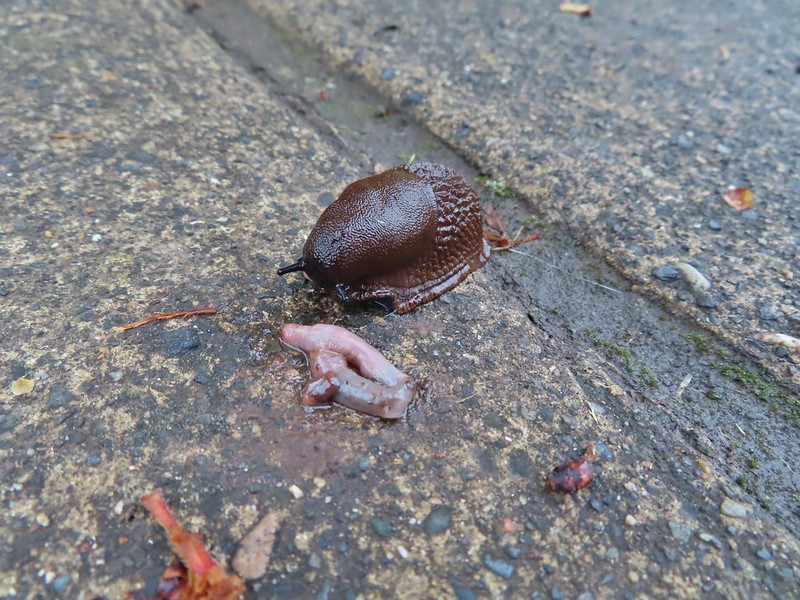 Not sure exactly how to interpret this scene – mourning, a murder, or breakfast?
 The slight jog right along NE Walker.


 Bridge of Rock Creek
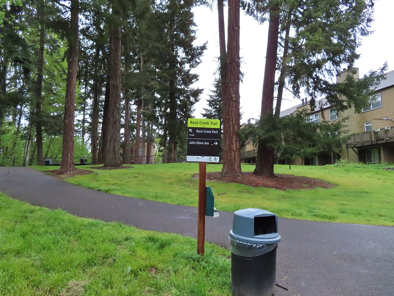 Look a pointer for John Olsen Avenue (just a lot further north).
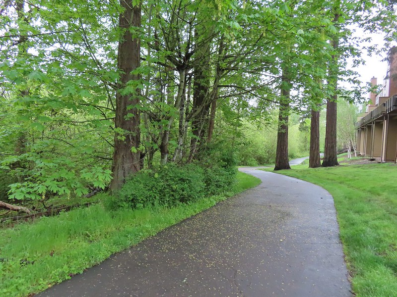
 Mallards (A pair of wood ducks flew off at the same time the mallards headed downstream.)
 Here is the only photo that I could even get with the little yellow bird visible at all.
 NE Evergreen Parkway
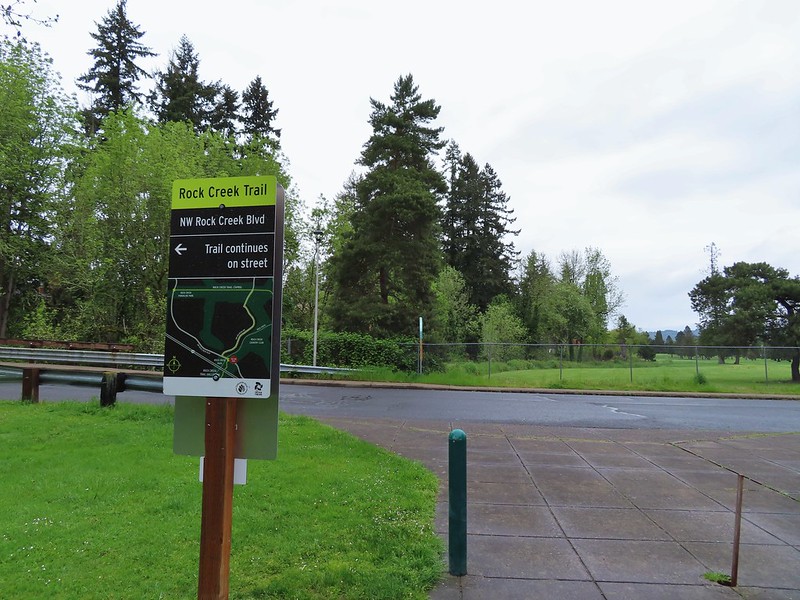
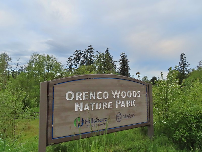
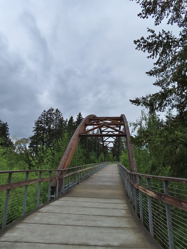

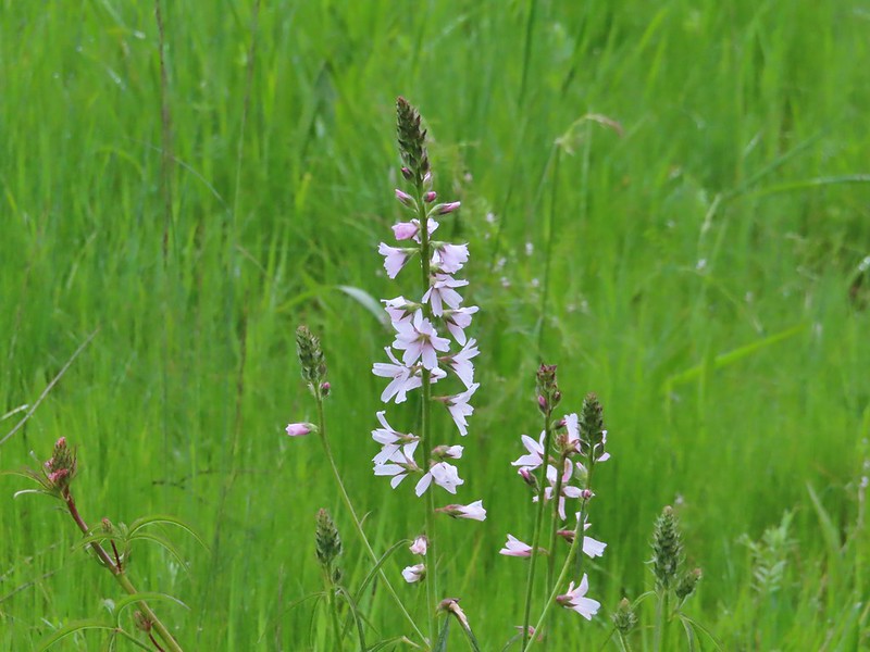 Checkermallow
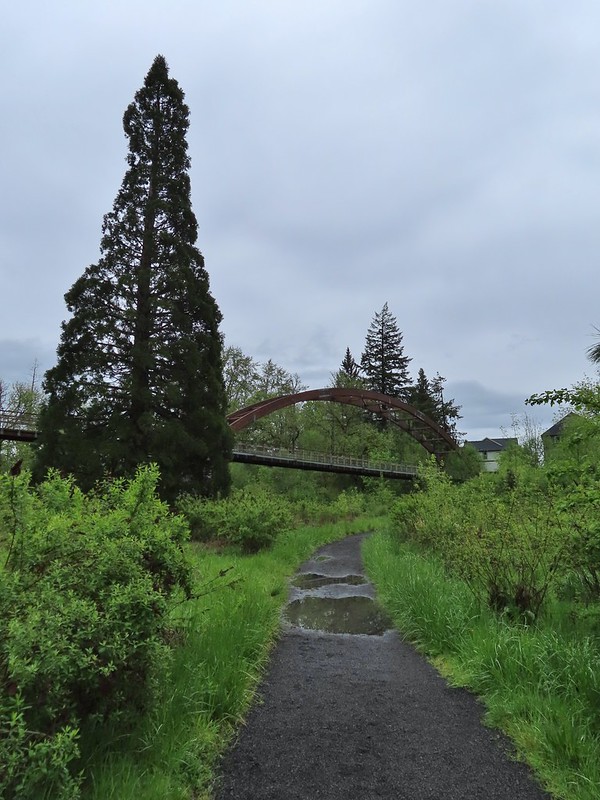
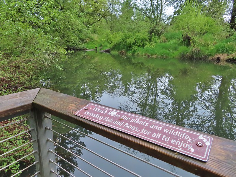


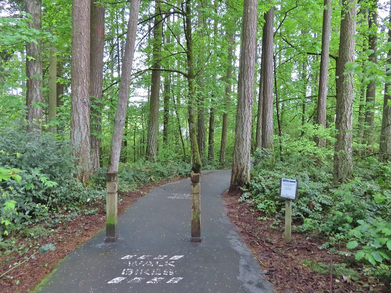
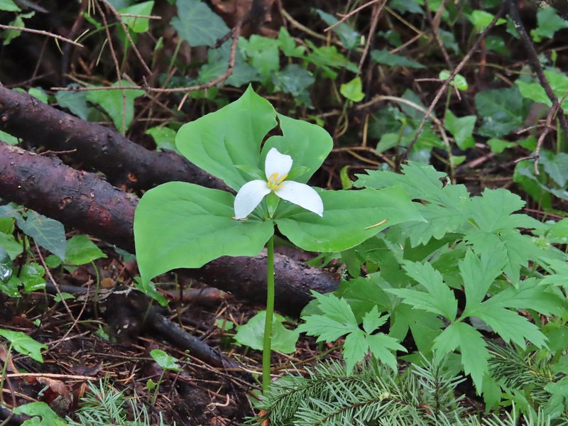 Trillium
 Solmonseal
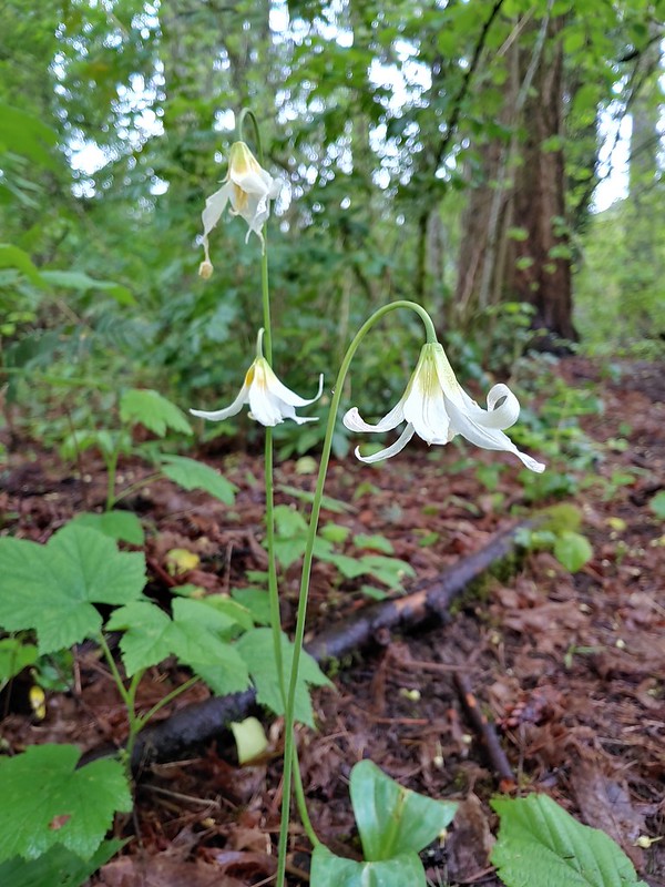 Fawnlilies
 Aven
Aven

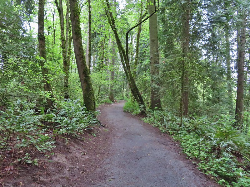


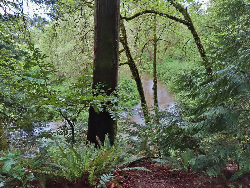 Rock Creek from the viewpoint.
 The back of the owl (middle tree 2/3 of the way up)

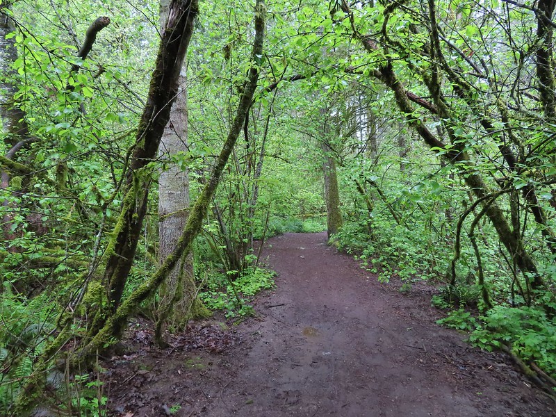
 Violets
 Swollen creek
 Fairy bells
 Cinquefoil
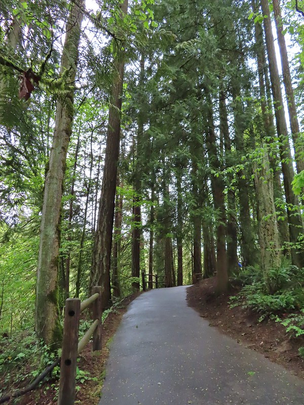 Nearing the trailhead.


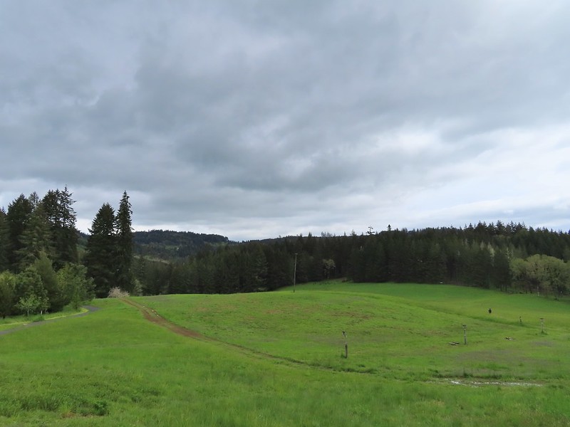
 A wren and a white-crowned sparrow
 American goldfinches
 Tree swallows
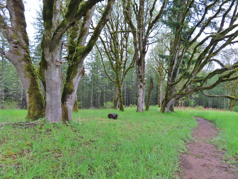

 Bleeding heart near the stream.
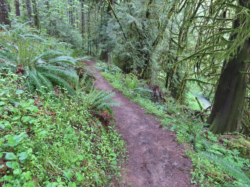 Berry Creek down to the right.
 There was a lot of wild ginger on the hillside.
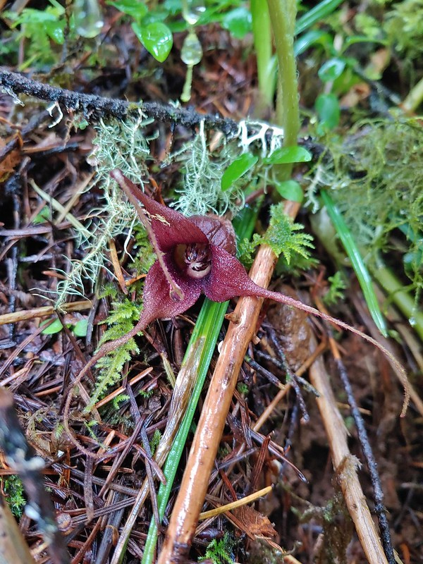
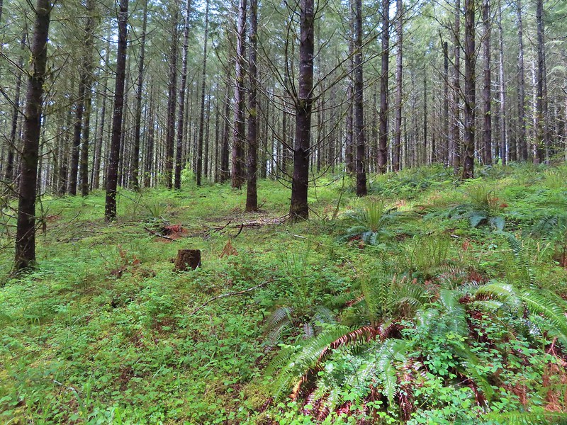
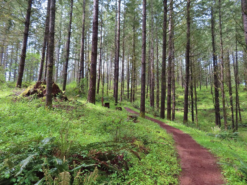


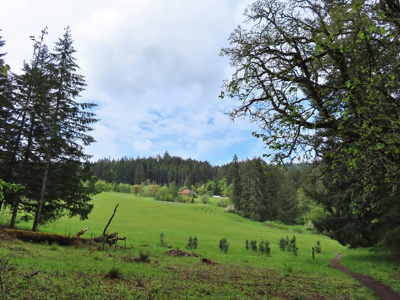
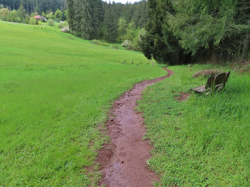
 Iris
Iris Buttercups
 Small garter snake
 Approaching the bridge and creek.
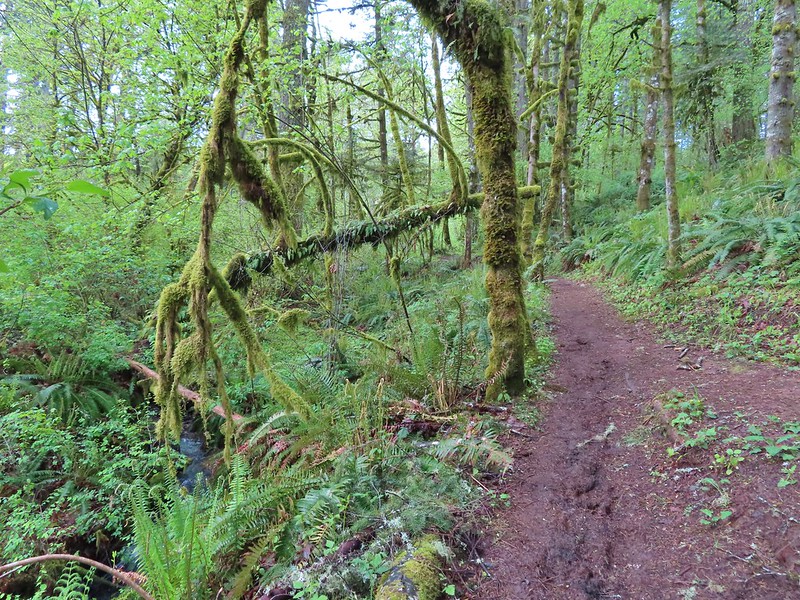
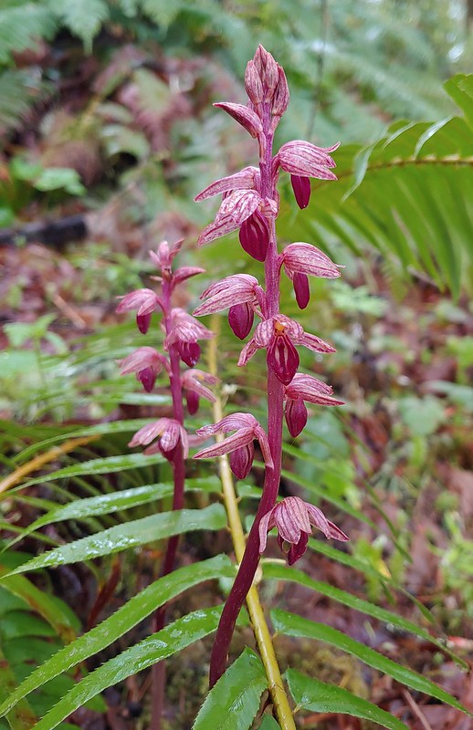

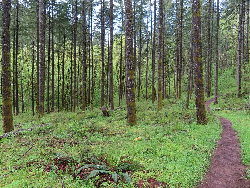
 Sparrow
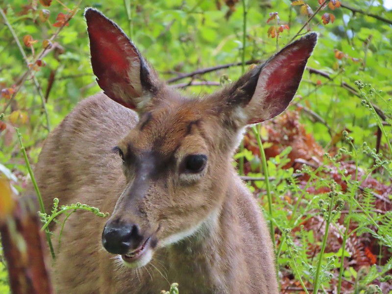 Doe just hanging out in a patch of poison oak. (It doesn’t bother deer.)
 Nearing the high point of the trail at K.T. Summit
 Spotted coralroot
 K.T. Summit
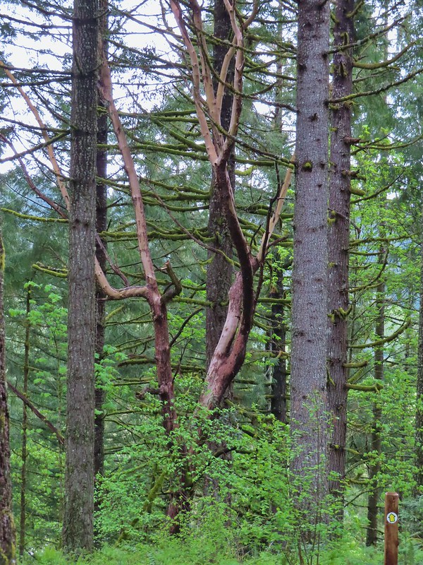 A very cool madrone tree.
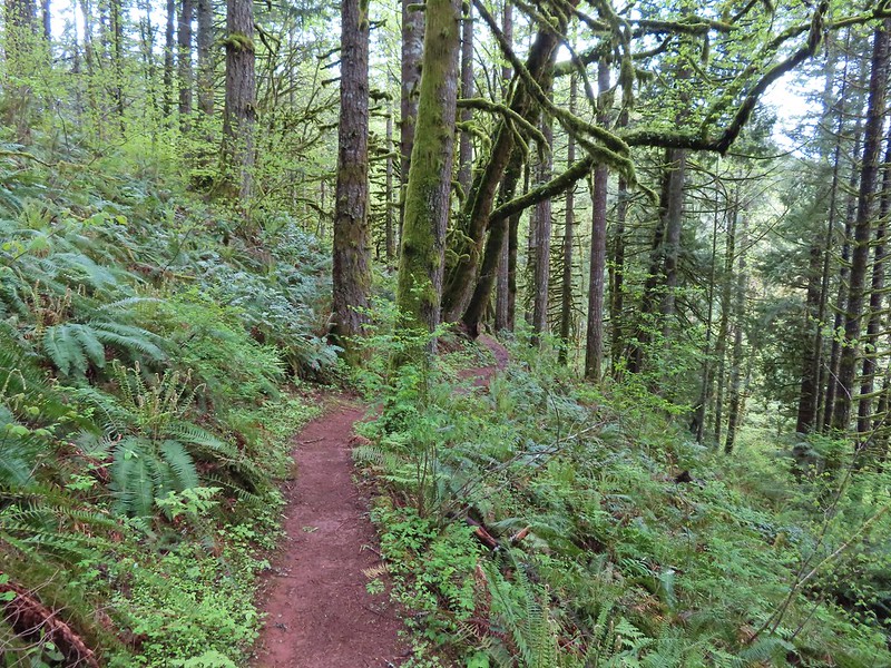
 Two more deer with a third off camera.
 There was at least one identifier for each tree listed on this sign. The signs were particularly nice because many were next to younger trees which made it easier to see the needles and bark instead of just look at a trunk and having to look up to try and see other details of the trees.
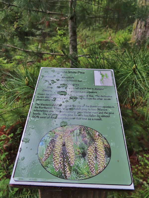 Western white pine
 Western larch
 Vanilla leaf
 Fairy slippers
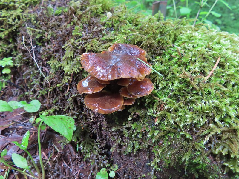


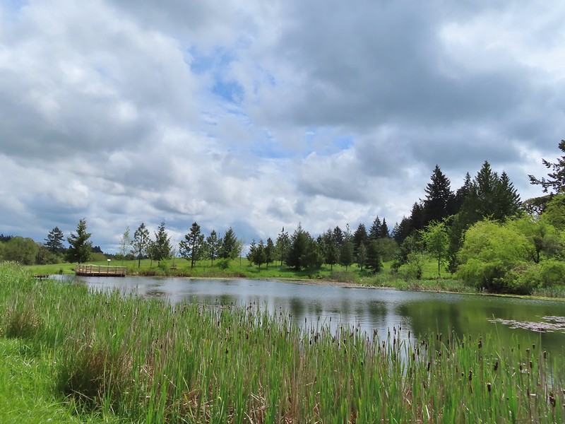
 Frog near the pond.
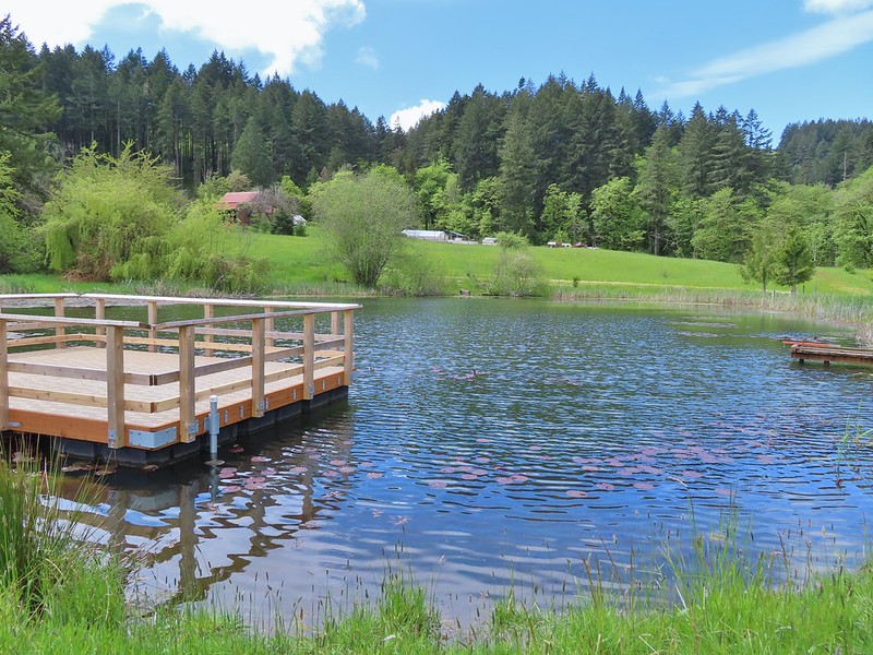
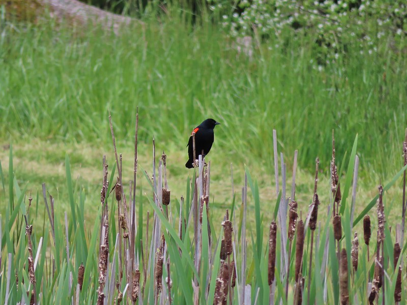 Red-winged blackbird

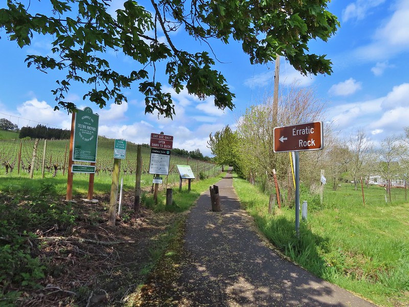
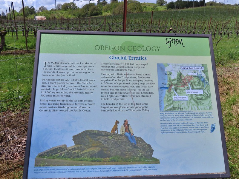 Interpretive sign at the start of the trail.
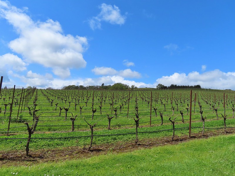 Vineyard along the trail.
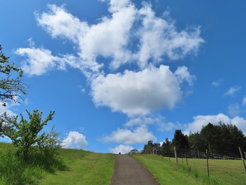
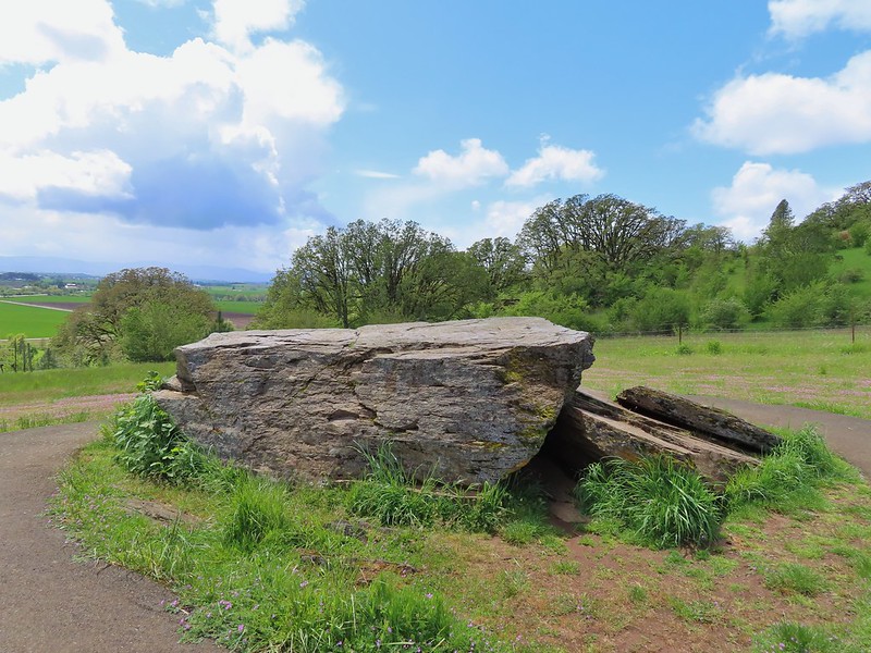
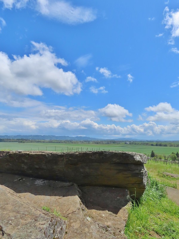

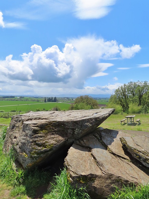
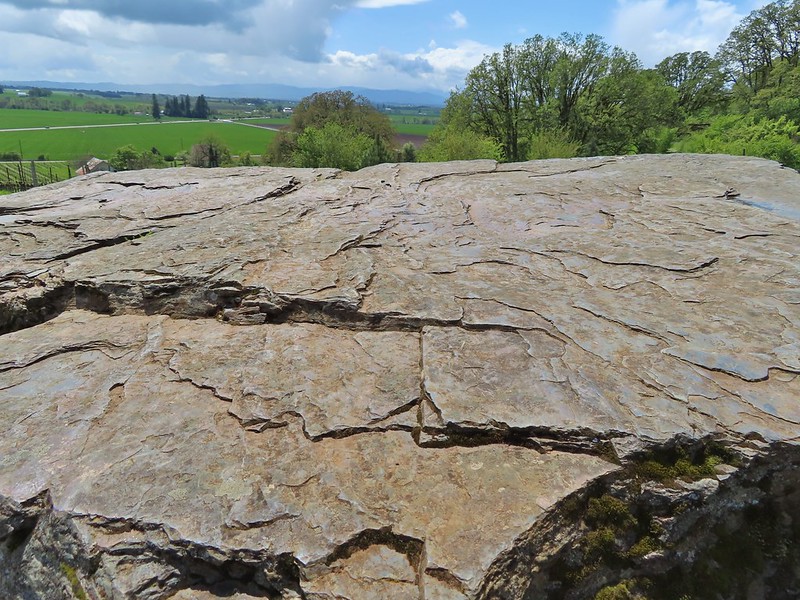

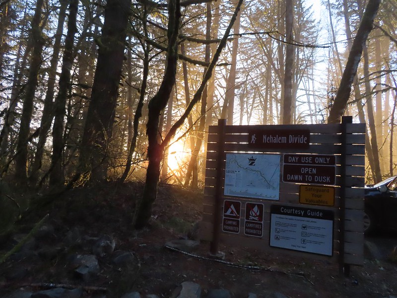
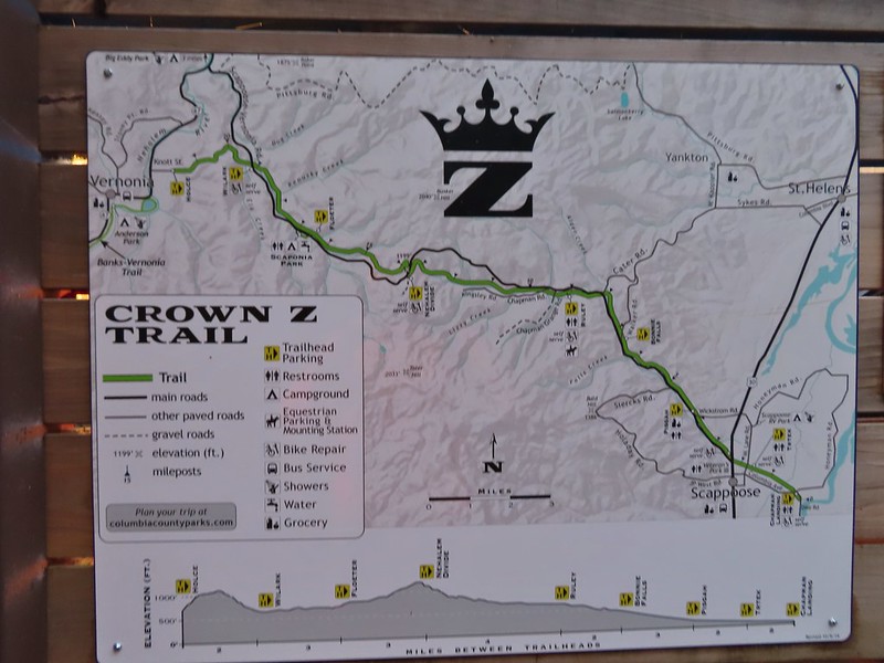
 Heading down the connector trail.
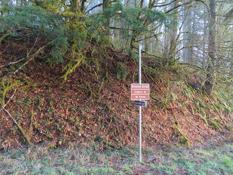 Trial sign at the jct with the CZ Trail.
 CZ Trail passing under the highway.

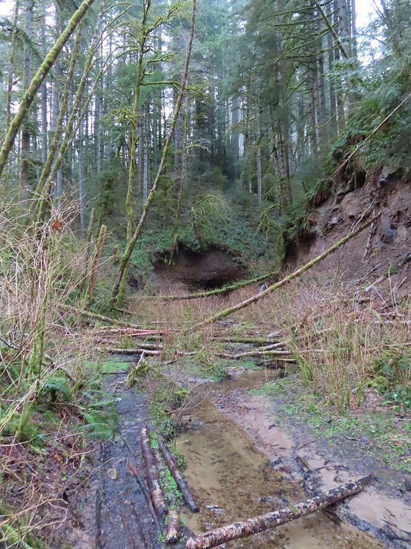

 Light from the eastern portal is visible at the other end but the tunnel is not safe to enter without at least a hard hat.

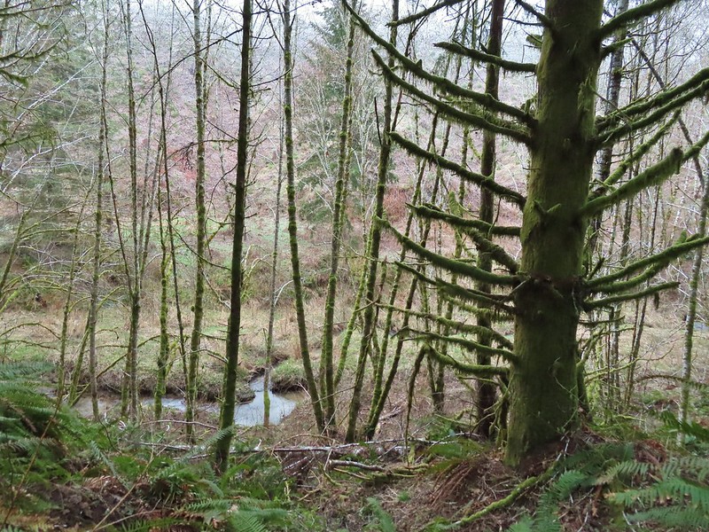 The East Fork Nehalem River next to the trail.
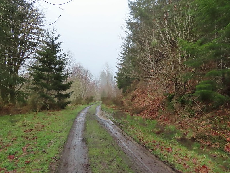 It was a little muddy in places.
 Another of several interpretive signs along the trail.
 Not much in the way of flowers yet but there were a few indian plum starting to blossom.


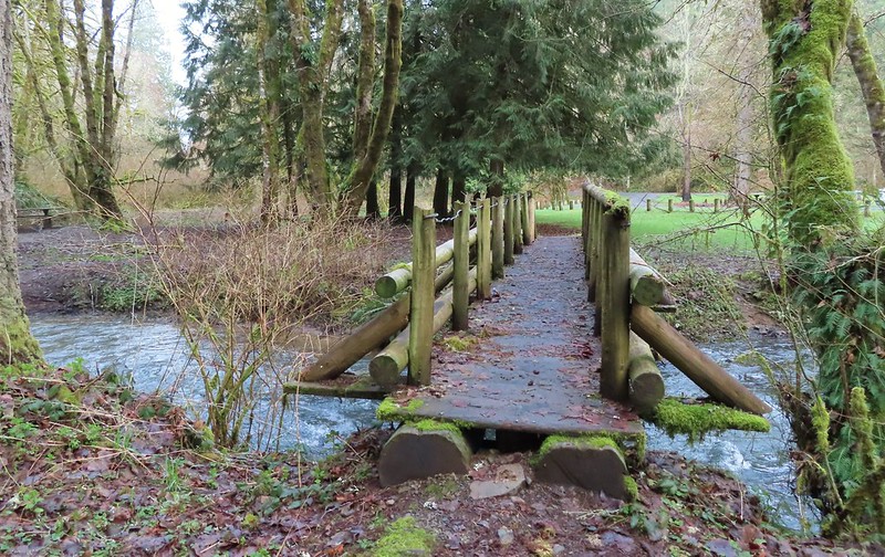
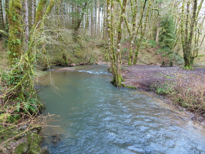 East Fork Nehalem River
 Pointer for the CZ Trail in Scaponia Park

 American kestral
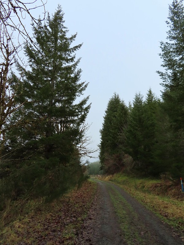

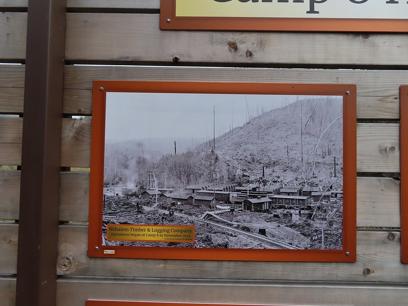
 Robin in the meadow that once was Camp 8.
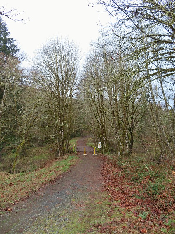

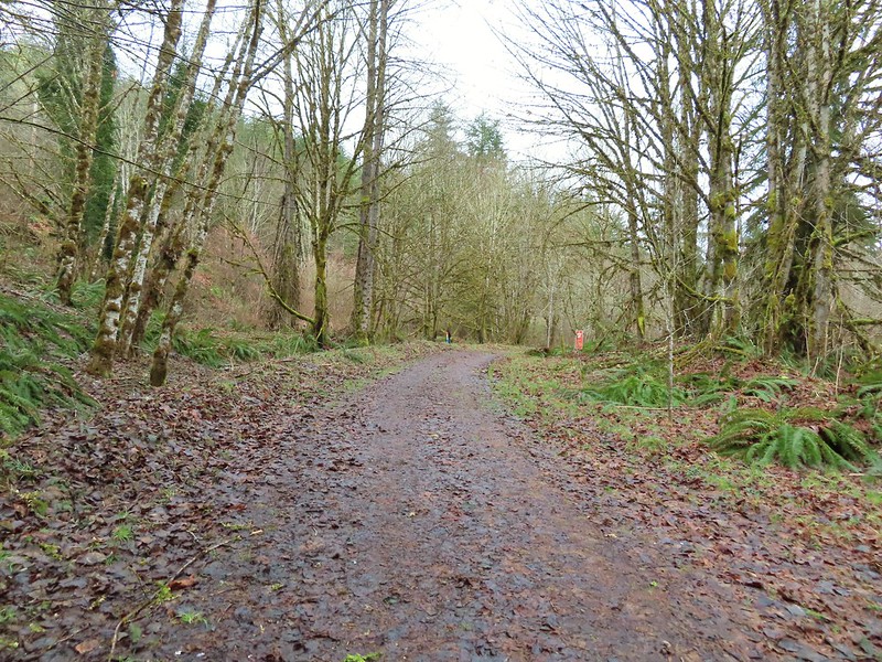 The orange mile marker 19 ahead.
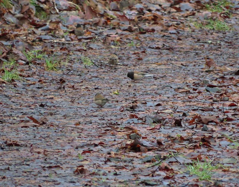 Juncos
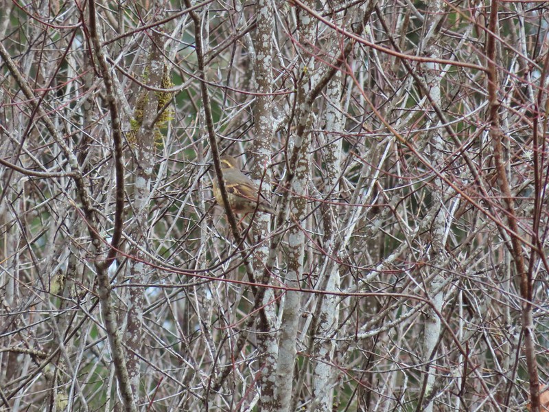 Another not great picture of a varied thrush.
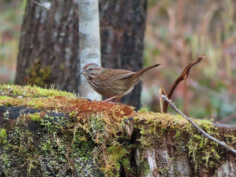 Sparrow
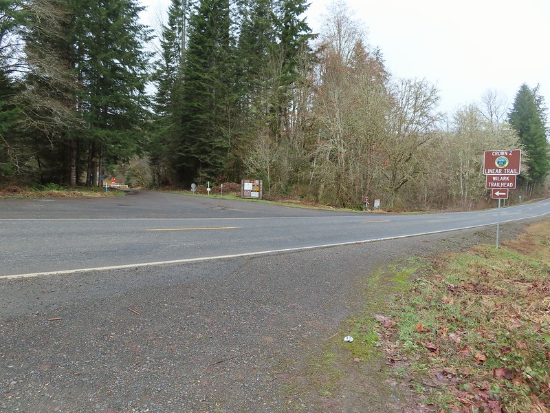


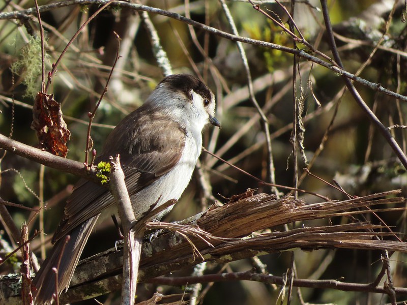 A grey jay enjoying the emerging sunlight.
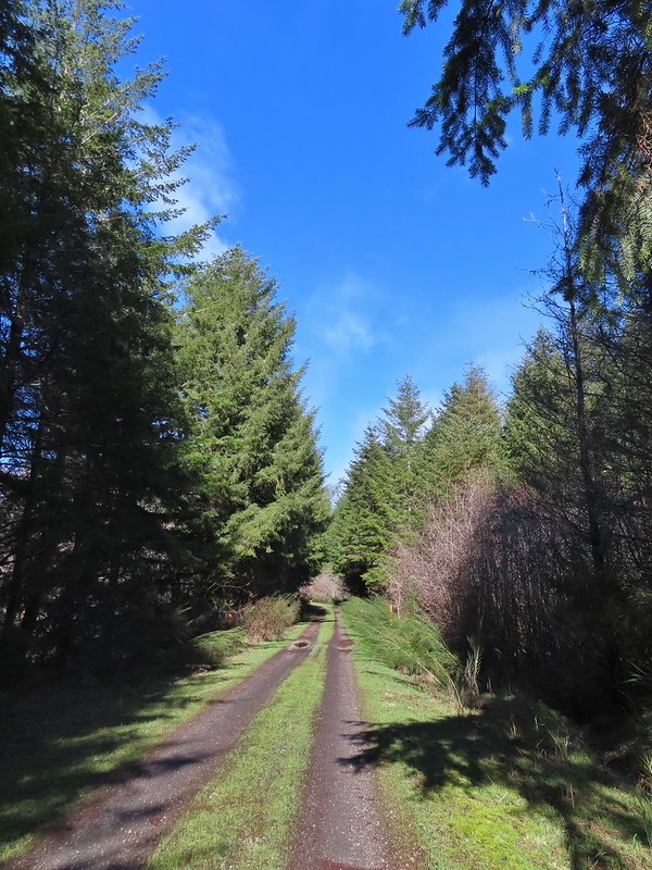
 Blue sky near the Floeter Trailhead.
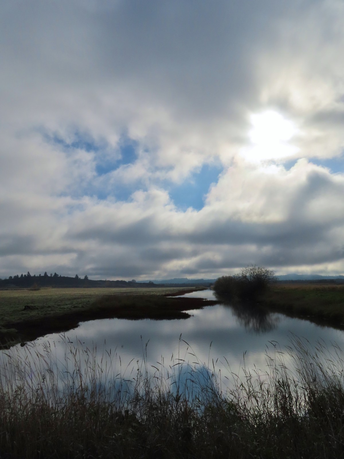
 The trailhead sign for the Clay Creek Trail is ahead on the opposite side of the road.
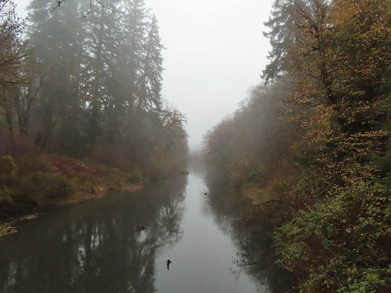 Siuslaw River
 Clay Creek on the left emptying into the Siuslaw.
 Stairs at the Clay Creek Recreation Area across the river.

 The Clay Creek Trail climbing above Clay Creek.
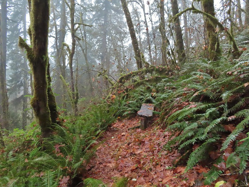
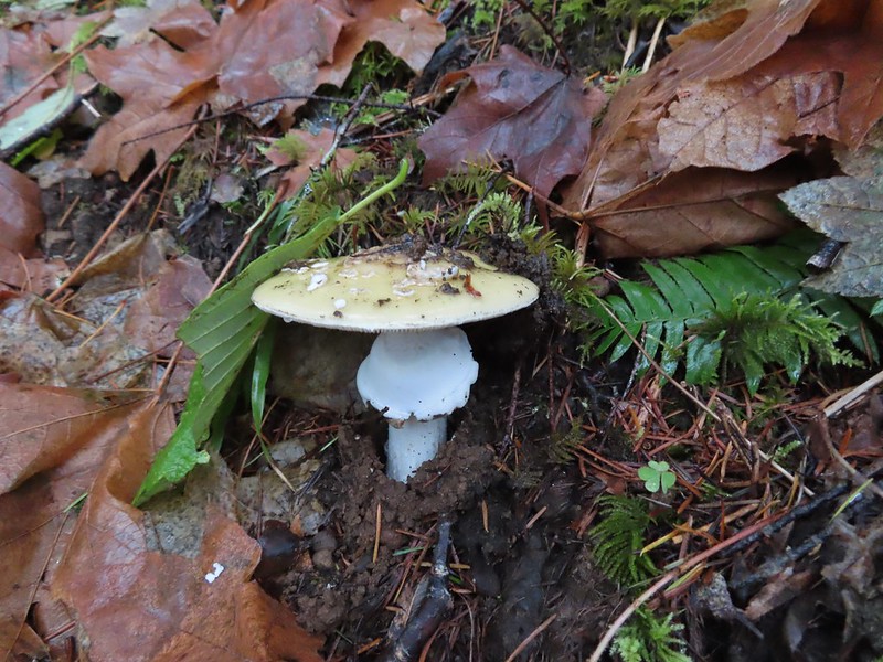
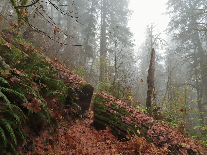 It’s hard to tell size here but the diameter of this tree was well over 5′.
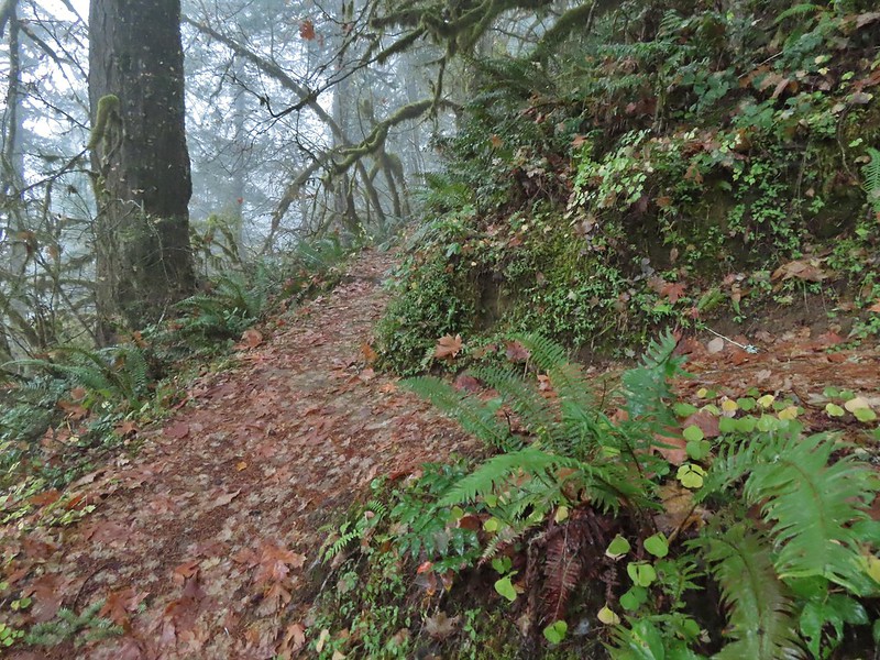 The junction for the loop.
 One of several reroutes we encountered.
 On the ridge top.
 Madrone trunk and bark, always fascinating.
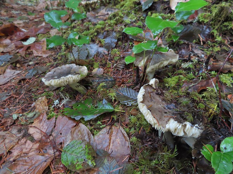 Lots of mushrooms pushing up through the forest floor.
 Good sized trees near the high point.
 No idea what you might see on a clear day.

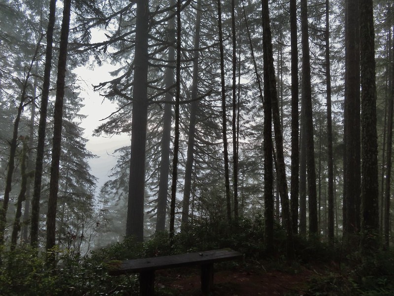 The viewpoint.
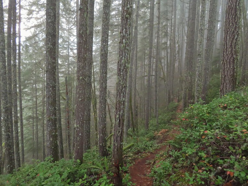
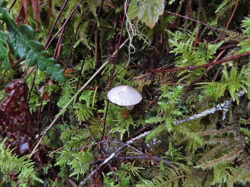

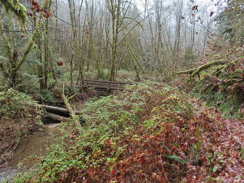 Nearing the footbridge.
 The fog had lifted off the river at least.
 Note that Royal Ave and the trail to the viewing platform are open year around with the other restrictions listed below.
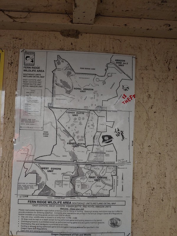 We took a picture of this map to assist us with our route.

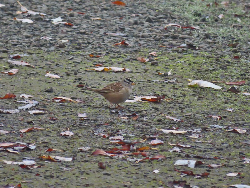 White crowned sparrow
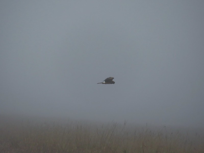 Northern harrier on the hunt.
 Wetlands in the Royal Amazon unit.
 The bittern taking off.
 Not the greatest photo but enough to identify it.
 A hawk on a stump.
 American coots
 Gibson Island (with the eagles in the snag to the far left)
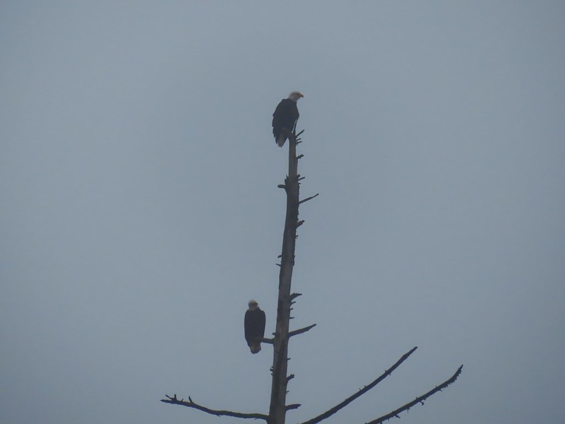

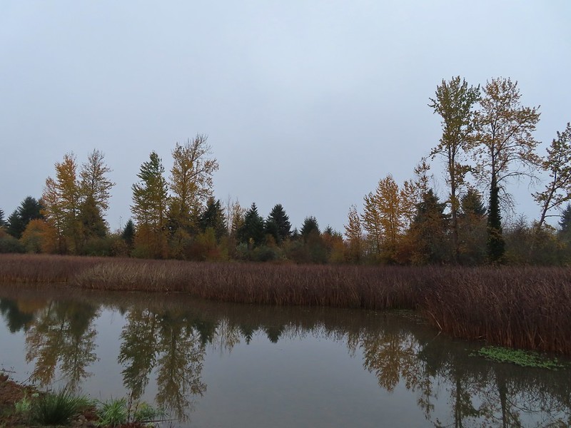


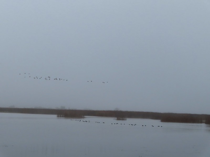 A flock of geese above the coots.
 There were a number of these small birds pecking around in the mud which, with some help from Molly in the comments, are American pipits.
 Continuing west.
 We used the stones to the right to cross the water here.
 Great blue heron (with Highway 126 in the background).
 Sandpiper in the roadway.
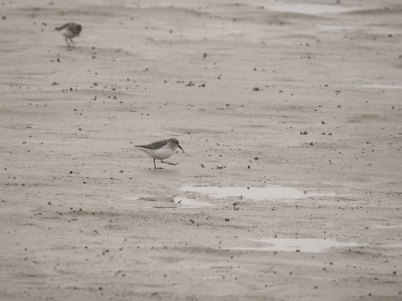
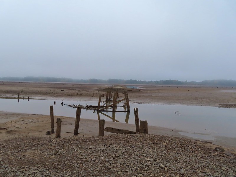 End of the line.

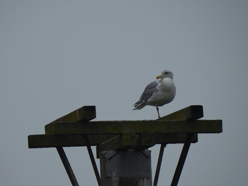 Seagull
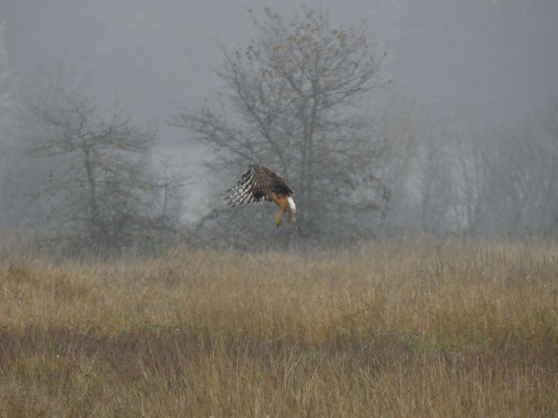 Perhaps the same northern harrier.
 The harrier taking a break.
 The path to the platform.
 Dunlins (thanks again to Molly)
 The platform.
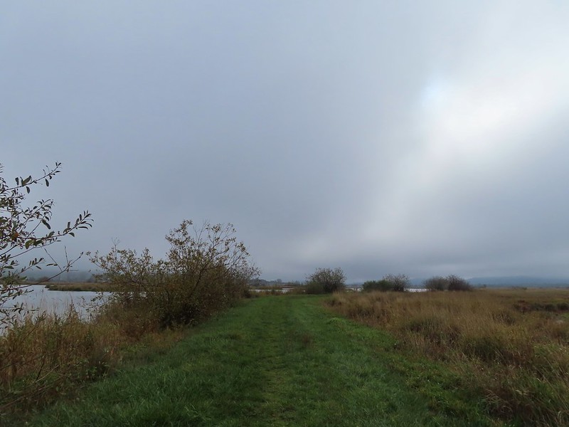
 The first signs that the fog/clouds might be breaking up.
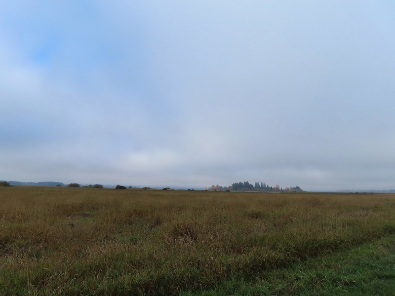 Looking back at a little blue sky and a visible Gibson Island


 Fisher Butte is the low hill ahead to the right.
 Gibson Island was now lit by direct sunlight.
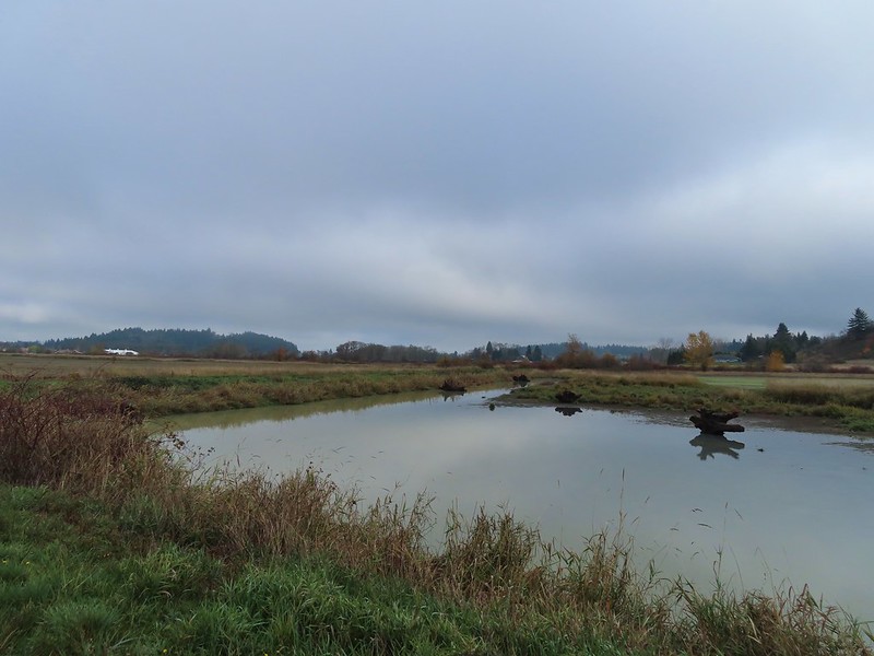 The dike running between Fields 3 & 4.
 Looking back over the ditch.
 California scrub jay
 Northern shovelers and a bufflehead.
 Buffleheads and two hooded merganser females.
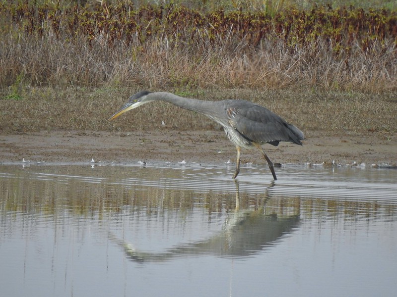
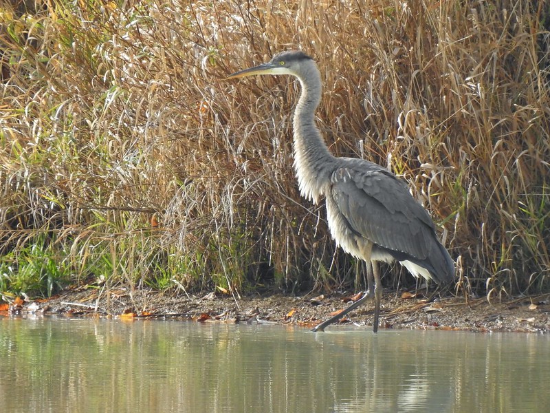
 Kingfisher
 American robin
 The gravel road and another small portion of the wildlife area on the other side.
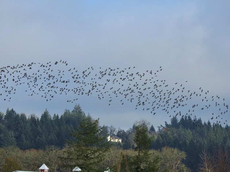 Noisy geese.
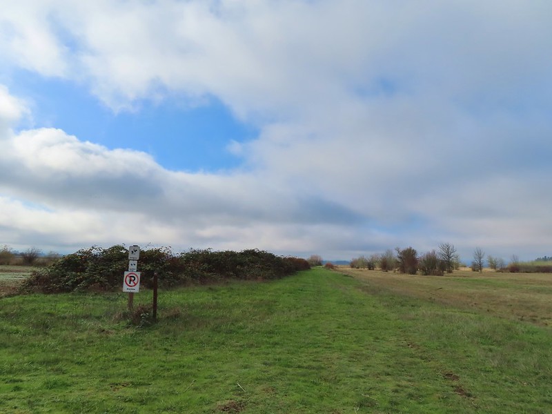 Back on the mowed track.
 A sparrow
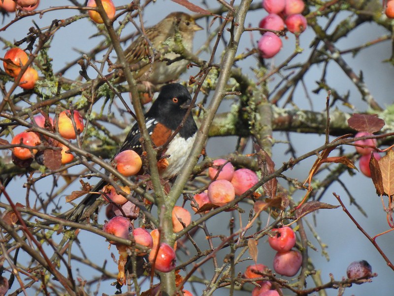 Spotted towhee and friend.
 Finch
Finch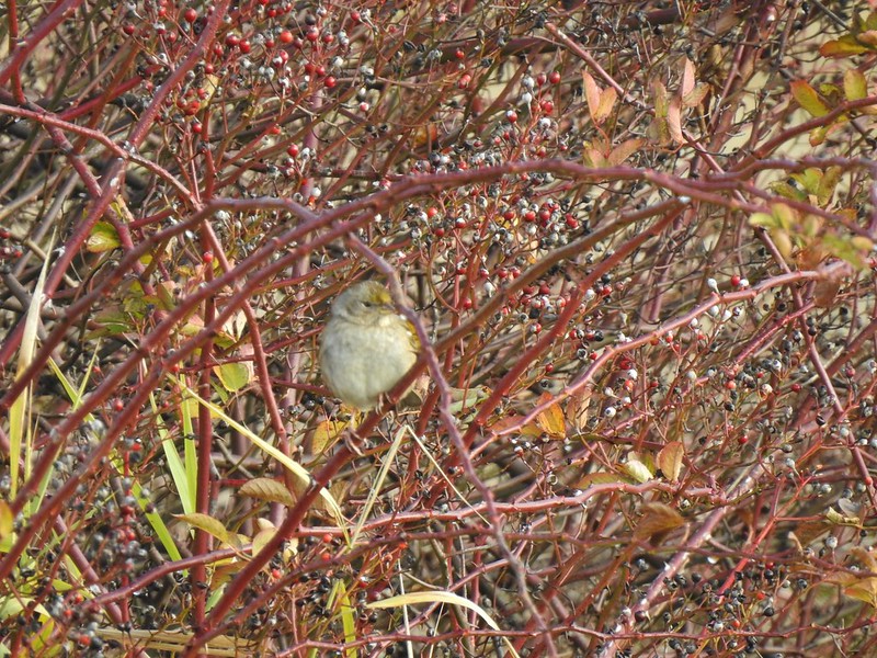 As of yet unidentified little bird.
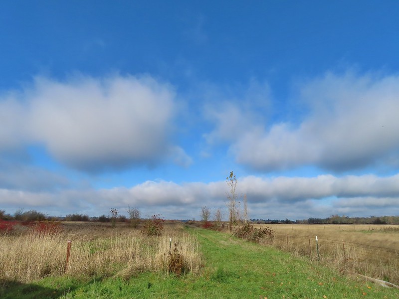 This path headed north from the trailhead, something to explore on our next visit.

