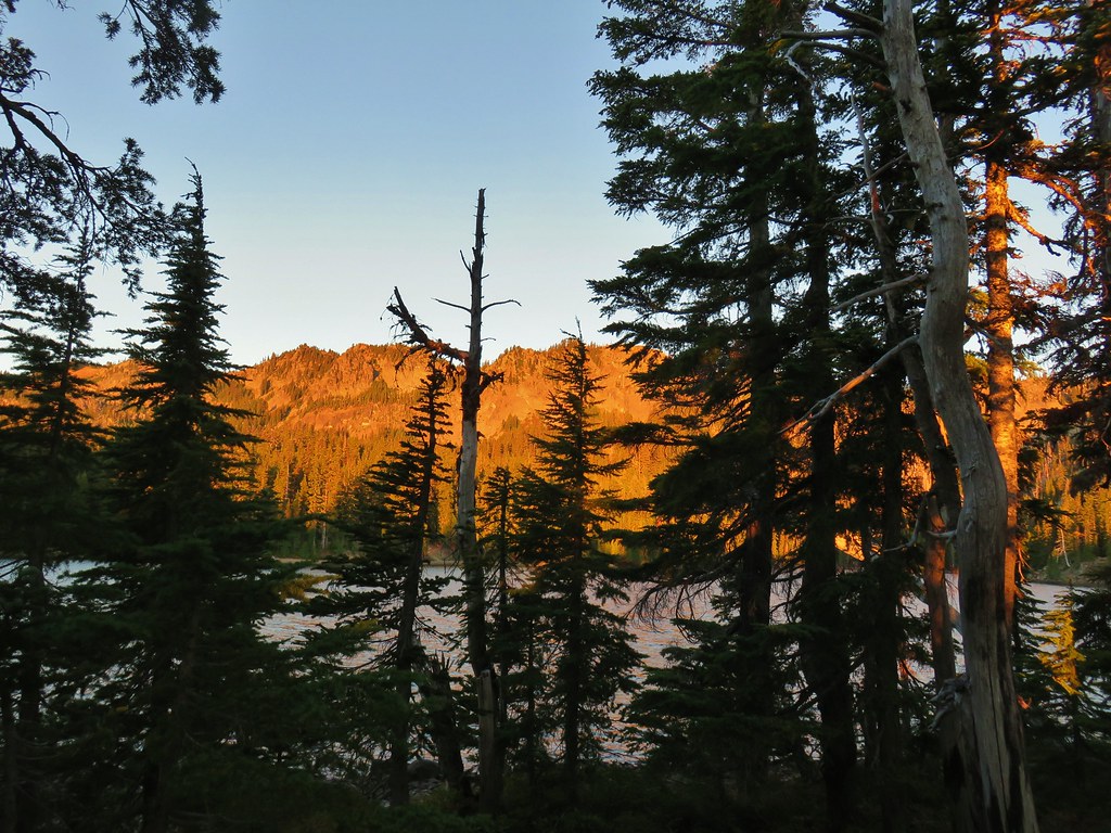
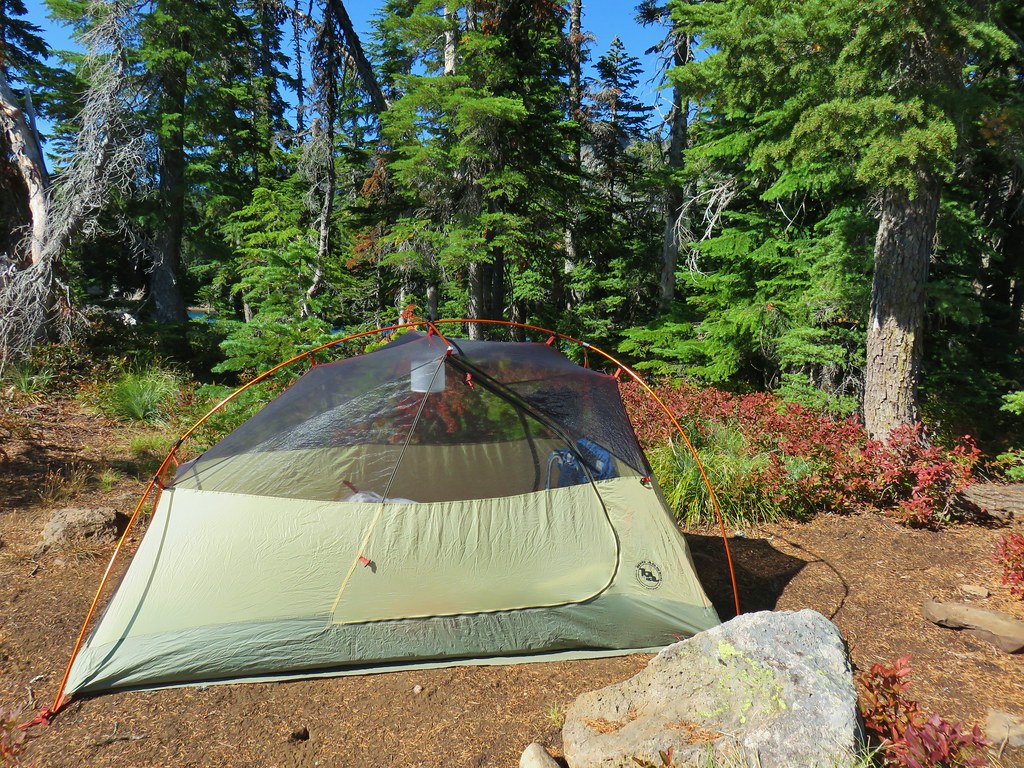
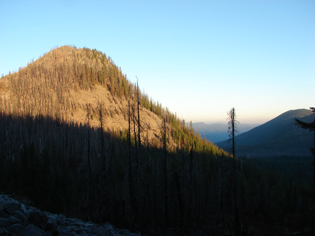
After turning in early the night before we were up before the Sun which wasn’t such a bad thing.
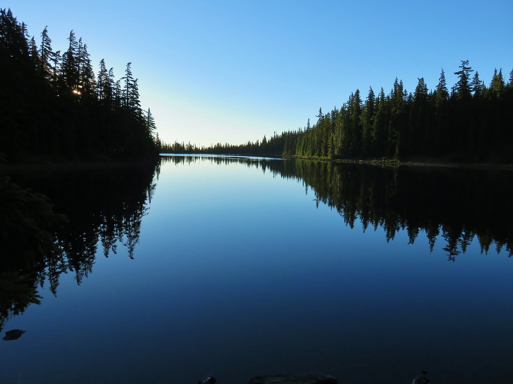
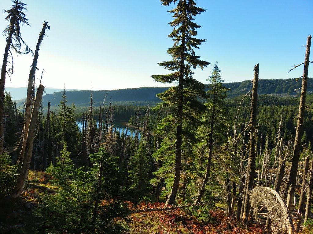
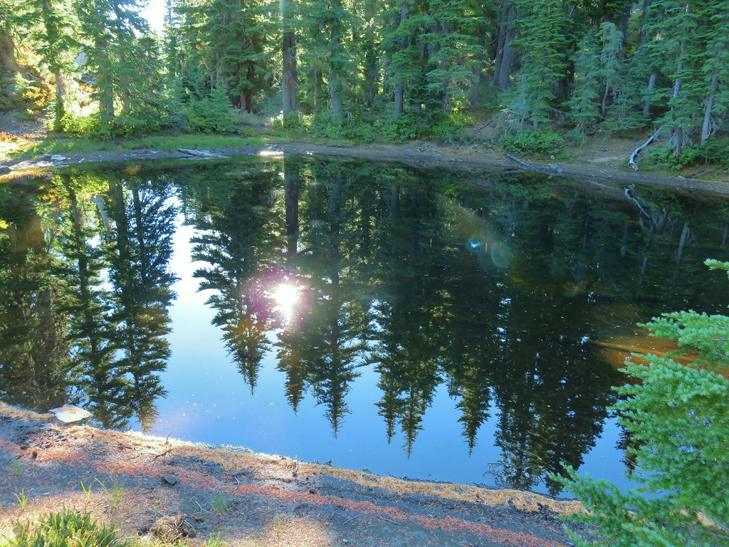
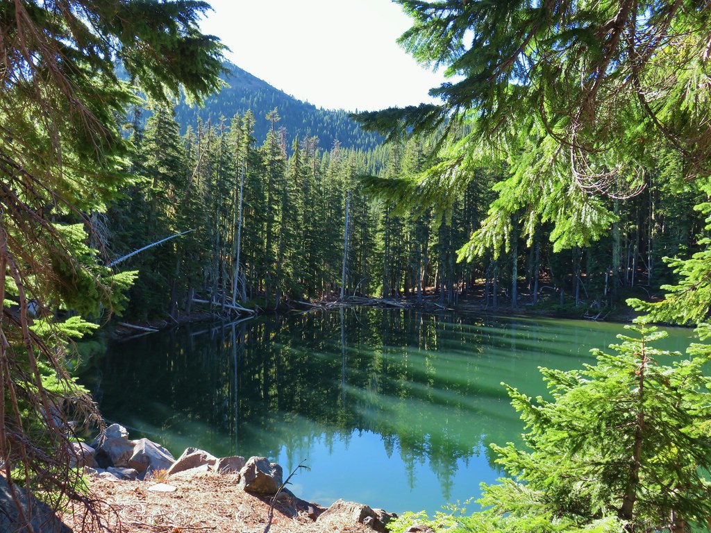
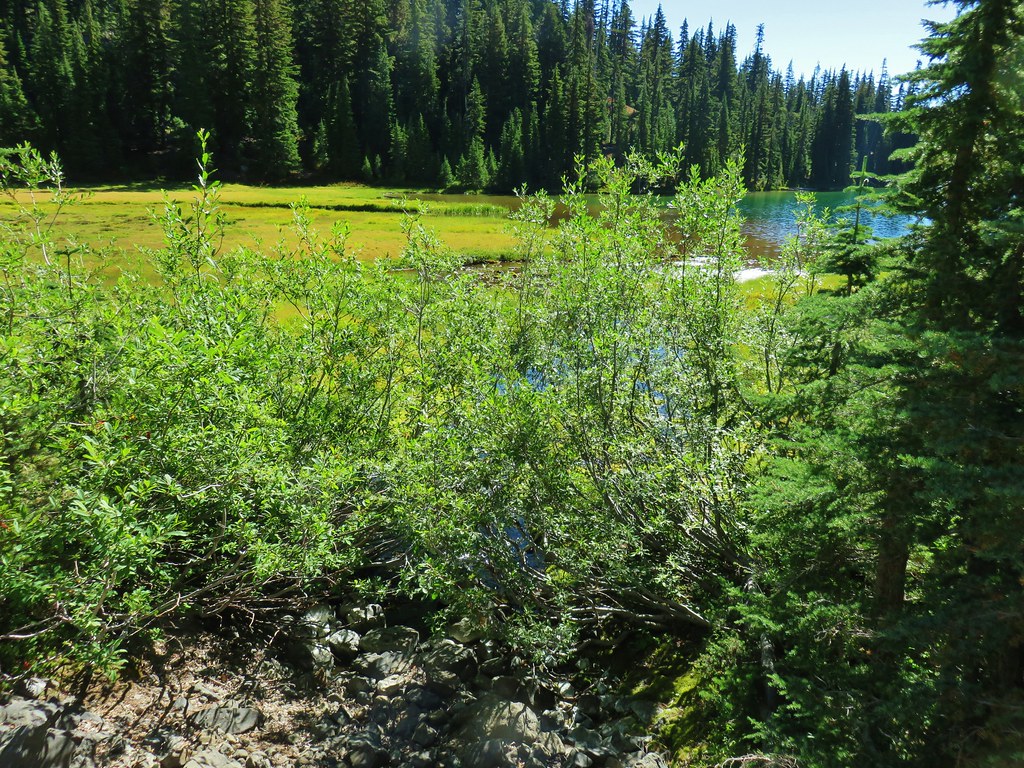
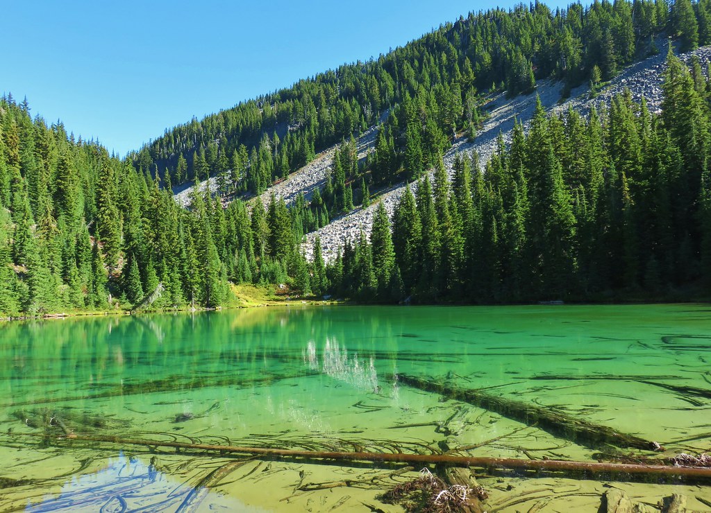
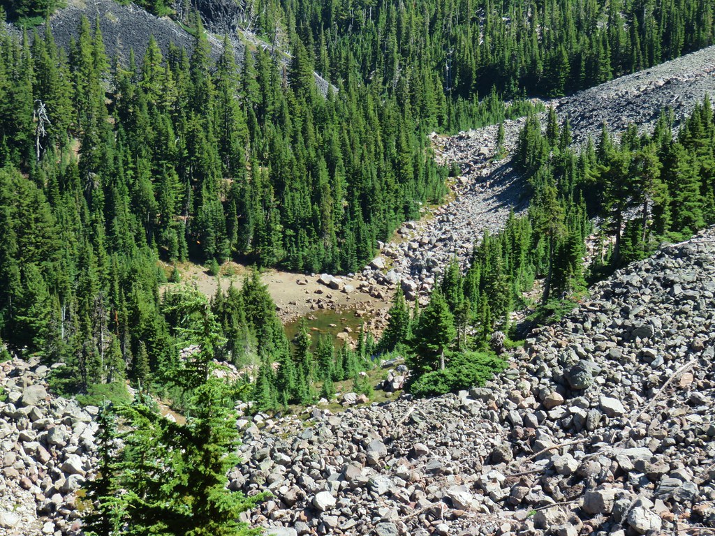
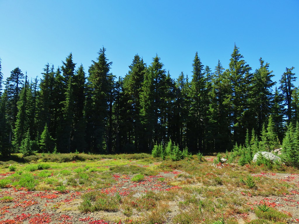
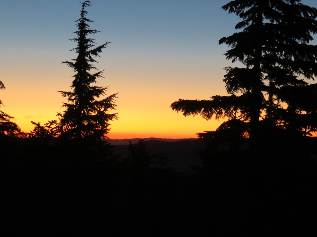
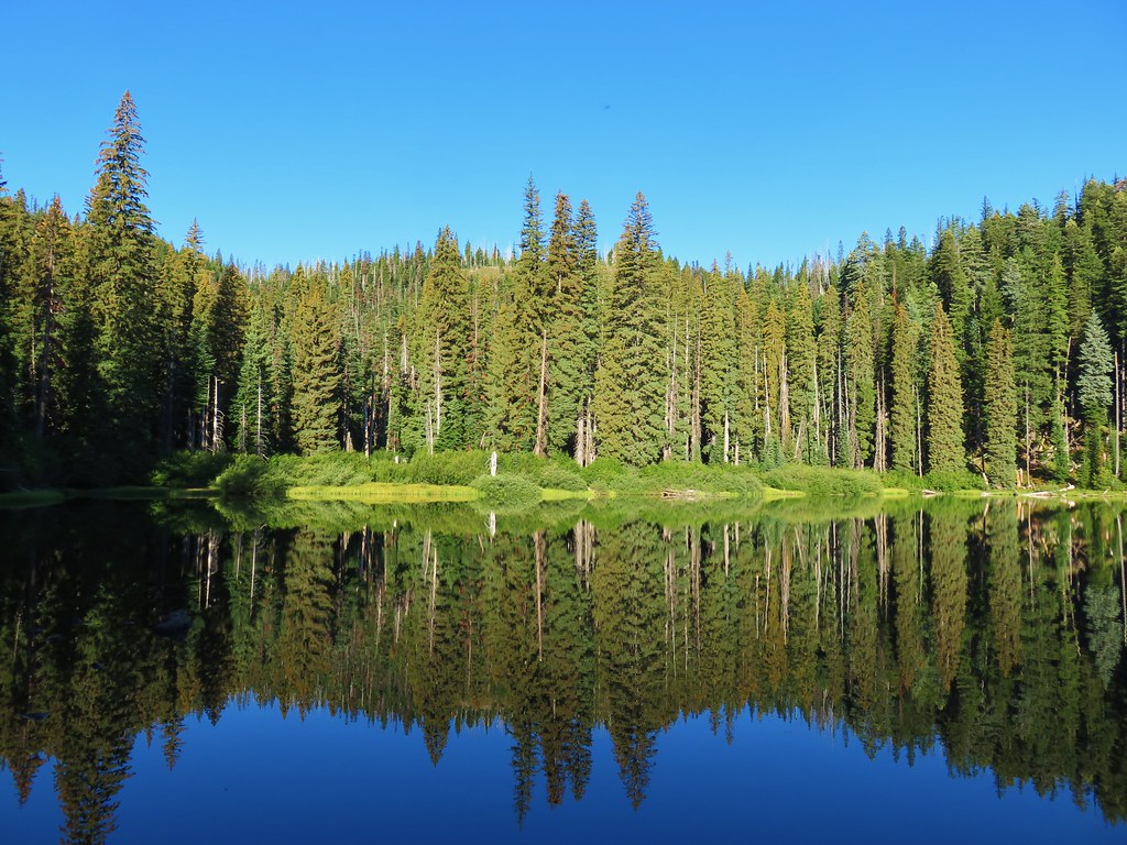
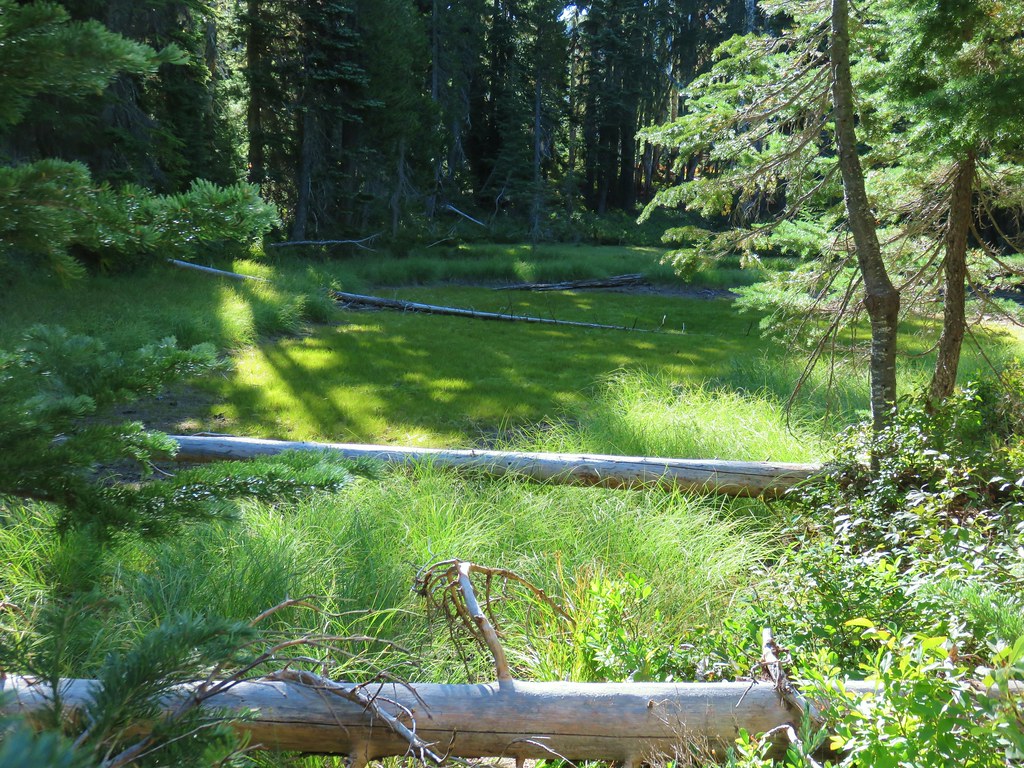
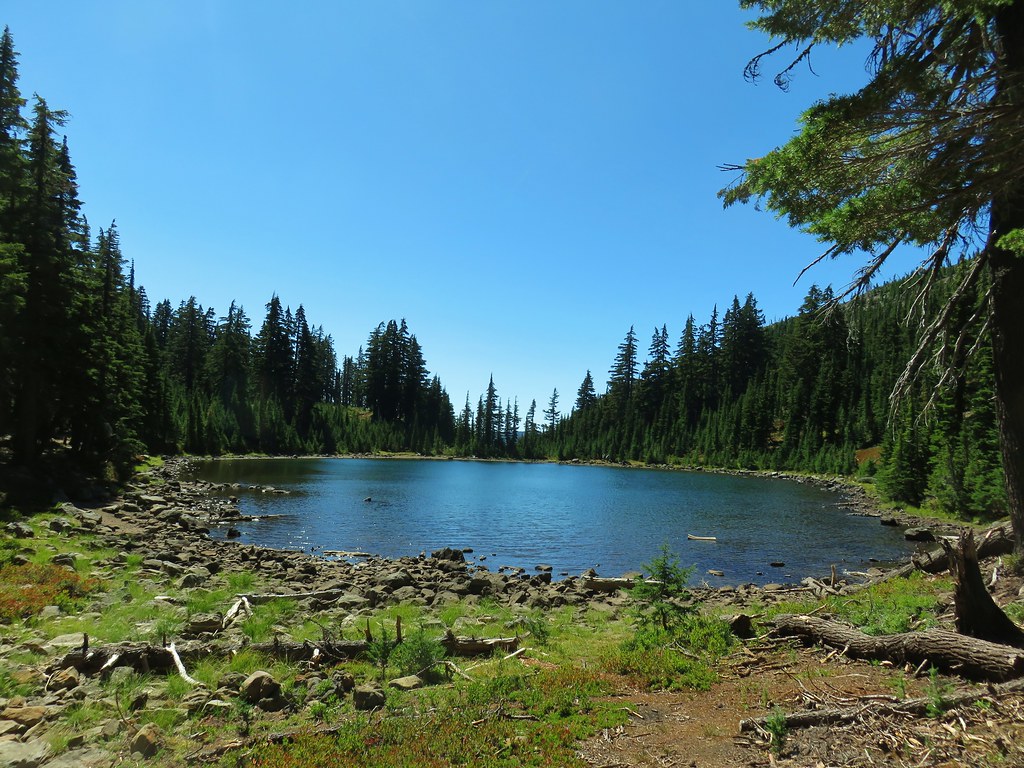
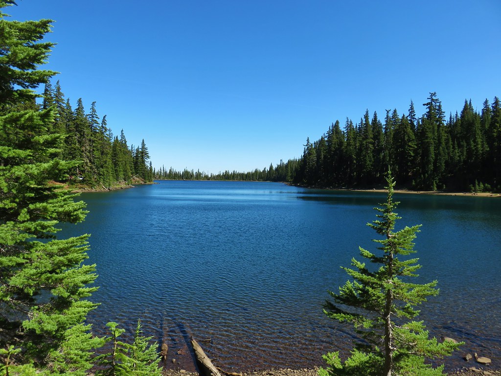
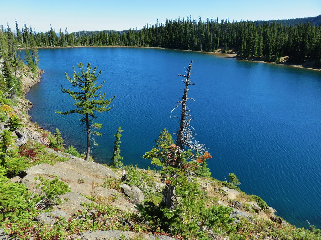
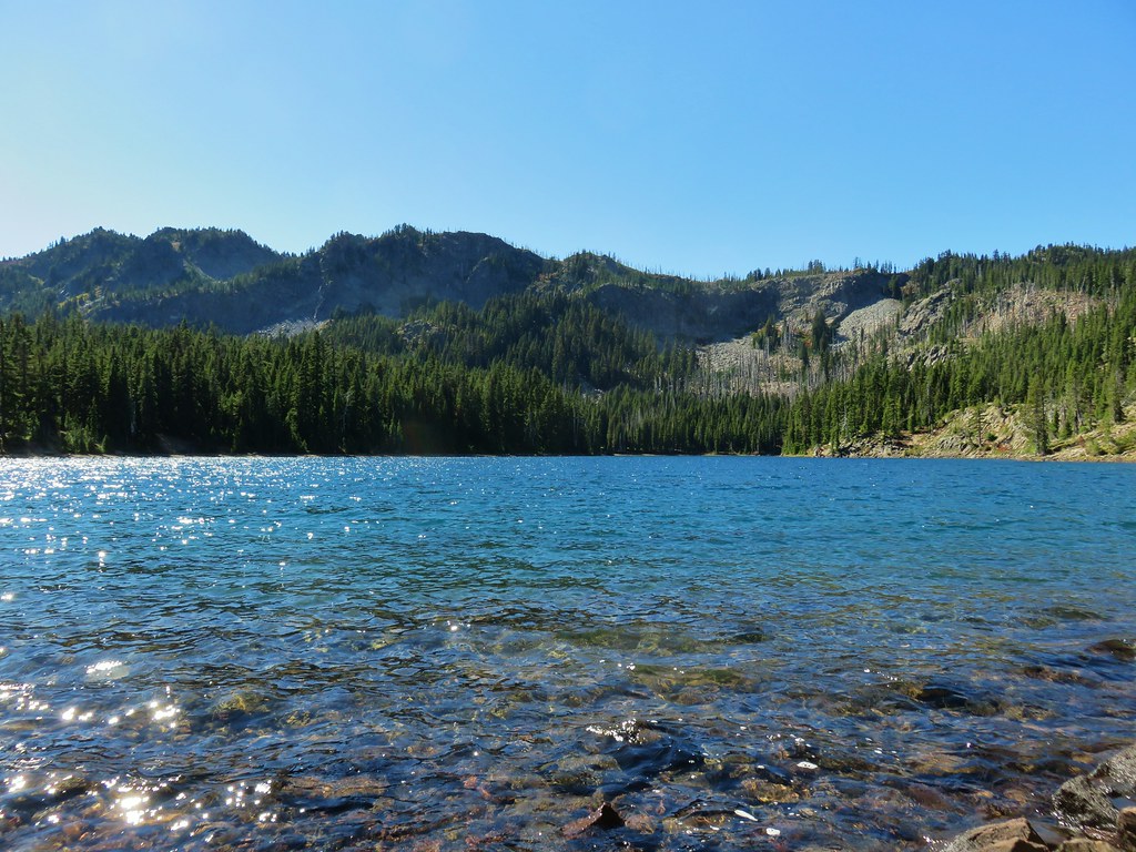
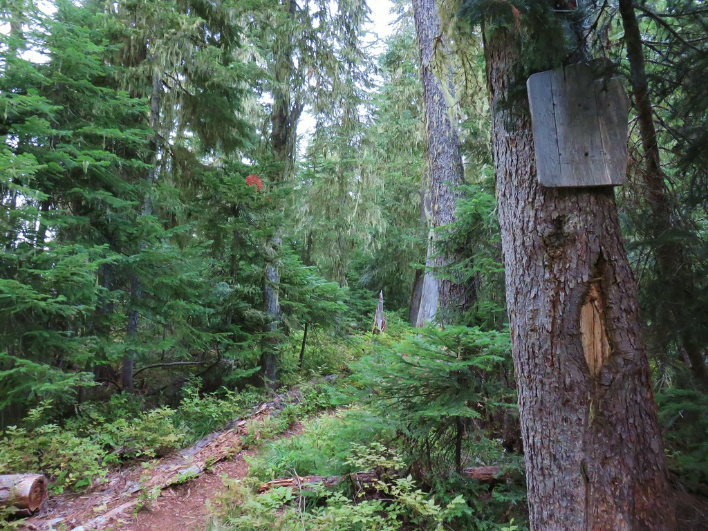
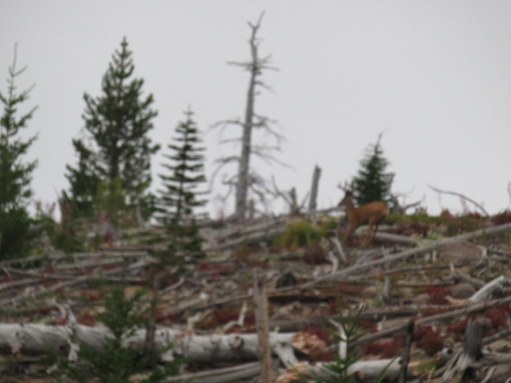
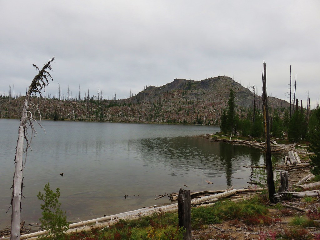
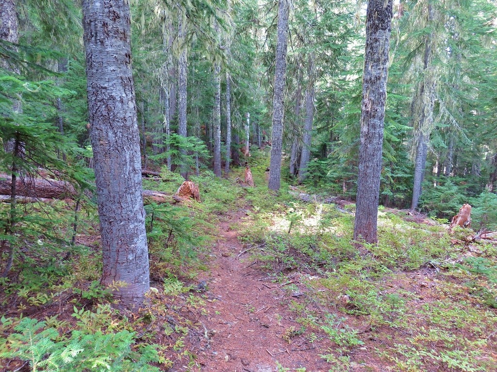
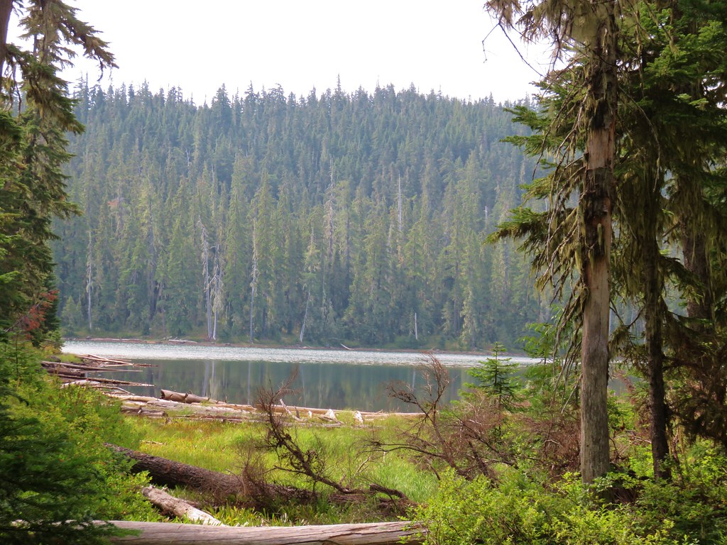
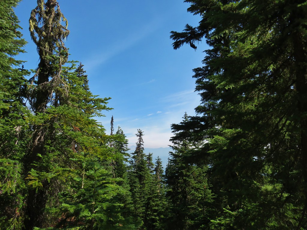
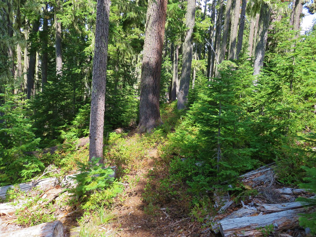
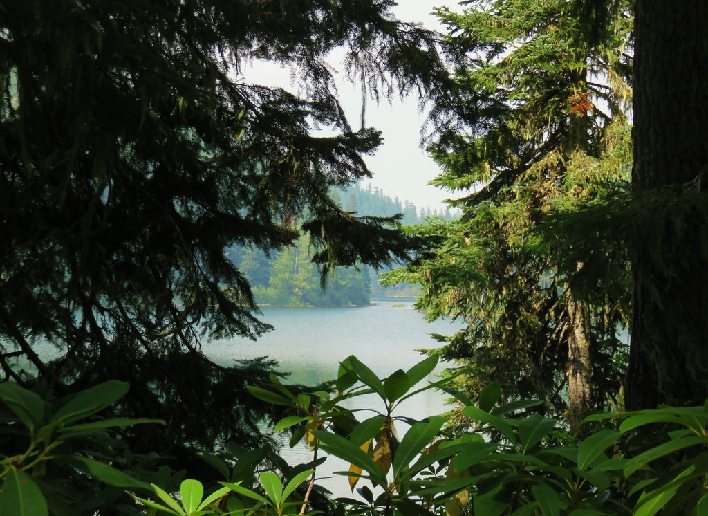
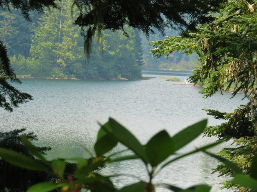
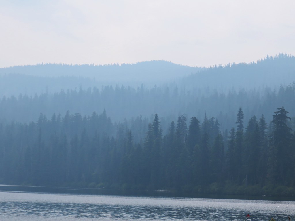
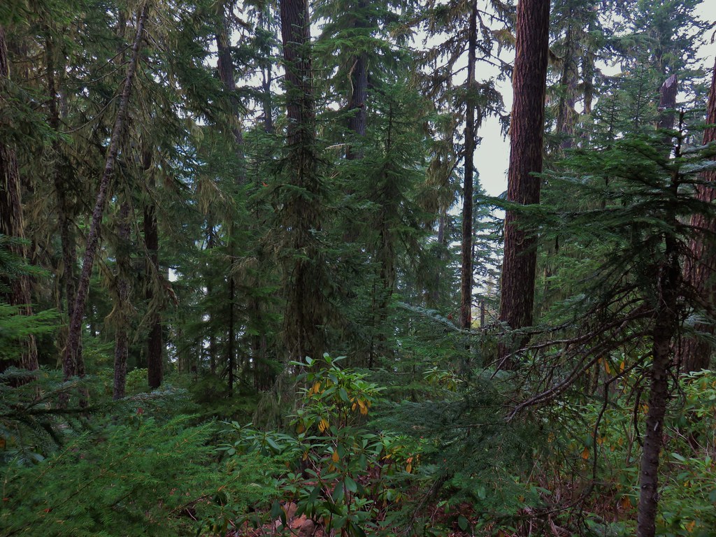
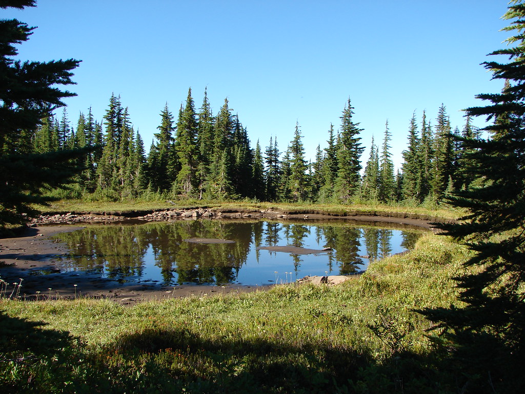
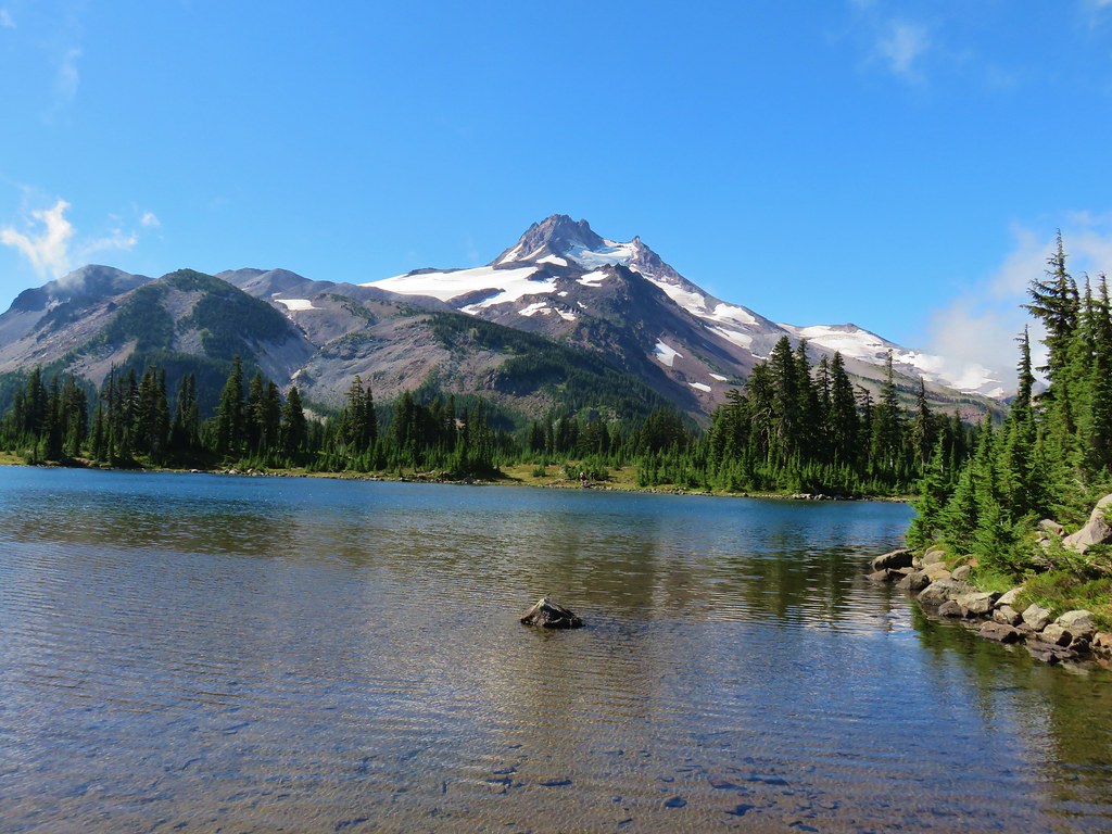
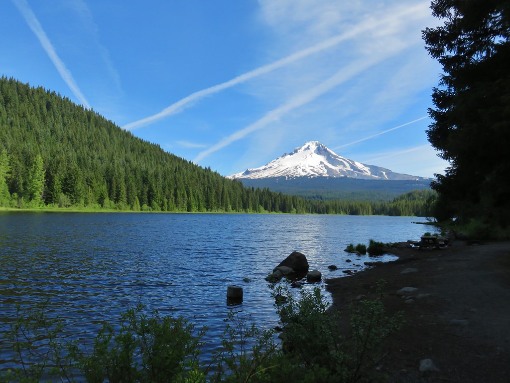
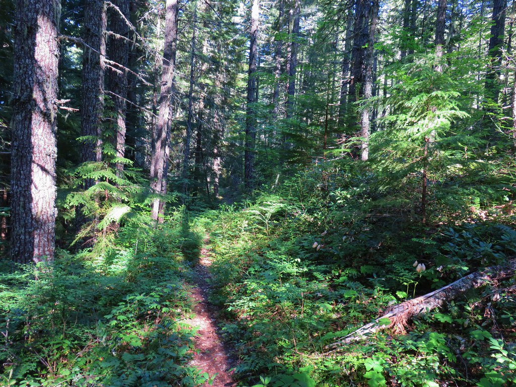
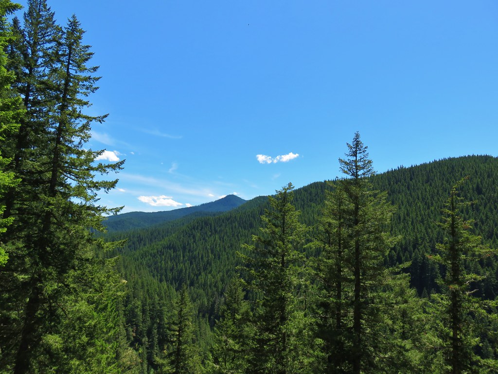
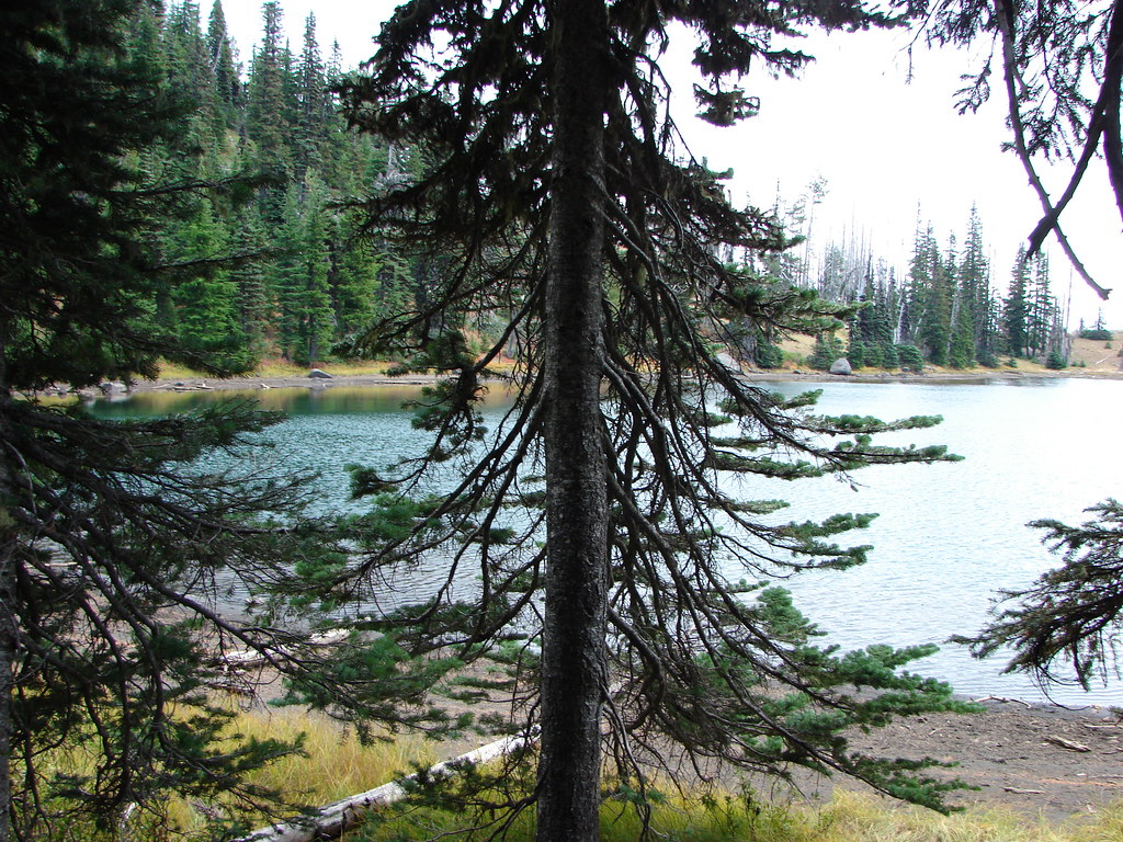
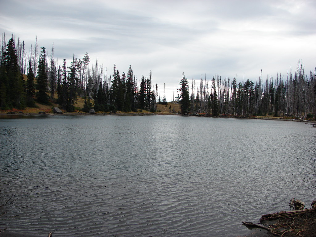
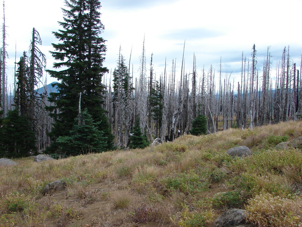
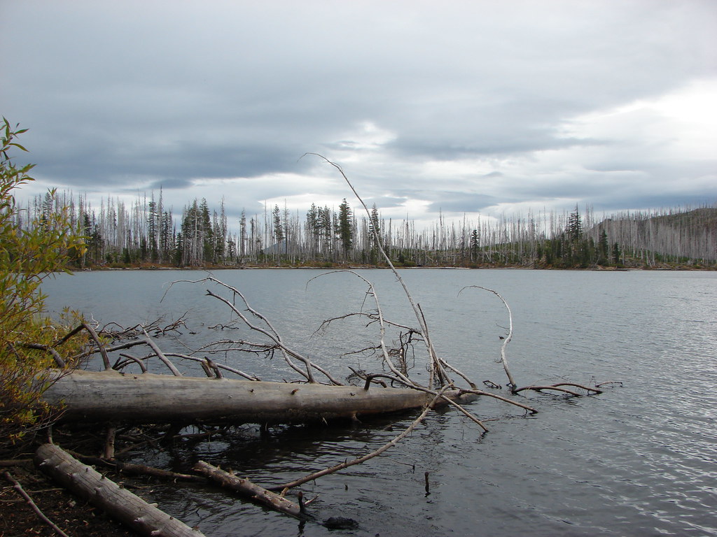
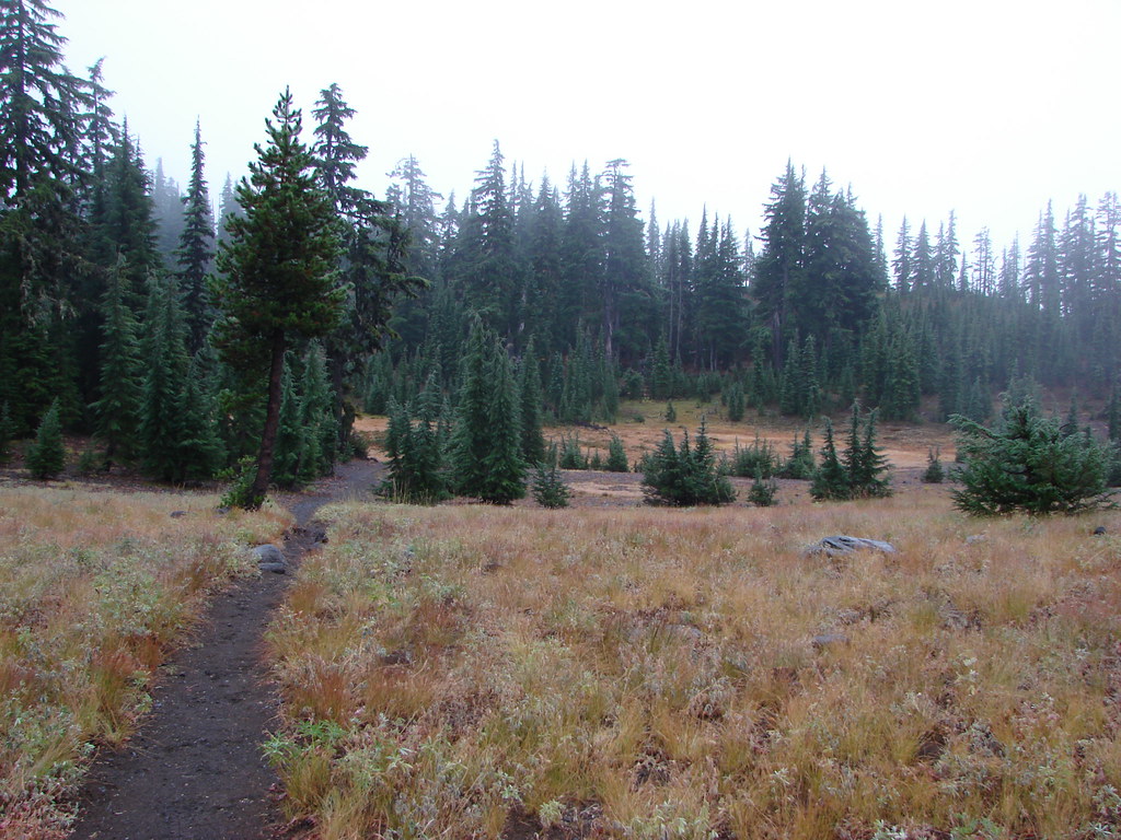
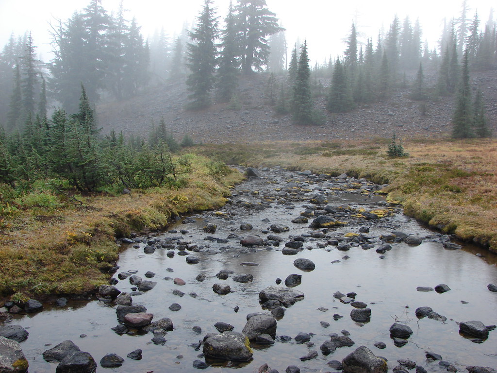
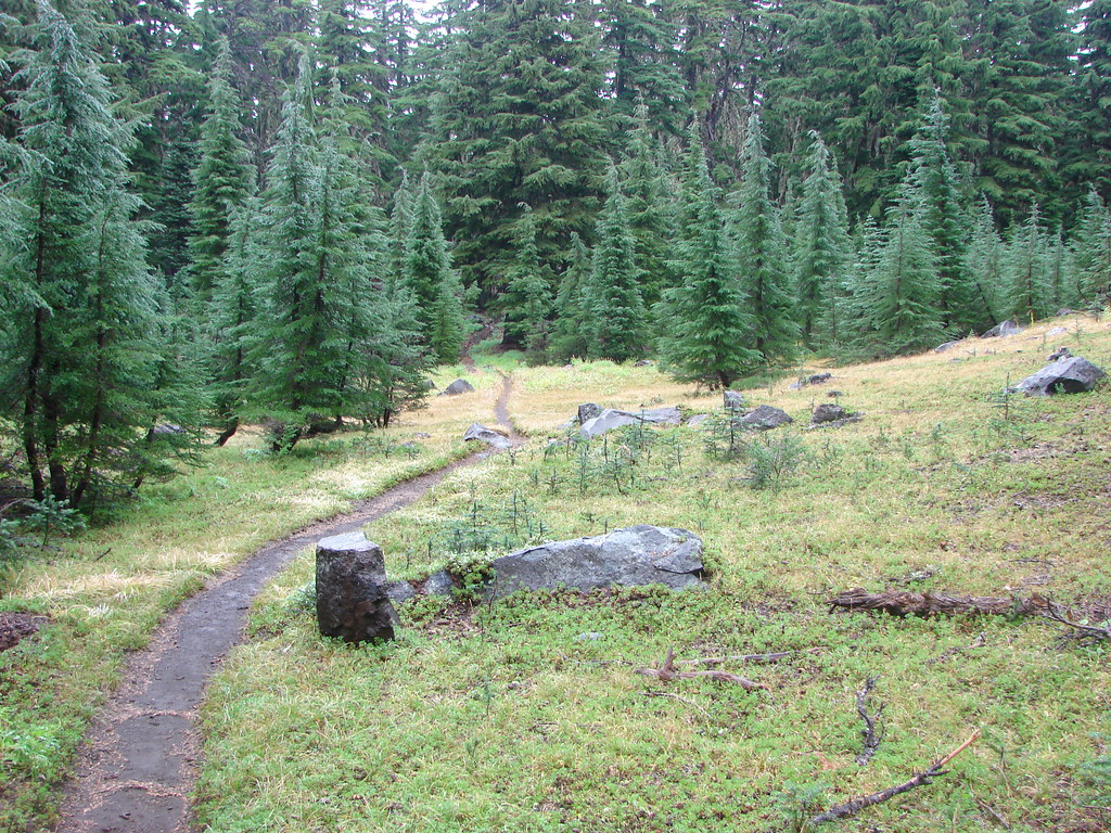
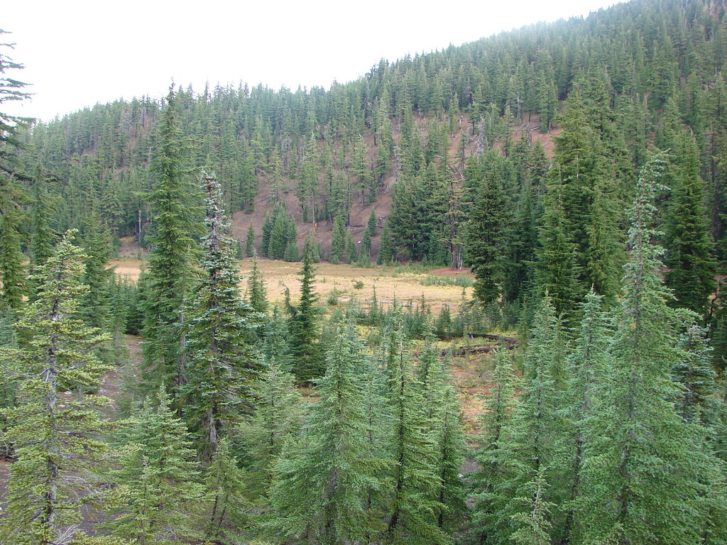
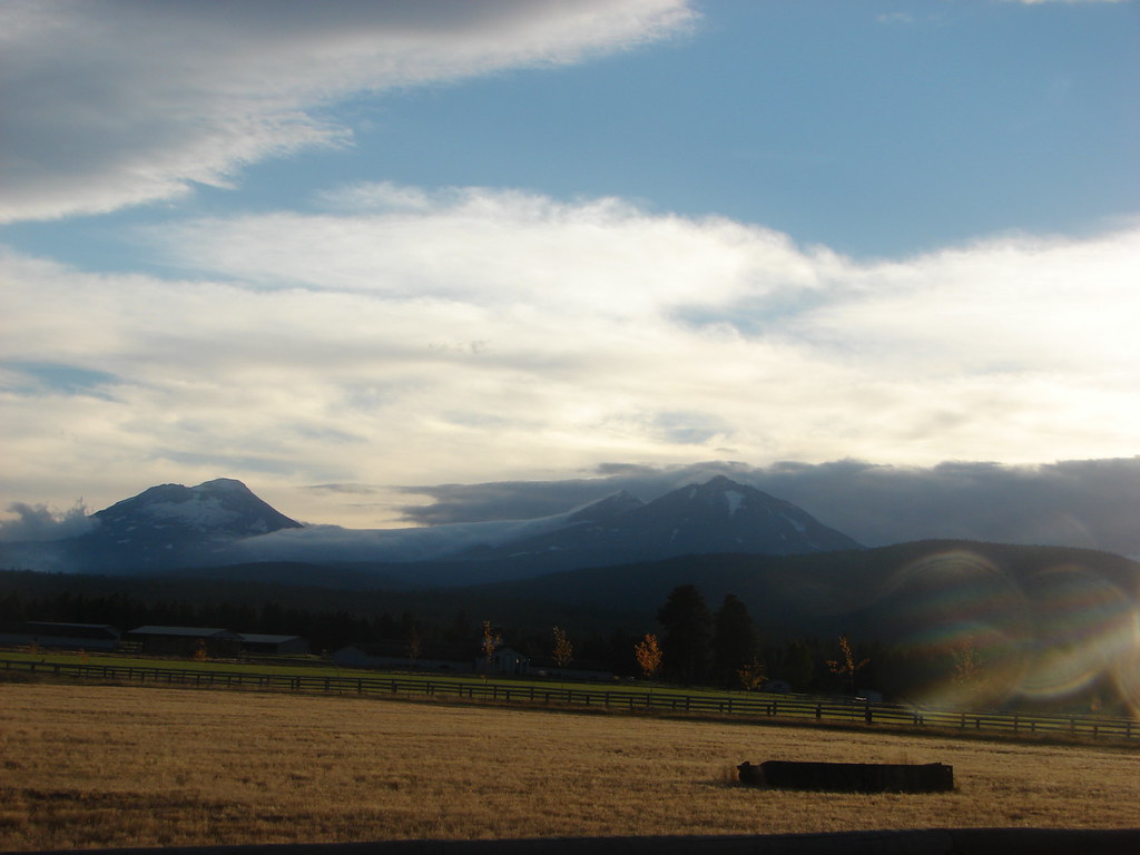
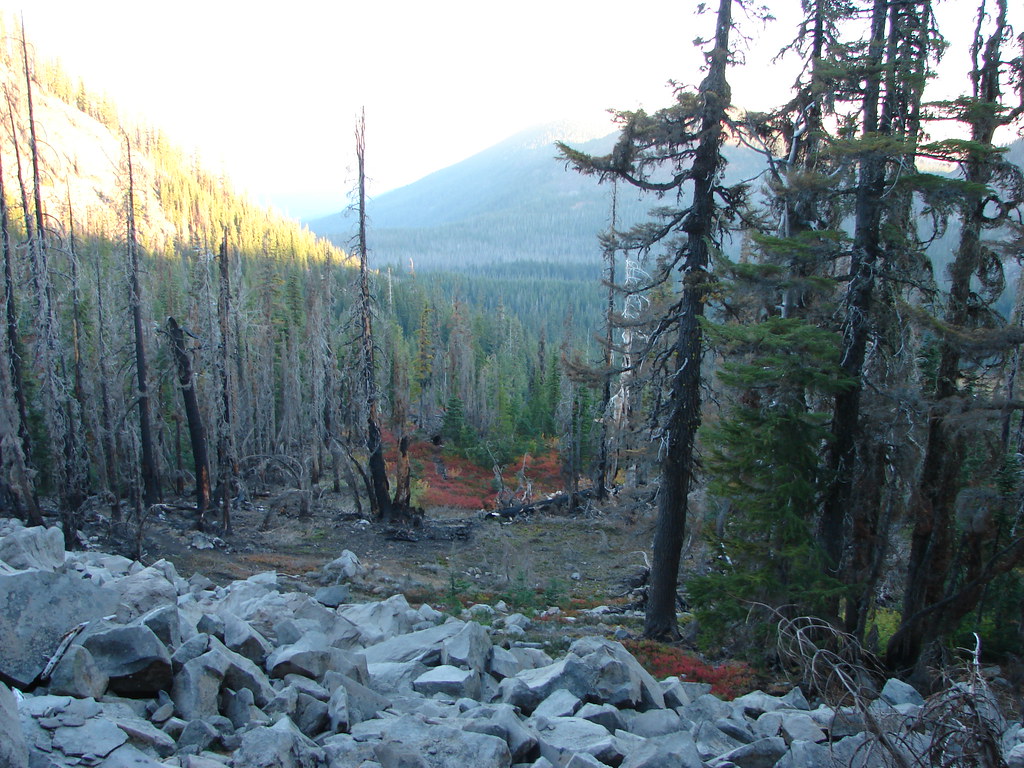
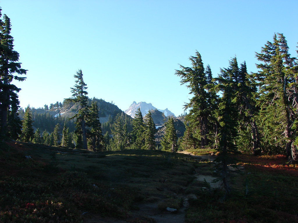
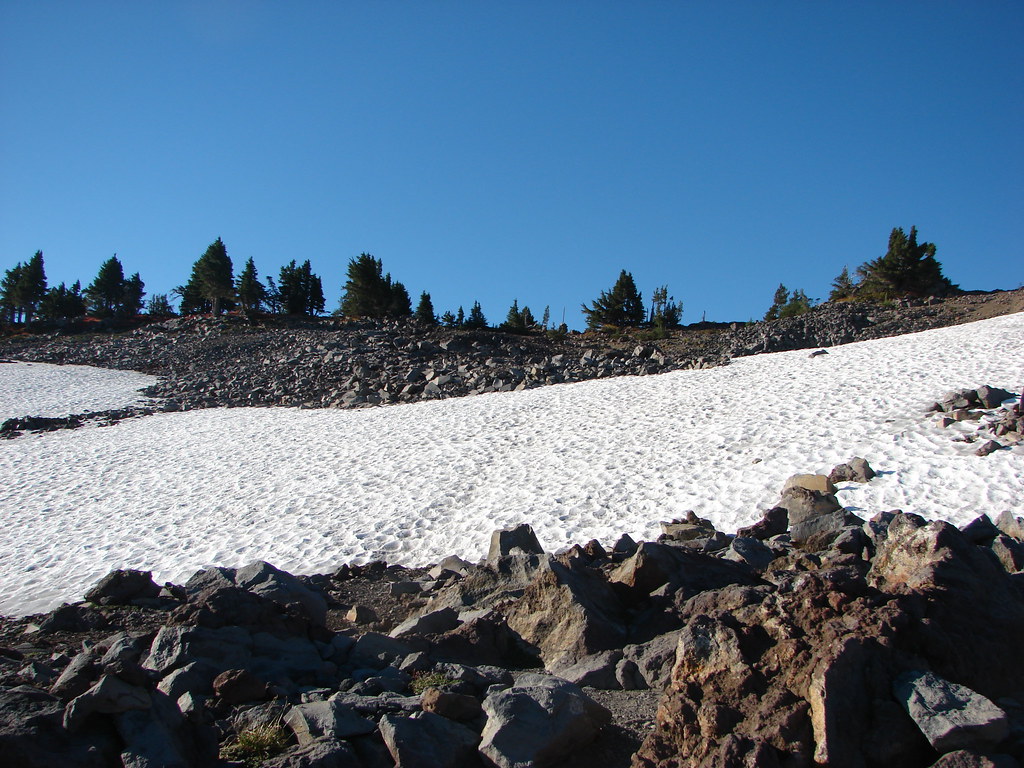
 Carl Lake
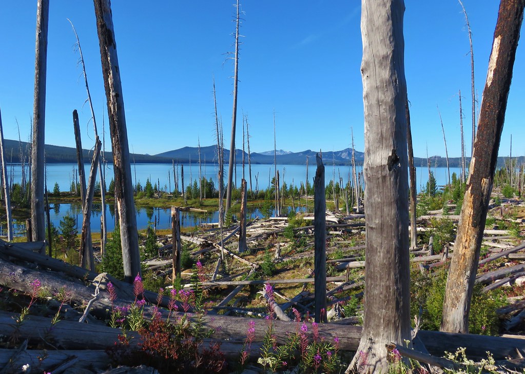
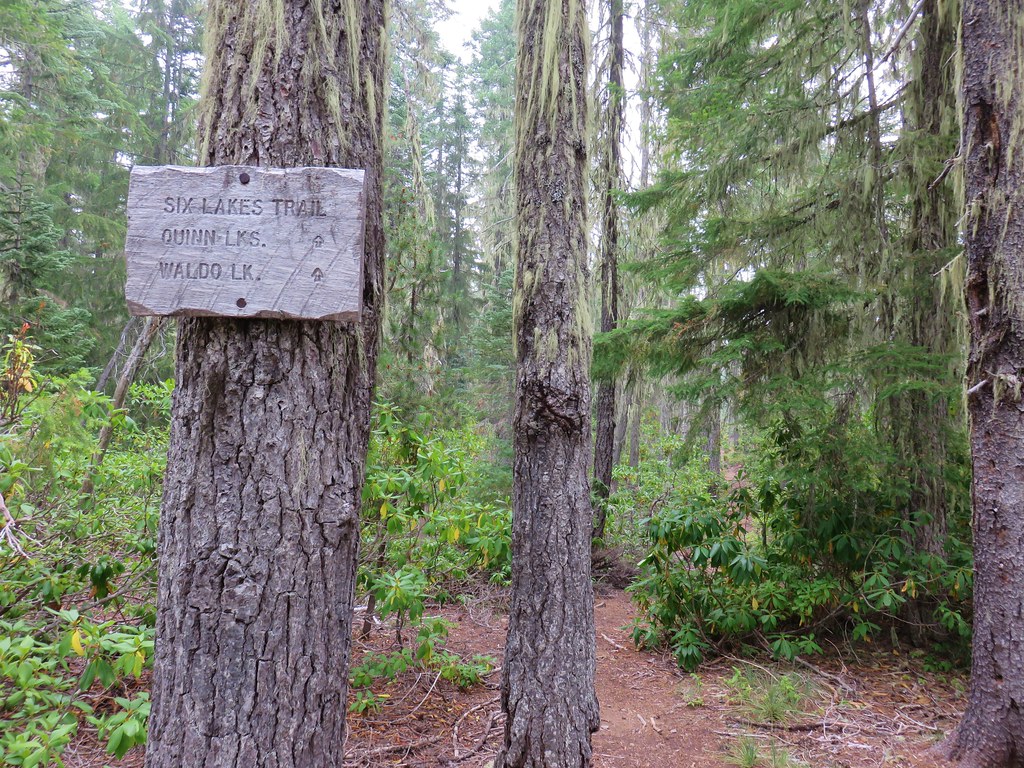
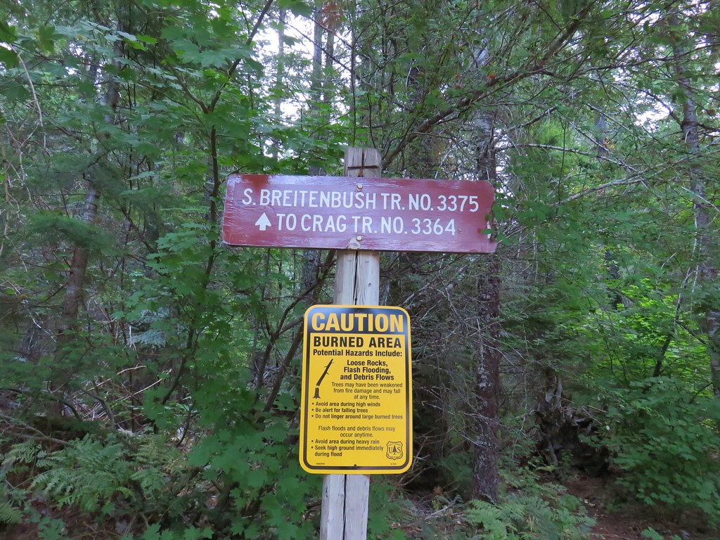
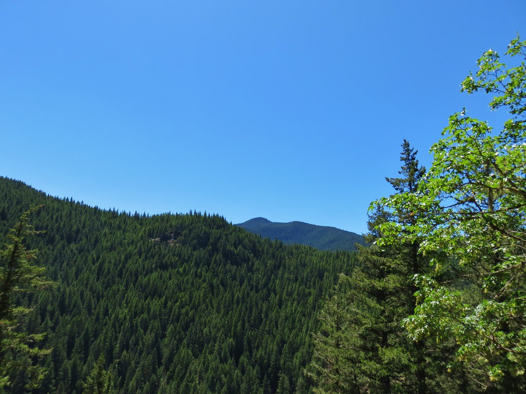
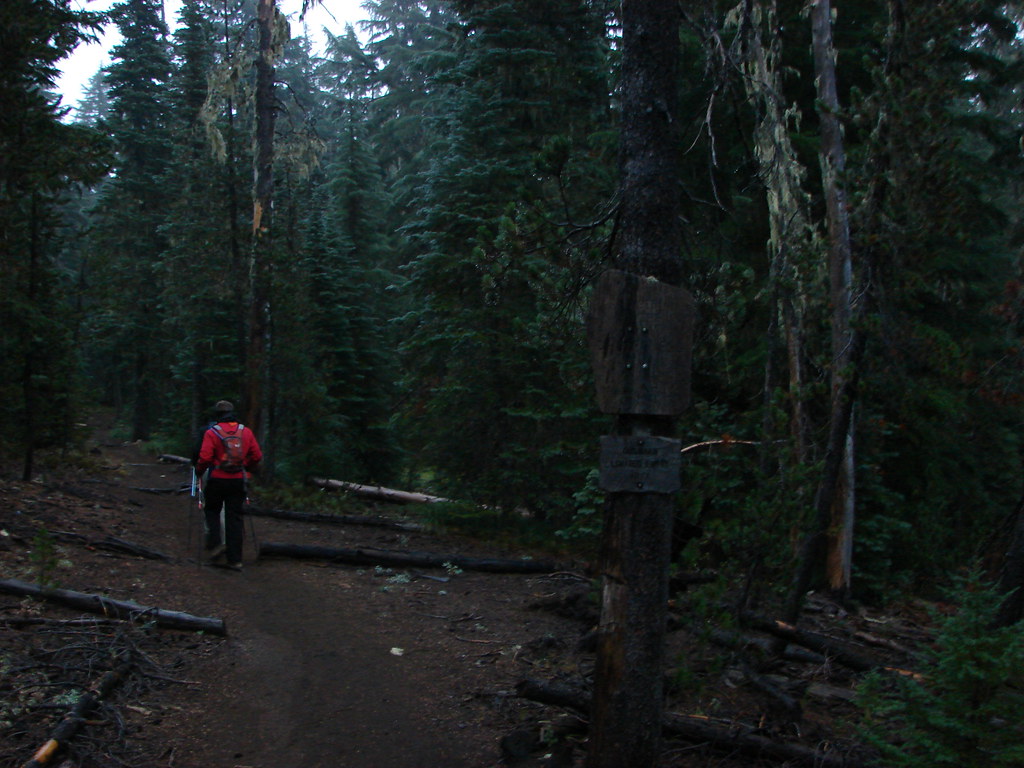
For the second day of our trip we planned on taking the Cabot Lake Trail to Table Lake and then on to a viewpoint above Hole-in-the-Wall Park before returning to Carl Lake. We were still debating our return route though. We could simply follow the Cabot Lake Trail back, or we could complete a loop described in Matt Reeder’s “101 Hikes in the Majestic Mount Jefferson Region”. The loop option would require using what is believed to have been an old Native American trail, not shown on any of our maps, to reach the Pacific Crest Trail. We could then follow the PCT south to the Shirley Lake Trail which would take us back down to Carl Lake. One of the things we really like about Reeder’s book is that most of the suggested hikes have an accompanying GPS track overlaid on a topographic map which can be really helpful.
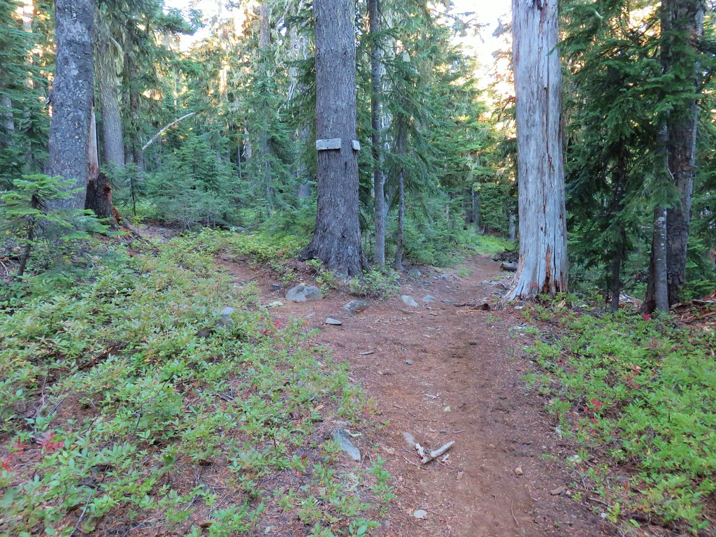
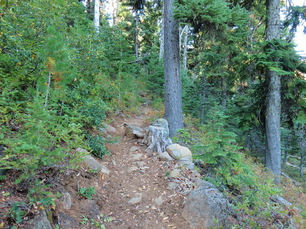
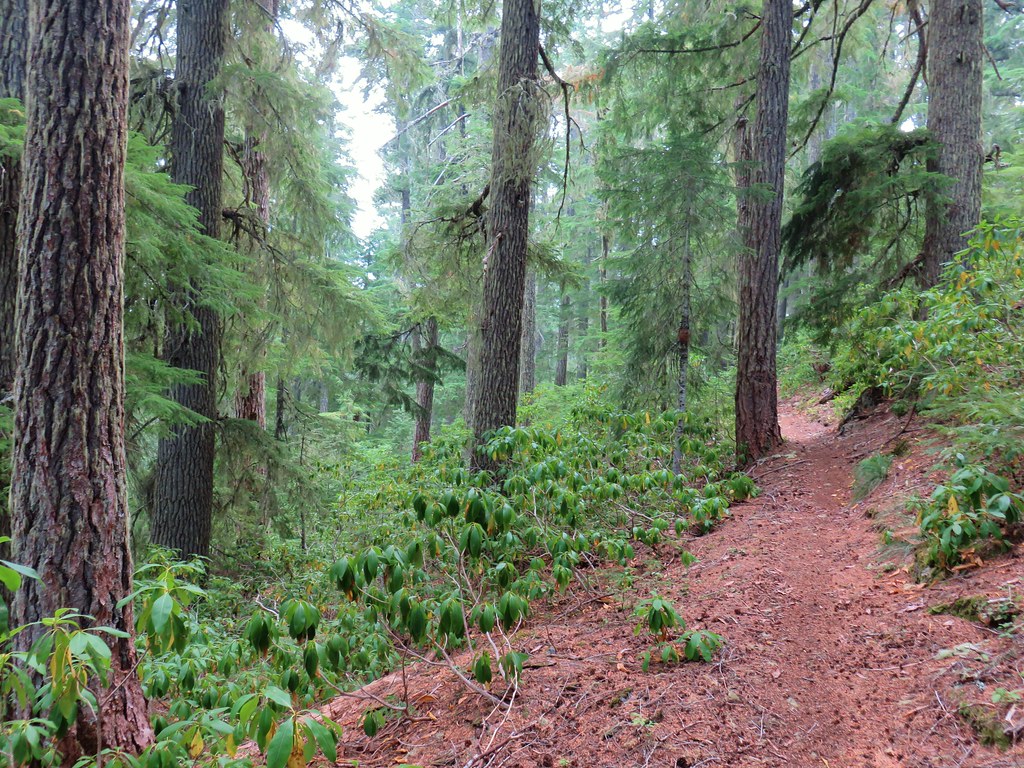
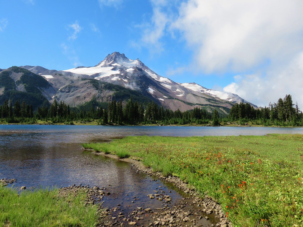
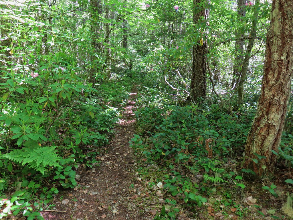
We decided to wait and see how the day was going before making a final decision about our return route. One thing we did know was that we didn’t want to try and walk around the north side of Carl Lake to hook up with the Cabot Lake Trail after having come back on that side the day before (post). It would have been shorter than taking the Cabot Lake Trail around the southern and western ends of the lake but certainly not easier so we proceeded as we had the day before only this time we went right when we arrived at the junction with the Shirley Lake Trail.
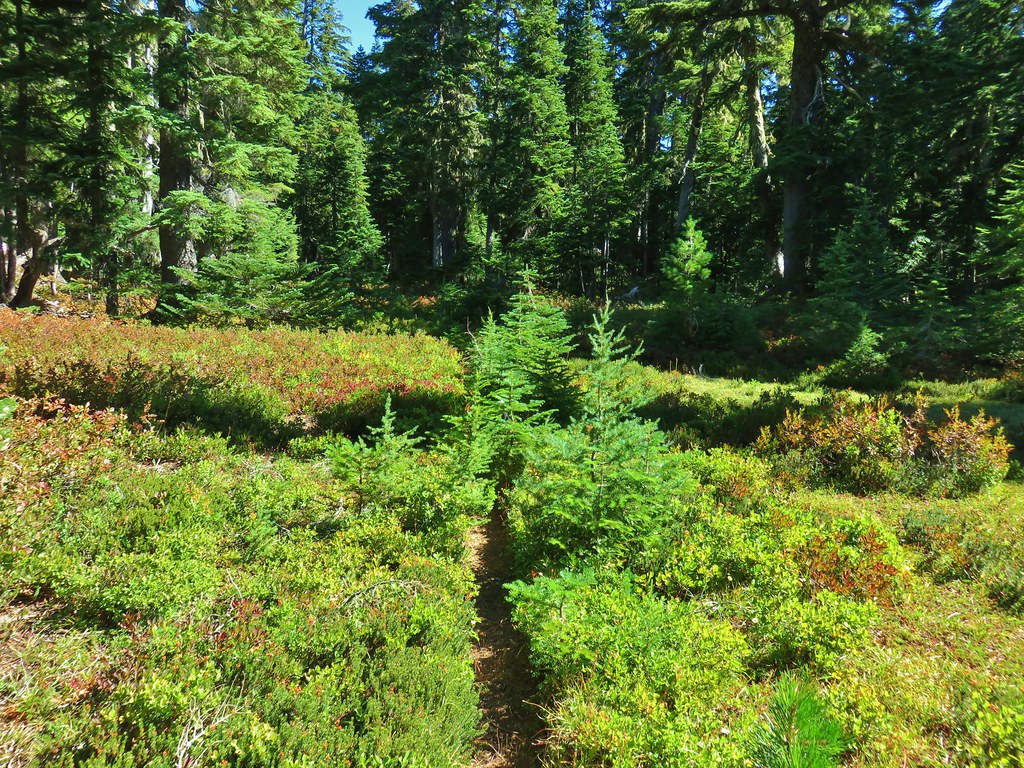
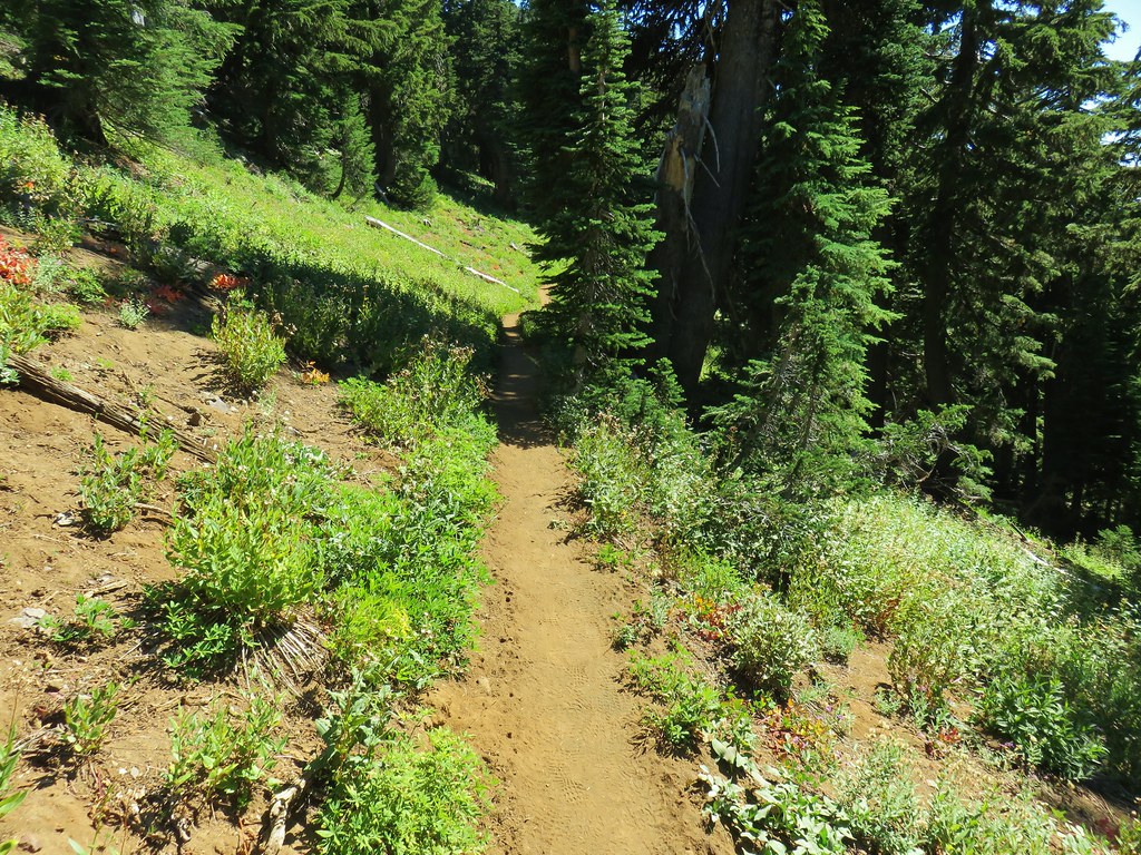
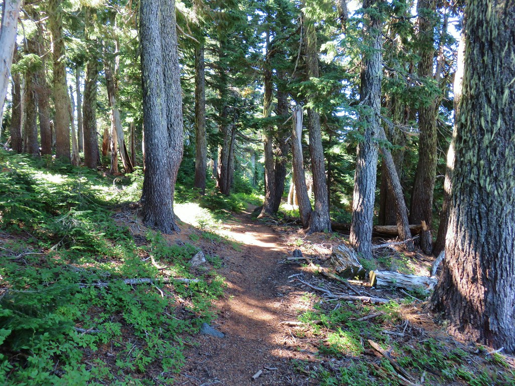
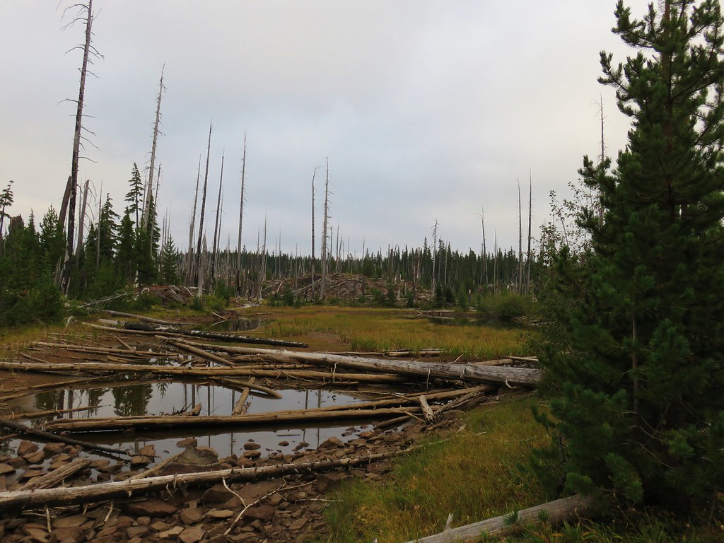
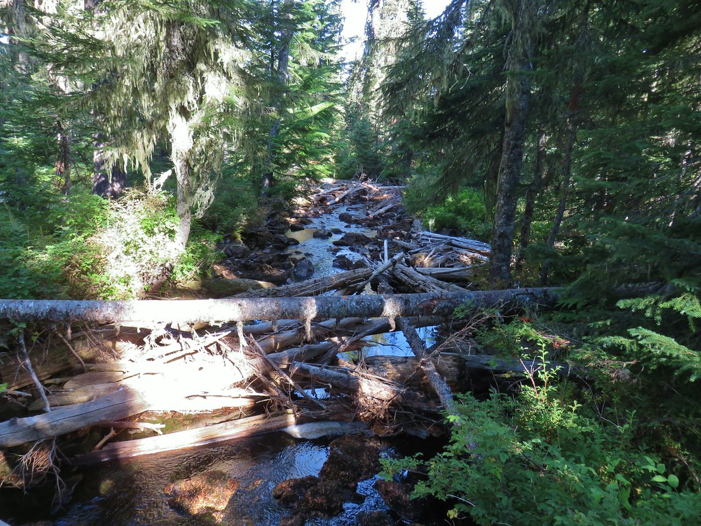
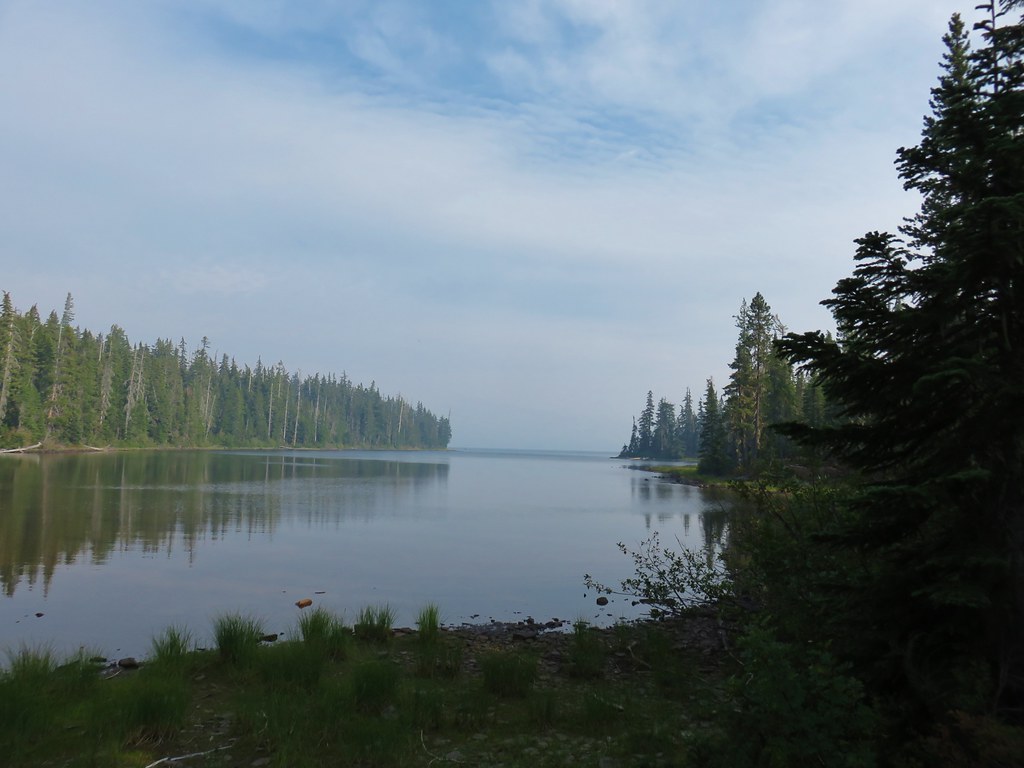
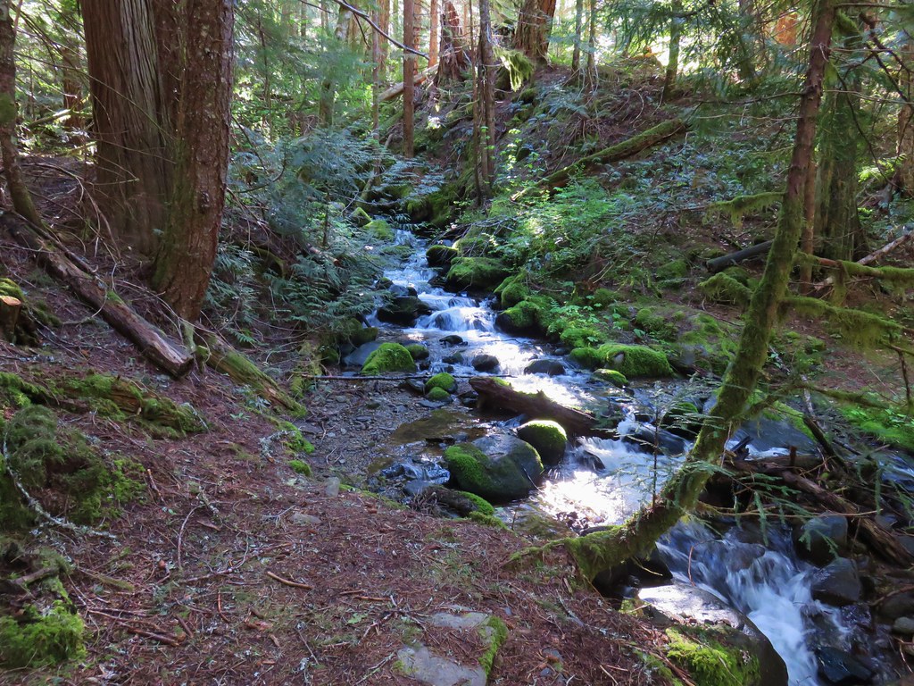
As we followed the trail around the west end of the lake we noticed that the water at this end was completely calm. It was the only time during the entire weekend that any of the water in the lake was still.
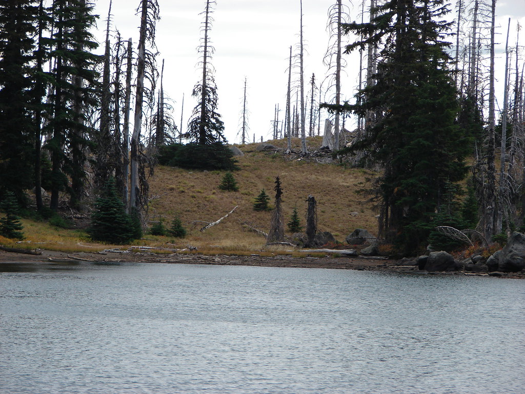
When we made our way around to the point where we had left the trail to cross the rock outcrop the day before we found the most of the campsites were now occupied which was another good reason for us to not have tried coming from that way.
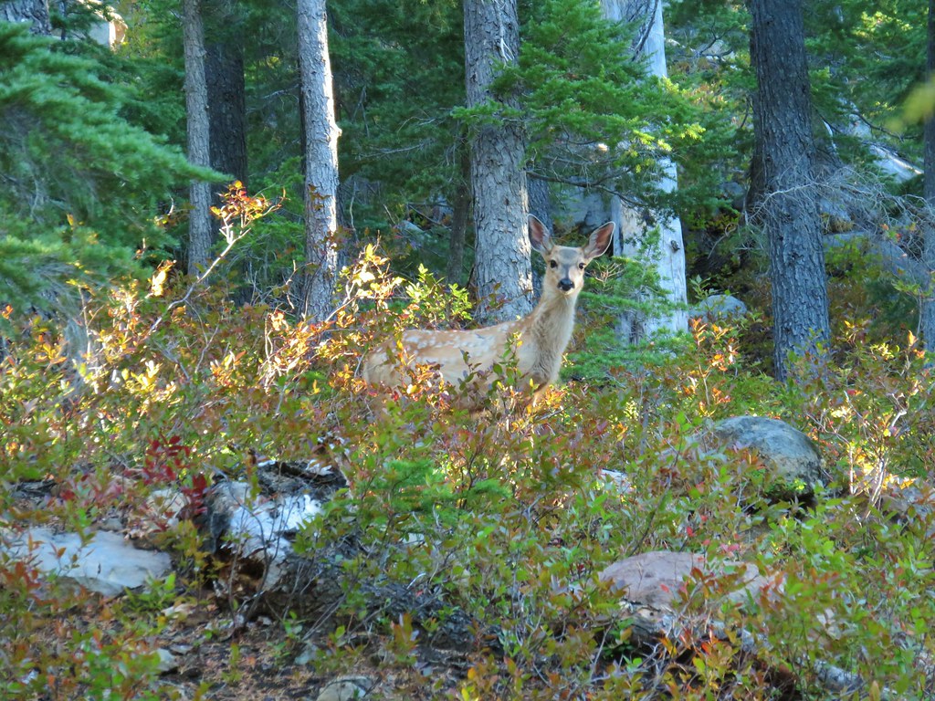
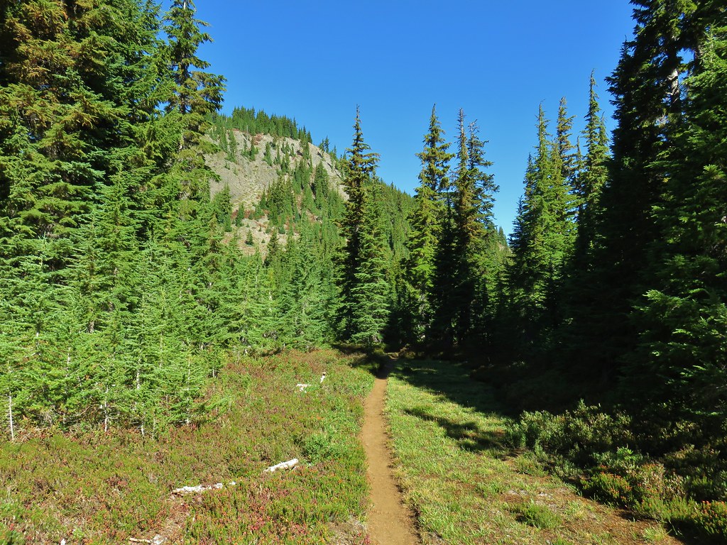
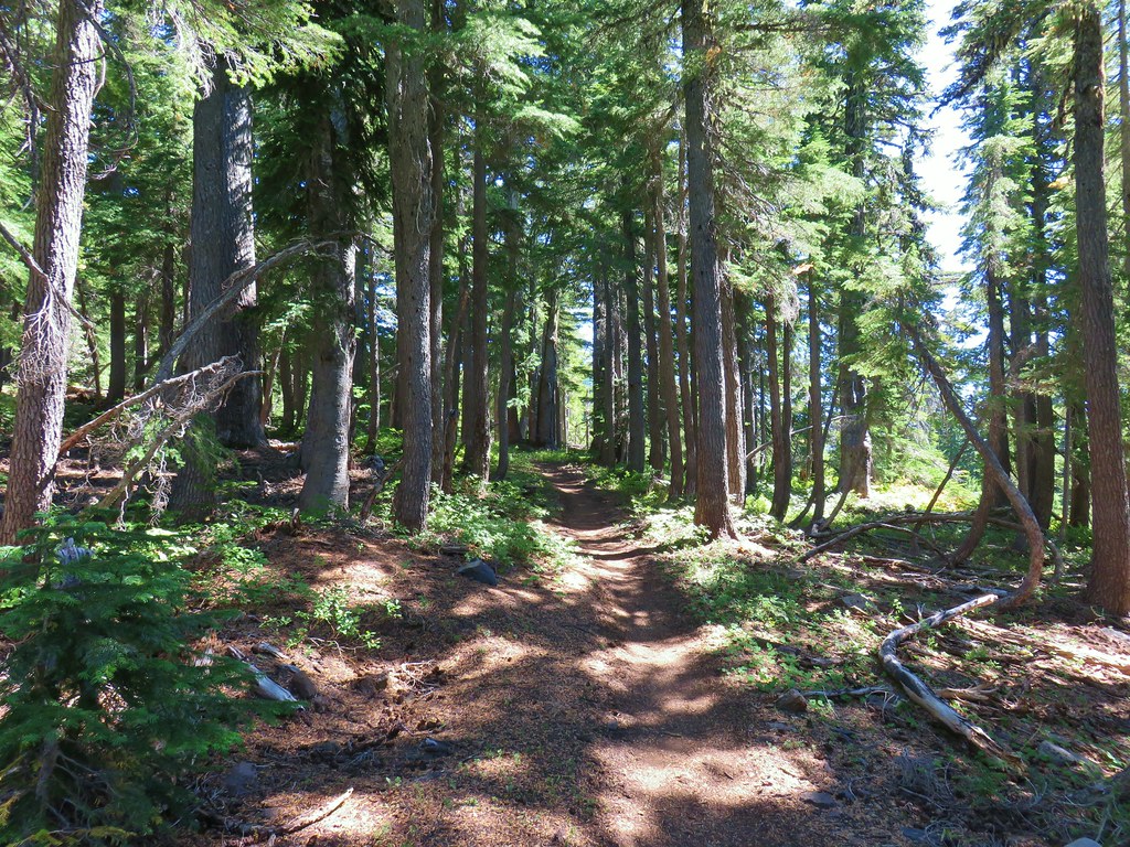
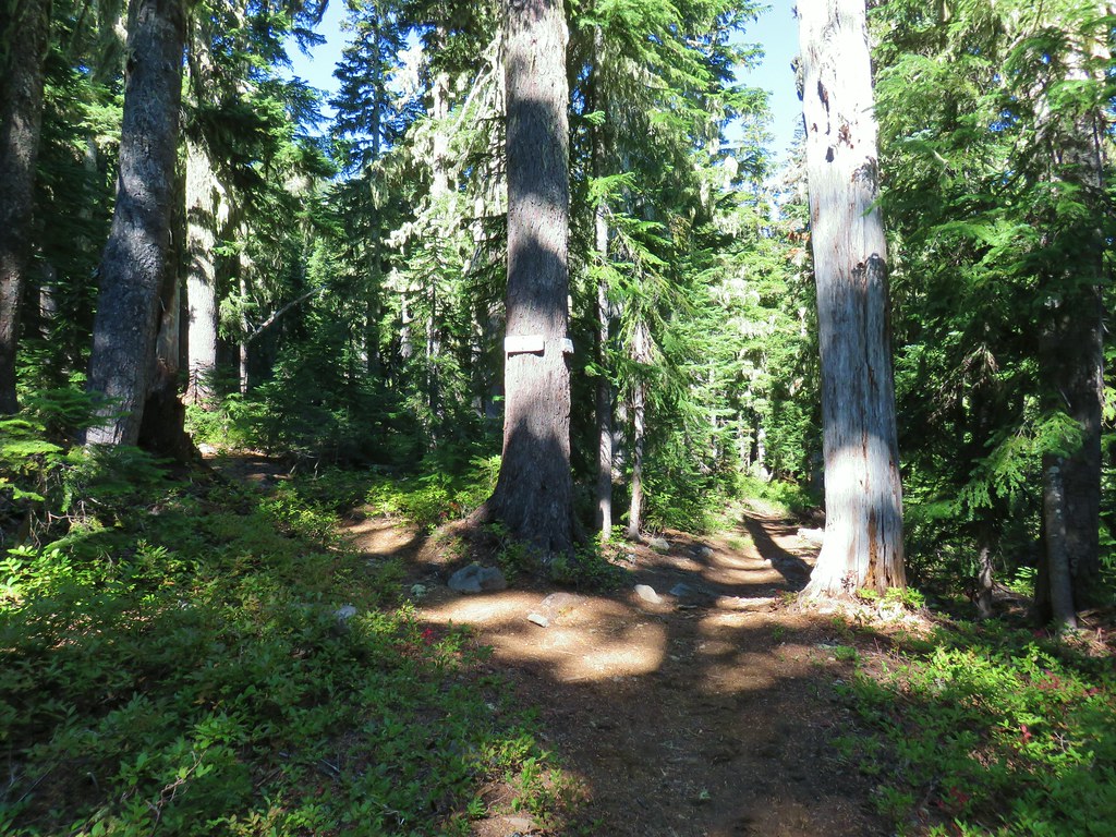
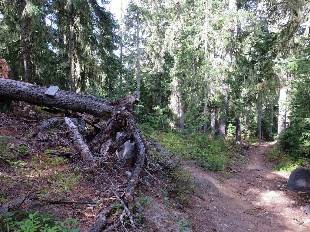
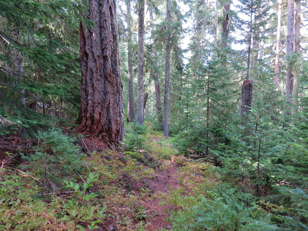
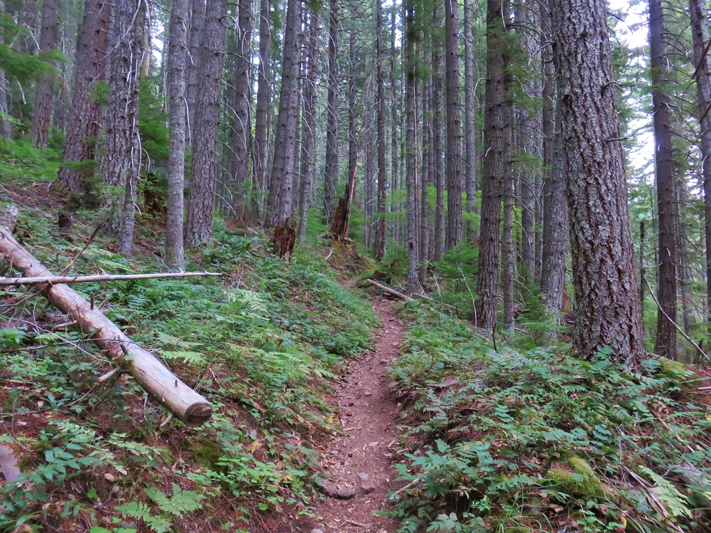
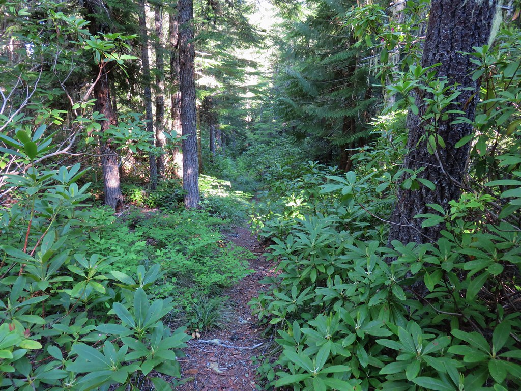
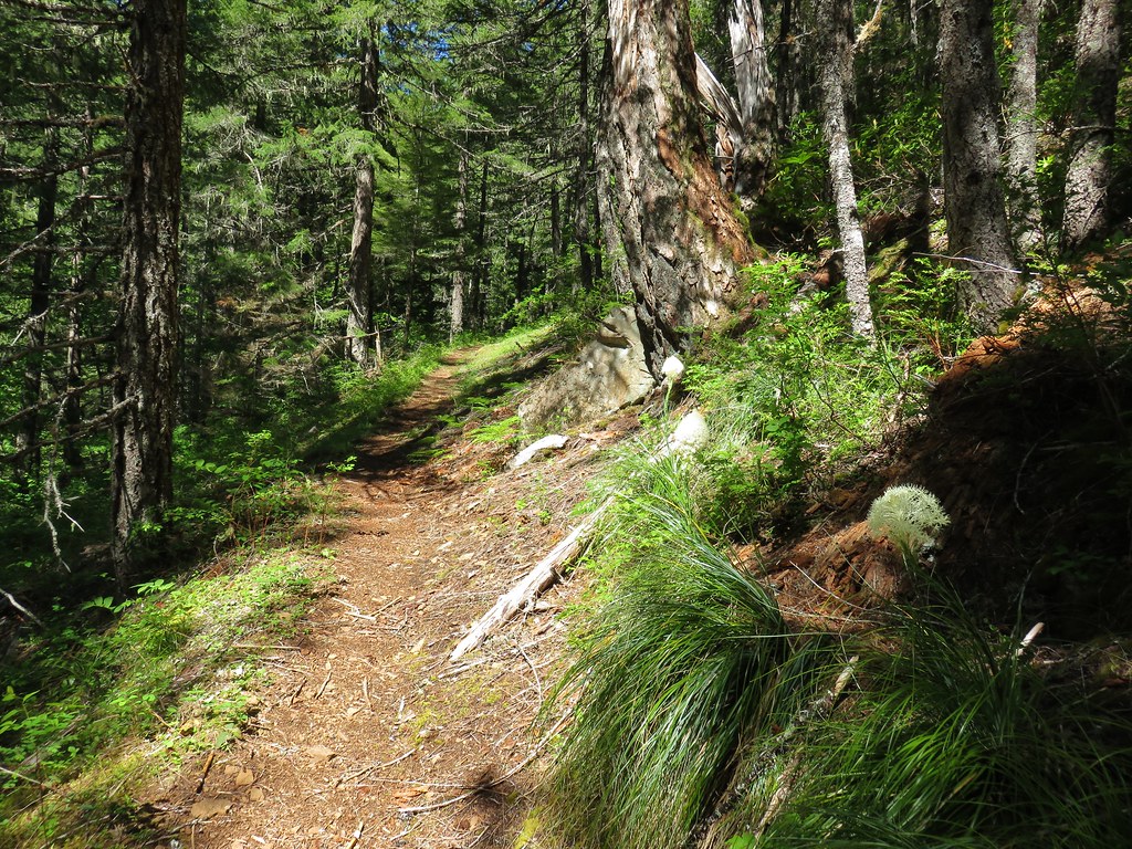
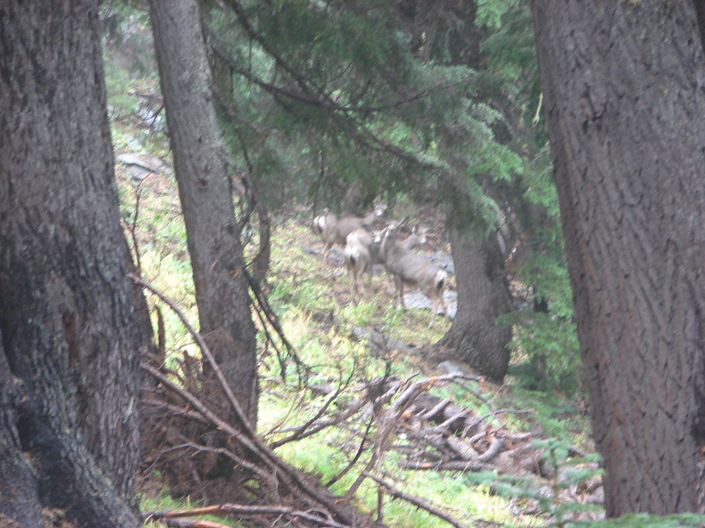
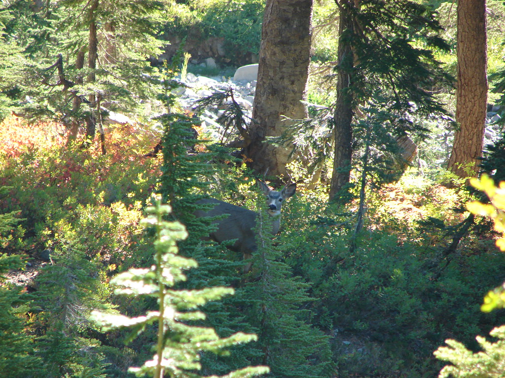
The trail veered away from the lake and began a half mile climb via a series of short switchbacks. As we made our way up the hillside we spotted a doe and her two fawns coming down the trail.

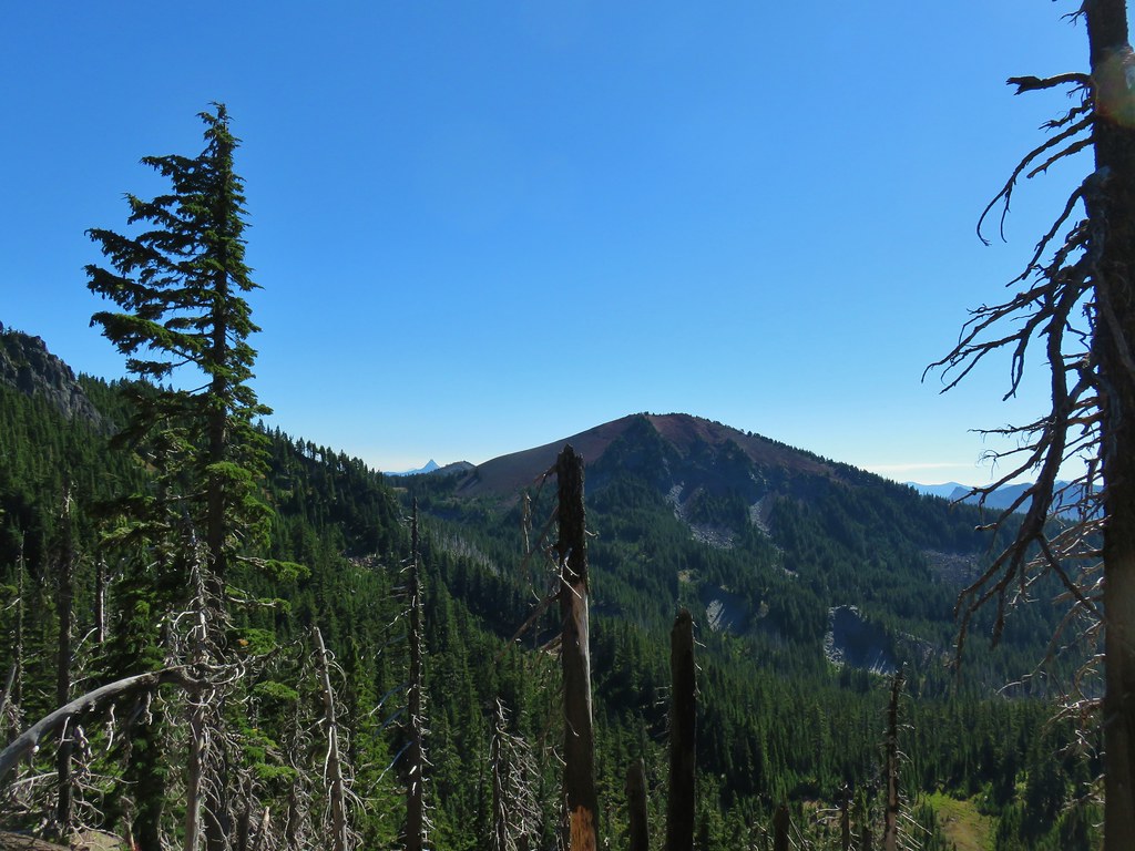
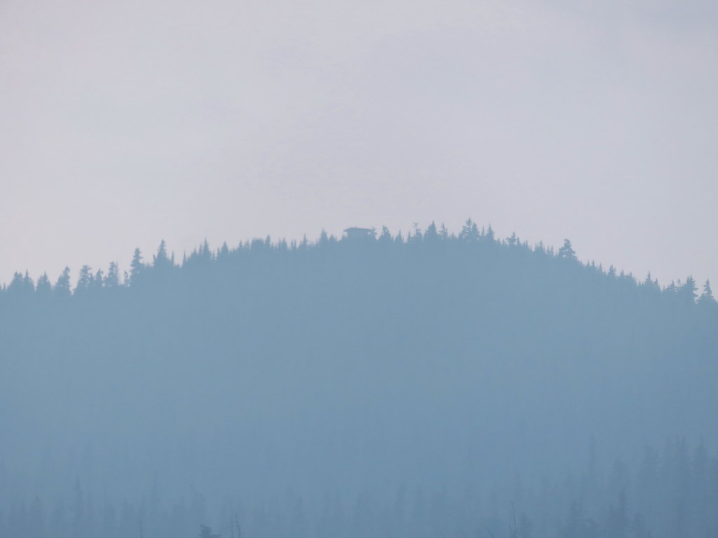
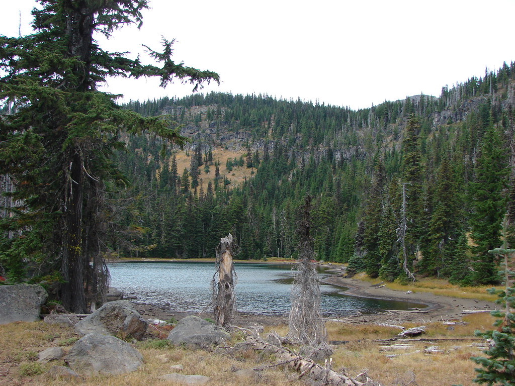
Near the top of the climb we had a decent view of Carl Lake below.
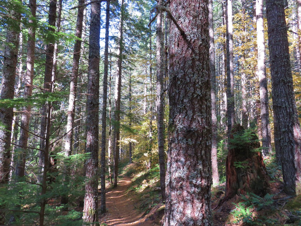
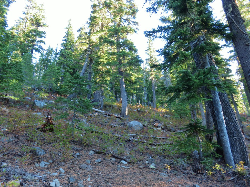
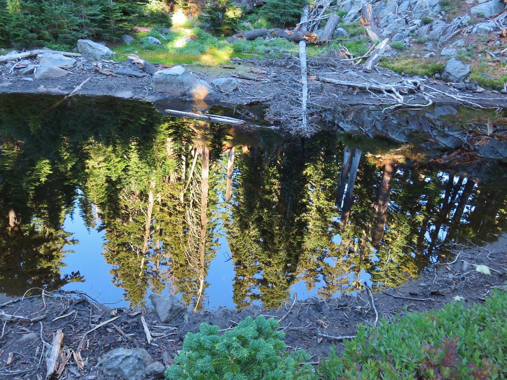
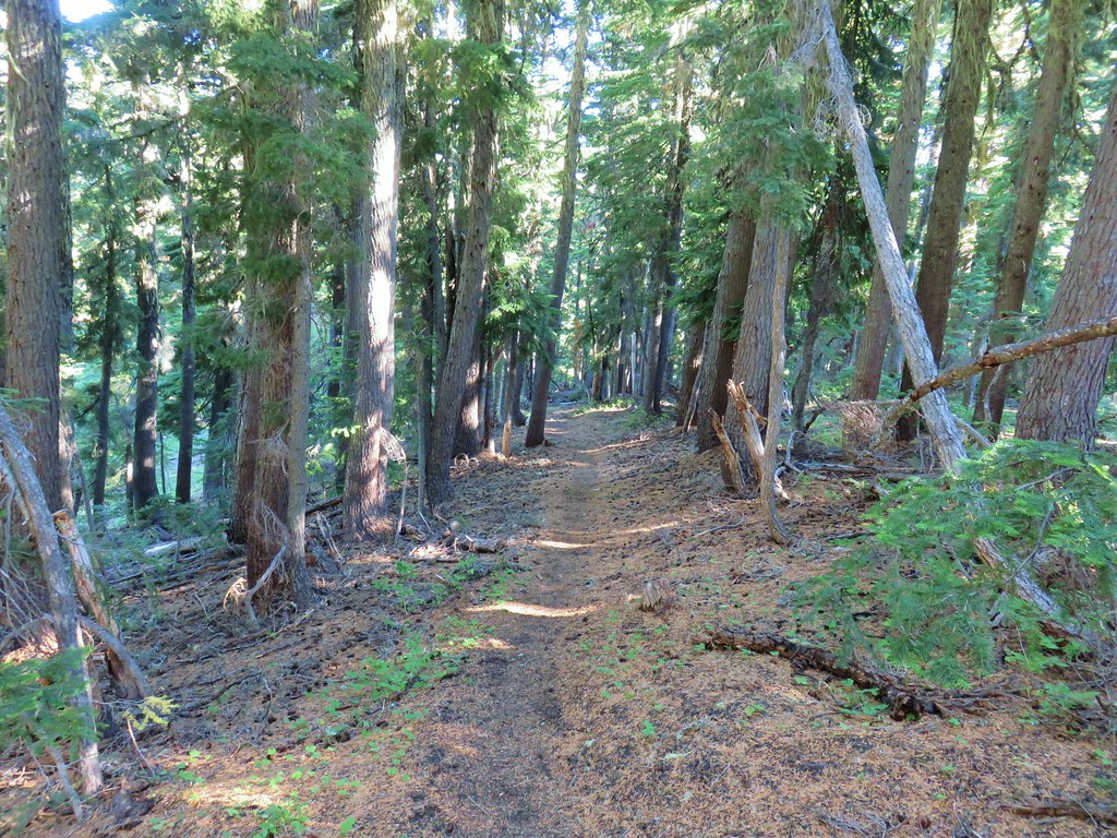
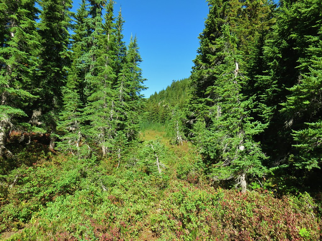
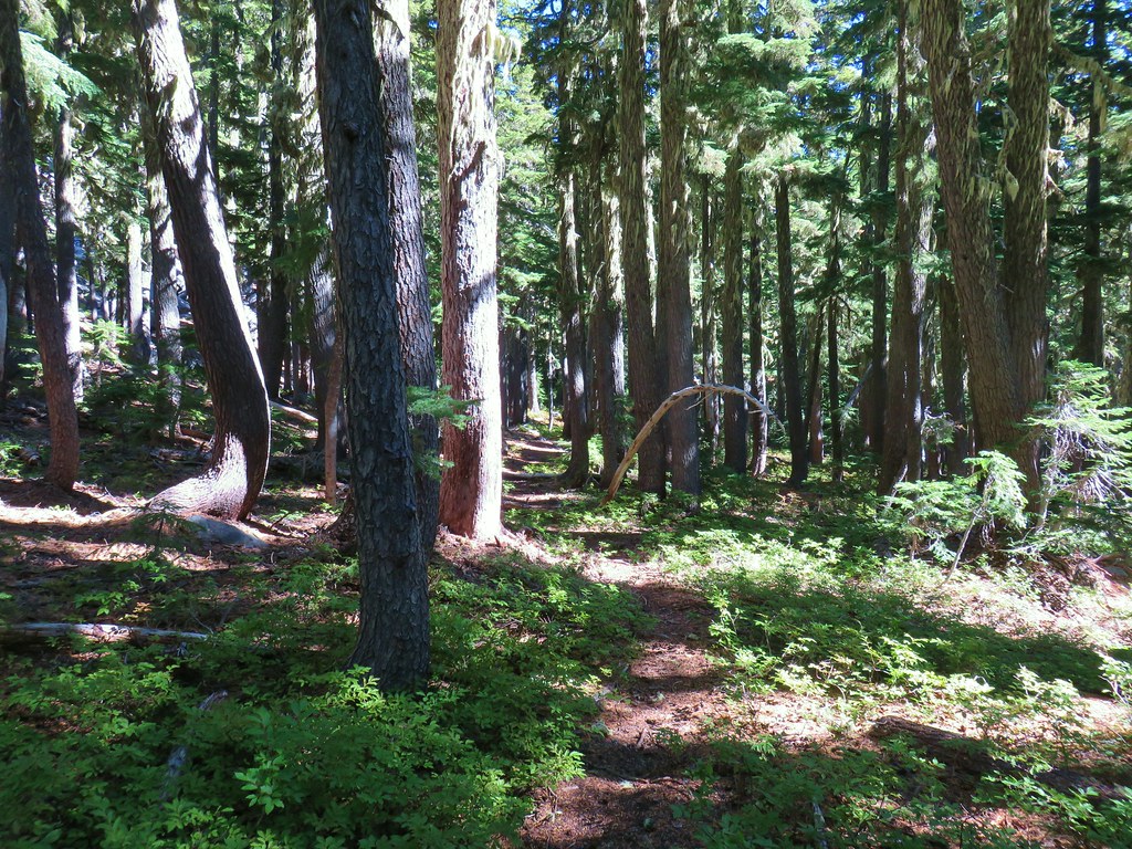
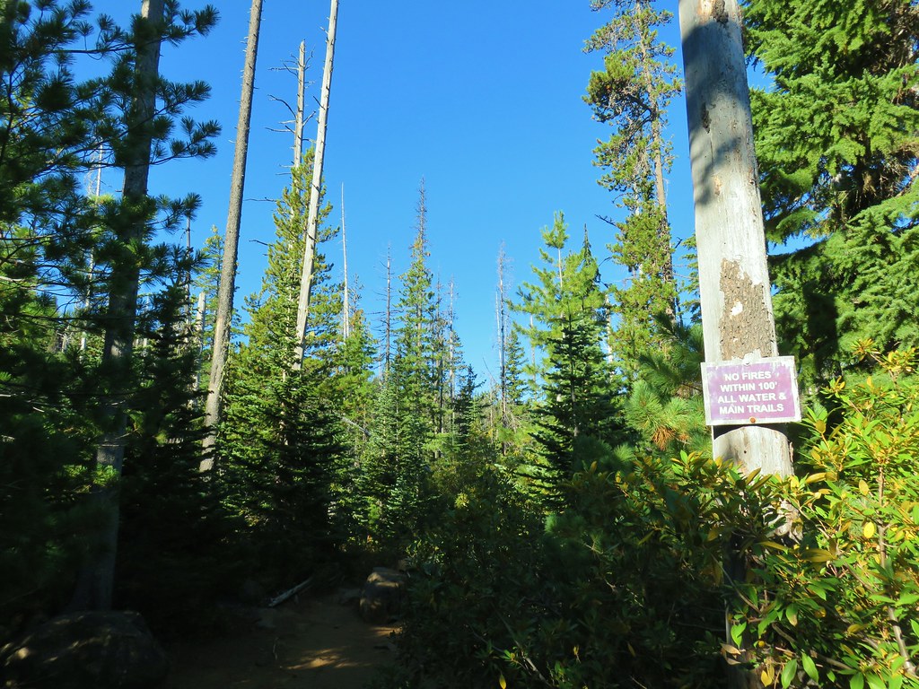
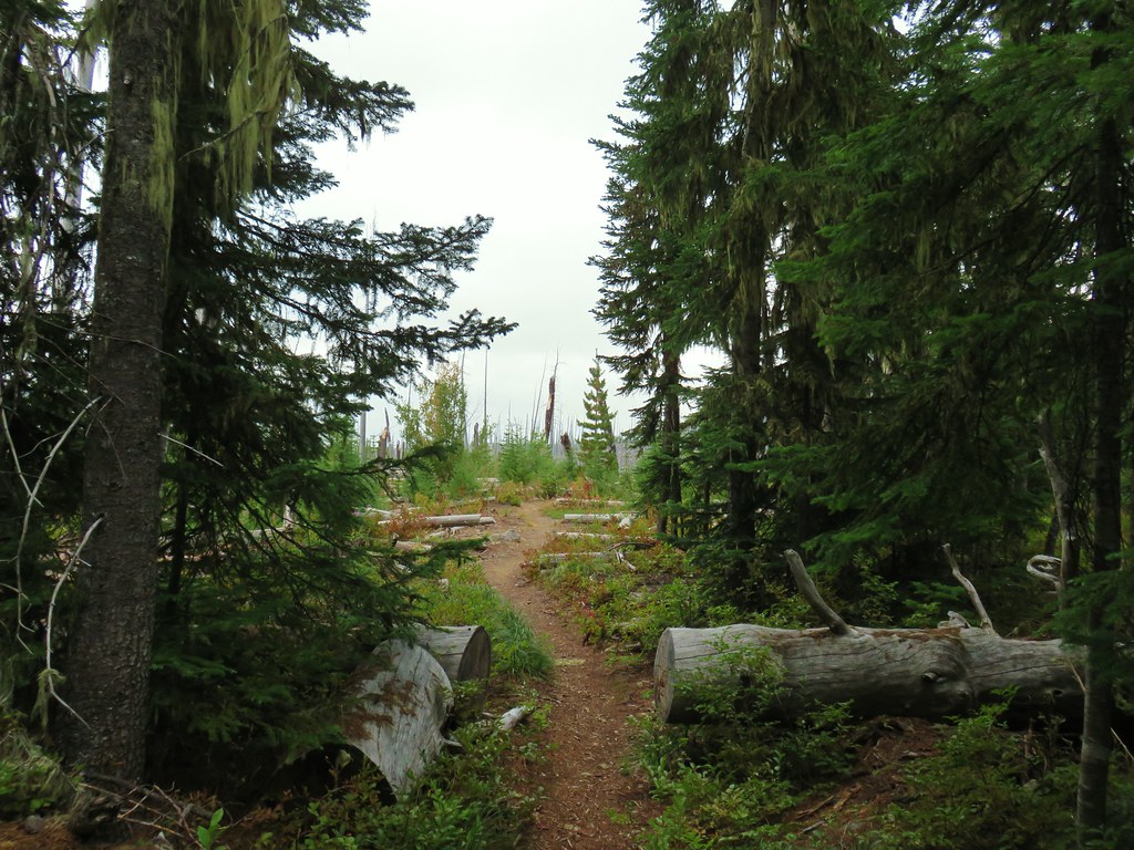
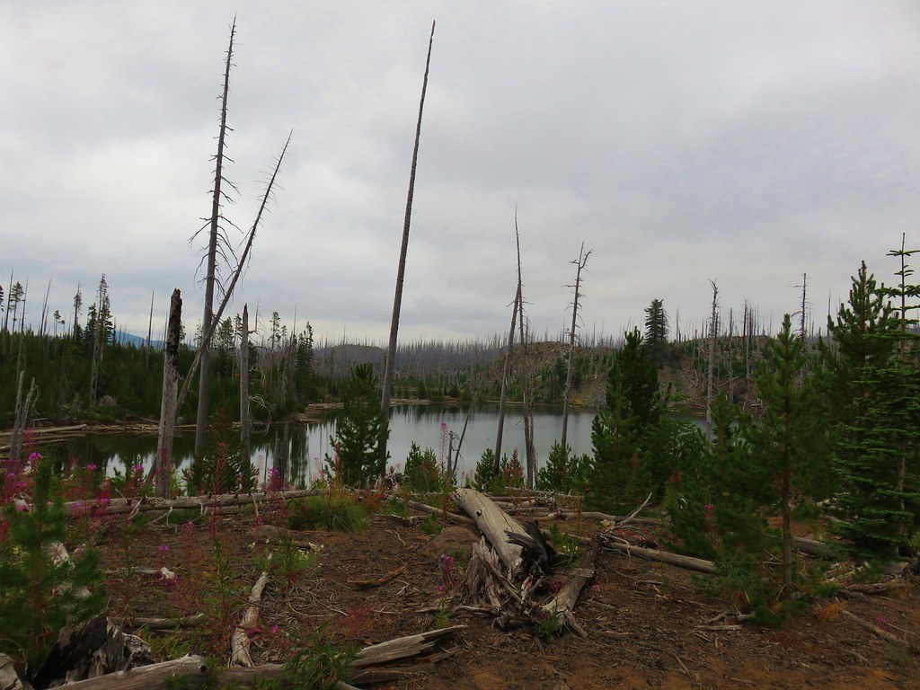
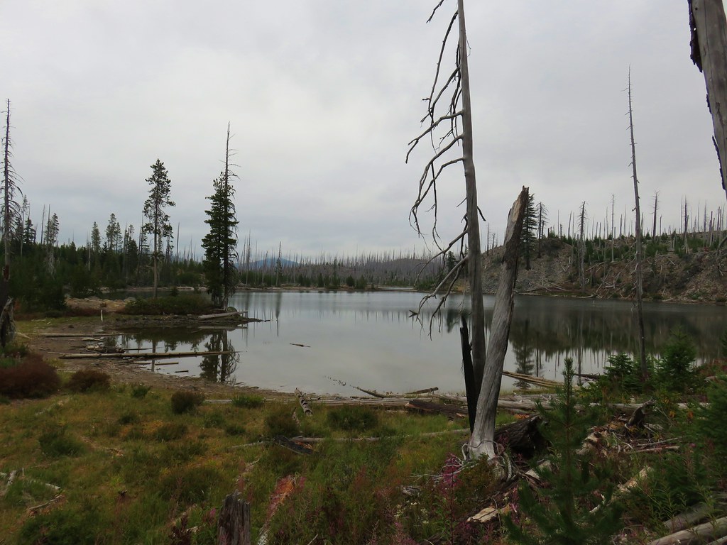
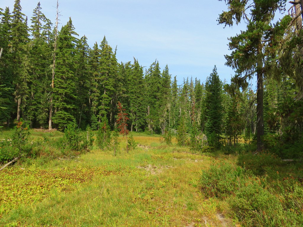
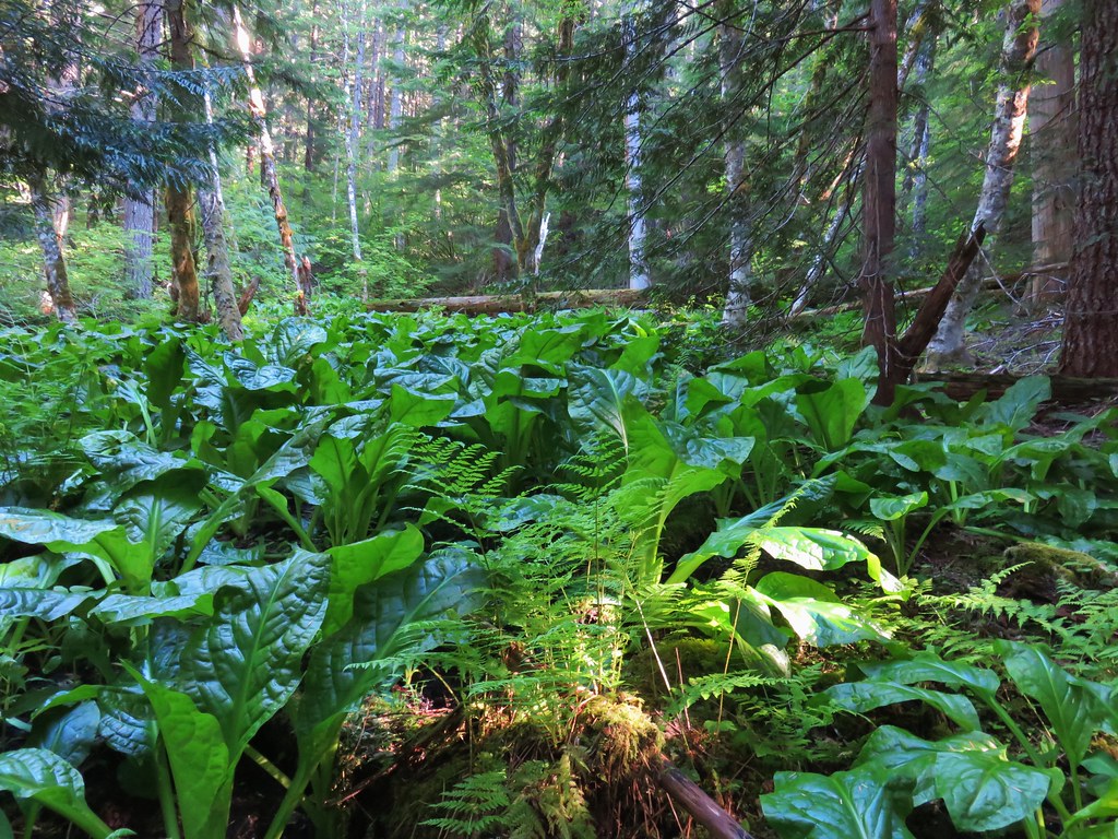
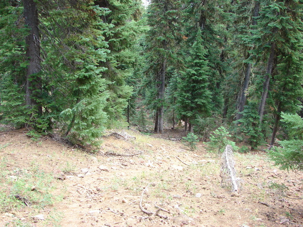
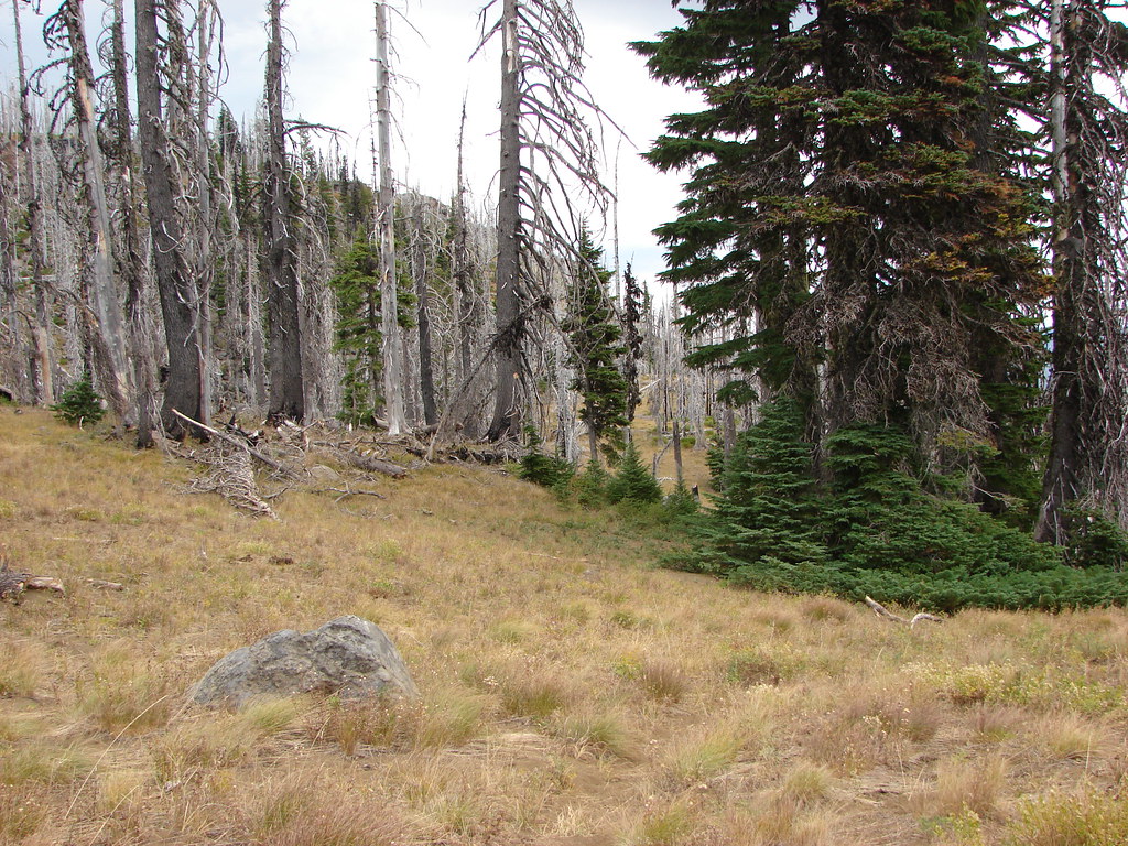
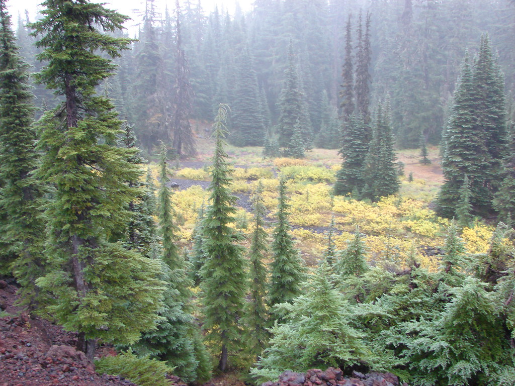
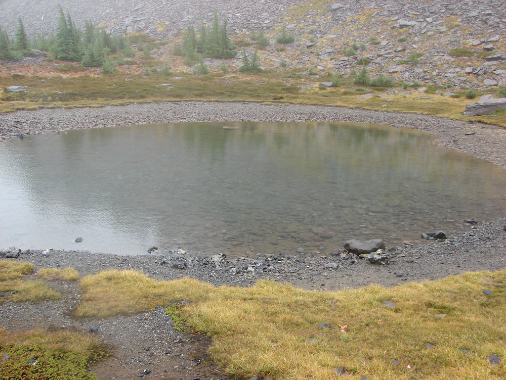
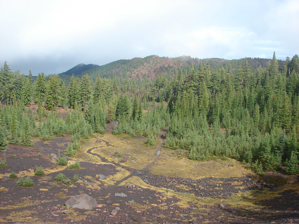
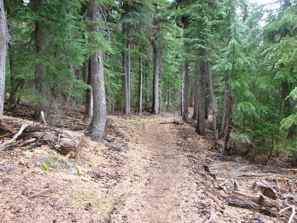
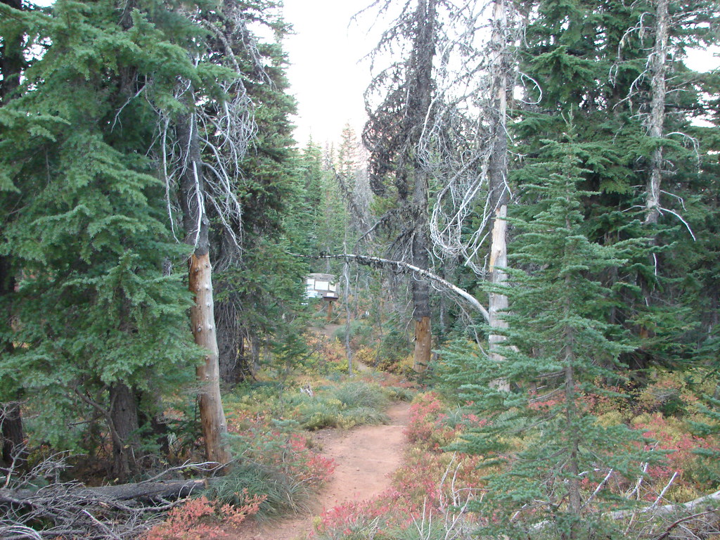
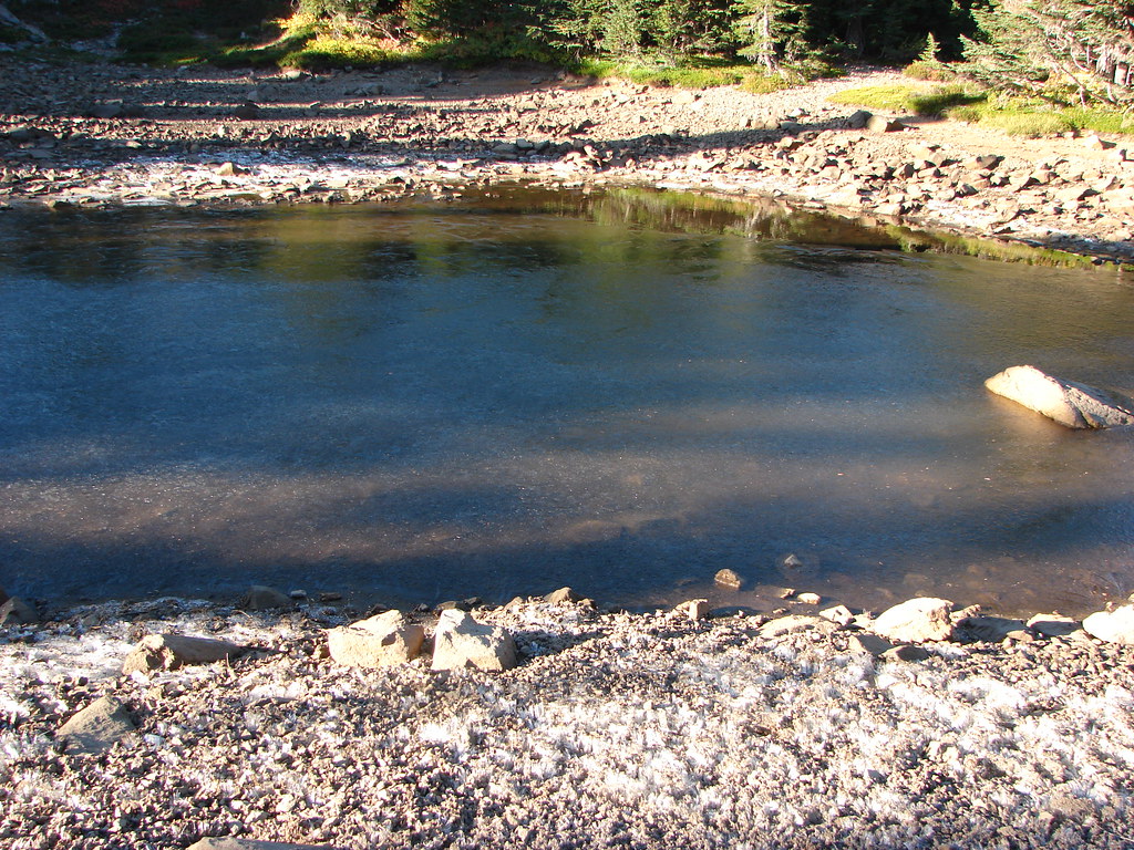
The trail then leveled out in a forest accentuated with small ponds and rock formations.
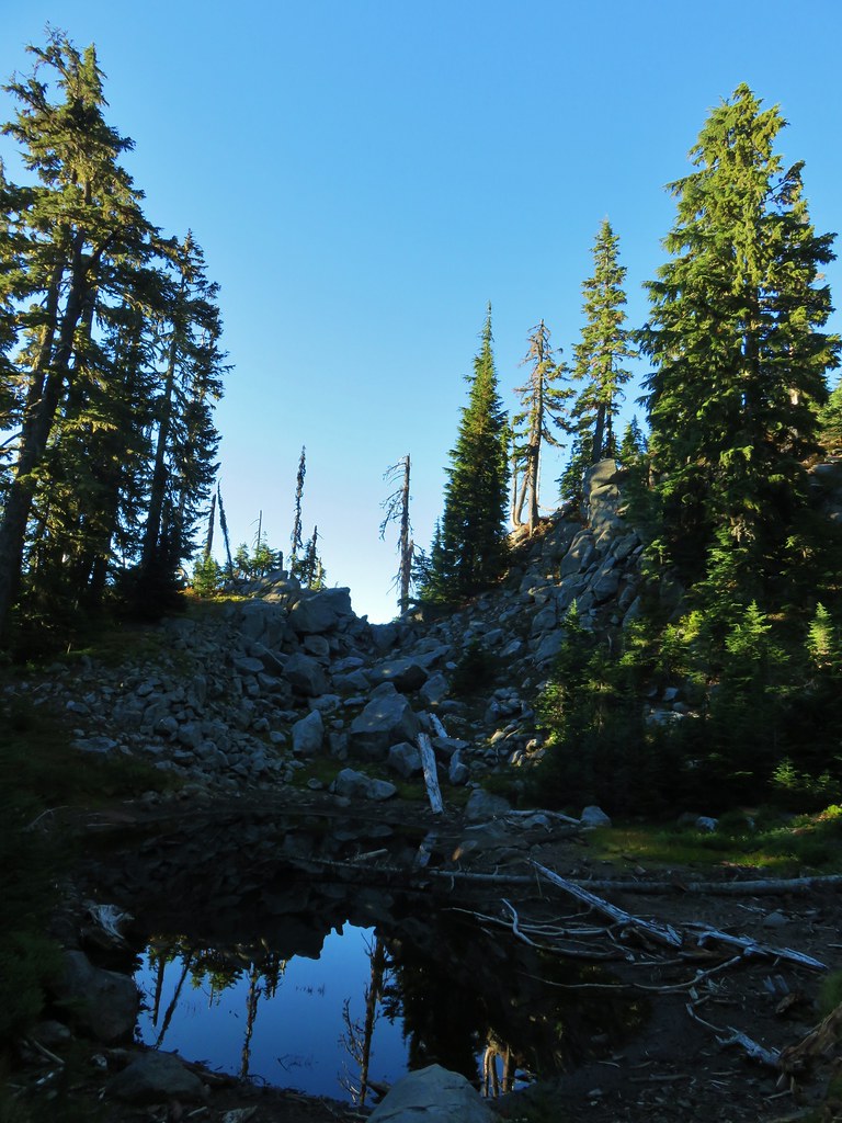
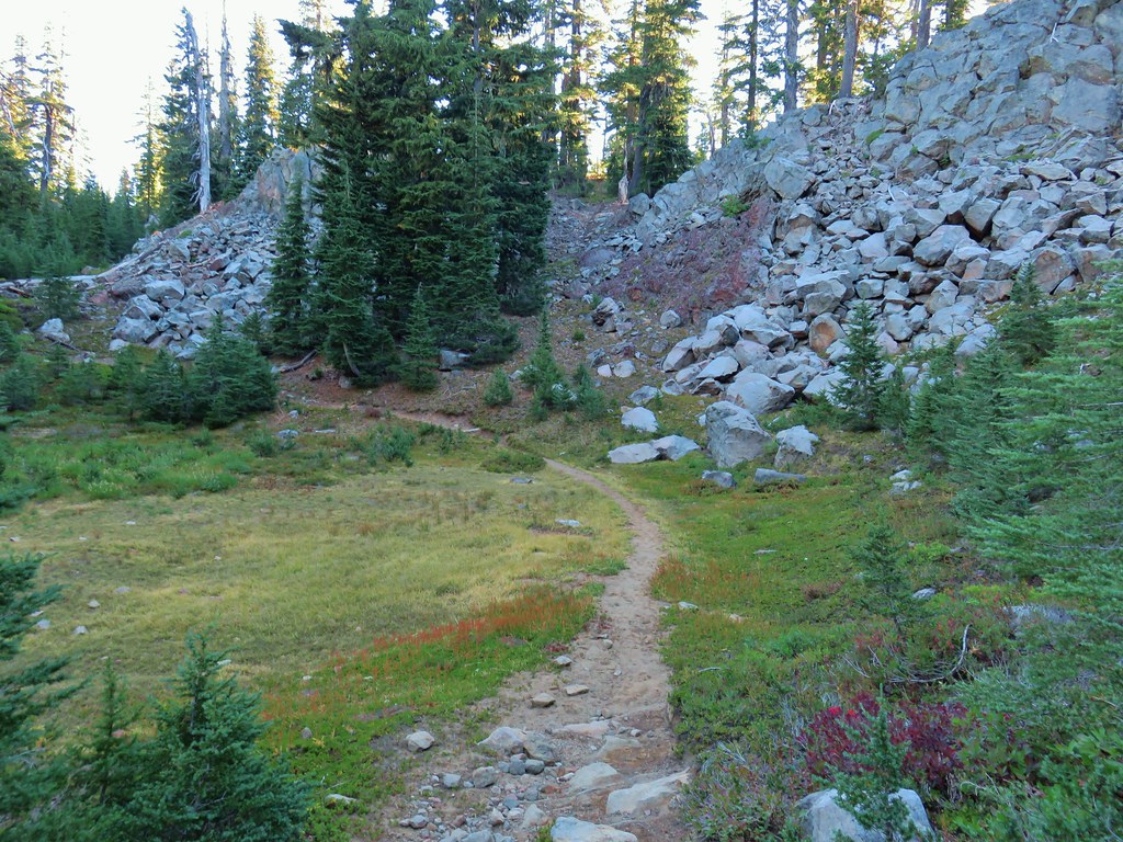
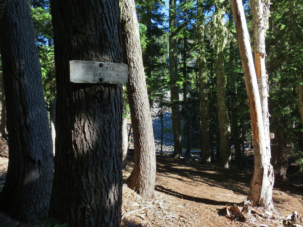
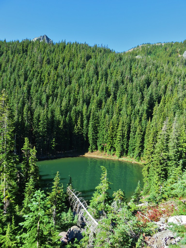
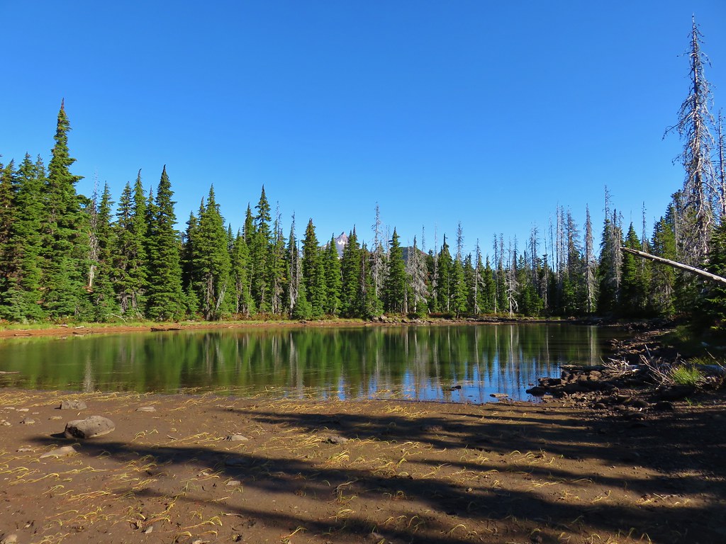
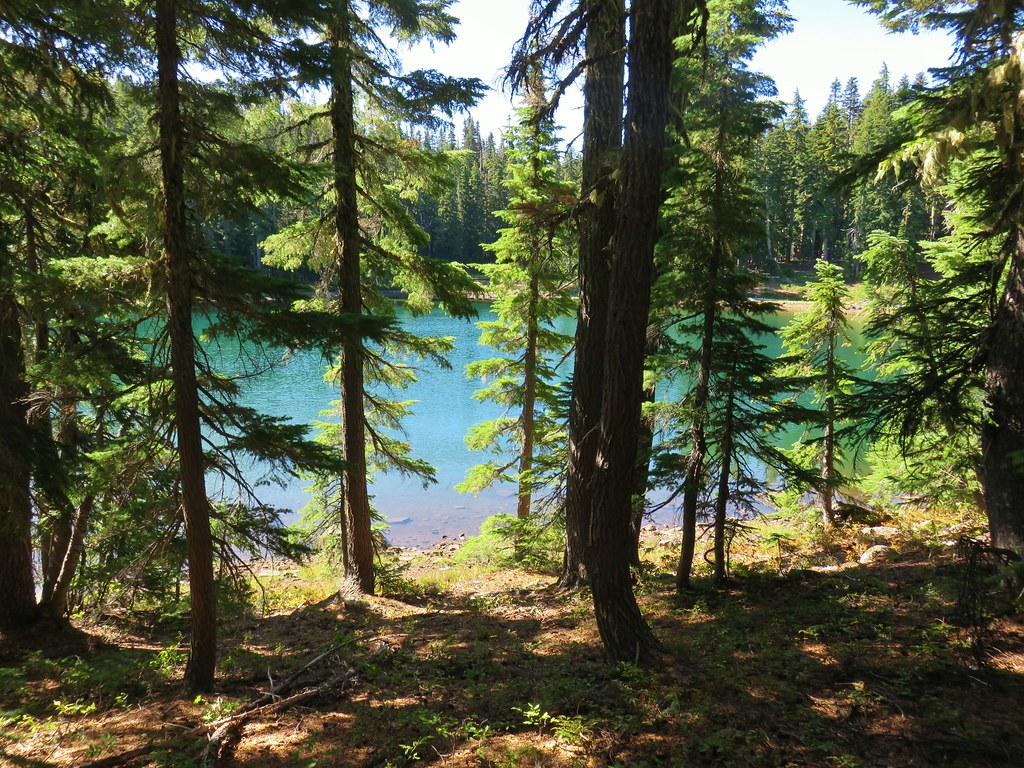
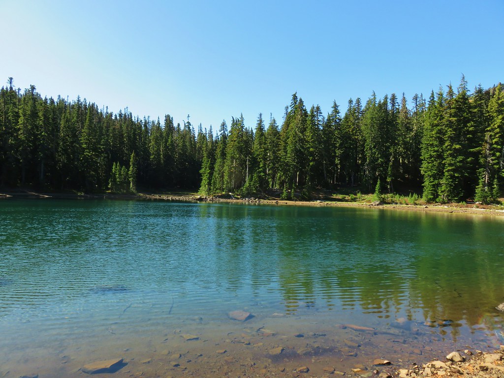
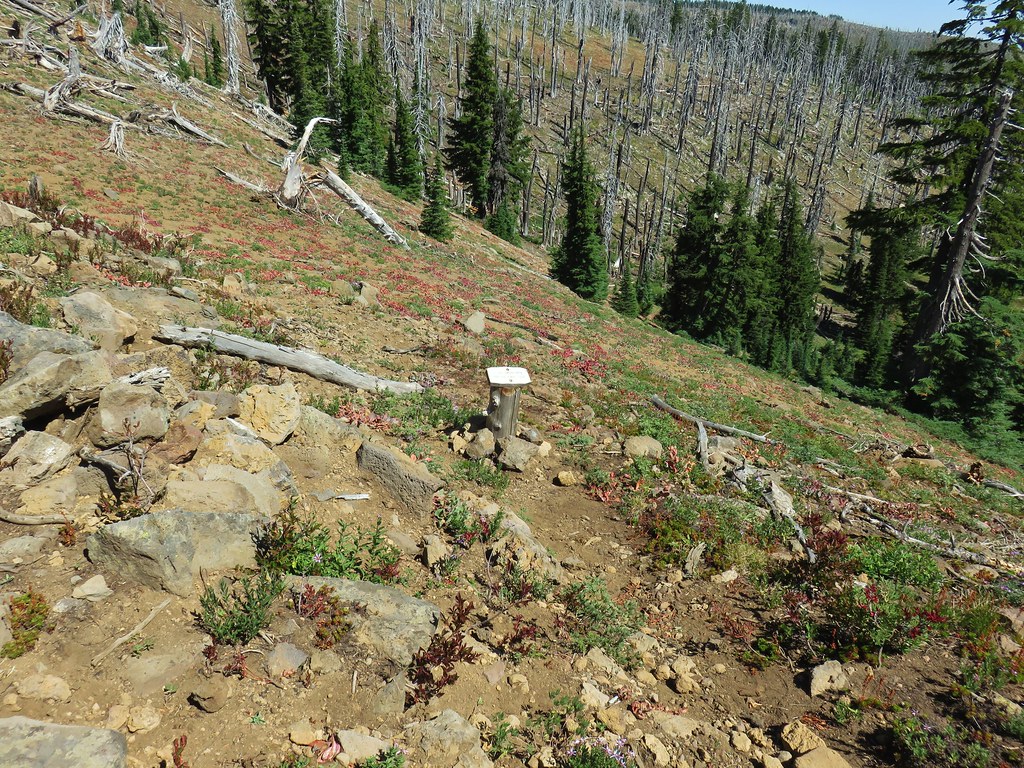
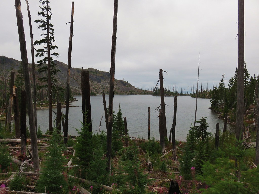
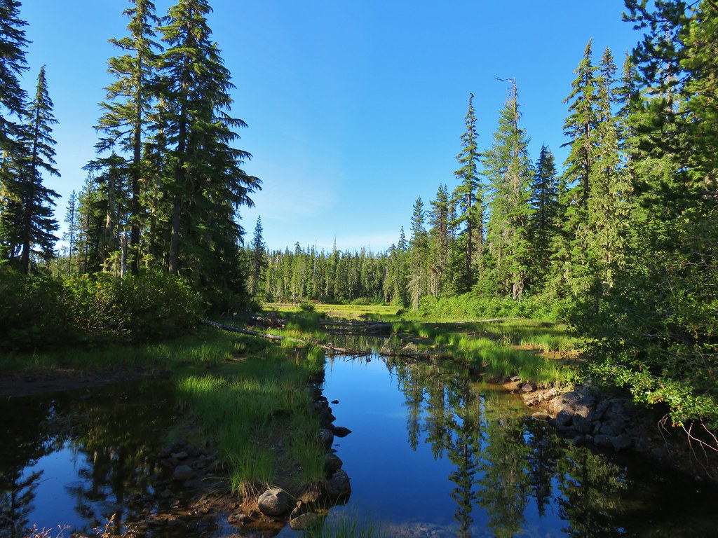
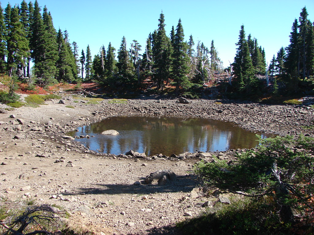
Approximately 1.75 miles after turning away from Carl Lake we arrived at tiny Junction Lake.
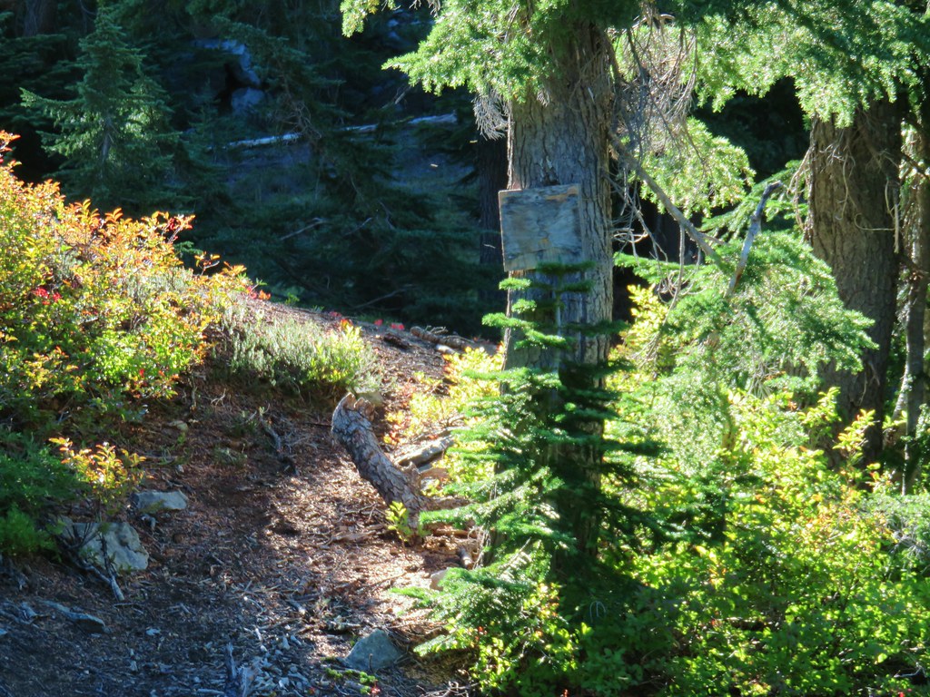
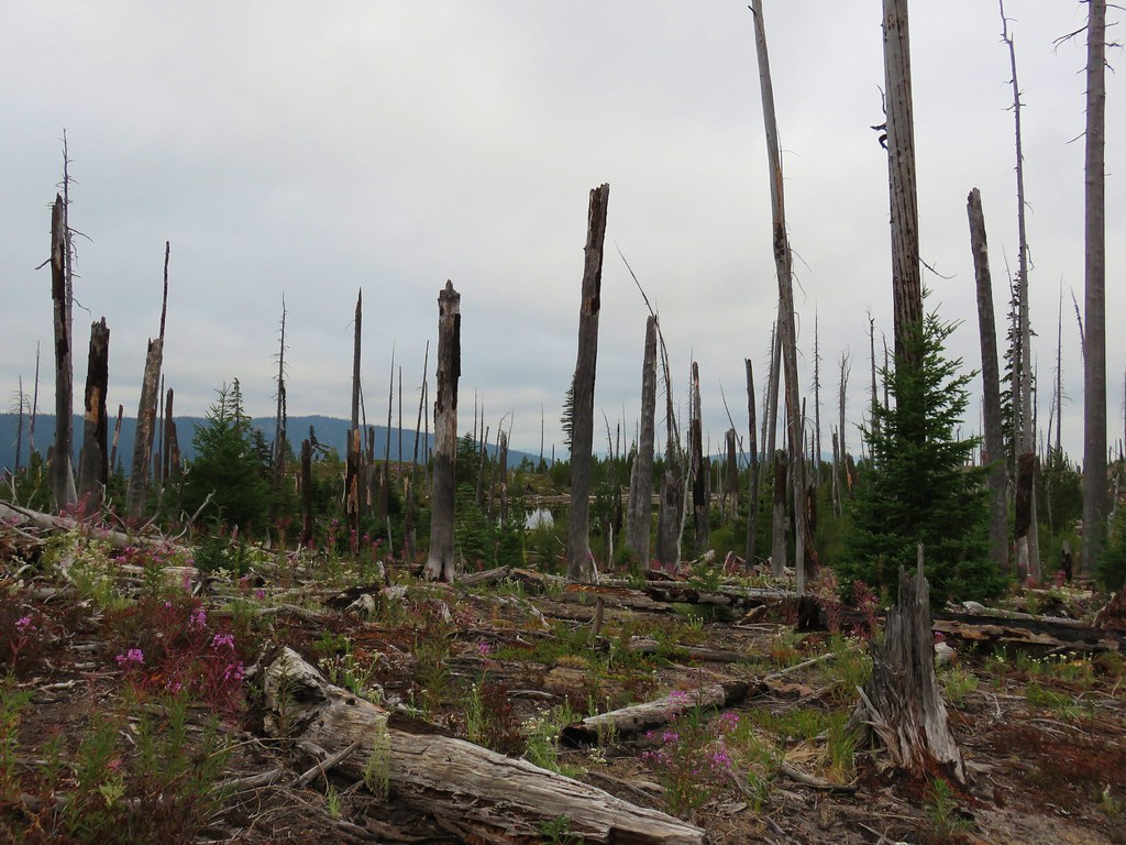
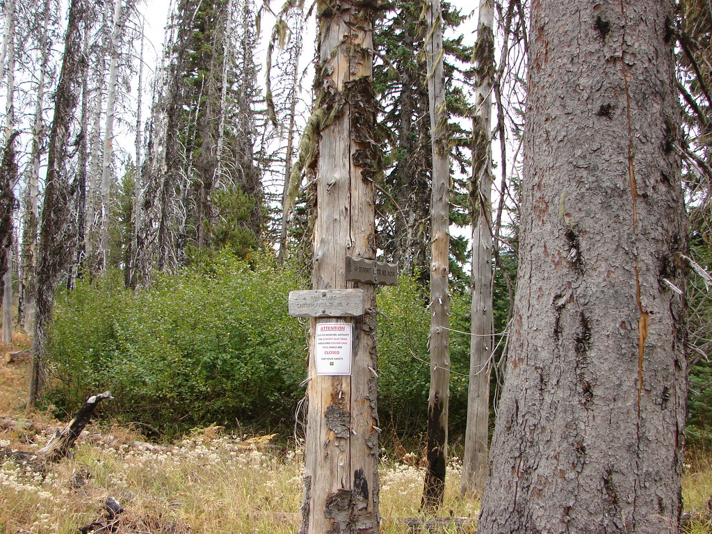
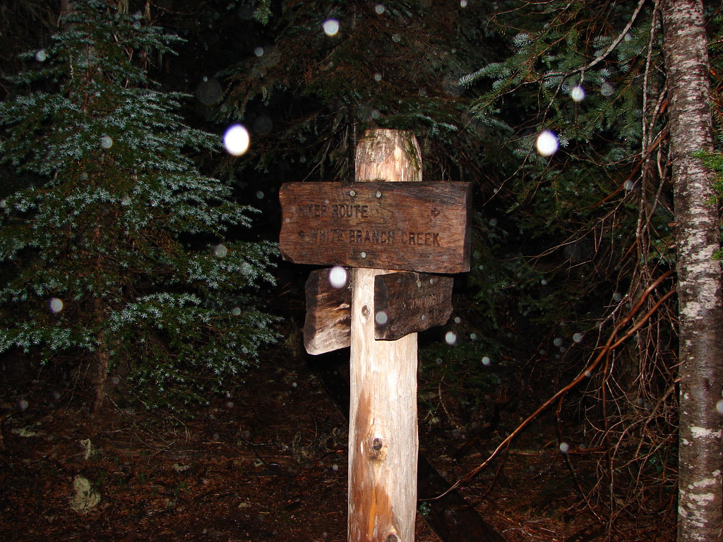
There was a small wooden sign here marking the now lost Sugar Pine Ridge Trail which was abandoned after the 2003 B & B Fire.
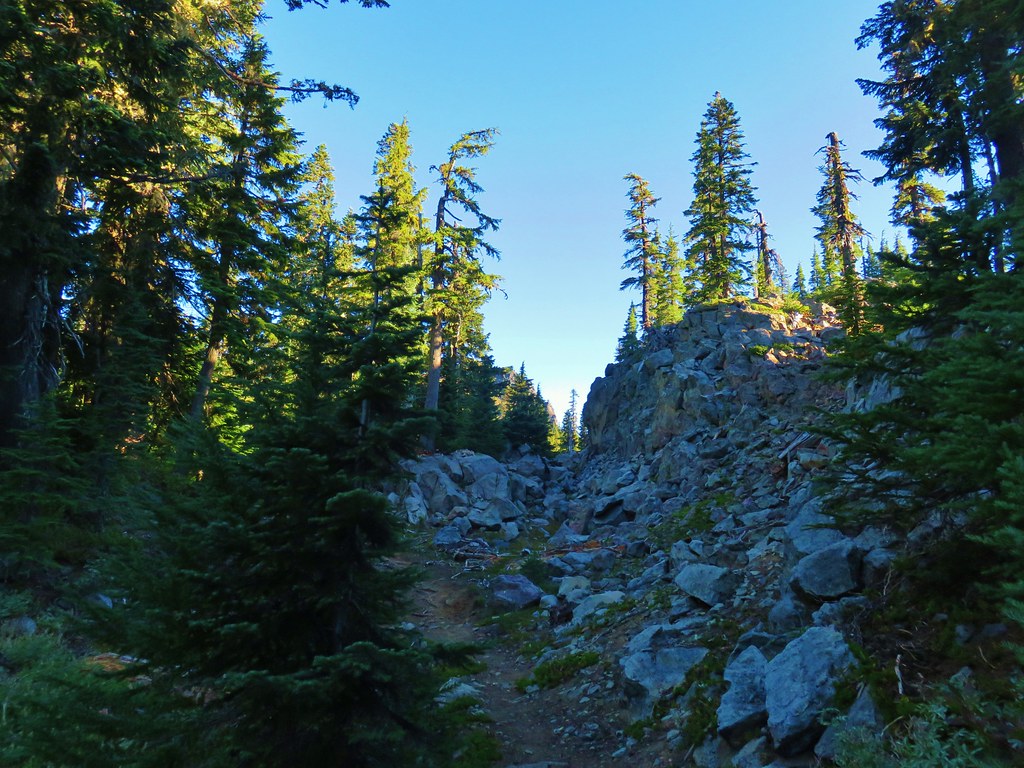
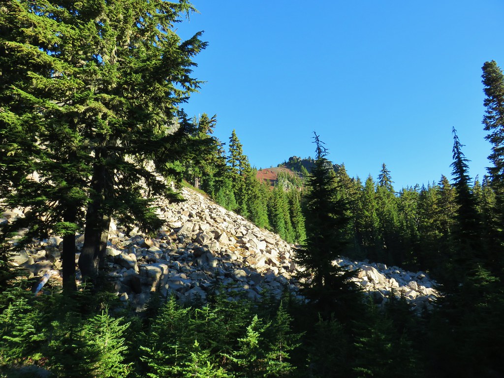
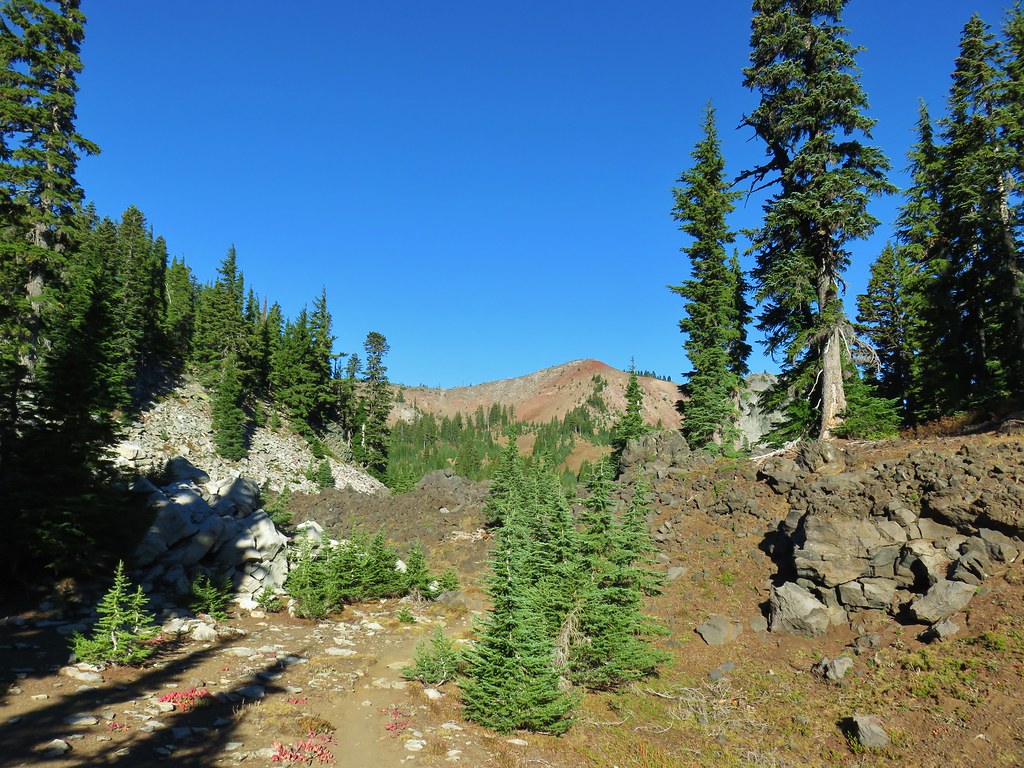
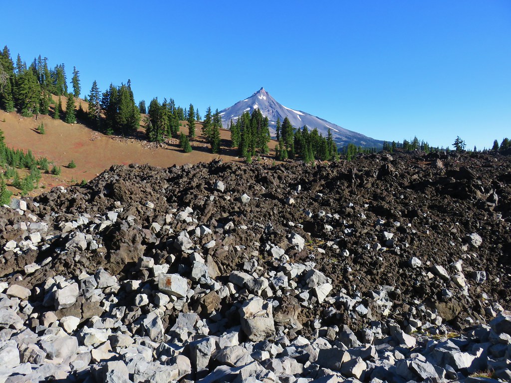
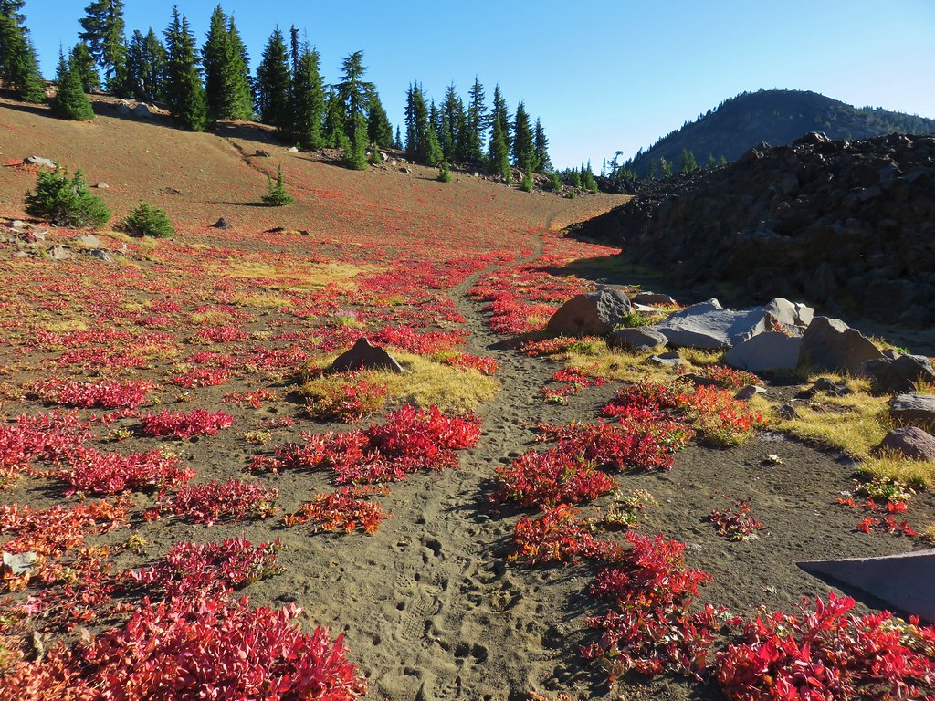
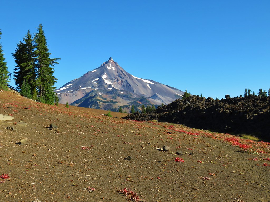
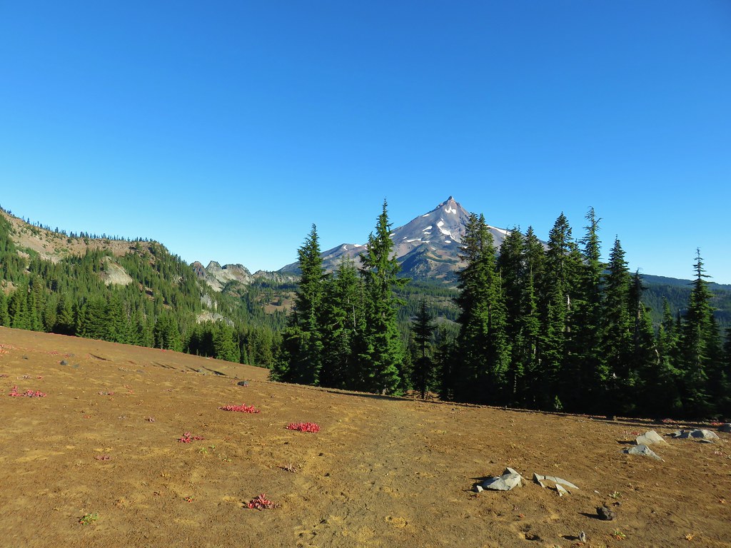
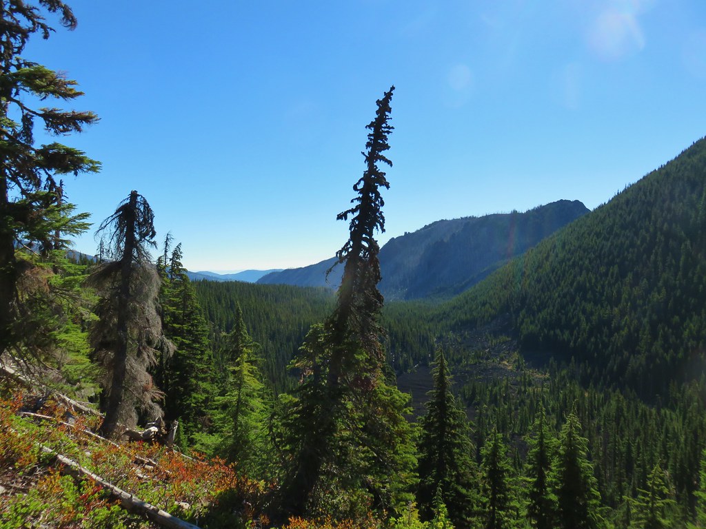
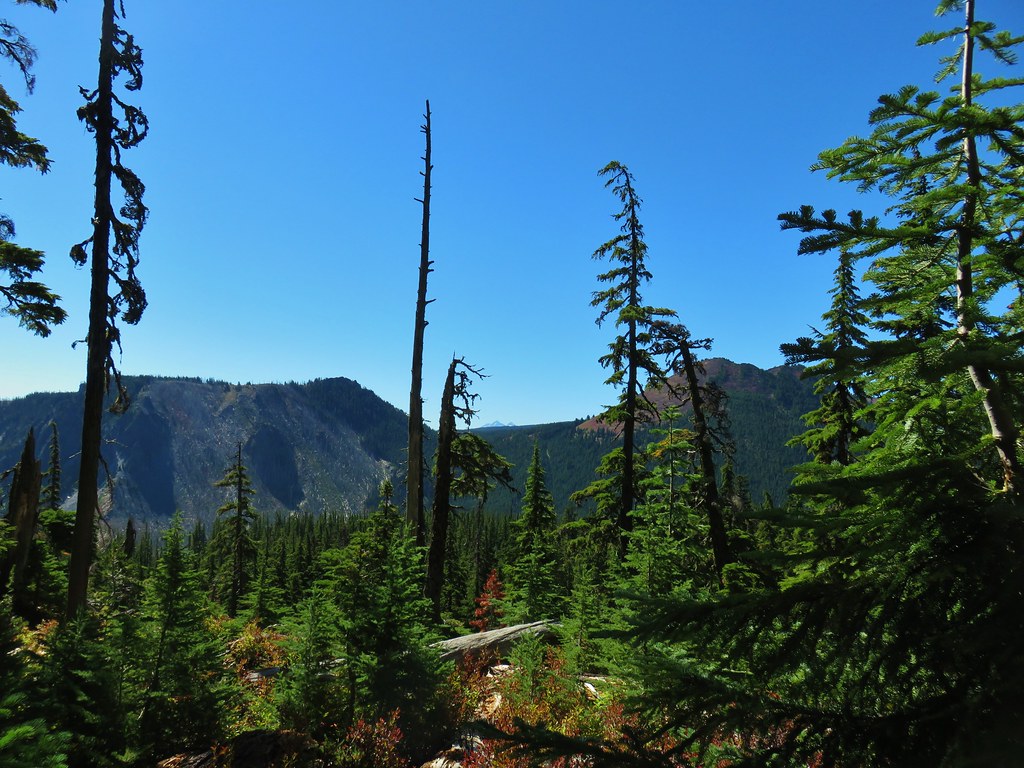
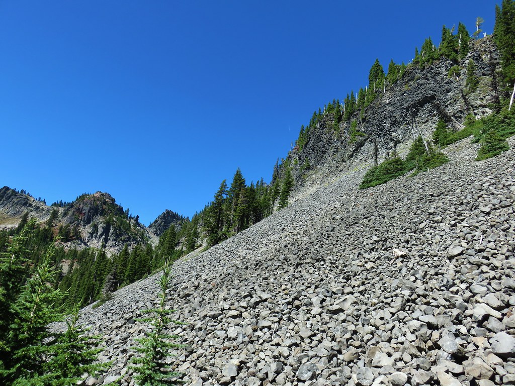
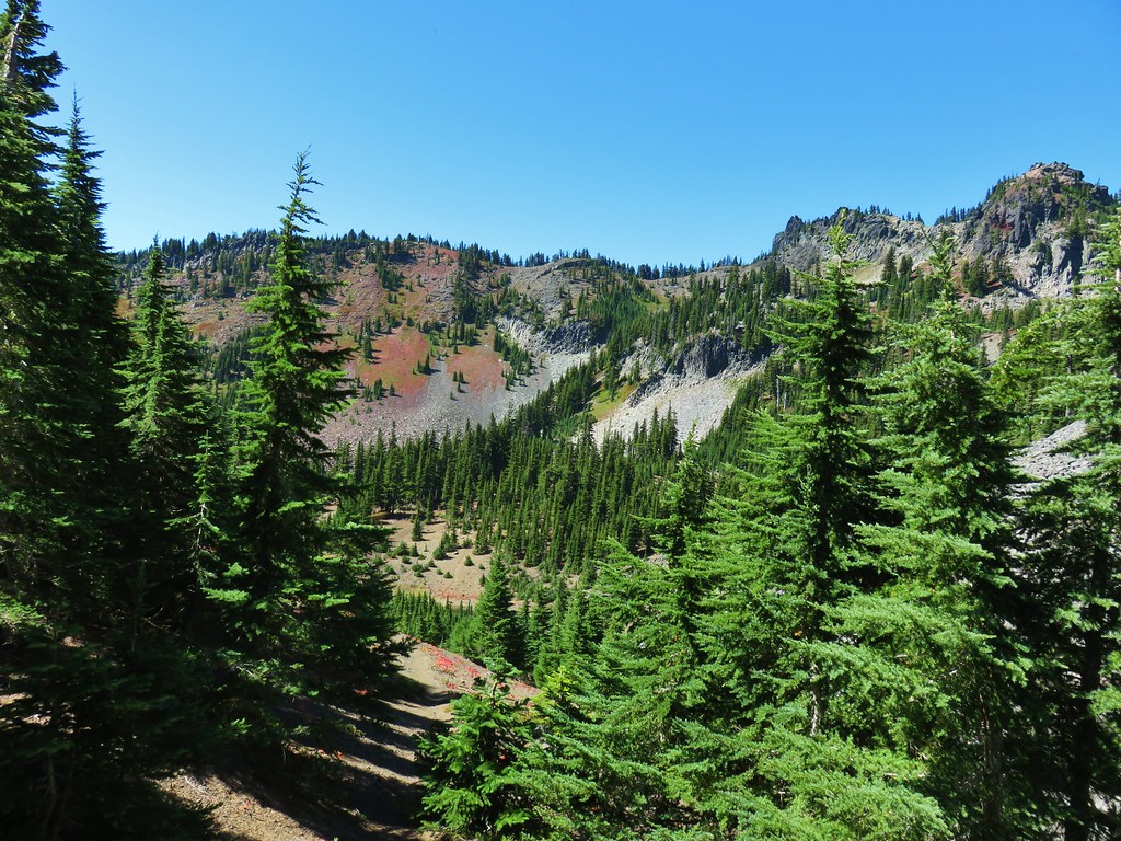
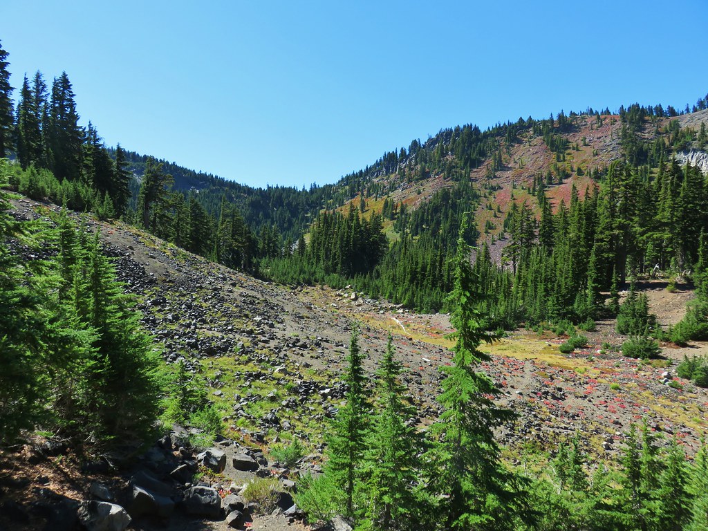
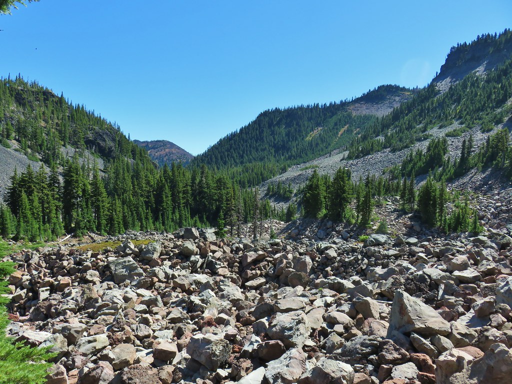
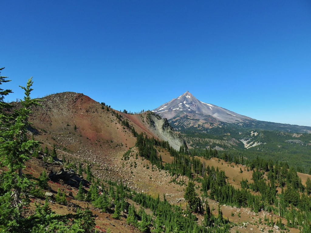
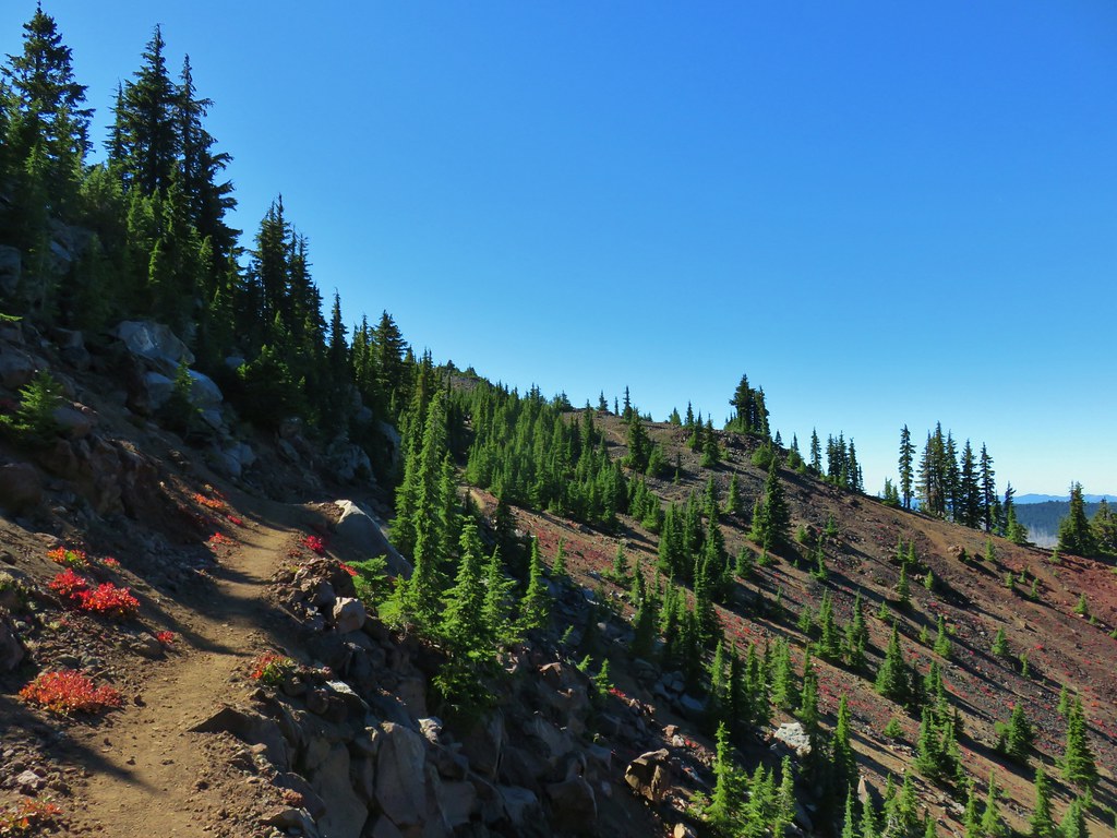
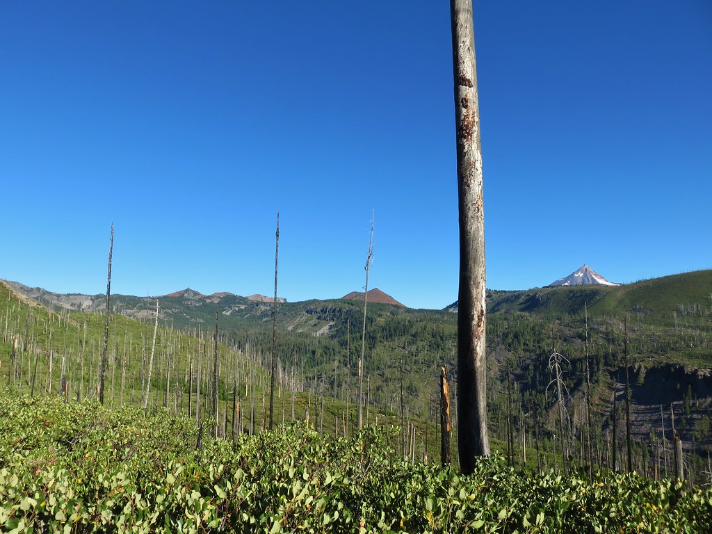
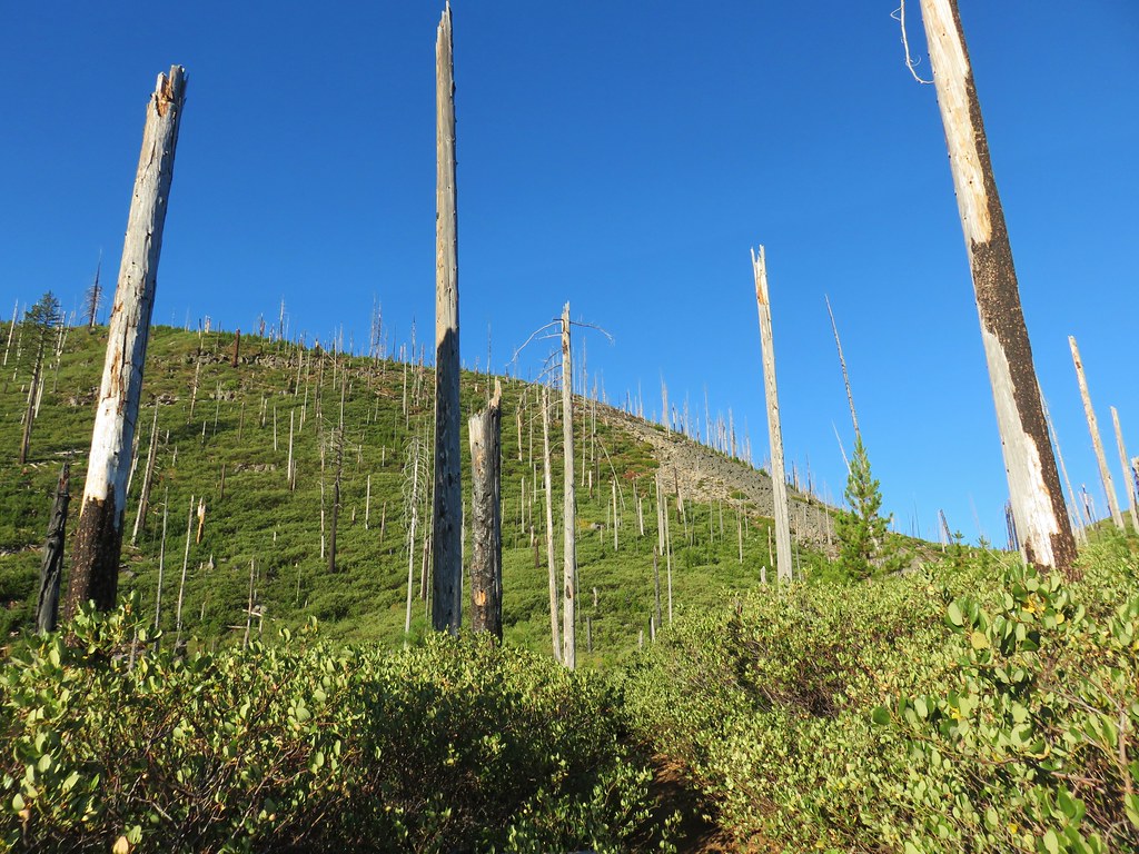
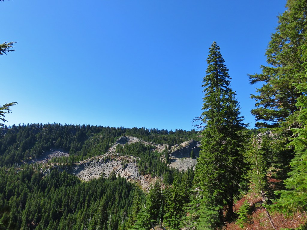
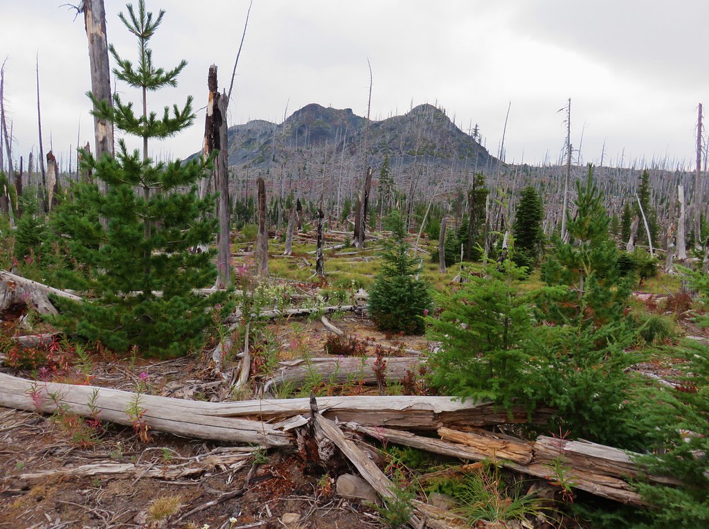
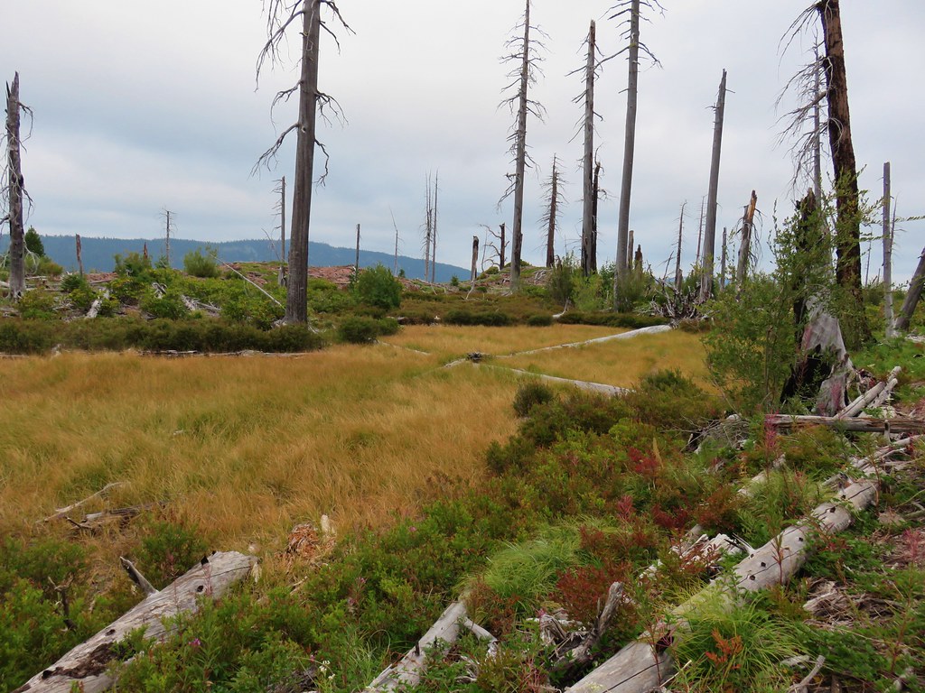
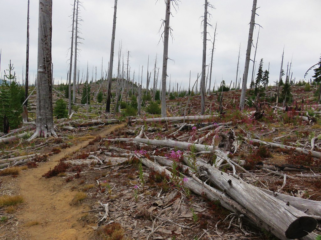
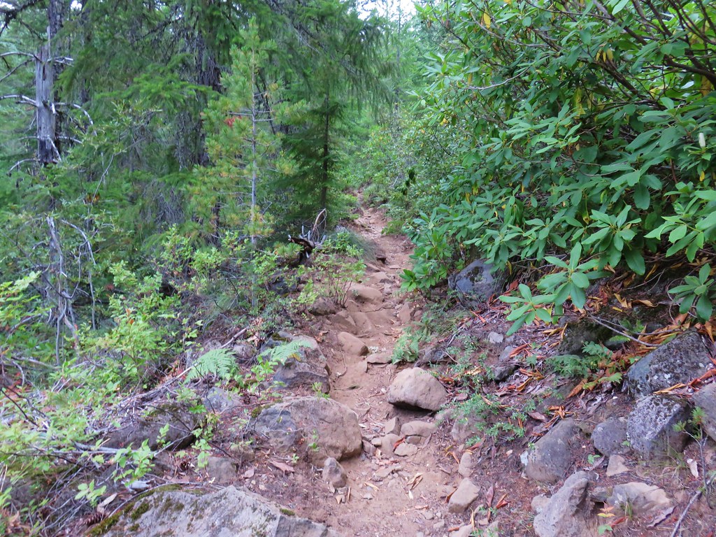
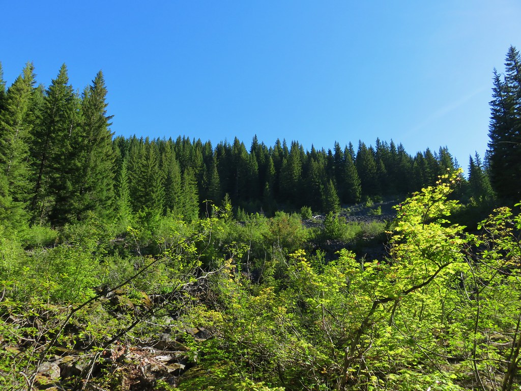
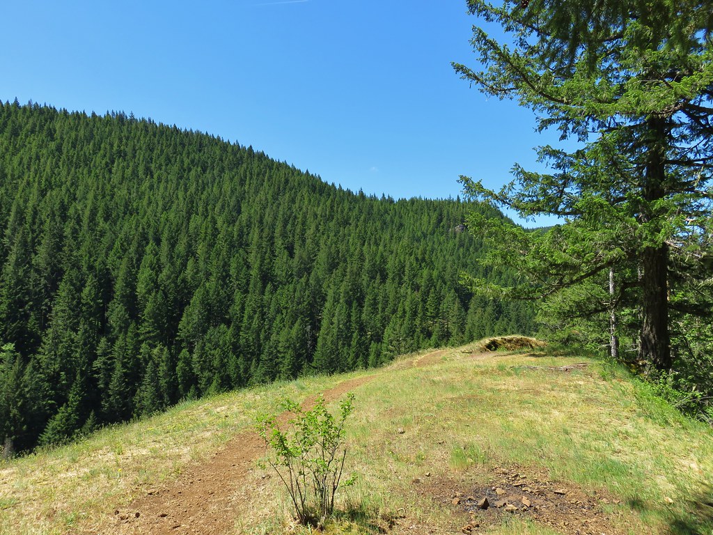
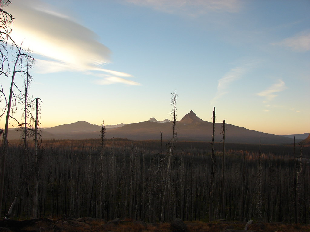
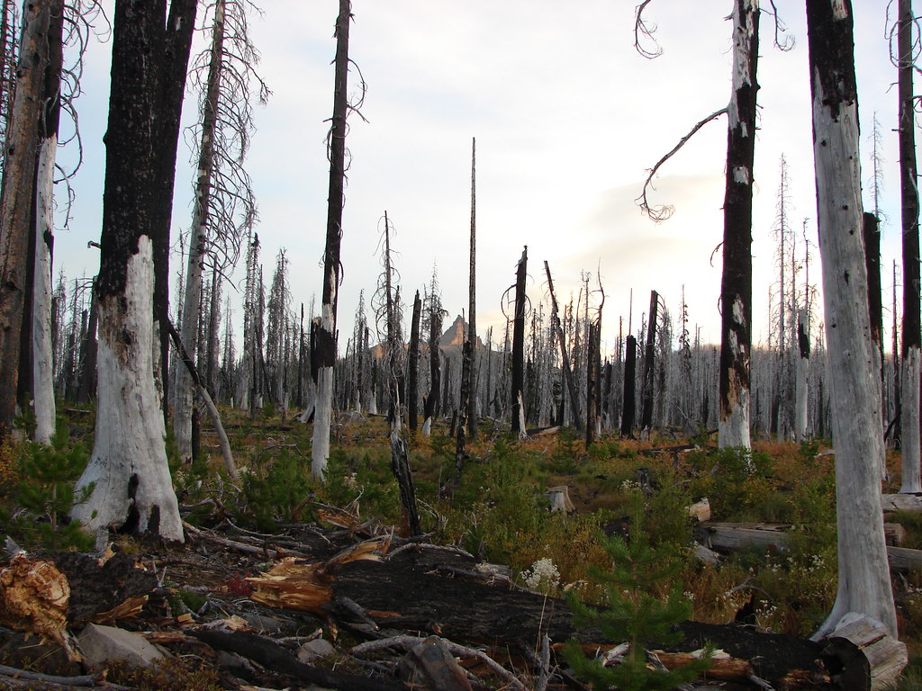
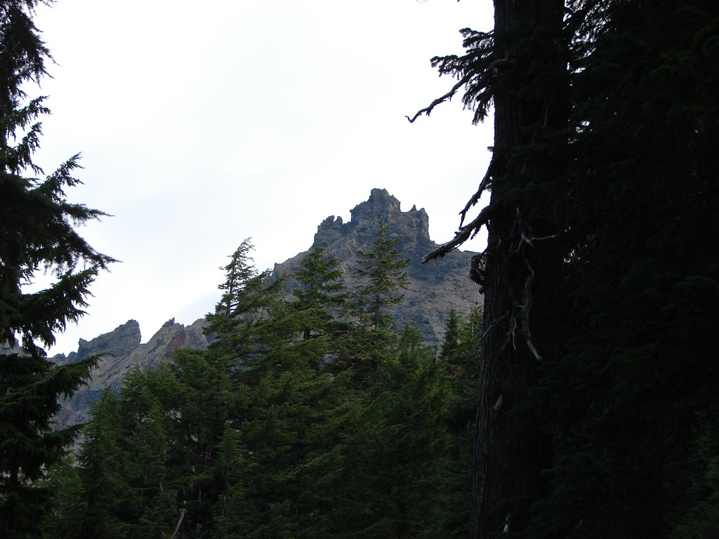
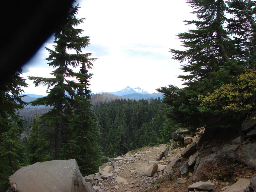
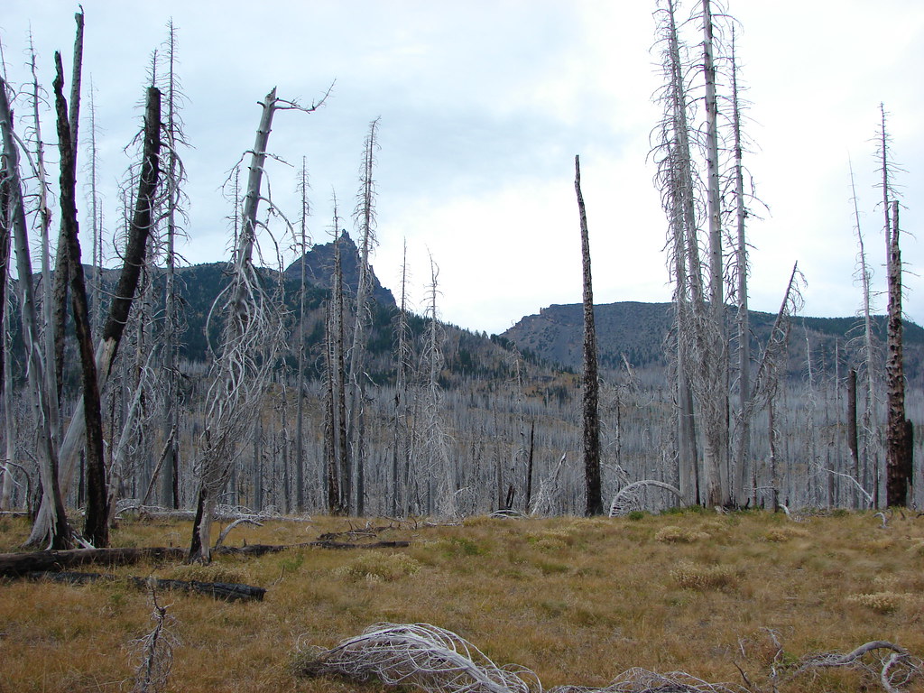
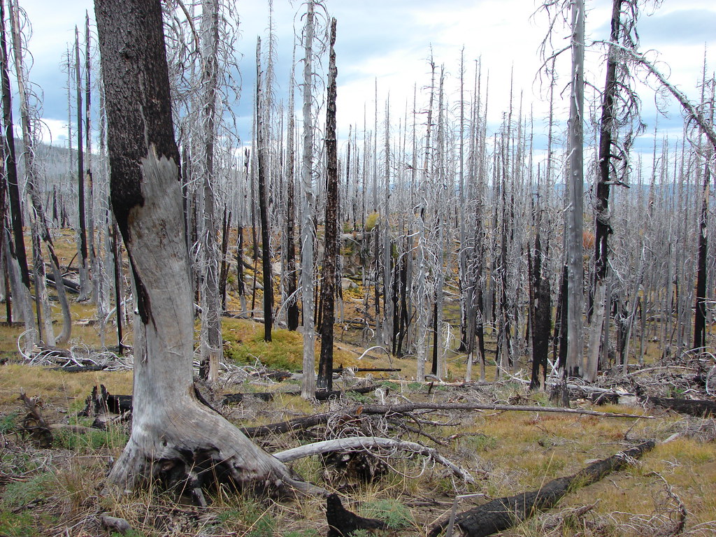
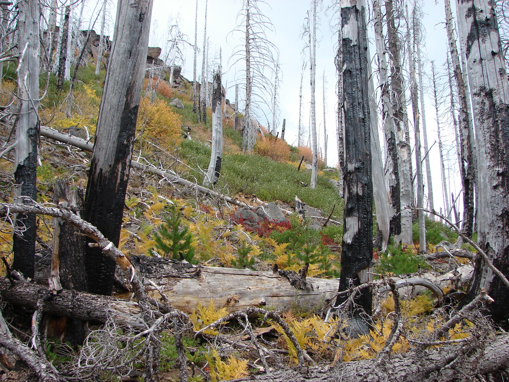
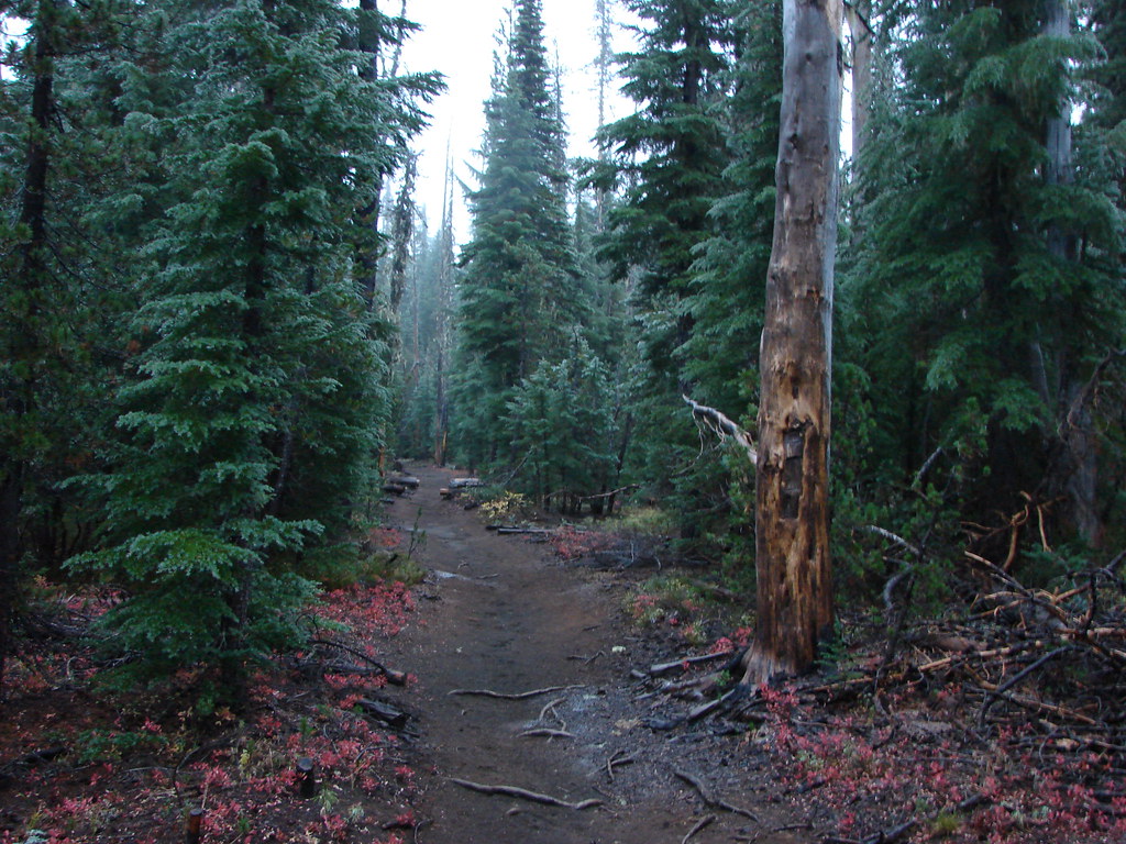
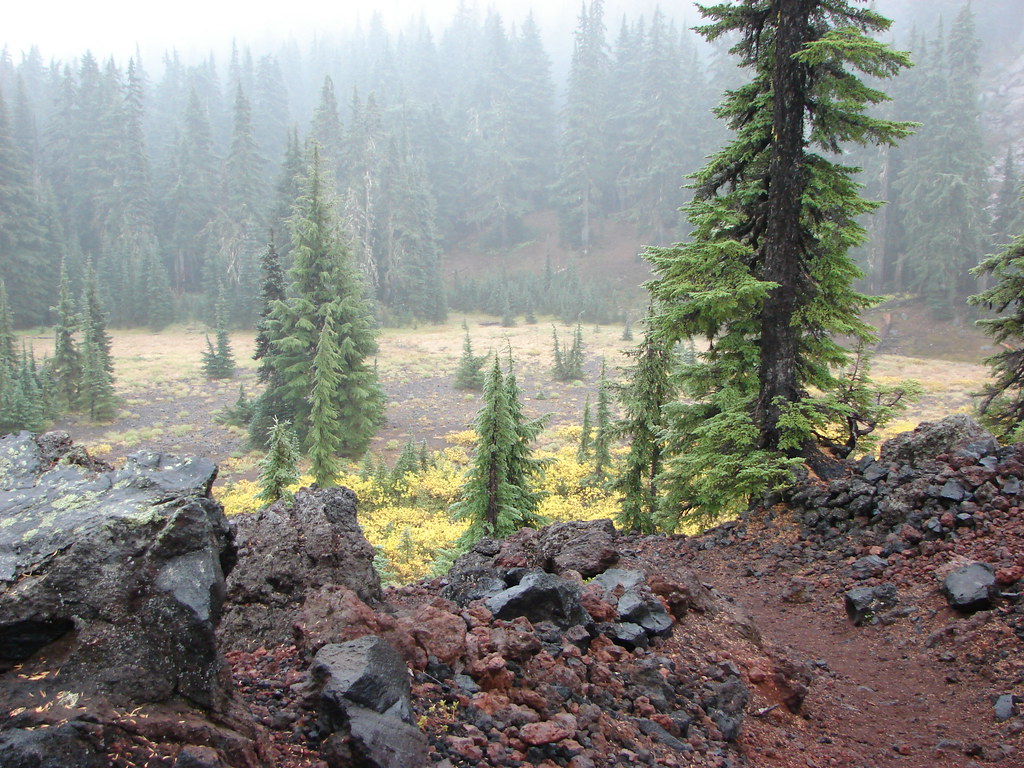
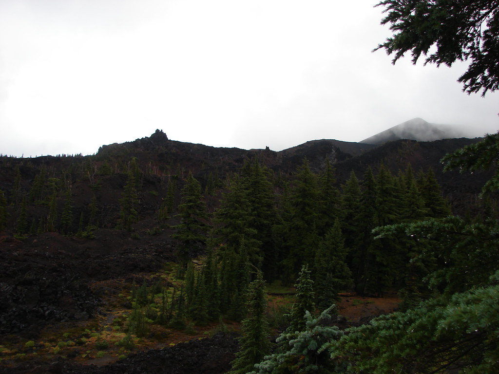
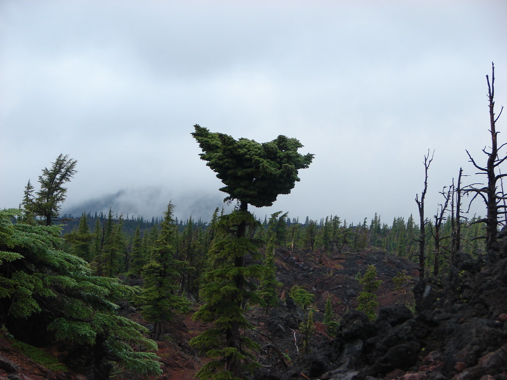
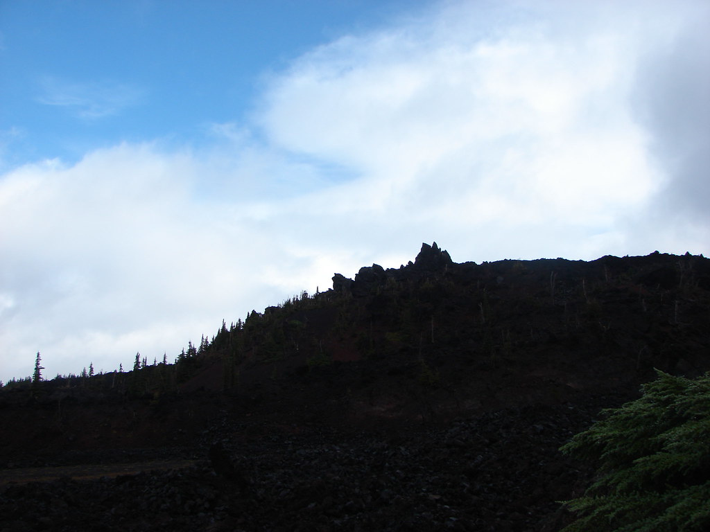
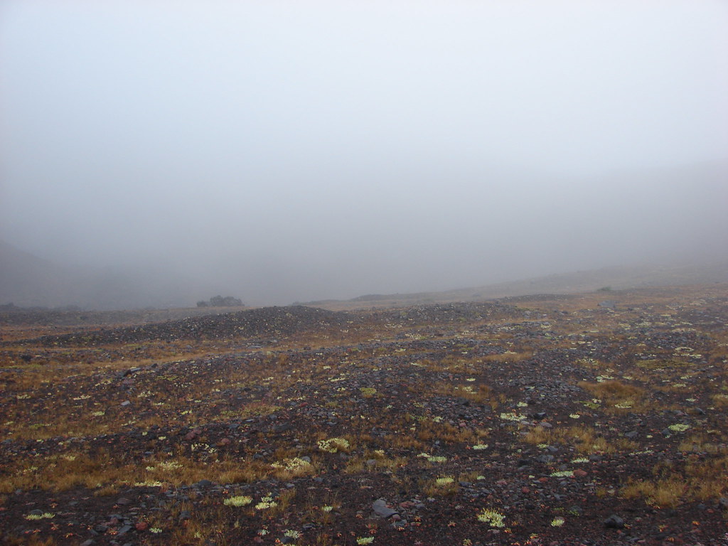
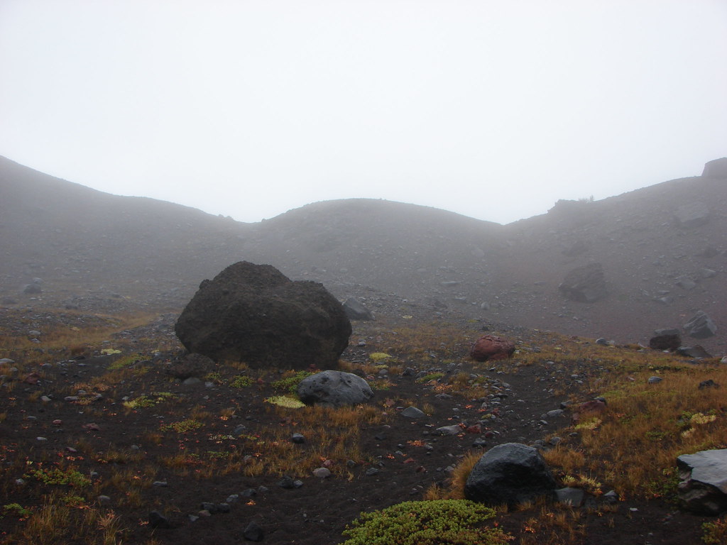
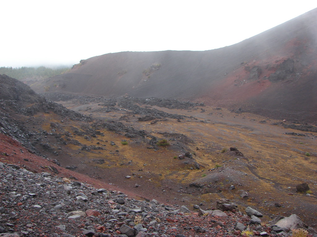
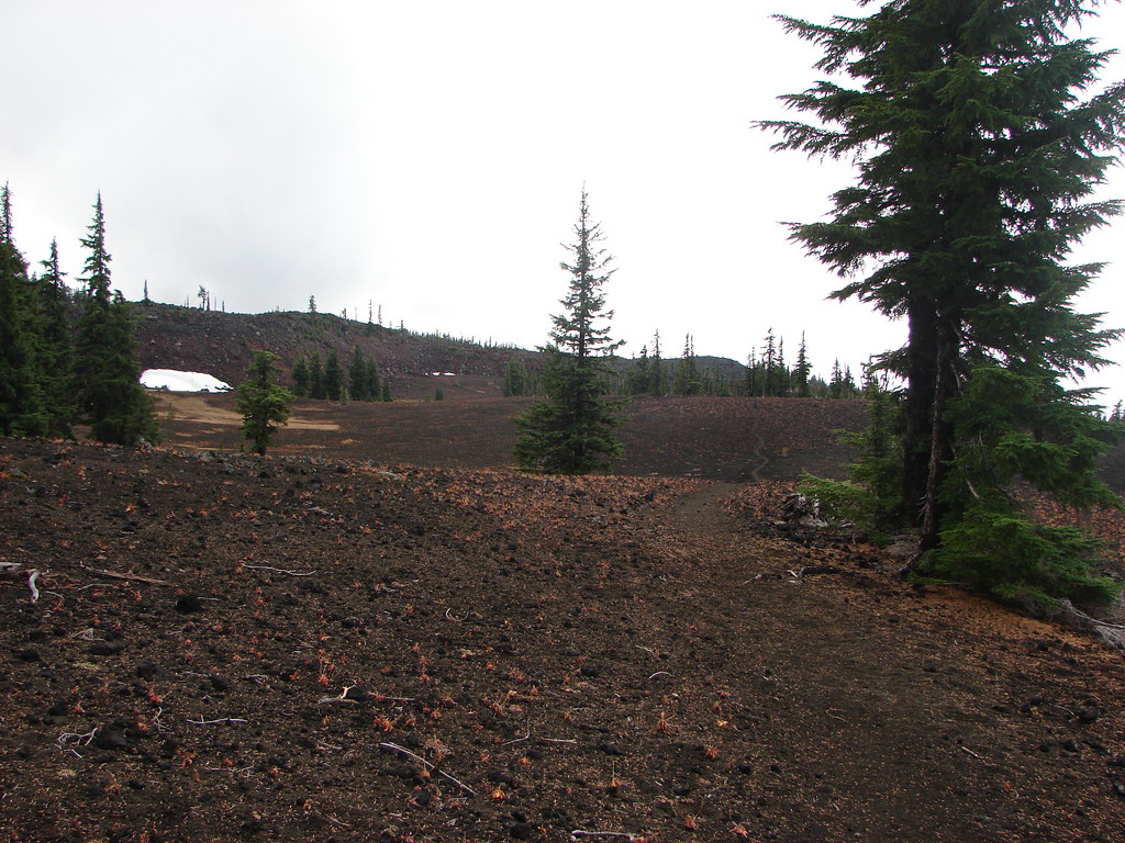
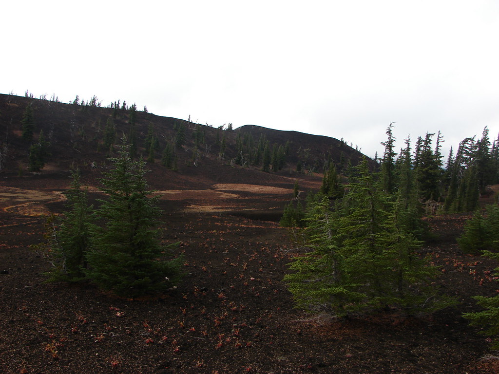
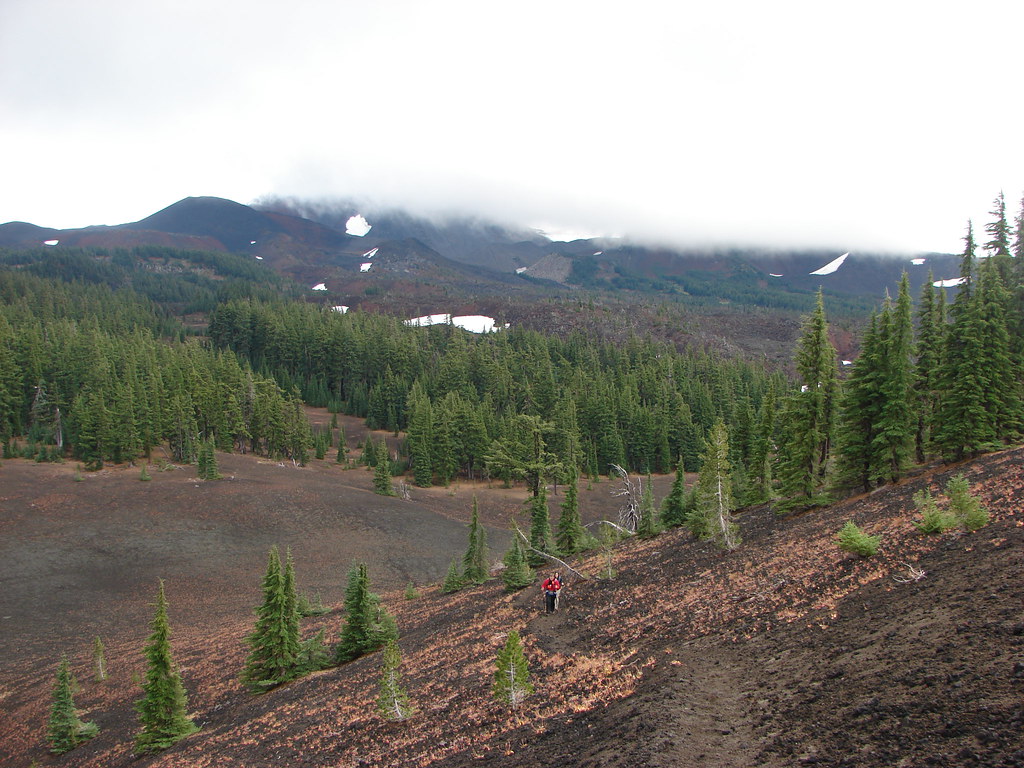
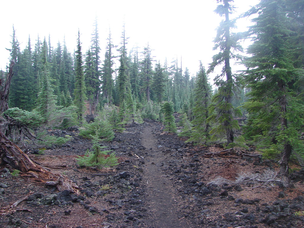
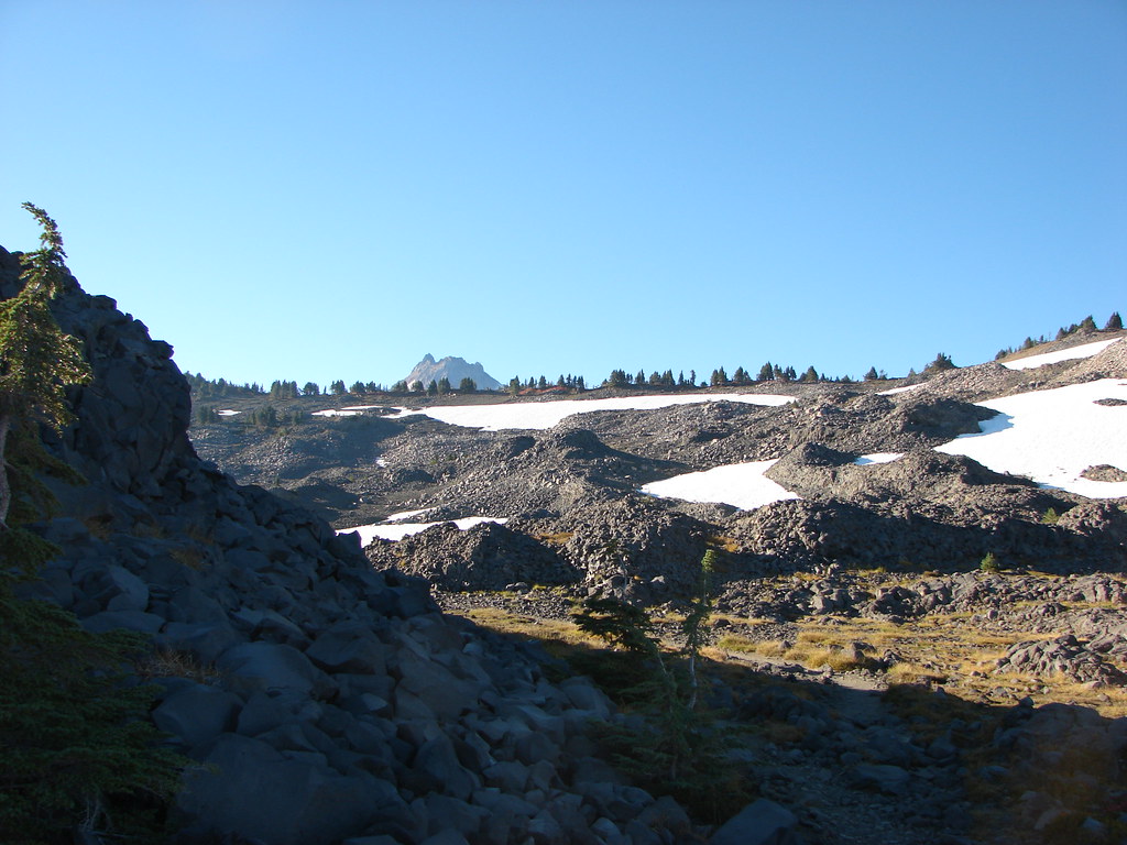
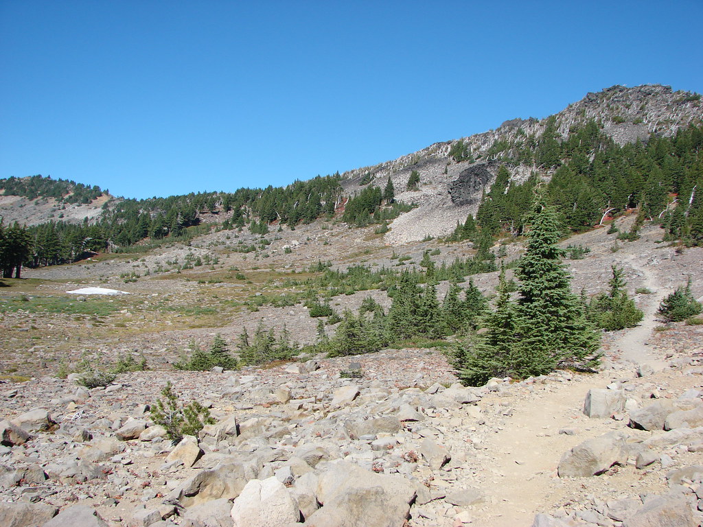
What had already been a scenic hike got even better over the next mile and a half as the Cabot Lake Trail passed through an increasing volcanic landscape.
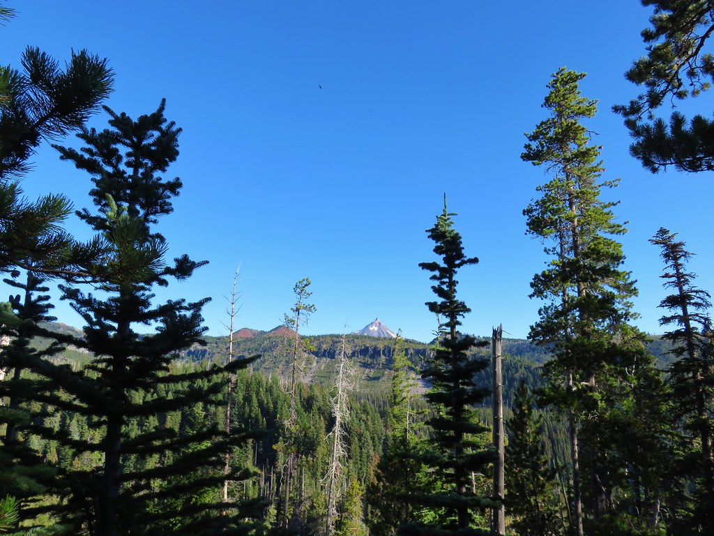
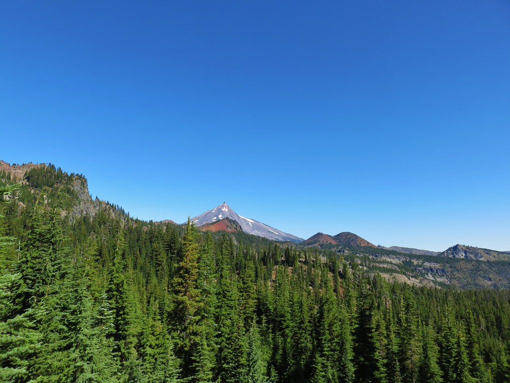
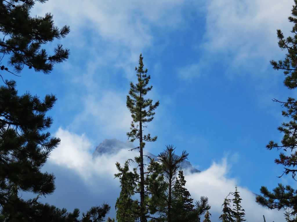
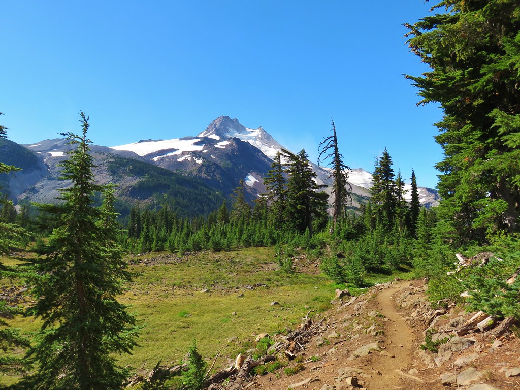
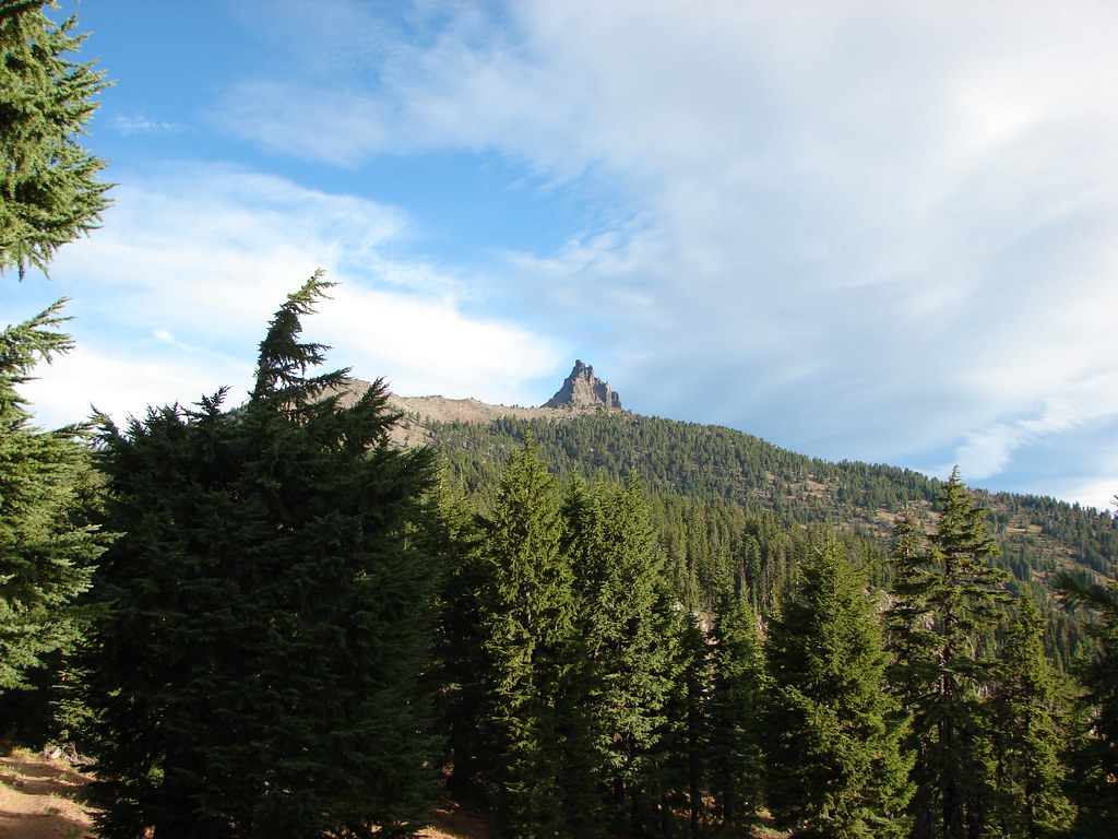
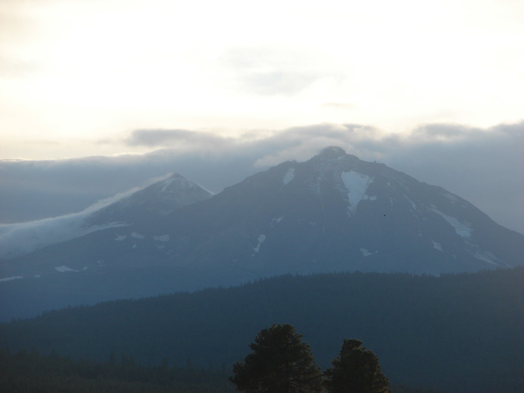
 Mt. Jefferson and Forked Butte poking up over the trees.
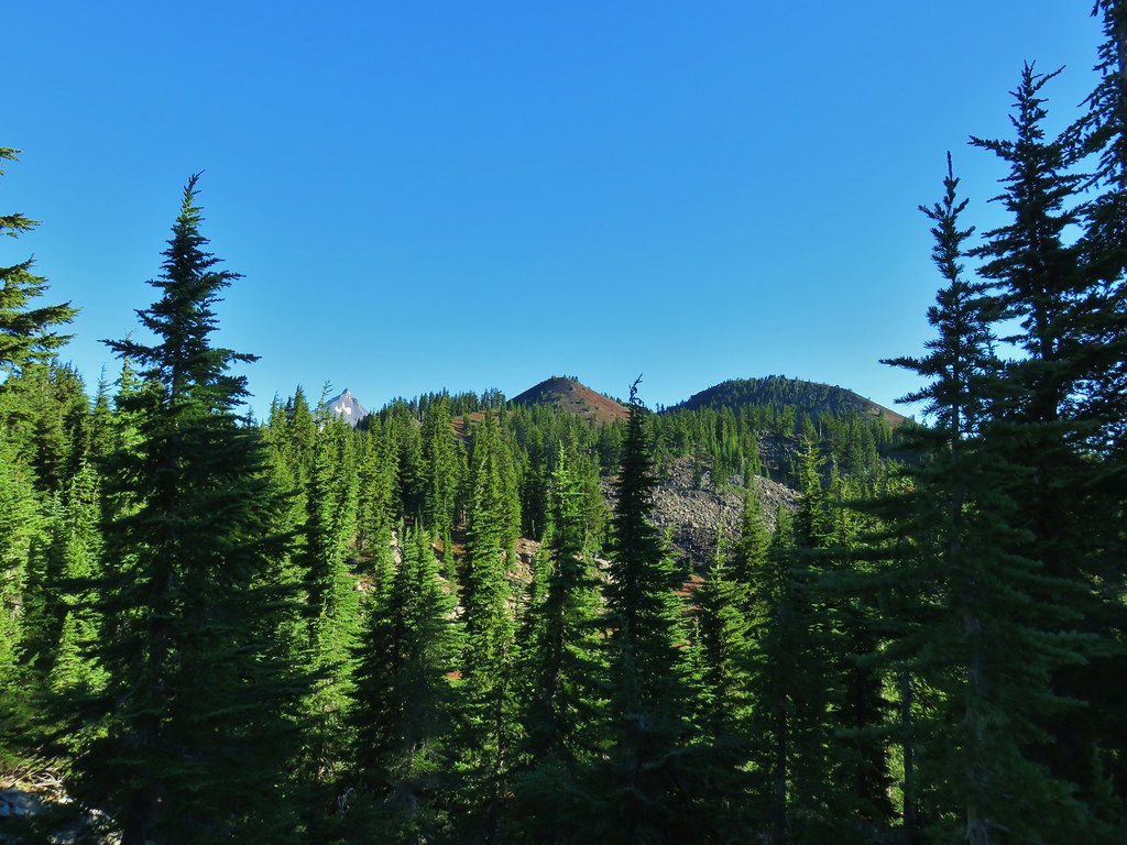
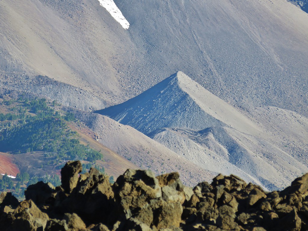
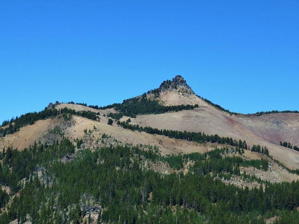
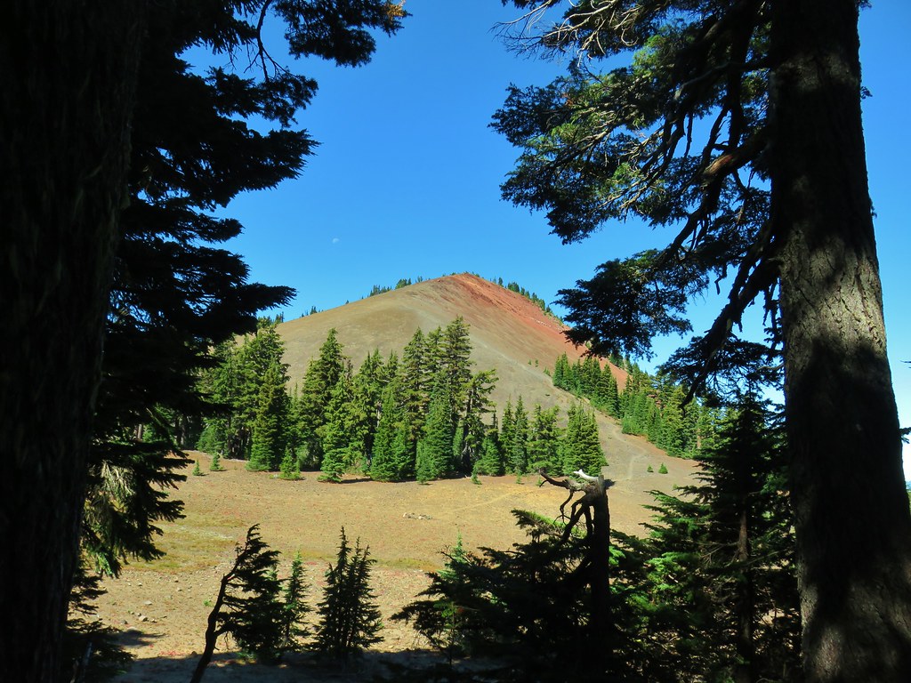
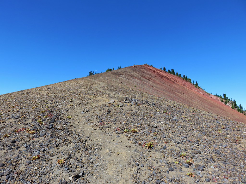
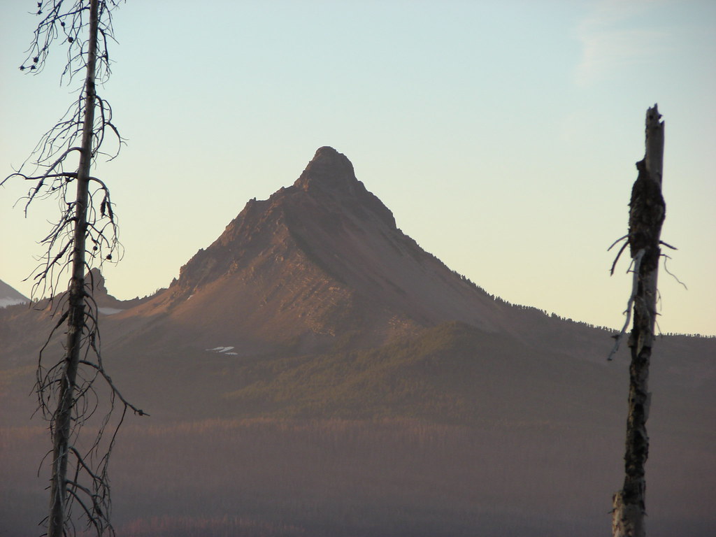
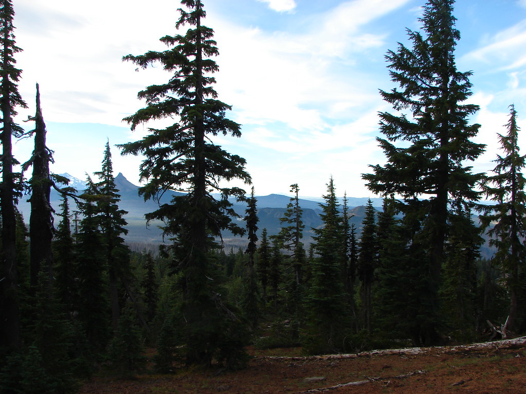
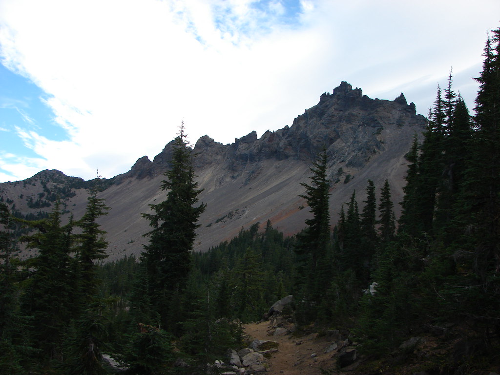
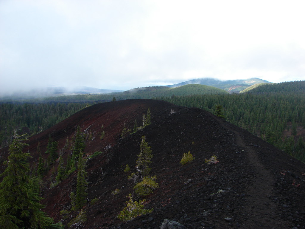
 North Cinder Peak
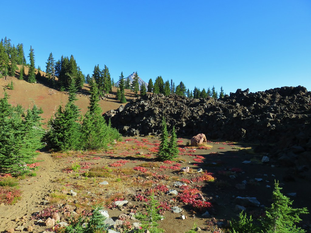
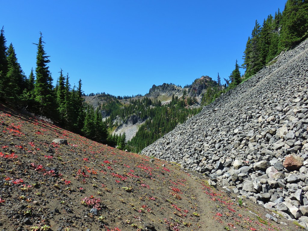
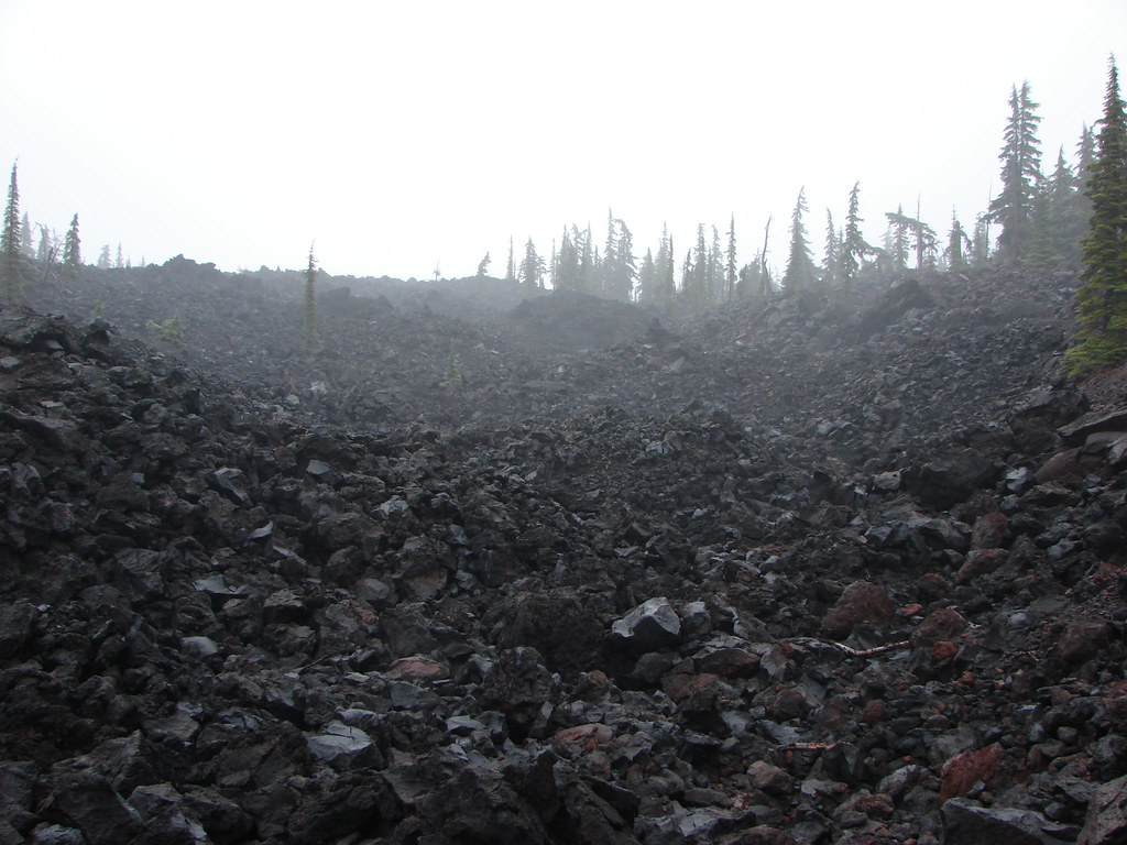
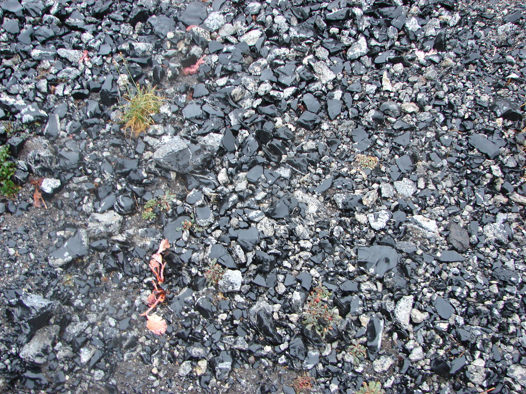
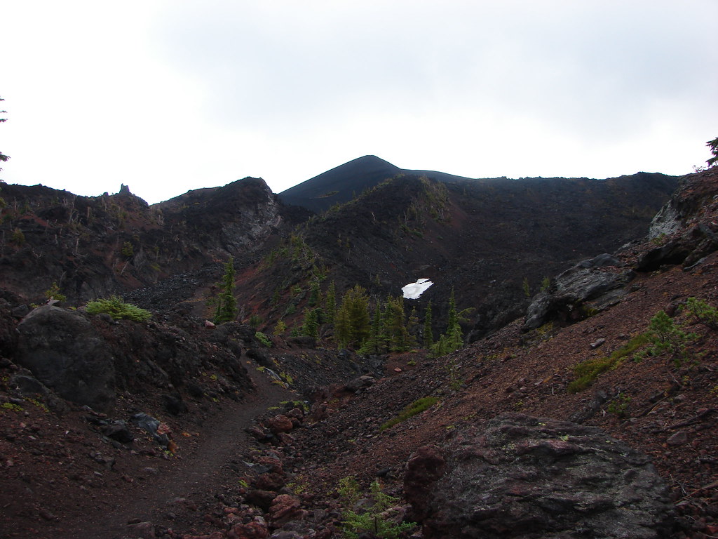
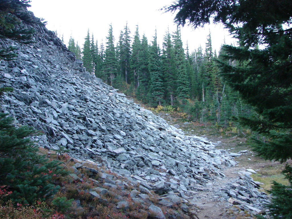
Our favorite part of this section was when the trail passed between a jumble of white rocks on the left and the dark lava from the Forked Butte Lava Flow.
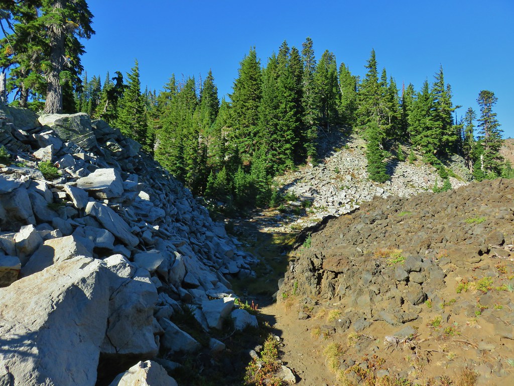
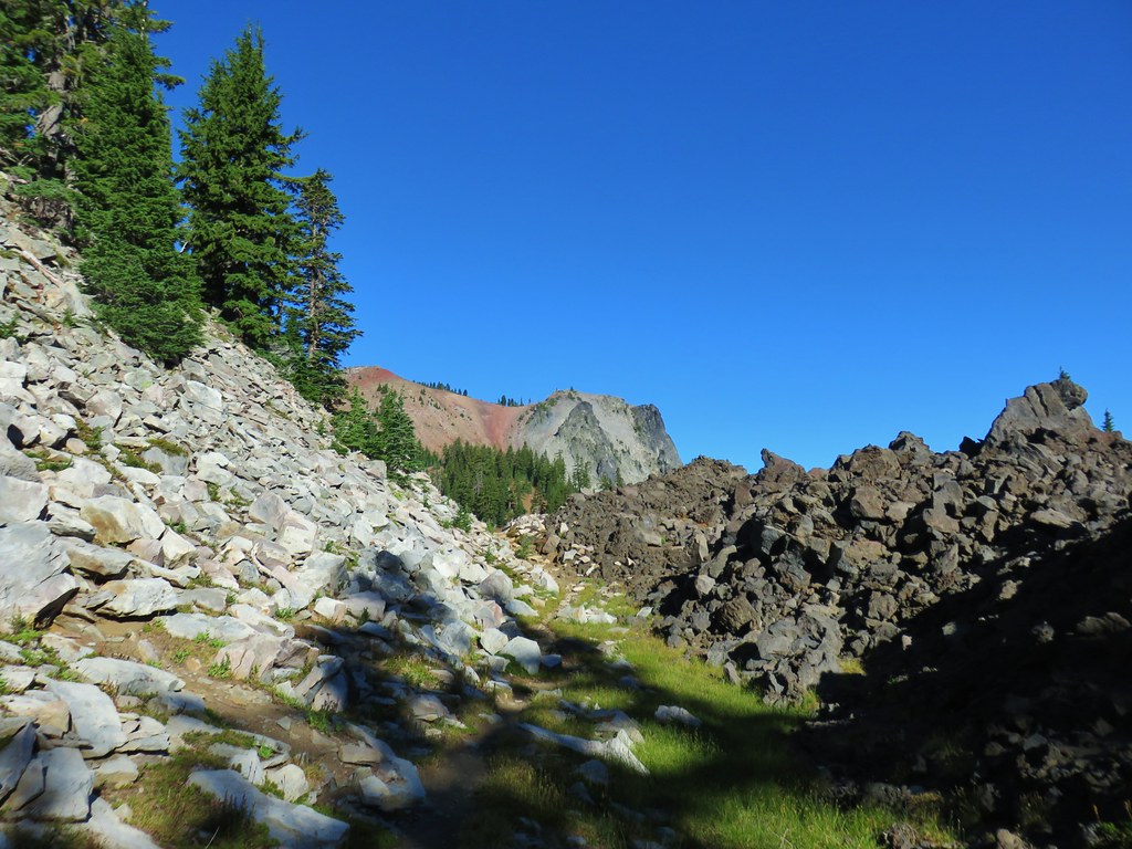
The contrasting colors and textures made for some excellent scenery.

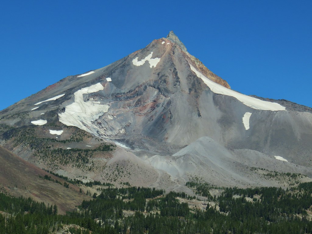
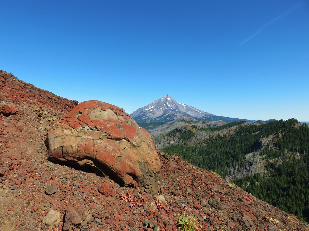
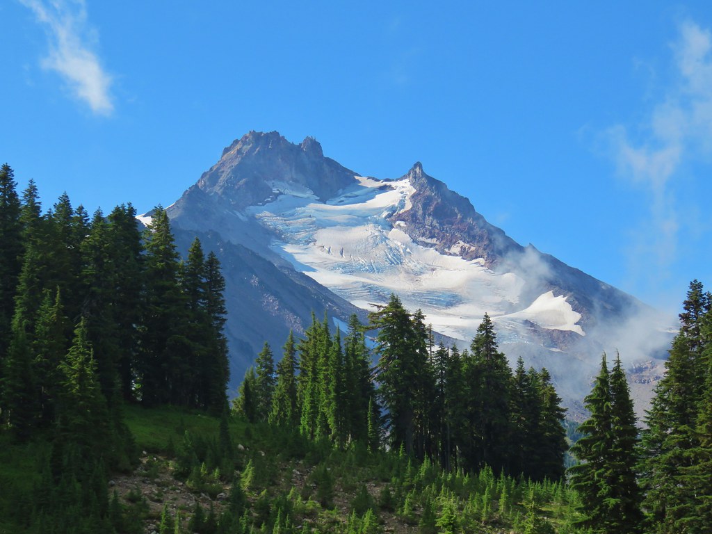
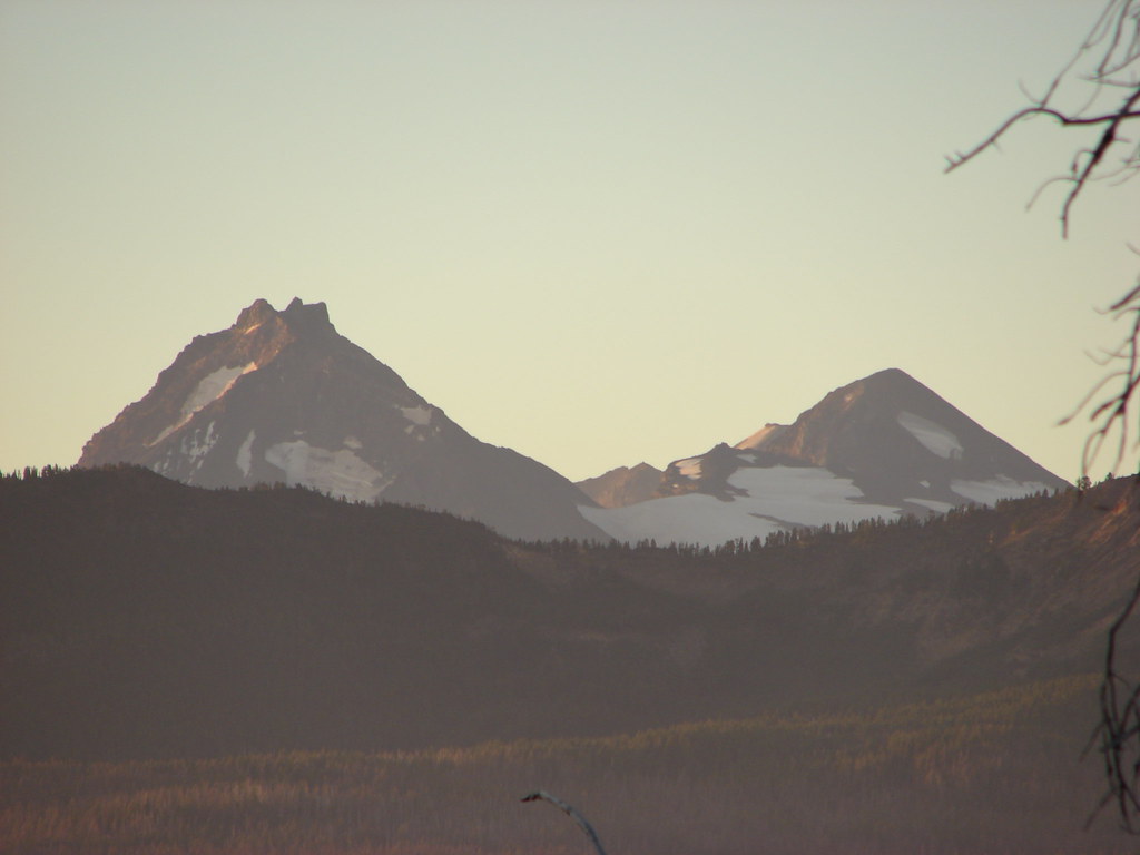
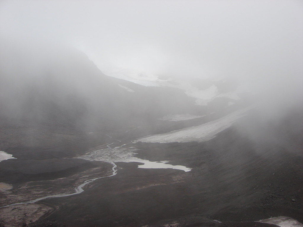
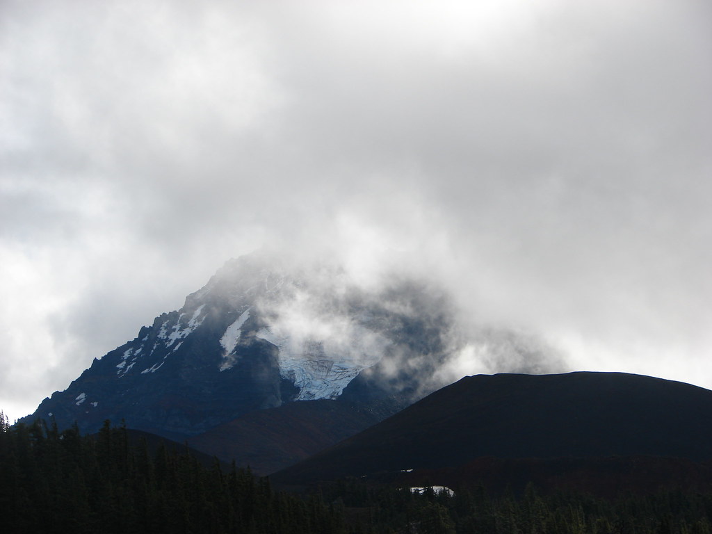
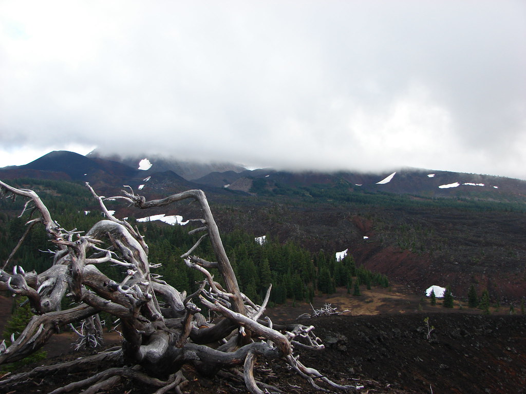
 Moraine below the Waldo Glacier on Mt. Jefferson.
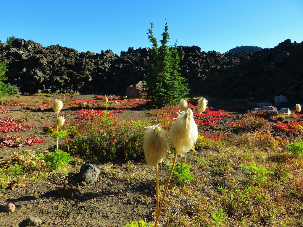
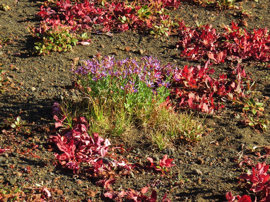
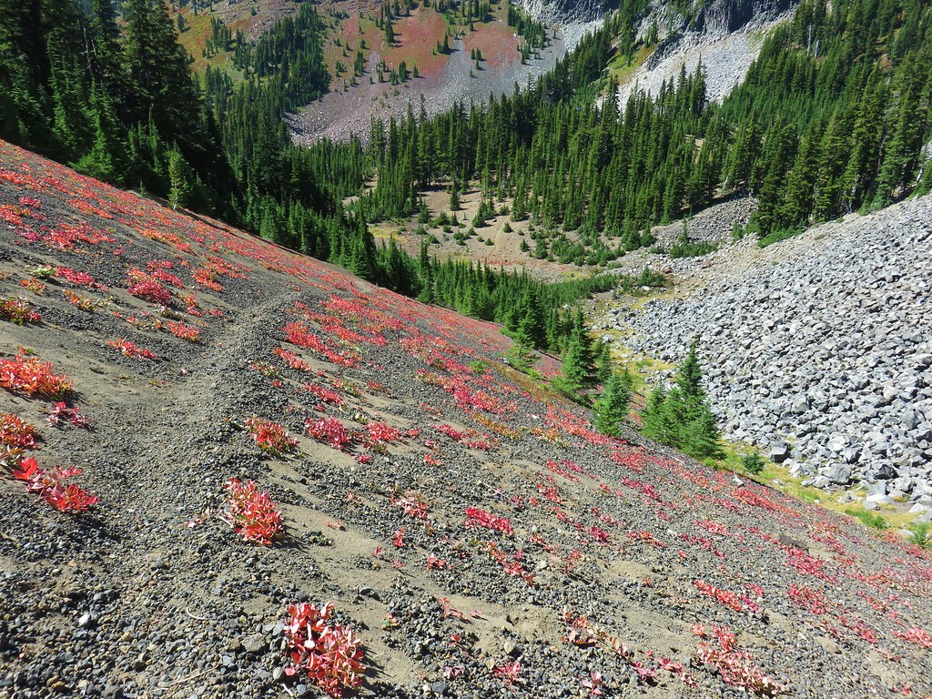
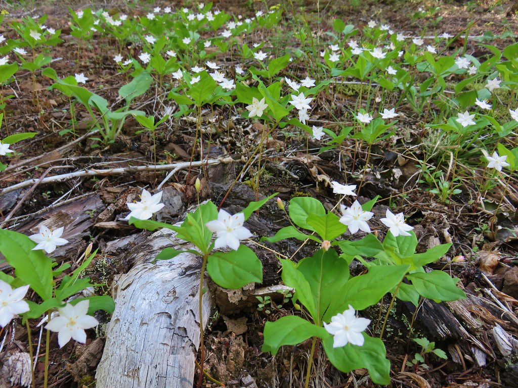
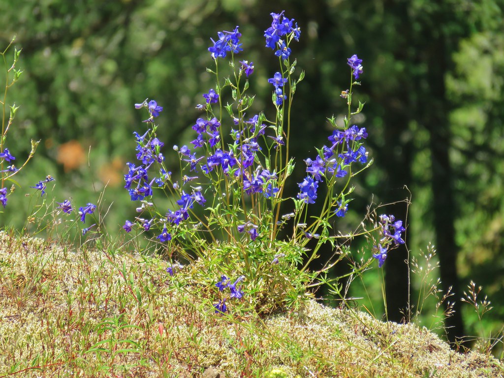
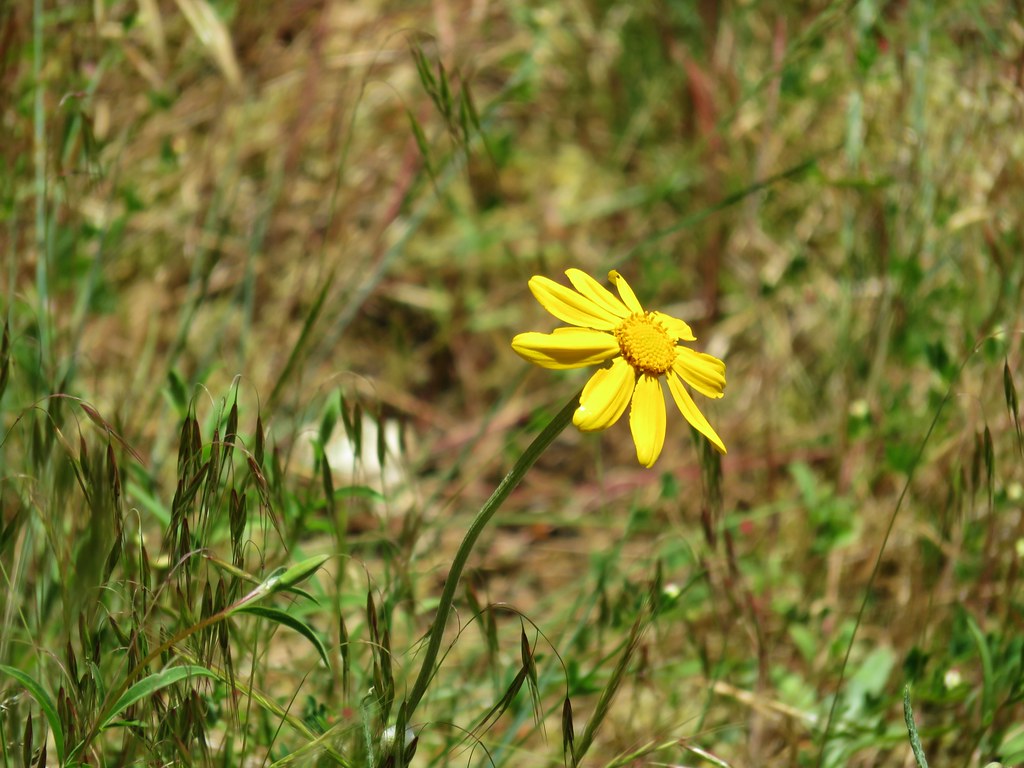
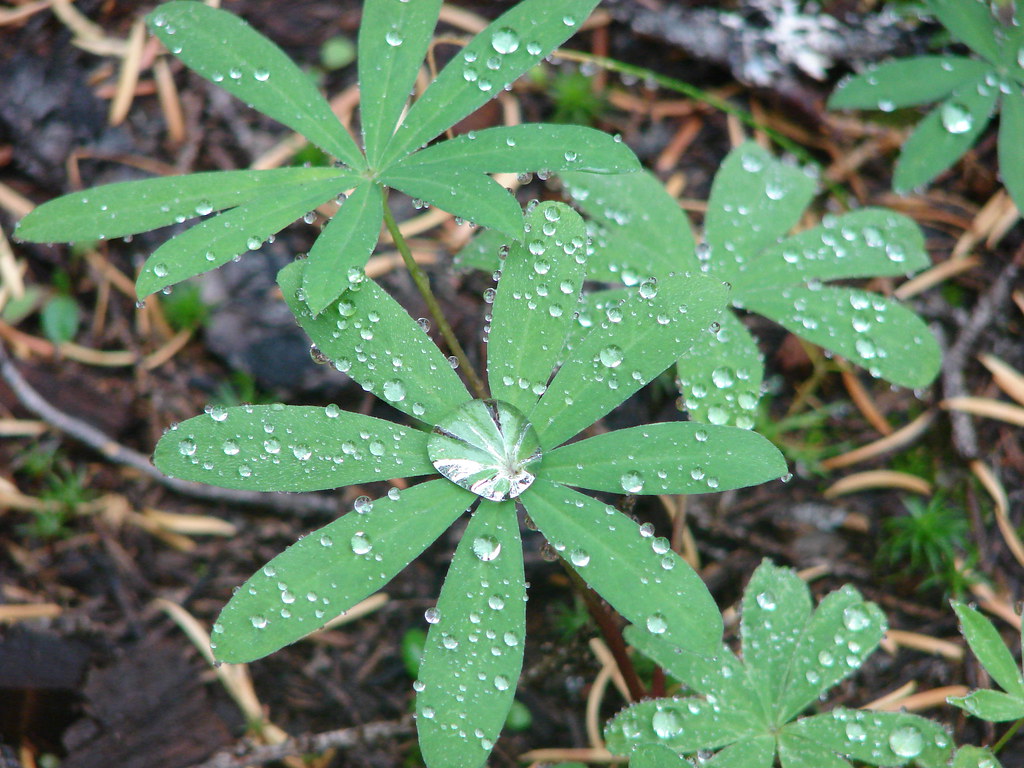
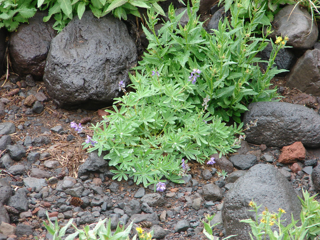
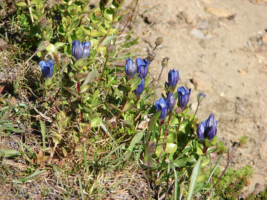
The trail wound around the lava flow where we found a small patch of western pasque flowers that had gone to seed and the remains of a lone clump of aster.
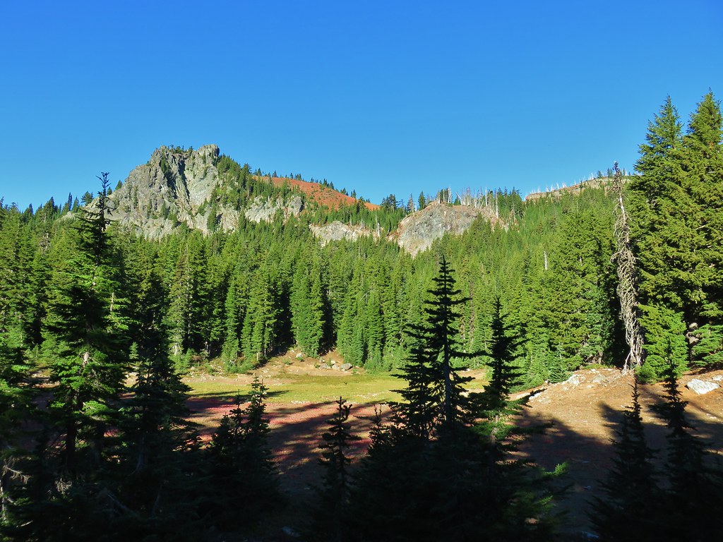
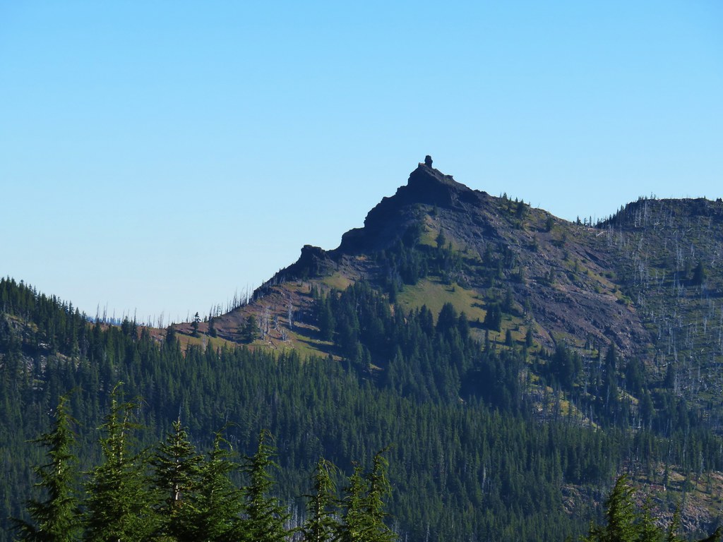
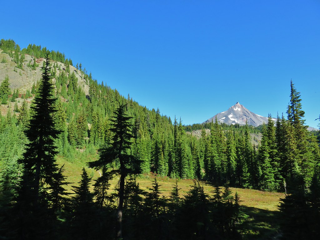
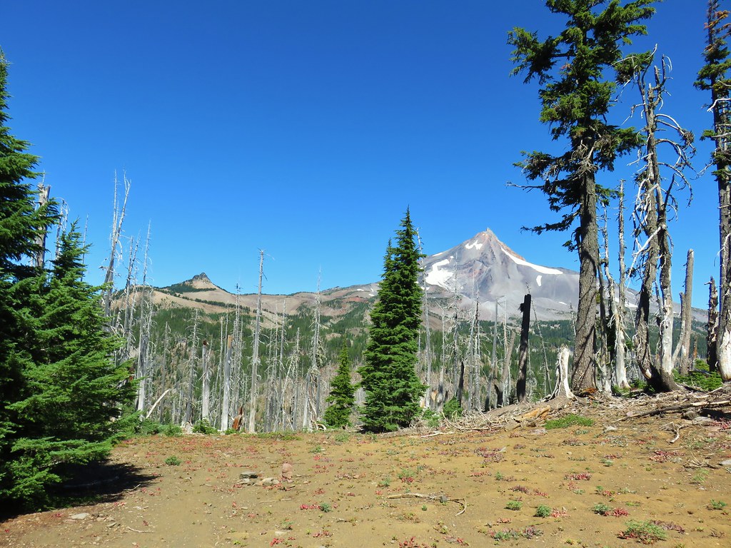
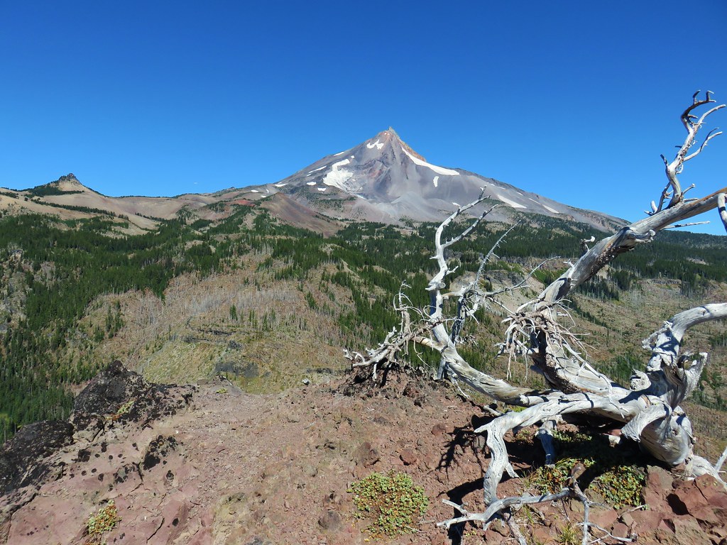
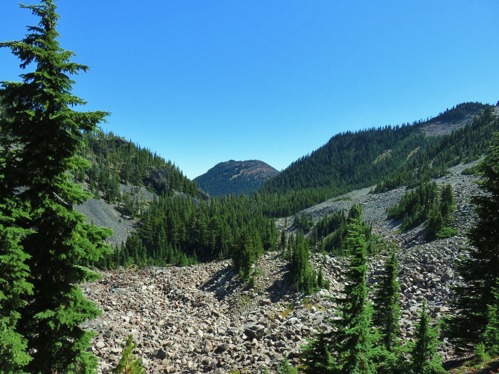
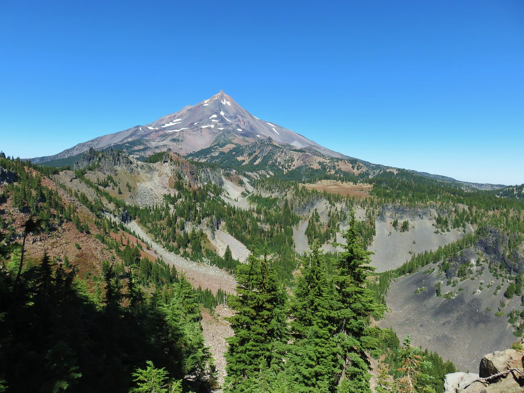
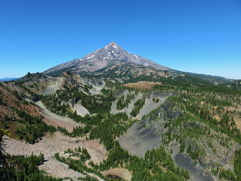
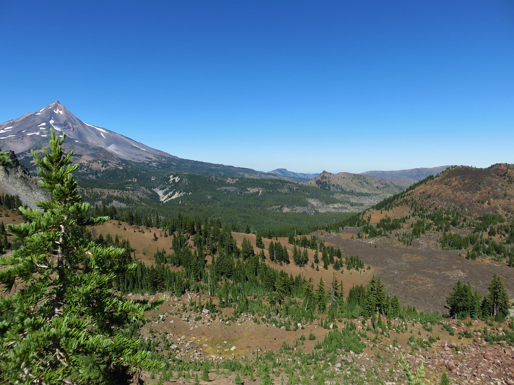
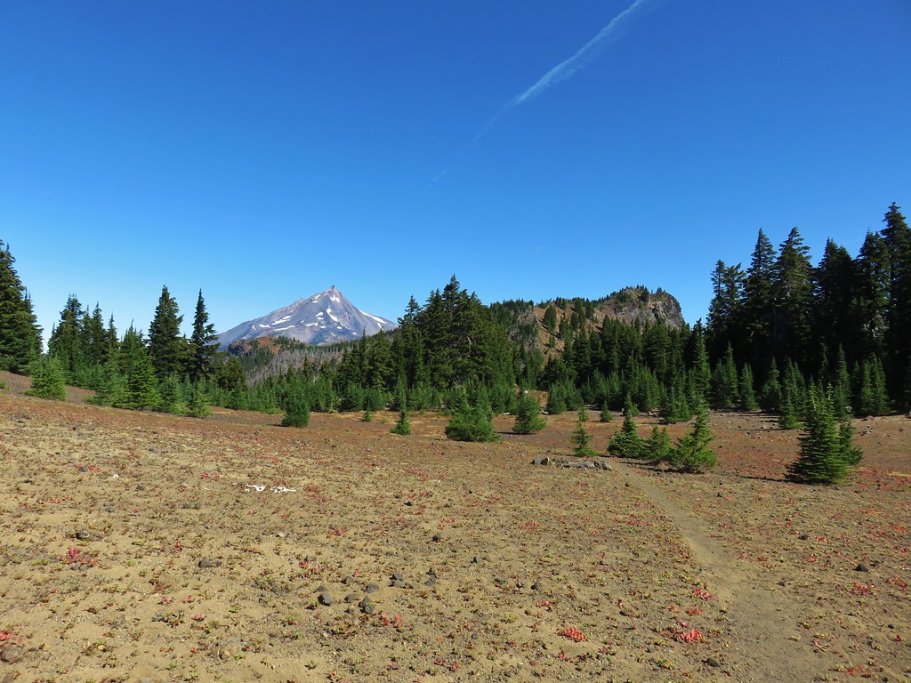
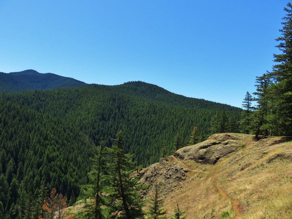
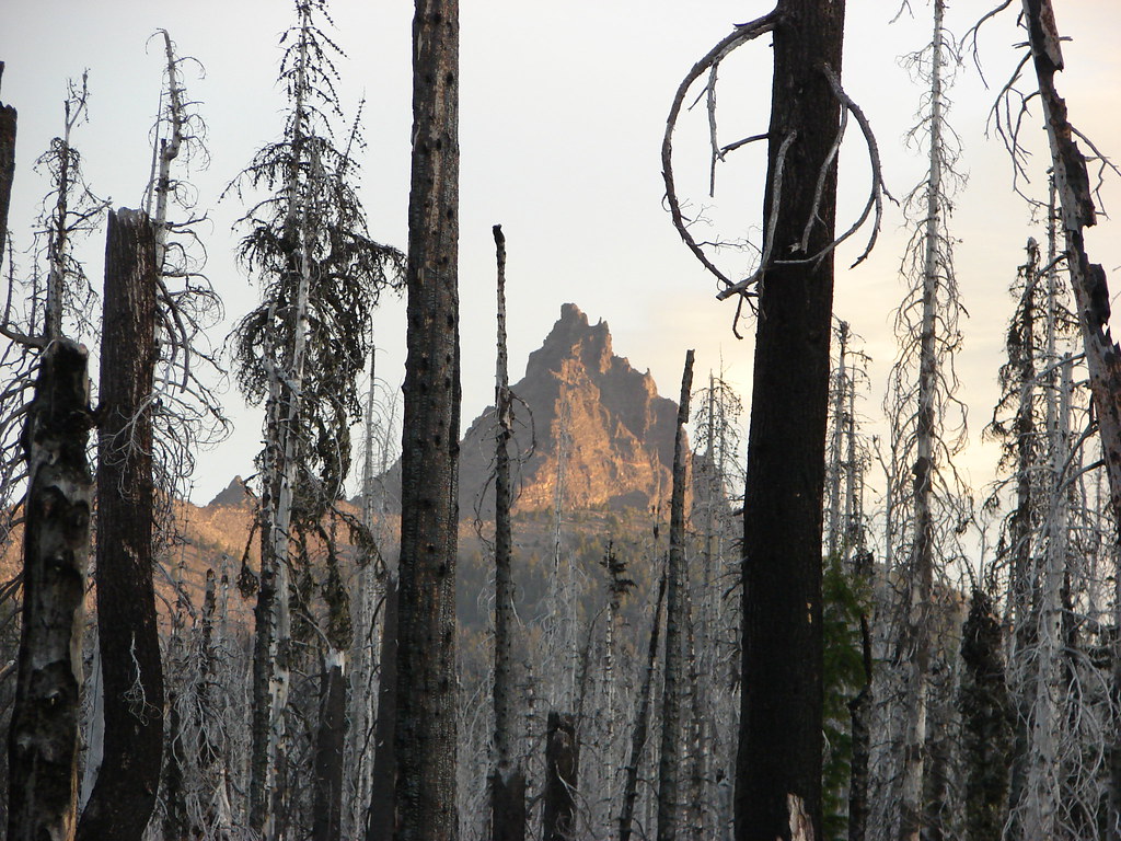
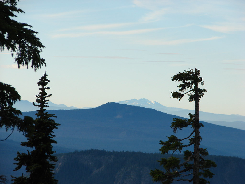
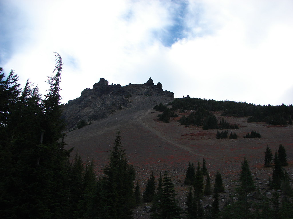
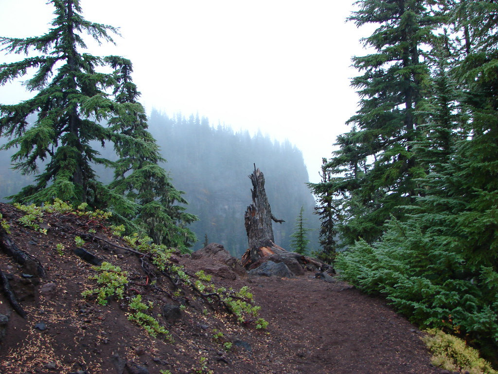
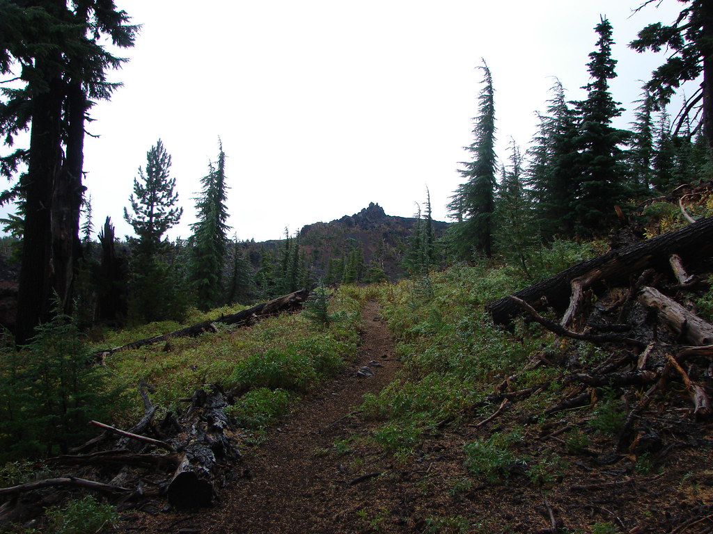
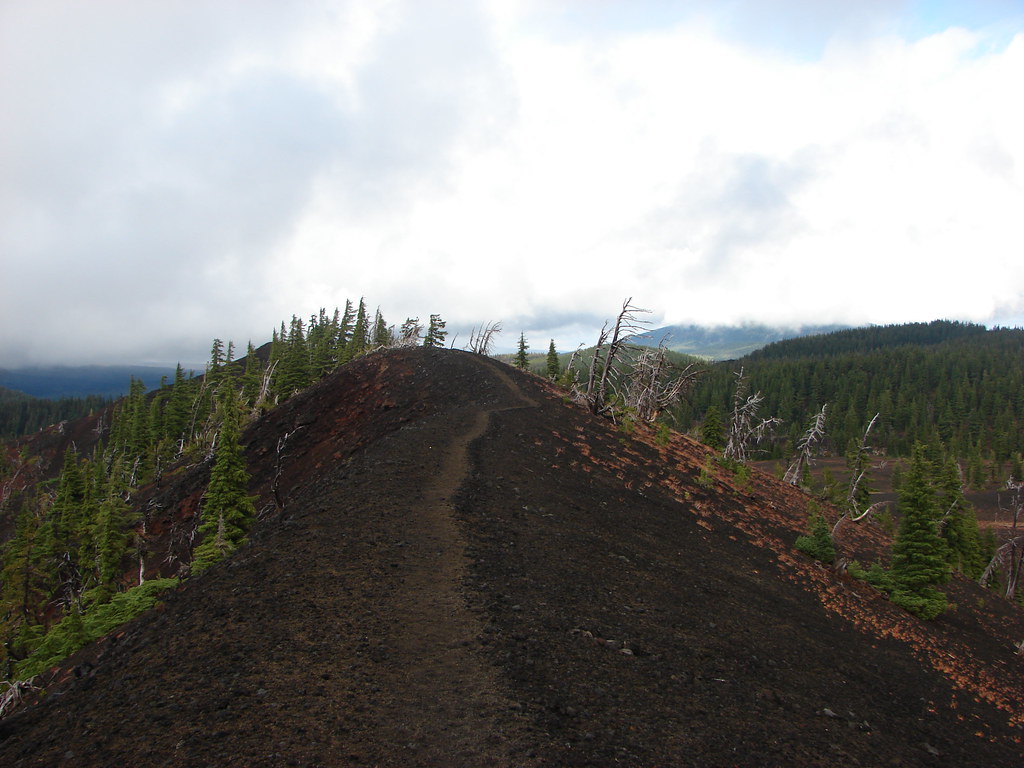
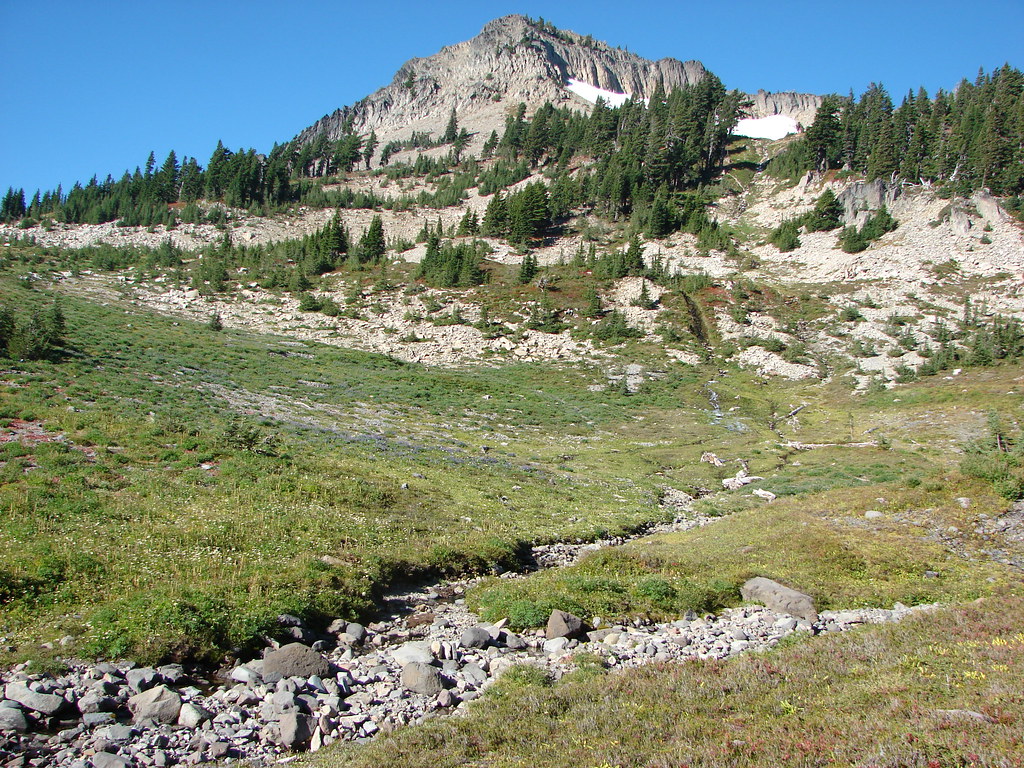
The trail crested a cinder hillside with spectacular views of North Cinder Peak and Mt. Jefferson and began to descend toward a green forest.

As we came down and around we got a good look at pointy Bear Butte poking up from a ridge to the right of Mt. Jefferson. Our turn around point for the day was at a viewpoint below and to the left of that butte.

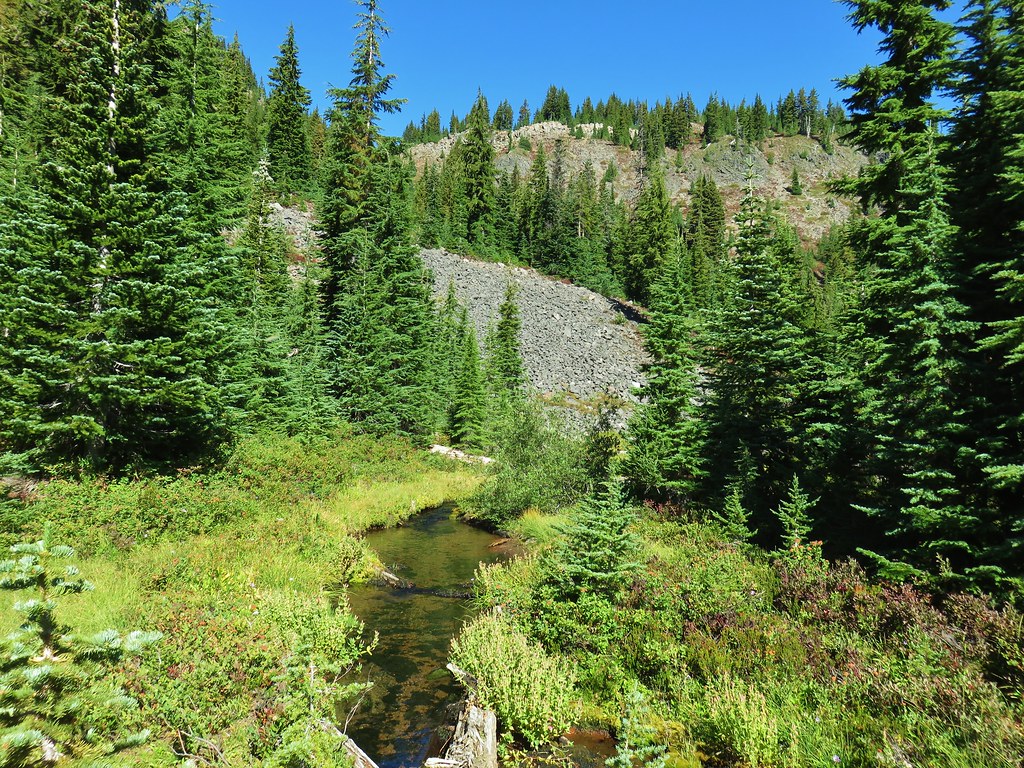
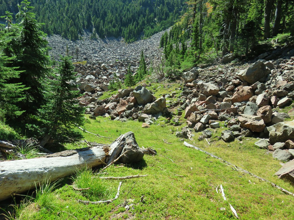
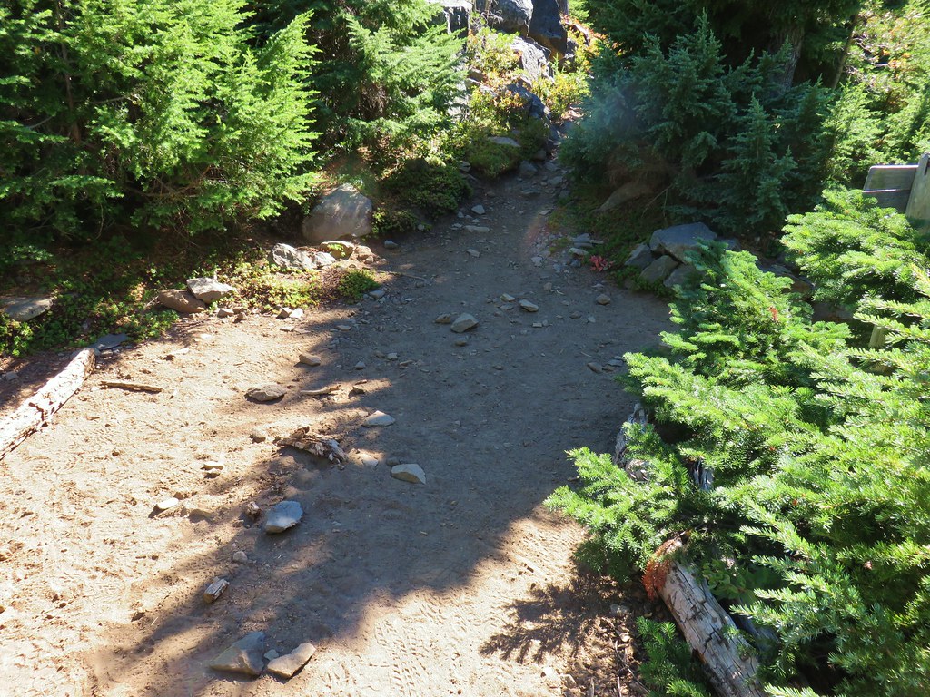
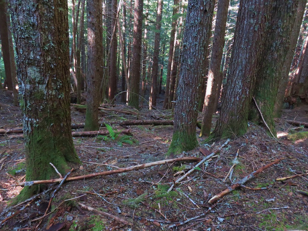
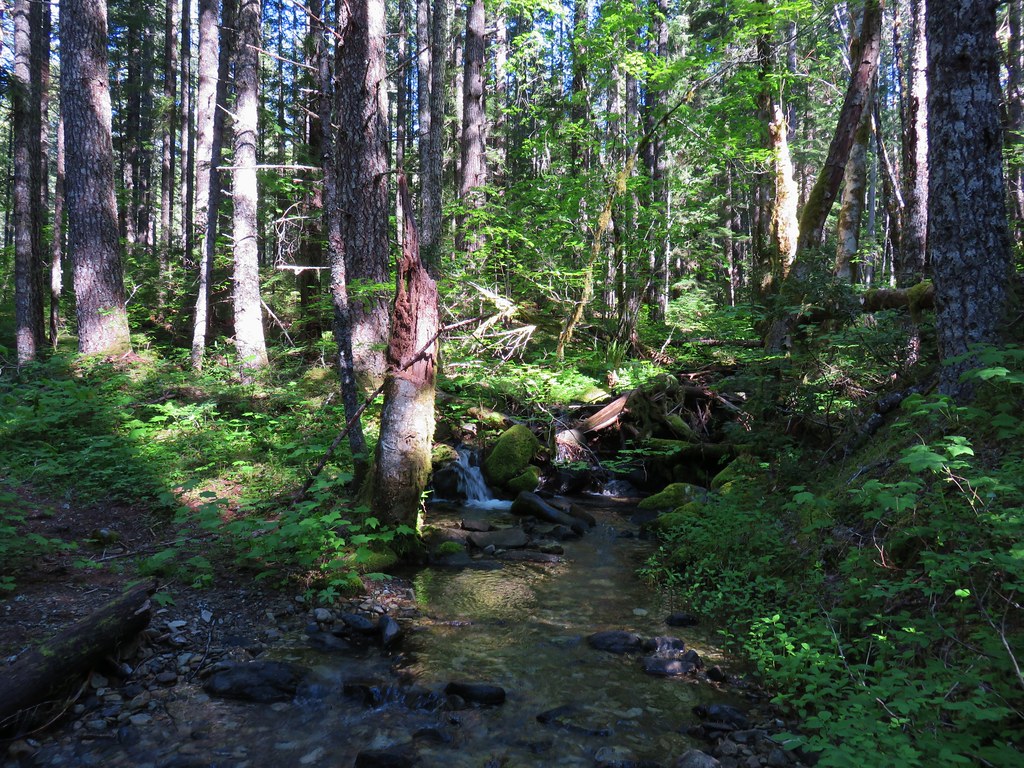
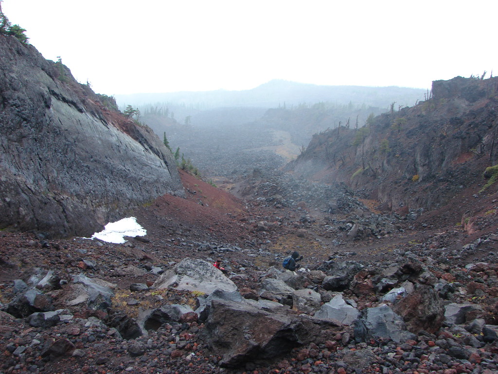
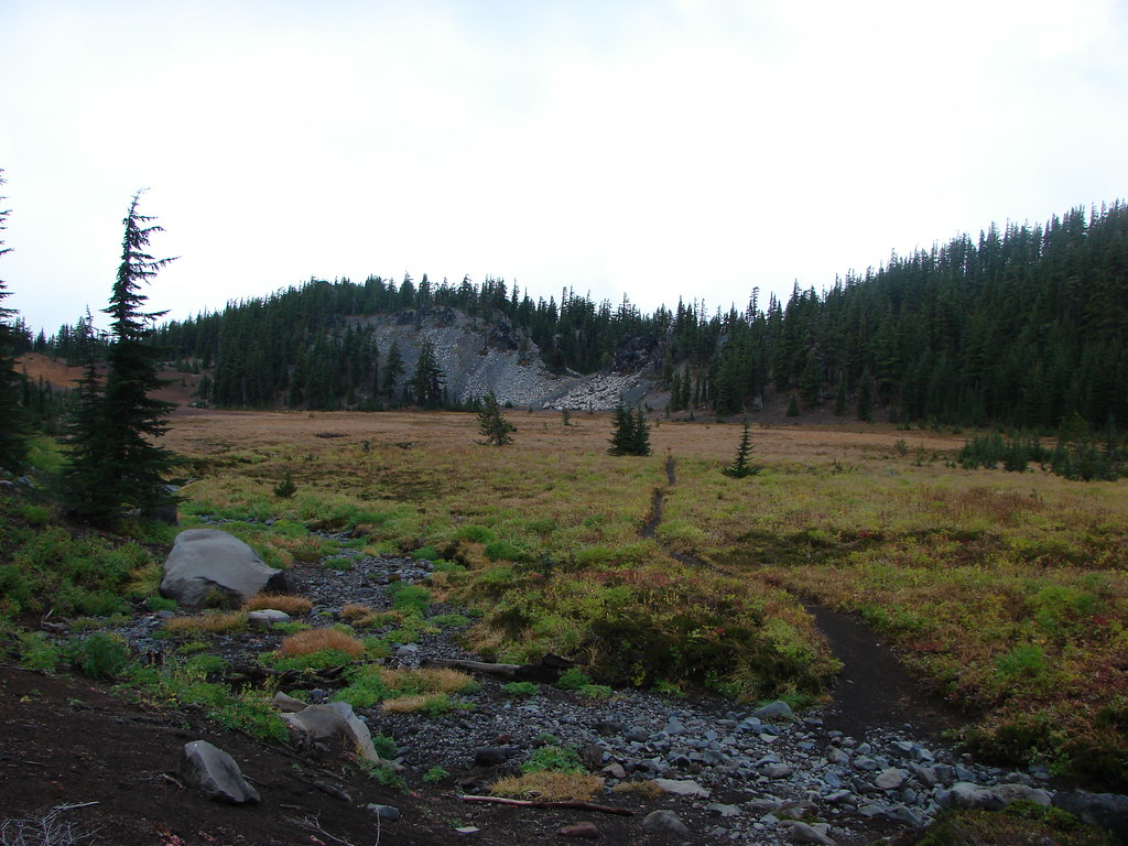
At the end of this 1.5 mile stretch the Cabot Lake Trail reentered the forest and began a 350′ drop down to Patsy Lake. This .4 mile section was fairly steep as it dove down via one long switchback.
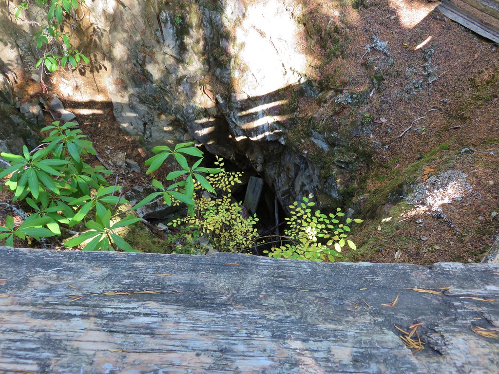
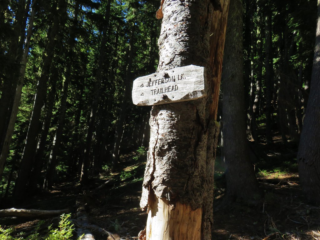
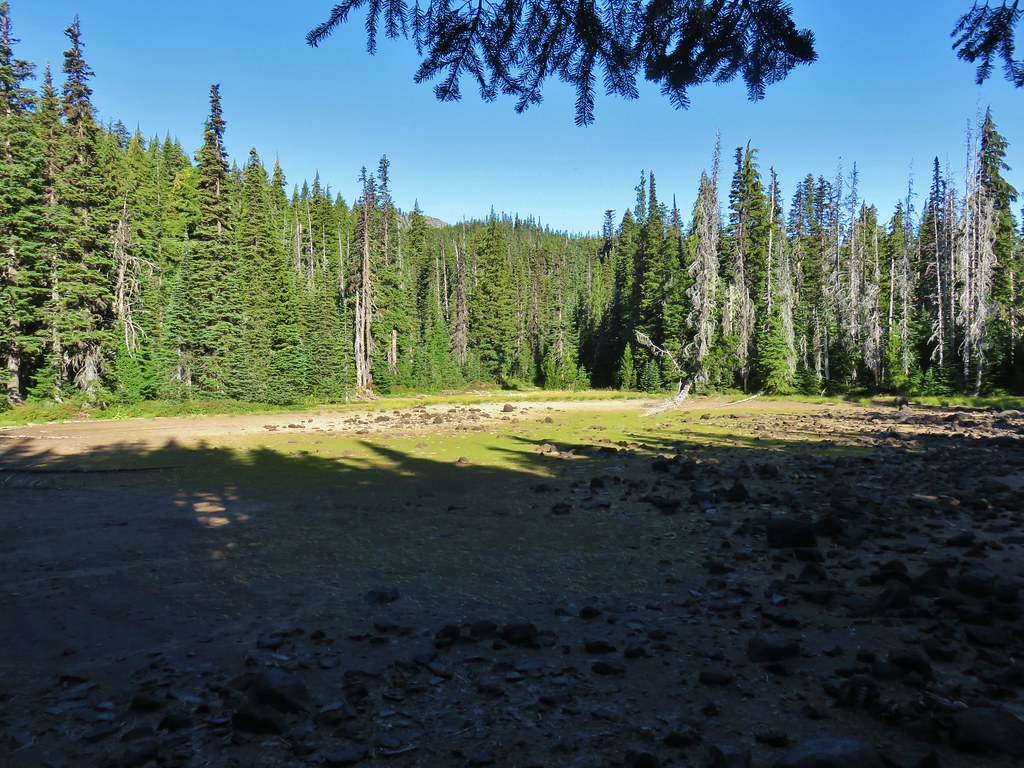
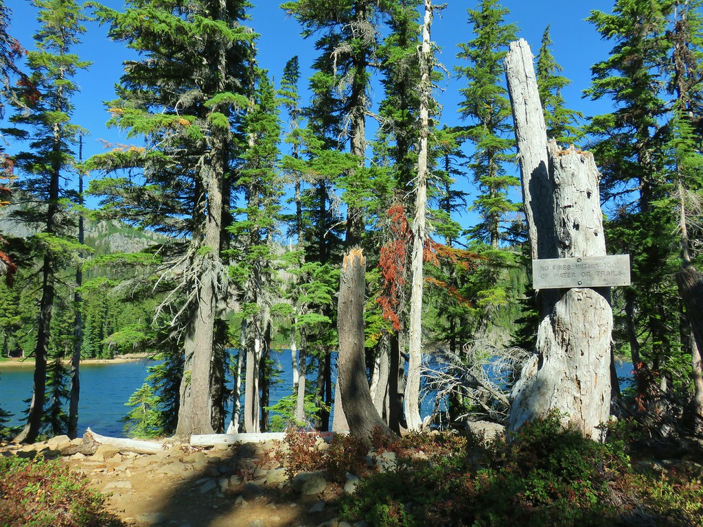
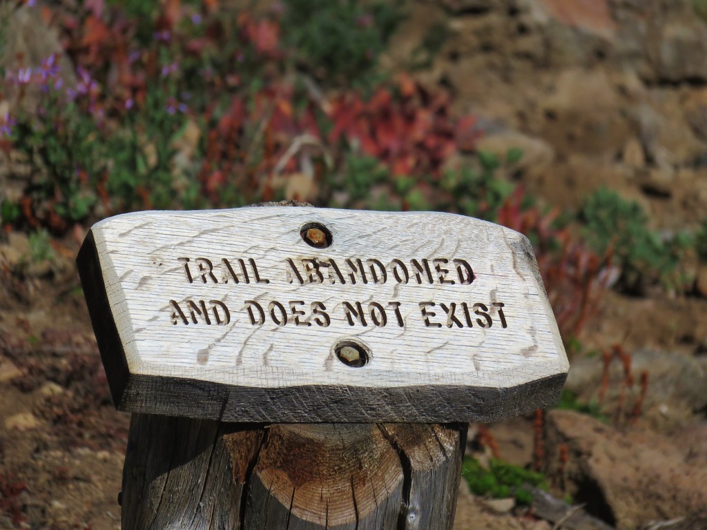
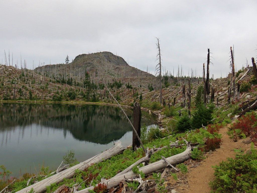
A signed junction at Patsy Lake announced the location of another abandoned trail – the Jefferson Lake Trail.
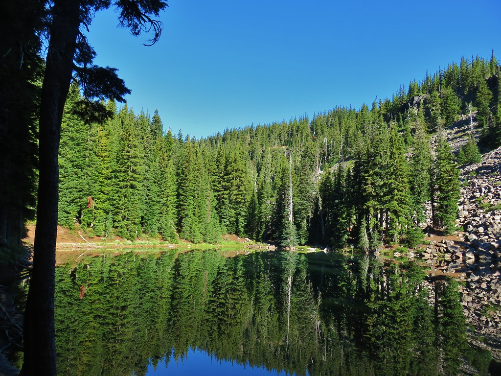
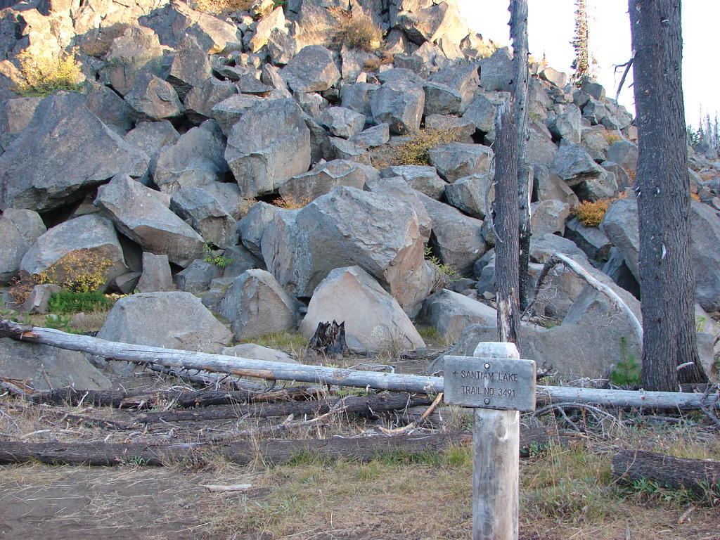
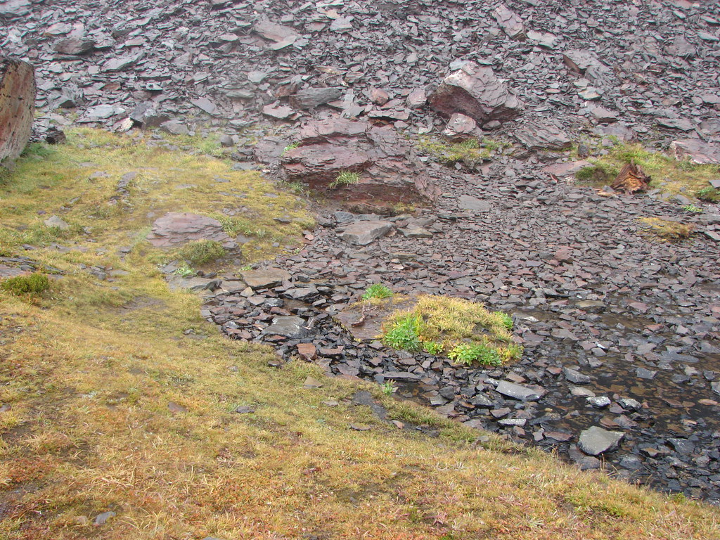
Patsy Lake was forested except for on the northern side where a rock field dipped down into the water.
We got ourselves a little confused here about where the trail was and wound up following a use trail clockwise around the little lake. By the time we realized our mistake we were at the NW end of the lake at an inlet creek.
We decided to finish the loop and passed through a couple of decent campsites where we stopped for a short break before having to cross the rock field.
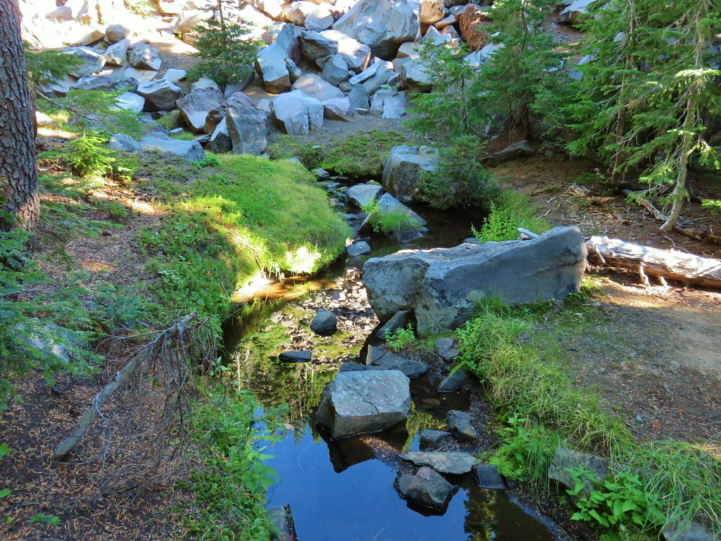
After picking our way across the rocks we arrived at the lakes dry outlet creek. It was here that we could see where we’d made our mistake. The Cabot Lake Trail continued on the other side of a downed tree after sharing tread briefly with the Jefferson Lake Trail. It also didn’t follow the lake shore but instead veered away from the lake on the opposite side of a ridge. The trail then began to regain much of the elevation it had lost on its way down to Patsy Lake.
 The Jefferson Lake Trail used to come up this valley.
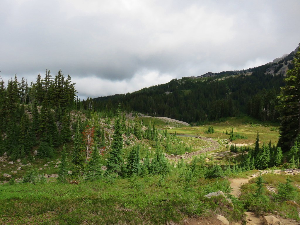
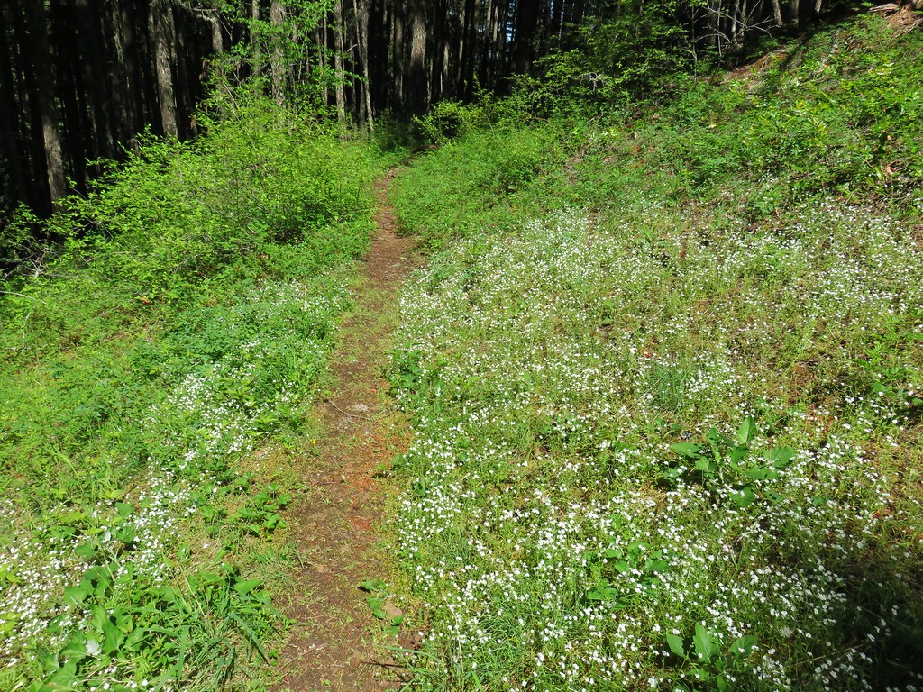
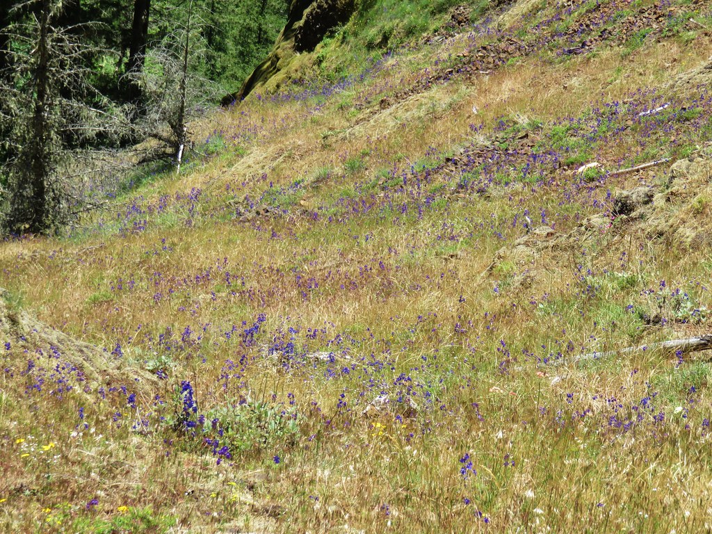
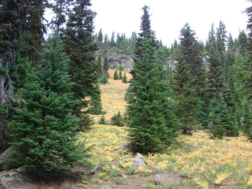
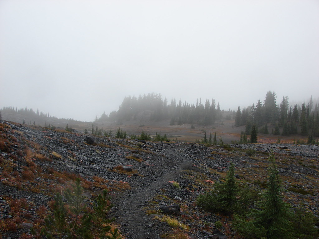
The trail leveled out again this time passing through a series of alpine meadows and over dry creek beds.


We were keeping our eyes open for the unofficial trail in case we decided on returning via the loop option which was what we were leaning towards. Approximately .6 miles from the trail junction at Patsy Lake we spotted what appeared to be a trail leading off into a meadow to the west.
I marked that spot on our GPS so that we wouldn’t miss it on the way back. A short distance later Heather spotted a second possible trail heading off toward that same area. We had forgotten to bring a copy of Reeder’s GPS track with us so we couldn’t be sure which one was correct, but we had memorized his route description so we knew if we aimed between a cinder cone and The Table we should be okay. The Table is an unmistakable large plateaued feature south of Mt. Jefferson.
 The end of The Table to the left of the trail.
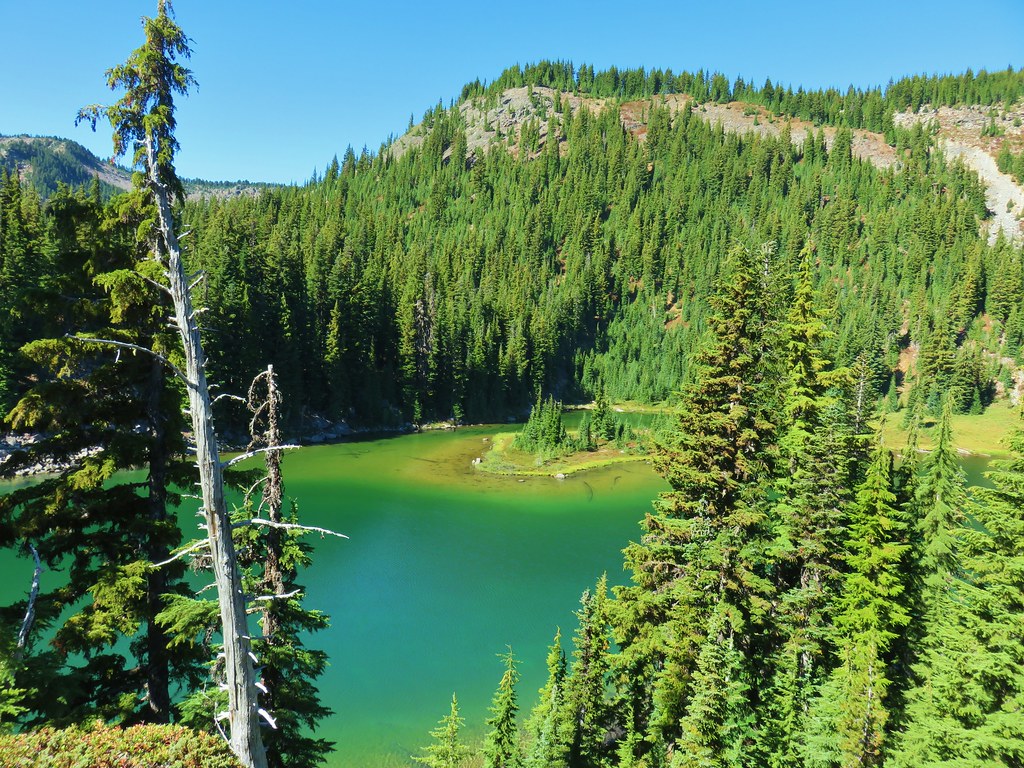
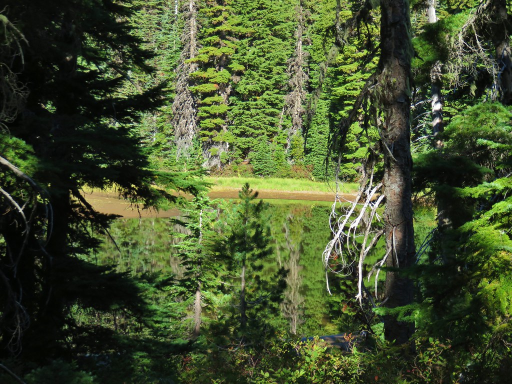
The trail descended a bit as it passed by The Table on its way down to Table Lake.
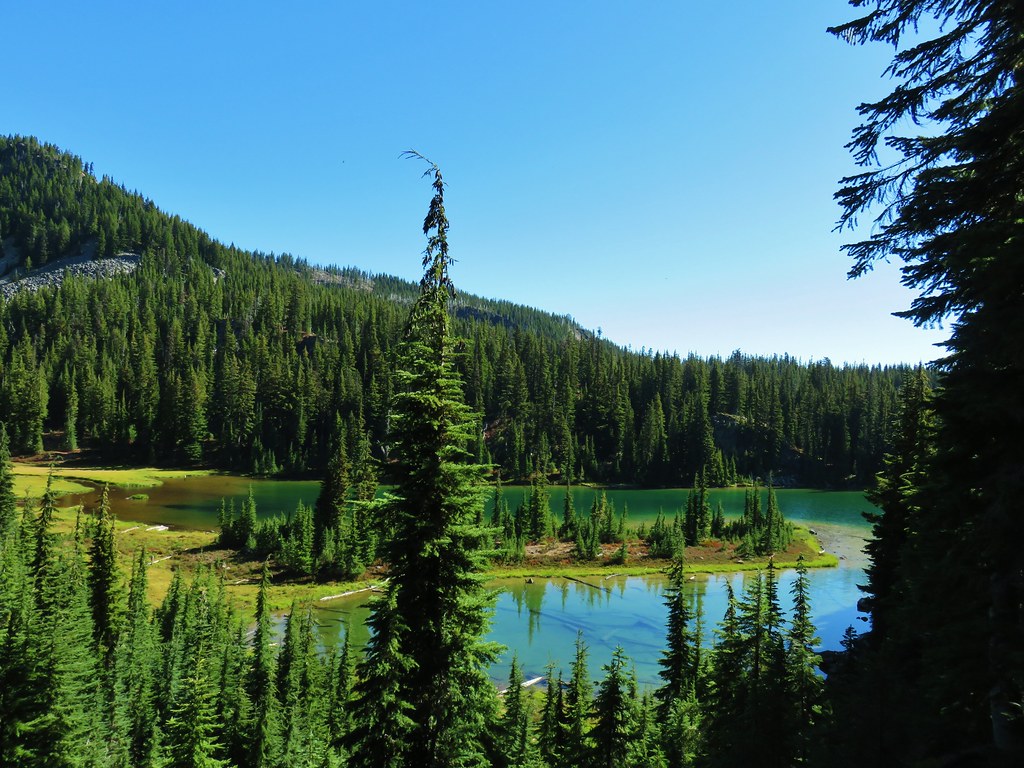
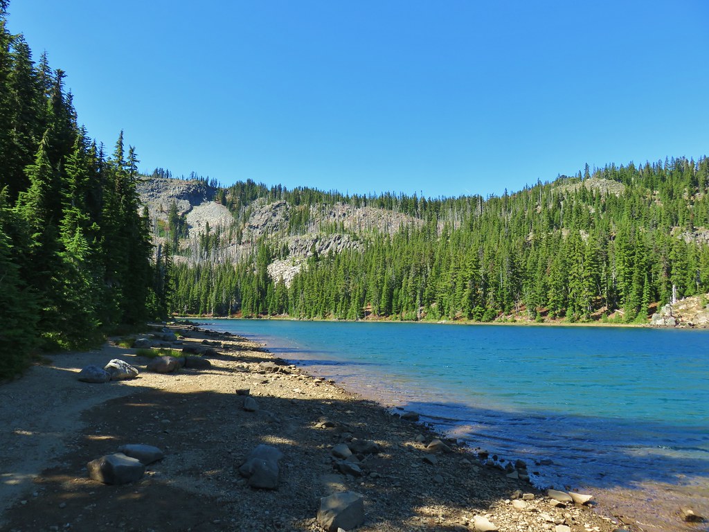
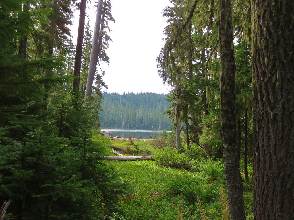
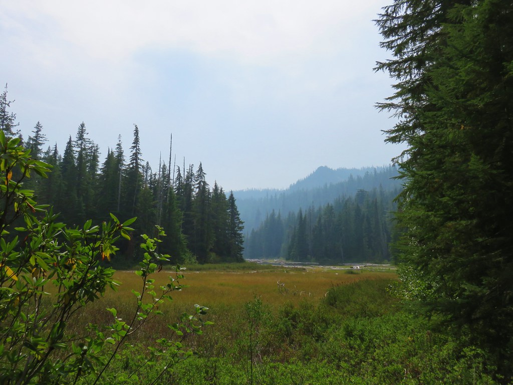
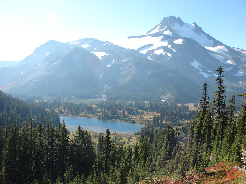
Our first look at Table Lake confirmed that this was going to be another nice one.
We passed a backpacker who had stayed at the lake the night before and was now heading to Carl Lake. She told us where to find a view of Mt. Jefferson from the lake so we made our way to the spot she had suggested.
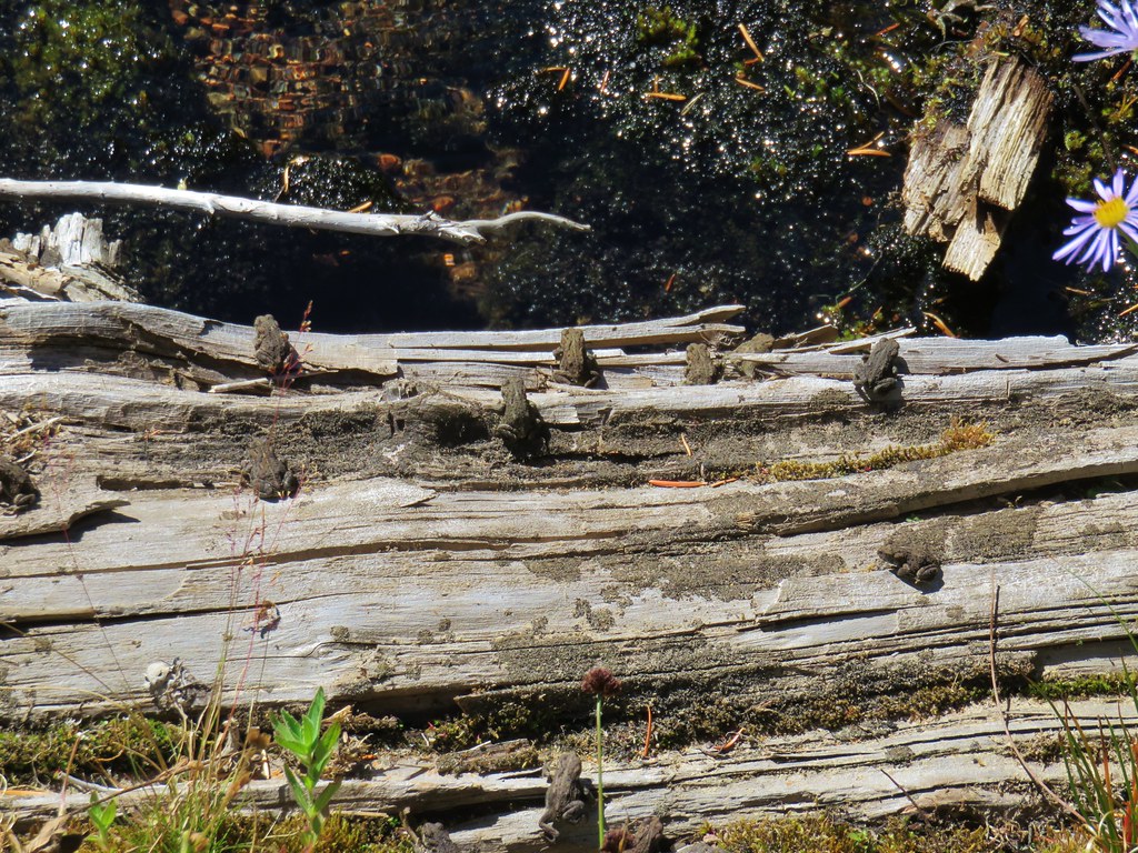
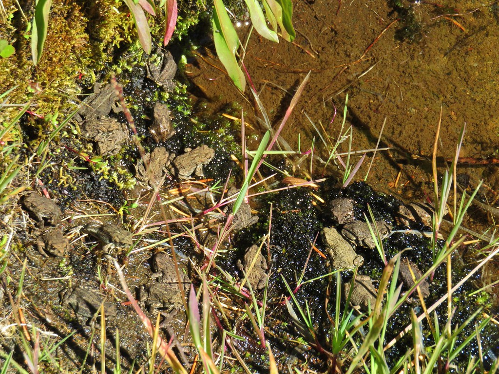
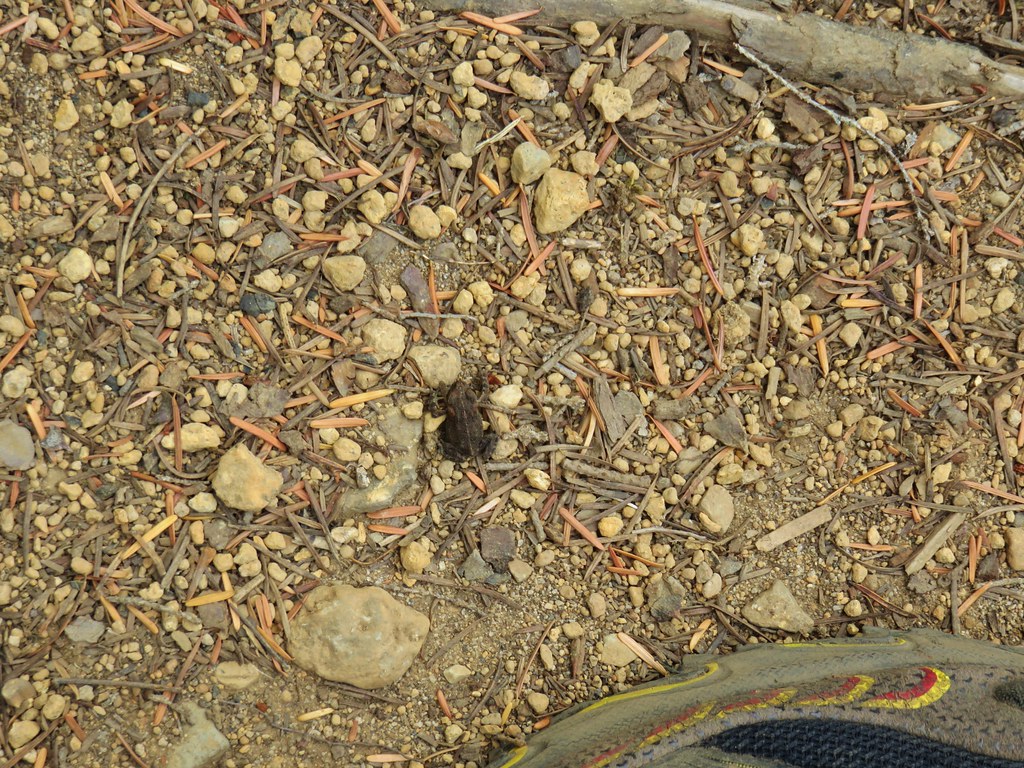
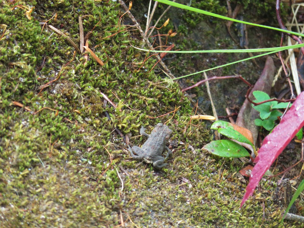
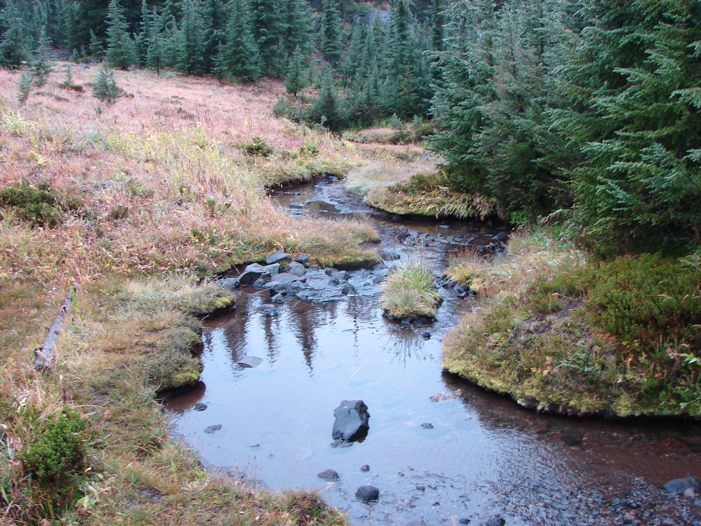
After checking out the viewpoint we continued along the Cabot Lake Trail crossing above a spring feeding into the lake and then an inlet creek where we had to watch our step due to the presence of hundreds of little frogs.
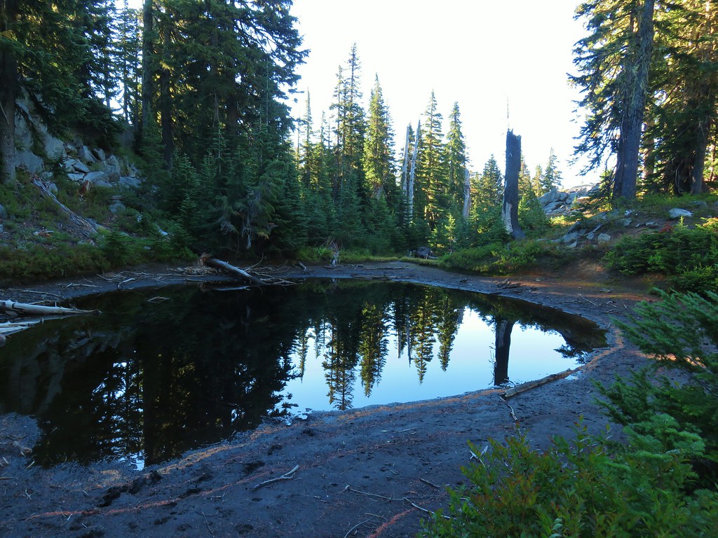
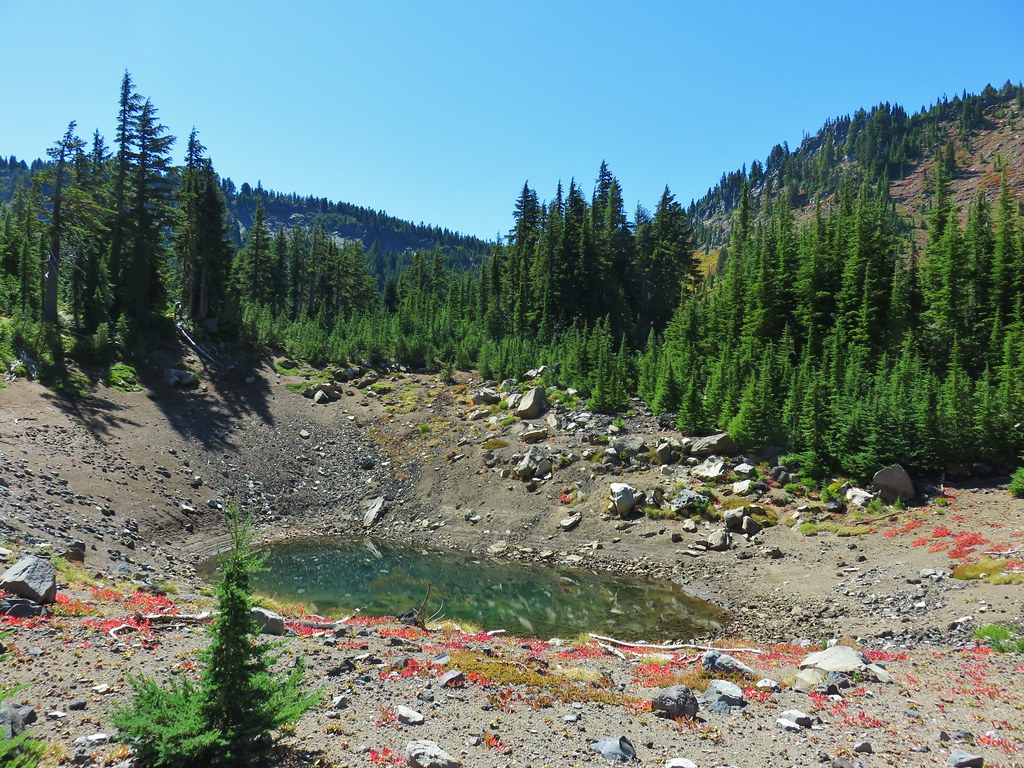
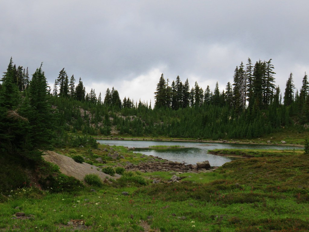
After crossing over the creek we decided to try to make our way back to a smaller unnamed lake shown on the map which the creek flowed out of.
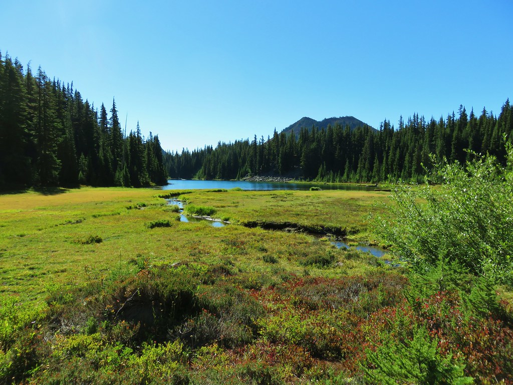 Table Lake and Forked Butte
We followed a clear path past a large campsite and along the creek for a bit (Watch out for frogs!) then came to a wall of small pine trees. It took a little effort to get through the thicket of trees but the reward was worth it.
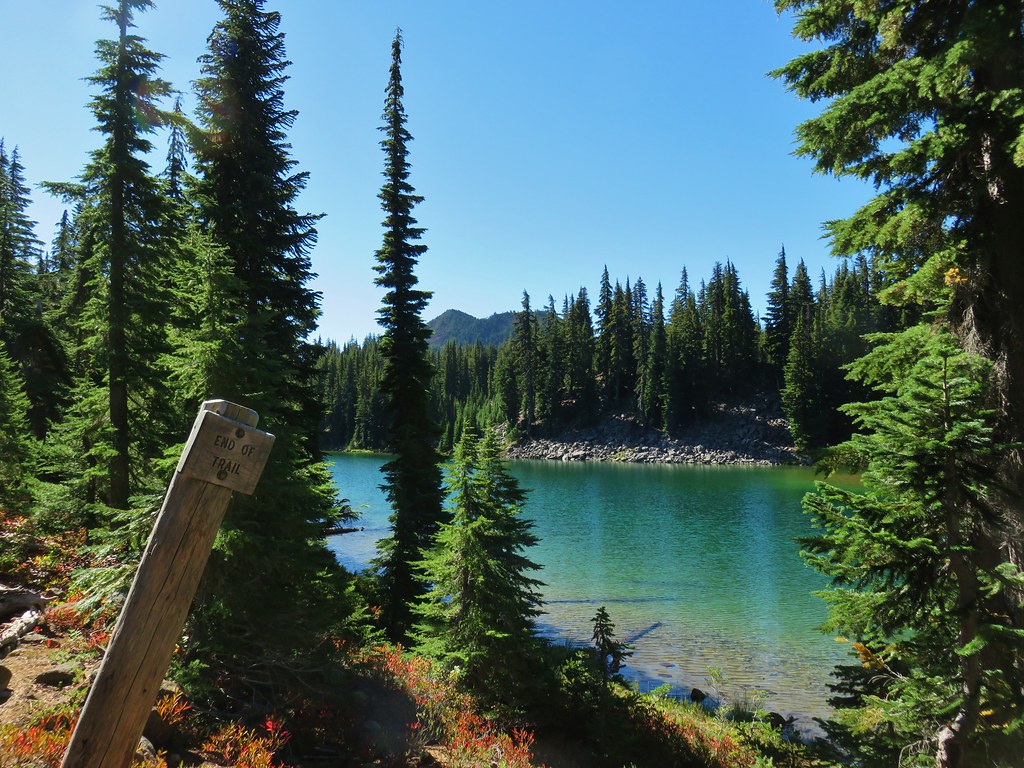
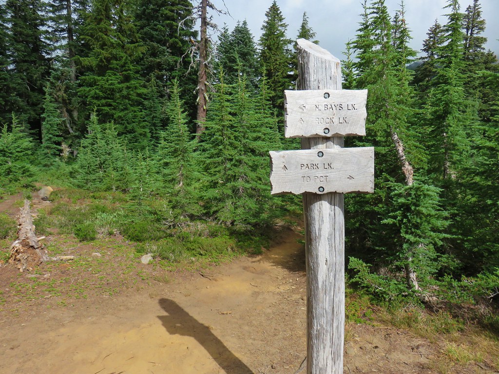
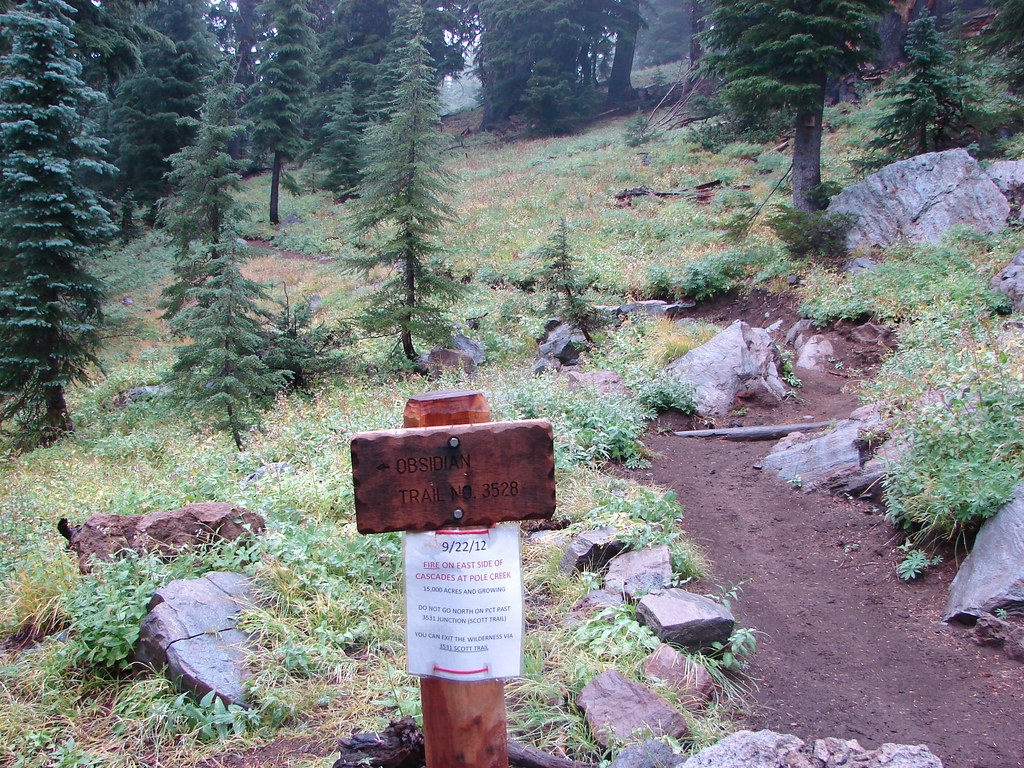
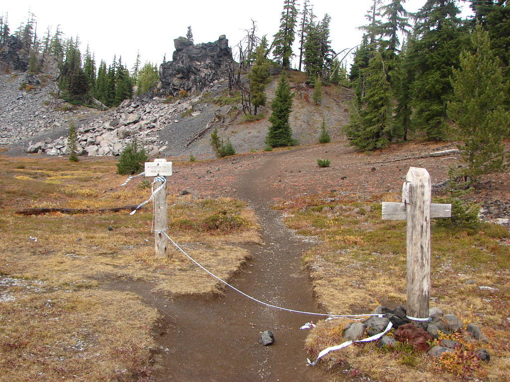
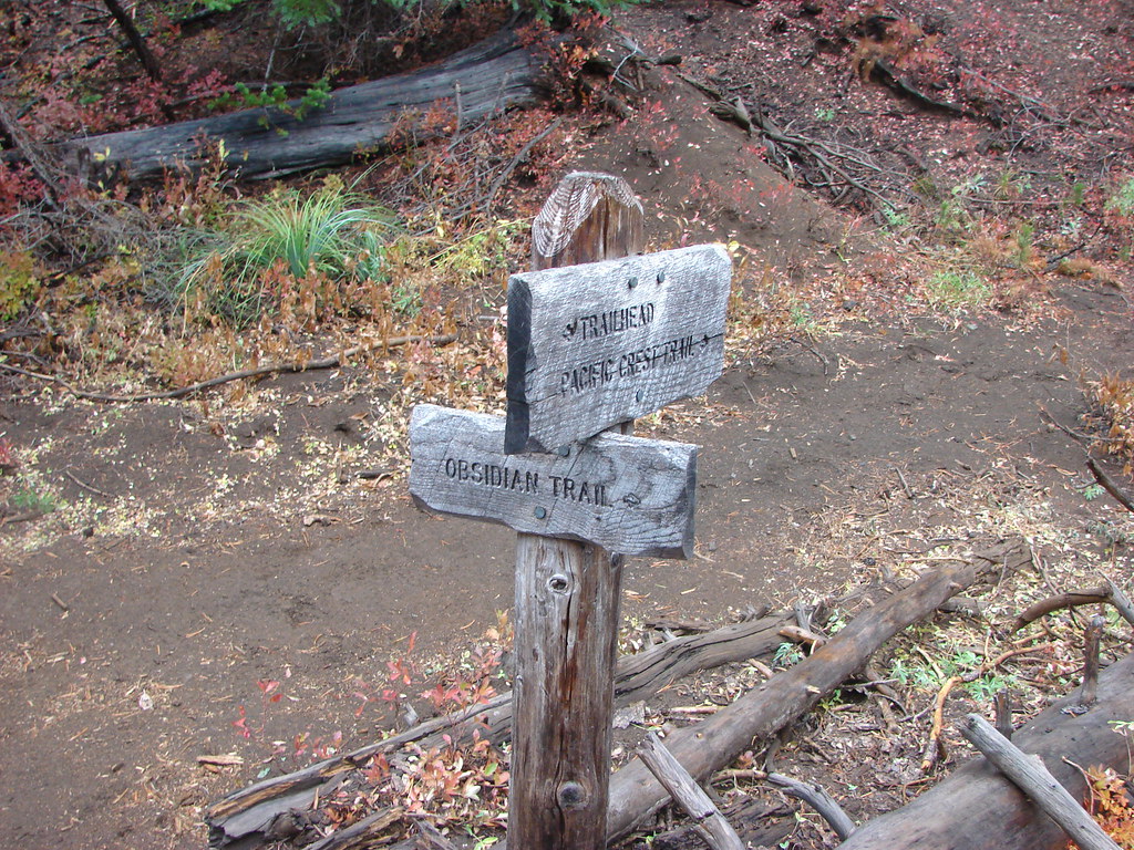
With no where to sit along this lake we headed back toward Table Lake and picked up the Cabot Lake Trail which we followed to a sign apparently marking the current “end” of the trail.
If the Forest Service has indeed abandoned the remainder of the trail it would be shame. The final portion of the trail down to Hole-in-the-Wall Park has been lost for years since the B & B Fire but we hadn’t heard that they had given up on the section between Table Lake and the viewpoint below Bear Butte.
In any case we continued on to a rock outcrop above Table Lake where we took a snack break.
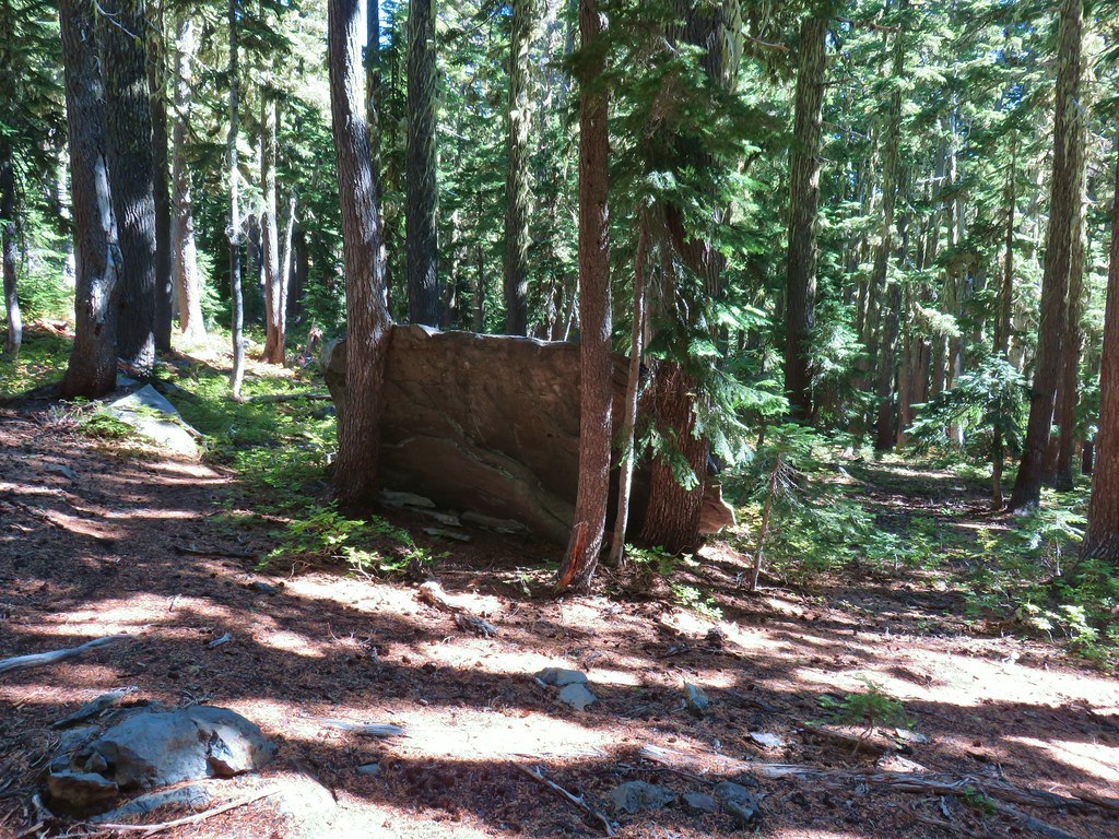
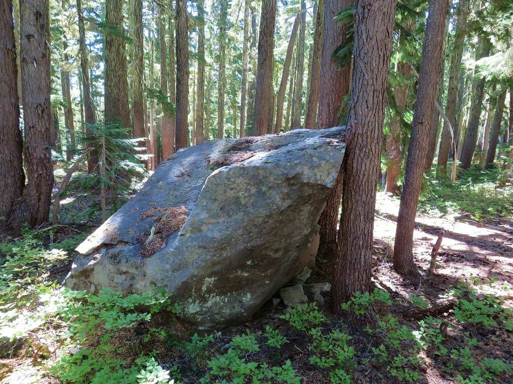
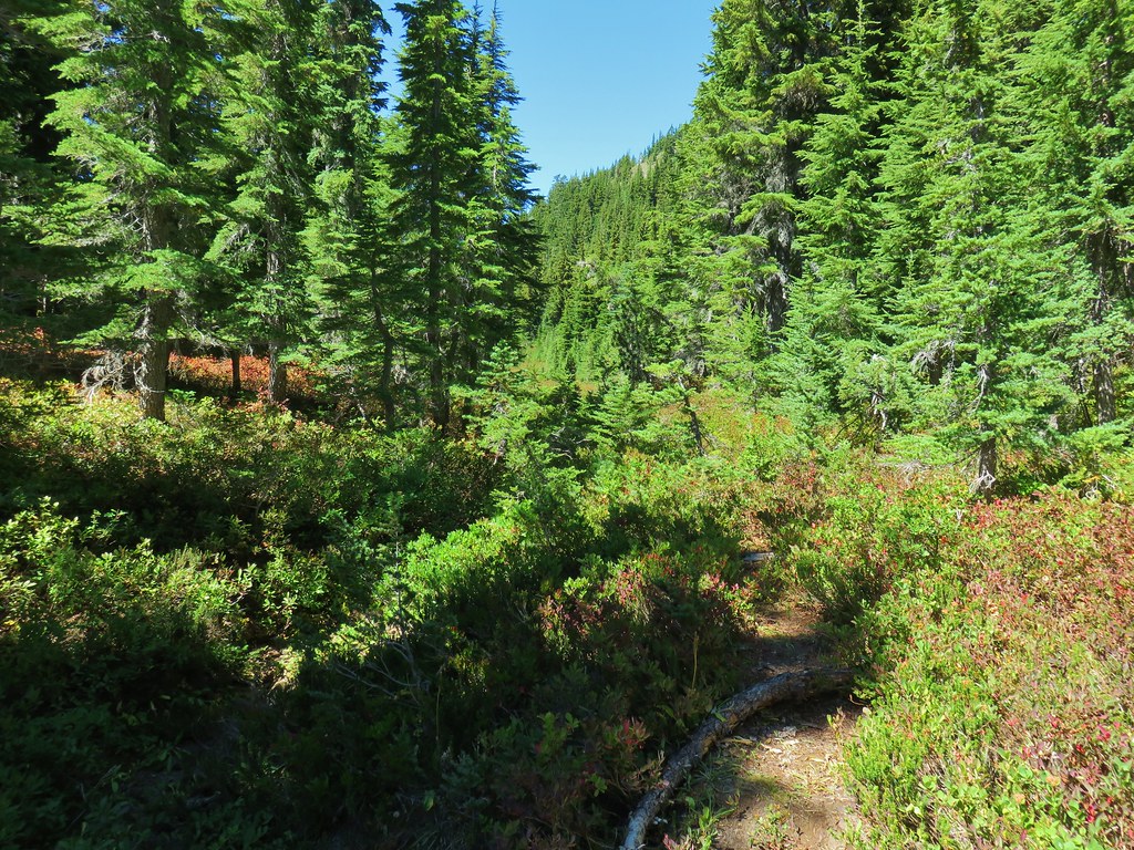
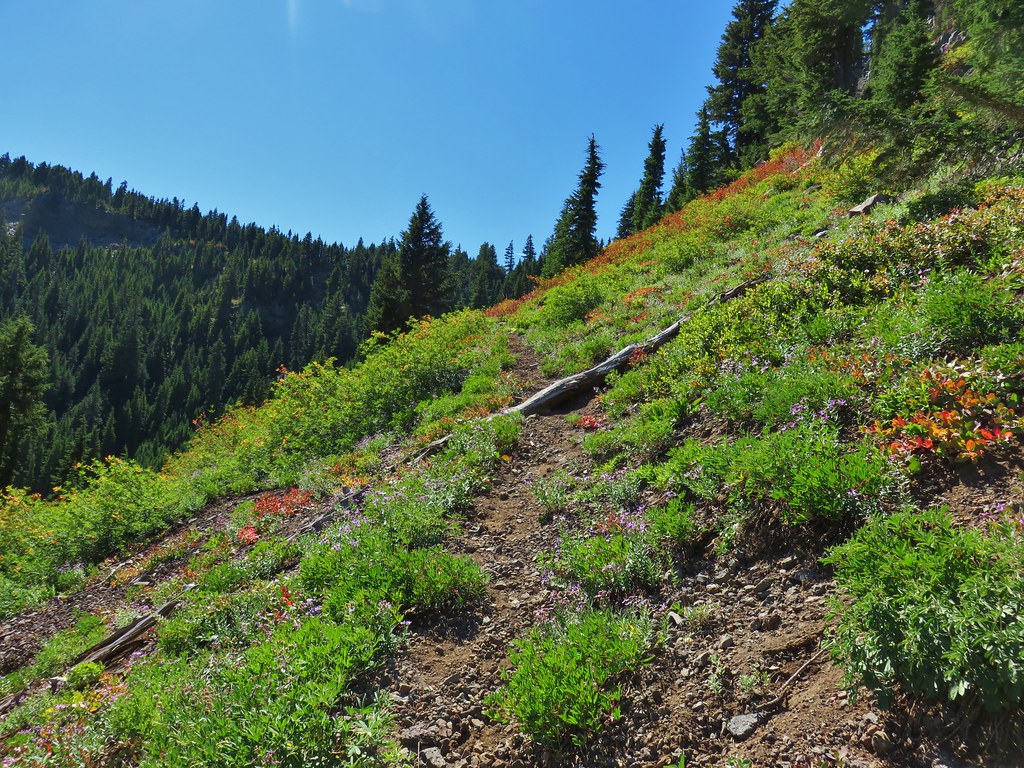
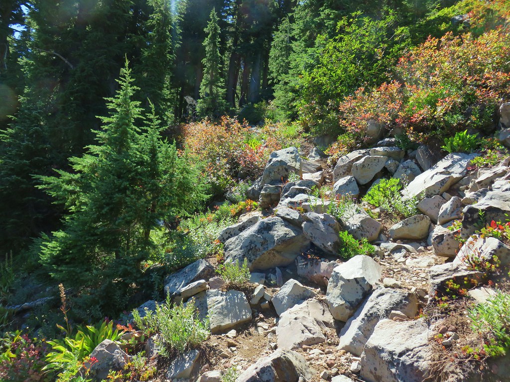
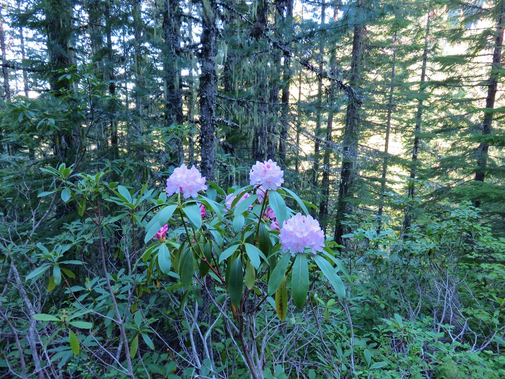
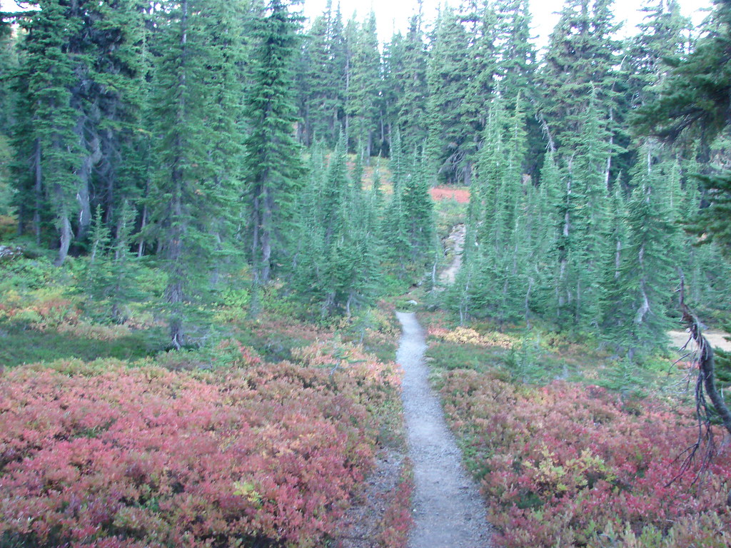
From Table Lake the trail climbed gradually save for about 100 yards of switchbacks after three quarters of mile. The trail was a little crowded with brush and had a few downed trees over it but nothing too challenging as it passed through a mix of meadows, trees, and huckleberry bushes.

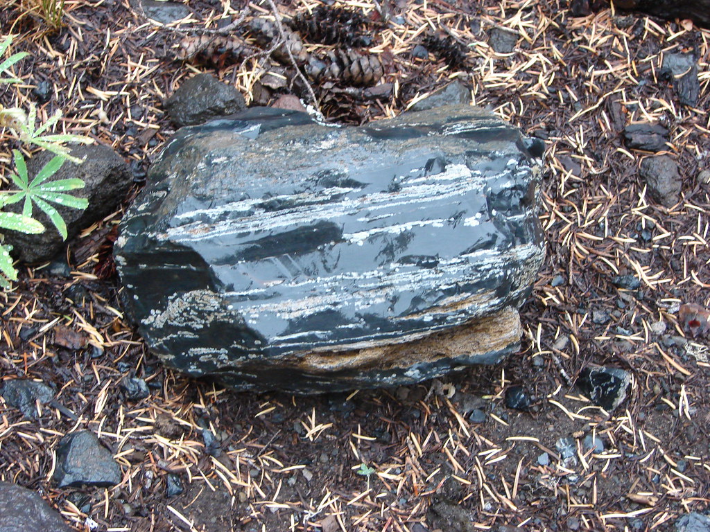
Shortly before the switchbacks the trail passed a large boulder leaning up against a pair of trees. It looked like the rock was going to be flat and thin from the direction we were coming but it turned out to not be flat on the other side at all.
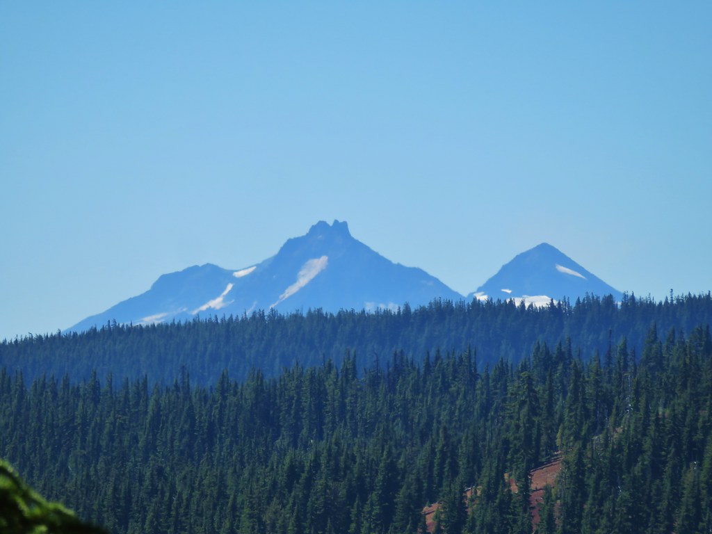
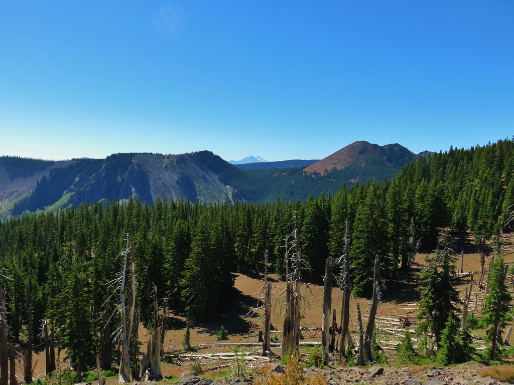
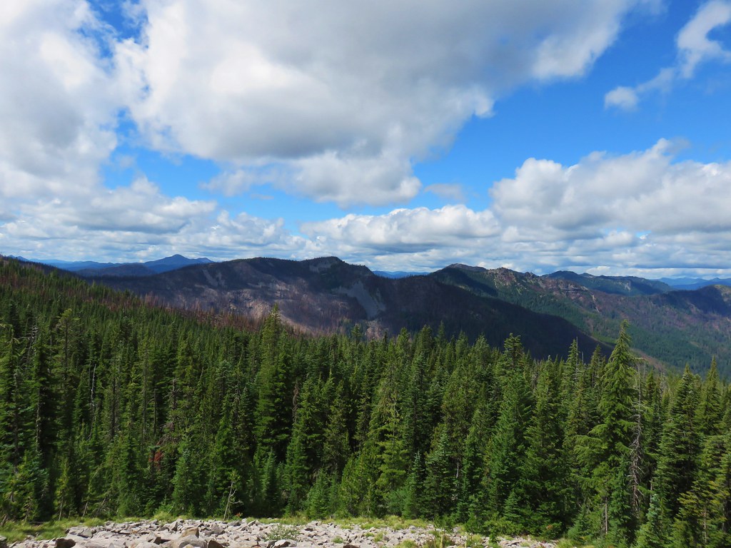
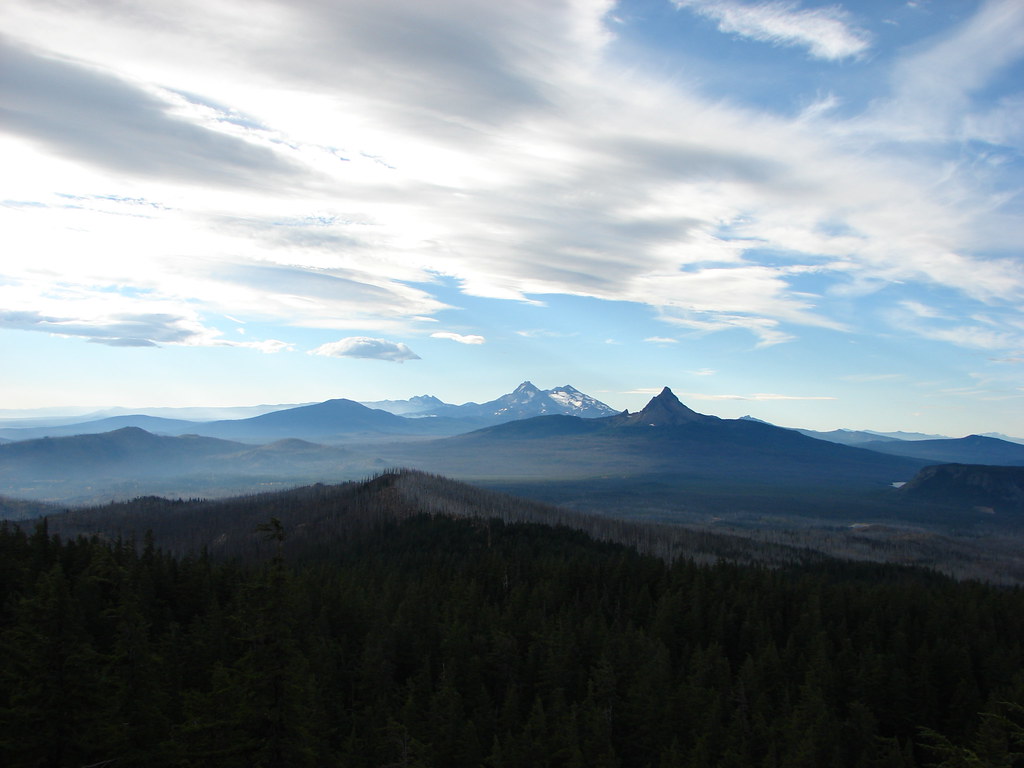
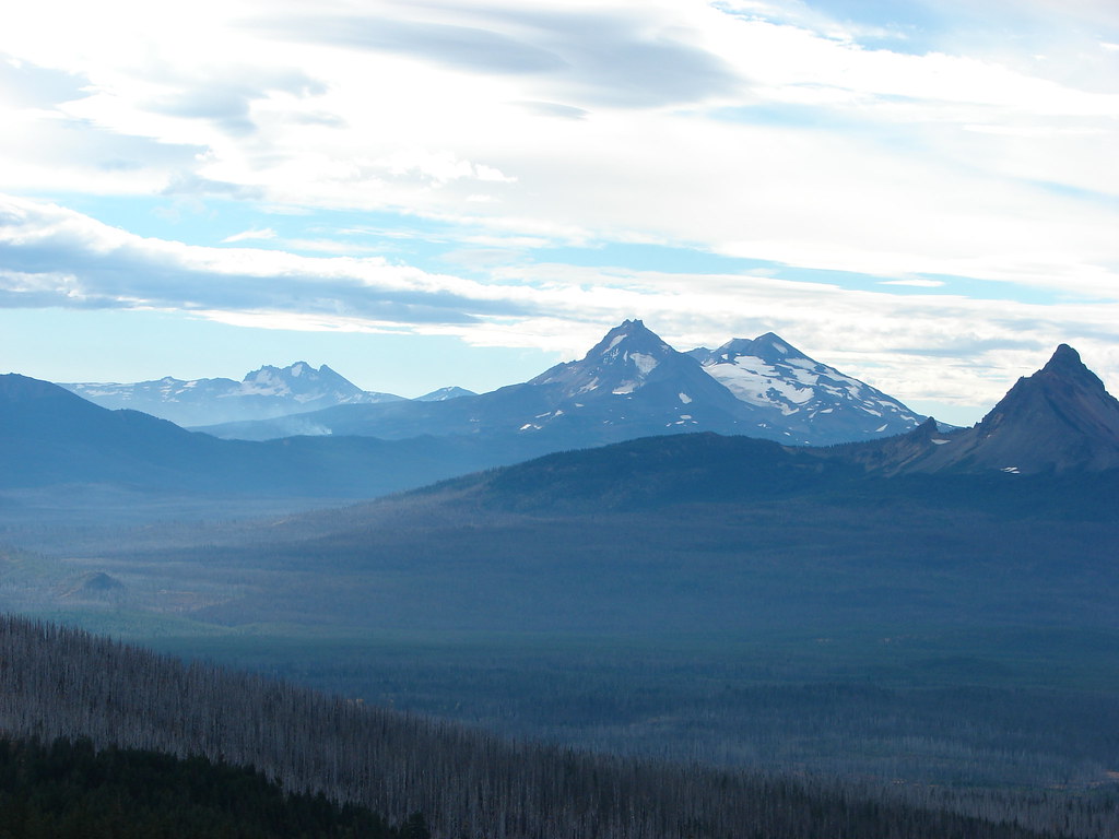
Beyond the switchbacks the trail leveled out again for about a quarter mile with a view south of the Three Sisters in a gap between Sugar Pine Ridge and Forked Butte.
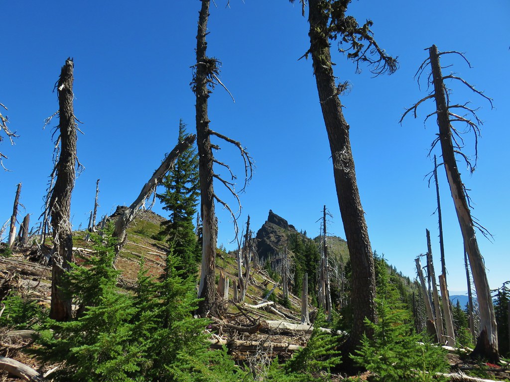
After the quarter mile of more level trail the Cabot Lake Trail headed steeply up a gully arriving at a saddle with a view of Mt. Jefferson after another quarter mile.

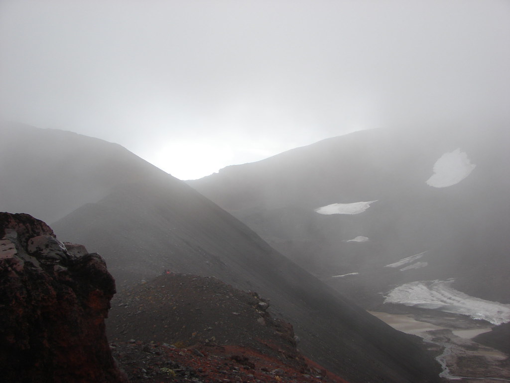
The viewpoint that we were aiming for was to the right of the saddle visible atop the ridge below pointy Bear Butte.
A straight forward cross country walk brought us to the top of the rocky outcrop.
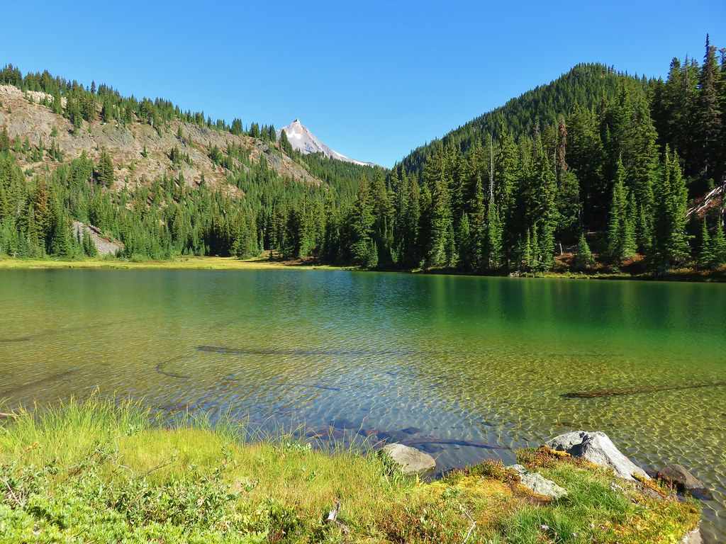
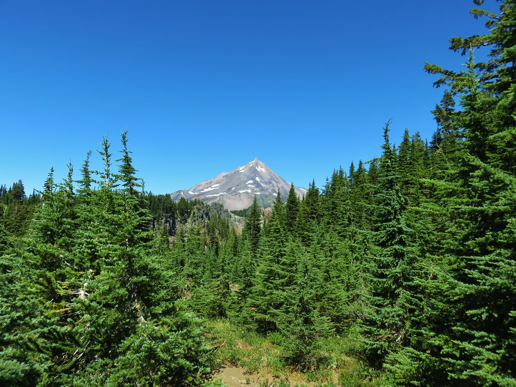
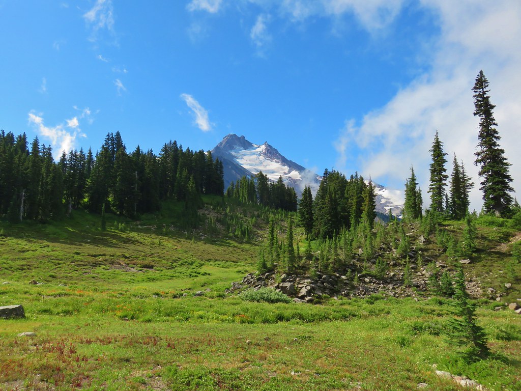
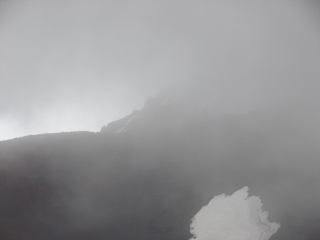
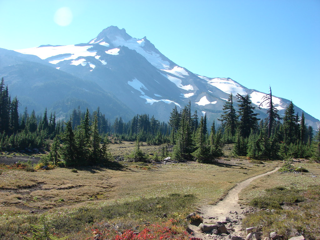
The view of Mt. Jefferson was spectacular. In the valley below was green Hole-in-the-Wall Park with Mt. Jefferson on the other side. Along the ridge to the left of Mt. Jefferson was Goat Peak, a feature we are hoping to visit someday in the future.


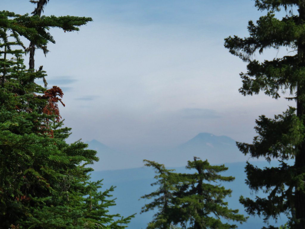
The view south wasn’t too bad either despite the presence of a little haze.

To the east was Bear Butte.

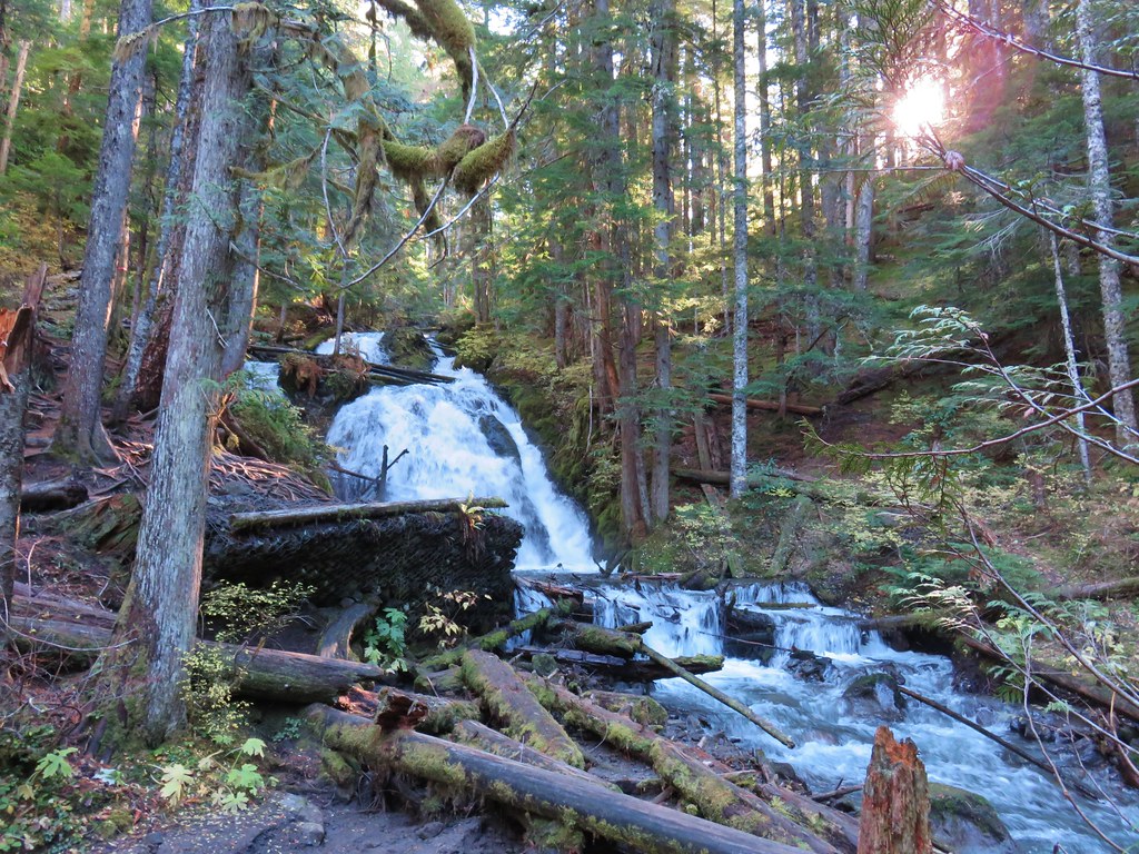
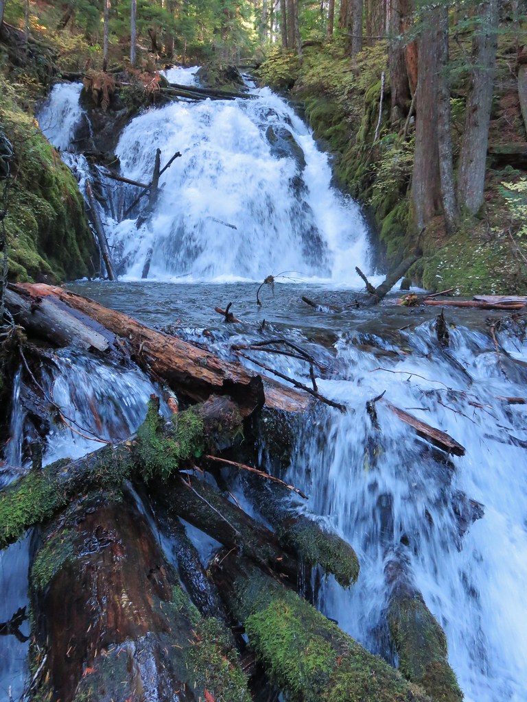
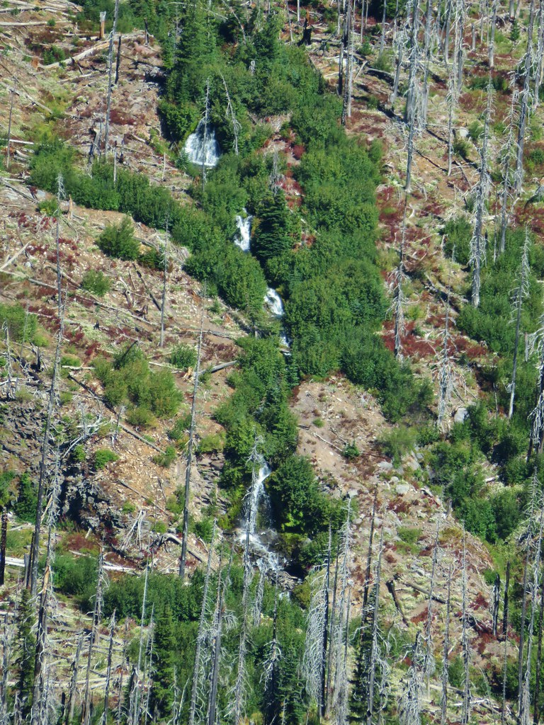
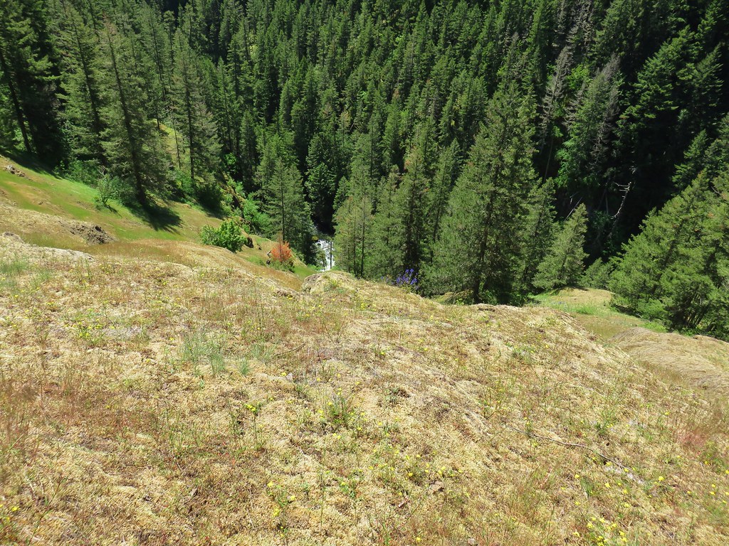
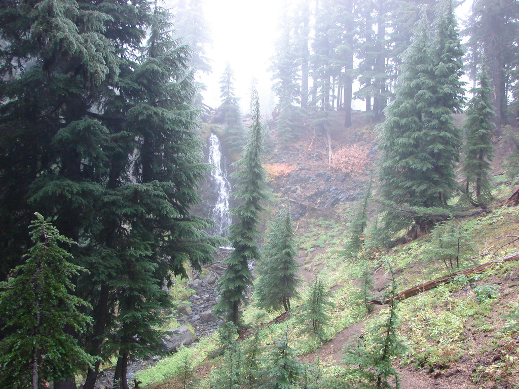
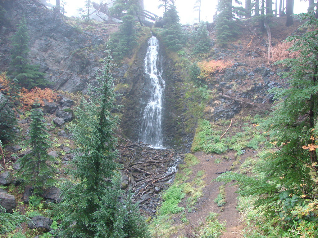
To top it off the sound of crashing water filled the air. Heather spotted the series of cascades creating all the noise well before I did.
After soaking in the view we returned down to the saddle and sat in the shade of some trees while we had another bite to eat. We then hiked the 1.5 miles back down to Table Lake and refilled our water supply from the inlet creek where there was clearly a frog convention occurring.
With our water replenished we left Table Lake and hiked back along the Cabot Lake Trail approximately a quarter mile to the side trail we had marked earlier.
As I previously mentioned there was another side trail that probably would have been the better option about 30 yards north of where we turned. The trail we chose started clearly enough but soon was lost in a meadow.


We knew from the description in the guidebook that the trail passed between a cinder cone and The Table so we just headed in that direction and were able to once again locate an obvious path.

As we neared the cinder cone the trail climbed up along its side as it squeezed between the cone and the rocky hillside of The Table.
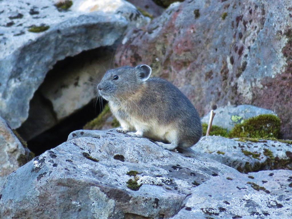
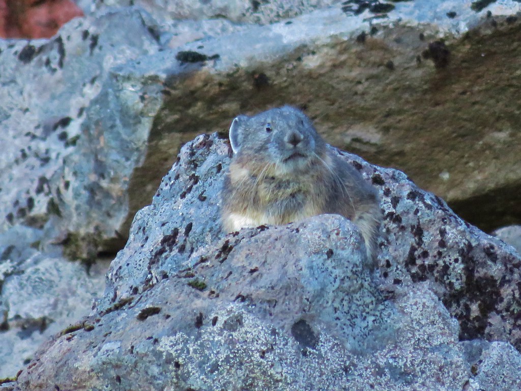
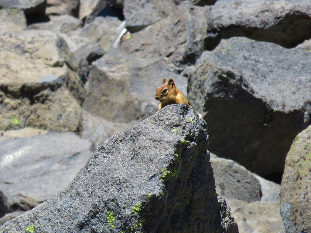
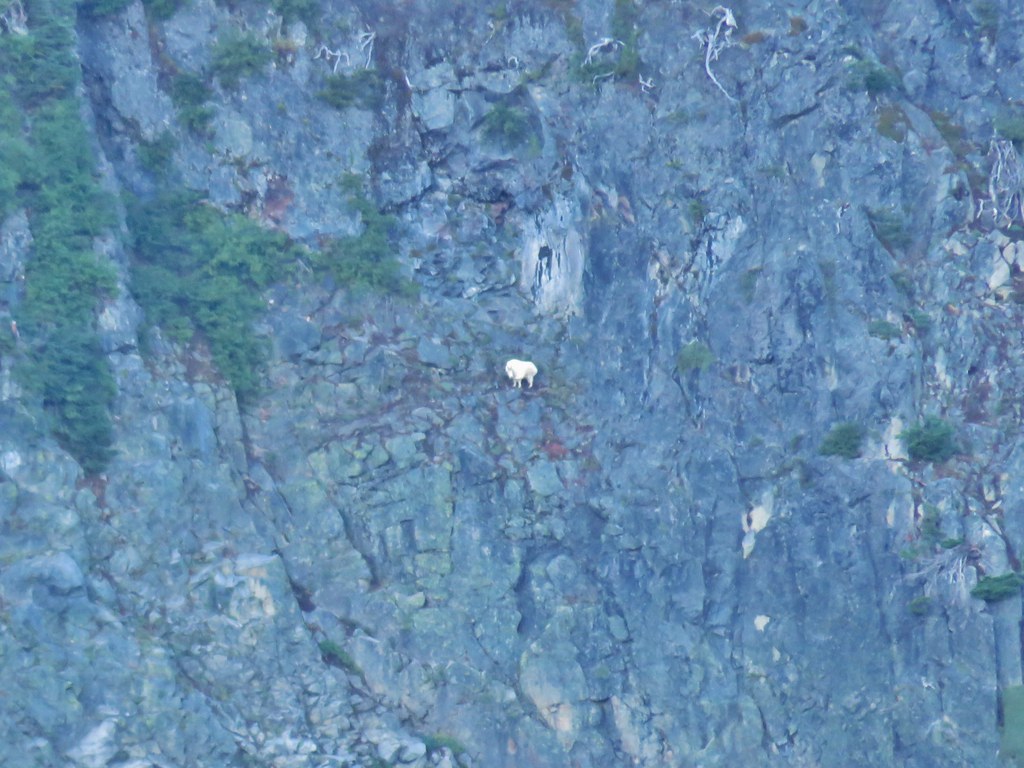
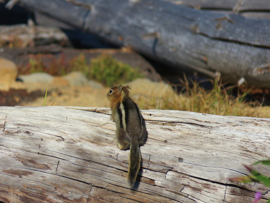
This area looked like it should be full of pikas and although we heard a few “meeps” that let us know they were there, all we spotted were golden-mantled ground squirrels and chipmunks.
As the trail passed by the cinder cone views ahead opened up to a large valley below the Cathedral Rocks.
All the climbing along the side of the cinder cone was now lost as we dove downhill into the valley.
The GPS track we’d seen showed the trail passing to the left of two ponds then to the right of a third in this area. The tread was fairly easy to follow here and there was at least one recent set of shoe prints leading the way.
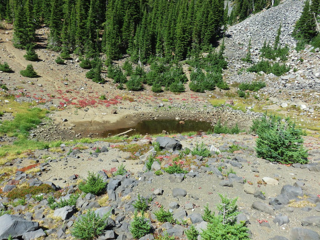 First pond on the right.
The traverse around the second pond was a little tricky. The cinder hillside was loose and sharply angled and there was no clear trail around to the left save for at the far end.
It may have been a better option to have gone around on the other side but we managed to make it around the second pond and then the trail dropped into a dry creek bed where the tread disappeared. Fortunately someone had placed a small cairn on the other side though so we knew where to exit.
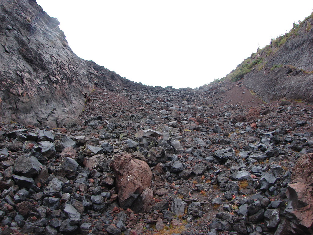
The trail was now passing along the left hand side of an enormous rock field.
Keeping track of the actual route here was near impossible but we kept our eyes out for cairns and footprints which were just frequent enough to keep us on track until we found the clear path again entering a hillside of huckleberry bushes.
It wasn’t until we had climbed a bit above the rock field that we were able to spot the third pond that had been on our left.
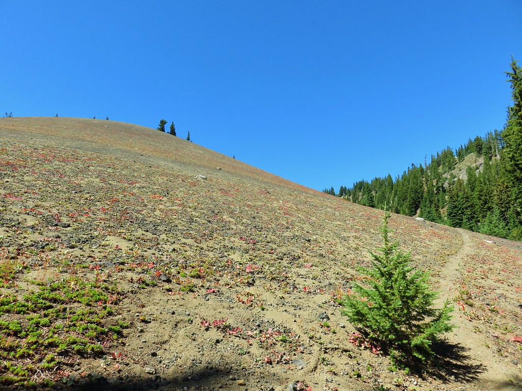
The climb out of the valley and up the Pacific Crest Trail only lasted a half mile but it was steep through the huckleberry bushes gaining 400′ in a little under .4 miles.
Things began to level out a bit once we were back into the trees though.
One item of note here was that the location of the Pacific Crest Trail shown on the topographic map, the Garmin, and the one in our guidebook is incorrect in this area. Thankfully we had noticed that the GPS track on the map in the guidebook crossed over the supposed location of the PCT before turning south and eventually rejoining the trail shown on the map as the PCT rounded a ridge end. If we hadn’t noticed that we might have wasted some time searching for it amid the small pines that were growing where the Garmin showed the PCT should be.
The actual location of the PCT was about a tenth of a mile to the west of its location on the maps near some much larger trees.
We turned left (south) on the PCT and began the 4.3 mile stretch to the Shirley Lake Trail.
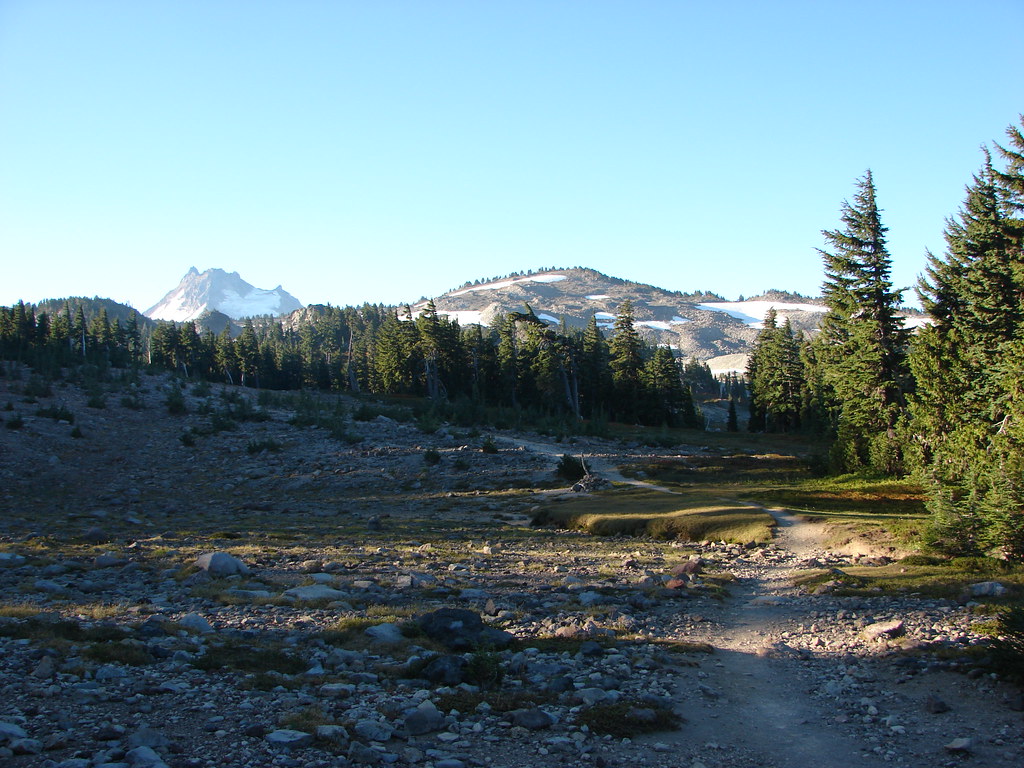
After about a quarter mile on the PCT we arrived at the first of several excellent viewpoints of Mt. Jefferson and some of the areas we hiked through earlier.
 Bear Butte
 Another viewpoint overlooking the valley we climbed out of.
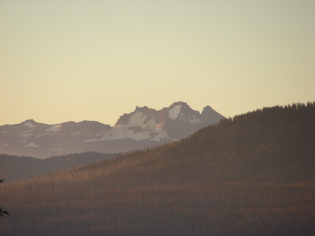
 North Cinder Peak and Mt. Jefferson
 Cabot Lake Trail along the Forked Butte Lava Flow
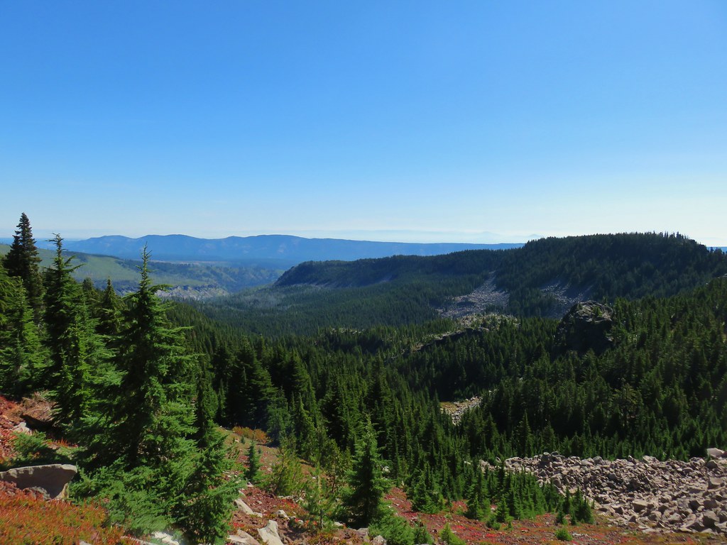
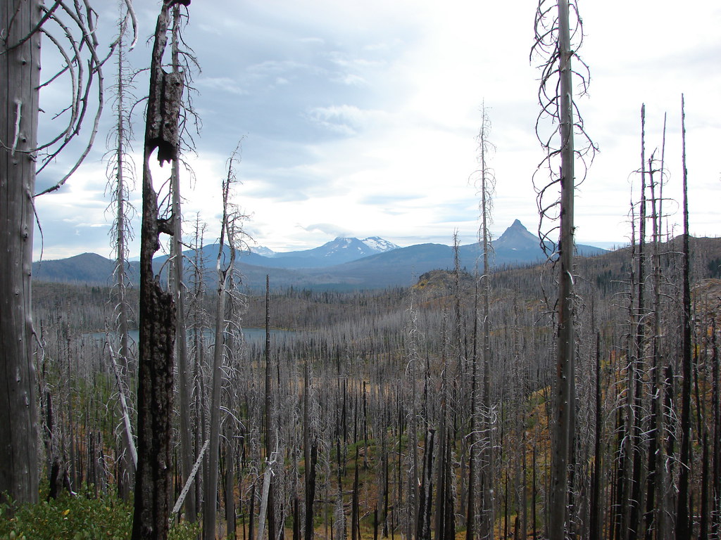
We were surprised by the amount of climbing the PCT did along this stretch gaining over 750 unexpected feet in all as it passed a wide variety of scenery.

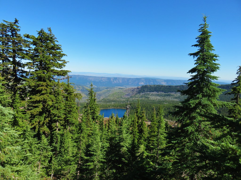
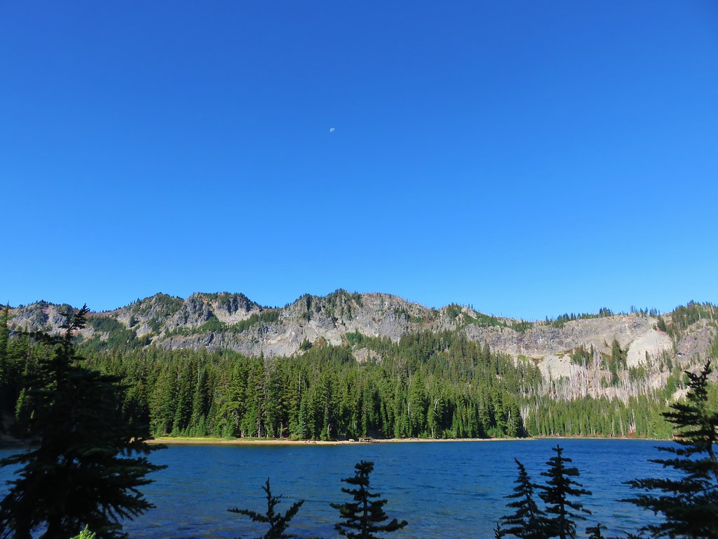
A little under 3 miles along this stretch we got a look at Carl Lake below to the east.
Not long after we got a good look at South Cinder Peak to the south with Mt. Washington peaking up over a ridge.
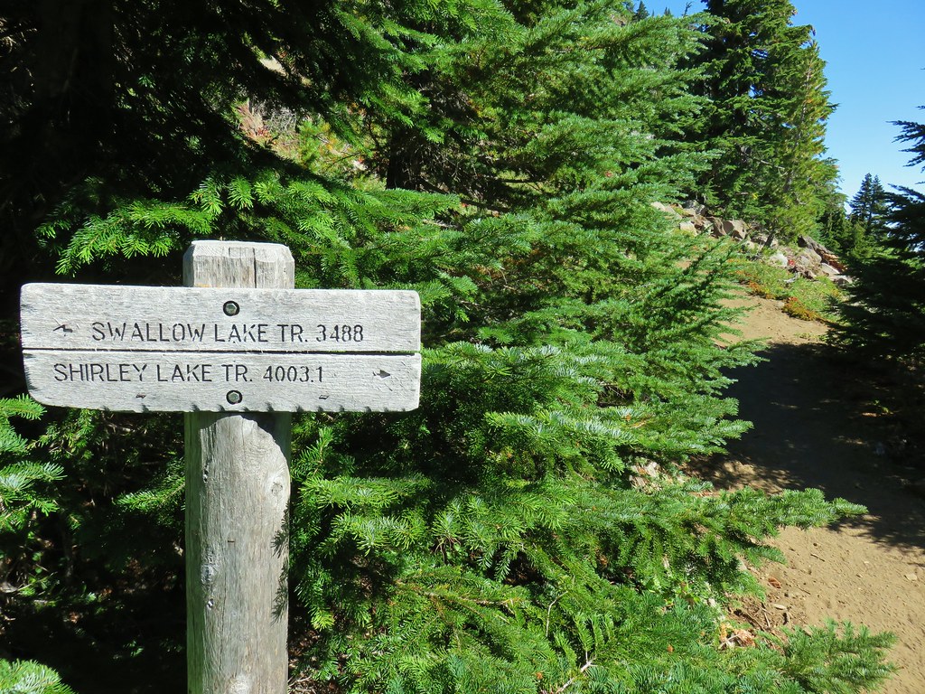
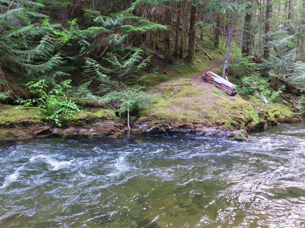
When we finally arrived at the Shirley Lake Trail junction we turned left and headed back down to Carl Lake just as we had done the day before.
We headed down to the lake shore again and this time went counter-clockwise around the shore to complete the loop we had started the previous day.

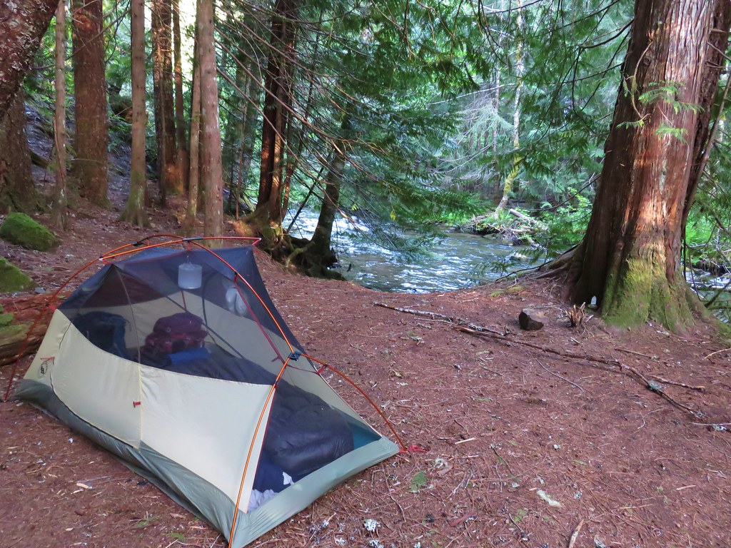
Much like the day before our time at the lake was plagued by a chilly breeze (The only place that we experienced any significant breeze the whole weekend.) and glare from the sun.
We spent most of the evening sitting near our tent behind the trees facing east until it was time to turn in for the night. The mileage for our hike came in at 17.4 miles for the day which included the unintended loop around Patsy Lake and the side trip to the unnamed lake near Table Lake.
Another early bed time led to another predawn wake up on Labor Day.
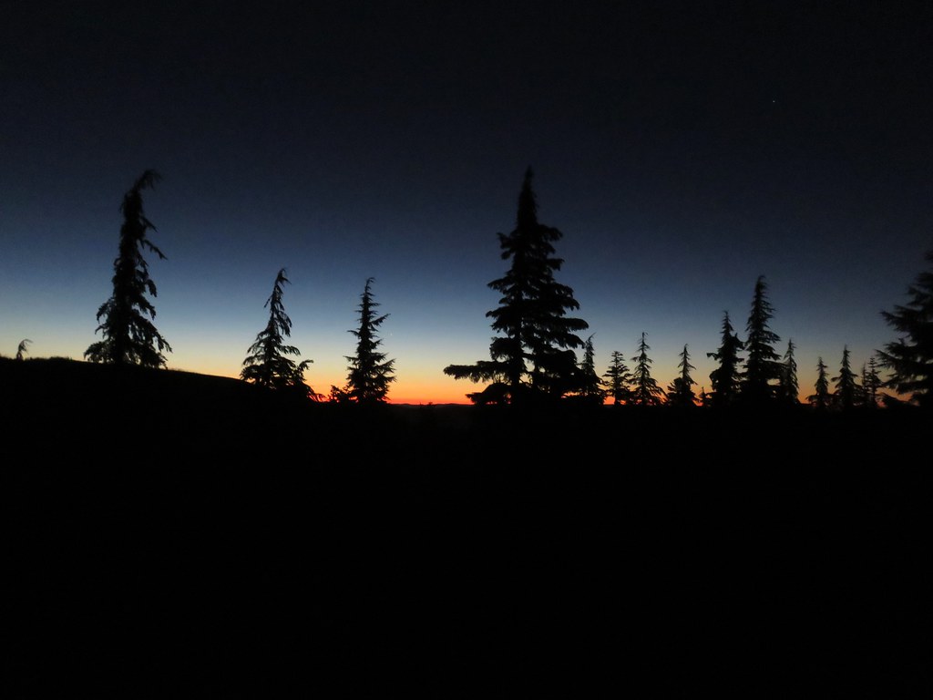
We used the light of the moon and our Luci inflatable lantern to work on packing up and cooking breakfast while we waited for enough light to begin our hike out of the wilderness.
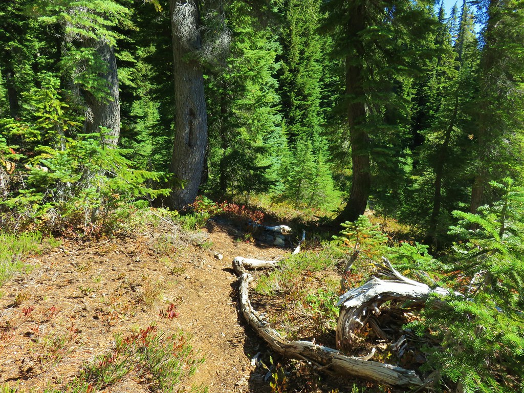
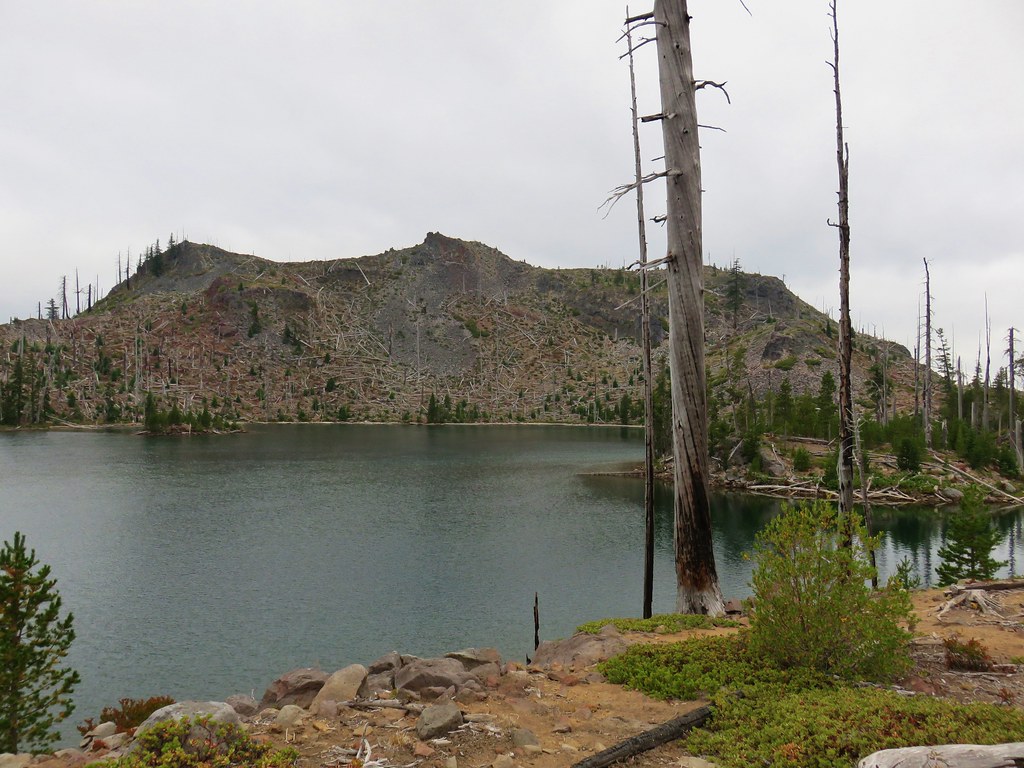
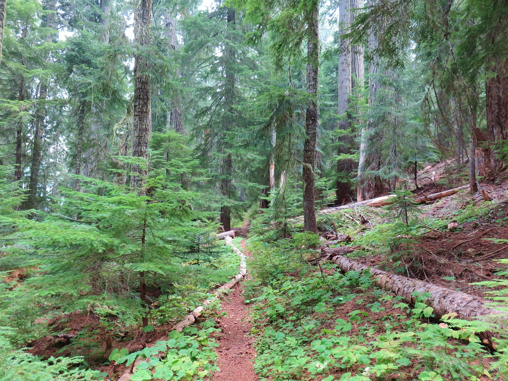
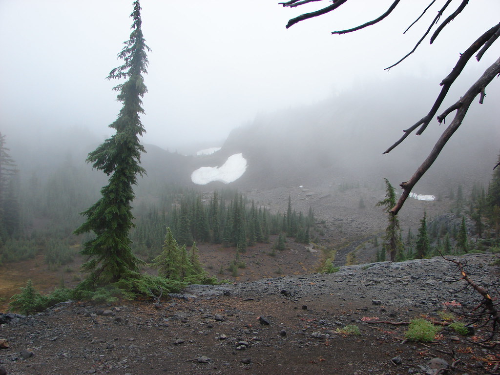
We were on our way a little after 6:30am, saying our goodbyes to Carl Lake and beginning our descent to Cabot Lake.
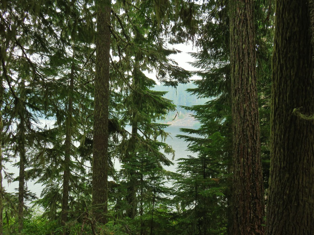
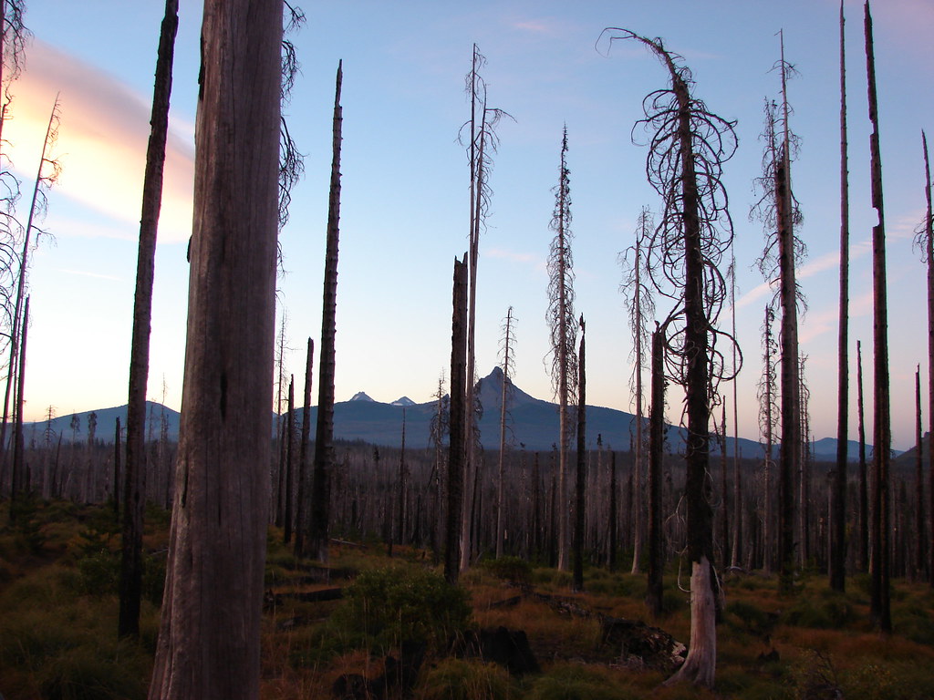
 Cabot Lake in the trees below and Mt. Jefferson in the distance.
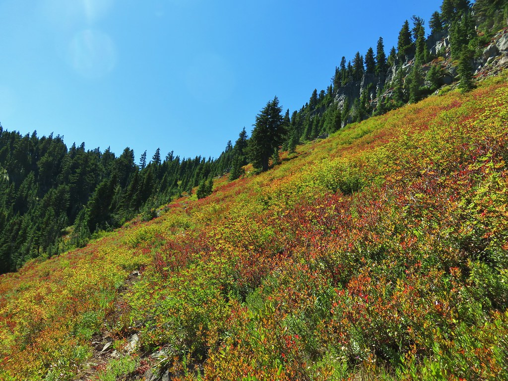
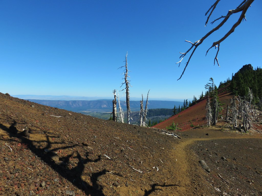
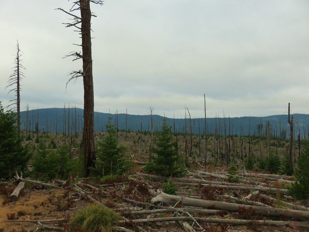
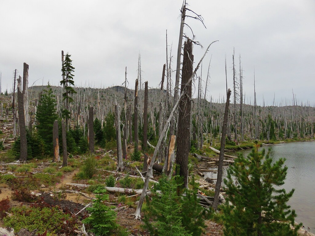
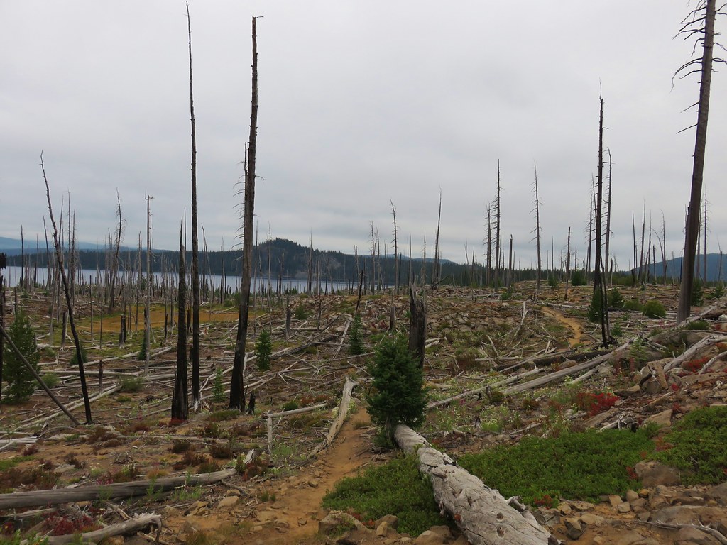
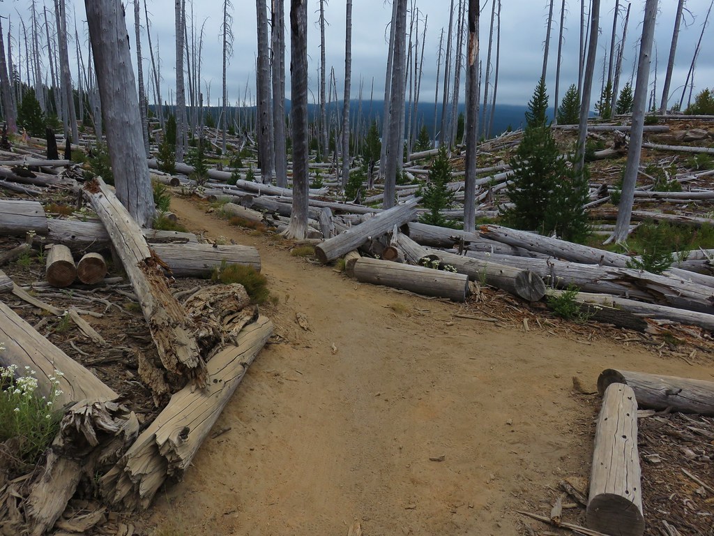
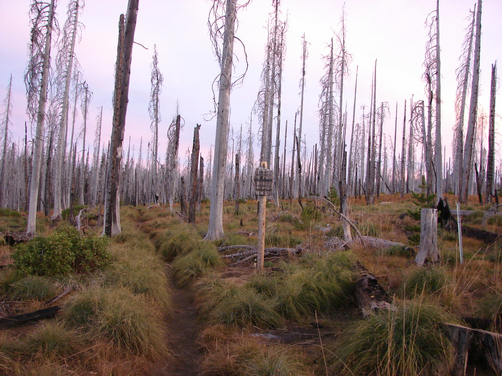
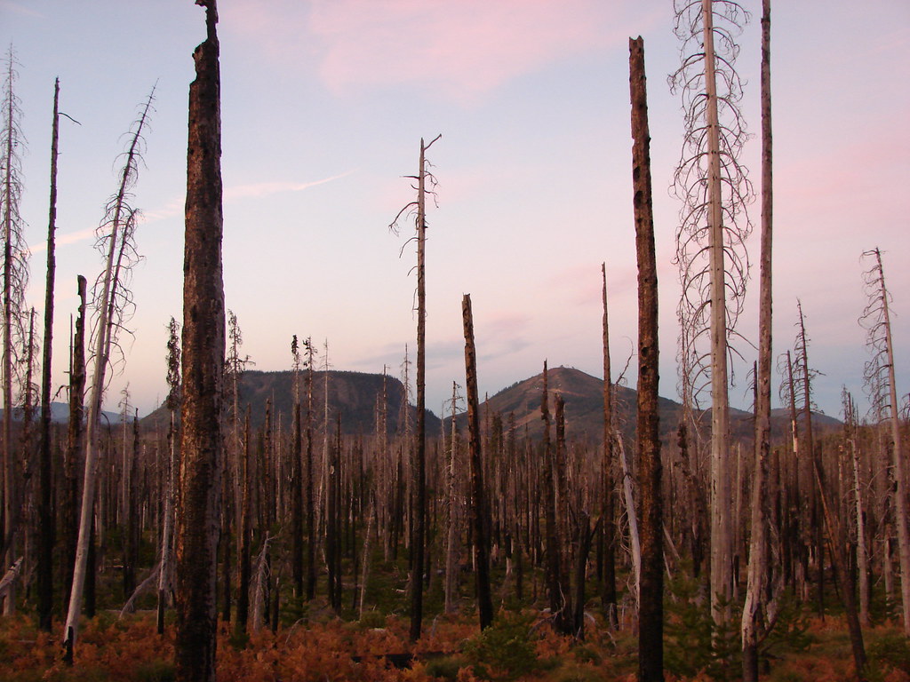
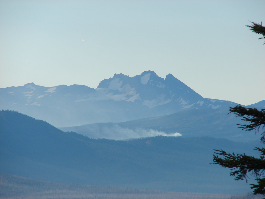
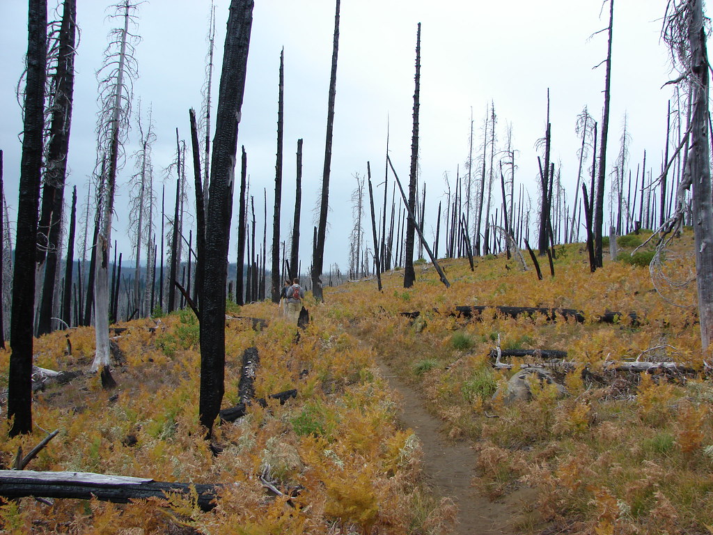
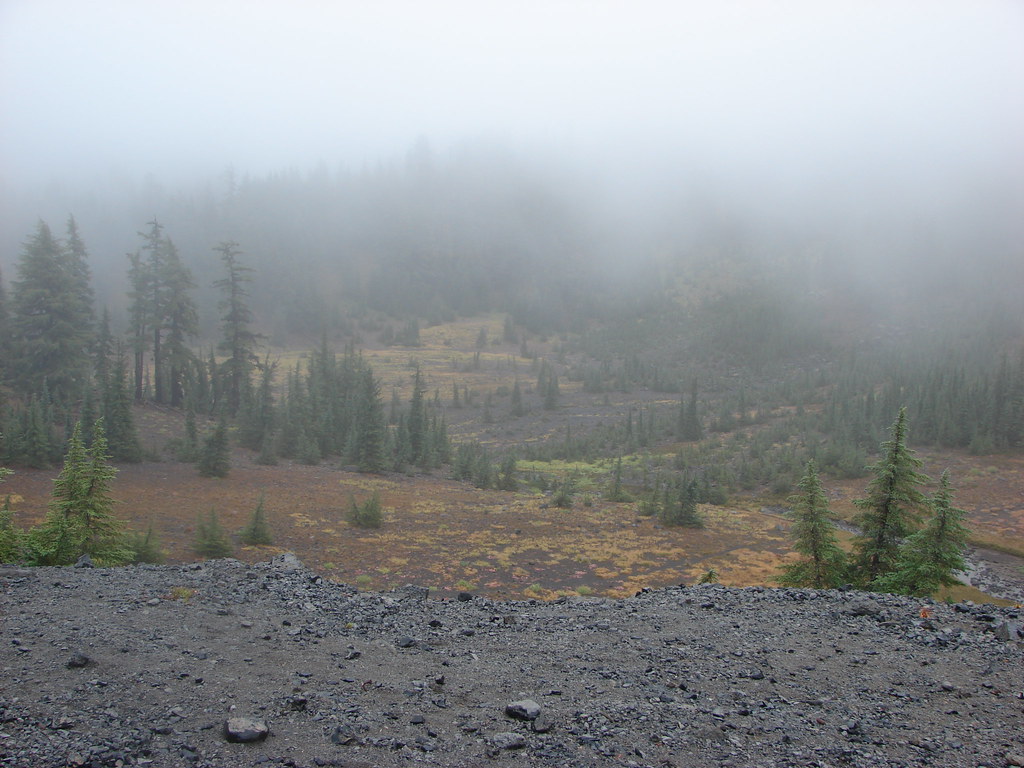
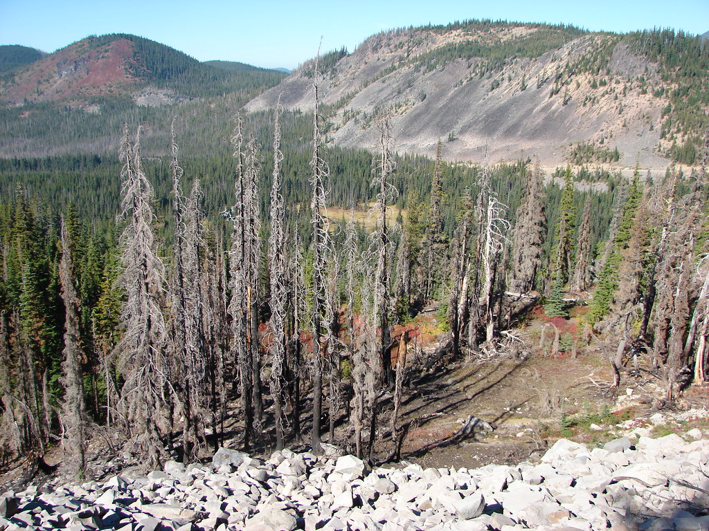
As we reentered the snowbrush covered landscape of the B & B Fire we noticed quite a bit of smoke in the Metolius River Valley.
It gave us a little cause for concern as we wondered if some new fire had started nearby but it was smoke from some more distant wildfire that had settled in the valley. We completed the 4.9 mile hike back to the car in about 2 hours and were headed back home before 9am, but not before one last look at the mountain.
Happy Trails!
Flickr: Table Lake Loop and Carl Lake to the Cabot Lake THTable Lake Loop and Carl Lake to the Cabot Lake TH
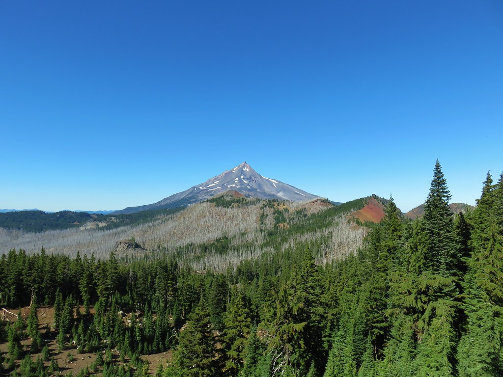
 From left to right – North Cinder Peak, Forked Butte, and Mt. Jefferson
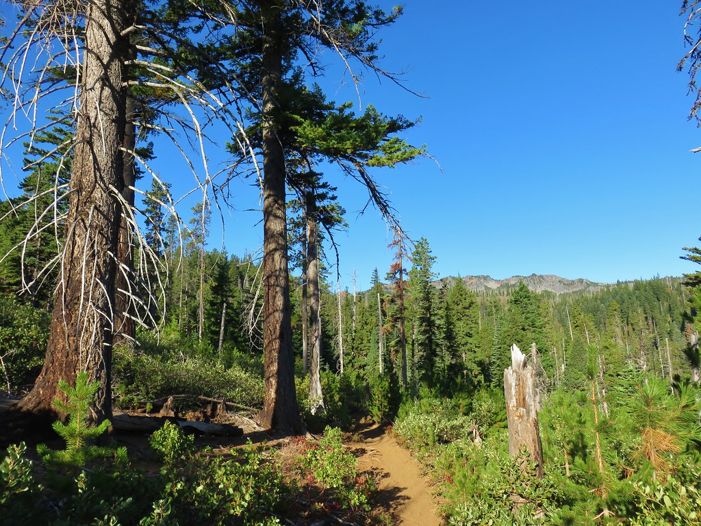

 Mt. Jefferson and the Swallow Lake Trail
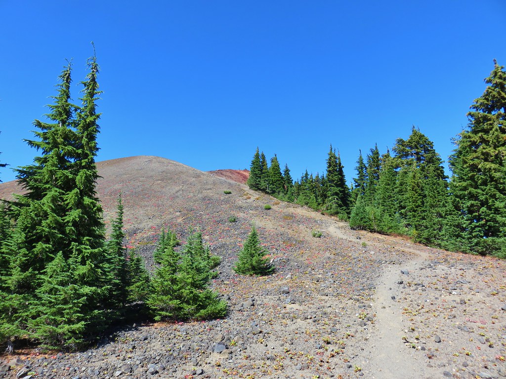
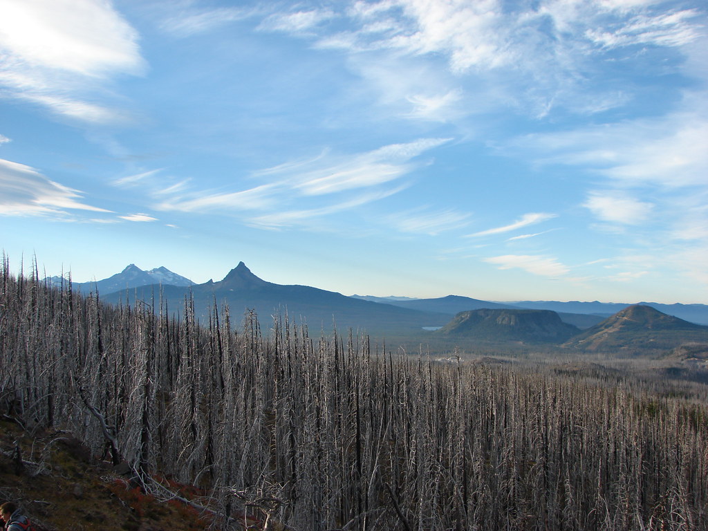
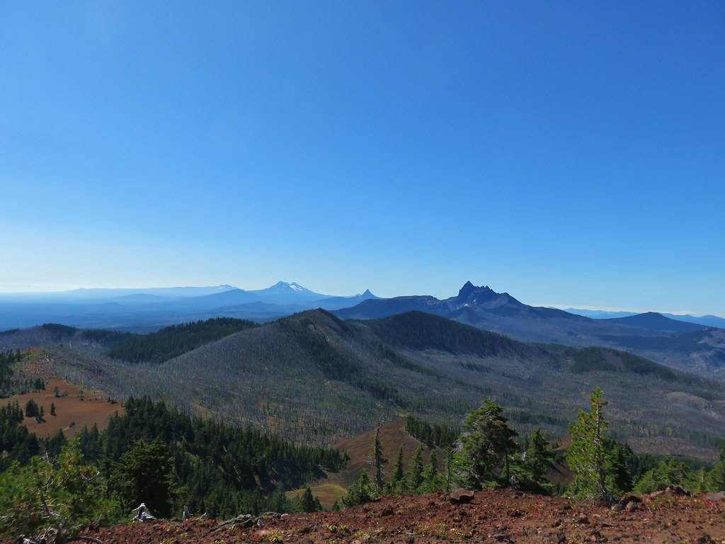 Broken Top, The Three Sisters, Mt. Washington, and Three Fingered Jack to the south.
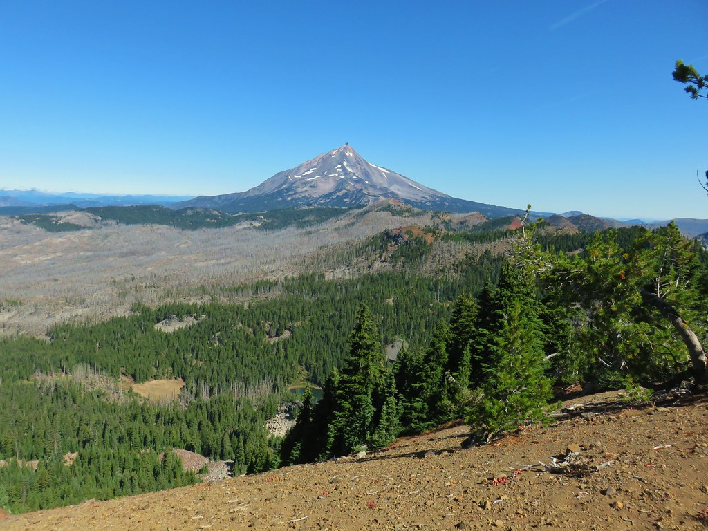 Mt. Jefferson to the north.
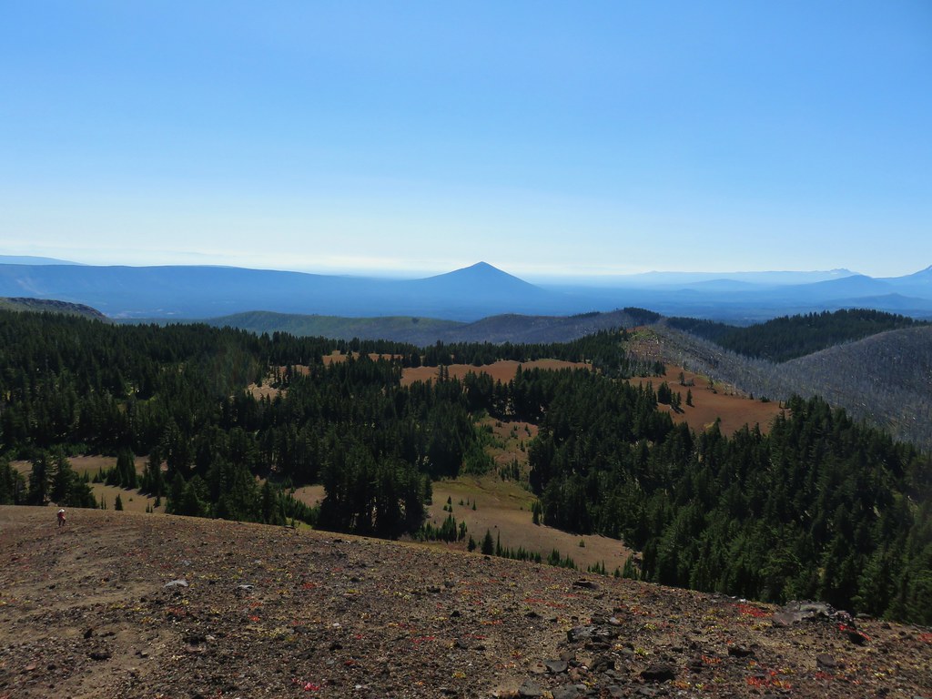 Black Butte to the SE
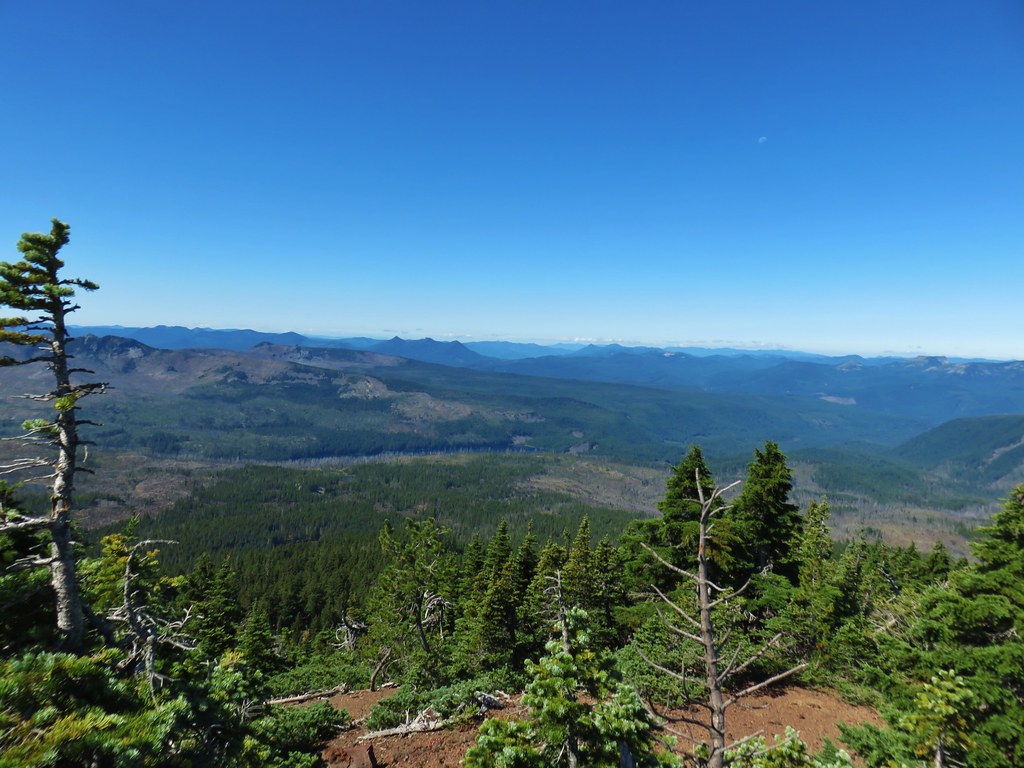 The Three Pyramids and Marion Lake to the west
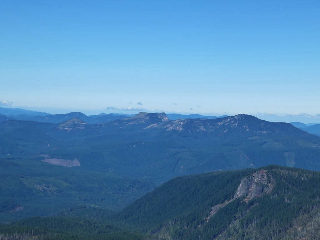 Coffin Mountain and Bachelor Mountain to the NW
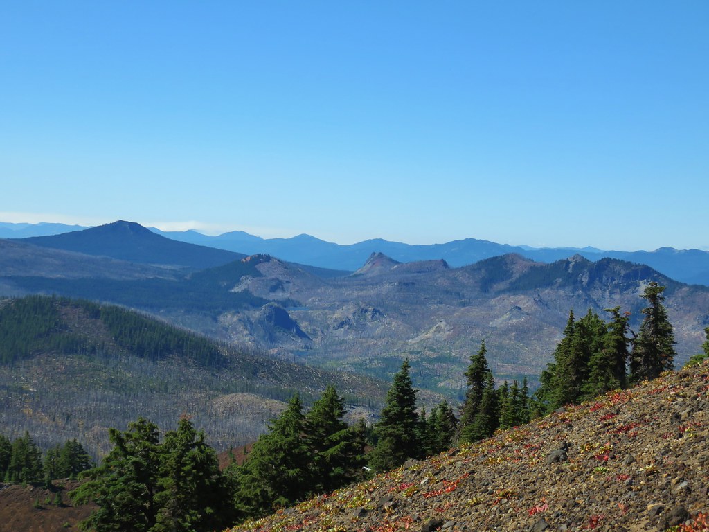 Maxwell Butte, Red Butte, and Duffy Butte to the SW
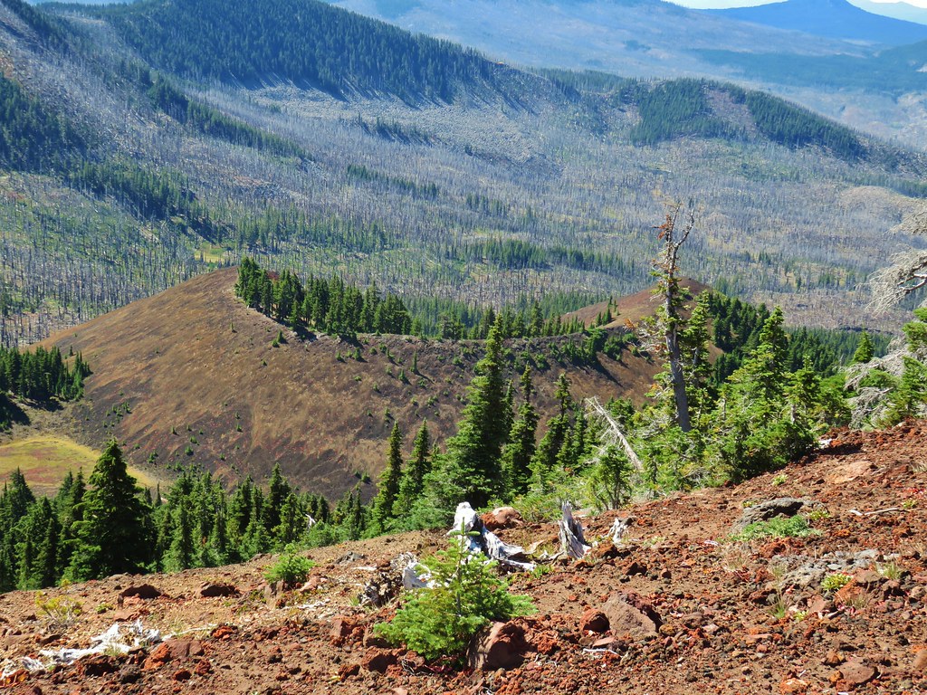 Cinder cone below South Cinder Peak


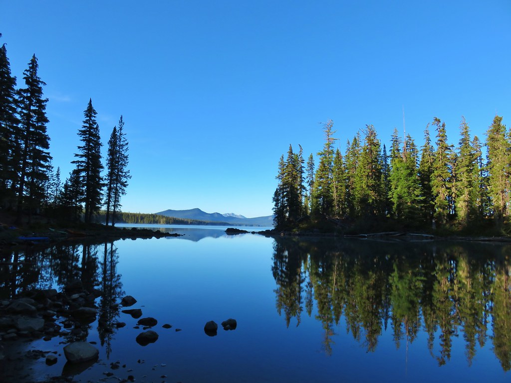
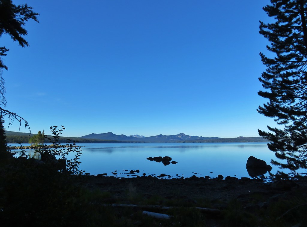
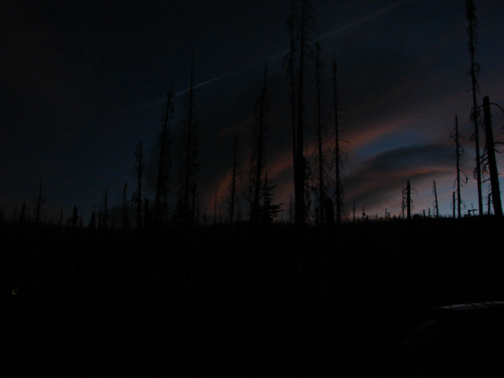
 5am clouds over Waldo Lake


 First left fork
 Second fork left at a “water for horses” sign
 Third left fork at a junction with the Shoreline Trail
 Fourth left fork at another junction with the Shoreline Trail
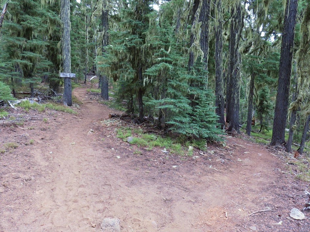 Fifth left fork which should have been a right.
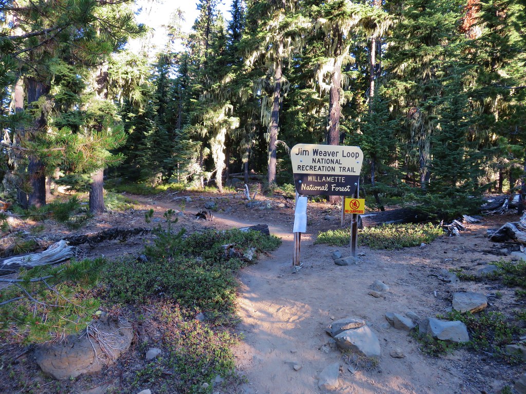


 Diamond Peak to the left and Fuji Mountain directly behind the island
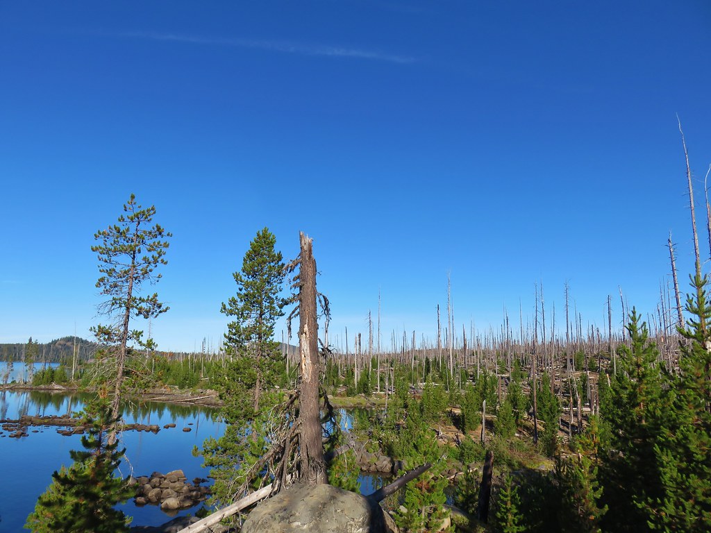

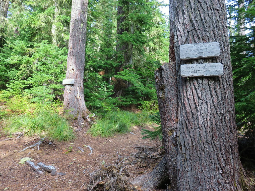
 Wahanna Trail
 Dam Camp is to the left in the trees and rhododendron


 South Sister
 The Three Sisters
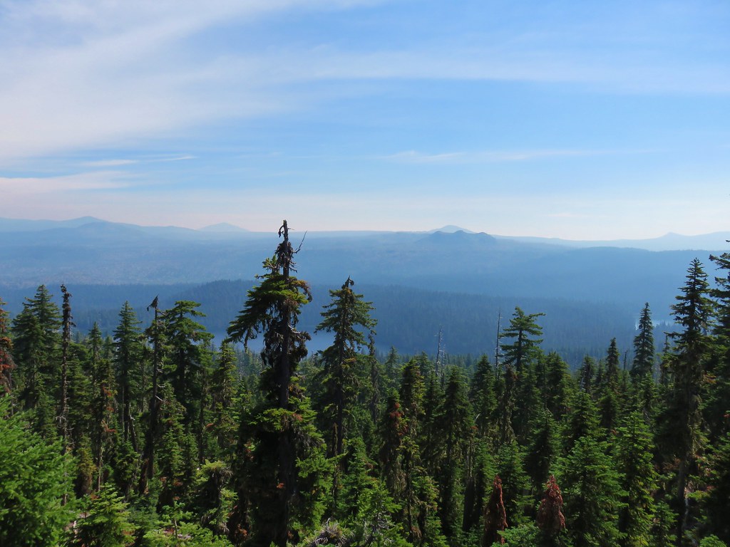 Rigdon Butte beyond the Eddeeleo Lakes from the Winchester Ridge Trail
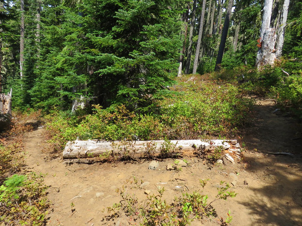


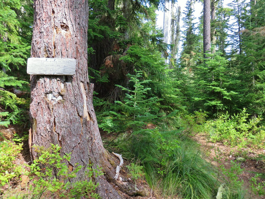
 Bear Point Trail sign 2013
 Bear Point Trail sign 2018
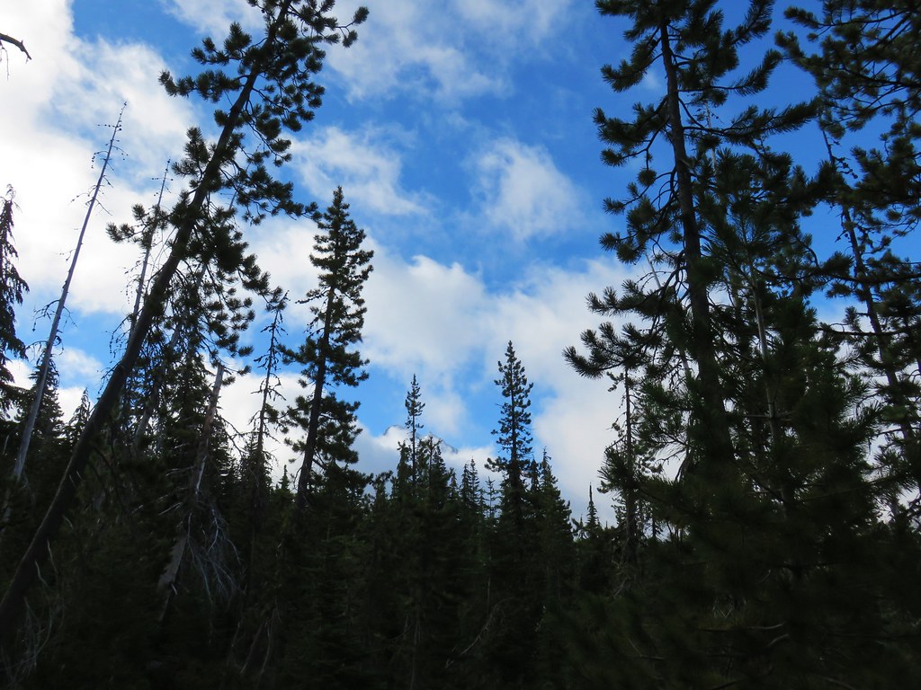
 8/11/2018


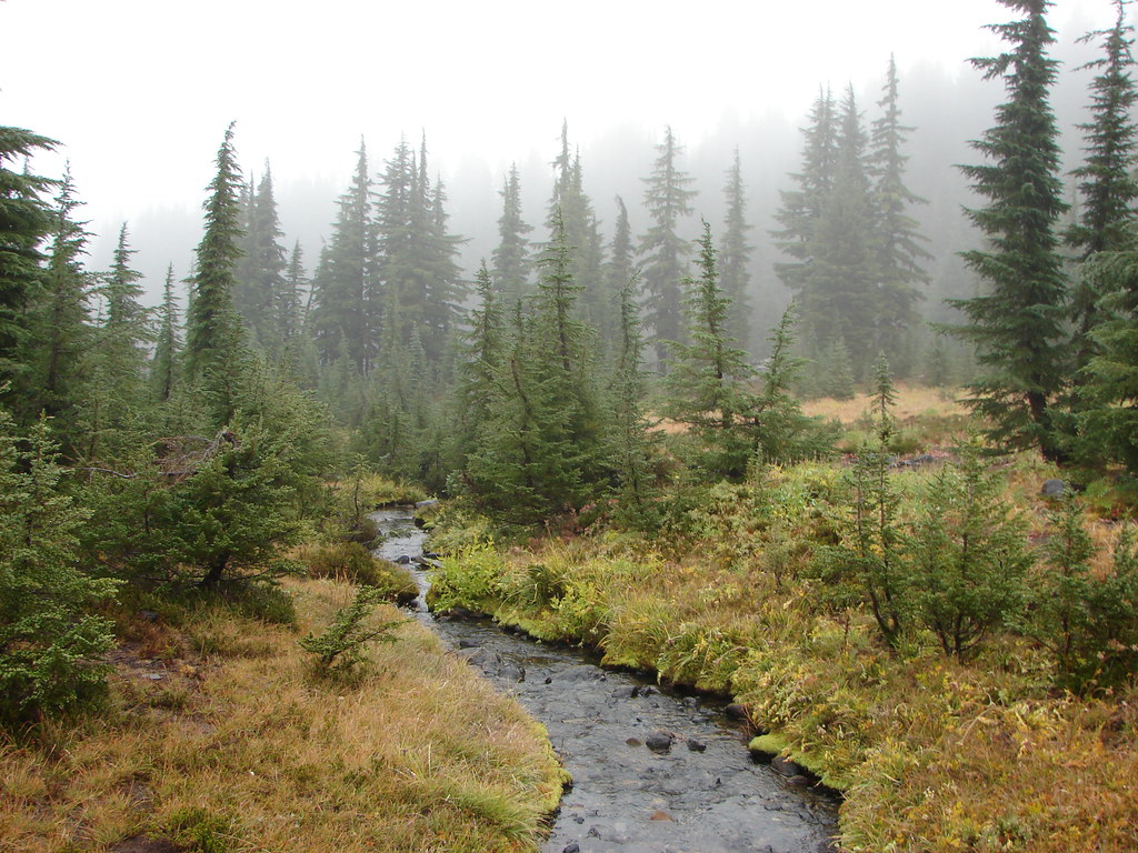
 PCT heading south through Jefferson Park.

 Park Butte

 1
1 2
2 3
3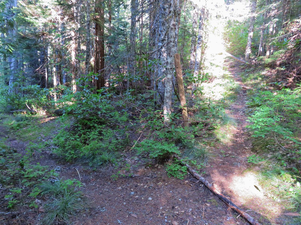


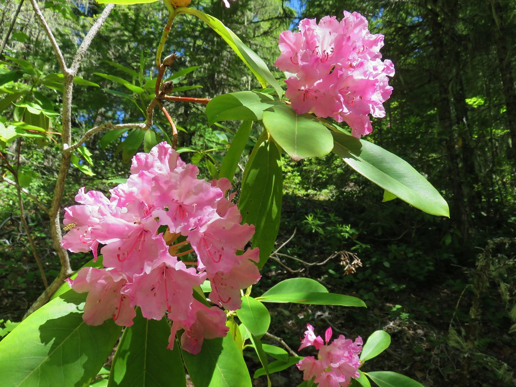

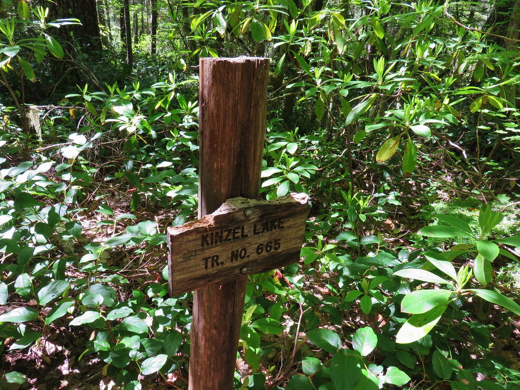
 Kinzel Lake Trail
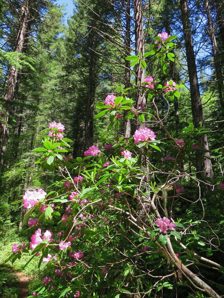
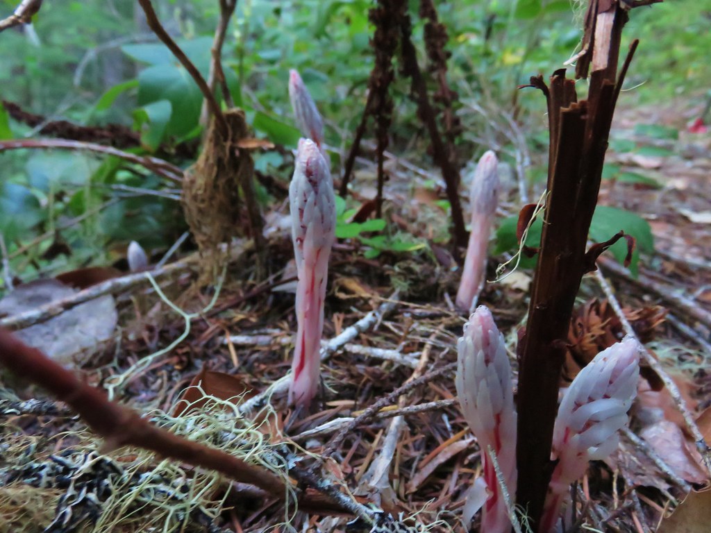
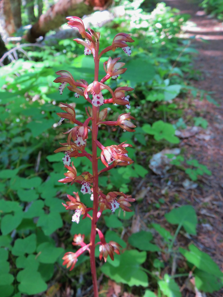 Spotted coralroot
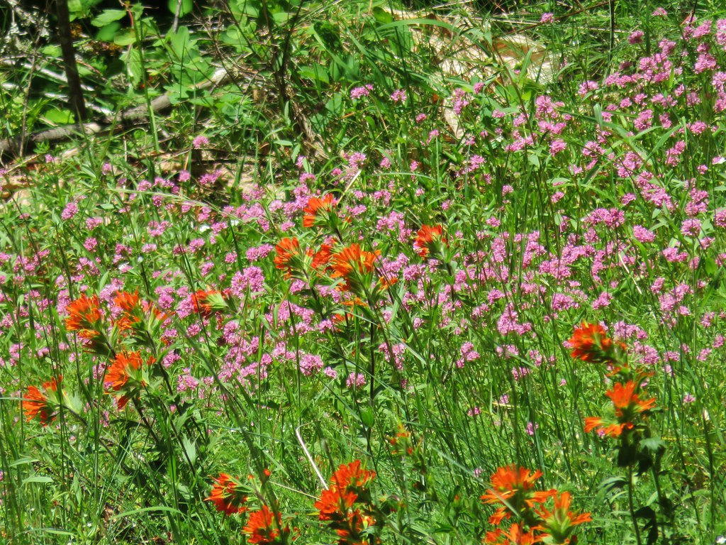 Paintbrush and plectritis
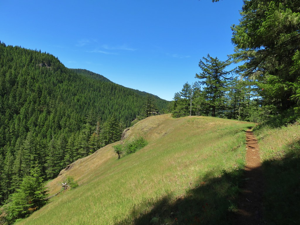
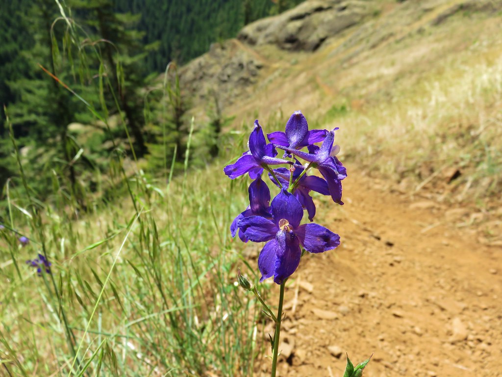
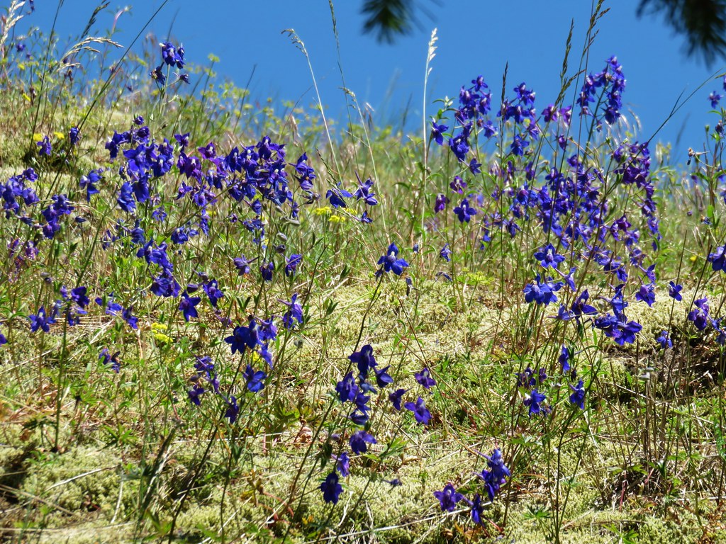
 Larkspur
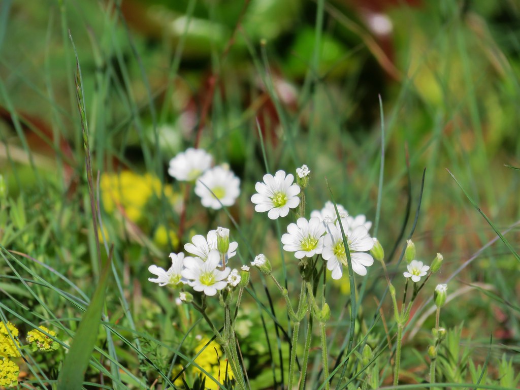 Field chickweed
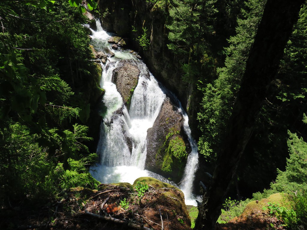

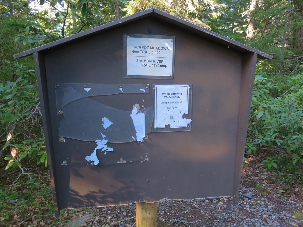
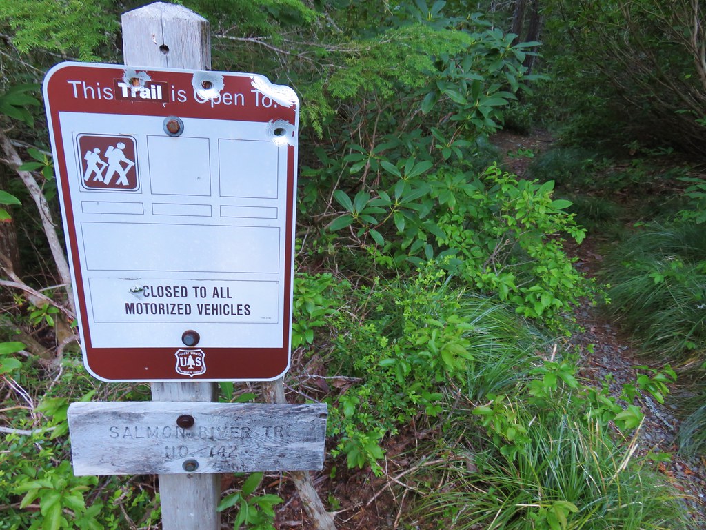
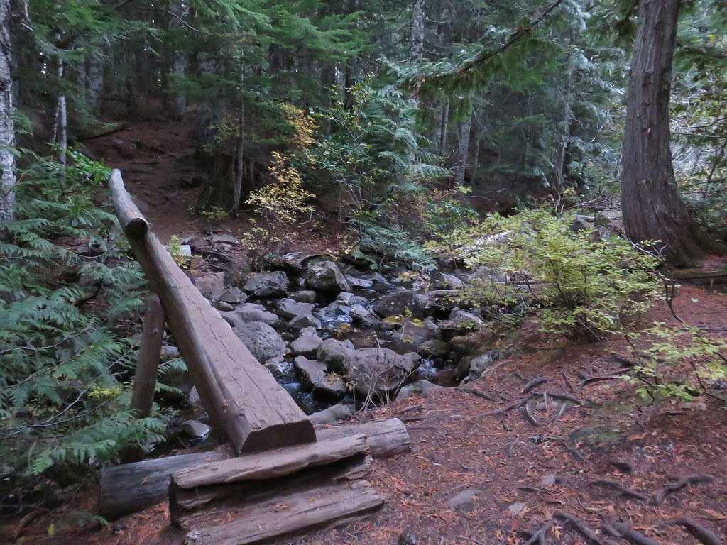
 Cliffs along the hillside above the Salmon River


 Sister Spring
 North Sister and the Collier Cone
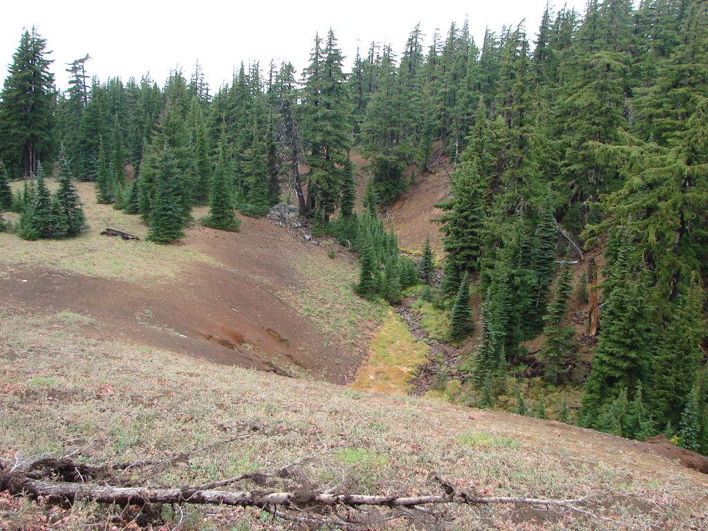


 FR 4220 visible below the rocky slope.
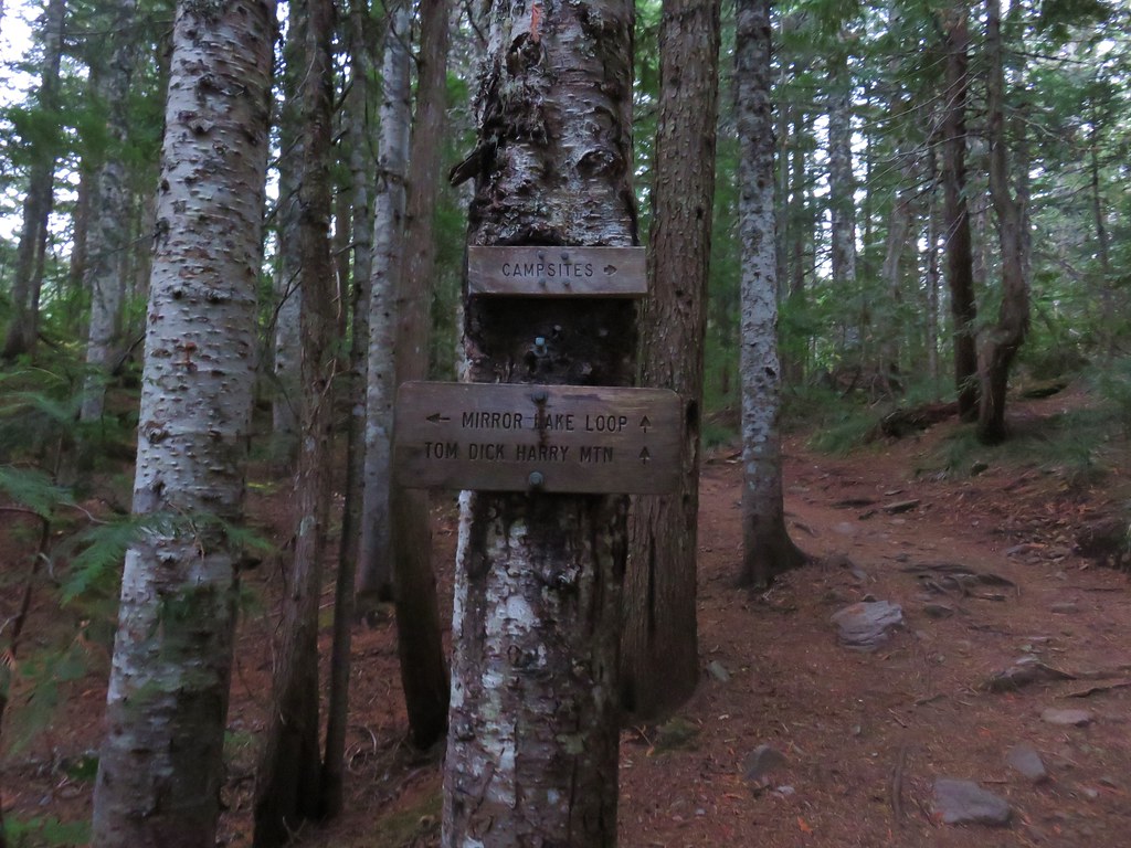

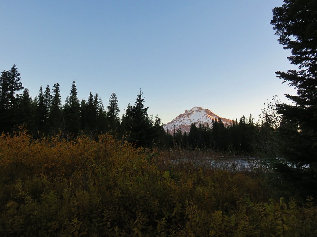


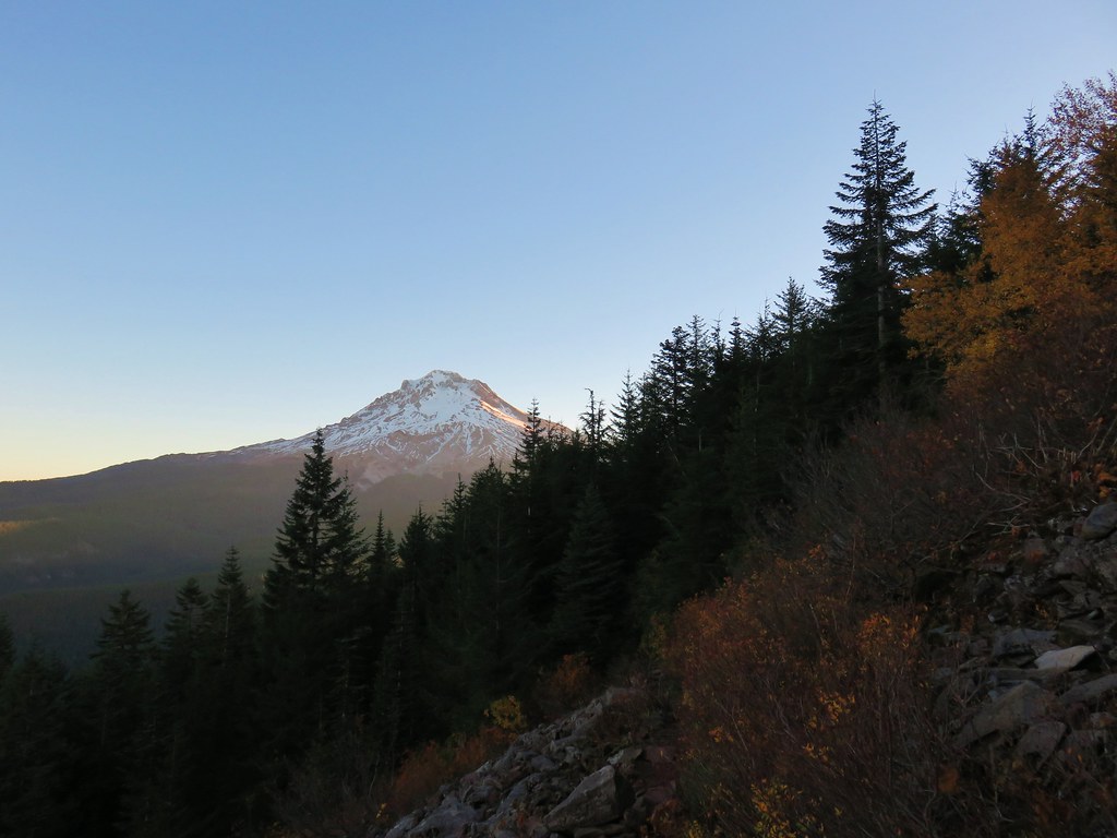
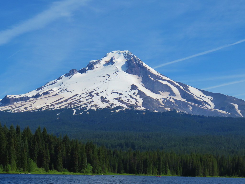
 Mt. Hood and Mirror Lake with Mt. Adams in the background
 From left to right: Mt. St. Helens, Mt. Rainier, and Mt. Adams.
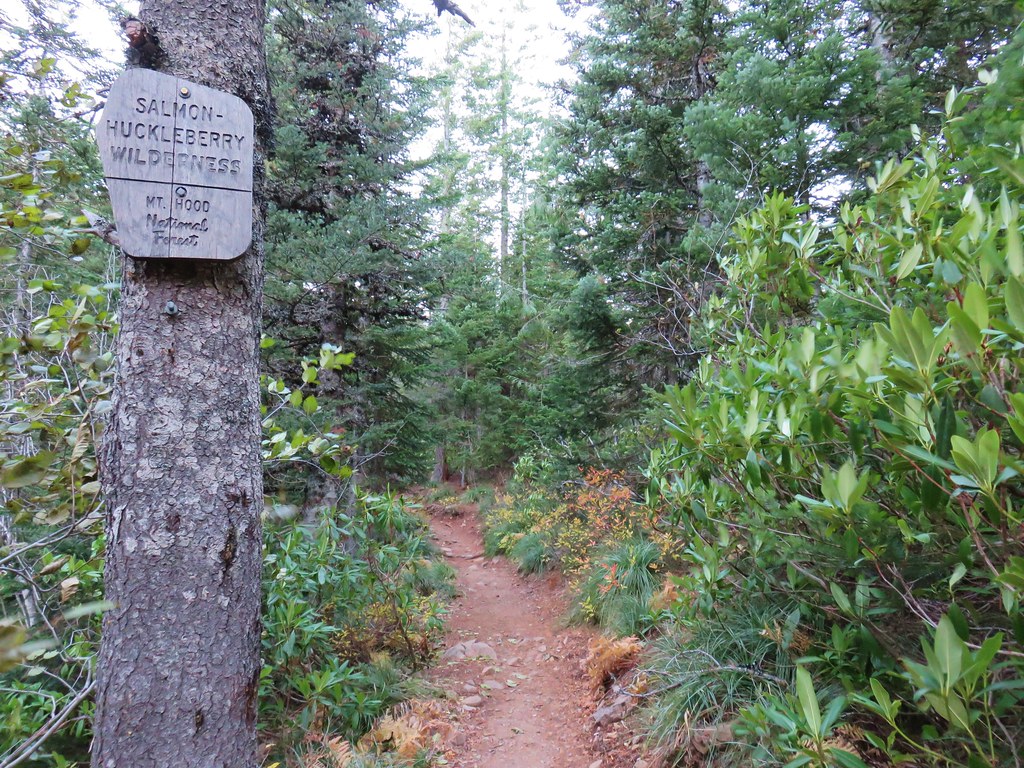
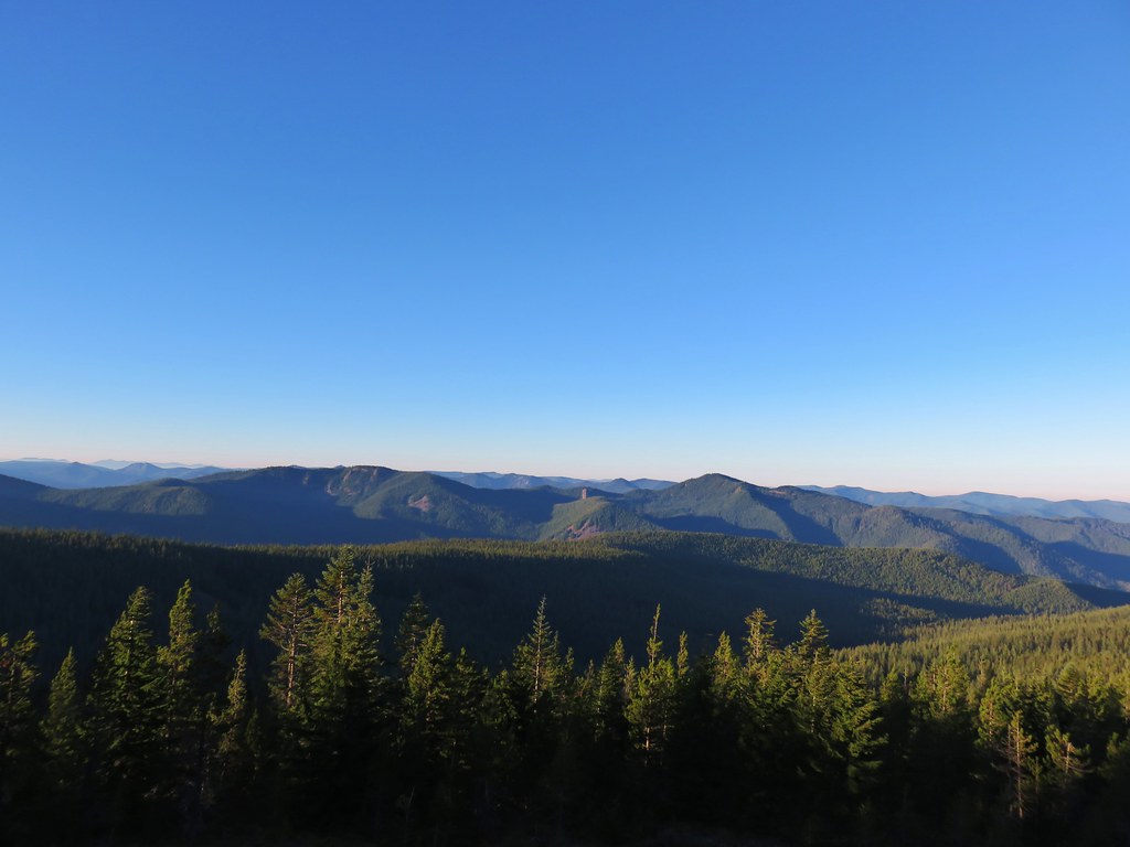 Salmon-Huckleberry Wilderness
 Mt. Jefferson
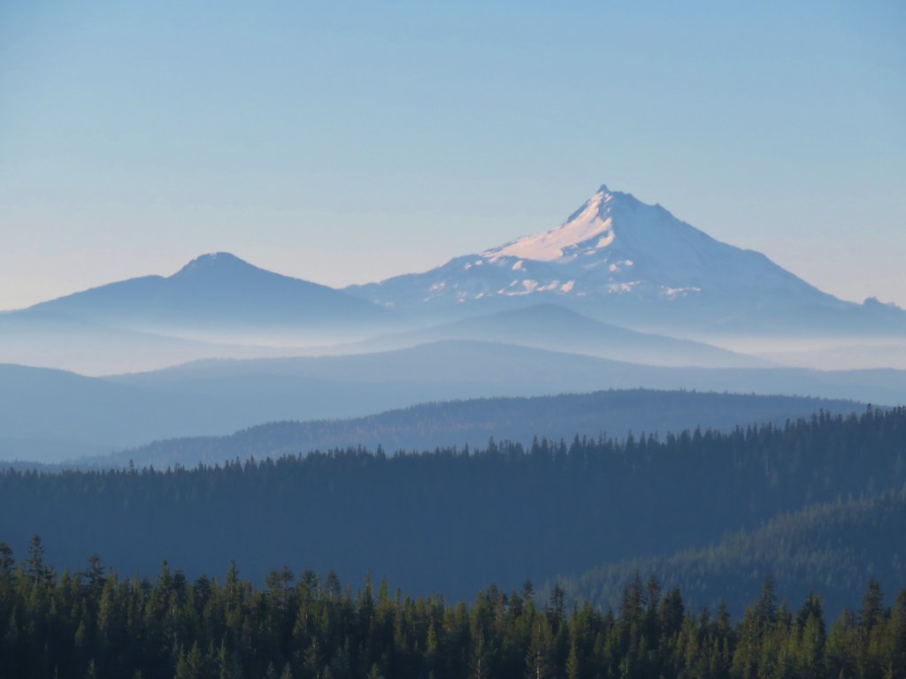 Olallie Butte, Mt. Jefferson, and the top of Three Fingered Jack
 The rest of Tom Dick and Harry Mt.
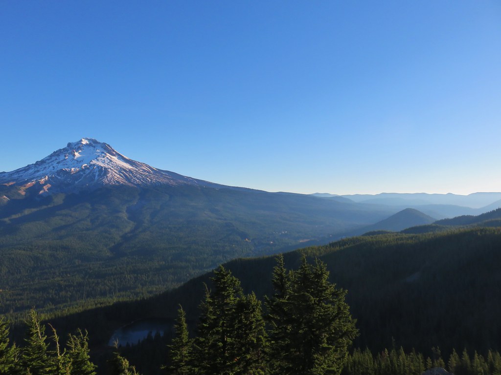 Lookout Mountain and Gunsight Butte in the Badger Creek Wilderness east of Mt. Hood.