With the frequency of our hikes down during our off-season we’ve decided to go back and write up some of our outings from before we started this blog. We’re hoping to have Throwback Thursday posts during those weeks that we don’t have a new trip report to write. We’ll start with hikes that we haven’t repeated since starting the blog and, at least to begin with, are not in our plans to be hiked again in the foreseeable future. That is not to say that they are not worthwhile hikes, they all are. In our attempt to take as many different trails as possible we rarely repeat hikes, and when we do it has typically been because we missed something the first time such as a view or blooming wildflowers.
Please keep in mind that we completed all of the throwback hikes at least 4 years ago so before visiting any of the trails be sure to check with the managing agency on their current condition and availability.
With that disclaimer we’d like to start off with one of the most diverse hikes in terms of scenery that we’ve taken – Paulina Peak in the Newberry National Volcanic Monument. This hike was done on 8/6/2011 during a week long vacation in Central Oregon.
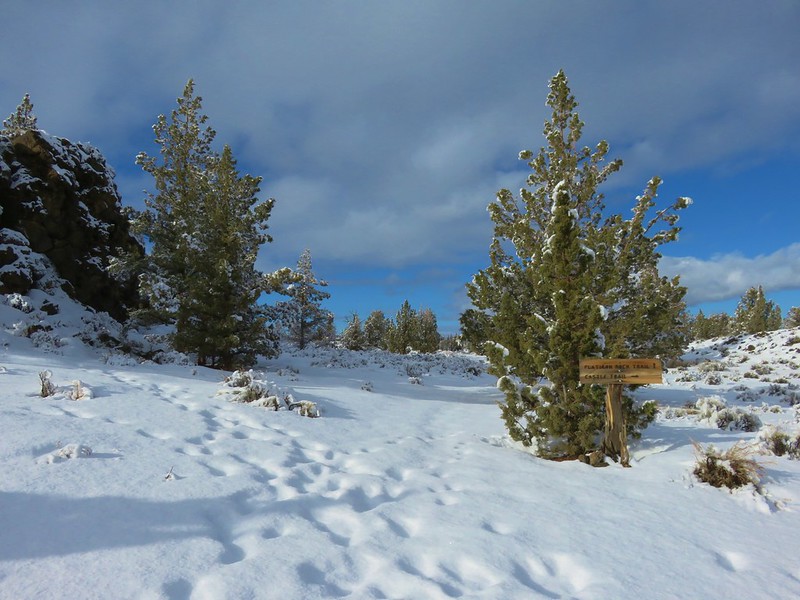
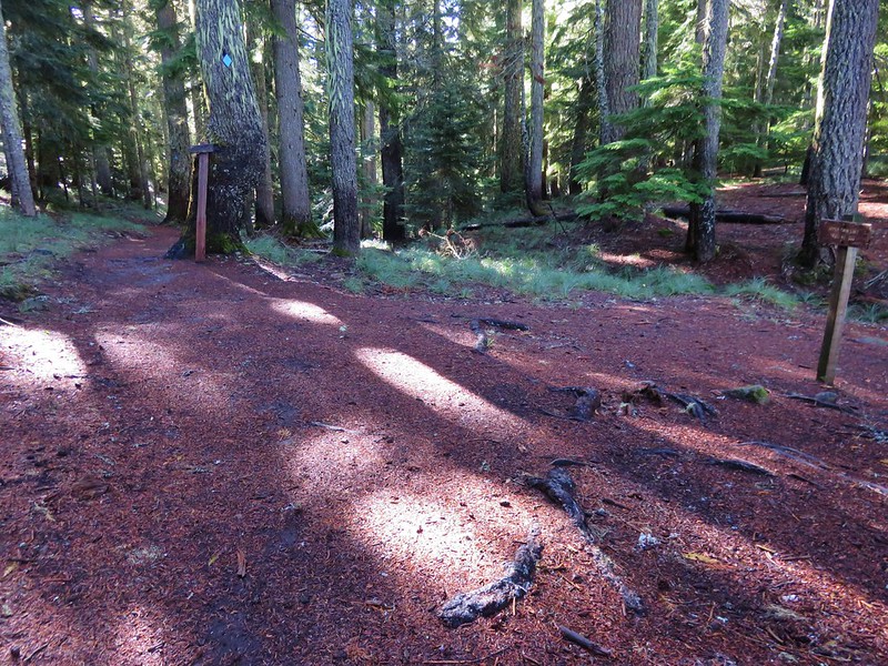
There are a number of hiking options in the monument and our visit consisted of a loop using several different trails allowing us to visit several different worthwhile goals. We began our hike by parking at the Big Obsidian Flow Trailhead.
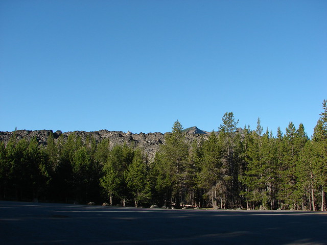

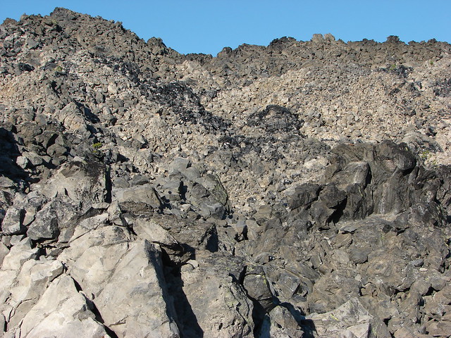
We started with the .8 mile interpretive Big Obsidian Trail which took us into the obsidian flow passing numerous information signs along the way.


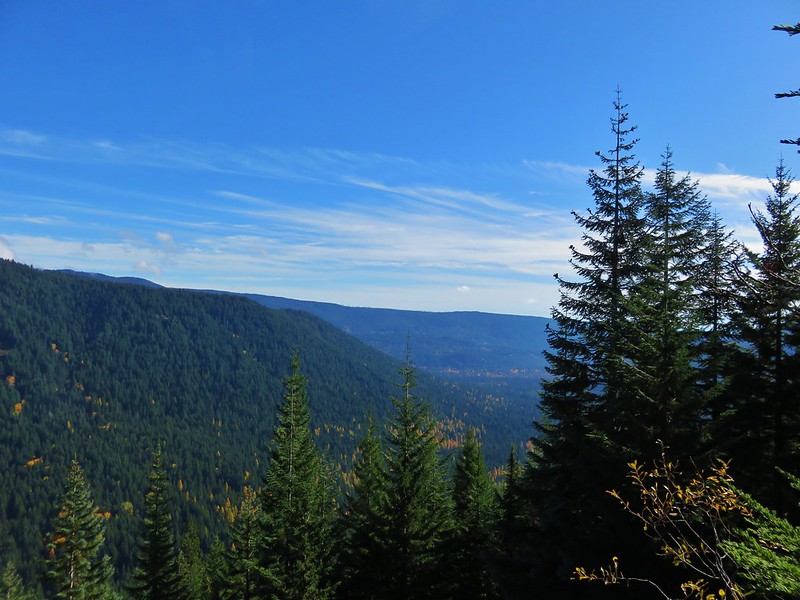
In addition to the interpretive signs and cool rock formations the trail offers views of Paulina Peak, Paulina Lake, and Lost Lake.

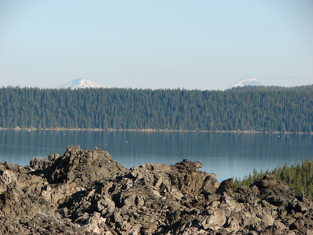
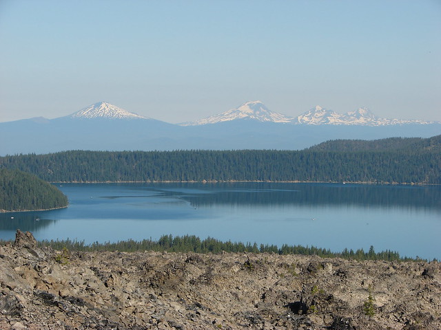
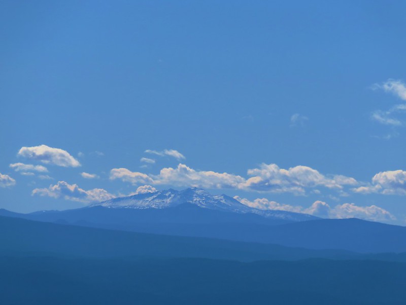
Paulina Lake with Mt. Bachelor and the South Sister beyond.
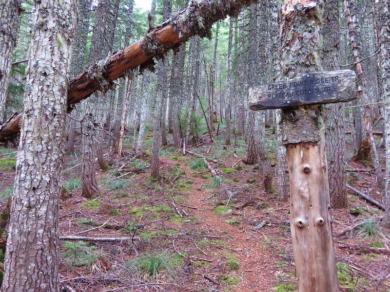
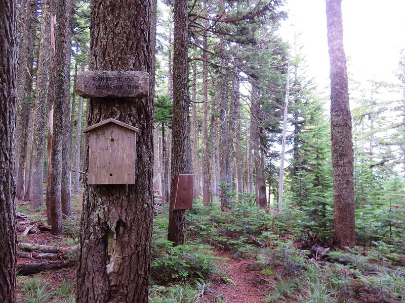
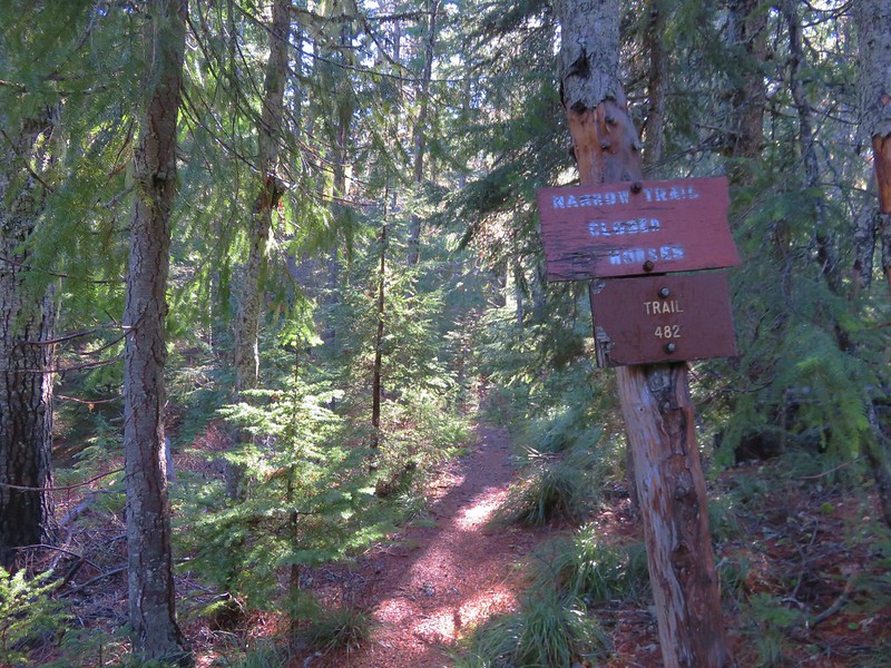
A great option for kids this proved to be perfect warm up for the longer loop we had planned. After returning to the parking area we followed the Silica Trail for 100 yards to a junction with the Newberry Crater Trail where we turned right.

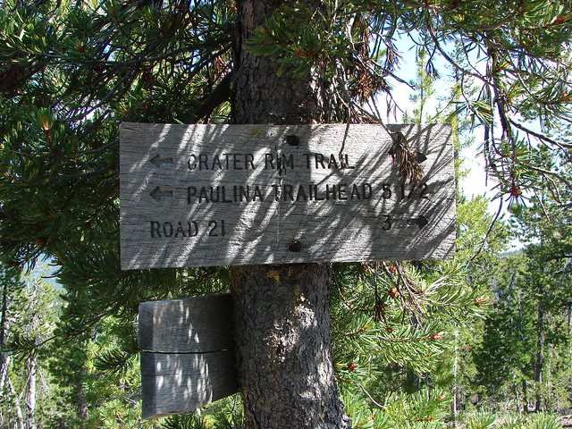
We followed this trail for another half mile to the Lost Lake Trail where we once again turned right following a pointer for the Crater Rim Trail.

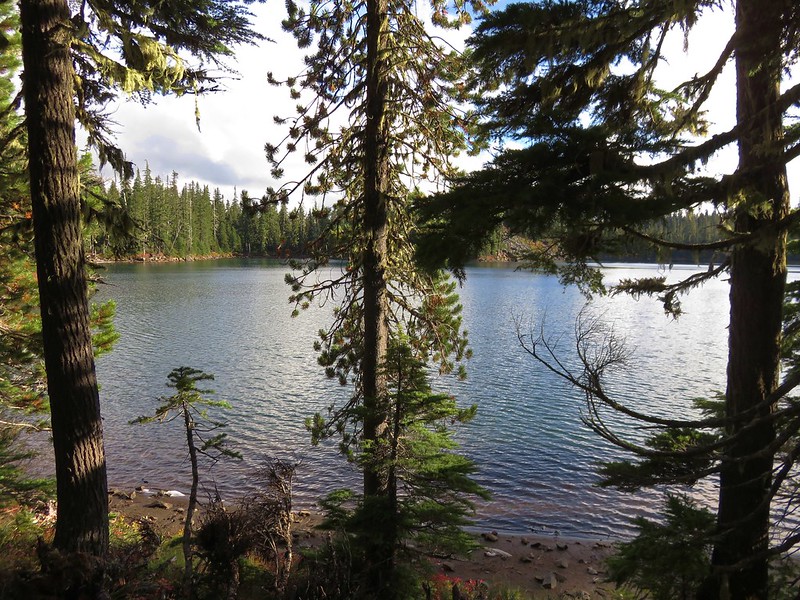
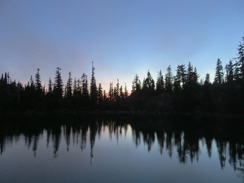
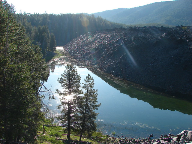
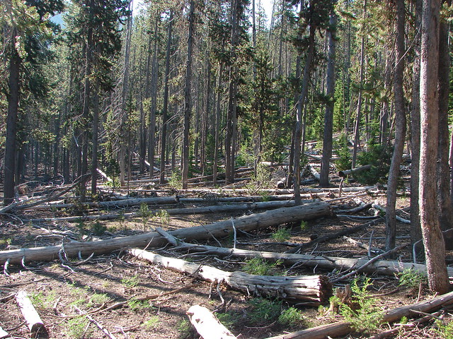
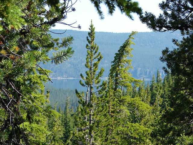
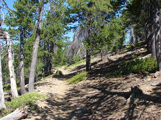
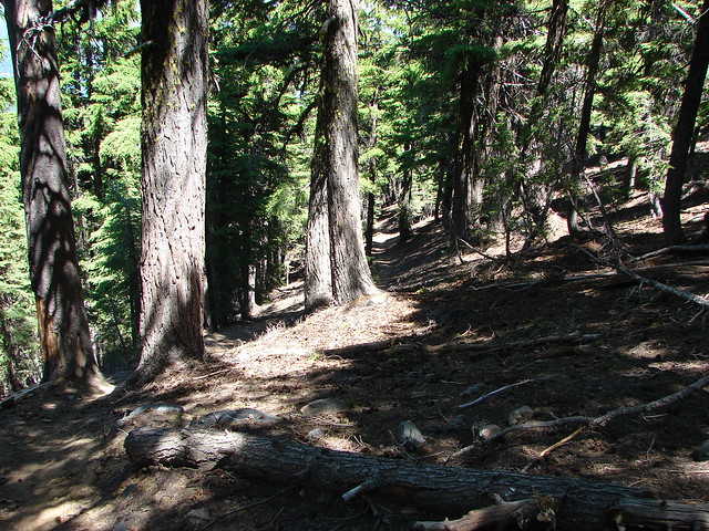
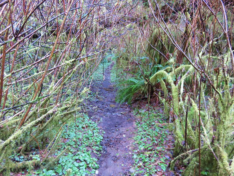
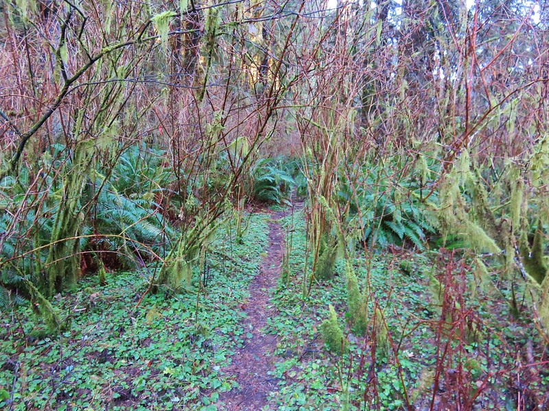
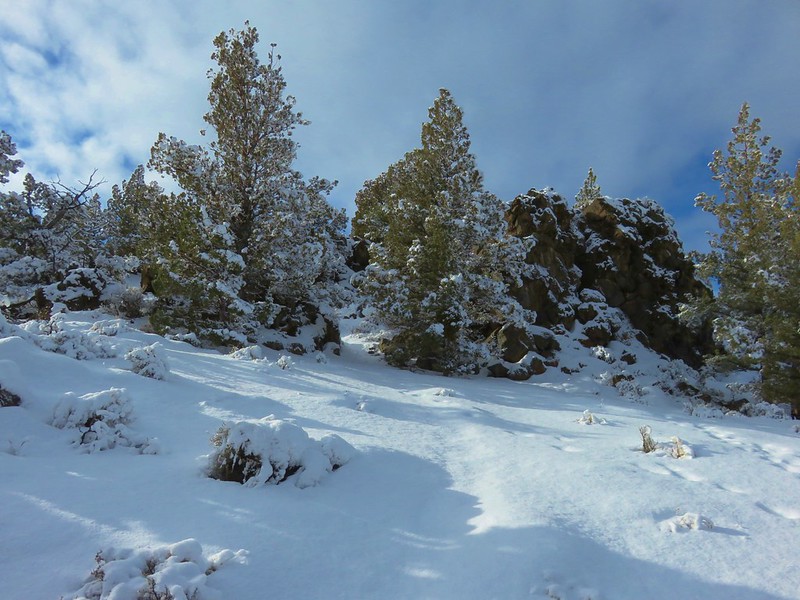
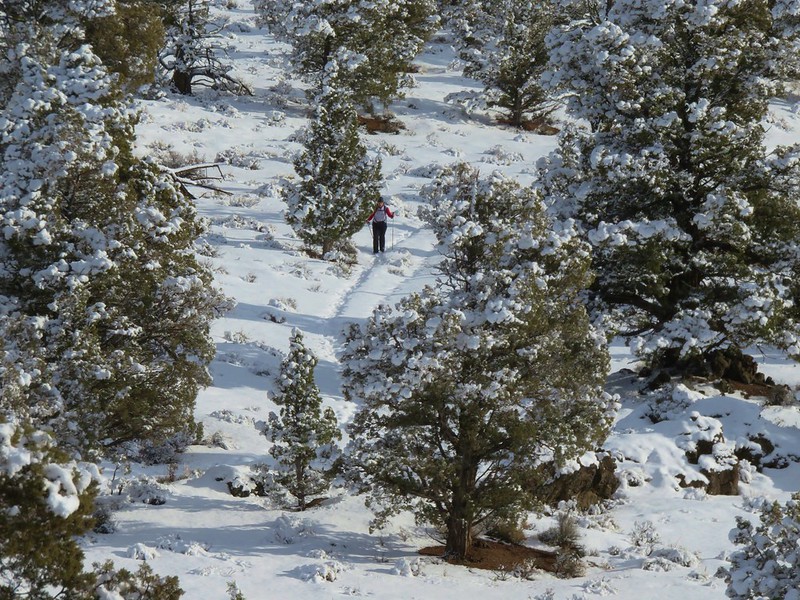
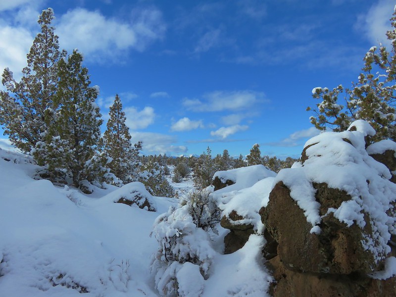
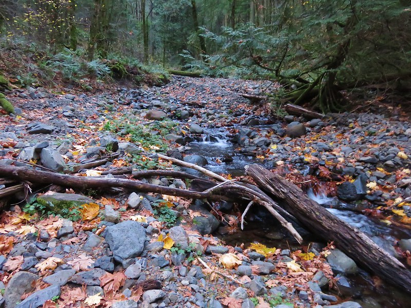
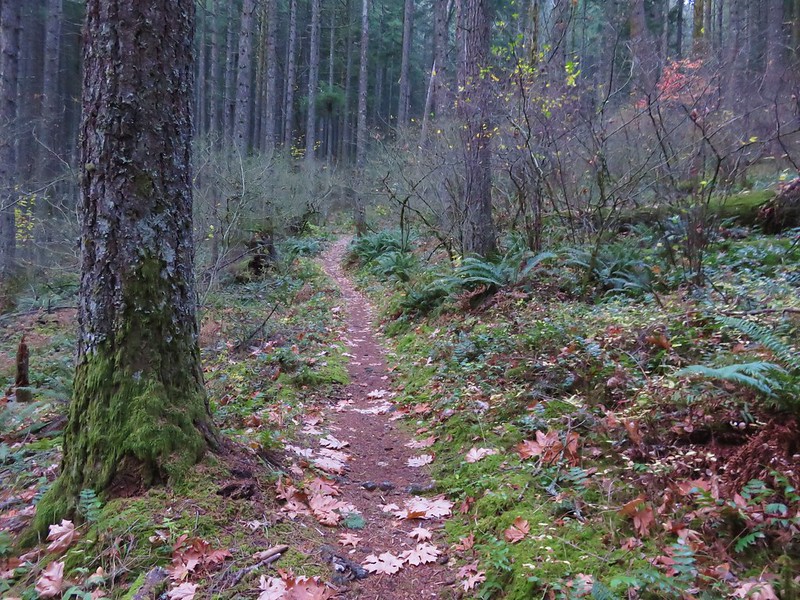
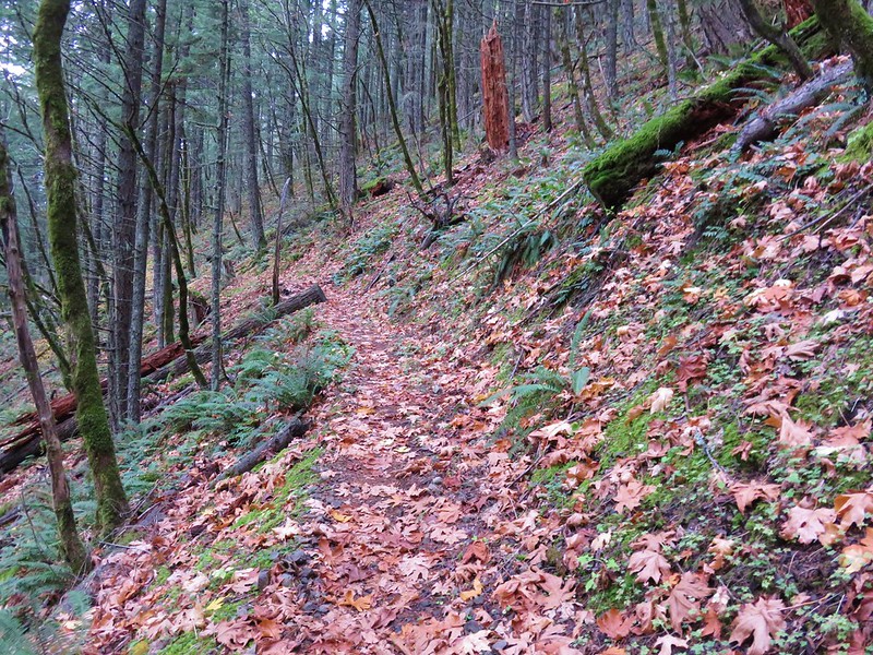
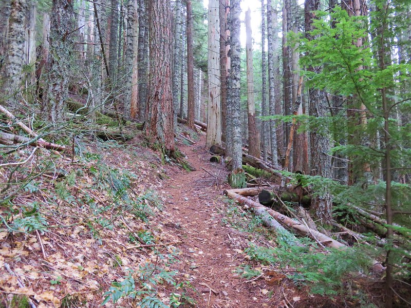
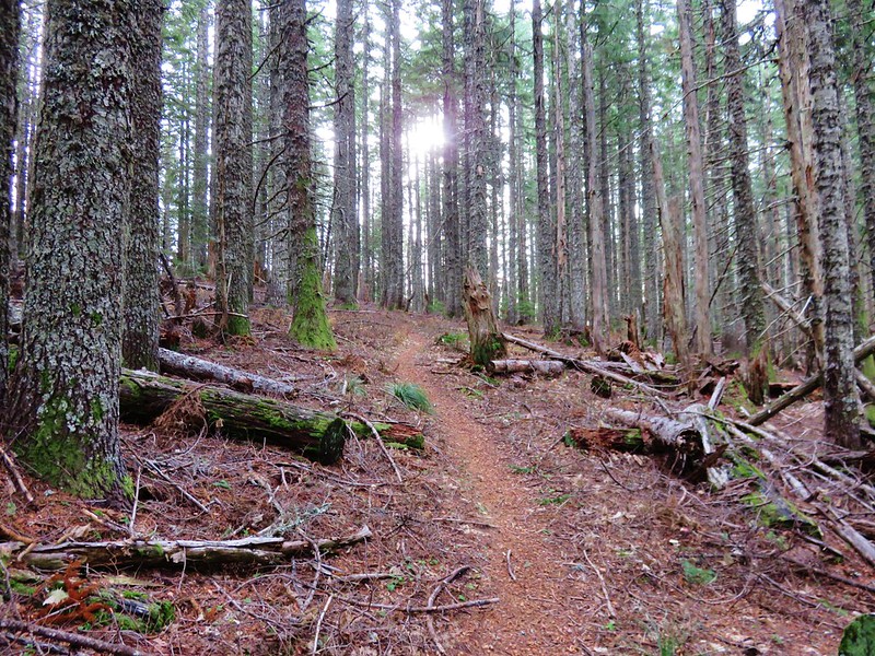
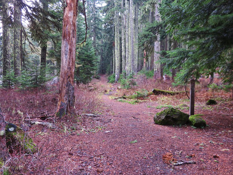
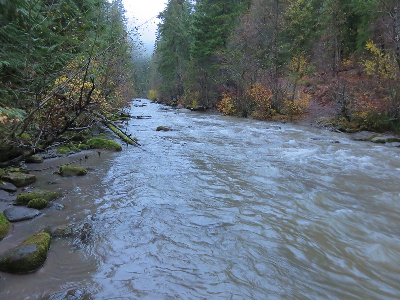
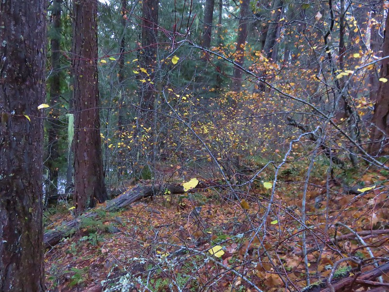
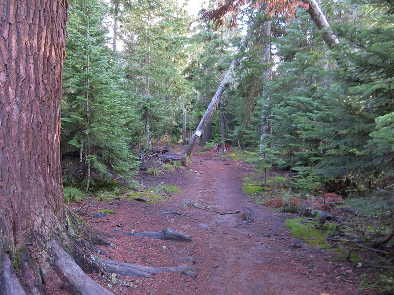
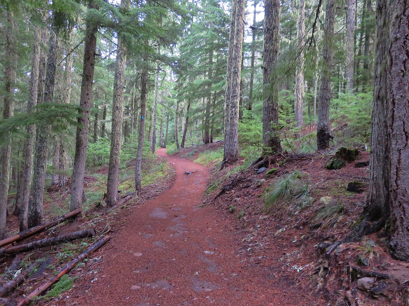
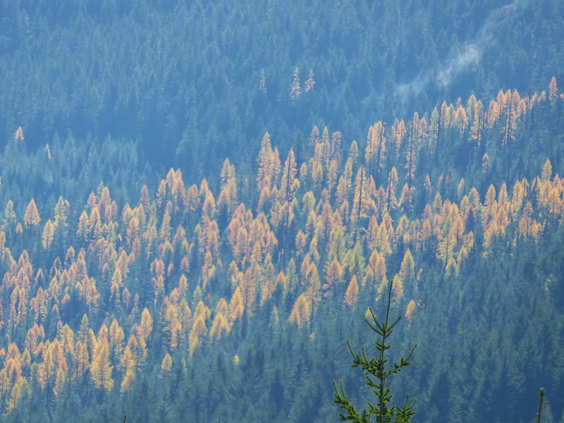
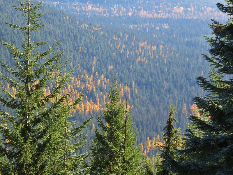
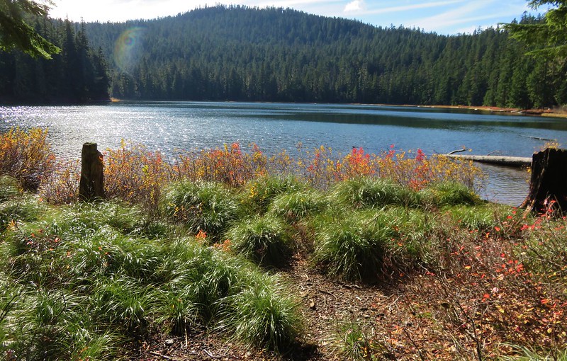
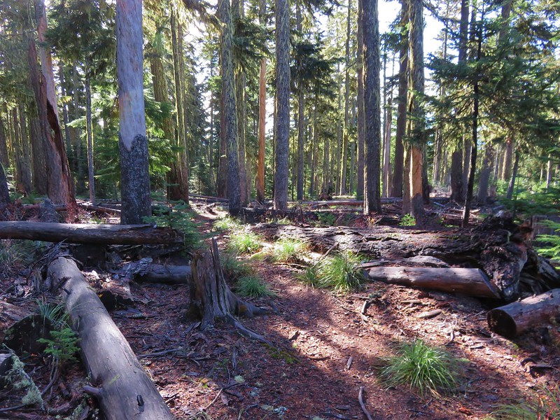
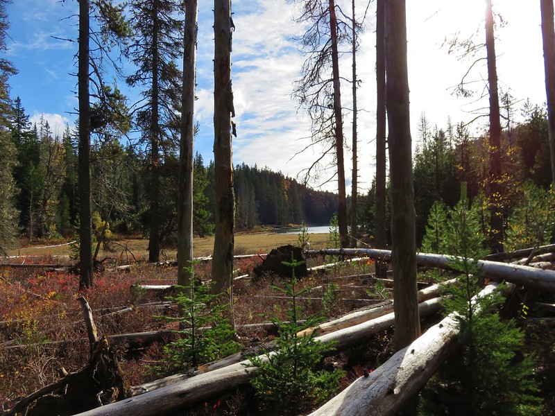
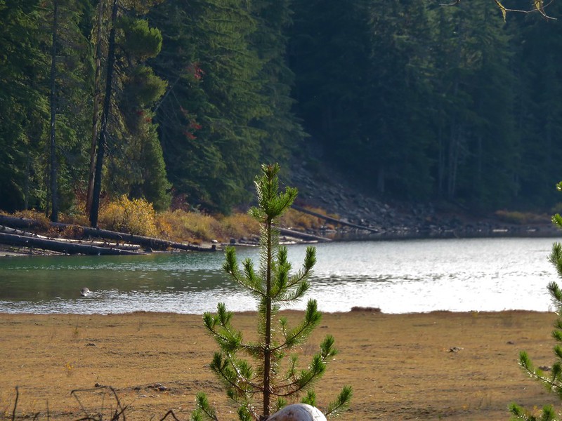
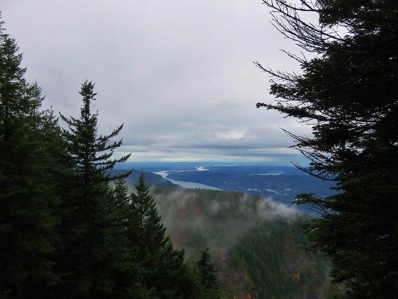
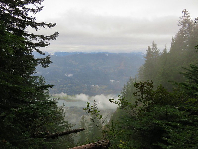
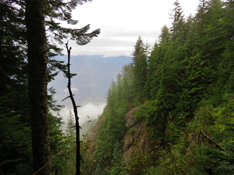
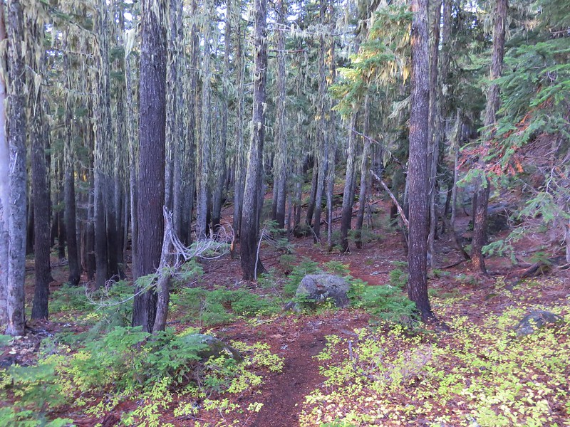
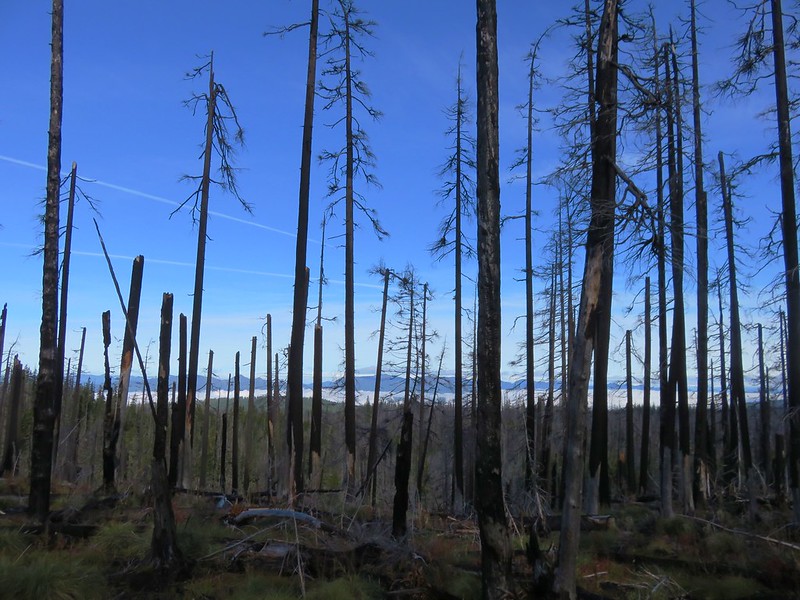
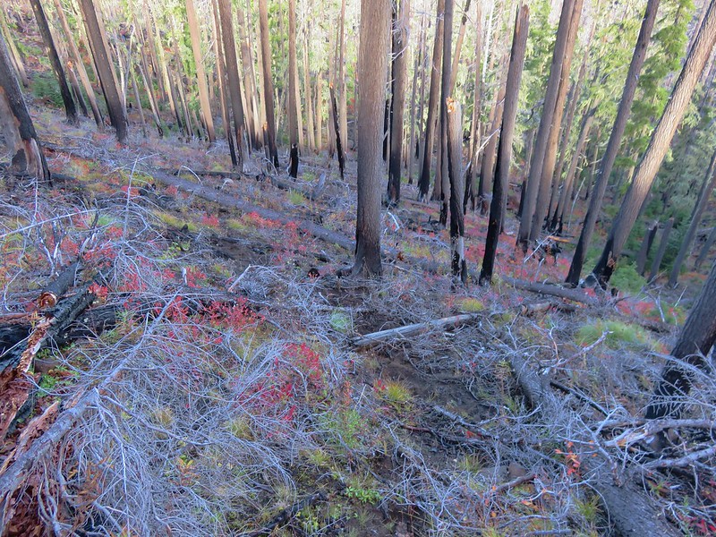
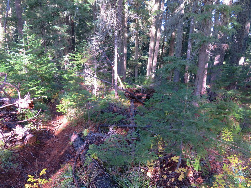
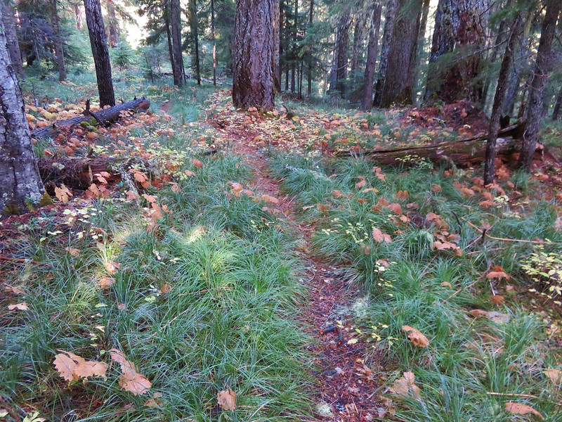
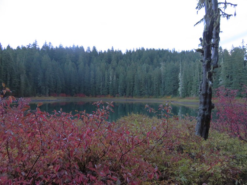
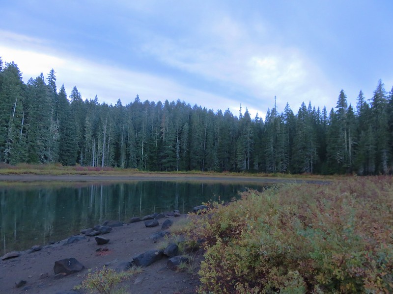
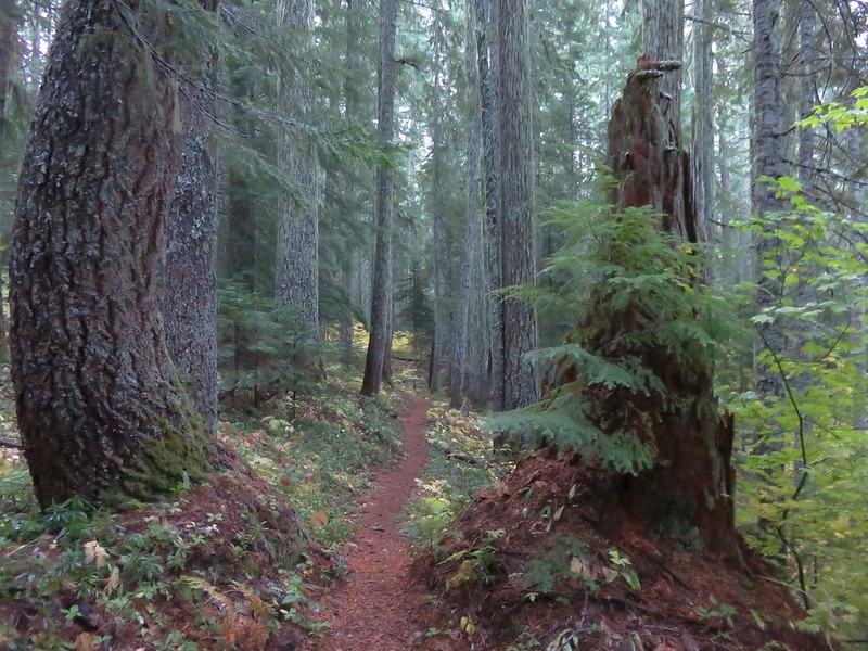
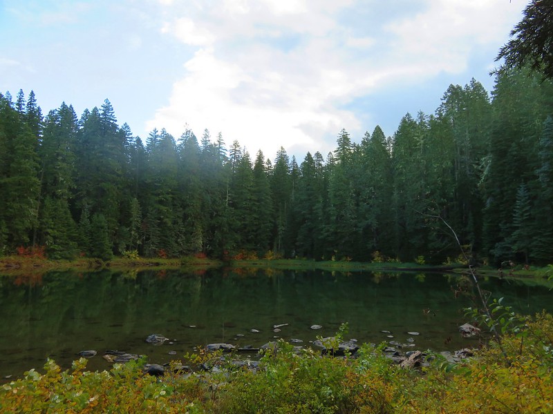
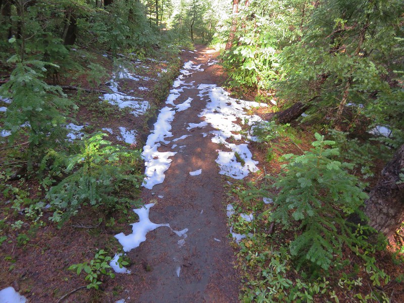
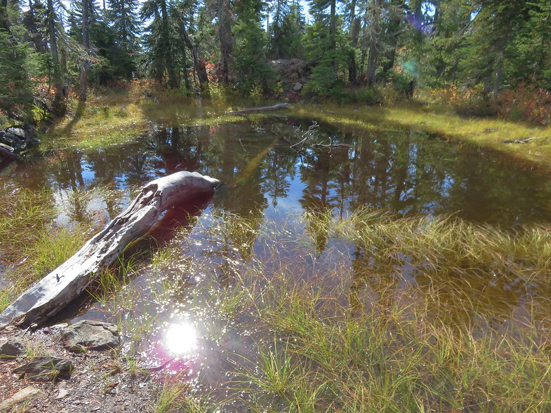
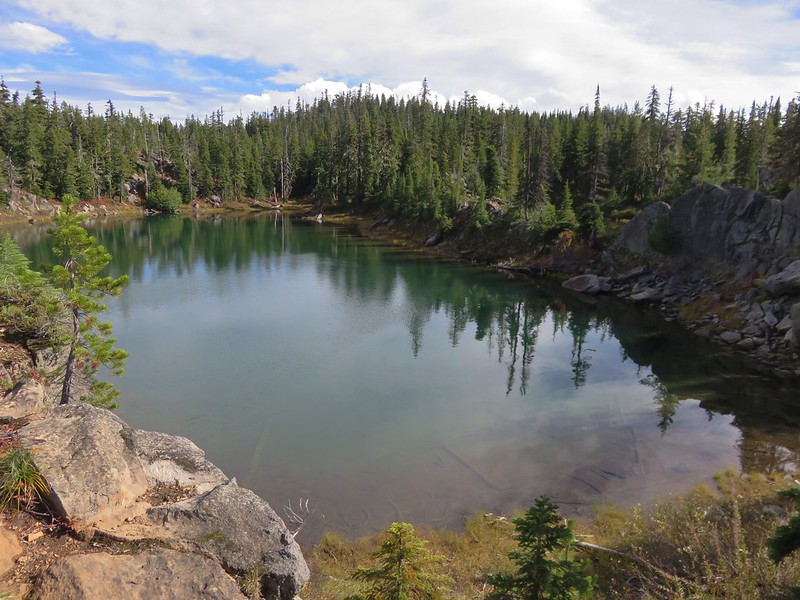
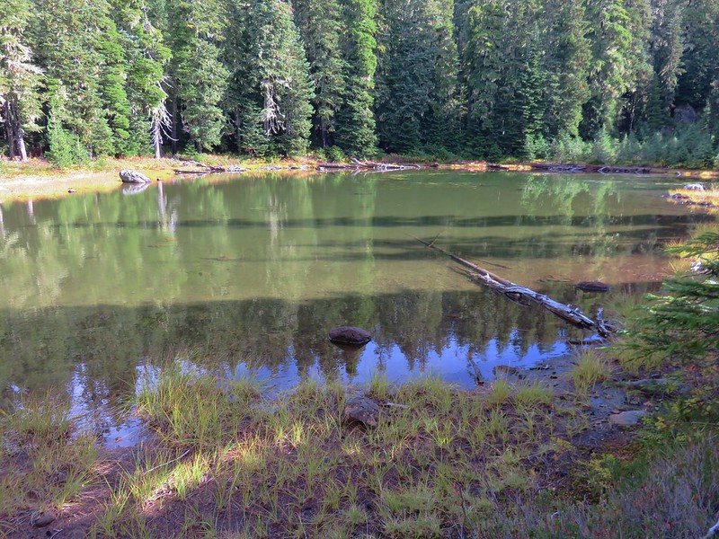
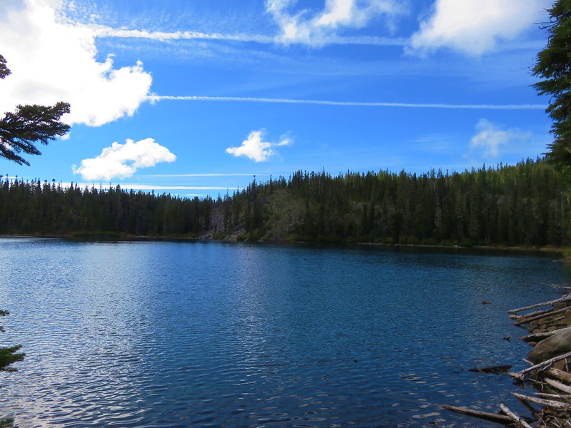
The Lost Lake Trail passed near Lost Lake but not close enough to get a look although occasional hints of sulfur in the air gave it’s presence away. After passing Lost Lake the trail began switching back uphill alongside the Big Obsidian Flow. The open forest sported a number of blooming lupine plants.

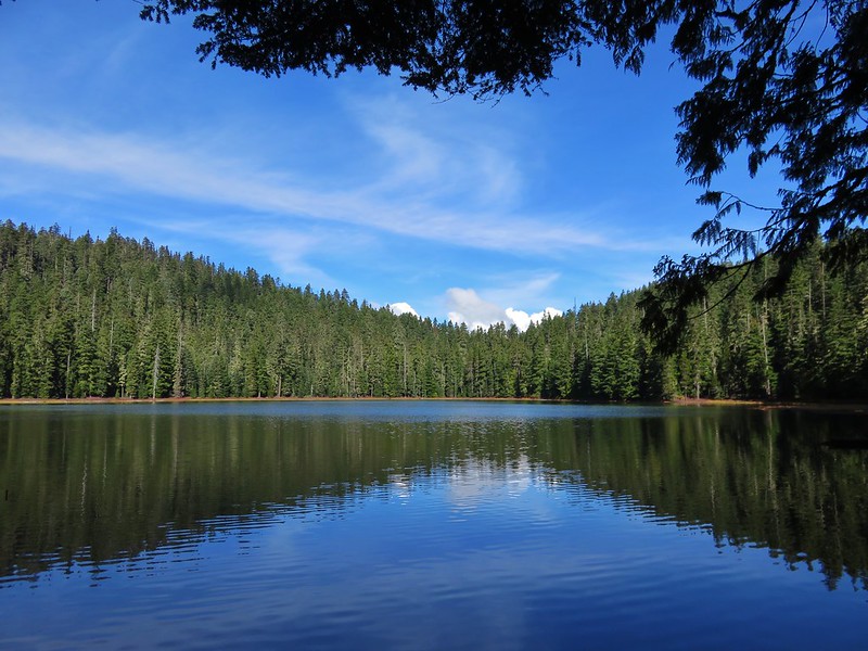
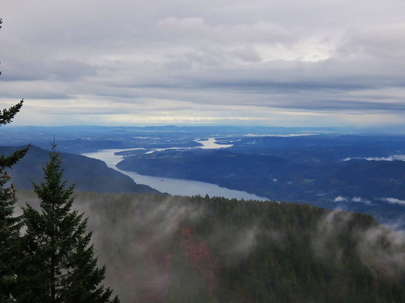
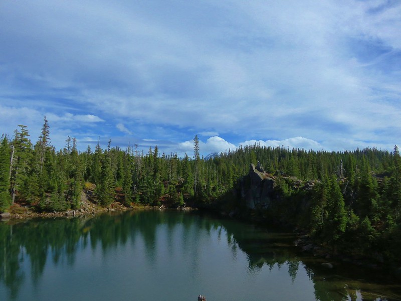
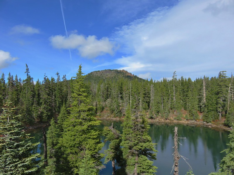
As we climbed we gained views of both of the large lakes in the Newberry Caldera.
Paulina Lake
East Lake
After nearly 3 miles on the Lost Lake Trail the trail leveled out after cresting a knoll. Here the trail forked. The left fork led a quarter mile to the Pumice Flat and then on to the Crater Rim in another 3/4 of a mile while the right hand fork reached the Crater Rim Trail in only a half mile (and at a much closer point to Paulina Peak).

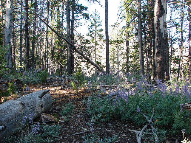
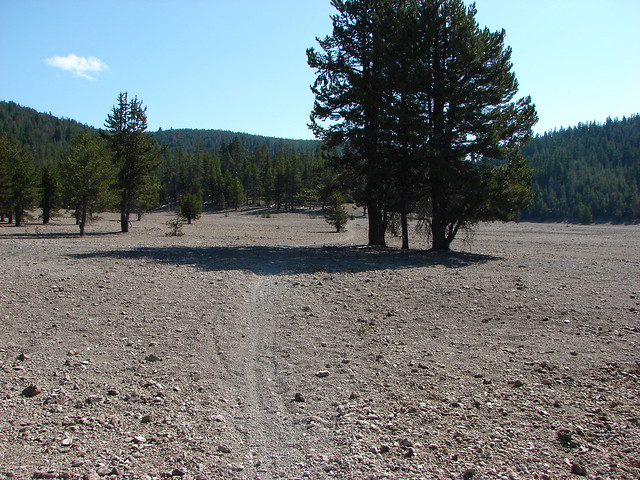
Before taking the right hand fork we visited the Pumice Flat which was dotted with purple dwarf lupine blossoms.


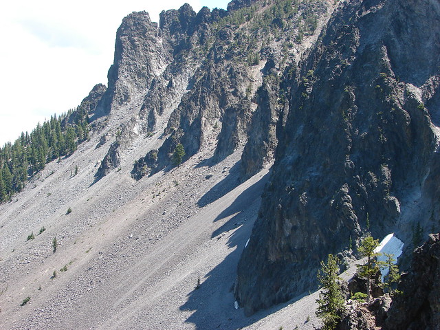
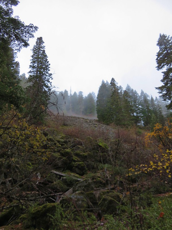
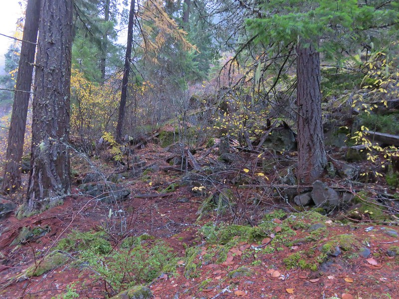
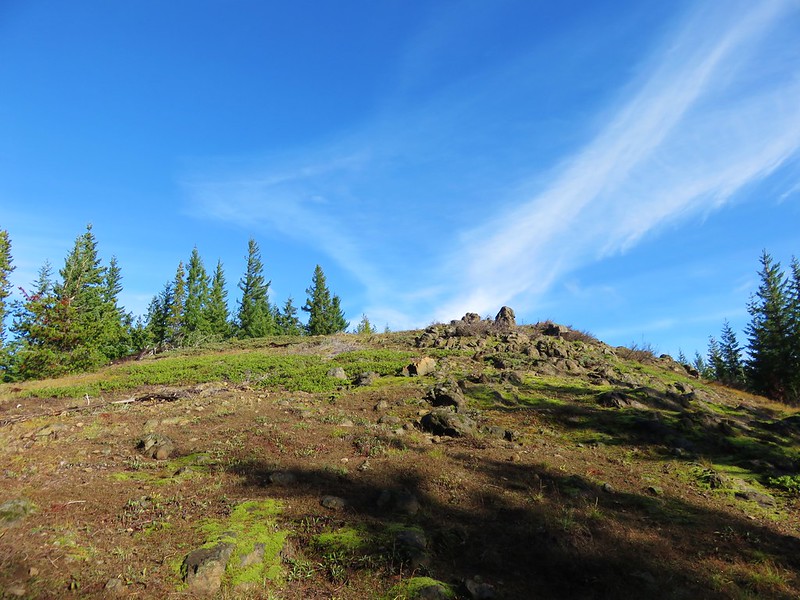
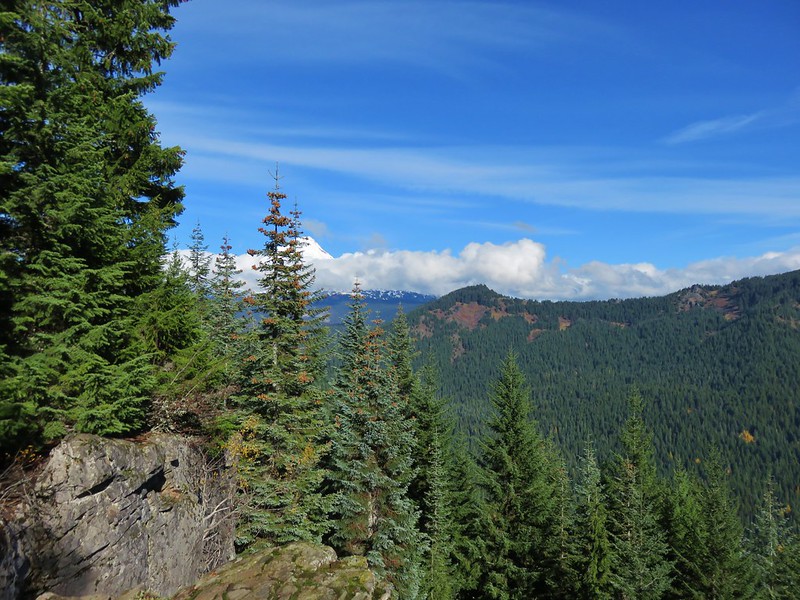
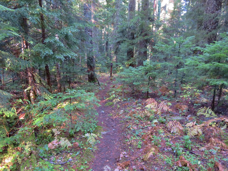
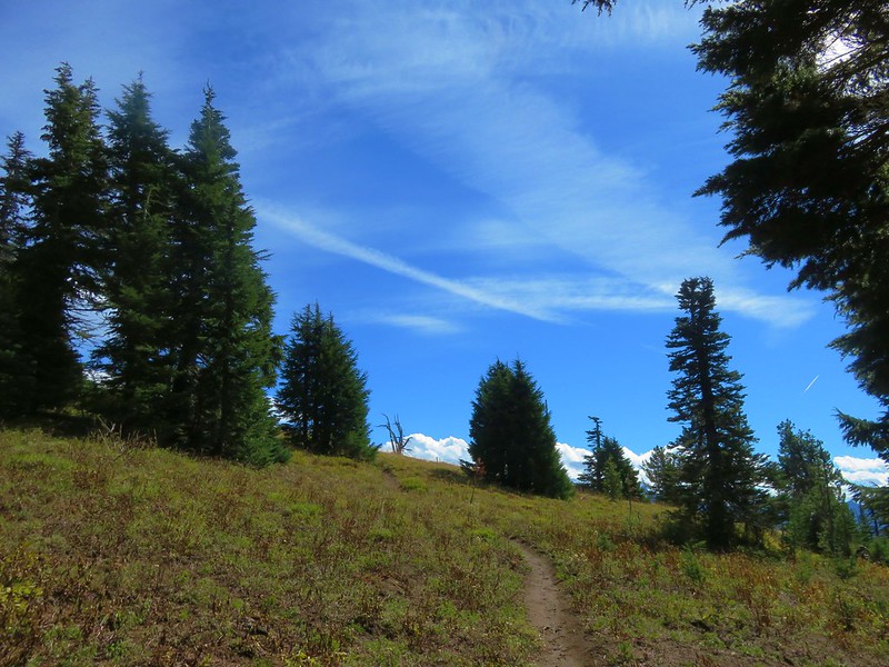
From the junction near the Pumice Flat the trail climbed almost 350′ to the rim of the caldera and the Crater Rim Trail. This section of trail offered a nice view of our goal, Paulina Peak, as well as a look down on the Pumice Flat from above.
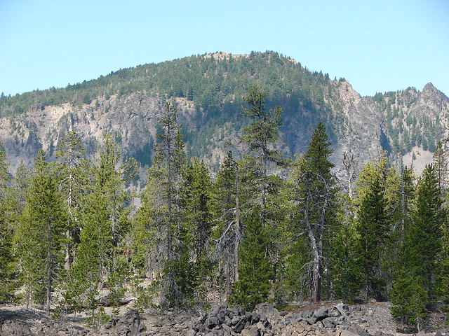

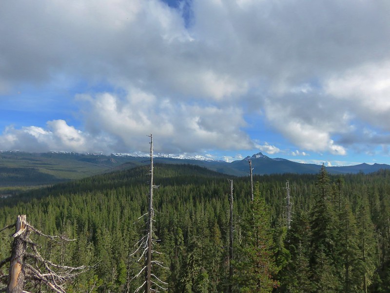
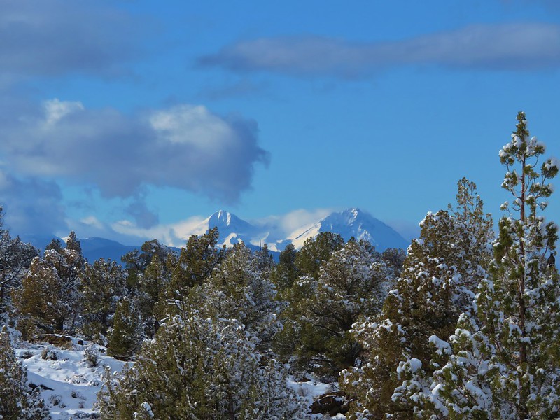
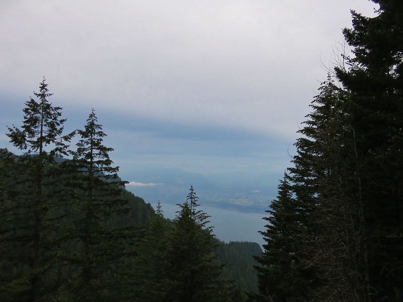
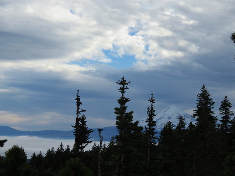
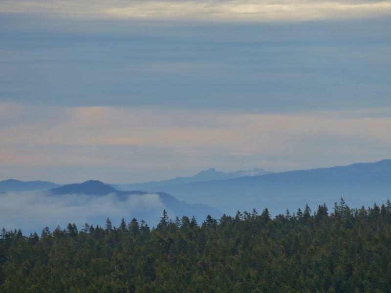
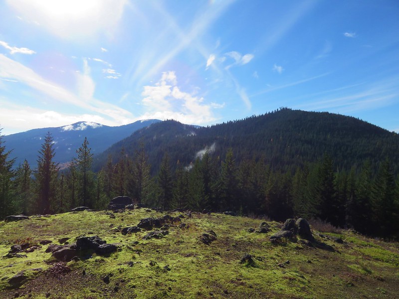
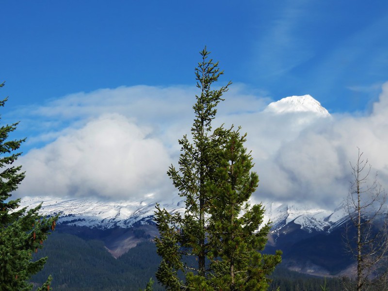
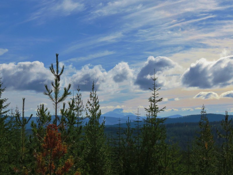
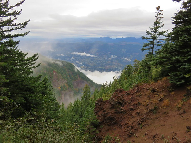
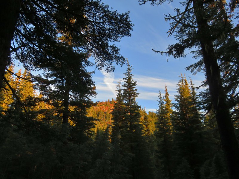
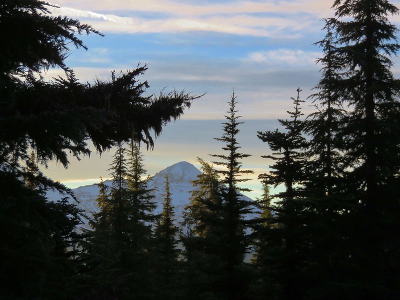
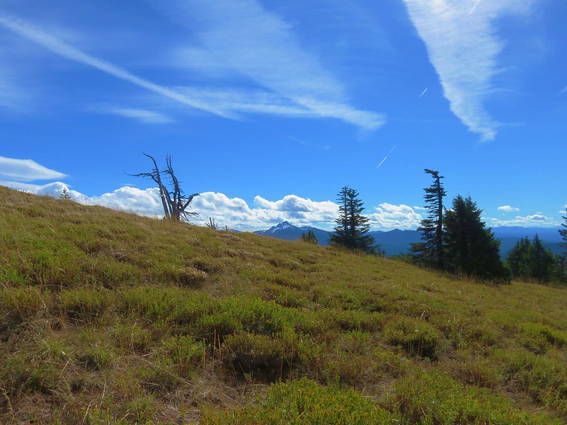
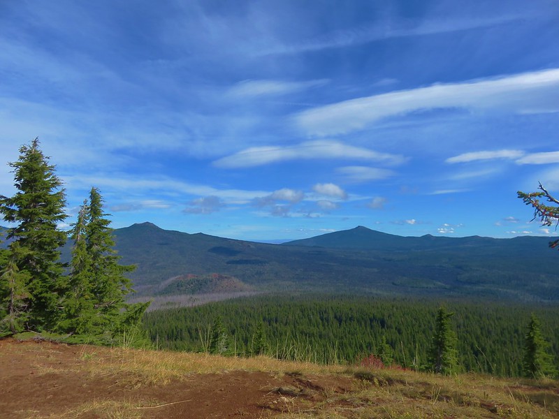
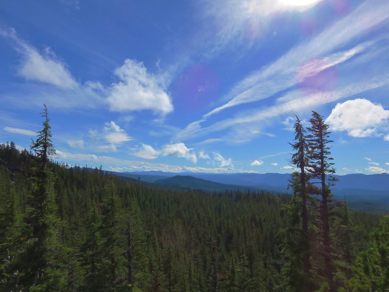
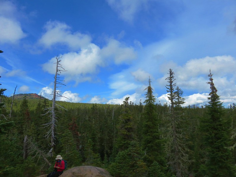
We turned right on the Crater Rim Trail and headed toward Paulina Peak. Although it was a little hazy out due to smoke form a couple of forest fires the views along this section extended from Mt. Jefferson in the north to Mt. Thielsen in the South.
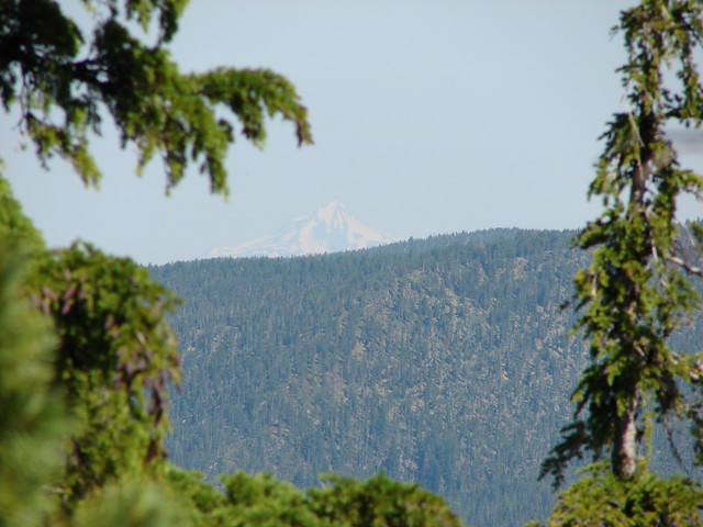
Mt. Jefferson
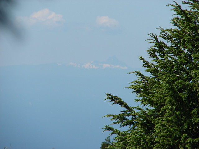
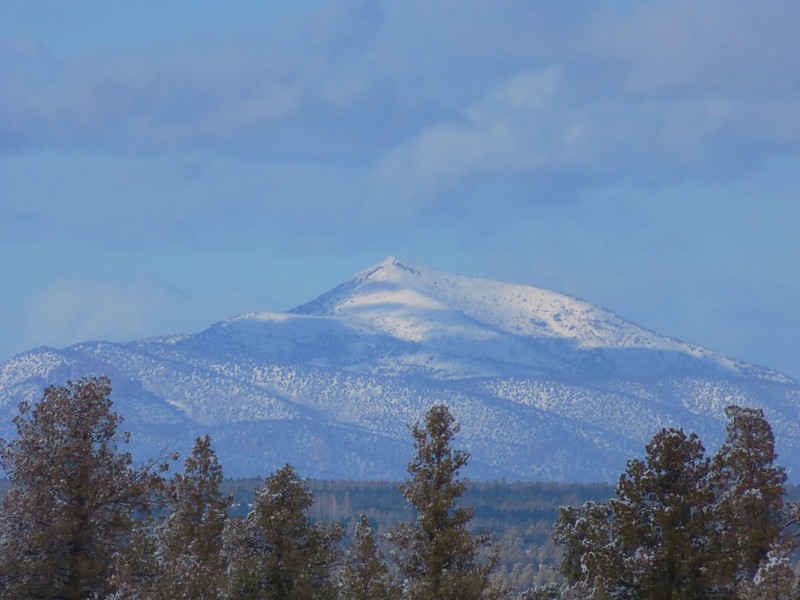
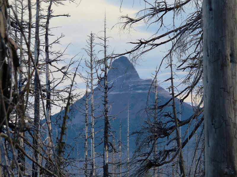
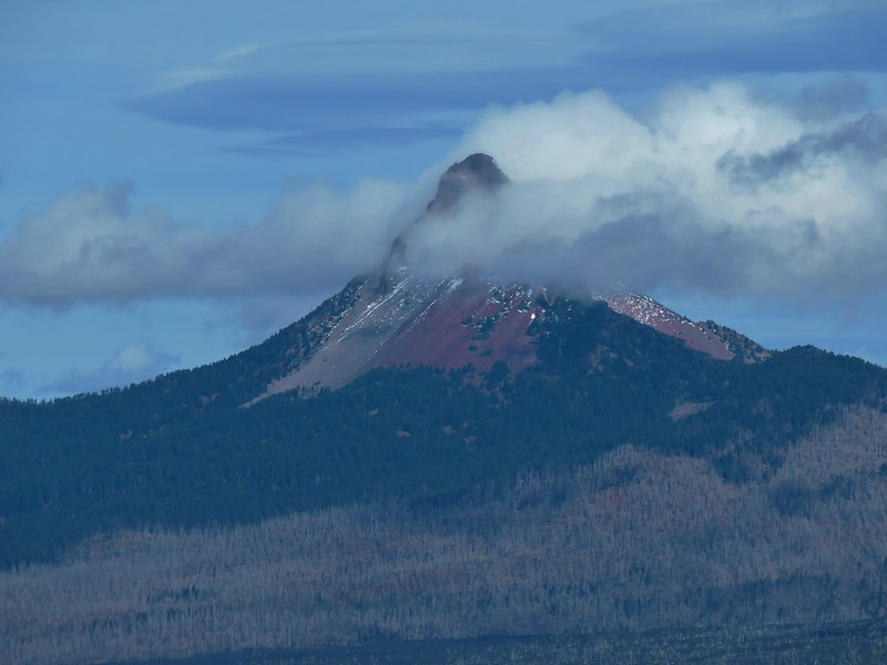
Mt. Thielsen
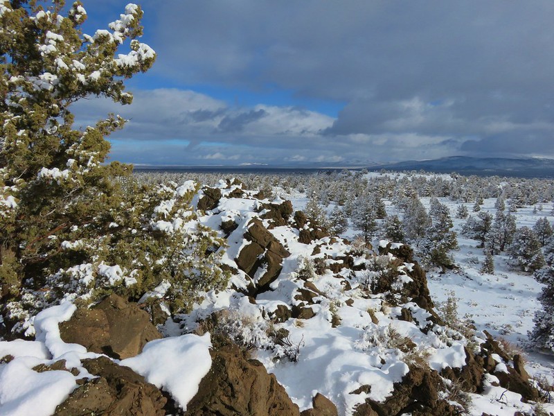
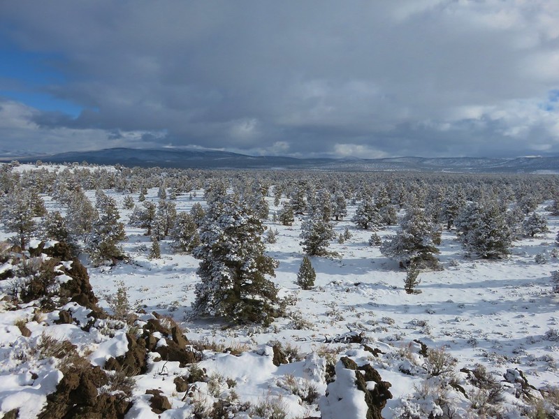
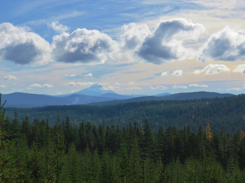
The views back down into the caldera where less affected by the haze.

Pumice Flat

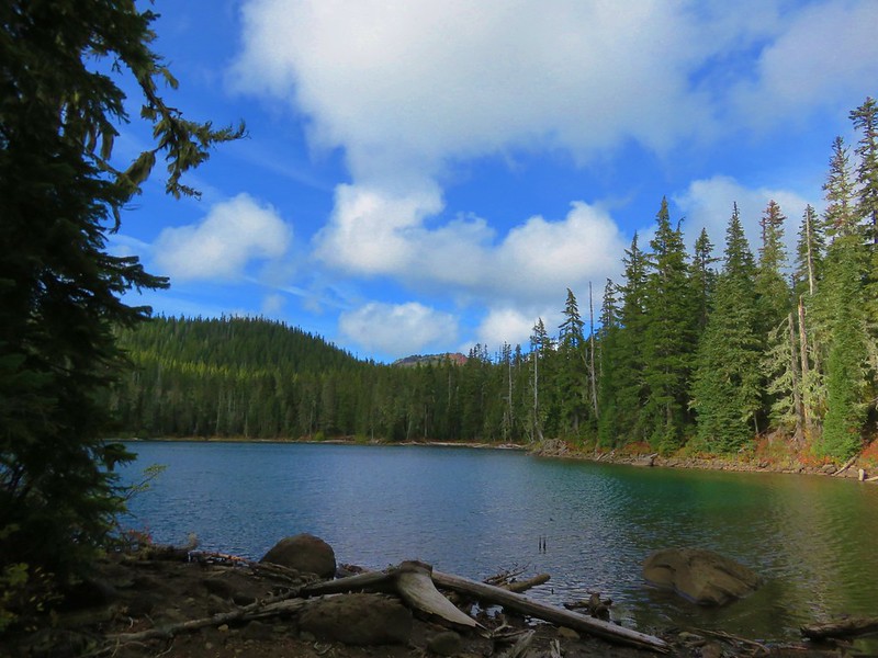
East Lake
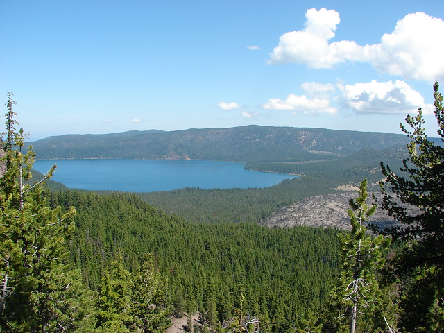
Paulina Lake
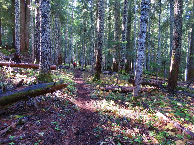
The trail traversed around the south side of Paulina Peak meeting up with Road 500 two and a half miles from where we had turned onto the Crater Rim Trail.
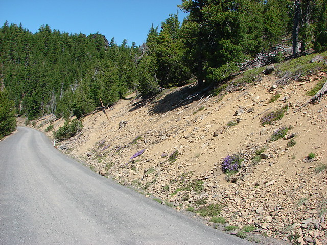
Road 500 allows people to drive up to the 7984′ summit of Paulina Peak which makes it accessible to anyone. The Crater Rim Trail picked up on the far side of Road 500 at a trail sign after a 100′ jog to the left.
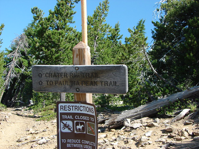
We followed the Crater Rim Trail for an additional .9 miles where we arrived at a junction with the Paulina Peak Trail.
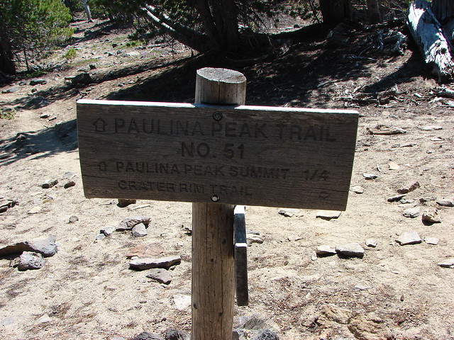
We followed this trail to the parking area atop Paulina Peak at the end of Road 500.

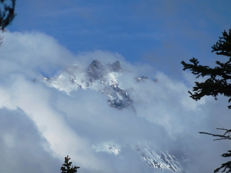
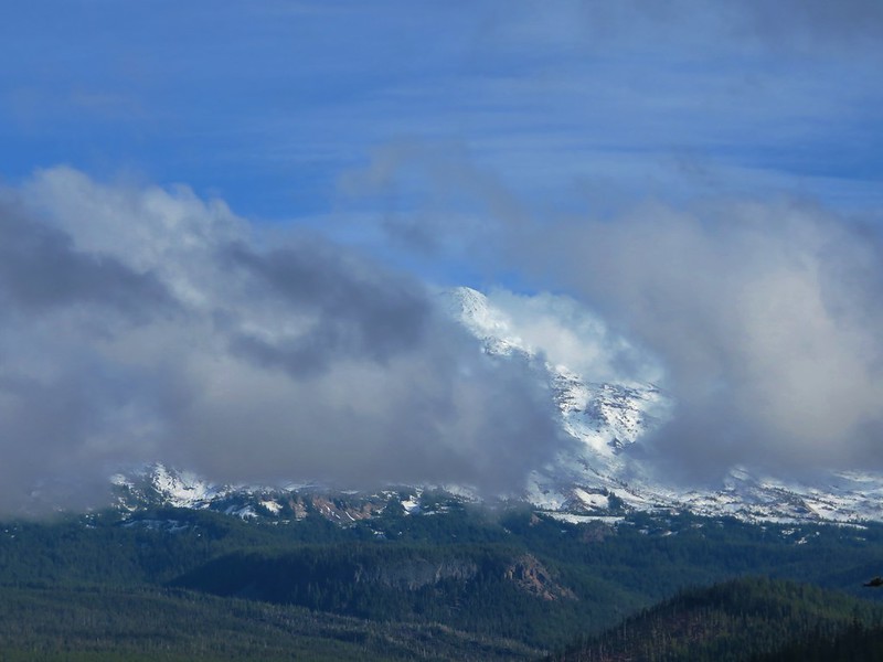
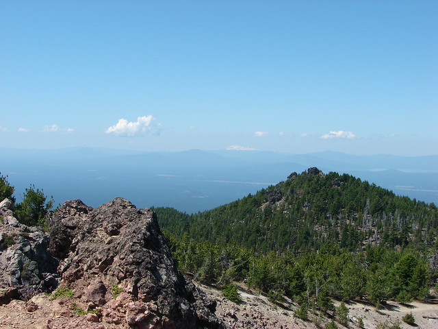
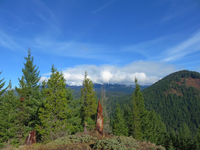
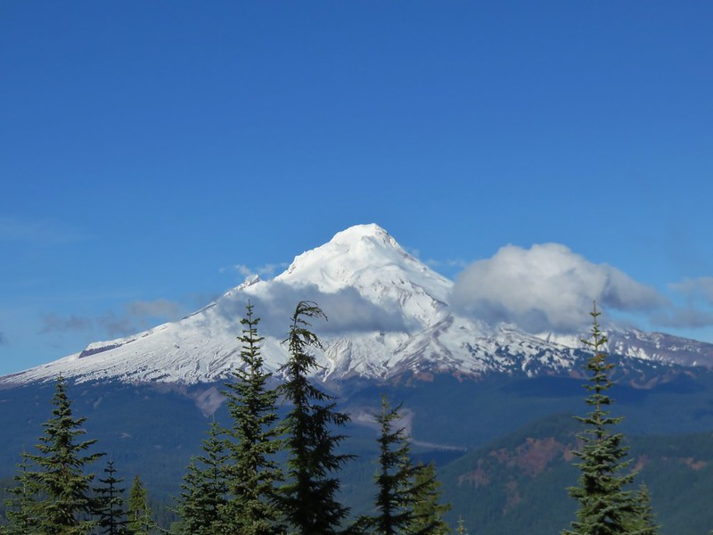
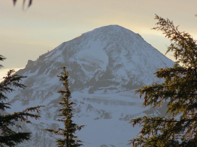
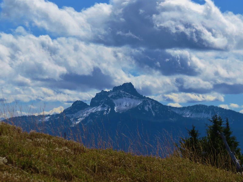
Despite the haze the 360 degree view was spectacular.
Diamond Peak to the SW

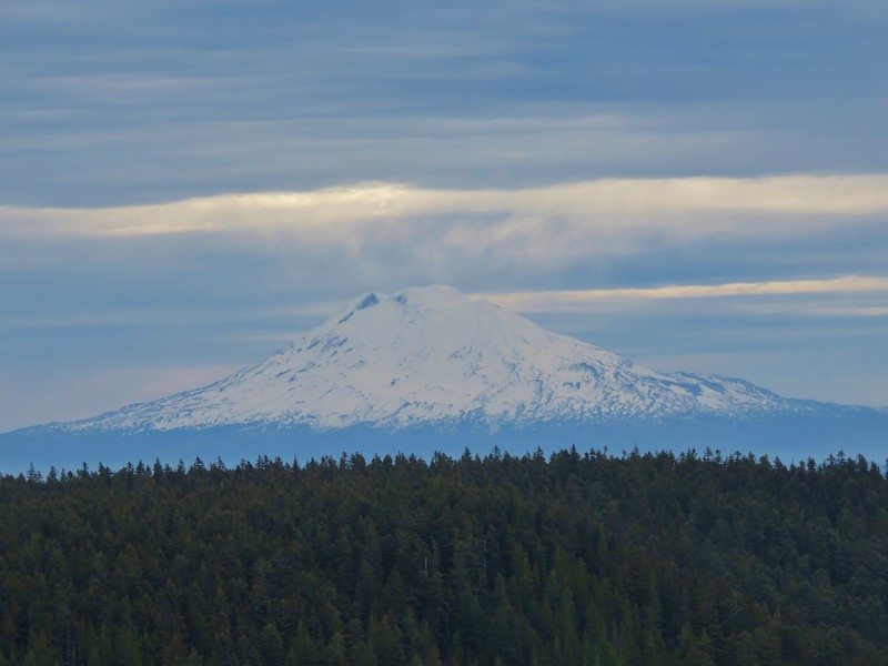
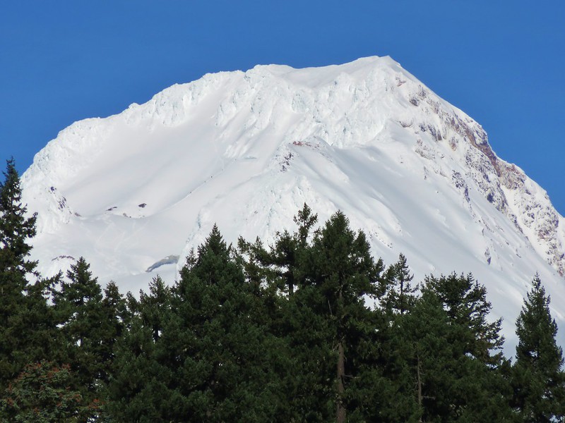
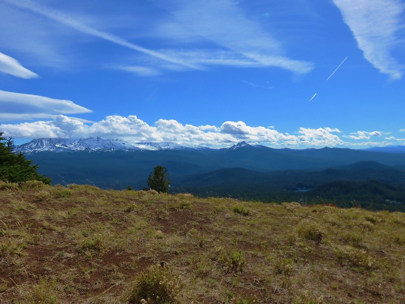
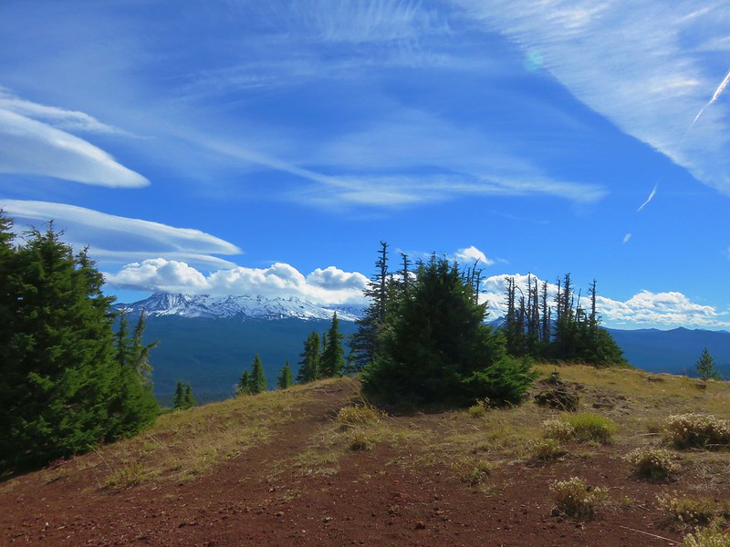
Mt. Bachelor, Broken Top, and The Three Sisters to the NW

Closer look at the mountains
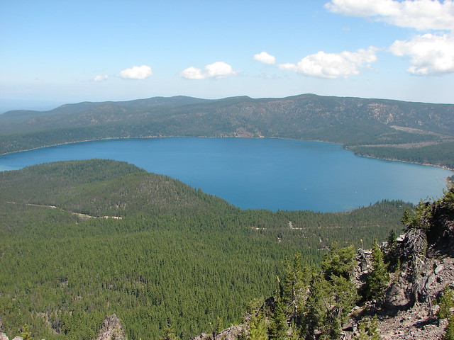
Paulina Lake to the north.
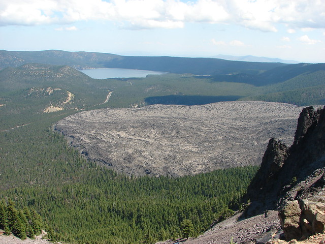
East Lake and the Big Obsidian Flow to the NE

Pumice Flat to the East
After a nice break at the summit we returned to the Crater Rim Trail and continued on our loop. The trail headed down into the forest passing a view back to Paulina Peaks cliffy north face before recrossing Road 500 after 1.8 miles.
After another mile we reached a junction near Road 21 and the Paulina Visitor Center. Here we faced a choice. We could have turned right on a horse path for 3 miles back to the Big Obsidian Trailhead or we could cross Road 21 and take a slightly longer route along the shore of Paulina Lake. Of course we chose option C which was to take the lake shore trail but only after detouring to visit Paulina Falls.

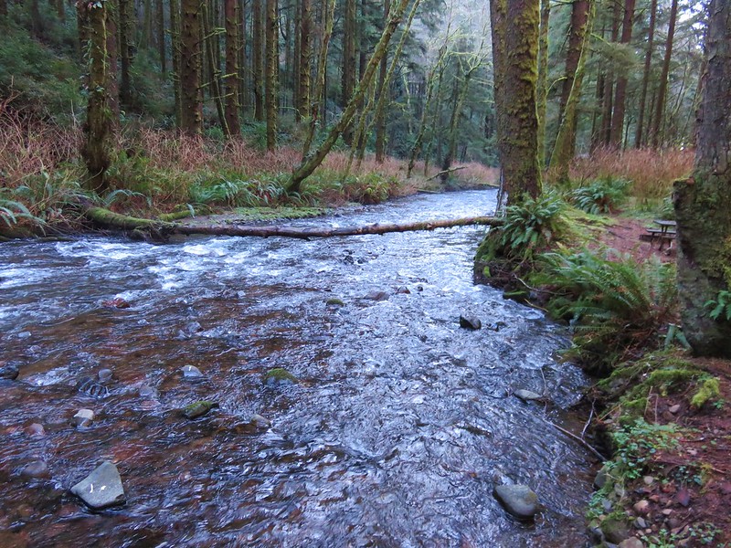
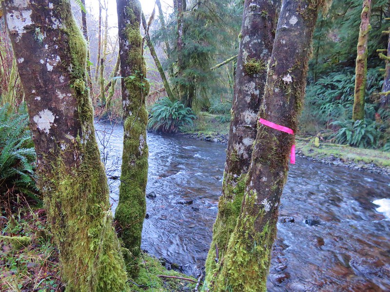
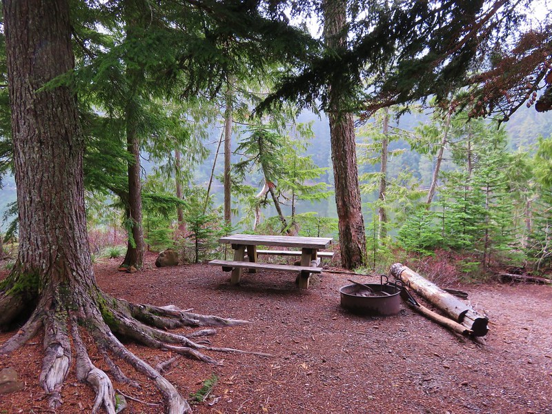
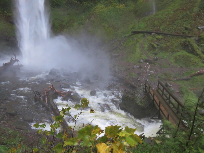
We followed the Crater Rim Trail across Road 21 and briefly along the entrance road to the Paulina Lake Lodge then turned left on the Paulina Falls Trail which followed Pualina Creek .3 miles to a picnic area at the falls viewpoint.
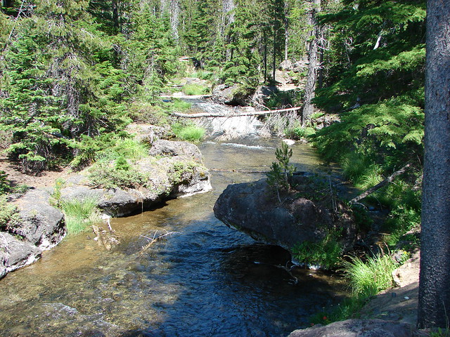
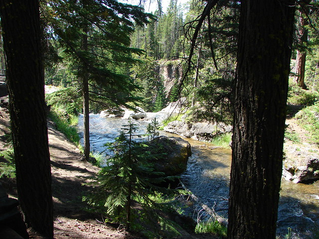
The twin falls were beautiful and quite a change from the other scenery we had encountered so far during the hike.

After a taking advantage of the cooler air by the falls to recharge we set off on the final leg our our hike. We crossed the lodge entrance road where we picked up the Paulina Lake Shore Loop Trail.

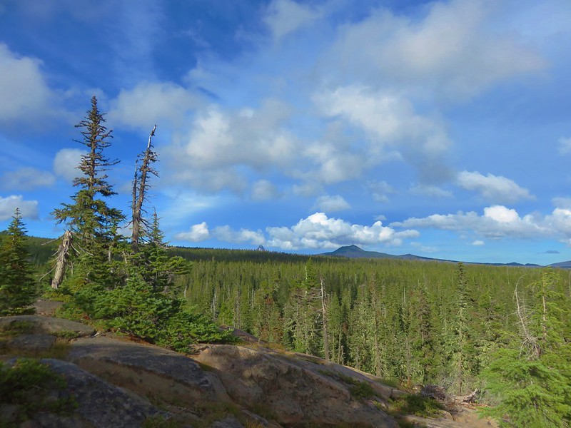
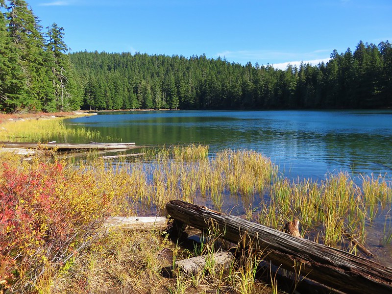
This 7.5 mile trail loops around Paulina Lake and is on our schedule for this year along with the upper portion of the Peter Skene Ogden Trail. To complete our loop for this trip we would follow the lake shore for roughly 2.5 miles to the Silica Trail.
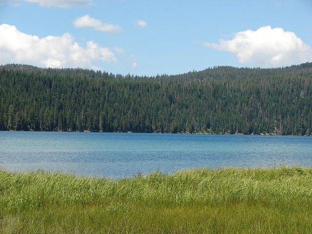
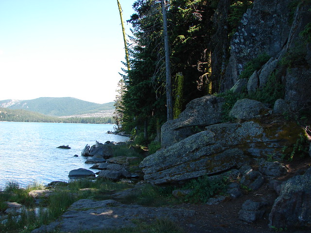
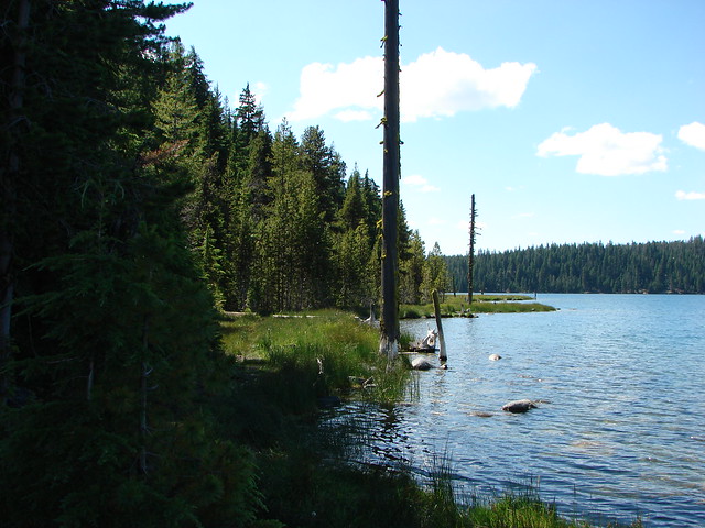
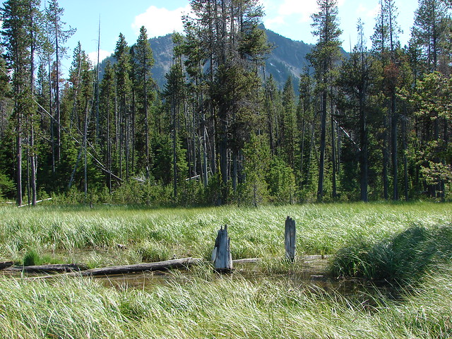
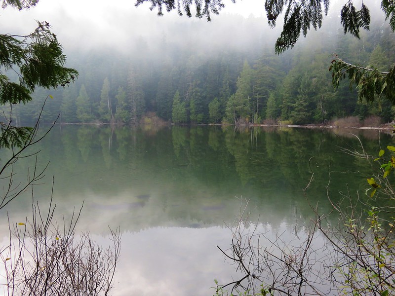
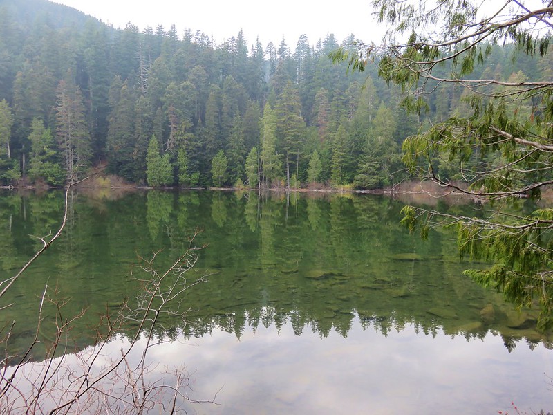
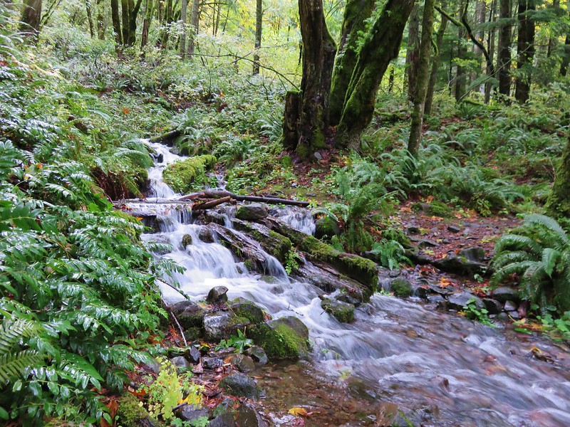
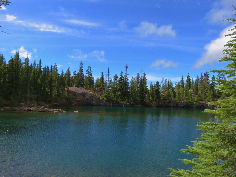
The scenery along this section of the lake shore varied quite a bit changing from grassy marsh to forest to rocky shore line and back.

After all the different views and scenery the hiked had provided up to the point when we arrived at the Silica Trail the final half mile paled in comparison.

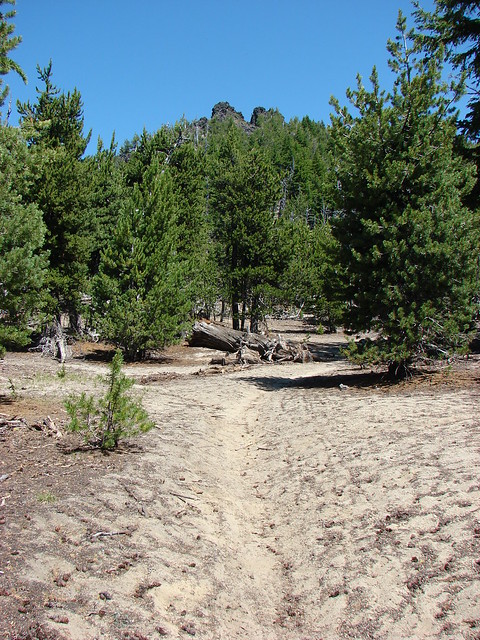
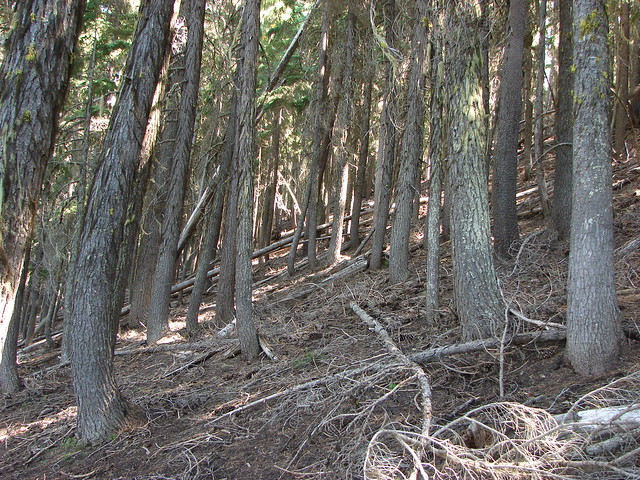
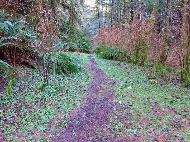
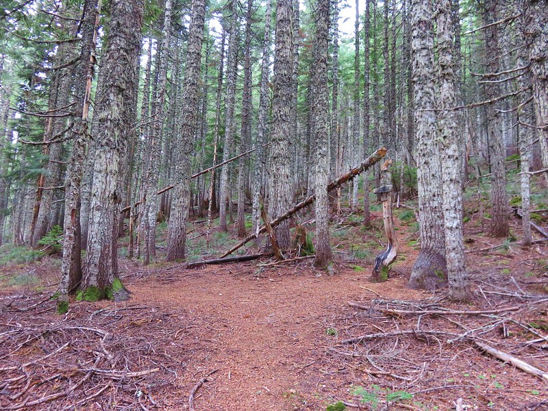
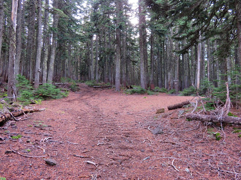
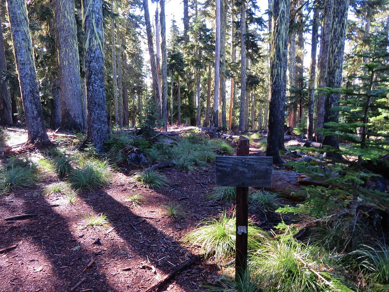
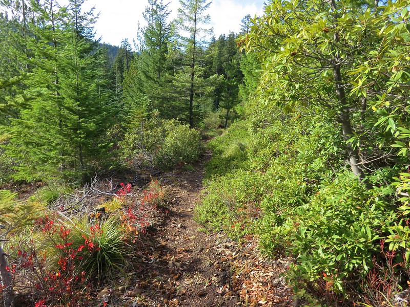
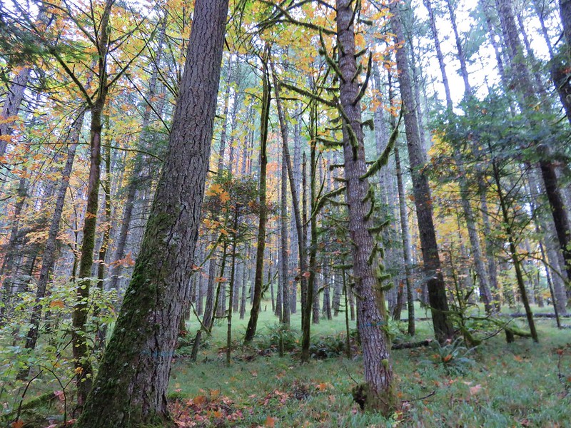
The Silica Trail led away from Paulina Lake through a mostly viewless, dusty lodgepole pine forest before crossing Road 21 and bringing us back to the Big Obsidian Flow Trailhead.

Our hike was somewhere around 15 miles (pre GPS) with approx 2500′ of elevation gain so it’s not for everyone, but everyone of the highlights of this hike are accessible via shorter options. This and the availability of numerous other recreational activities make the Newberry National Volcanic Monument a great place to visit. Happy Trails!
Flickr: https://www.flickr.com/photos/9319235@N02/albums/72157632954961759


 <
<


 <
<