
For several years Heather has volunteered with our local running store, Gallagher Fitness Resources, Princess Steps, a Women’s Beginning Walking Running Clinic. They meet on Tuesday nights but have “homework” walks throughout the week which she and I have been doing together. The longer walks are set for Saturdays and for three of the last four weeks we’ve taken those walks at Minto-Brown Island Park. The park has also been part of a couple of urban hikes that we’ve taken in previous years (2017 & 2020).
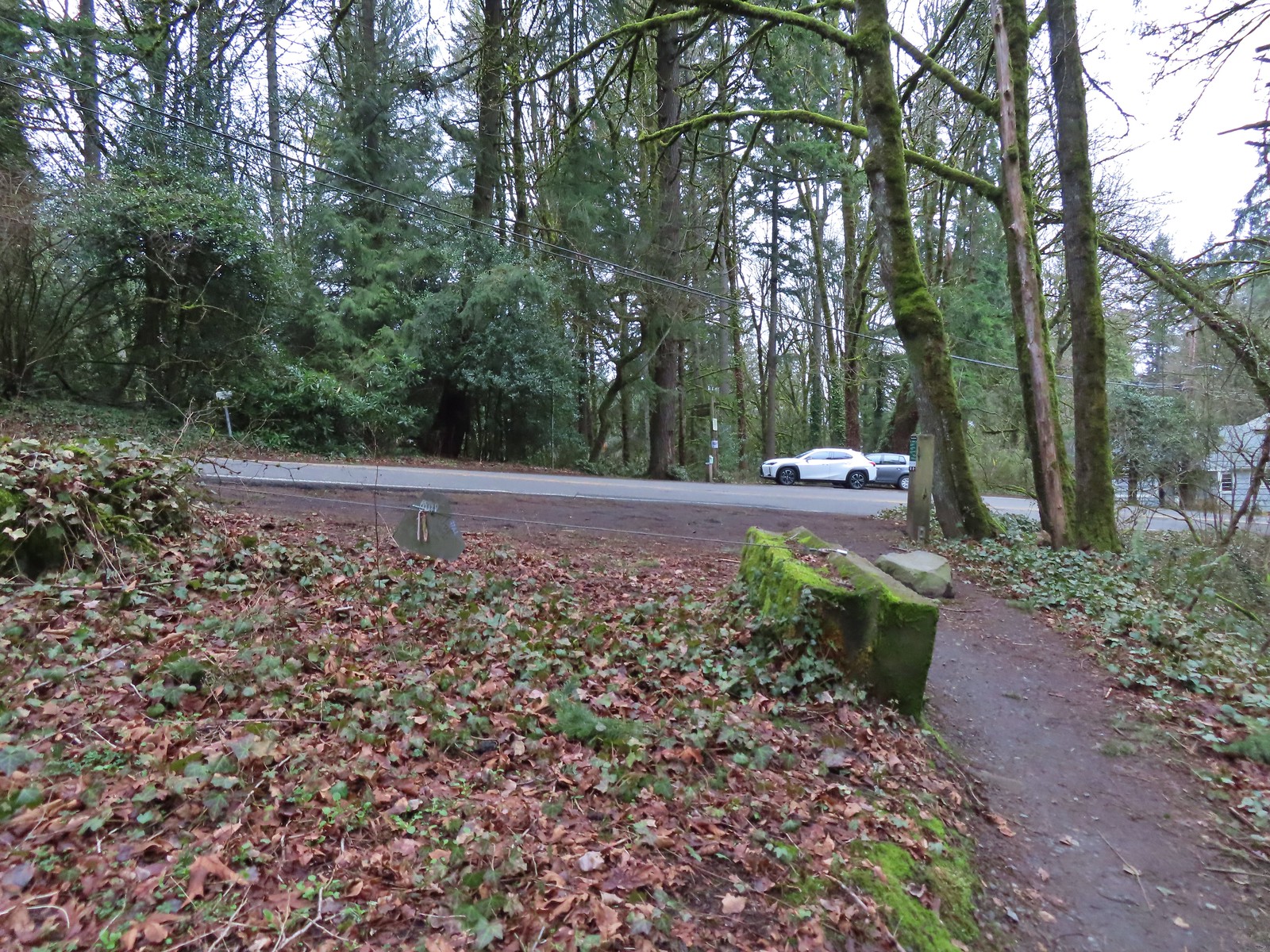
Despite the numerous visits there were still sections of trails that I hadn’t been on. I decided to use my second day off of work to check a few of those off my to-visit list. Minto-Brown is even closer to our house than Baskett Slough Wildlife Refuge which I’d visited the day before (post). In fact, it’s less than a mile away as the crow flies, but it is on the other side of the Willamette River so I had to drive a little over 3.5-miles to Riverfront Park where we’d been starting all of our walks.
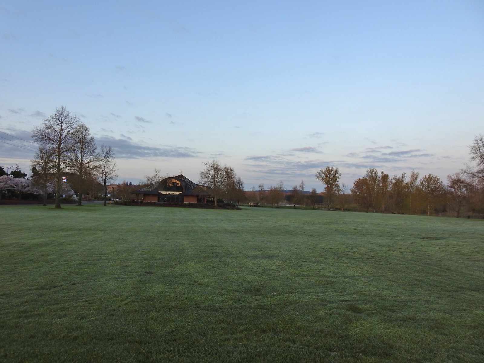
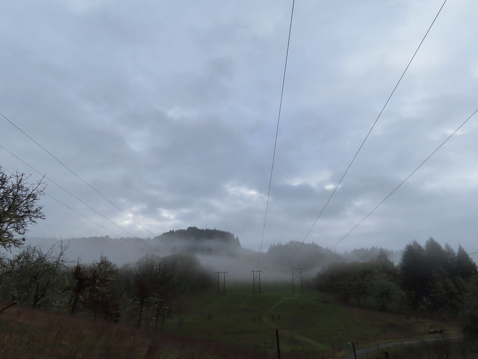
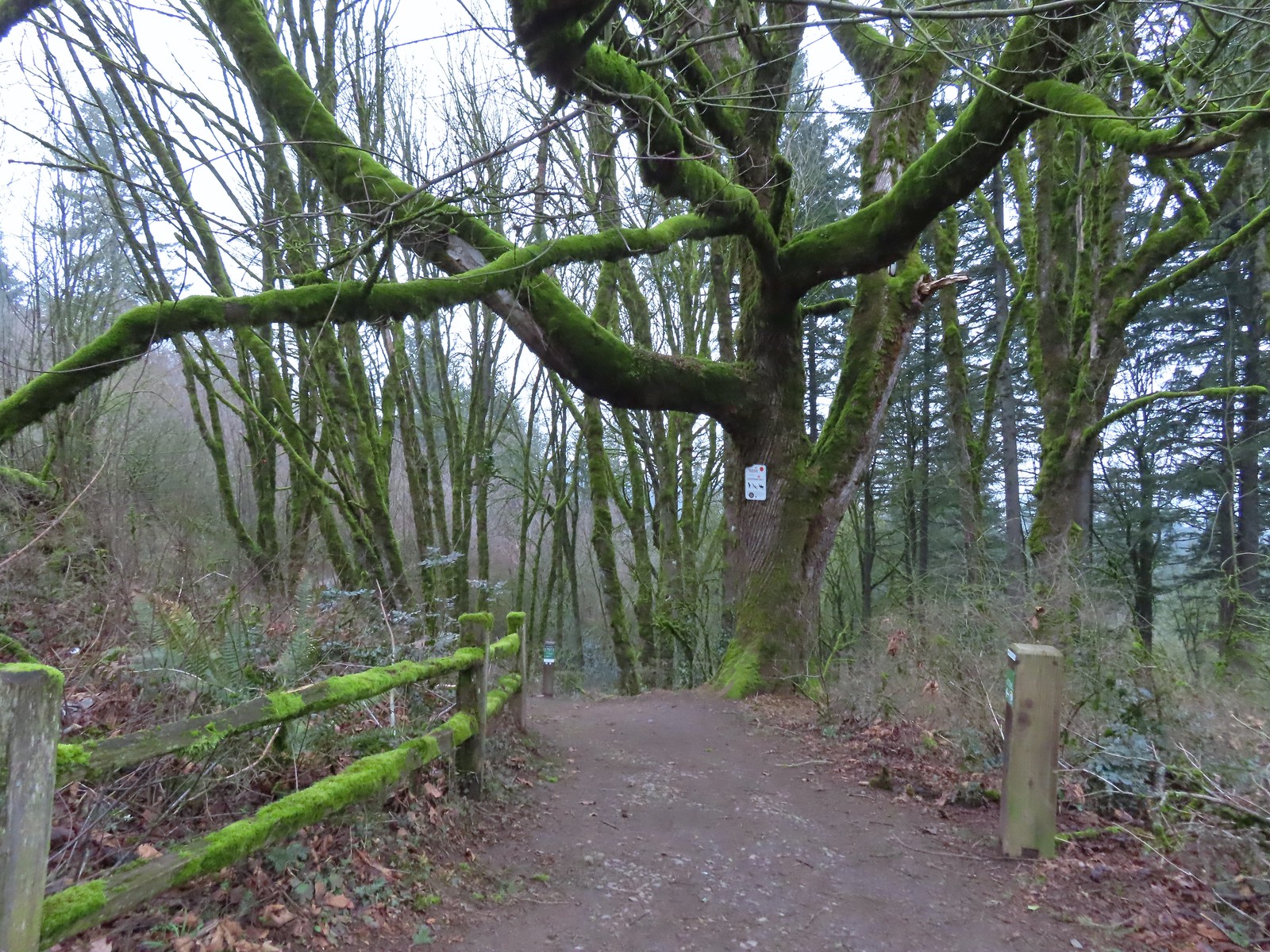
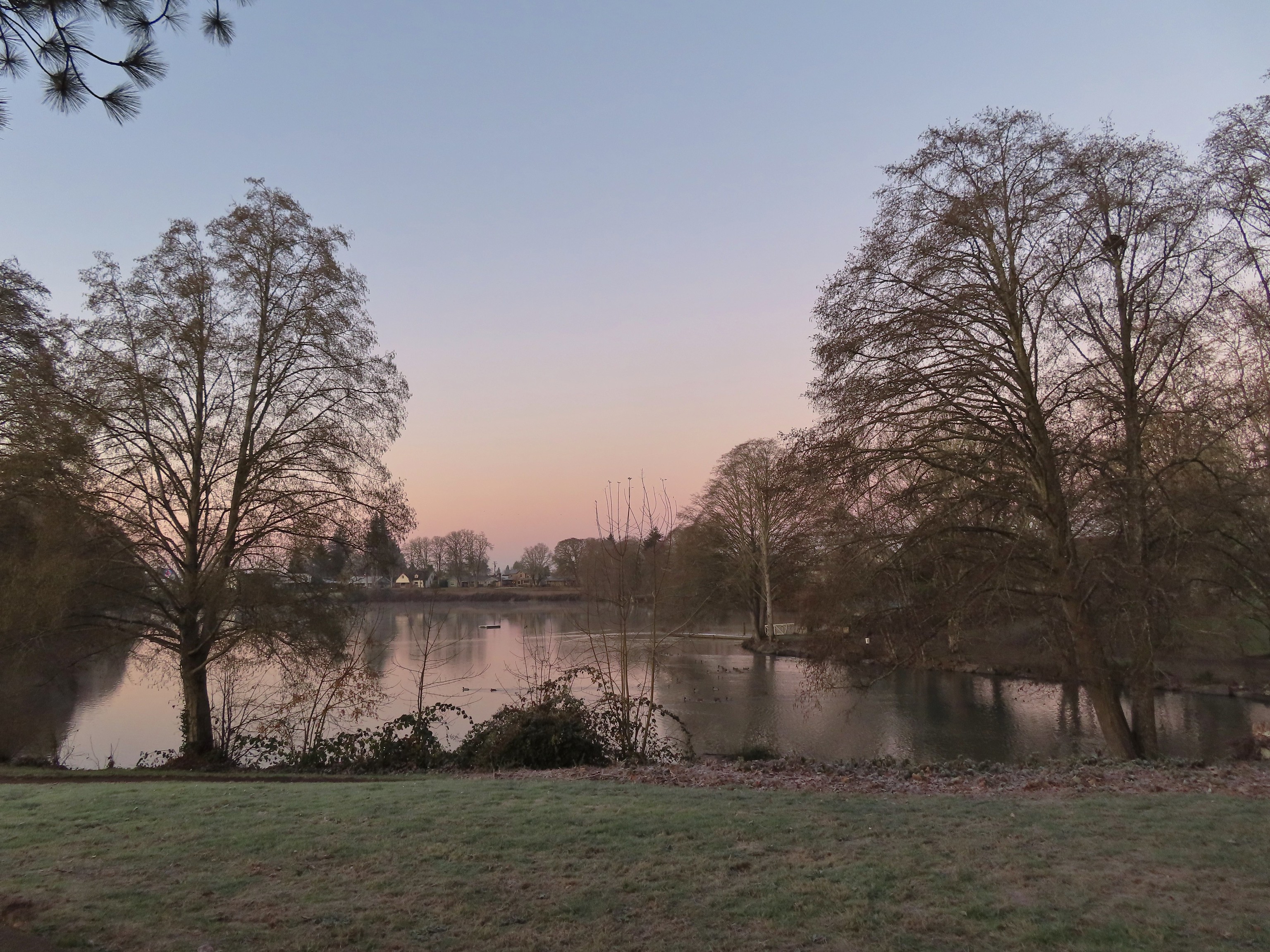
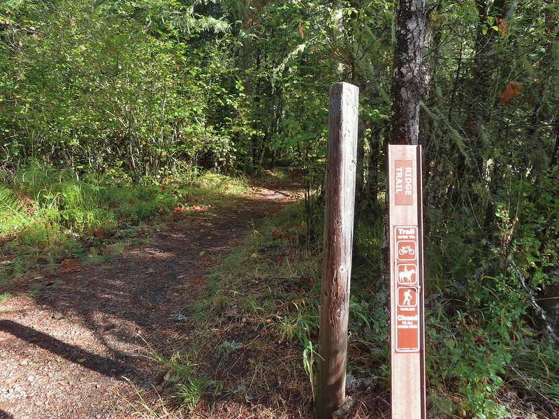
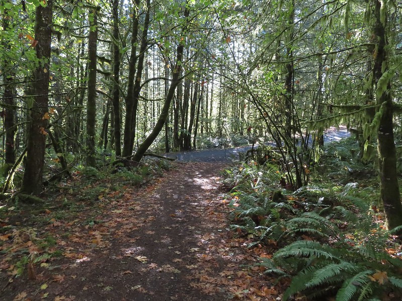
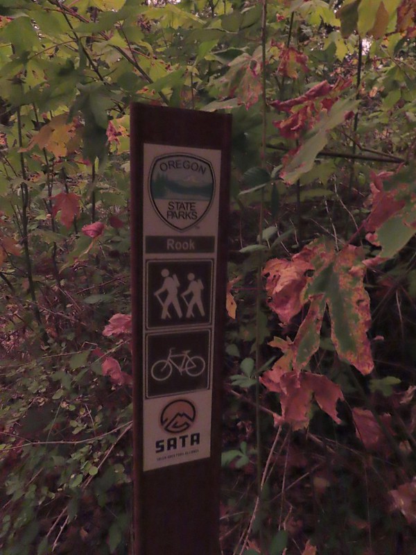
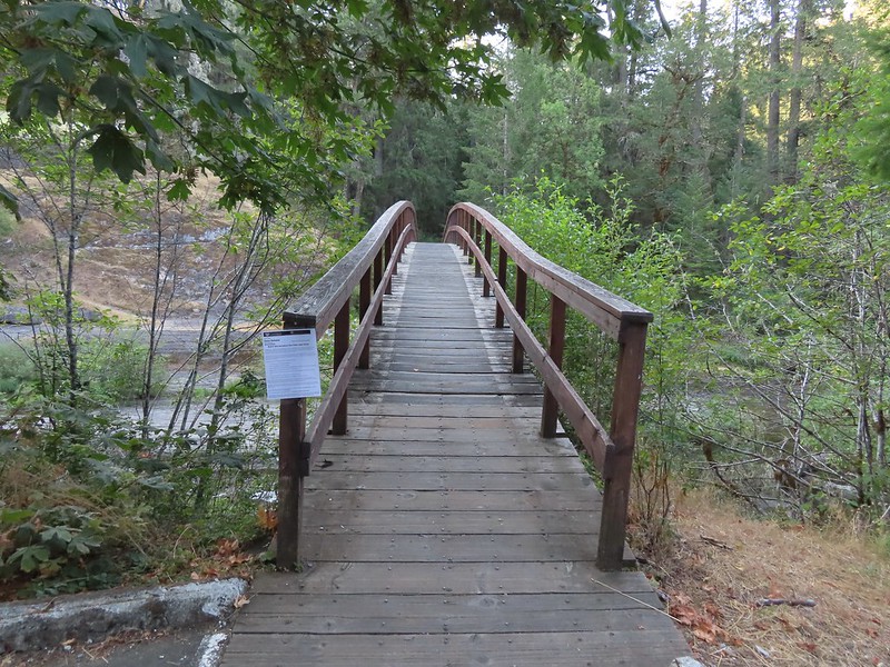
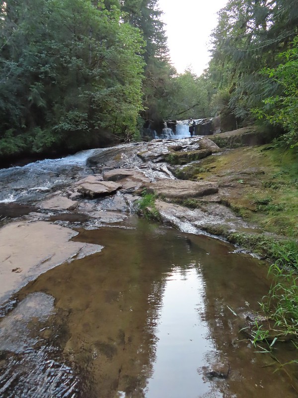
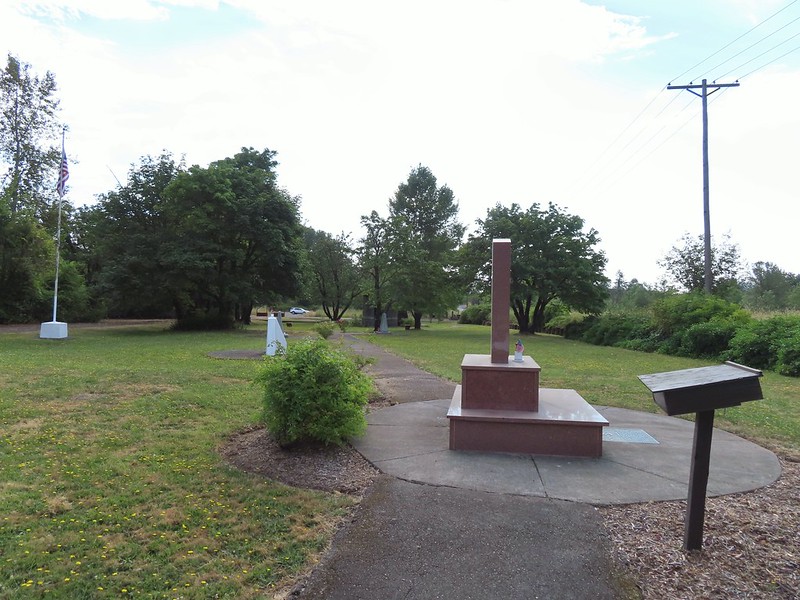
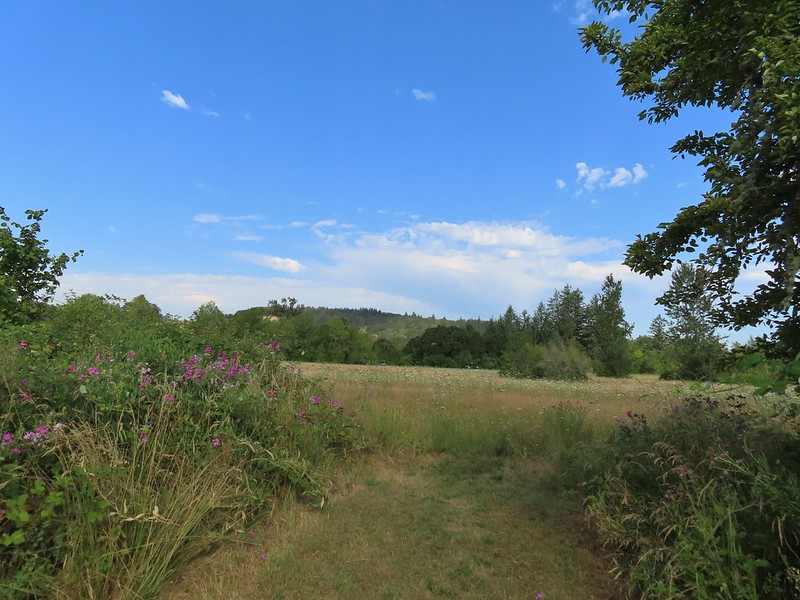
Heather’s plan from the walking group had us increasing distance each week starting with 5.3 miles on 3/19 then 6.6 on 3/25 and 9 miles on 4/8. (Heather wanted more hill practice before the hiking season and since Minto-Brown is mostly flat we did a 7.5 mile “hilly” hike through the West Salem neighborhoods on 4/1.) For this visit I was planning on going a little further again by visiting Eola Bend County Park which borders Minto-Brown to the NW along the Willamette River. I wasn’t sure what my actual route would be though. Minto-Brown is full of both pave and dirt trails, some of which parallel one another just feet apart. Numerous loop options are possible, but closure due to flooding or nesting birds can block access to certain trails at times. All of the visits this year started the same as we first passed the Gerry Frank Salem Rotary Amphitheater in Riverfront Park and took the Peter Courtney Minto Island Bridge over the Willamette Slough and into Minto-Brown Island Park on the Minto-Island Conservation Trail.
 The amphitheater and bridge on 3/19 23.
 The amphitheater and bridge on 4/14/23.
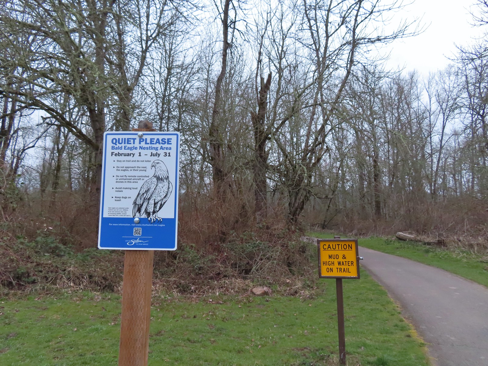
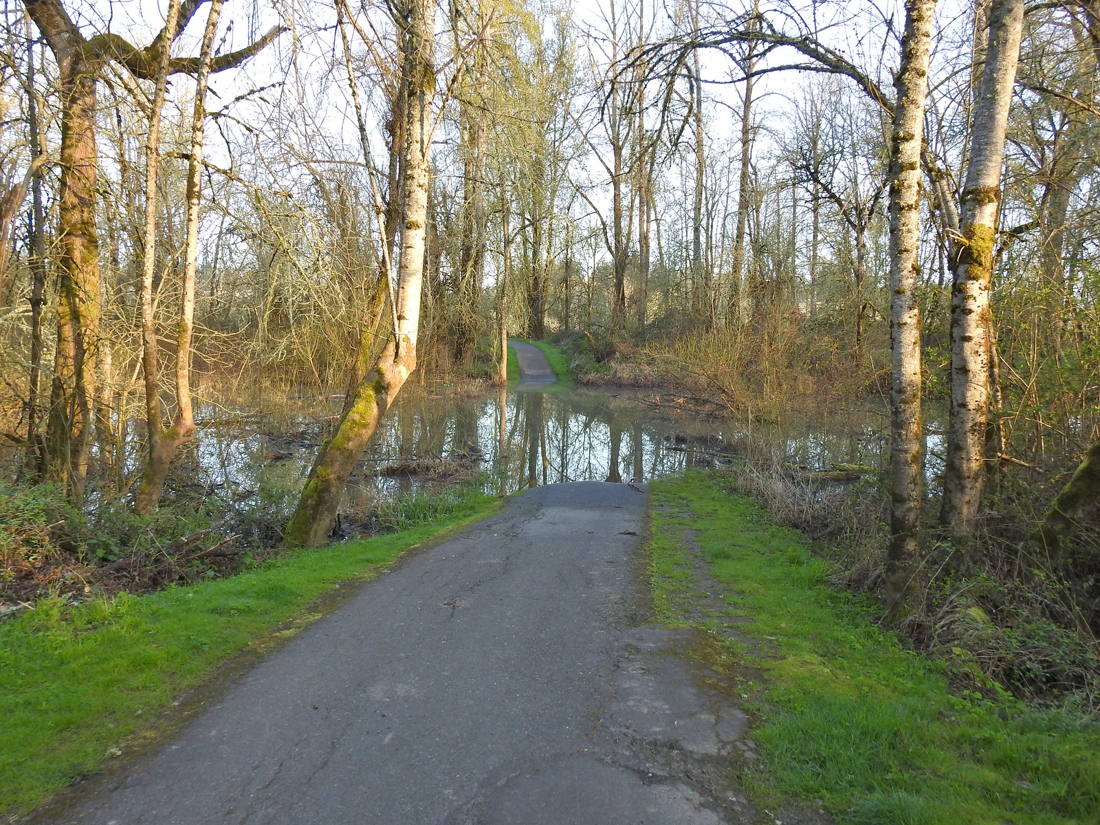
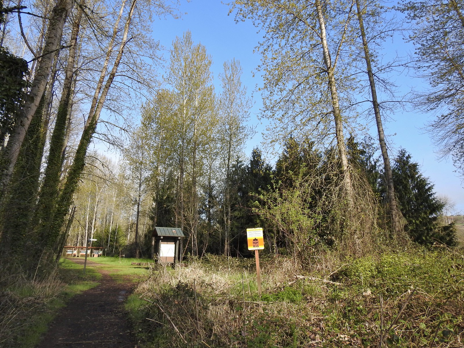
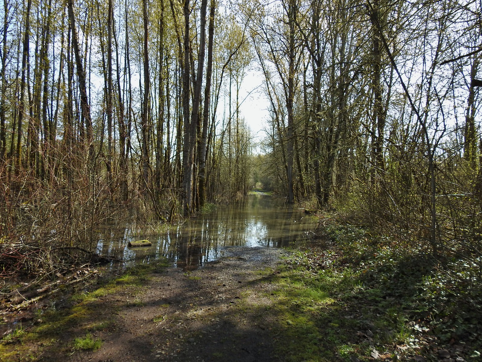
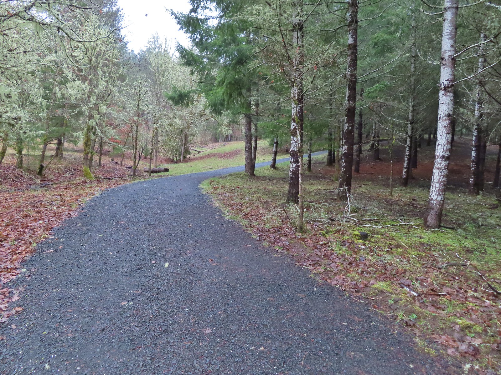
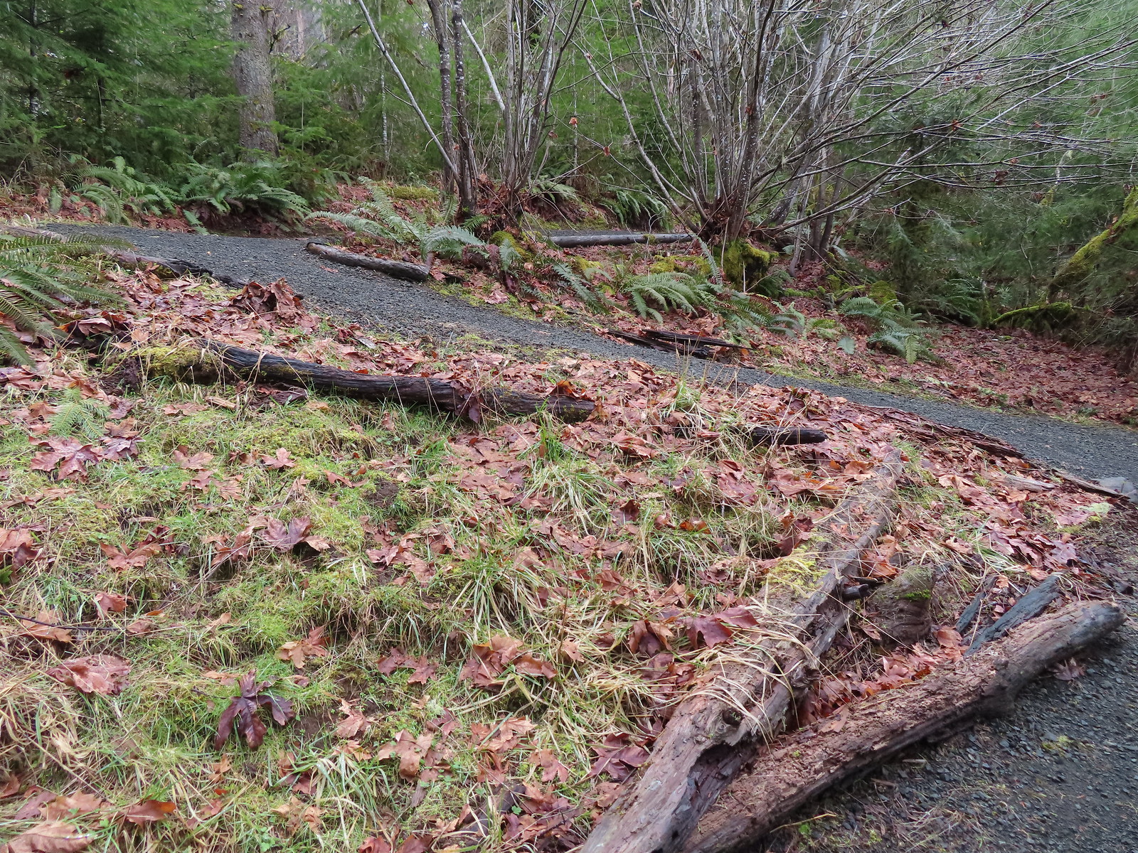
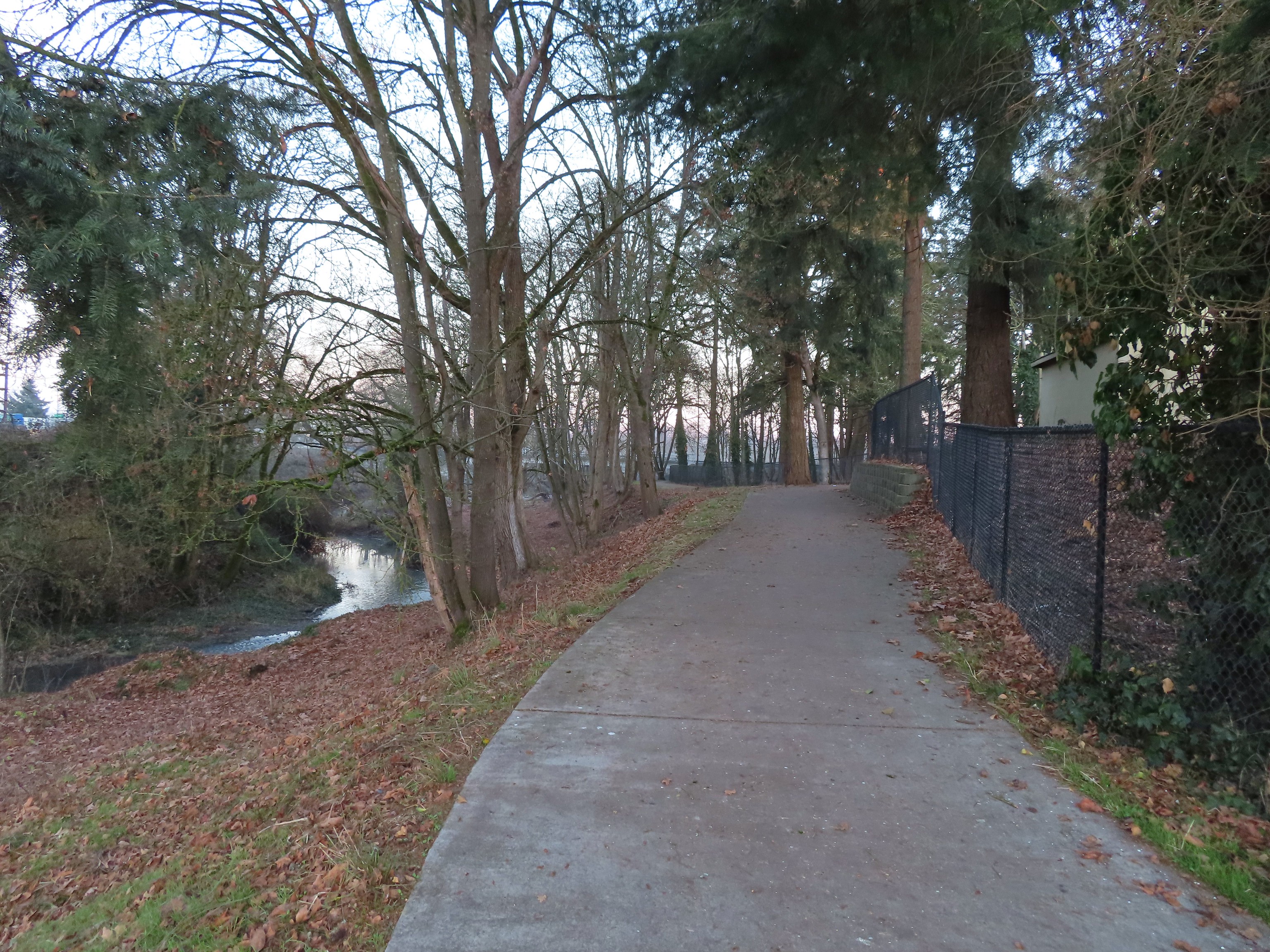
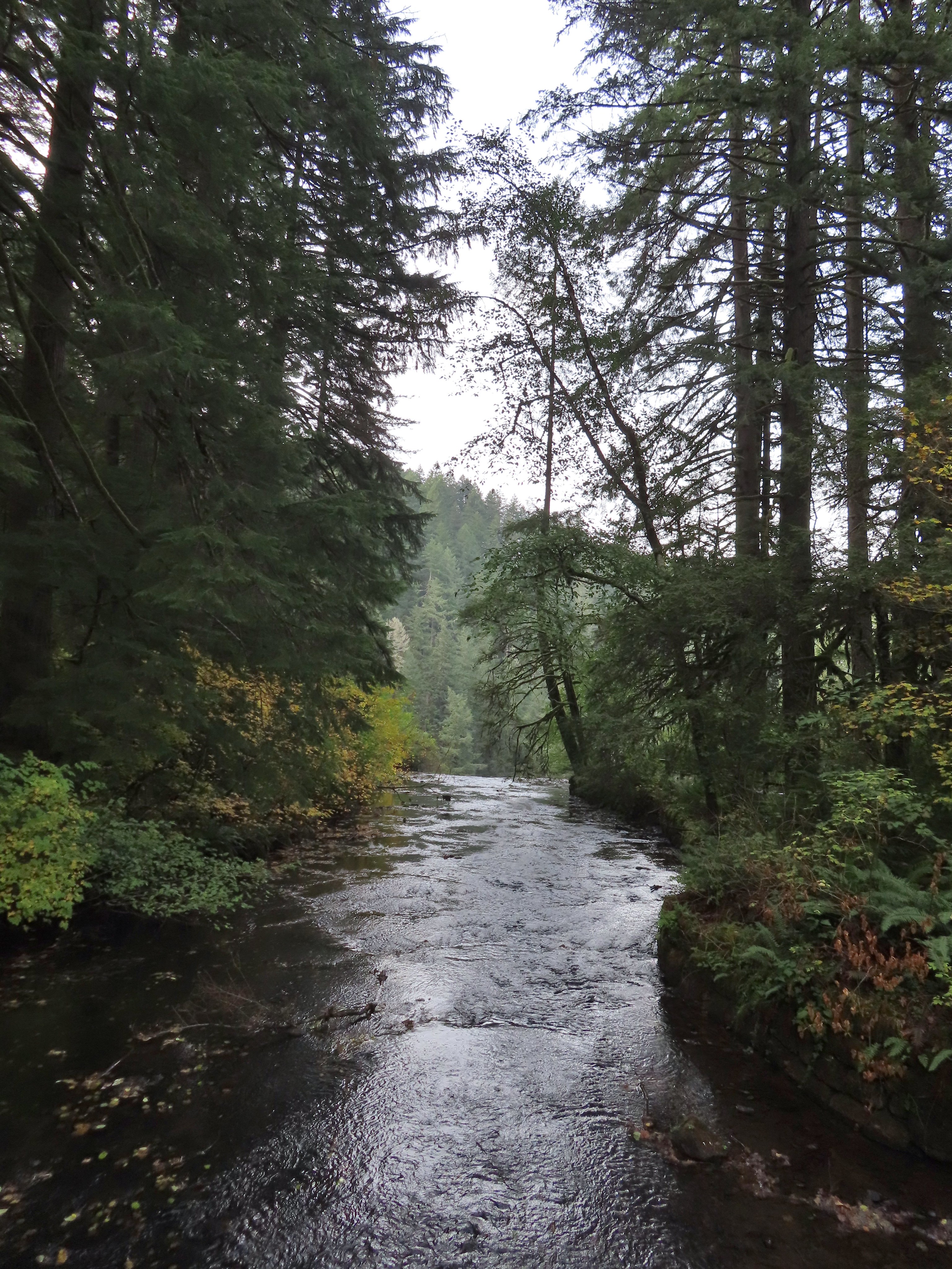
On the first three visits we took the first paved right (one mile from Riverfront Park) and stayed right at the next junction to walk along the Willamette River and eventually arrive at the Lot 3 Trailhead. On this final visit I was unable to access the path along the river due to high water from recent rains so I forked left on a gravel that is often closed during bald eagle nesting season.
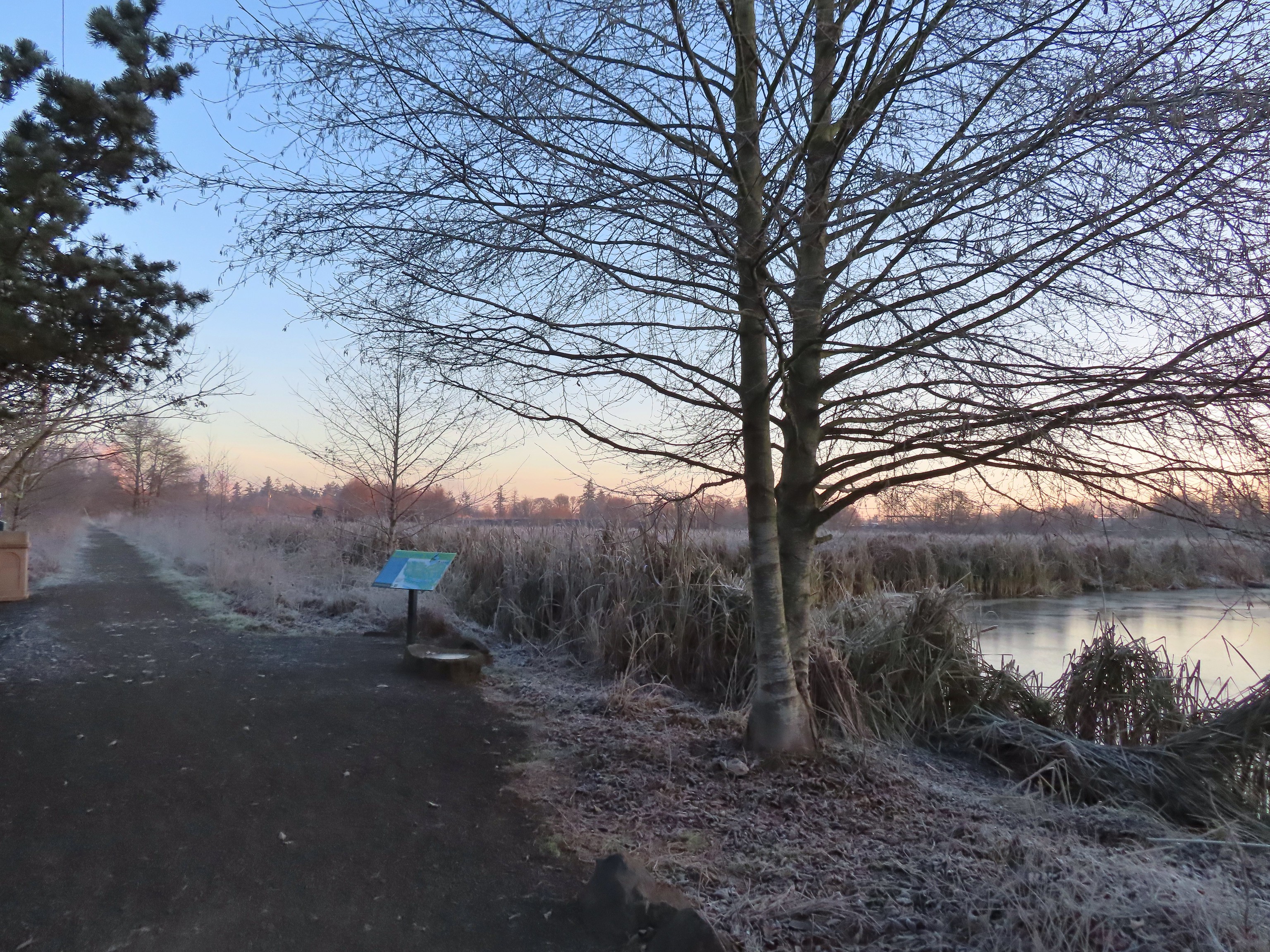
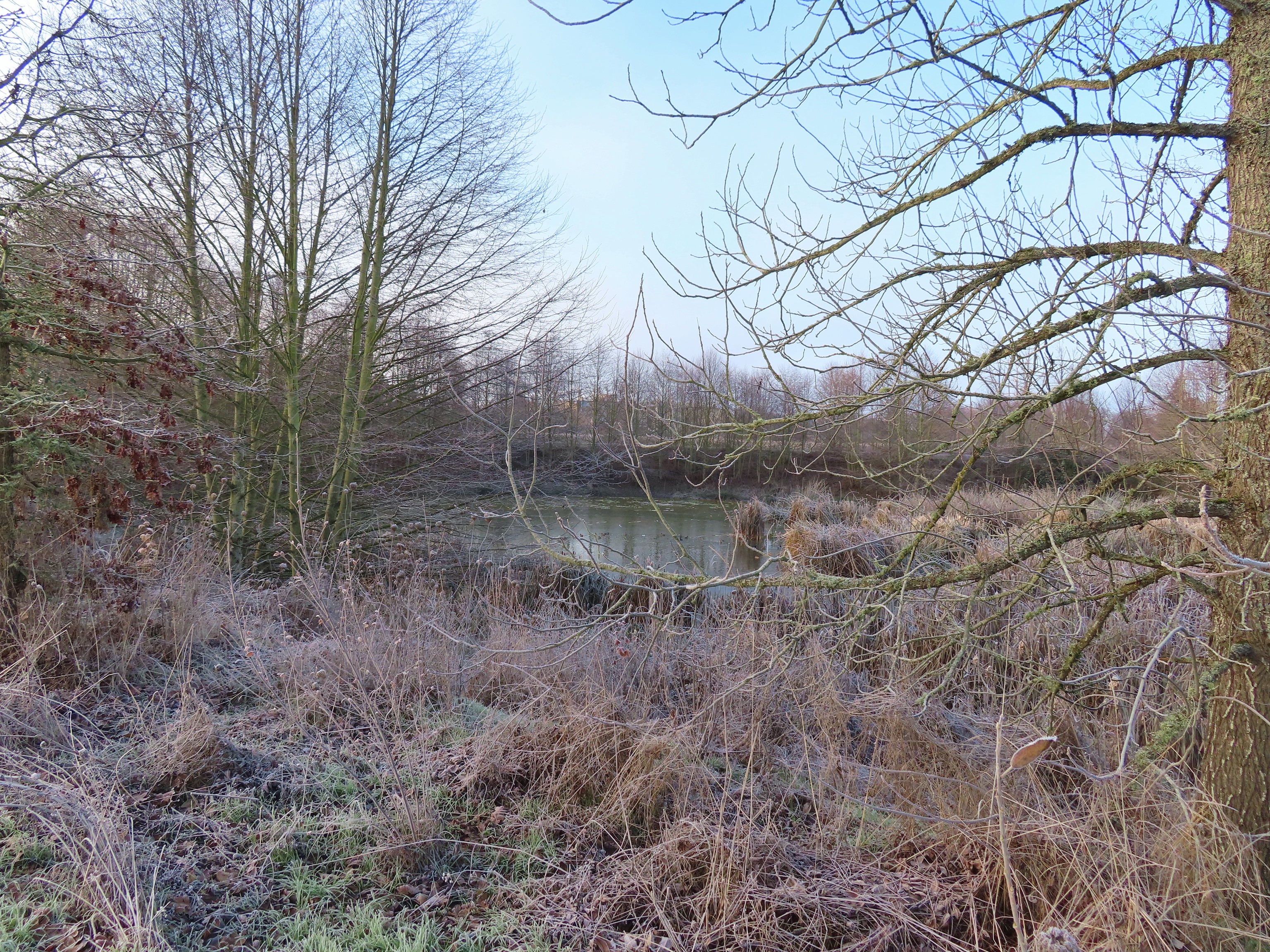
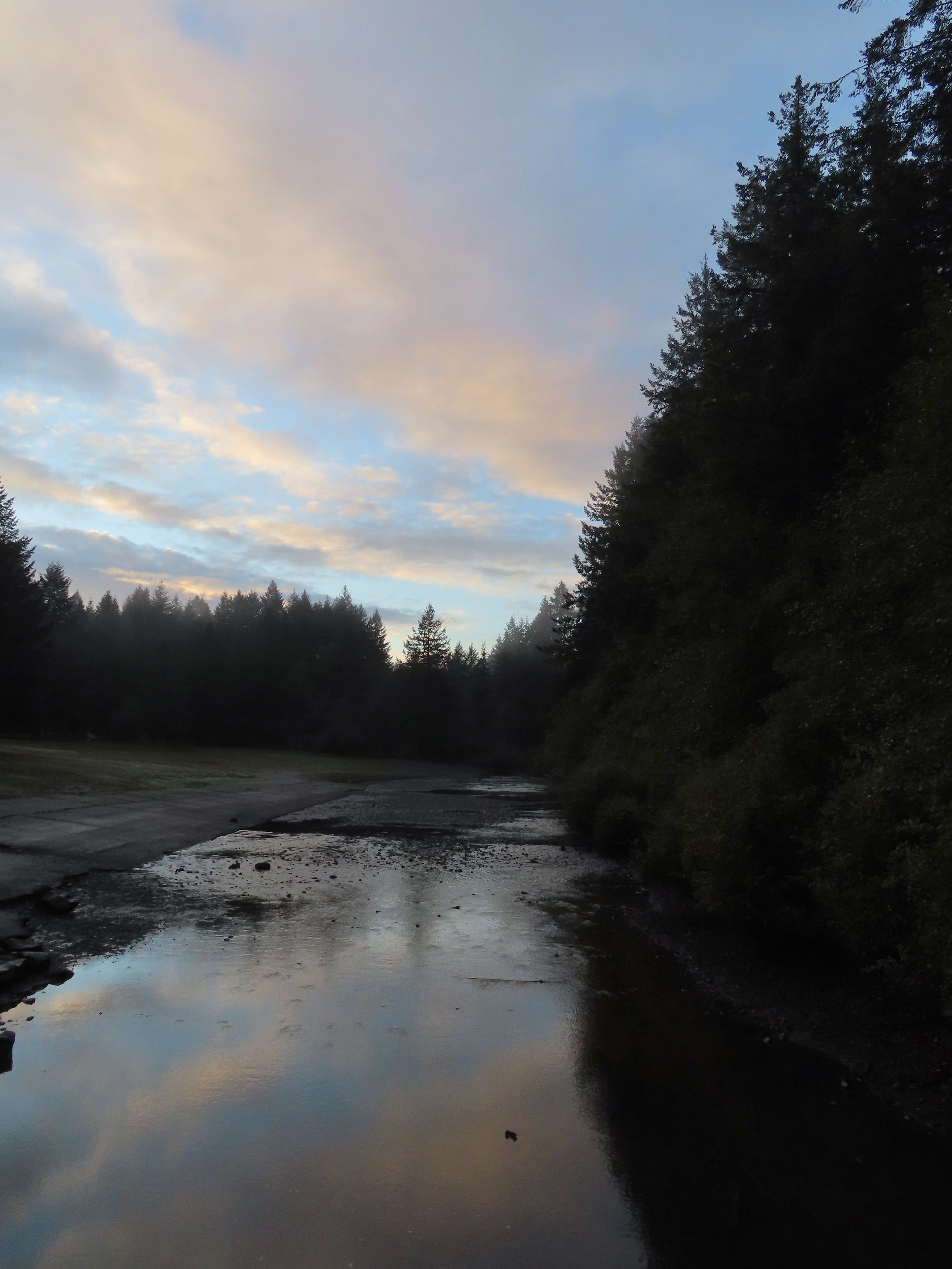
 Wetland near the bridge on 4/8.
 The wetland on 4/14.
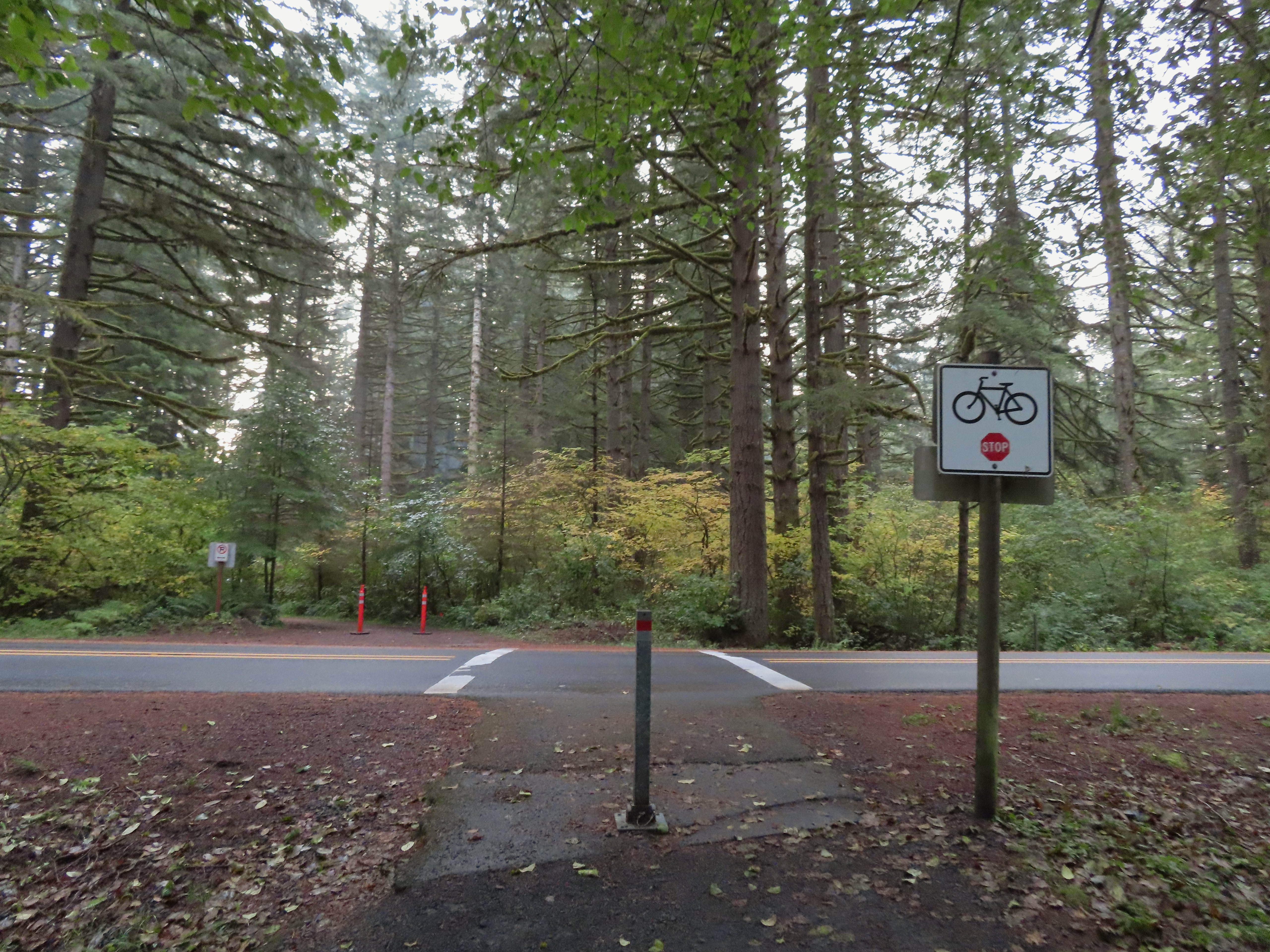
 Signs at the 2nd junction – 3/19.
 The path to the Willamette River on 3/19.
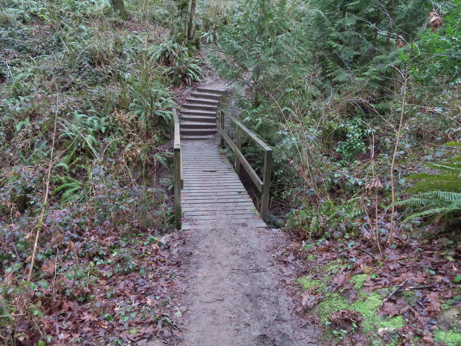
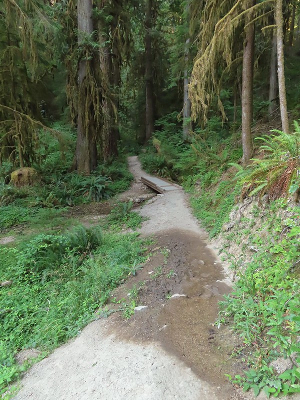
 The path on 4/14.
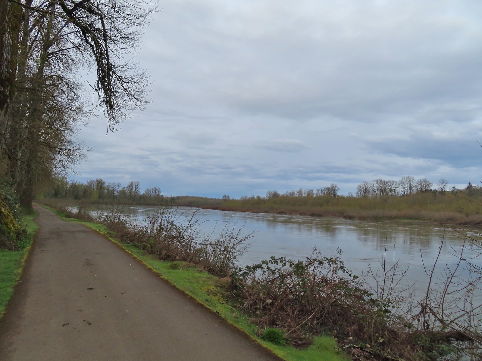 April 8th along the Willamette.
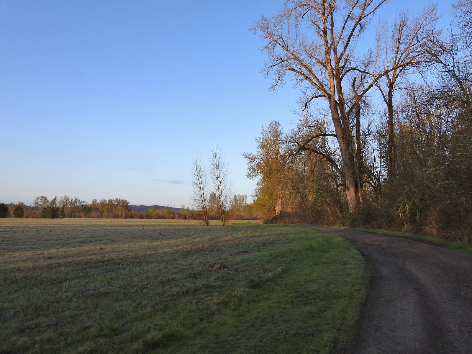 April 14th on the inland gravel path.
Beyond Lot 3 is where our visits began to differ. On our first (shortest) visit we continued South from the lot and took the second left (Brown Squirrel & Yellow Duck Loop) looped around the South and East ends of the Dog Park to Lot 2 where we crossed the entrance road and followed the 10k path back to the junction where we had taken our first right that morning. From there we retraced our steps back to Riverfront Park.
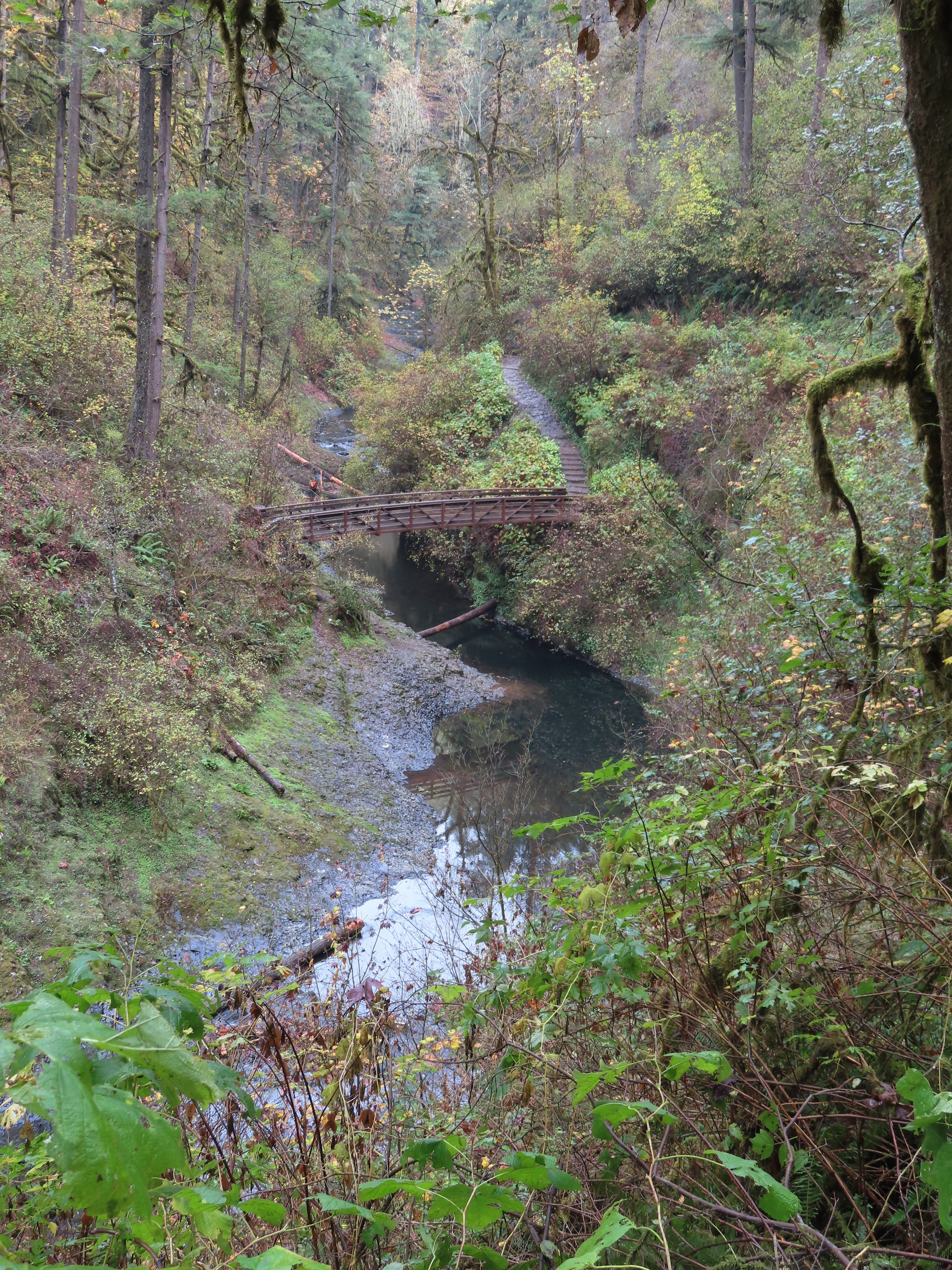
For the second hike we continued South from Lot 3 then forked right and crossed Oxbow Slough on a footbridge before turning back after another 0.75-miles at a “T” junction with the Blue Heron, Purple Rabbit, and 10k Trails. We retraced our steps, passing the shared Squirrel & Duck Loop section that we’d taken the previous week turning instead at the next right (We were coming from the opposite direction as the previous week. This was also part of the Yellow Duck Loop and took led us along the North side of the dog park to Lot 2 where we turned left and again followed the 10k path back as we had the week before.
On our third outing we followed our route from the week before to the “T” junction but turned left and continued on the shared Purple Rabbit/10k Loop to return to the junction near the bridge over the slough. This time we returned through Lot 3 taking the right fork of the Red Osprey Loop at the North end of the lot. This loop brought us through an open field with an old cherry orchard to the 10k Loop where we took a left and followed the familiar route back to Riverfront.
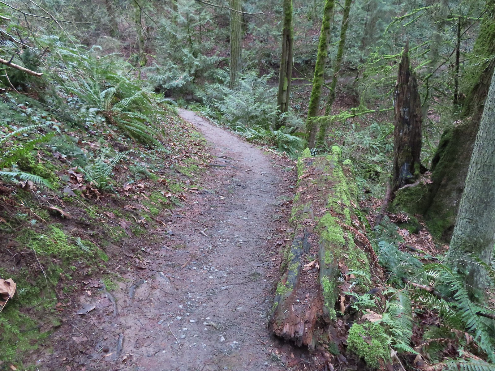
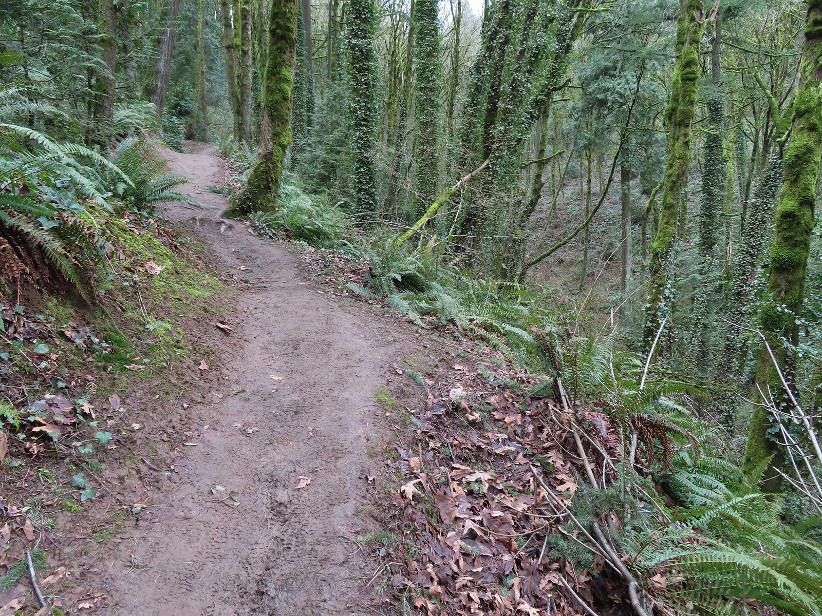
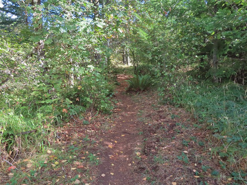
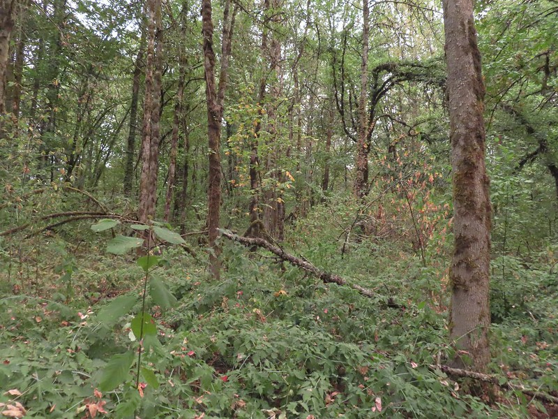
My route was most similar to our third outing. It varied in that I had to stay inland instead of hiking along the river and I turned onto the dirt Blue Heron Loop path shortly after crossing the bridge over the slough.
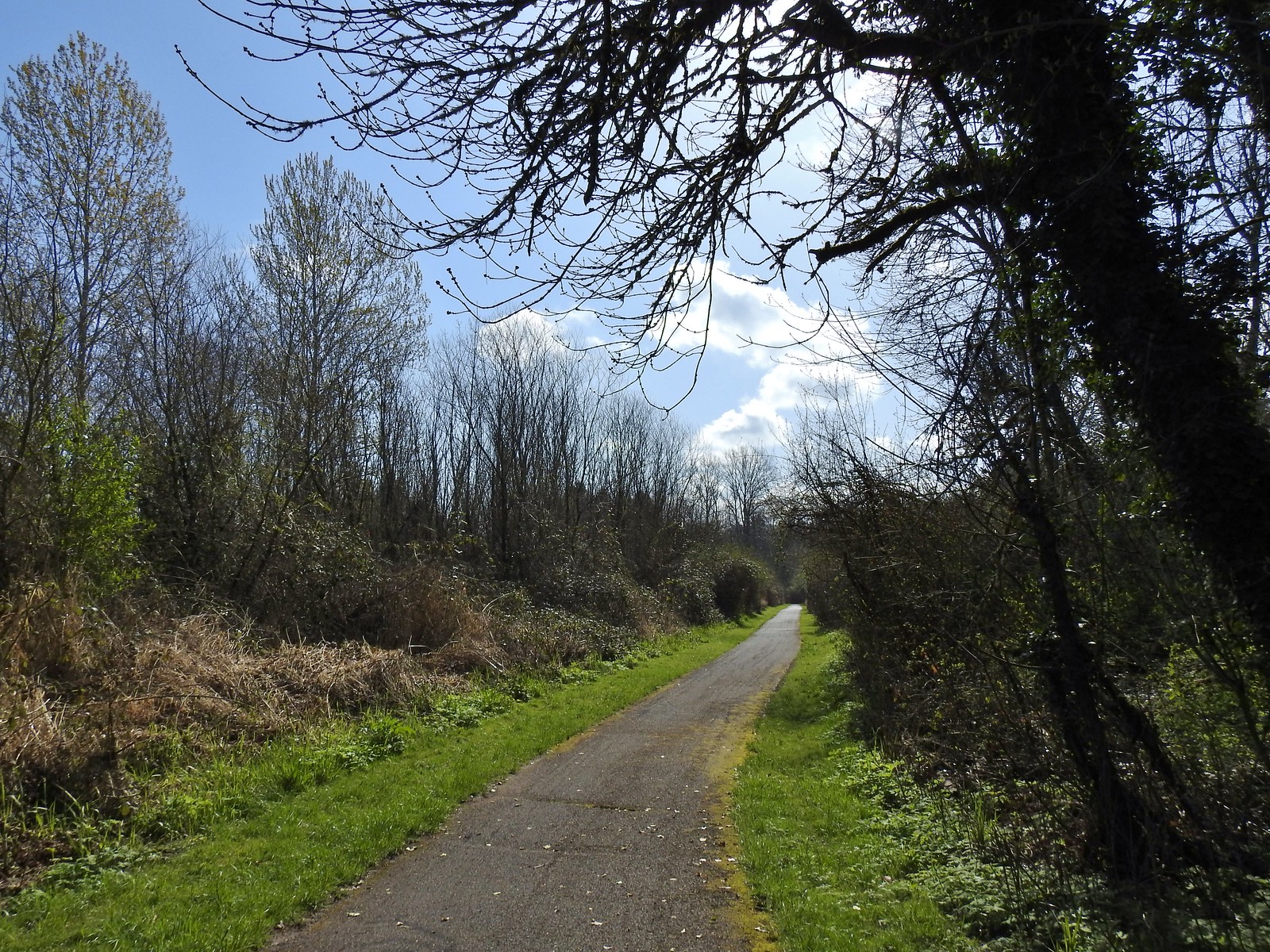
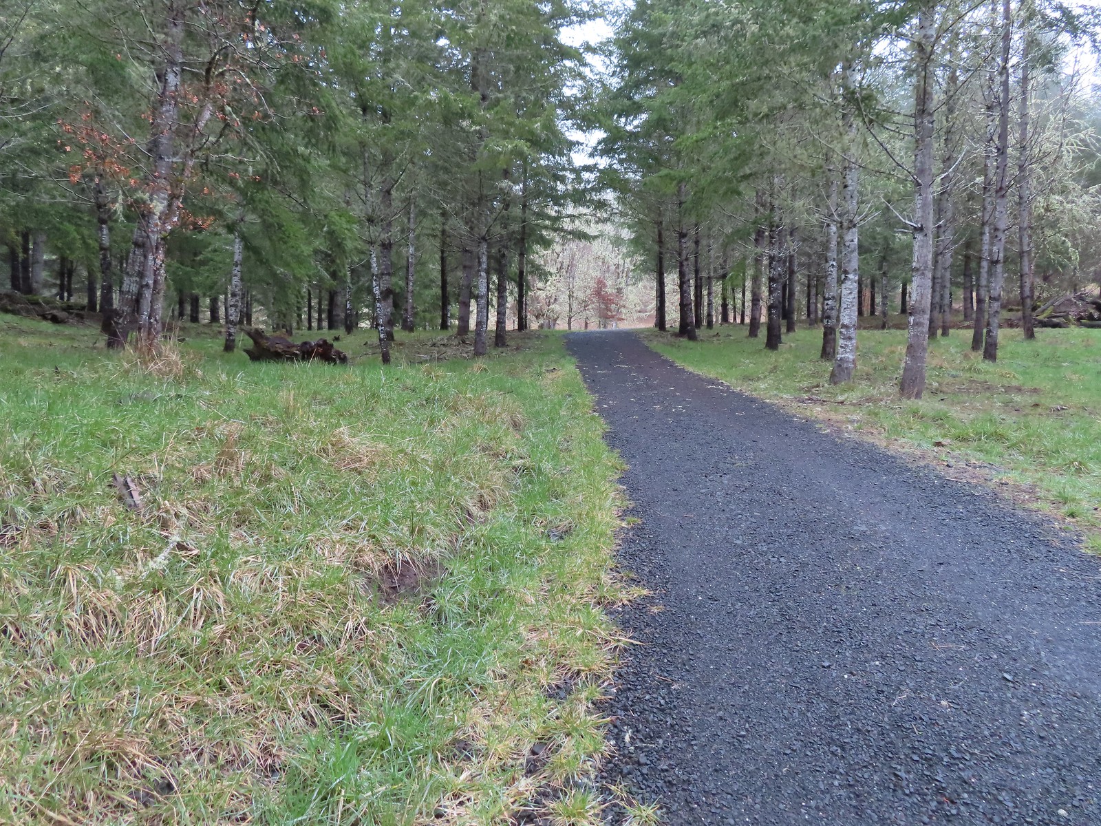
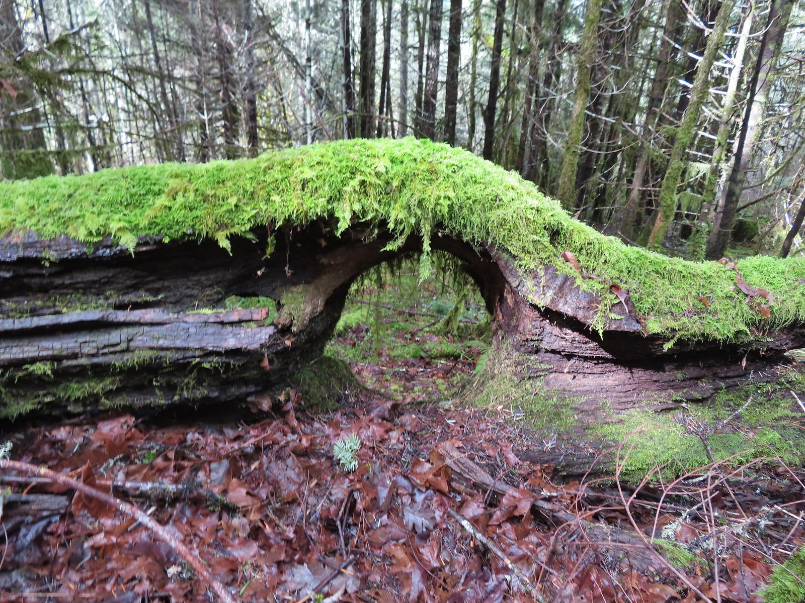
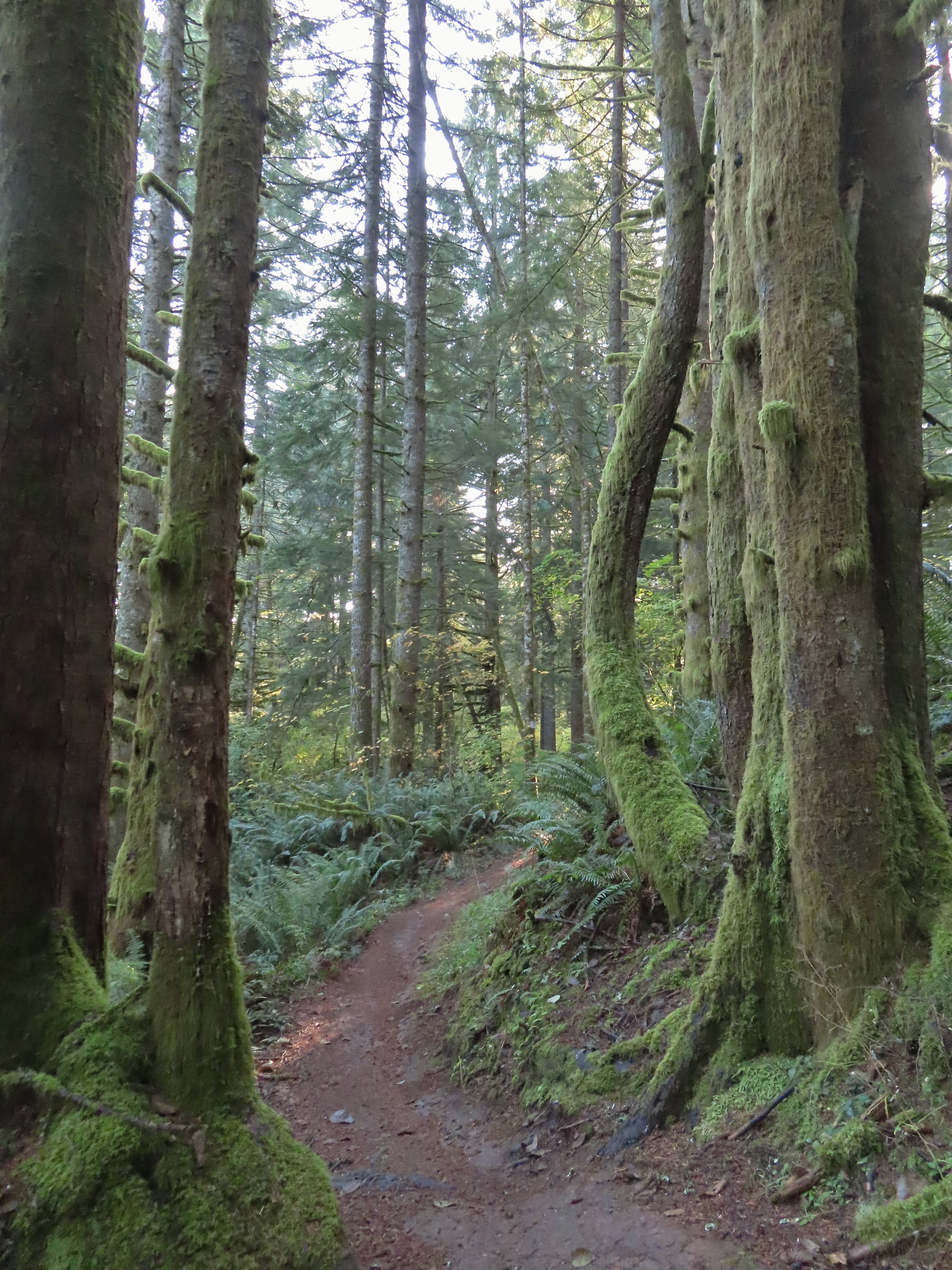
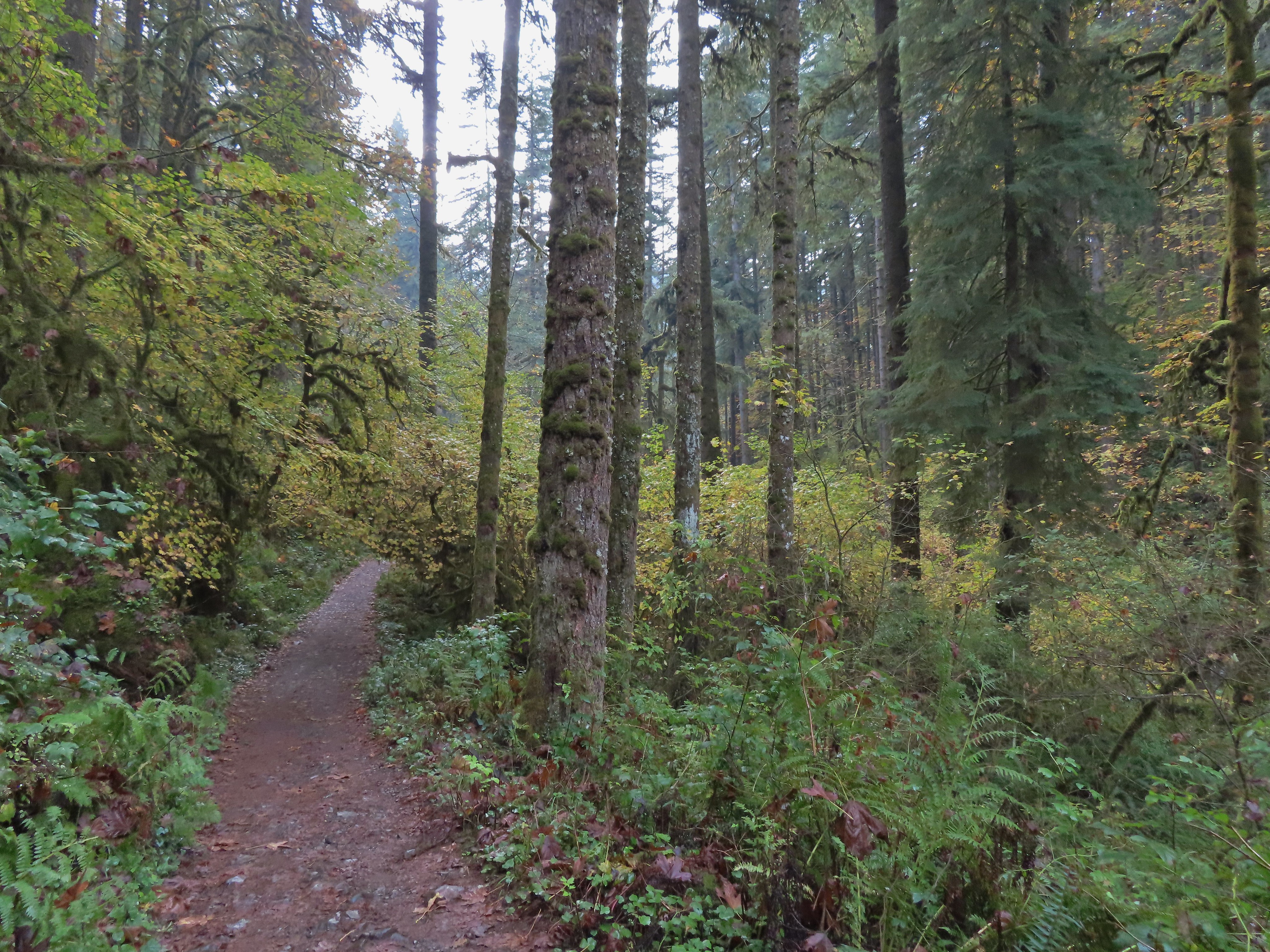
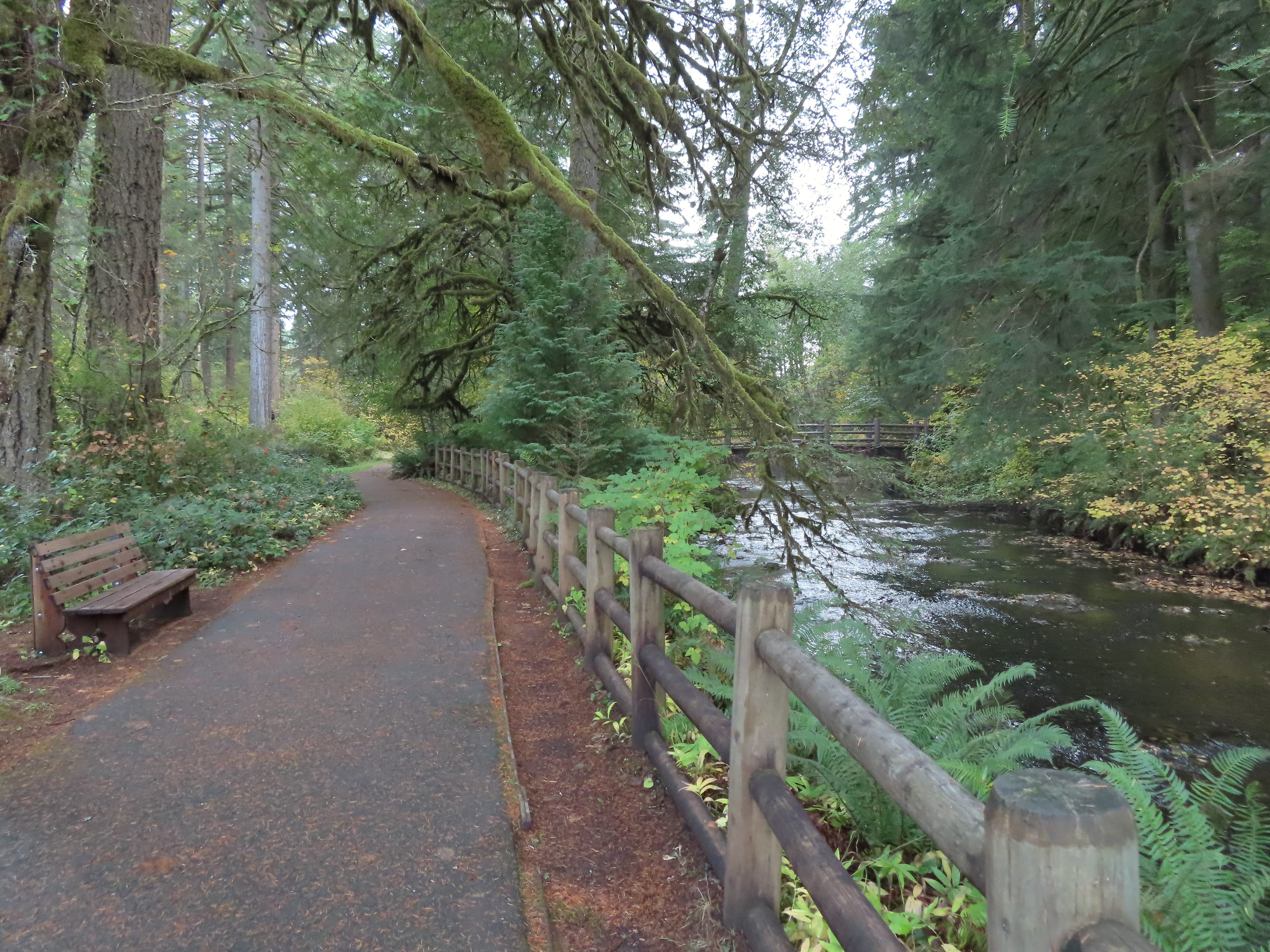
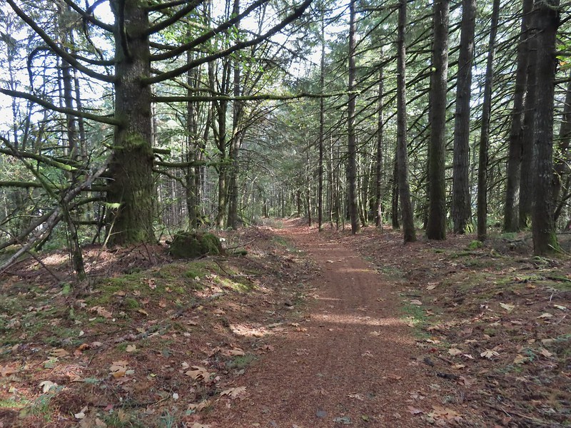
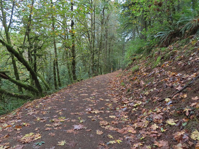
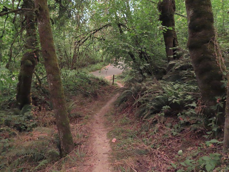
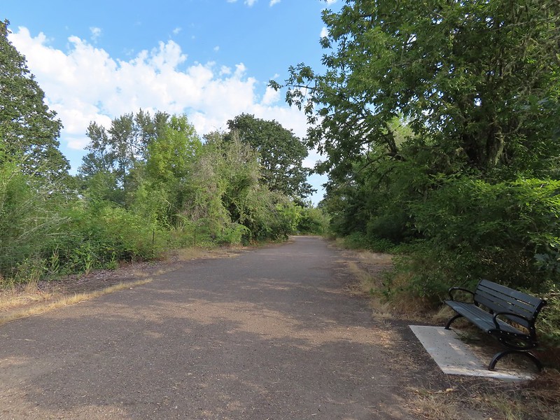
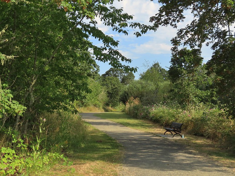
 The Minto-Island Conservation Trail (Used during all four hikes.)
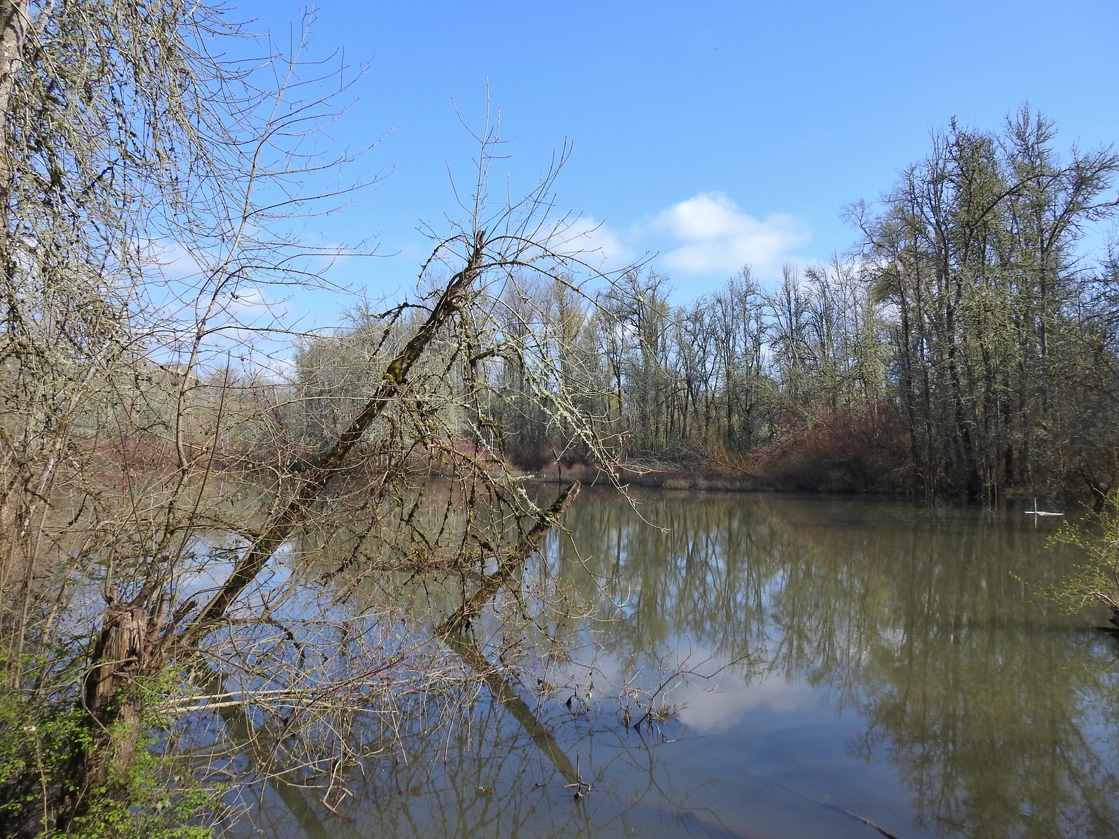
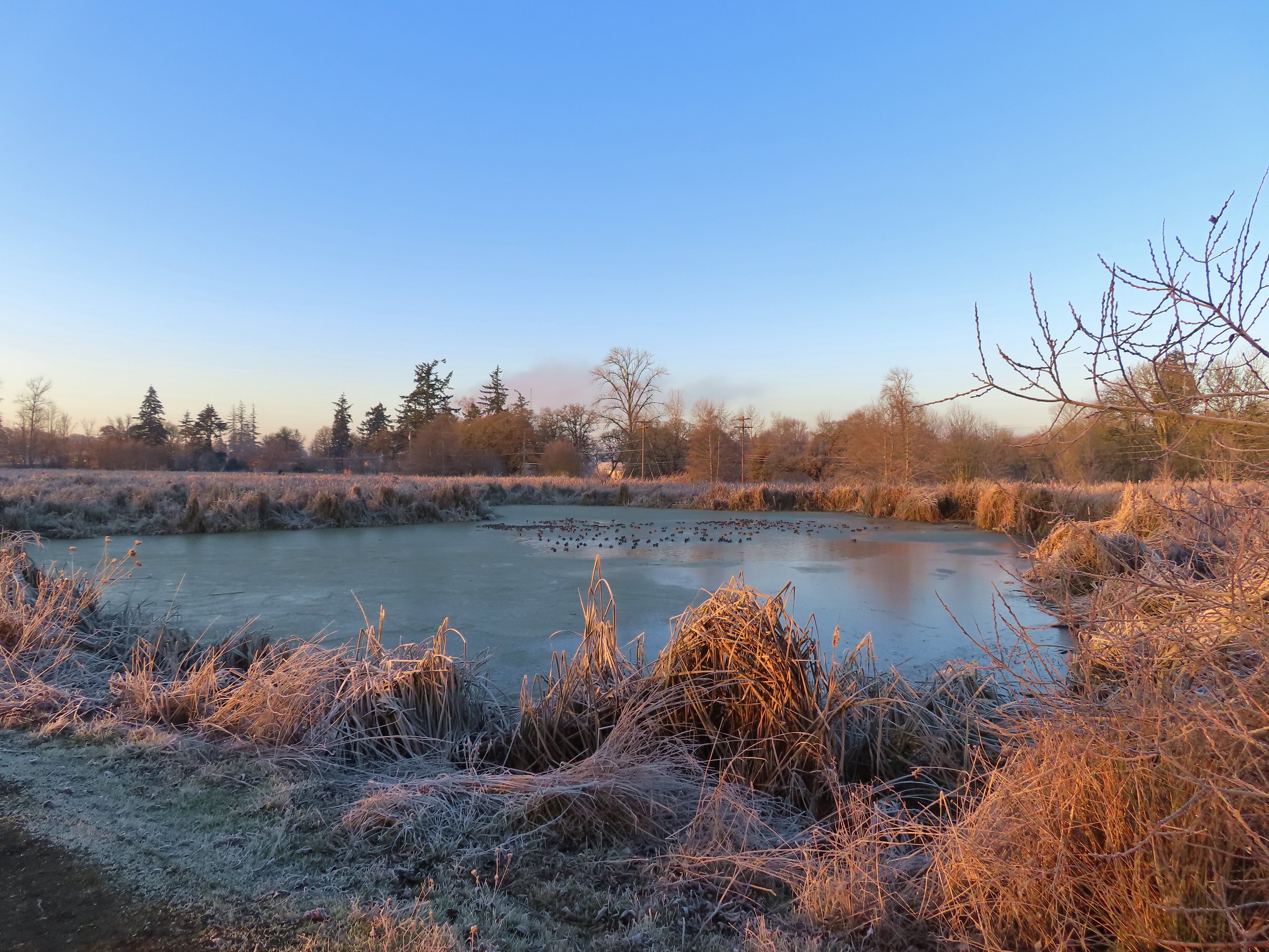
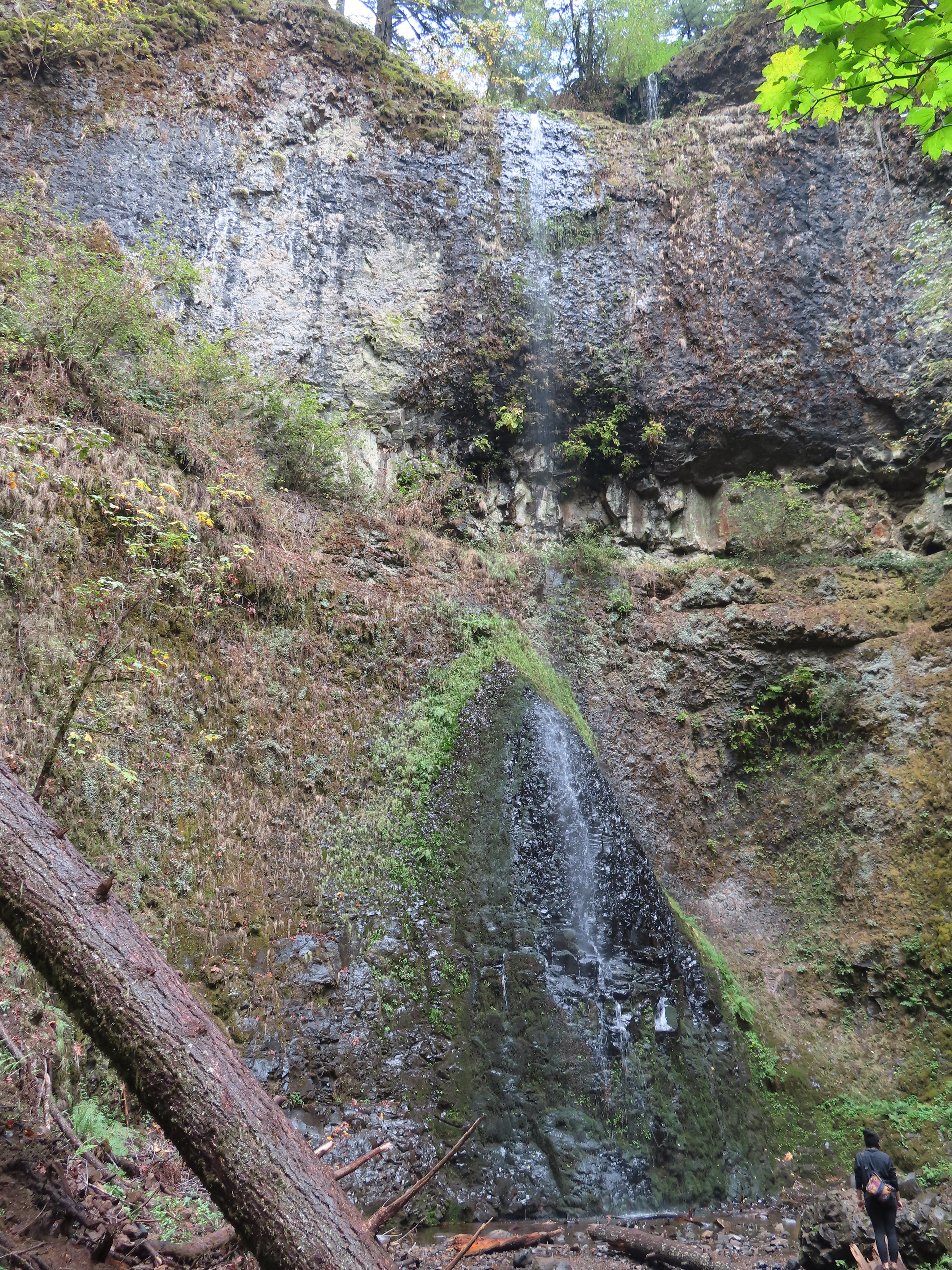
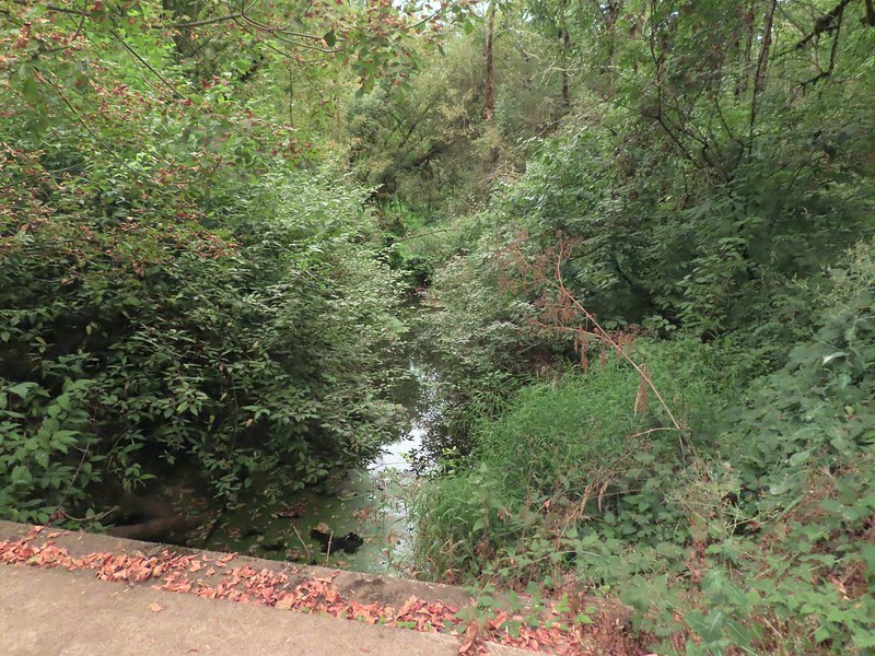
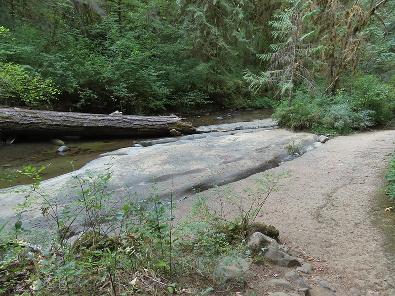
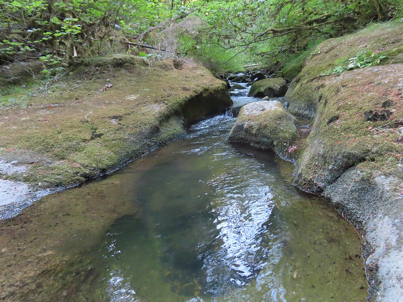
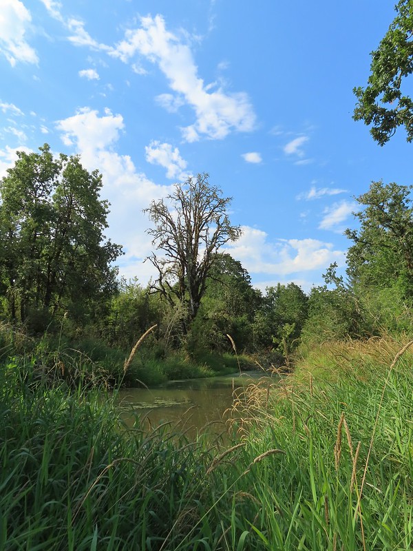
Oxbow Slough is accessible near Lot 3.
 Oxbow slough 3/19.
 April 14th
 Just South of Lot 3 the paved path is shared by the 10k, Purple Rabbit, Blue Heron, Green Deer, Yellow Duck and Brown Squirrel Loops.
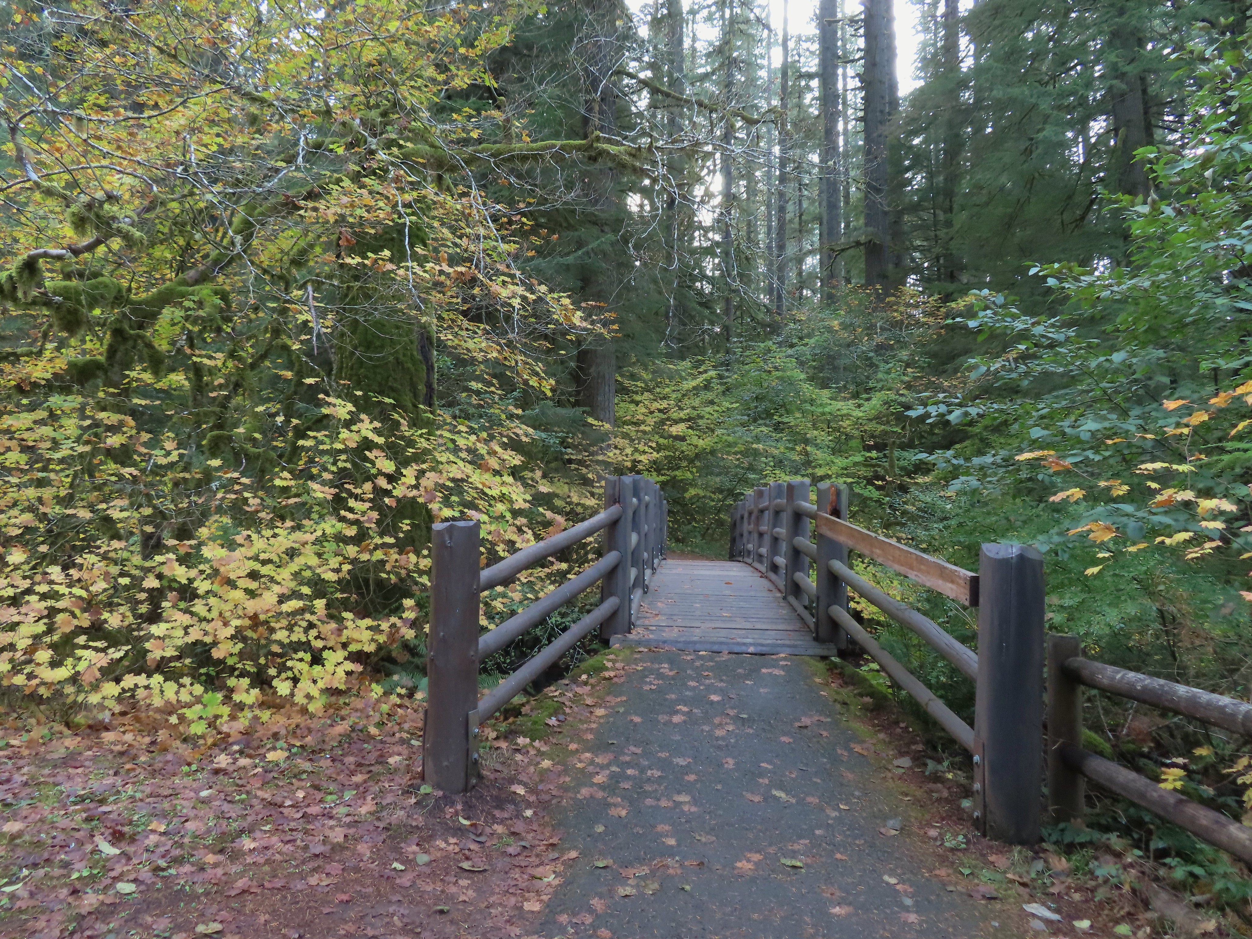
 The footbridge over Oxbow Slough is part of the 10k, Blue Heron, and Purple Rabbit Loops.
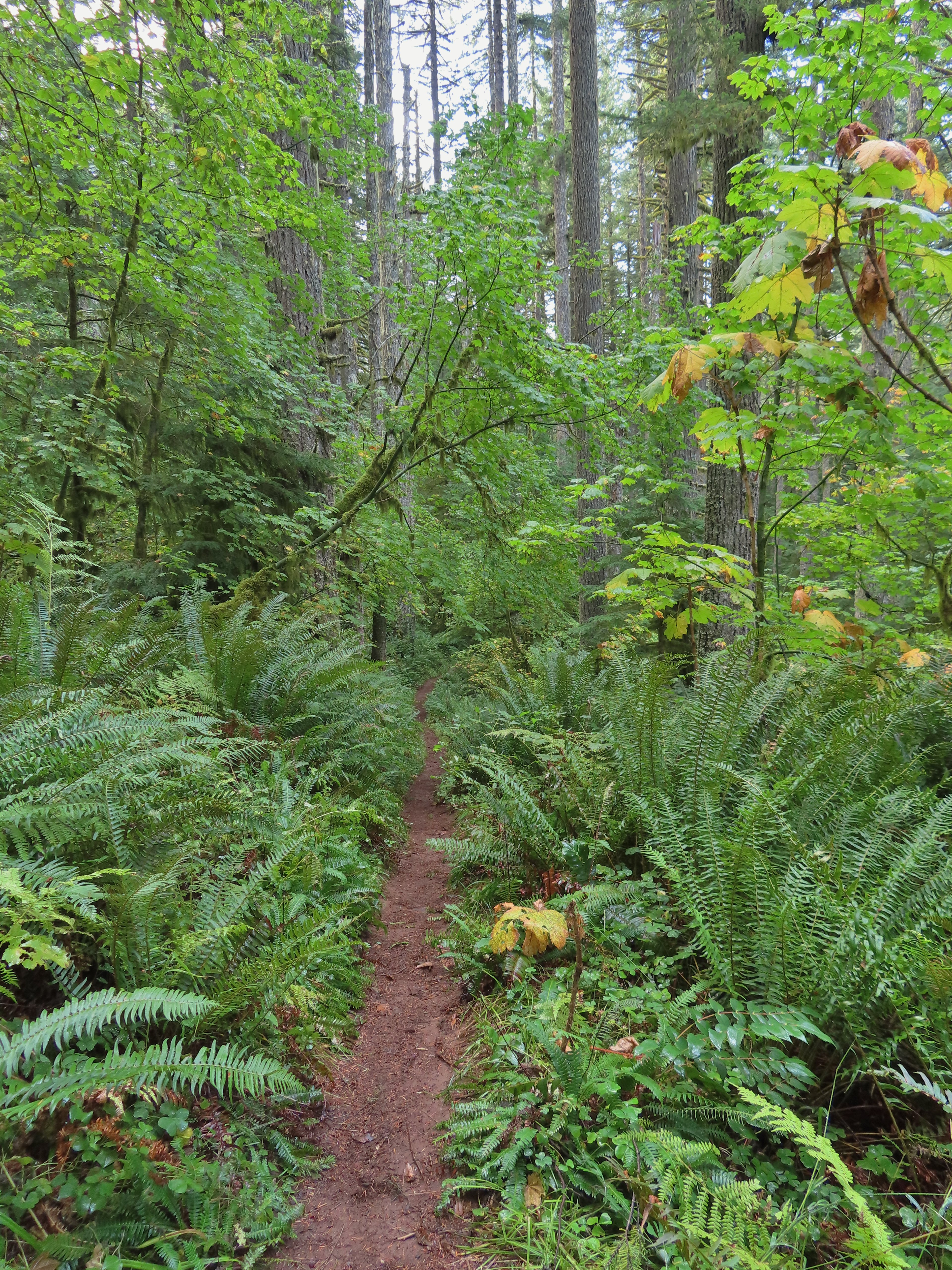
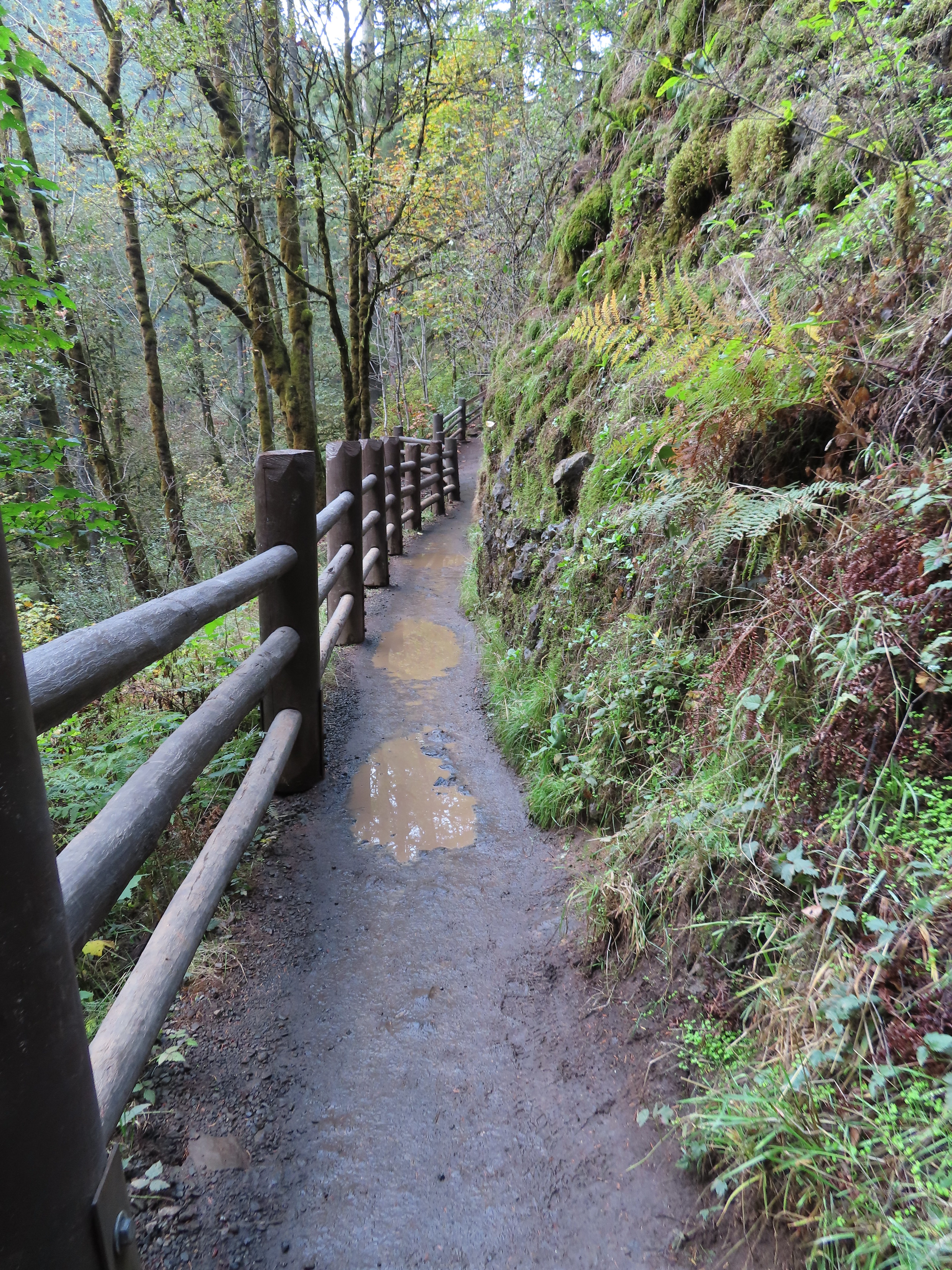
The Blue Heron Loop ran parallel to the paved path and at times nearly touched.
 Blue Heron Loop running parallel to the 10k/Purple Rabbit Loops.
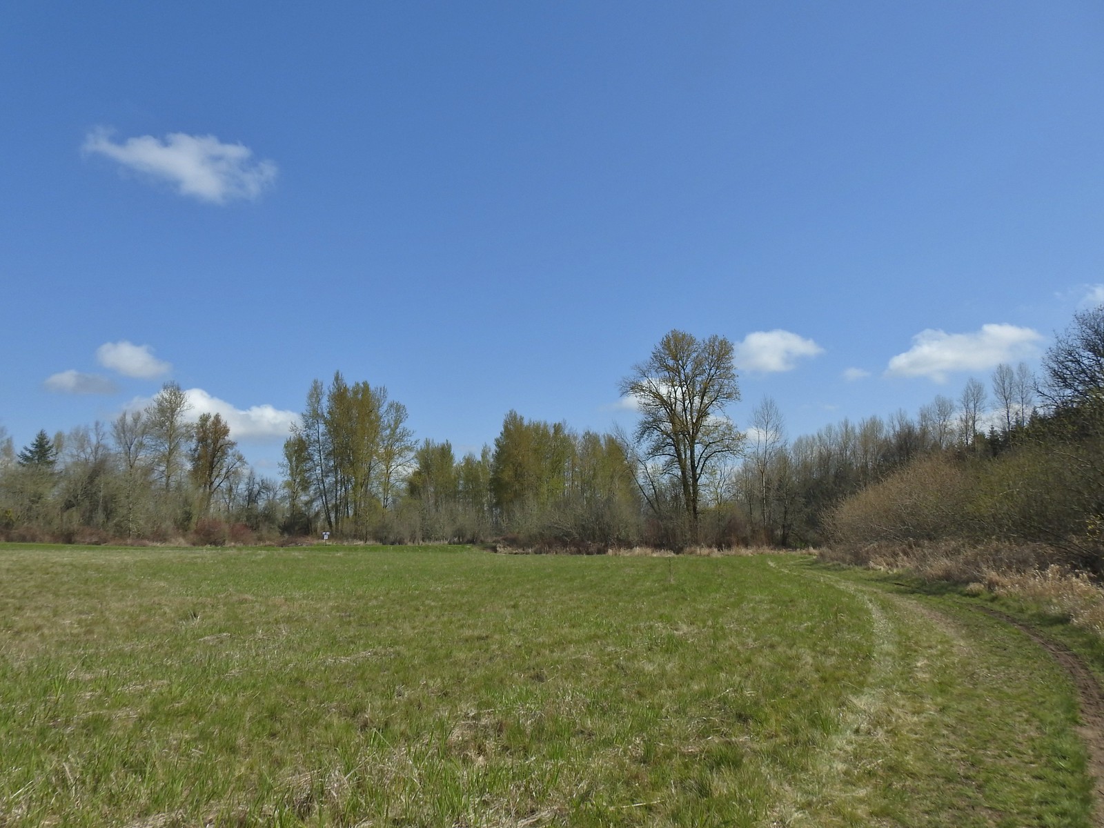
 Field along the Blue Heron Loop
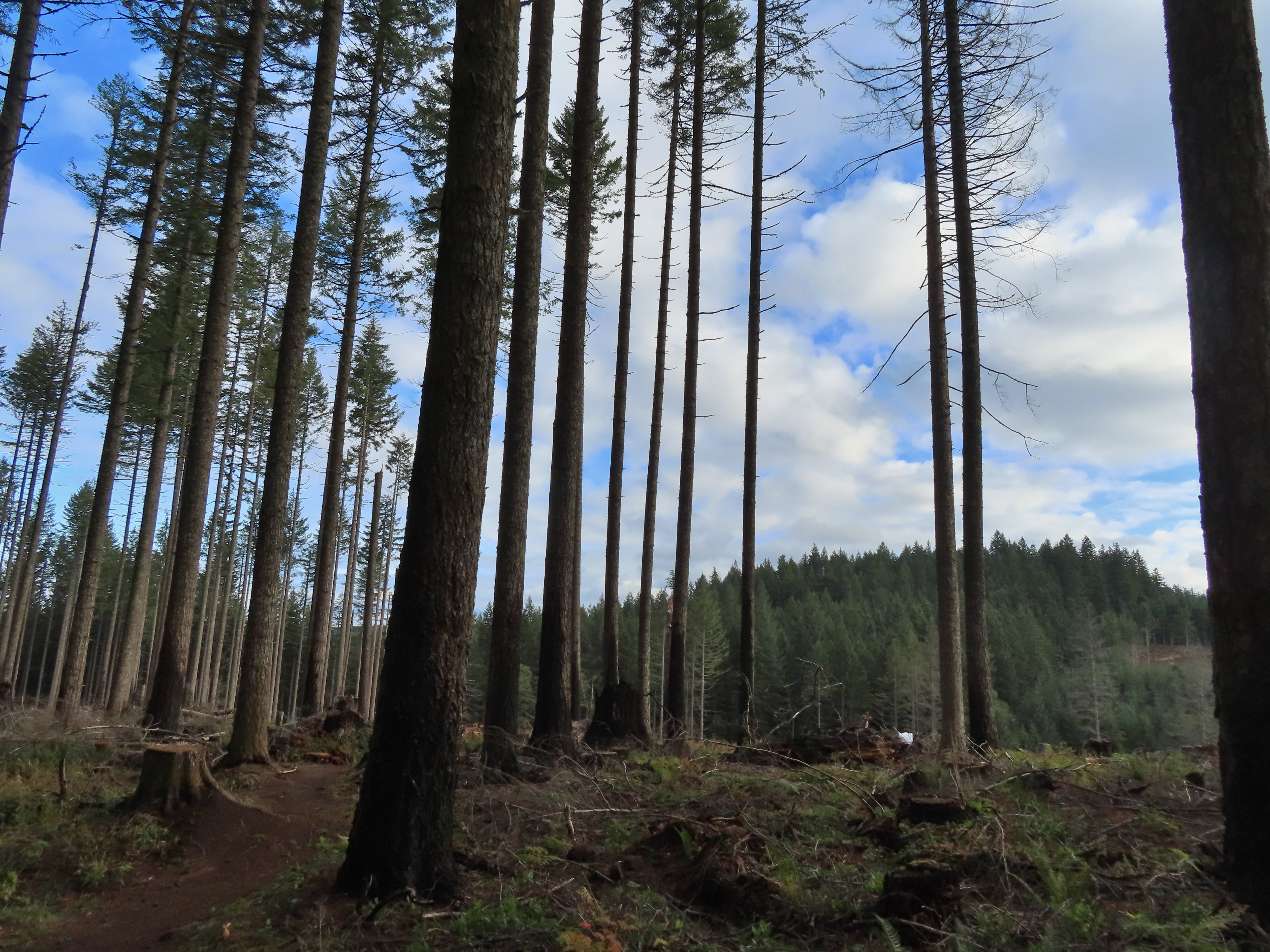
The biggest difference, and most of the extra mileage came when I continued straight toward the Brown’s Island Demolition Landfill when the Blue Heron Loop turned left. At the landfill I turned right and followed a gravel roadbed around it to the Orange Turtle Loop onto which I turned right following counterclockwise into Eola Bend County Park.
 The “T” junction where the 10k/Purple Rabbit Loops turn left from the Blue Heron Loop.
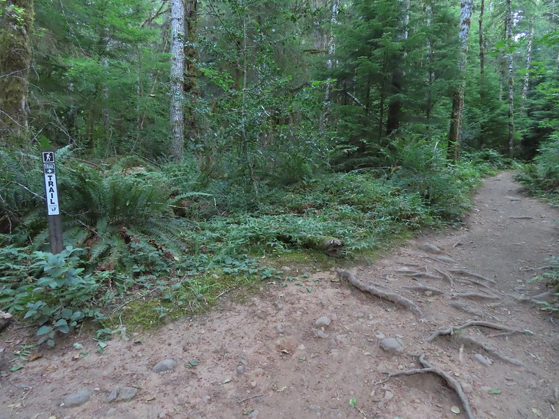
 Most of the junctions are well signed with maps which helped keep me on track.
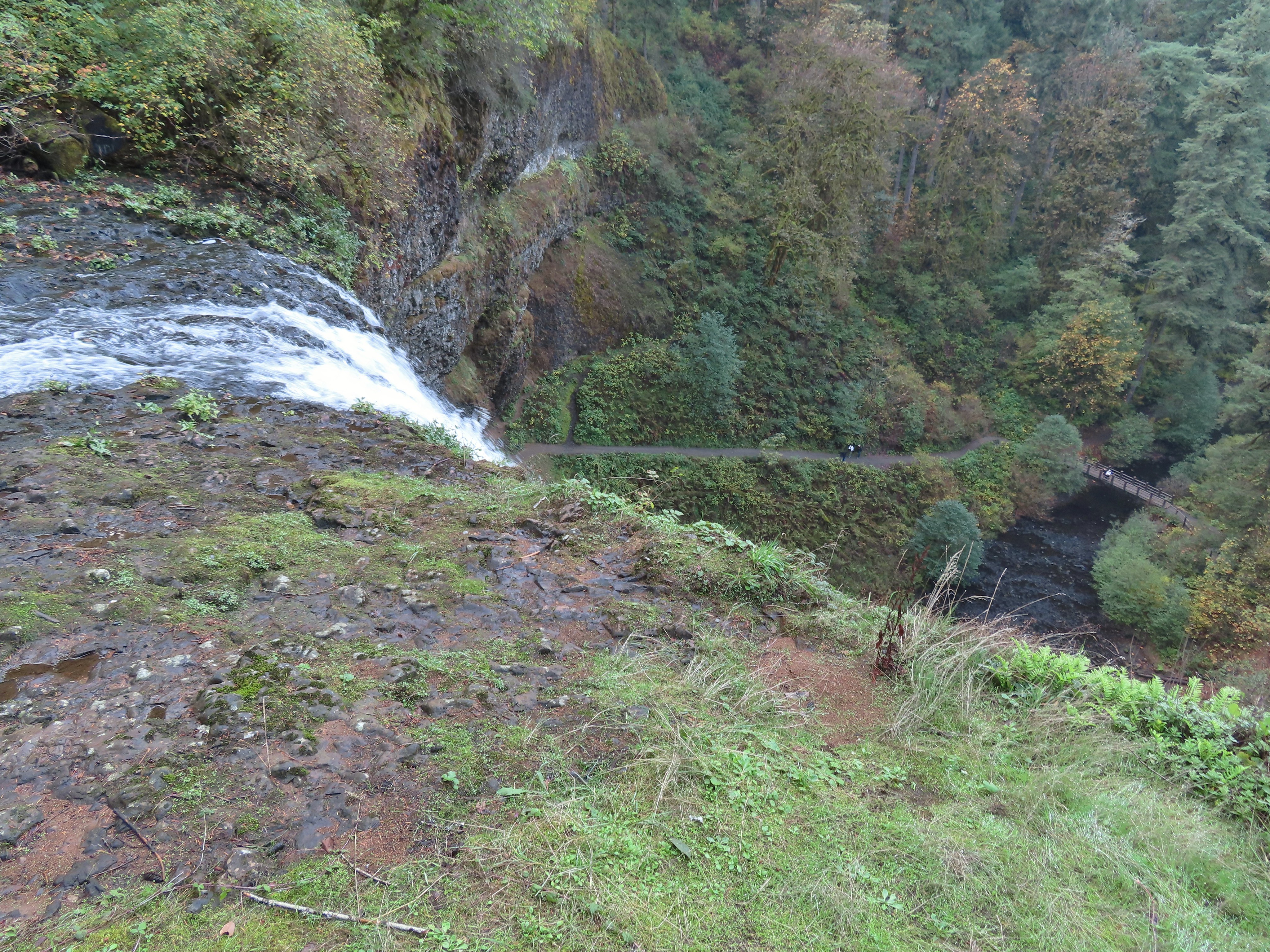
 Willamette River from the Orange Turtle Loop.
 Orange Turtle Loop
 The boarder between Minto-Brown Island Park and Eola Bend County Park.
 A bit of the history of Eola Bend County Park.
 Nice map of the Willamette River watershed.
 Eola Bend County Park
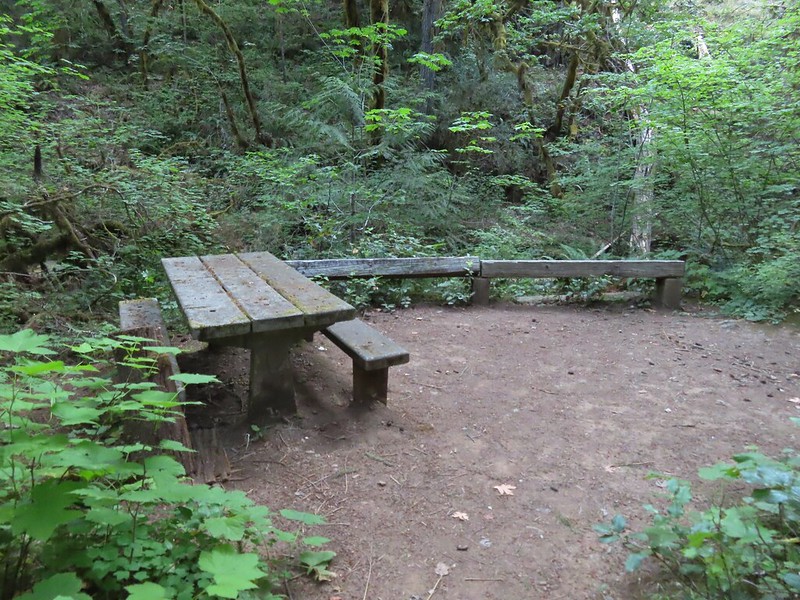
 I took advantage of this picnic table to take a short break.
After completing the Orange Turtle Loop I went back along the landfill (Admittedly one of the least exciting things to experience on a hike.) passing the path I’d arrived at the landfill on and continued just over a tenth of a mile on the gravel road which brought me to the end of a paved road at the landfill.
 The landfill behind the map.
 Arriving at the road.
I turned left here and in less than a tenth of a mile was back on the Purple Rabbit/10k Loop which uses a 0.3-mile section of the road.
 The 10k/Purple Rabbit Loop on the left.
I was now back on the route of our third visit and followed the Purple Rabbit/10k Loop just over a half mile to a junction with the Green Deer Loop, with a short detour to a bench along Oxbow Slough.

 The Green Deer Loop junction.
I made my one mistake of the day here thinking that I could turn right (we’d gone left the week before) and do this loop. Just over 0.4-miles in though I came upon a small pond in the middle of the trail.
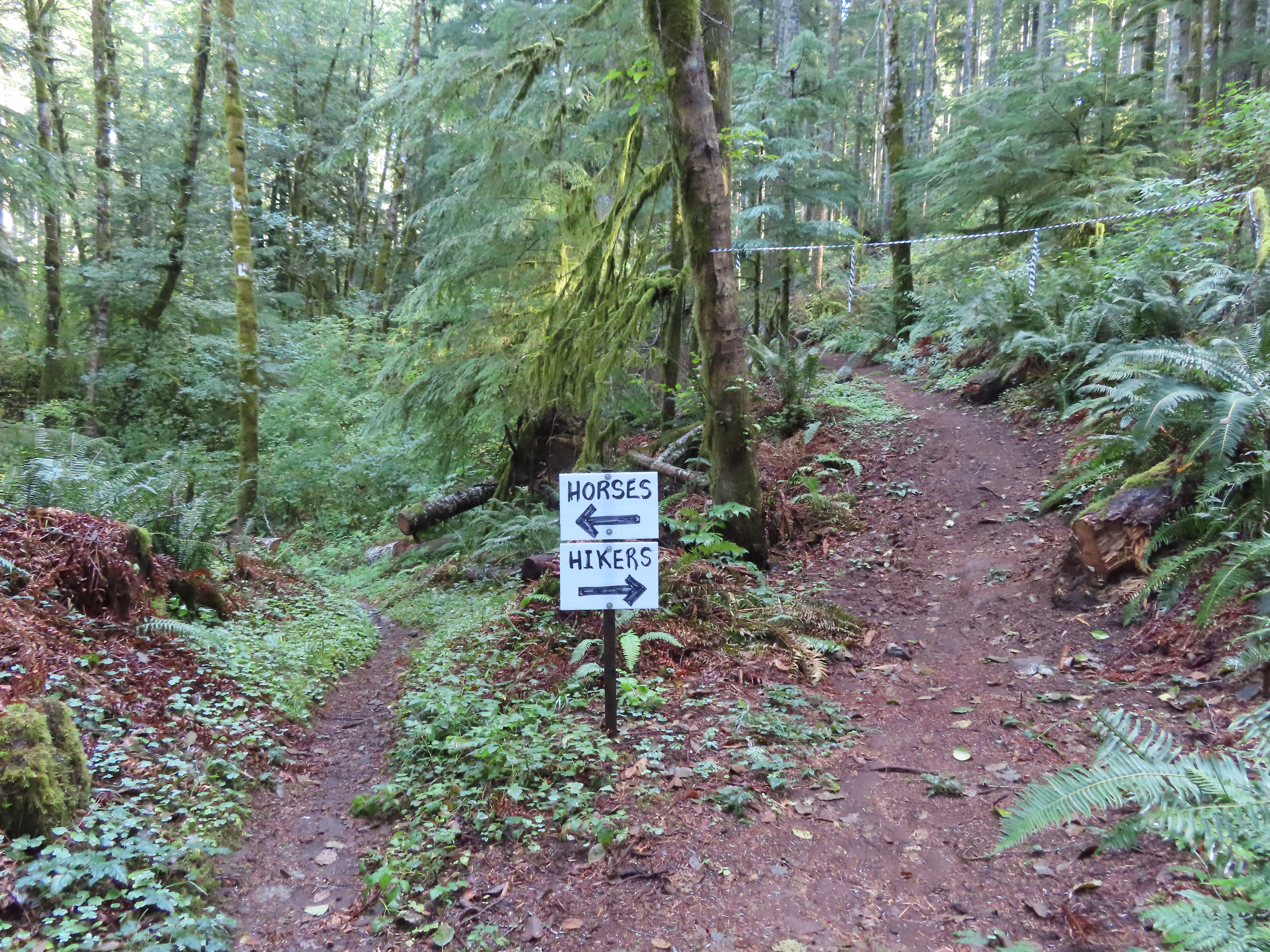
I backtracked to the Purple Rabbit/10k Loop and again followed our third visit route until coming to the Brown Squirrel/Yellow Duck/10k Loop where I turned right. This was the path we’d taken on our first visit to loop around the dog park. I followed the paved path around the South side of the park but then instead of staying on the trail the loops follow I hoped onto a rougher dirt path that paralleled it and followed that to Lot 2 where I hopped back onto the 10k Loop.
 The paved 10k/Yellow Duck/Brown Squirrel Loop.
 The rougher dirt path.
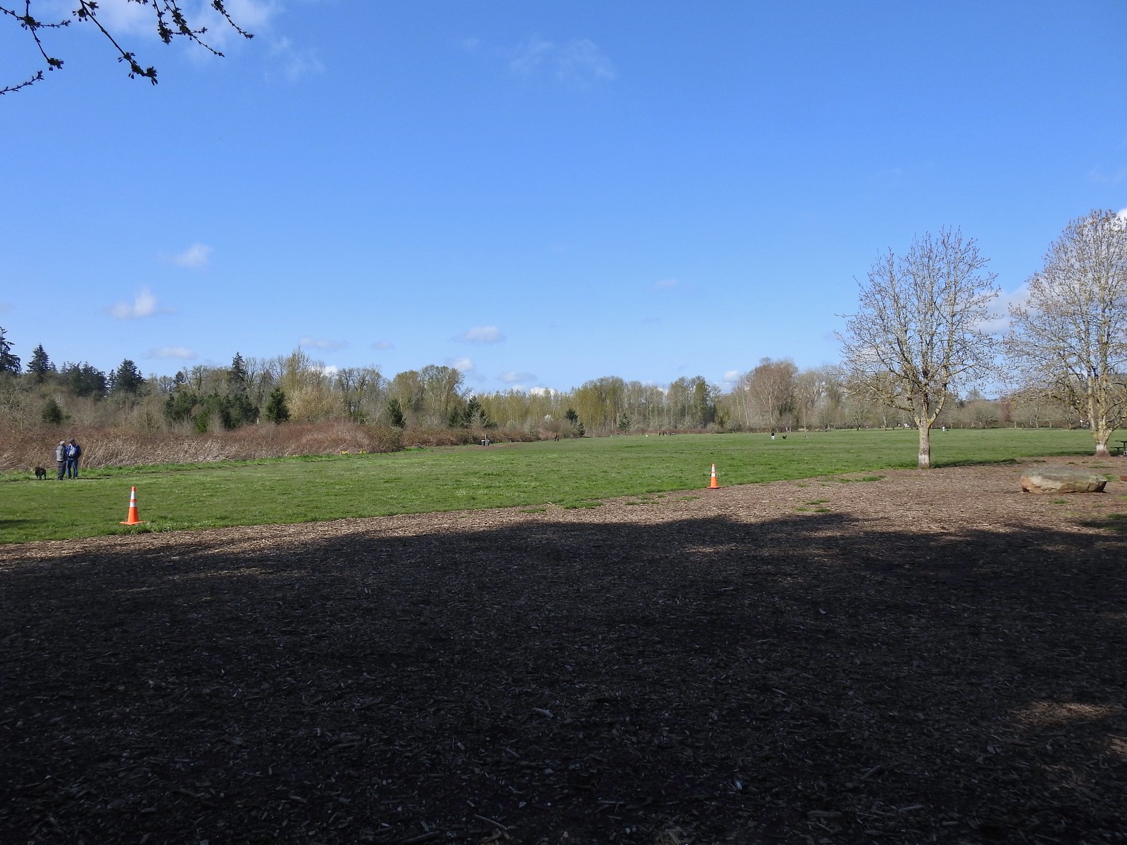 The dog park (possibly the happiest place in Salem, at least for dogs).
 The 10k Loop on the opposite side of the entrance road from Lot 2.
I deviated once more from our earlier visits when I left the 10k Loop just before it joins the Red Osprey Loop. I crossed that paved path and onto a faint dirt path that led past the Old Cherry Orchard. I followed this dirt path just under a half mile to the paved 5k/10k/Red Osprey/Brown Squirrel Loop where I turned right and climbed a small hill to the Minto Island Conservation Trail.
 From our 3/19 hike on the 10k Loop. The path running from left to right is the Red Osprey Loop. On this last trip I took the path on the left down to the sign below at the junction and continued straight.
 At the sign heading toward the old cherry orchard.
 The old cherry orchard.
 Sign in the distance along the paved path where I turned right.
I turned left onto the Conservation Trail and returned to Riverfront Park to complete my hike.

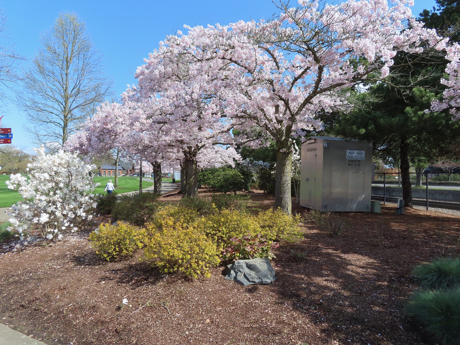 Cherry blossoms.
One constant throughout all of the hikes was the abundant wildlife.
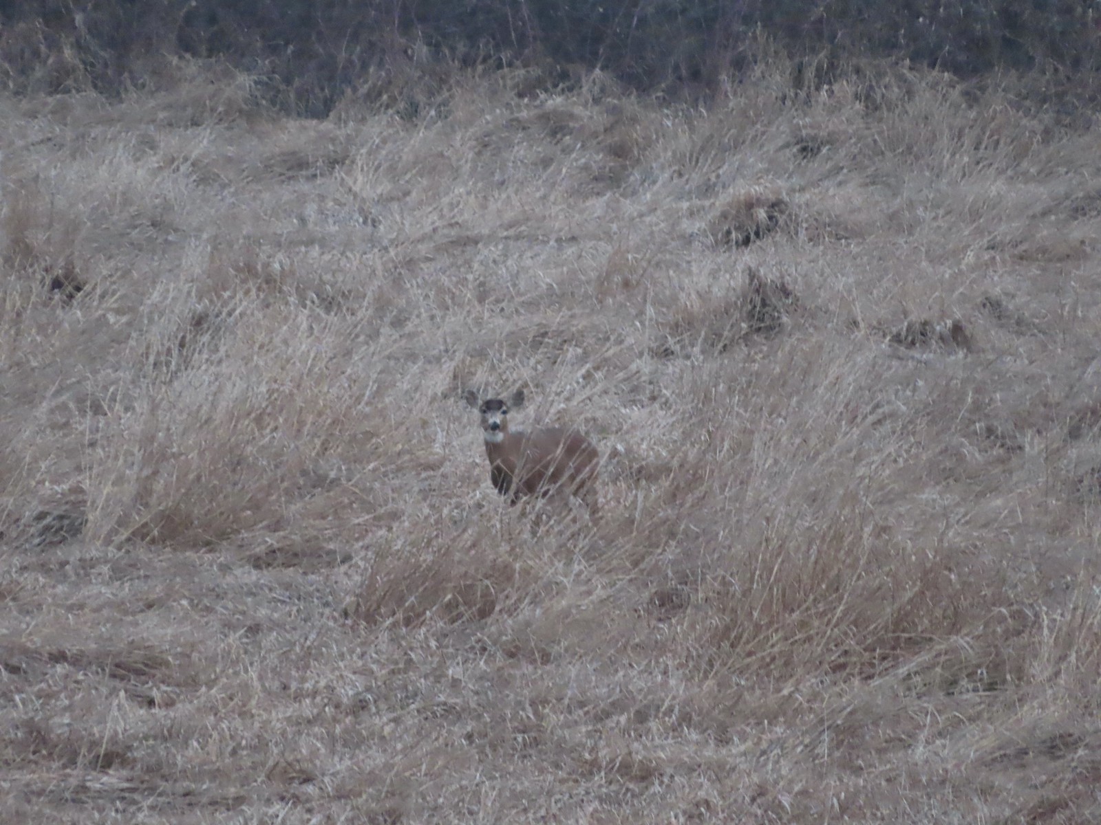 Deer – 3/19
 Bald eagle – 3/19
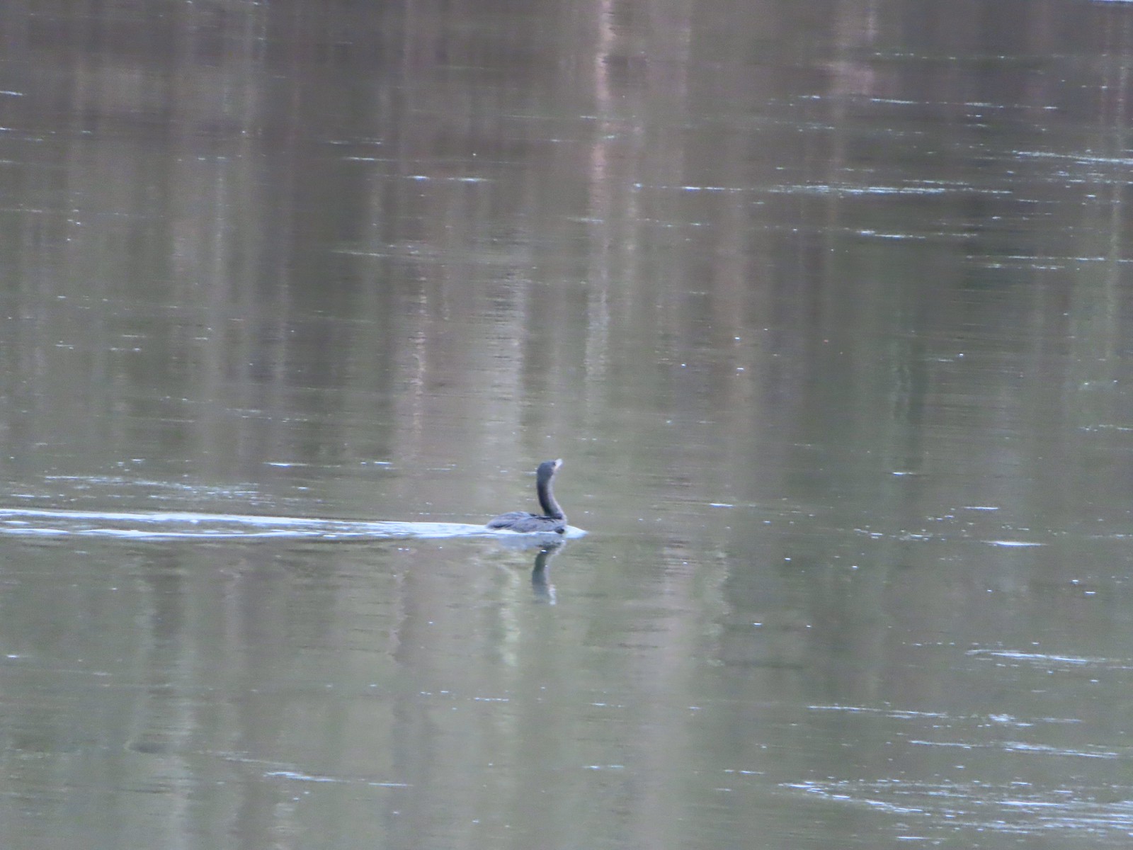 Cormorant on the Willamette – 3/25
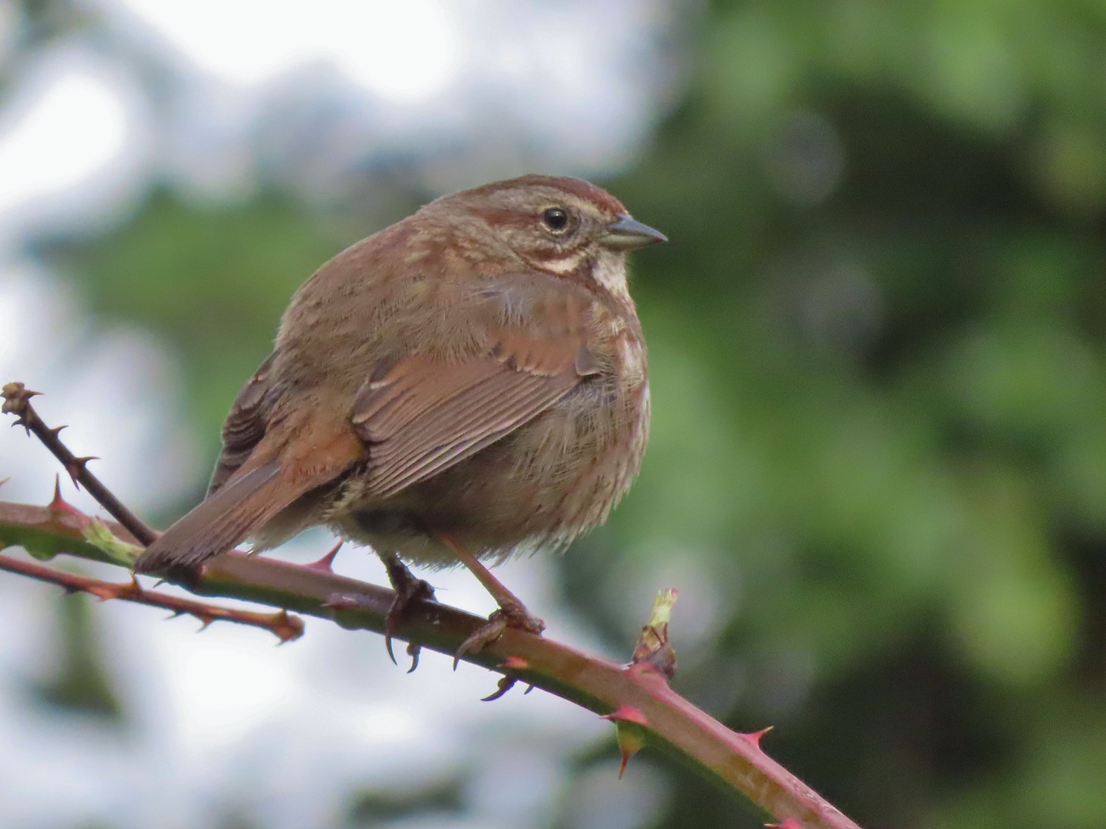 Sparrow – 3/25
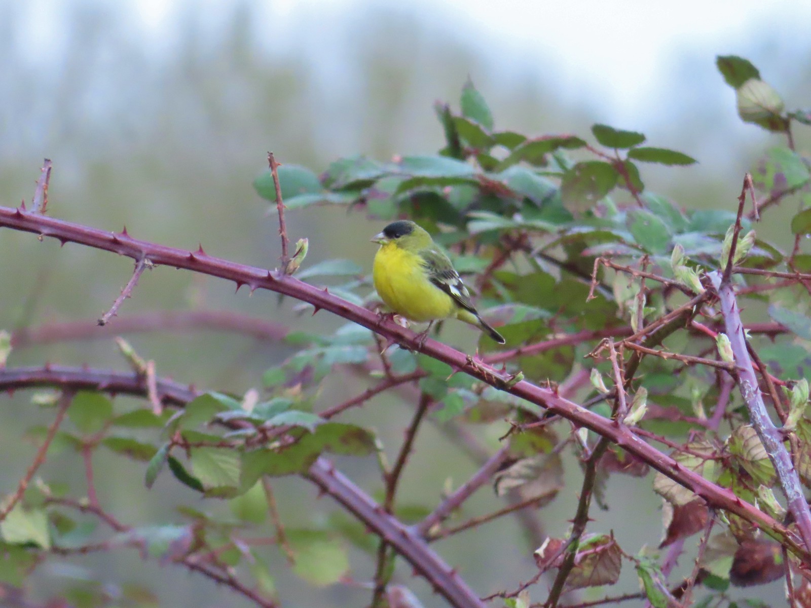 Lesser goldfinch – 4/8
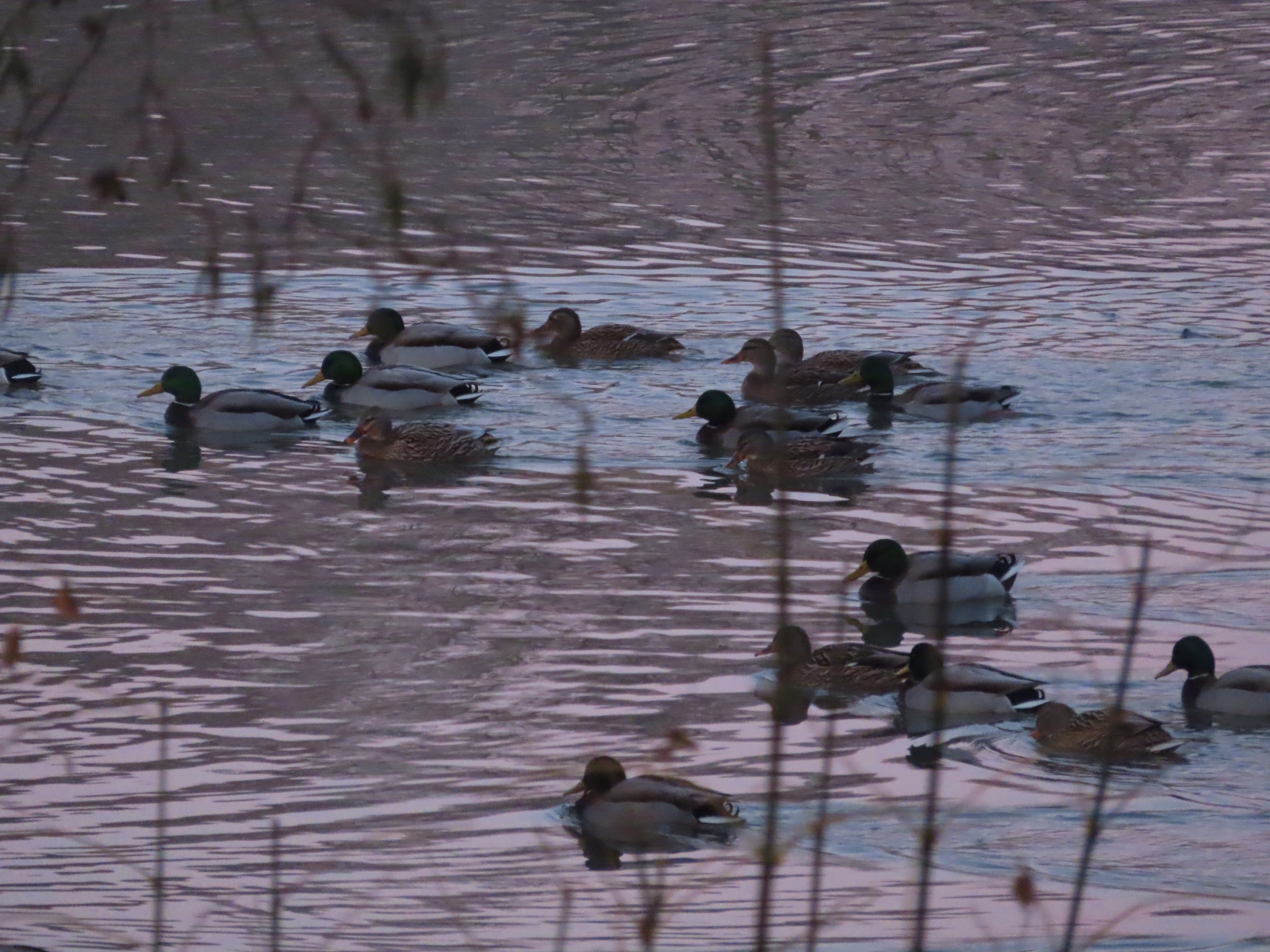
 Mallard – 4/8
 Wood ducks up in a tree – 4/8
 Osprey – 4/8
 Green-winged teal – 4/14
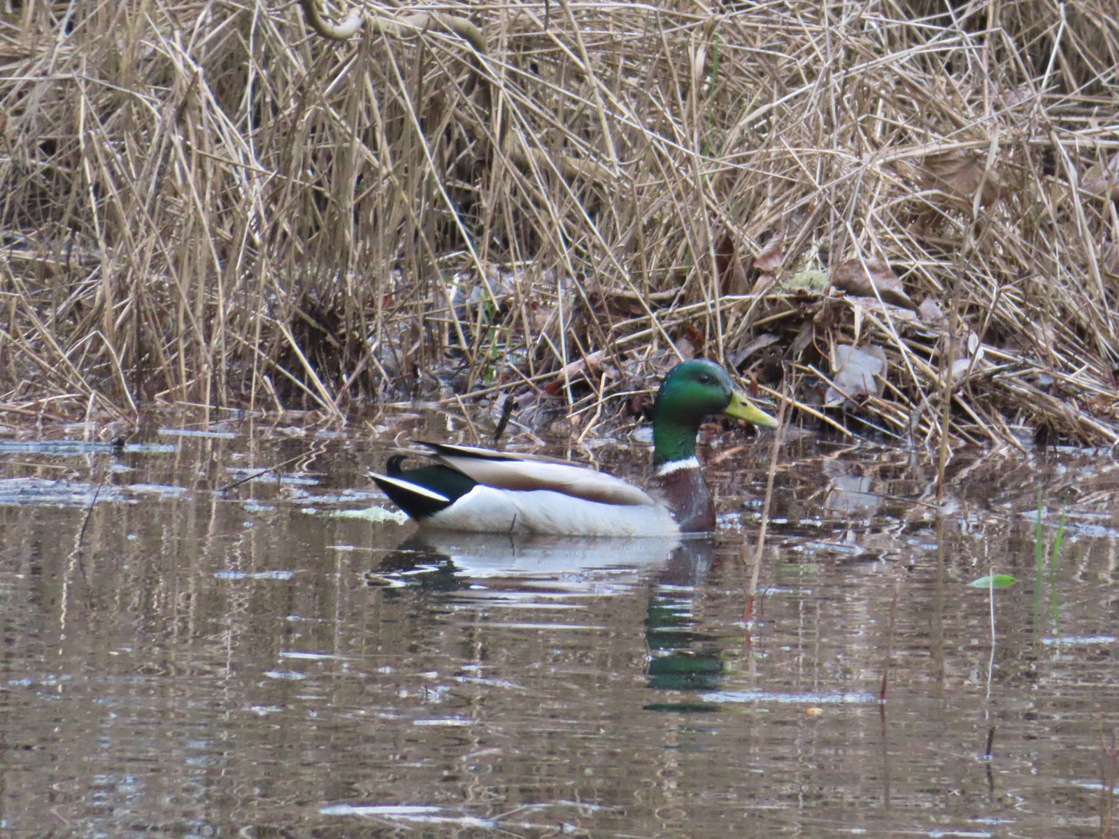
 Mallard – 4/14
 Golden-crowned sparrow – 4/14
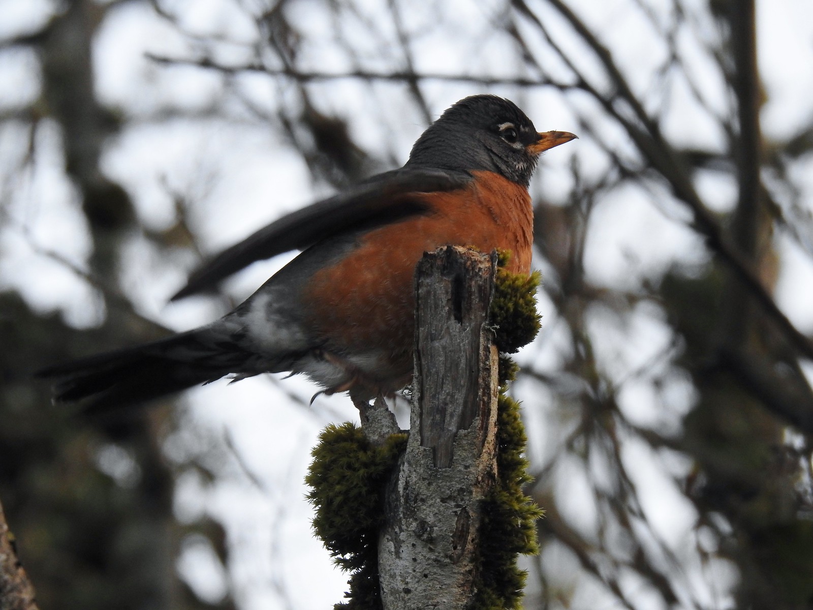 Robin – 4/14
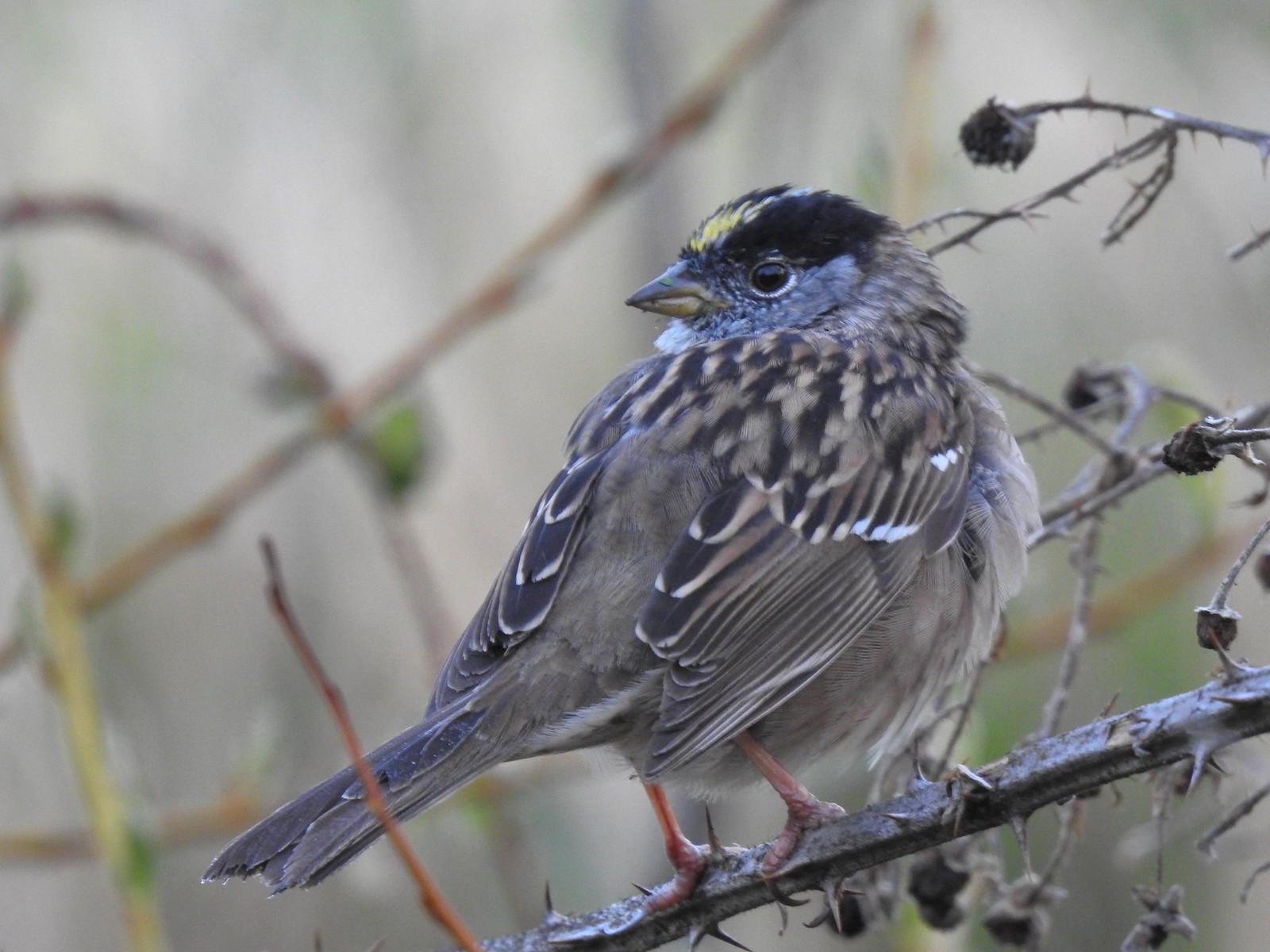
 White-crowned sparrow – 4/14
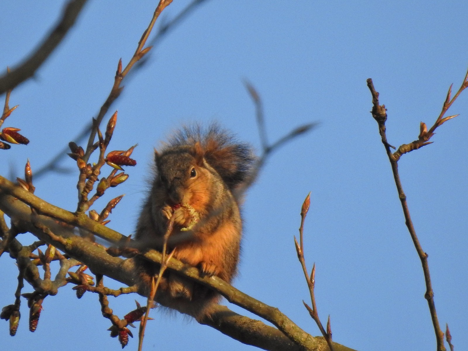 Squirrel – 4/14
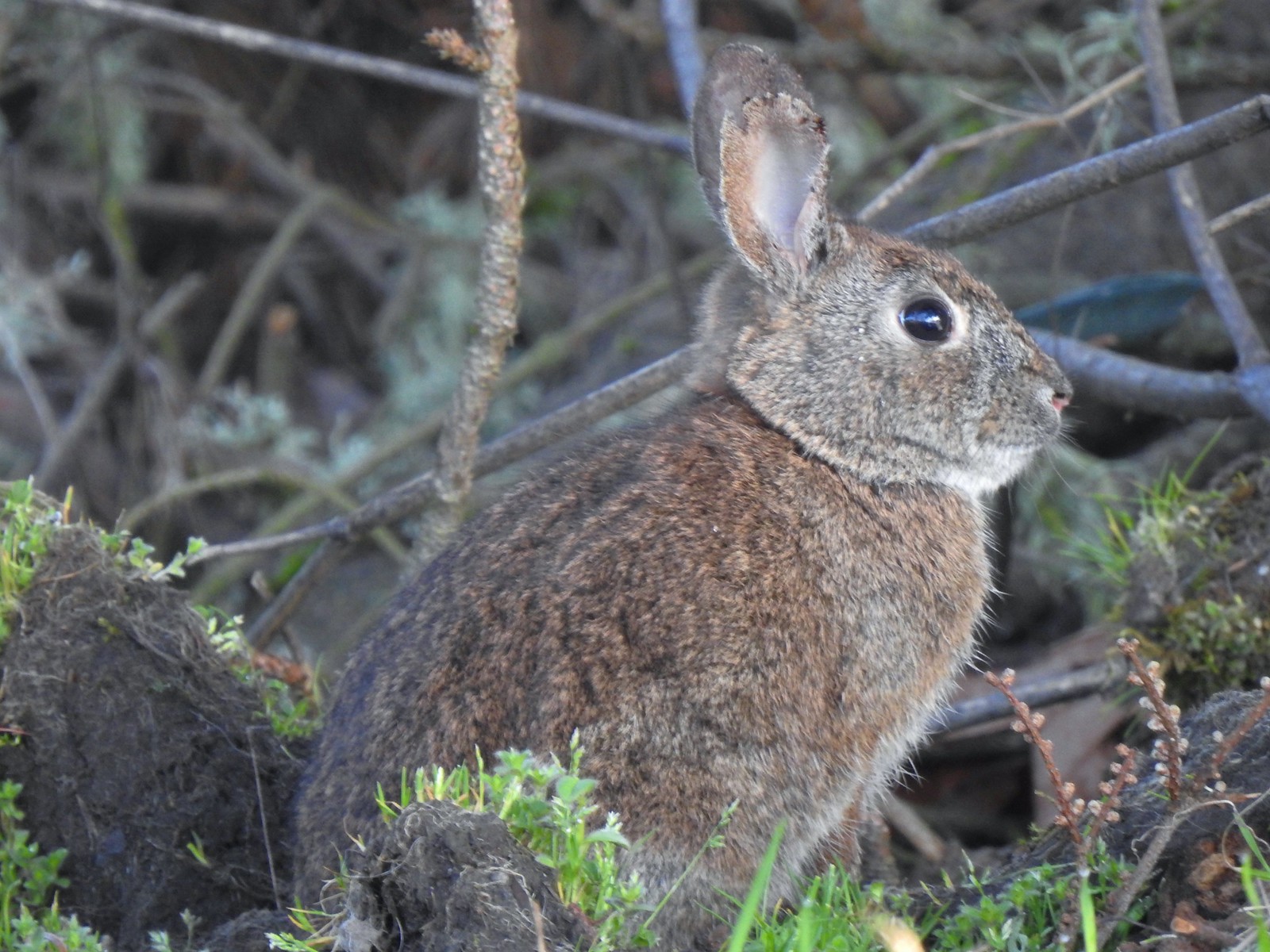 Rabbit – 4/14 (This was one of several dozen bunnies that I encountered on this day.)
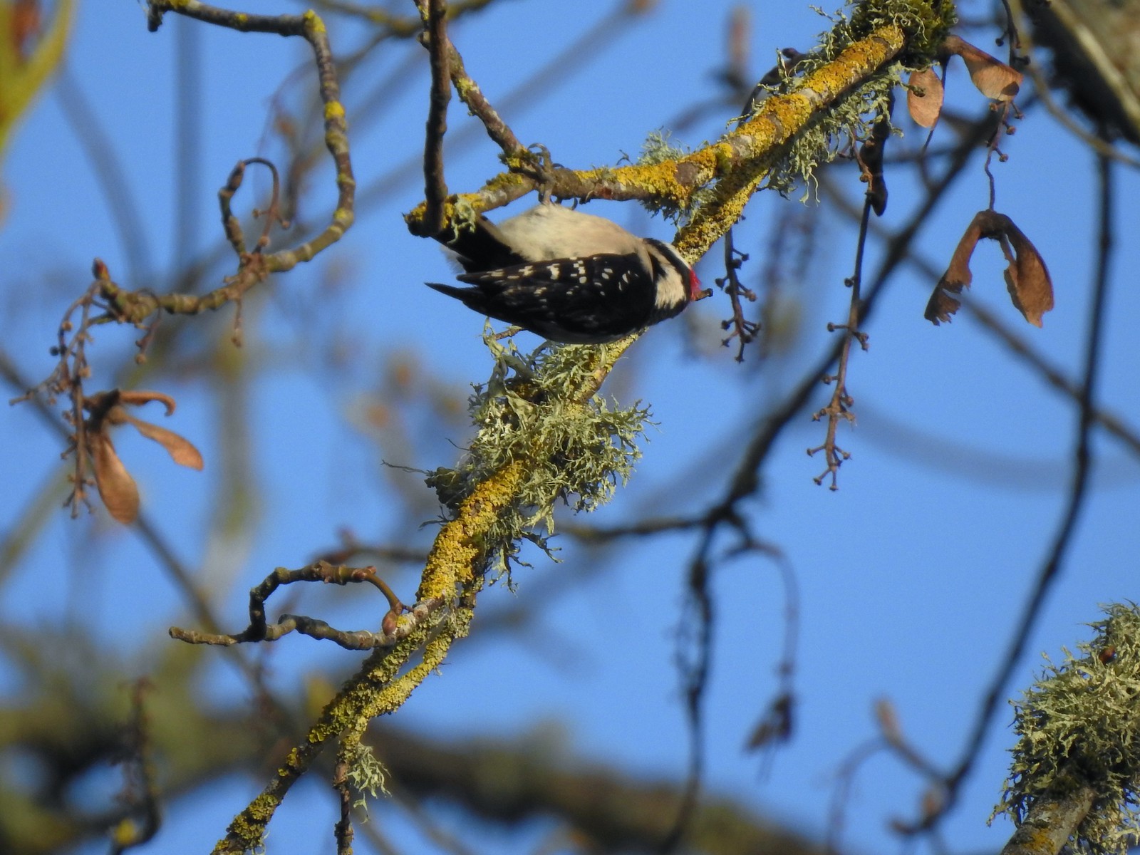 Woodpecker – 4/14
Lot 3 also had its share of wildlife.
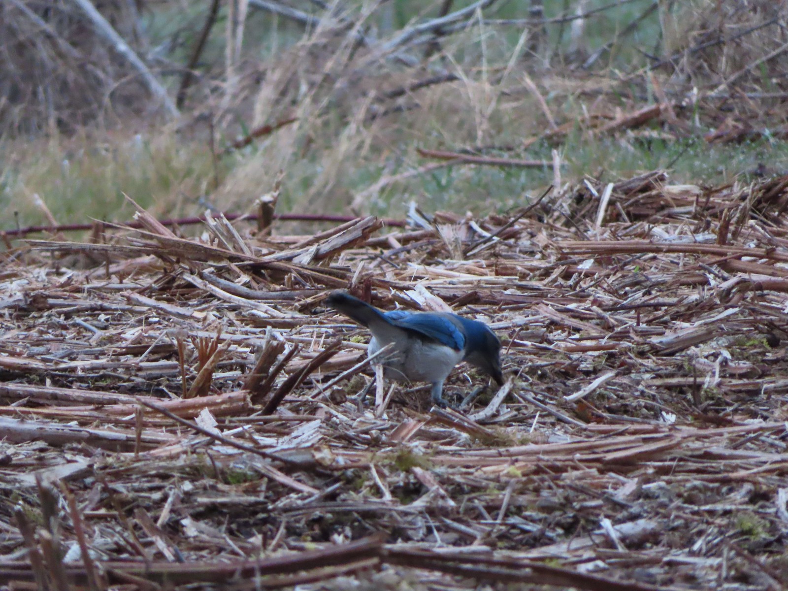 Scrub jay – 3/19
 Dove – 4/8
 Killdeer – 4/14
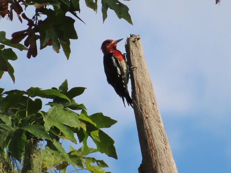
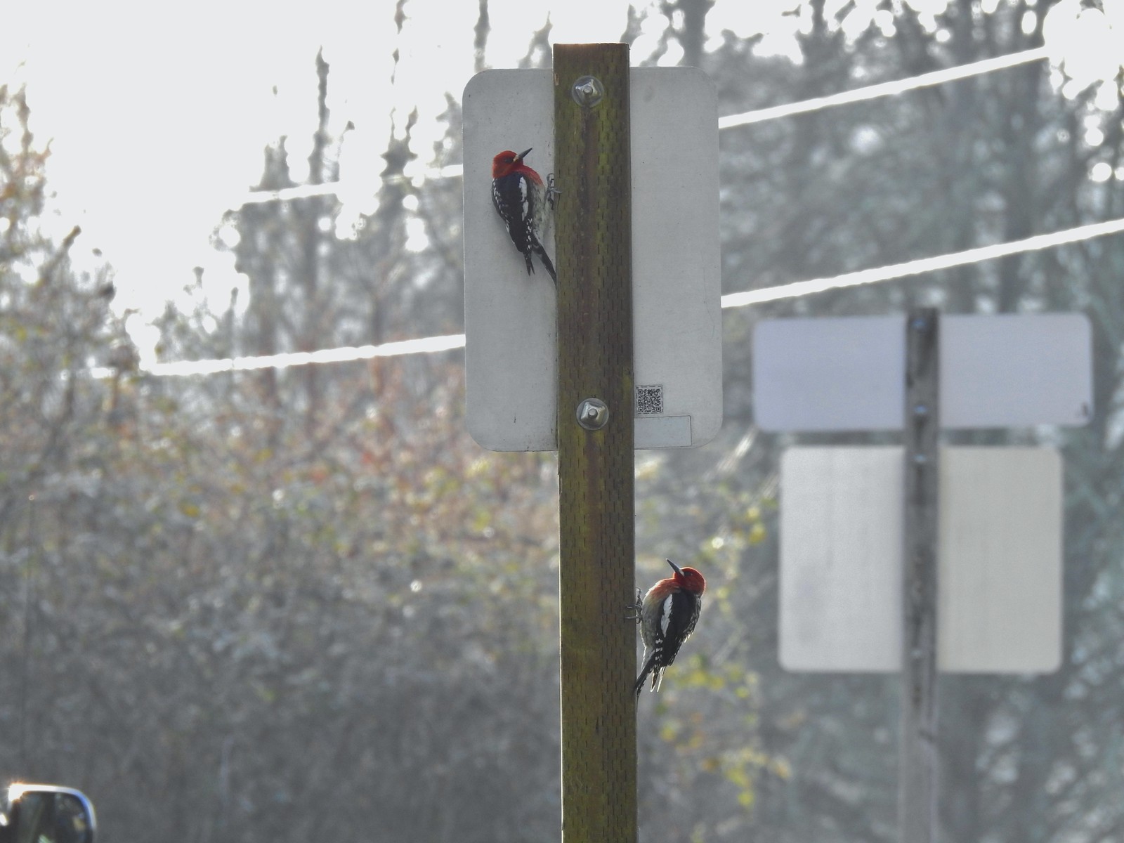 Red breasted sapsuckers – 4/14 (Males peck the sign to make noise to either attract mates or establish territory.)
 Pied billed grebe in Oxbow Slough – 3/19
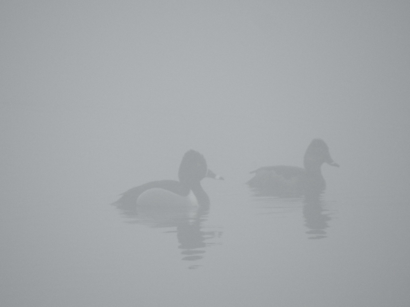
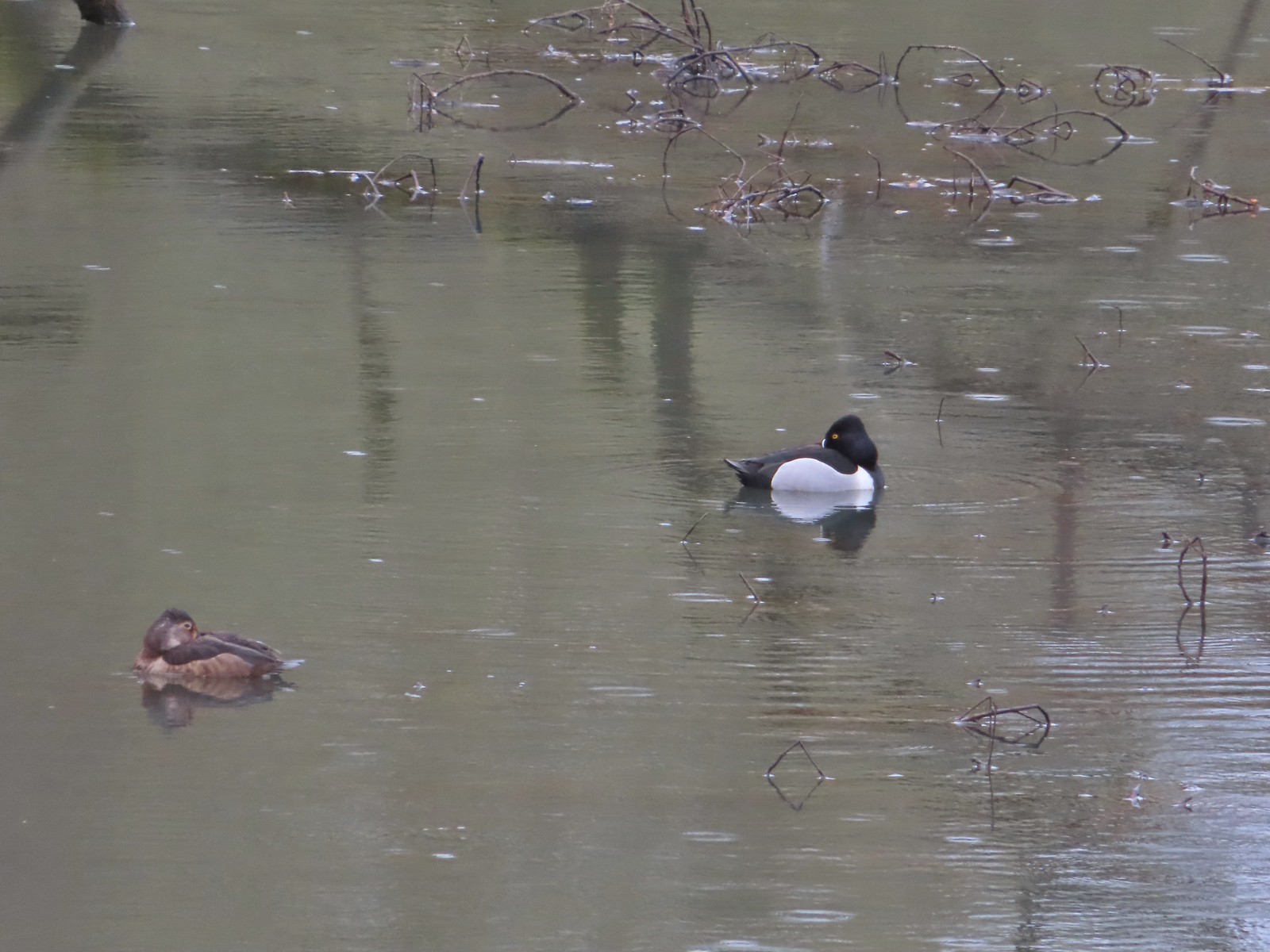 Ring-necked ducks from the bridge over Oxbow Slough – 3/25
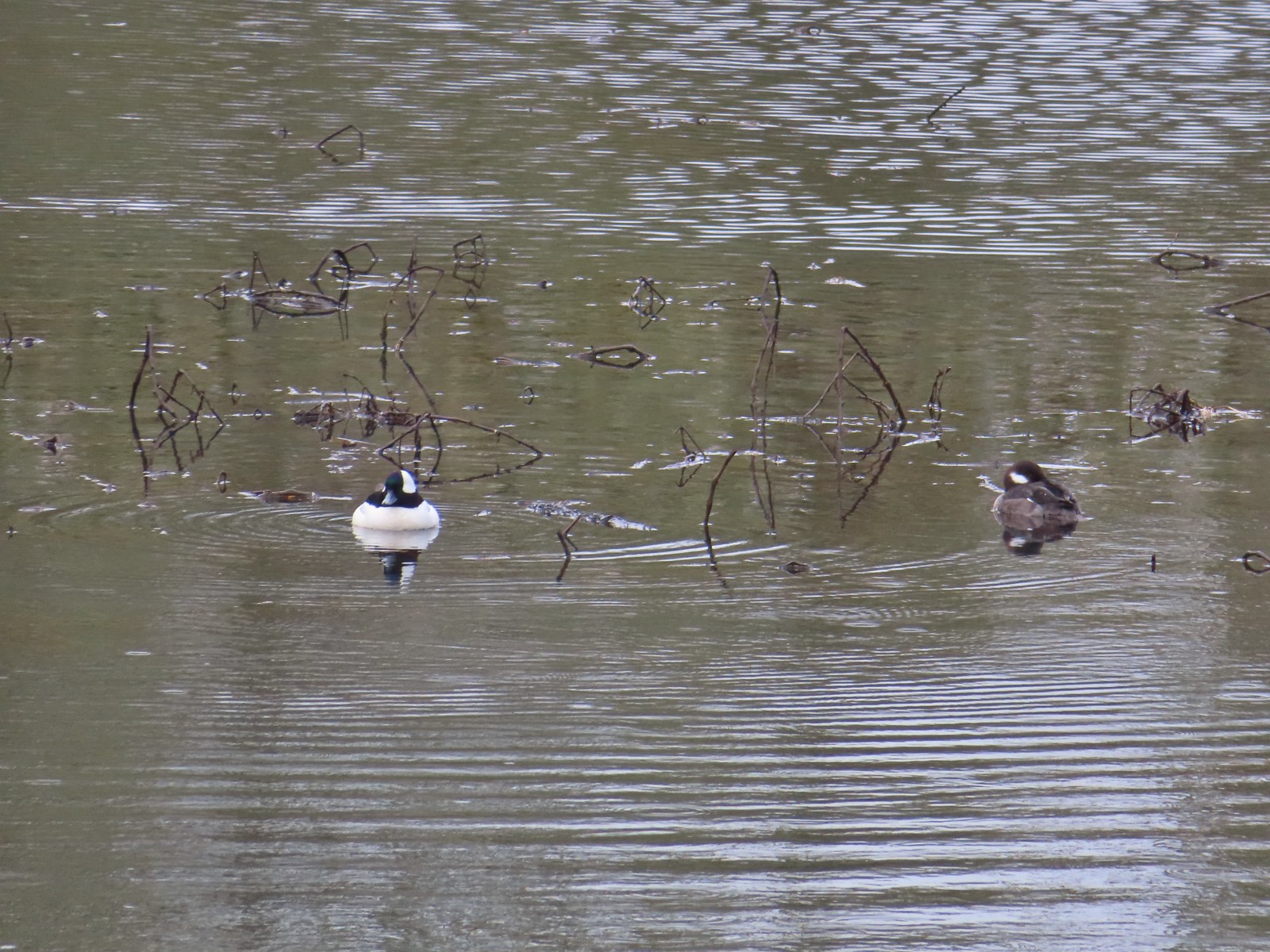 Buffleheads from the bridge over Oxbow Slough – 3/25
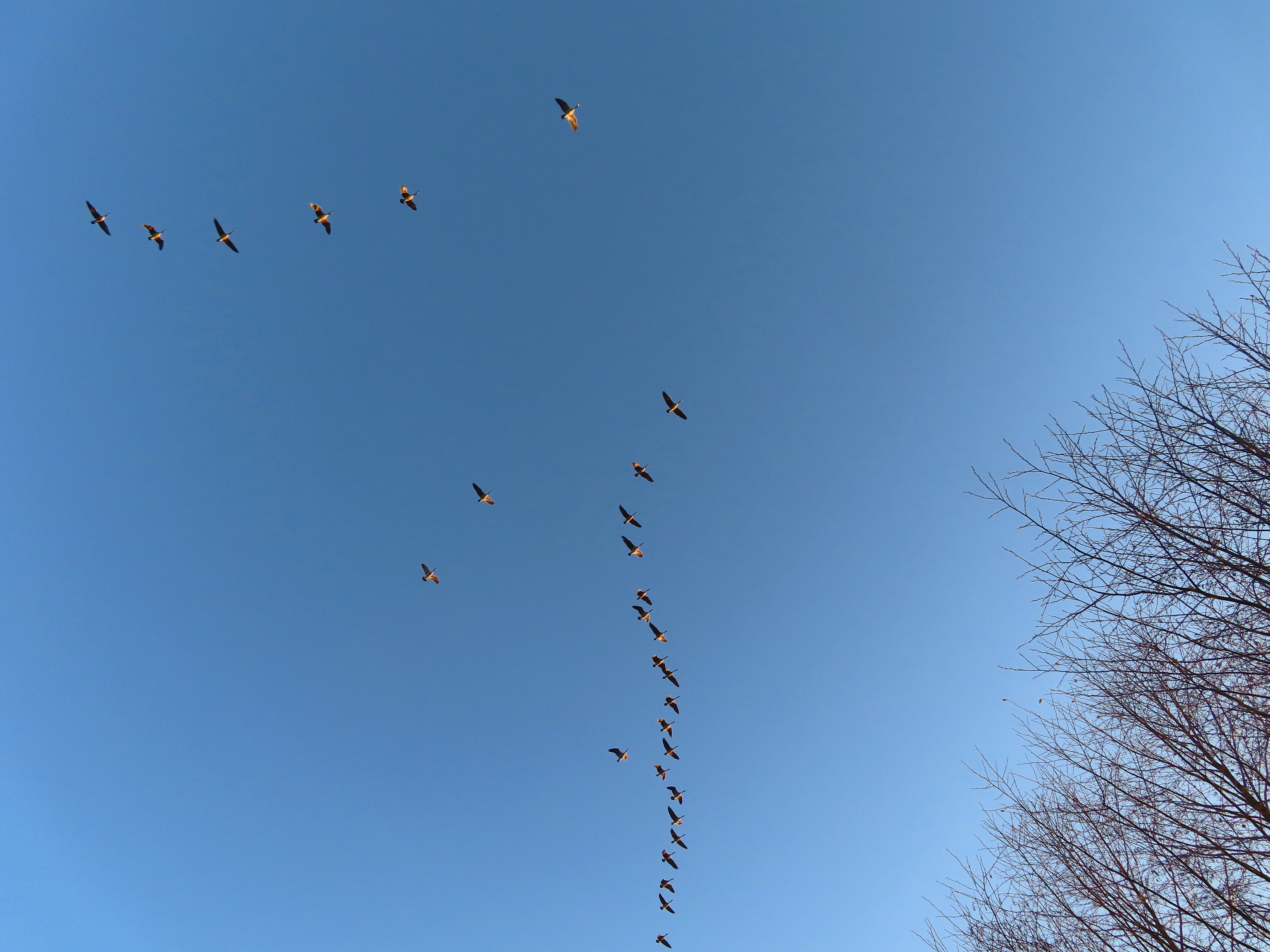
 Geese from the bridge over Oxbow Slough – 3/25
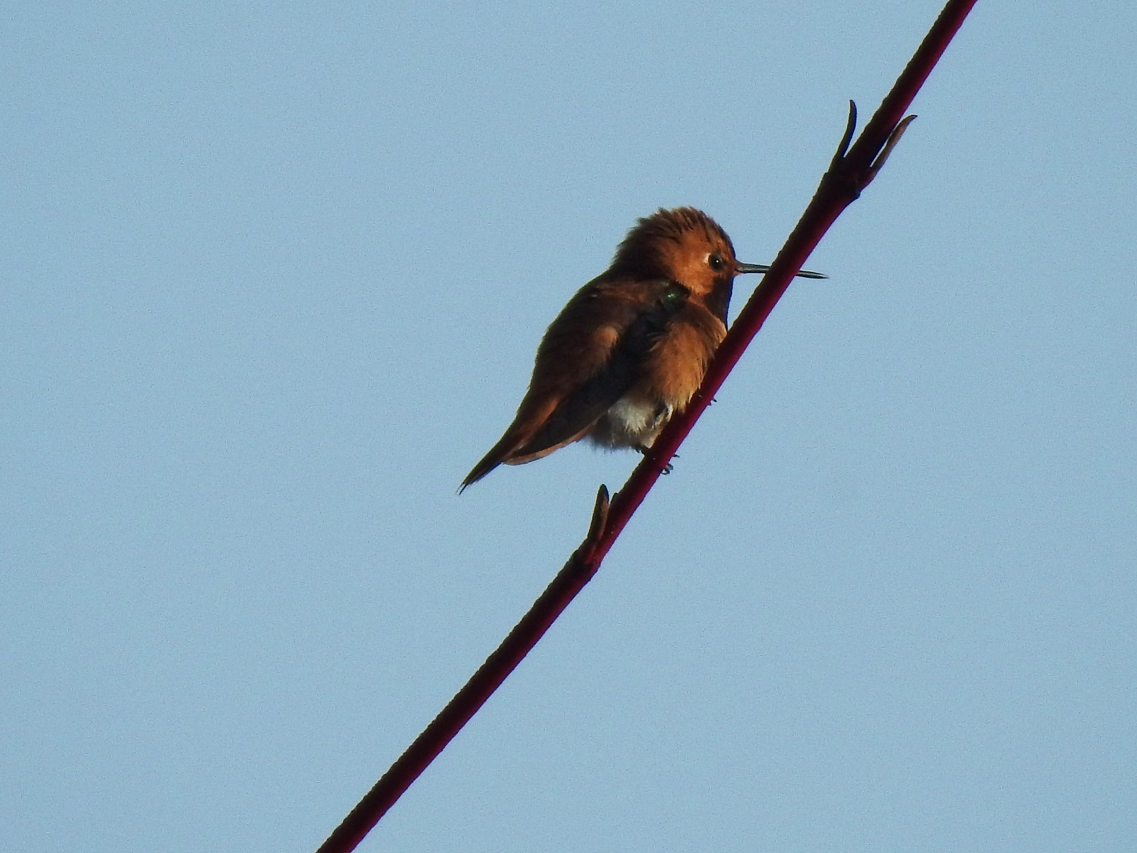 Hummingbird along the Blue Heron Trail – 4/14
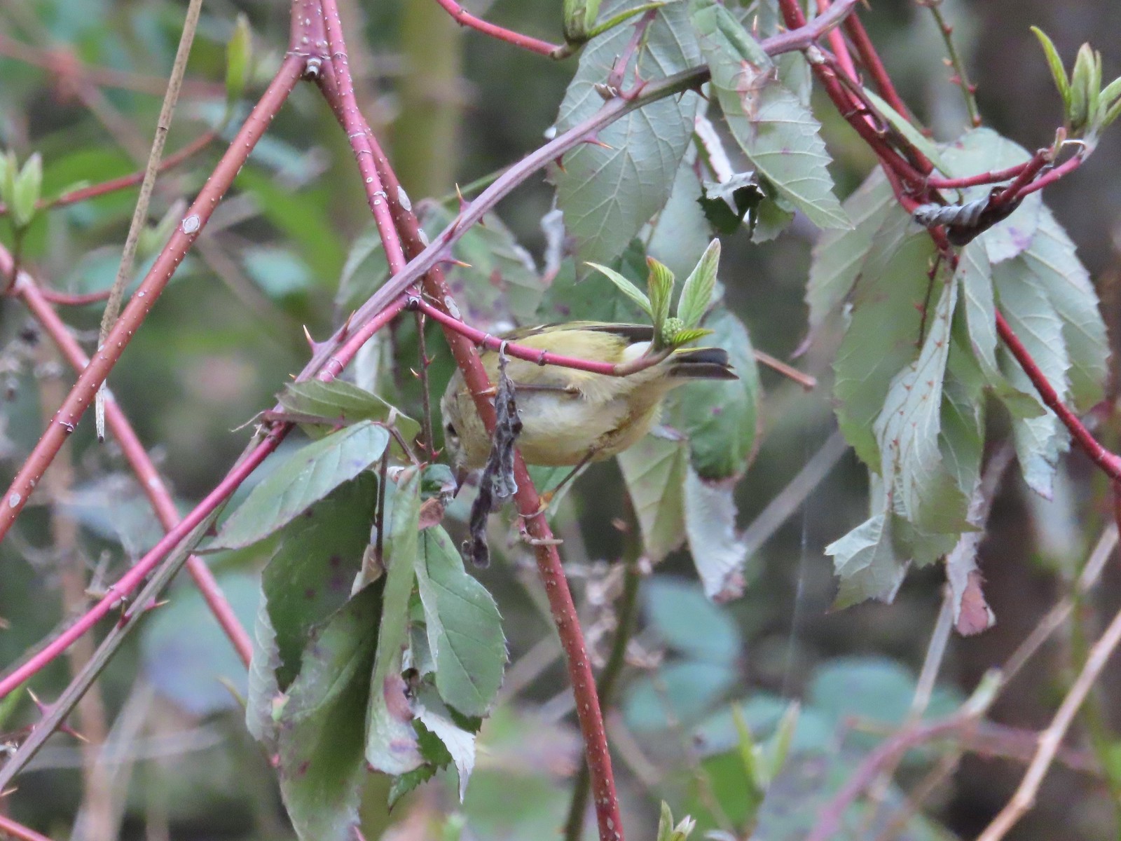
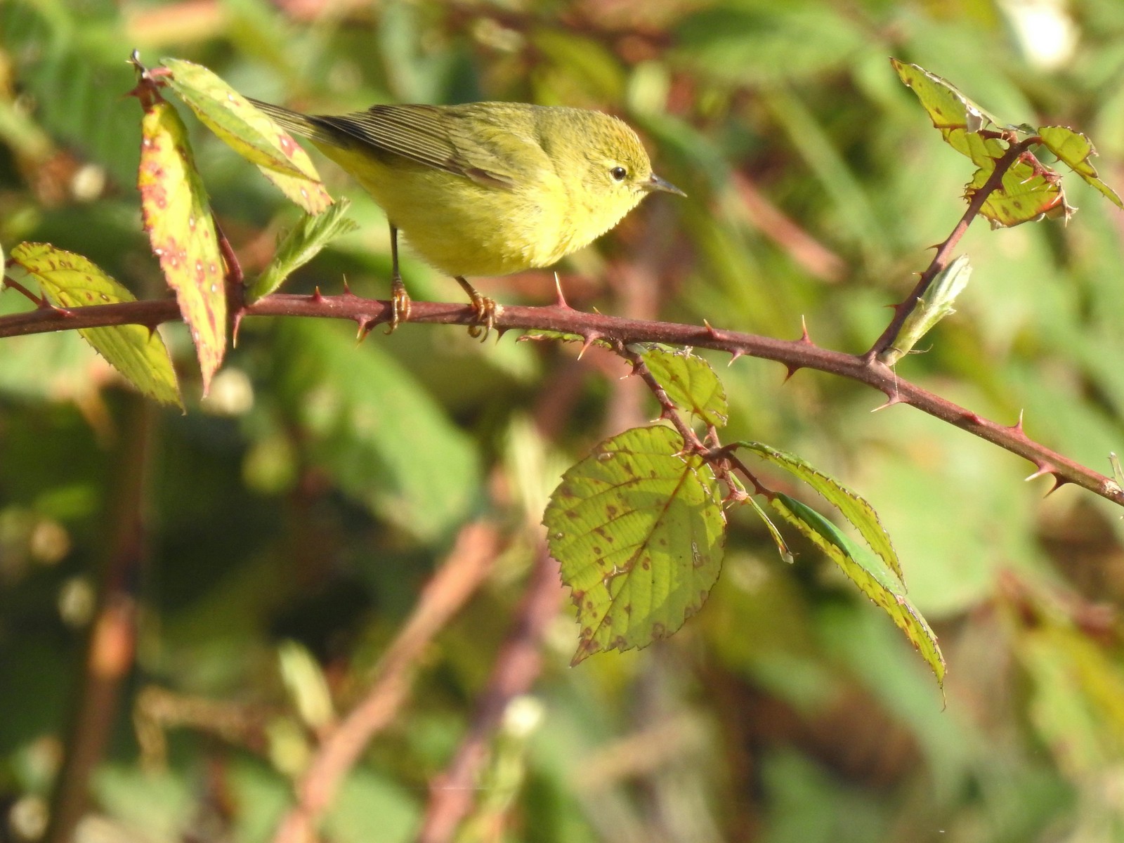 Orange-crowned warbler along the Blue Heron Trail – 4/14
 Dark-eyed junco at Eola Bend County Park – 4/14
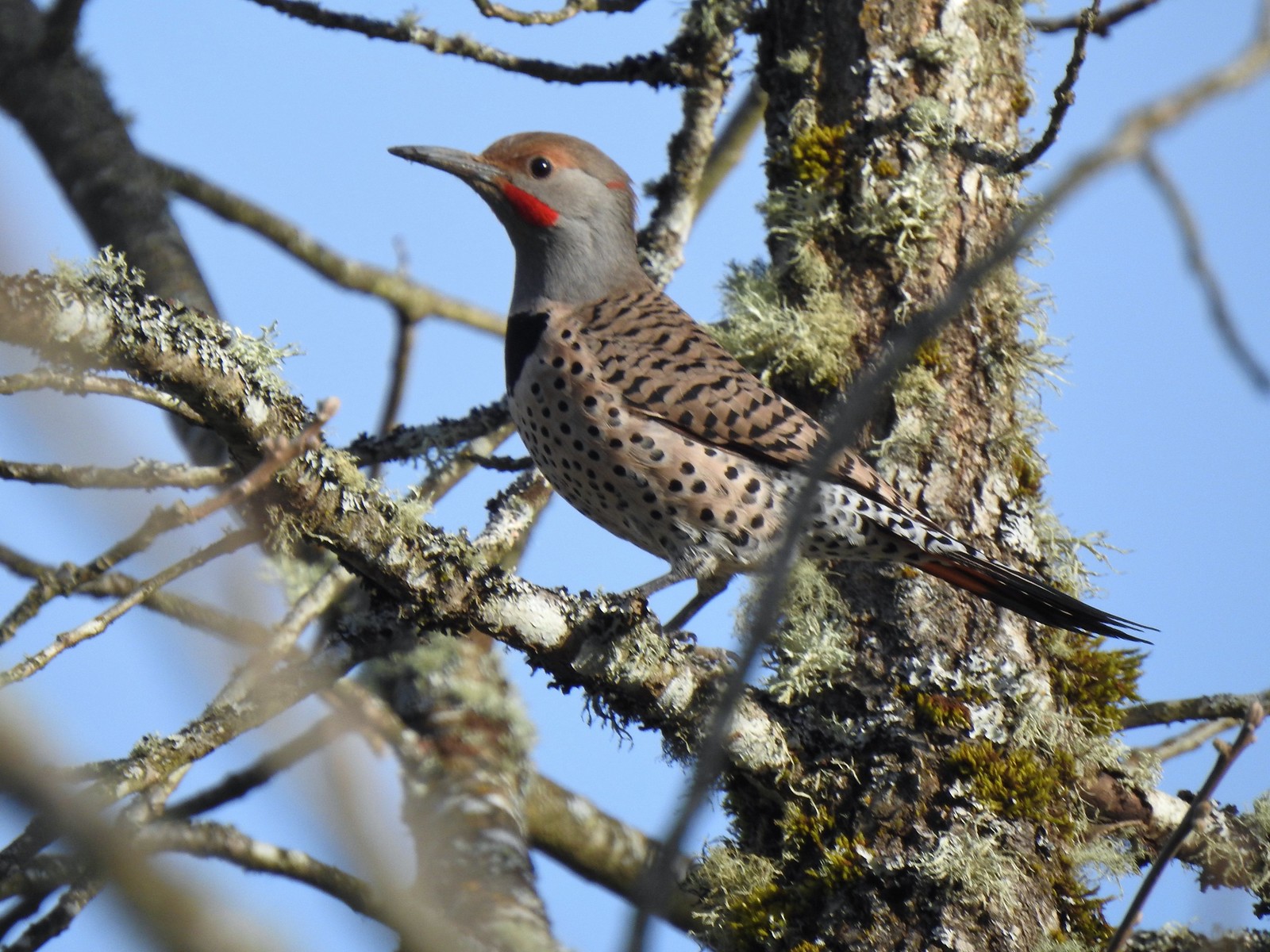 Northern flicker at Eola Bend County Park – 4/14
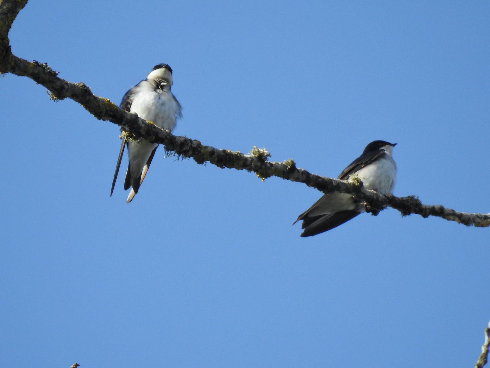 Swallows at Eola Bend County Park – 4/14
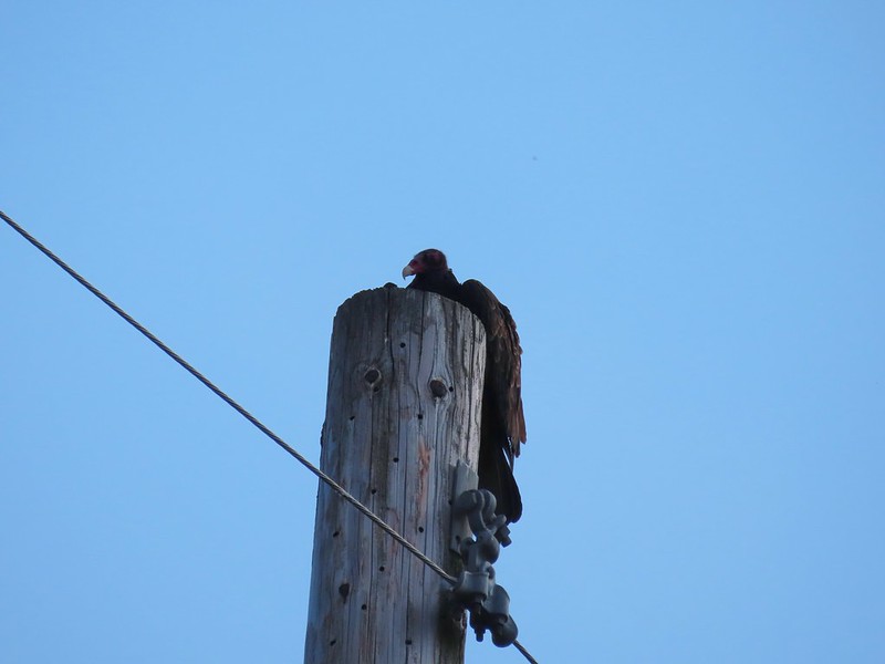
 Red-tailed hawk near the landfill – 4/14
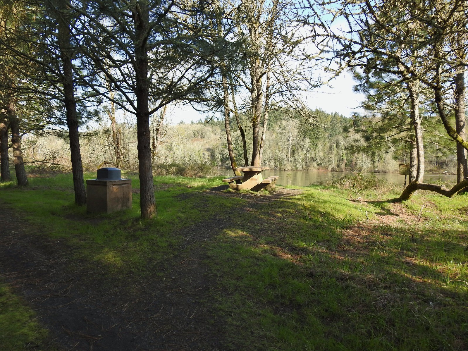
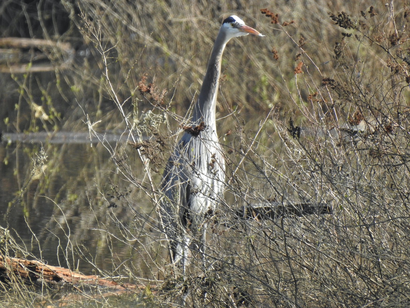 Great blue heron at Oxbow Slough across from the bench viewpoint near Lot 4 (Homestead Road) – 4/14
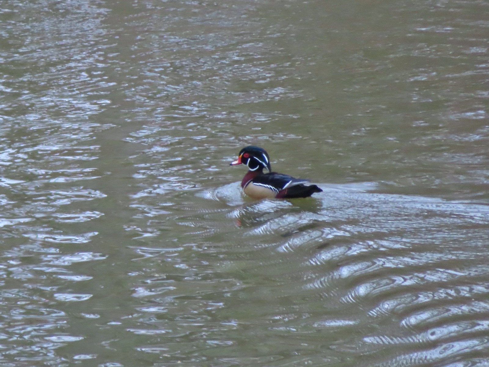 Wood duck drake in Oxbow Slough – 4/8
 Ruby-crowned kinglet – 4/8
 Rabbit – 4/8
 Egret between the Red Osprey and 10k Loops – 4/8
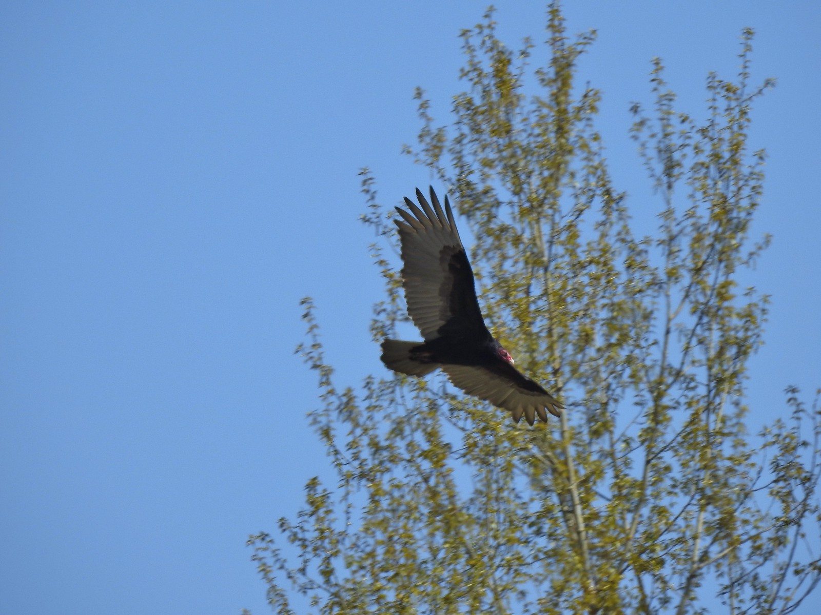 Turkey vulture near the old cherry orchard – 4/14
We’re lucky to have this park nearby and it seems crazy that we still haven’t checked out all of the trails yet. It at least gives us a reason, besides the abundant wildlife, to keep going back. That being said we are really looking forward to some more remote hiking in quieter forests. Happy Trails!

Black-3/25
Red-4/8
Cyan-4/14
Flickr: Minto Brown Walks / Minto Brown and Eola Bend County Park

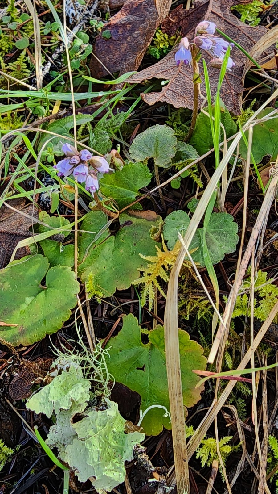
 There were a few buttercups blooming in the grass and not much else along this side of the Memorial Trail.
 A lone strawberry blossom.
 The Inter-Tie Trail was a wet and muddy affair. I could hear a lot of birds in the surrounding trees but couldn’t make any of them out unless they flew right in front of me.
 I went left here which got me out of the slick mud but onto even wetter grass.
 Coming up on the marsh which is just on the other side of the dip in the road.
 Two rabbits trying to decide if they were going to keep eating grass or race off into the blackberry bushes.

 Ring-necked ducks
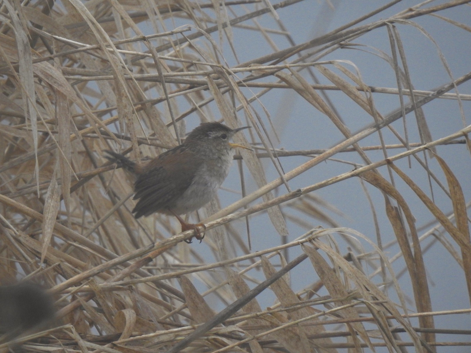 I think this is a marsh wren.

 I think the 2nd goose in from the right is a cackling goose while the others are Canada geese. It’s a bit smaller and the white patch is shaped differently.
 Swallows
 California quail
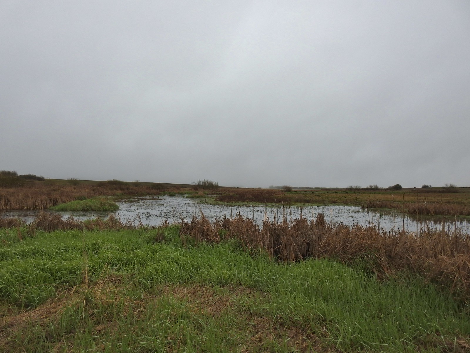
 Cinnamon teals
 Northern shoveler drake
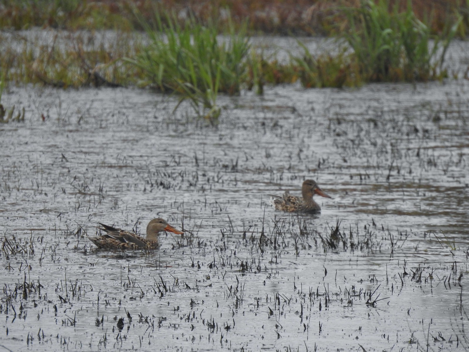 Northern shoveler females
 Signs at the Smithfield Road Trailhead.
 Buffleheads
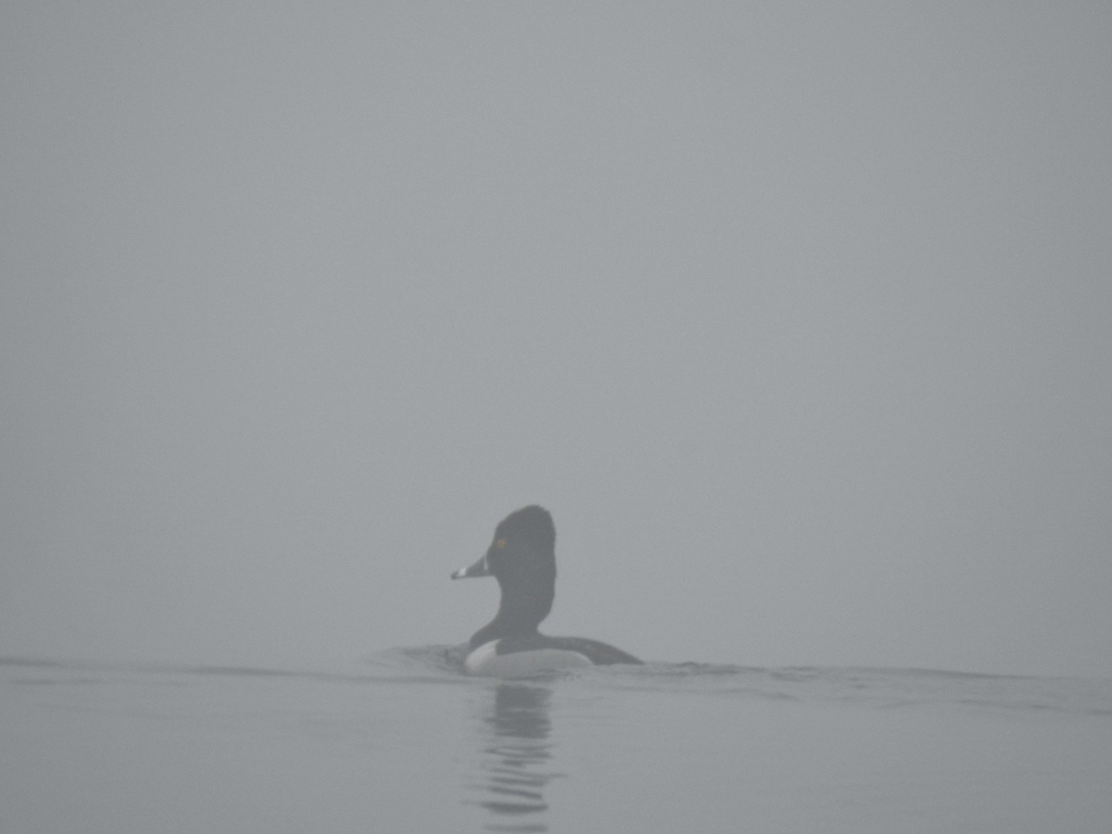 Ring-necked duck
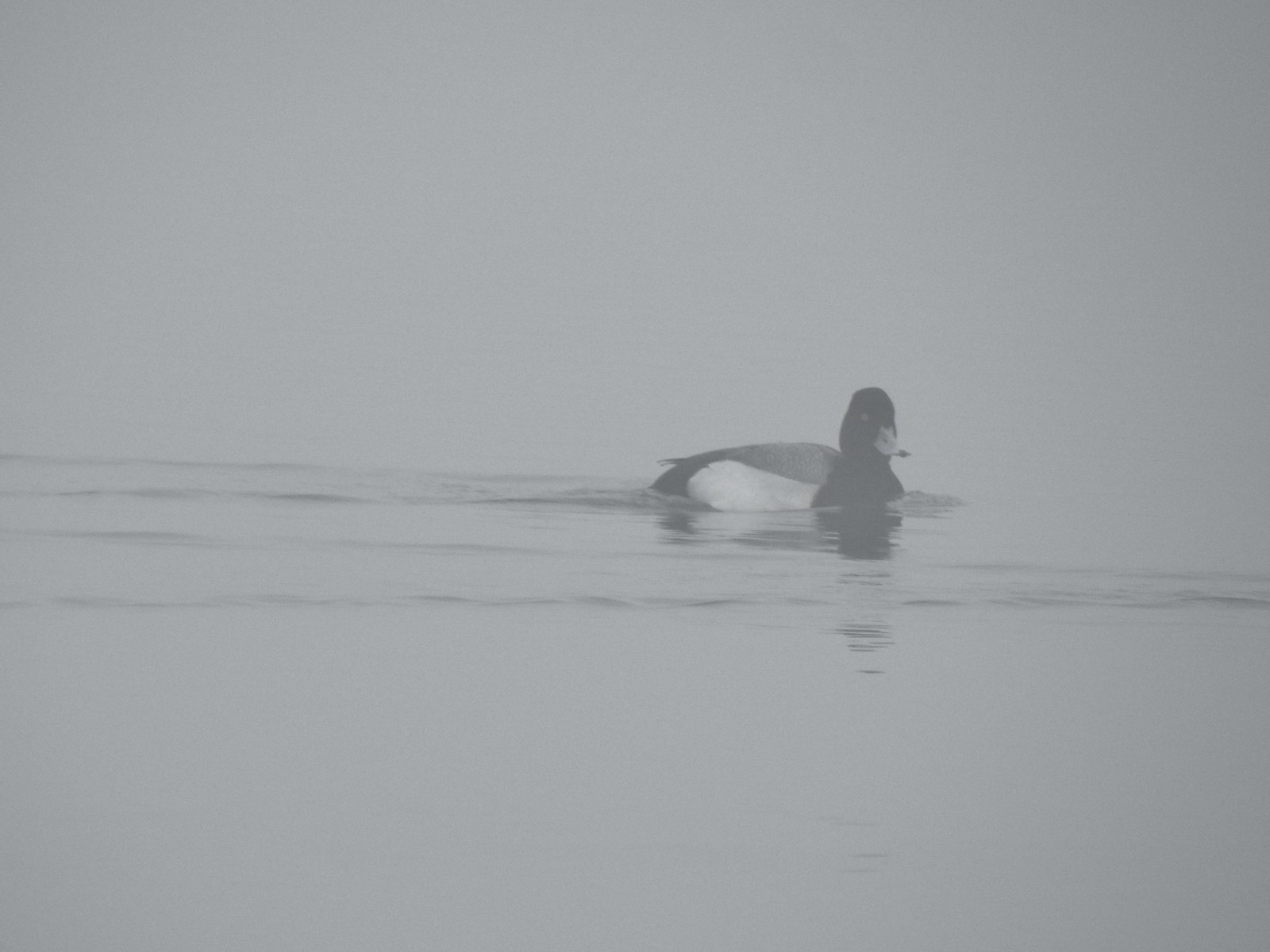 Possibly a lesser scaup.
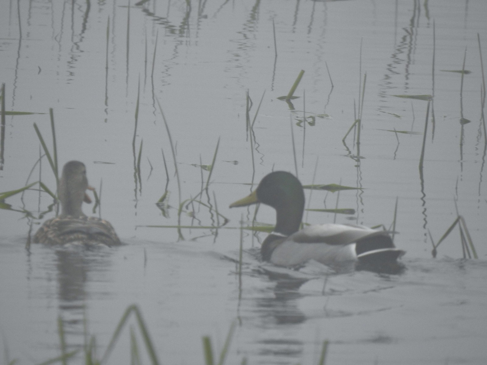 Mallards
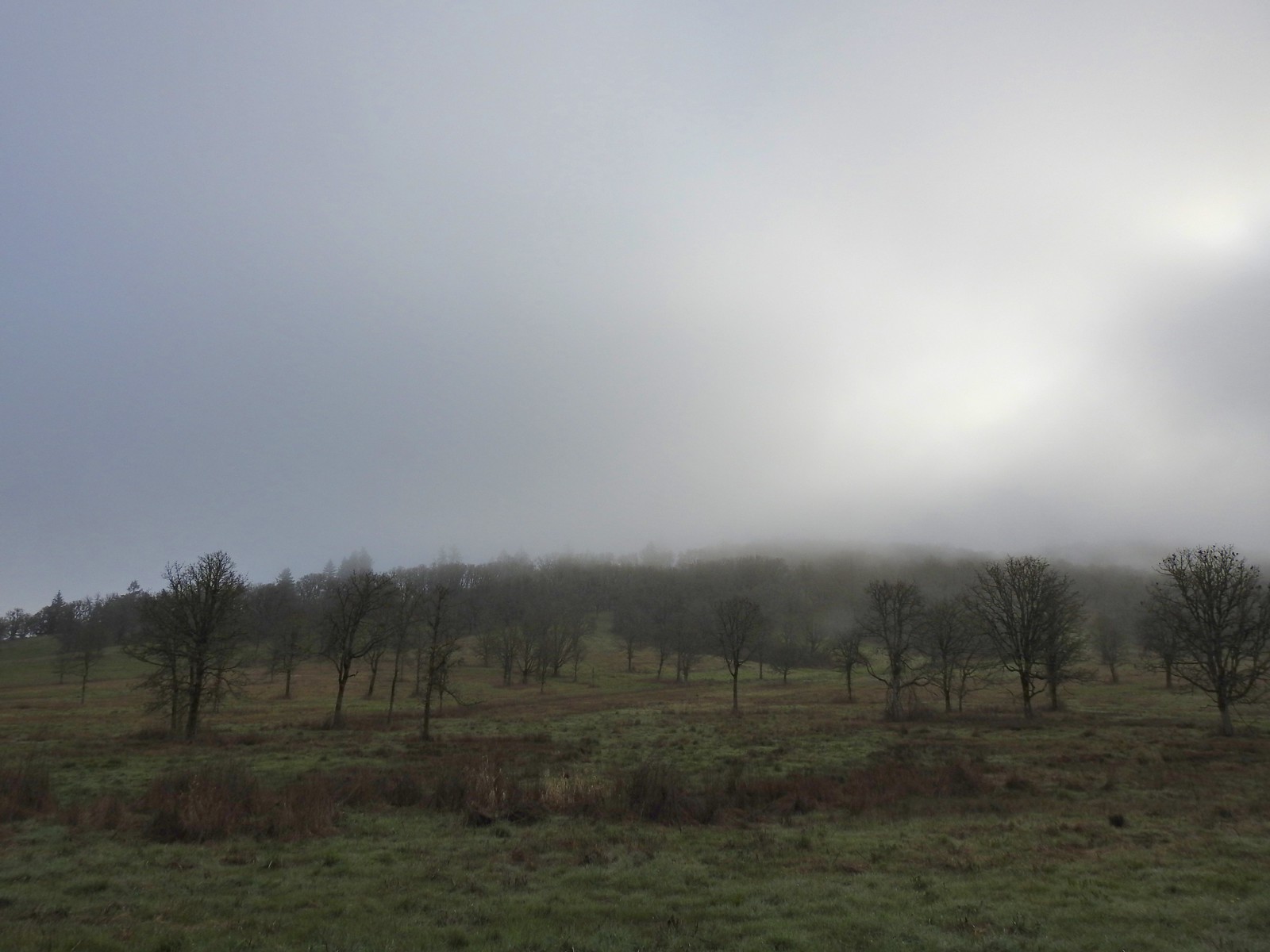


 The only bull I could pick out.

 Robin
Robin Bench overlooking Morgan Lake
 Morgan Lake from the bench.
 Spotted towhees
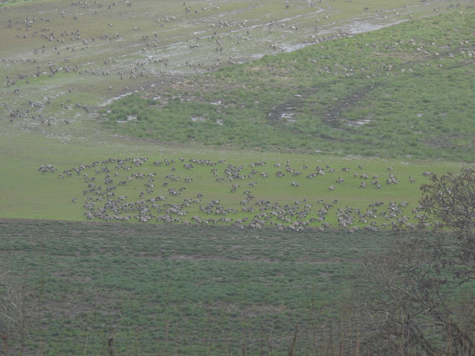 A lot of geese way below the trail.
 I started seeing a lot of toothwort on this side of the loop.
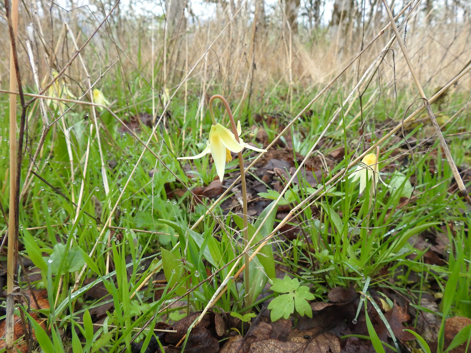 More fawn lilies too.
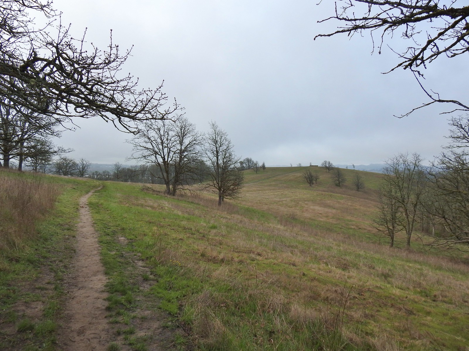 The viewing platform on Baskett Butte to the right.
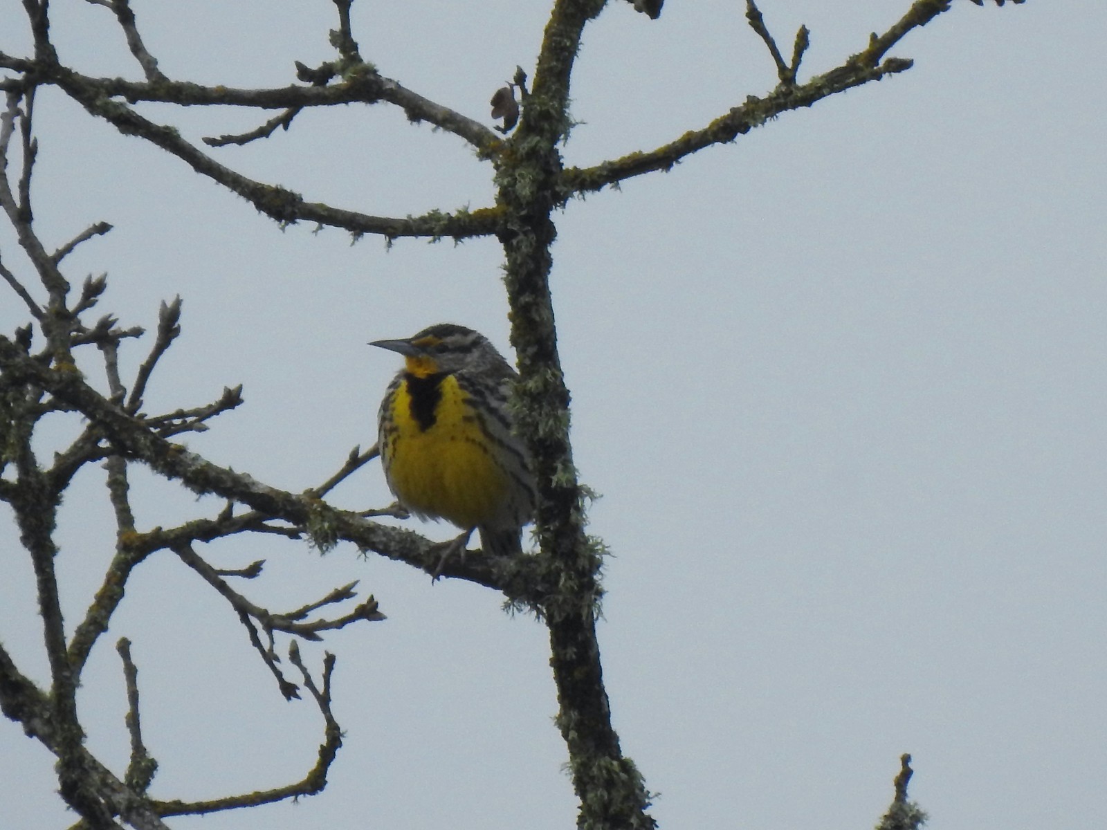 One of several western meadowlarks (Oregon’s state bird) on the butte.
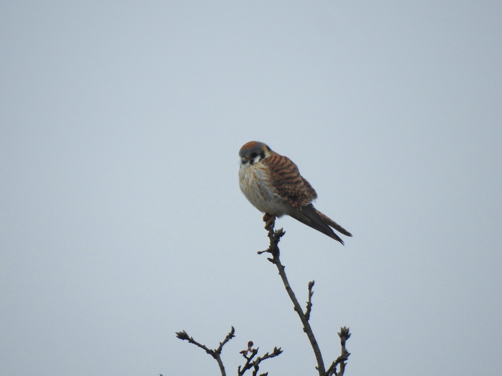 American kestral
 A better look at the yellow on the meadowlarks.
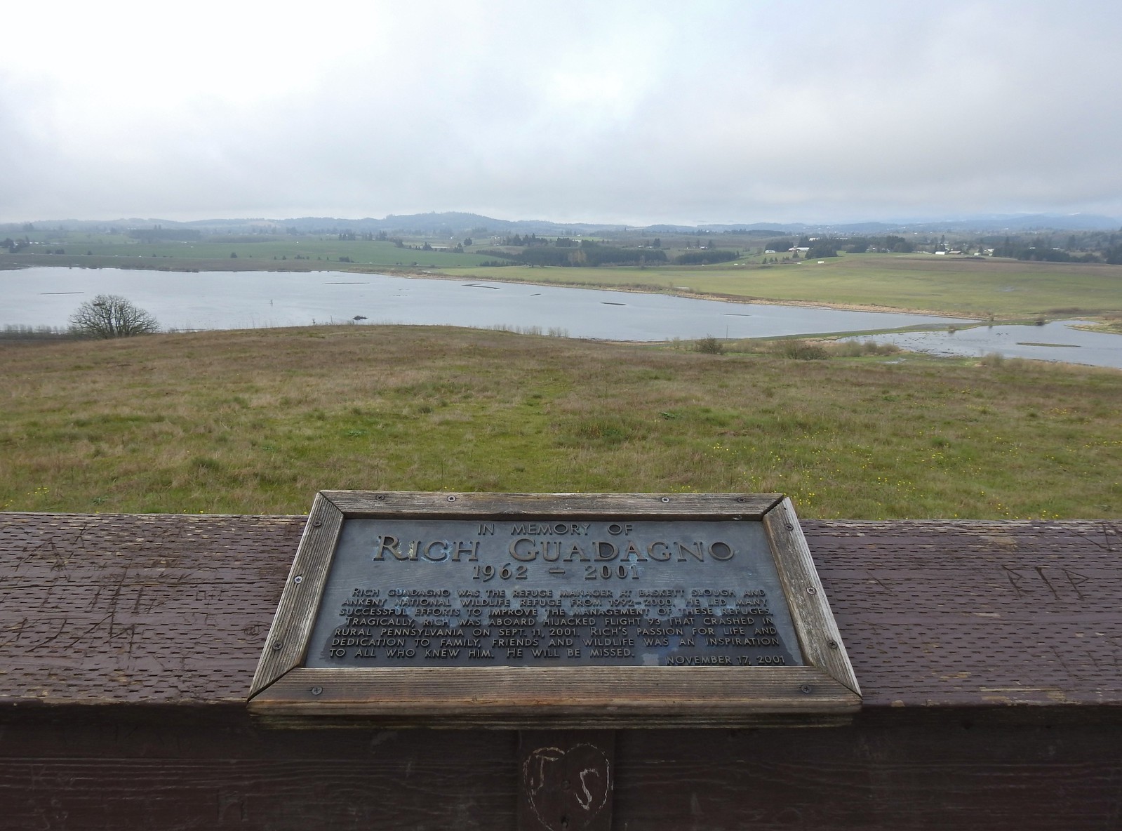 View from the platform.
 Sign along the path.
 More fawn lilies.
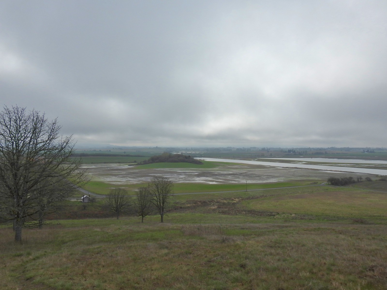 The path leading down toward Coville Road. The outhouse at the Baskett Butte Trailhead is on the left below.
 Baskett Butte from below.
 The trail is simply a dike road that leads to the refuge HQs.
 The headquarters is to the left of the road on the far side of South Slough.
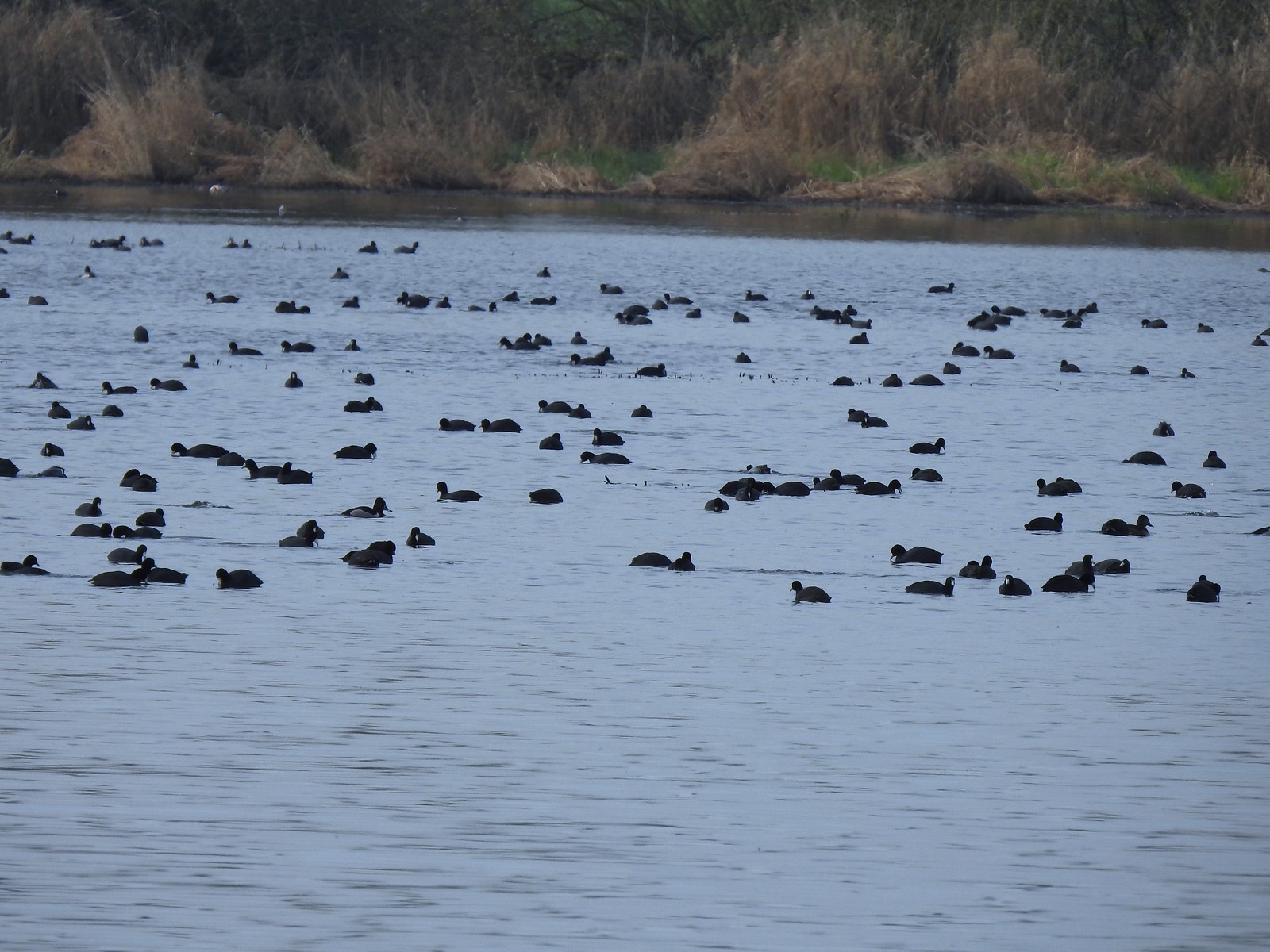 Also a bunch of American coots.
 Northern shovelers
 Buffleheads
 Red-winged blackbird
 Yellowlegs (probably lesser)
 Baskett Butte (left) from my turn around point.
 The ruddy duck woke up after all the American coots headed off.
 Savannah sparrow
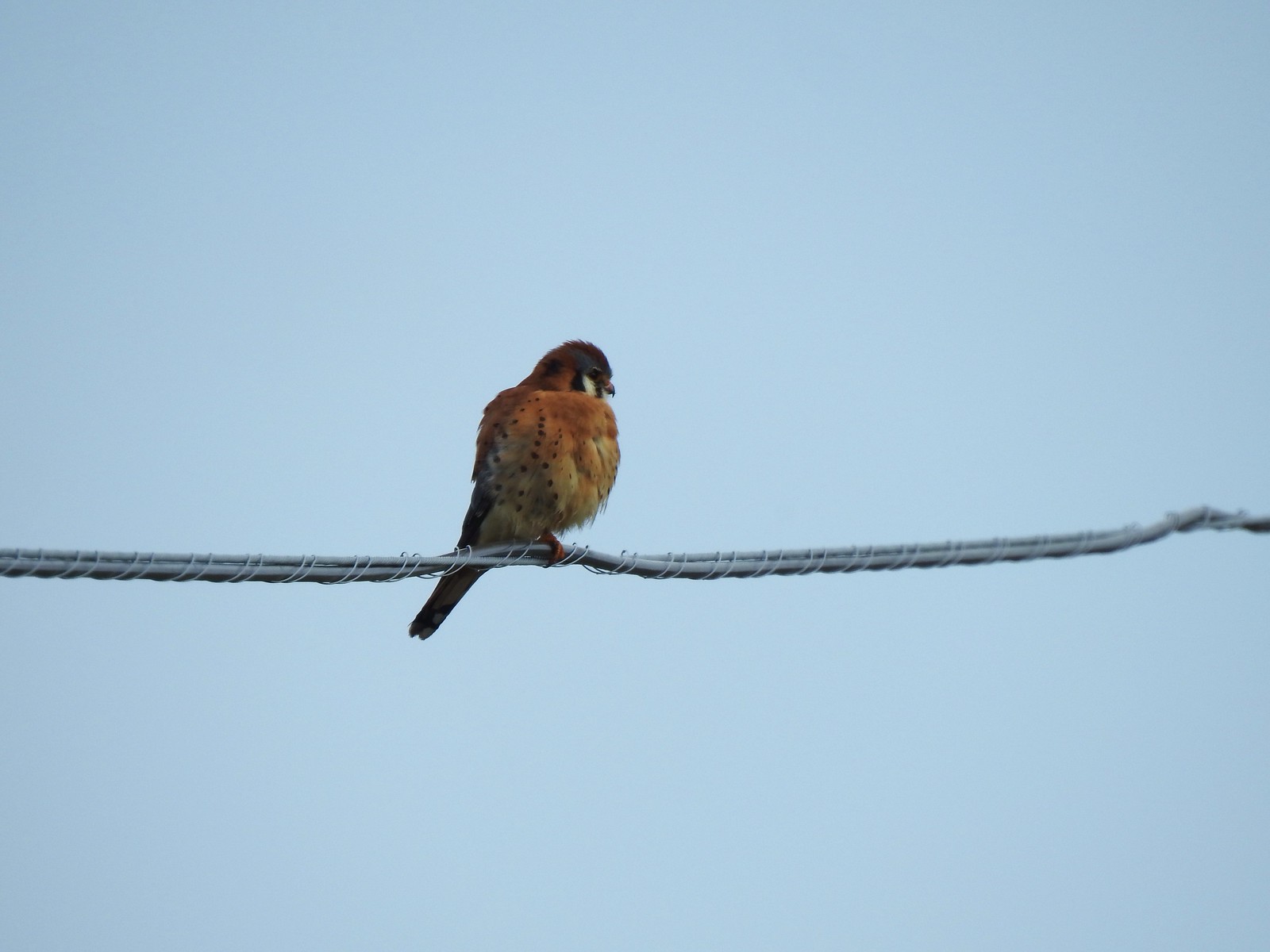 One more American kestral


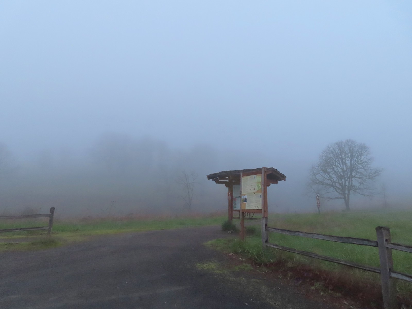
 The forecast was for patchy morning fog with a chance of light showers between Noon and 3pm and partly sunny skies. They got the patchy morning fog part right.
 The first of three abandoned cars we’d pass on the day. This one was in a field on a hillside before entering the Crestmont Land Trust.
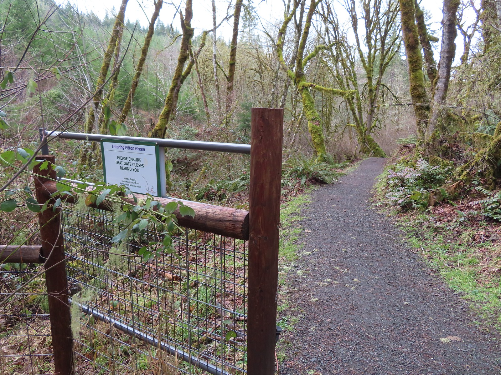
 Interpretive signs greeted us as we entered the Crestmont Land Trust.
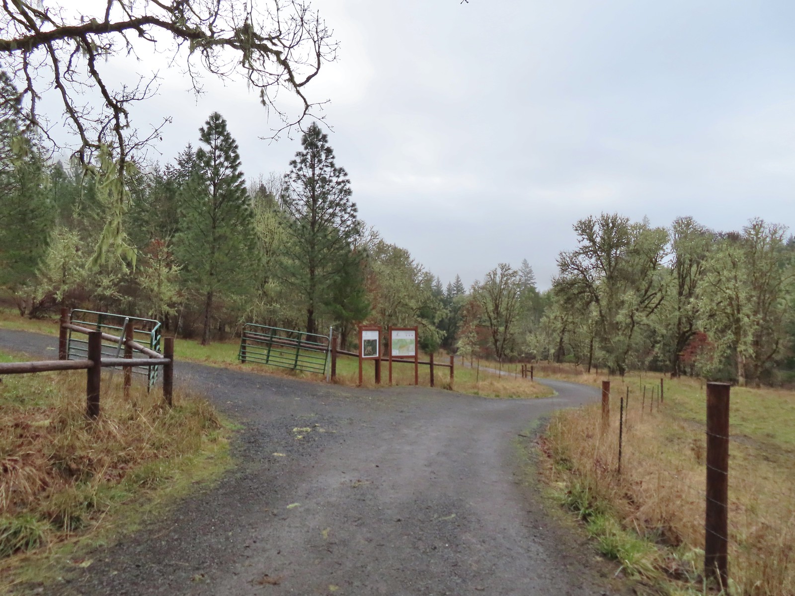
 The gazebo housed a small table with benches. A particularly nice touch was the lack of back on the bench that wasn’t facing the view which allows you to sit facing the view.
 The view from the gazebo.
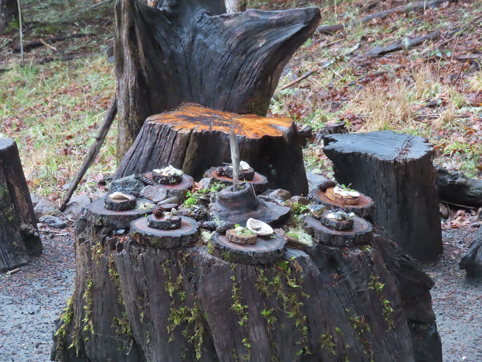 Not sure what the most recent gathering was but there was an interesting variety of items around the table.
 Another bench along the trail.
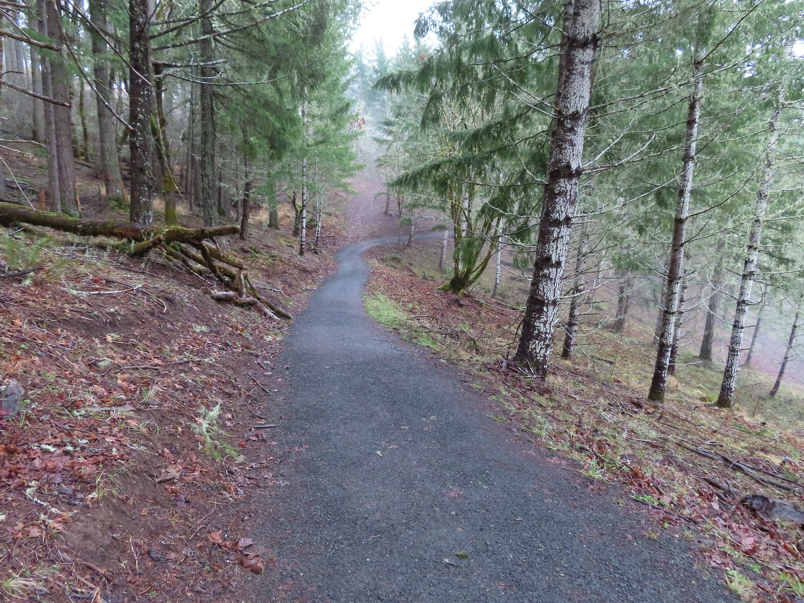
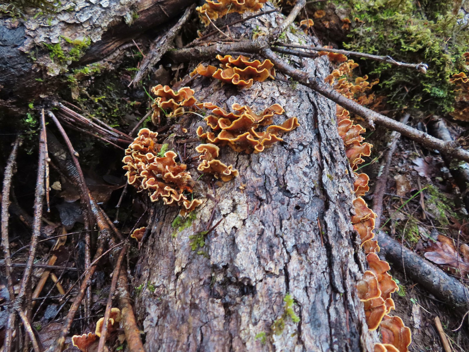 Turkey tails
 The Cardwell Hill Trail in the valley below the North Trail.
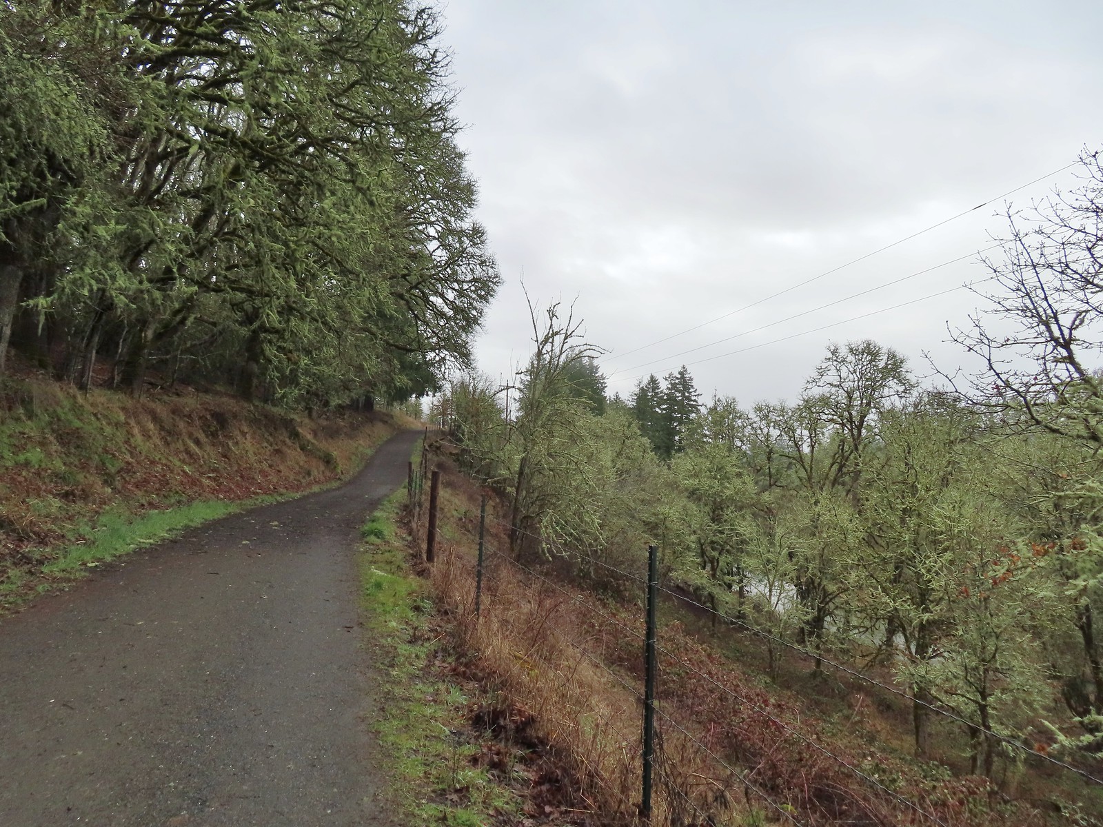
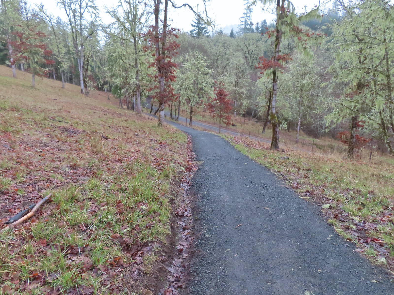 Dropping down to the Cardwell Hill Trail.
 The first spur didn’t have any signage
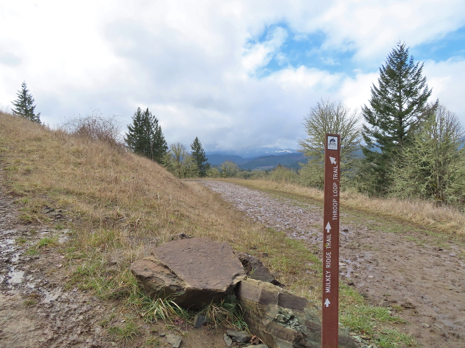
 The second spur had a marker naming it the Fitton Green North-South Trail.
 Trail marker
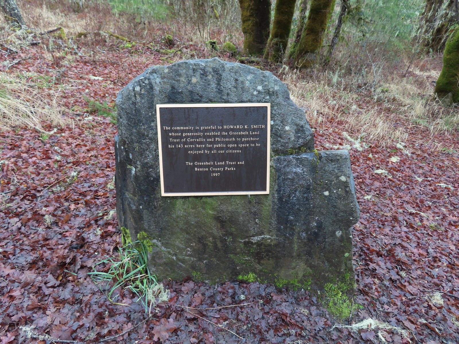

 Dimple Hill in the McDonald Forest (
 The other two abandoned cars, these were outside of the natural area.
 Arriving at the east trailhead.
 One of the more impressive trees along this section of the Cardwell Hill Trail
 The Fitton Green North-South Trail.
 Watch your step.
 Amy’s Trail
 The clouds were beginning to break up as we climbed up this trail.
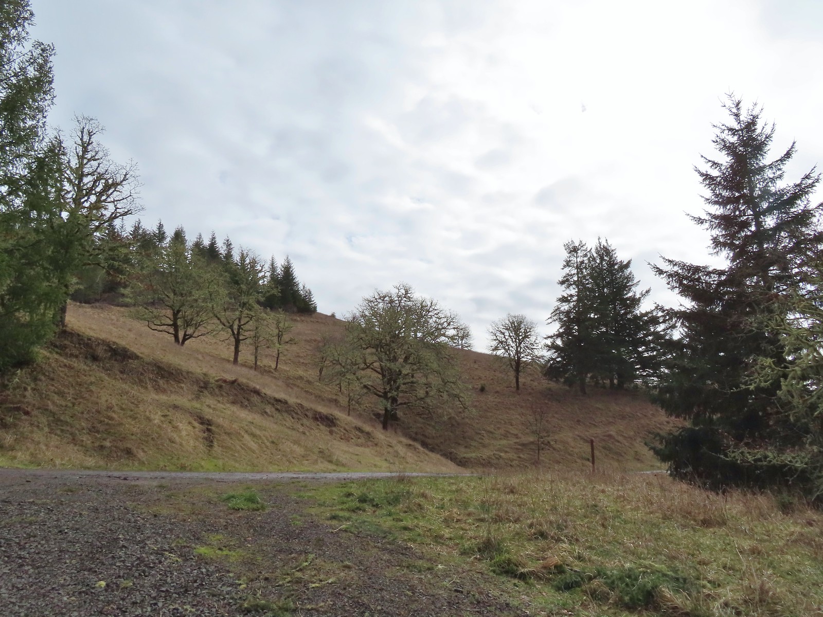 The western end of the Throop Loop.
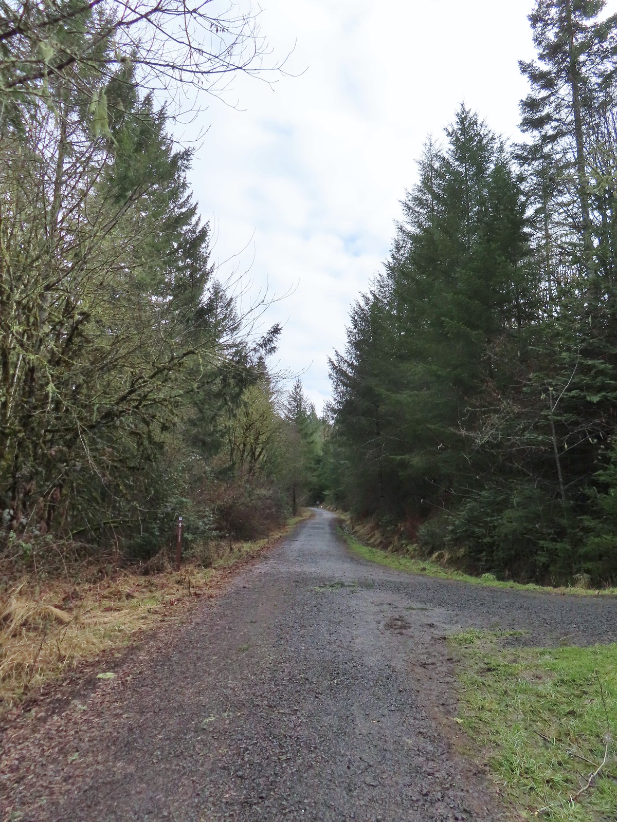 The eastern end of the Allen Throop Loop. Continuing on the Fitton Green North-South Trail would have brought us to the
  There seems to have been a spelling error (Alan vs Allen) on the trail marker.
 Plaque at a viewpoint along the Allen Throop Loop. Note that it is Allen not Alan on the plaque.
 Despite the clouds breaking up we didn’t have a view of Marys Peak, the highest peak in the Oregon Coast Range (
 The trail overlooks the cities of Corvallis (to the left/east) and Philomath (straight/south).
 Bald Hill with Corvallis beyond from the Throop Loop.
 East toward the Coast Range.
 This is the trail that connects Bald Hill with Fitton Green.
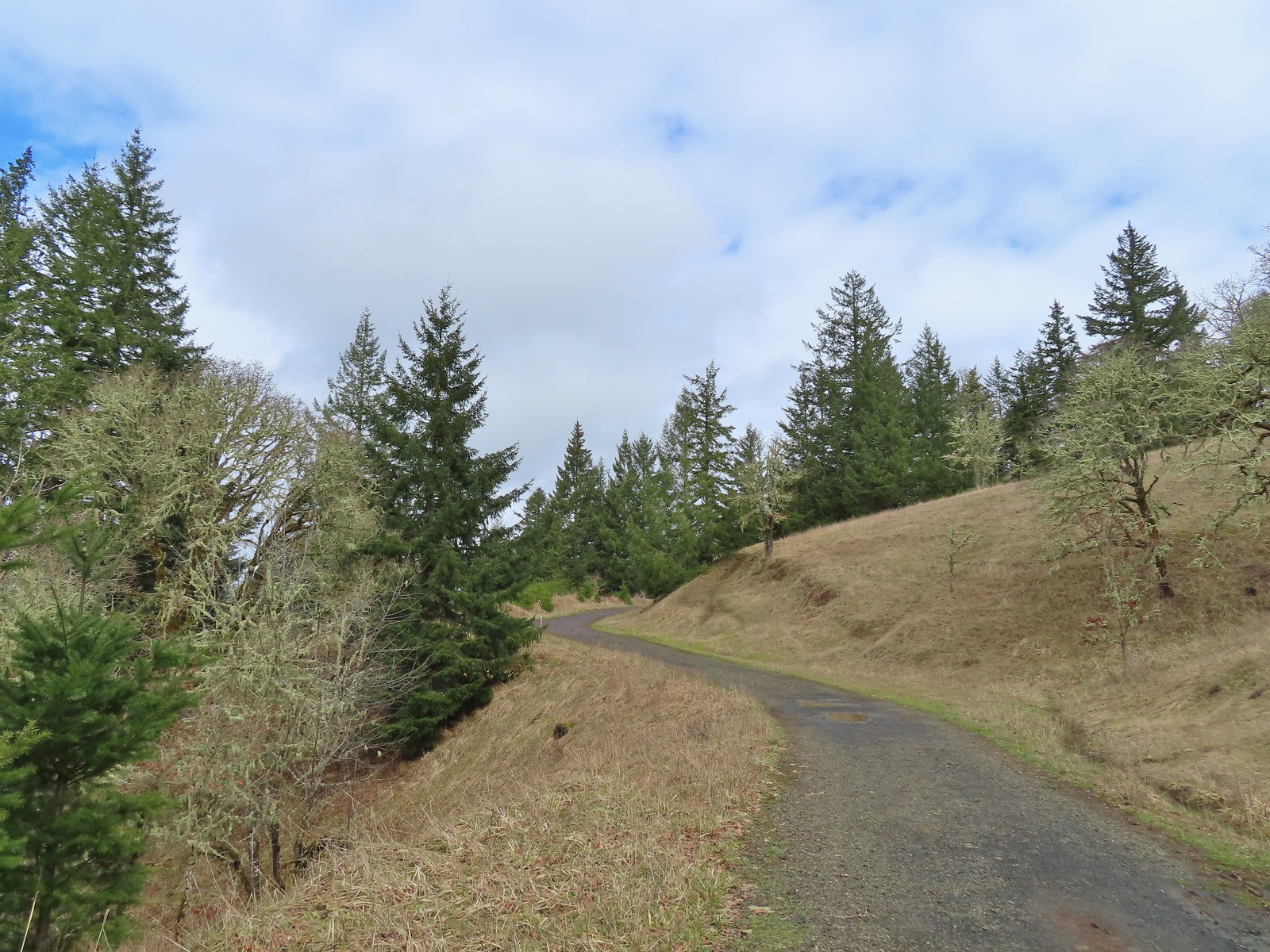 The junction from the Throop Loop Trail.
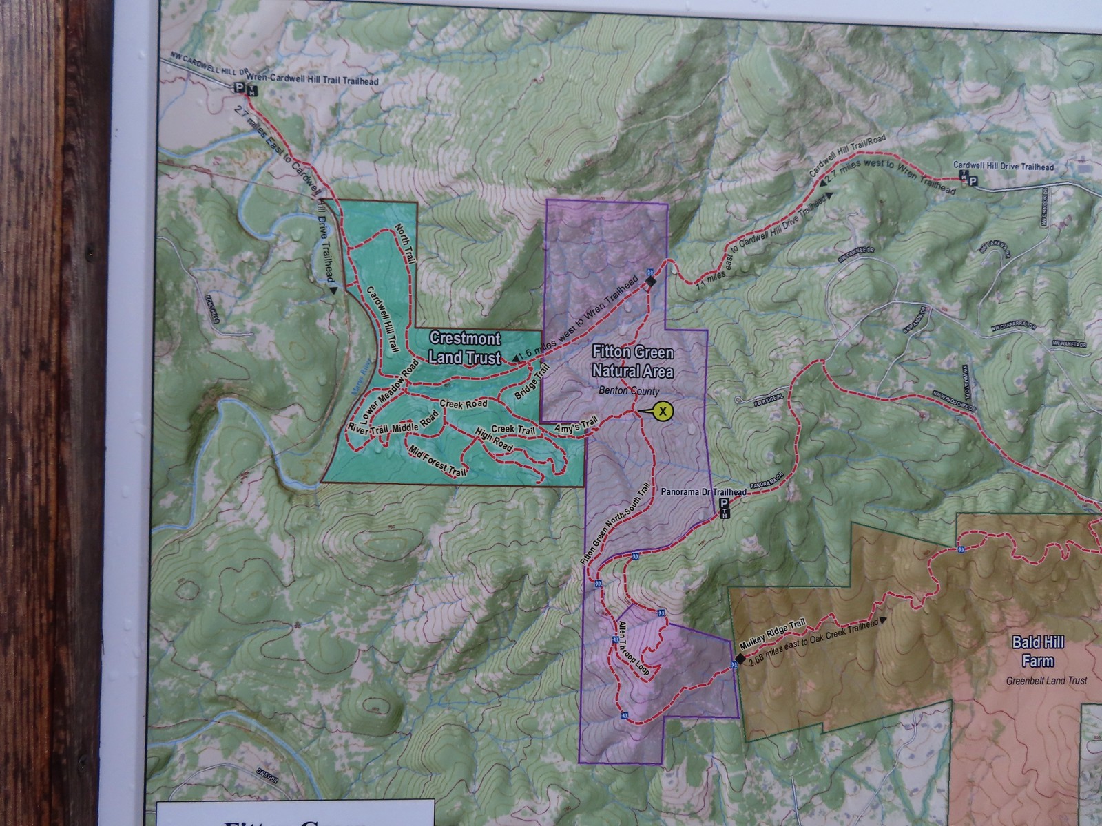 Map at the start of Amy’s Trail.
 Gate at the Fitton Green-Crestmont Land Trust border.
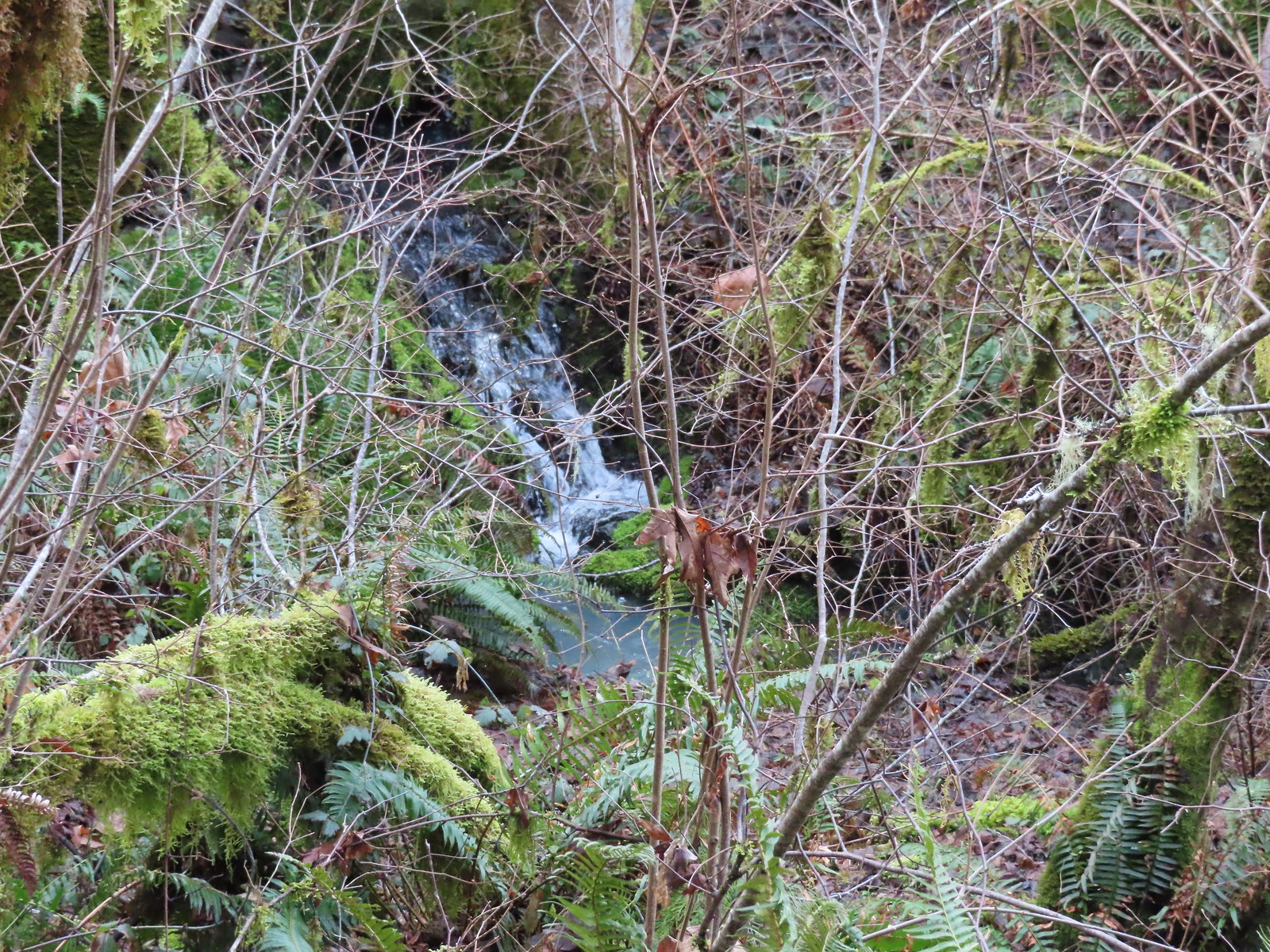 Creek along Amy’s Trail. With all the wet weather there was a fair amount of water in all the streams/creeks in the area.
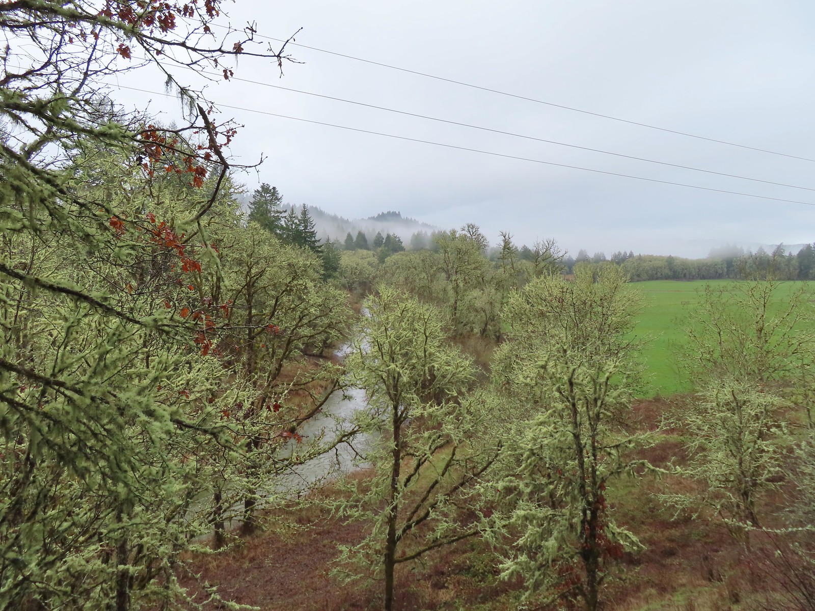

 On the hillside above the picnic table is the Creek Trail.
 Switchbacks along the Upper Forest Trail.
 Arriving at High Road.
 The Mid Forest Trail is hidden behind the tree on the left. To the right is the Creek Trail while High Road continues straight ahead.
 Lots of green moss along this trail.
 A little snow on the ridge in the distance.
 Rabbit that Heather spotted.
 The junction was at the far end of this open space.
 This was by far the most confusing junction we’d encountered all day. It was one of only a couple that was unsigned and none of the maps that we’d seen or had brought with us showed the road continuing to the left. Since we’d planned on staying left at all junctions except for at High Road we initially turned left here thinking it was the River Trail, but it just didn’t feel right so we turned to the Garmin which did show the road continuation. It didn’t look anything like the River Trail route so we promptly turned around and returned to the 4-way junction and took a left downhill through the meadow.
 Lower Meadow
 Gate along the River Trail just before Marys River.
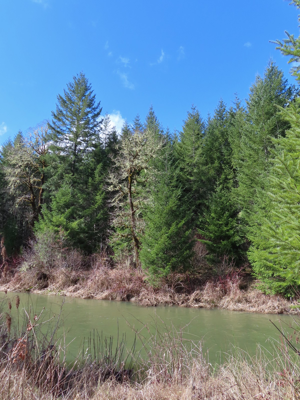 Marys River
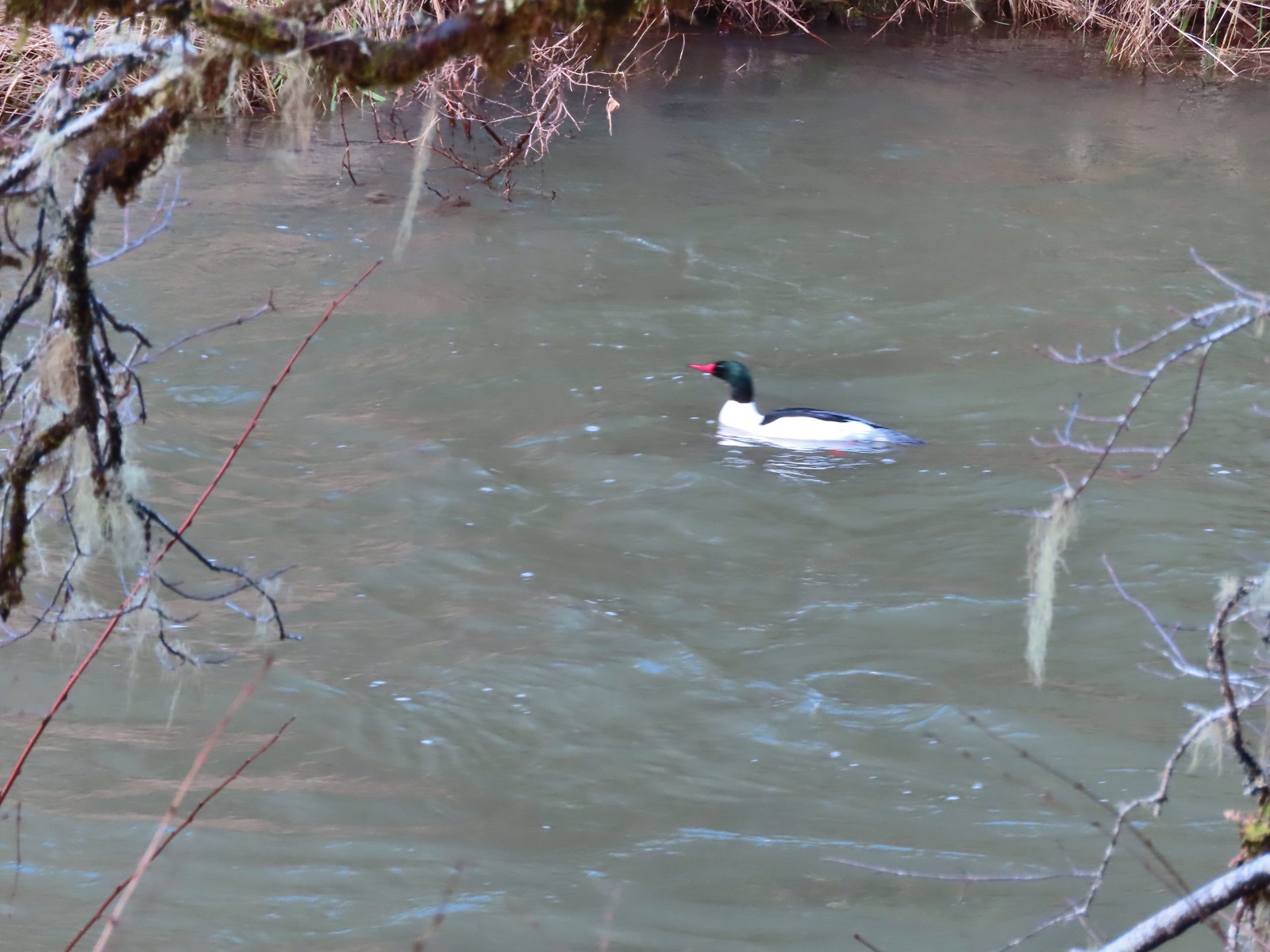 Male common merganser floating Marys River. I only had a brief second to try and get a picture as he floated by thus the poor focus.
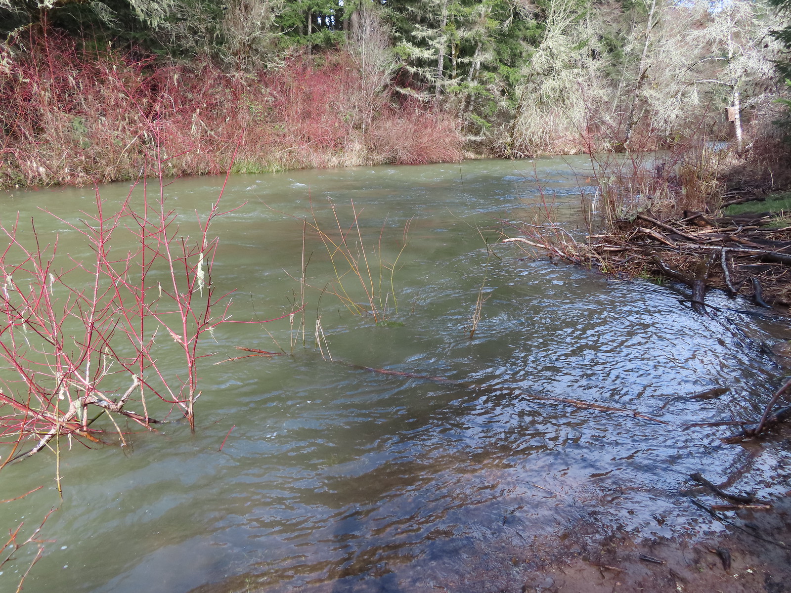 A short spur trail led down to the river bank.


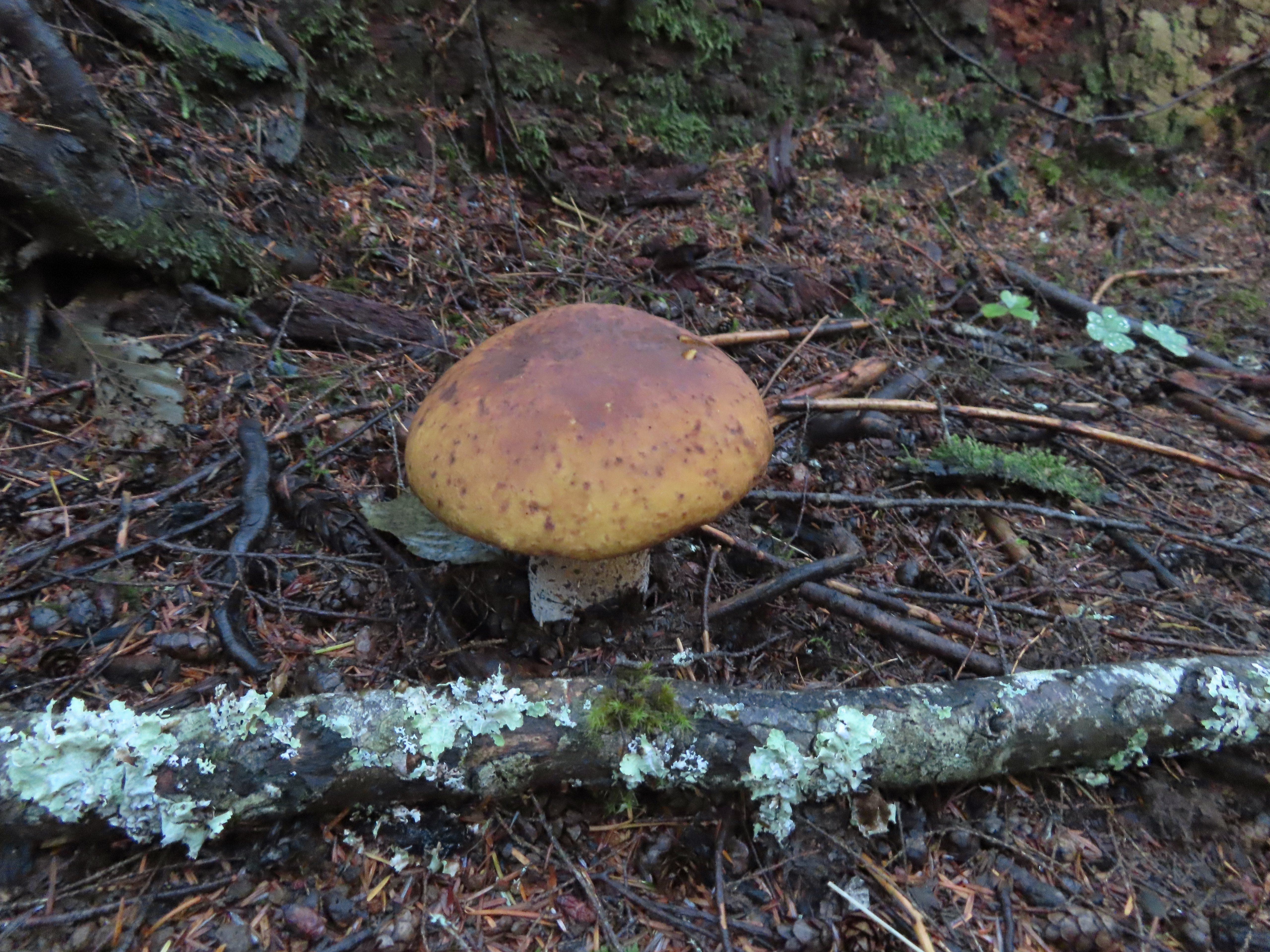
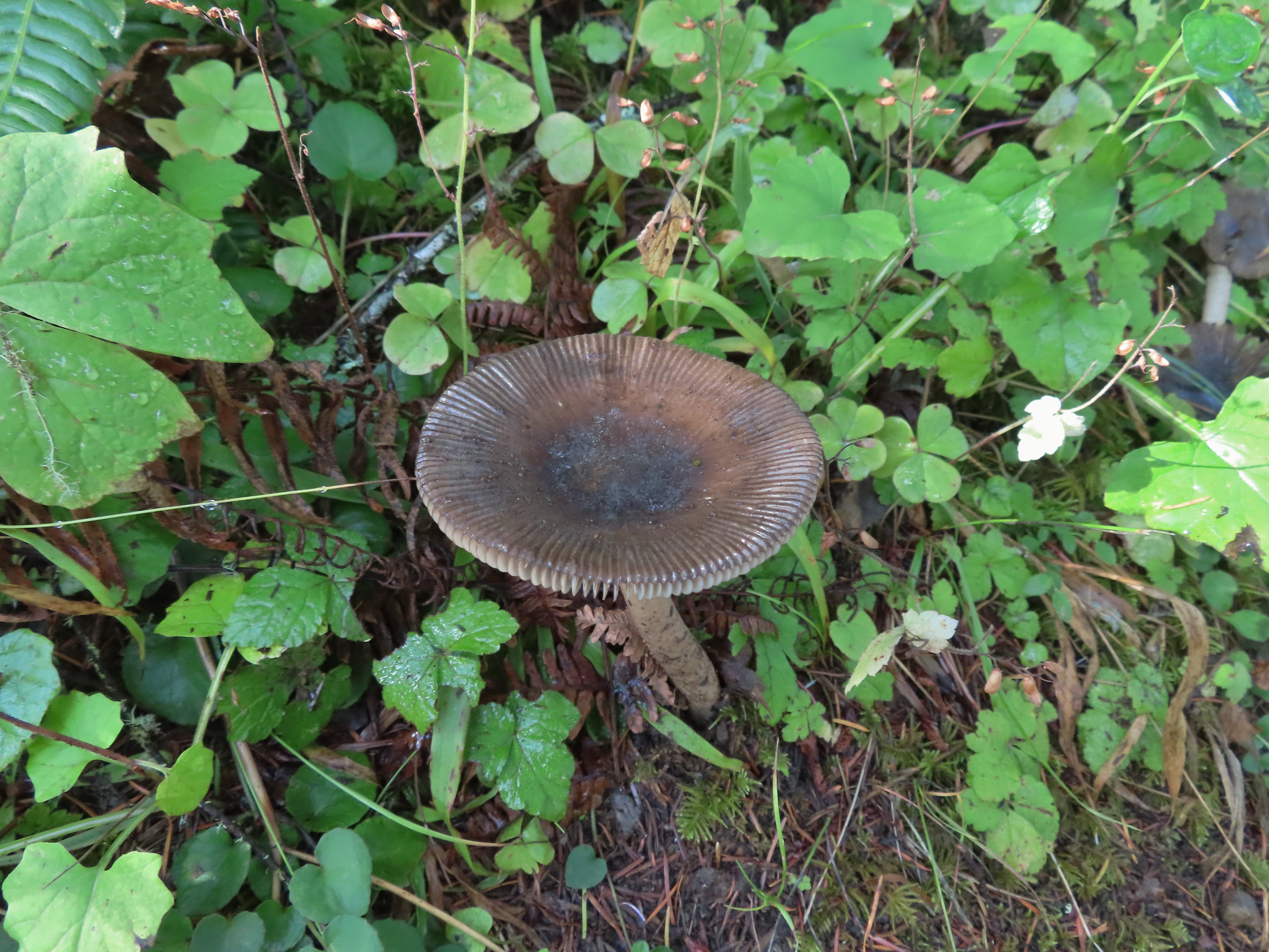
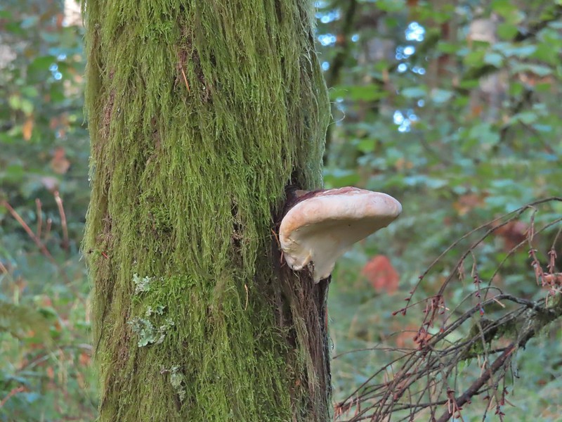
 Not flowers but mushrooms are always fun to spot.
 Lower Meadow Road crossing the creek and ending at the Cardwell Hill Trail.
 The short Trestle Extension led to a view of a railroad trestle over Marys River.
 The signboards at the North Trail junction from the Cardwell Hill Trail.
 Robin near the North Trail junction.
 No more fog.


 Coming up to the SW Greenway Ave crossing at the 0.3-mile mark.
 Mossy bench
 Small trailhead at SW Fairmount Blvd at the 0.5 mile mark.
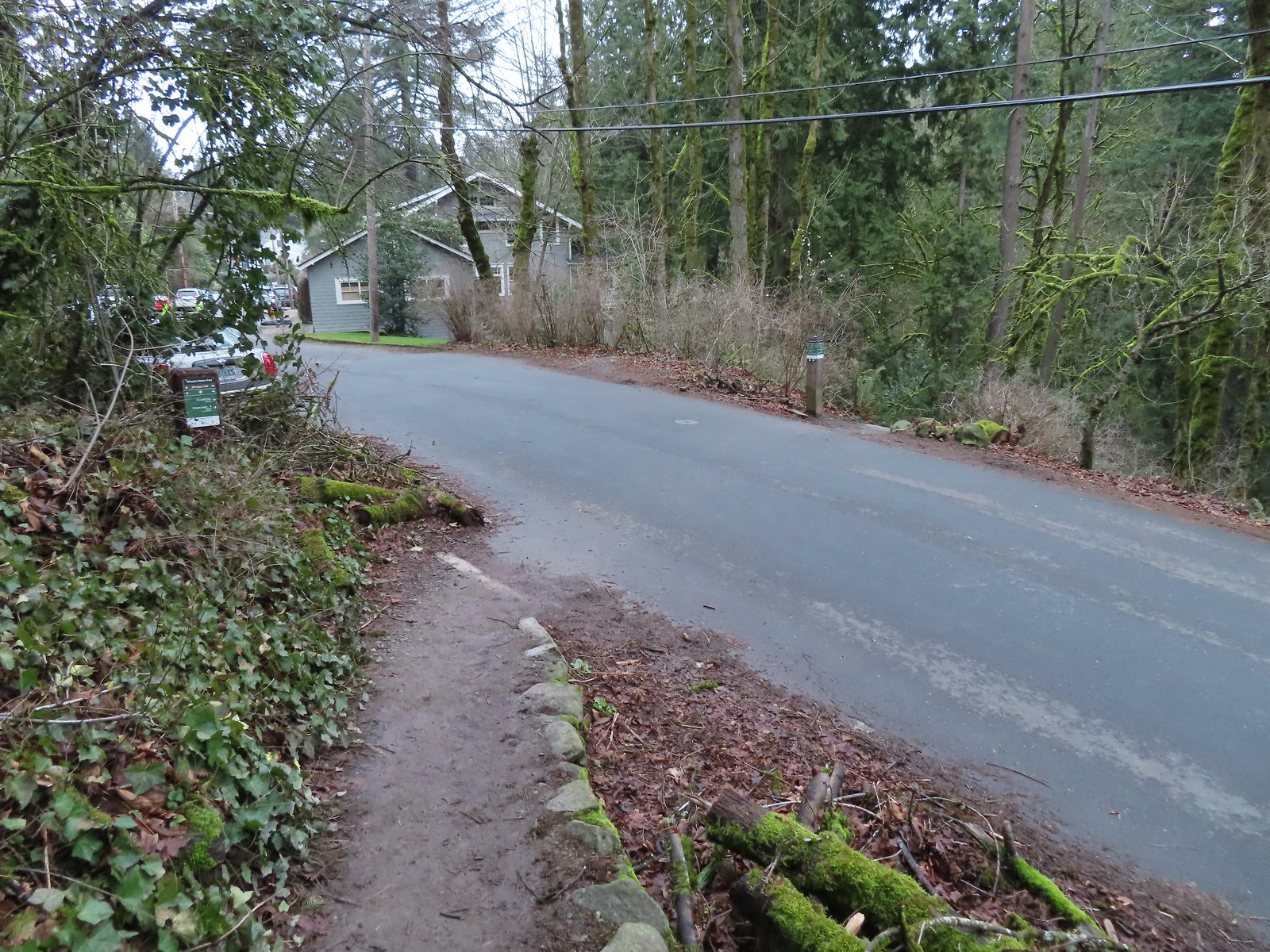 At the 1-mile mark the trail crosses NW Sherwood Dr.
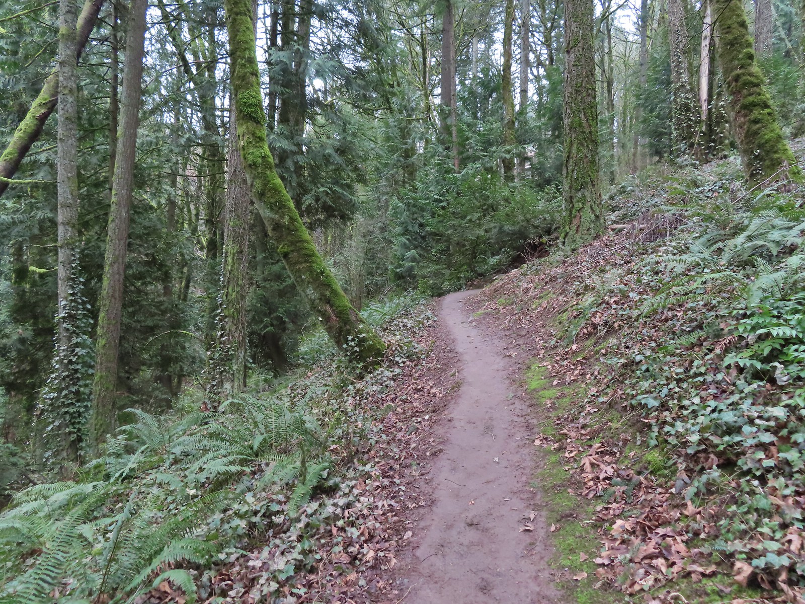
 Maybe the steepest section of the hike was the tenth of a mile between NW Sherwood and the Sunnyside Trail.
 The Sunnyside Trail junction.
 Every (official) trail junction was well marked by pointers which helped us stay on course.
 The Shadyside Trail on the far hillside.
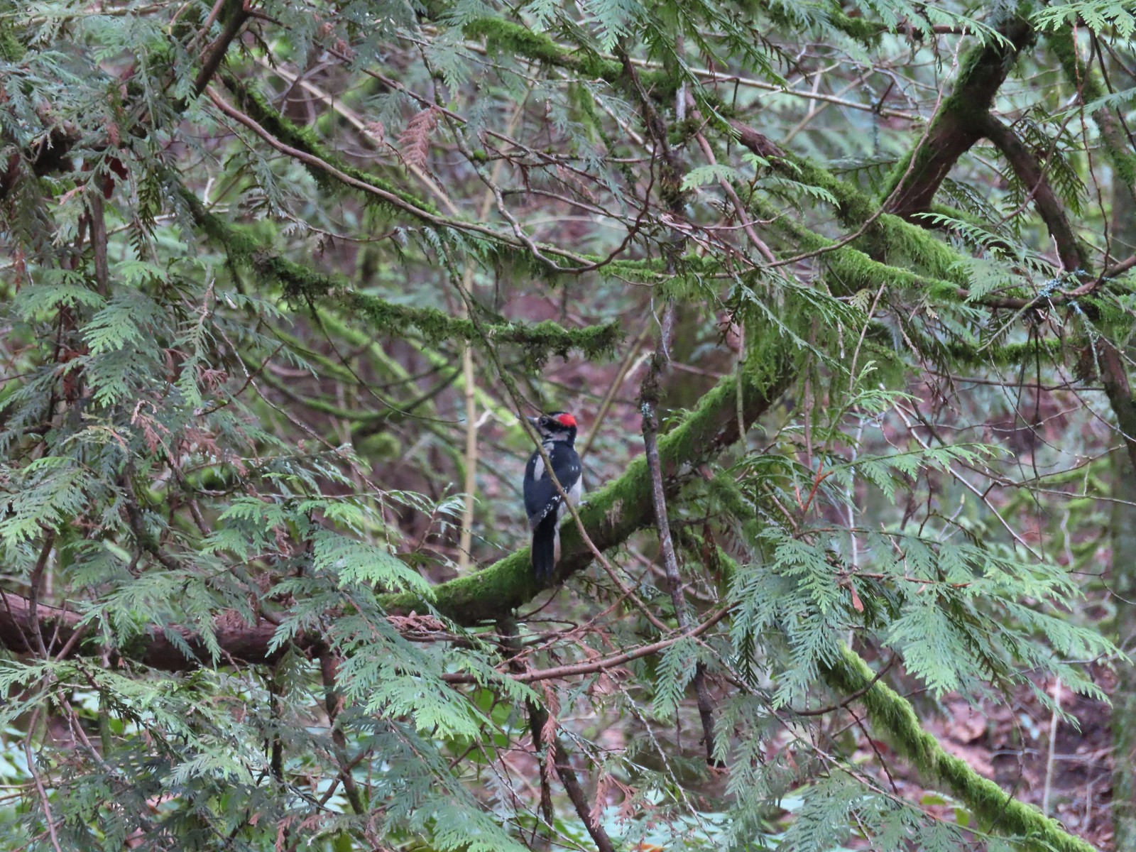 One of two hairy woodpeckers that were busy foraging for breakfast.
 Coming up on the Marquam Shelter.
 We saw little fungi, but these turkey tails added some color to the forest.
 The Marquam Shelter.
 A tenth of a mile from the shelter we passed the Connor Trail on the left. This trail would have taken us to OHSU and the

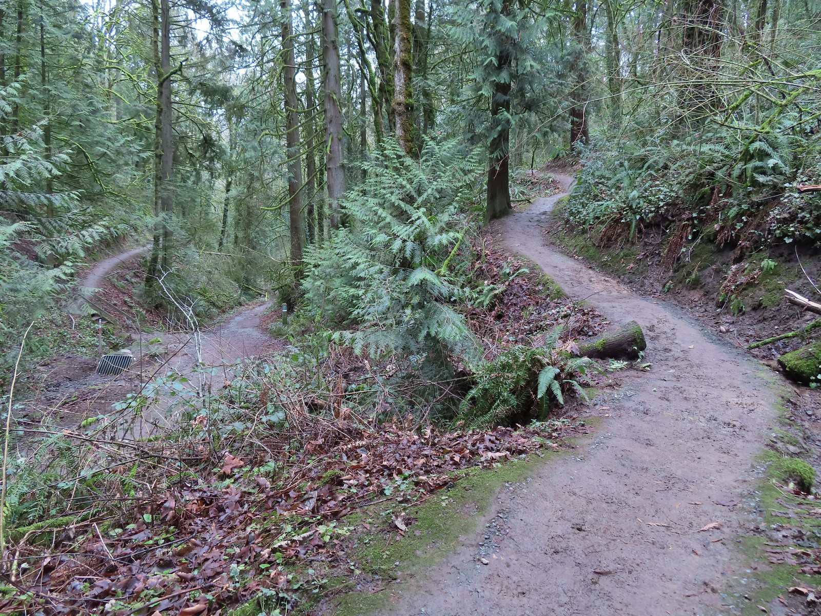 The Marquam Trail to the left and right with the Basalt Trail in the center from the first switchback.
 Trail marker near SW Gibbs.
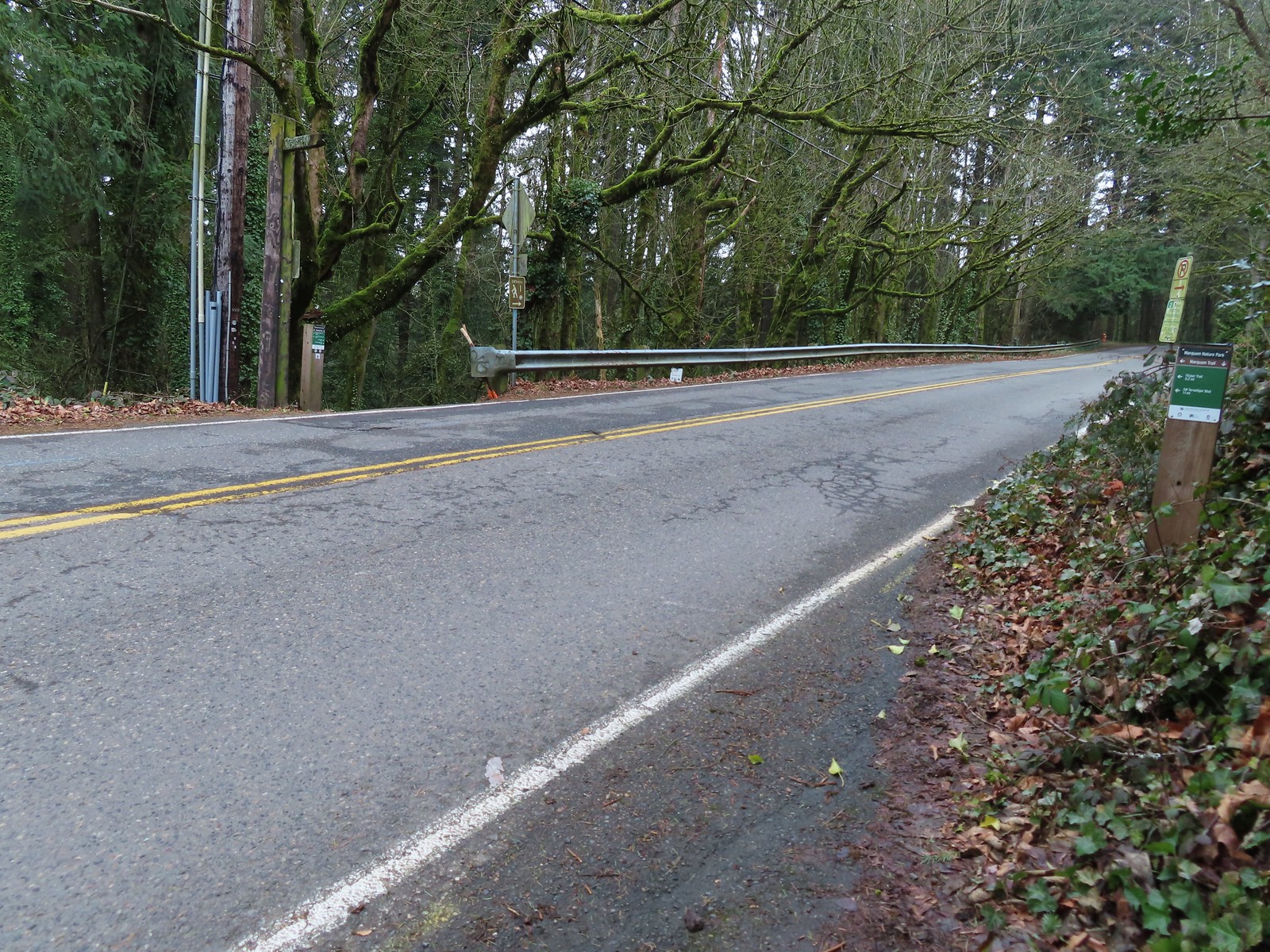
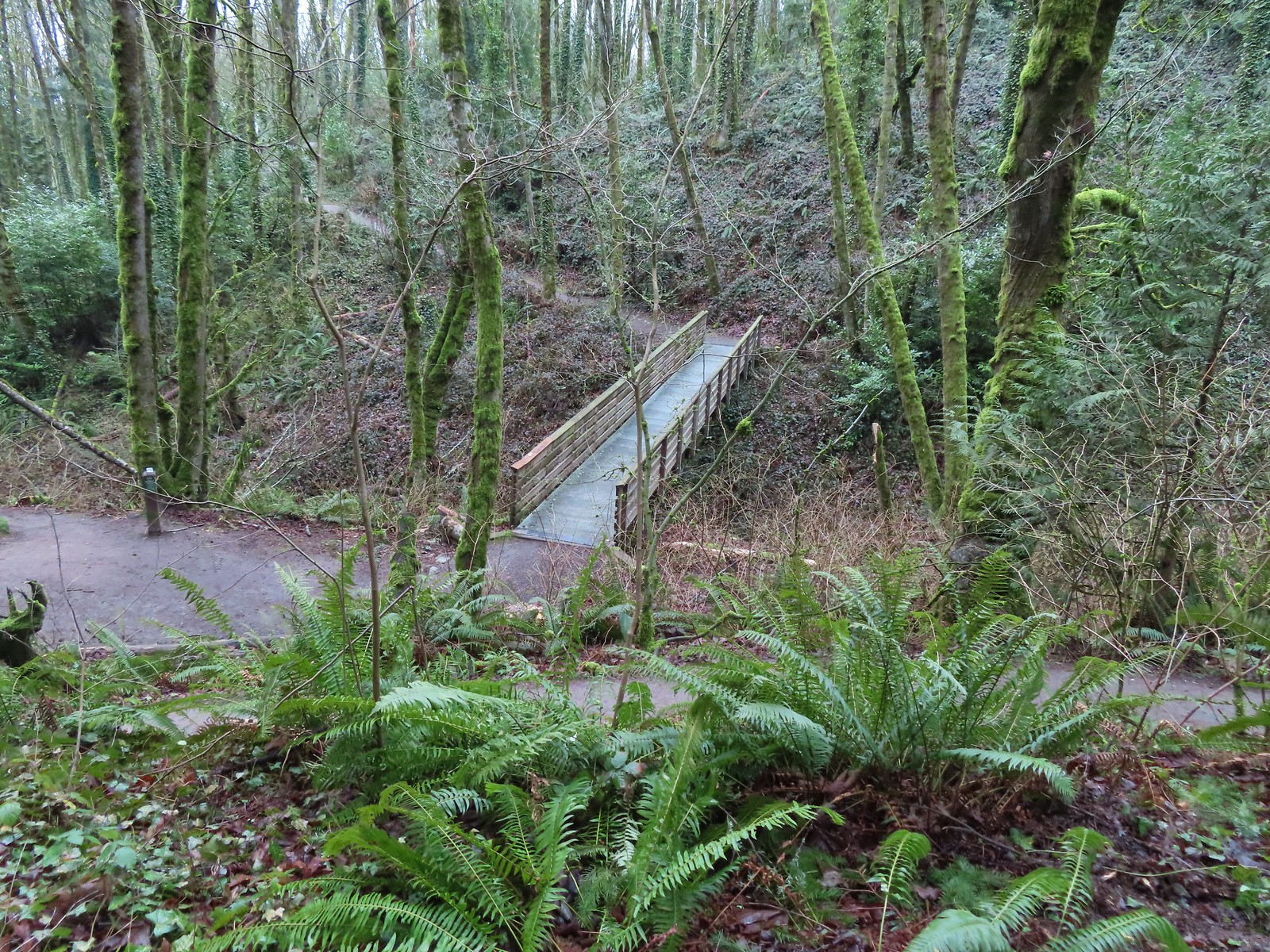 The Flicker Trail from the Marquam Trail.
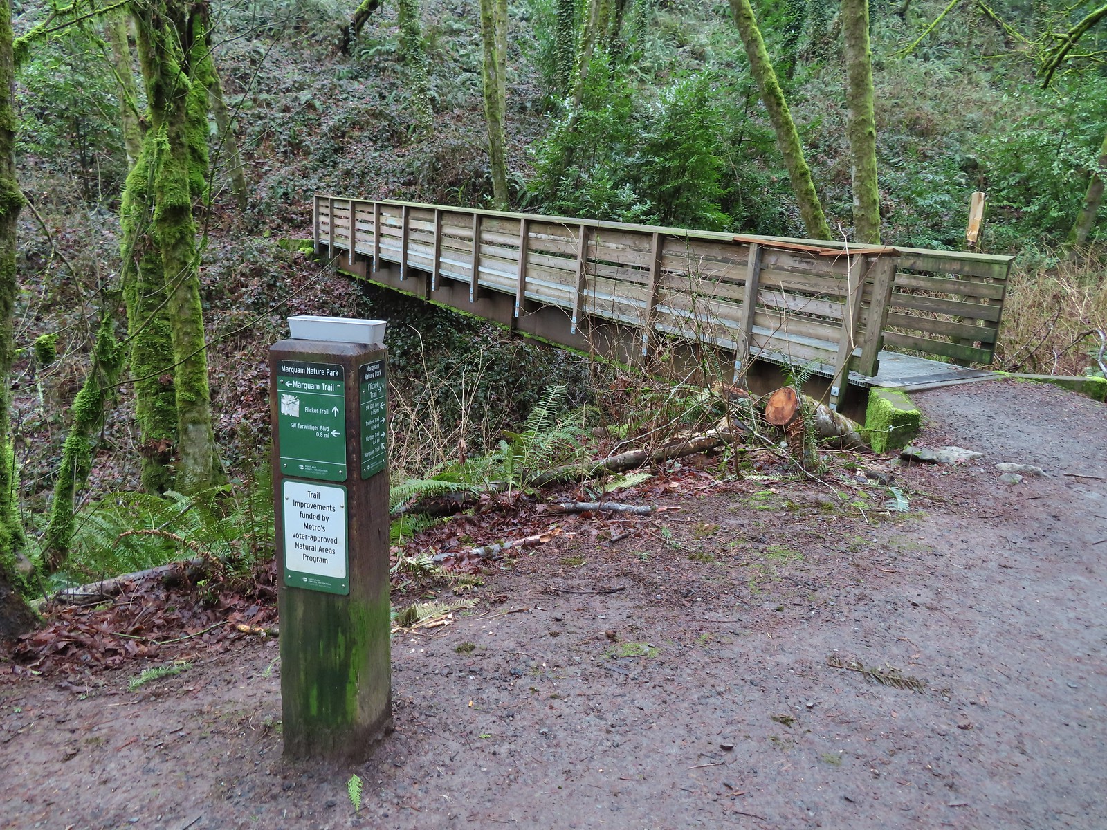


 Note it is still not “mostly sunny” even though it was now almost 10am.
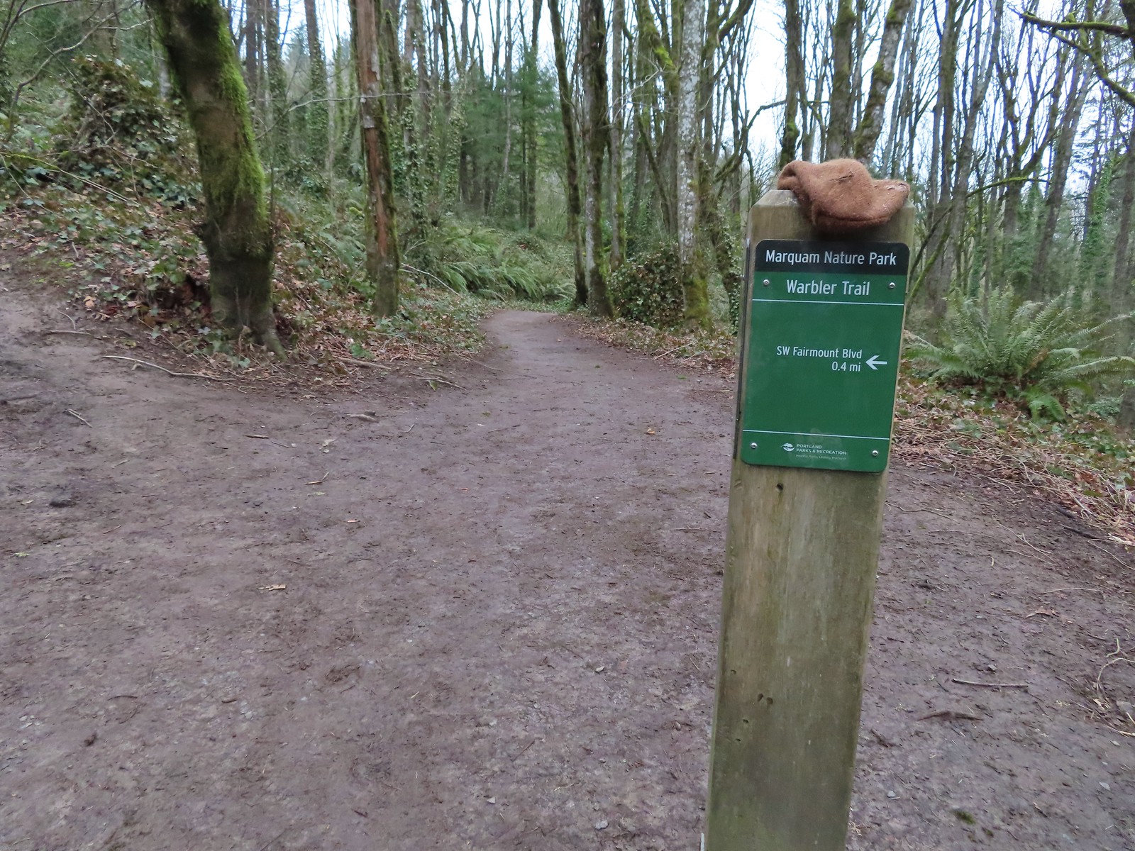
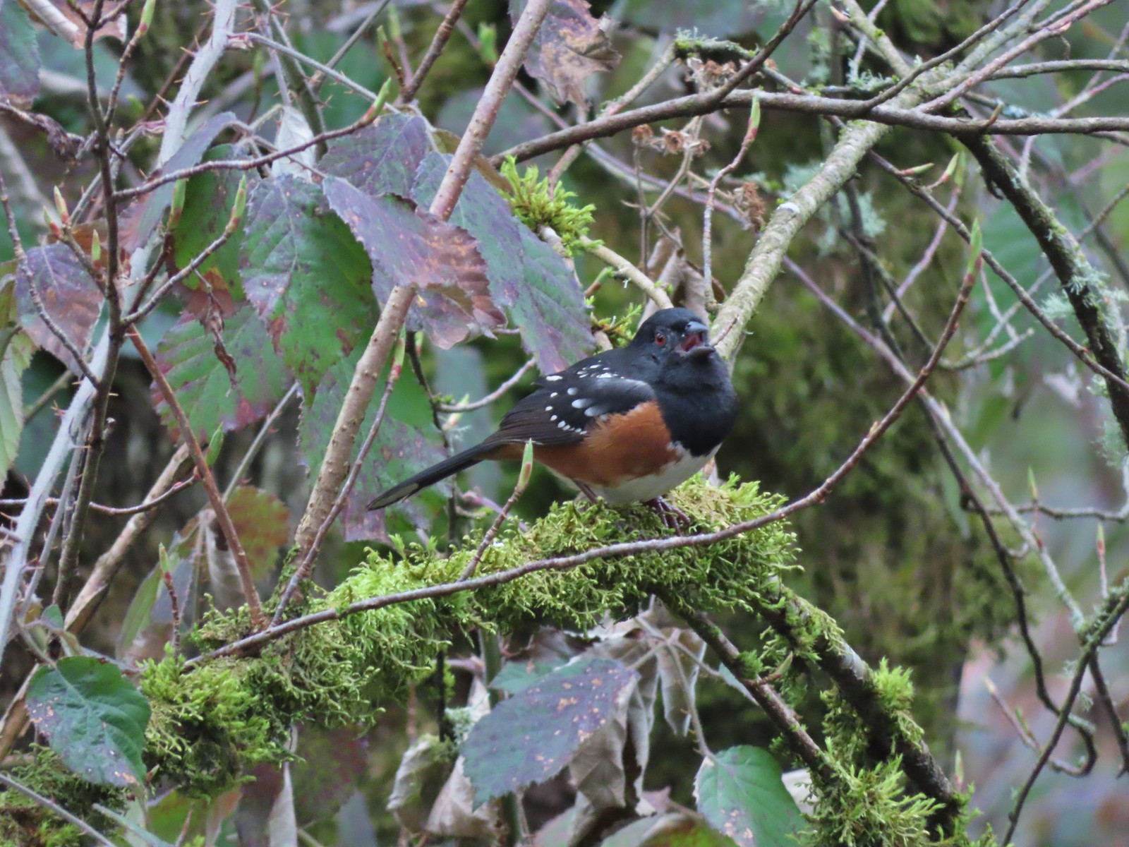 While not a warbler this spotted towhee graced us with a song.
 Checking out a budding leaf.
 The end of the Warbler Trail.
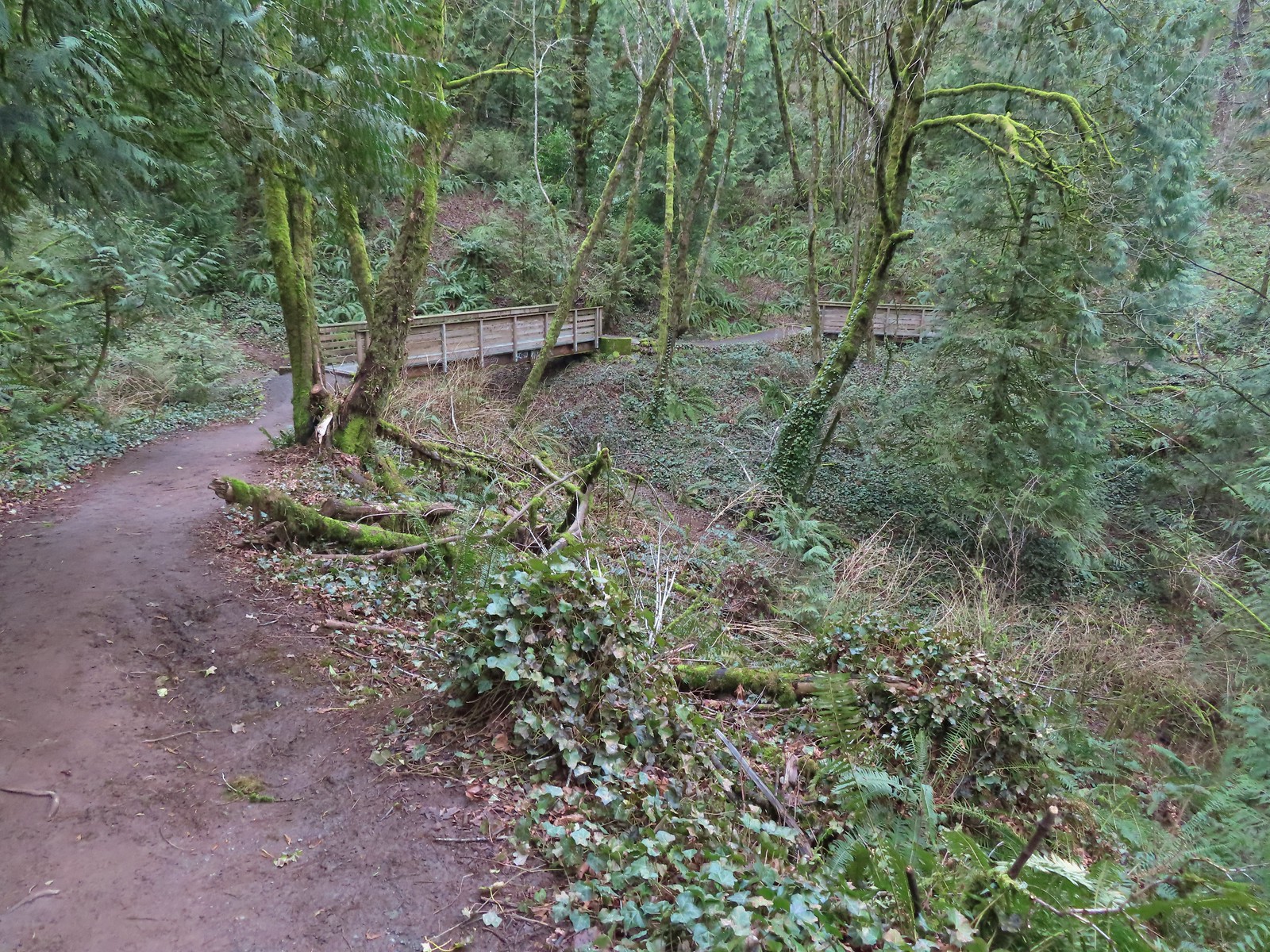


 Pointer for the Marquam Shelter at the trailhead.
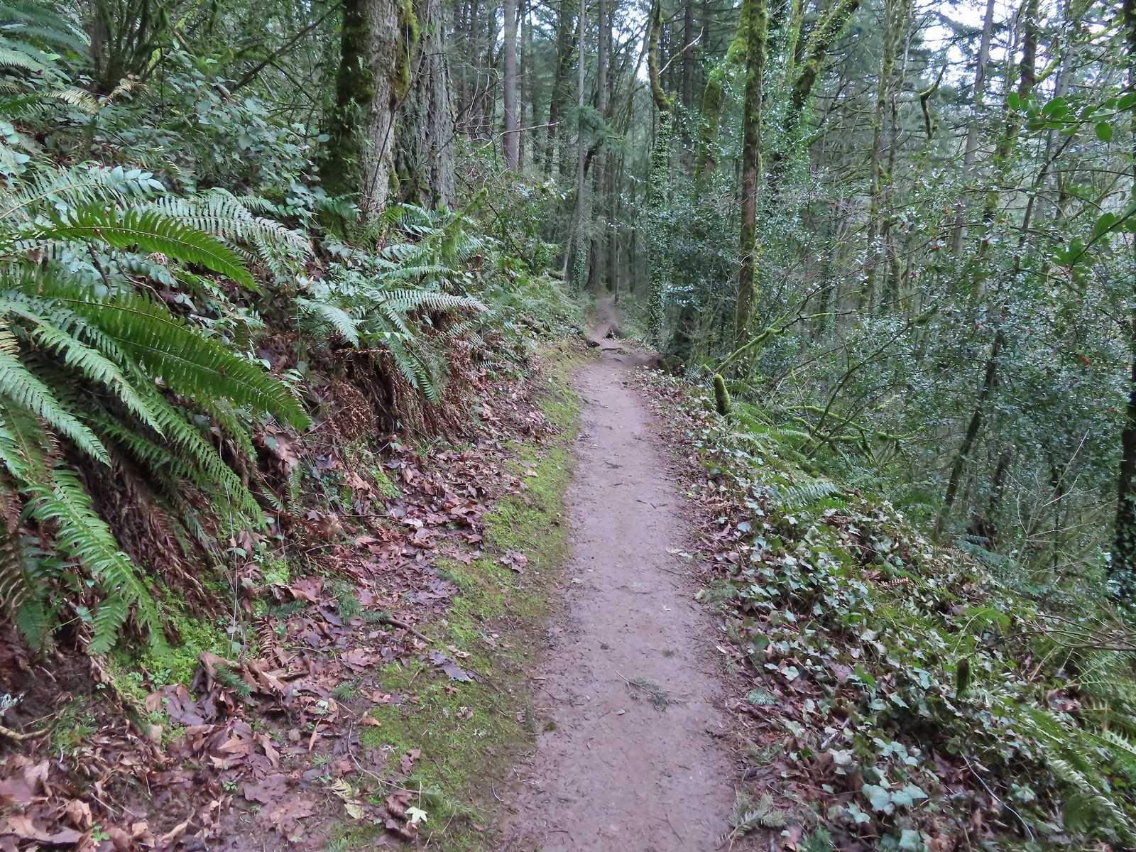
 Bench along the switchbacks down to the Marquam Trail.
 The Towhee Trail junction with Marquam Trail was nearly all the way back down to the Basalt Trail (the lower trail in the photo).
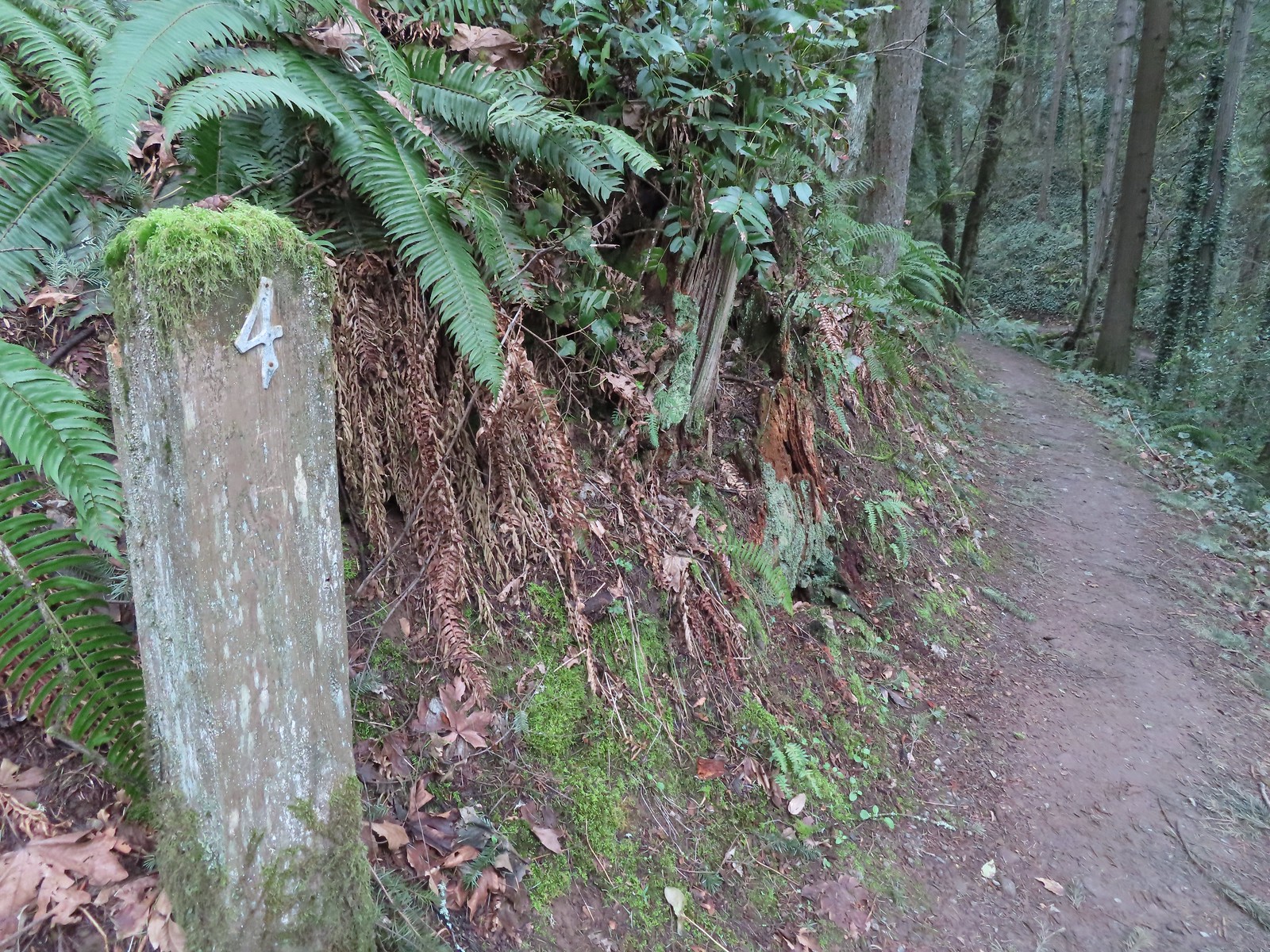 Not sure what the story is behind this post but it was the only one we spotted with this type of number.
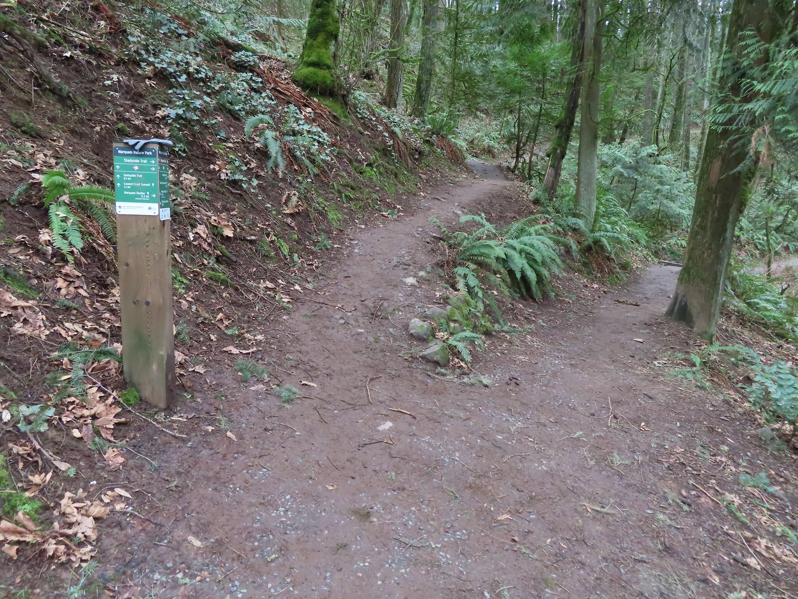 We passed the Shdayside Trail after half a mile.
 There was a short section with some railing before dropping down to the Sunnyside Trail.

 Mt. St. Helens, Mt. Rainier, and Mt. Adams are out there beyond the clouds.
 Freemont Bridge spanning the Willamette River with the Columbia River in the distance.
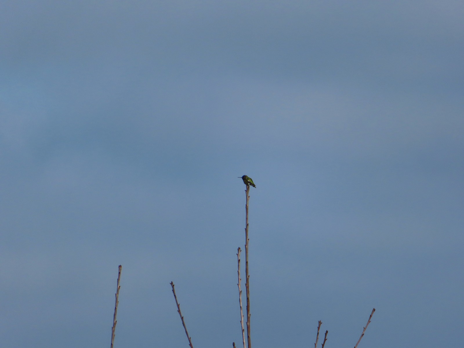 Hummingbird
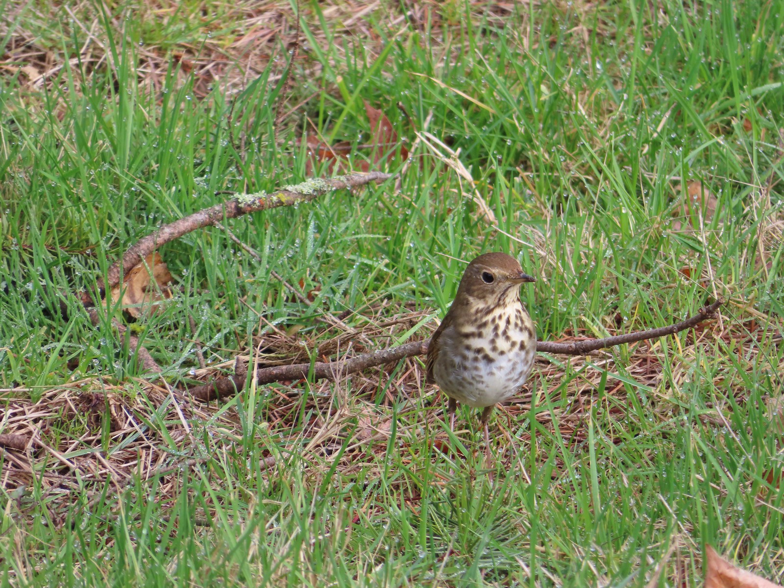 Hermit thrush looking for snacks at Council Crest Park.


 Waverly Lake at sunrise.
 Mallards
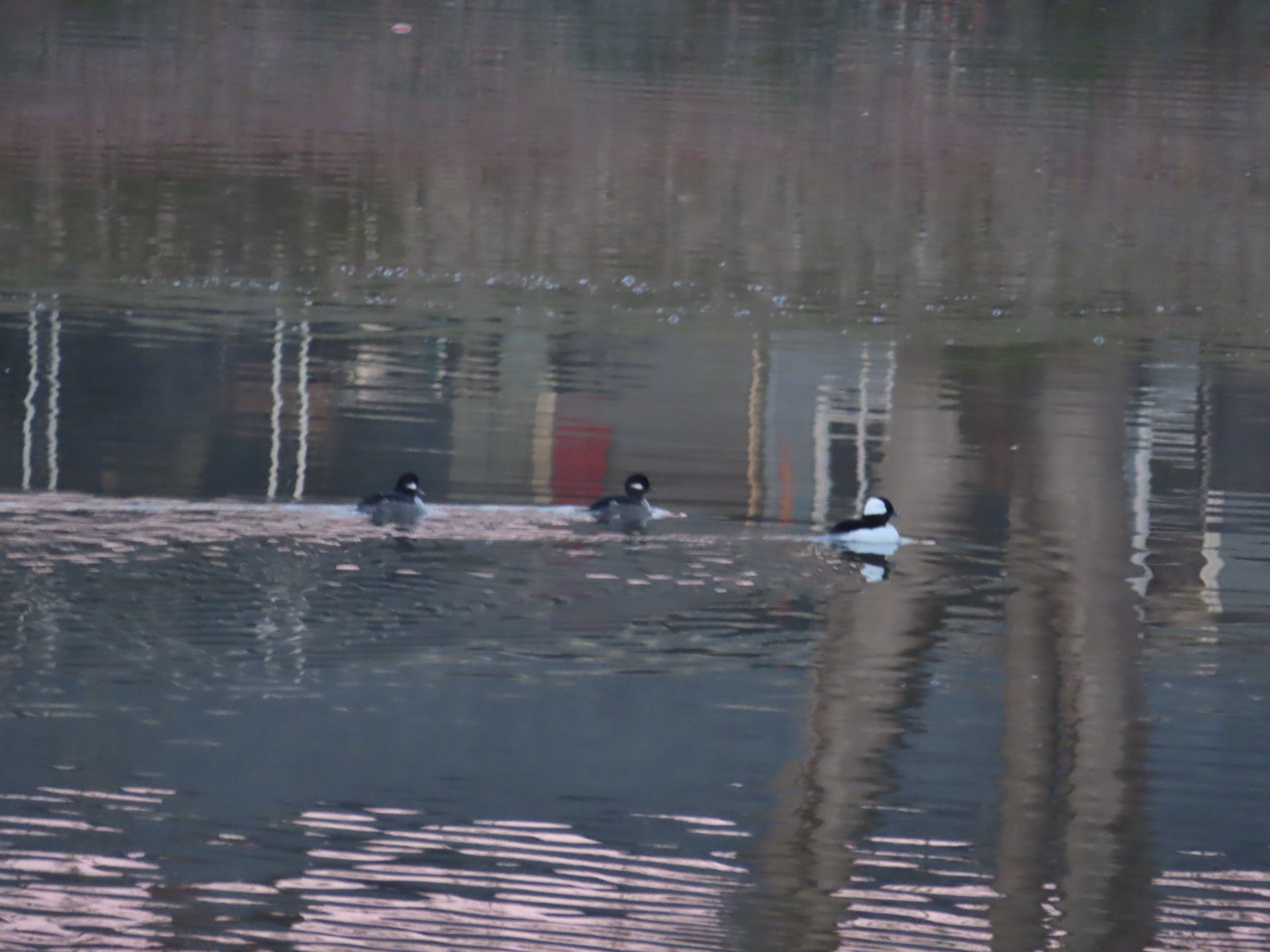 Buffleheads
 I think this is a ruddy duck.
 American coots
 Guessing these are some sort of domestic/mallard? crossbreeds. Very interesting looking.
 More mallards near Cox Creek
 Cox Creek flowing toward Waverly Lake.
 Nearing the outlet of Cox Creek.
 We almost got off-track here. This path on the right (just after passing under some railroad tracks) does lead into the wetlands but it wasn’t part of the Oregon Hikers described hike.
 One of several interpretive signs along the trails.
 Frosty leaves, it had been a chilly 28 degrees when we started out.
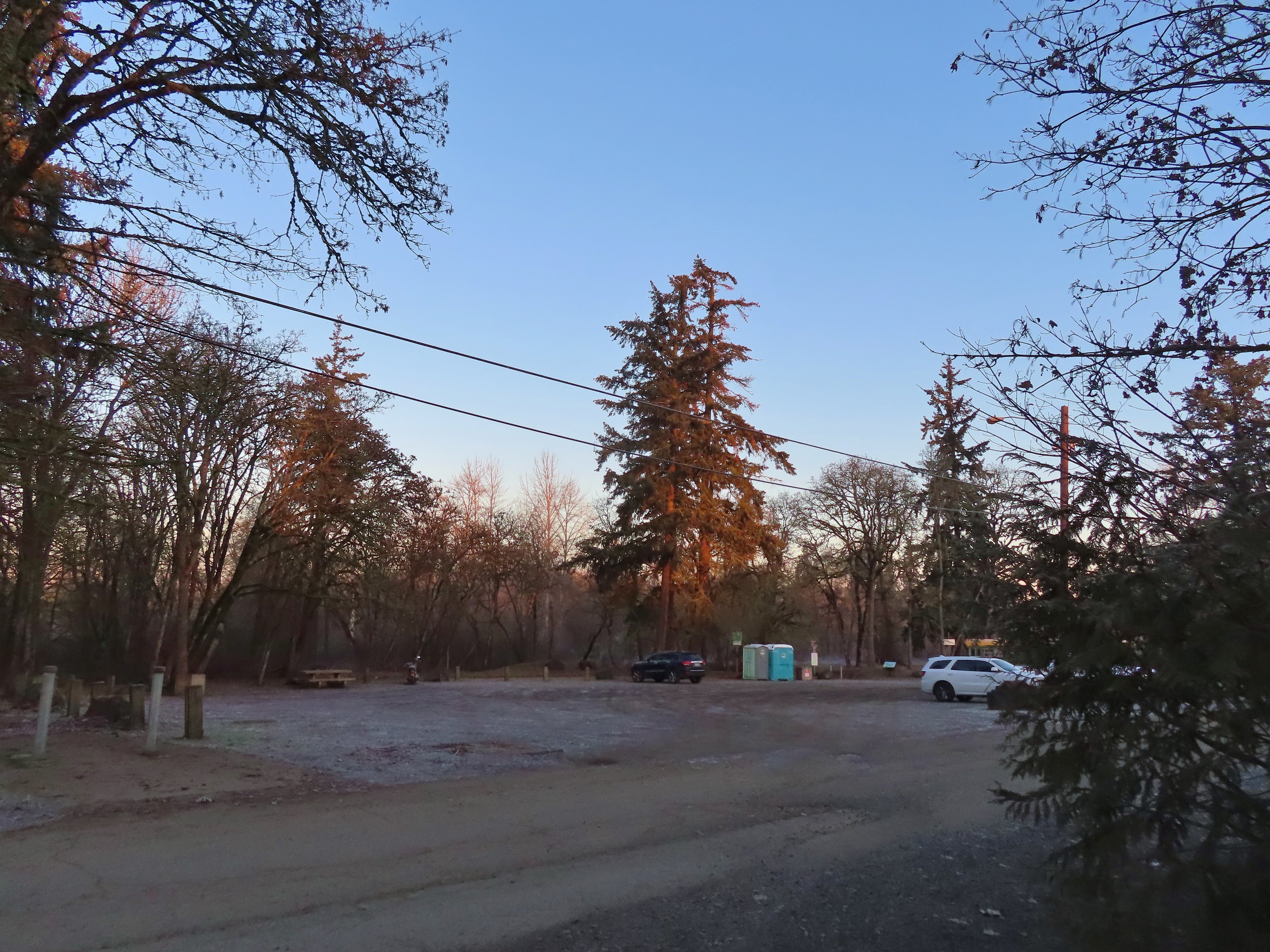 Simpson Park
 The Simpson Park Trail is a 1 mile out and back along the Willamette River. It also offers access to the Riverfront Trail which one could follow SW almost 3.5 miles to Monteith Riverpark at the mouth of the Calapooia River. With Heather being limited to shorter hikes for now that wasn’t an option today but will be something we look forward to trying in the future.
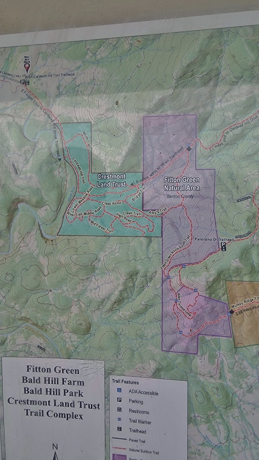
 Map on a welcome sign.
 Frozen leaves


 American wigeons
 Bald eagle fly over
 Flock of geese flying over
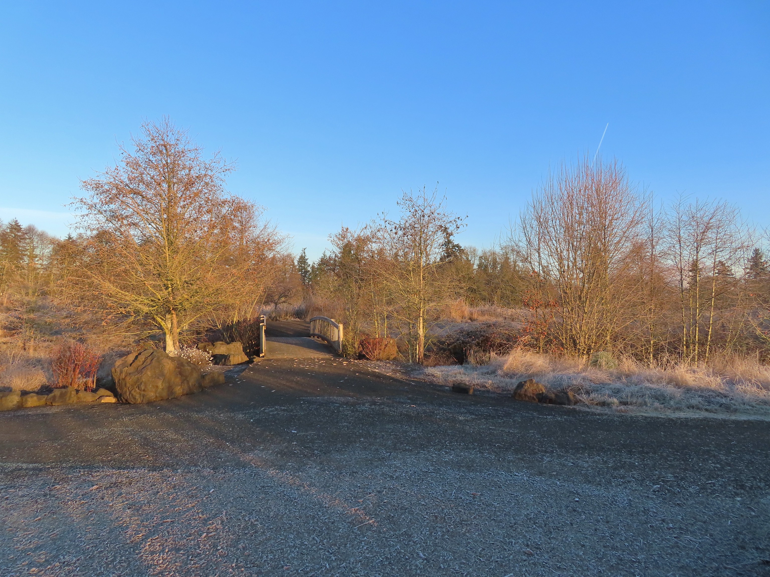 One of many unsigned intersections.
 Robin
Robin One of two memorials in the gardens.


 Bufflehead
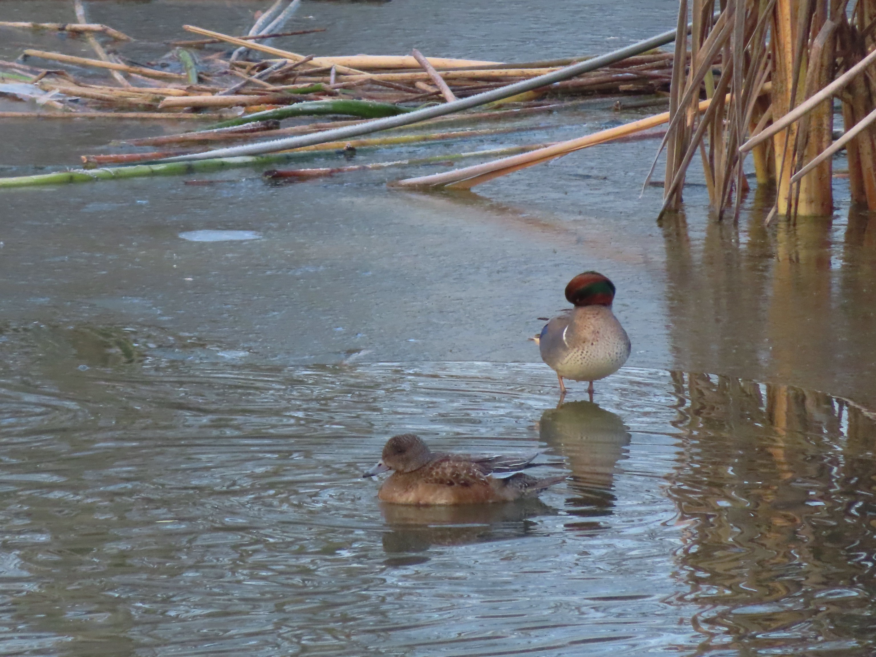 Green winged teal
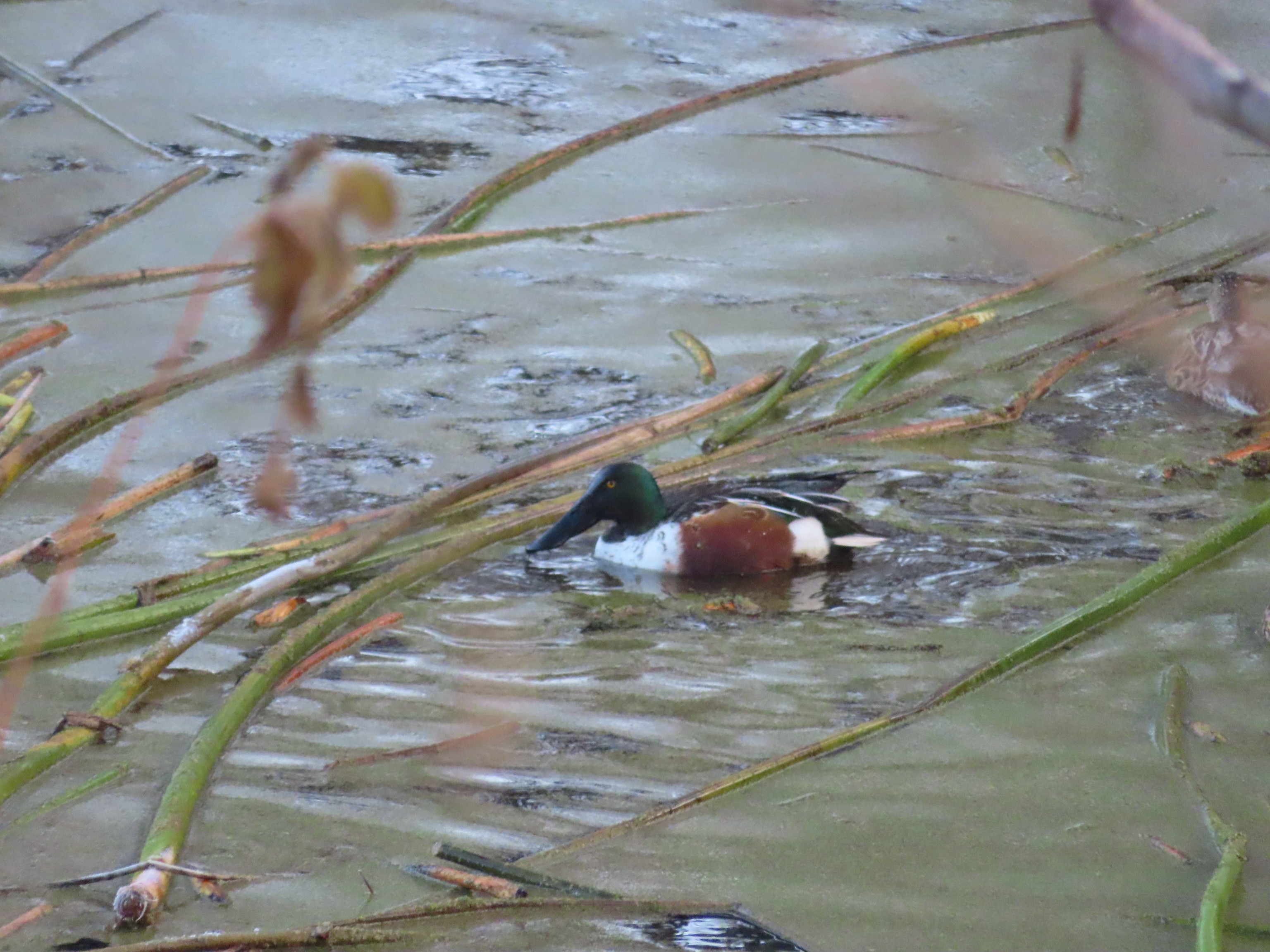 Northern shoveler
 Frost
Frost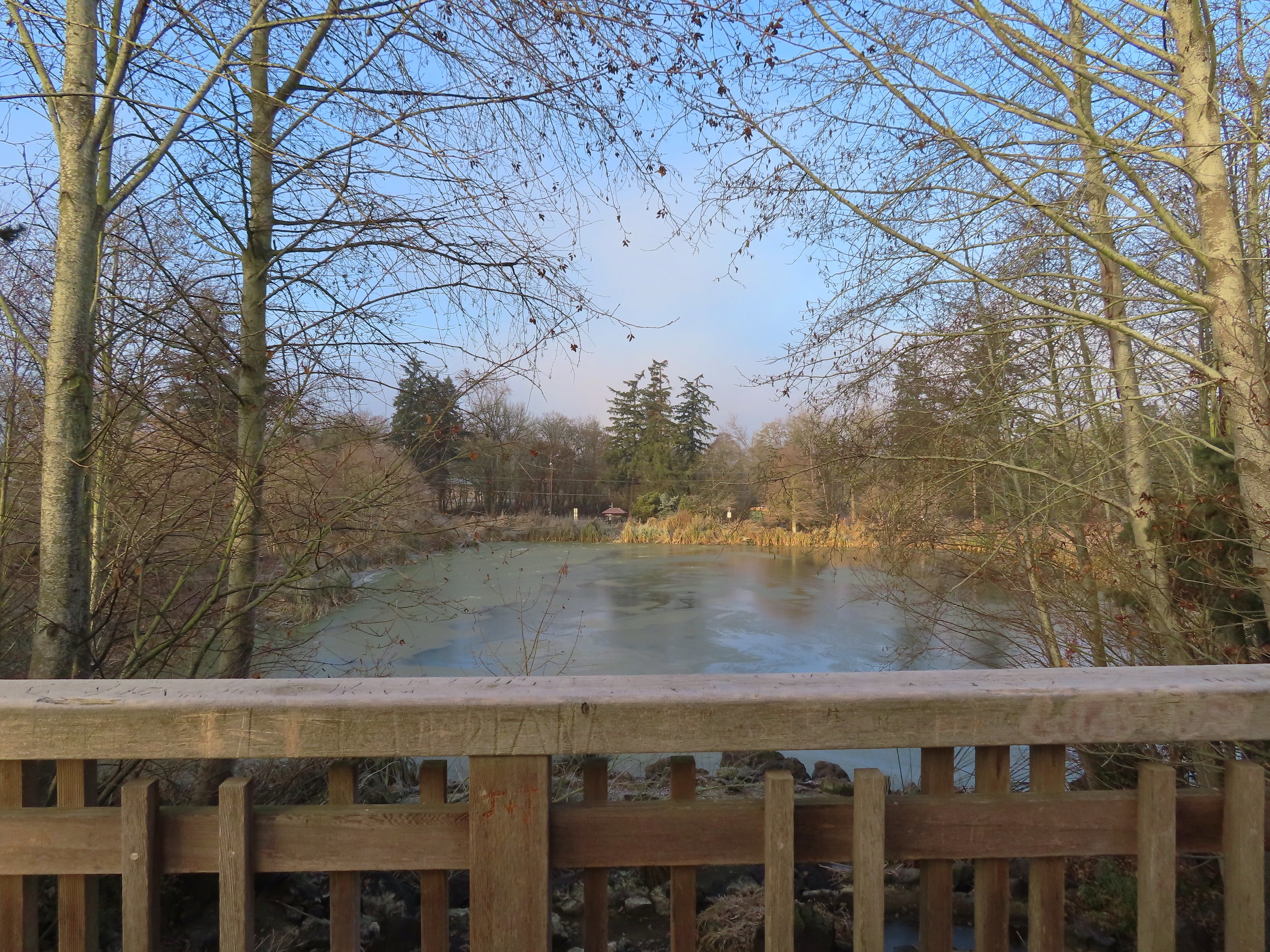 Simpson Park across a pond.
 Fishermen heading into the fog at Waverly Lake.
 Mallards hanging out in the fog.
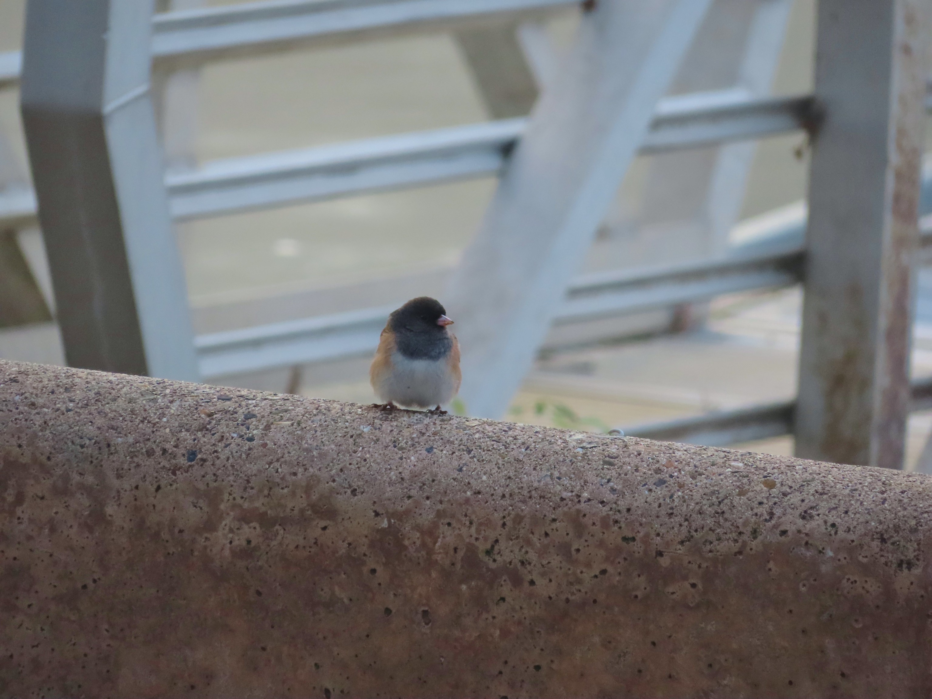 Dark eyed junco
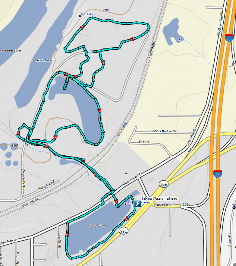

 A lot more blue in the sky than I had expected to see.

 Crossing Highway 214 to the campground.
 I detoured left to check out this bridge over Howard Creek.
 Howard Creek
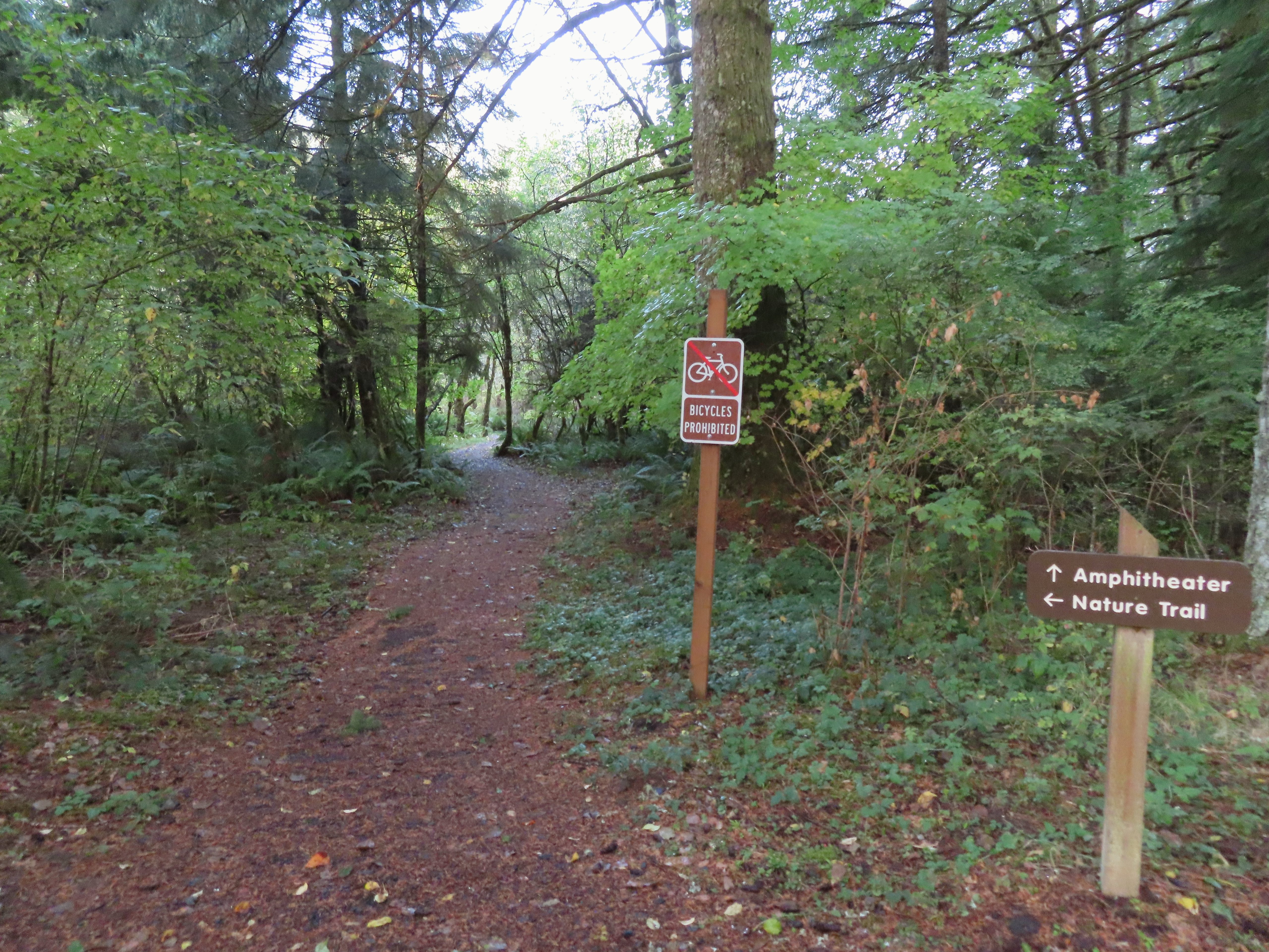

 Sign at the 214 Trail junction to let people know that there are no waterfalls in the backcountry.
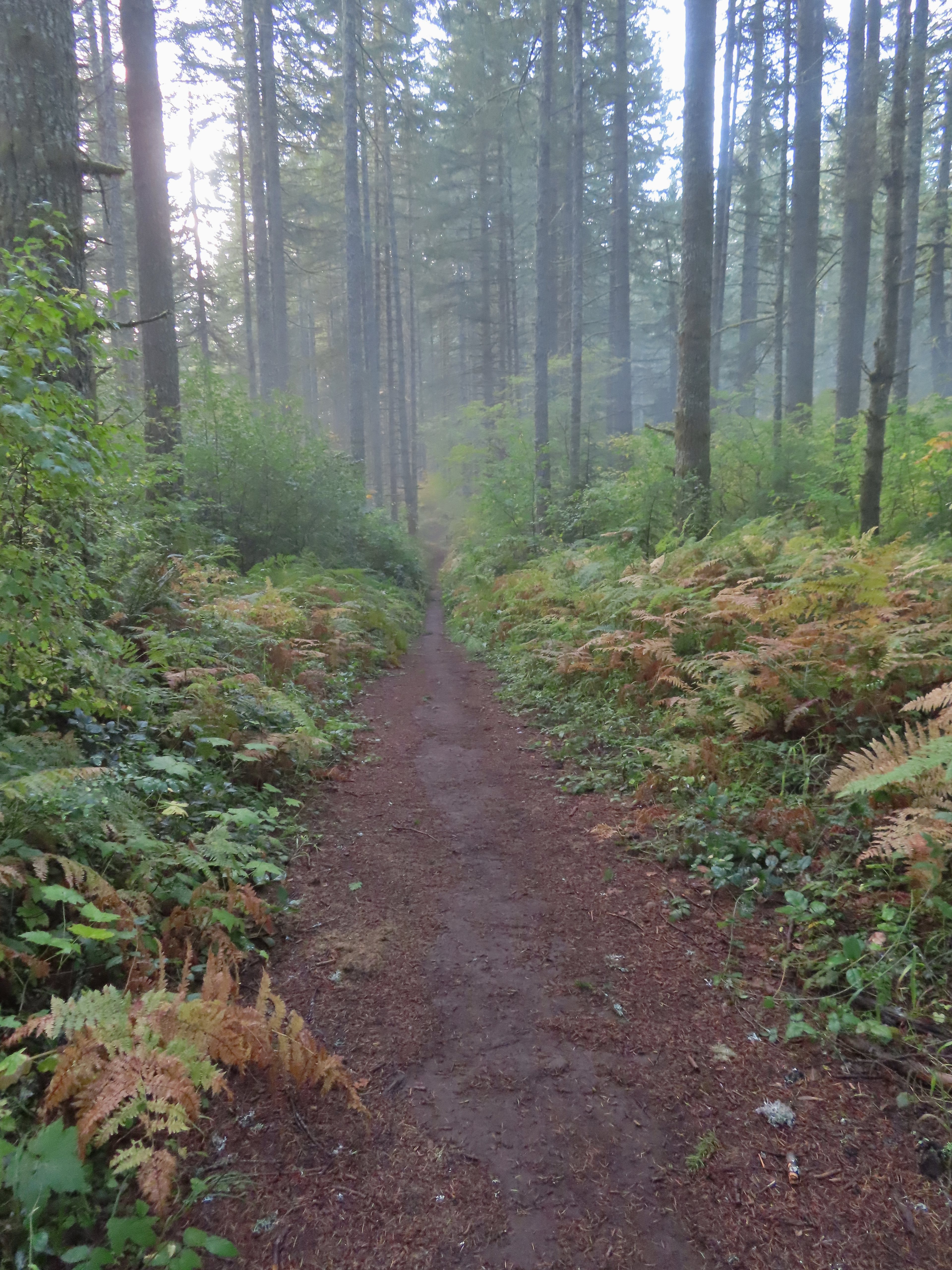 Just a little fog but no rain.
 Passing the Smith Creek Trail (left) after 0.6 miles on the 214 Trail.
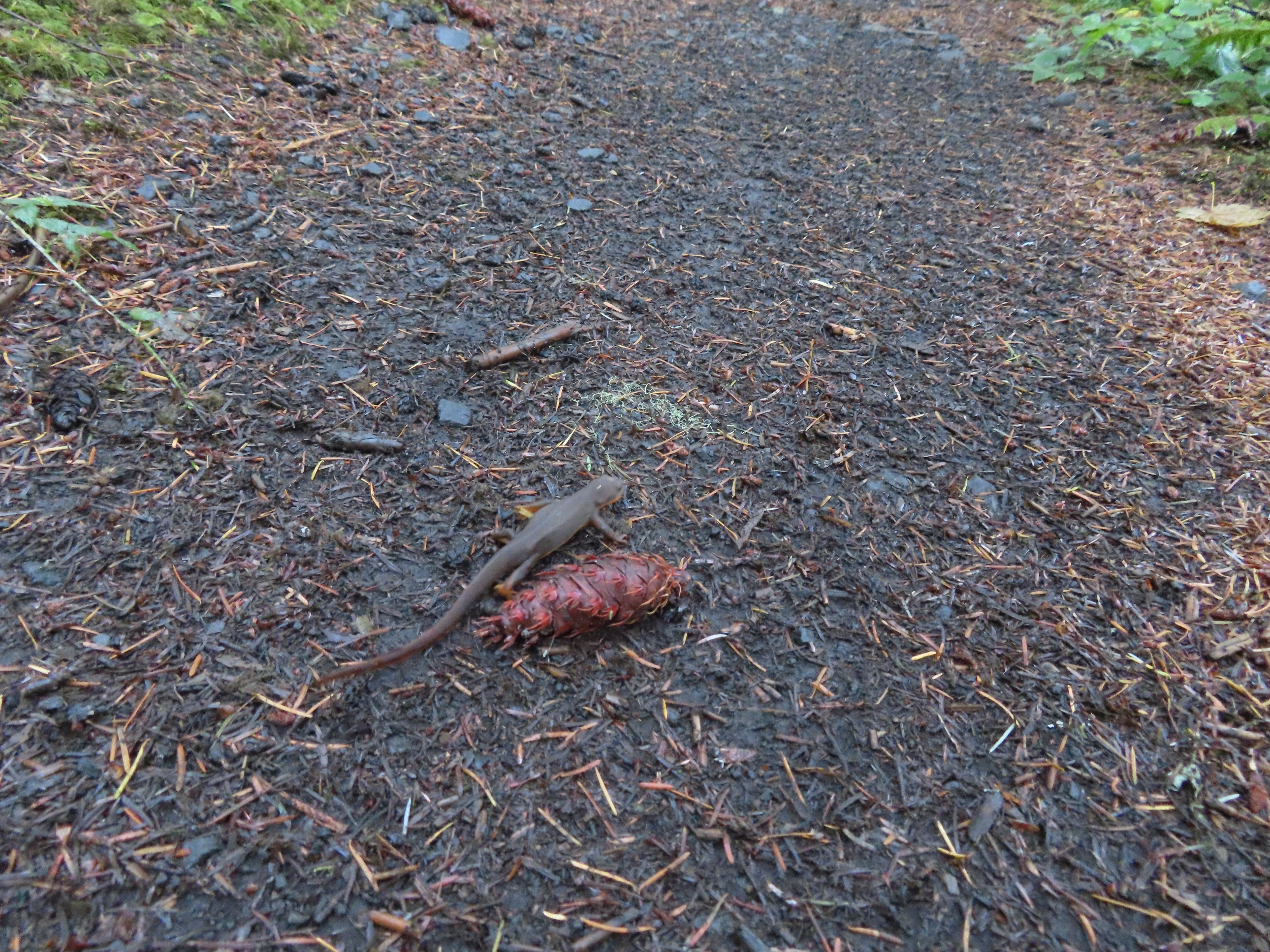 Rough skinned newt on the 214 Trail. (Probably headed for the Newt Loop too.)
 Big nursery tree along the 214 Trail.
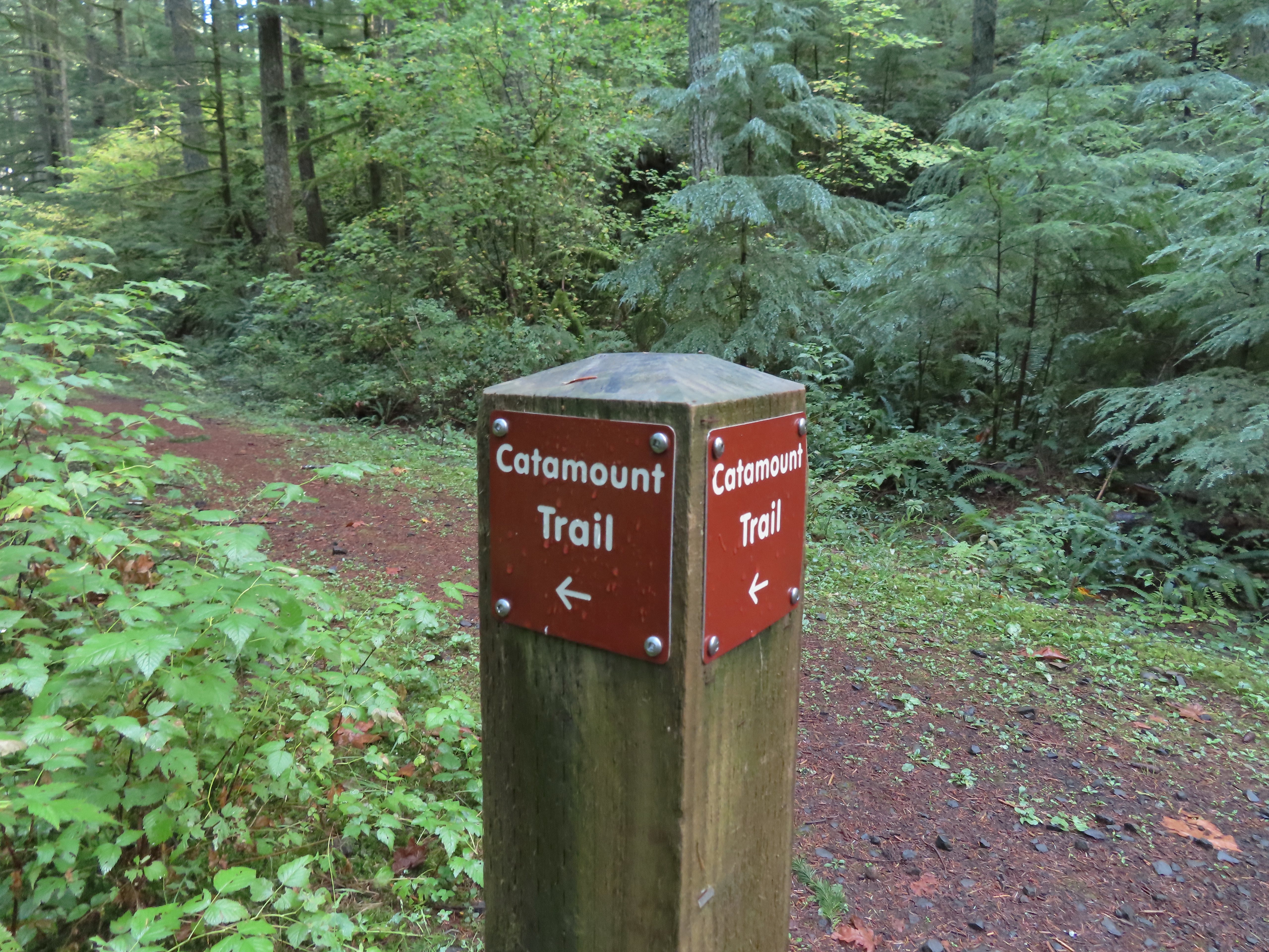
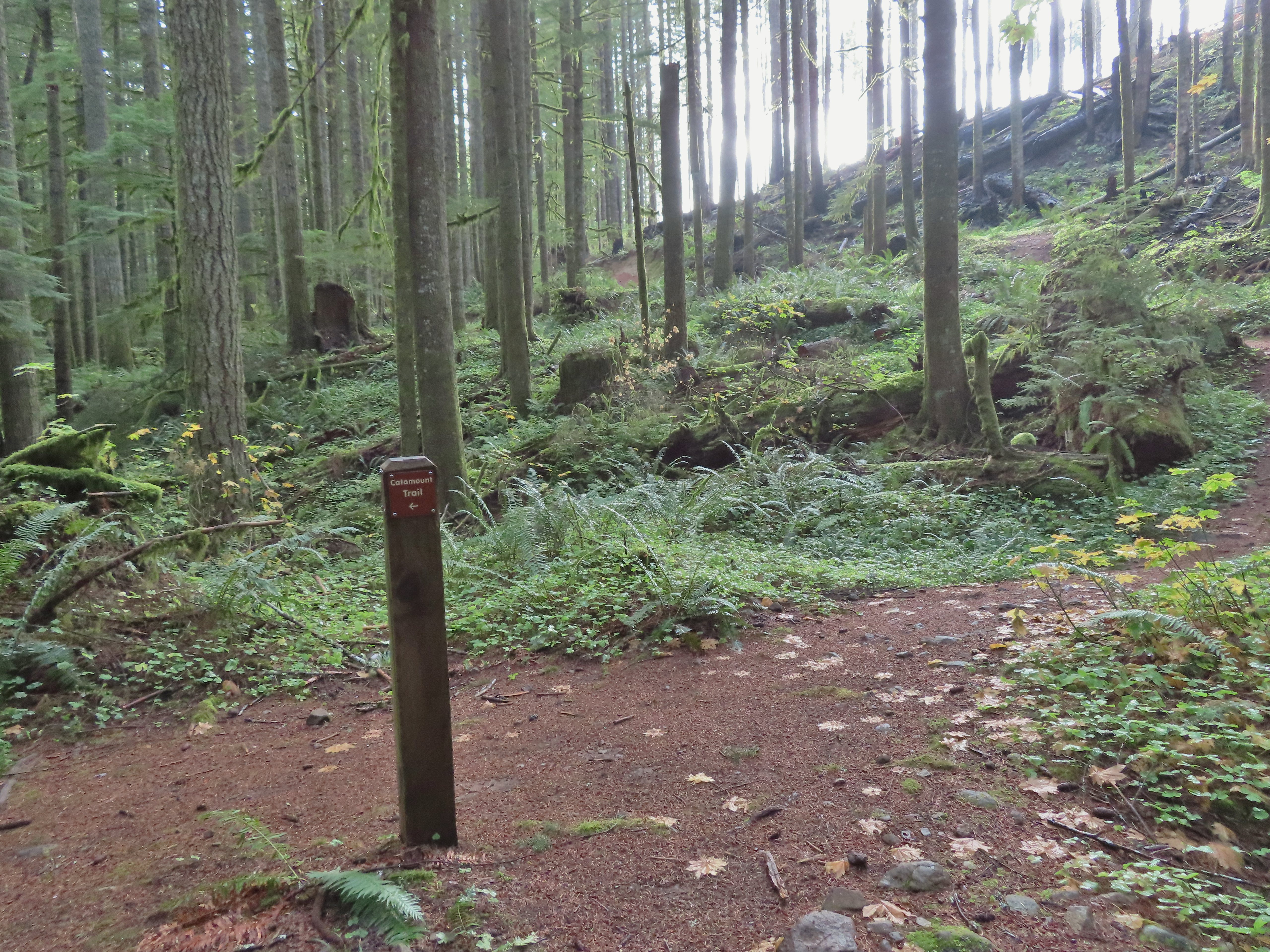
 The trail post at the junction shows the Catamount Trail instead of the Newt Loop but the map at the junction labels it the Newt Loop.
 Map check.
 This second post included the Newt Loop along with a pointer for the Catamount Trail.
 Crossing a CAT road along the Newt Loop.
 Turning onto the Catamount Trail.
 Lots of nursery stumps along the trail.
 Another nursery stump.
 Side trails were well marked.
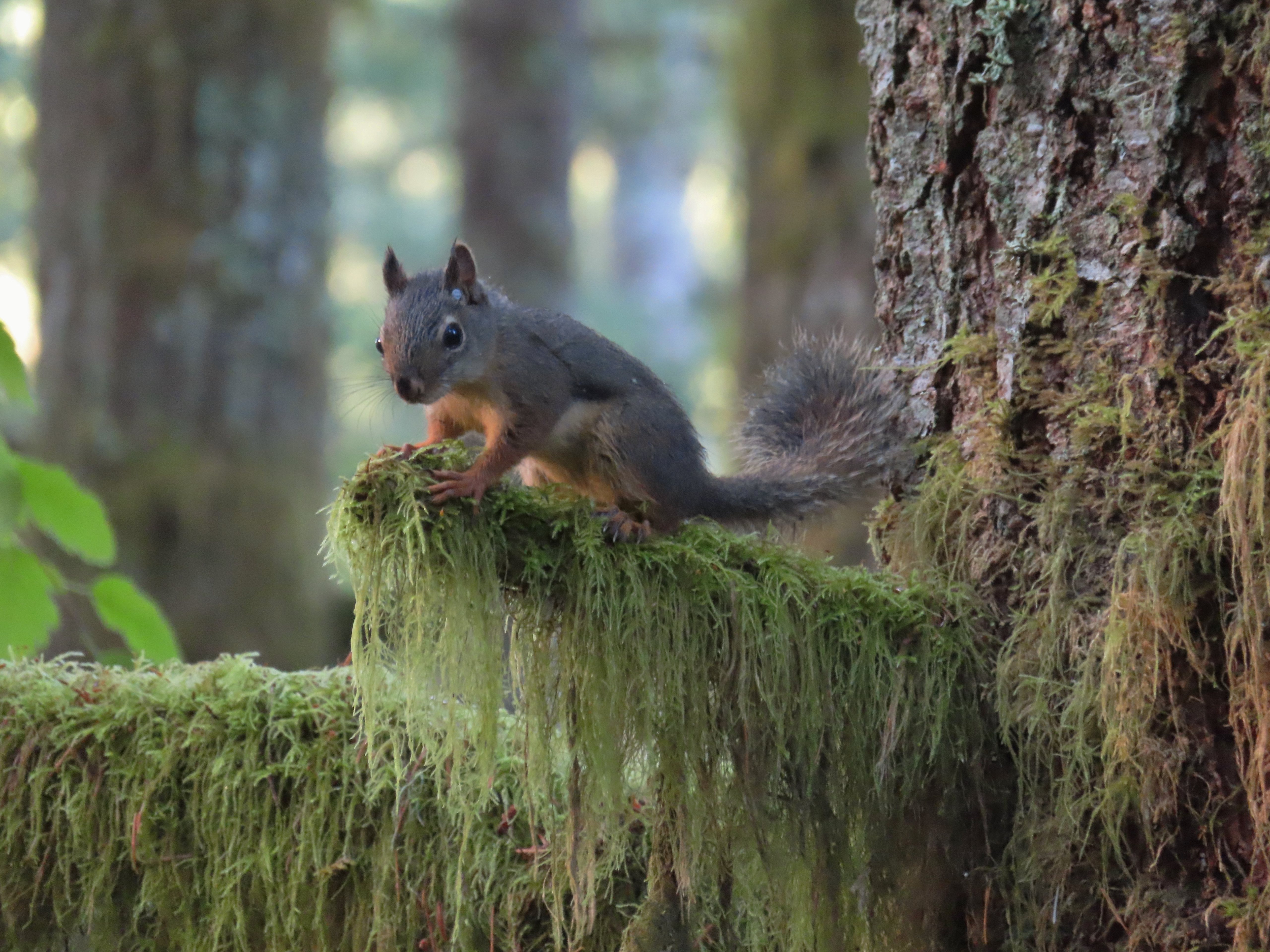
 Did not expect to see that overhead today.


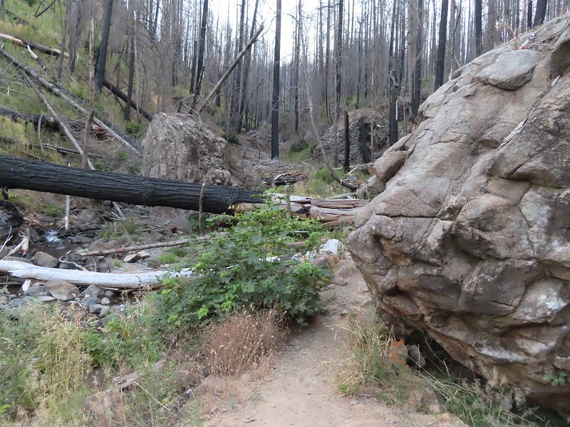
 I believe this short section of fire scar was from the 2020 Beachie Fire.

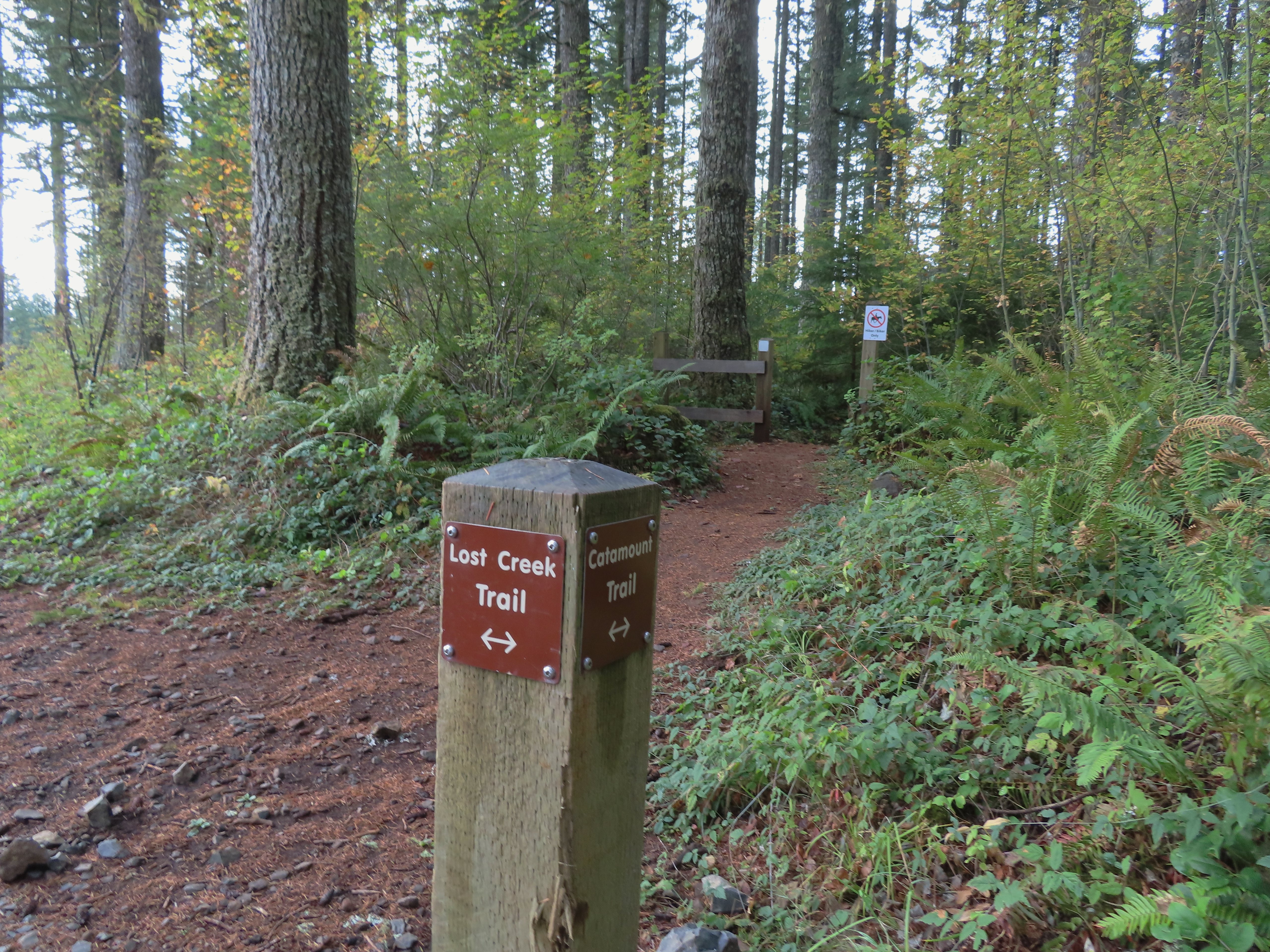
 Turning onto the road.
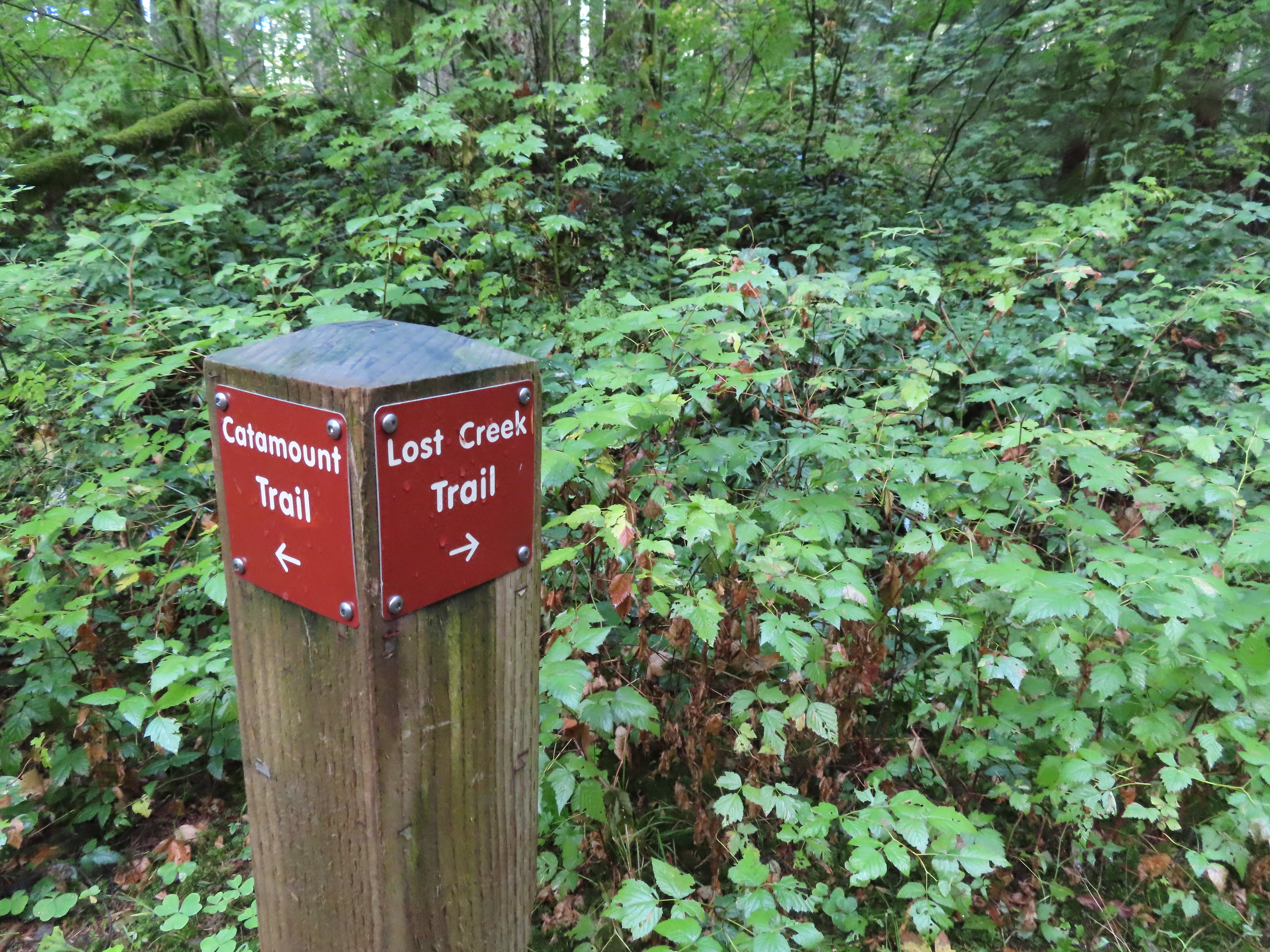 The opposite side of the post had a pointer for the Lost Creek Trail.
 I veered uphill to the right here.
 The Lost Creek/Buck Mountain junction.
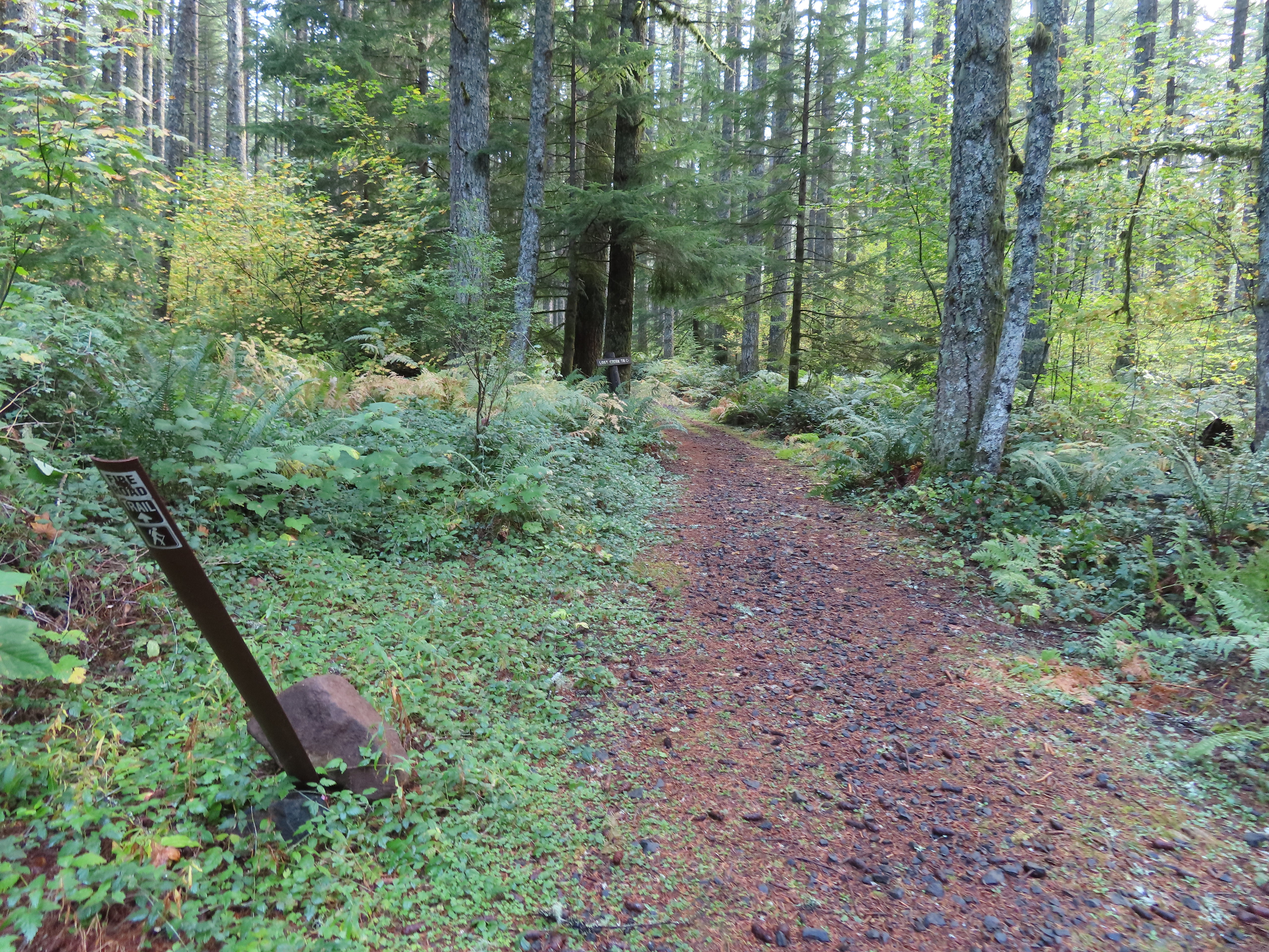 The Lost Creek Trail doubles as a fire road.
 Here is where I would have come up had the Catamount Trail did not have the on-way section. (Note that on some mountain biking maps the one-way section is labeled “Upper Catamount Trail.)
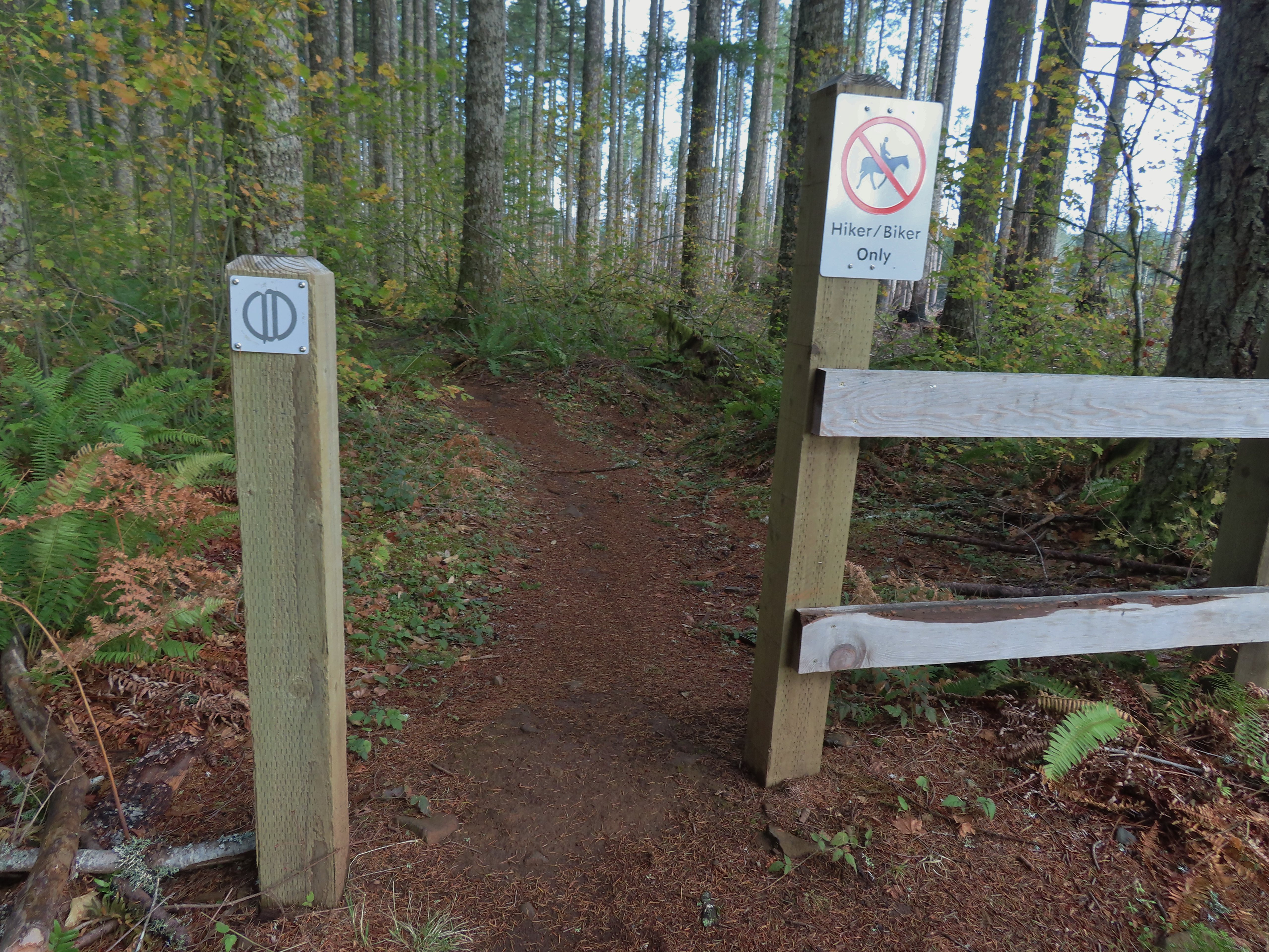
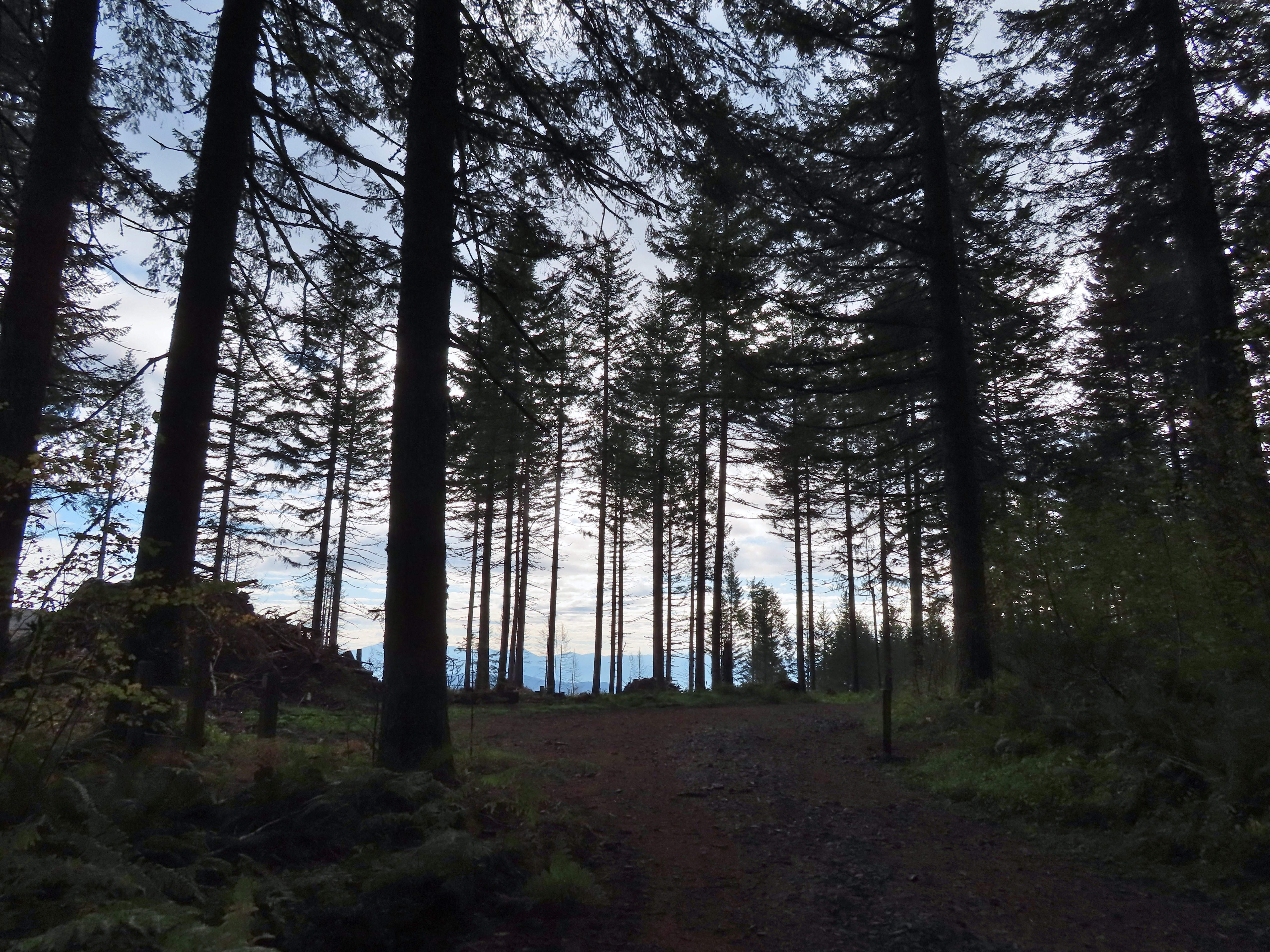
 The treeless section wasn’t long. It appeared to have been an area impacted by the 2020 Beachie Fire.
 Still some bleeding heart blooming.
 There wasn’t a lot of bright Fall colors in the backcountry, but this maple stood out.
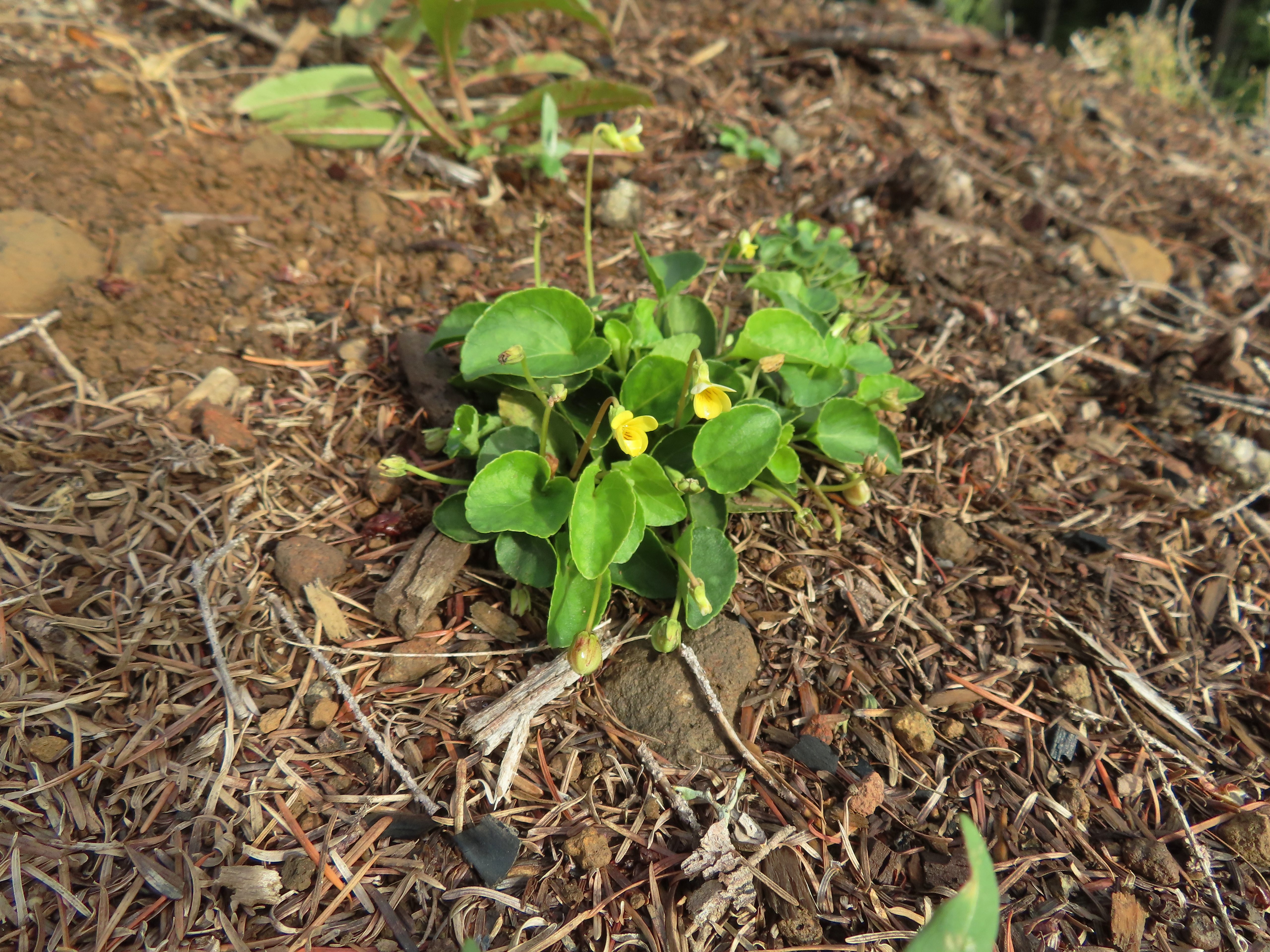 Was a bit surprised to see a few violets along this section.
 Nearing the end of the logged area.
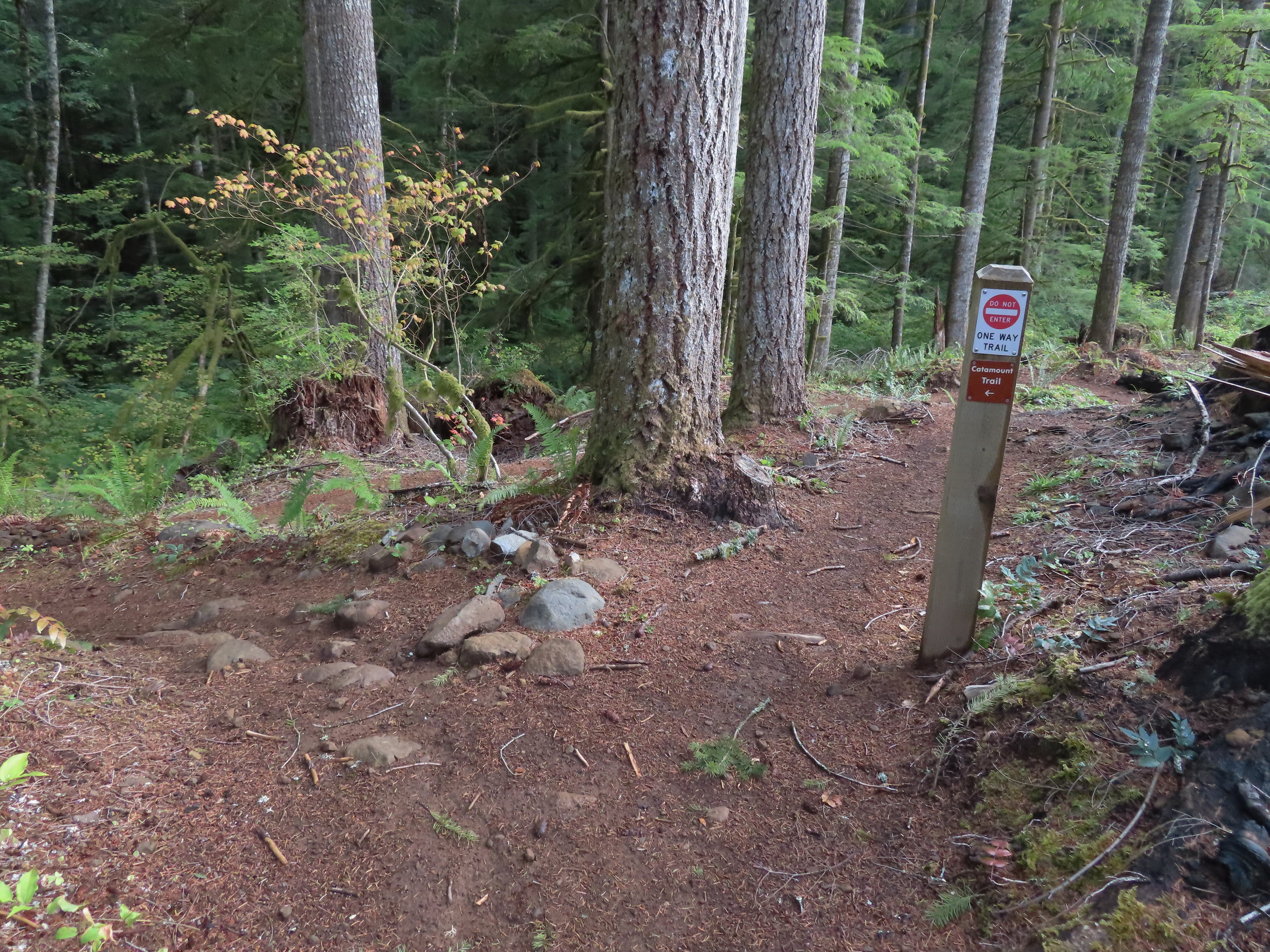
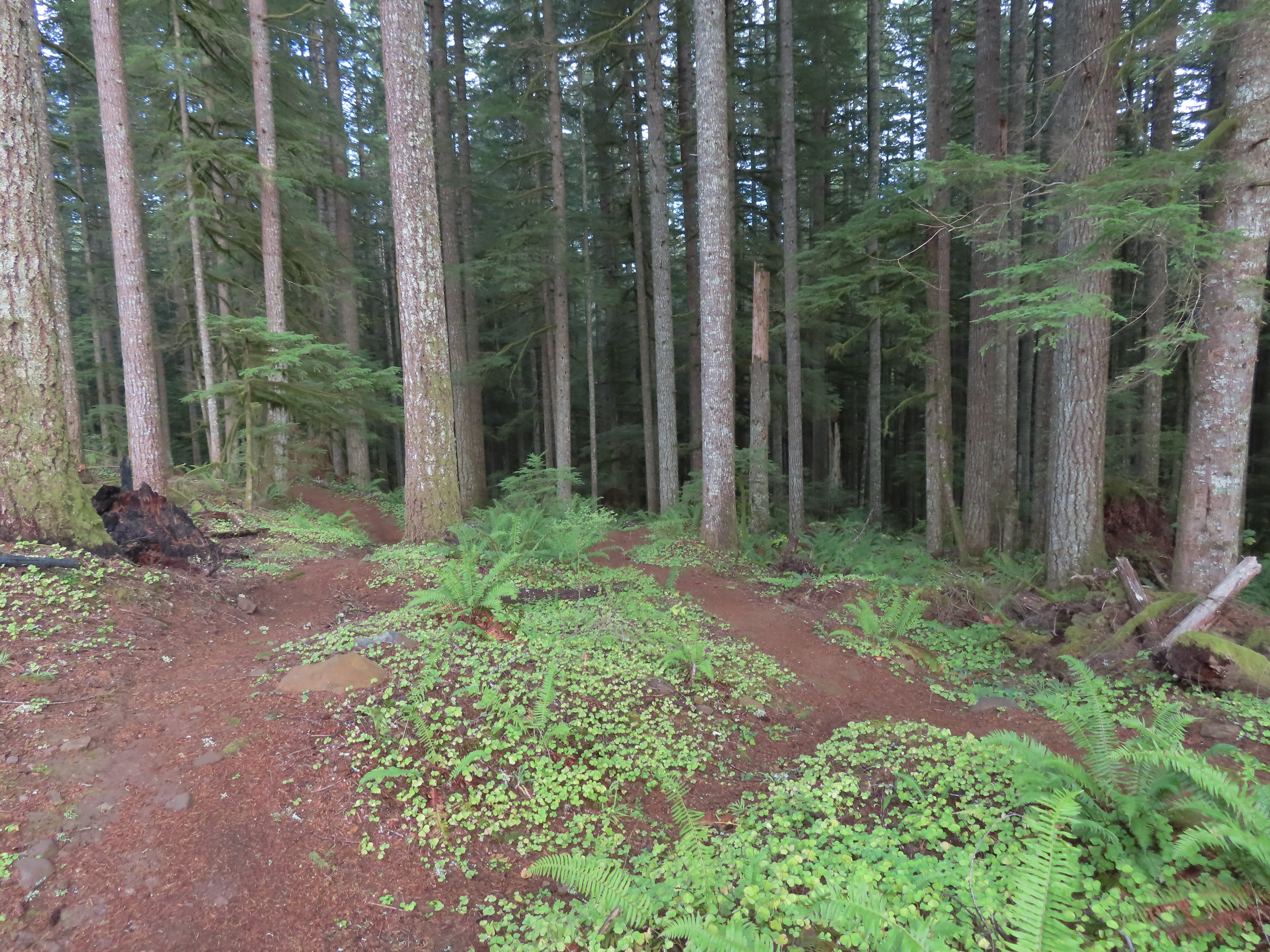
 The rejoining of the trails.
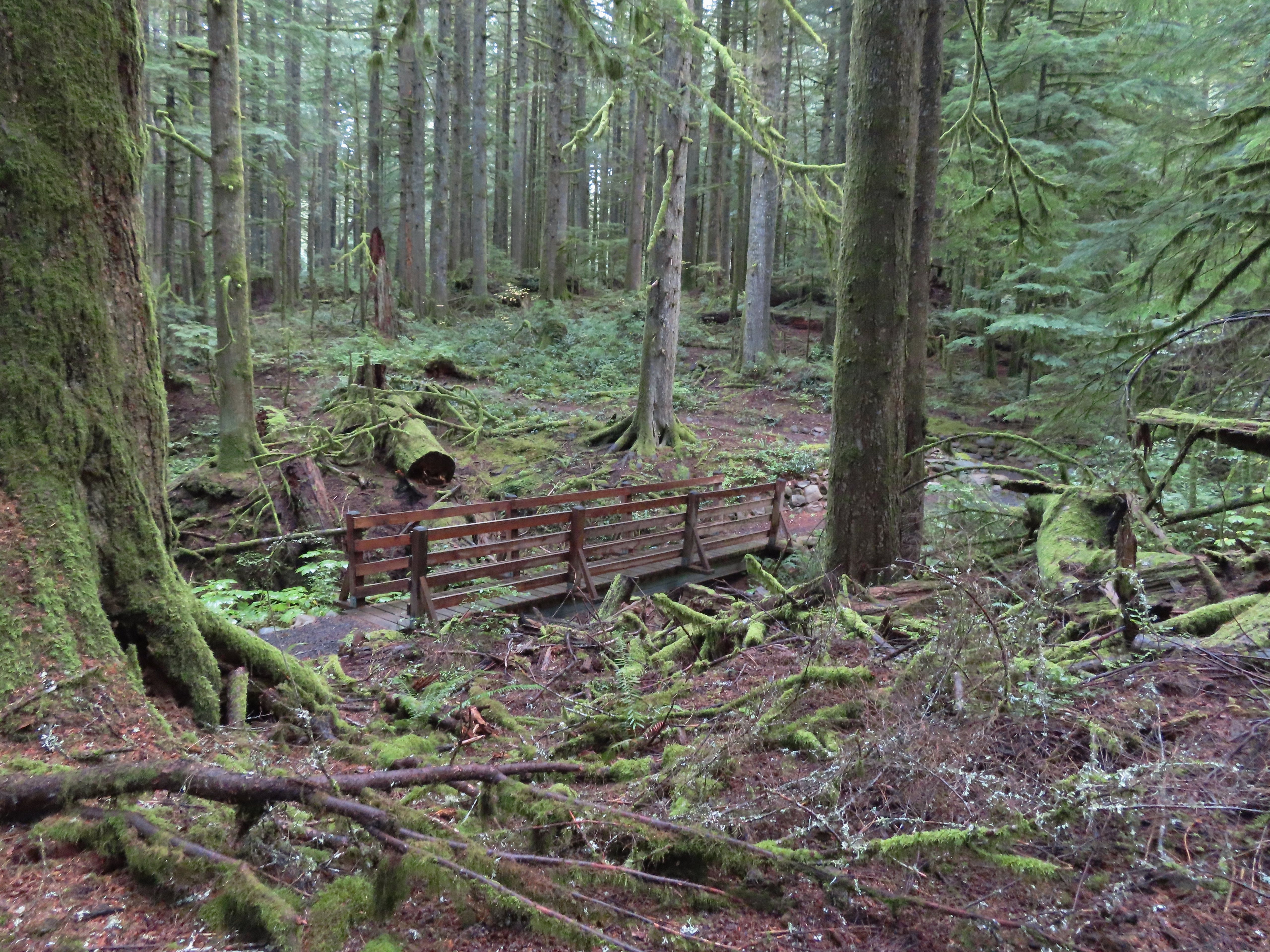 There were several bridges along this section of the trail. I also ran into the only mountain bikers that I would encounter all day in this area, a group of five.
 The Buck Mountain Loop junction.
 Bridge over Howard Creek.
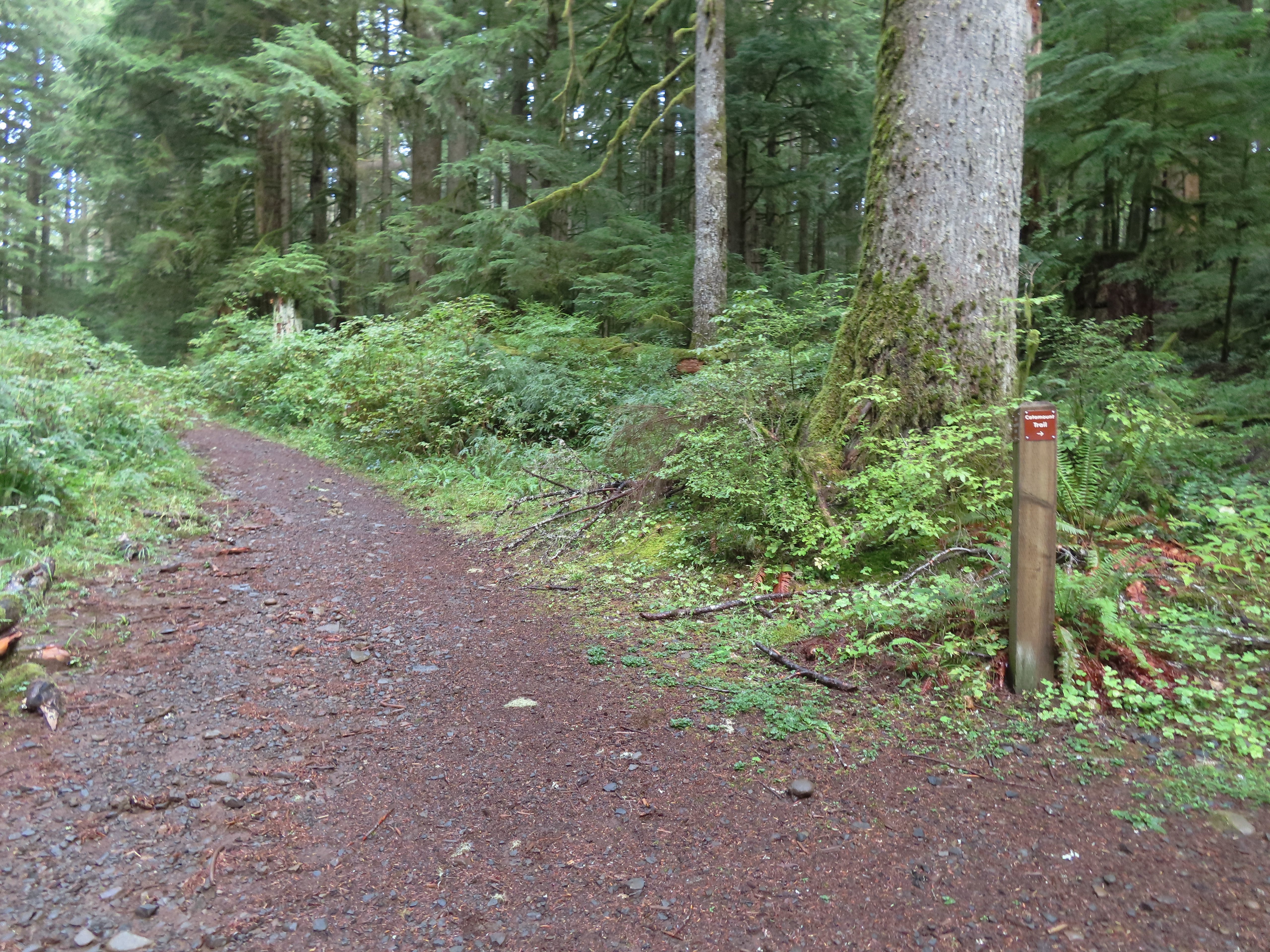 The continuation of the Catamount Trail on the right.
 The map showed the section I had just done as 0.9 miles, but my track was a bit more twisty than the map.
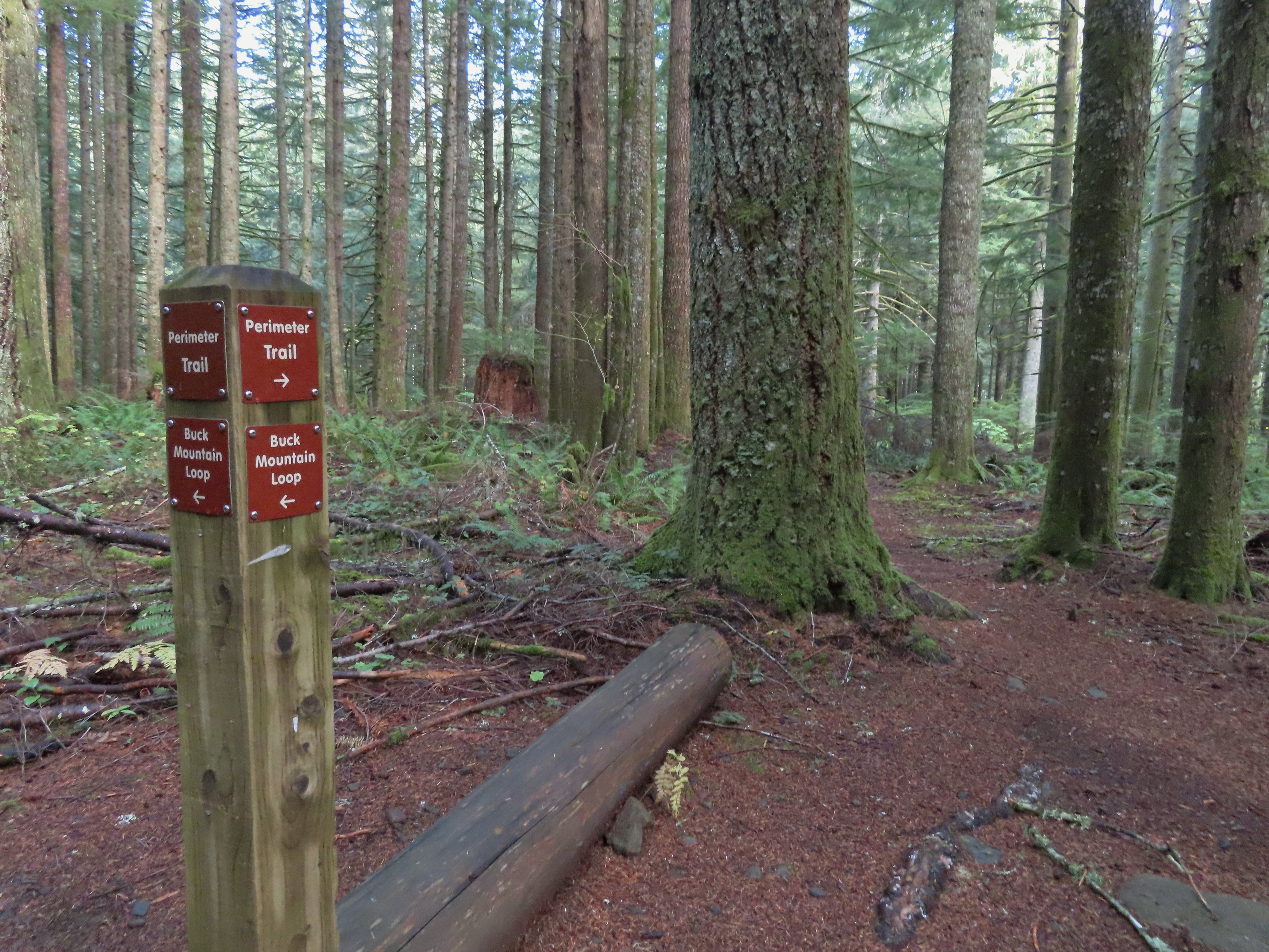
 A small opening on the way down.
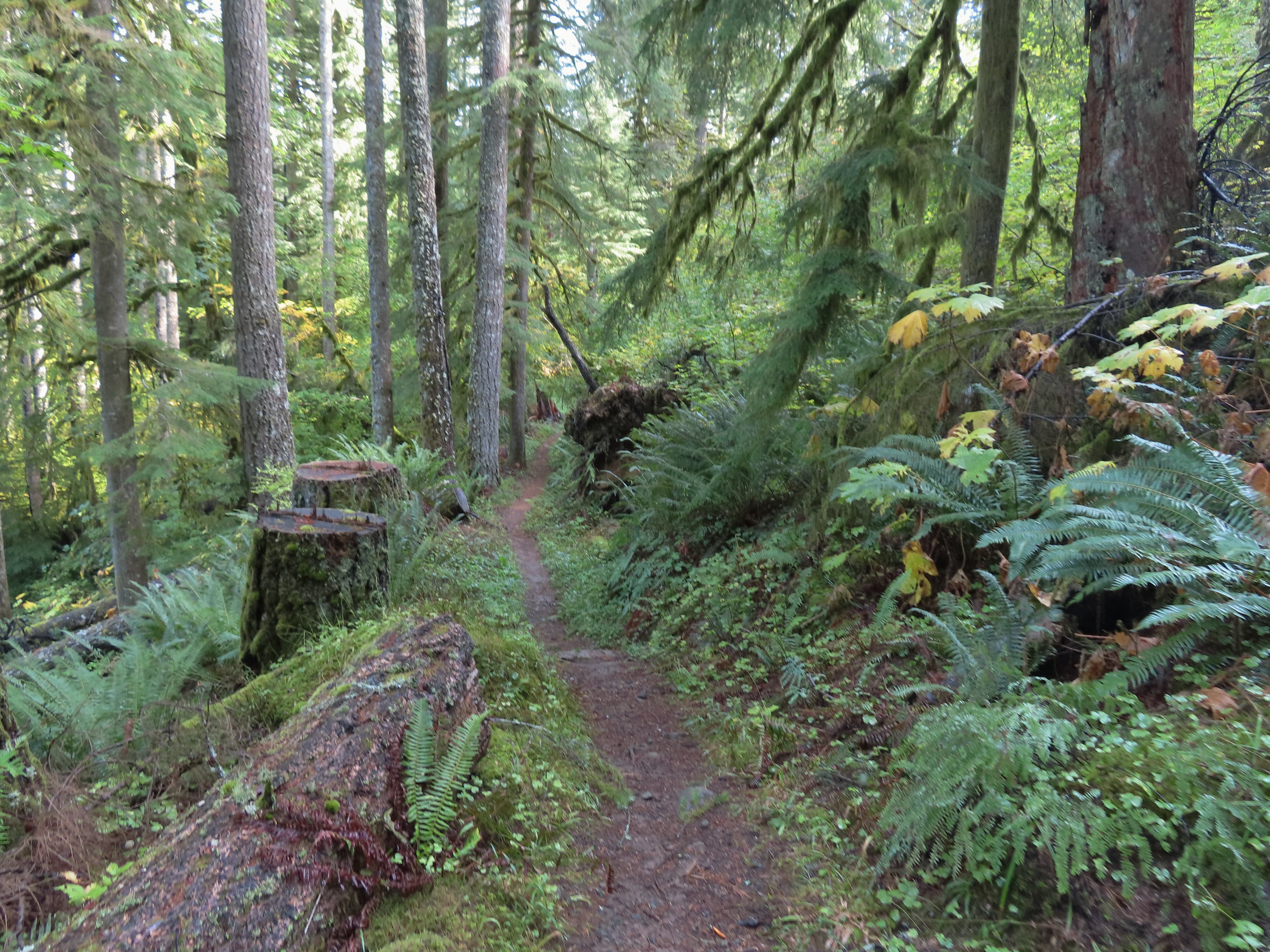

 Footbridge over South Fork Silver Creek.
 South Fork Silver Creek
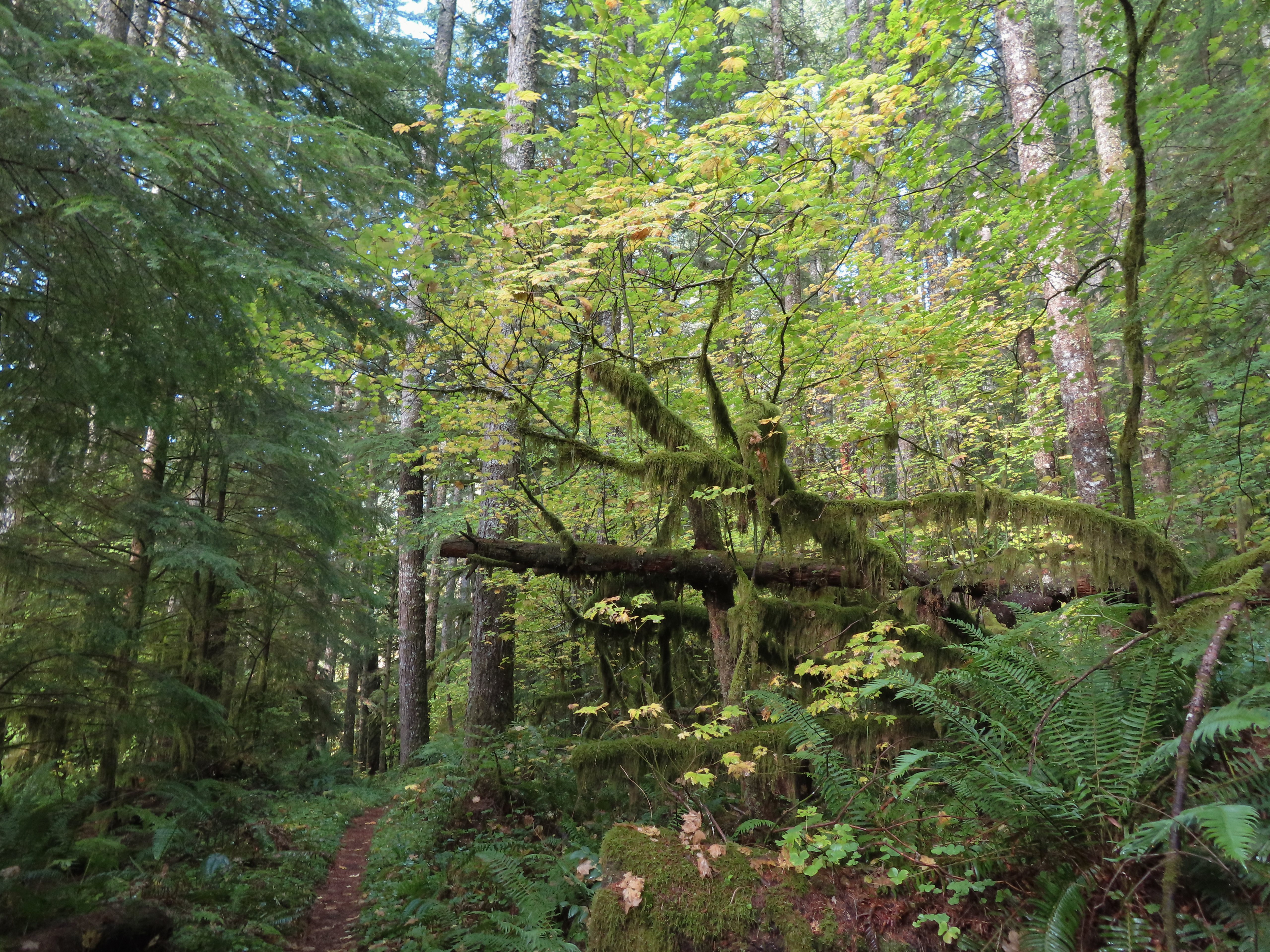


 I’m a hiker so I went right here.
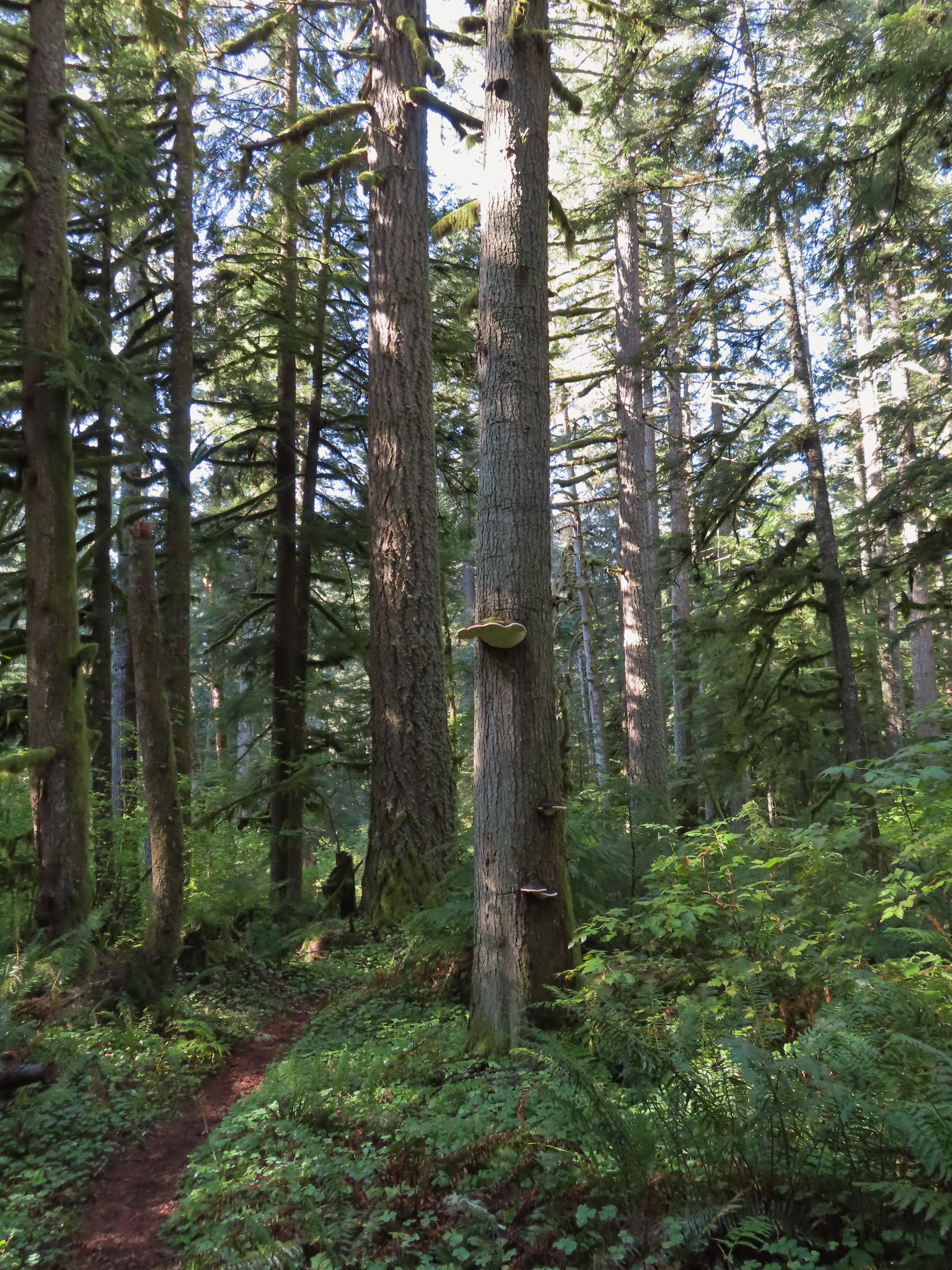 Big fungus on the tree ahead.
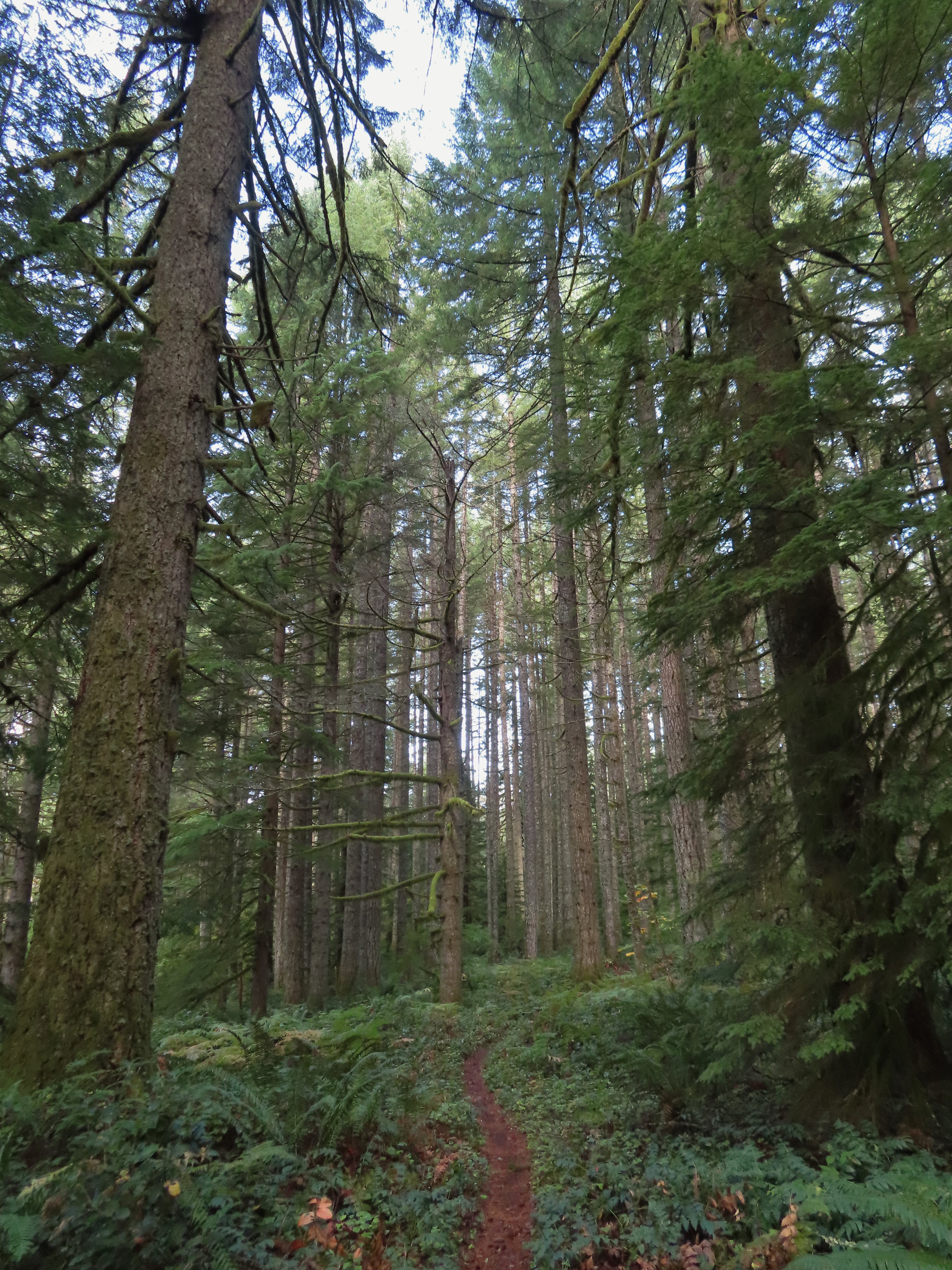

 Map at the Rackett Ridge junction.
 Another impressive nursery log.
 I stopped in this area to change out of my sweaty socks and into one of the extra pairs I’d brought expecting rain.
 The vegetation went through several changes as the trail lost elevation.
 This was a big tree in the midst of much smaller ones.
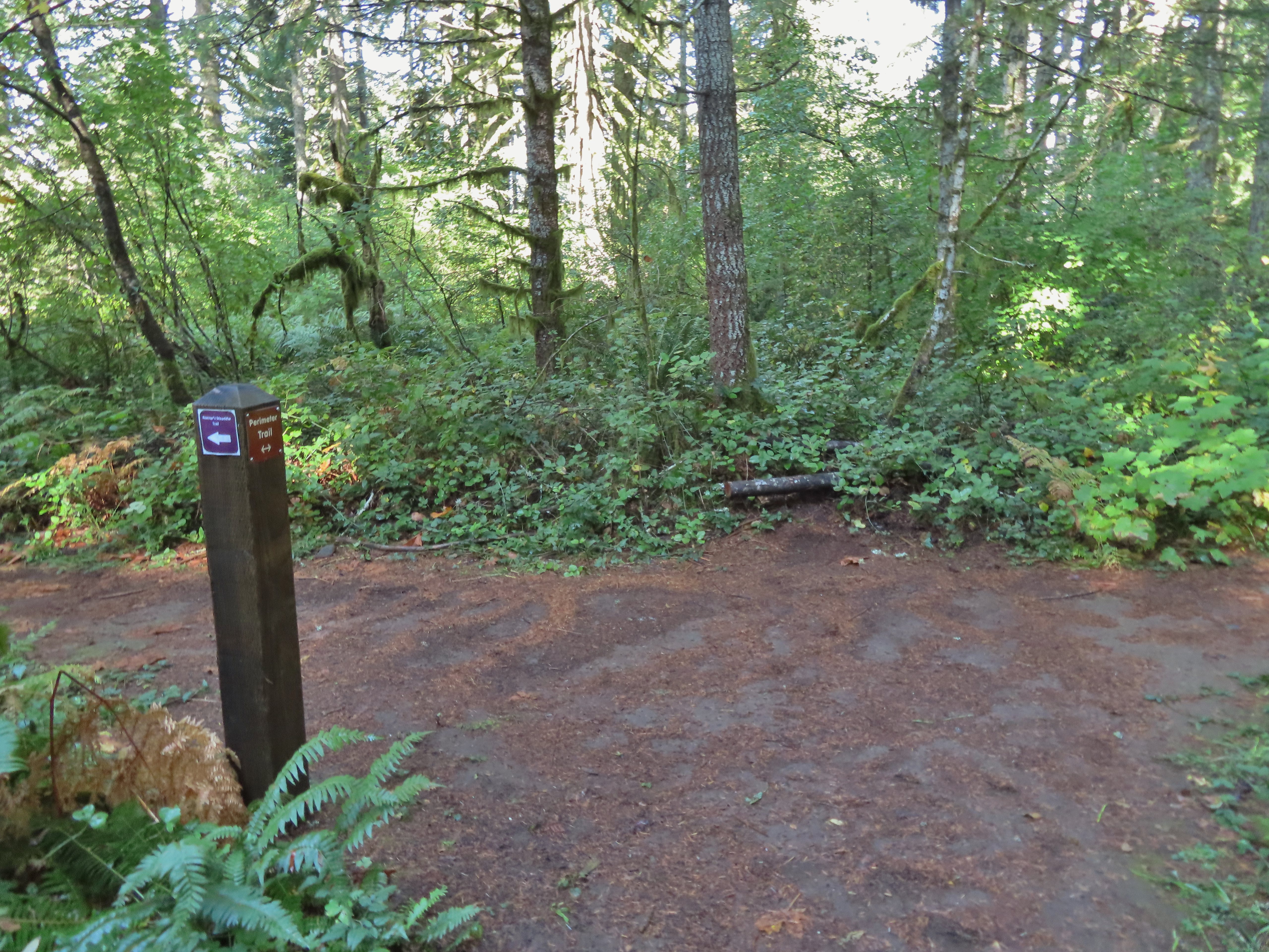 Roemer’s Meadow Trail (left) isn’t shown on the park maps yet, but it was completed in 2021 with help from the
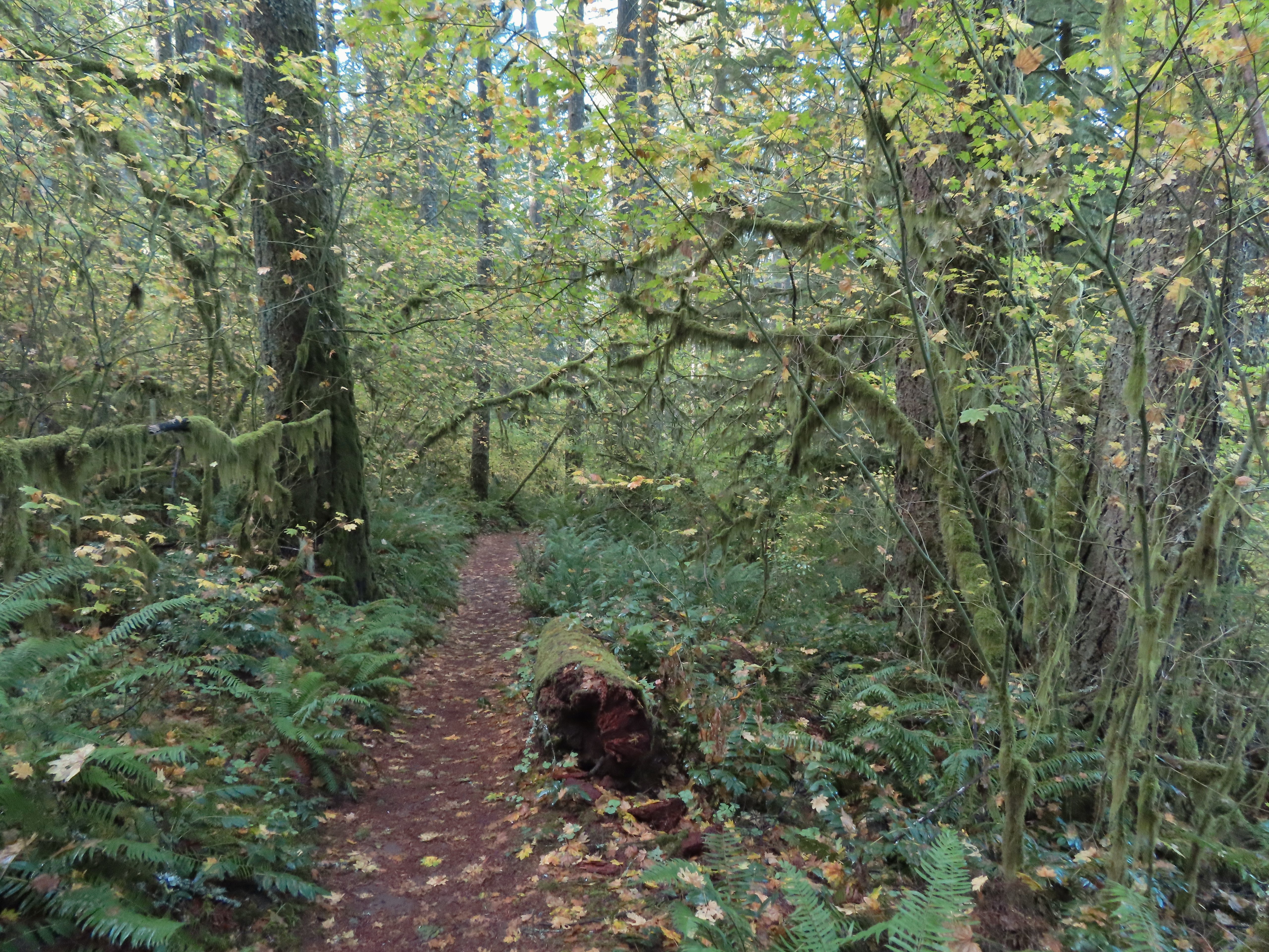
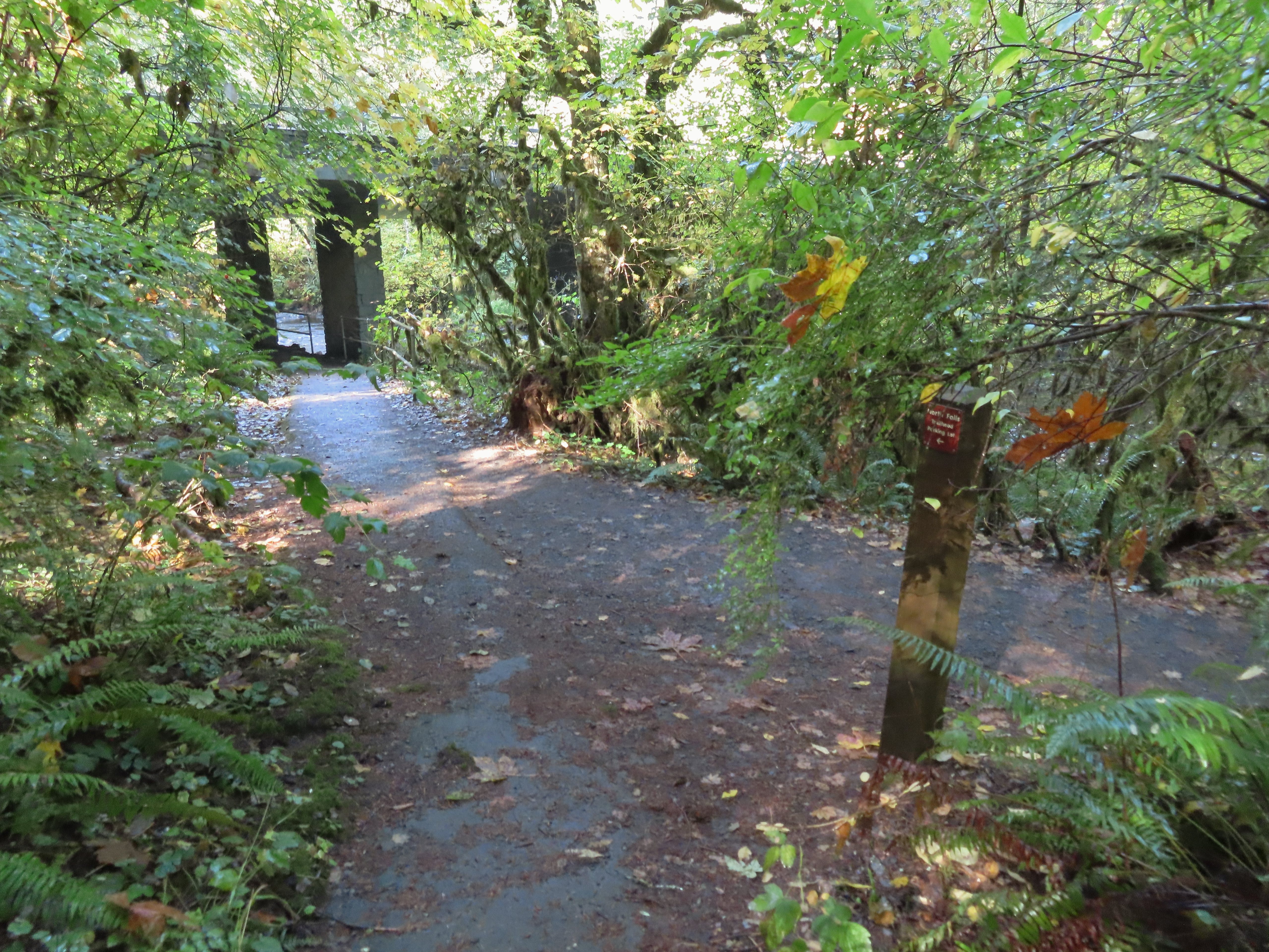 The Trail of Ten Falls junction near Highway 214.
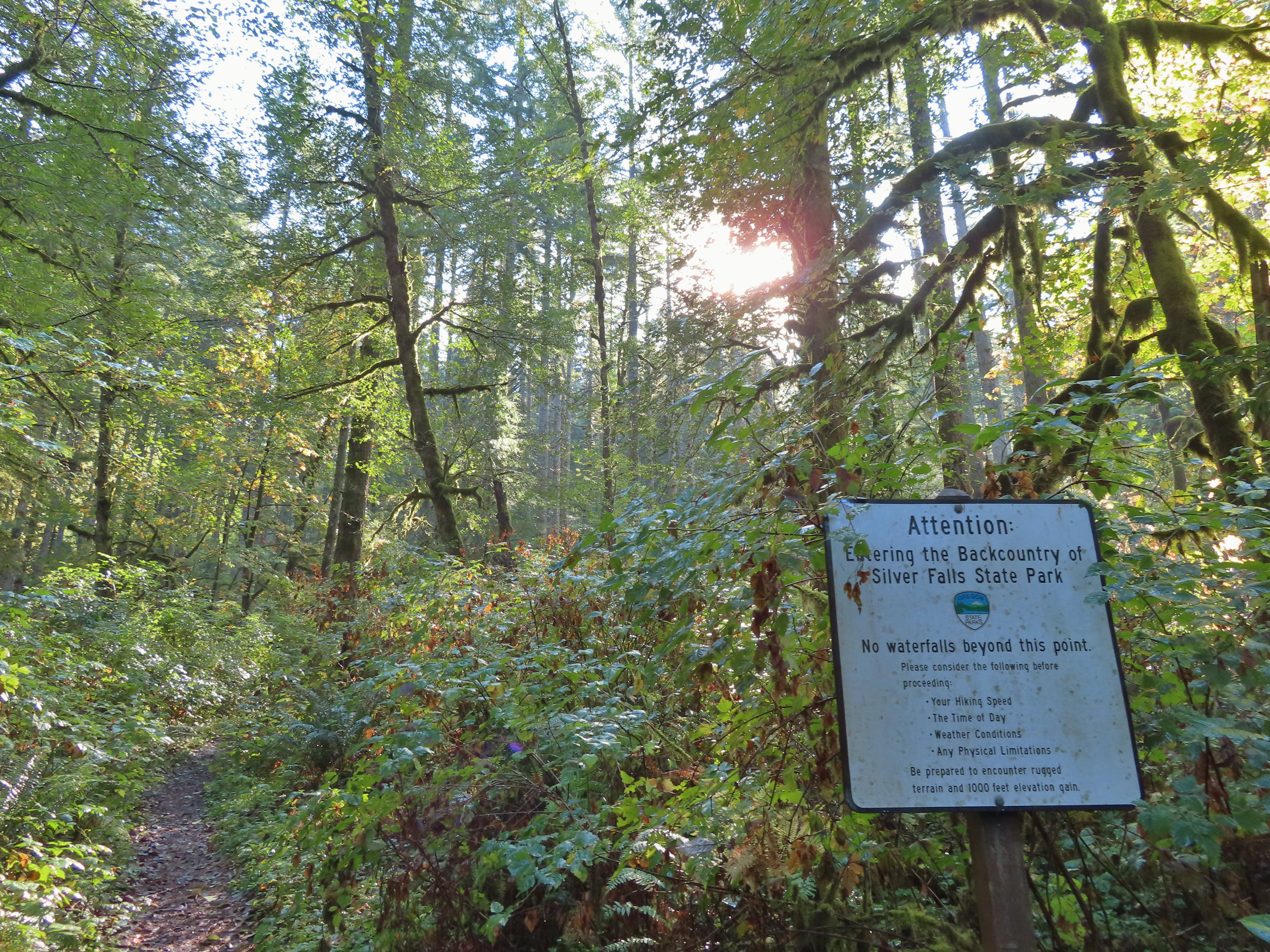 Looking back up the Perimeter Trail.
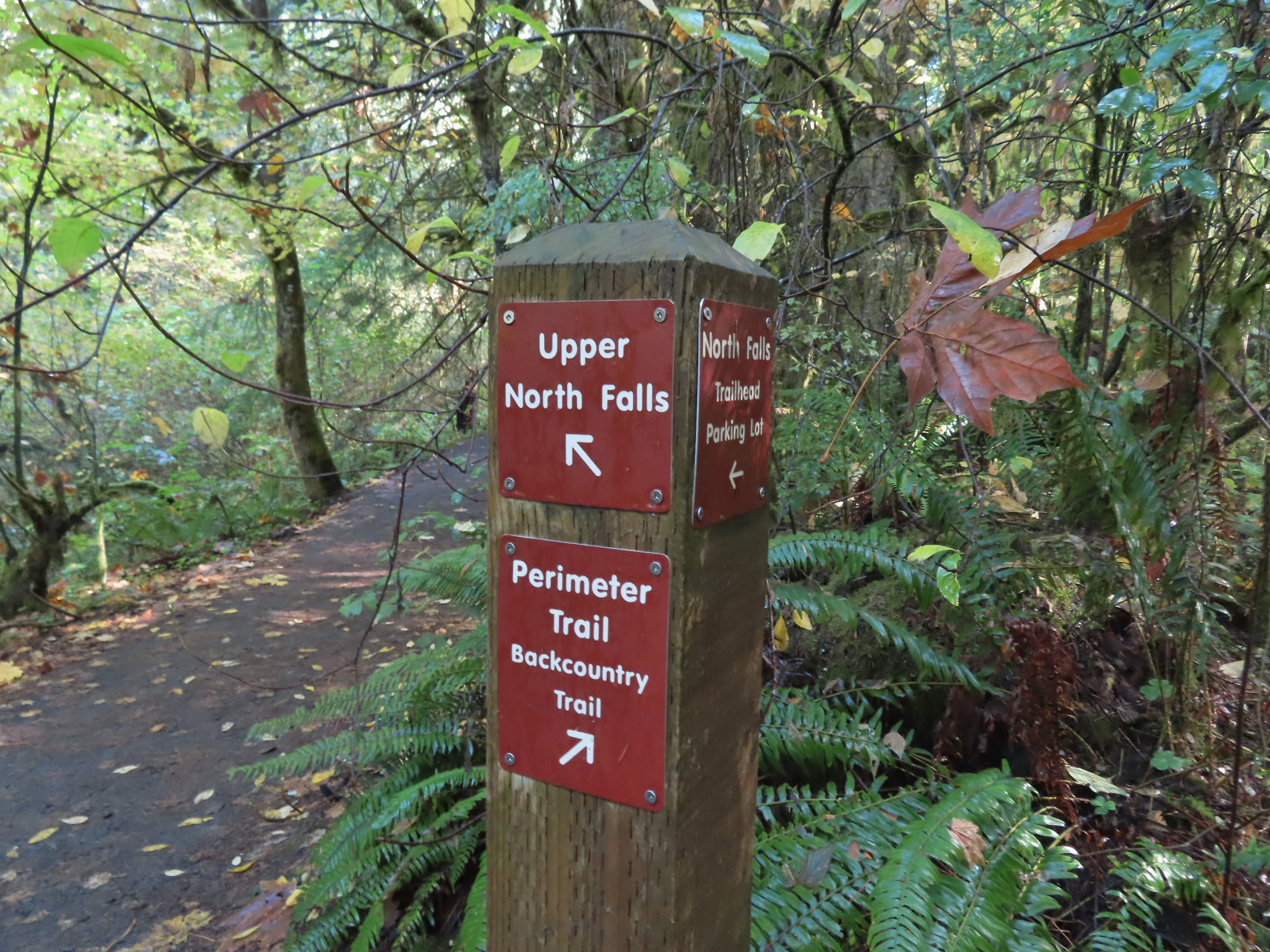
 Upper North Falls
 A left would have taken me to the North Falls Trailhead.
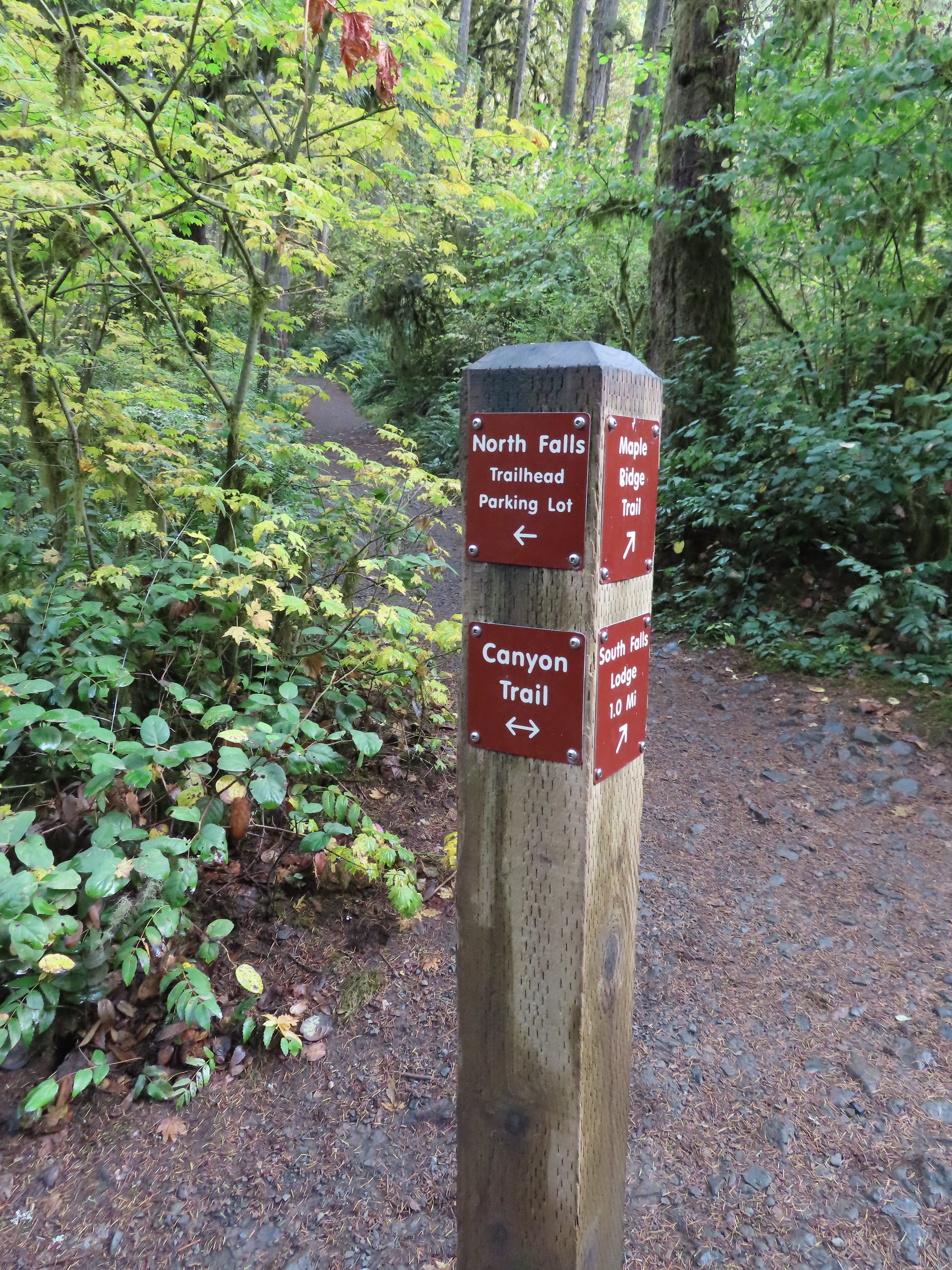
 The Rim Trail to the left and Canyon Trail to the right, both part of the Trail of Ten Falls.


 I’m always impressed by the size of this rock in the creek.
 Not Twin Falls, but a nice little cascade nonetheless.
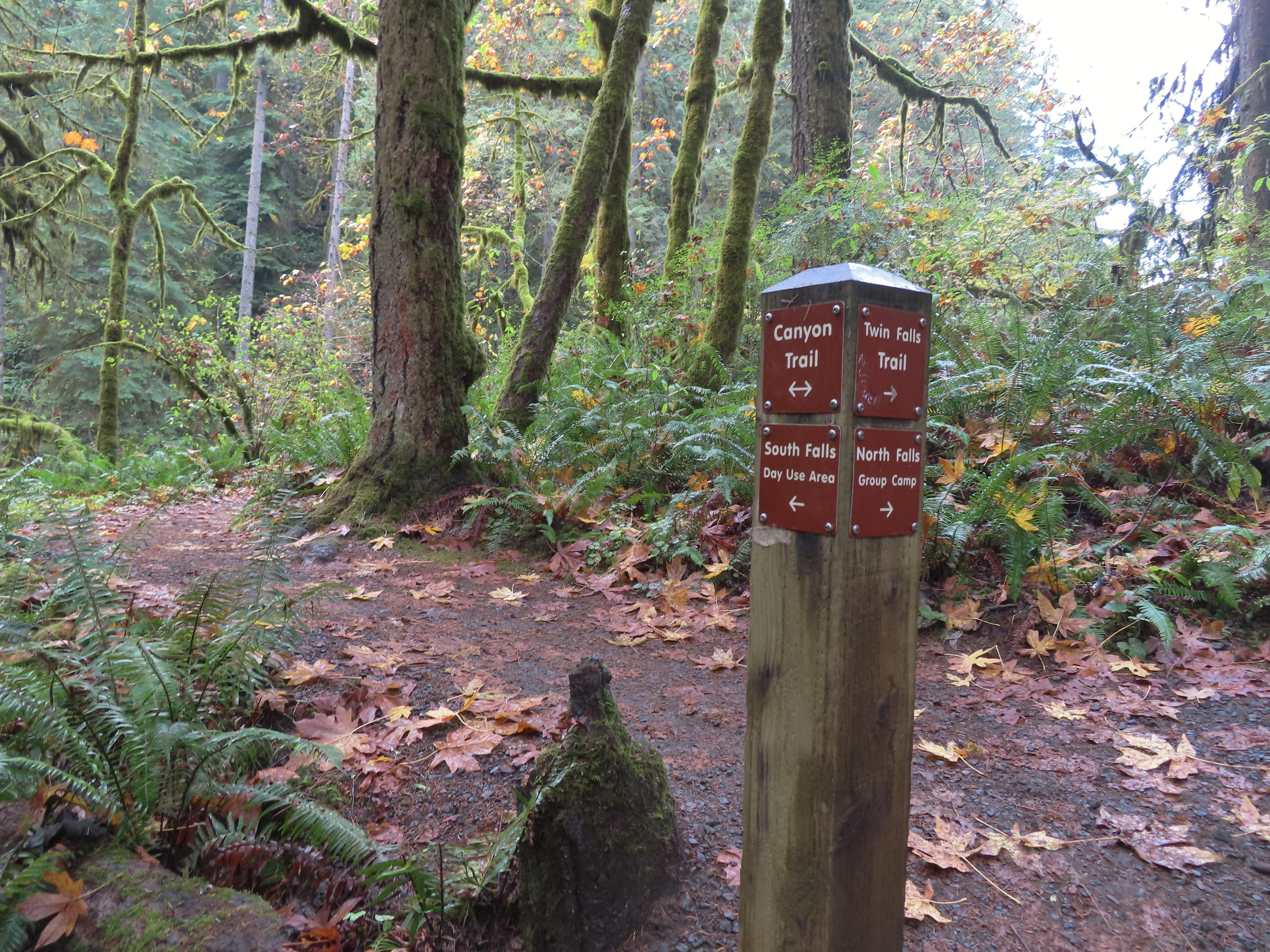 This post could be a little confusing without a map. The Twin Falls Trail climbs uphill to a group camp and does not lead to Twin Falls. The falls are the opposite side along a very short spur trail that connects at either end to the Canyon Trail.
 Twin Falls isn’t very easy to see from the spur trail either even though you’re right next to it.
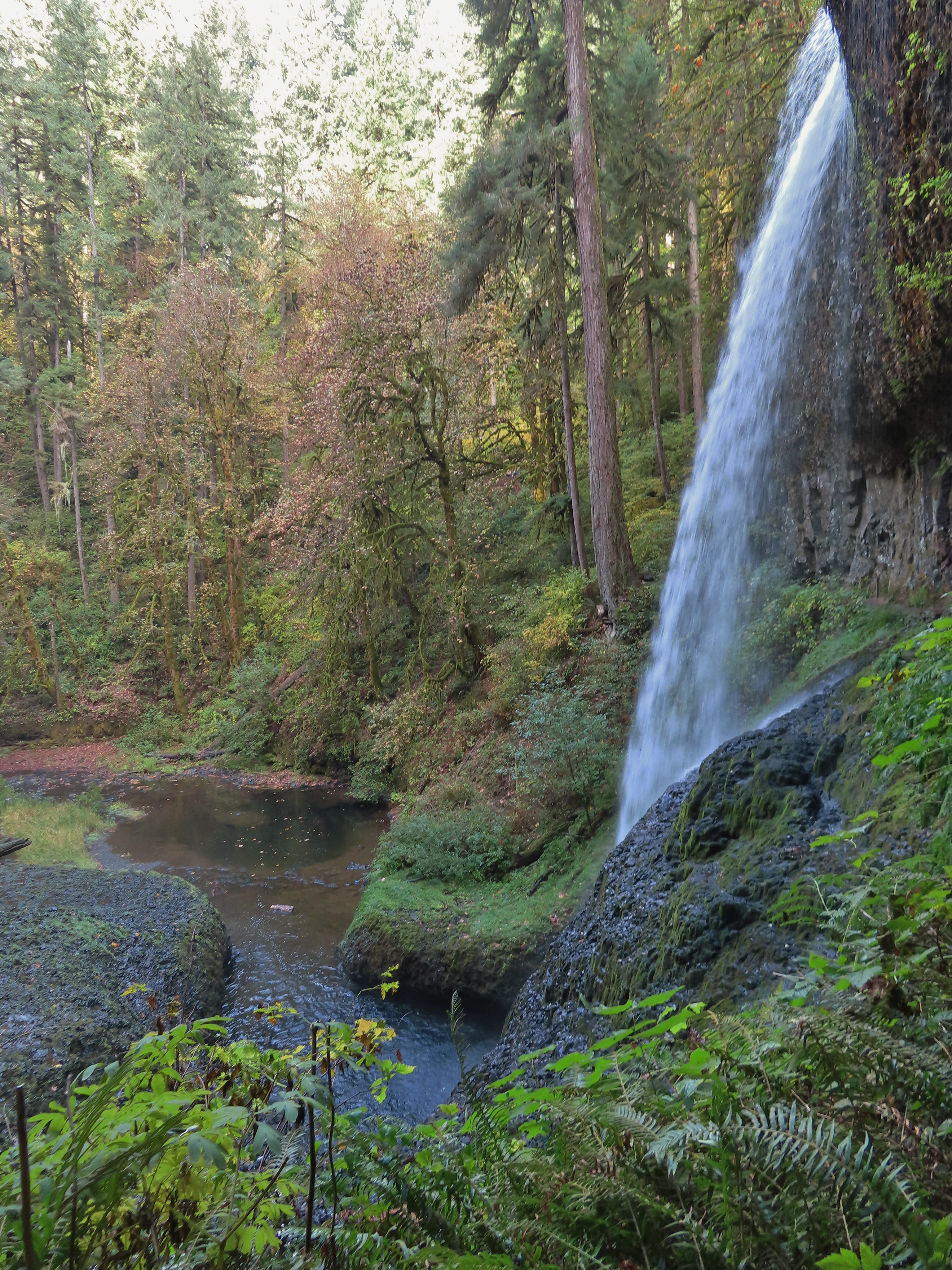
 Twin Falls

 North Fork Silver Creek
 Winter Falls, as the name suggests it’s not much of a waterfall outside of Winter when rain and snowmelt provide more water.
 With the dry Summer it isn’t a great Fall color year but there was a decent display along this trail.
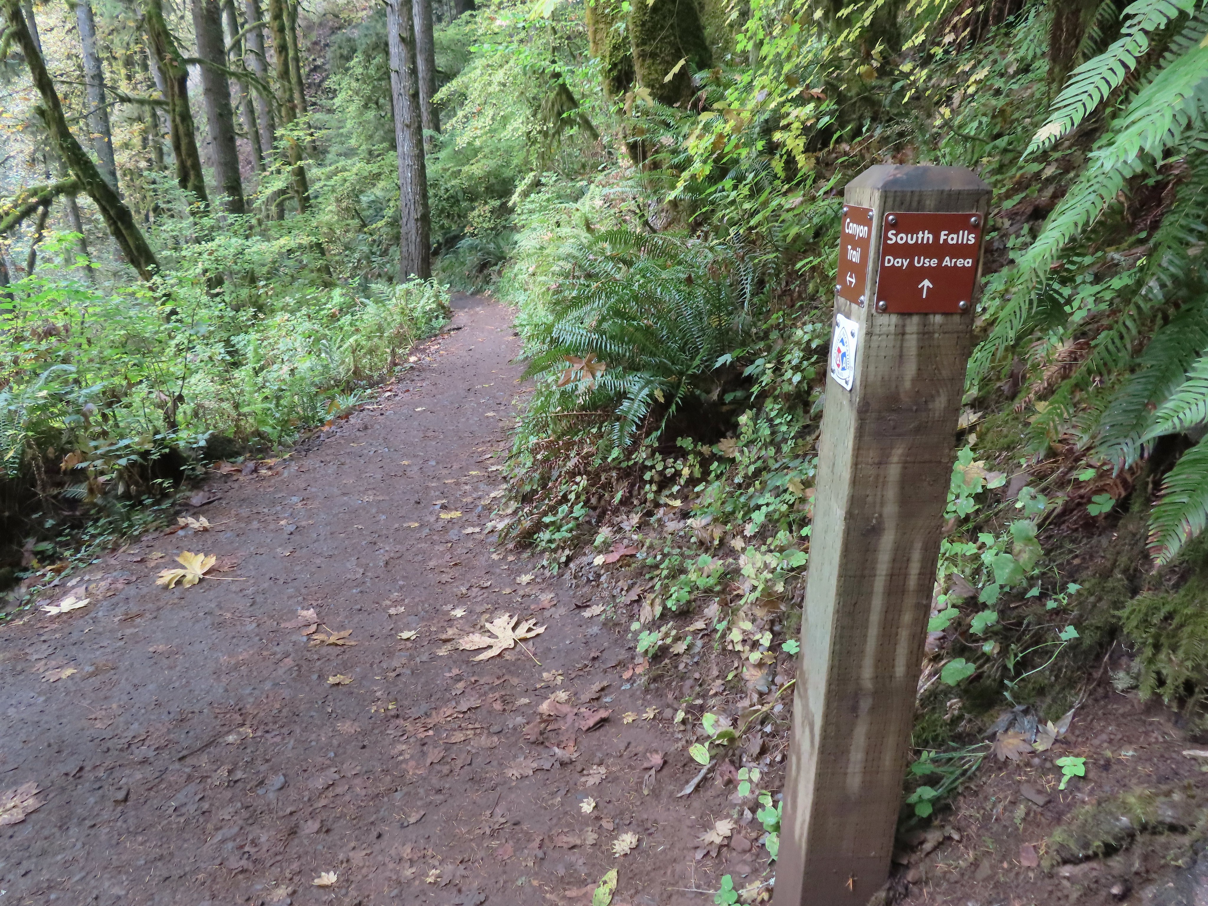 I turned left here on the spur trail behind Middle North Falls.


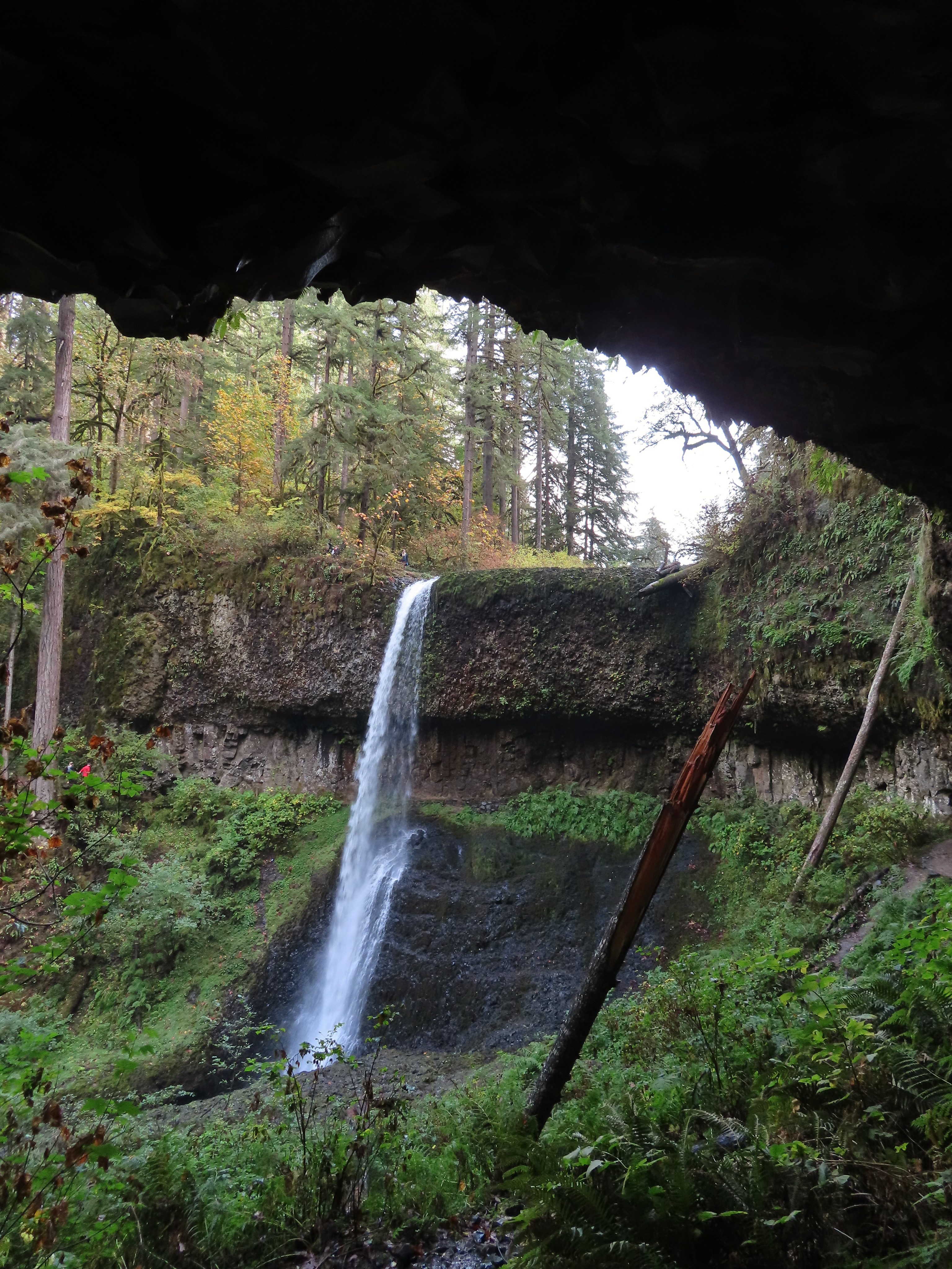
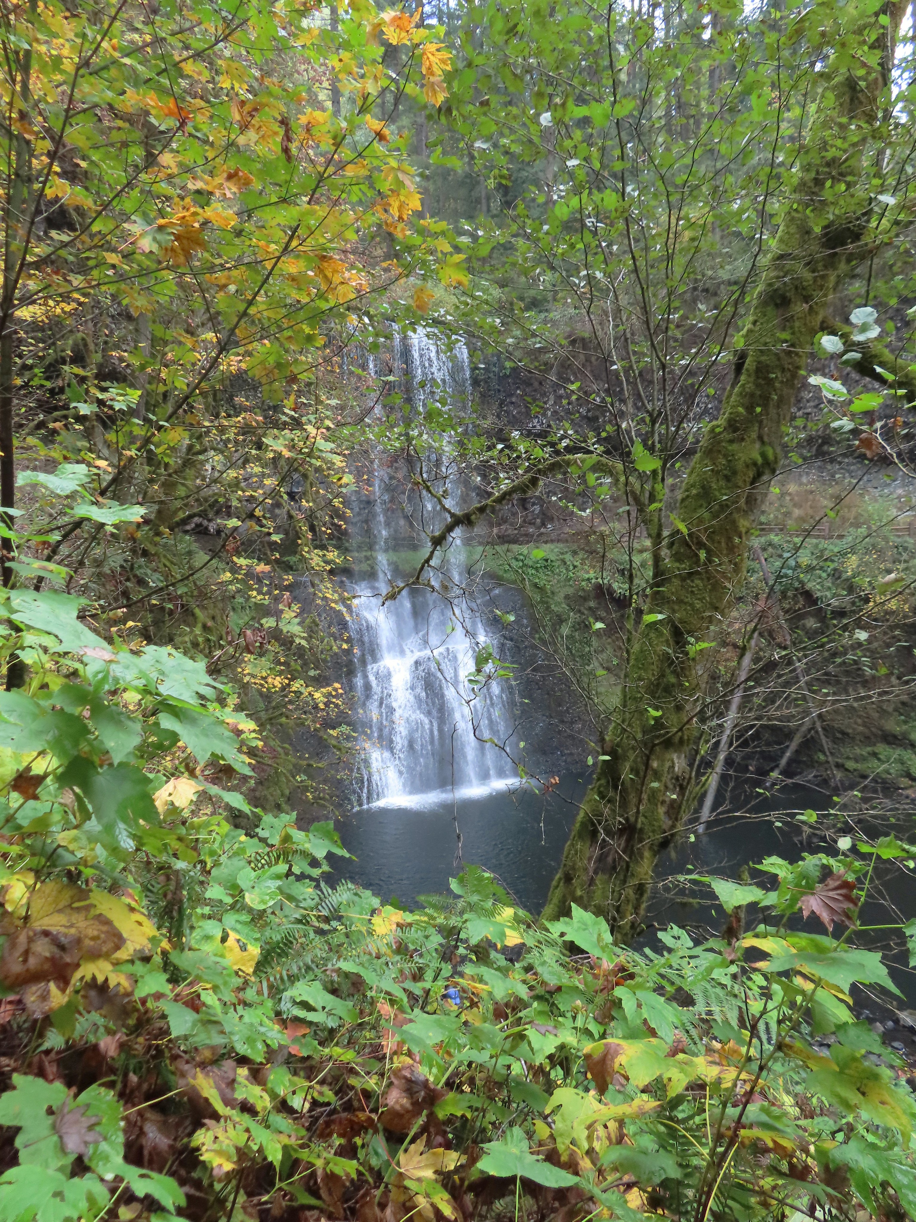
 Middle North Falls from the Canyon Trail.
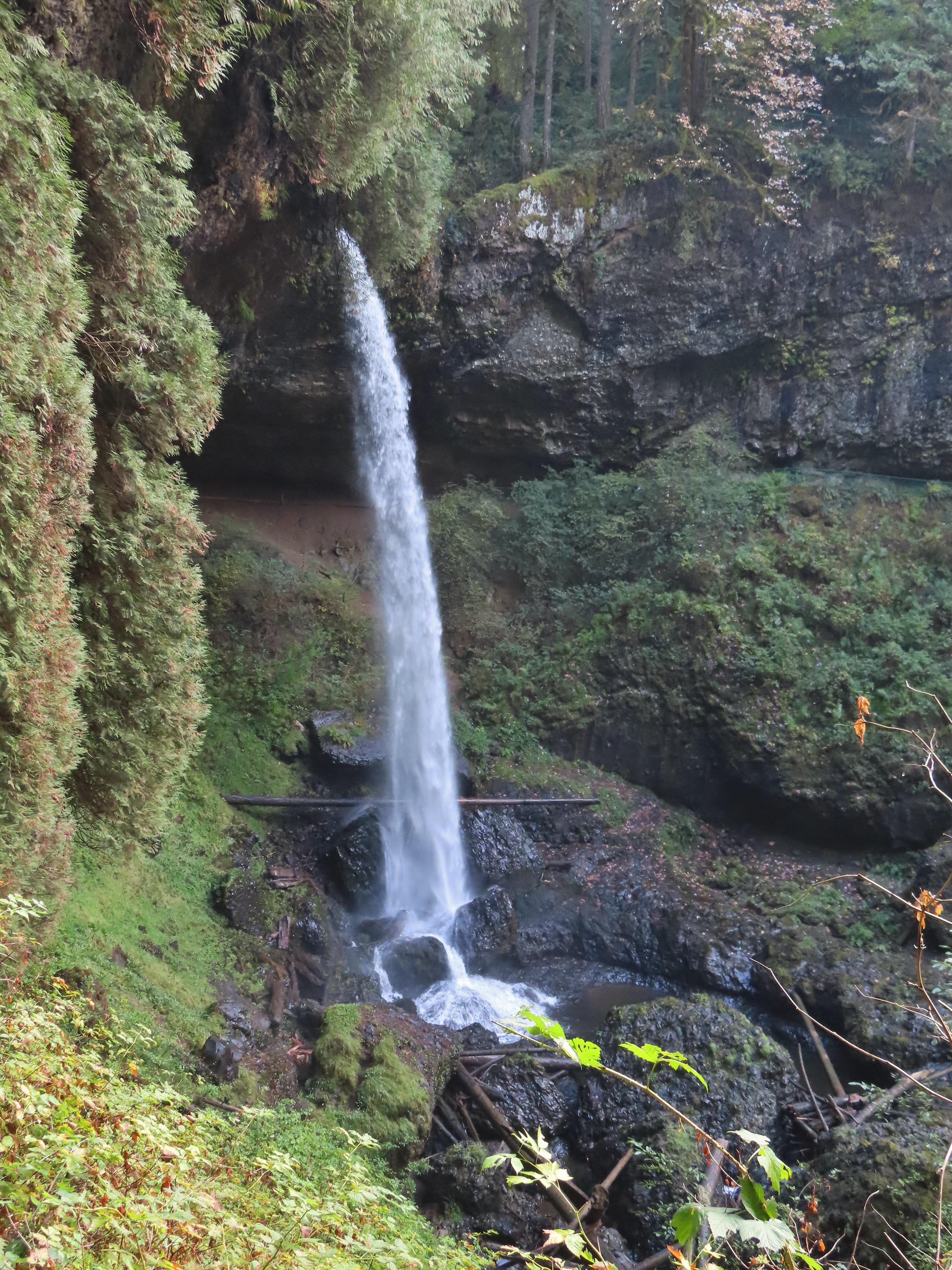
 The 27′ Drake Falls.
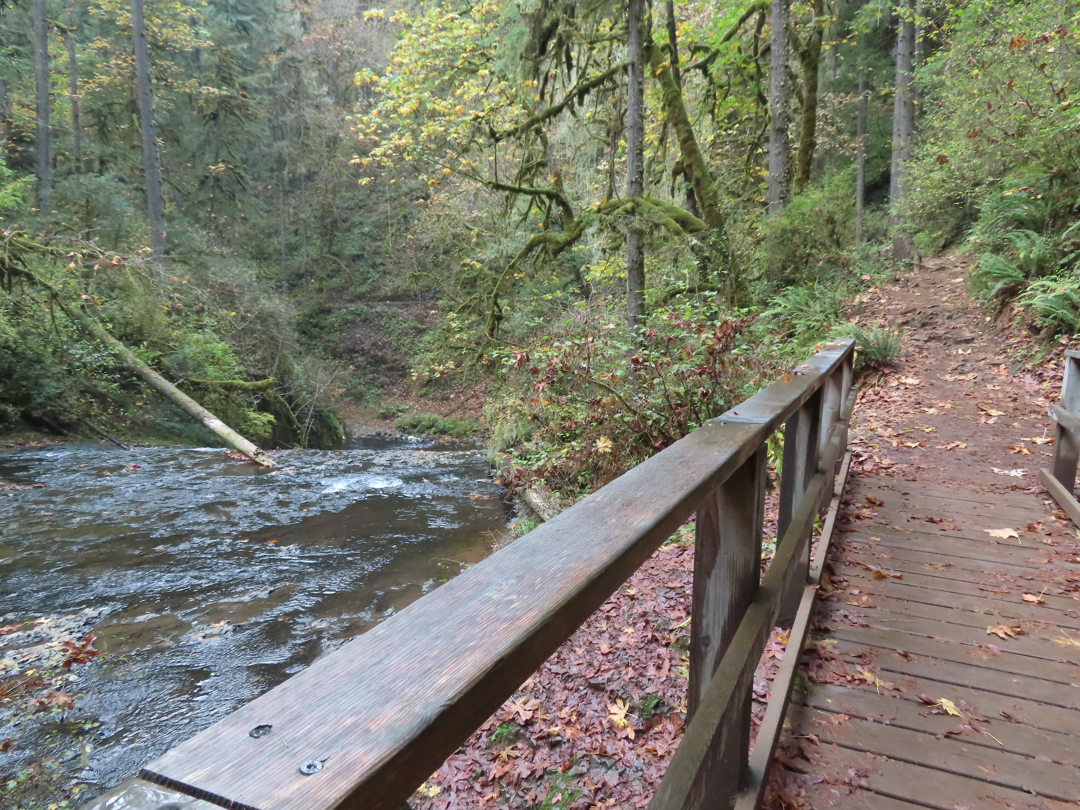

 The hiker at the base gives a good idea of the fall’s height, you just have to use your imagination to add water.

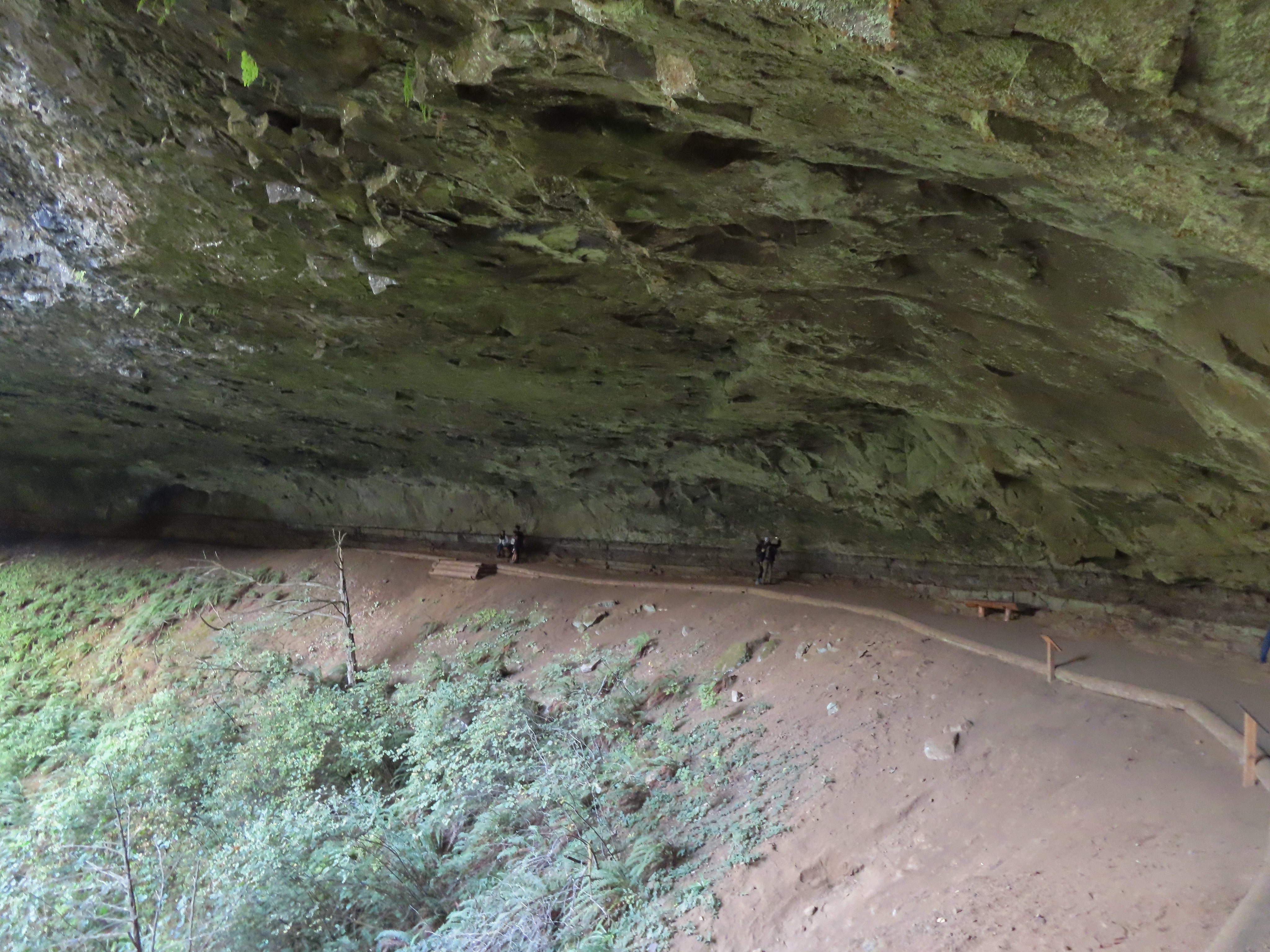
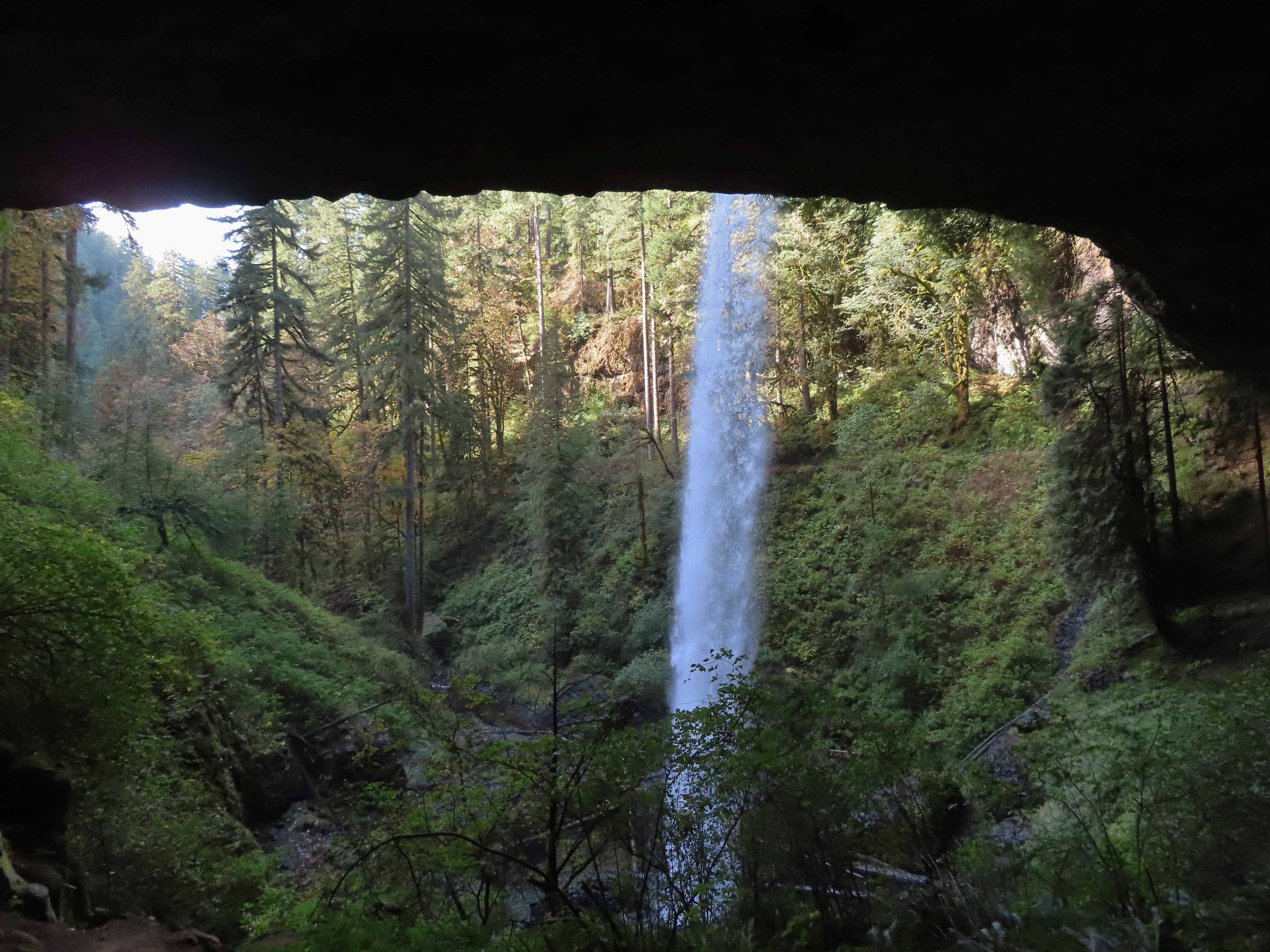
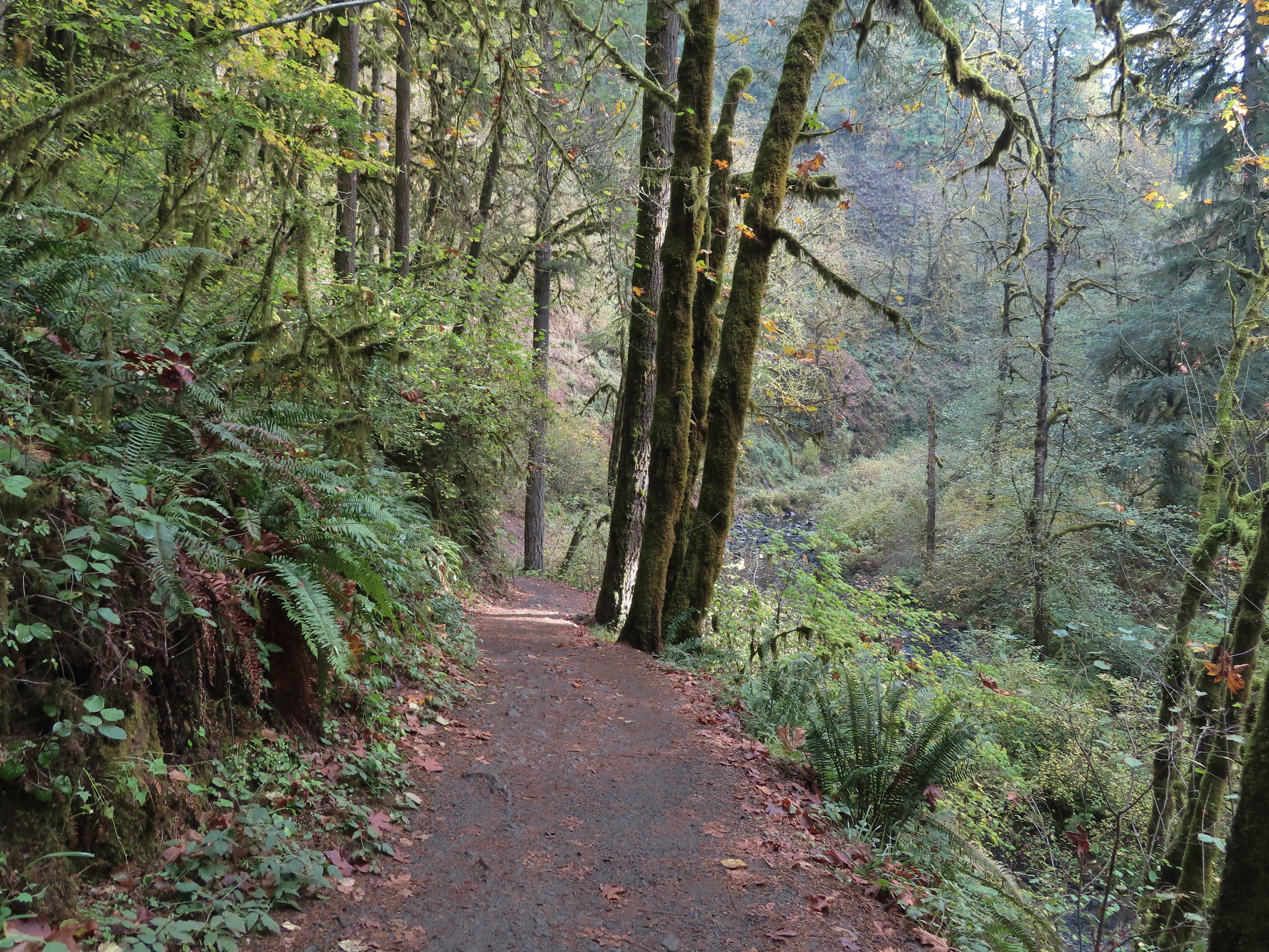
 The Canyon Trail crosses the creek just downstream from Lower North Falls then makes a short climb to get above the canyon cliffs.
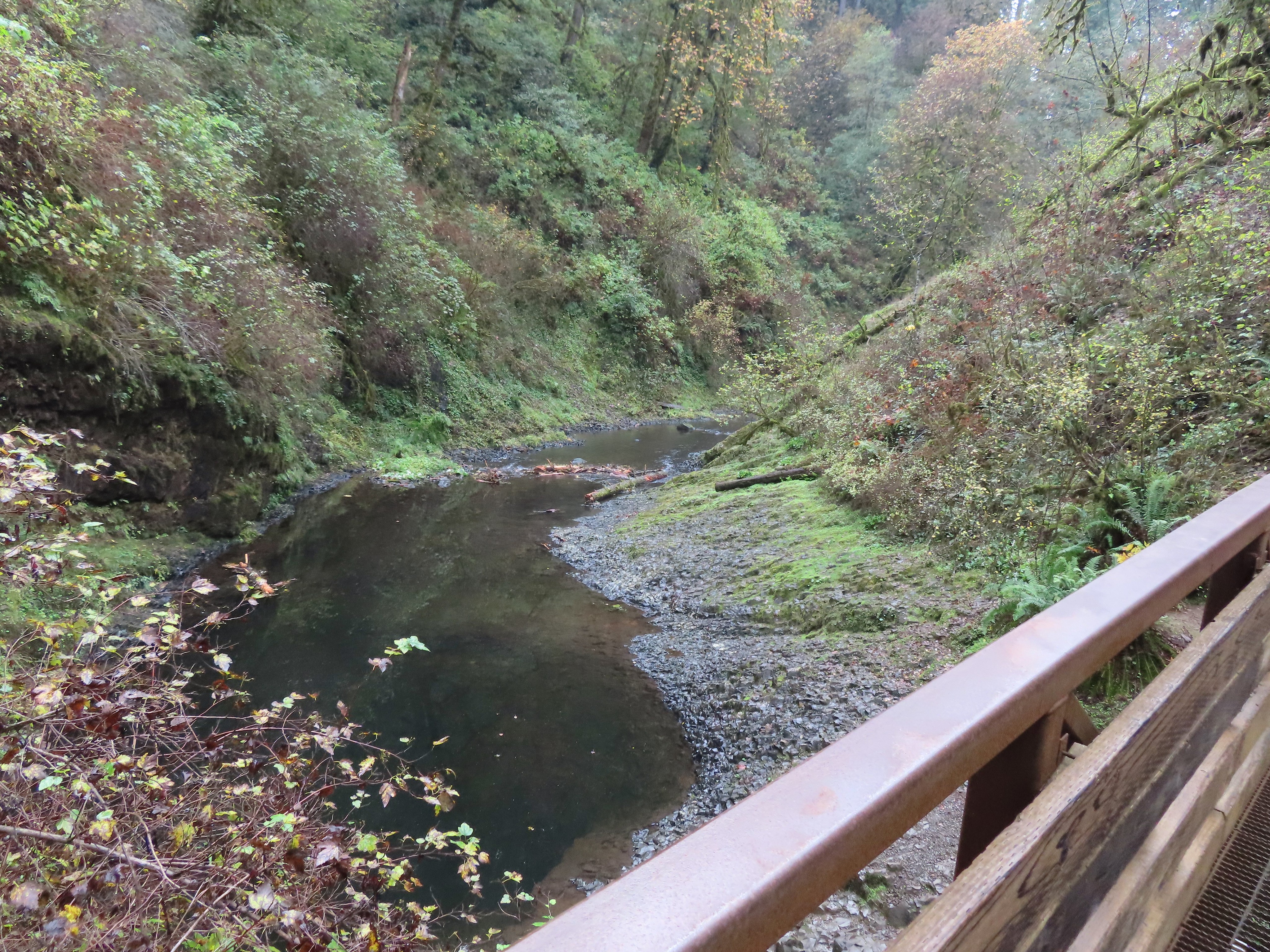


 I walked out onto the bridge for the view then returned to the junction to take the right hand fork and go behind this fall as well.


 View toward South Falls from the footbridge.
 Not sure what this old building was, possibly restrooms by the doors.
 One of several picnic shelters in the park.
 Approaching the Bike Path where I recrossed the creek.
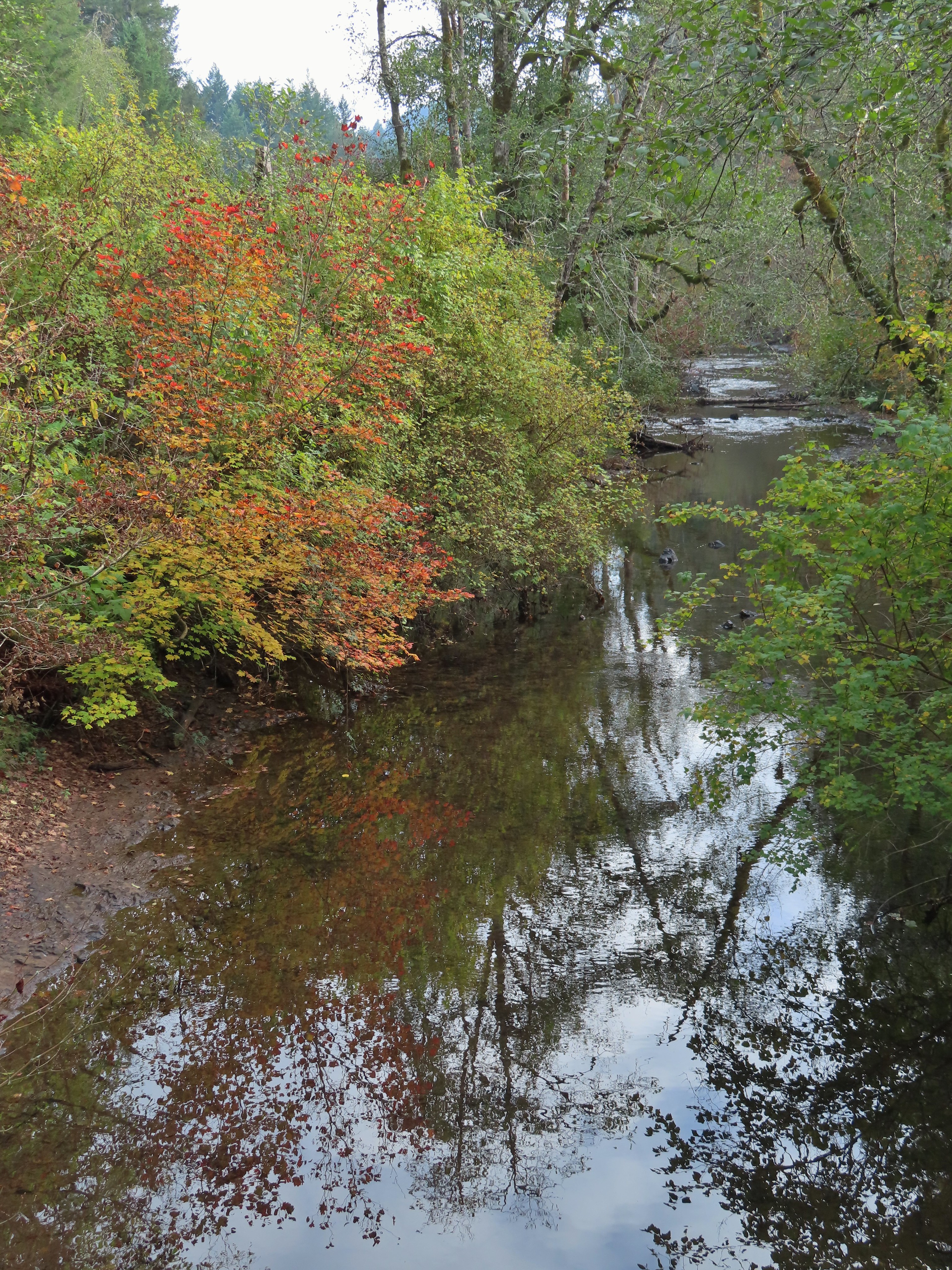
 I can see the car!

 The Woodland Loop at the end of the parking lot.
 Starting to get a little lighter near the end of the loop.

 Cedars along the Red Cedar Run Trail.
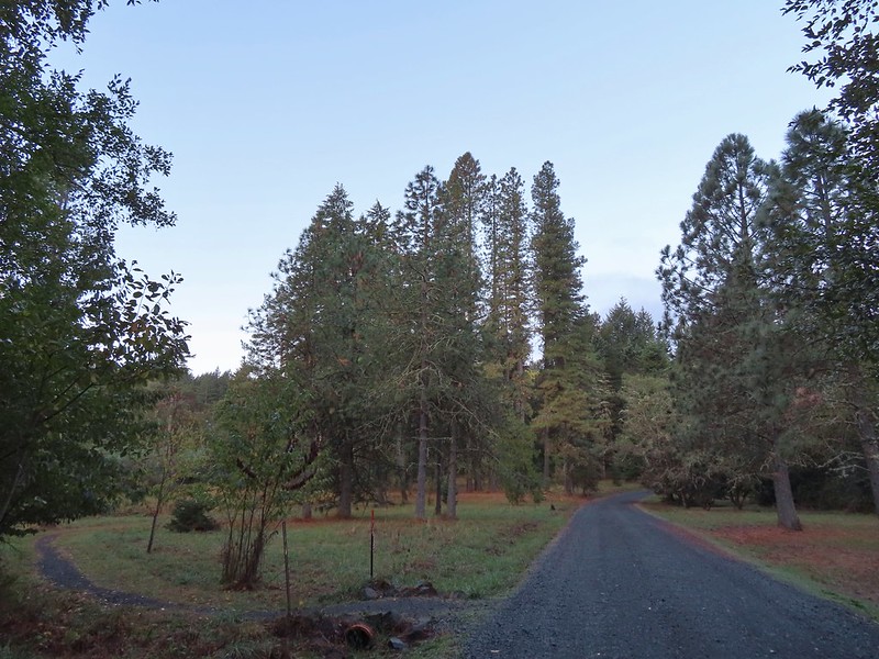 A brief stint on Peavy Arboretum Road between the Red Cedar Run and Maritime Meander (on the left ahead) Trails.
 Sunrise from the Maritime Meander Trail.
 Forest Discovery Trail junction with the Maritime Meander Trail.
 The trails were well signed in the Arboretum.
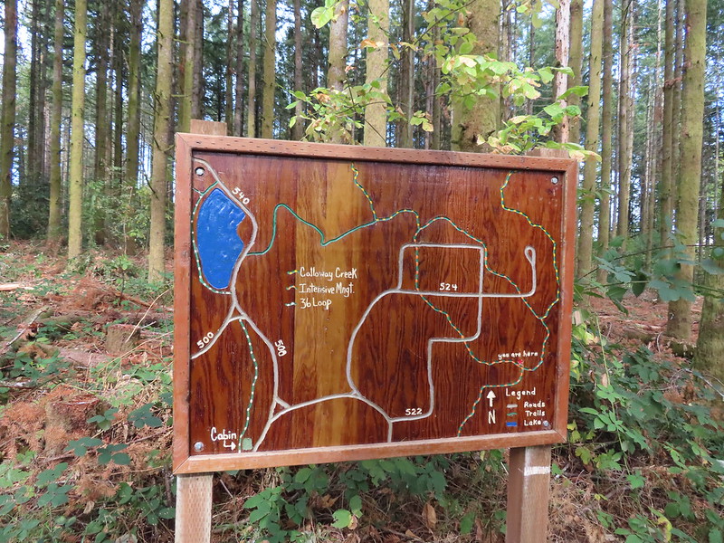
 I had been on the Forest Discovery Trail just under a mile when I reached the CFIRP Trail.
 Road crossing.
 The Section 36 Loop junction.
 Section 36 Loop
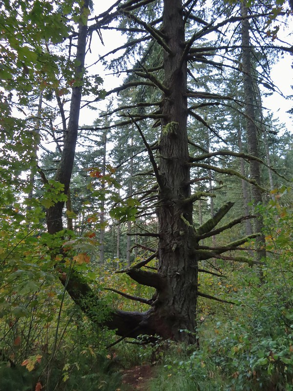 A bench along the trail faces this tree.
 Road 550 from the Section 36 Loop.
 Looking back down Road 550.
 My feet started to dry when I reached the section open to motorized vehicles.
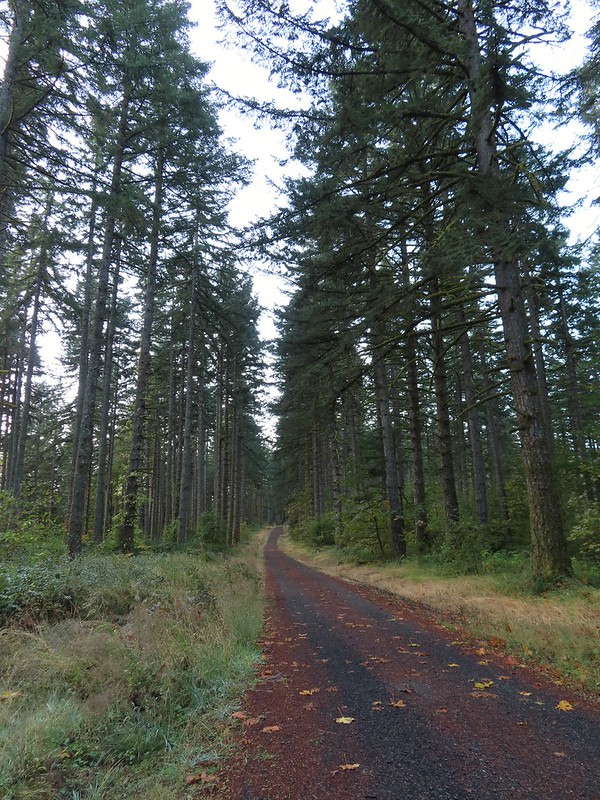
 Lots of sparrows, towhees, and wrens were out this morning but most wouldn’t sit still at all.
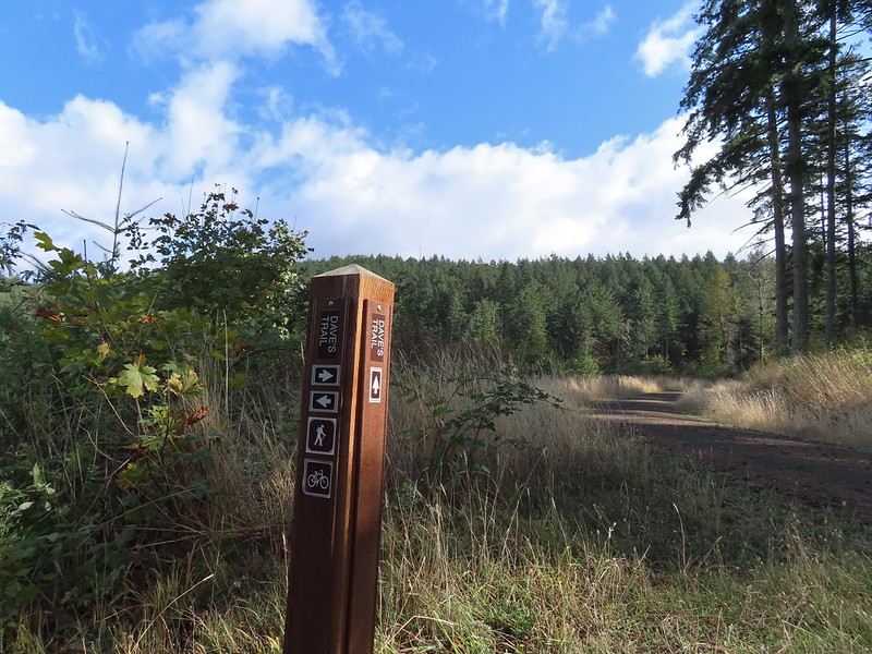
 Dave’s Trail
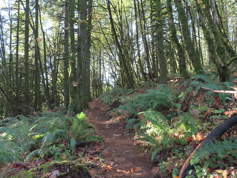


 A gated road on the left led back up the hill I had just passed under some radio towers while Road 500 was to the right. Road 5010 was ahead on the left heading up Vineyard Mountain.
 The Vineyard Mountain Trail at the junction.

 The foundation, fireplace and chimney are all that remain of the former OSU Dean’s cabin.
 Some twisted trees along the Vineyard Mountain Trail.
 After numerous tries I finally caught a spotted towhee.
 The Vineyard Mountain Trail briefly follows an old roadbed.
 The section of trail between the roadbed and the Lewisburg Saddle Trailhead is one of the trails subject to seasonal closures. This section is closed when it is wet enough that you’d leave tracks in which case you could follow the roadbed to the right to Road 500.
 Close up of the seasonal closure notice. It wasn’t wet so I continued on the Vineyard Mountain Trail.


 Looking back at the towers on Vineyard Mountain from Road 600.
 Road 620 on the right.


 Mary’s Peak (

 The High Horse Trail. Not shown to the right coming up from below is the Upper Horse Trail.
 Bikers on Road 600 below.
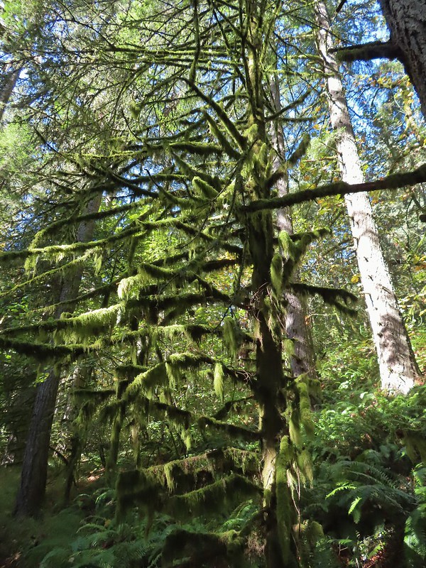 Moss covered tree.
 Lichen
 Unsigned junction where the High Horse Trail continues to the left to Road 662 and Upper Bombs Away veers right.
 Another connector trail on the left coming down from Road 662 to join the Upper Bombs Away Trail.
 Will the real trail please stand up?
 Switchback near Road 640.
 The Alpha Trail on the left at the quarter mile mark. This is where we had turned on the 2021 hike.

 Road 600 ahead.
 The New Growth Trail.


 Old growth
 The end of the Old Growth Trail at Road 580.
 One of three spur roads to the left that I passed.
 Blackberries

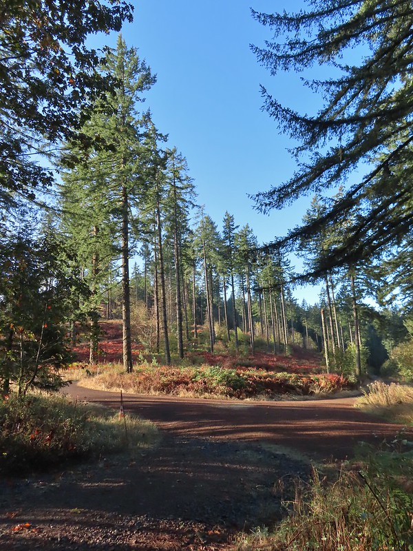
 The proverbial fork in the road.
 Madrone
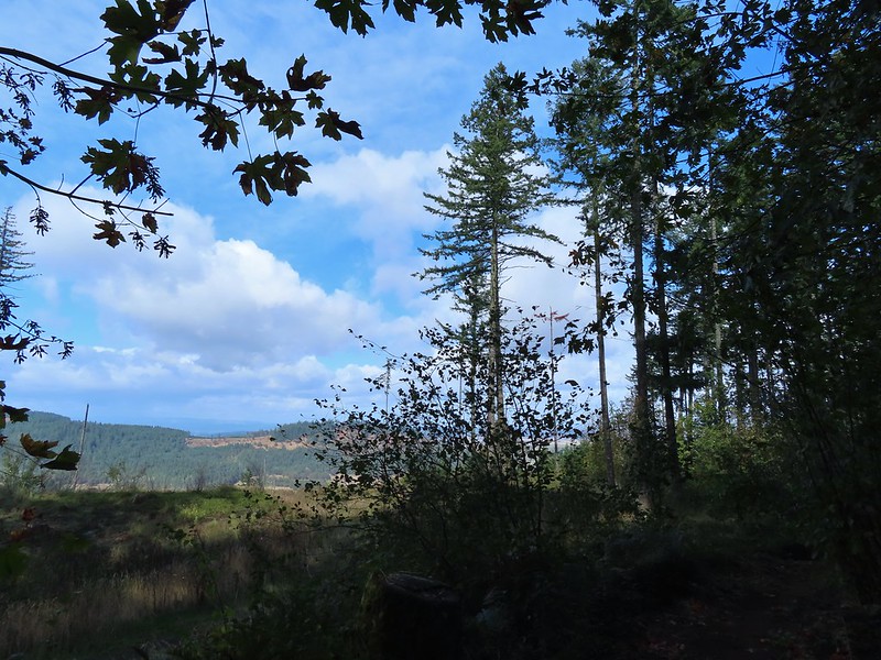 A few clouds starting to move in.


 The Banzai Trail likely continued on the other side but without a pointer I wasn’t about to find out and turned right here which took me uphill for a tenth of a mile to the Road 560 and Road 562 junction.
 This is the start of what is labeled the Banzai Trail on the McDonald Forest map.
 The photo doesn’t do the steepness justice but the trail lived up to its name here.
 At some point the road became 543 before reaching a fork where I stayed right.
 Another closed roadbed on the left. This is where I stayed right on Road 543.
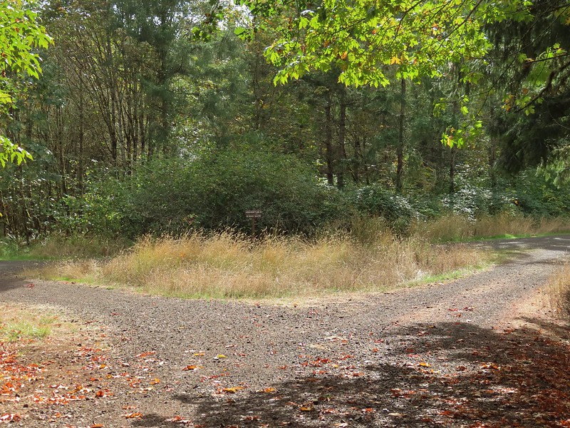 Road 540 to the left and 541 to the right.
 George W. Brown Sports Arena near Cronemiller Lake.
 Not that kind of a lake.
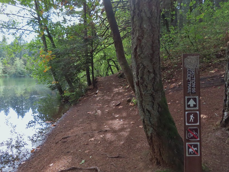
 A few drops hitting the lake.
 Kingfisher on the far side of the lake.
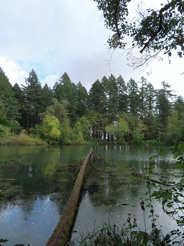


 Second right.


 The combination of low light and orange hue made for some poor photography conditions.
 Approaching the entrance road. The gate is for the road which is only open during daylight hours.
 The Generator Trail.


 Spring Valley Creek passing under the entrance road.
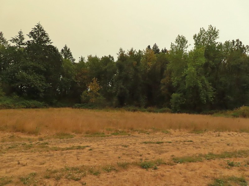 The mowed field.
 Upper Spring Valley Creek Trail.
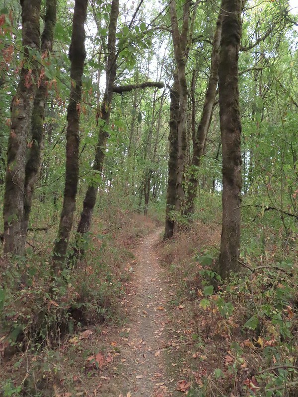
 A few Autumn colors starting to show, now we just need some Fall rain.
 Brief glimpse of the Willamette River.
 The tailgate was up on the pickup, a good sign for us.
 Some of the various non-native wildflowers in the area.
 Mile 74.2 of the
  The Perimeter Trail begins to the right of the gate.
 Invasive common tansy but the beetle was cool looking.
 We were initially fooled by this side-trail at the 0.1 mile mark which was not the TCC Trail, but did provide access to the Willamette.
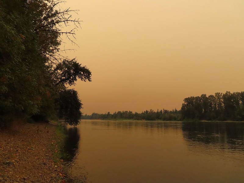 Willamette Mission State Park (
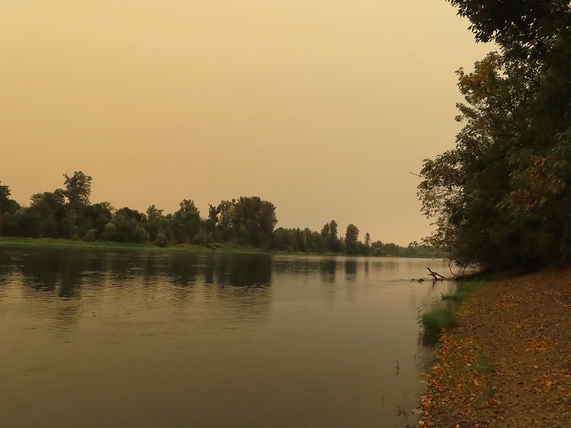
 There’s the TCC Trail.

 Back to the field after half a mile.
 Invasive Canadad thistle.
 Common toadflax – non-native.
 Moth mullein – you guessed it, non-native.
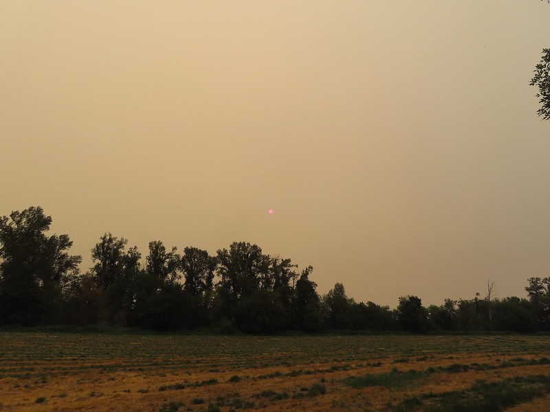 The Sun behind a layer of smoke.
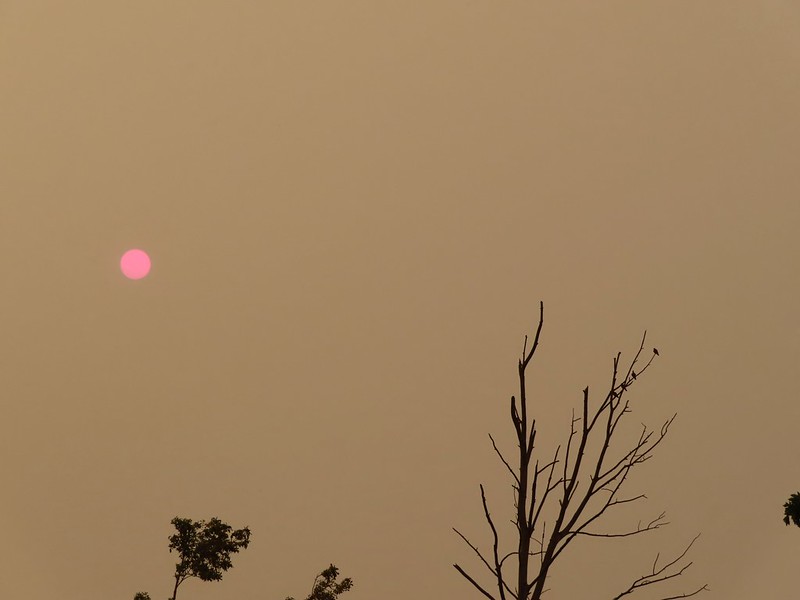 Pigeons (or doves) in a snag.


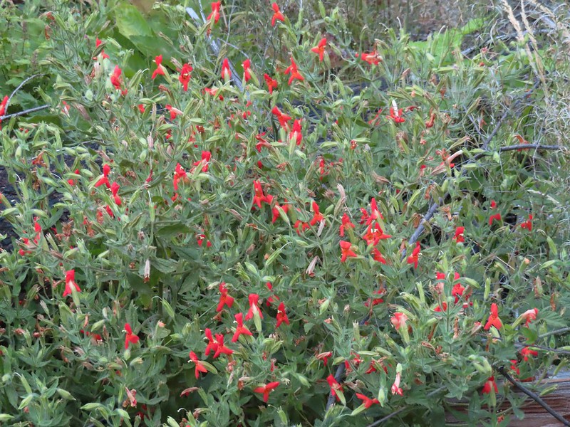 Scarlet monkeyflower


 Heading for the viewpoint.
 The upper tier from the viewpoint.


 First good view of the lower fall from the trail. The upper fall was visible but somewhat blocked by trees.

 We really liked how the water curved and narrowed as it cascaded down.
 The pool appeared to be extremely deep.
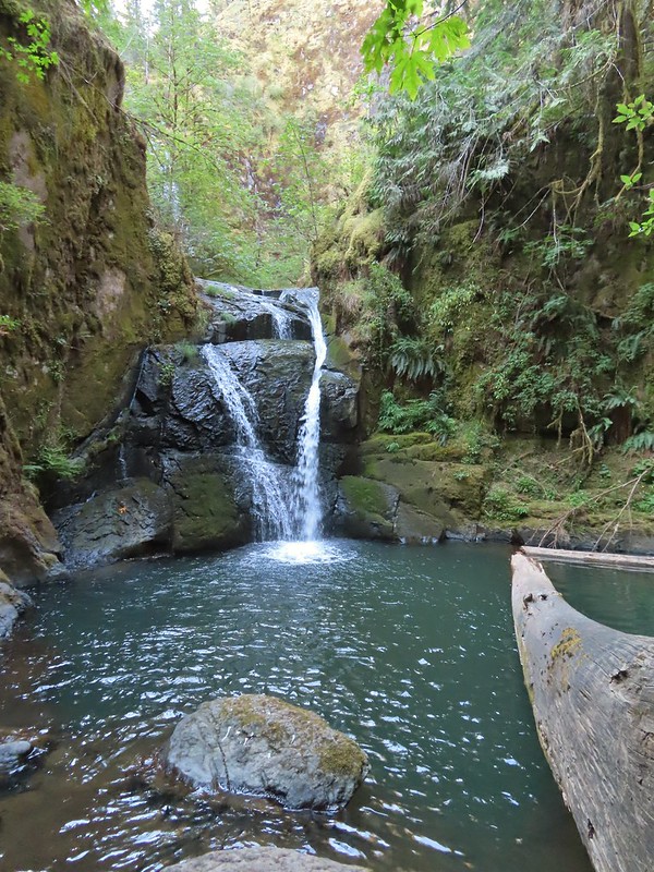


 We stayed left here following the pointer. We later crossed the bridge on the way to Green Peak Falls.


 Heather in front of the falls.
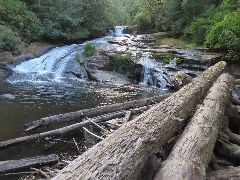
 December 2012
 Looking down river from the bridge.

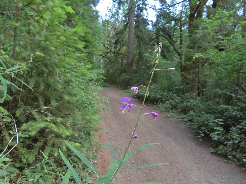 Fireweed
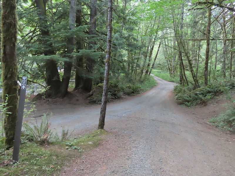


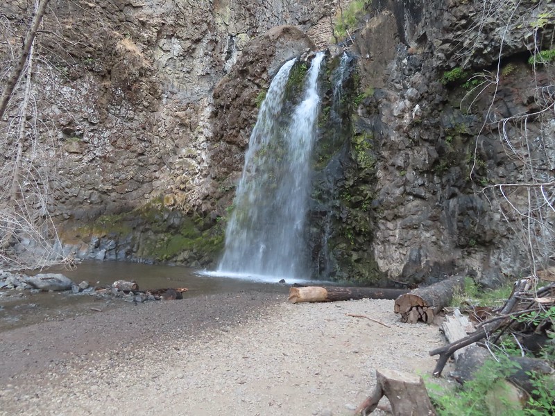
 Green Peak Falls
 Green Peak falls in December 2012.
 Covered picnic table.
 The table is one solid plank.
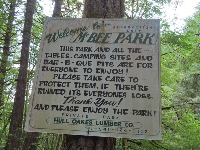
 Sign for McBee Park along South Fork Road.
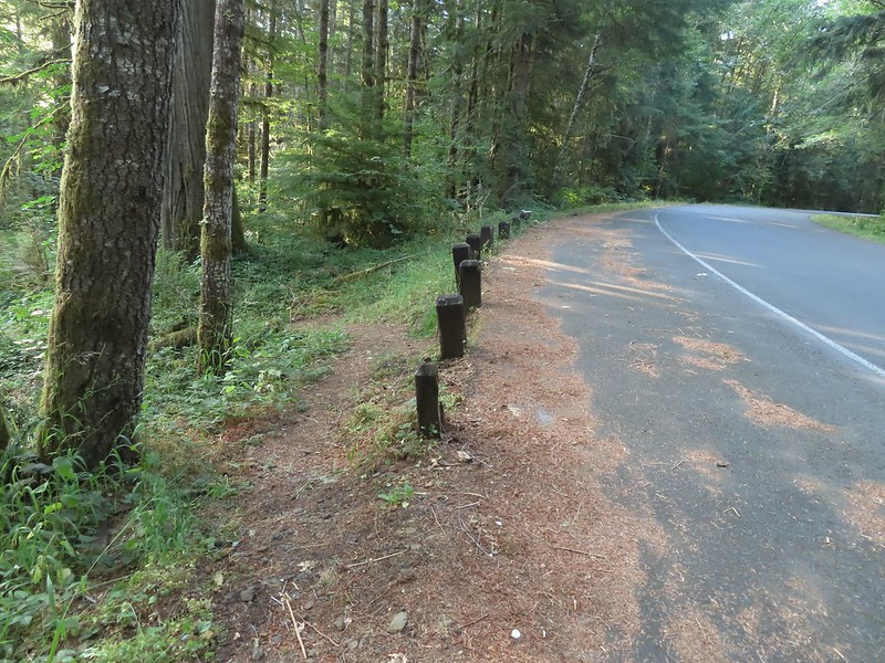 Trail down to the picnic area along South Fork Road.
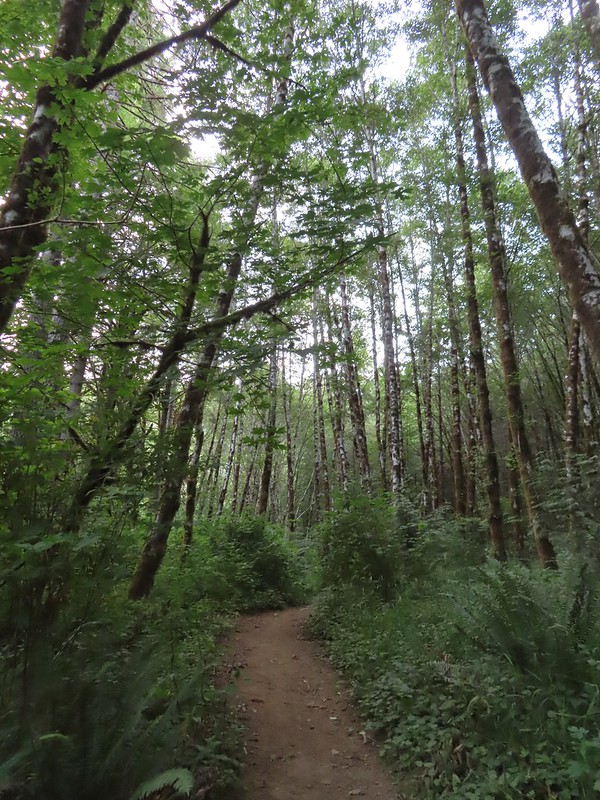
 Silver pheasant


 Red-breasted sapsucker


 Bunnies in the grass near one of the benches.
 Coffin Butte on the other side of Highway 99.
 Turkey vulture


 Wetlands on the other side of the pond.
 Great blue heron
 The loop trail to the right.
 Skipper
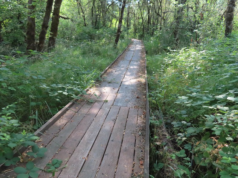
 Tadpole
 We stayed left at any junction like this.
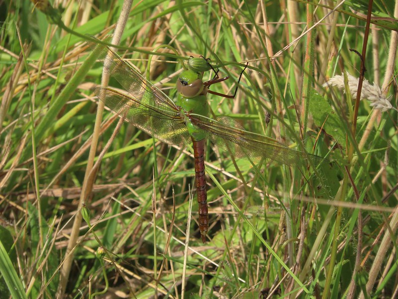 Dragon fly
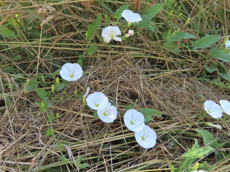 Bindweed
 Arriving back at the road.