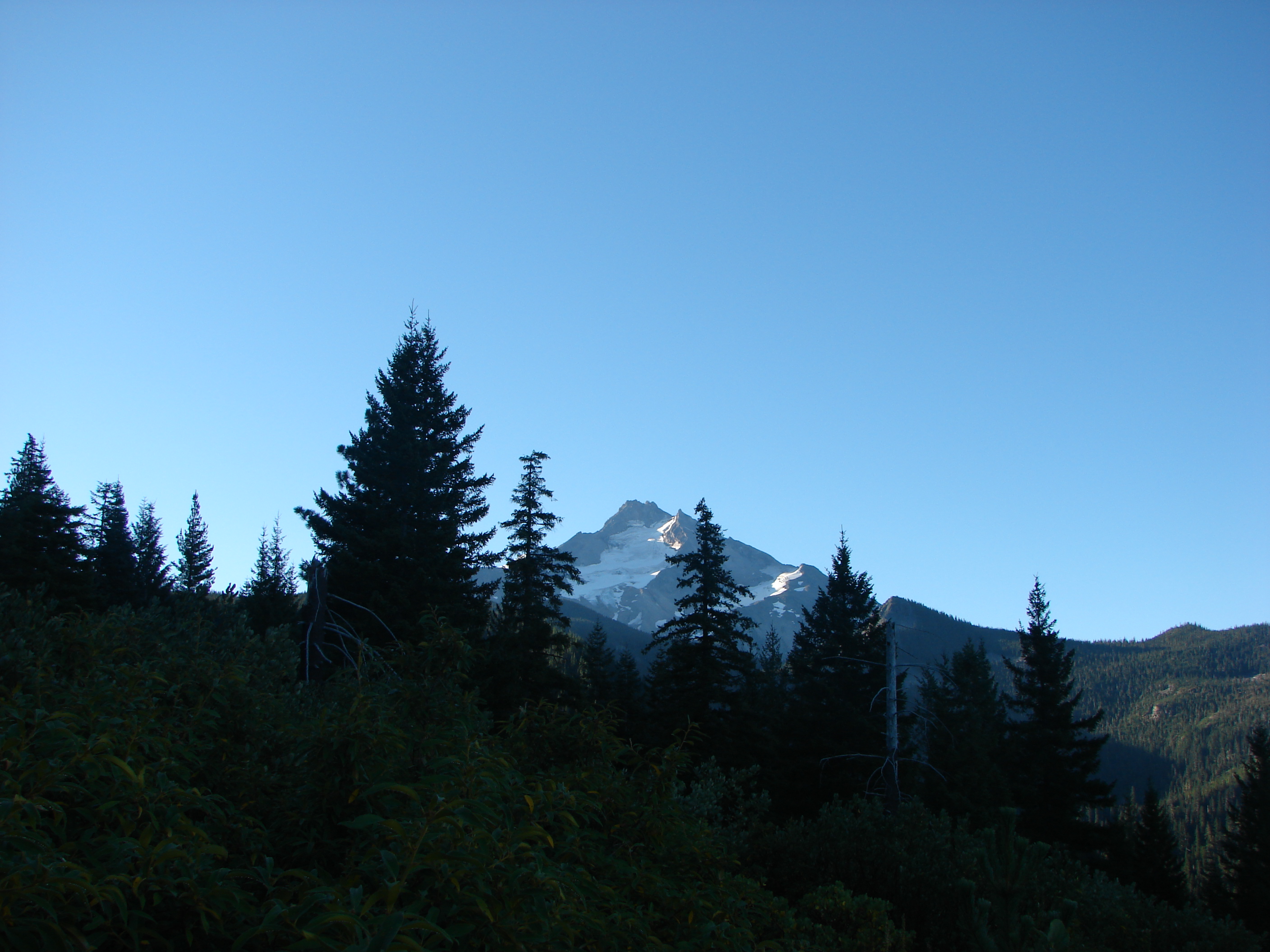
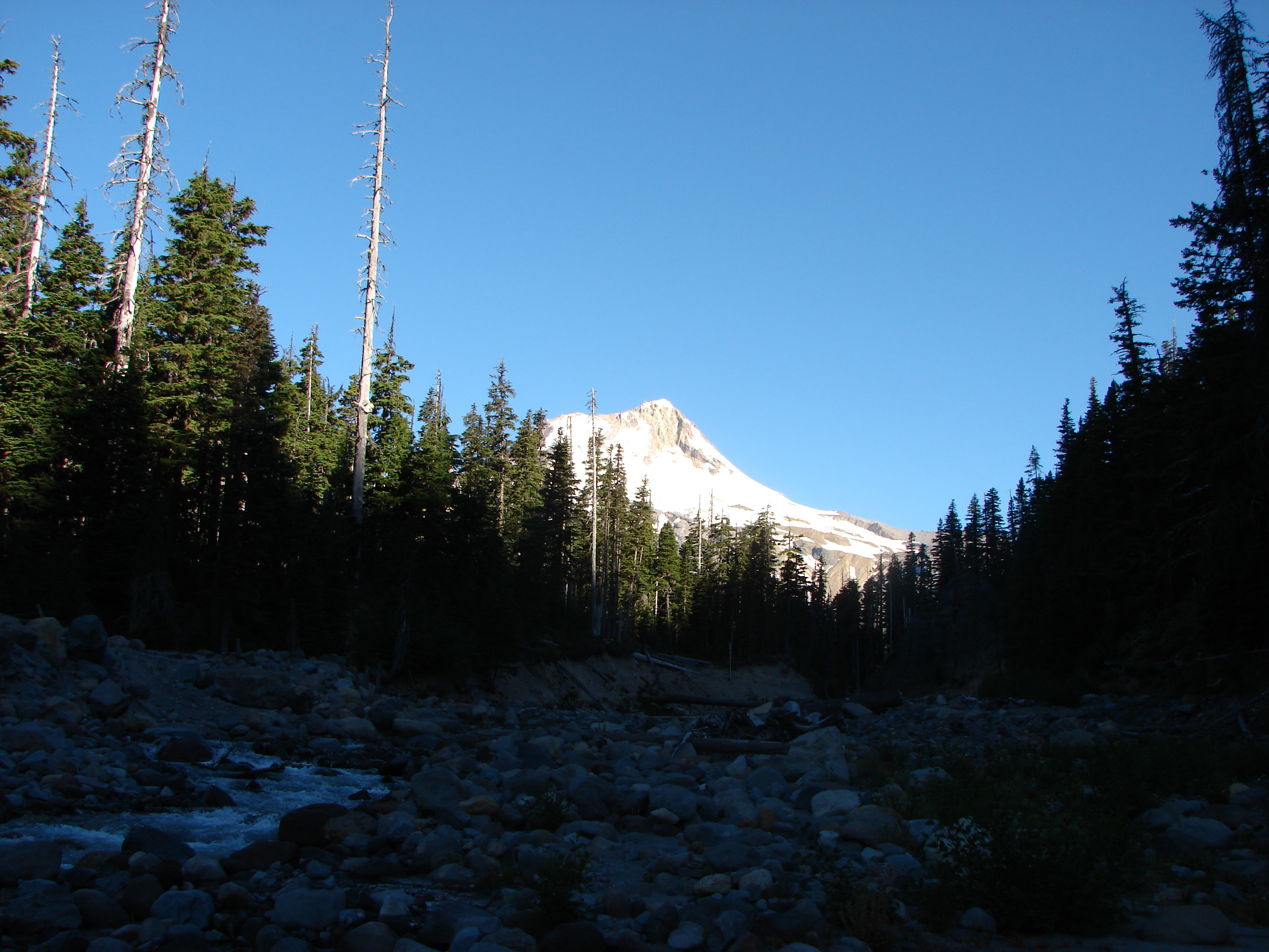
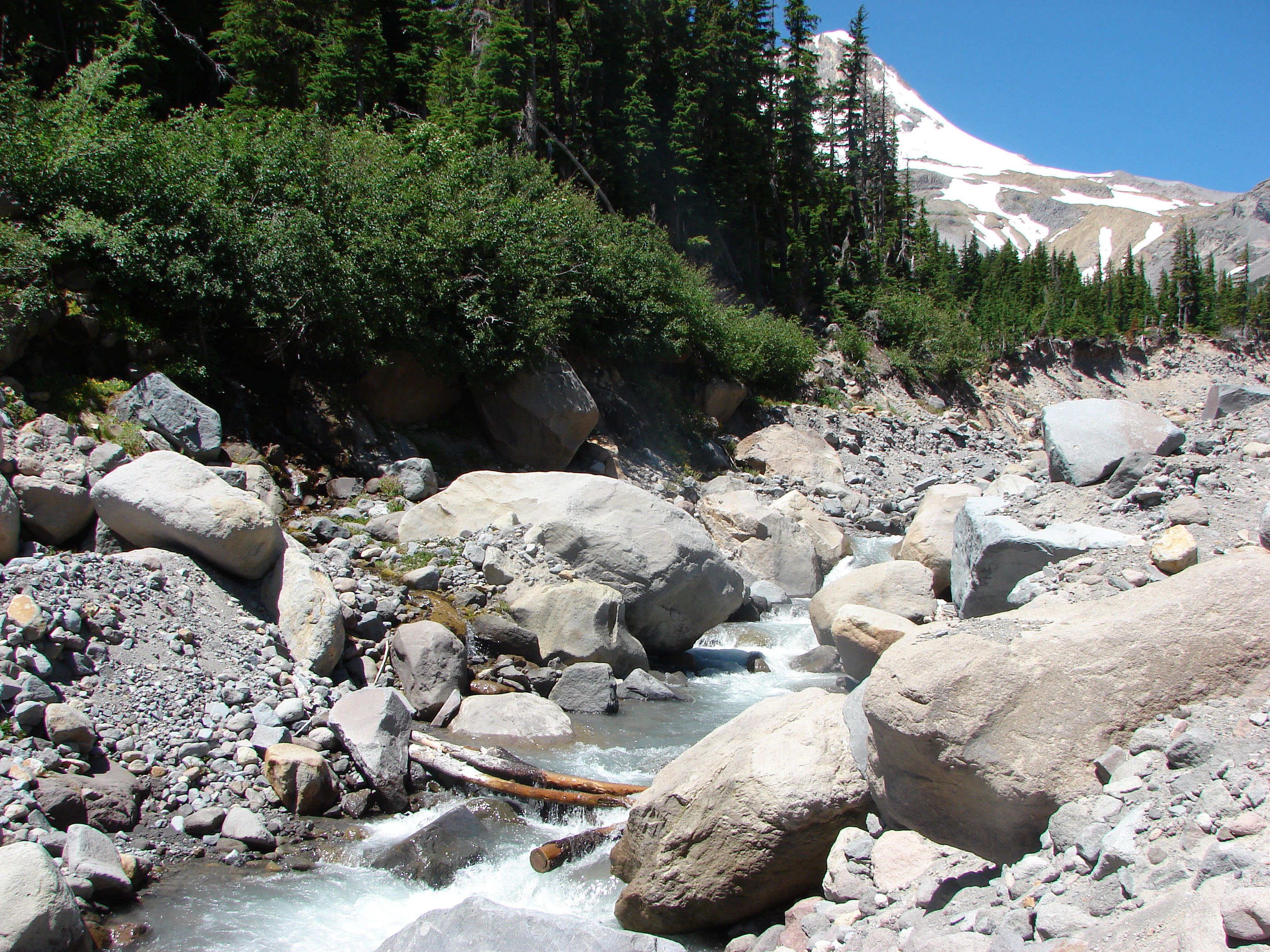
We took advantage of a day off recently and headed up to the Johnston Ridge Observatory at Mt. St. Helens. This was the farthest north we have traveled for a hike and would be the first time we would be able to see the collapsed side of the volcano. We were a bit disappointed when we arrived and realized that the winds had shifted and were blowing from the south east causing a hazy sky due to smoke from a wildfire near The Dalles Oregon. We parked in the observatory parking lot and surveyed our hike’s destination, Coldwater Peak.

The observatory was not open yet (It opens at 10:00am) but we walked around the paved loop trail there before setting off on the boundary trail. Good views of Mt. St. Helens were plentiful despite the blue haze from the smoke.

I had us all on the lookout for elk down in the valley below and it wasn’t long before we spotted a small group.

It appeared to be a small heard of about 15 elk but as we worked our way along the trail and got a better view of the valley below we saw the rest of the heard.

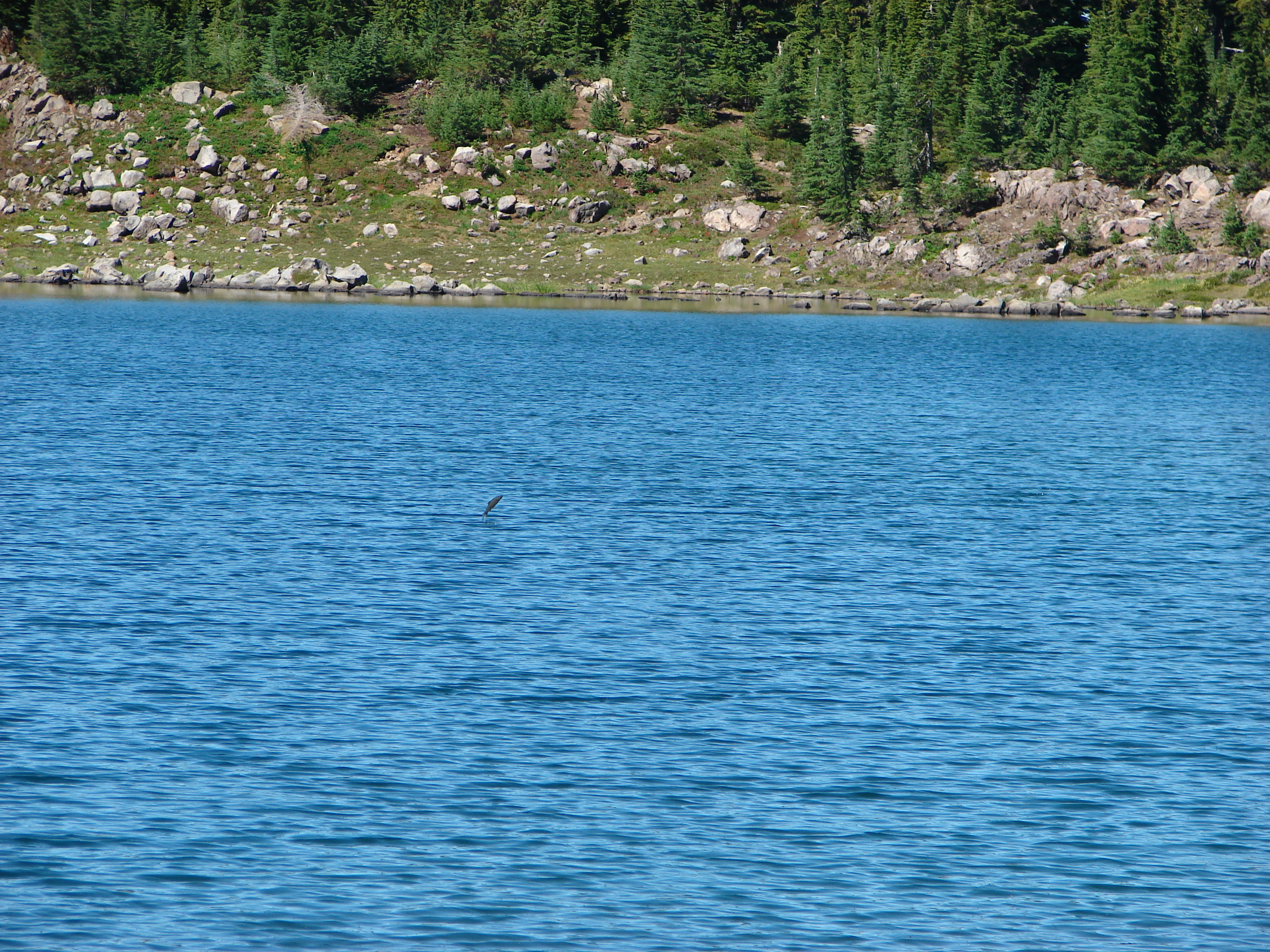
As we rounded a ridge end we got our first view of Spirit Lake and it’s floating trees. Mt. Adams was visible through the haze further to the east.

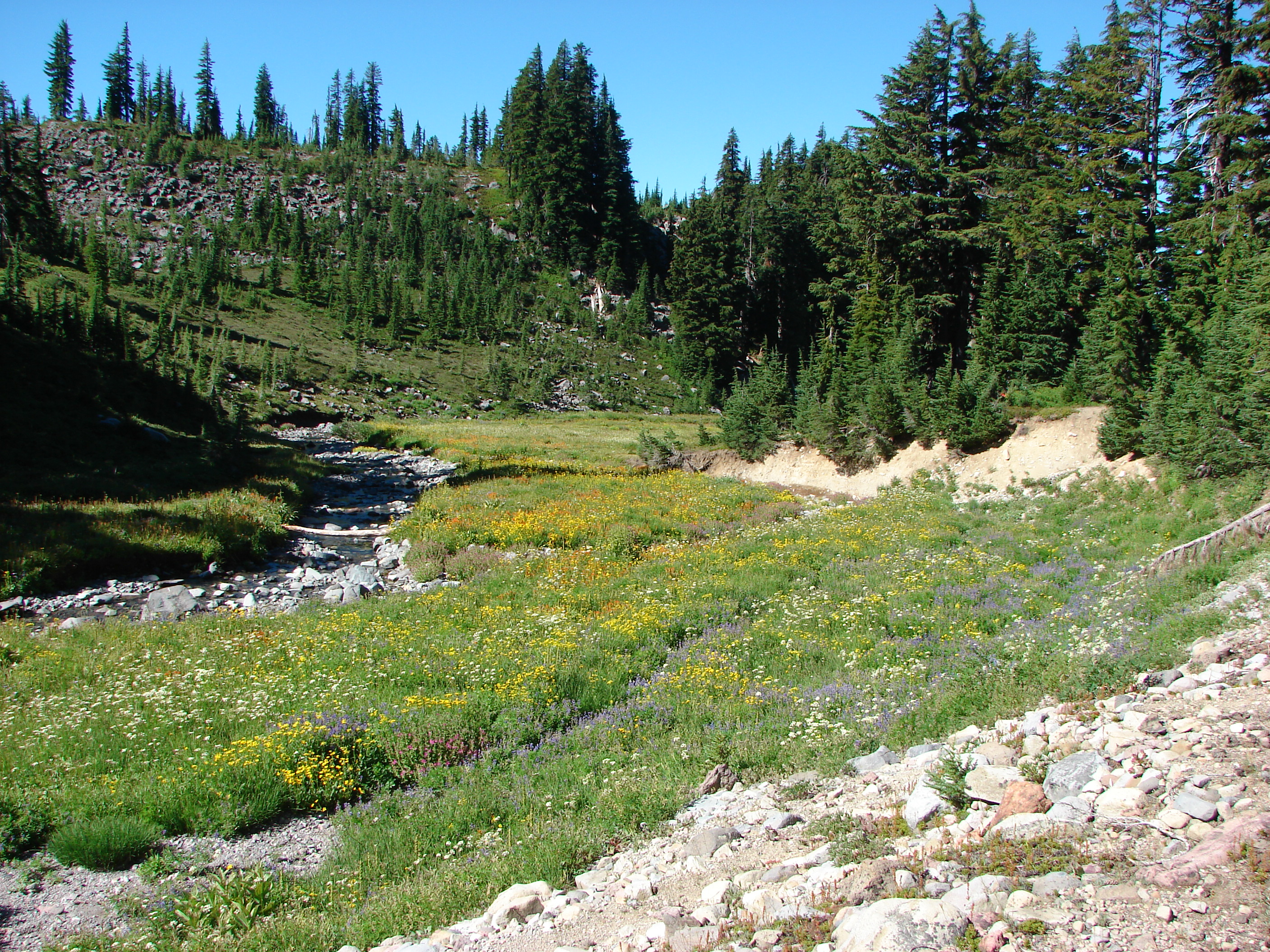
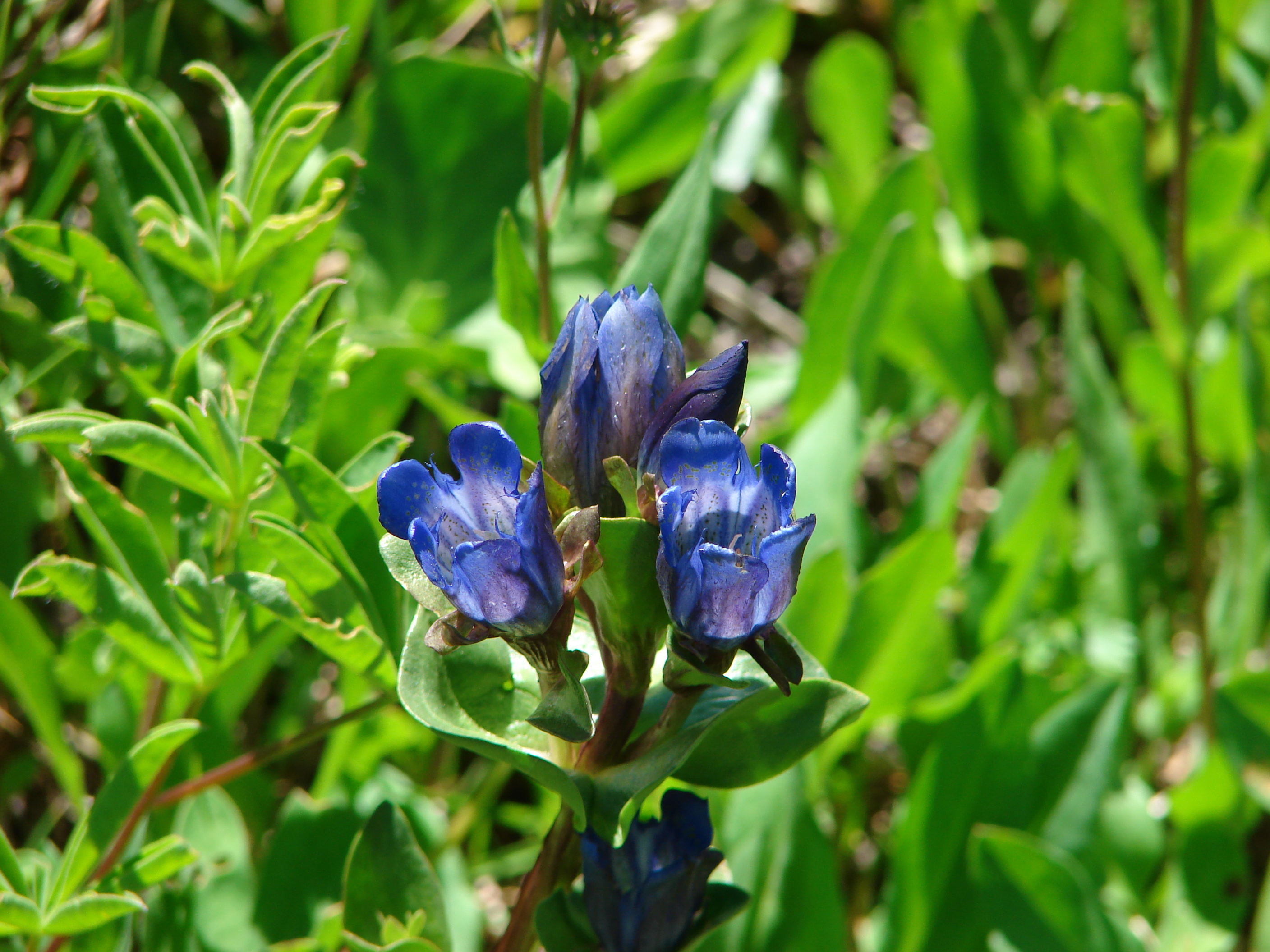
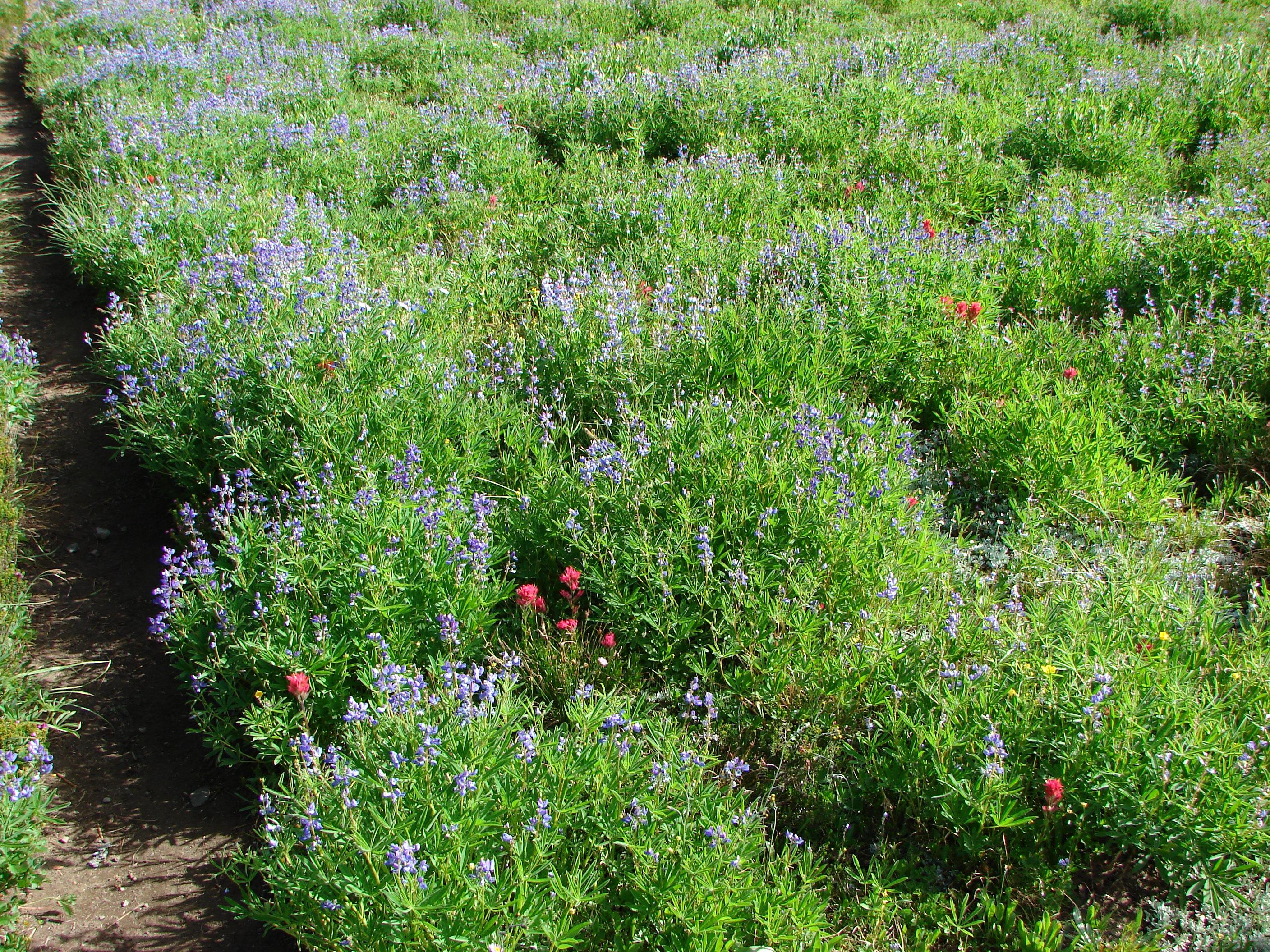
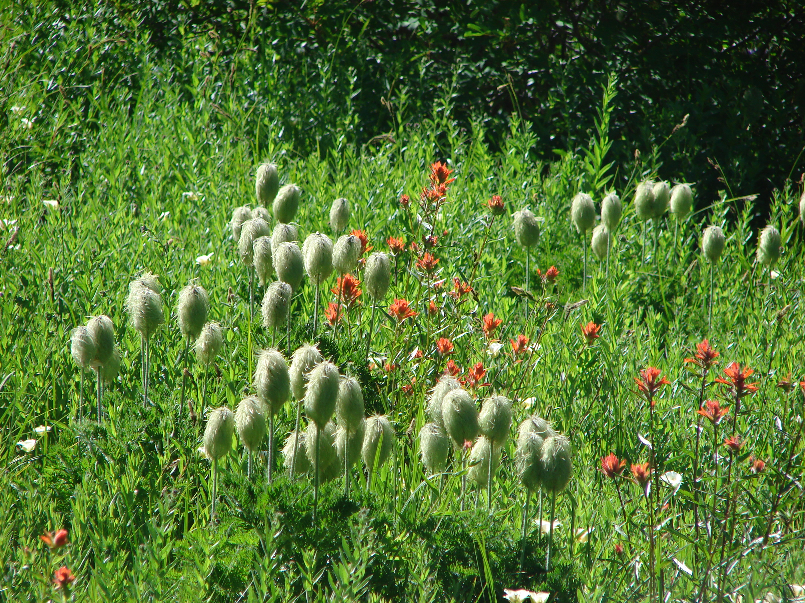
The trail then dipped slightly to a jct with the Truman Trail and continued on behind Harry’s Ridge. Here there was a decent variety of flowers that were growing in the mud and ash that had spilled over the ridge here during the 1980 eruption.
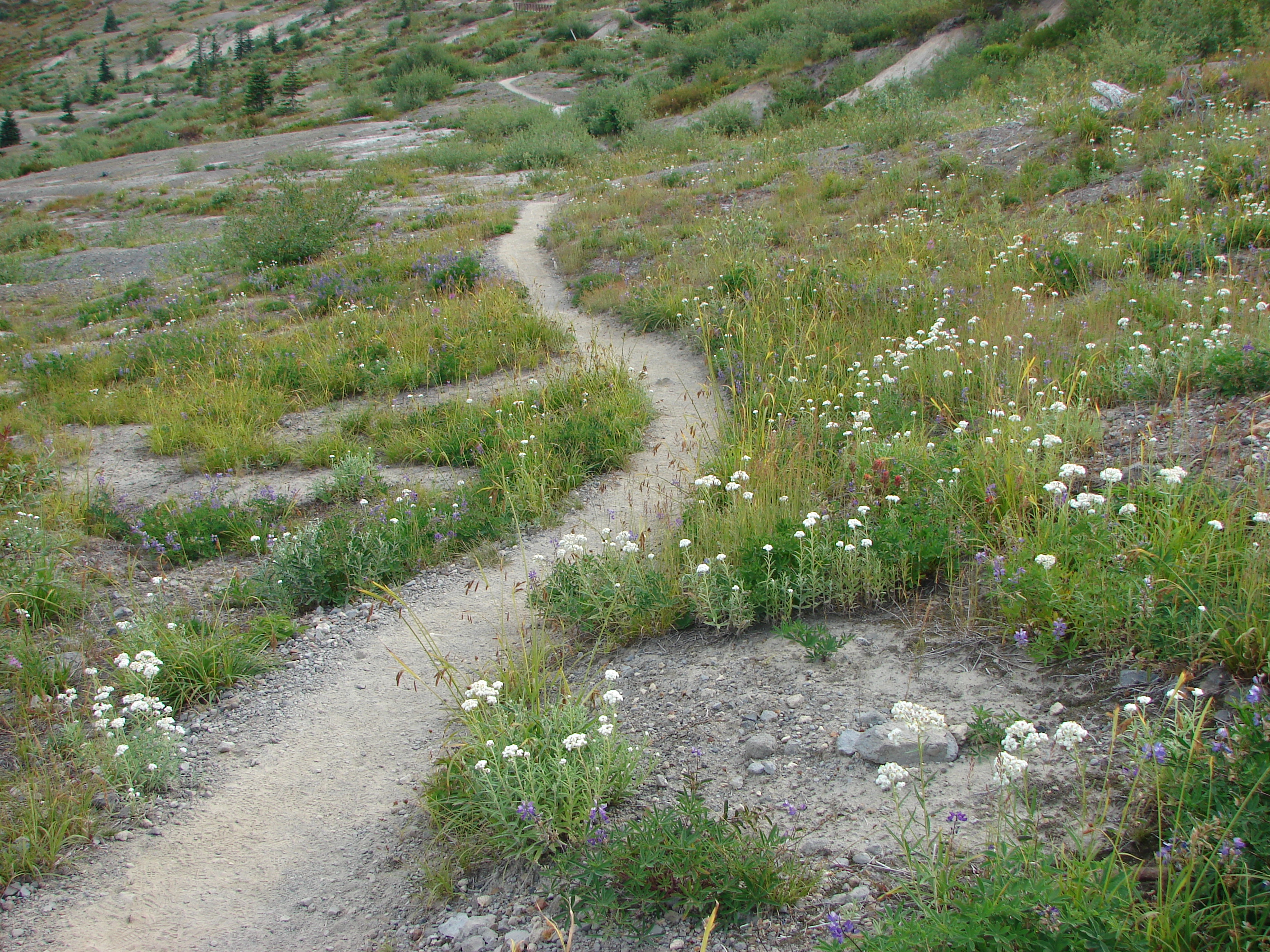
We also began to find berries :). Here were mostly thimble and huckleberries but we even found a few ripe salmon berries.

Later we would add strawberries to the menu.
Just after we had reached the Harry’s Ridge trail we spotted another half dozen elk running up a game trail below us. The trail was now gaining elevation providing better views of Spirit Lake and distant Mt. Adams.
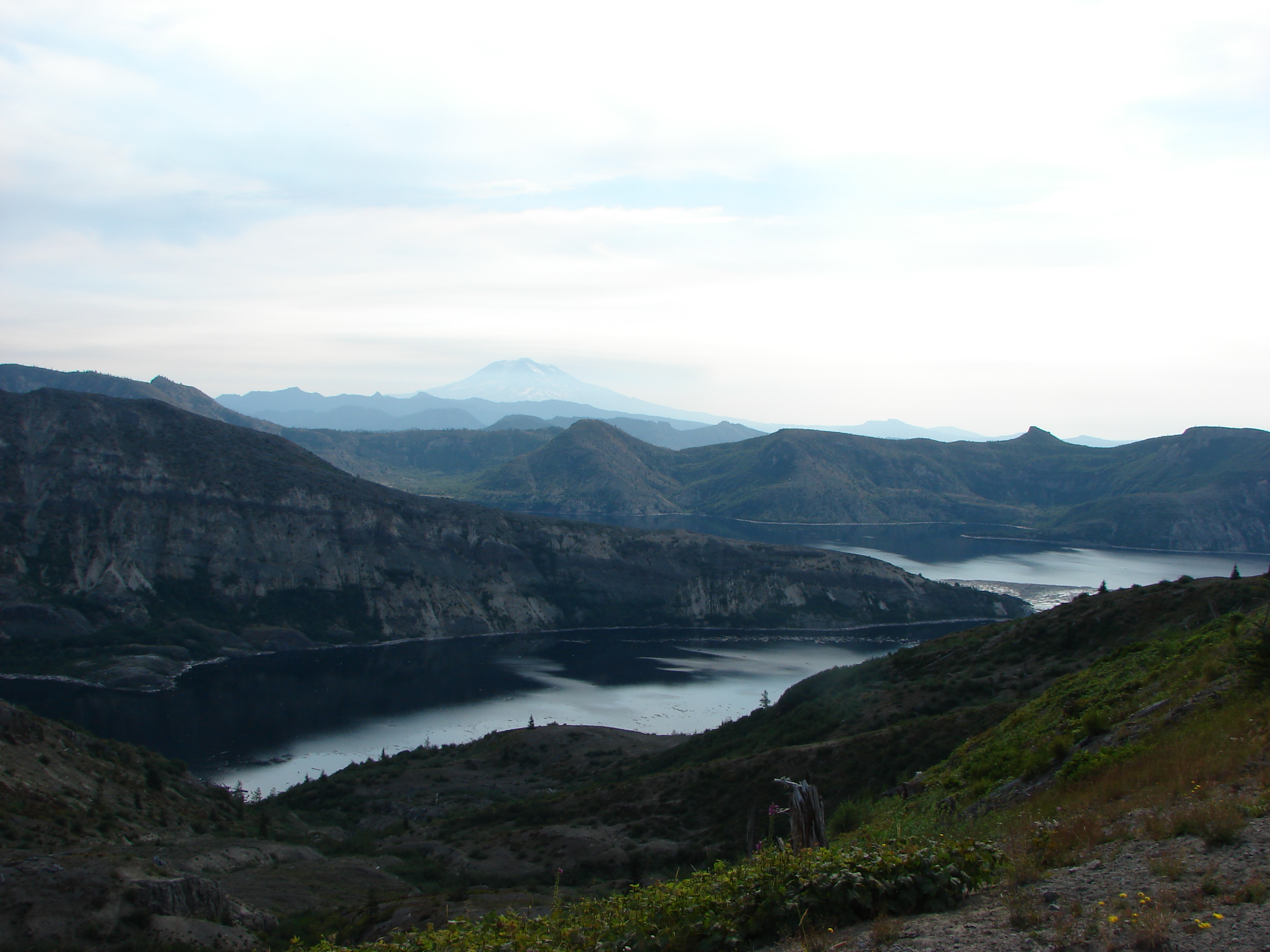
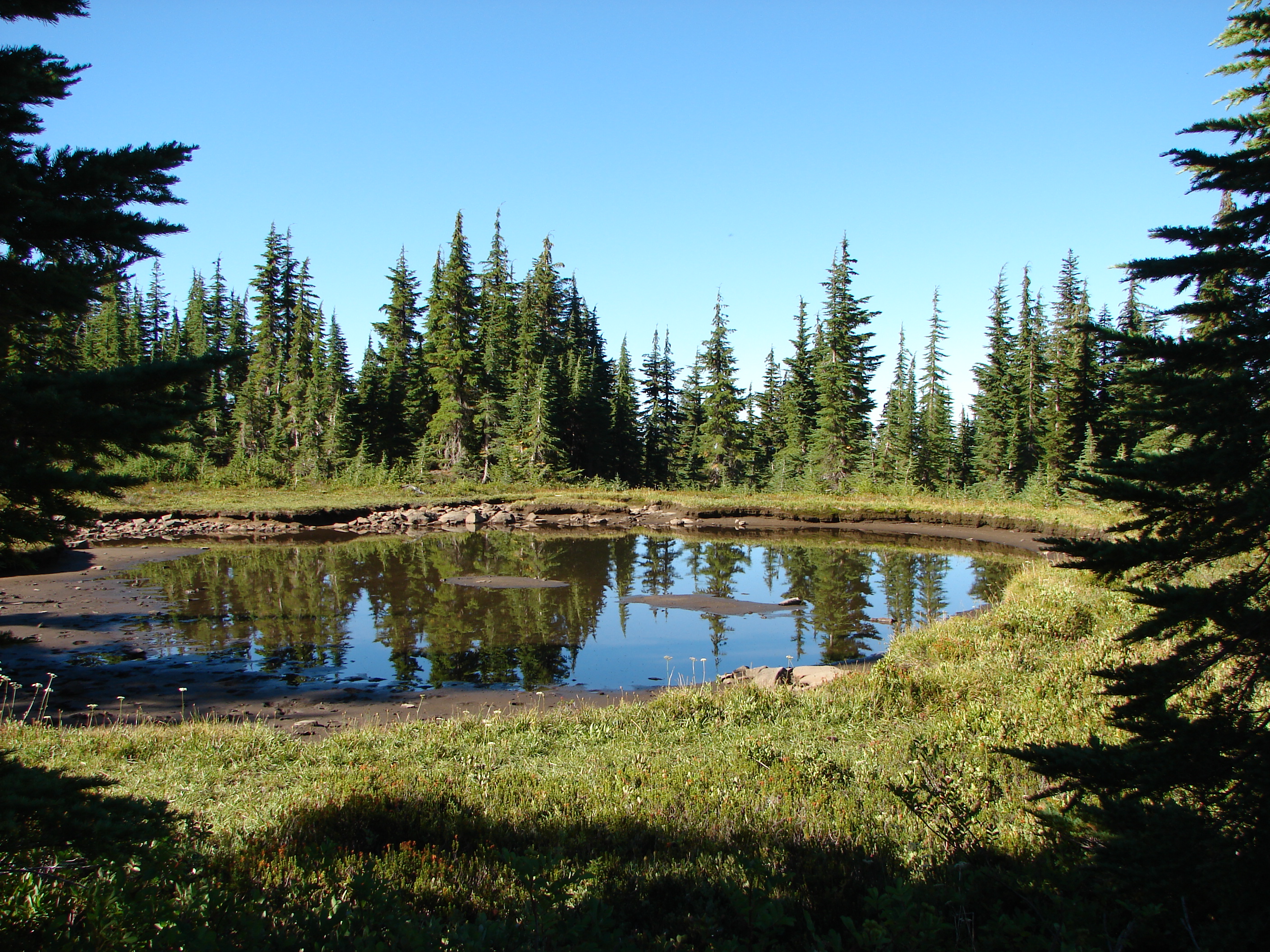
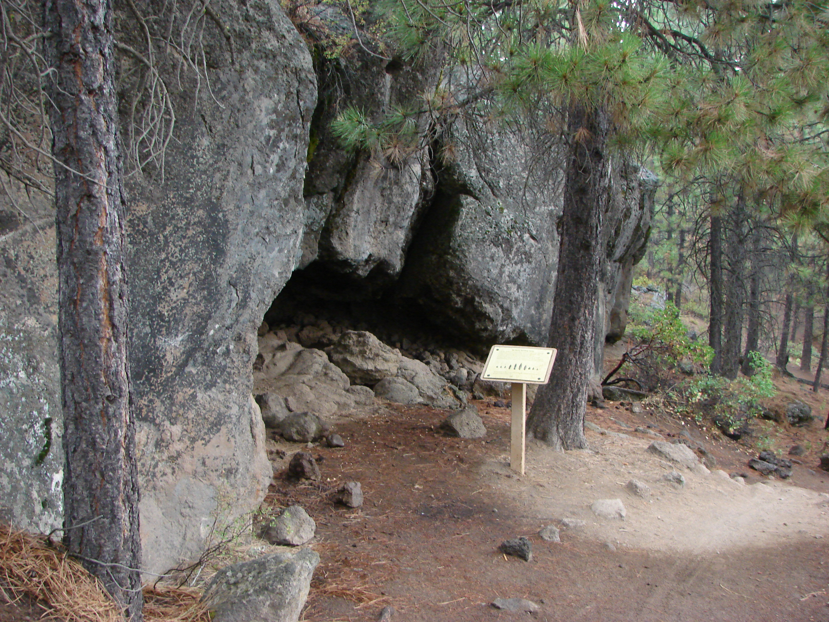
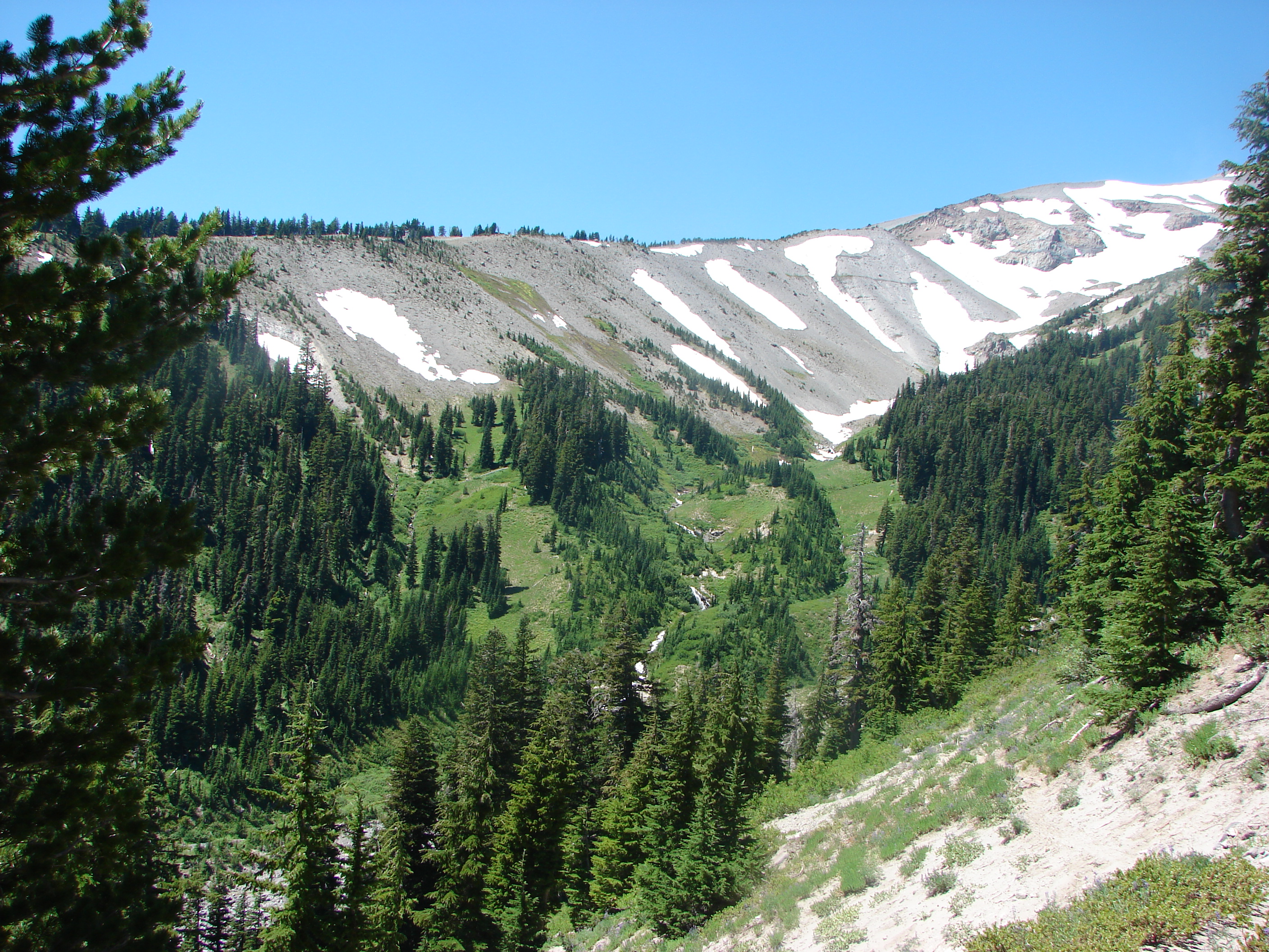
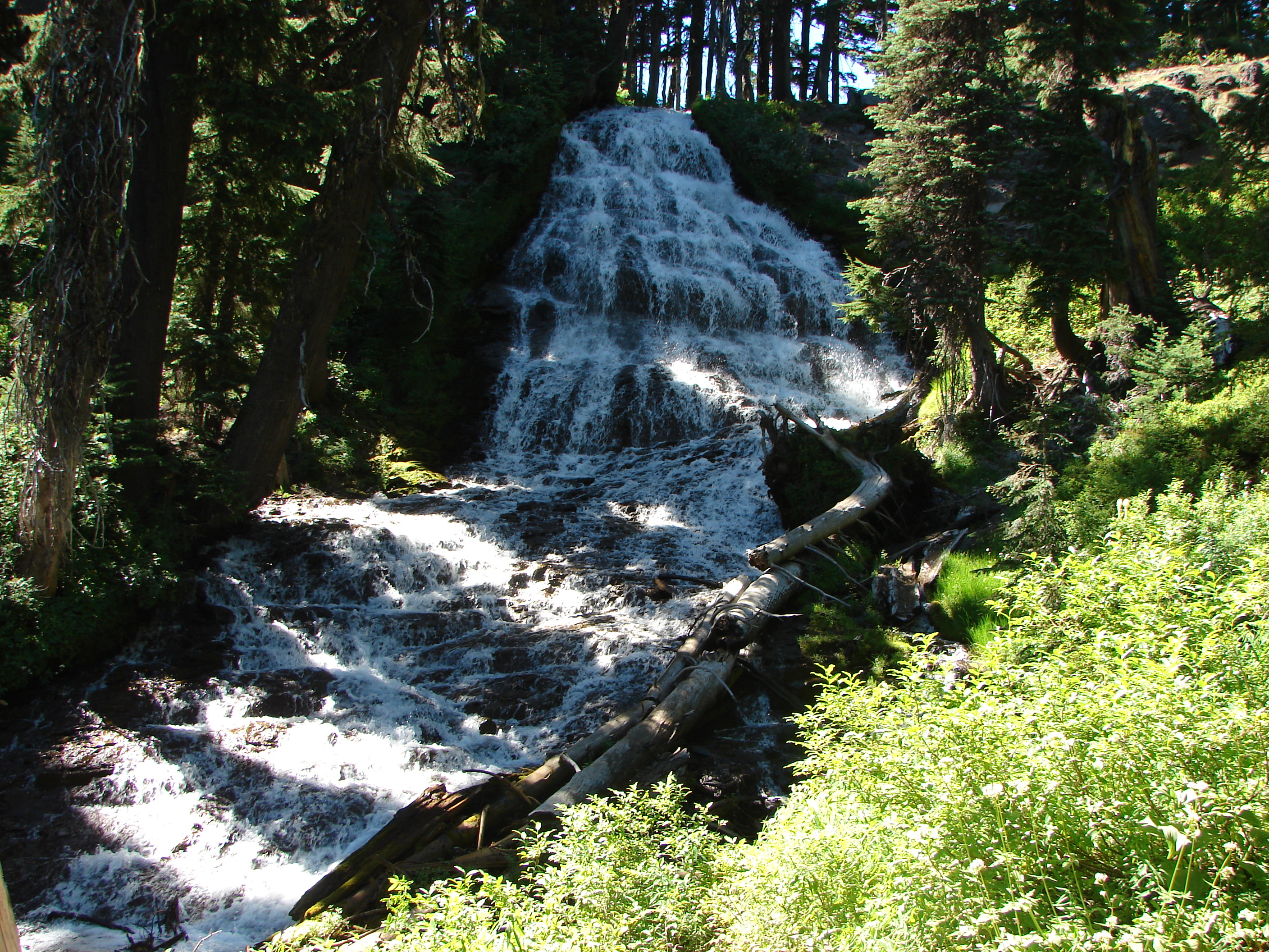
When the trail crested we had a nice view of St. Helens Lake below. The trail then drops down in order to pass through a rock arch before continuing above the west side of the lake.
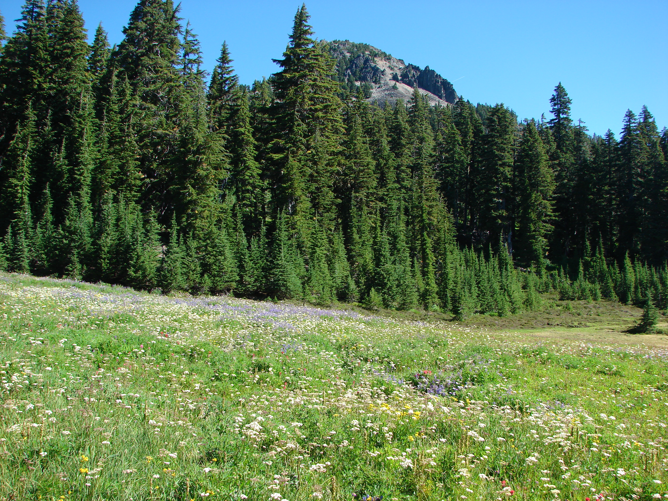
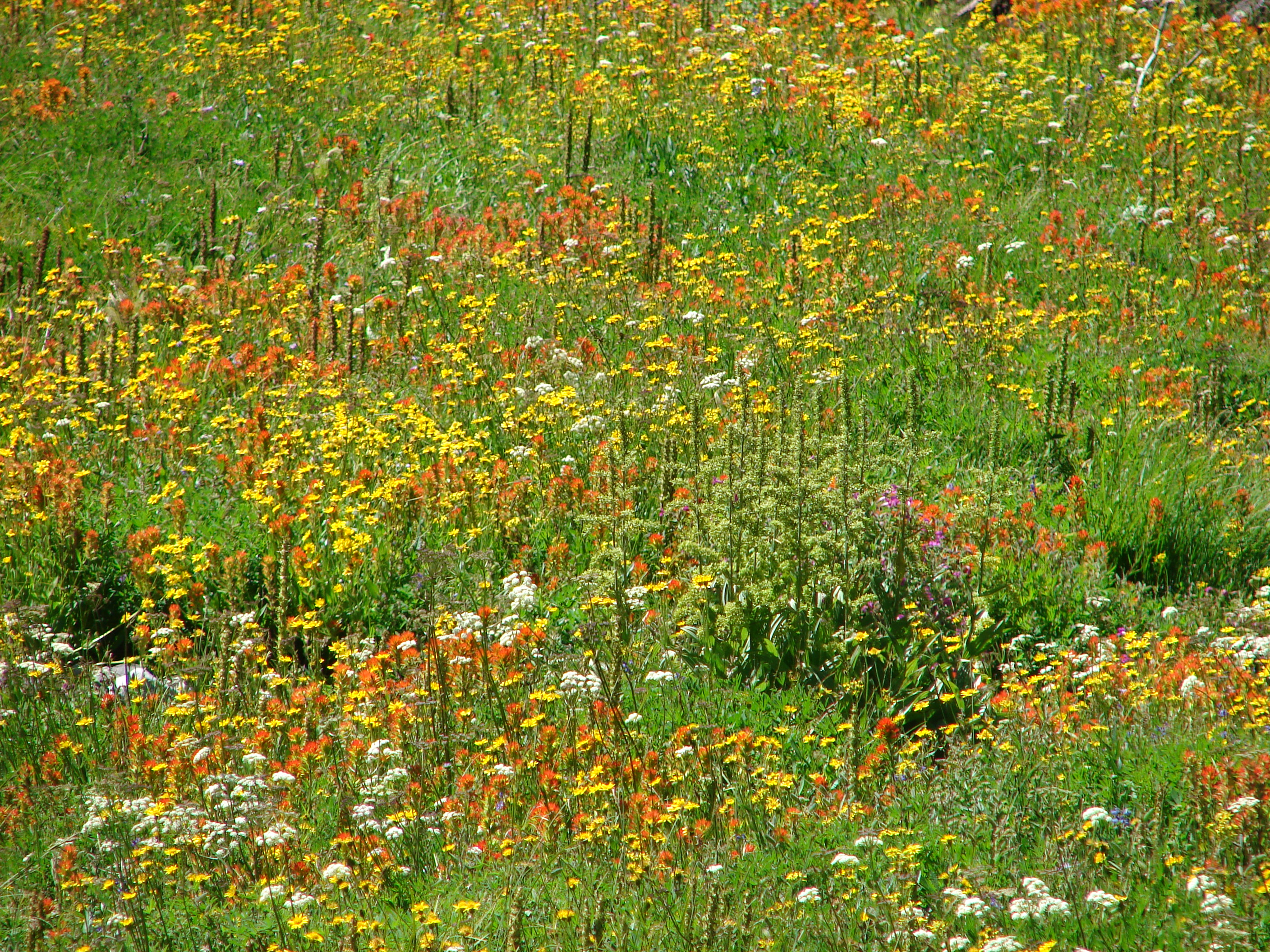
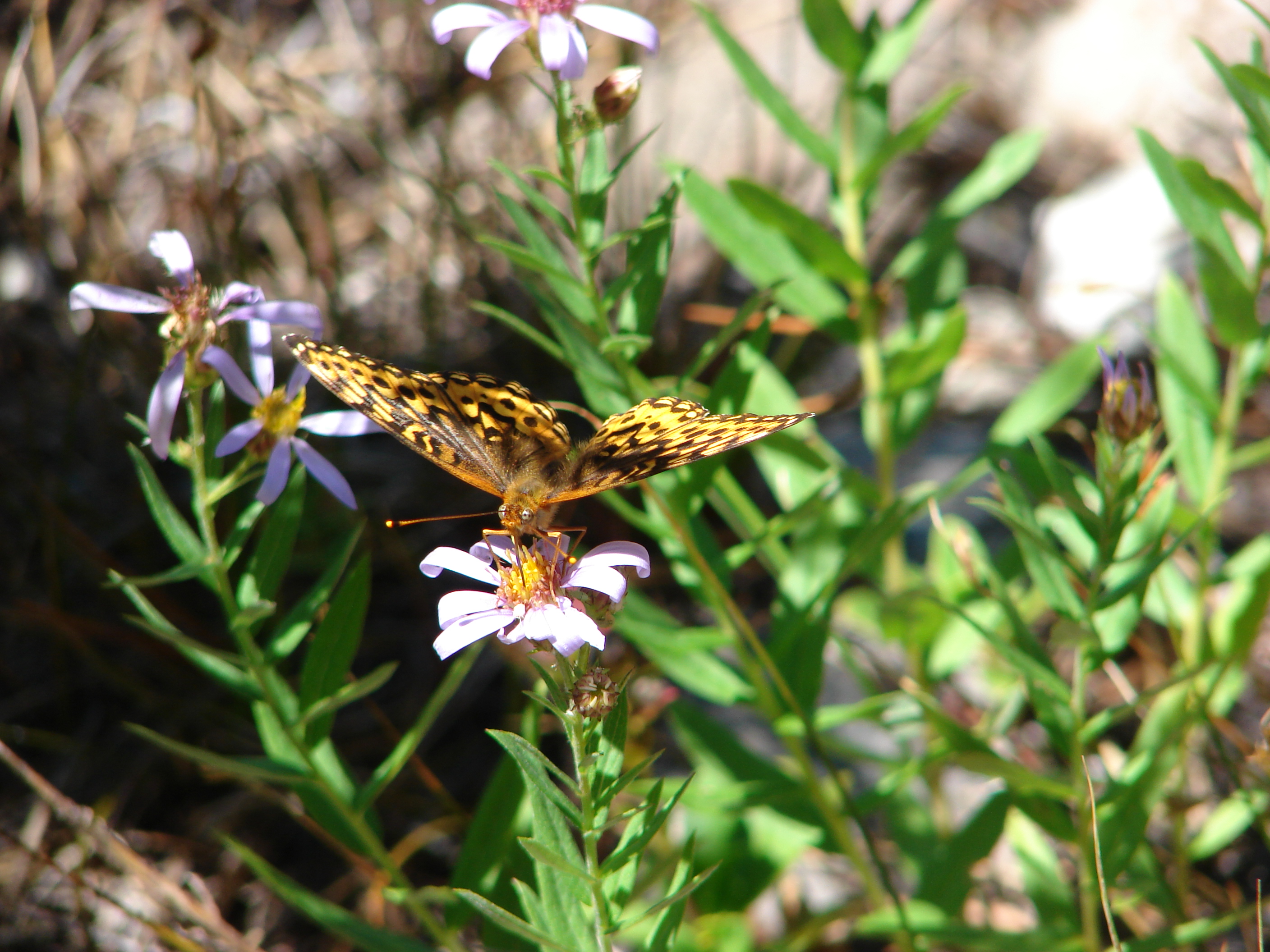
Near the north end of St. Helens Lake was the sign for the Coldwater Peak Trail which we turned up to begin our climb. We were so busy looking for berries (which we had all been snacking on as we hiked) that we somehow walked right off the trail at a switchback. It took a moment but I finally spotted it across the hillside going up so we headed cross country until we intersected it. Back on the trail we continued our climb up amid an increasing number of flowers (and plenty of berries).

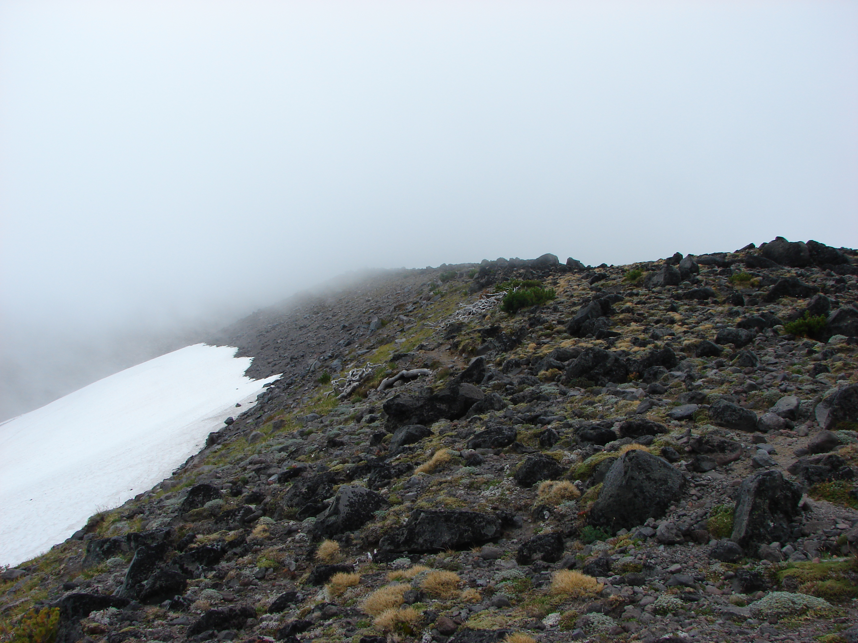
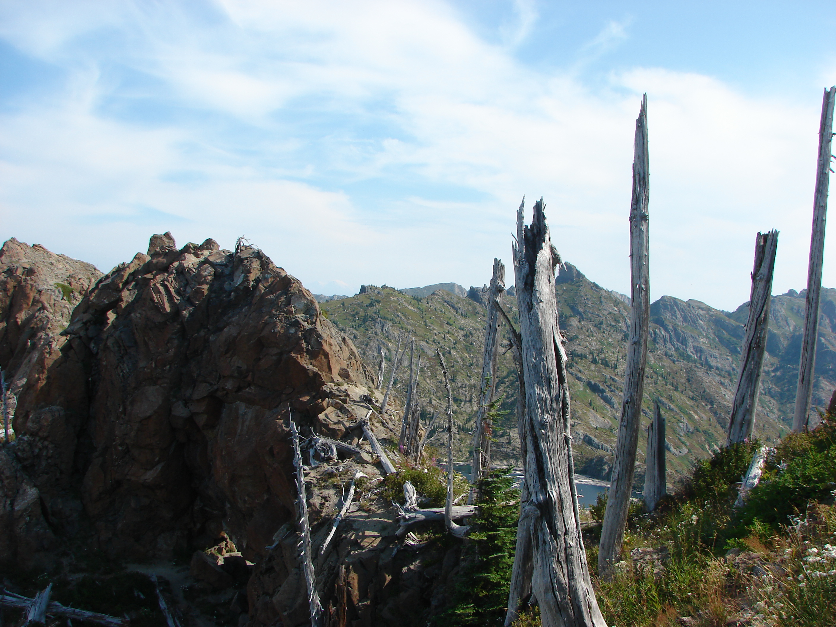
The views from the summit were good despite the persistent haze which had now completely hidden Mt. Adams.


We couldn’t get to the highest point on the rocks of Coldwater Peak though. We found that we were greatly outnumbered on the summit by flying ants!

They were sticking to the west side of the peak and as long as we remained a few feet from that edge they left us alone so we were able to eat in peace.
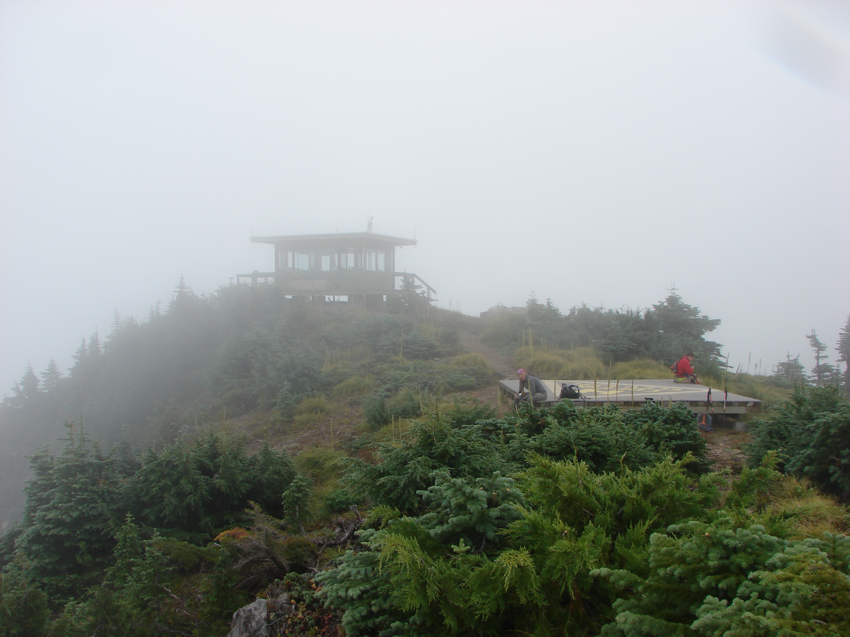
We headed back down the trail and tried to figure out where we had lost it on the way up but we never did figure that mystery out. The smoke had gotten worse and it could now be faintly smelled in the air. We ate more berries on the way back and stopped to watch the elk heard again before dropping our packs off at the car and heading to the now open observatory to pay for the passes that we were supposed to have in order to hike in the area. Since we were there we took a tour around the small but interesting observatory before getting in the car and daring Portland’s rush hour traffic. Happy Trails
Facebook photos: https://www.facebook.com/media/set/?set=a.10201951052645107.1073741851.1448521051&type=1
Flickr: http://www.flickr.com/photos/9319235@N02/sets/72157635195793722/