What do we do when the temperatures are going to be nearing triple digits in the Willamette Valley? Take a 23.9 mile hike of course! Okay so that wasn’t our original plan, but due to some navigational errors that’s exactly what happened.
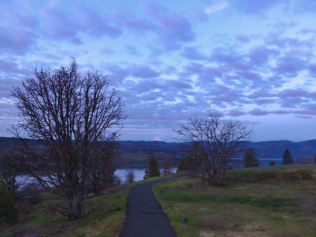
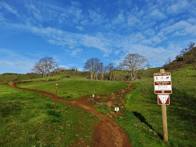
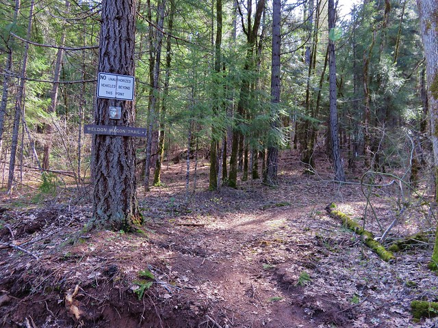
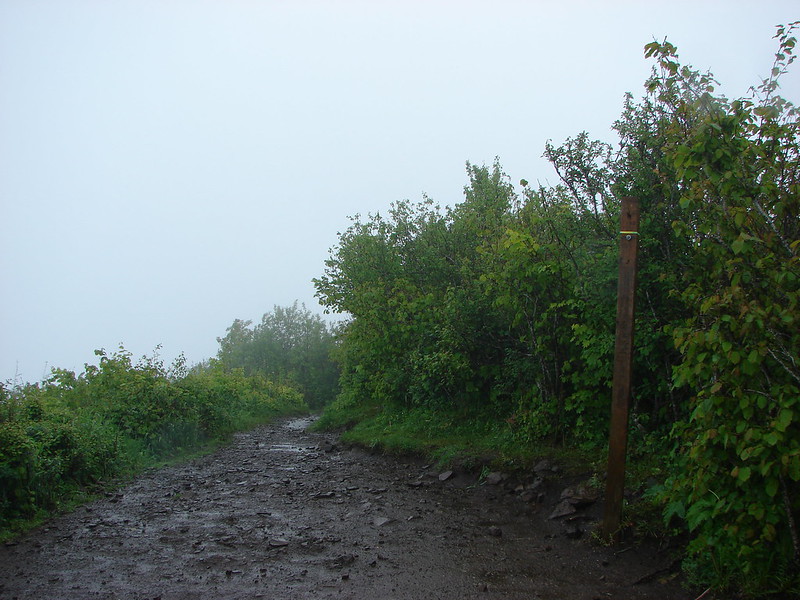
We were headed to Three Corner Rock and then hopefully onto Table Mountain via the Pacific Crest Trail. We’d visited Table Mountain in 2013 starting from the currently closed trailhead near the privately owned Bonneville Hot Springs. Our plan for this hike was to start at the Rock Creek Pass Trailhead where the PCT crosses CG-2090.
After purchasing a Washington Department of Natural Resources Discover Pass online we headed to the Columbia Gorge and crossed into Washington on the Bridge of the Gods in Cascade Locks, OR. From there we followed the directions from the Oregonhikers.org field guide to the trailhead.
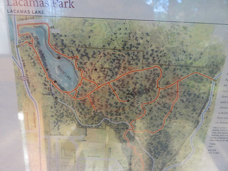
Our first (and biggest) error of the day happened as we set off on the PCT. Not only does the trail cross CG-2090 but it also crosses CG-2000, which we took to reach the trailhead, further to the north. On the map below the black “x” is the Rock Creek Pass TH and the red “x” marks the PCT crossing of CG-2000.
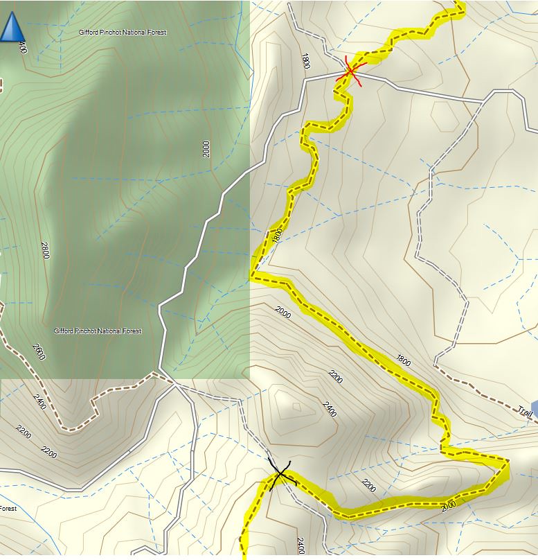
We hadn’t noticed the PCT crossing of CG-2000 on the drive to the TH and for some reason I had it stuck in my head that our starting point was the red “x”. So based on the direction we had driven to the spot from, we needed to take the PCT to the left to be heading south toward Three Corner Rock. Had we stopped to question why the Sun was nearly straight ahead as we started on the PCT we may have realized our mistake.
We also hadn’t paid enough attention to the guidebook stating to go right on the PCT from the trailhead so off we went blissfully going the wrong way. From the Rock Creek Pass Trailhead it should have been 1.5 miles to the junction with the Three Corner Rock Trail which meant we had expected to reach it between 45 minutes to an hour into the hike. Instead about an hour into the hike we crossed CG-2000. That didn’t tip us off because based on where we thought we had started and the direction we thought we were heading our route would have included a crossing of CG-2090 which we mistook this crossing for.
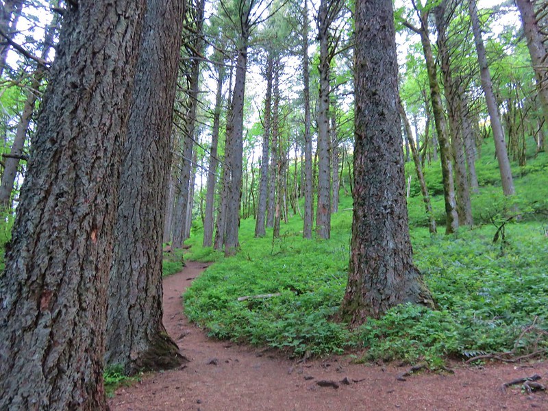
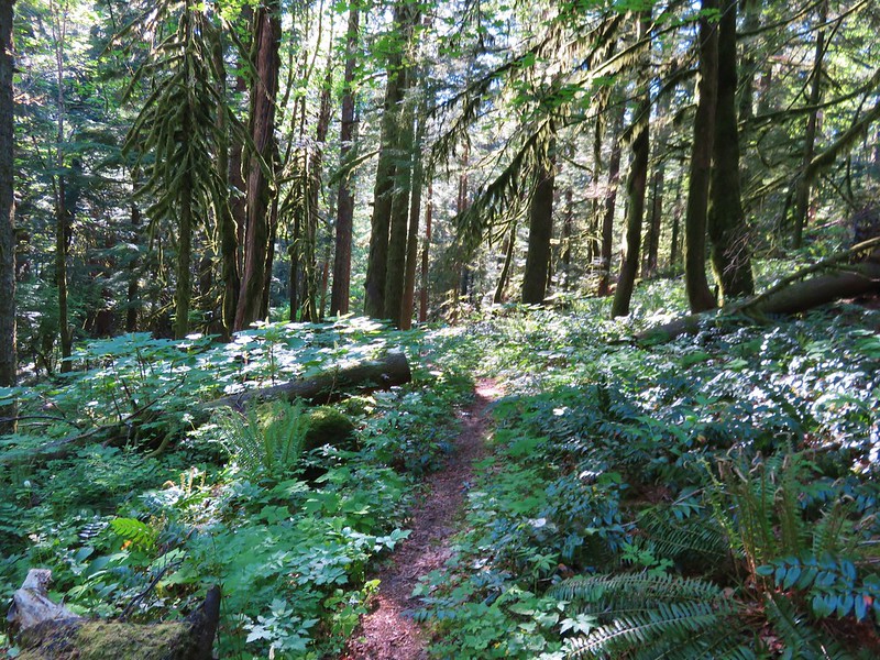
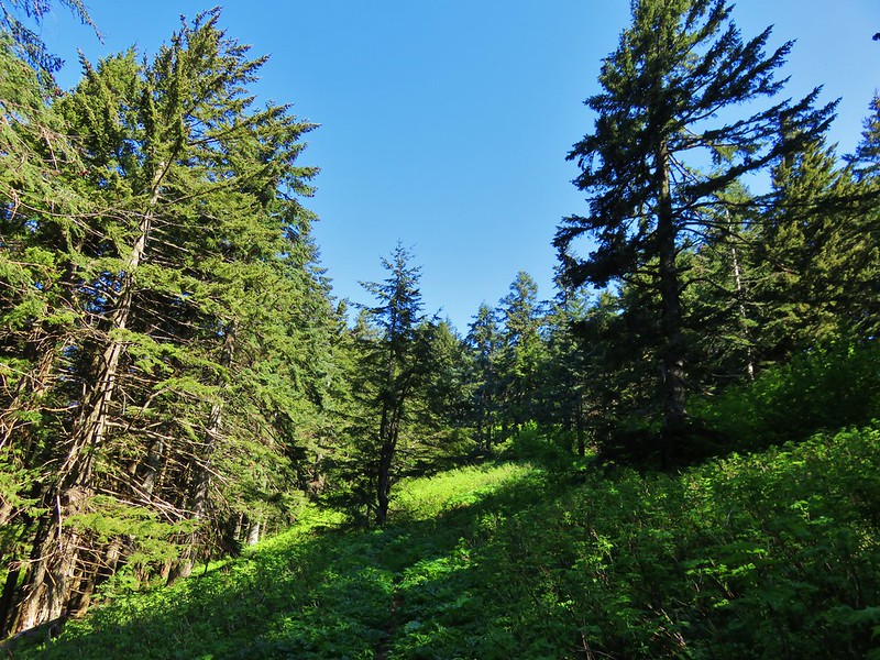
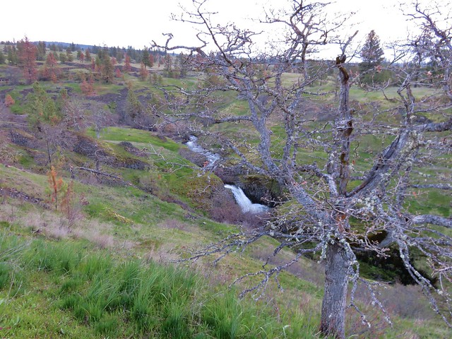
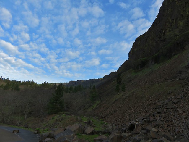
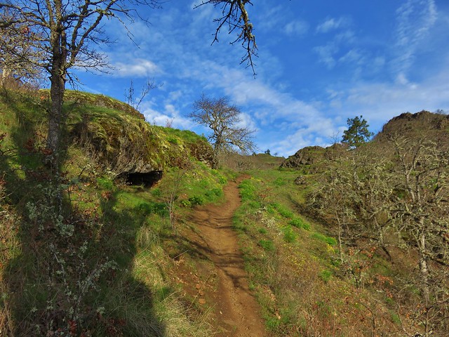
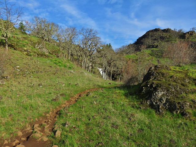
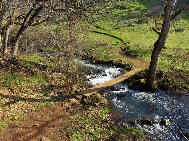
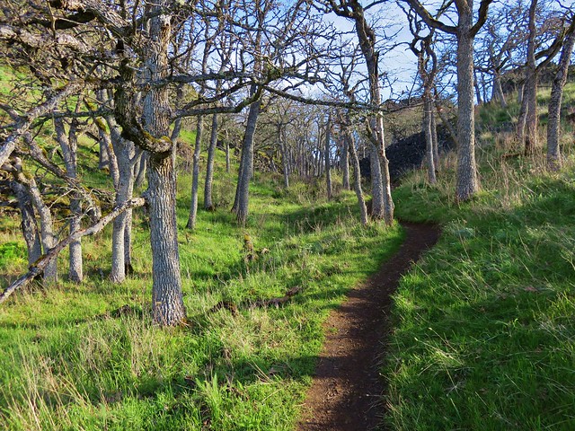
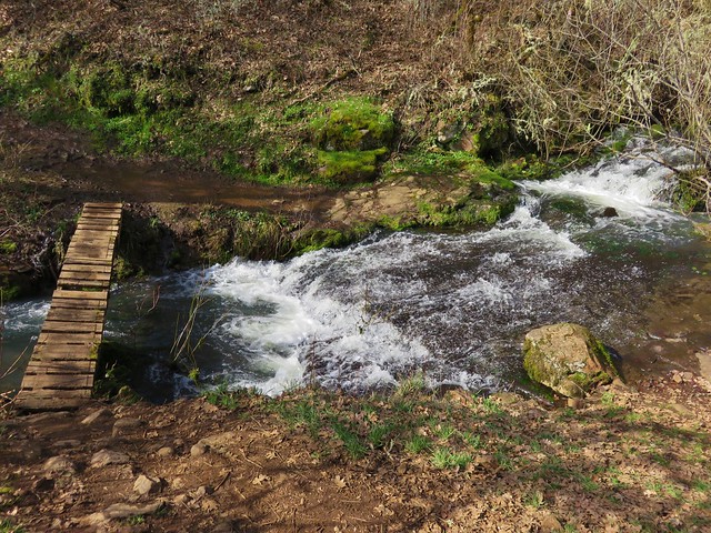
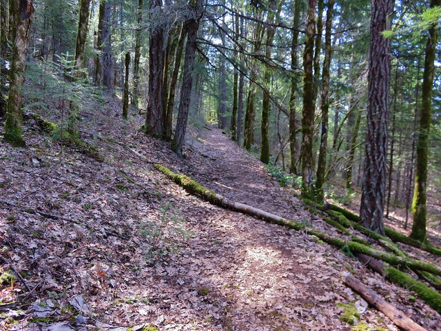
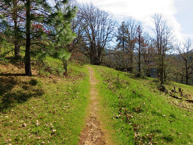
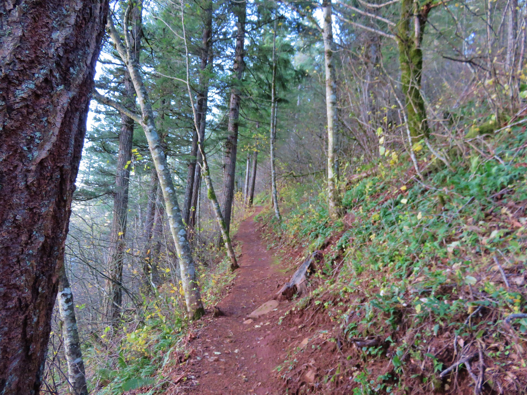
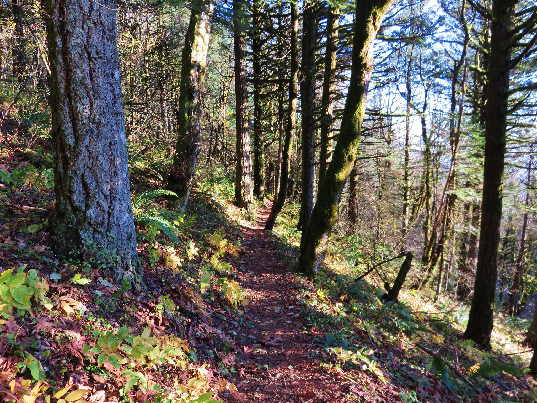
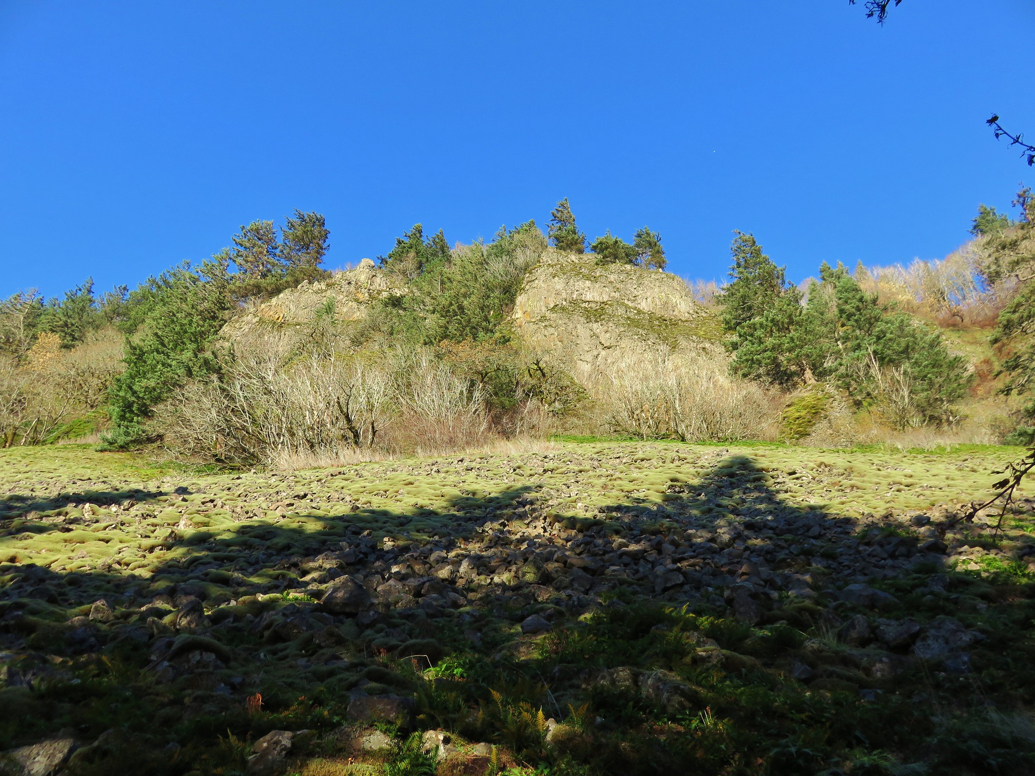
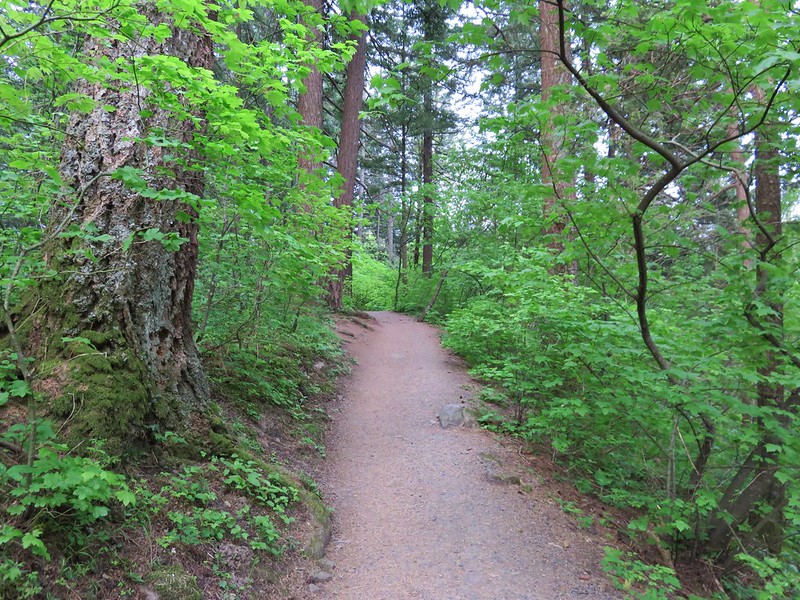
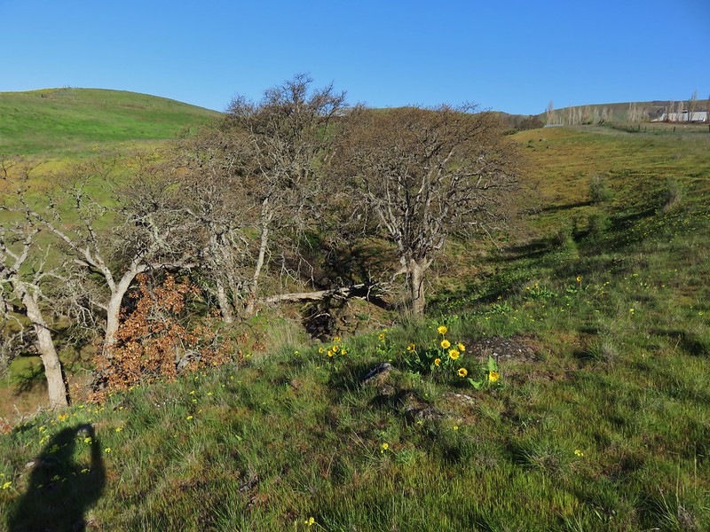
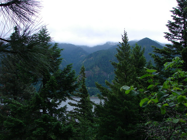
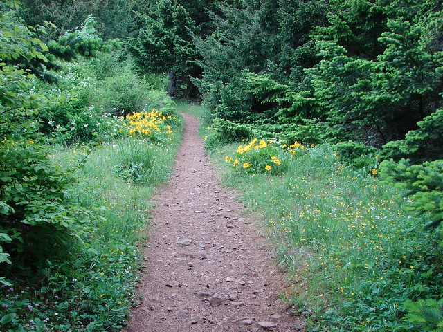
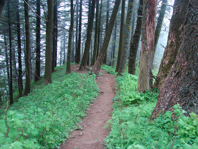
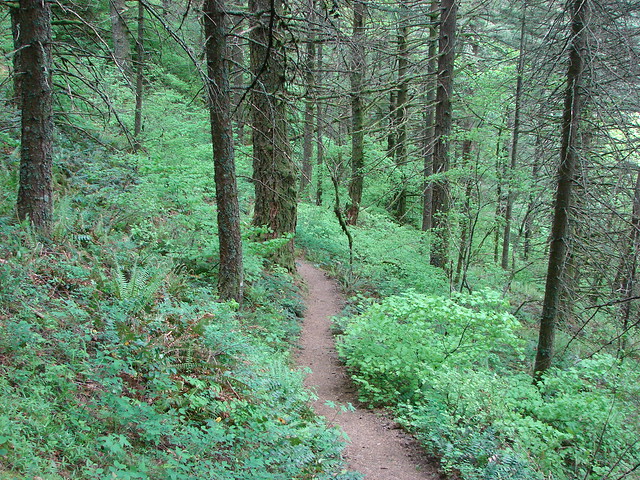
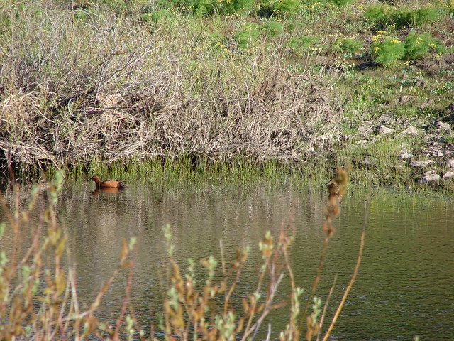
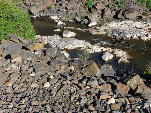
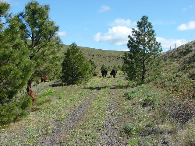
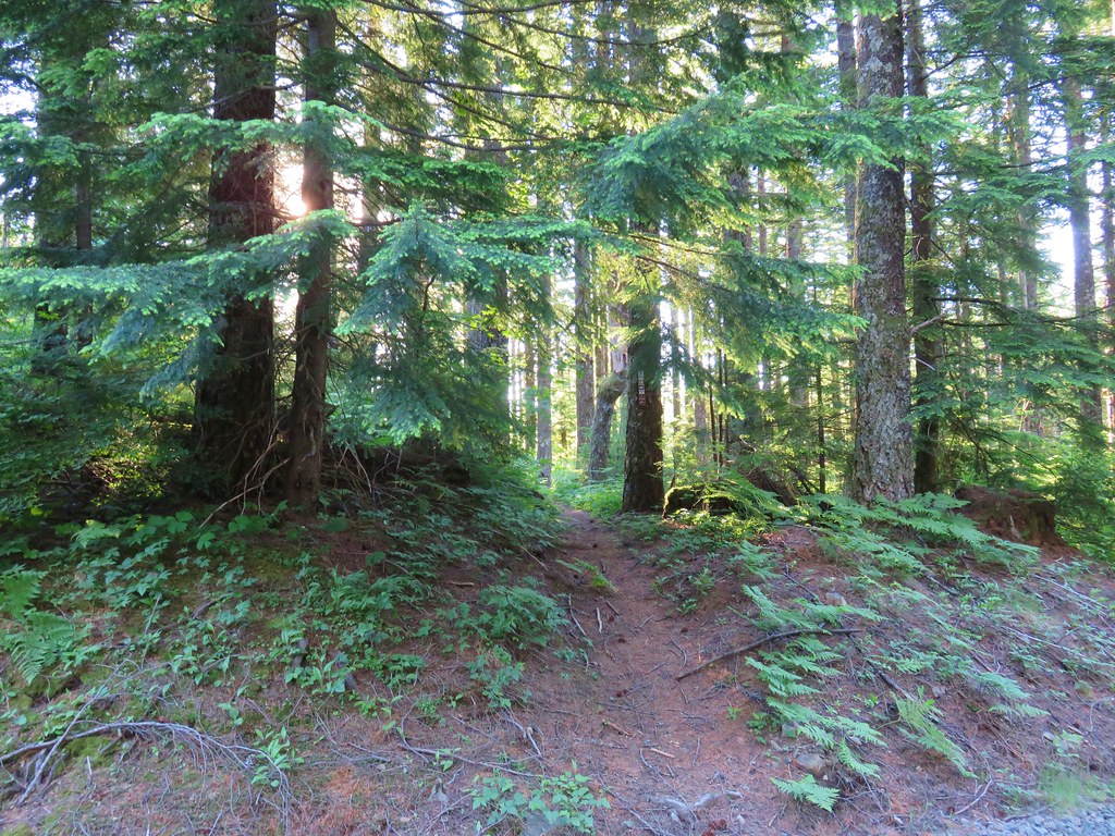
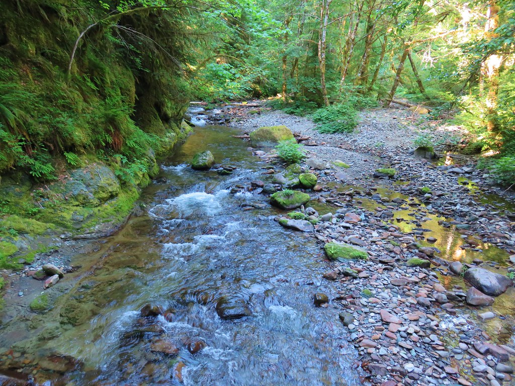
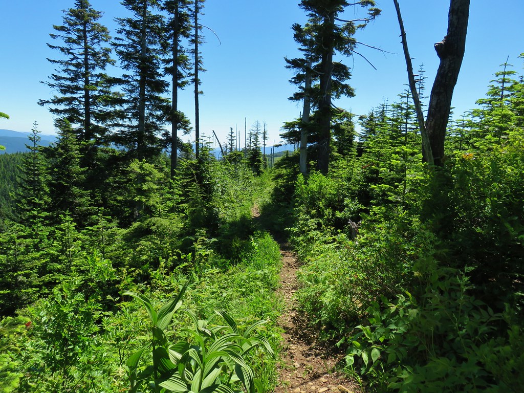
Heather had been questioning things for a while but it would have been impossible to be going north by following the PCT in the direction we had from where we thought we started, and we figured if we somehow failed to spot the Three Corner Rock Trail we’d just do it on the way back from Table Mountain instead. The forest along the trail was nice and we eventually came to a footbridge across what we soon realized was Rock Creek.
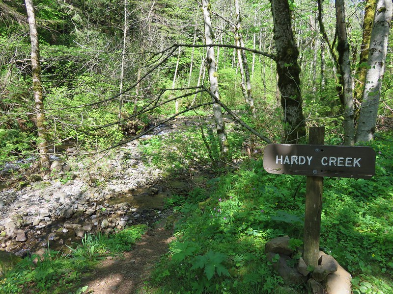
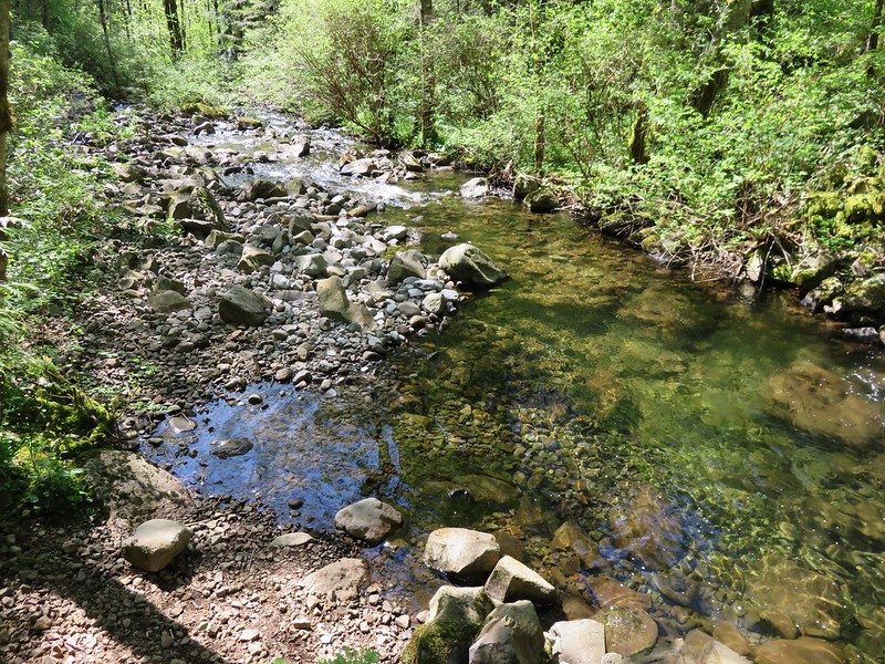
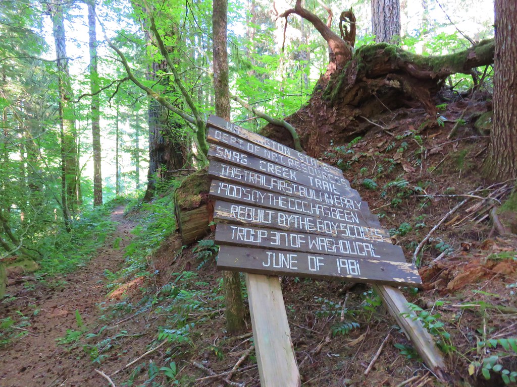
Soon after crossing Rock Creek we came to a junction with the Snag Creek Trail quickly followed by Snag Creek itself.
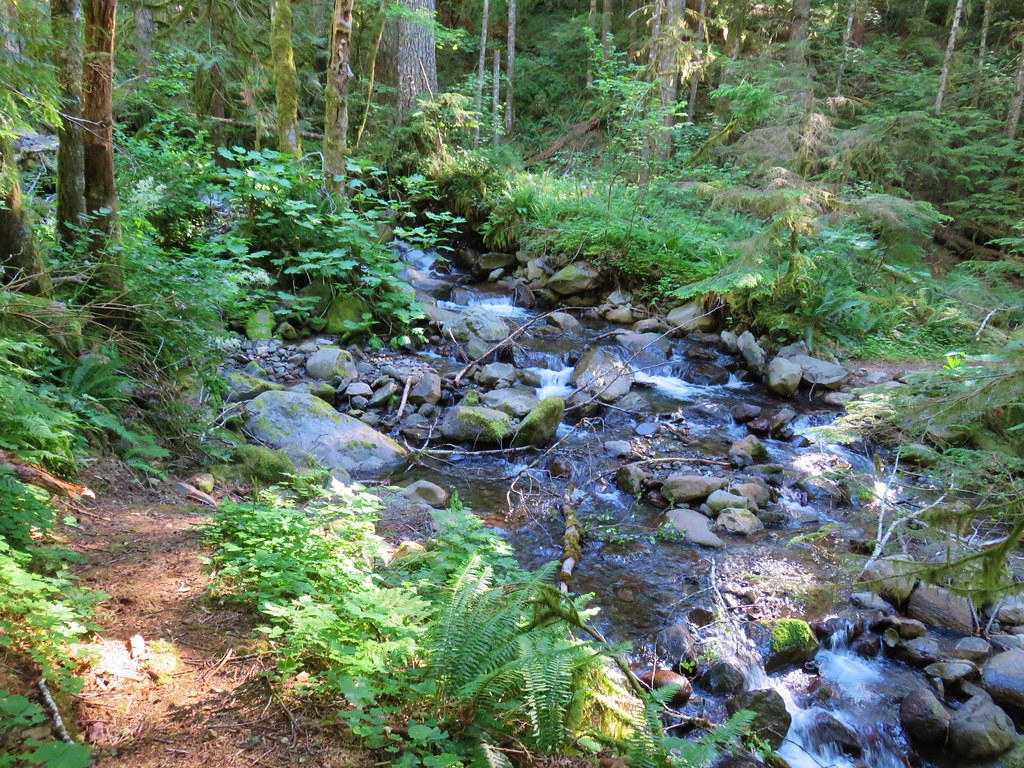
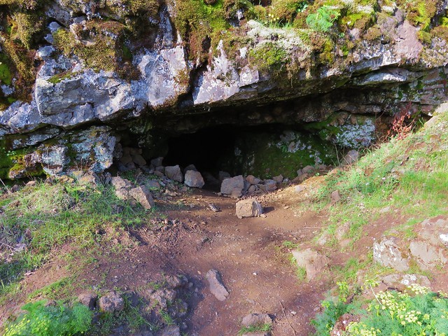
Neither of us remembered anything about having to ford a creek on our planned route but across we went. We were just over an hour and a half into the hike and now we were both having serious doubts about our direction. We pulled the map out again and this time I also zoomed out on the GPS far enough to see the Columbia River on the display which we had clearly been moving away from. It still took me a few minutes to realize what we’d done. I just kept thinking it was impossible to have gone left at the trailhead and be heading north until it finally sunk in that the trailhead wasn’t where I thought it was. Back we went having to retrace three plus miles and regain nearly 1000′ of elevation.
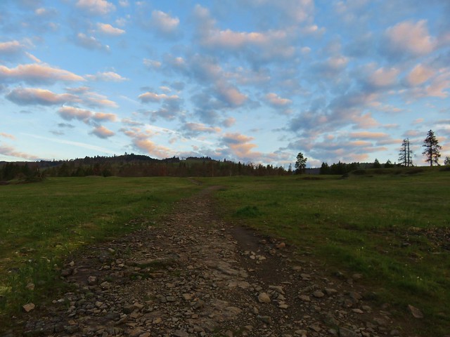
It was 10am when we made it back to the trailhead, nearly 3 hours after we’d set off in the wrong direction. This time we headed south.

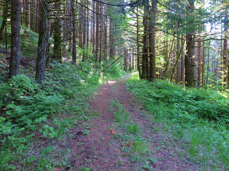
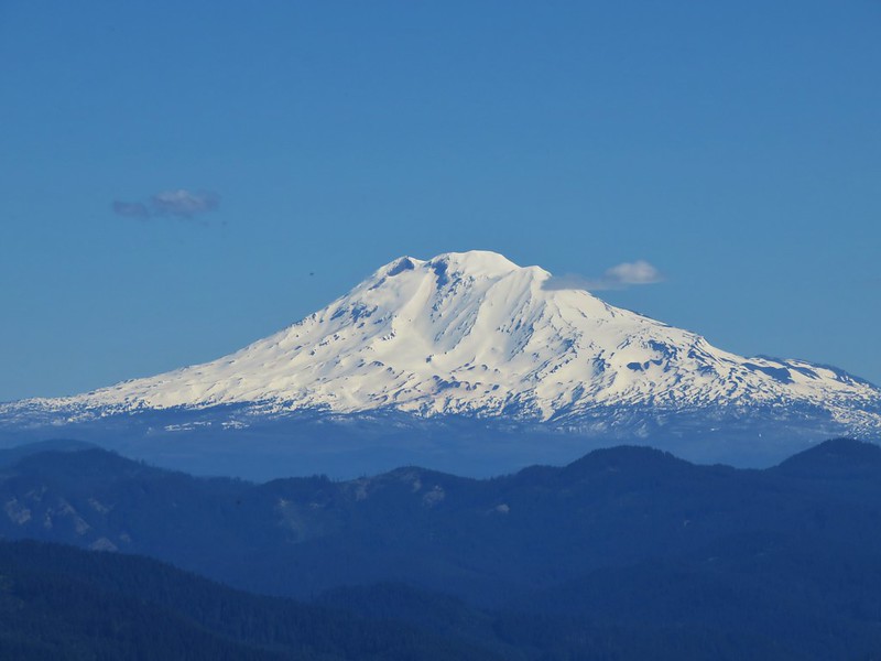
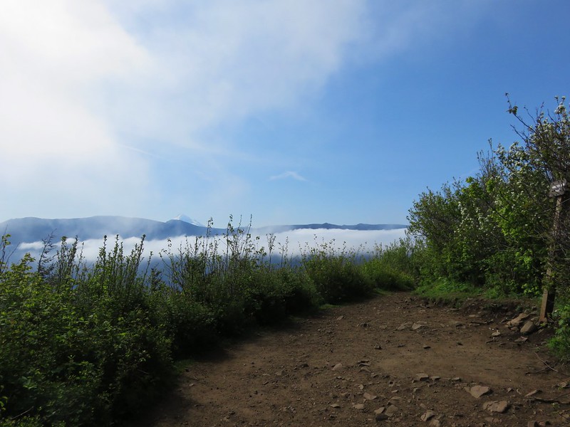
The funny thing was even though by that point I knew we’d gone the wrong way for at least the next hour I couldn’t shake the feeling that we were headed north. The PCT climbed away from Rock Creek Pass gaining views of Mt. Adams through the trees.
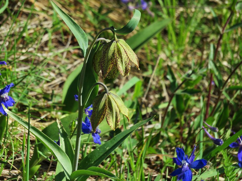
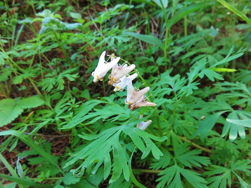
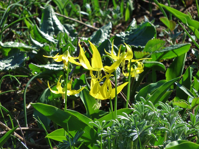
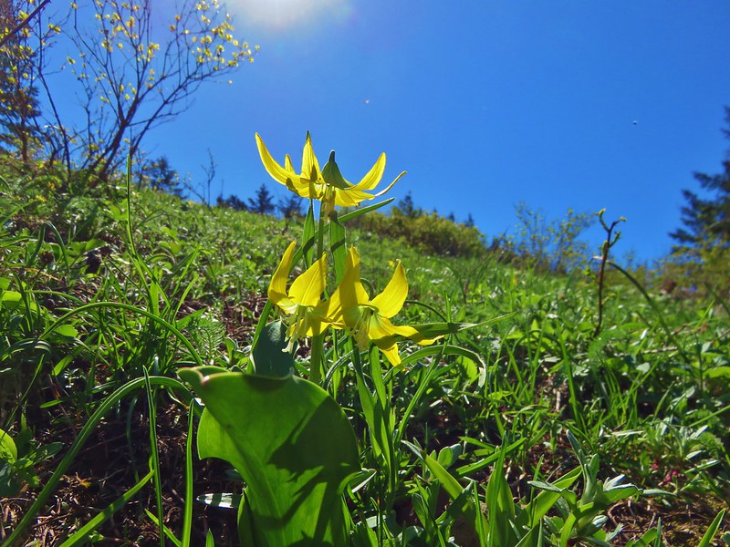
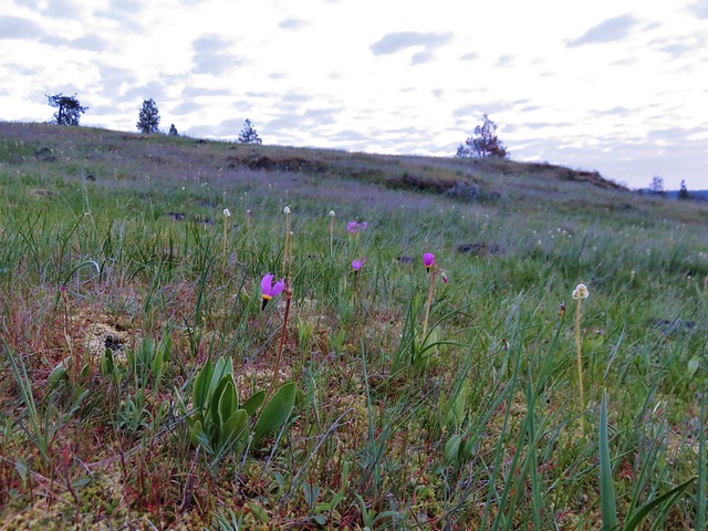
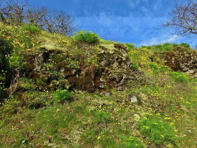
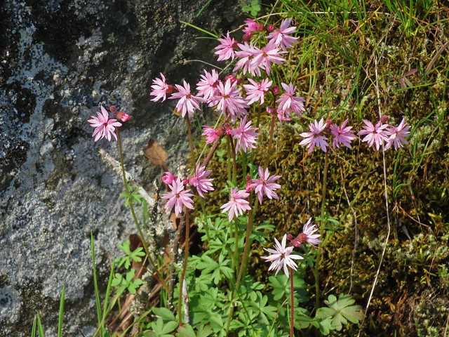
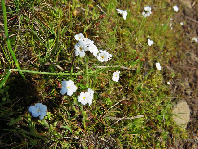
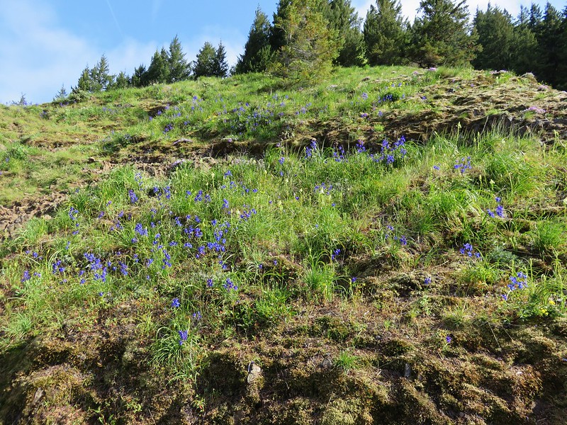
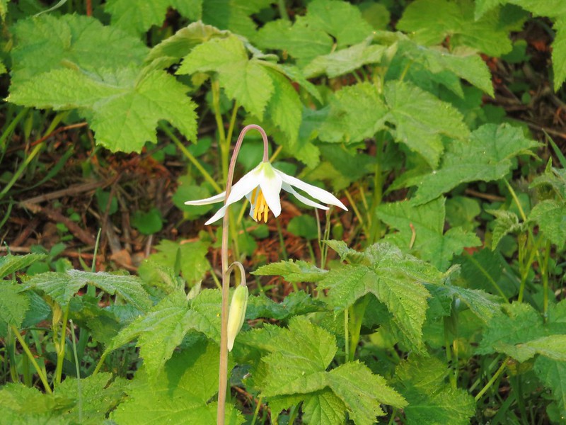
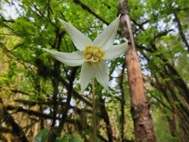
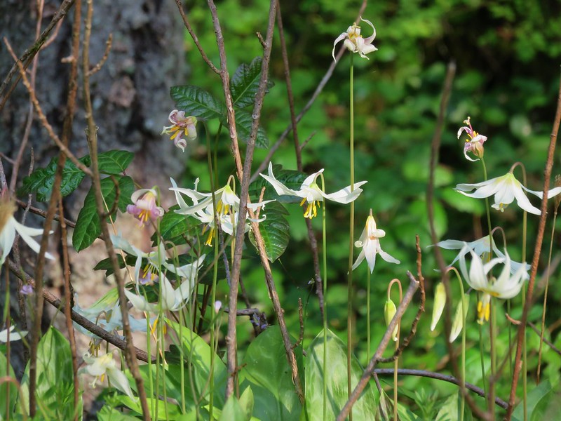
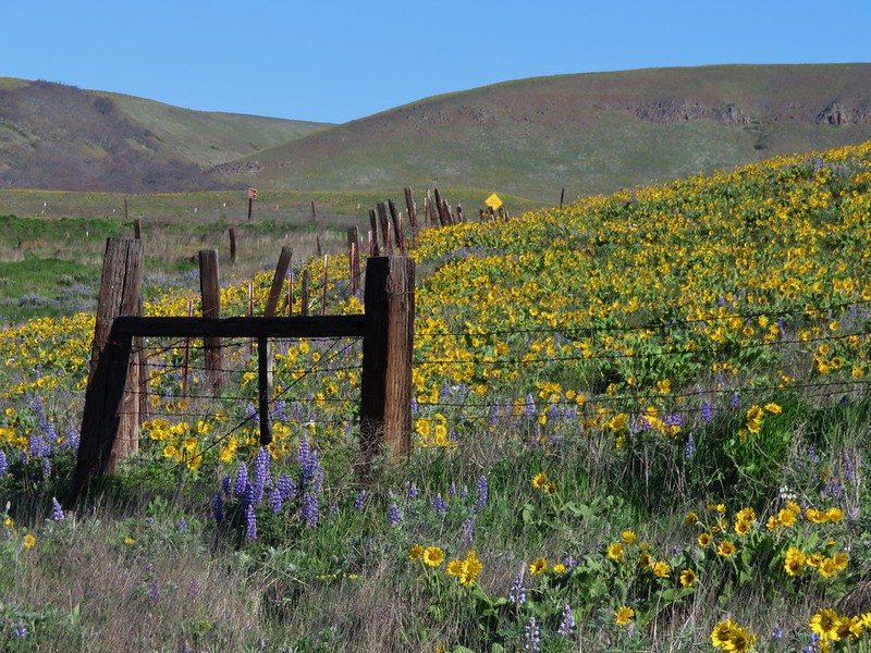
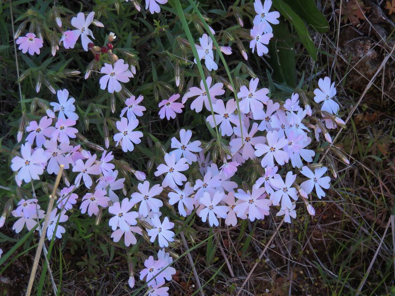
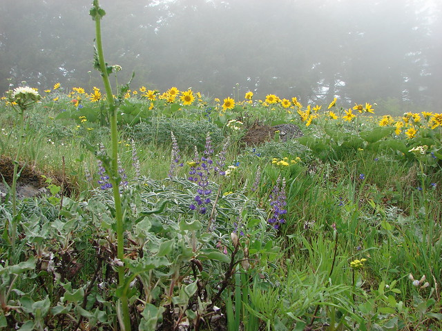
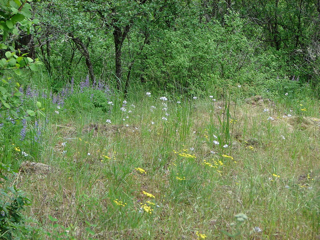
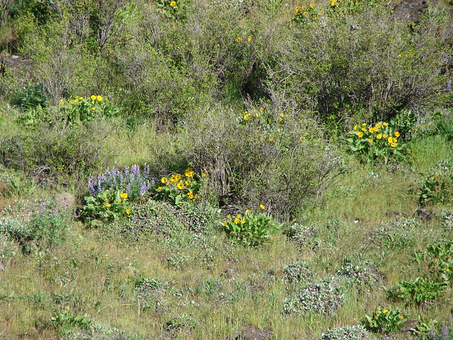
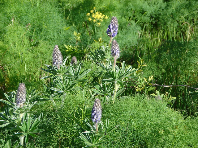
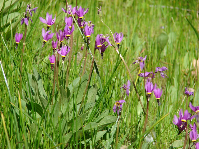
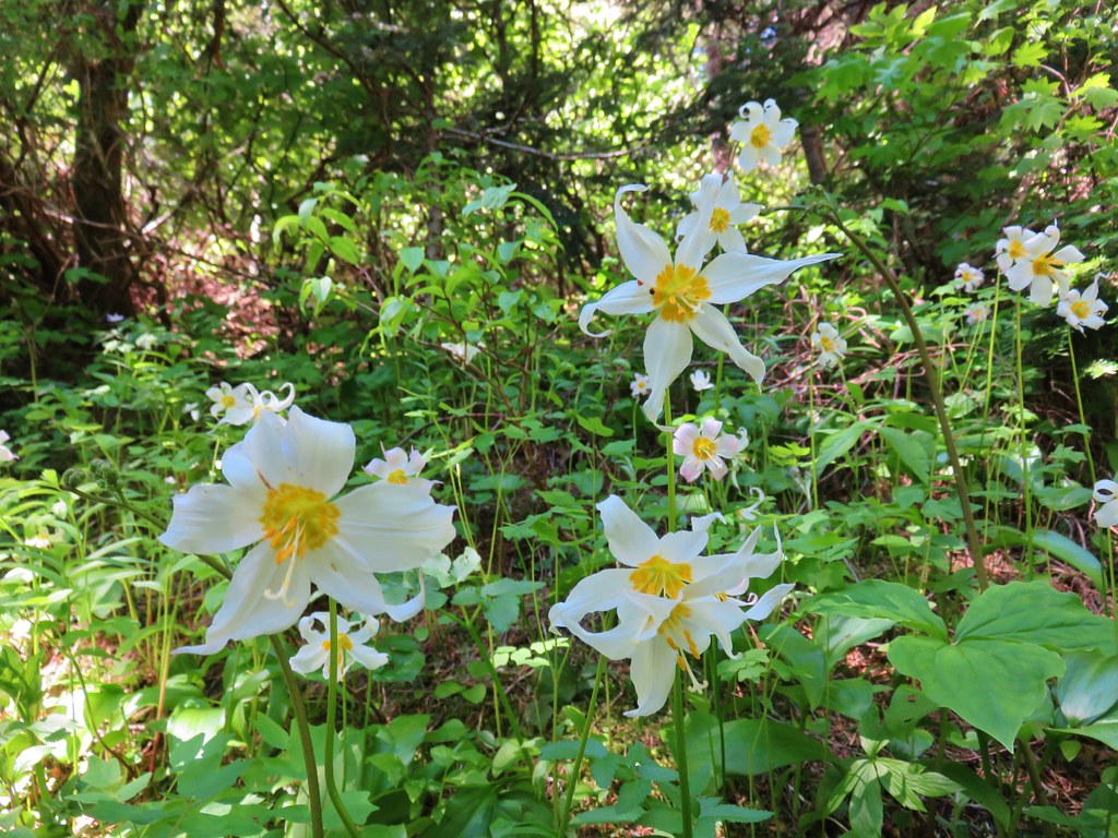
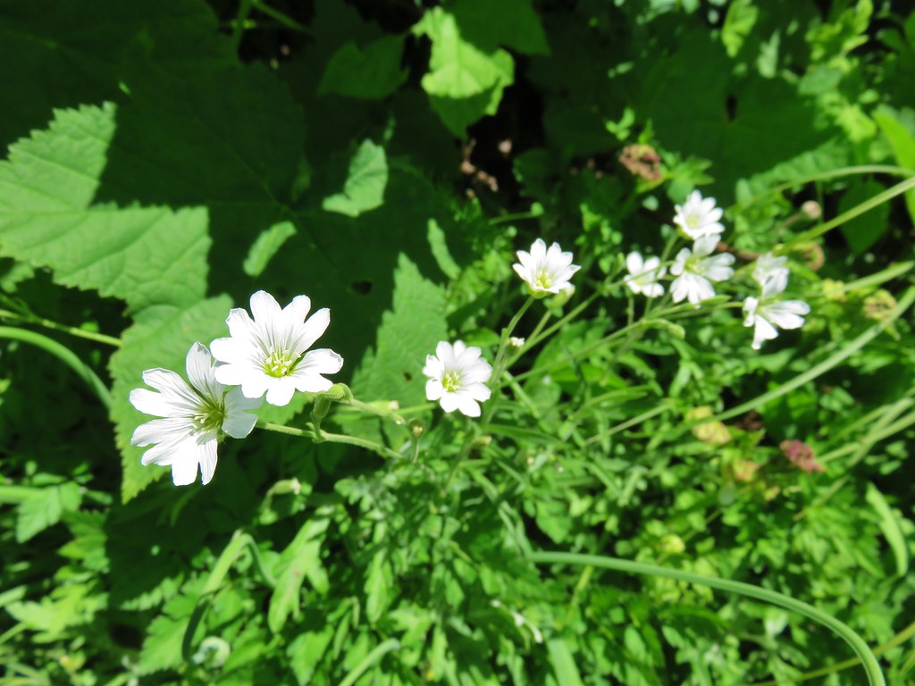
Near the junction with the Three Corner Rock Trail many avalanche lilies were still in bloom.
We turned right onto the Three Corner Rock Trail which popped out onto an old road bed after approximately .4 miles.
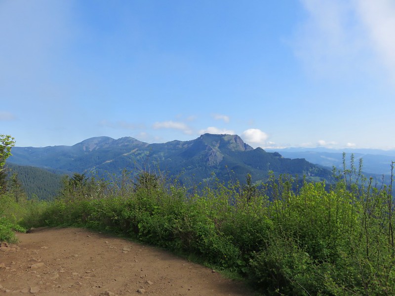
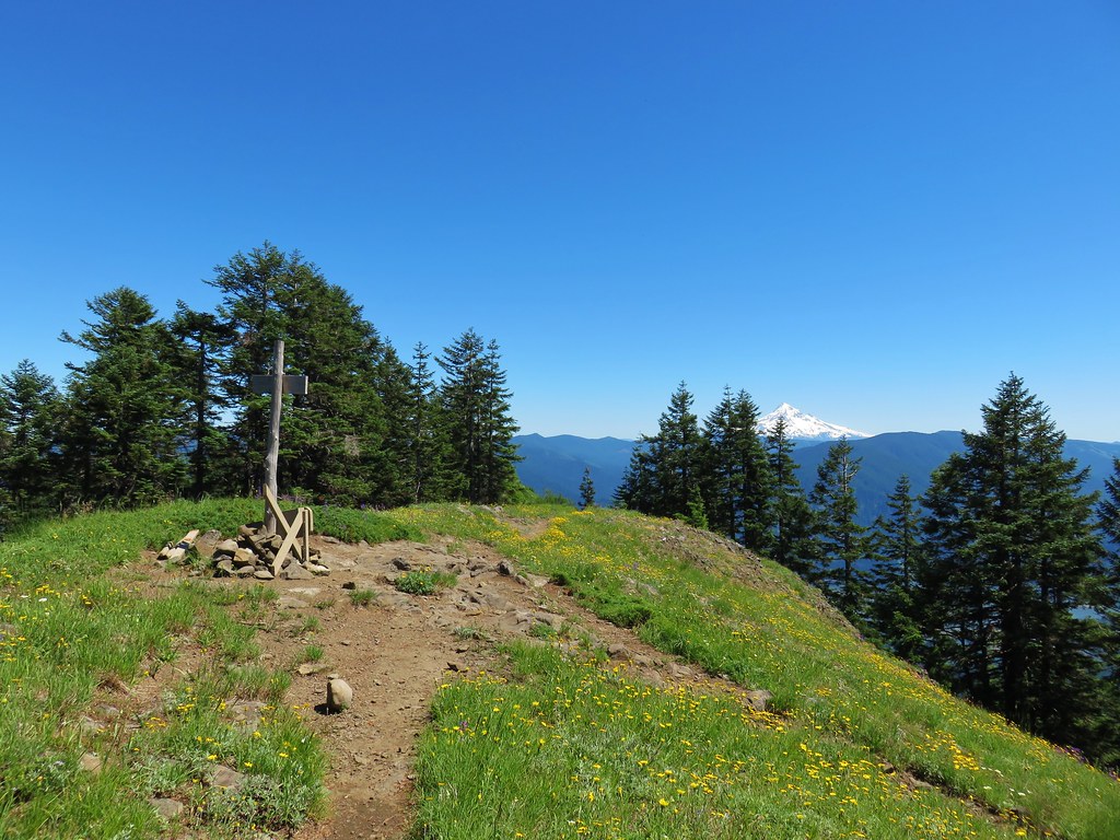
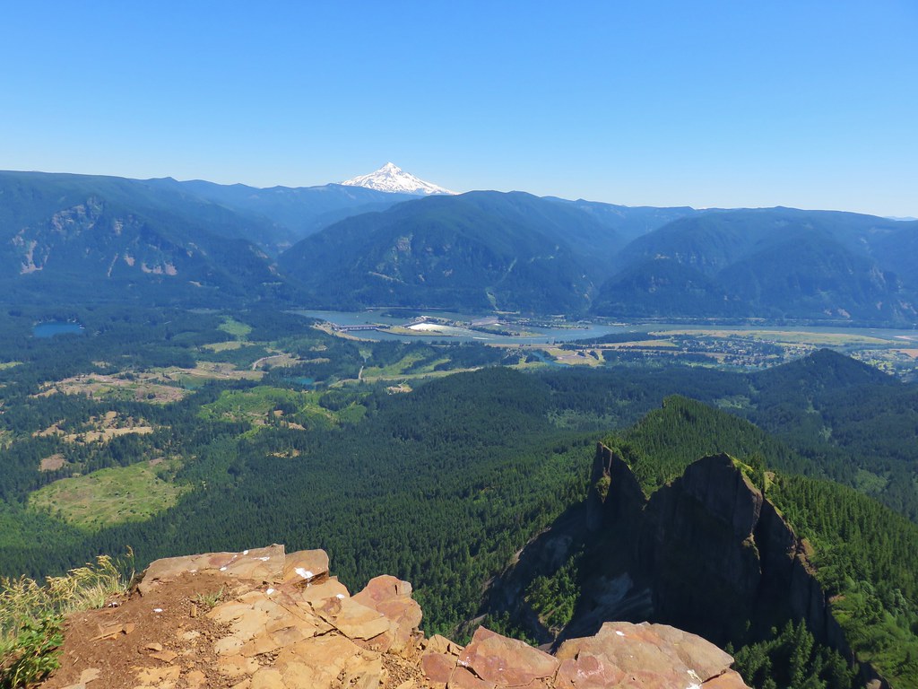
We followed the road uphill just under a quarter mile to Three Corner Rock.
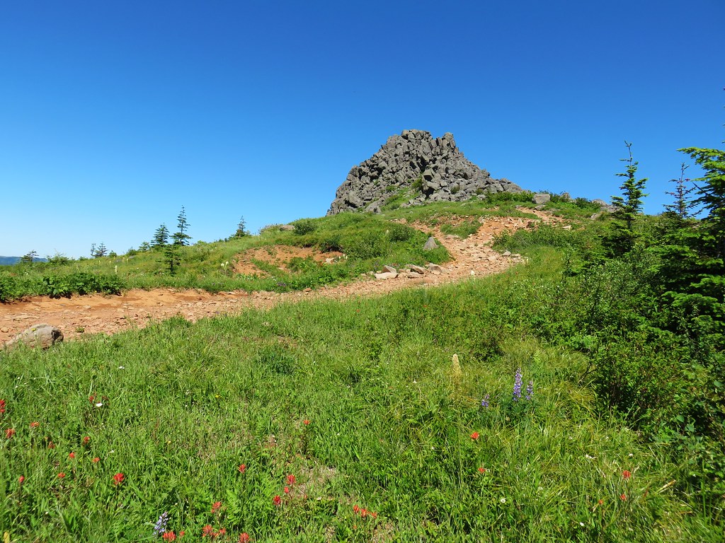
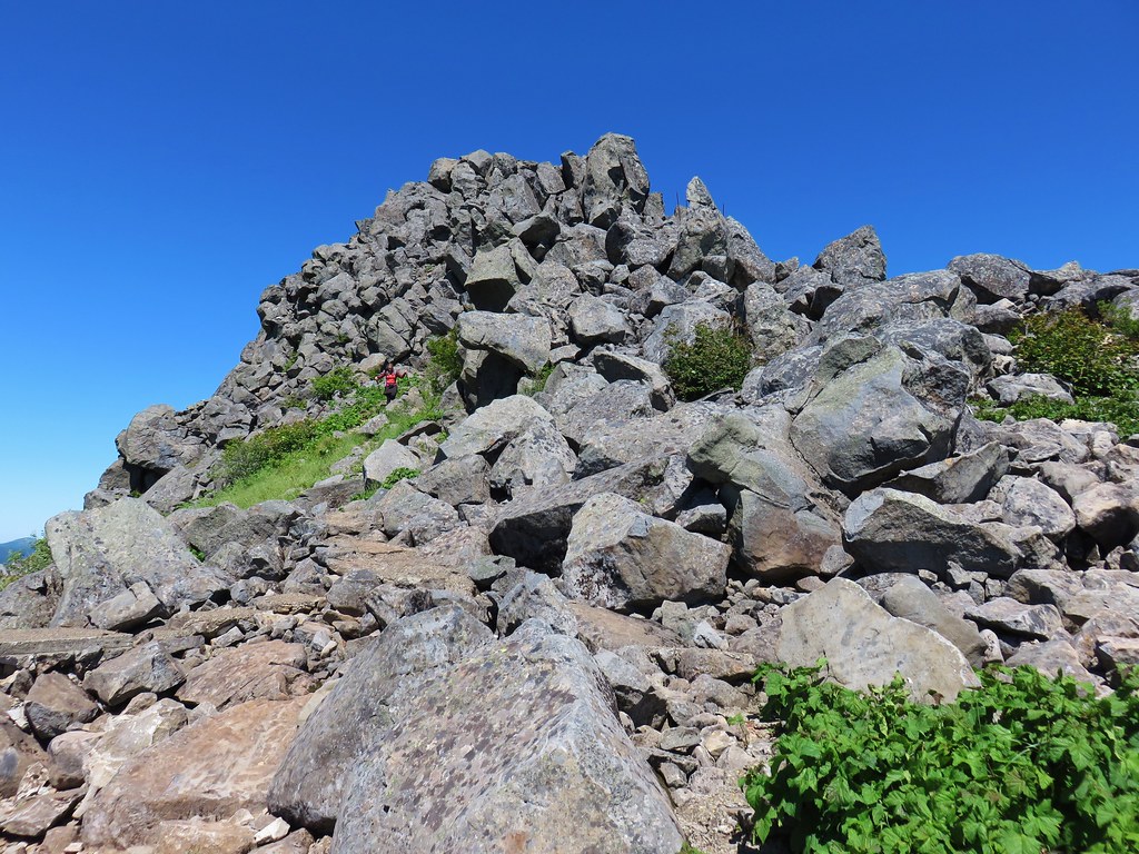
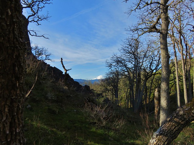
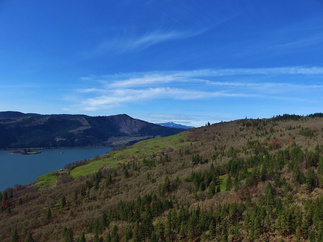
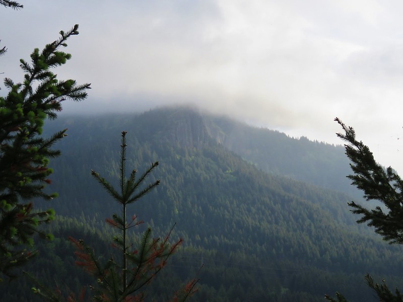
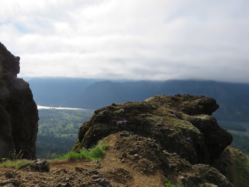
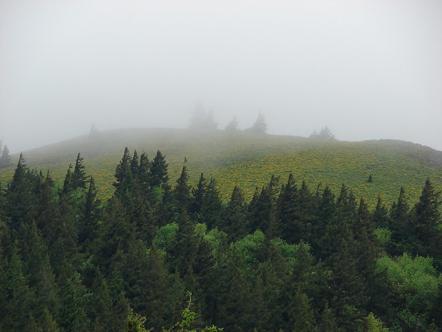
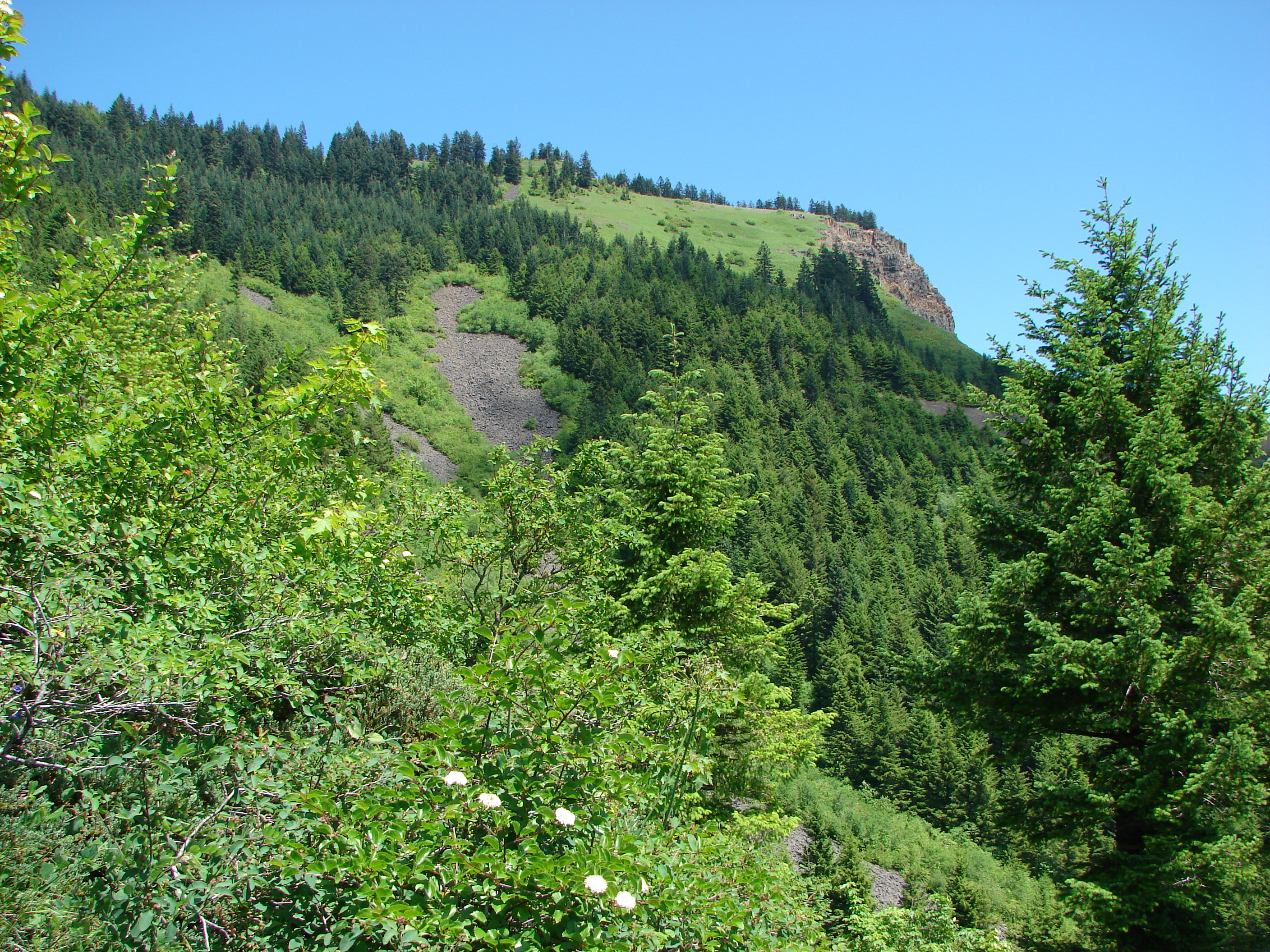
It was really windy on the open ridge and on Three Corner Rock which was once home to a lookout tower.

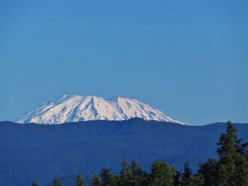
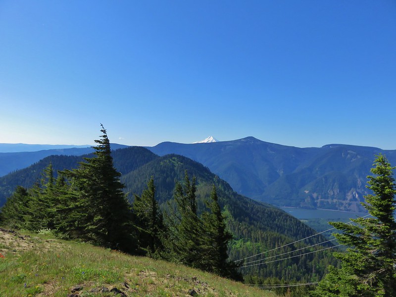
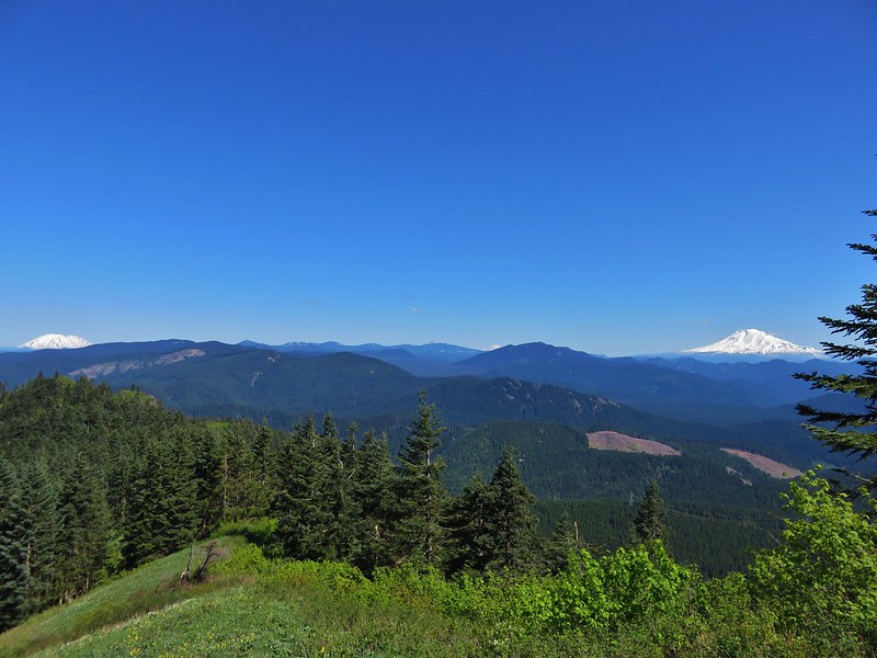
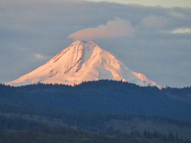
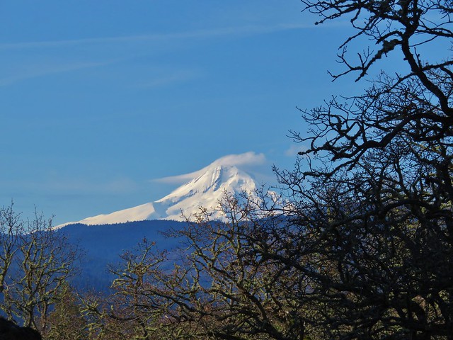
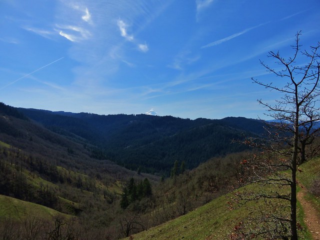
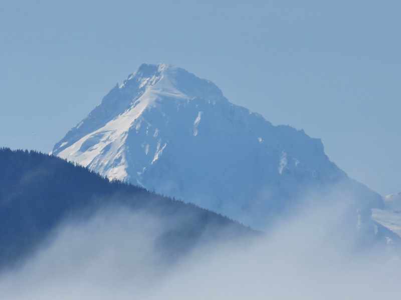
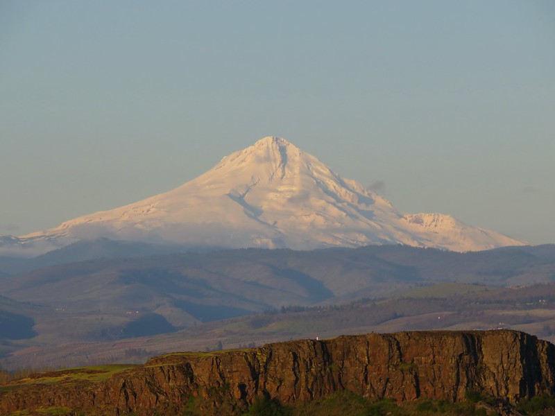
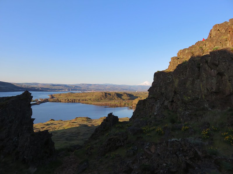
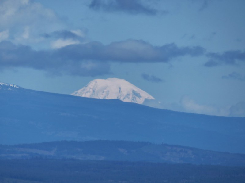
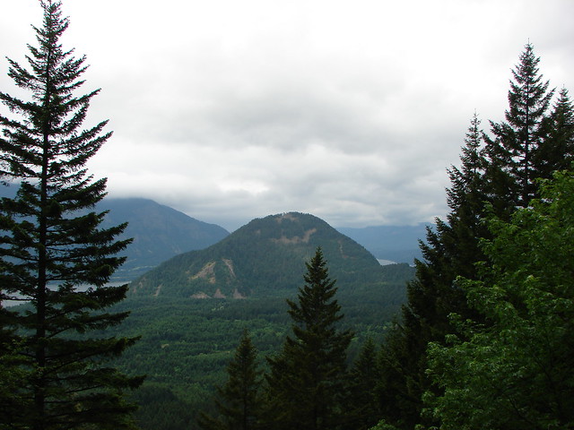
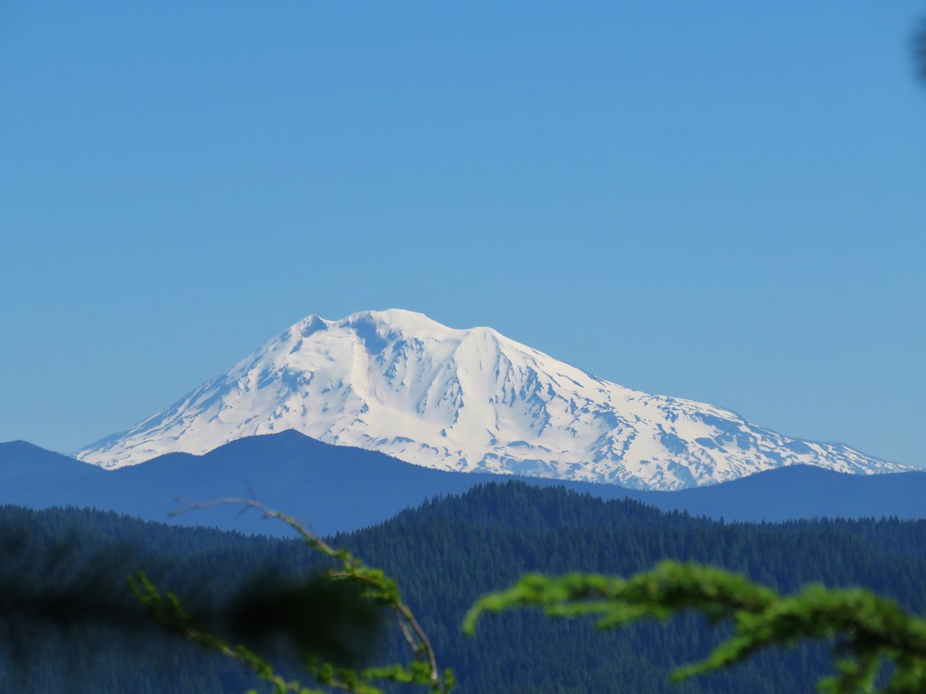
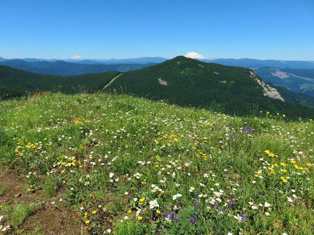
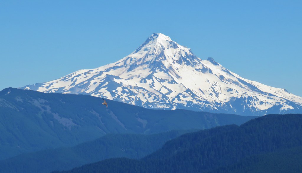
It was a five volcano day with a bonus view of Goat Rocks thrown in.
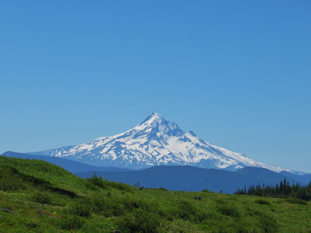 Mt. Hood
 Mt. Jefferson
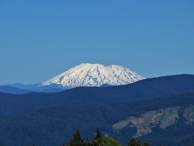
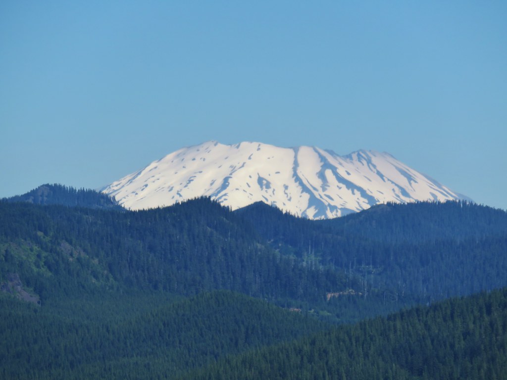 Mt. St. Helens
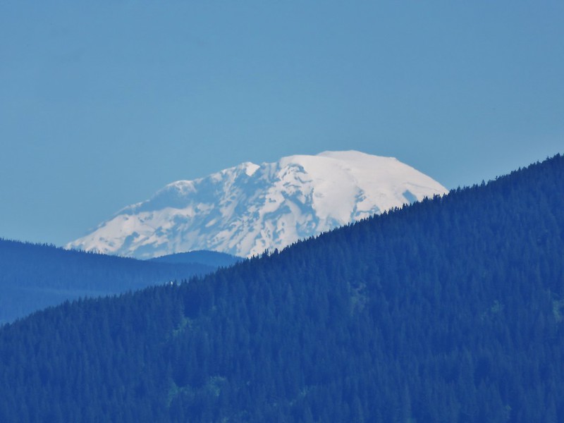
 Mt. Rainier
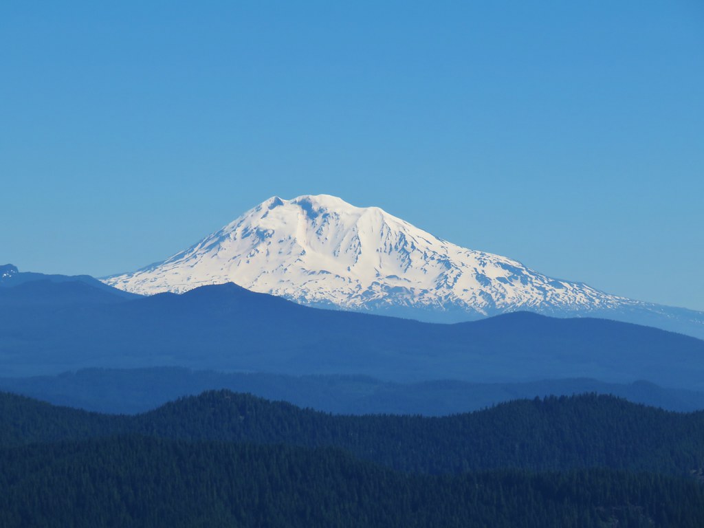 Mt. Adams
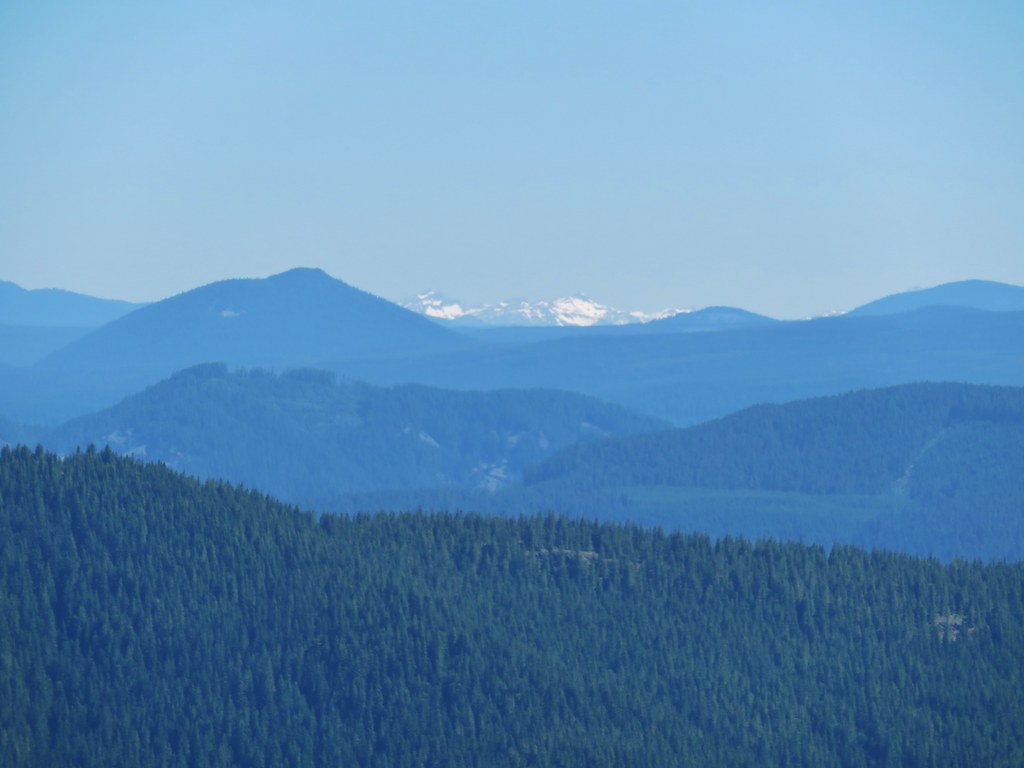 Goat Rocks
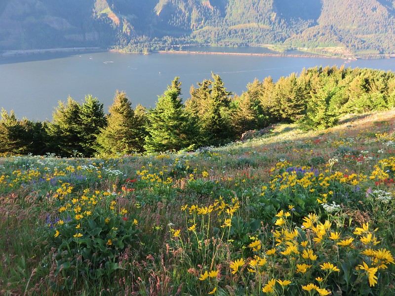
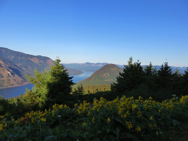
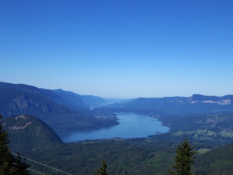
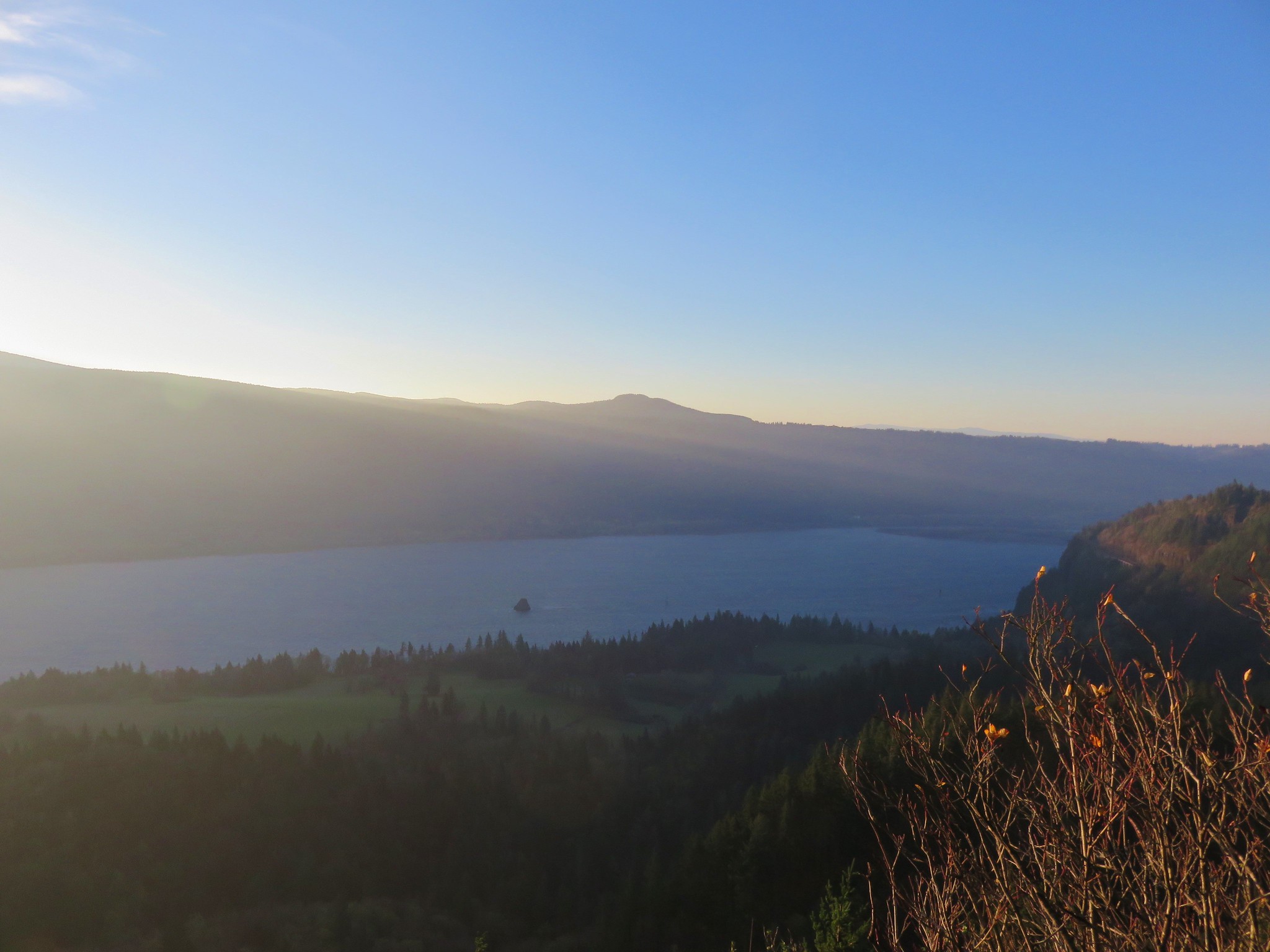
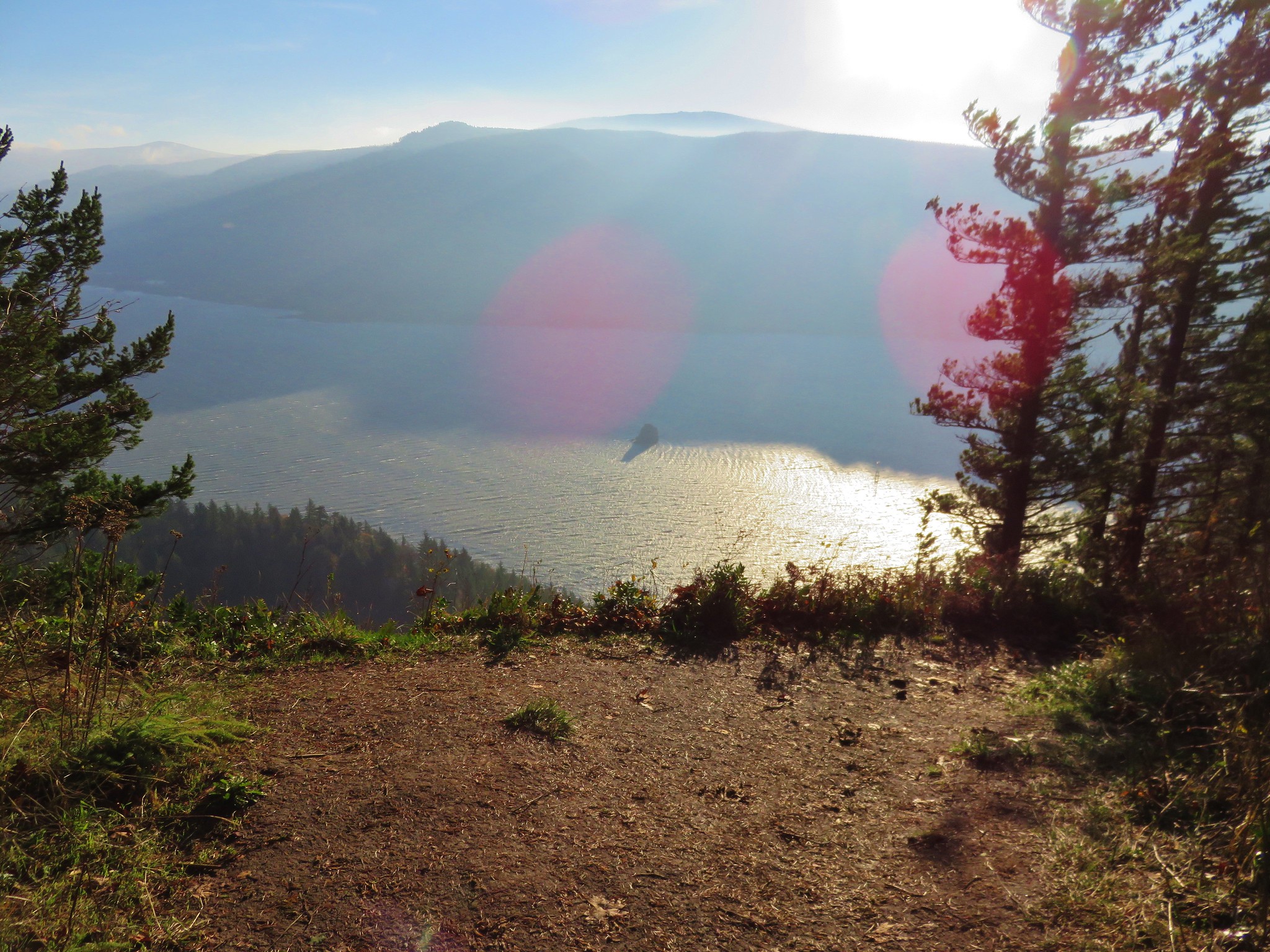
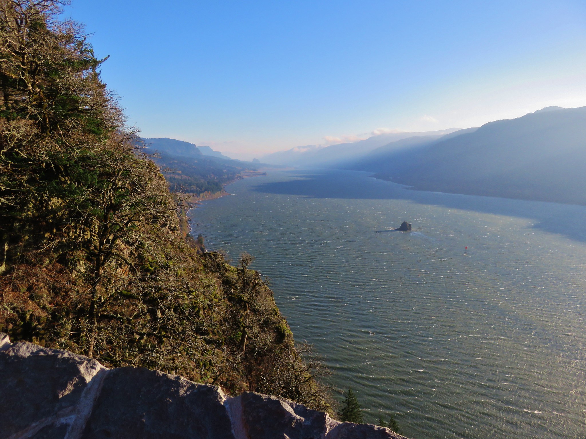
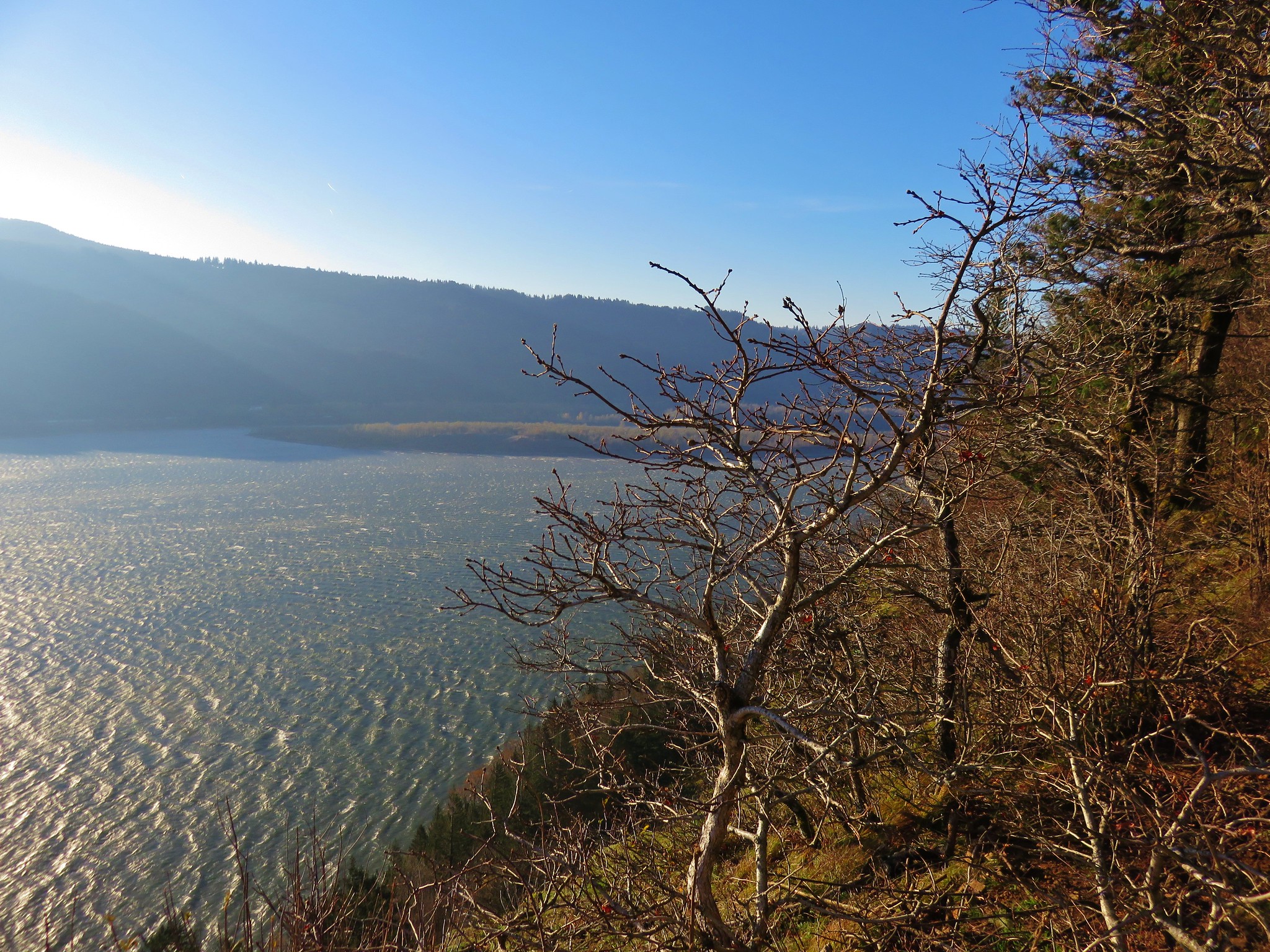
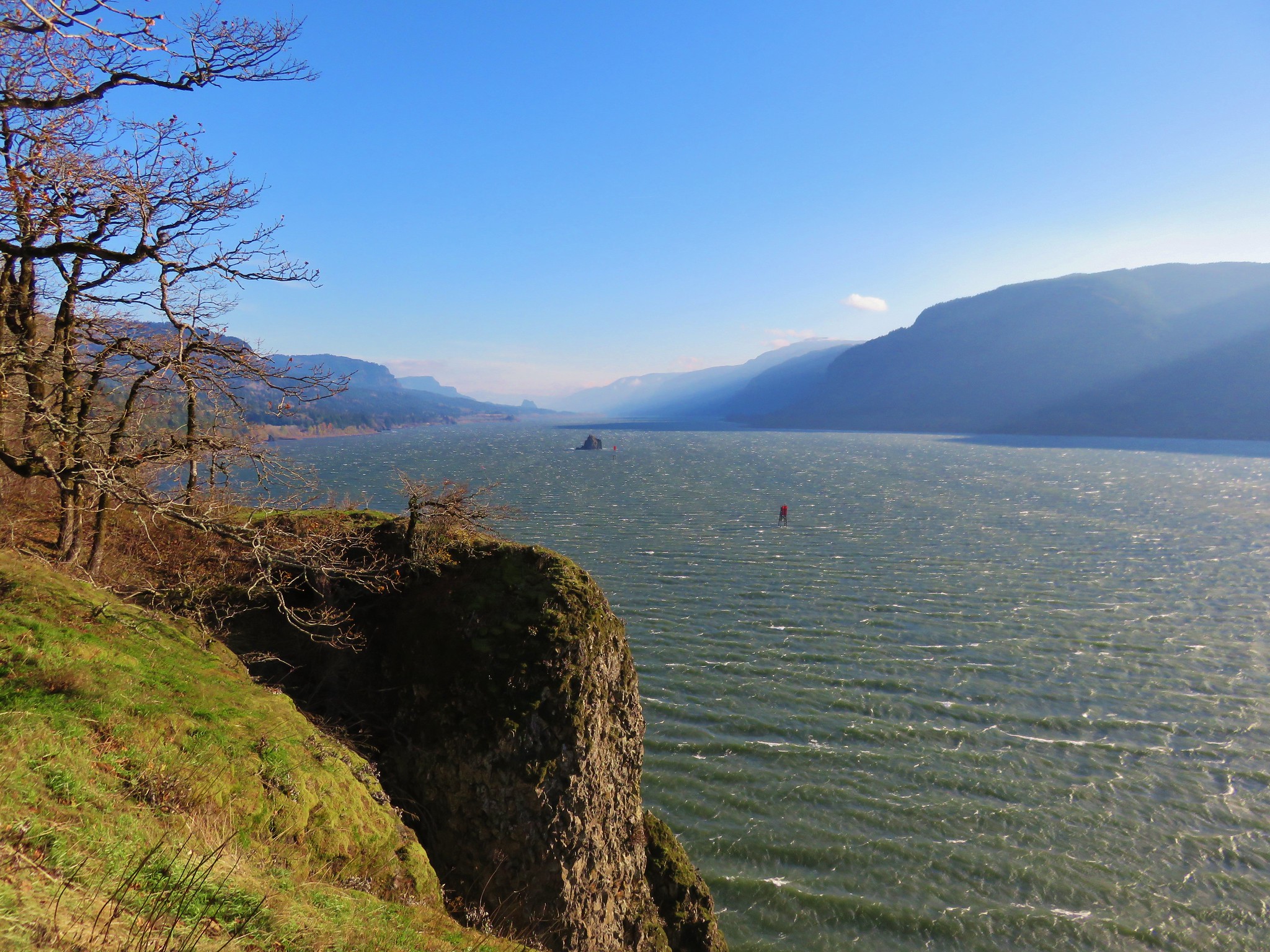
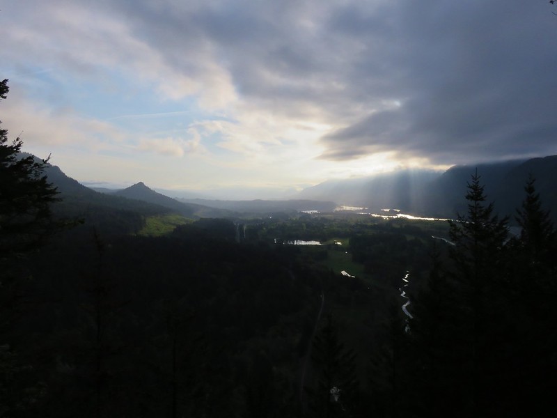
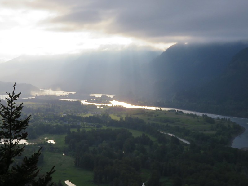
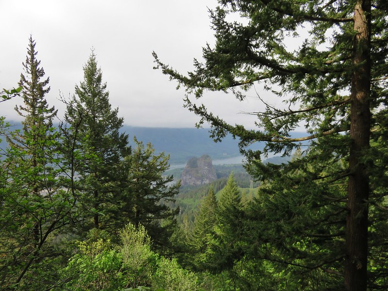
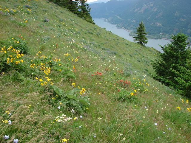
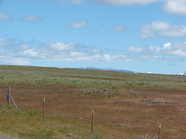
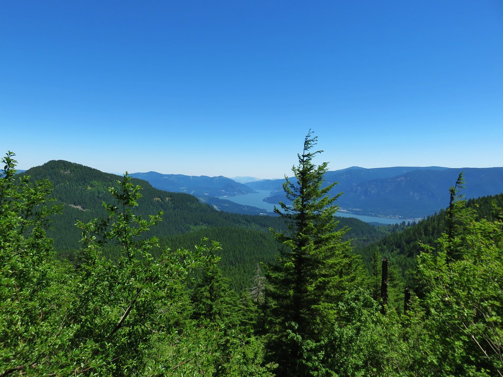
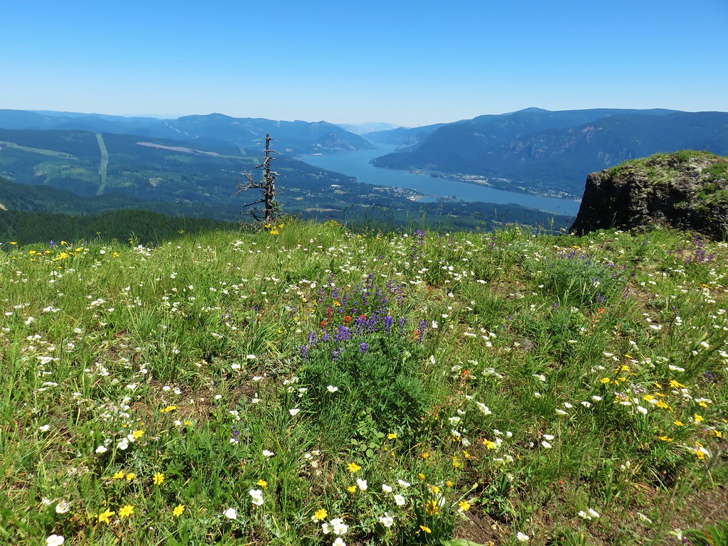
To the SE a small section of the Columbia River was visible between Wind and Dog Mountain in Washington and Mt. Defiance in Oregon.
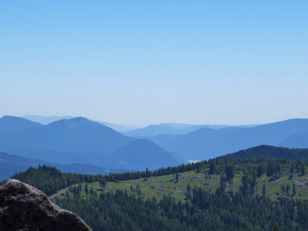
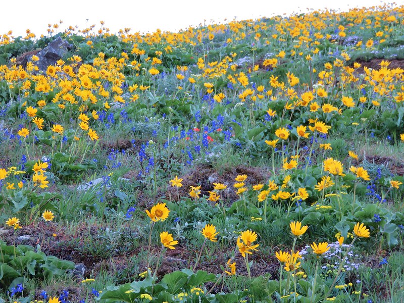
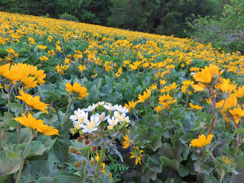
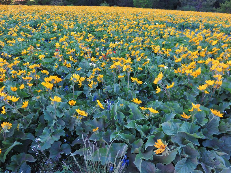
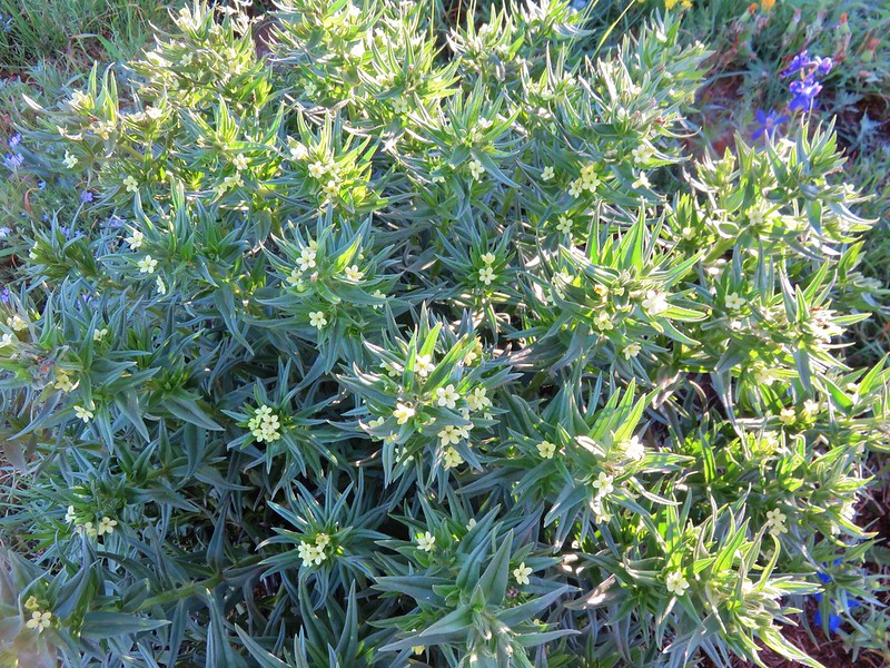
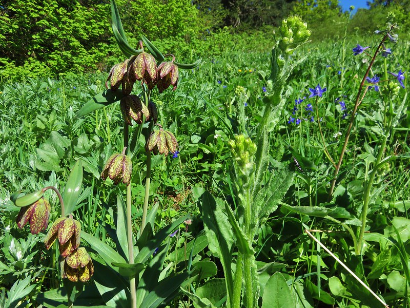
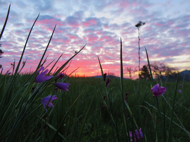
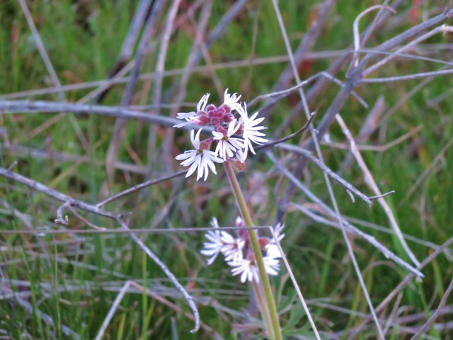
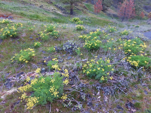
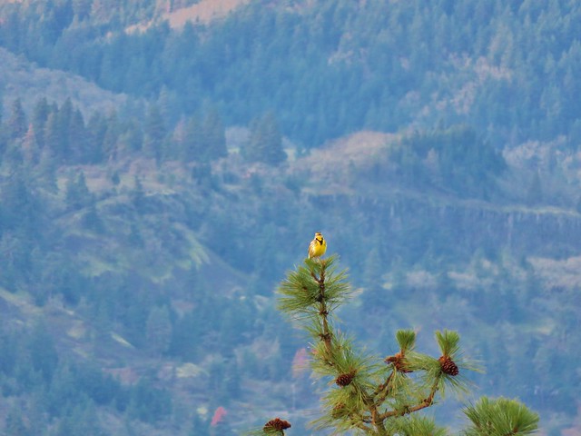
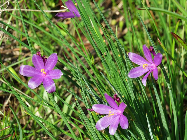
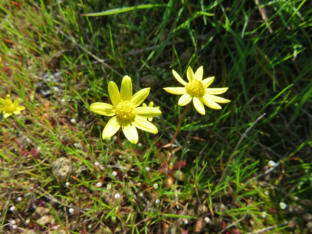
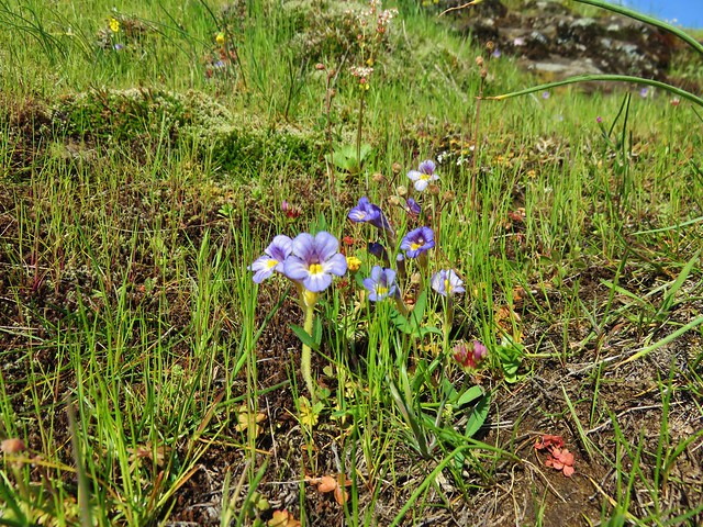
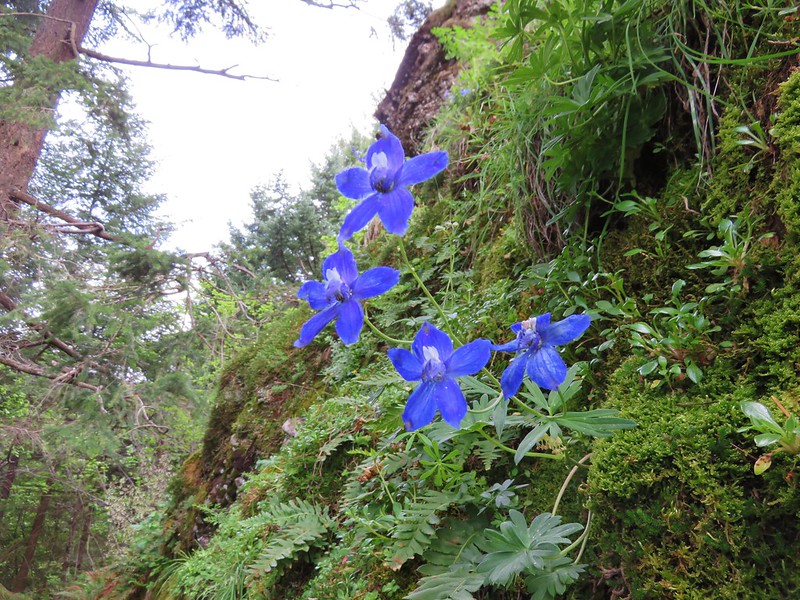
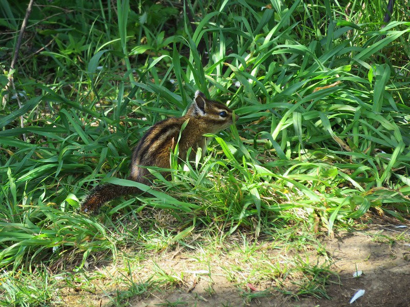
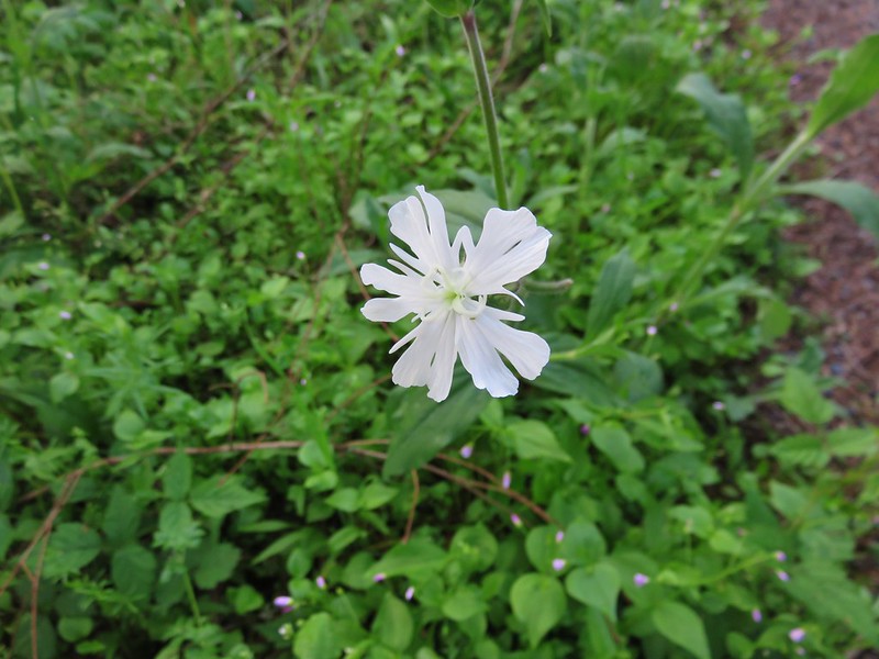
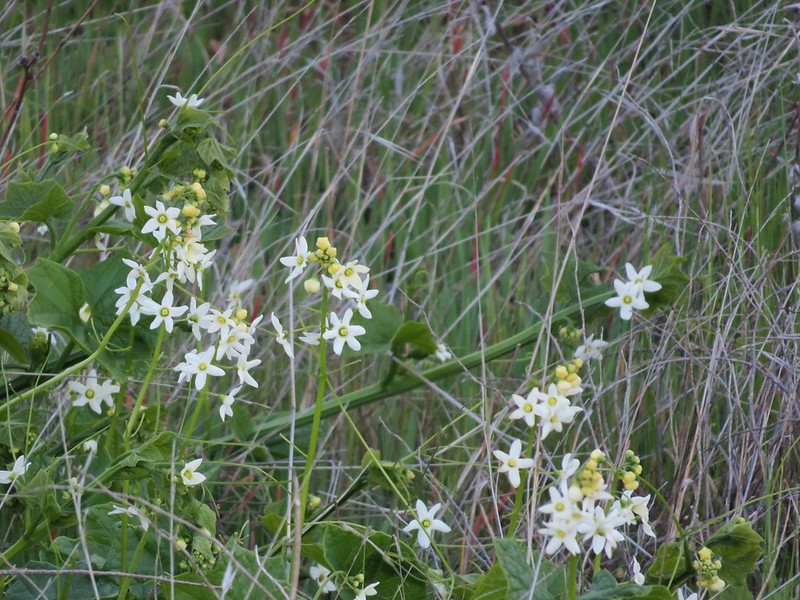
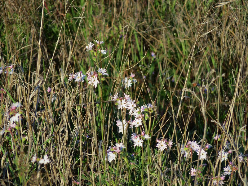
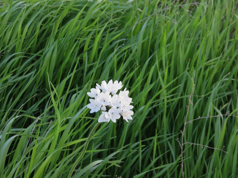
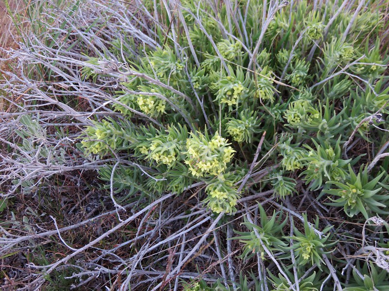
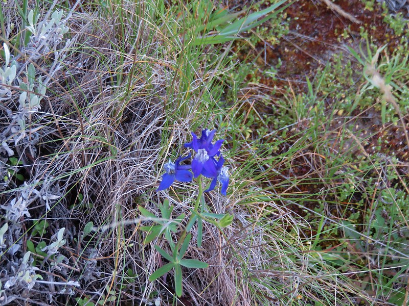
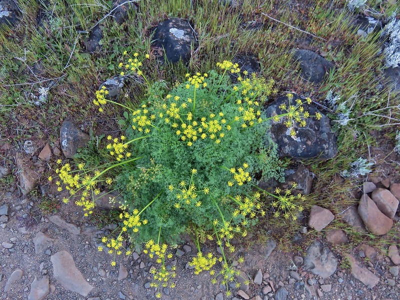
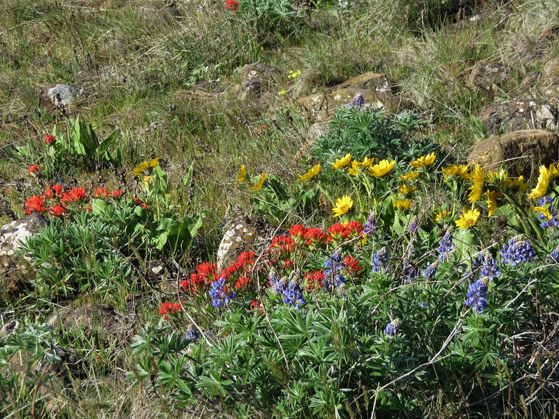
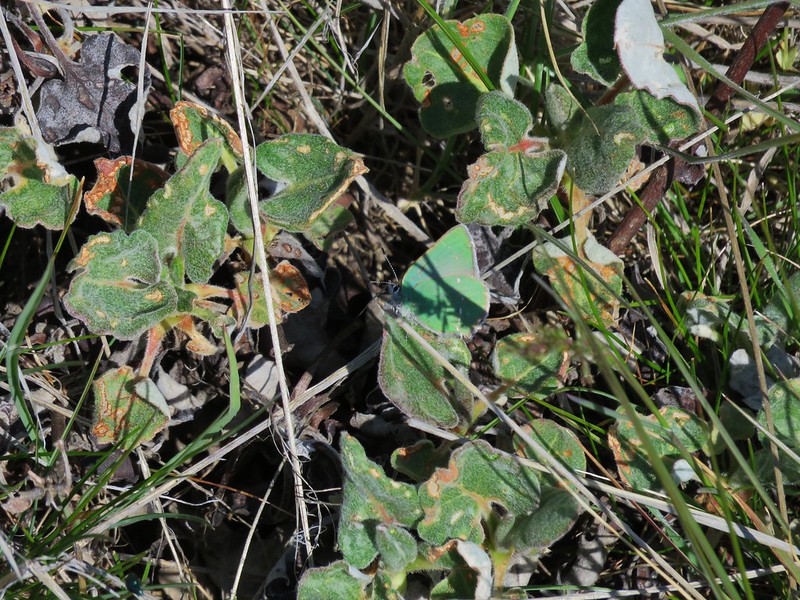
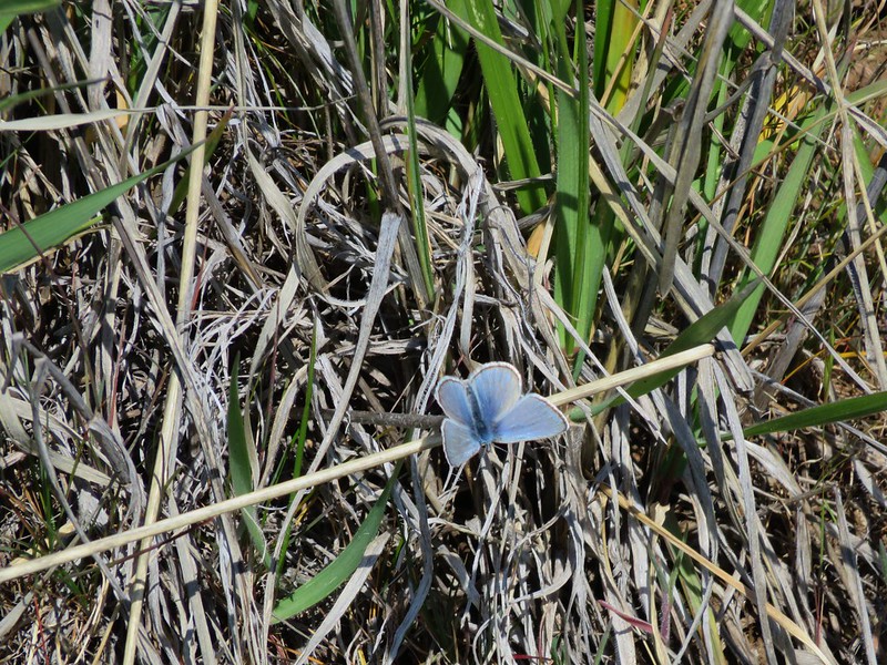
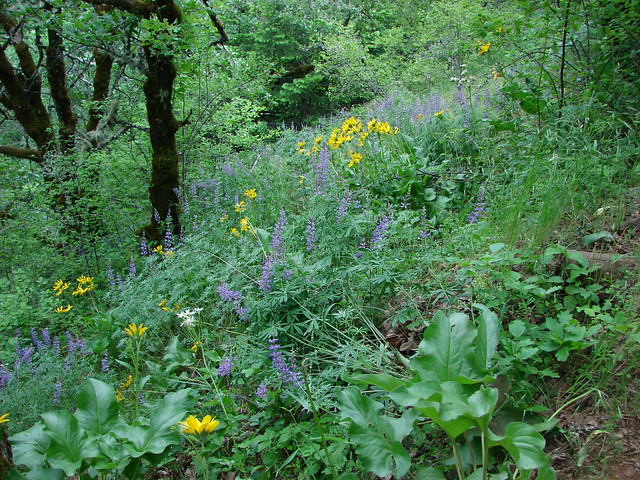
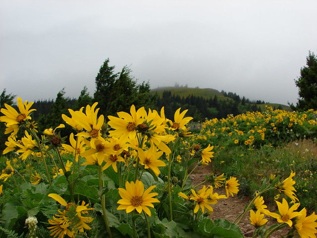
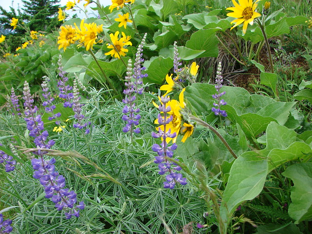
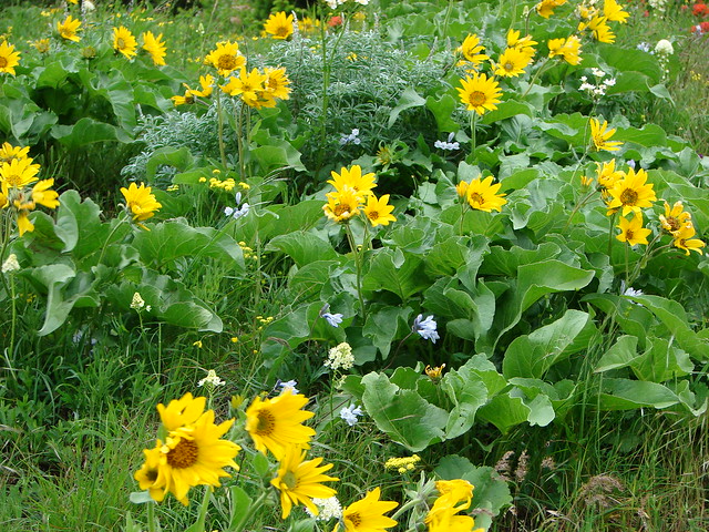
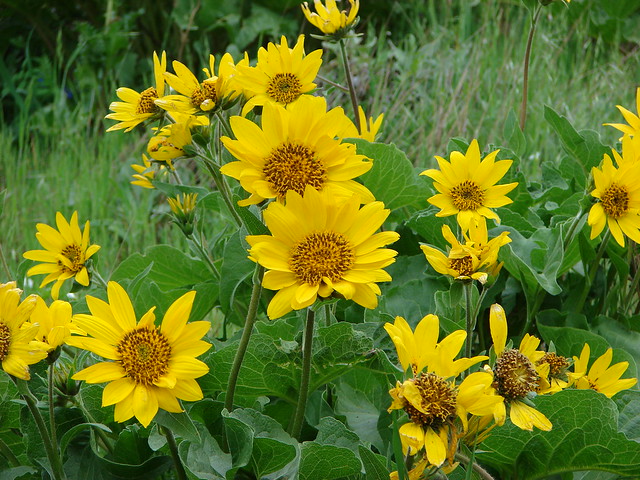
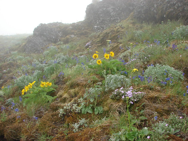
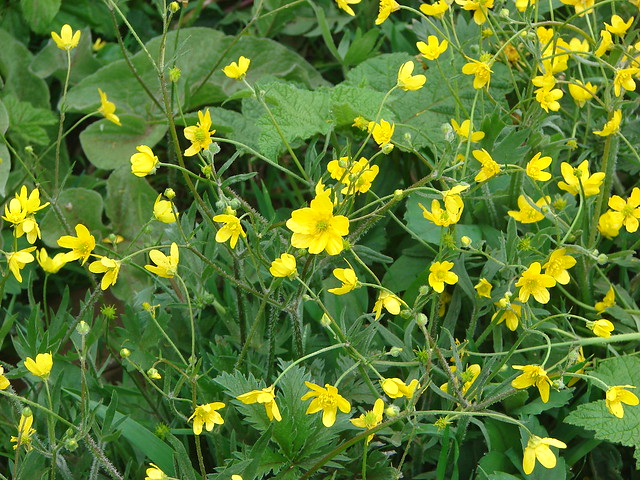
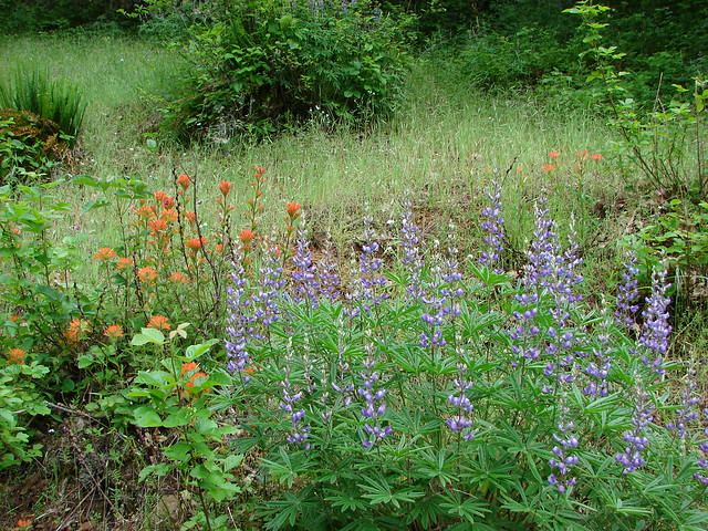
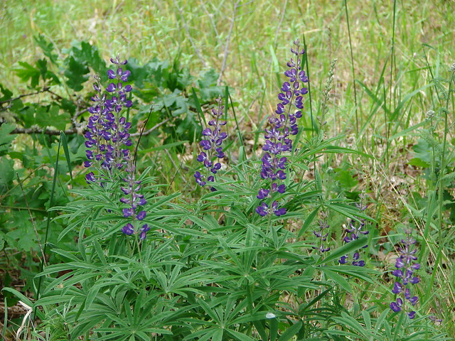
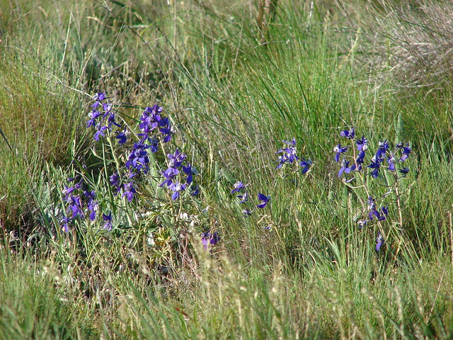
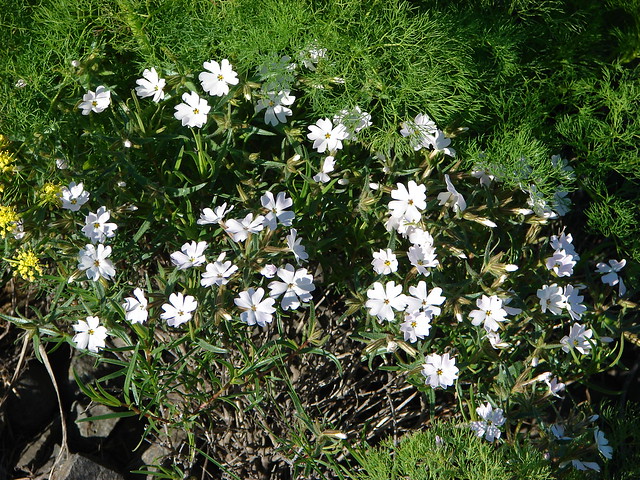
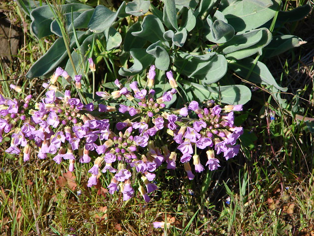
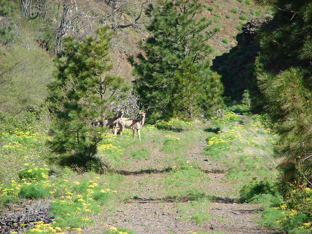
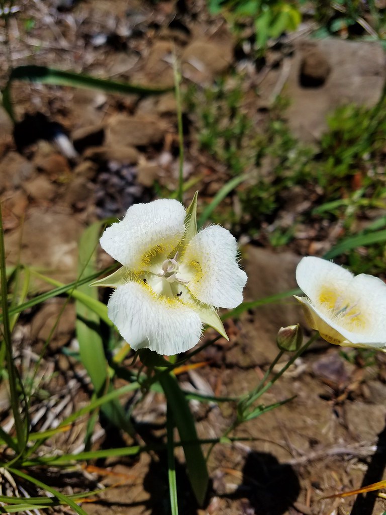
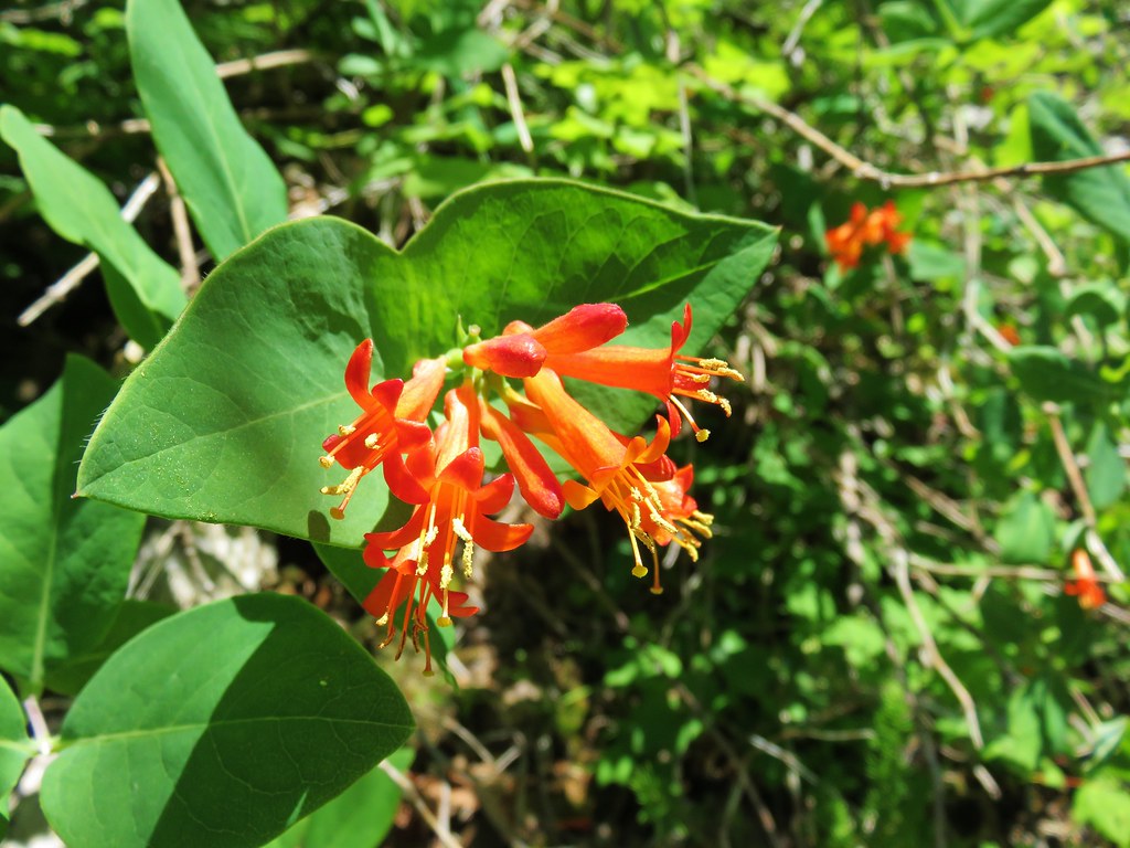
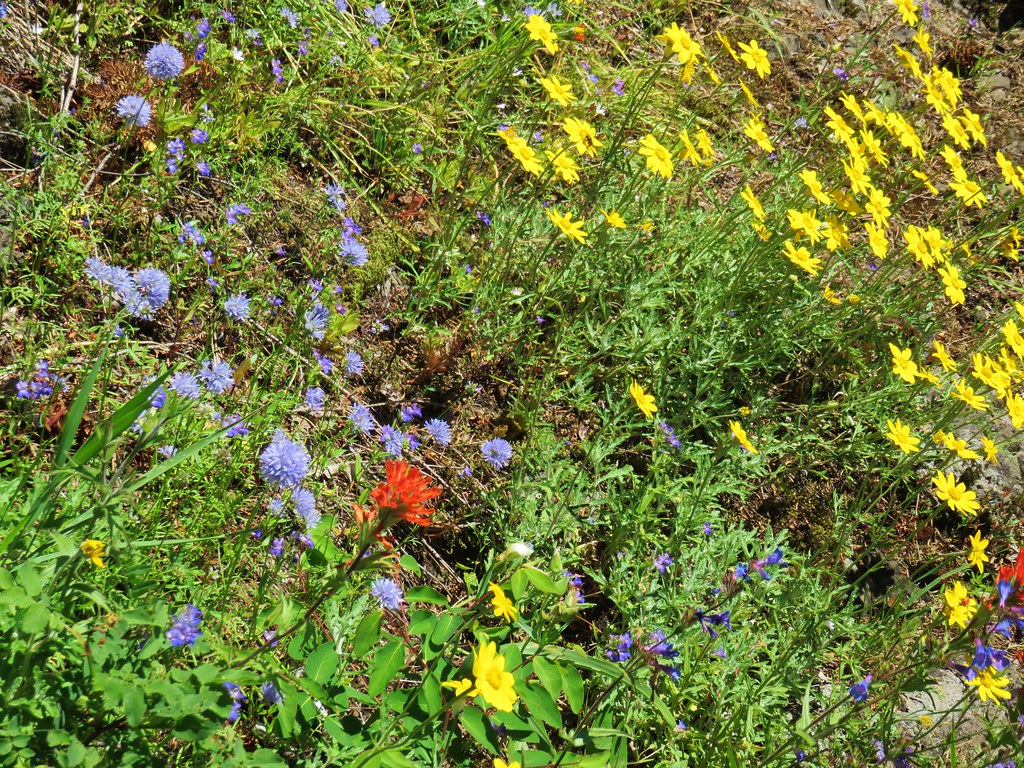
Despite the wind the views were great, but it did make it difficult to take pictures of the wildflowers in the area.
After a short break we headed back to the PCT where we decided to continue south toward Table Mountain. We told ourselves we’d play it by ear and could turn around at any time but we’re both stubborn and it was pretty much a foregone conclusion that we’d wind up making it all the way there.
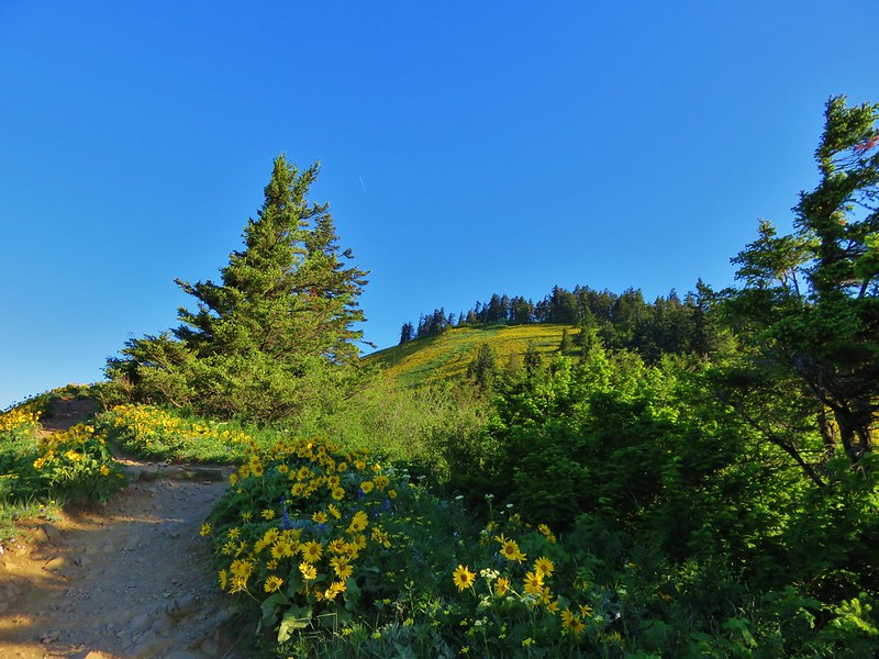
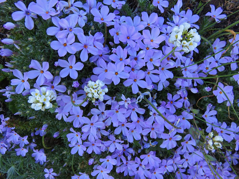
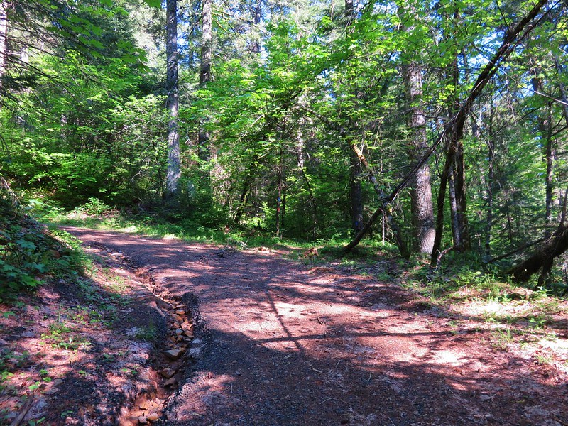
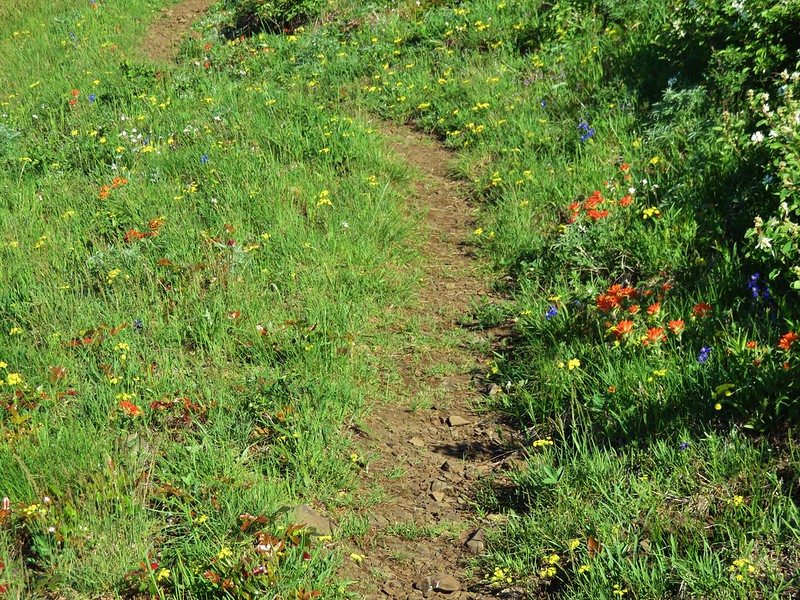
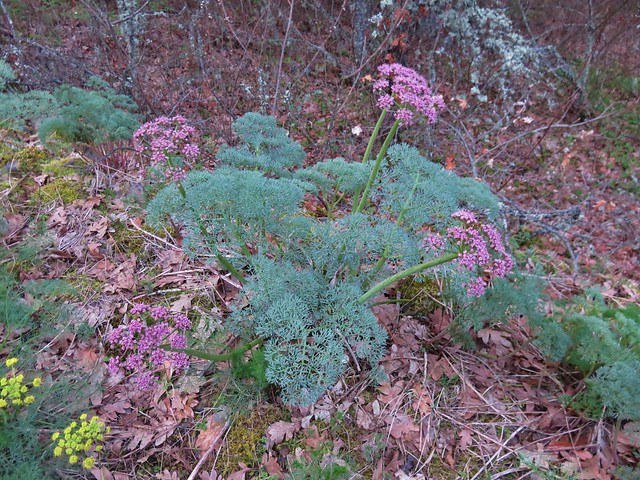
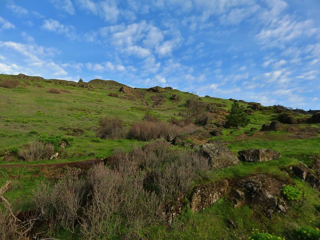
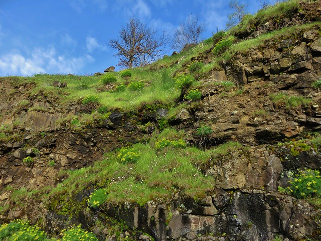
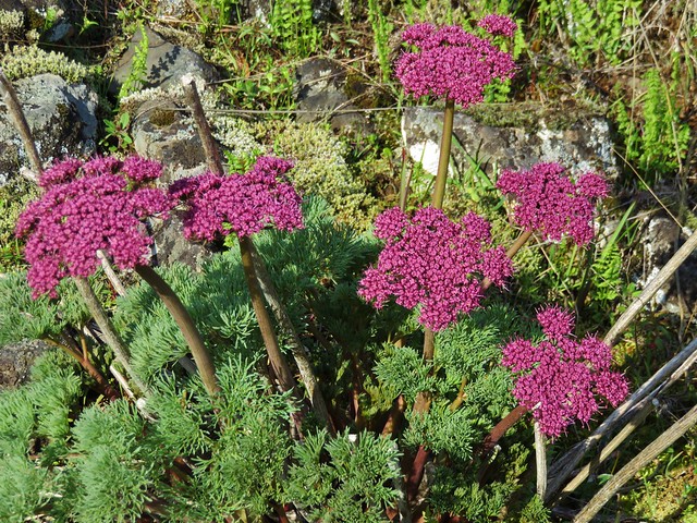
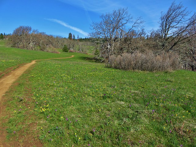
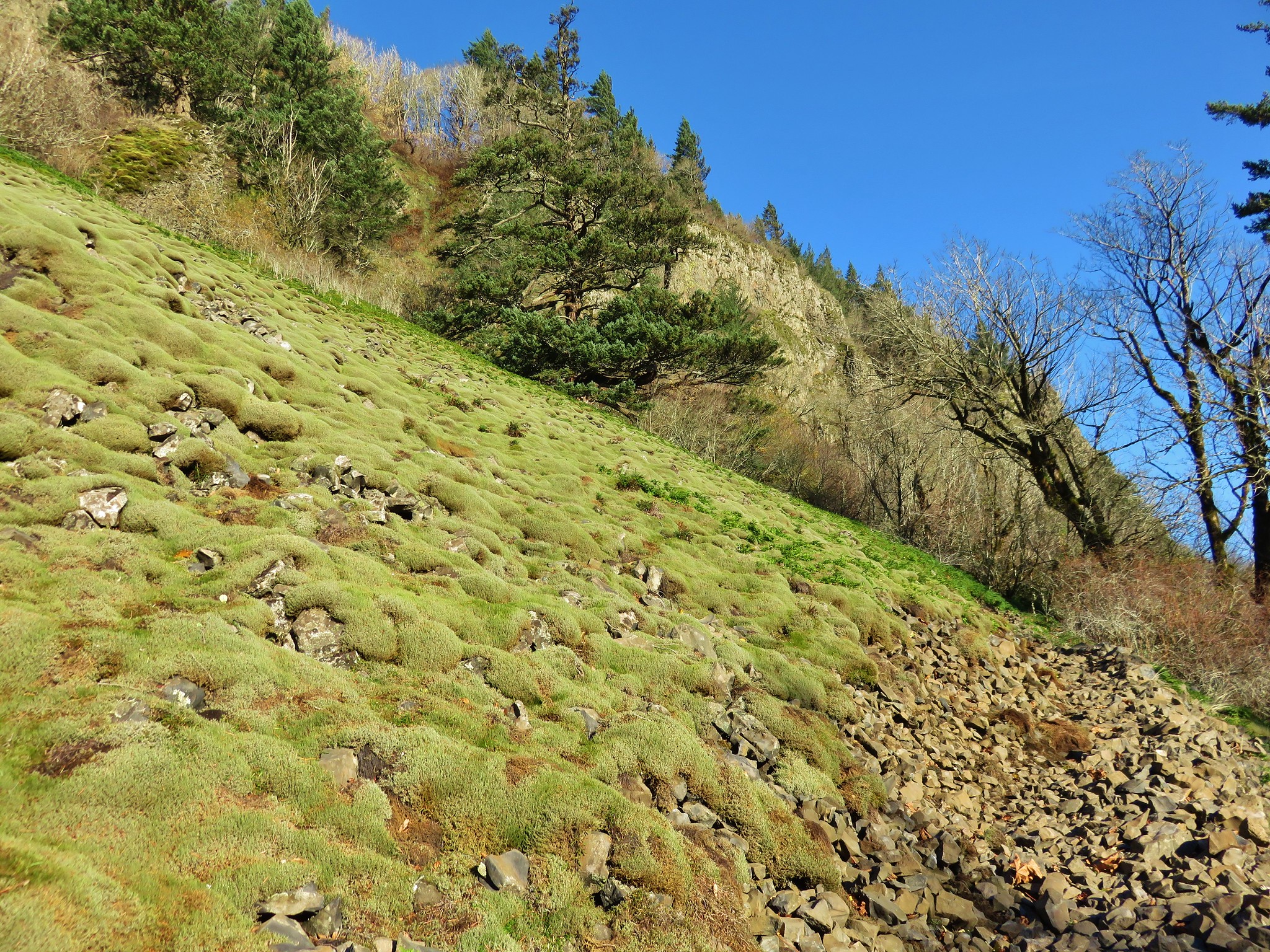
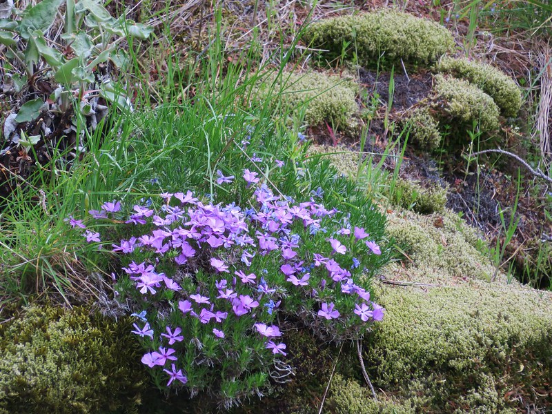
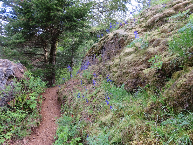
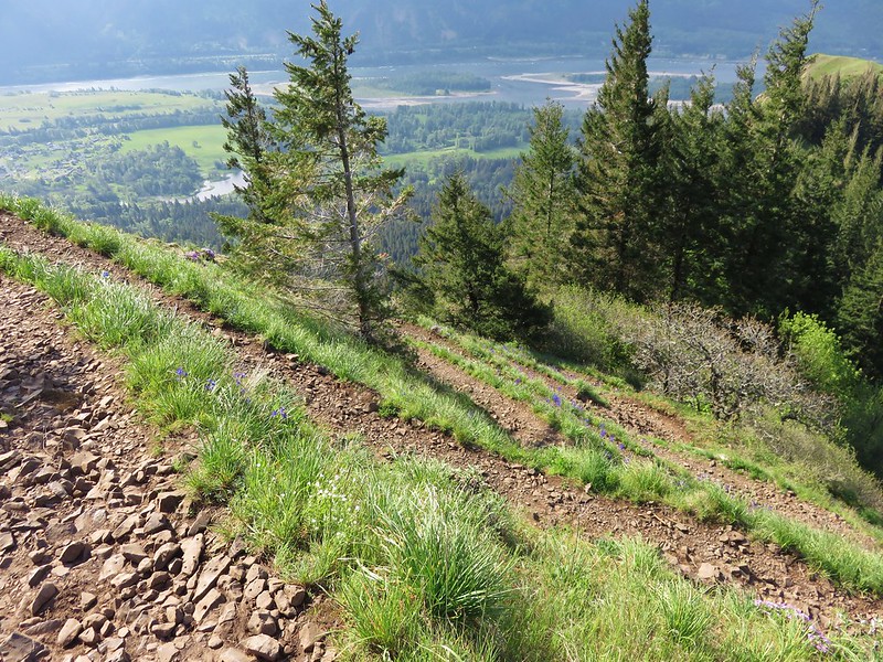
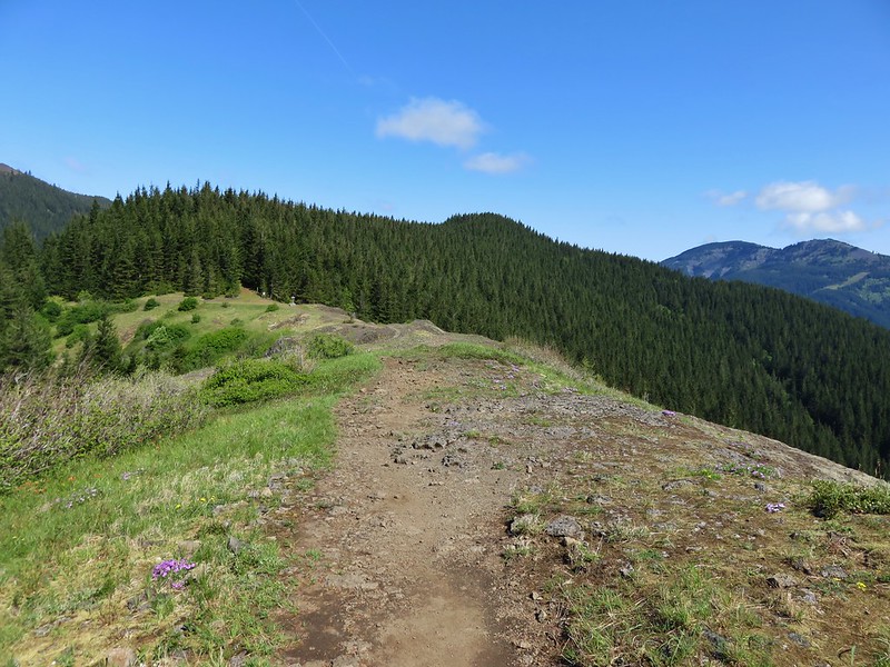
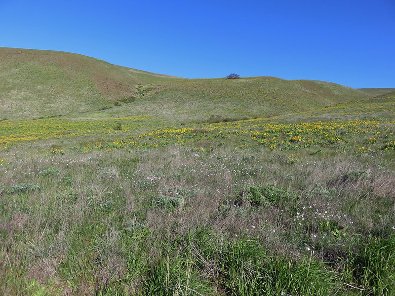
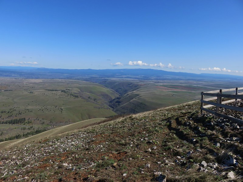
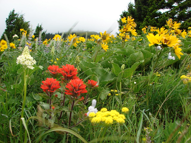
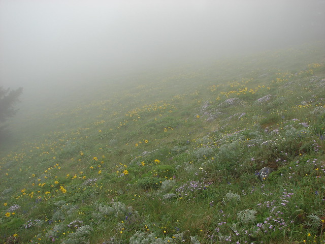
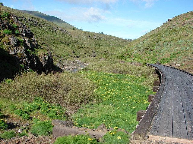
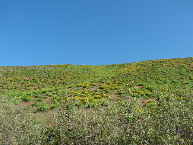
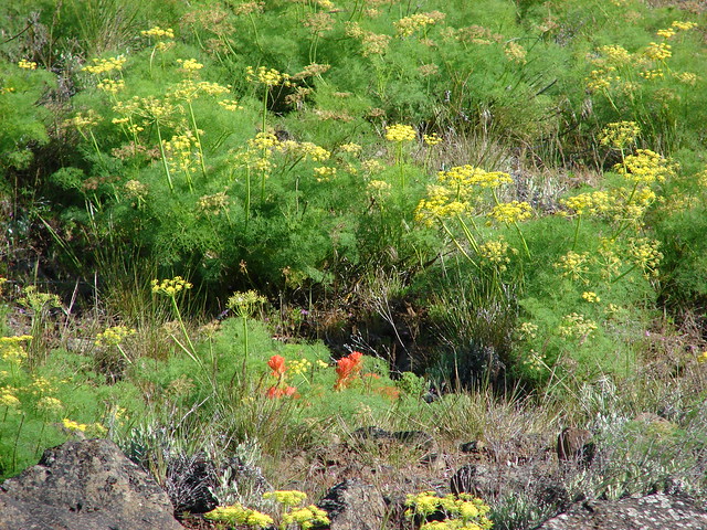
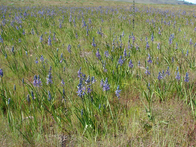
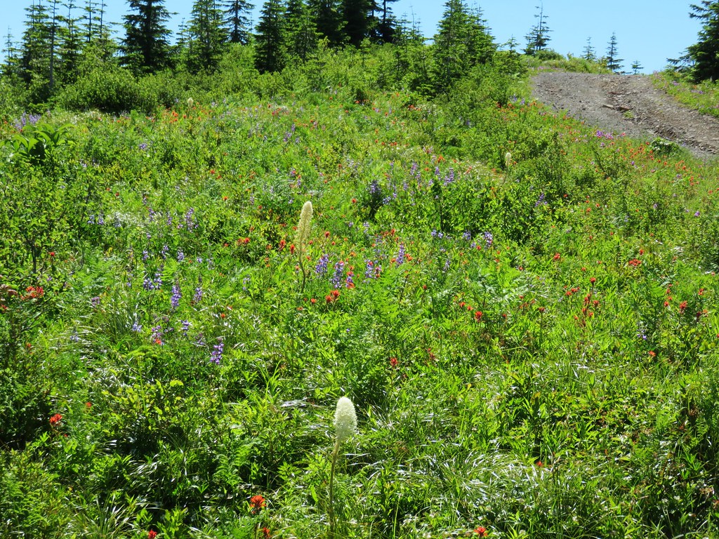
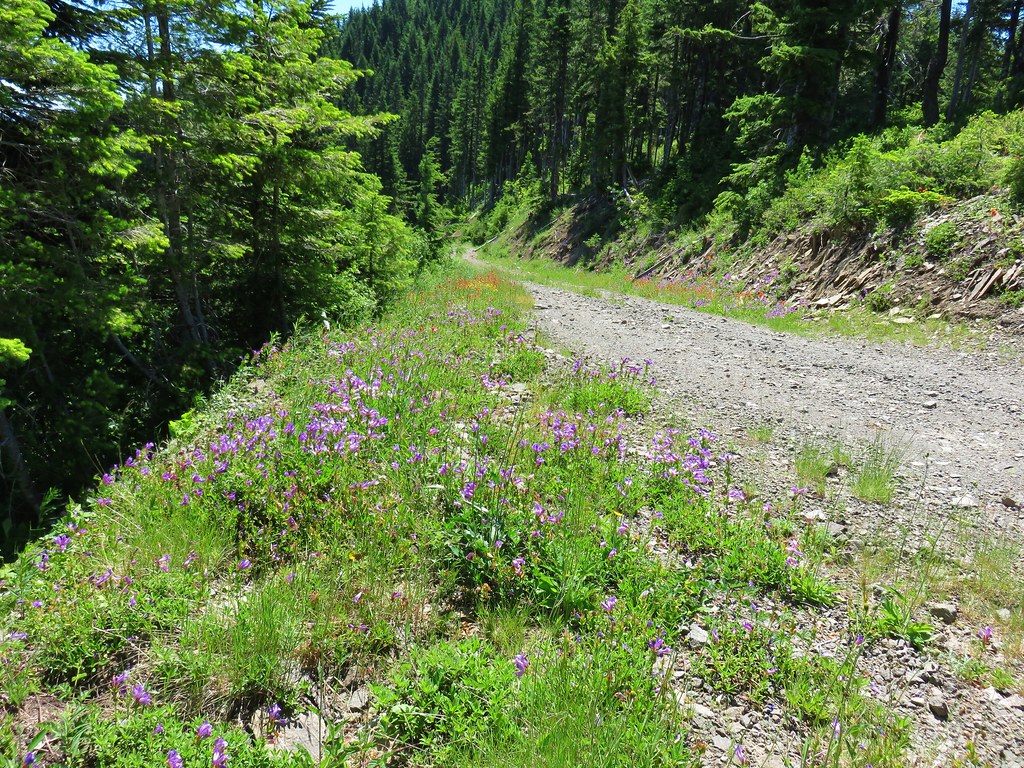
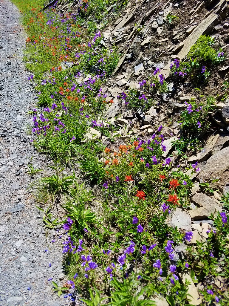
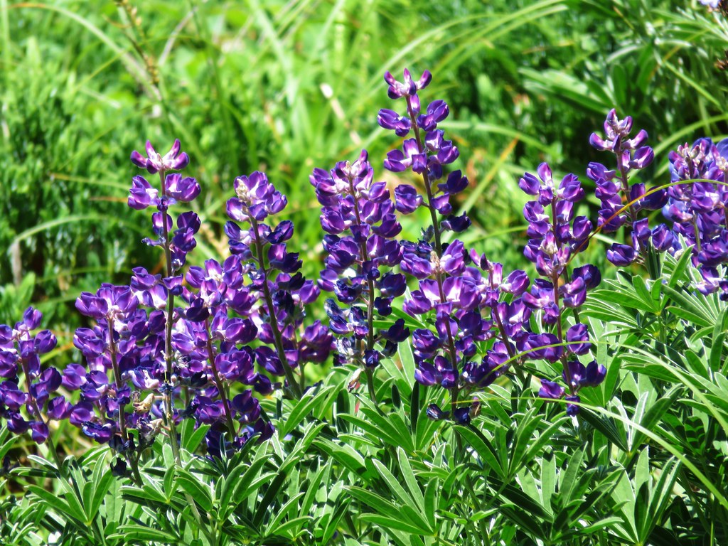
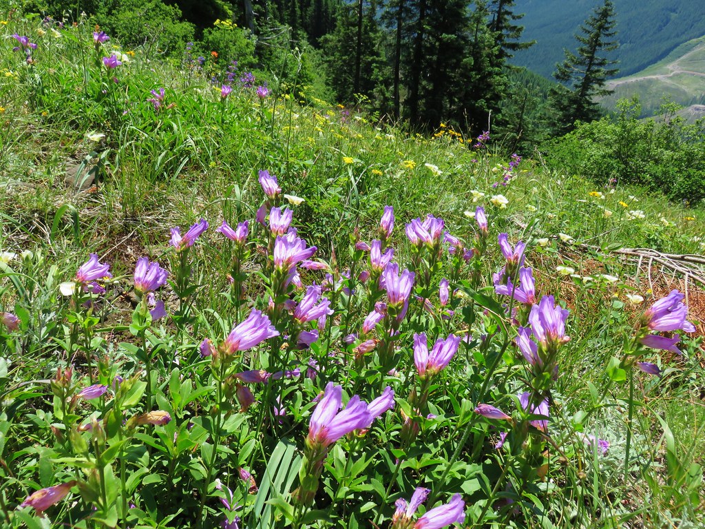
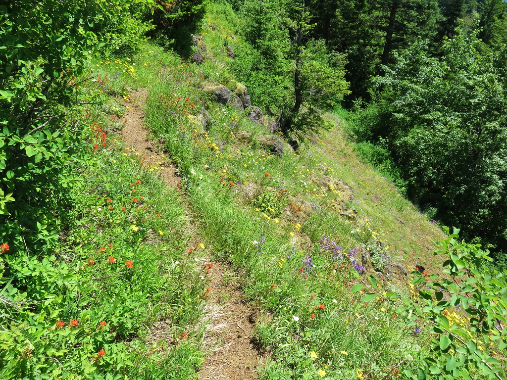
From the Three Corner Rock Trail junction the PCT gradually descended for 1.25 miles to a road crossing at a saddle with a spectacular display of paintbrush and penstemon. Along the way the trail crossed a rough 4wd track and passed along a ridge still showing evidence of the 1902 Yacolt Burn.
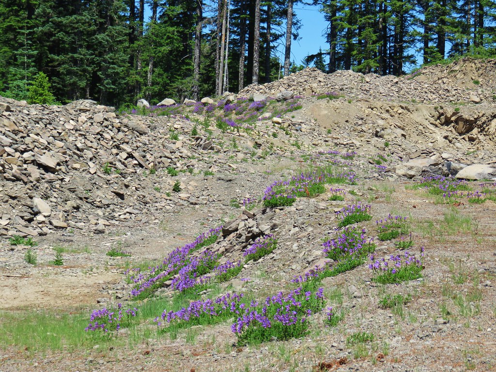
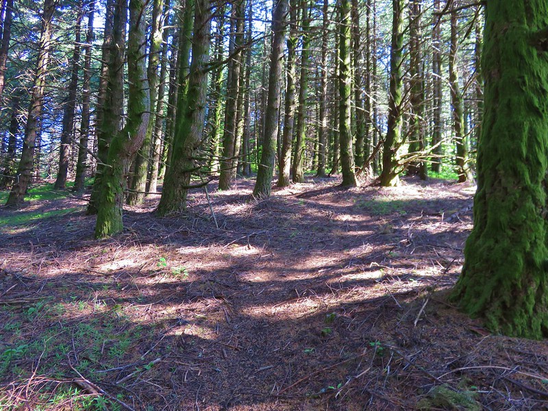
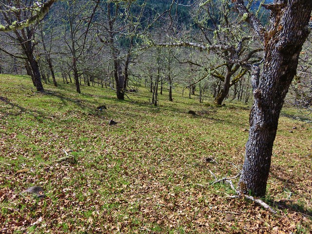
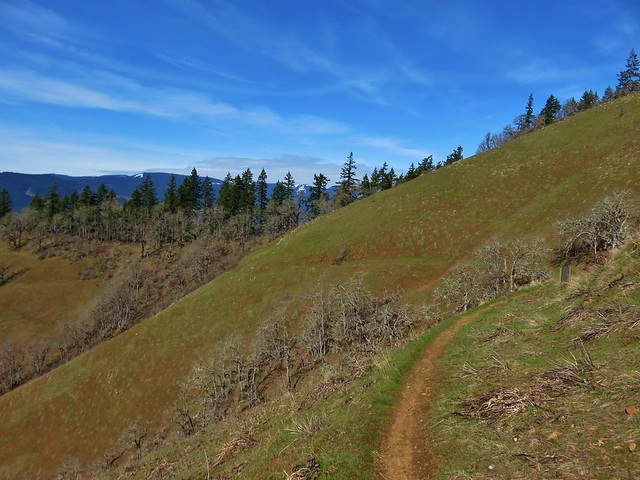
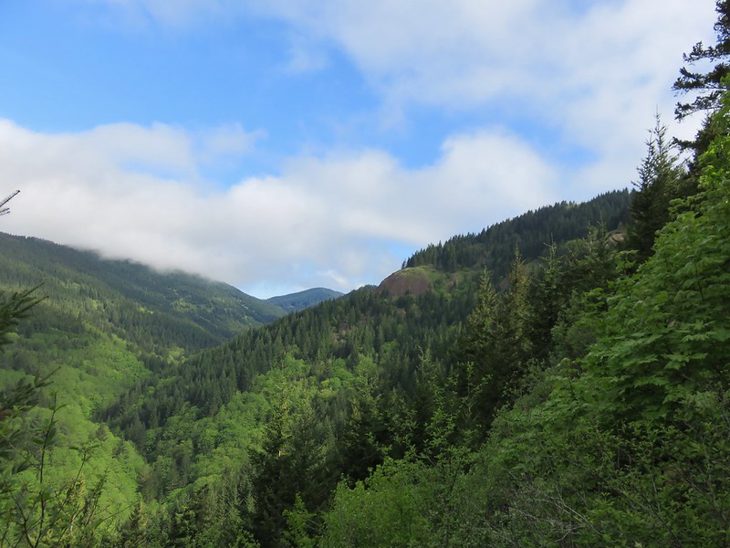
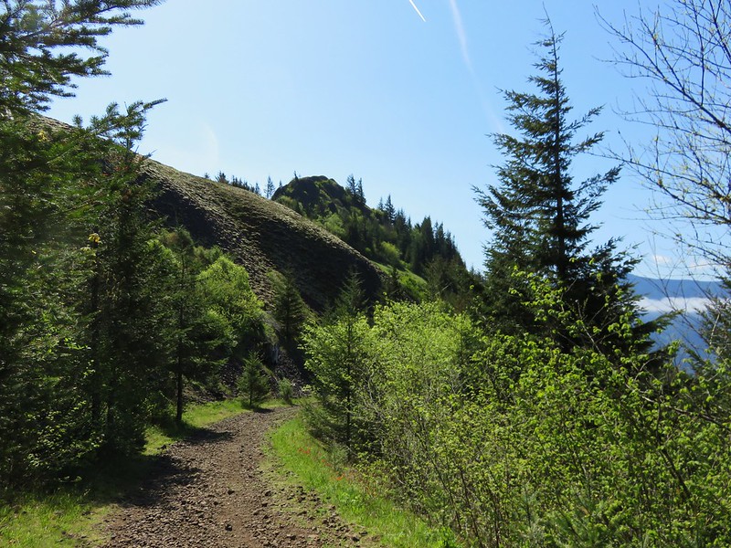
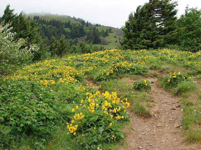
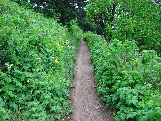
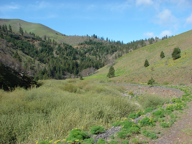
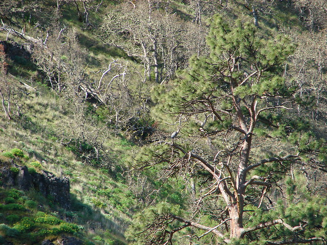
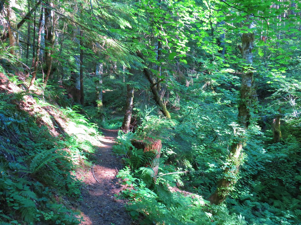
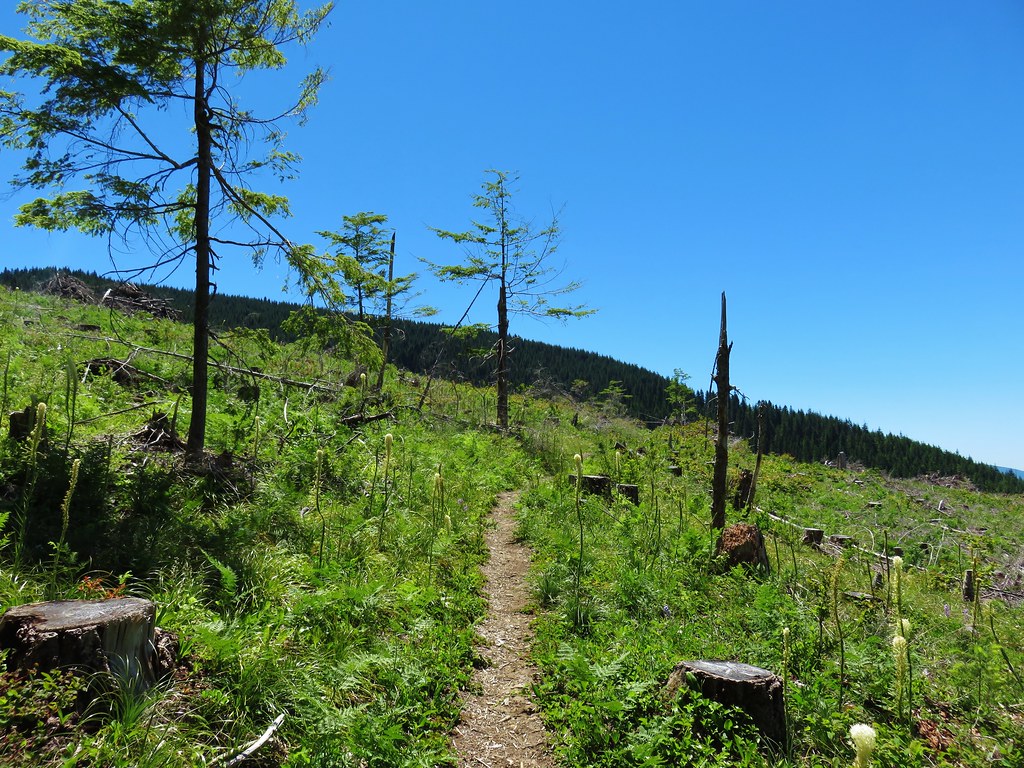
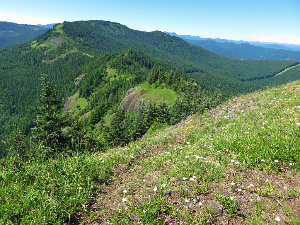
From the road the PCT traversed along the east side of a ridge through the forest for a mile before arriving at a large clear cut.
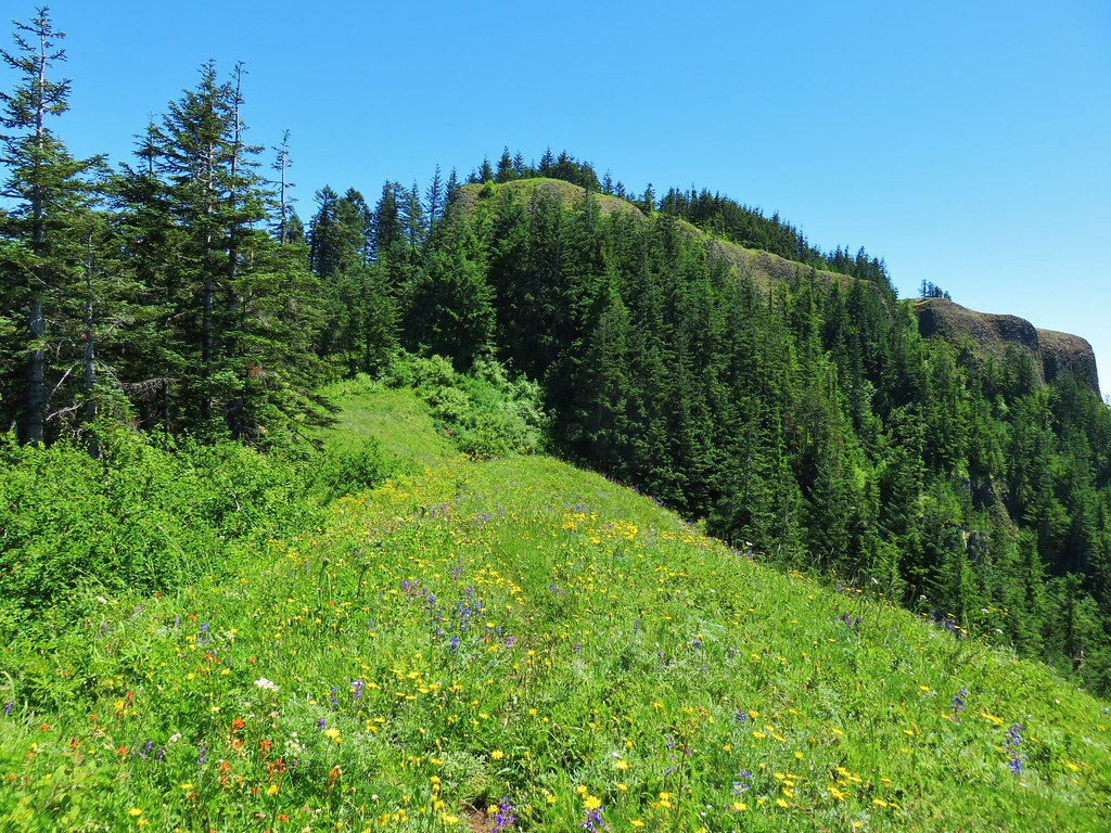
Three Corner Rock was visible behind us.

The trail climbed through the clear cut for about a half mile before reentering the trees.

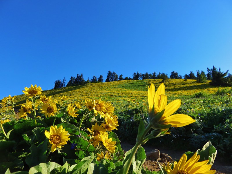
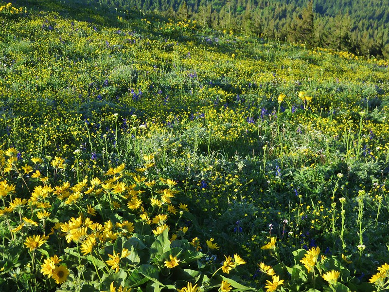
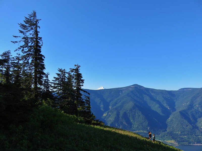
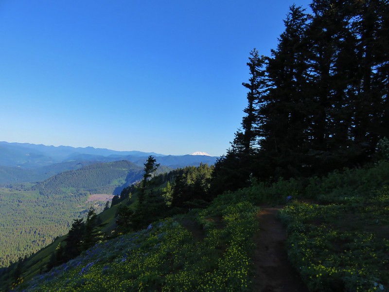
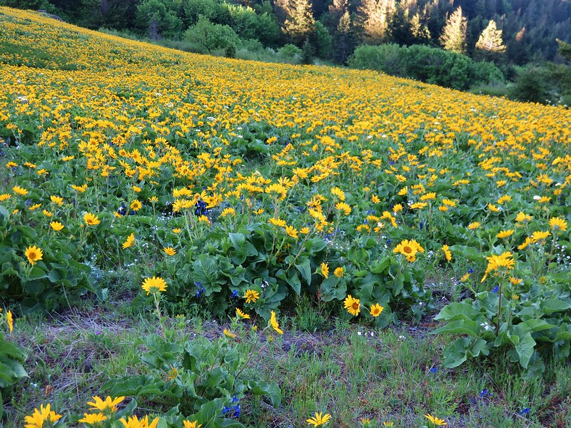
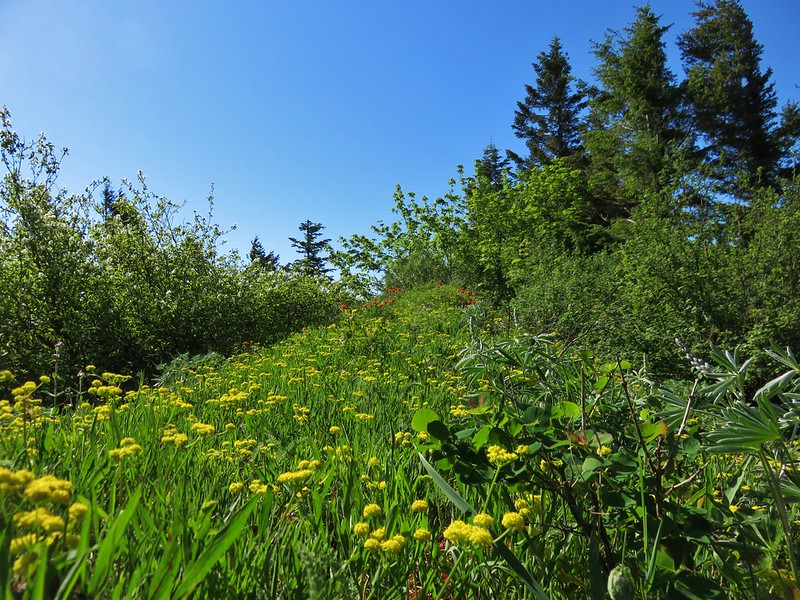
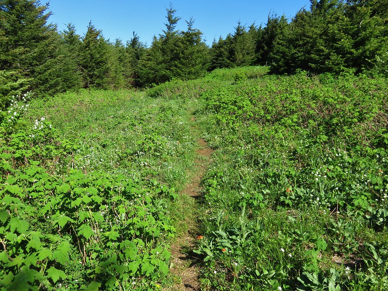
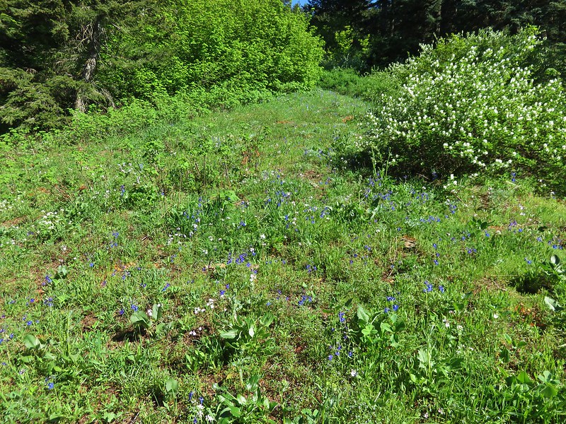
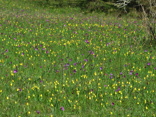
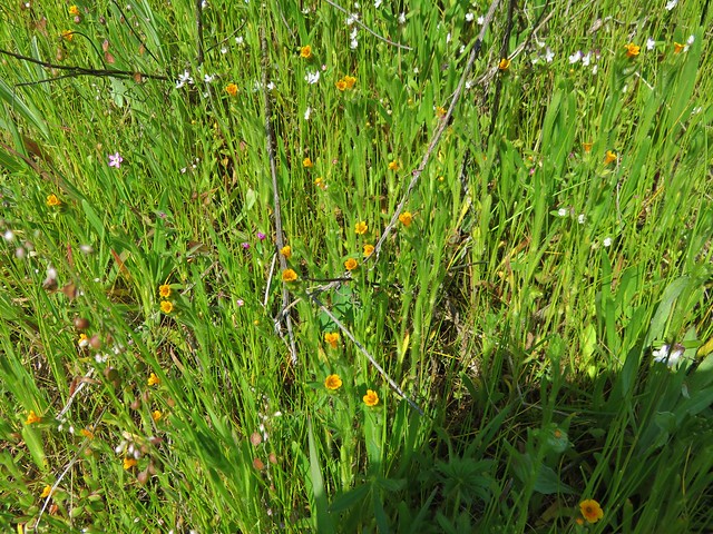
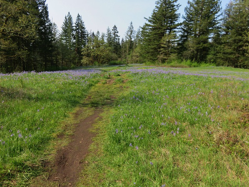
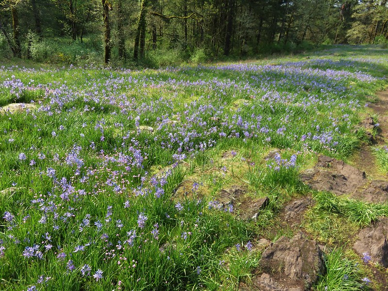
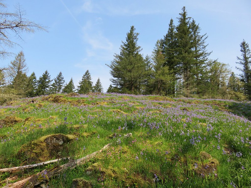
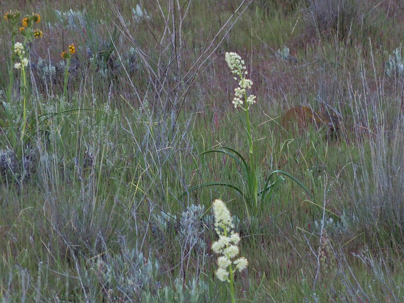
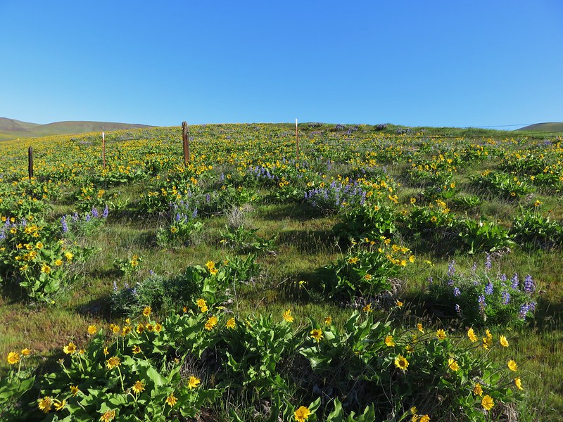
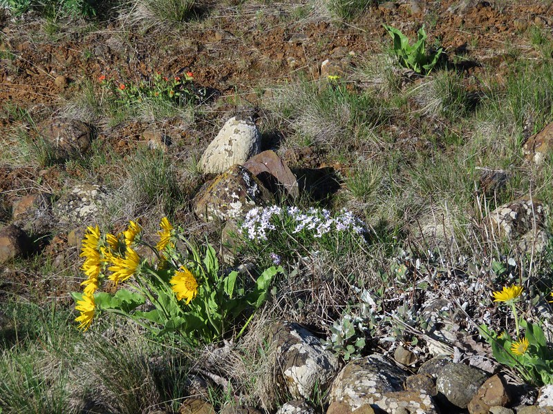
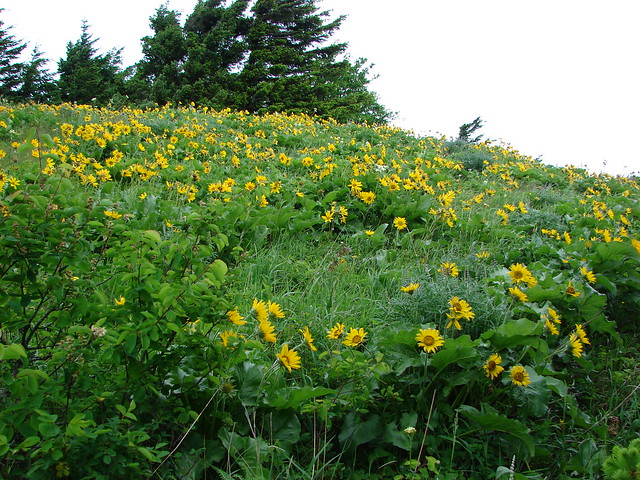
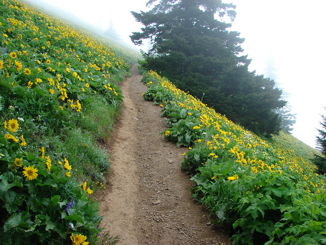
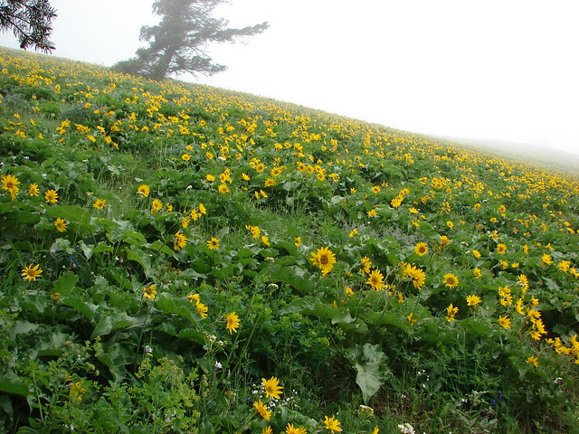
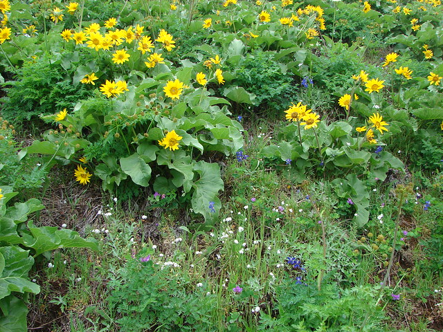
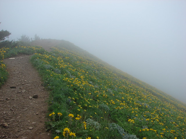
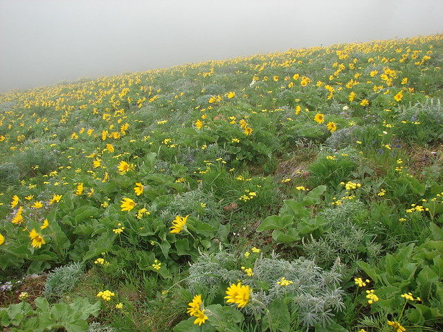
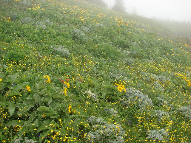
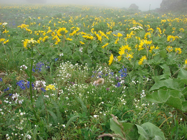
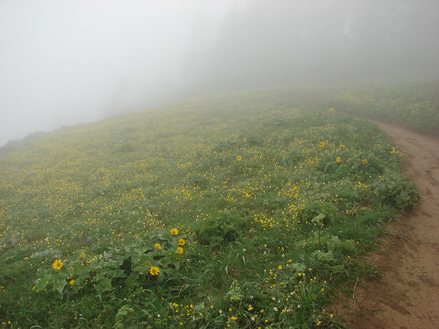
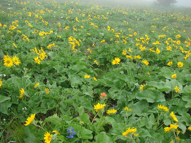
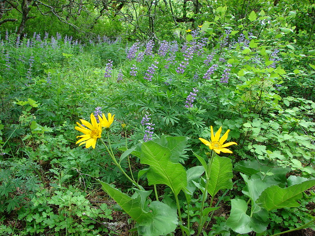
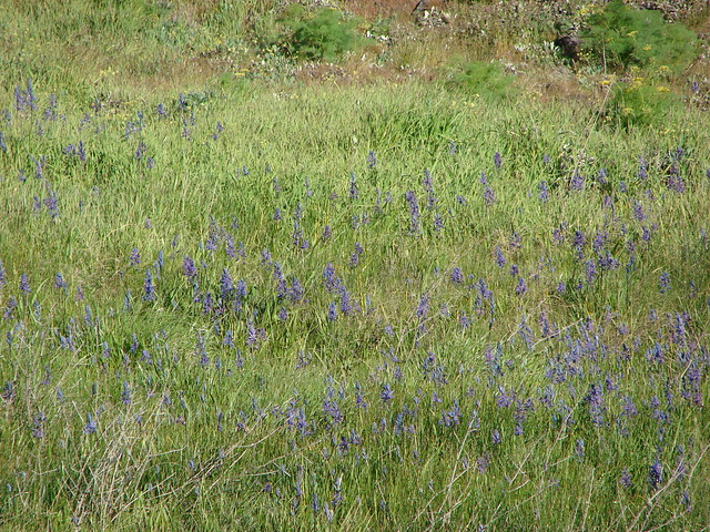
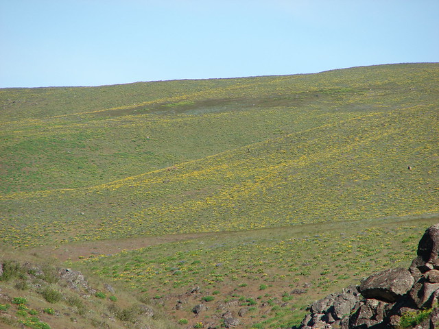
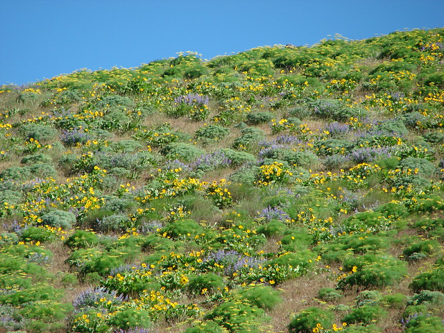
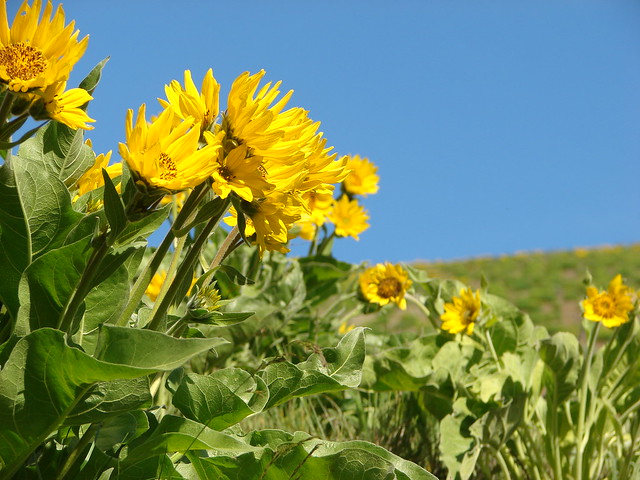
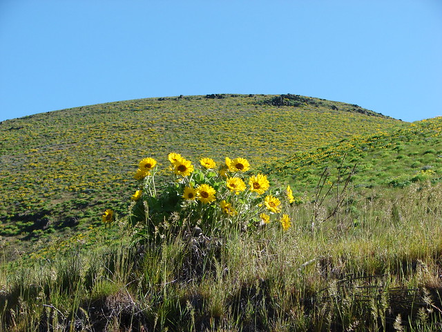
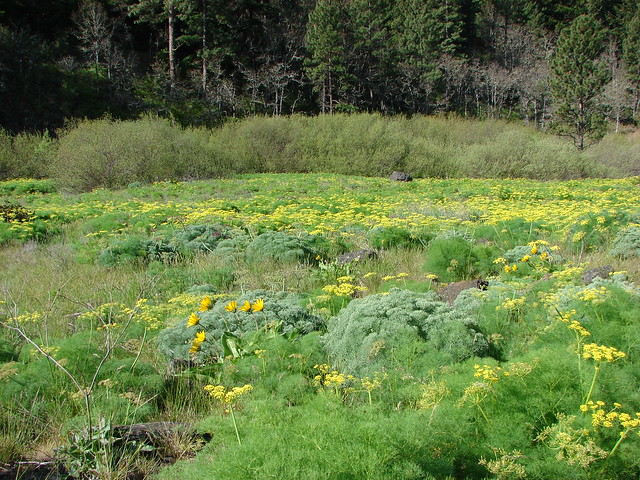
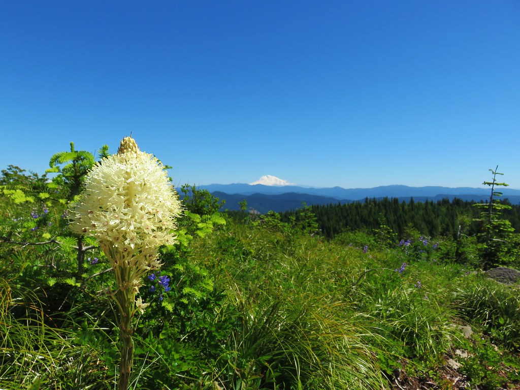
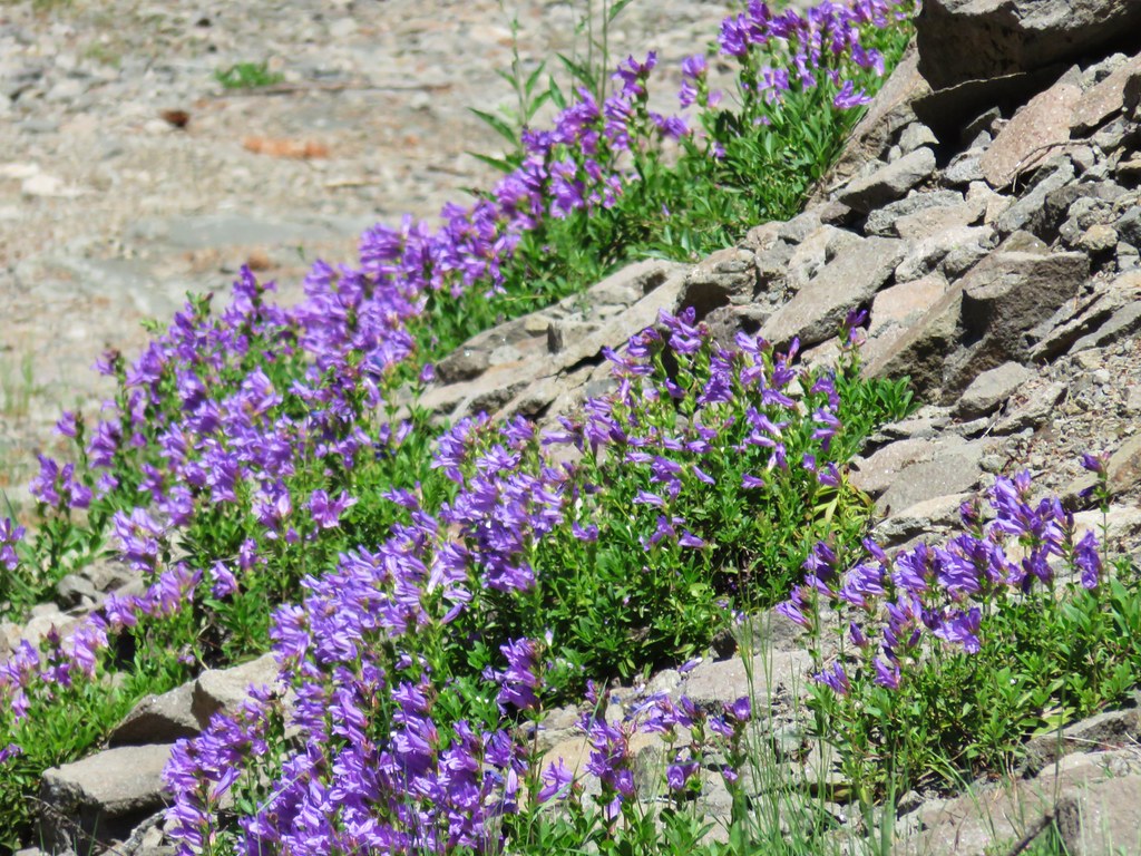
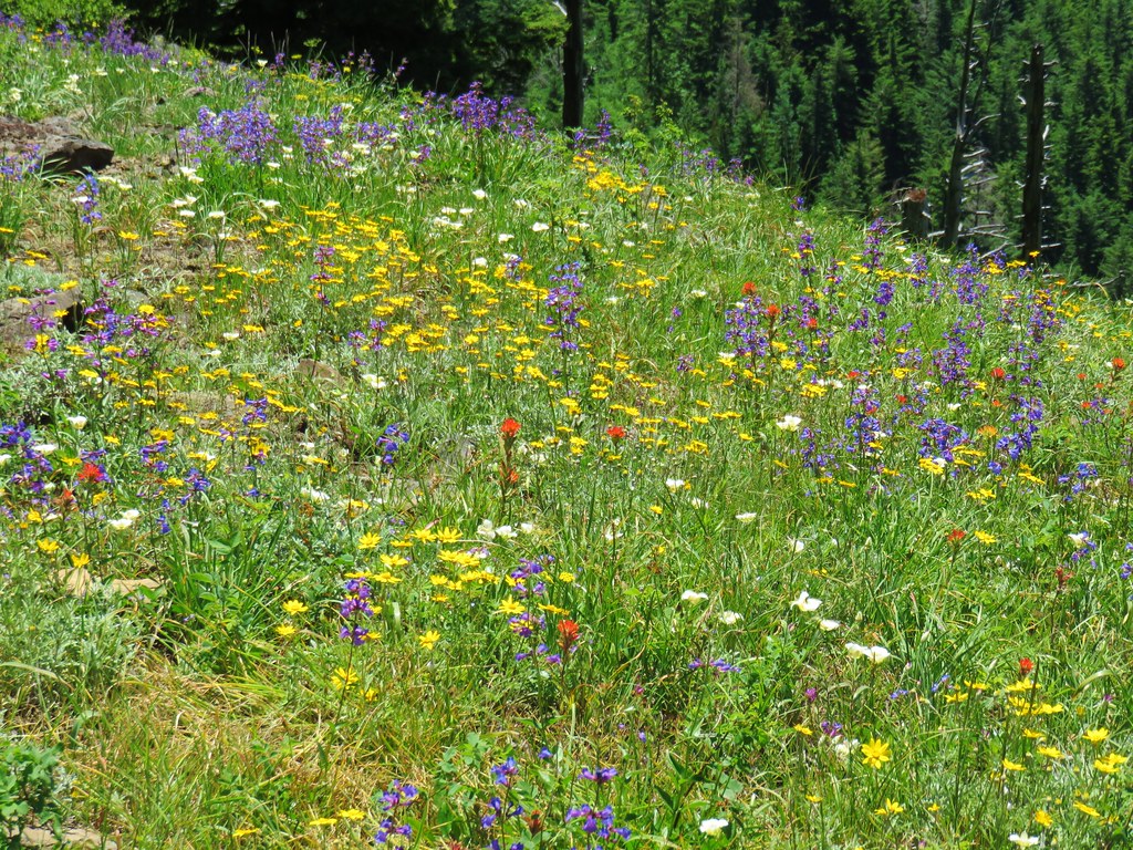
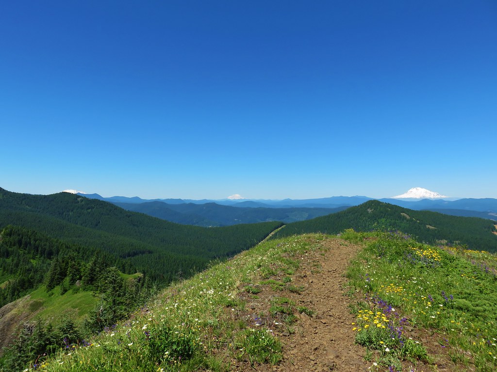
For the next 1.25 miles the PCT passed through a series of wildflower meadows, first on the west side of a ridge with views to the south of Table Mountain and Mt. Hood, then onto the east side of the ridge with a view of Mt. Adams and the Columbia River.
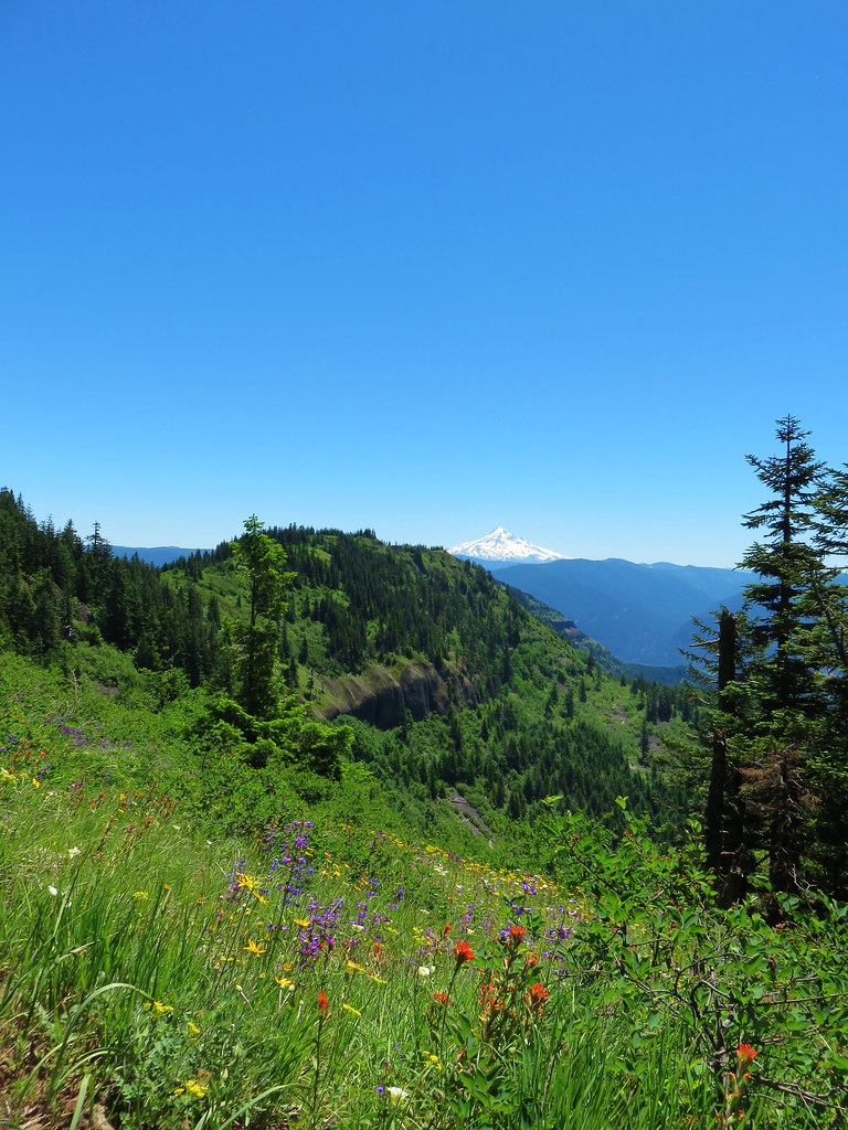

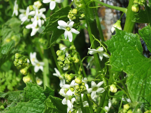
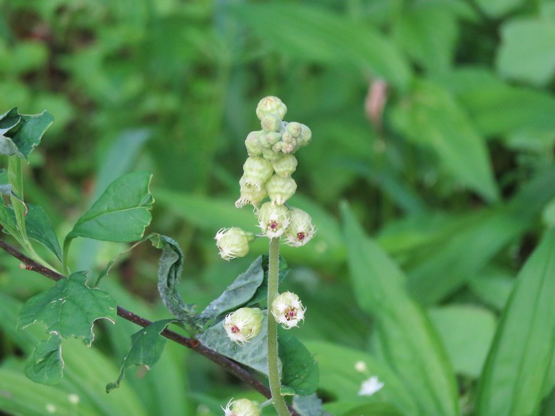
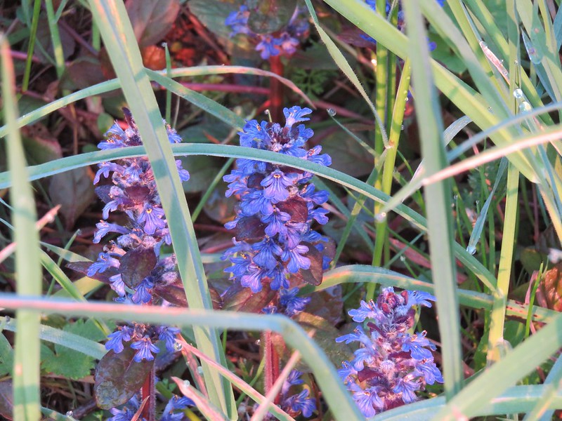
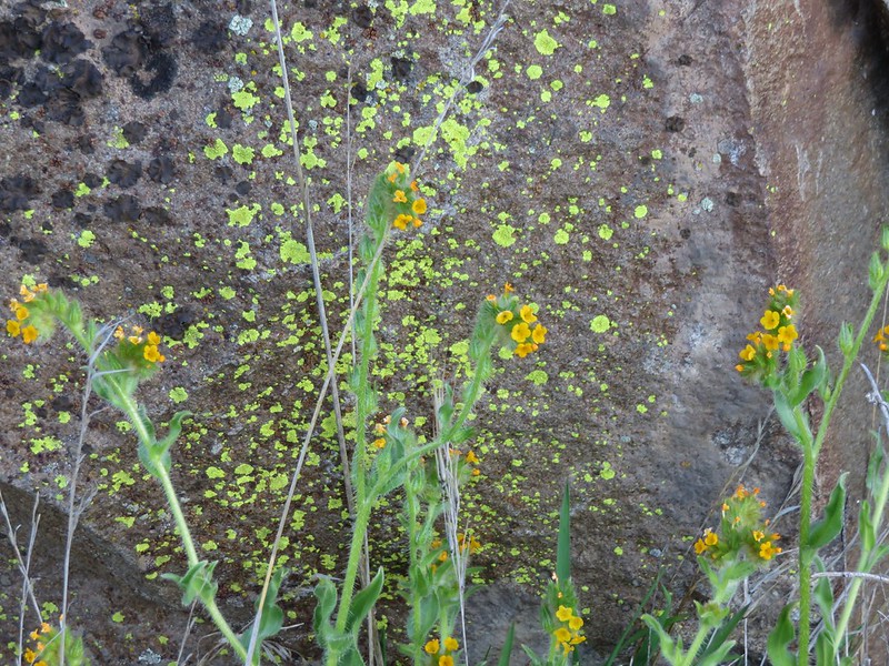
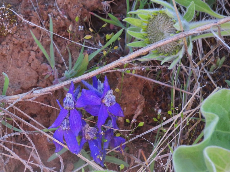
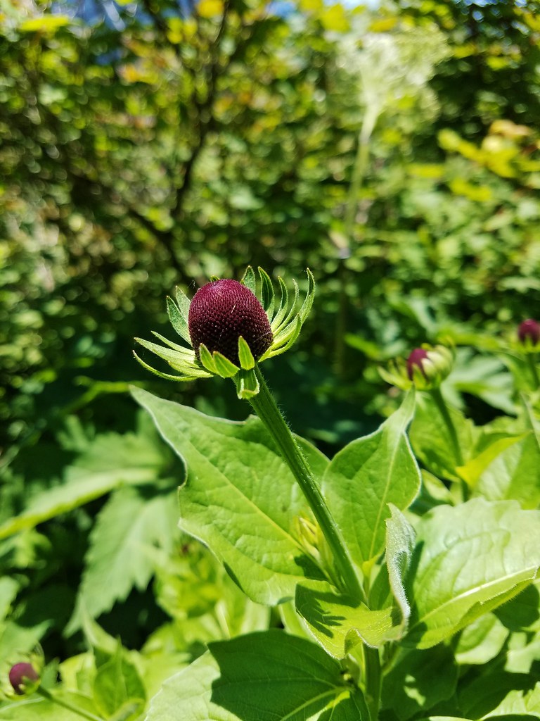
The views were nice but we spent most of our time focused on the many wildflowers along the trail.
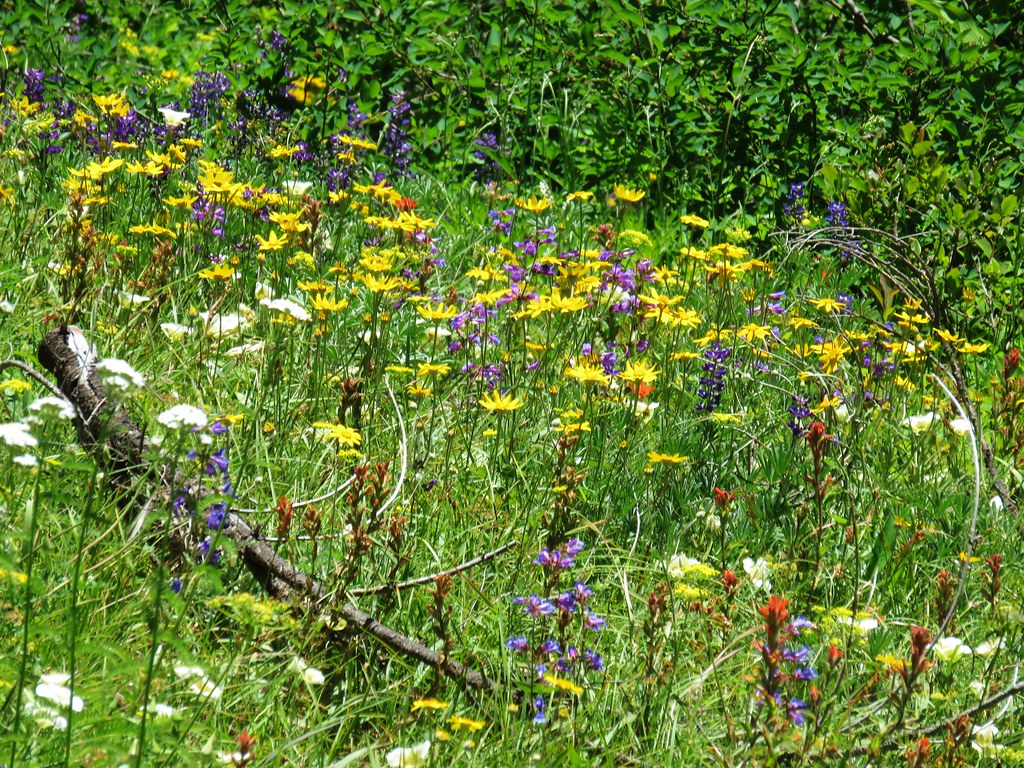

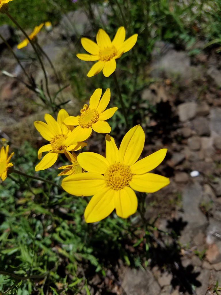
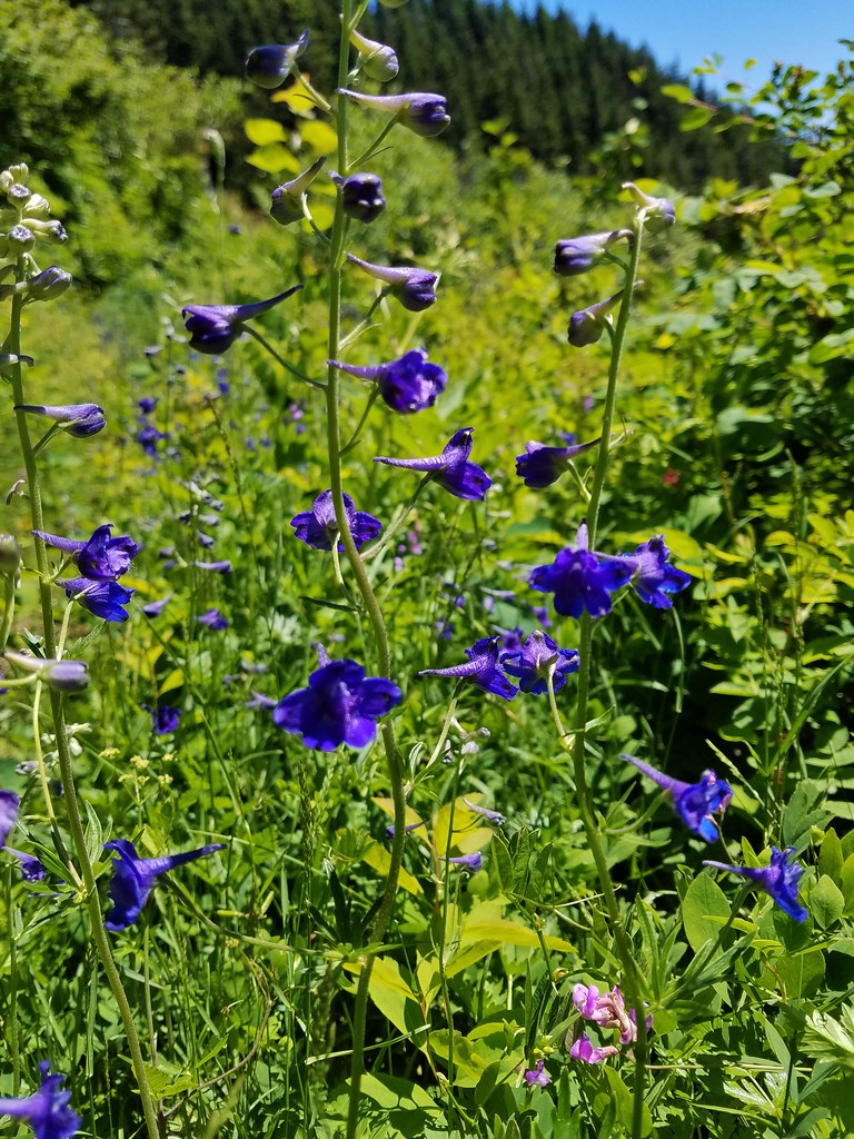

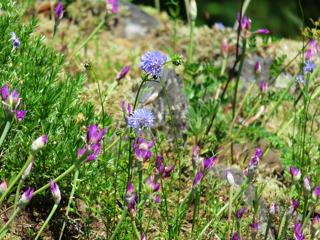
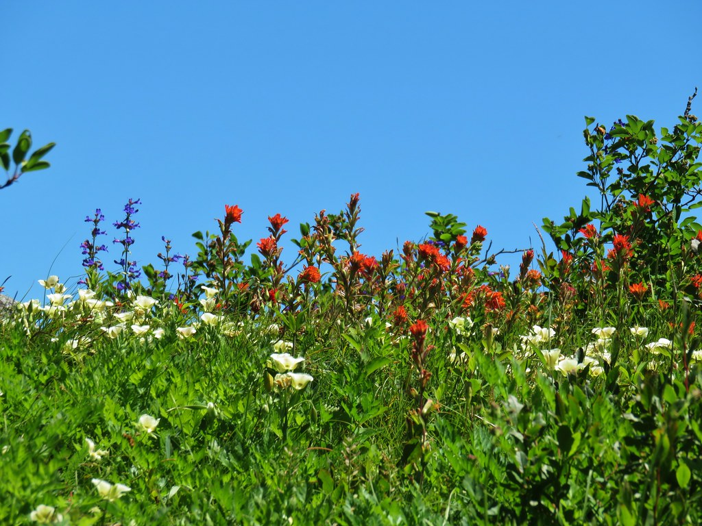
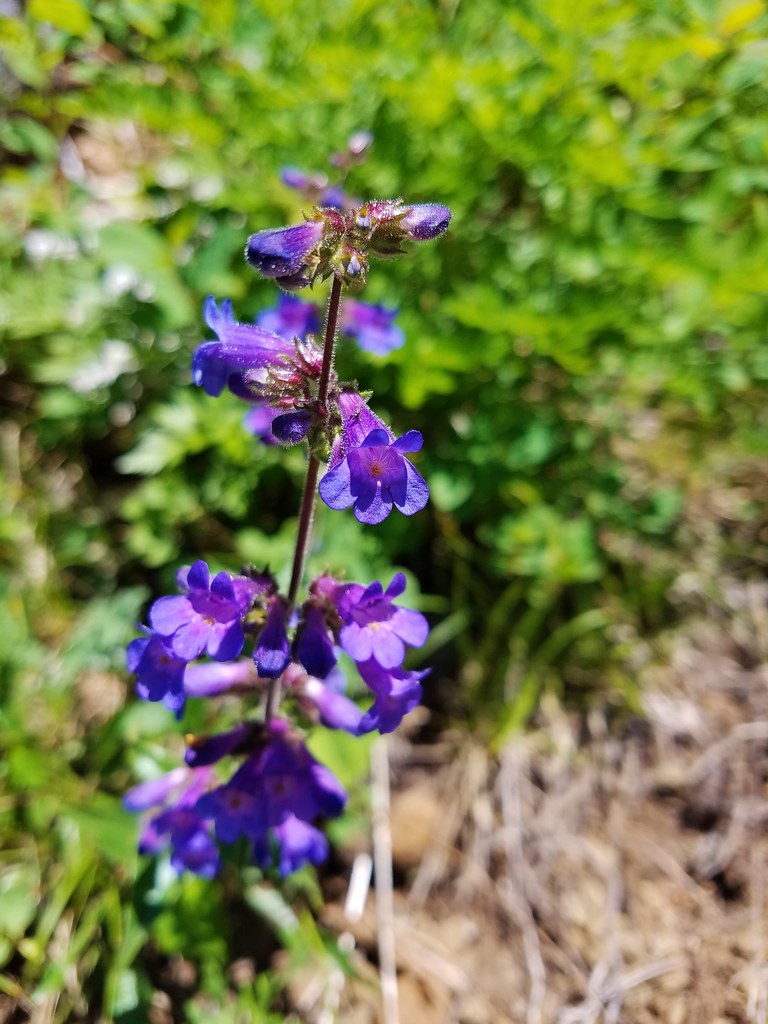
The variety of colors of penstemon was particularly impressive.


We had hoped to hop off of the PCT at a sharp right turn just uphill from some power lines and hook up to a dirt road just on the other side of the lines at a saddle. As we came around the ridge end though we couldn’t see any obvious signs of a connector trail so we stuck to the PCT as it began to quickly lose elevation. After looking at the map and realizing that following the PCT all the way to the road would add almost two miles and another 500′ of elevation gain we went back to look again for a connection. After a brief off-trail excursion on a steep slope with thick brush, we bit the bullet and took the PCT down to the road.
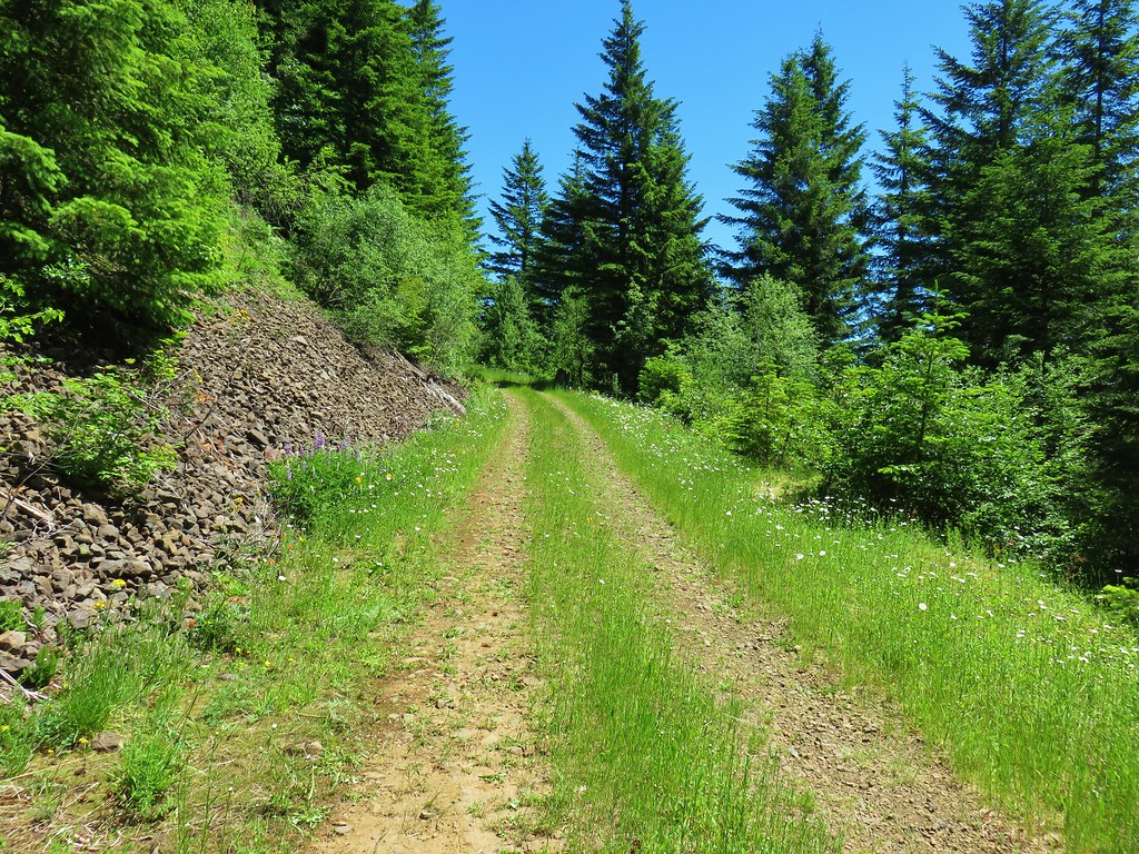
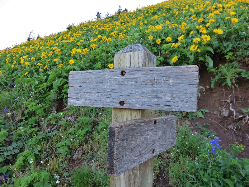
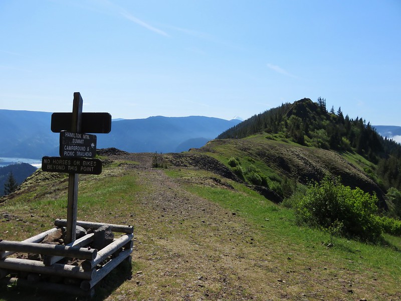
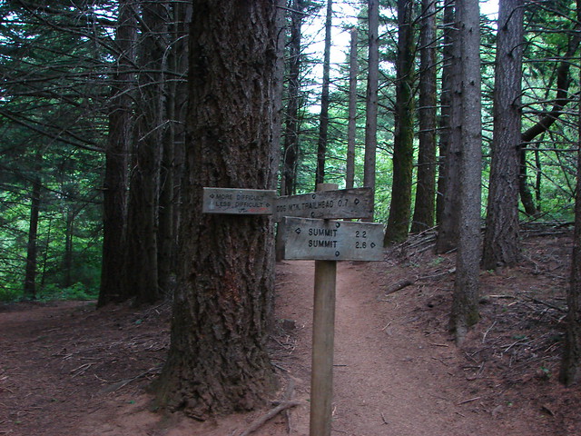
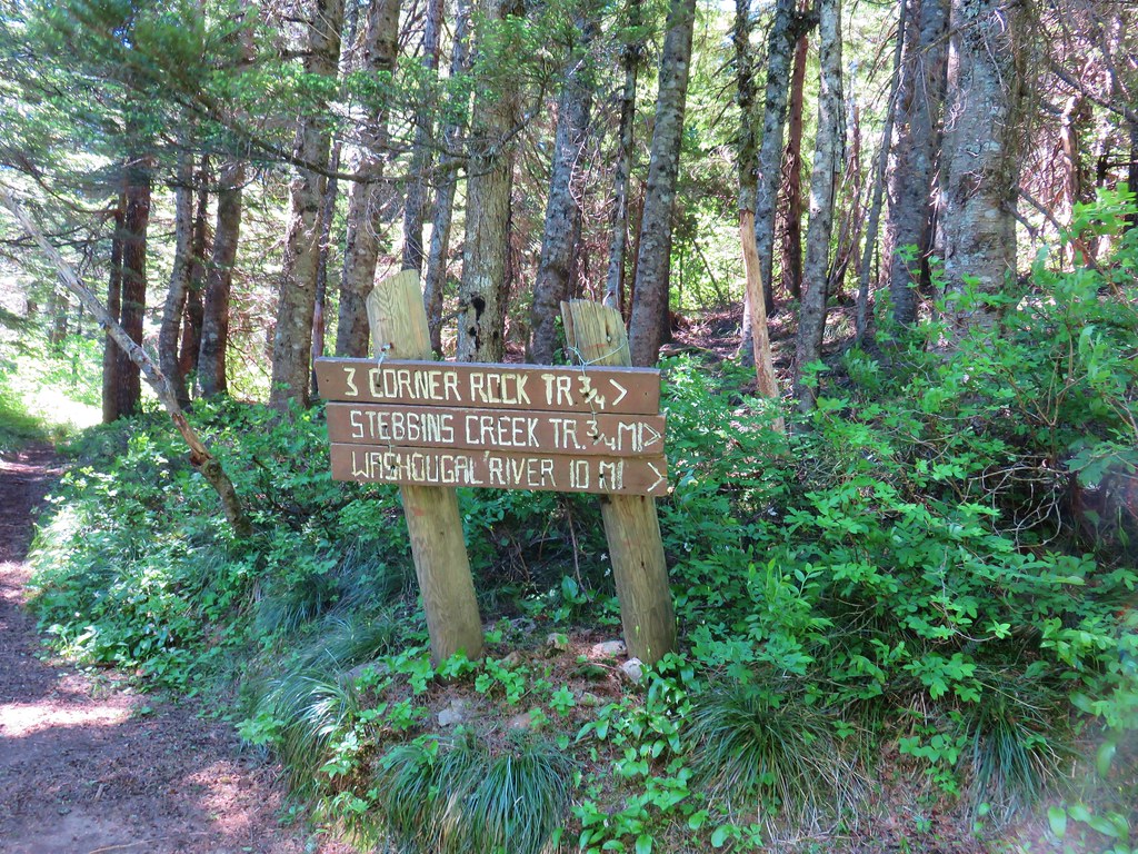
We had to walk back uphill on the road and it was warm. We had benefited from a nice breeze most of the day which helped keep the temperature bearable but there was none along the road. When we arrived at the saddle we spotted a sign near an overgrown roadbed pointing 1.4 miles to Table Mountain.

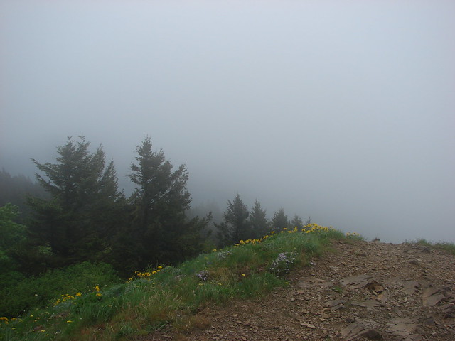
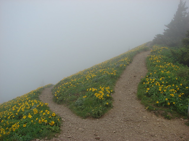
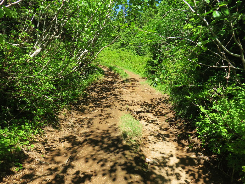
We followed the old roadbed for about half a mile to its end where a faint, and at times very brushy, trail continued along the north ridge of Table Mountain.

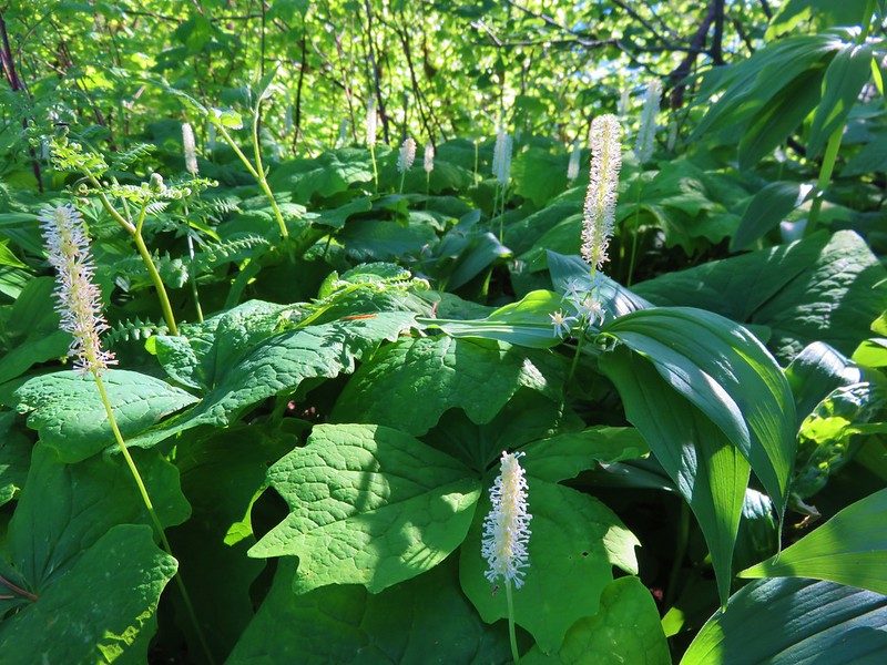
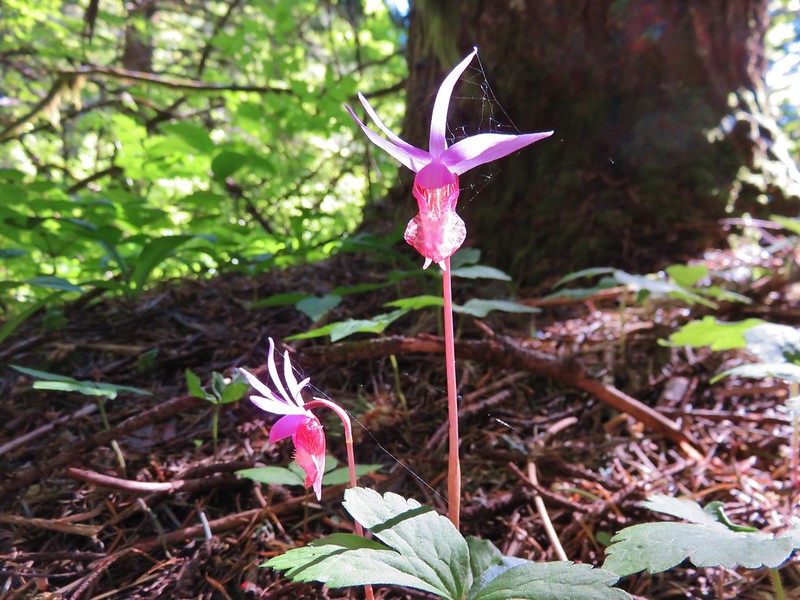
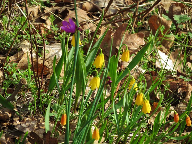
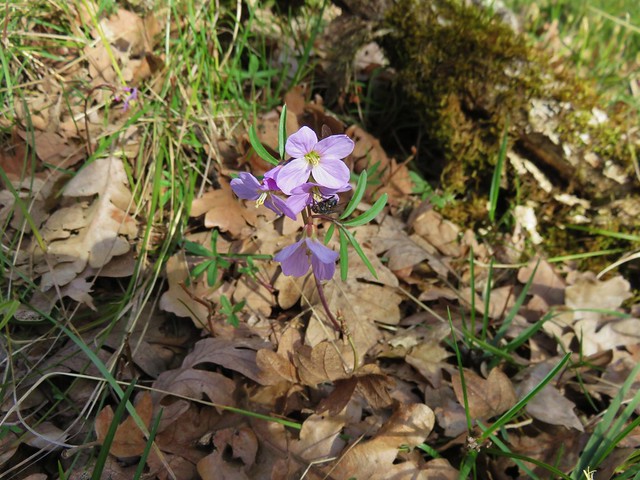
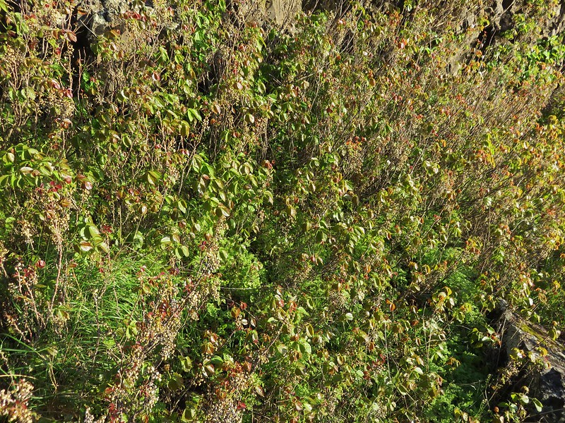
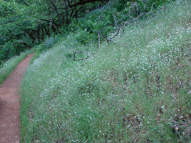
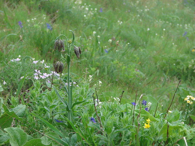
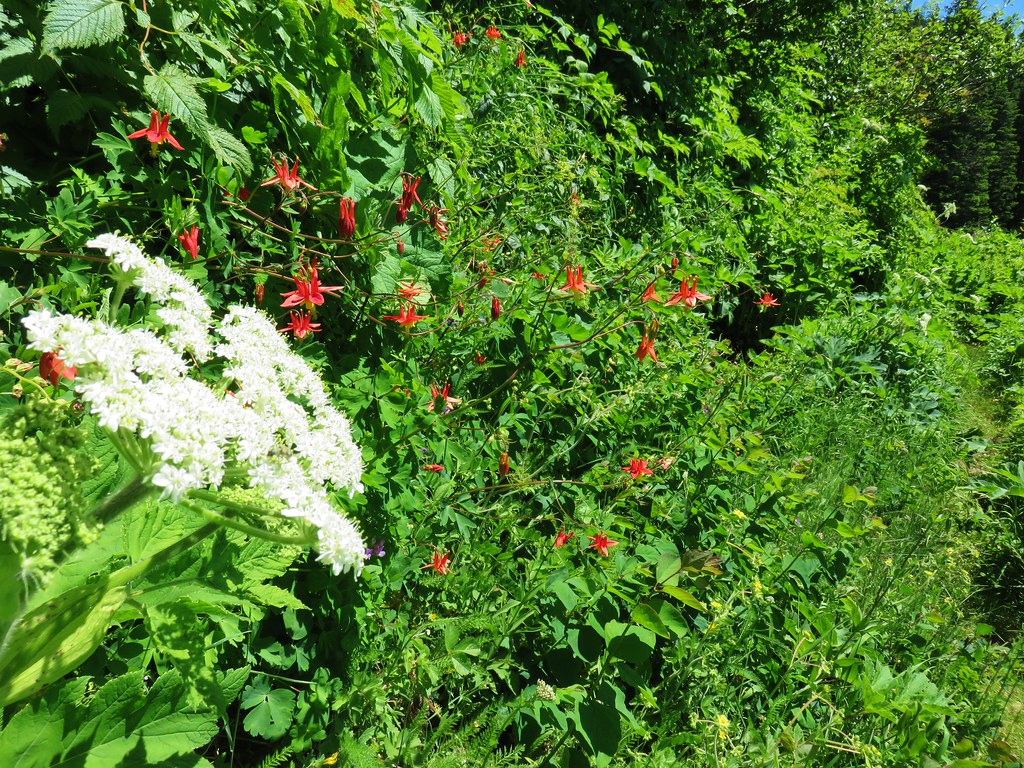
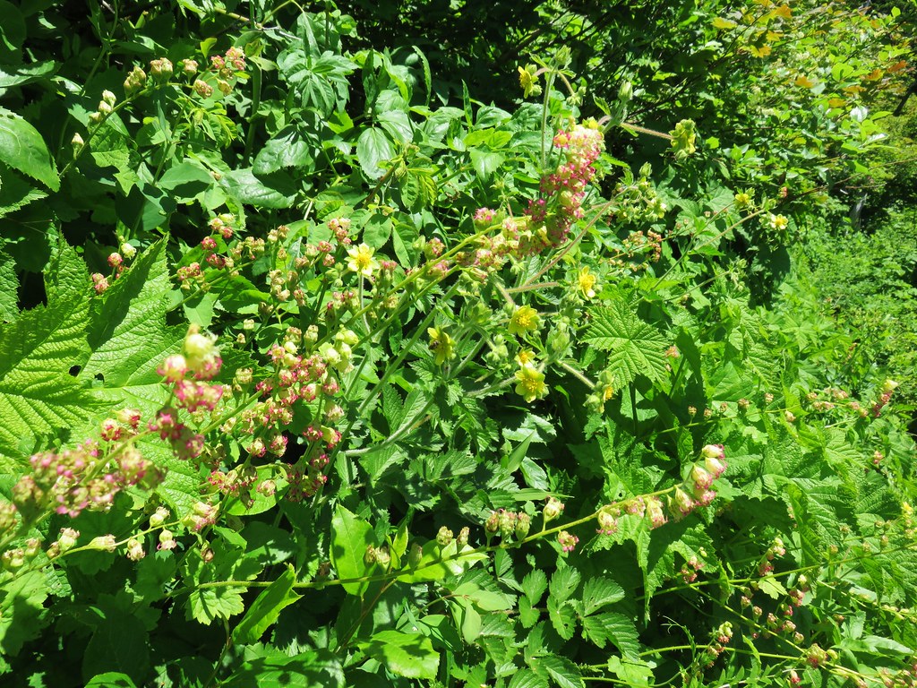
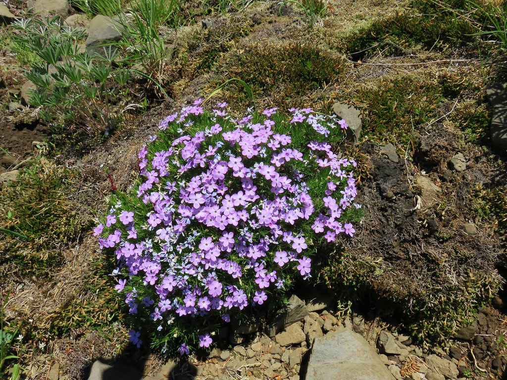
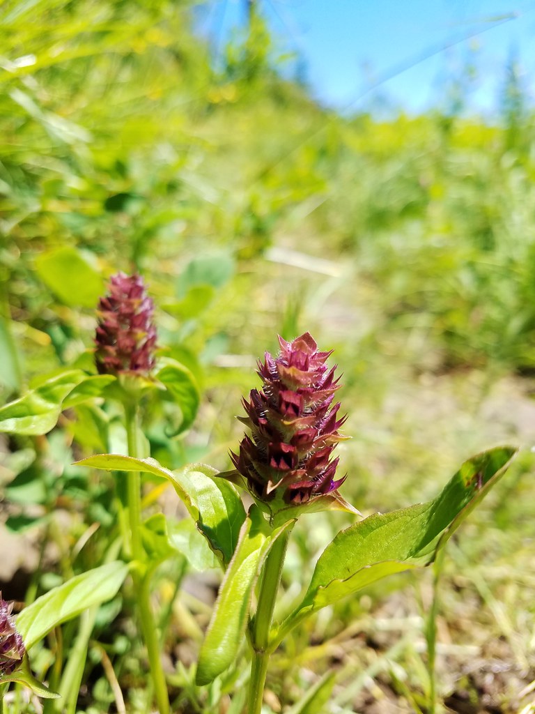
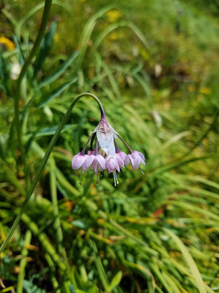
When the trail wasn’t overgrown it too was lined with wildflowers.

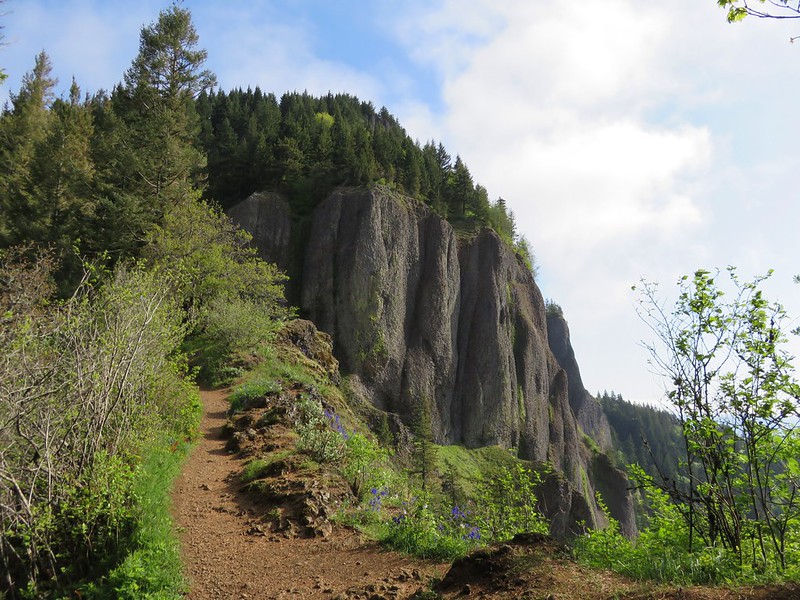
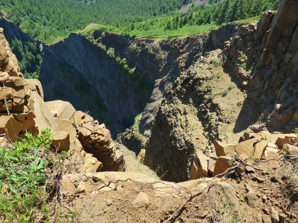
Not only was the route a bit of a challenge to follow due to the brush but it was steep at times, especially on two rocky climbs, the last of which brought us to the plateau of Table Mountain.
Three Corner Rock was visible to the left of the ridges we’d followed to reach the plateau as were the power lines running over the saddle a mile away.
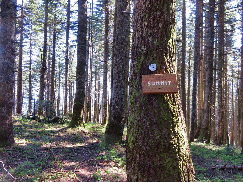
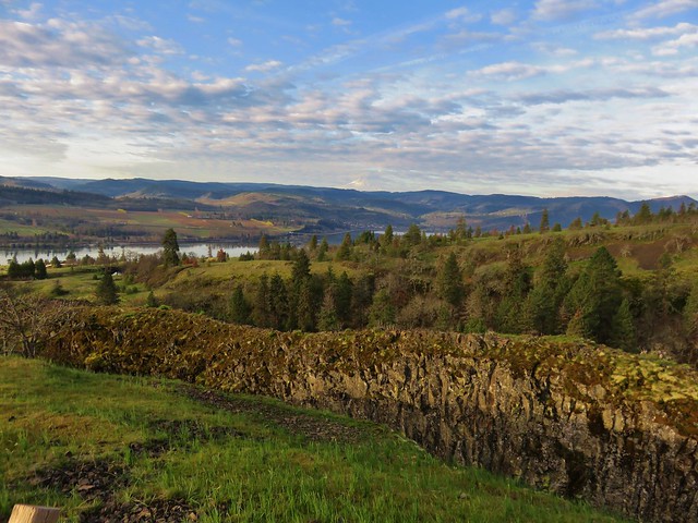
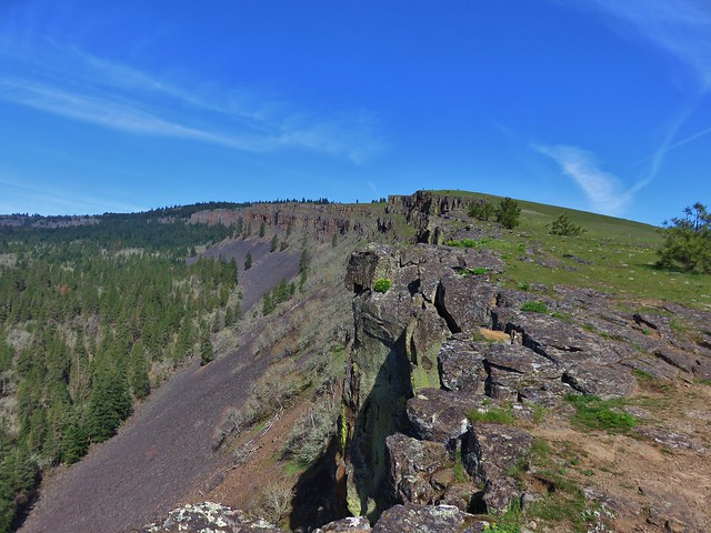
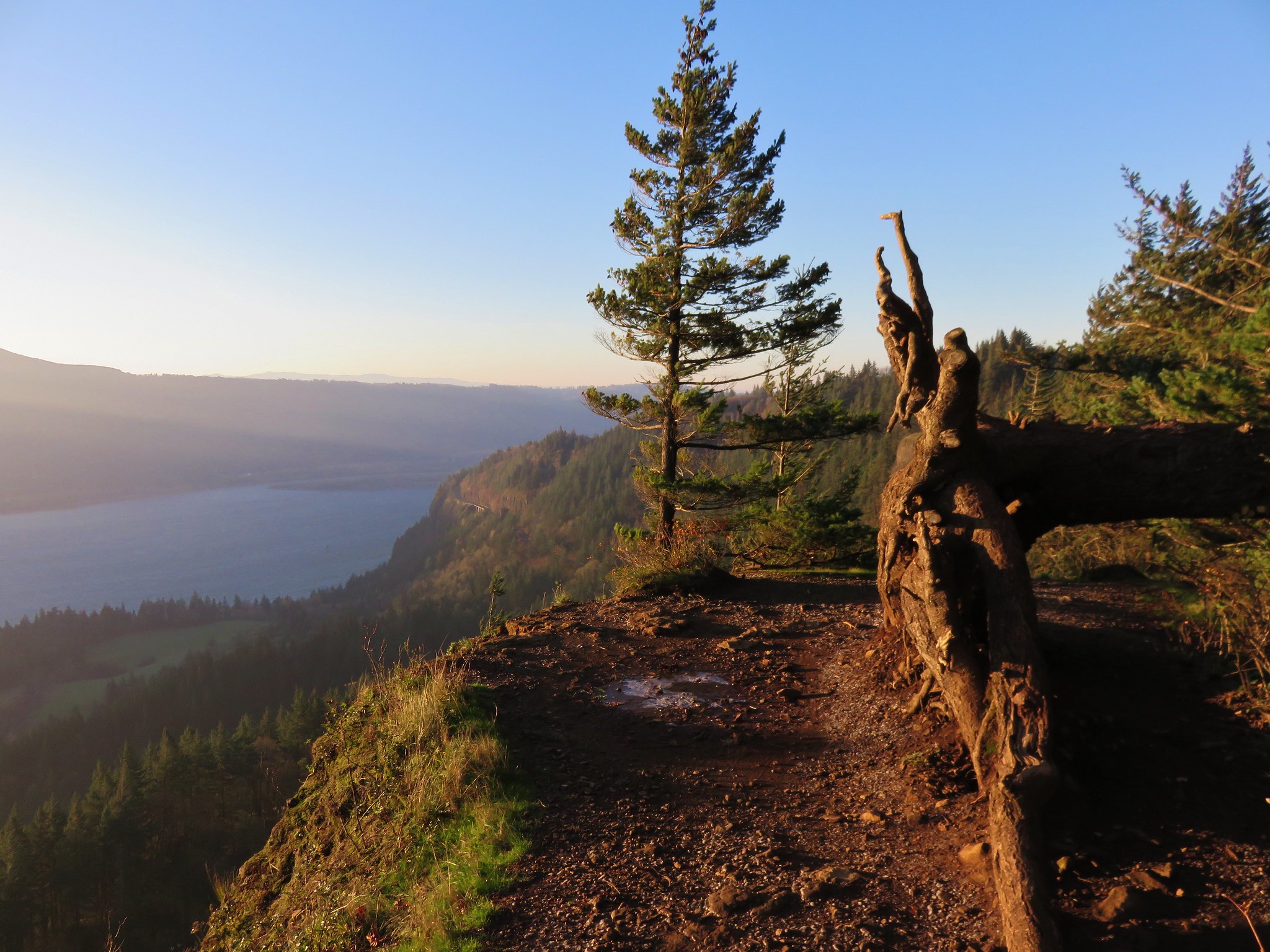
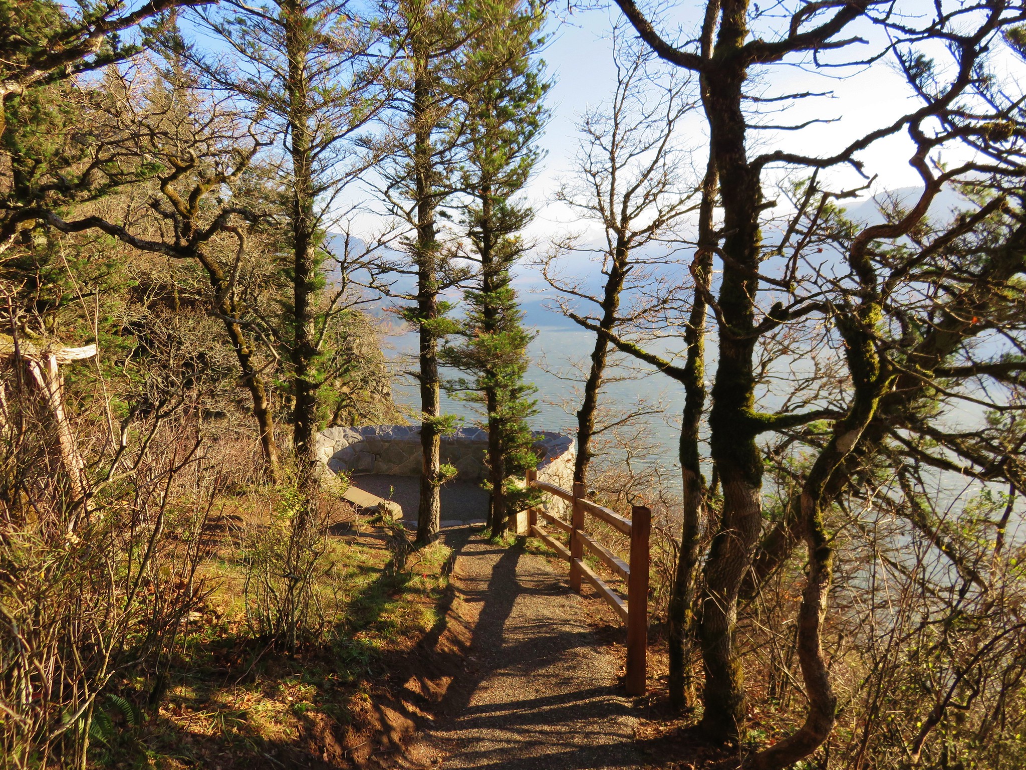
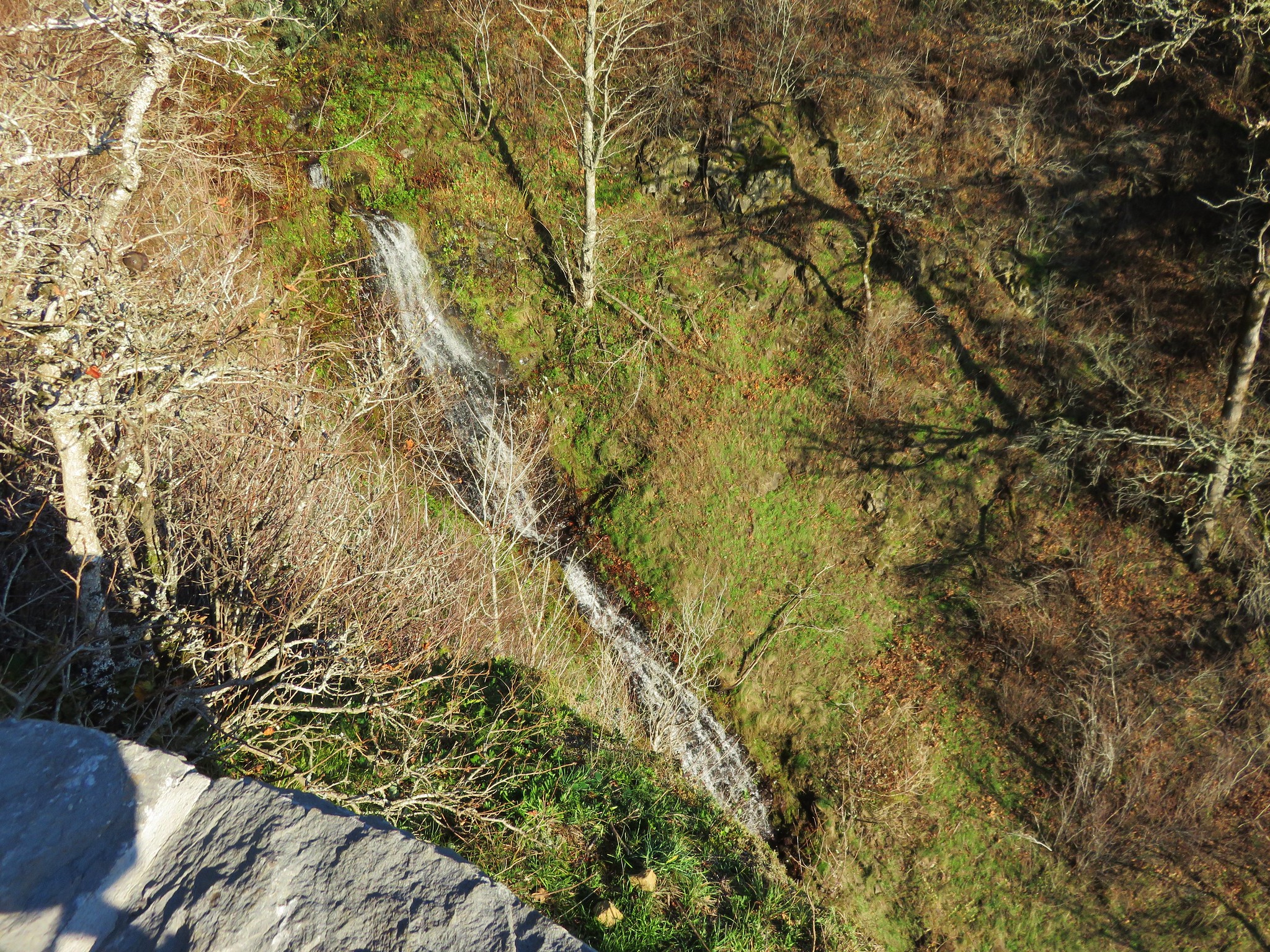
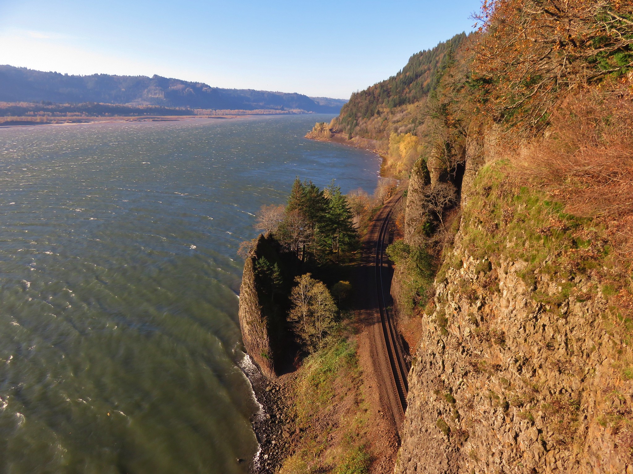
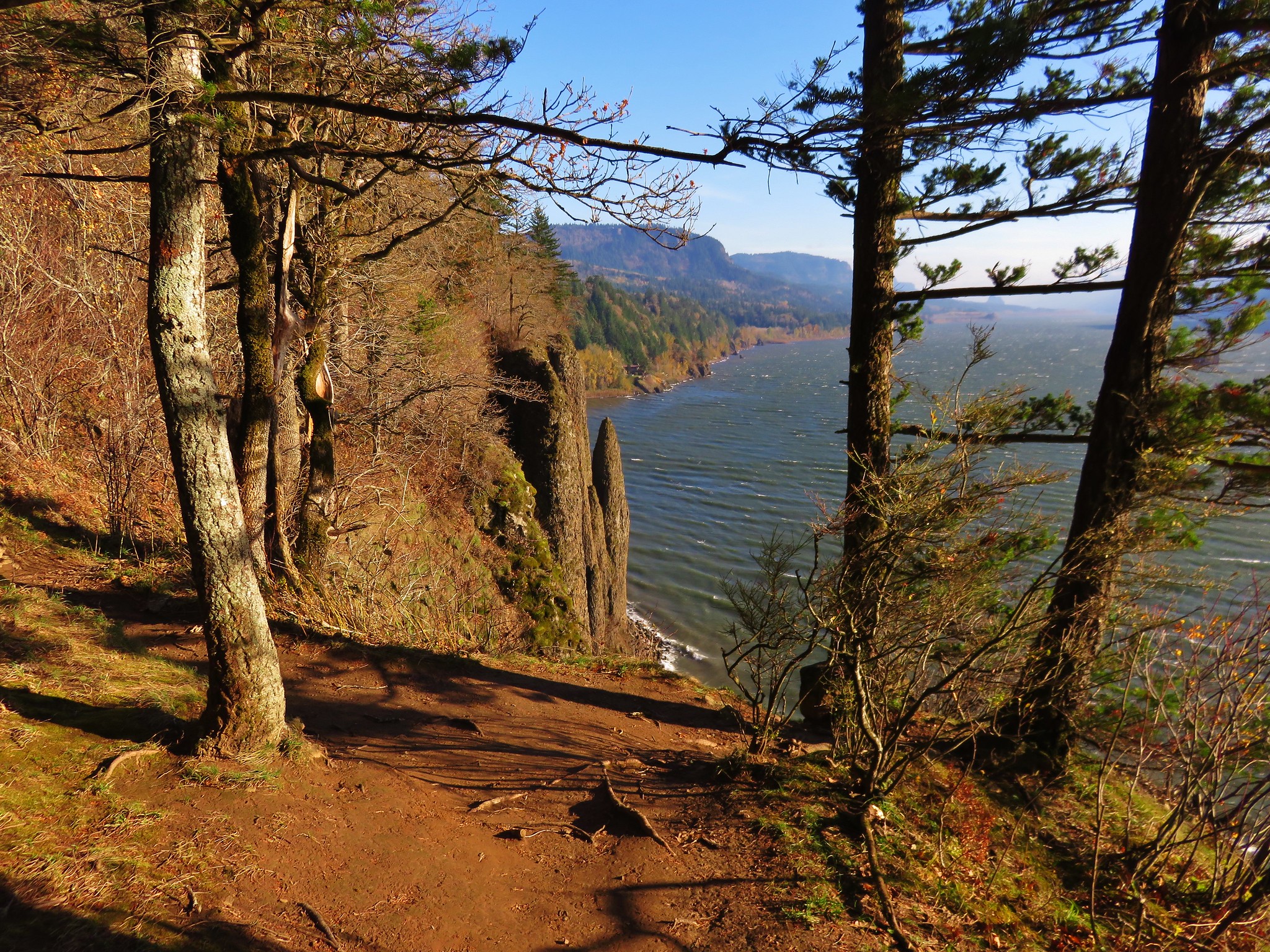
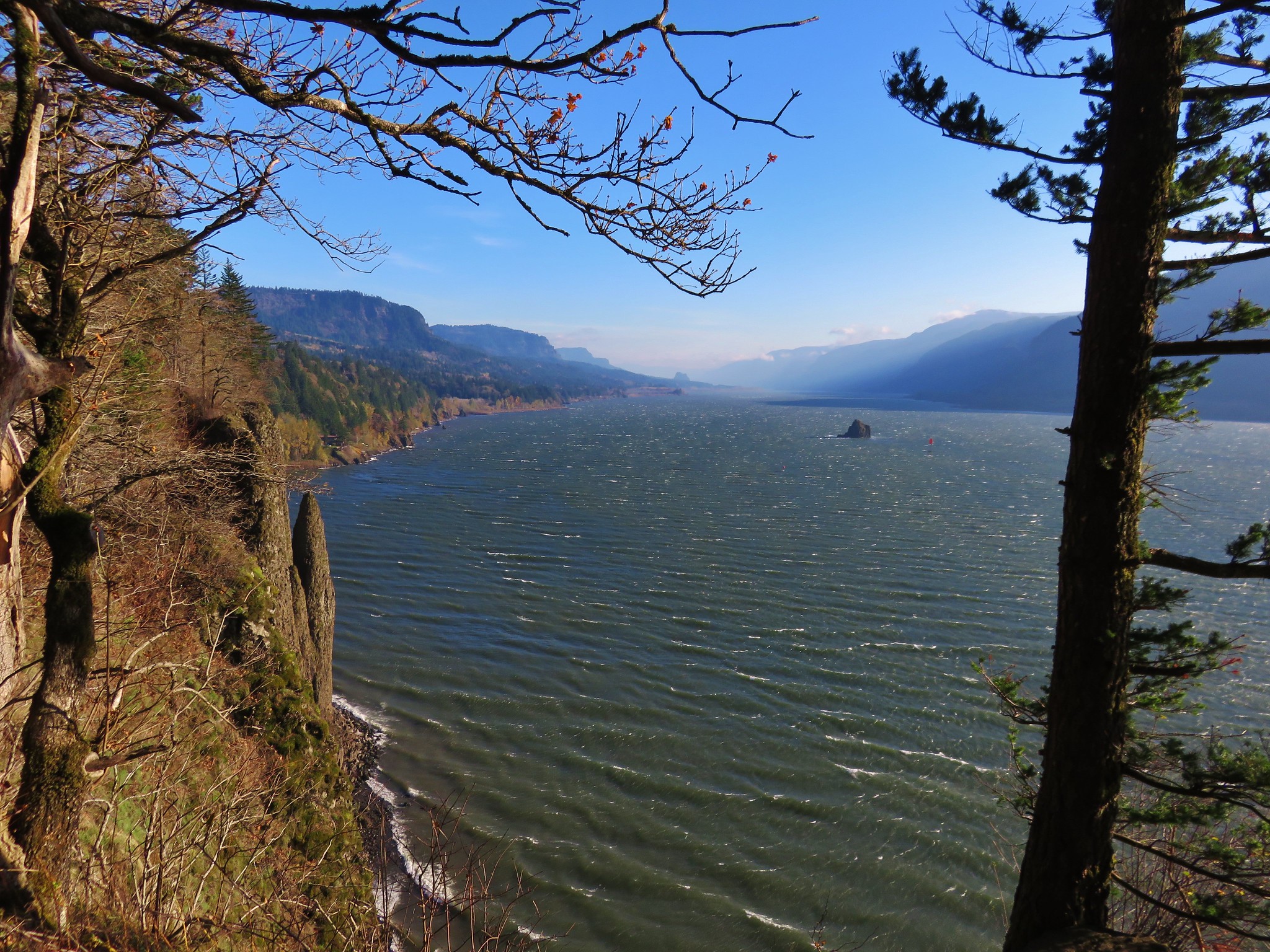
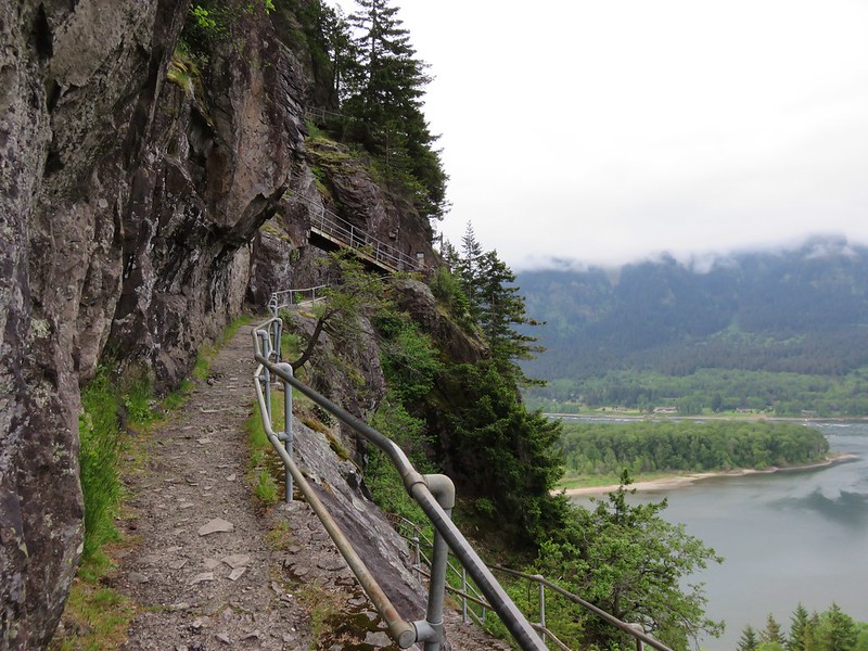
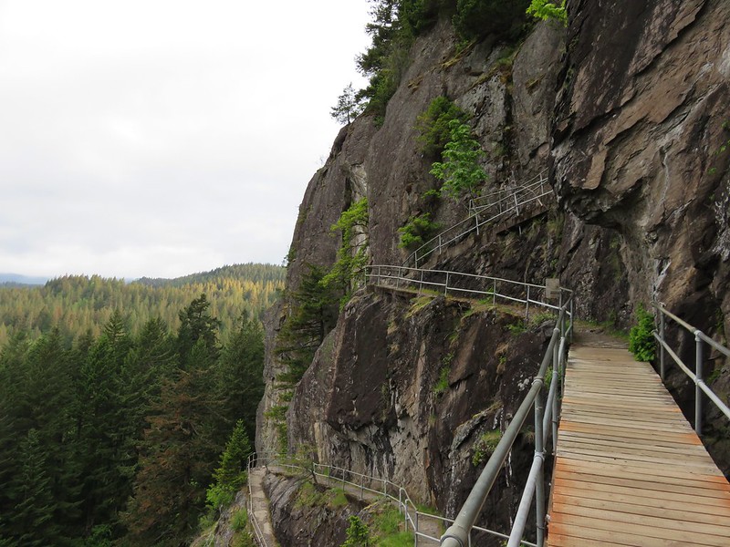
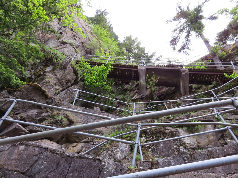
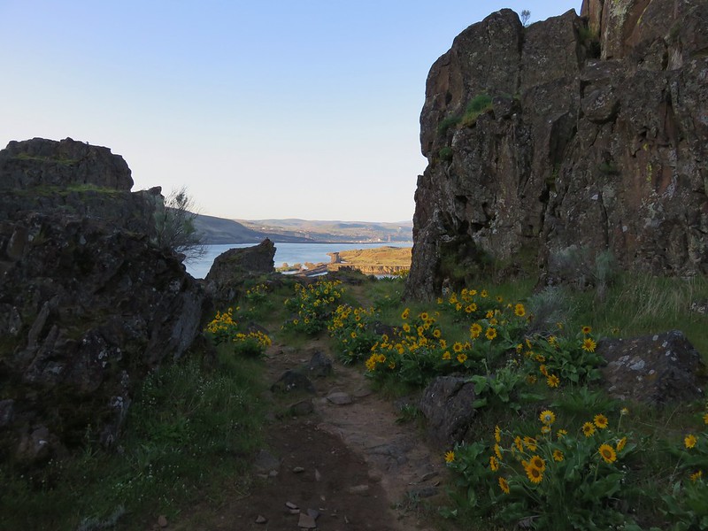
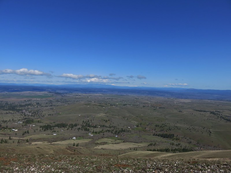
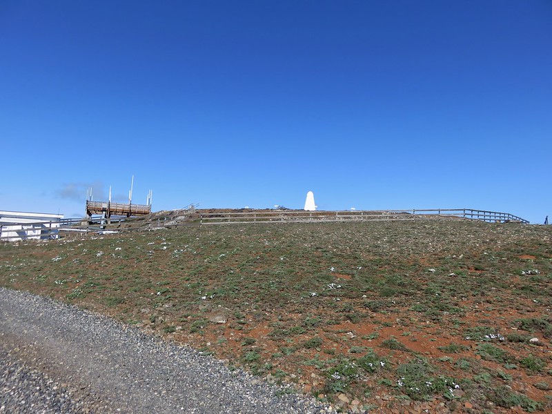
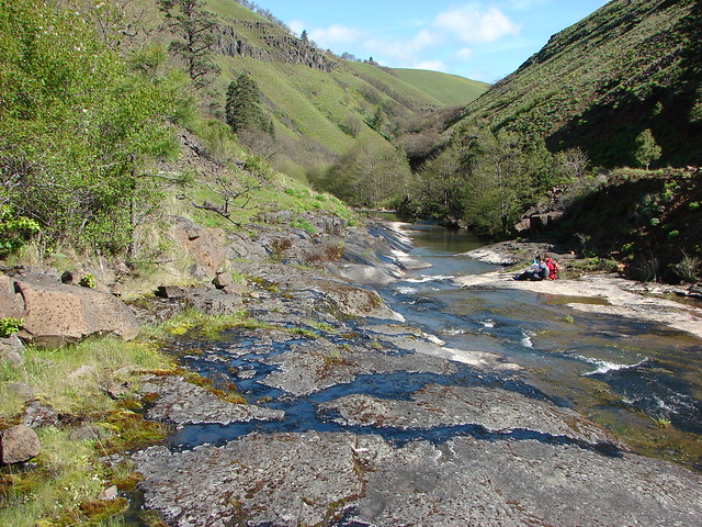
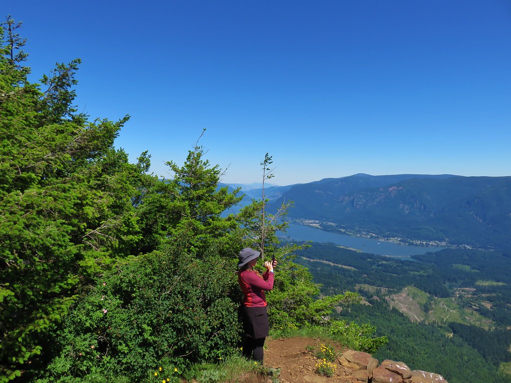
We picked up the Table Mountain Trail on the plateau and followed it south to the viewpoint above the cliffs overlooking the Columbia River.
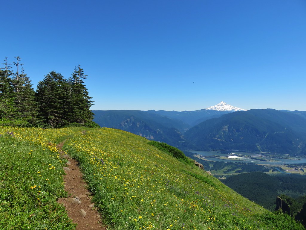
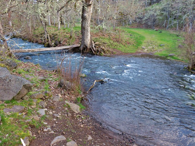
We sat in some shade near the cliffs and took off our shoes and socks to give our feet a bit of a break while we ate a snack. We had no idea how far we’d gone (it was almost 16 miles already) but we knew our feet were sore and we were both developing blisters. We were also getting low on water but thankfully Heather had brought our water filter and we’d passed what I thought would be a sufficient water source in the meadows between the saddle and the clear cut.
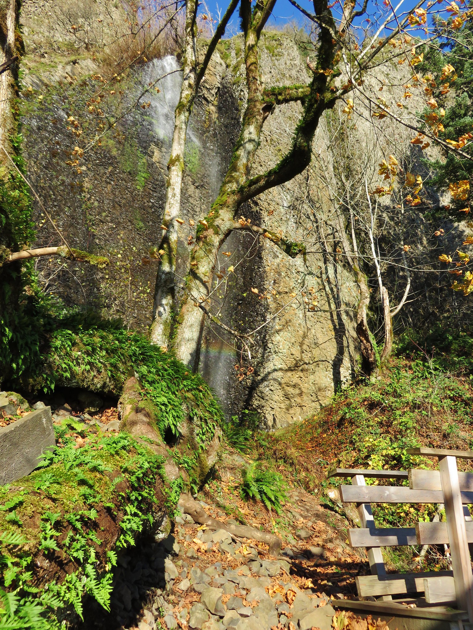
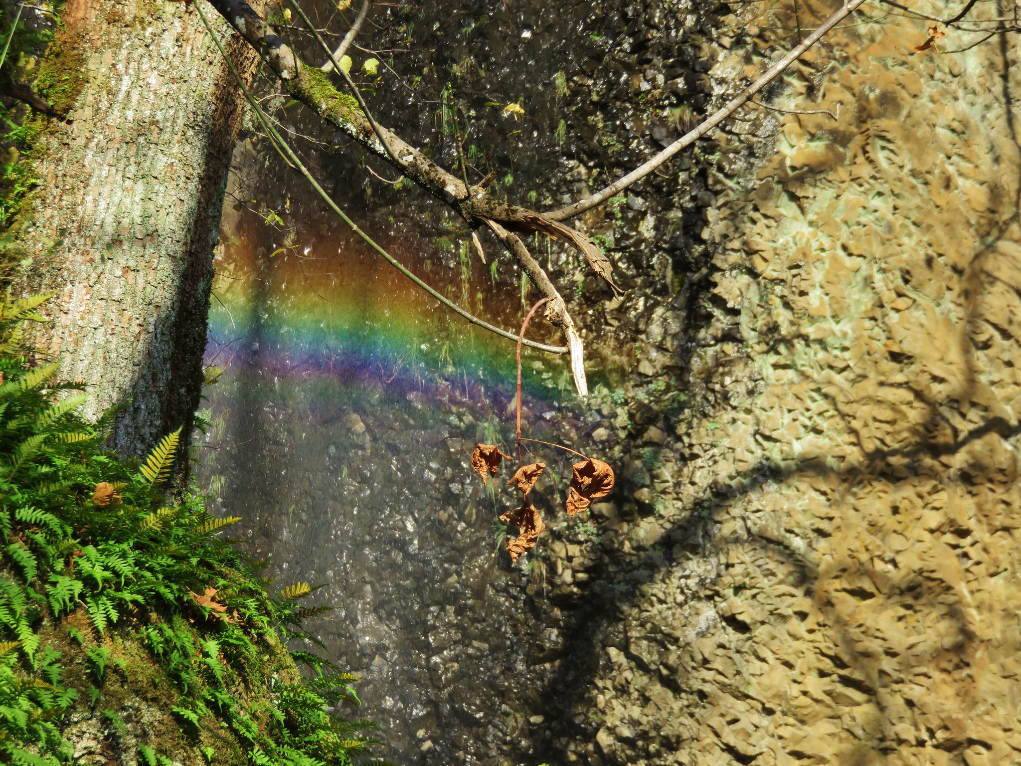
We started back at 3:15pm hurrying as quickly as our protesting feet would allow. We both ran out of water shortly before arriving at the seep where the water was just deep enough to use our filter to get some much needed wonderfully cold water. We arrived back at our car at 6:48, almost 11 hours and 45 minutes since we’d set off that morning.
It certainly hadn’t gone as planned but we’d at least come prepared with enough food and water to make it through the day. In addition to some great mountain views and wildflowers meadows we’d learned a valuable lesson about how important it is to make sure you know where your starting point is and to consider everything when determining where you’re at. Had we taken the position of the sun and the description of the hike as beginning uphill to the right of the TH we might have realized much more quickly that we’d misidentified the location of the trailhead on the map. Happy Trails!