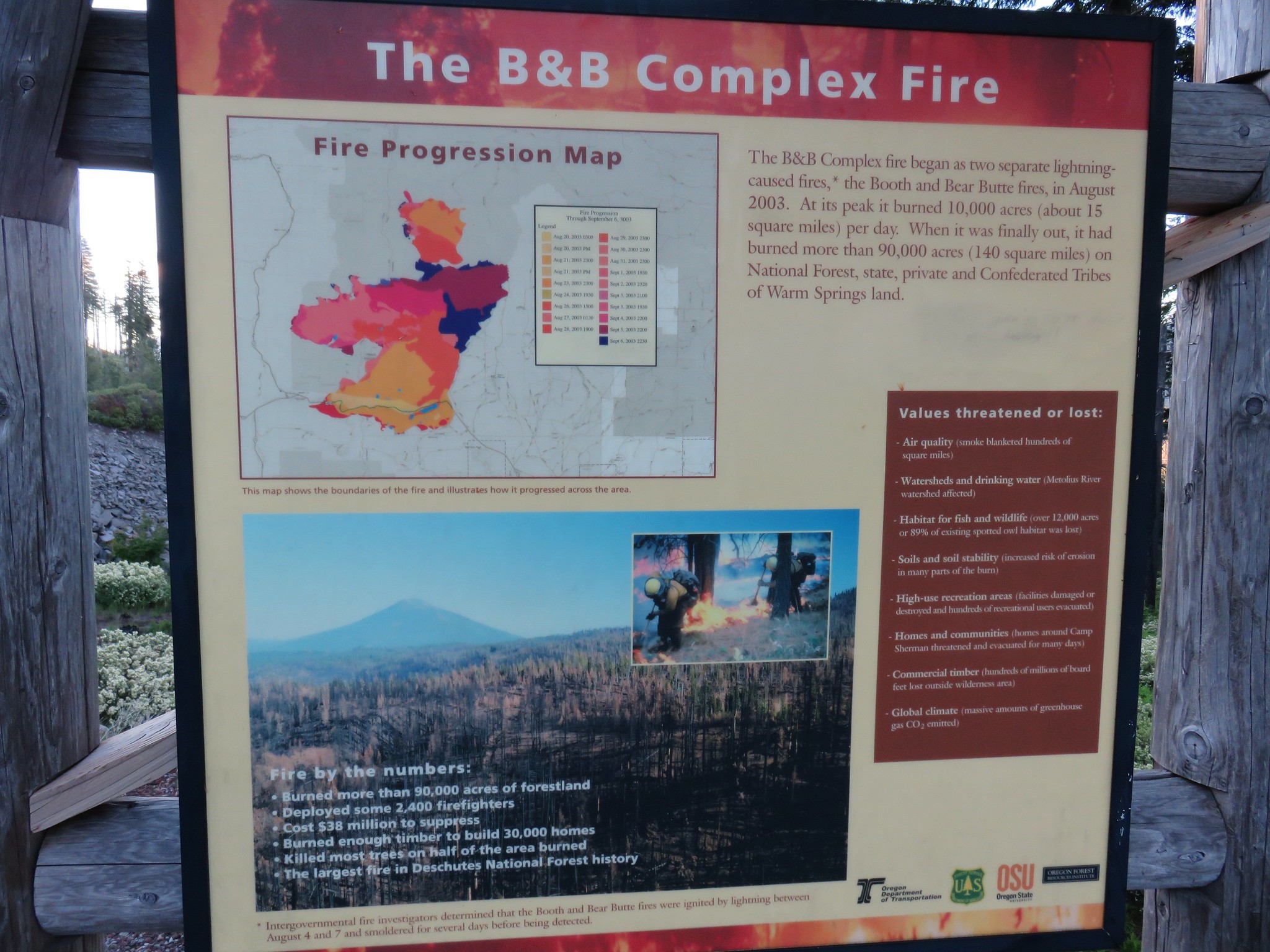
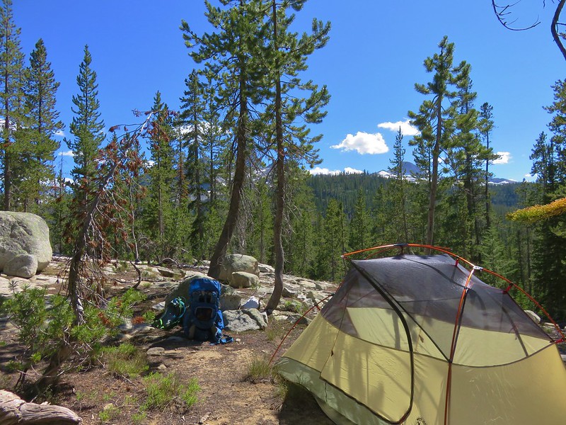
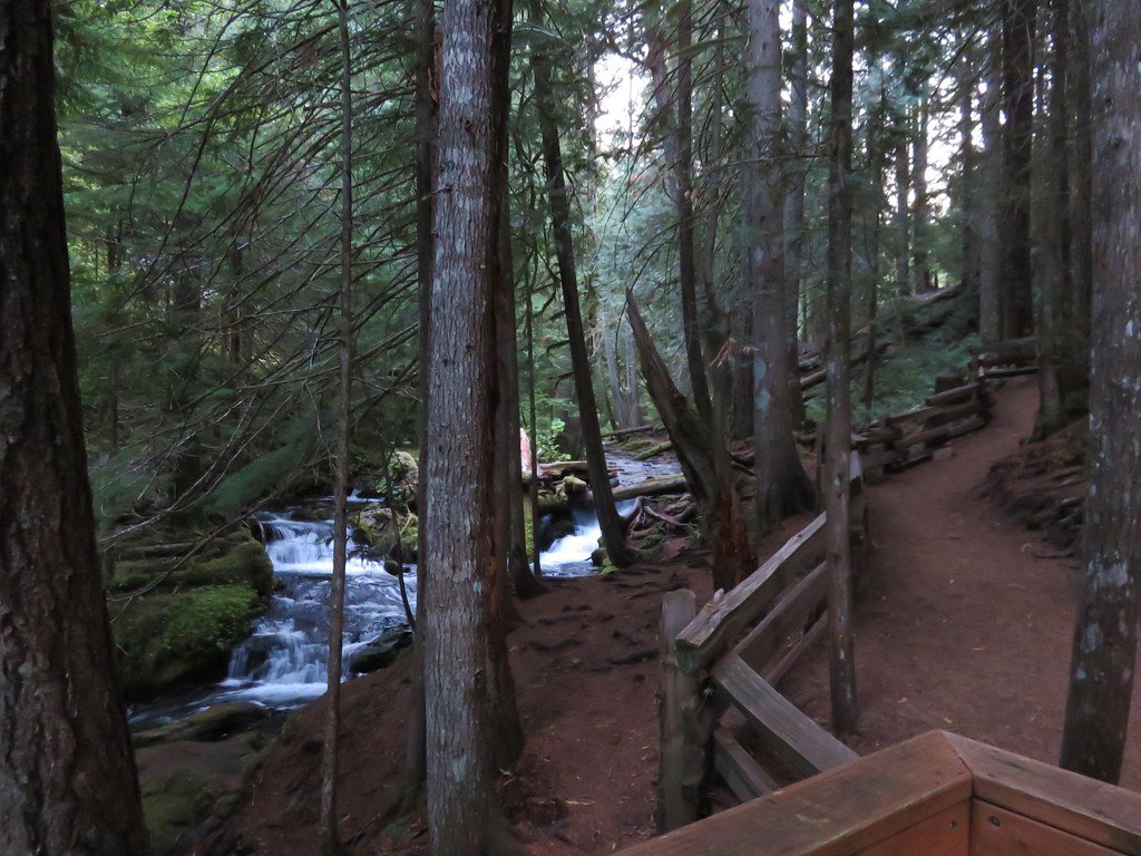
We had our first heat advisory of the year issued for the weekend which prompted us to think twice about the 12 plus mile loop with over 3400′ of elevation gain that we had on our schedule for this week. I went looking at some of the hikes I had on our schedule for future Junes hoping to find something a little less strenuous and landed on the Rogers Peak Loop. This was another Oregon Hikers Field Guide entry. That entry described a 7.1-mile loop with 1065′ of elevation gain and an optional visit to Blue Lake which would add about 1.25-miles and 450′ of extra elevation gain. At 3706′ in elevation Rogers Peak is the third highest peak in the Coast Range behind 4319′ Mt. Bolivar and 4097′ Marys Peak (post).
The hike is located on private timberland using logging roads for almost the entire route. A big thank you to Hampton Lumber for allowing walk-in recreation to the public. Because this is private land access can be restricted at any time so, please check with Hampton Lumber before heading out and be respectful when visiting. They have a web page devoted to recreation here. Also note that weekdays may not be the best time to visit to avoid logging operations and log trucks using the roads.
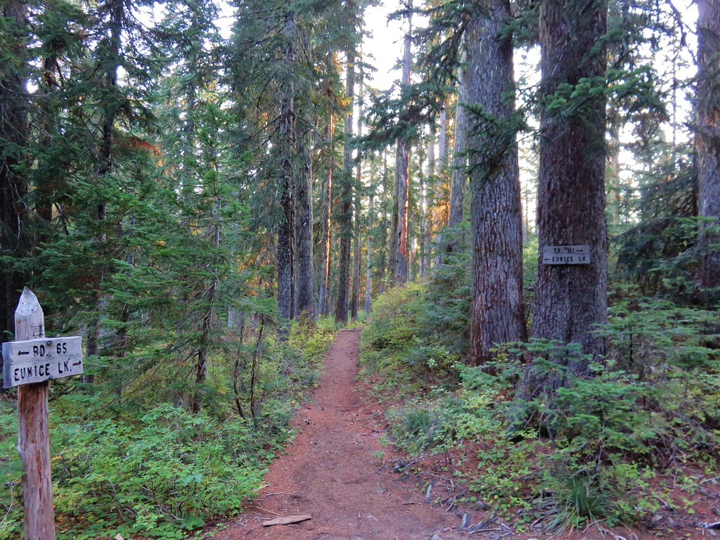
We followed the Oregon Hikers directions to the trailhead which is just a small pullout before a yellow gate on Gilmore Creek Road. The roads to the trailhead were in good shape, but sections of the final 3.5-miles are very steep and windy.
 The pullout only has room for two cars, a third might be able to squeeze in but it would be tight. DO NOT drive past the gate if it happens to be open as motor vehicle use by the public is not allowed beyond the gate.


Again please respect the private landowner’s rights and property. They have no obligation to allow the public access.
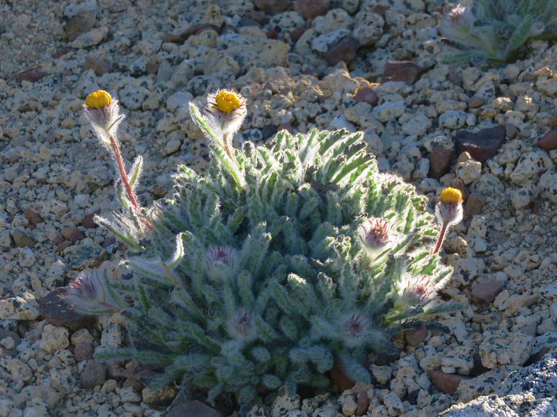
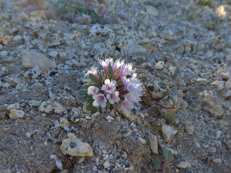
Before we started hiking we got distracted by the various wildflowers blooming near the gate.

Thimbleberry

Paintbrush

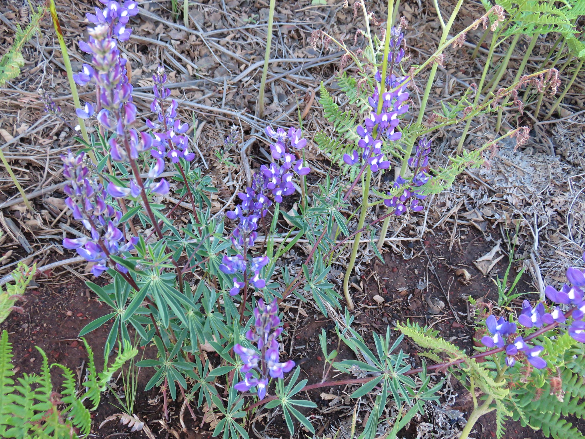
Lupine

Vanilla leaf

Inside-out flower

Iris

Starflower

Bunchberry

Trailing blackberry
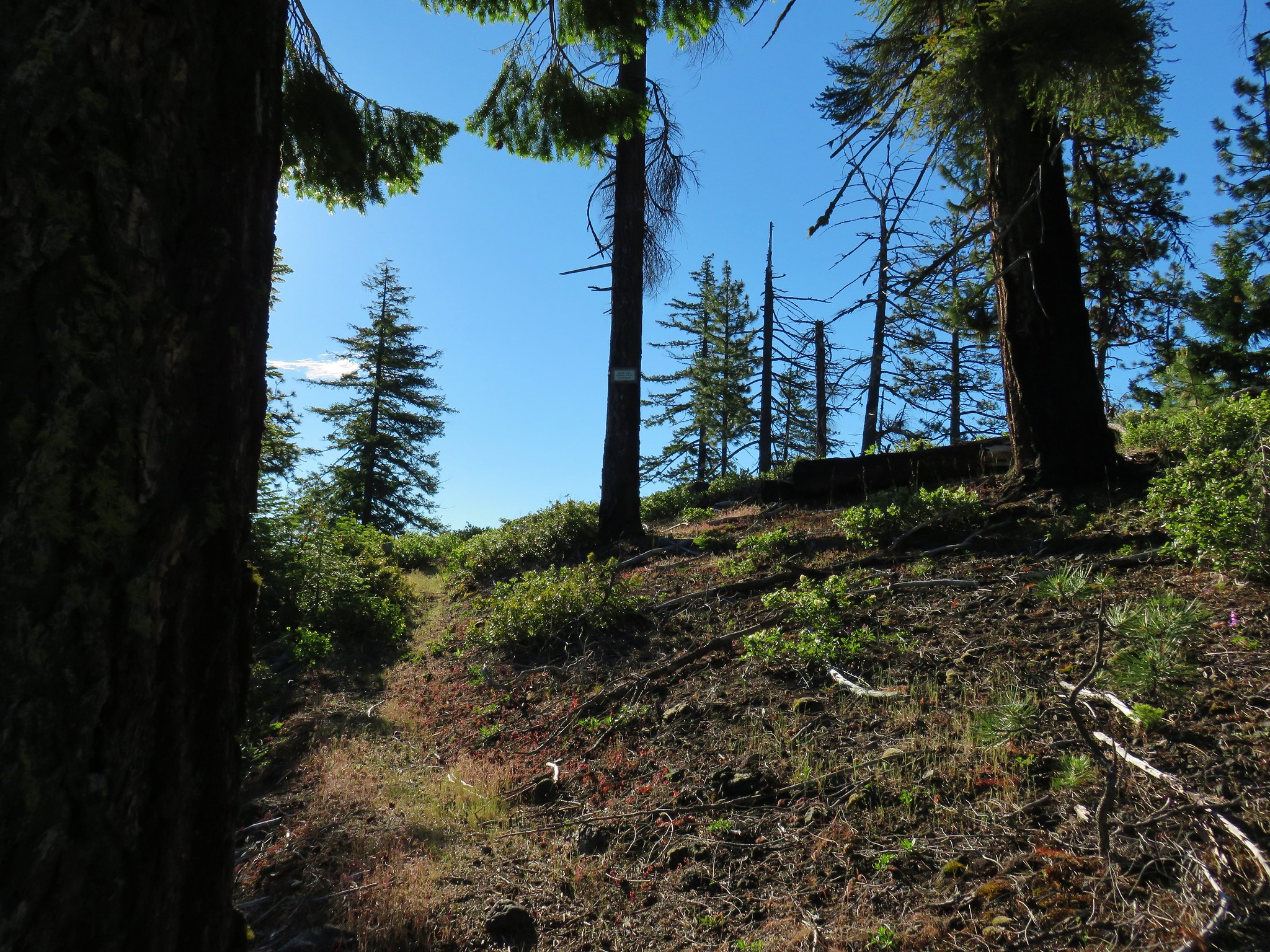
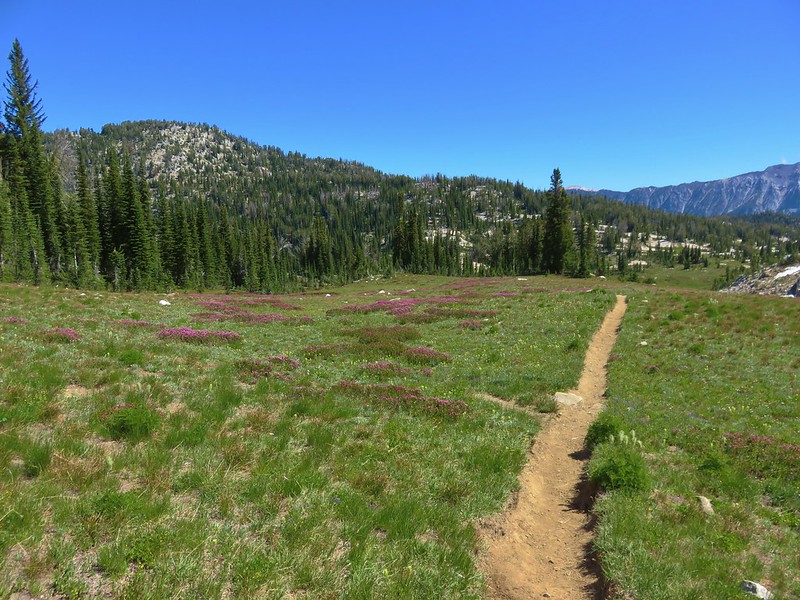
Once we started hiking the road split shortly after the gate with the right-hand fork being the shortest route to Rogers Peak but being short also means steeper. We followed the field guide route and forked left.

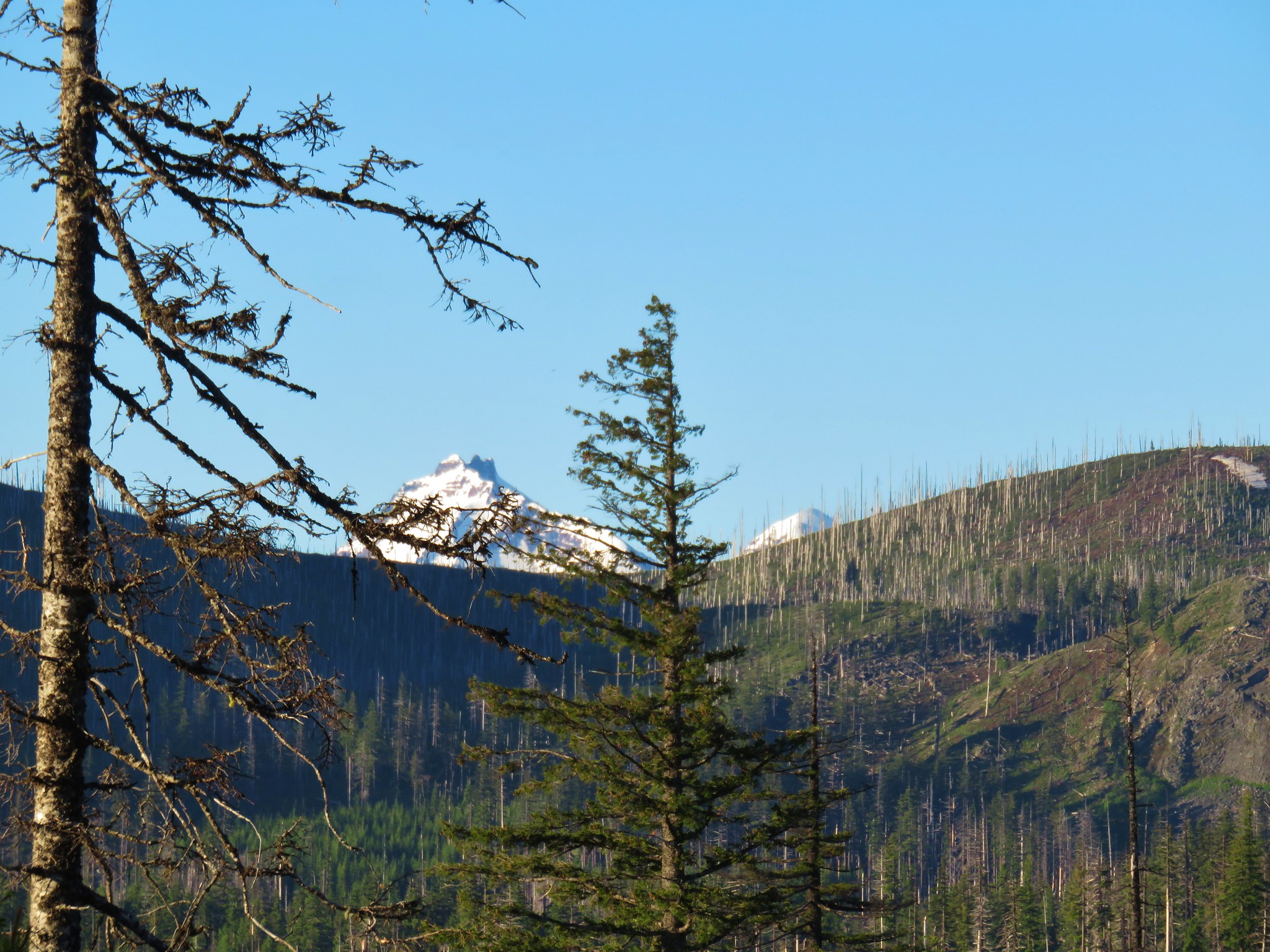
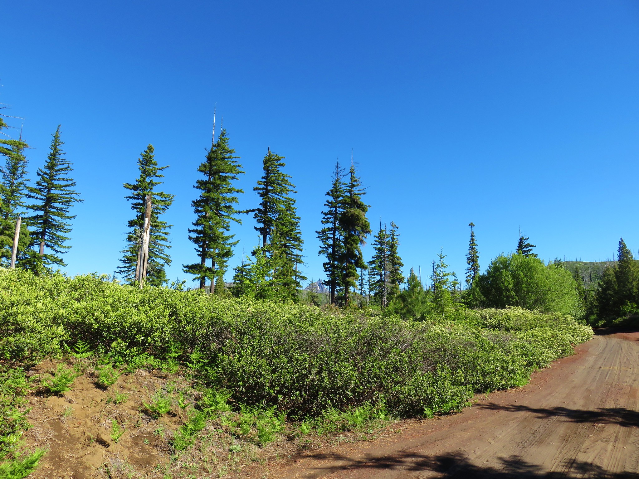
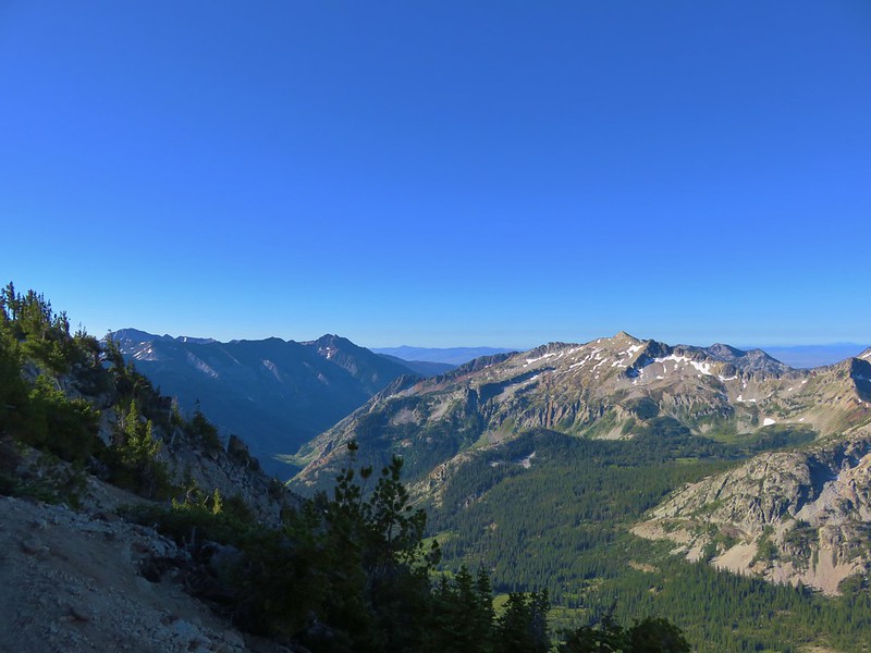
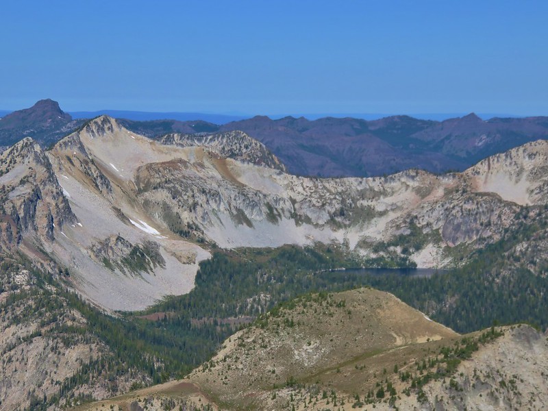
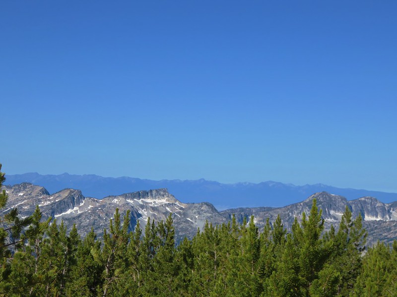
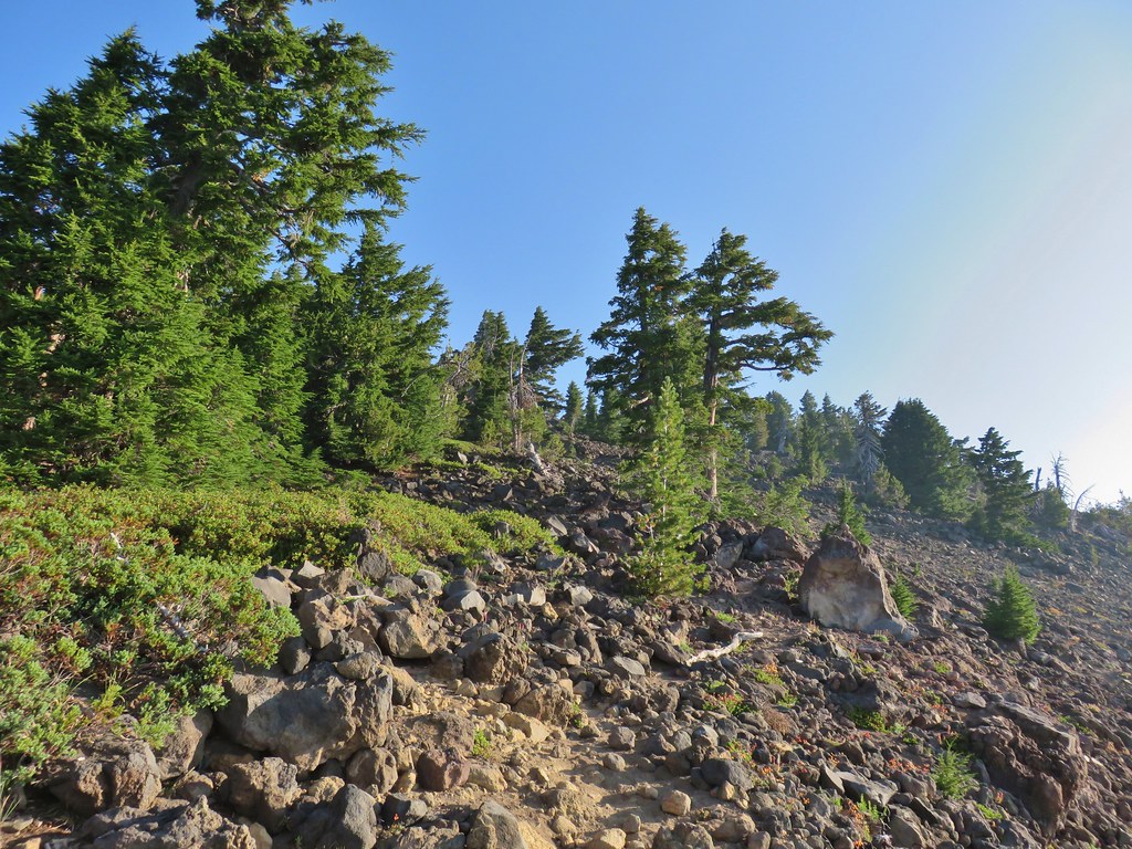
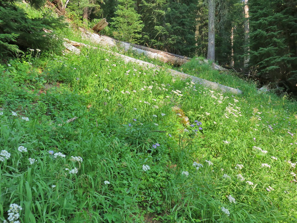
The roadbed was fairly level as it traversed along a logged hillside which provided views of the Coast Range.

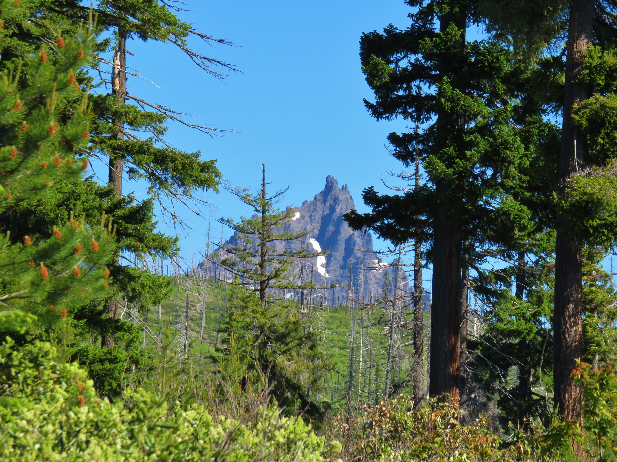
Cedar Butte and Triangulation Peak in the distance. (post)

Closer look at Cedar Butte
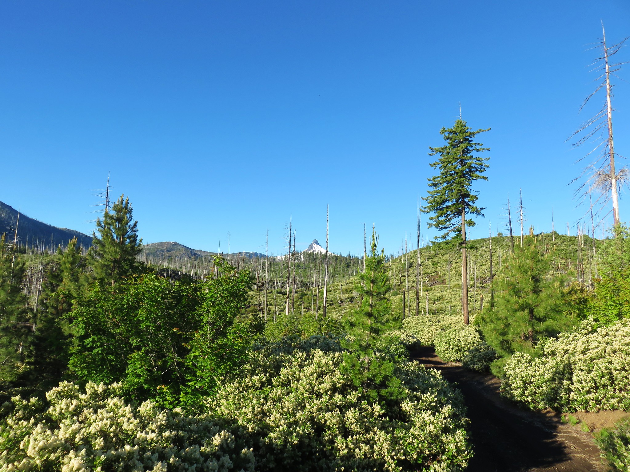
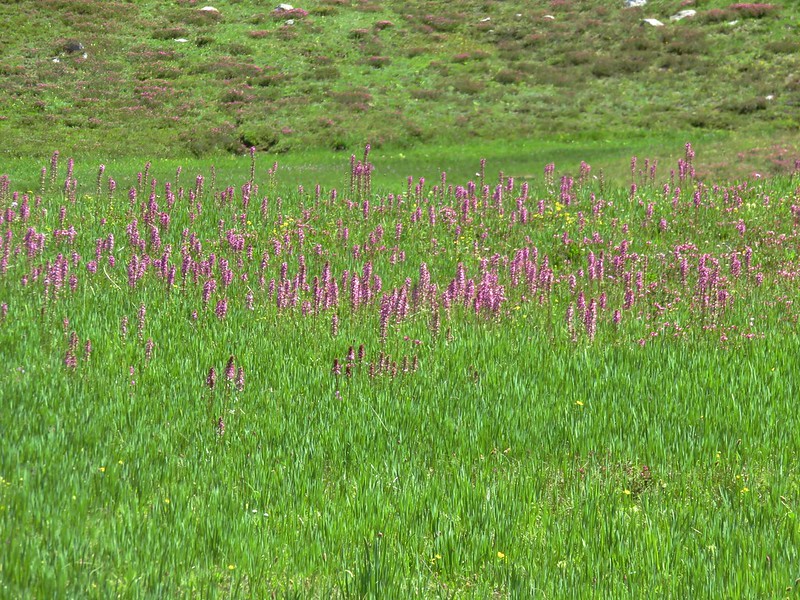
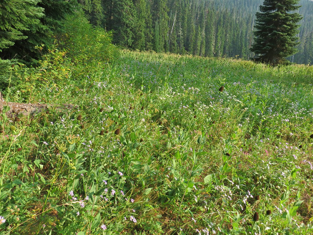
The roadbed also provided the open conditions that many wildflowers prefer.


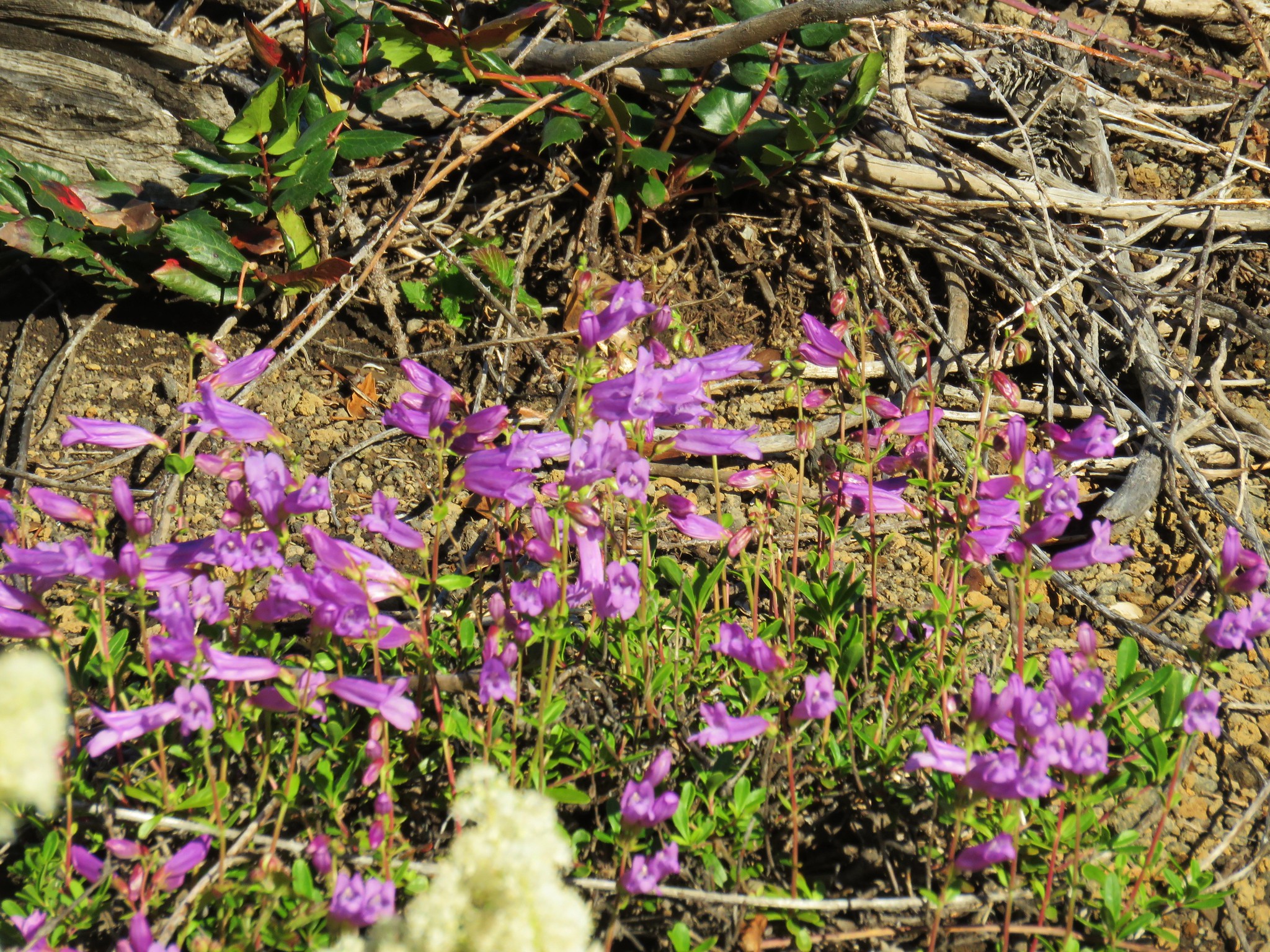
Paintbrush and penstemon

Beargrass

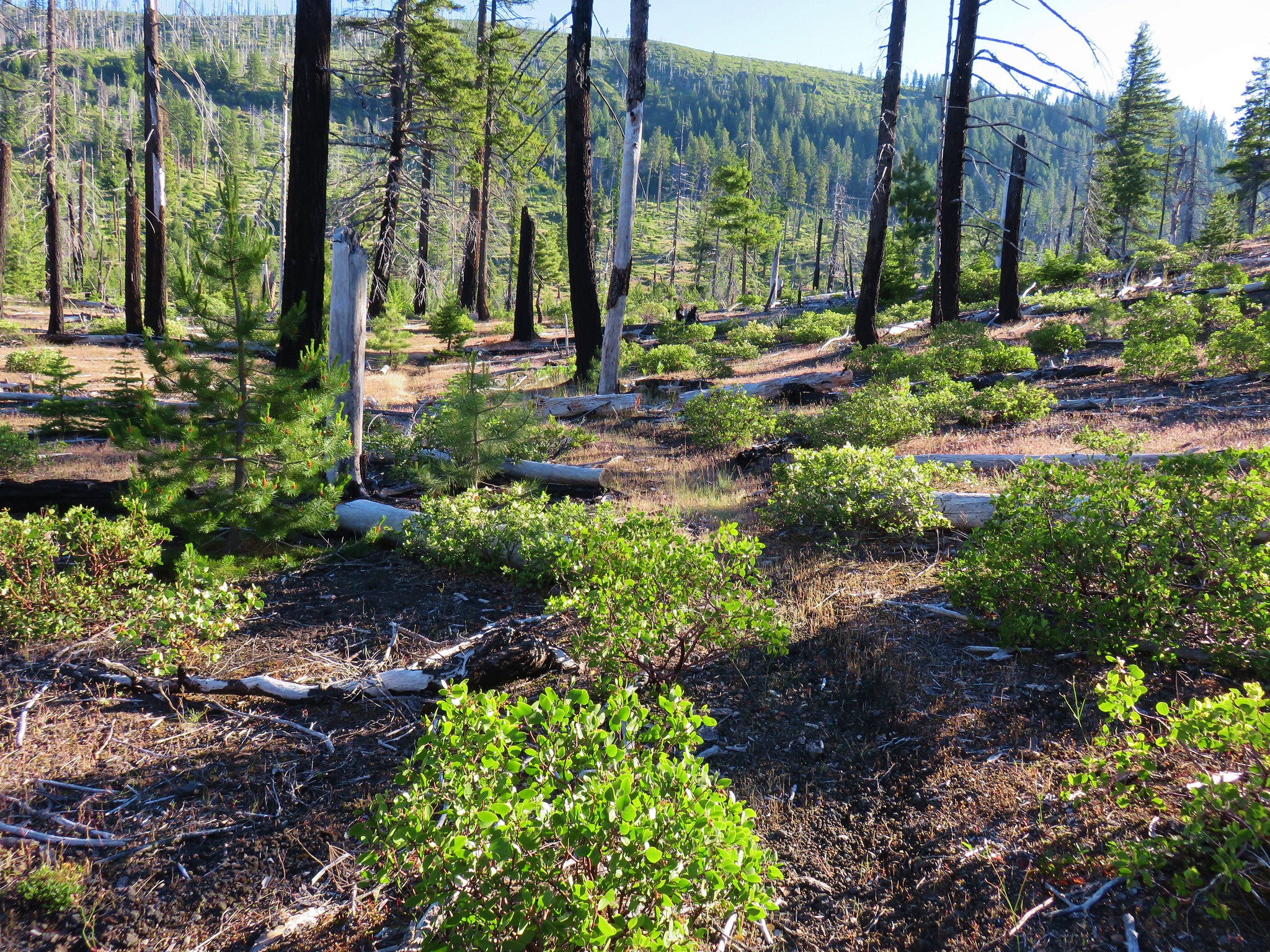
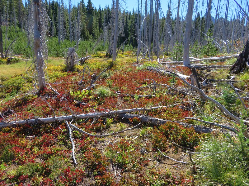
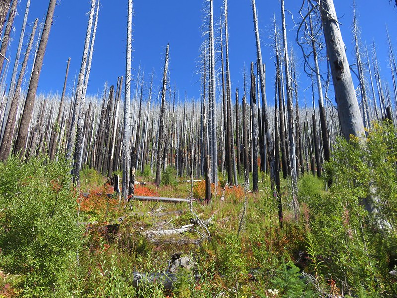
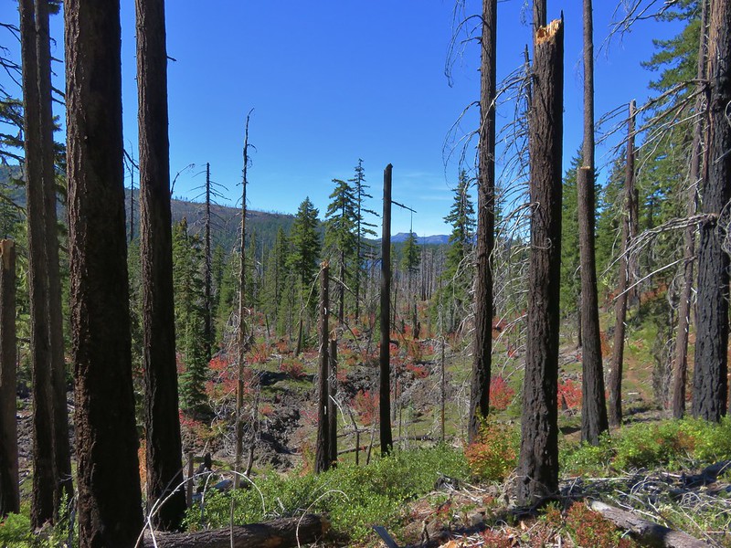
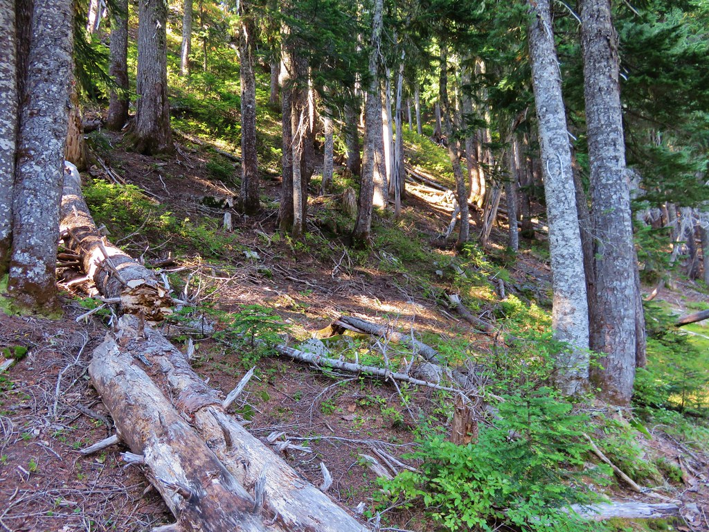
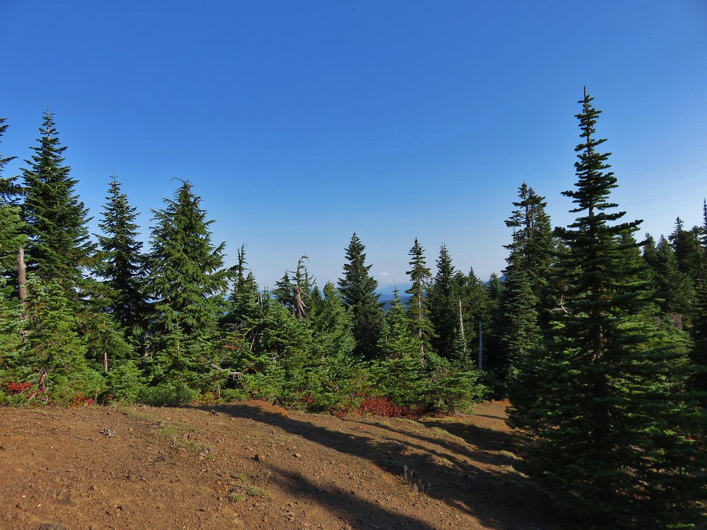
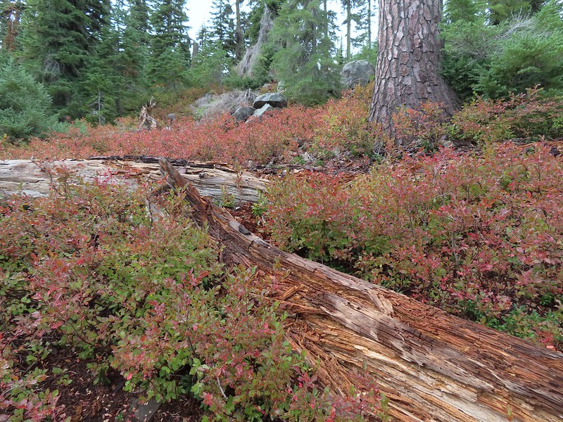
Unsurprisingly the road passed a number of clearcuts but there was some intact forest along the route as well.

Thimbleberry and blackberry blossoms along the road.

Raspberry

Thistle

Lupine

Rosy bird’s-foot trefoil
We arrived at a saddle 0.8-miles from the car where we stayed right along the hillside.

 A section of intact forest.

Coastal monkeyflower

Window to a clearcut.

Window to green.

View across the Rogers Creek drainage.

Columbine and thimbleberry
 False lily-of-the-valley

Bunchberry bunch

Valerian

Another thistle

Fairy lanterns
 Chipmunk

Anemone

Paintbrush, lupine, and iris

Junco

Clover
 Salmonberry

Buttercups

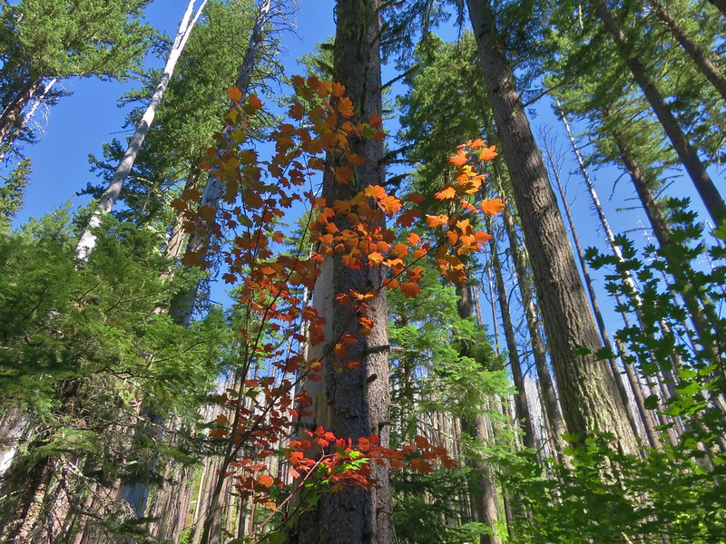
Iris between a thimbleberry (green) and vine maple (reddish).


Scouler’s corydalis

Stink currant

California figwort. This one was driving us crazy trying to ID it on the hike. There was quite a bit of it along the route.

Another stretch of green forest.

Candyflower
At the 1.9-mile mark we came to a second saddle where we again stayed right along the hillside.

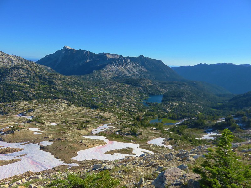
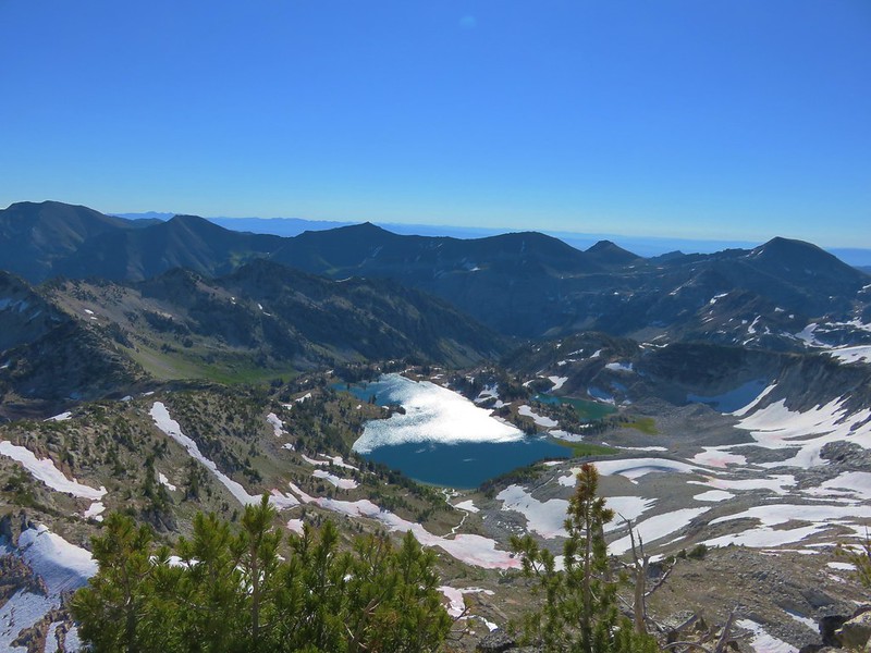
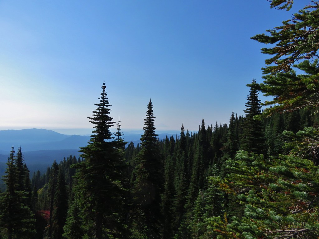
Views now were to the north where Saddle Mountain rose above a sea of clouds.

Humbug Mountain and the aptly named Saddle Mountain (post) rising above the clouds.

Saddle Mountain

Paintbrush

Self-heal

The view ahead. The route thus far had been mostly shaded due to the hillsides shadow which was helping to keep the temperatures down.

Youth-on-age

Bleeding heart

Plumed solomonseal
At the 2.8-mile mark we passed a road leading off to the left past a large pile of gravel.

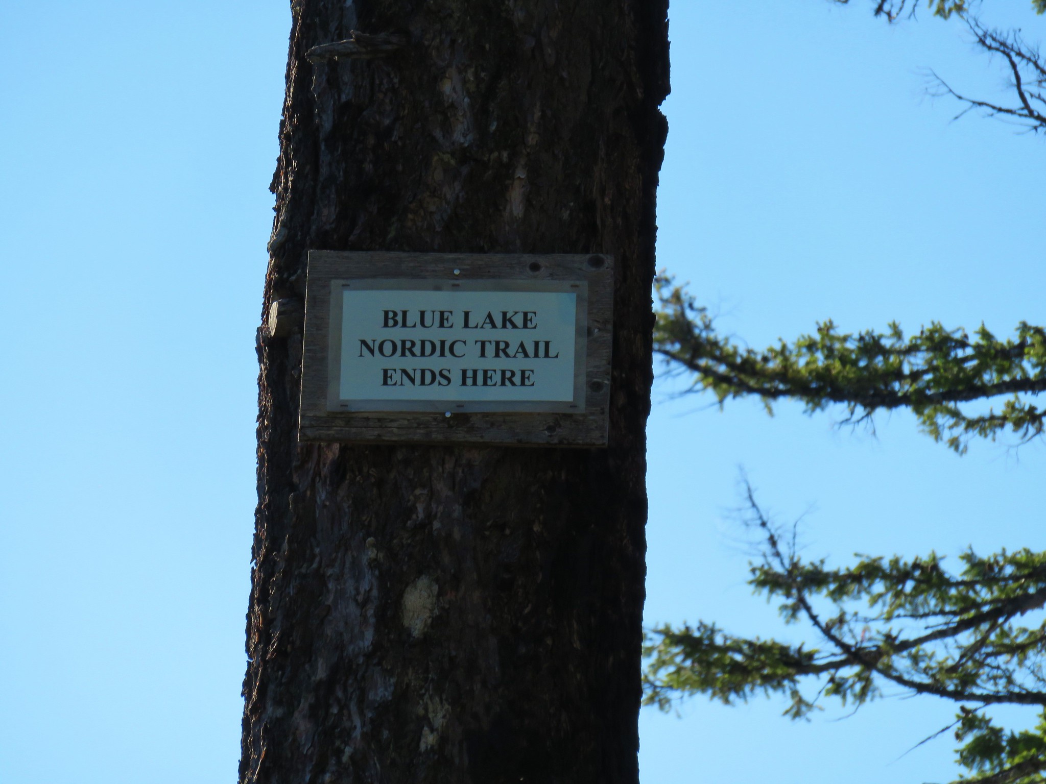
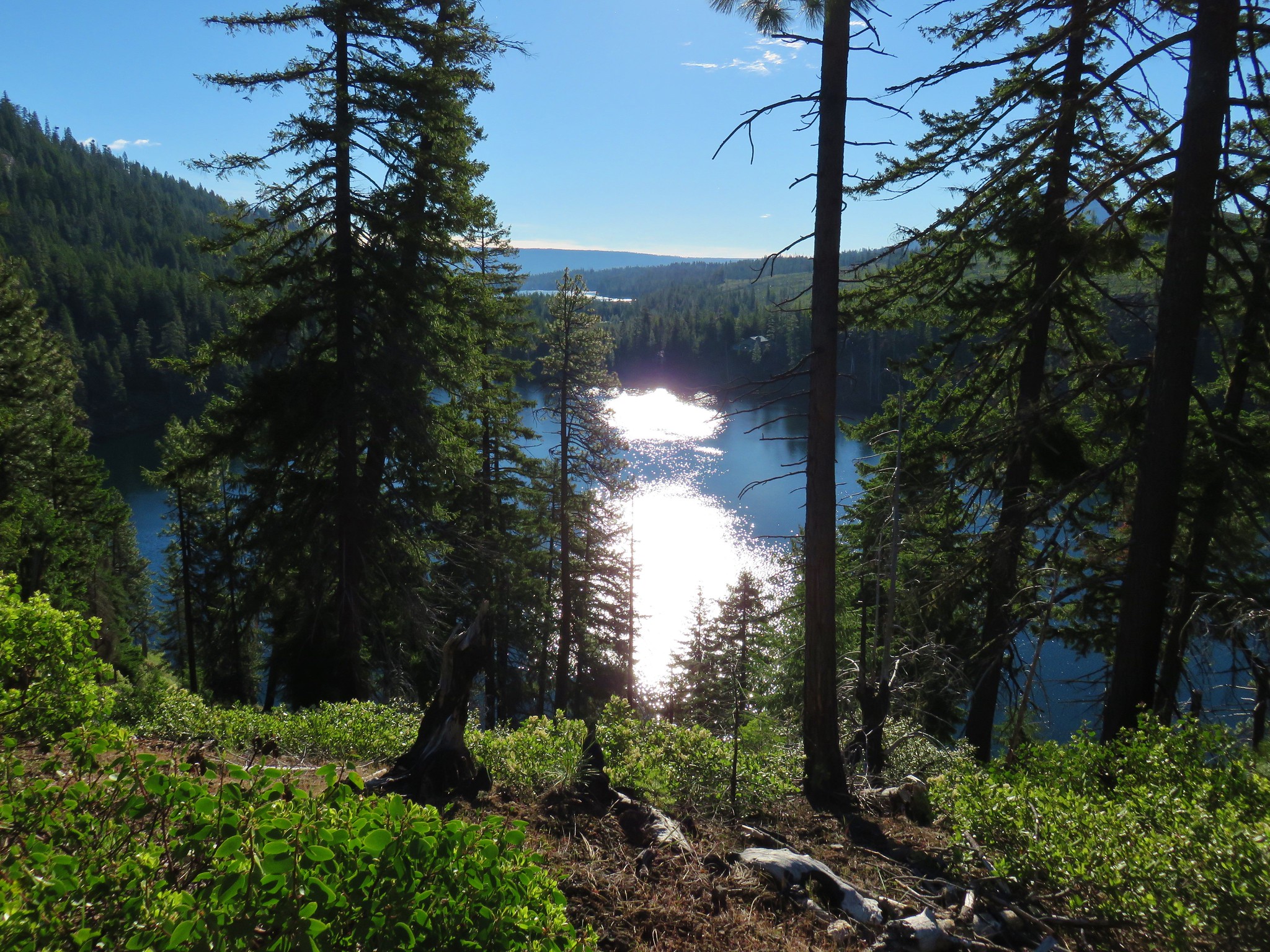
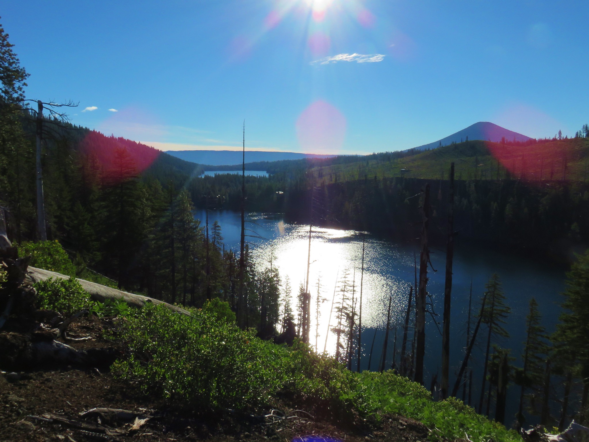
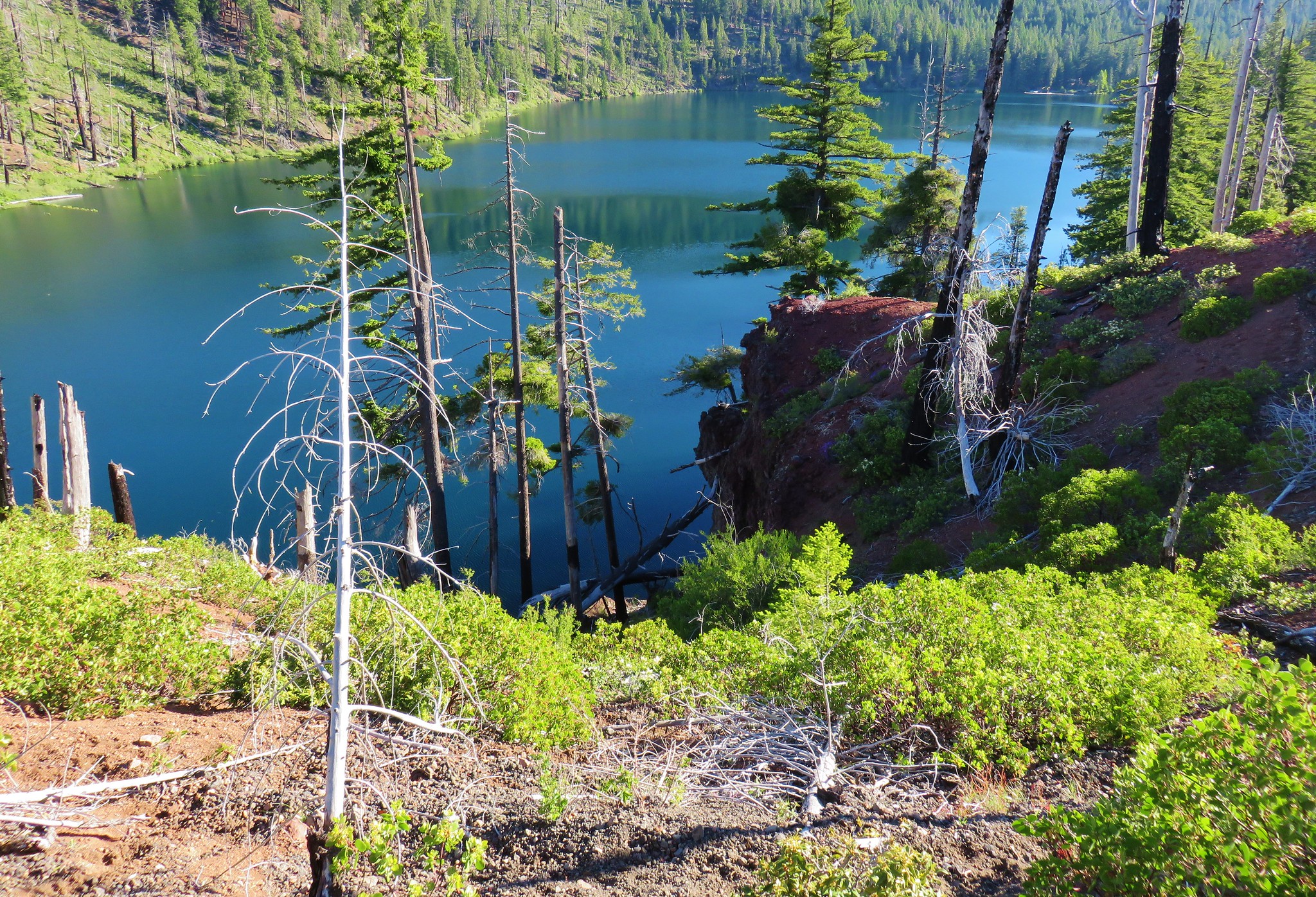
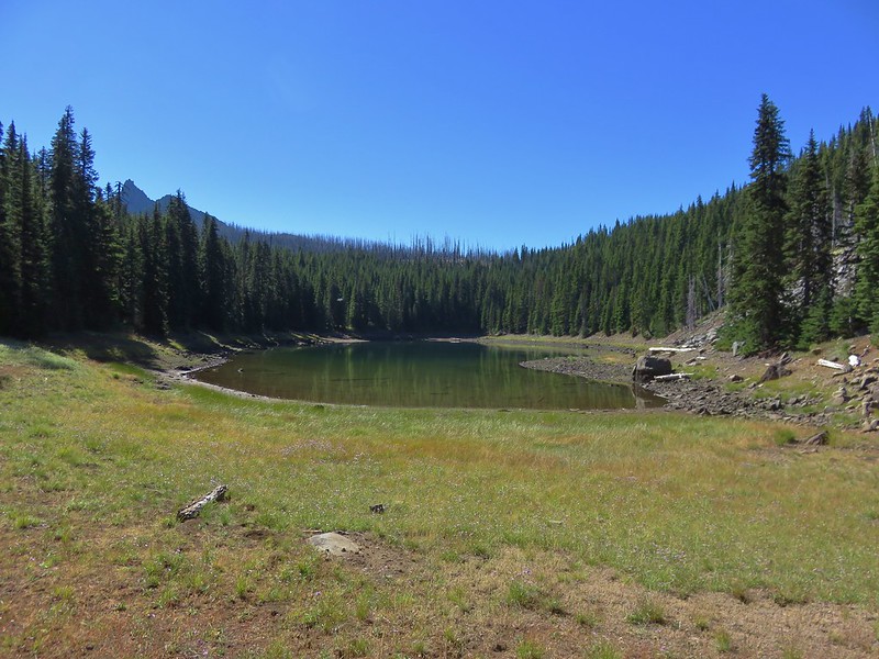
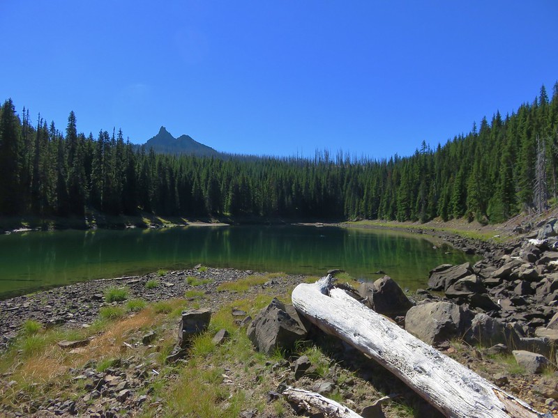
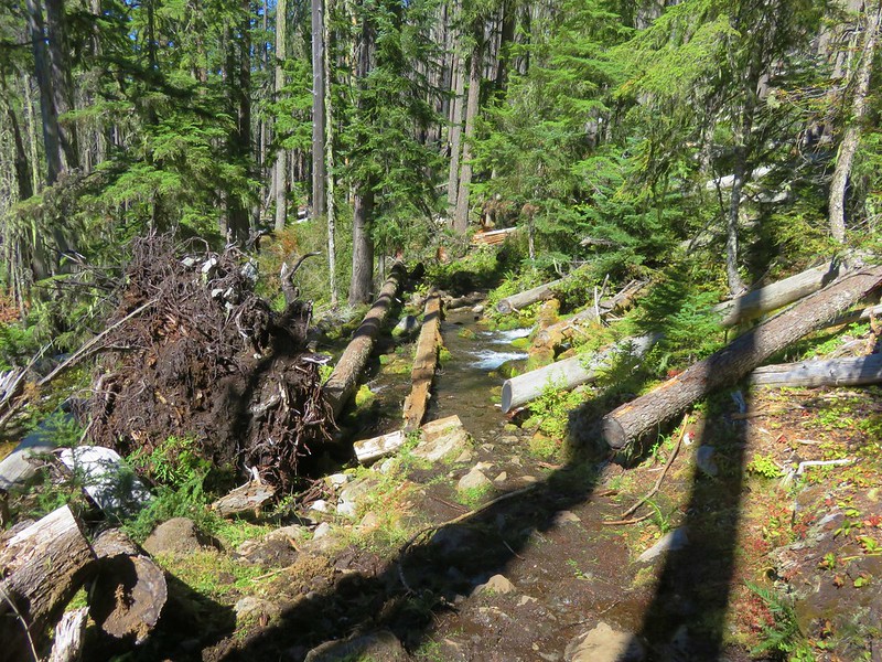
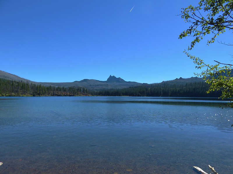
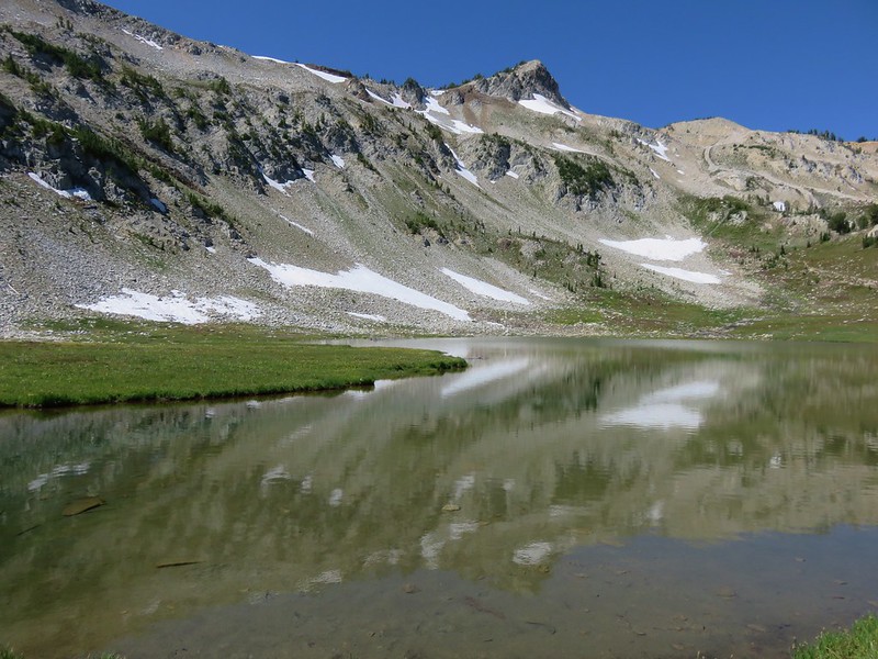
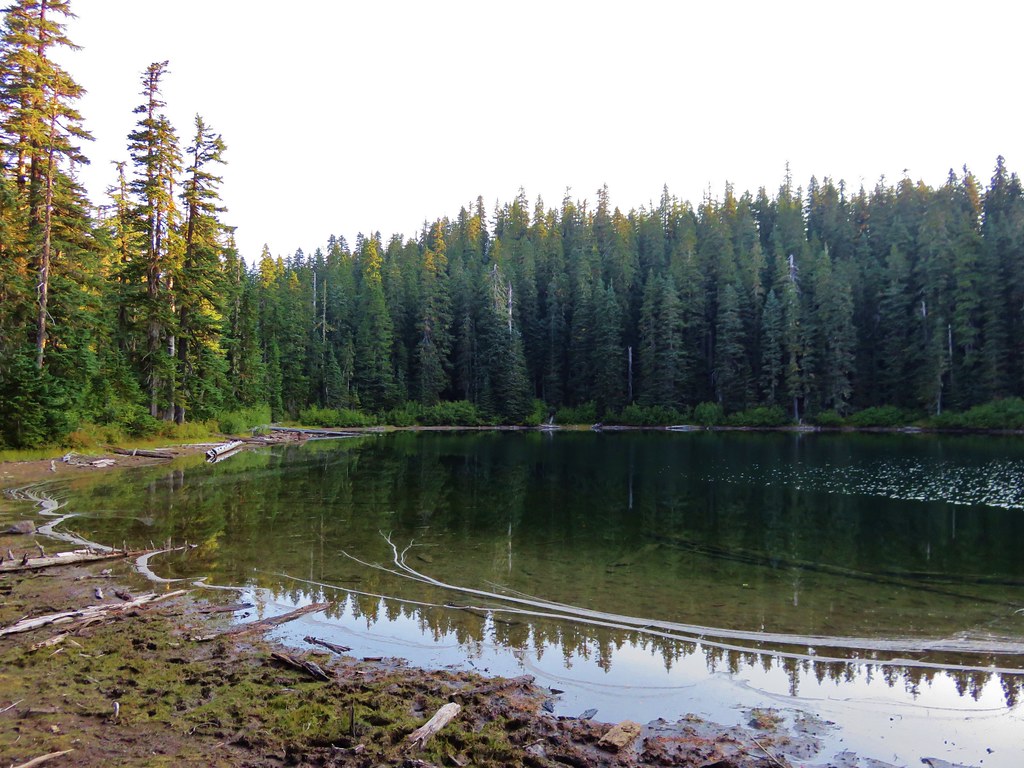
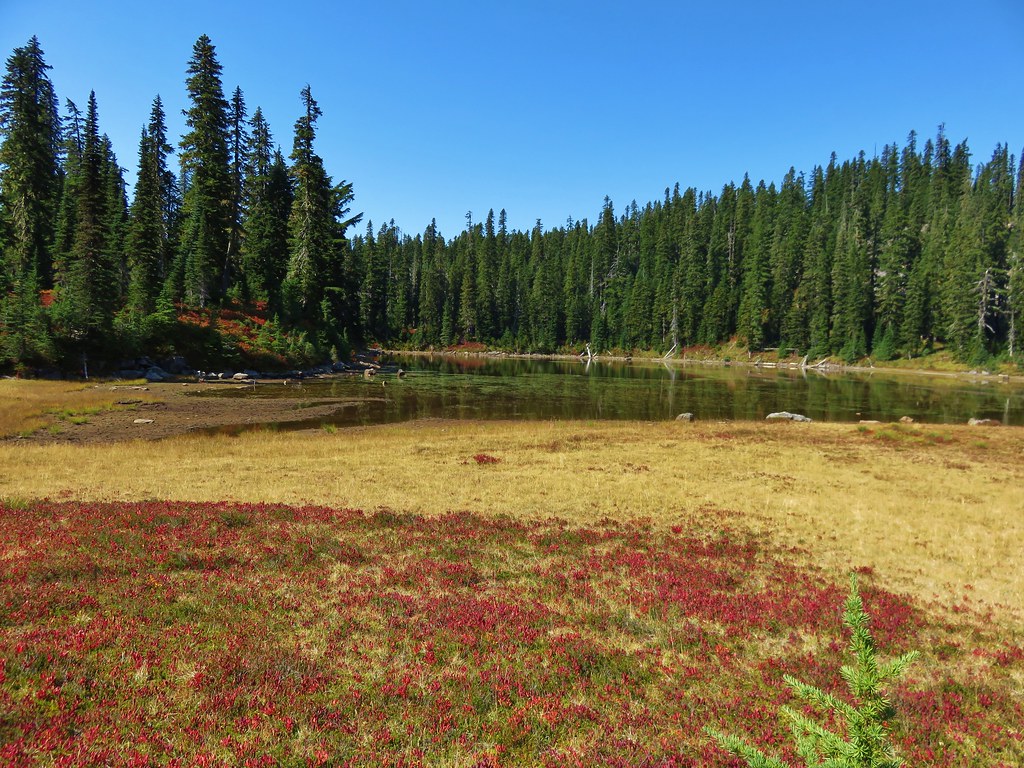
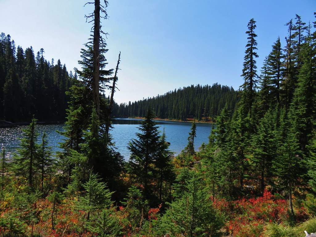
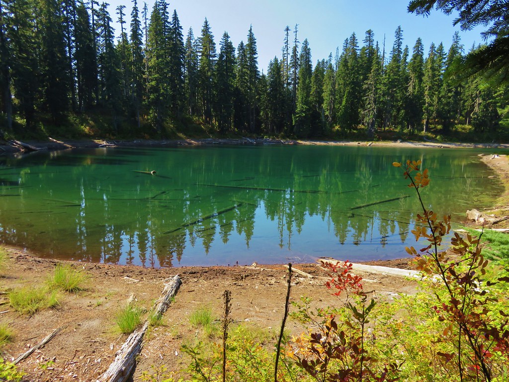
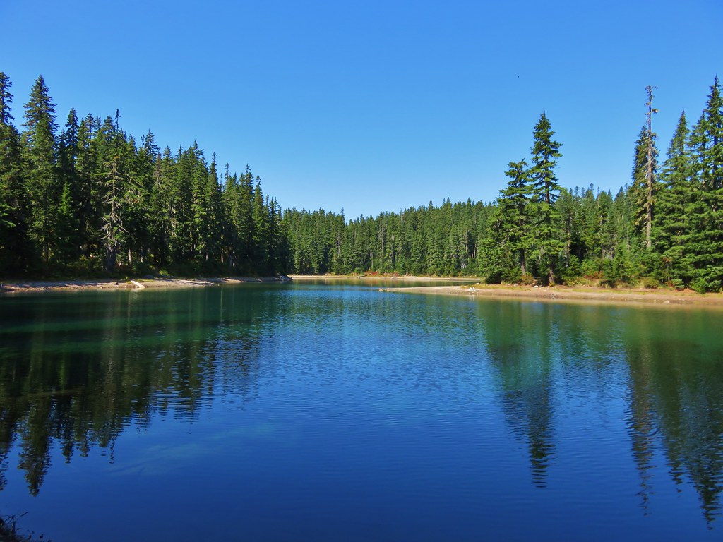
Just 0.2-miles beyond that road (the 3-mile mark of the hike) another road forked off to the left, but downhill. The road to the left led down to Blue Lake, the optional detour. We decided that we should go down and visit the lake at least this one time to say we’d seen it.

The road lost approximately 450′ of elevation in 0.6-miles to a saddle above the little lake where a user trail next to a pole led down to the shore.


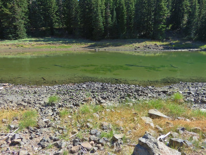
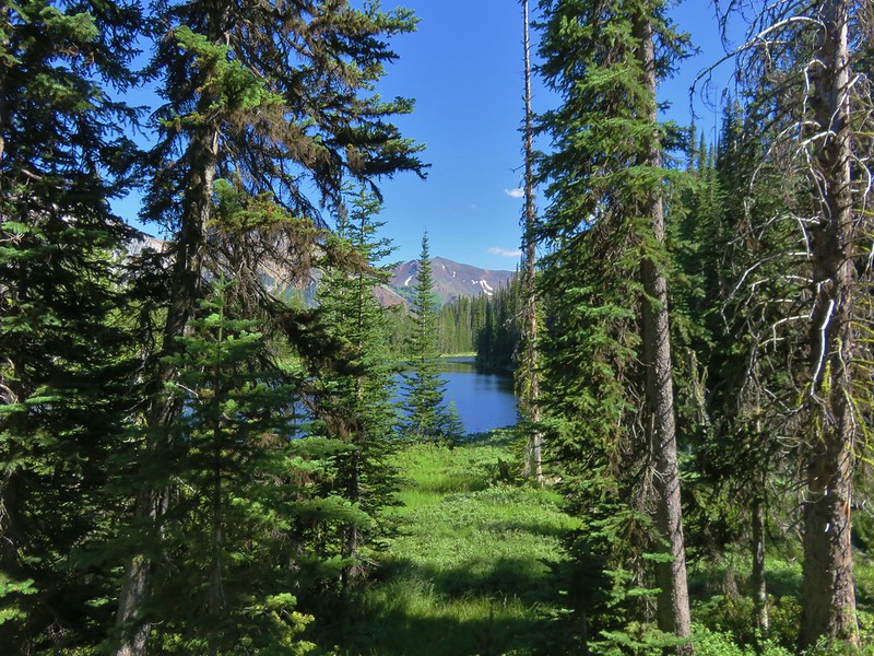
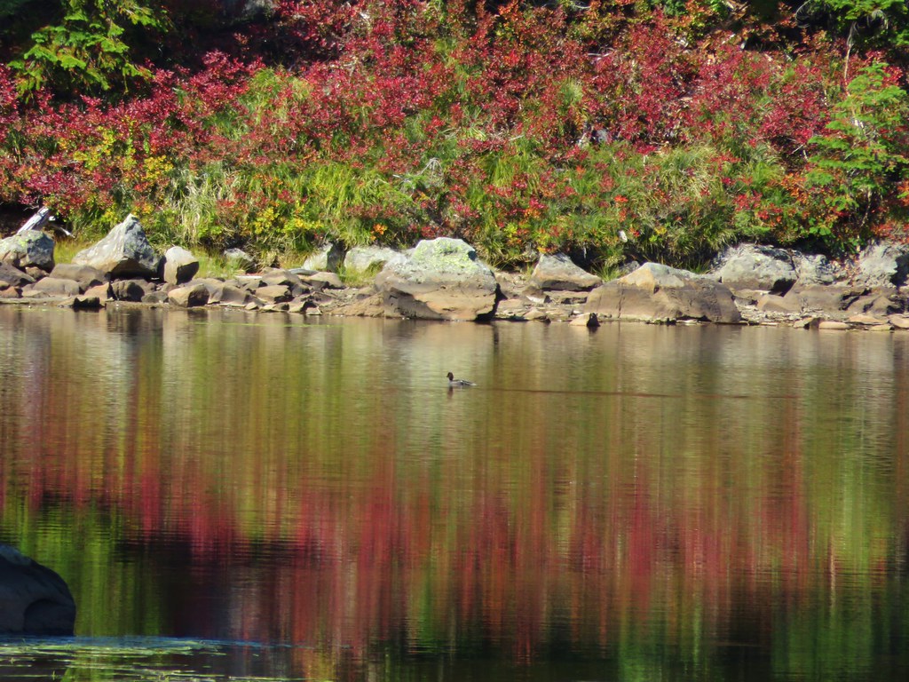
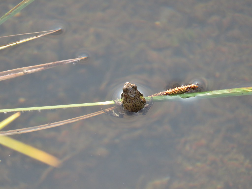
Blue Lake along the North Fork Wilson River. There were a few rough-skinned newts swimming in the lake.
After visiting the lake we made the relatively steep climb back up and continued on the loop.

Heading up. The shade was becoming more sporadic as the morning progressed.

A mustard
 Another junco

Best guess is slender phlox.
A tenth of mile from the junction, or the 3.1-mile mark of the loop, we came to another fork. Once again we stayed right, and now the road began to climb.

Fork ahead.

The shade was abandoning us, and it was getting warm fast.

In person this was one of the best bunchberry displays we’d seen.
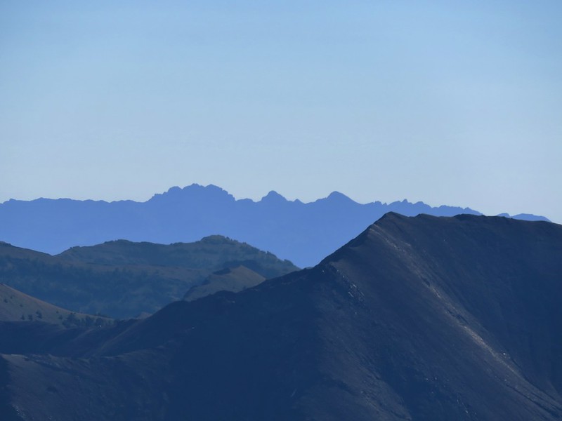
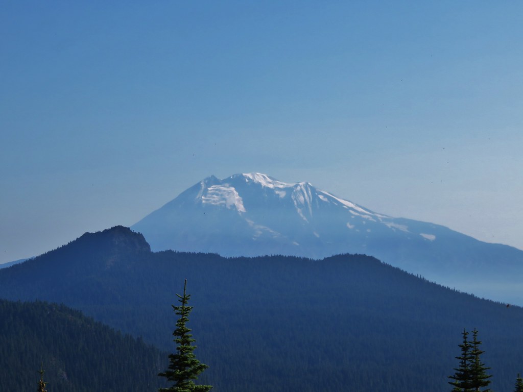
We’d been keeping an eye out for Mt. St. Helens on the horizon, but someone missed it the first time it should have been visible. We did however spot Mt. Rainier as we made our way up the road.

It was just hazy enough that the snowy peaks blended in on the horizon.
 Mt. Rainier

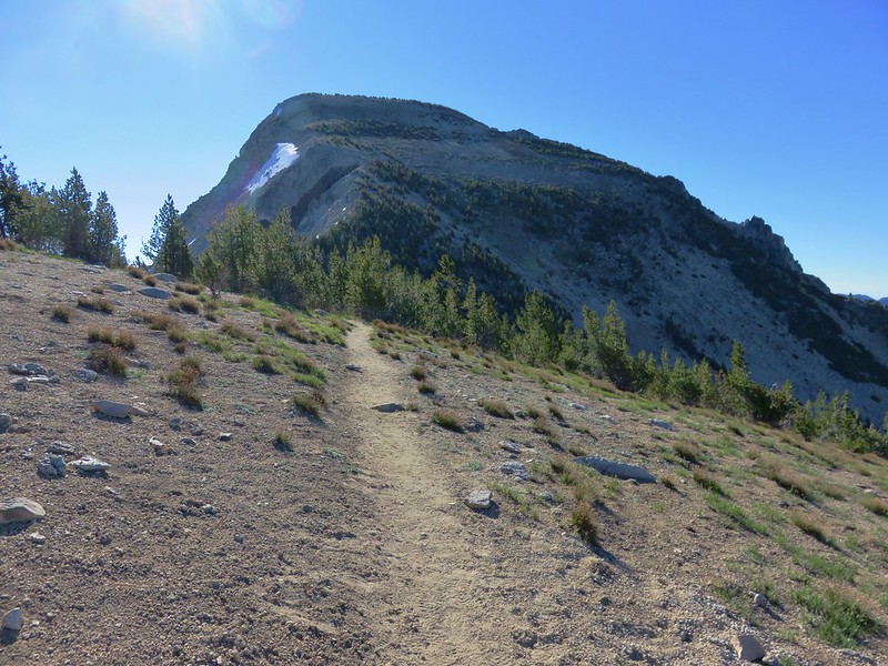
We passed a gravel pit as the road rounded a ridge where we had a view toward Rogers Peak.

There were some wonderful clumps of penstemon at the gravel pit.

Saddle Mountain from the gravel pit.

The road continuing to climb past the gravel pit.
At the 3.9-mile mark of the loop we came to yet another fork where we again stayed right to continue up to the ridge below Rogers Peak.

Taking a left at the fork would have put us onto the road seen below.
 Dandelion (non-native) in the penstemon. There were surprisingly few non-native wildflowers which was nice.

These little guys might be some sort of speedwell.

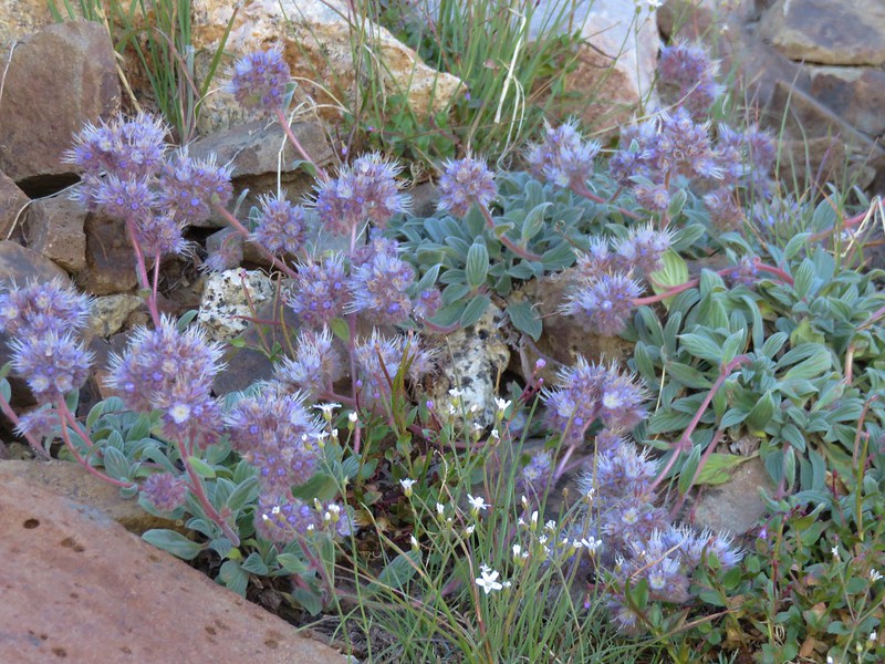
Variable-leaf collomia (pink) and slender phlox (white)
 Looking back after having made it onto the ridge. The loop route is the road seen on the right cutting along the hillside, not the roadbed straight ahead going up the knoll.
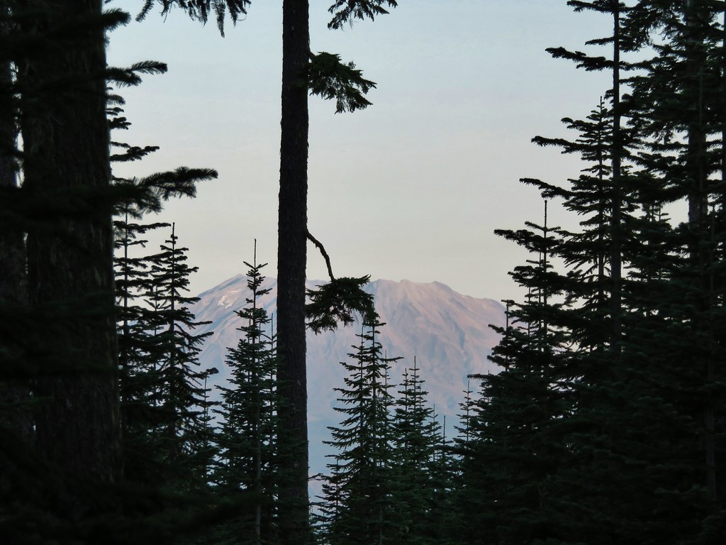
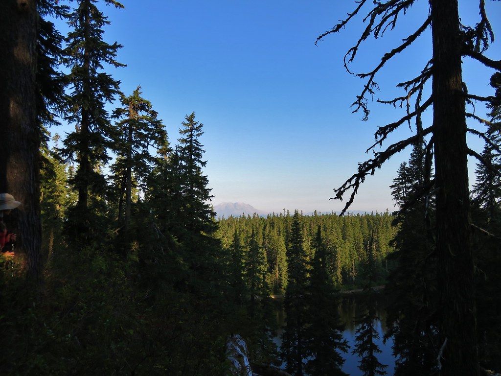
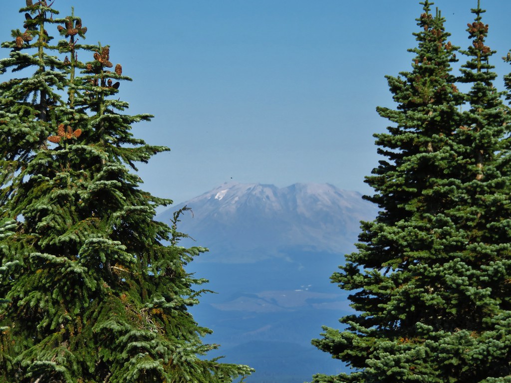
From the ridge we finally could see Mt. St. Helens (and Mt. Adams).

Mt. St. Helens (post) to the left and Mt. Adams to the right of the hill.

More zoomed in shot of Mt. St. Helens.

Closer look at the recently more active Mt. Adams.
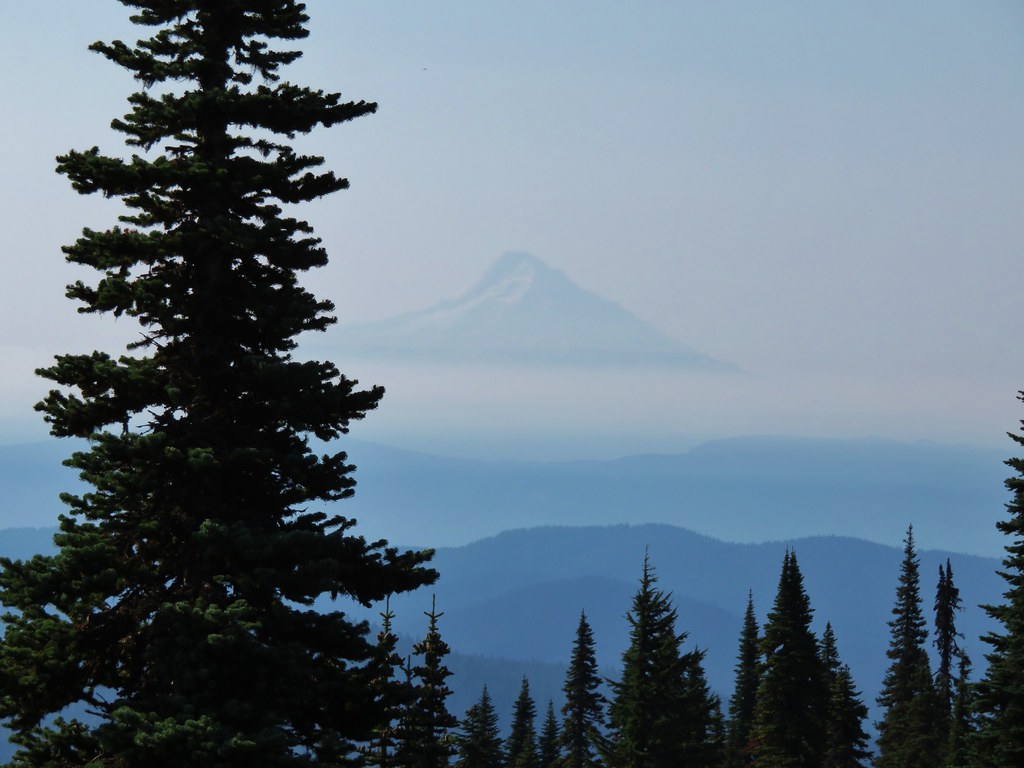
In addition to the two Washington volcanos Oregon’s Mt. Hood was visible to the east.


Again the sun angle and haze made it hard to make out the snow peaks.
We actually stayed left at a fork along the ridge and at the 4.5-mile mark of the loop came to the spur road up Rogers Peak.

Don’t go right here, one of the few times we stayed left. This road would take you back down to the other side of the loop near the second saddle we passed through.

Violets

Oregon grape

Black currant

Spur road up Rogers Peak.
When the field guide entry was written this was an abandoned track but at some point recently the road was restored. Heather decided to skip the somewhat steep 0.2-mile climb up this road as the summit is relatively viewless due to trees. I however wanted to tag the summit and find the summit register so up I went.
 Lomatium


Wide area at the end of the road below the actual summit.

The summit was a short scramble up this hillside to the right (NE) of the road.

The mossy rocks at the summit where the register is located.

Sourgrass

The summit register cans below the rocks.
I signed the register and left a Wanderingyuncks card in the can then had a quick snack and headed back to the loop to work on catching up to Heather.


While there wasn’t much of a view from the summit on the way down the road I had a pretty good view of Mt. St. Helens.

Back on the loop. You can see the road to the summit on the right heading uphill.

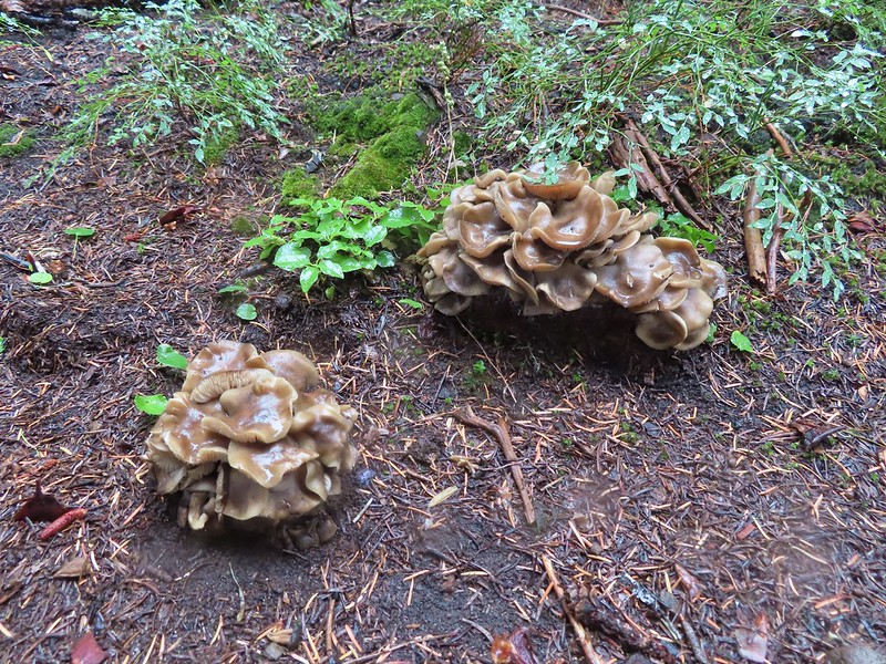
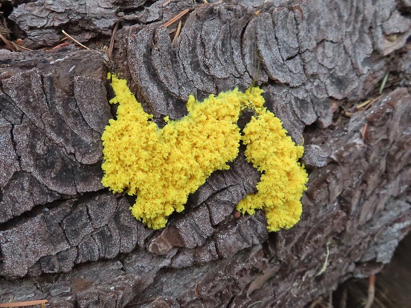
The only mushrooms I noticed all hike.

An alumroot

Penstemon and beargrass.

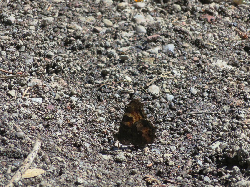
A clodius parnassian on arnica.

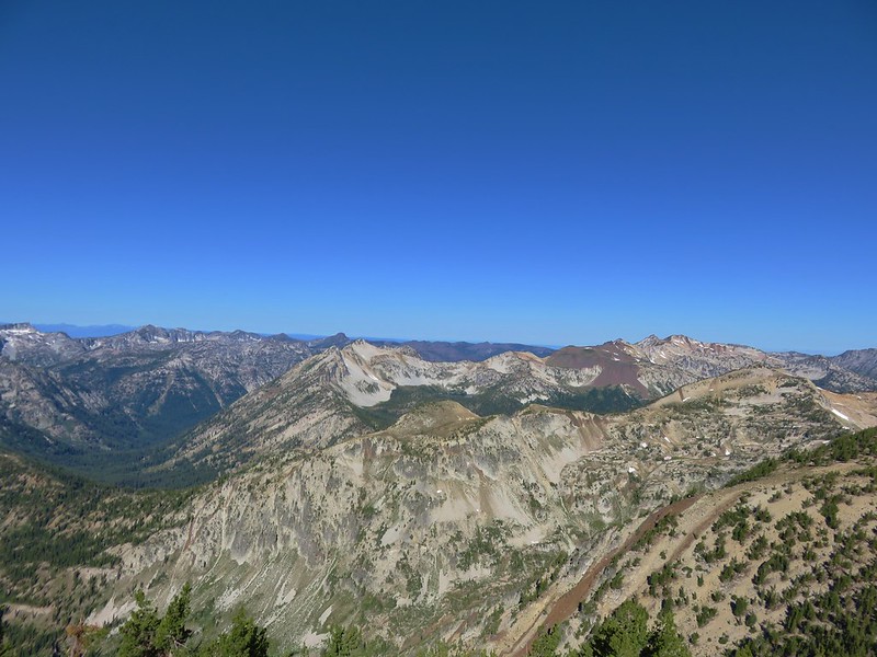
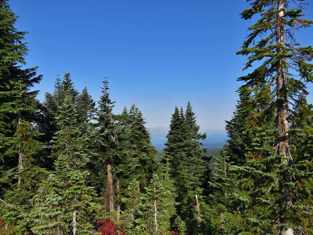
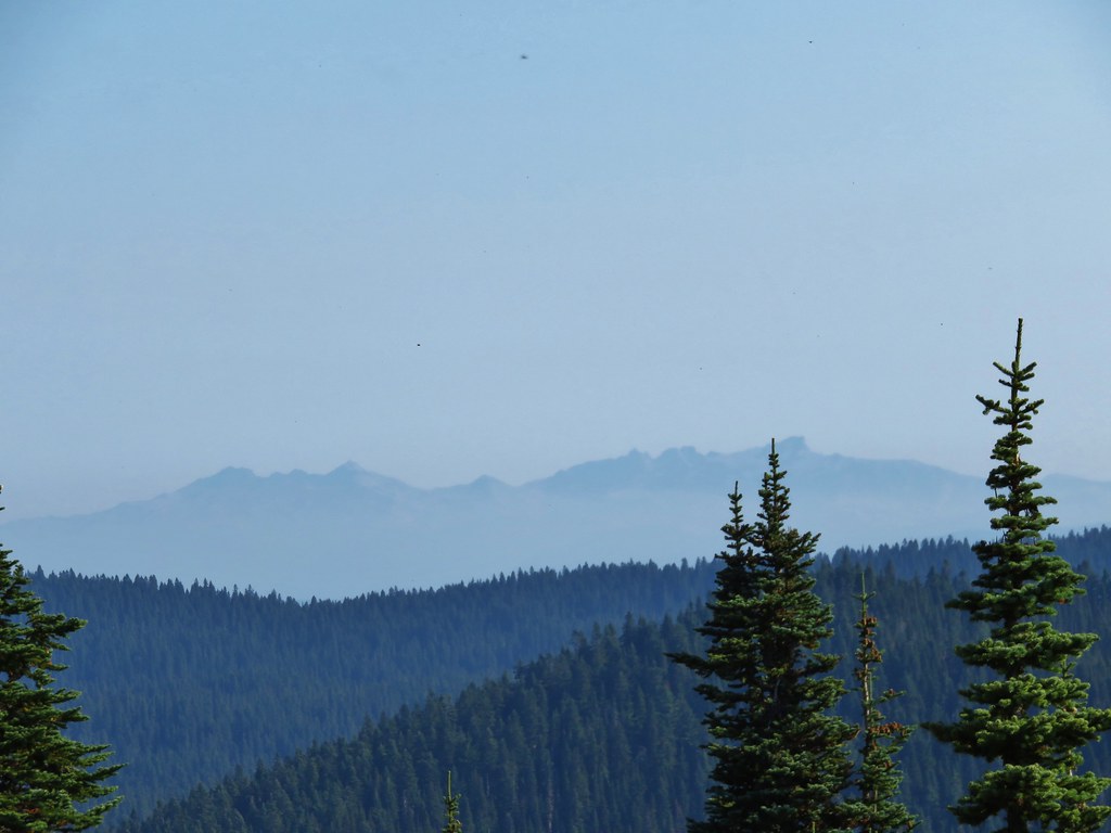
Looking out on the horizon I spotted another faint snowy peak on the horizon. The hump in the center foreground between the two trees is Kings Mountain (post).

Low quality due to how much I had to zoom and the poor visibility, but this is Mt. Jefferson.

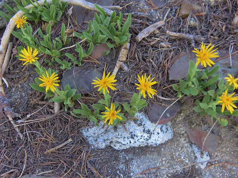
Arnica
A half mile after rejoining the loop a short spur road on the right led to a nice viewpoint and where I found Heather.

Rogers Peak to the right of the spur road.

The two higher peaks to the right are Angora (post) and West Onion.

Mt. Rainier
We returned to the loop and began to descend.


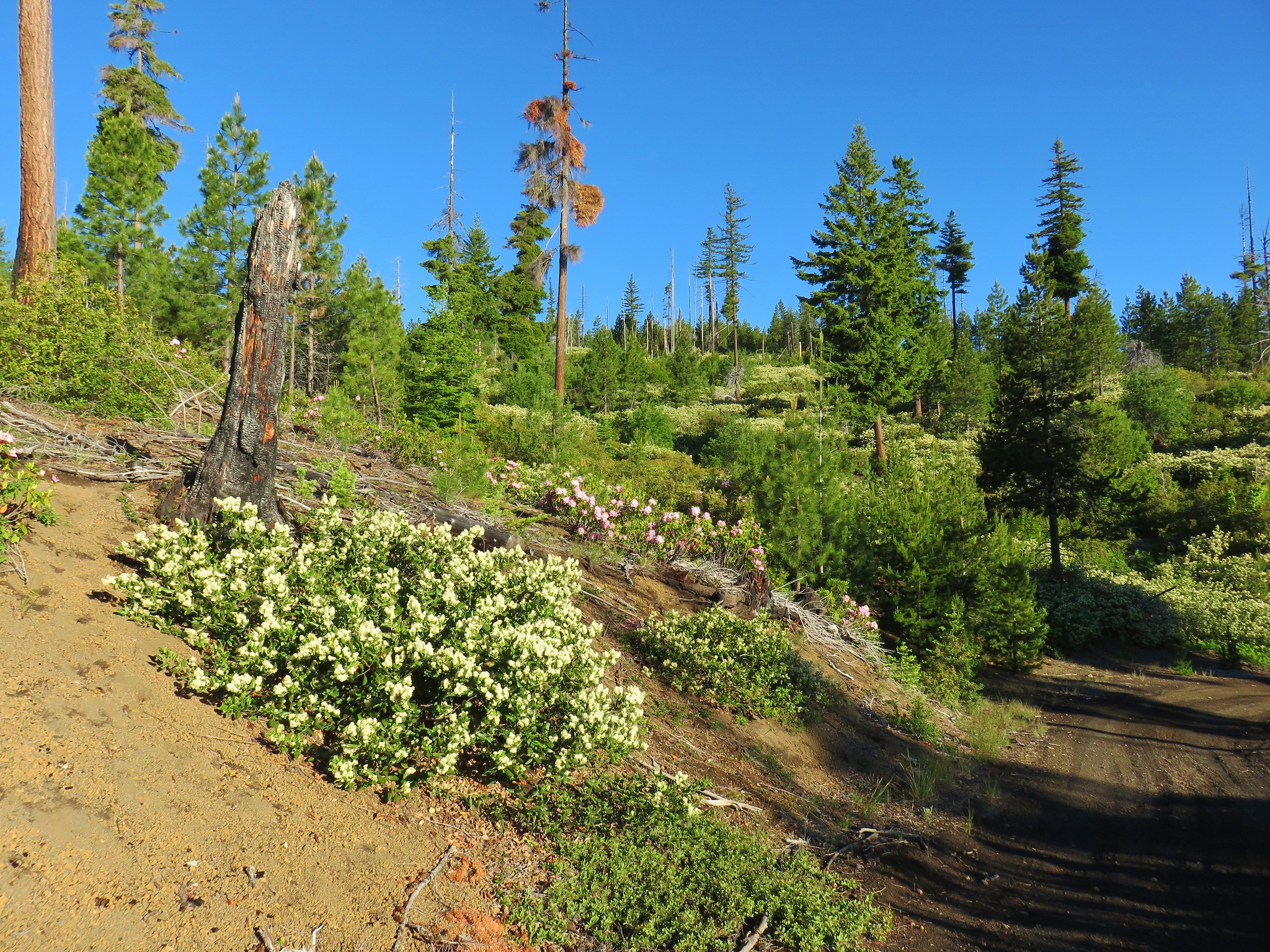
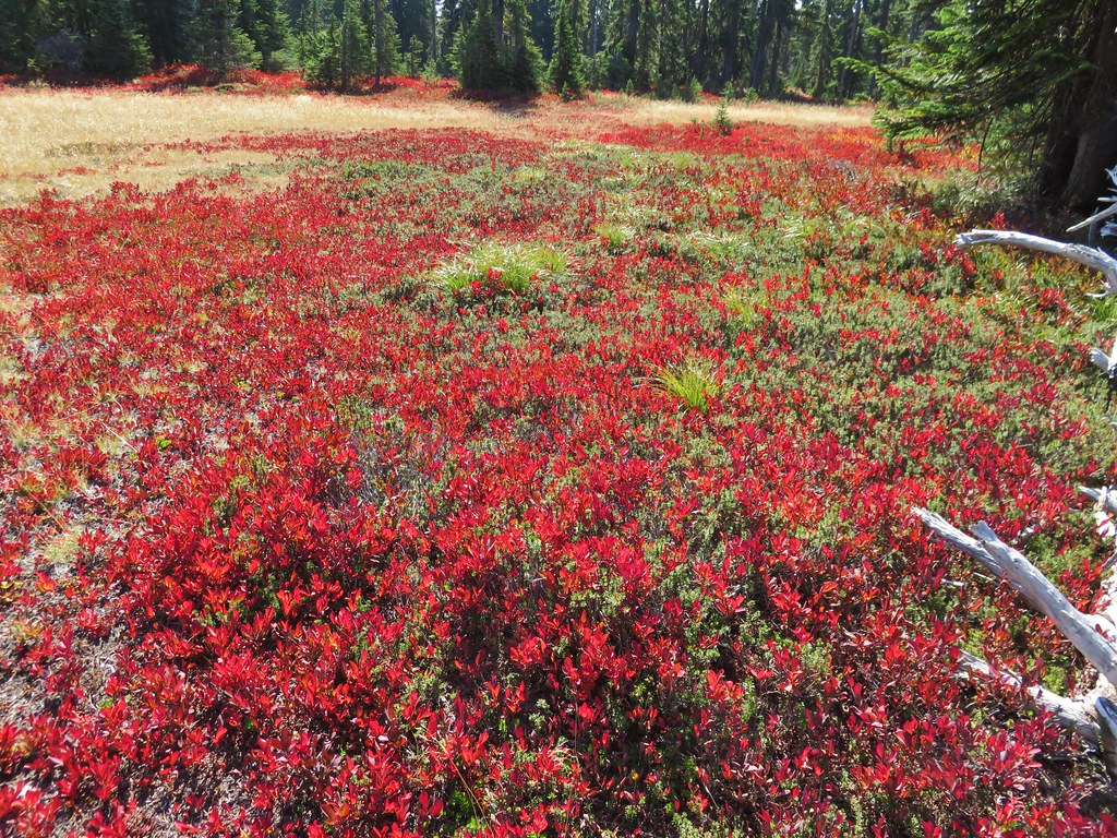
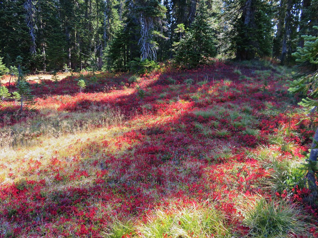
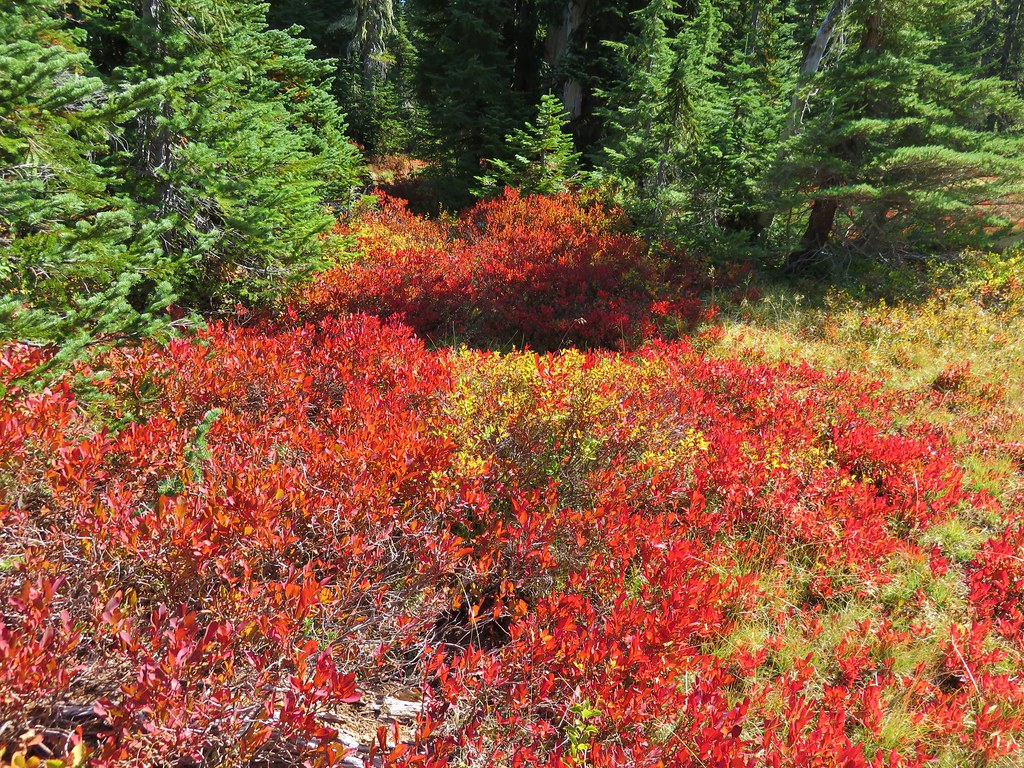
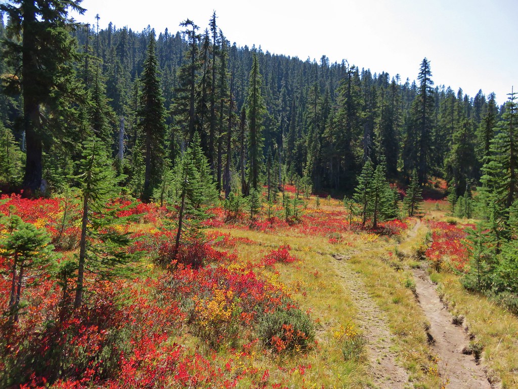
The wildflowers had been good all day, but the stretch of road after the spur up Rogers Peak was spectacular.

Penstemon clumps with Saddle Mountain in the background.

Four tenths of a mile beyond the summit road we passed to the left of a small knoll.

The road steepened here as it dropped down to a saddle in another 0.4-miles.

We made a sharp right turn at the saddle and got a brief respite from the steep descent as the road passed above Morris Creek.


Robin

My guess is that this is a non-native species given it was growing in the roadbed, but it was pretty.
The road eventually steepened again as it dropped down to the fork near the gate where we’d gone left earlier in the morning.

The road junction as we decsended.

The gate from the junction.
My GPS showed 8.5-miles total including the side trip to Blue Lake, visit to the summit, and the viewpoint on the spur road. Total elevation gain was approximately 1525′.

This wound up being a very enjoyable hike. The wildflower displays and variety was impressive, we got to see five Cascade volcanoes along with several familiar peaks in the Coast Range, and we only saw one other person all morning. (Shortly after setting off we’d spoken with a Hampton Lumber employee who was driving out.) Again I wanted to acknowledge how much we appreciate when the lumber companies offer recreational access to their land. Happy Trails!
Flickr: Rogers Peak Loop

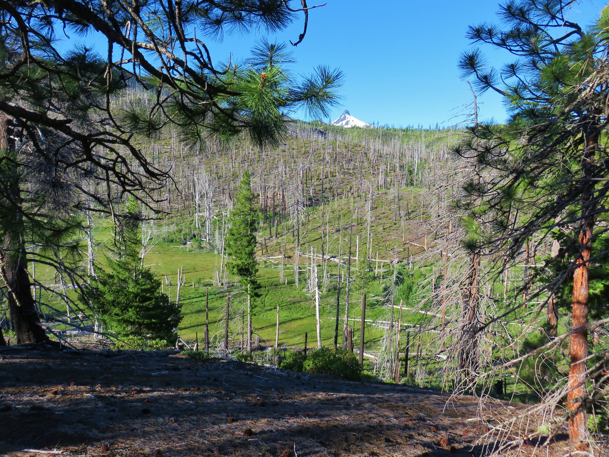
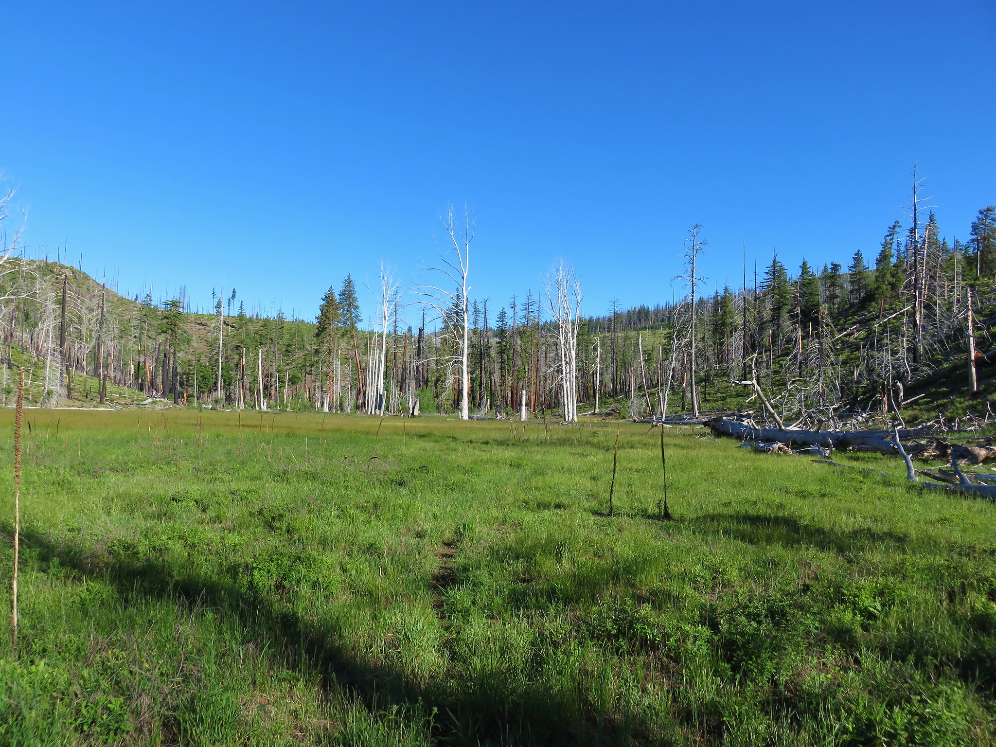
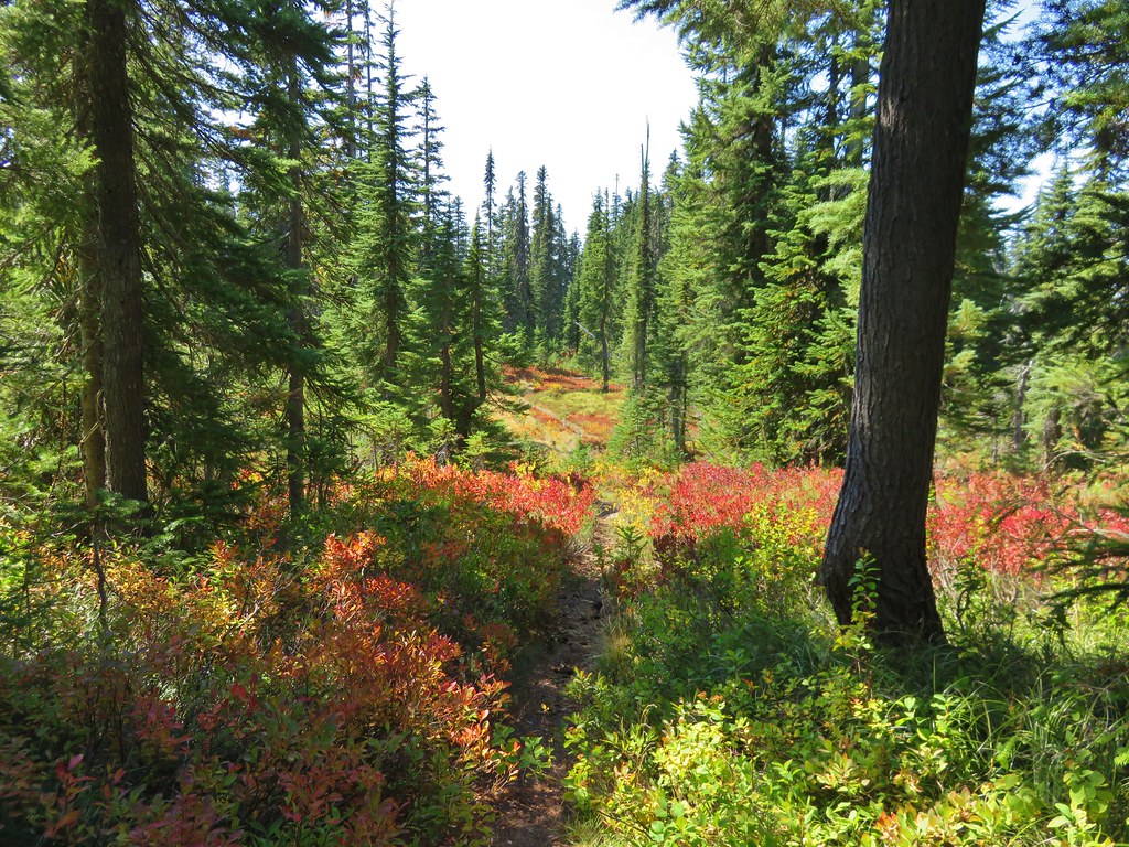
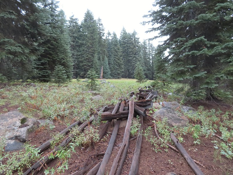 An old fence in the meadow.
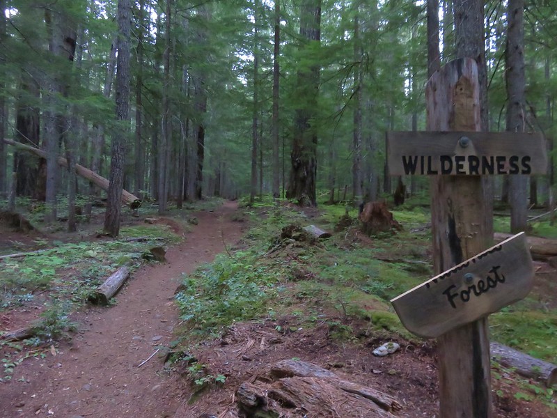
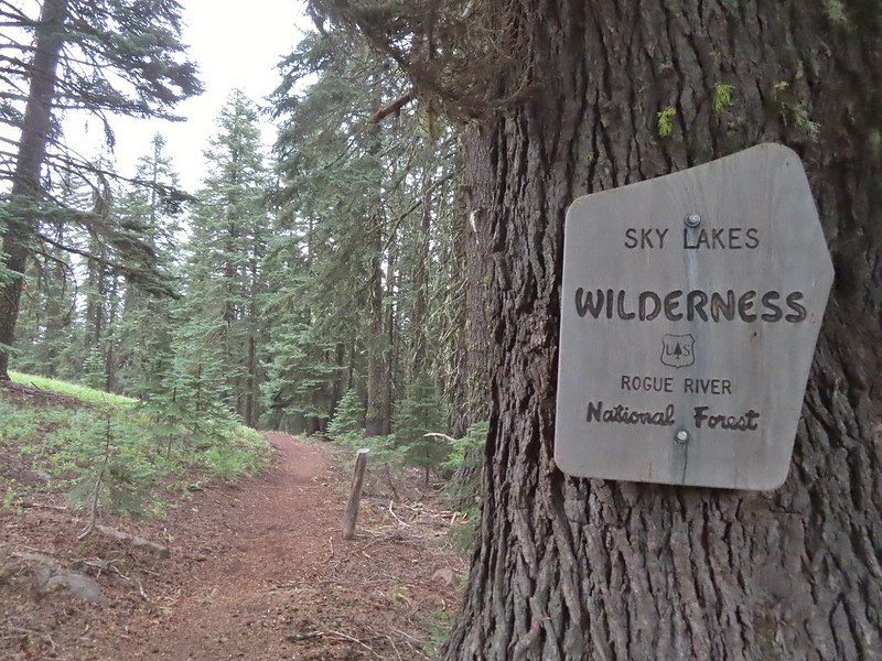 Entering the Sky Lakes Wilderness.
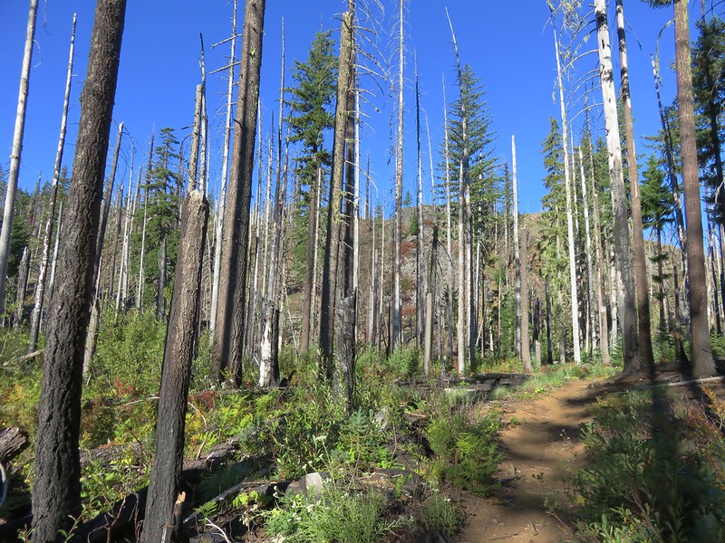
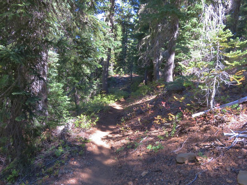
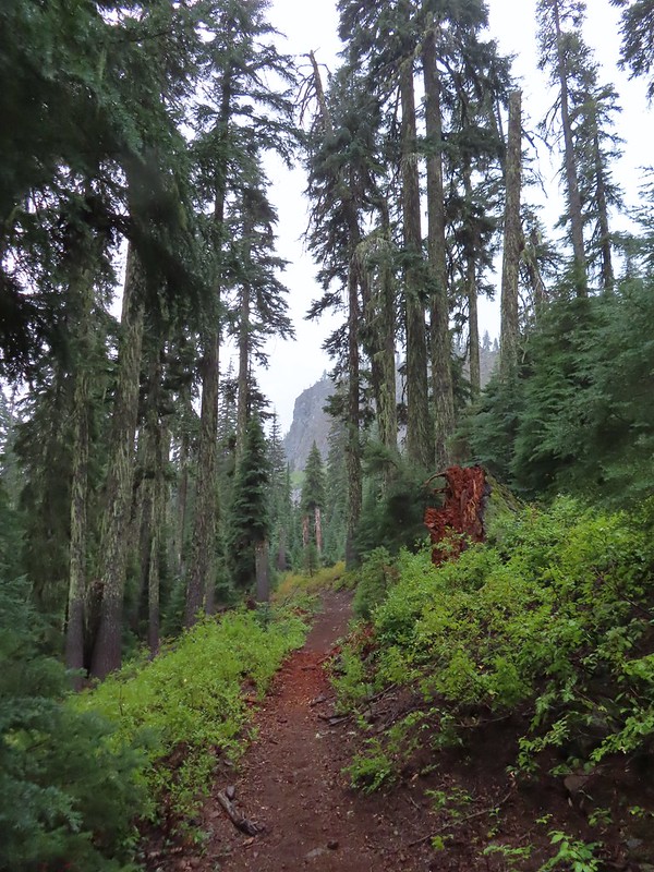
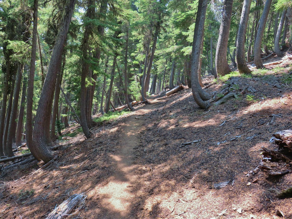
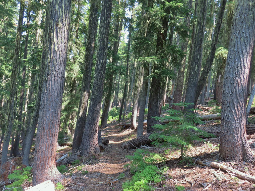
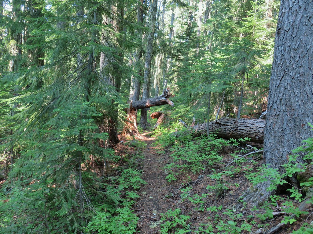
 Into the trees we go.


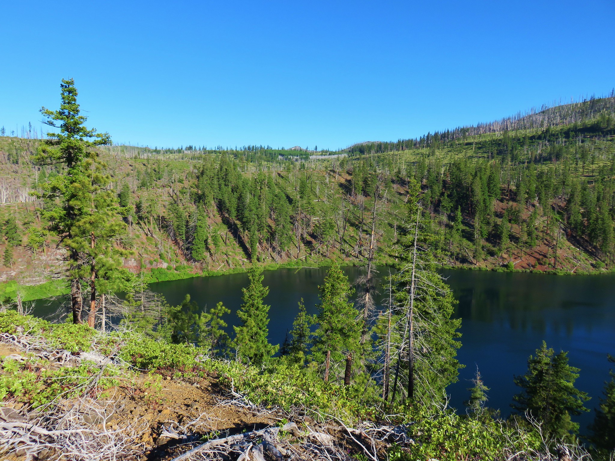
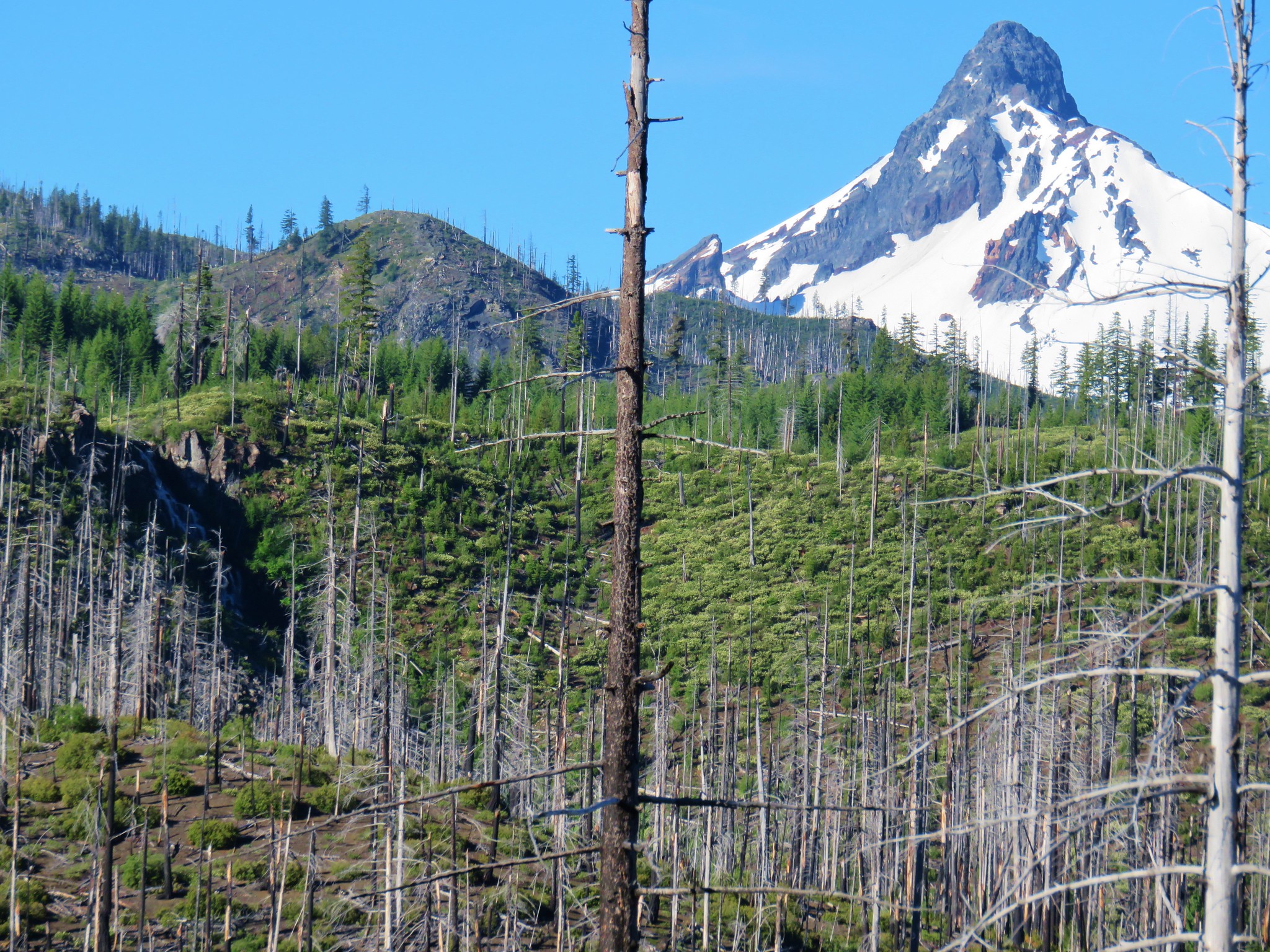
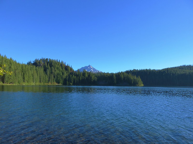
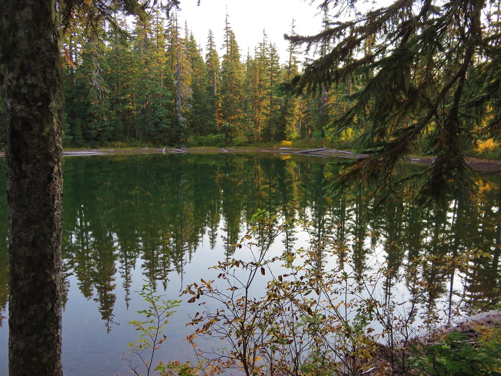
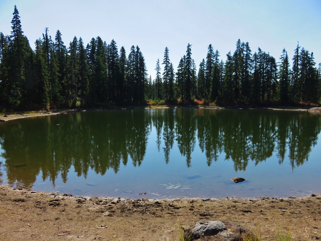
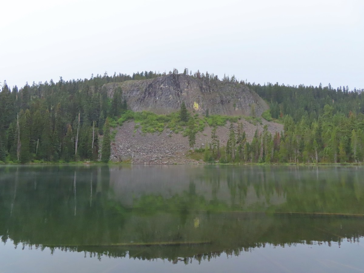
 The cliff face above Blue Lake ahead from the trail.
 Hiking along Blue Lake.
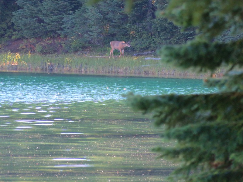
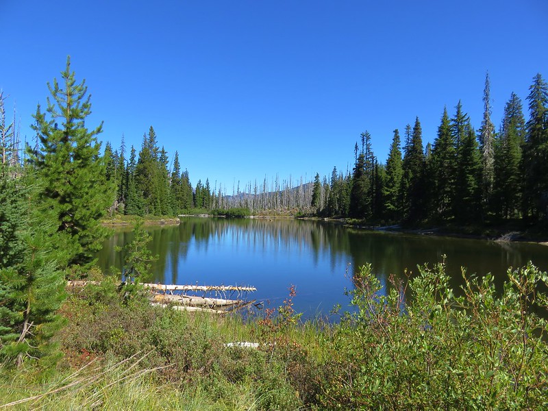
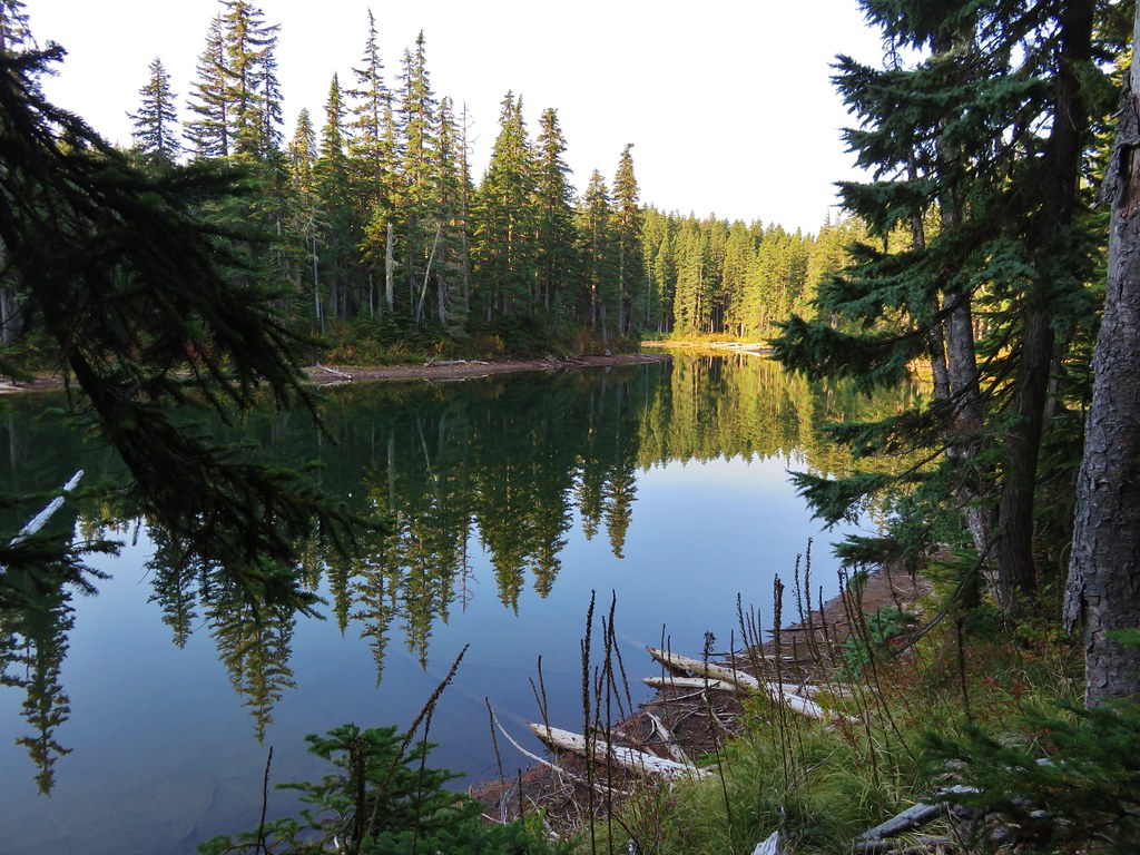
 Blue Lake
 The bald eagle across the lake after startling me.
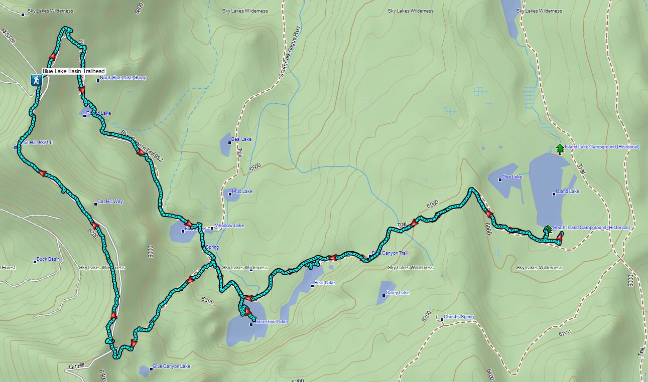
 The South Fork Trail went to the left past Meadow Lake and the Mud Lake before following the South Fork Rogue River to Road 720.
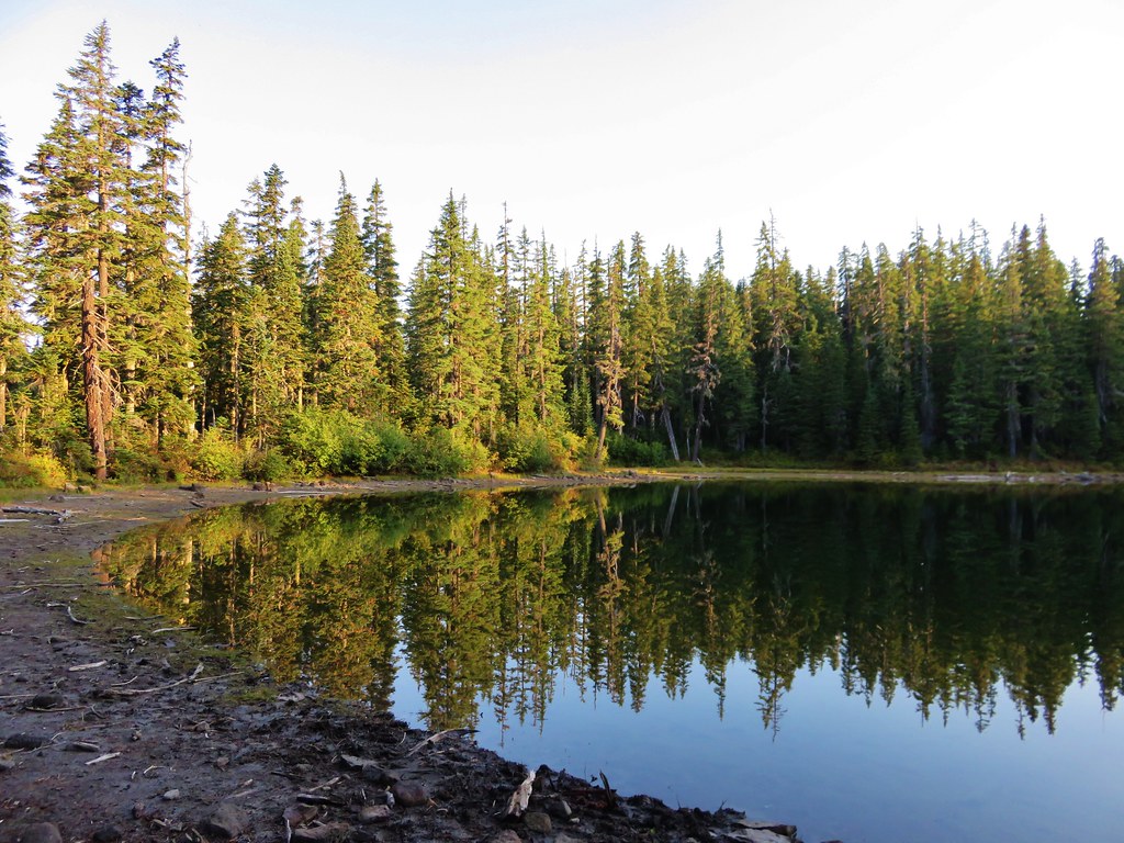
 Meadow Lake
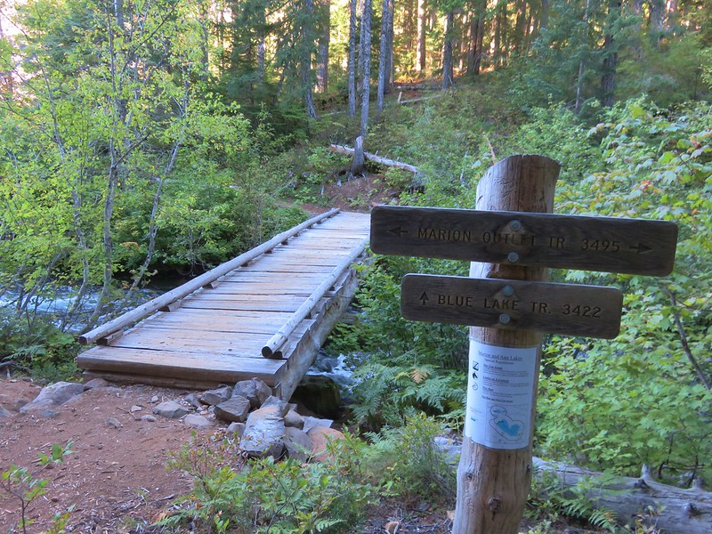
 Meadow Lake Trail junction.
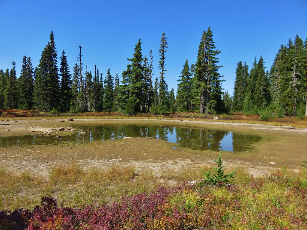
 Just beyond this small pond south of the trail we turned right on a use trail which led out onto Horseshoe Lake’s peninsula.
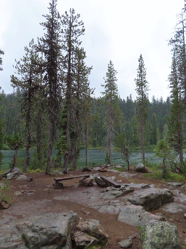 Camping is prohibited on the peninsula which is signed in multiple places.


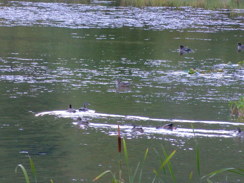
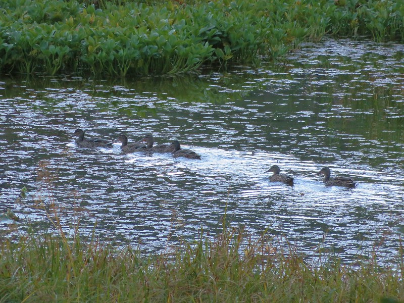
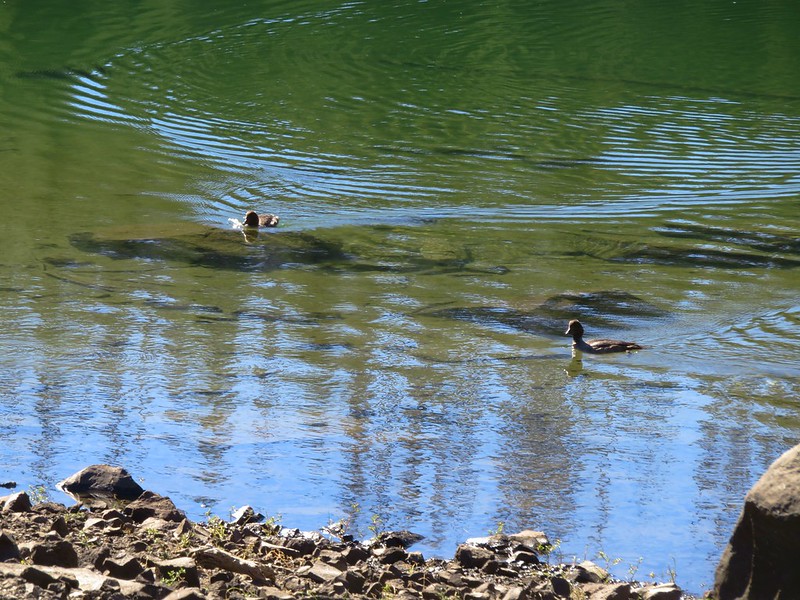
 Ducks flying further down the lake.
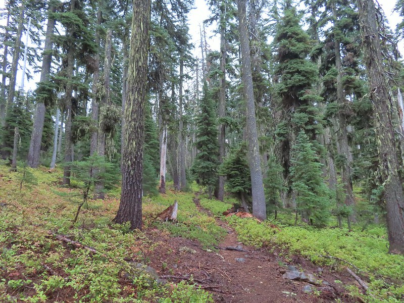
 Grouse
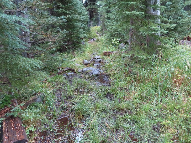 The only flowing water we’d encounter on this day after not crossing any streams the day before at Union Peak (
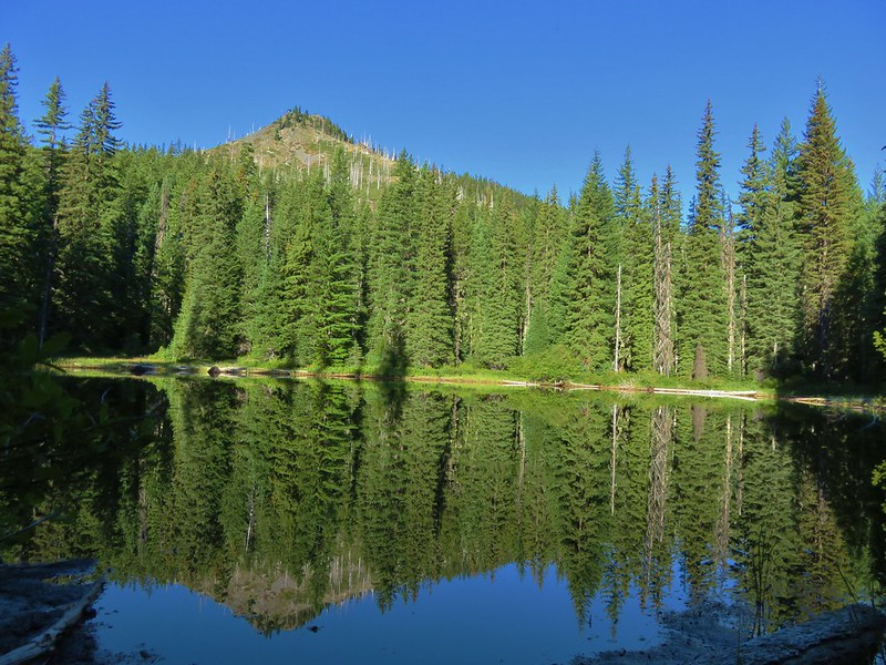
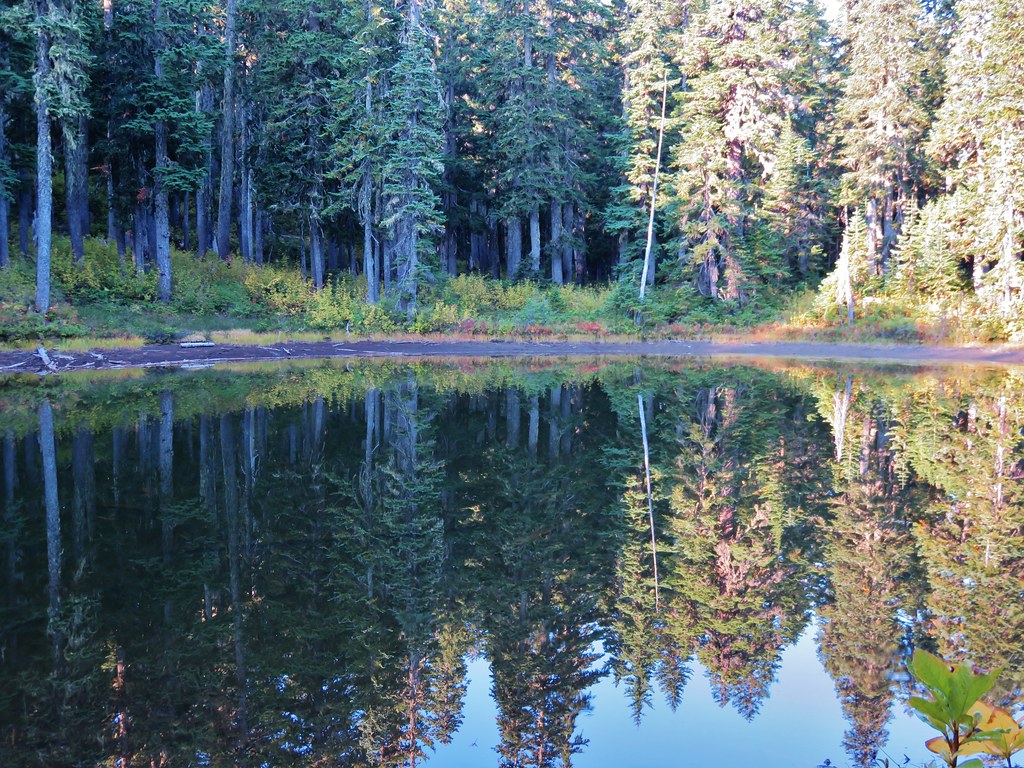
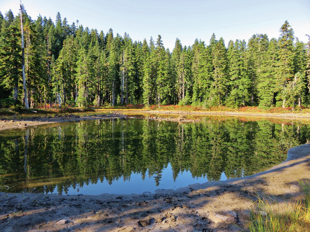
 Dee Lake barely visible through the trees.
 Bigelow’s sneezeweed
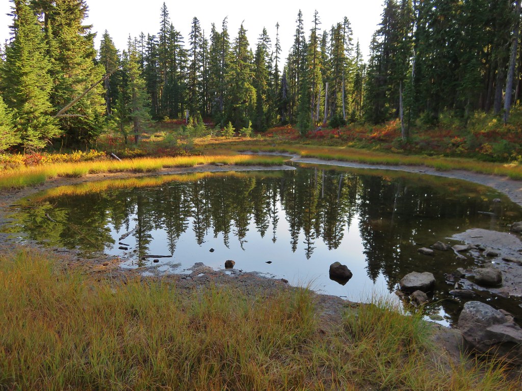
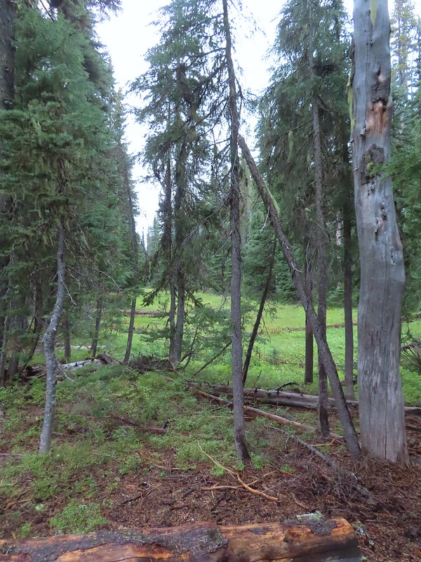 Meadow near Island Lake.
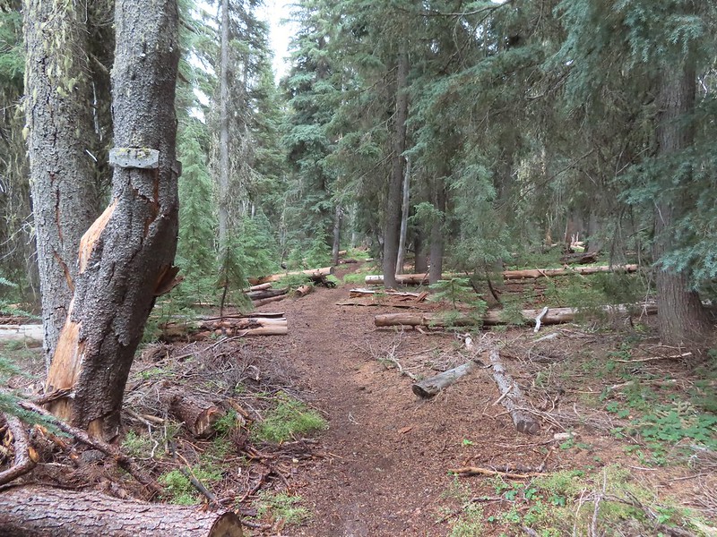 A Horse Camp sign.
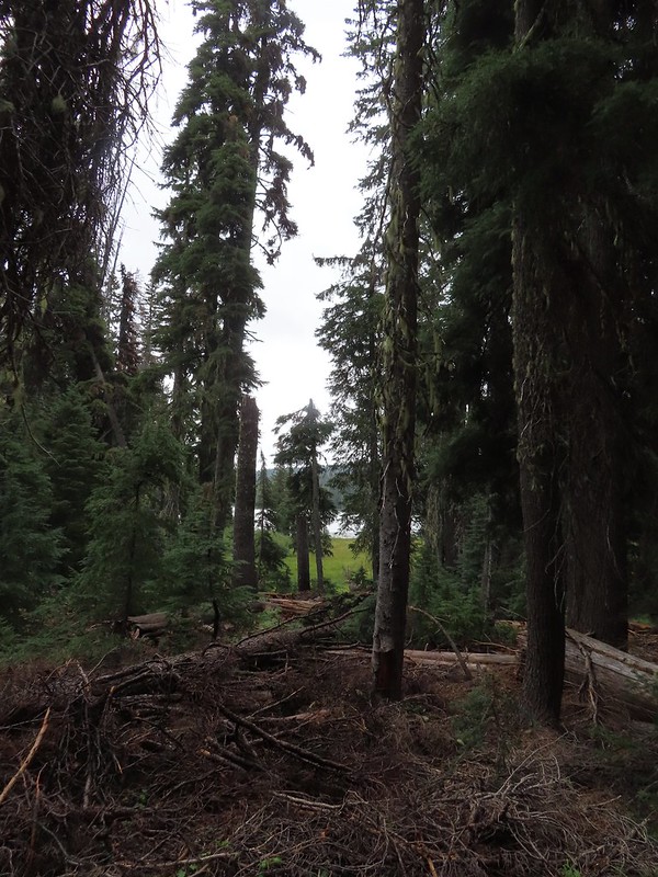 Island Lake through the trees.
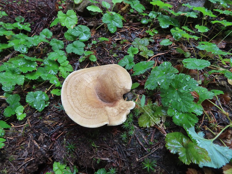


 There were a lot of mushrooms down by the water though.
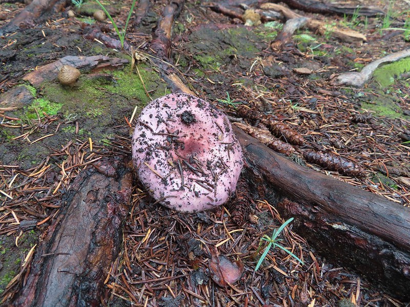


 For those interested the 1888 inscription reads:
 Pear Lake from the Blue Canyon Trail.
 Back at the Meadow Lake junction.
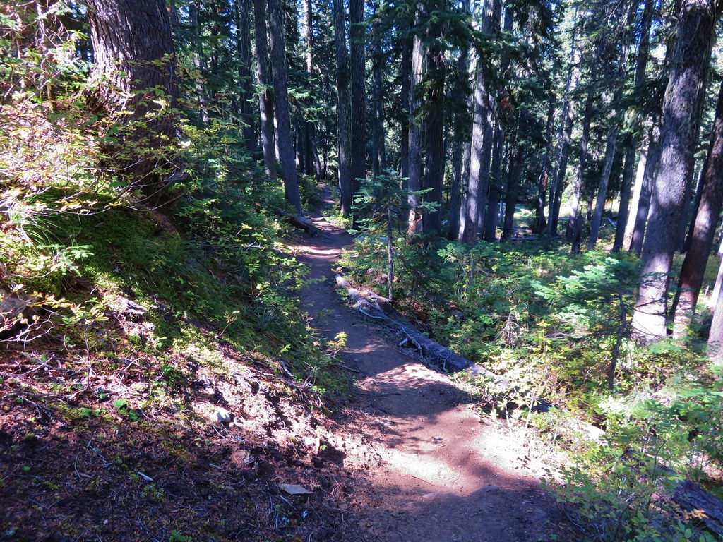
 Heading up the Meadow Lake Trail.
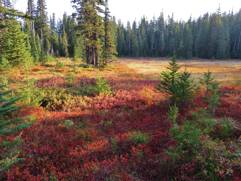
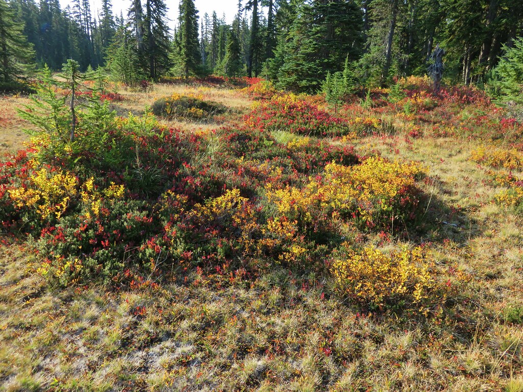
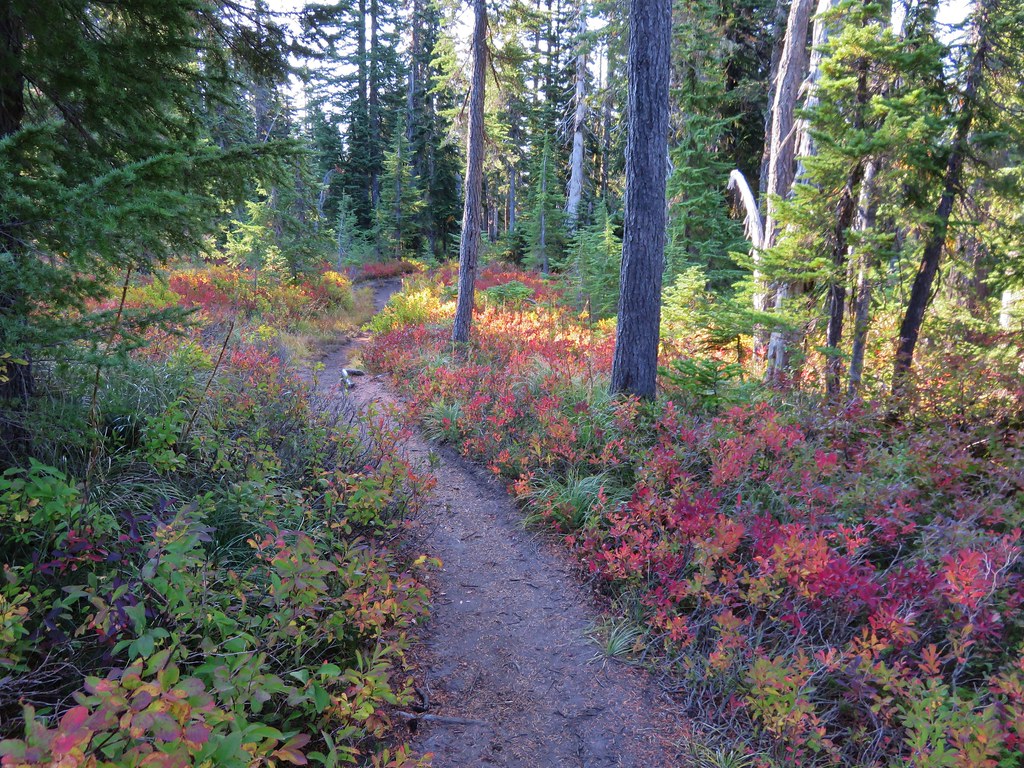
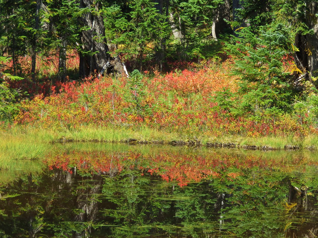
 The huckleberries don’t lie, Autumn was right around the corner.
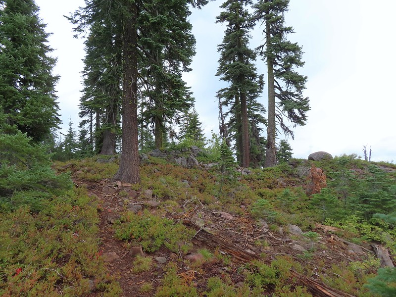 Approaching the ridge top.
 Not sure what we missed here but imagine it was some of the peaks in the Sky Lakes Wilderness.


 Colorful fungus
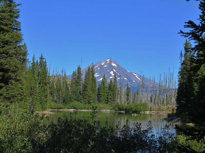
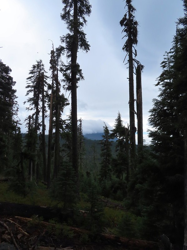 Mt. McLoughlin
 A little fresh snow, a welcome sight.
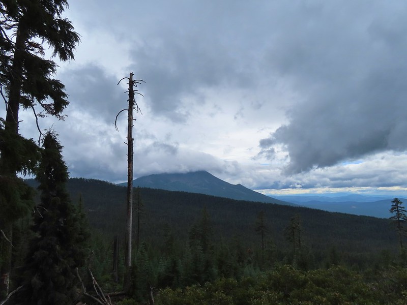 A nice little viewpoint just off the trail.
 Passing below Cat Hill.
 Back to the trailhead.
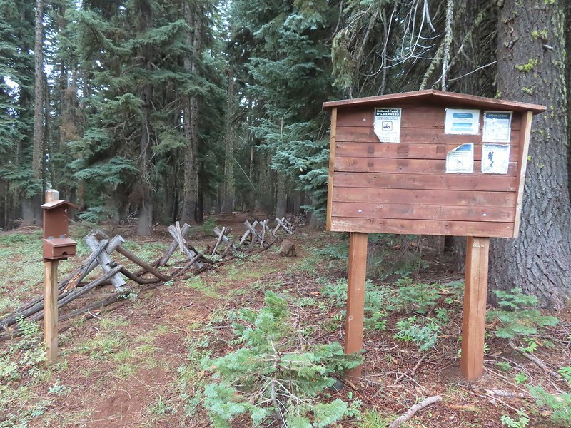
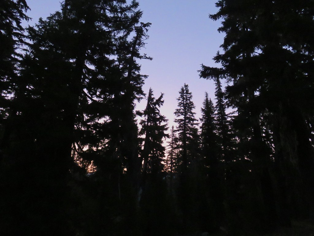
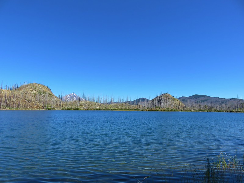
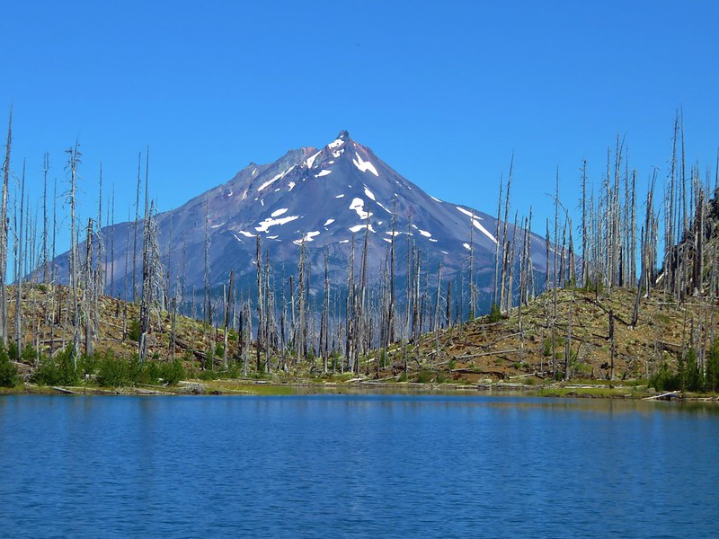
 Diamond Peak in the morning.
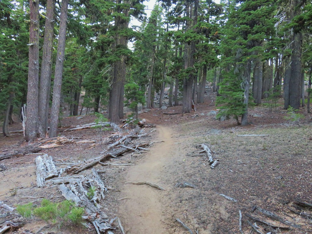
 The viewpoint from below on the PCT.
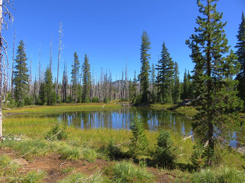
 Summit Lake and a lot of smoke.
 The north flank and route up Diamond Peak.
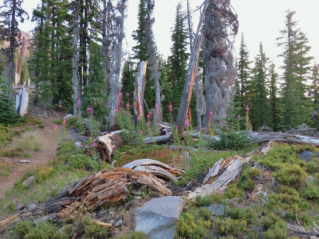
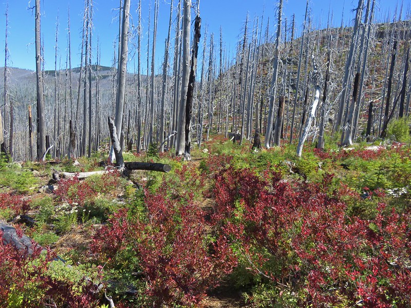
 Fireweed catching the morning sunlight.
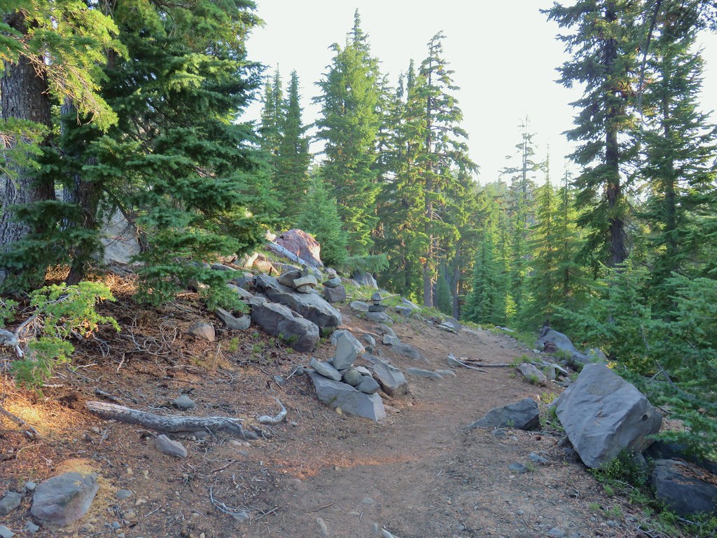 Cairns on the left side of the trail marking the route.
 Chipmunk inspecting some bleeding heart.
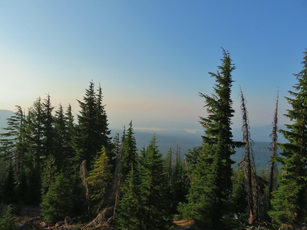 Summit Lake and the route up through the trees.
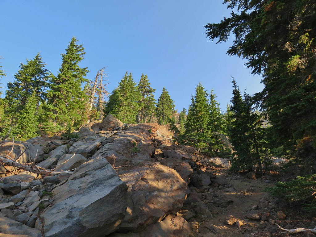 Here come the rocks.
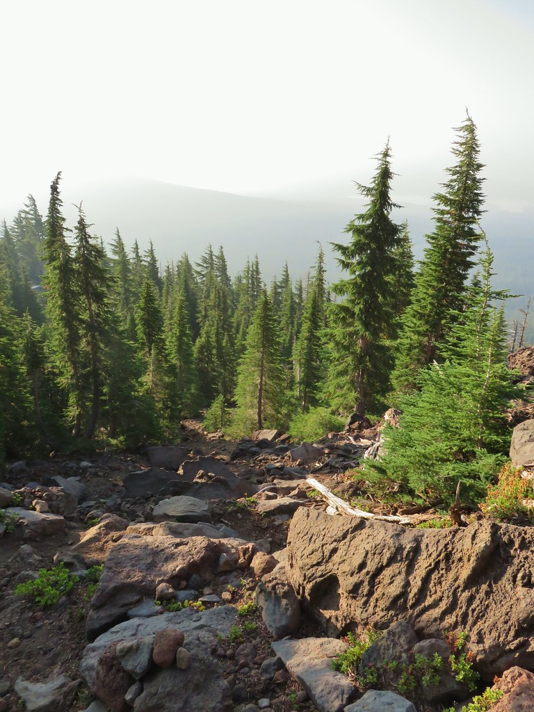
 Cairn on top of the big rock on the right.
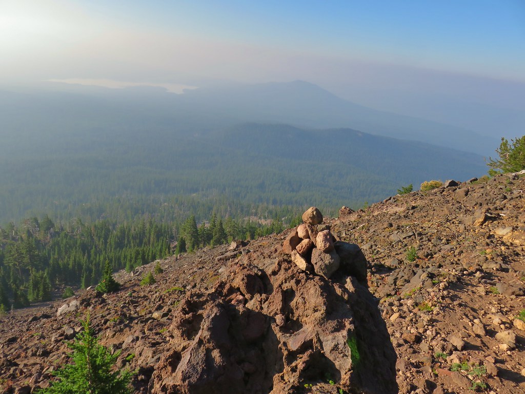 A carin and paint on a rock along the route and some pink flagging on the tree down to the left.
 Looking up at the false summit.
 Paintbrush
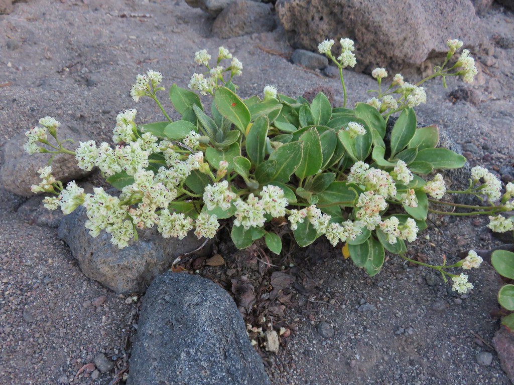 Buckwheat
 Patches of penstemon.
 Seed heads of Drummond’s anemone
 Dark smoke to the SW
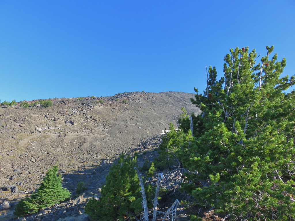 A snow patch below the false summit.
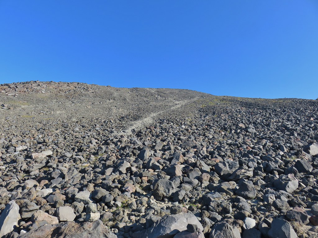 Final pitch to the false summit, still pretty blue.

 Looking west to a wall of smoke.
 Smoke to the east.
 Smoke to the NE too.
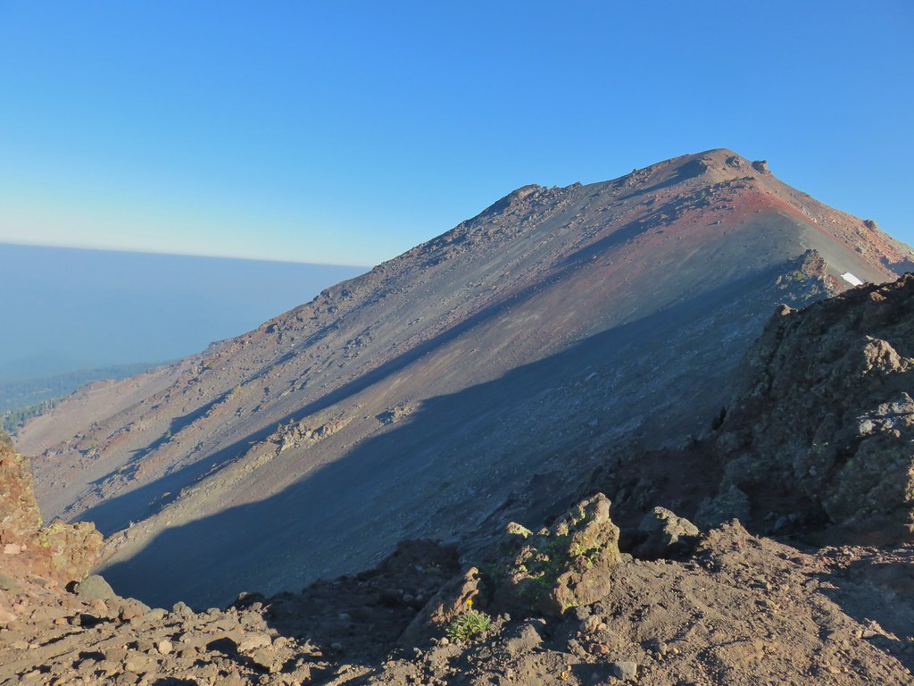 NW also equals smoke.
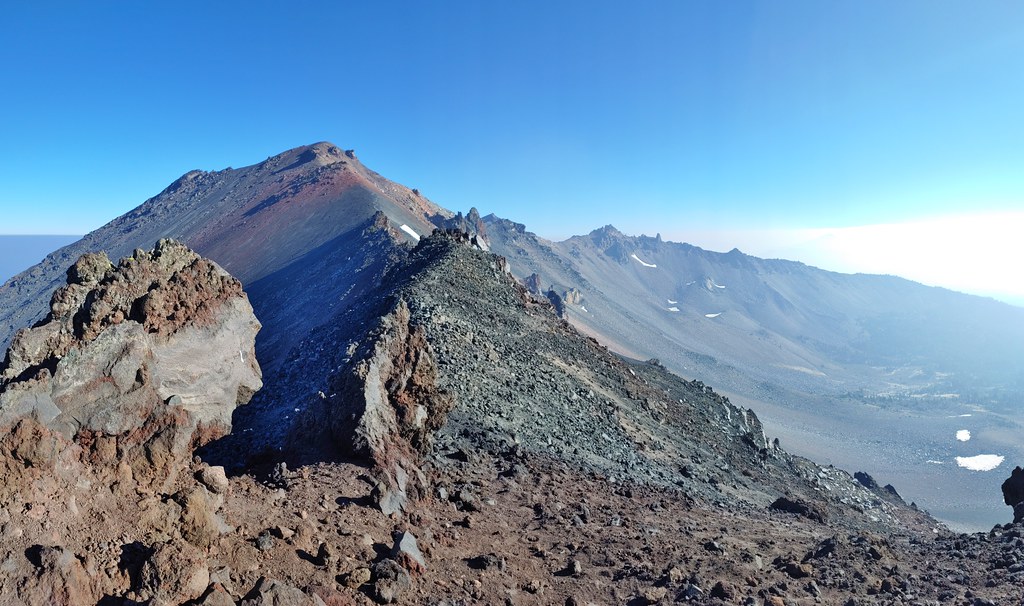 Smoke starting to drift in from the east.
 One of several Clark’s nutcrackers.
 Buckwheat
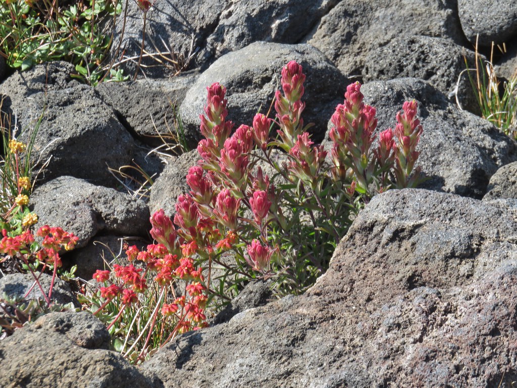 Paintbrush
 Penstemon
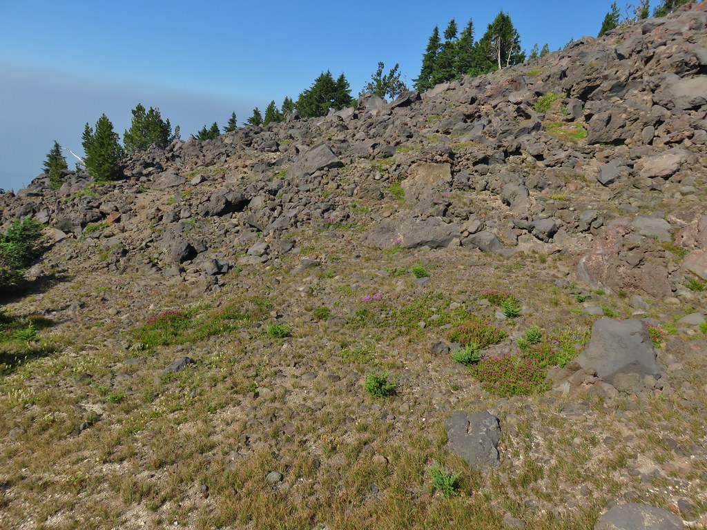 Basin with a number of flowers.
 Mountain heather
 Partridge foot
 Another paintbrush
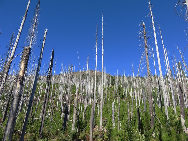
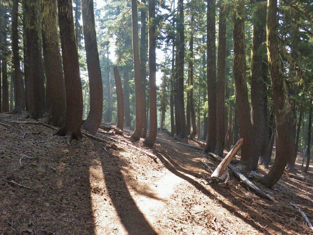 A little smoke in the trees.
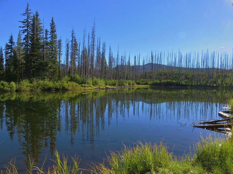
 Slightly smokier Rockpile Lake.
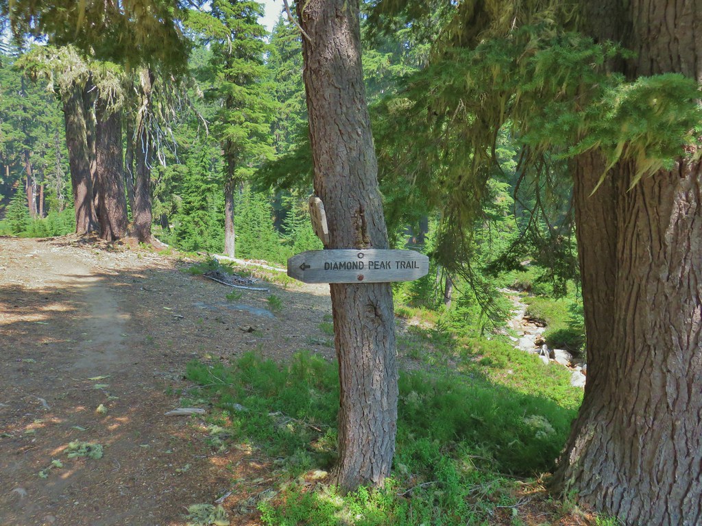

 Summit Lake out there in the smoke.


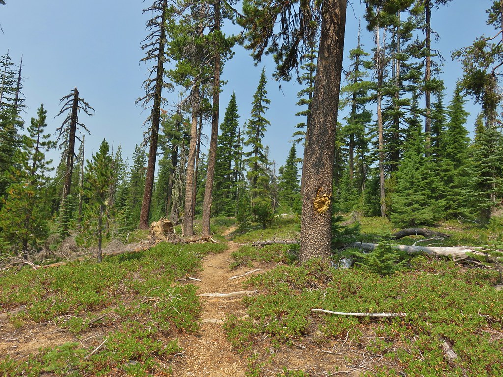 One of the uphill sections.
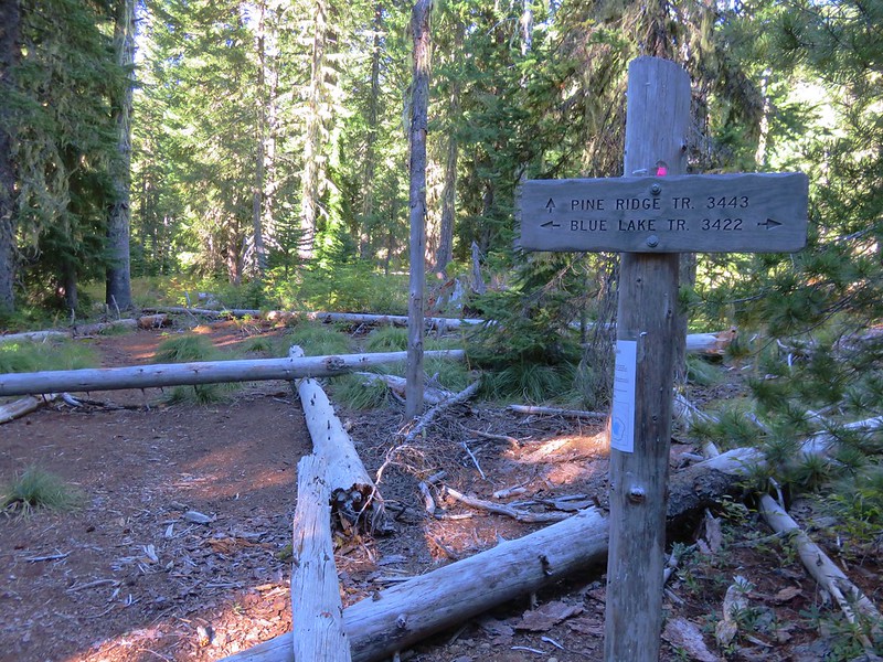
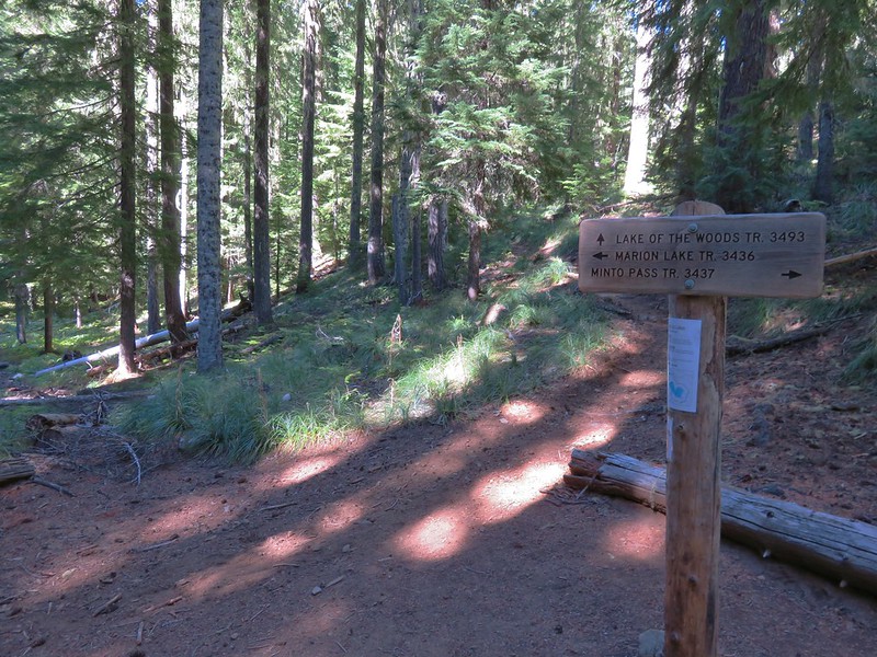
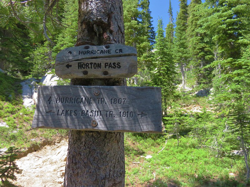
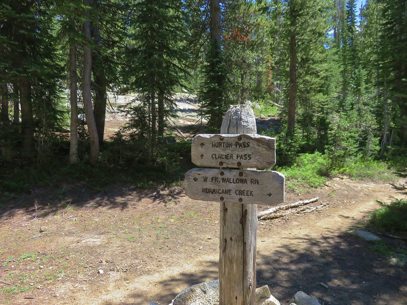
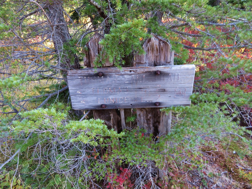
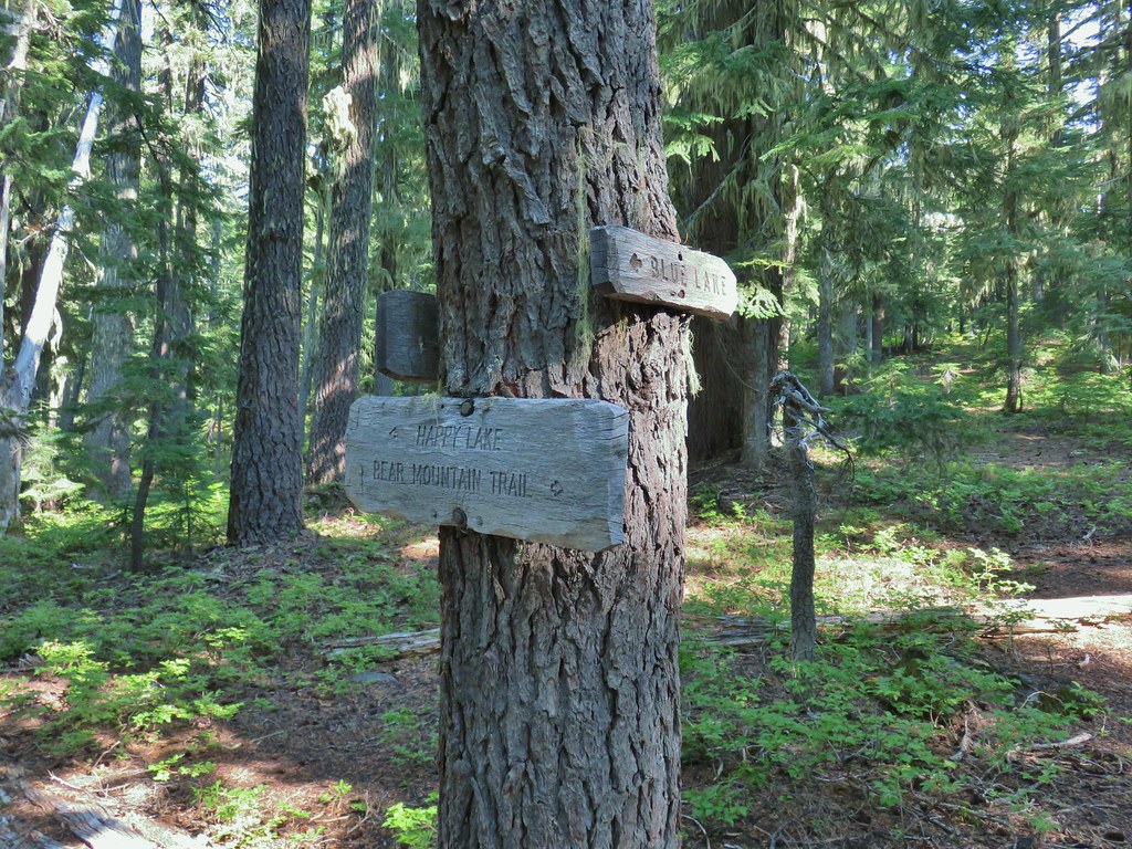
 Note again that the sign is letting you know what is in the different directions but not identifying the trail name.
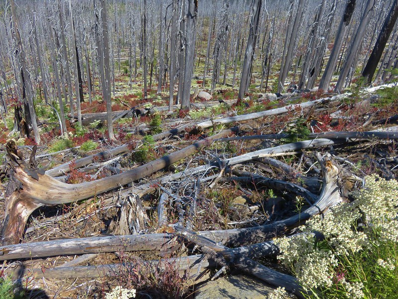
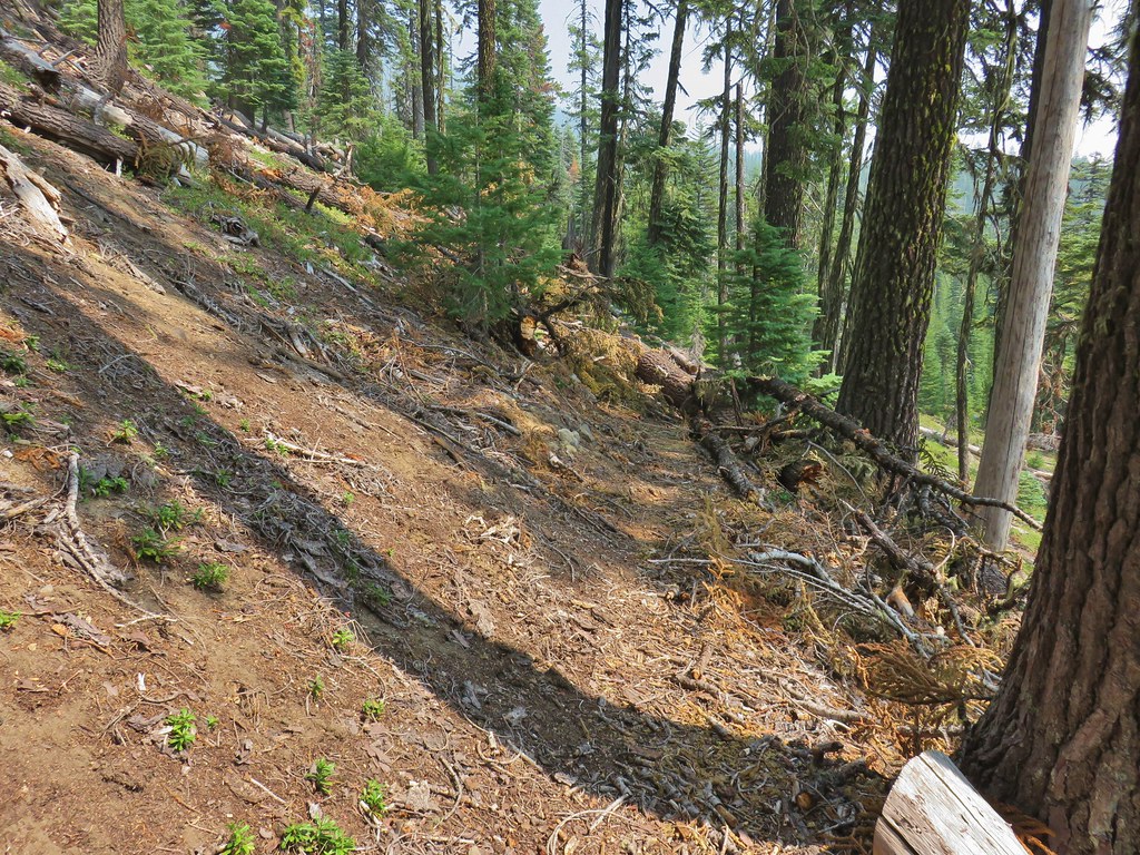 Typical obstacle for this stretch.


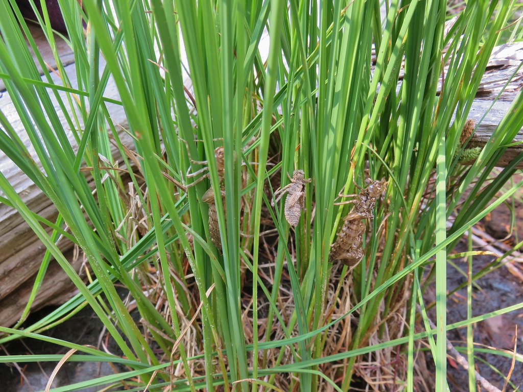 Lots of insect husks on the plants along the lake.
 Fleabane
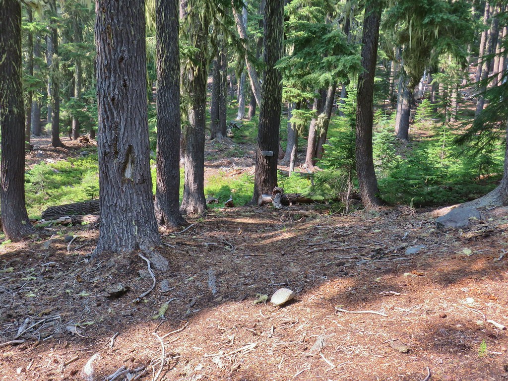 Bear Mountain Trail junction.
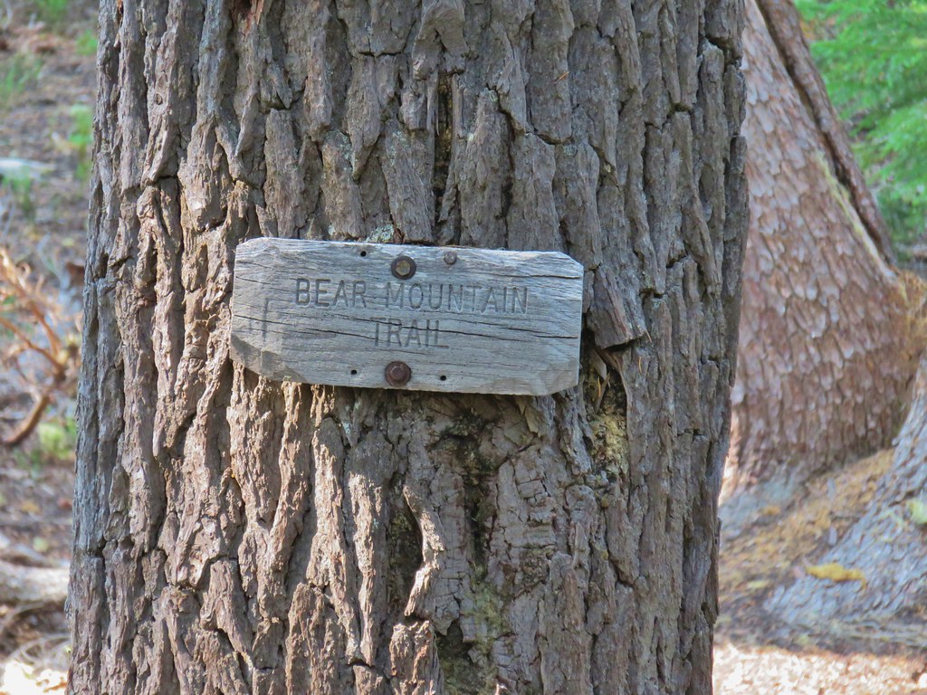 Look a named trail!

 Starting to drop off the ridge.
 Arnica
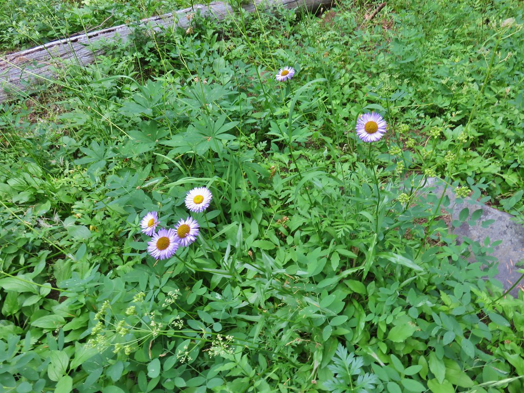 Fleabane
 Pearly everlasting and fringed grass of parnassus
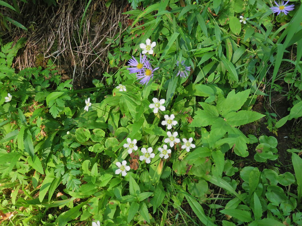 Aster and fringed grass of parnassus
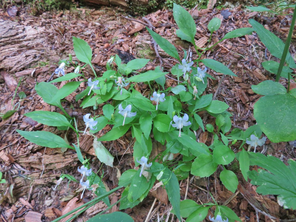 Scouler’s bluebells


 Lots of coneflower
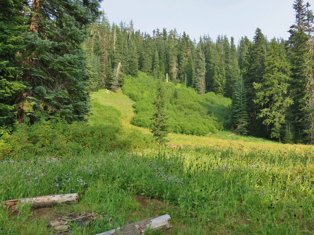
 Fireweed and coneflower
 Owl’s clover

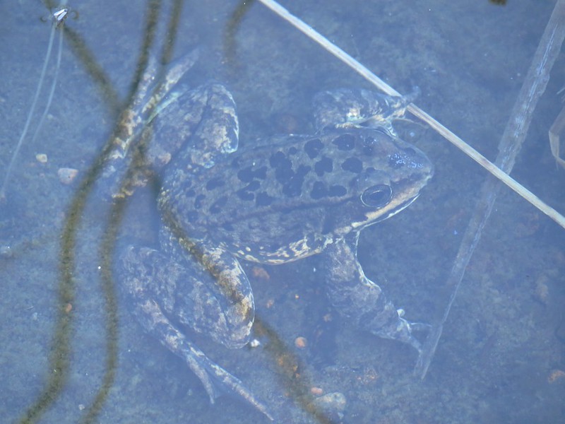
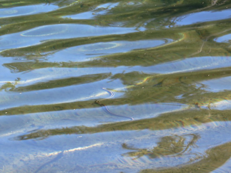
 Dragon fly and a bunch of frogs
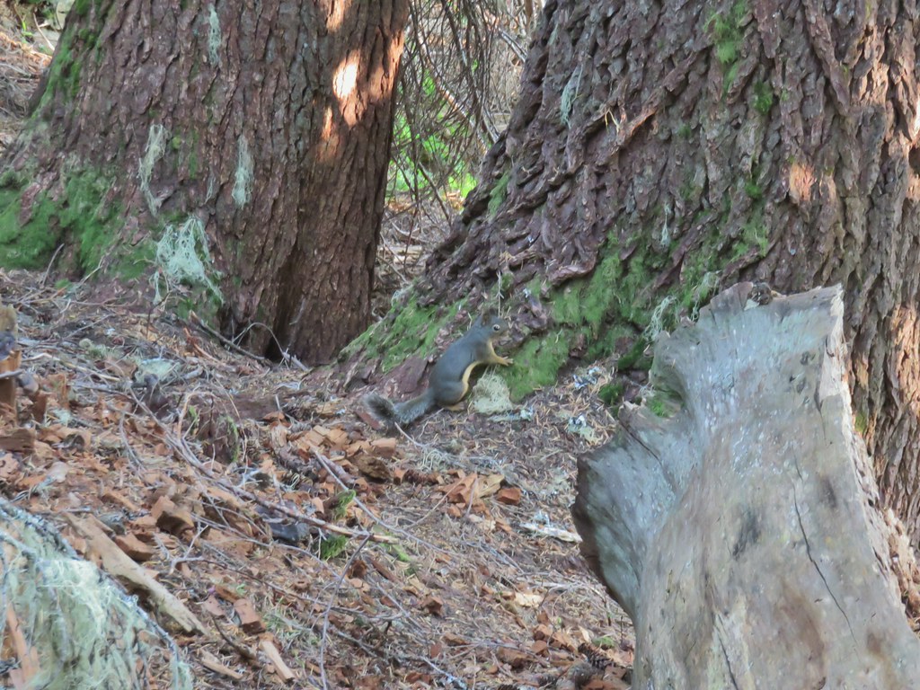 Chatty squirrel