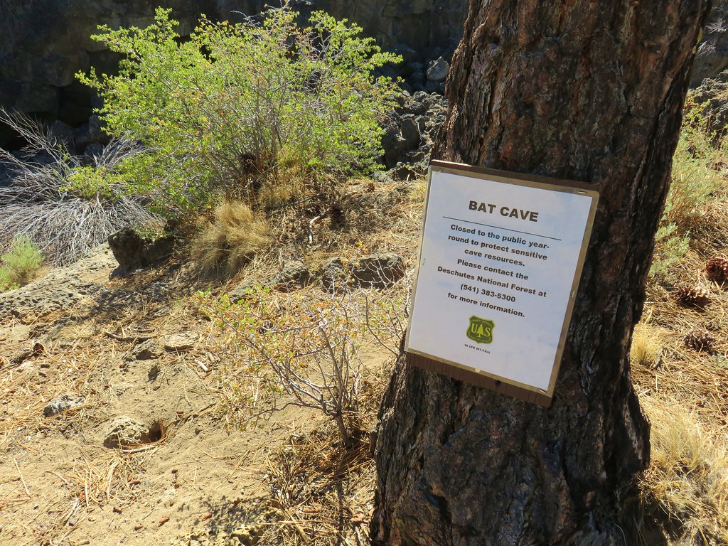
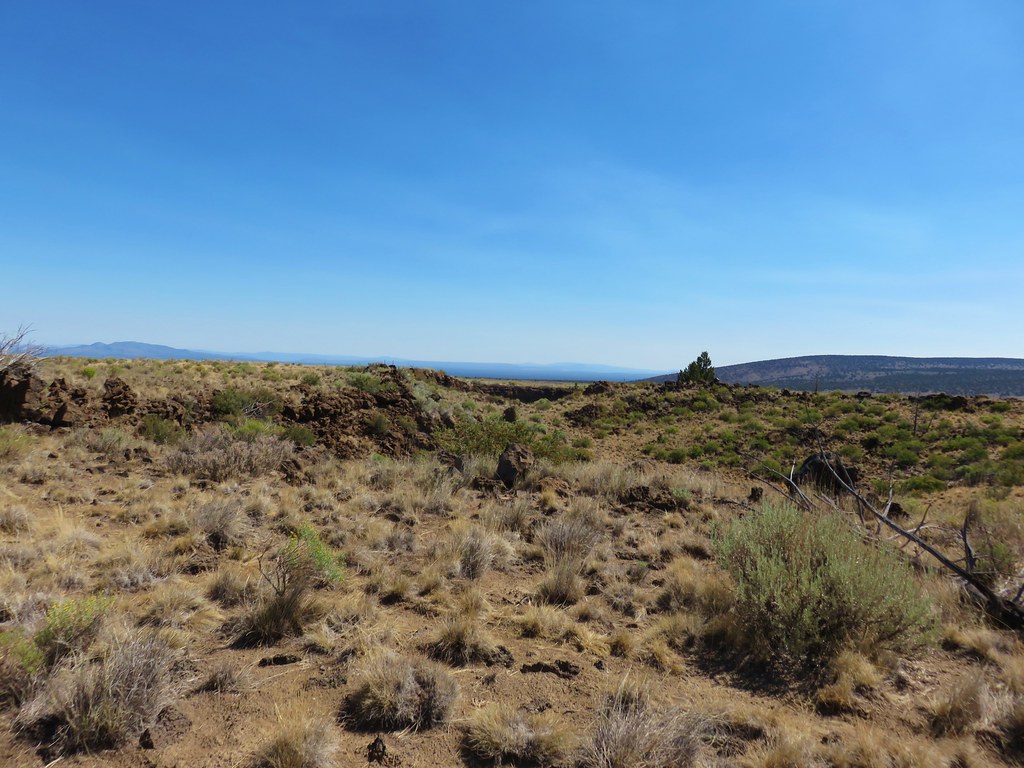
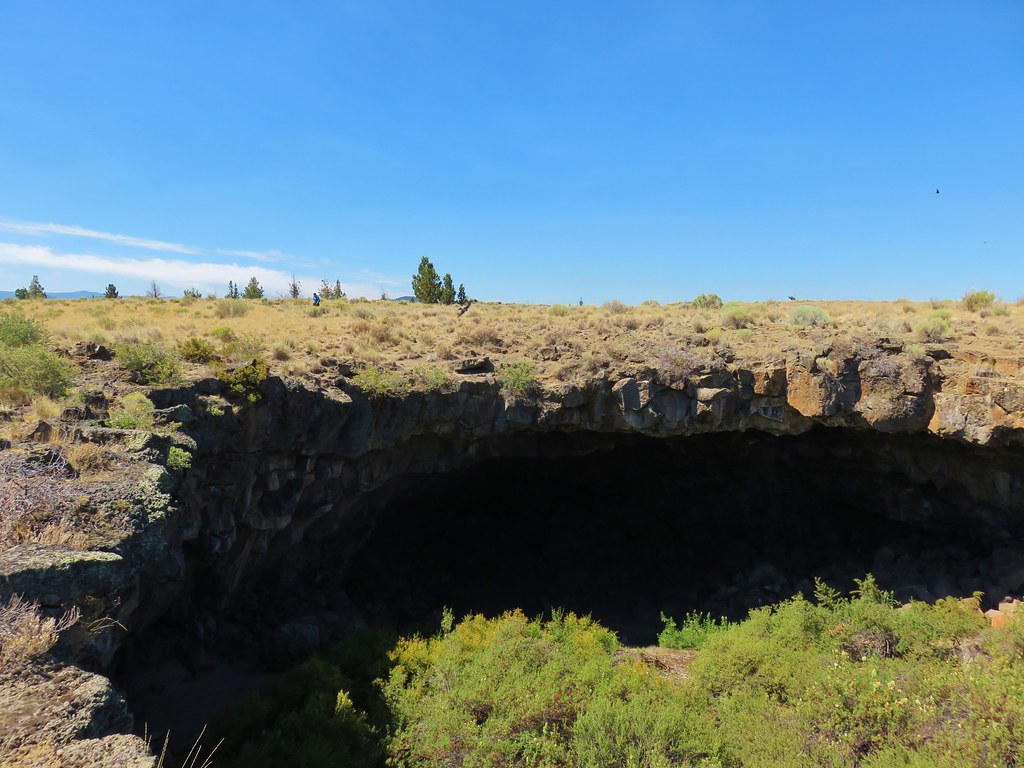
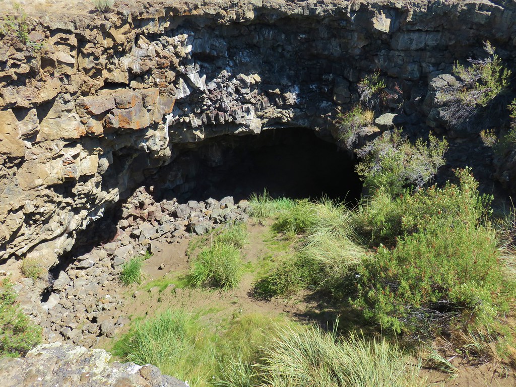
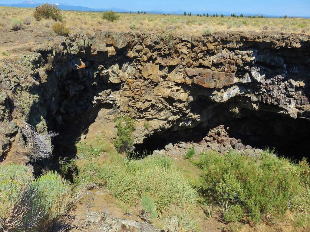
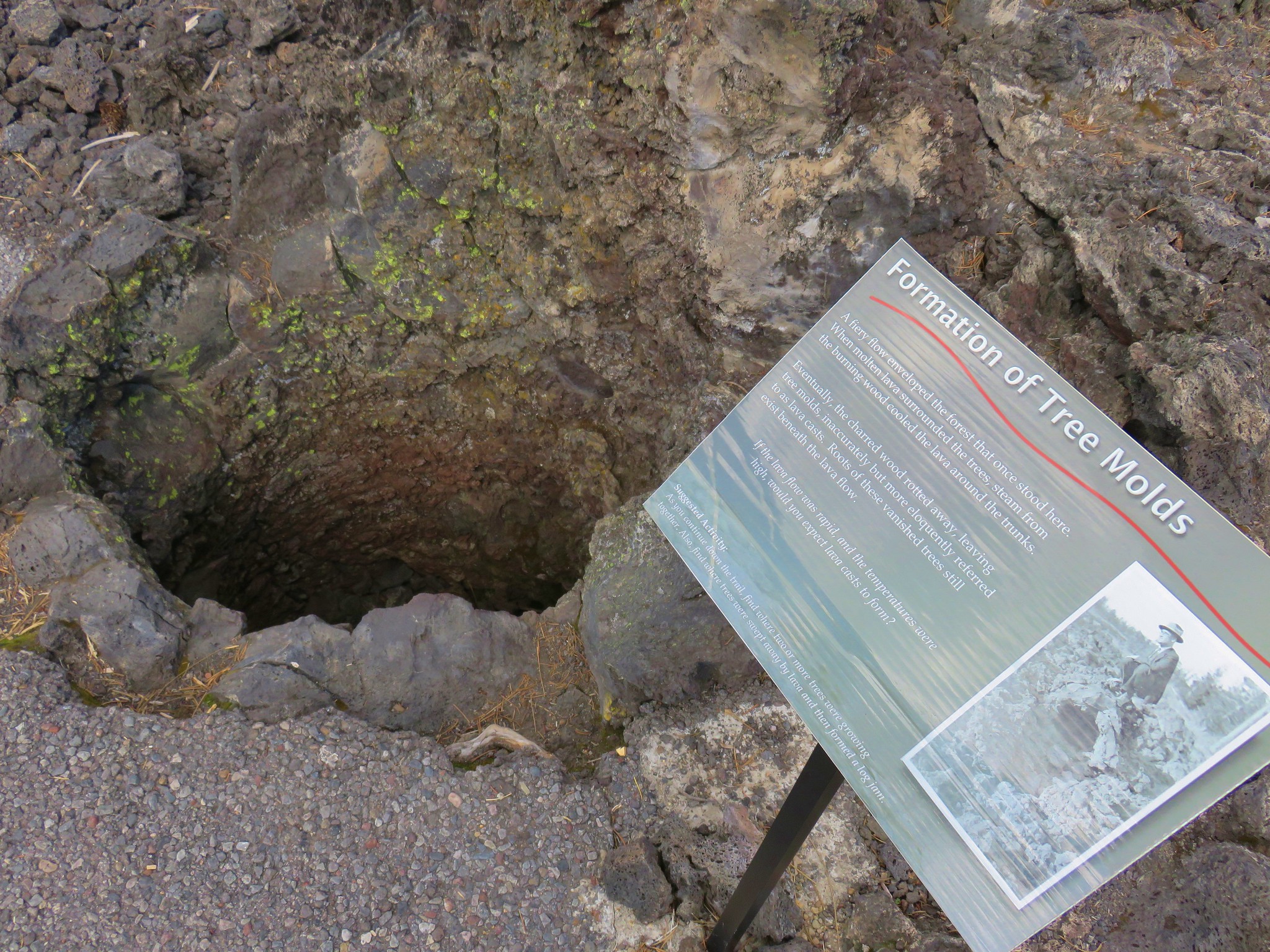
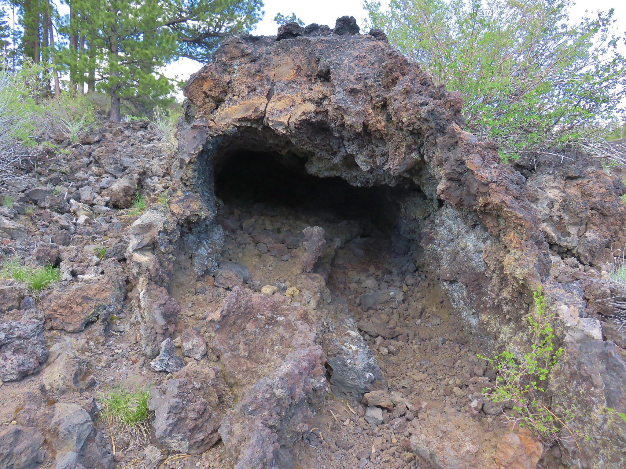
**Note the 2024 Elk Lane Fire burned a small portion of the Willow Creek Trail near where we turned around.**
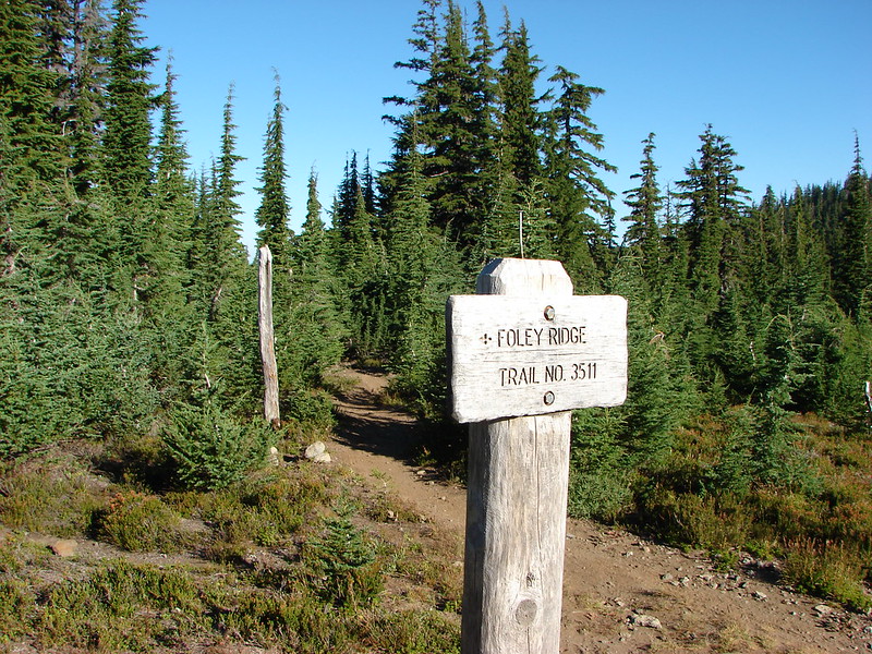
Our primary hiking goal for 2024 is to finally finish our quest to hike at least part of all 100 featured hikes in William L. Sullivan’s “100 Hikes” guidebooks (post). Sullivan separates Oregon into five regions: Oregon Coast, NW Oregon, Central Cascades, Southern Oregon, and Eastern Oregon. We’ve focused on one specific edition for each region and have now managed to finish all but an Eastern Oregon edition. We had been focused on the third edition of his “100 Hikes/Travel Guide Eastern Oregon” but switched to his first edition “100 Hikes Eastern Oregon” last year after deciding we weren’t willing to attempt the drive to Dug Bar in Hells Canyon (post). Sullivan had removed Dug Bar from the featured hikes along with six other hikes which we had already completed. (Note that we went from a 3rd to a 1st edition. This is due to Sullivan dropping “Travel Guide” from his book’s titles even though they still contain lots of helpful travel information.)
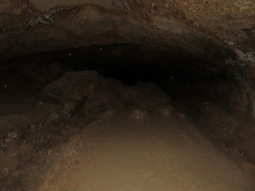
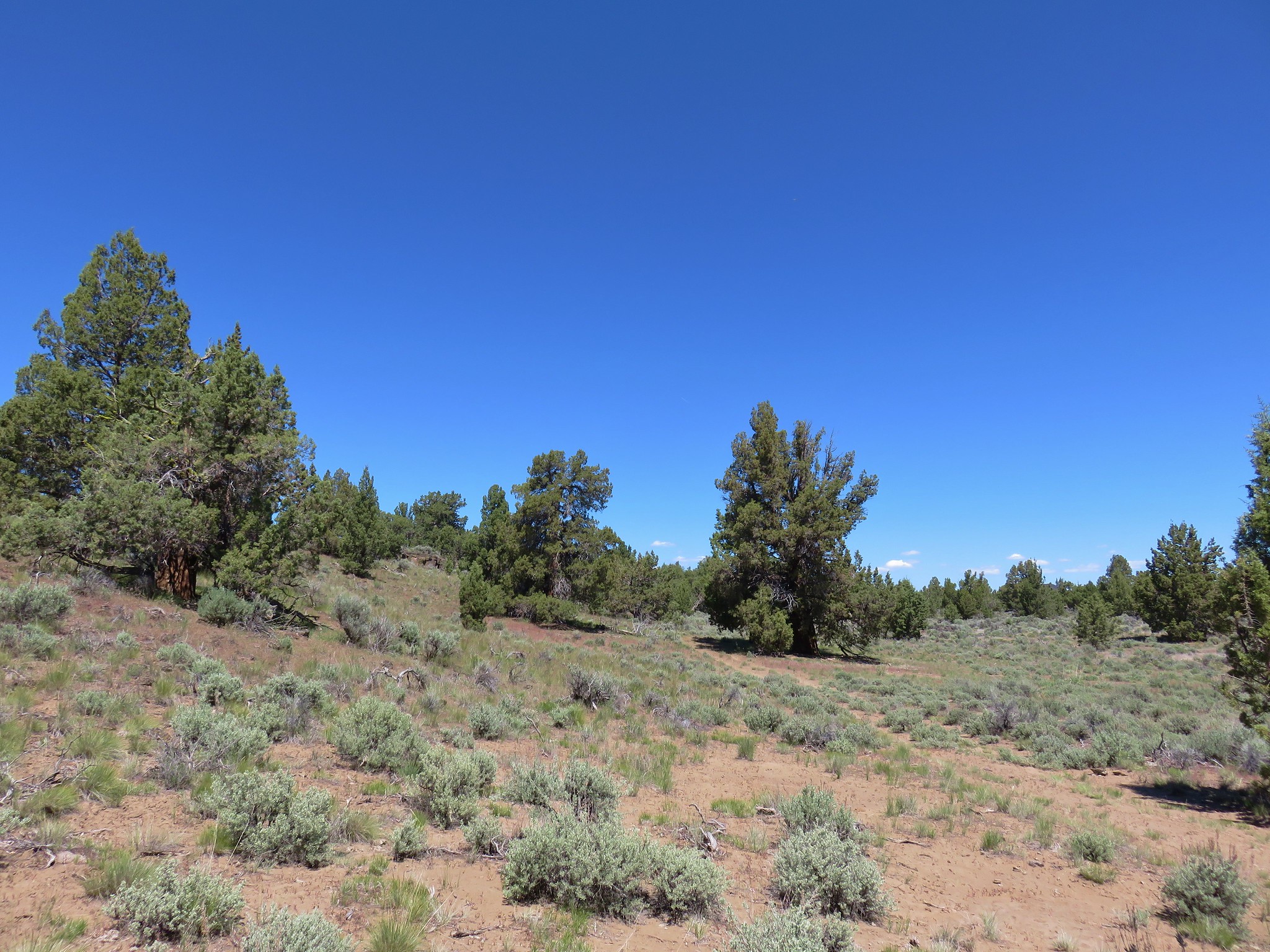
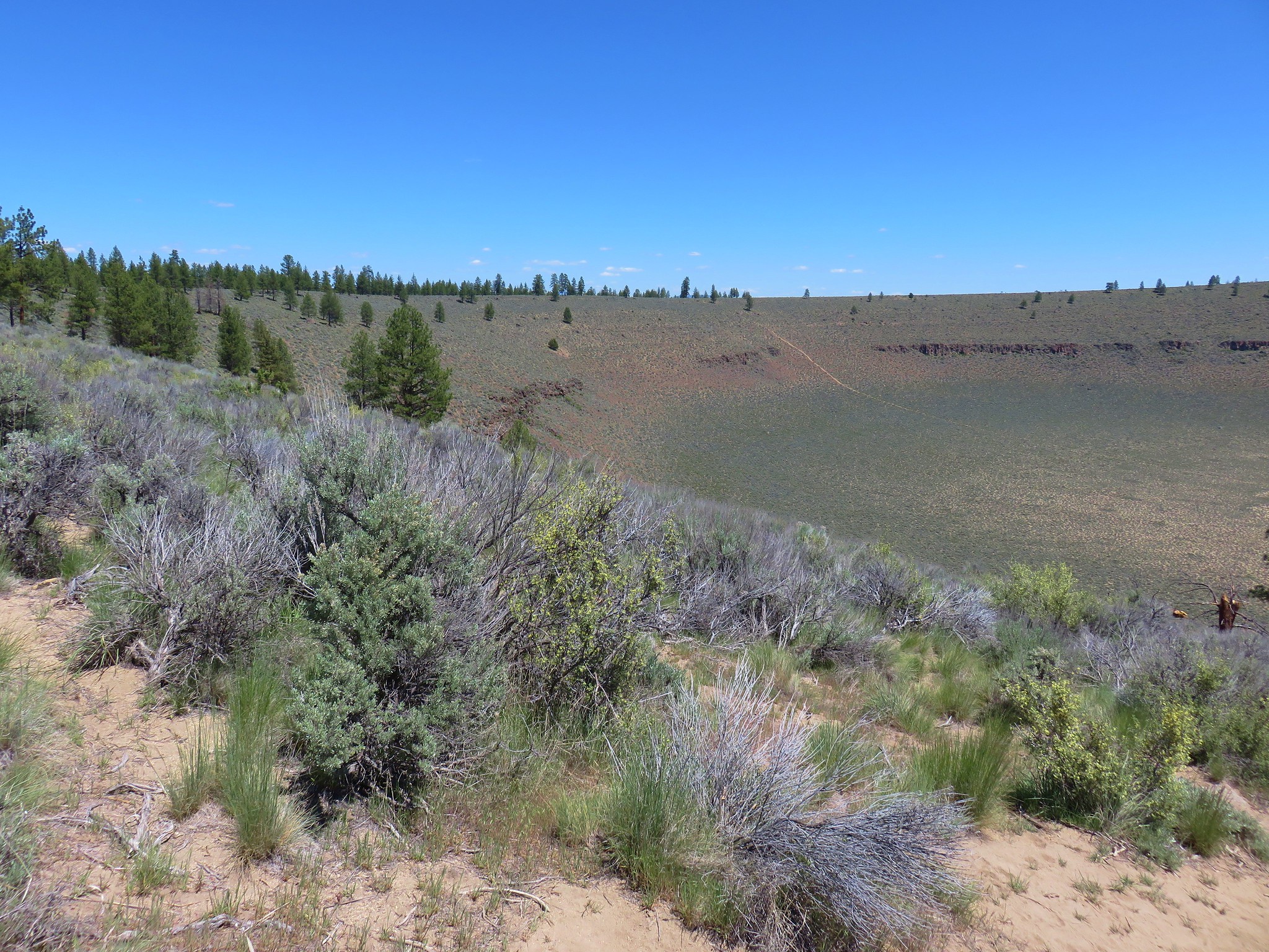
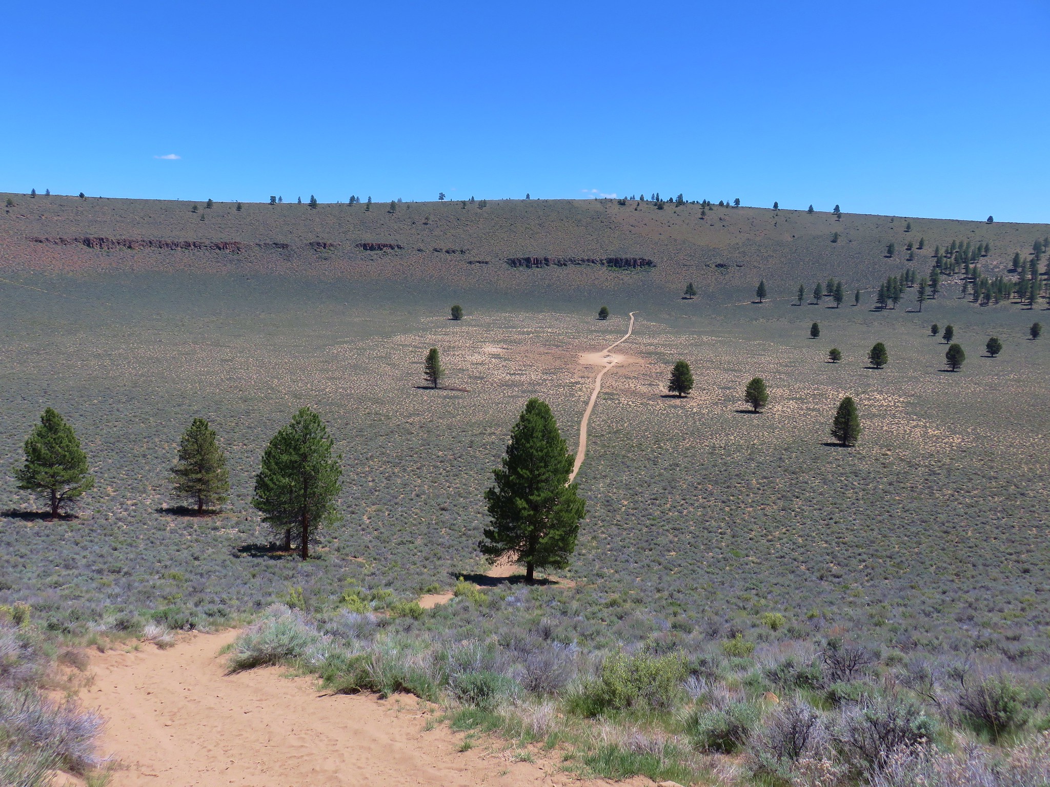
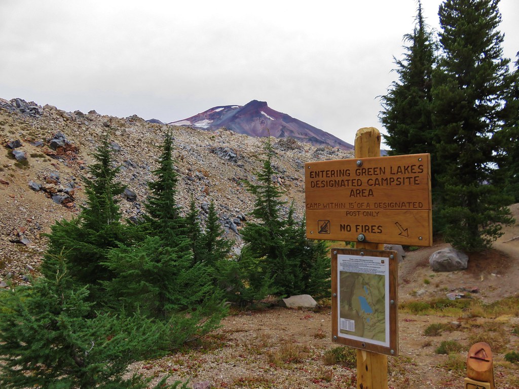
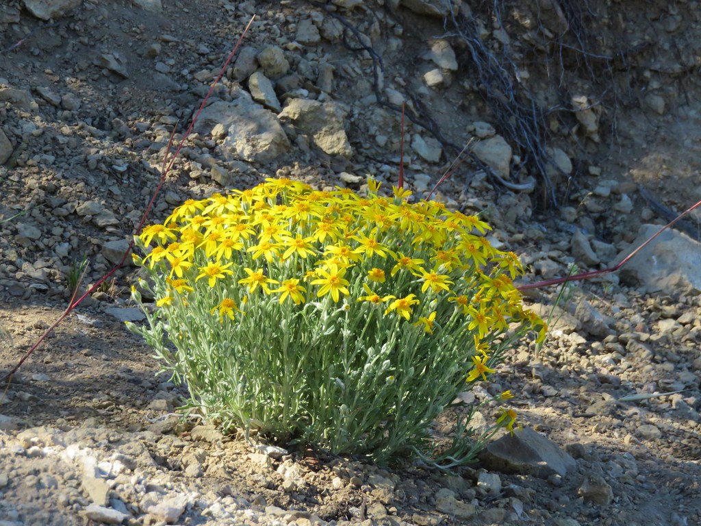
Four of the new featured hikes were in, or near, Central Oregon. More specifically the Prineville area, so we decided to book a room there for Memorial Day Weekend. One of these new featured hikes posed a problem though. New hike 18 – Juniper Hills is on land owned by The Nature Conservancy and at some point, after the book was published, public access to the area was closed. An email prior to us leaving confirmed the closure which left us without a way to legally do the hike. We weighed our options, reverting to the previous edition and daring the drive to Dug Bar, or driving to Juniper Hills and taking pictures from the would-be trailheads. We decided on the latter with hopes that someday public access may be restored, possibly by permit and/or reservations.
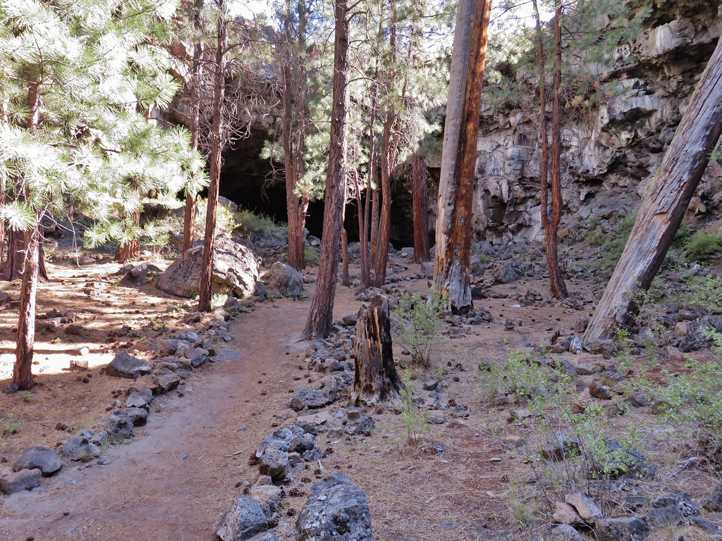
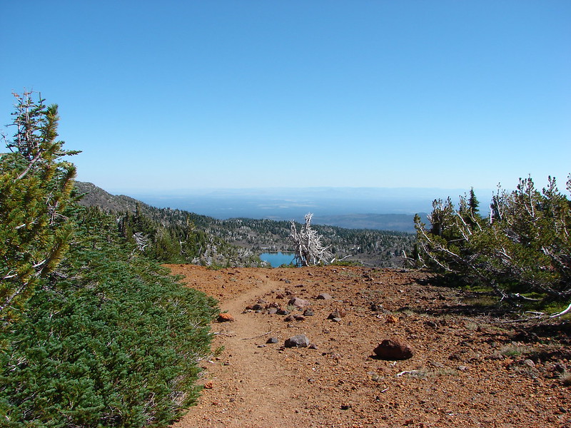
We had originally planned on doing two of the featured hikes on Saturday before checking into our room, Willow Creek and Juniper Hills. With hiking being out at Juniper Hills we added a third stop to the day to check out Barnes Butte in Prineville. Our first stop was in Madras, OR at the Willow Creek Trailhead which wound up being one of the sketchiest trailheads we’ve been to.


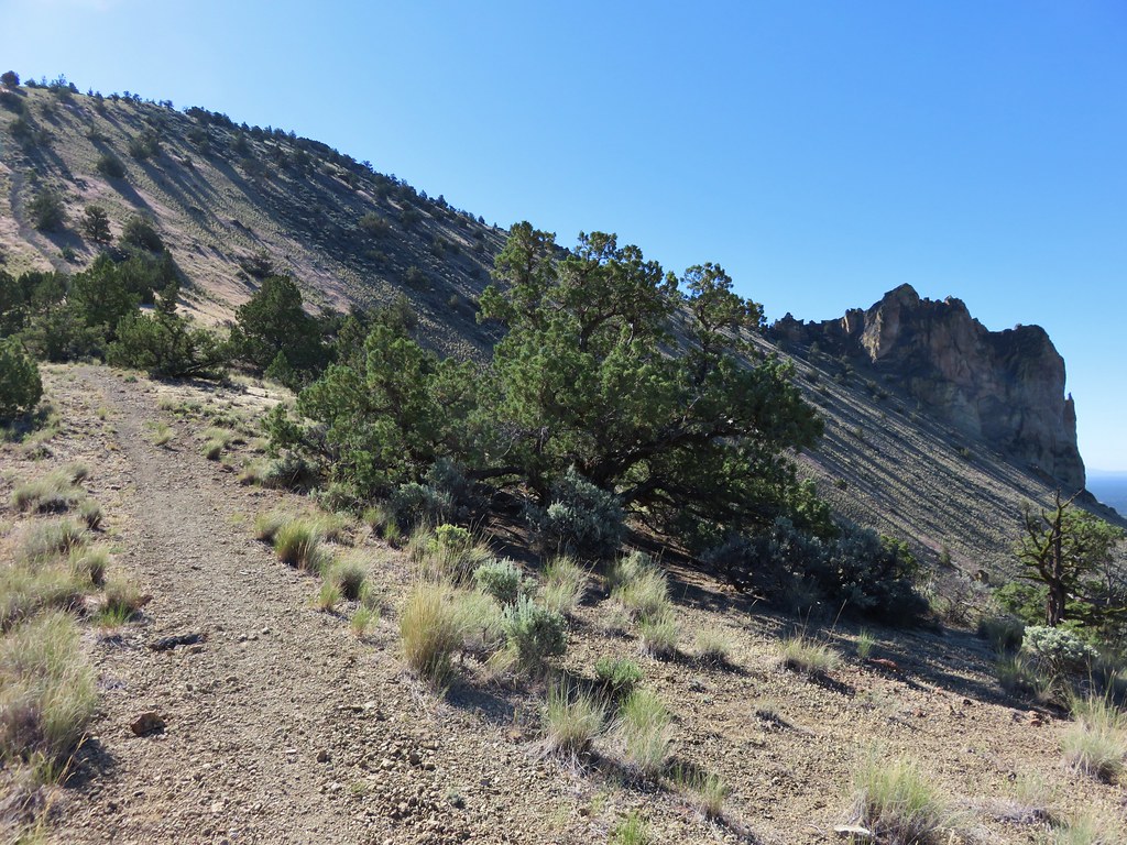
There was a large homeless camp along Willow Creek beyond the large gravel parking area and several people just mulling about with no other cars around. According to recent news reports the city will be removing the camp on or around June 11th. We decided to go ahead and chance leaving the car rather than trying to find a different starting point based off of the city maps online. We crossed the creek on a footbridge and followed the paved trail just over half a mile to a fork above SW Canyon Road. We forked left and descended to a crosswalk then began climbing “M Hill”.

 M Hill from the trail.
 The crosswalk on SW Canyon Road.
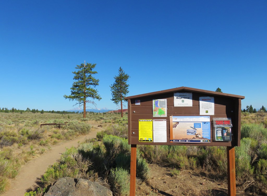
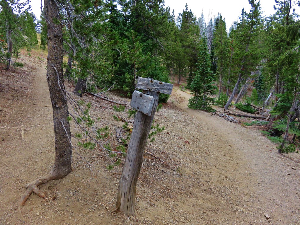
 Kiosk at the bottom of the hill.
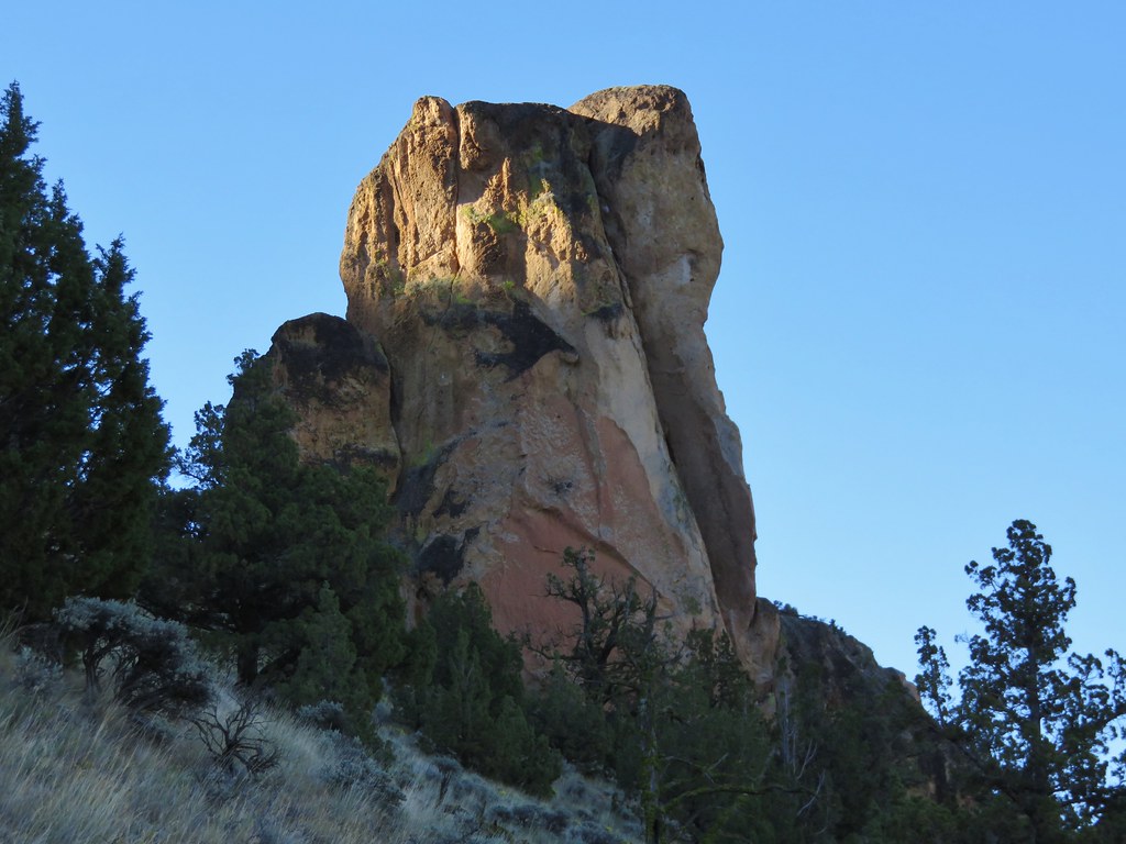
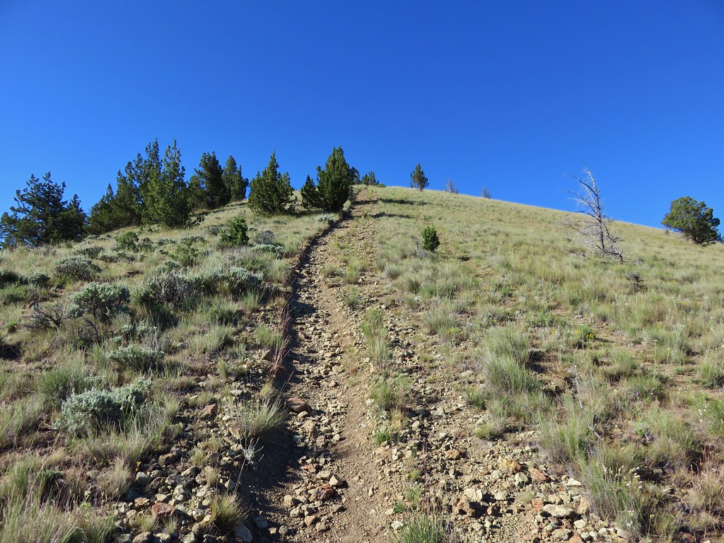
The trail climbed for a half mile to the identifier.

 The “M” on the side of the hill.


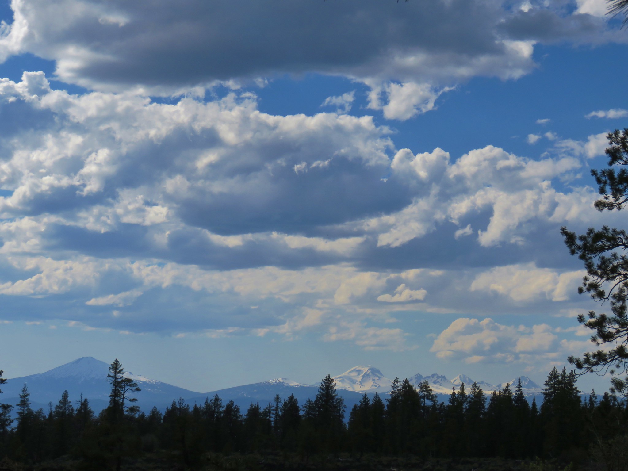
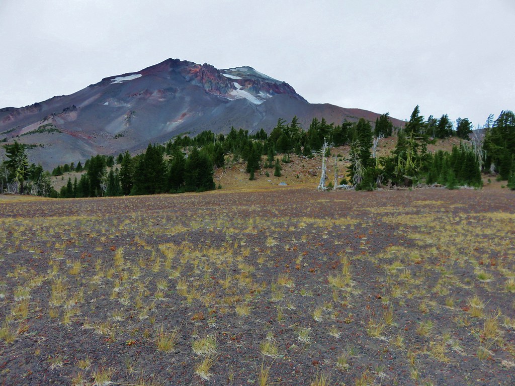
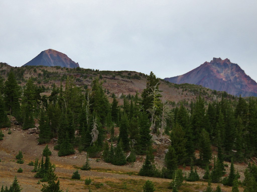
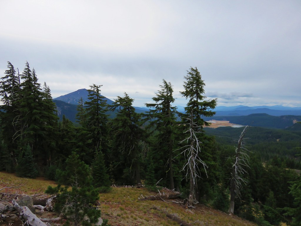
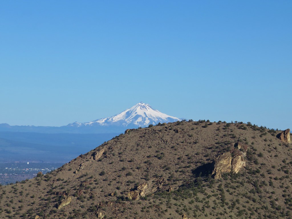
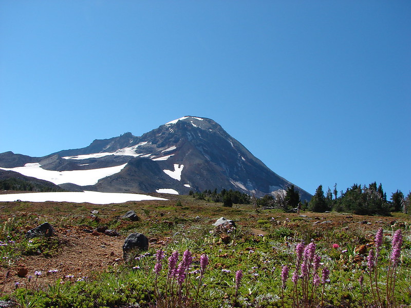
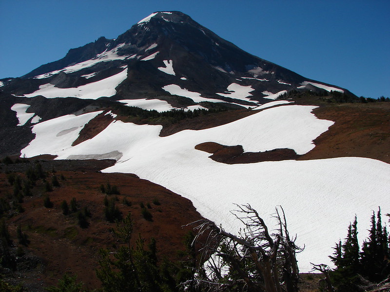
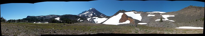
It was a little cloudy on top, but we could make out several snowy cascades and most of the lower peaks to the SE.
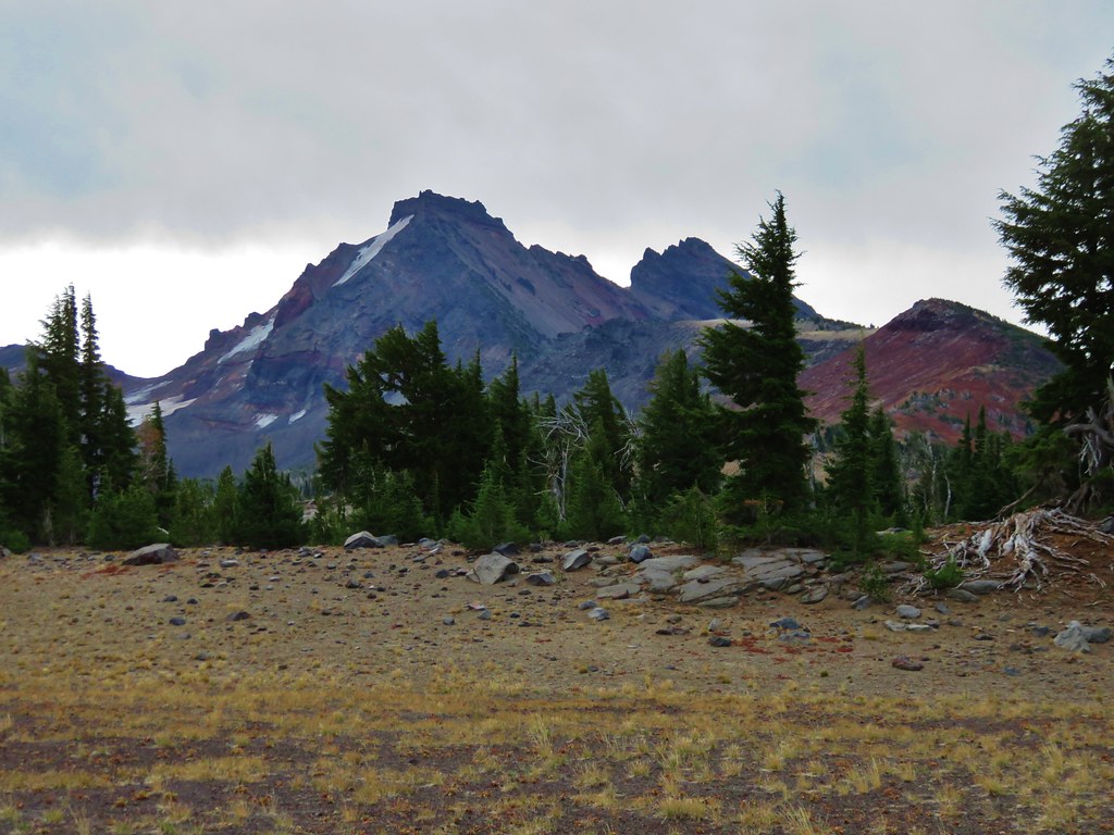
< Gray Butte (post), Haystack Butte, and Juniper Butte to the left. Broken Top and the Three Sisters are the snow-covered peaks to the right.
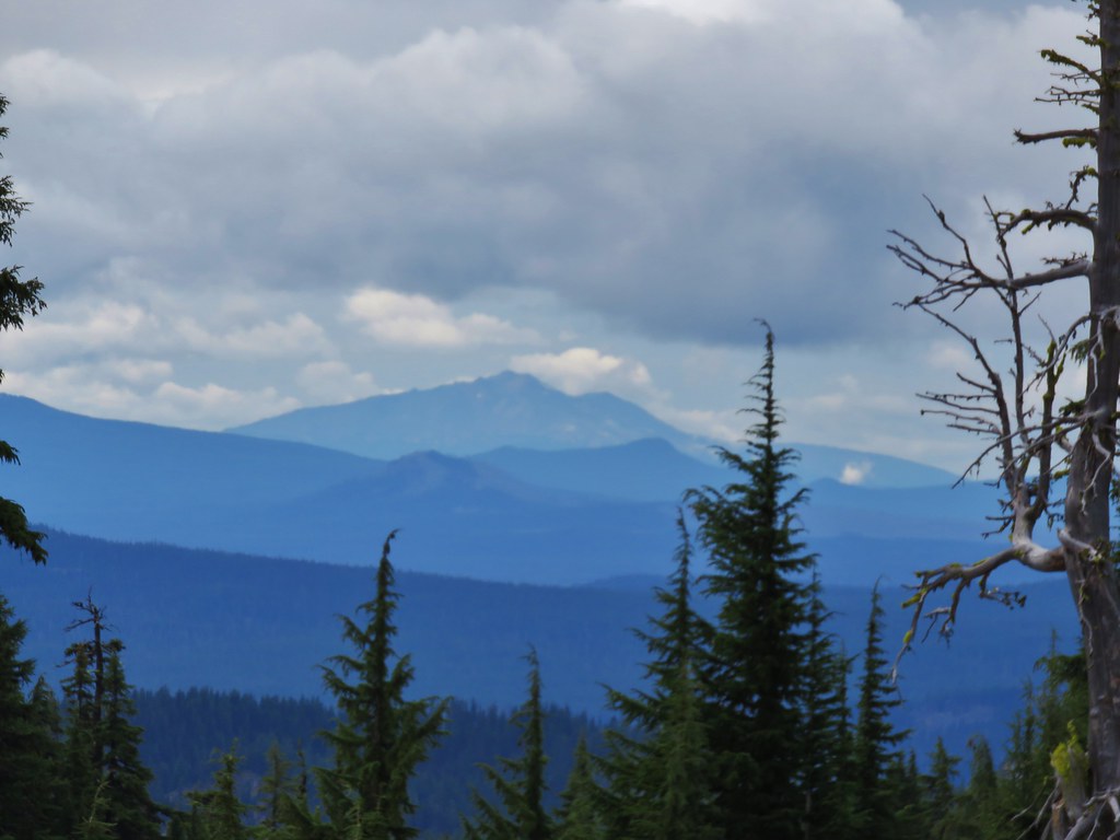
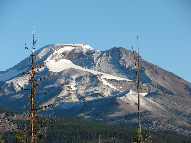
 Broken Top and the Three Sisters to the left with Mt. Jefferson to the right.
 Broken Top and the Three Sisters
 Mt. Jefferson
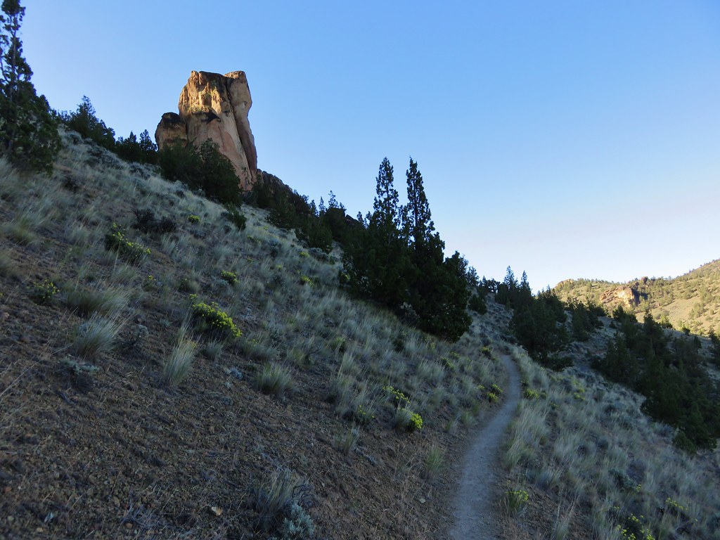
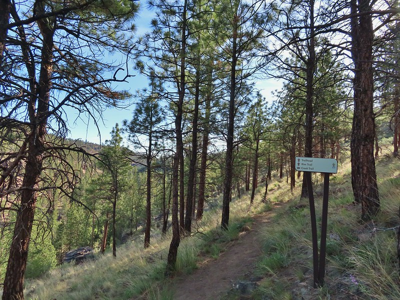
After taking in the view we returned to the fork and took a left to head into the Willow Creek Canyon. The trail made a quick climb then dropped to another crossing of SW Canyon Road.
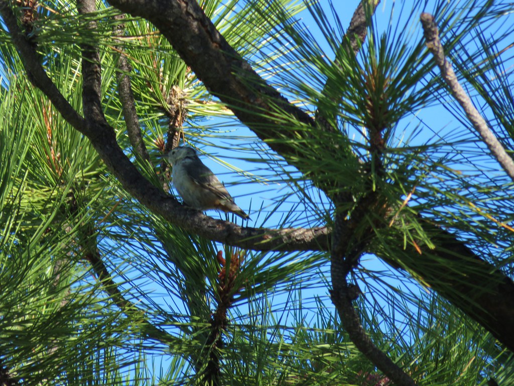
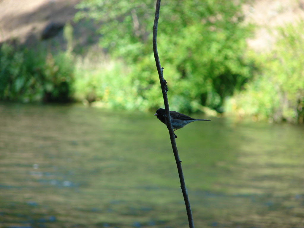
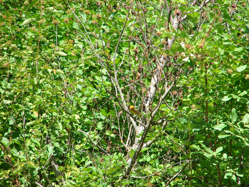
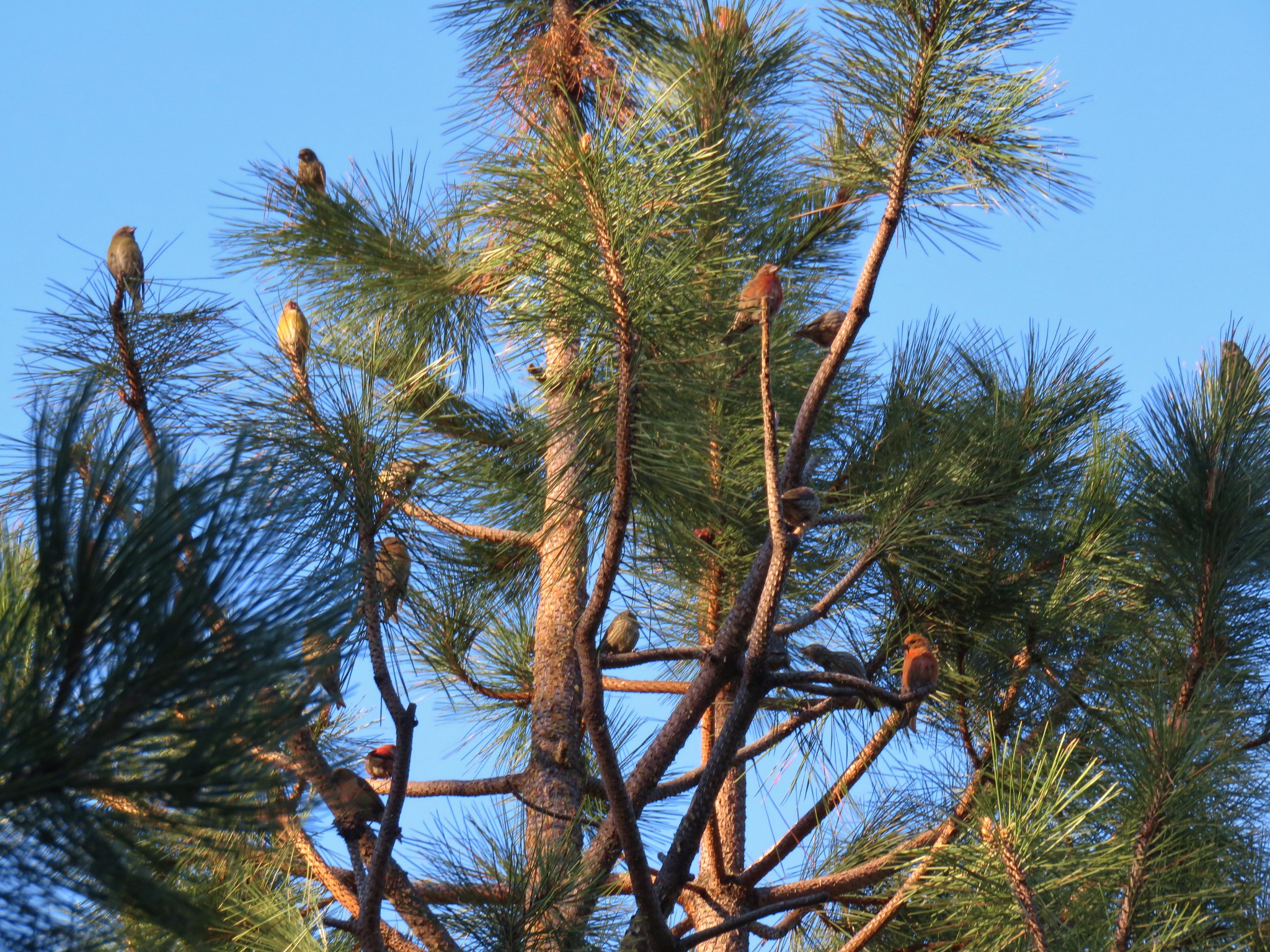
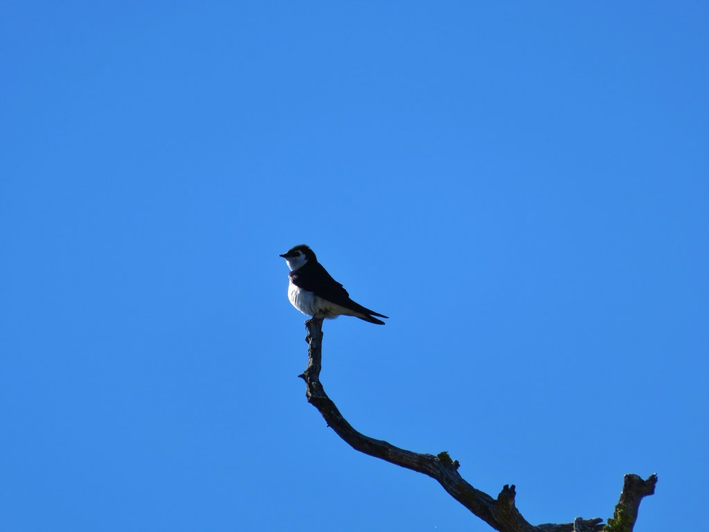
 Ash-throated flycatcher


On the far side of the road the trail became gravel before giving way to dirt.

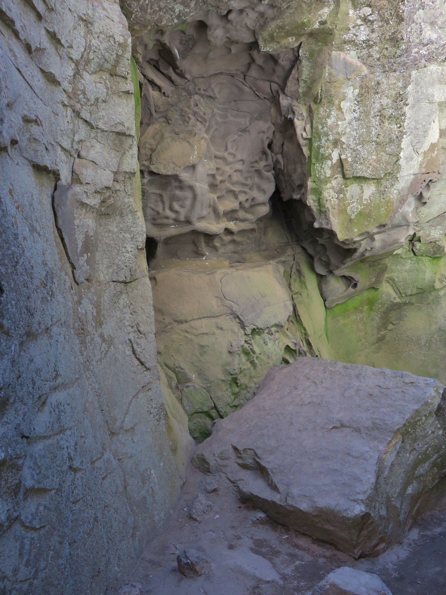
 Passing under a trestle and a siphon pipe.
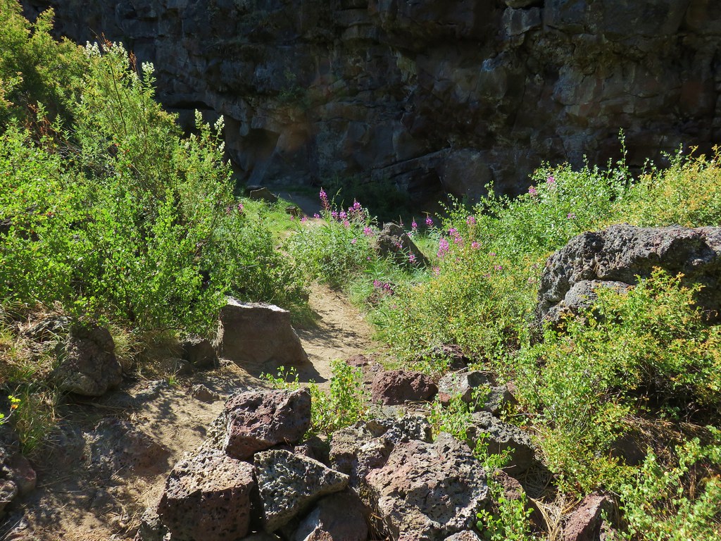
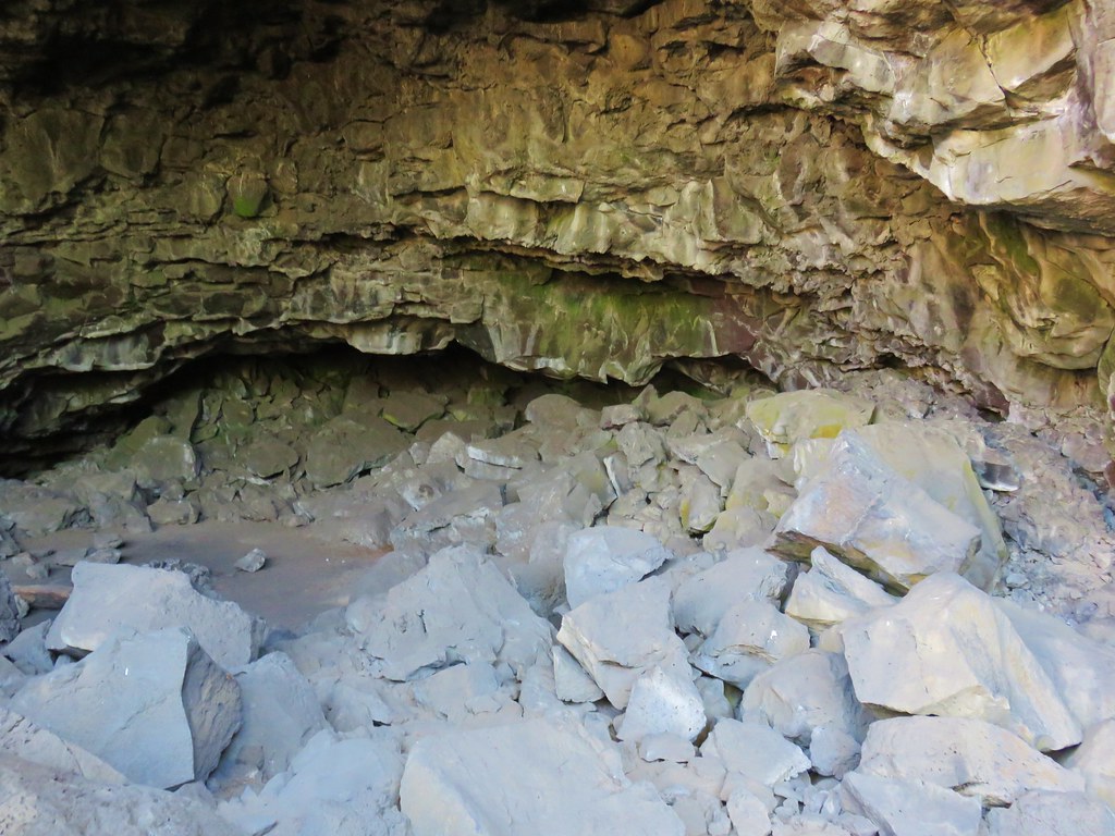
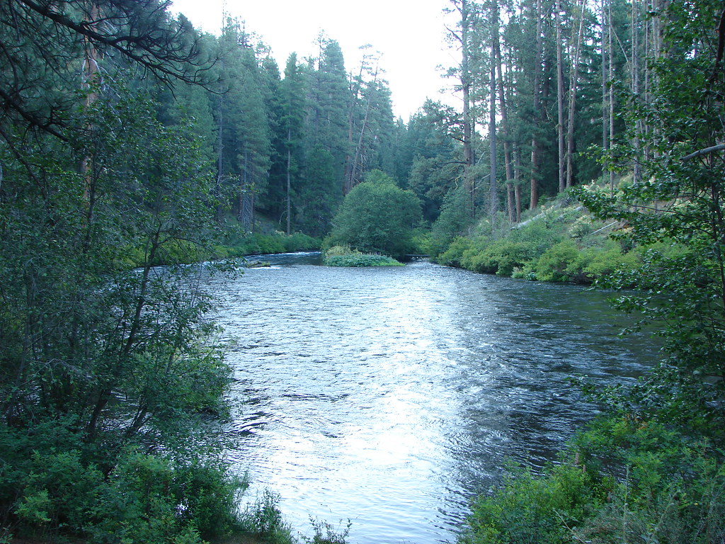
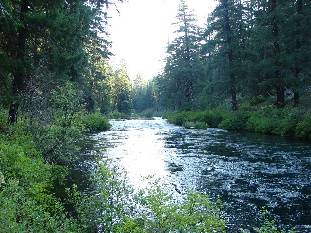
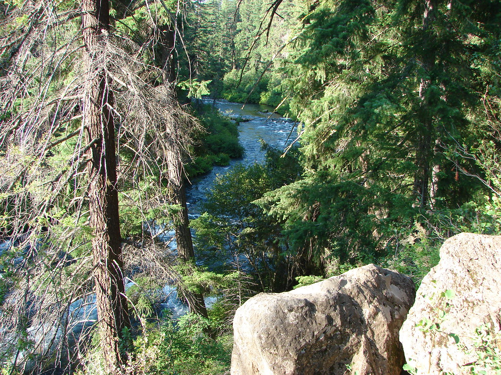
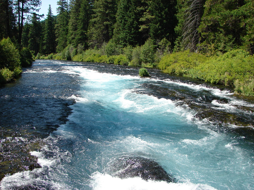
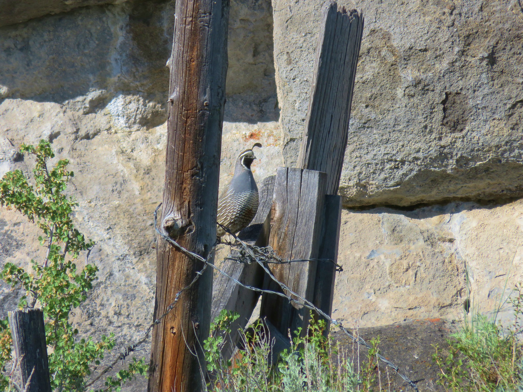
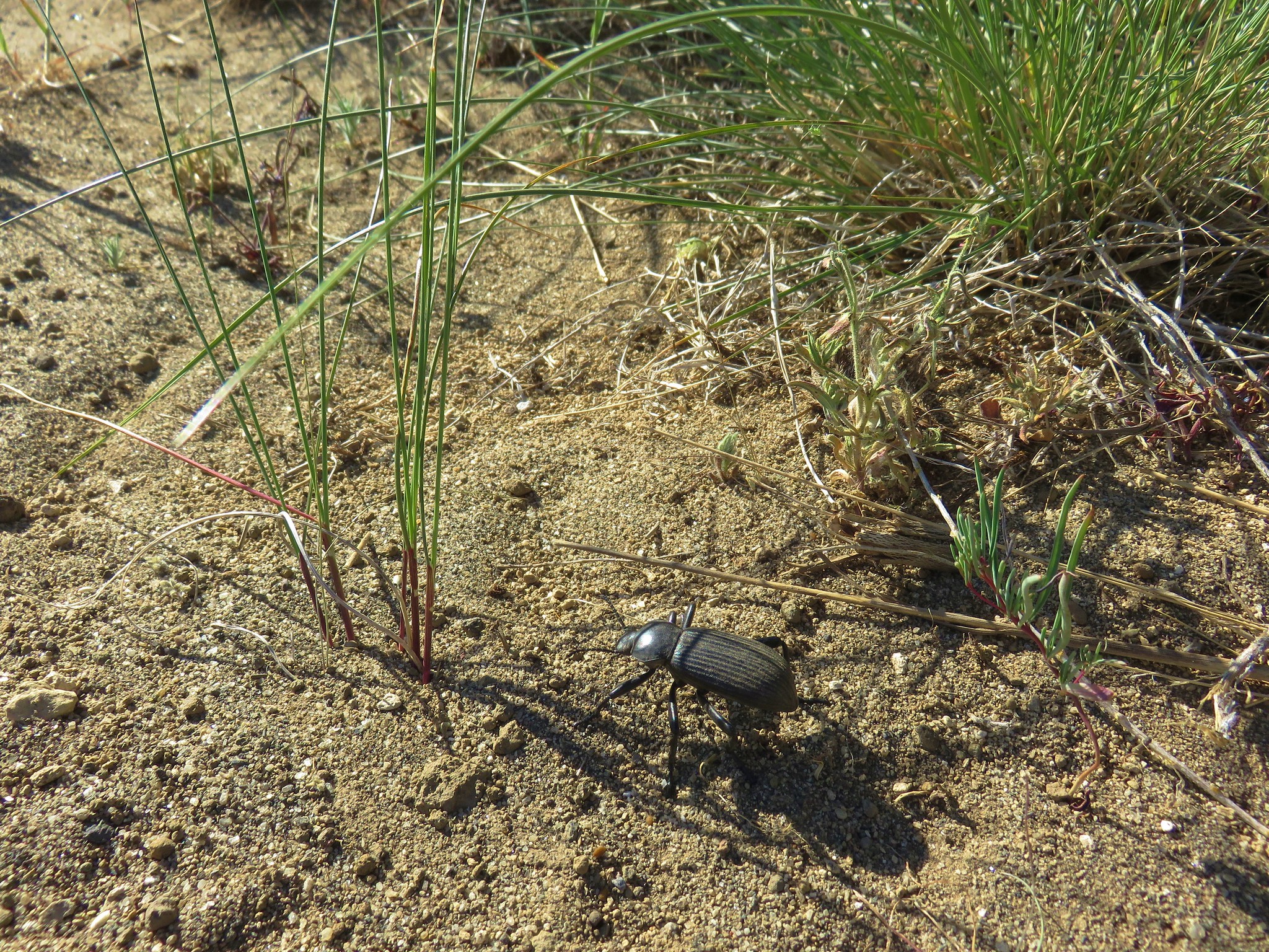
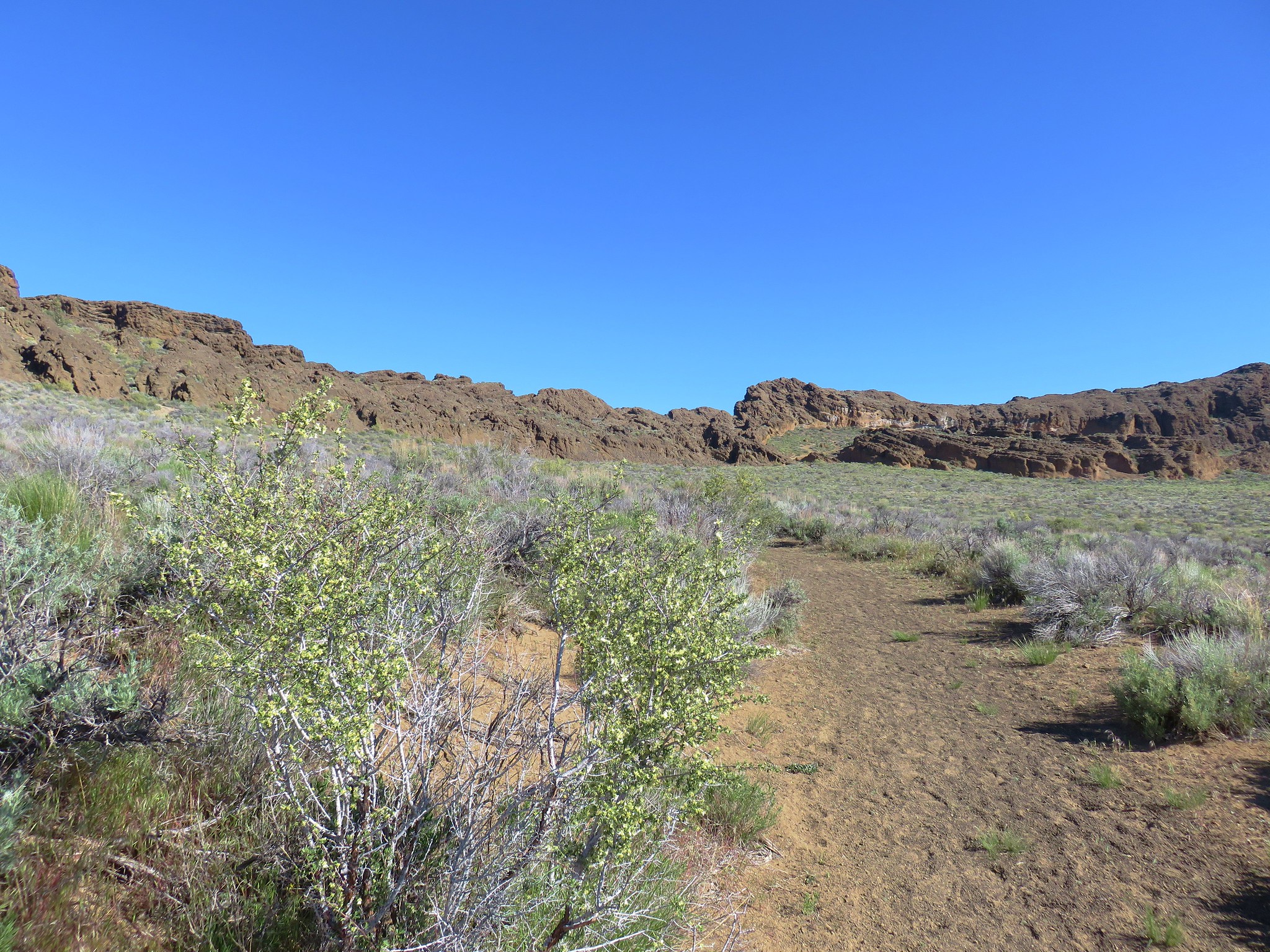
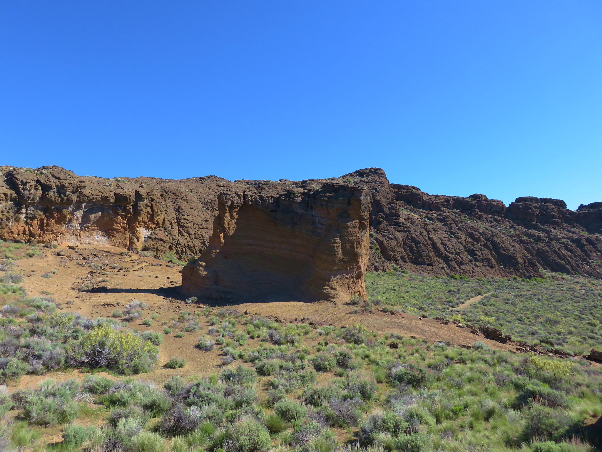
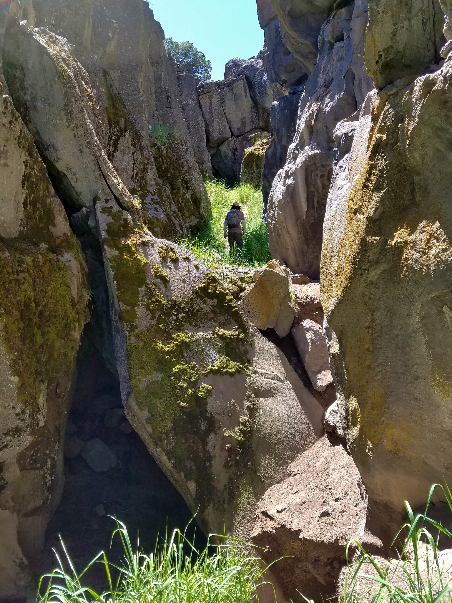
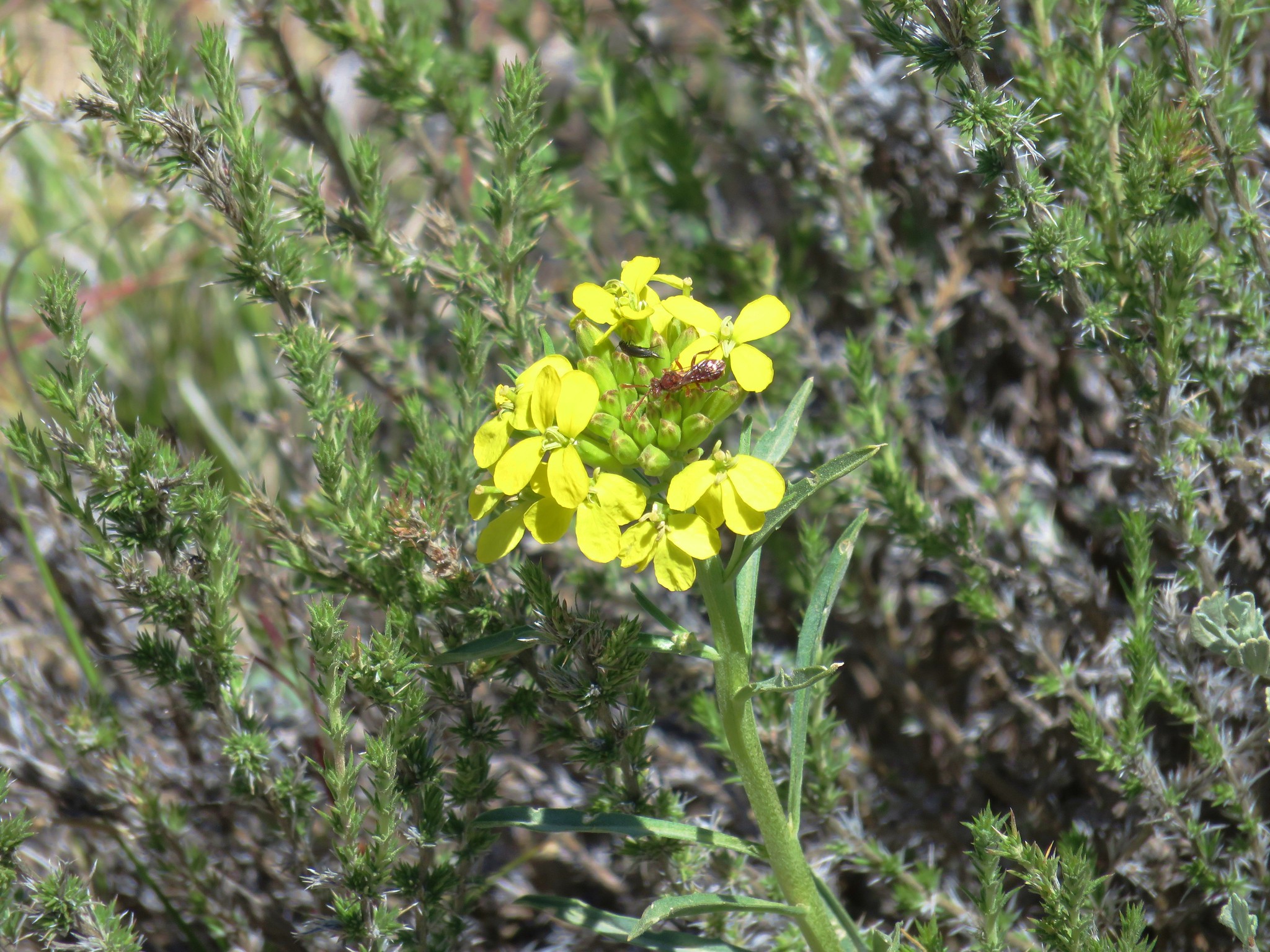
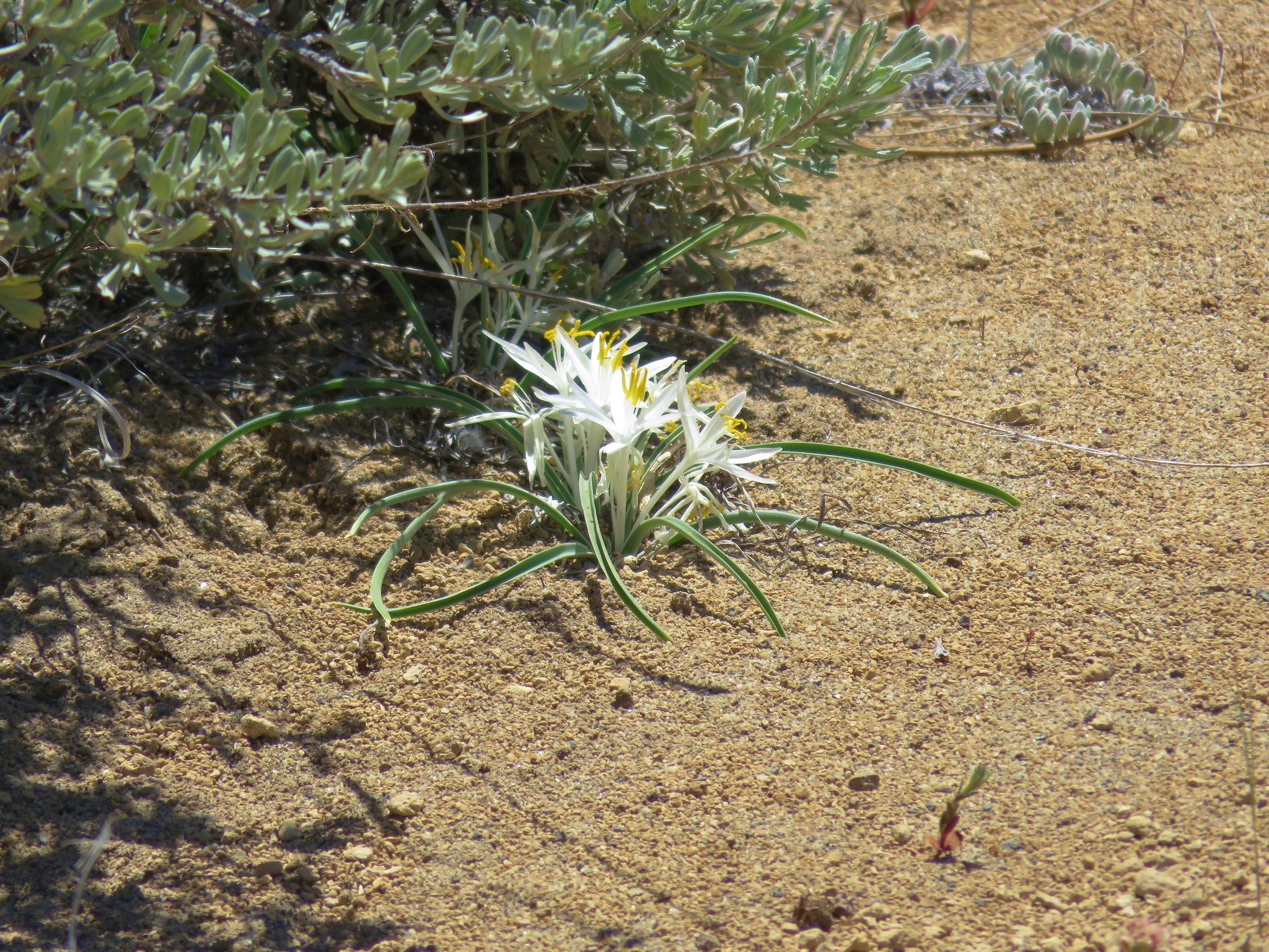
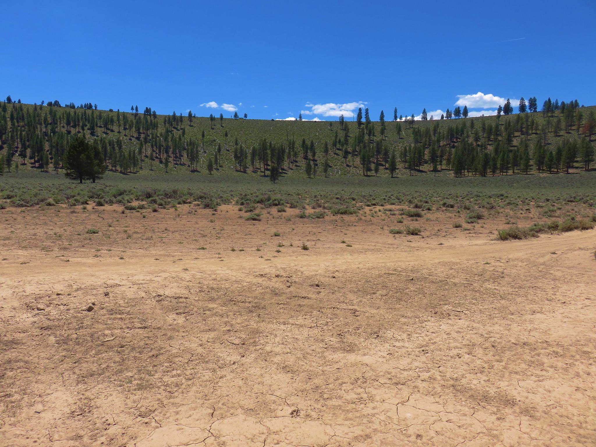
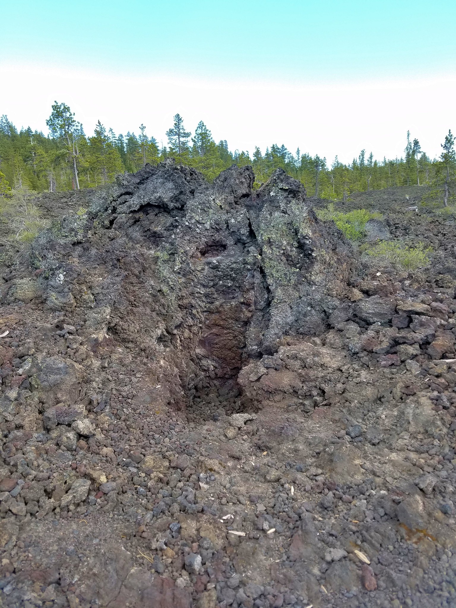
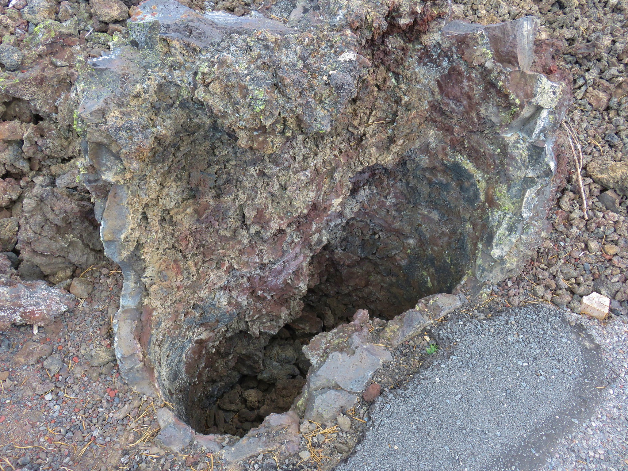
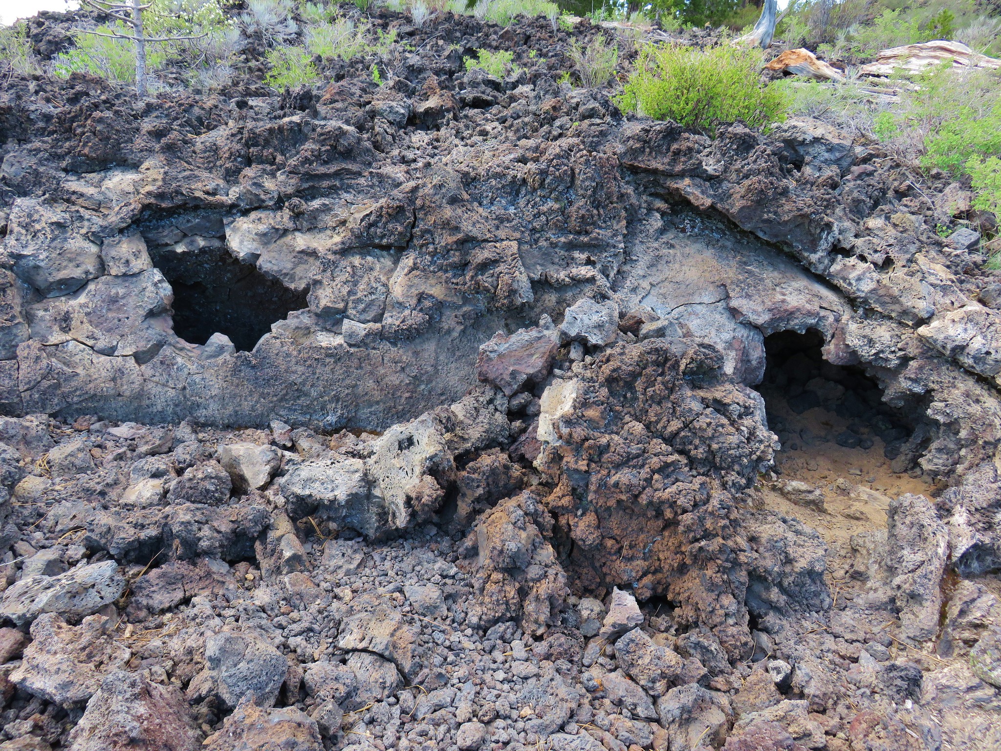
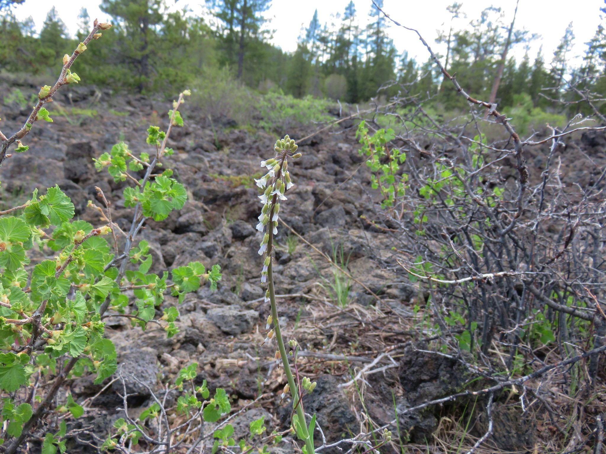
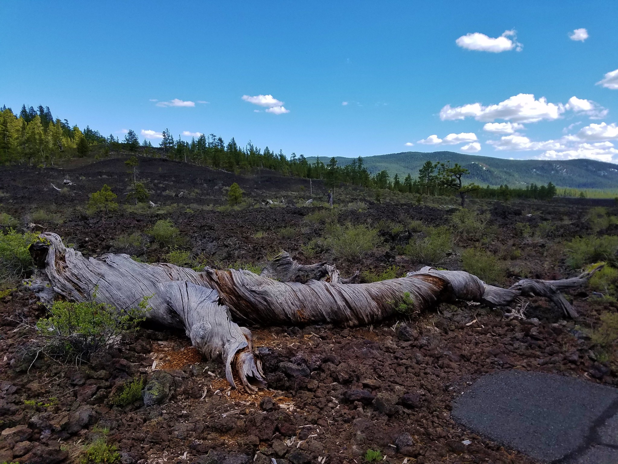
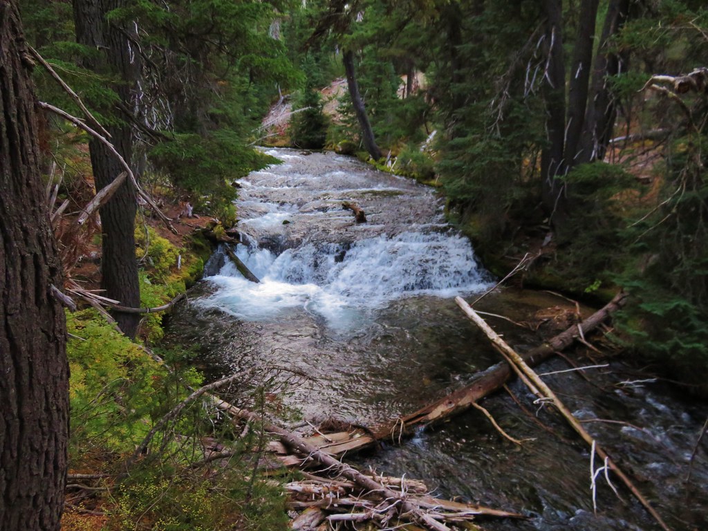
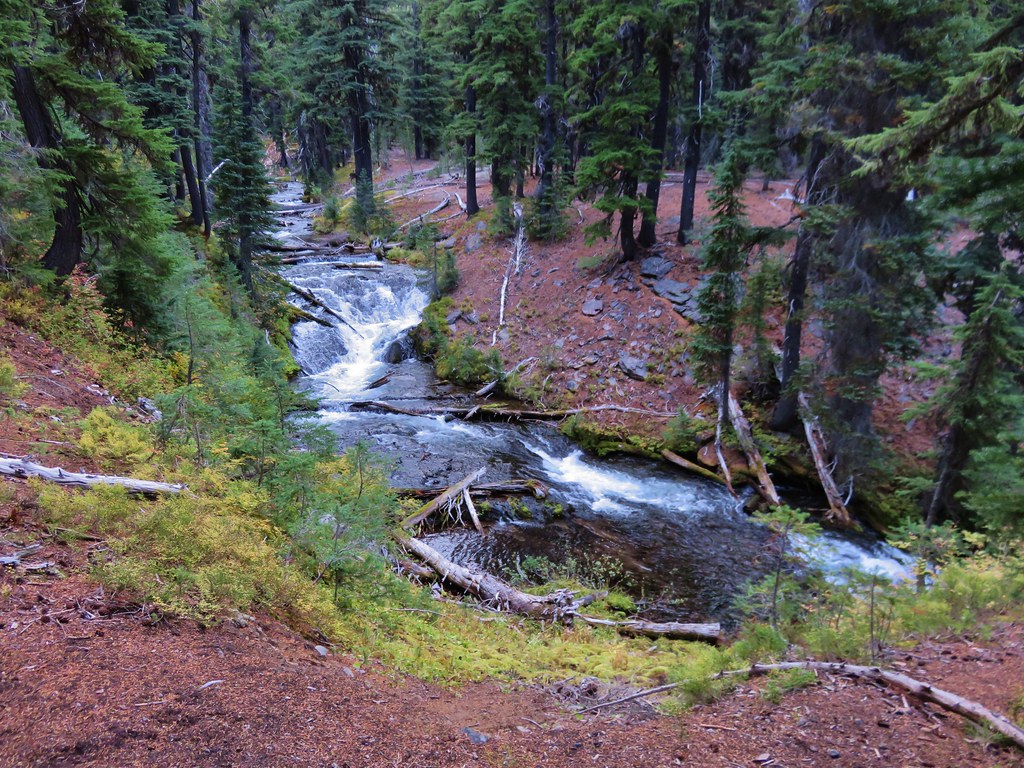
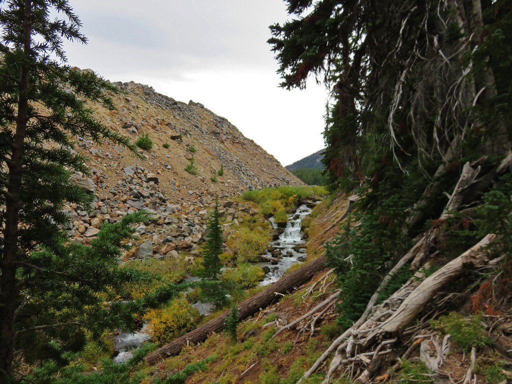
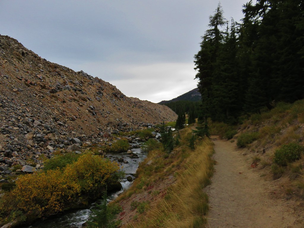
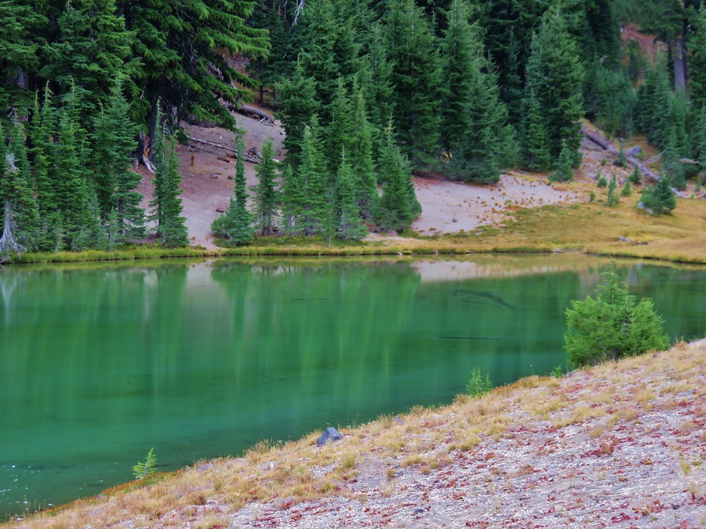
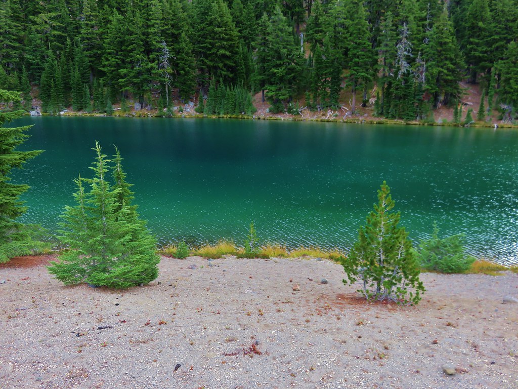
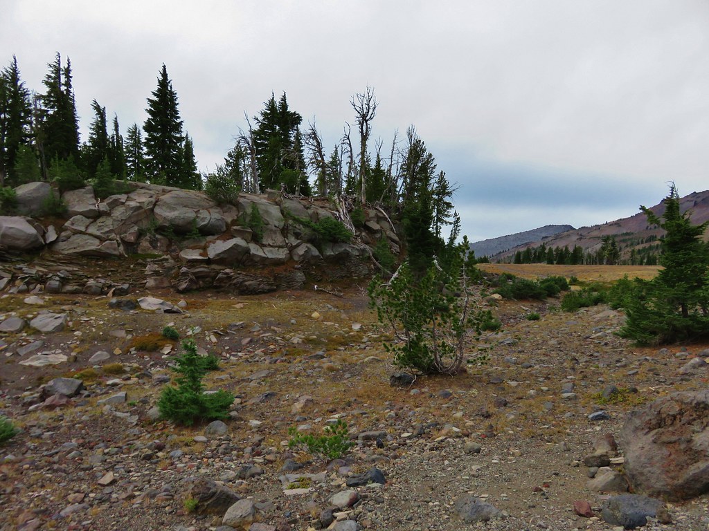
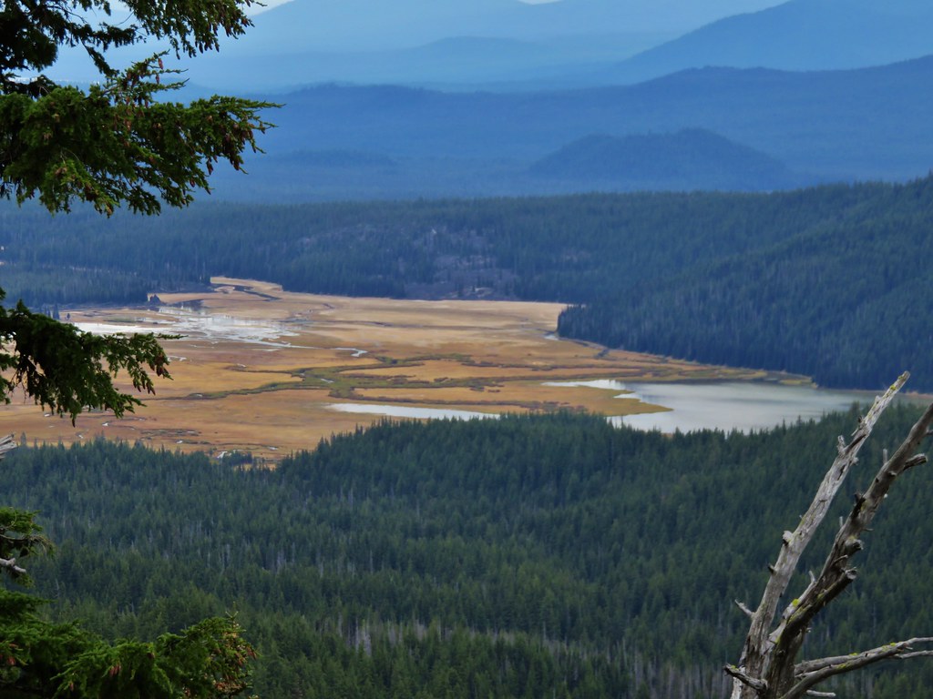
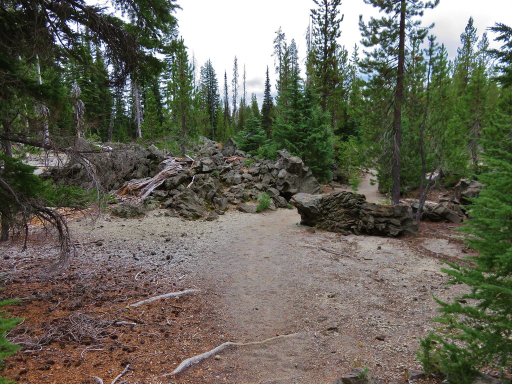
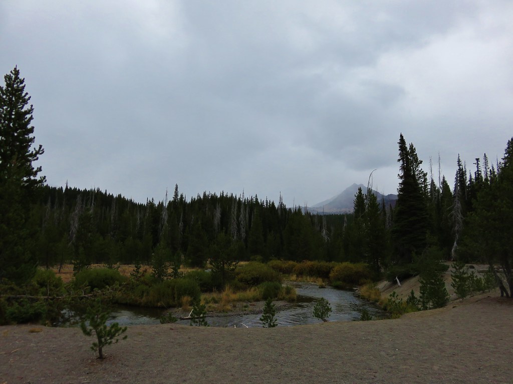
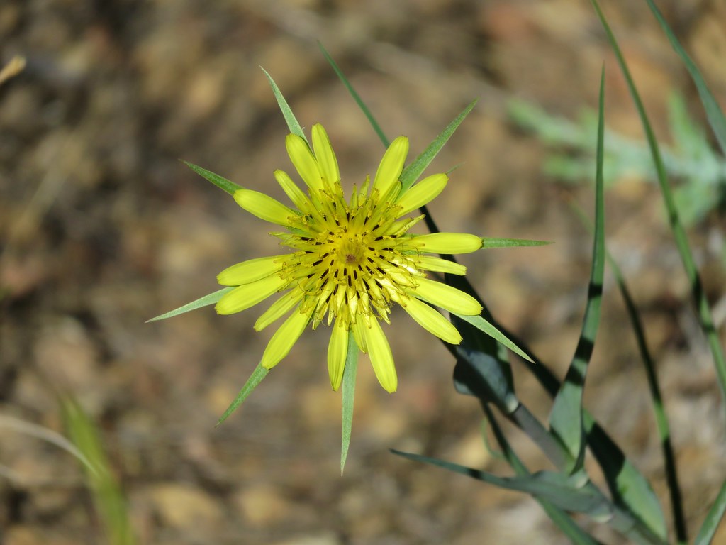
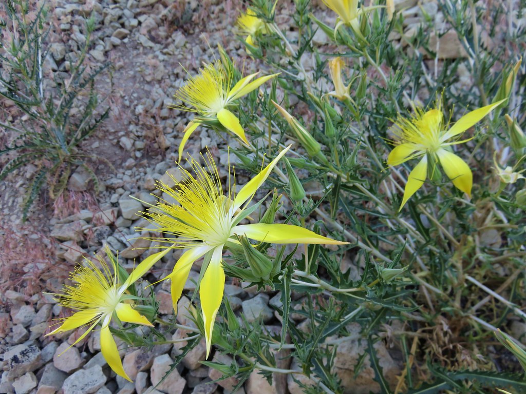
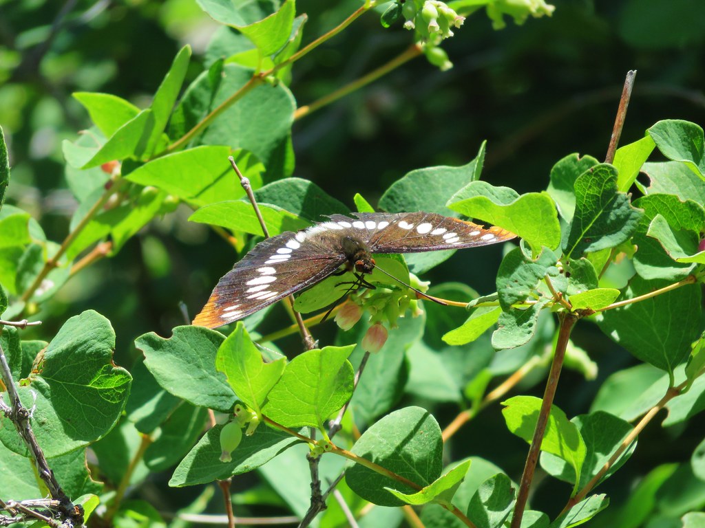
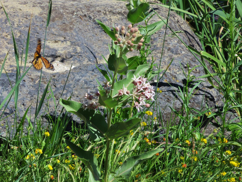
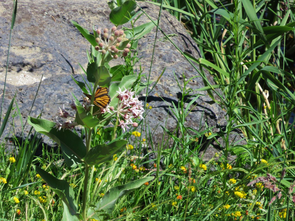
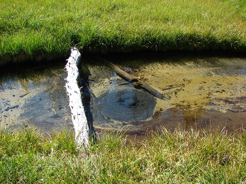
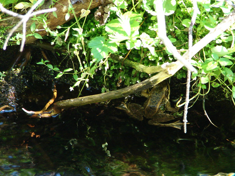
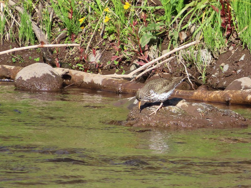
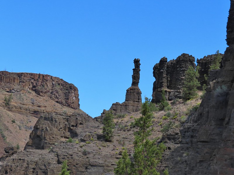
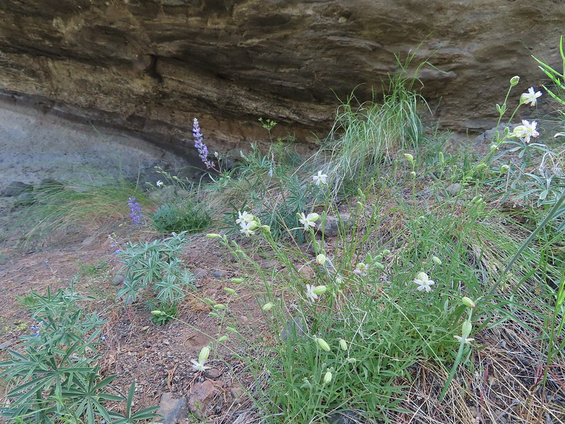
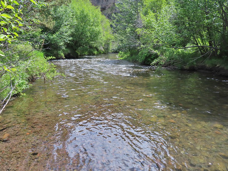
We continued approximately 2.5-miles after crossing the road turning around at a junction with the former Willow Creek Road. The scenery was great in the canyon with lots of flowers and birds and we didn’t see any snakes.

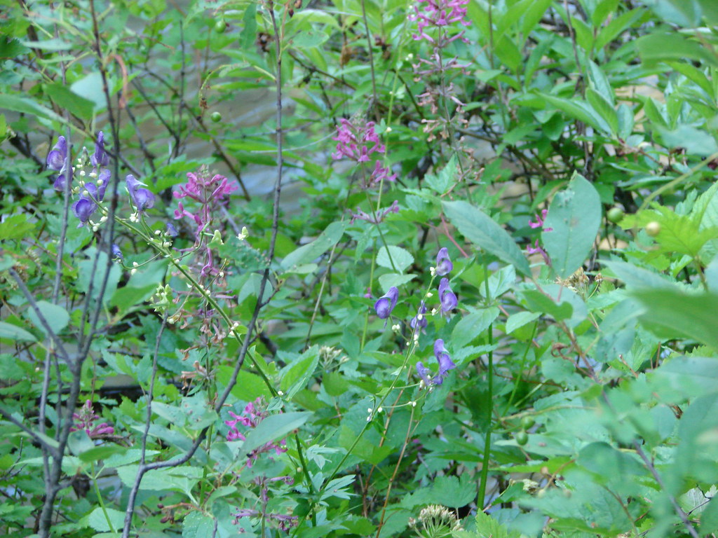
 Lupin
Lupin
 A lomatium
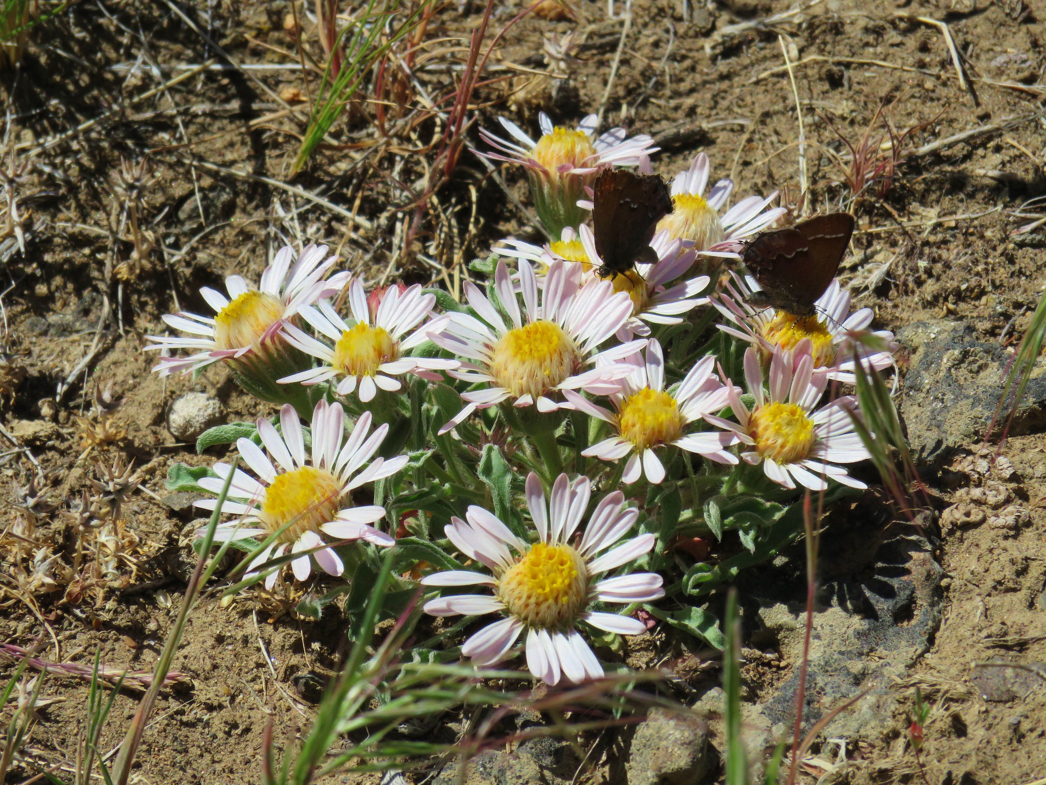
 Ringlet

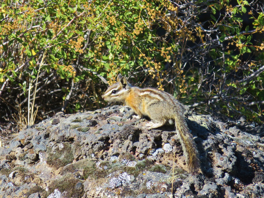
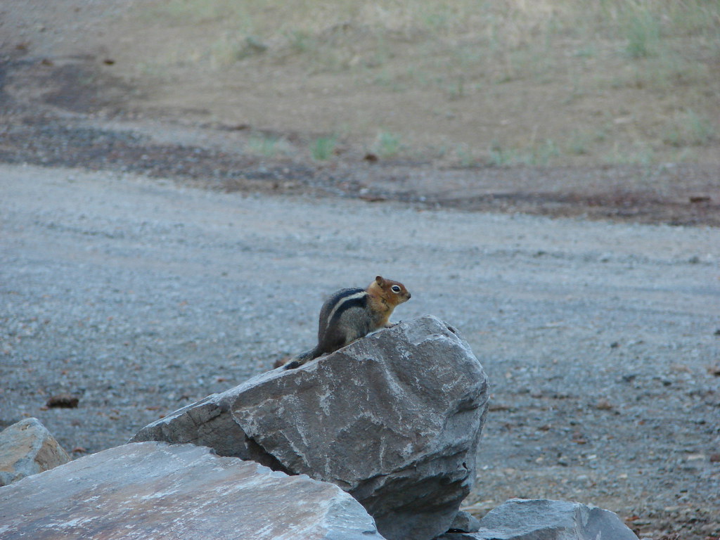
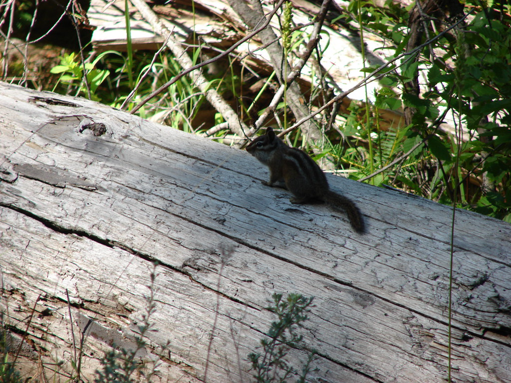
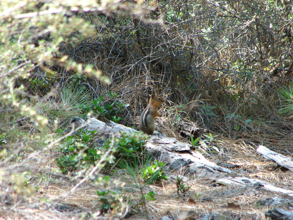
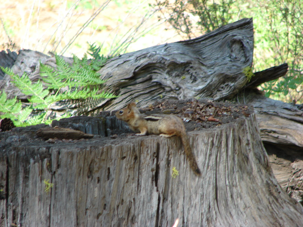
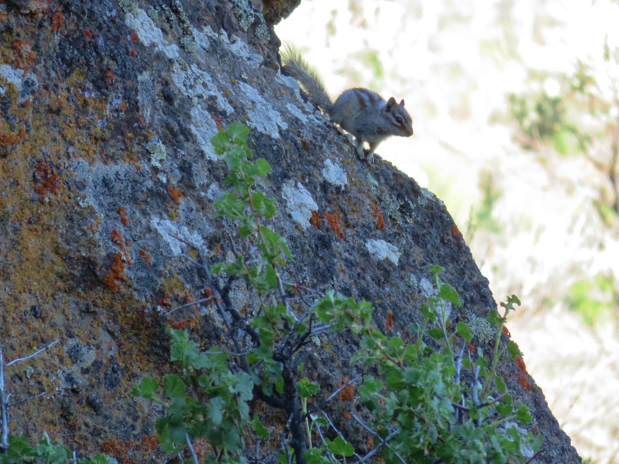
 Ground squirrel
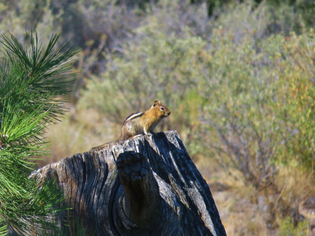
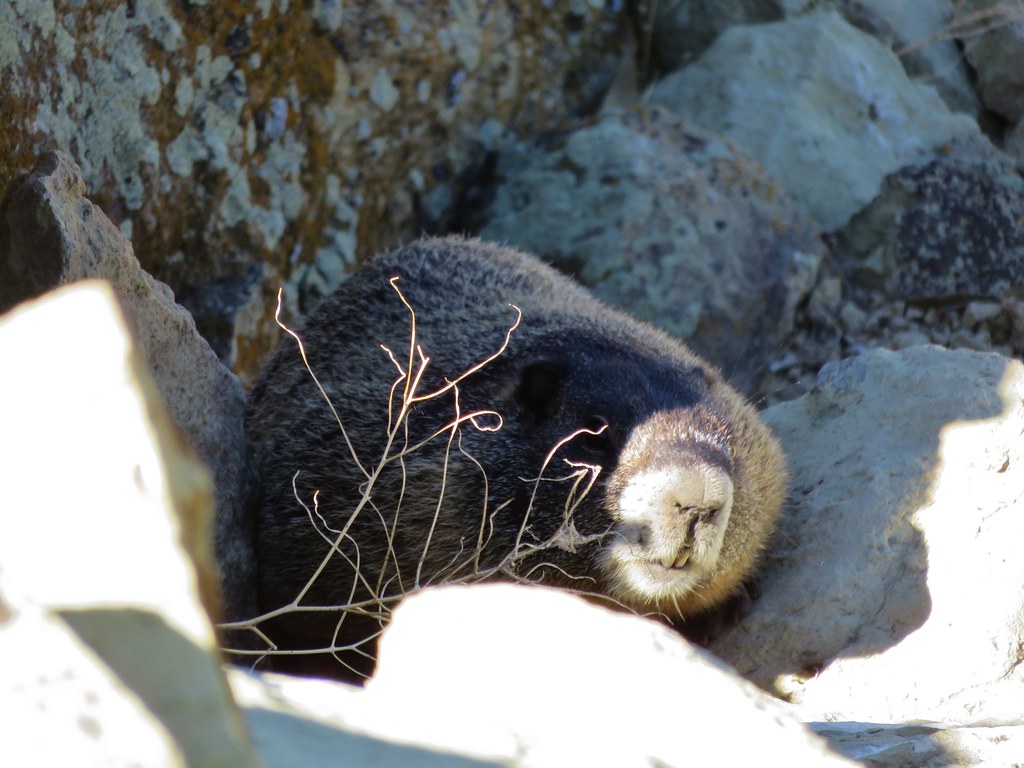
 Marmot
 Crossing the dry bed of Willow Creek.
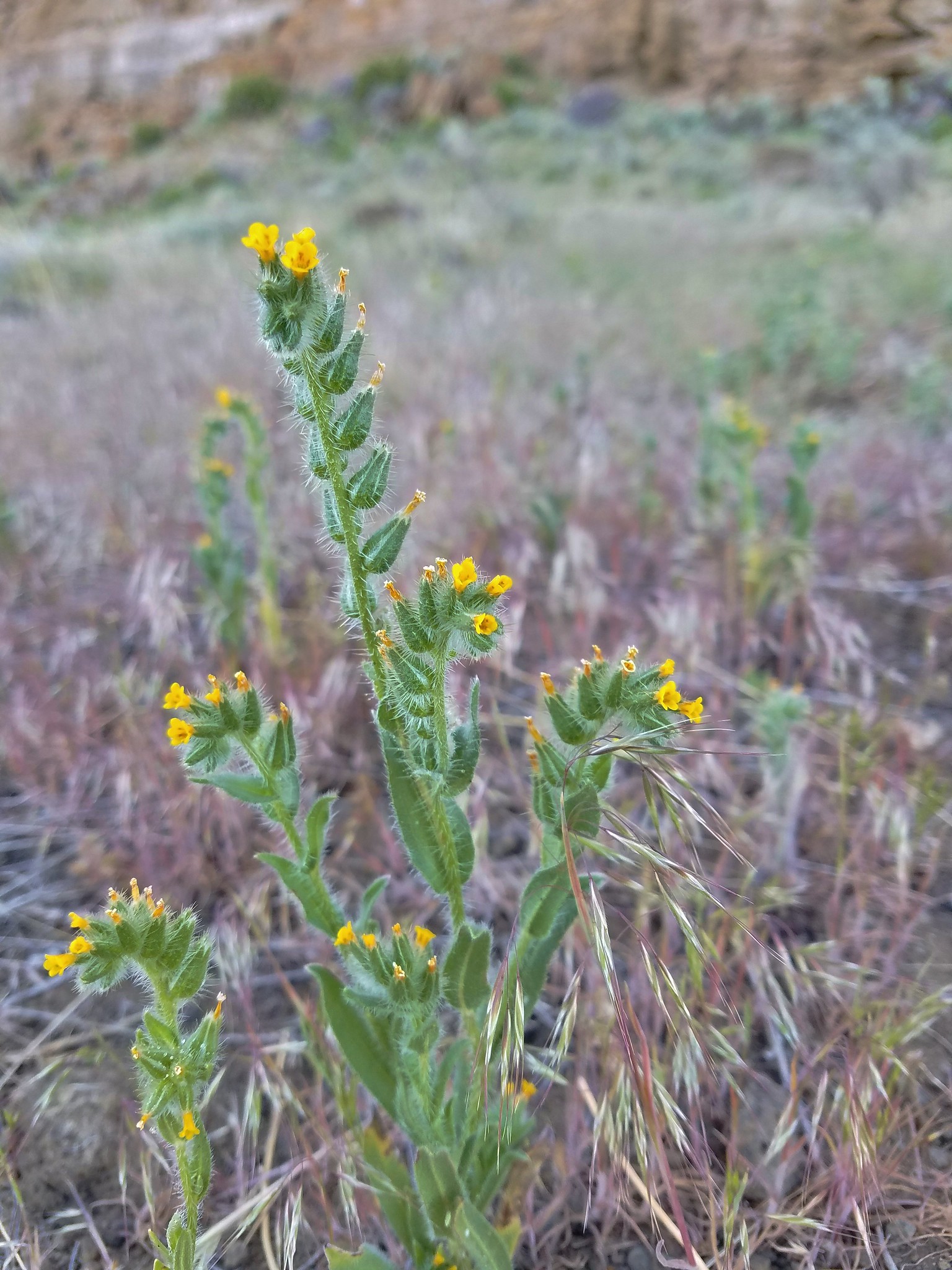
 Fiddleneck
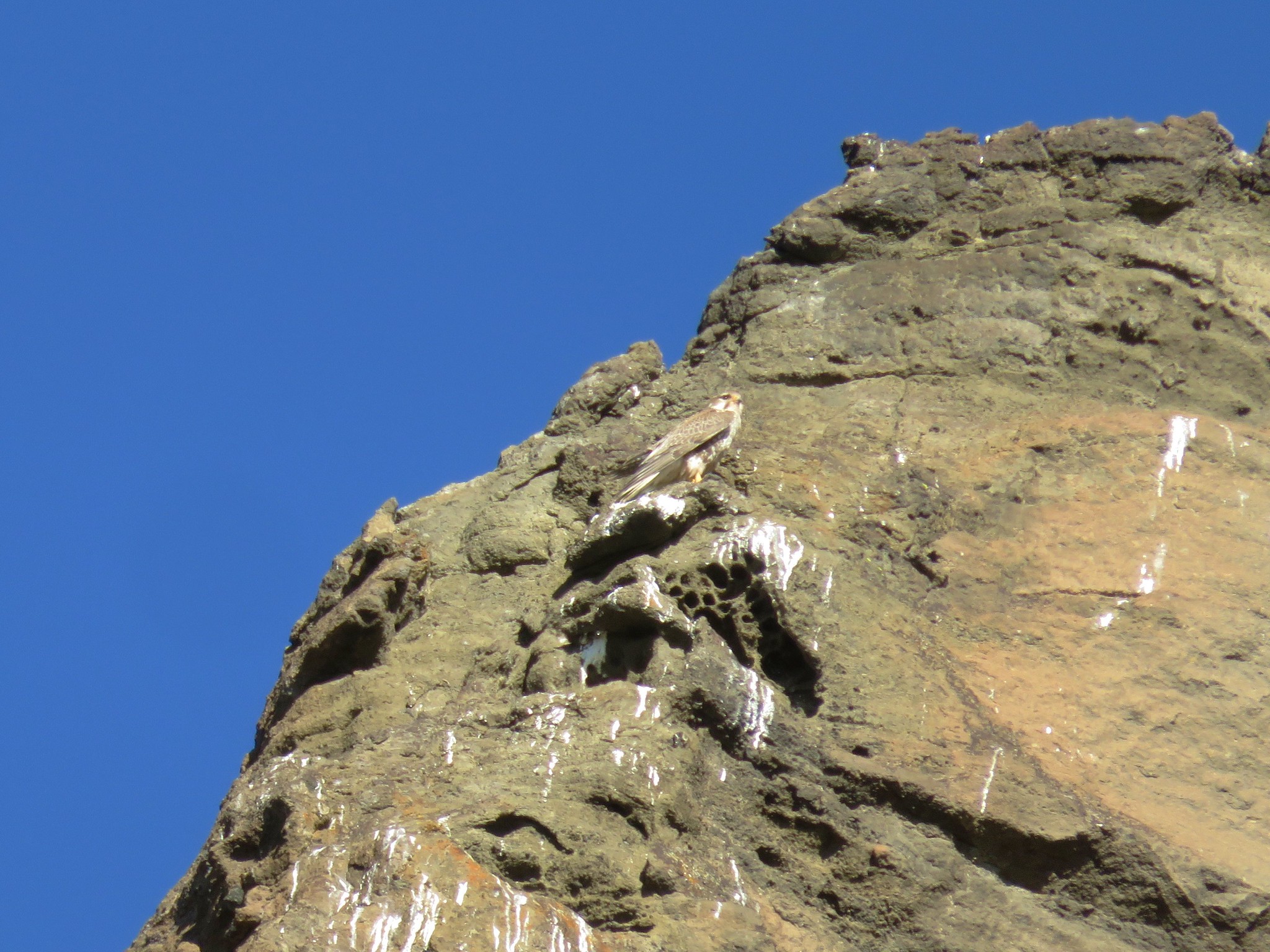
 Hawk
Hawk
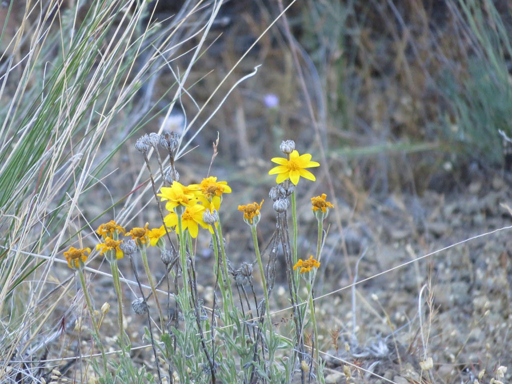
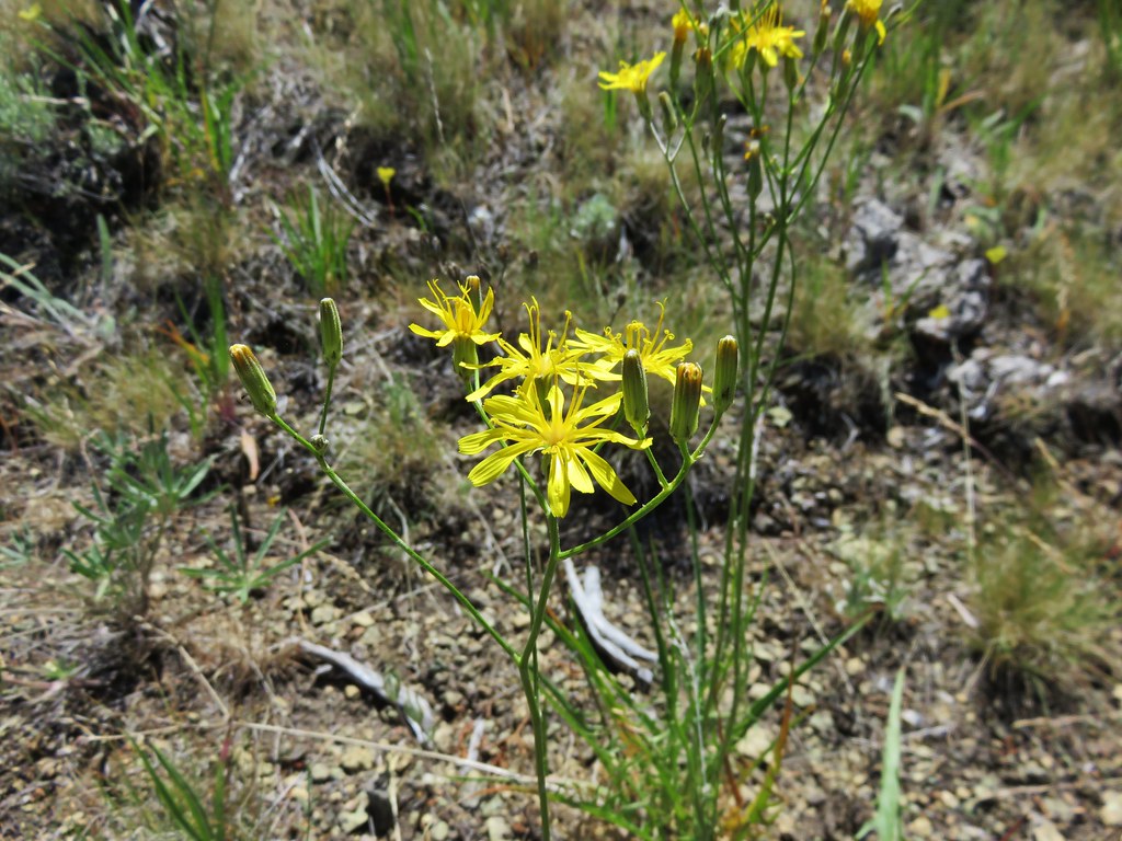
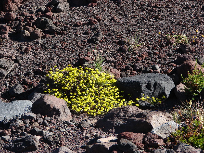
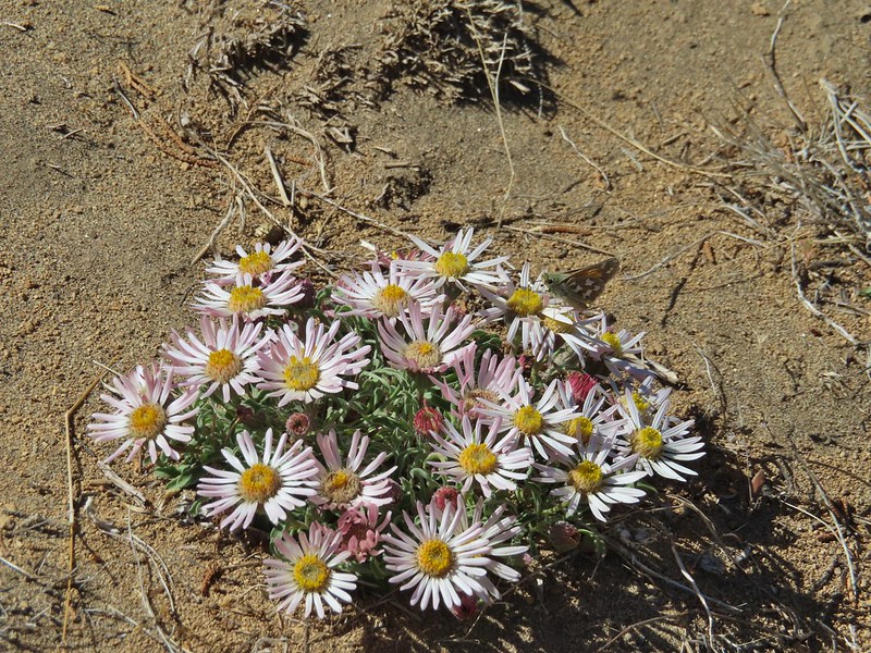
 Desert yellow fleabane
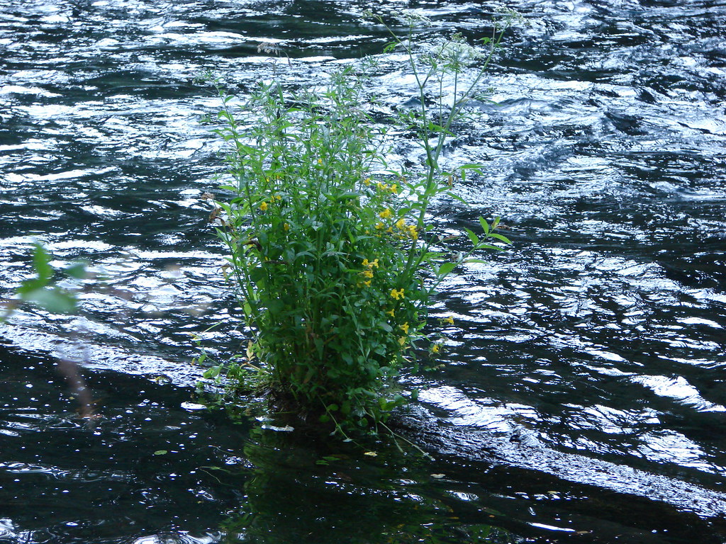
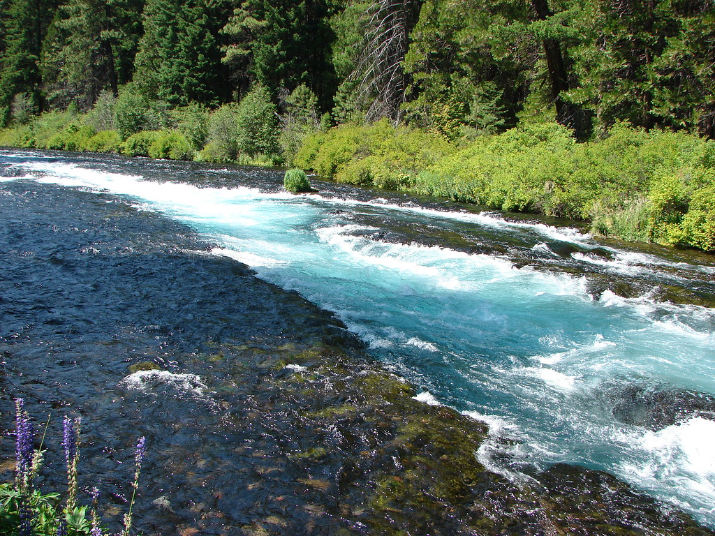
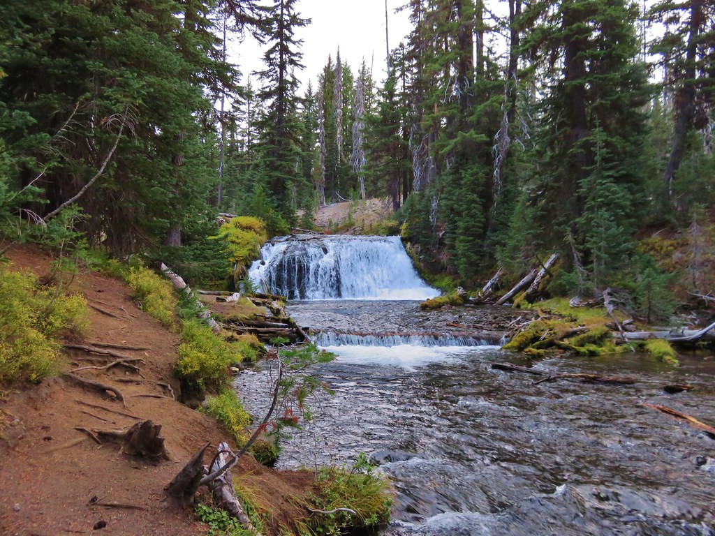
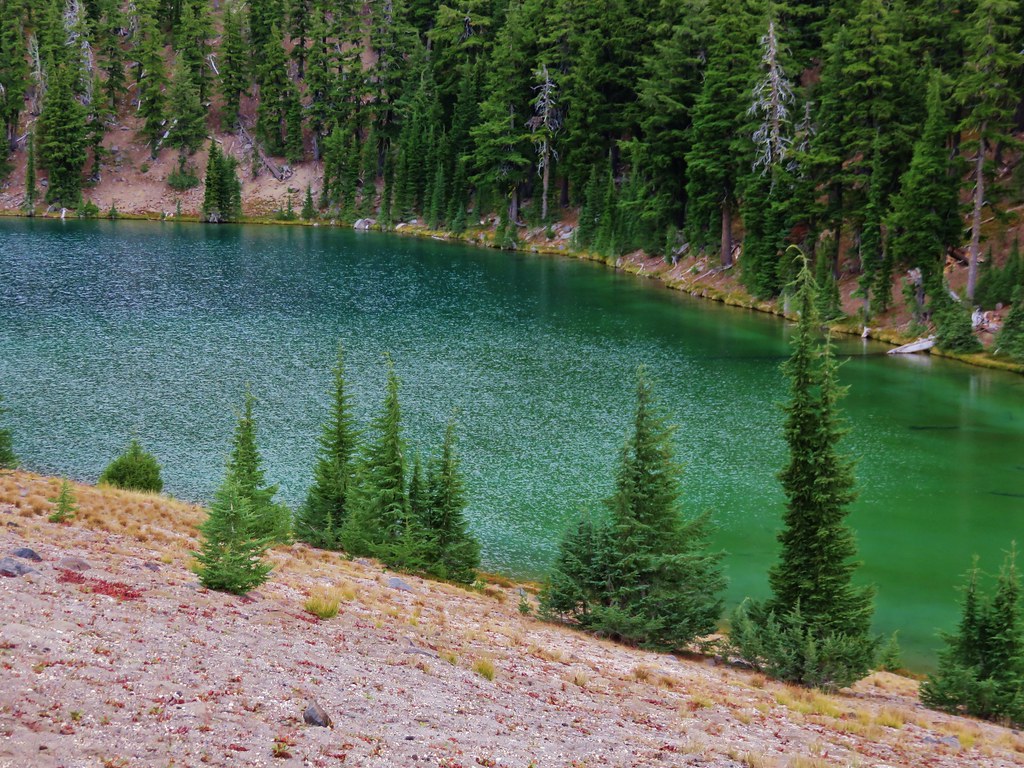
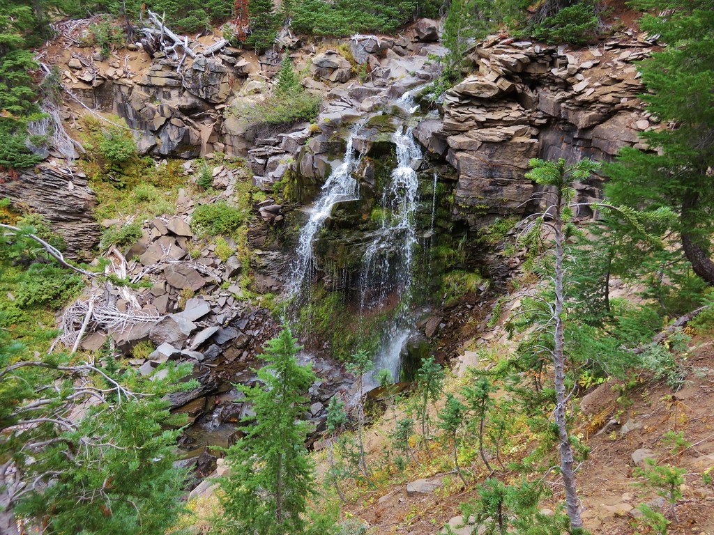
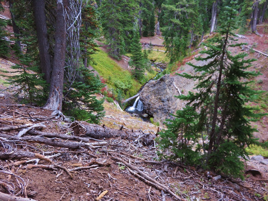
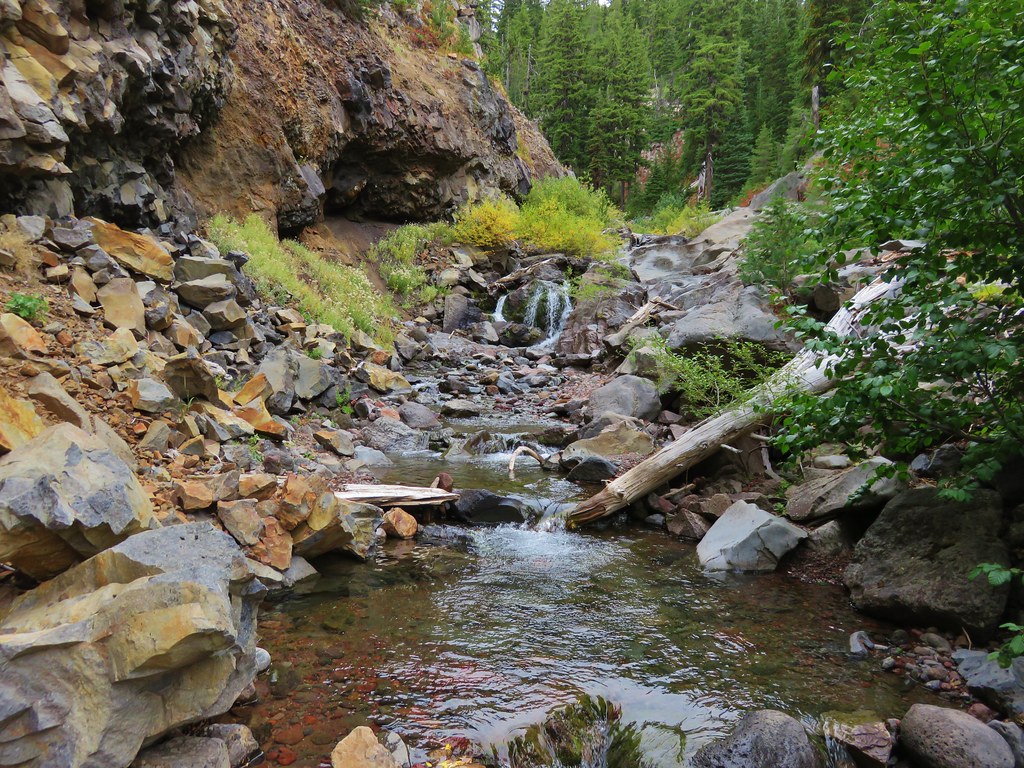
 Small cascade flowing into Willow Creek.


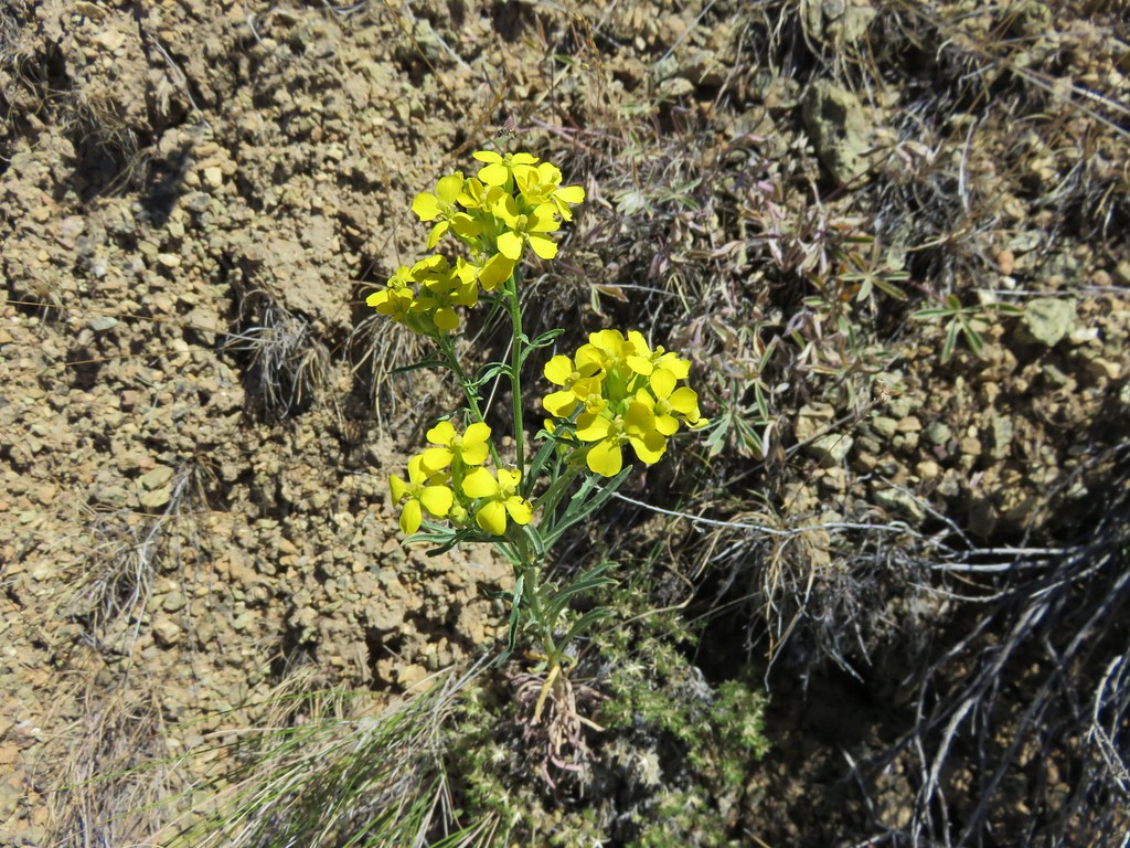
 cut-leaf thelypody
 Carey’s balsamroot
 Rocky Mountain iris

 Lazuli bunting
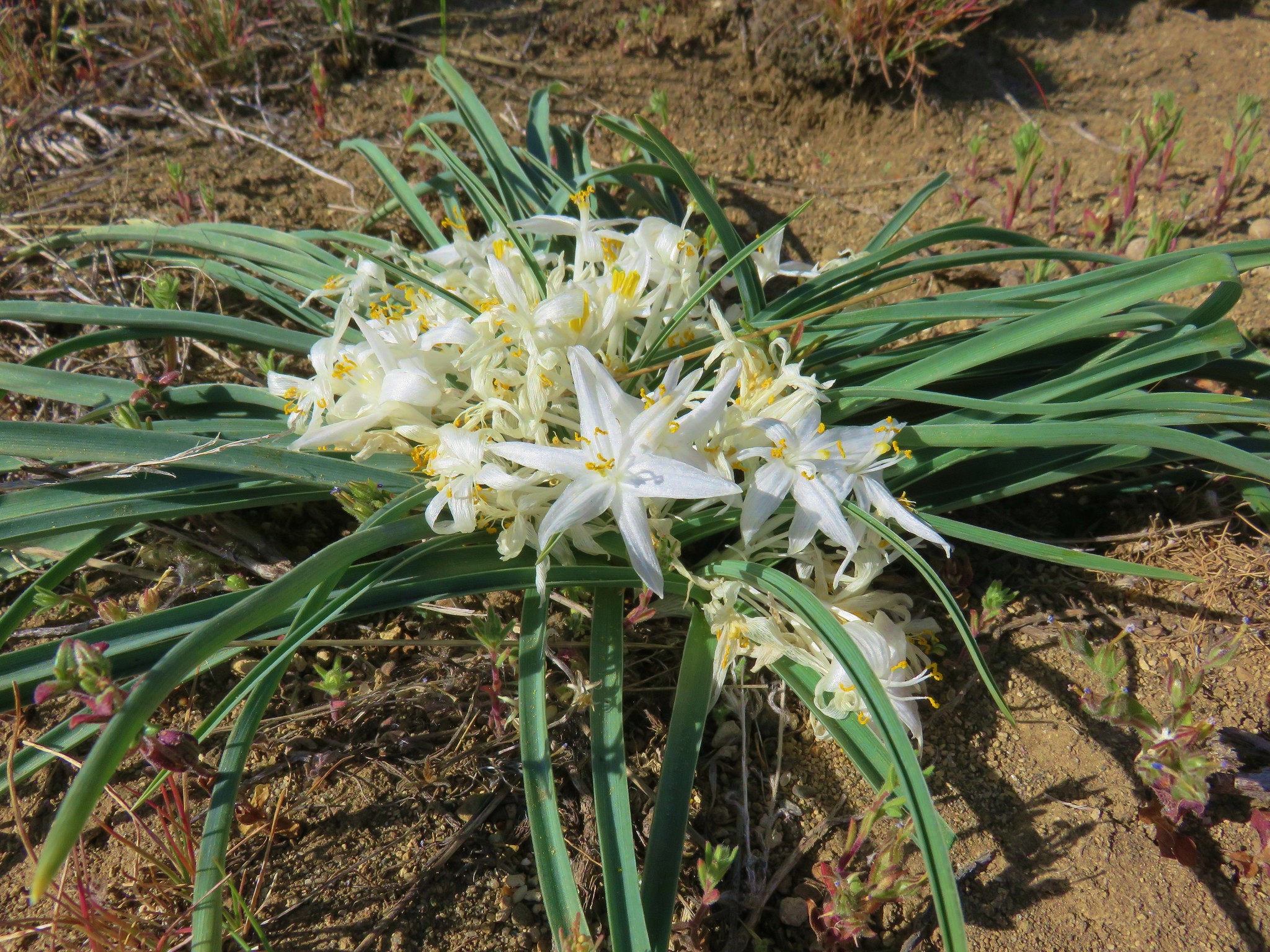
 Taper-tip onion

 Bullock’s oriole near the top of the photo.
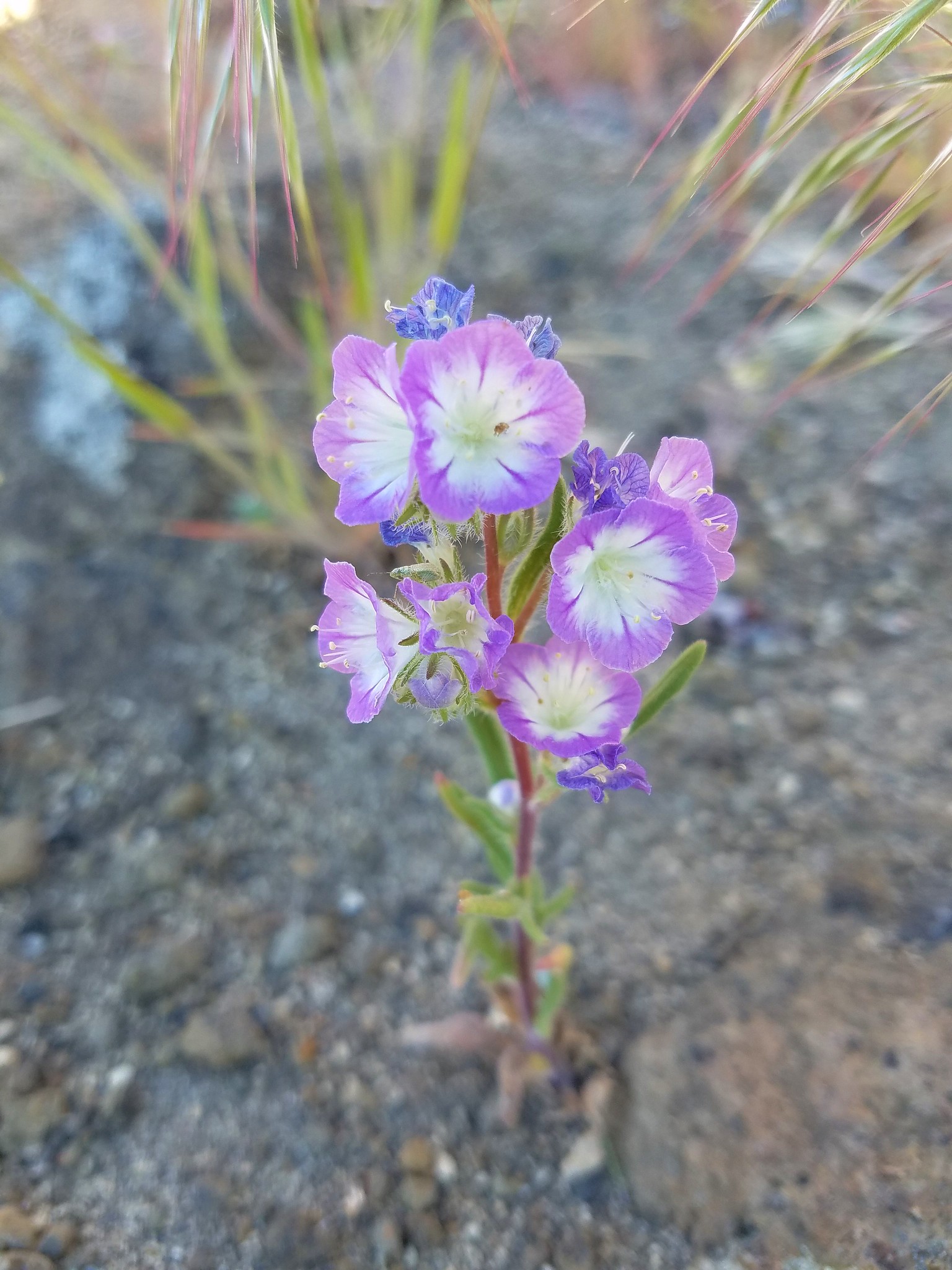
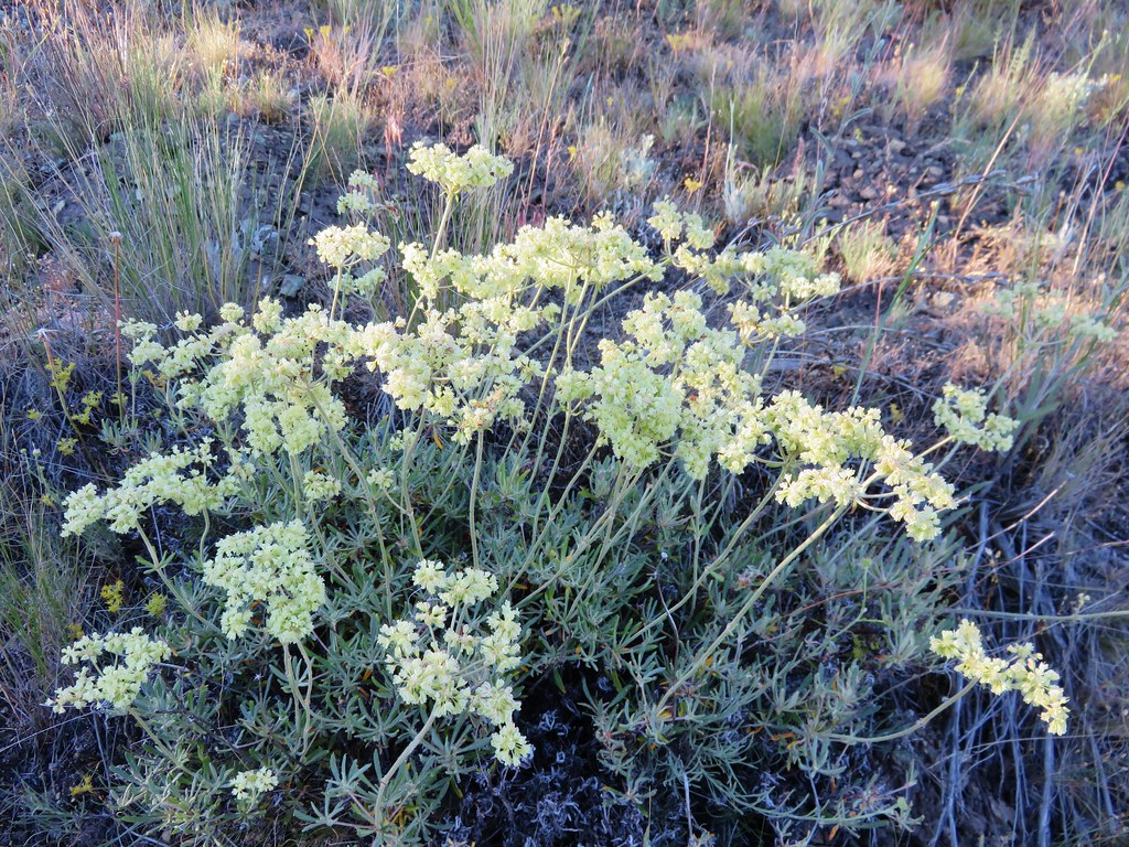
 Silverleaf phacelia
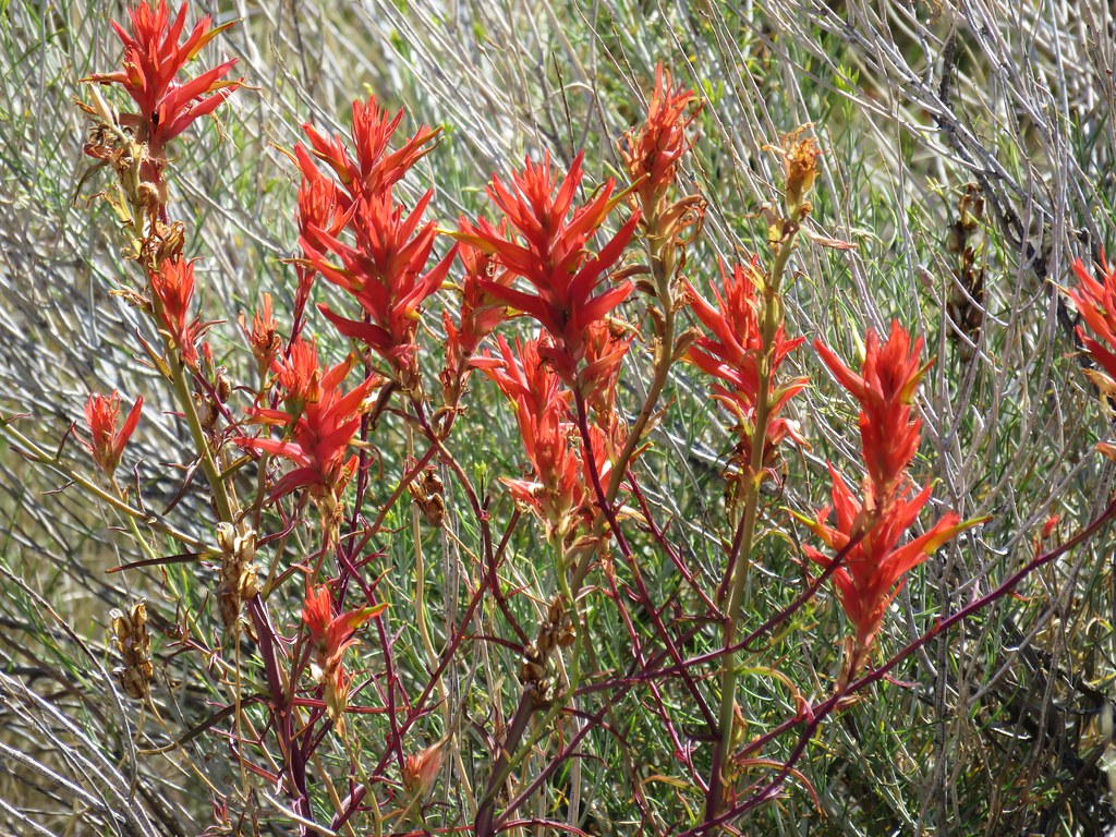
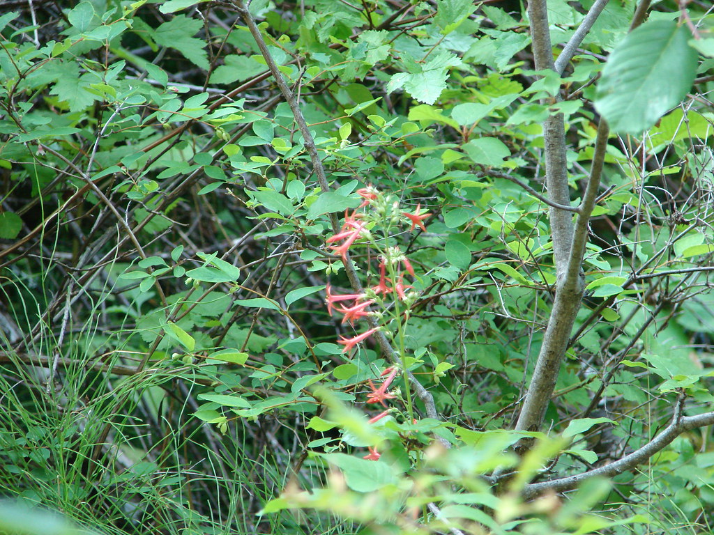
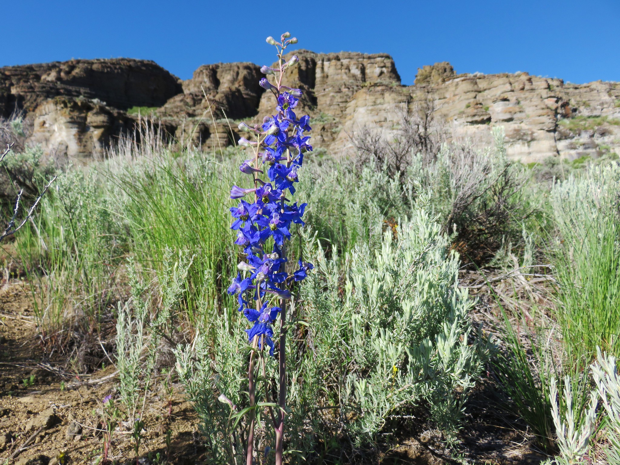
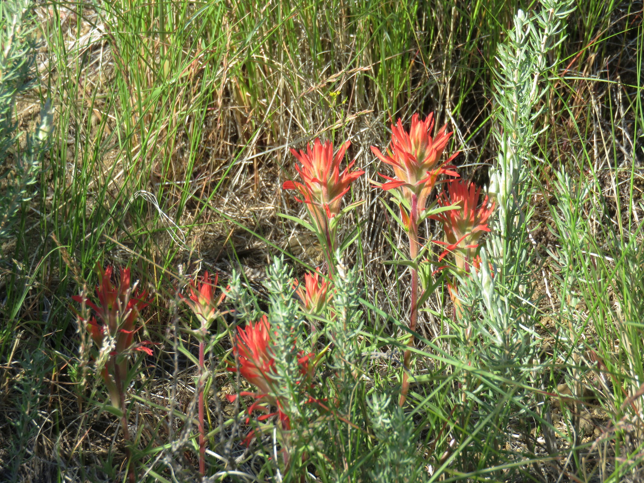
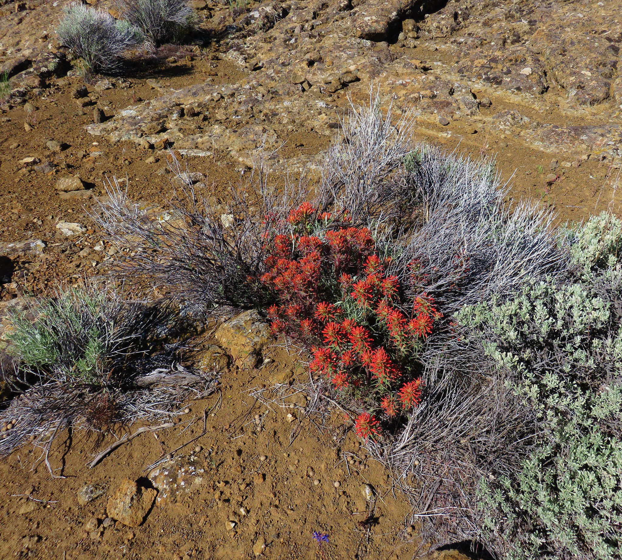
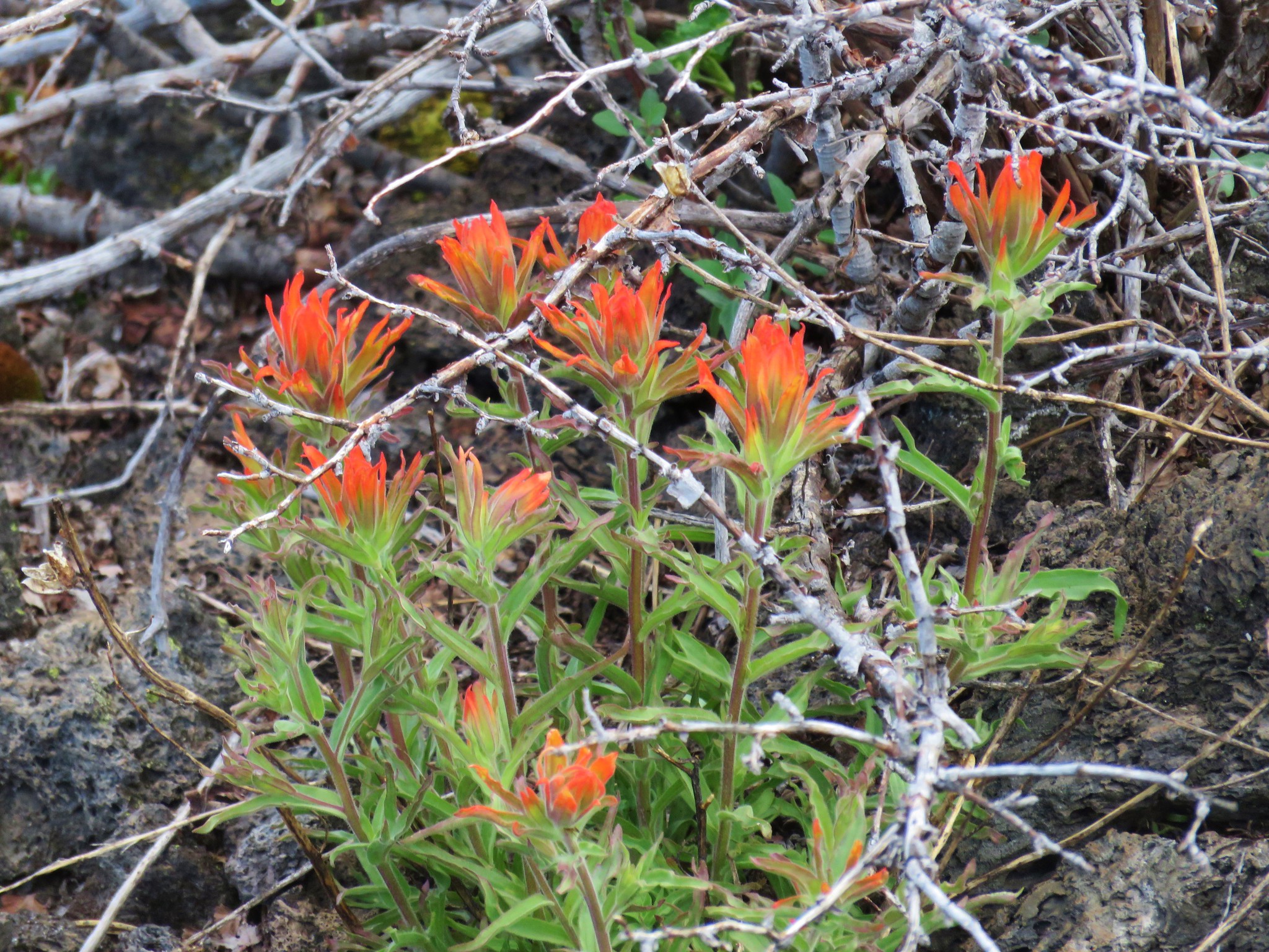
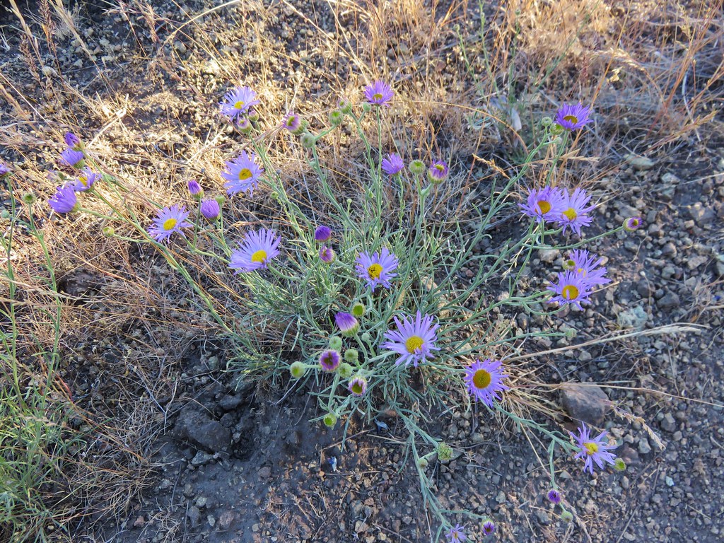
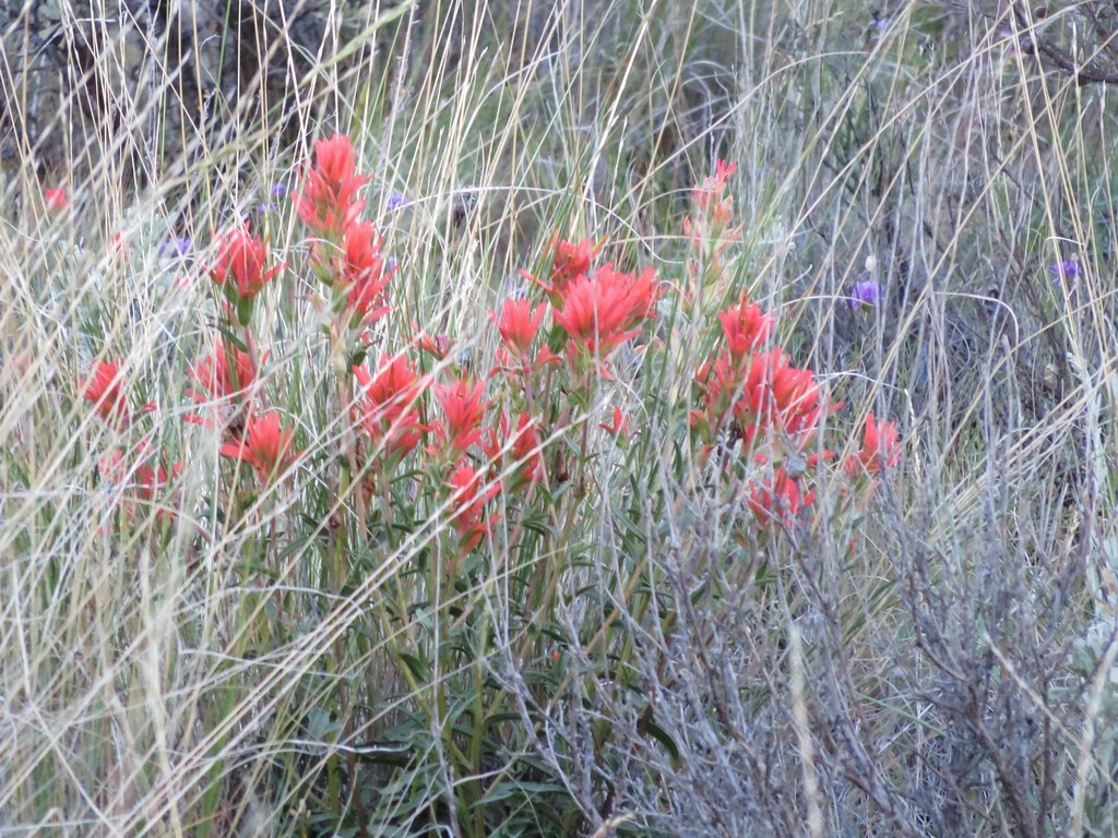
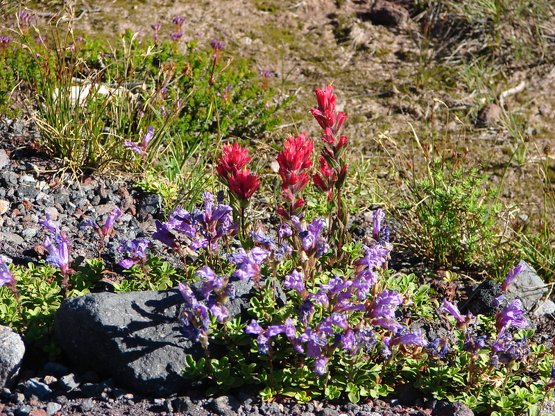
 Paintbrush


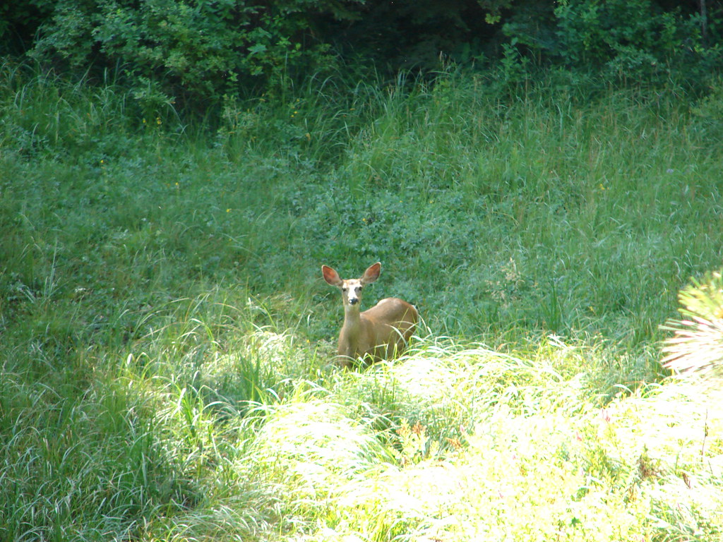
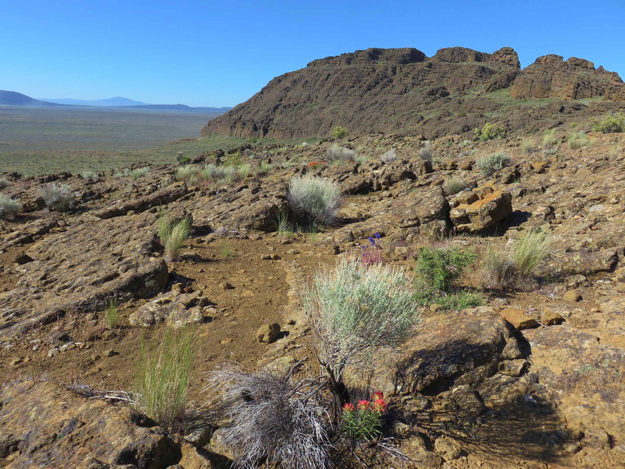
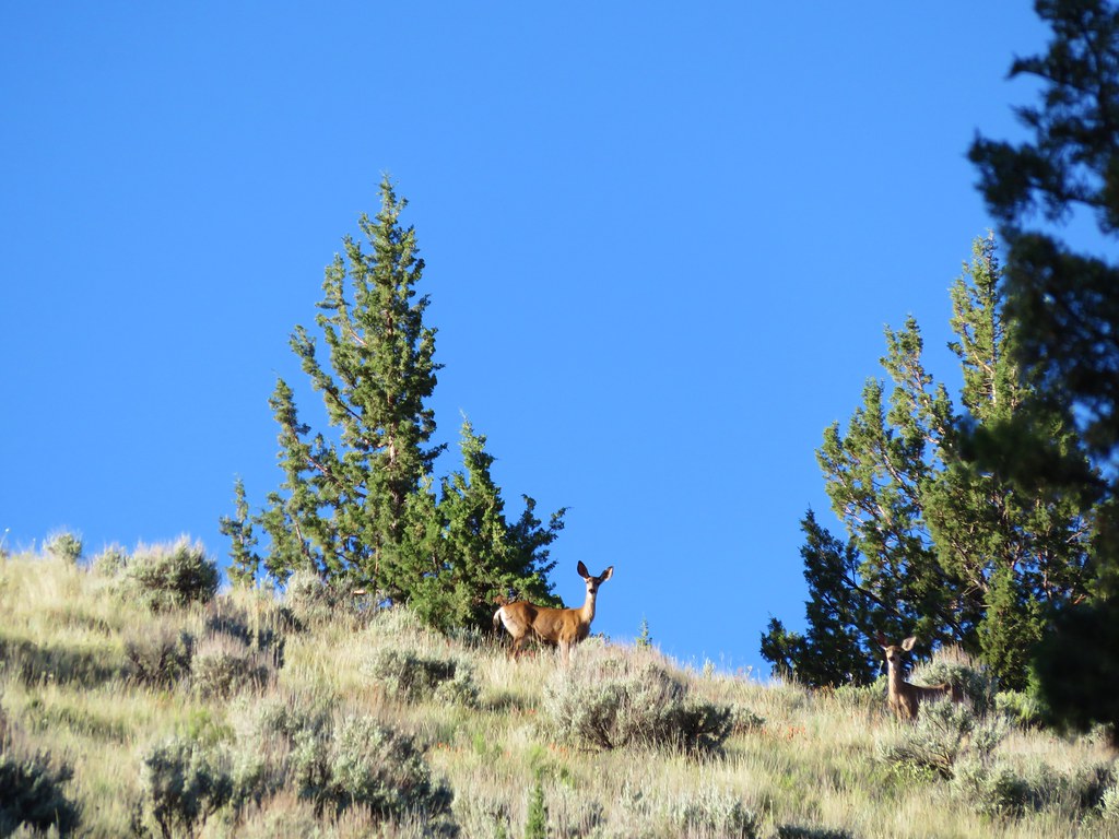
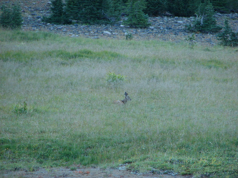
Just before reaching the old roadbed we spotted several deer making their way up the hillside.

 Our turnaround spot. The deer were watching us from just right of the largest rock outcrop.

We returned the way we came passing only two other hikers before reaching SW Canyon Road.
 Yarrow and silverleaf phacelia above Willow Creek.
 Rock wren
 Raven nest
 This appears to be hound’s tongue.
The car windows were all still intact when we got back to the trailhead which we were thankful for. Aside from the trailhead anxiety this was a lovely 7.4-mile hike with around 500′ of elevation gain.

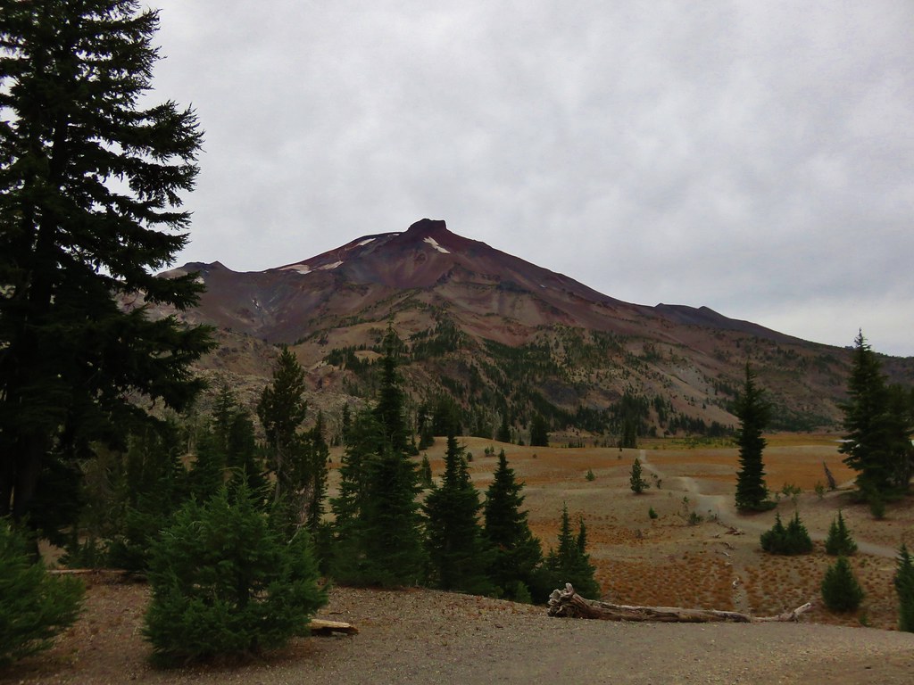
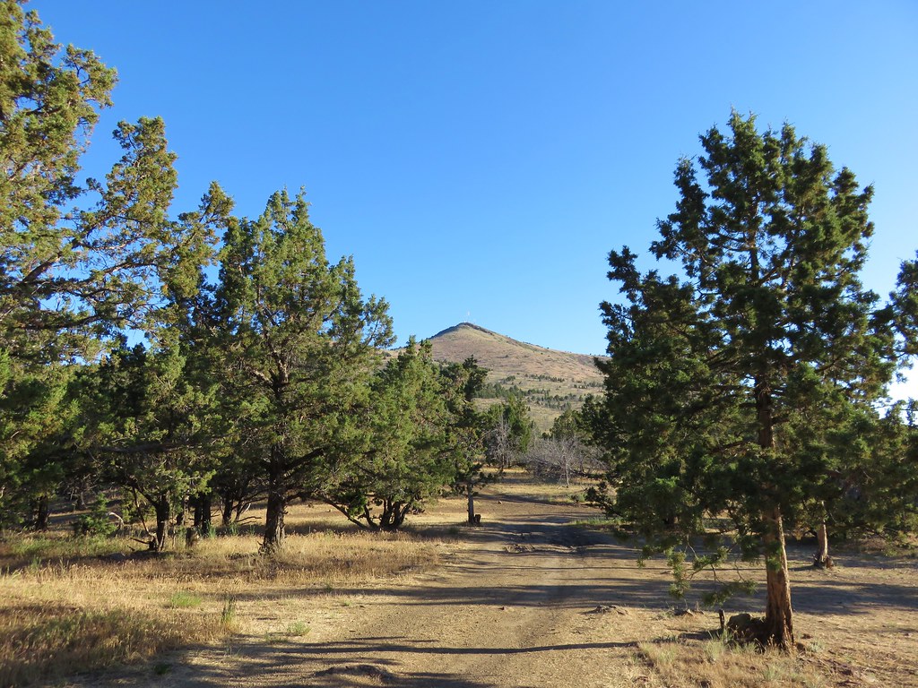
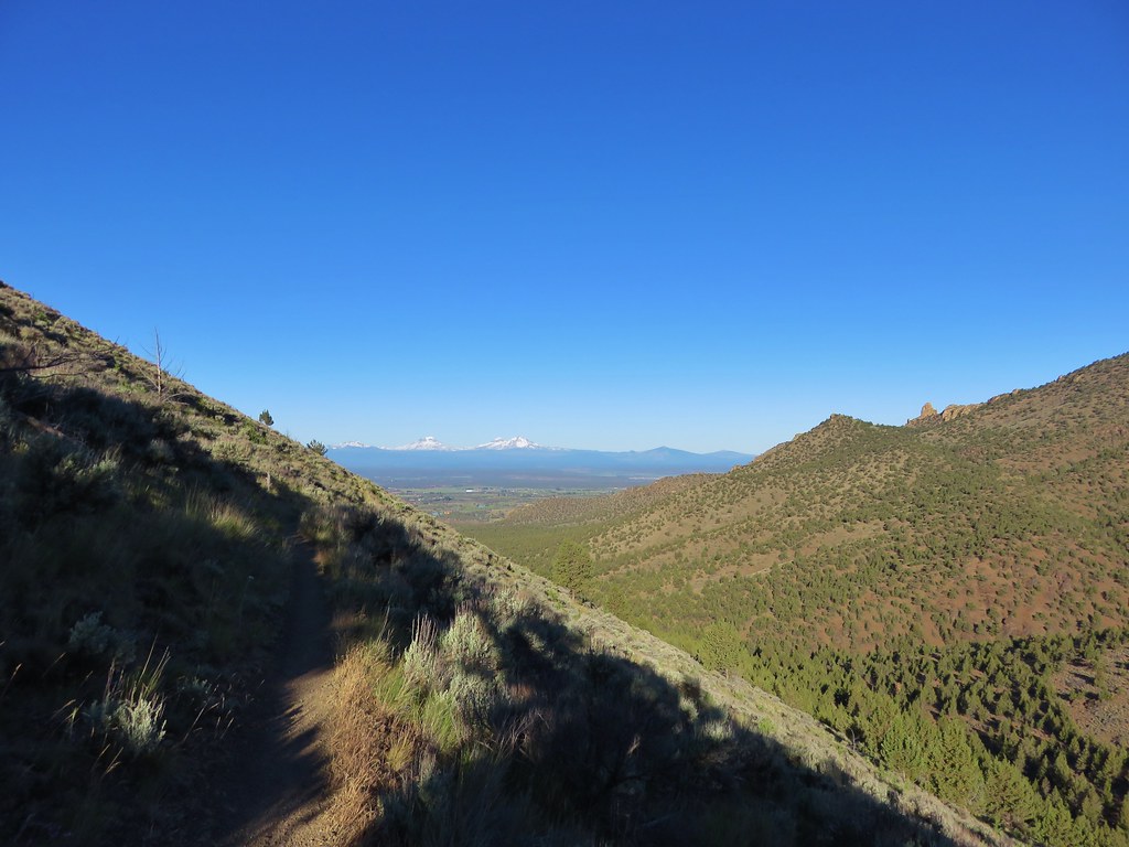
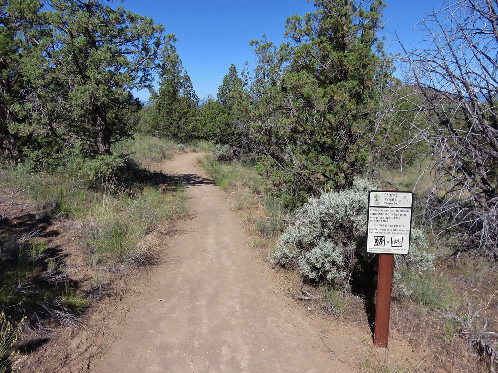
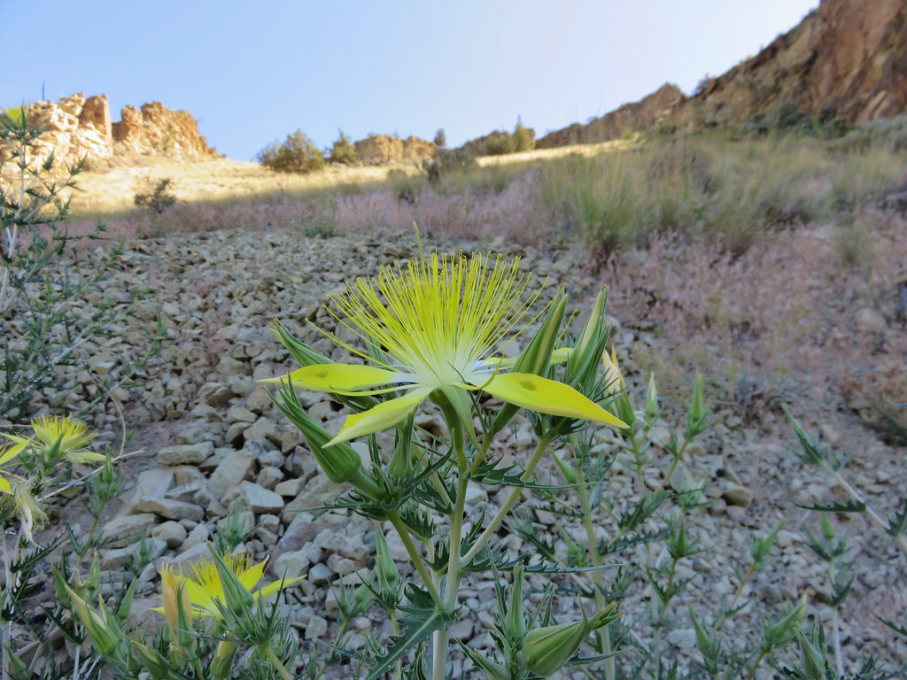
From Madras we drove to Prineville then continued to the Juniper Hills Preserve by taking Highway 380 through Post, Oregon which is near the geographic center of Oregon. We parked along the shoulder of the highway at a “Private Property No Trespassing” sign with a view of Oregon’s other painted hills. (The official Painted Hills (post) are part of the John Day Fossil Beds National Monument.)


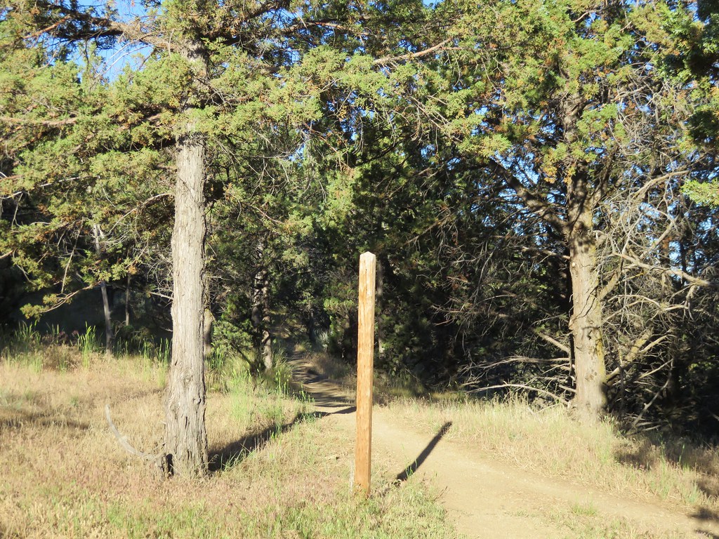
After admiring the painted hills we drove back toward Prineville 1.4-miles and pulled off next to another former trailhead at the Preserve.


Since getting out of the car and walking up to the closed gates was all that was possible at this time we are counting this visit toward the 100. If access is ever restored we will be back but for now we’re just happy that some of the painted hills were visible from the highway.
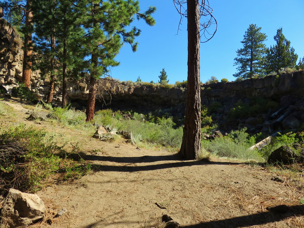
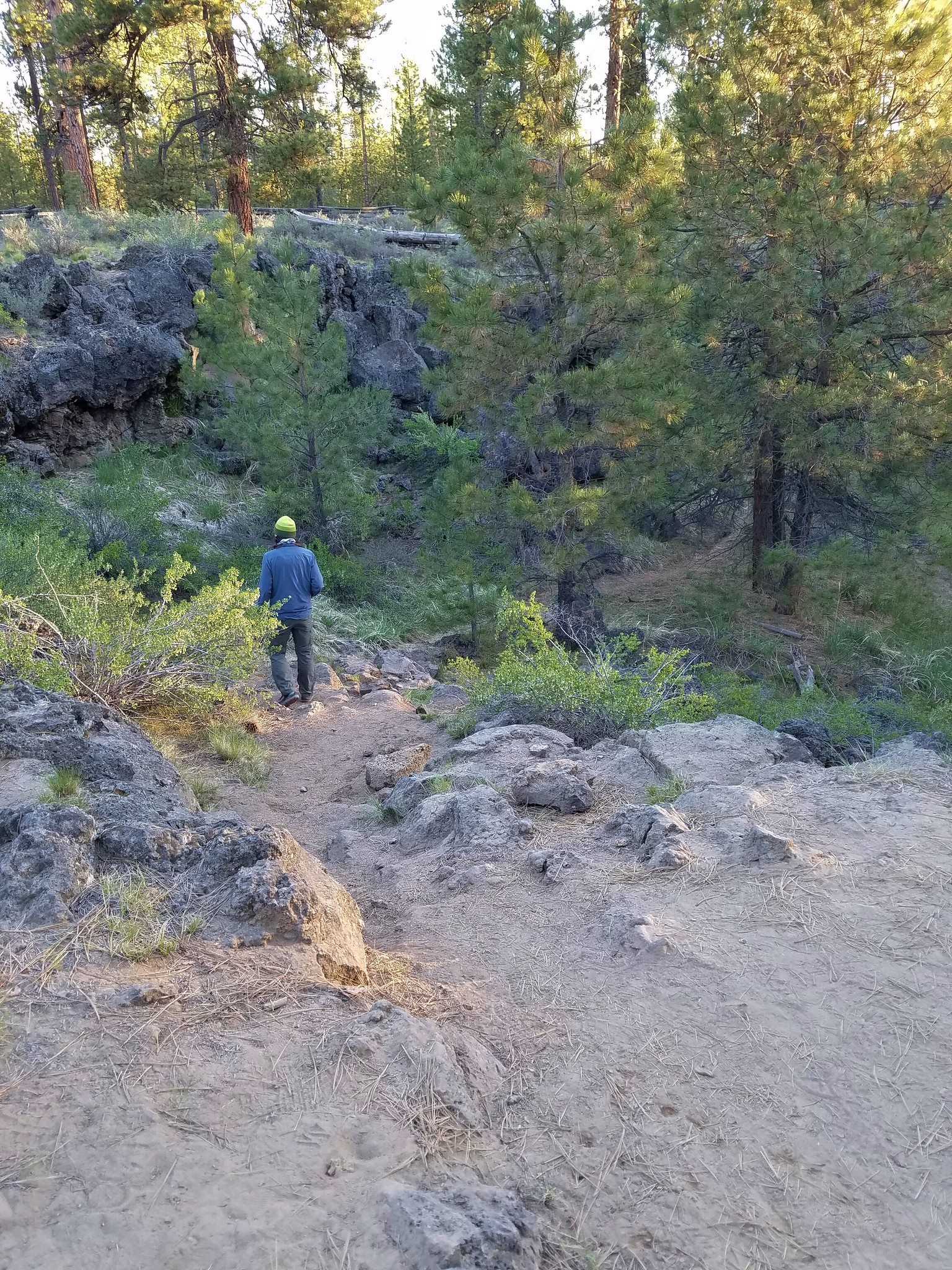
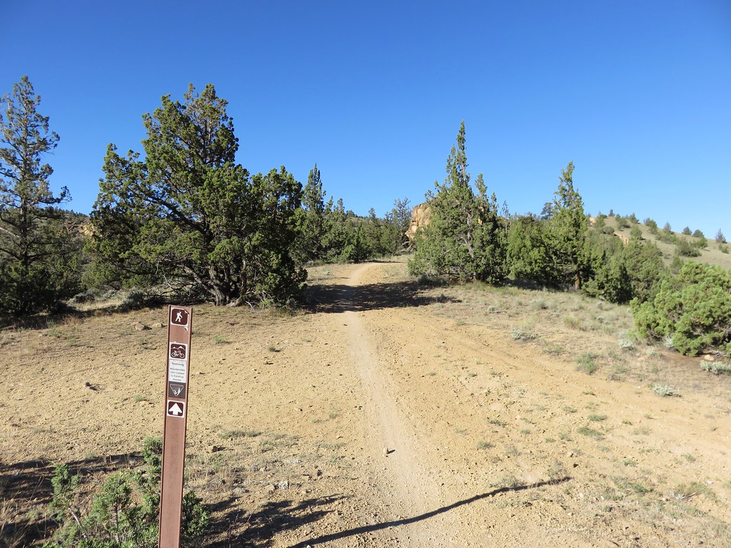
We made the 35-mile drive back to Prineville and headed for the Barnes Butte Trailhead.

The Barnes Butte Recreation Area has been developed by the Central Oregon Trails Alliance and the City of Prineville on city and Bureau of Land Management land.

A paved loop trail begins at the trailhead and connects to numerous other mixed-use trails (open to biking and hiking). I had found a couple of hiking routes online but both the Oregonhikers and AllTrails maps did not include all of the recently developed trails, so we studied the map at the trailhead and came up with our own route.
Our plan was to begin on the Calumet Trail then turn right at a 4-way junction to cross the paved trail and take the Baby Burma Trail up Barnes Butte to The Meadow Trail. From there we would make the side trip to the summit then descend via The Meadow to the Canal Trail. We could take the Canal Trail most of the way back to the trailhead before it would drop us onto the Paved Trail 0.3 of a mile from the trailhead. This would minimize our time on pavement and save our feet for the rest of the weekend’s hikes.
Of course we immediately chose the wrong path and forked left from the signboard on a wide dirt path when we should have gone right on a narrower dirt path. After a tenth of a mile we found ourselves at the canal and had to turn around and take the correct path.
 Grizzly Mountain from the wrong path.
 Barnes Butte from the Calumet Trail.
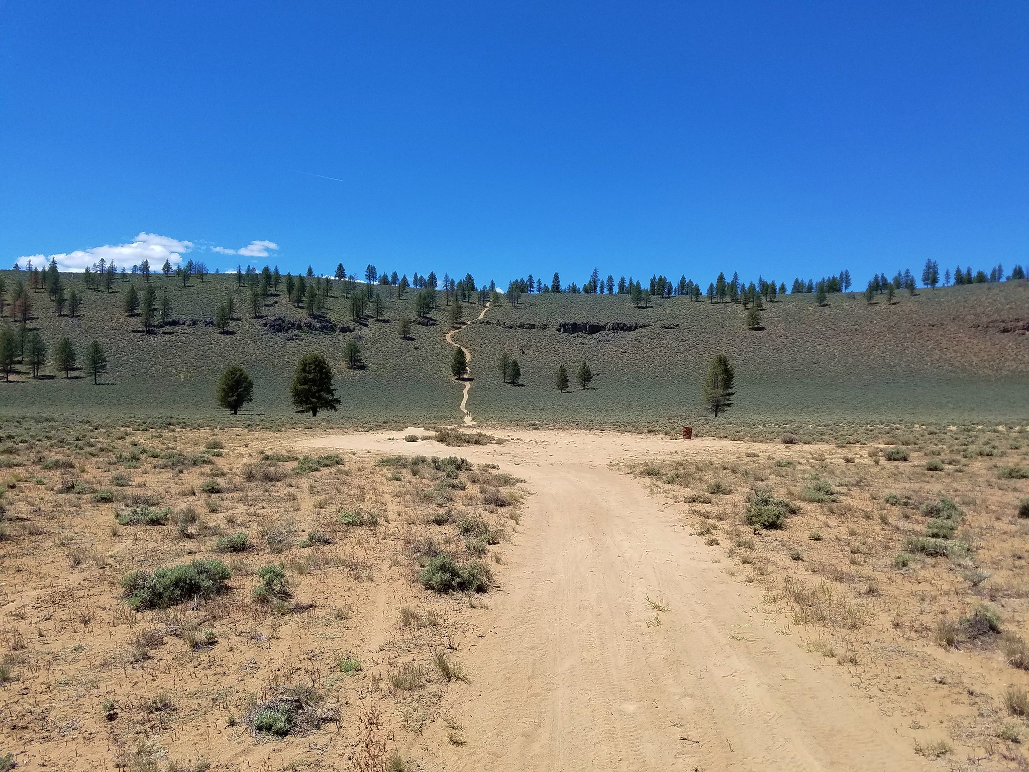
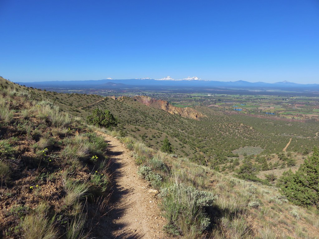
The Calumet Trail wound through the grassland for nearly a mile before arriving at the unsigned 4-way junction.


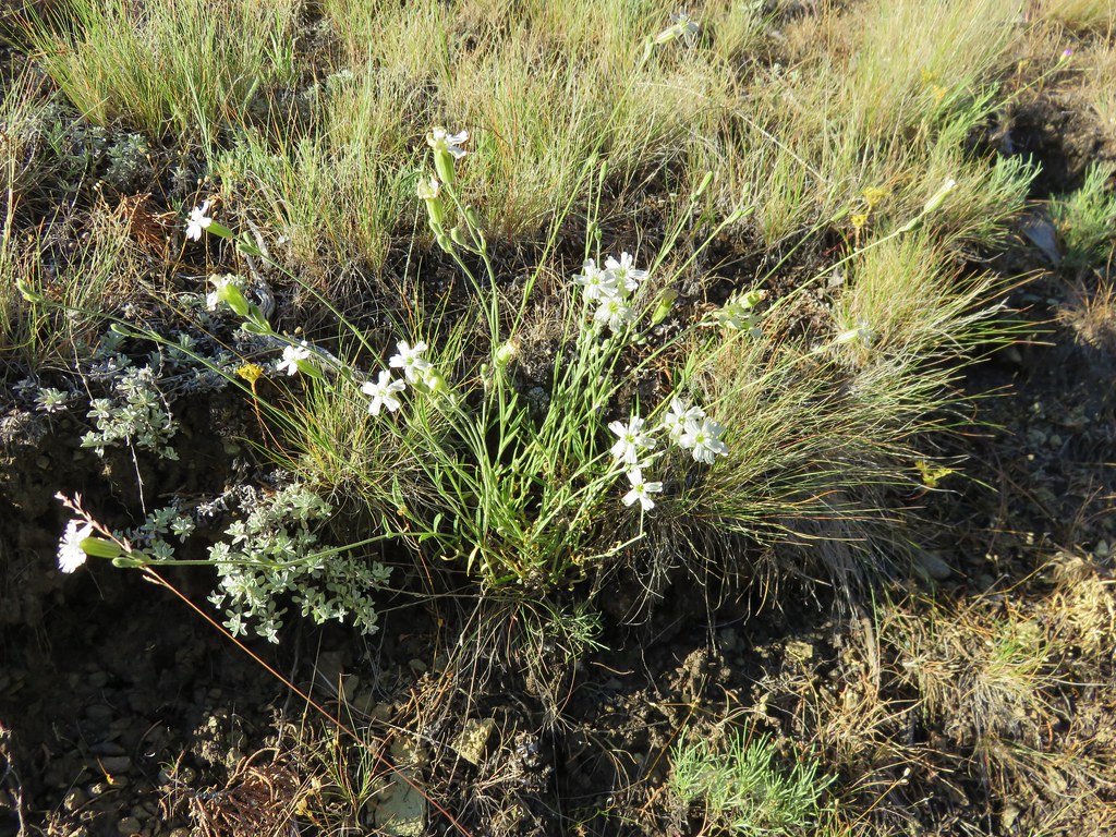
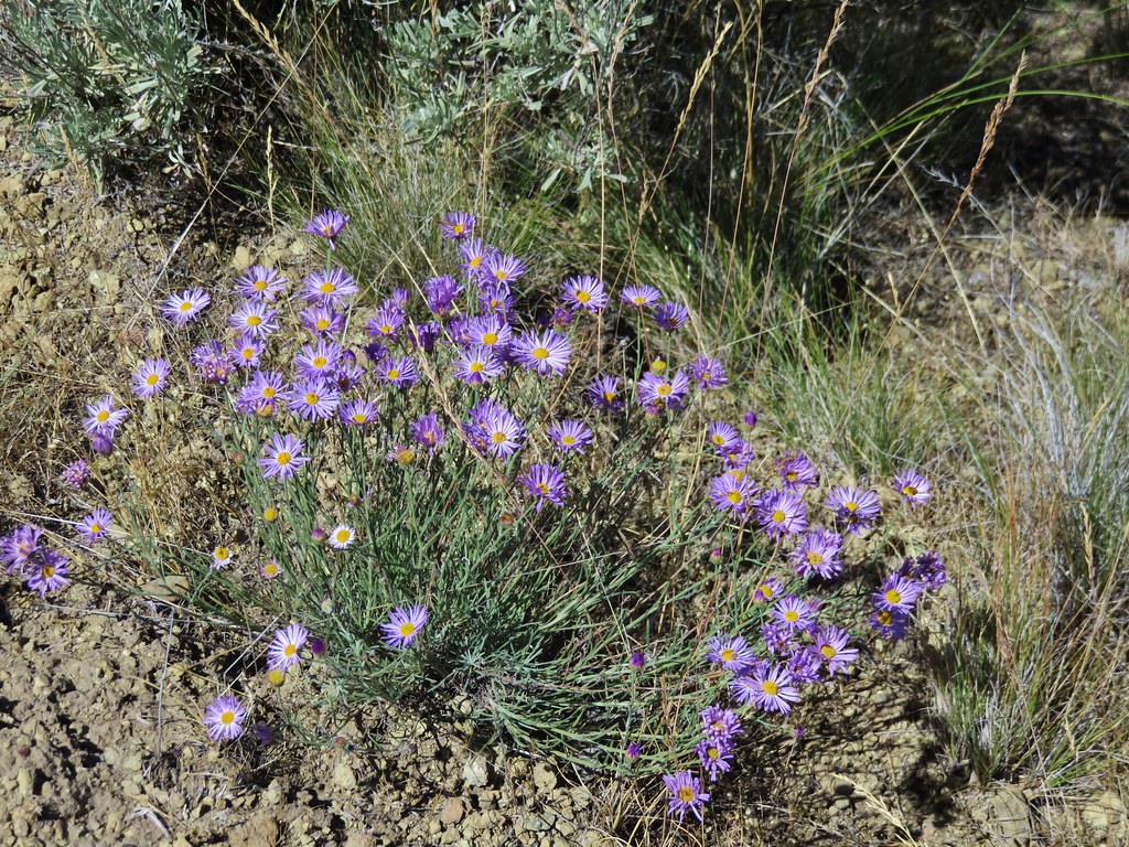
 Threadleaf phacelia

 Barnes Butte from the 4-way junction.
We turned right and after 0.2-miles crossed the Paved Trail to a Baby Burma sign.


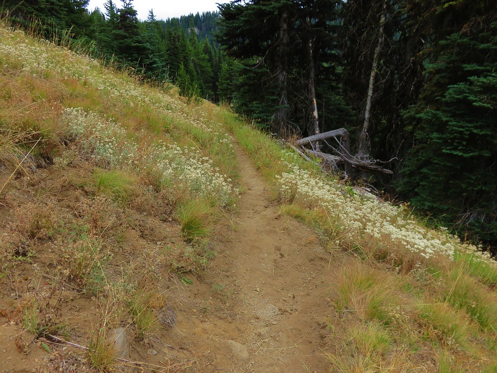
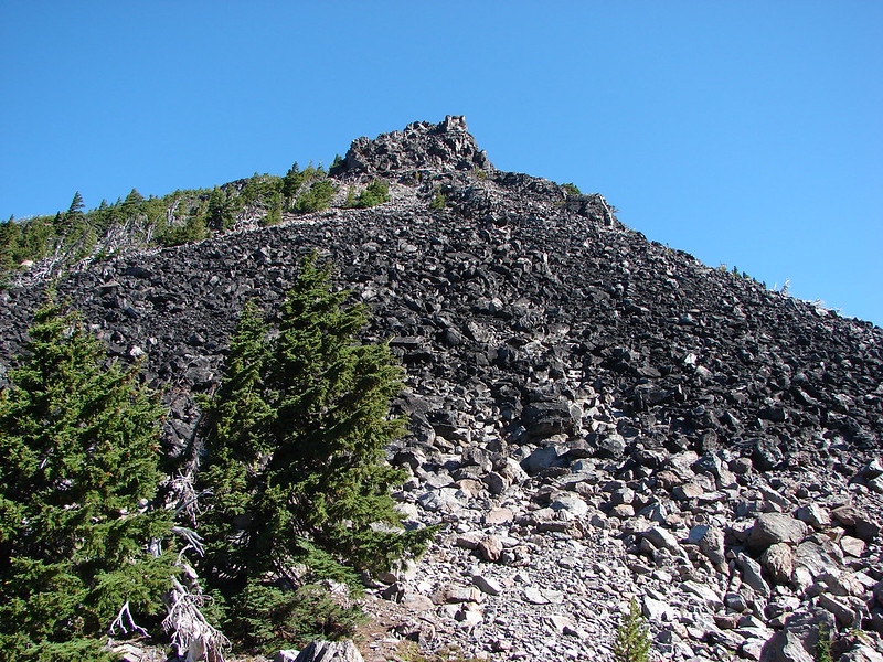
The Baby Burma Trail climbed an old roadbed for half a mile gaining nearly 300′ to a signed junction at a saddle.


 Penstemon
 Milkvetch
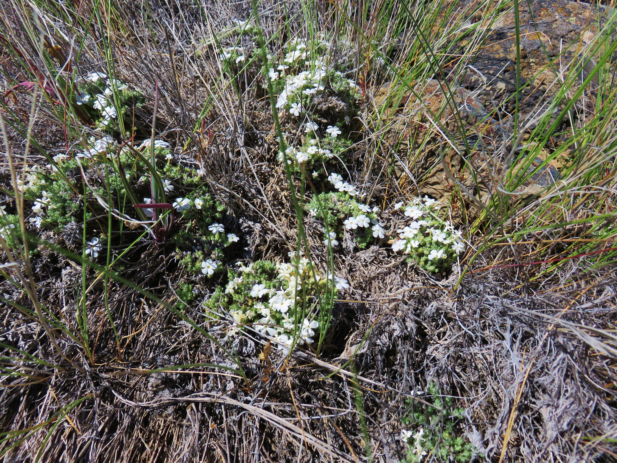
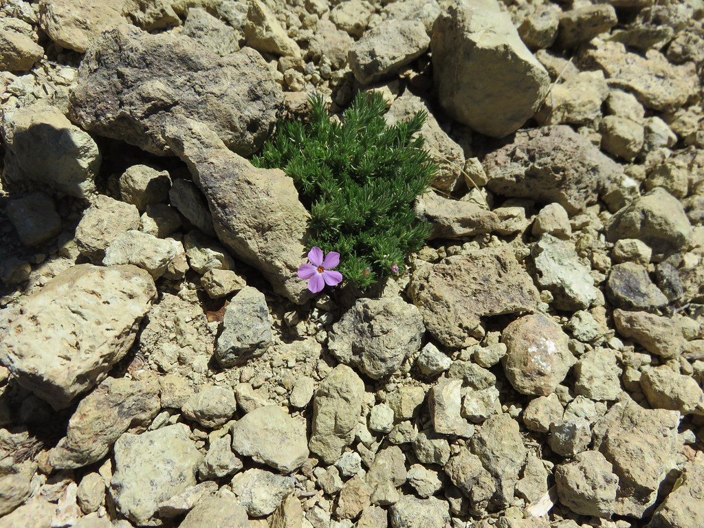
 Phlox
Phlox
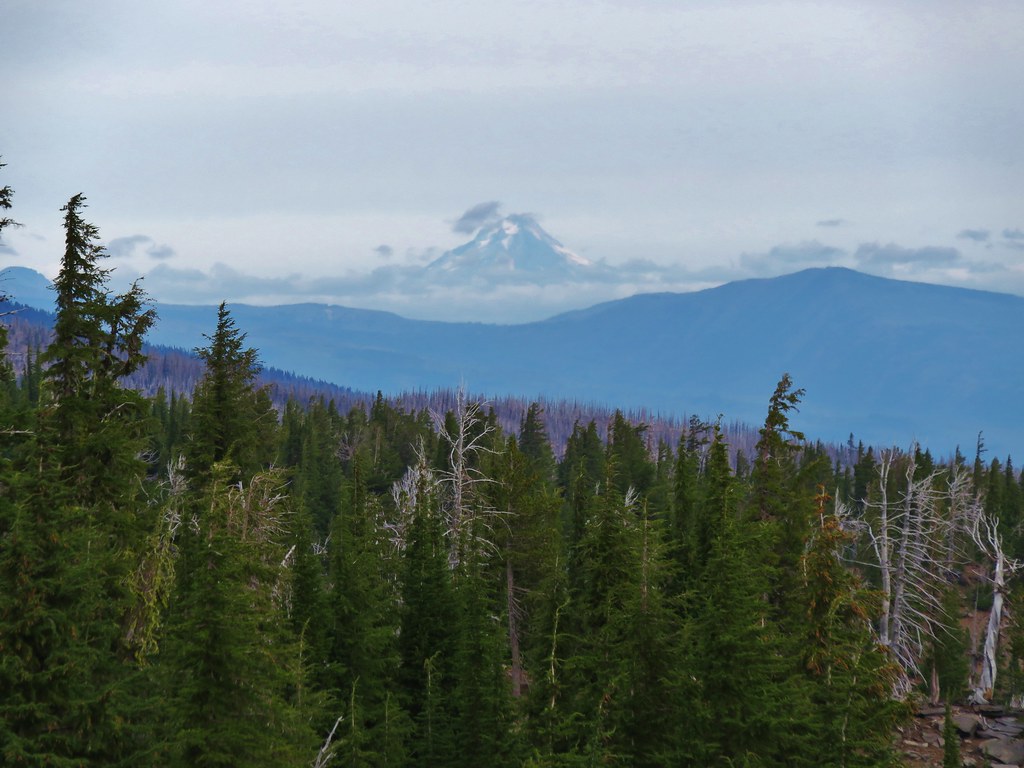
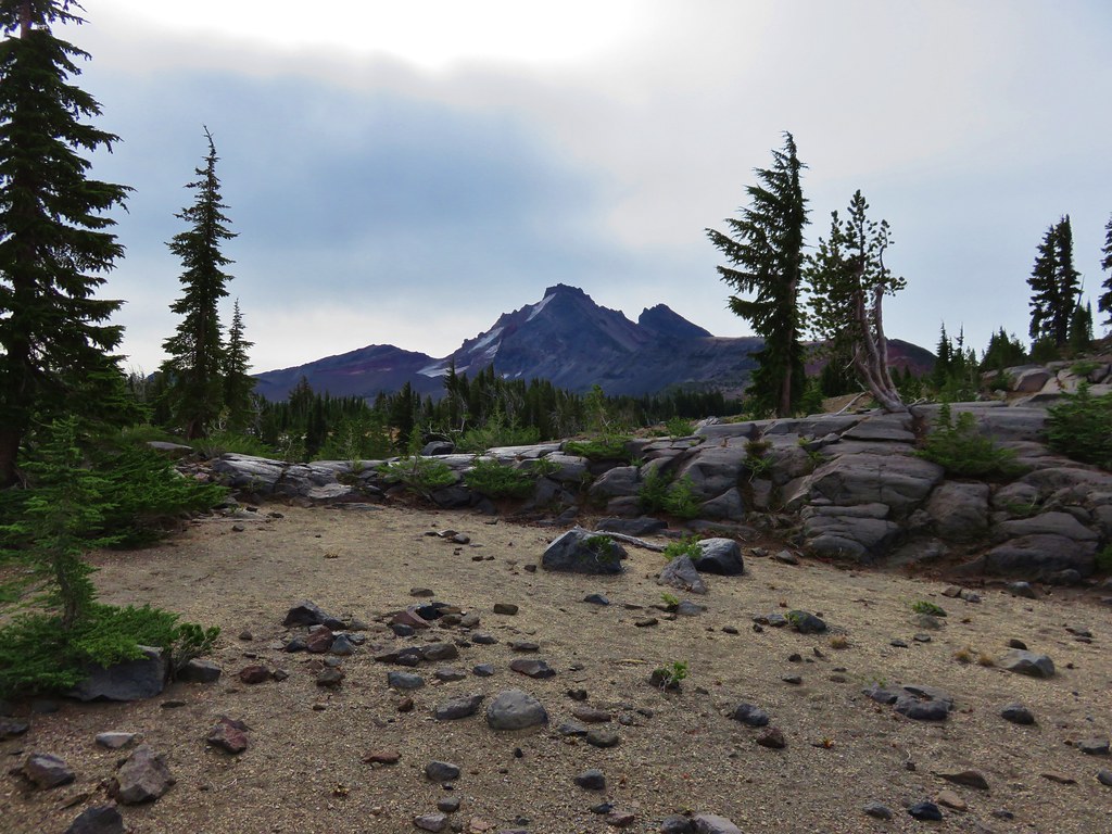
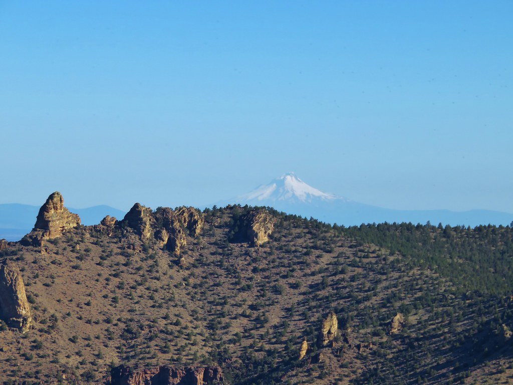
 Mt. Jefferson beyond Gray Butte.
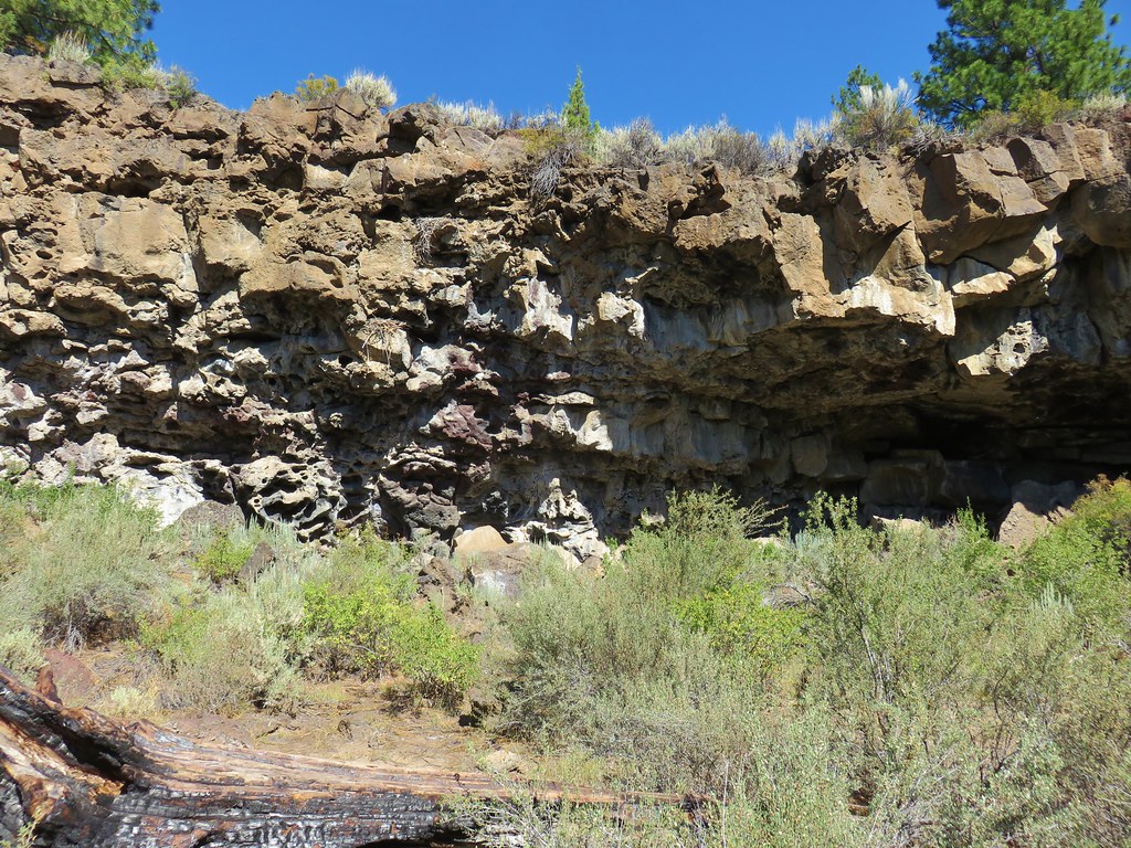
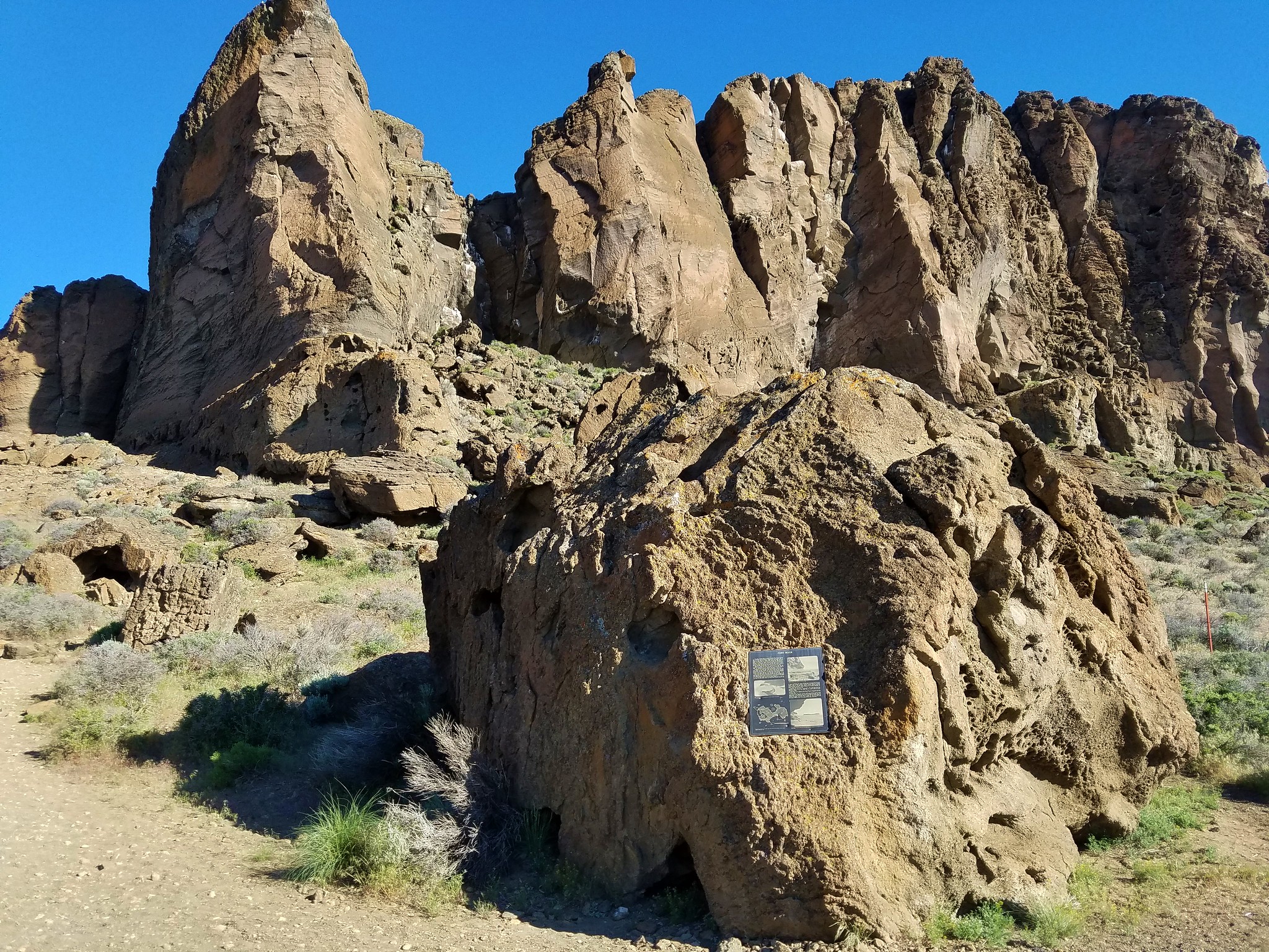
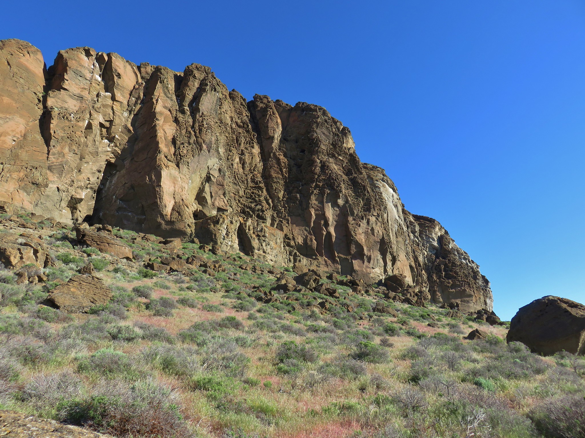
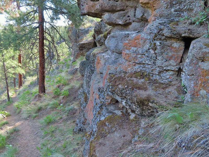
 Rock outcrop below Barnes Butte.
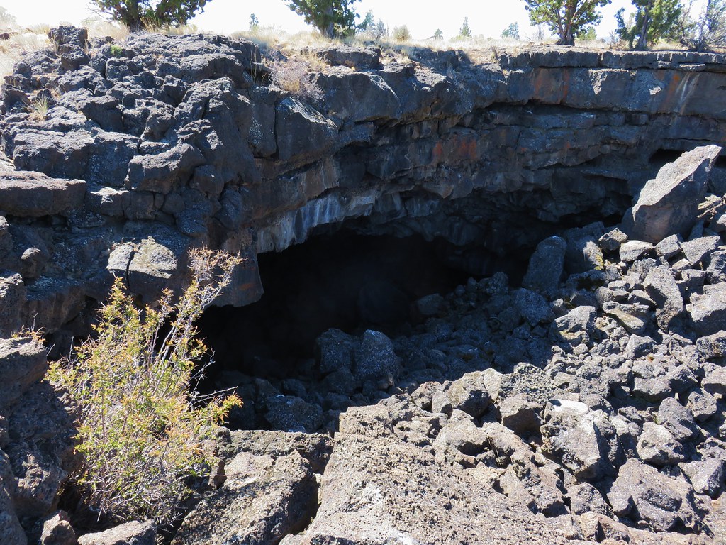
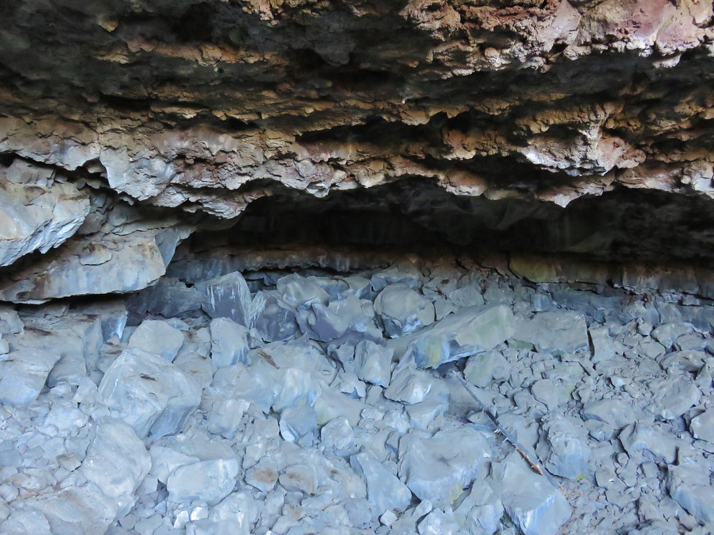
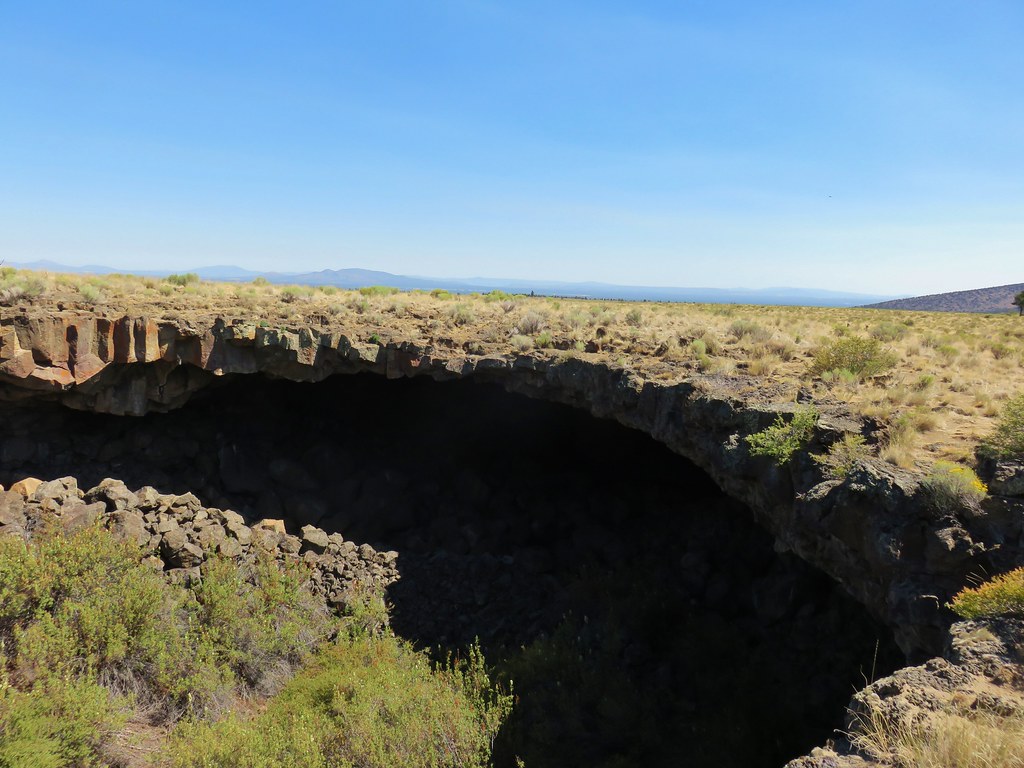
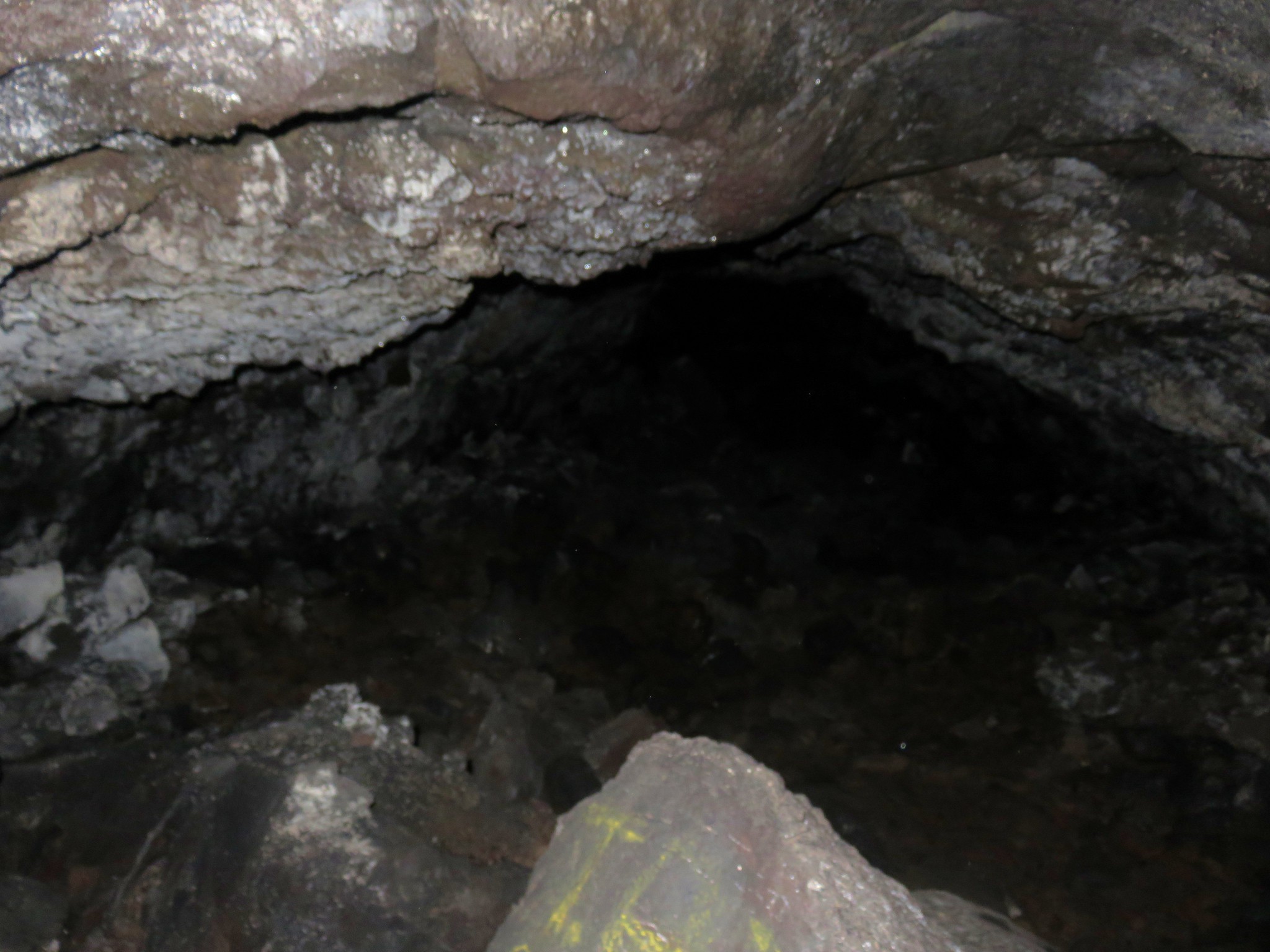
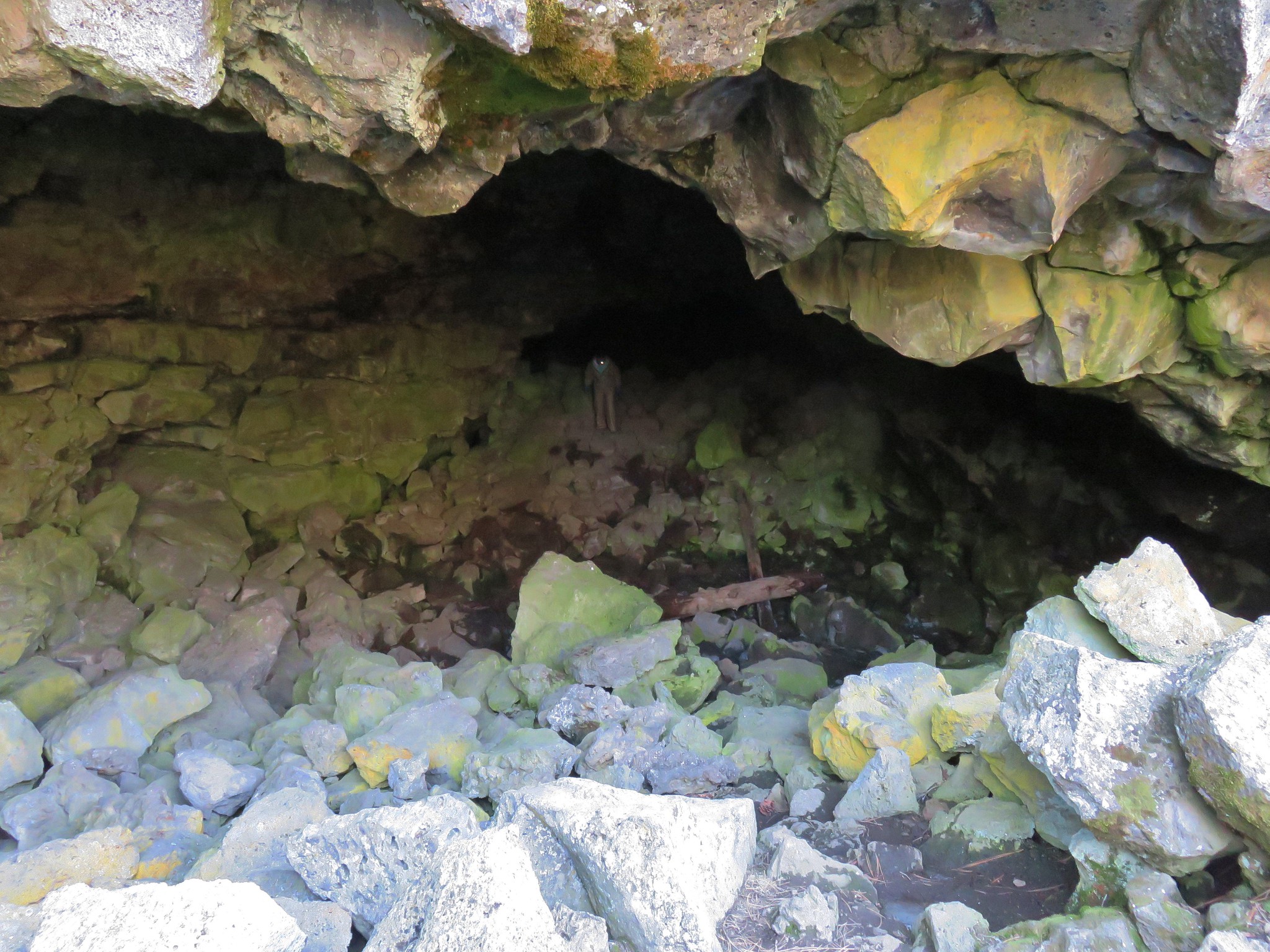
 Cinnabar Mine
 A skipper and flies on a groundsel.
 A sulphur

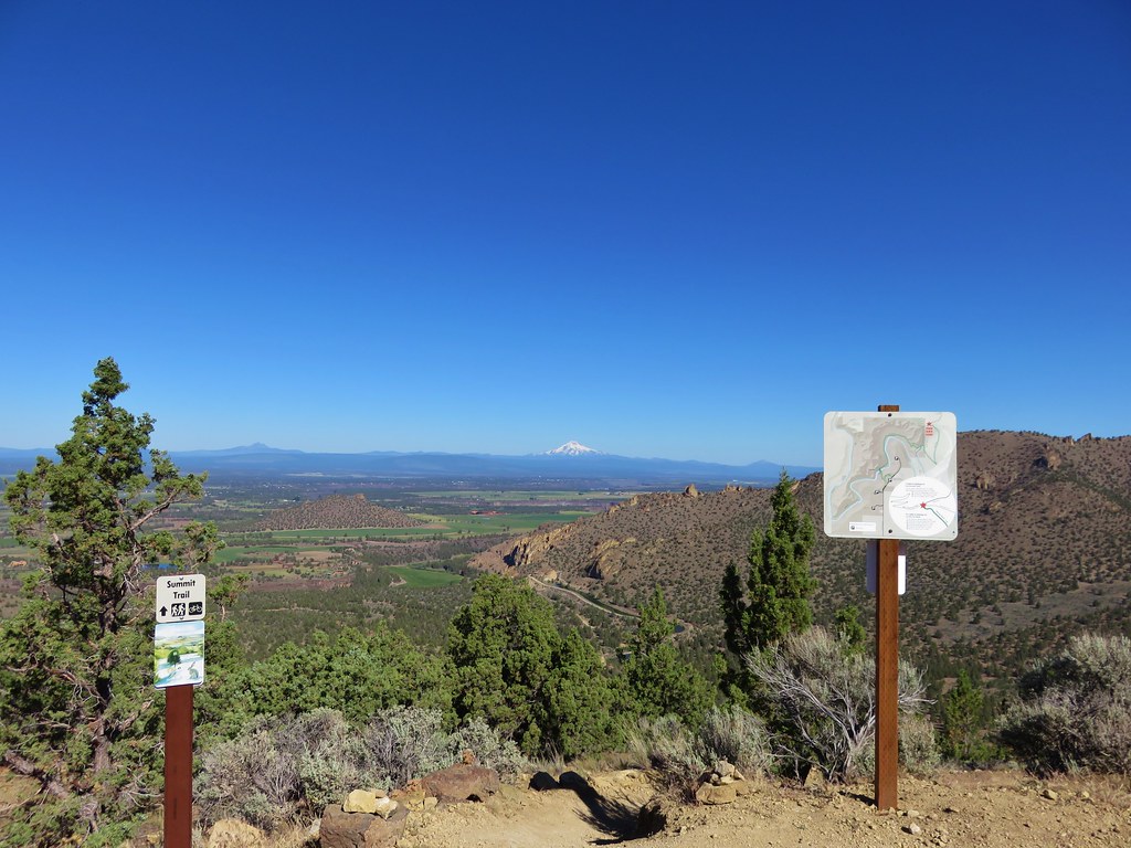
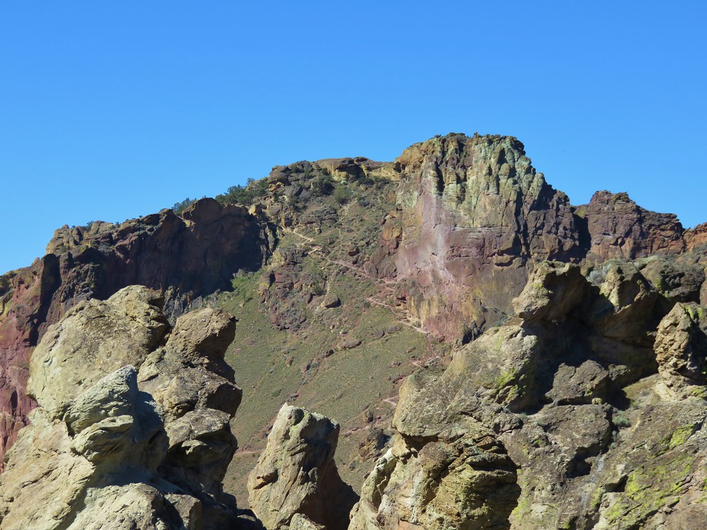
We turned left onto The Meadow then forked right to climb Barnes Butte. Reaching the summit required scrambling up a couple of rocky slopes where I was forced to use my hands. Heather opted not to follow.
 The trail to the summit.


 Bench at the summit.
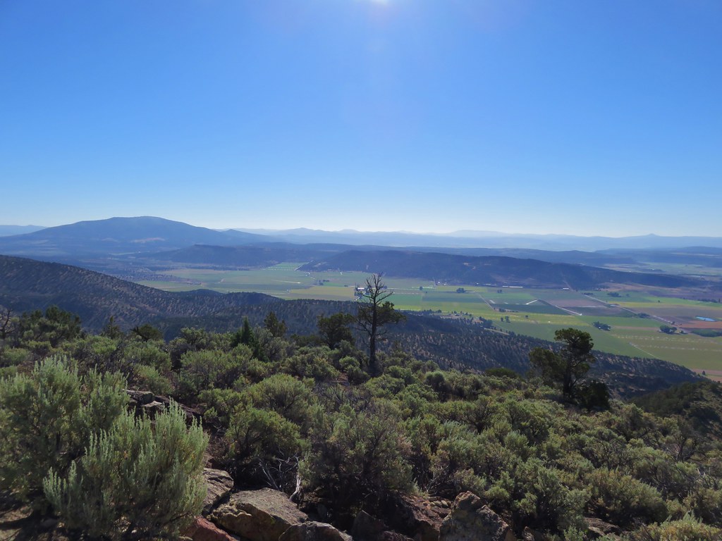
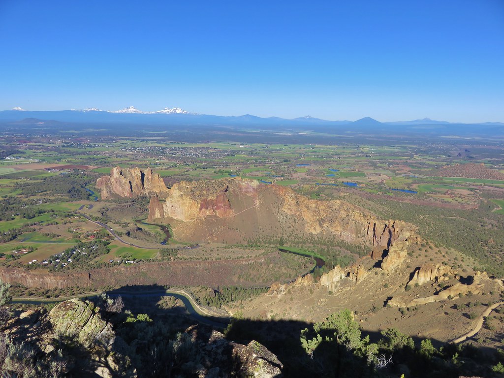
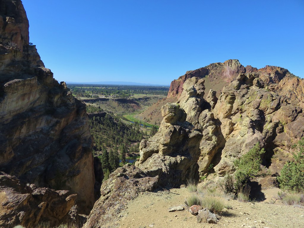
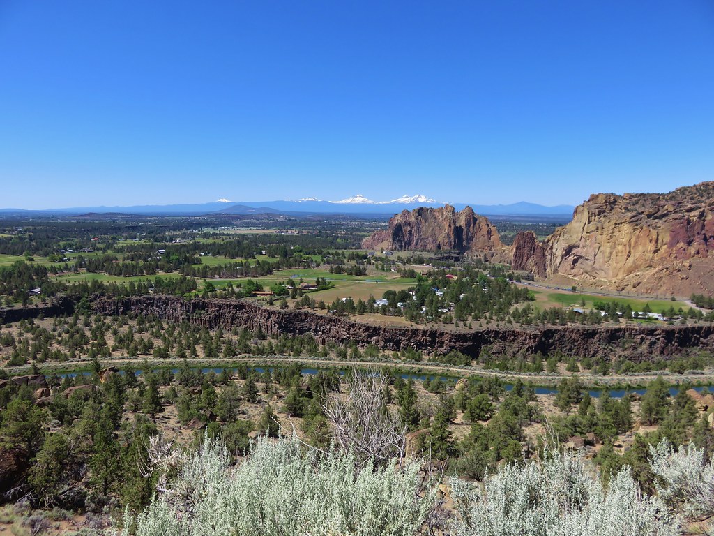
The summit provided a 360-degree view.
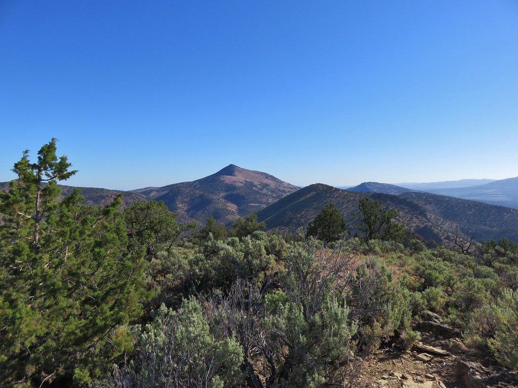
 L to R: Black Butte (post), Smith Rocks, Gray Butte, Mt. Jefferson, and Grizzly Mountain with Barnes Butte Reservoir below.
 Round Mountain to the east (post).
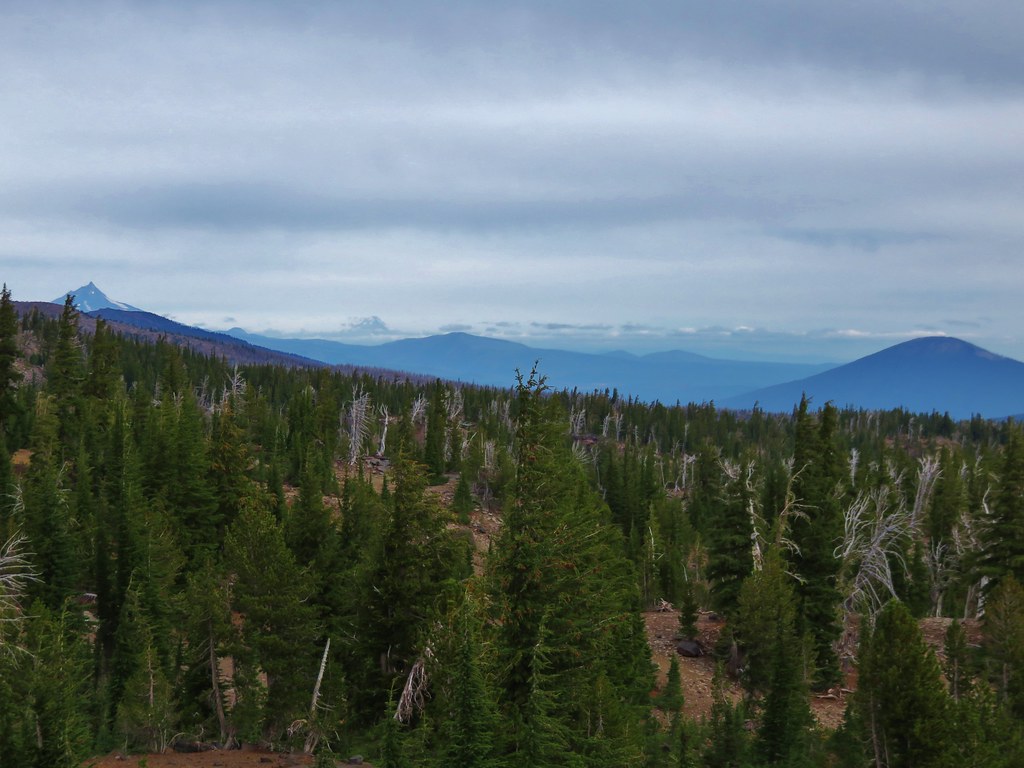
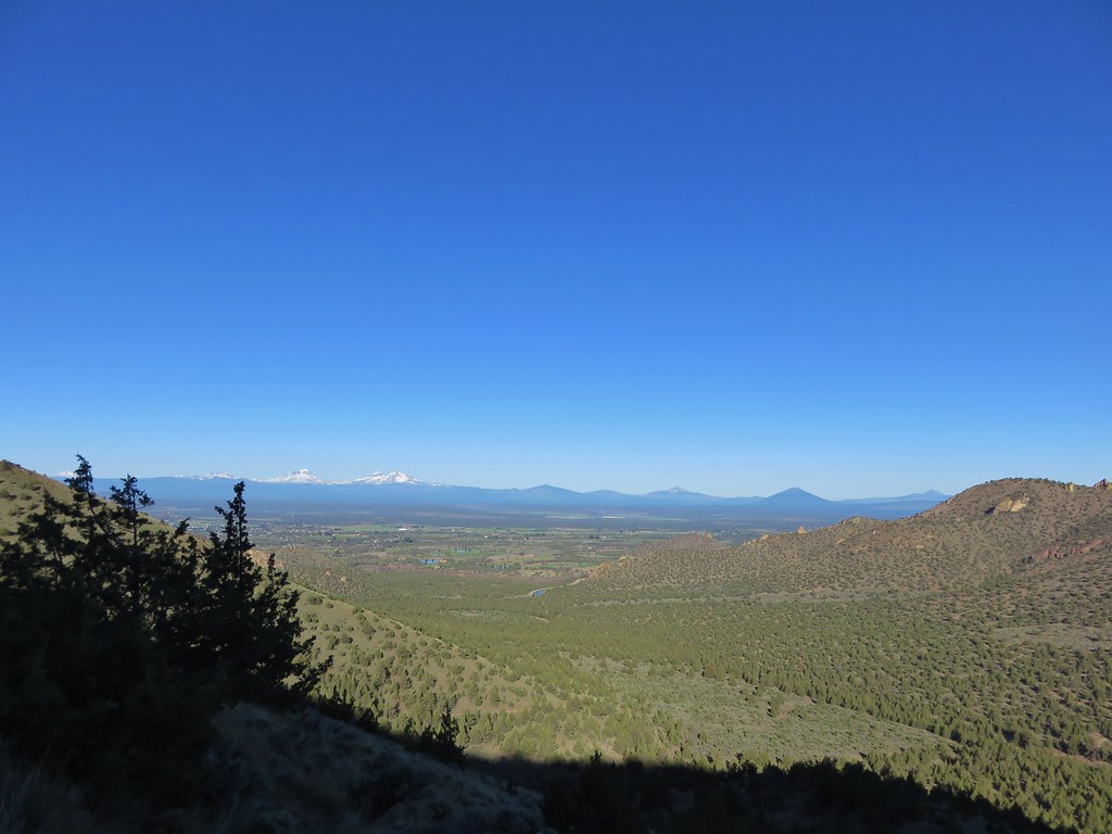
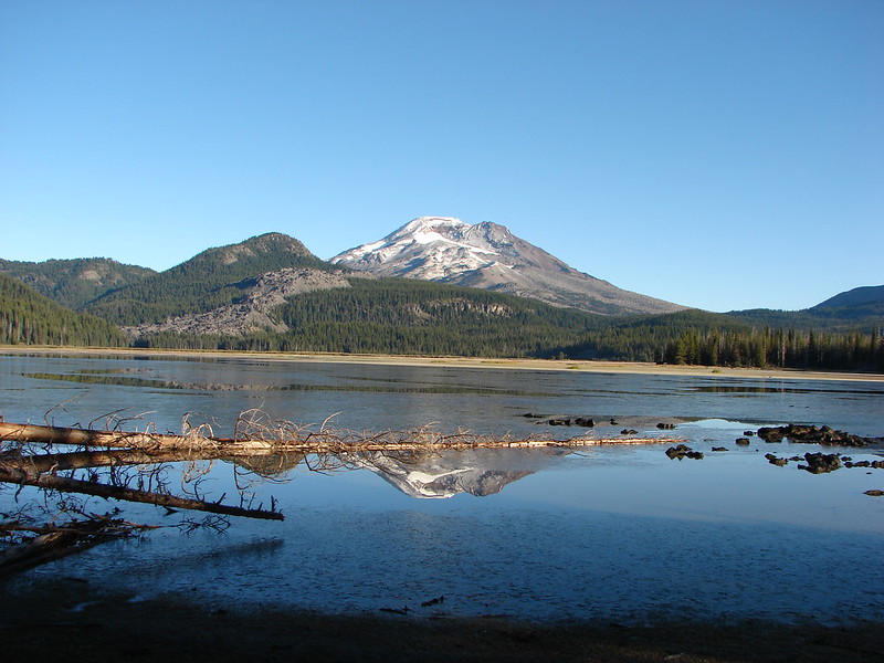
 Powell Buttes to the SW with Mt. Bachelor, Broken Top and the Three Sisters beyond.
 Mt. Bachelor (post)
 Broken Top and the Three Sisters
After taking in the view I descended to where Heather was waiting, and we headed down The Meadow.
 Of course by heading down it meant we started with a slight climb on The Meadow.


 Viewpoint along The Meadow.
 Orange globe-mallow
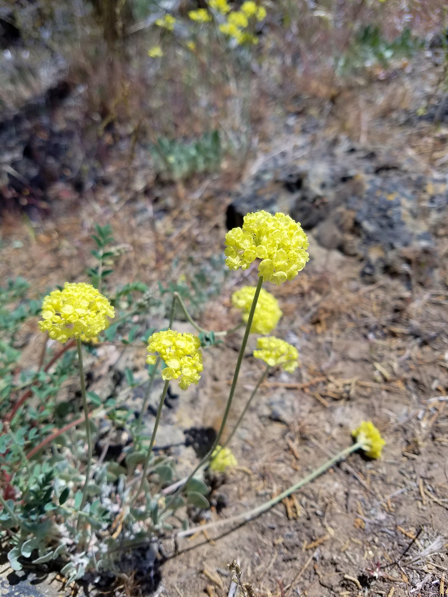
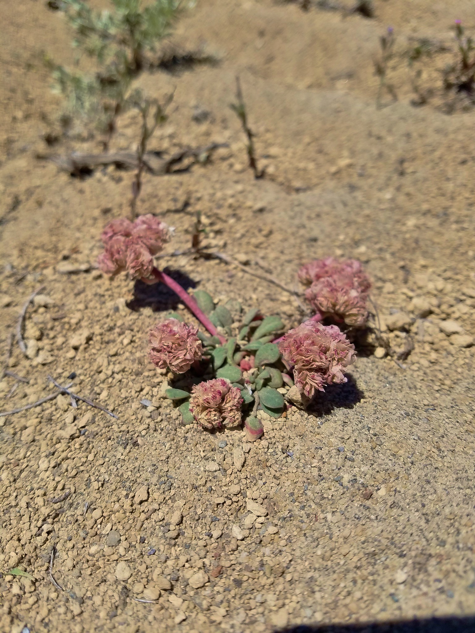
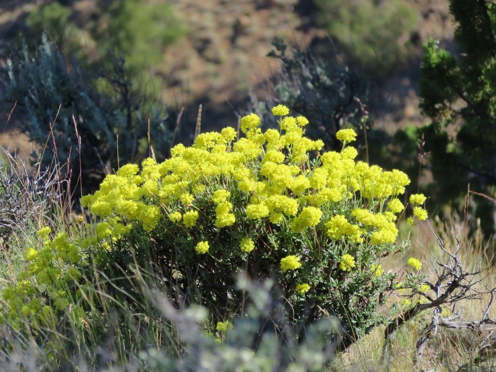
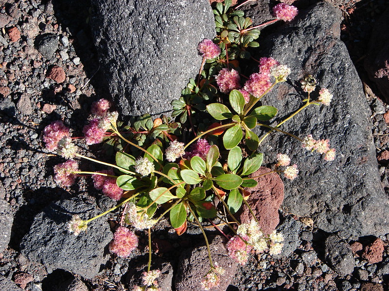
 Buckwheat


When we arrived at a sign for the Canal Trail we turned left on a dirt track following a former ditch.

 A hairstreak
 The Canal Trail running parallel to the Pave Trail.
 Mountain identifier
 Coming up on the end of the Canal Trail.
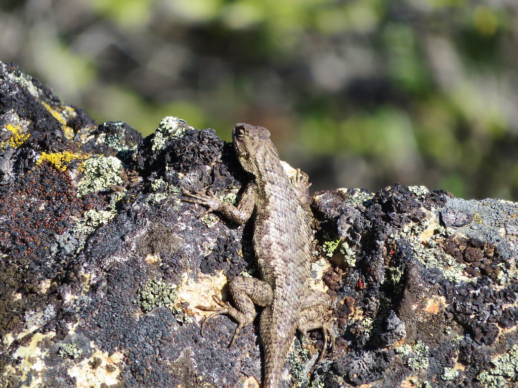
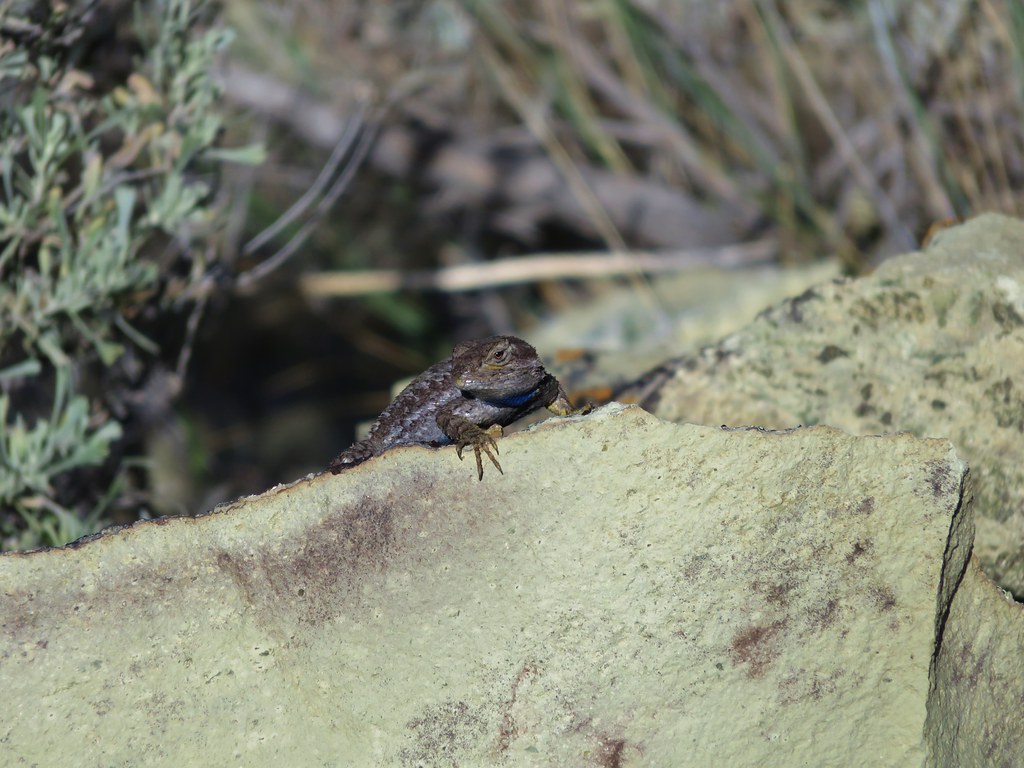
 Lizard
 Arriving back at the trailhead.
We ended up with an extremely disfigured figure-eight here consisting of 3.9-miles and 550′ of elevation gain.

We were a bit surprised at just how enjoyable the hike at Barnes Butte had been. This is a really nice area and seemed to be quite popular, yet it never felt busy. It had been much more than just a time killer while we waited for check-in time. Speaking of which it was now a little after 3pm so we headed for our motel, got checked in and cleaned up, then headed next door to Club Pioneer where we met up with Heather’s family for a wonderful dinner. Happy Trails!

 The trailhead has numerous parking spots for cars as well as a large horse trailhead, outhouse, and picnic tables.
 The big signboards unfortunately did not have a map or other information about the trail system though.

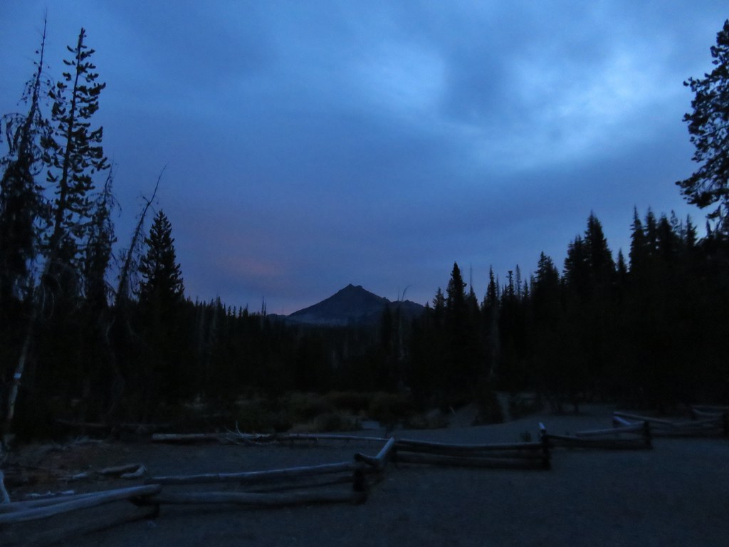
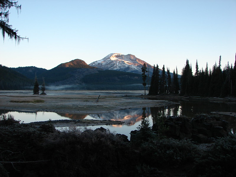
 The North Sister behind us.

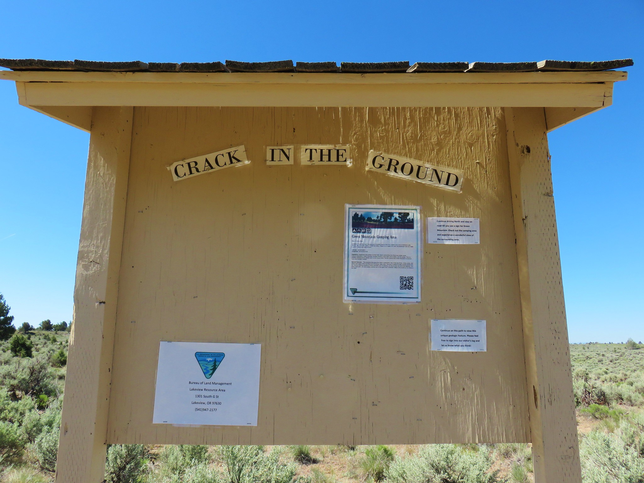
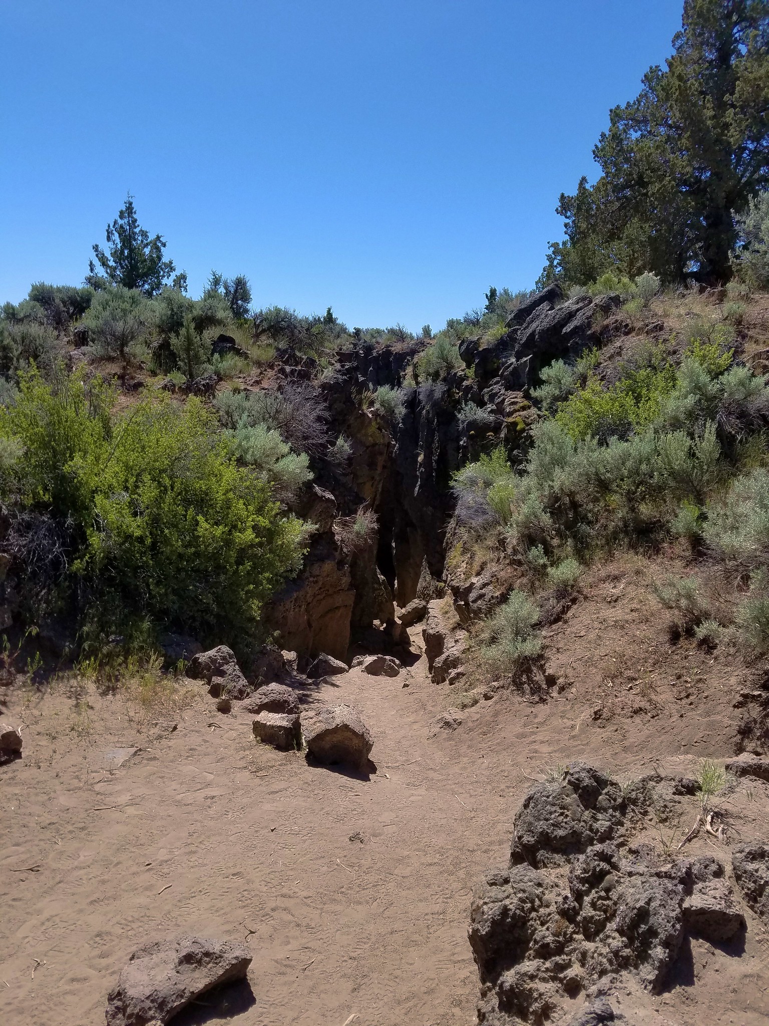
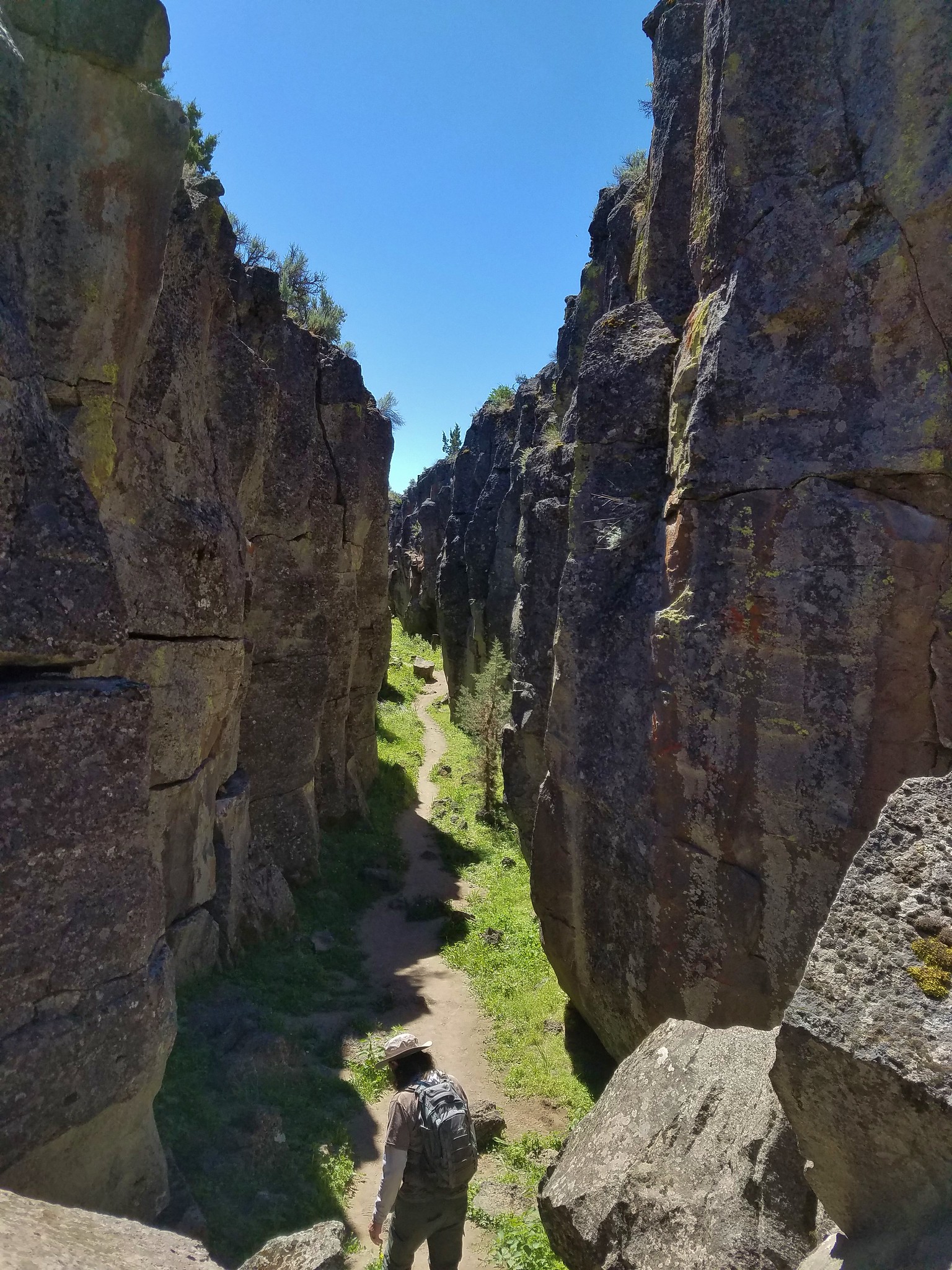
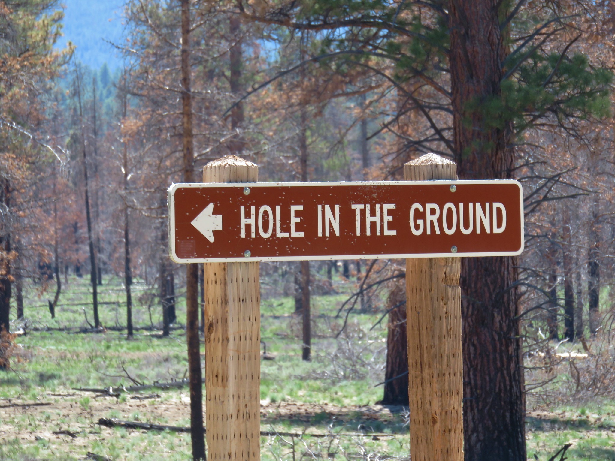
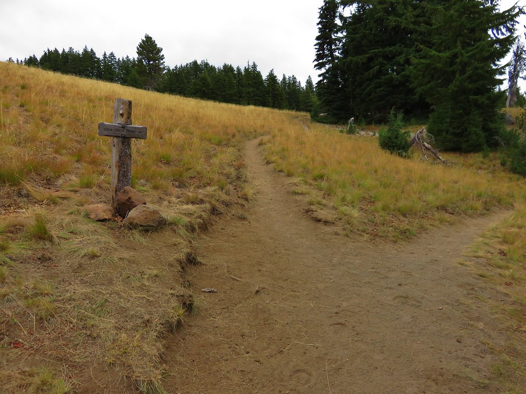
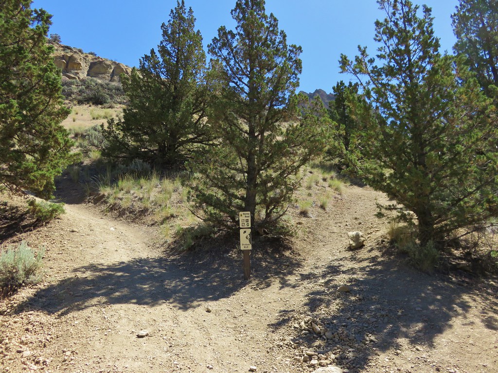
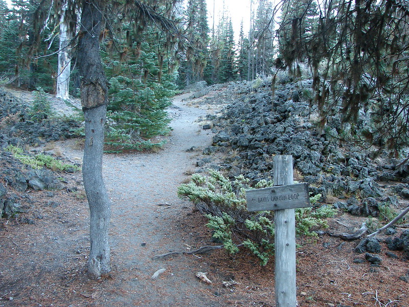
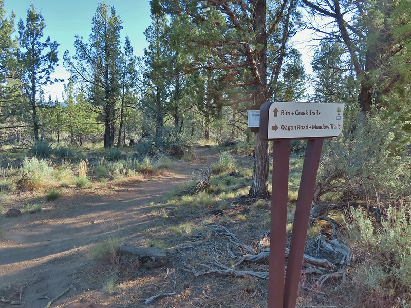
 Signpost for the canyon ahead.
 This sign was just like the ones we’d seen Saturday at the Dry River Canyon (post).


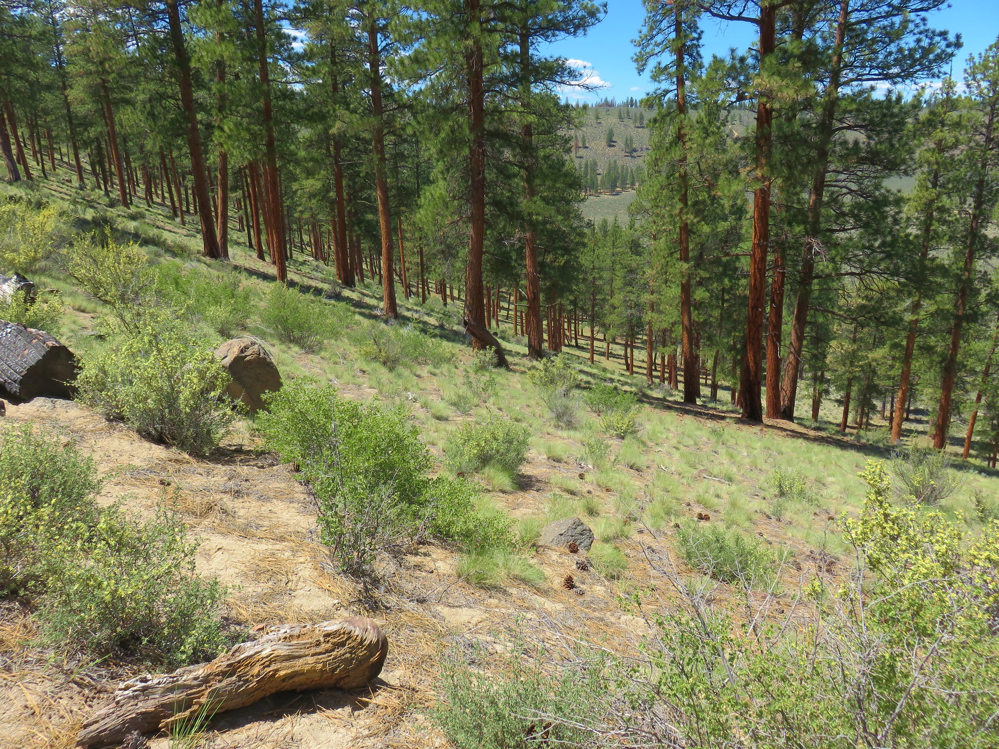
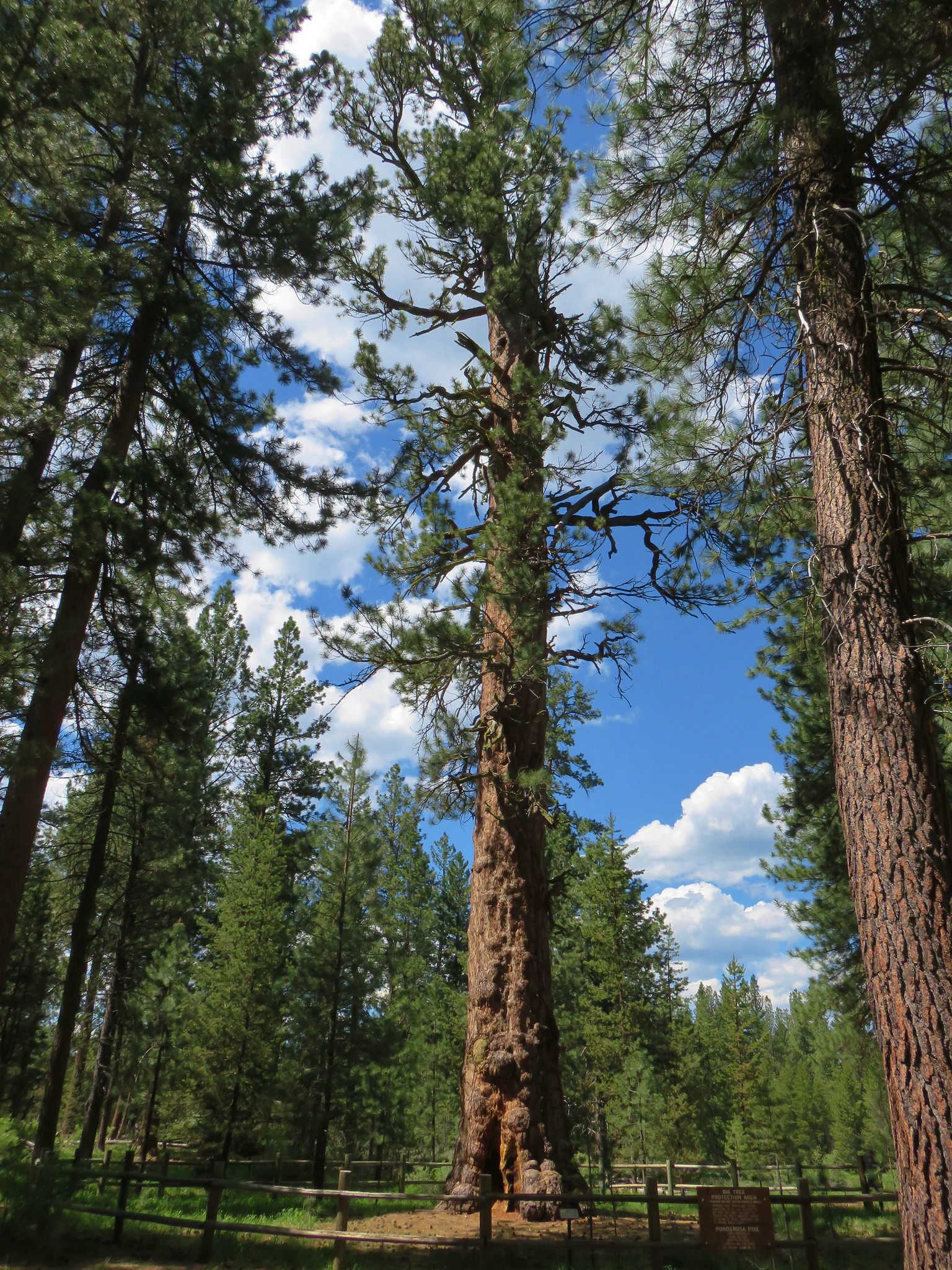
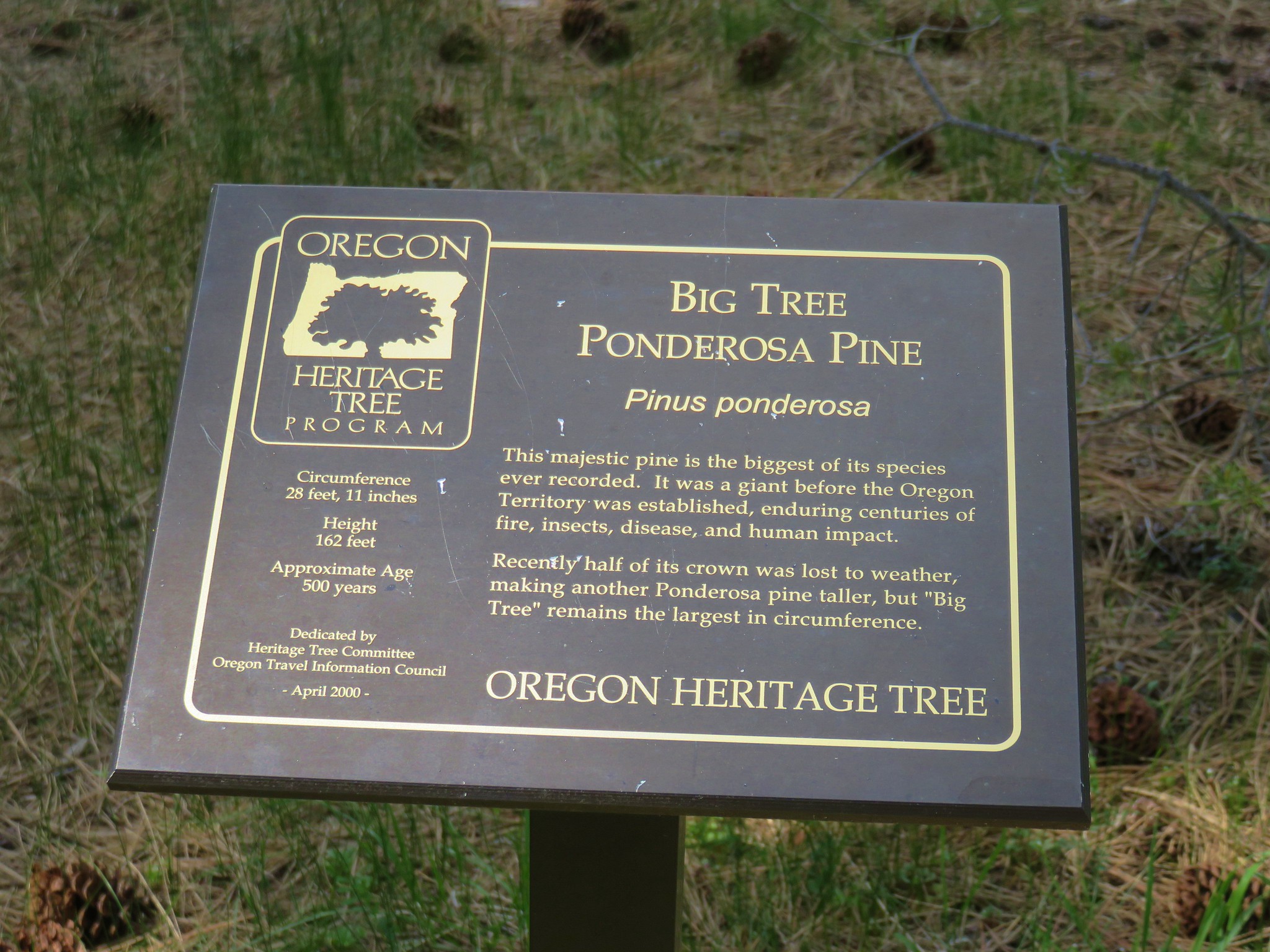
 The canyon is home to some impressive ponderosa pines.
 Another ponderosa
 Looking up from below the ponderosa.
 Lichens


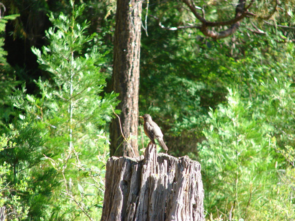
 Townsend’s solitaire
 Owl
Owl
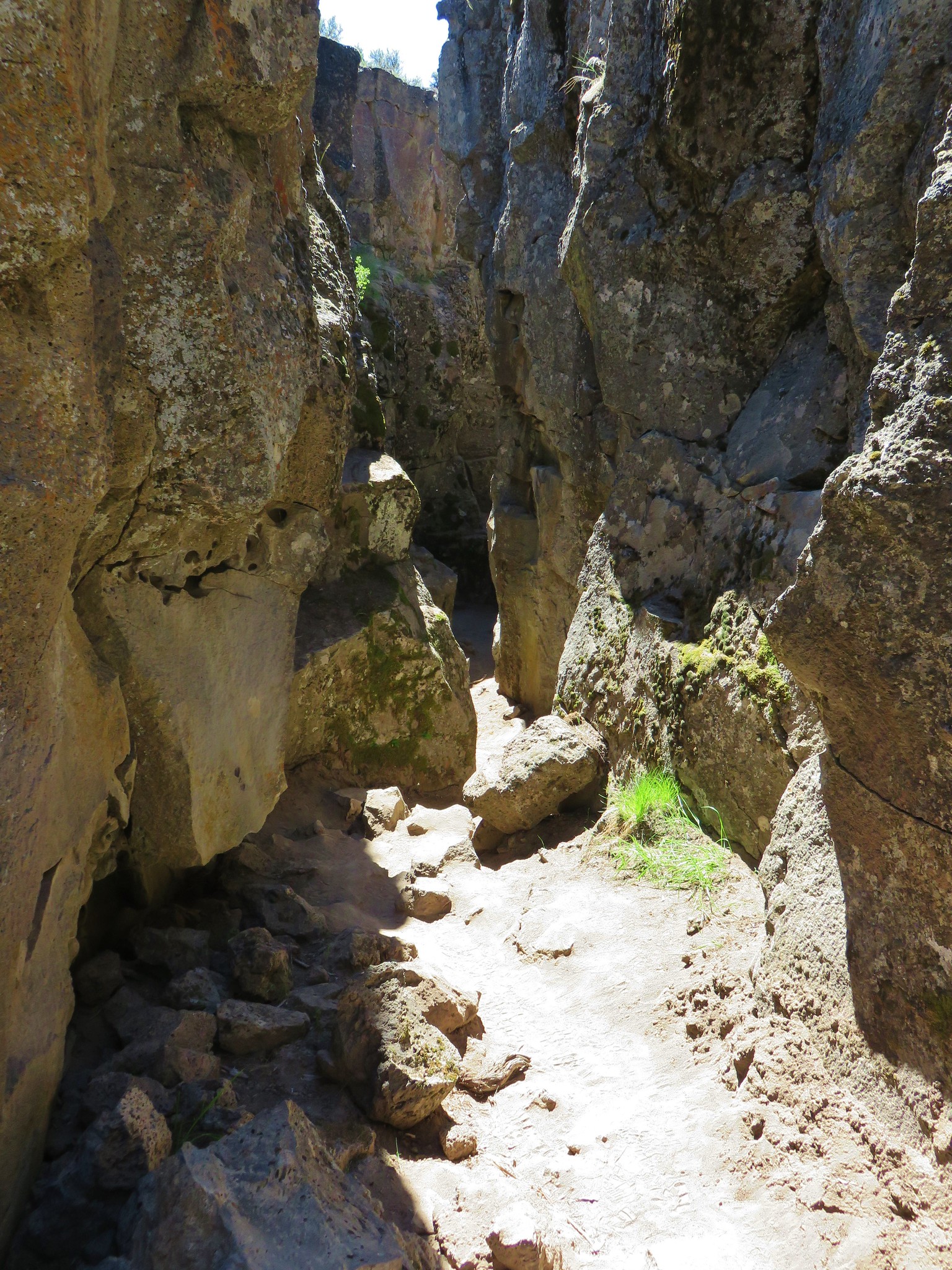
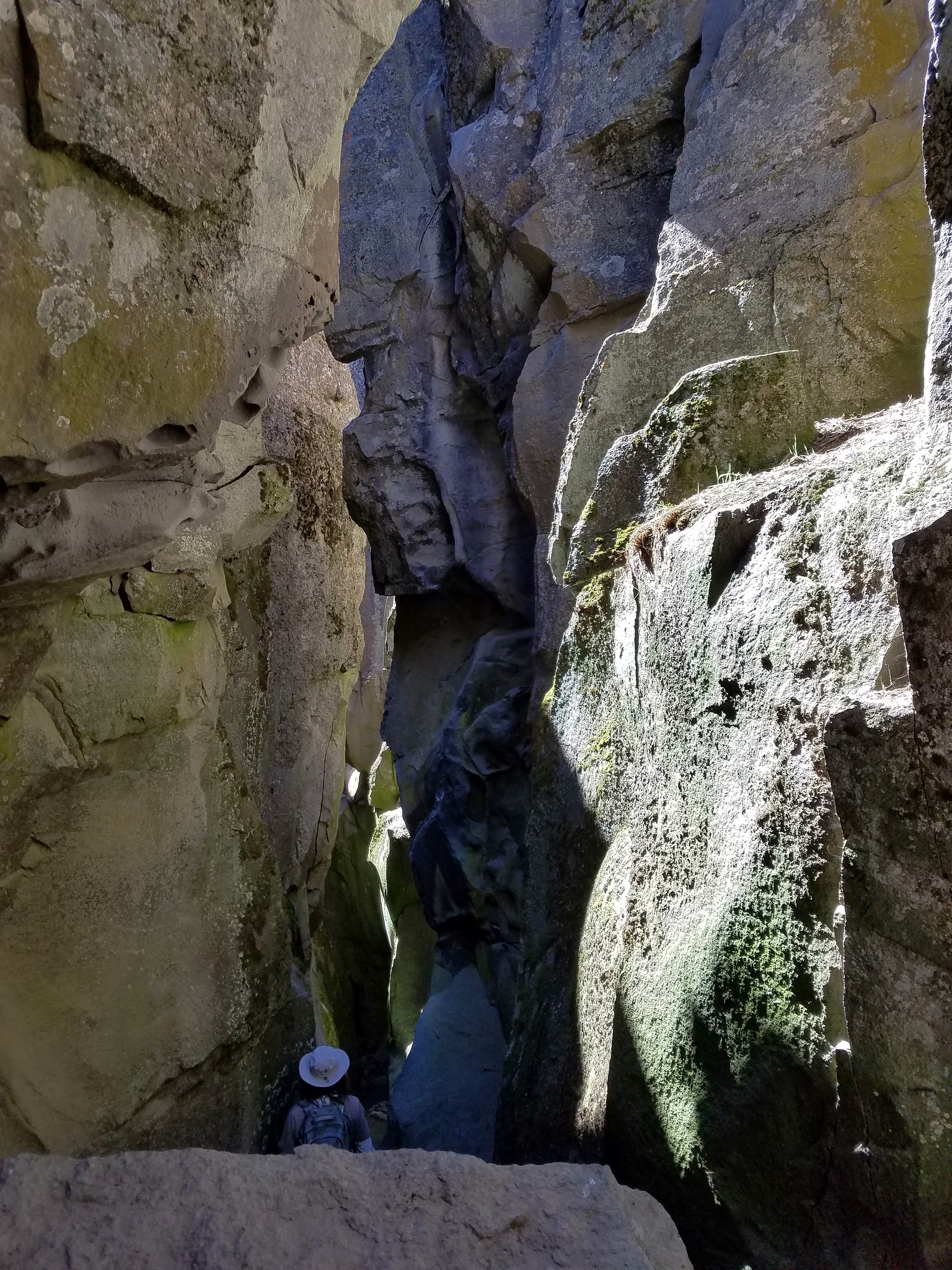
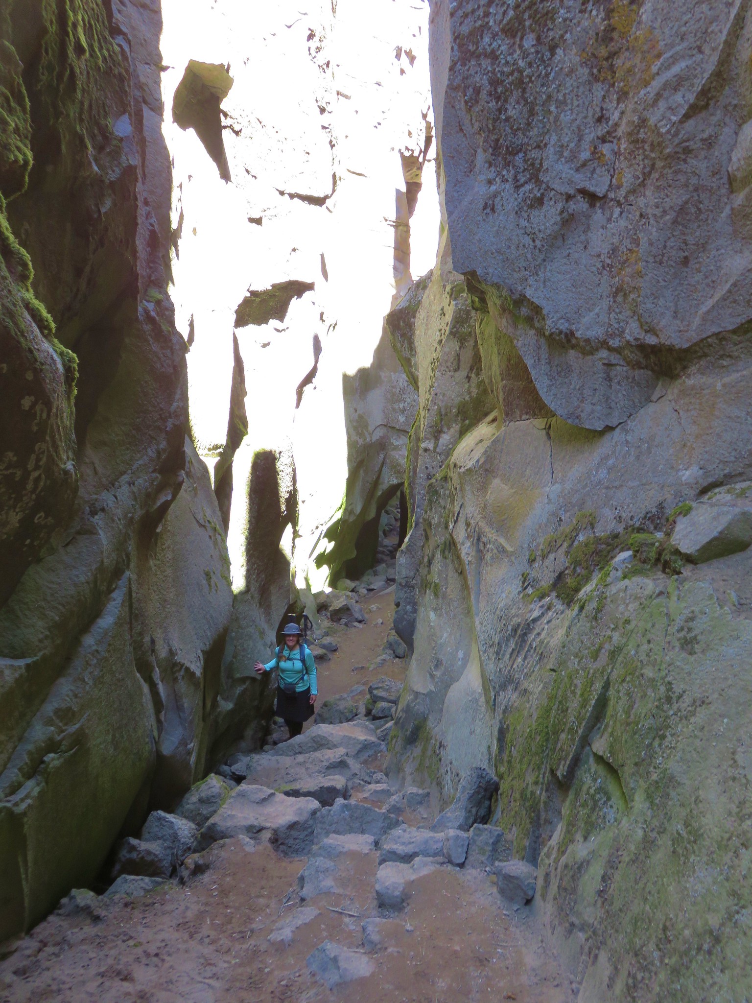
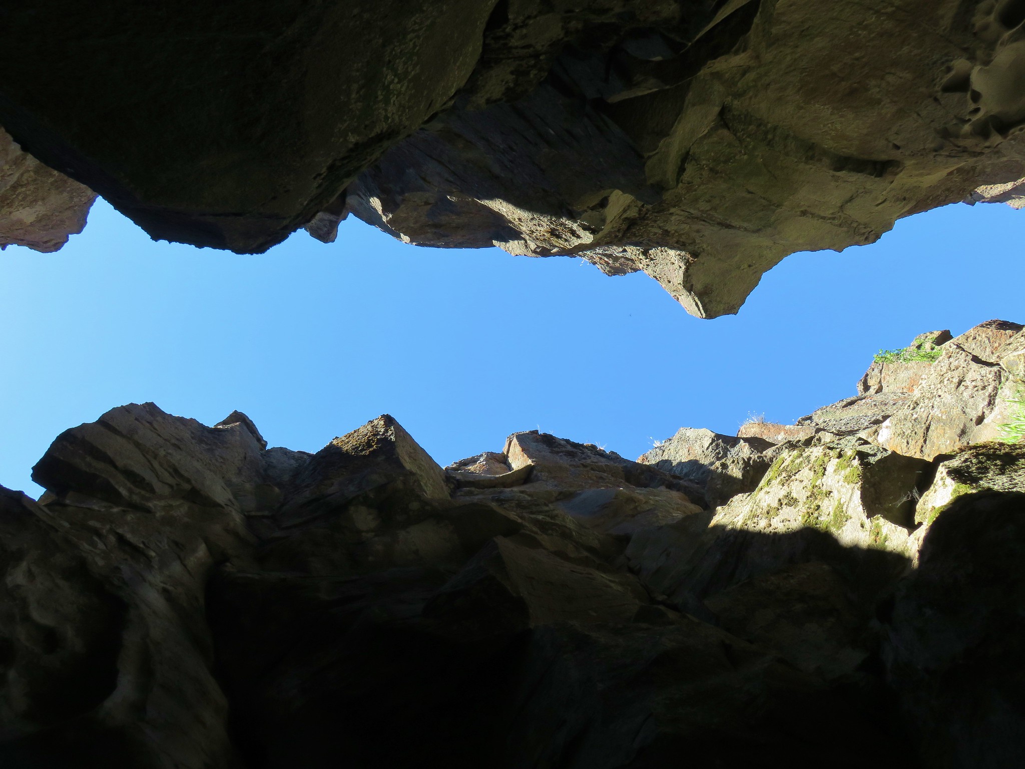
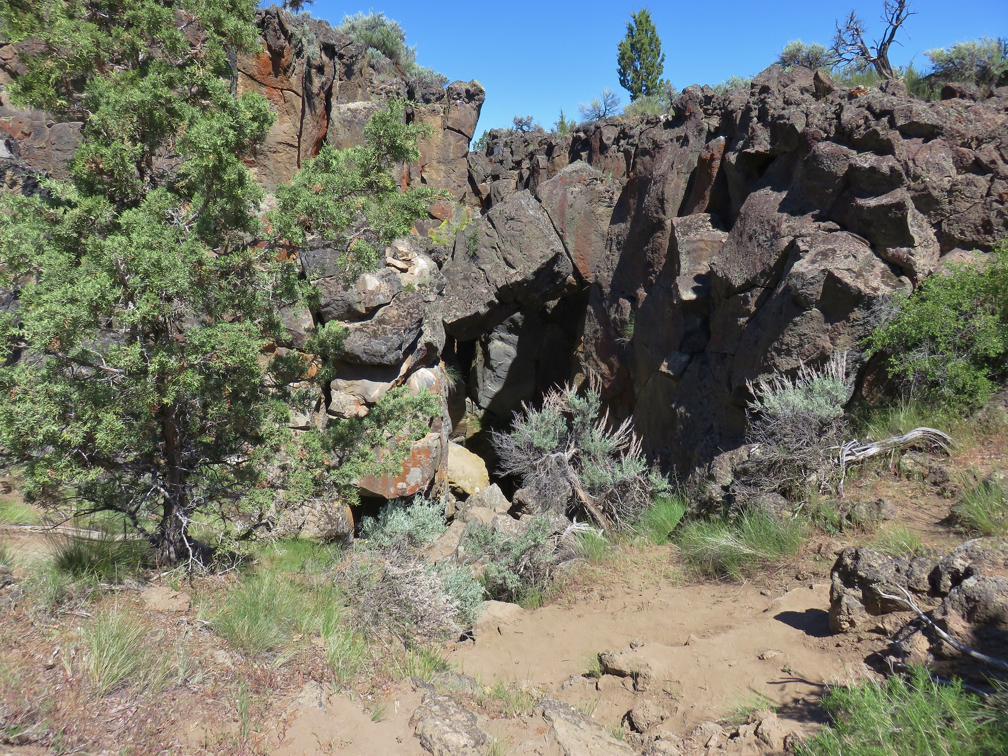
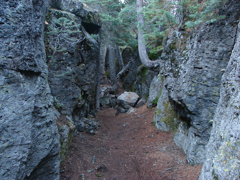
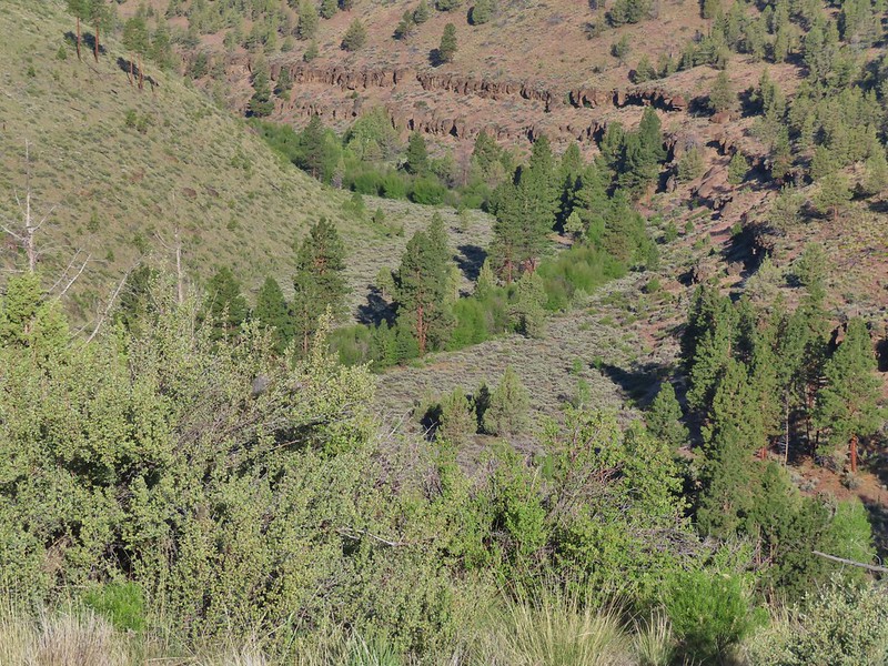
 West wall
 East wall
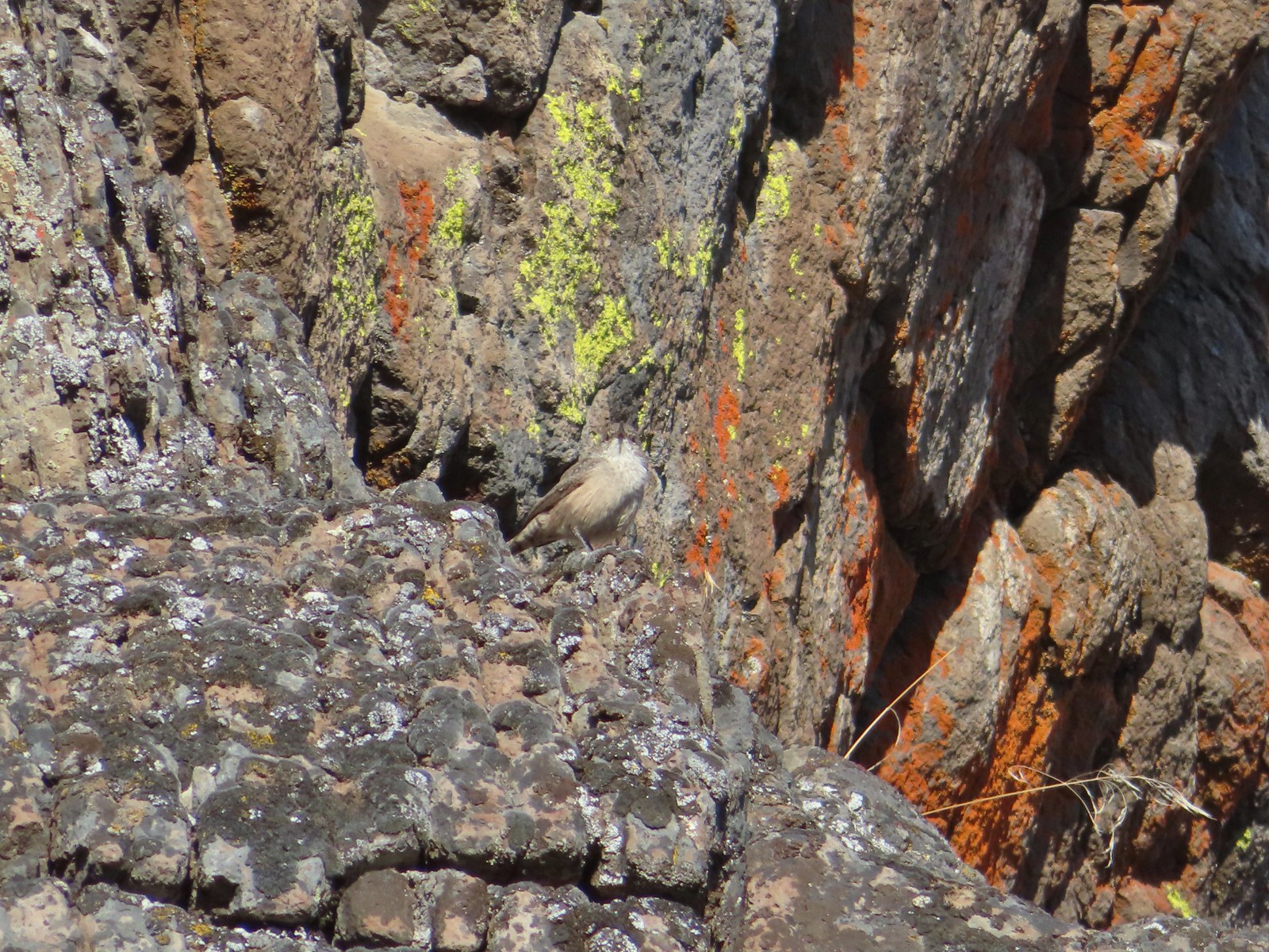 Wren
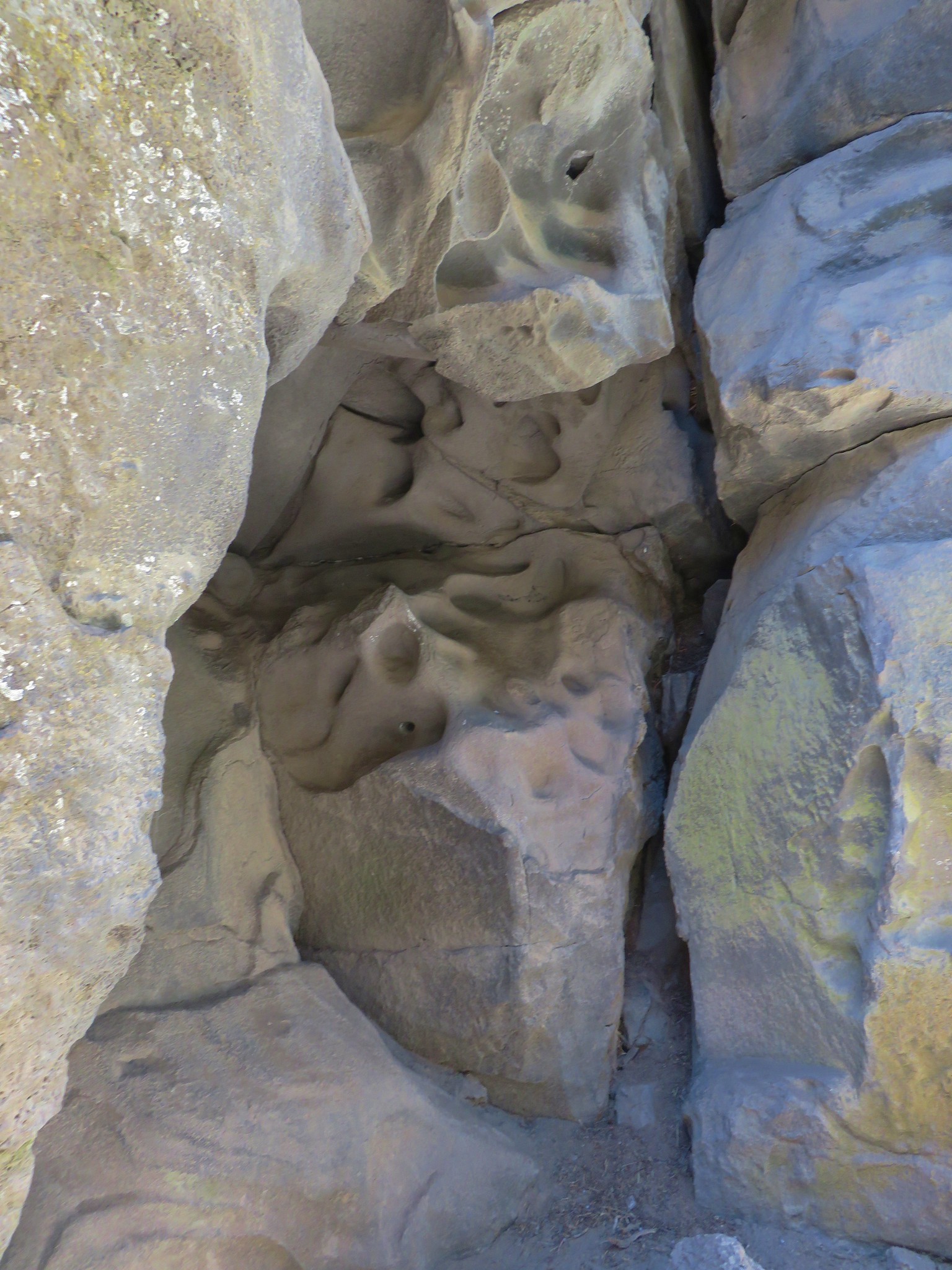
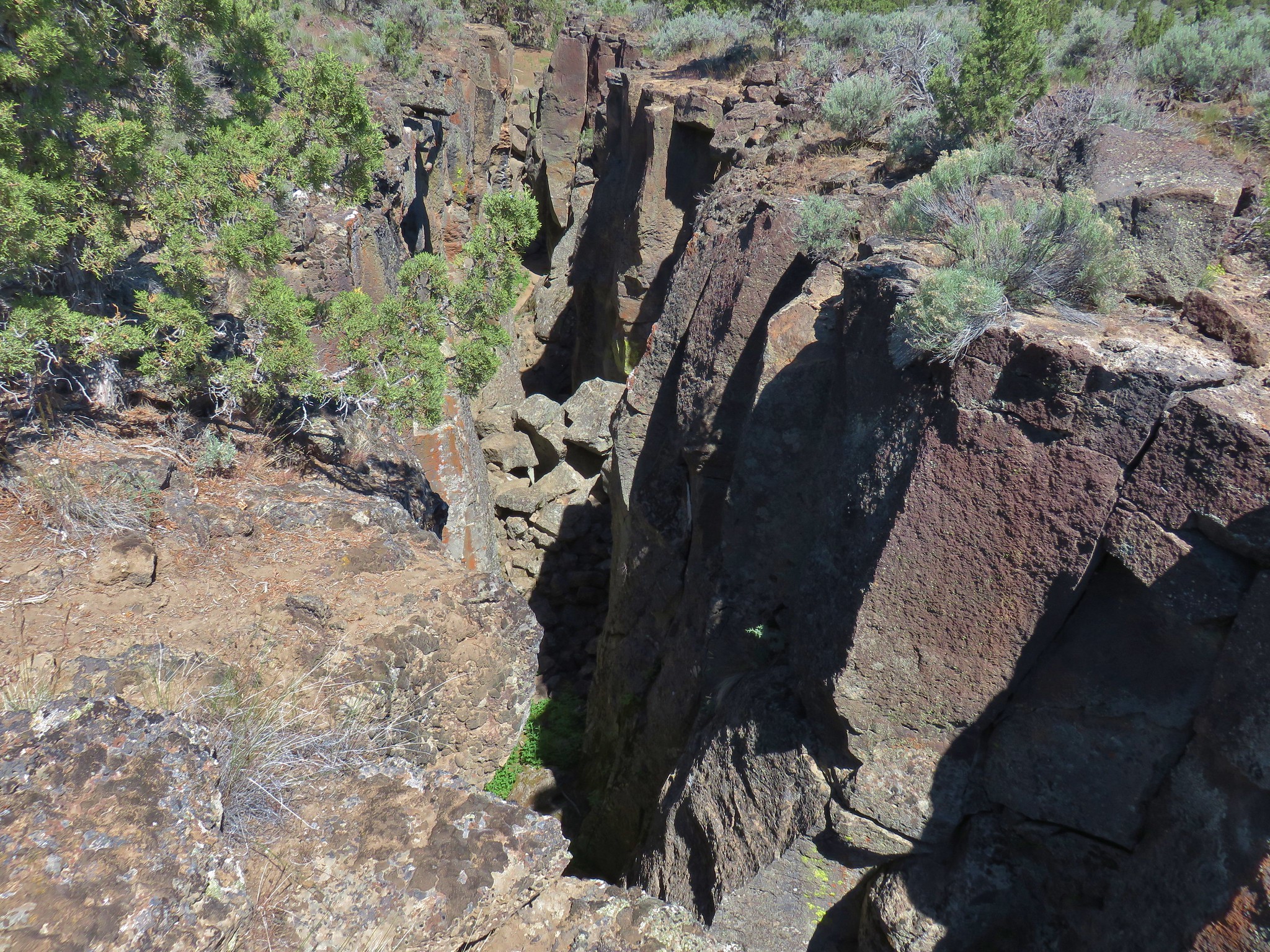
Wren Neat rock formation.
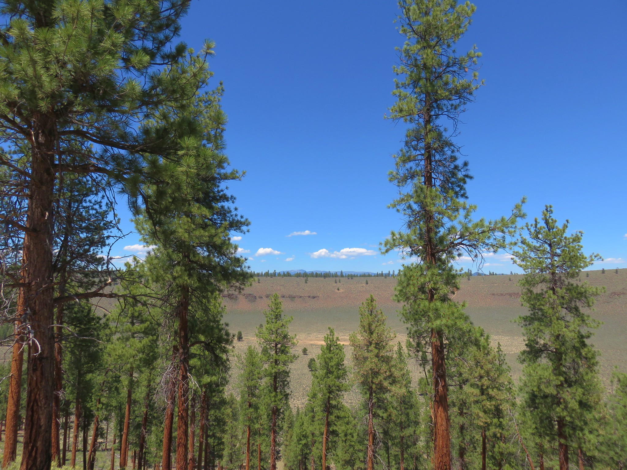
 Exiting Fryrear Canyon.
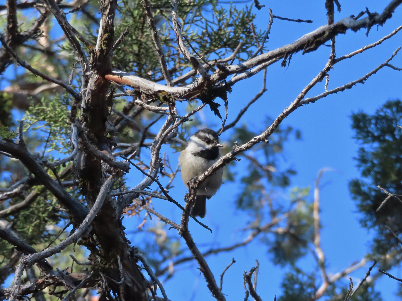 Several mountain chickadees came to investigate as we passed through the gate.

 Middle and North Sister
 Mountain bluebird
 South Sister
 Mt. Jefferson
 Broken Top and South Sister
 Broken Top behind some clouds.
 We turned right back onto the spur trail to the Fryrear Trailhead at the end of our loop.
 Stellars jay
 Kiosk and bench at the trailhead.
 Tent caterpillars (and the red gate)
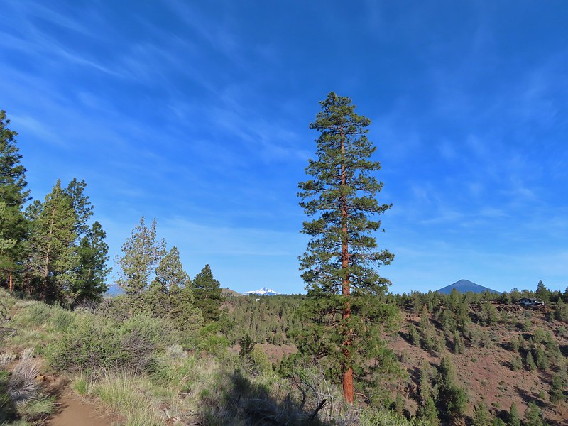 Mt. Washington and Black Butte (
 Broken Top, The Three Sisters, Black Crater (
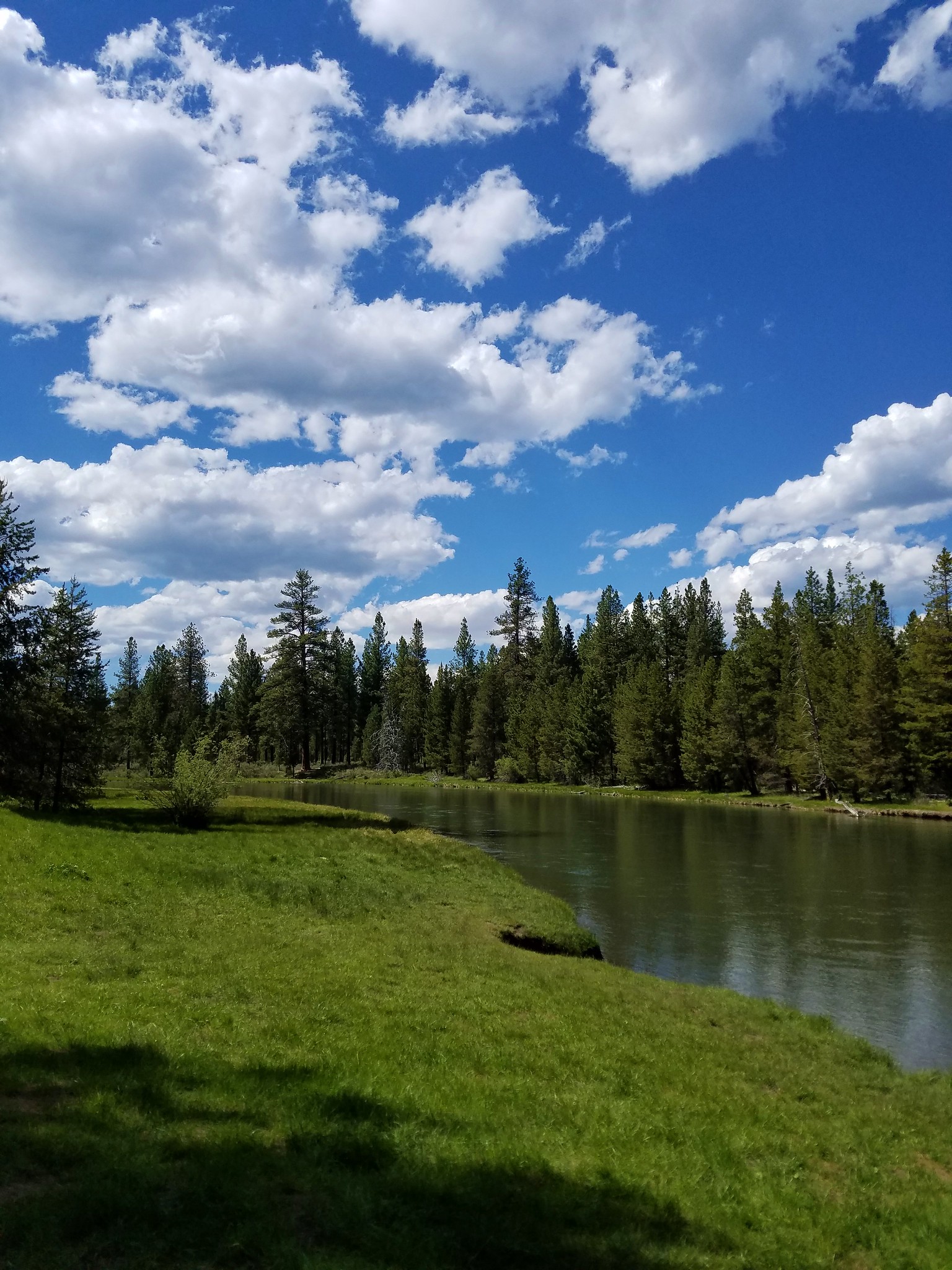
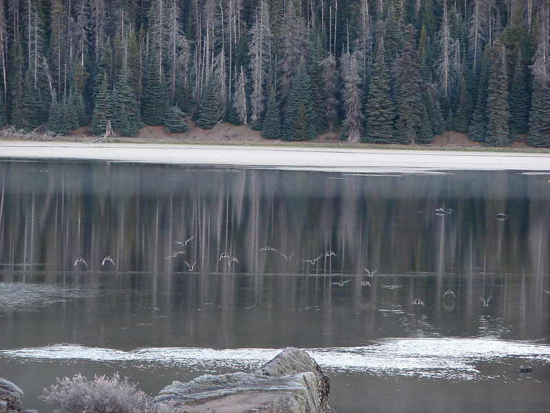
 Whychus Creek was hidden by trees for the most part.
 Balsamroot
 Lupine
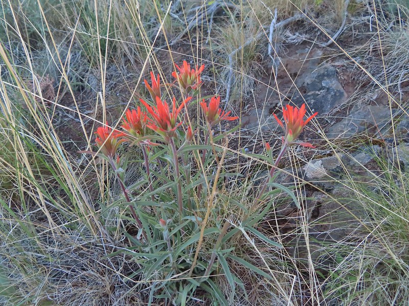 Paintbrush
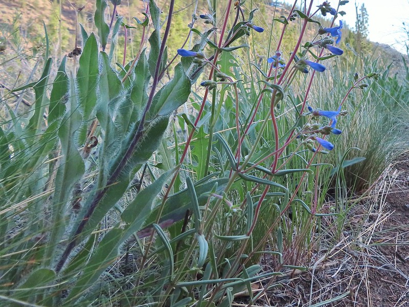 A Penstemon
 Western stoneseed
 Sedum leibergii -Leiberg’s Stonecrop
 Spreading stickseed
 Western wallflower
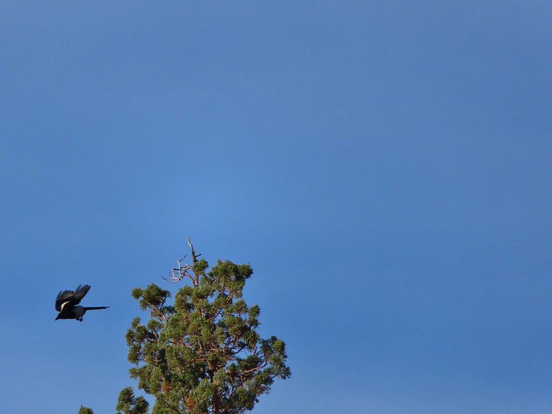 Magpie playing hard to get.
 Spotted towhee
 Black-headed grossbeak
 Ochre ringlet
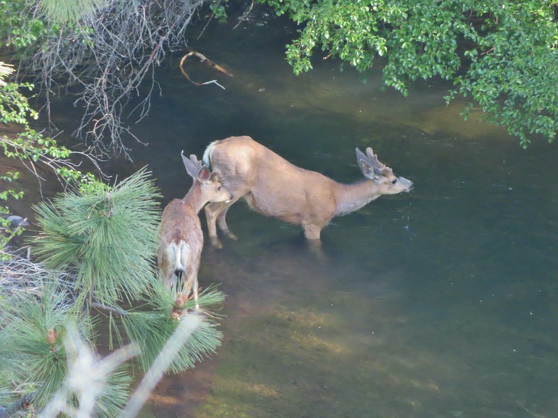 Pair of bucks in Whychus Creek
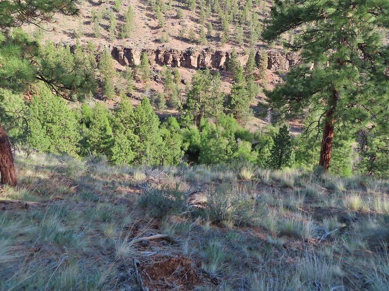


 Chokecherry
 Star-flower false solomonseal
 Trail junction at the 0.8 mile mark.
 Spider on a wallflower.
 Lewis flax
 Heuchera cylindrica -roundleaf allumroot

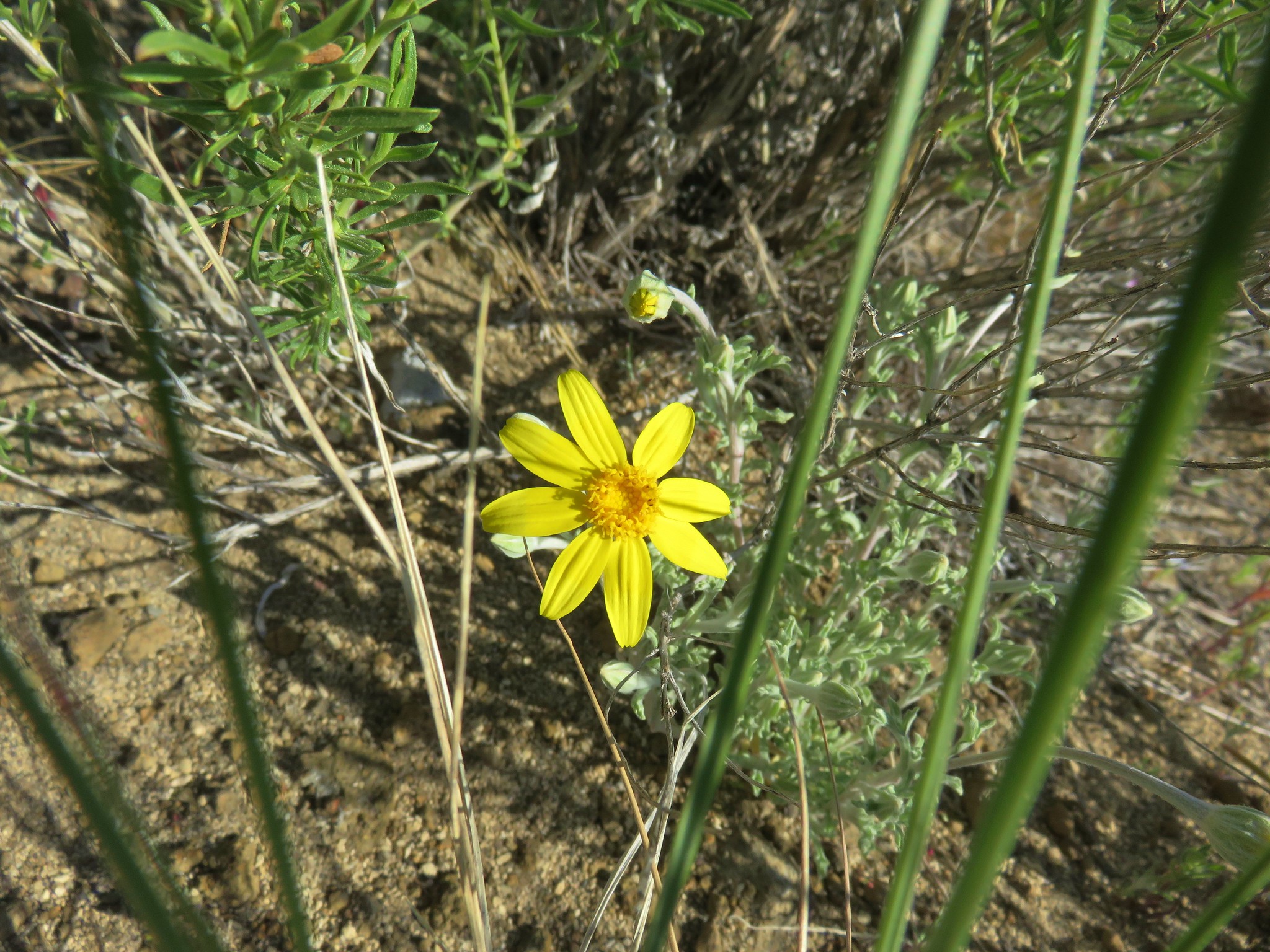
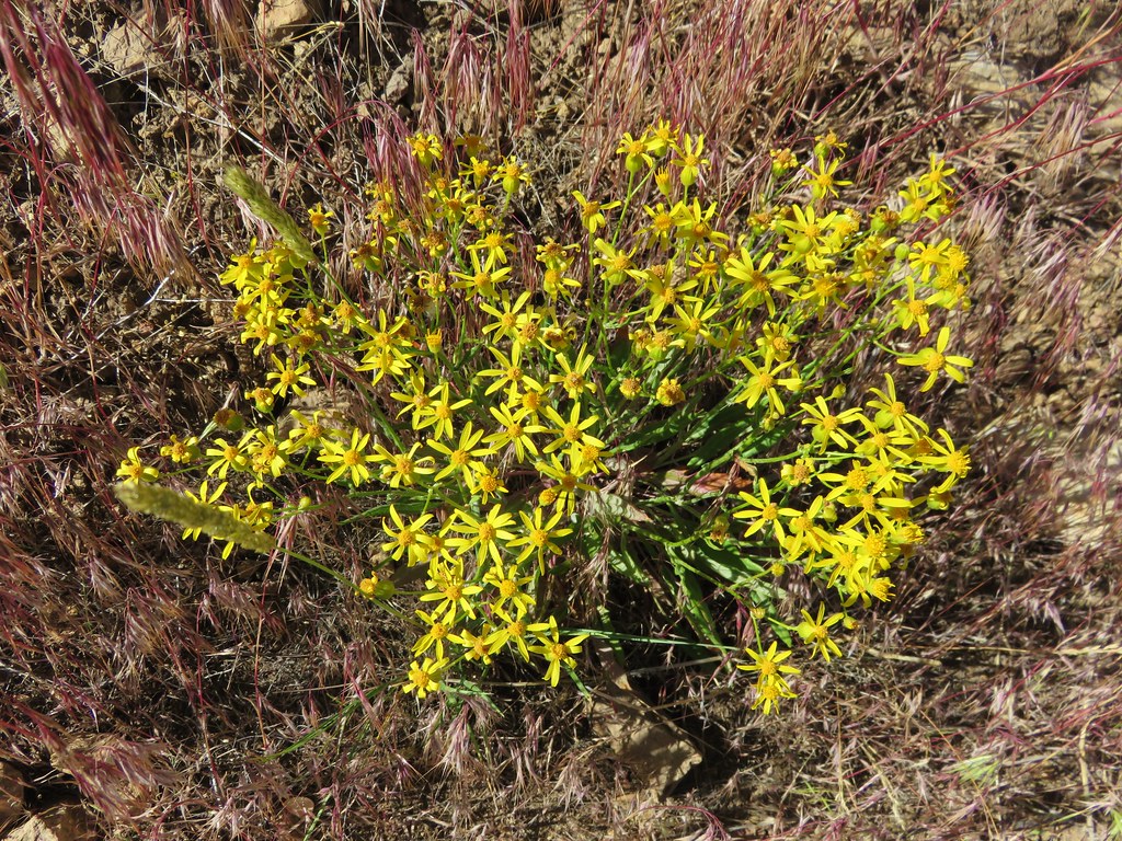
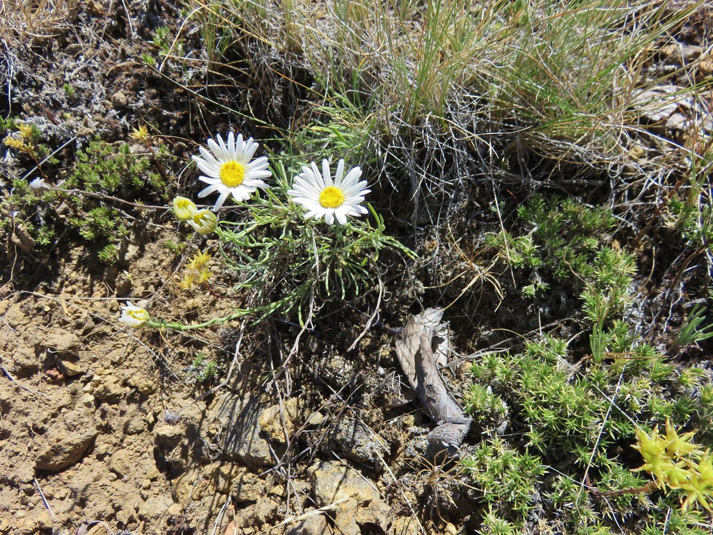
 Oregon sunshine
 Buckwheat and penstemon
 Sign post for the viewpoint.
 Heading for the rock outcrop/viewpoint.
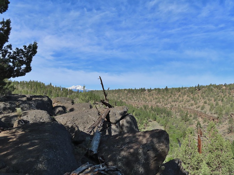 Middle and North Sister with Whychus Creek below.
 A monkeyflower
 Sand lilies
 Trail sign in the distance for spur trail to the Santiam Wagon Road.
 Death camas
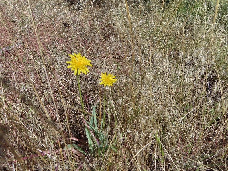 Sagebrush false dandelions
 Pinion jay
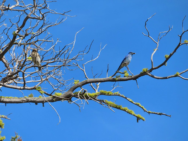 Mountain bluebird pair
 Mourning dove
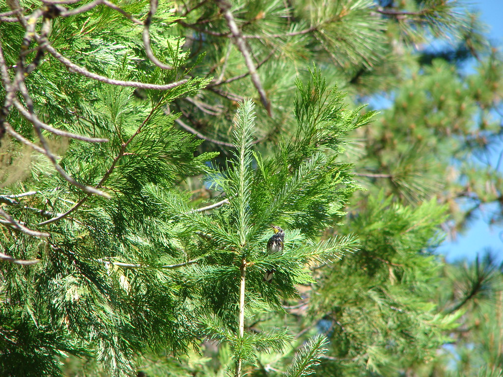
 unidentified little songbird.
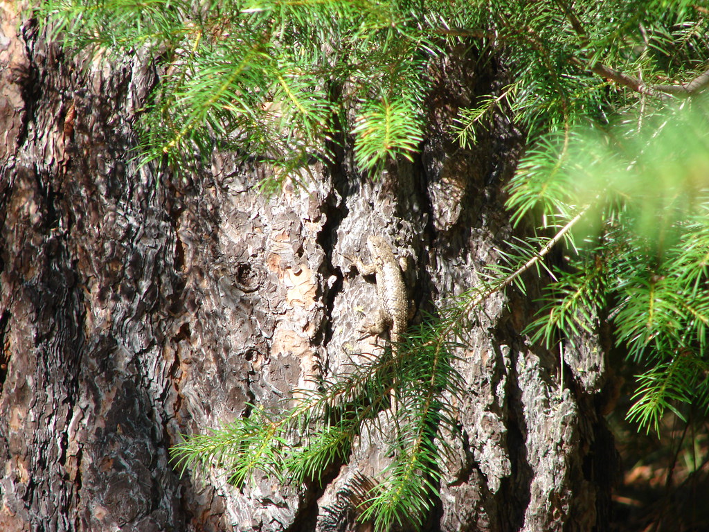
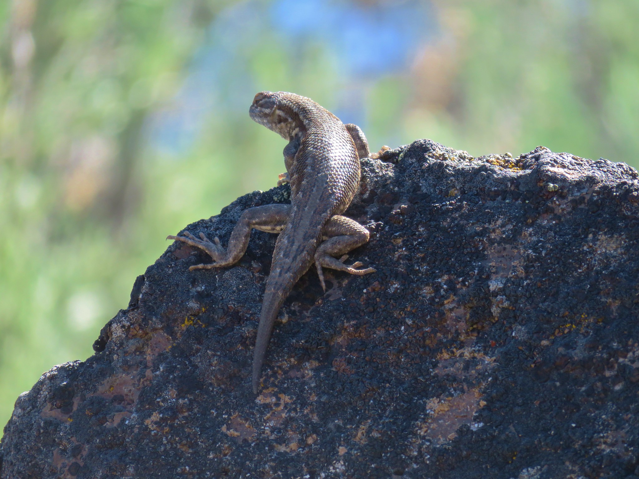
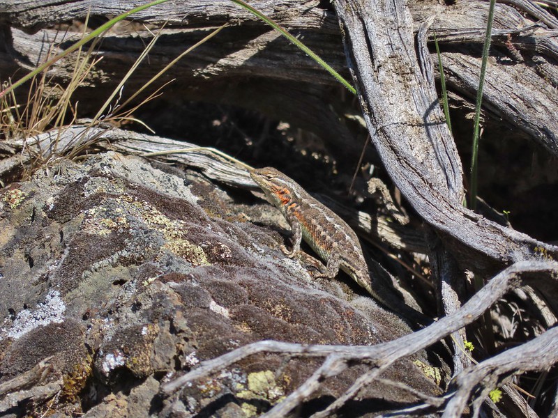
 Lizard
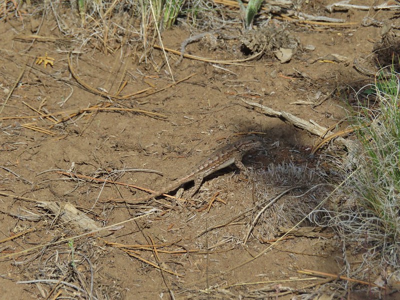 Second type of lizard
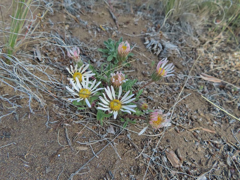 Showy townsendia

 Looking back up the dirt access road to the North Sister, Mt. Washington and Black Butte
 The trailhead signboard.
 Buckwheat
 Rough eyelashweed
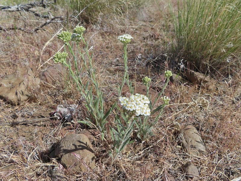 Yarrow
 Fiddleneck
 Largeflower hawksbeard
 Purple cushion fleabane
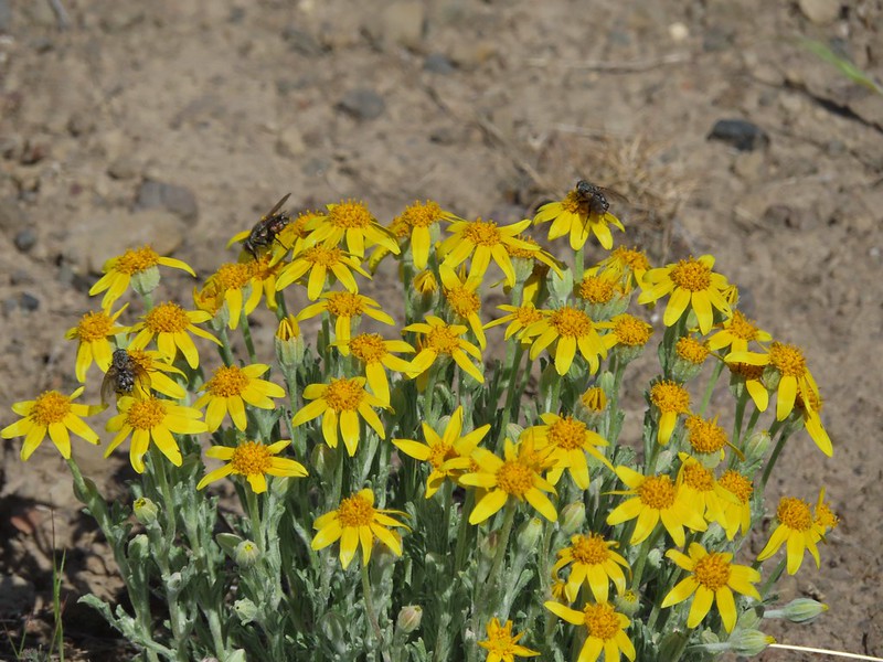 Oregon sunshine
 Blue mountain prairie clover
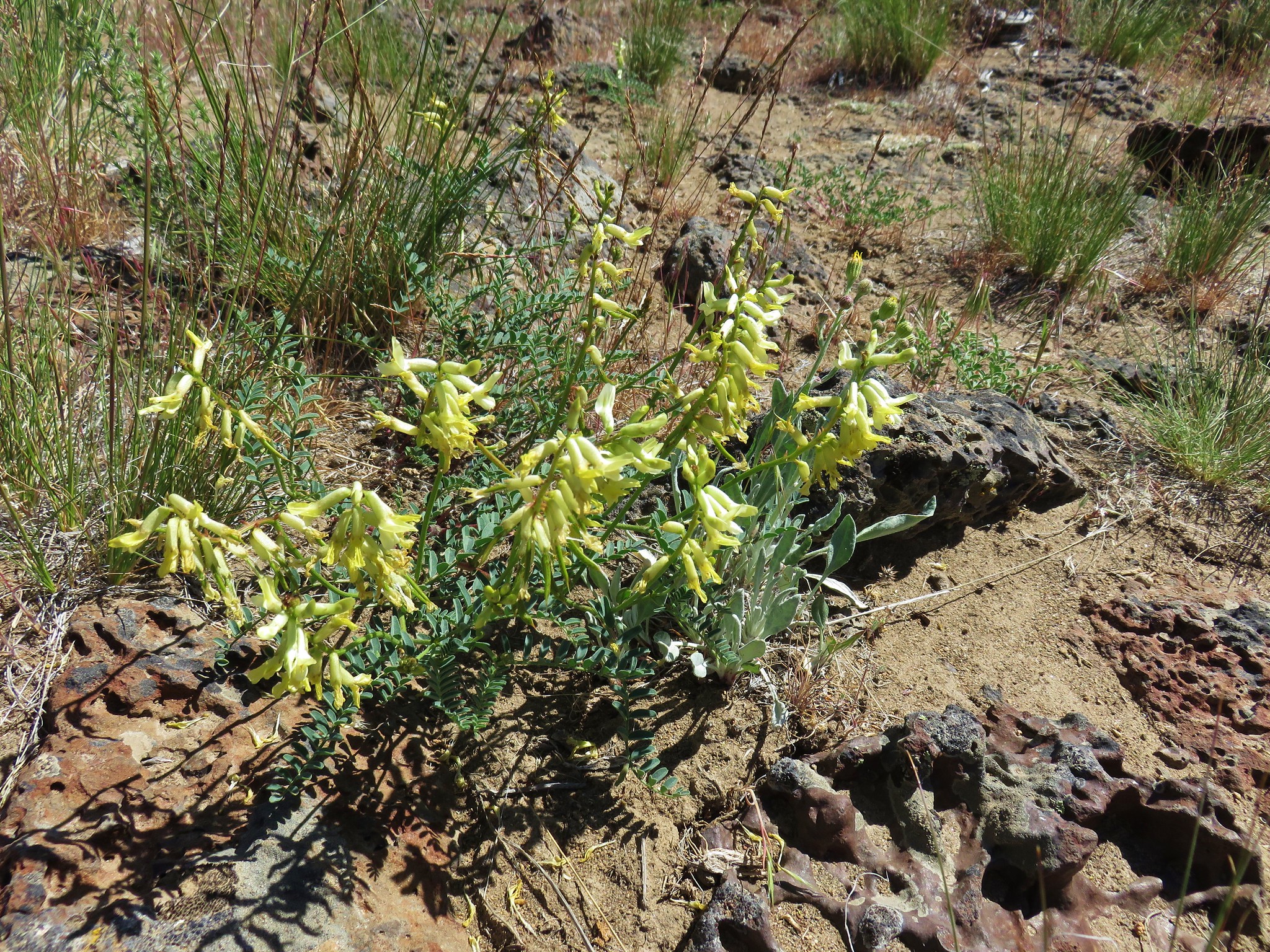
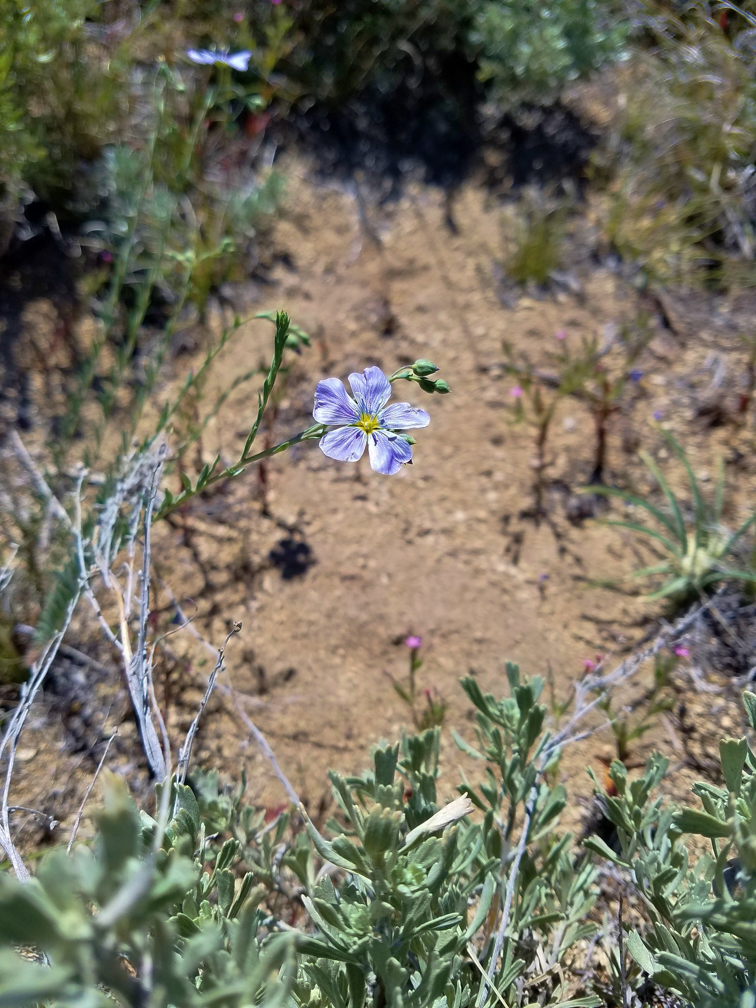
 Lewis flax
 Lupine
 Bearded hawksbeard
 Haven’t id this one yet.
 The Three Sisters, Belknap Crater and Mt. Washington with some dancing clouds.
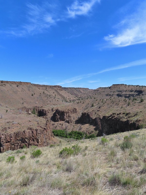 Whychus Creek Canyon
 Love the different rock formations in the canyon.
 Catchfly
 Balsamroot
 Paintbrush
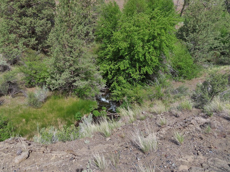 Pretty sure this side creek was dry on our previous visit.
 Whychus Creek at the ford.
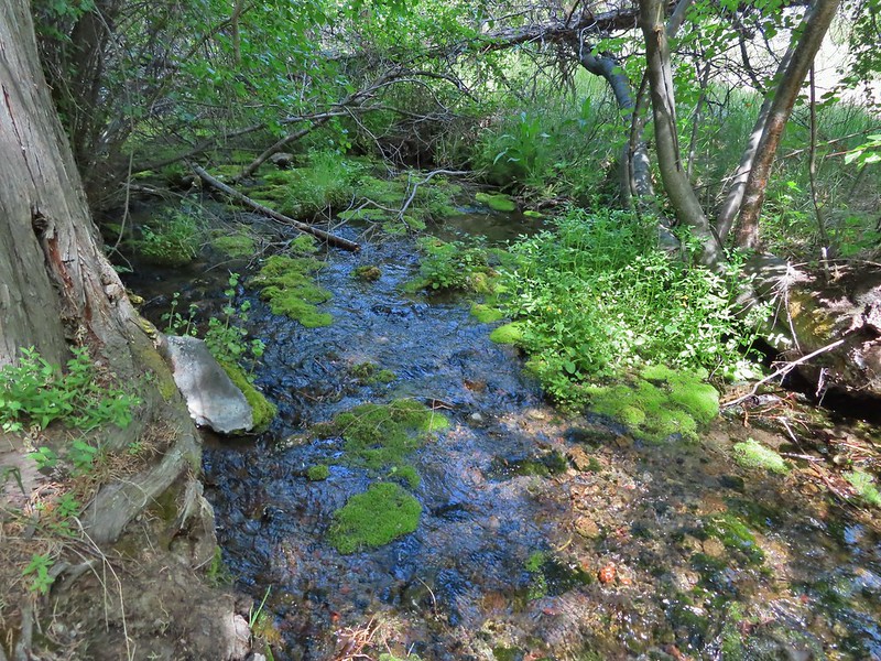 Alder Springs
 Columbine
 A clarkia, possibly Lassen
 Threadleaf phacelia
 Unknown

 Creek dogwood and a beetle covered in pollen
 Grand Colloma
 Deadly nightshade
 Rose with crab spider
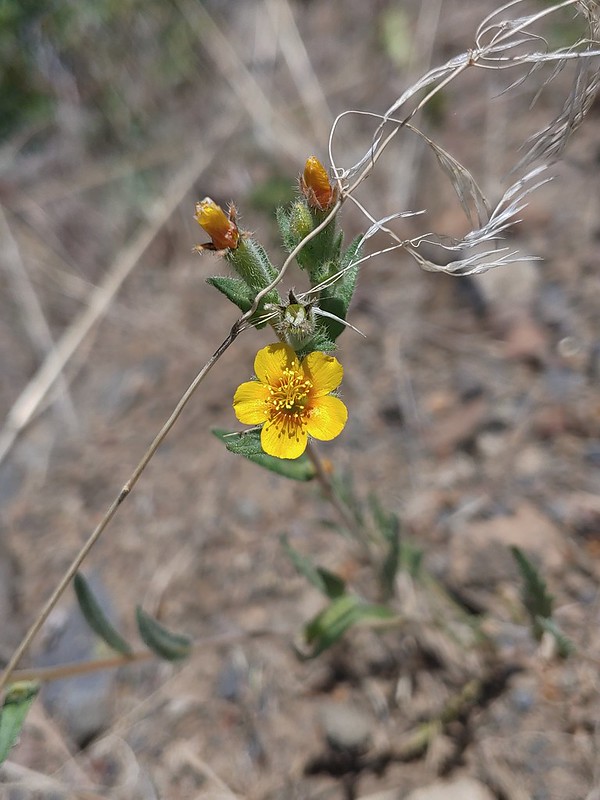


 Dragon fly
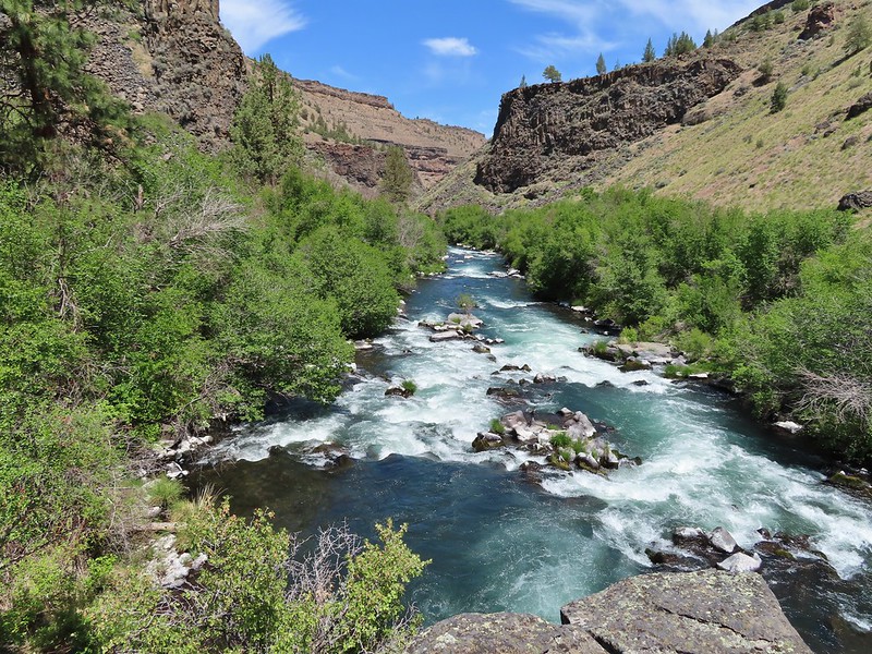
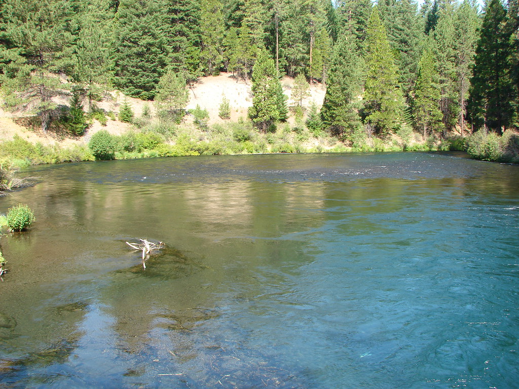
 Confluence of the Deschutes (left) and Whychus Creek (right).
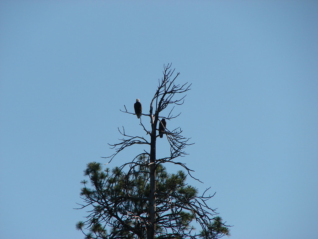
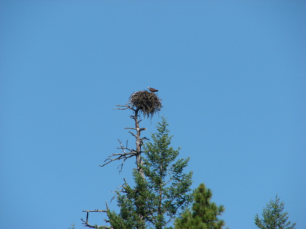
 Bald eagle

 Cedar hairstreak
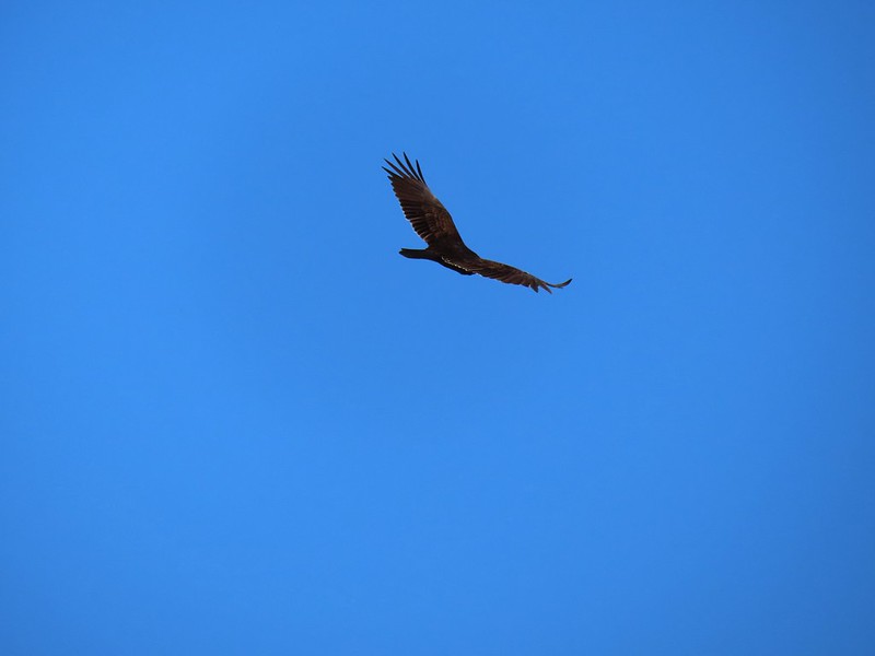 Turkey vulture
 Mountain chickadee
 Trailhead on McGrath Road.
 A 300+ year old juniper named an Oregon Heritage Tree
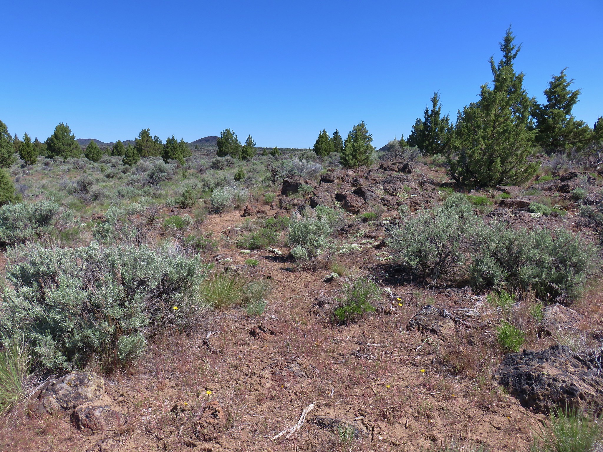
 Sagebrush, juniper and lava – my childhood 🙂
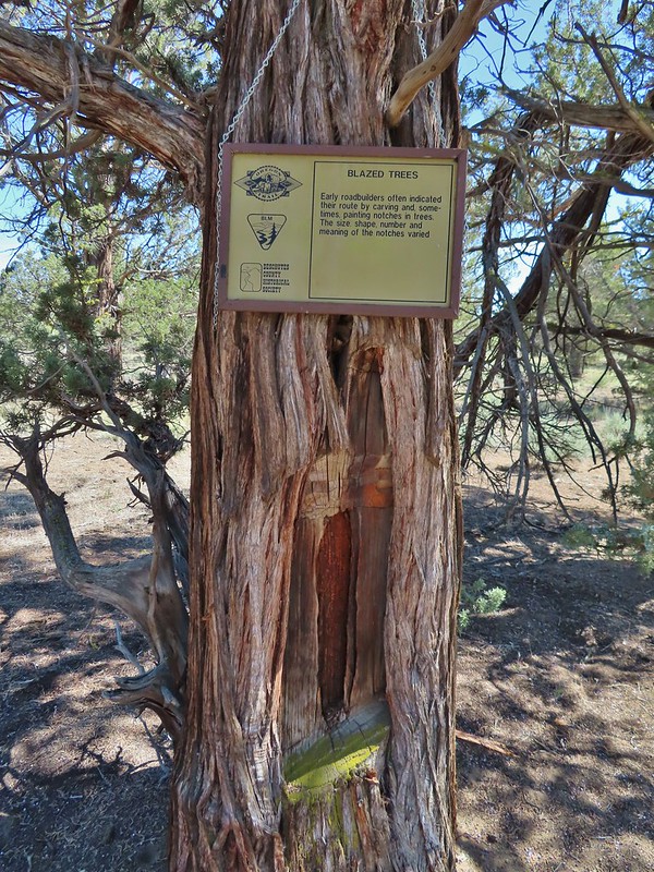 Tree blaze
 Buckwheat
 Ruts along the wagon road.
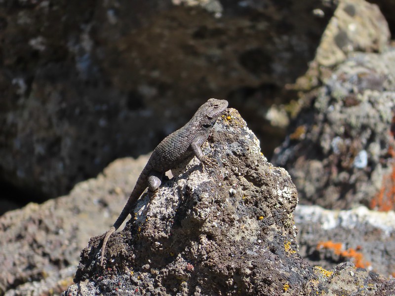
 Skipper on Showy townsendia.
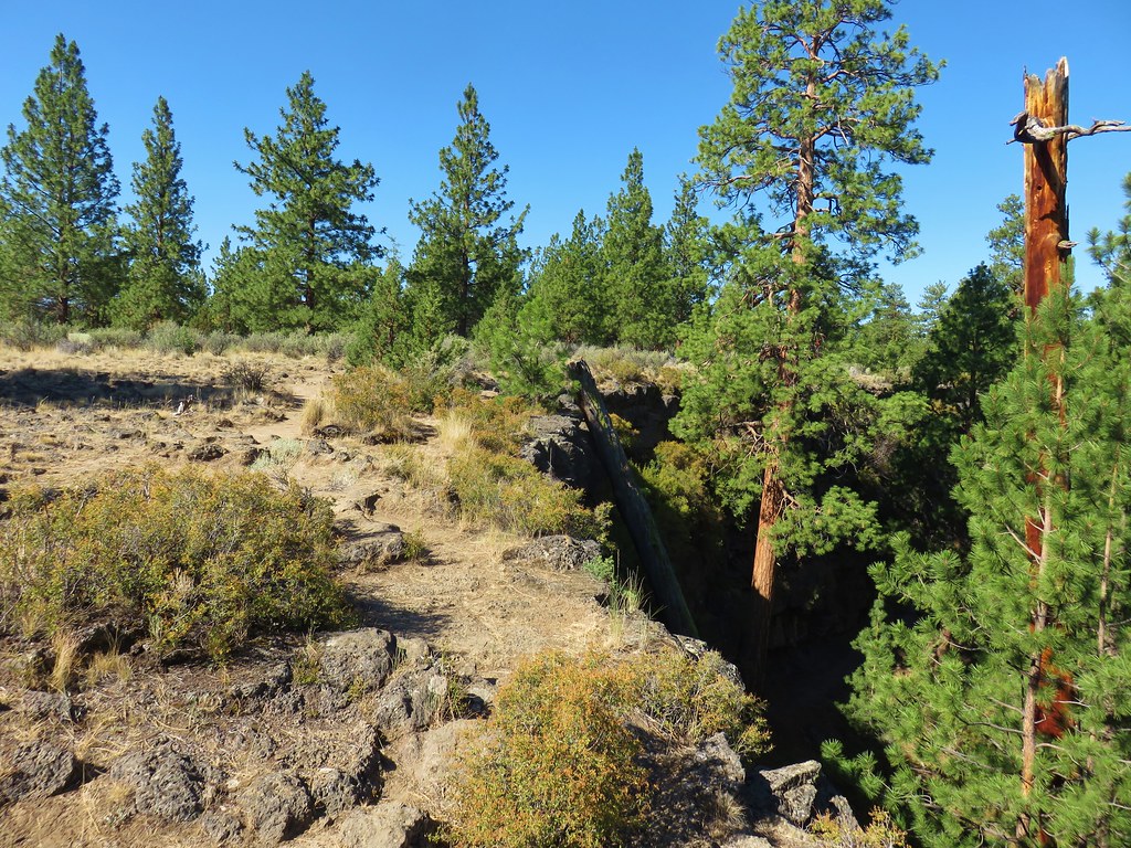
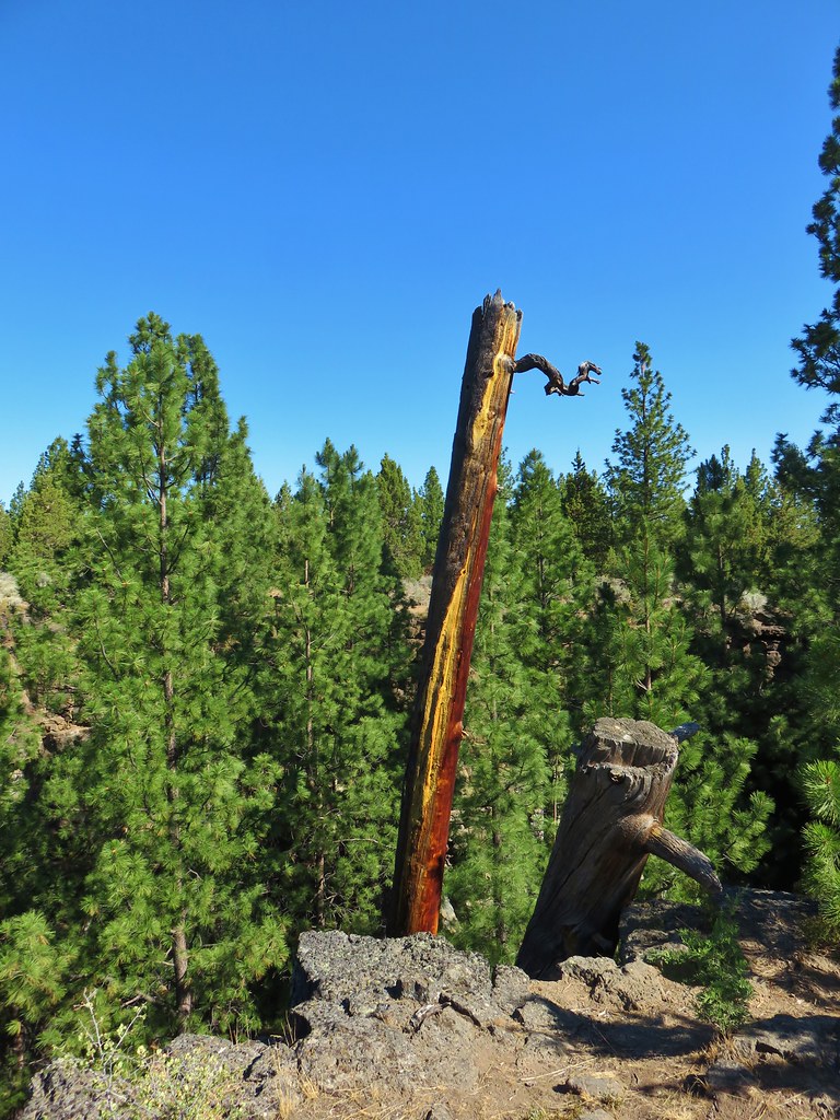
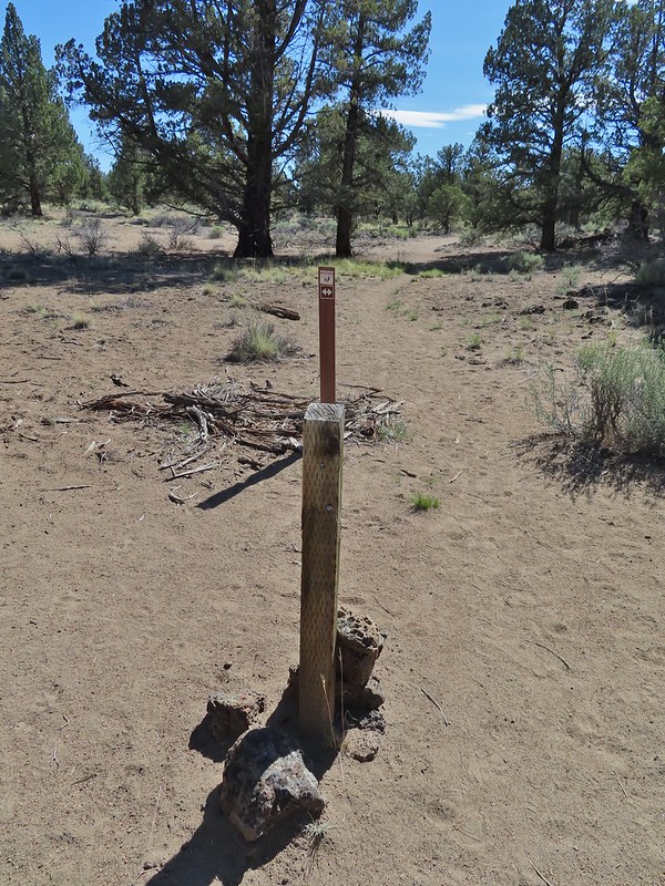 Post marking the relic fence line and turnaround point.
 An old fence post and barbed wire.
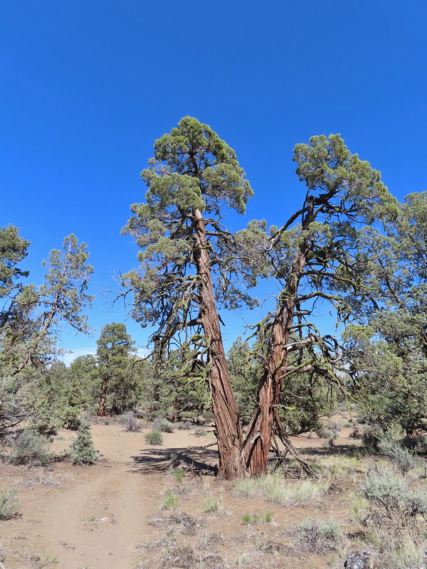 Junipers are some interesting trees, they come in all shapes and sizes.