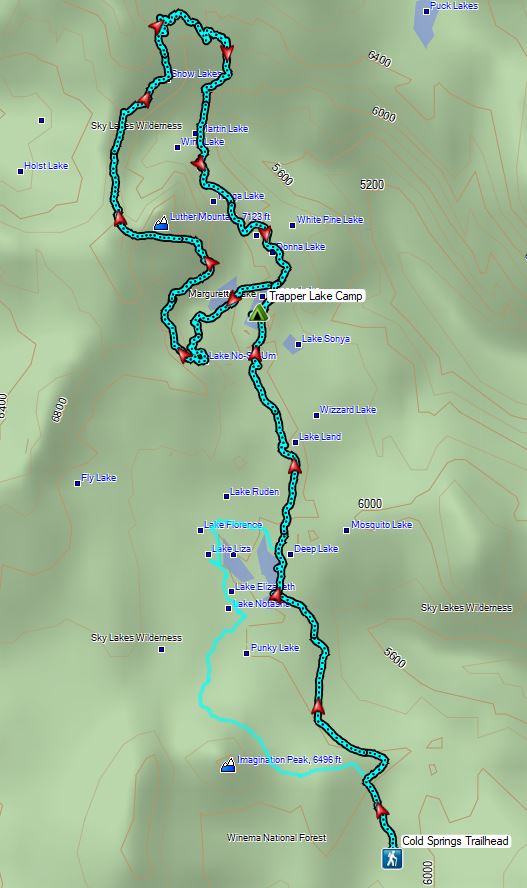
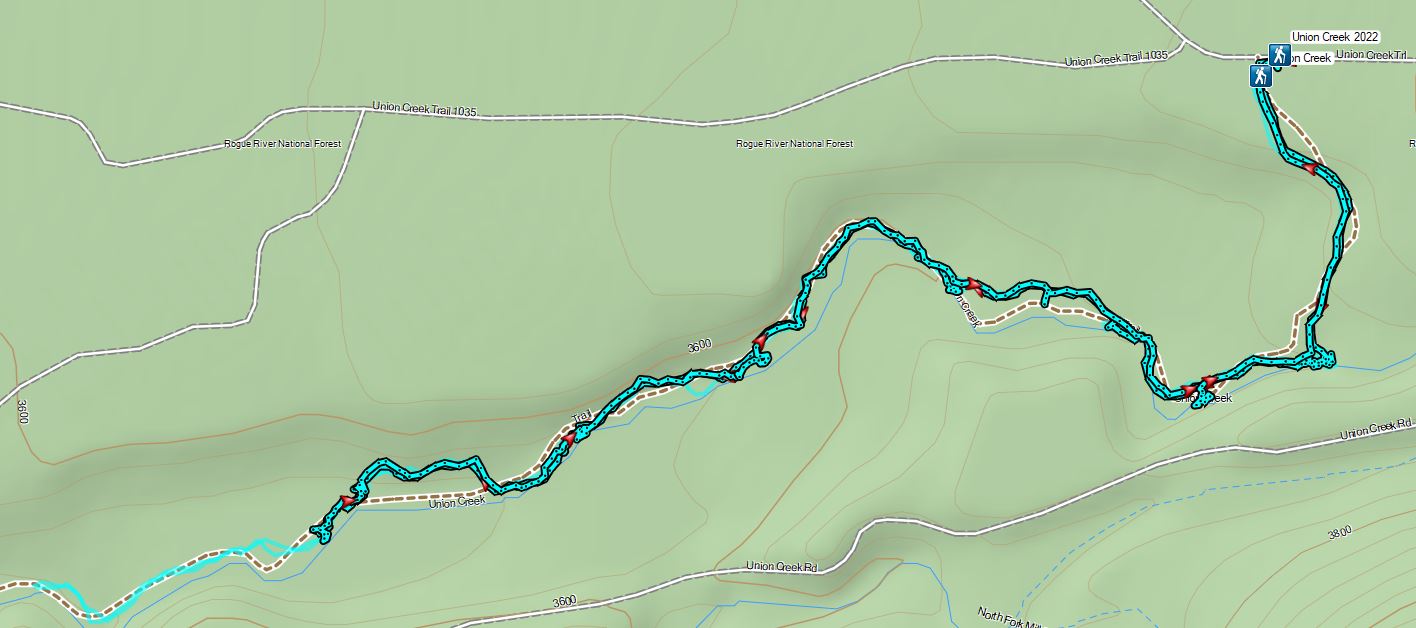
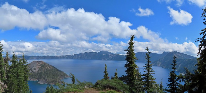
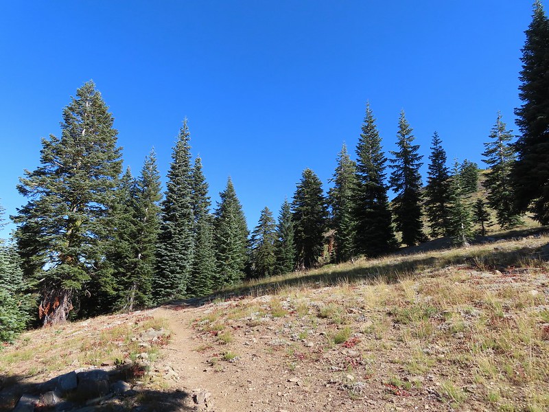
An excellent weekend forecast allowed us to head back to the Southern Oregon Cascades less than a week from our three night, four day stay in Shady Cove (post). In an attempt to give us the best chance to finish our featured hike goal (post) I’d recently broken a 5-6 day backpacking trip in the Sky Lakes Wilderness into shorter trips. During our Shady Cove stay we did the Blue Lakes Basin hike (post) and now we were back for an overnight backpack in the Sky Lakes Basin to check off Sullivan’s Sky Lakes via Cold Springs and Sky Lakes via Nannie Creek hikes. (Hikes #43 & #44 respectively in edition 4.2 “100 Hikes/Travel Guide Southern Oregon & Northern California.)
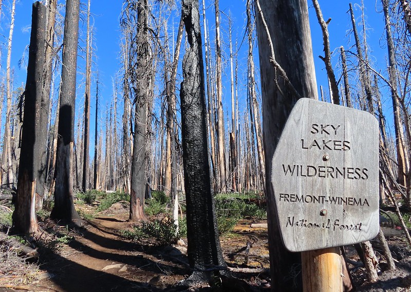
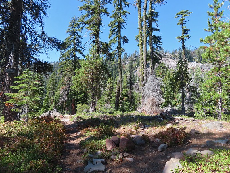
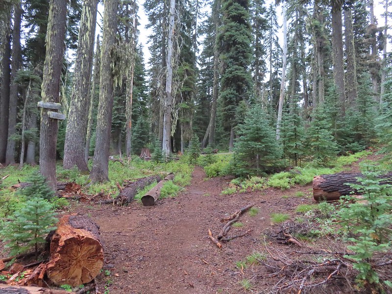
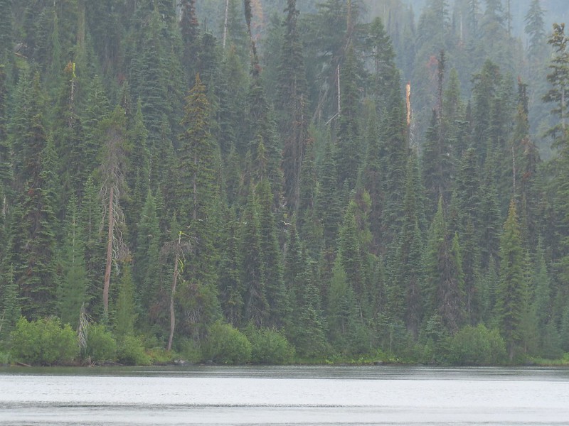
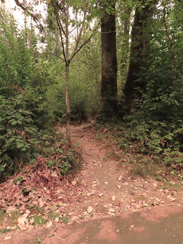
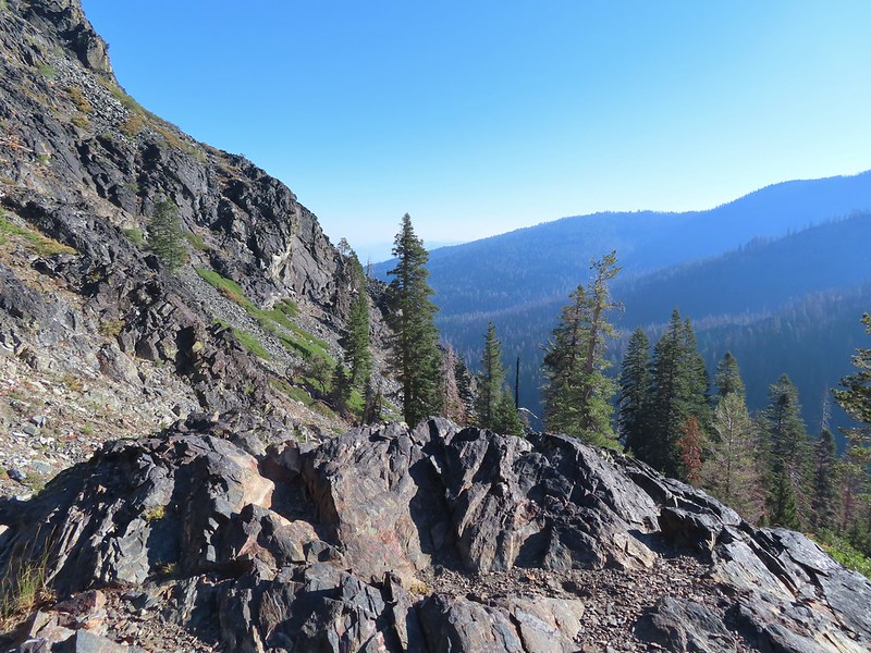
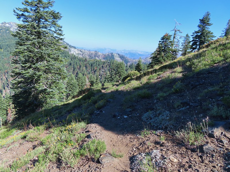
We started at the Cold Springs Trailhead.

 Shelter at the trailhead.
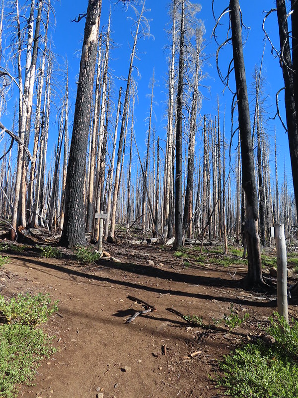
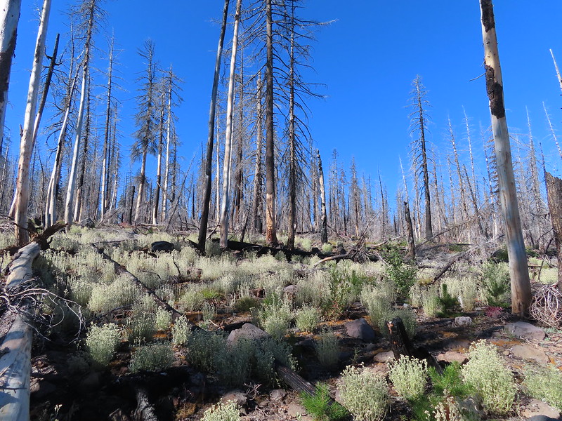
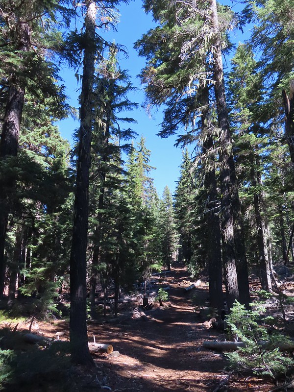
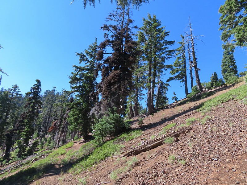
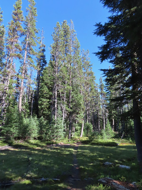
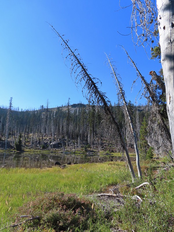
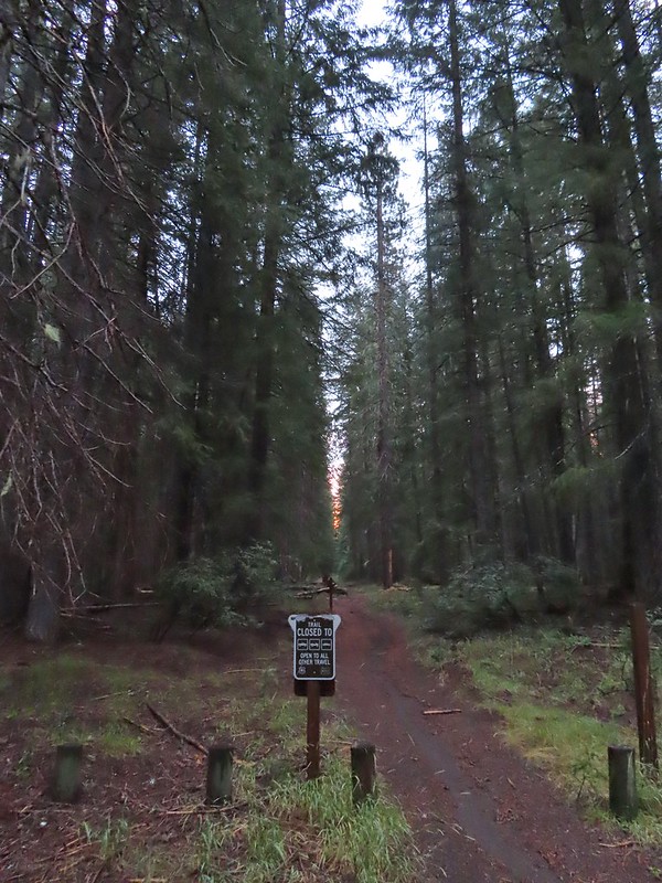
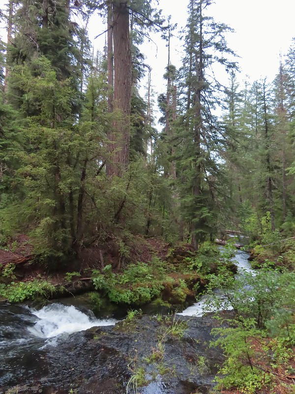
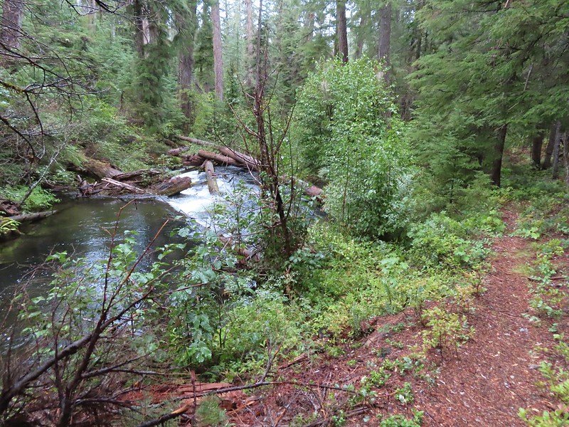
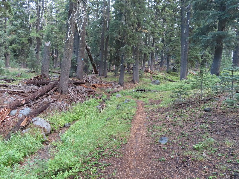
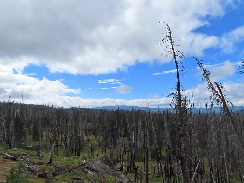
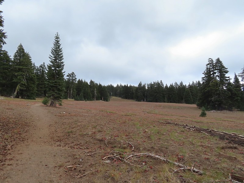
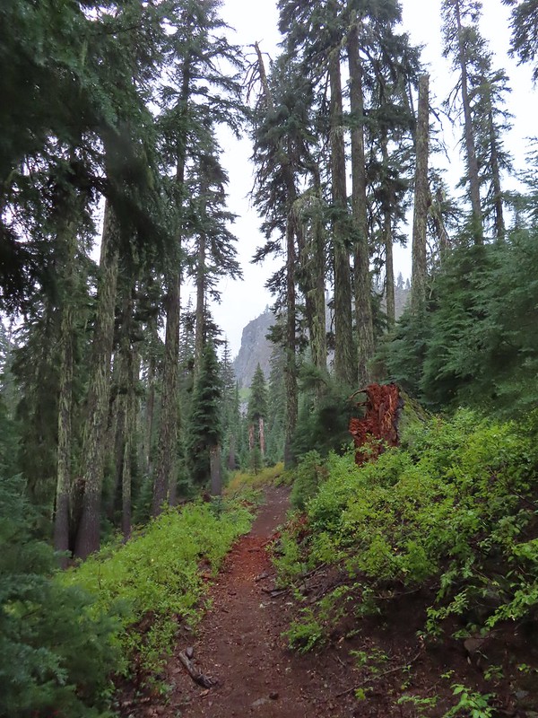
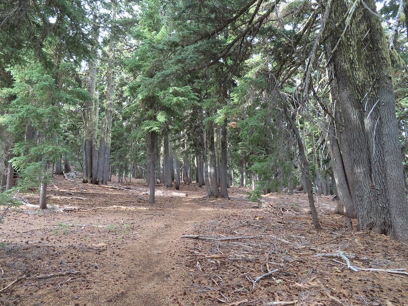
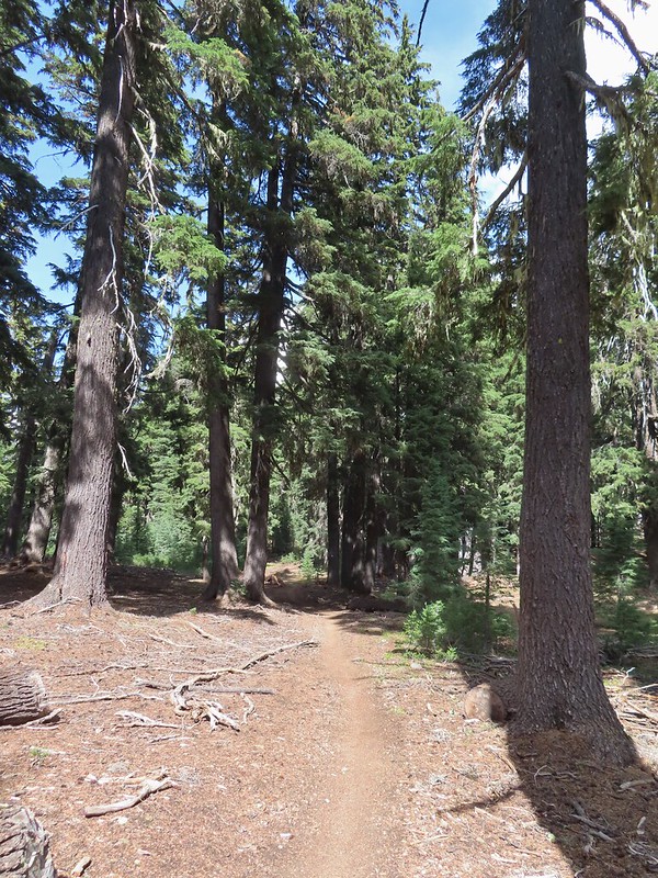
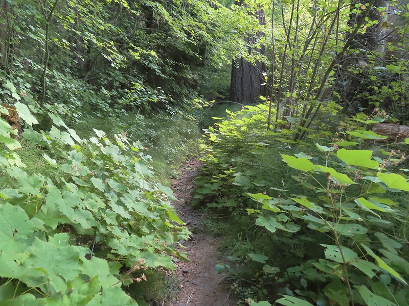
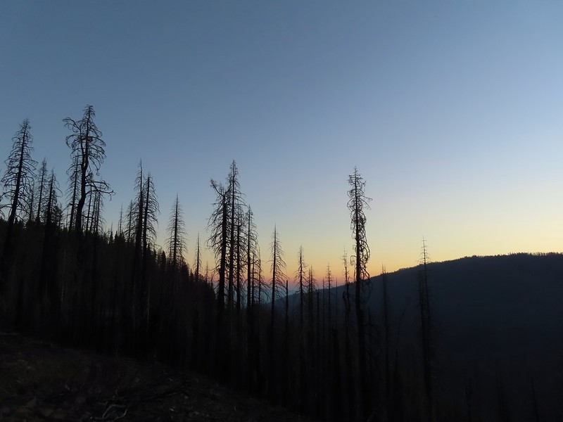
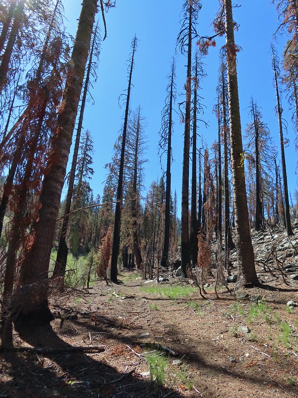
We set off through a 2017 fire scar following the Cold Springs Trail into the Sky Lakes Wilderness.


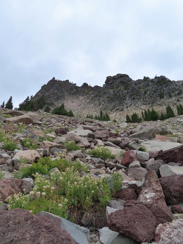
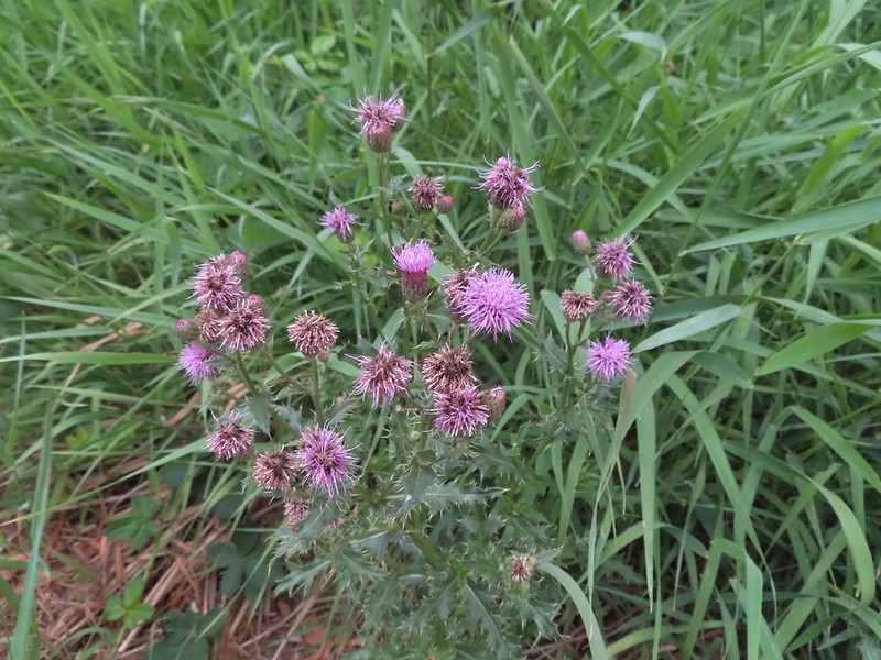
 Aster
Aster
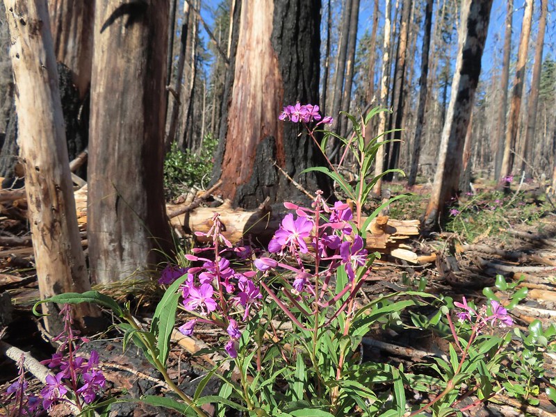 Fireweed
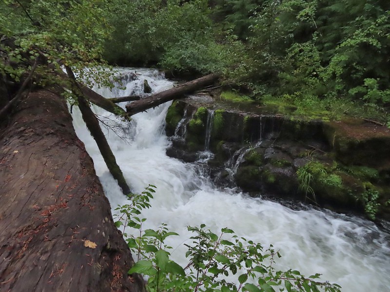
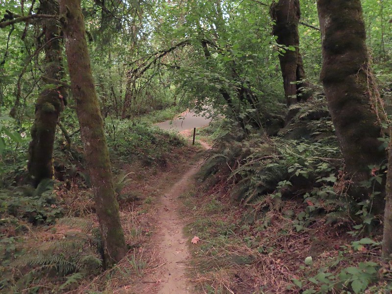
After 0.6 miles we came to a junction with the South Rock Creek Trail.
Both forks would lead to the Heavenly Twin Lakes but the South Rock Creek Trail would do it in a shorter distance (1.8 vs 2.4 miles) so we stayed to the right and followed that trail through more burned forest.

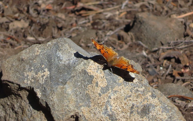
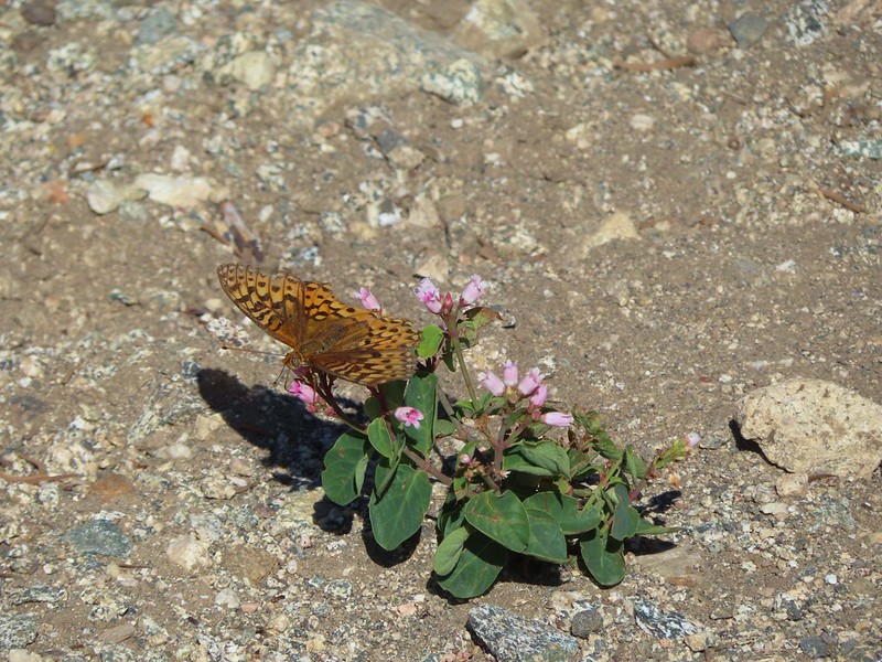
 Comma butterfly
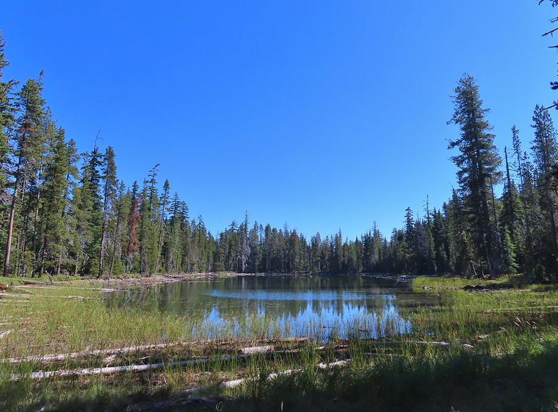
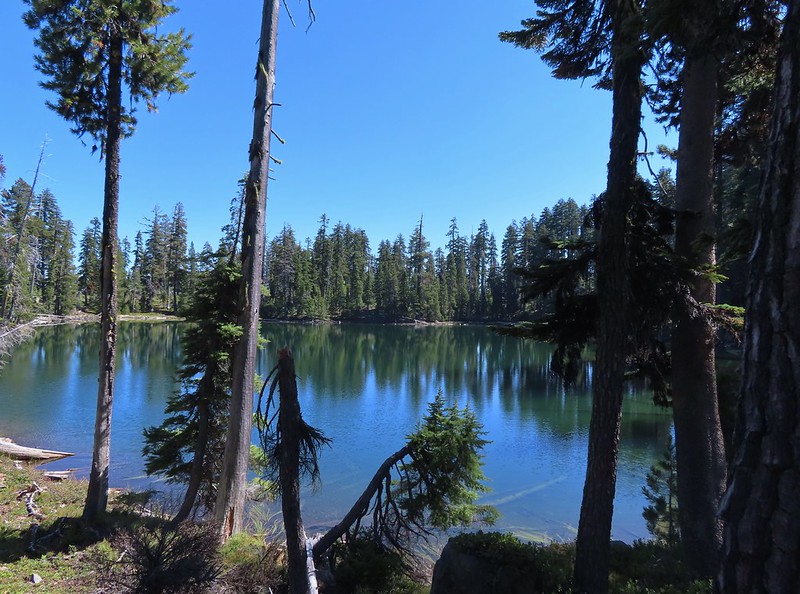
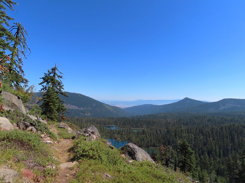
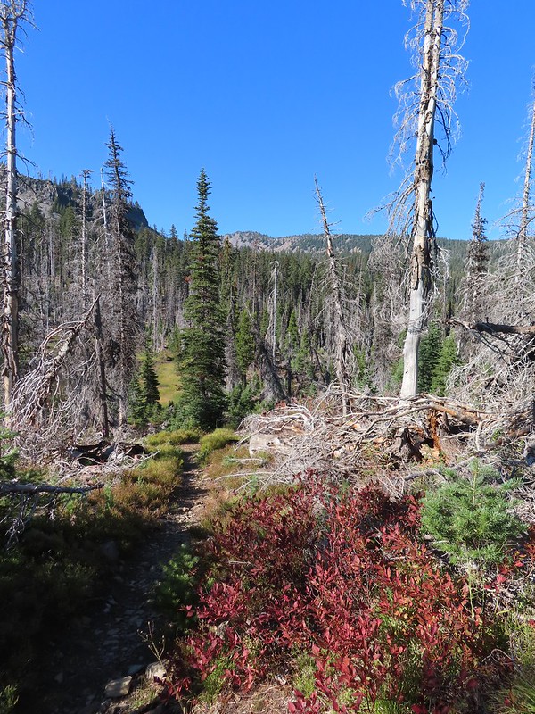
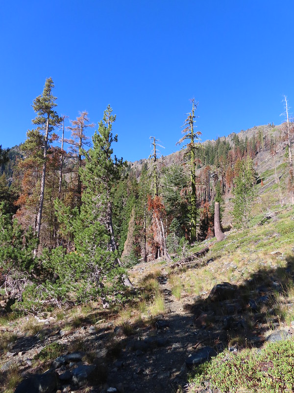
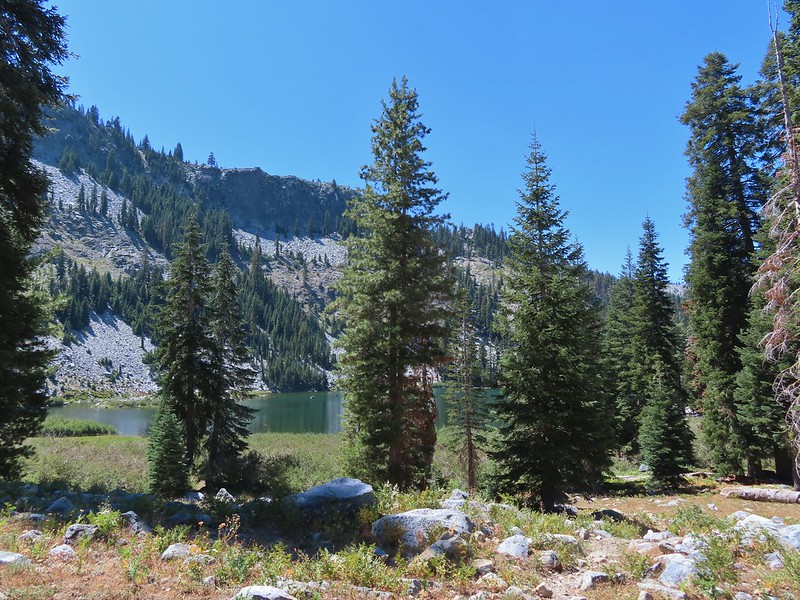
We left the fire scar after about a mile and continued another 0.8 miles to the first Heavenly Twin Lake.
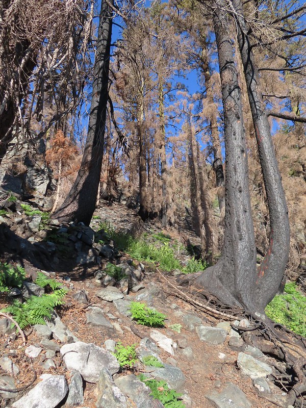
 Exiting the fire scar.
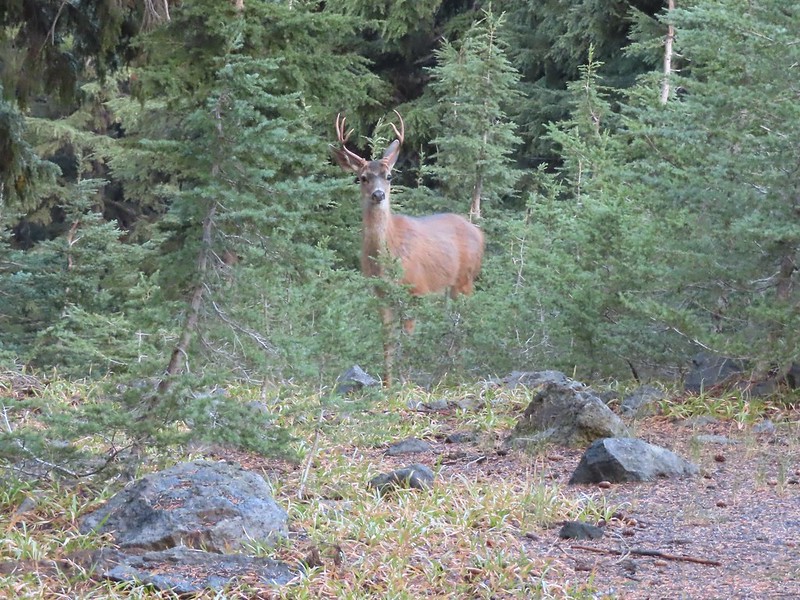
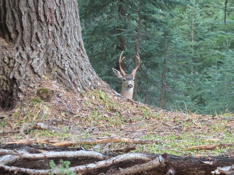
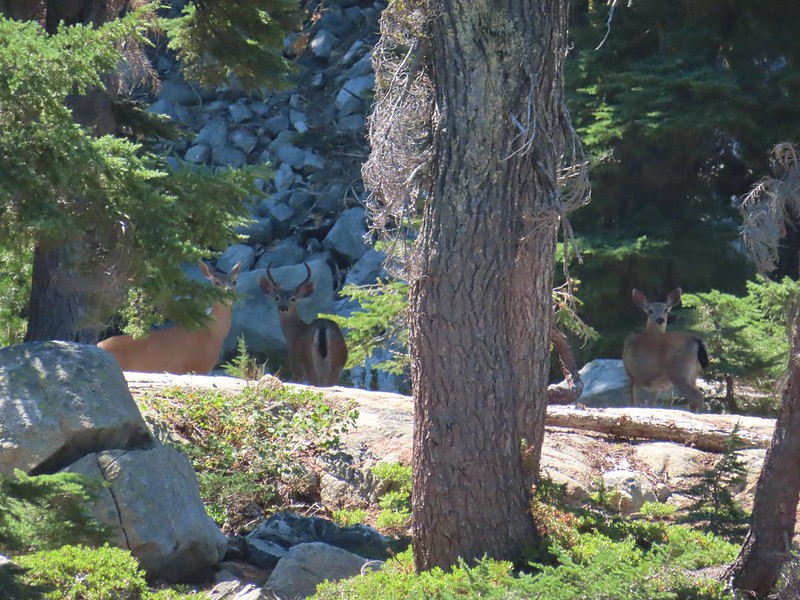
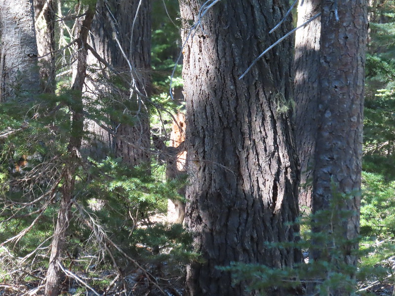 Doe watching us through the trees.


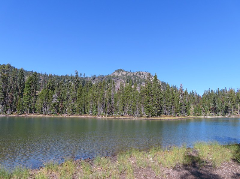
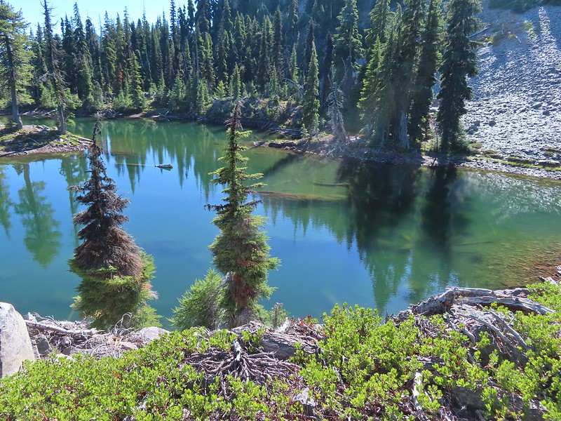
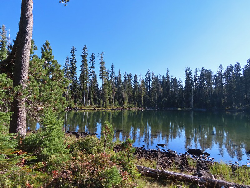
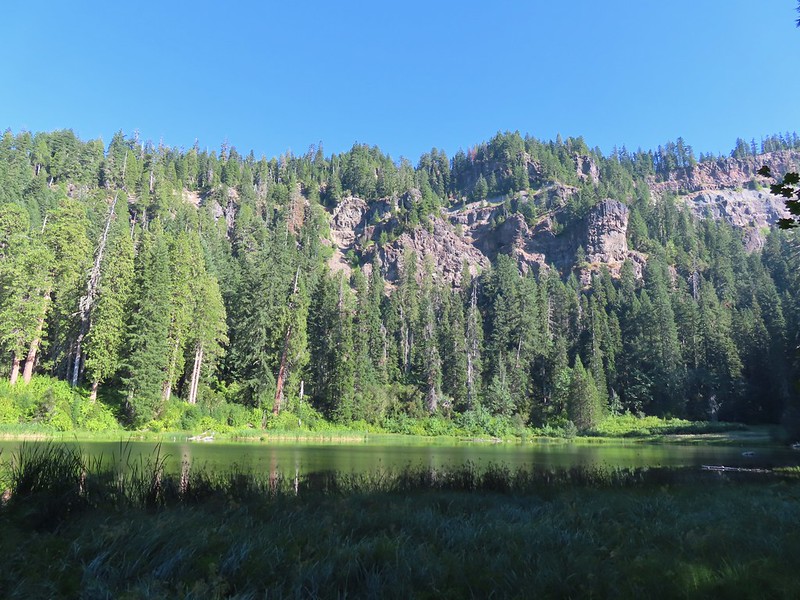
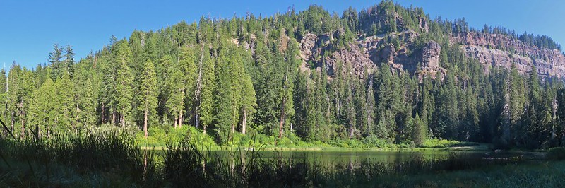
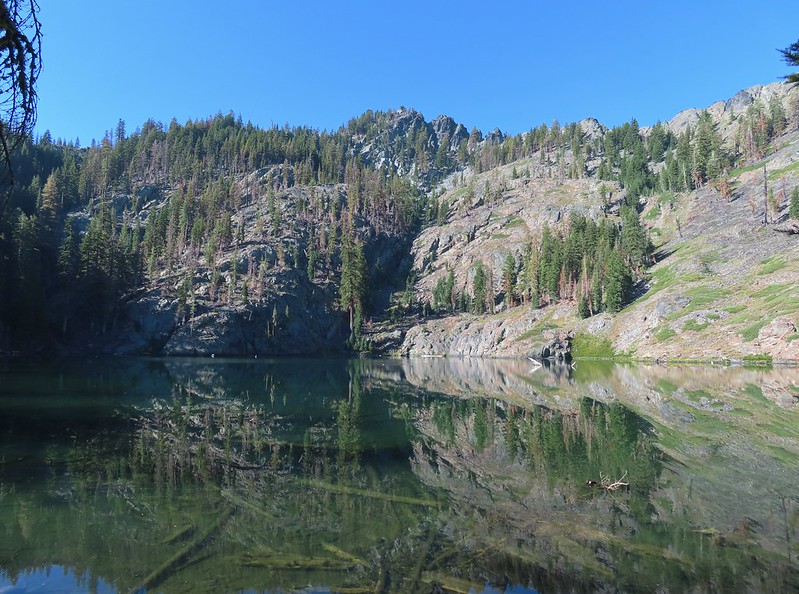
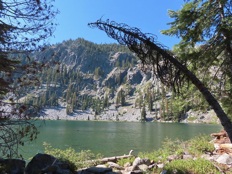
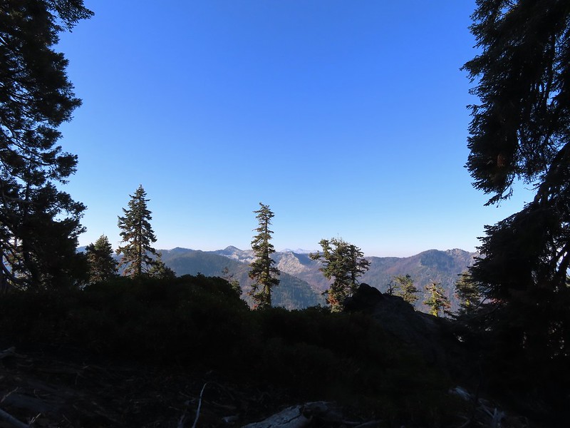
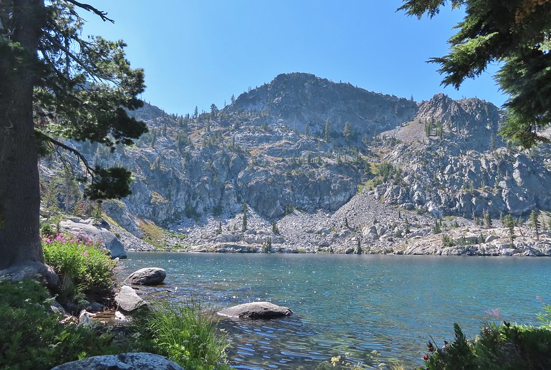
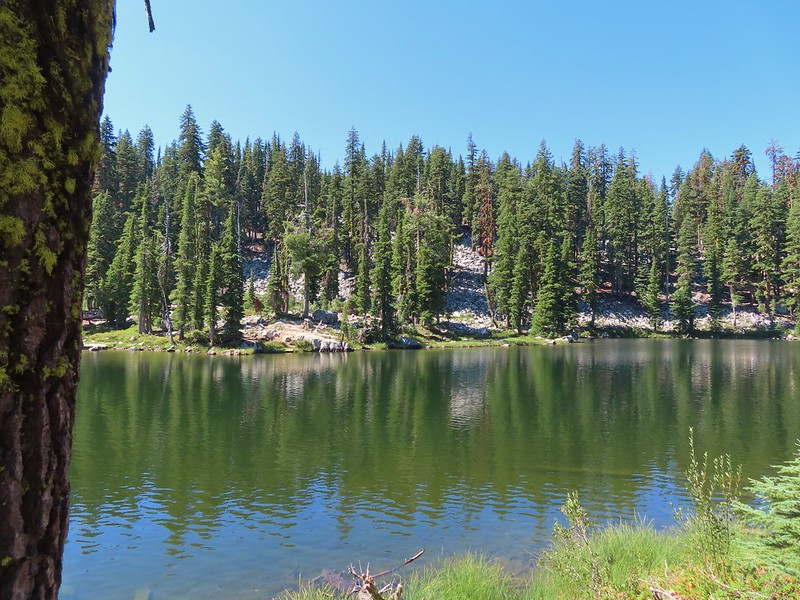
The larger lake lay just beyond the smaller and provided a view of Luther Mountain.
 Luther Mountain on the left and Lee Peak on the right.

After checking out the view we continued on the Sky Lakes Trail which led along the East side of the large lake arriving at the junction with the Isherwood Trail at the far end.
 Sign for the Sky Lakes Trail.

 Isherwood Trail junction.
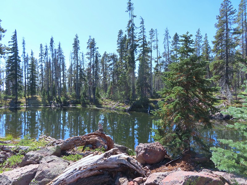
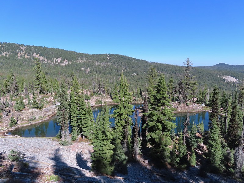
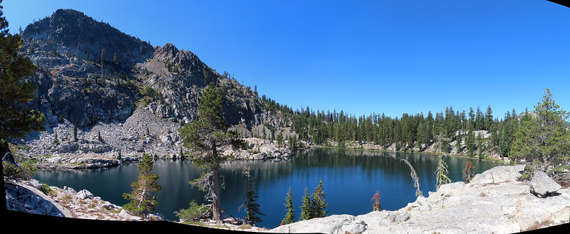
We would be taking the Isherwood Trail the next day on our way back to the car but for now we continued straight for 1.9 miles to Trapper Lake where we looked for and found a campsite for the weekend. Along the way we passed several small ponds and unnamed lakes and one named one. It was clear why the area is notorious for mosquitos until late Summer (we only noticed two the whole weekend).

 Lake Land

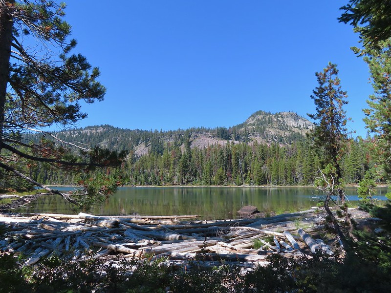
 Luther Mountain from Trapper Lake.

After setting up camp we returned to the Sky Lakes Trail and continued North along the lake passing the Cherry Creek Trail coming up from the right before arriving at a junction with the Donna Lake Trail.
 View along the trail.
 Sign for the Cherry Creek Trail.
 Sky Lakes Trail sign.
 Donna Lake Trail to the right.
This was the start of an approximately 8.8 mile loop around Luther Mountain. We had decided to do the loop counter-clockwise so we took the left hand trail which kept us on the Sky Lakes Trail. This trail led around the North end of Trapper Lake for 0.2 miles where it met the Divide Trail.

 Divide Trail junction.
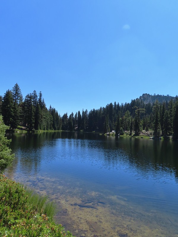
We stayed left here and started following the Divide Trail which would lead us to the Pacific Crest Trail in 2.8 miles. Shortly after starting up this trail we detoured right to check out Margurette Lake.


The trail passed close to this lake offering several views of Luther Mountain along the way.


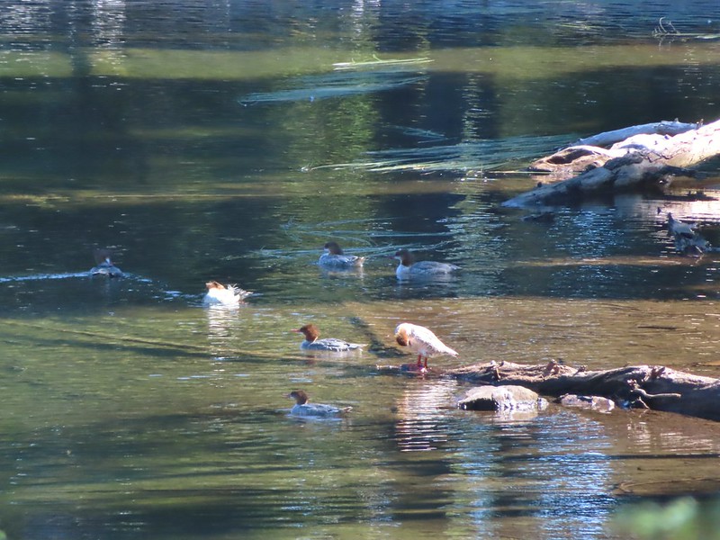
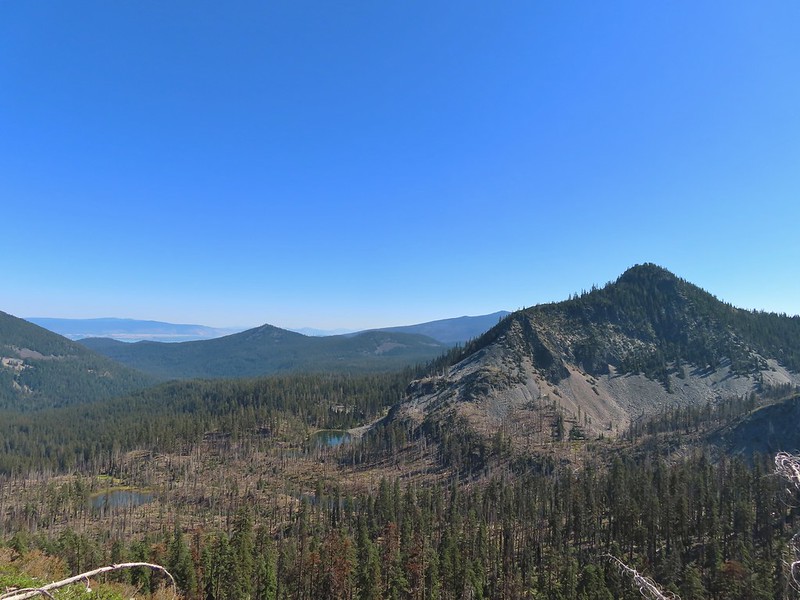
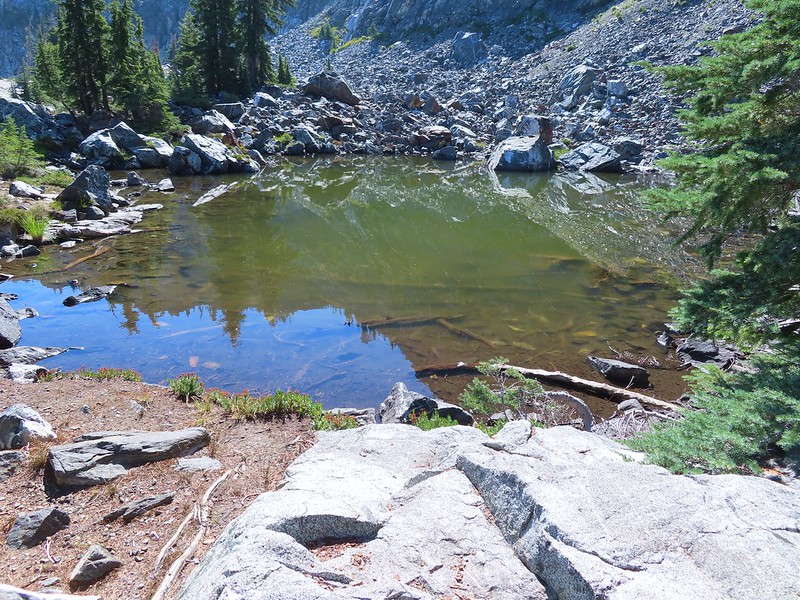
Beyond Margurette Lake the trail began to wind it’s way uphill passing several smaller bodies of water including Lake No-SE-Um where several mergansers had congregated.

The trail turned back to the North passing above Margurette and Trapper Lakes along a shelf before turning West and climbing more steeply via switchbacks.

 Saddle Mountain is in the distance with pointy Cherry Peak in the foreground. I believe that is Agency Lake visible in the Valley.
 Pelican Butte to the right.
 Mt. McLoughlin (post) to the South.
 Eagle flyby.
 Lather Peak with several more lakes below.
 In the distance to the left is Aspen Butte (post) in the Mountain Lakes Wilderness.
 Fall is in the air.
 On of several small bodies of water along the shelf.
 We know there were pikas out there because we heard their “meeps” off and on all day but with so many rocks we were never able to spot one.
 Heading toward Luther Mountain.
 Pelican Butte on the left and Mt. McLoughlin on the right. The peaks in the Mountain Lakes Wilderness are behind and to the right of Pelican Butte then the small, closer hump is Imagination Peak. To the right of Imagination Peak and slightly further back is Lost Peak and then further to the right (left of Mt. McLoughlin) is Brown Mountain (post). Interestingly according to Peak Finder Mt. Shasta should be visible in between Imagination and Lost Peaks but apparently there was enough smoke/haze in the sky that it was camouflaged.
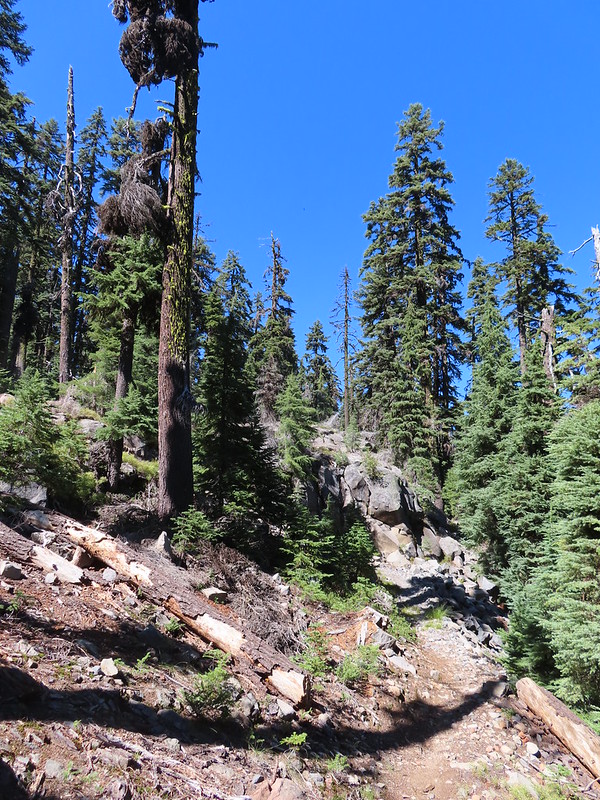
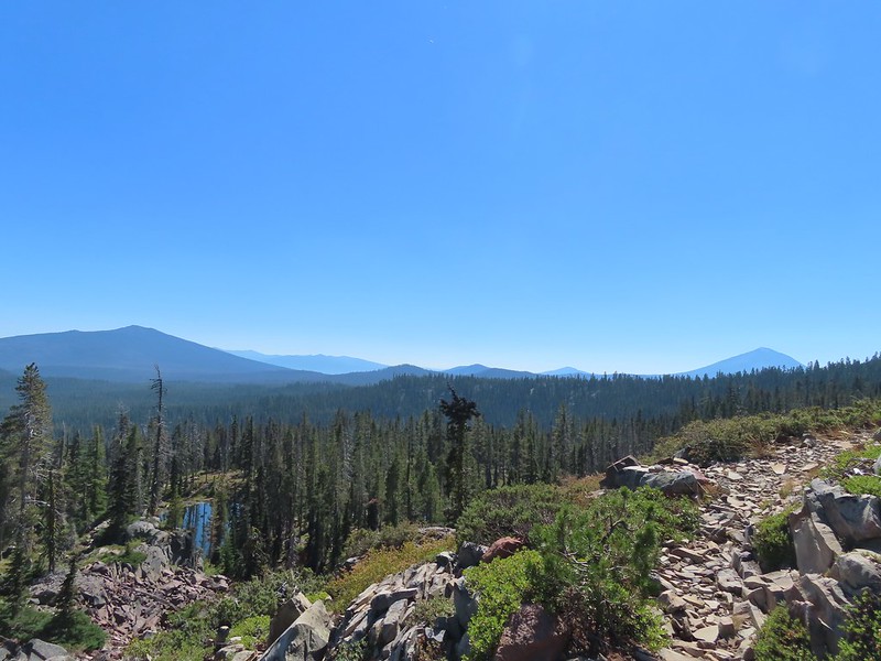
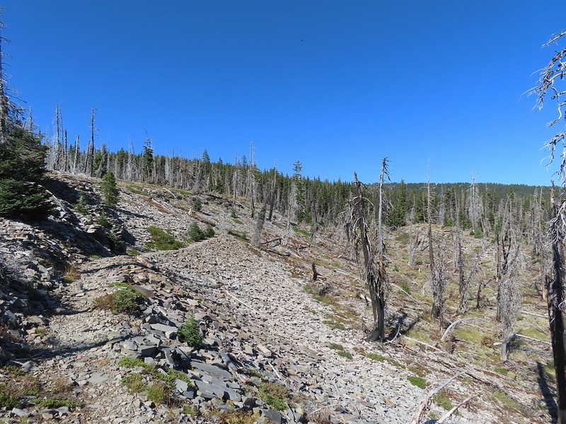
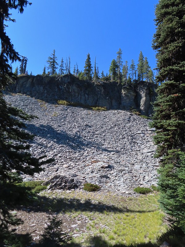
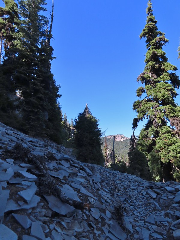
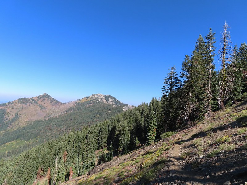
After passing through the switchbacks the trail straightened out and headed almost due West as it climbed through a rock field on the southern flank of Luther Mountain.


We left the rock field and made a final climb to a saddle where we arrived at the PCT.
 Luther Mountain from the saddle.
 The Pacific Crest Trail.

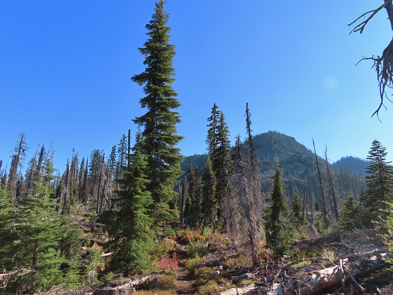
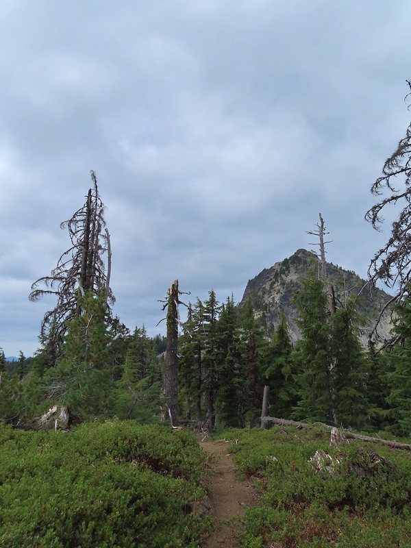
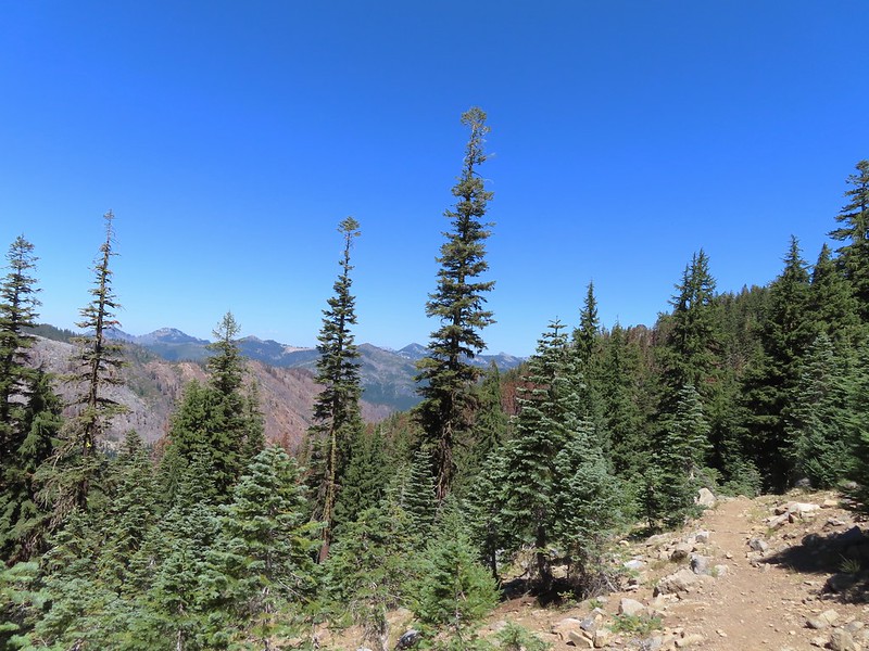
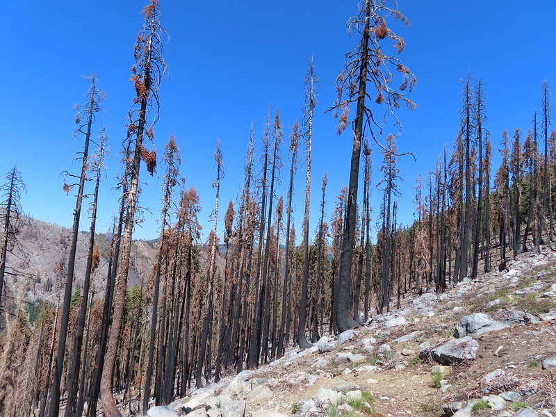
After catching our breath we turned right on the PCT which descended slightly to a ridge to the West of Luther Mountain. We followed this ridge, which had been burned in 2014, for a little over a mile to a junction with the Snow Lakes Trail.
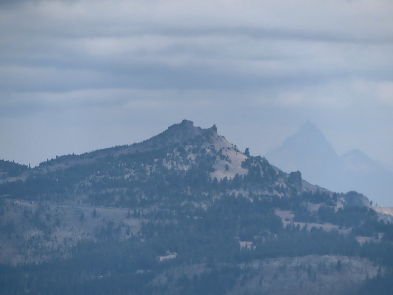
 Lucifer Peak directly behind Shale Butte.
 Lucifer Peak, Shale Butte, Devil’s Peak and Lee Peak.
 Blowdown on the PCT.
 Luther Mountain
 Luther Mountain and Mt. McLoughlin behind us.
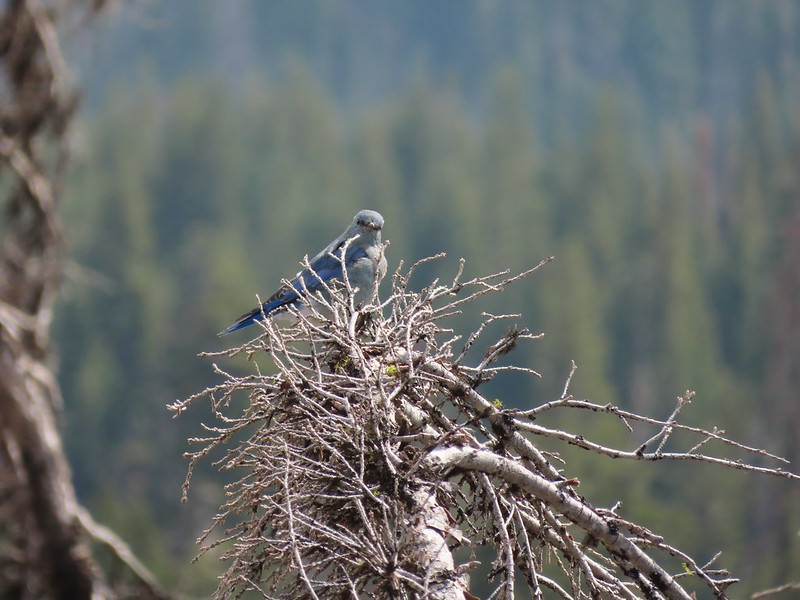
 Lots of little birds along the ridge but most didn’t stop long enough for even a poor picture.
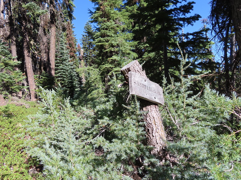
 Sign at the Snow Lakes Trail junction.
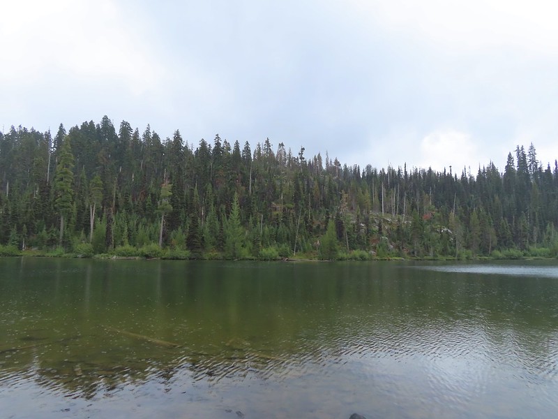
We turned right onto the Snow Lakes Trail which passed along another shelf full of small lakes.
 Martin, Wind and a Snow Lake from the Snow Lakes Trail.
 Hawk circling overhead.
 While I was trying to keep track of the hawk this Bald Eagle flew over.
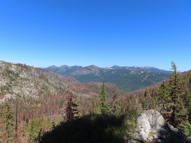
 Nearing the end of the 2014 fire scar.
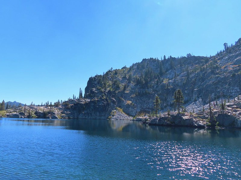
 Luther Mountain from one of the Snow Lakes.
 Another of the lakes.
 Tree on the edge of the shelf.
 View from the shelf.
 There were many cool rock features along the trail.
 Devil’s Peak
 Lee Peak and another of the Snow Lakes.
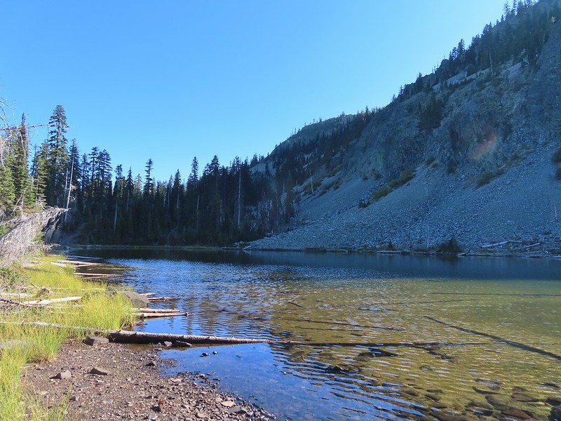
After approximately three quarters of a mile on the Snow Lakes Trail we dropped to one of the larger lakes where we briefly lost the trail.
 A tree had fallen over the Snow Lakes Trail hiding it right where a use trail veered off to the lake. Only seeing the use trail we followed it along the lake until it petered out. A quick look at the map showed we were off-trail so we made our way back finding the downed tree covering the actual trail.
After regaining the trail we followed it downhill via a series of switchbacks past another lake.

The trail then began to turn ESE as it continued to descend toward Martin Lake and the Lower Snow Lakes. A total of 2.3 miles from the PCT we came to the Nannie Creek Trail junction.
 The worst obstacle for the day.

 Pelican Butte from the trail.
 Sign at the Nannie Creek Trail junction.
We stayed right on the Snow Lakes Trail at the junction. After 0.4 miles we passed Martin Lake on our right.
 Luther Mountain as we neared Martin Lake.
 Dragon fly blending in with the huckleberry leaves.
 Martin Lake with a view of the shelf that we’d been on.
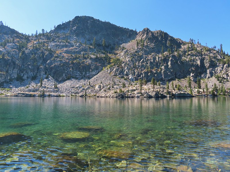
Two tenths of a mile beyond Martin Lake we came to what was labeled Lower Snow Lakes on our map which was partly in Luther Mountain’s shadow.
 Red huckleberry leaves
We found a log in the shade along the shore where we took a nice break.

After our break we continued on the Snow Lakes Trail another three quarters of a mile to a junction with the Donna Lake Trail.


It was another 0.7 miles back to Trapper Lake either way but the Donna Lake Trail led past Deep and then Donna Lakes so we veered left and took that trail.
 Deep Lake was up first, just a tenth of a mile down the trail.
 Donna Lake was only two tenths further.
 Donna Lake Trail
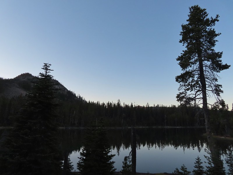
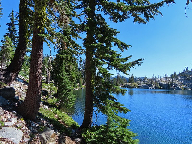
We arrived back at the Sky Lakes Trail at Trapper Lake and headed back to our campsite for dinner.
 Back at Trapper Lake.
Dinner didn’t go as planned as we realized when we pulled our water filter out that we’d left all the hoses at home. Fortunately we carry Iodine tablets for just such an occurrence so we had a way to treat water but by the time it was all said and done we decided to skip a warm meal and opted to eat some of the extra food we’d brought. At least we’d have water for the hike out the next day though. It cooled off quickly once the Sun had vanished and for the first time in a while we got to test the warmth of our sleeping systems.
Today’s hike came in at 14.5 miles with approximately 2300′ of elevation gain.
The number of lakes/ponds was almost hard to believe and the scenery was really nice. The timing was great with almost no bugs and the trails were in relatively good shape, just a few downed trees here and there but nothing too difficult to get past. Happy Trails!
Flickr: Sky Lakes Basin Day 1

 An OHV Trail continues on the old road bed from the parking area.


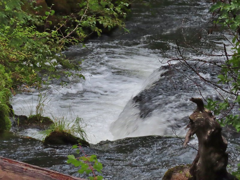
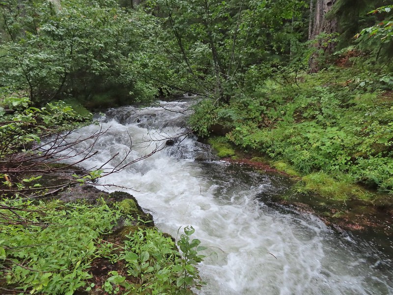
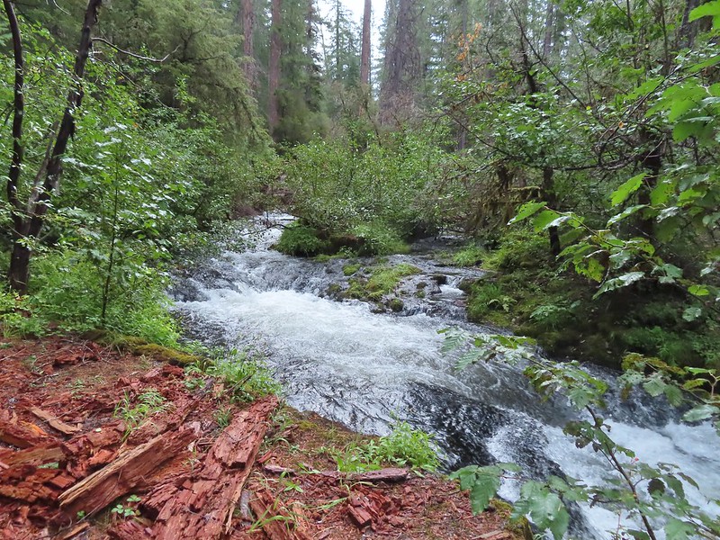
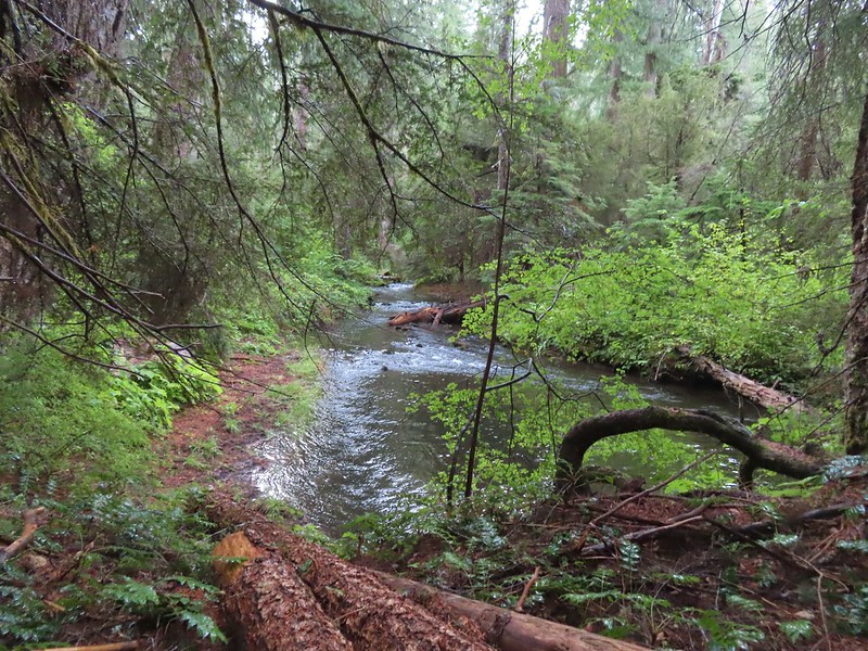
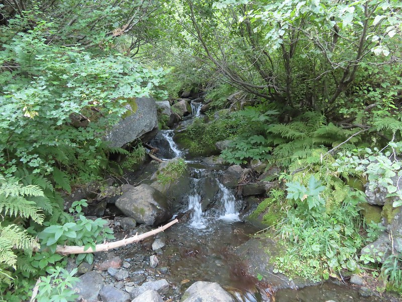
 We had to get creative to see some of the many cool water features along the creek.
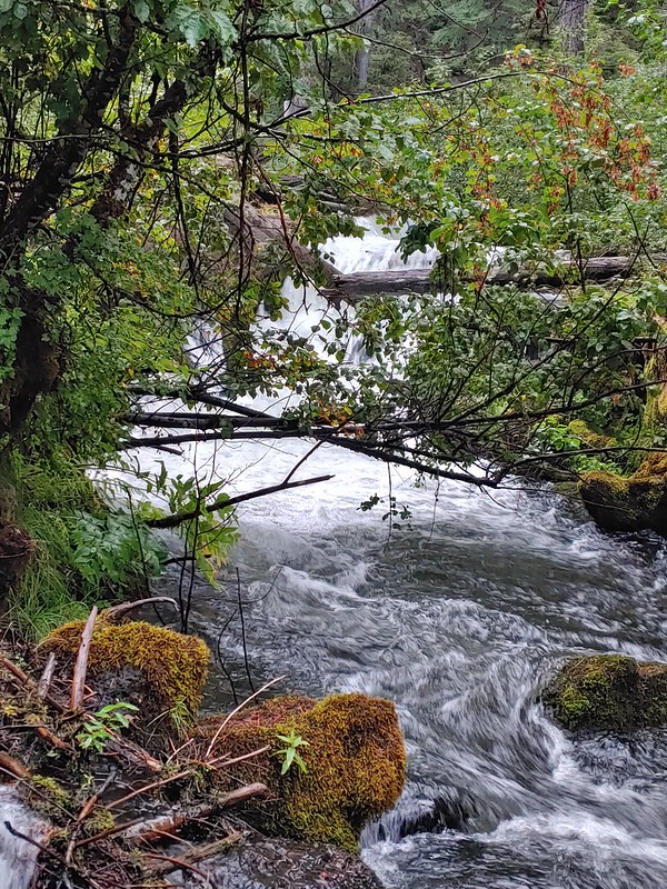


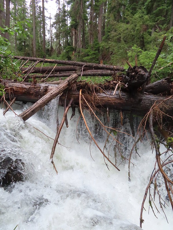
 The first mess on the trail.
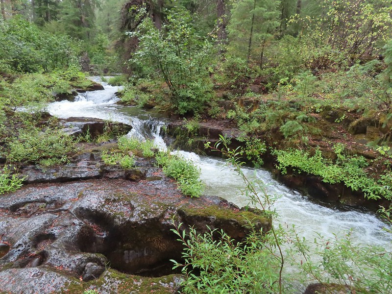
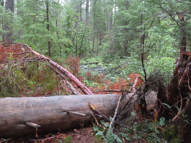


 This mess was just before the bigger tree that turned us back.
 Where I crossed the channel.


 Mt. Scott (
 Raven making a landing atop a mountain hemlock.
 The Watchman (
 It was by far the most scenic mistake we’ve made while hiking.
 Wizard Island and Llao Rock
 Mount Scott
 We joked that views had been so good maybe we should just end the hike now.


 Dutton Creek was dry.
 Blue sky ahead.
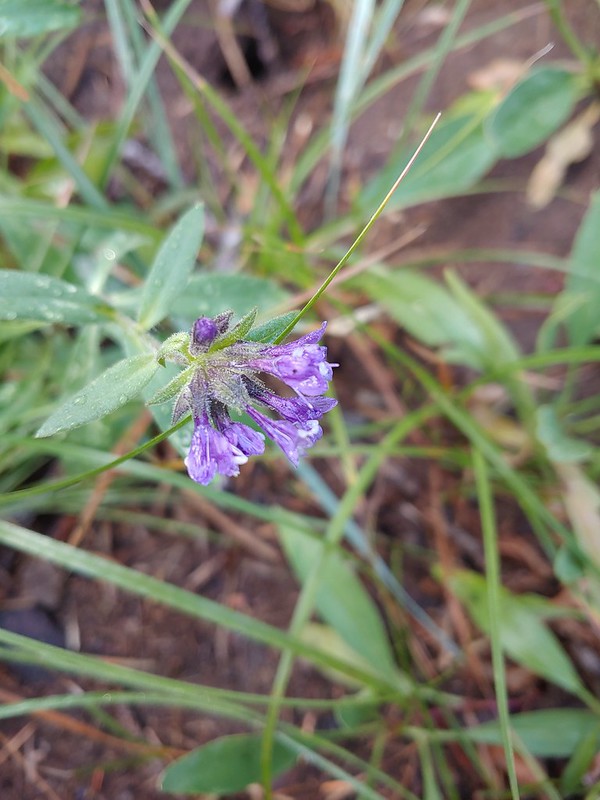 Not much left for flowers, this could be a Crater Lake collomia although it’s a little late in the season.
 Castle Creek still had some water flowing.
 We spotted several piles of hail, possibly from the severe thunderstorms that had been forecast for Saturday night?
 Arriving at the PCT.
 The campsite at the junction was closed due to hazard trees.
 Recrossing Castle Creek.
 The PCT appeared to be following an old road bed through the park.
 Dropping down to Trapper Creek.
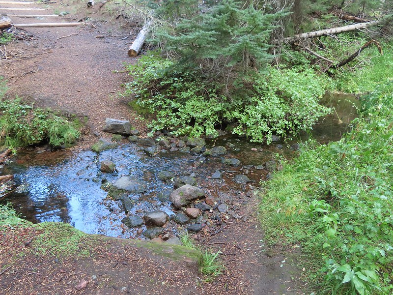 PCT crossing of Trapper Creek.
 A red-breasted nuthatch that was toying with me as I tried to get a photo.
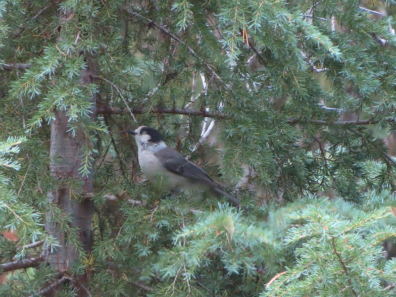 Canada jay (grey jay)
 Blue sky to the north ahead.
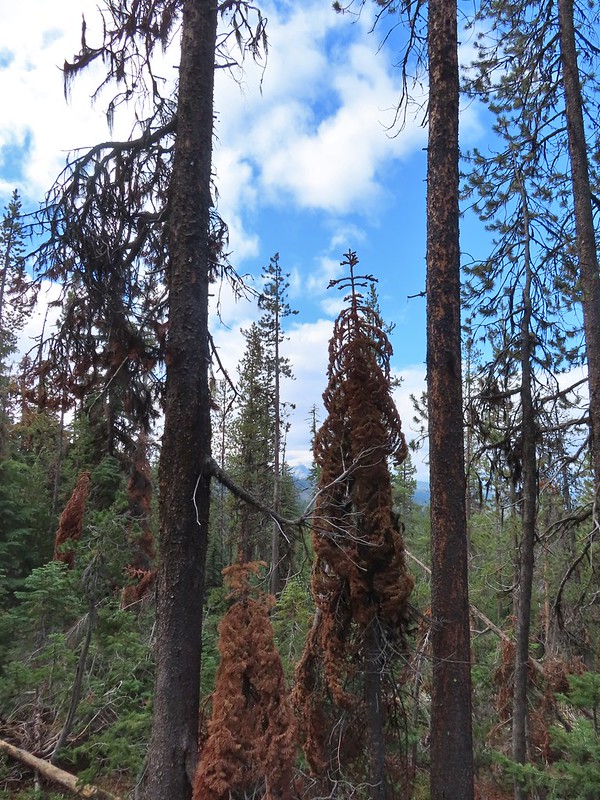 Some blue sky south too with a glimpse of Union Peak (
 Union Peak
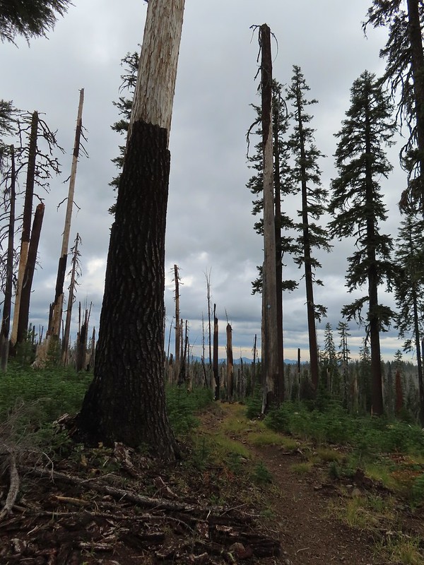 Entering the 2006 Bybee Complex fire scar.
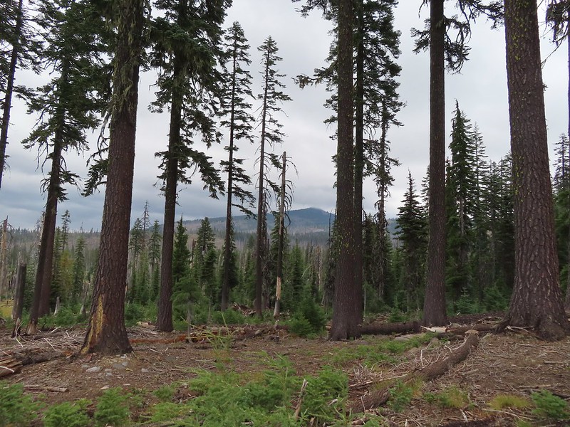 The Watchman. The lookout tower on top was in a cloud after having been clearly visible from rim earlier. We wondered what that might mean for our views when we finally made it back to the rim.
 Chipmunk checking us out.
 Coneflower remains
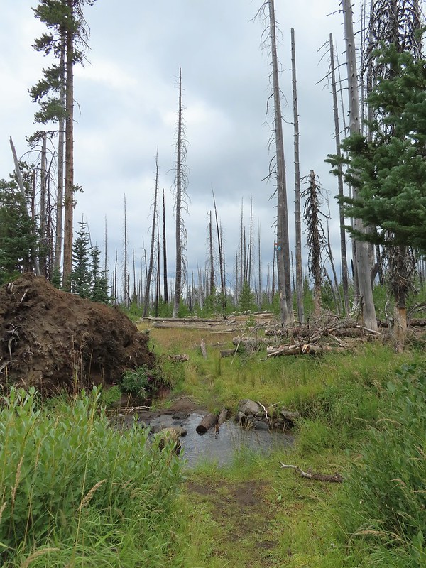 Another creek crossing.
 Red crossbills at the creek crossing.
 There were some pretty ominous looking clouds behind us but no showers yet.
 Several white crowned sparrows and at least one junco. We could also hear chickadee calls but I couldn’t find one in this capture.
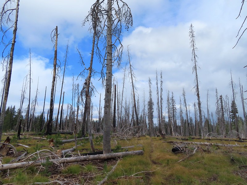 Despite the ugly clouds behind us there was almost always blue sky ahead.
 North Fork Castle Creek
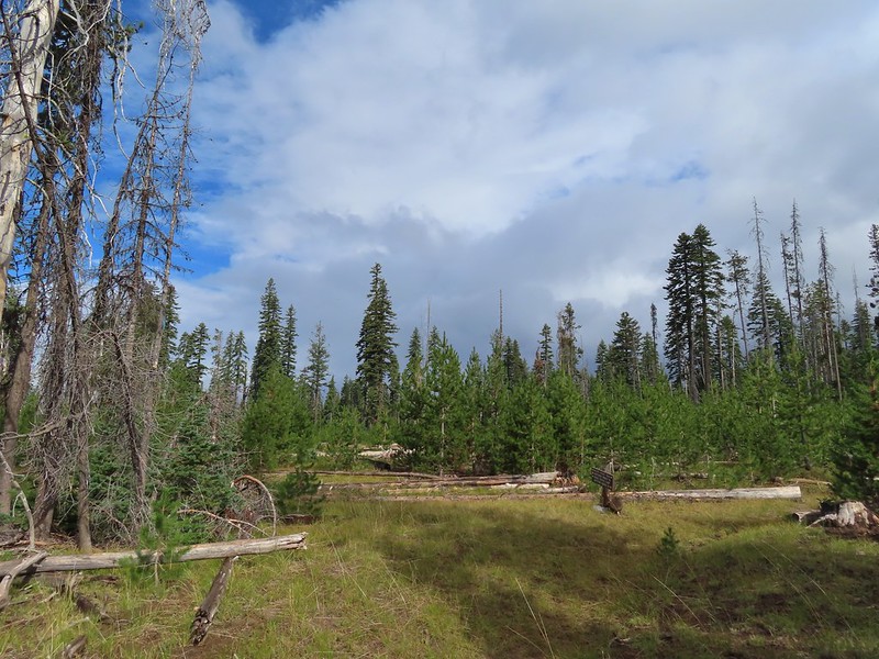 Approaching the junction with the Lightning Springs Trail.

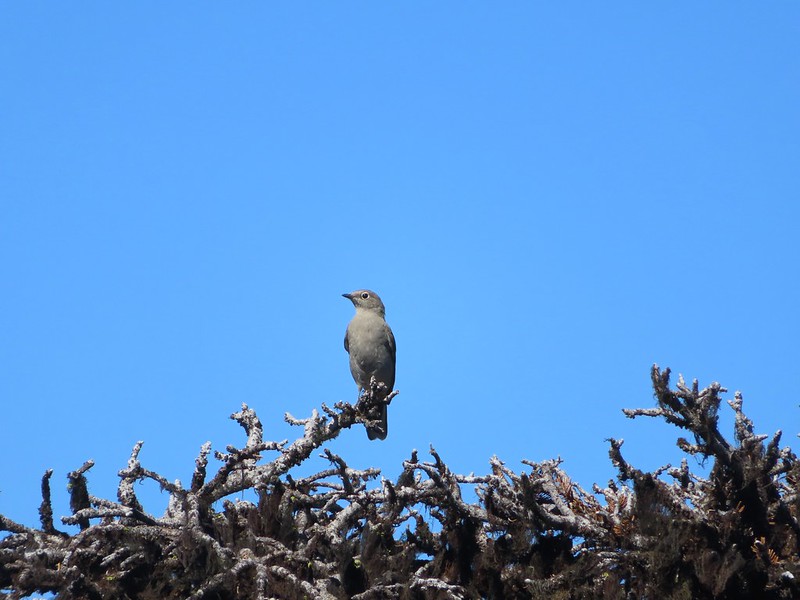
 Townsend’s solitaire
 Union Peak had been swallowed by clouds.
 The Watchman with a cloud still hanging on.
 Hawk
Hawk
 The base of Union Peak with lots of blue sky around.
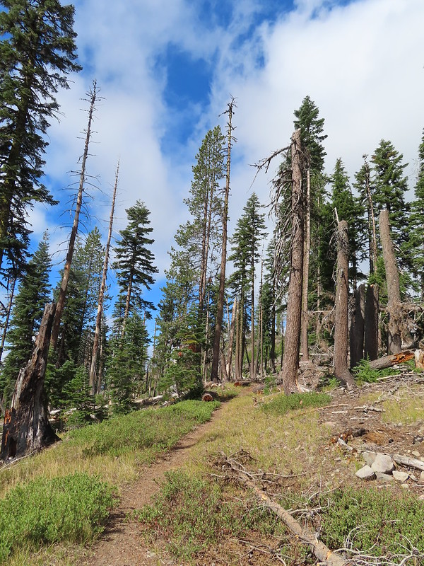 A brief stint in full sunlight.
 Robin
Robin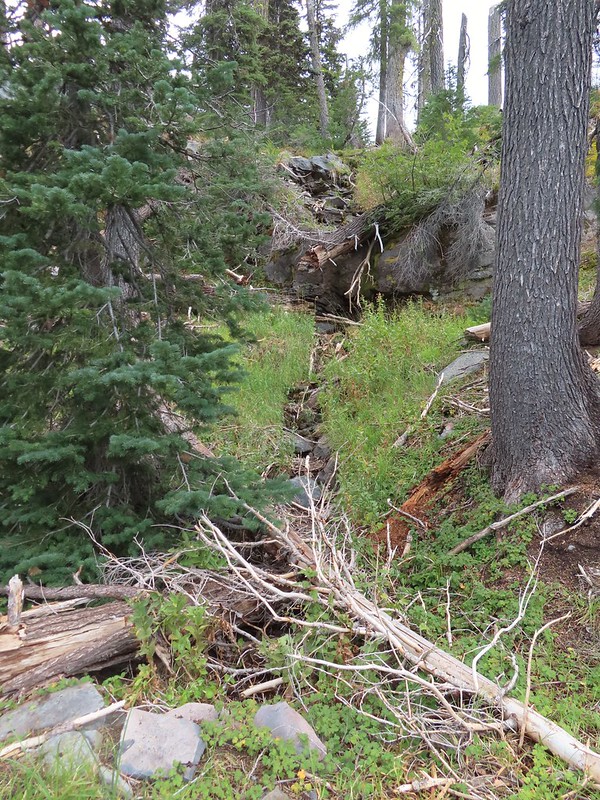
 Union Peak nearly free of clouds.
 The Watchman still not free.

 Mountain bluebird

 Full view of Union Peak.
 And finally a full view of The Watchman.
 Conditions were changing quickly and now there was blue sky above The Watchman.
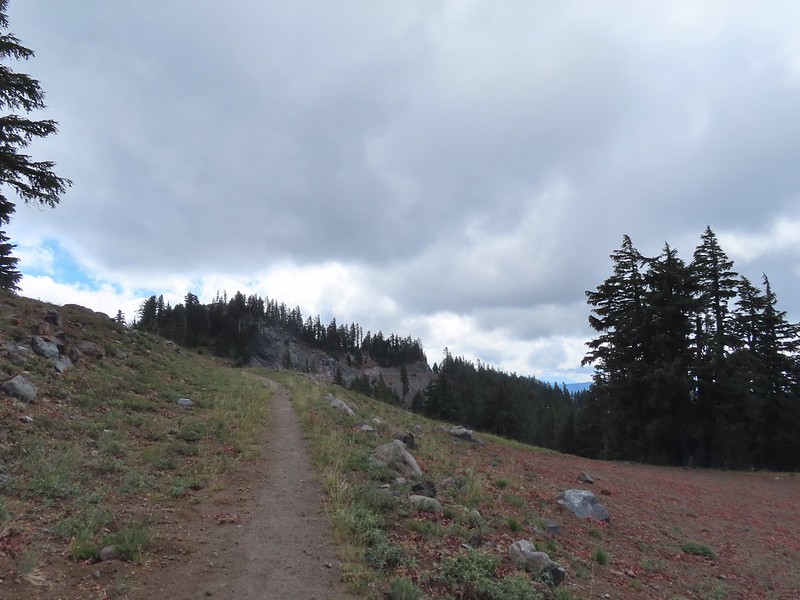 West Rim Drive ahead with the lower portion of Mt. McLoughlin (
 Mt. McLoughlin
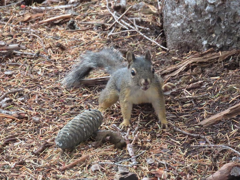 This squirrel put its cone down in case I had something better for it, but we don’t feed the wild animals per Park rules (and
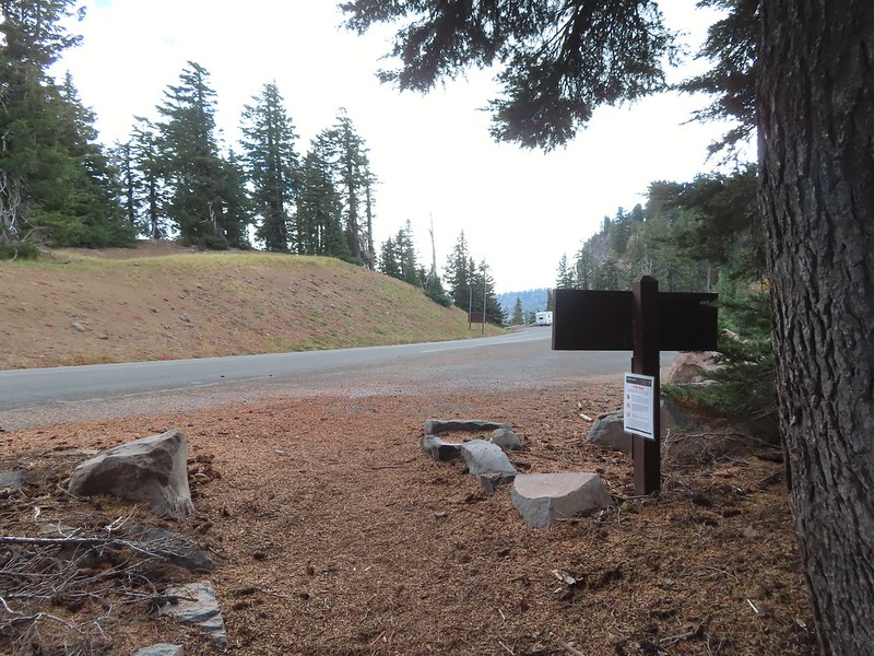


 Wizard Island’s cone
 Llao Rock
 Dock along Wizard Island
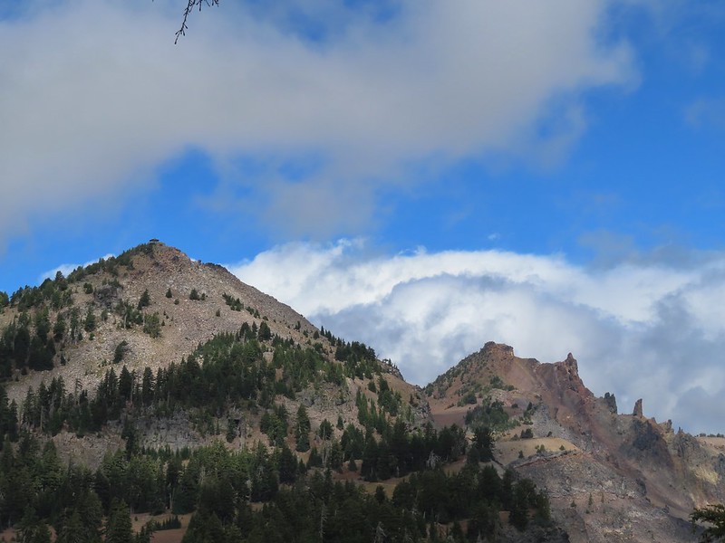 The Watchman and Hillman Peak
 Garfield Peak to the left with Union Peak to the far right.

 Phantom Ship
 Mount Scott
 Clark’s nutcracker
 That blue though!
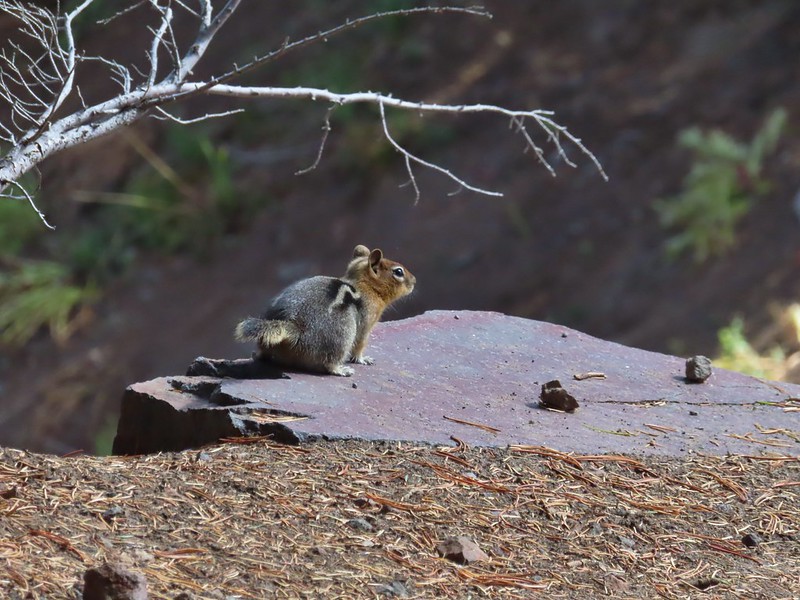 Golden-mantled ground squirrel
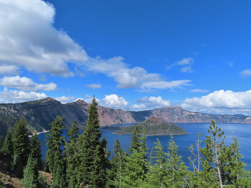 Back to where we’d been that morning.
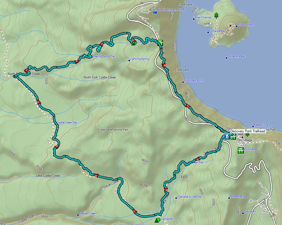

 An old fence in the meadow.
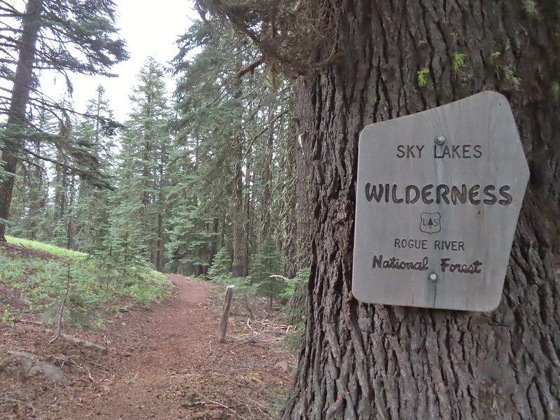 Entering the Sky Lakes Wilderness.
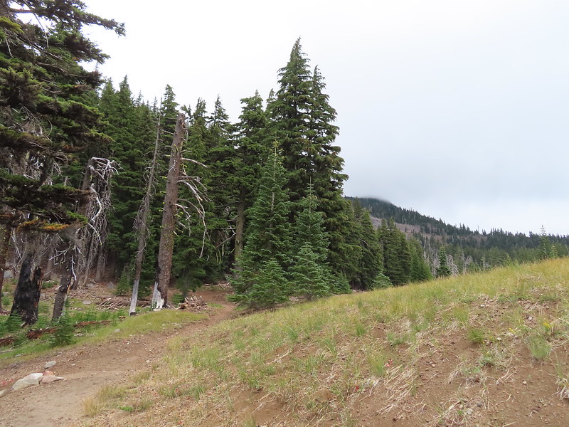
 Into the trees we go.


 The cliff face above Blue Lake ahead from the trail.
 Hiking along Blue Lake.
 Blue Lake
 The bald eagle across the lake after startling me.
 The South Fork Trail went to the left past Meadow Lake and the Mud Lake before following the South Fork Rogue River to Road 720.
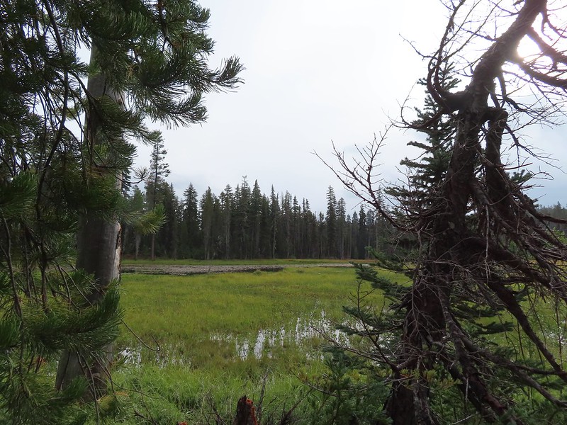 Meadow Lake
 Meadow Lake Trail junction.
 Just beyond this small pond south of the trail we turned right on a use trail which led out onto Horseshoe Lake’s peninsula.
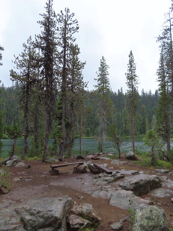 Camping is prohibited on the peninsula which is signed in multiple places.
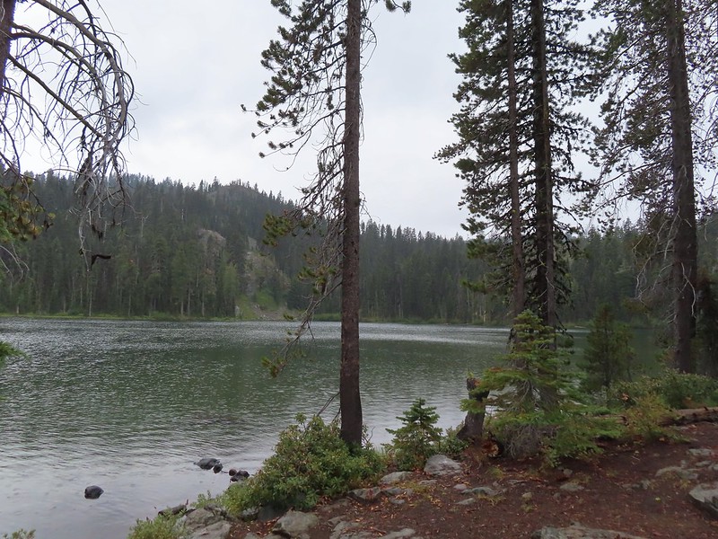


 Ducks flying further down the lake.
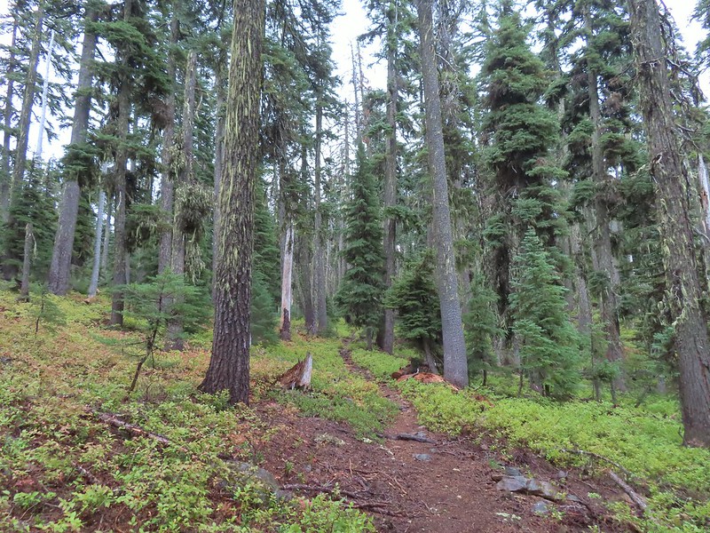
 Grouse
 The only flowing water we’d encounter on this day after not crossing any streams the day before at Union Peak (
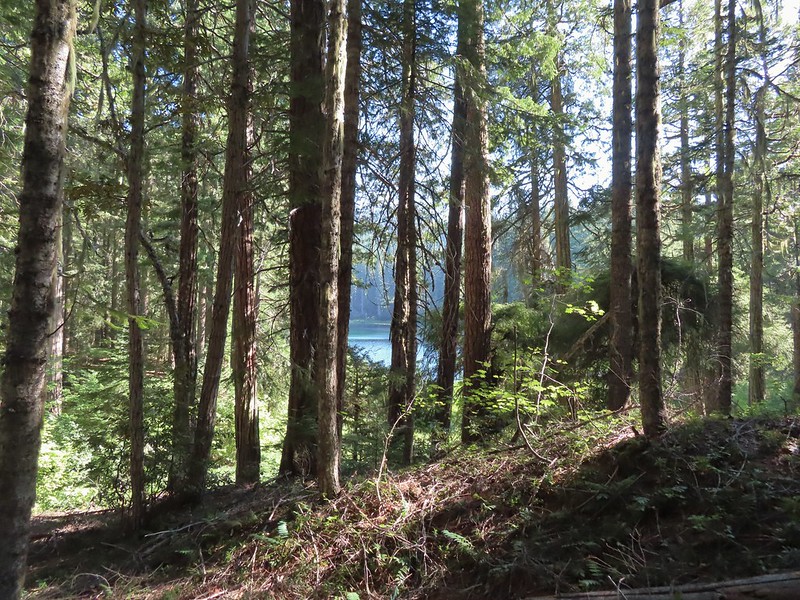
 Dee Lake barely visible through the trees.
 Bigelow’s sneezeweed
 Meadow near Island Lake.
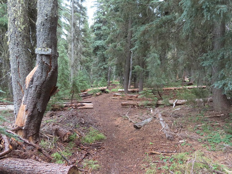 A Horse Camp sign.
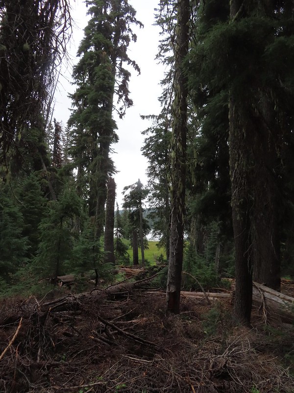 Island Lake through the trees.
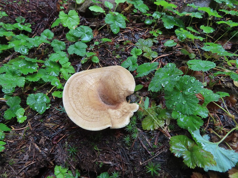


 There were a lot of mushrooms down by the water though.
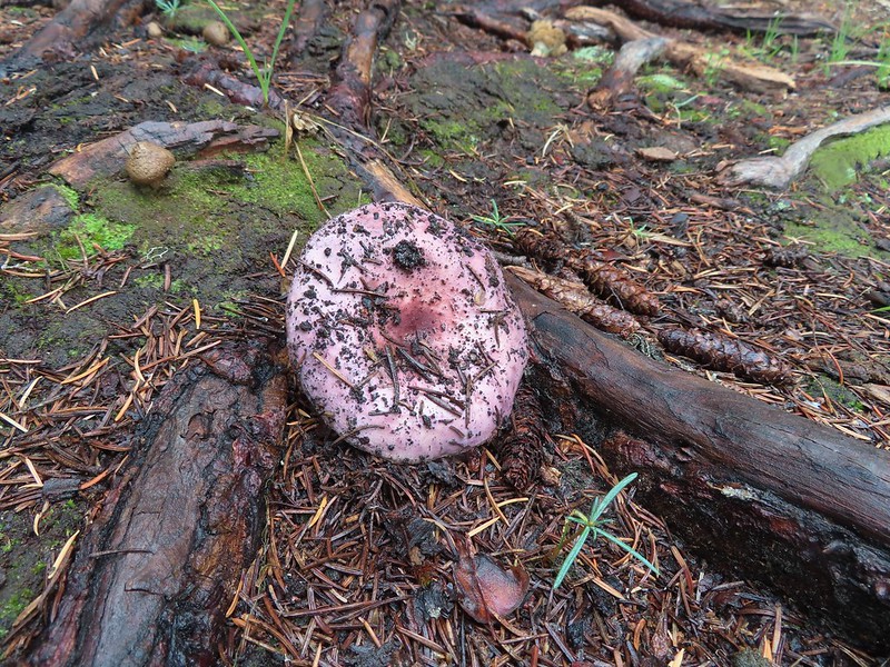


 For those interested the 1888 inscription reads:
 Pear Lake from the Blue Canyon Trail.
 Back at the Meadow Lake junction.
 Heading up the Meadow Lake Trail.
 The huckleberries don’t lie, Autumn was right around the corner.
 Approaching the ridge top.
 Not sure what we missed here but imagine it was some of the peaks in the Sky Lakes Wilderness.


 Colorful fungus
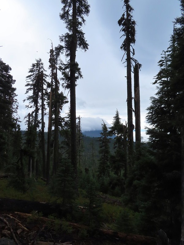 Mt. McLoughlin
 A little fresh snow, a welcome sight.
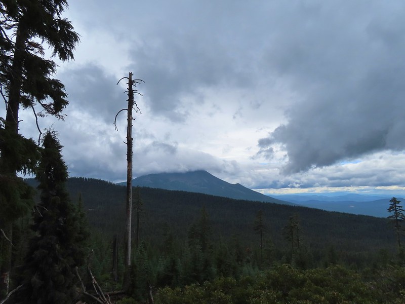 A nice little viewpoint just off the trail.
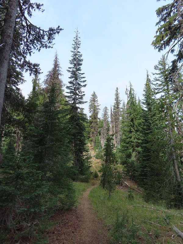
 Passing below Cat Hill.
 Back to the trailhead.
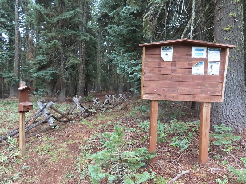

 Wizard Island
 The Watchman (
 Hillman Peak and Llao Rock
 The sign calls this the “steepest” hike in Southern Oregon. We wondered what criteria that was based on?
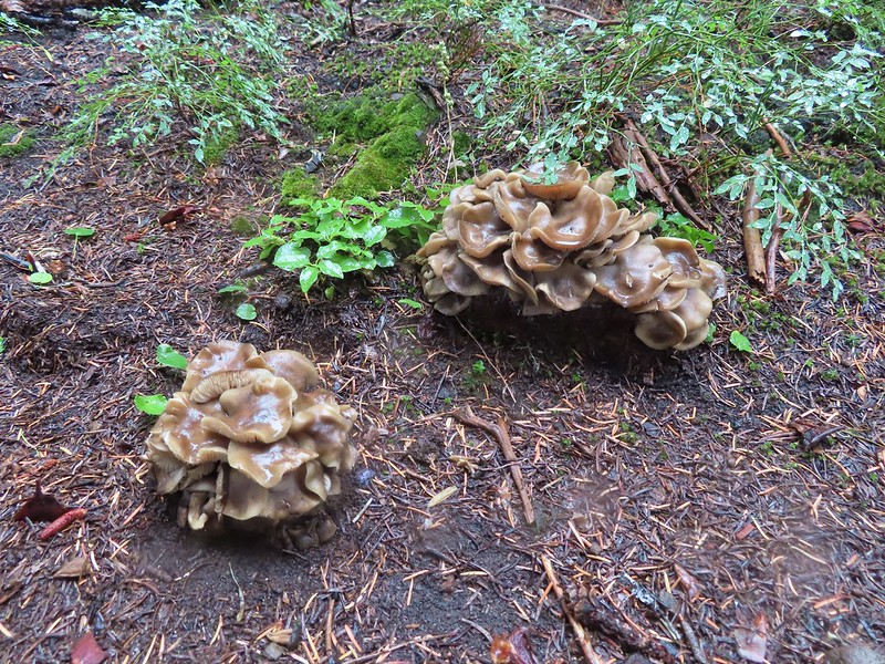
 There were a large number of big mushrooms along this section of trail as seen to the lower right.
 One of the big shrooms.
 A Stellar’s jay.
 More of the big mushrooms.
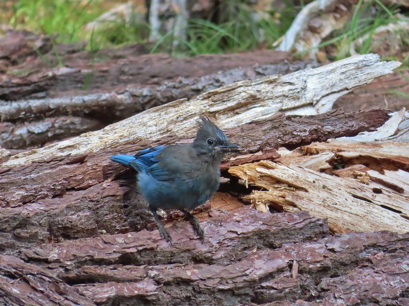 Another Stellar’s jay.
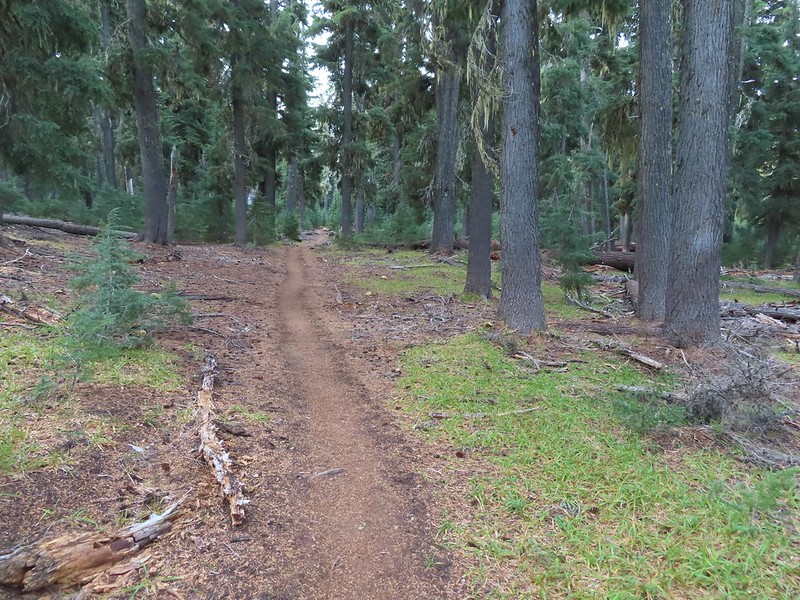
 Nearing the trail junction.
 First glimpse of Union Peak through the trees.
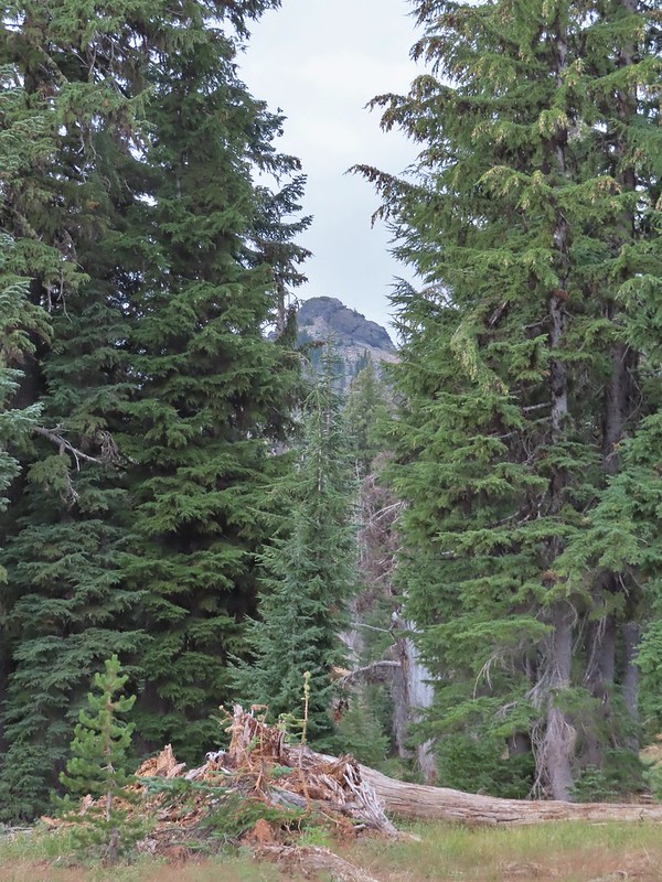
 Gardner Peak behind Goose Egg (center) to the SE.
 Fireweed
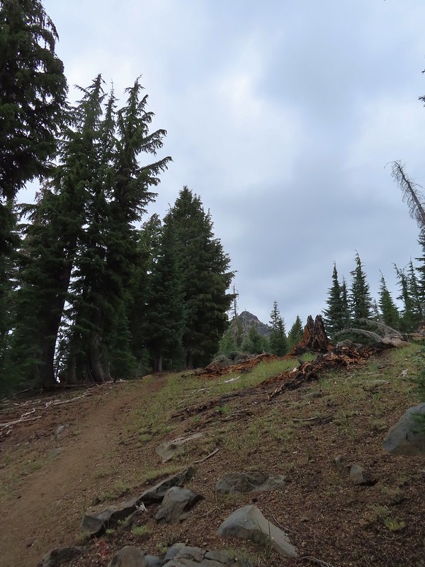
 It was cloudy but no showers so far and the clouds appeared to be well above the summit.
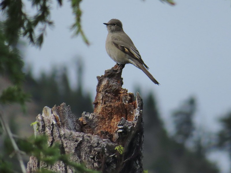 Townsend’s solitaire

 Mount Bailey in the distance to the right of the outcrop.
 The last doe keeping watch as the rest of the deer disappeared into the forest.
 Golden-mantled ground squirrel
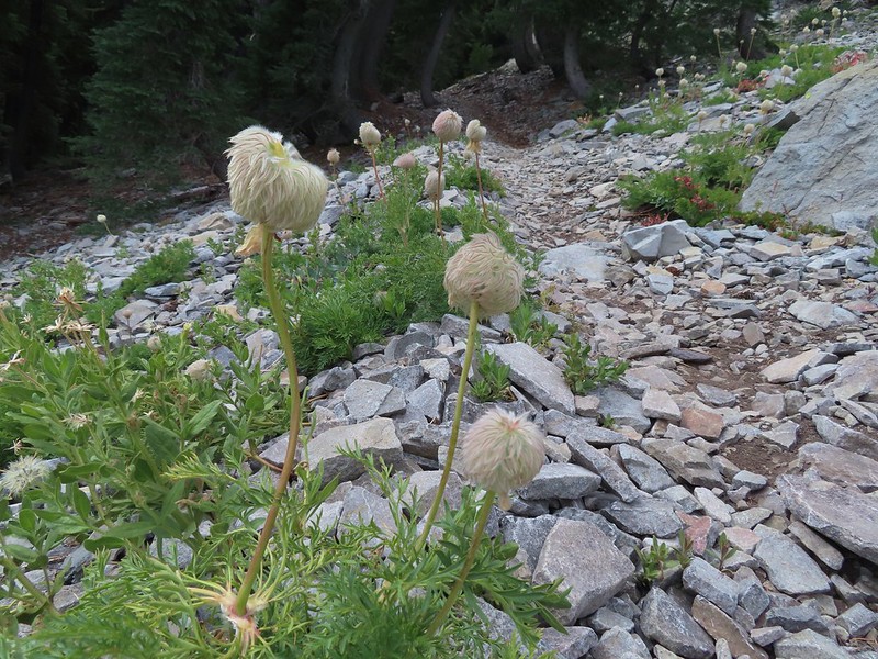 Western pasque flower seed-heads along the trail.
 Looking up at Union Peak and wondering how the trail got up there.
 Nearing the cinder field.
 Mount Scott (
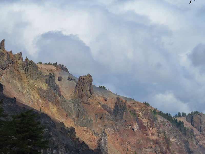
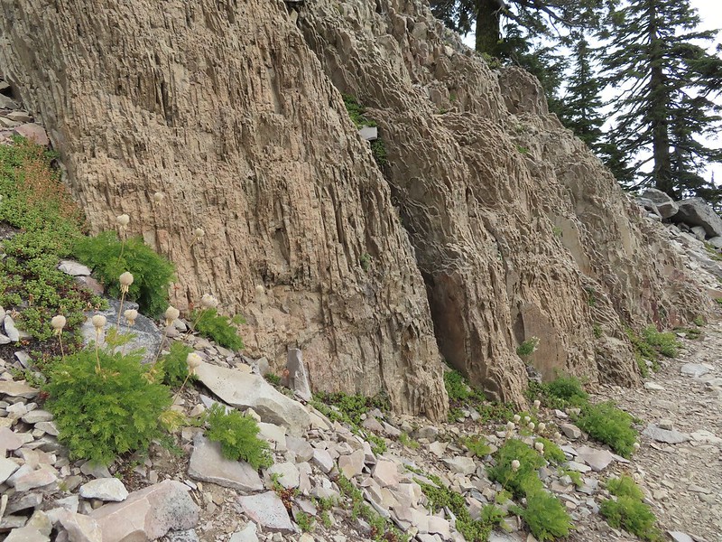 It’s always interesting to see the various rock that make up these volcanic peaks.
 The Watchman and Llao Rock with Mt. Thielsen in between in the background.
 That’s the trail on the right side of the photo.
 Looking down at the trail below.
 The trail was fairly easy to follow as it switchbacked up through the rocks. It was narrow in places which might be hard for those with a fear of heights.
 While there were no people at the summit the brush had attracted a fairly large number of yellow jackets.
 Looking west toward the Rogue-Umpqua Divide.
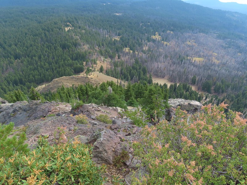 The trail along the ridge below Union Peak.
 Lost Creek Lake (
 Mount Bailey, Diamond Peak (
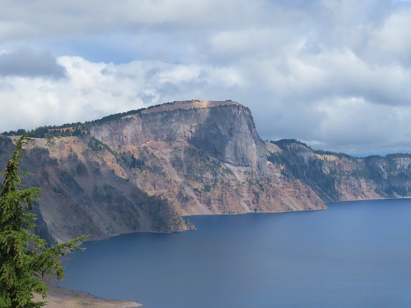
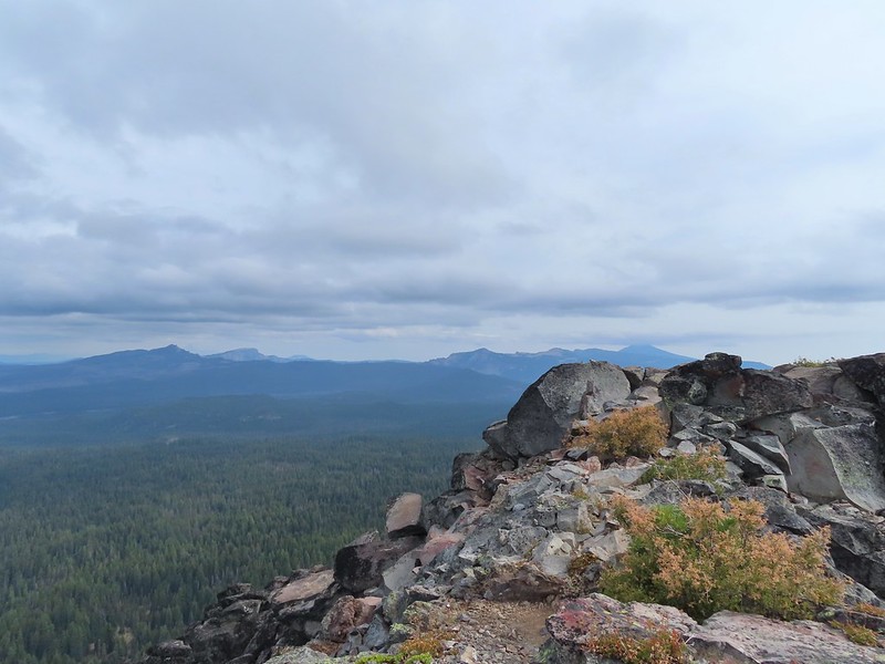 The rim of Crater Lake.
 Mt. McLoughlin is to the far right with some clouds over the top. Starting from the left is Goose Nest, Goose Egg (with Gardner Peak behind), Maude Mountain (with a faint Pelican Butte behind to the right), Lee, Devil’s, & Lucifur Peaks (Mt. Shasta is behind those three.) followed by Mt. McLoughlin.
 Mt. Bailey
 The Watchman and Hillman Peak directly behind with Mt. Thielsen further in the distance.
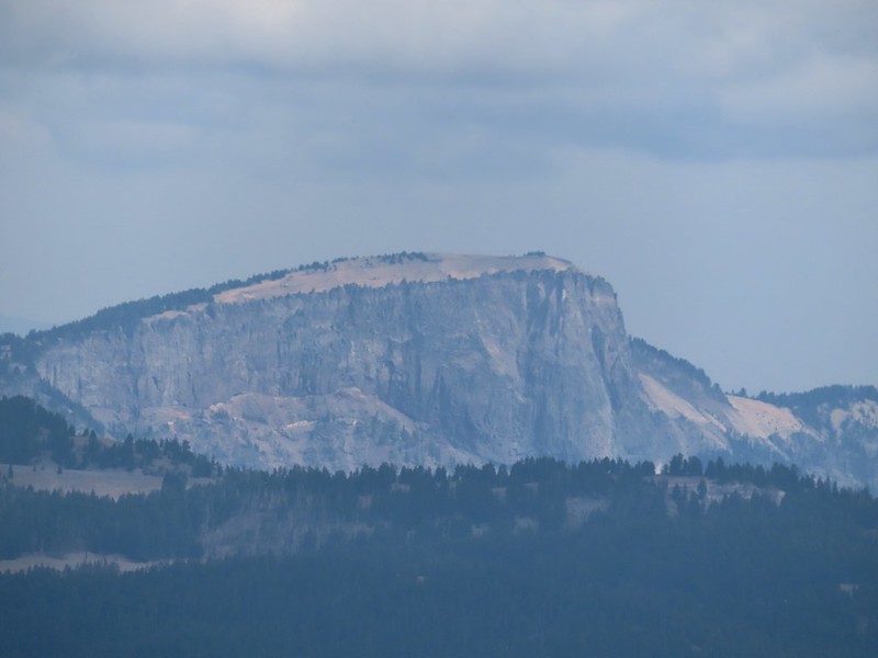 Llao Rock
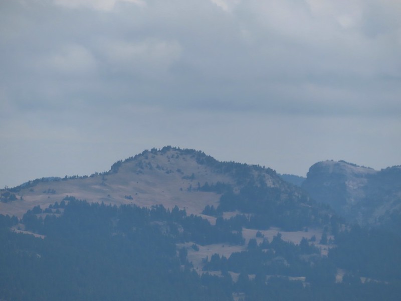 Applegate Peak
 Looking back up from the rock field.
 Mount Shasta arnica
 Bleeding heart

 One of several mountain bluebirds we spotted.
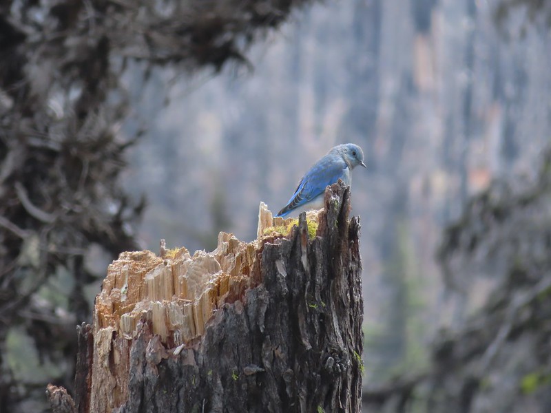
 Bumblebees on a few remaining aster.
 Sunshine
 A sulphur butterfly.
 Arriving back at the trailhead.


 The combination of low light and orange hue made for some poor photography conditions.
 Approaching the entrance road. The gate is for the road which is only open during daylight hours.
 The Generator Trail.


 Spring Valley Creek passing under the entrance road.
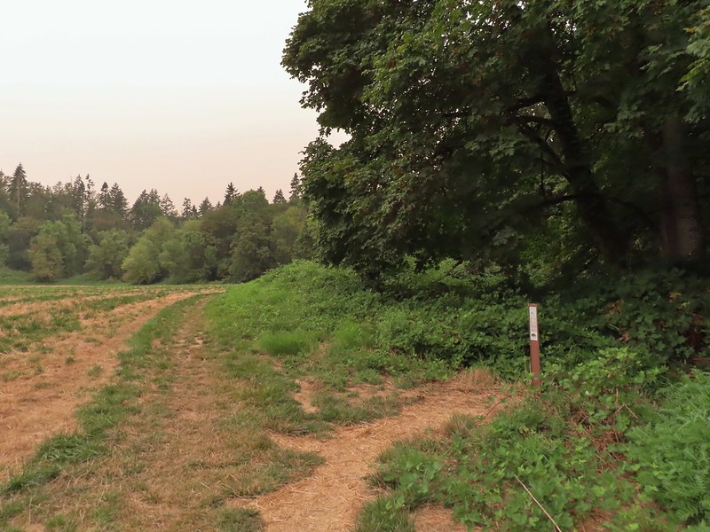
 The mowed field.
 Upper Spring Valley Creek Trail.
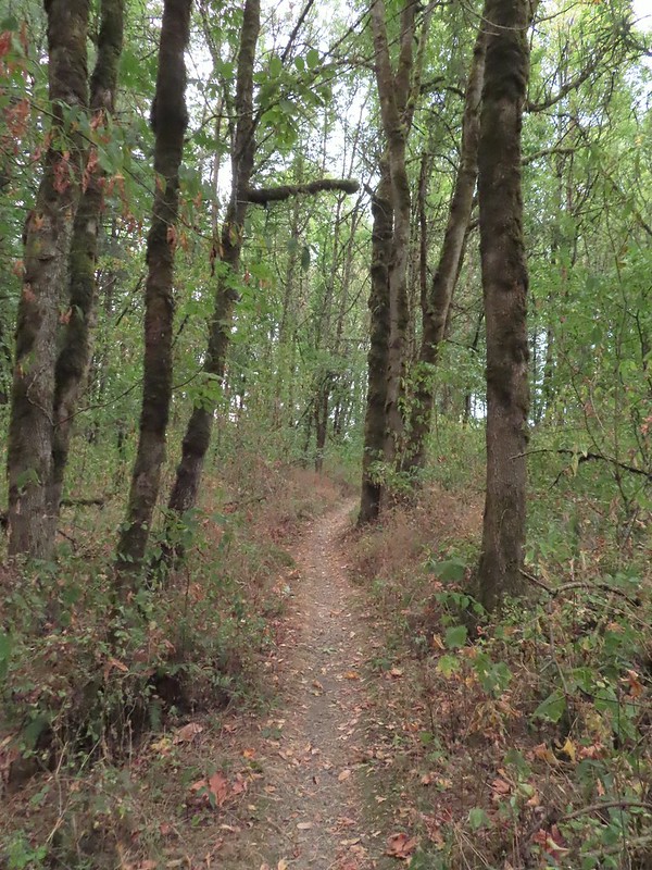
 A few Autumn colors starting to show, now we just need some Fall rain.
 Brief glimpse of the Willamette River.
 The tailgate was up on the pickup, a good sign for us.
 Some of the various non-native wildflowers in the area.
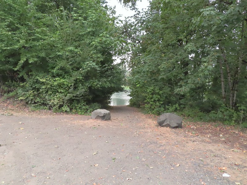
 Mile 74.2 of the
  The Perimeter Trail begins to the right of the gate.
 Invasive common tansy but the beetle was cool looking.
 We were initially fooled by this side-trail at the 0.1 mile mark which was not the TCC Trail, but did provide access to the Willamette.
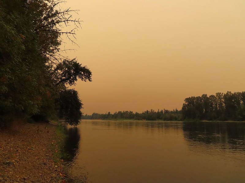 Willamette Mission State Park (
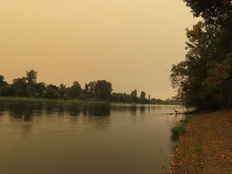
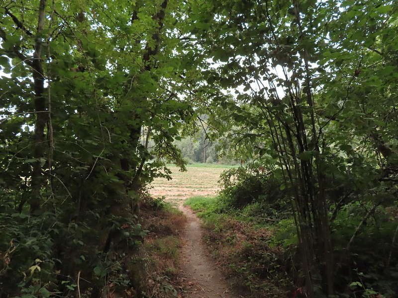
 There’s the TCC Trail.

 Back to the field after half a mile.
 Invasive Canadad thistle.
 Common toadflax – non-native.
 Moth mullein – you guessed it, non-native.
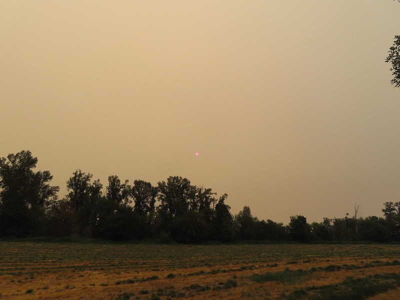 The Sun behind a layer of smoke.
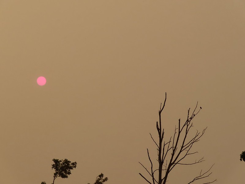 Pigeons (or doves) in a snag.


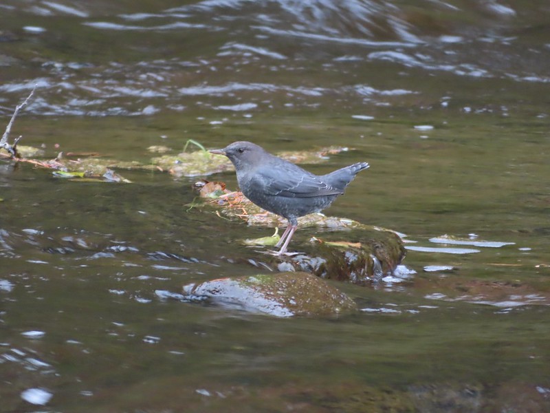 Ouzel
Ouzel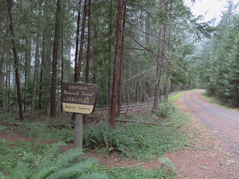


 Small cascade on Fish Lake Creek.
 Logs at the outlet of Fish Lake. The Indian Trail can be seen on the far side. This junction was unmarked and you would have to cross the logs to reach it. In theory one could take this trail to the Lakes Trail near Buckeye Lake, but as we understand it the trail does not receive regular maintenance so we did not include it in our plans.
 Arriving at Fish Lake

 The clouds began burning off before we’d found our campsite.
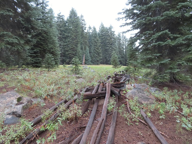
 We set up camp on a little knoll near an old stone foundation. We’re interested to know what used to be there but so far haven’t found any information on it.
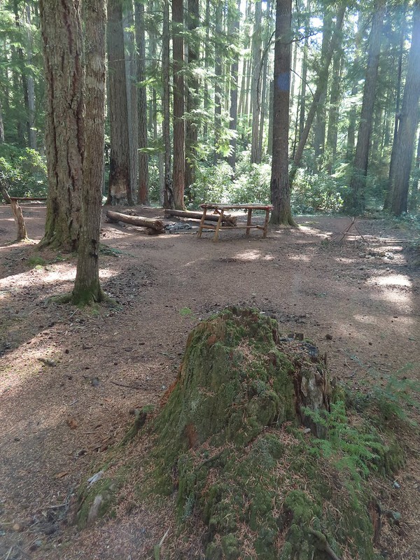 A little too developed for Wilderness standards.
 A dry channel along Highrock Creek.
 Crossing an unnamed creek.
 The trail junction.
 Highrock Creek. There were several nice pools here which we utilized to replenish our water on our way back to camp.
 Foam flower and a few ripe thimbleberries, Heather’s favorite.
 The junction with the Grasshopper Trail
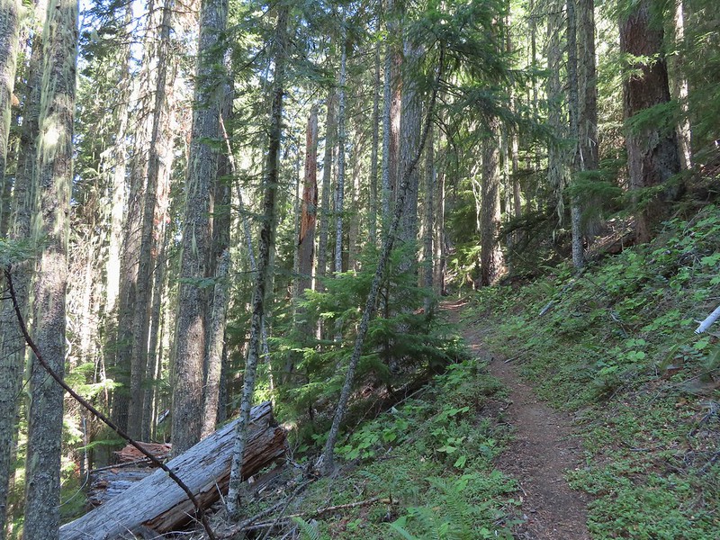
 Pine white
 Sign for the Gasshopper Mountain Trail.
 Grasshopper Spring is out there somewhere.
 We had to go around this big tree.
 A few aster
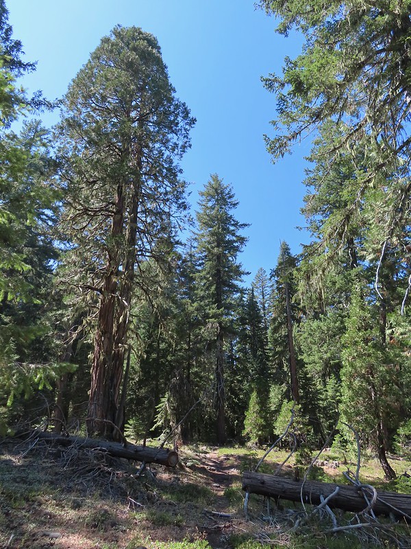 There were some good sized cedars up here.
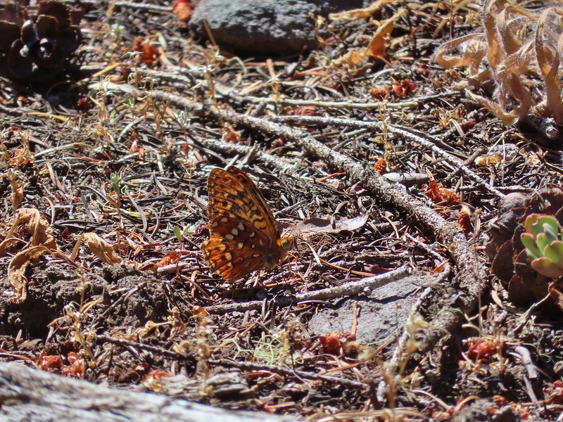 A fritillary
 Another big cedar.
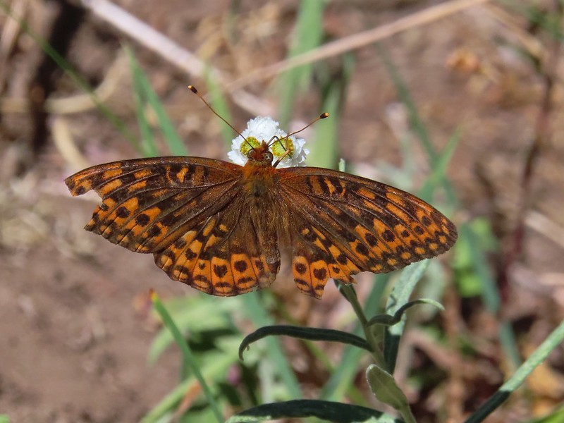 Fritillary on pearly everlasting.
 The final stretch to the summit passed through a fire scar.
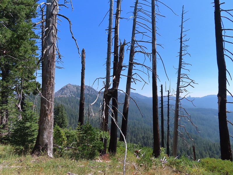 Highrock Mountain to the left, Hershberger Mountain in the middle, and the Rabbit Ears to the right (
 Rabbit Ears closeup.
 Fish Mountain (back left), Weaver Mountain, Highrock Mountain, and Hershberger Mountain with Grasshopper Meadow below.
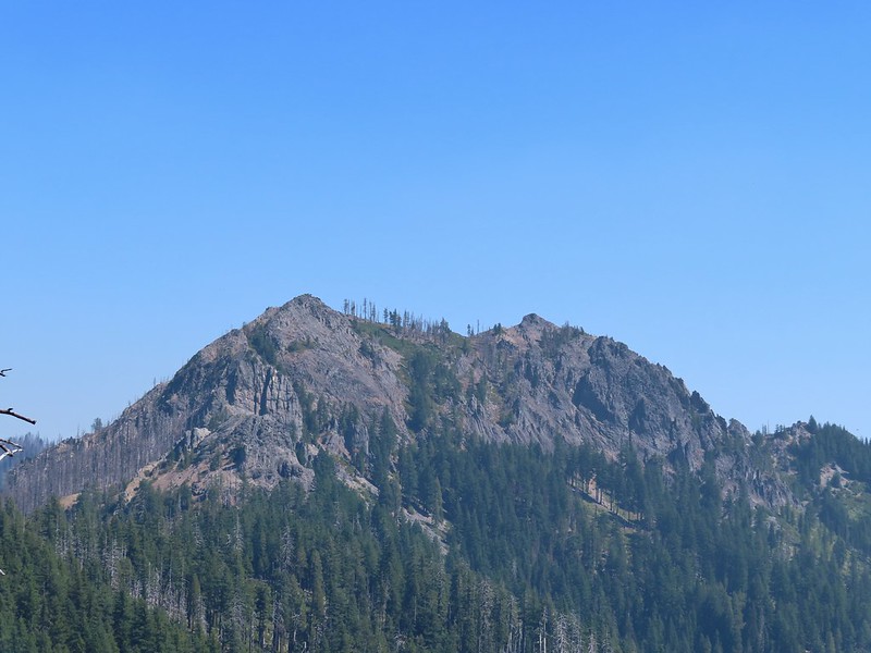 Highrock Mountain
 Owl’s clover.
 Arriving at the old lookout site.
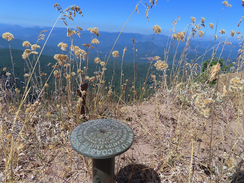
 Buckeye (left) and Cliff Lakes below Grasshopper Mountain. The broad hump beyond to the left is Twin Lakes Mountain. We had visited a viewpoint on the north side of that mountain back in June of this year (
 Buckeye and Cliff Lakes
 Smoke on the horizon to the NW. The Cedar Creek fire to the NE, Rum Creek Fire to the SW or several fires in Northern California could be the culprit(s). The peak with the white spot to the center right is Quartz Mountain which we recognized from our Hemlock Lake hike in August (
 To the NE we got a glimpse of Rattlesnake Mountain (far left) which we’d climbed during Labor Day weekend in 2020 (
 Rattlesnake Mountain behind Standoff Point.
 A skipper
 We veered right here which kept us from dropping below the saddle that we otherwise would have had to climb over on the Grasshopper Trail.
 Descending to the Grasshopper Trail.
 Trail sign at the other junction.
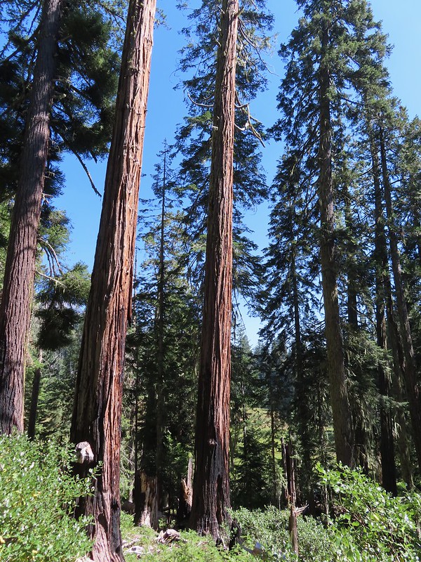 Grasshopper Meadow through the trees.
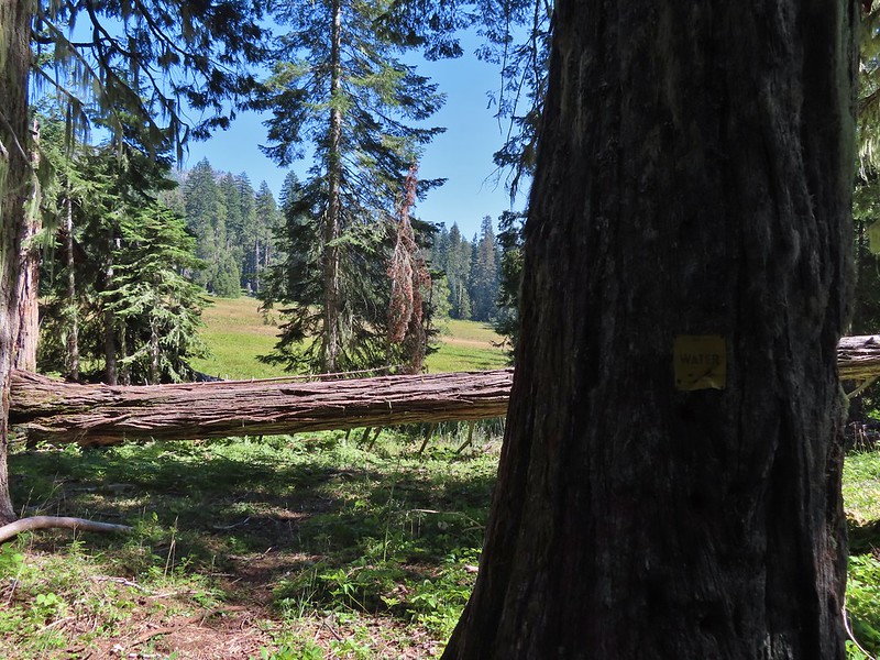 Sign for a (faint) spur trail to a spring above the meadow.
 Highrock Mountain from Grasshopper Meadow.
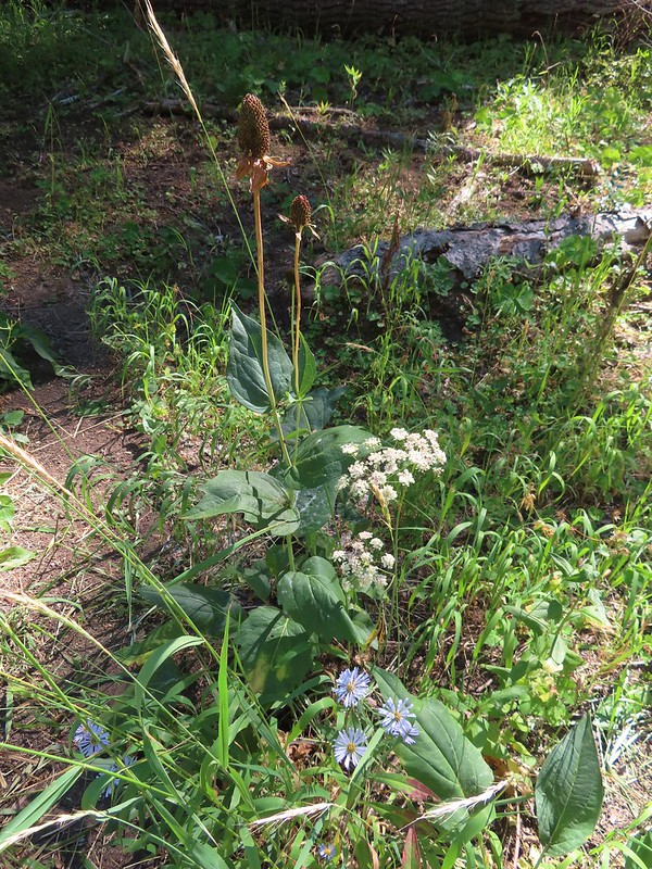 A few flowers hanging on to the last days of Summer.
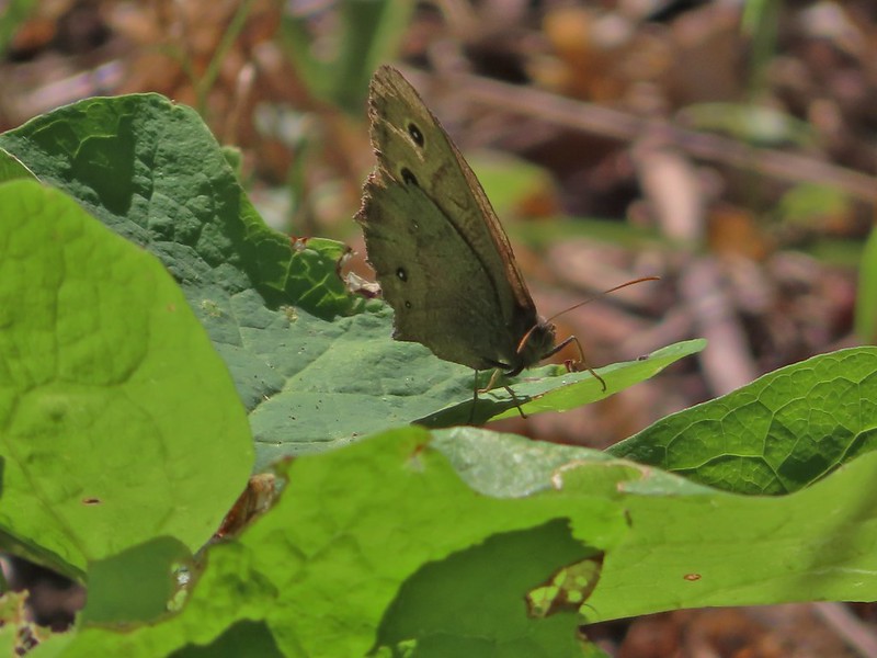 Common wood nymph
 The trail got pretty faint just before the junction but we could see the trail sign so we just headed for it.
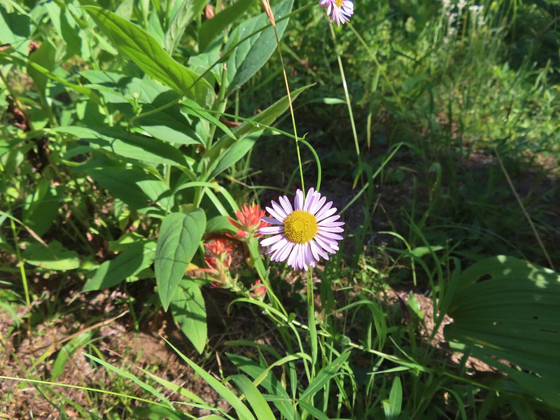 Fleabane? and paintbrush.
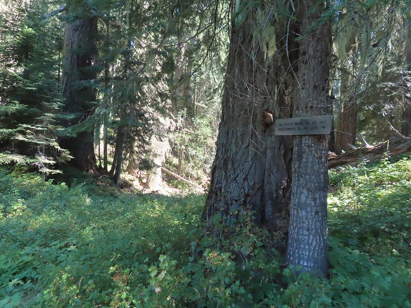 Acker Divide Trail pointer.
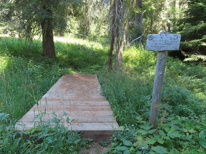 Pointer for Cripple Camp (we visited the shelter there on our Hershberger Mountain hike) and the Rogue-Umpqua Divide Trail.
 This fuzzy caterpillar was in a hurry.
 The trail along an old log.
 Passing through a small meadow near the spur to the Acker Divide Trailhead.
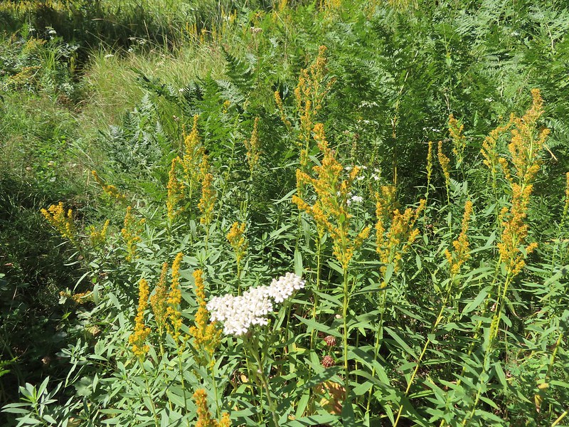 Yarrow and goldenrod
 The area was really well signed.
 Sign for Mosquito Camp on the tree to the right. There was zero sign of any established campsites here.
 Meadow at Mosquito Camp, it came complete with mosquitos (not too many though).
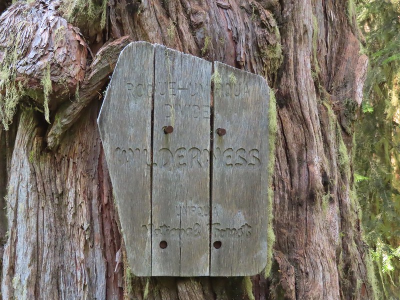 First of two times reentering the Rogue-Umpqua Divide Wilderness.
 Scat on the trail, at least we knew something used it.
 One of several very small bodies of water along Skimmerhorn Creek which may or may not be Little Fish Lake.
 Overgrown trail near Skimmerhorn Creek.
 Looking down at the pond? lake?
 As we neared the Lakes Trail we began seeing more signs of what appeared to be an ancient lava flow.
 Last of the lupine blooms.
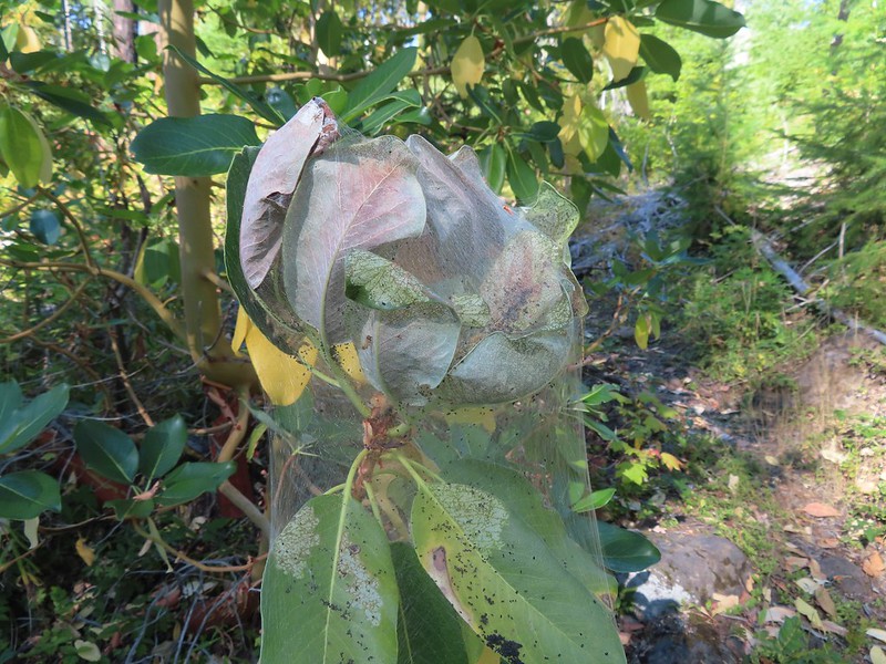 Lots of these insect tents on the madrones in the area.
 Arriving at the Lakes Trail.
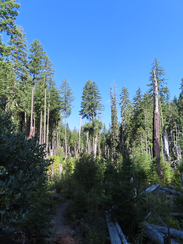

 First glimpse of Buckeye Lake
 At this fork we detoured right to visit the lake shore.
 A good reminder that far too many people tend to forget.
 Grasshopper Mountain from Buckeye Lake.
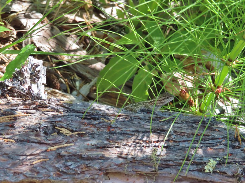 Lizard
 We had to really watch our step because these little guys were everywhere.
 There is an smaller, unnamed lake just West of Buckeye Lake that we did not take the time to check out closer.
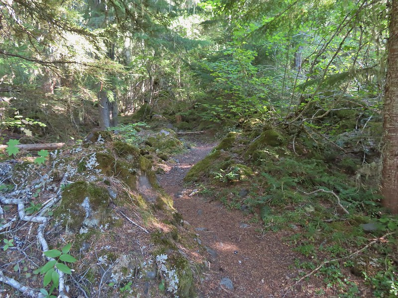
 The spur trail to the campsite.
 Attempted panorama.
 Footbridge over the outlet creek which flows into another small unnamed lake that we did not attempt to find.
 Unfortunately the lighting made this tree very hard to photograph but it was the coolest tree/rock combination that we’ve encountered.
 Fritillary on thistle.
 Short climb back up to the junction.
 This slug was heading our way while we finished dinner.
 The Sun was getting pretty low as we ended our hike.
 A big nest atop a tree and the Moon above Fish Lake.
 Zoomed in on the nest and Moon.
 Fish Lake just before 7:30pm.
 Campsite after packing up in the morning.
 Passing our planned route for the day on the left. Highrock Creek was just a 20 yard detour to the right.
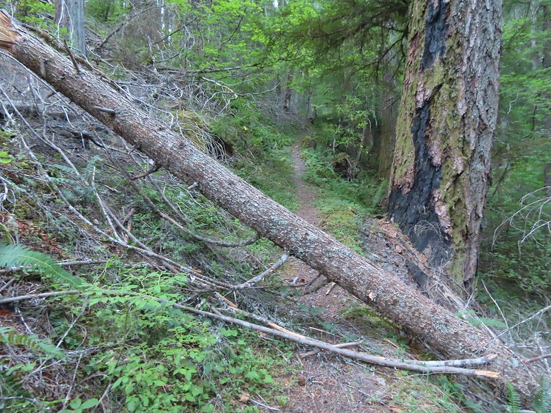 I think this was the third obstacle, one of several that was easy enough to get over.
 Prior maintenance, the second log may have been cut post fire?
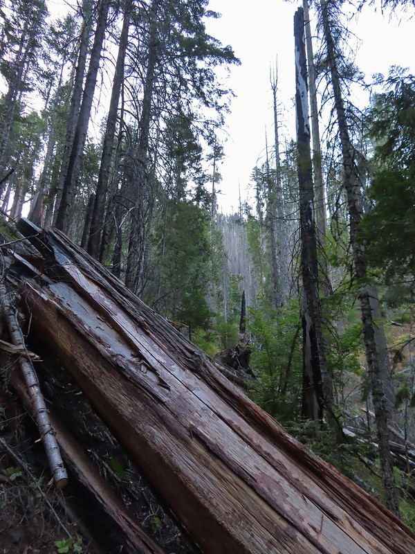 End of the line for us. Even if we somehow got around this one there was still 9.5 miles of burned trail from the trailhead and who knew how many obstacles like this one we might encounter or how long it would take us if we somehow were successful.
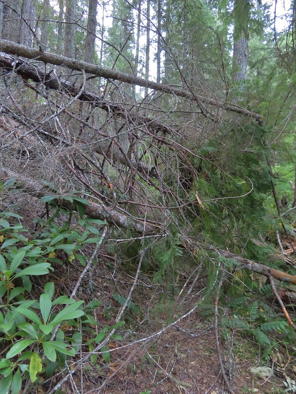 We had the privilege of navigating this one twice. Heather is on the other side coming through.
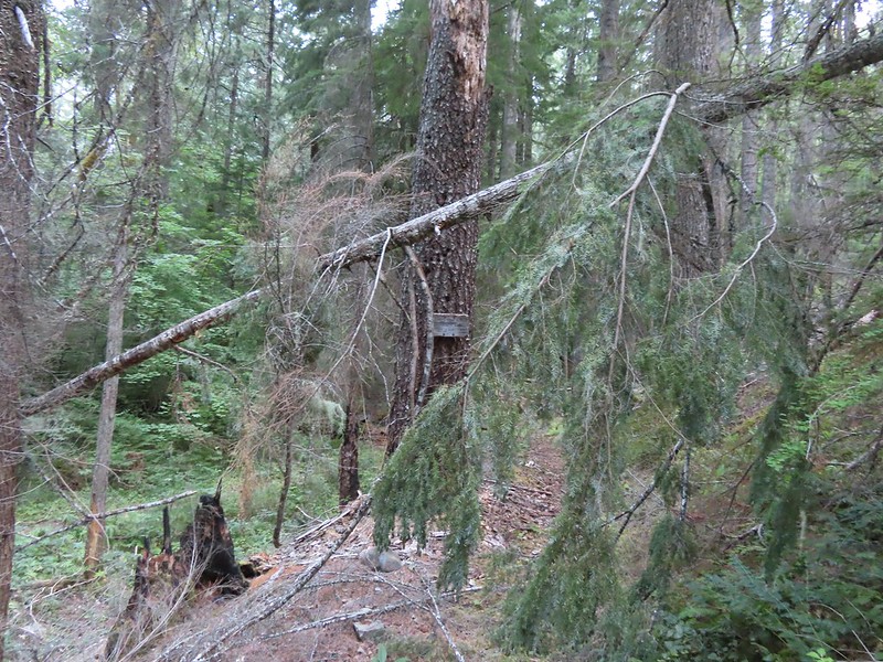 Back at the junction.
 No clouds this morning.
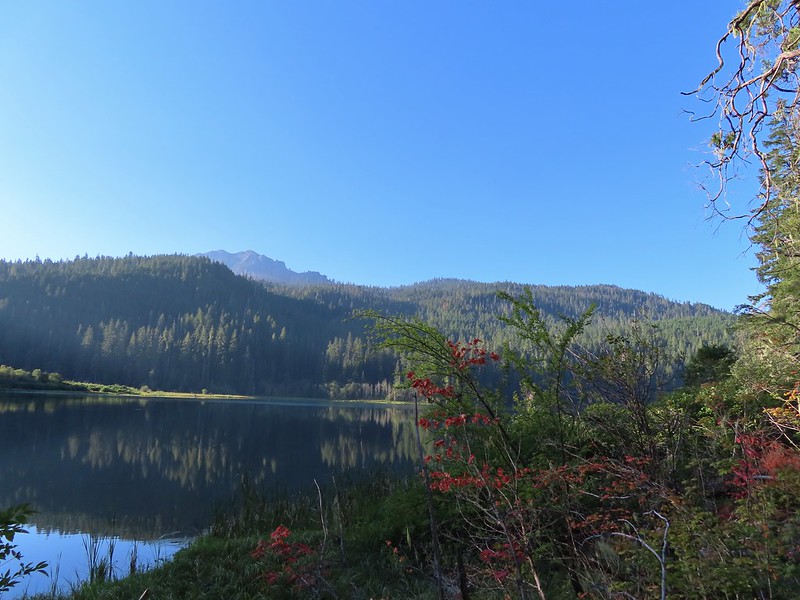 Highrock Mountain behind Fish Lake. Seeing the vine maples turning colors reminded us that despite the heat Autumn was just around the corner.
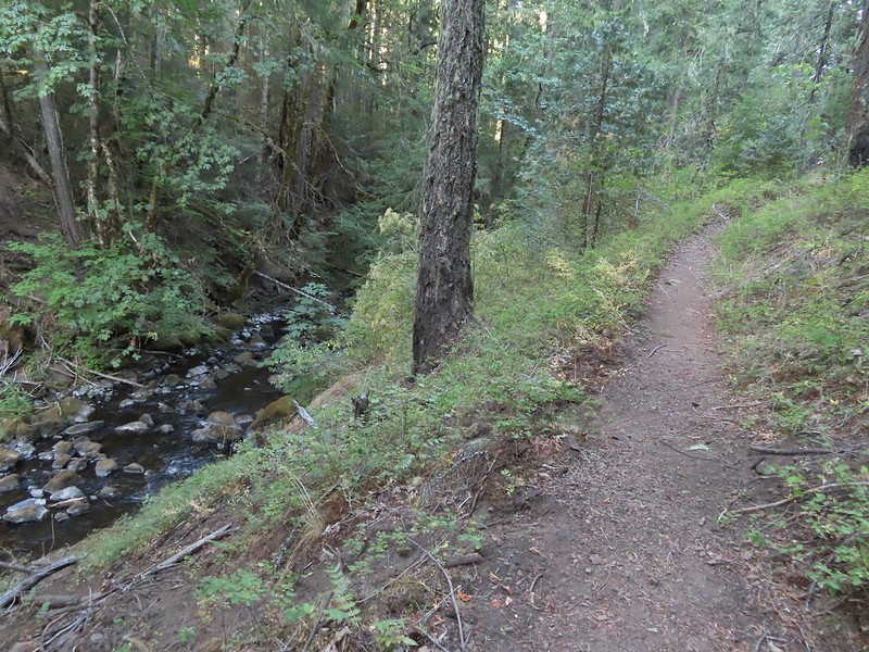 Hiking along Fish Lake Creek.
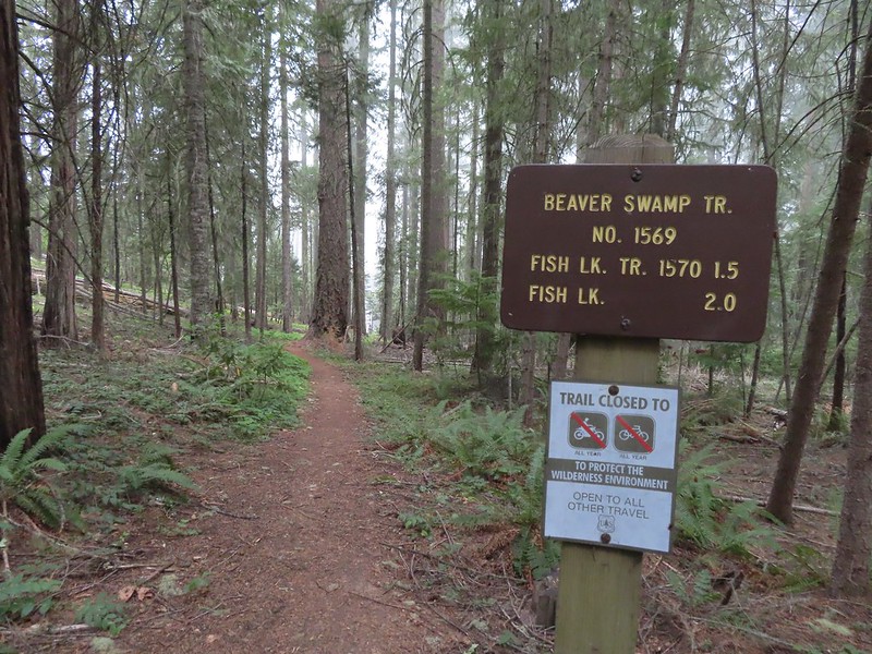
 Highrock Mountain from the Beaver Swamp Trail.
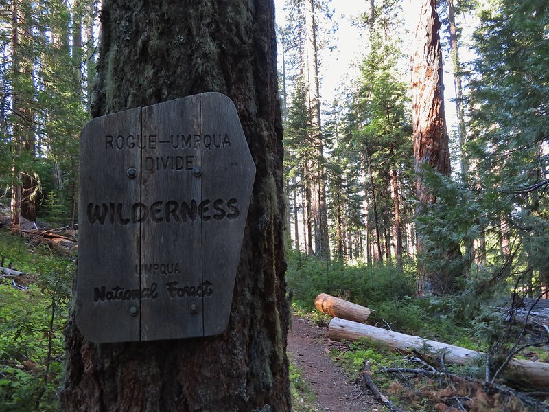 Leaving the Rogue-Umpqua Wilderness for the last time this trip.


 The PCT running left to right with the Hidden Lake Trail extending straight ahead.
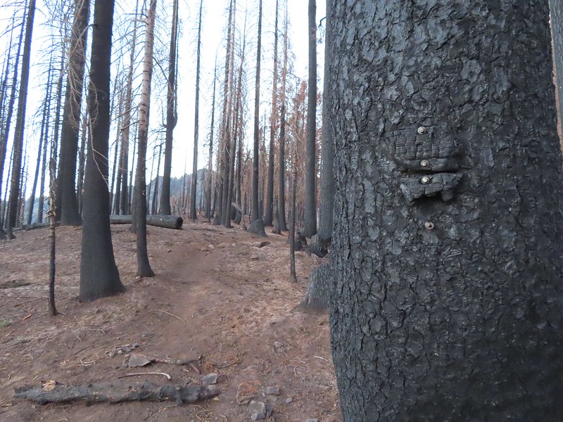 Remnants of a trail sign. The sticks across the Hidden Lake Trail are to let PCT hikers know that is not their trail.
 A layer of smoke over the valley on the horizon.
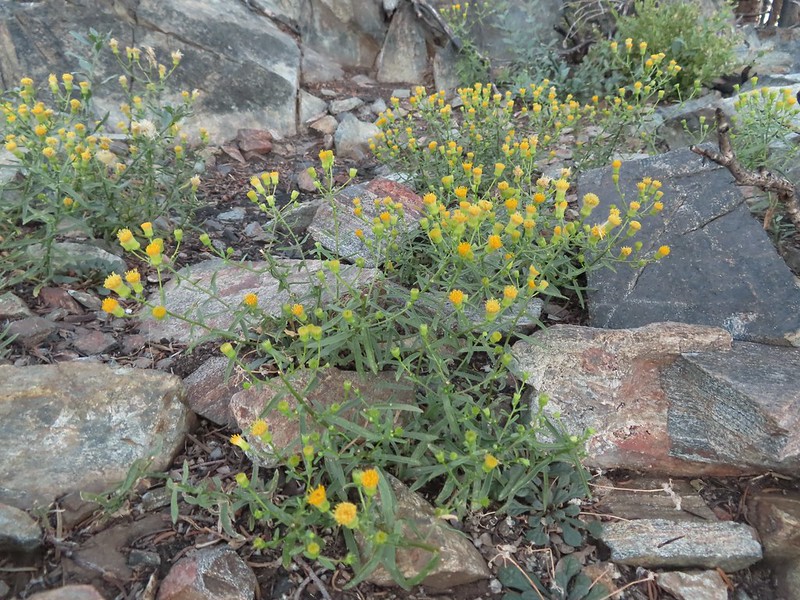 A fleabane, possibly California rayless fleabane.
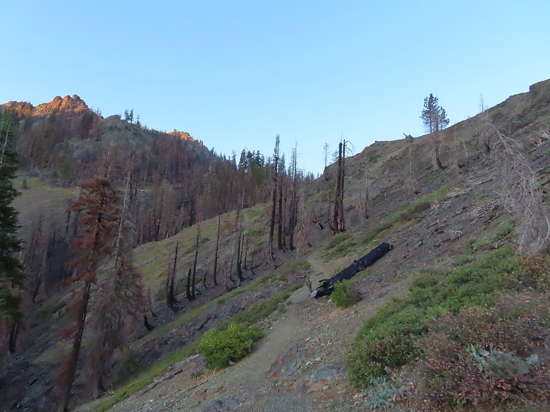 Hidden Lake Trail following the ridge.
 Dwarf purple monkeyflower
 Blue-eyed Mary
 Approaching Hidden Lake.
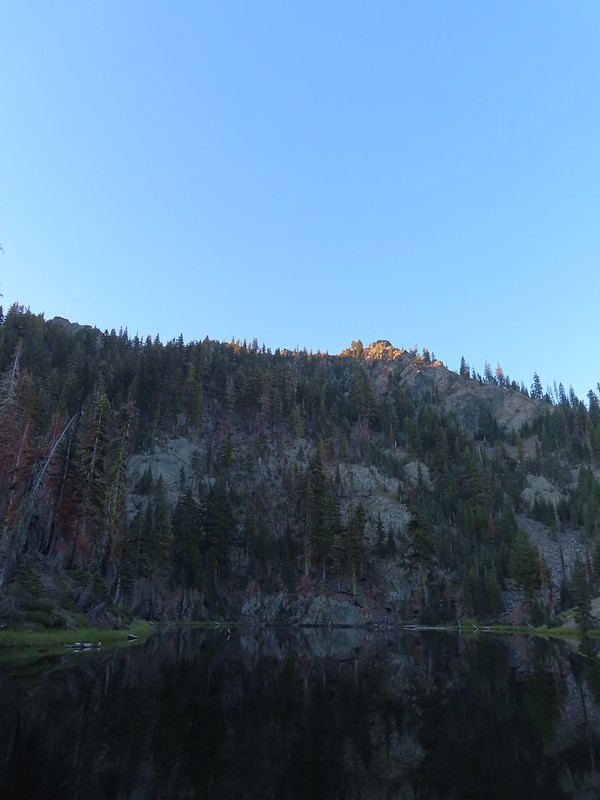


 Golden-mantle watching us from atop the ridge.
 Looking back now that there was a little more sunlight.
 Diamond clarkia
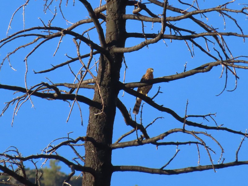 A small raptor watching from a snag.
 Wildflowers in the burn scar.
 Spreading dogbane
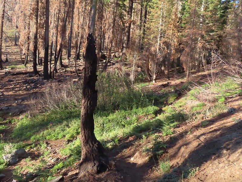 A small stream/spring providing some green.
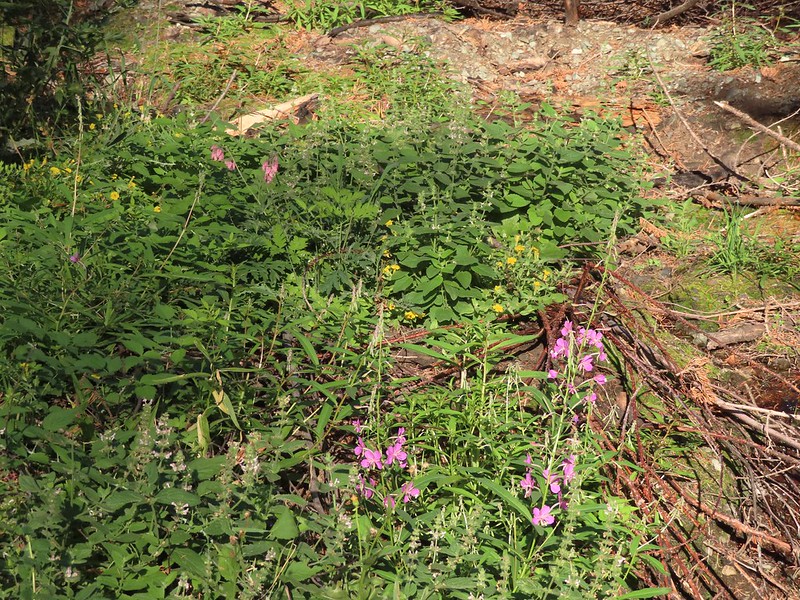 Bleeding heart, fireweed, monkeyflower, and hedge nettle along the stream.
 Yarrow and Oregon sunshine.

 California harebells
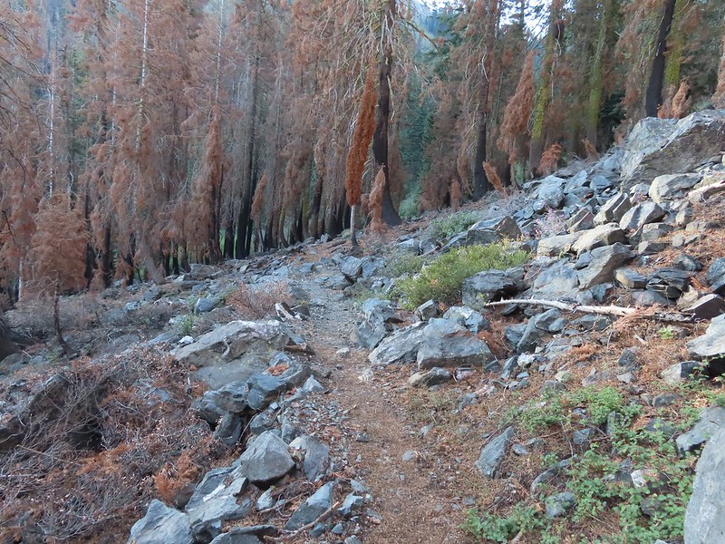
 A lot more green vegetation near the river crossing.
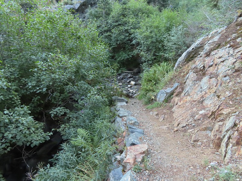
 South Fork Scott River
 Mountain coyote mint
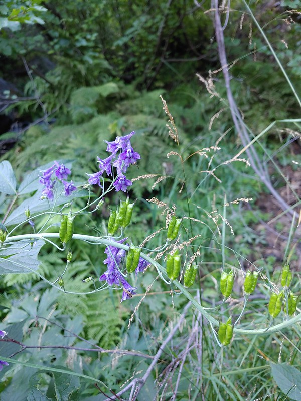 Mountain larkspur
 Mountain larkspur
 Snacks
 Campsites along the PCT near the river crossing.
 You can just make out the trail ahead heading uphill to the right.
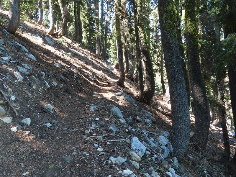
 This trail was the most overgrown/least maintained of all the trails we’d been on this trip.
 Nearing the meadow.
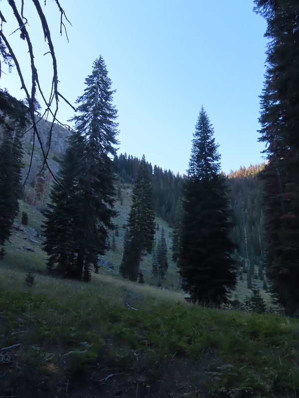 Entering the meadow and losing the trail.
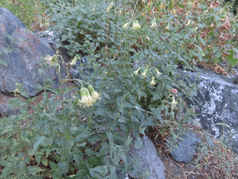 As of yet unidentified flower in the meadow.
 There was a brief pause in the climb while the trail passed a series of springs.
 Vegetation along the trail at the springs.
 Back to climbing.
 The final spring that we passed was coming out of this hollowed trunk.

 There were several places where it looked like the trail was going to finally crest but when you got there you just found more uphill.
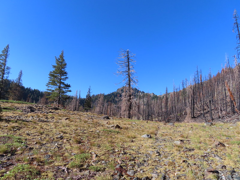 Finally the trail is leveling out.
 Looking back over the lower lake.
 Heading off-trail for the upper lake.
 Back to the lower lake.
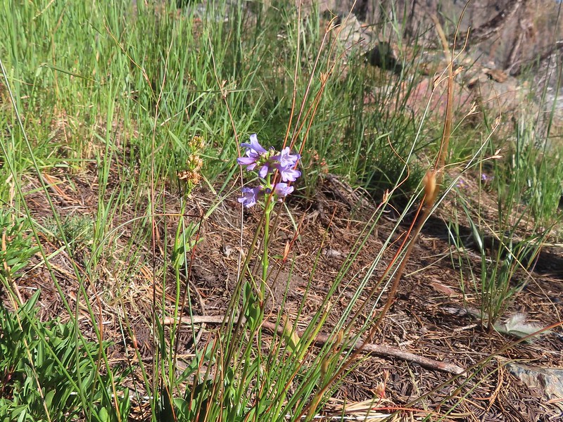 A penstemon
 Another look at the cool spring.
 Monkeyflowers along the springs.
 Butterfly on western snakeroot
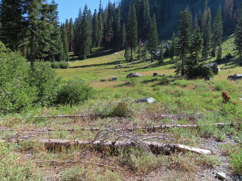 Back through the meadow.
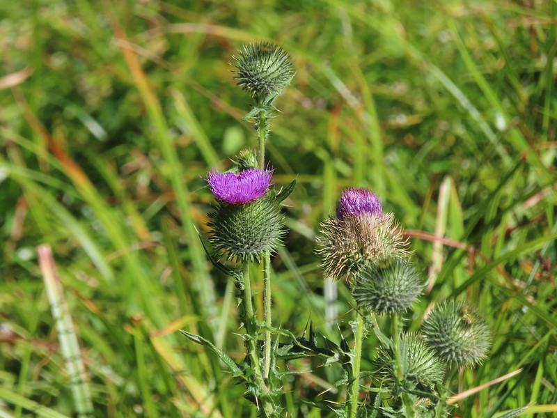 Thistle
 Close up of a California harebell.
 I can see a car at the trailhead.
 The helipad at the trailhead.
 The helipad at the trailhead.
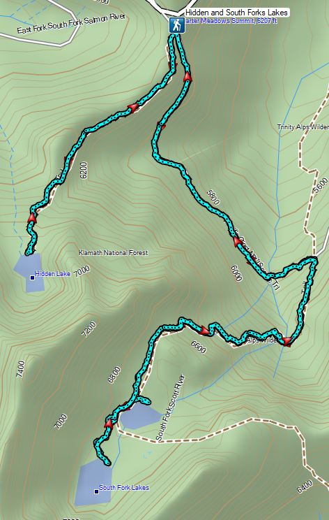


 An aster (or a fleabane, it’s so hard to tell).
 Musk monkeyflower
 Tiny green frog.
 It was easy to spot where the creek was based on the green.
 The wilderness boundary.
 The creek crossing.
 Paintbrush
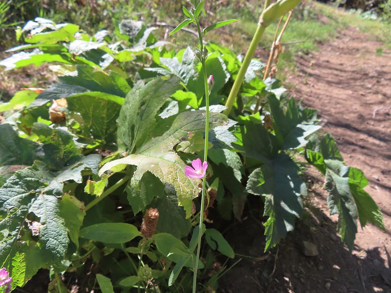 A checker-mallow near the creek.
 A junco. We saw a large number of small birds flying around during our trip, mostly junco’s and chickadees but they rarely ever sat still where we could see them.
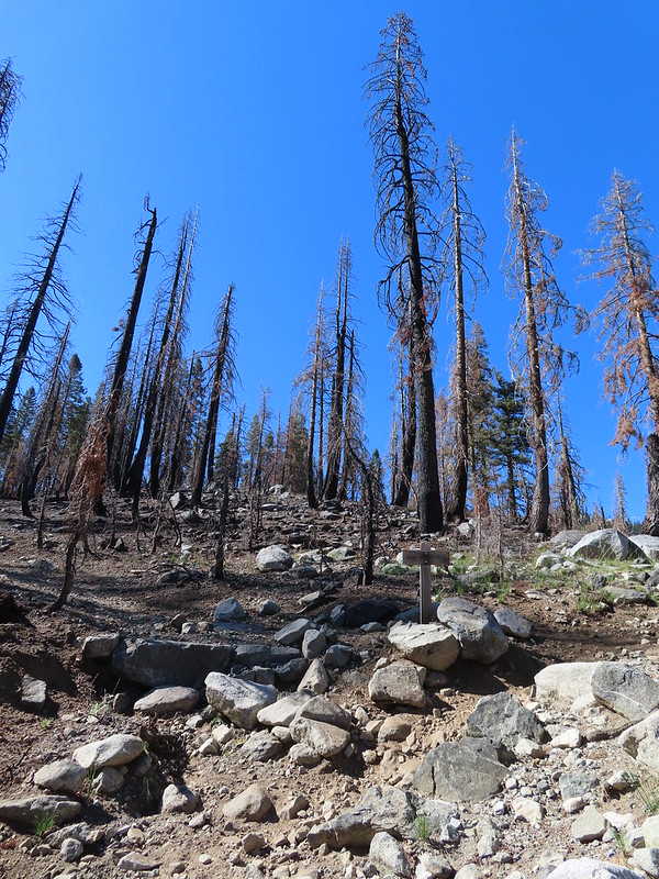 Pointer for Trail Gulch Lake 0.8 miles from the Creek Crossing.
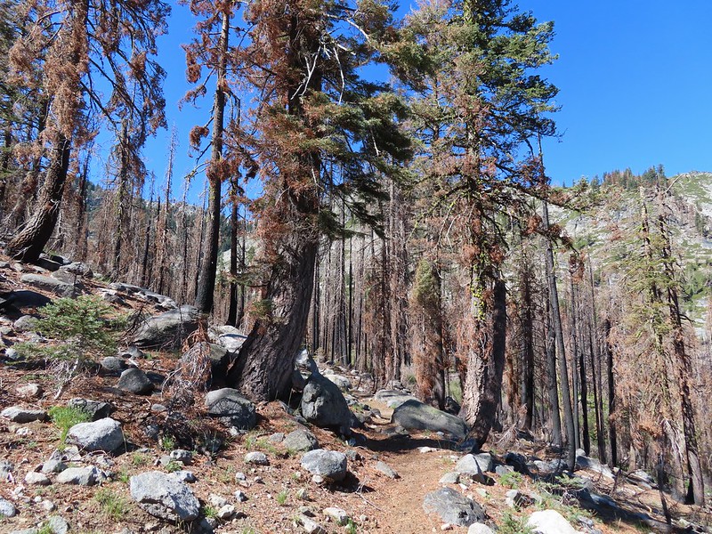


 One of several deer seen running uphill as we made our way up the trail.
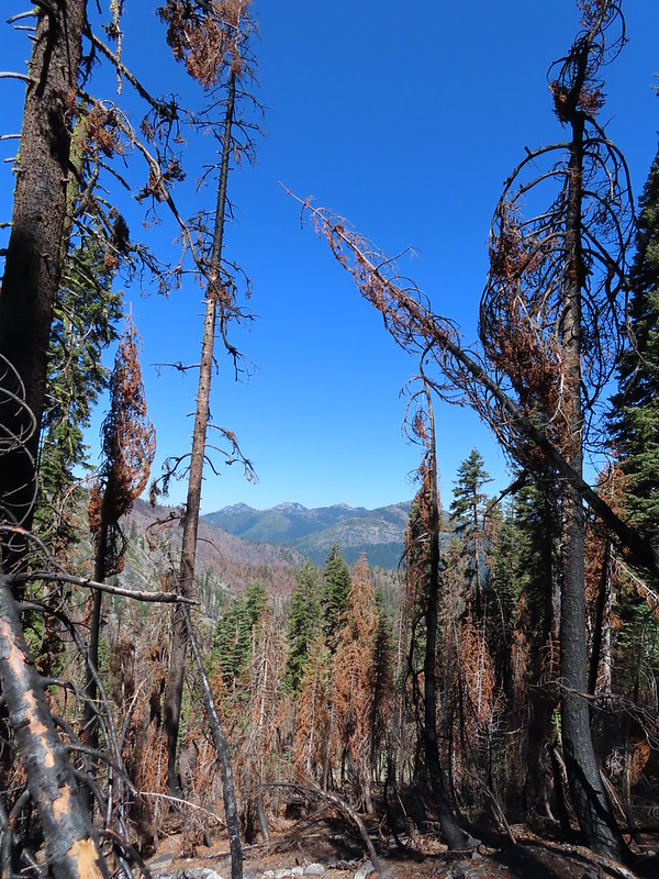 View back down Trail Gulch.
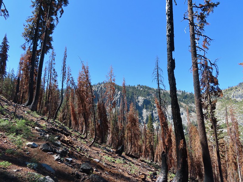
 Paintbrush
 Peaks in the Russian Wilderness.
 Arriving at the pass.
 Trail Gulch Lake from the pass.
 Clark’s nutcracker
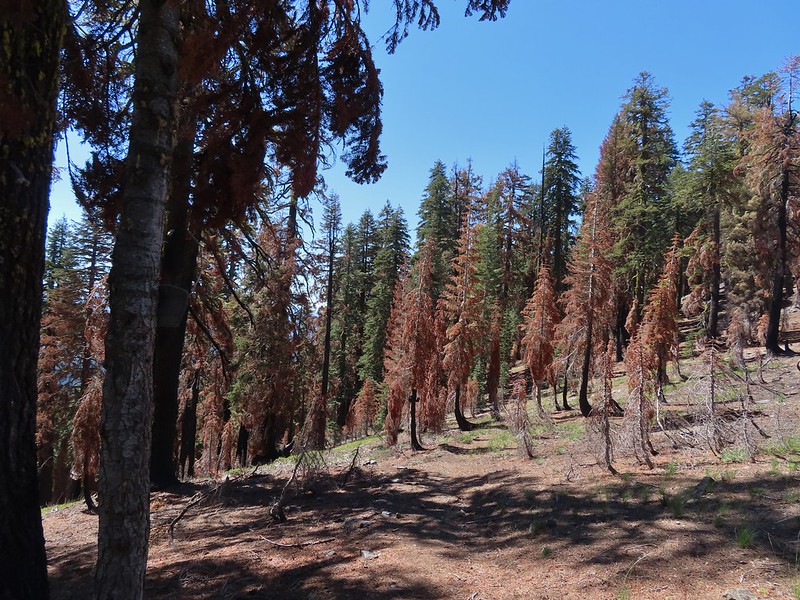
 The sign for Steveale Meadows where we went uphill on the trail to the right.


 View south from the tie trail.
 Approaching the pass.
 Sullivan mentions that it is possible to scramble 0.2 miles to the right along this ridge to get a view of Mt. Shasta and the heart of the Trinity Alps but with the smoke on the horizon we didn’t feel it was worth the effort and skipped that option.
 Looking down into Long Gulch from the pass.
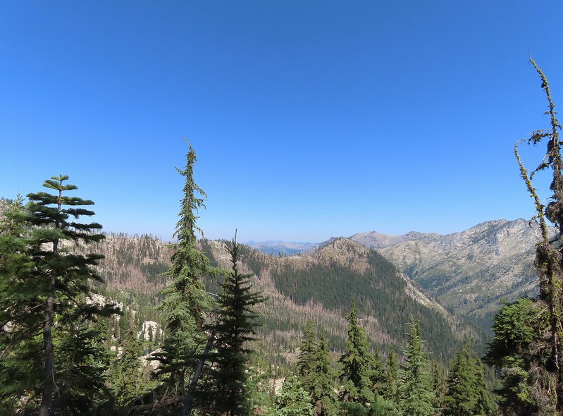


 To the north we could see much of the route we’d taken the day before on the way to Siphon and Russian Lakes.
 Chipmunk with a snack.

 The outlet creek.
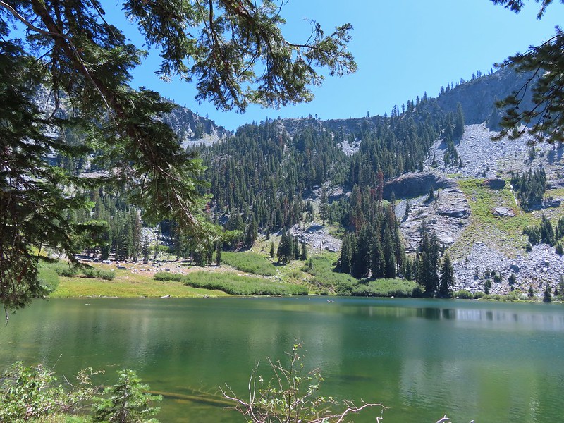
 Long Gulch Trail passed to the north of Long Gulch Lake for a quarter mile.
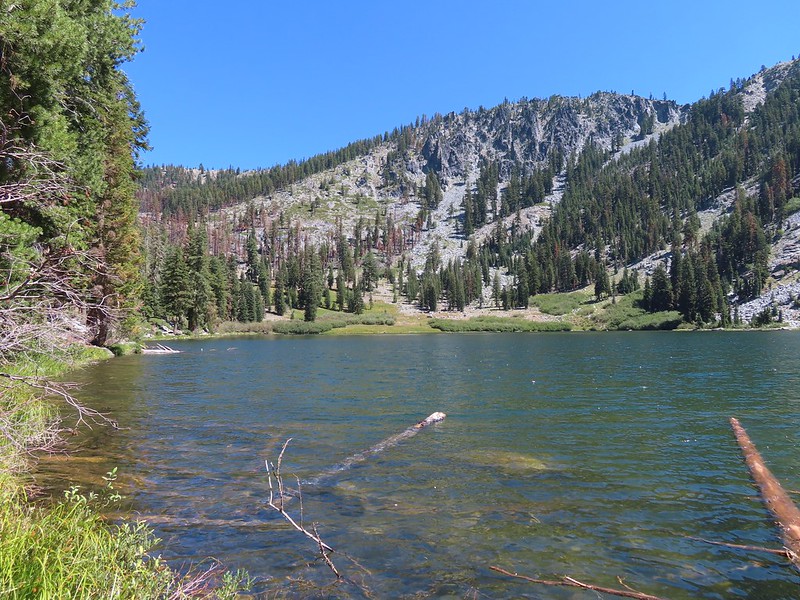 The pass that the trail came down is along the ridge to the left here.
 Parnassian on mountain coyote mint.
 Skipper on mountain coyote mint.


 Meadow with a number of big trees that survived the fire.
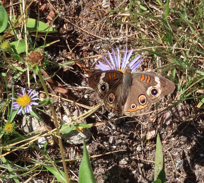 Common buckeye
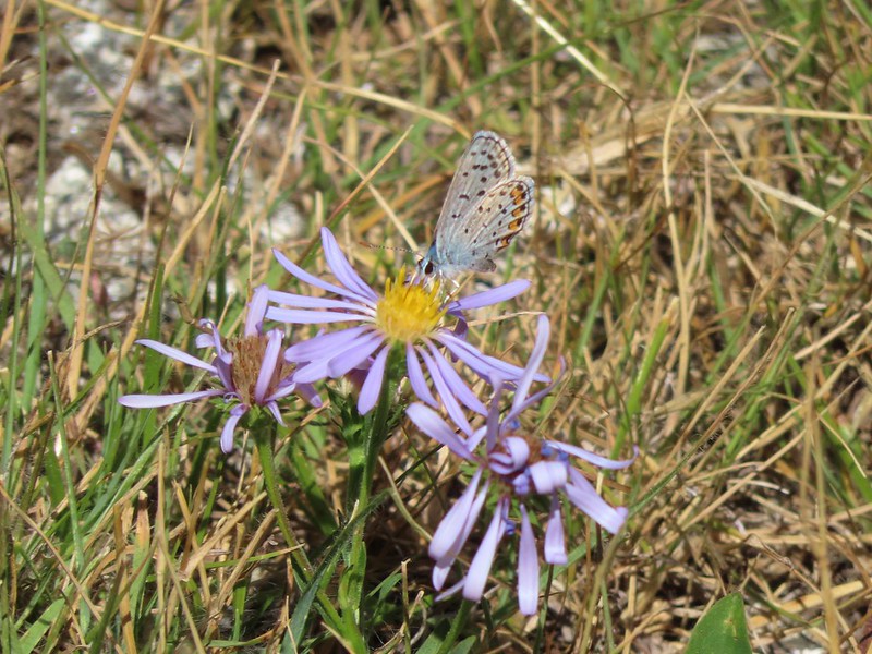 A copper or blue
 Lorquin’s admiral
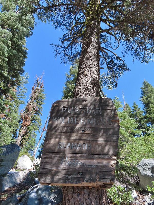
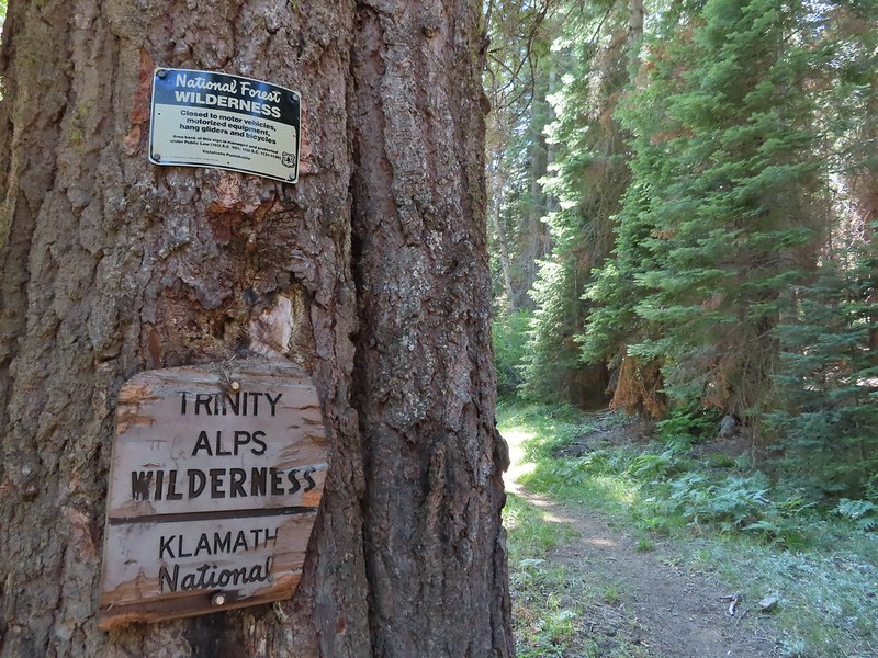 Leaving the Trinity Alps Wilderness.
 The trail briefly followed the Long Gulch Creek.
 Checker-mallow
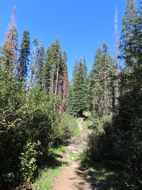 The trail crossed the creek just under 2 miles from the junction.
 Arriving at the Long Gulch Trailhead.


 We did pass a sign for the horse trail along the road.
 To the far right of the photo in between the green and orange branches is where it landed.

 PCT below FR 39N48.
 Tail and Long Gulches in the
  Lots of buckwheat along the ridge.

 Buckwheat

 Trinity Alps Wilderness
 Caesar and Thompson Peak
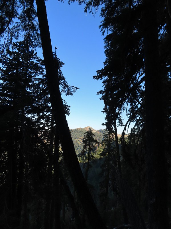 We would be passing below the peak in the distance later.
 Small buck on the hillside above the PCT.
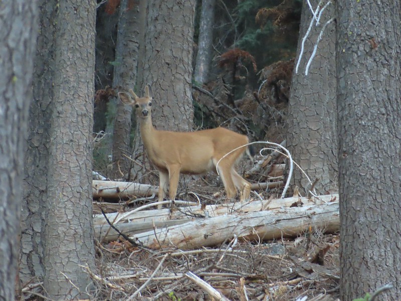
 The Deacon Lee Trail was visible crossing the opening on the far hillside.

 Checker-mallow
 Crescent butterfly
 Small spring along the PCT.
 The junction with the Deacon Lee Trail.


 Dwarf lupine

 Fritillary butterfly on spreading dogbane.
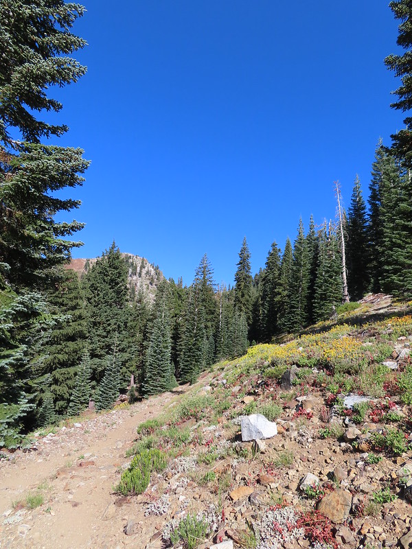 Nearing Siphon Lake.
 Siphon Lake was just under a mile from the PCT.
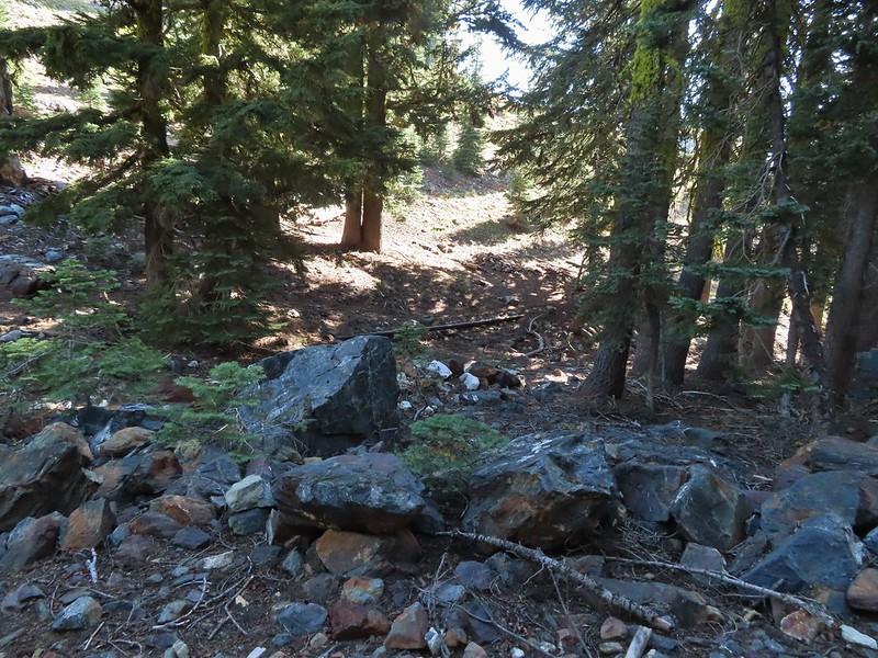 Old pipe that used to bring water down to mines lower on the hillside.


 Zoomed in on the pair.
 The curious fawn.
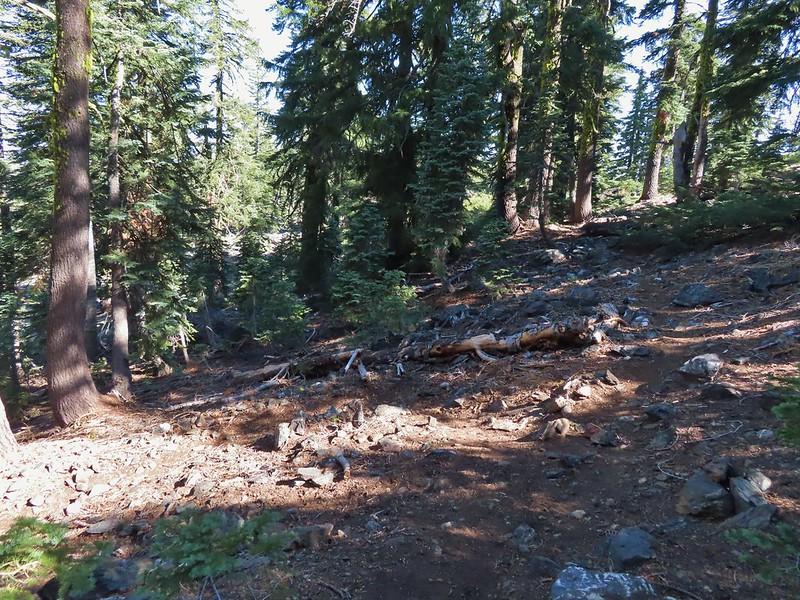


 The pond was full of tadpoles.
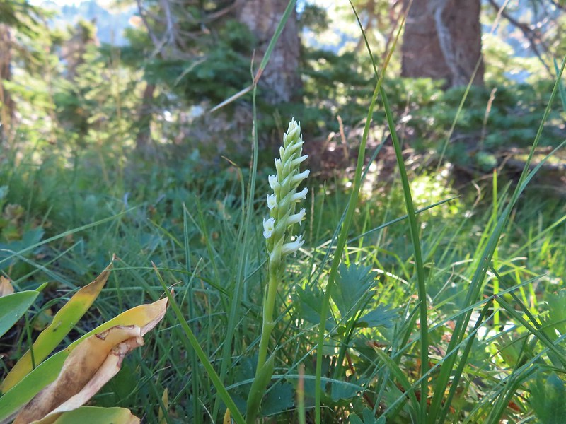 Hooded ladies tresses
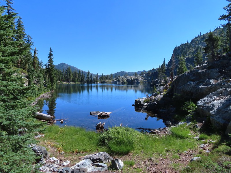
 View from the outlet creek.
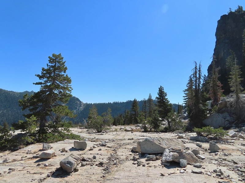
 Russian Peak
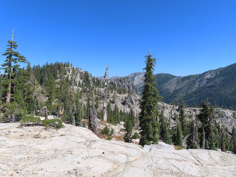


 Fireweed near the outlet.
 Large boykinia

 Saxifrage seed head
 It was a pretty good drop down to Waterdog Lake.
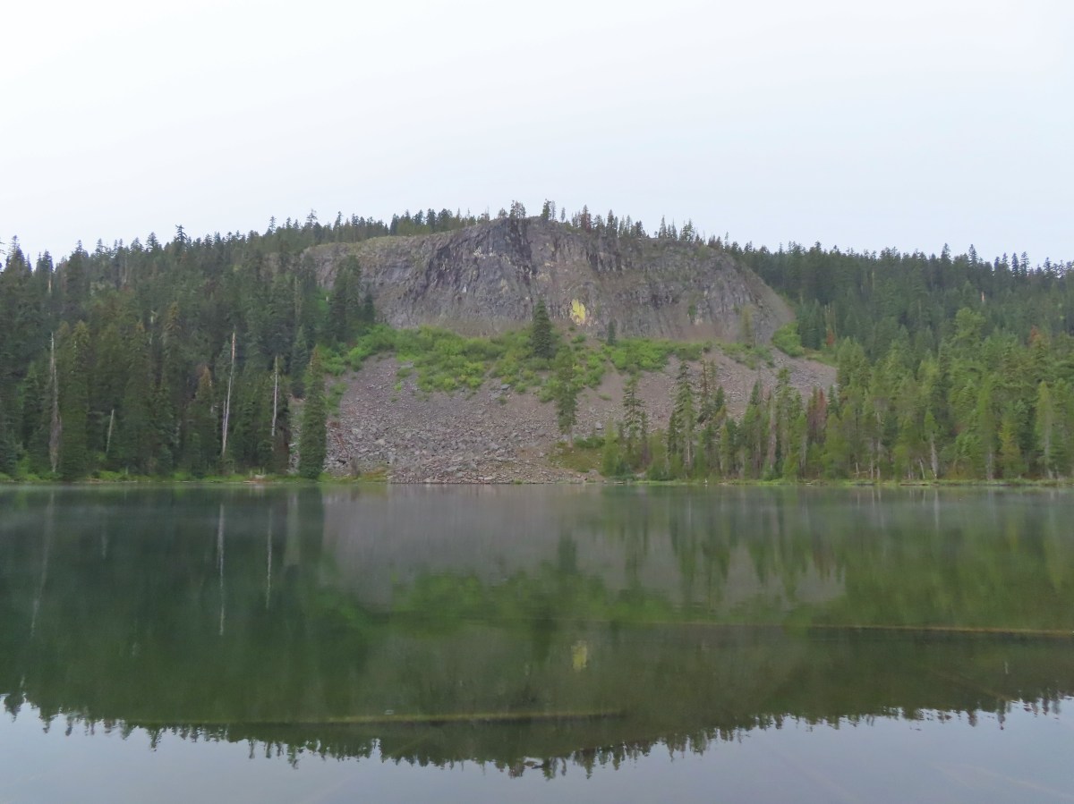
 Waterdog Lake.

 The deer were across the lake in those trees.
 Looking back along the lake.
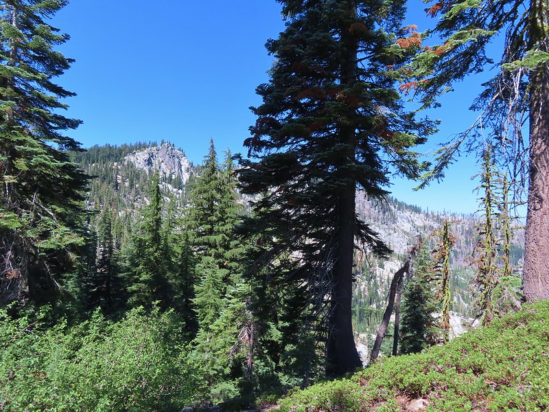


 Paintbrush
 There were dozens of lizards scurrying across the trails all day but not many stopped long enough for photos.
 Haven’t been able to identify this one yet.
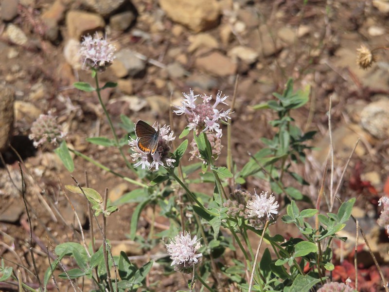 Butterfly on mountain coyote mint
 Another butterfly on mountain coyote mint.
 Grasshopper that became obsessed with Heather’s glove.
 Cricket