
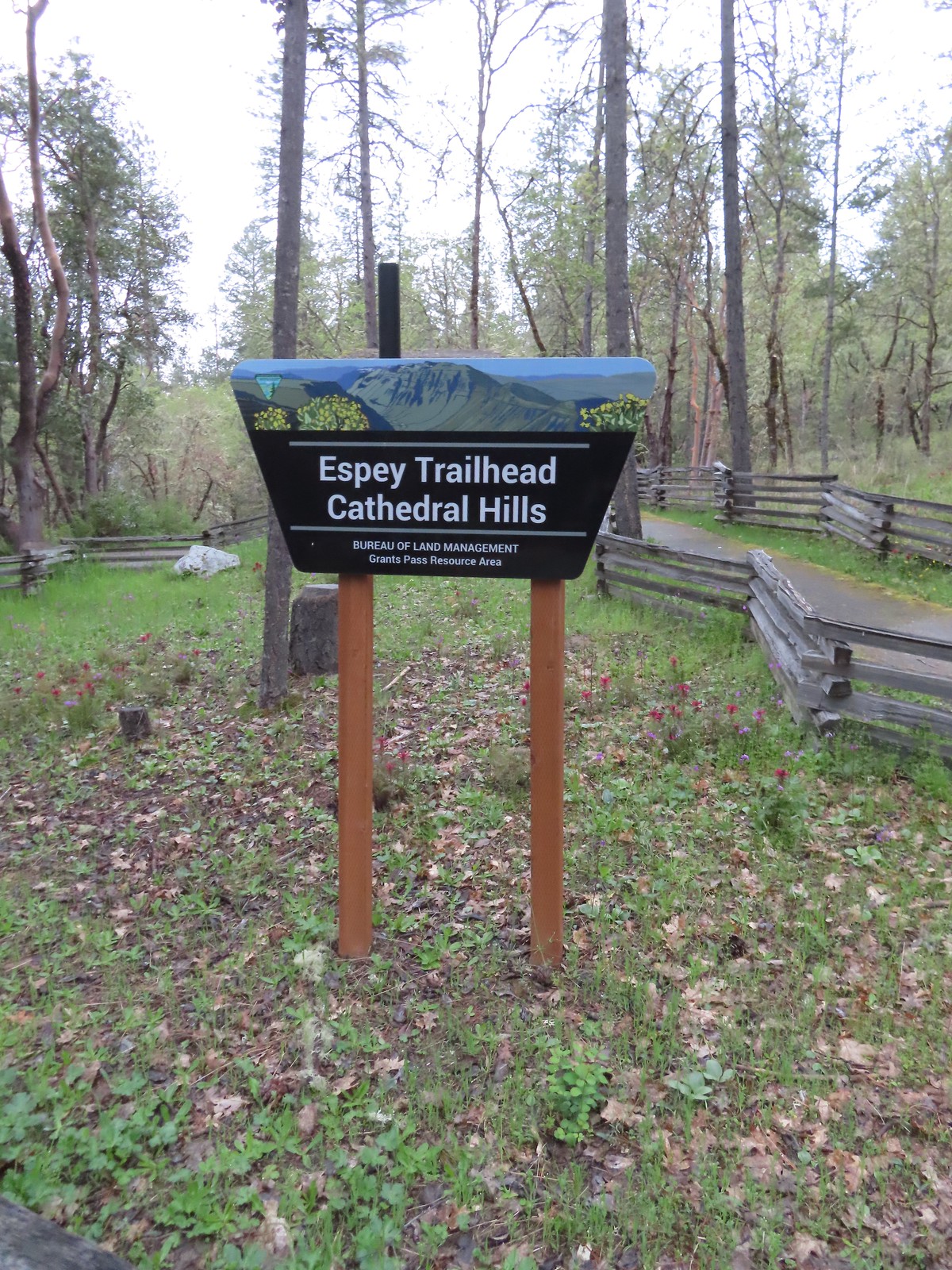
The second day of our Grants Pass vacation had the highest chance of rain showers with a forecast of 40% chance. We had a pair of hikes planned for the day. The first was a tour of the Cathedral Hills trails system just South of Grants Pass.
We made the roughly 10-minute drive from our cabin in Grants Pass to the Espey Trailhead arriving just before 7am.
We had seen one of the two wildflower species that were on our bucket list for this trip the day before. Red larkspur and been blooming in good numbers along the Rogue River Trail (post) and today we were hoping to check of the other, Indian Warrior.
The area is home to a good number of wildflowers that bloom throughout Spring and Summer.
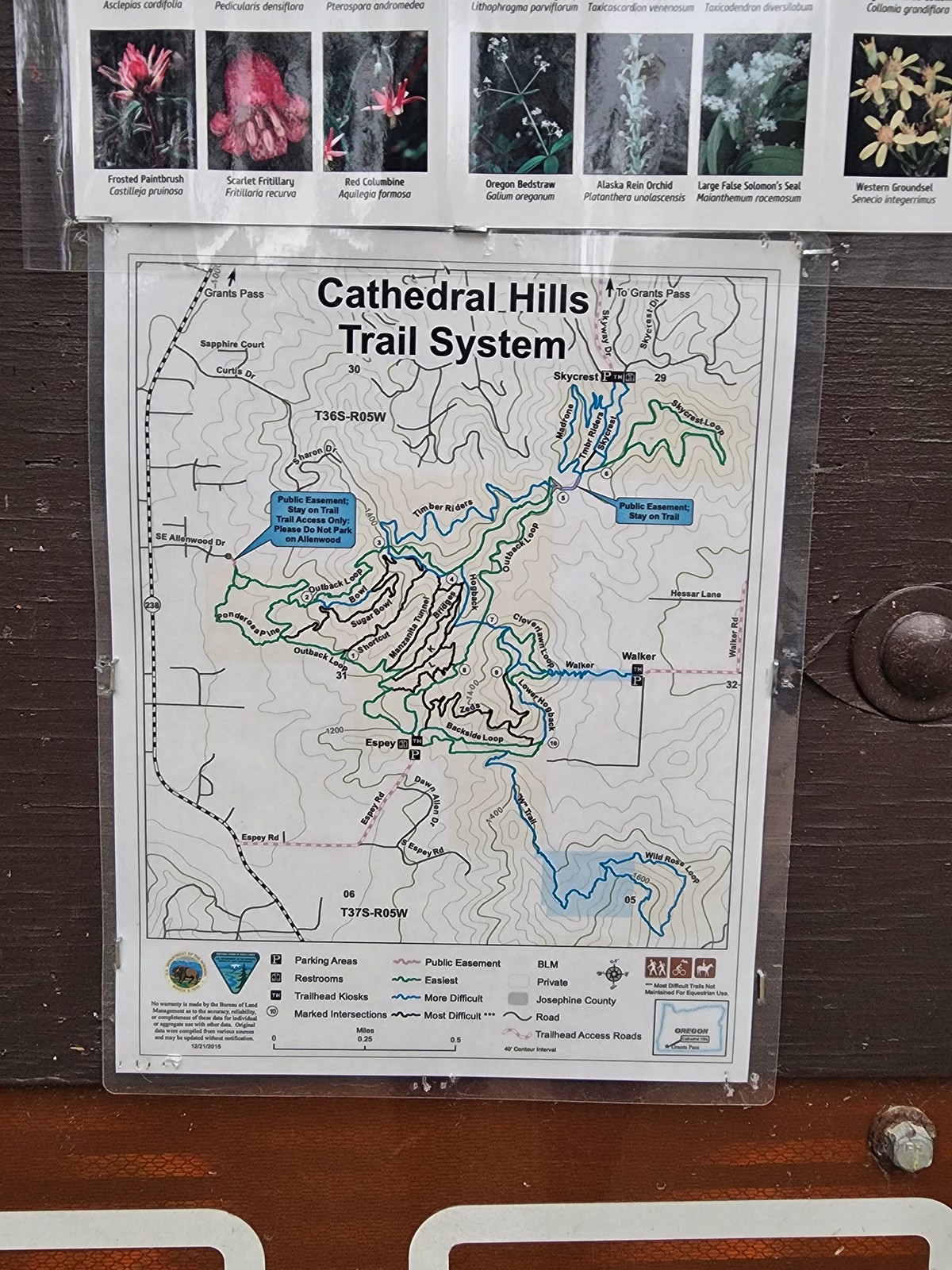
Sullivan’s featured hike here is one of four short hikes that make up hike #83 – Grants Pass Nature Trails (“100 Hikes/Travel Guide Southern Oregon & Norther California” edition 4.2). He describes the 3.4-mile Outback Loop. We were hoping to add more of the trails to our hike and decided on modifying the featured hike by adding on the Skycrest Loop and Ponderosa Pine Trail.
As was the case on our hike the day before we spotted our bucket list flower at the trailhead.
 There are a couple of the red Indian warrior behind and to the right of the trail marker.
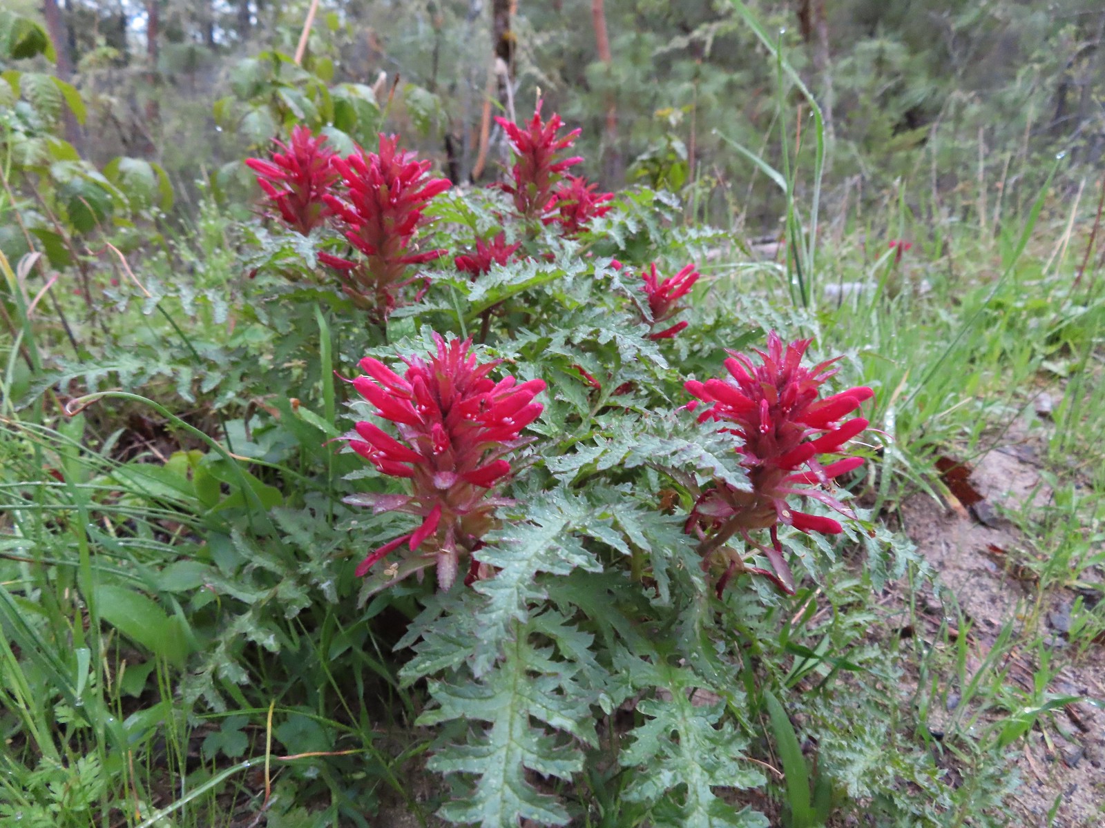 Indian warrior lousewort
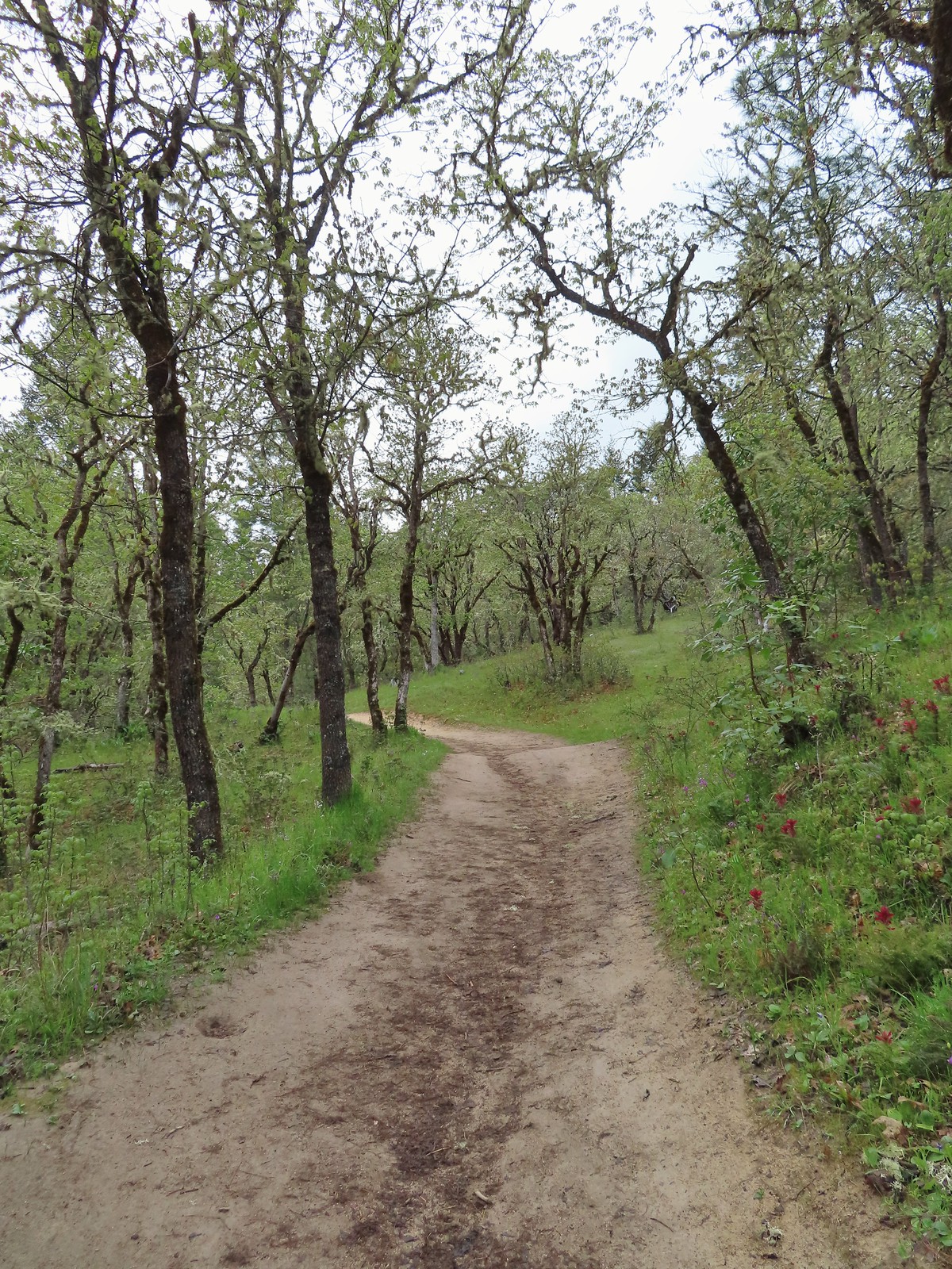
We started the Outback Loop in a counter-clockwise direction climbing 1.1-miles to a junction at a saddle. The Indian warrior was blooming in mass along with many other wildflowers.
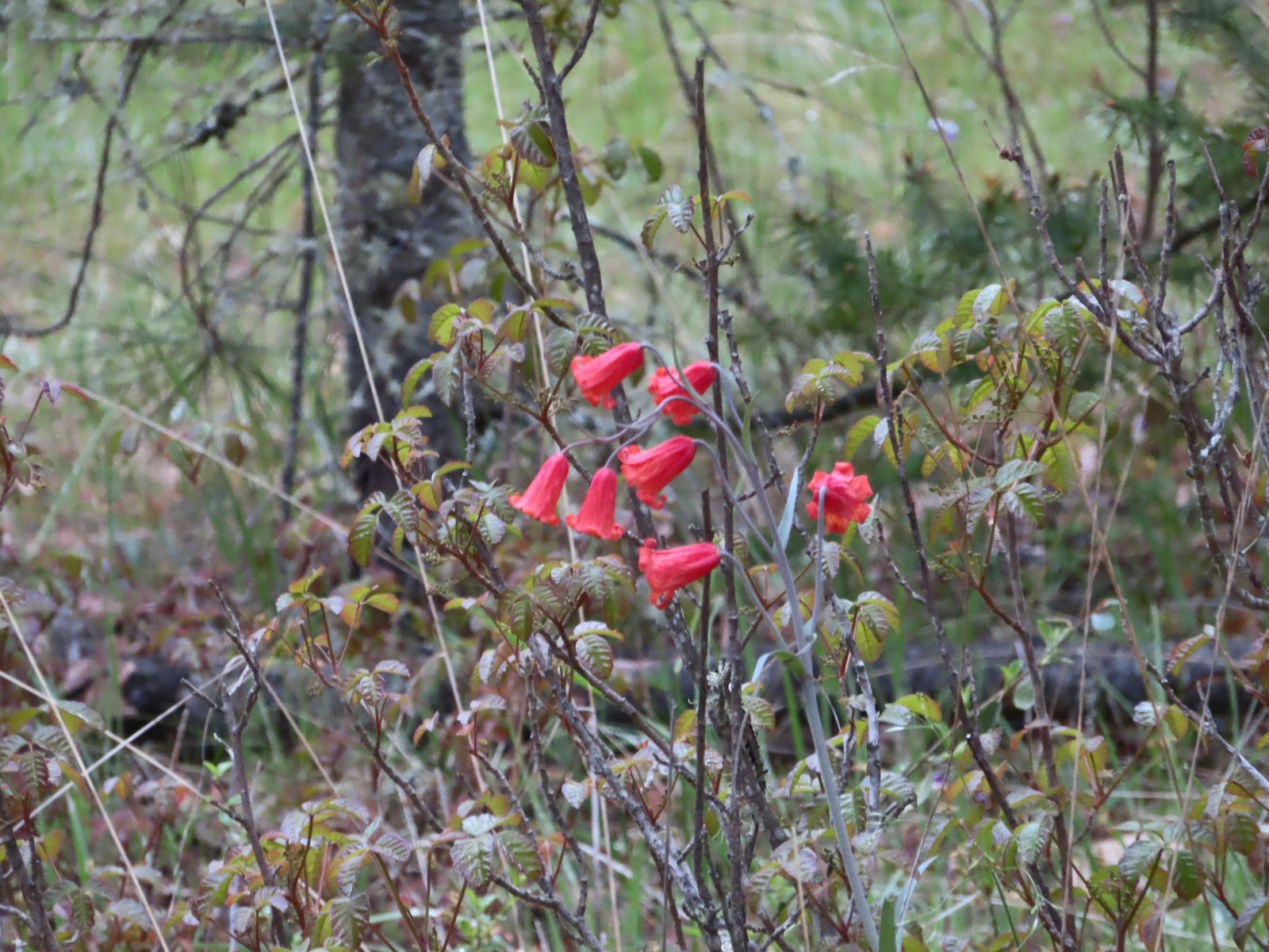 Scarlet fritillary along with poison oak. There was a lot of poison oak in the area but the trails were wide enough to keep users away from it.
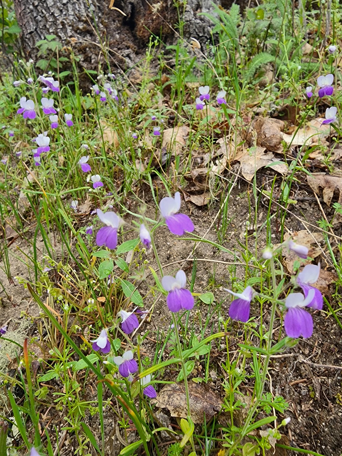 A blue-eyed Mary
 Shooting star
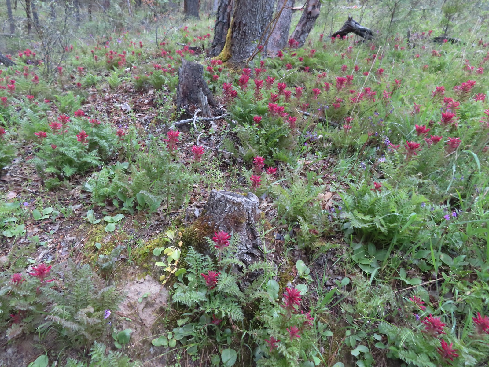 Indian warrior
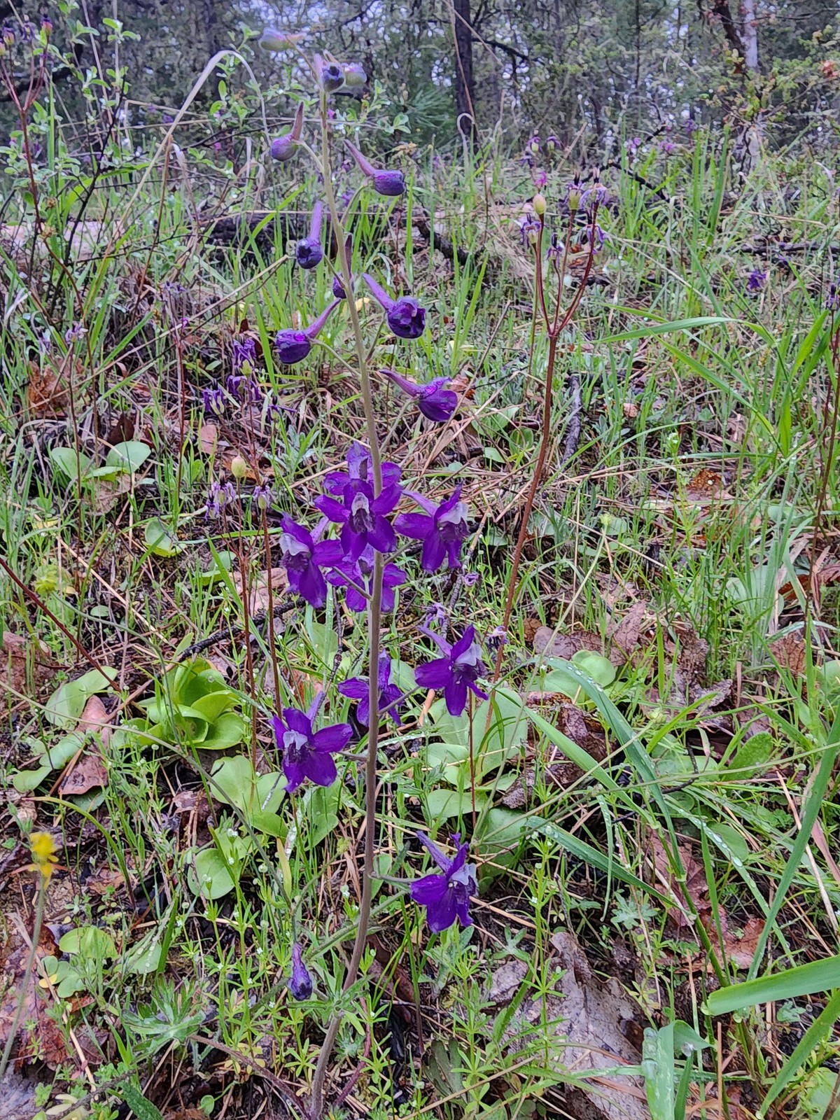 Larkspur
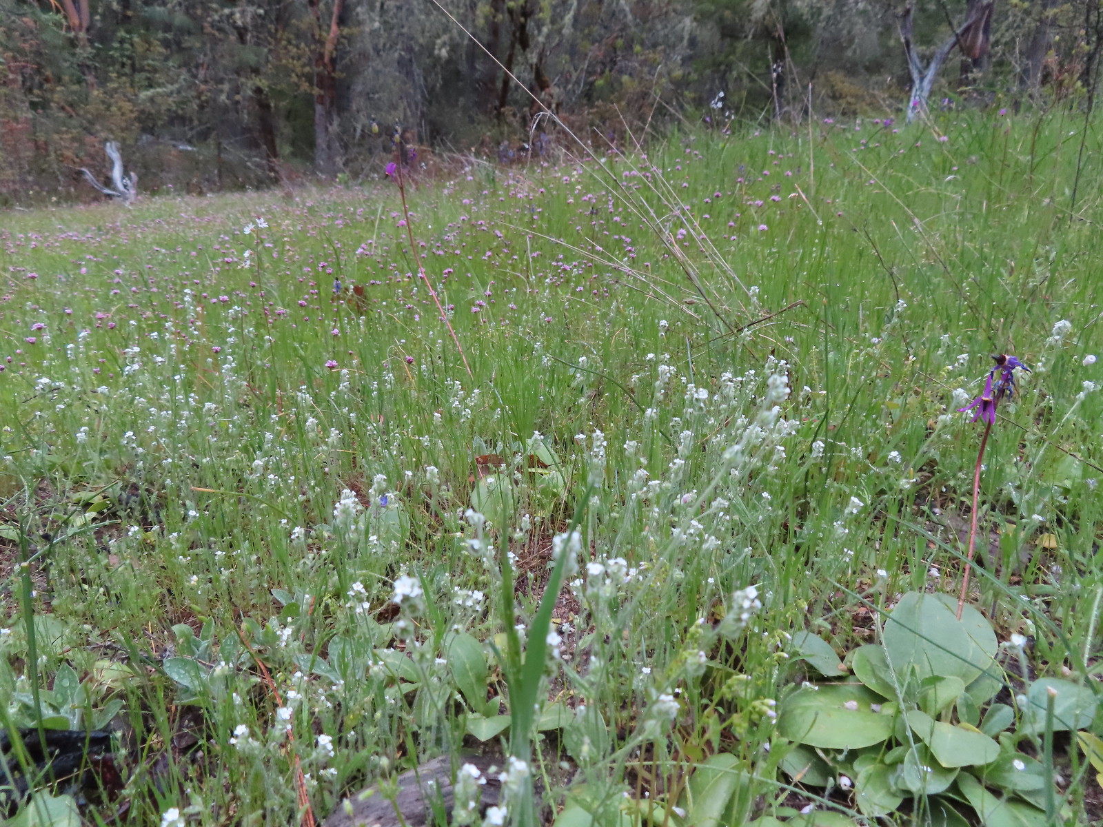 Cryptantha, shooting stars, and plectritis
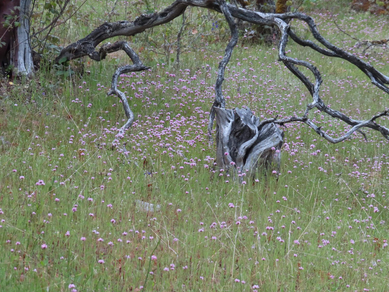 Plectritis
 Pacific houndstongue
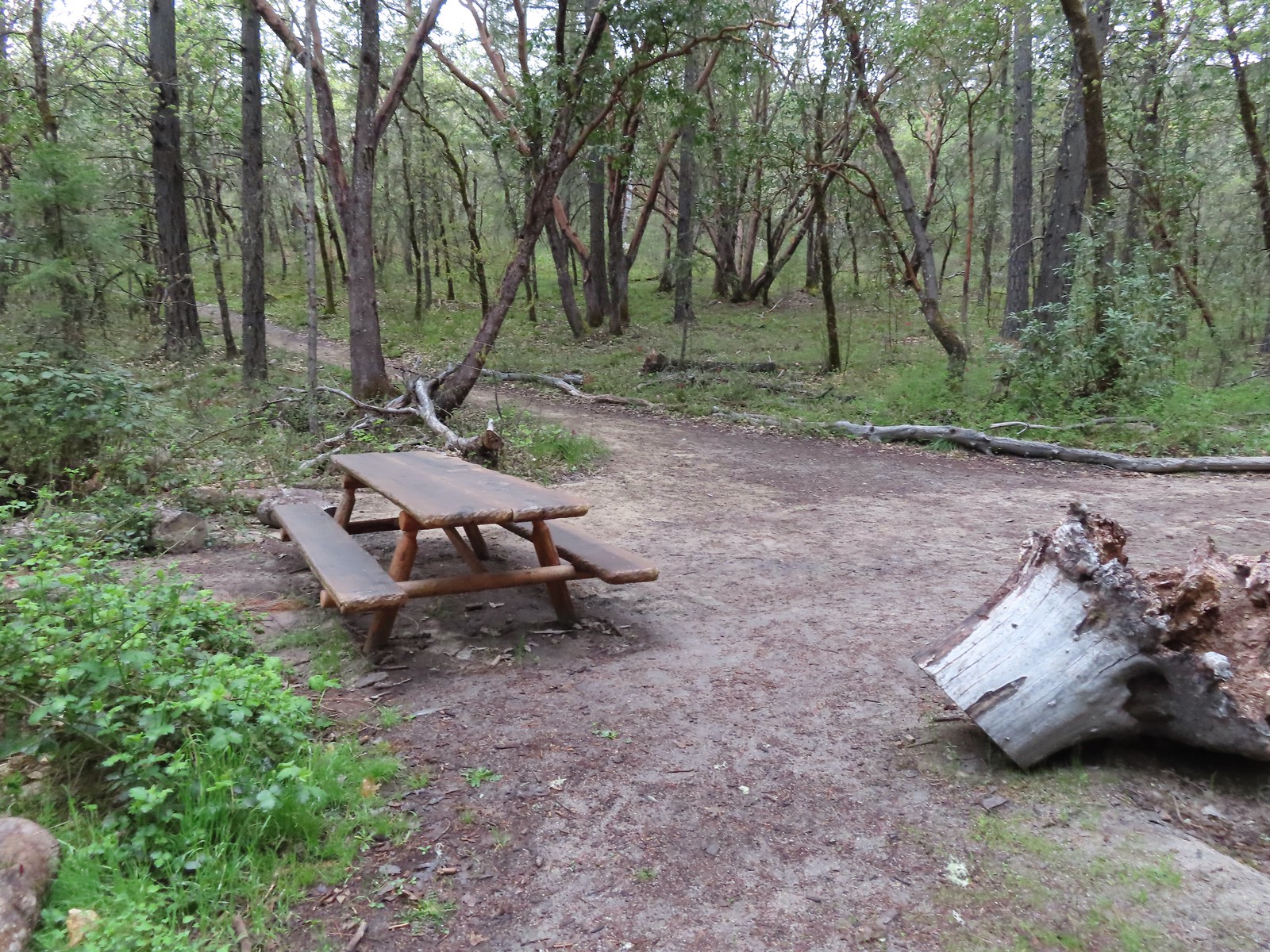 A picnic table at the junction with the Hogback Trail.
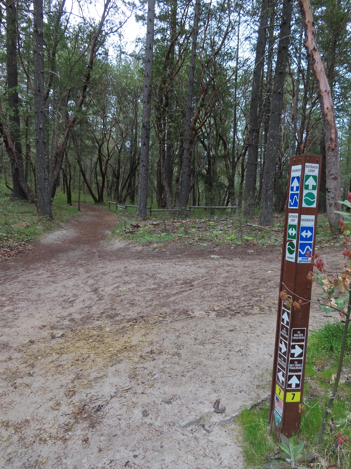 Most of the junctions had markers.

 Giant white wakerobin
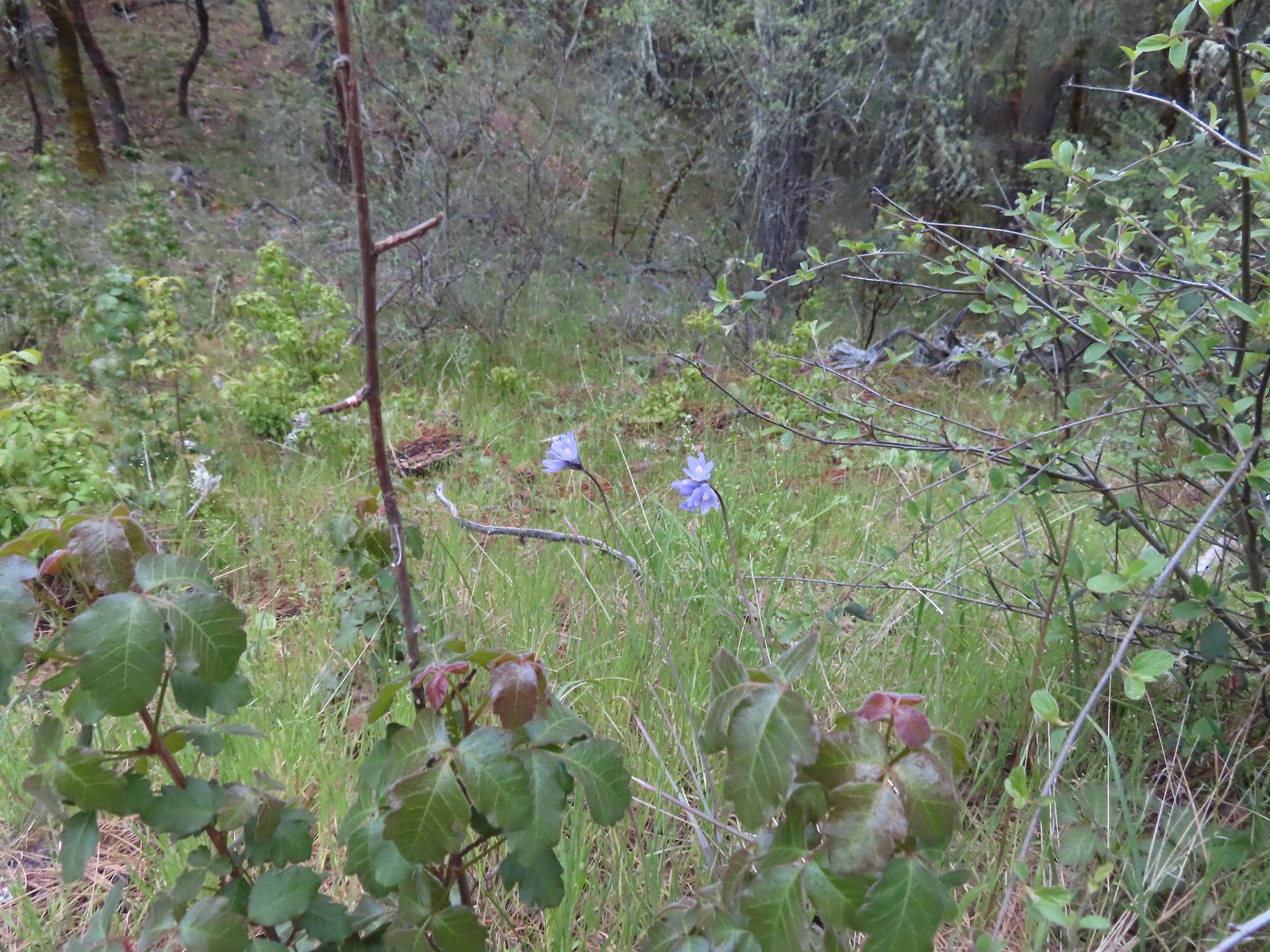 Blue dicks behind more poison oak.
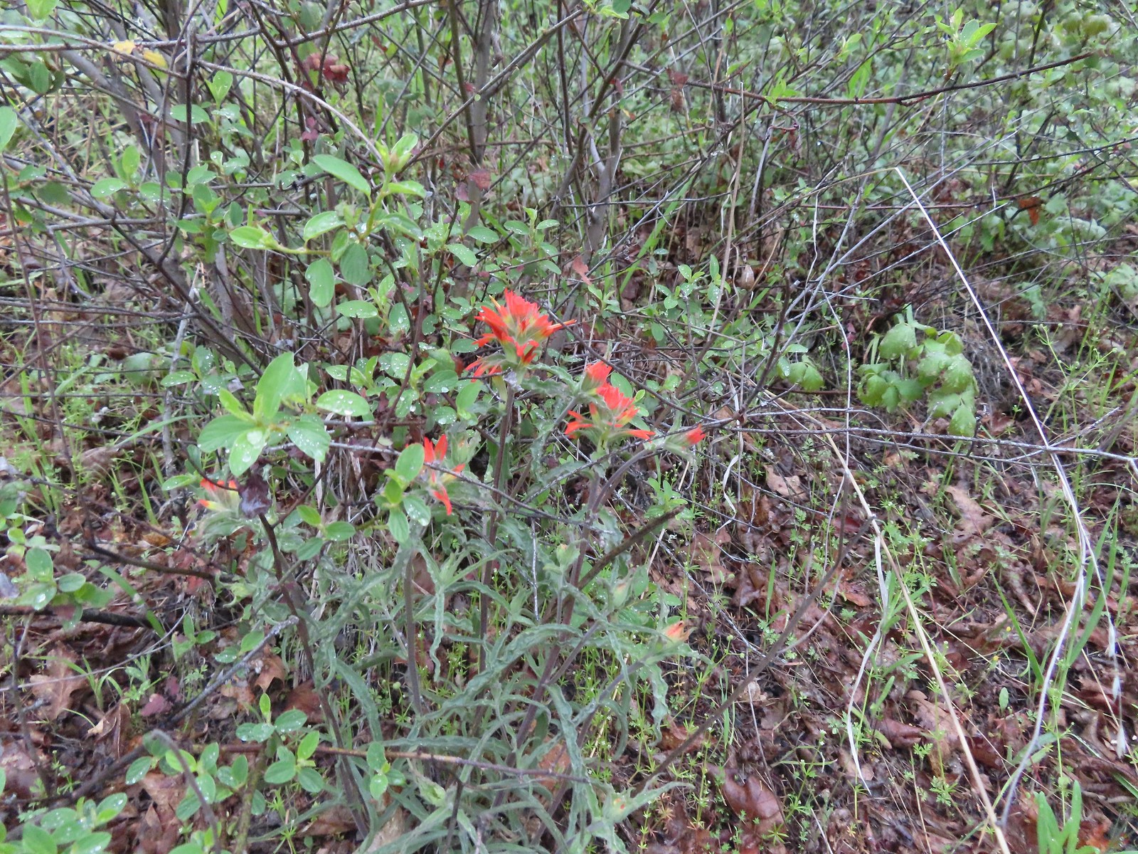 Paintbrush
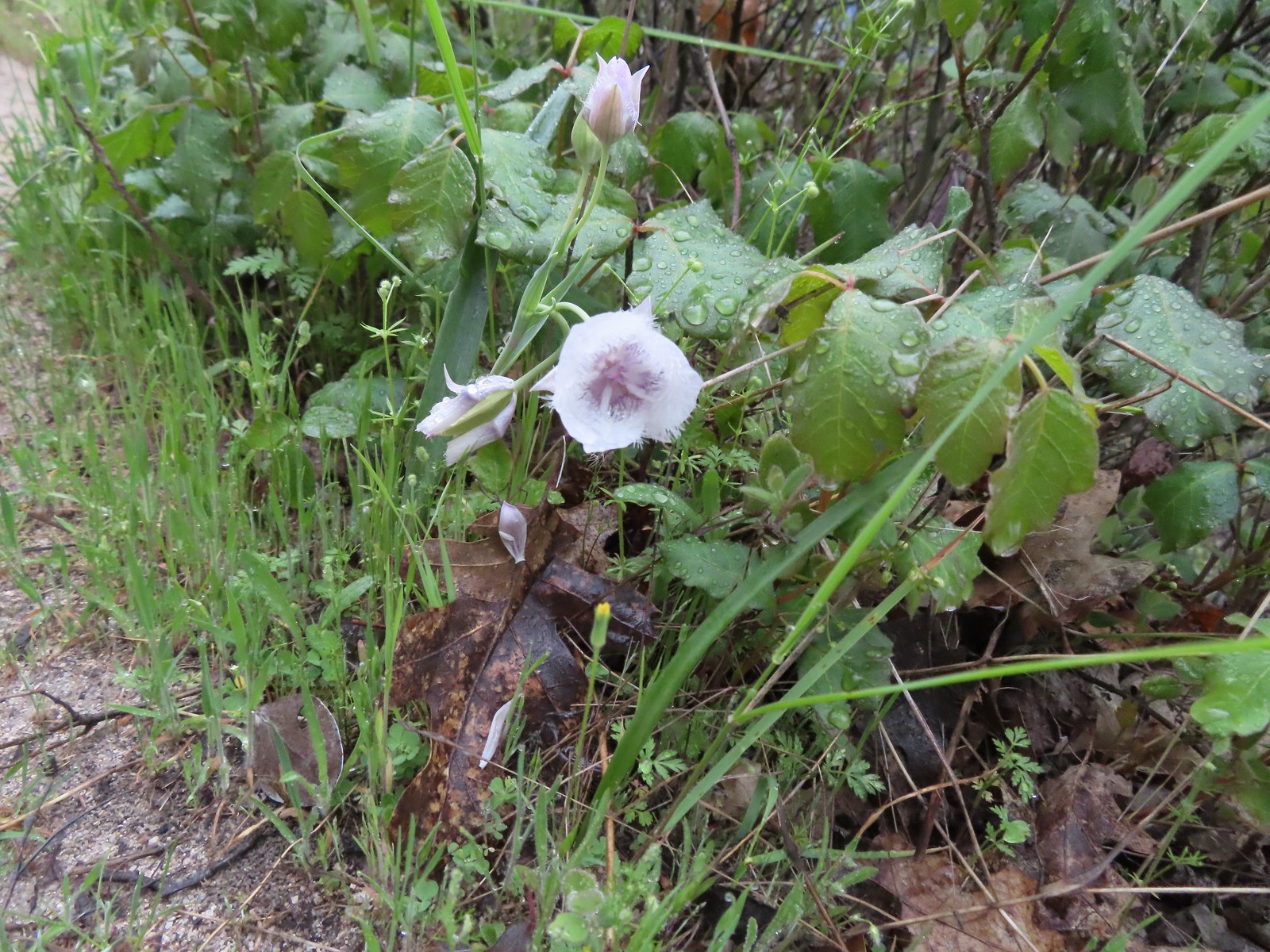 Tolmie’s mariposa lily
At the saddle we turned right onto the Timber Riders Trail then veered right after approximately a tenth of a mile following pointers for the Skycrest Loop.
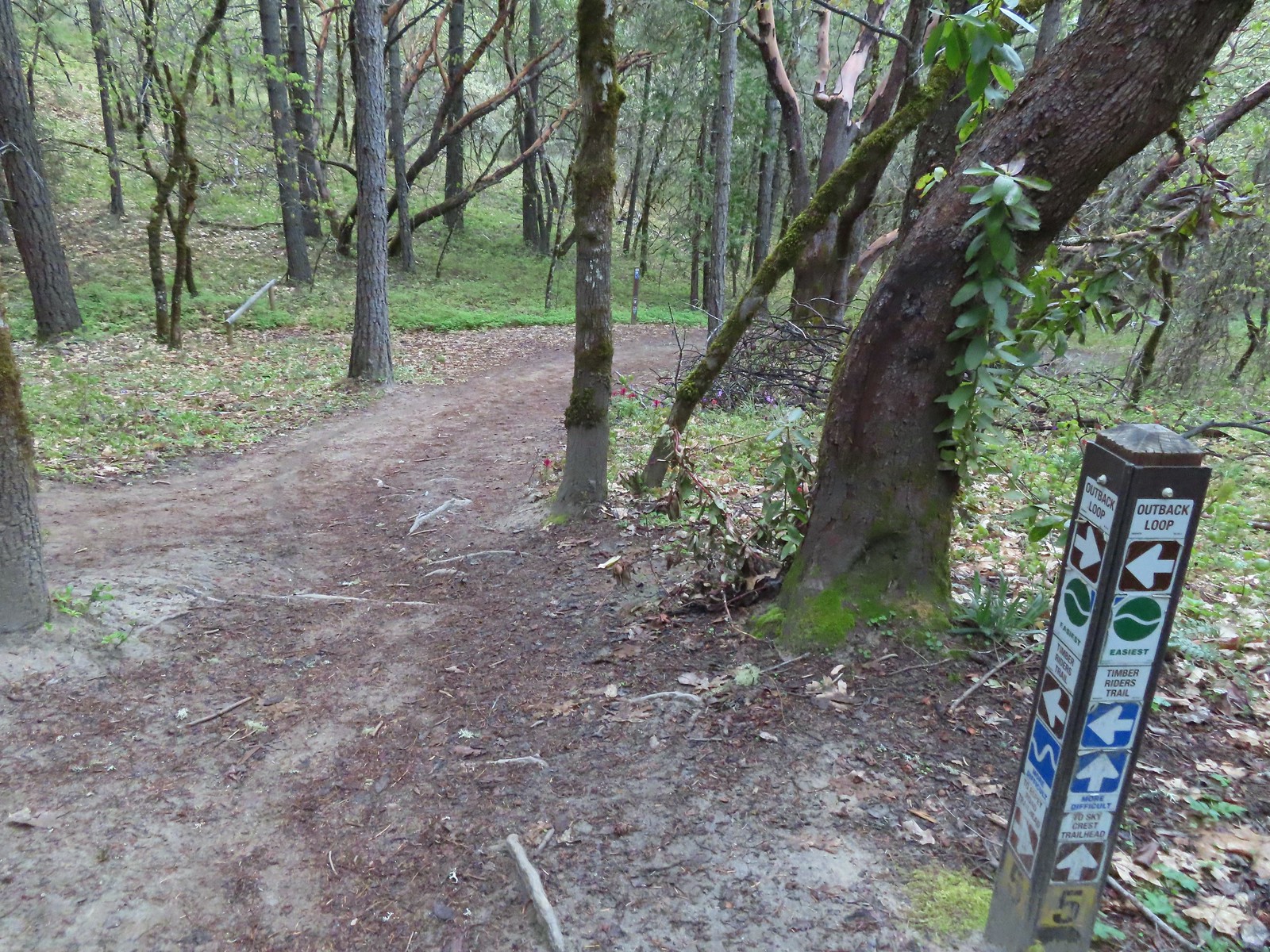

 Henderson’s fawn lily
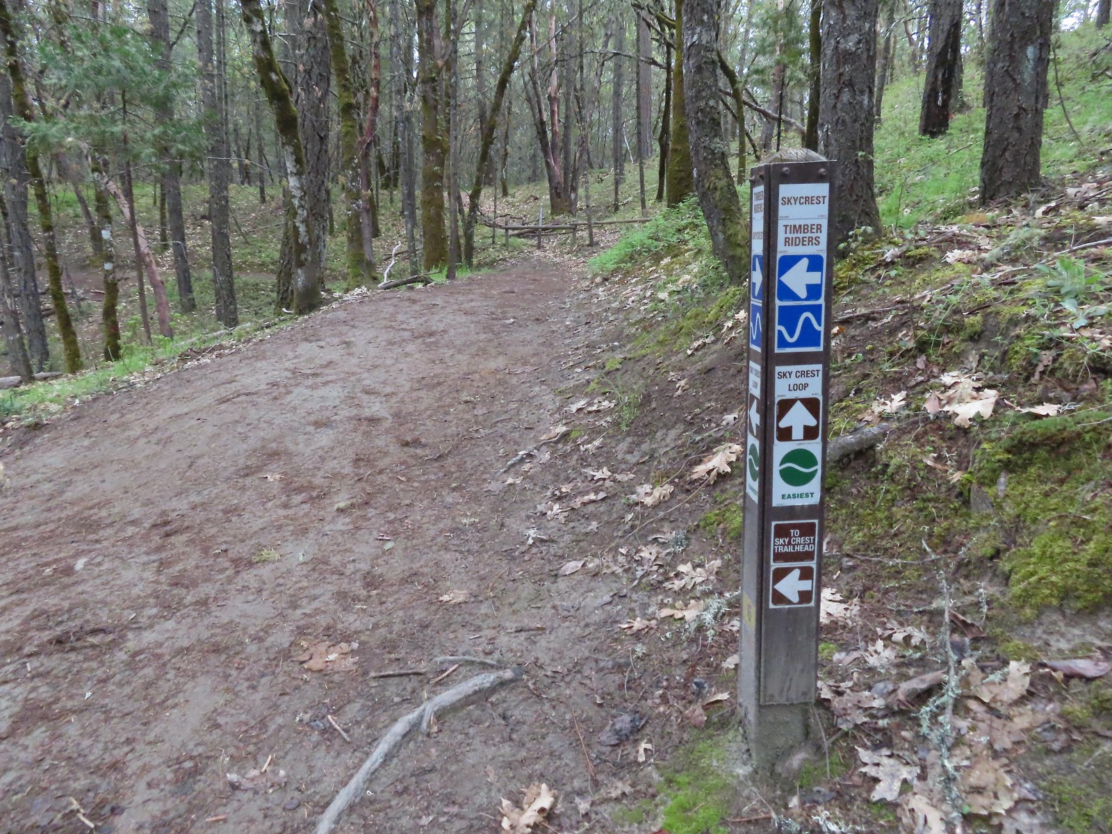 Pointer for the Skycrest Loop.
We hiked the Skycrest Loop counterclockwise. There were a few different flowers along the loop.
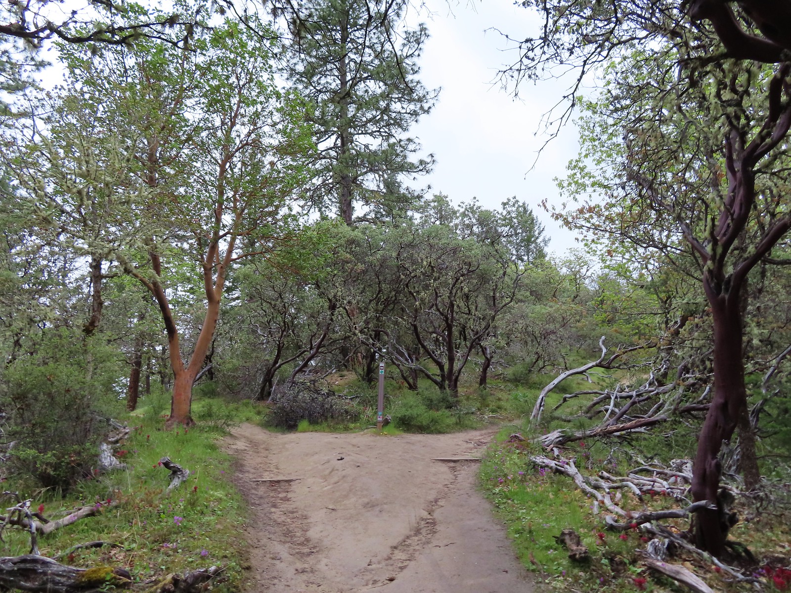 The start of the loop.

 Skullcap (possibly Danny’s)
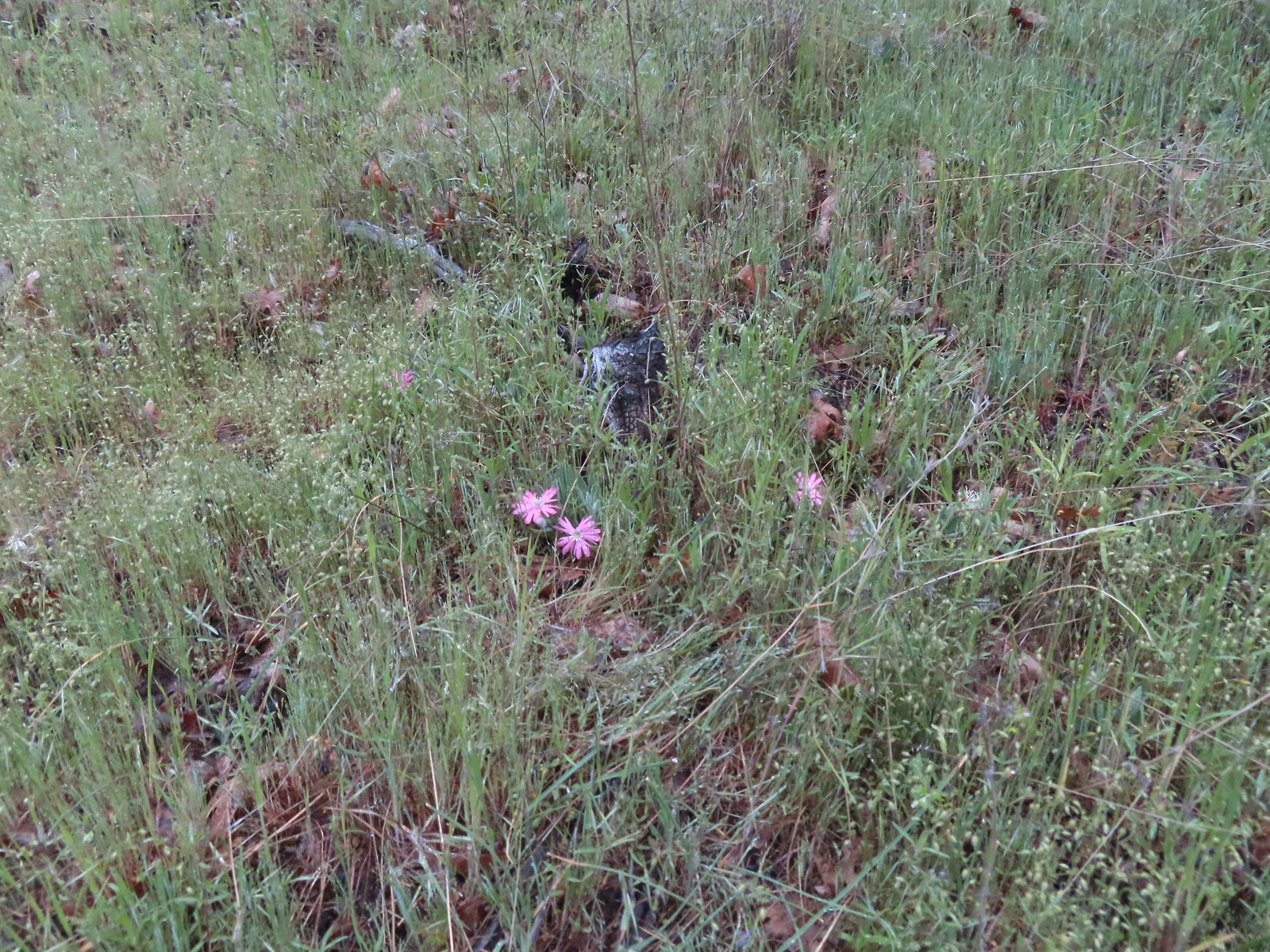 Hooker’s Indian pink
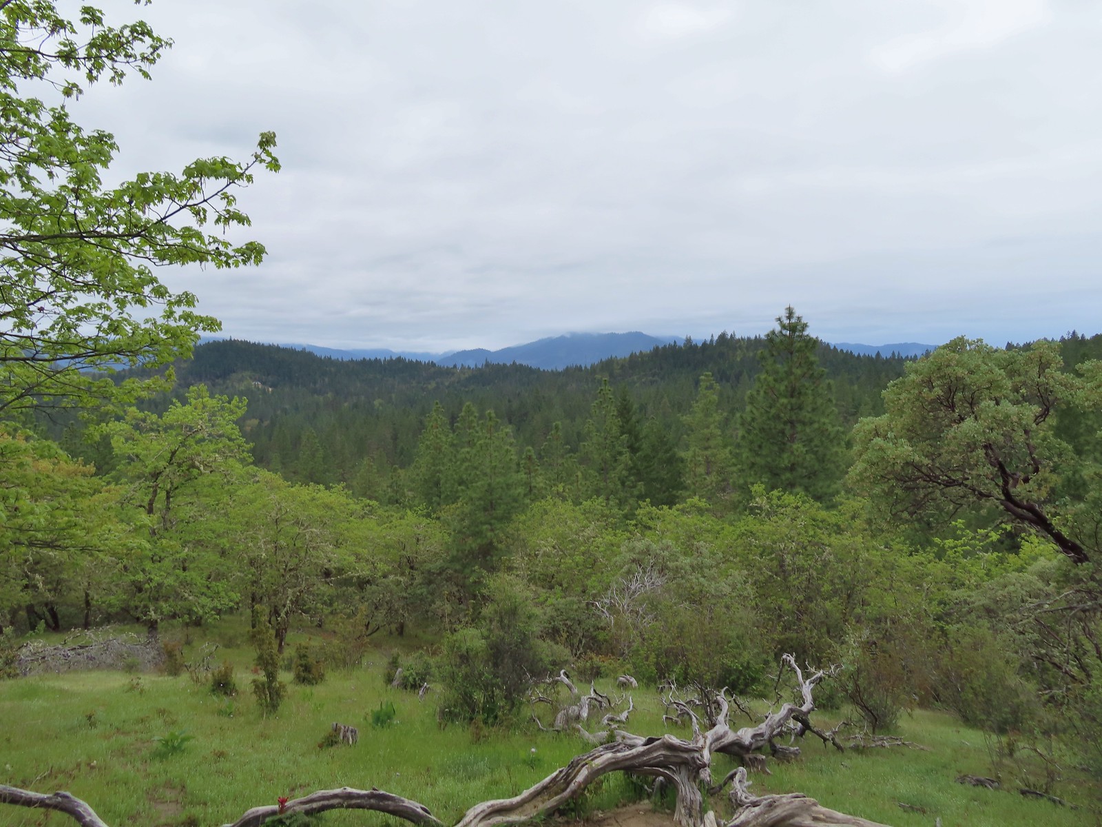 A cloudy view from the Skycrest Loop.
 Ragwort
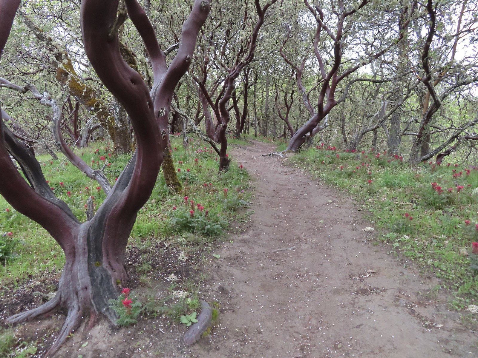 Indian warrior beneath white-leaf manzanita.
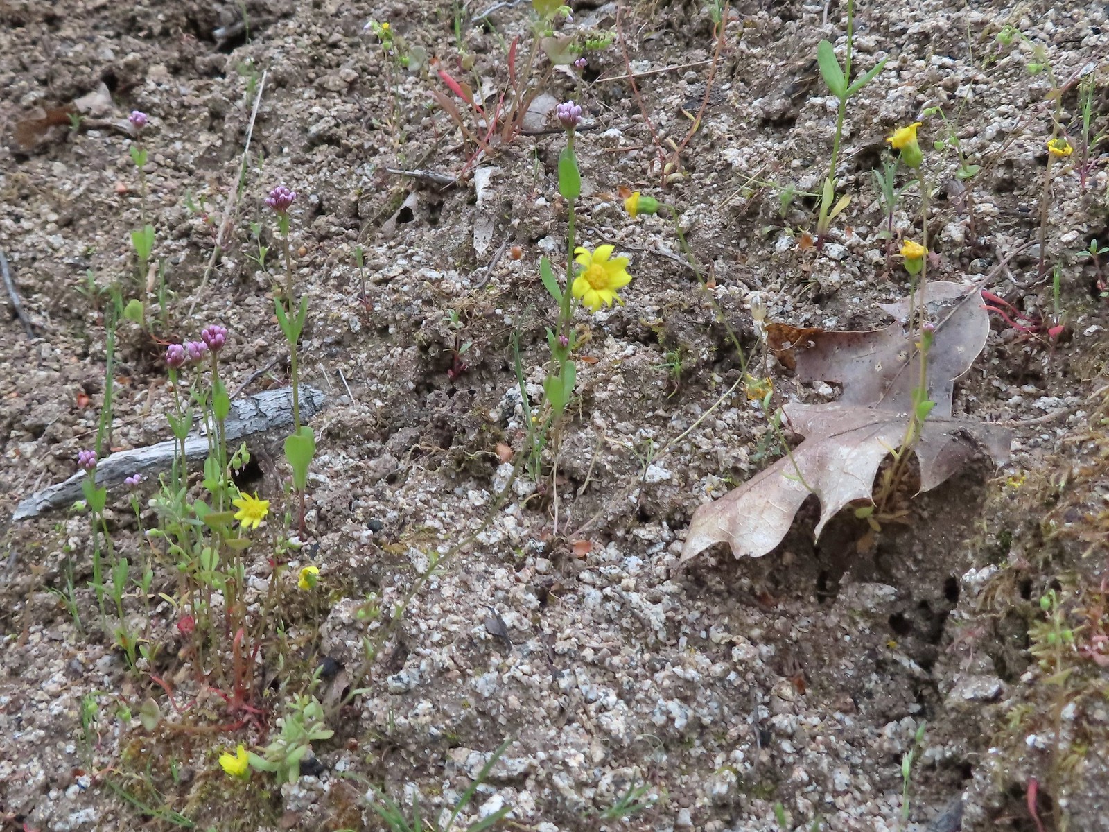 Last of the gold stars.
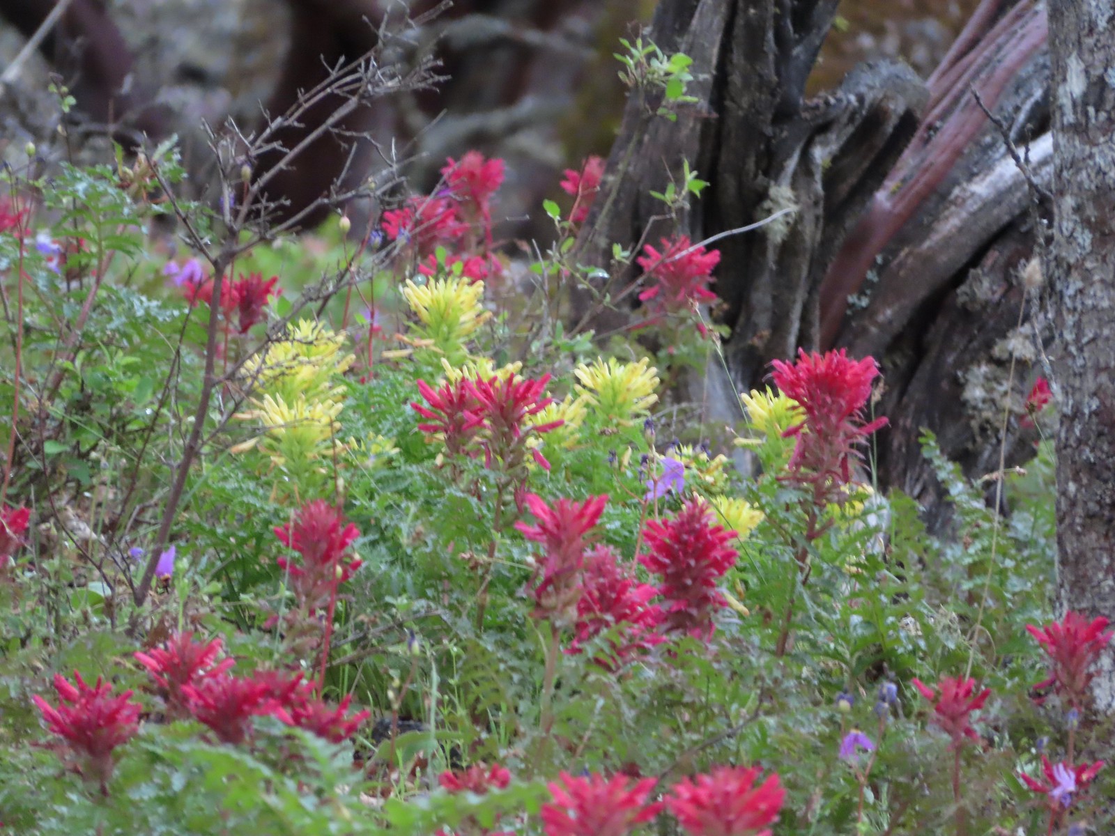 A few yellow Indian warriors.
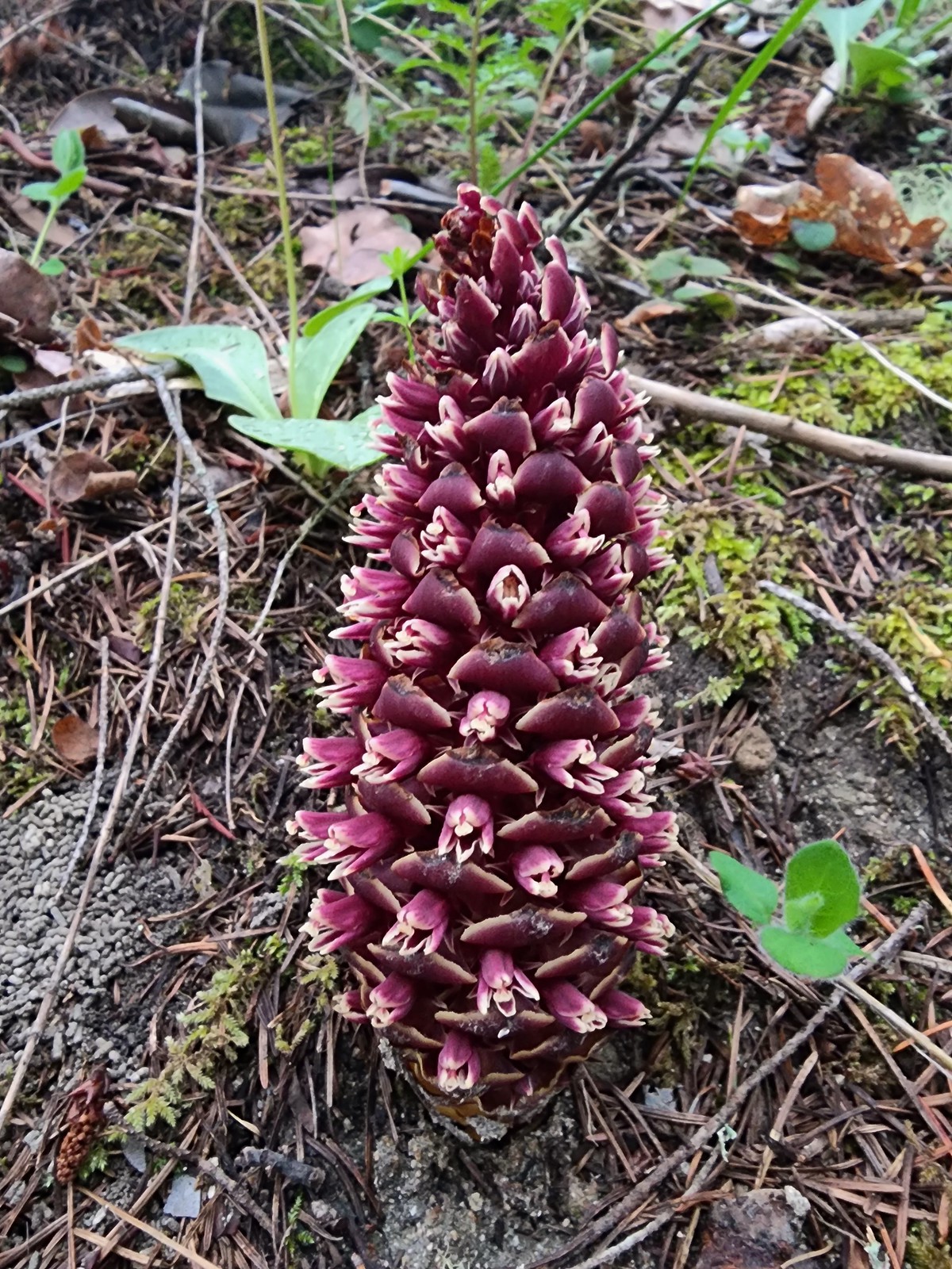 California groundcone
When we got back to the saddle and junction with the Outback Loop we got confused and wound up sticking to the Timber Riders Trail which was the furthest to the right.
 Even though it didn’t look familiar we both thought we’d come from the trail to the left earlier when in fact that was the continuation of the Outback Loop.
We followed the Timber Riders Trail for 0.9-miles thinking we were on the Outback Loop then we came to a junction with said loop and realized our mistake (after looking at the map). It had started raining at some point along this stretch and as a bonus a thunderstorm was heading our way.
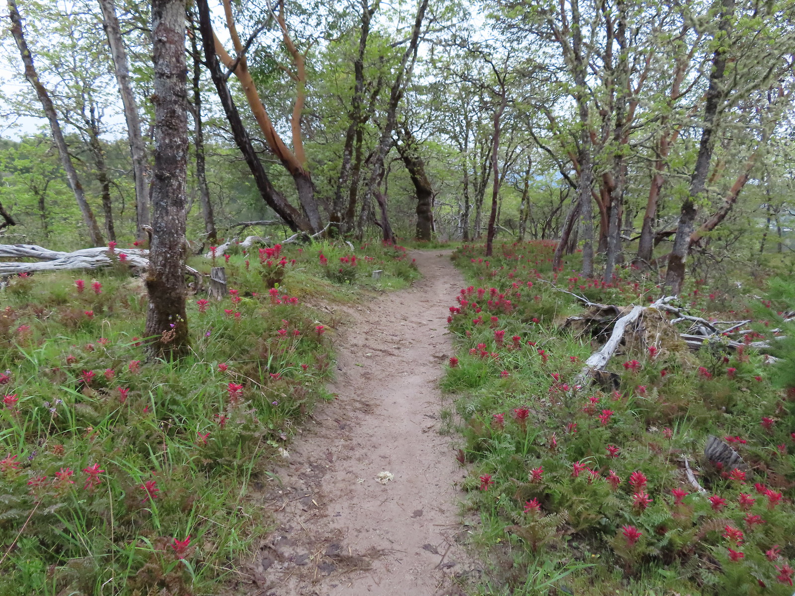
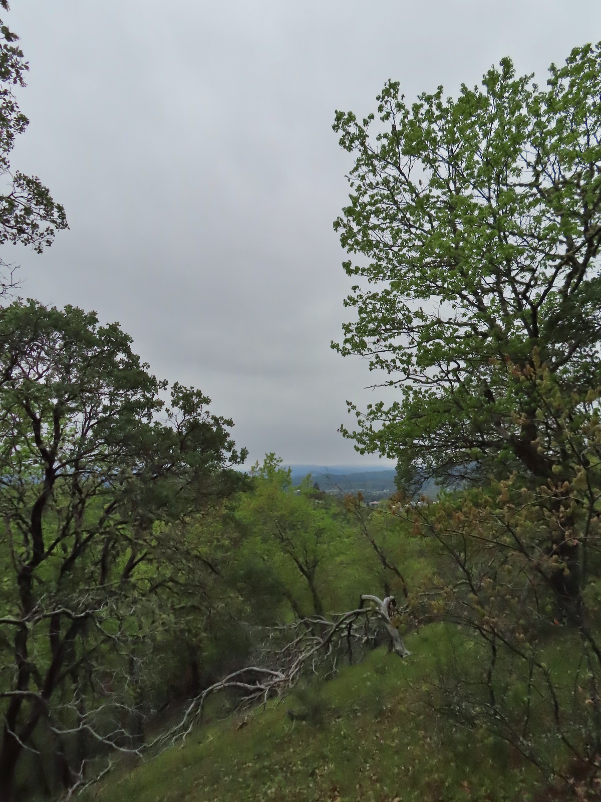 Rain clouds in the sky.
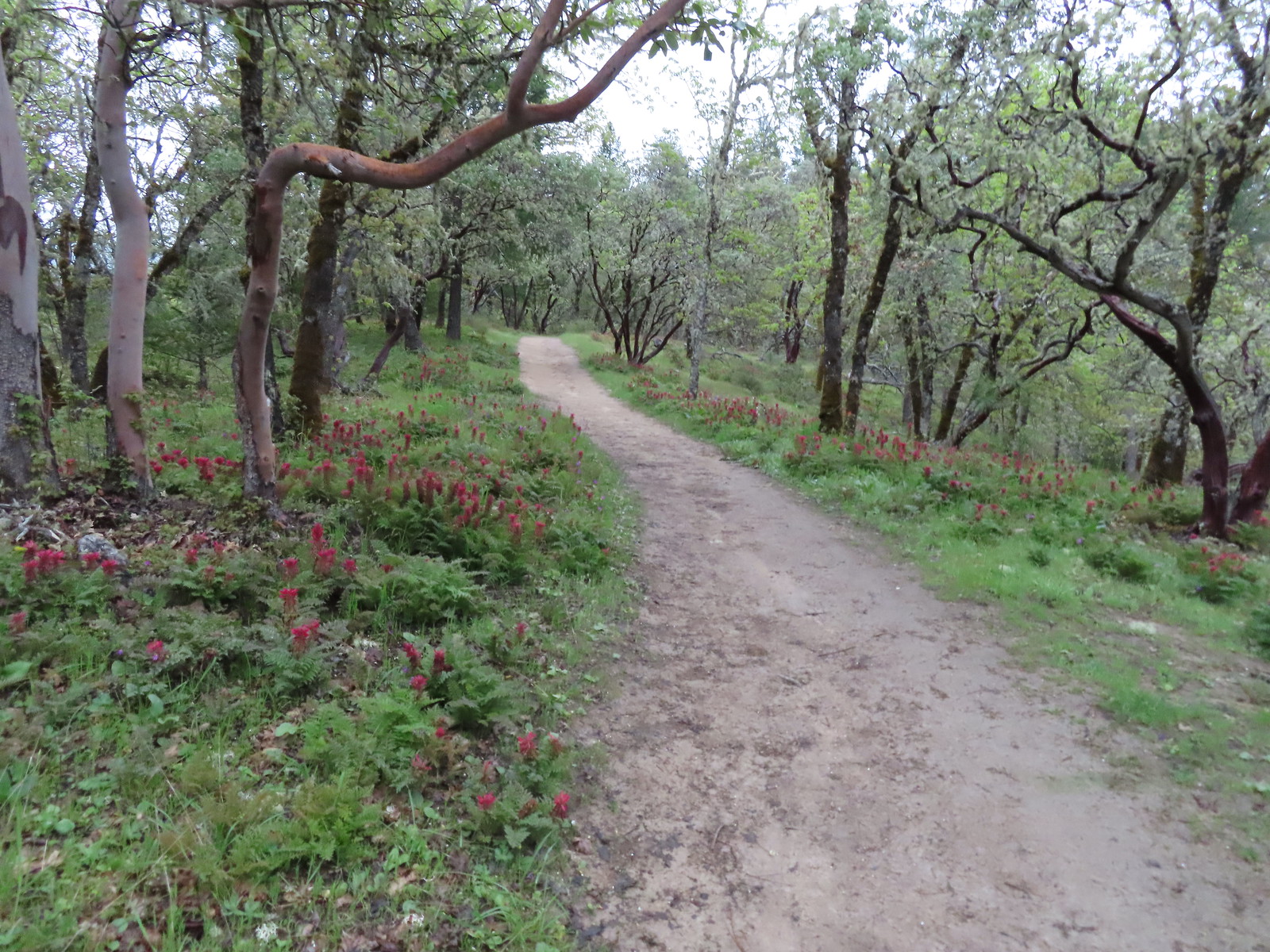
 Trail marker along the Outback Loop.
We turned right back onto the Outback Loop and picked up our pace a bit. We did decide to stick with the plan of detouring onto the Ponderosa Pine Trail in hopes of seeing a 117′ tall knobcone pine that is registered as the largest in the U.S. We turned right onto the Ponderosa Pine Trail but a combination of heavy rain, increasingly close lightning, and no signage for the tree caused us to miss it entirely.
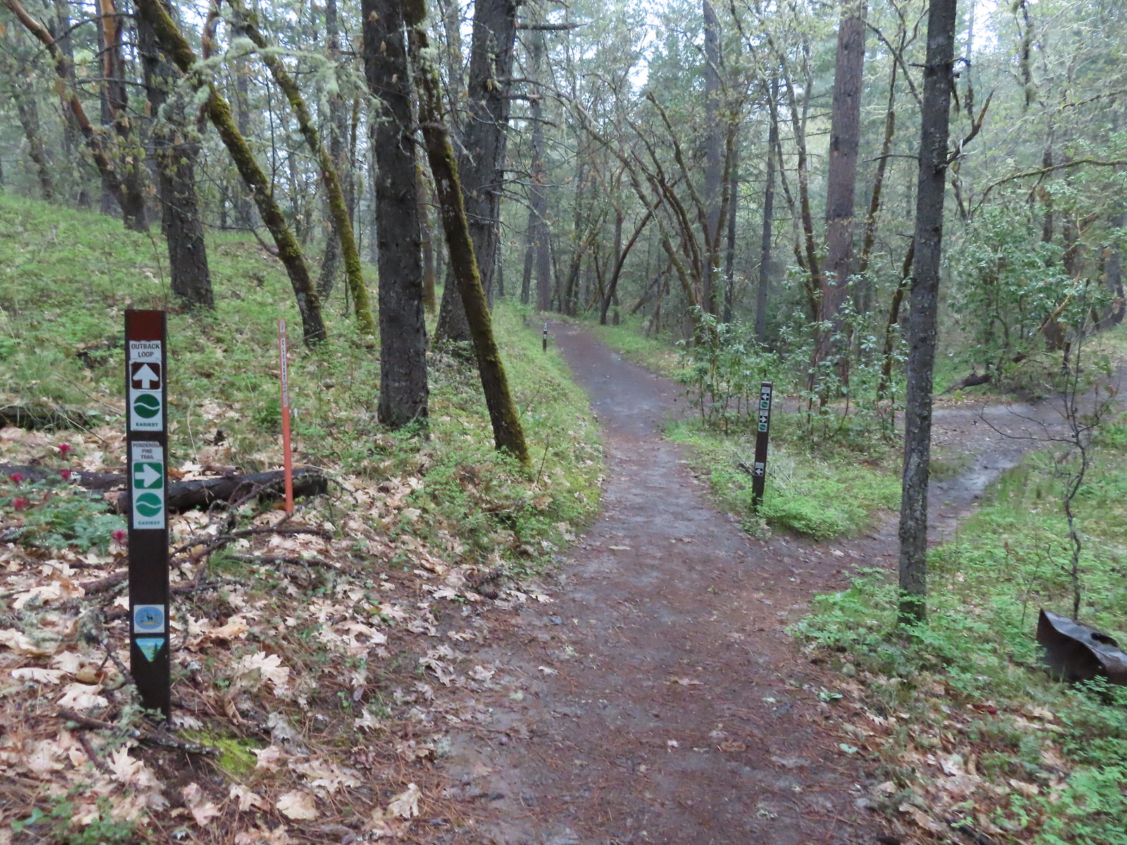 Turning onto the Ponderosa Pine Trail
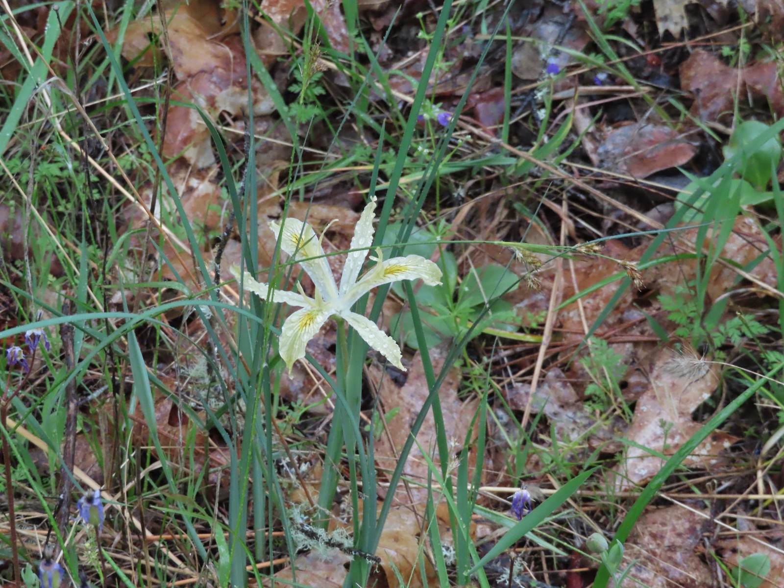 Iris
Iris
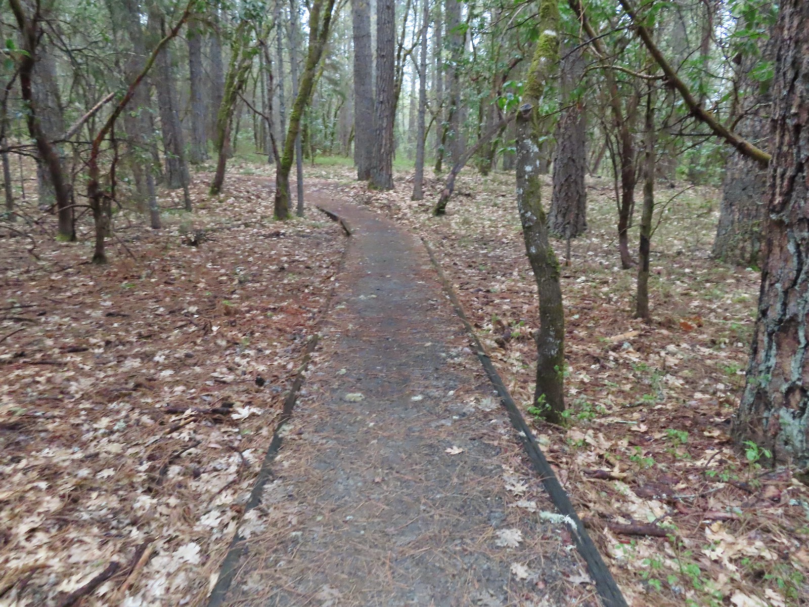 Ponderosa Pine Trail
 Back onto the Outback Loop.
Once we’d turned right onto the Outback Loop it was just over three quarters of a mile back to the Espey Trailhead. We were pretty well drenched by this point (we hadn’t put our rain gear on, just our pack covers) and hustled our way back to the car.
 Quite a bit more water on the trail as we finished up.
In the end our hike here came to 5.4 miles with about 450′ of cumulative elevation gain.

We decided to retreat back to our cabin and wait out the weather. We put our wet clothes in the dryer and relaxed for a bit until things began to clear up. A little after 11:30 that happened, and we headed back out with dry clothing and shoes. For our second hike of the day we were tying up a bit of a loose end on a featured hike that we’d already checked off as done, the Sterling Ditch Tunnel. In June 2017 we had done an 11.8-mile loop starting from the Deming Gulch Trailhead. (post) We had counted that toward the featured hike, but it was actually part of the “Other Options” for the entry. In most cases the other options include part of the main hike and so we count those but, in this case, none of that previous loop was part of the 4.8-mile loop that is featured.
The featured loop Sullivan describes begins at the Tunnel Ridge Trailhead, passes by the Sterling Mine Ditch Tunnel, and ends with a 0.6-mile road walk between the Bear Gulch and Tunnel Ridge Trailheads. When road walks are involved, Sullivan tends to end the hike with them, but we prefer to start with the less exciting road walk so we opted to start at the Bear Gulch Trailhead instead. (There is less parking available at Bear Gulch so on busier days parking here might not be an option.)
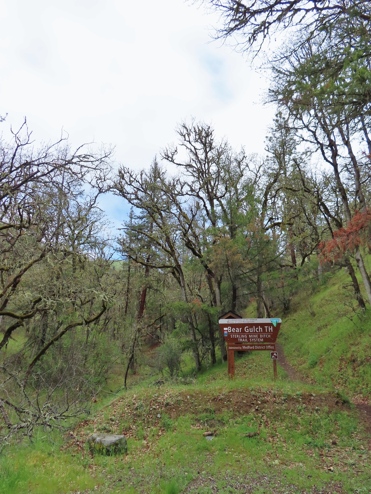
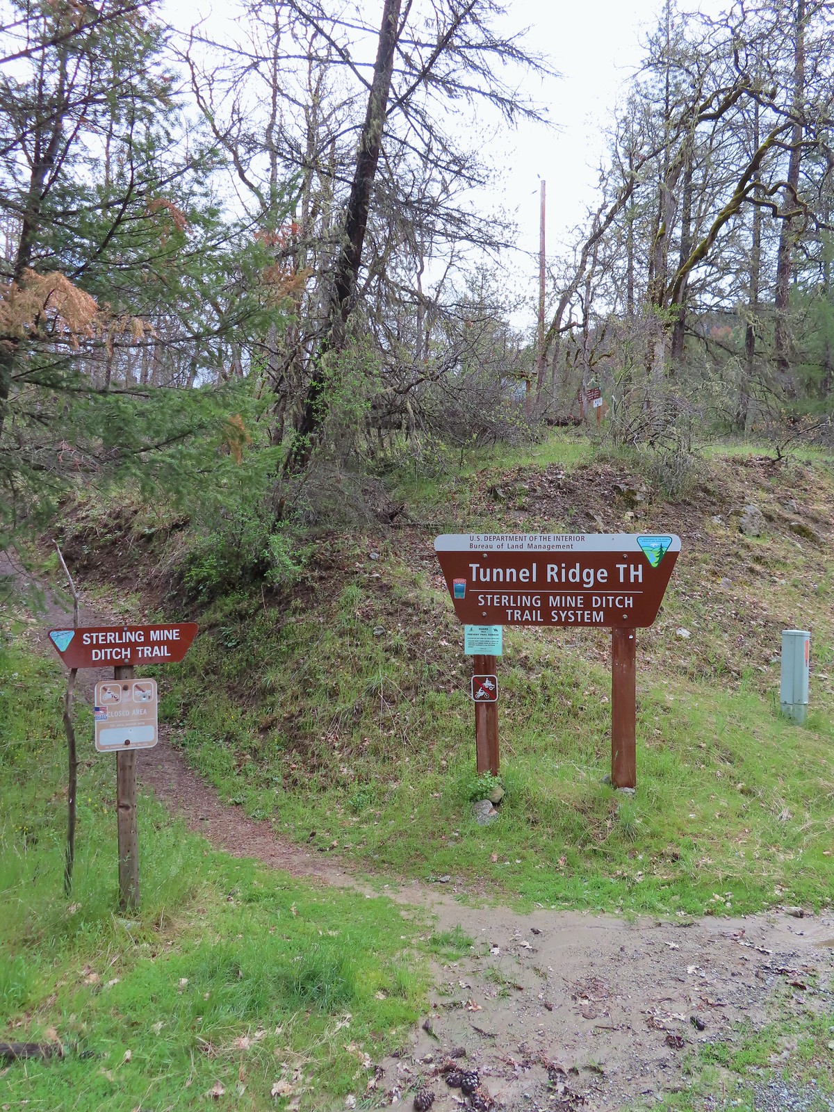
The road walk was pleasant as road walks go and we soon found ourselves at the Tunnel Ridge Trailhead.
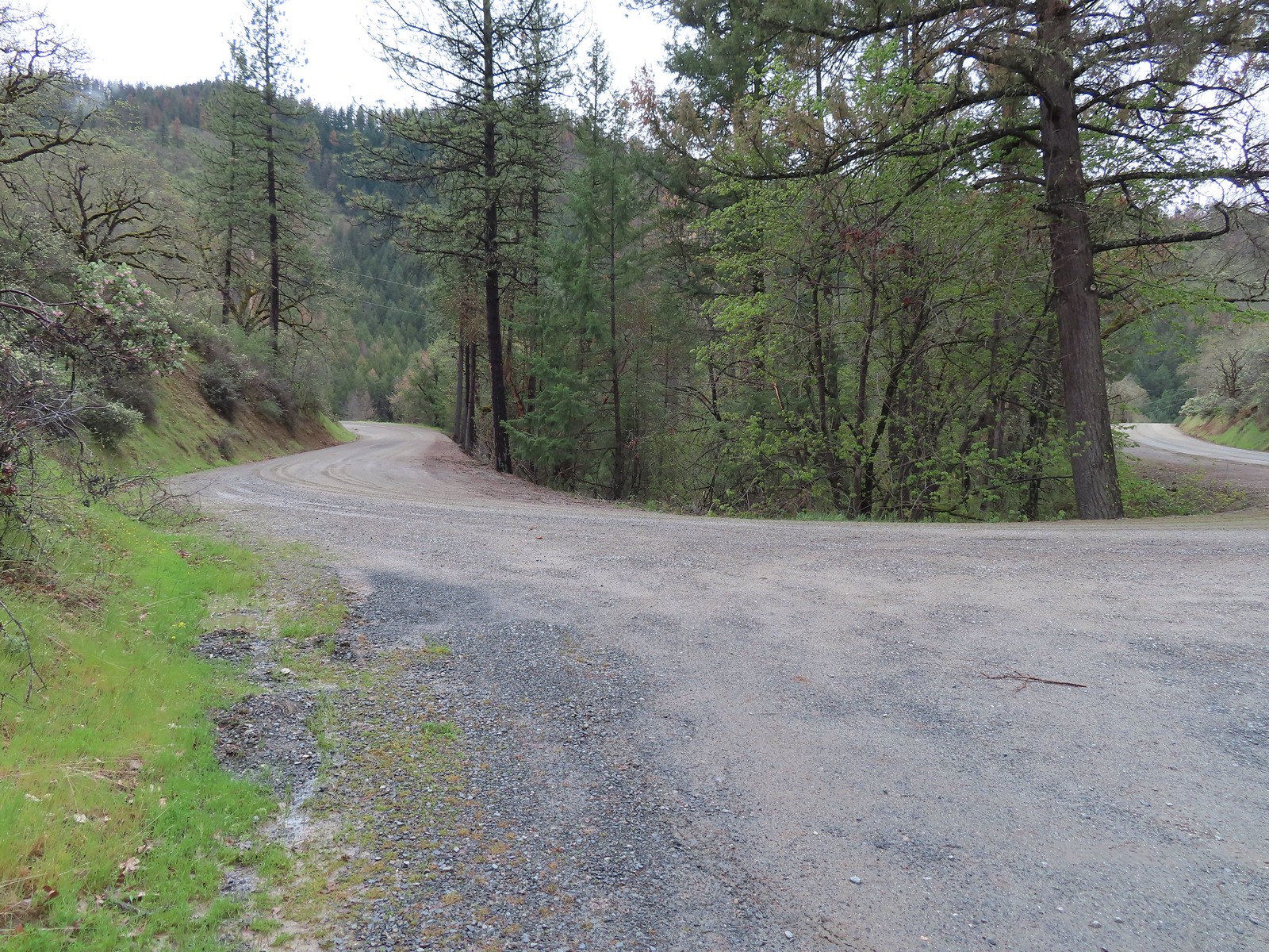 View from the Bear Gulch Trailhead of Little Applegate Road.

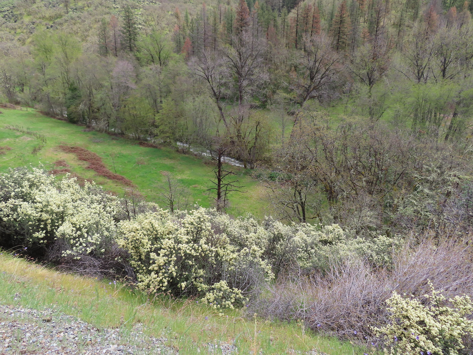 The Little Applegate River
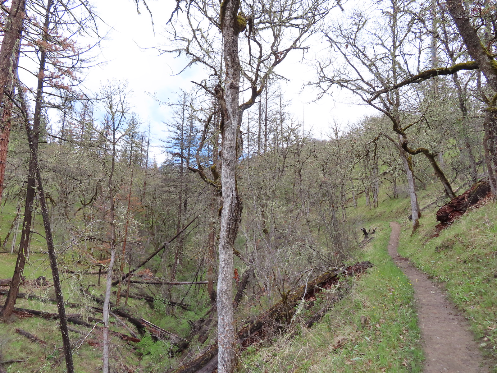
The trail climbed gradually for a mile gaining a little over 500′ to a junction on a saddle.
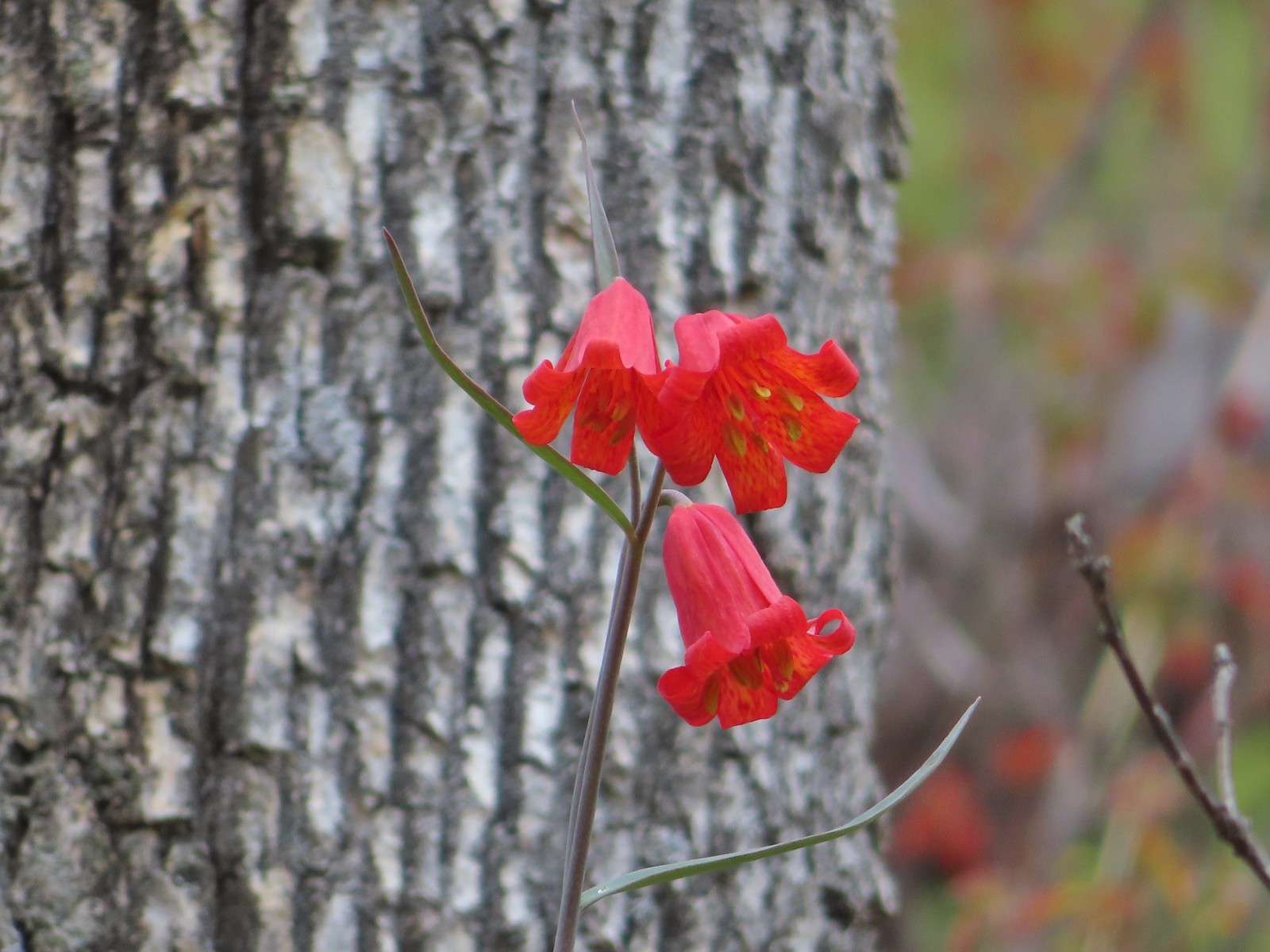 Scarlet fritillary
 Houdnstongue and a pacific waterleaf (white flower under a big leaf to the left of the houndstongue).

 A snowy Wagner Butte (post).
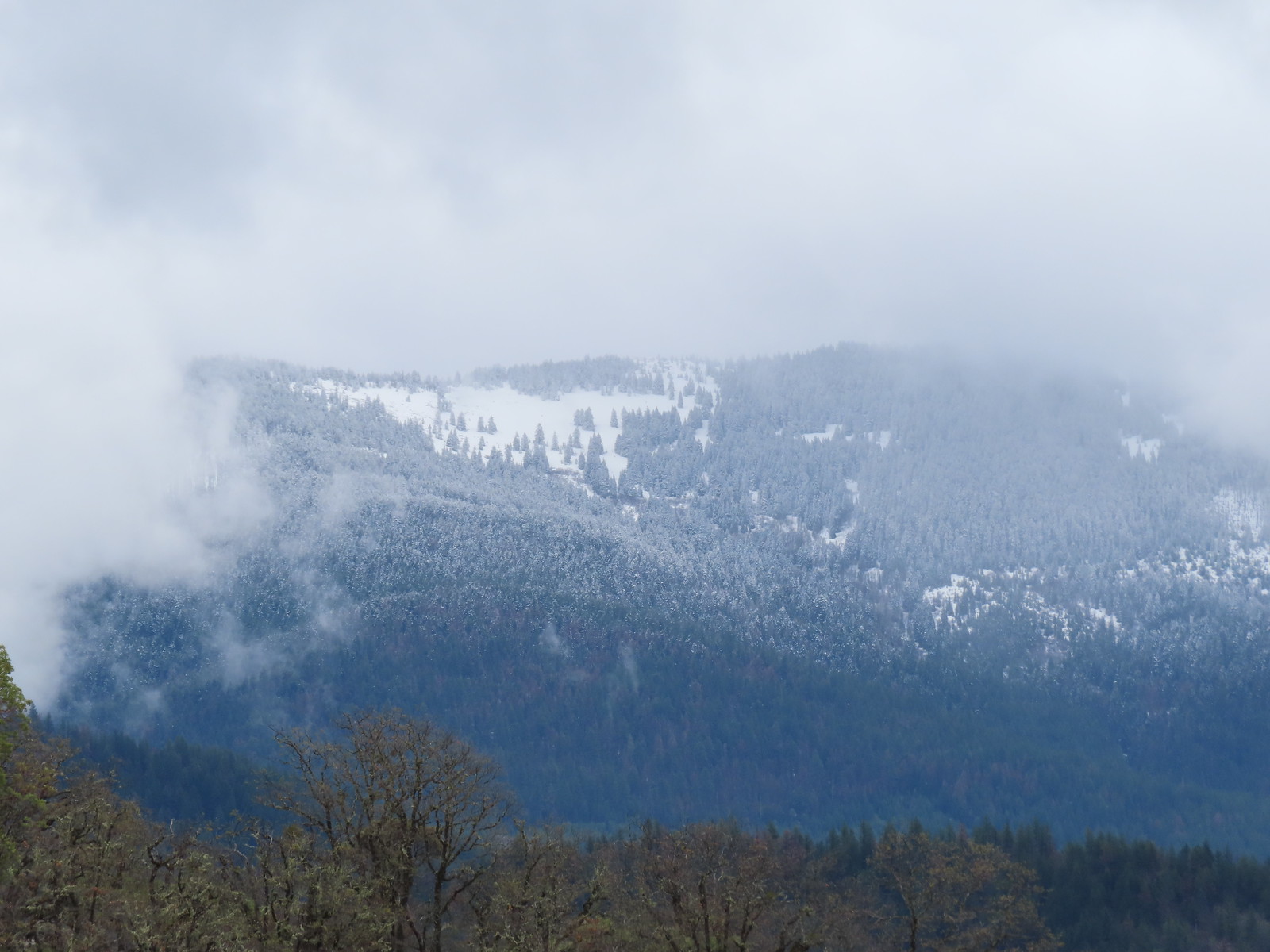 Based on the trees it looked like the thunderstorm provided some fresh snow at higher elevations.
 Couldn’t really get a good picture but this might be a bushtit.
 There were a couple of nice benches along the trails here.
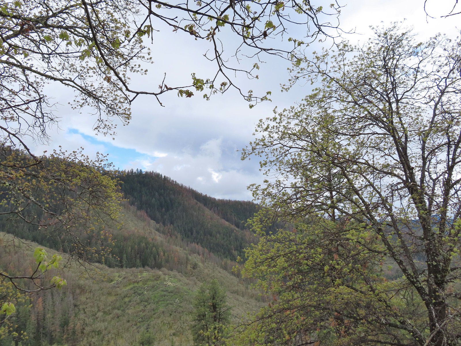 Some of the view from the bench.
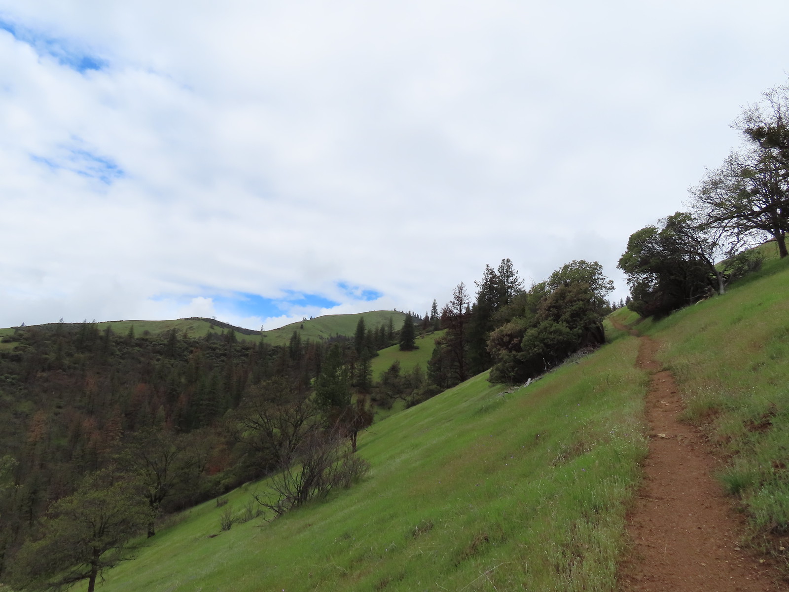

 Manzanita
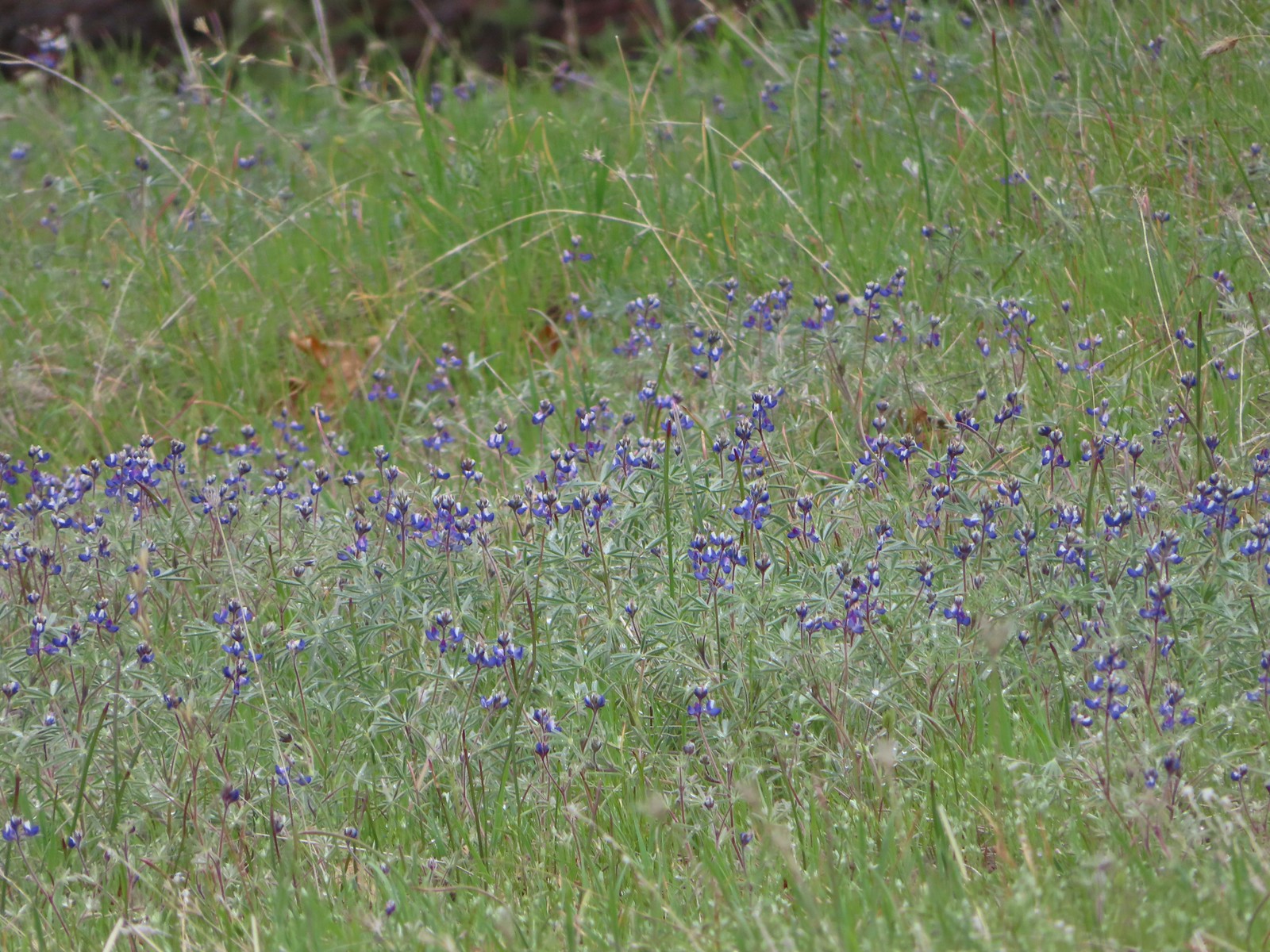 Lupine
 There is a hummingbird in the center on a branch.
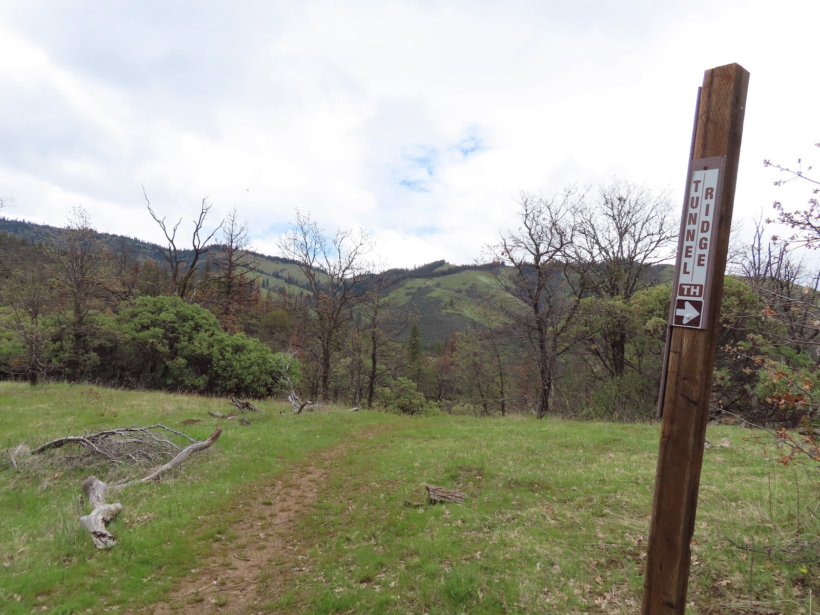 At the saddle a faint trail continued straight ahead toward the Little Applegate Trailhead. It didn’t appear to get much use.
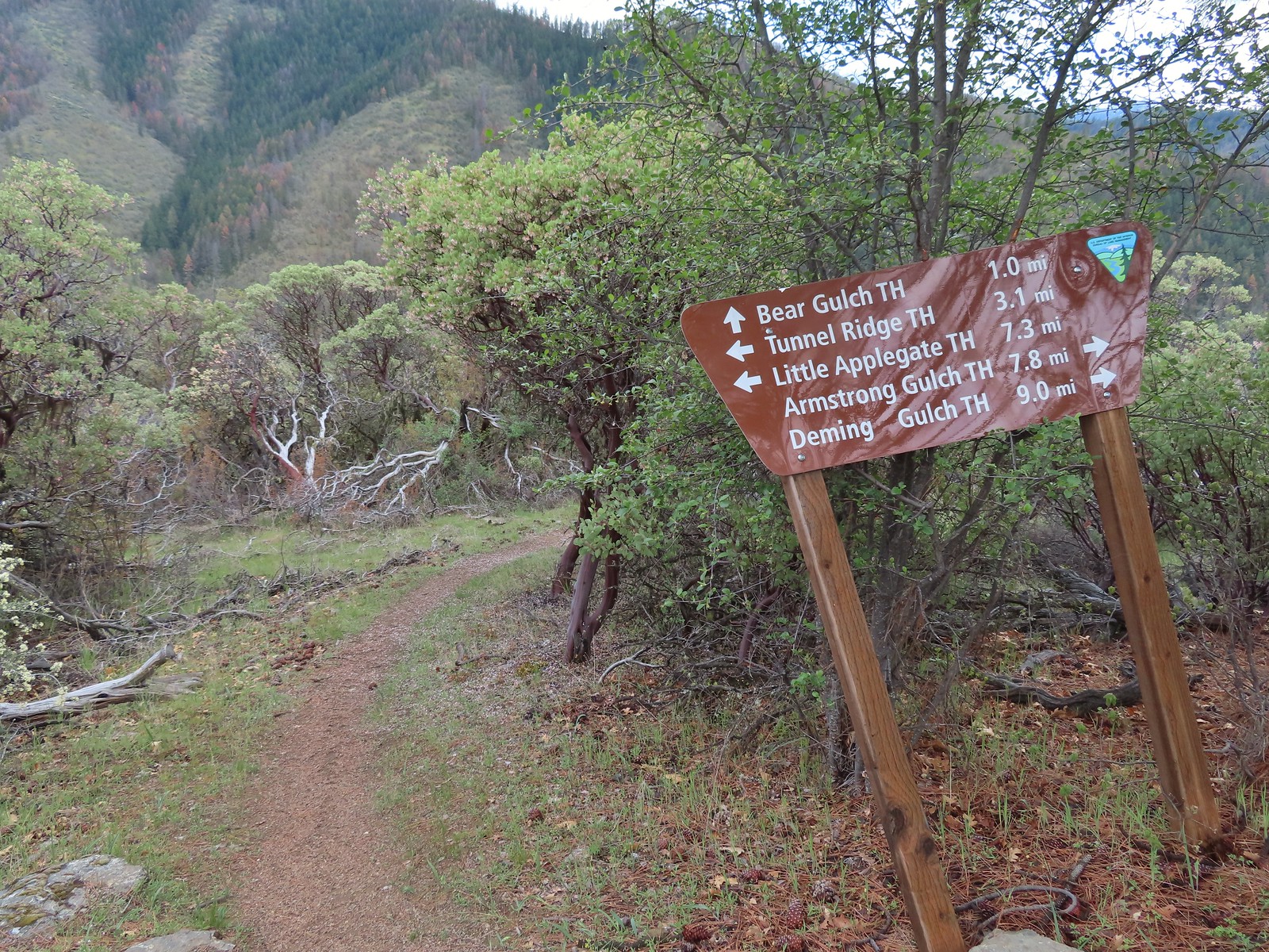
 Trail sign at the junction.
We followed the pointer for Bear Gulch and quickly found ourselves at the tunnel. Built in 1877 the tunnel is part of a 26-mile long ditch used to divert water from the Little Applegate River to the Sterling Gold Mine.
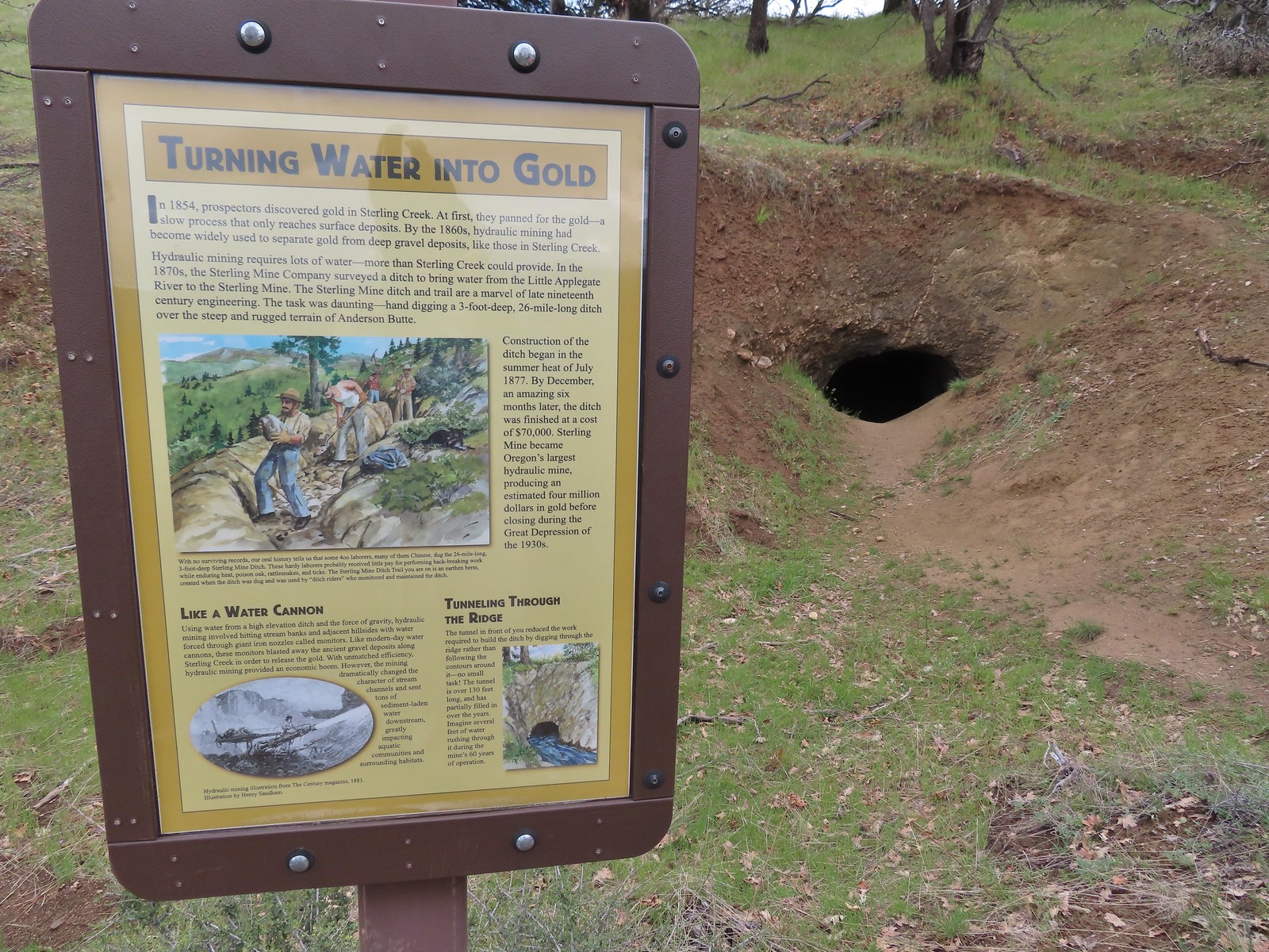
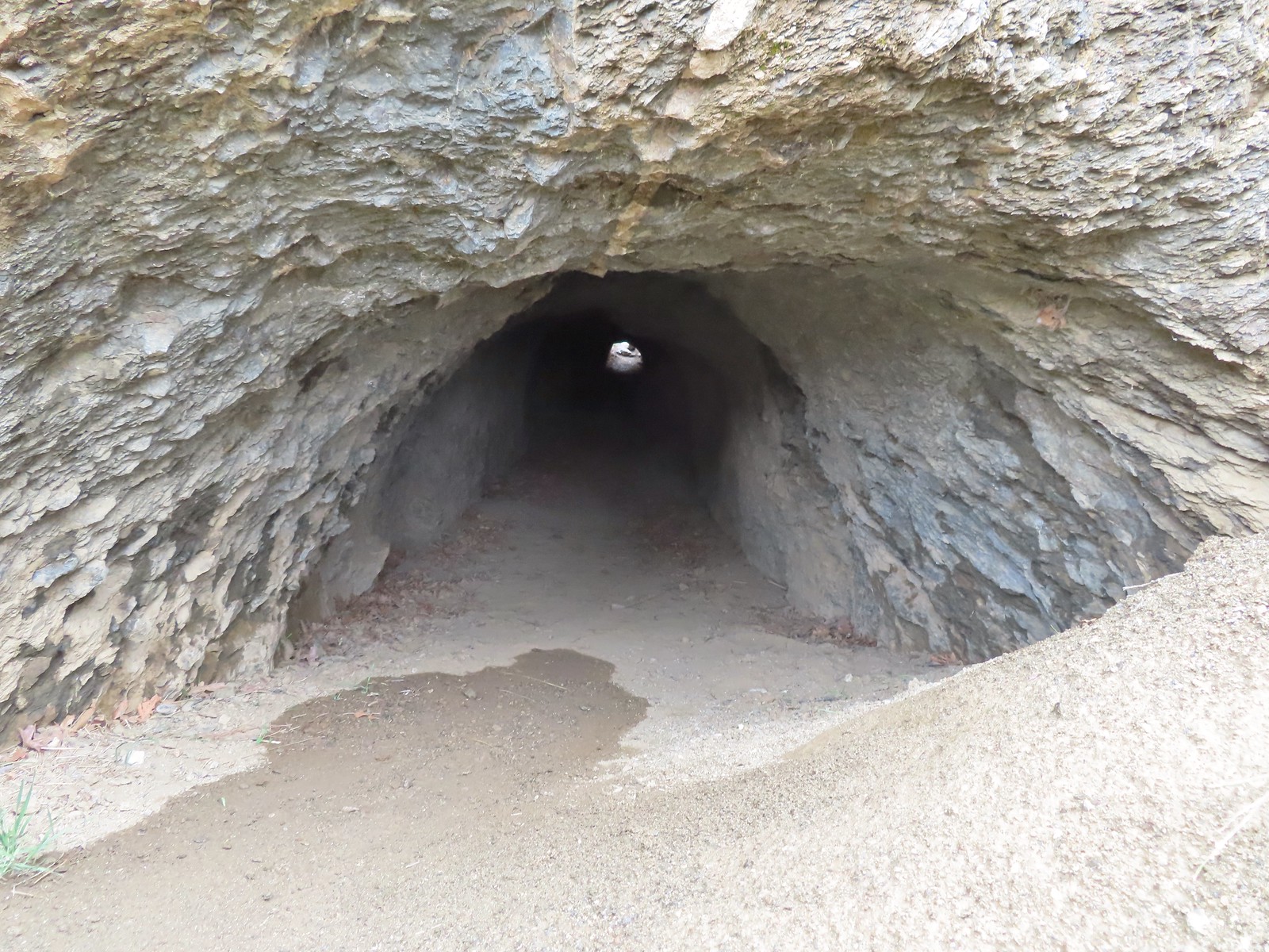
 I had to get a closer look.
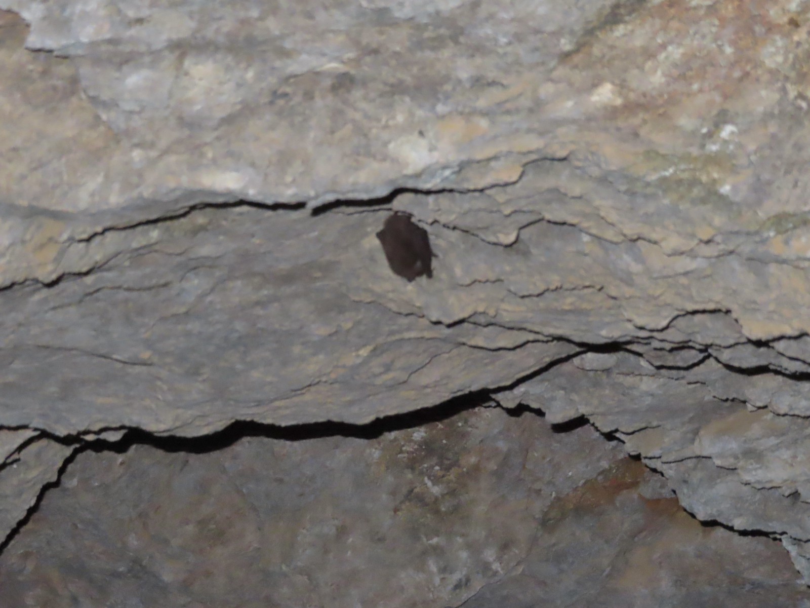 I didn’t go all the way through so as not to disturb this napping bat.
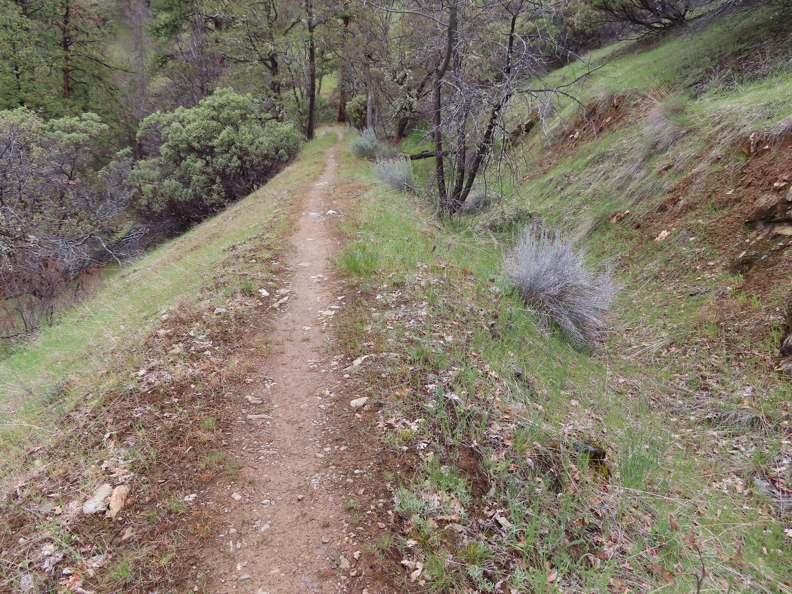
From the tunnel the trail follows the ditch and sometimes uses it as it traverses the hillside toward Bear Gulch.
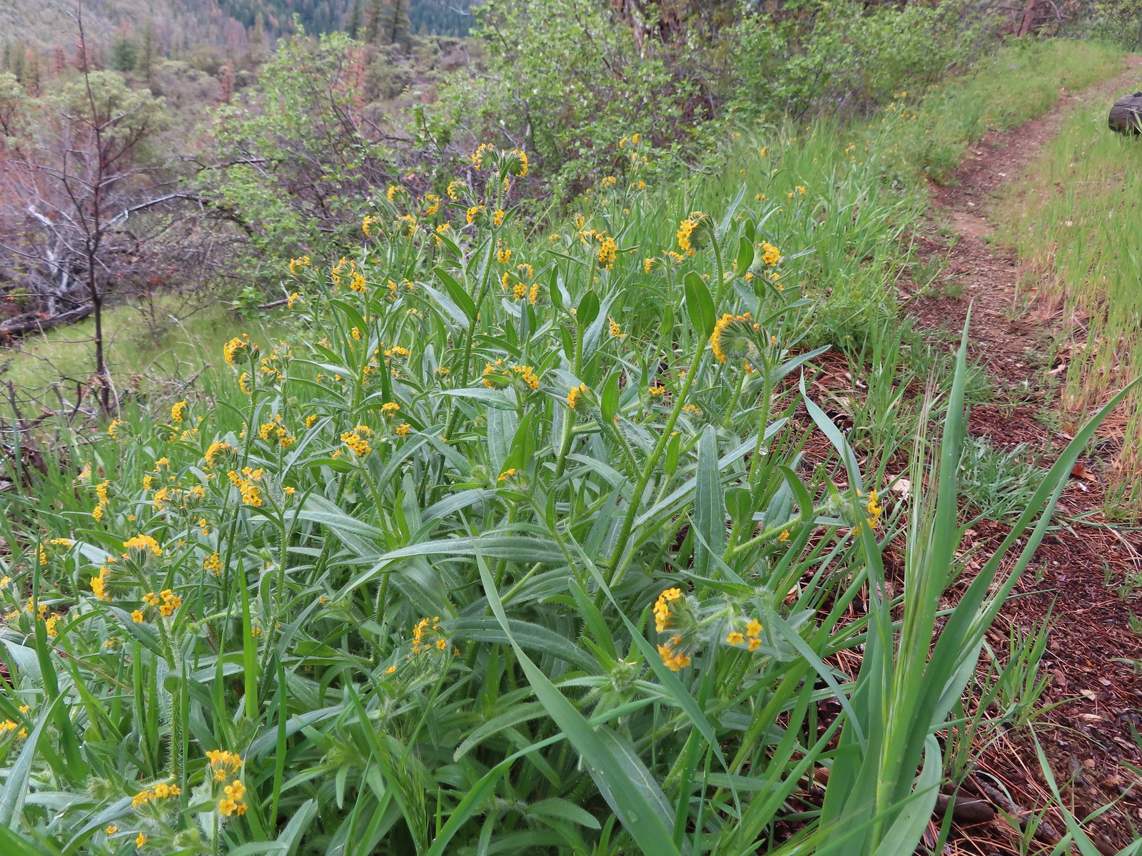 Fiddleneck along the trail.
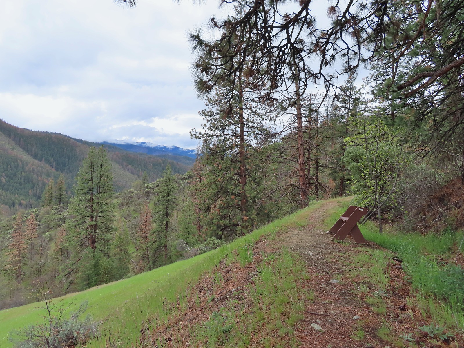 Another bench
 Emerging from the ditch.
 Scarlet fritillaries lining the trail.
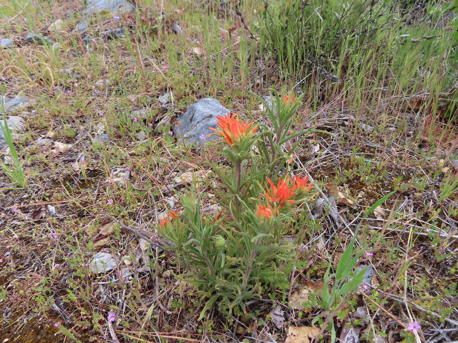 Paintbrush

 Balsamroot
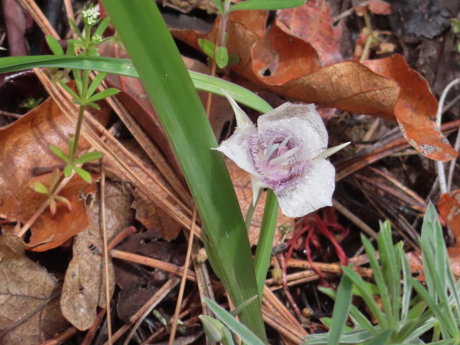 Tolmie’s mariposa lily
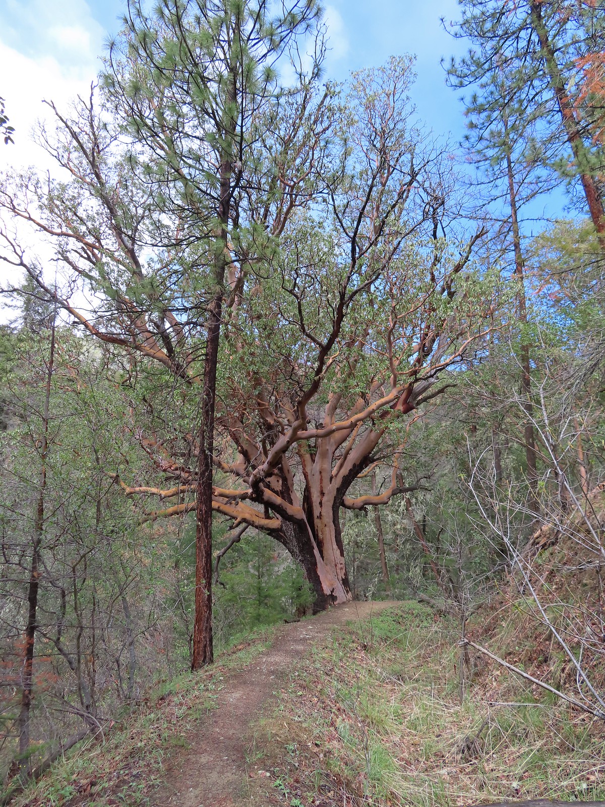 An impressively large madrone.
 Henderson’s fawn lilies
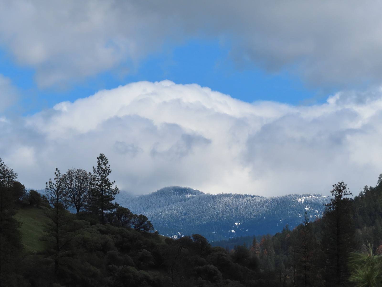 More fresh snow on a ridge.
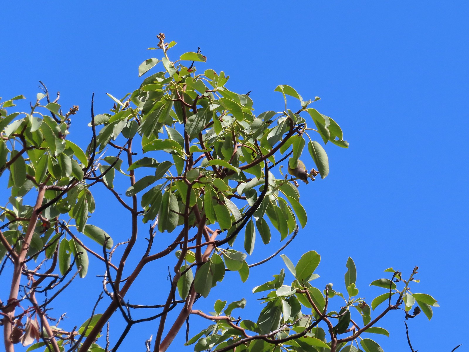 An upside-down warbler (upper right of the tree).
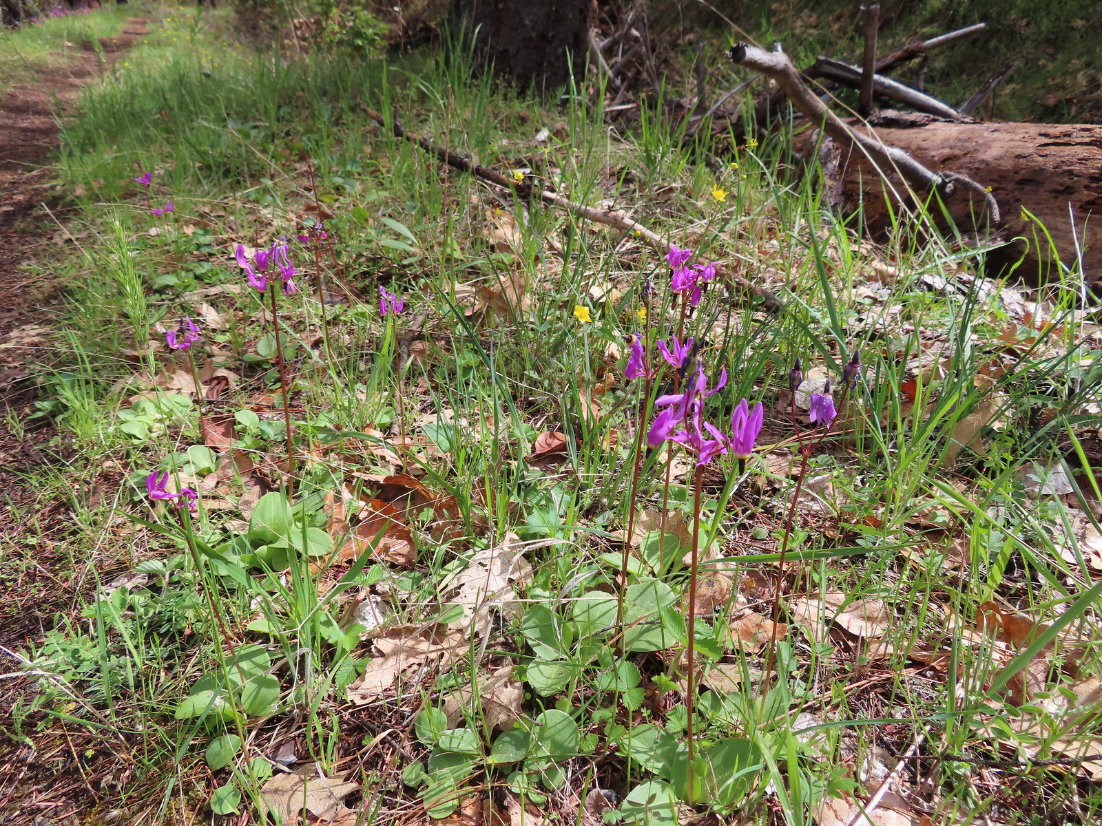 Shooting stars
We turned left at a sign for the Bear Gulch Trailhead and followed this path a mile downhill back to our car. This trail seemed a bit steeper than the one leading up from the Tunnel Ridge Trailhead so whichever you start at it seems best to do the loop counterclockwise.
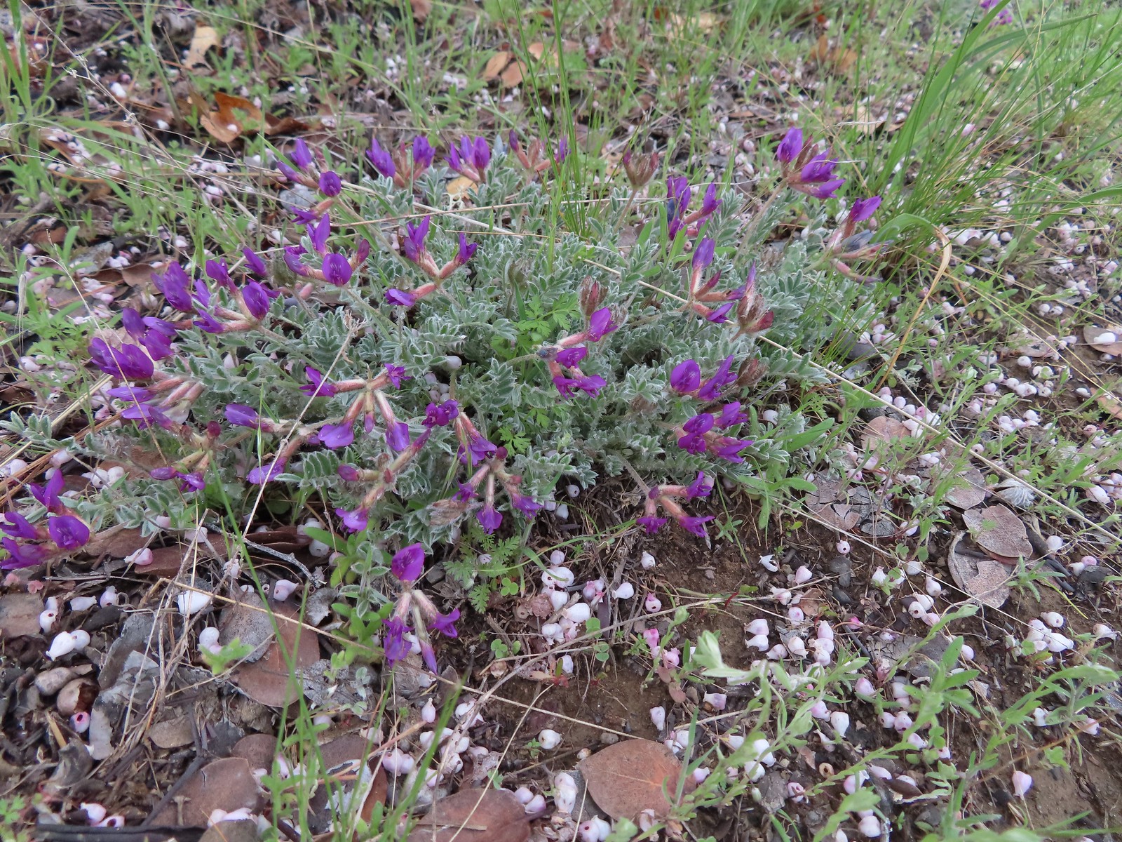 Woolly-pod milkvetch
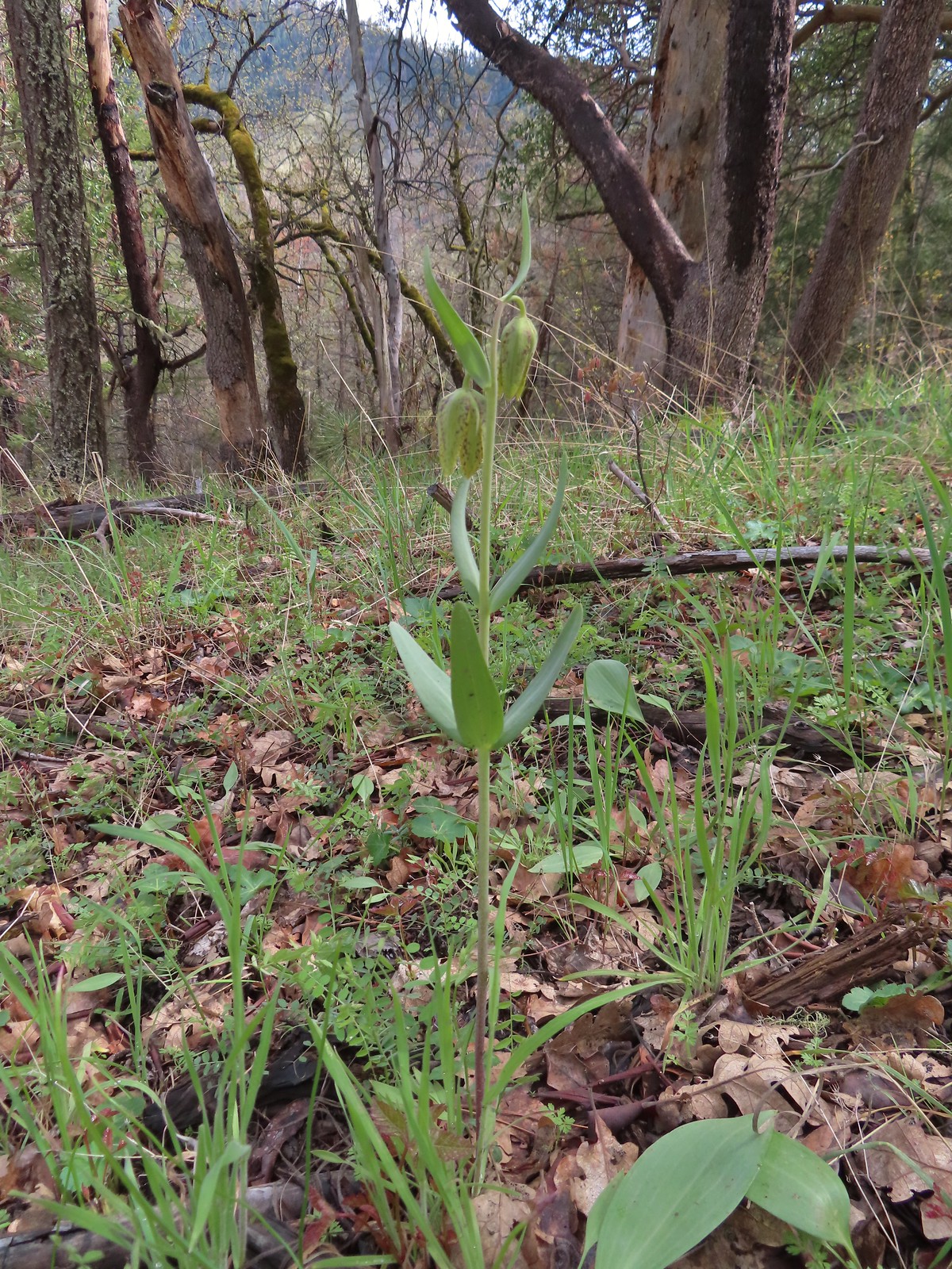 A fritillary, just not sure which one.
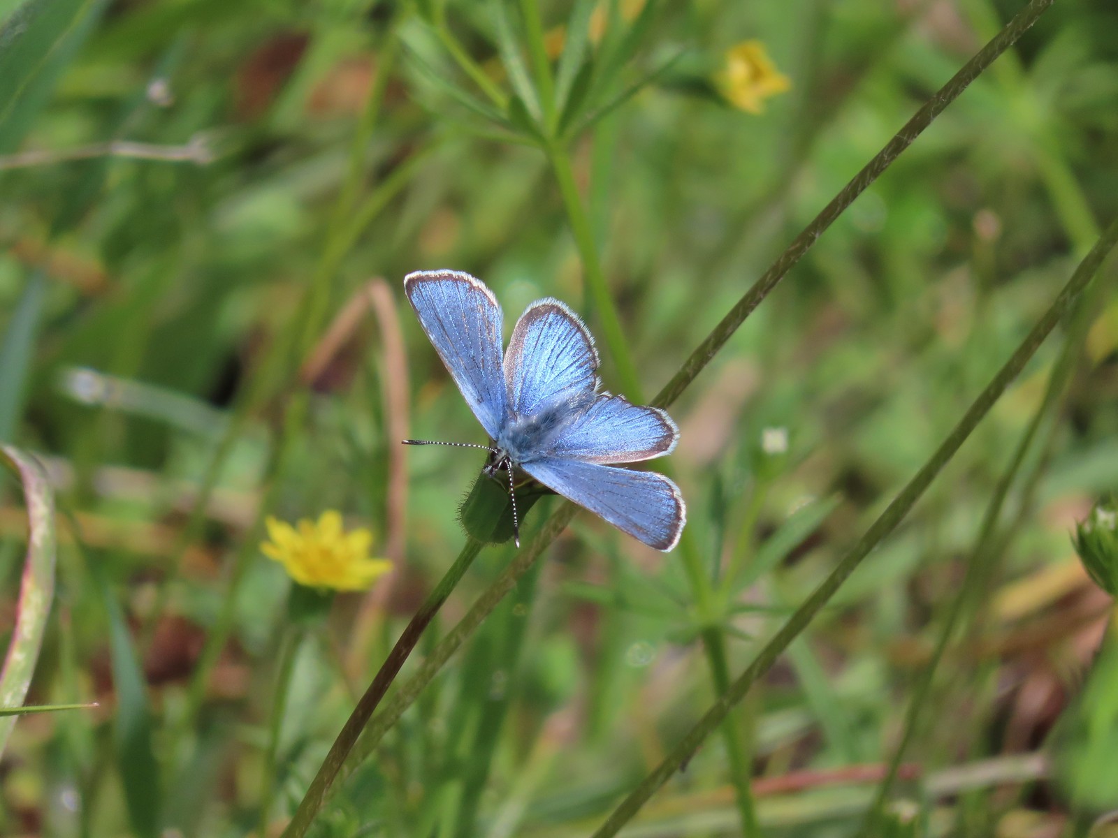 It was nice to start seeing some butterflies out and about.
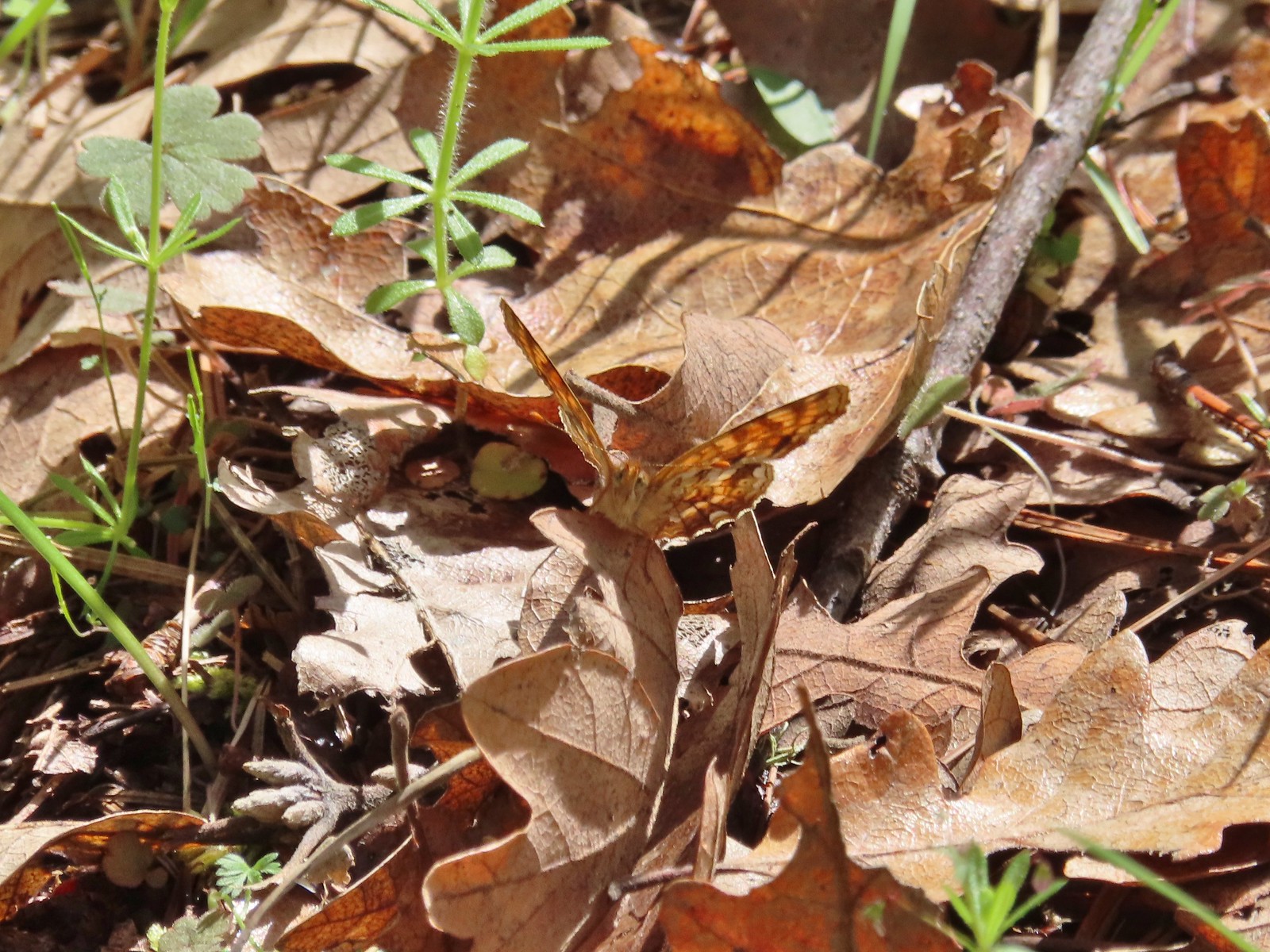 Another butterfly. It blends pretty well with the leaves.

 White-breasted nuthatch
 There was a decent amount of water running through parts of Bear Gulch as we neared the trailhead.
This loop came in just under five miles with 550′ of cumulative elevation gain giving us a total of 10.3 miles and 1000′ for the day.

After the morning drenching and surprise thunderstorm the day turned out really nice with partly sunny skies and some of the warmest temperatures that we’d have all week. Happy Trails!

 Red larkspur with blue dicks in the background.
 Lupine
 Red larkspur, madia, blue dicks, and tomcat clover along the trail.
 Blue dicks
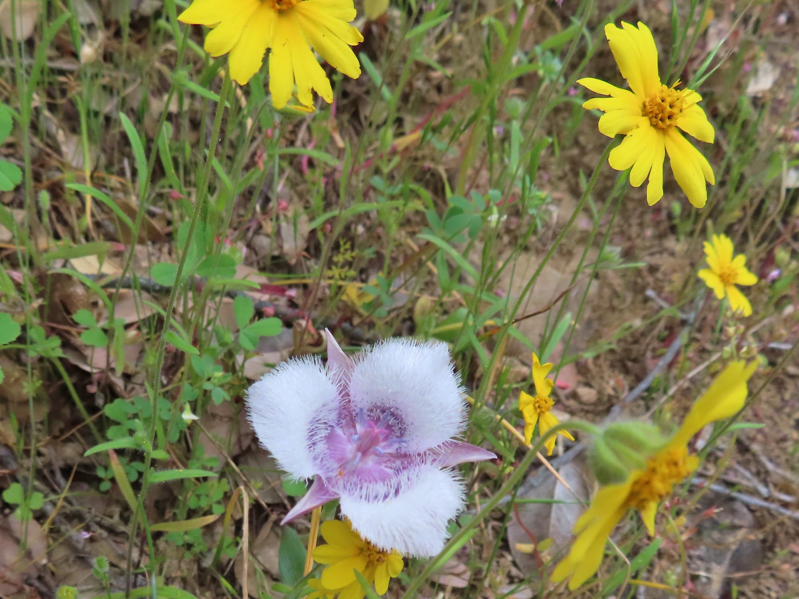 Tolmie’s mariposa lily and some madia.
 Larkspur and a red larkspur
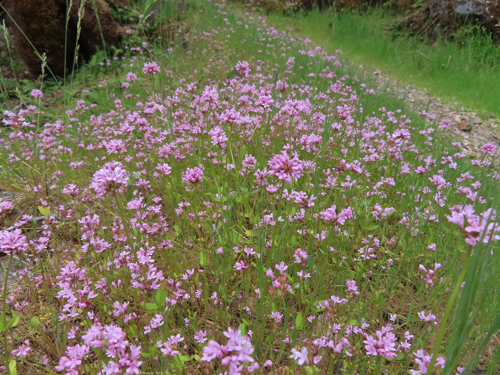 Plectritis
 Monkeyflower
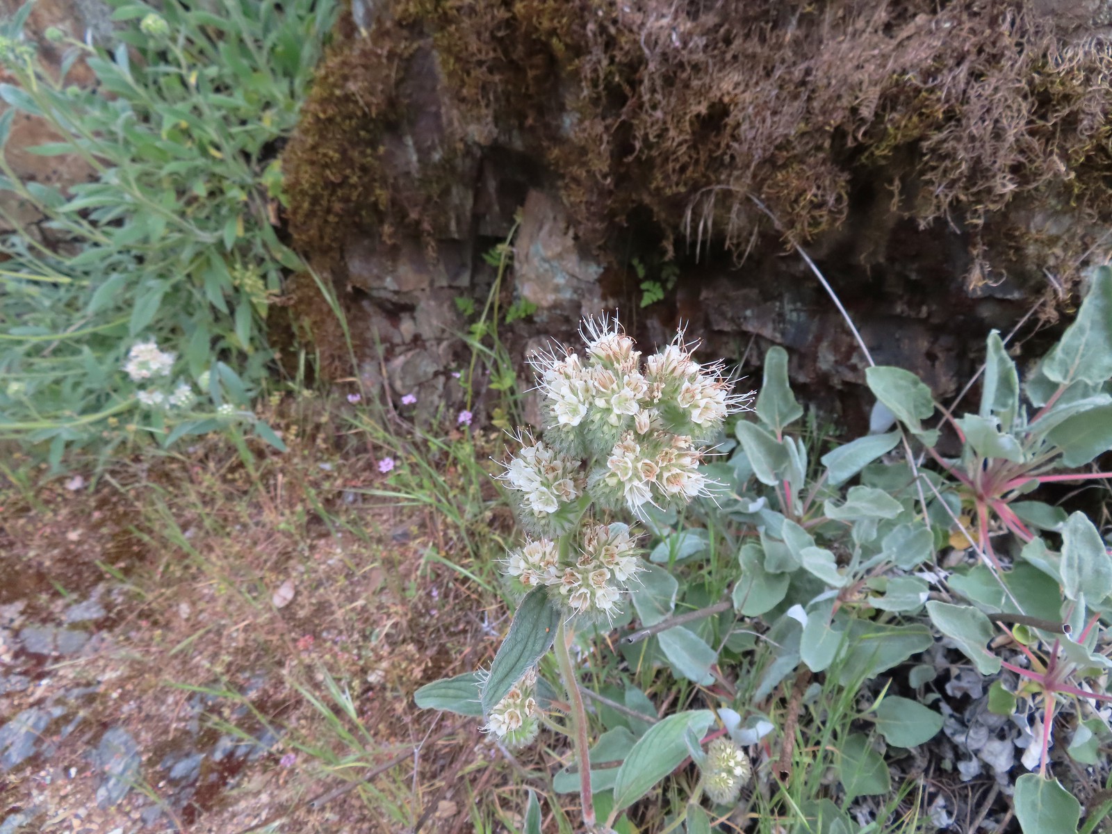 Serpentine phacelia
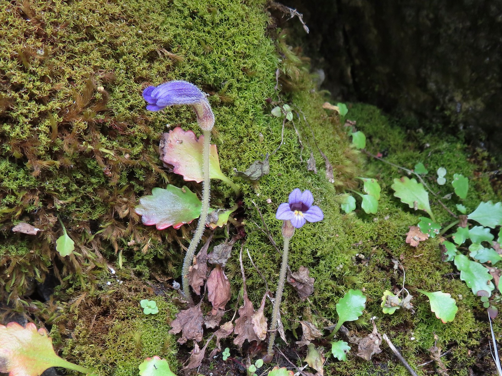 Naked broomrape
 Camas with monkeyflower and plectritis
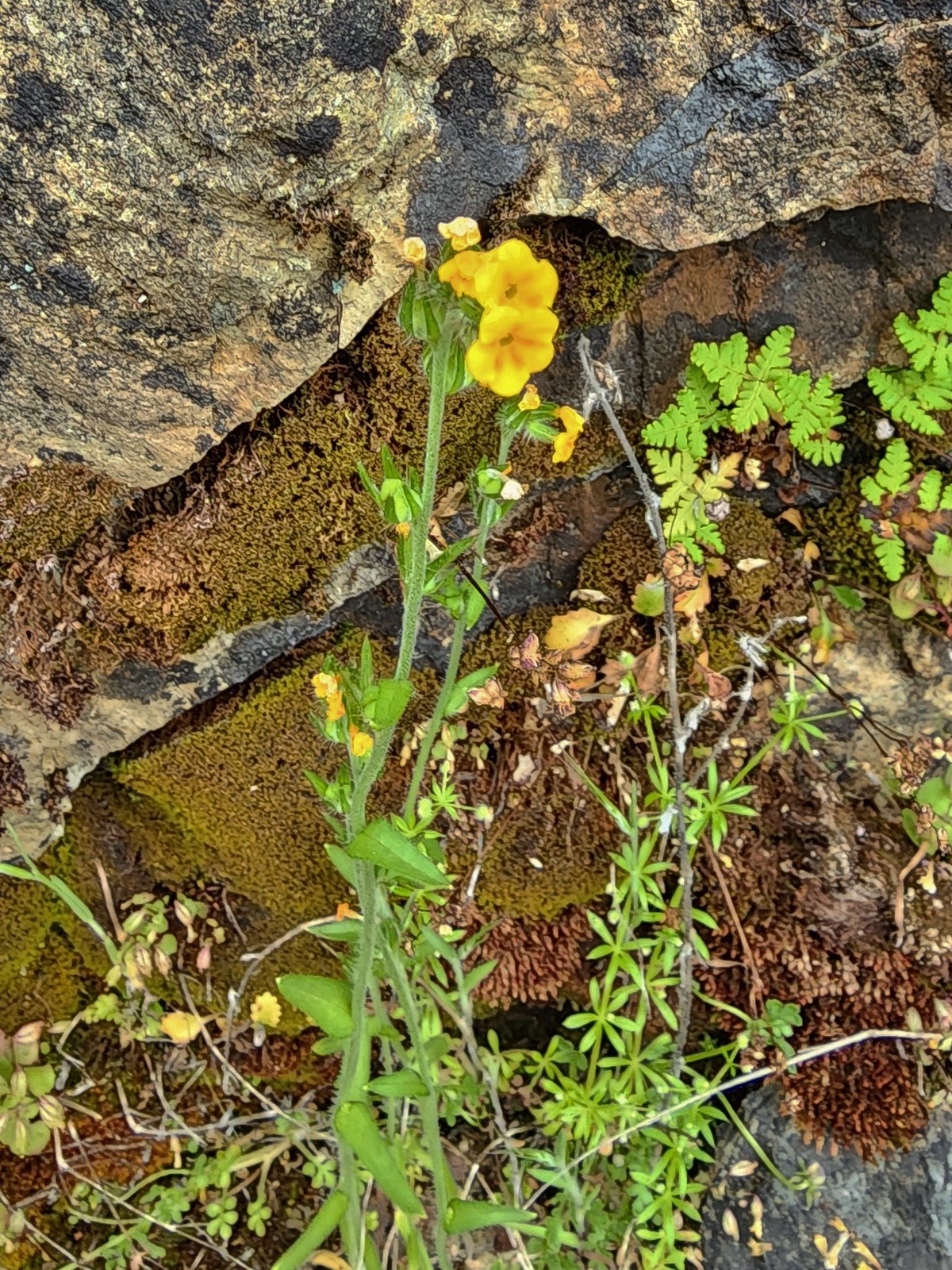 Fiddleneck
 Saxifrage
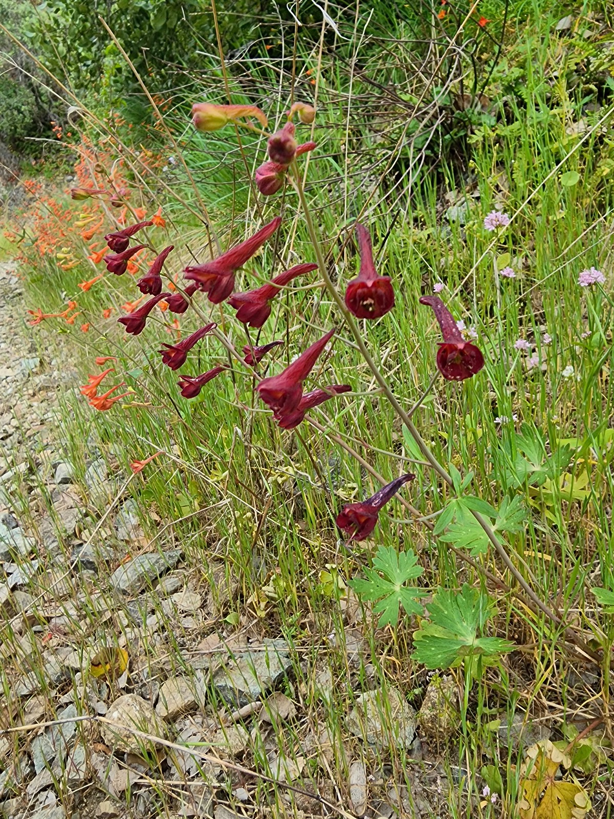 A darker red larkspur
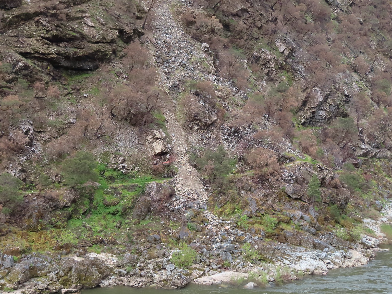 Some of the damage to the trail to Rainie Falls on the opposite side of the river.
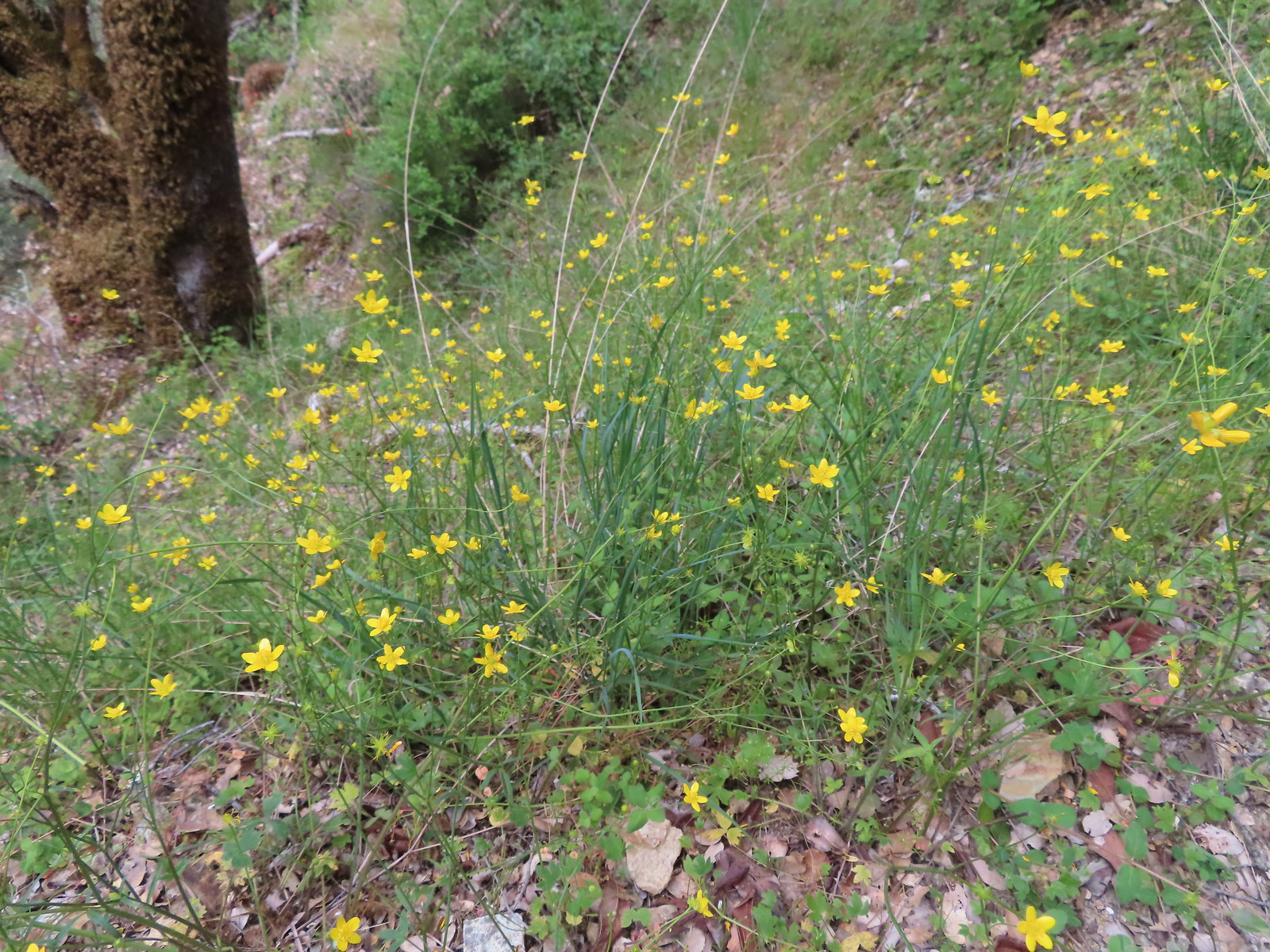 Buttercups
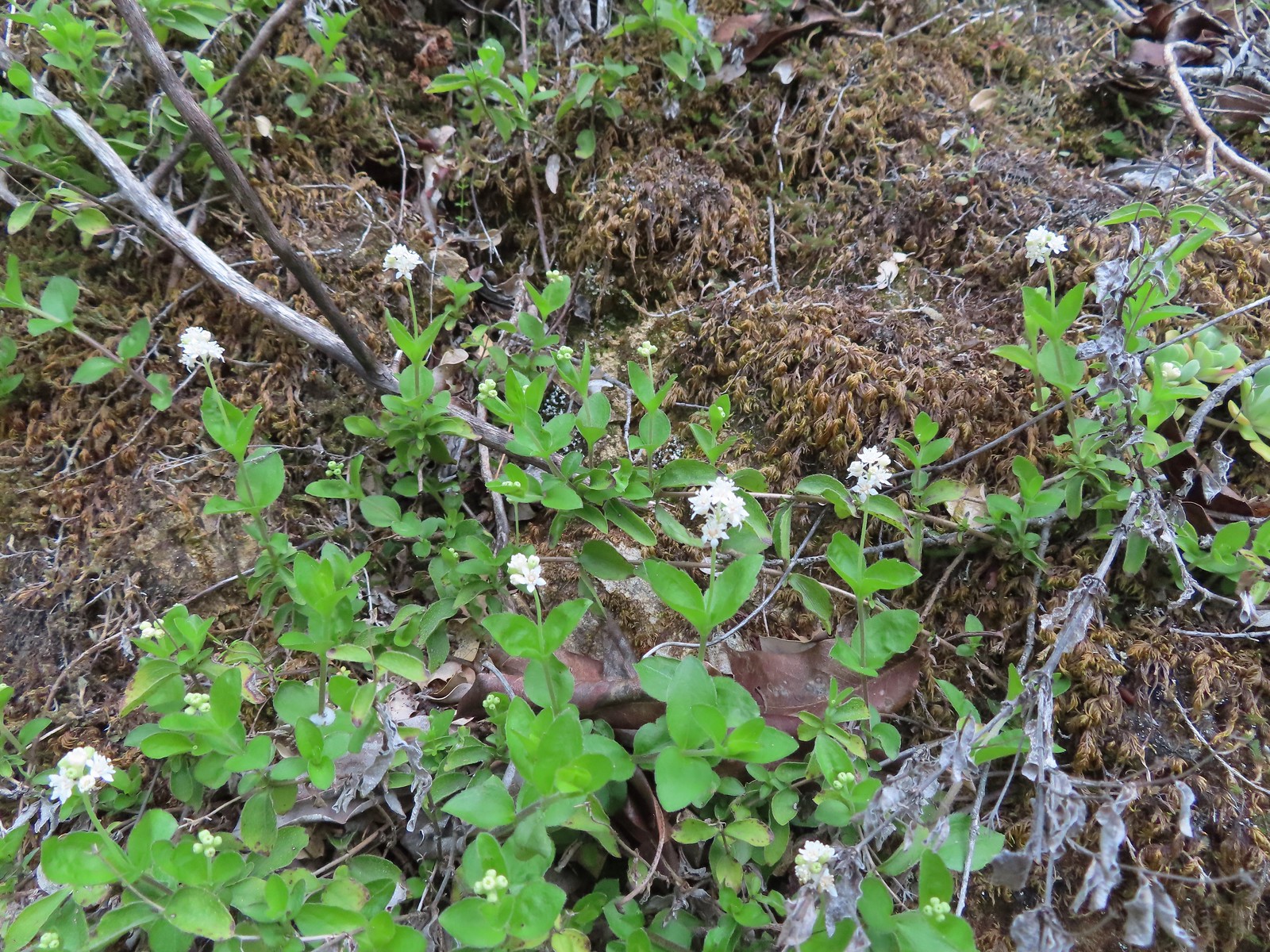 Common whipplea
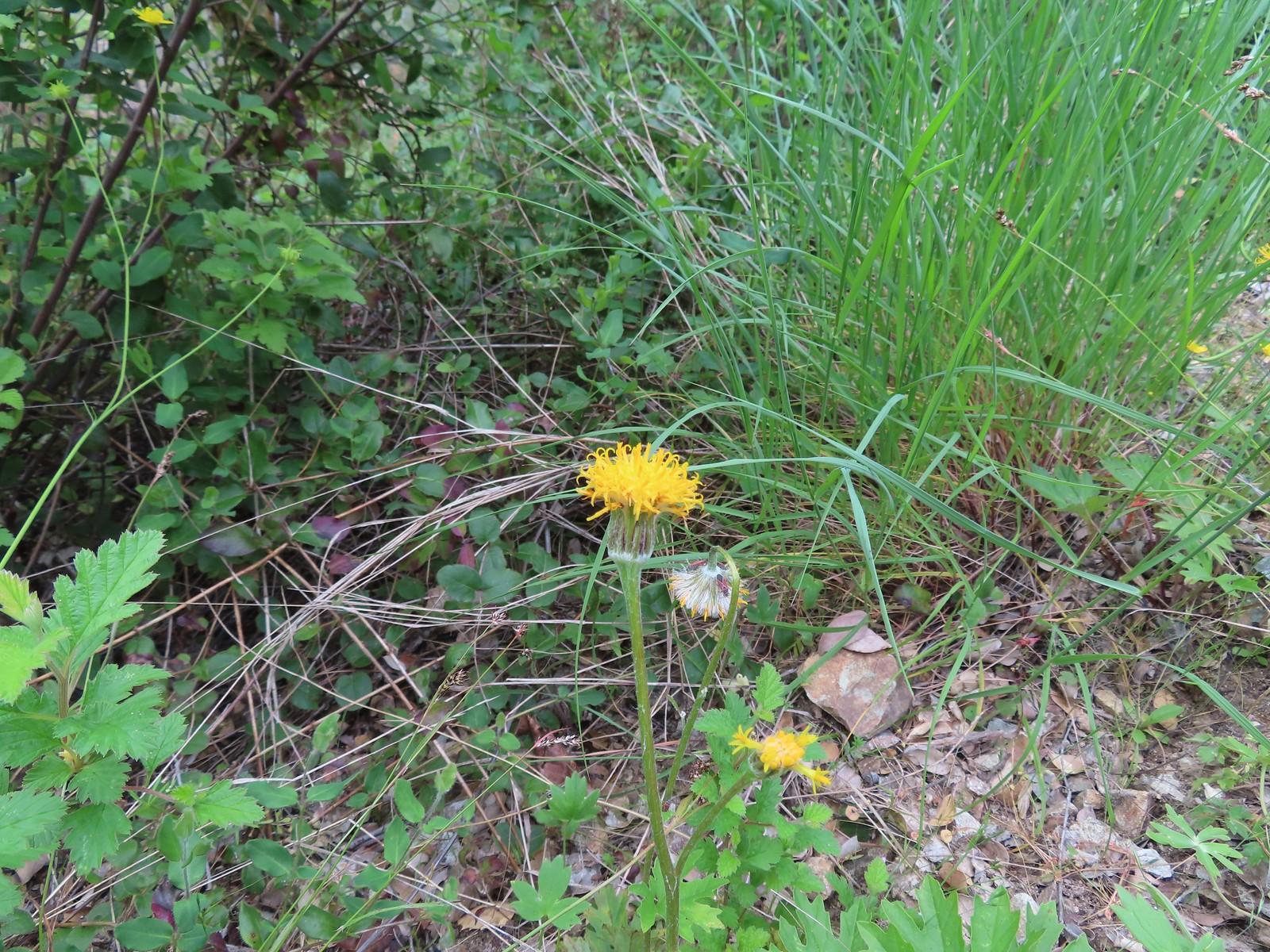 Silver crown
 The wet rock here was sneaky slick.
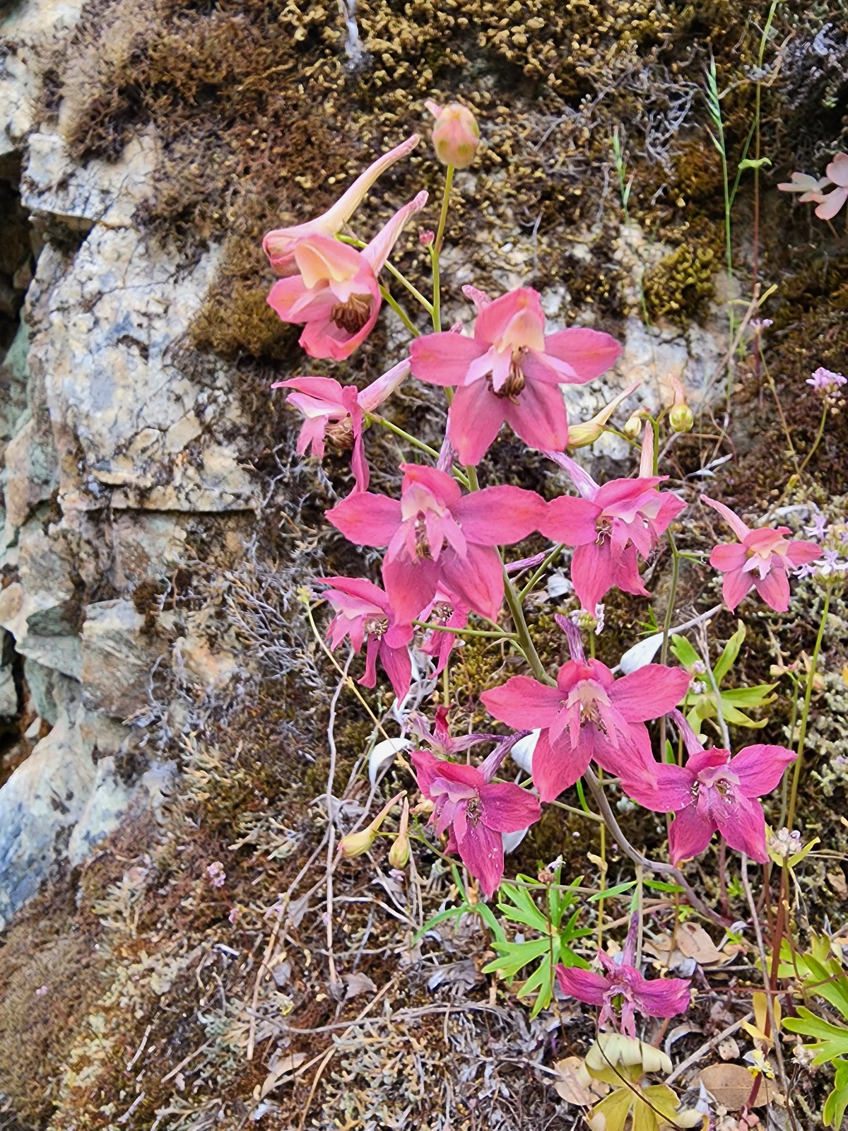 We spotted a couple of pink larkspur.
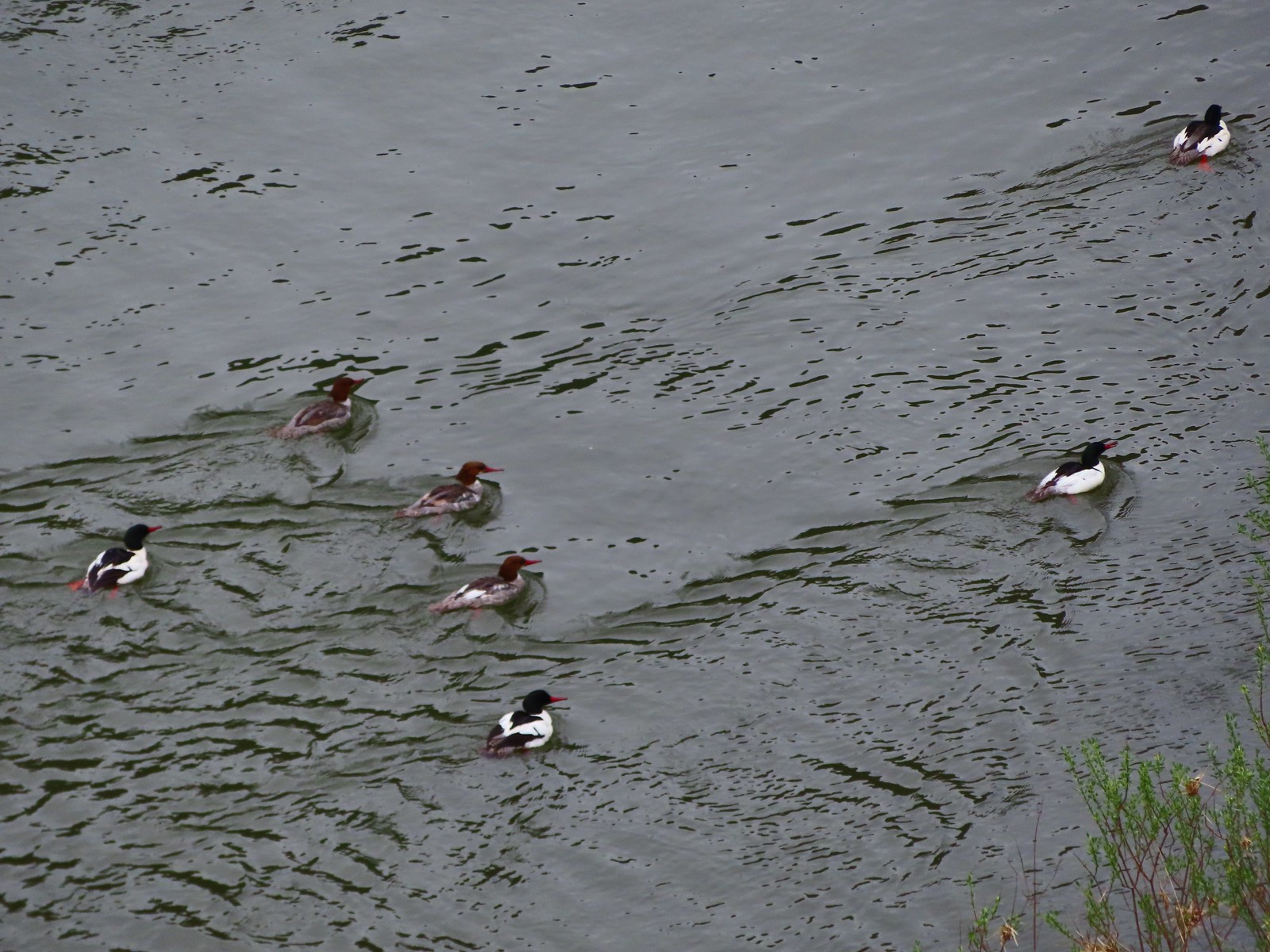 Common mergansers
 Common cryptantha
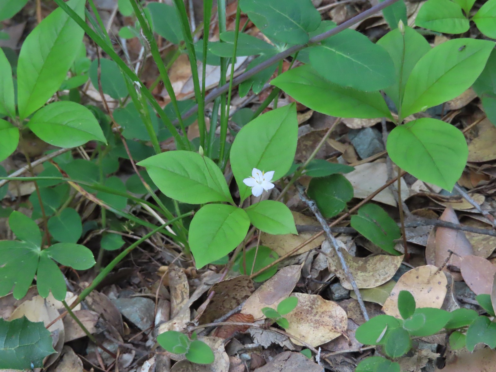 Starflower
 Paintbrush
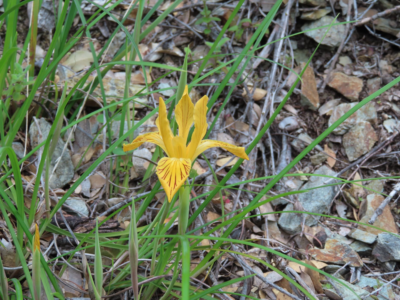 Del Norte iris
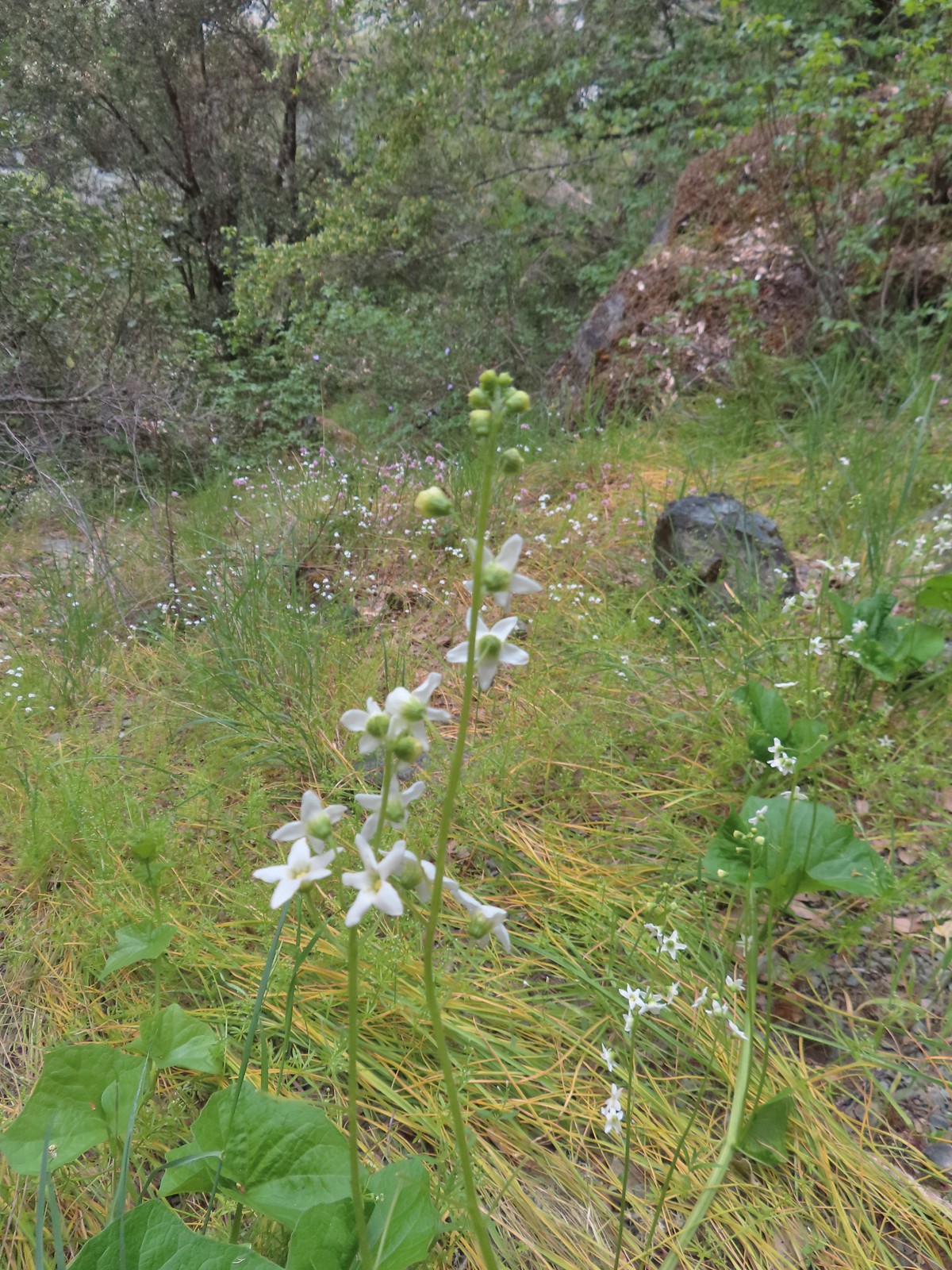 Coastal manroot
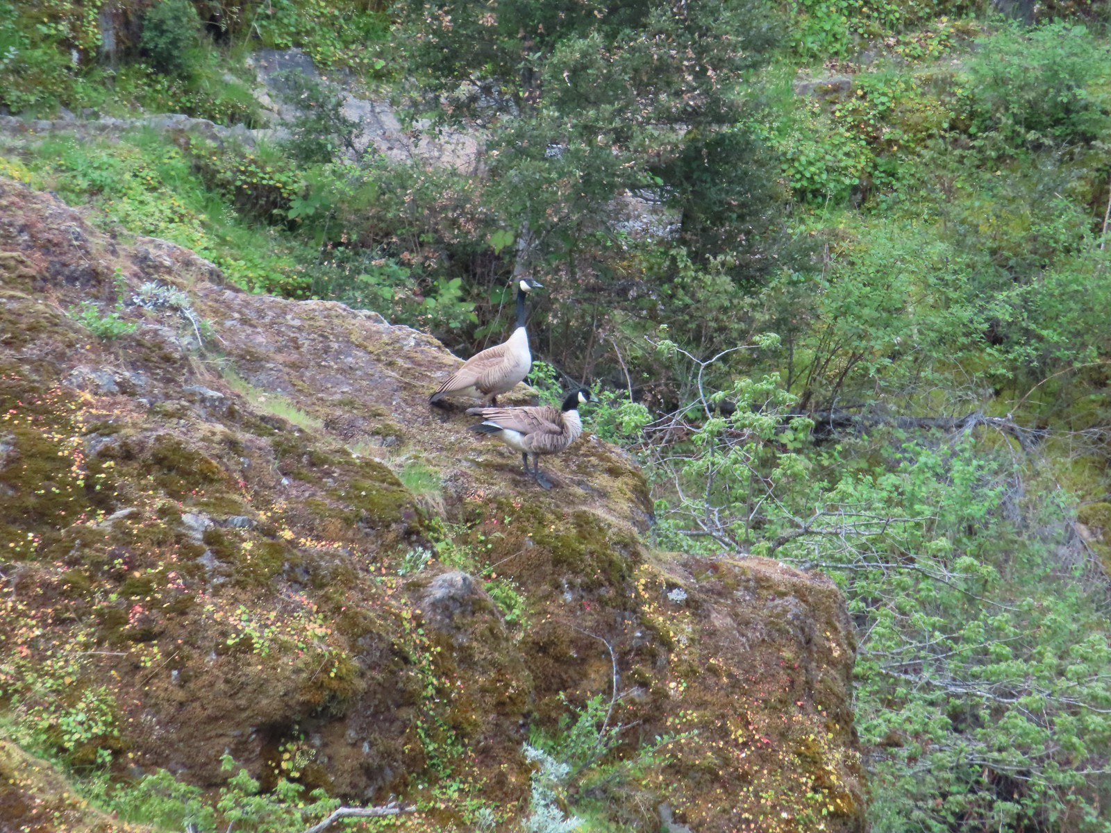 Canada geese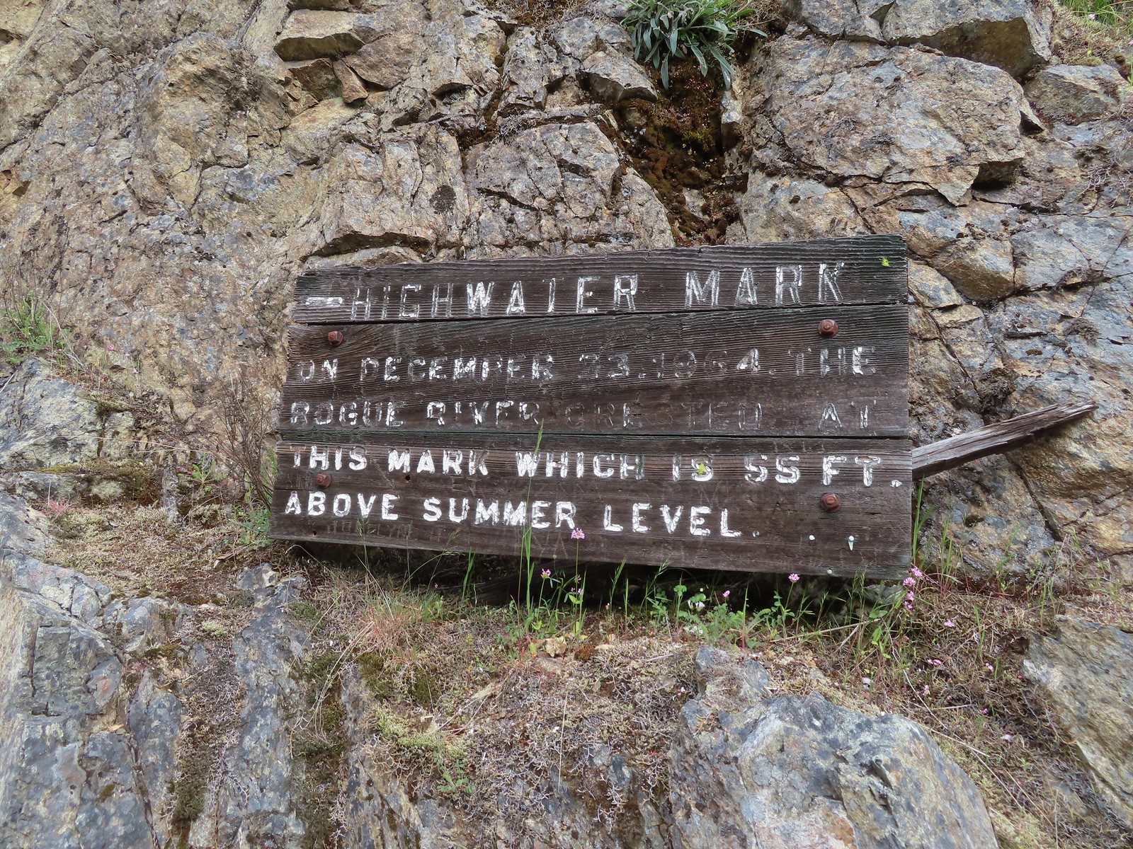
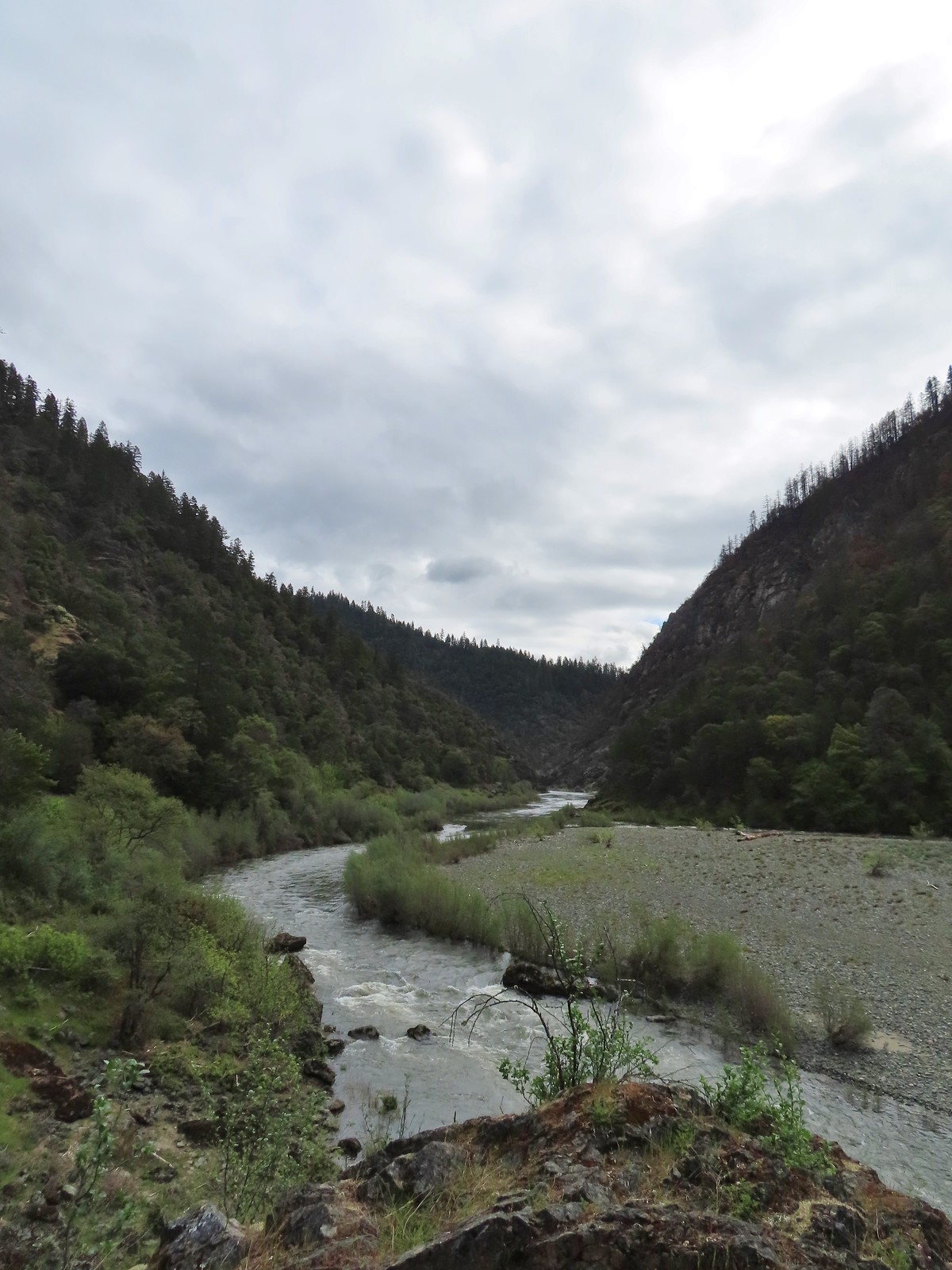 Looking back upriver from the high water sign.
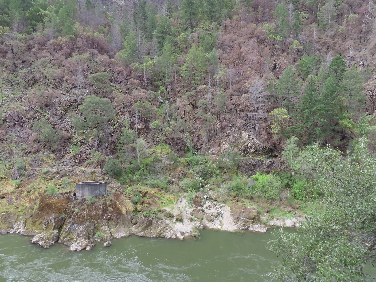 Sanderson Bridge site
 Golden-crowned sparrow
 Scarlet fritillary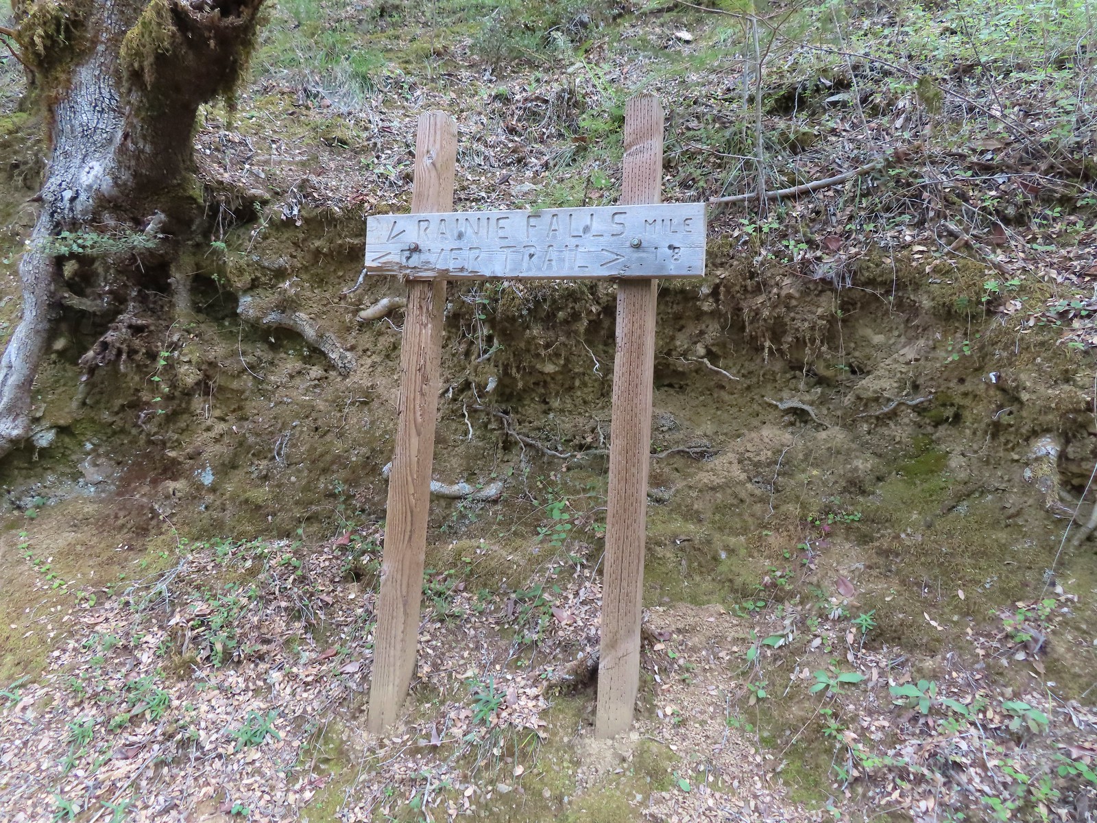
 White campion
 The only water we could make out on the far side of the river.
 Bullock’s oriole
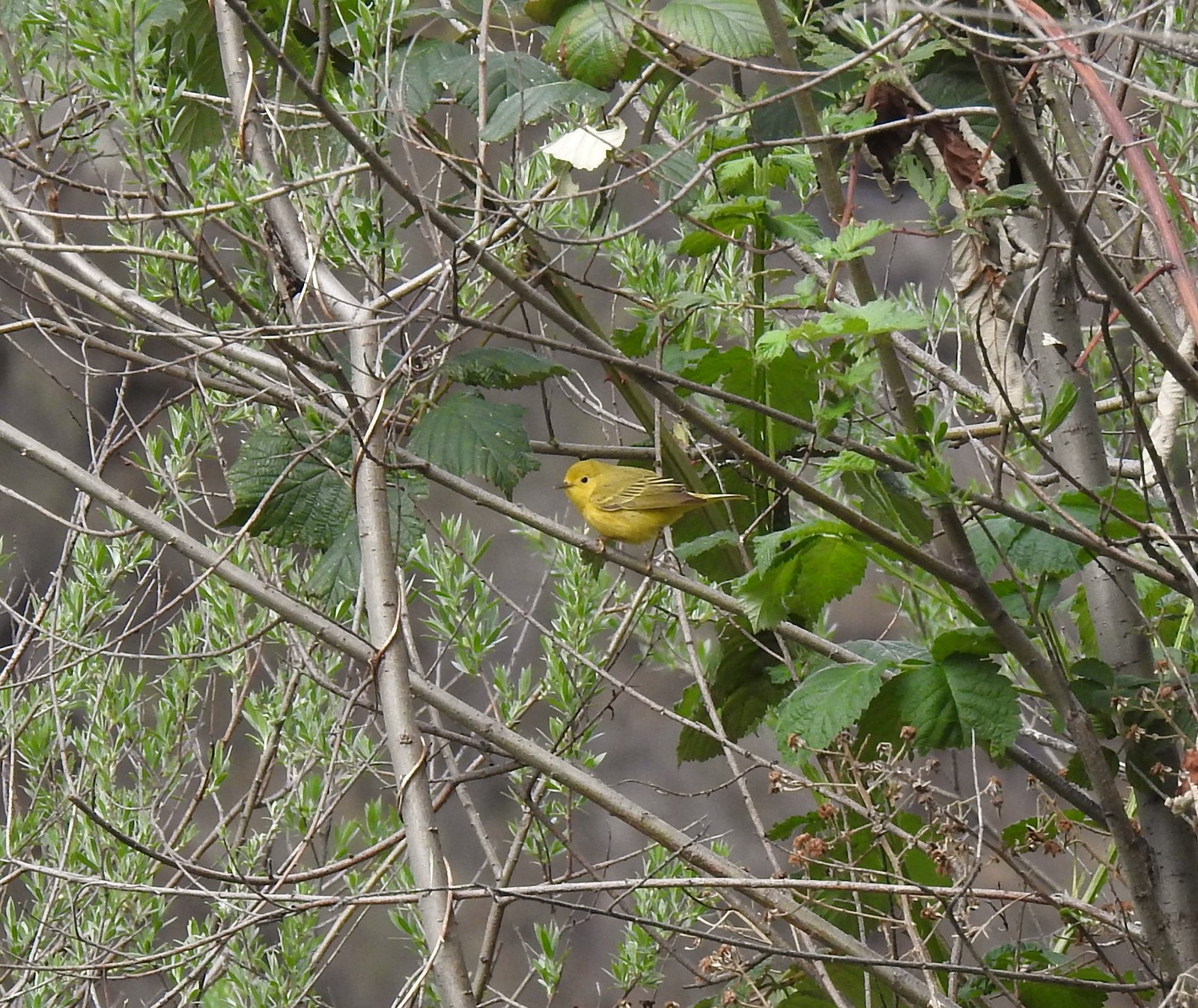 Yellow warbler
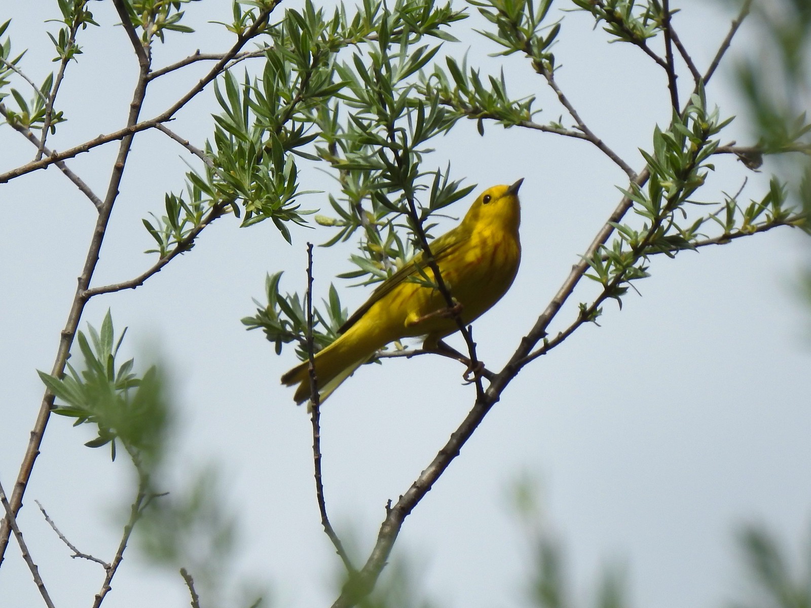 Yellow warbler
 Sandy beach along the Rogue River.
 Shooting star
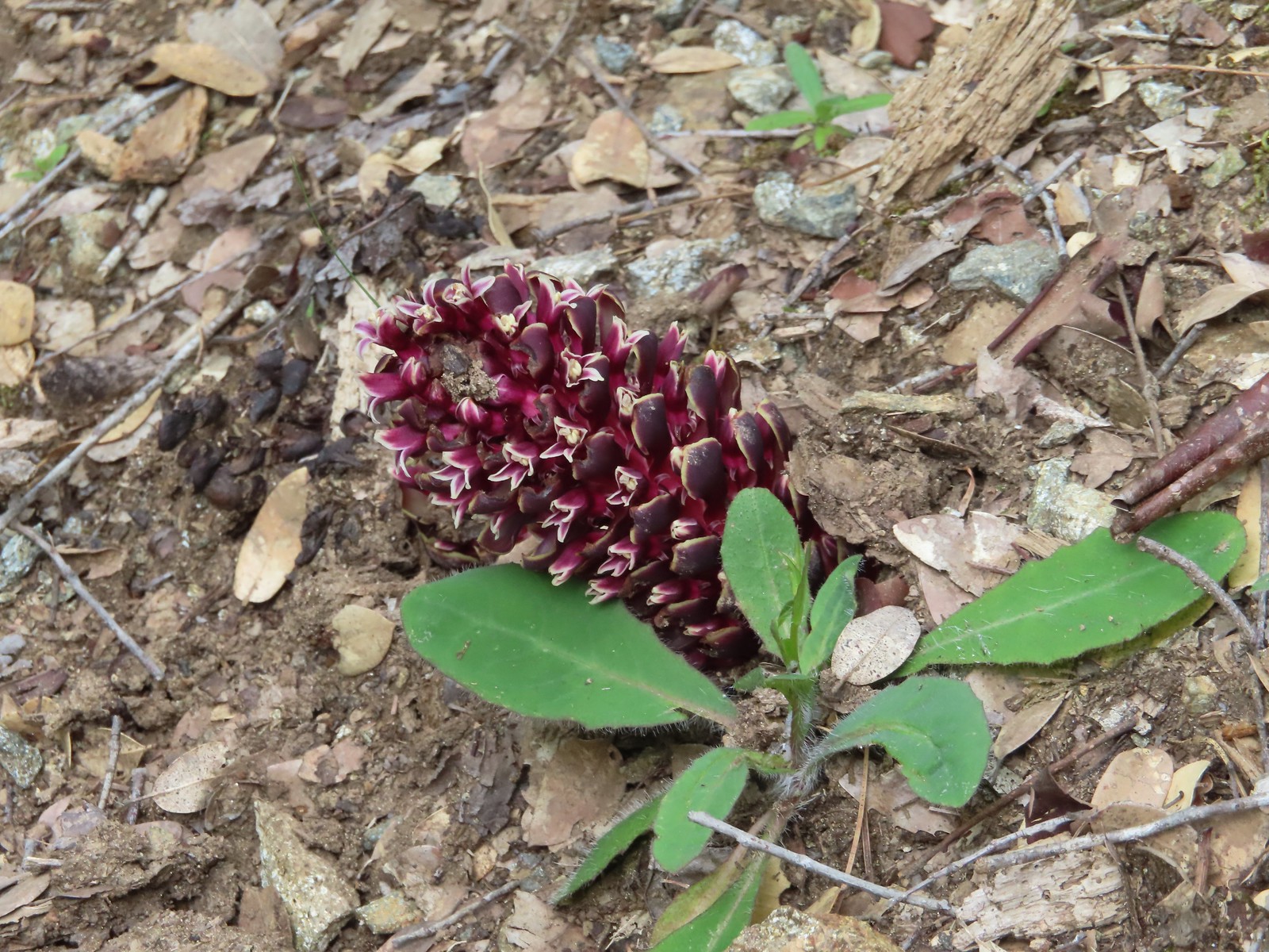 California groundcone
 Small-flowered woodland-star
 Approaching China Gulch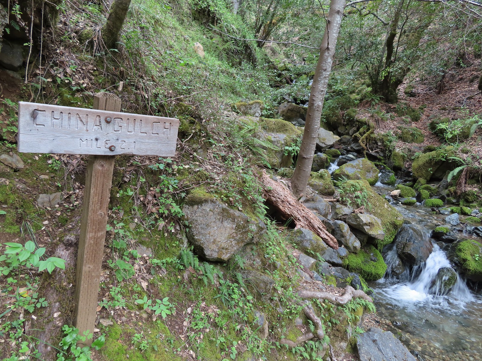
 Vetch
Vetch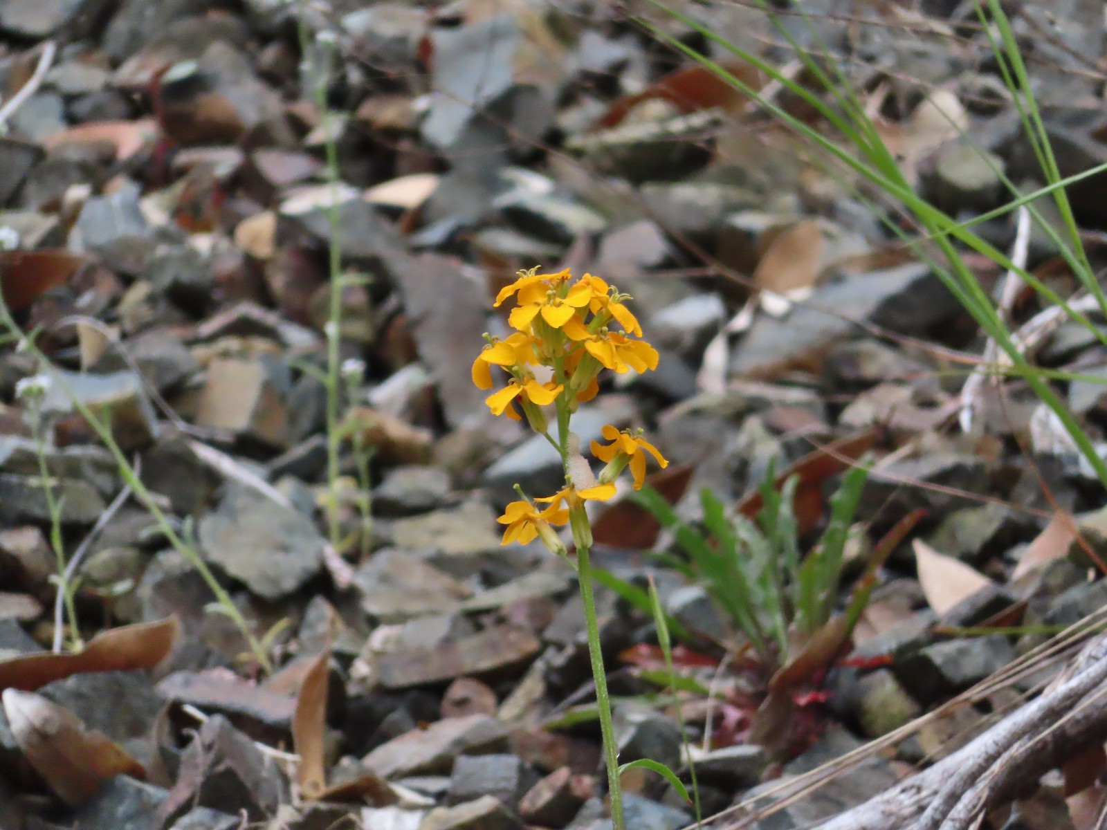 Wallflower
 Silverpuffs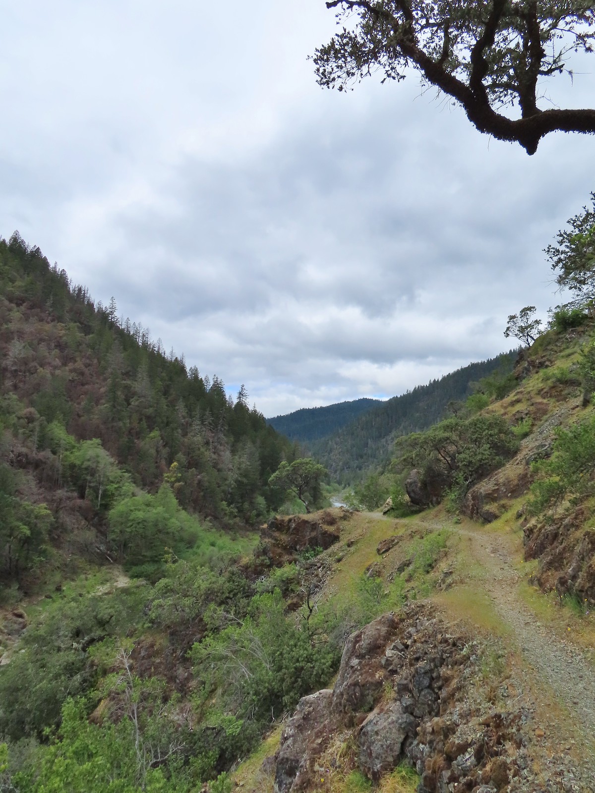
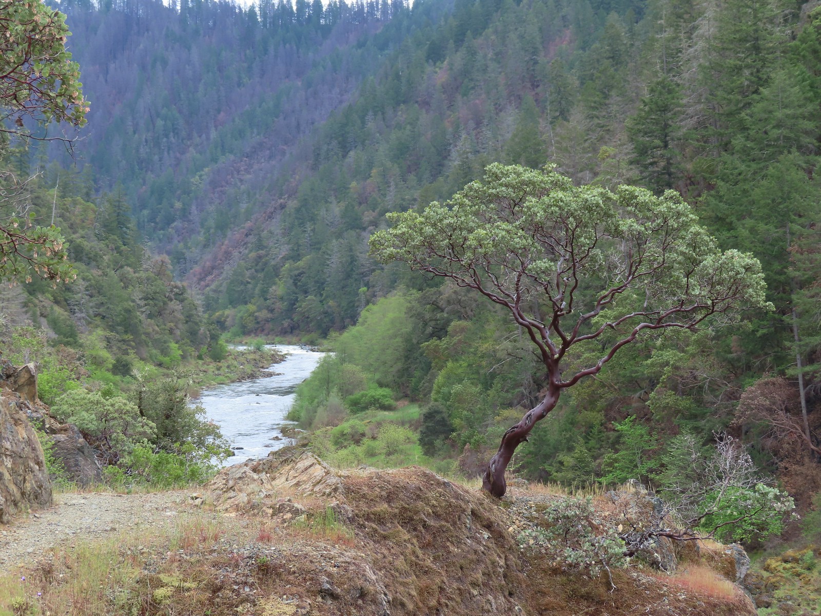 This manzanita was particularly striking in person.
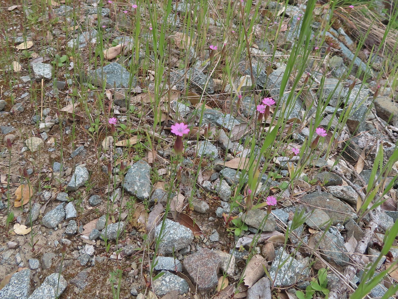 Hairy pink
 Robin
Robin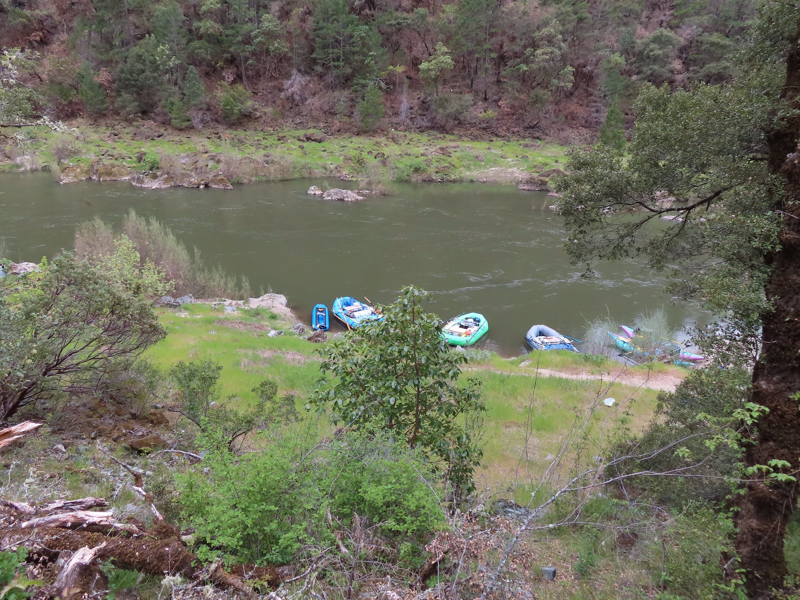 Rafts at Whiskey Camp.
 Whiskey Creek
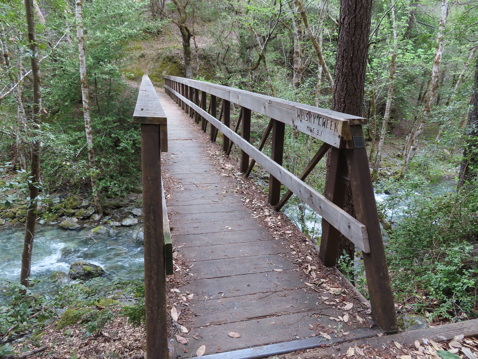 Footbridge over Whiskey Creek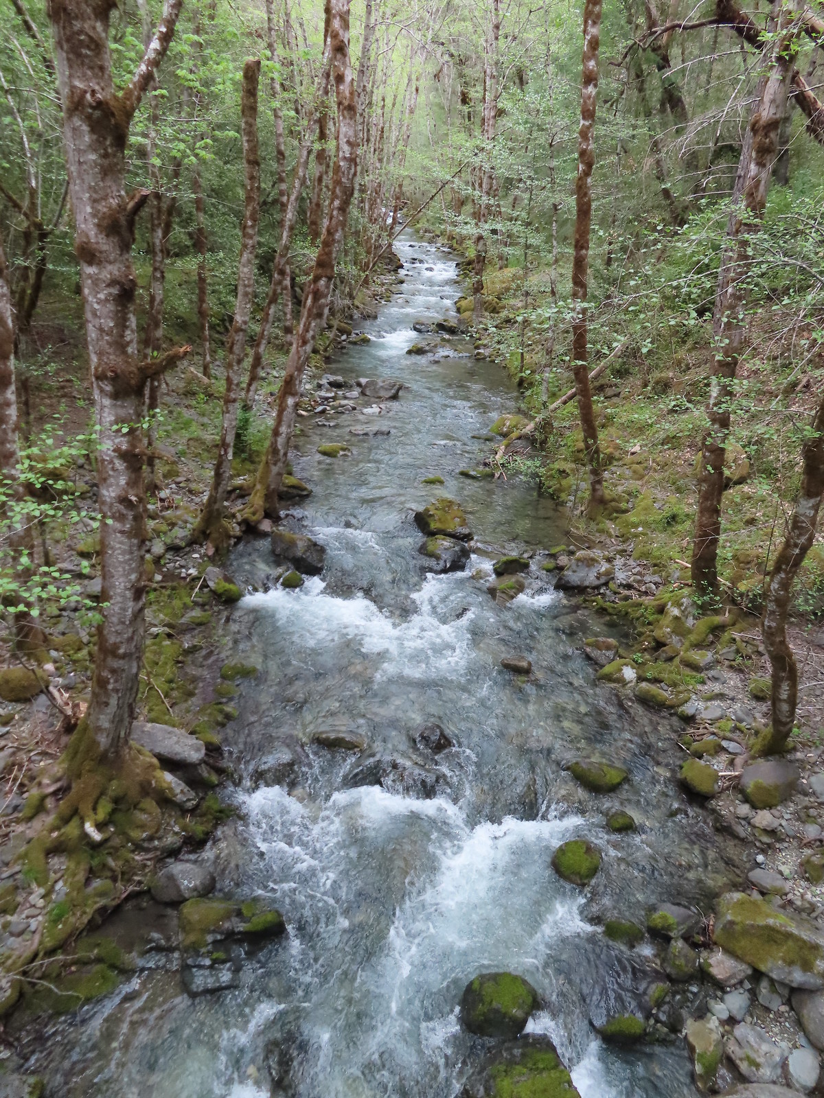
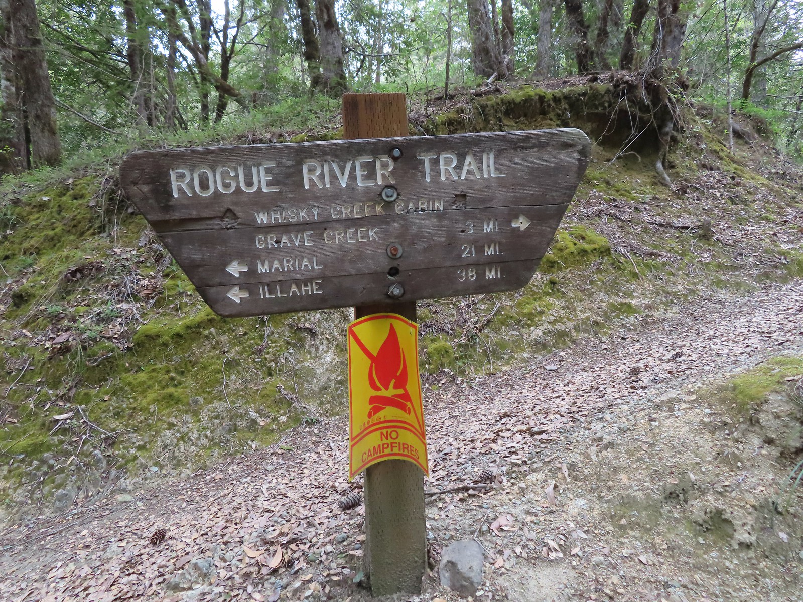 Sign at the spur trail to the cabin.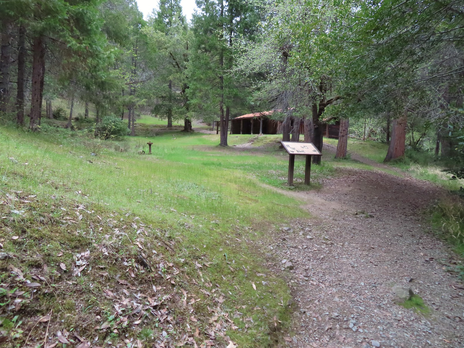
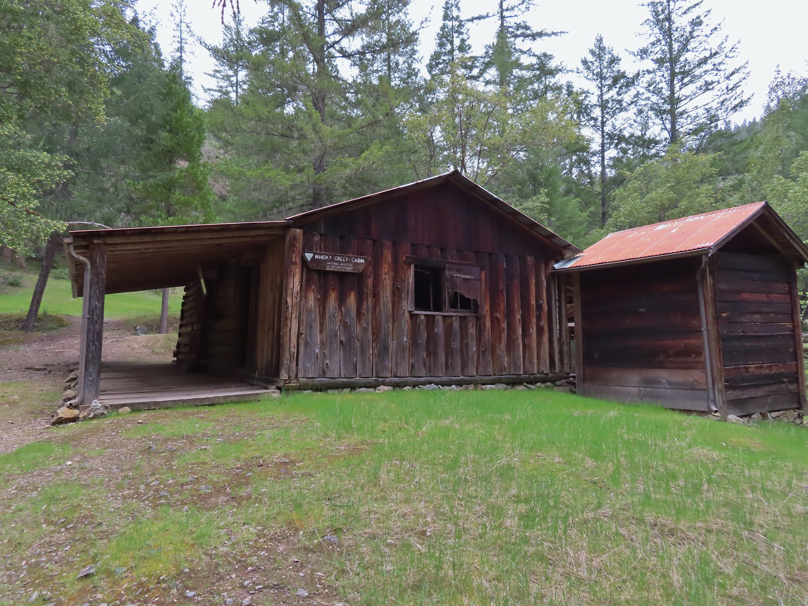
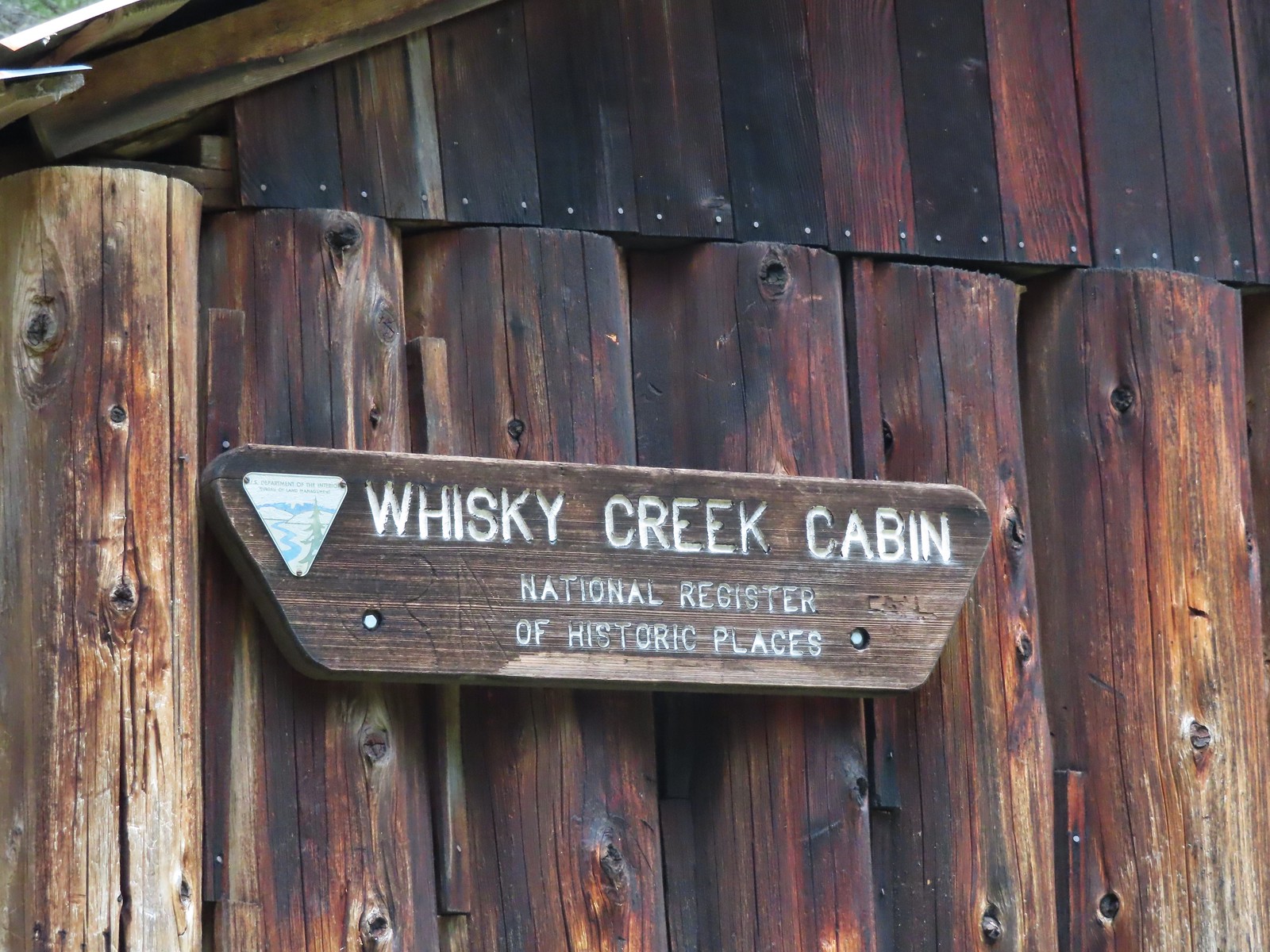


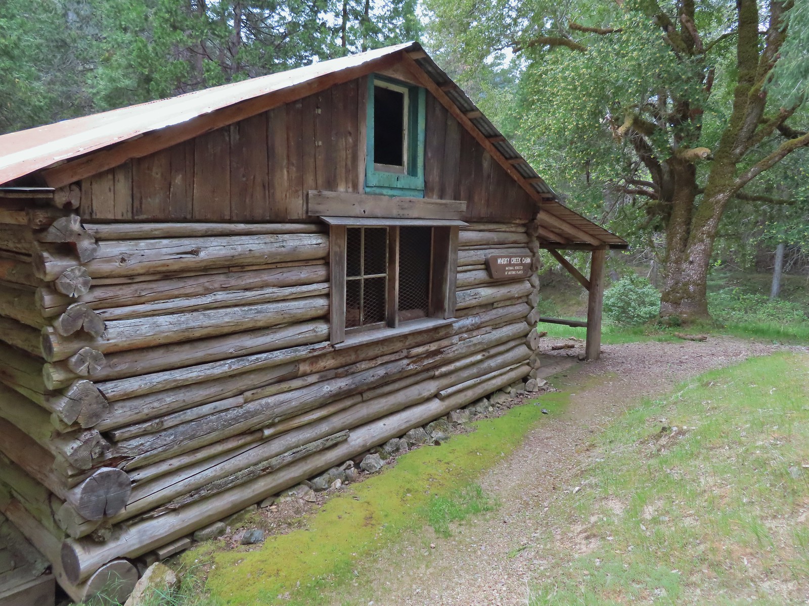
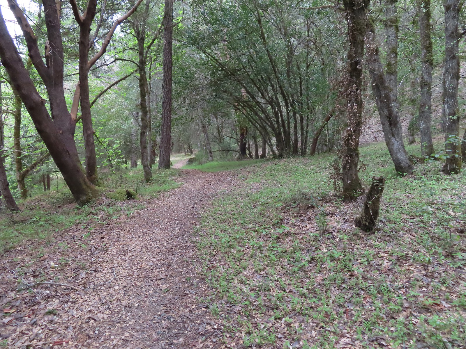
 Del Norte irises
 Big Slide Camp to the left.
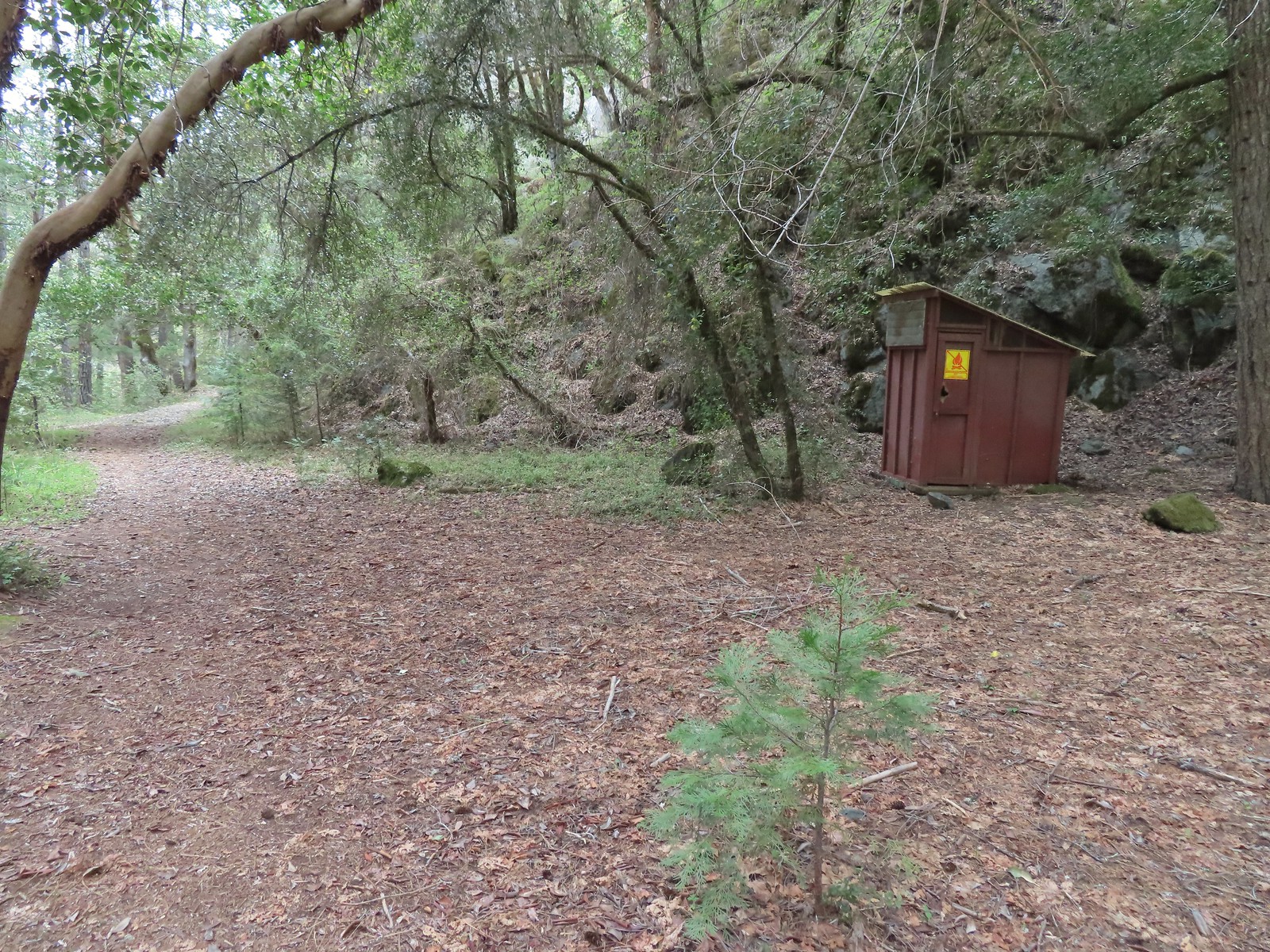 Outhouse at Big Slide Camp.
 Common mergansers
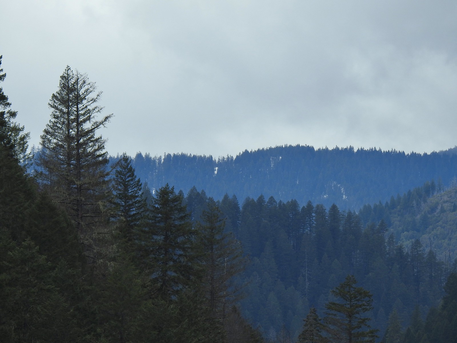 Snow on a ridge above the Rogue River Valley. (This was a sign of issues for us later in the week.)
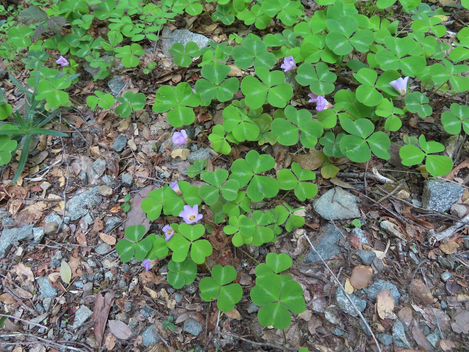 Redwood sorrel along Whiskey Creek.
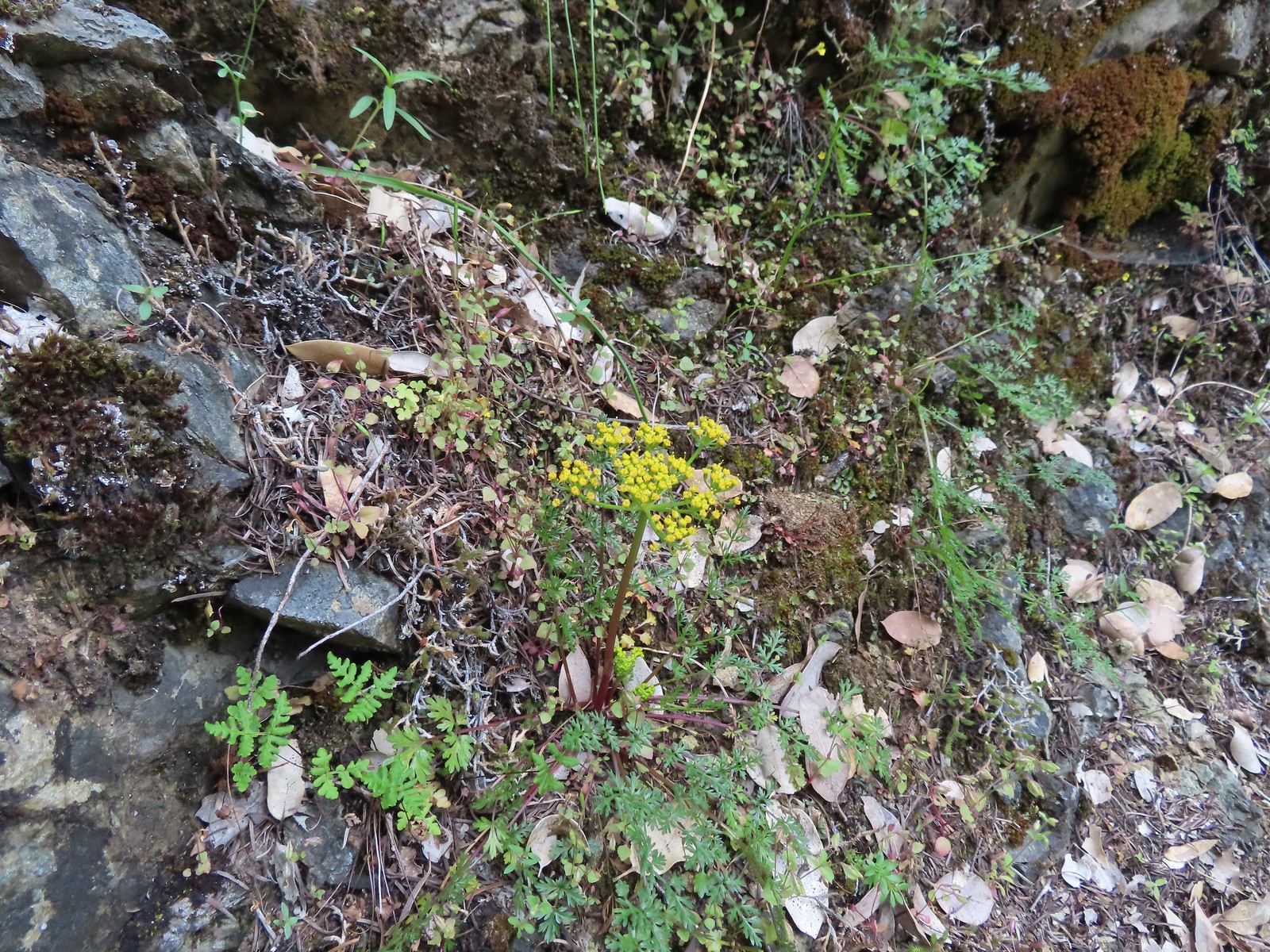 Buiscuitroot
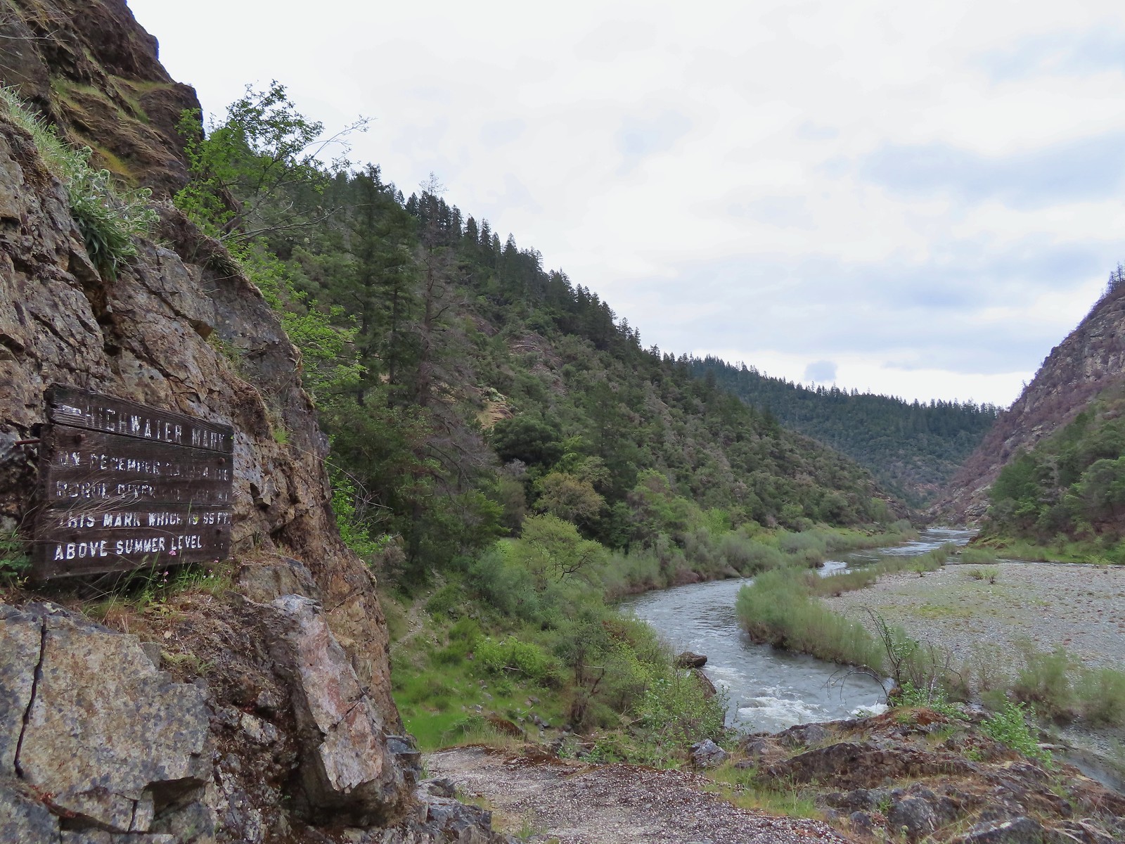 Passing the high water mark.
 Arriving back at the trailhead.




 Most of the camas was still working on blooming but a few were open.
 Buttercups
 Dark eyed junco
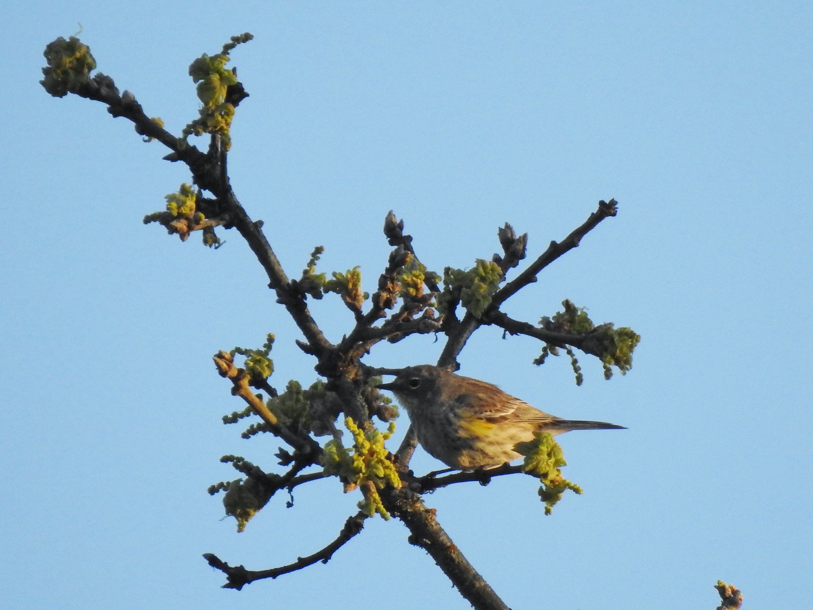 Possibly a female yellow-rumped warbler.
 Plectritis
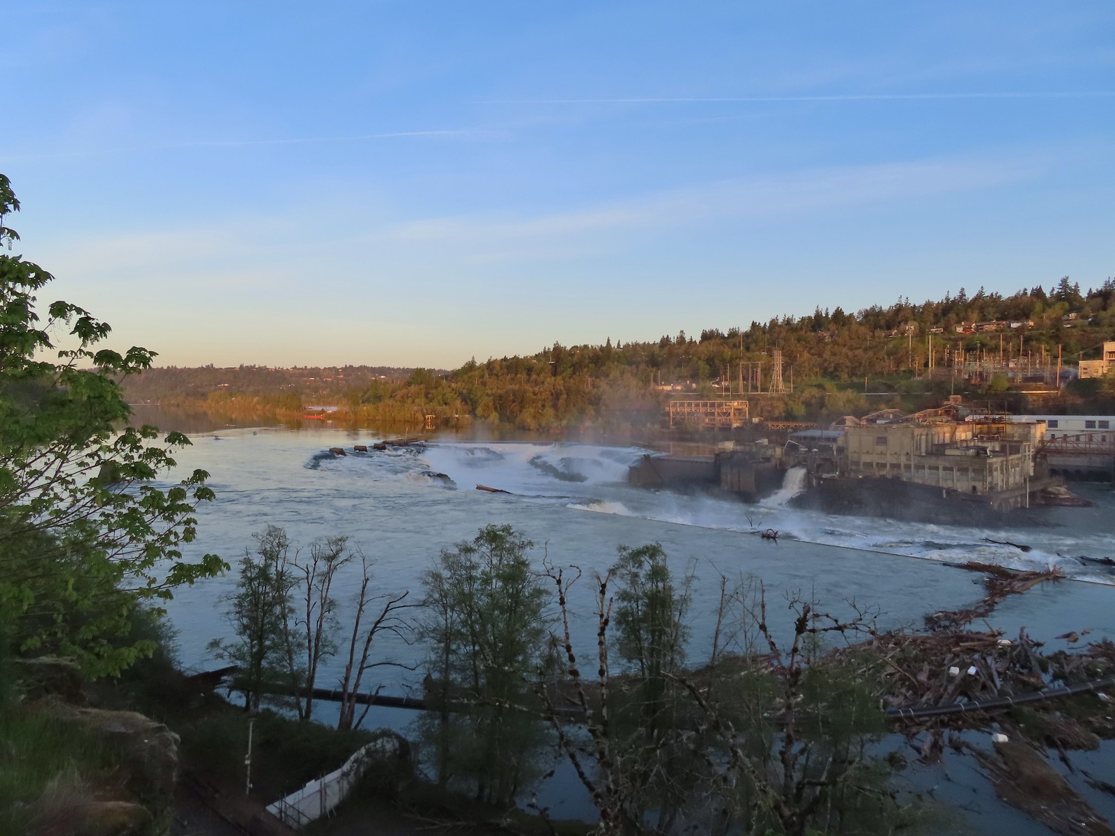
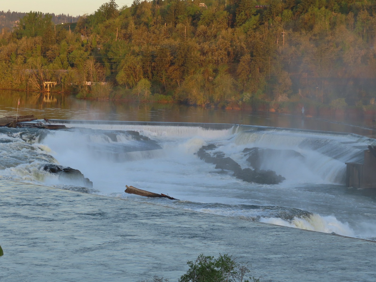
 Willamette River
 Robin
Robin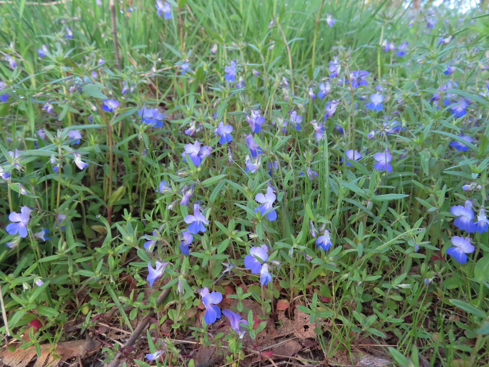 Giant blue-eyed Mary
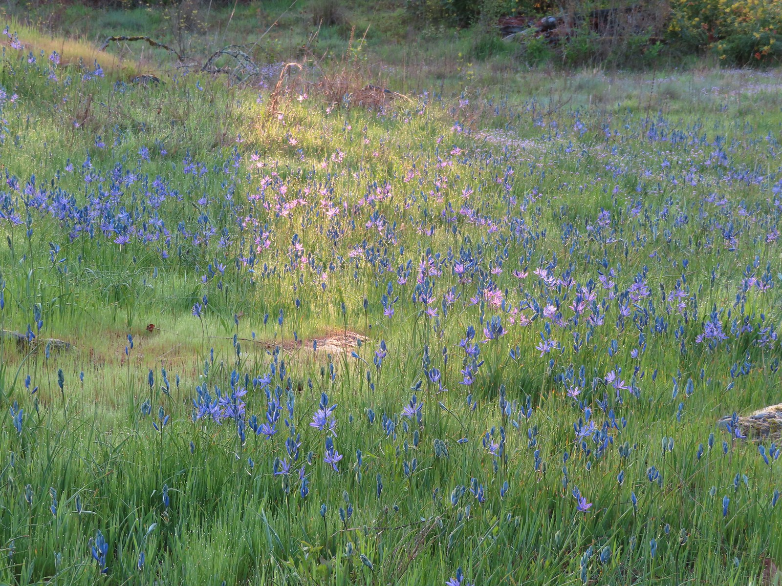 Camas catching a little sunlight.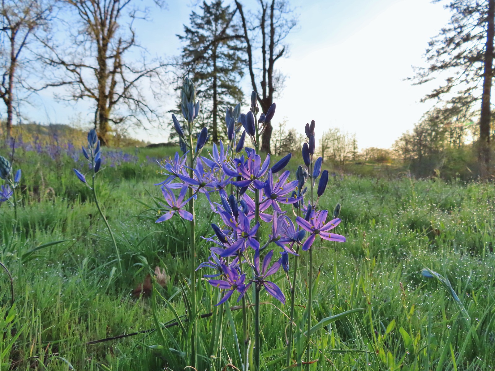

 Red flowering currant
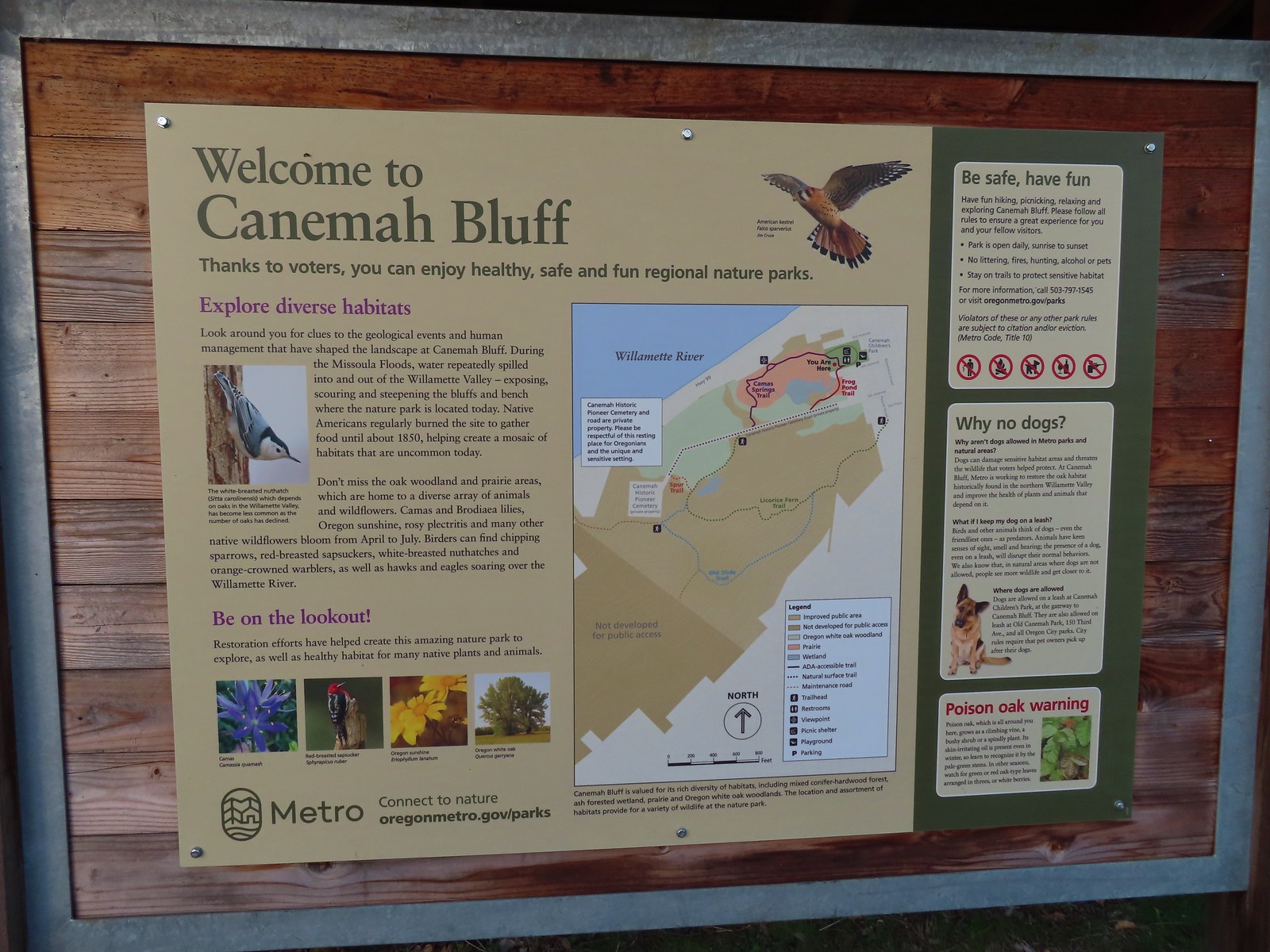
 Metro’s signage has been top notch in the parks we’ve visited so far.
 Hooker’s fairy bells
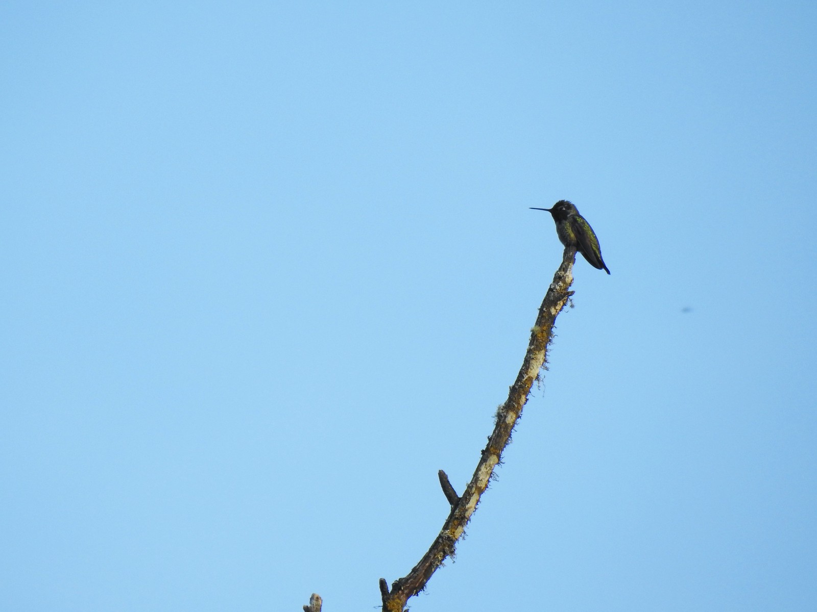 Hummingbird
 Fawn lilies
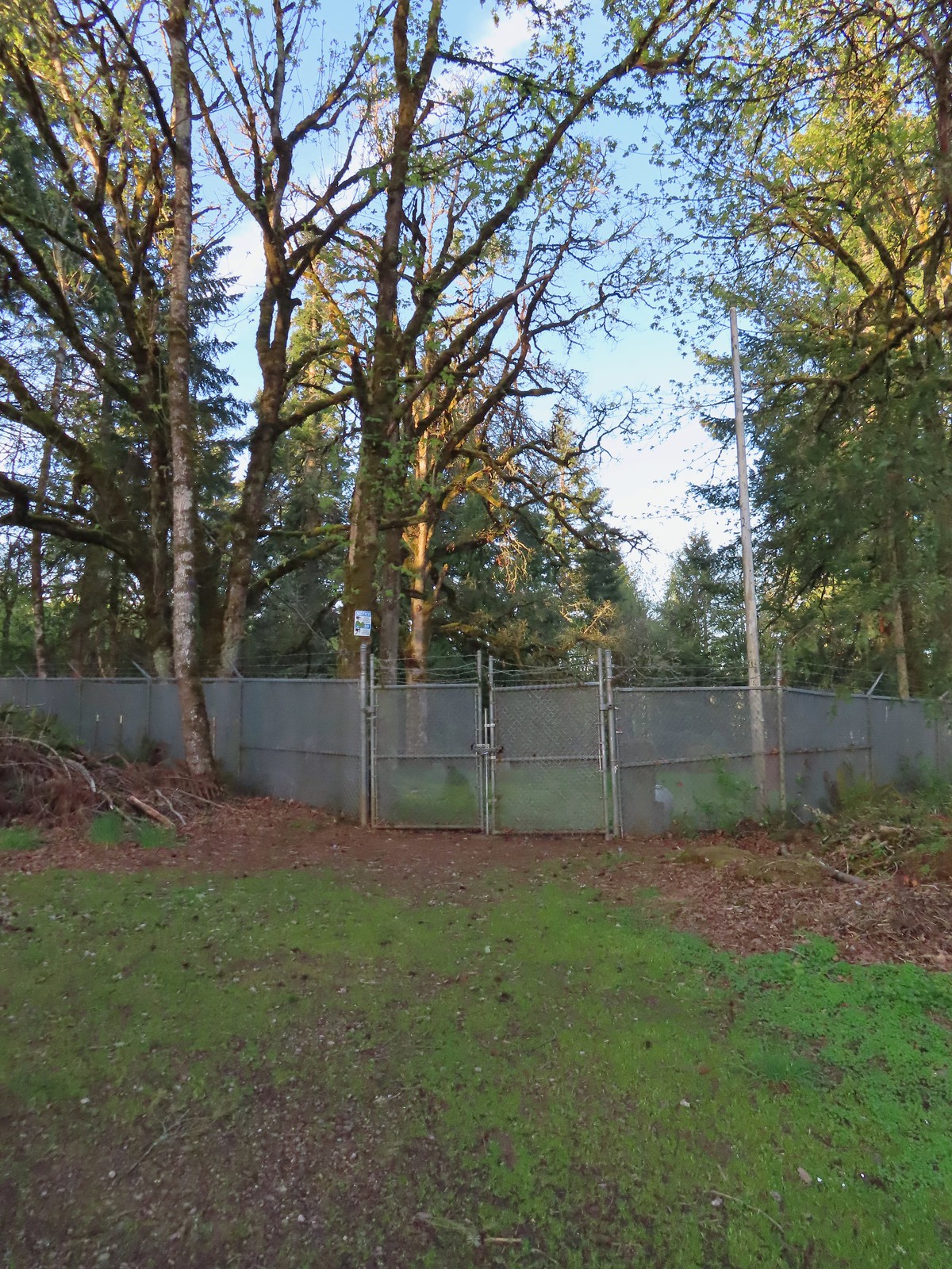 The cemetery behind the fence.
 The Spur Trail.


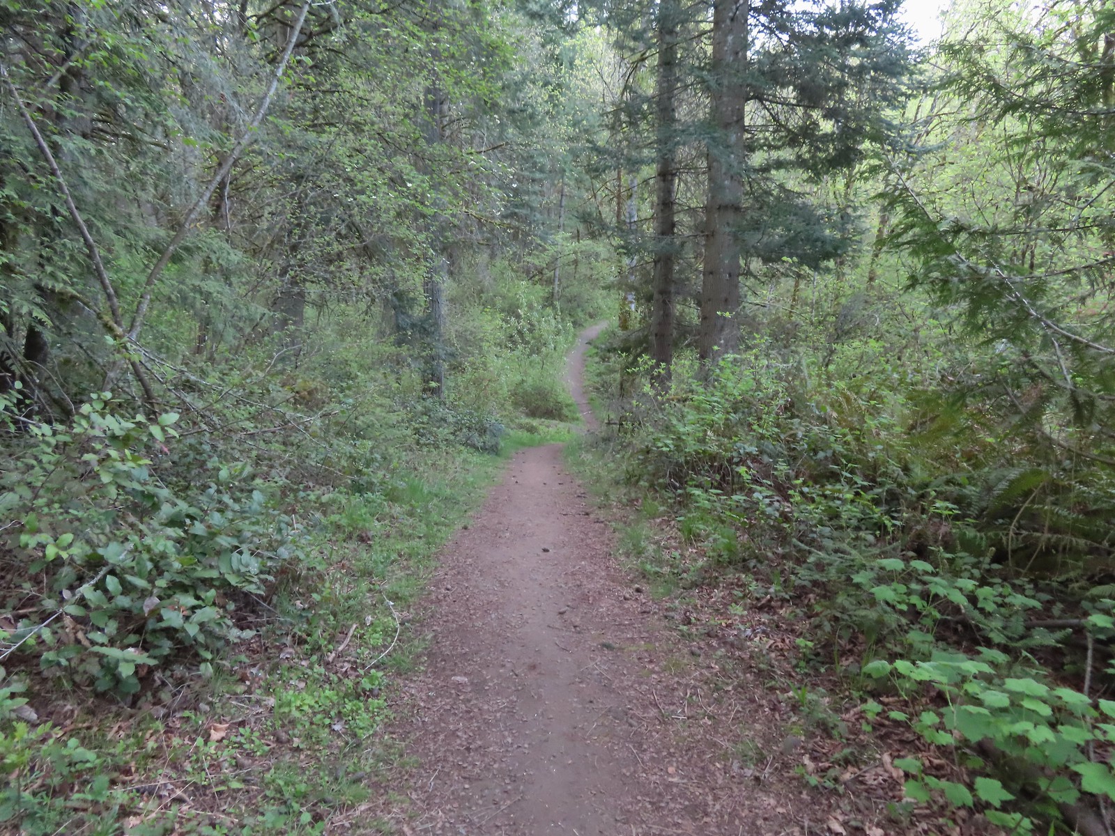
 The boundary marker. The trail continues a short distance to 5th Place.

 Youth-on-age
 Salmonberry
 Violets
 Back on the road.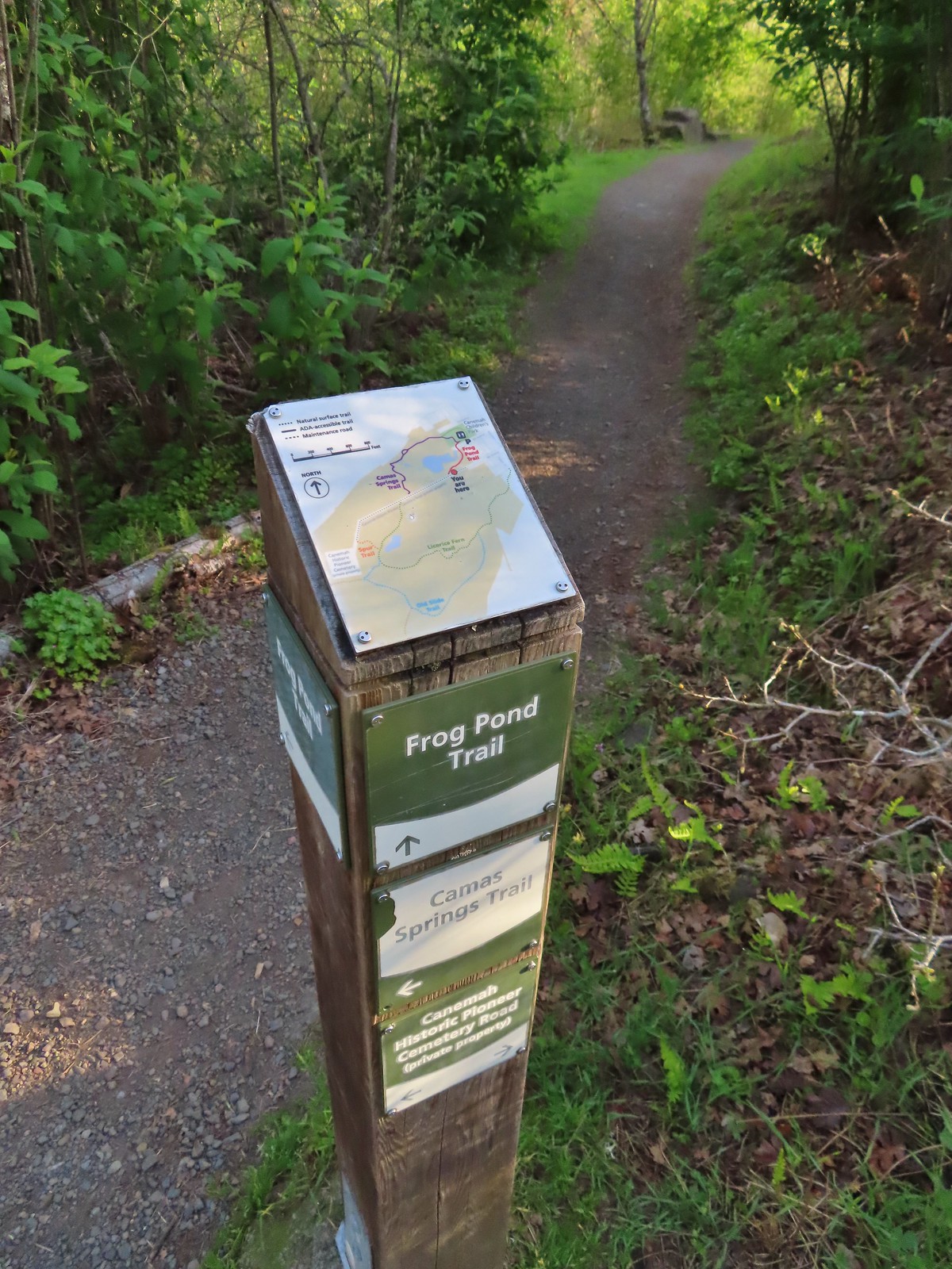
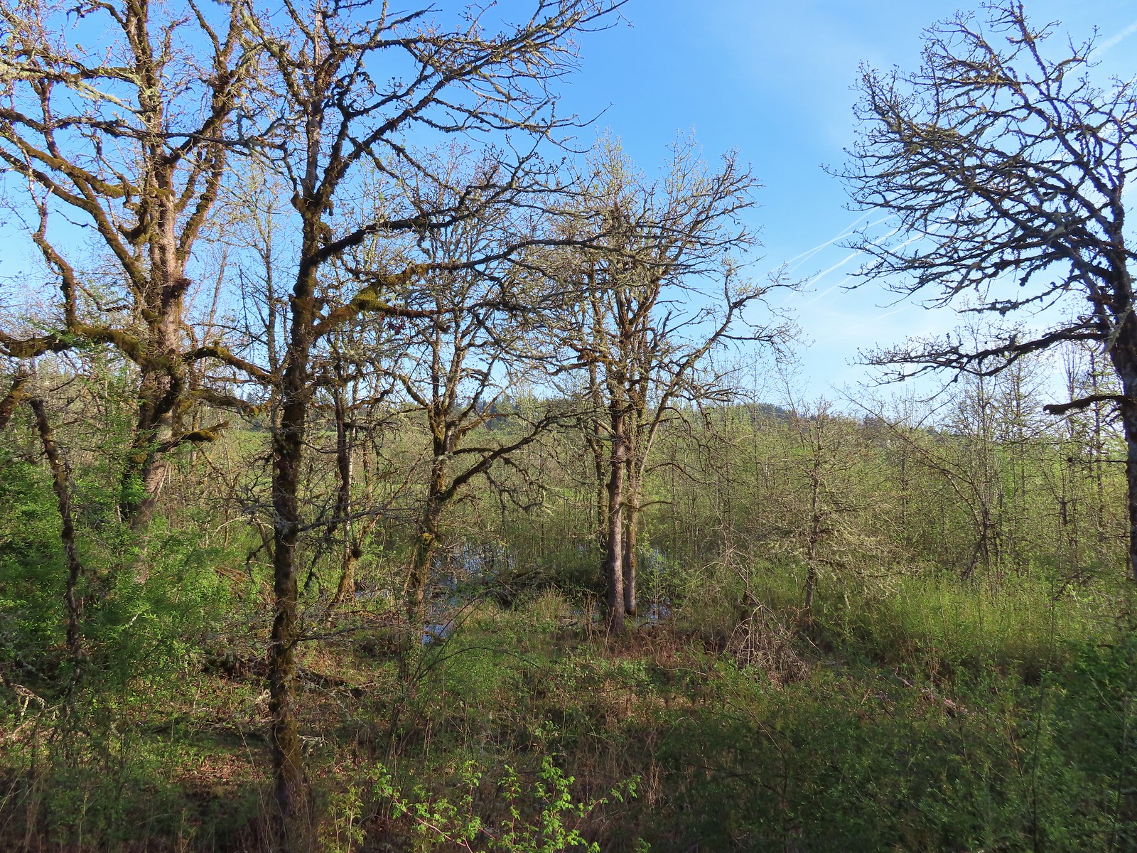 The frog pond.
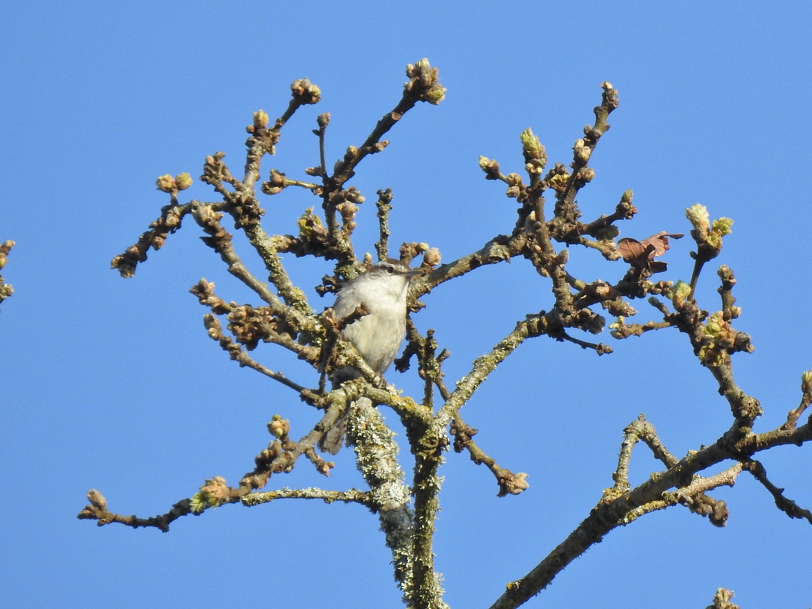 Bewick’s wren
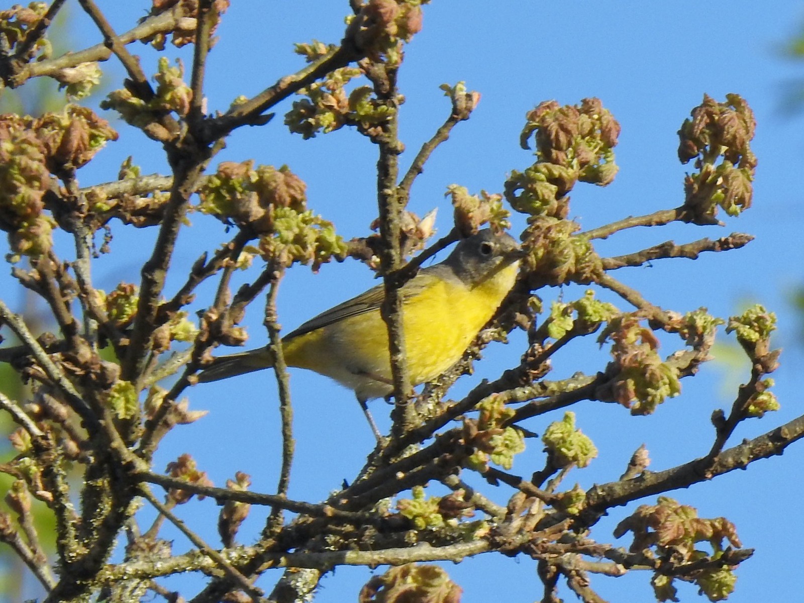 Nashville warbler?
 House finches
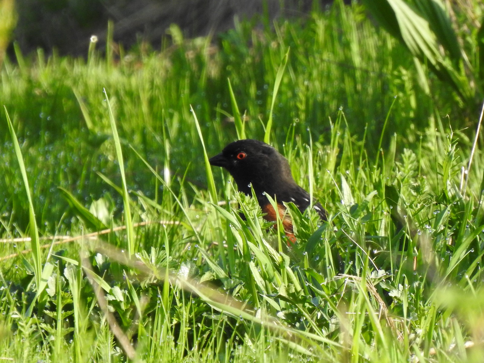 Spotted towhee
 Bleeding heart near the pond.
 Arriving back at the trailhead.
 View from the trailhead.
 Trailhead signboard.
 Please note that pets are not allowed at most Metro parks.
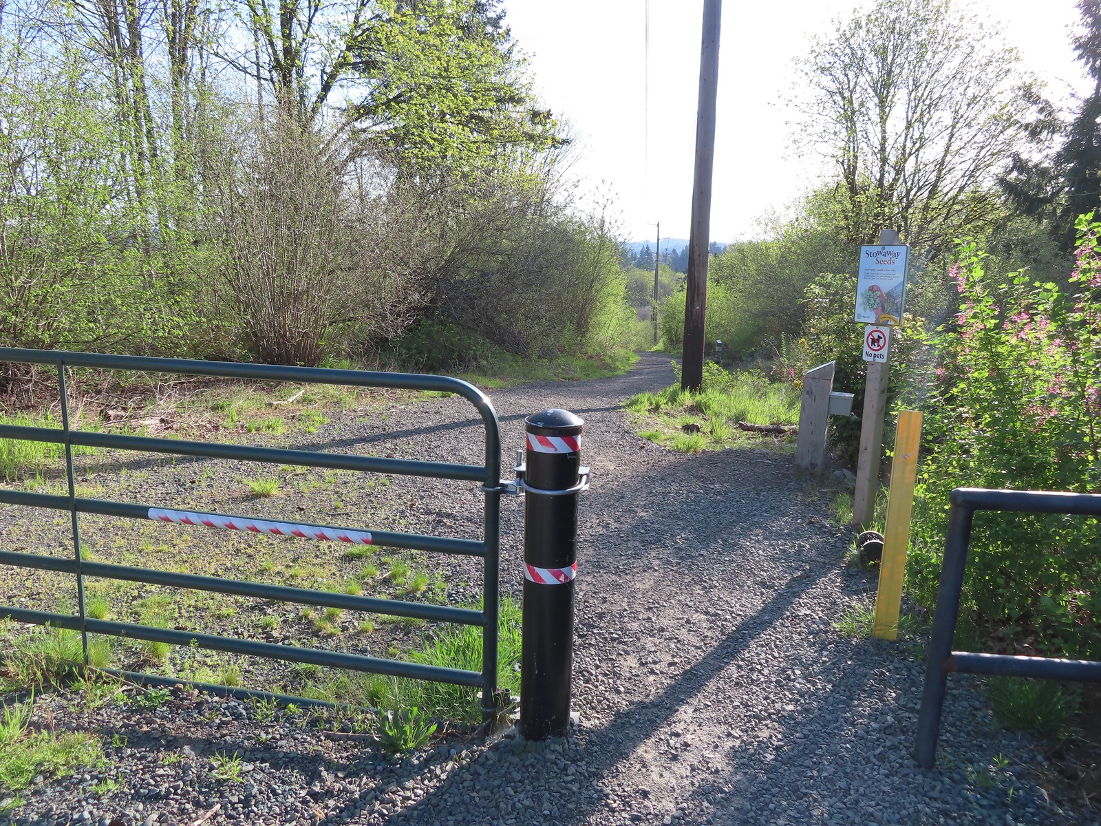 Don’t forget to brush off your shoes when brushes are available.
 The Shady Lane Trail.
 Oregon grape, red flowering currant and Indian plum
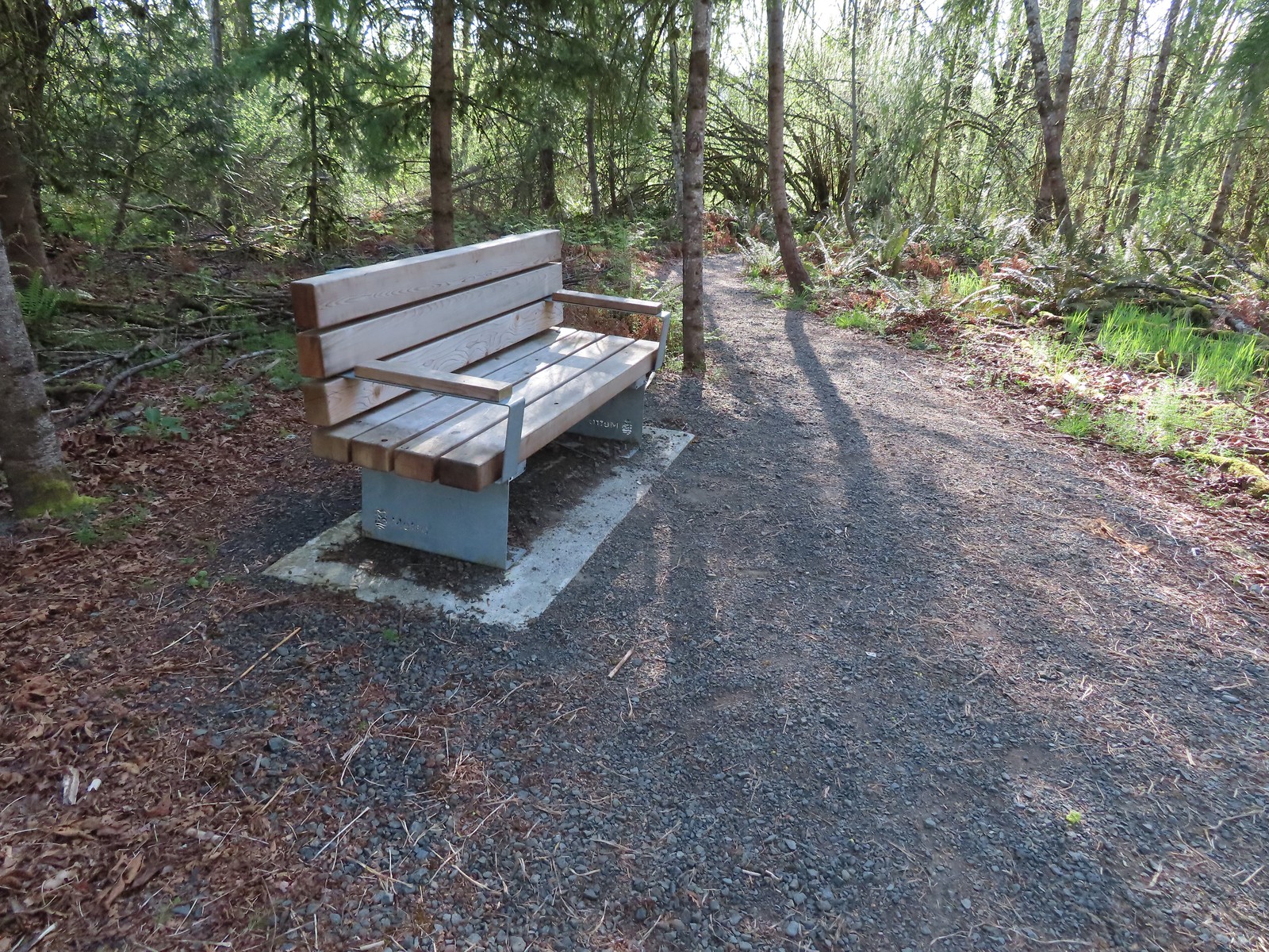 One of several benches located throughout the park.
 The connector trail.
 Candy flower
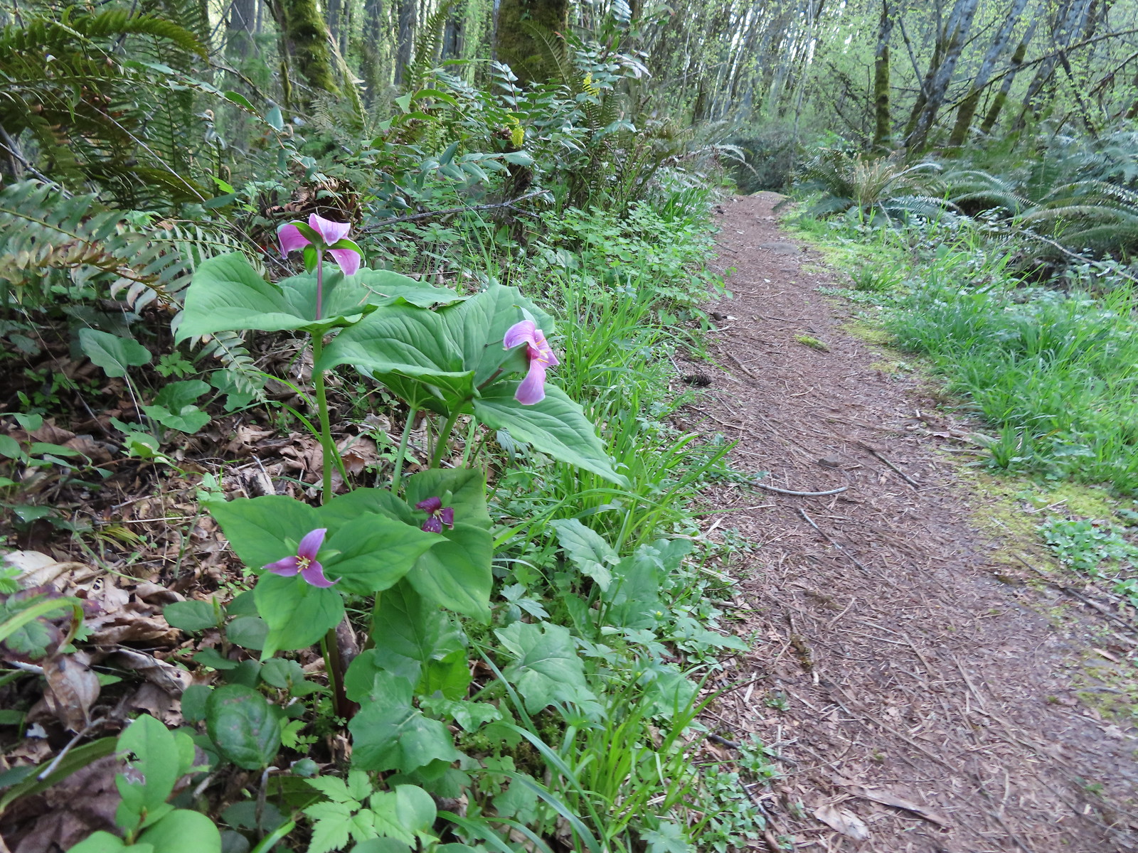
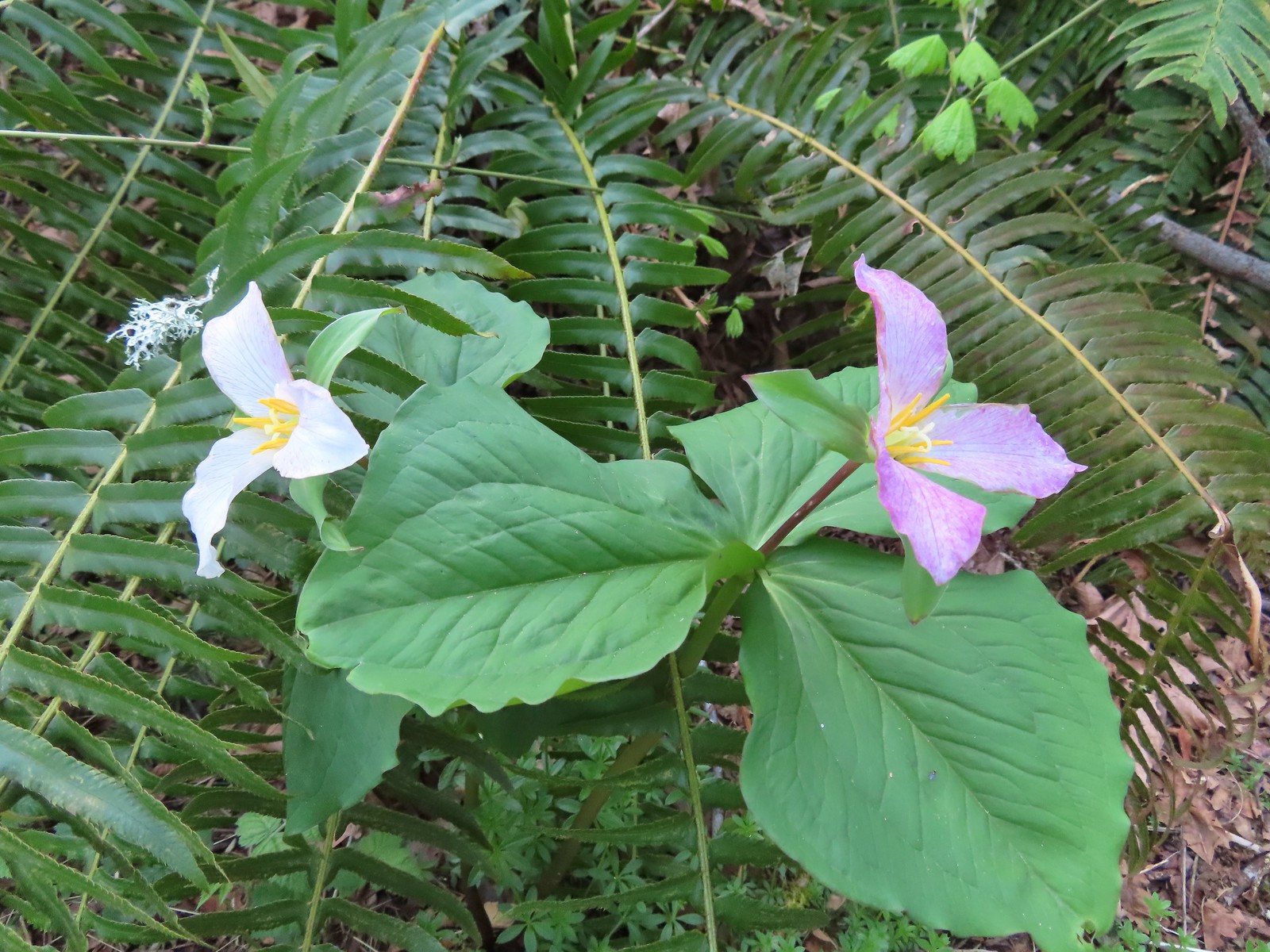
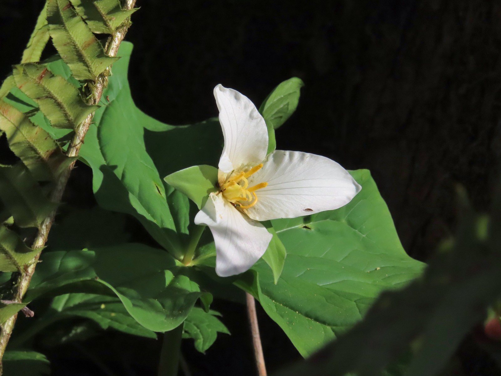 Trillium with a tiny insect.
 Carpet of green.
 A rare bluebird day for us this year.
 Salmonberry blossoms
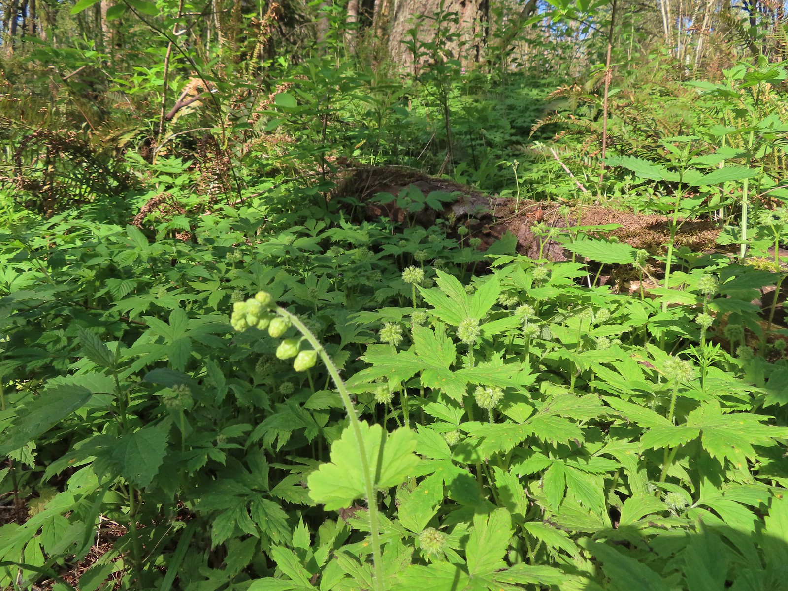 Fringecup and pacific waterleaf that had yet to start blooming.
 The Tumble Falls Bridge.
 Tumble Falls
 The Red Soil Roller Trail to the right.
 A small pond along the trail.
 Song sparrow
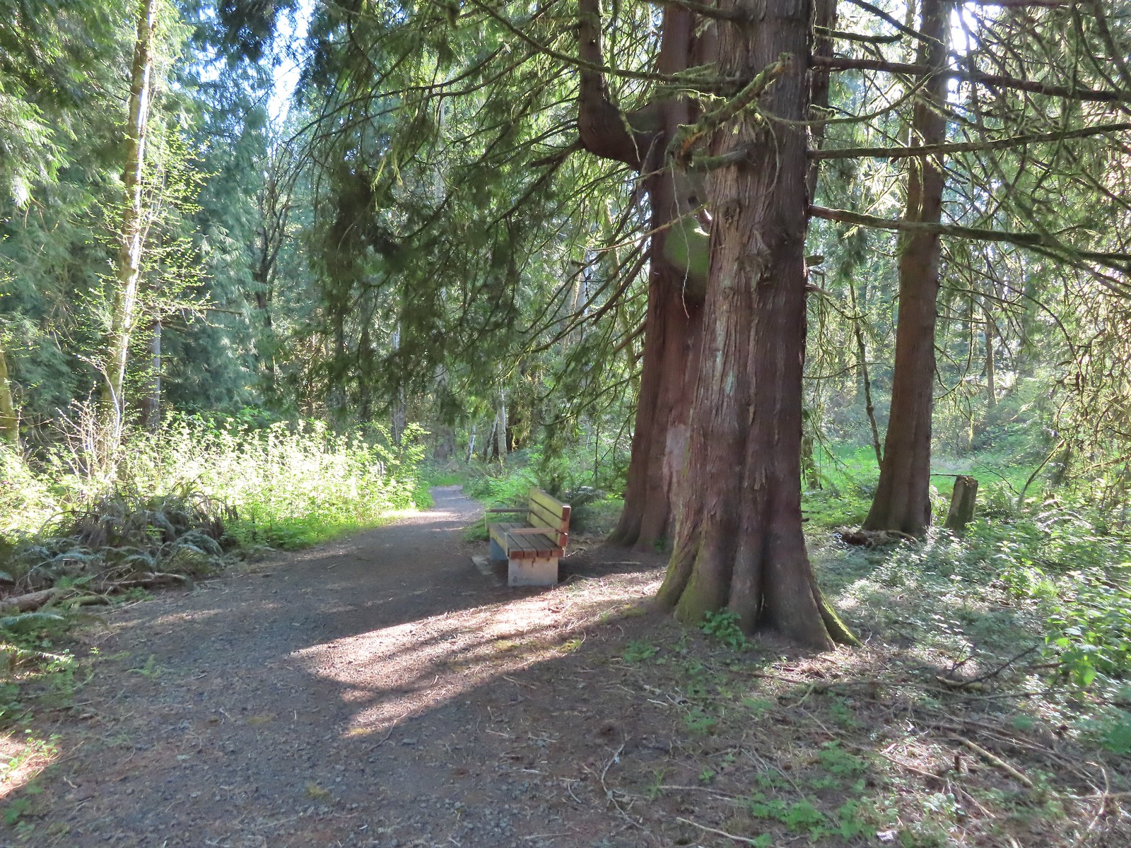 Western red cedars
 Nearing the end of the trail.
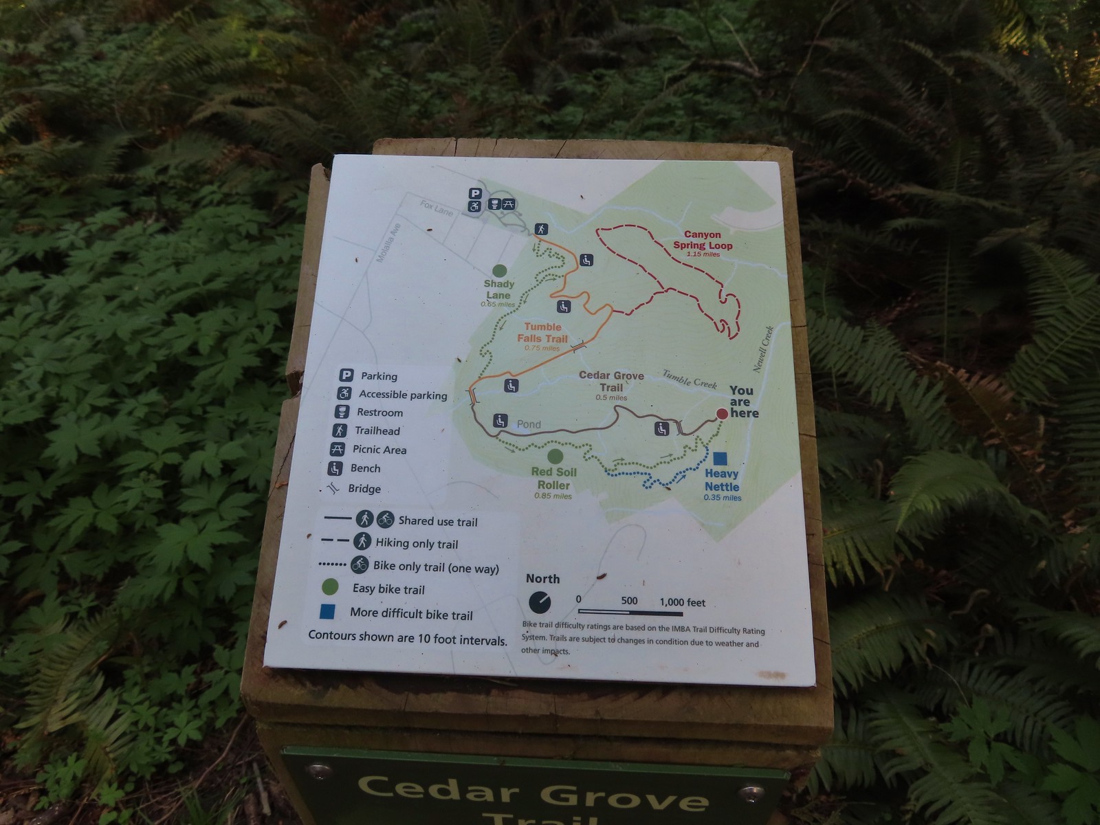 Map at the end of the Cedar Grove Trail.
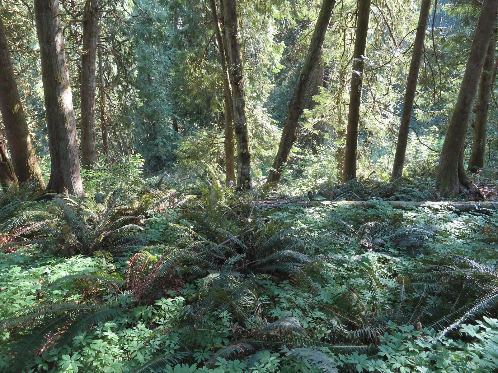 Newell Creek is down there somewhere.
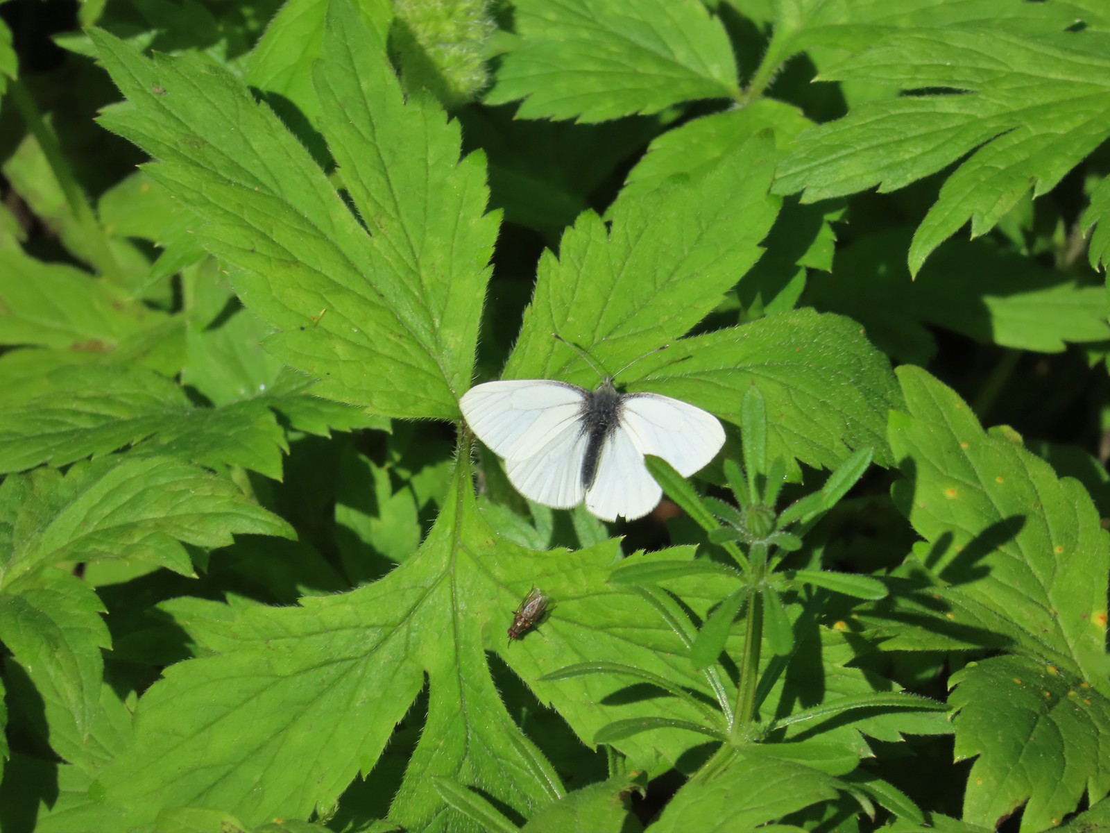 Male margined white?
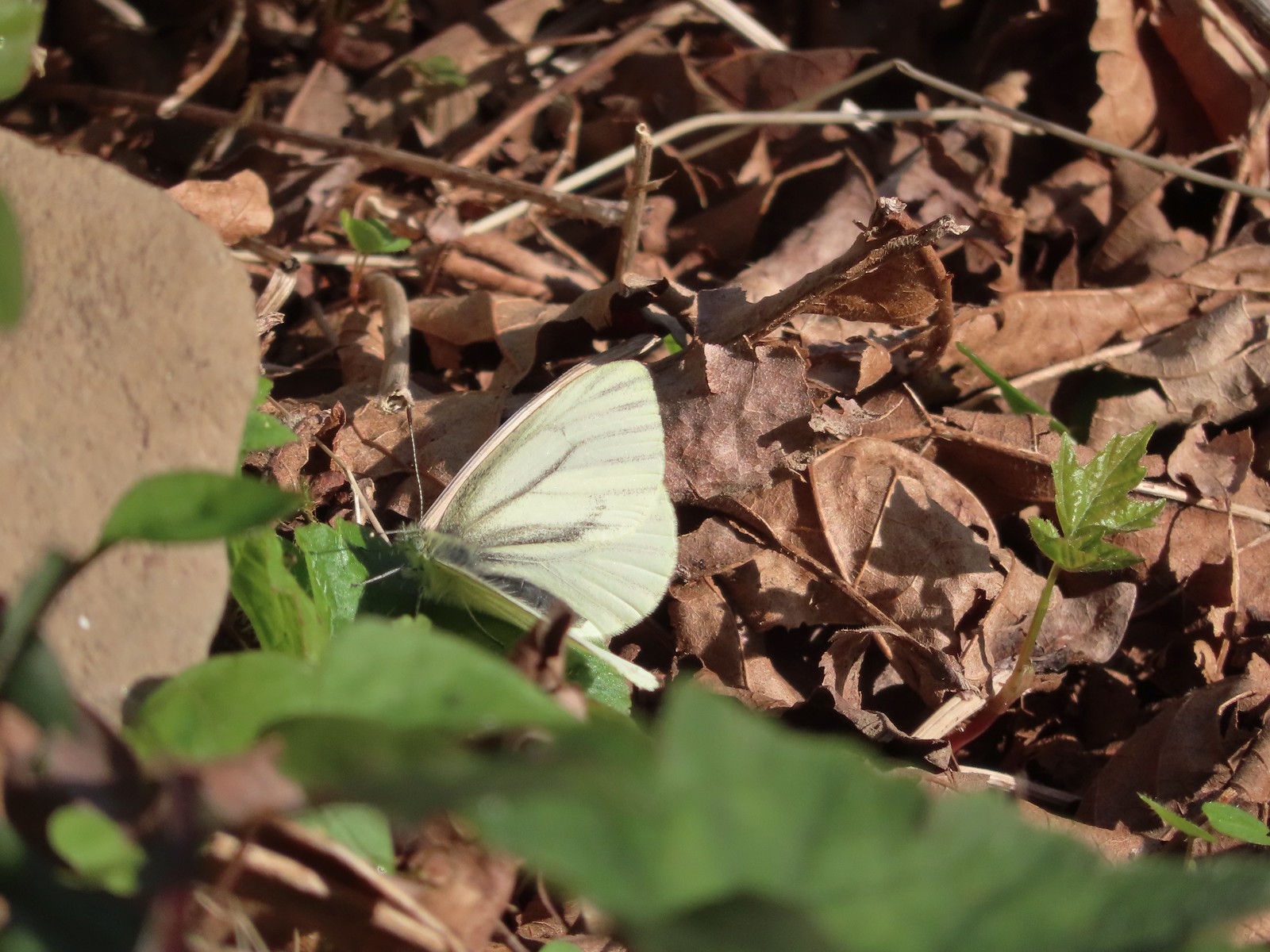 Female margined white?
 Slender toothwort
 The Canyon Spring Trail below in the trees.
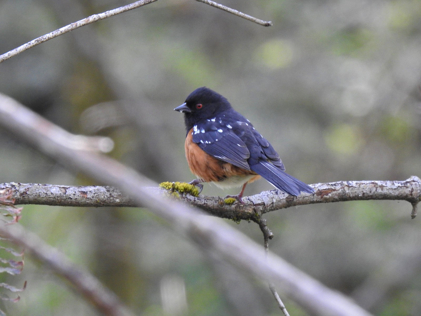 Spotted towhee
 Chipmunk
 Heading back beneath the ridge.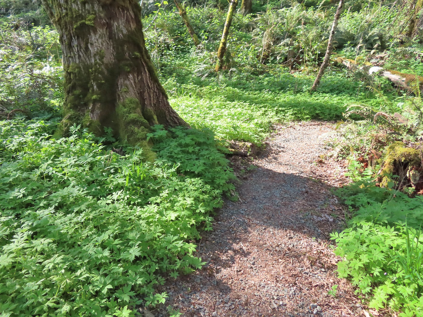
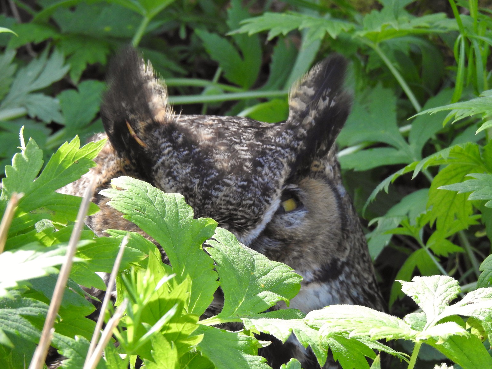

 Trillium and mushrooms
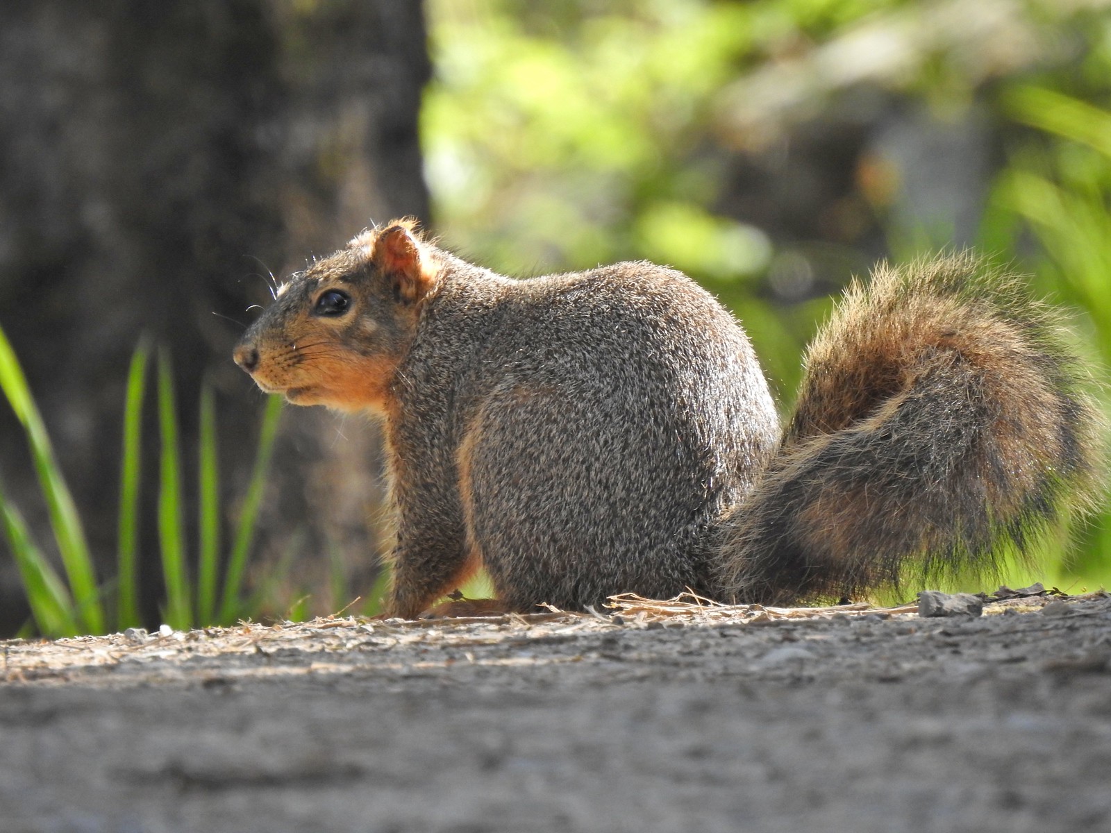 Squirrel
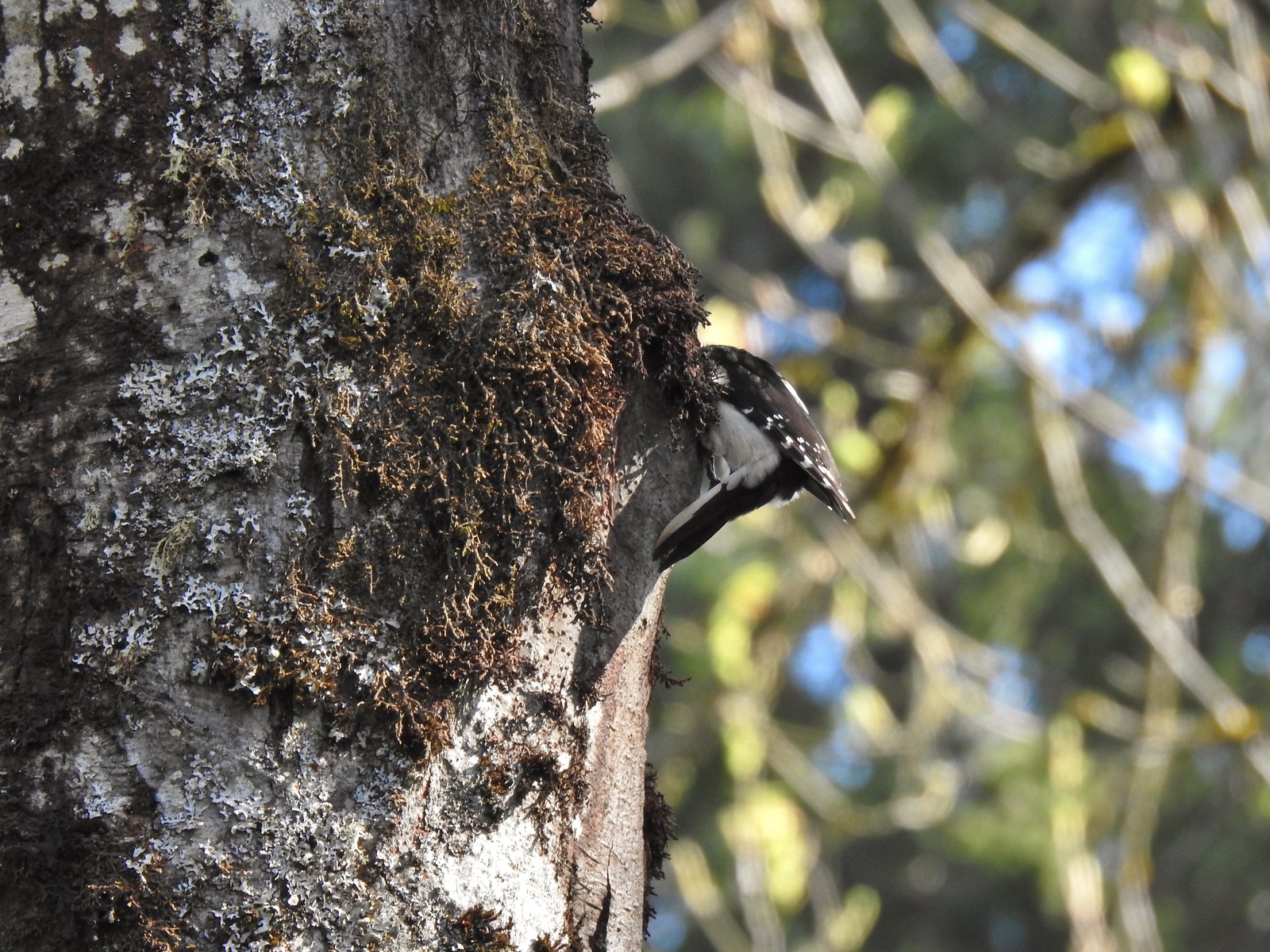 Woodpecker
 Stellar’s jay
 Back at the Tumble Falls Trail.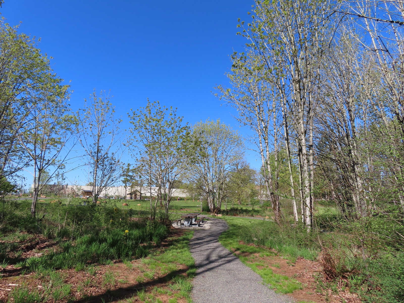
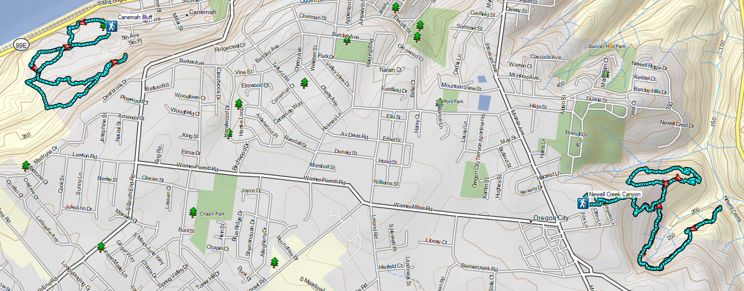


 Not sure how “official” the writing is on the map, but it wasn’t wrong about the Turtle Loop being “closed” (high water).

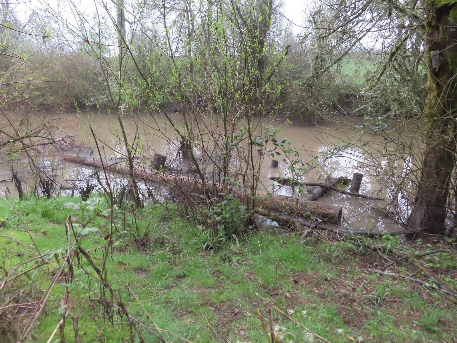 A swollen Lake Creek
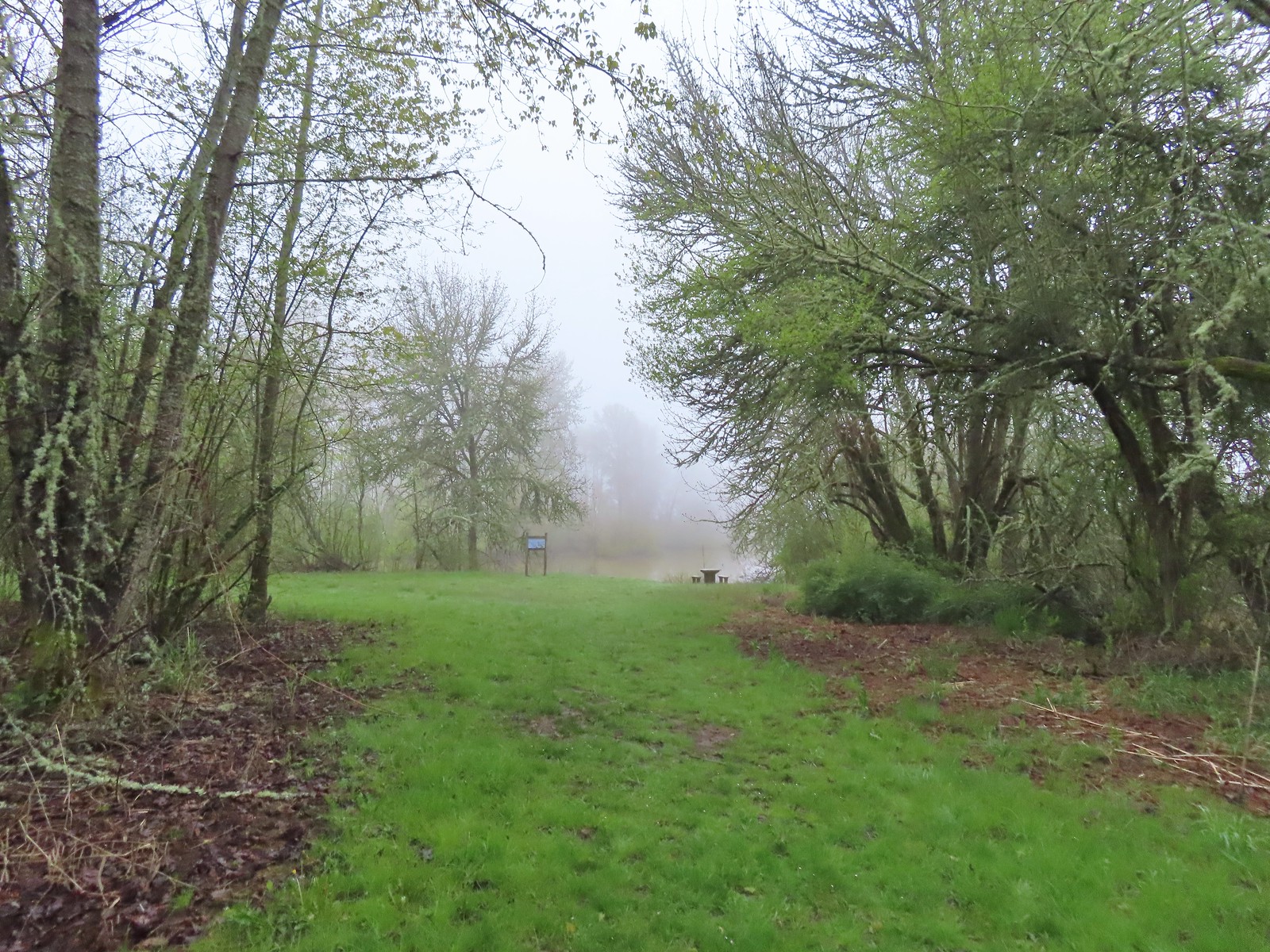 A third of a mile from the trailhead is a picnic table overlooking a former channel of the Willamette River that is now an oxbow lake filled by Lake Creek.
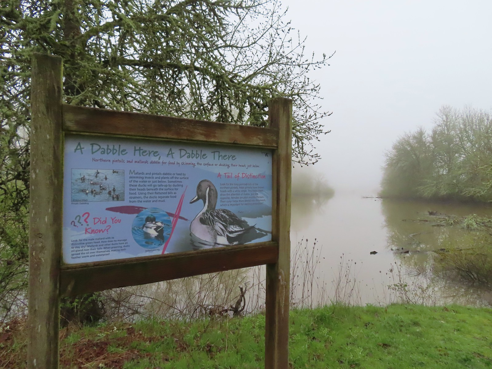 The oxbow lake.
 Lots of water in the lake.
 Woodpecker hiding in the trees.
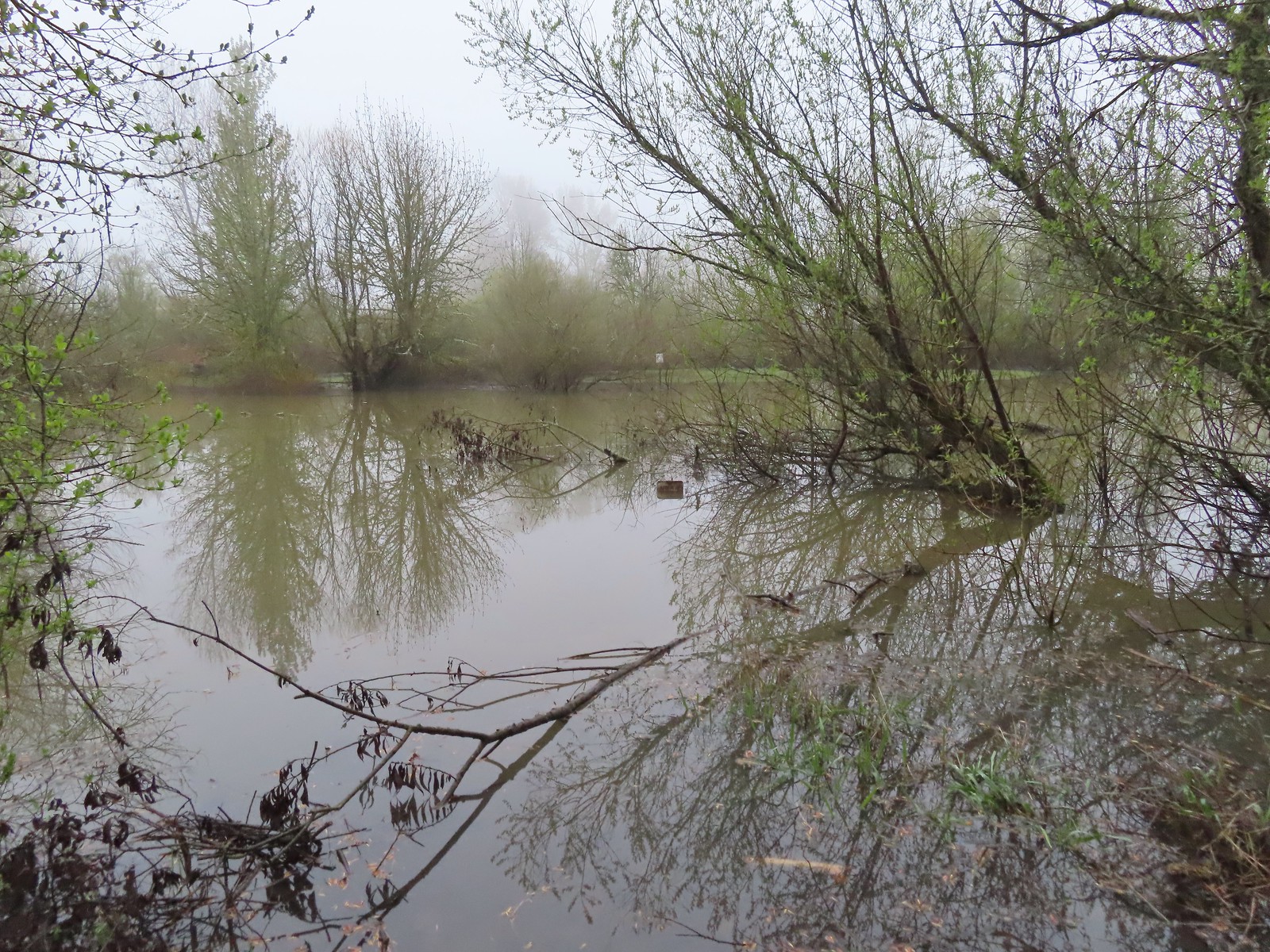 Note the sign on the far side vs the closer sign barely sticking up out of the water.
 Oregon grape
 Red flowering currant
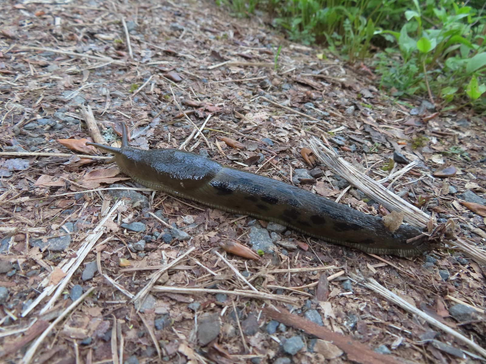
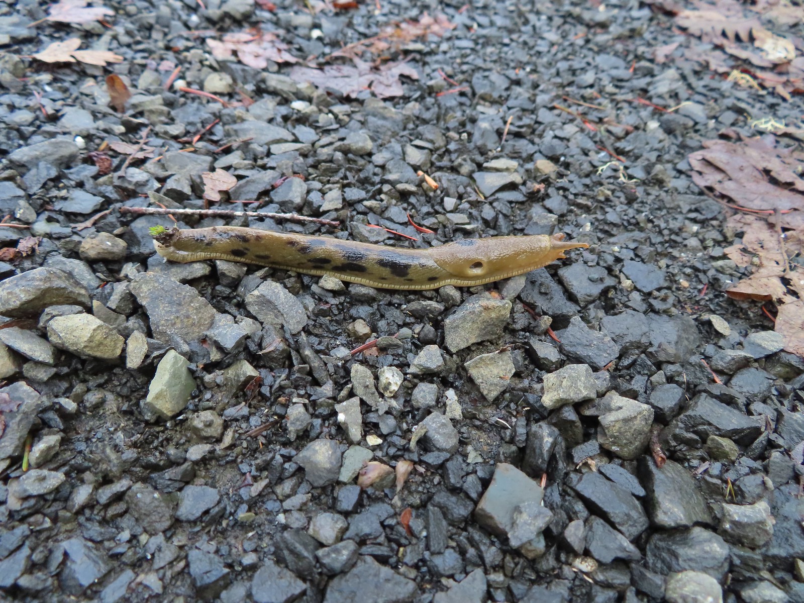
 Slug
Slug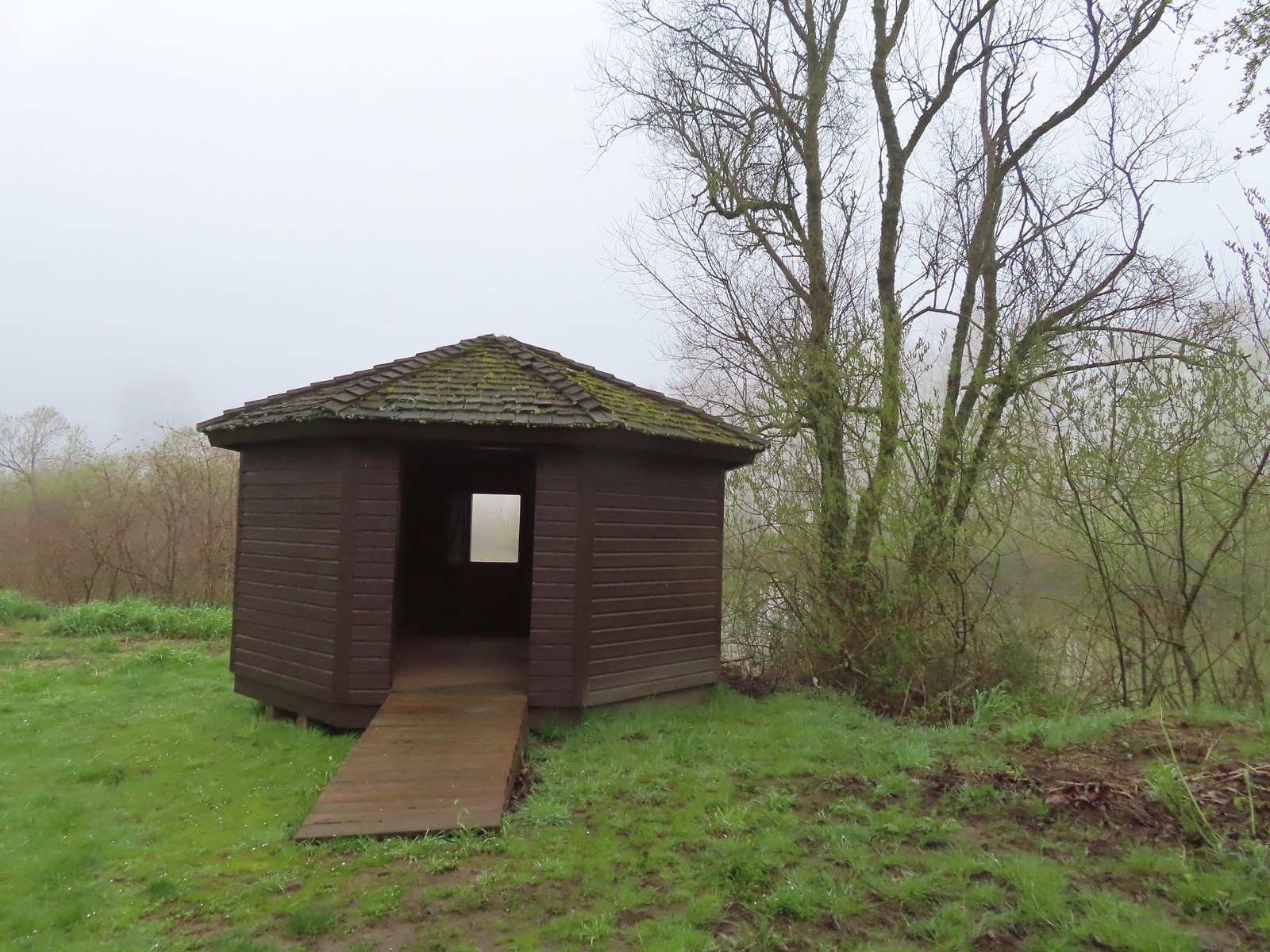 The observation blind.
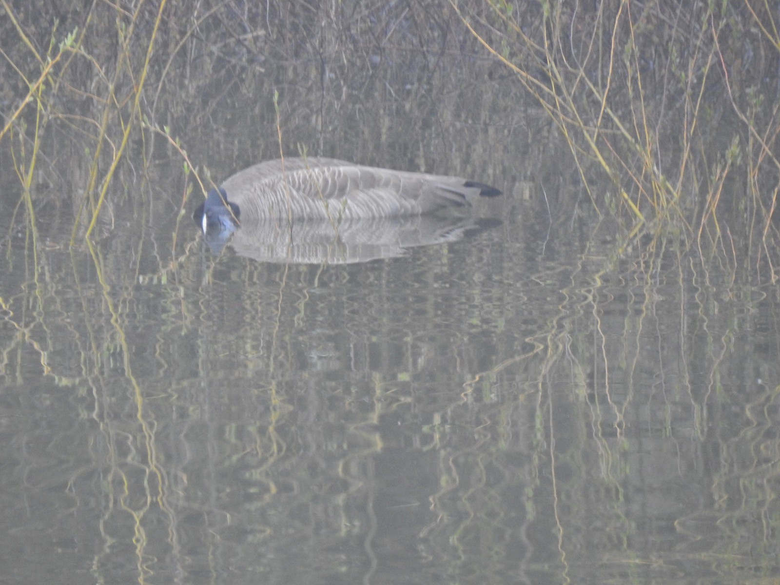 Goose
Goose Spotted towhee
 Mallard drake
 The Blue Heron Trail followed the boarder of the refuge and some private farmland.
 Blue Heron Trail to the left and Turtle Trail on the right.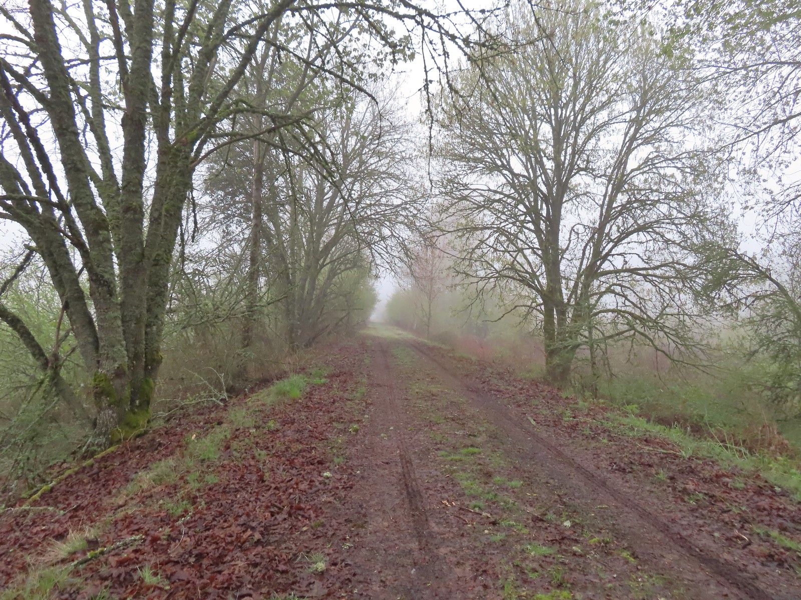

 American widgeon


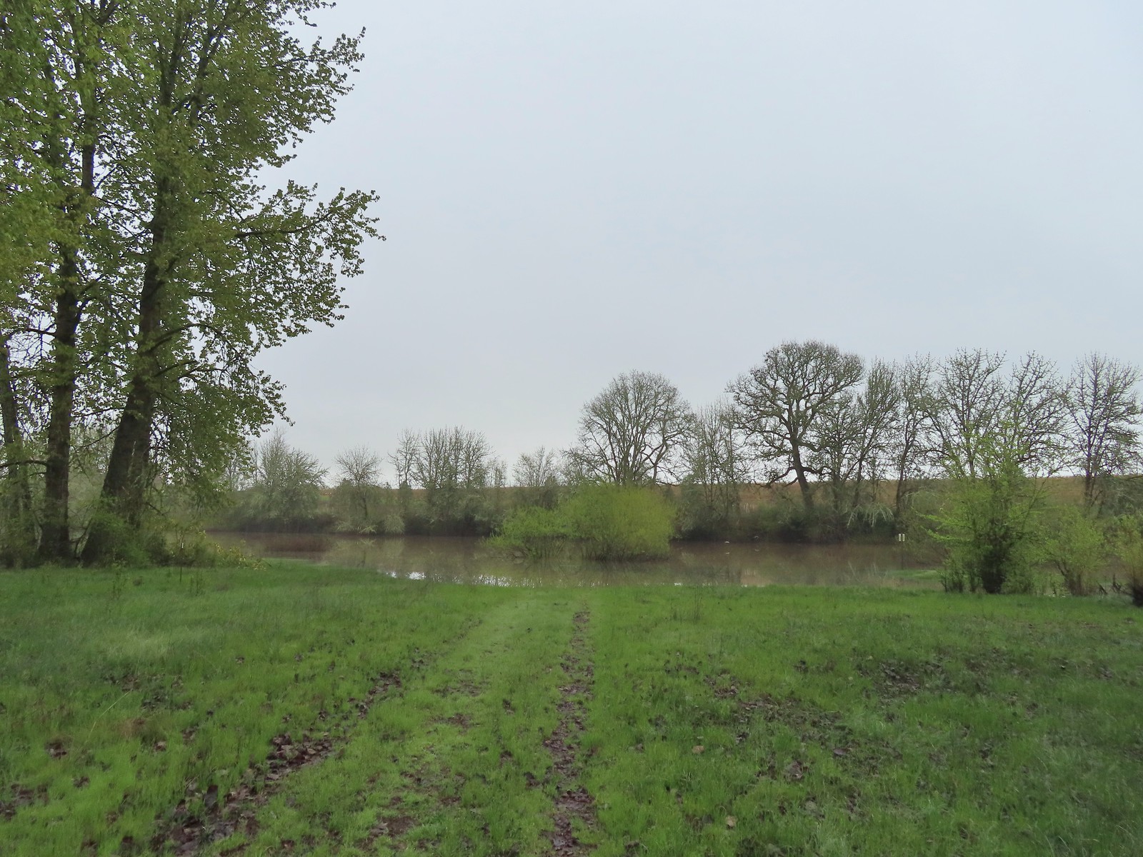
 Another sign out in the middle of the water.
 The start of a possible loop using the Blue Heron Trail. The fainter track on the right heading downhill was flooded just 100 feet or so away.
 The flooded area where the loop would end.
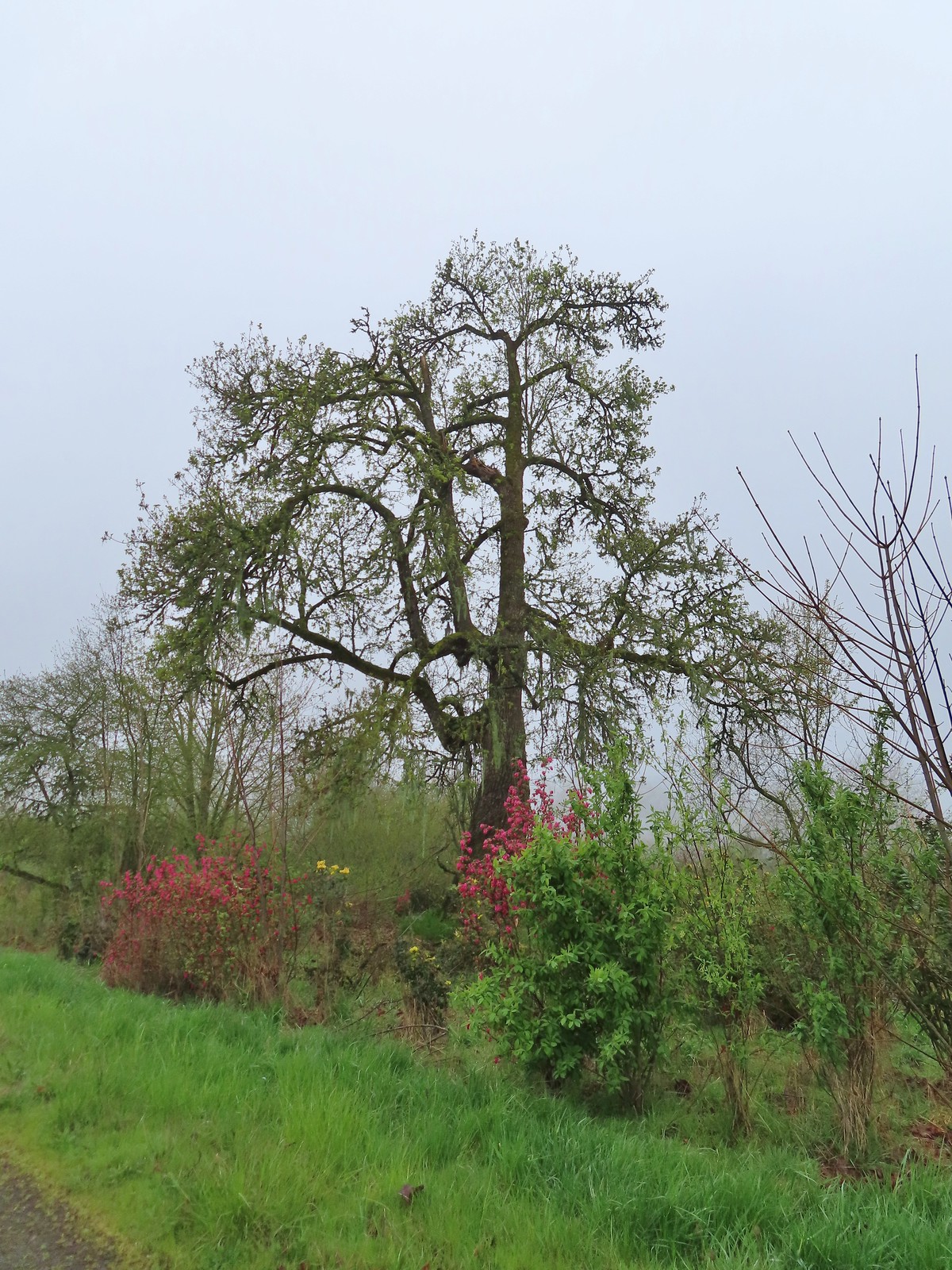 Cottonwood with red flowering currant, Oregon grape, and Indian plum blooming in front.
 We were able to keep our feet dry on the gravel surfaces.
 Mushroom
 Rufous Hummingbird
 Hawk preparing for takeoff.
 We had started to go past the turn for the Blue Heron Trail so this photo is as we headed back toward the turn. We came from the right-hand side so the path straight ahead would have been the “sharp right”.
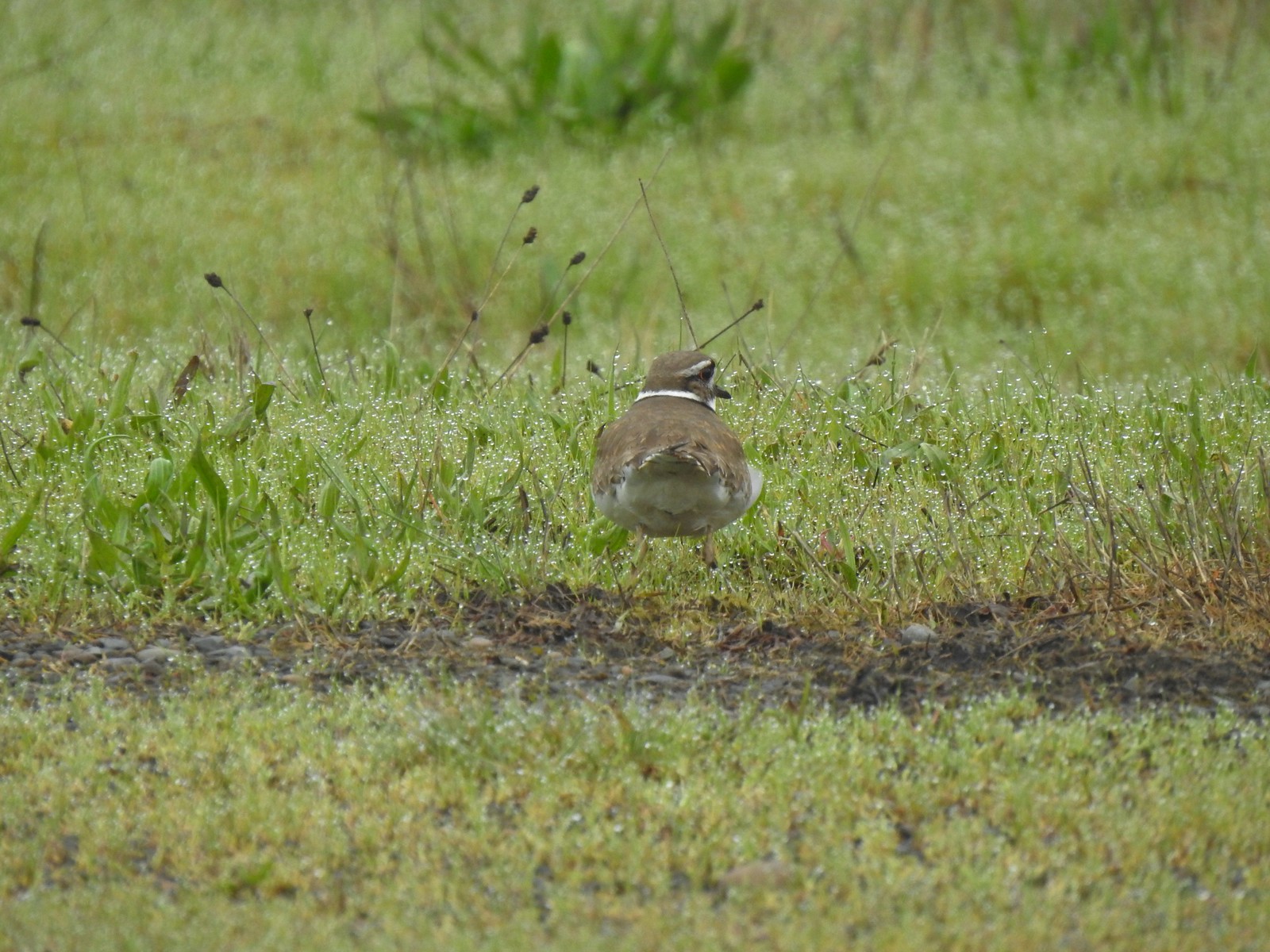 Killdeer
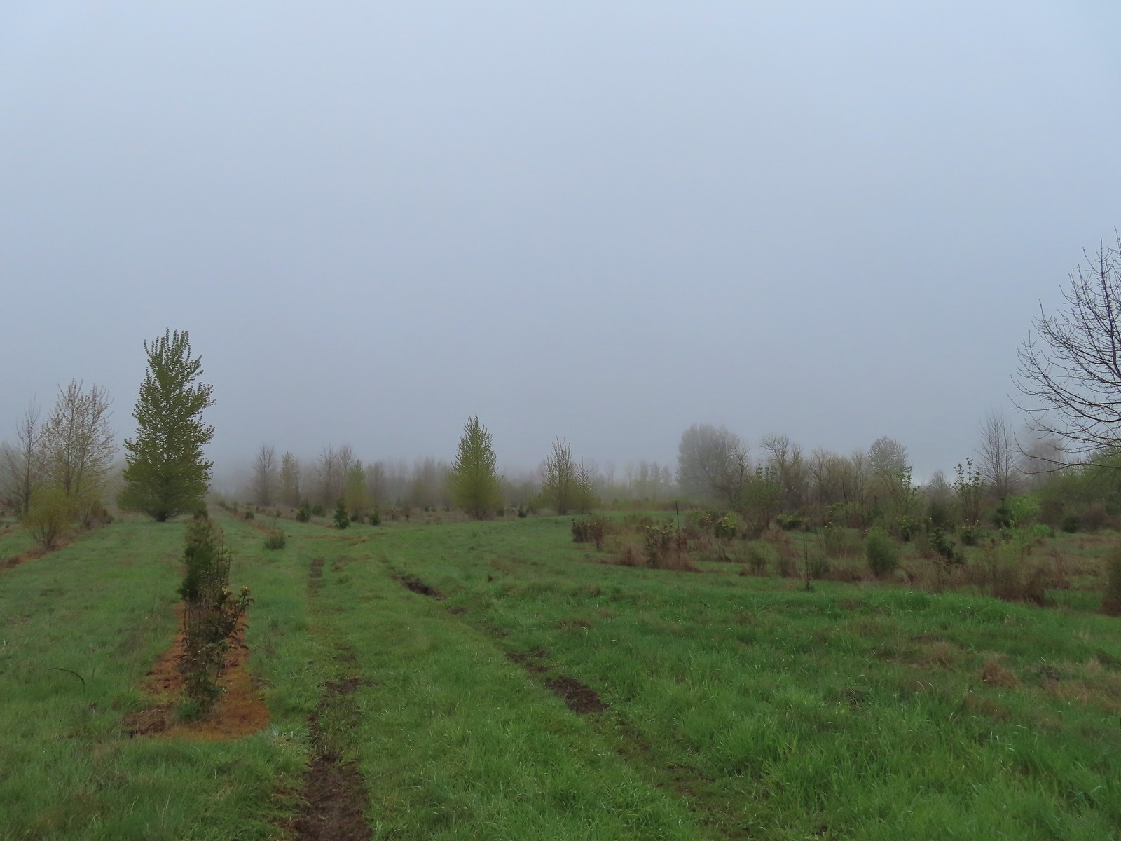 Our turn around spot. The trail was beginning to bend back to the East here.
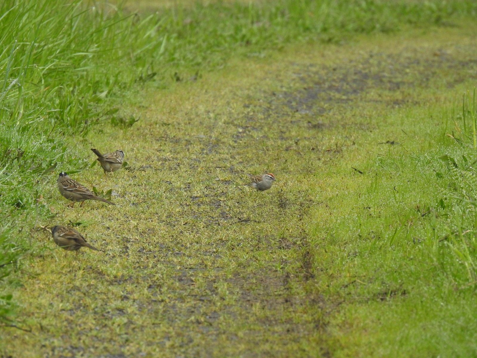 A chipping sparrow among the golden-crowned sparrows.
 On the Snag Boat Bend Loop
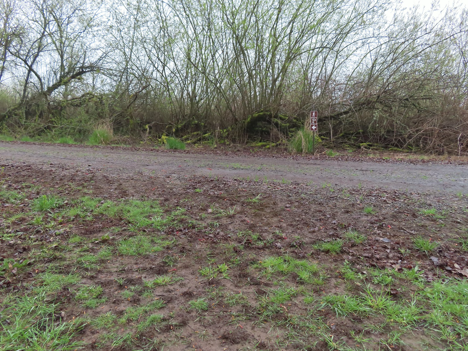 The trail turned left to follow this gravel roadbed for the final third of a mile.
 The gate in the distance is at the trailhead.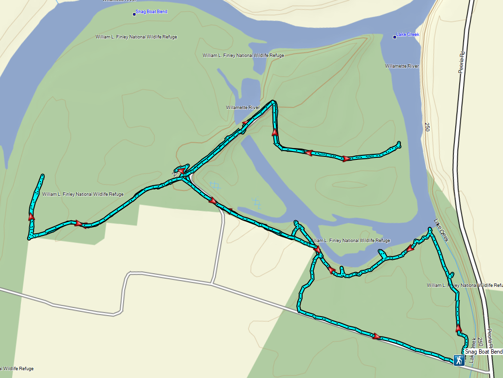
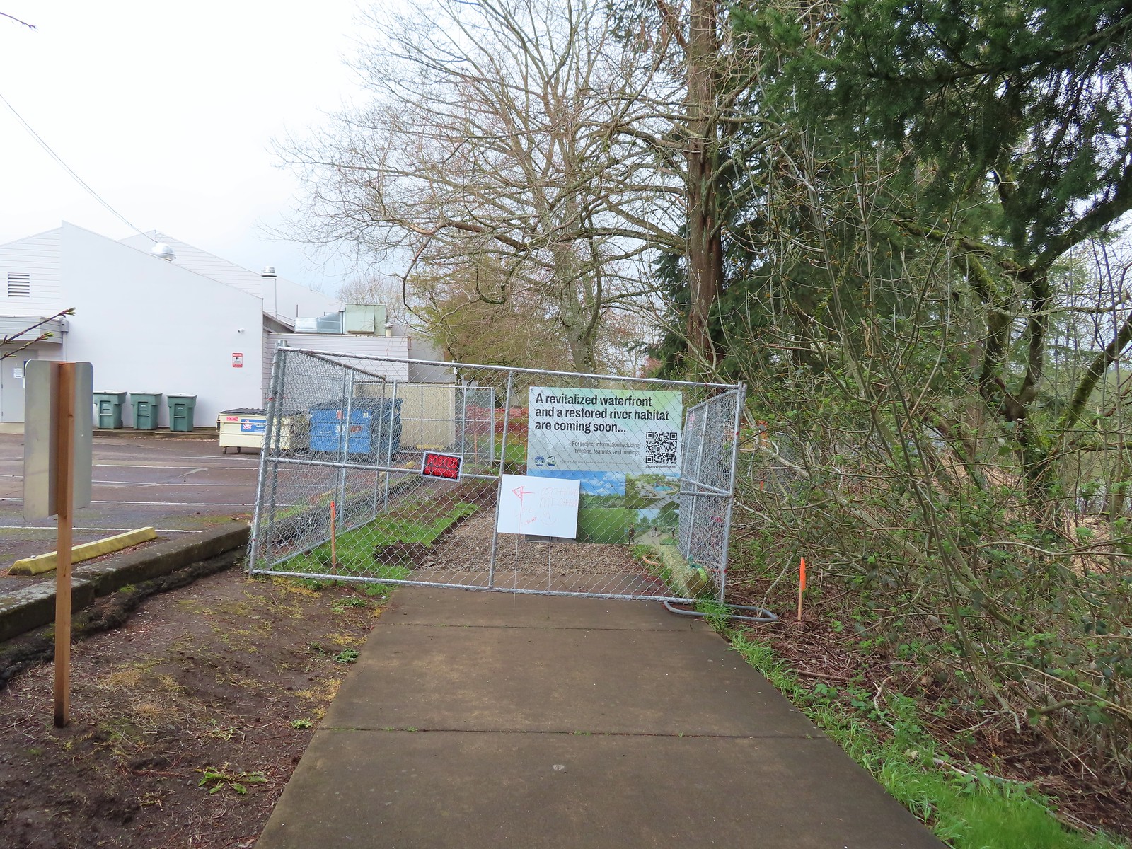 We wound up parking East of the Riverfront Community Center and hoping on the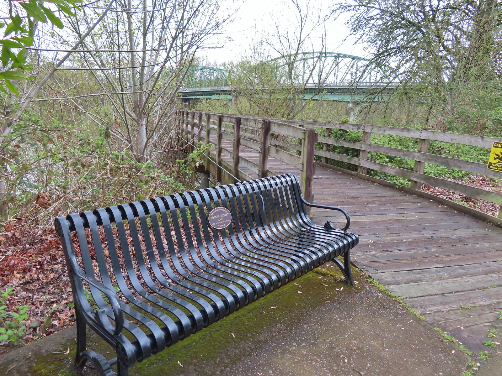
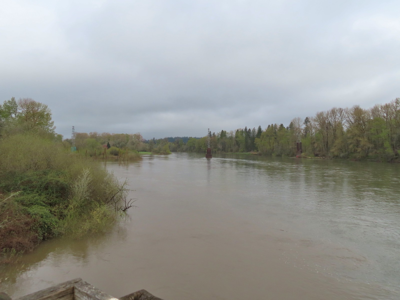 The confluence ahead to the left.
 Highway 20 passing over the Willamette to the left. Fun fact about U.S. Highway 20 – It runs from Newport, OR to Boston, MA and is the longest road in the USA according to the Federal Highway Administration. Click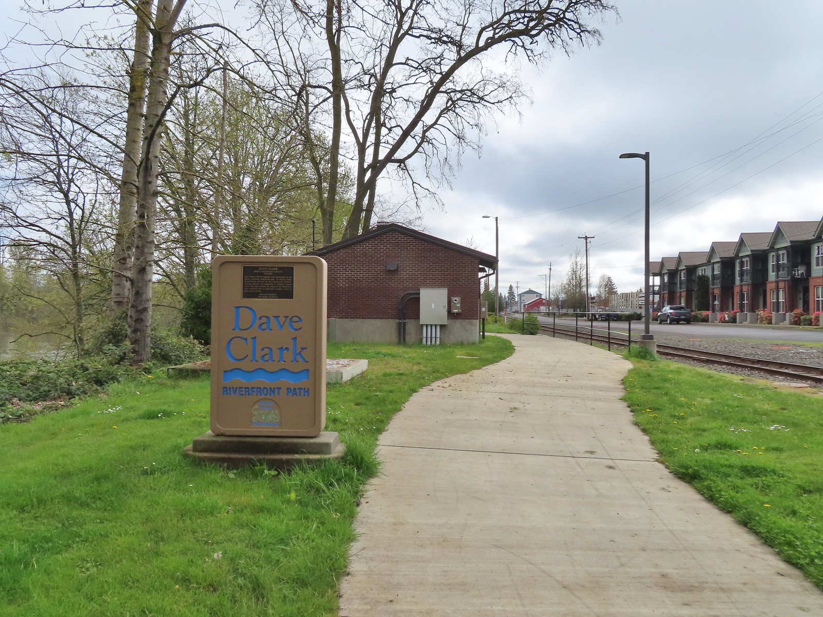
 Orange crowned warbler. One of many small birds we saw along this trail.
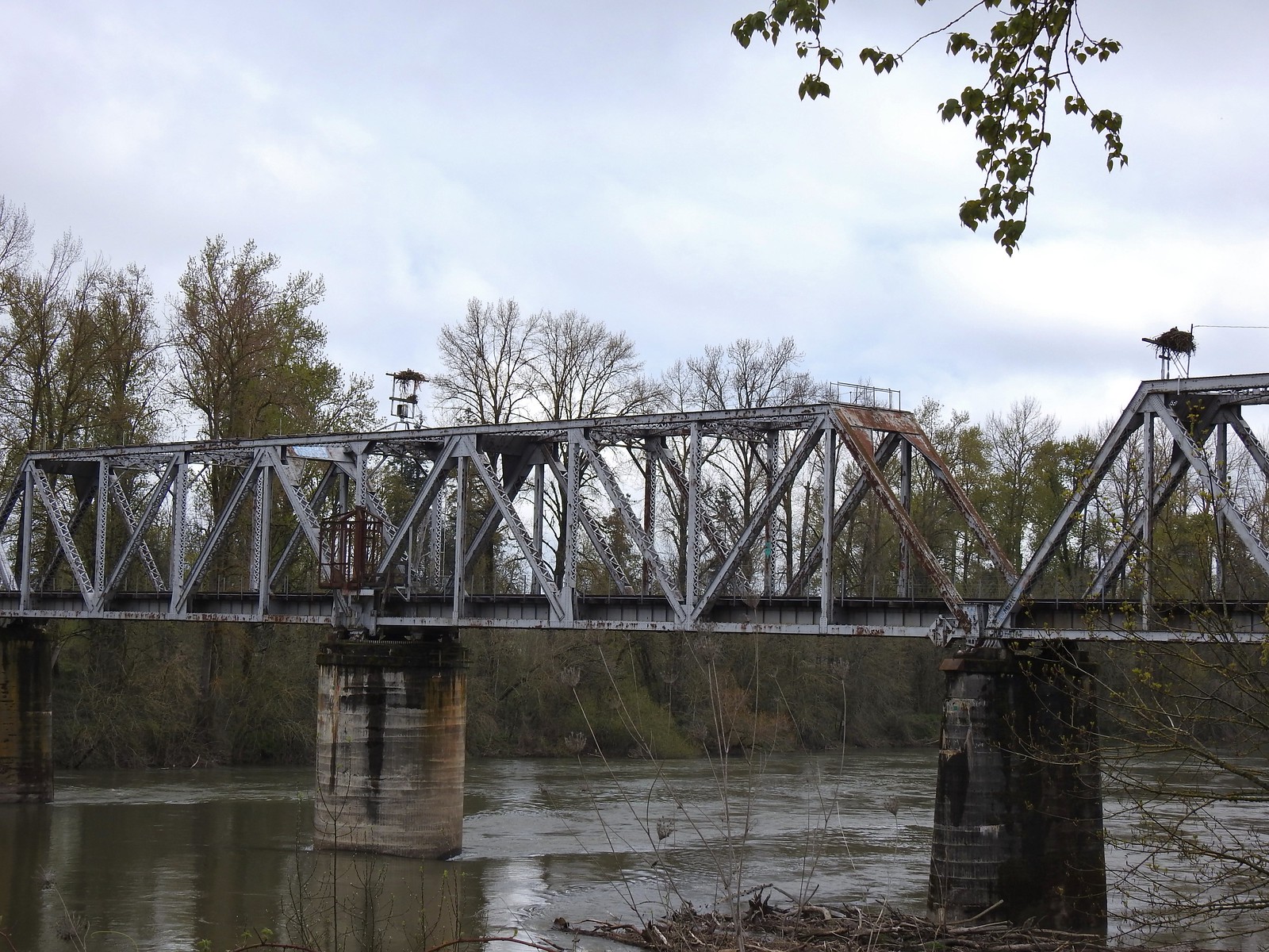 We thought it was a little odd to see two occupied nests atop the railroad so close together until we realized that the occupants weren’t both birds of prey.
 Canada geese were using one of the nests.
 Might be the mate looking acting as lookout from the bridge.
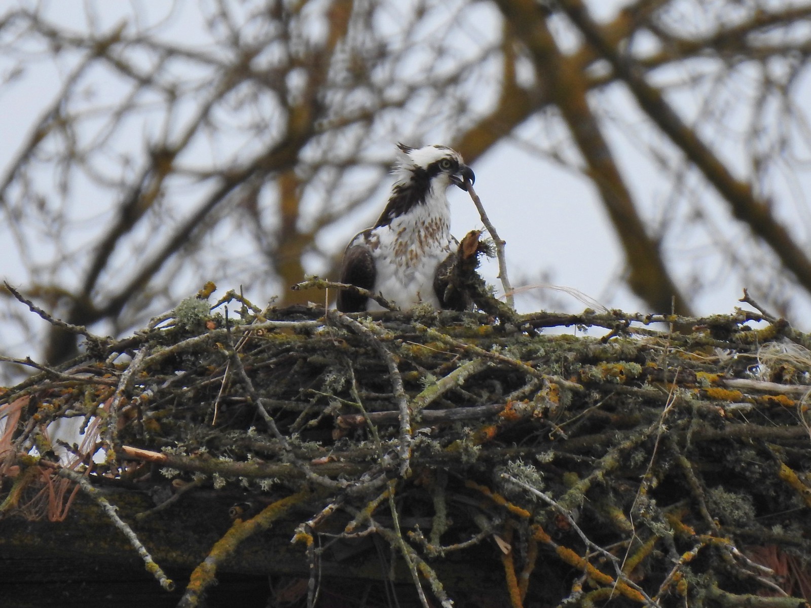 Osprey occupied the other and appeared to be in the process of renovations.
 His bright pink head was more impressive in person.
 The community garden (not pictured) was on our right.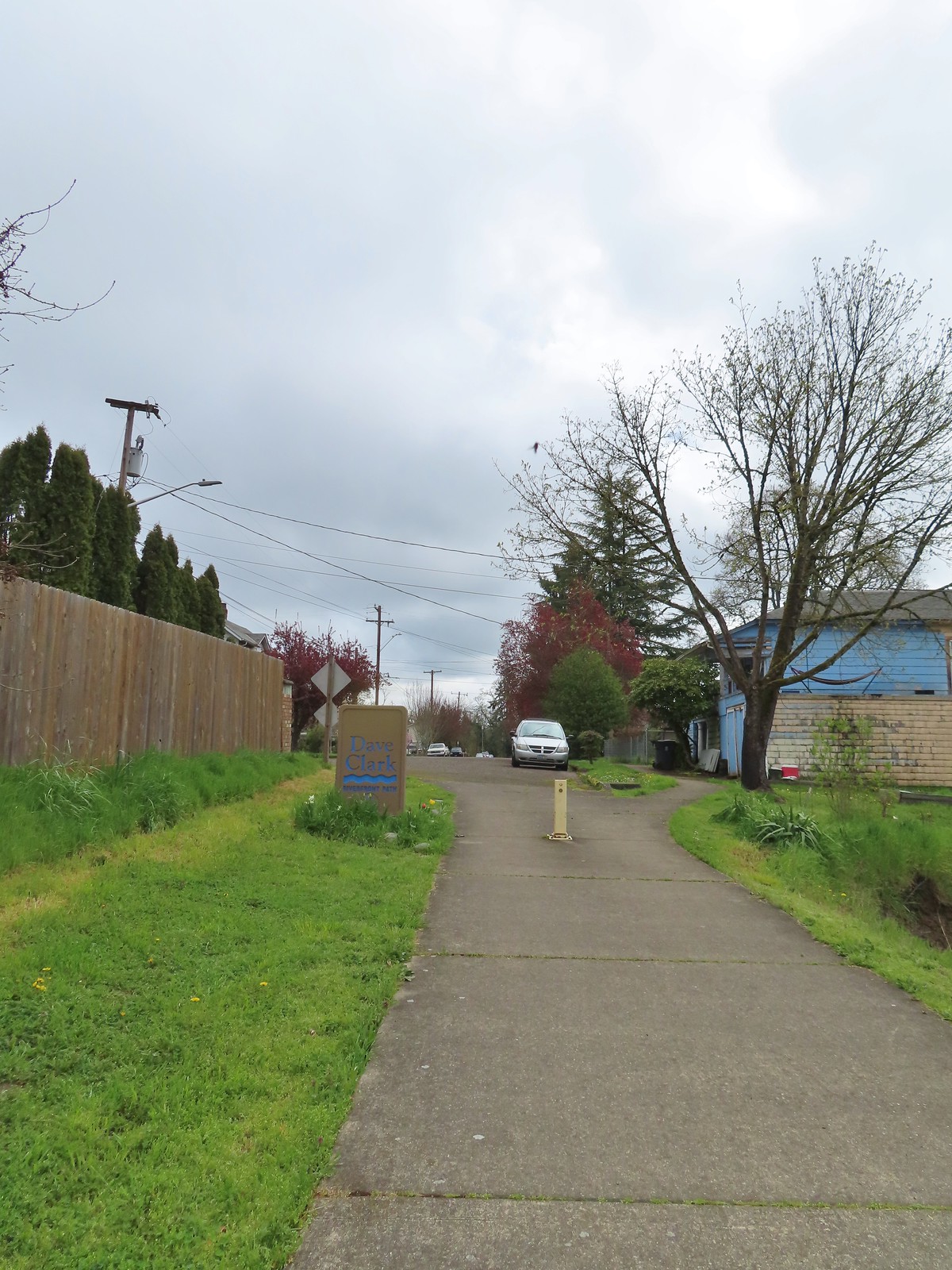
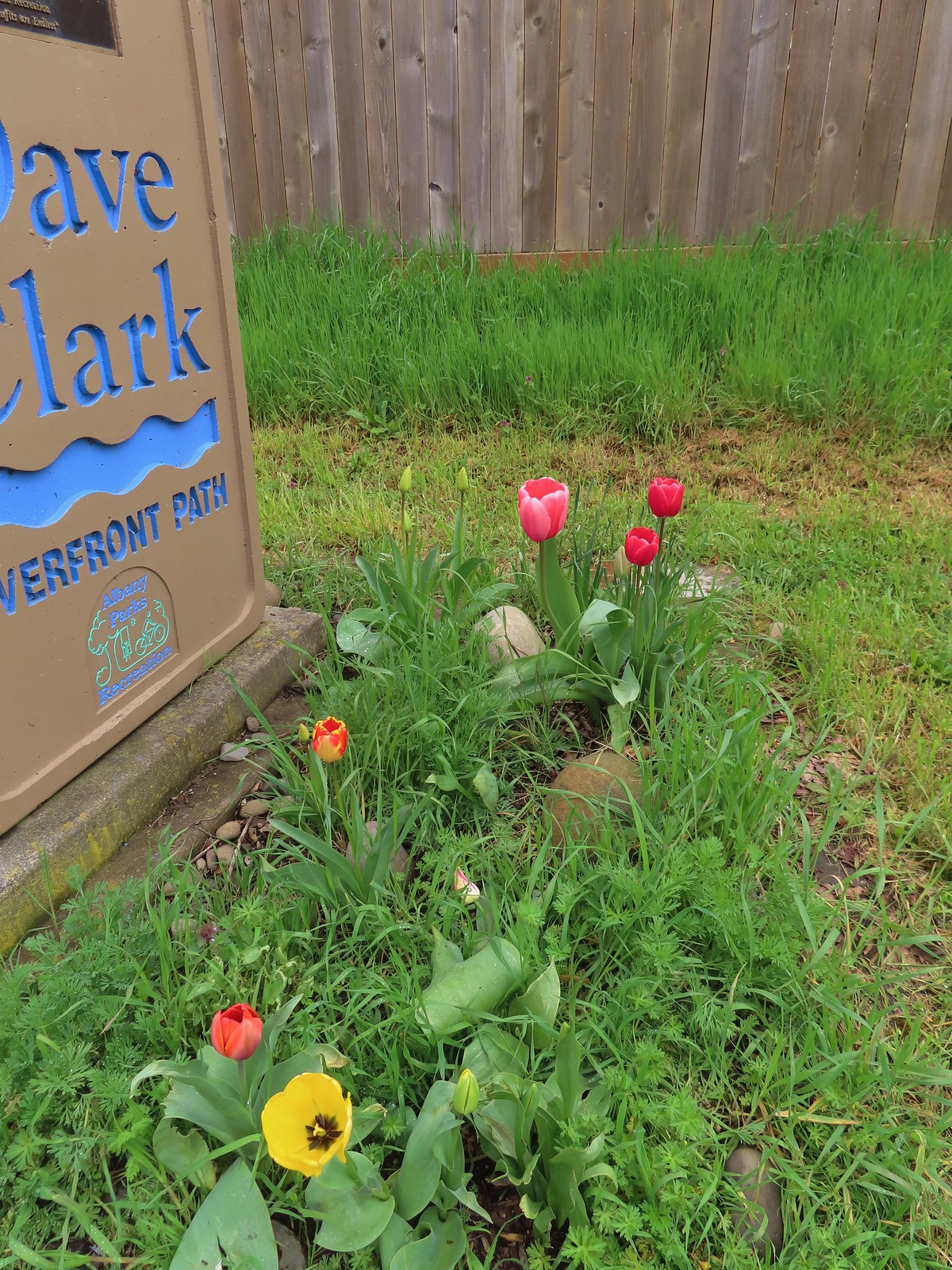 Pretty tulips at the sign.
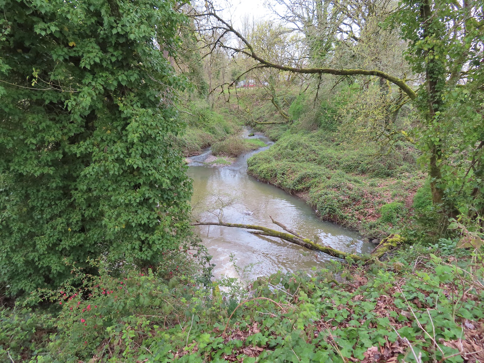 Not a lot to see in the residential neighborhoods but we did cross Pettyjohn Creek along the way.
 Sign for Bowman Park at Geary St.
 Bowman Park on the left and the paved path we took on the right.

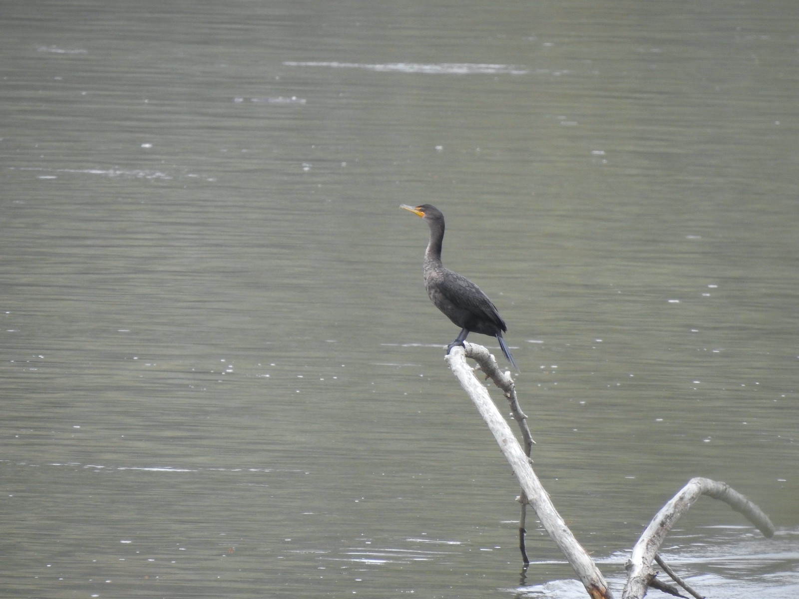 Cormant in the middle of the Willamette.
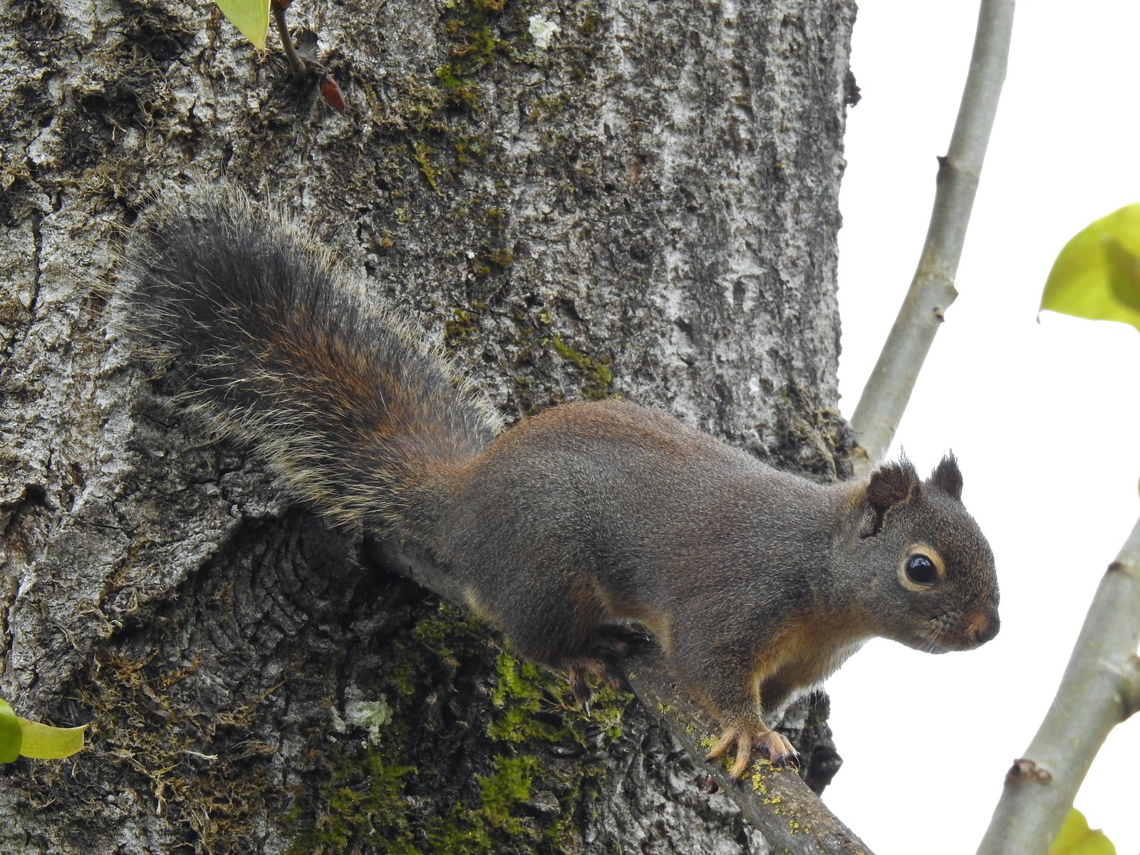 Squirrel
 Seen near a homeless camp which sort of captures the situation. A combination of unaffordable house, drug abuse, and mental illness has created a crisis up and down the West Coast with no simple (or quick) answer.
 We initially mistook all the footprints and bike tracks as a sign that the trail saw good recreational use.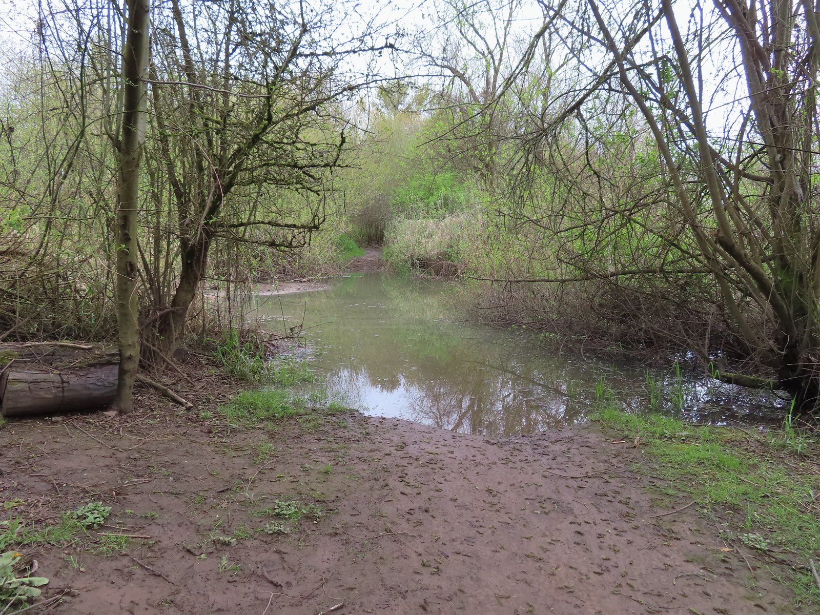


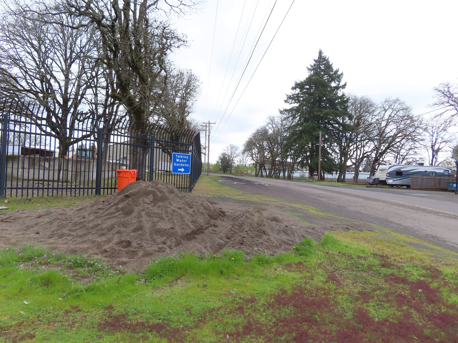
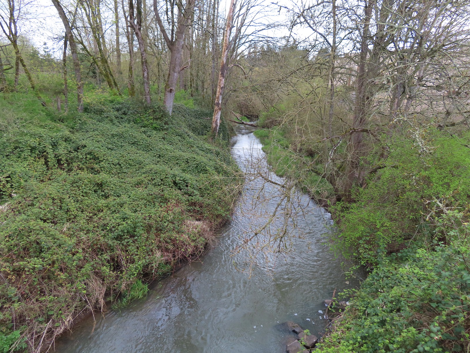


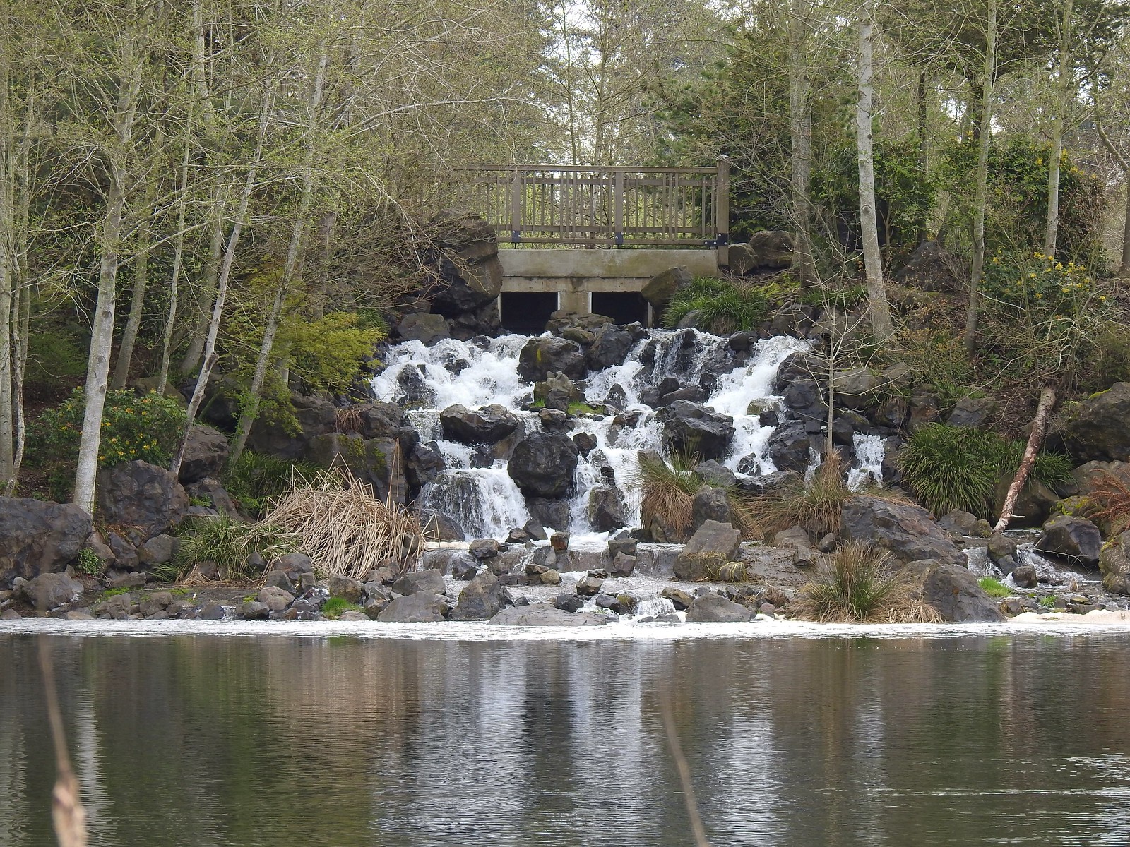
 Buffleheads
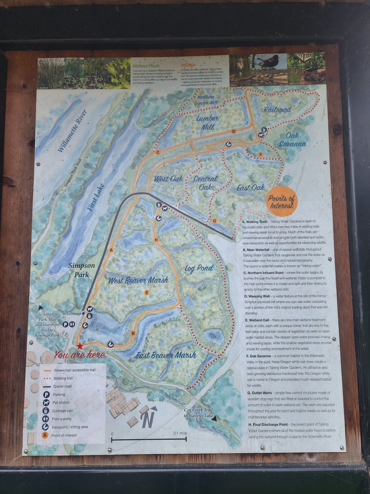 We decided to loop around the West Beaver Marsh and Central Oak areas before heading back.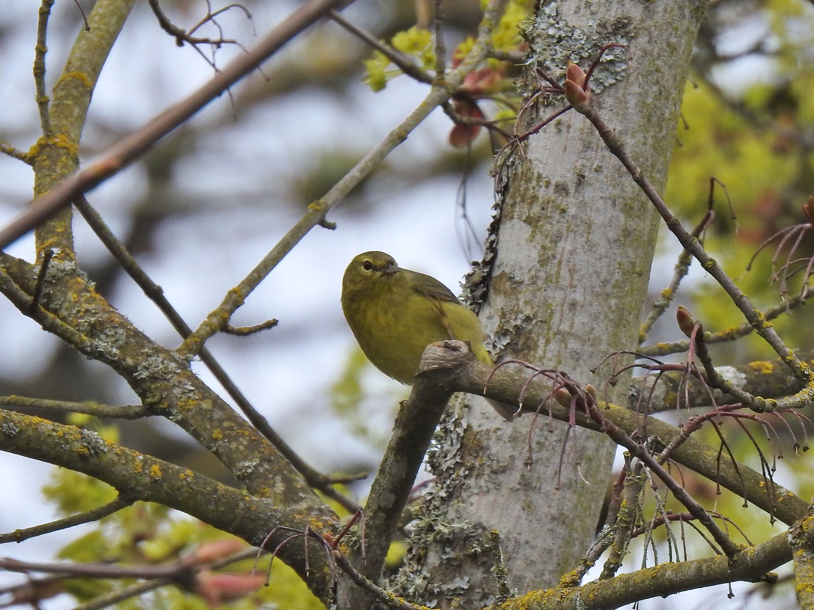
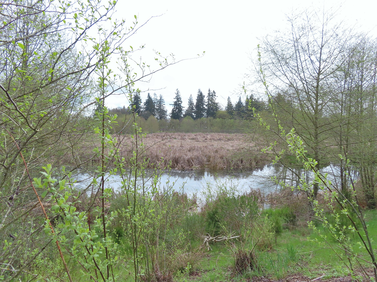
 View from above the waterfall.
 The first set of turtles we spotted.
 Western pond turtles.
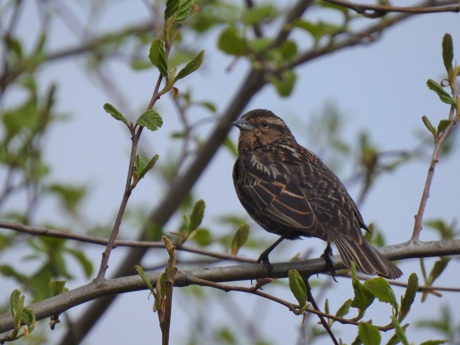 Female red-winged blackbird
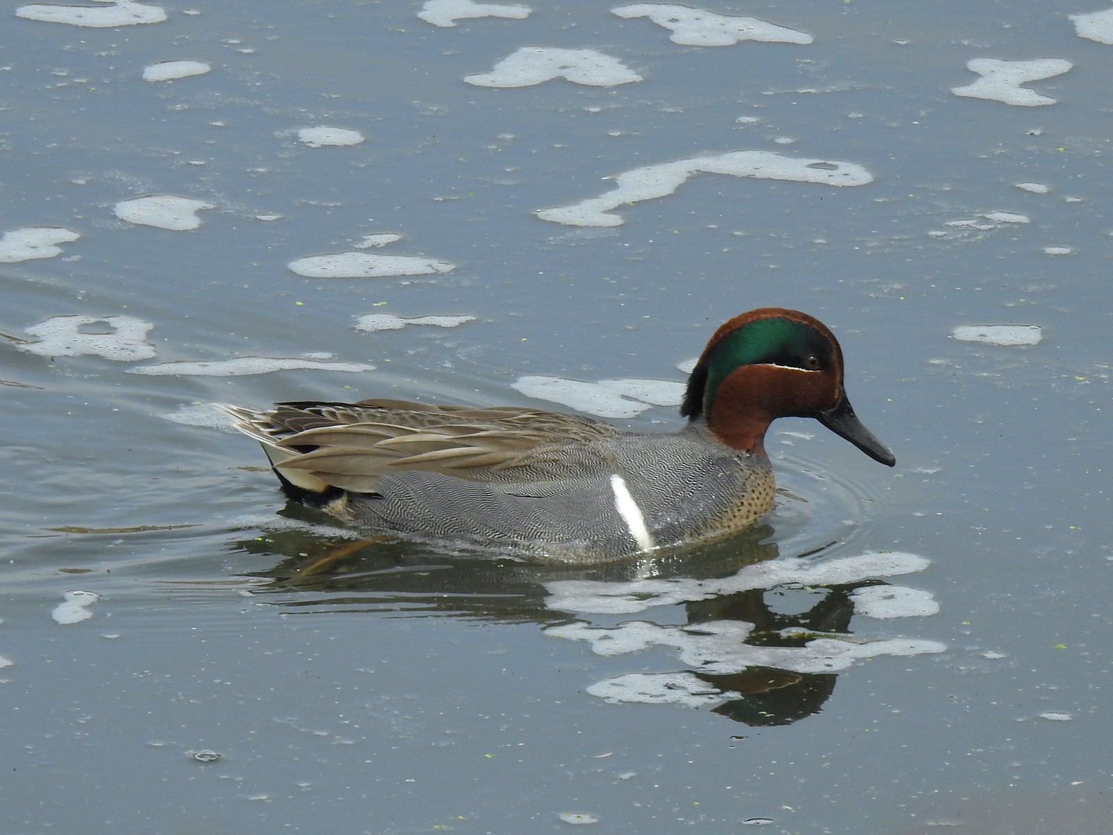 Green-winged teal
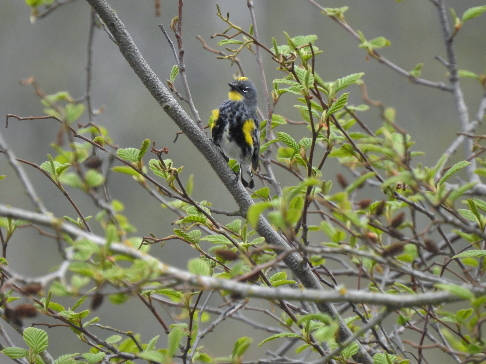 Yellow-rumped warbler (Audubon’s)
 More turtles
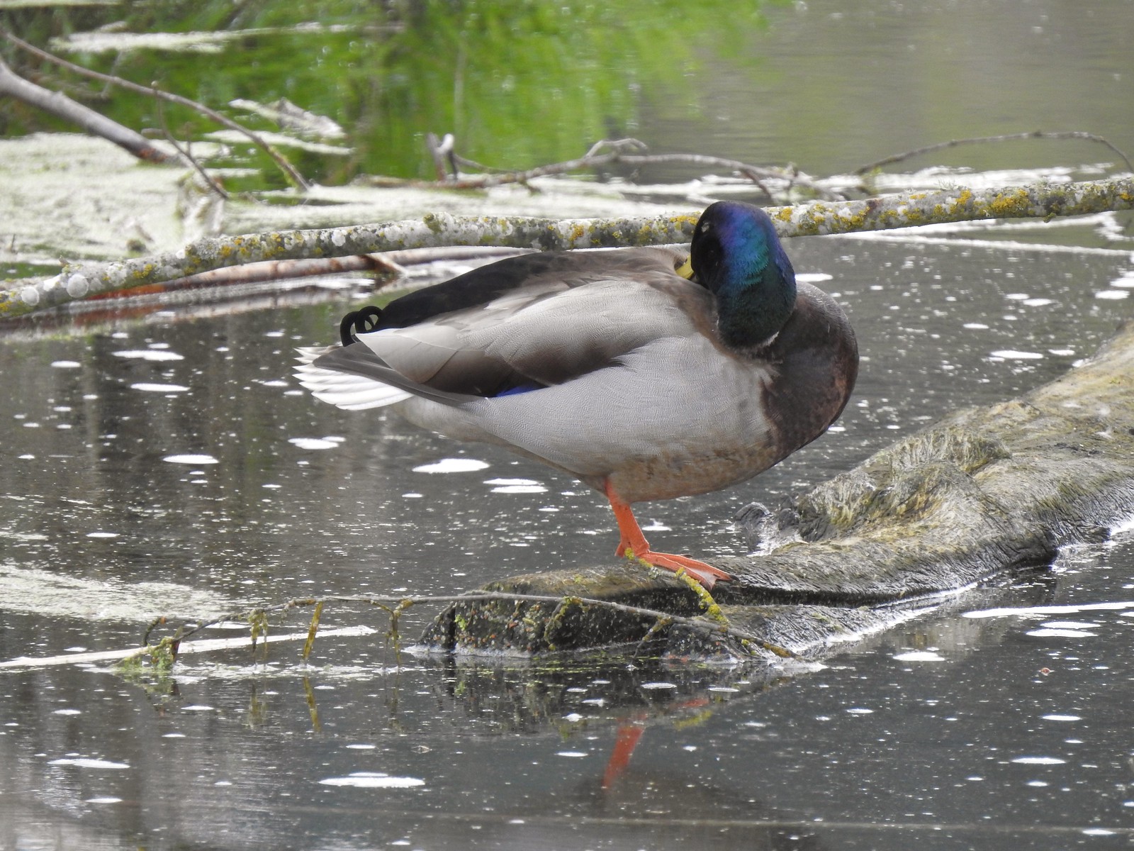 Mallard drake
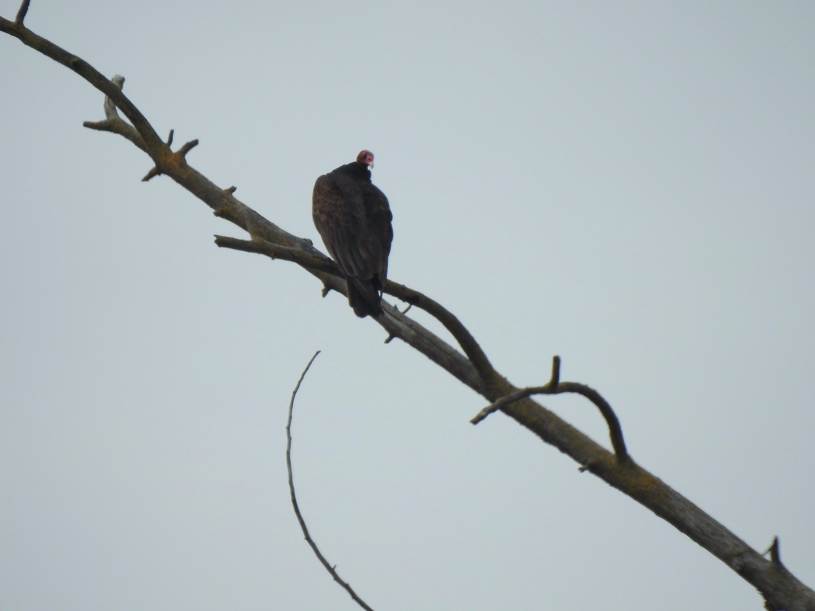 Turkey vulture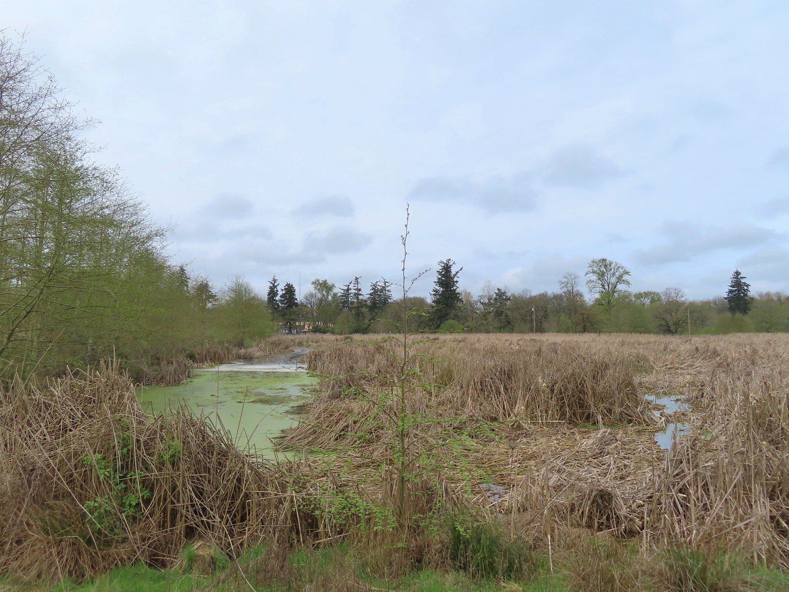
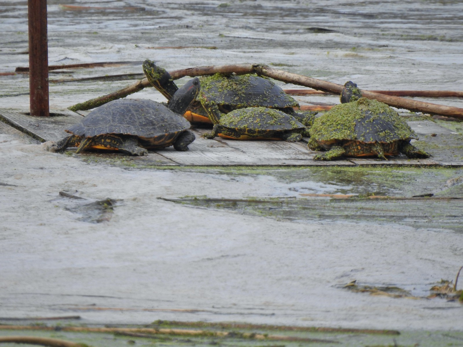 Another bale of turtles. (I had to look up “bale” because I had no idea what a group of turtles was called.)
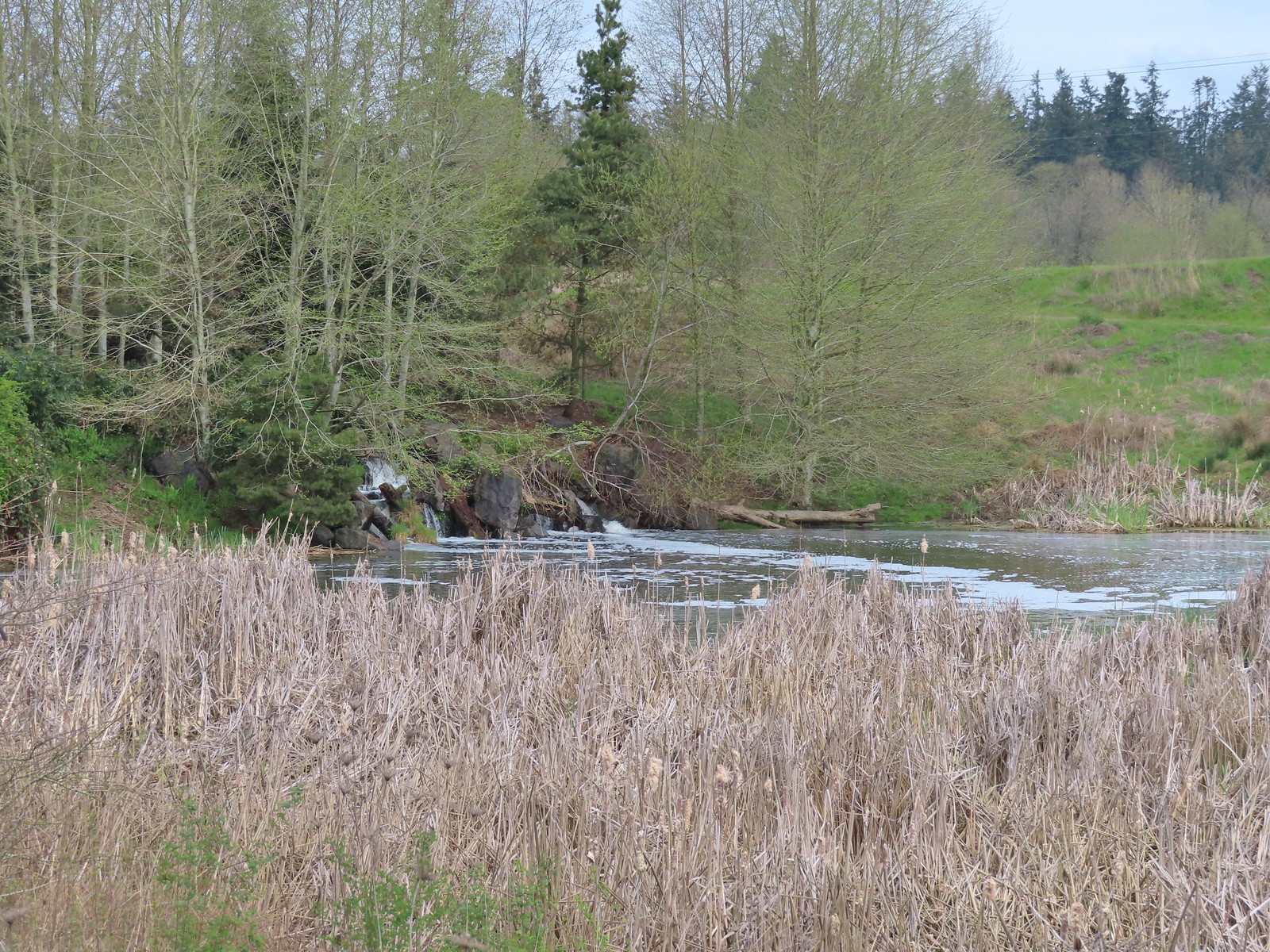 Another man-made waterfall.
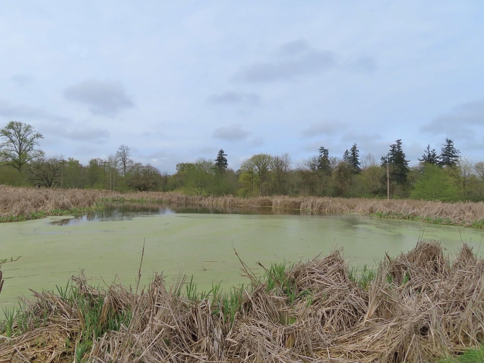 This had been full of ducks on our previous visit.
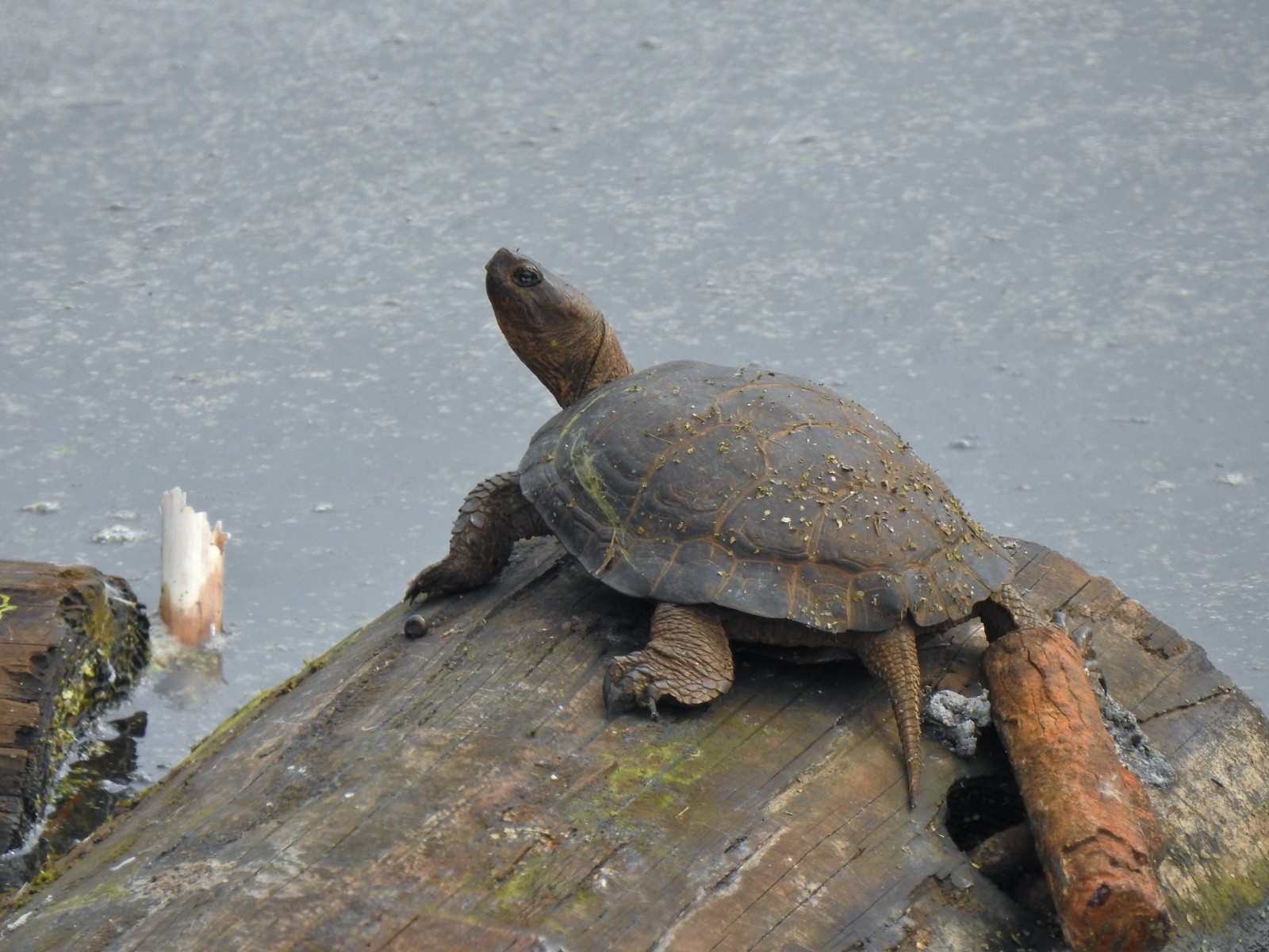 Yet another turtle.
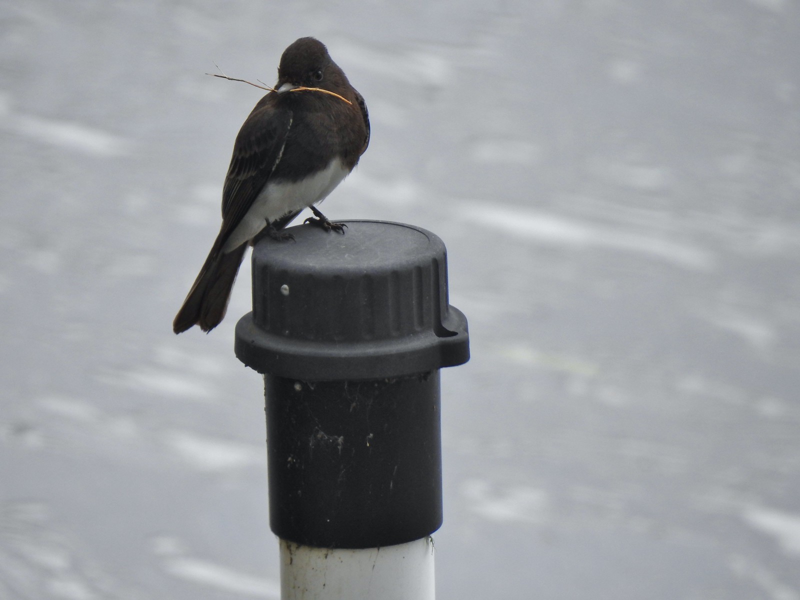 Black phoebe
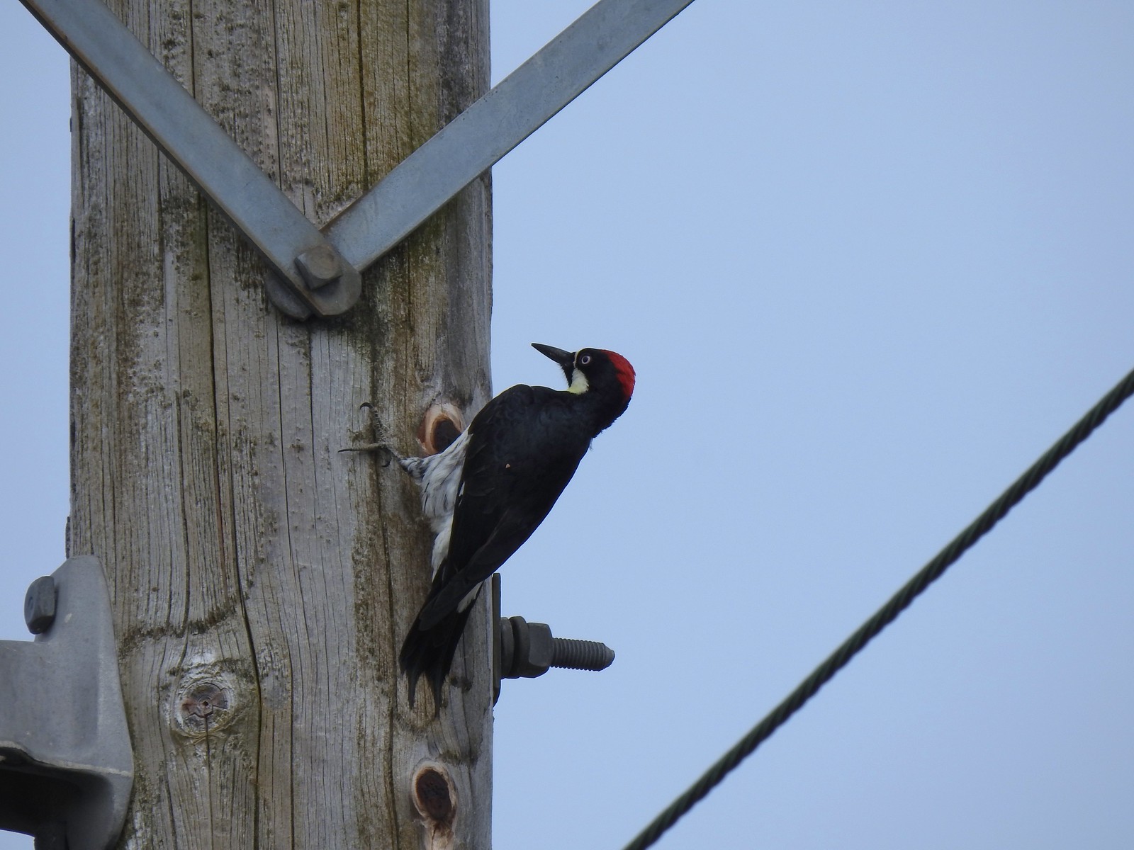 Acorn woodpecker
 Sparrow
 Northern shoveler
 Hummingbird
 Red-winged blackbird
 Bench along the Central Oak area.
 The first goslings we’ve spotted this year.
 Very zoomed in shot of a hawk seen in the distance.
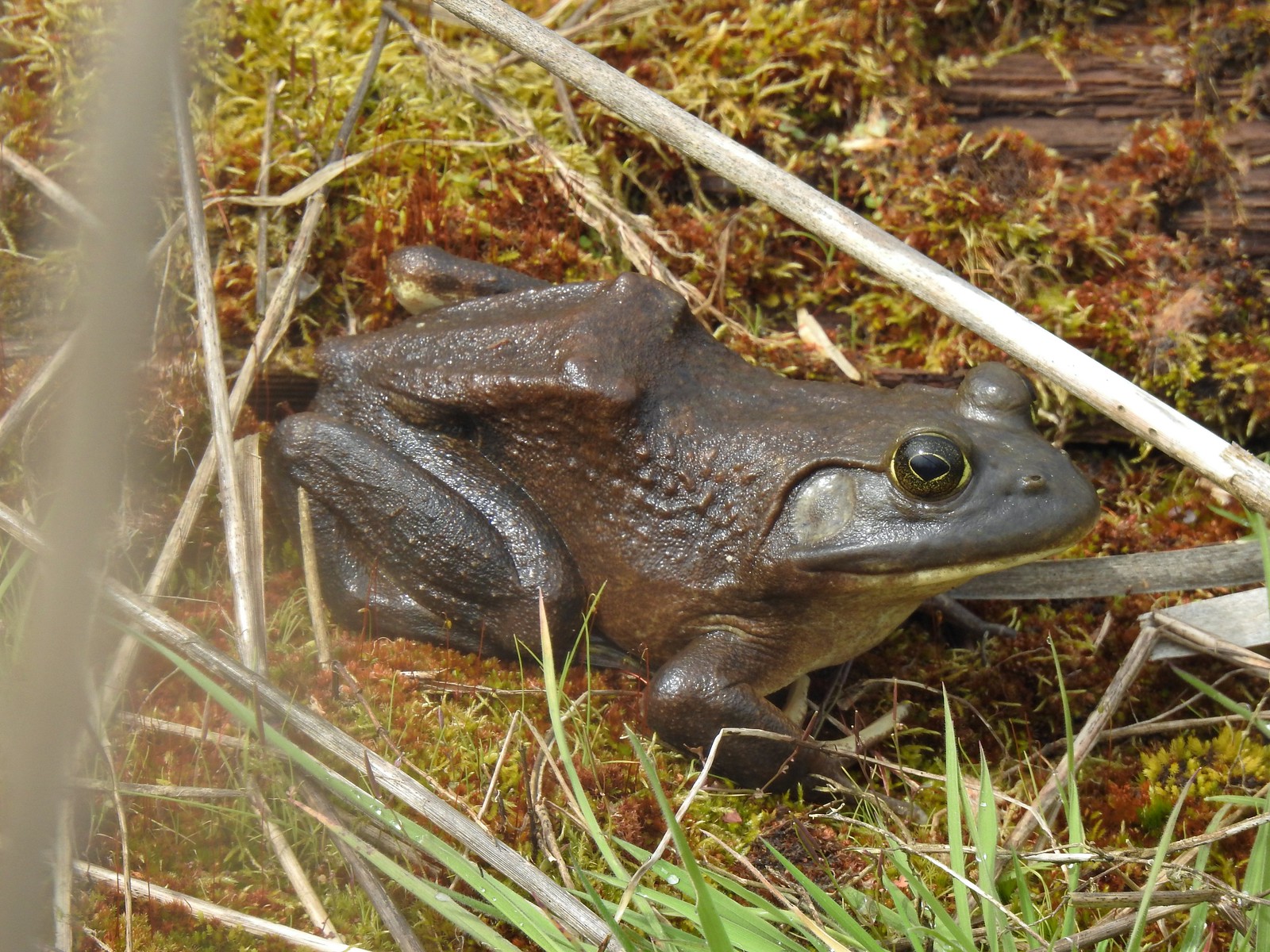 Bullfrog
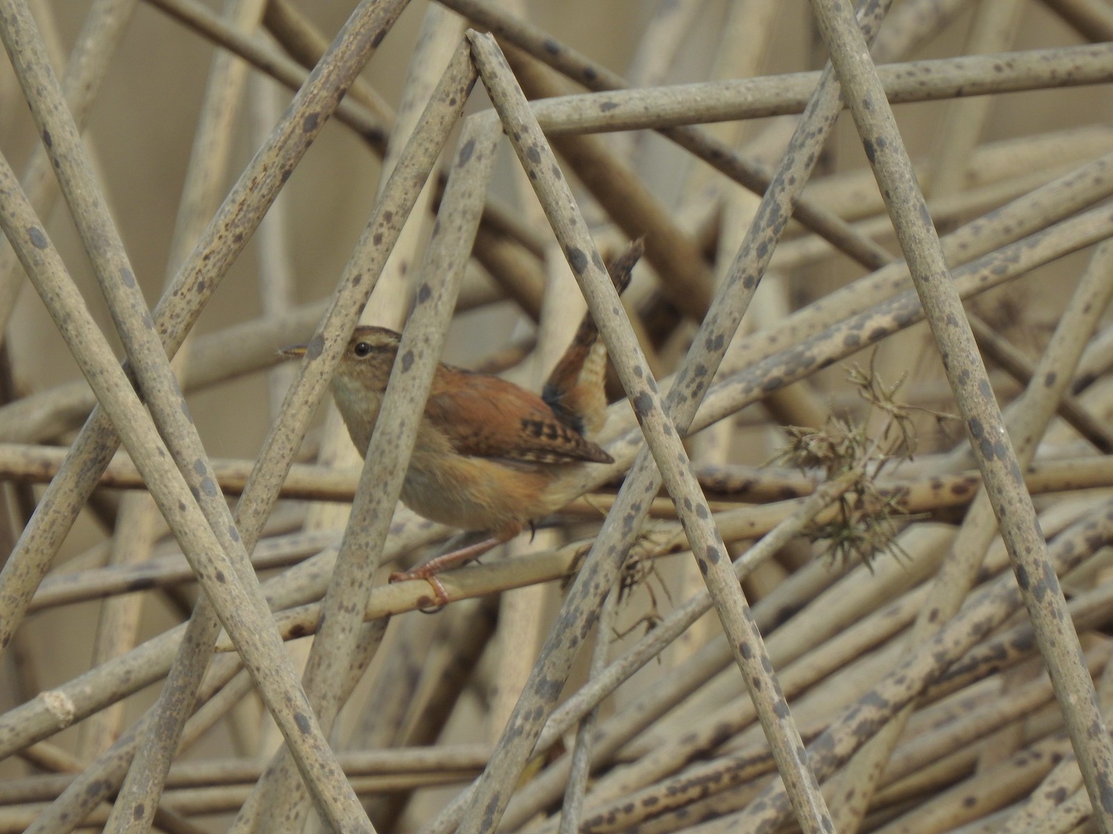 Marsh wren
 Final set of turtles.
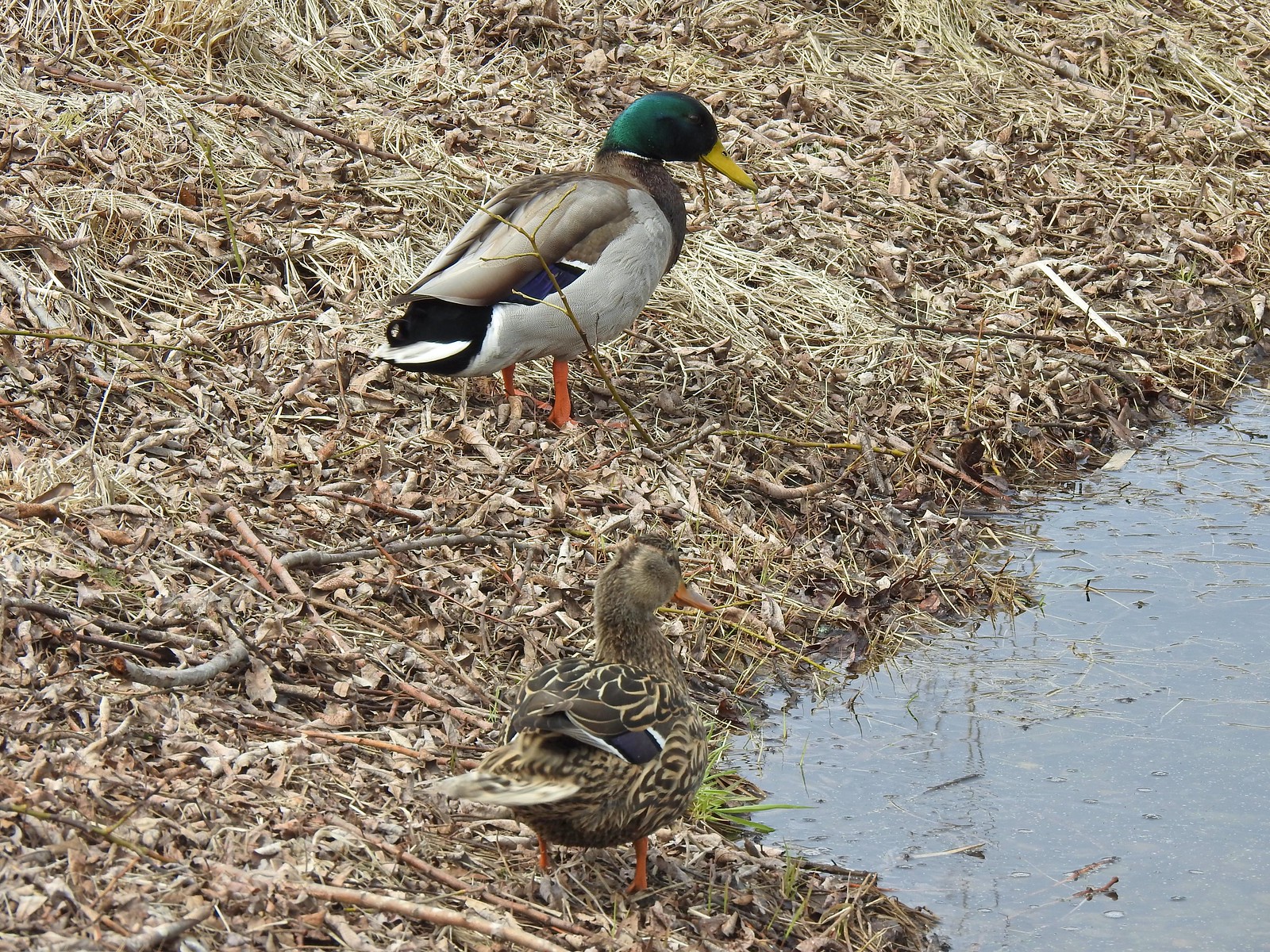 Mallard pair
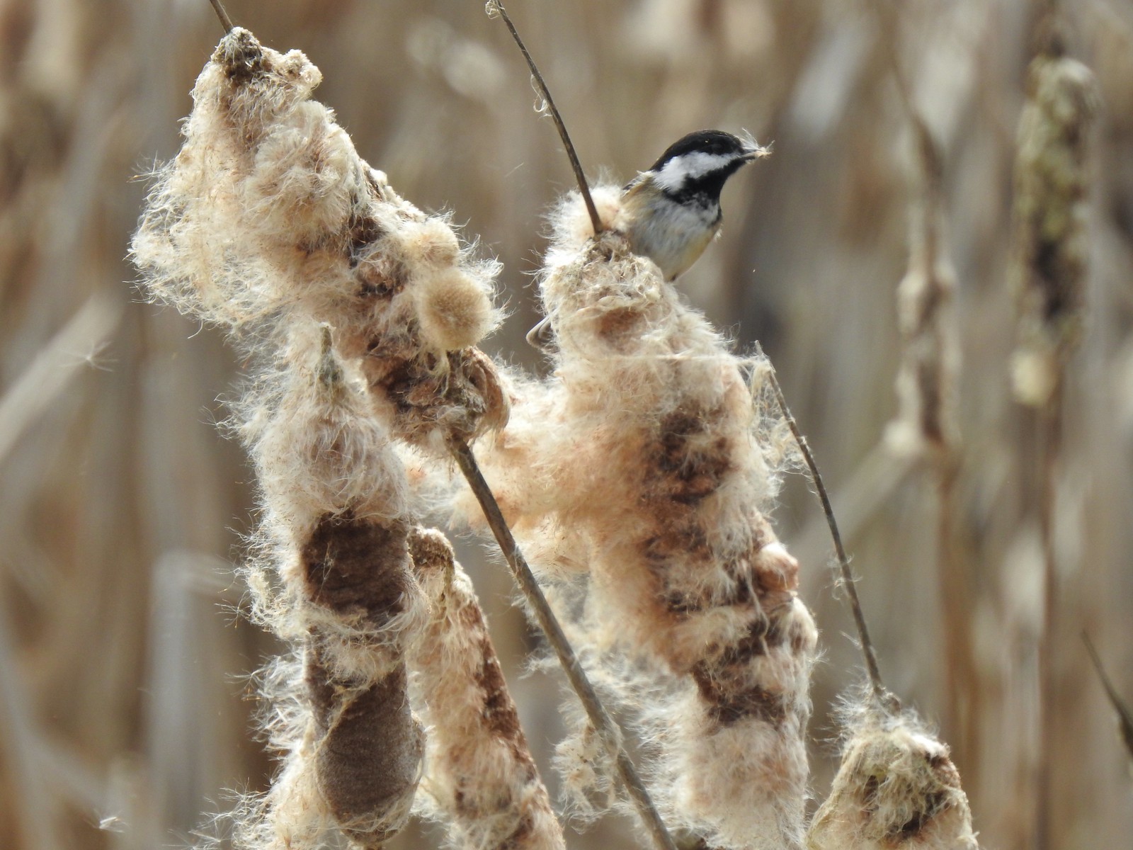 Chickadee
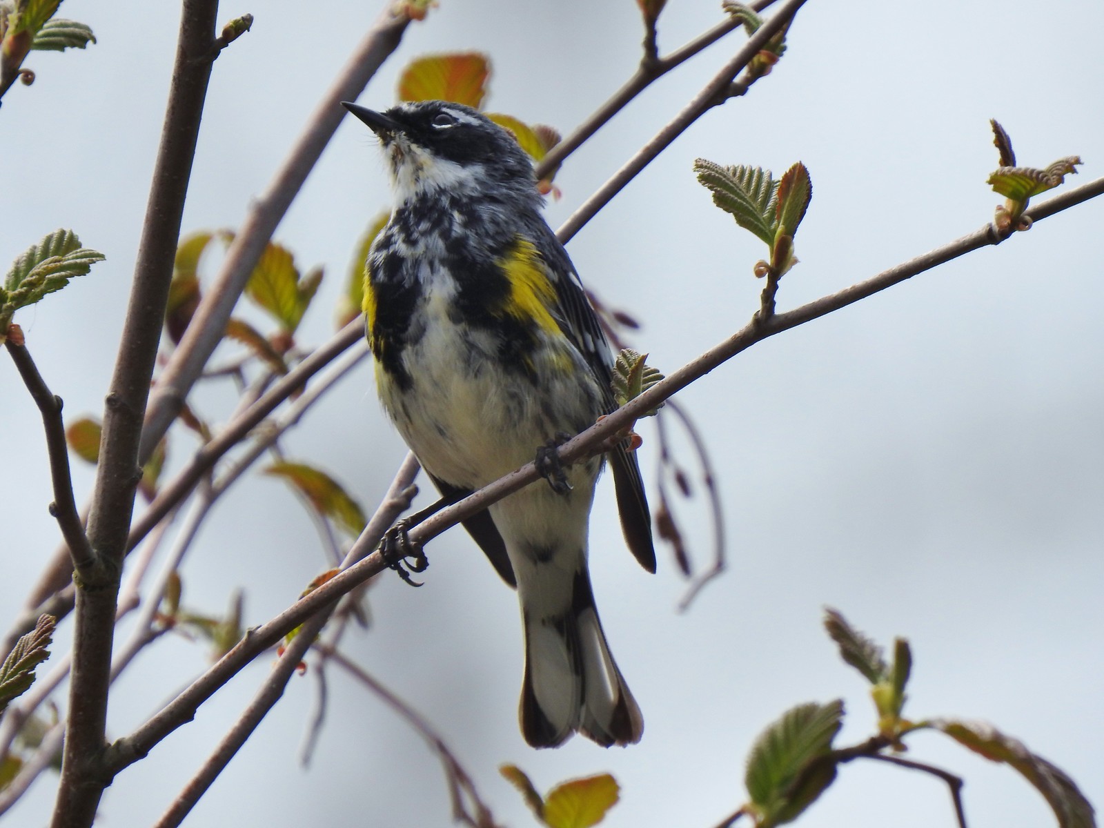 Yellow-rumped warbler (Myrtle)

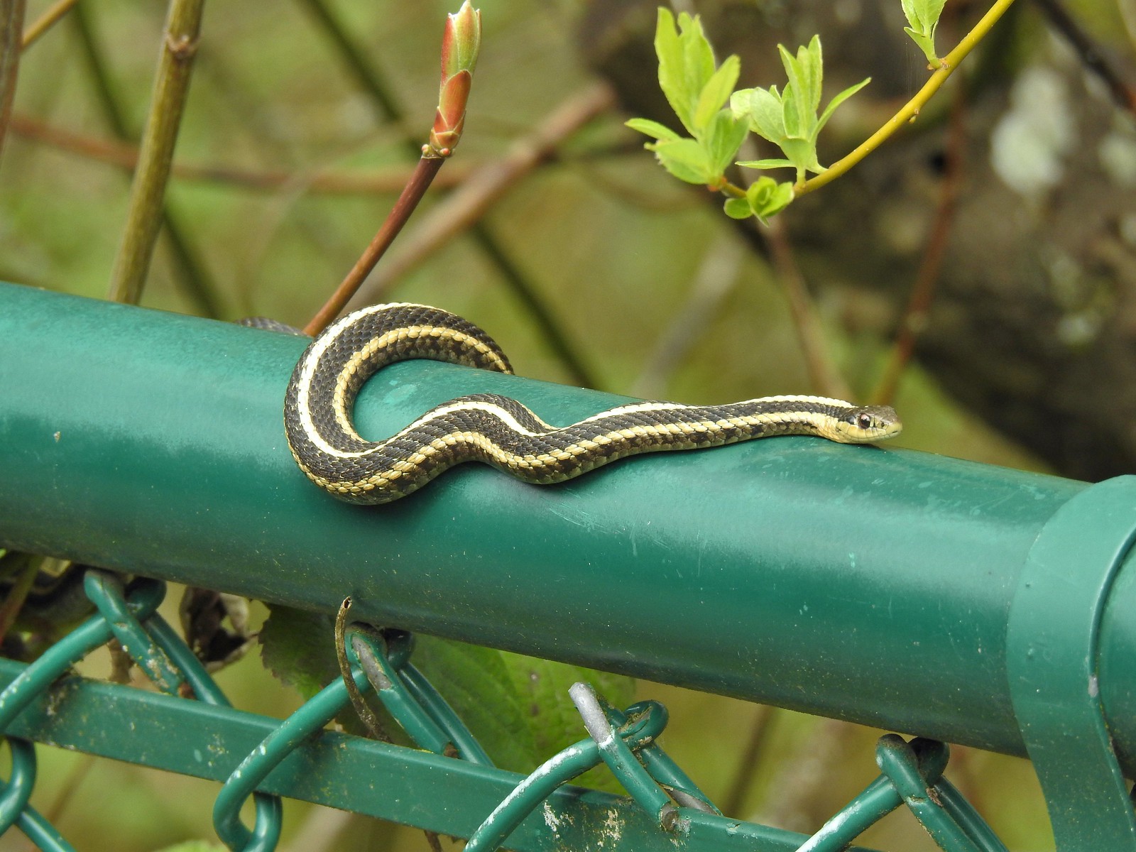 A couple ahead of us on the trail spotted this guy for us.
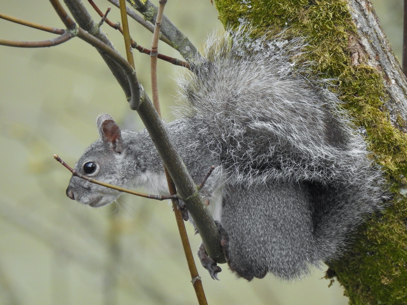 Squirrel


 One of the muddiest sections was just beyond a small footbridge near the trailhead.
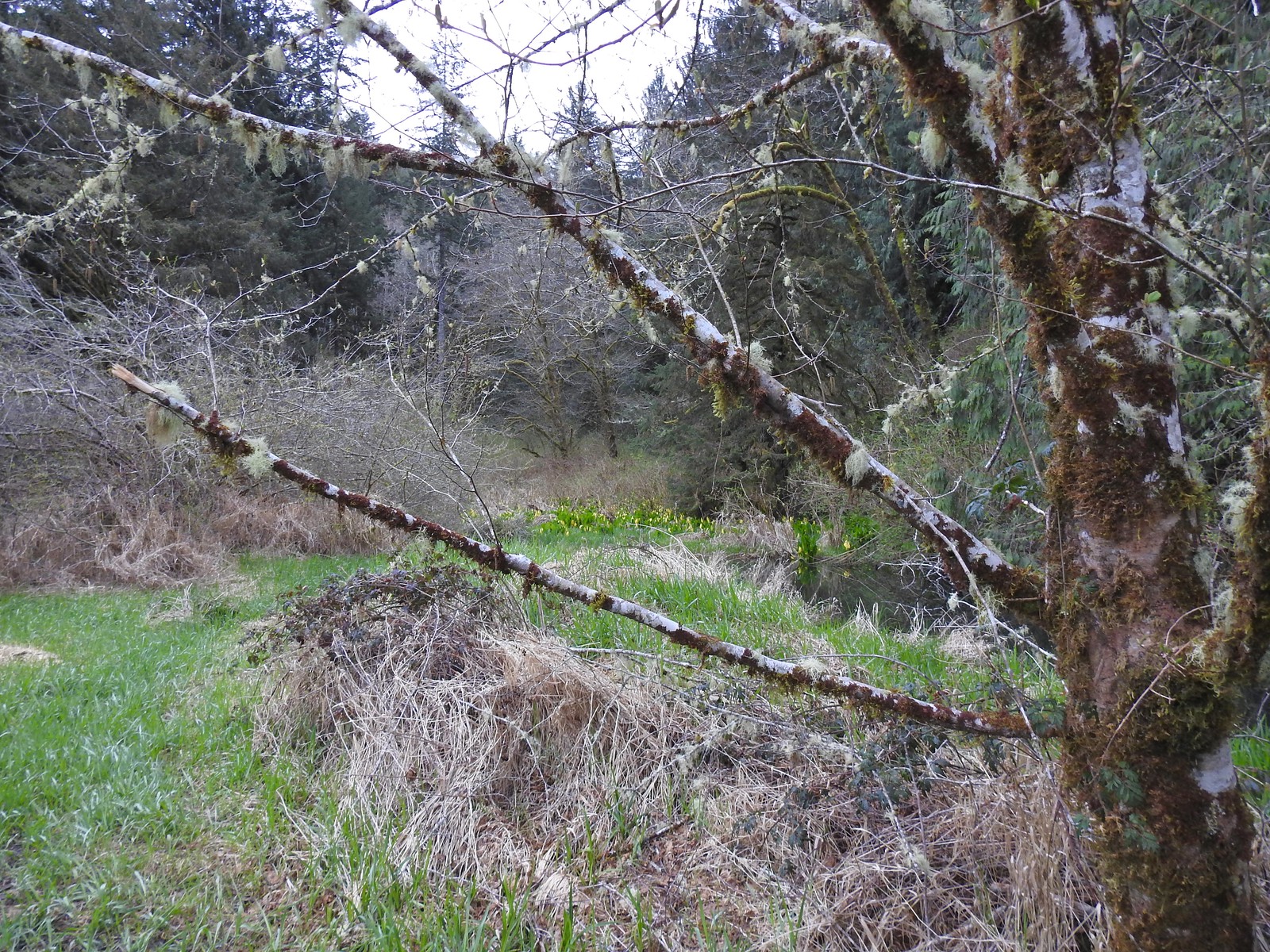 Skunk cabbage blooming along Bailey Creek.
 Skunk cabbage
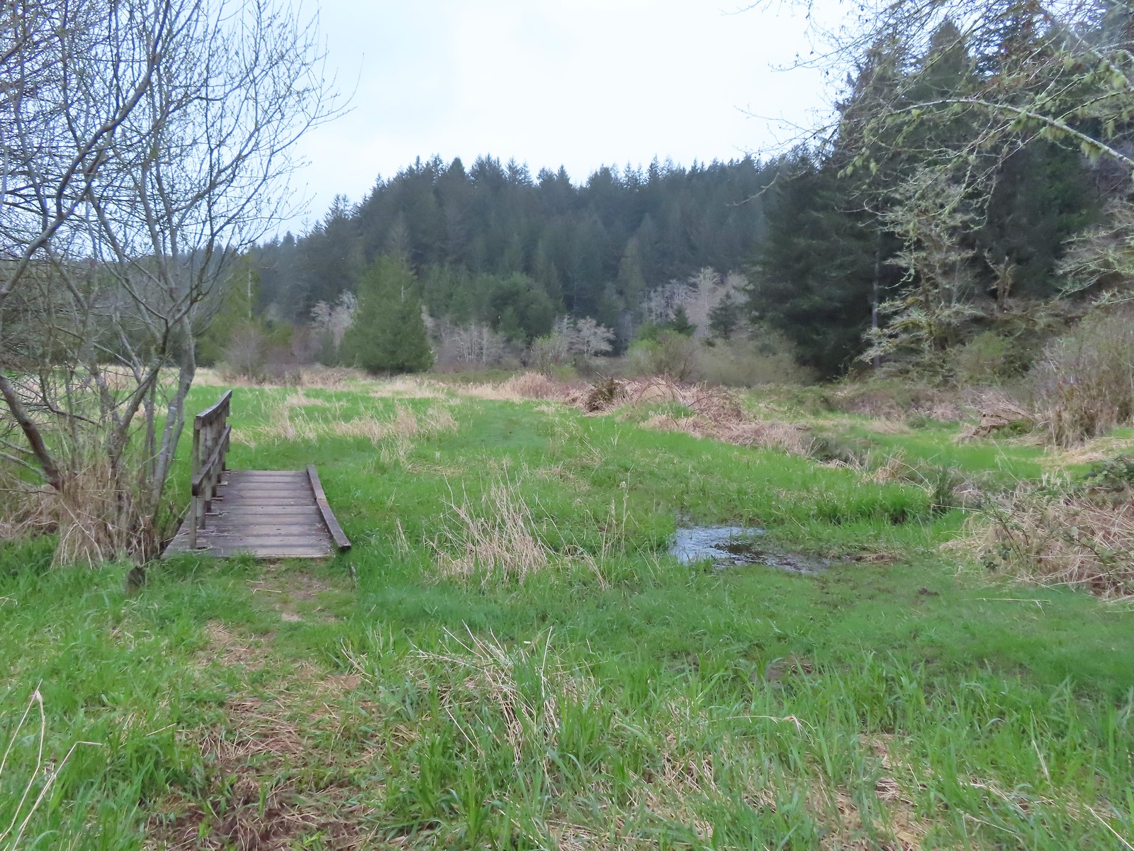 A second little footbridge.
 Coltsfoot
 Closer look at the coltsfoot.
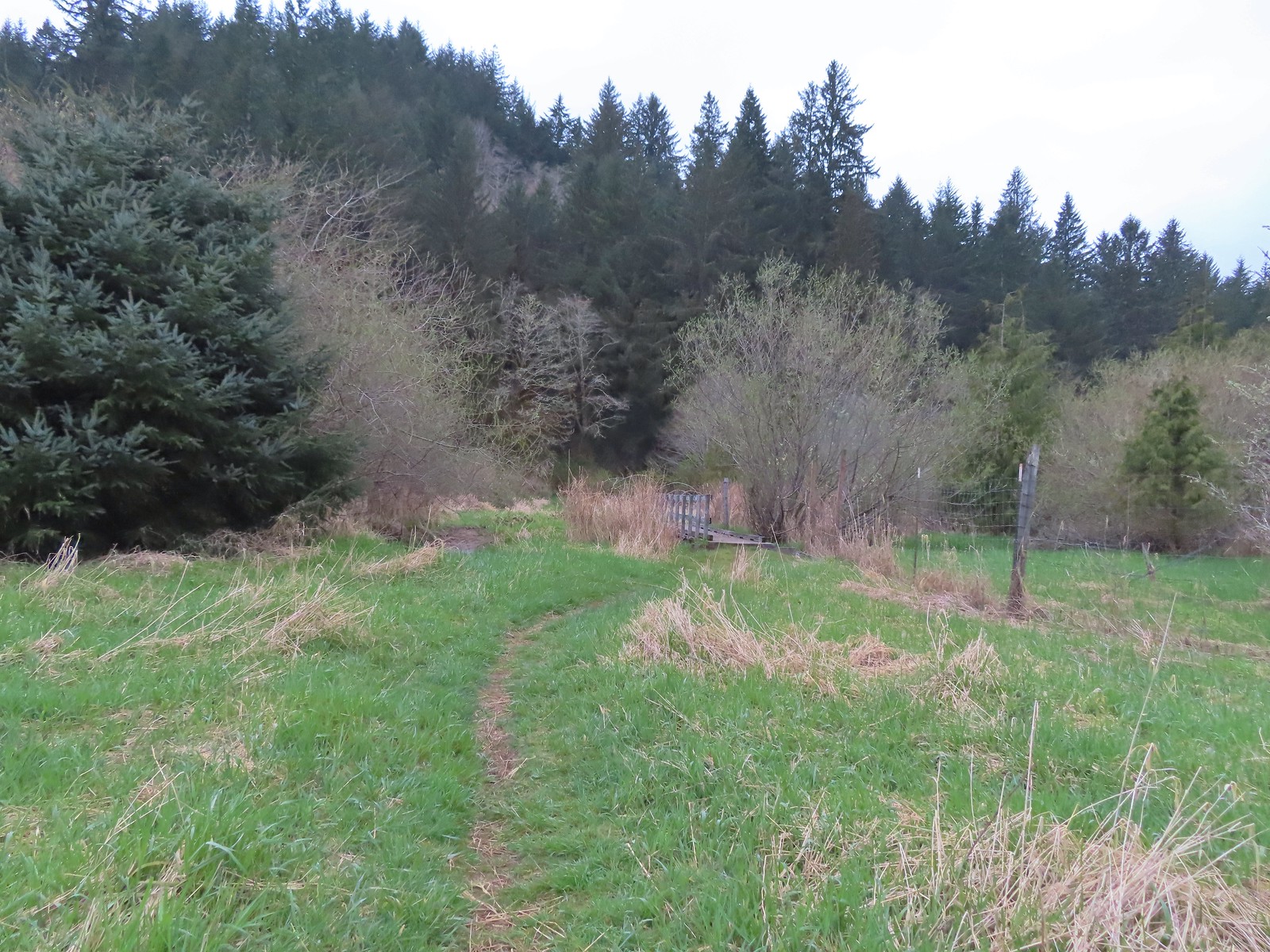 Approaching the footbridge over the unnamed creek.
 This creek was really deep here although it’s hard to tell from the photo.
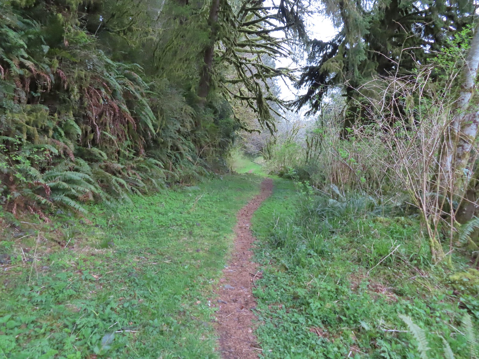
 Wood sorrel
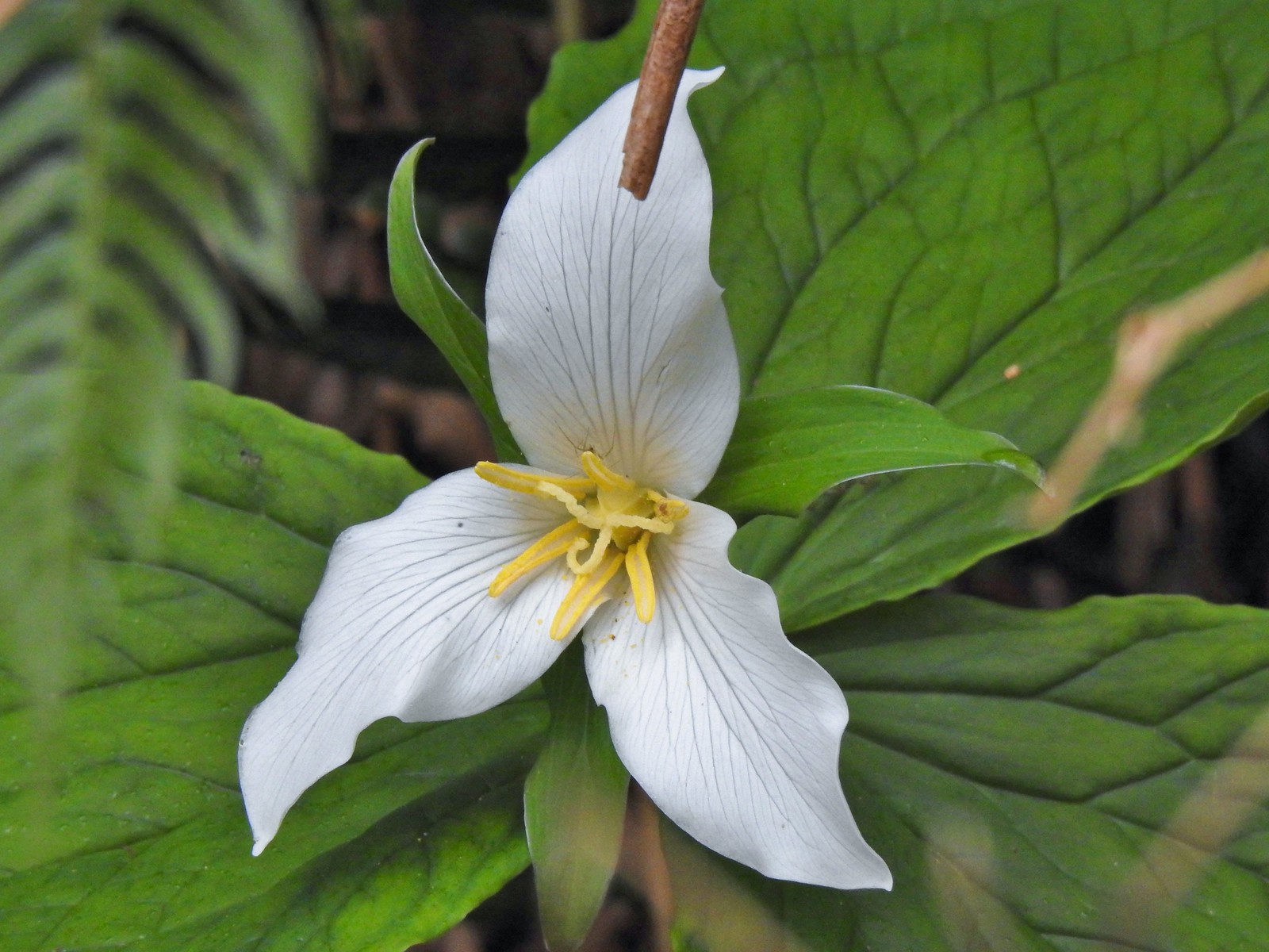 Trillium with a resident spider.
 More skunk cabbage, also with a resident spider.
 Violet
 Bleeding heart
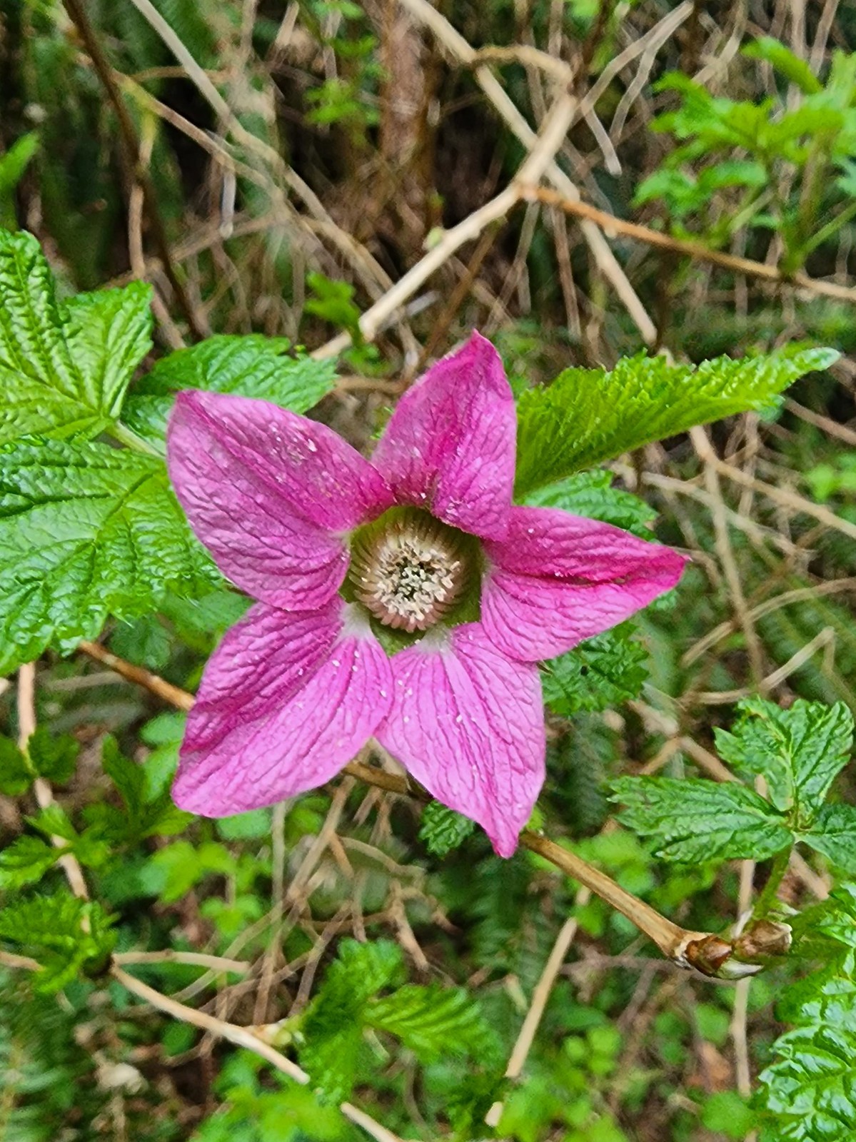 Salmonberry
 Toothwort
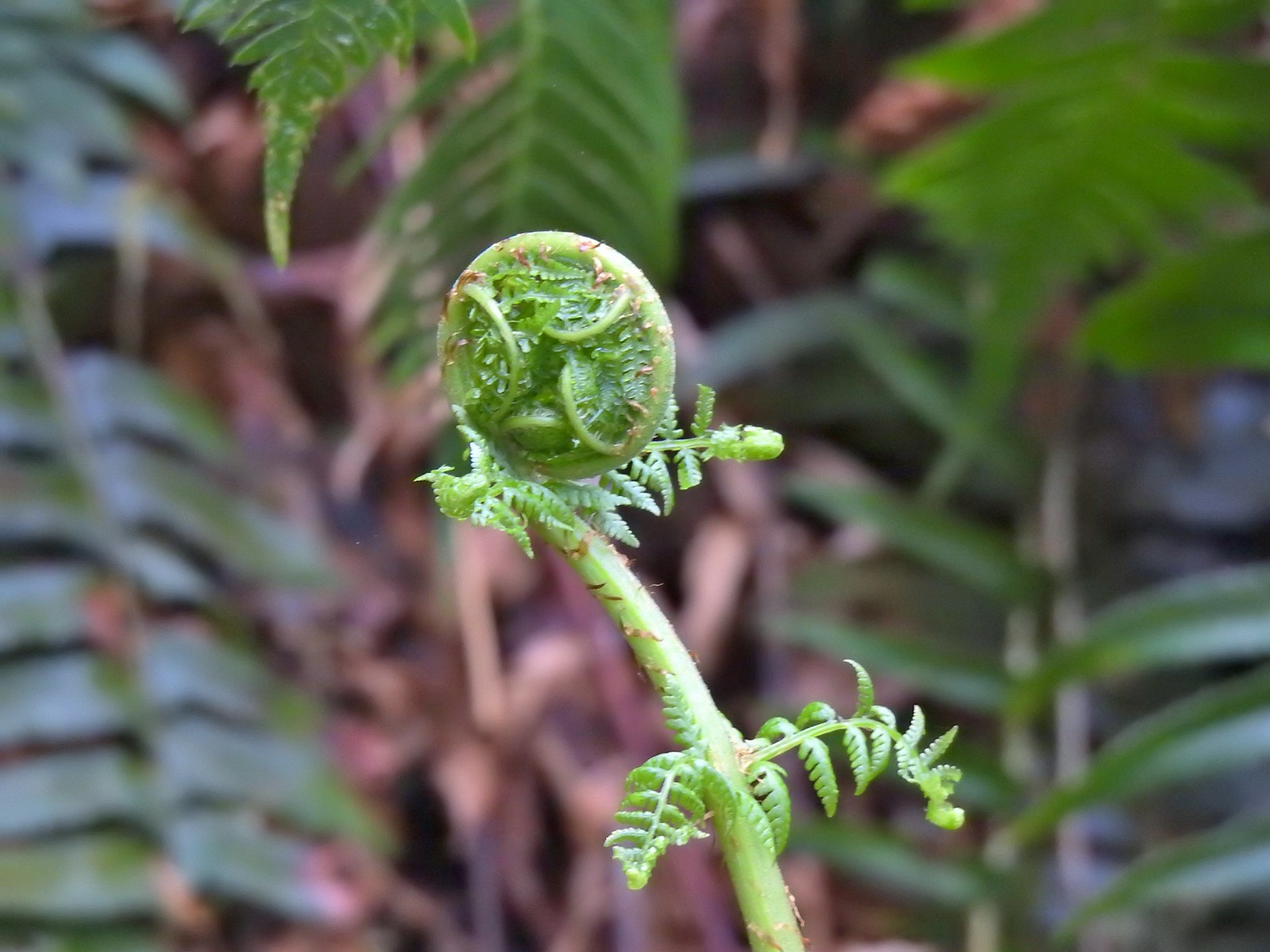 Unfurling fern
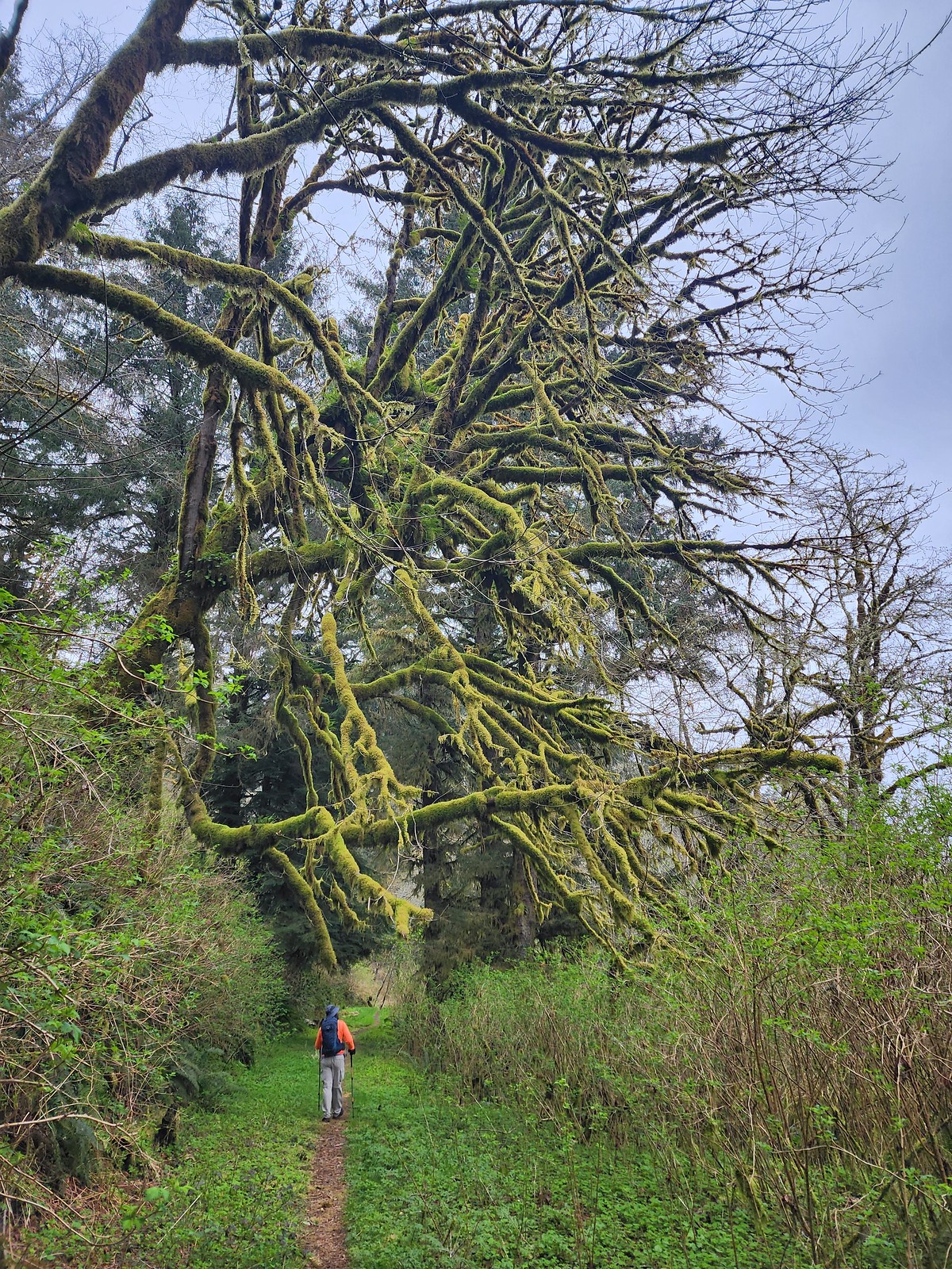 Me passing under a mossy tree.
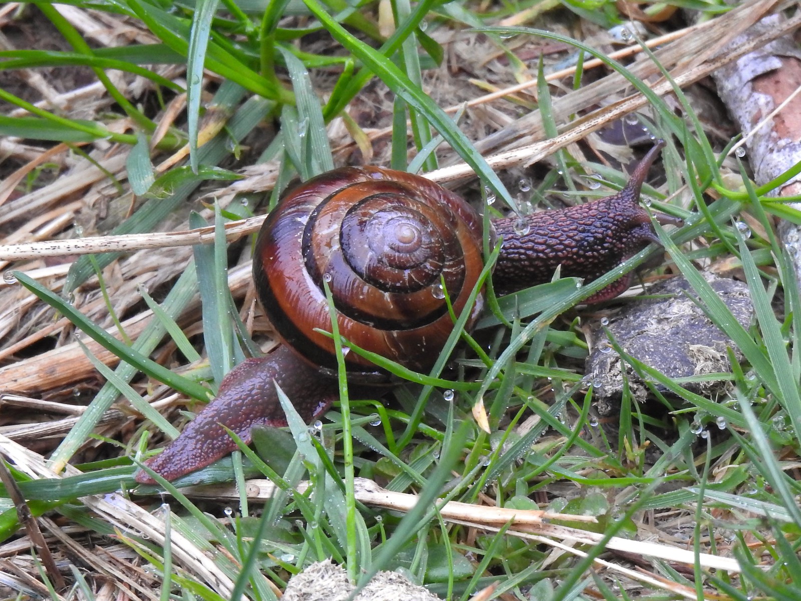 Snail on the trail.
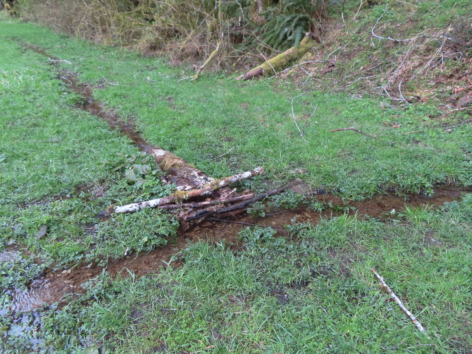 This makeshift damn was not stopping the water from flowing down the trail.
 Another of the small stream crossings.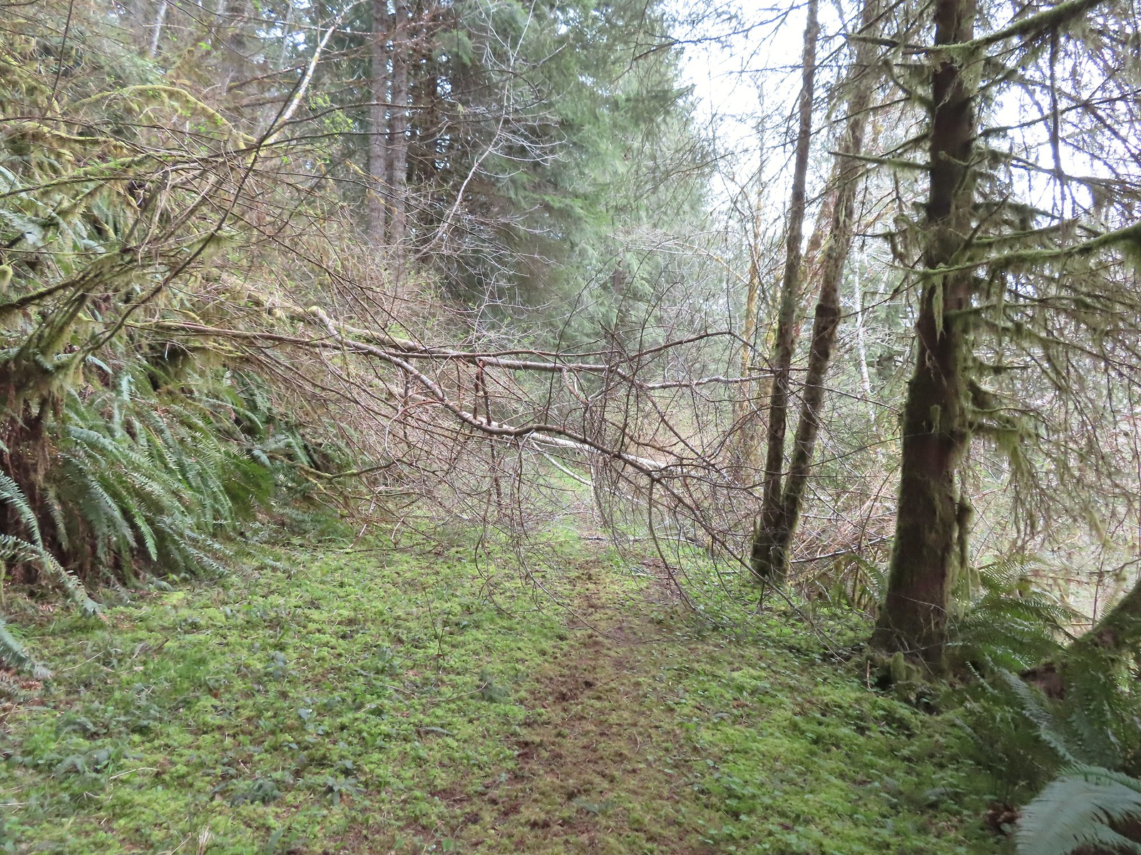
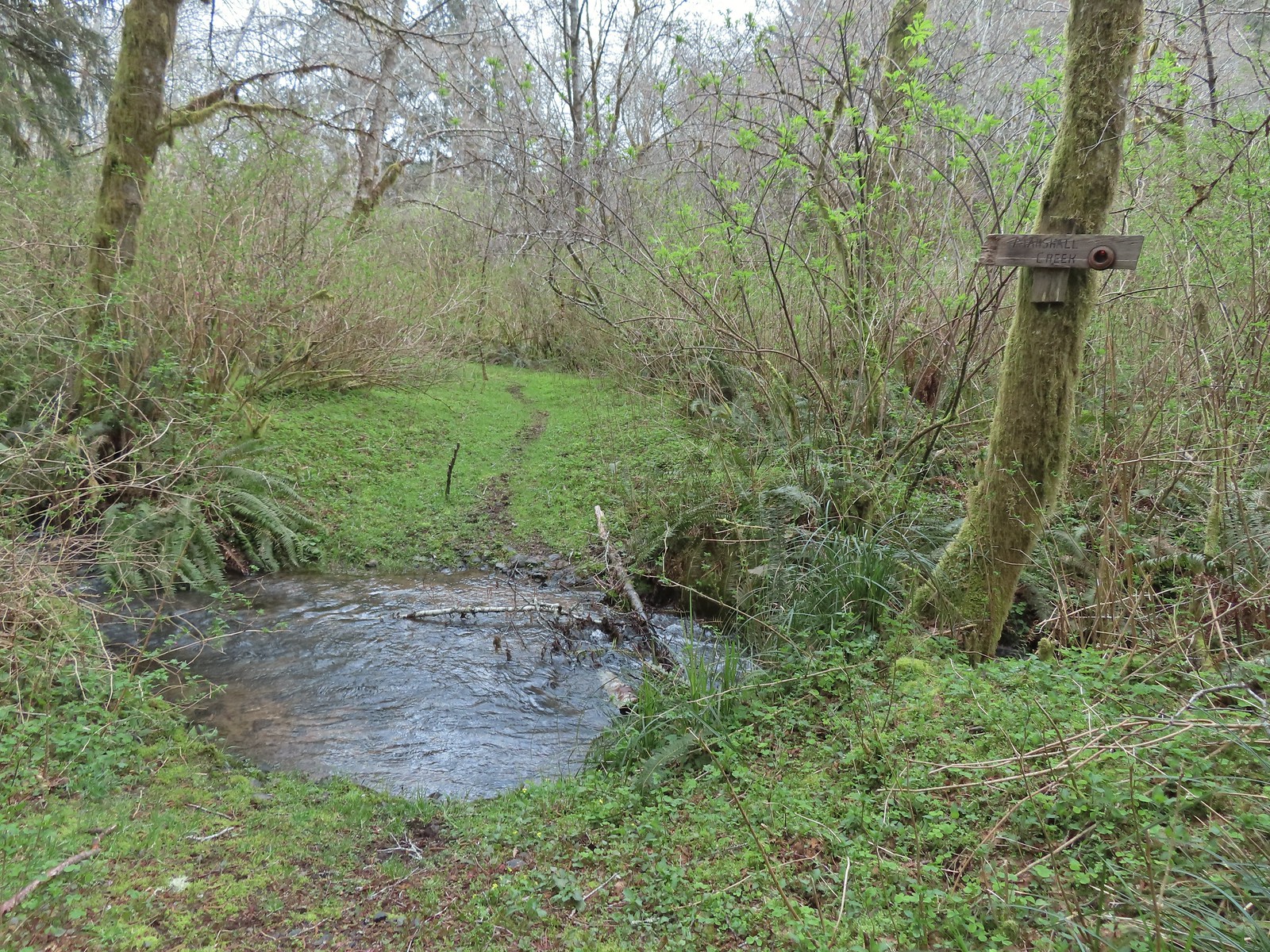 The creek was actually pretty deep here with the recent wet weather we’d had.




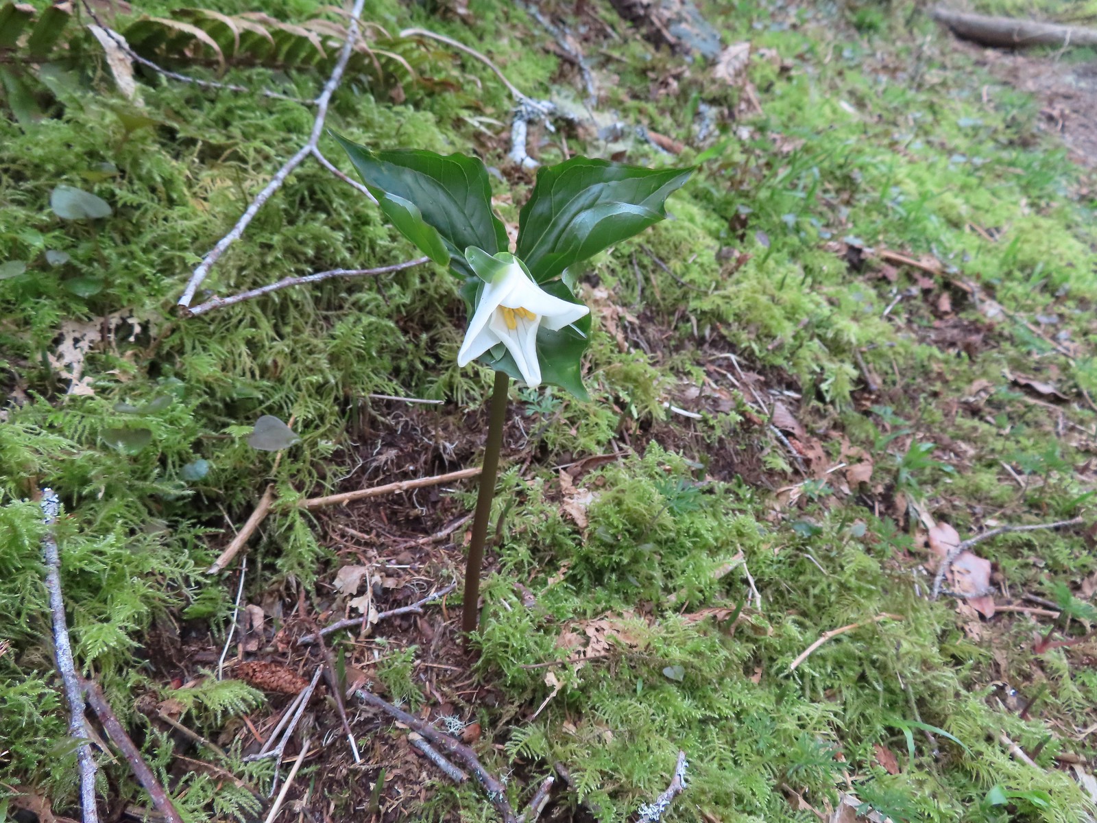 A trillium unfurling.
 Violets
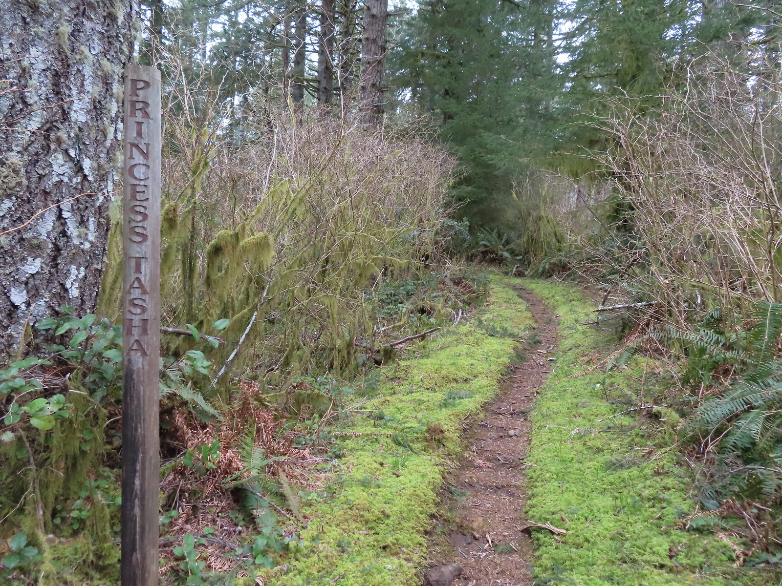
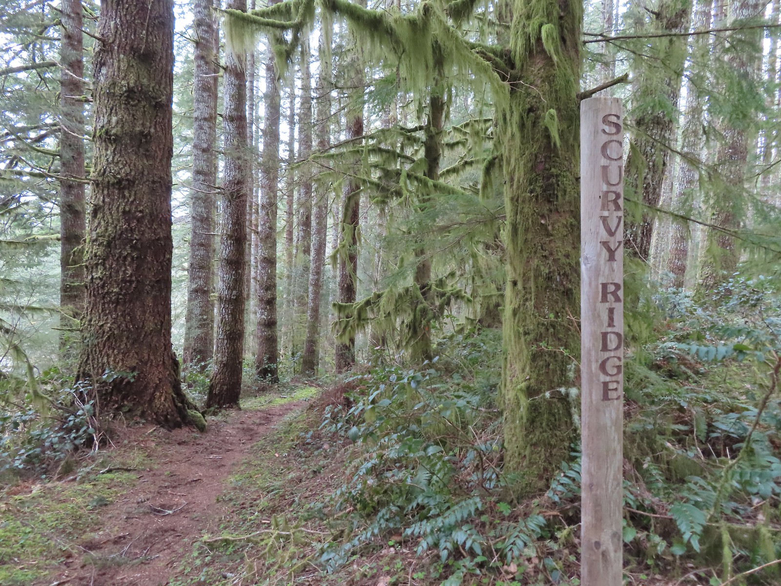
 Several trails have similar markers with most of them being at or near junctions. This one was just alone along the trail.


 Rough skinned newt
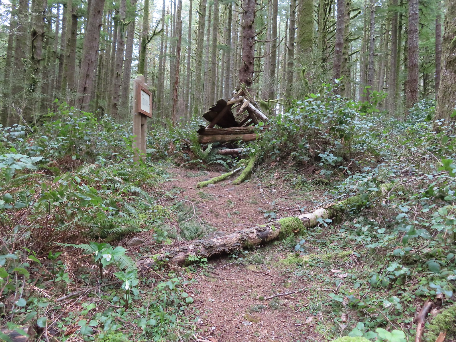
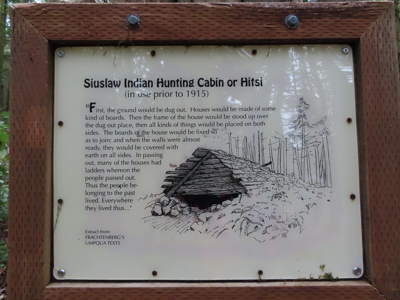

 Time has not been kind to the hitsi.


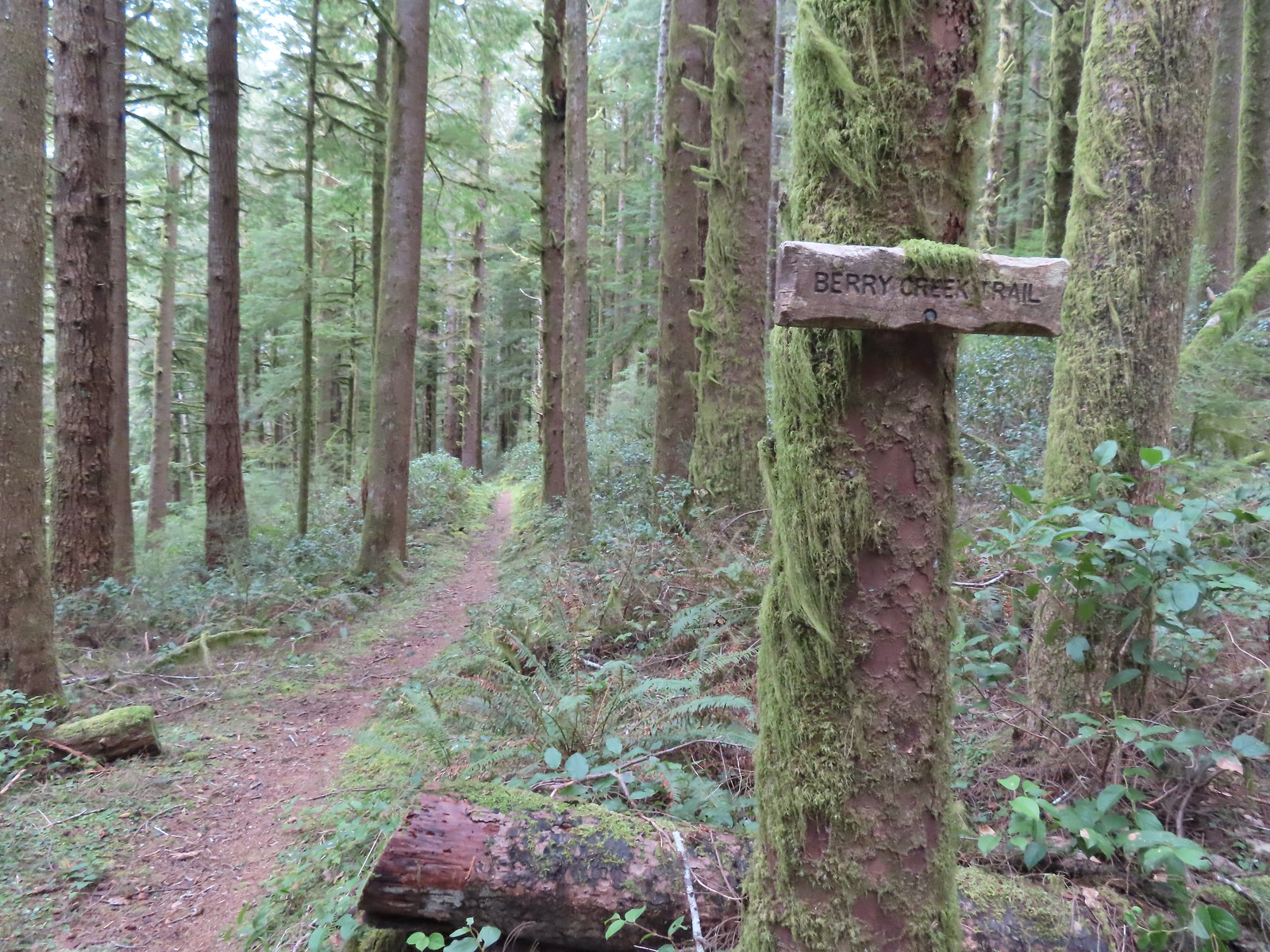
 The trail briefly followed an old roadbed.
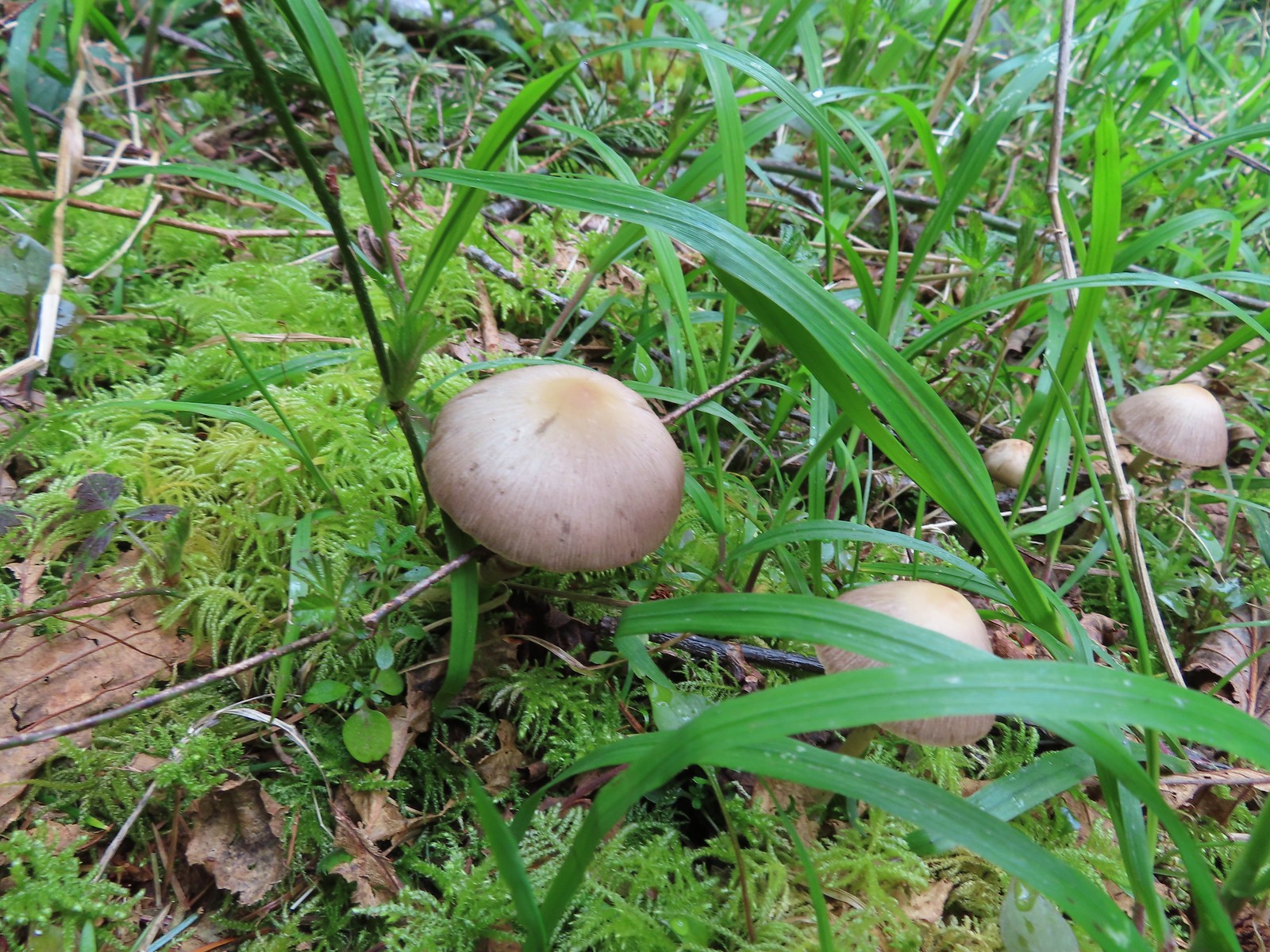 Mushrooms along the roadbed.
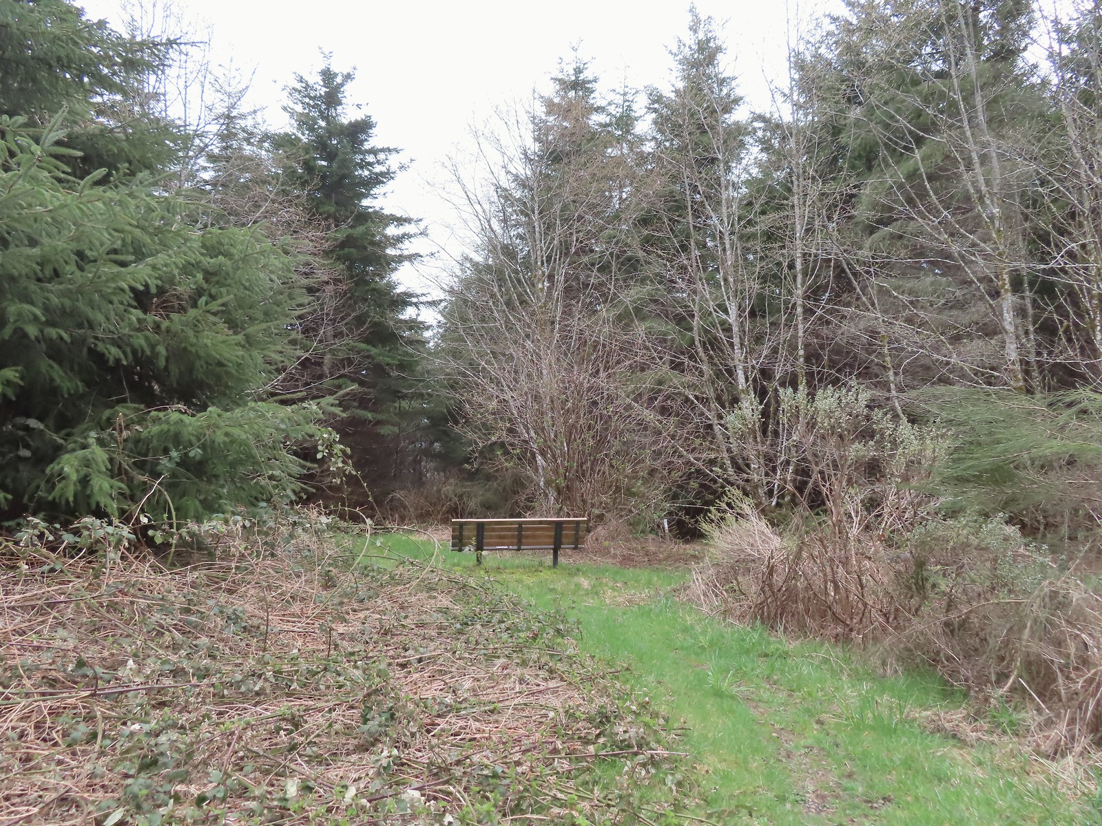 Another bench with a questionable view at the end of the roadbed segment.
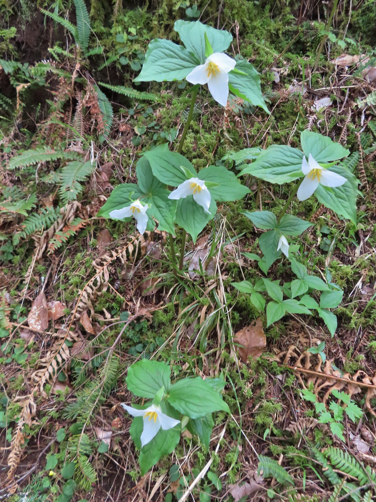 Flowers are a few weeks behind this year but there were quite a few trillium along the trails.
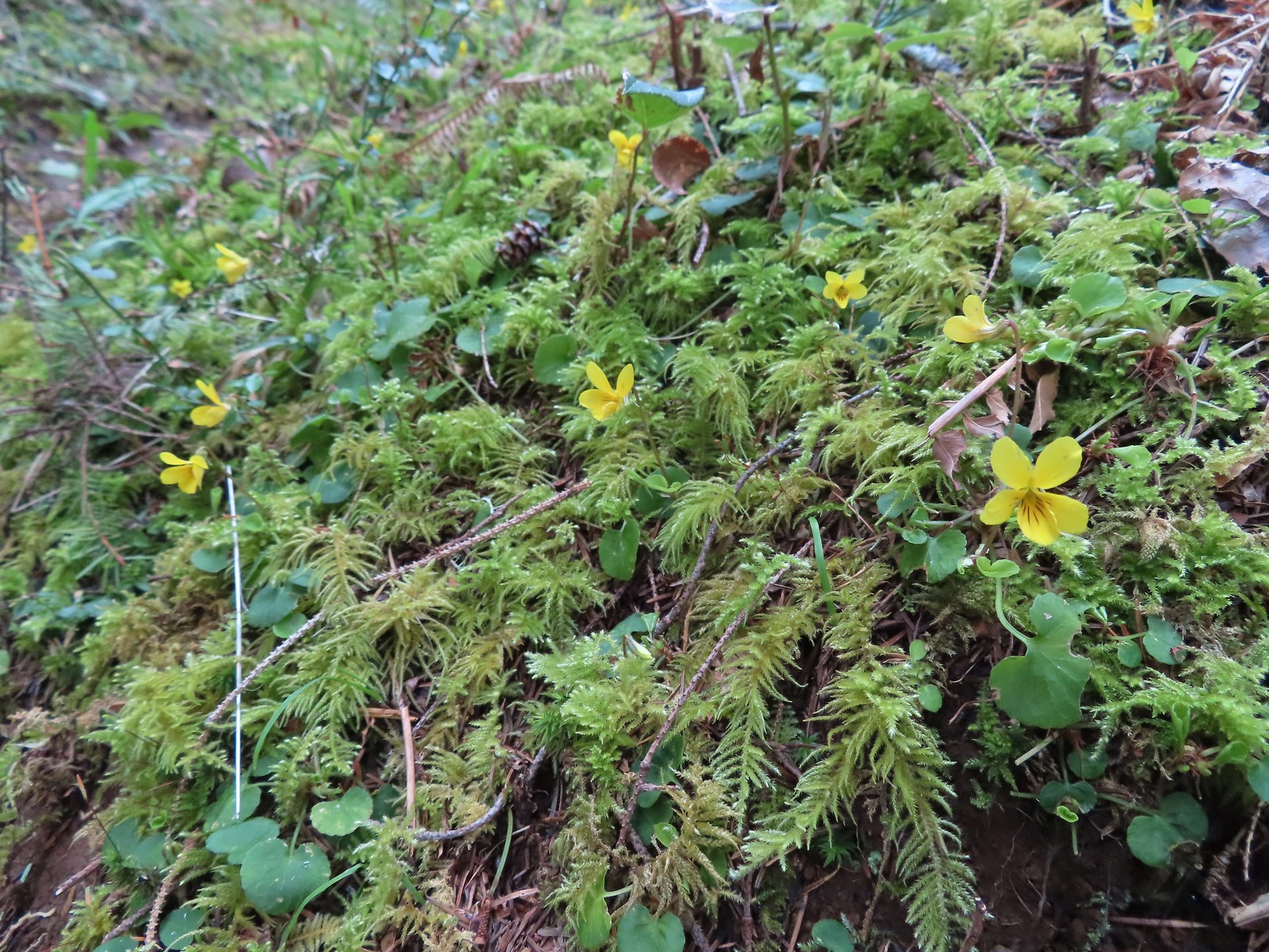 Violets were the other abundant flower.
 Red flowering currant beginning to bloom.
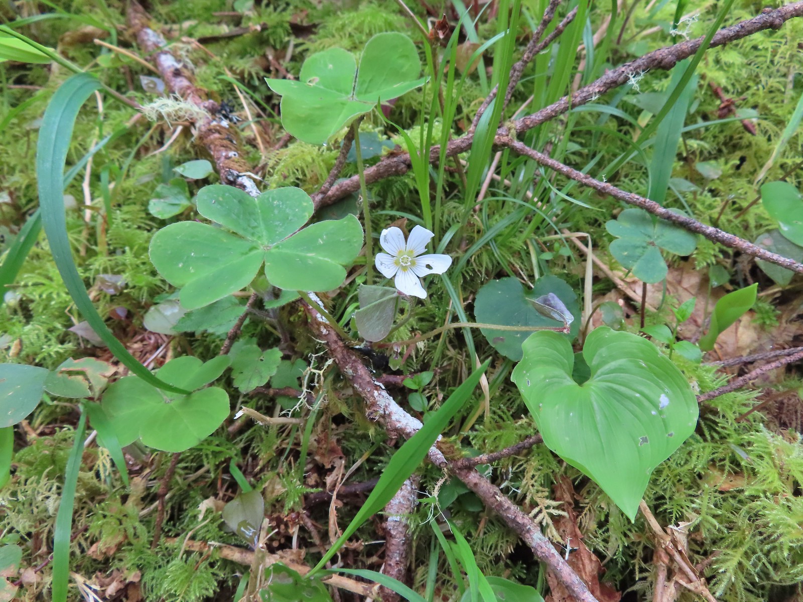 Wood sorrel
 This looked to be a fairly recent uprooting.
 A cute fungus
 Looking back after fording.

 We made a sharp right here onto the Nelson Ridge Trail.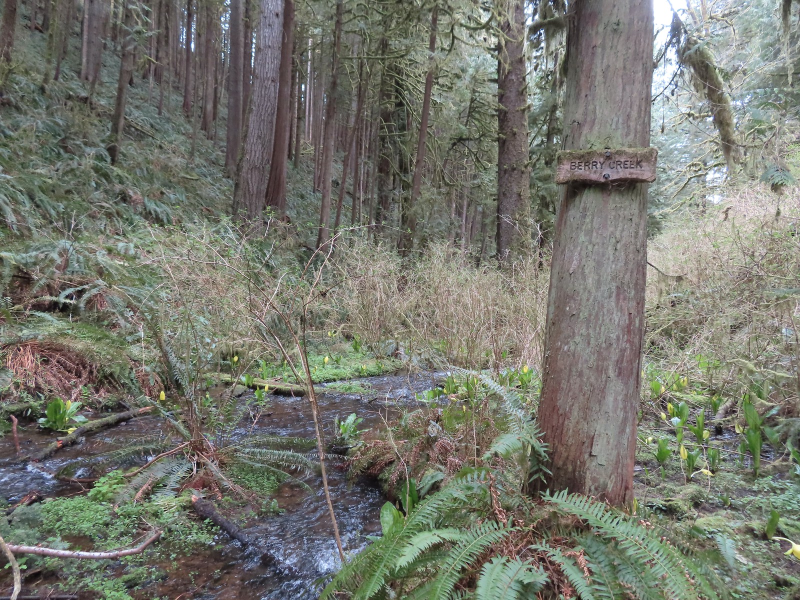
 Skunk cabbage at Berry Creek.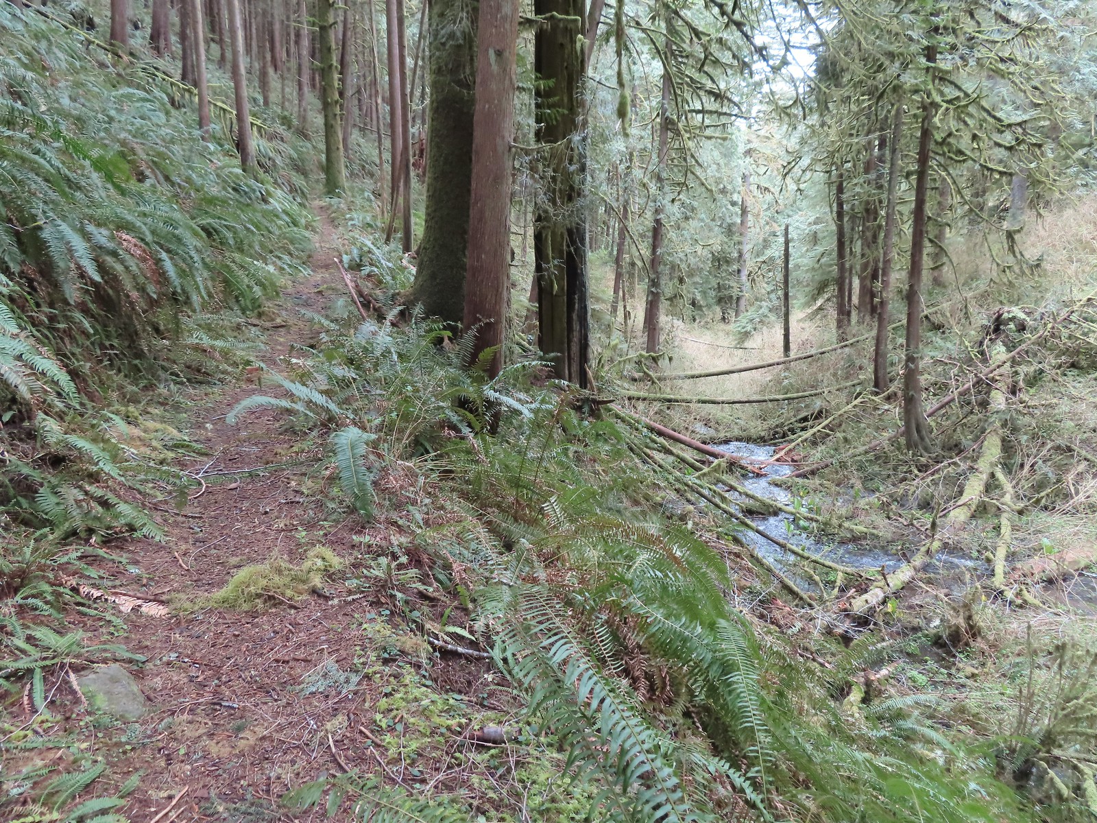
 A few bleeding-heart blooms.
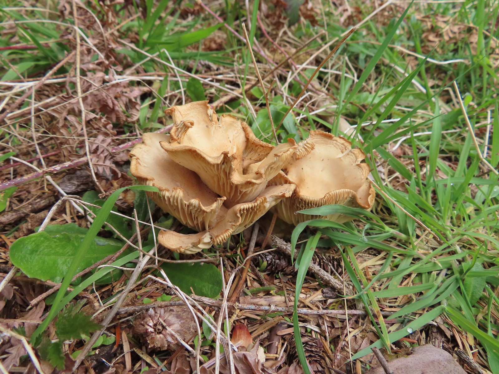
 At least this bench had a view of the Pacific Ocean.
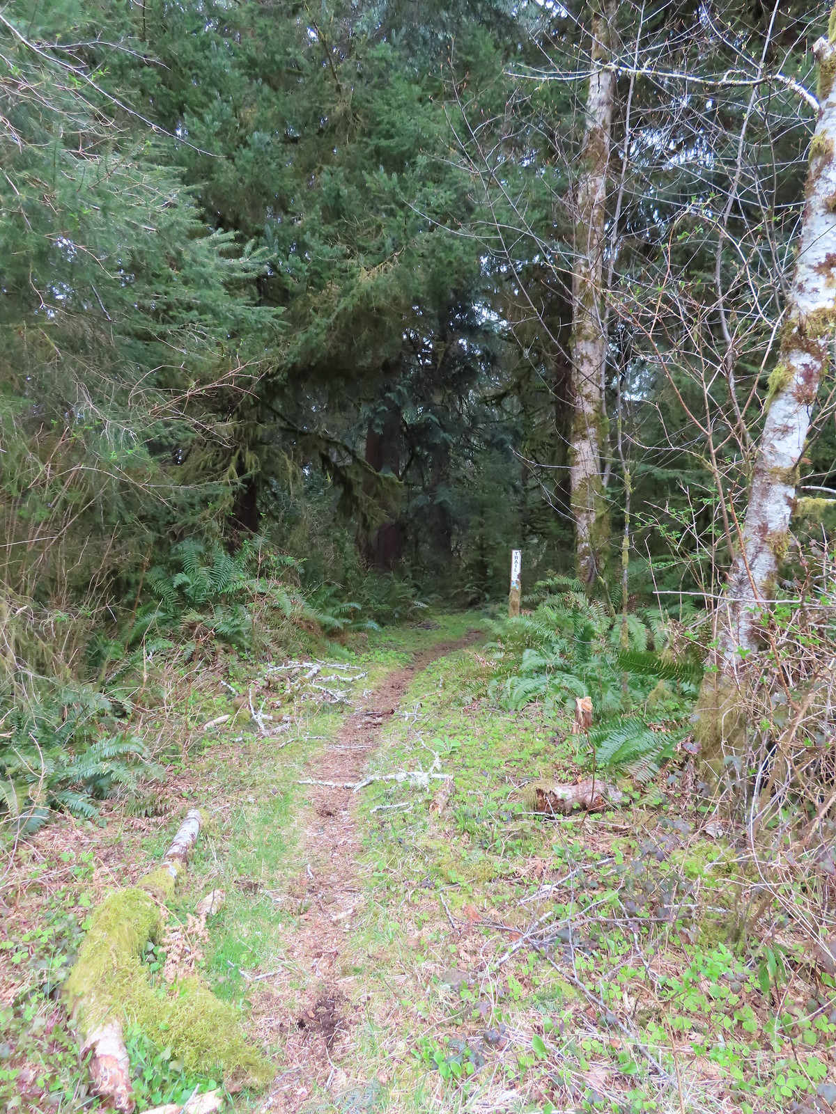 Passing through a stand of trees along the ridge.
 Another bench.
 Some easy to walk around blow down.
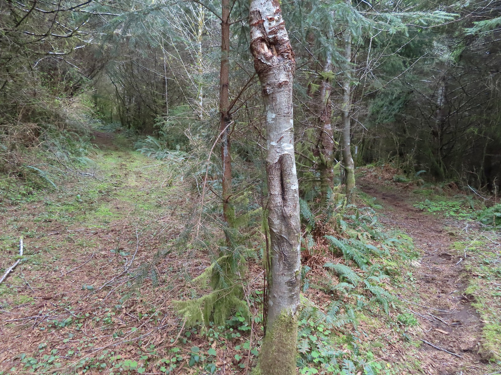 We couldn’t tell what this road/trail to the left was on the map so we stayed right to be safe at this junction.
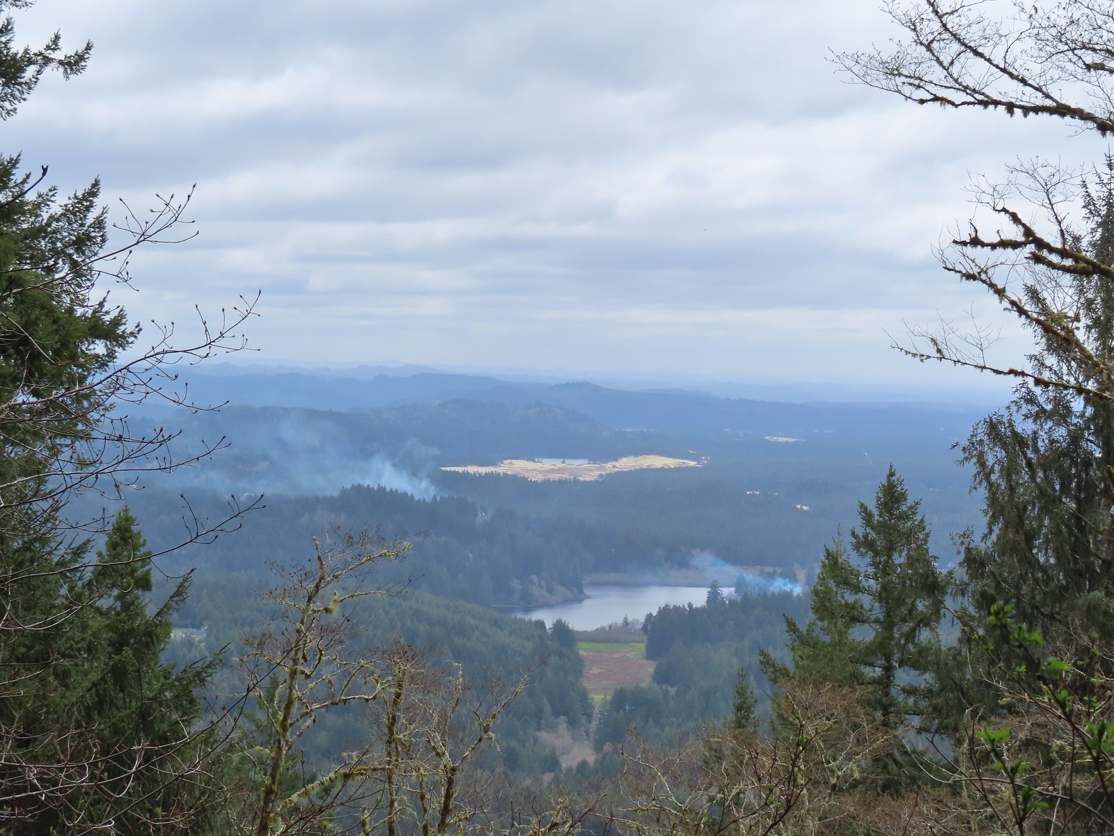 I think that is Sutton Lake and beyond the sand is Clear Lake.
 The end of another short roadbed section.
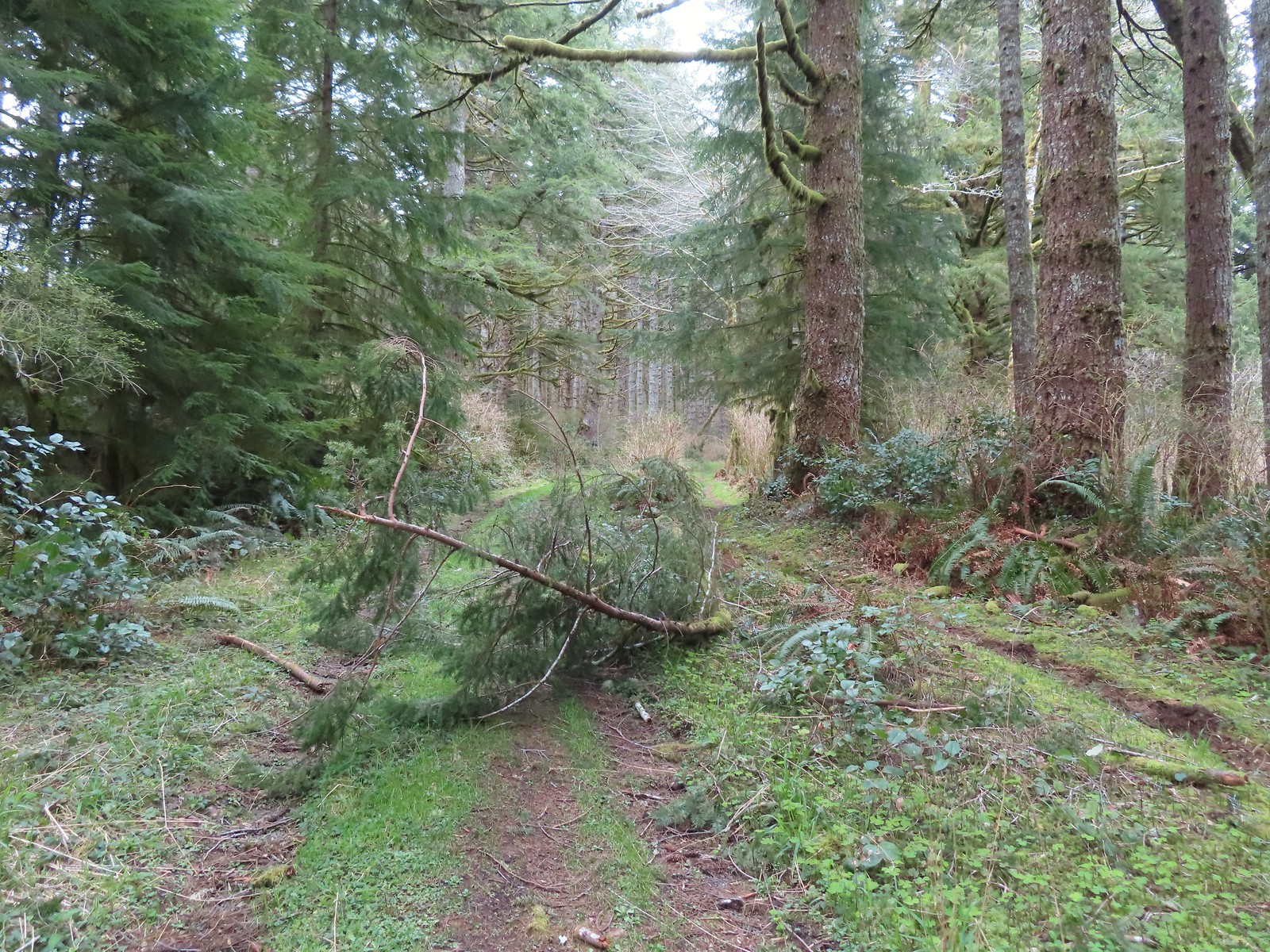 I walked on this roadbed for a bit just to do something a little different than on the first visit when I stuck to the trail (on the right).
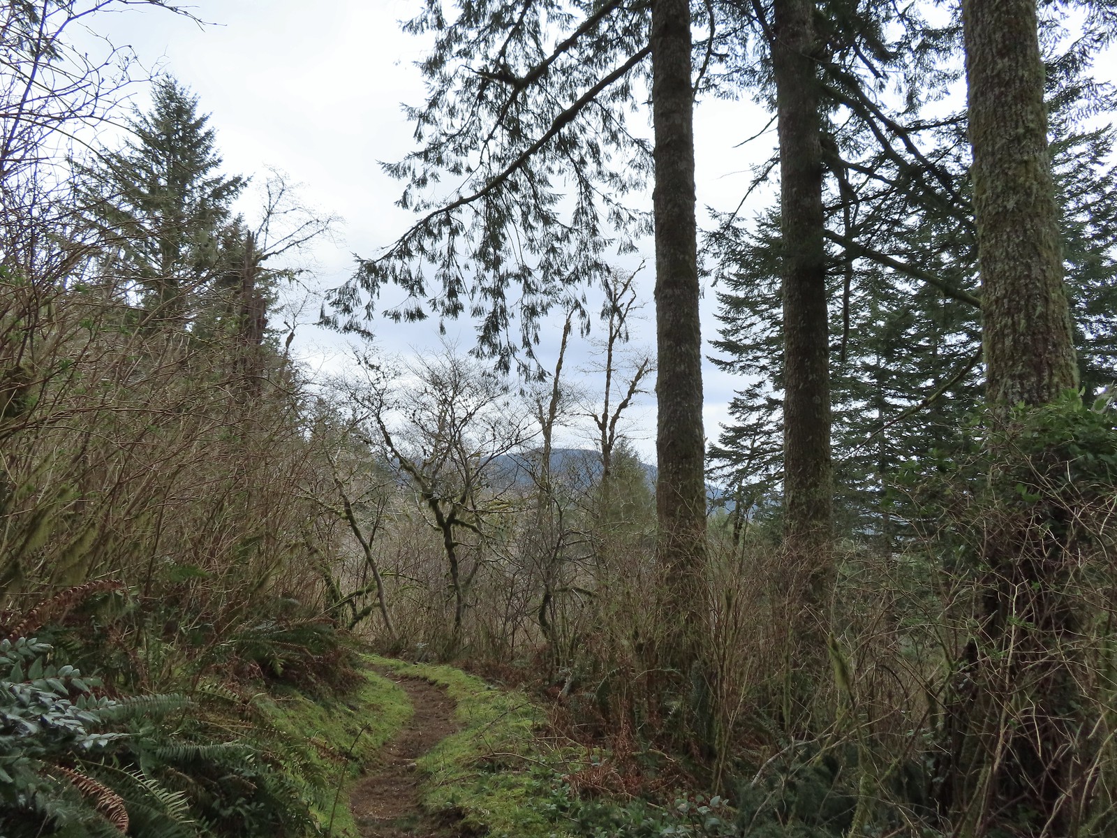 Starting to descend toward Dry Lake.
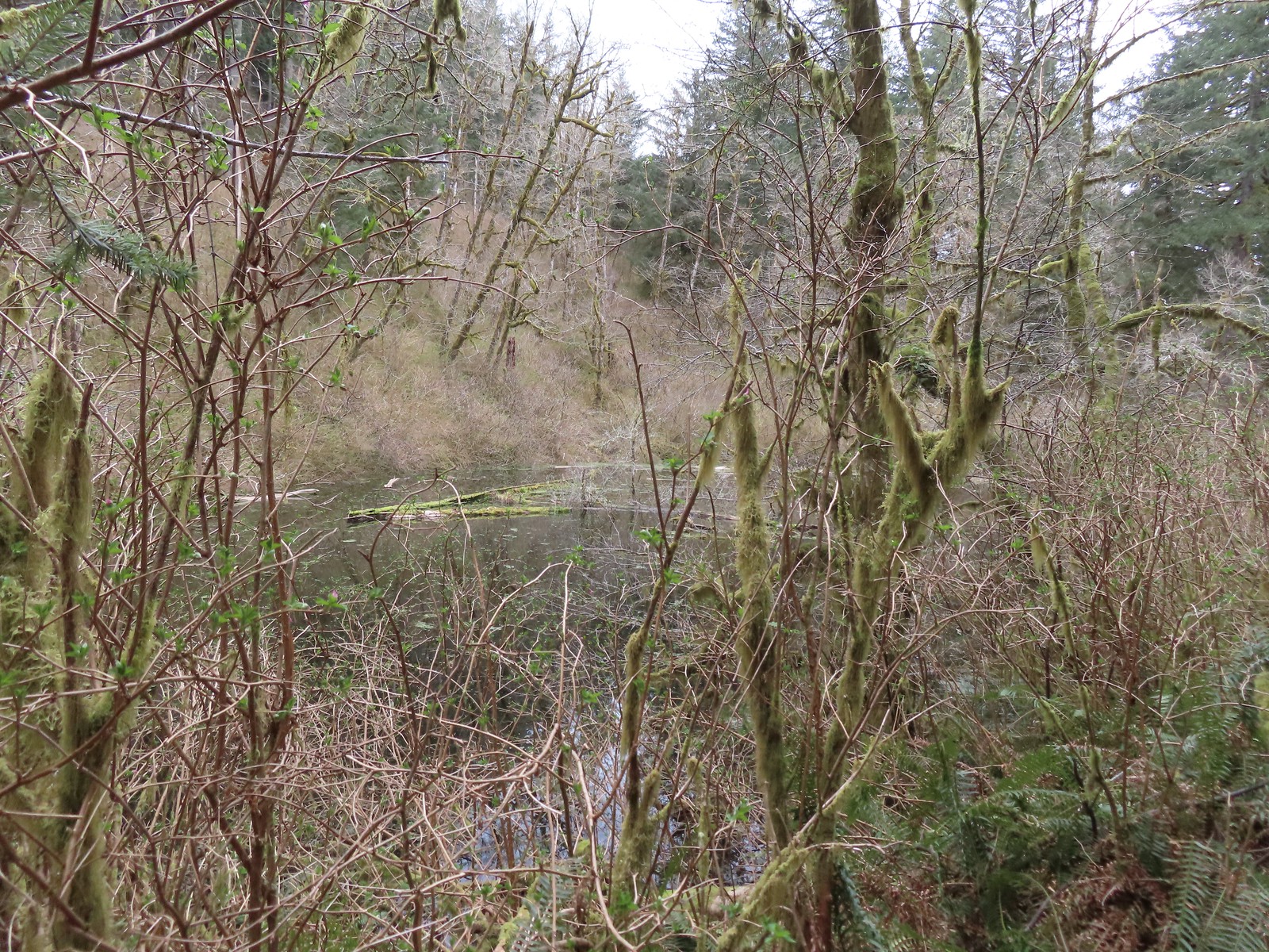 Dry Lake
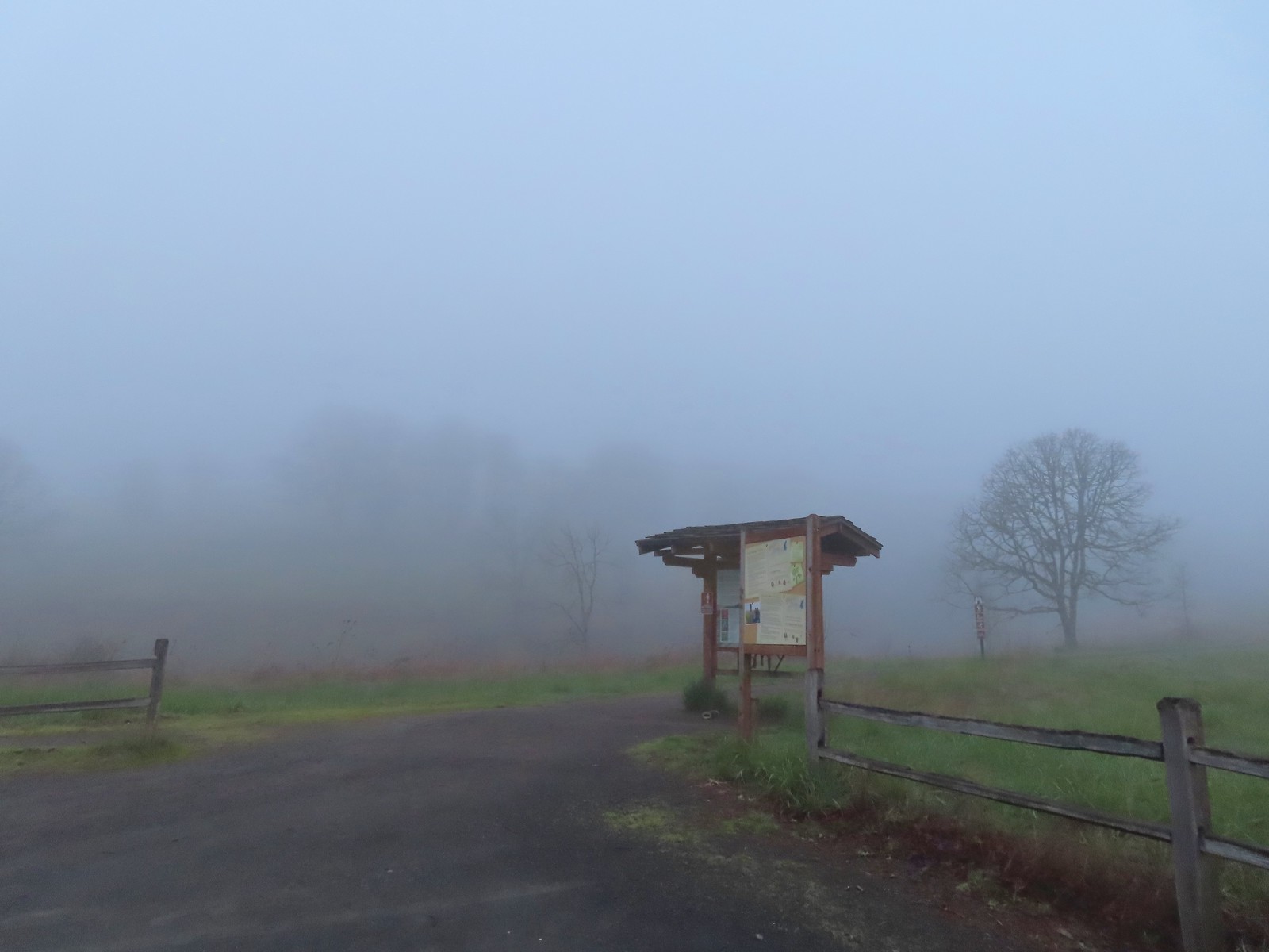
 Back at the trailhead.

 There were a few buttercups blooming in the grass and not much else along this side of the Memorial Trail.
 A lone strawberry blossom.
 The Inter-Tie Trail was a wet and muddy affair. I could hear a lot of birds in the surrounding trees but couldn’t make any of them out unless they flew right in front of me.
 I went left here which got me out of the slick mud but onto even wetter grass.
 Coming up on the marsh which is just on the other side of the dip in the road.
 Two rabbits trying to decide if they were going to keep eating grass or race off into the blackberry bushes.

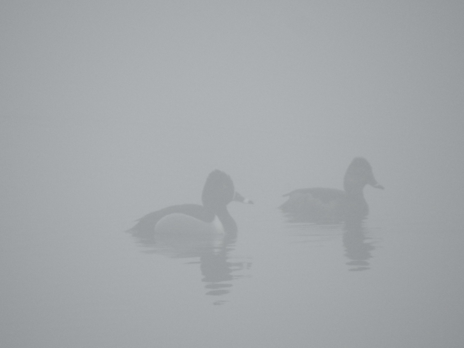 Ring-necked ducks
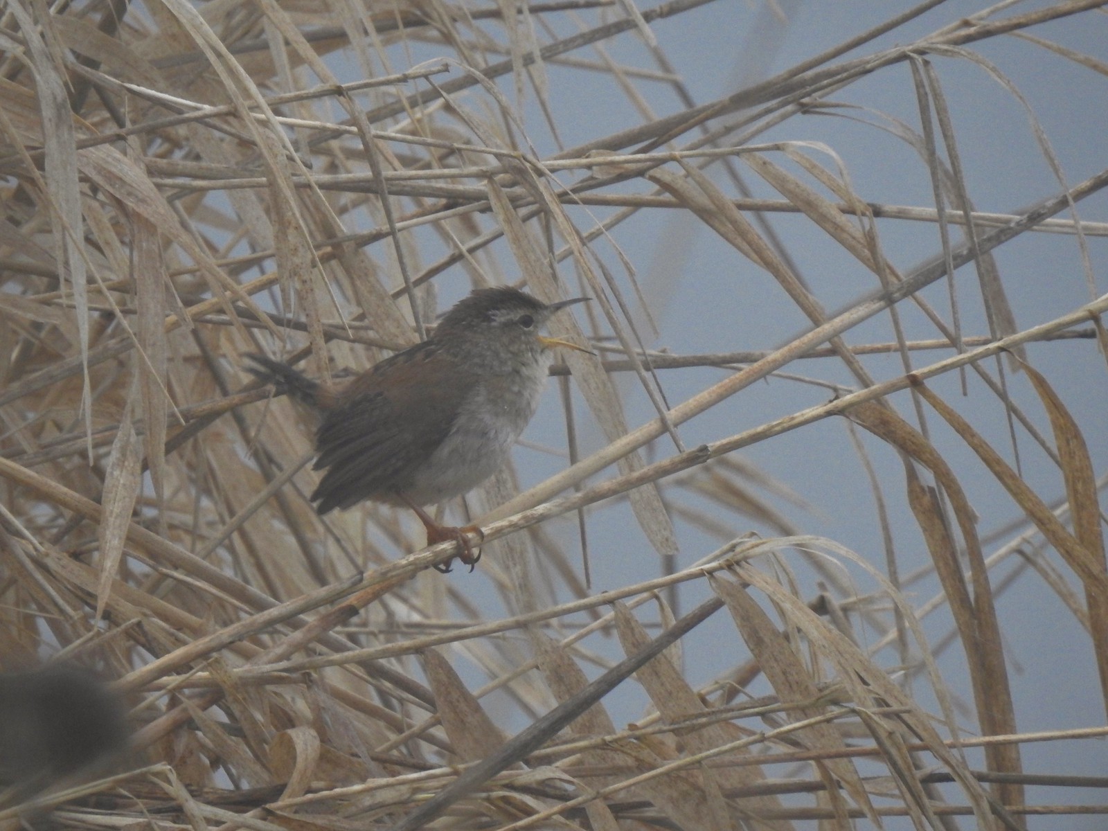 I think this is a marsh wren.

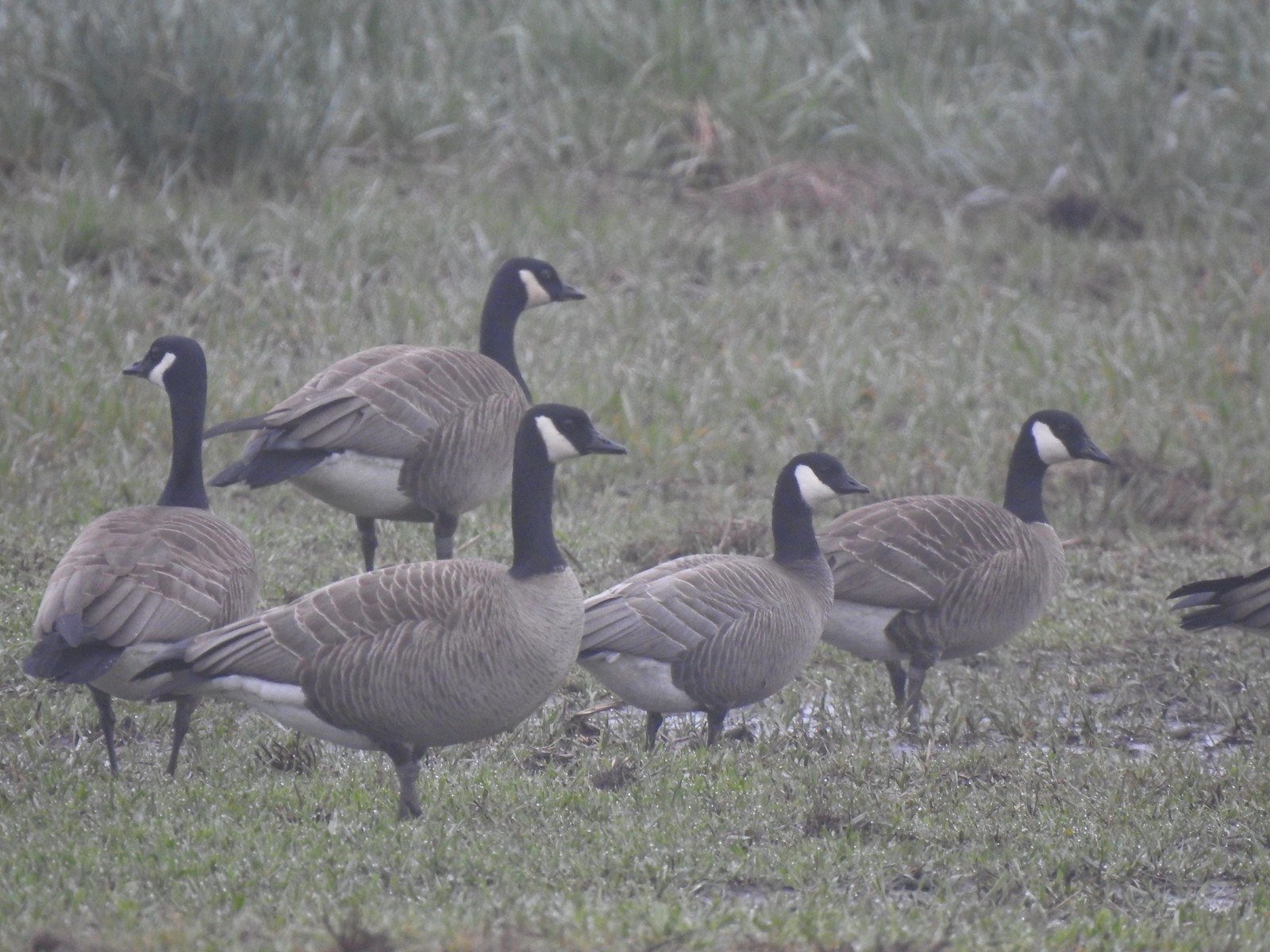 I think the 2nd goose in from the right is a cackling goose while the others are Canada geese. It’s a bit smaller and the white patch is shaped differently.
 Swallows
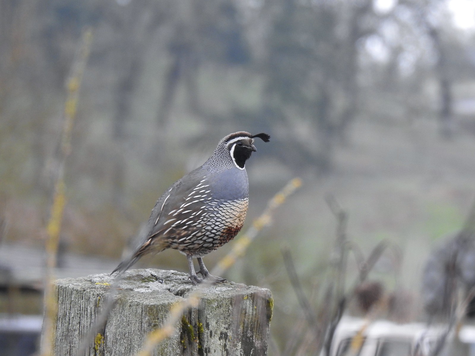 California quail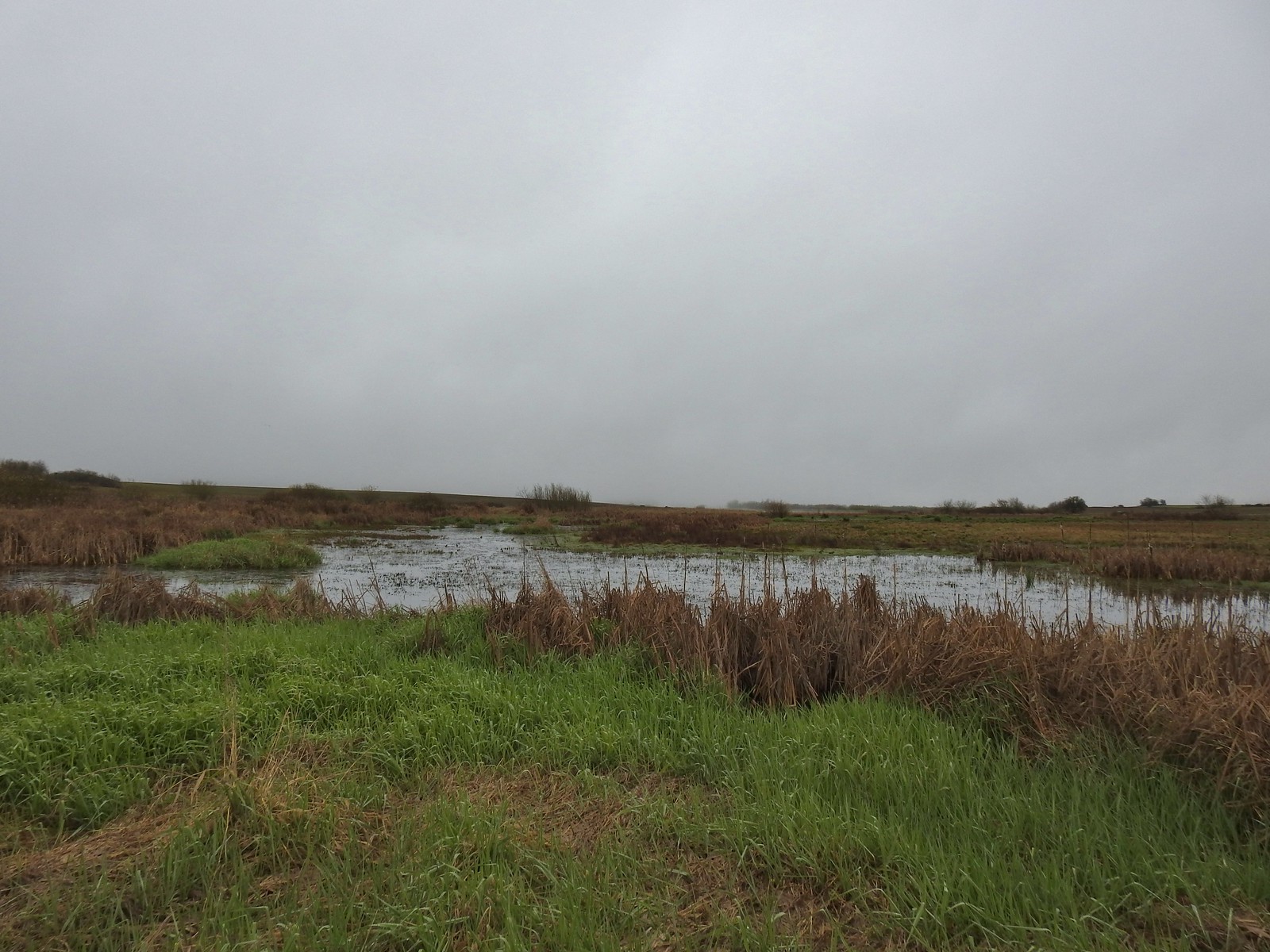
 Cinnamon teals
 Northern shoveler drake
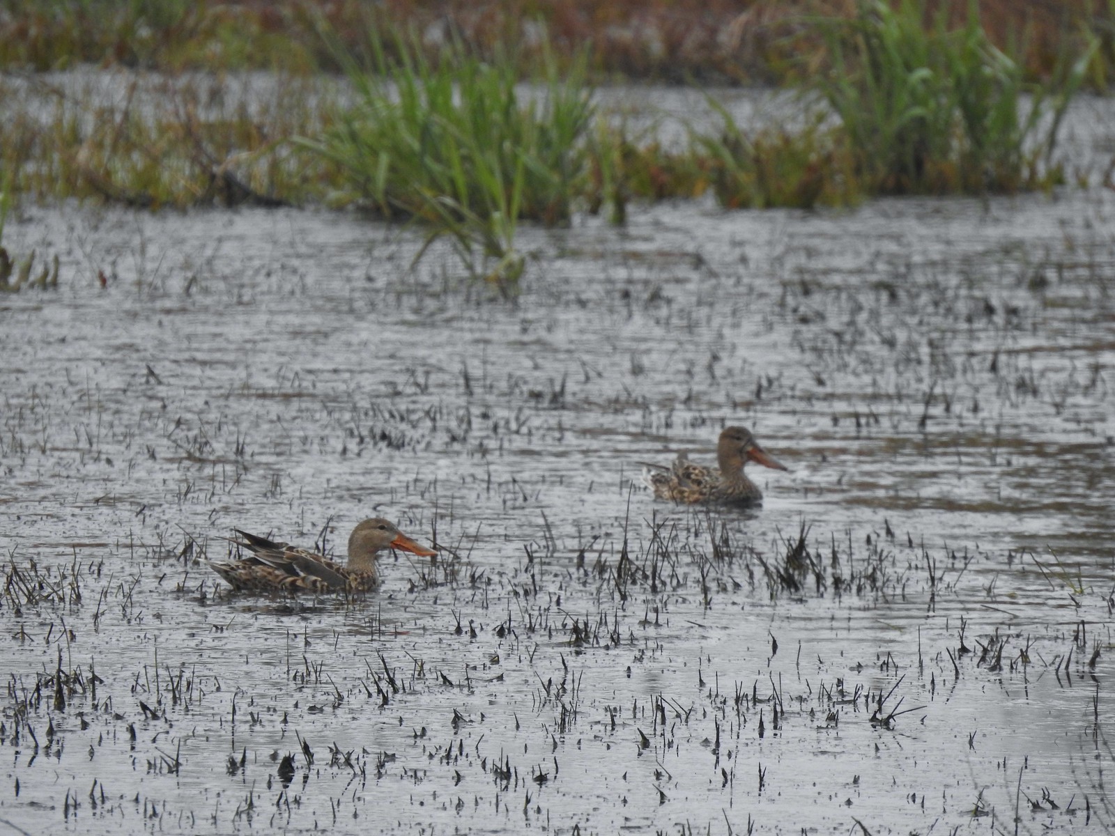 Northern shoveler females
 Signs at the Smithfield Road Trailhead.
 Buffleheads
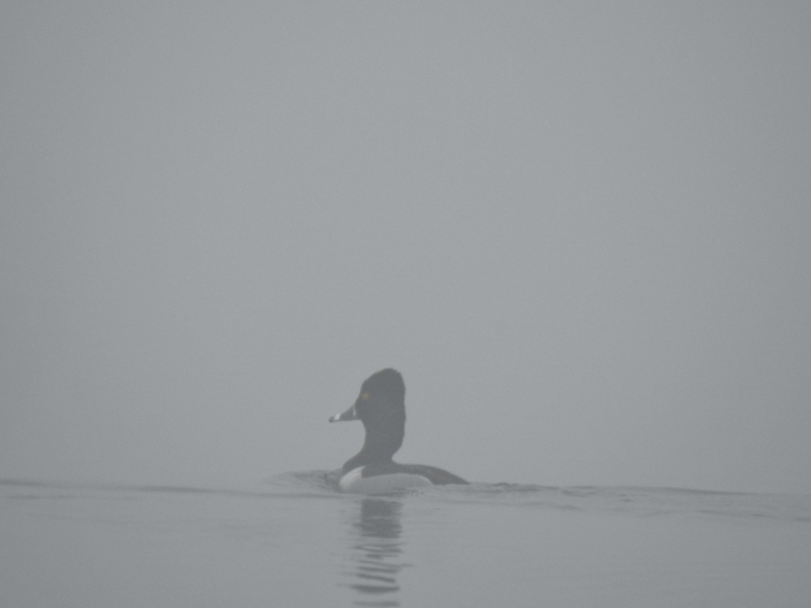 Ring-necked duck
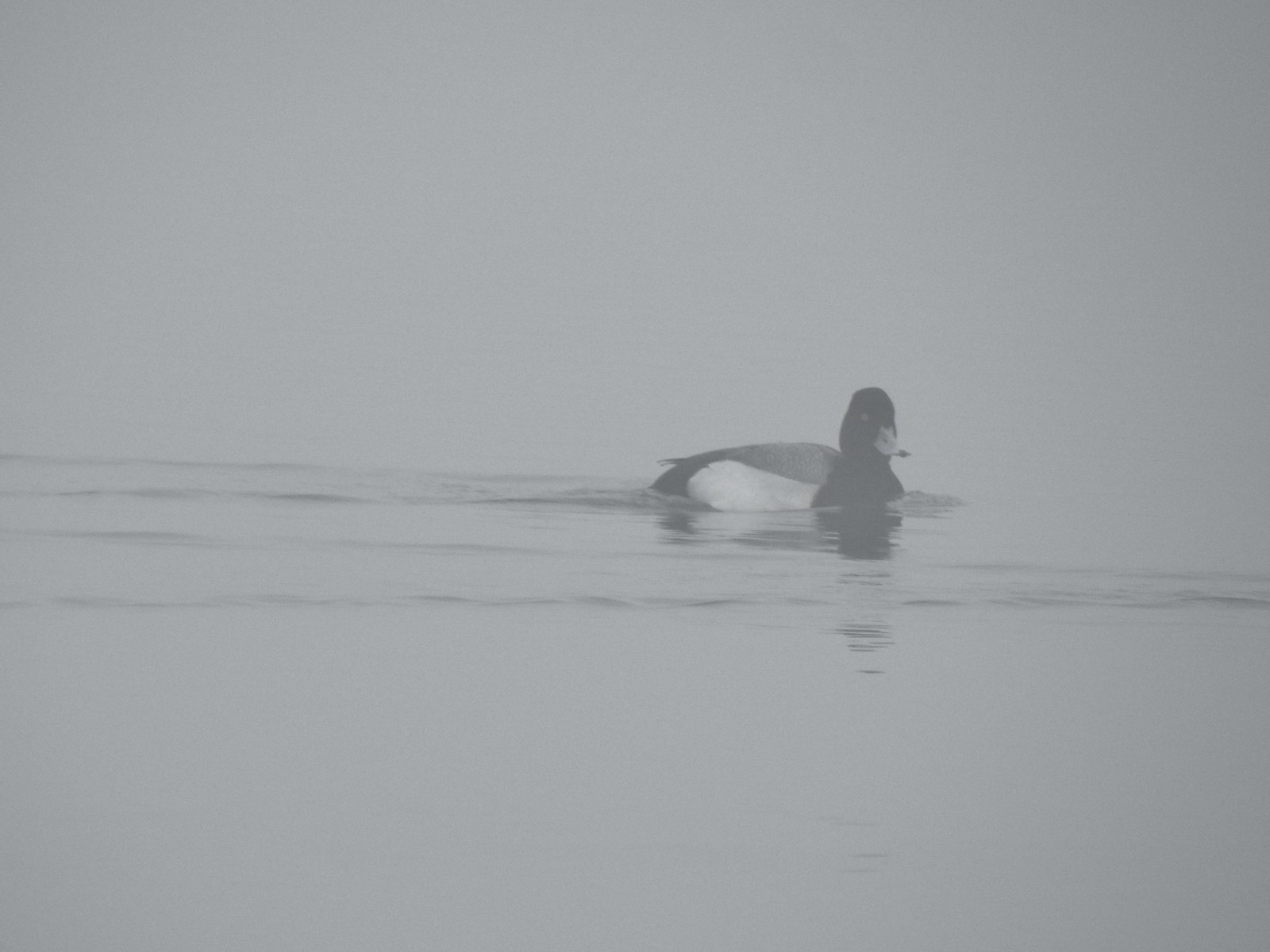 Possibly a lesser scaup.
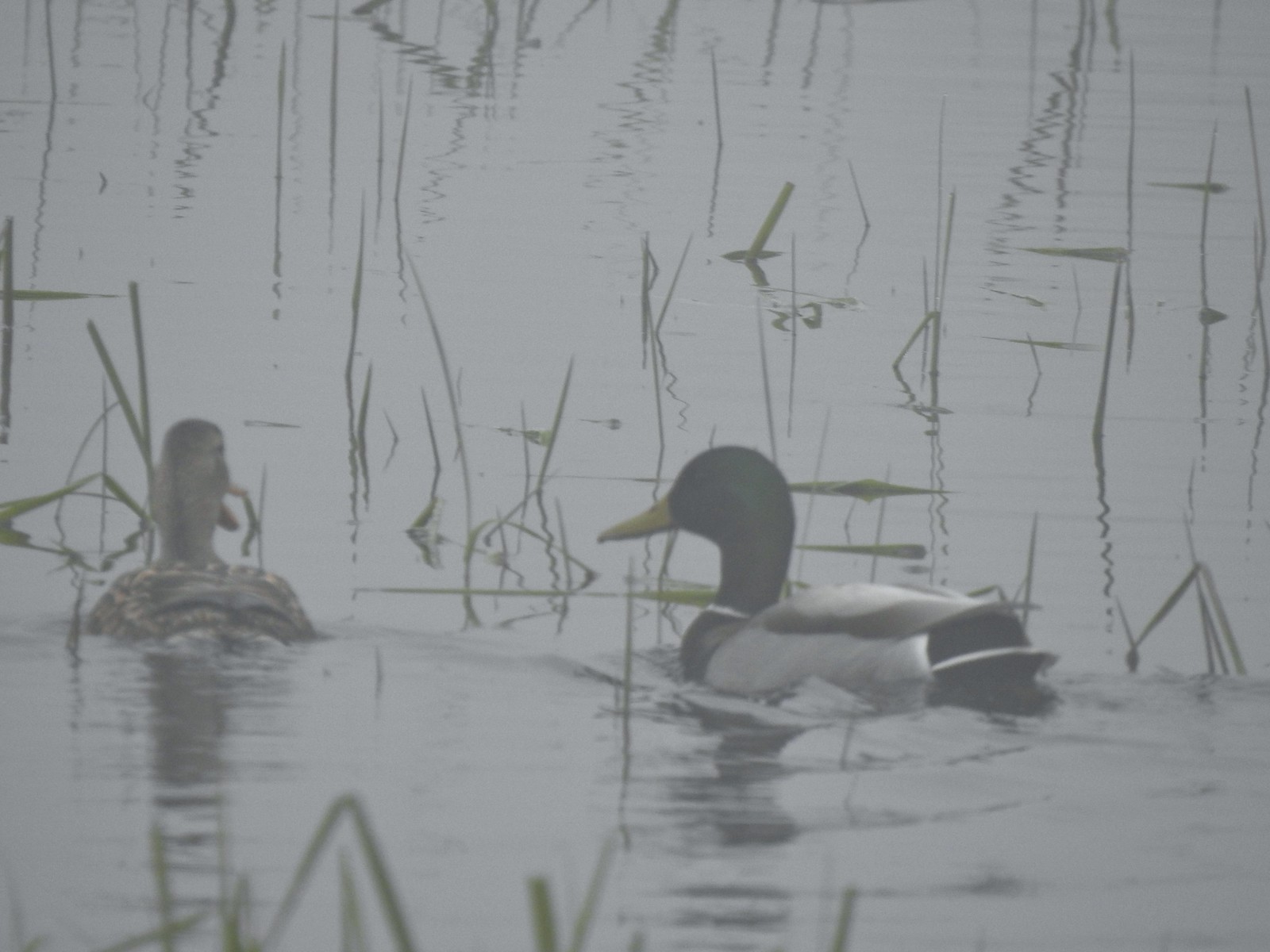 Mallards


 The only bull I could pick out.

 Robin
Robin Bench overlooking Morgan Lake
 Morgan Lake from the bench.
 Spotted towhees
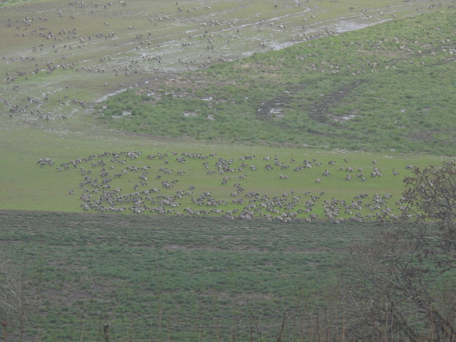 A lot of geese way below the trail.
 I started seeing a lot of toothwort on this side of the loop.
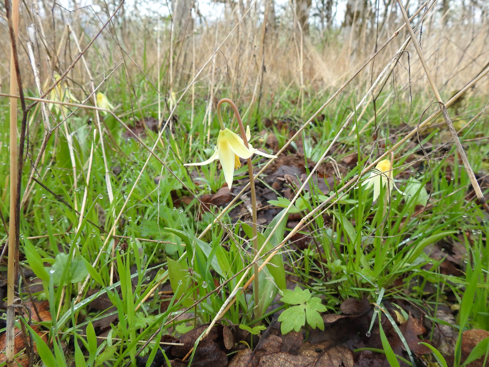 More fawn lilies too.
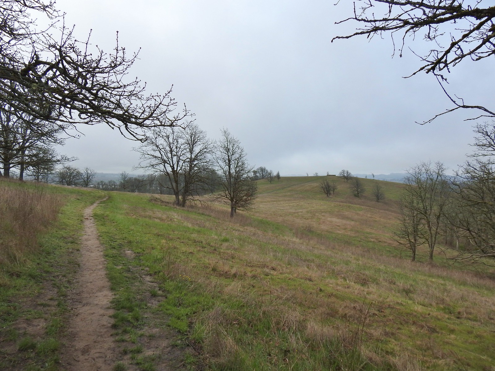 The viewing platform on Baskett Butte to the right.
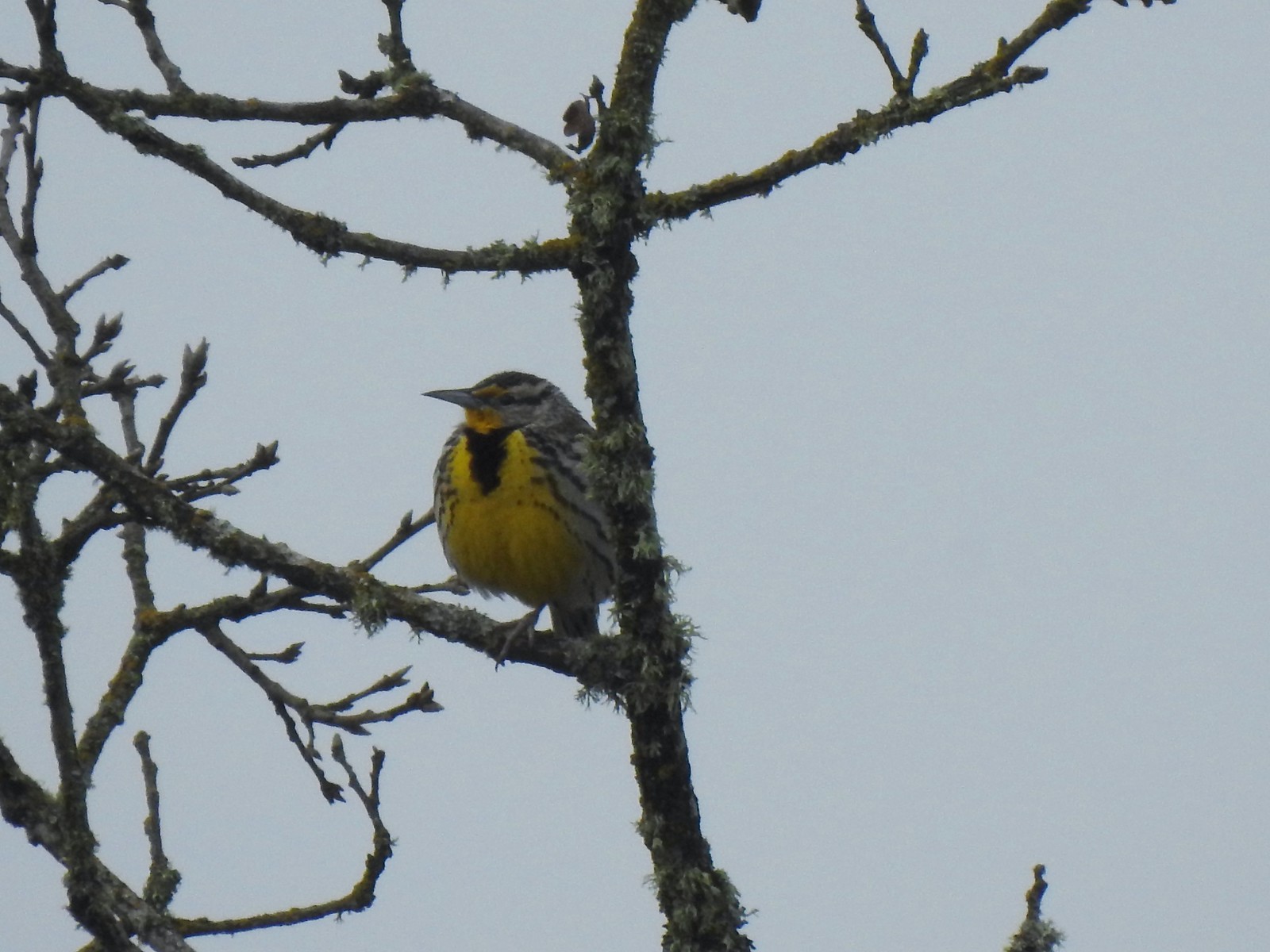 One of several western meadowlarks (Oregon’s state bird) on the butte.
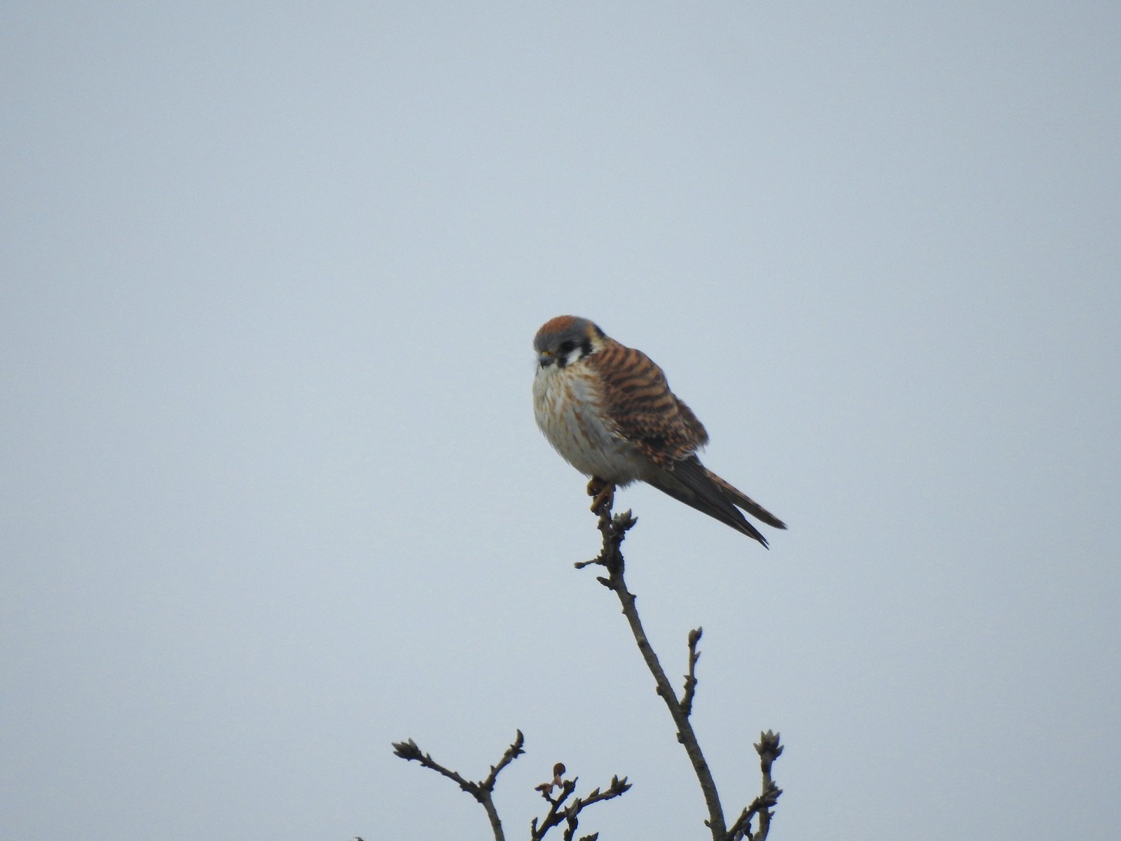 American kestral
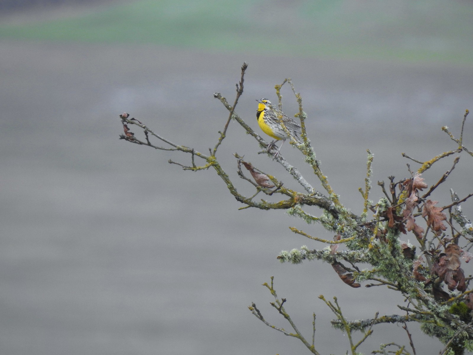 A better look at the yellow on the meadowlarks.
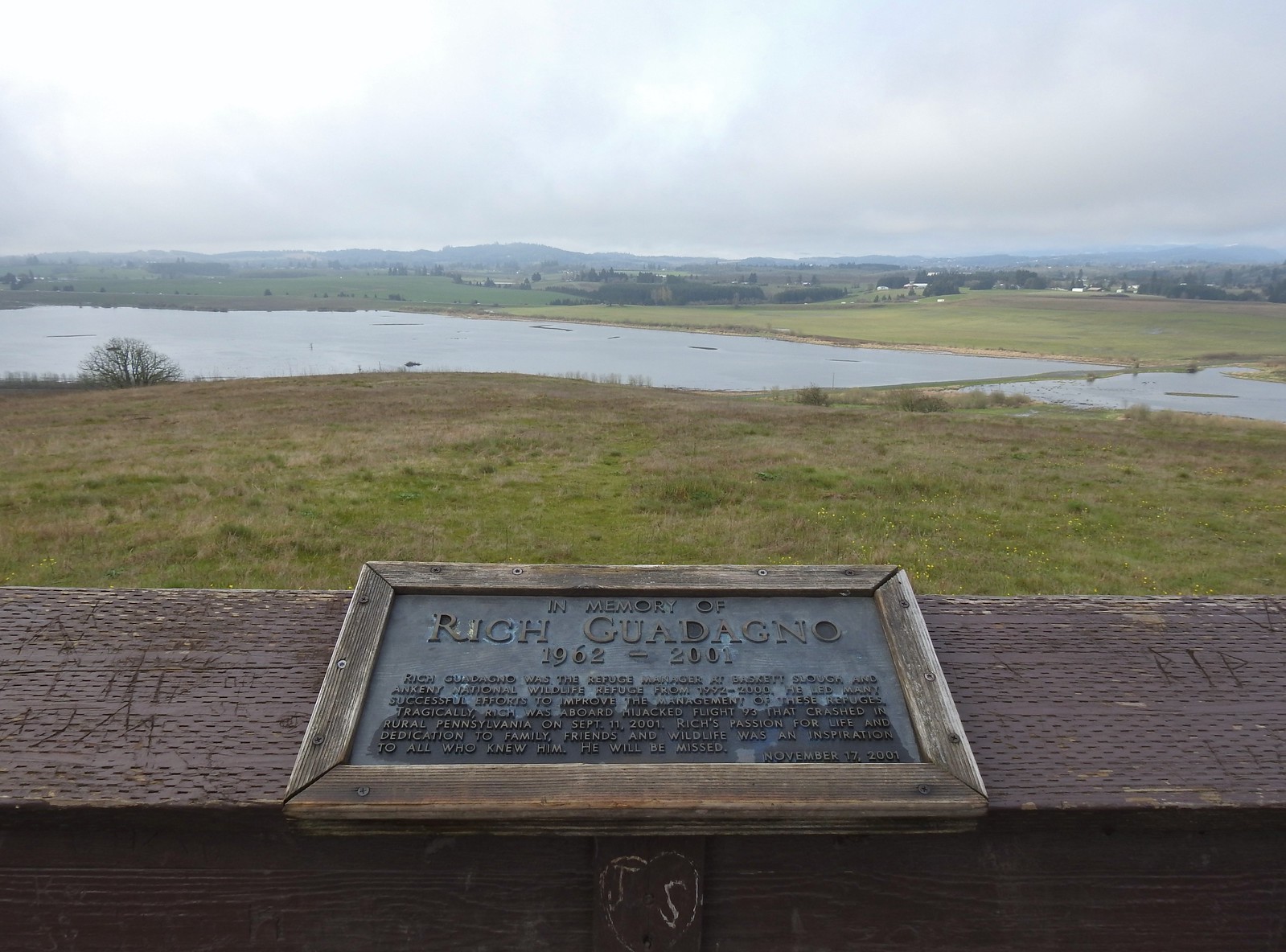 View from the platform.
 Sign along the path.
 More fawn lilies.
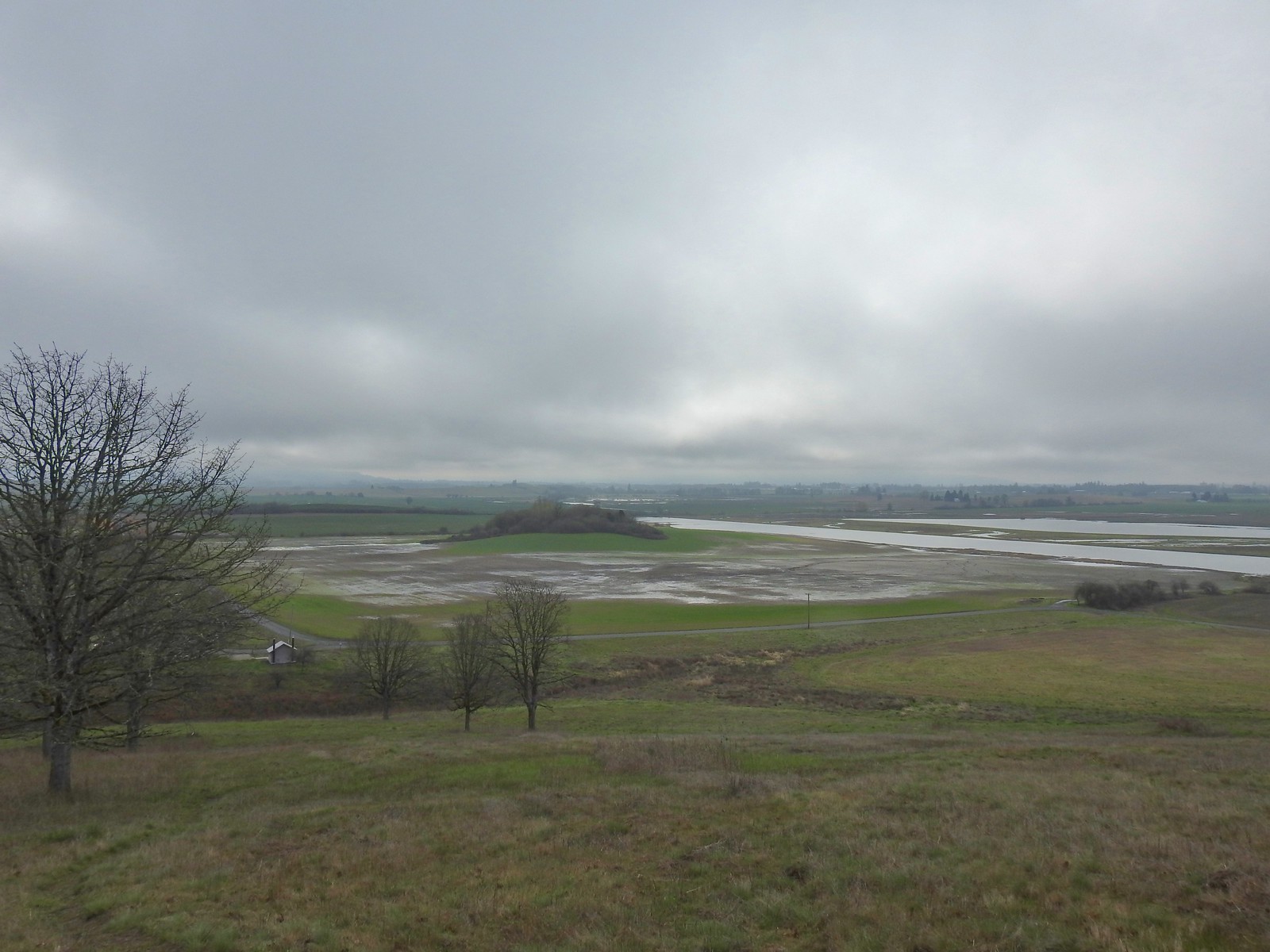 The path leading down toward Coville Road. The outhouse at the Baskett Butte Trailhead is on the left below.
 Baskett Butte from below.
 The trail is simply a dike road that leads to the refuge HQs.
 The headquarters is to the left of the road on the far side of South Slough.
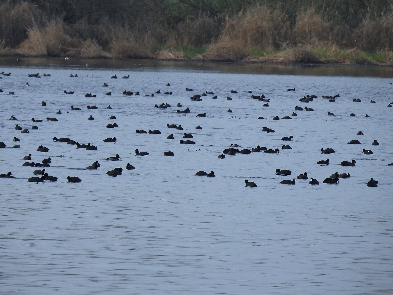 Also a bunch of American coots.
 Northern shovelers
 Buffleheads
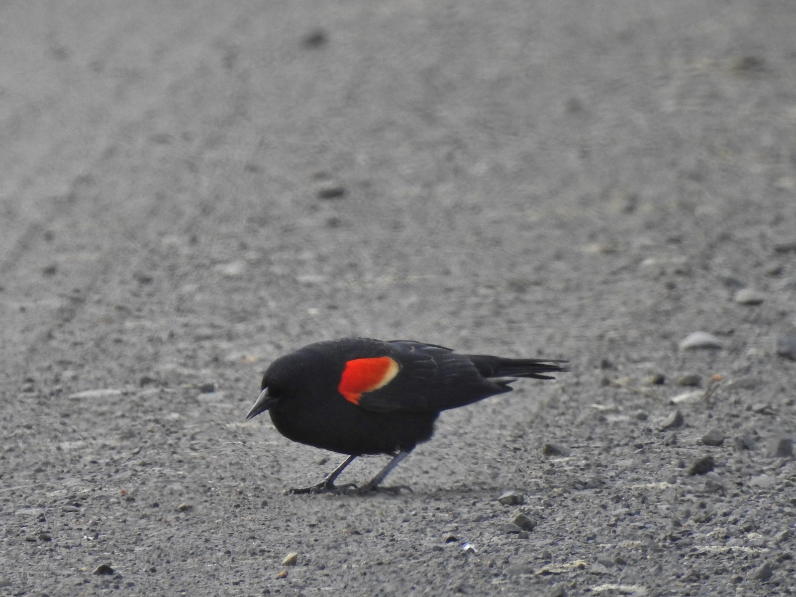 Red-winged blackbird
 Yellowlegs (probably lesser)
 Baskett Butte (left) from my turn around point.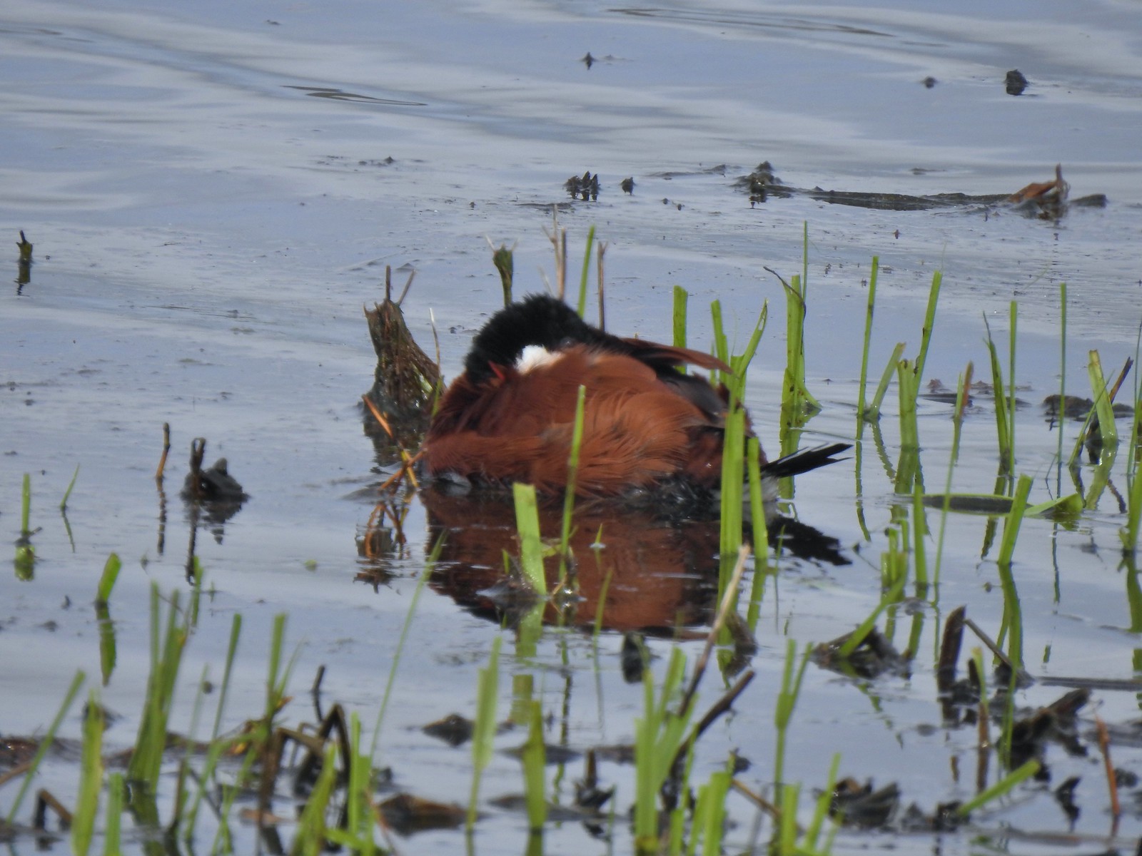
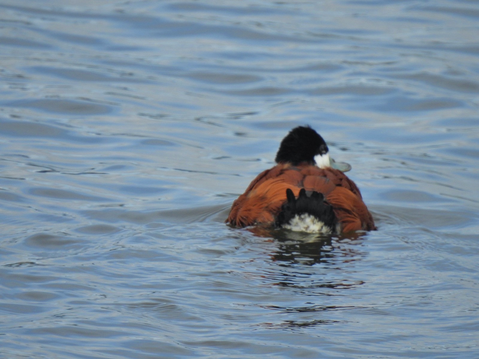 The ruddy duck woke up after all the American coots headed off.
 Savannah sparrow
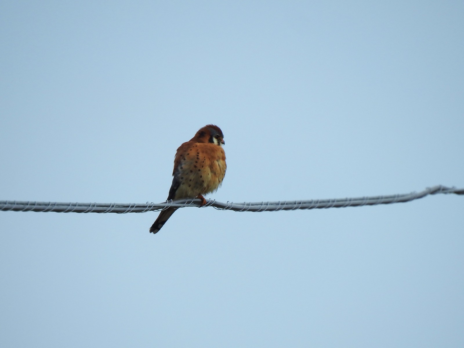 One more American kestral


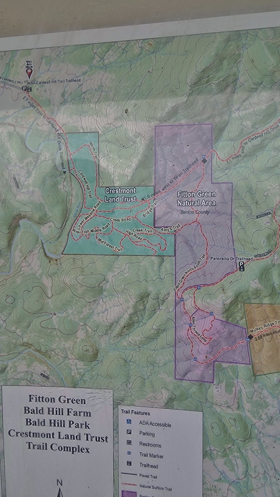
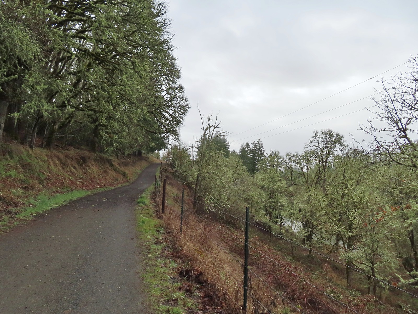
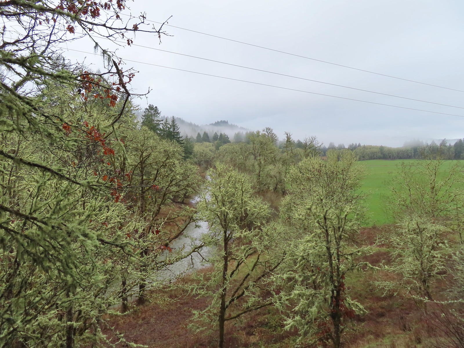
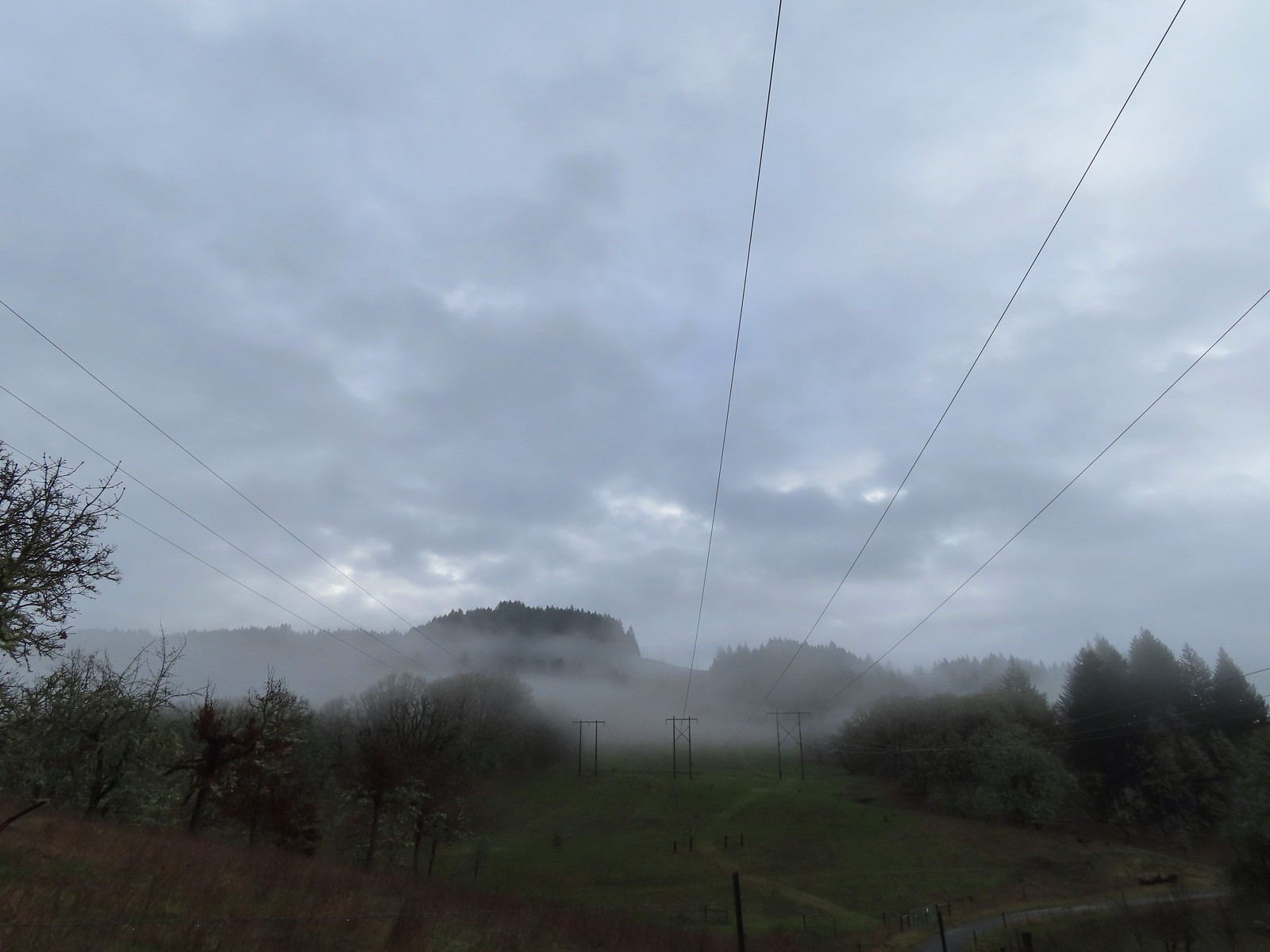 The forecast was for patchy morning fog with a chance of light showers between Noon and 3pm and partly sunny skies. They got the patchy morning fog part right.
 The first of three abandoned cars we’d pass on the day. This one was in a field on a hillside before entering the Crestmont Land Trust.
 Interpretive signs greeted us as we entered the Crestmont Land Trust.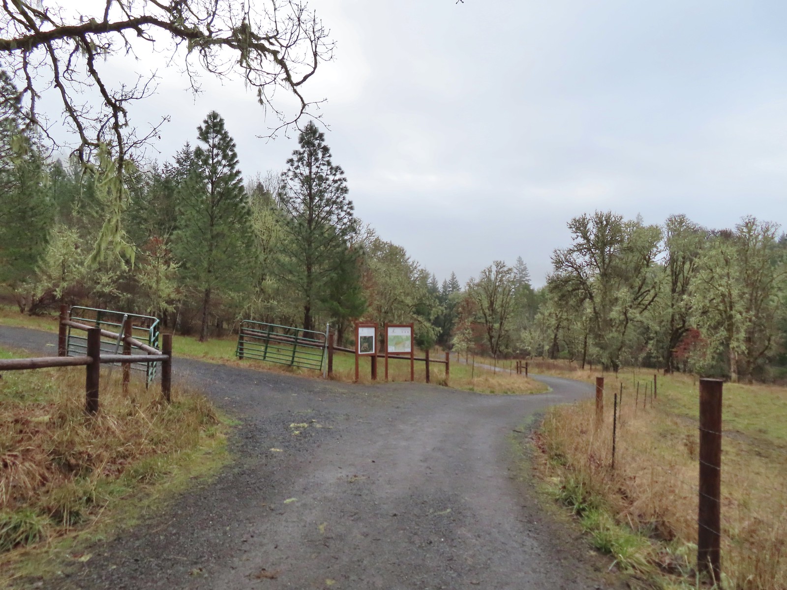
 The gazebo housed a small table with benches. A particularly nice touch was the lack of back on the bench that wasn’t facing the view which allows you to sit facing the view.
 The view from the gazebo.
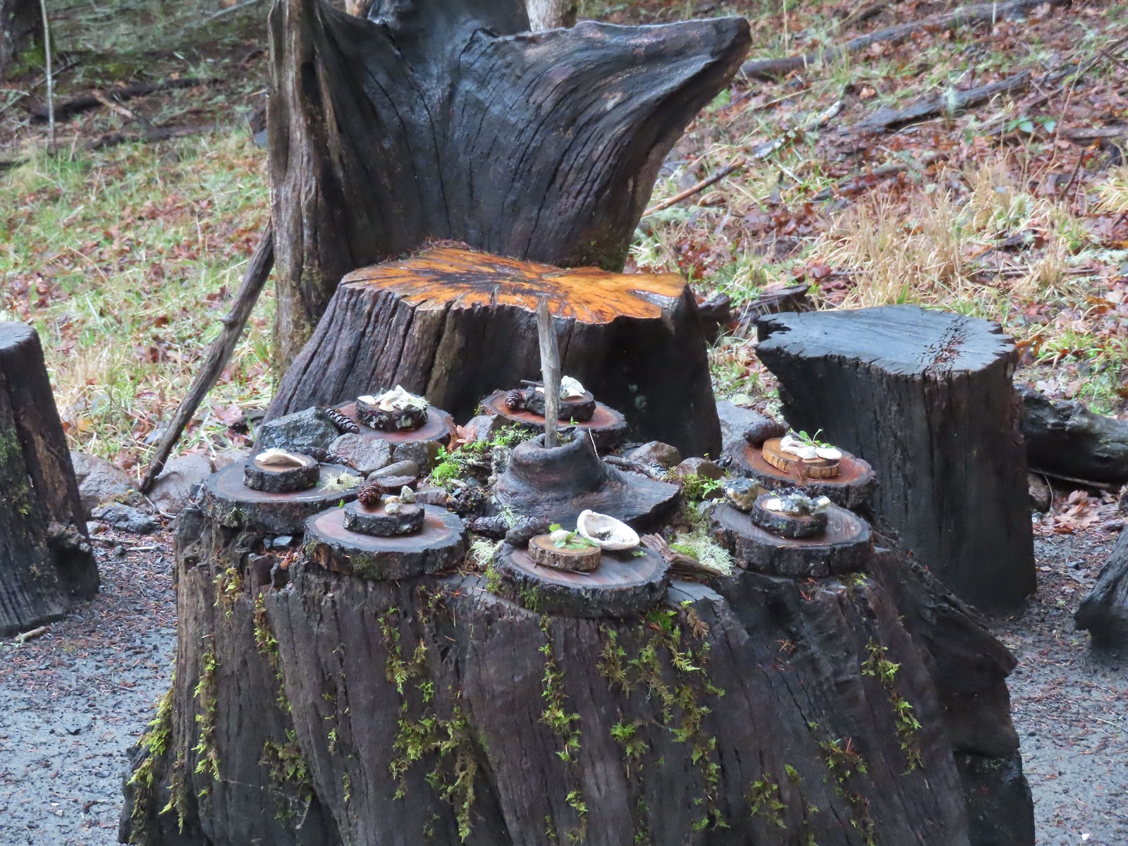 Not sure what the most recent gathering was but there was an interesting variety of items around the table.
 Another bench along the trail.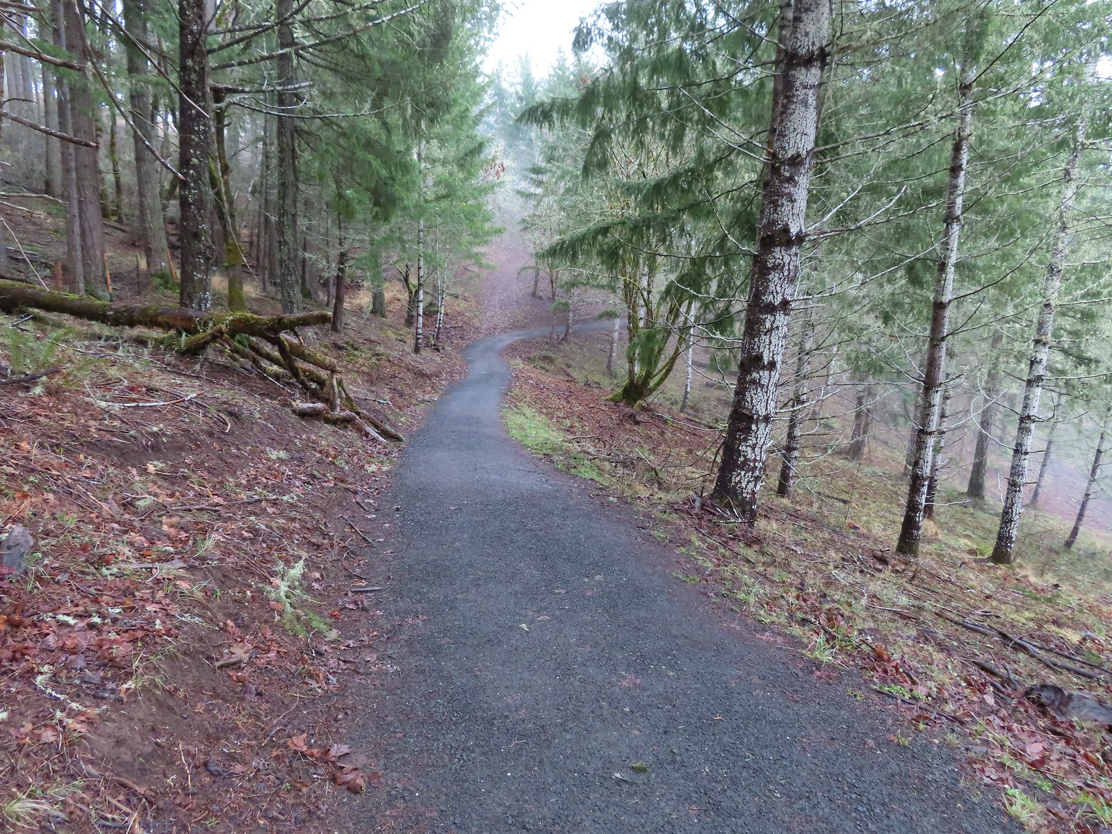
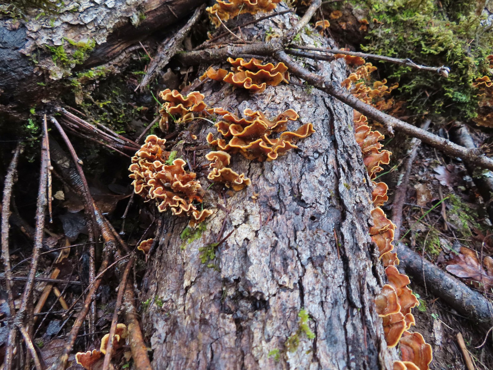 Turkey tails
 The Cardwell Hill Trail in the valley below the North Trail.
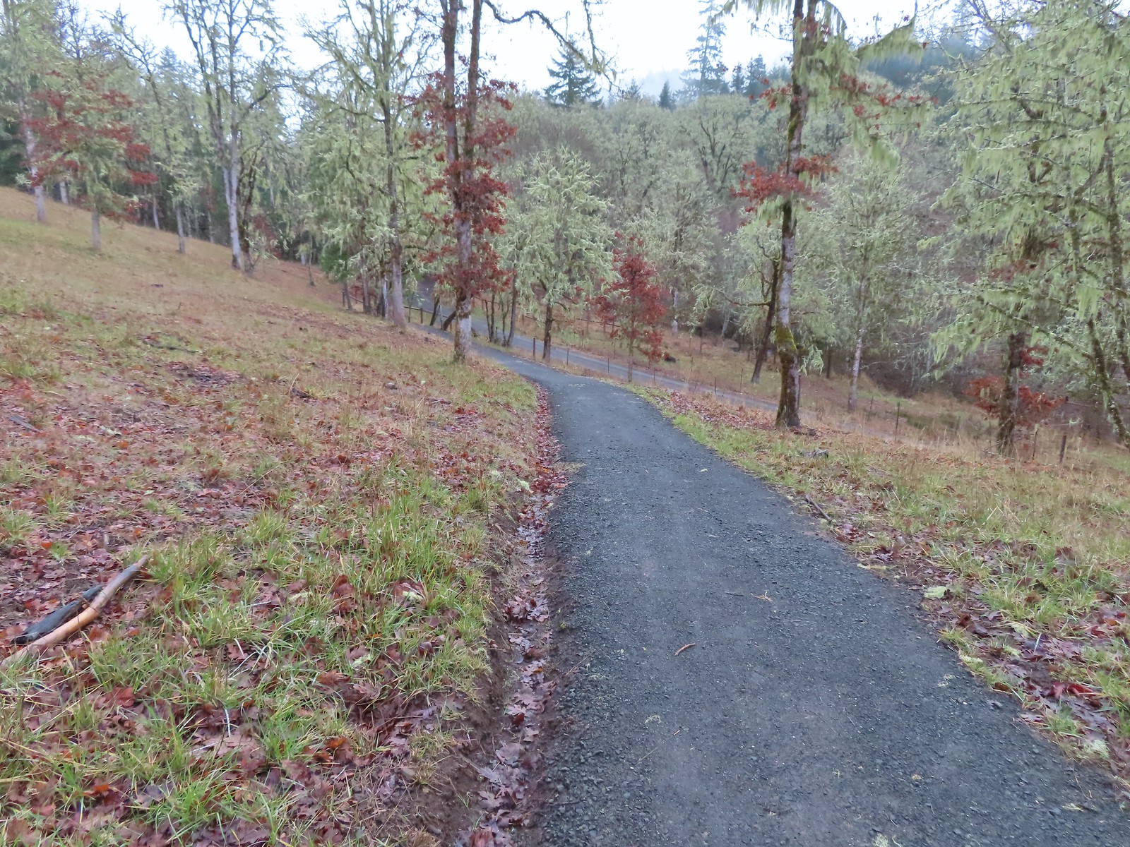 Dropping down to the Cardwell Hill Trail.
 The first spur didn’t have any signage
 The second spur had a marker naming it the Fitton Green North-South Trail.
 Trail marker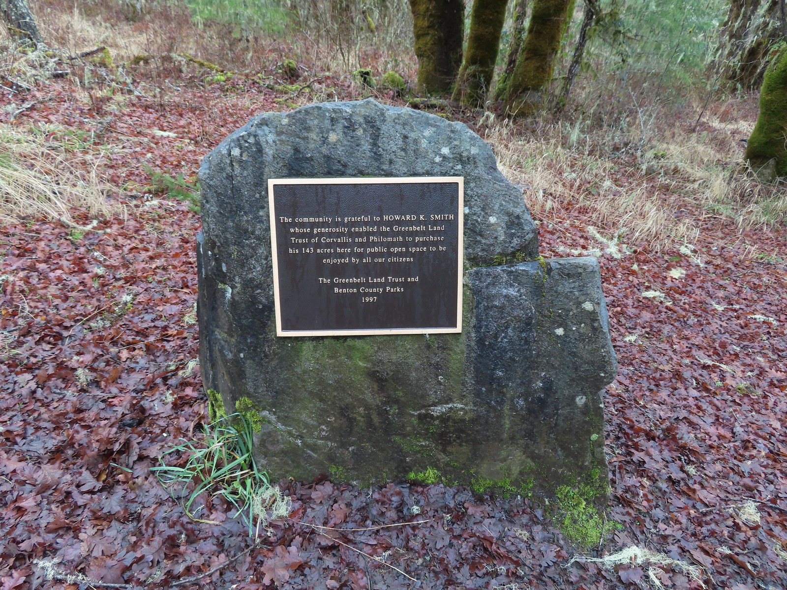

 Dimple Hill in the McDonald Forest (
 The other two abandoned cars, these were outside of the natural area.
 Arriving at the east trailhead.
 One of the more impressive trees along this section of the Cardwell Hill Trail
 The Fitton Green North-South Trail.
 Watch your step.
 Amy’s Trail
 The clouds were beginning to break up as we climbed up this trail.
 The western end of the Throop Loop.
 The eastern end of the Allen Throop Loop. Continuing on the Fitton Green North-South Trail would have brought us to the
  There seems to have been a spelling error (Alan vs Allen) on the trail marker.
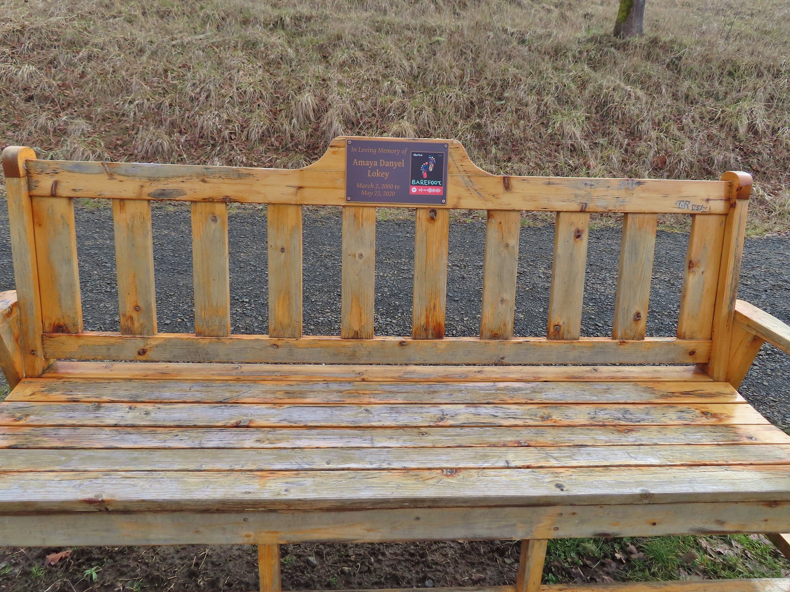
 Plaque at a viewpoint along the Allen Throop Loop. Note that it is Allen not Alan on the plaque.
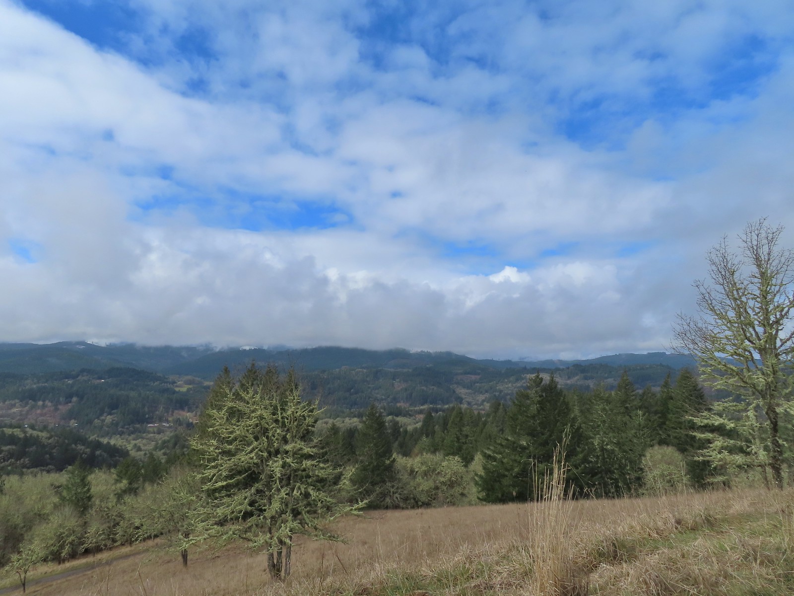 Despite the clouds breaking up we didn’t have a view of Marys Peak, the highest peak in the Oregon Coast Range (
 The trail overlooks the cities of Corvallis (to the left/east) and Philomath (straight/south).
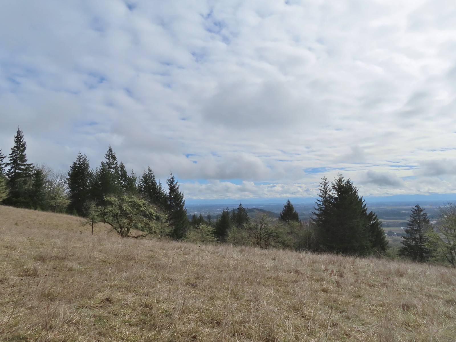 Bald Hill with Corvallis beyond from the Throop Loop.
 East toward the Coast Range.
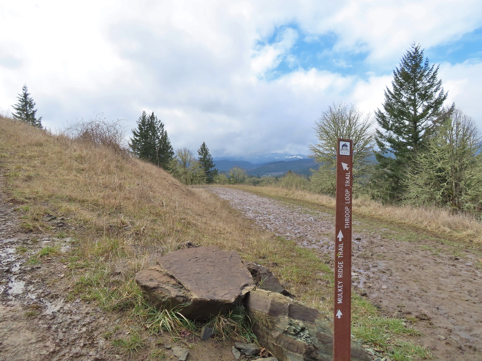 This is the trail that connects Bald Hill with Fitton Green.
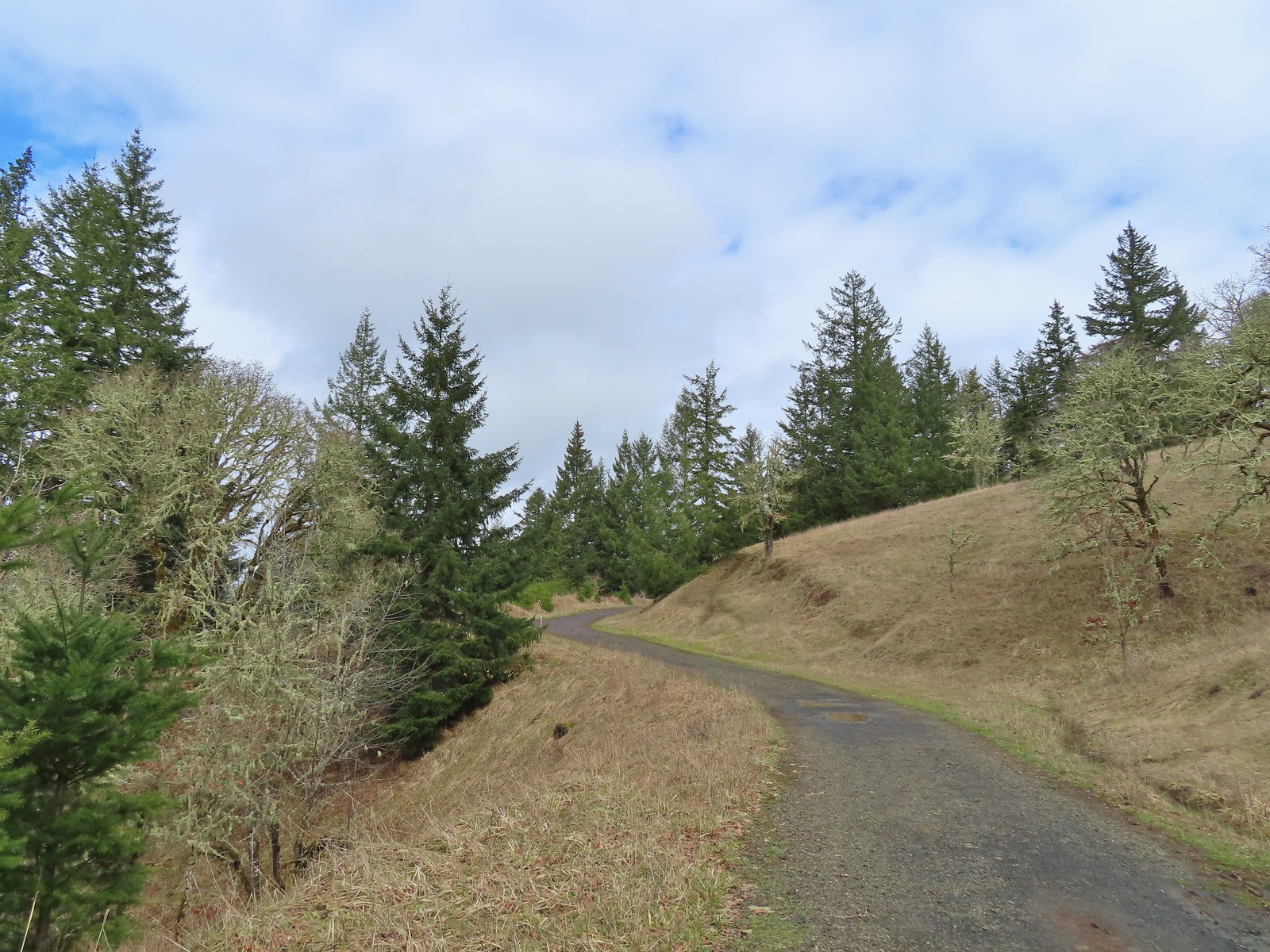 The junction from the Throop Loop Trail.
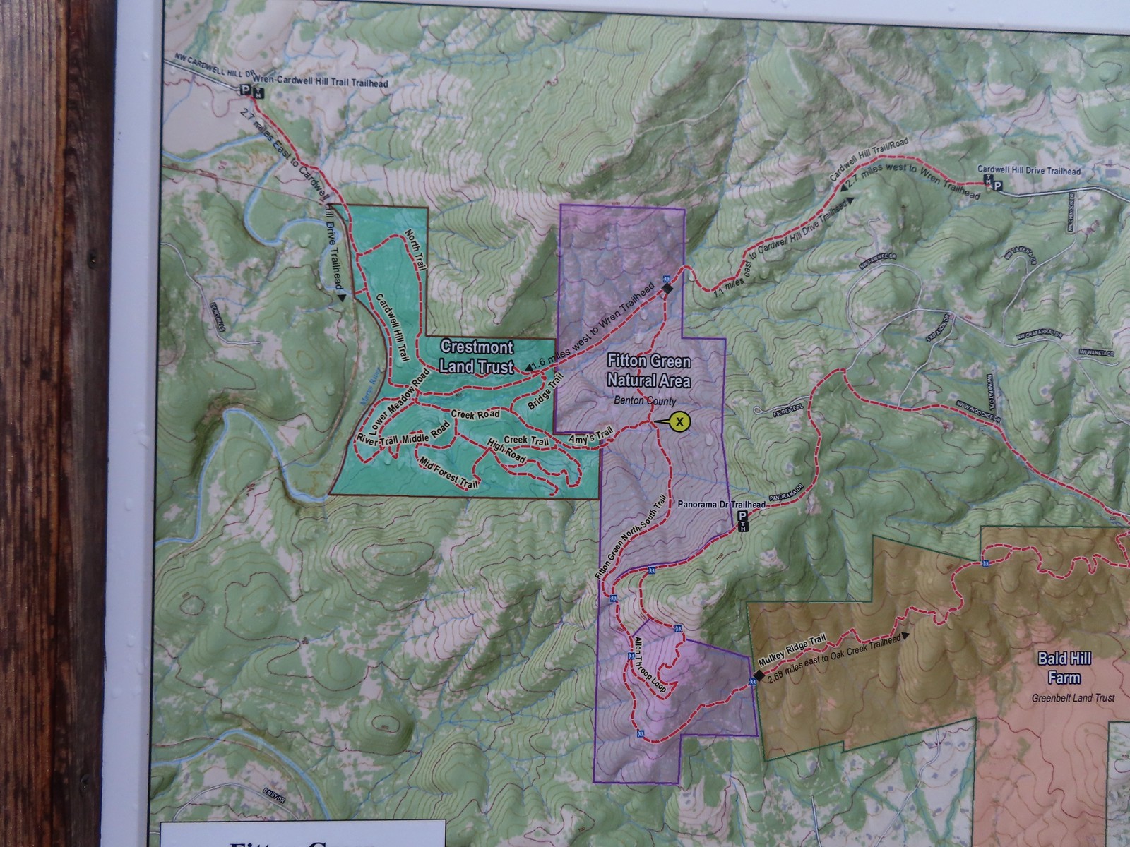 Map at the start of Amy’s Trail.
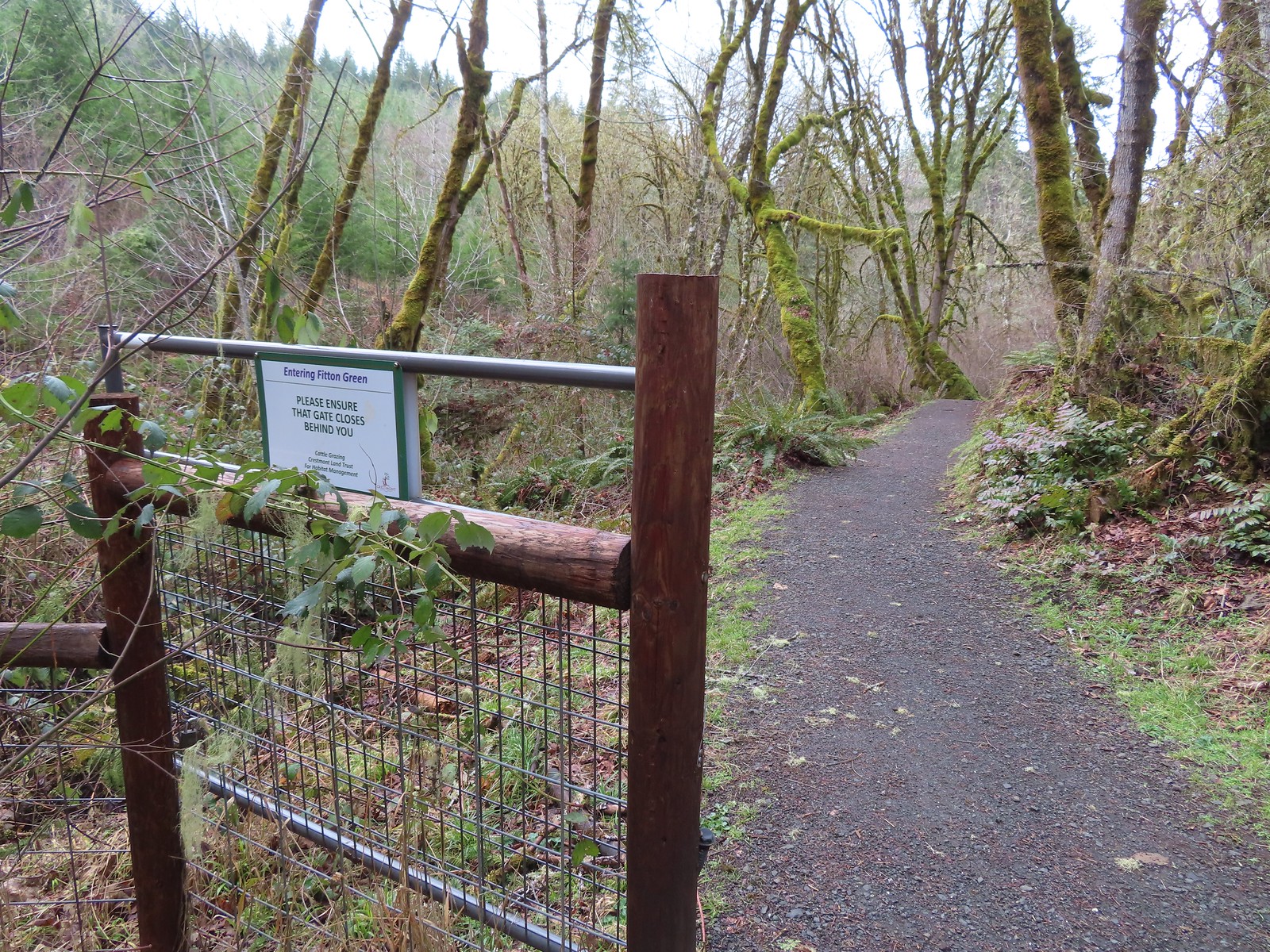 Gate at the Fitton Green-Crestmont Land Trust border.
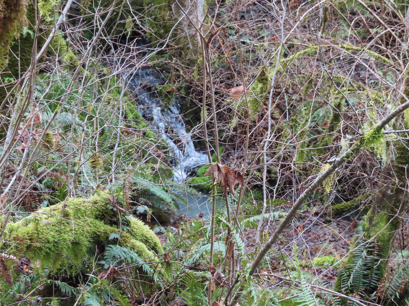 Creek along Amy’s Trail. With all the wet weather there was a fair amount of water in all the streams/creeks in the area.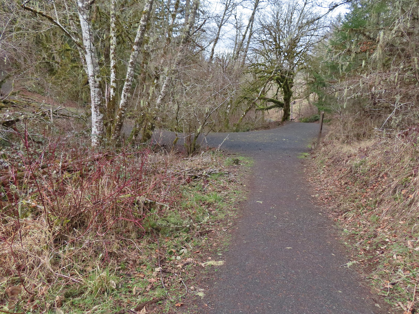

 On the hillside above the picnic table is the Creek Trail.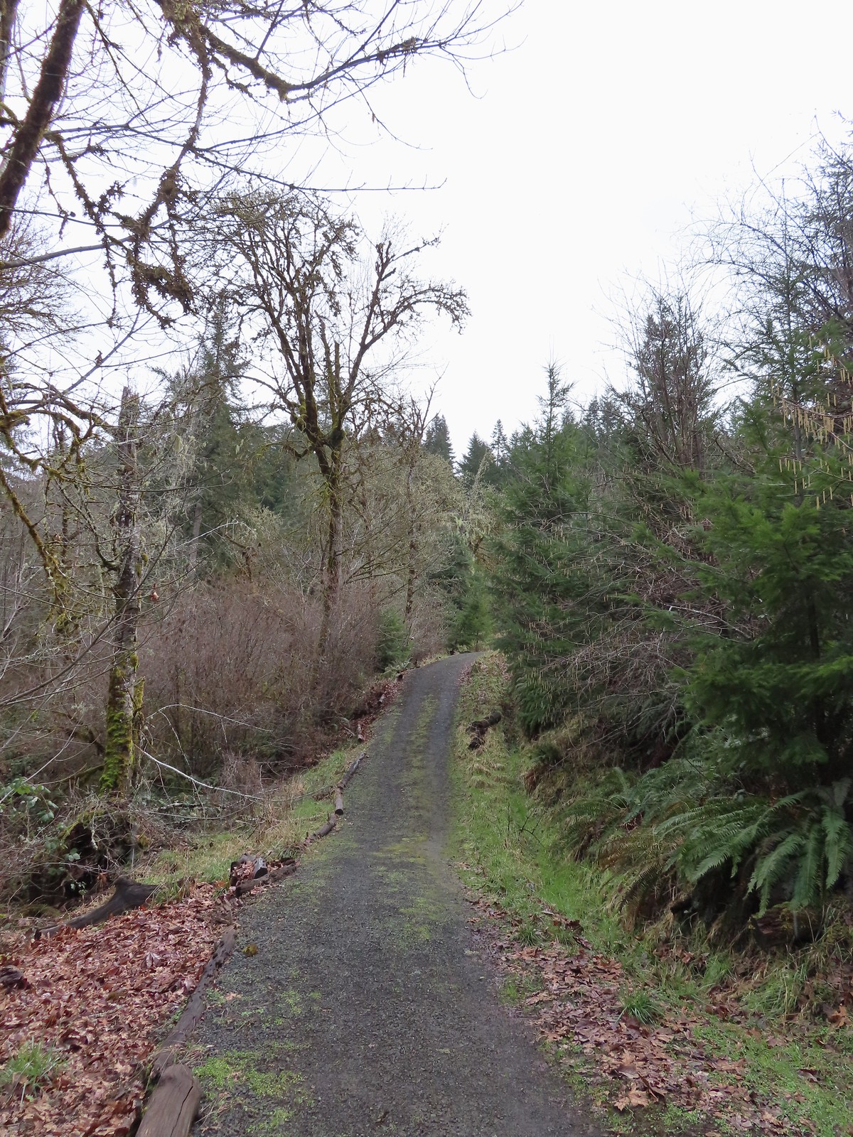
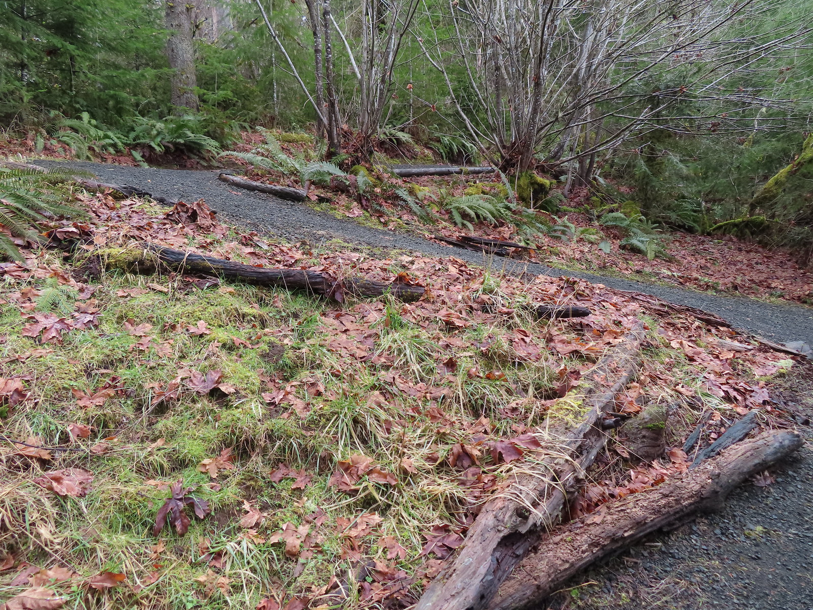 Switchbacks along the Upper Forest Trail.
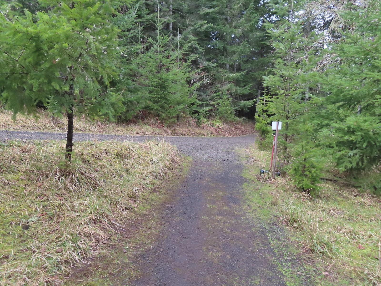 Arriving at High Road.
 The Mid Forest Trail is hidden behind the tree on the left. To the right is the Creek Trail while High Road continues straight ahead.
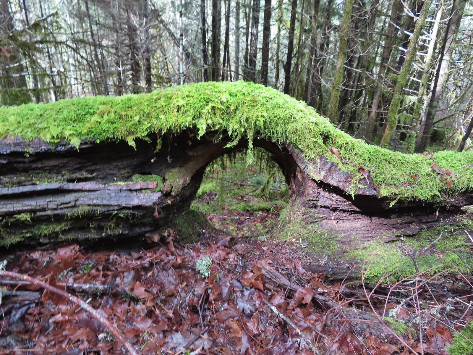 Lots of green moss along this trail.
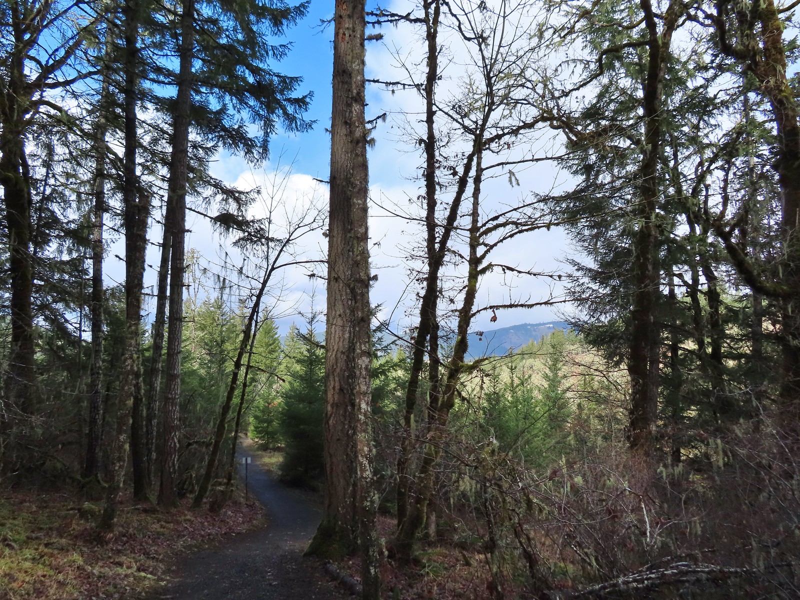 A little snow on the ridge in the distance.
 Rabbit that Heather spotted.
 The junction was at the far end of this open space.
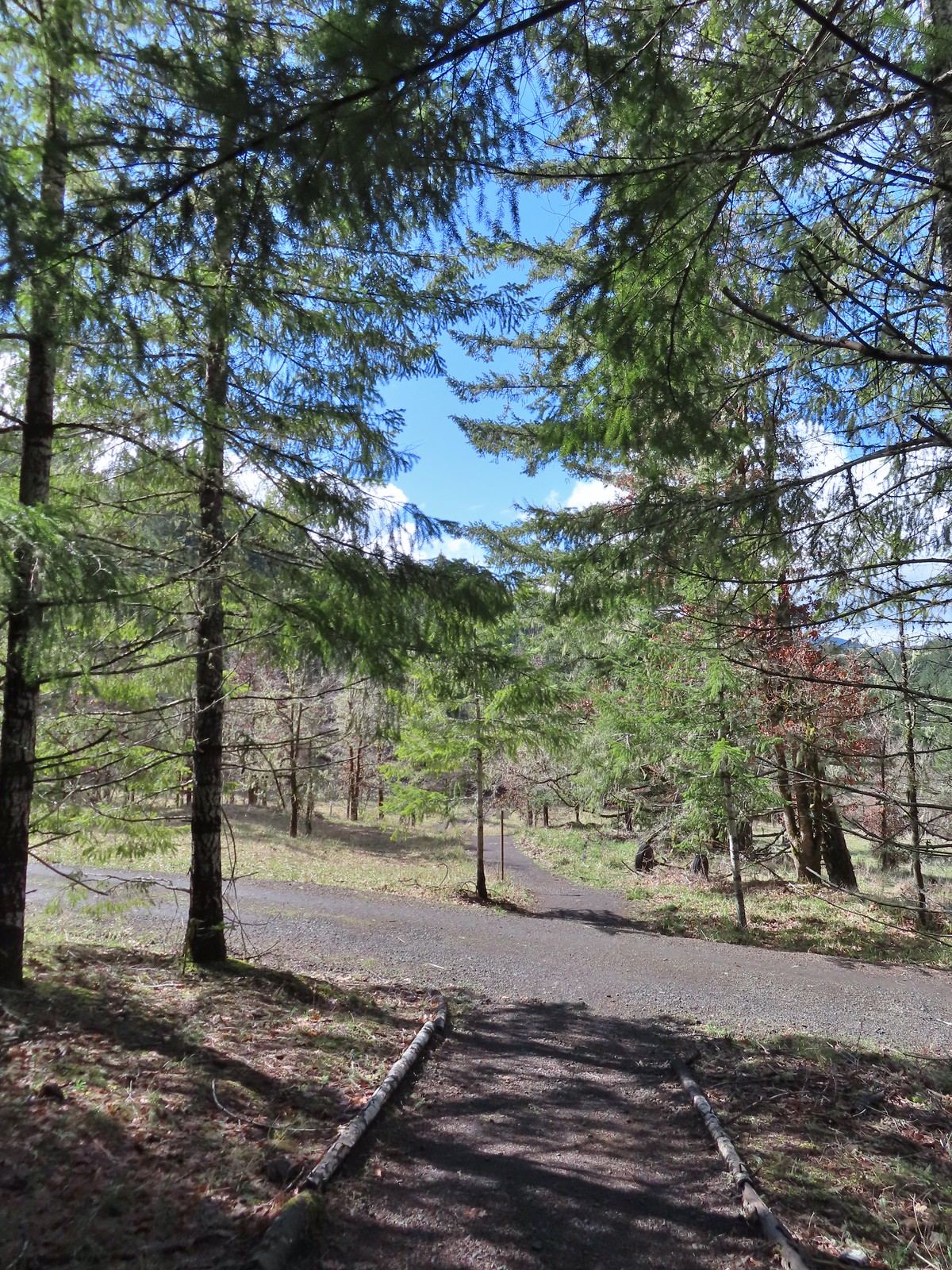 This was by far the most confusing junction we’d encountered all day. It was one of only a couple that was unsigned and none of the maps that we’d seen or had brought with us showed the road continuing to the left. Since we’d planned on staying left at all junctions except for at High Road we initially turned left here thinking it was the River Trail, but it just didn’t feel right so we turned to the Garmin which did show the road continuation. It didn’t look anything like the River Trail route so we promptly turned around and returned to the 4-way junction and took a left downhill through the meadow.
 Lower Meadow
 Gate along the River Trail just before Marys River.
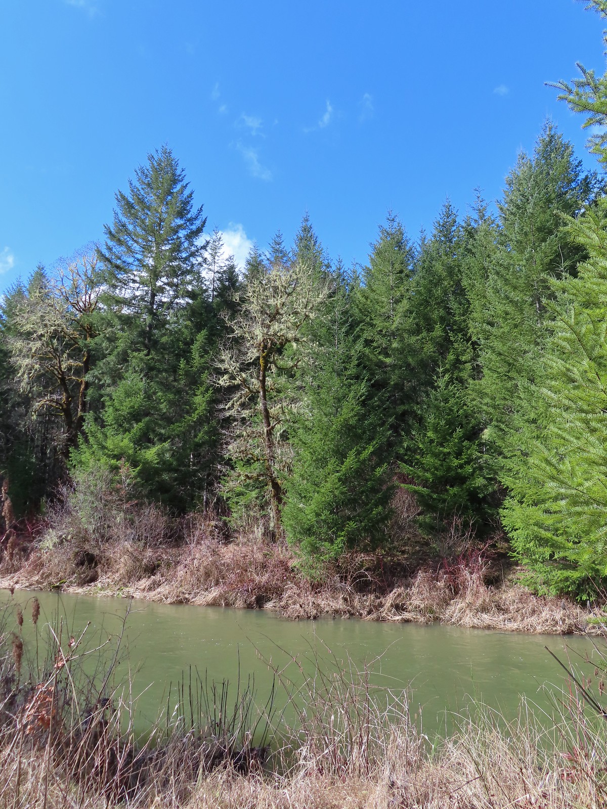 Marys River
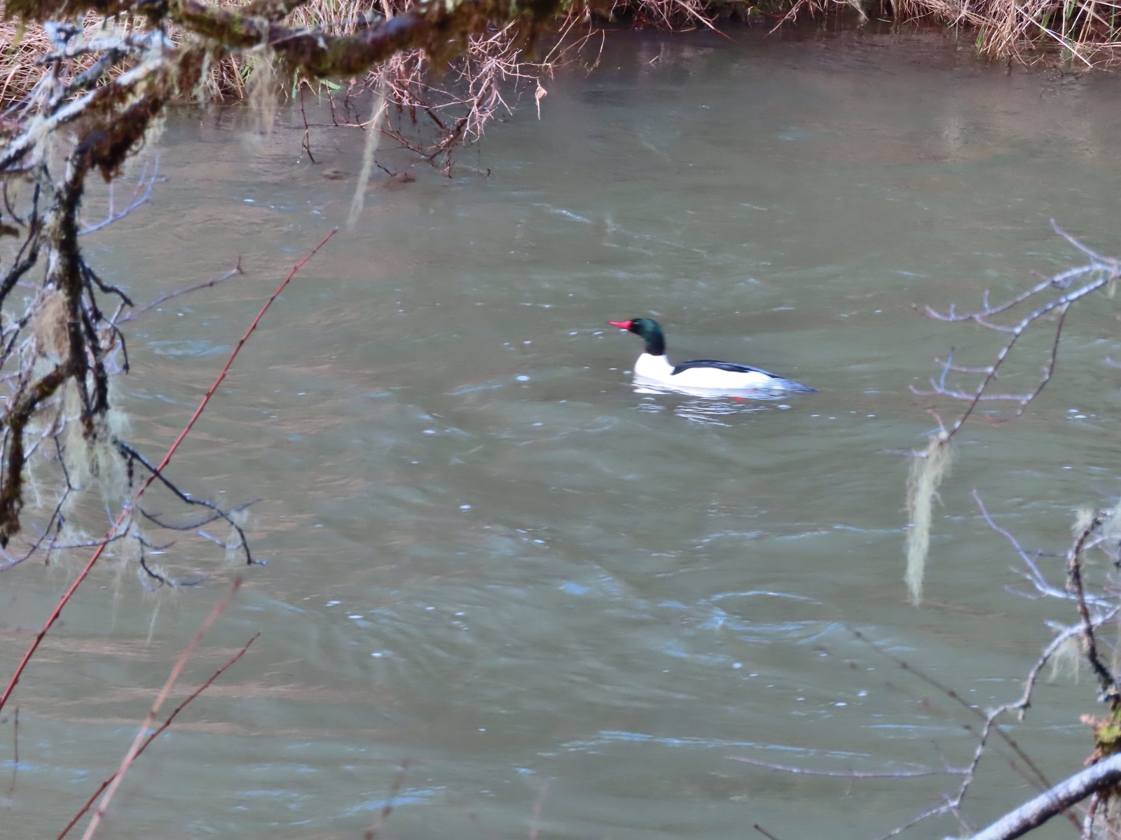 Male common merganser floating Marys River. I only had a brief second to try and get a picture as he floated by thus the poor focus.
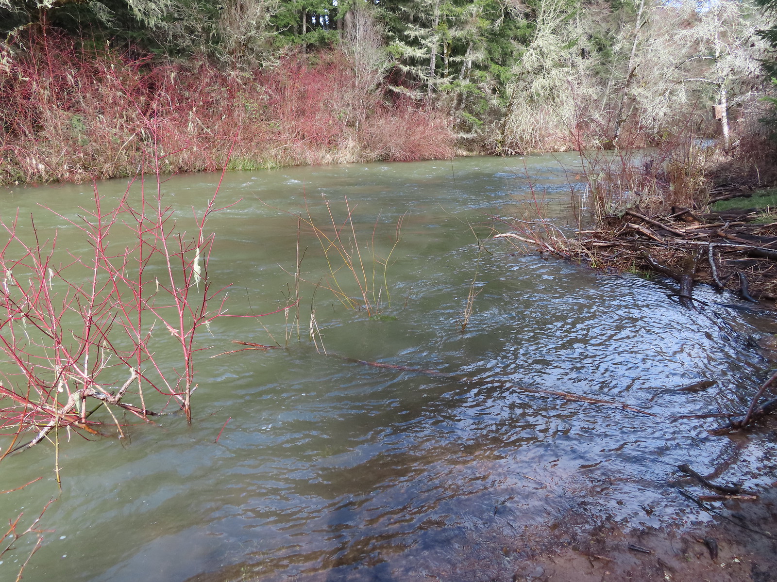 A short spur trail led down to the river bank.
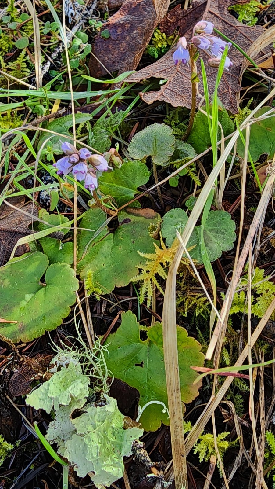


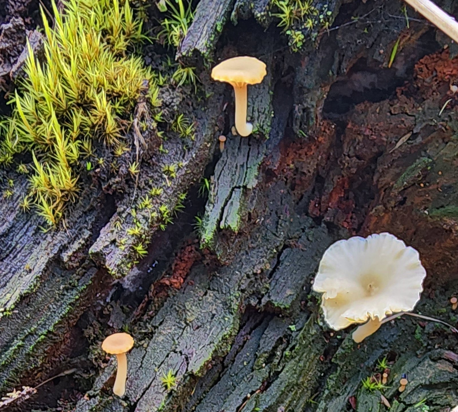 Not flowers but mushrooms are always fun to spot.
 Lower Meadow Road crossing the creek and ending at the Cardwell Hill Trail.
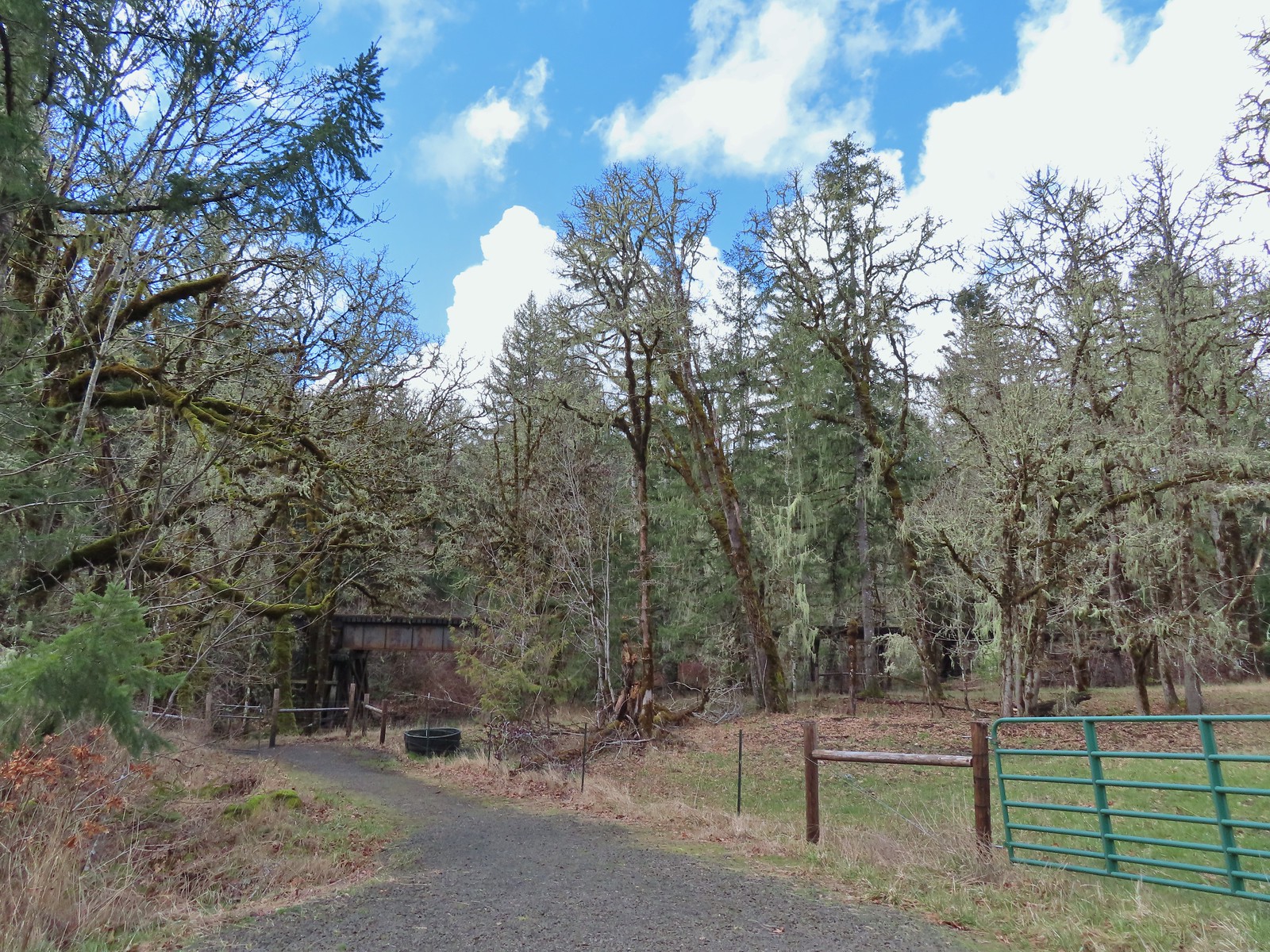 The short Trestle Extension led to a view of a railroad trestle over Marys River.
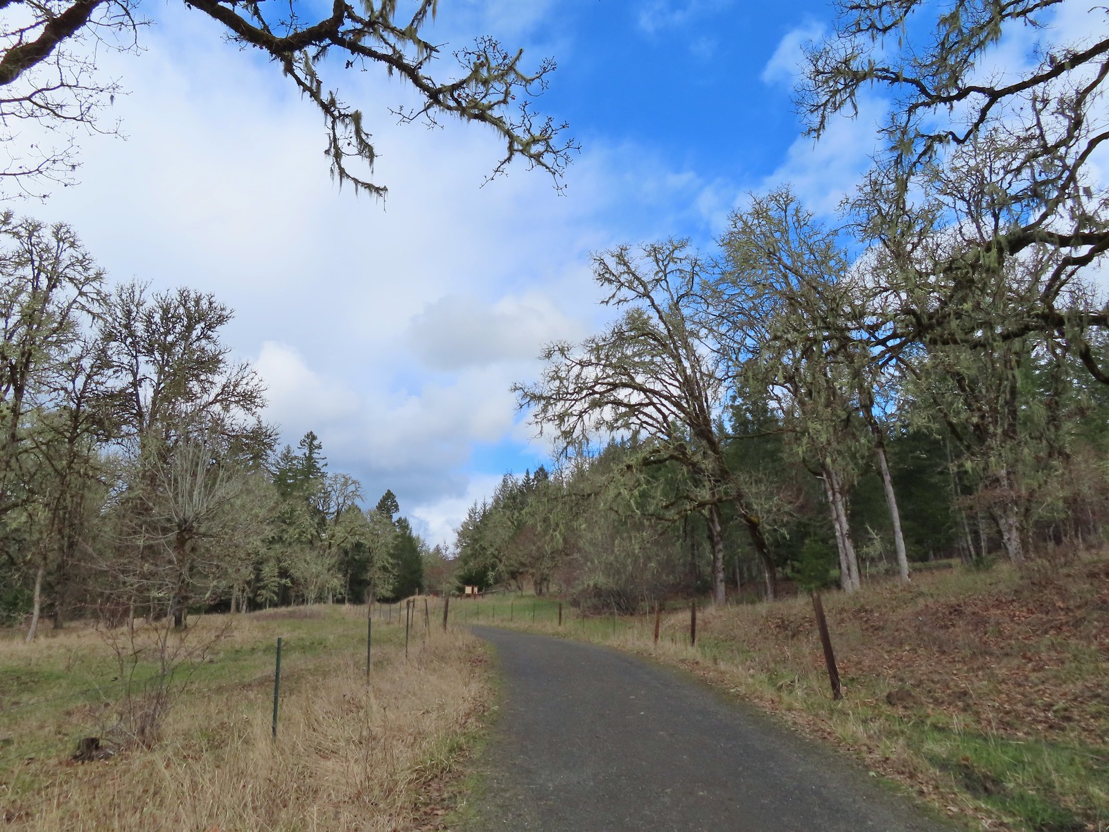 The signboards at the North Trail junction from the Cardwell Hill Trail.
 Robin near the North Trail junction.
 No more fog.

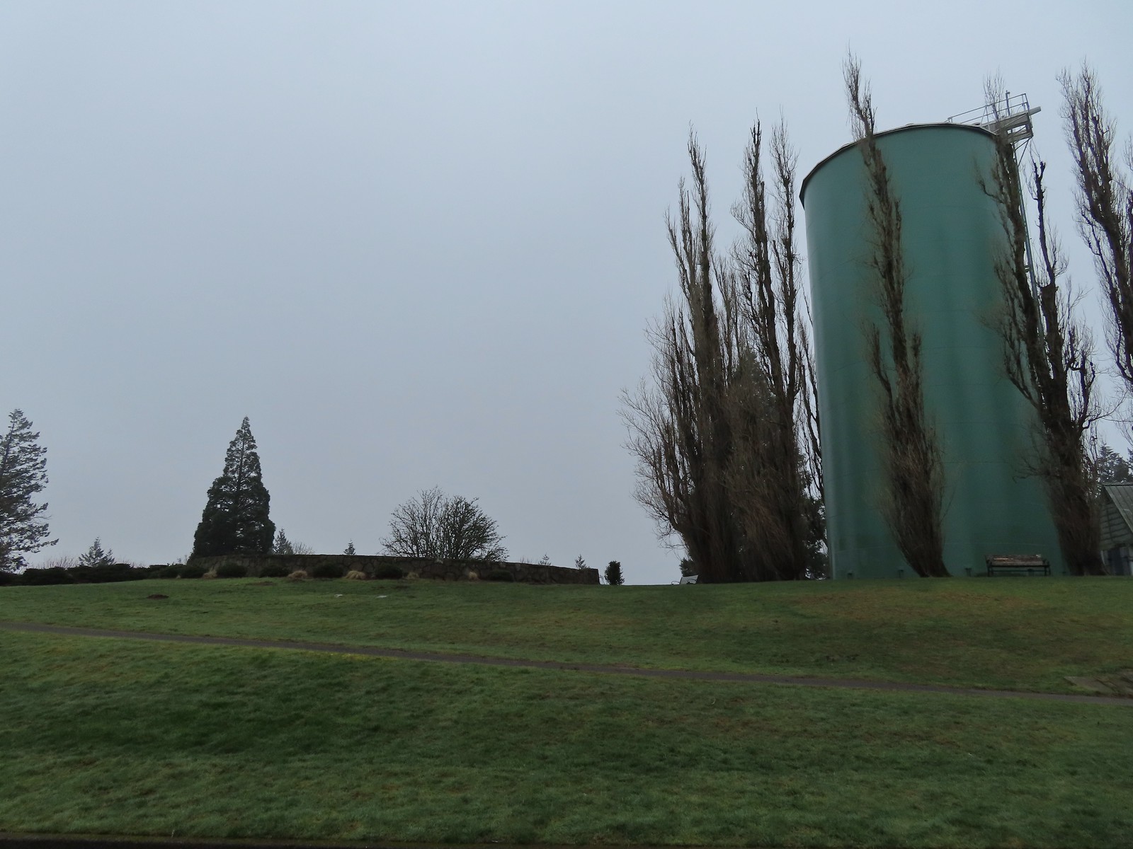

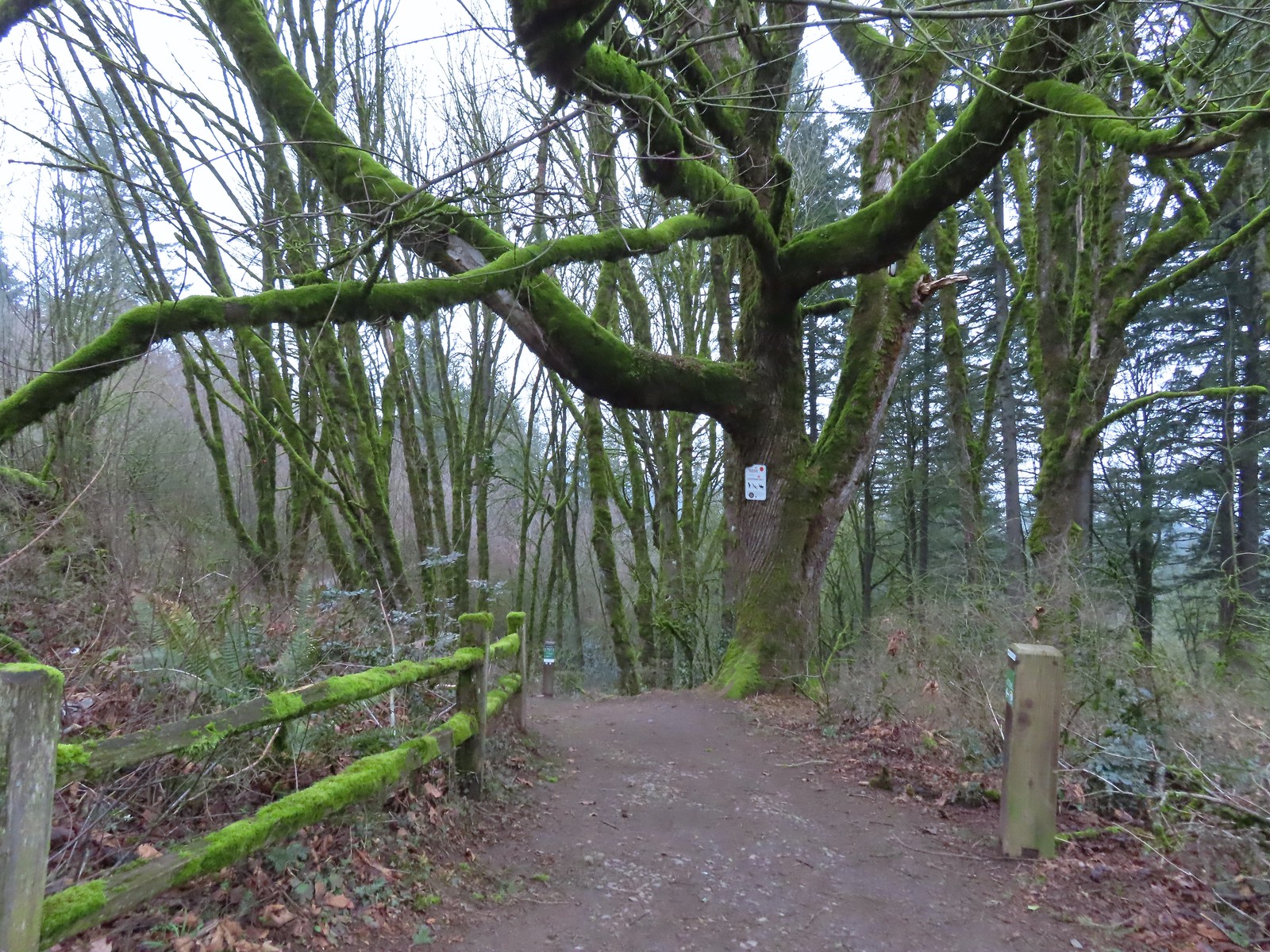
 Coming up to the SW Greenway Ave crossing at the 0.3-mile mark.
 Mossy bench
 Small trailhead at SW Fairmount Blvd at the 0.5 mile mark.
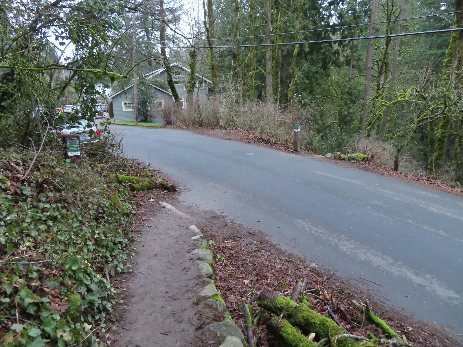 At the 1-mile mark the trail crosses NW Sherwood Dr.
 Maybe the steepest section of the hike was the tenth of a mile between NW Sherwood and the Sunnyside Trail.
 The Sunnyside Trail junction.
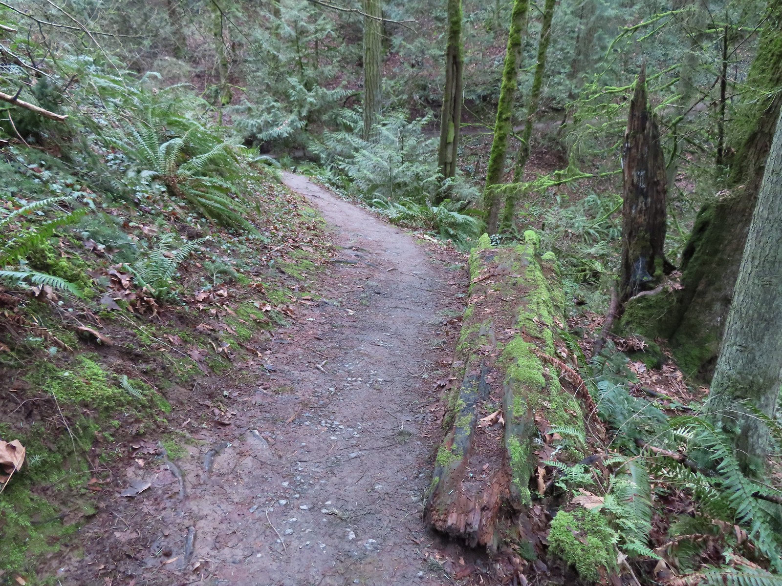
 Every (official) trail junction was well marked by pointers which helped us stay on course.
 The Shadyside Trail on the far hillside.
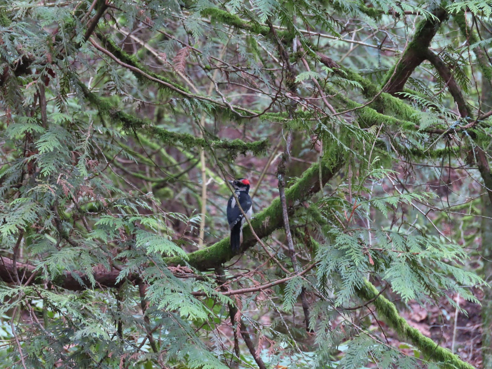 One of two hairy woodpeckers that were busy foraging for breakfast.
 Coming up on the Marquam Shelter.
 We saw little fungi, but these turkey tails added some color to the forest.
 The Marquam Shelter.
 A tenth of a mile from the shelter we passed the Connor Trail on the left. This trail would have taken us to OHSU and the

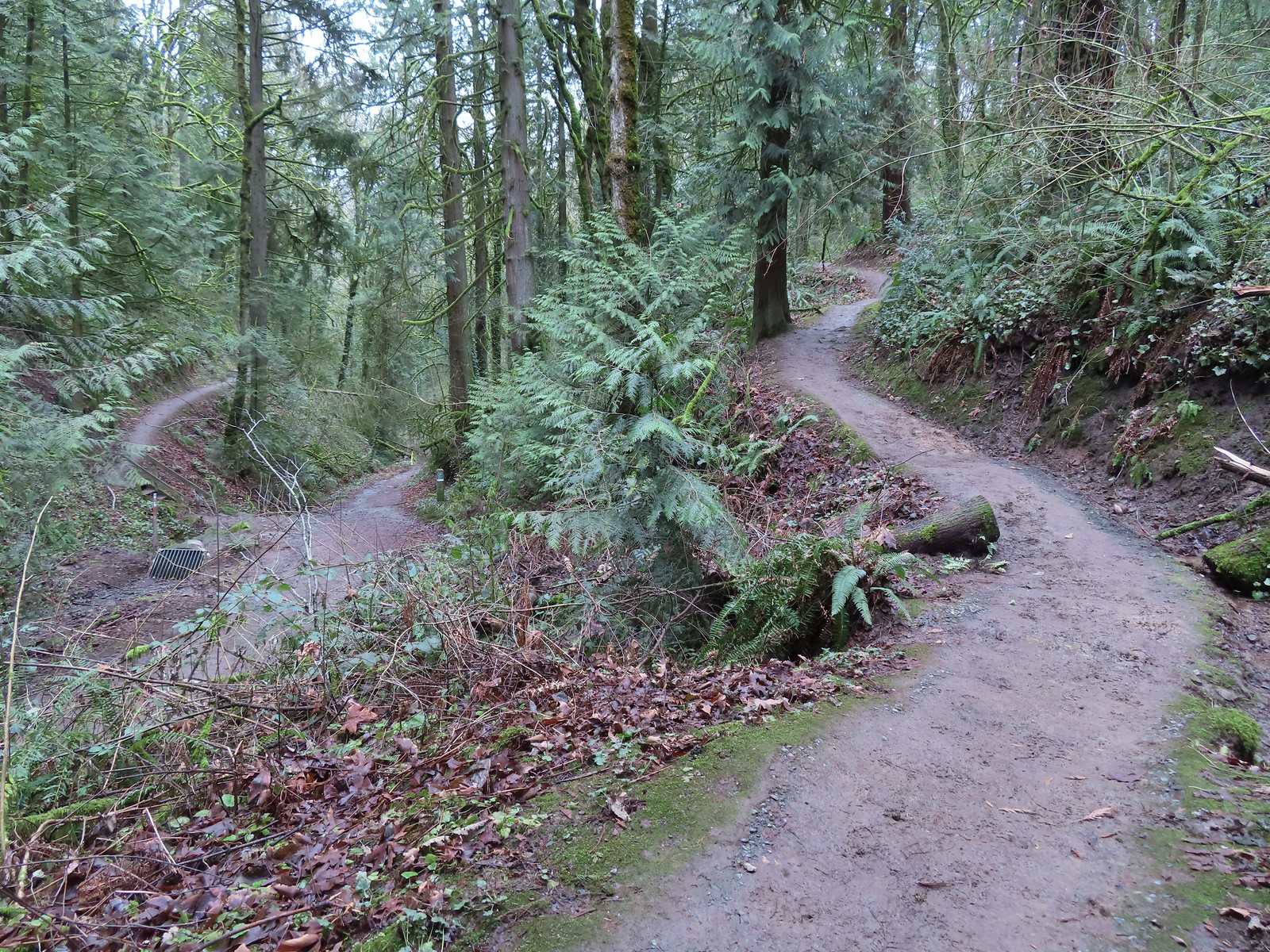 The Marquam Trail to the left and right with the Basalt Trail in the center from the first switchback.
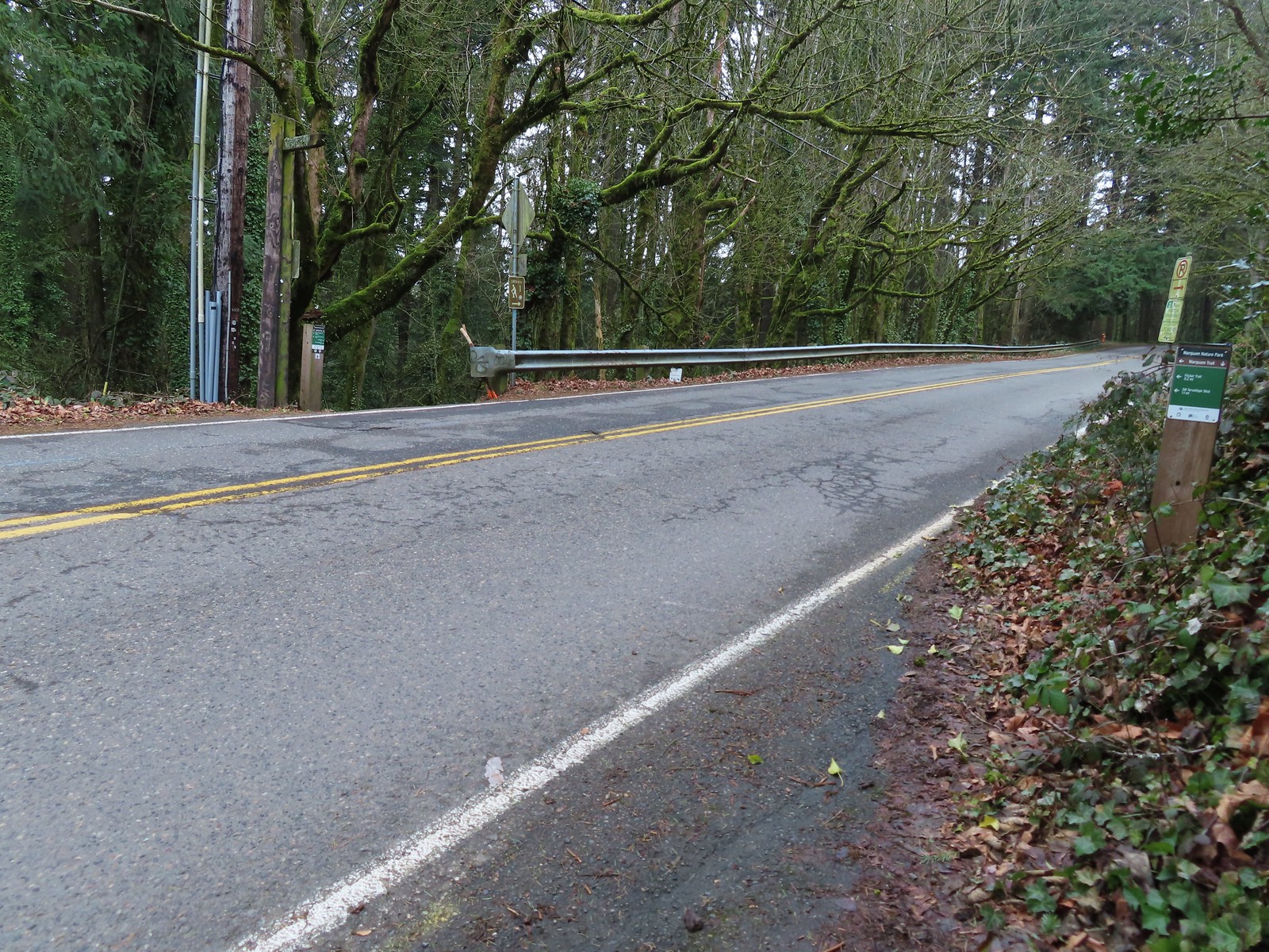
 Trail marker near SW Gibbs.
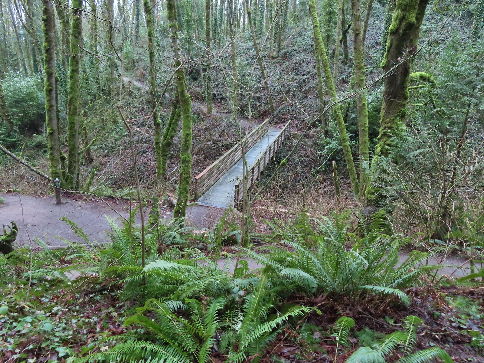 The Flicker Trail from the Marquam Trail.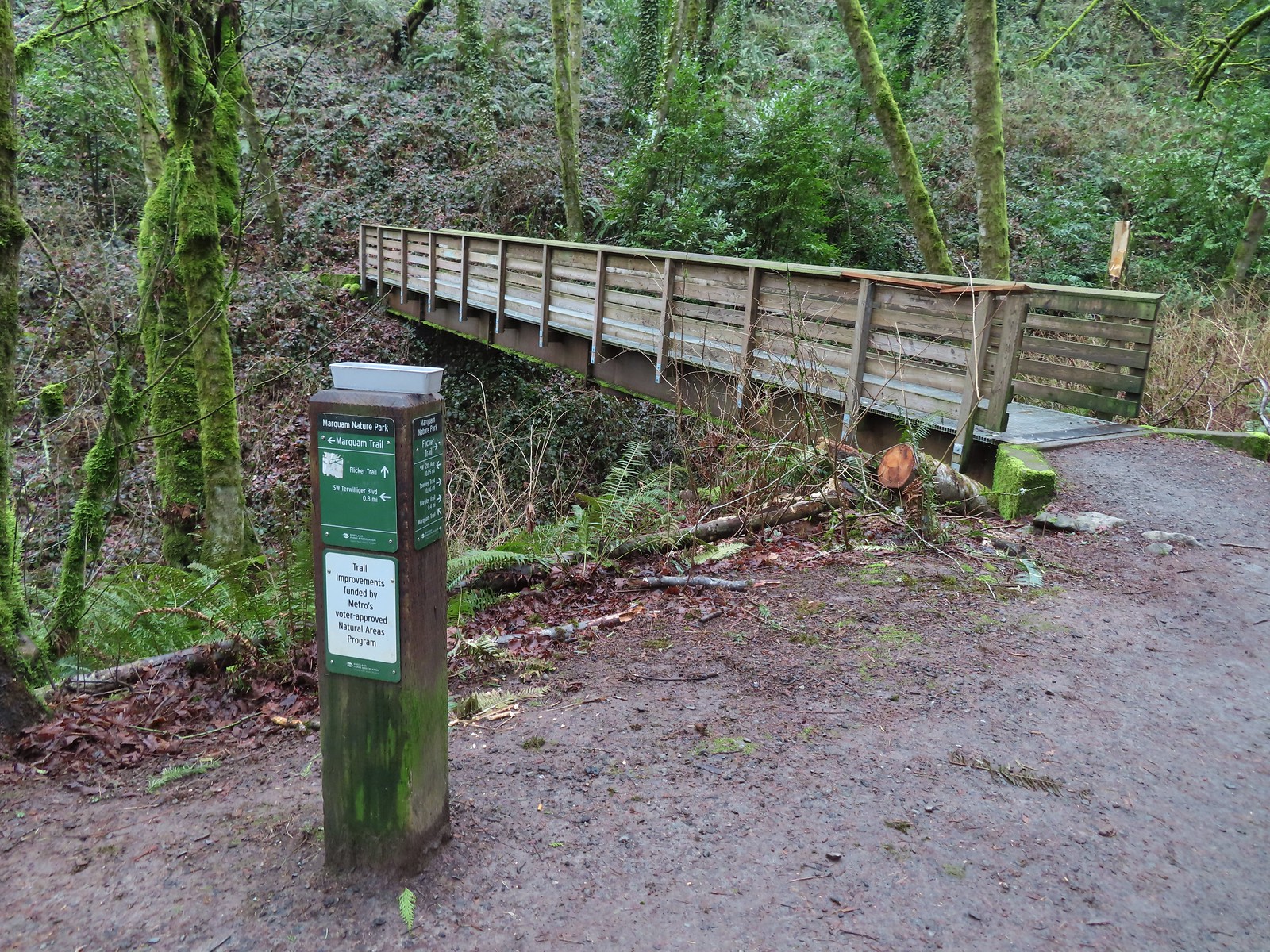

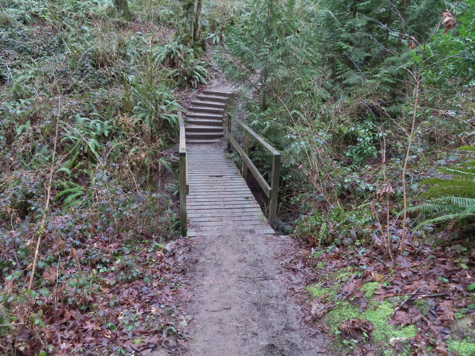


 Note it is still not “mostly sunny” even though it was now almost 10am.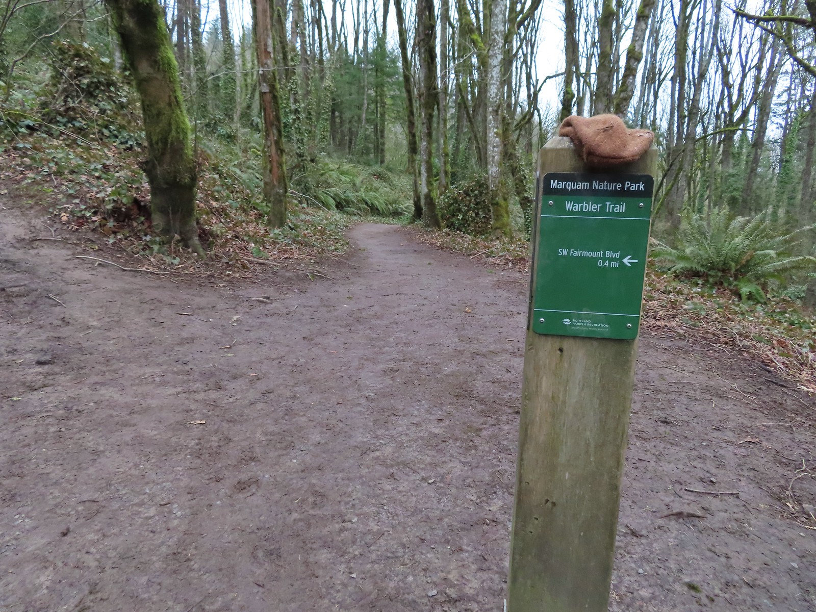
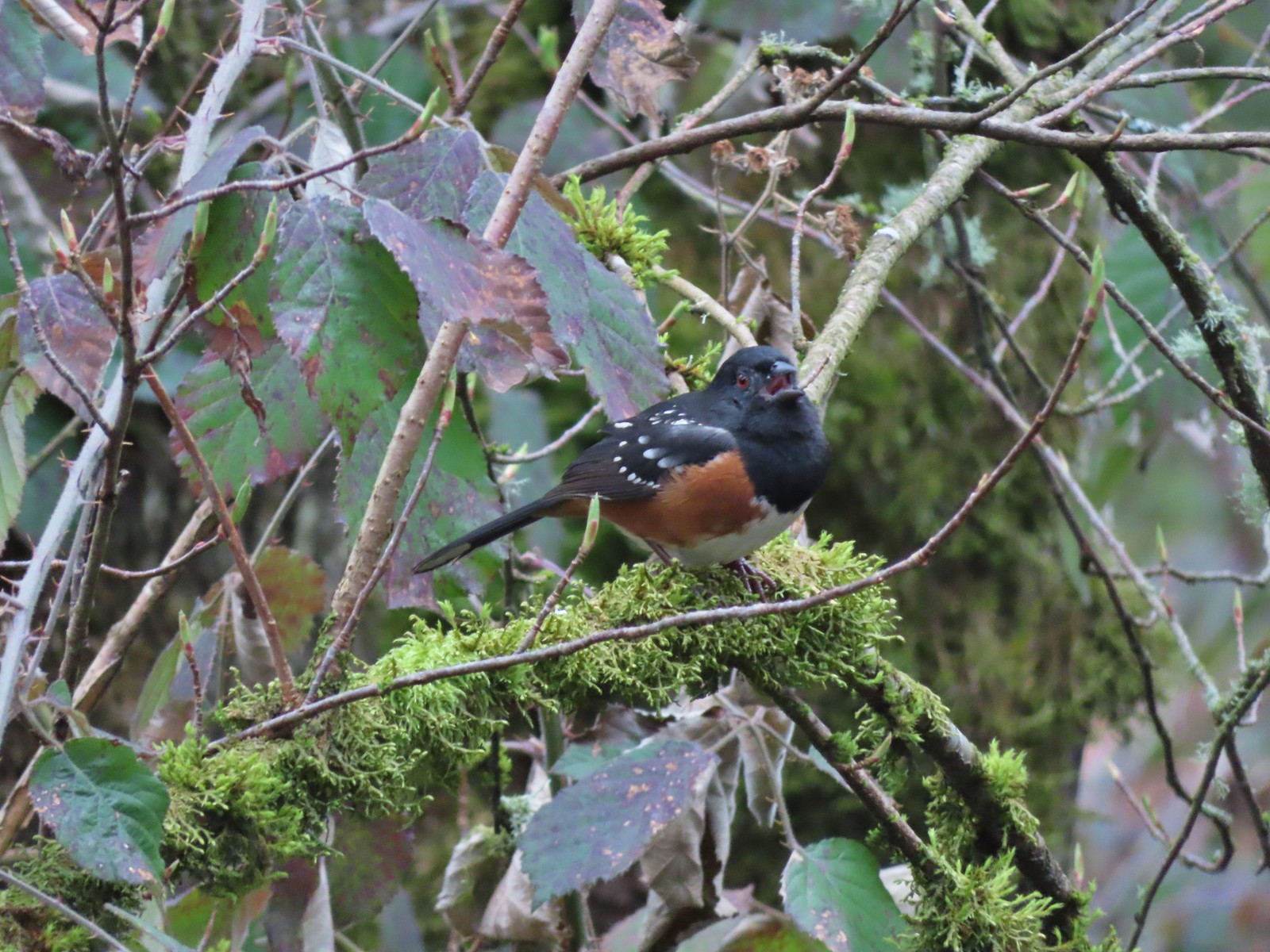 While not a warbler this spotted towhee graced us with a song.
 Checking out a budding leaf.
 The end of the Warbler Trail.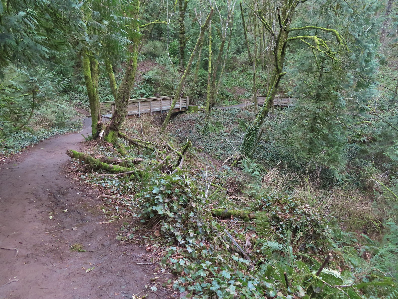


 Pointer for the Marquam Shelter at the trailhead.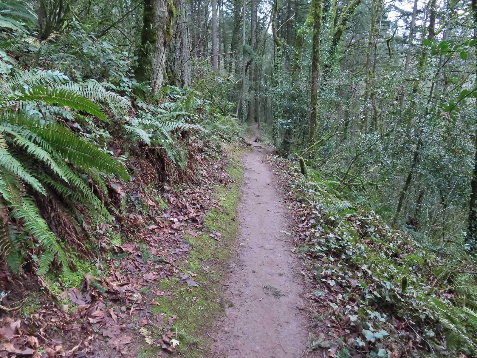
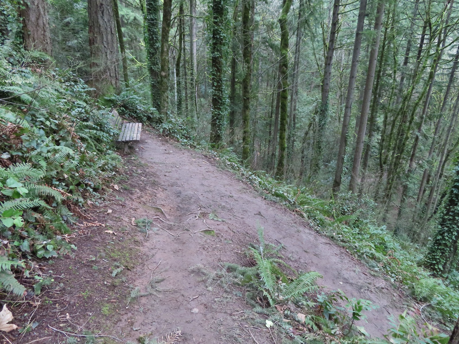 Bench along the switchbacks down to the Marquam Trail.
 The Towhee Trail junction with Marquam Trail was nearly all the way back down to the Basalt Trail (the lower trail in the photo).
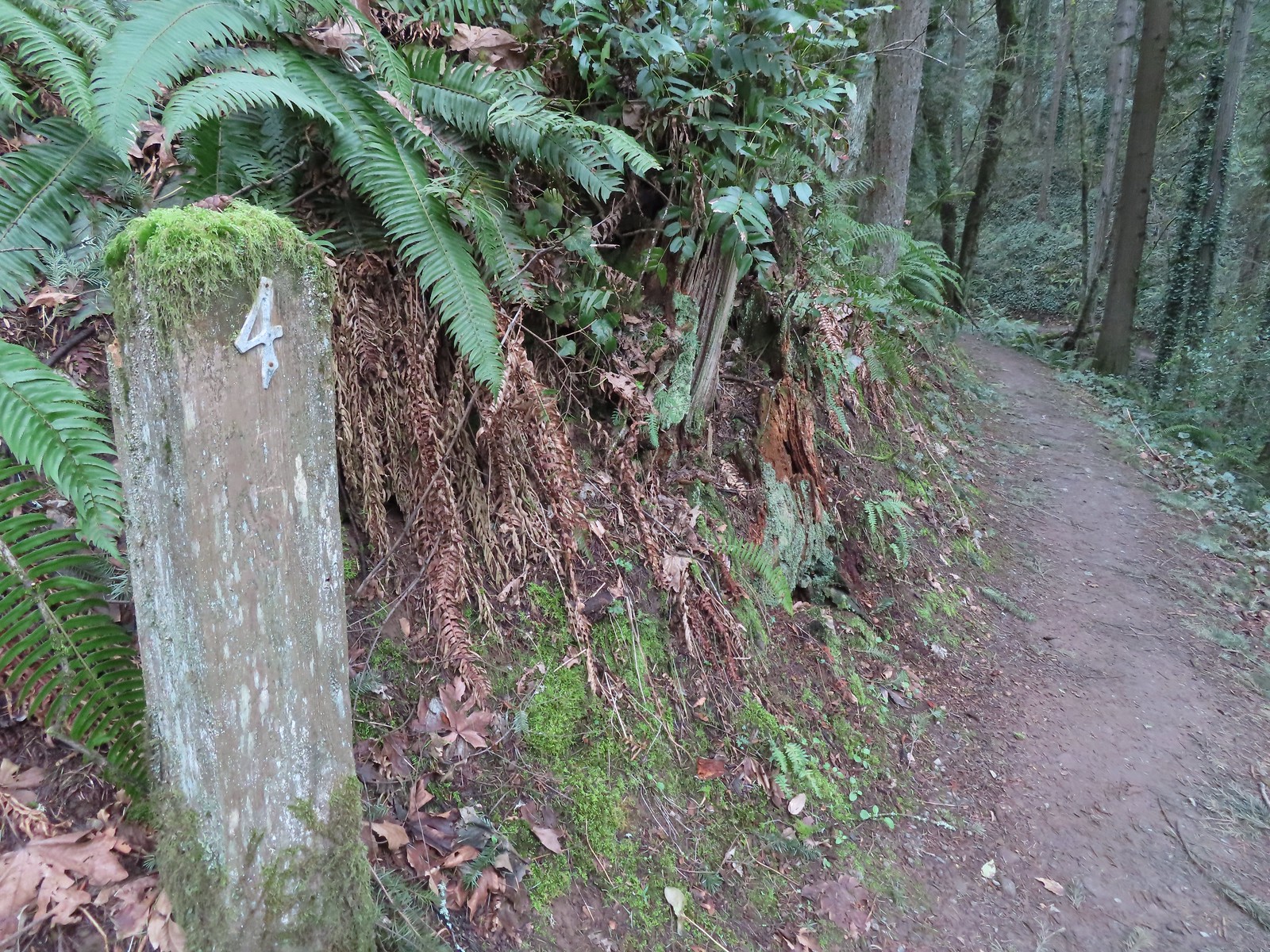 Not sure what the story is behind this post but it was the only one we spotted with this type of number.
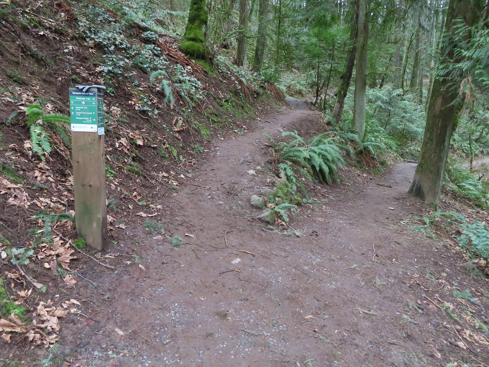 We passed the Shdayside Trail after half a mile.
 There was a short section with some railing before dropping down to the Sunnyside Trail.

 Mt. St. Helens, Mt. Rainier, and Mt. Adams are out there beyond the clouds.
 Freemont Bridge spanning the Willamette River with the Columbia River in the distance.
 Hummingbird
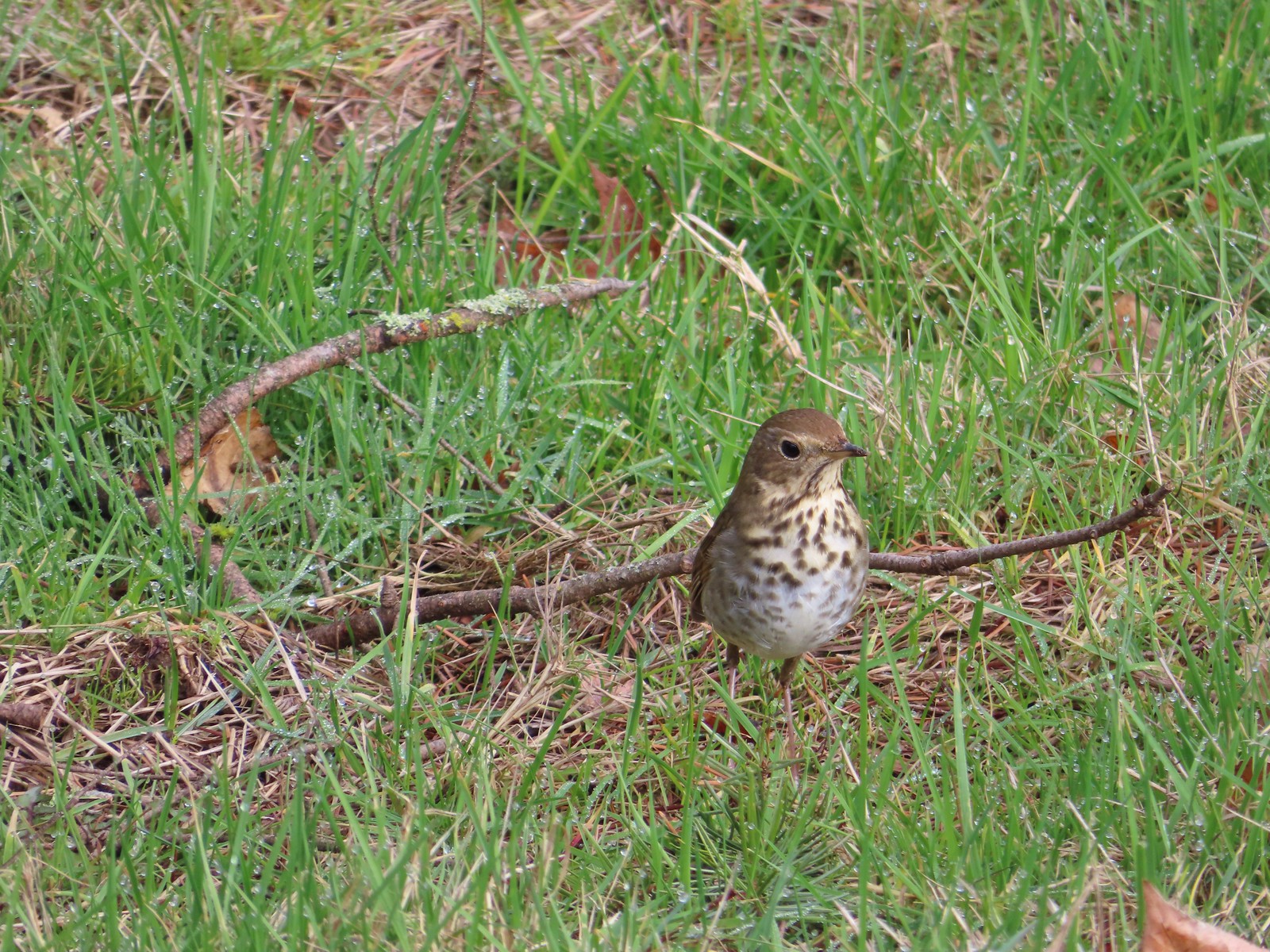 Hermit thrush looking for snacks at Council Crest Park.

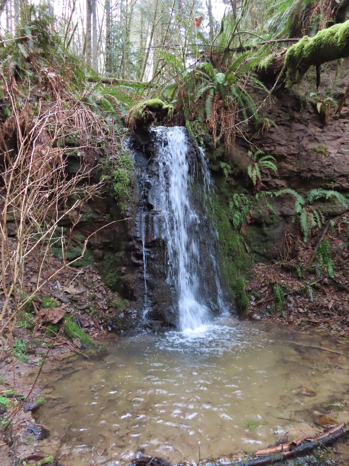
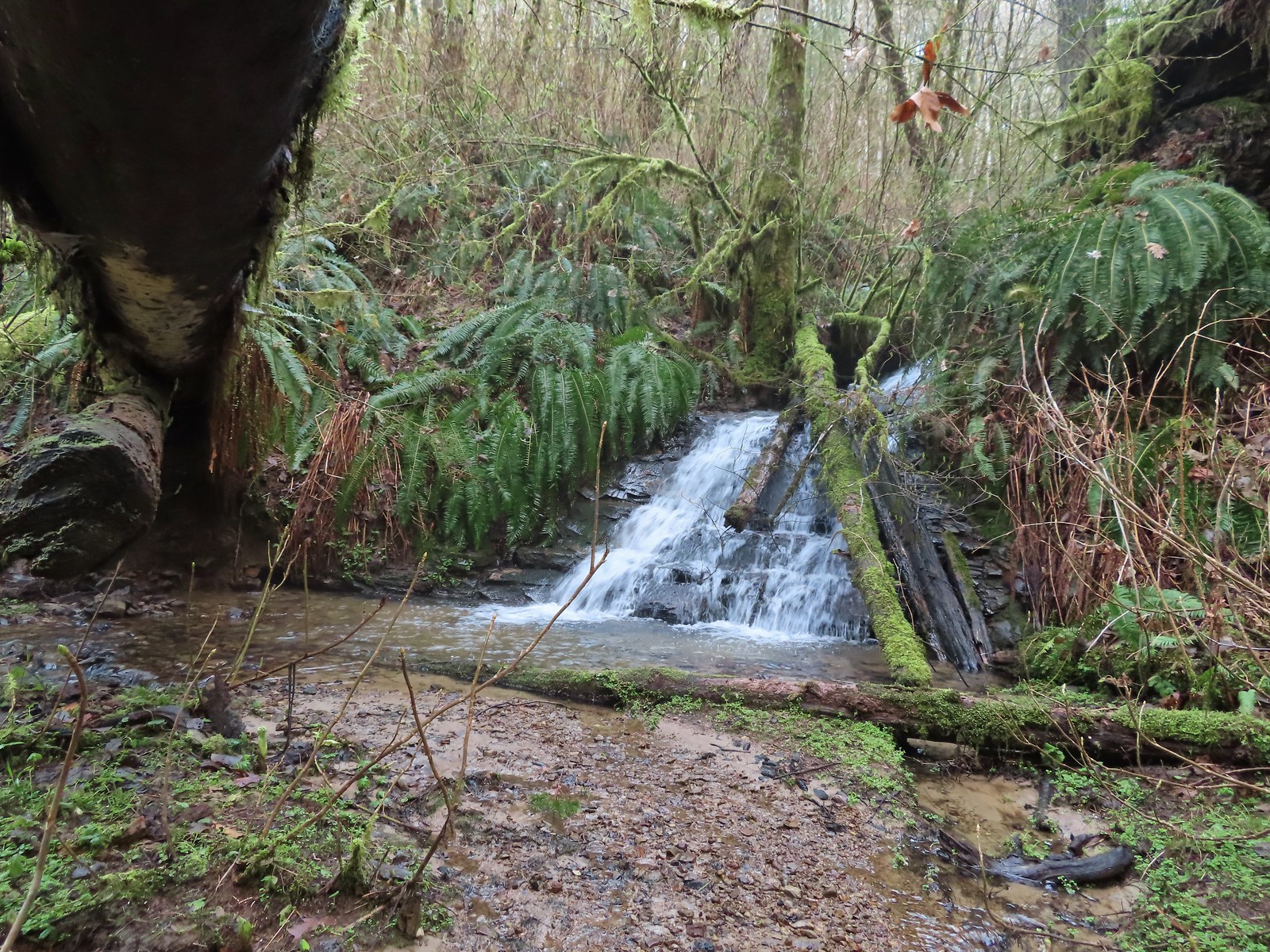
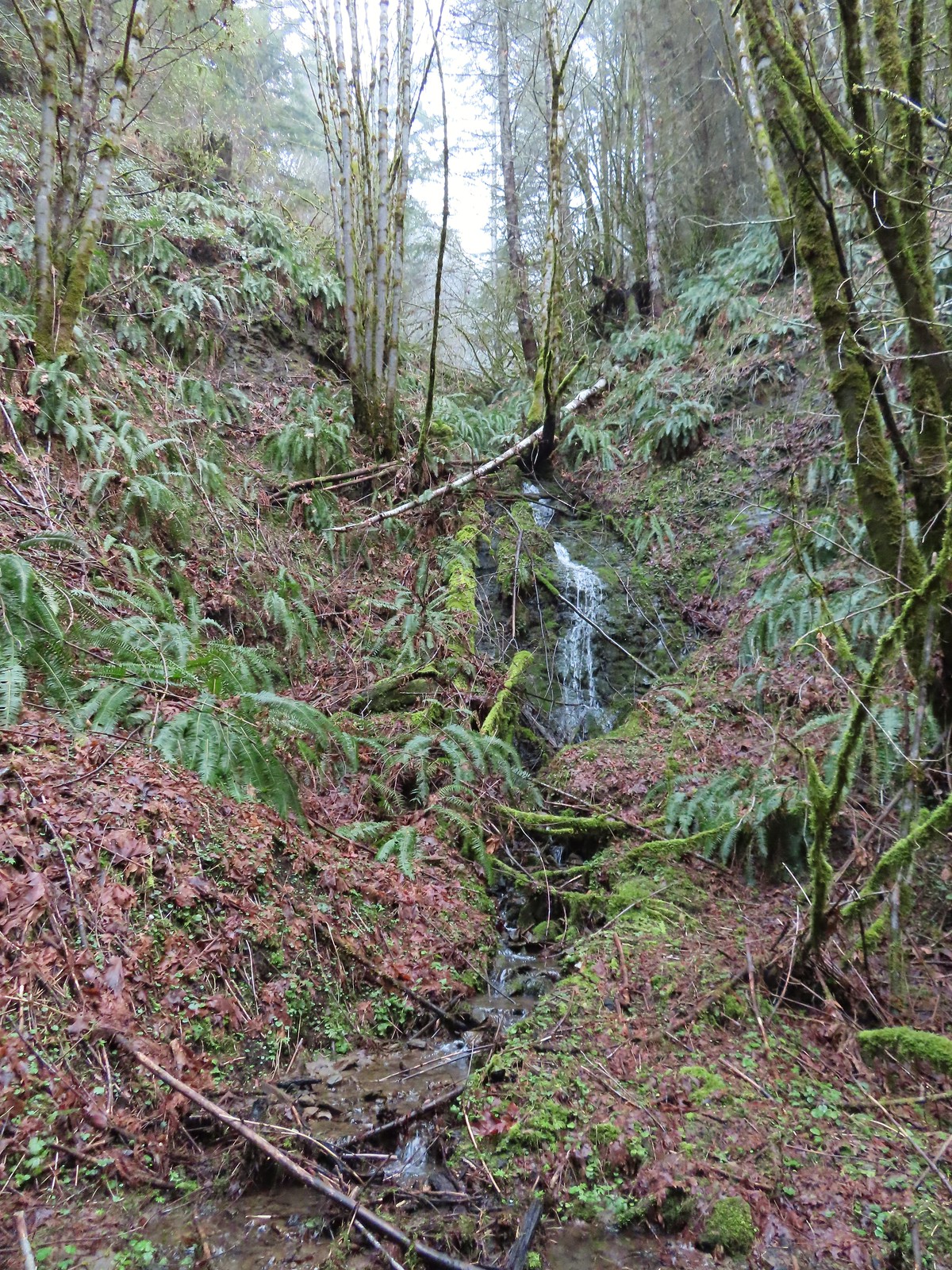
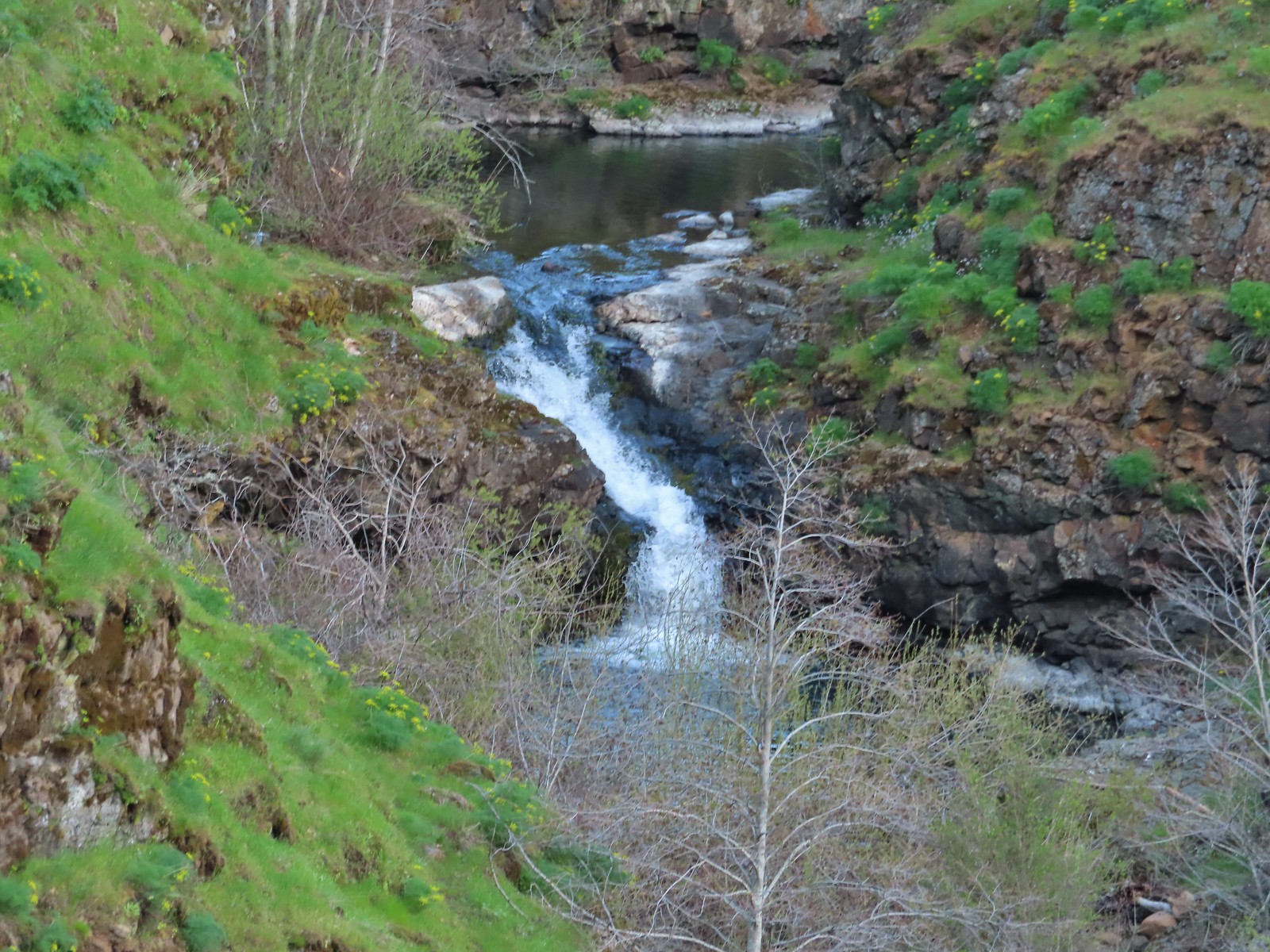

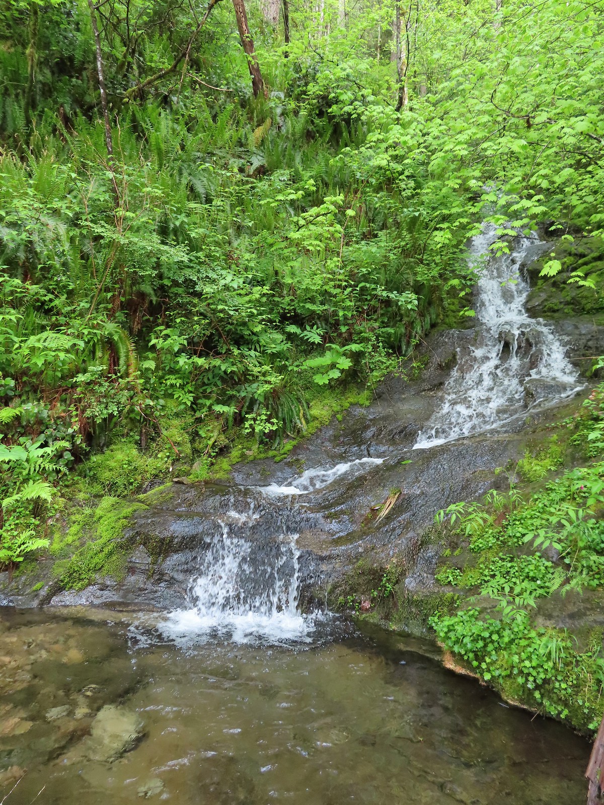

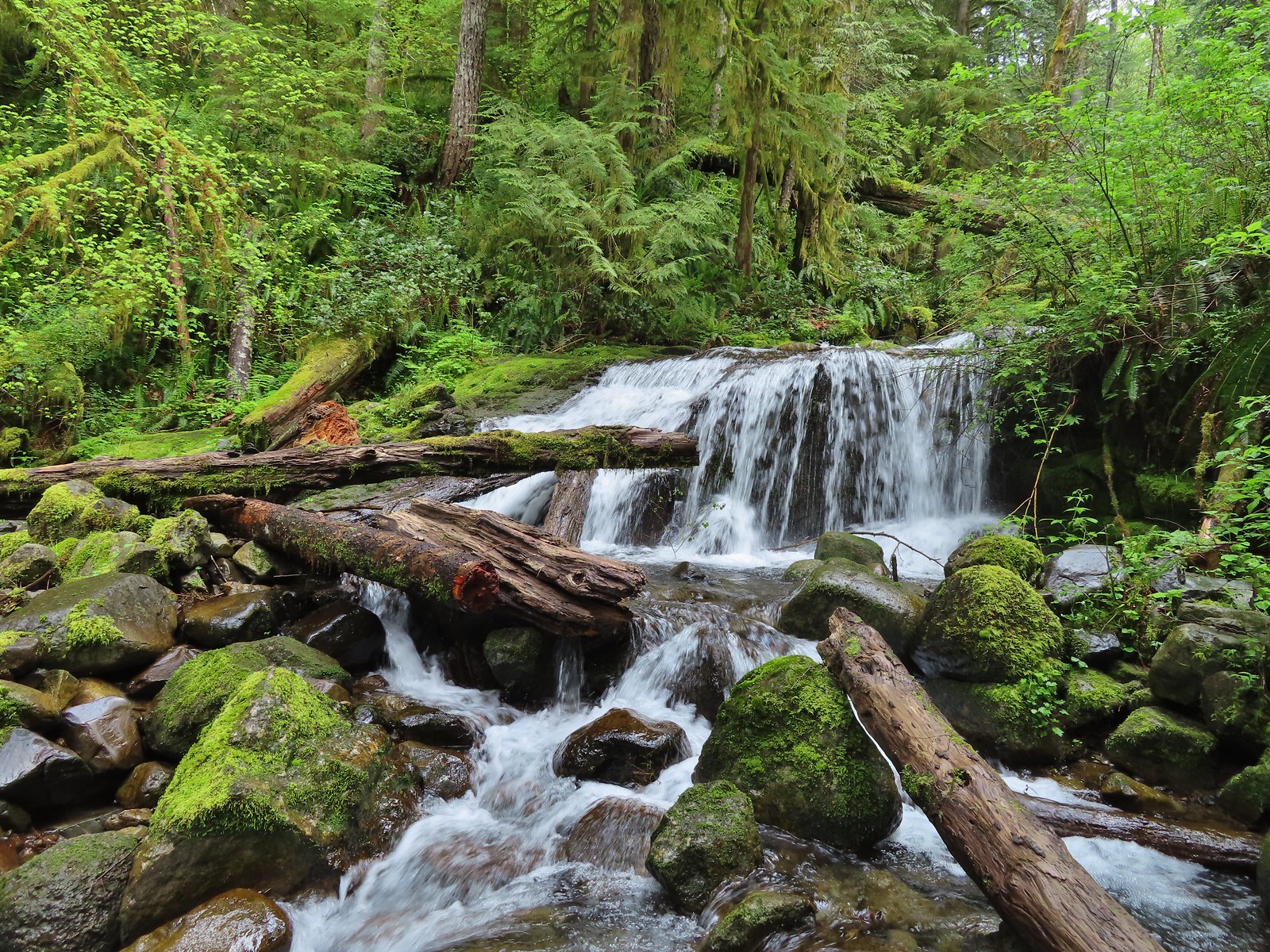
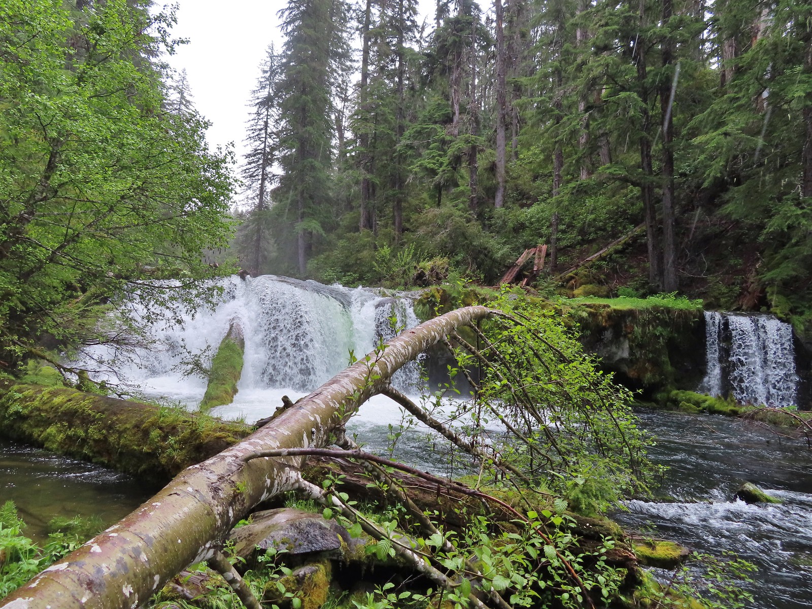
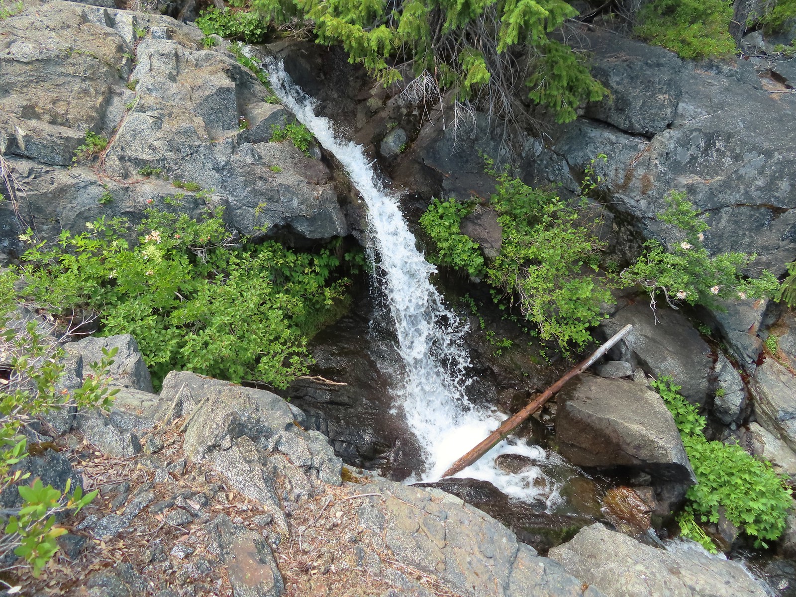
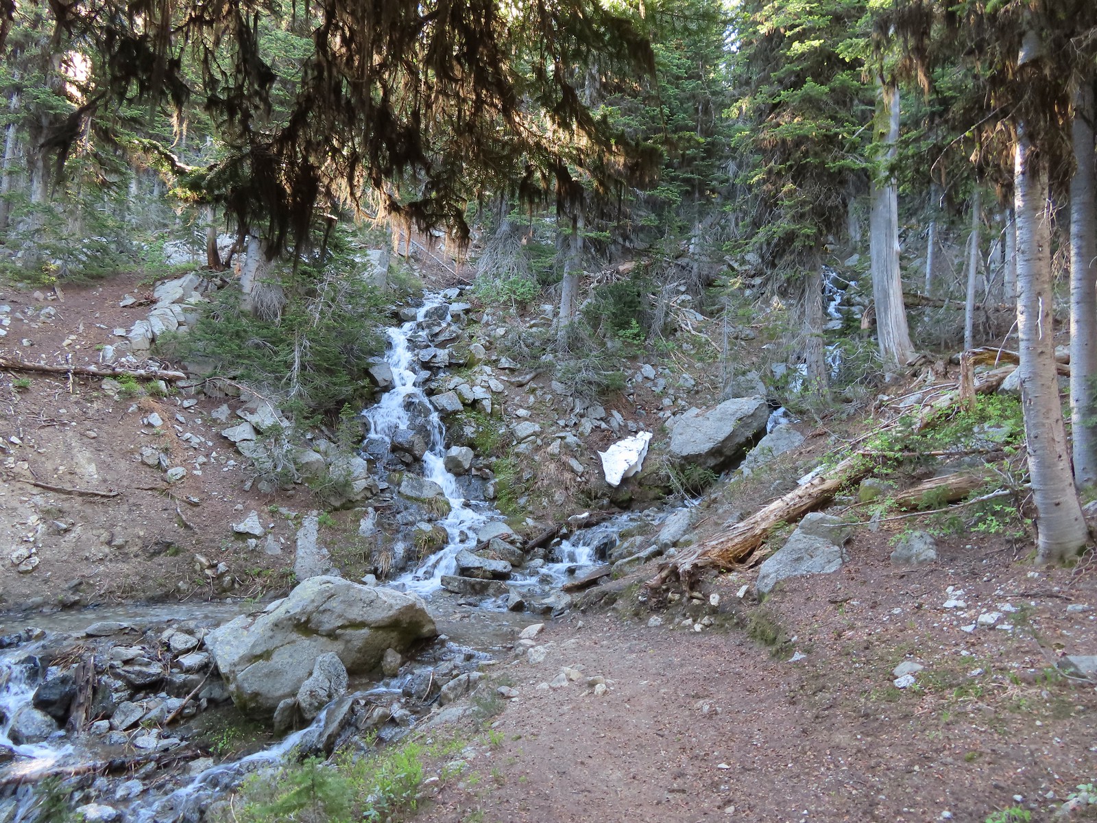
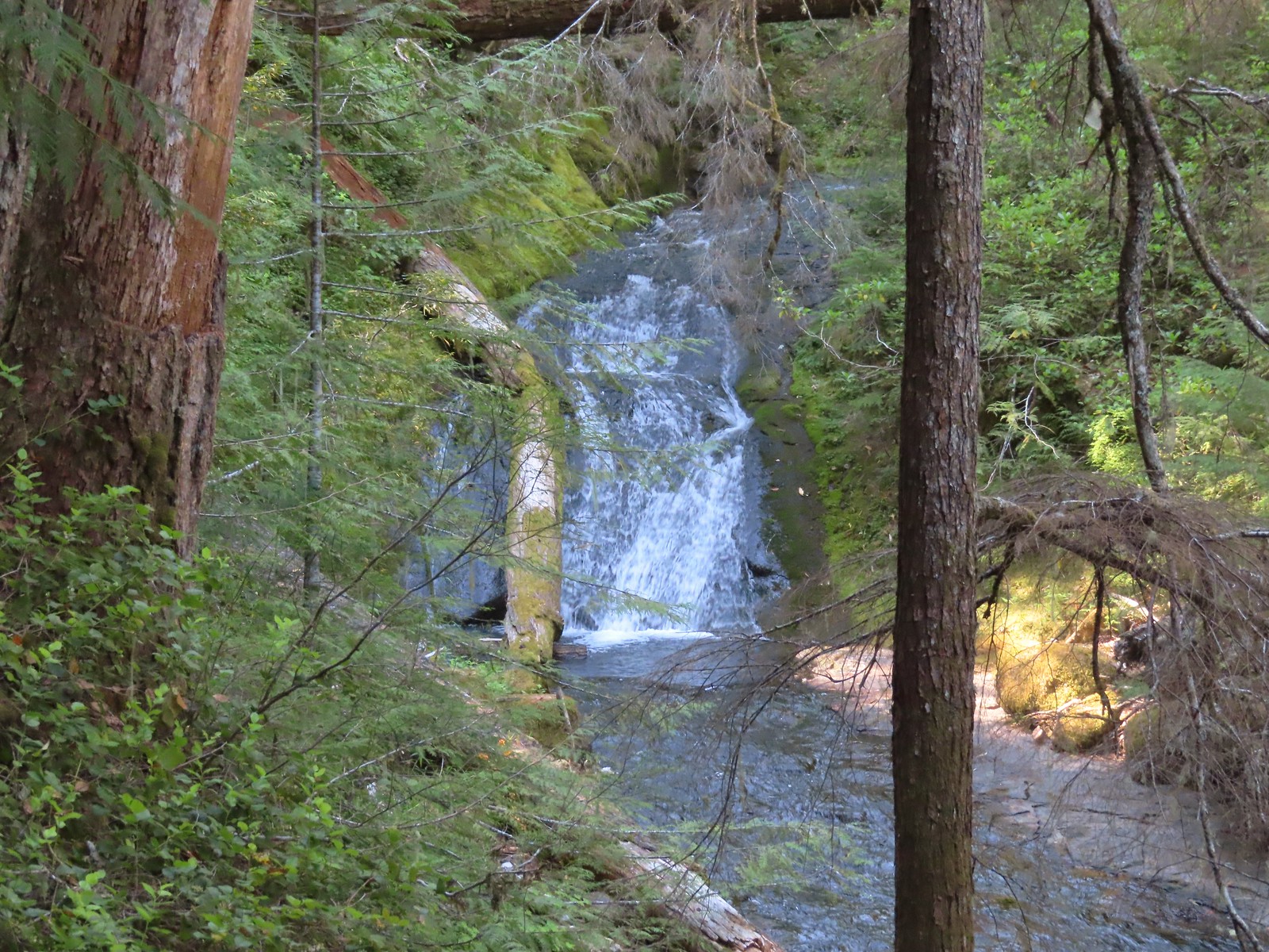
 Unnamed waterfall along Riley Creek in the Mt. Adams Wilderness
 Unnamed waterfall below East Boulder Lake in the Trinity Alps Wilderness.

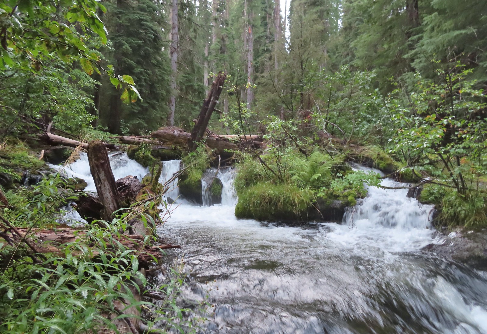
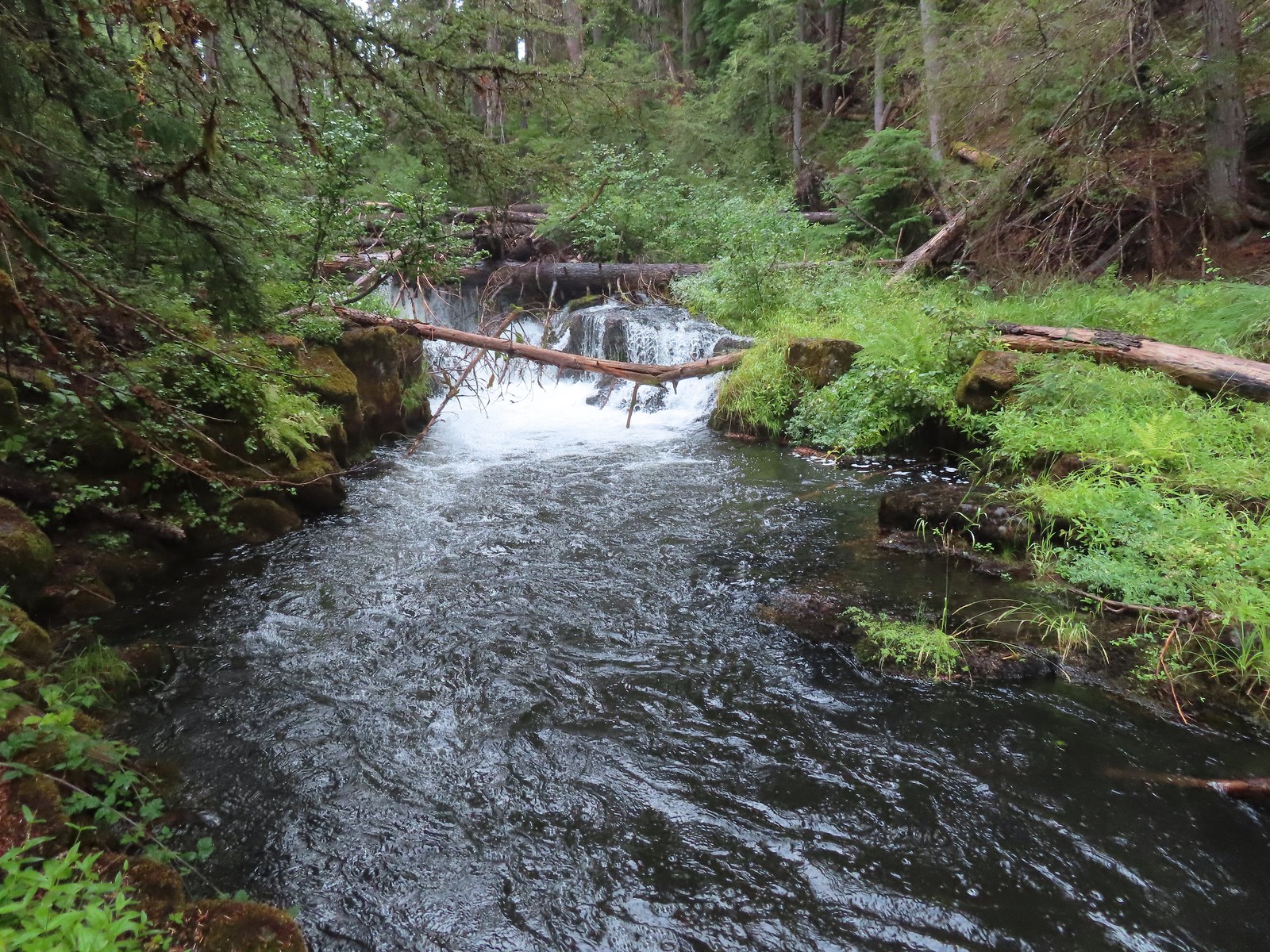
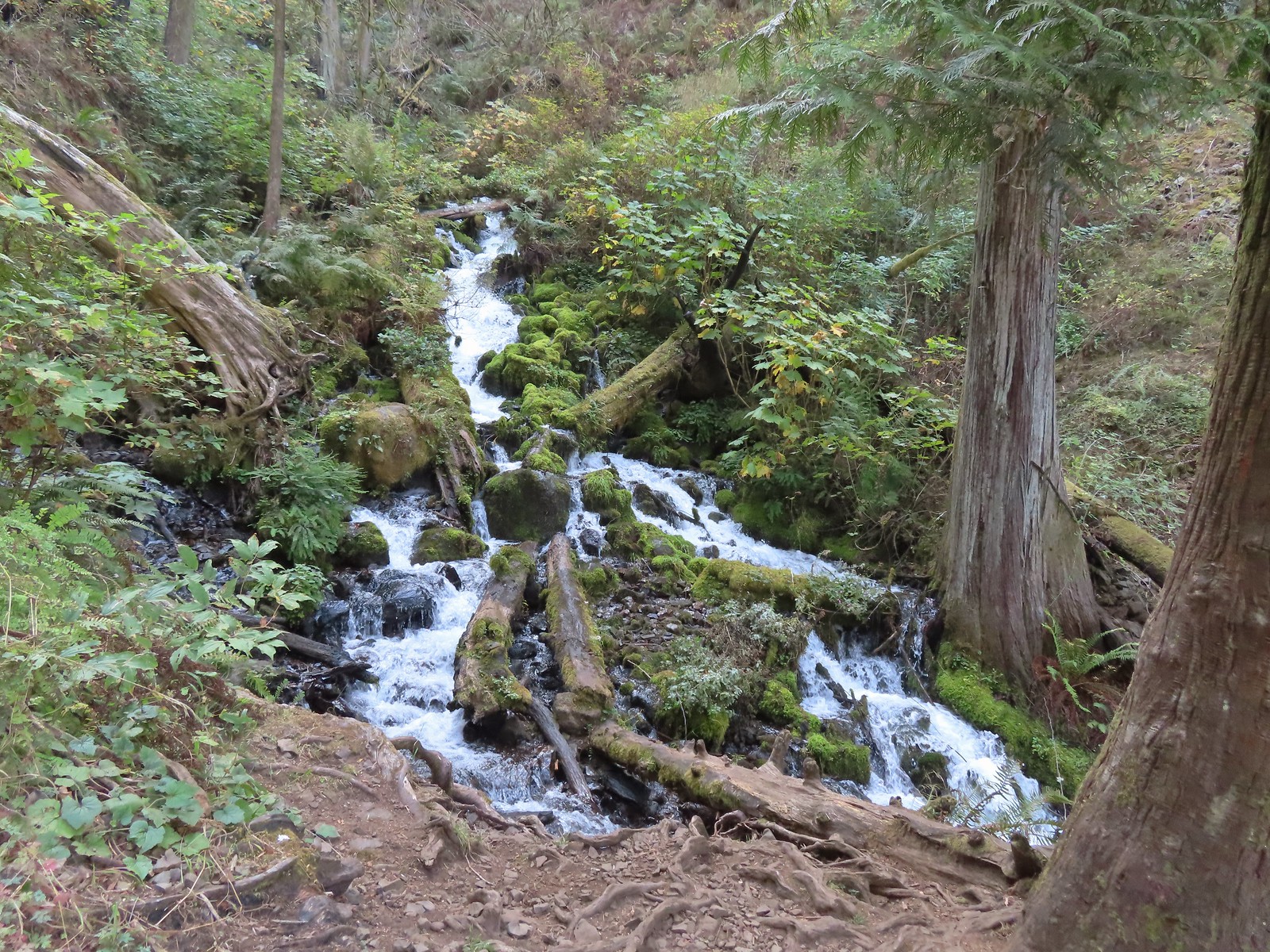 Cascade on Wahkeena Creek.
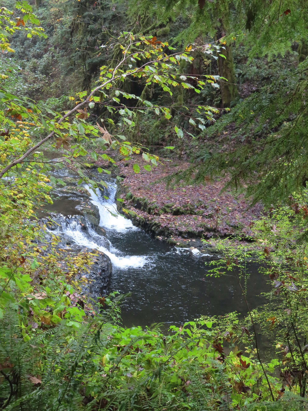 Small cascade along the North Fork Silver Creek.
 Mosier Creek Falls (
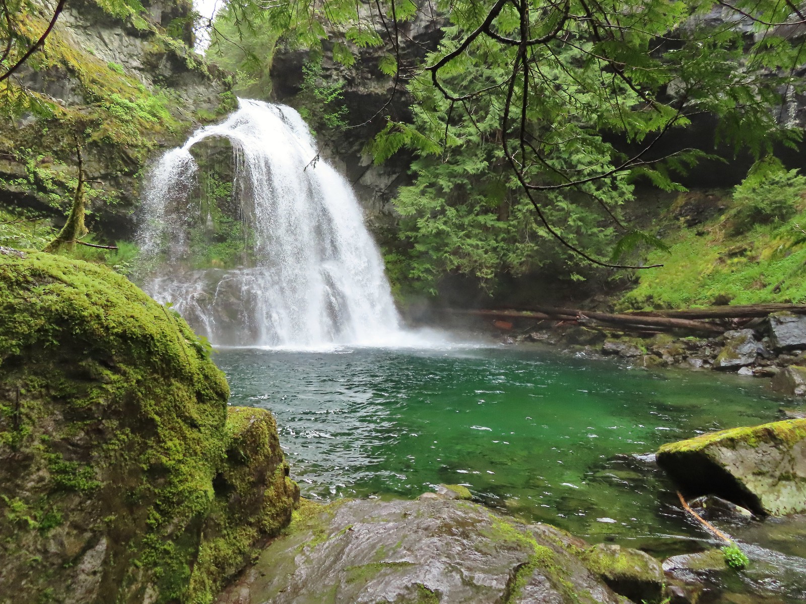 Black Hole Falls (
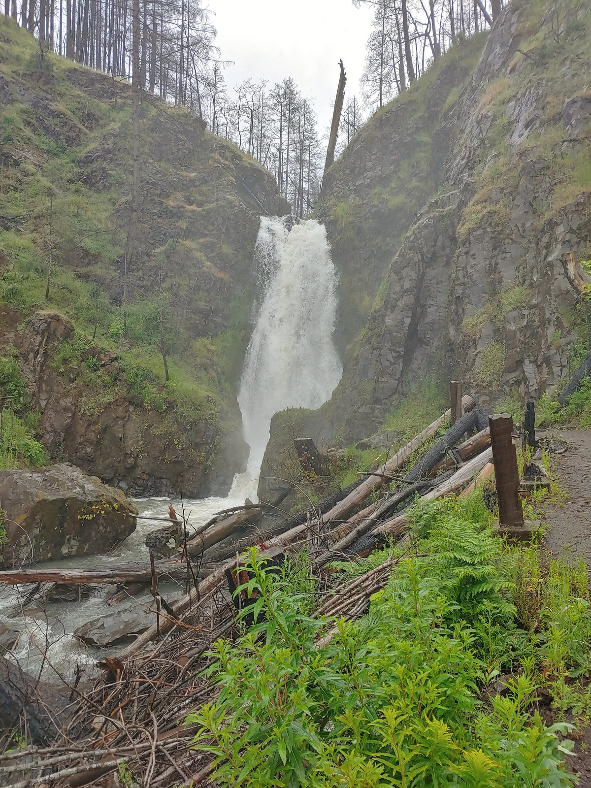 Susan Creek Falls
 Toketee Falls
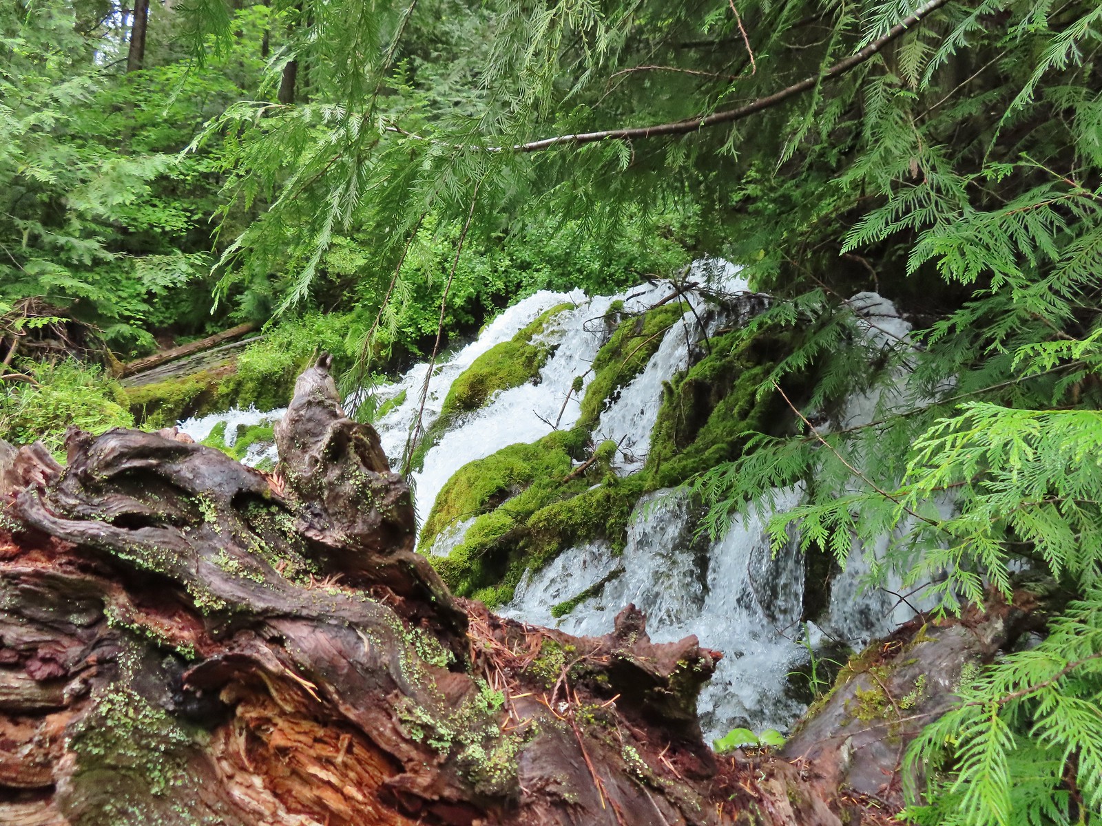 Surprise Falls
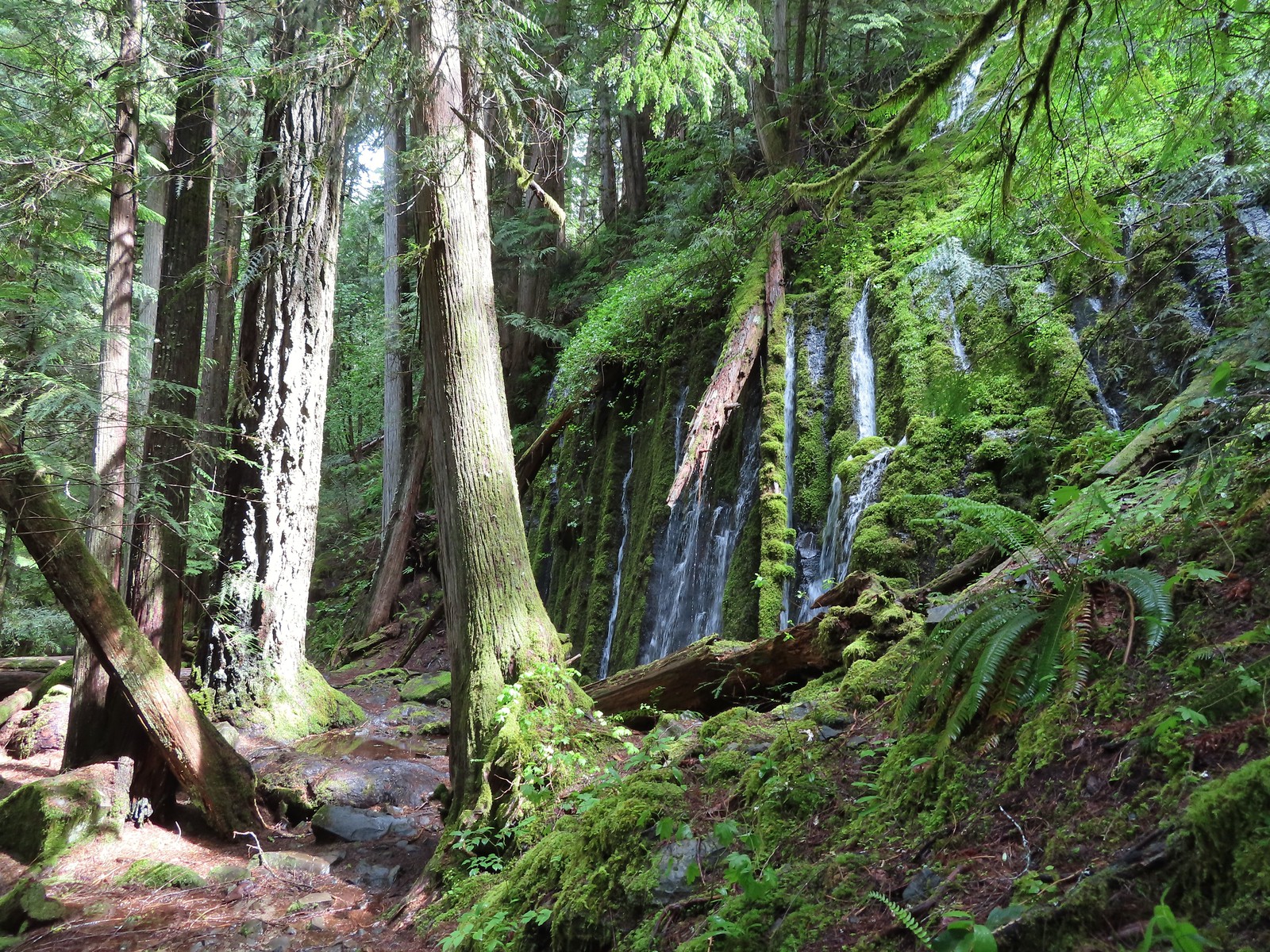 Columnar Falls
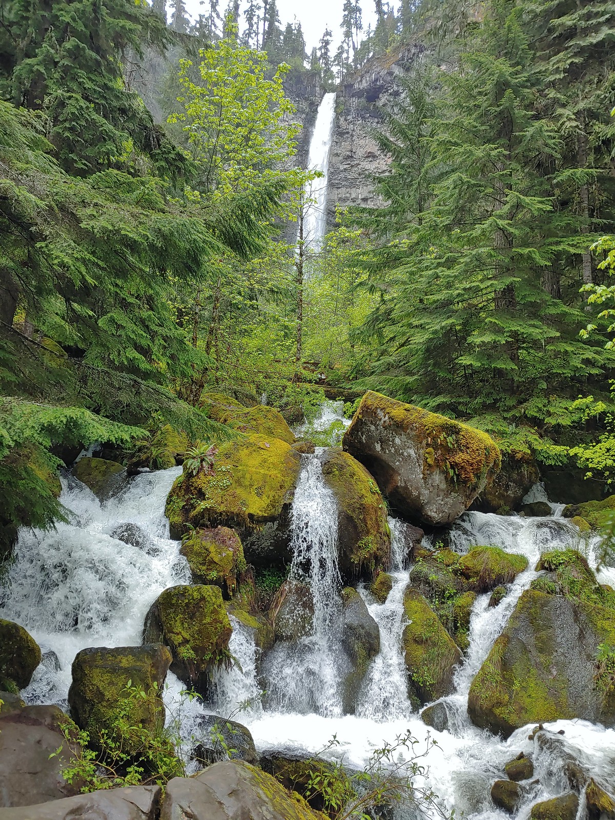 Watson Falls
 Warm Springs Falls
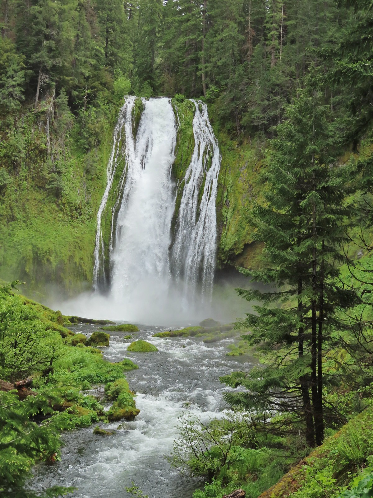 Lemolo Falls
 Alsea Falls
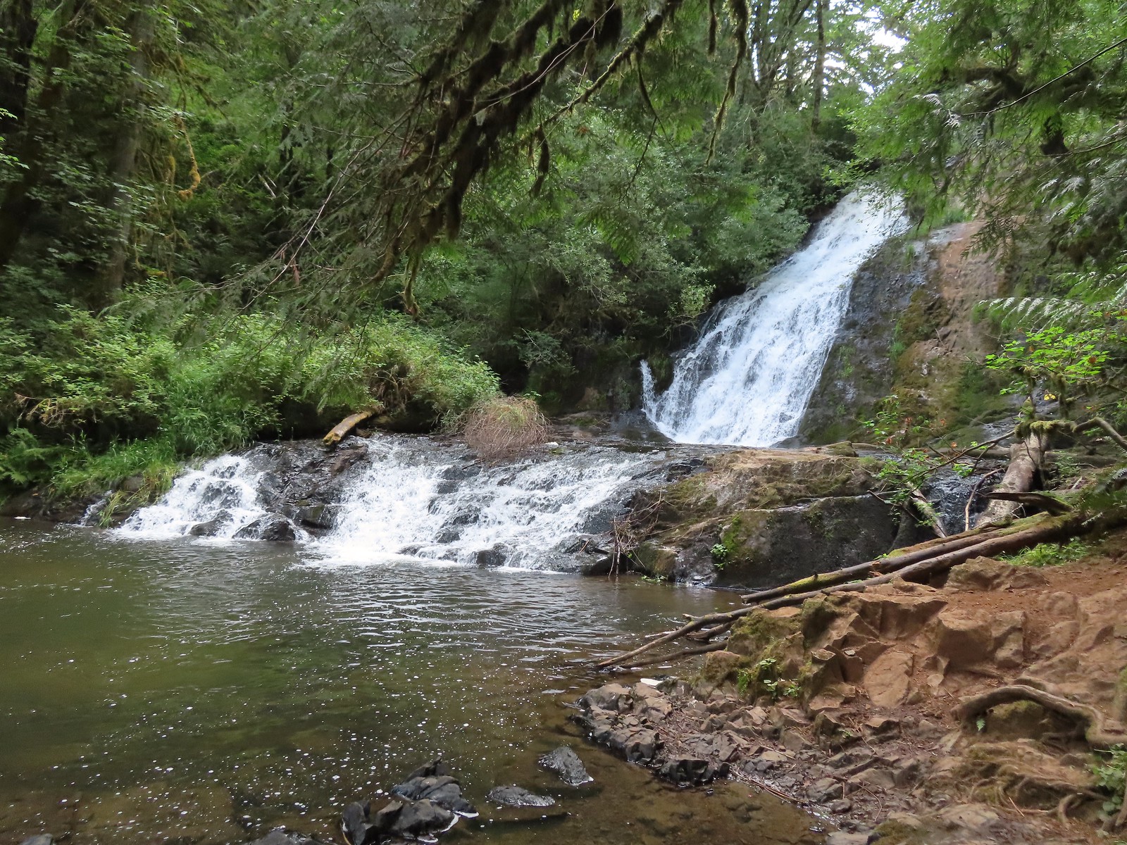 Green Peak Falls
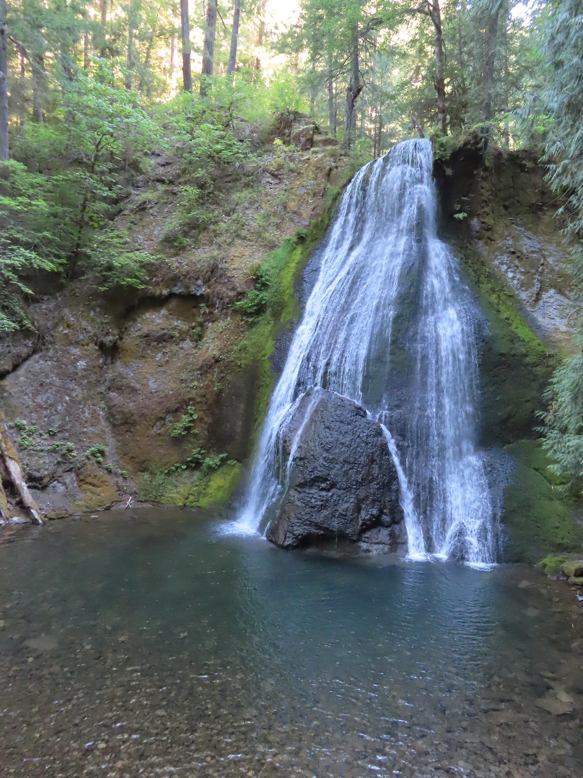 Yasko Falls
 Hemlock Falls
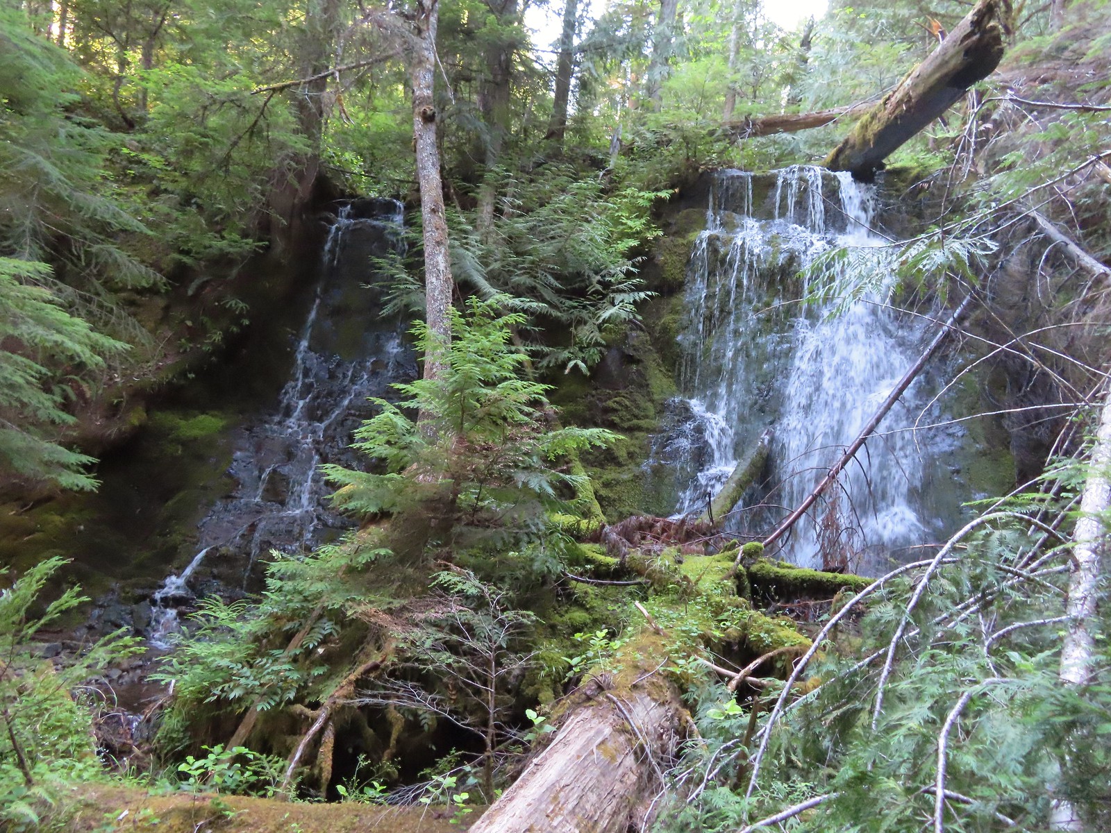 Tributary Falls
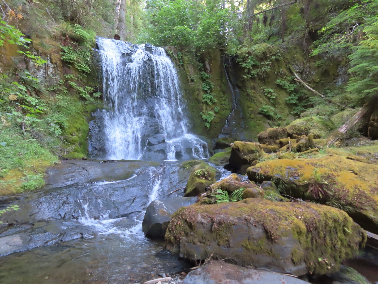 Middle Hemlock Falls
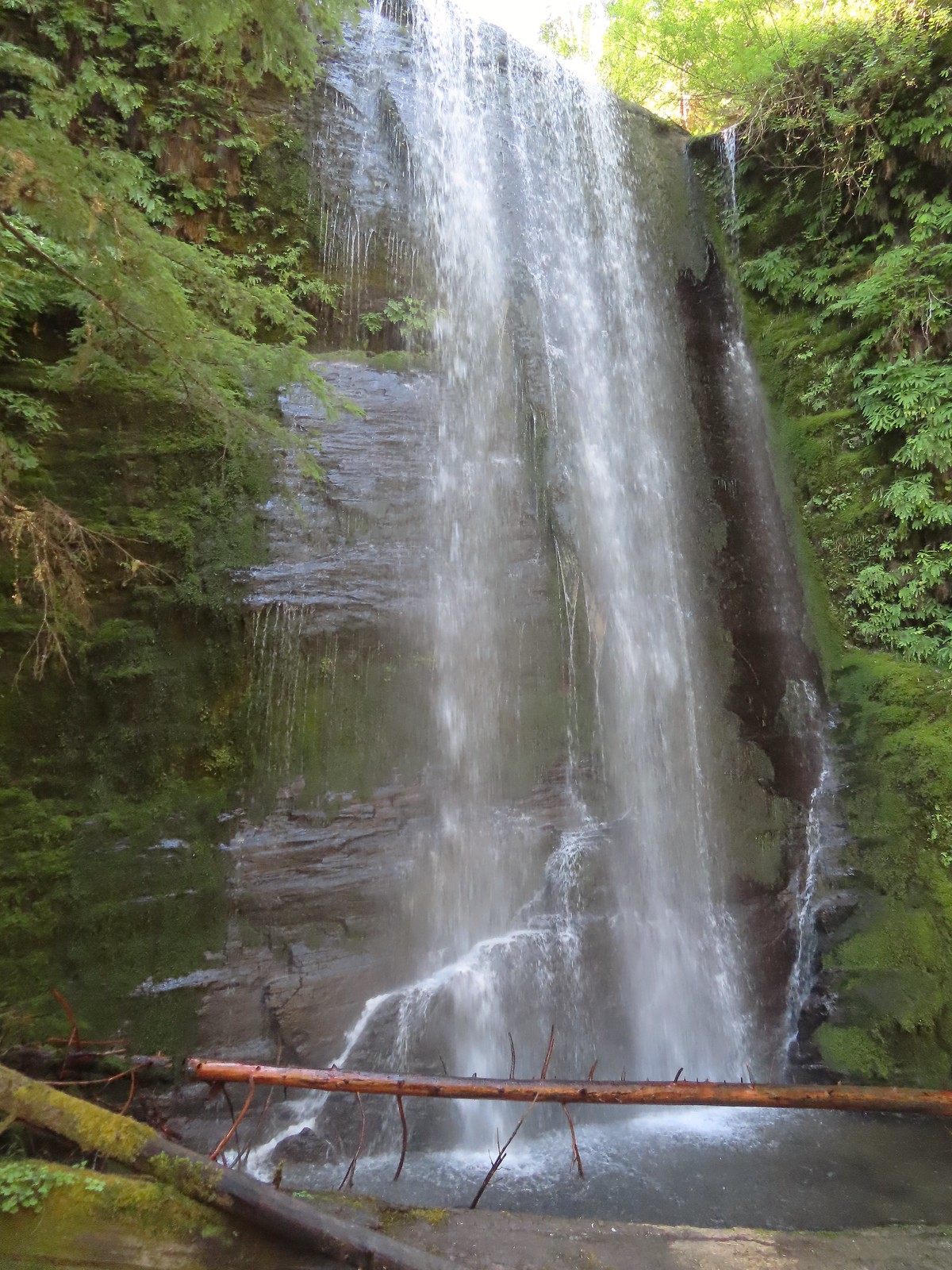 Clover Falls
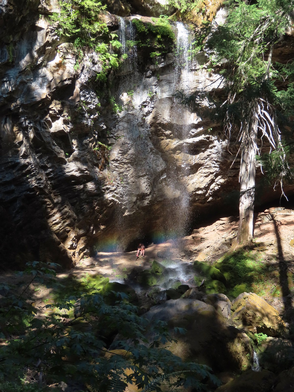 Grotto Falls
 Fall Creek Falls
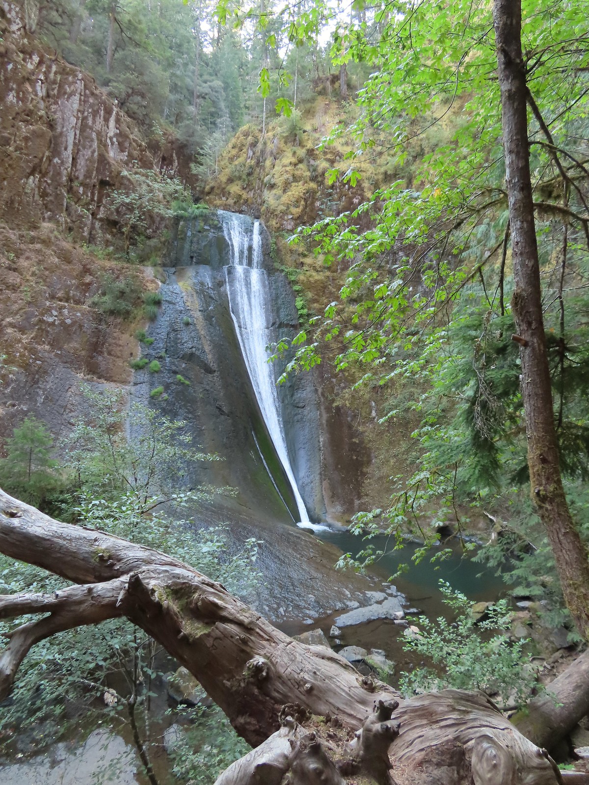 Upper tier of Wolf Creek Falls
 Lower tier of Wolf Creek Falls
 South Umpqua Falls (
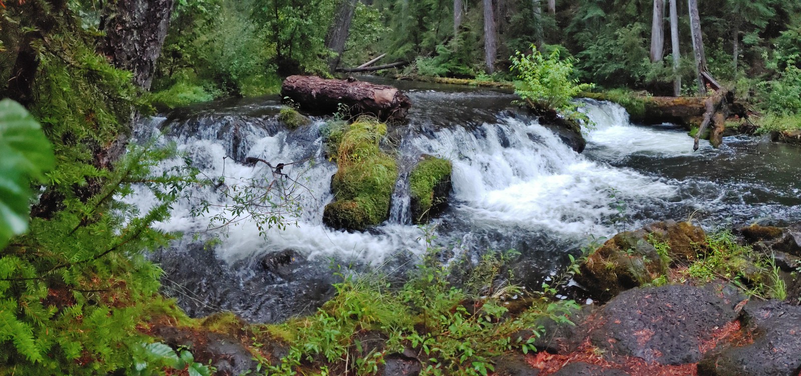 Union Creek Falls (
 Chitwood Creek Falls
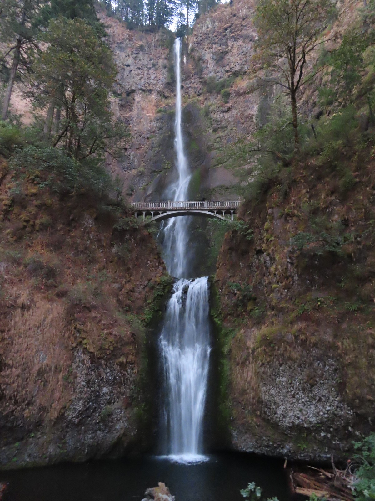 Multnomah Falls
 Lower Dutchman Falls
 Upper Dutchman Falls
 Wiesendanger Falls
 Ecola Falls
 Fairy Falls
 Wahkeena Falls
 Upper North Falls
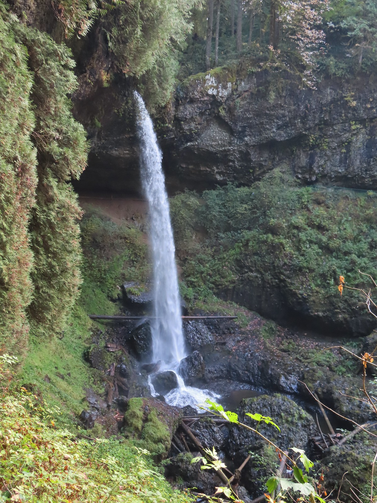 North Falls
 Twin Falls
 Winter Falls
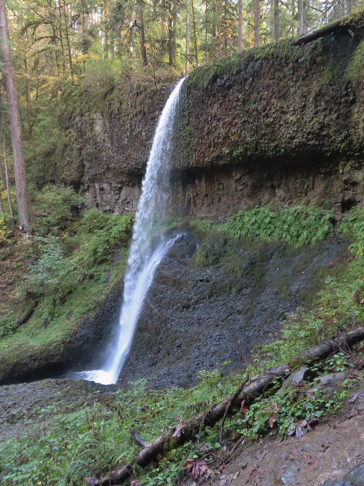 Middle North Falls
 Drake Falls
 Double Falls
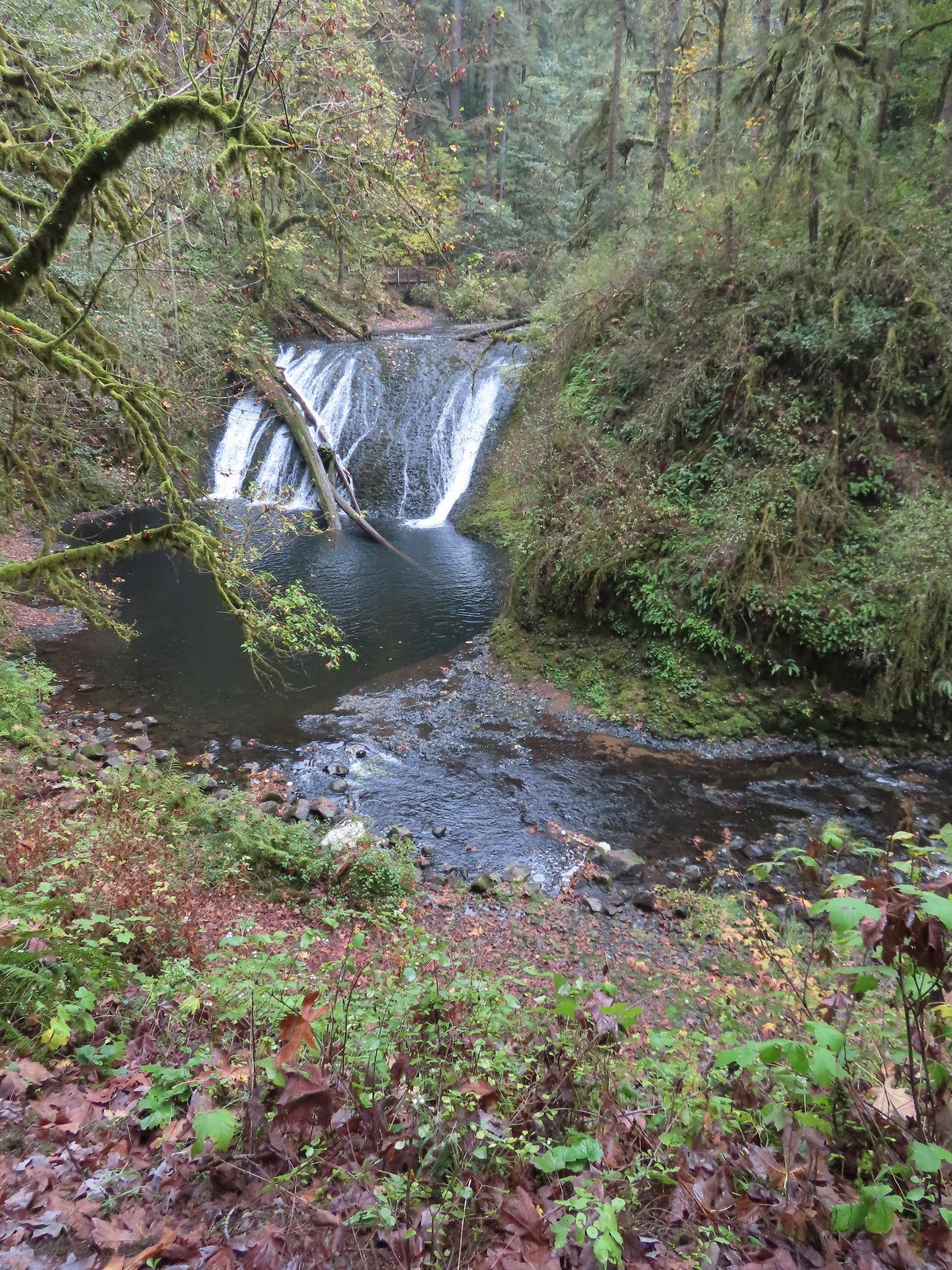 Lower North Falls
 Lower South Falls
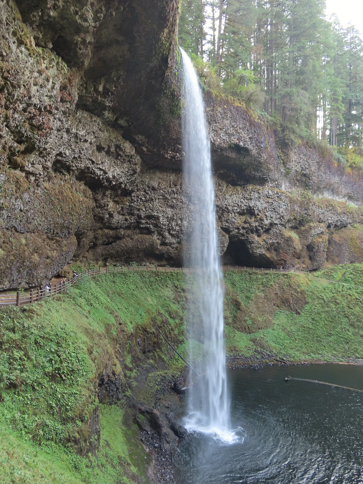 South Falls
 Sorenson Falls
 Metlako Falls
 Lower Punchbowl Falls
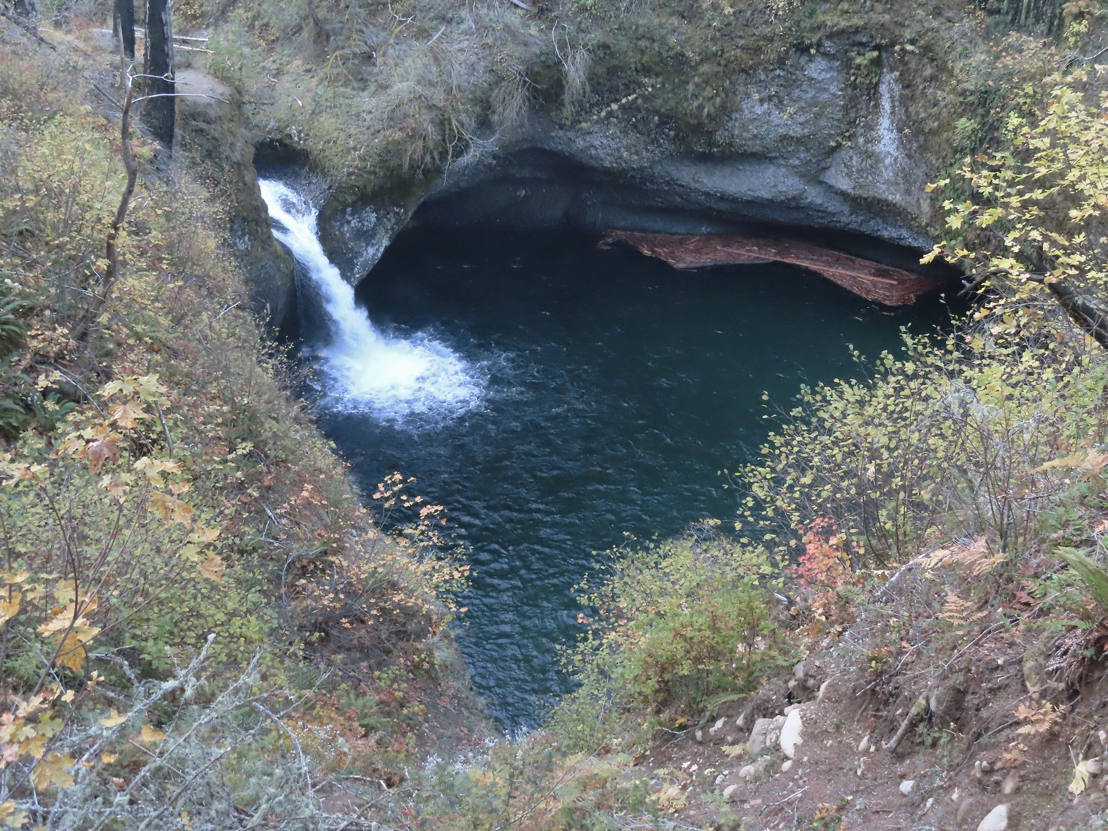 Punchbowl Falls
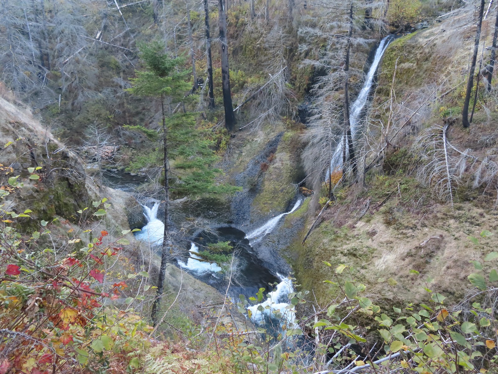 Loowit Falls
 Skoonichuck Falls
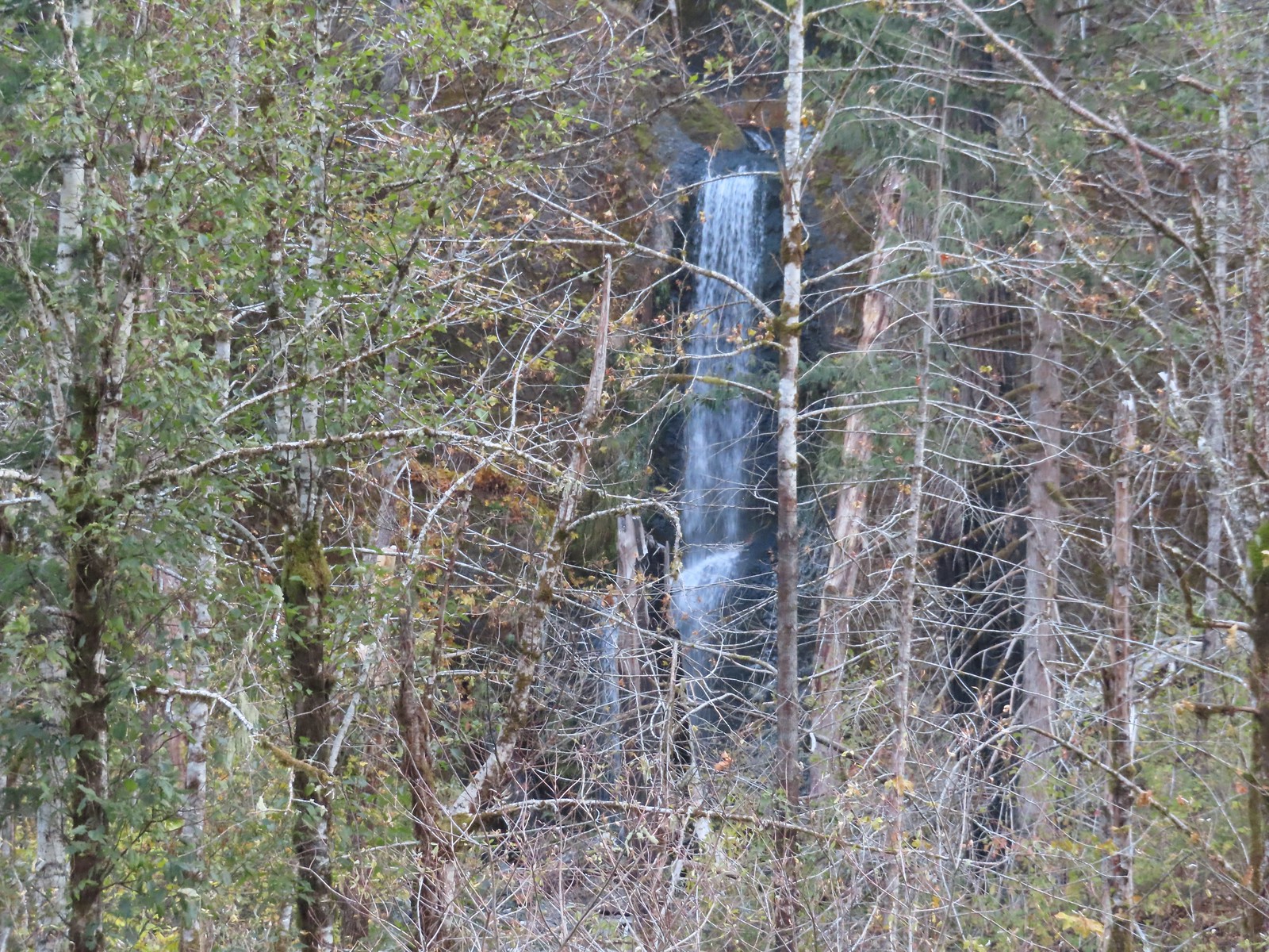 Four Mile Falls
 Tenas Falls
 Wy’East Falls
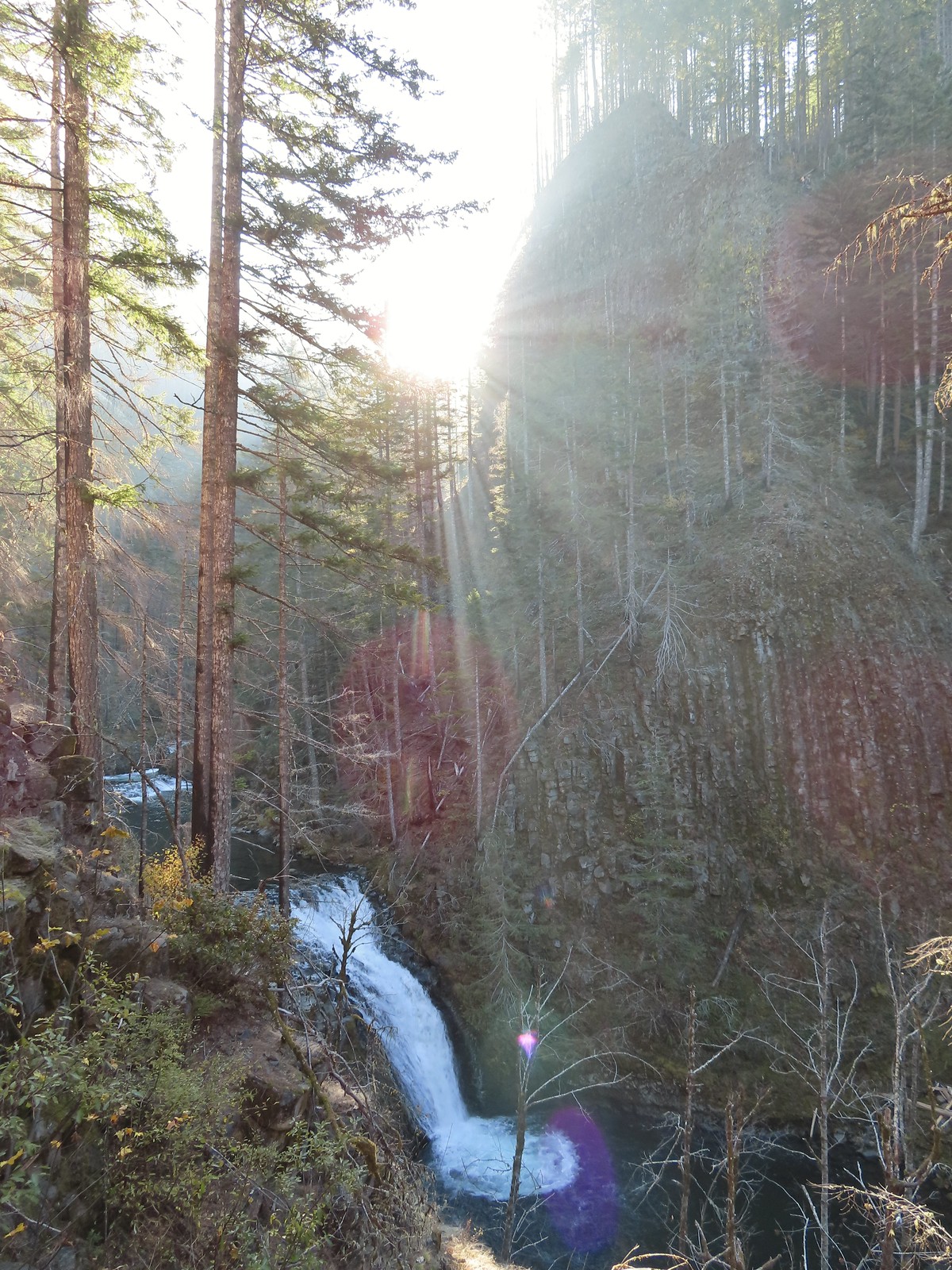 Grand Union Falls
 Tunnel Falls
 Twister Falls
 Seven Mile Falls
 Hummingbird at Memaloose Hills in May.
 Hummingbird at Upper Table Rock in May.
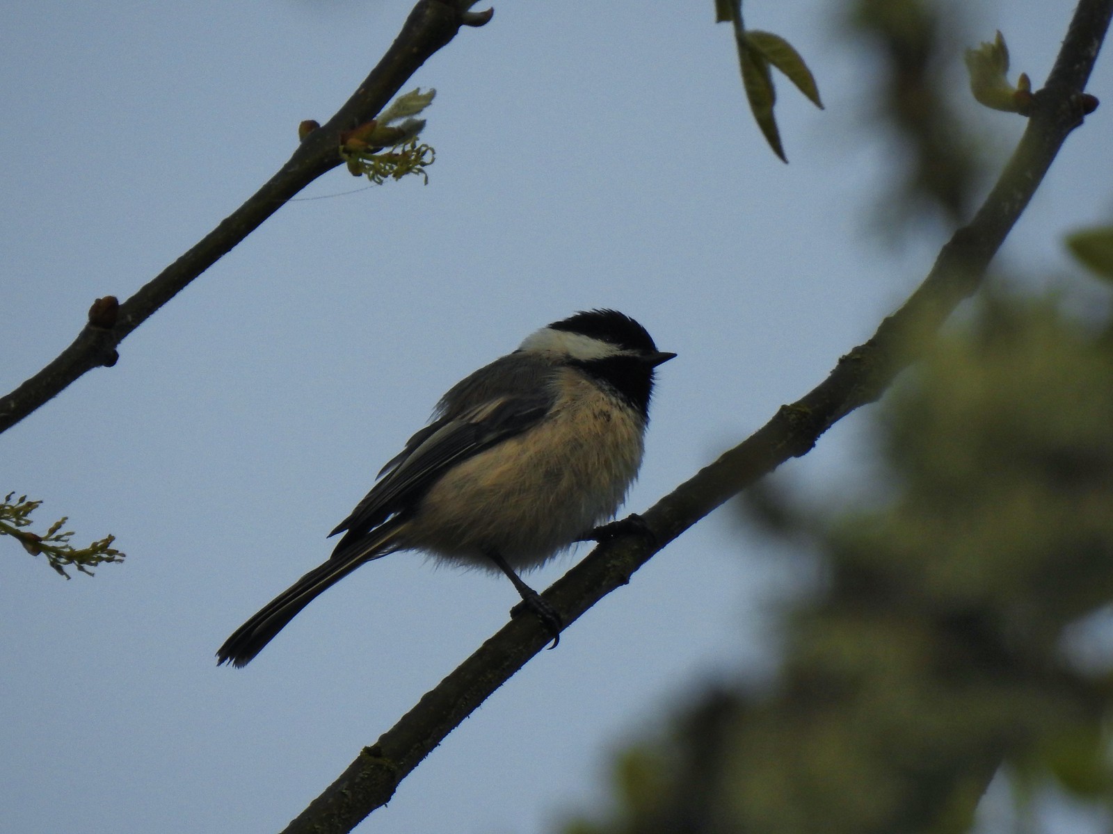 Black capped chickadee at Ankeny Wildlife Refuge in April.
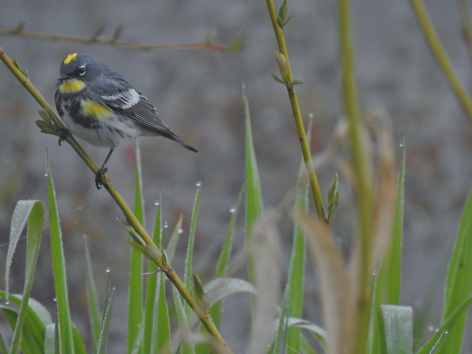 Yellow-rumped warbler (Audubon’s) at Ankeny Wildlife Refuge in April.
 Wren (marsh?) at Ankeny Wildlife Refuge in April.
 White-crowned sparrow at Ankeny Wildlife Refuge in April.
 Sparrow? at Ankeny Wildlife Refuge in April.
 Common yellow throat at Ankeny Wildlife Refuge in April.
 Yellow-rumped warbler (Myrtle) at Ankeny Wildlife Refuge in April.
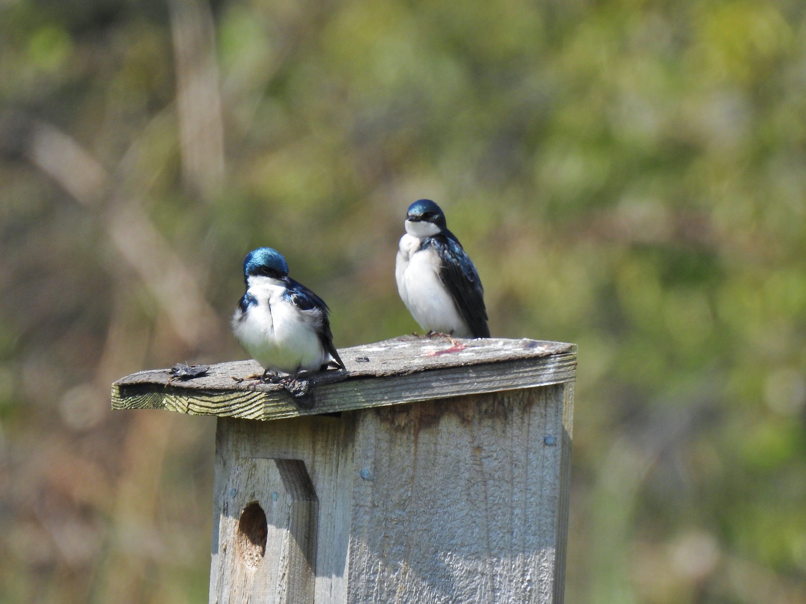 Tree swallows at Ankeny Wildlife Refuge in April.
 White-crowned sparrow and a wren at Miller Woods in May.
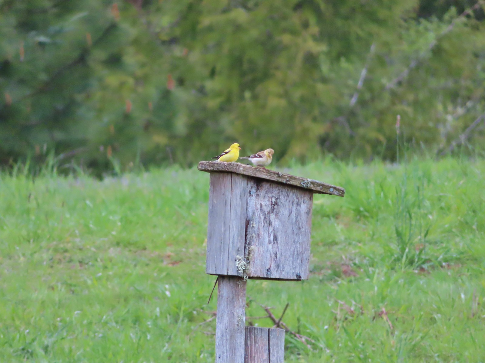 American goldfinch pair at Miller Woods in May.
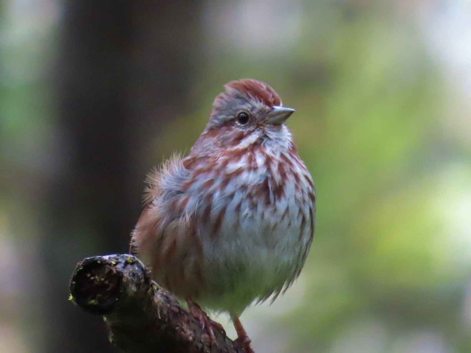 Another sparrow at Miller Woods in May.
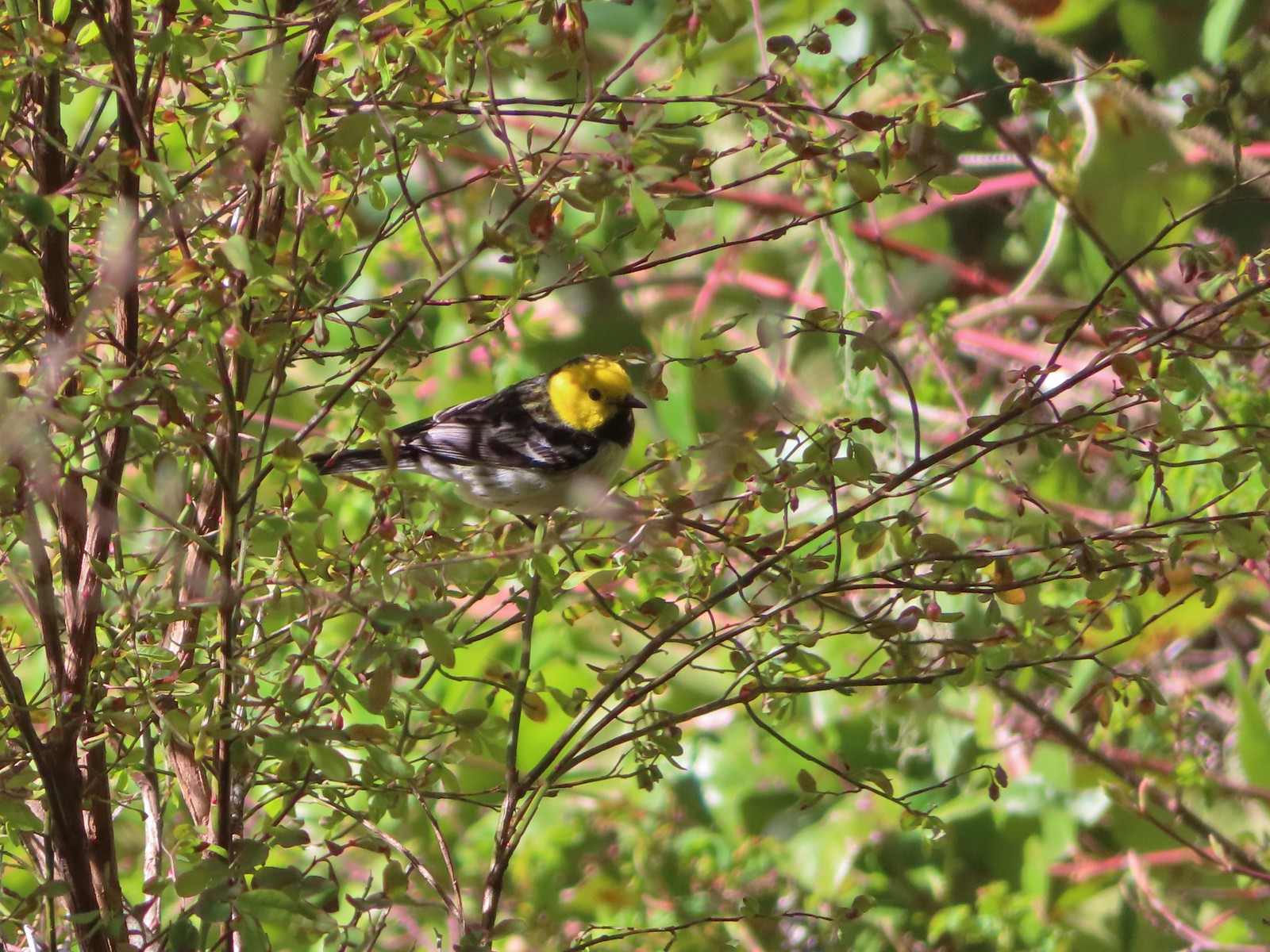 Hermit warbler? near Kings Mountain in May.
 House finch? at Upper Table Rock in May.
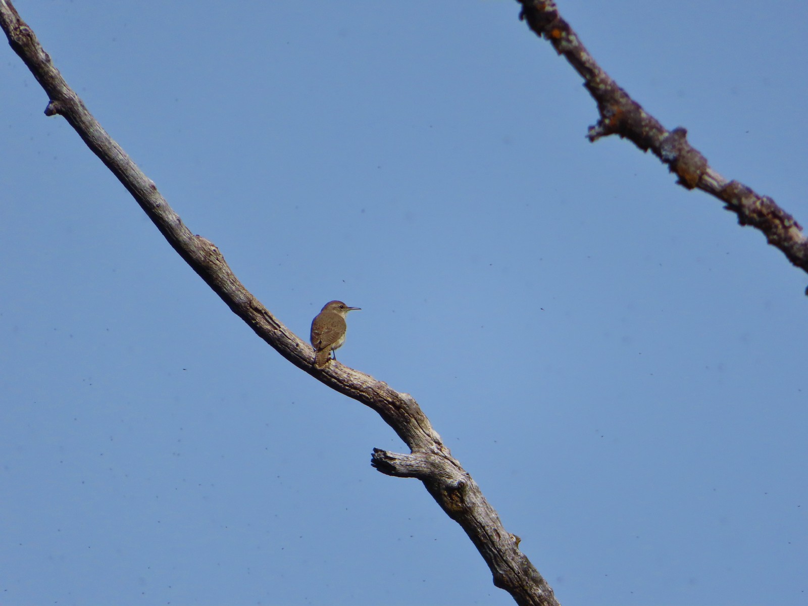 Rock wren? at Upper Table Rock in May.
 Ash-throated flycatcher at Denman Wildlife Area in May.
 Unknown at Denman Wildlife Area in May.
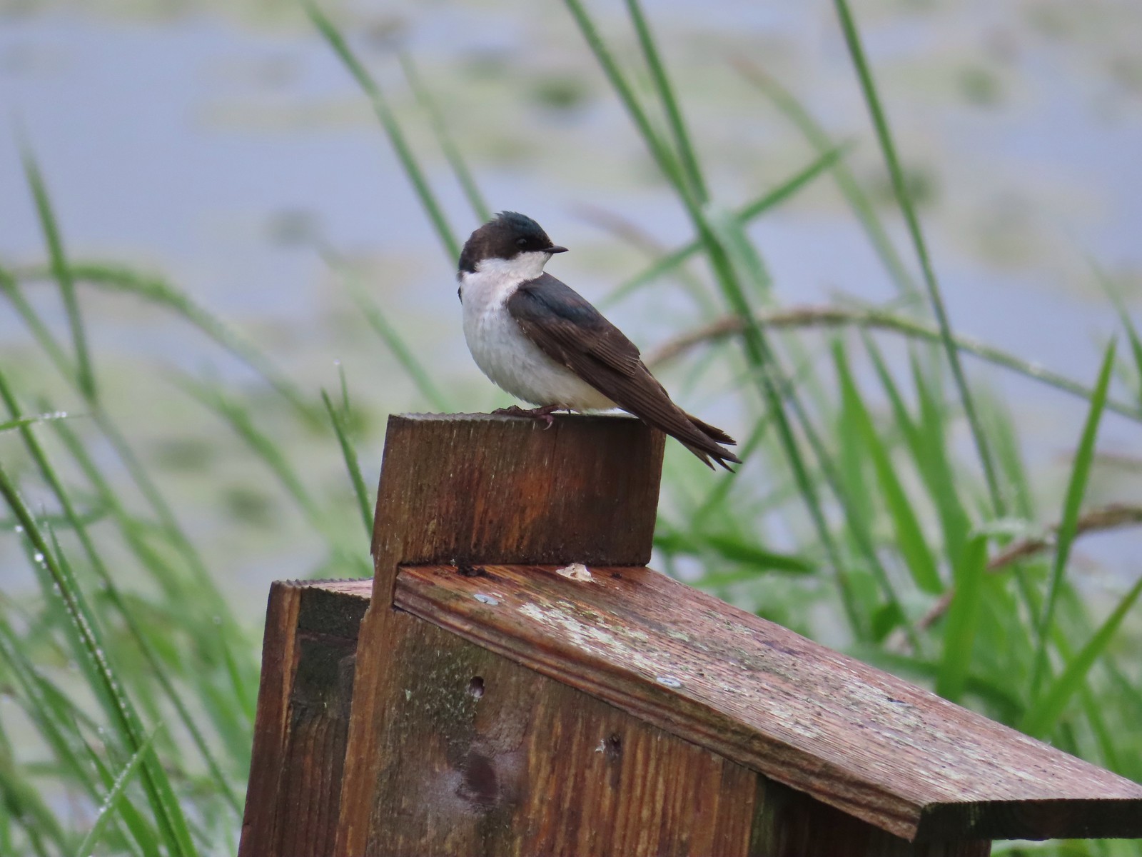 Swallow at Julia Hansen Butler Wildlife Refuge in June.
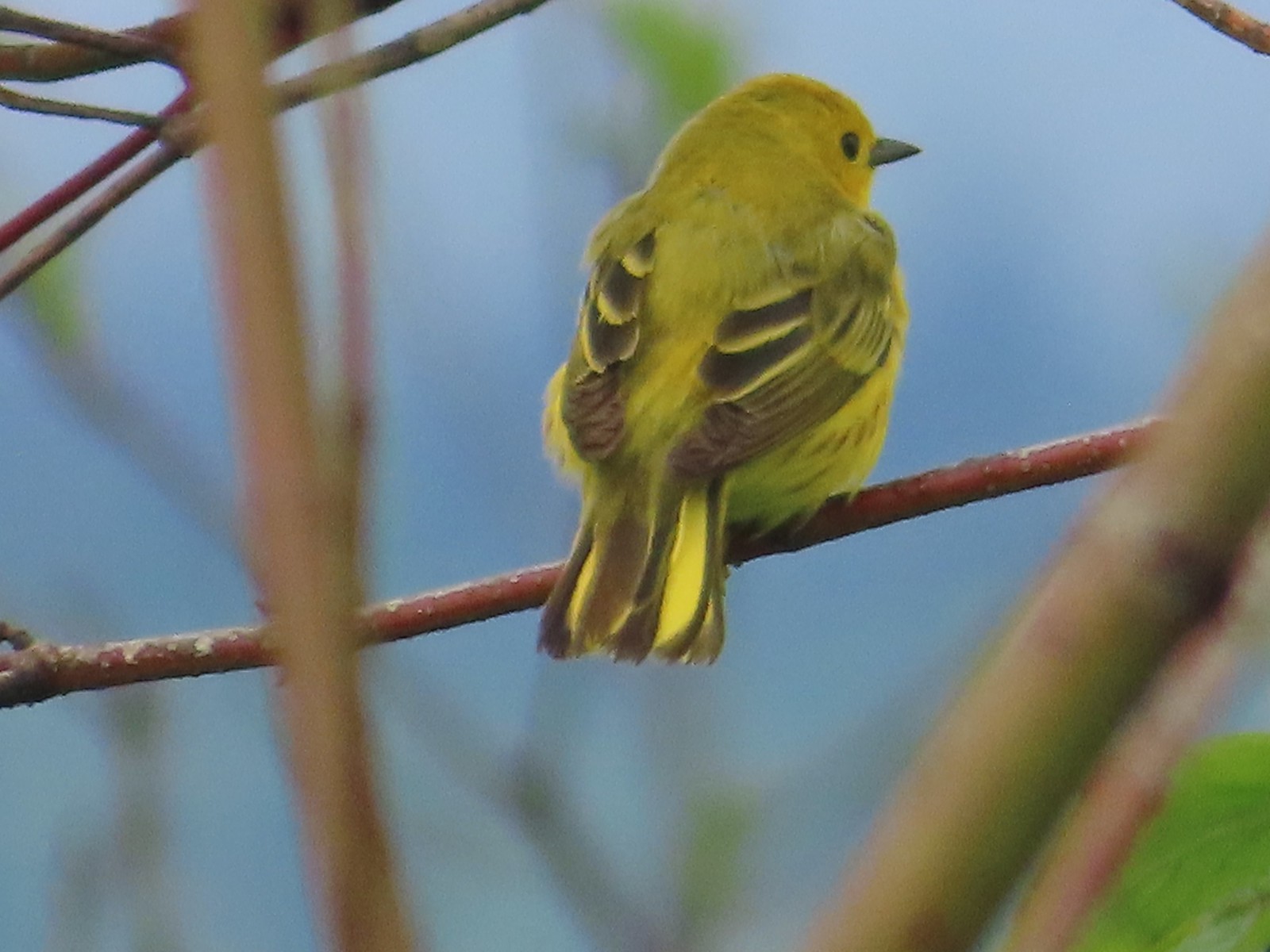 Some sort of warbler? at Julia Hansen Butler Wildlife Refuge in June.
 Purple martins at Julia Hansen Butler Wildlife Refuge in June.
 Another wren at Julia Hansen Butler Wildlife Refuge in June.
 Unknown at Julia Hansen Butler Wildlife Refuge in June.
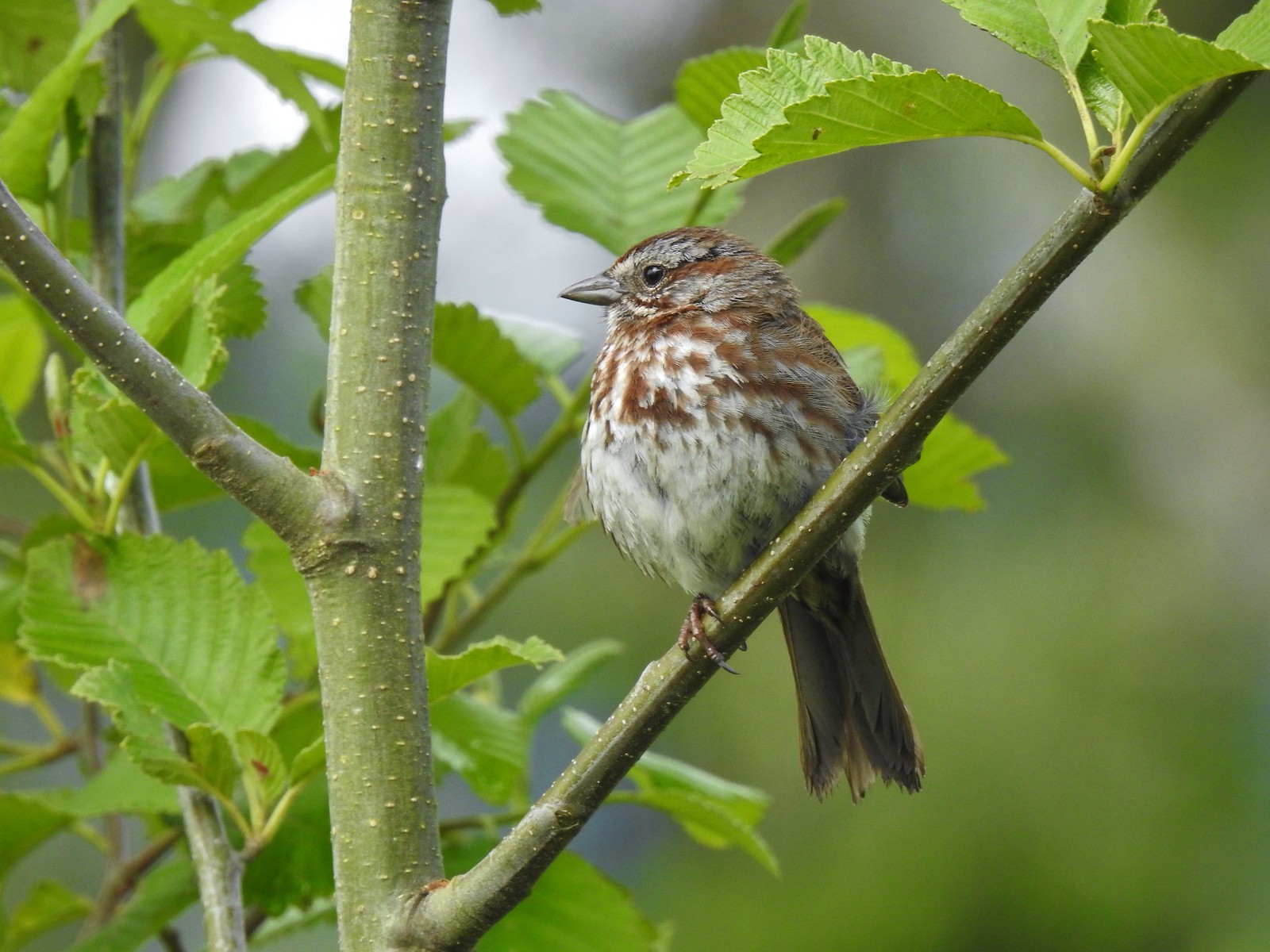 Sparrow? at Julia Hansen Butler Wildlife Refuge in June.
 Warbler? at Julia Hansen Butler Wildlife Refuge in June.
 Black phoebe? at Julia Hansen Butler Wildlife Refuge in June.
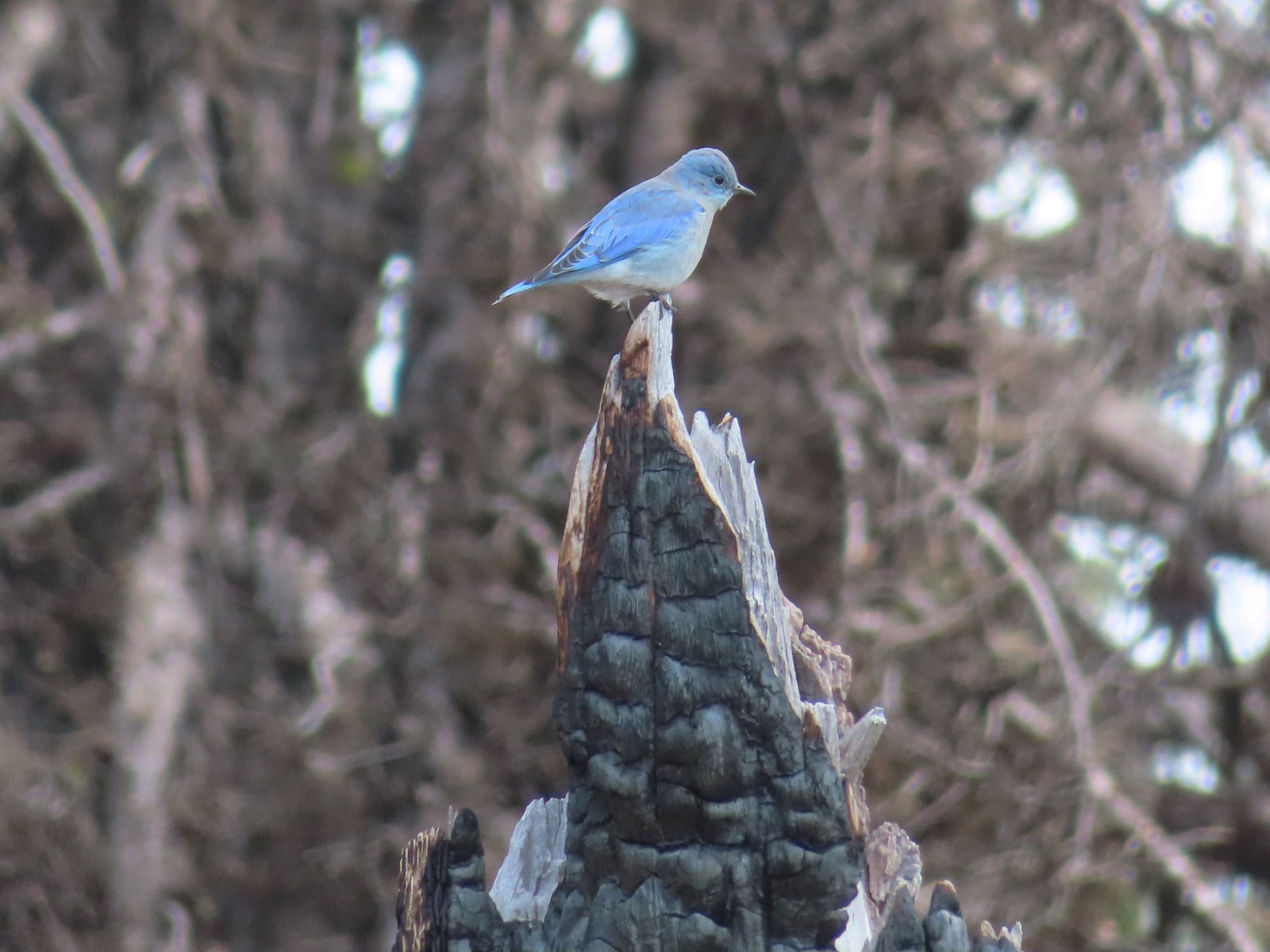 Mountain bluebird near Union Peak in September.
 Red-breasted nuthatch (best I could get) at Crater Lake in September.
 Red crossbilss at Crater Lake in September.
 Wren on the Eagle Creek Trail in November.
 Dark eyed junco at Waverly Lake in December.
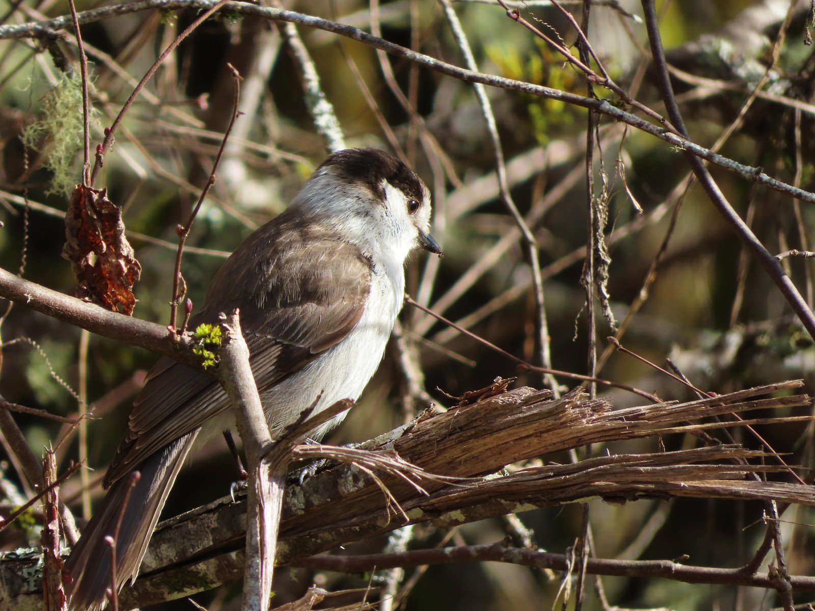 Canada jay (grey jay) along the Crown Zellerbach Trail in March.
 California scrub jay along the Balfour-Klickitat Trail in April.
 Stellar’s jay along the Hood River Pipeline Trail in May.
 Female red-winged blackbird at Ankeny Wildlife Refuge in April.
 Red-winged blackbird at Ankeny Wildlife Refuge in April.
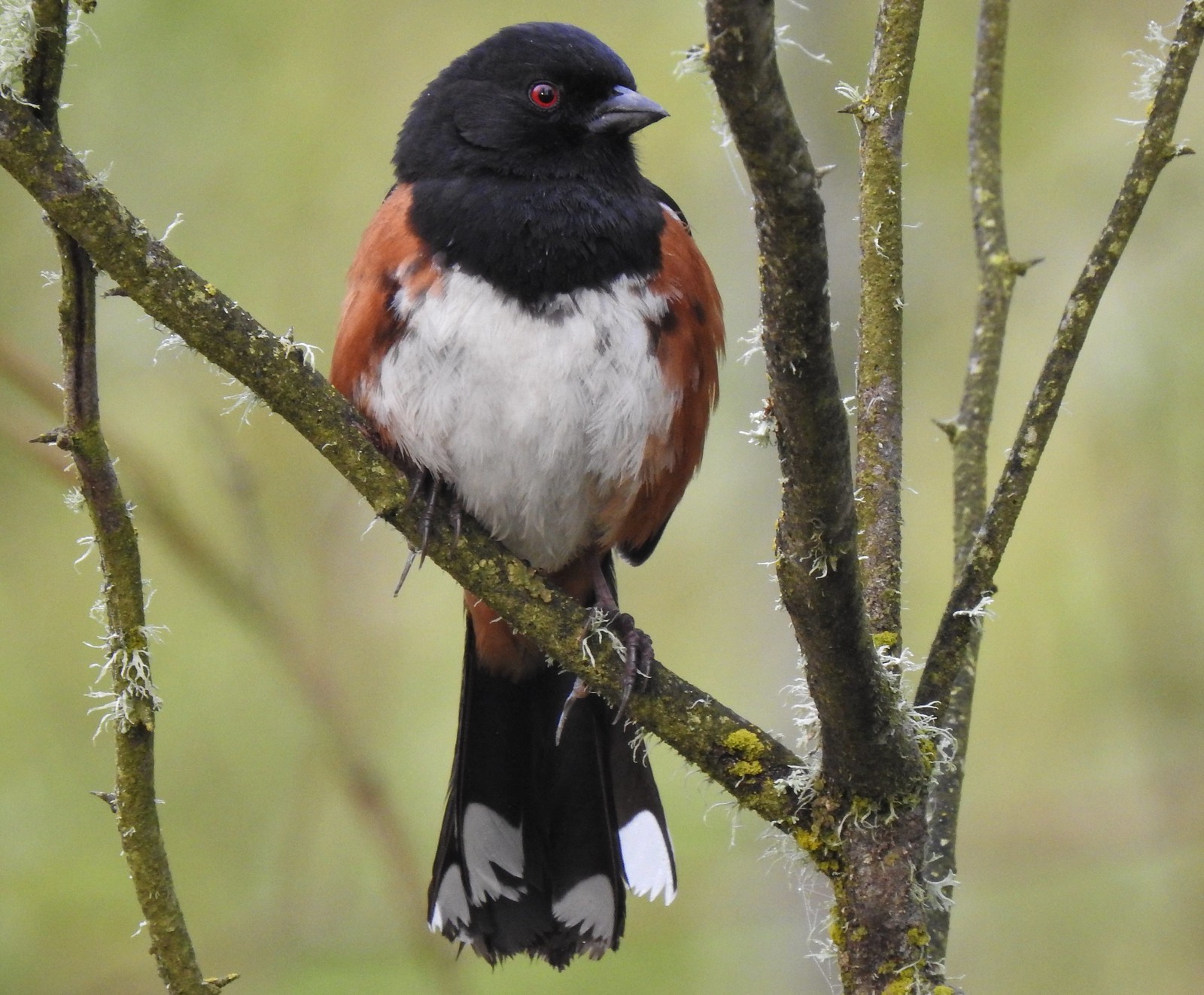 Spotted towhee at Ankeny Wildlife Refuge in April.
 Starlings along the Hood River Pipeline Trail in May.
 Brownheaded cowbird at Upper Table Rock in May.
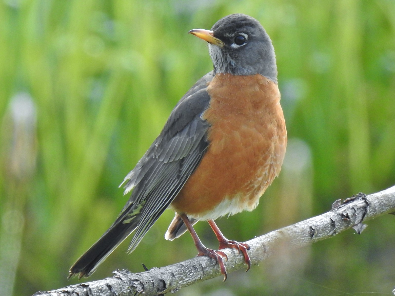 American robin at Ankeny Wildlife Refuge in April.
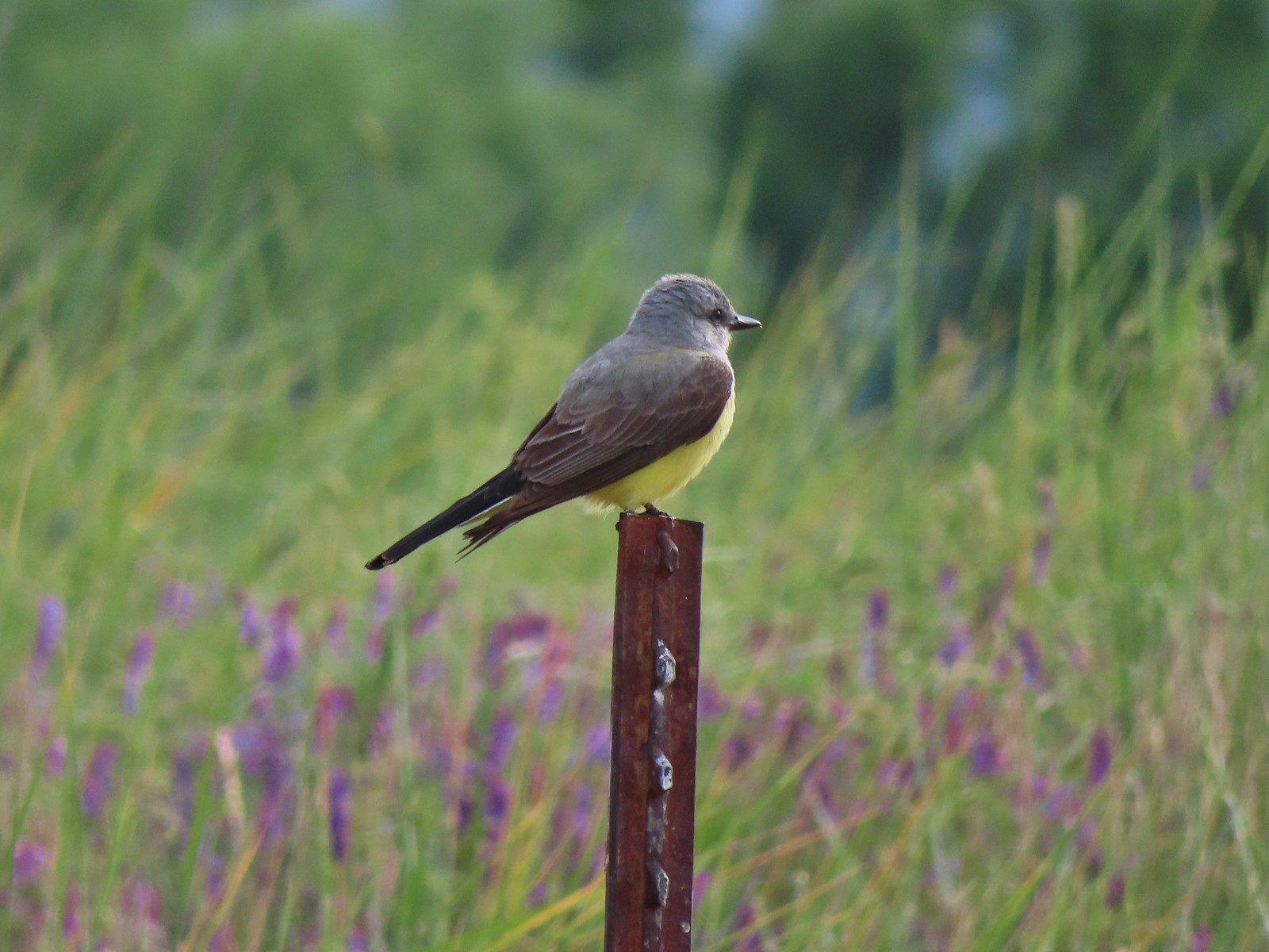 Tropical kingbird? at Denman Wildlife Area in May.
 Black-headed grosbeak (also all I could get) at Applegate Lake in May.
 Lazuli bunting at Roxy Ann Peak in May.
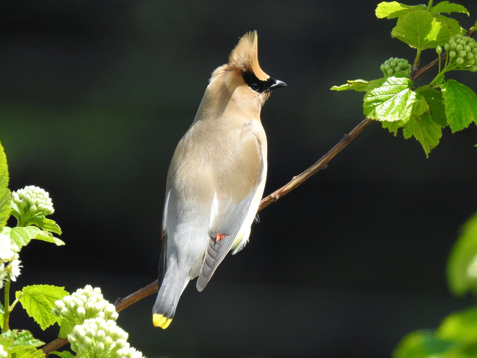 Cedar waxwing at Julia Hansen Butler Wildlife Refuge in June.
 Western tanagers, Siskiyou Wilderness in July.
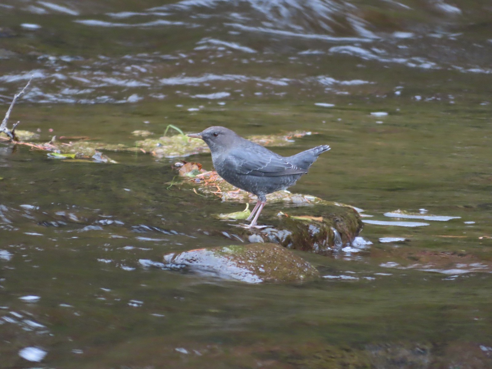 American dipper (Ouzel) near South Umpqua Falls in September.
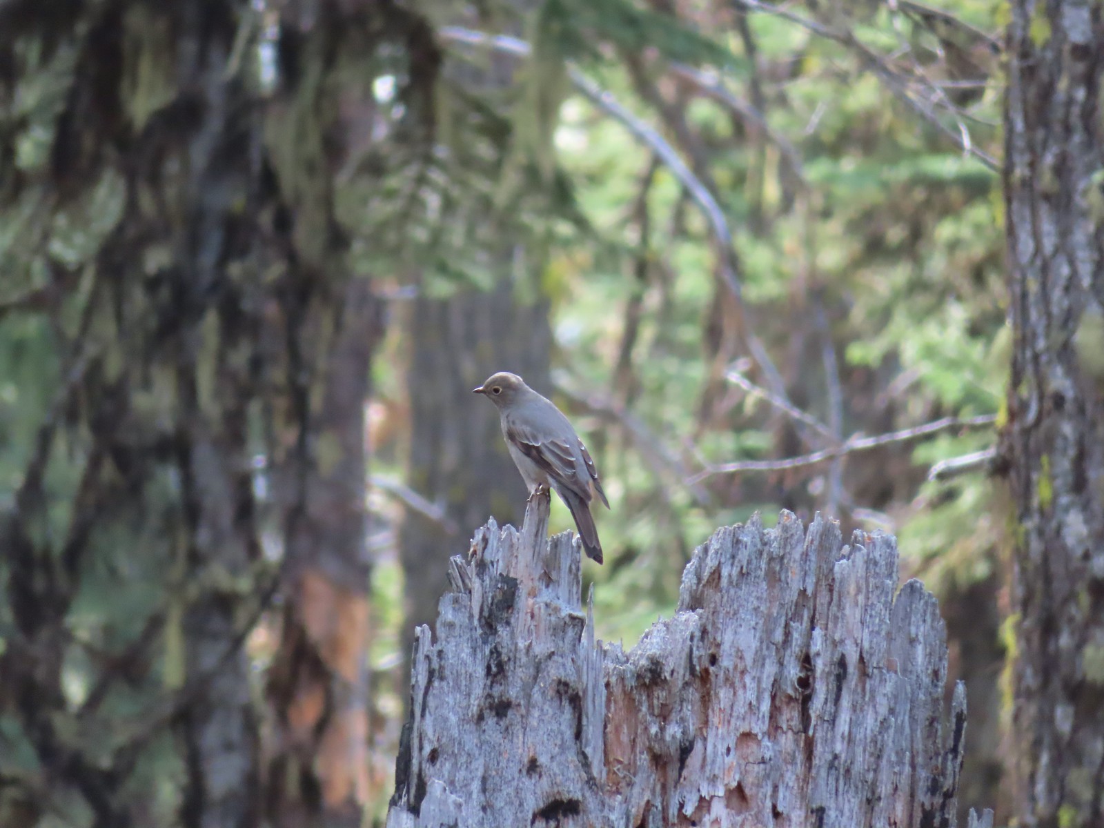 Townsends solitaire at Crater Lake National Park in September.
 Clark’s nutcracker at Crater Lake National Park in September.
 Varied thrush along the Eagle Creek Trail in November.
 Unknown at Cascade Head in October.
 Forest Park in January.
 Northern flicker at Ankeny Wildlife Refuge in April. We seem to see flickers on nearly every hike, but they don’t often sit still long enough for us to get a decent picture.
 Pileated woodpecker at Chehalem Ridge Nature Park in May. We rarely see these but like the flickers, when we do they are very difficult to get a photo of.
 Acorn woodpecker at Denman Wildlife Area in May.
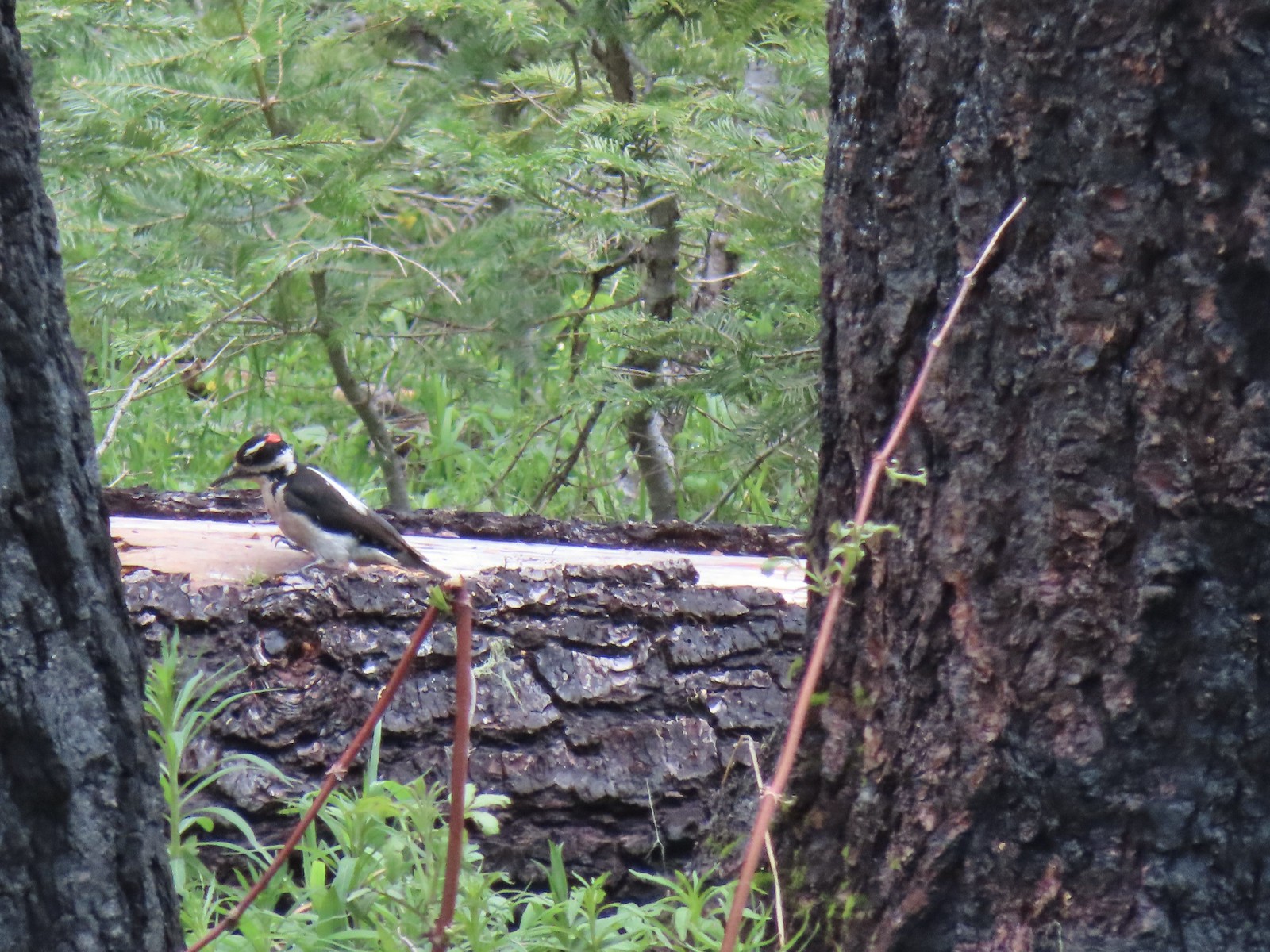 Hairy? woodpecker near Twin Lakes in the Umpqua National Forst in June.
 Red breasted sapsucker at E.E. Wilson Wildlife Area in July.
 Either a hairy or downy woodpecker along the Eagle Creek Trail in November.
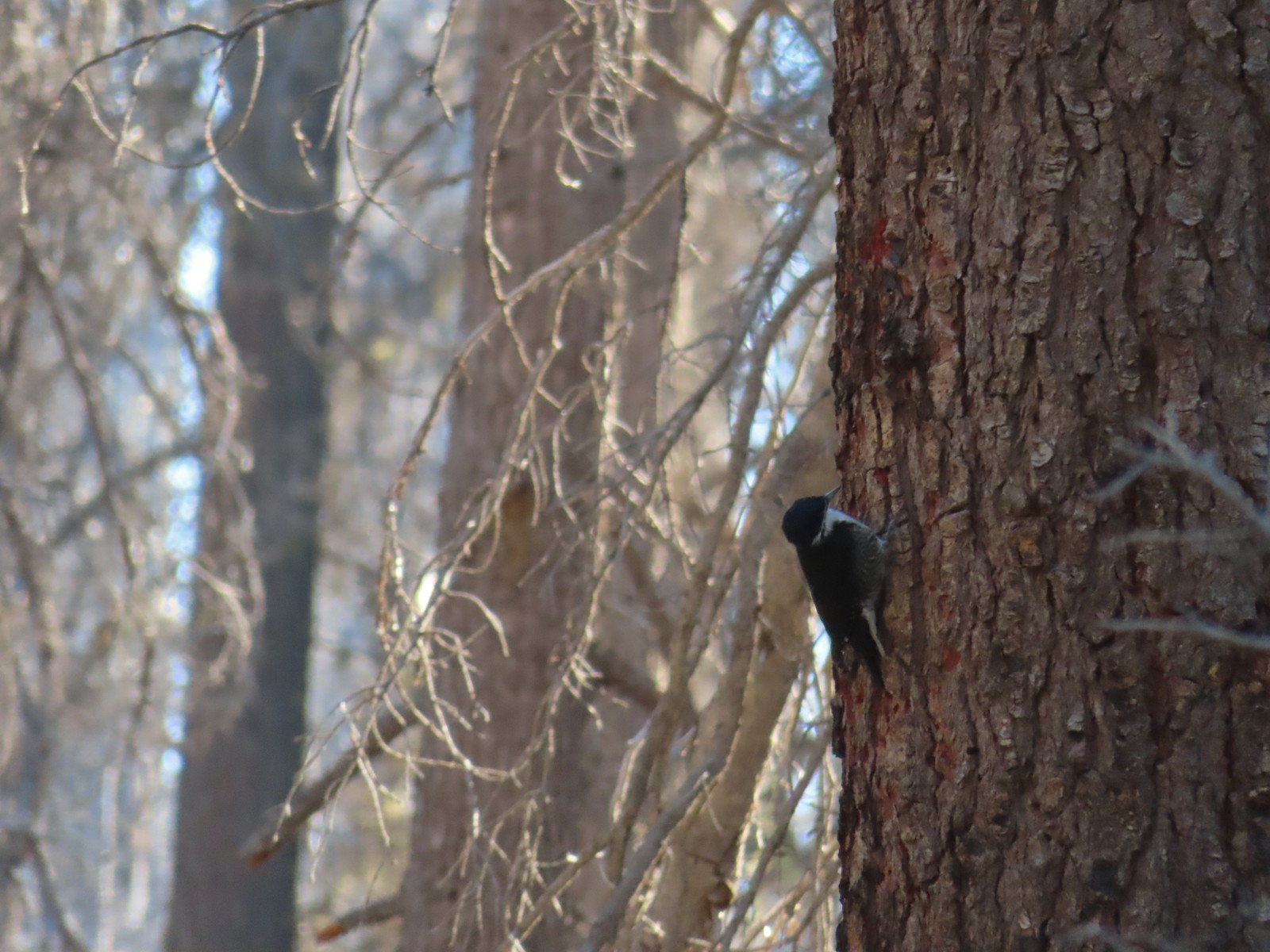 Unknown, Sky Lakes Wilderness in late September.
 Crow along the Crown Zellerbach Trail in March.
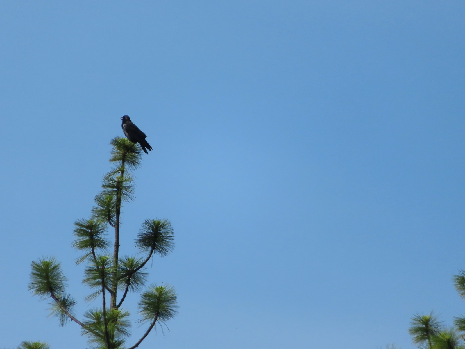 Raven at Upper Table Rock in May.
 Turkey Vulture at Julia Hansen Butler Wildlife Refuge in June.
 American kestral along the Crown Zellerbach Trail in March.
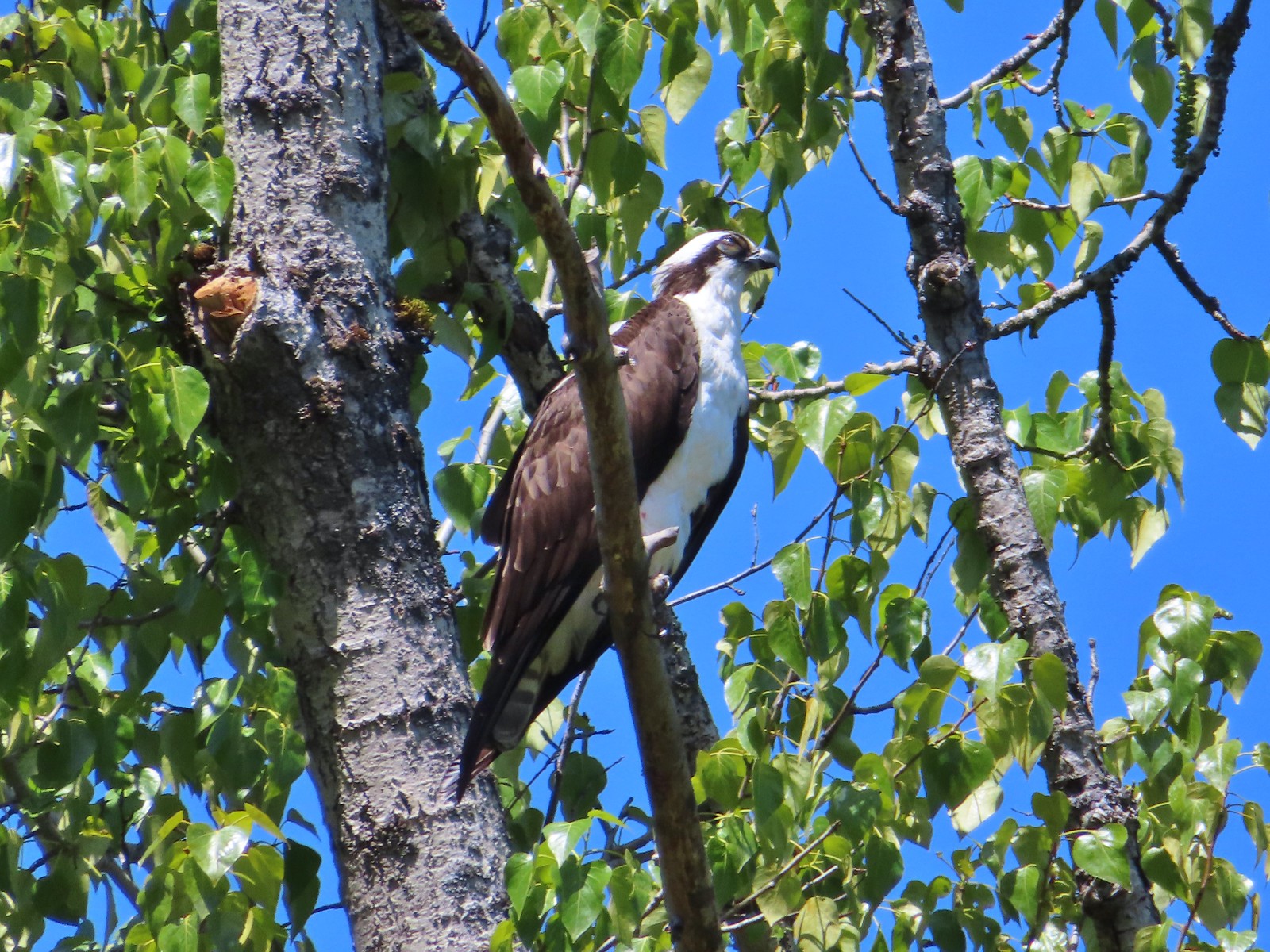 Osprey along the Hood River Pipeline Trail in May.
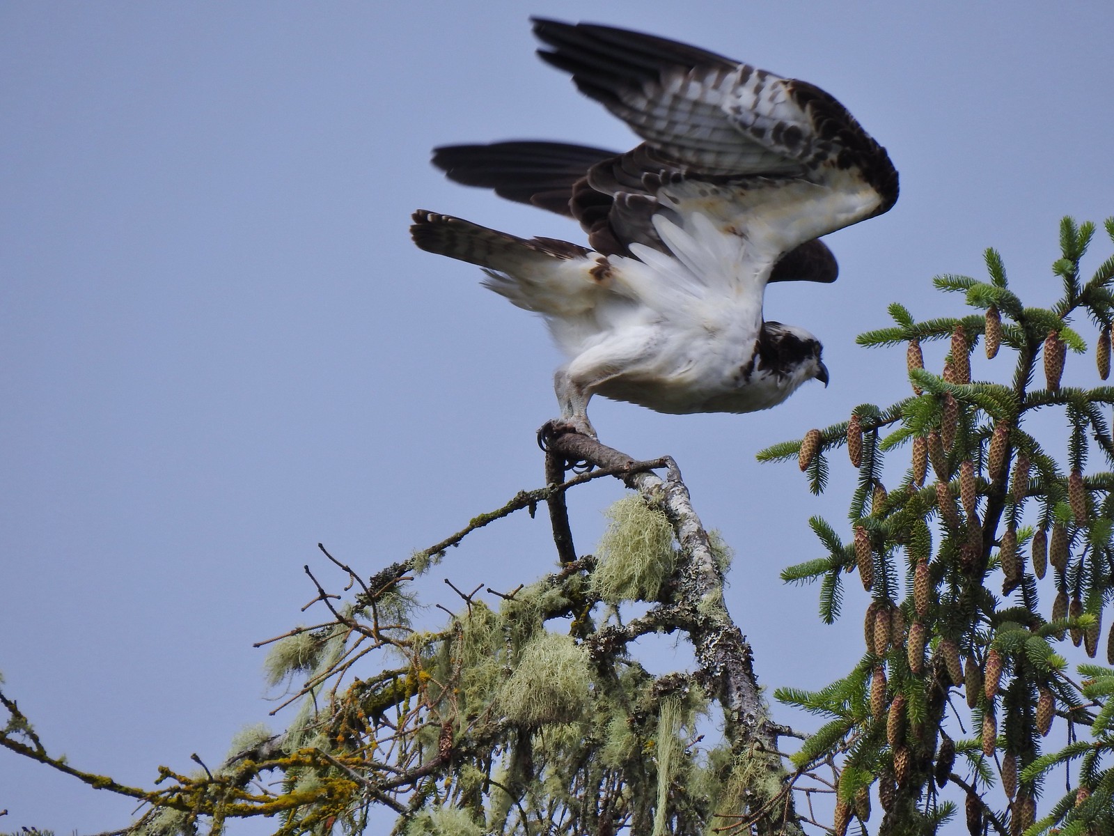 Another osprey at Julia Hansen Butler Wildlife Refuge in June.
 Bald eagle at Julia Hansen Butler Wildlife Refuge in June.
 Eagle in the Sky Lakes Wilderness in September. Not sure if it is a bald or golden.
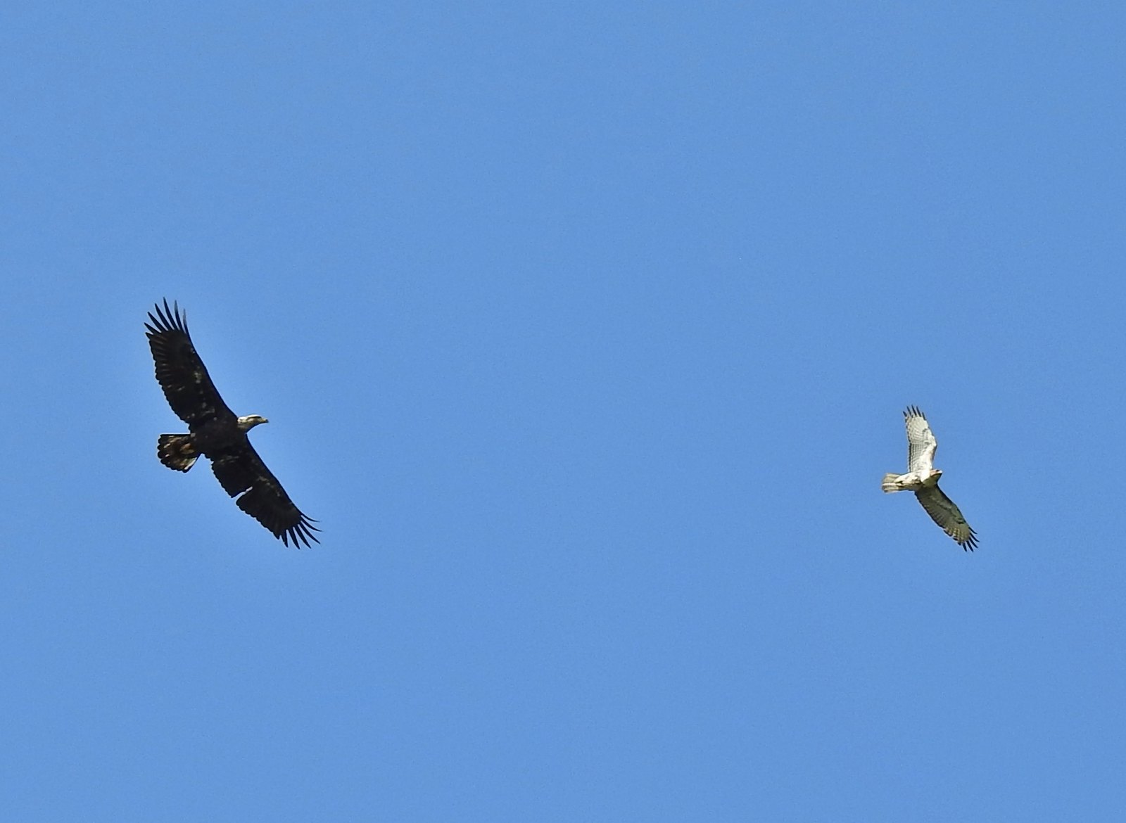 A bald eagle and hawk at Ankeny Wildlife Refuge in April.
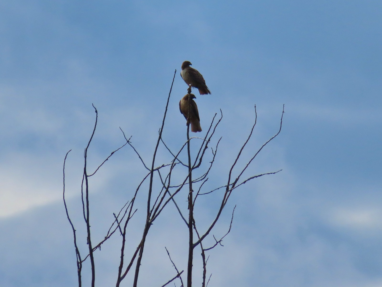 Pair of hawks at Denman Wildlife Area in May.
 Hawk at Denman Wildlife Area in May.
 Hawk at Julia Hansen Butler Wildlife Refuge in June.
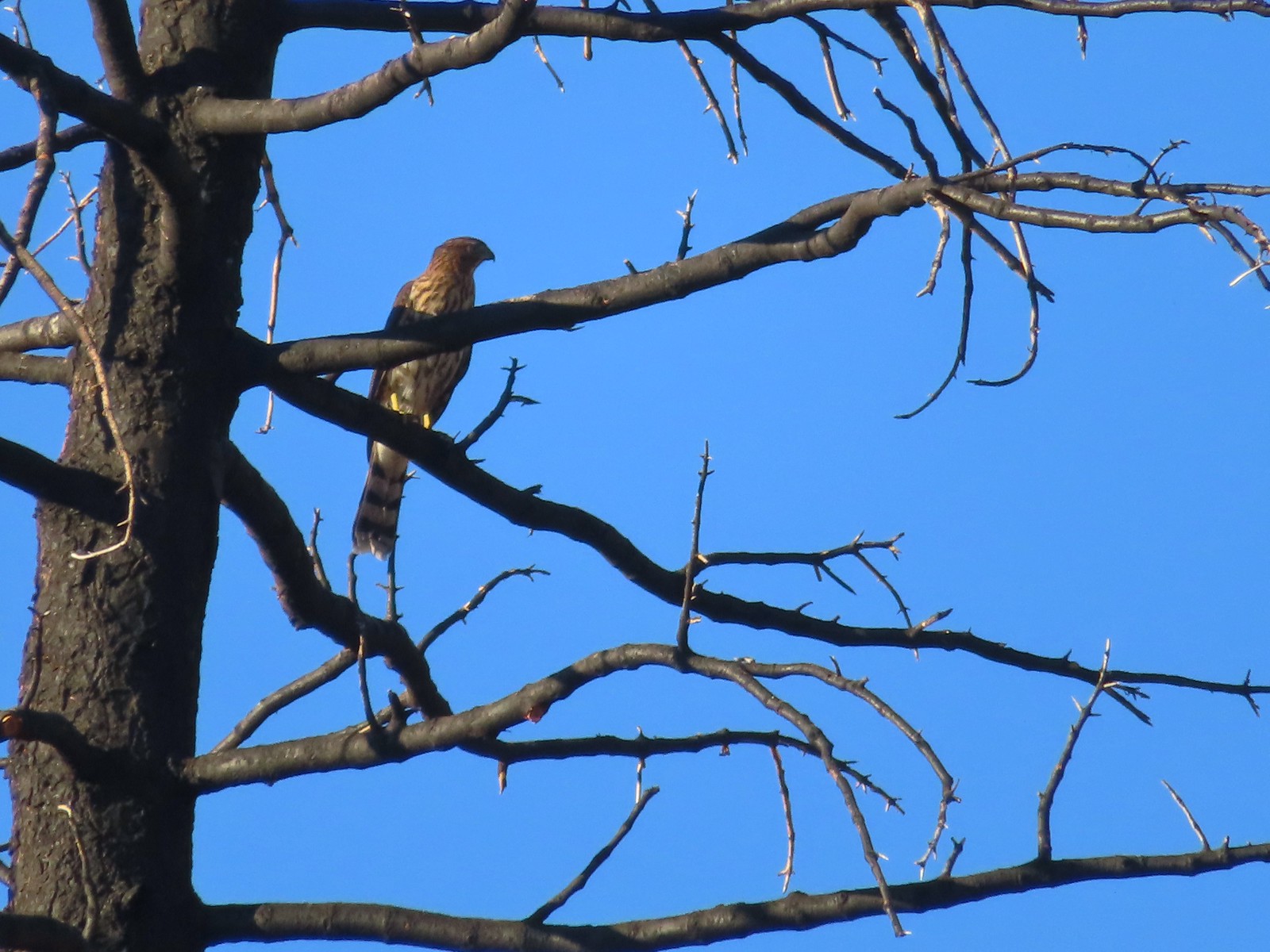 Hawk along the Pacific Crest Trail near Carter Meadows Summit in August.
 Hawk at Crater Lake National Park in September.
 Barred owl at Noble Woods in May.
 Great horned owl at Denman Wildlife Area in May.
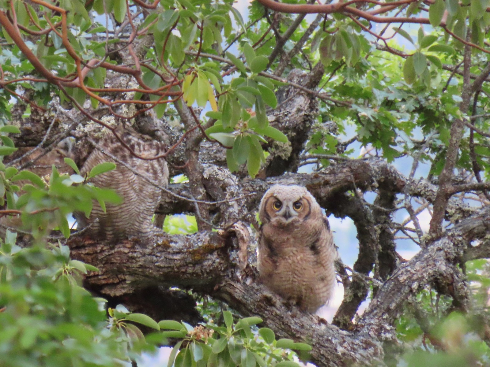 Young great horned owl at Roxy Ann Peak in May.
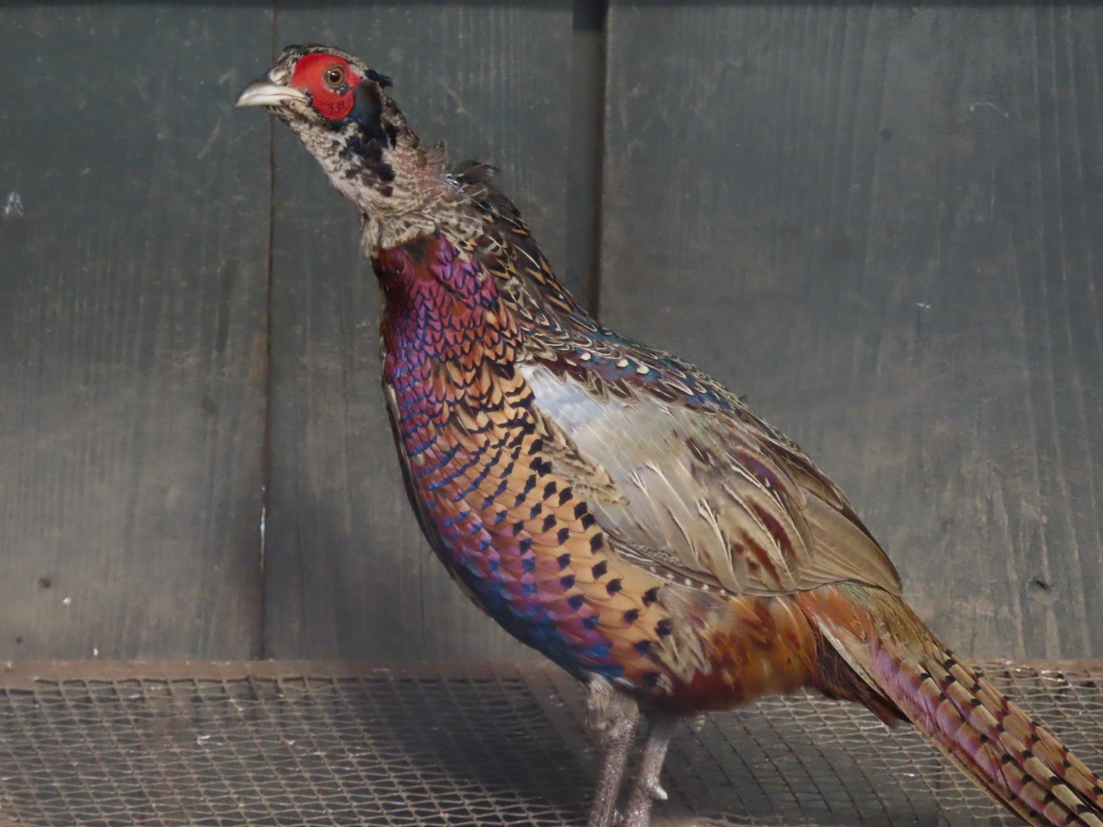 Ring-necked pheasant
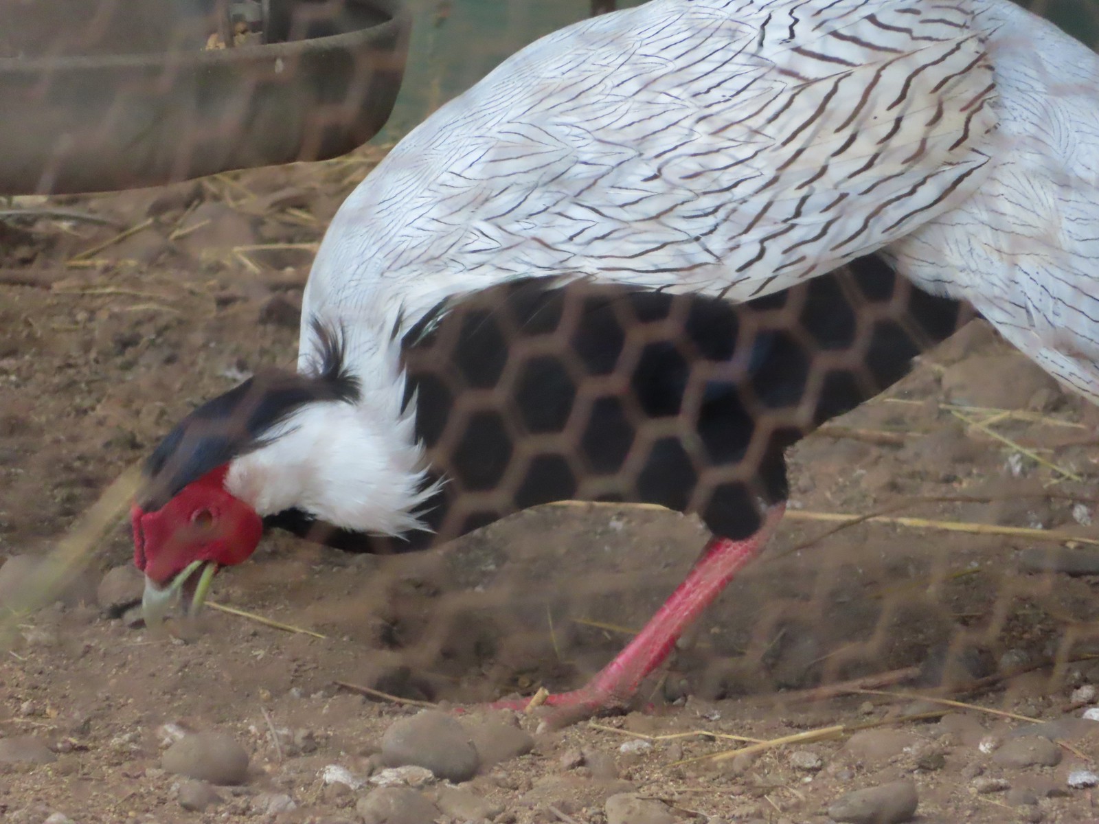 Silver pheasant
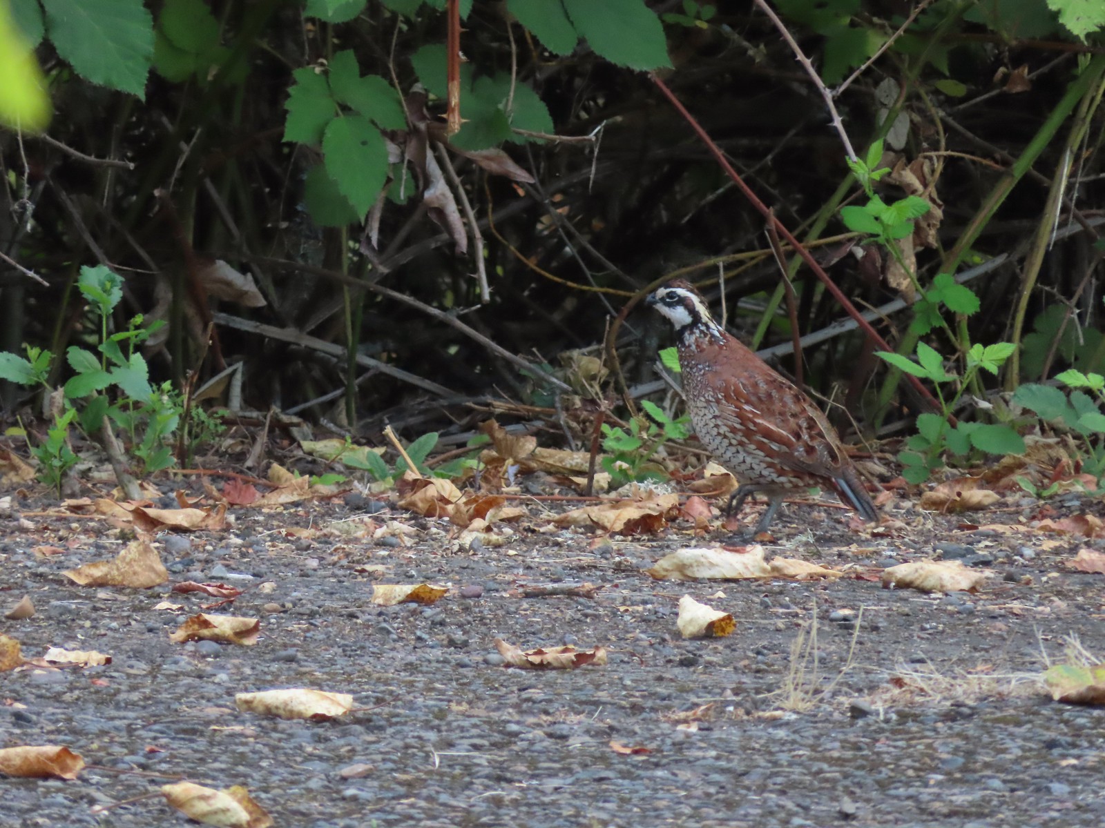 Near the breeding facility at E.E. Wilson Wildlife Area.
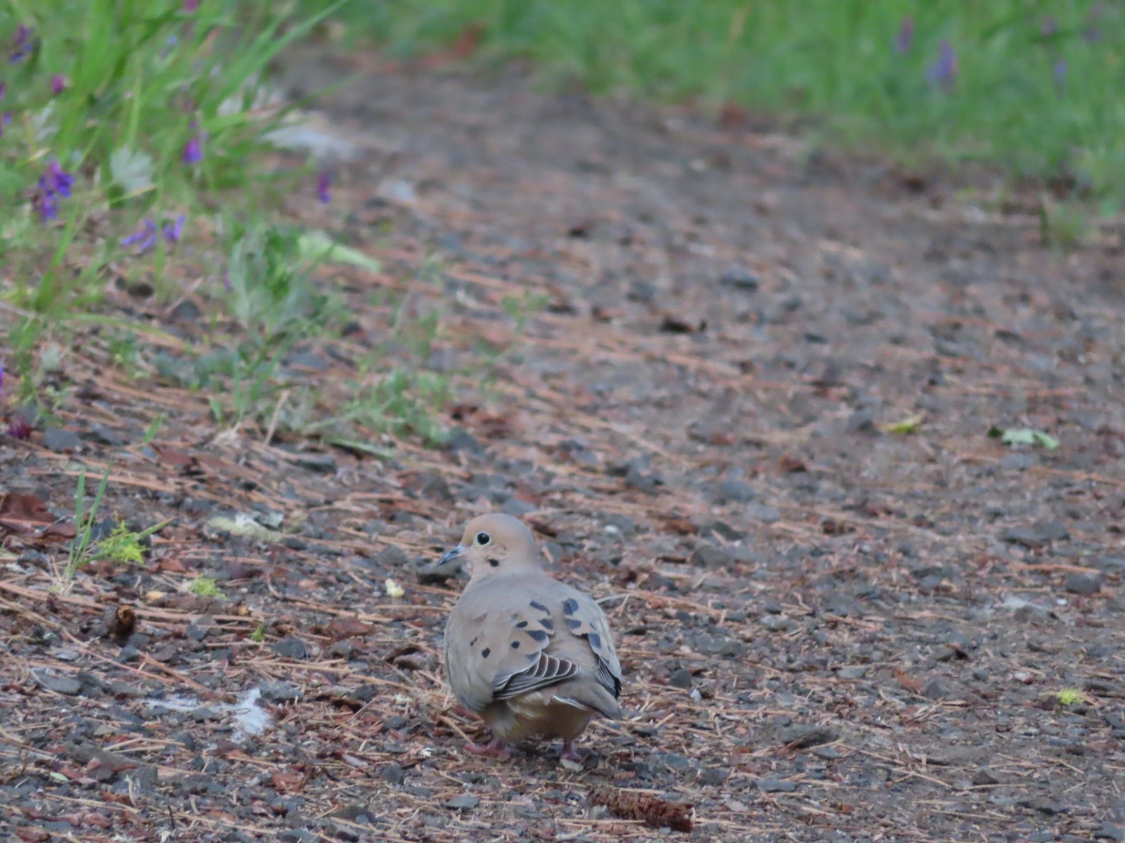 Mourning dove at Roxy Ann Peak a in May.
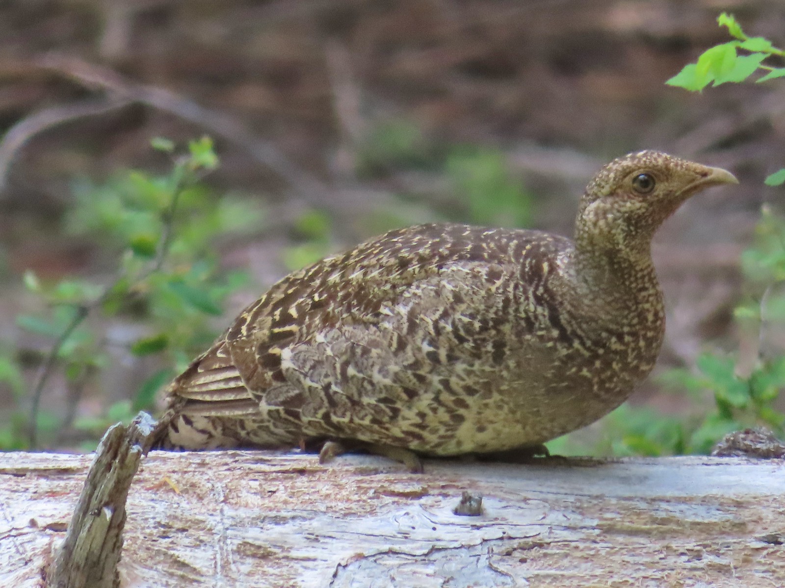 Grouse? in the Siskiyou Wilderness in July.
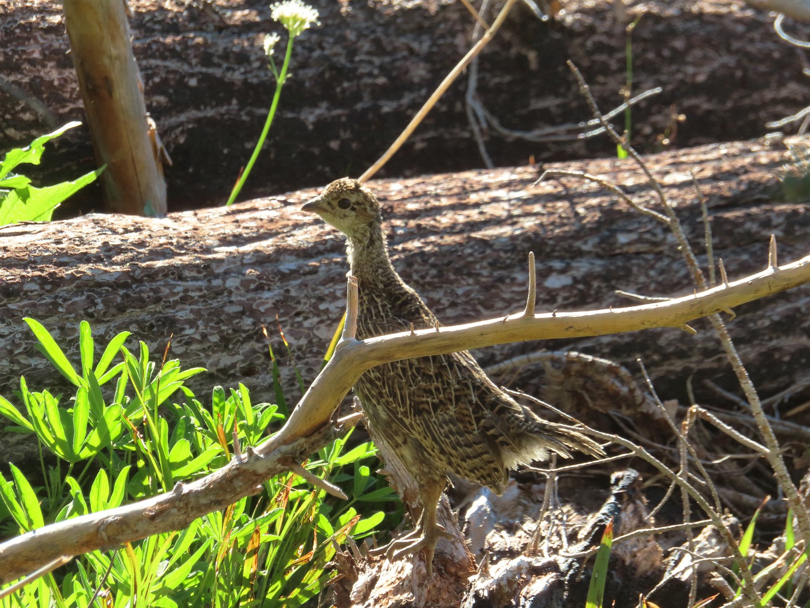 Grouse in the Mt. Adams Wilderness in August.
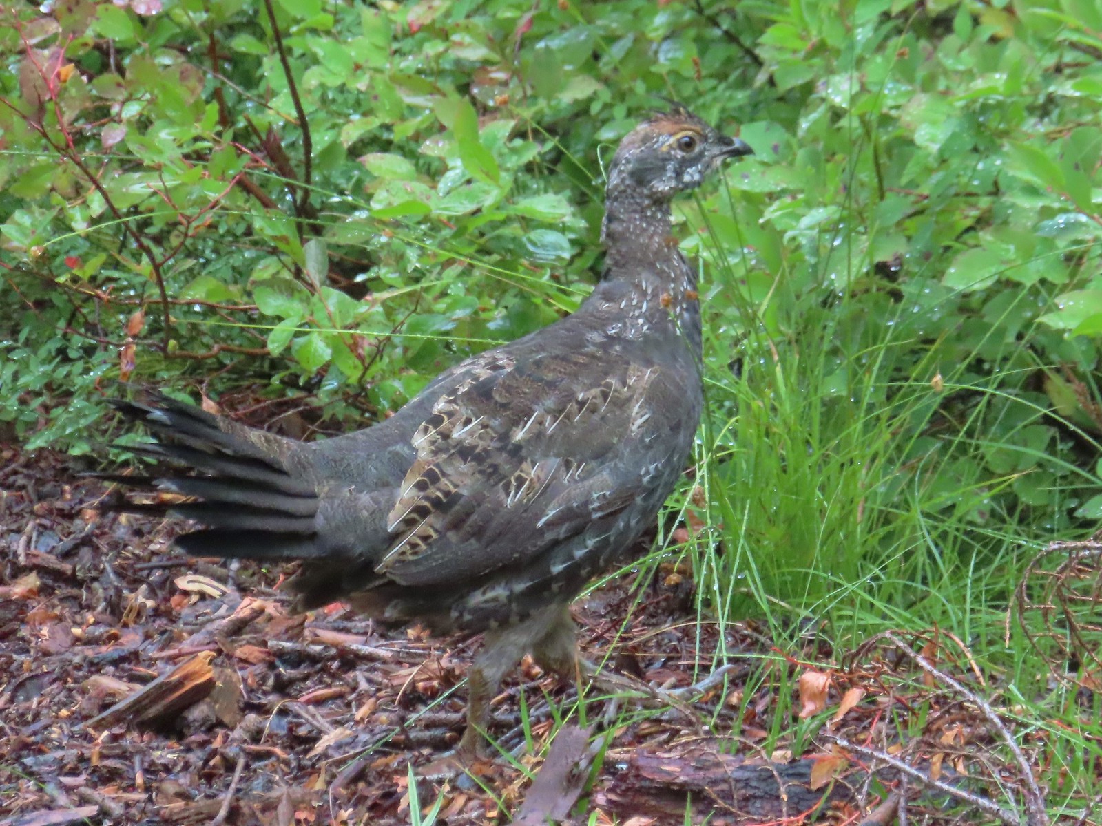 Grouse in the Sky Lakes Wilderness in September.
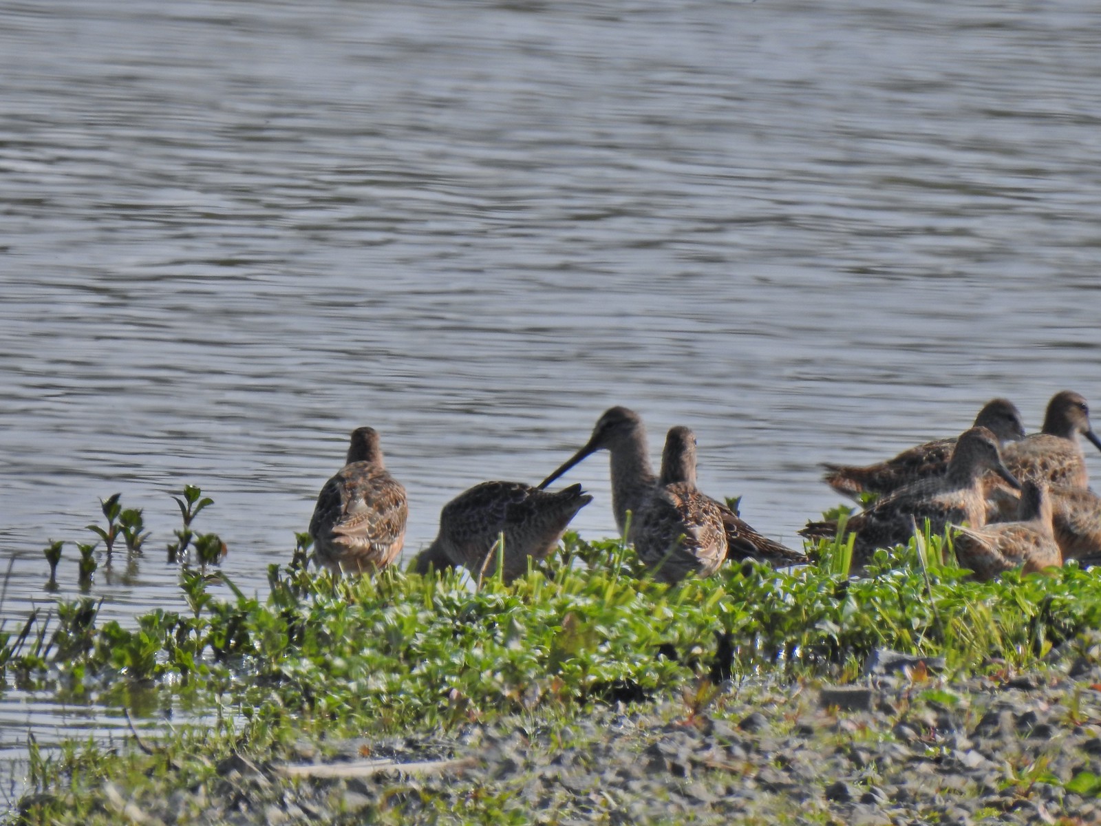 Long billed dowitchers? at Ankeny Wildlife Refuge in April.
 Killdeer at Ankeny Wildlife Refuge in April.
 Sandpiper? at Ankeny Wildlife Refuge in April.
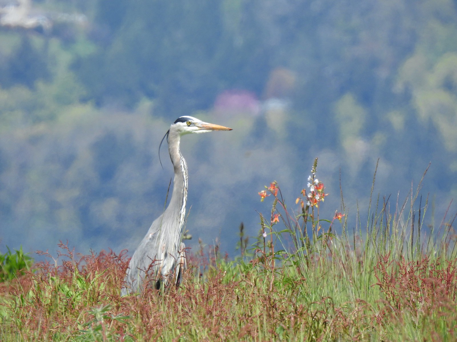 Great blue heron at Ankeny Wildlife Refuge in April.
 Kingfisher at Julia Butler Hansen Wildlife Refuge in June.
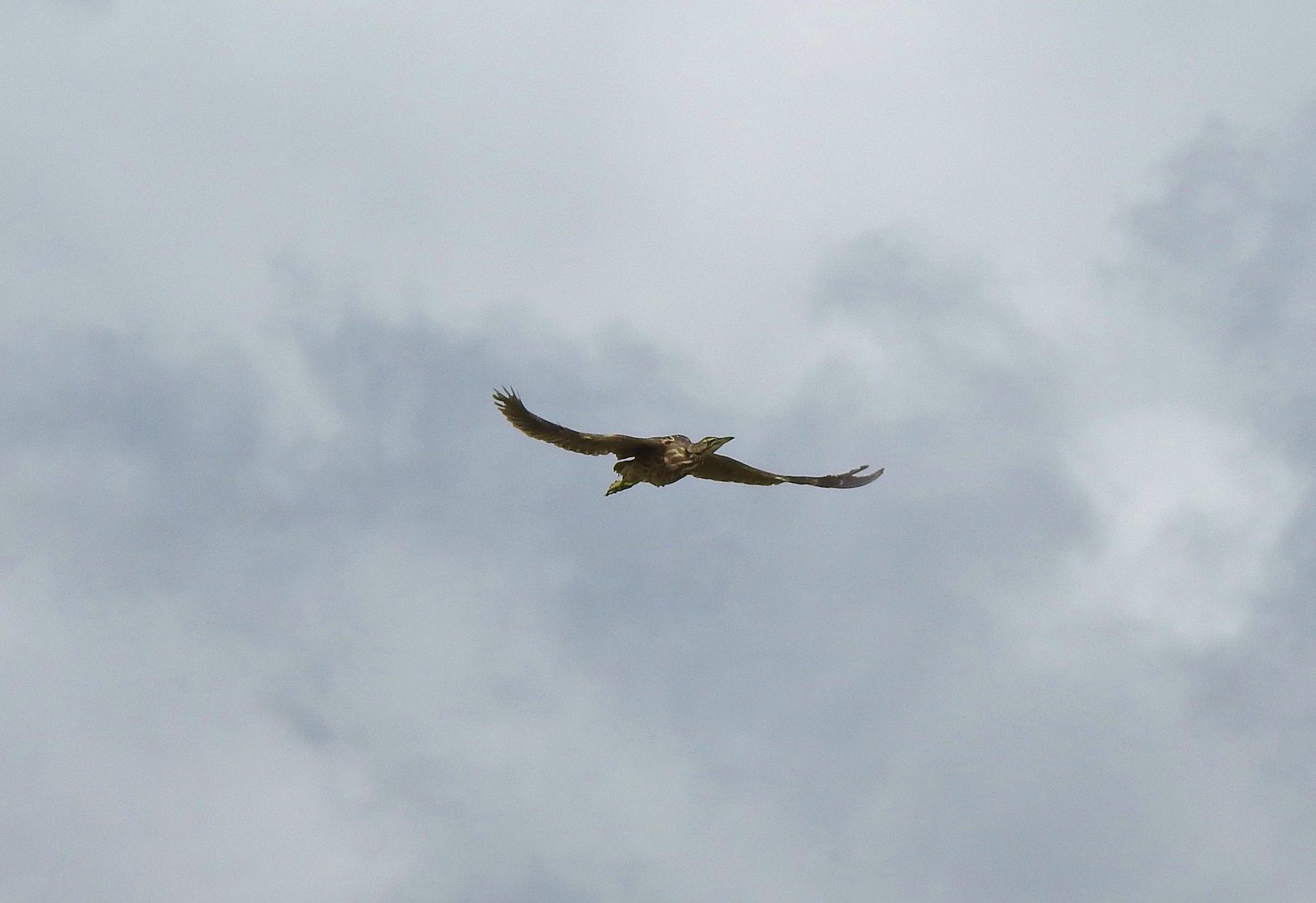 American bittern at Julia Butler Hansen Wildlife Refuge in June.
 White pelicans at Julia Butler Hansen Wildlife Refuge in June.
 Hooded mergansers at Yakona Nature Preserve in February.
 Common mergansers along the Klickitat Trail in April.
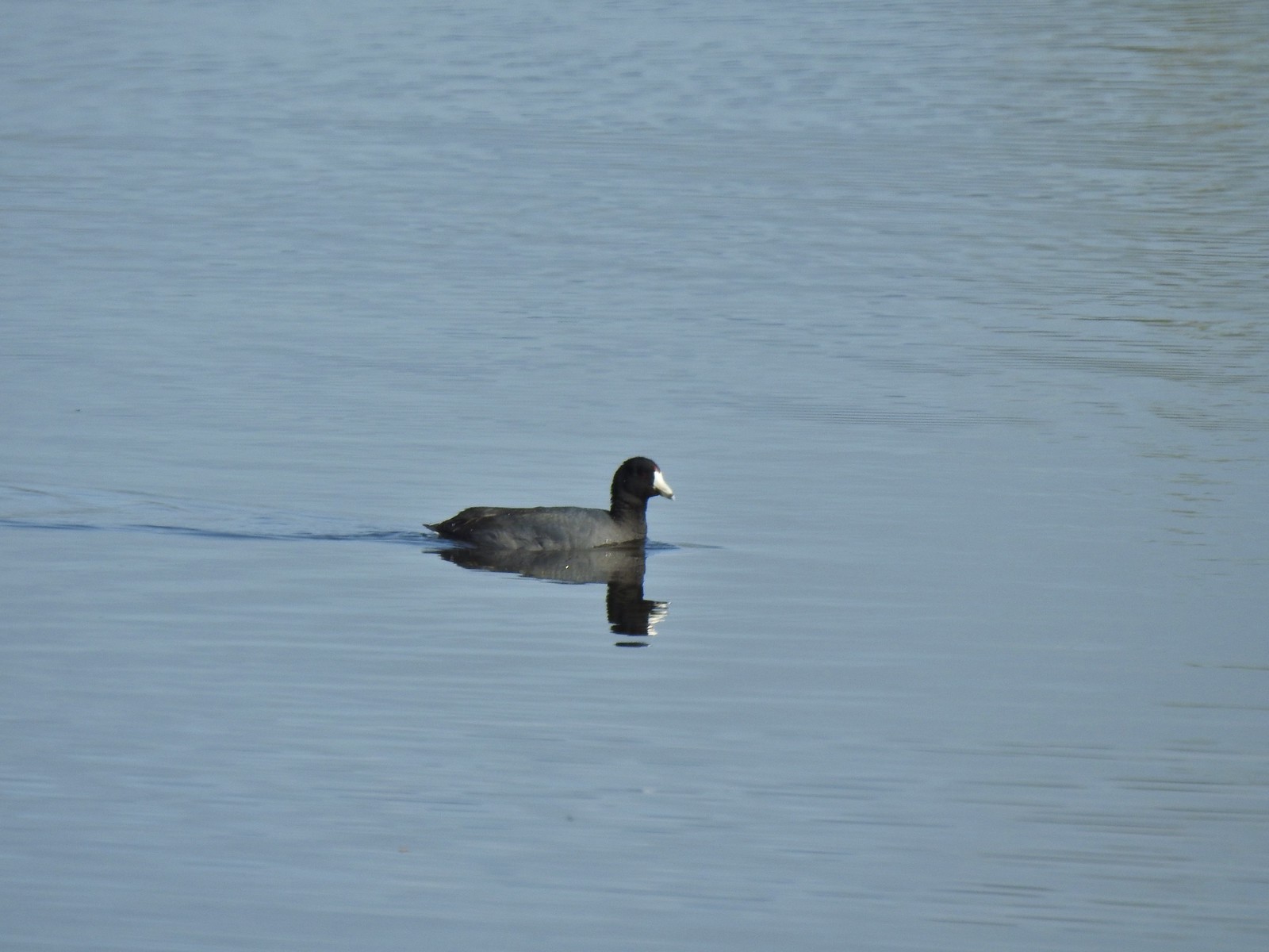 American coot at Ankeny Wildlife Refuge in April.
 Cinnamon teal at Ankeny Wildlife Refuge in April.
 Ring-necked ducks (and an American coot) at Ankeny Wildlife Refuge in April.
 Northern shoveler at Ankeny Wildlife Refuge in April.
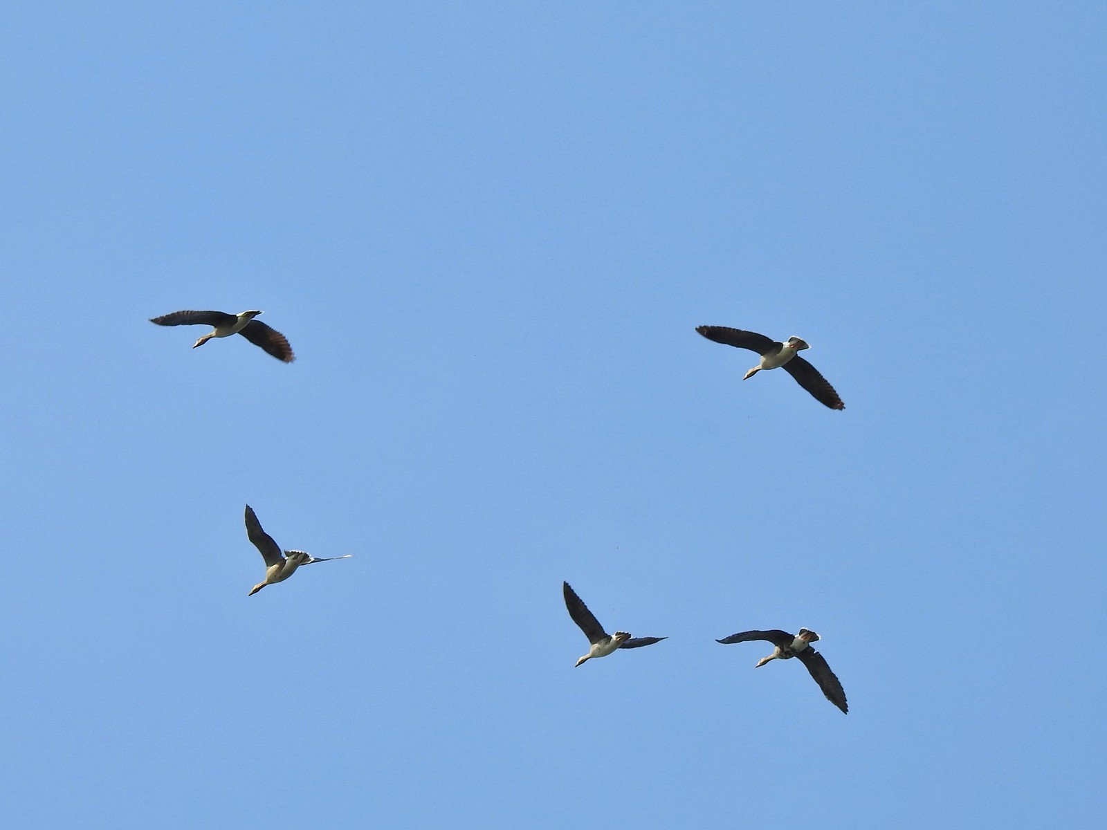 White-fronted geese at Ankeny Wildlife Refuge in April.
 Mallard along the Hood River Pipeline Trail in May.
 Wood duck at Denman Wildlife Area in May.
 Not sure if this is a ruddy duck at Waverly Lake in December.
 Mostly American widgeons with a green winged teal and a female bufflehead or two mixed in at Talking Water Gardens in December.
 Bufflehead at Talking Water Gardens in December.
 Canada geese at Applegate Lake in May.
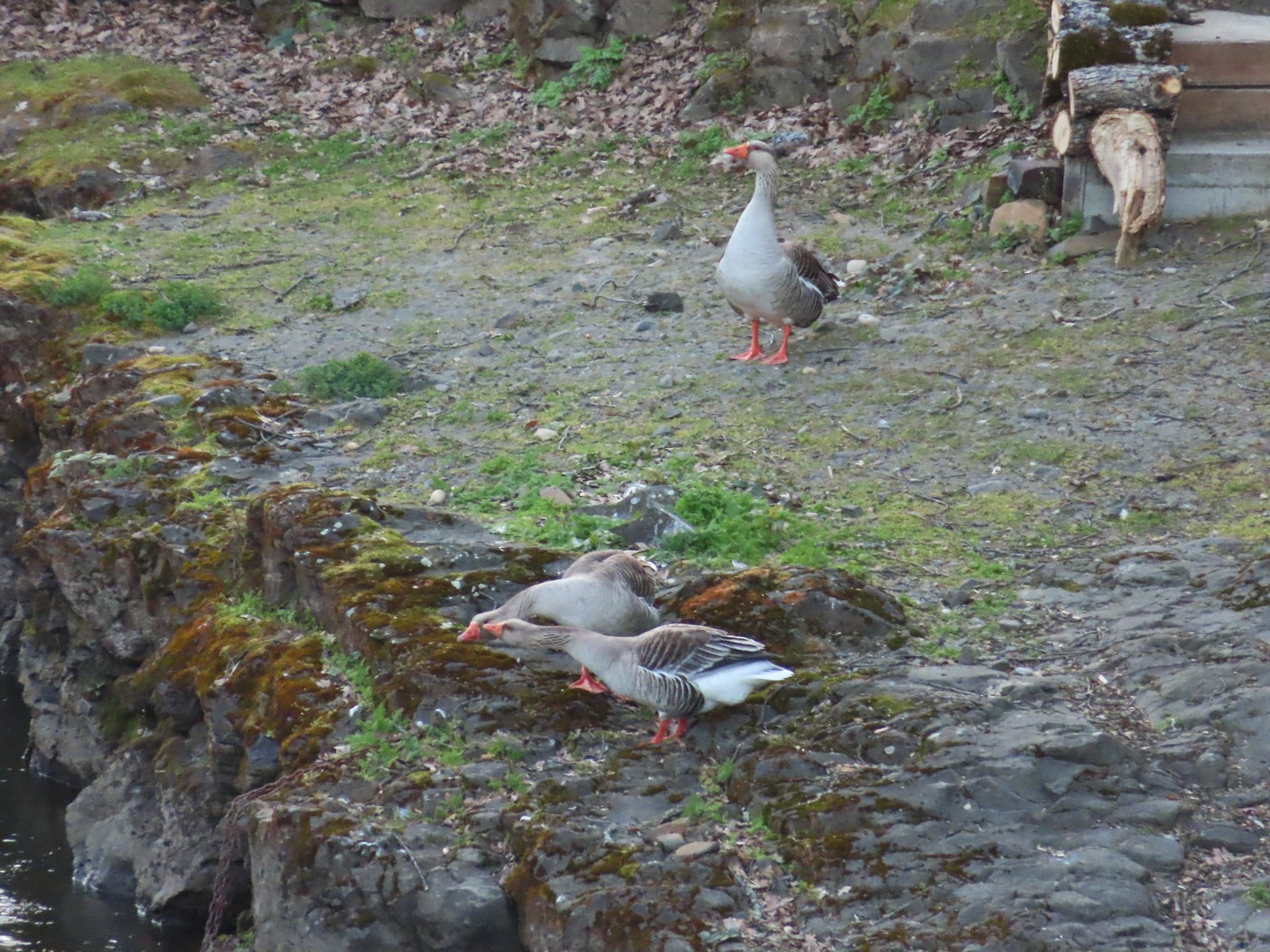 Domestic geese near the Klickitat Trail in April.
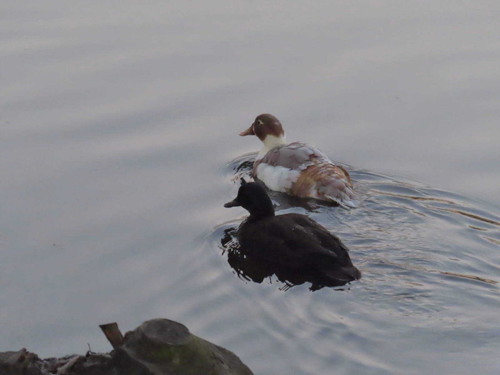 Domestic or hybrid? ducks at Waverly Lake in December.
