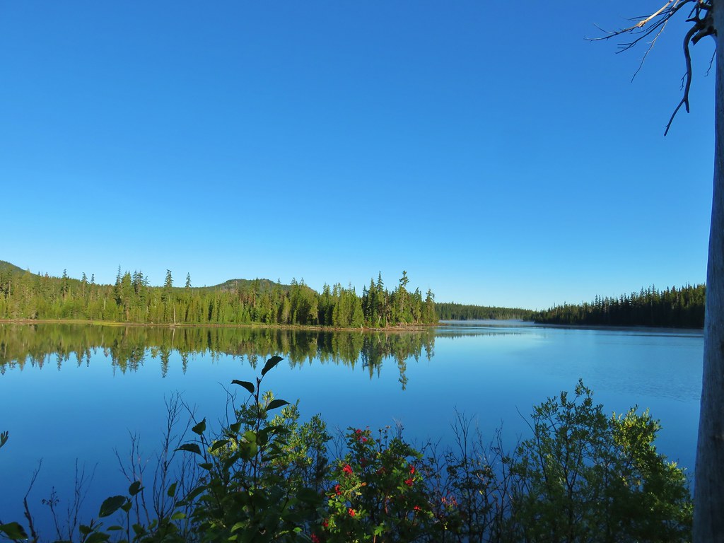
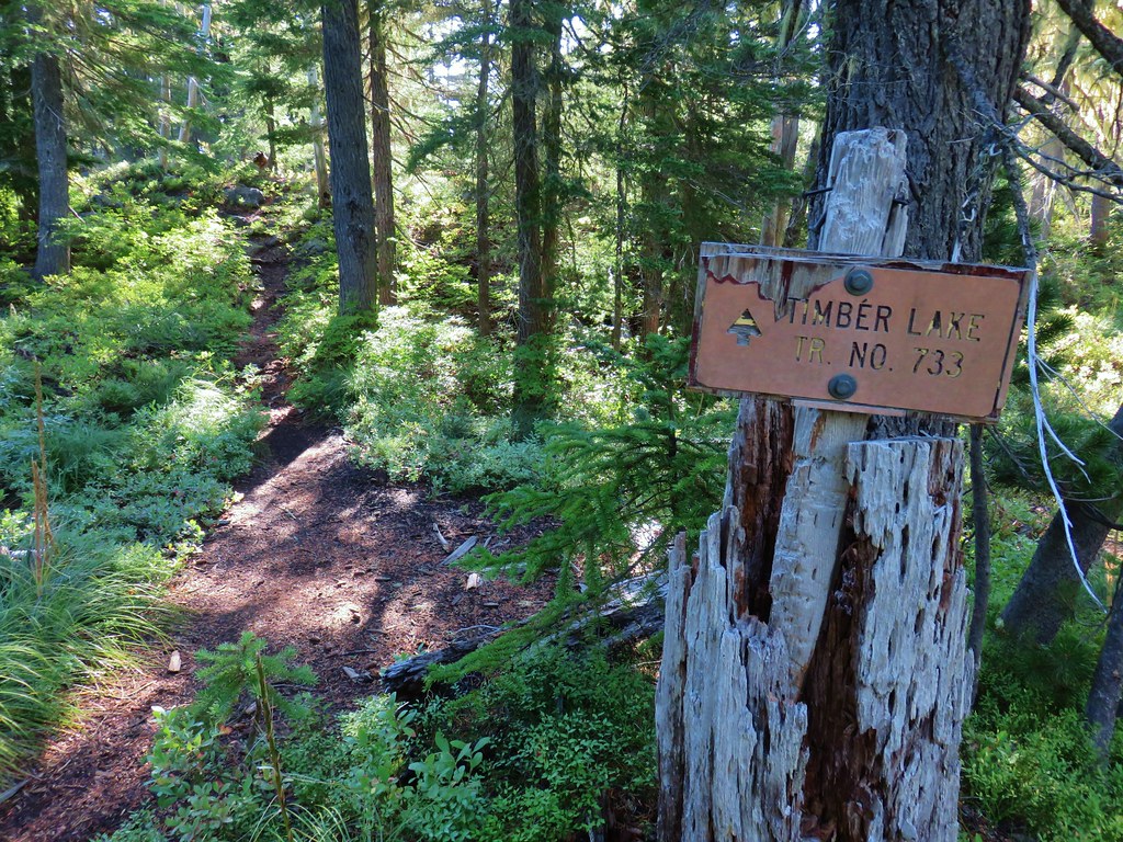
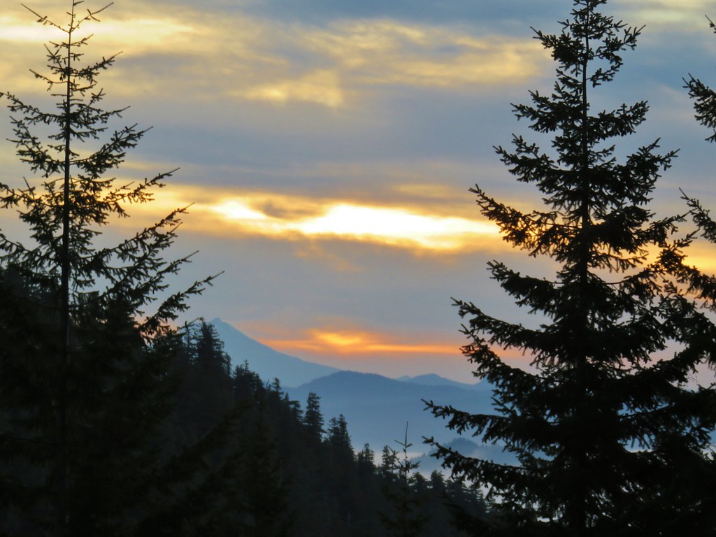
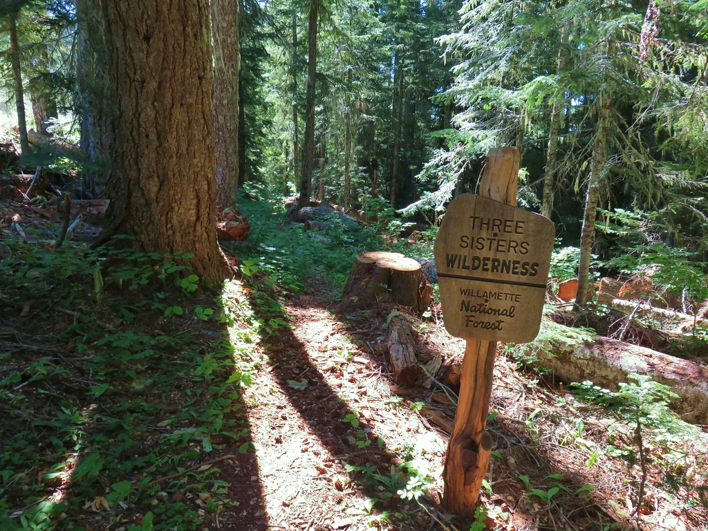
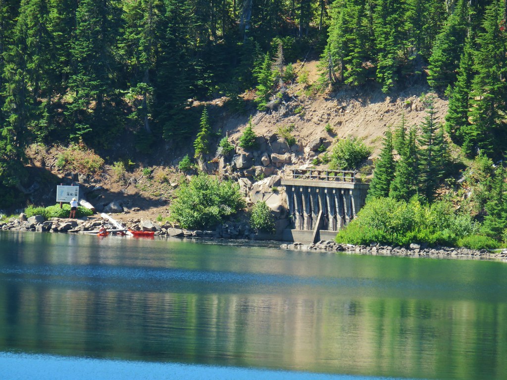
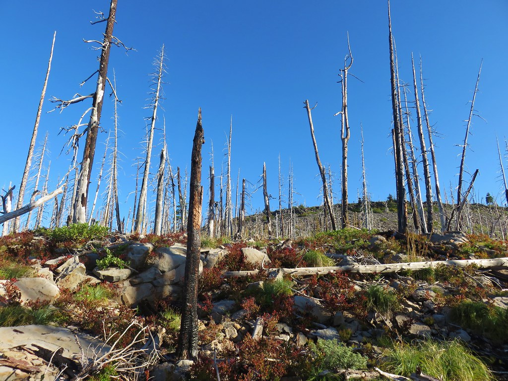
The weather was once again looking promising for the last hike of our mini-vacation so we headed up to Waldo Lake to visit a viewpoint atop The Twins with a side trip to Bobby Lake thrown in. This wasn’t the first time that we had planned on doing the hike The Twins, but the elements hadn’t played nice and we’d changed plans every time before.
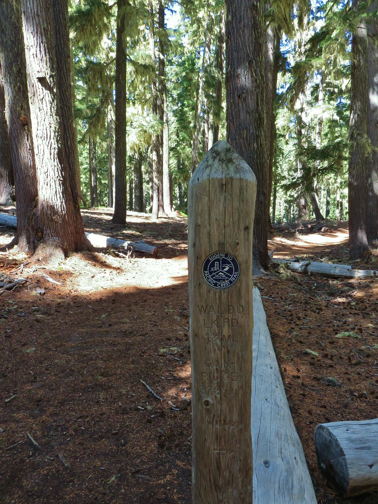
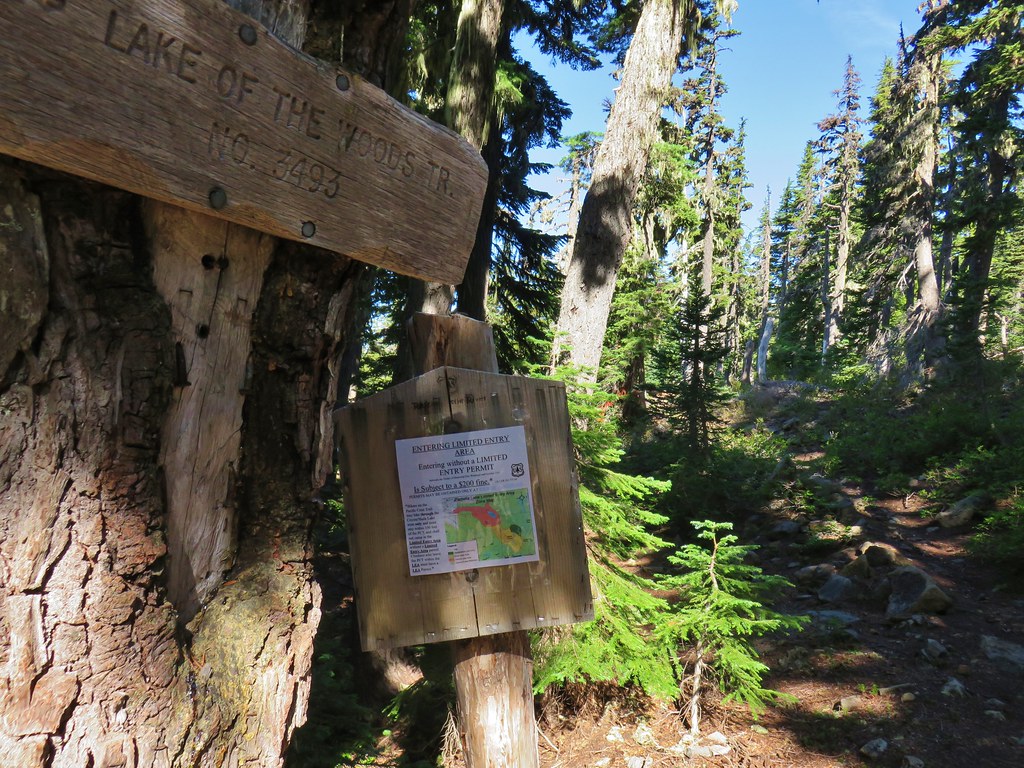
We took Highway 58 from Eugene to the Waldo Lake (Forest Road 5897) and followed it for just over 6 miles to the Twin Peaks Trailhead

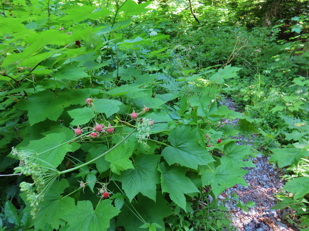
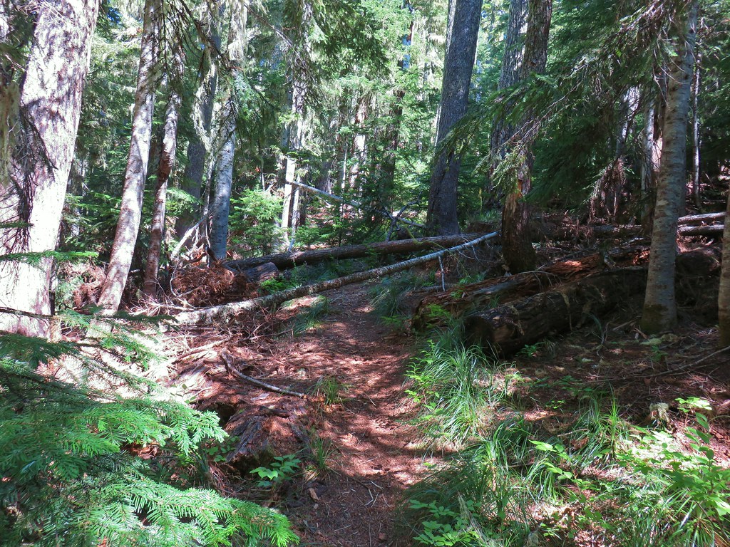
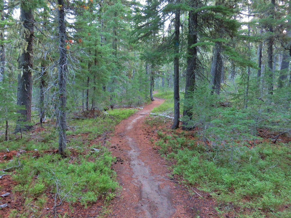
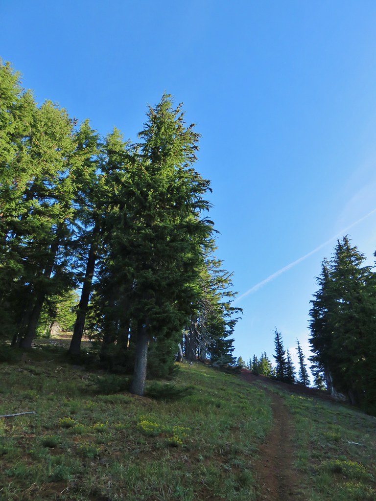
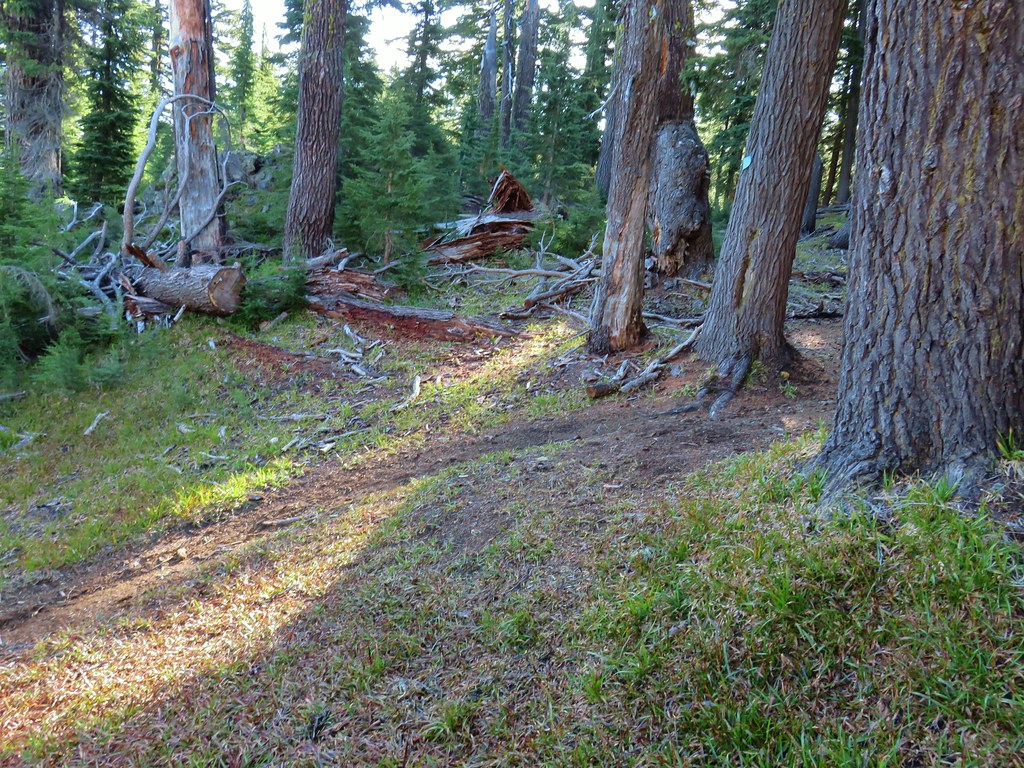
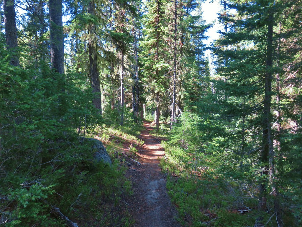
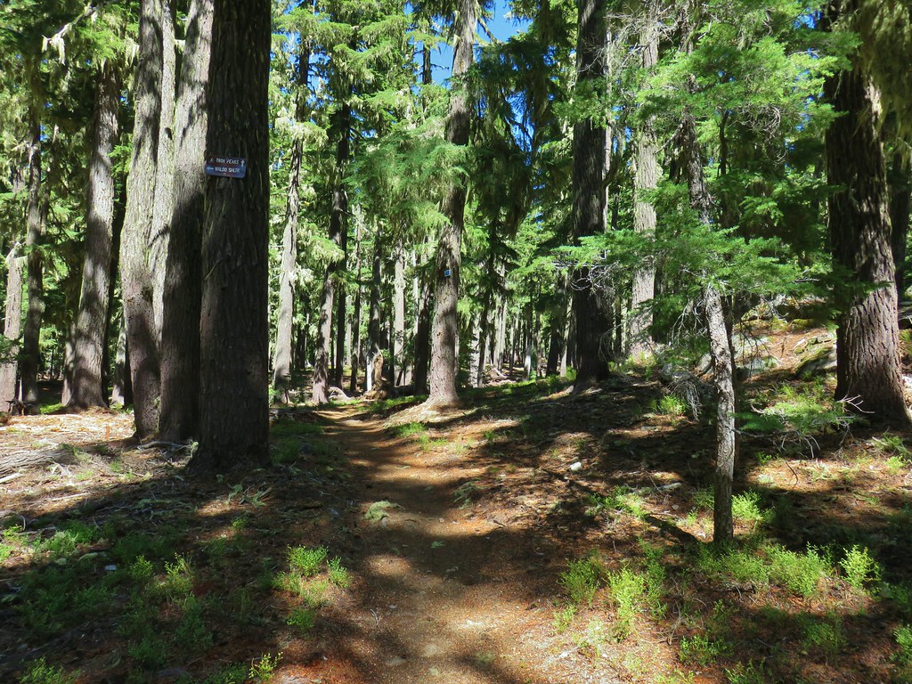
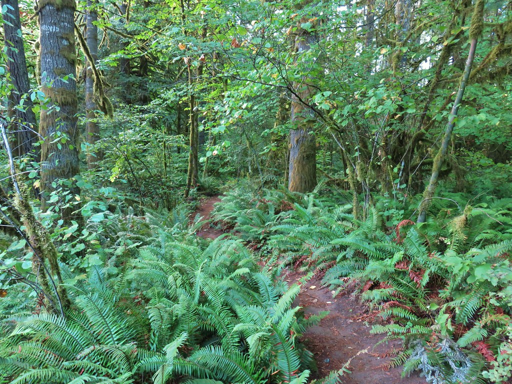
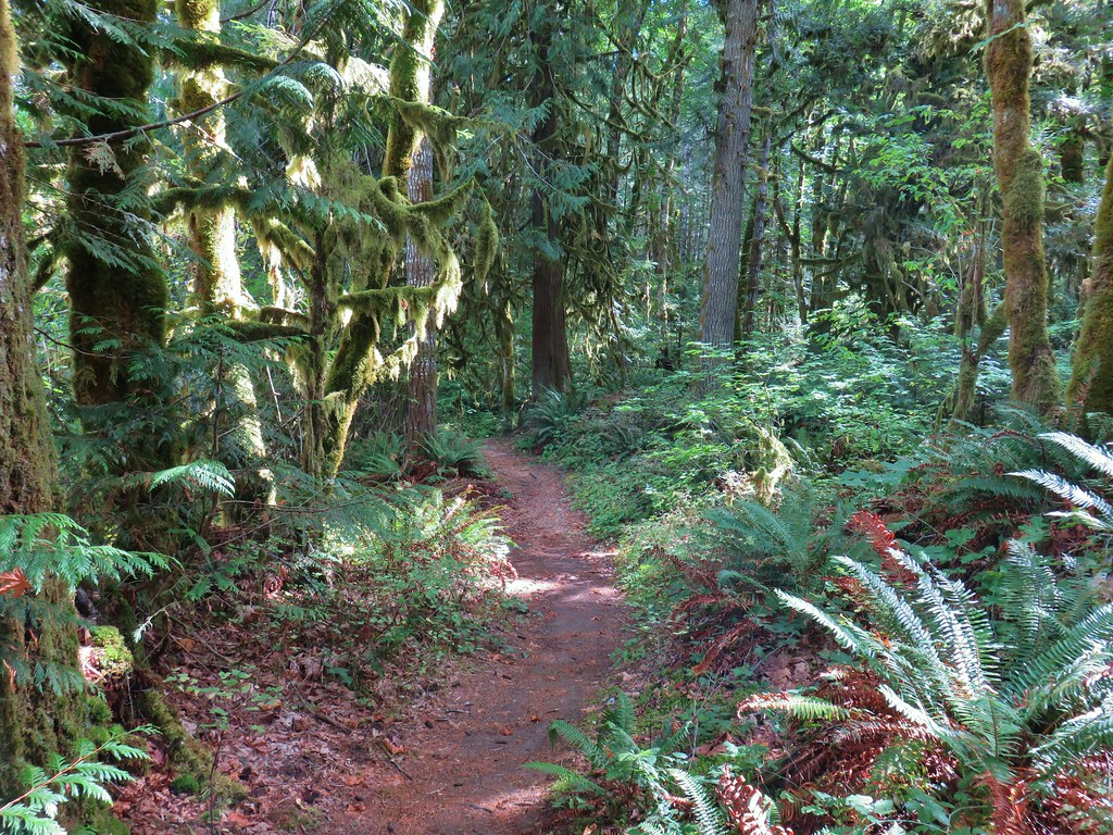
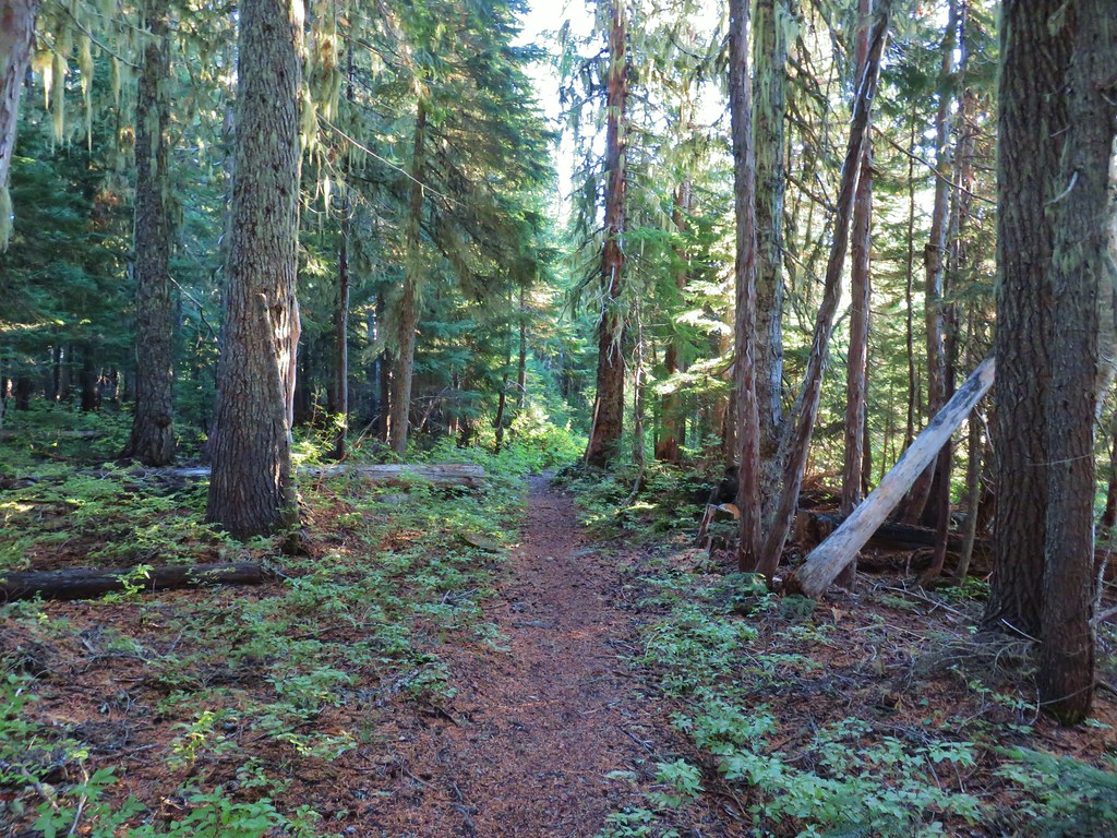
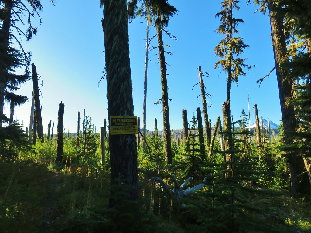
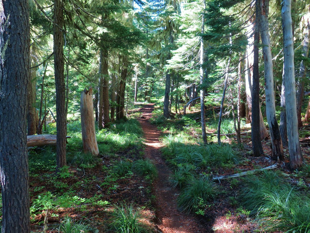
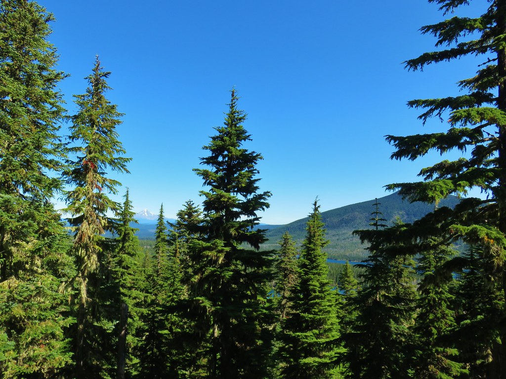
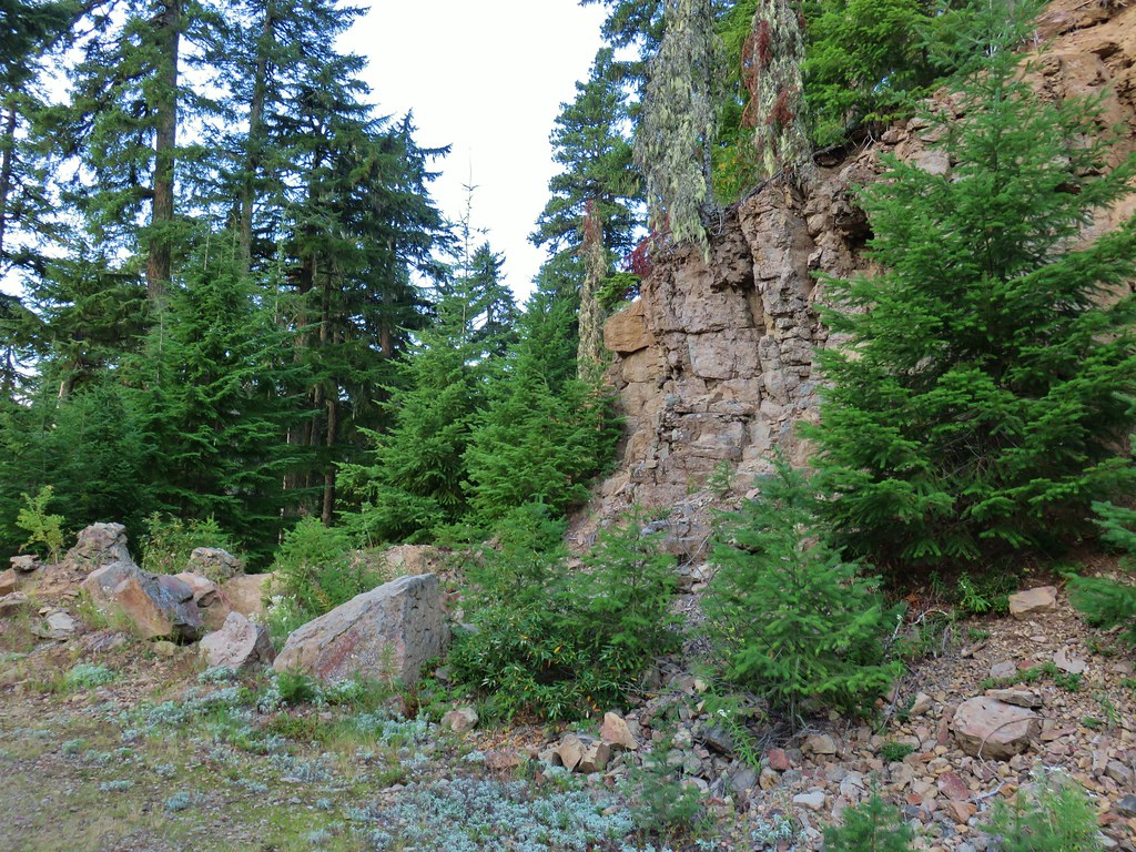
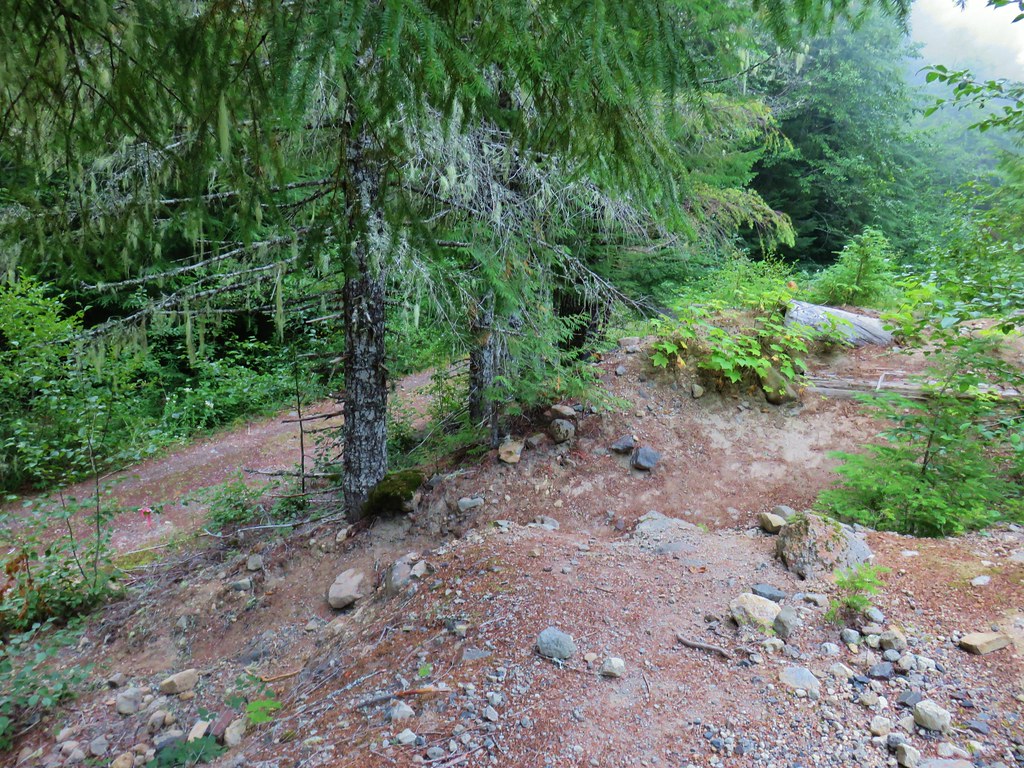
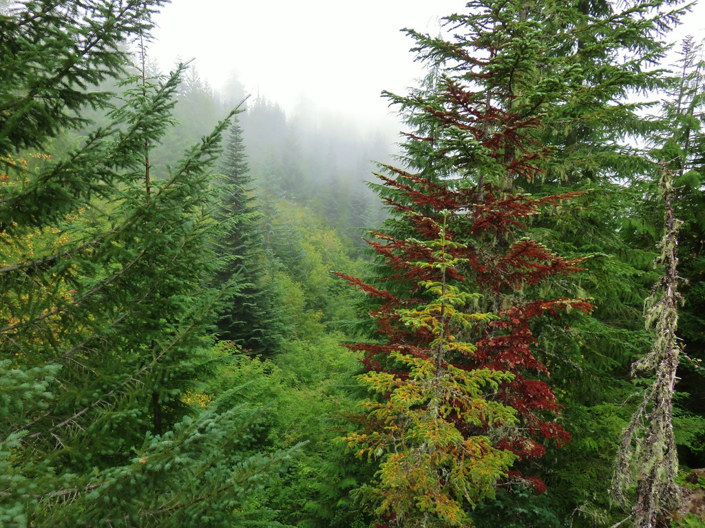
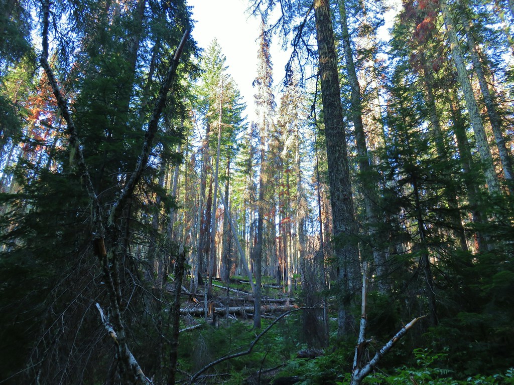
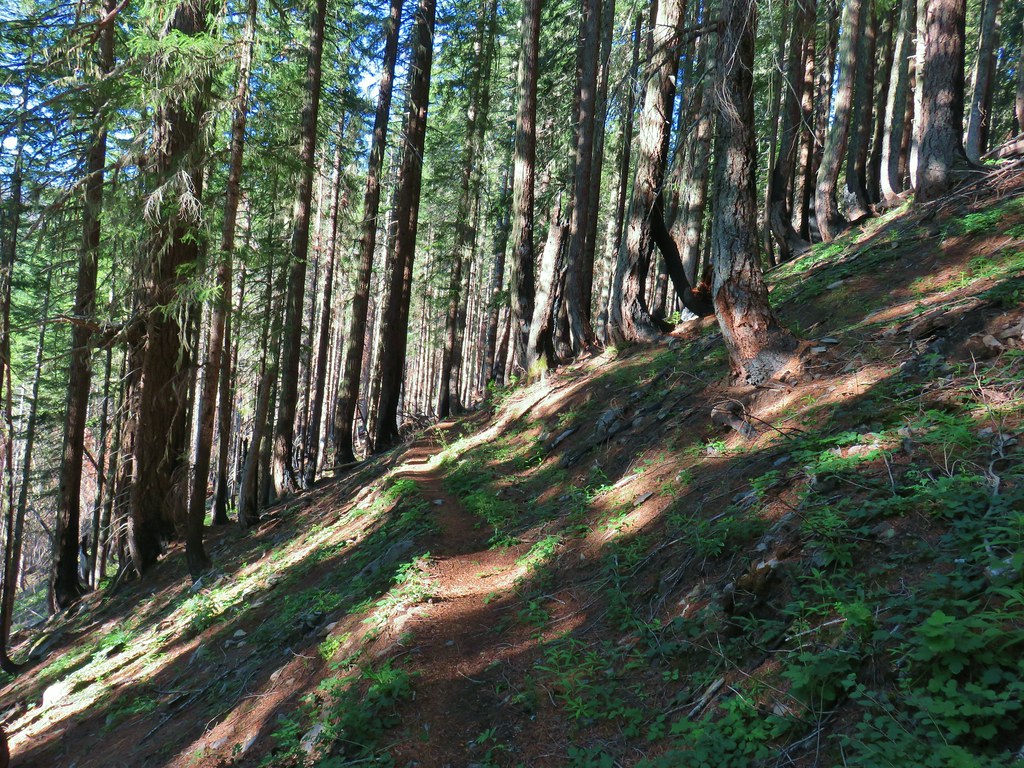
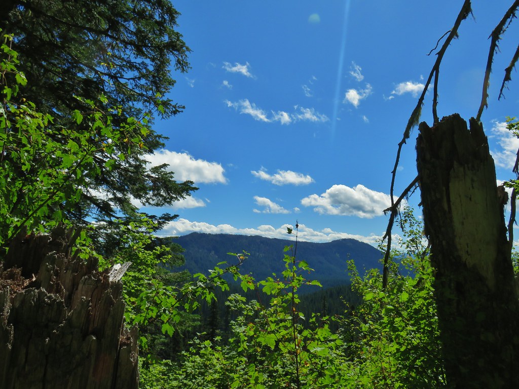
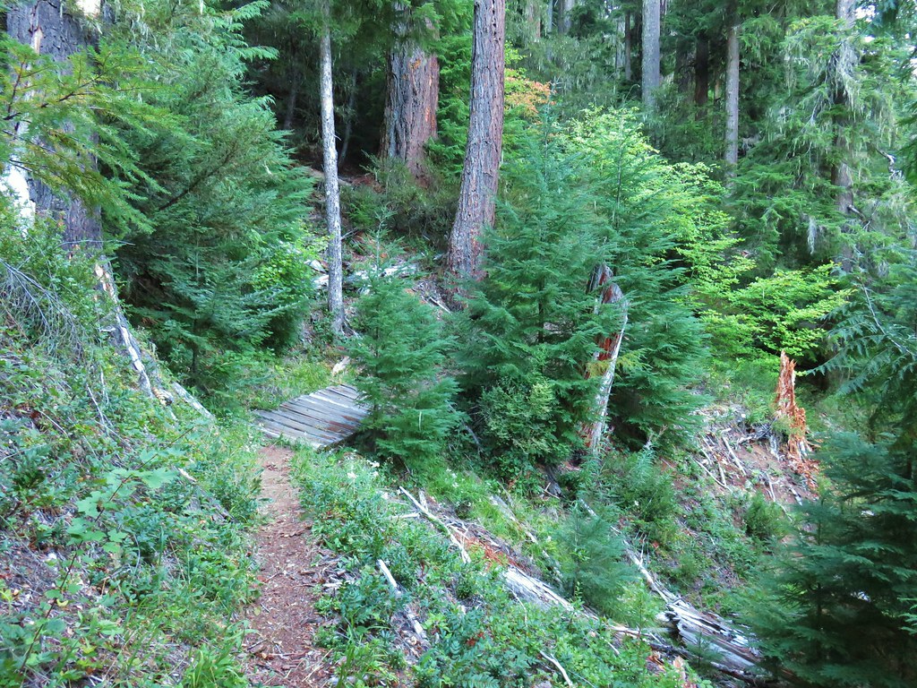
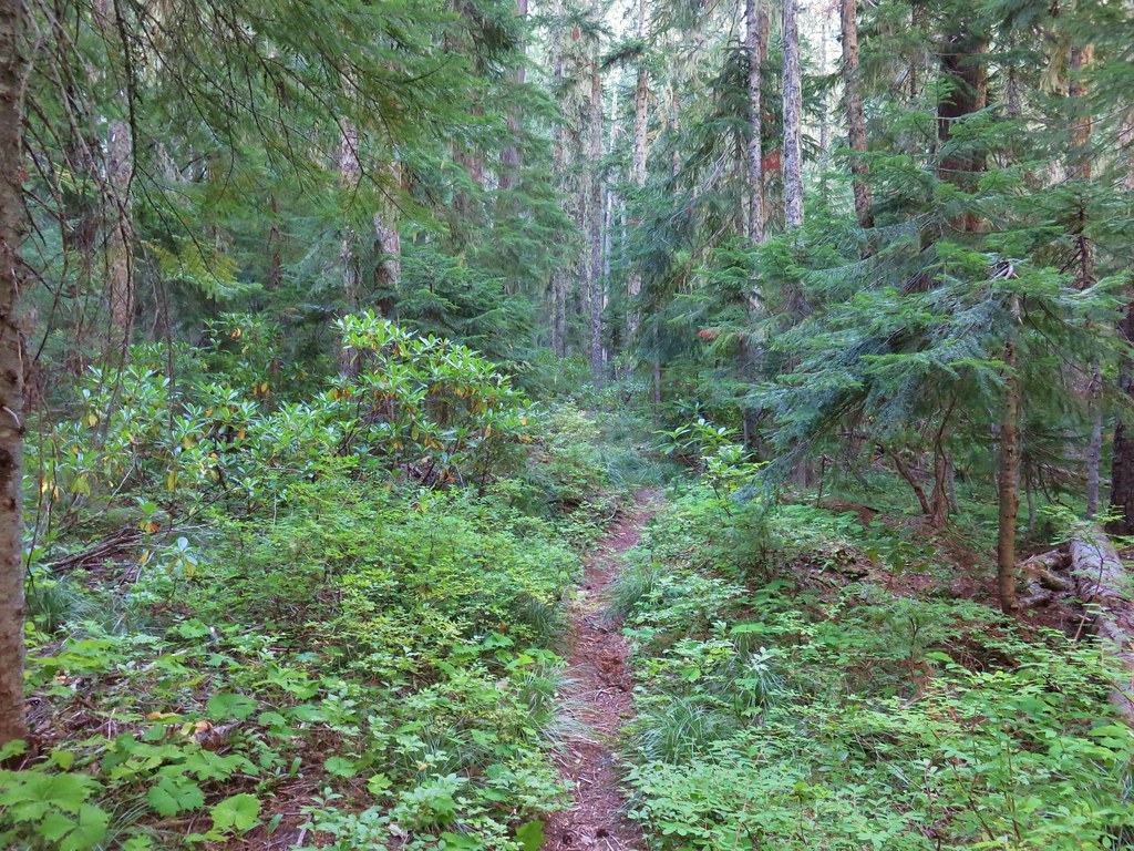
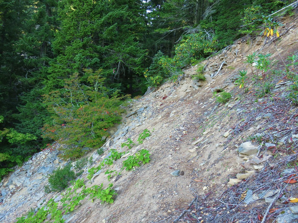
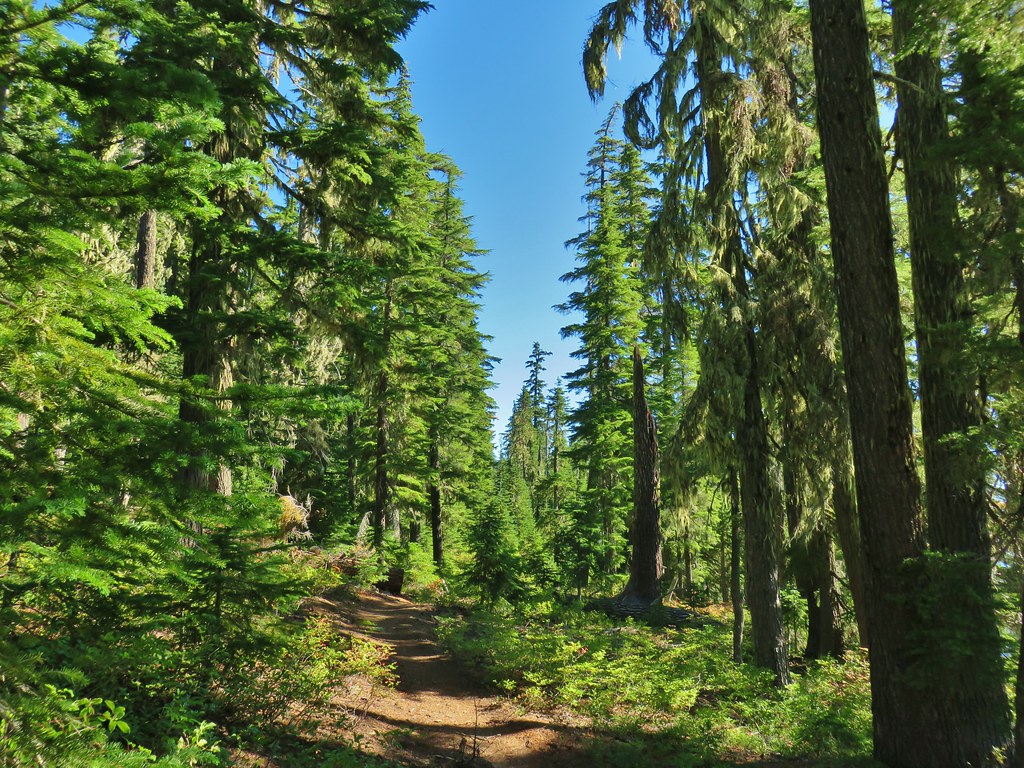
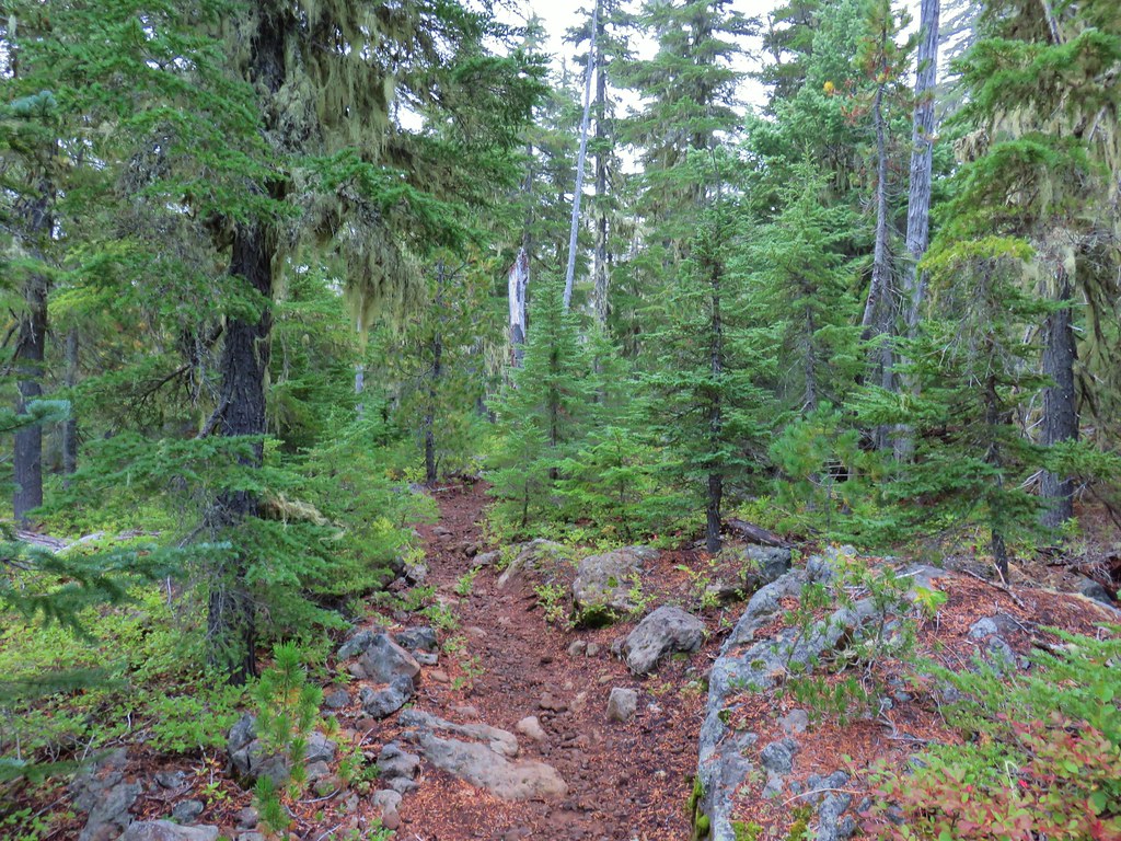
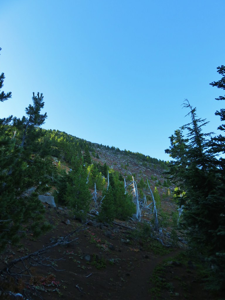
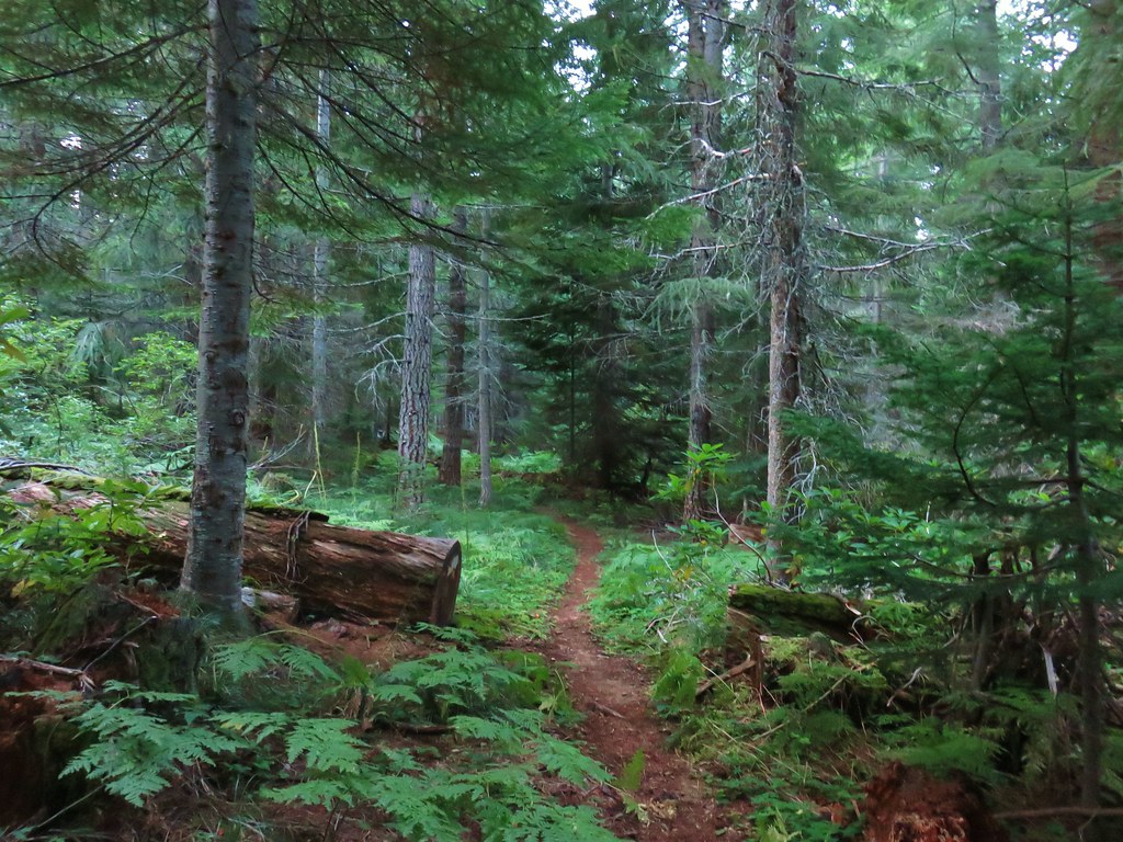
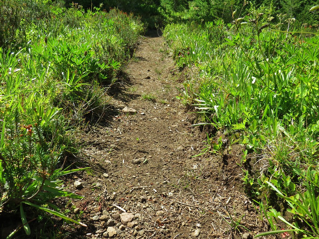
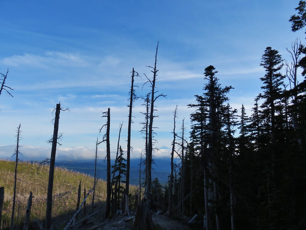
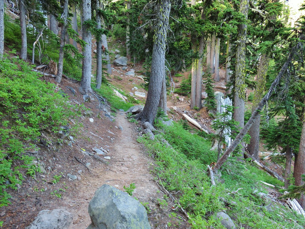
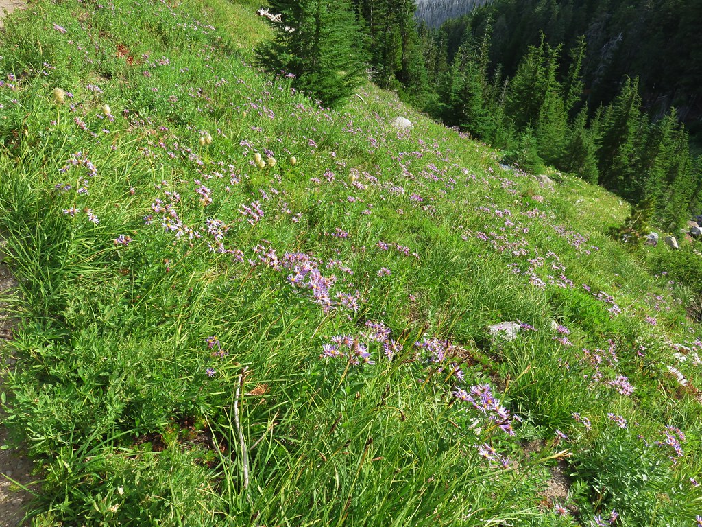
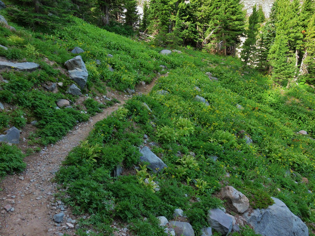
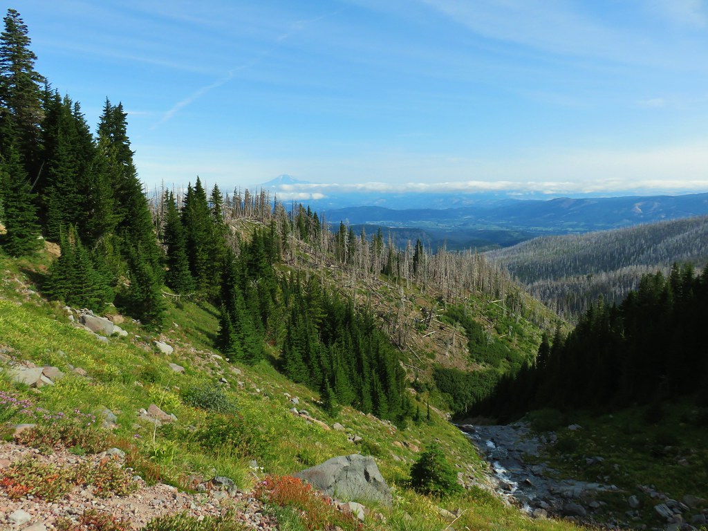
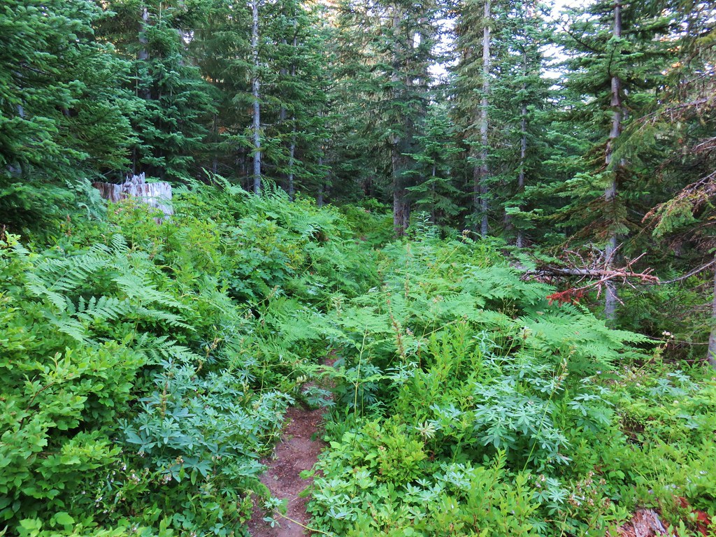
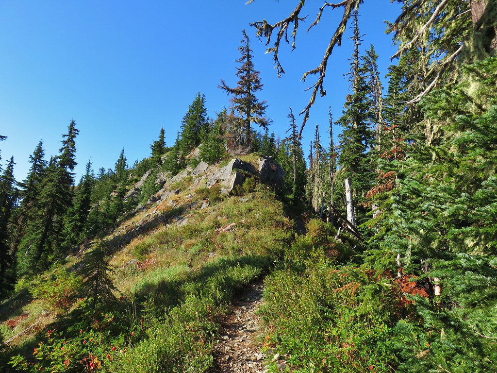
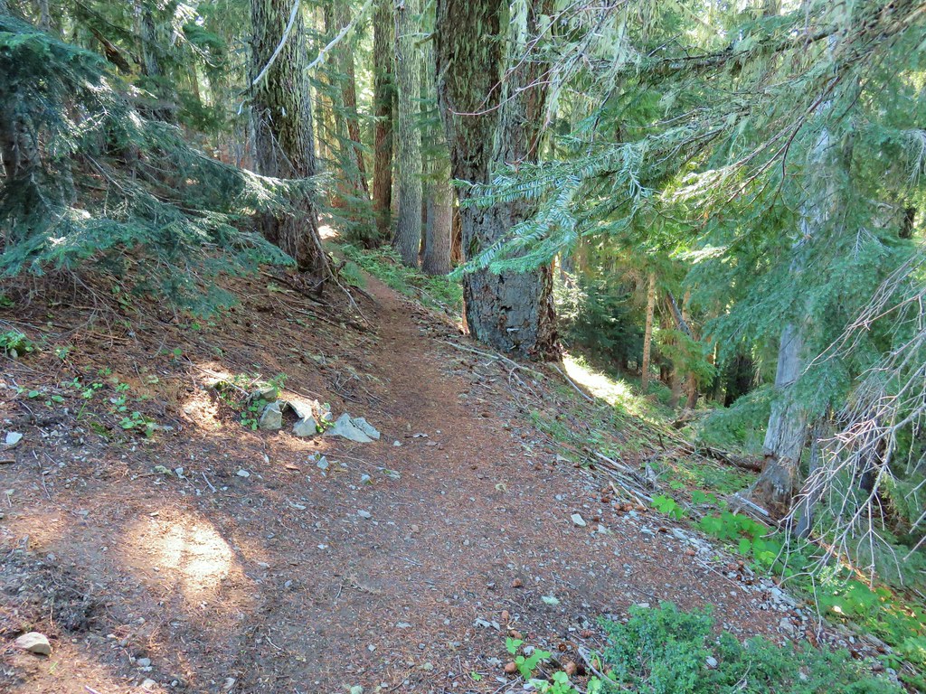
We set off on the trail which gradually climbed through a fairly open forest of lodgepole pine and mountain hemlock.

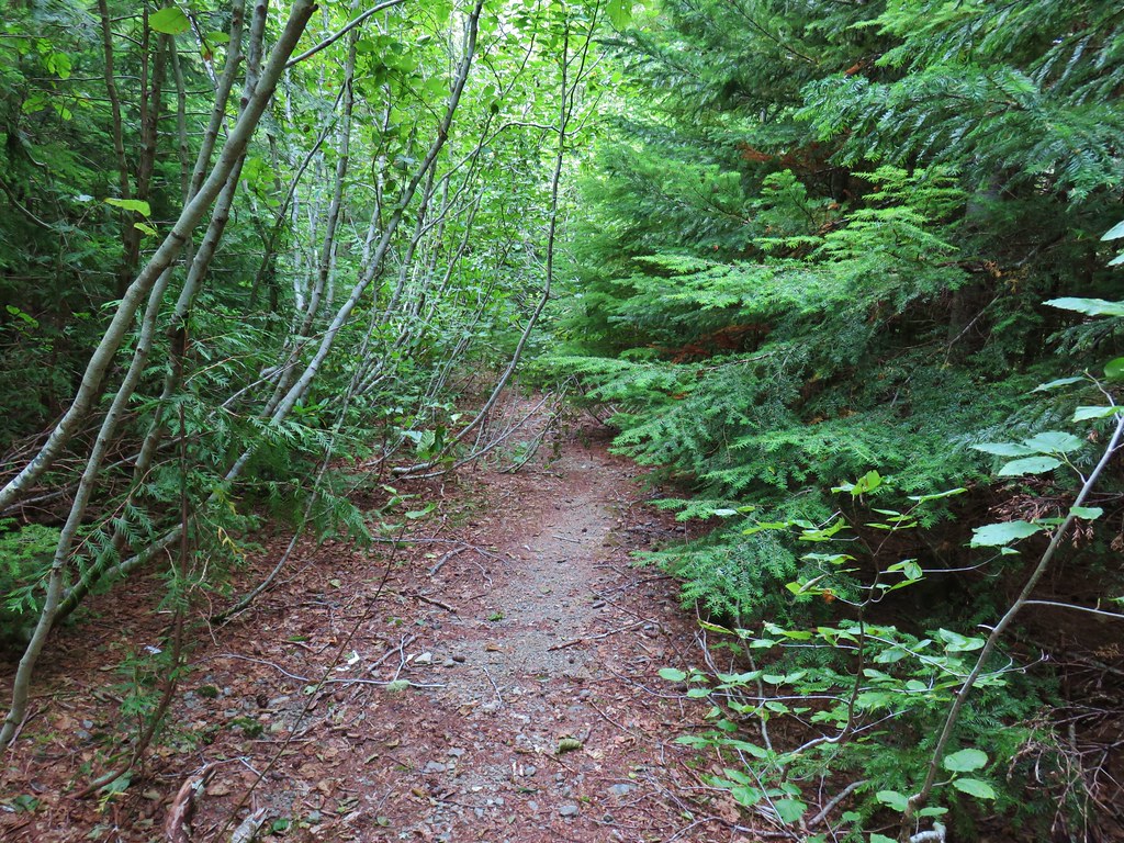
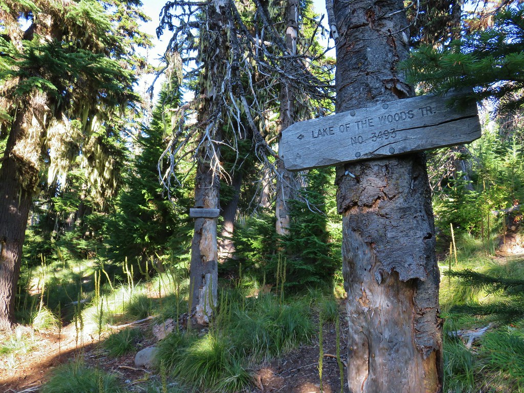
We quickly (less than a tenth of a mile from the trailhead) passed our return route, a connector trail with a pointer for Gold Lake.

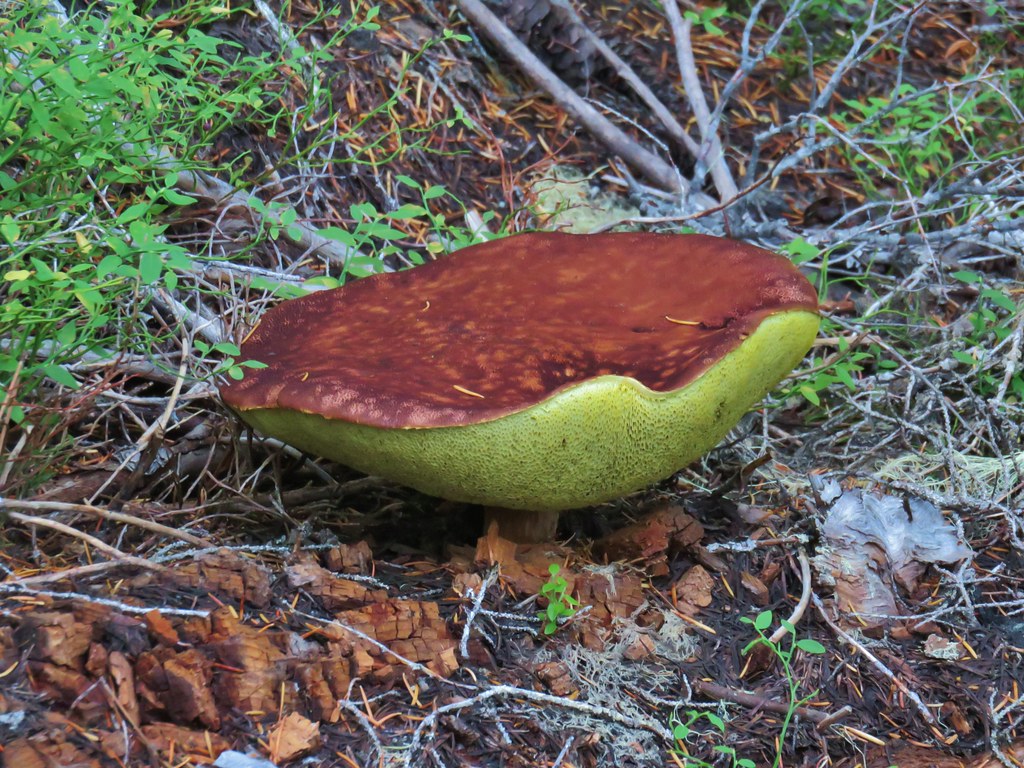
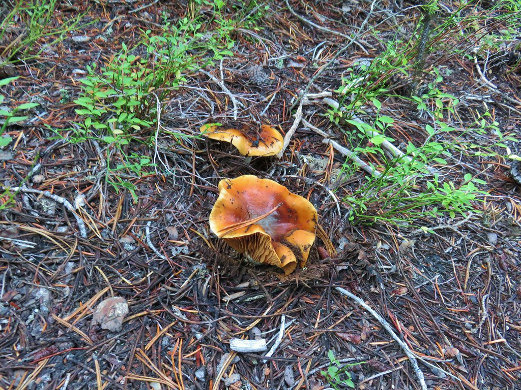
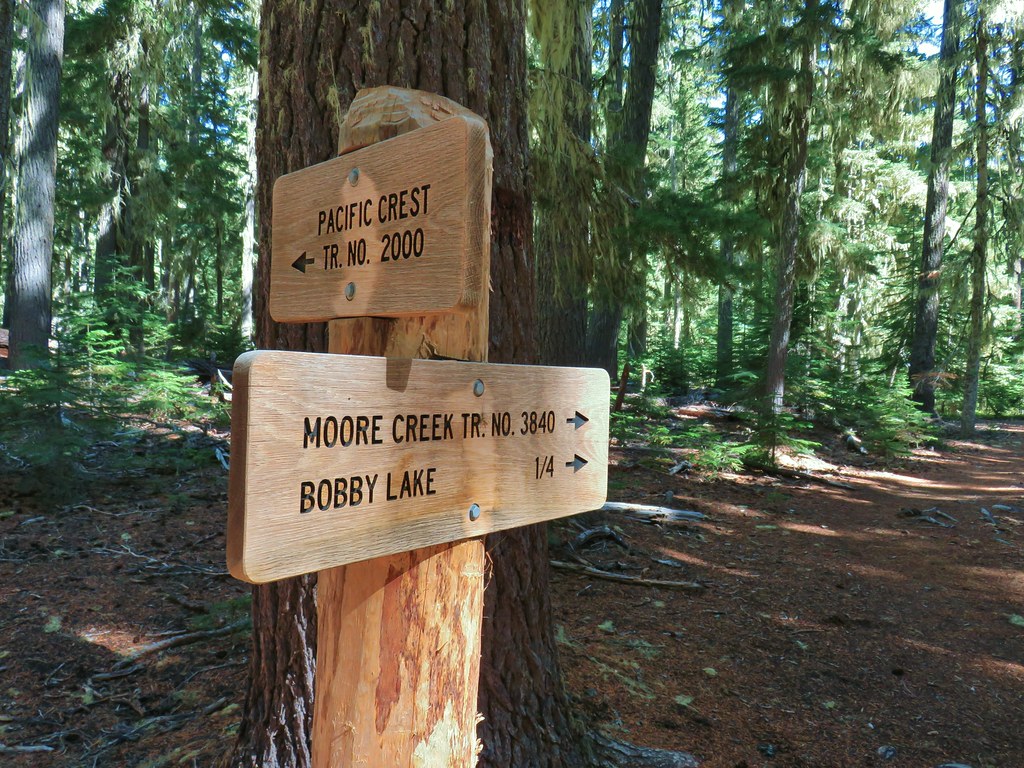
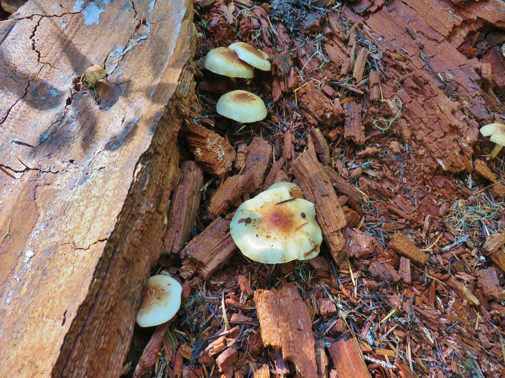
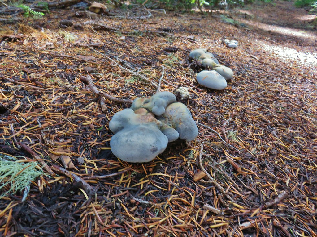
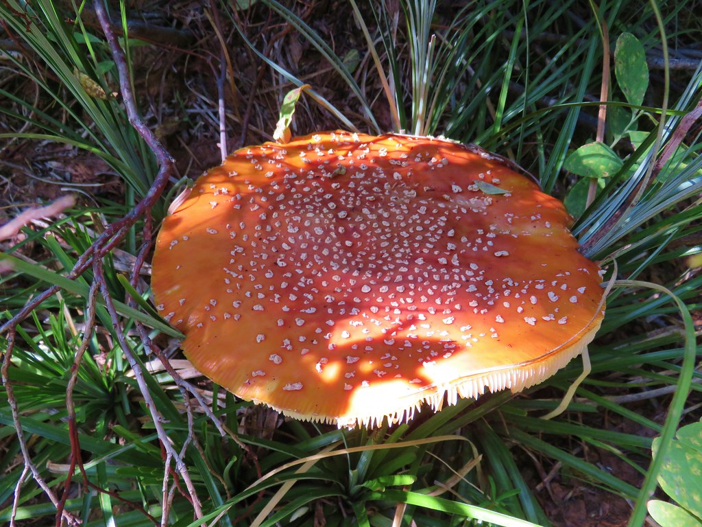
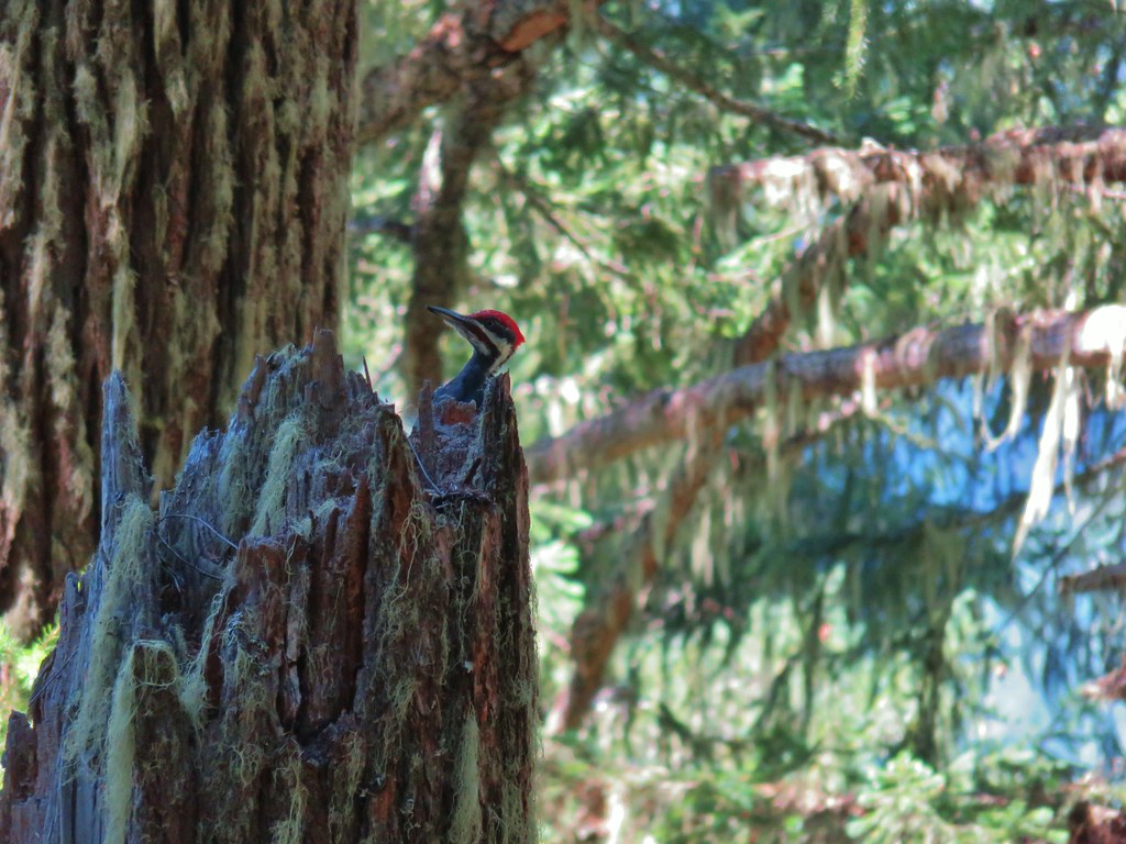
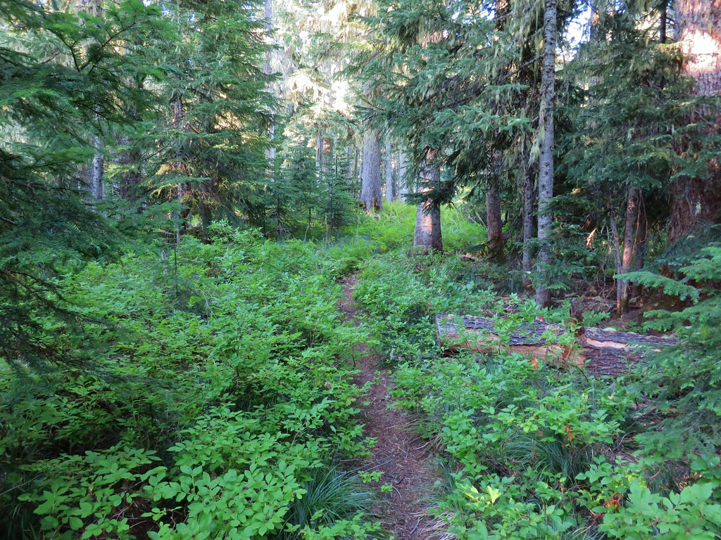
We stuck to The Twins Trail and in another mile and a half reached a four way junction with the Pacific Crest Trail. A variety of mushrooms could be seen along the trail.


 PCT junction.
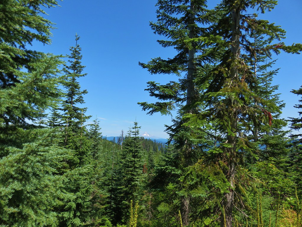
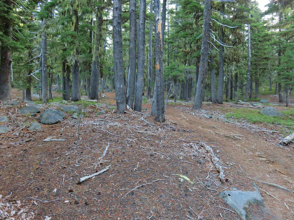
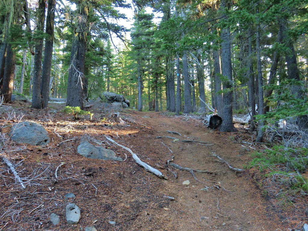
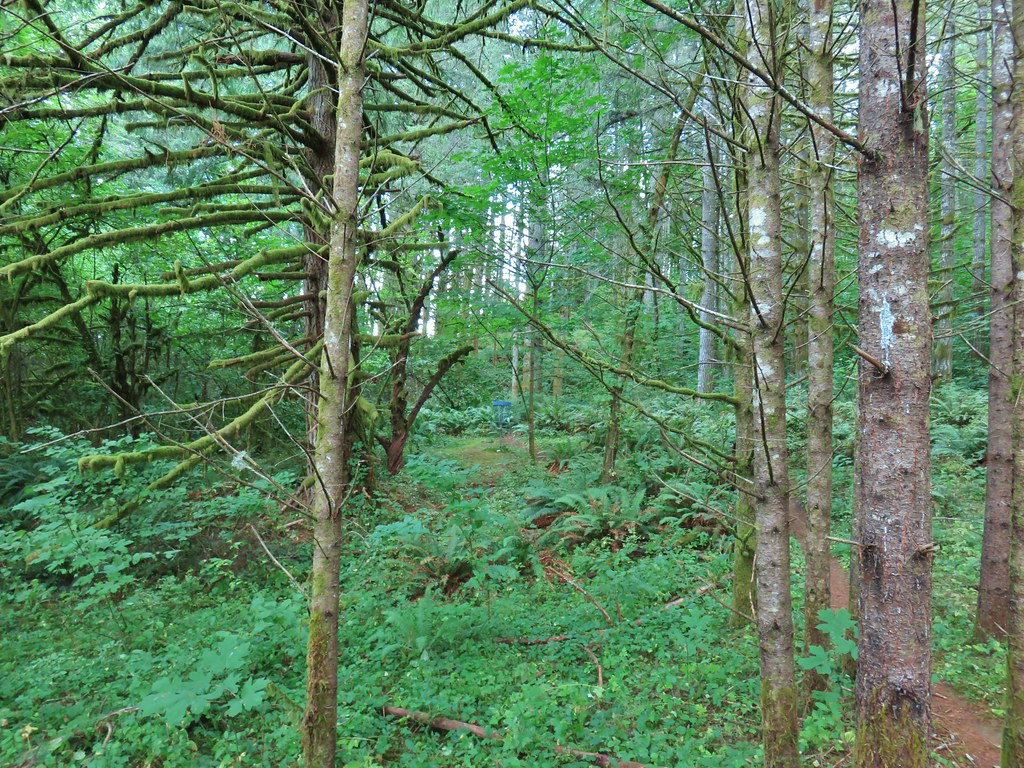
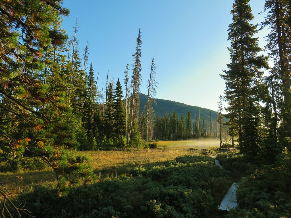
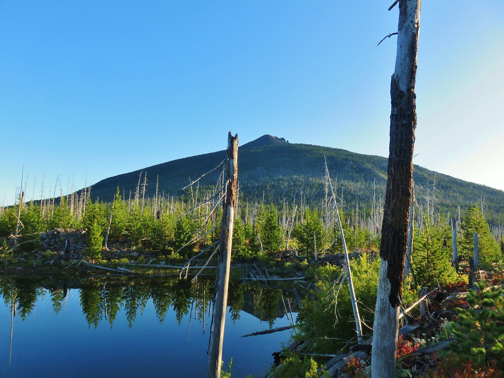
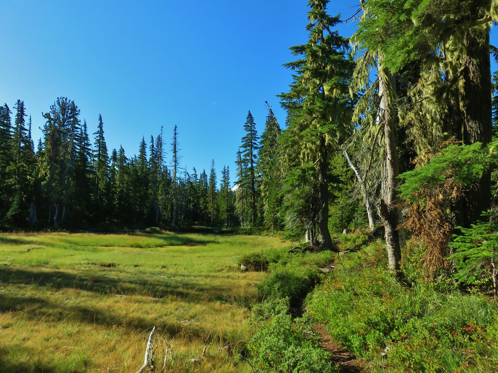
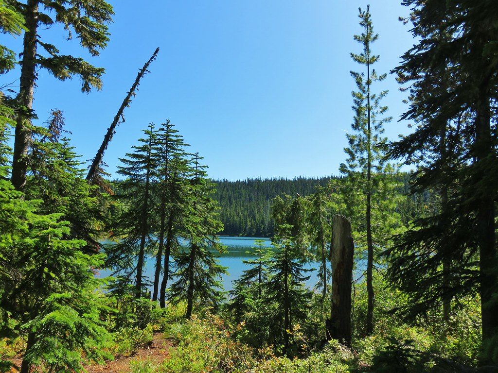
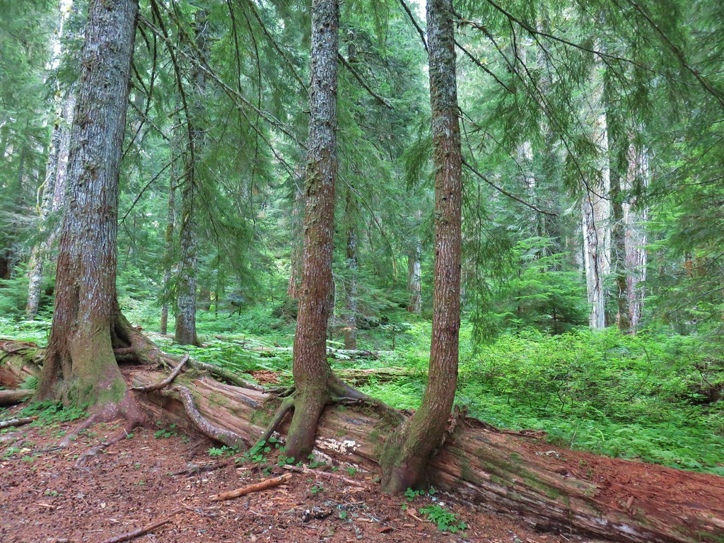
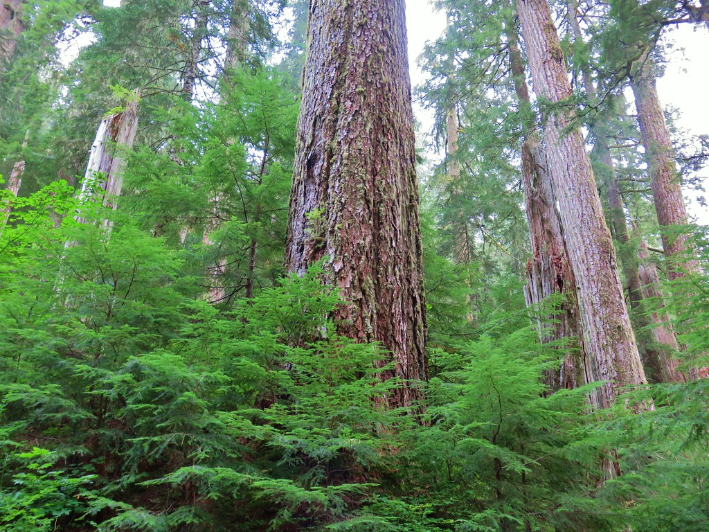
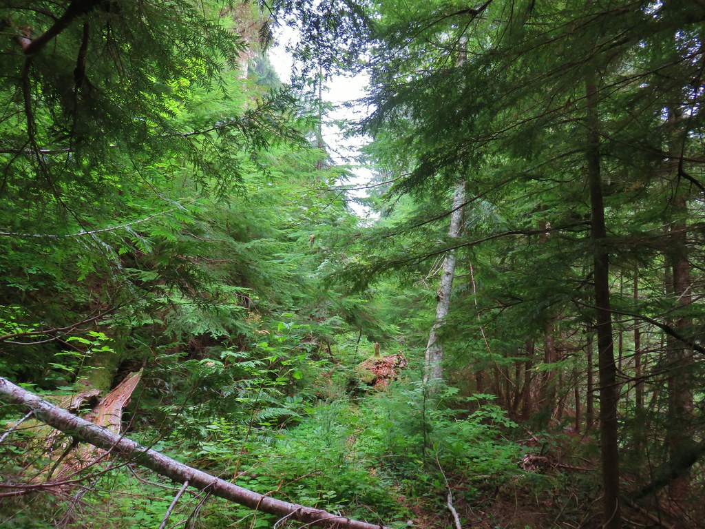
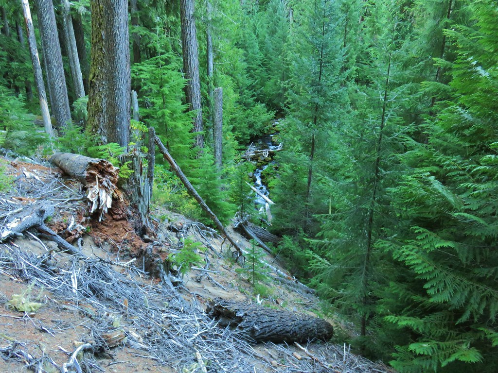
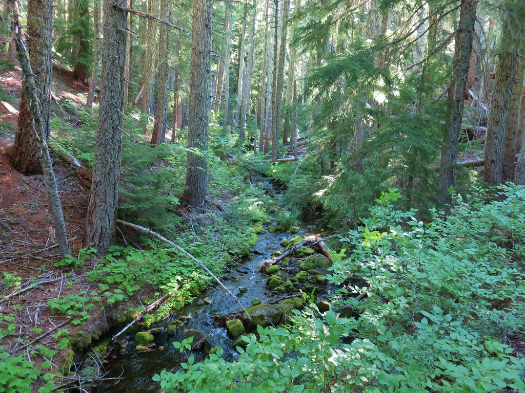
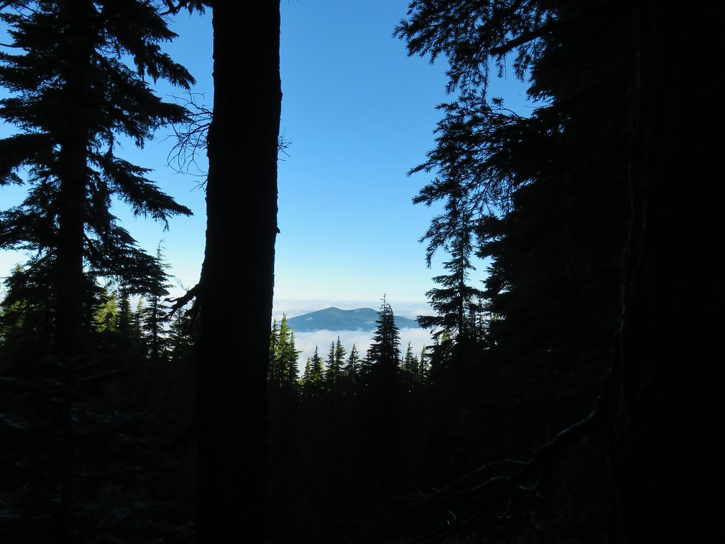
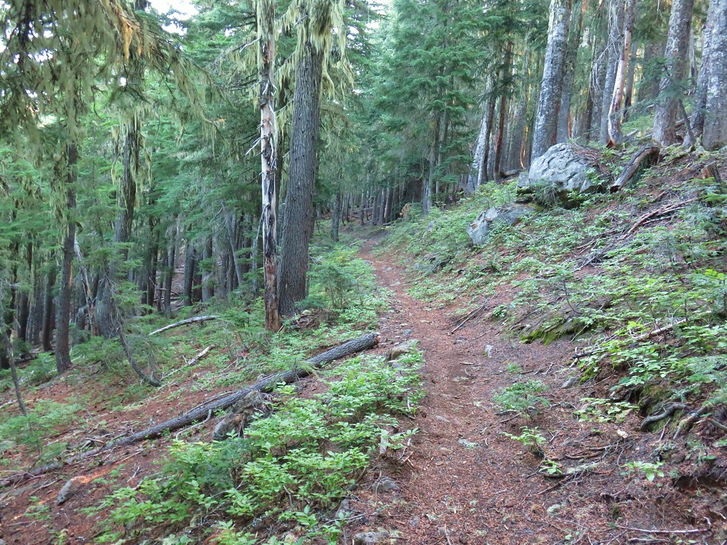
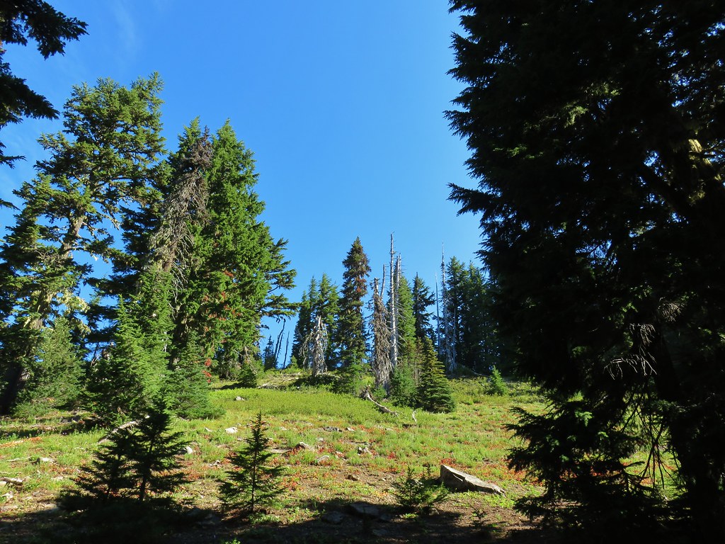
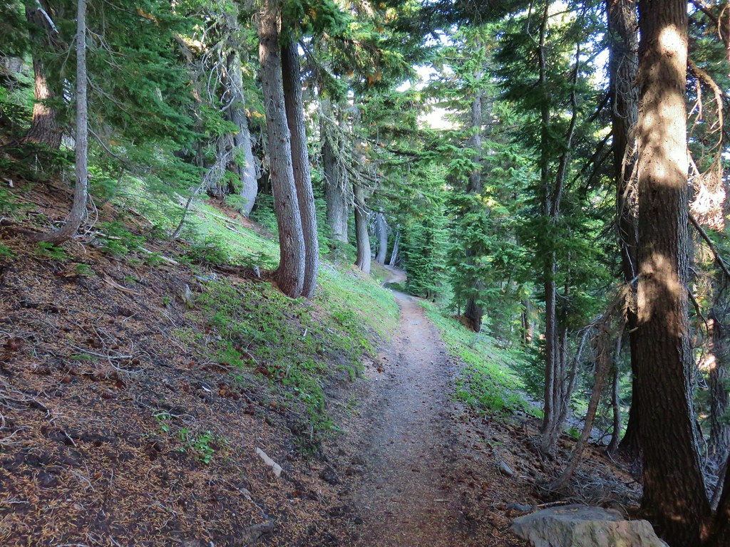
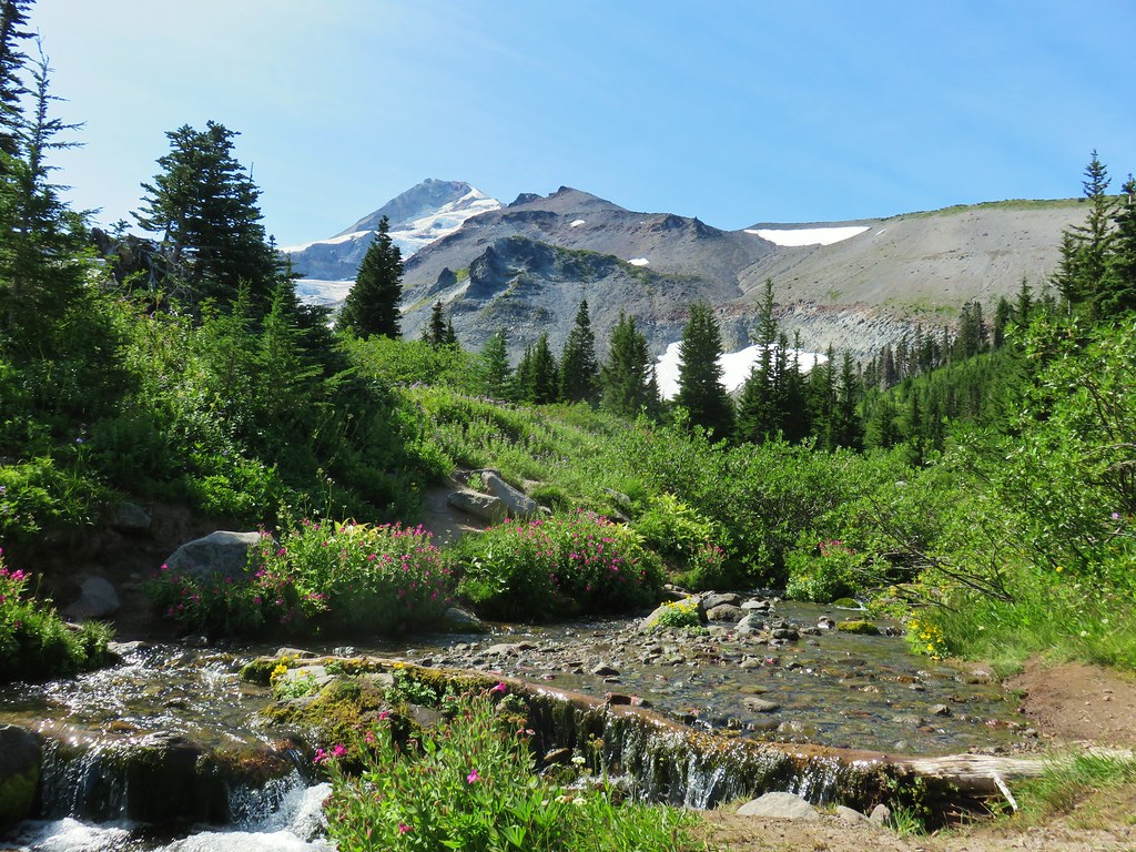
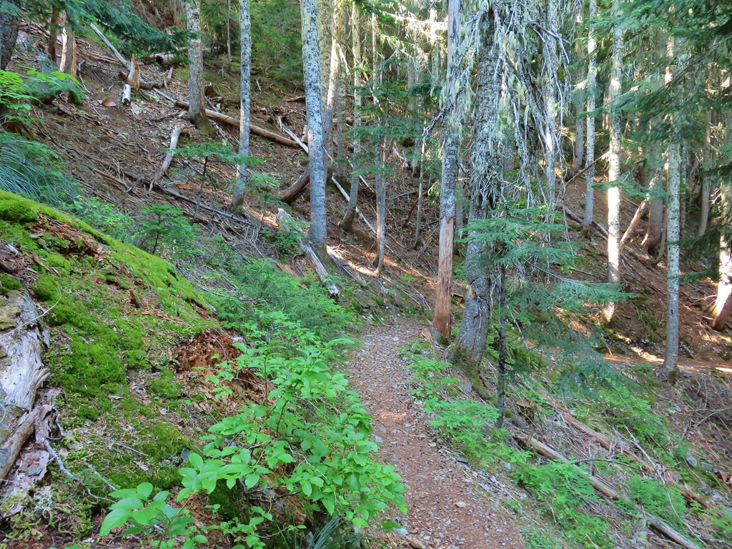
We continued straight across the PCT climbing steeply at first before becoming more gradual. Here the trail passed through an open forest of mountain hemlock with a couple of ponds and many rock outcrops. It was the type of forest that called for exploration and we both felt like we could have set up camp in the area and stayed relaxed for days.
 More cool mushrooms.
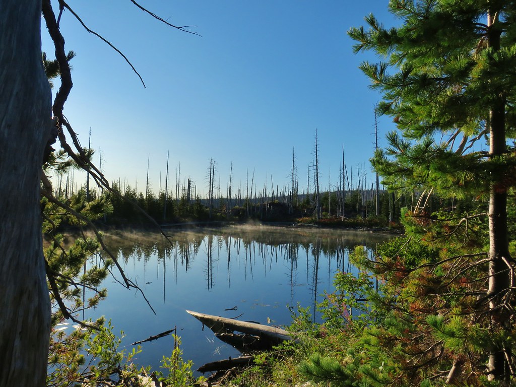
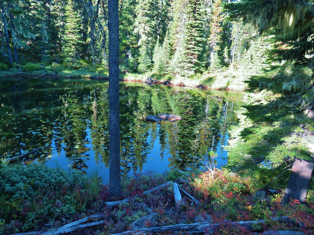
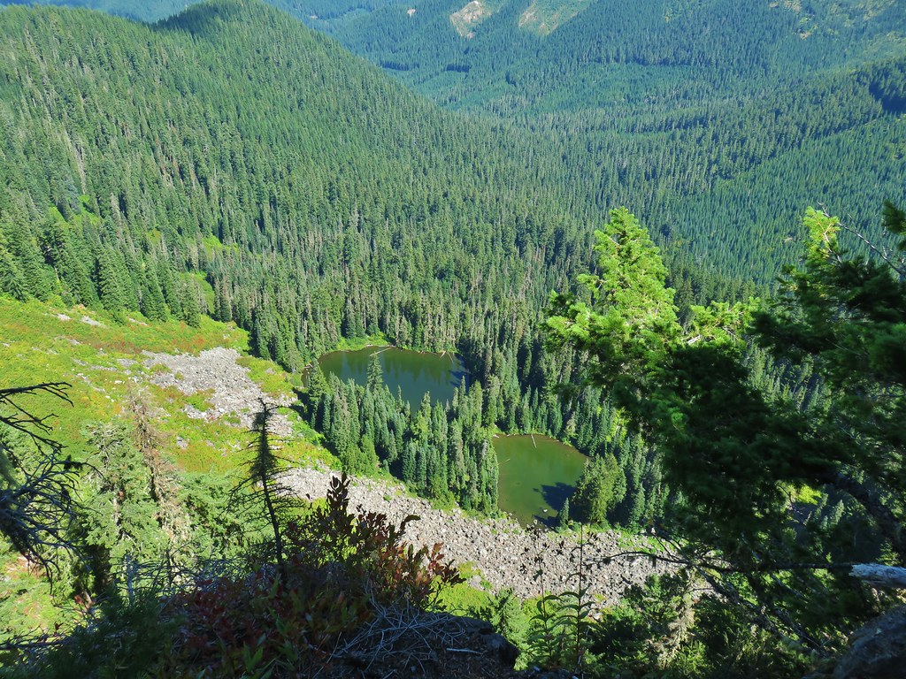
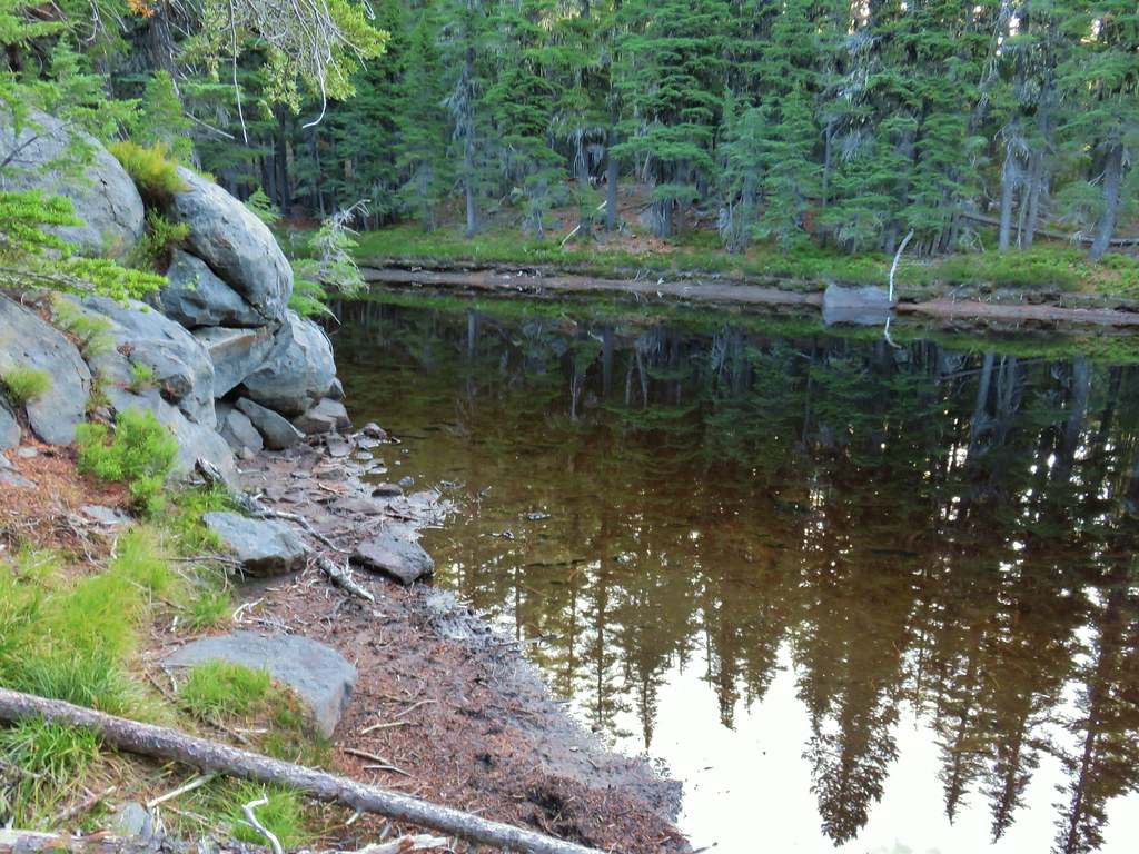 First pond
 Looking down on the first pond.
 Liked the pattern on this shroom.
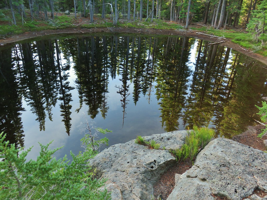
 A smaller pond.


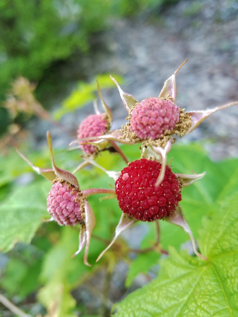
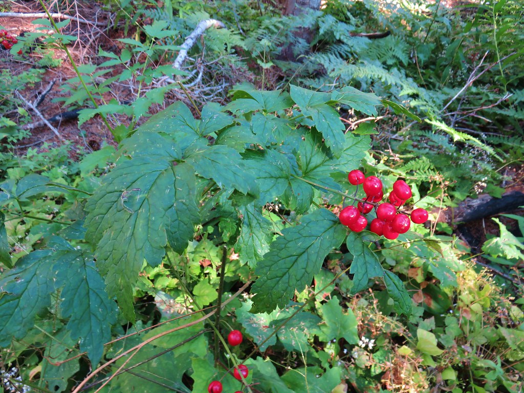
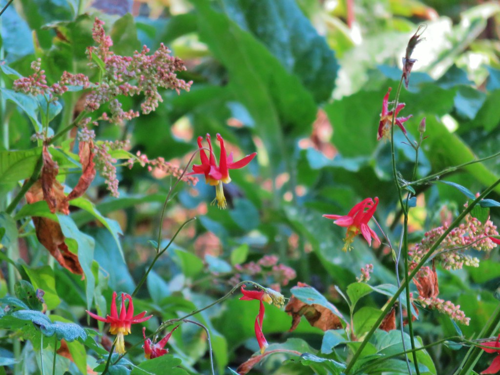
 Found a few blooming bleeding heart.
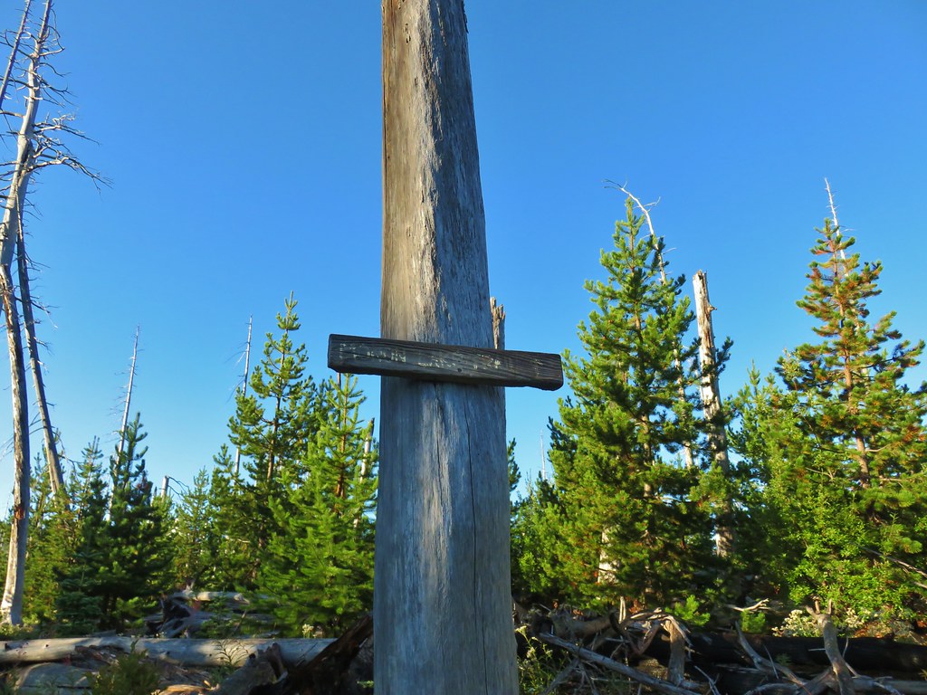
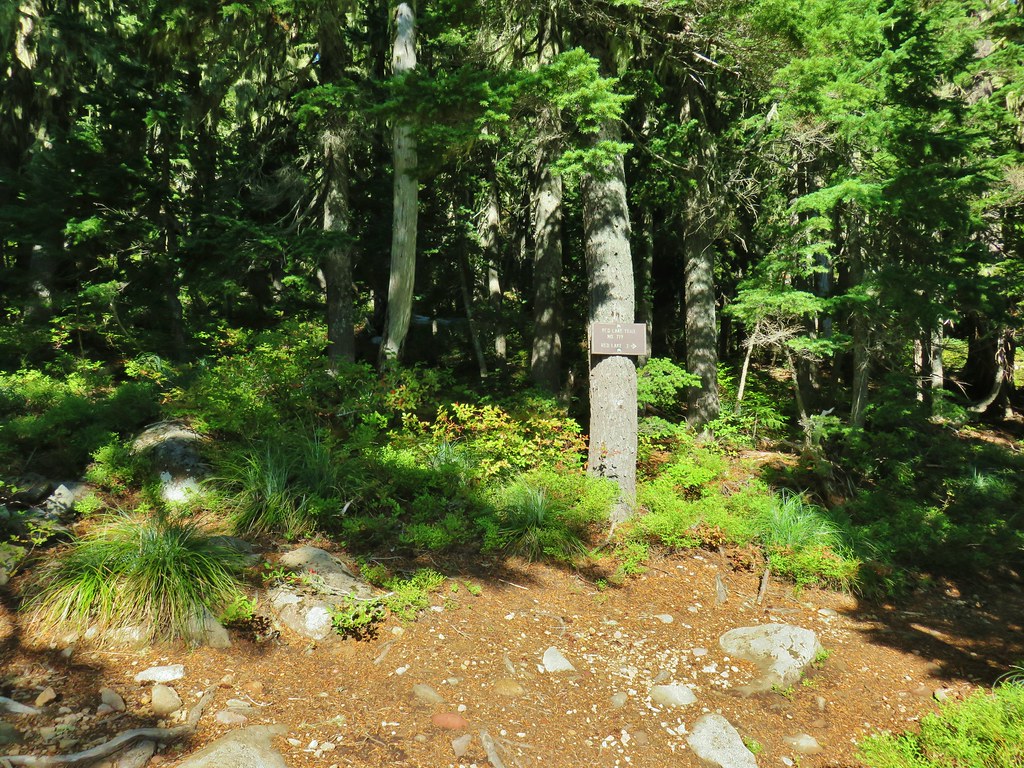
We reached another junction 1.2 miles from the PCT at a sign for Charlton Lake.


This would also be a return trail for us as part of a short loop including the summits of The Twins.
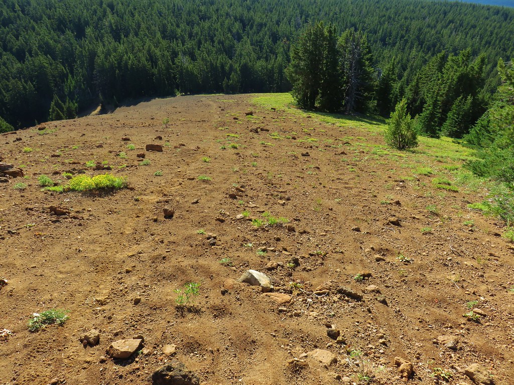
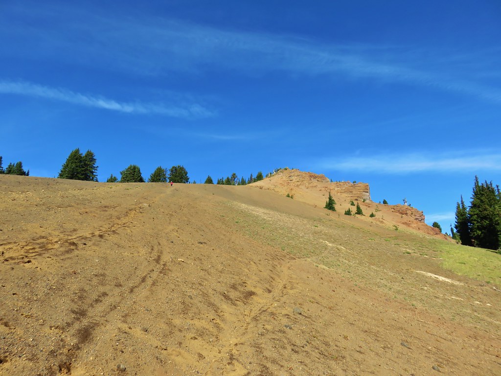
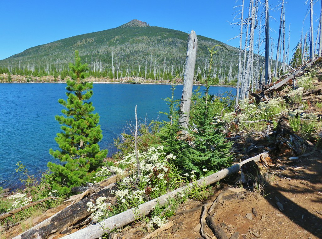
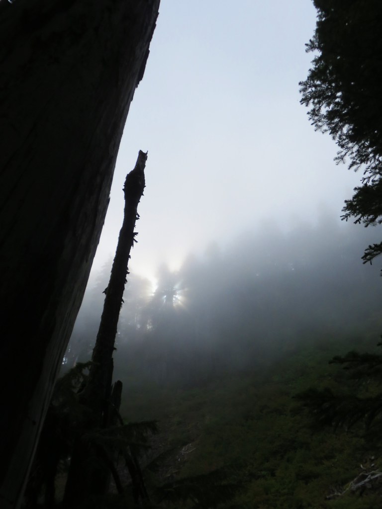
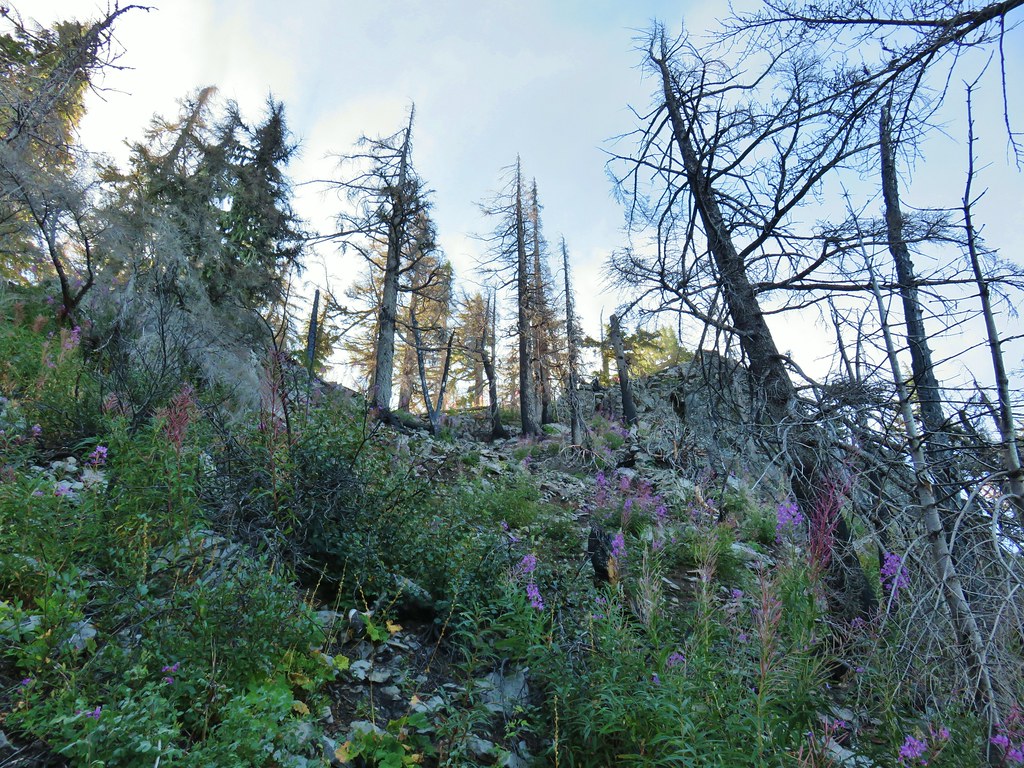
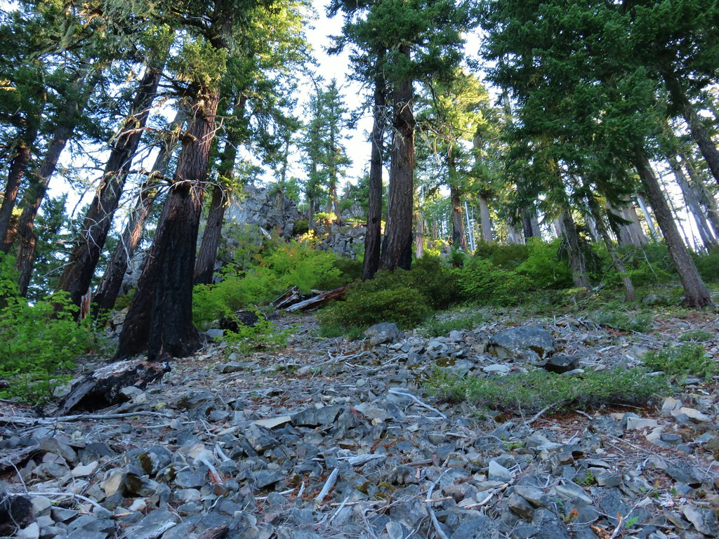
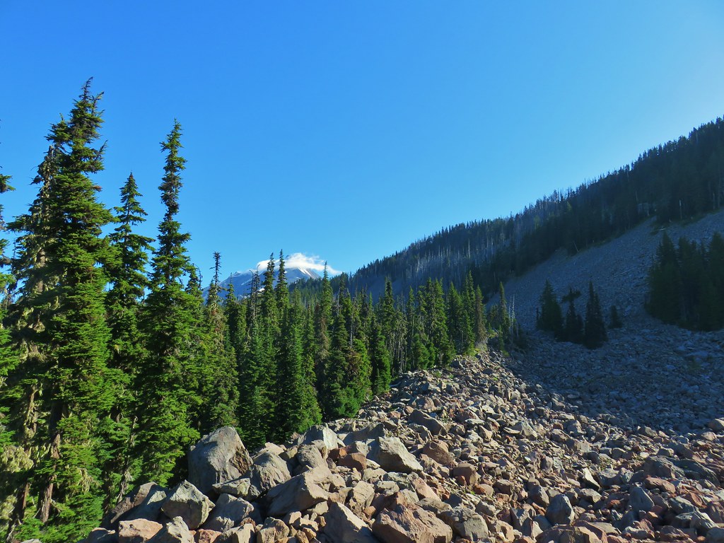
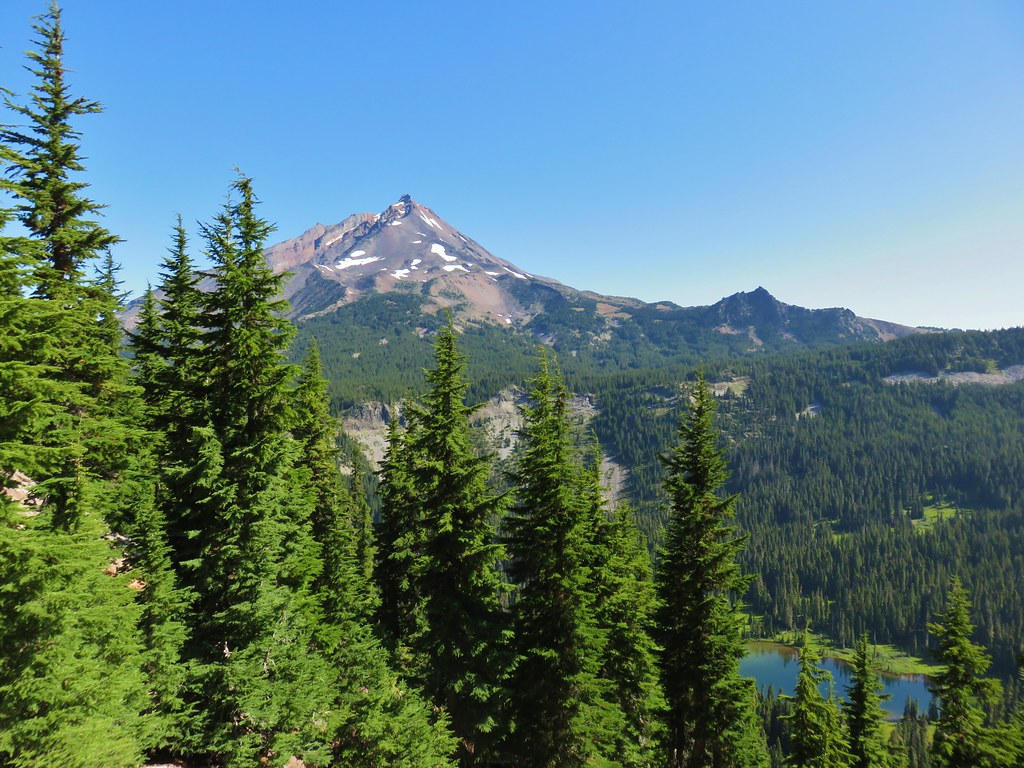
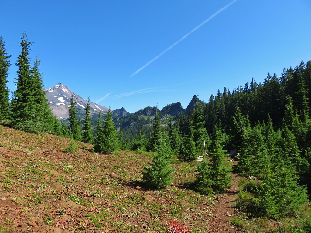
The trail steepened beyond the junction and eventually headed straight up the cinder covered rim around The Twins crater.

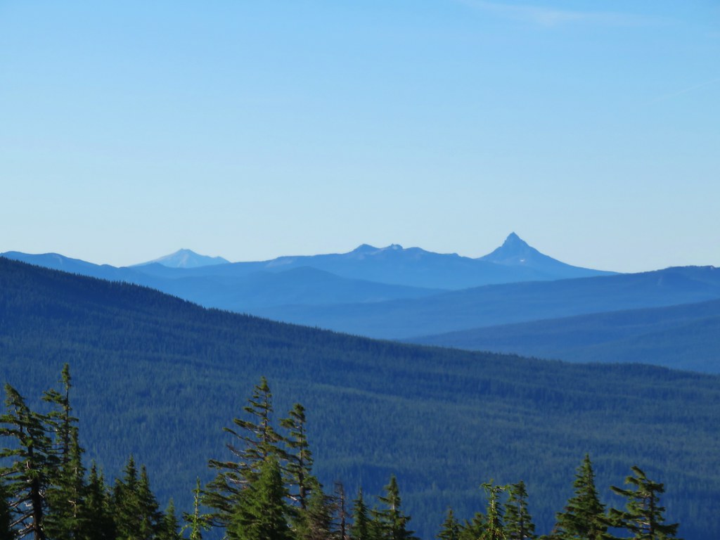
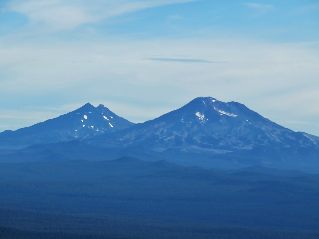
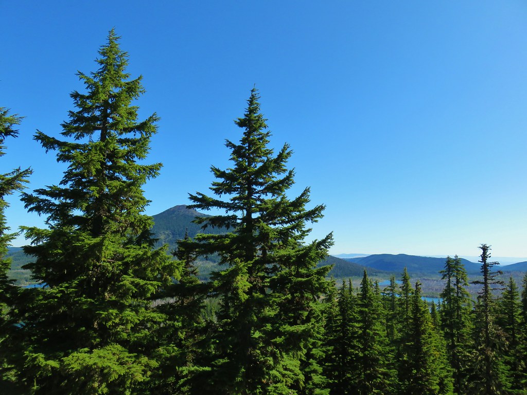
Over our shoulder a nice view to the south was unfolding including Maiden and Diamond Peaks, Mt. Thielsen and Mt. Bailey and even Mt. Scott in Crater Lake National Park.

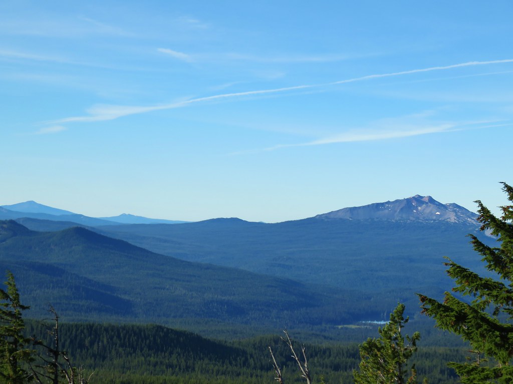 Diamond Peak on the right and Mt. Bailey (post) on the left.
 Mt. Scott (post) on the left and Mt. Thielsen (post) behind Howlock Mountain.
 Maiden Peak (post) in the center.
 Close up of Diamond Peak
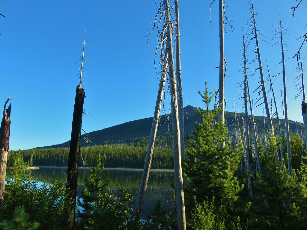
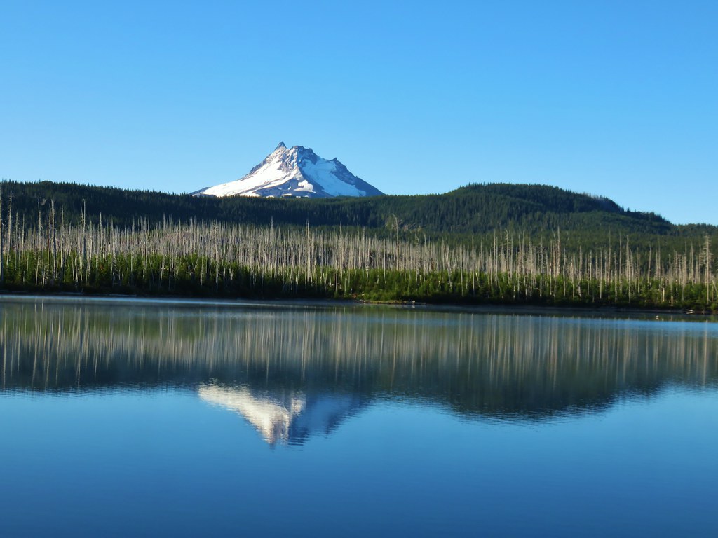
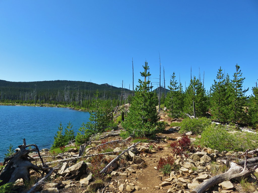
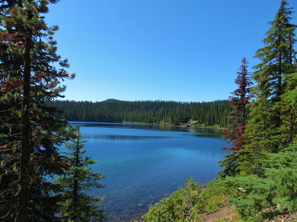
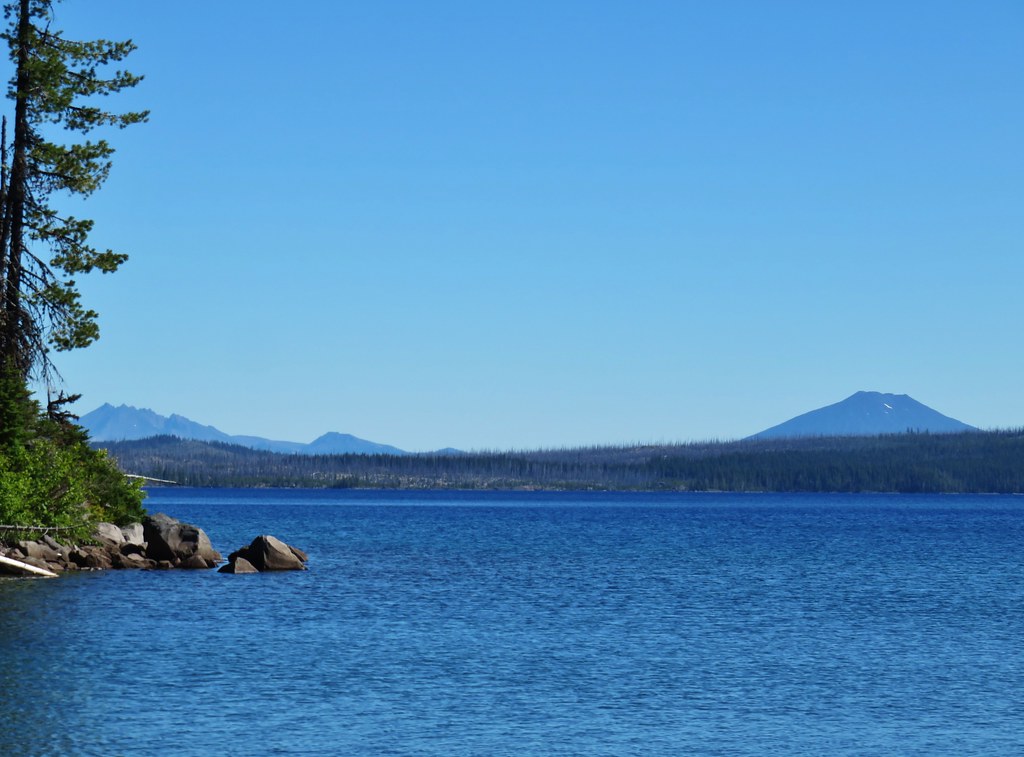
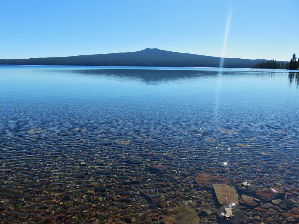
As we followed the rim north Waldo Lake could be seen below to the west.

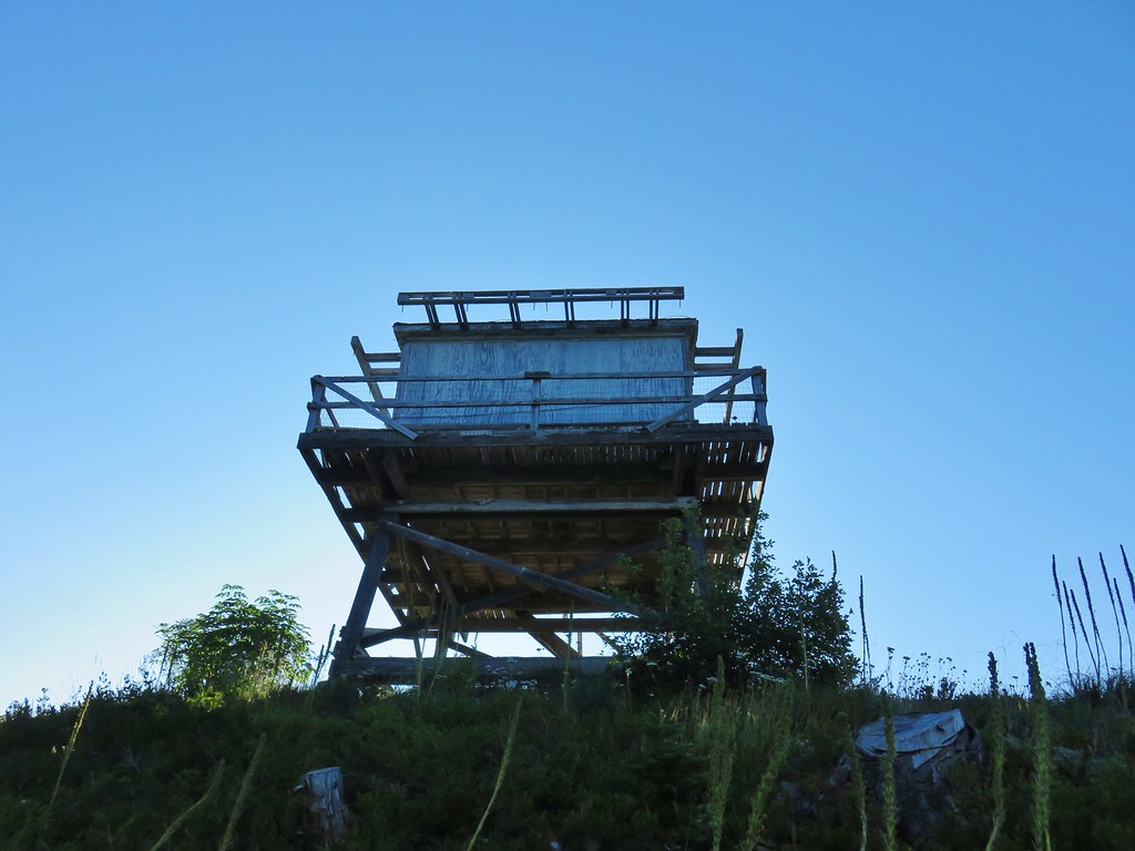
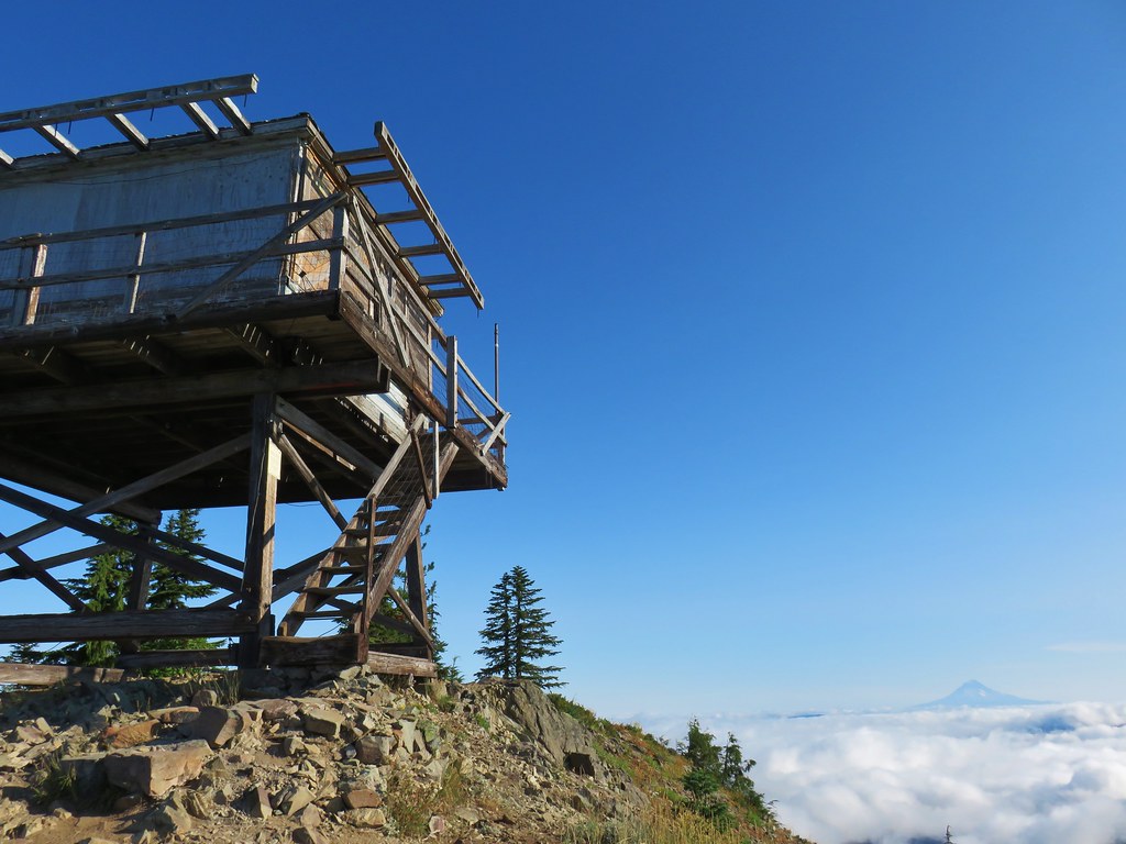
 Waldo Mountain Lookout (post) on the far side of Waldo Lake.
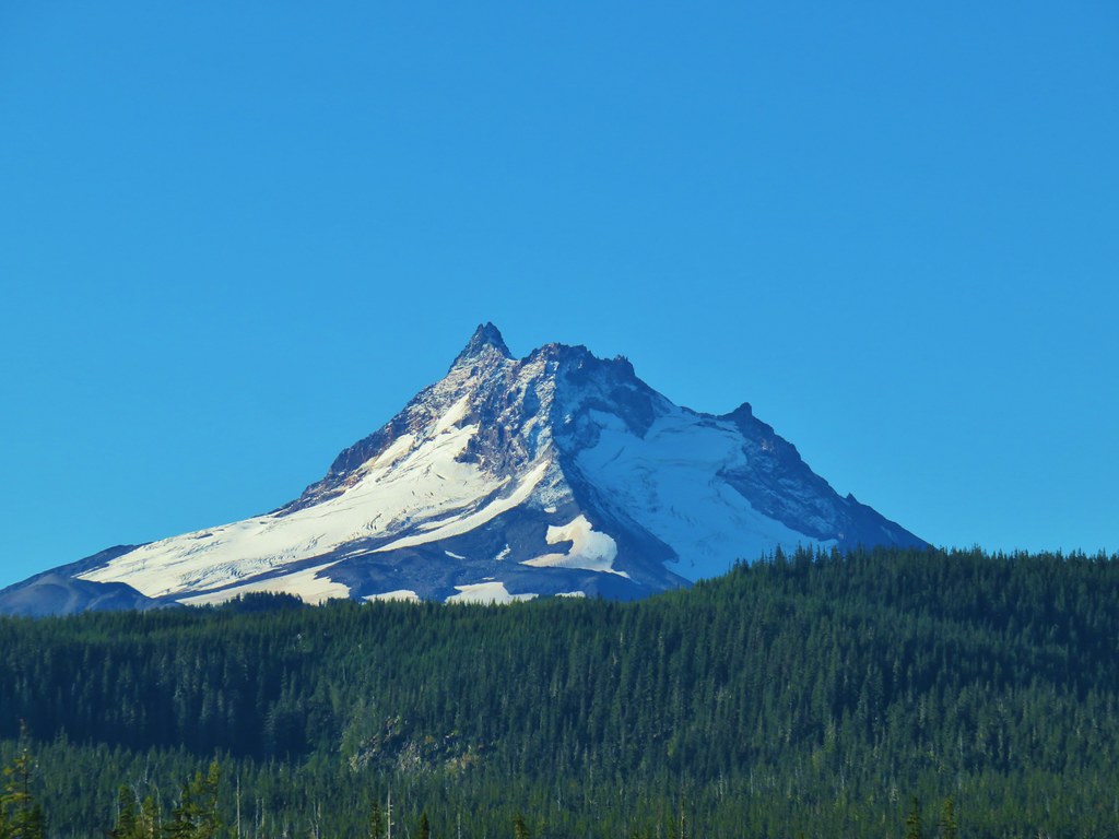
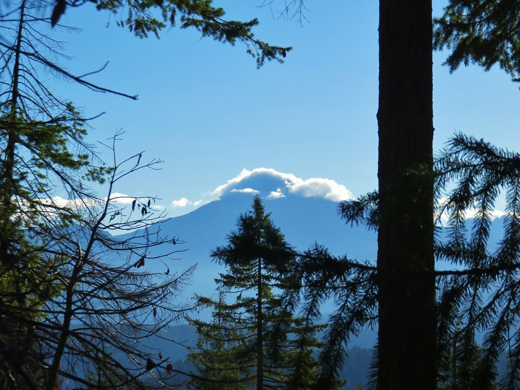
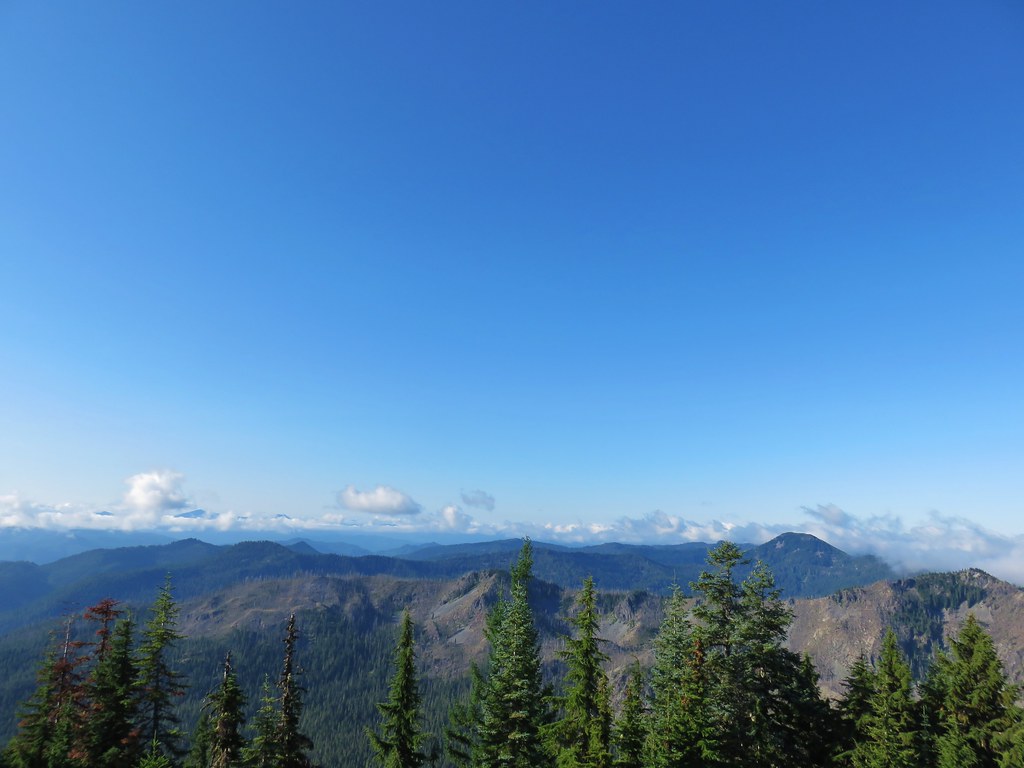
At the north summit the view north was spectacular stretching all the way to Mt. Jefferson.

 Rigdon Butte (post) along Waldo Lake
 Mt. Jefferson (with Three Fingered Jack in front), Mt. Washington, and The Husband
 The Three Sisters
 Broken Top
 Mt. Bachelor
The Sun was still to the east making that view a little bright and there seemed to be some smoke over the LaPine area but Newberry Crater and Paulina Peak were visible above the smoke with a low water Wickiup Reservoir in the foreground.

To the SE Davis Lake was visible in front of Davis Mountain and Hammer Butte
To the south the taller southern summit blocked some of the view.

As we started down the trail a saddle between the two summits we spotted a marmot.
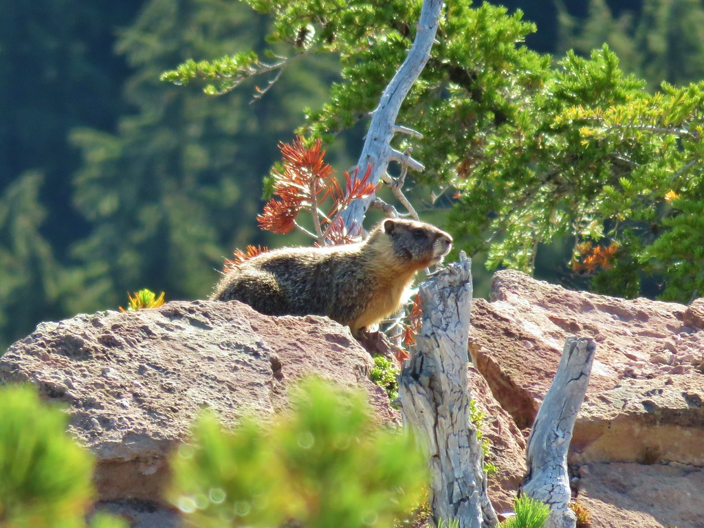
 The marmot on a rock ledge with Crane Prairie Reservoir in the background.

The saddle was forested complete with green grass.


The trail forked on the far side of the saddle where a faint path traversed the hillside below the south summit.
The other fork headed 200′ up to second summit.

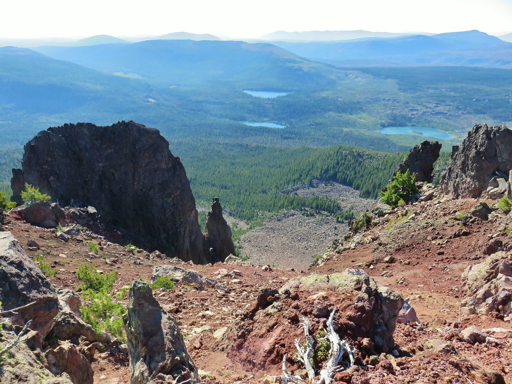
The view north was still great from this summit and Waldo Lake was still visible by looking west across the cinder cones crater.


Here though the view to the south was back.
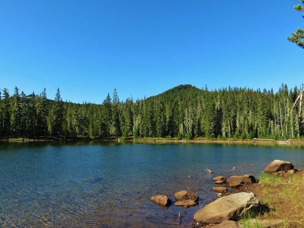
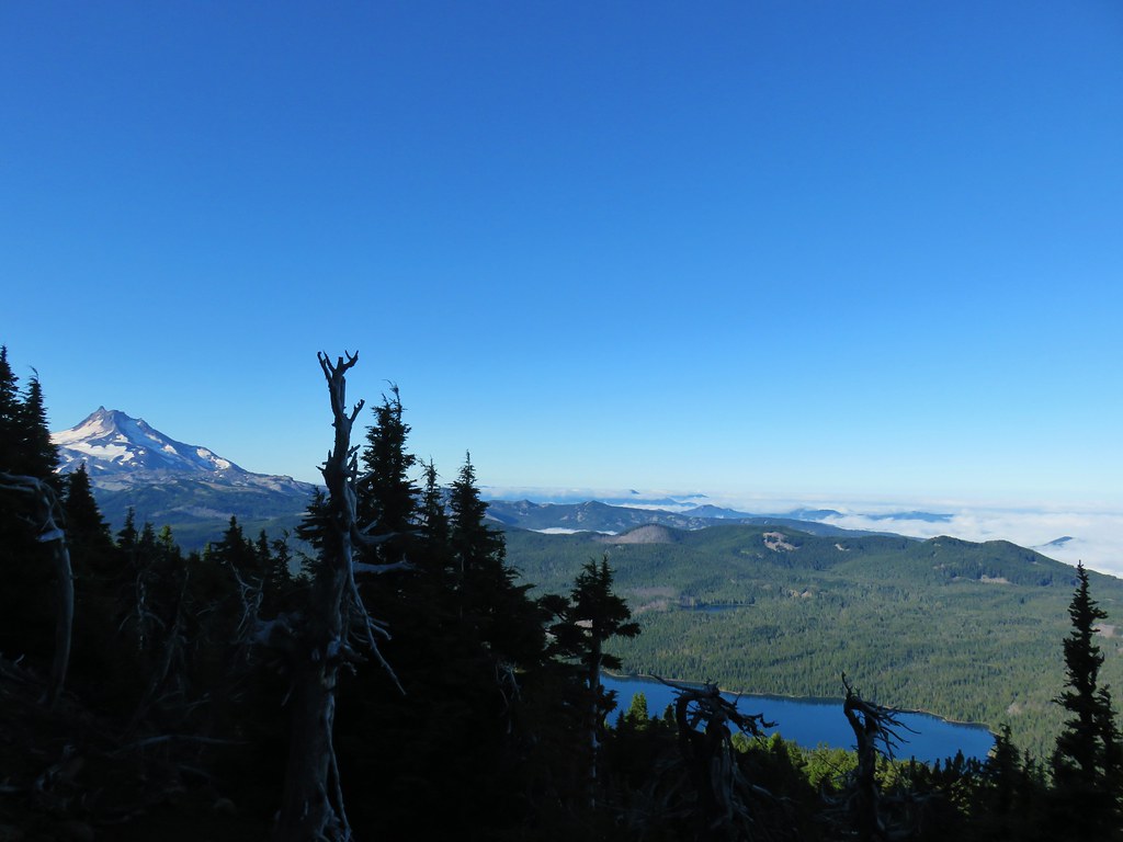
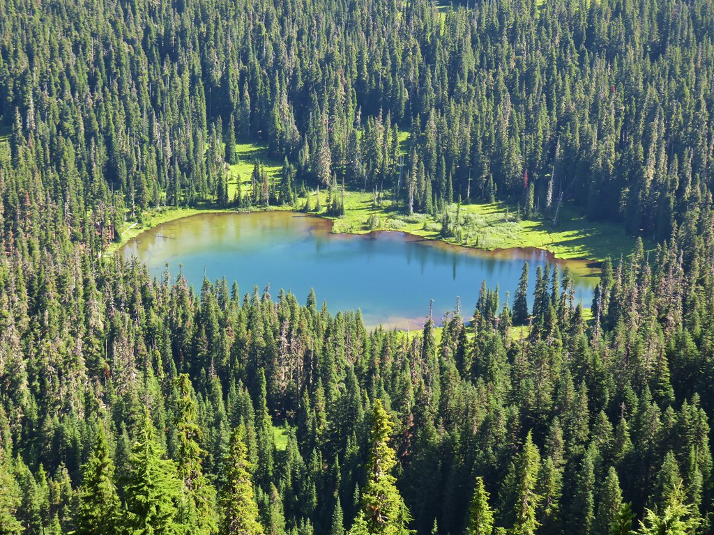
 That’s Bobby Lake below Maiden Peak.
 Mt. Yoran near Diamond Peak
 Gold Lake
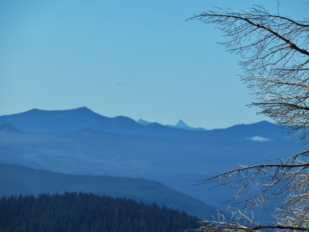
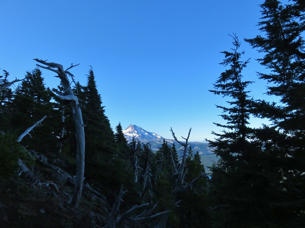
 Fuji Mountain (post)
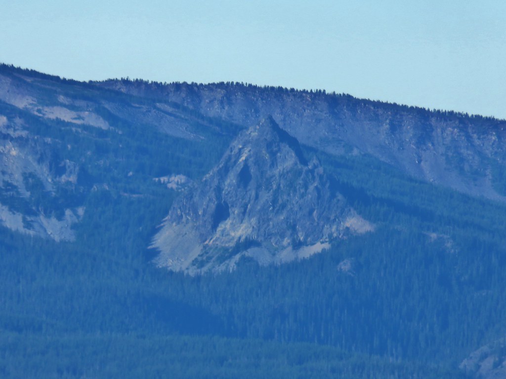
Llao Rock was visible over the right shoulder of Mt. Thielsen from this angle.
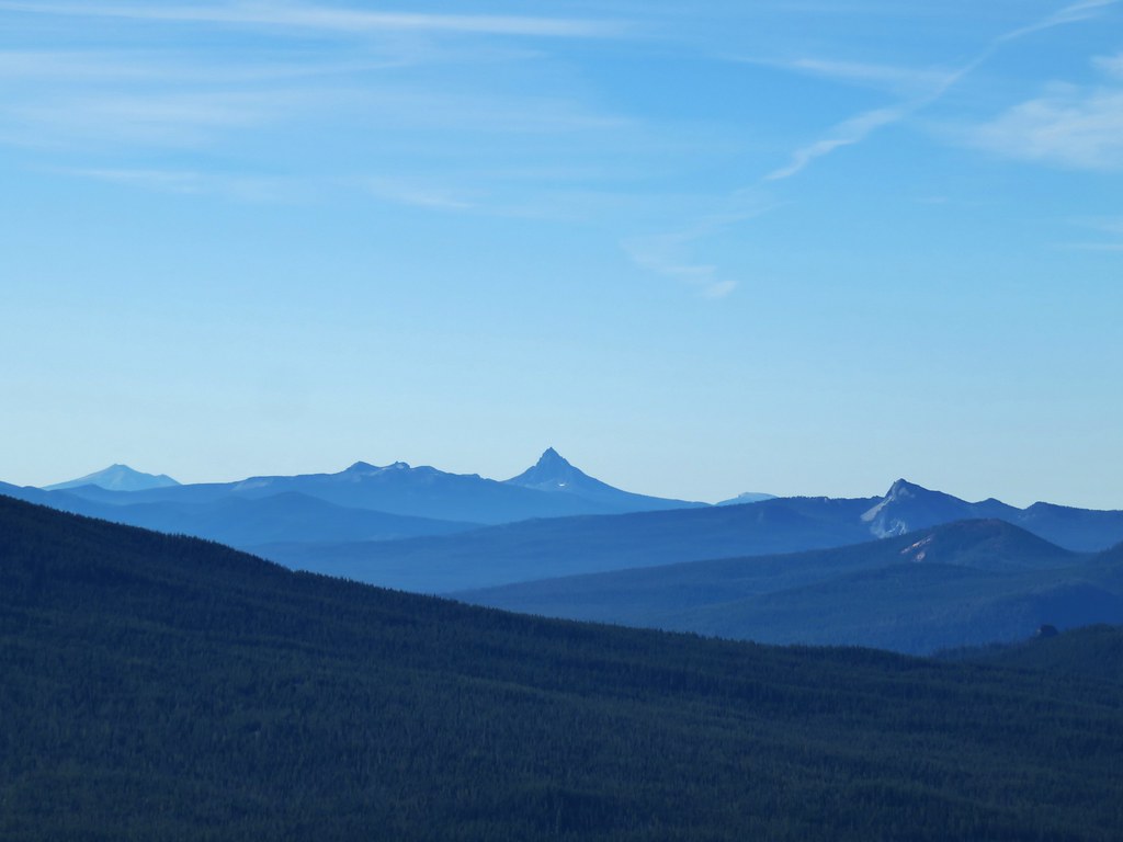 The closest rocky peak to the right of the photo is Cowhorn Mountain (post)
We had planned on going back down the way we’d come up and taking the trail around the summit, but from the summit we noticed another user path heading down the back side and meeting up with the loop trail at another saddle.
It didn’t look too steep so we decided to try it out. As we started down we quickly realized that it was quite a bitter steeper than it had seemed but we were able to get down without too much trouble. Lower on the hillside we came across a number of elk tracks.


We turned right onto the trail when we reached the saddle where there was a bit of a view of the Three Sisters and Broken Top.

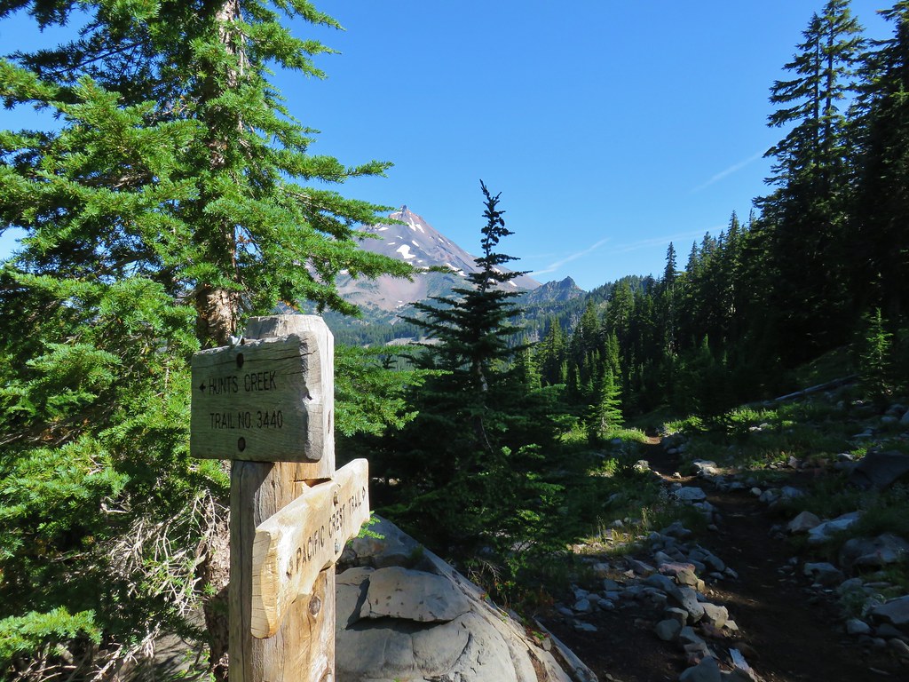
We completed the 2 mile loop and arrived back at The Twins Trail at the Charlton Lake sign and turned left to head back down to the PCT where we turned left again following the point for Bobby Lake.

We followed the PCT south for 2.5 miles, losing a little elevation along the way and passing a pair of small lakes/ponds just before arriving at a 4-way junction.
 Tiny PCT frog.

 One of the unnamed lakes.
 Trail sign at the 4-way junction.
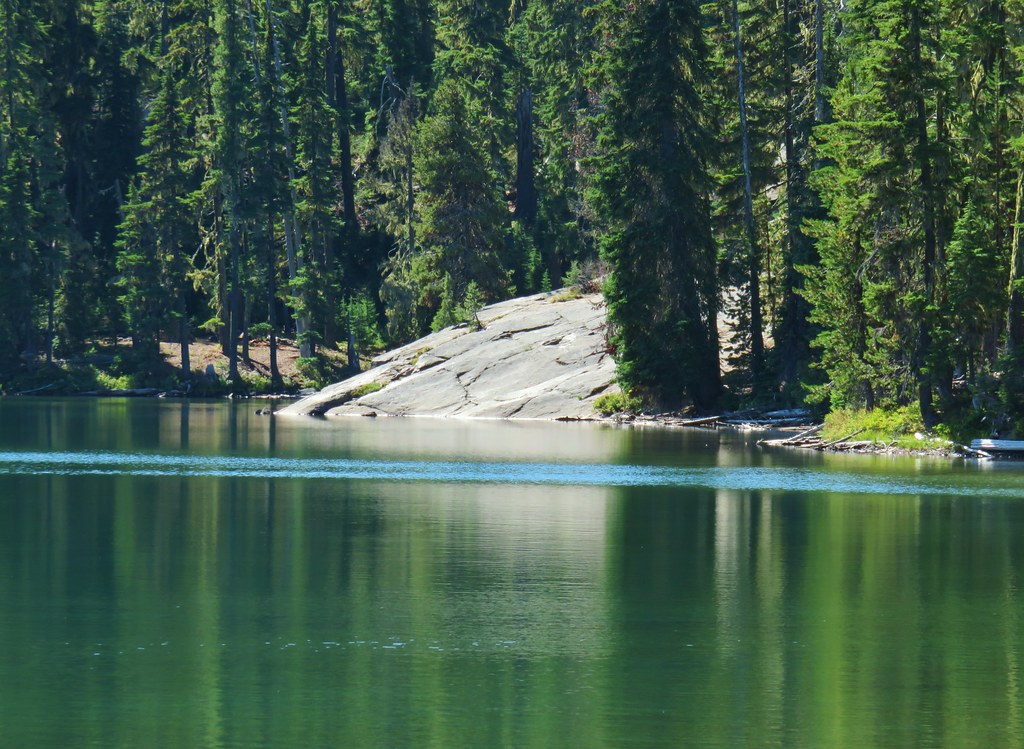
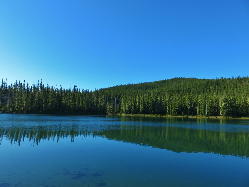
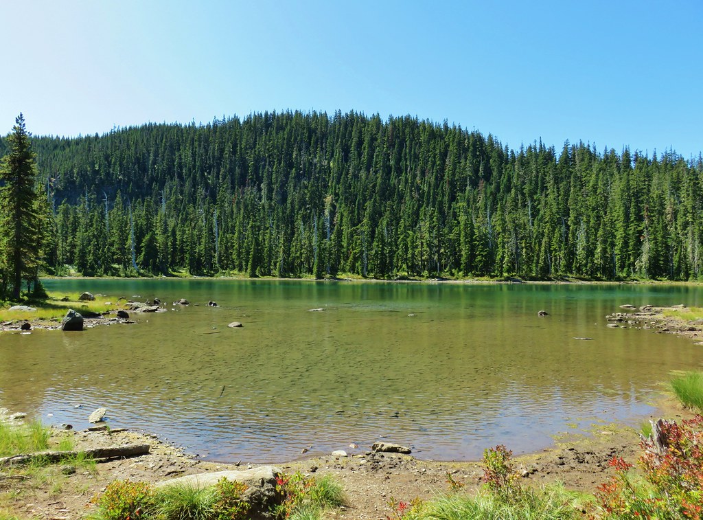
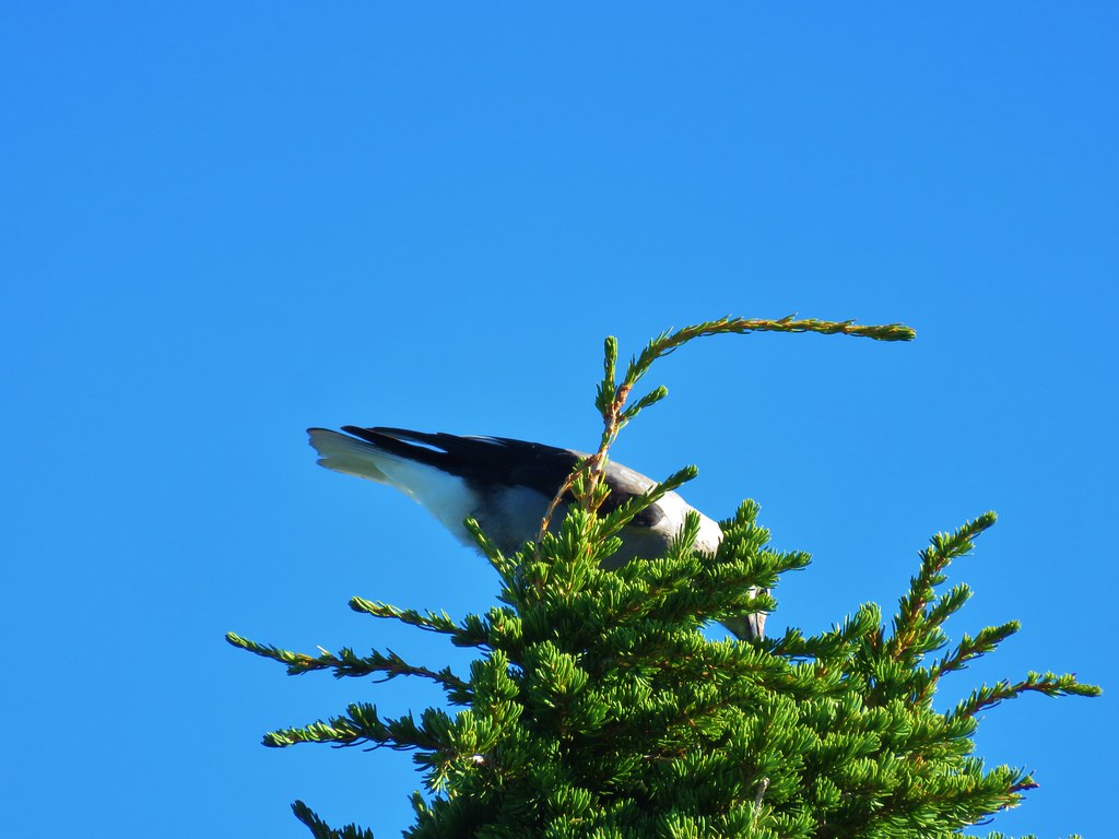
We turned left and dropped down to Bobby Lake which we reached in just over a quarter mile, but not before being looked over by some grey jays.

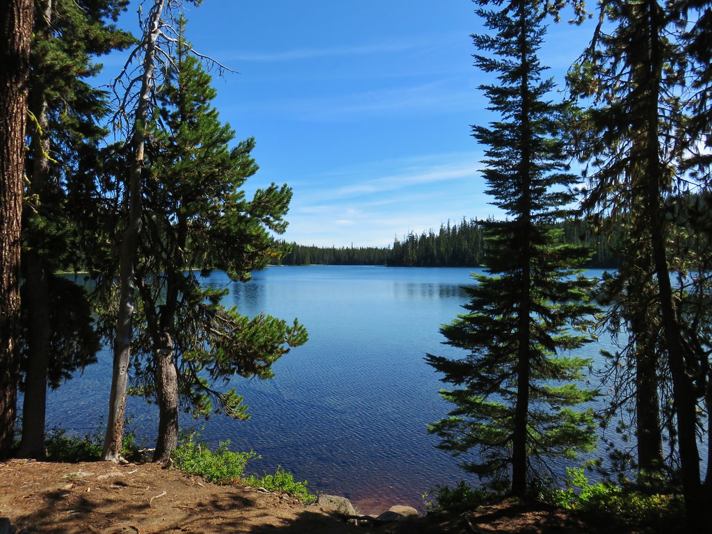
A short distance along the lake shore to the right was a large rock feature.
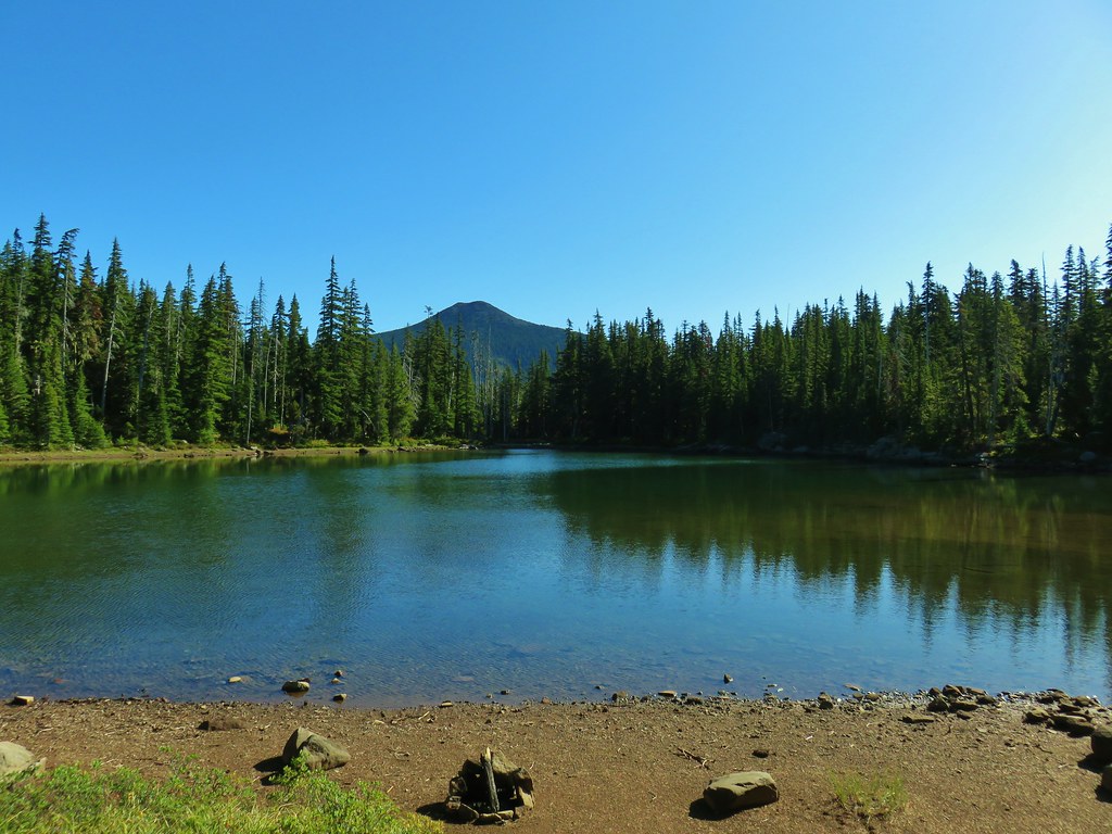
 Maiden Peak above the lake.
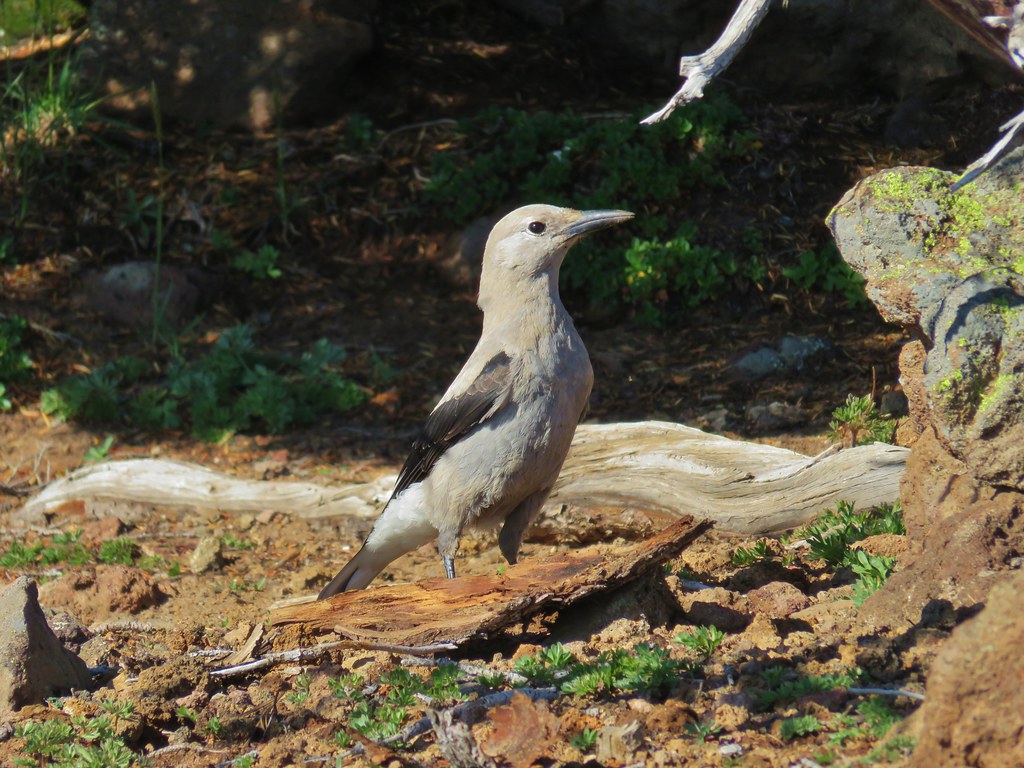
We made our way over to the rocks and took a nice break where we had some company.

 The Twins
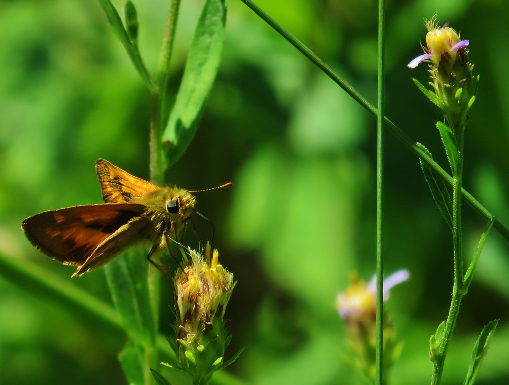
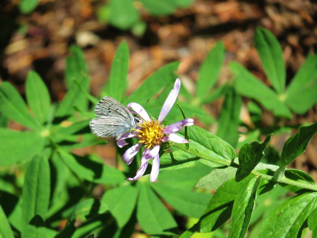
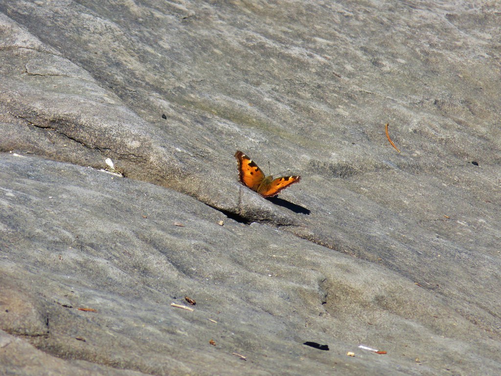 One of several butterflies.


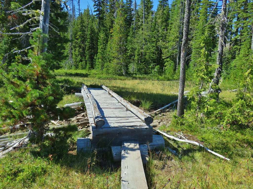
After the break we returned to the PCT junction and continued straight on the Bobby Lake Trail toward Waldo Lake Road.

Of particular interest to us was a post located about 100 feet from the junction marking the end of the Eugene to Crest Trail. We had done some of that route earlier in the year during our Bunchgrass Ridge hike (post)

We followed the Bobby Lake Trail for a little over one and three quarters of a mile before turning right at a point for The Twins Trail.

 Nordic trail sign high on the tree.
A fairly level but not at all straight mile walk back to The Twins Trail followed as did a chance encounter with a toad.


We didn’t see too many people during the hike but we found the trailhead parking area full, counting at least 10 cars plus ours (we had been the only car when we started). The hike came in at 12.1 miles and gained upwards of 2100′ of elevation gain making it a good workout but well worth the effort. Happy Trails!
Flickr: The Twins and Bobby Lake


 The osprey flying over the water (All my zoomed in tries were super blurry.)
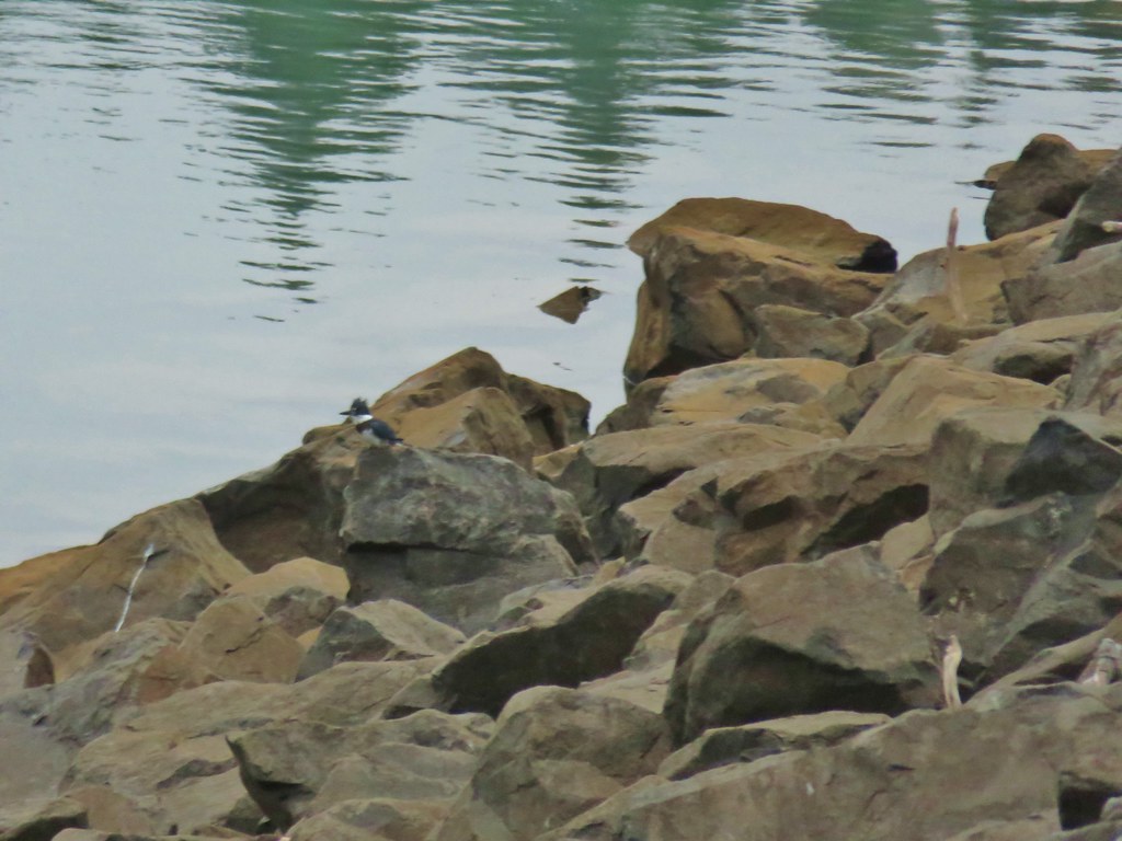 The kingfisher (also fairly blurry)
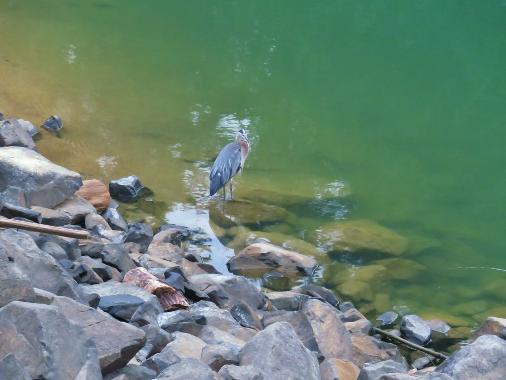 The heron
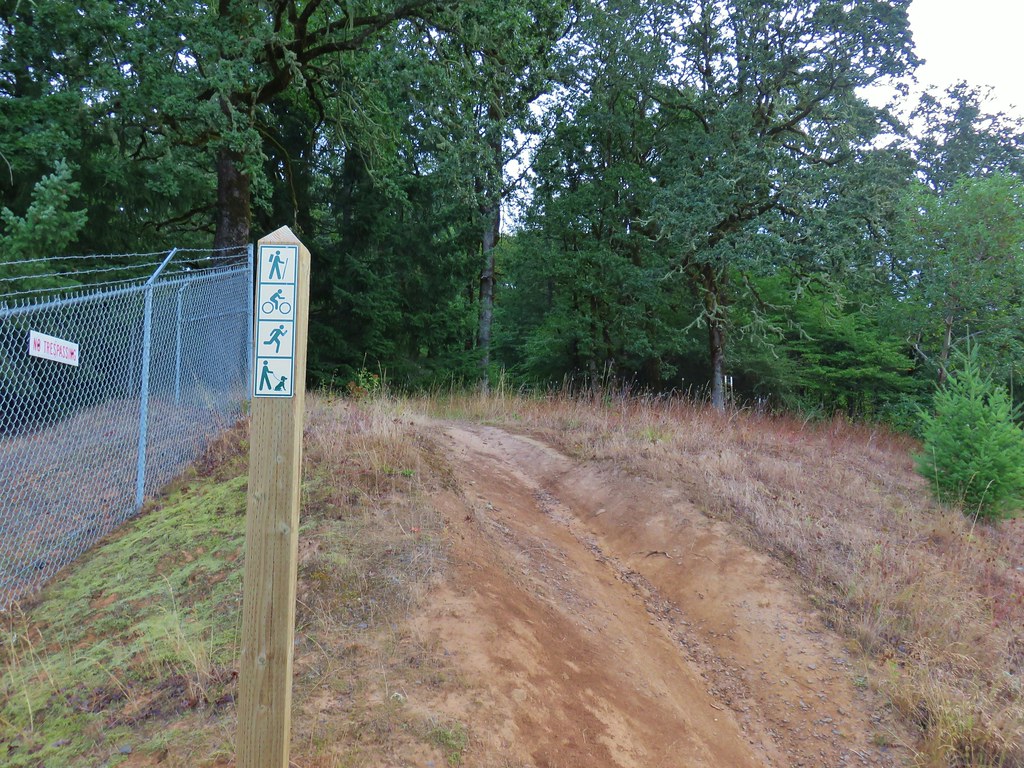


 One of the side trails heading down to the left to the lake.


 Scrub jay


 Spider in the forest.
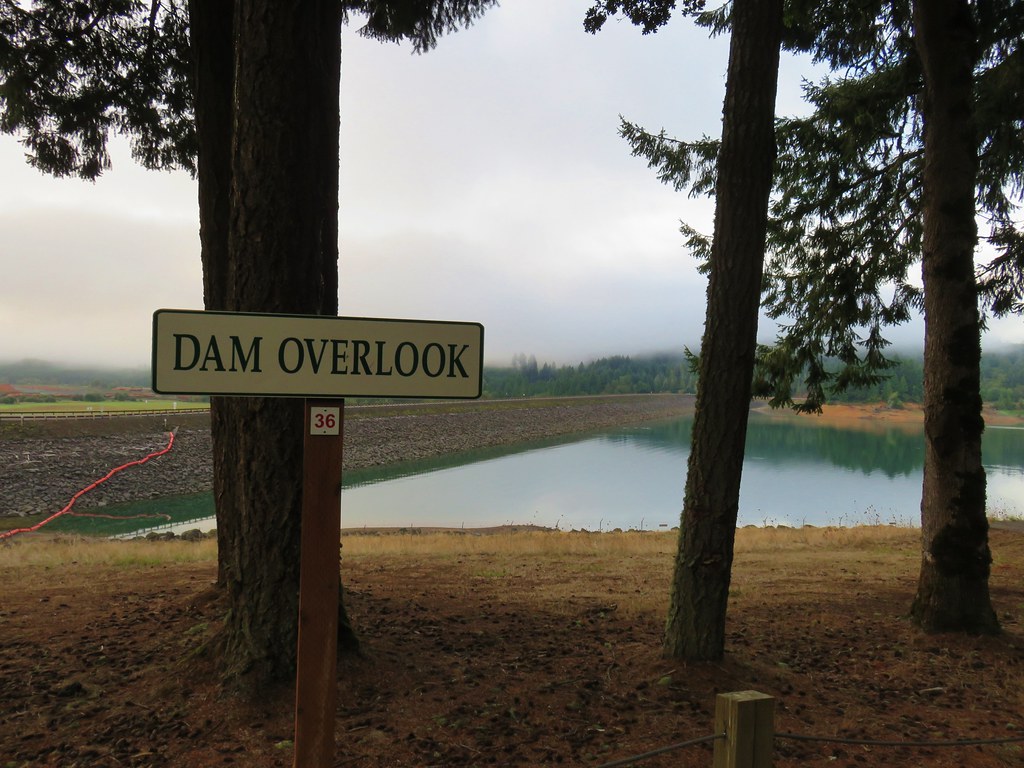
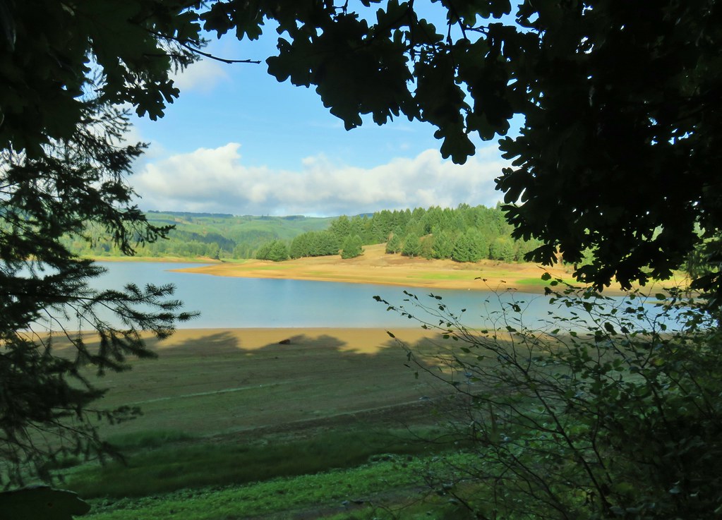 Starting around the Tanner Creek arm.
 An egret and a heron.
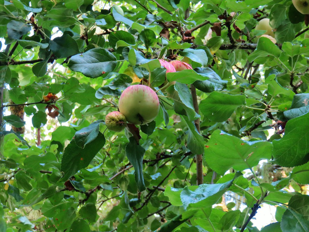 Apples

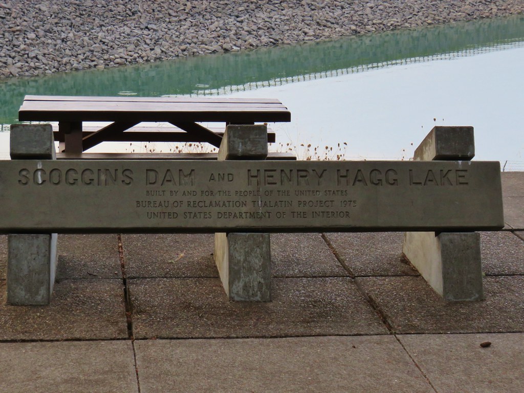
 Deer across Scoggins Valley Road


 Canada geese


 Herons and geese at Wall Creek.
 Road walk over Scoggins Creek.
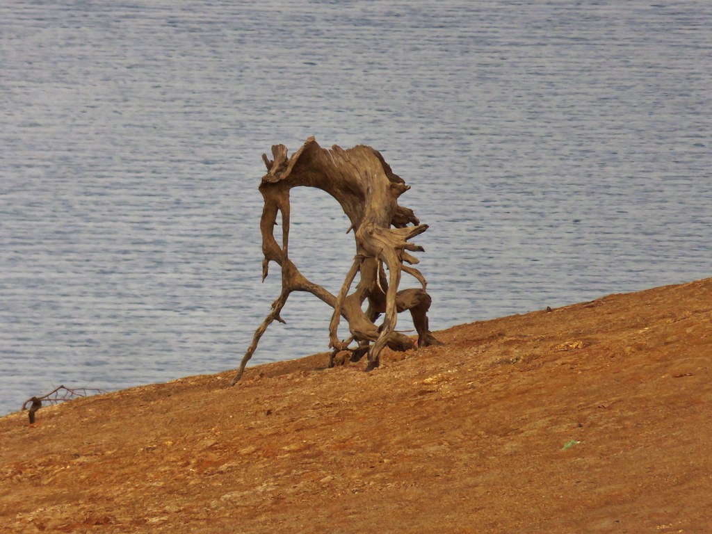
 Scoggins Creek
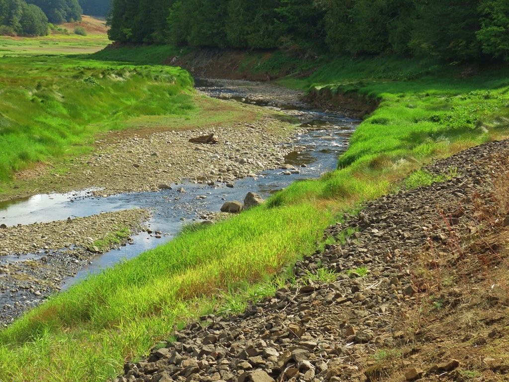 Scoggins Creek

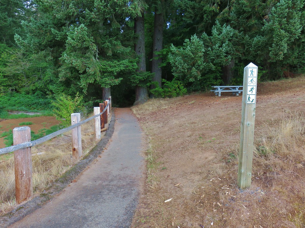
 Coming up to the fishing pier and Recreation Area C.
 Pacific University building.
 Sain Creek Recreation Area
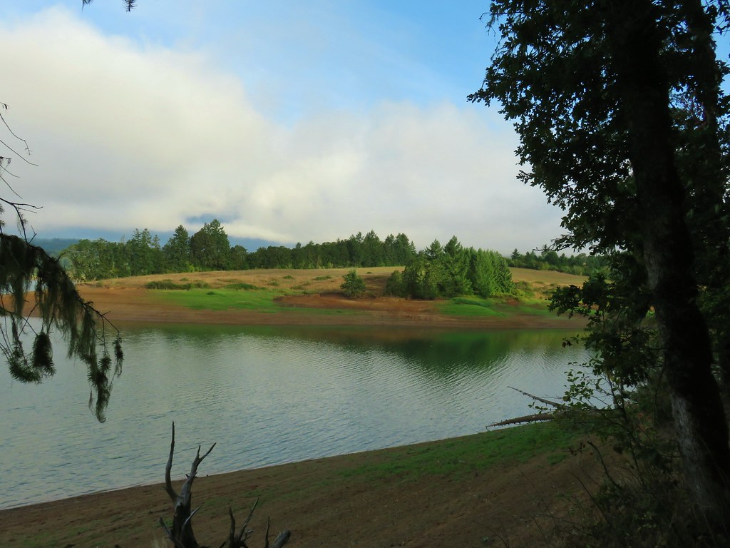
 Sain Creek
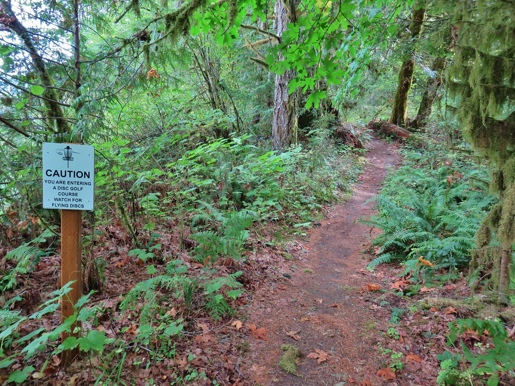
 One of the disc golf holes.
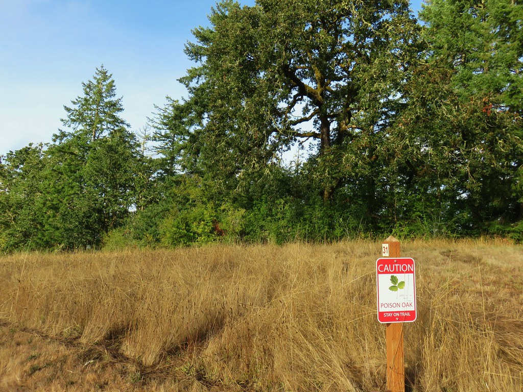
 Poison oak


 Geese and seagulls on an island.
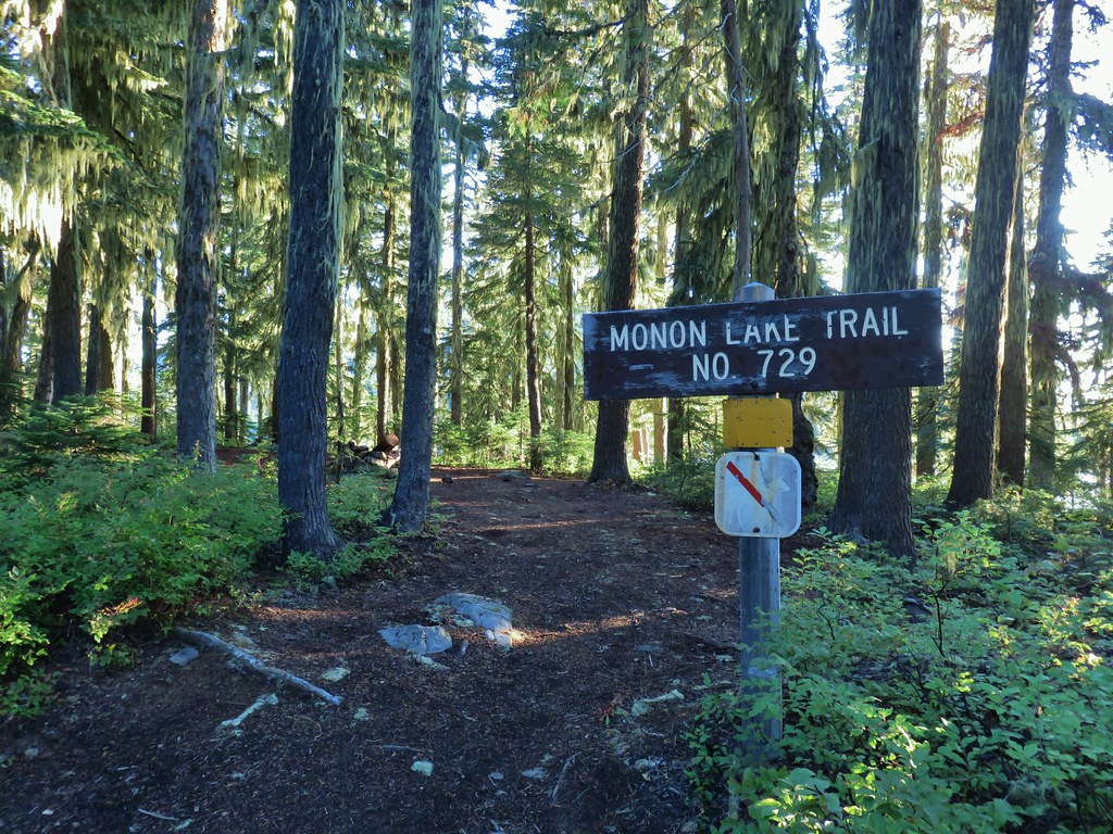
 Fading gentians
 A few gentians still holding their blue color.
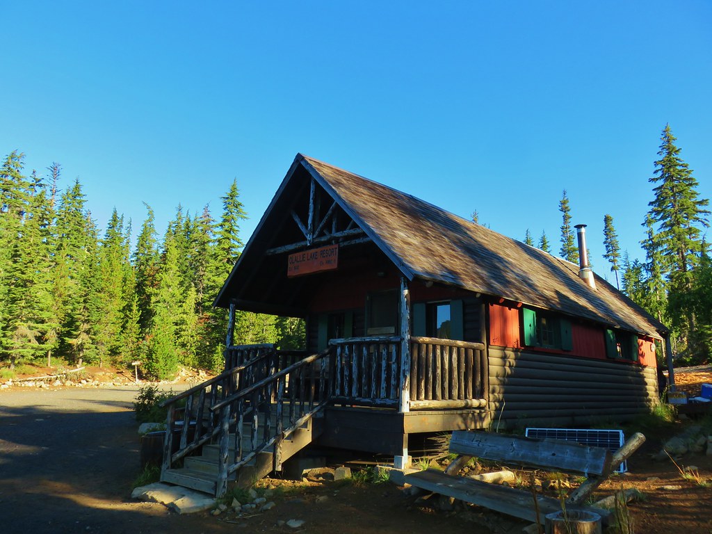
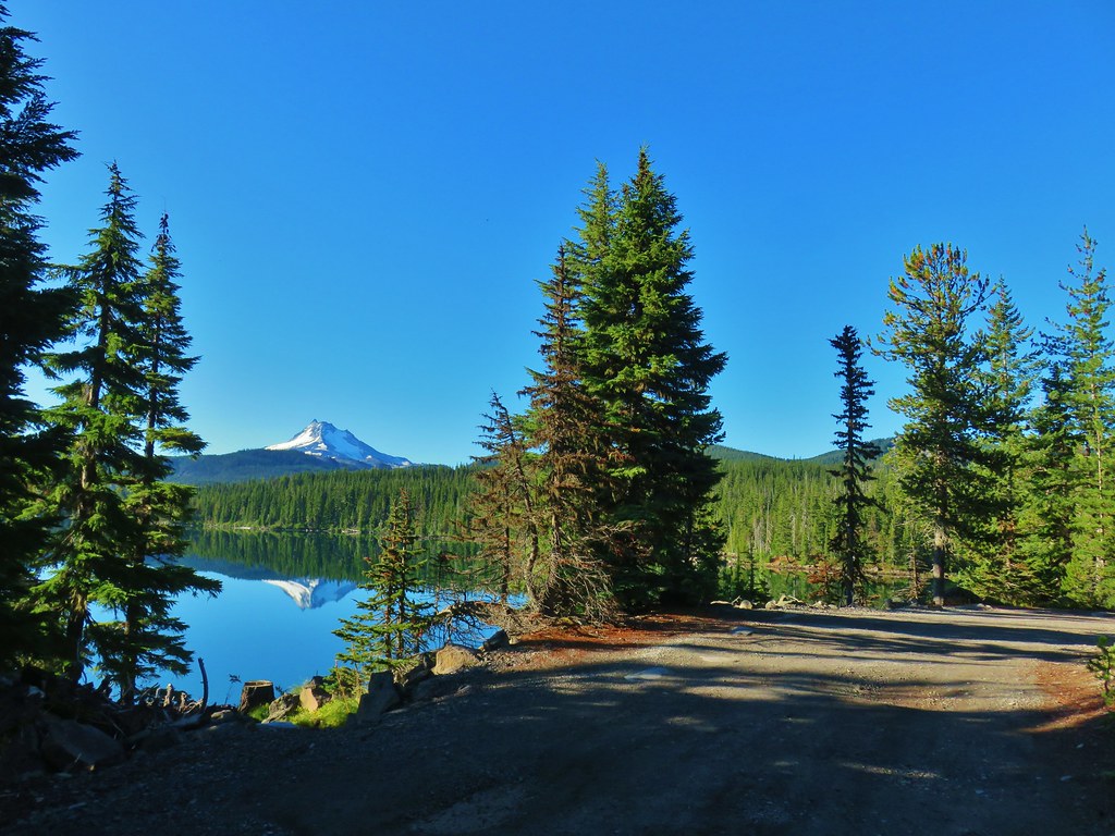
 Olallie Butte and the unnamed lake.
 The tip of Mt. Jefferson sticking up above the high point on the ridge.
 Dusting of new snow on Mt. Jefferson
 Duck on the lake.
 A little more of Mt. Jefferson showing.
 View from atop the rocks.
 The small rock cairn coming from the opposite direction on the Monon Lake Trail later in the day.


 Mergansers


 Rock cairn along the PCT marking the connector trail.
 PCT lookout.
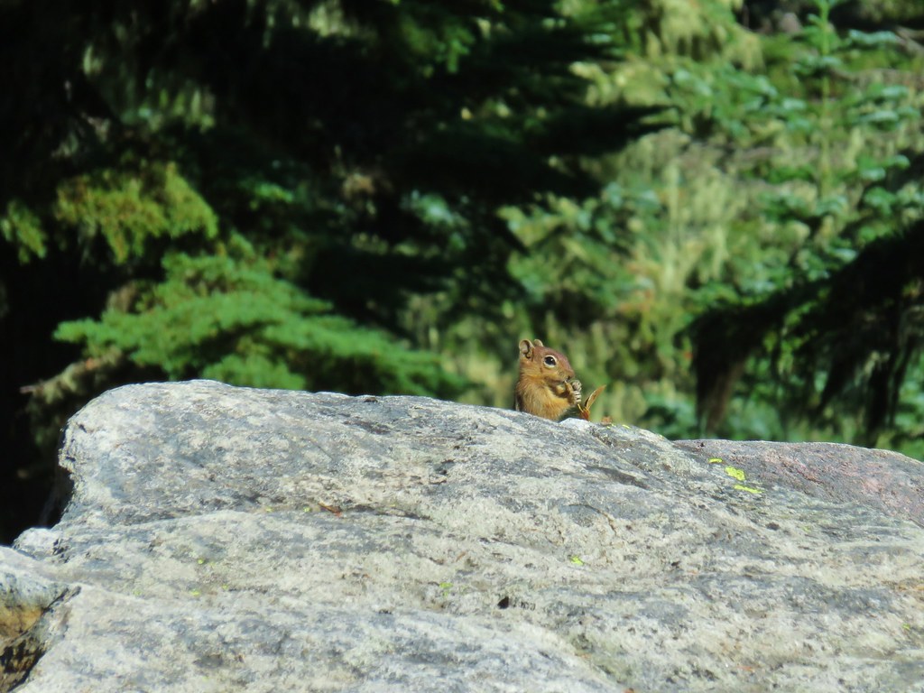
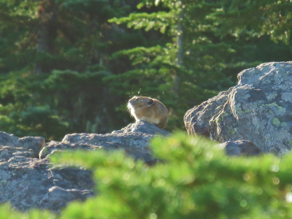
 Golden-mantled ground squirrels at Cigar Lake.
 Double Peaks from Upper Lake

 Company at the viewpoint.
 Approximate location when we heard the “elk” bugle.


 Flat topped Battle Ax Mountain to the left to the fire scarred summit of Schreiner Peak to the right.
 Battle Ax (
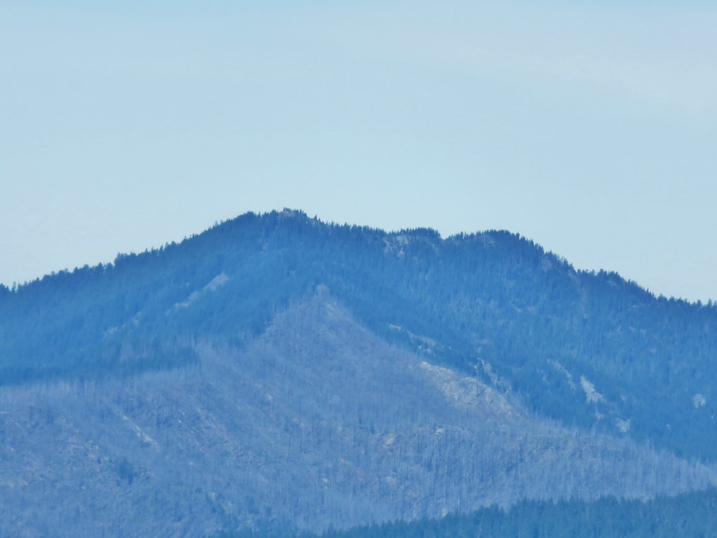 Bull of the Woods (


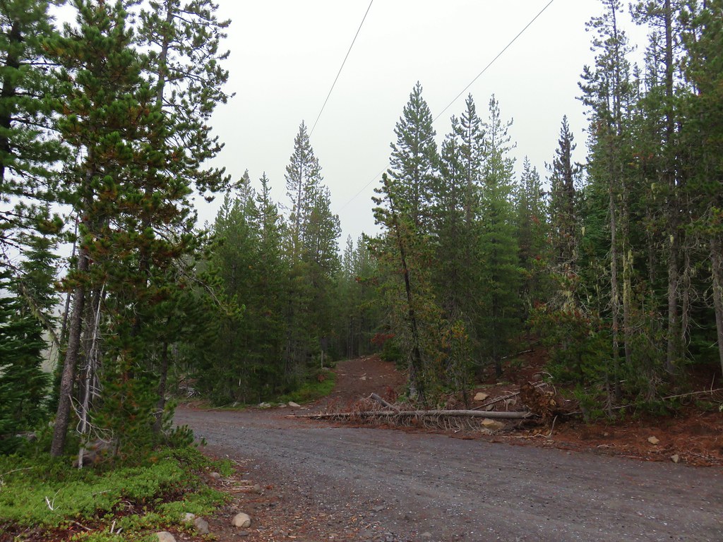
 The gravel road from the junction.


 Coming up on the viewpoint.
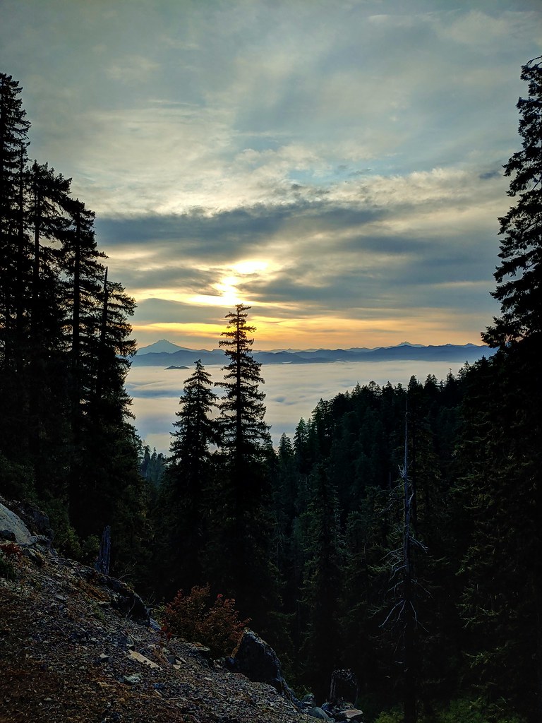
 Mt. Jefferson
 Three Fingered Jack
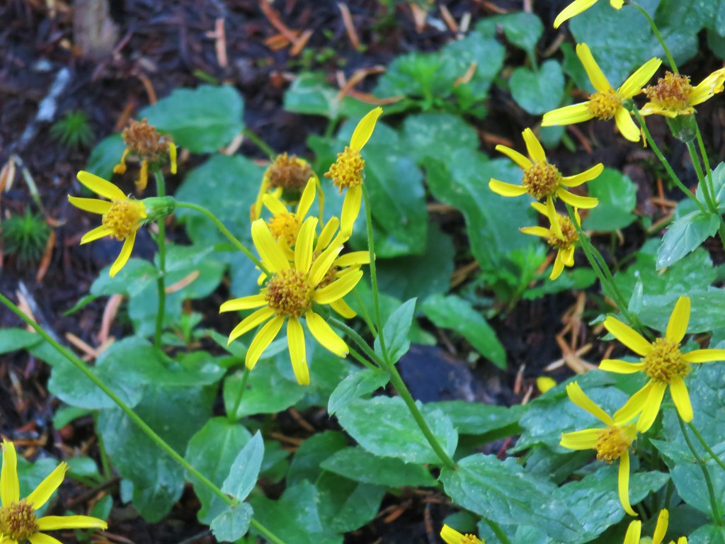
 Maybe a ragwort?
 Yarrow
 St. John’s wort
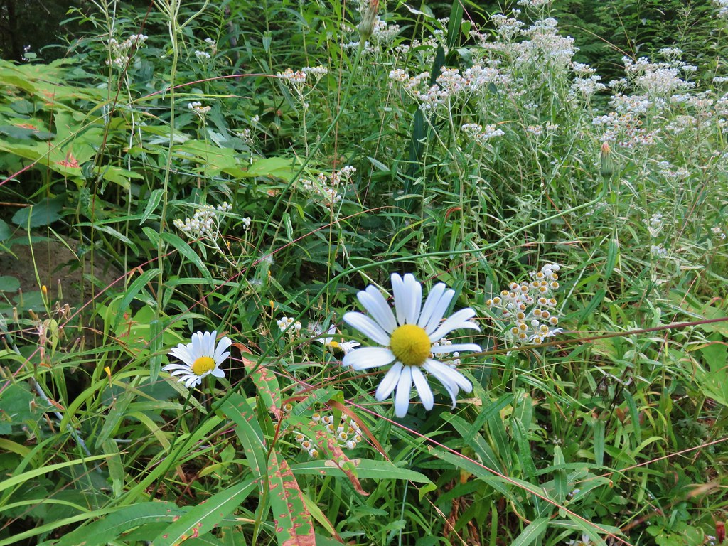 Daisy and pearly everlasting
 Beardstongue
 Fireweed
 Not a flower but colorful maple leaves.
 A common sight on the trail.
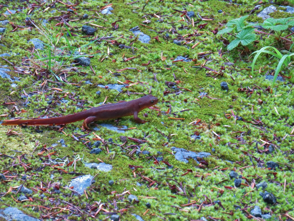 Rough skinned newt


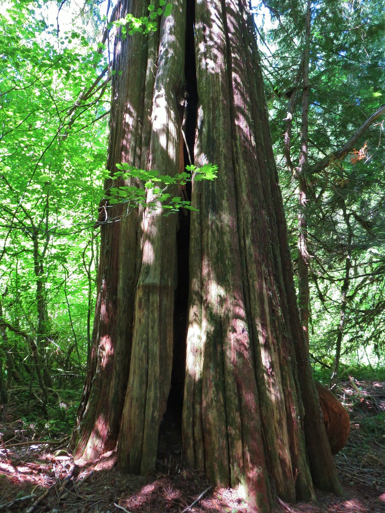
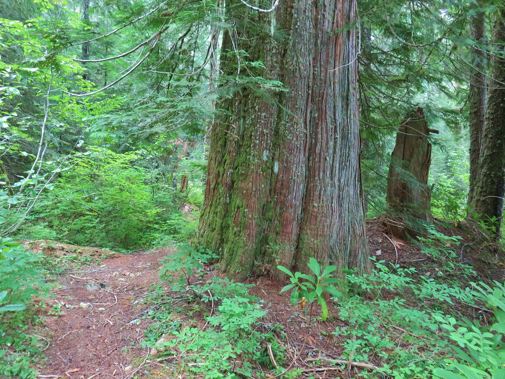 Old growth cedar
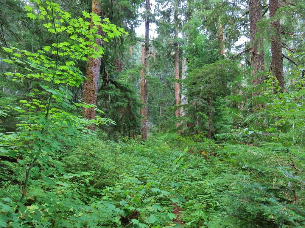


 The cedar trunk through some branches.

 Fritillary butterfly
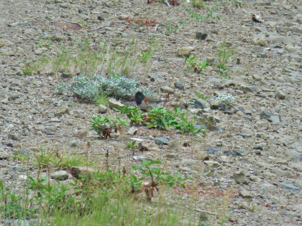 Dark eyed junco
 Bumble bee
 Back at the viewpoint.


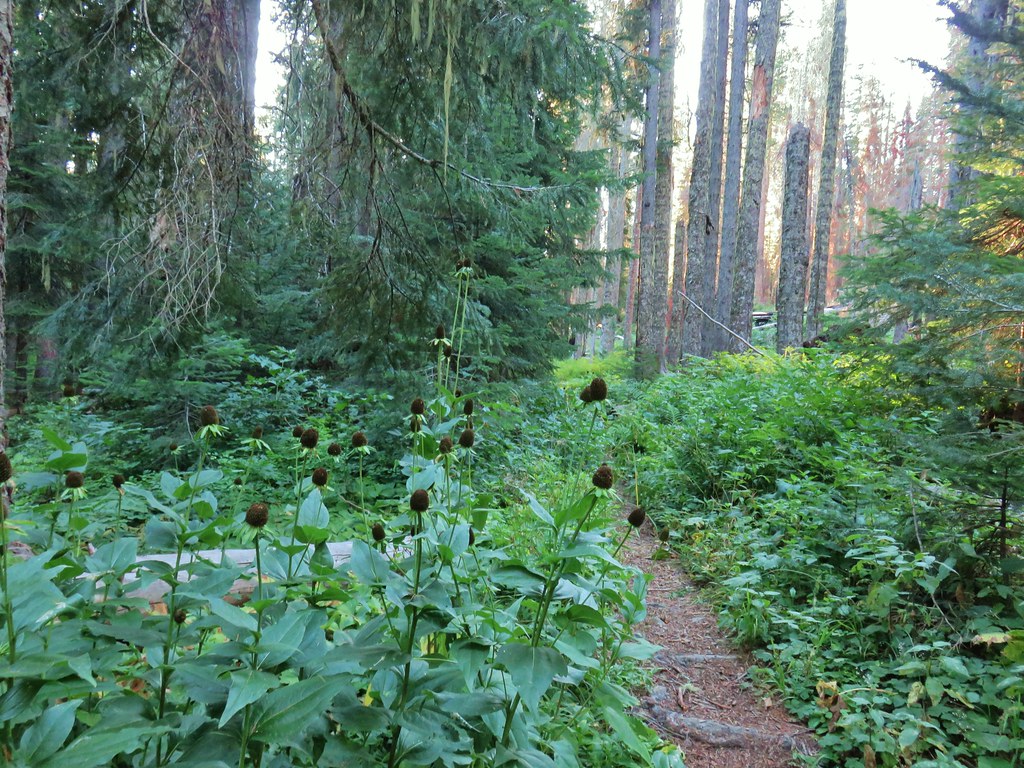
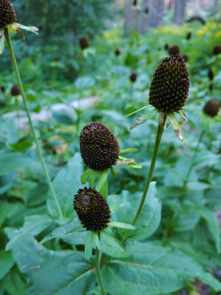 Cone flower
 Cross country to Wolverine Lake.


 Baneberry
 Monkshood
 South Sister
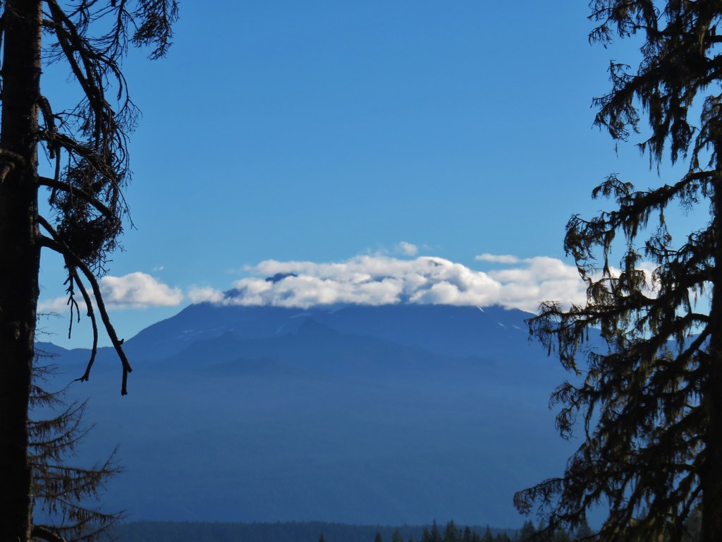 Middle and North Sister
 Mt. Washington
 Mt. Jefferson and Three Fingered Jack


 Aster and pearly everlasting
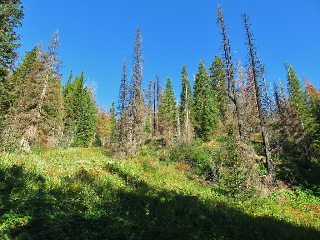
 Columbine


 Parts of the Cascades from Mt. Jefferson to the NE to Mt. Bachelor to the SE.
 Mt. Jefferson was still tangled up in the clouds.
 Just a peak at Mt. Washington (which was more than we could see of Three Fingered Jack)
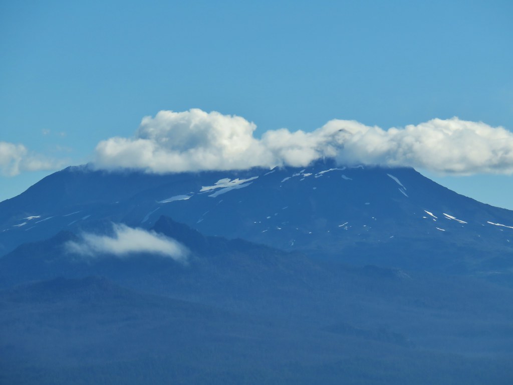 Middle and North Sister behind The Husband
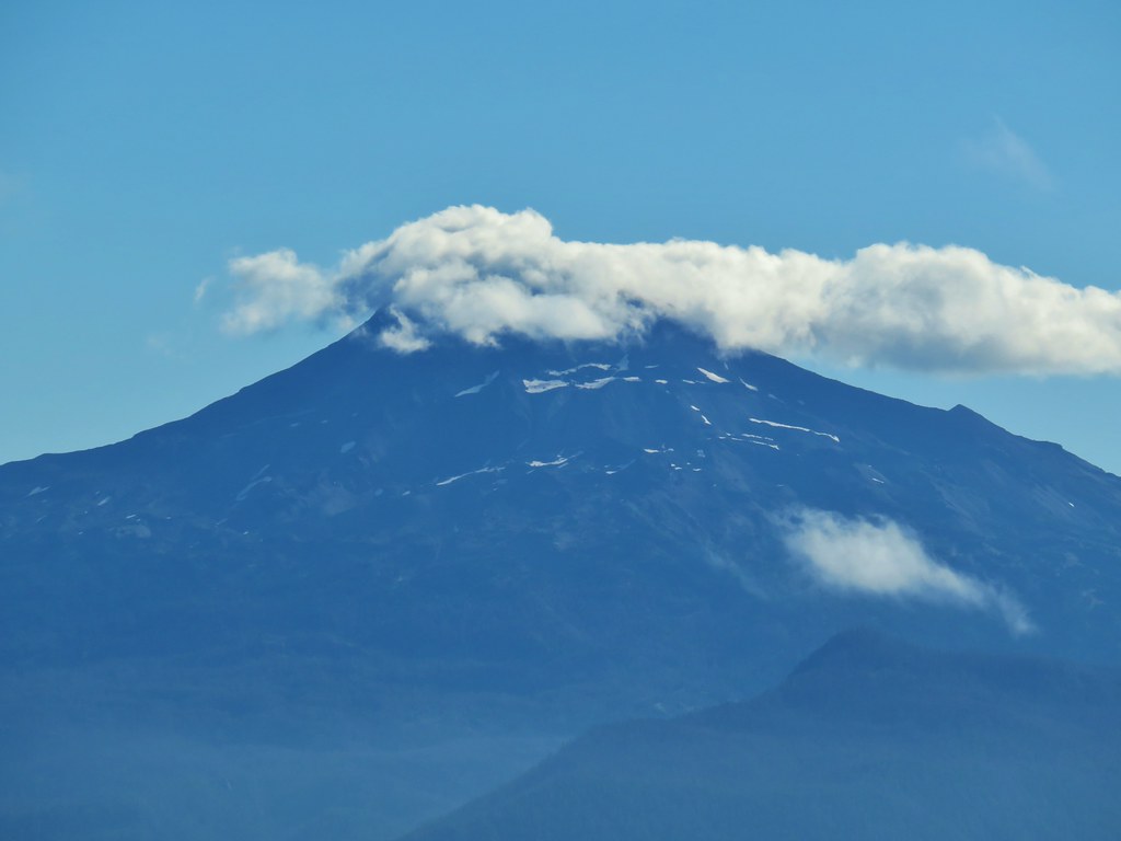 South Sister
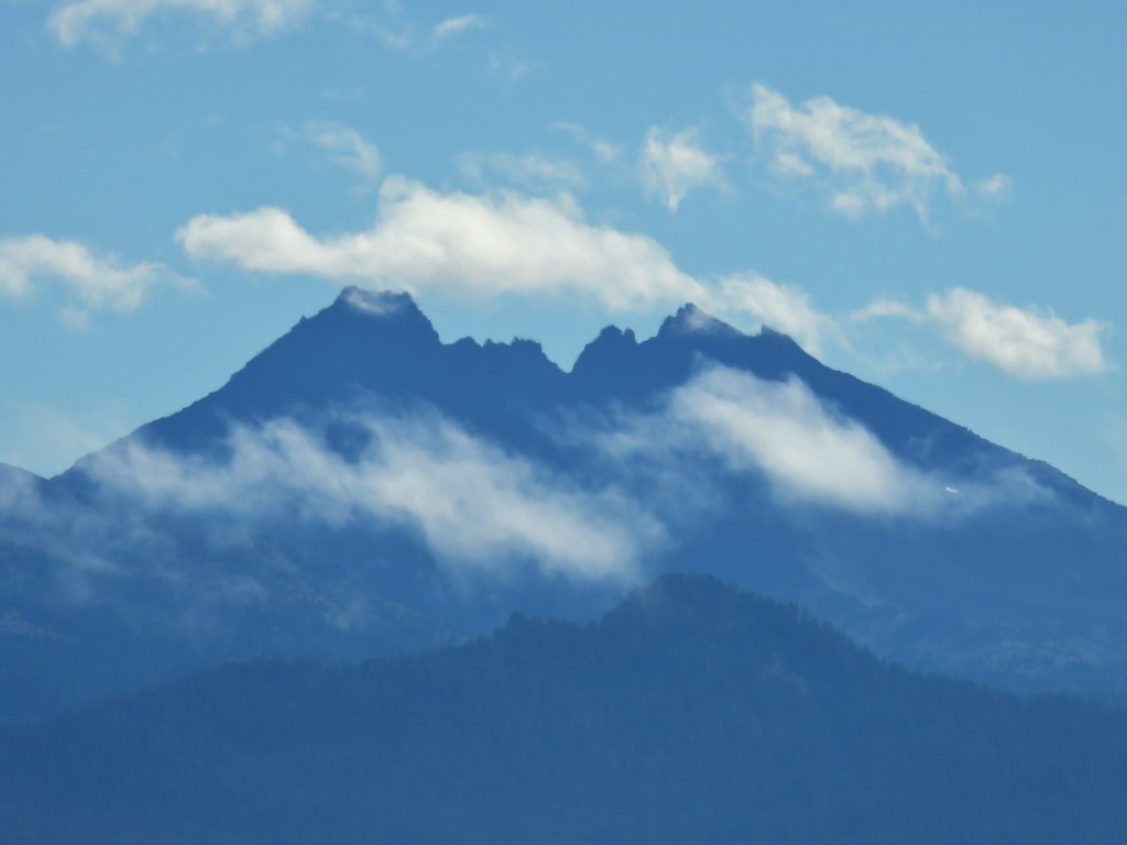 Broken Top
 Cowhorn Mountain and Mt. Thielsen
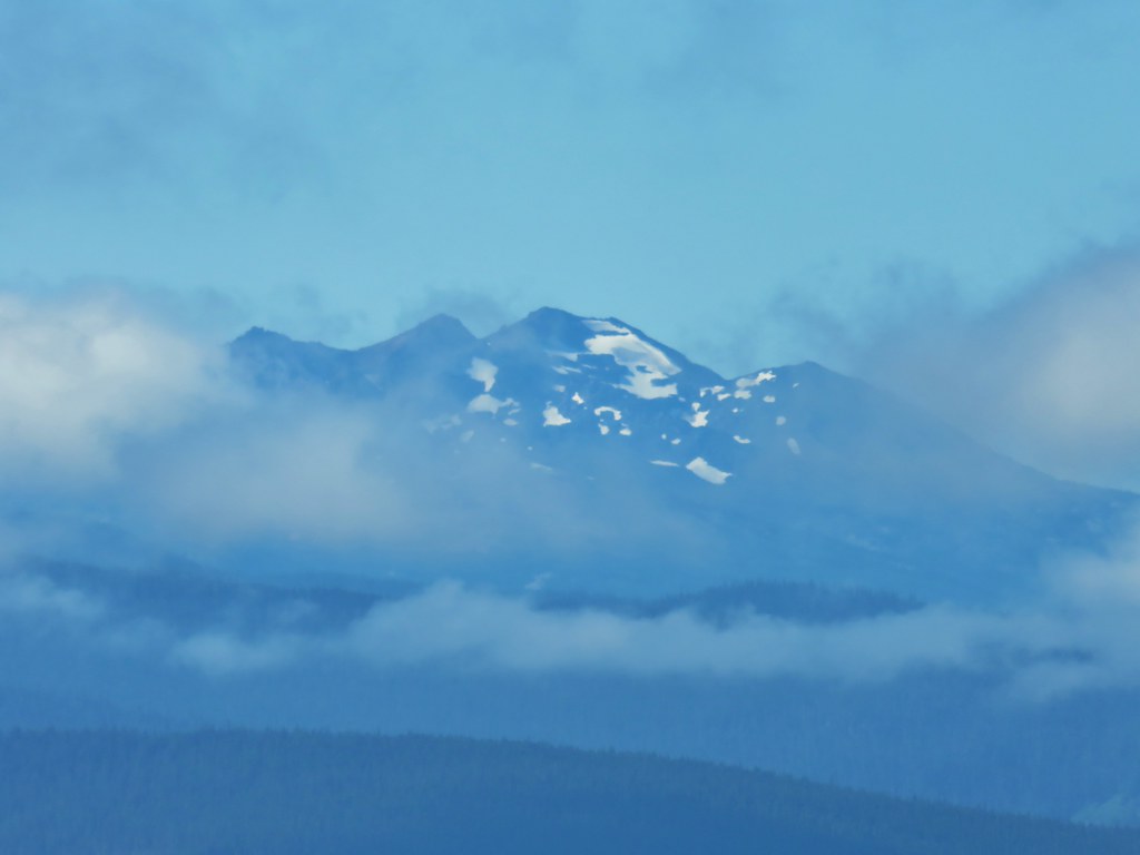 Diamond Peak
 Lowder Mountain to the left of the tree in the foreground.
 Lowder Mountain
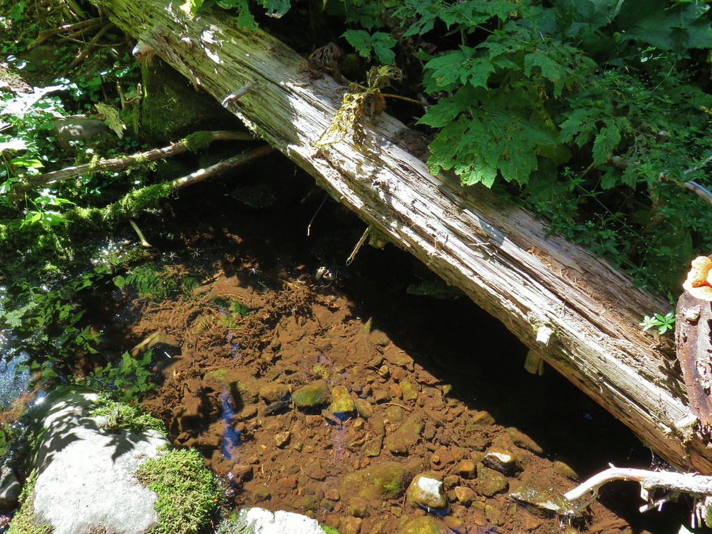


 Skipper
 This reminded us of a torture device.
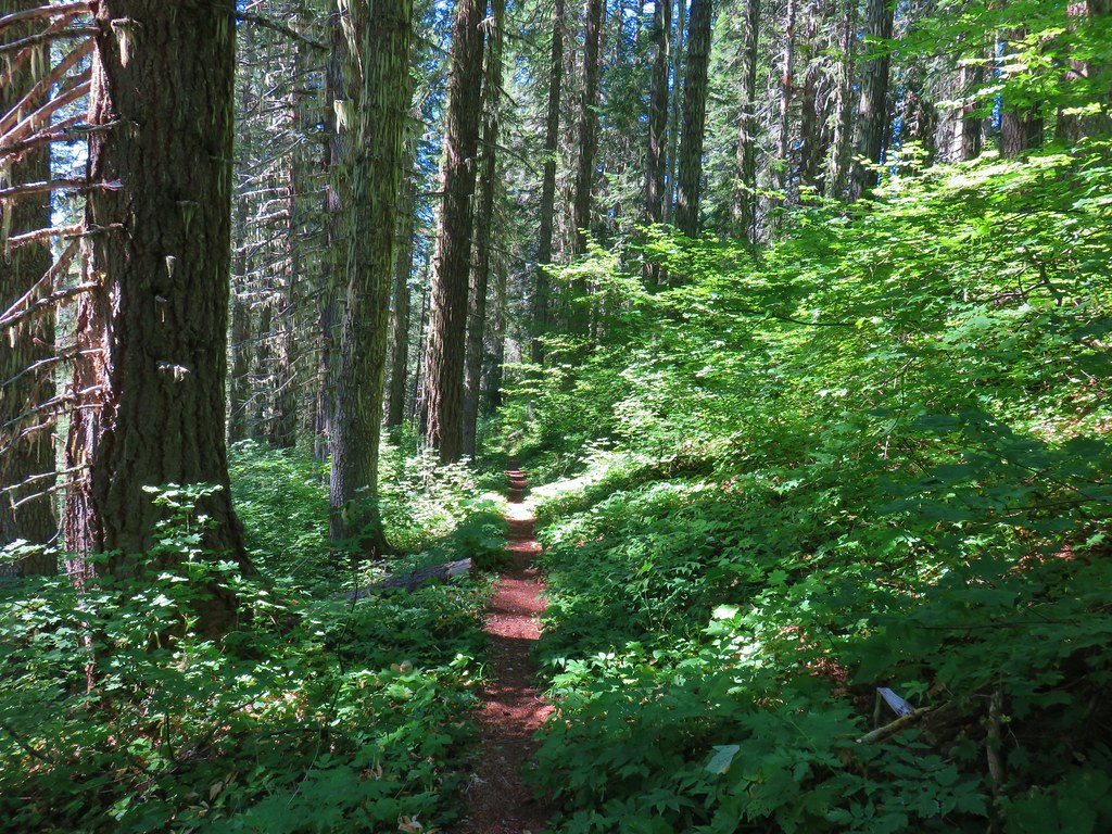

 This meadow had a lot of buckwheat.
 Olallie Mountain again.
 The lookout tower on Olallie Mountain
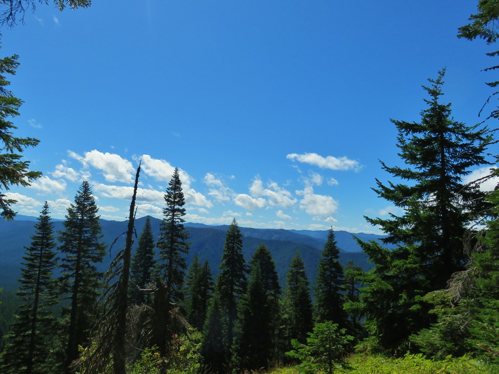 Diamond Peak had shed its cloud cover momentarily.
 Diamond Peak
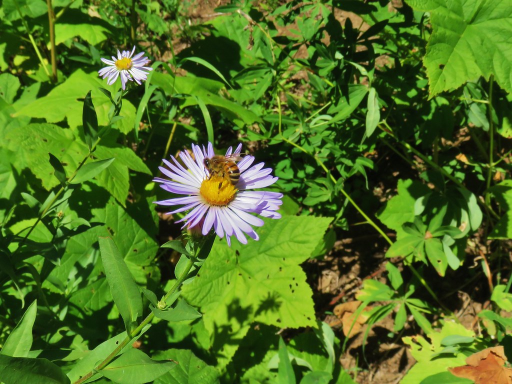 Pollinators got to pollinate.


 The trail heading up through some thimbleberry.
 Butterfly
 Another skipper
 This guy was the size of my pinky.
 A few scarlet gilia still in bloom.
 Pearly everlasting at the edge of the large meadow.


 Karl & Ruth Lakes
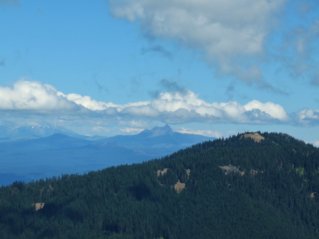 Mt. Jefferson and Three Fingered Jack with Horsepasture Mountain (
 Mt. Washington
 North and Middle Sister
 South Sister and Broken Top

 Mt. Bachelor
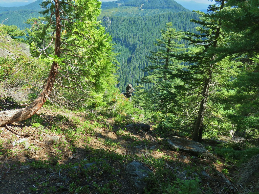

 Butterfly with a small crab spider on the next flower head to the right.


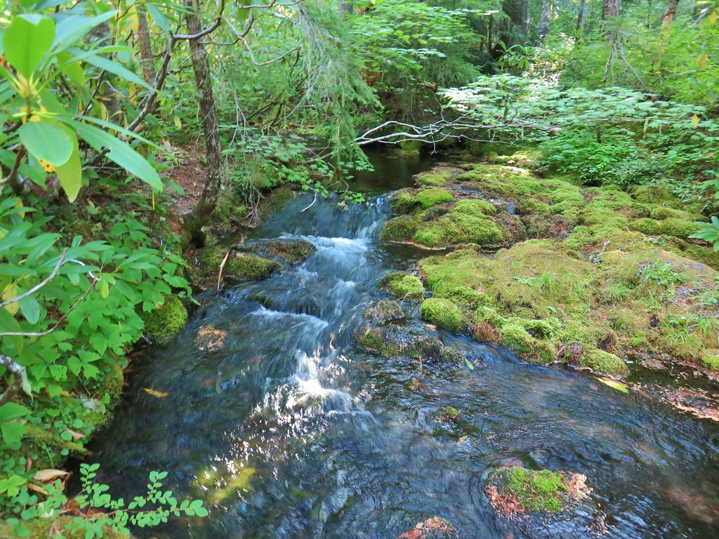
 Looking back at the stream.
 Not many flowers left but this one reminded us of fireworks.
 Nettie Creek at the switchback.


 SW view
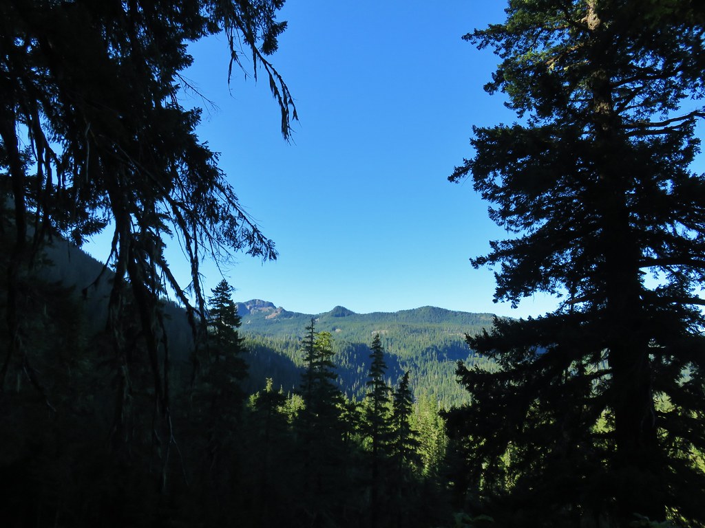 Looking south
 Fuji Mountain
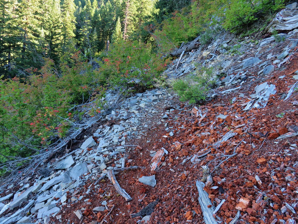
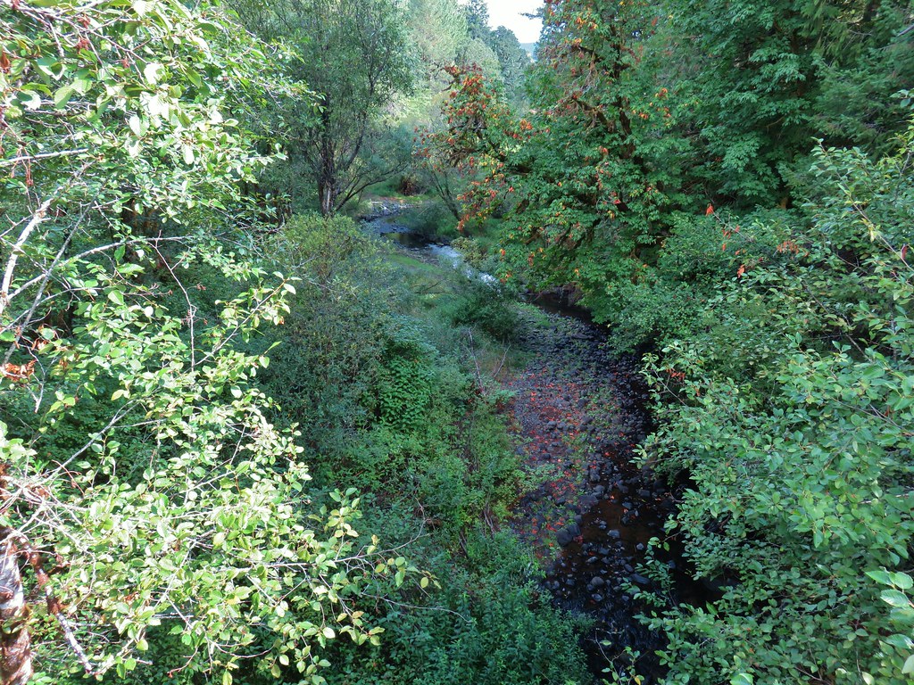
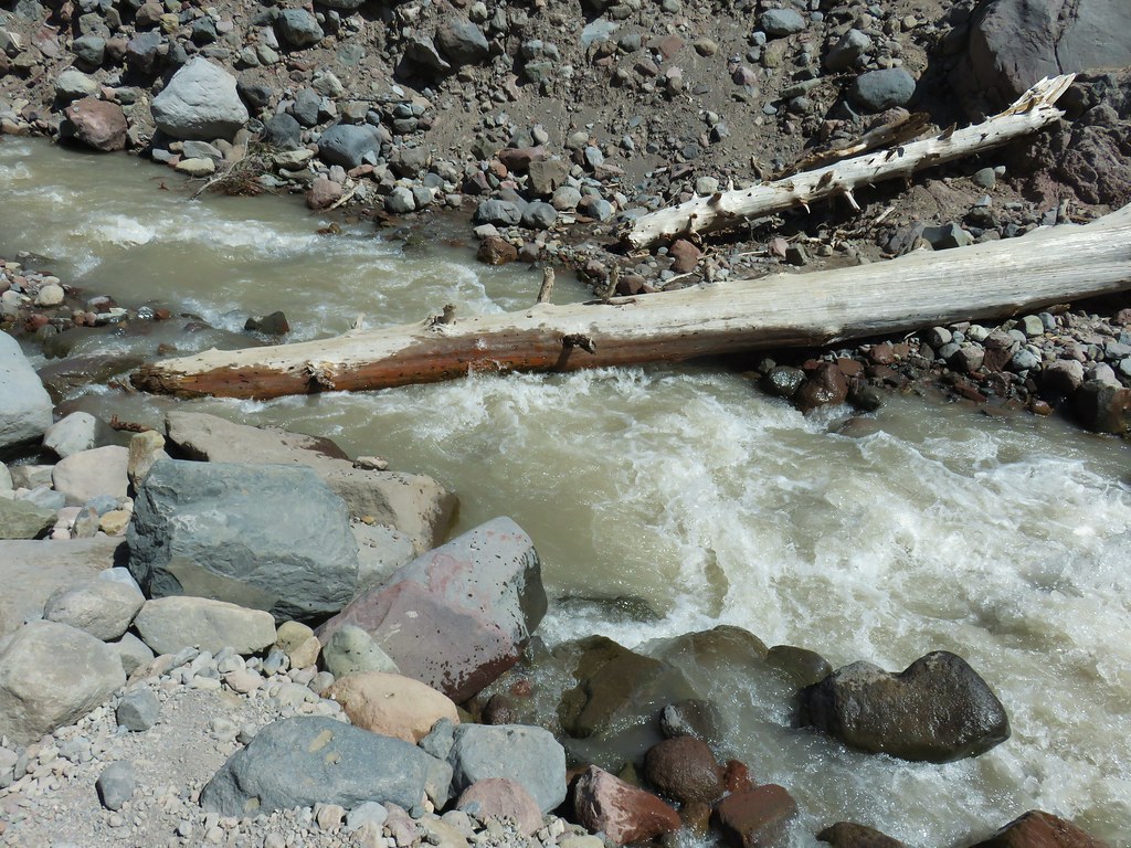
 Klovdahl Creek
 Grouse on the Black Creek Trail.
 Huckleberry bushes along the trail.
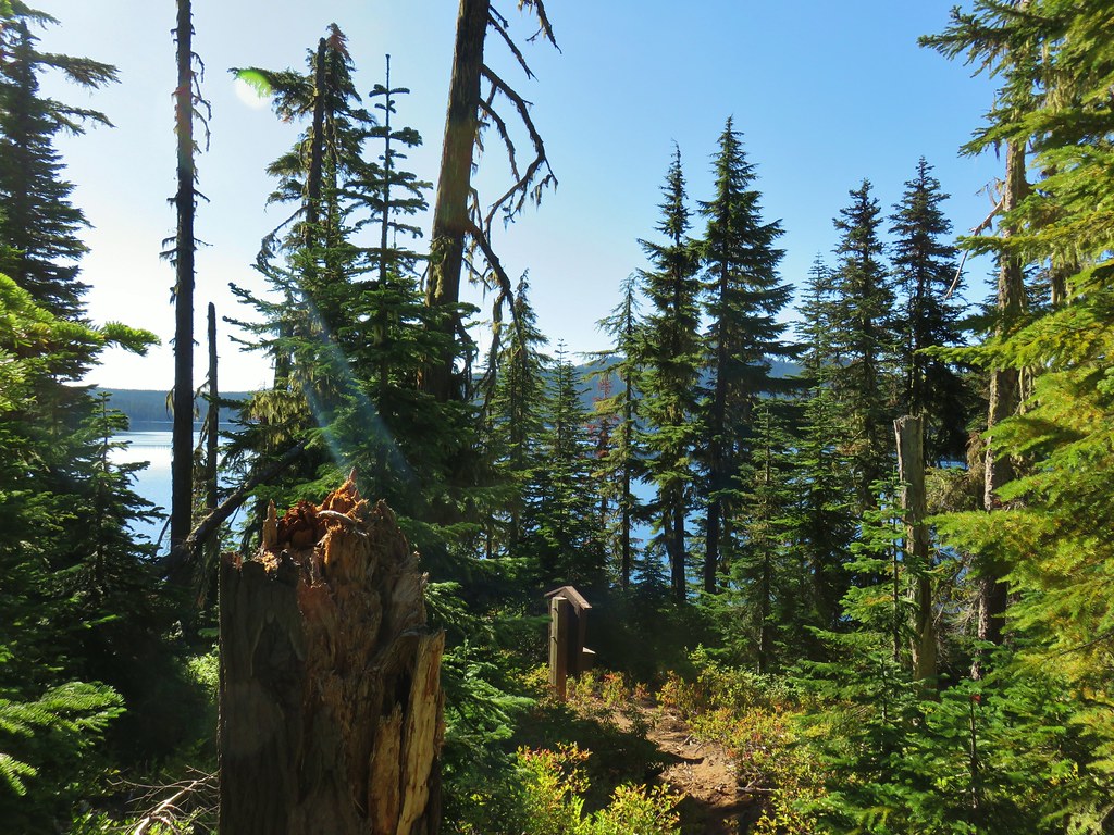 Heading down to the Waldo Lake Trail (Jim Weaver Trail)

 First lake on the left.
 Second lake on the left.
 A third lake on the left that was set back in the trees.
 First lake on the right.
 Ducks at the lake on the right.
 Dry pond on the right.
 Wide trail junction.
 Dry creek bed along the way.
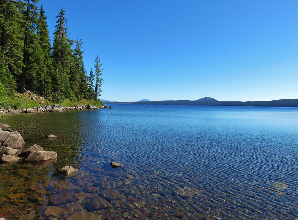


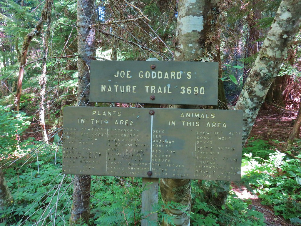
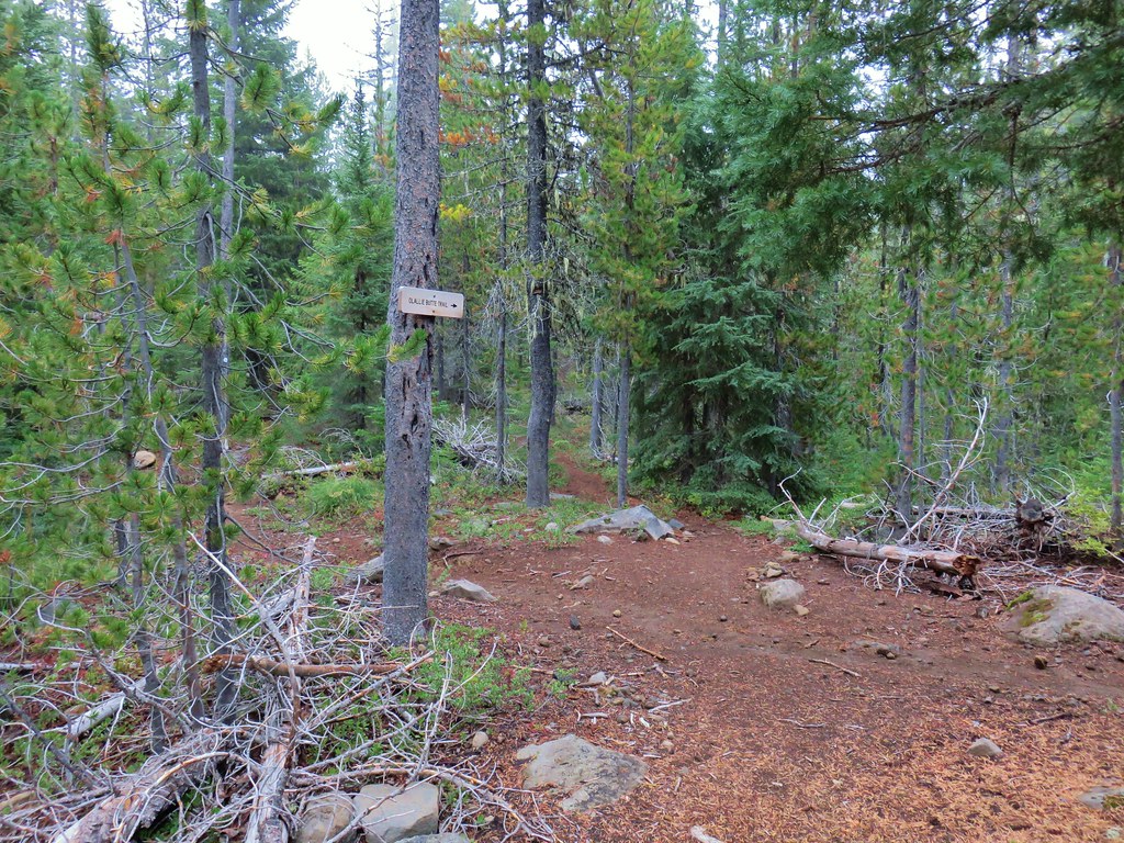
 Unsigned start of the nature trail.
 Black Creek
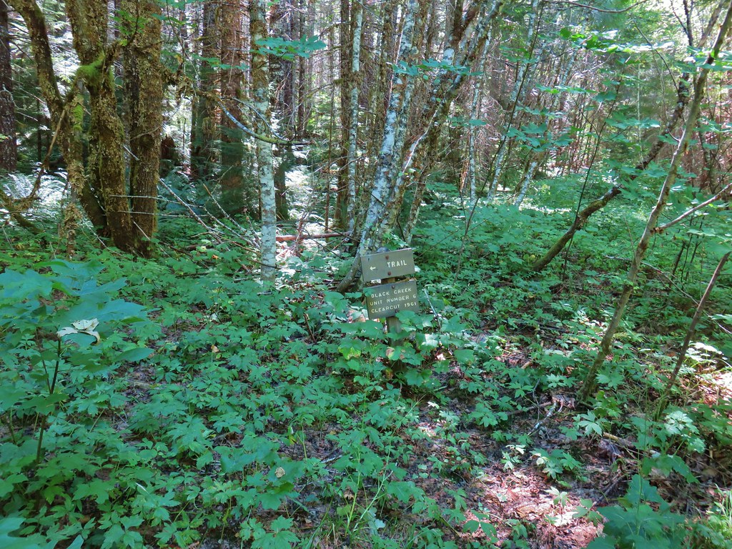


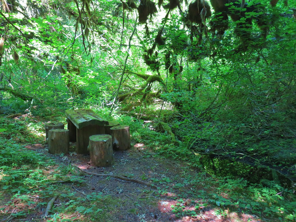


 Another picnic table.
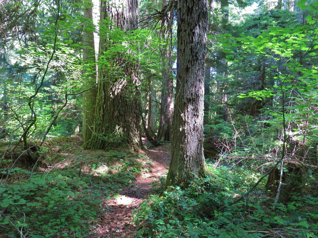
 Another big Doug fir.
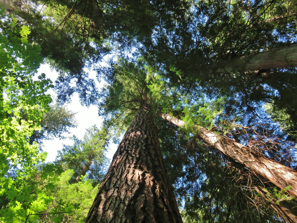


 Trail sign with the PCT heading north behind it.


 Sisi Butte
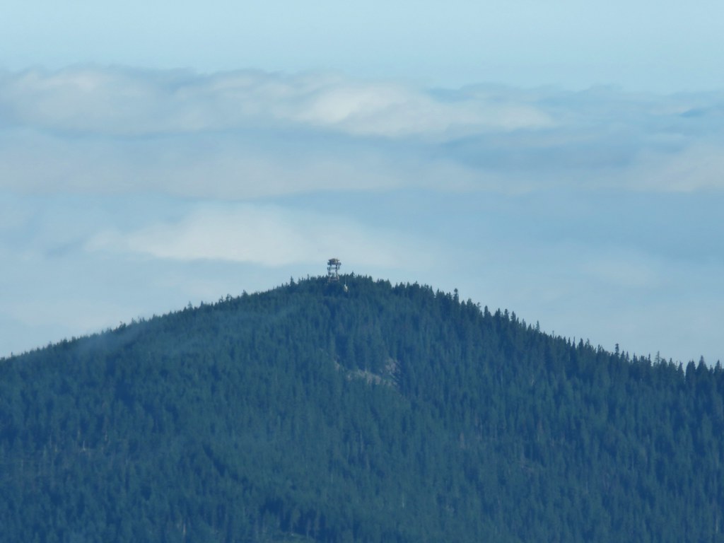 Lookout tower on Sisi Butte
 Mt. Hood
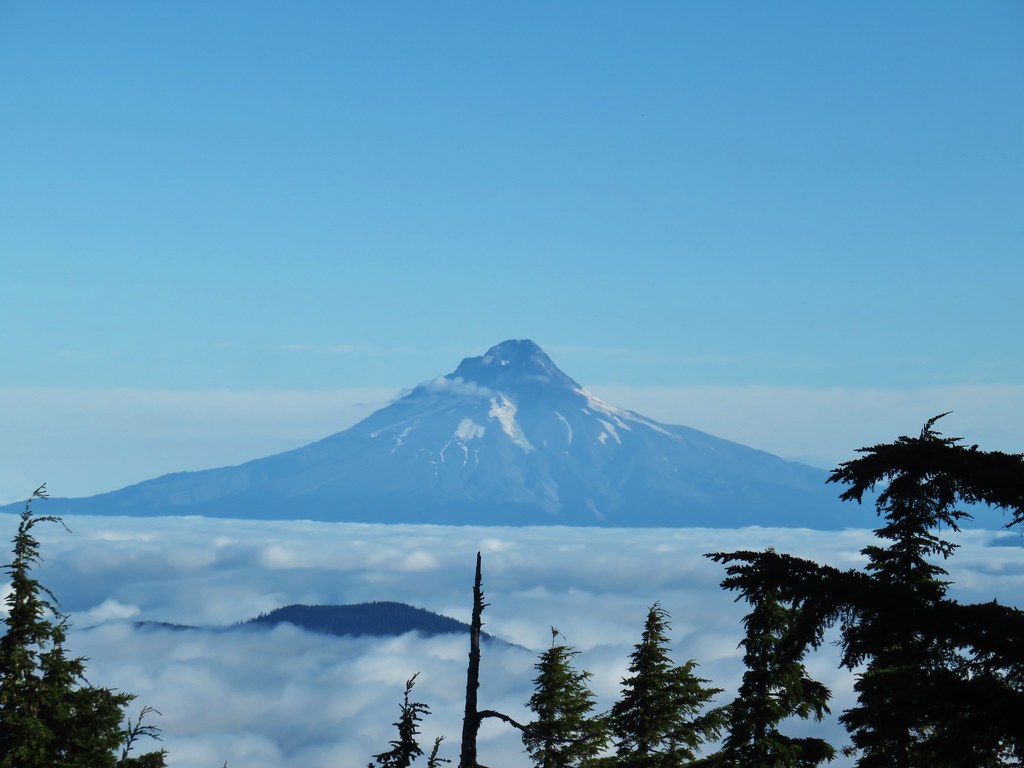


 Olallie Lake
 Monon Lake just beyond Olallie Lake (Timber Lake is the smaller lake in the trees to the west.
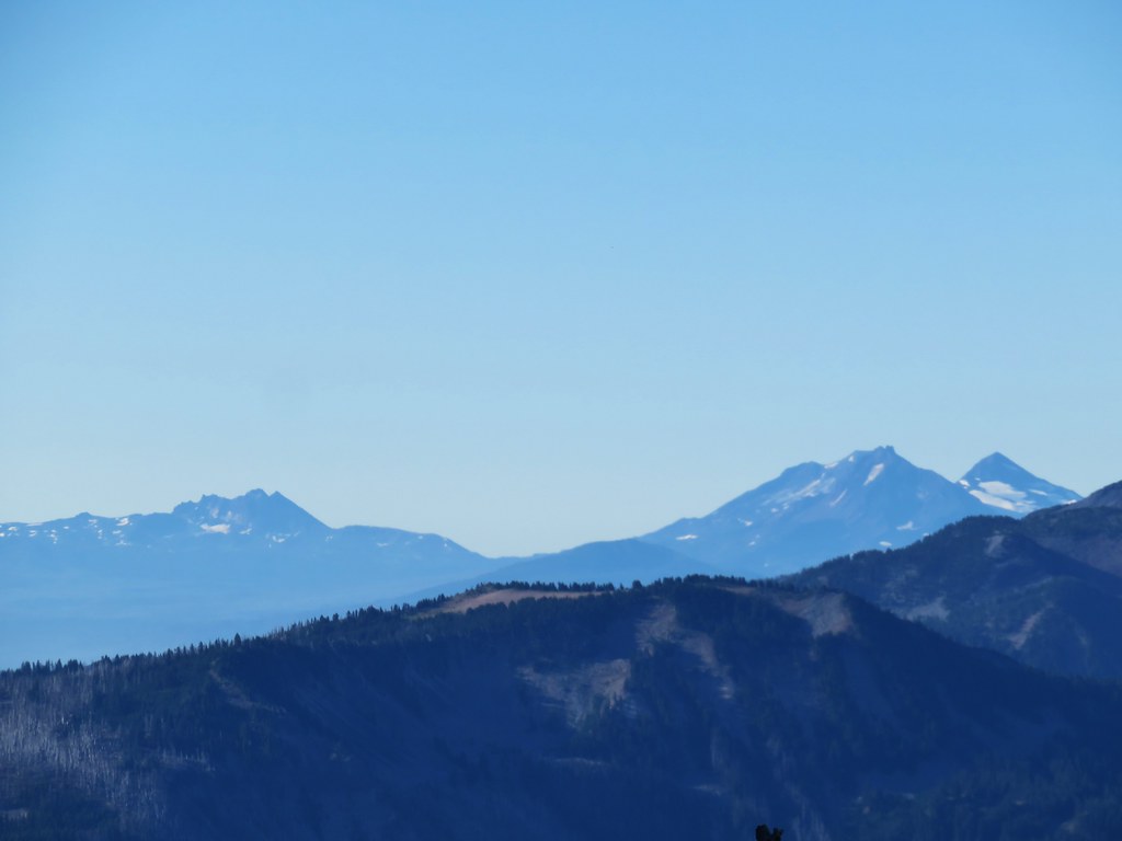 Broken Top and The Three Sisters
 Dinah-mo Peak and Bear Point (
 Bear Point
 Lookout tower remains

 Starting from the left – Trout Lake with Boulder Lake beyond, Island Lake, Dark Lake, Long Lake. The three smaller lakes are Lake Mary (closest), Lake Marie (middle), and Lake Alice (furthest). Lake Hazel is the small lake up and to the right of those three. All of these lakes are part of the Warm Springs Reservation and off-limits unless a permit to visit has been obtained.
 Monon, Olallie, and Timber Lakes in the Mt. Hood National Forest to the west.
 Mt. Jefferson


 Mt. St. Helens as a dark spot on the horizon.
 Mt. Adams beyond Mt. Hood
 Mt. Jefferson from the lookout site.
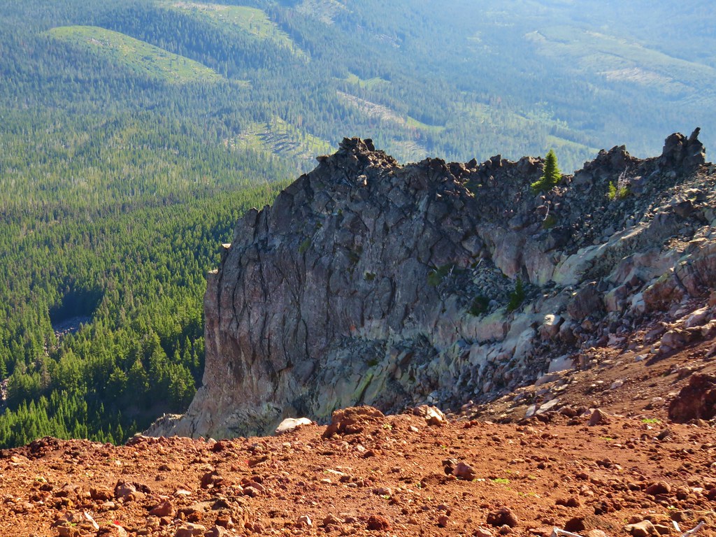


 Huckleberry bushes and beargrass in the clear-cut.
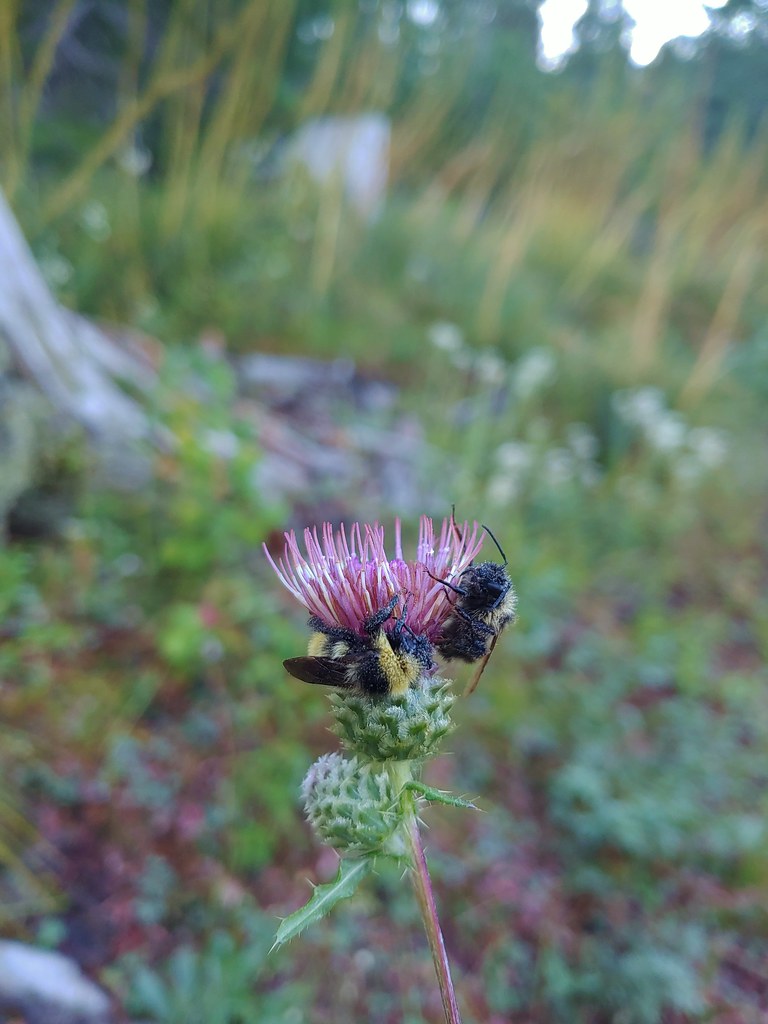 Sleeping bees on some thistle.
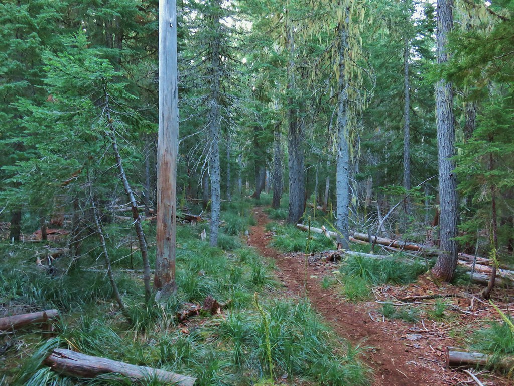

 The bees on the thistle may have been asleep but a western toad was out and about.
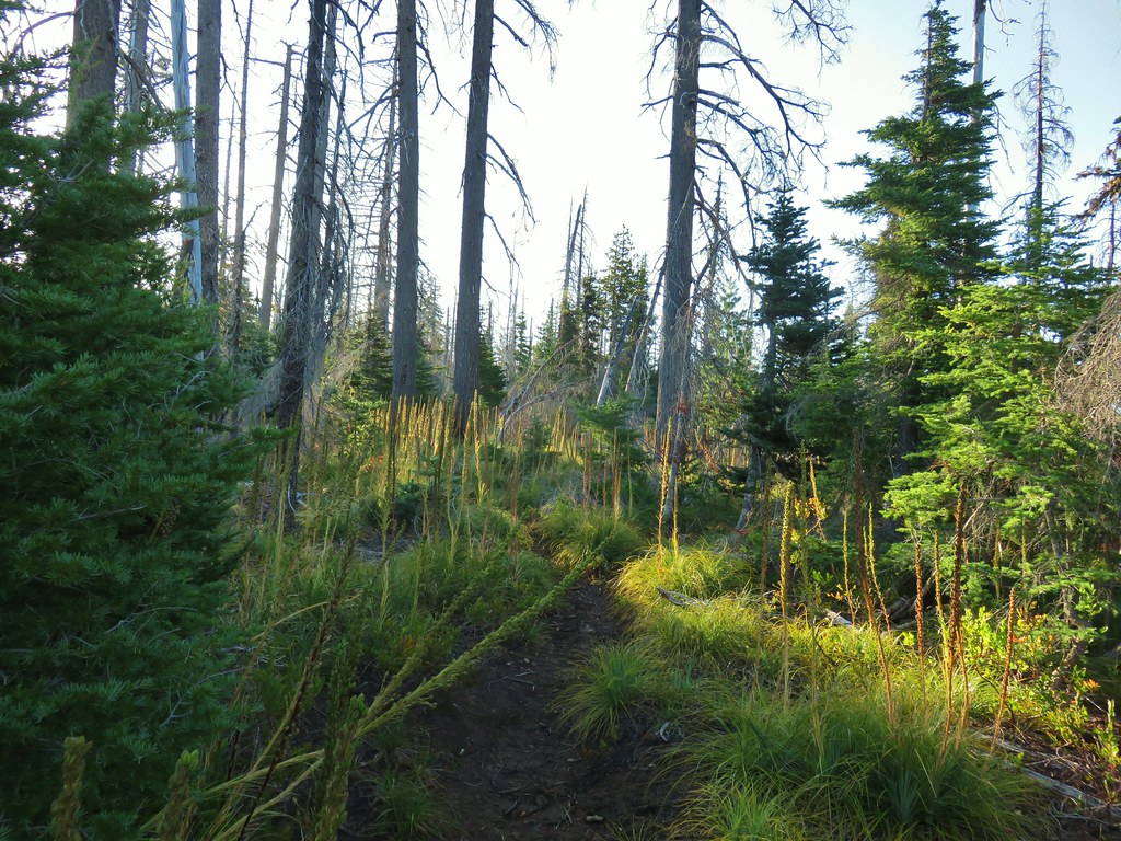
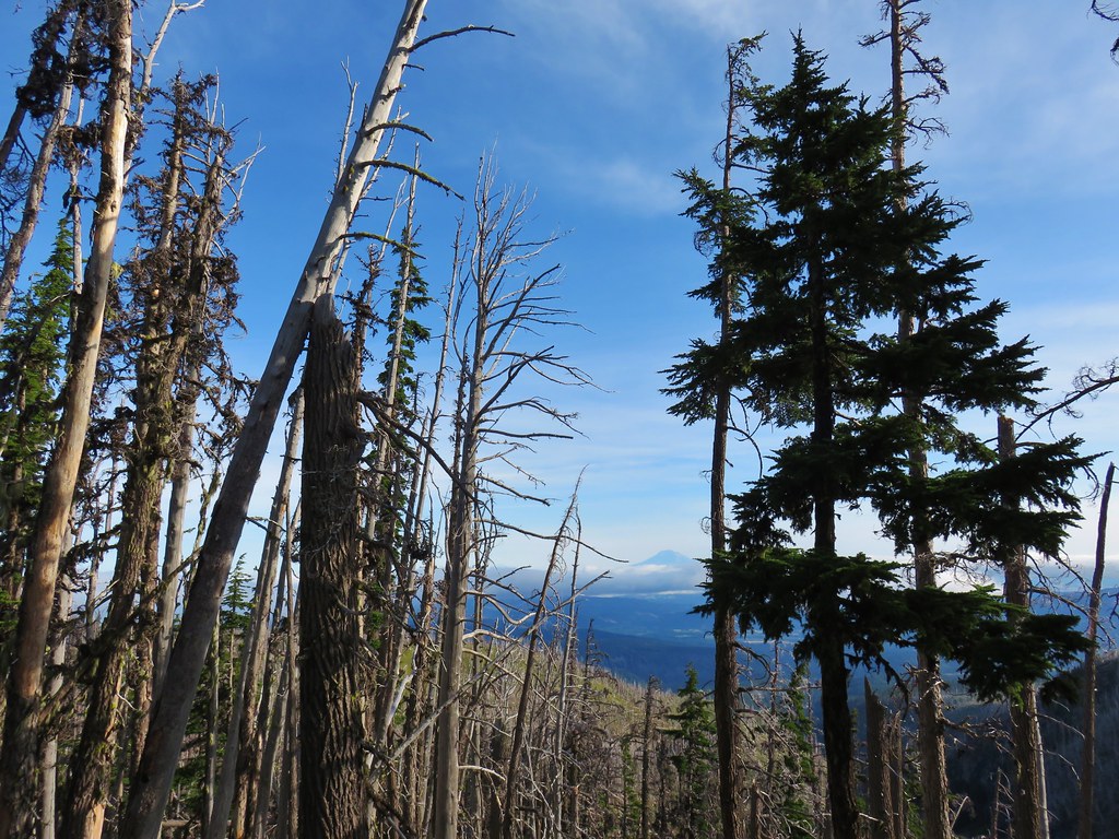
 Mt. Jefferson through the burned trees.
 Back in the green.
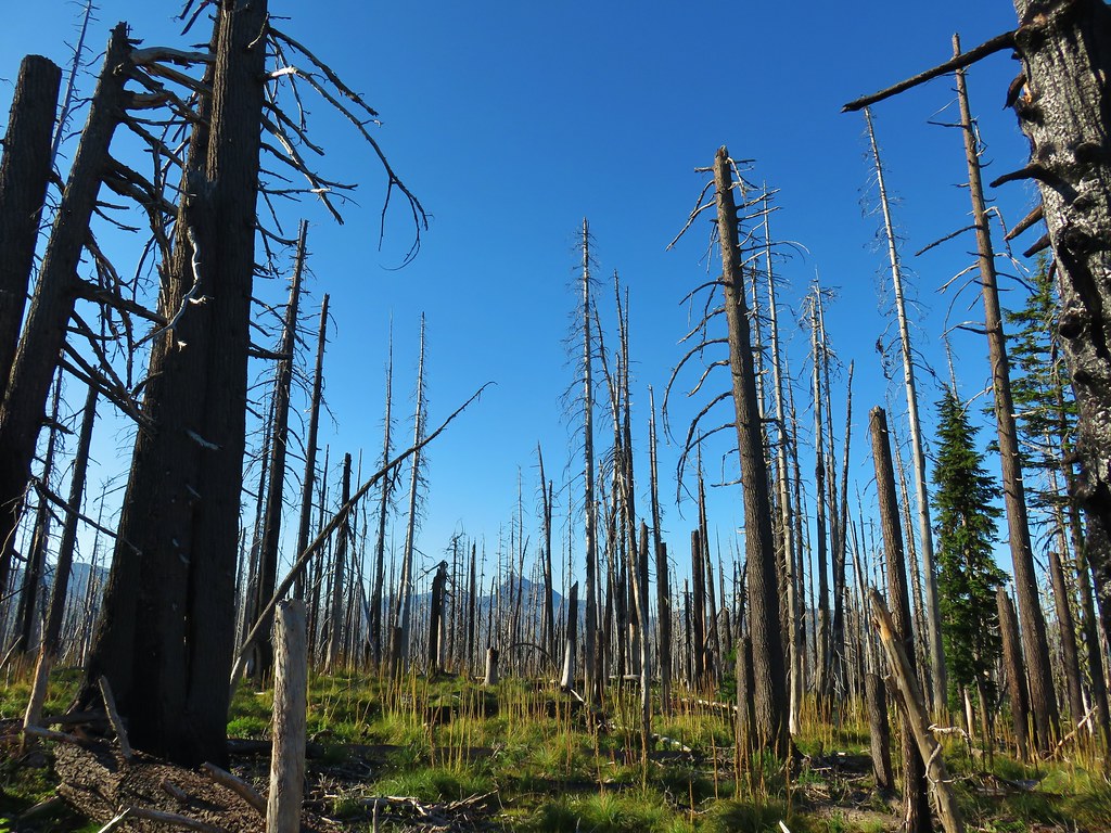 Three Fingered Jack through the burned trees.
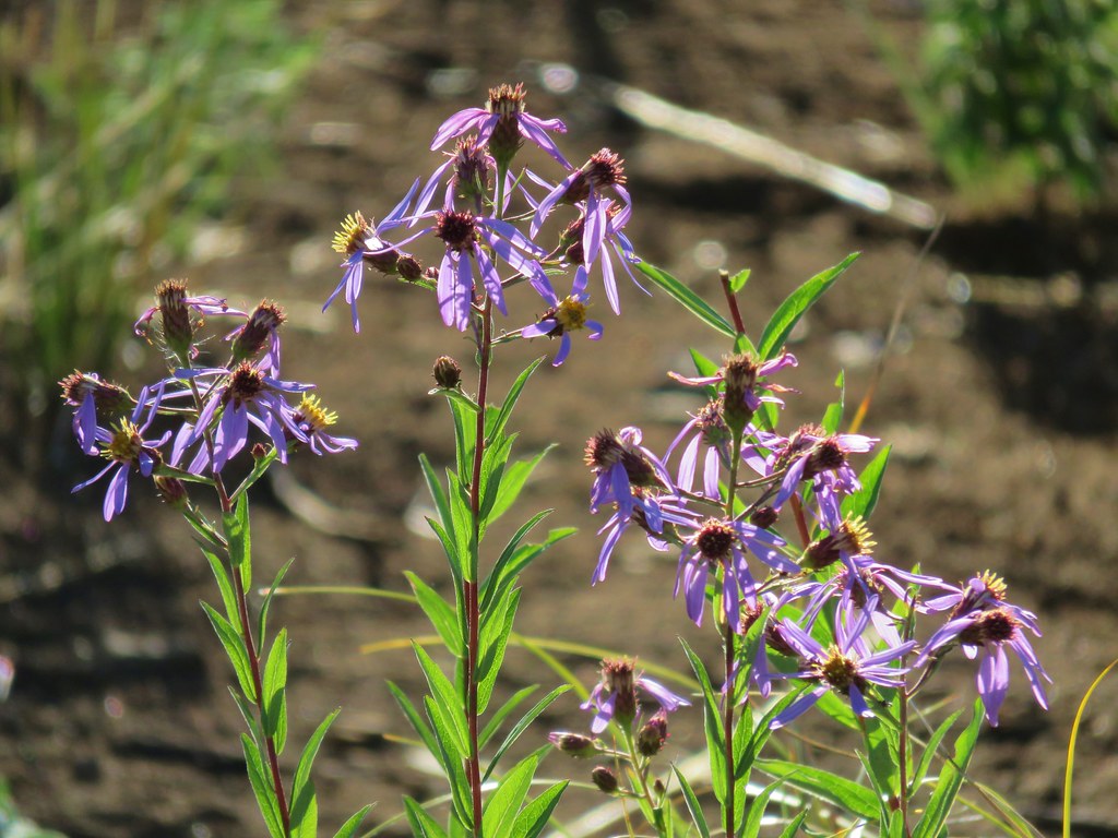 Aster
Aster Pearly everlasting
 Fireweed
 Three Fingered Jack
 The rock covered rise.
 South Cinder Peak (
 Still passing the rocks.
 The low saddle.
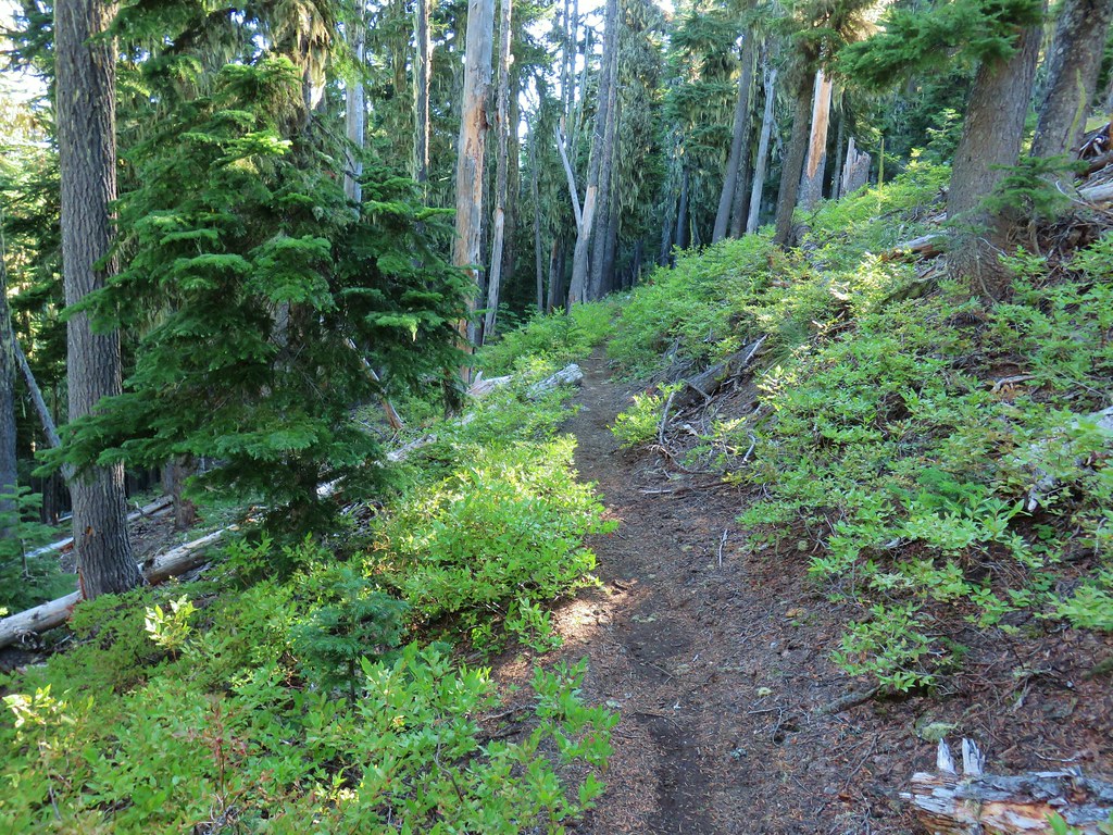
 Coffin and Bachelor Mountains (


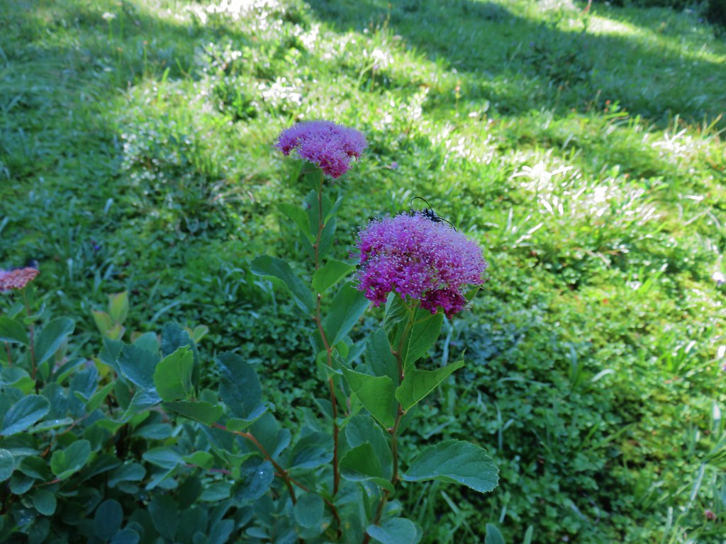 Spirea with a beetle.
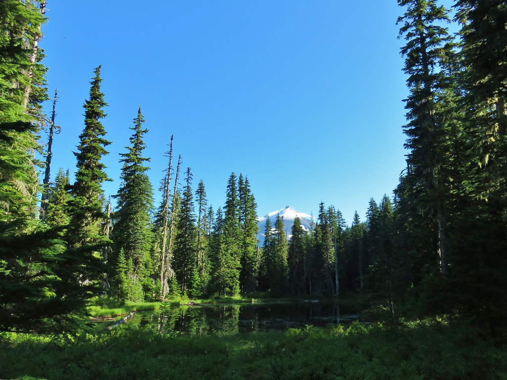 Unnamed lake with Mt. Jefferson (and those pesky clouds).
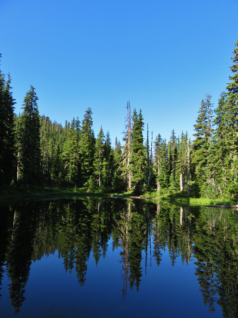 From the opposite side of the lake.


 Looking south over the rock field.
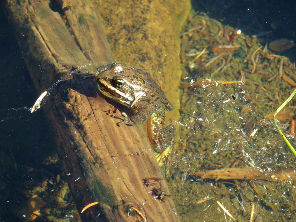
 One of the frogs.
 Frog in the trail.


 Apparently the trail was rerouted at some point because we could see tread that we never used.
 The Three Pyramids beyond Bingham Ridge.
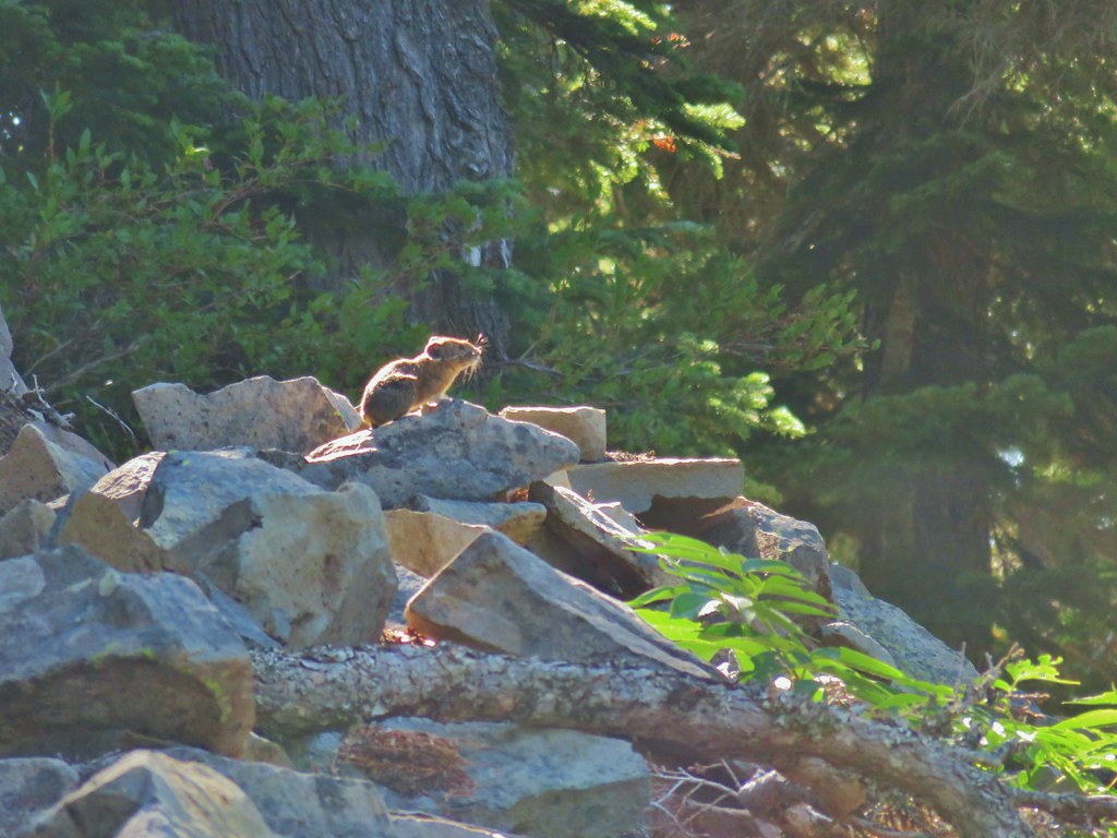


 (the clouds had finally vanished)
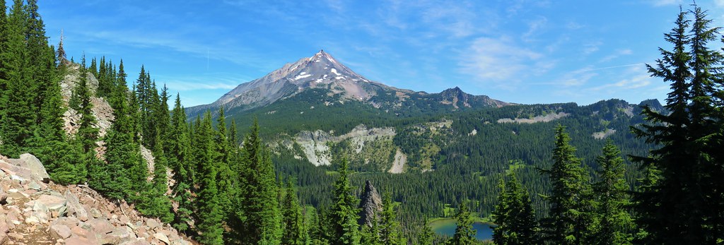
 Hanks Lake
 Hunts Lake
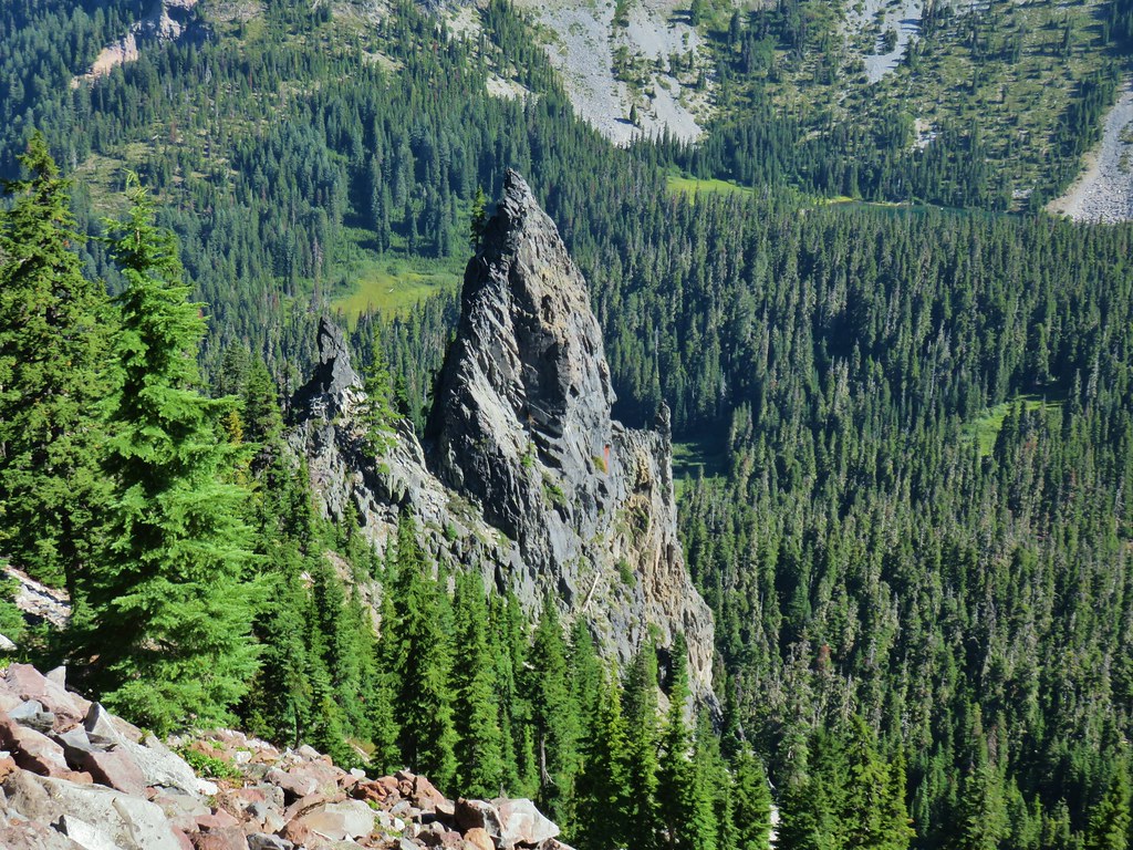 Rock fin above Hunts Cove.
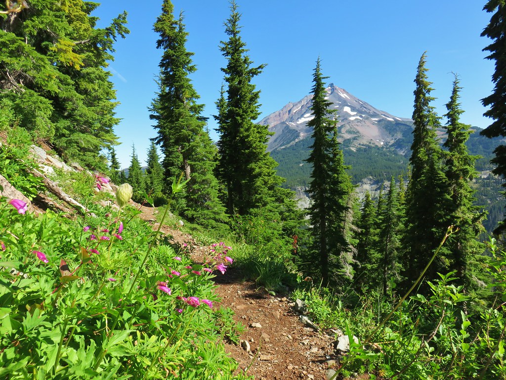 Penstemon and a western pasque flower.
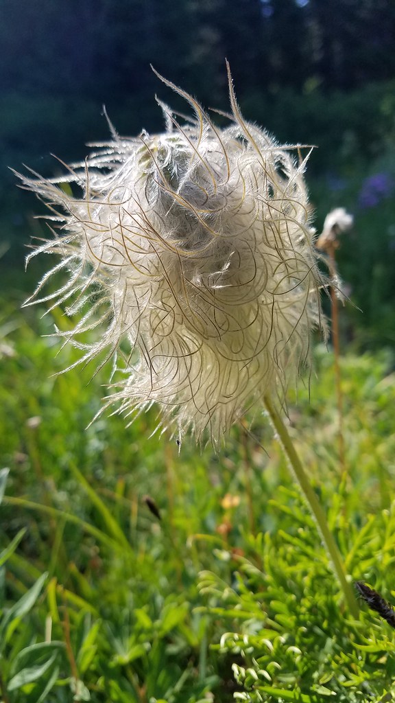
 Western pasque flower seed heads.
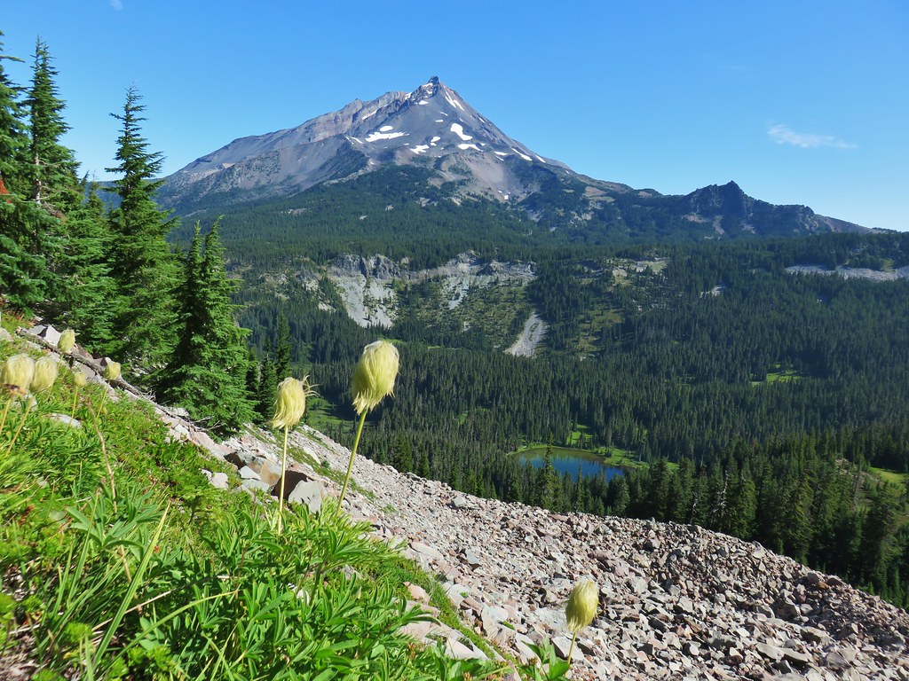
 Hippie-on-a-stick

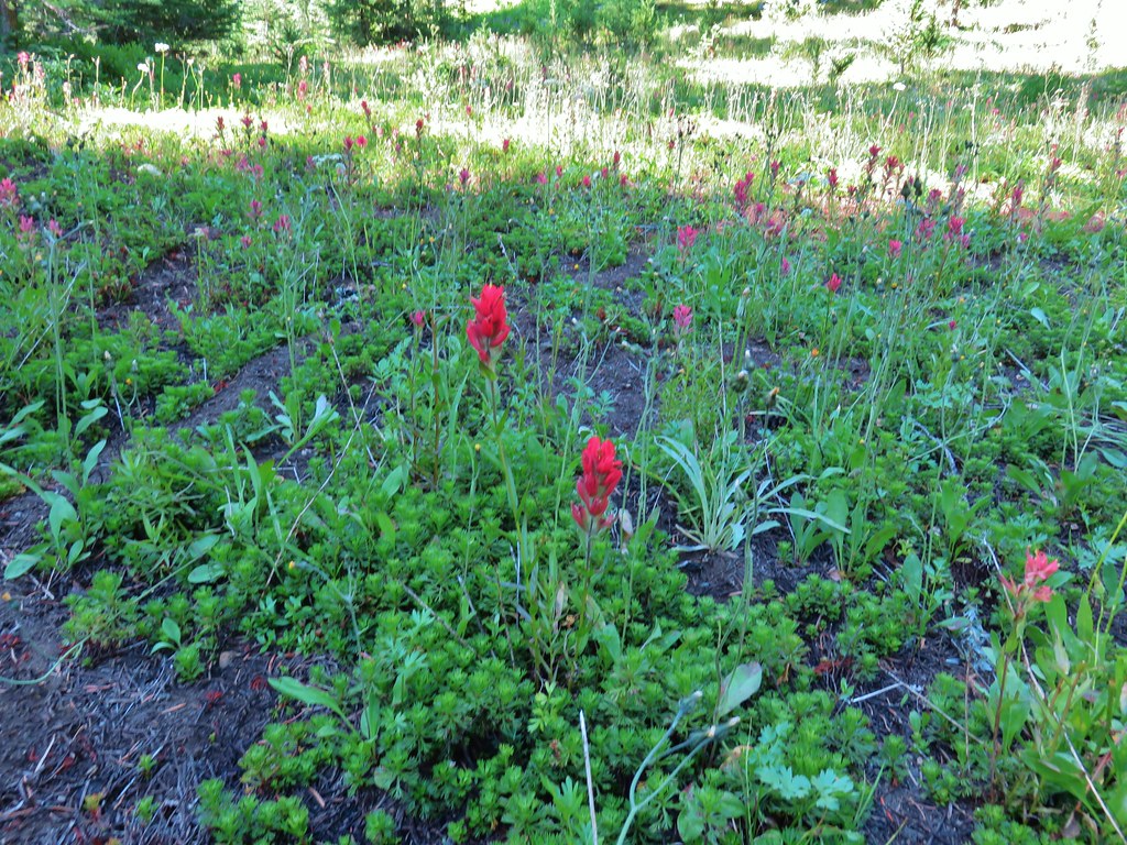
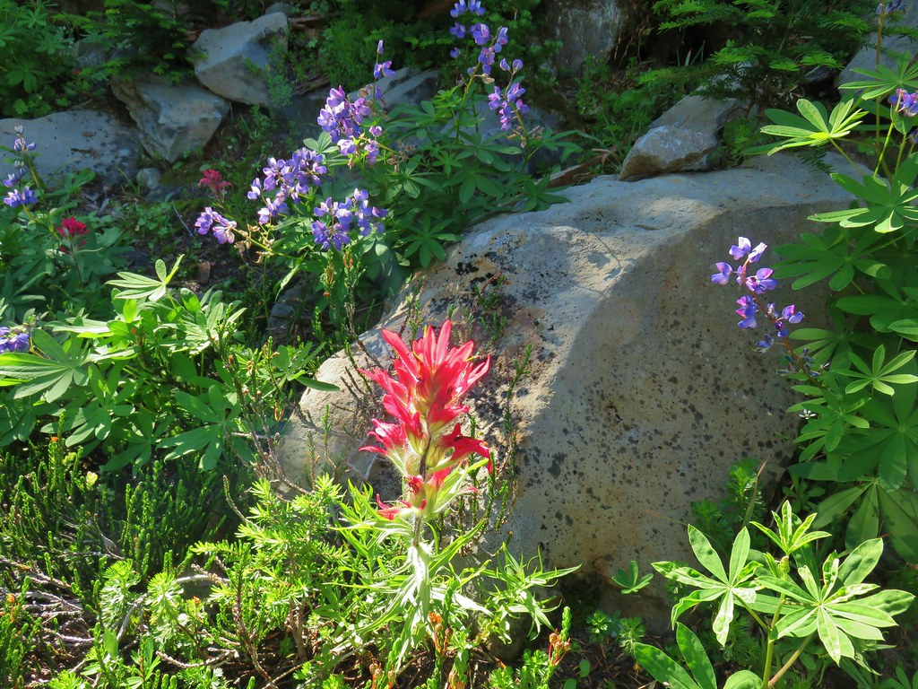 Paintbrush and lupine
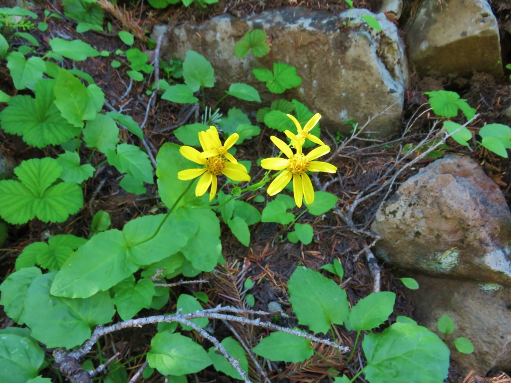
 Patridge foot
 Mt. Jefferson, Goat Peak (behind the tree) and the Cathedral Rocks.
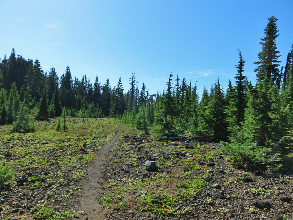
 South Cinder Peak
 The Three Sisters
 Three Fingered Jack
 Paintbrush in a meadow behind the butte.
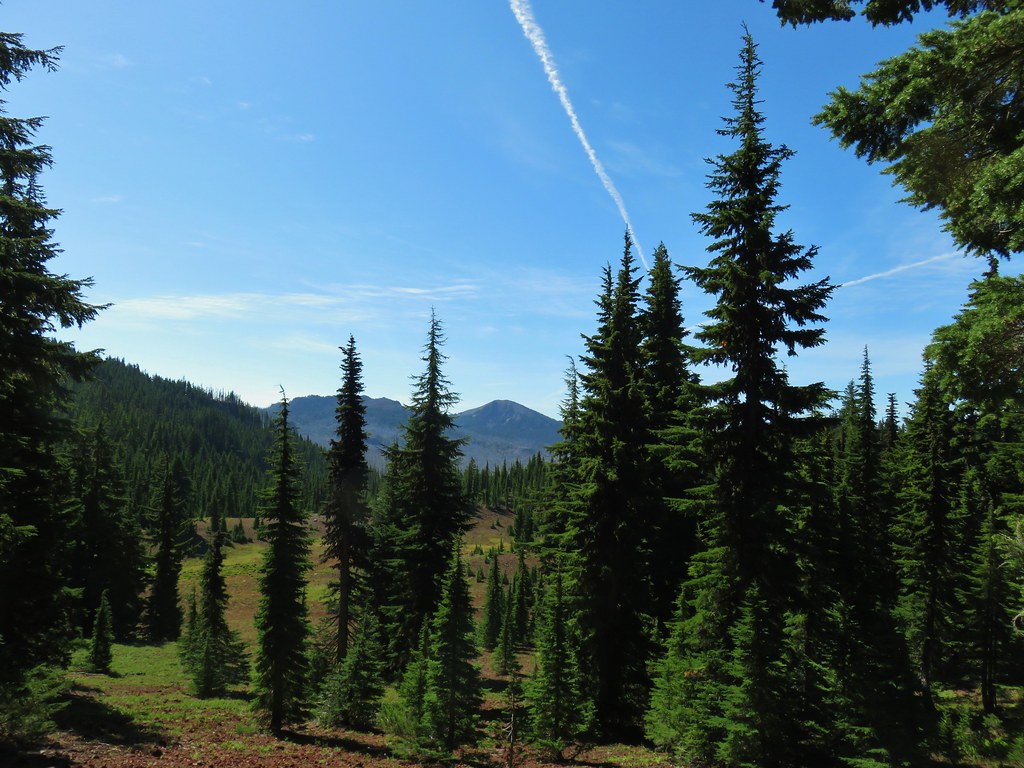 South Cinder Peak
 Three Fingered Jack
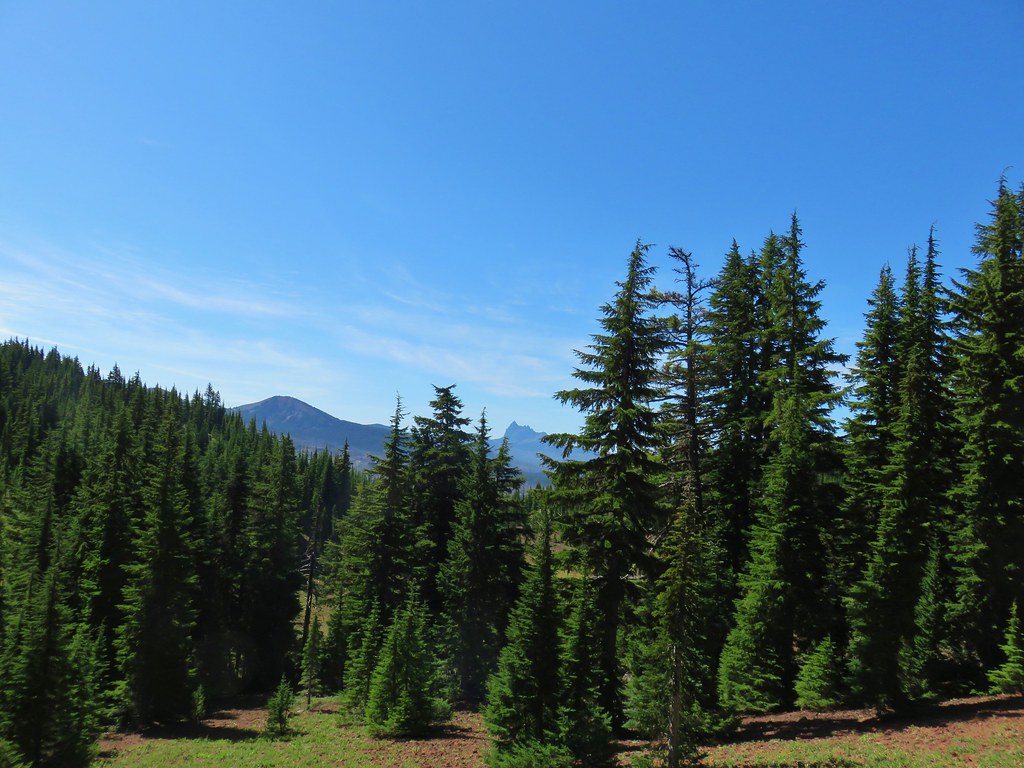

 Mostly past lupine
 Paintbrush
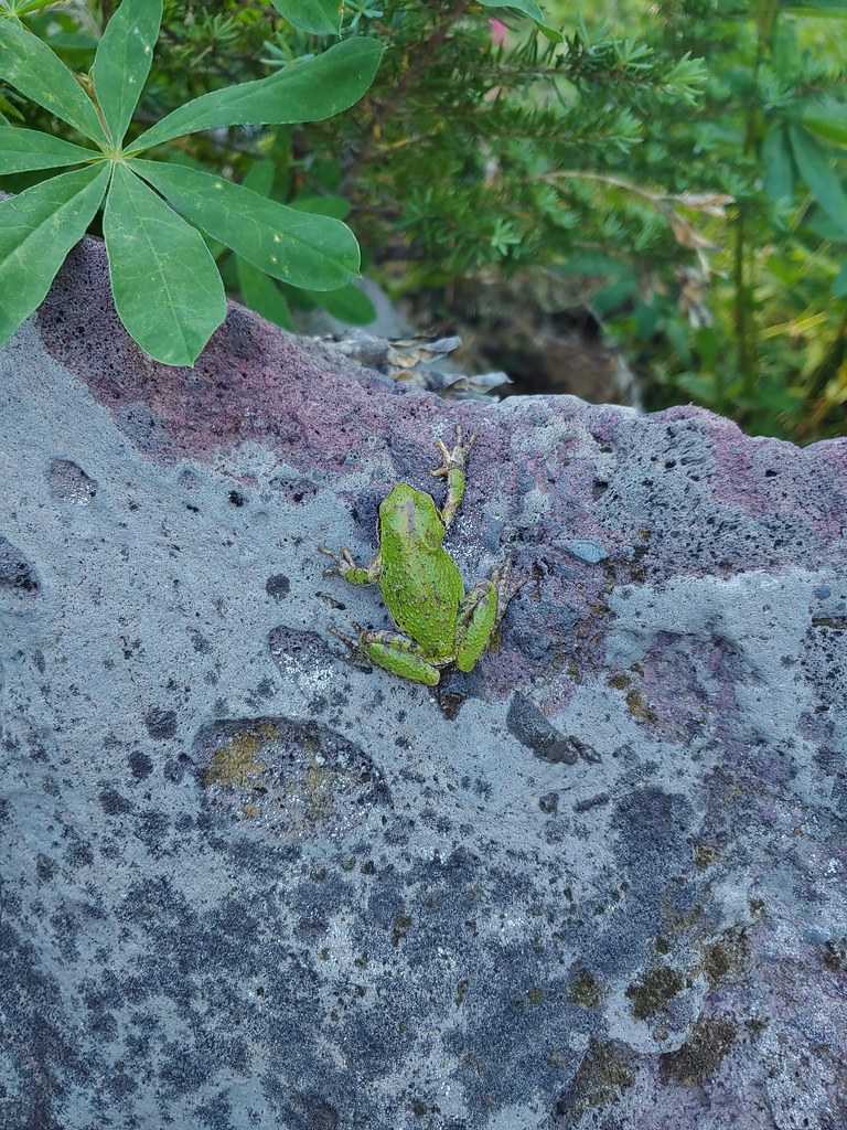
 Butterfly on an aster.
 Never seen one of these looks so clean and smooth, it almost looked fake.
 We don’t know if this was just a stunted wallflower or something we’d never seen before.


 Mt. Adams ahead above the clouds.
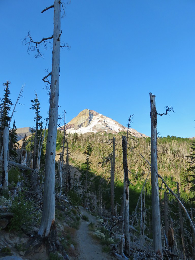 Mt. Hood


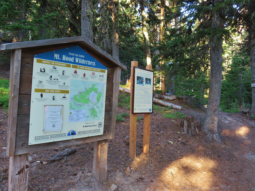
 We entered the Mt. Hood Wilderness on the way up.

 Mt. Adams
 Mt. Rainier peaking over the clouds to the left of Mt. Adams.
 Mt. Hood
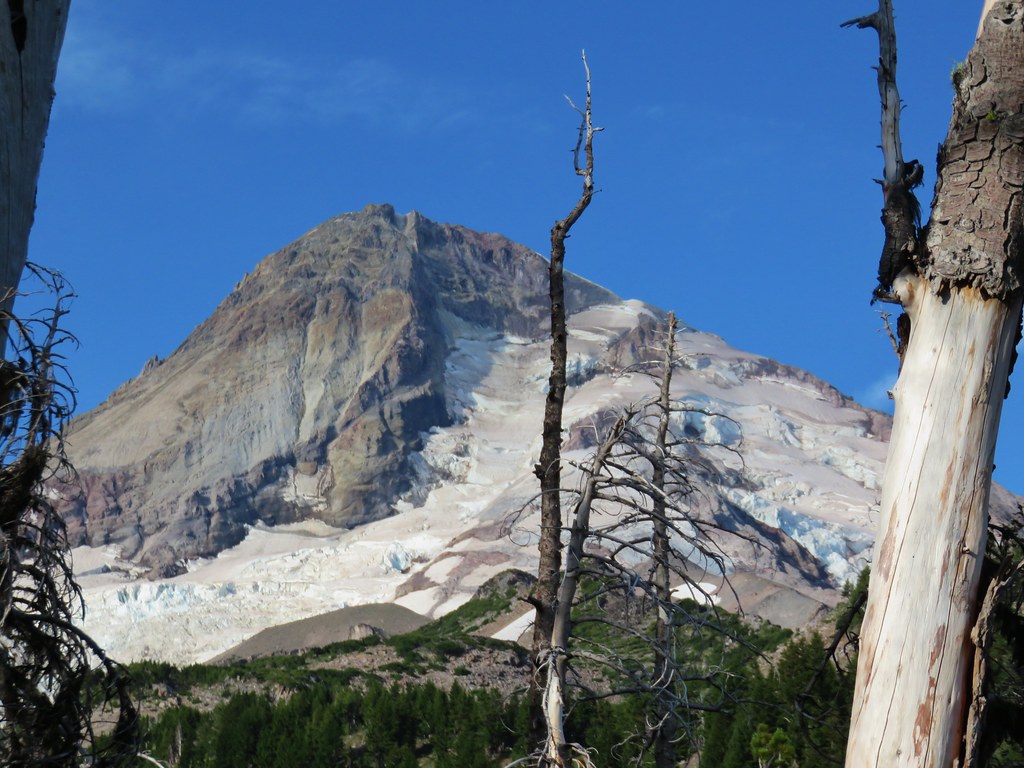
 Penstemon
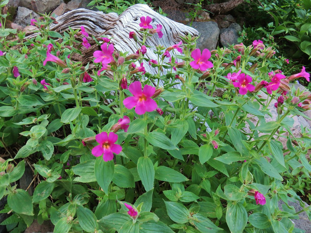 Monkeyflower
 Jacob’s ladder
 Western Pasque flower
 Paintbrush
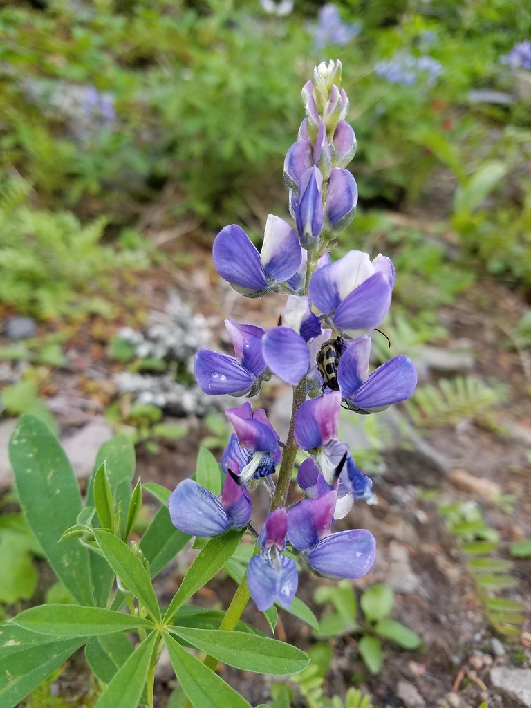 Lupine with a beetle.
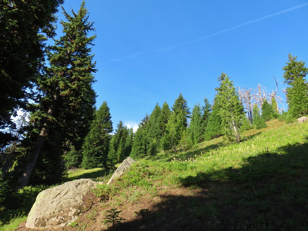


 Mt. Adams from Compass Creek.
 Wildflowers along Compass Creek.
 Monkeyflower and paintbrush
 Hummingbird near Compass Creek.


 Lupine, paintbrush and monkeyflower.


 Mt. Adams (again) from Compass Creek.
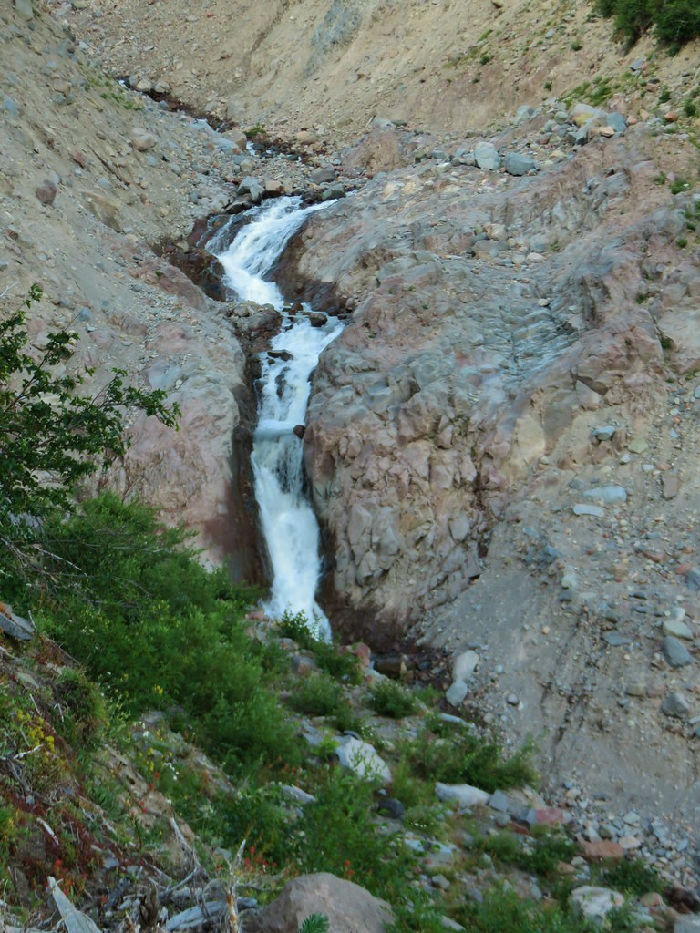
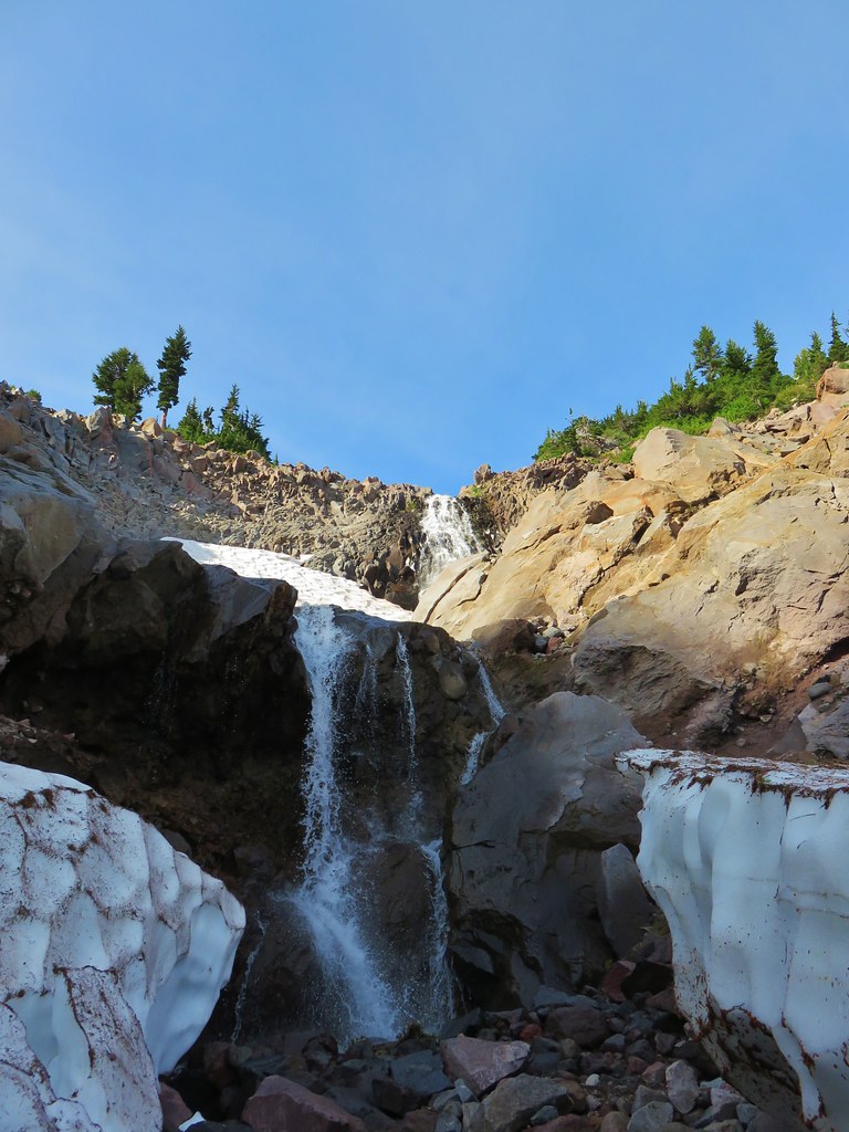
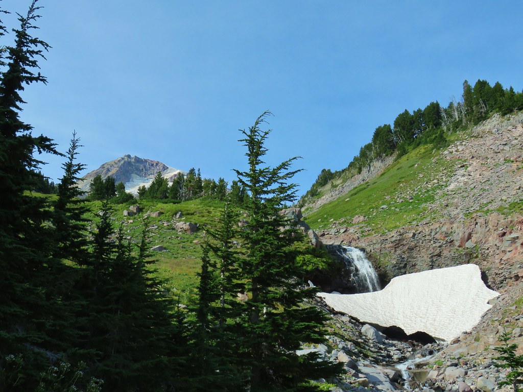
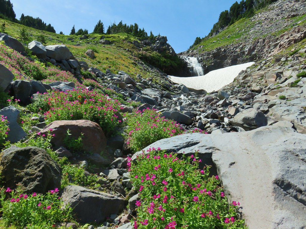
 Waterfall on Compass Creek below the Timberline Trail.


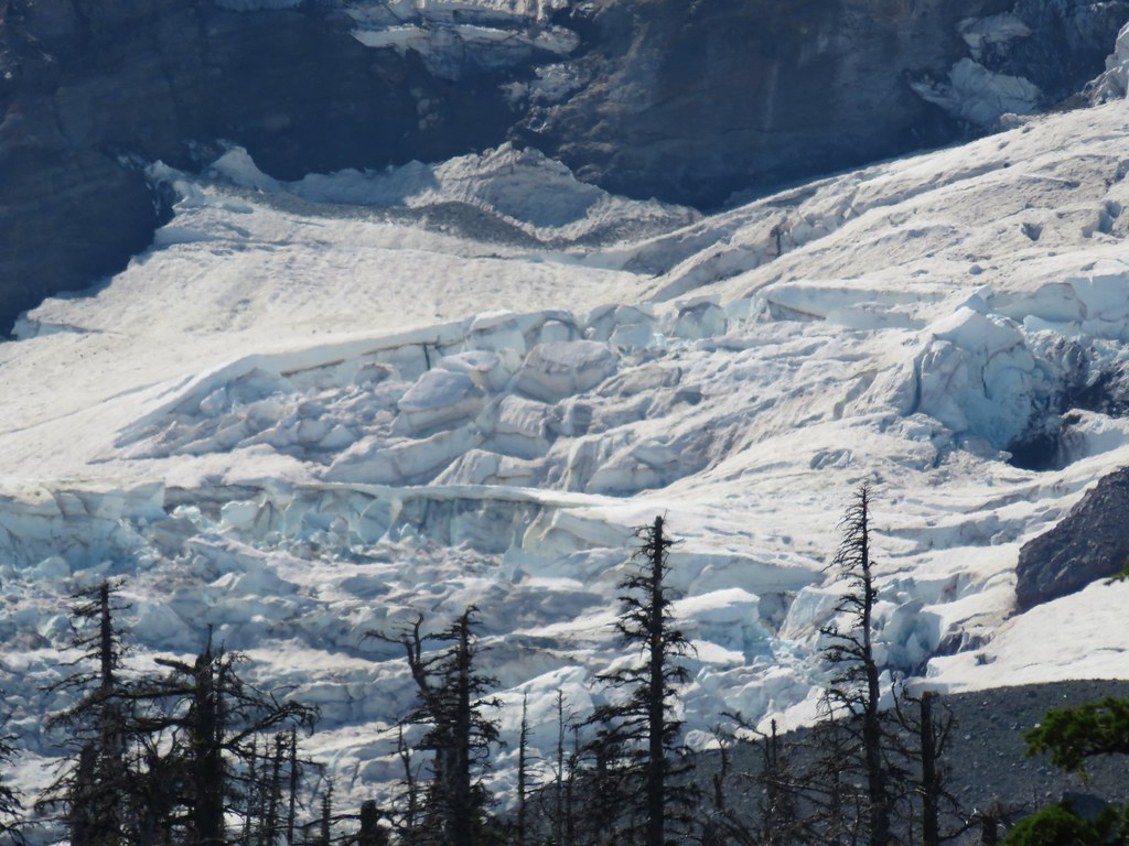
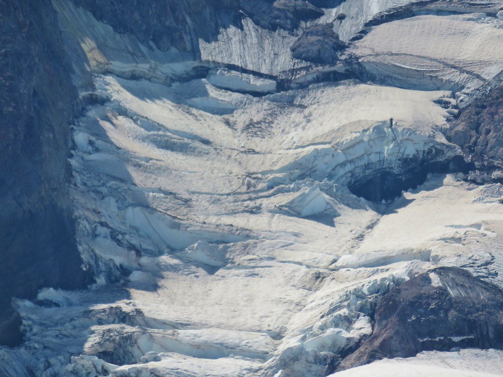
 Coe Glacier
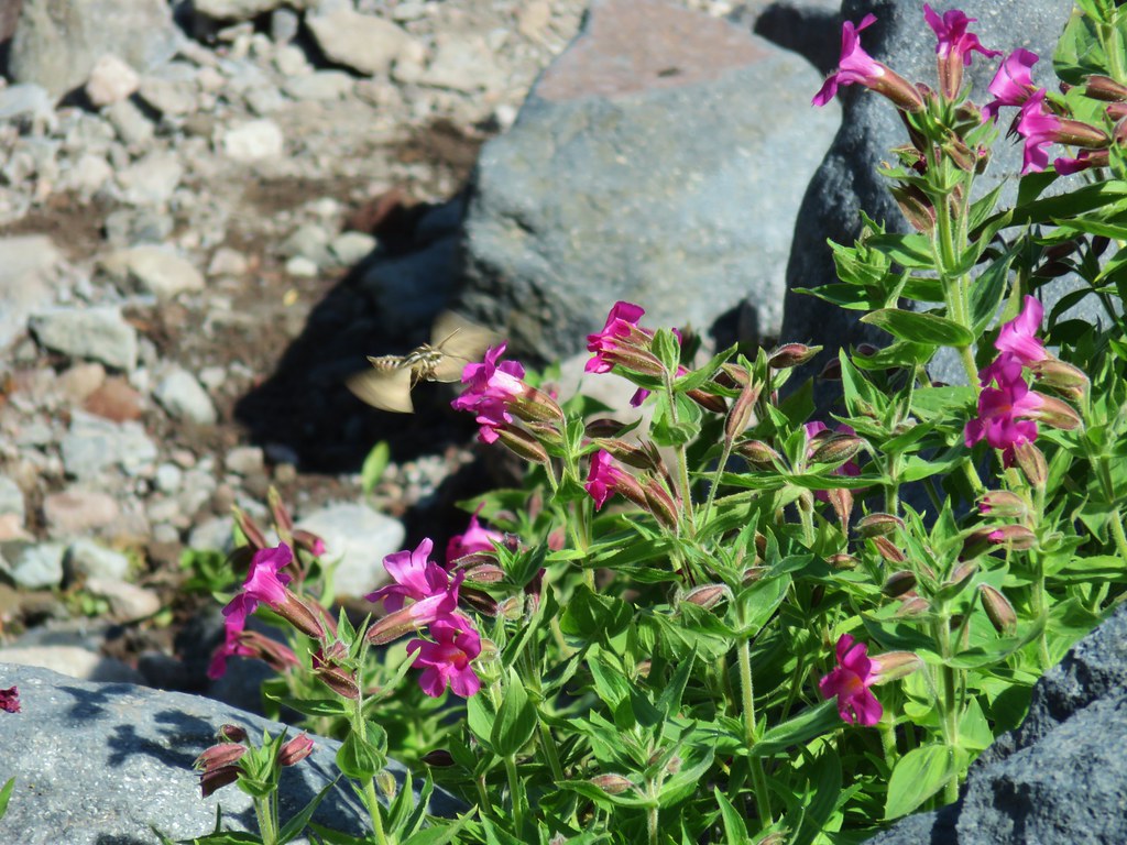


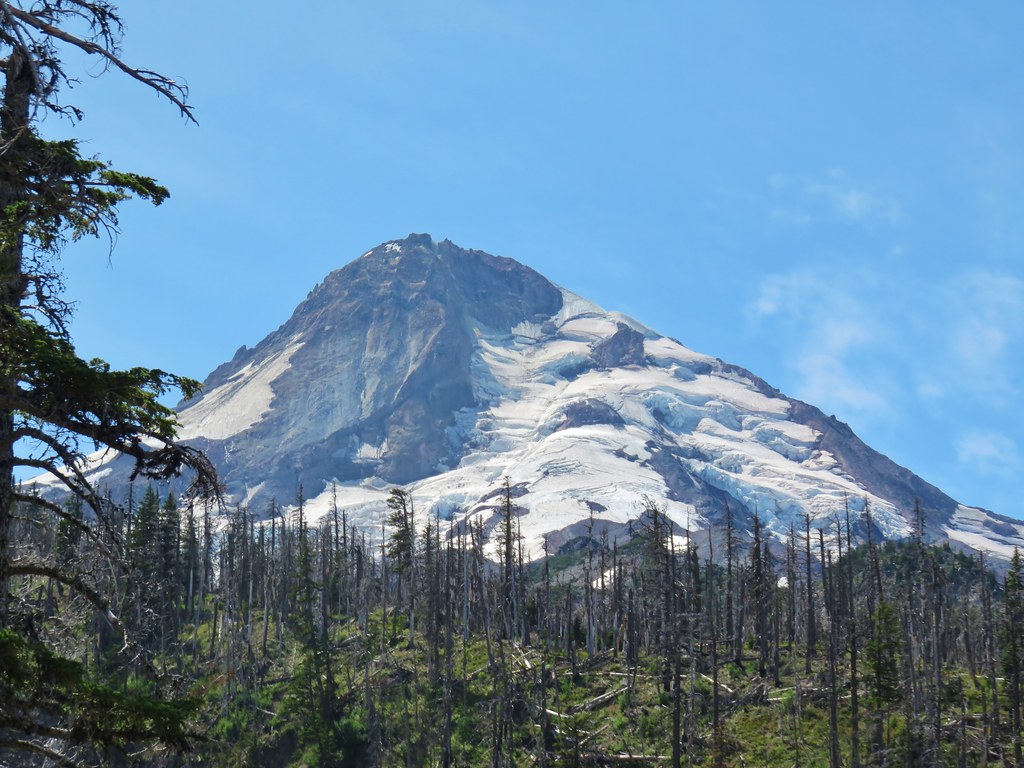


 Mt. Hood
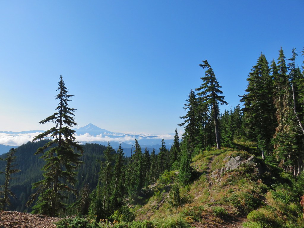 Mt. Jefferson


 Three Fingered Jack
 Mt. Washington and the Three Sisters


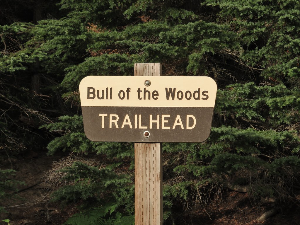
 Bull of the Woods Trail ending at the Mother Lode Trail.


 First look at Pansy Lake.