2019 turned out very differently than we’d originally planned. Not long after our first planned long trip to Joseph, OR one our cats, Buddy, had some health issues. After some time at the veterinarians he was doing better but he needed to be prescribed 3 daily medications (two twice a day). We decided that being there for our friend of 17 years was more important than our remaining plans so we cancelled nearly all of our overnight trips and spent the rest of the year doing day hikes from Salem. Buddy is still with us and seems to be doing well although he sleeps more than ever and has taken to wearing sweaters for warmth.

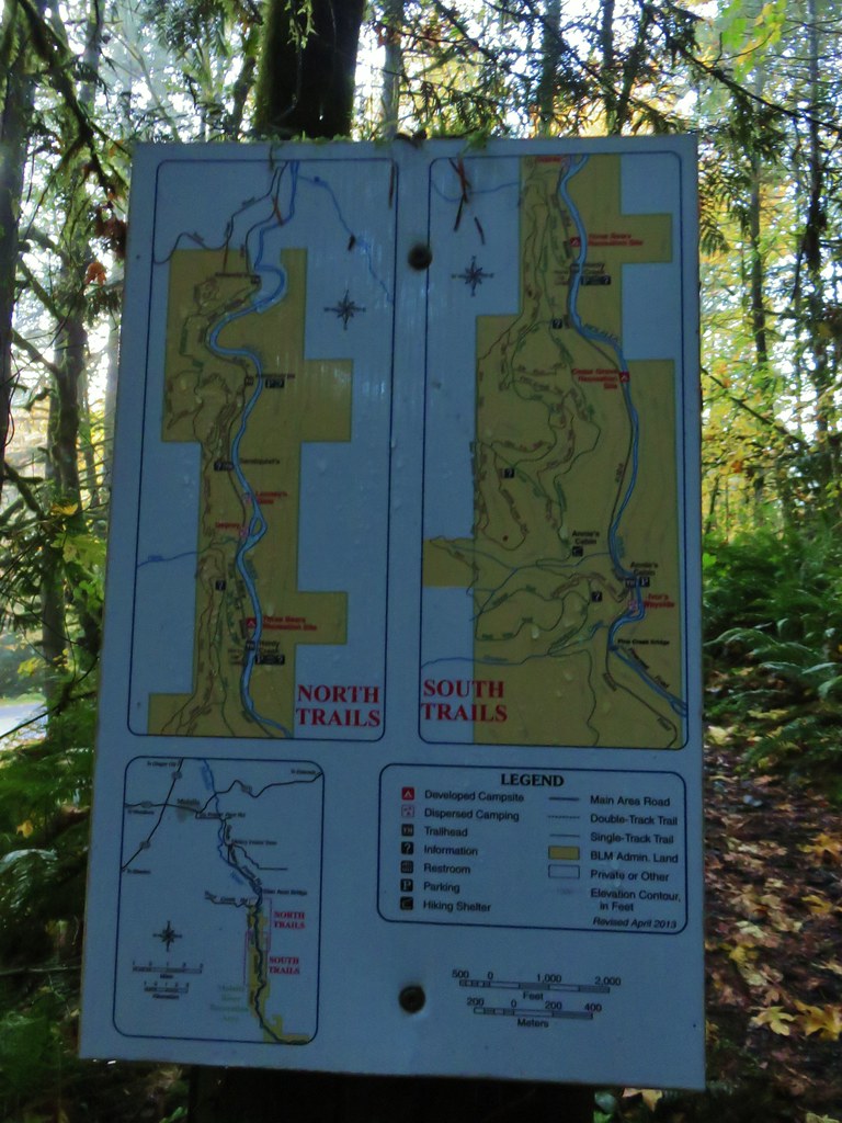
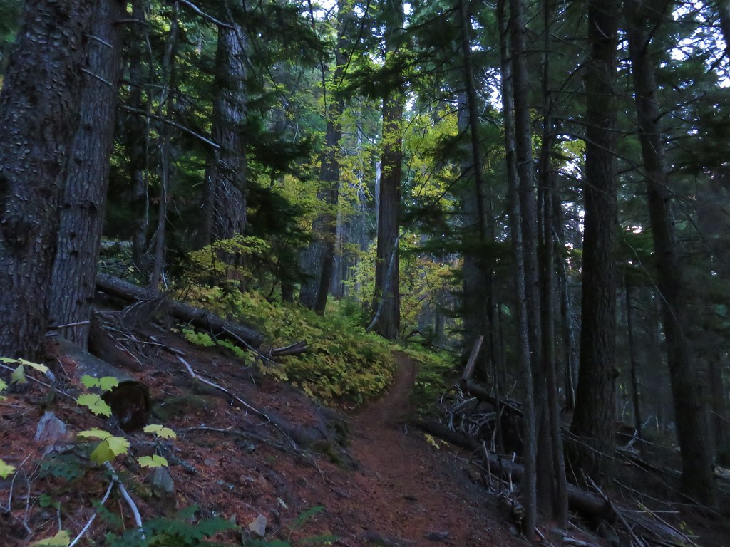
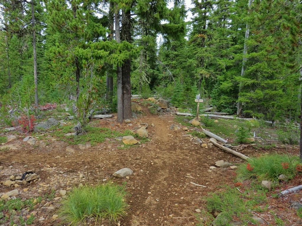
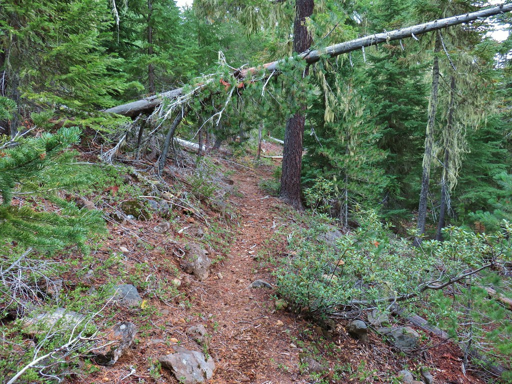
With us only doing the one long distance trip we didn’t make it to as many new areas as we have been in recent years. On that trip we stopped at the Umatilla Wildlife Refuge near Hermiston (post), OR and hiked in the Hells Canyon (post) and Wenaha-Tucannon Wilderness areas (post).
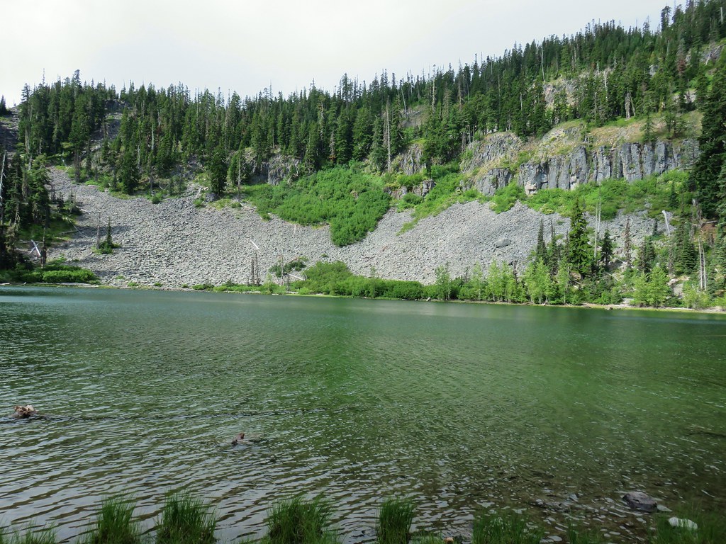
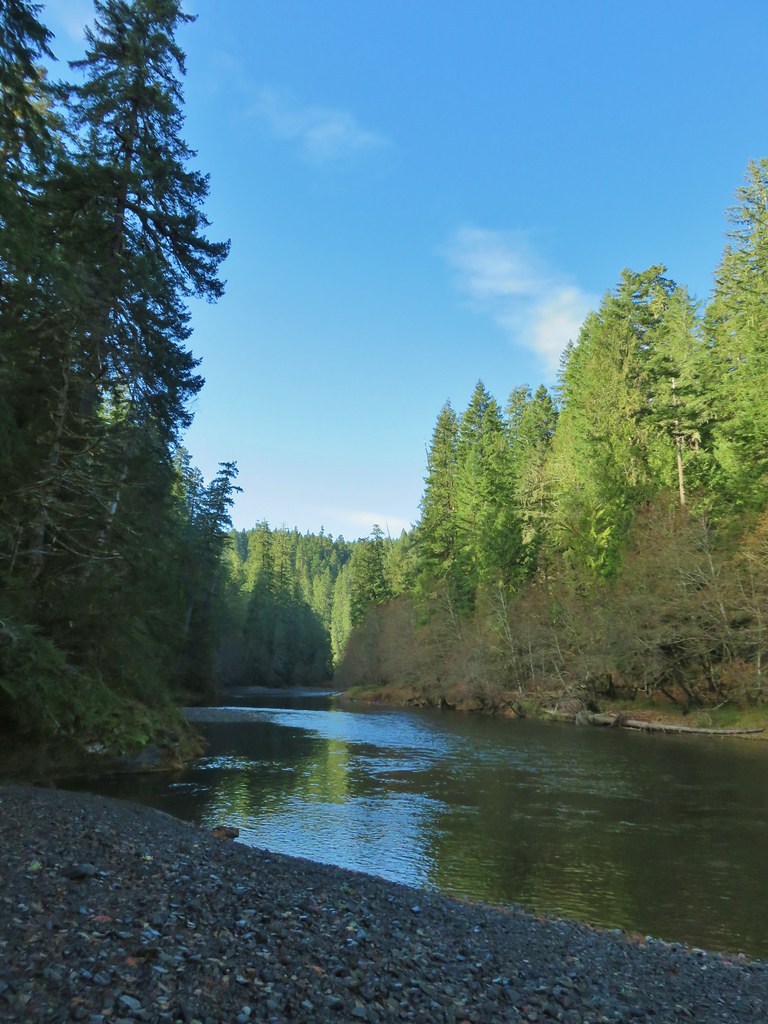
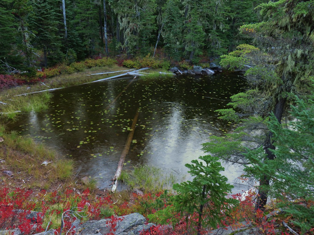
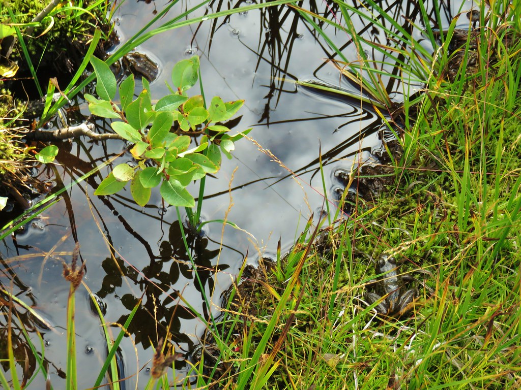
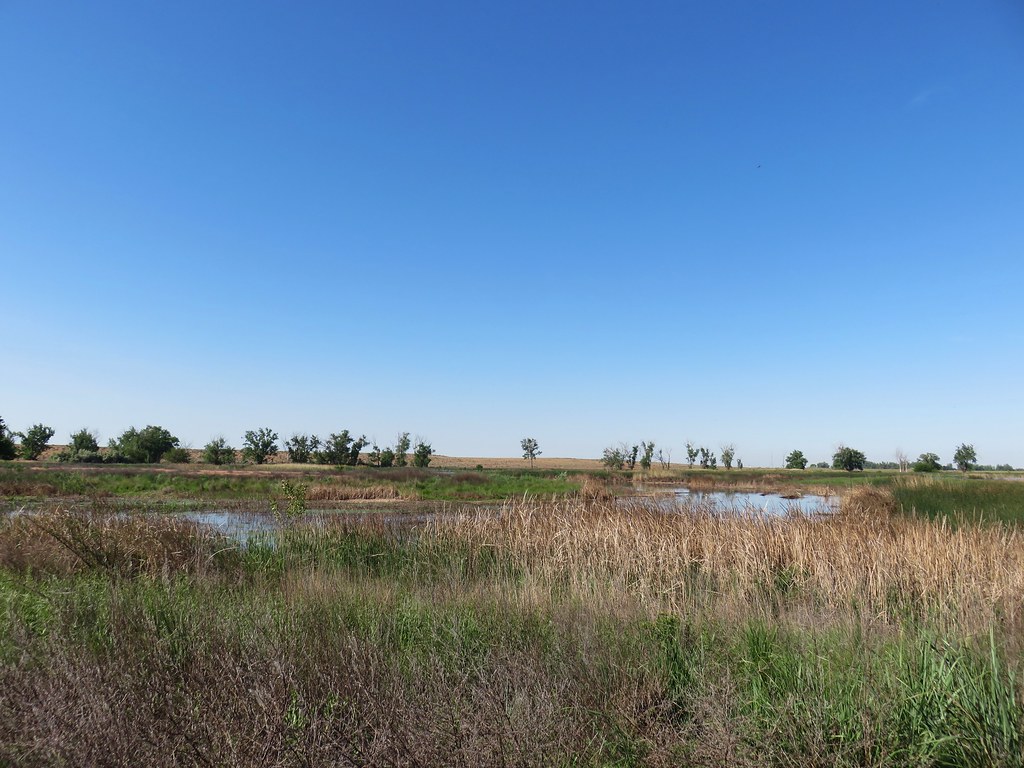 MCormack Slough in the Umatilla Wildlife Refuge.
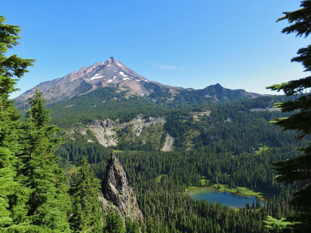
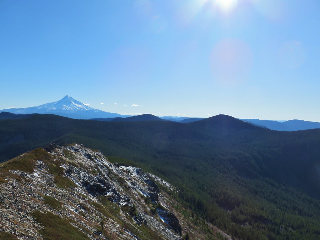
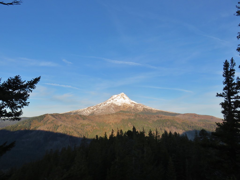
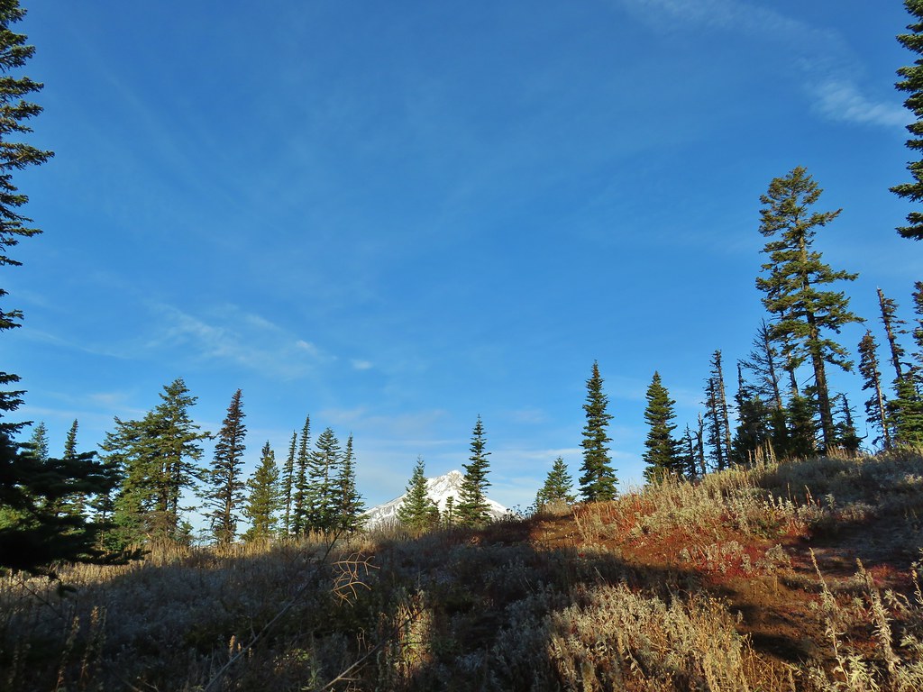
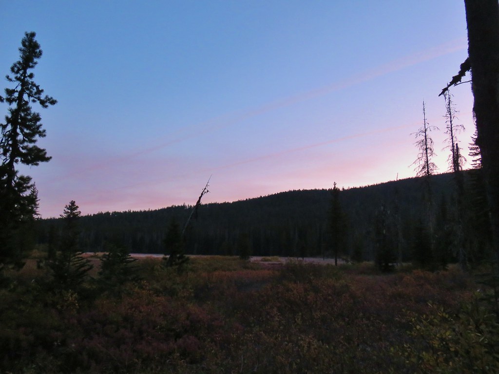
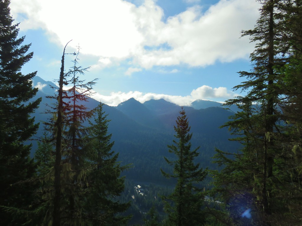
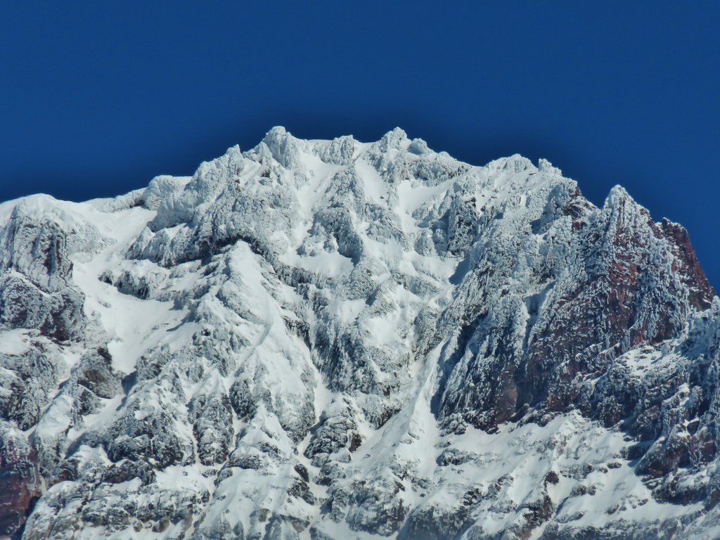
 Looking towards Hells Canyon from Freezout Saddle.
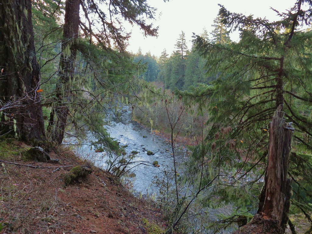
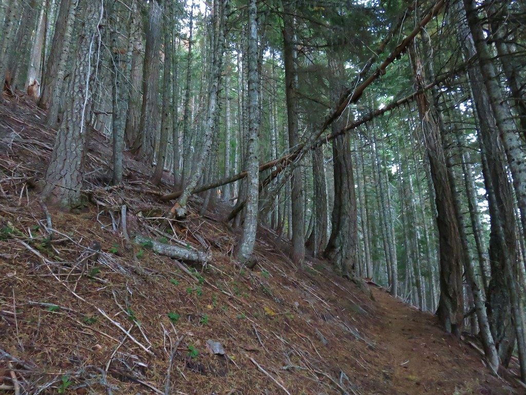
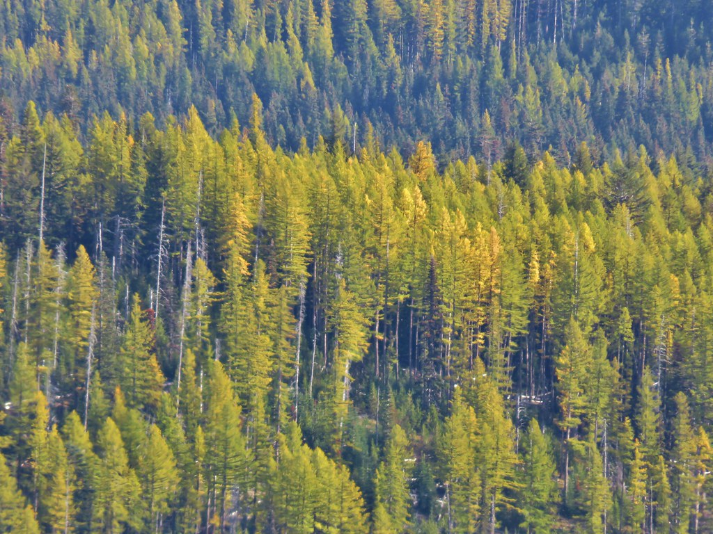
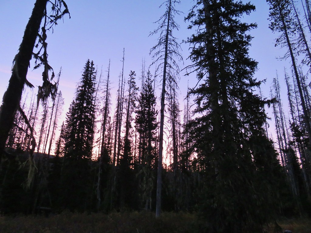
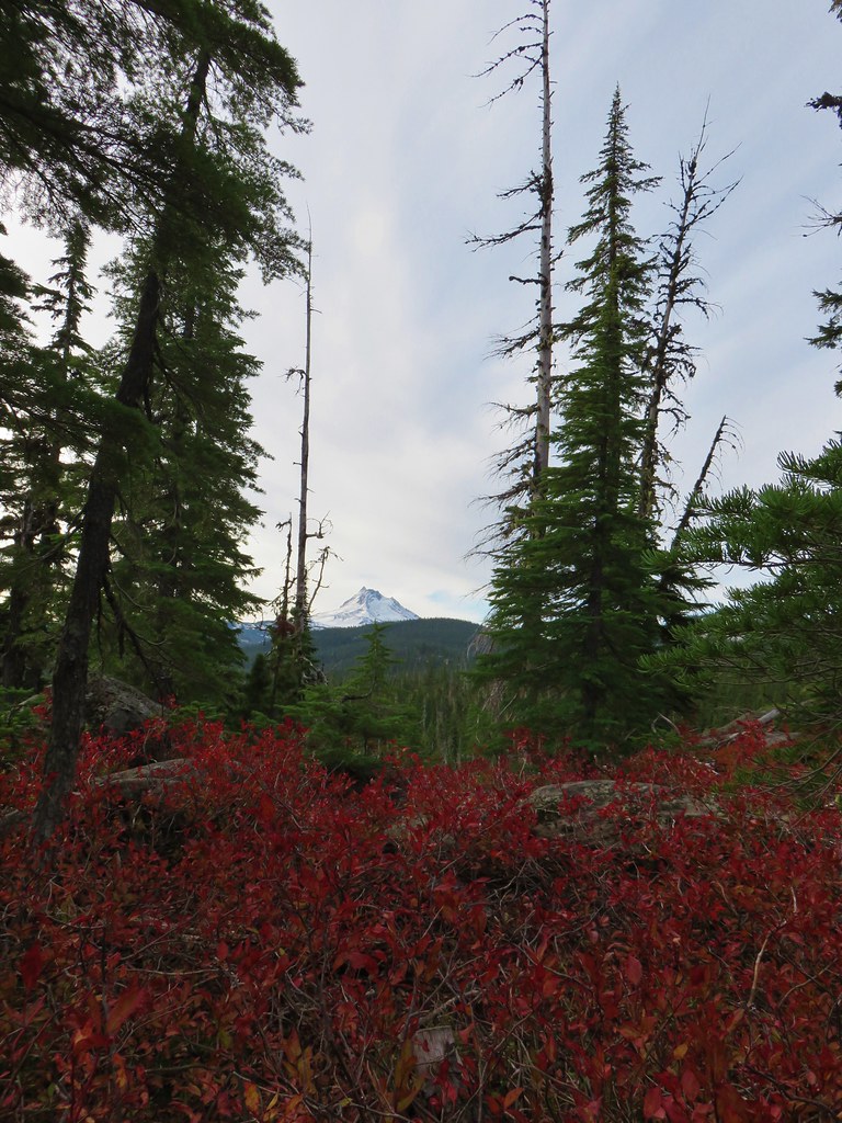
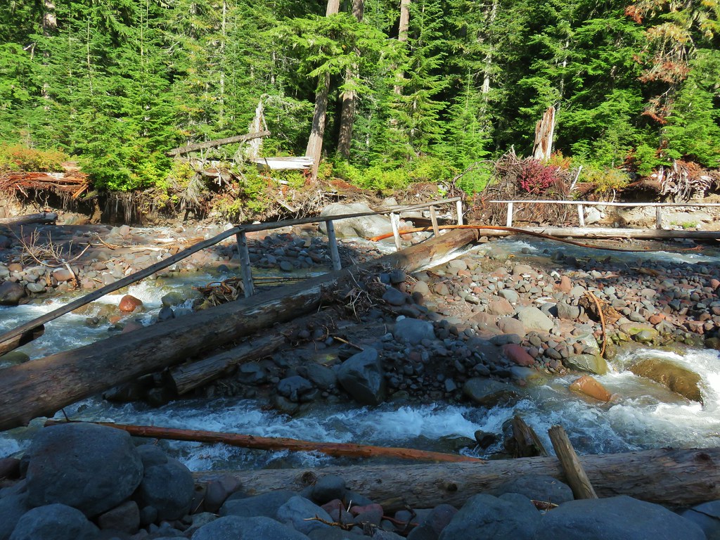
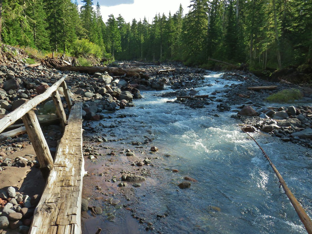
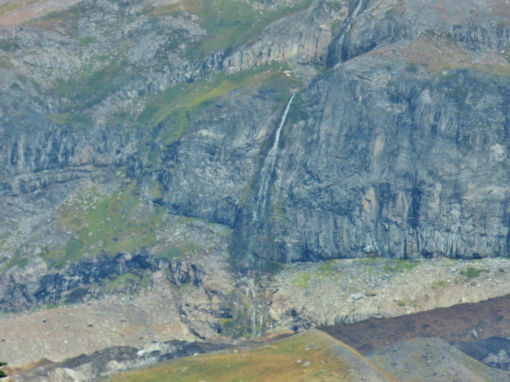
 Wenaha River Canyon
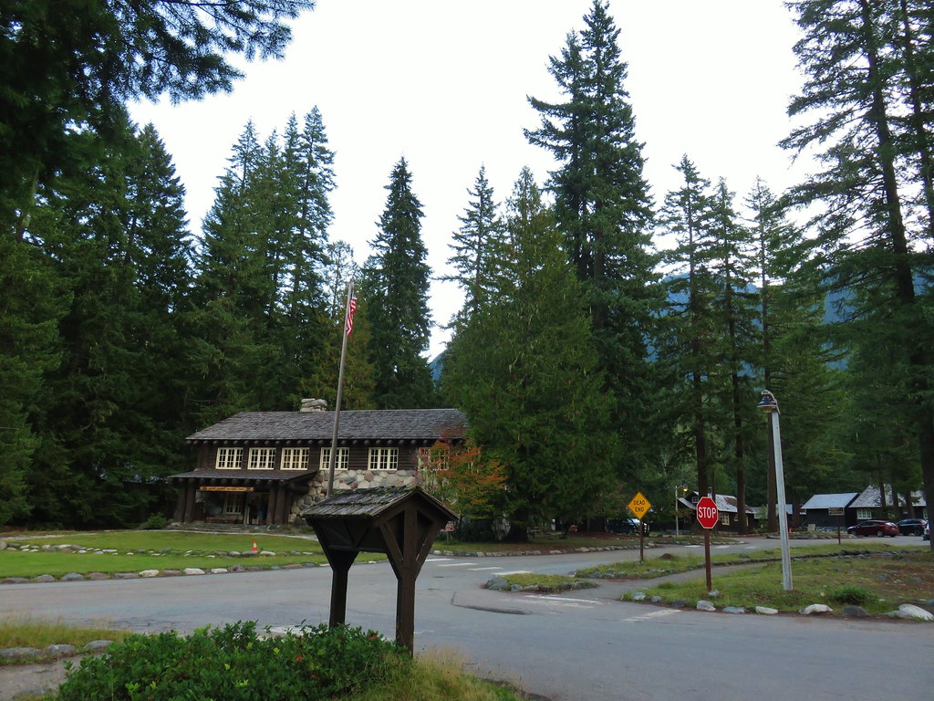
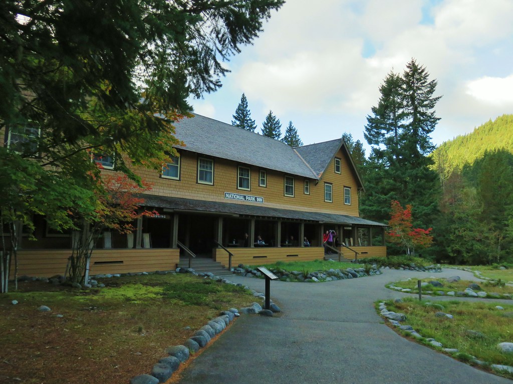
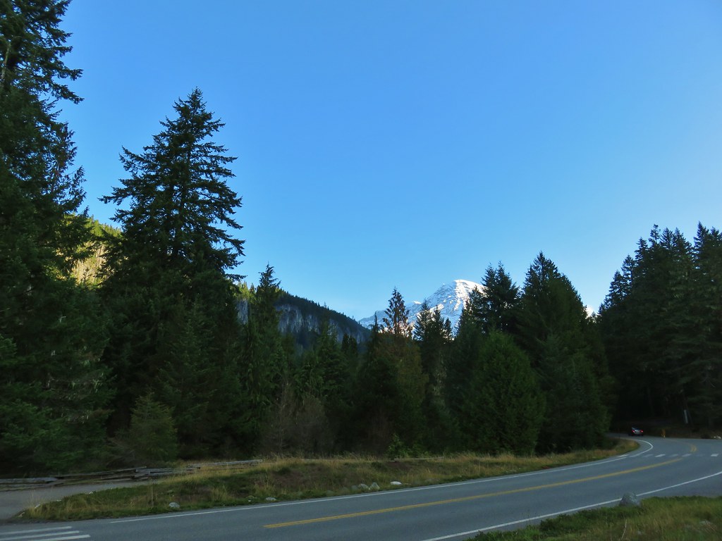
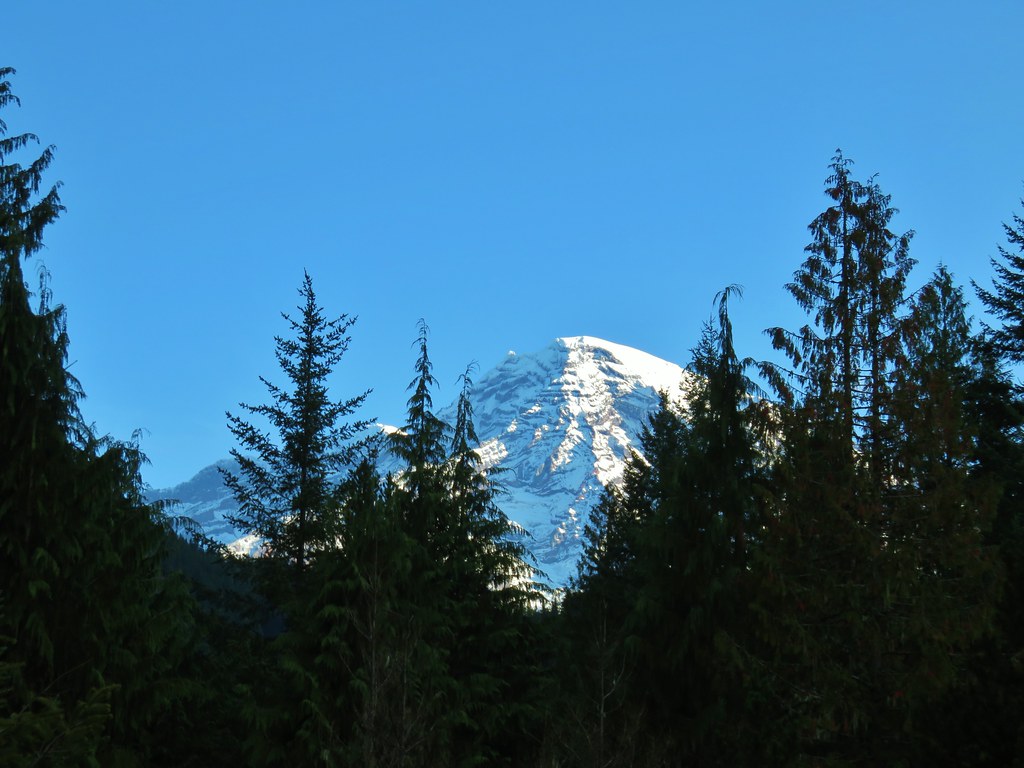
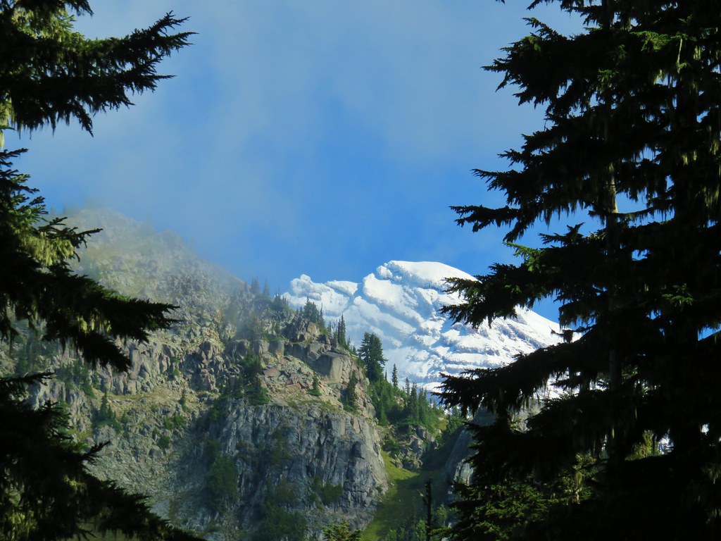
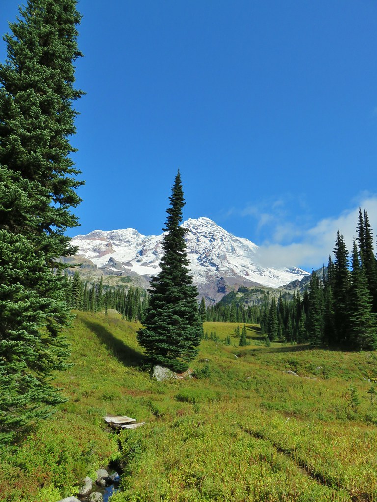
Thanks to my parents willingness to take care of the cats we also managed to take an overnight trip up to Seattle in September to watch a Seattle Seahawks game stopping on the way up at Mt. Rainier National Park (post).
Cancelling the majority of our overnight trips had a couple of effects. First it reduced the number of days of hiking from an original 60 to 54. These would have been shorter hikes back to the car after backpacking or on the drive home from wherever we’d been. It also compressed the area in which we were able to hike keeping it under a 3 hour drive from Salem.

One thing that wasn’t affected was our tendency not to repeat hikes. Of our 54 days hiking only two days were repeats. For the first time we were able to hike with my brother and his family from Missouri taking them to Jawbone Flats and the Little North Fork Santiam River (post).

The second repeat was to the old lookout site atop Maxwell Butte (post) to get the view that eluded us on our first hike there (post).

A visit to Four-In-One Cone, also to get a view that had previously eluded us, (post) was nearly a repeat but we started from a different trailhead making the first (and final) .4 miles new to us.

Thirteen other days did include some trail that we’d previously hiked and three more outings had turn around points that we’d previously been to but from an entirely different route. That left 35 days with entirely new trails to us. To put those figures in miles we hiked a total of 627.7 miles (according to my GPS). Only 70.6 of those miles, or just over 11%, were on portions of trails that we had hiked on in previous years.
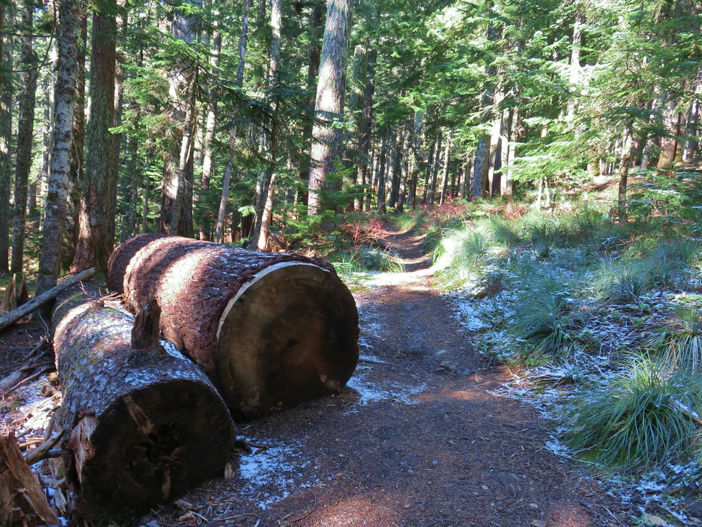
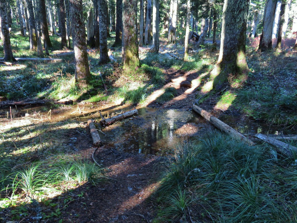
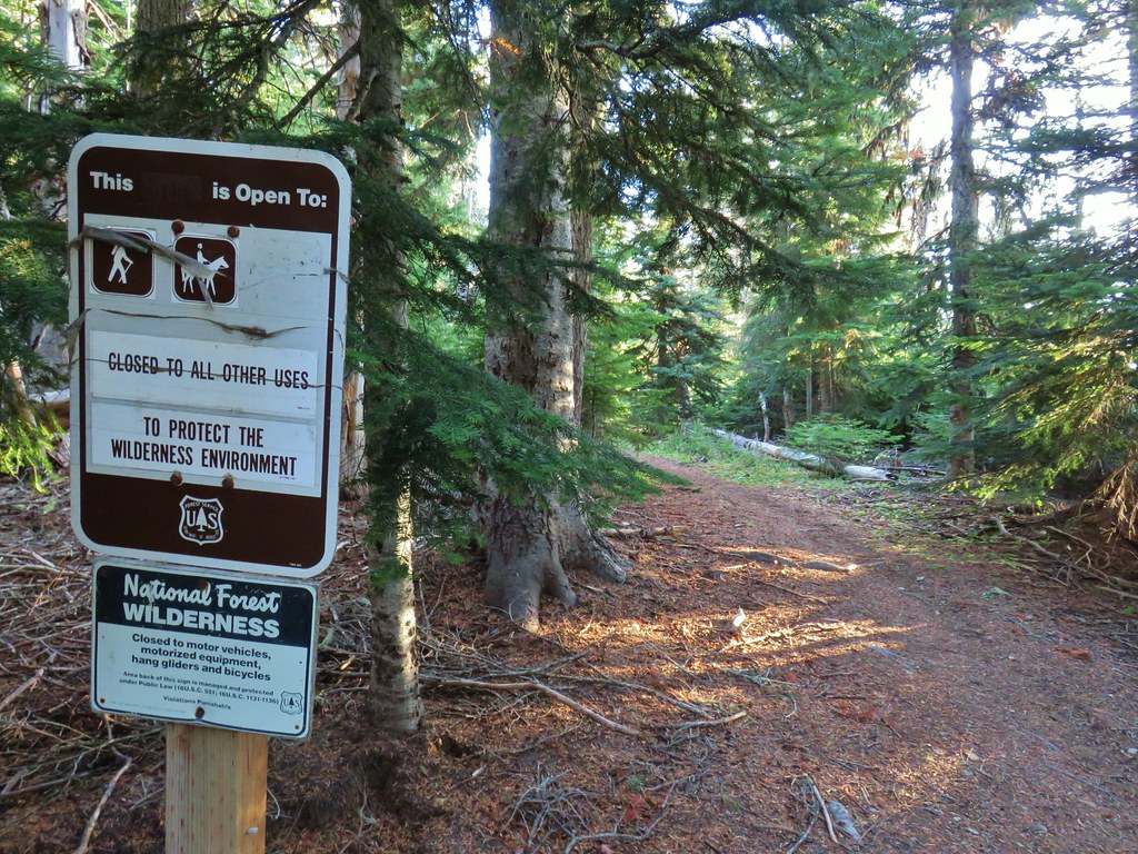
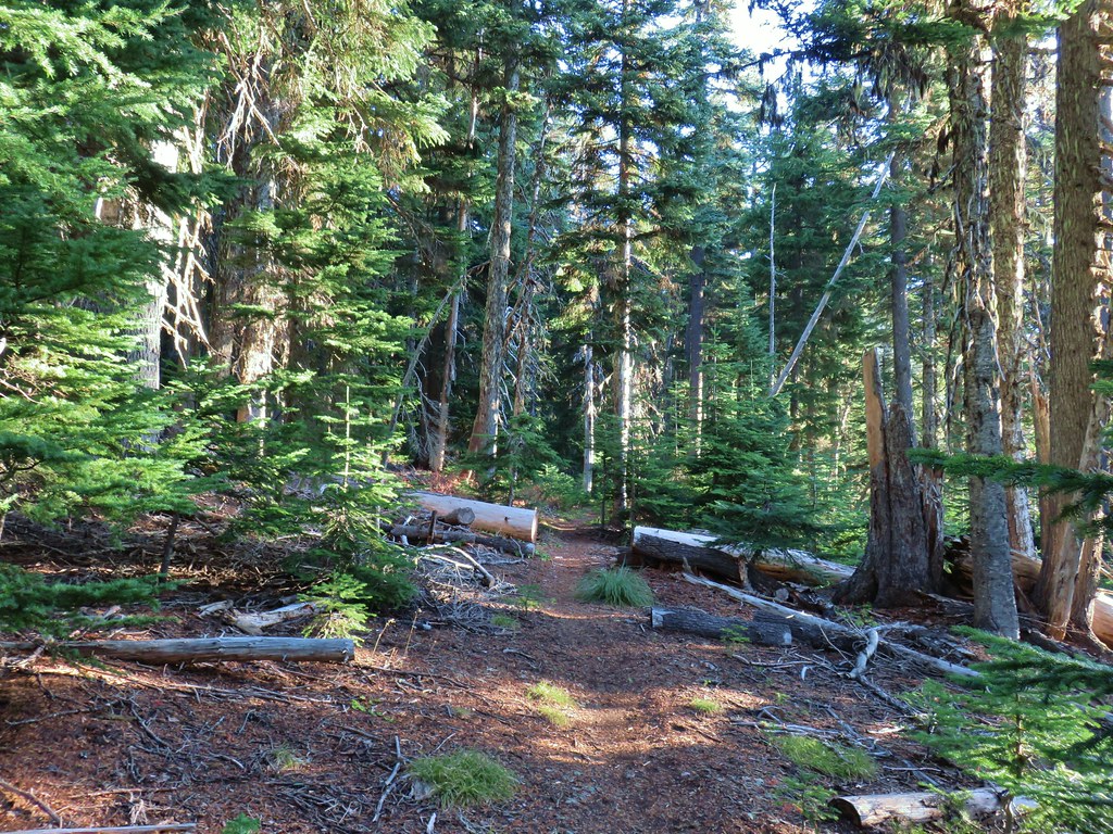
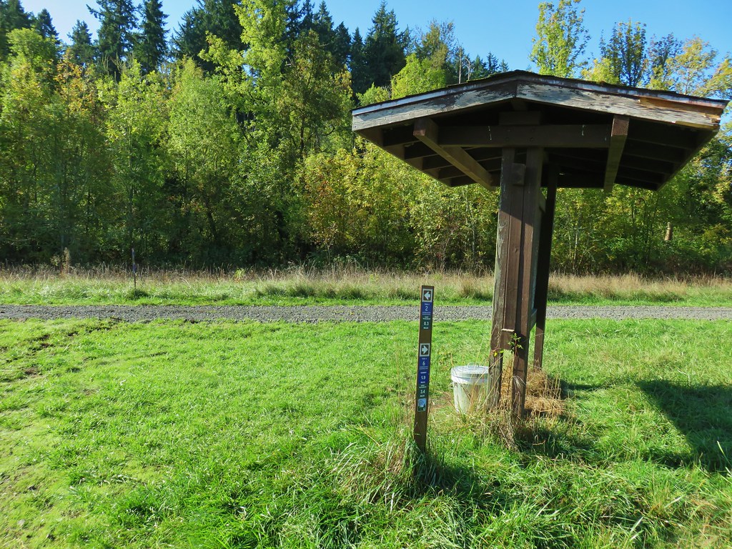
I say “trails” but in reality not all the miles we hiked were on actual trails. Some of it was spent on paved roads, decommissioned roads, and some was entirely off trail/road.
 Road walk at Henry Haag Lake
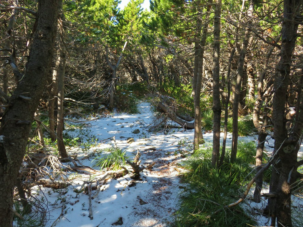
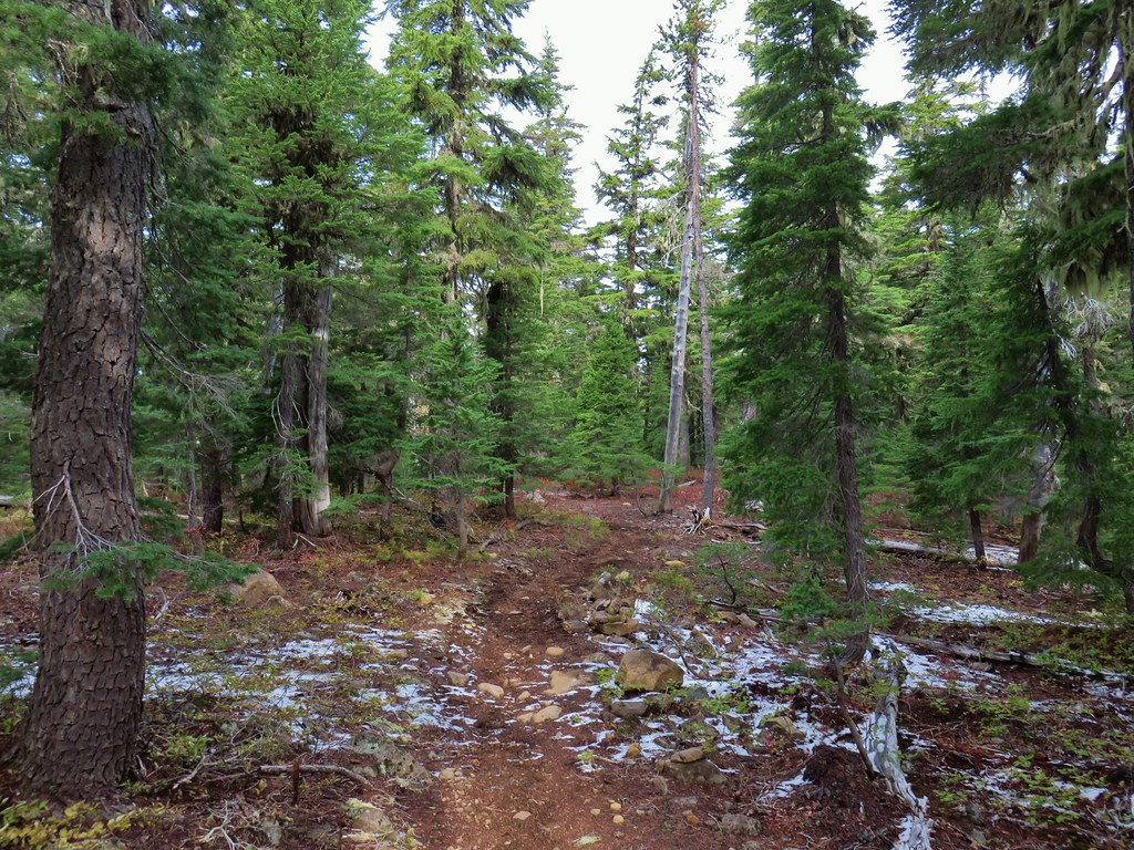
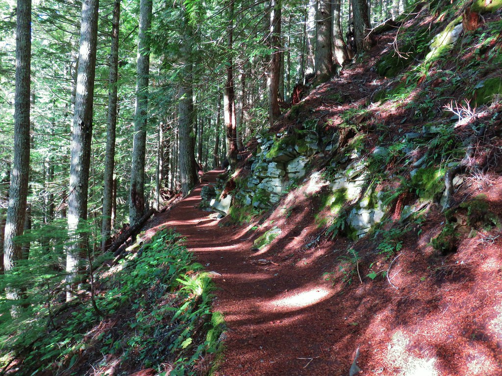
 Decommissioned road to Baty Butte.
 Cross country to Thayer Glacial Lake.
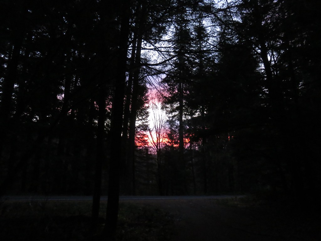
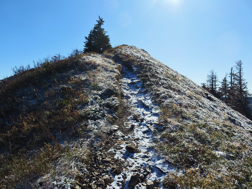
2019 was a really good year weather wise. Aside from some rain/snow showers on our Freezout Saddle hike in June and a brief stint of rain at Cascade Head and in the Mollala River Recreation Area precipitation was almost non-existent during our outings.
 Snow falling on our Freezout Saddle hike.
 Rain shower approaching at Cascade Head.
 Taking cover under a tree in the Mollala River Recreation Area as a rain shower passes overhead.
Even on those three hikes with measurable precipitation there were breaks allowing for some sort of views.
 Rainbow framing the Wallowa Mountains from the Feezout Saddle Trail.
 View from Cascade Head after the shower.
 View from the morning across the Mollala River Canyon.
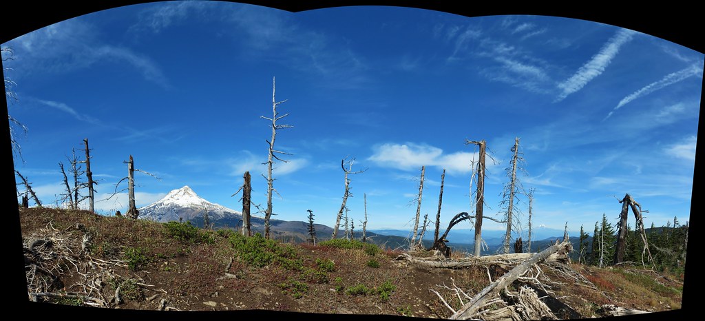
Between the cooperative weather and a lack of significant wildfires in the area made 2019 a great year for viewpoints. In fact there was only one hike, our second to the summit of Huckleberry Mountain (post) where we felt skunked on views. That hike began in the Wildwood Recreation area and the interpretive trails along the Salmon River made up for the lack of views up top.
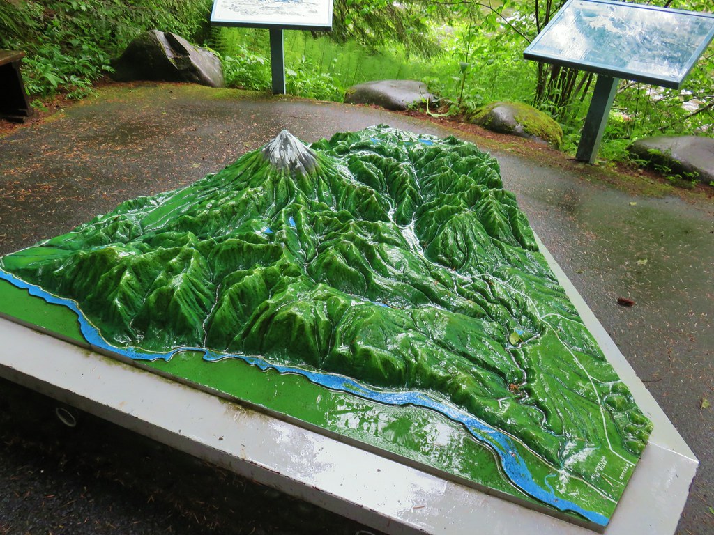 Neat 3D display at Wildwood Recreation Area.
 View atop Huckleberry Mountain.
Even on that day blue sky made an appearance before the end of our hike.

We also never got much of a view (but we did see blue sky) on our visit to Silver Star Mountain (post) but the point of that hike was to see the flower display.

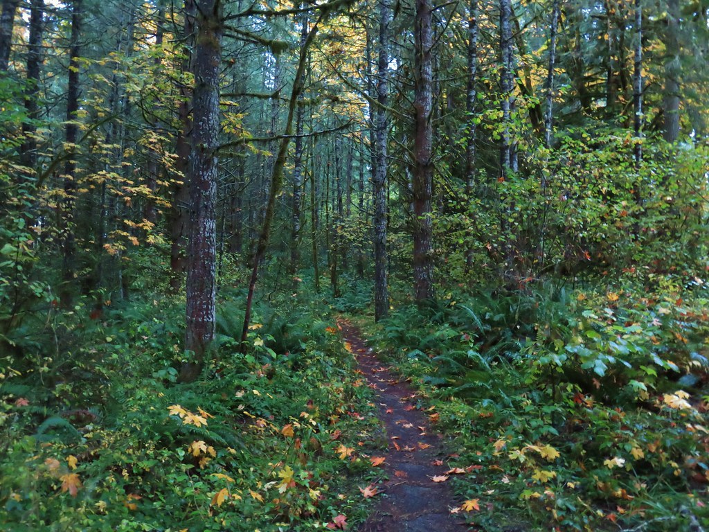
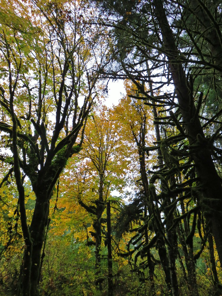
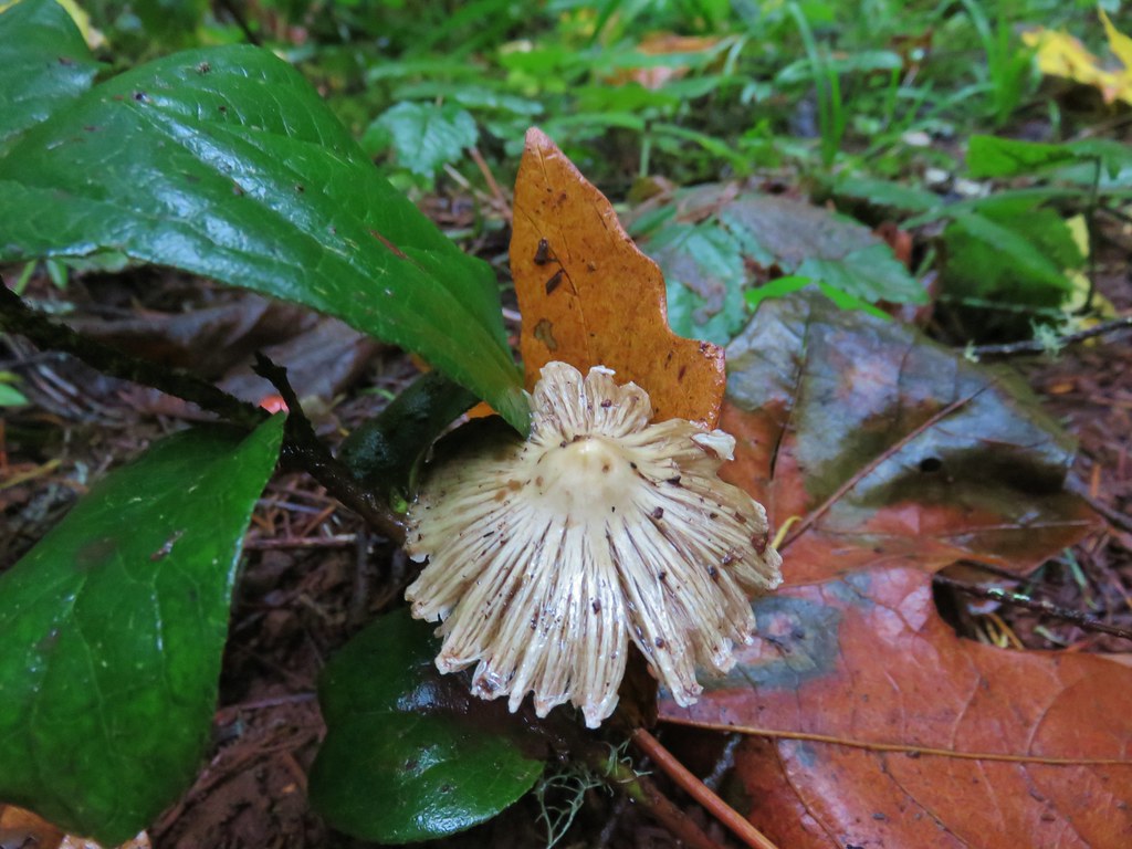
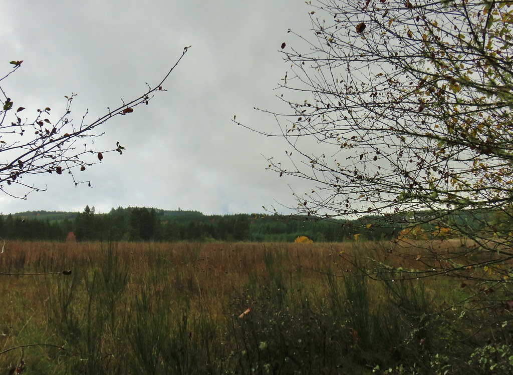
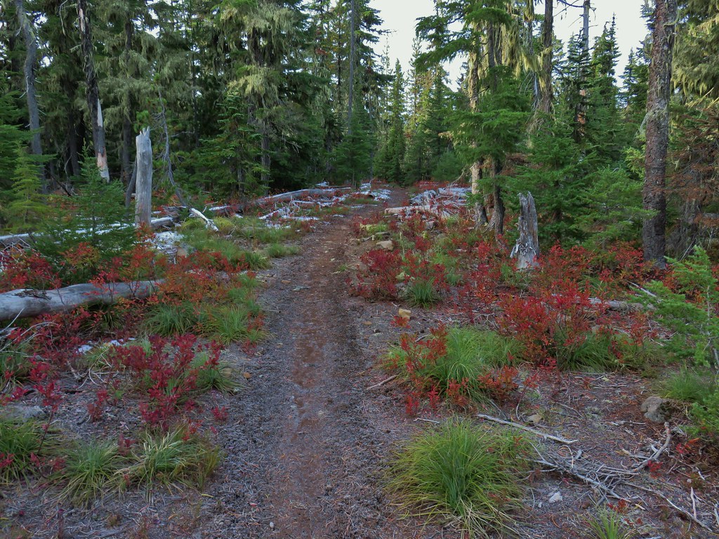
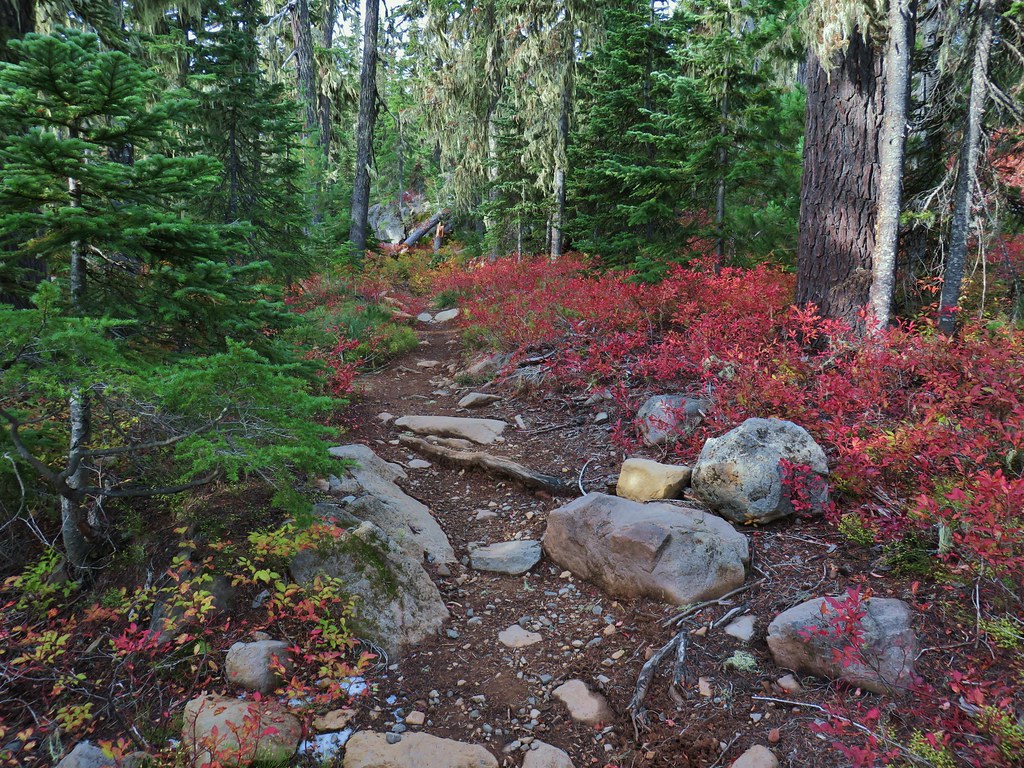
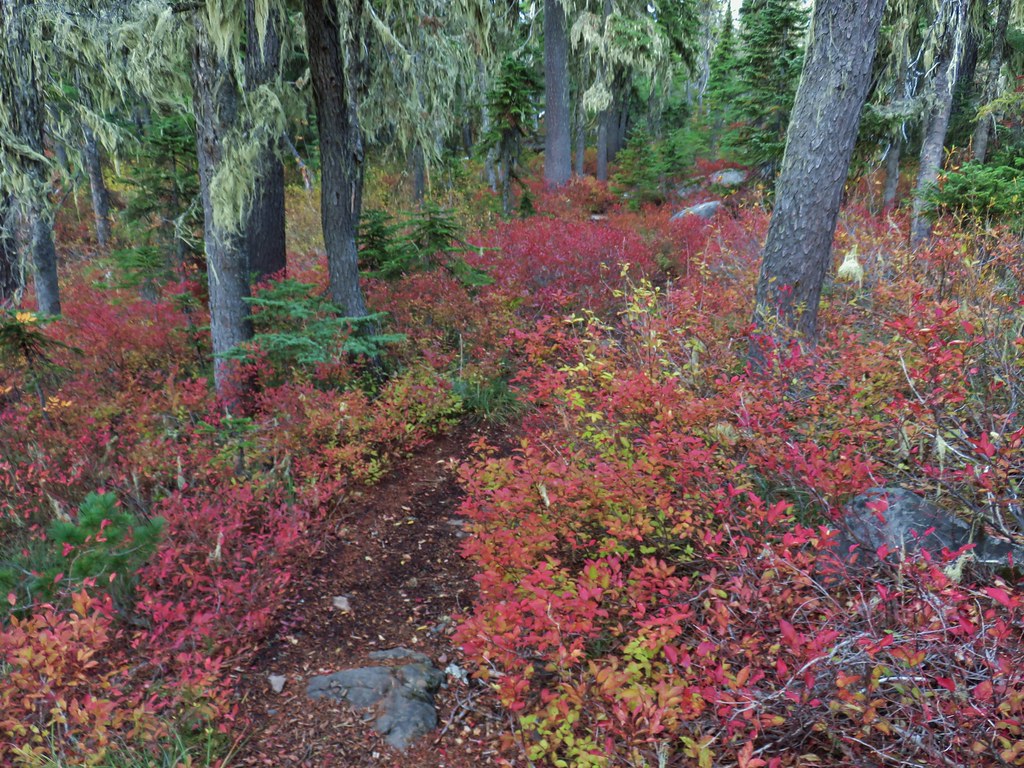
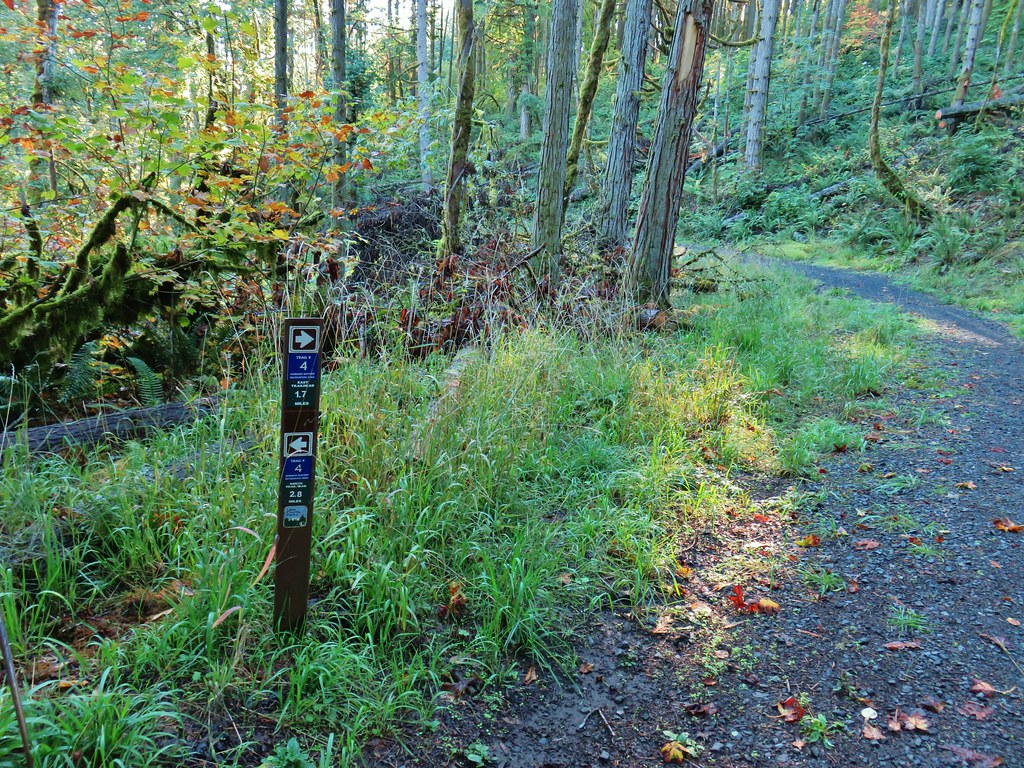
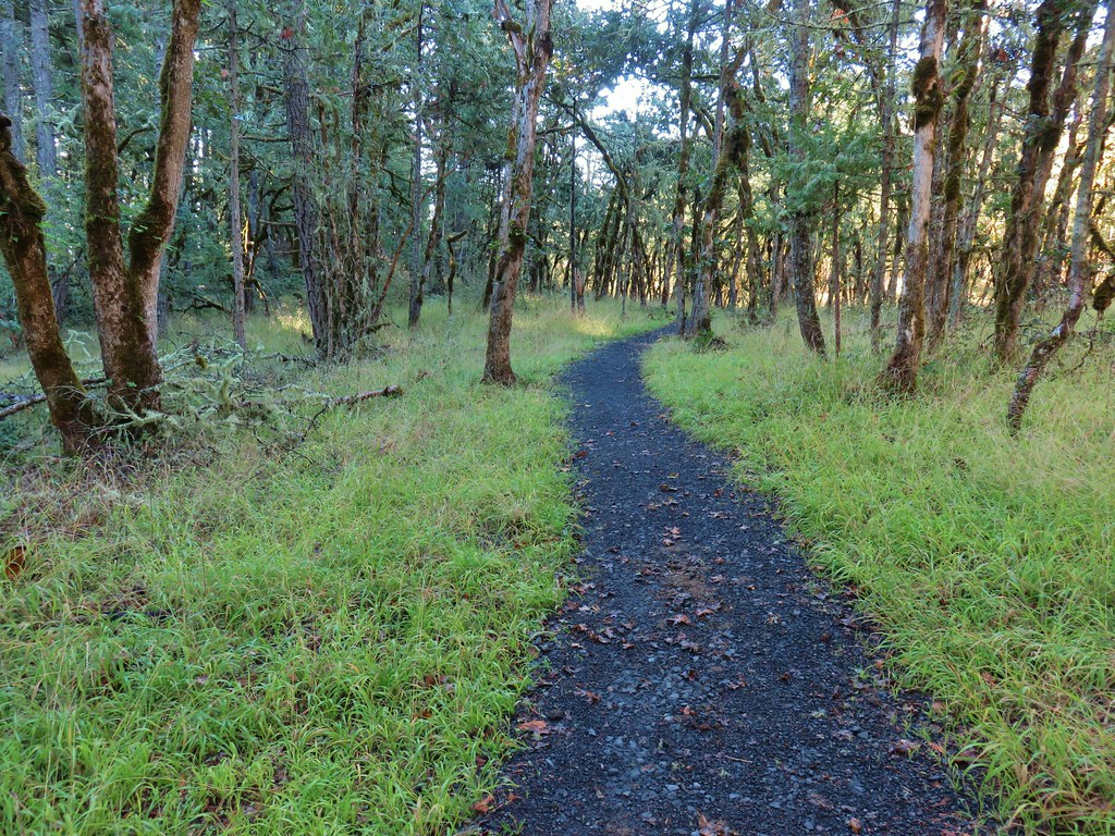
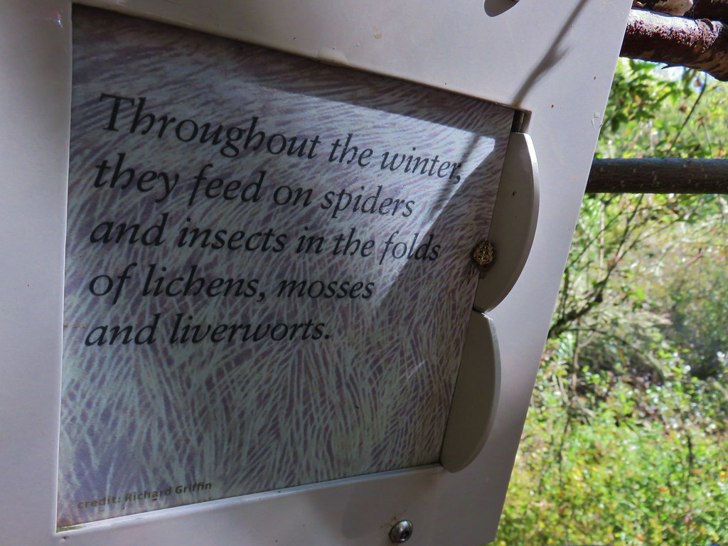
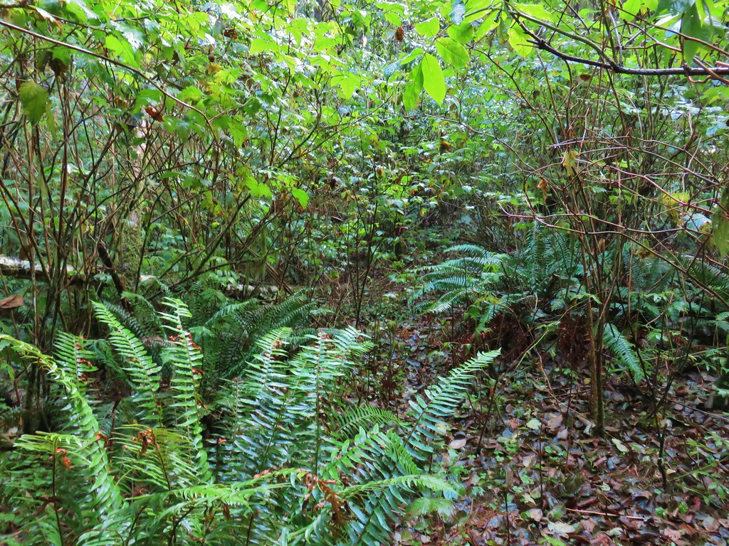
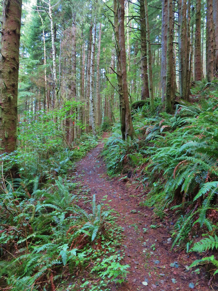
As always our hikes included a variety of landscapes, natural features, and some man-made ones. A sample of which follows. (We will cover wildflowers and wildlife in separate posts later.)
 Gales Creek – Coast Range
 Dry Creek Falls – Columbia River Gorge, OR
 Camassia Natural Area – West Linn
 Two Chiefs and Table Mountain – Columbia River Gorge, WA
 Oak Island – Columbia River
 B.C. Creek Falls – Wallowa Mountains
 Wallowa Mountains
 Harsin Butte – Zumwalt Prairie
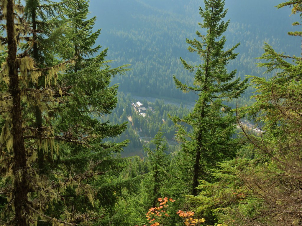
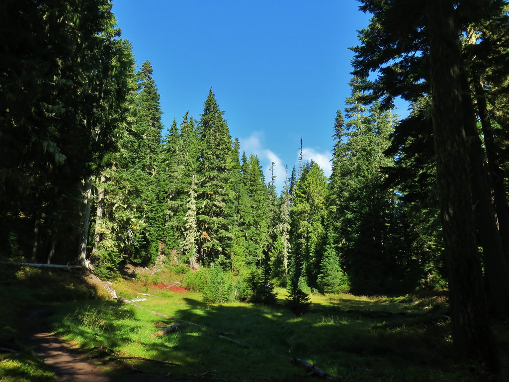
 Sardine Mountain – Willamette National Forest
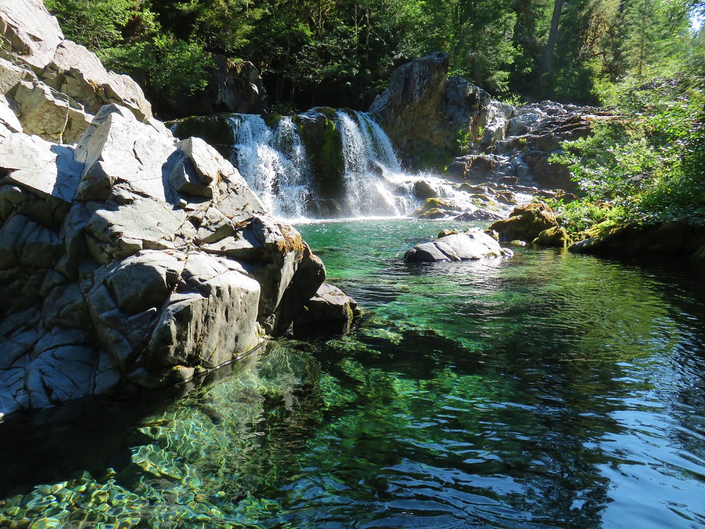
 Gorton Creek Falls – Columbia River Gorge, OR
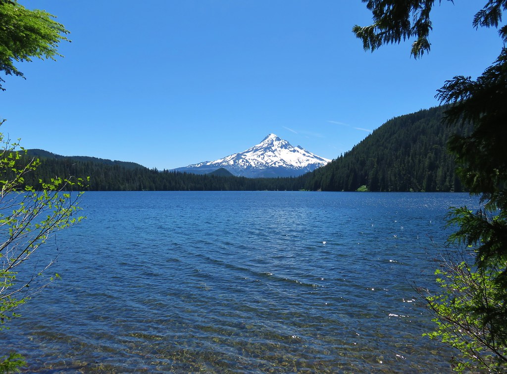 Mt. Hood from Lost Lake
 Mt. Hood from Vista Ridge
 Sand Mountain Lookout – Willamette National Forest
 Cape Kiwanda and Haystack Rock from Sitka Sedge Beach
 High Lake – Mt. Hood National Forest
 Tidbits Mountain – Willamette National Forest
 Bunchgrass Meadow – Willamette National Forest
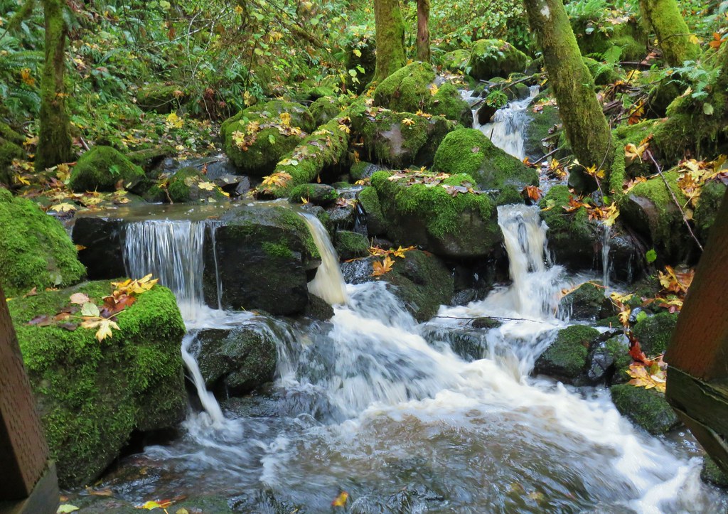
 Breitenbush Cascades – Willamette National Forest
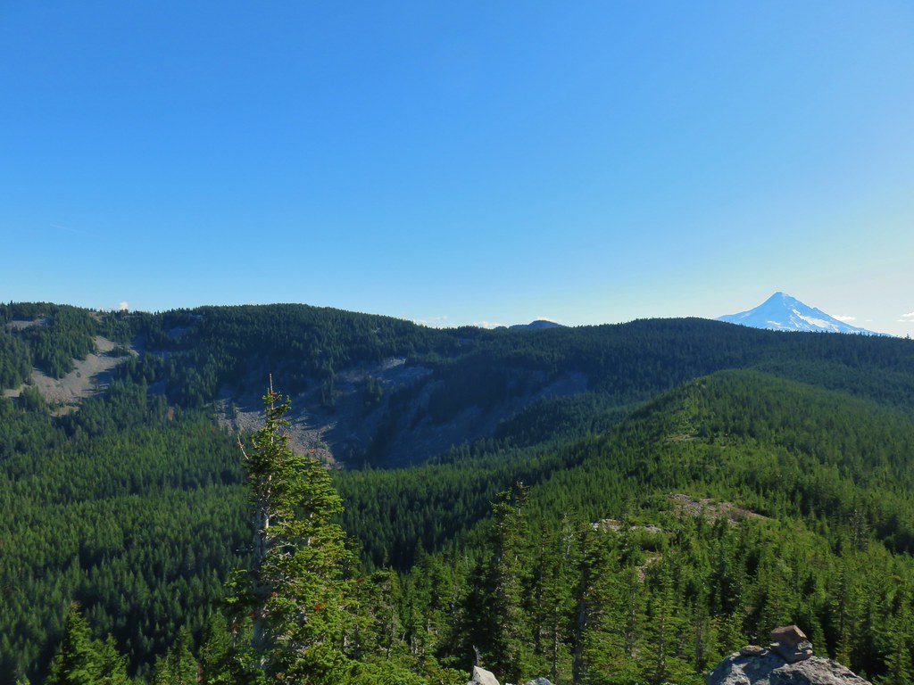
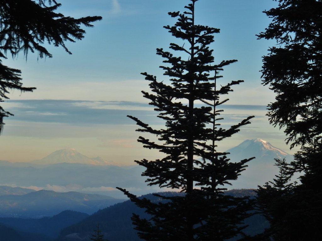
 Mt. St. Helens from Cinnamon Ridge – Mt. St. Helens National Volcanic Monument
 Mt. Jefferson from Bear Point – Mt. Jefferson Wilderness
 Sawmill Falls – Little North Fork Santiam River
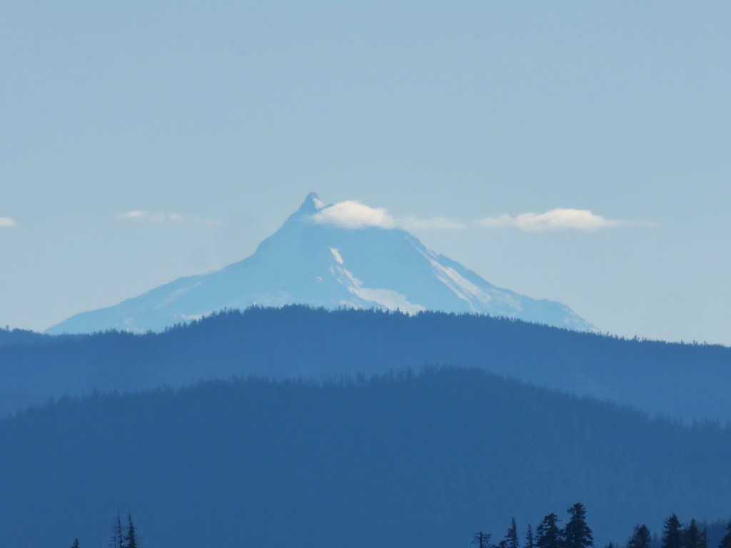
 Three Fingered Jack, The Three Sisters, and Mt. Washington
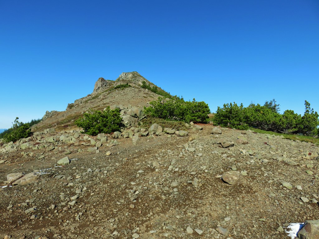
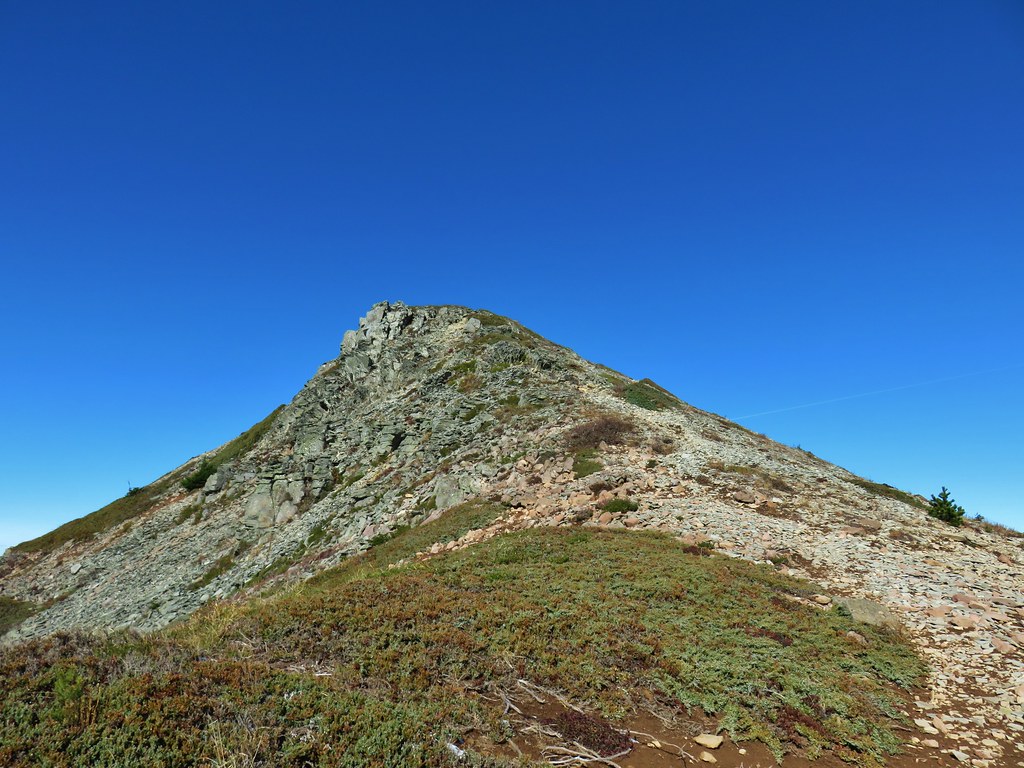
 Scramble route to Baty Butte – Mt. Hood National Forest
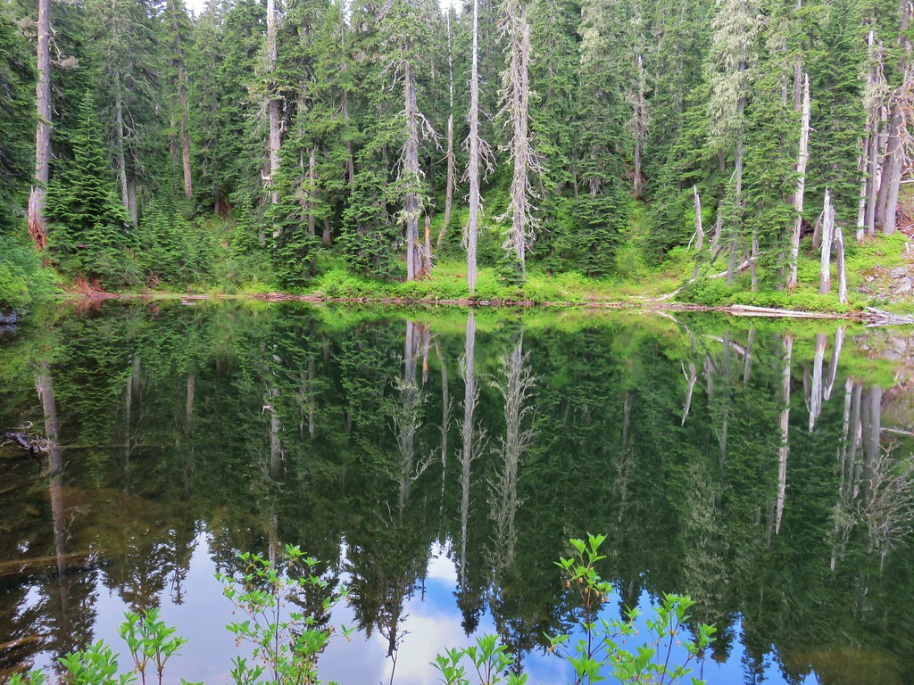
 Boulder Lake – Mt. Hood National Forest
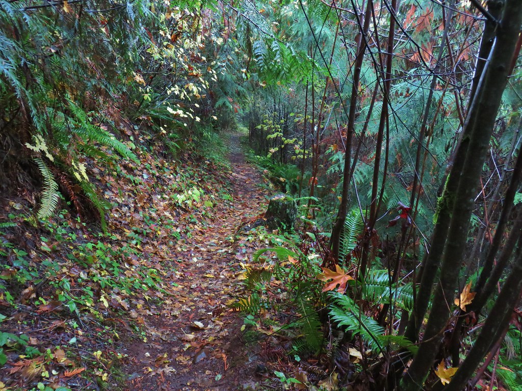
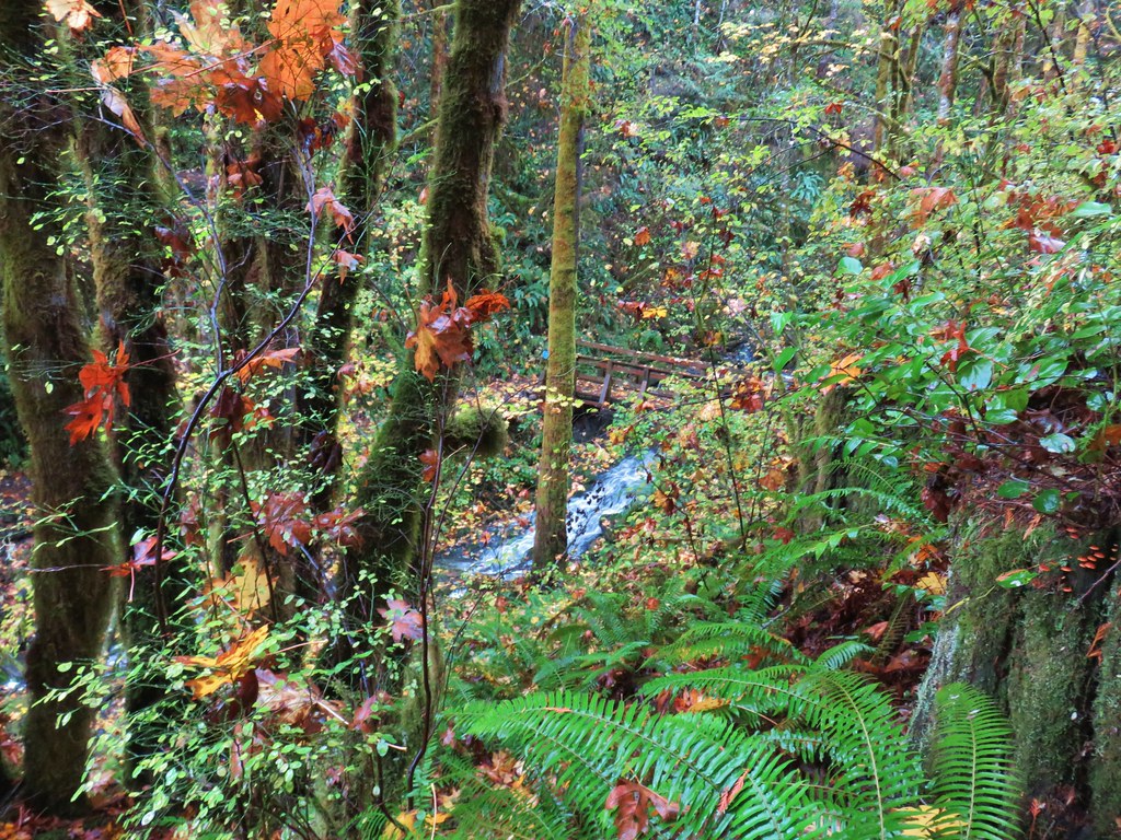
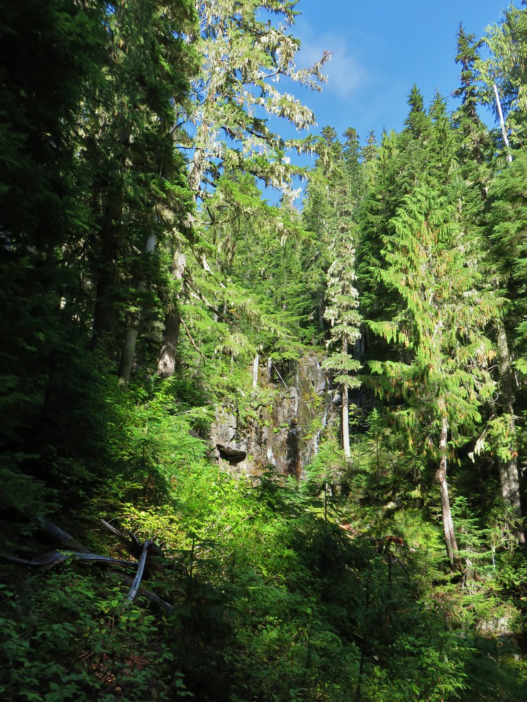
 Drift Creek – Drift Creek Wilderness
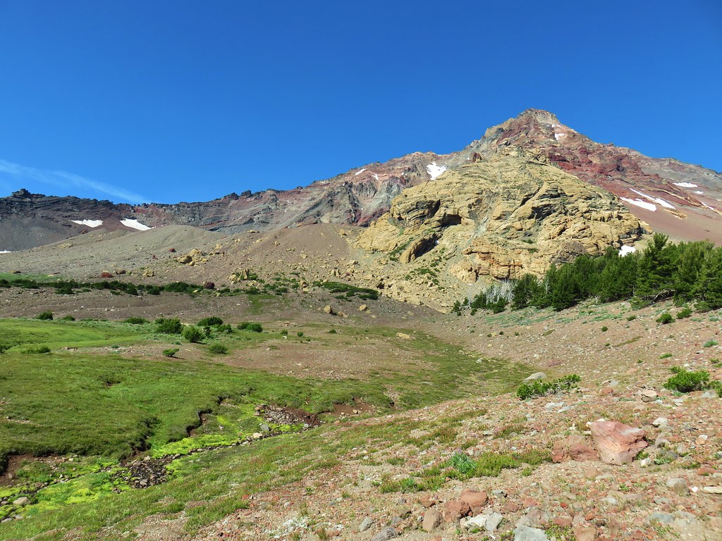
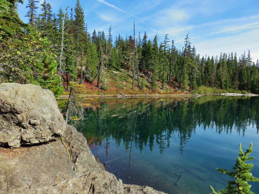
 North Sister and Thayer Glacial Lake – Three Sisters Wilderness
 North Sister, Middle Sister, and The Husband from Four-In-One Cone – Three Sisters Wilderness
 Mt. Hood from Tumala Mountain – Mt. Hood National Forest
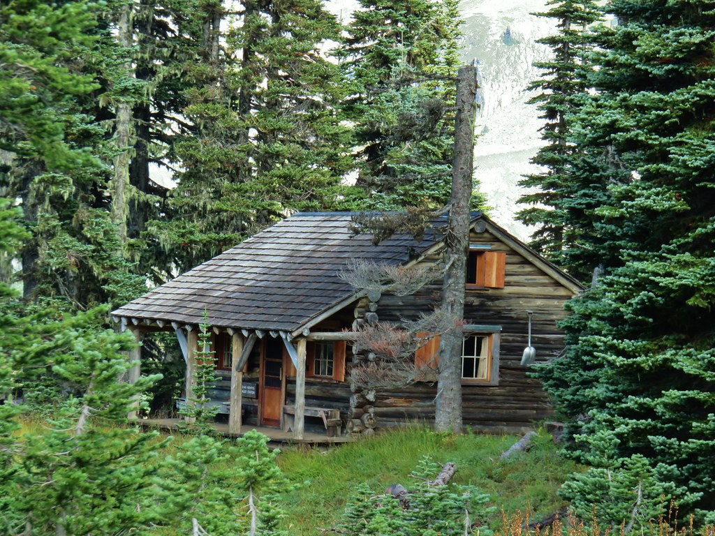
 Bull of the Woods Lookout – Bull of the Woods Wilderness
 Mt. Hood from Elk Cove – Mt. Hood Wilderness
 Mt. Jefferson and Hunts Cove – Mt. Jefferson Wilderness
 View from Olallie Butte – Warm Springs Indian Reservation
 Lillian Falls – Waldo Lake Wilderness
 Olallie Mountain Lookout – Three Sisters Wilderness
 King Tut – Crabtree Valley
 Mt. Jefferson from Ruddy Hill – Mt. Hood National Forest
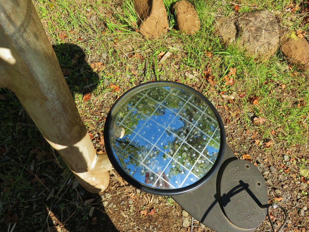
 Henry Haag Lake – Scoggins Valley
 Waldo Lake and the Cascade Mountains from The Twins – Deschutes National Forest
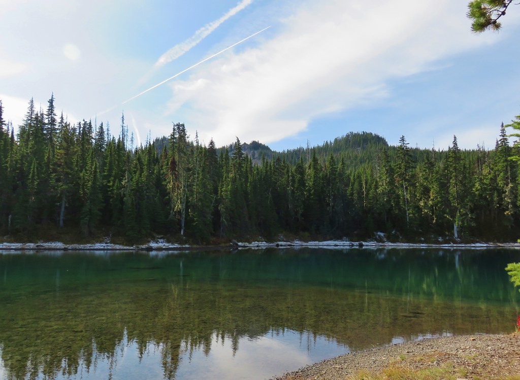
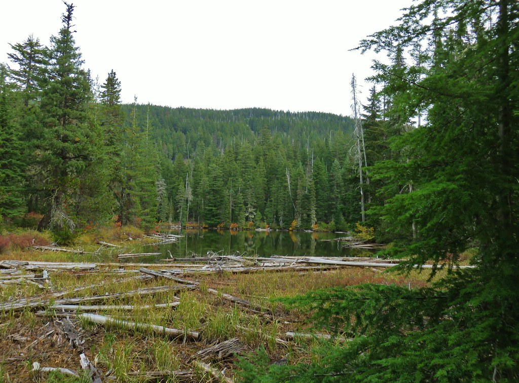
 Bobby Lake – Deschutes National Forest
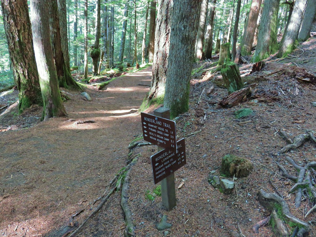
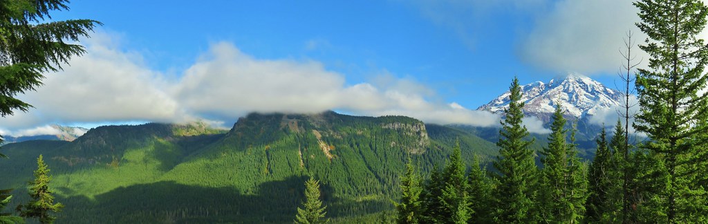
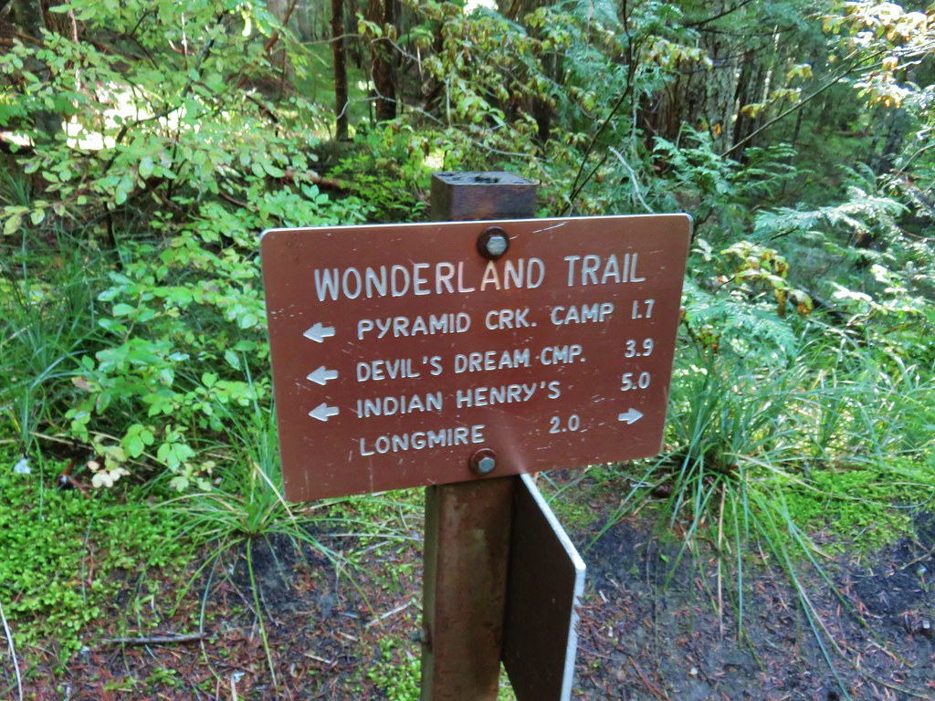
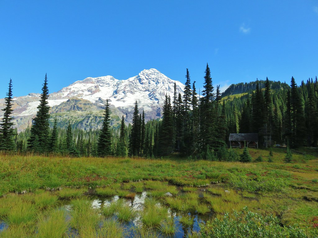
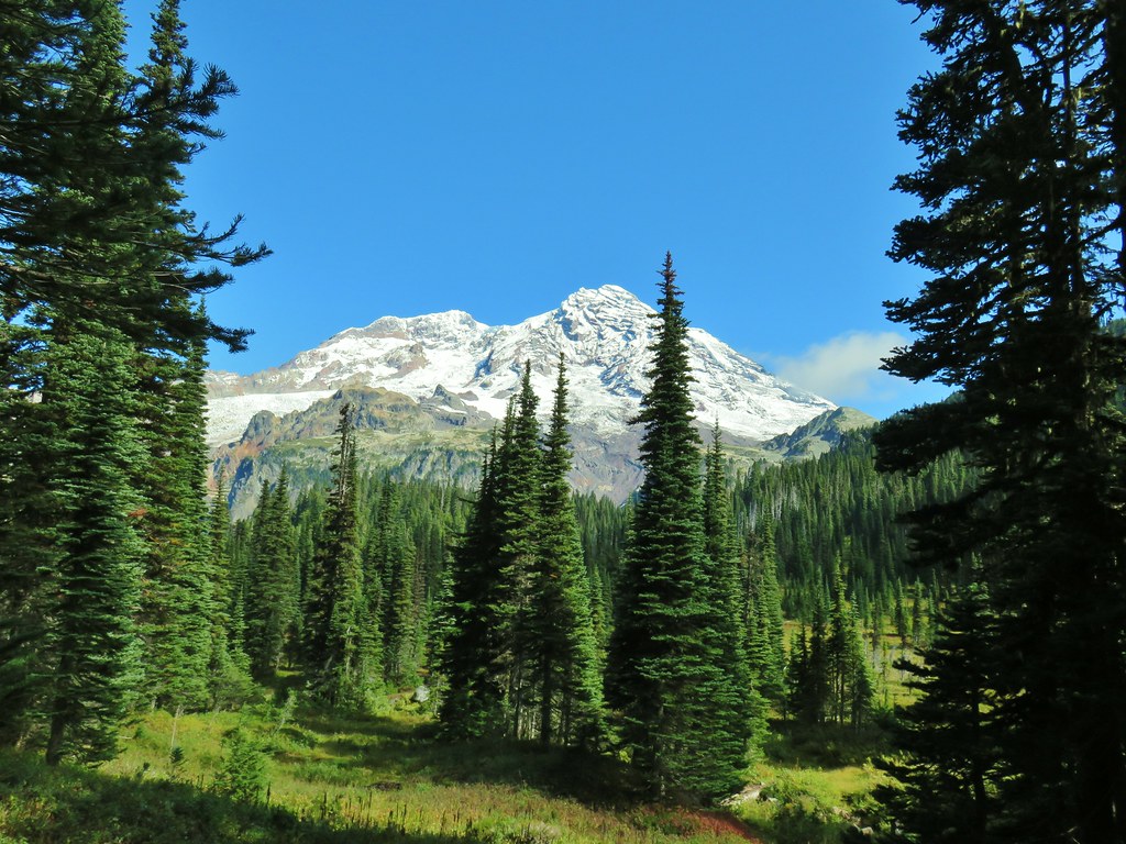
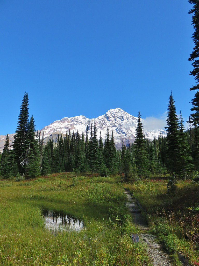
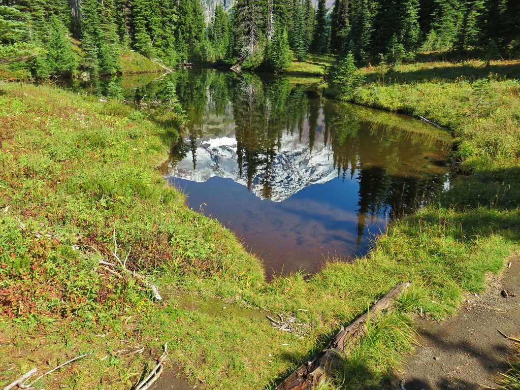
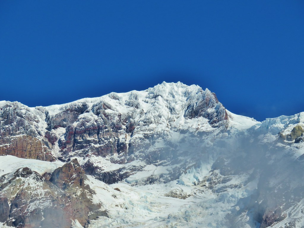
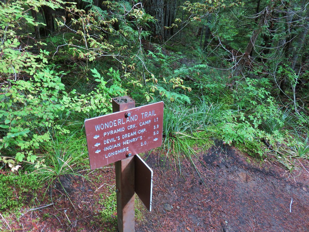
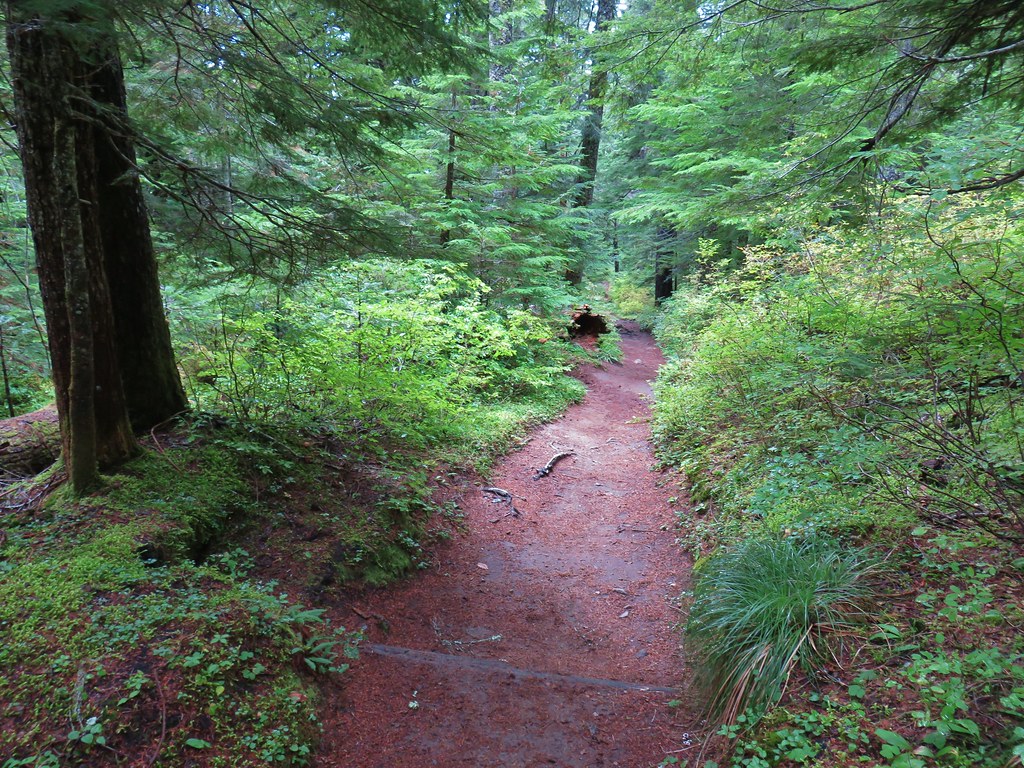
 Indian Henry’s Hunting Ground – Mt. Rainier National Park
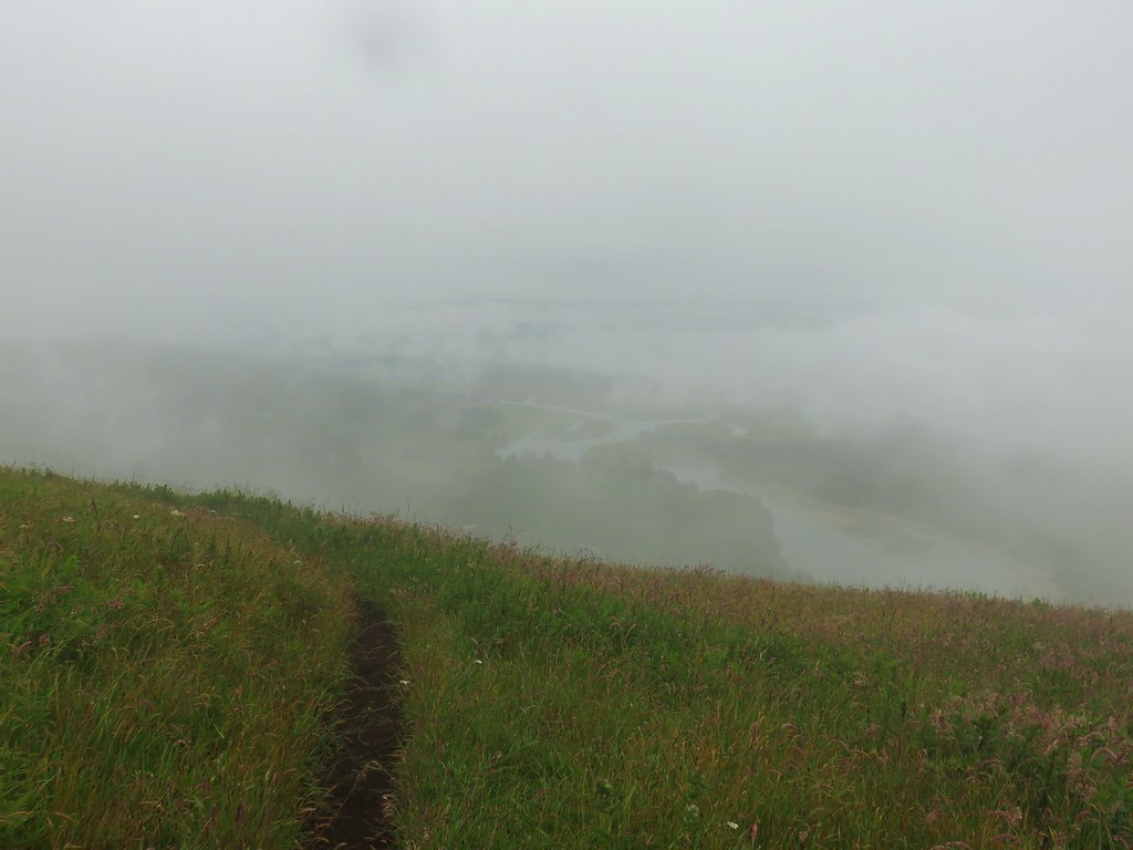
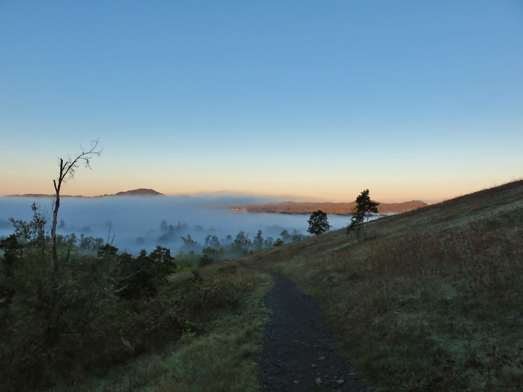
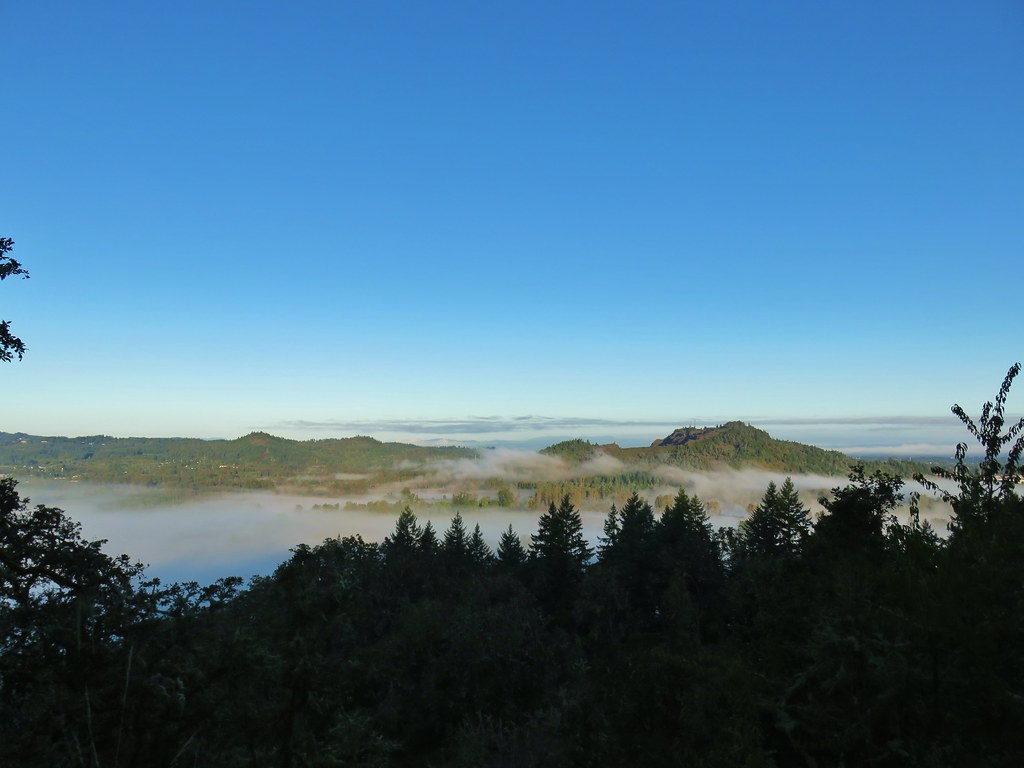
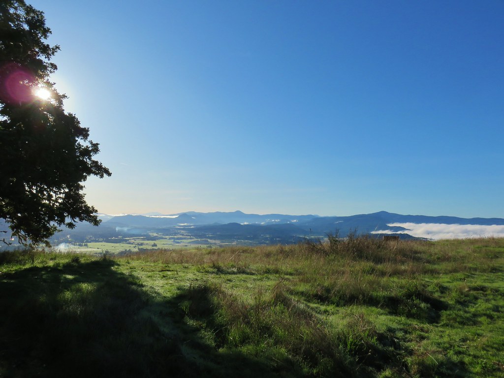
 Fog over the valley from Mt. Pisgah – Eugene, OR
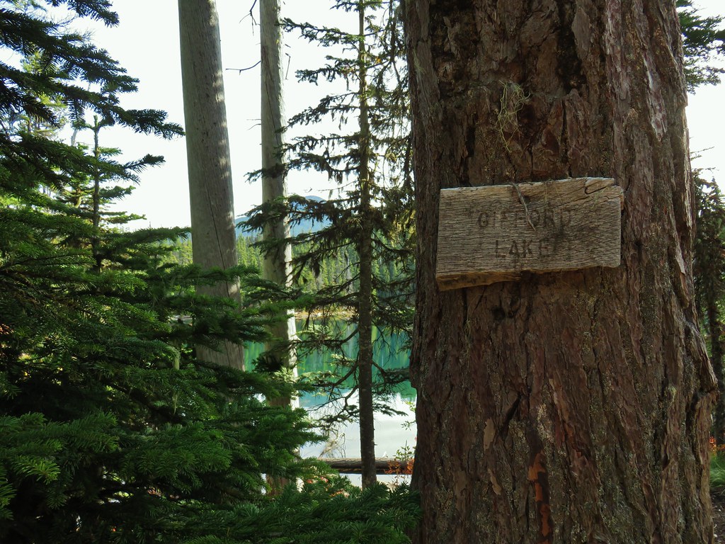
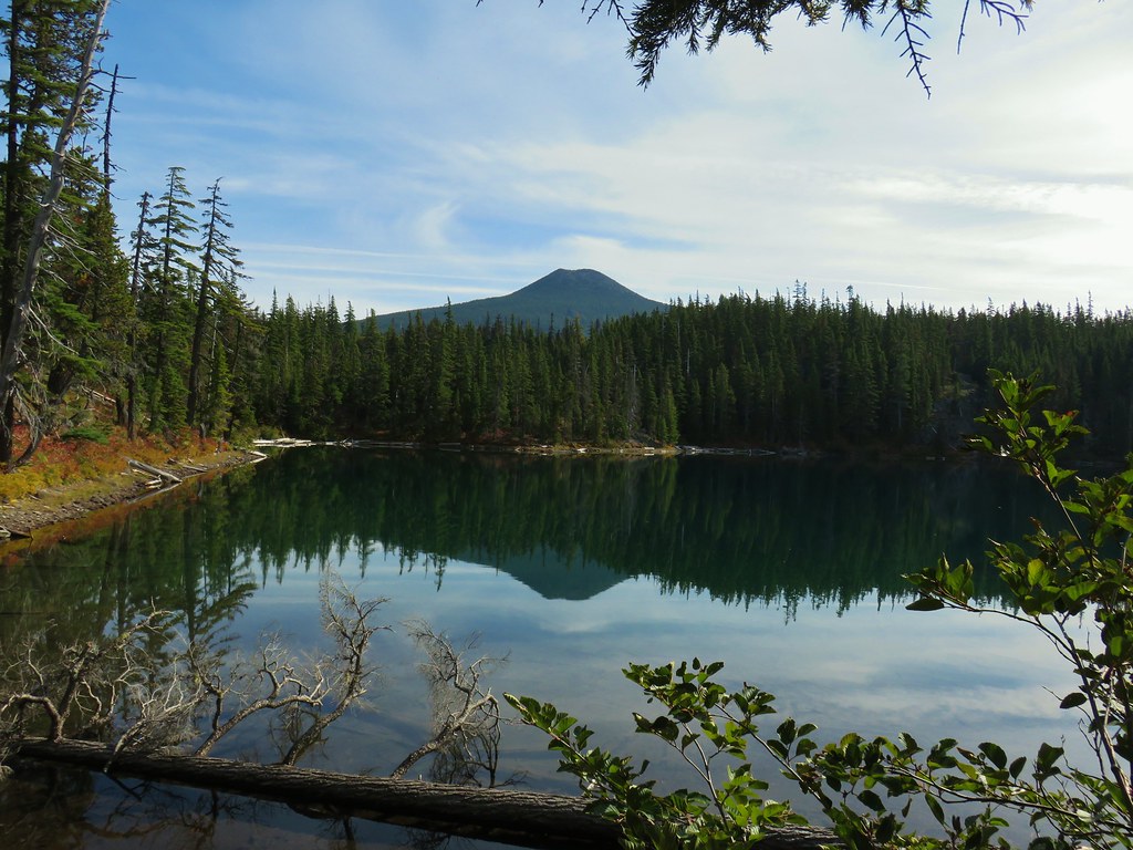
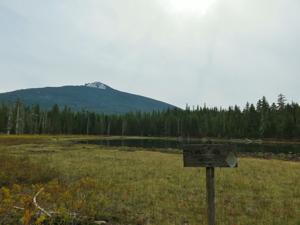
 Twin Peaks and Gifford Lake – Olallie Lake Scenic Area
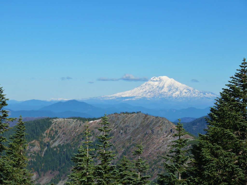
 Mt. Adams from Lookout Mountain – Badger Creek Wilderness Area
 Mollala River Recreation Area
 View toward Washington from the Pacific Crest Trail near Indian Mountain – Mt. Hood National Forest
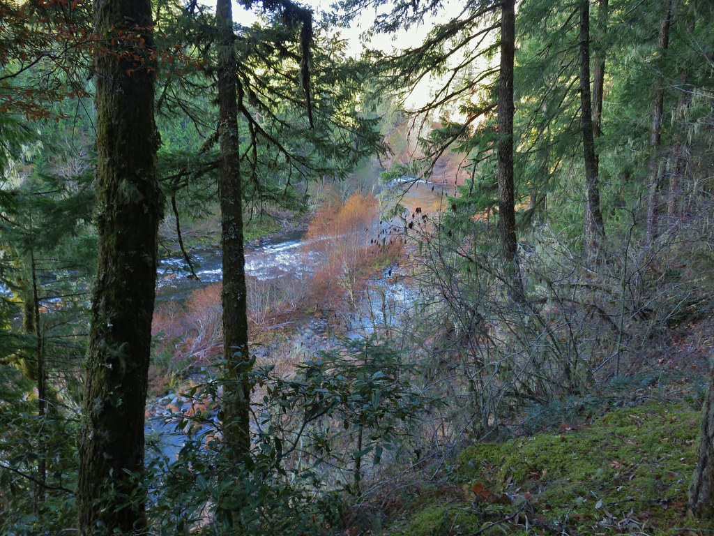
 Clackamas River – Mt. Hood National Forest
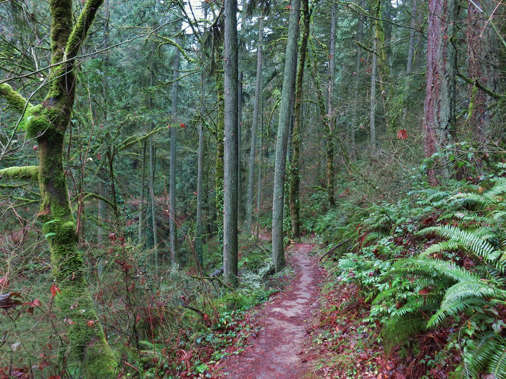
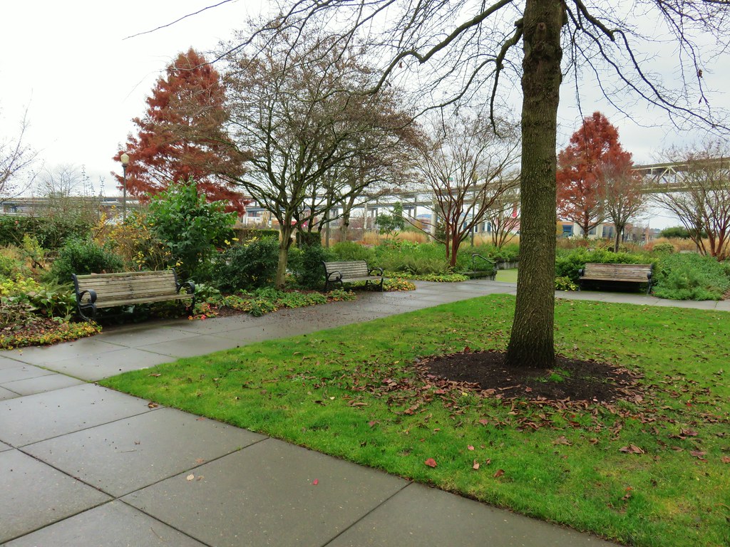
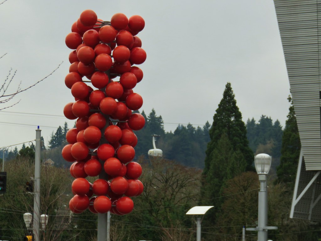
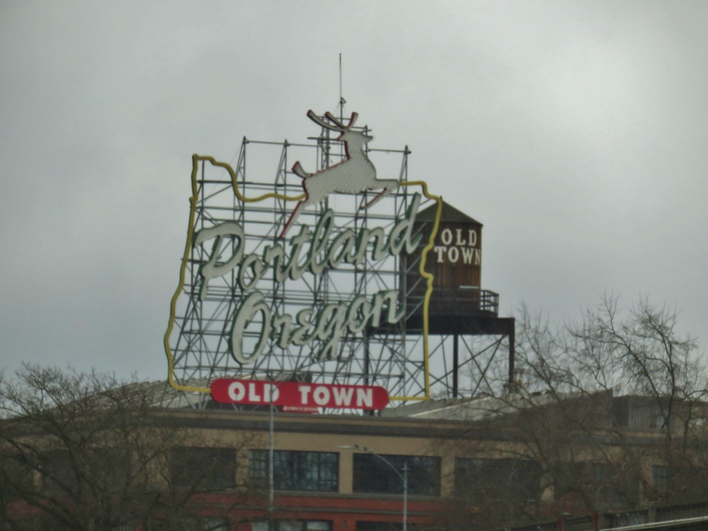
 Forest Park – Portland, OR
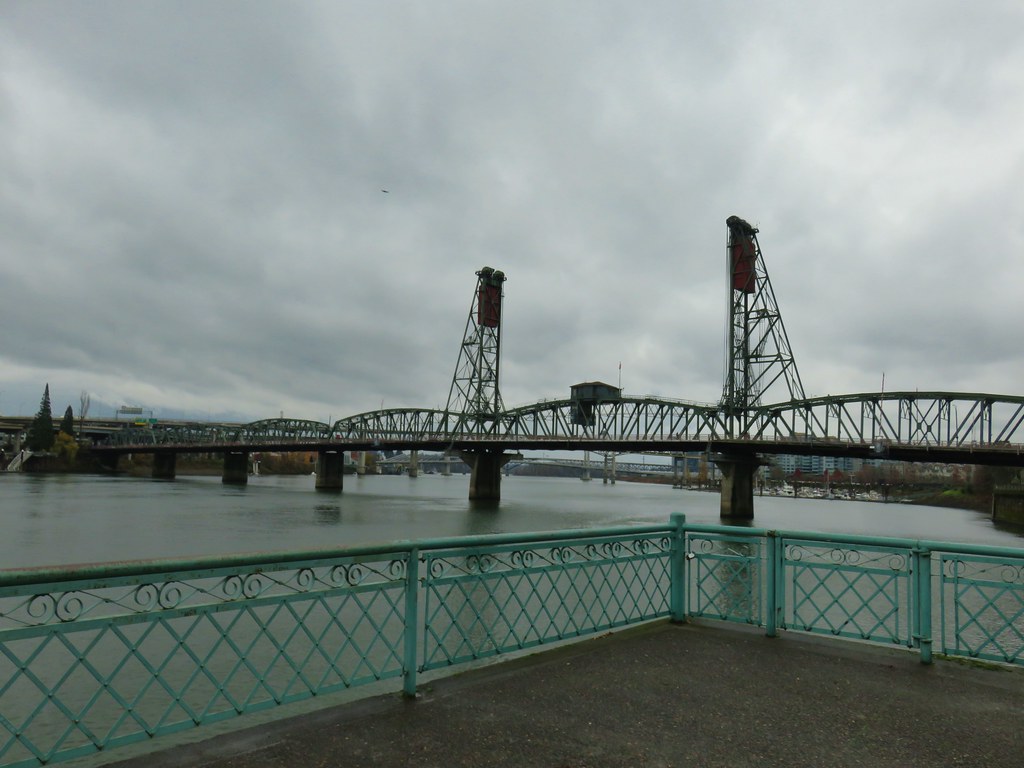
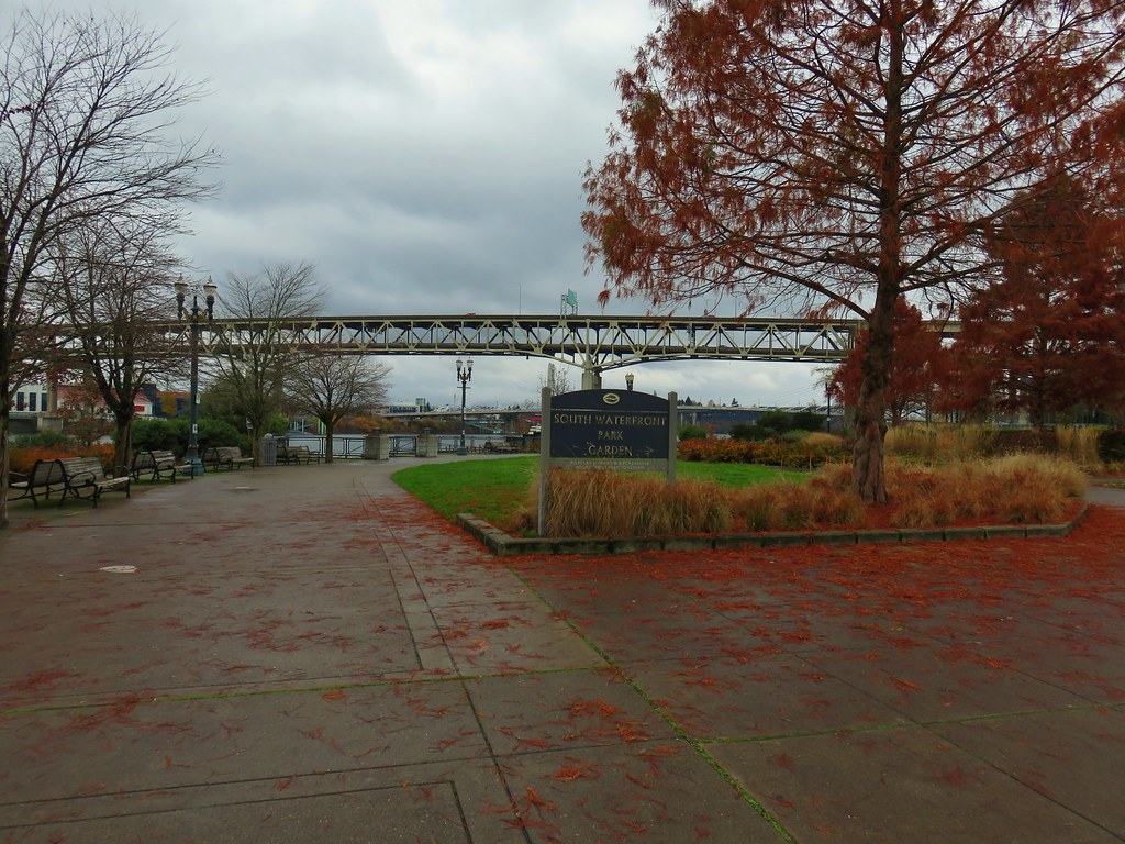
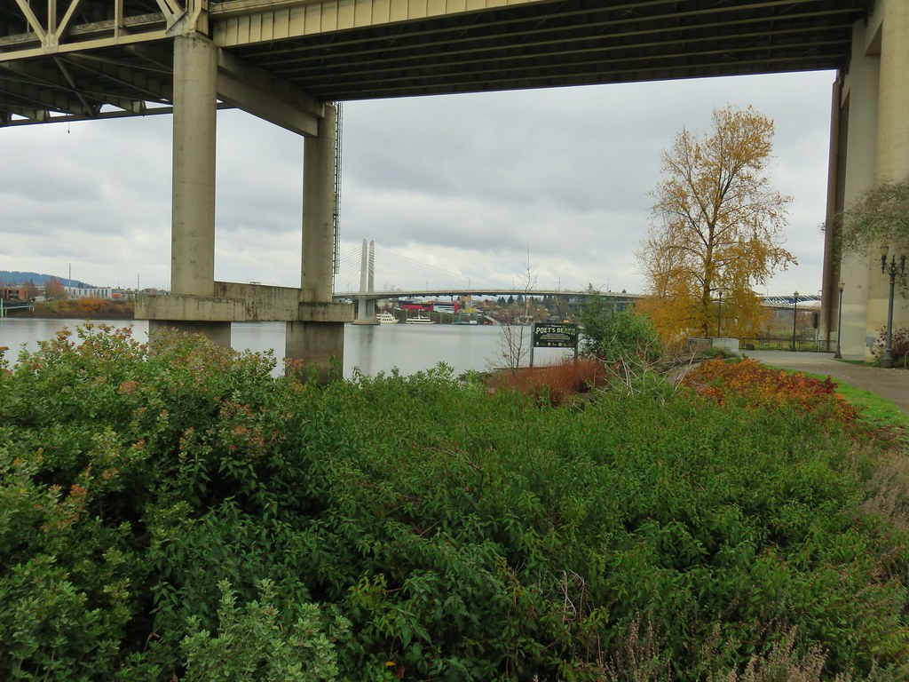
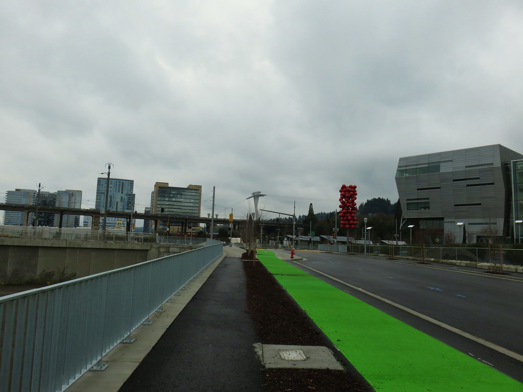
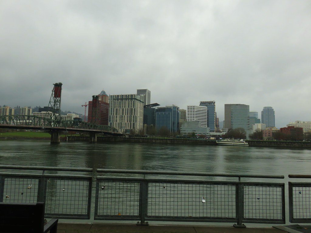
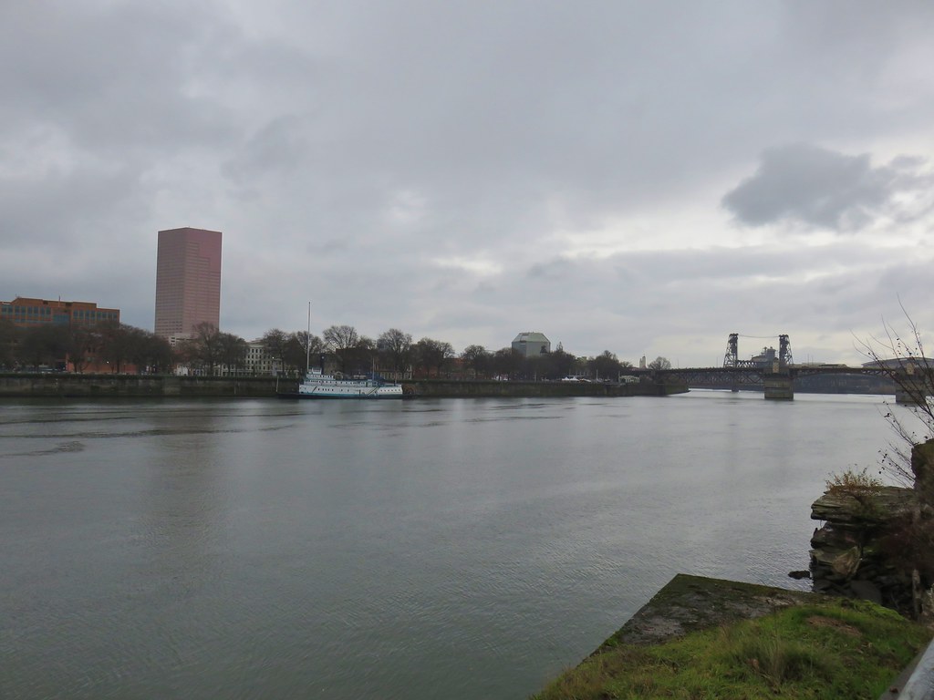
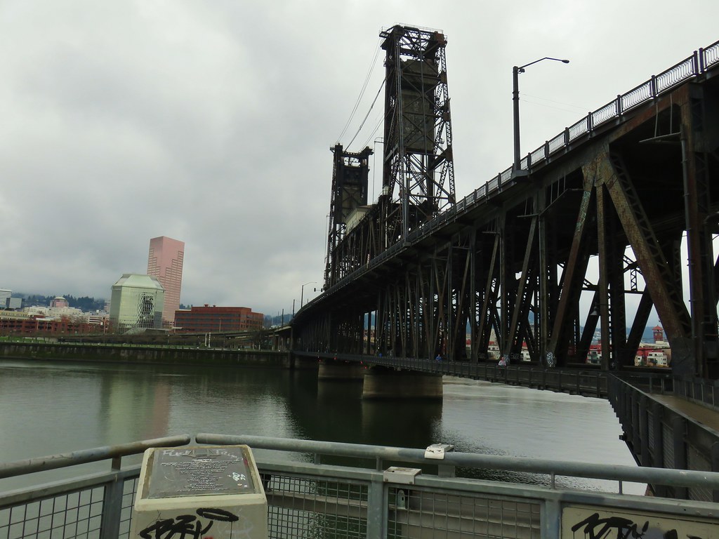
 Tilikum Crossing – Portland, OR
There were many more great places and sights that we visited but they can’t all be included here. It was another amazing year of discovering God’s creation and we are looking forward to seeing what next year brings. For the first time I have two sets of planned hikes going into next year, one is in the hopes that Buddy continues to do well on his medications leading us to stick to day hikes through the year and the other includes long distance trips in the unfortunate event that we have to say goodbye to our furry friend.
Either way we know that we will be blown away yet again by whatever we see on those hikes. Happy Trails and Happy New Year to all!
Flickr: Album List

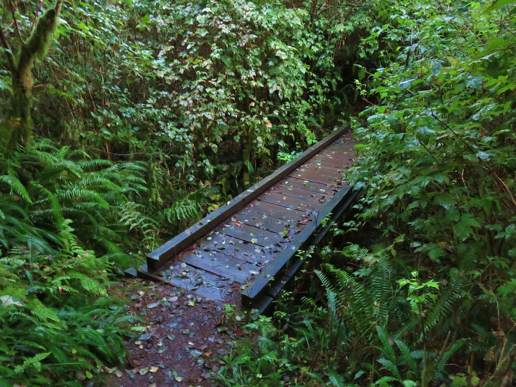
 Bridge over a small stream.
 Heading into a little bit of fog.
 Too cloudy for any real views.


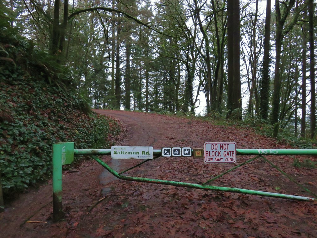
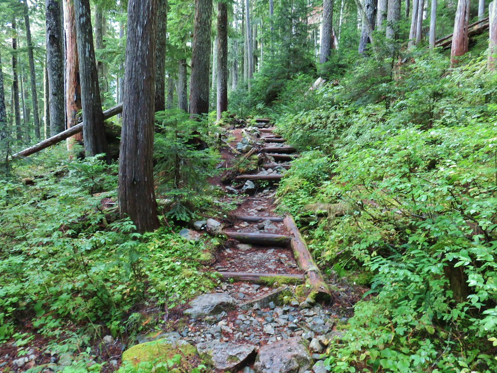
 Saltzman Road at the 2.5 mile mark of the 3.2 mile stretch.

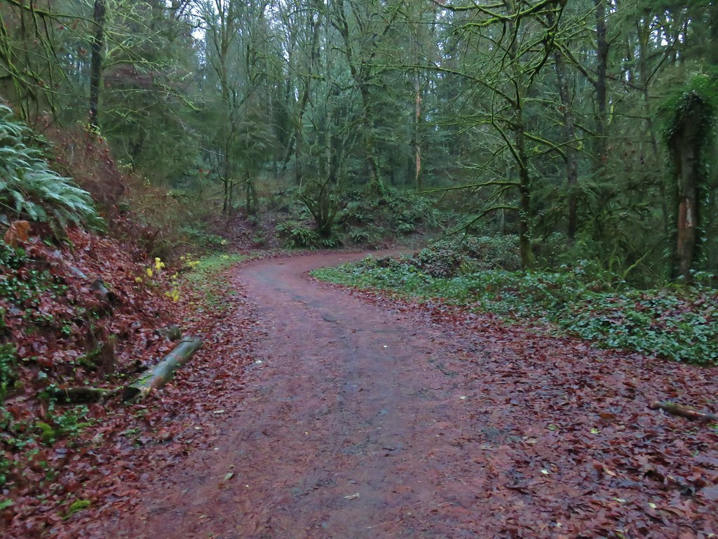
 Aproaching Leif Erikson Drive.


 Hawthorn Bridge


 Marquam Bridge from Tilikum Crossing.
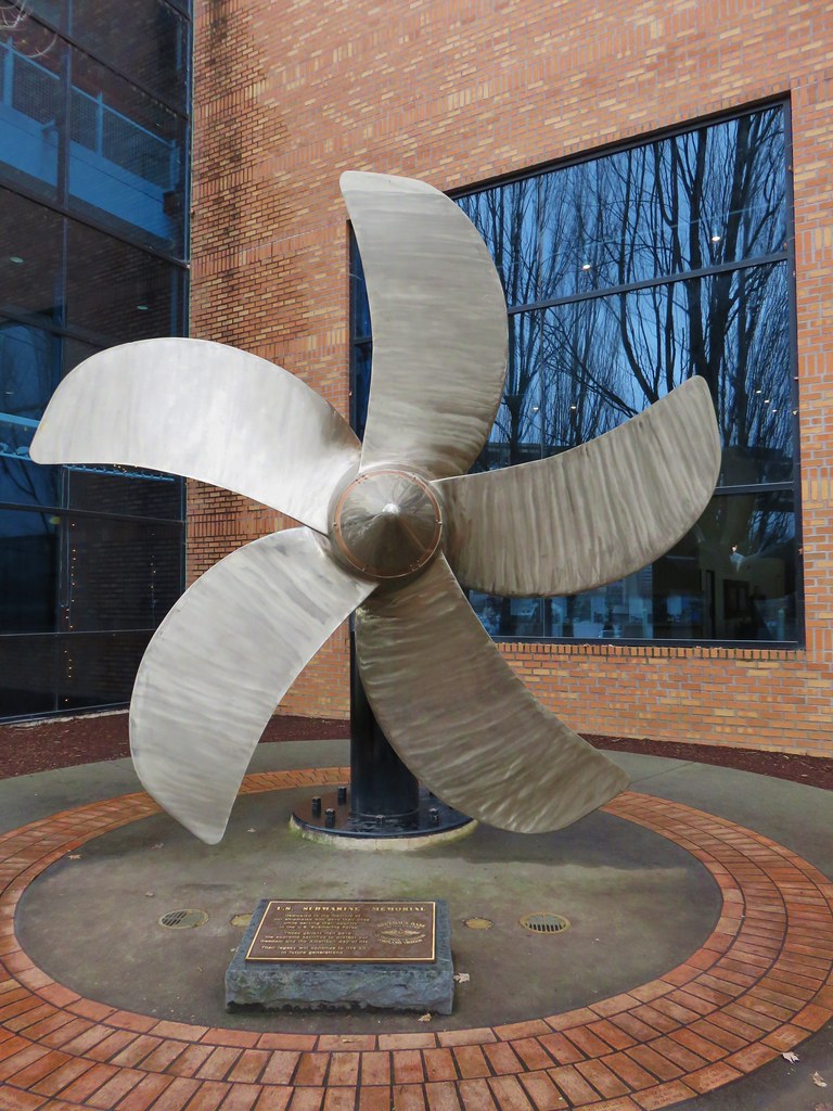 Behind OMSI
 More geese.
 Cormorants
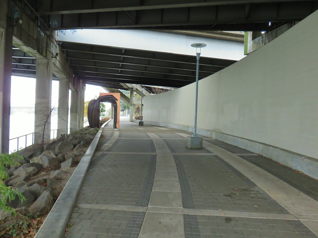


 There was a nice sunrise while we waited for enough light.
 Alder Flat Trail at the trailhead.
 Passing the old beaver pond.
 Beaver pond from the former trail around it.
 The trail around the pond petered out on the far side of this log.
 Alder Flat Trail in the forest.
 Arriving at the campground.
 Swimming hole (It was a little too cold today.)
 The Rainbow Campground
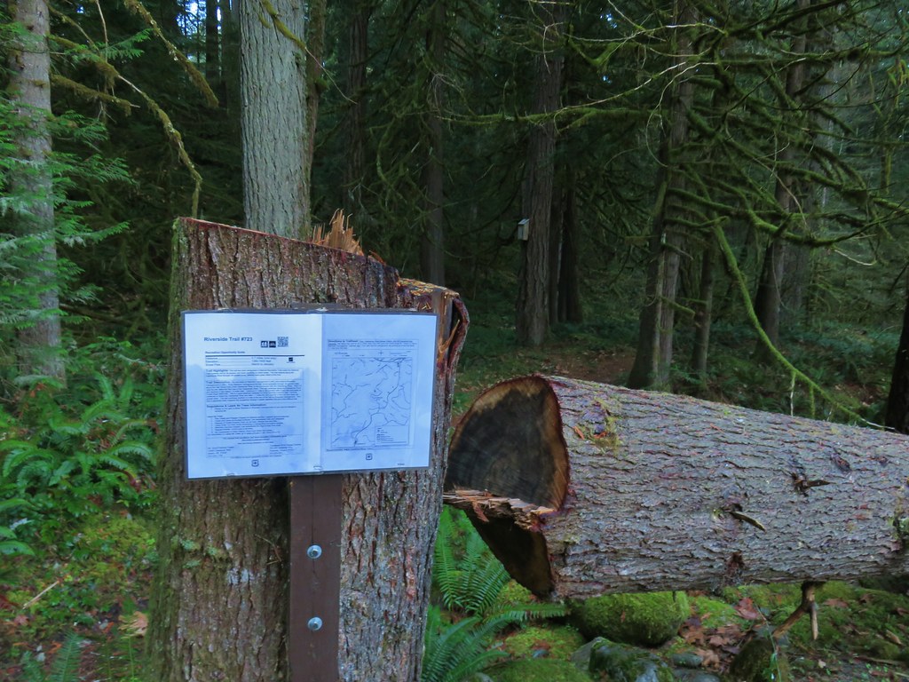


 In the forest for a bit.
 Viewpoint from above.
 Back in the forest.
 At the river.
 Sun peaking through the trees.
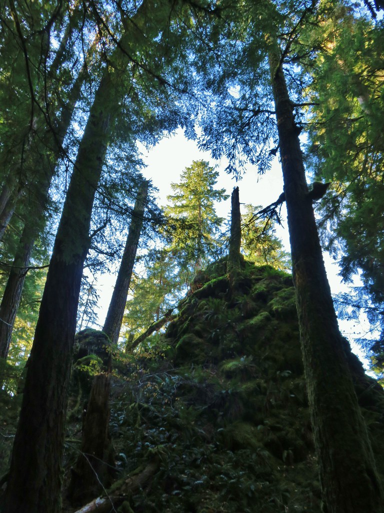 one of several rock formations along the trail.
 Another view of the Clackamas.
 Side creek crossing.
 Back along the river.
 Rock pinnacle in the Clackamas River.
 Spur trail to the Riverside Trailhead.
 Viewpoint near the spur trail.
 Viewpoint near the spur trail.
 Another rocky beach along the Clackamas.
 Looking down river.
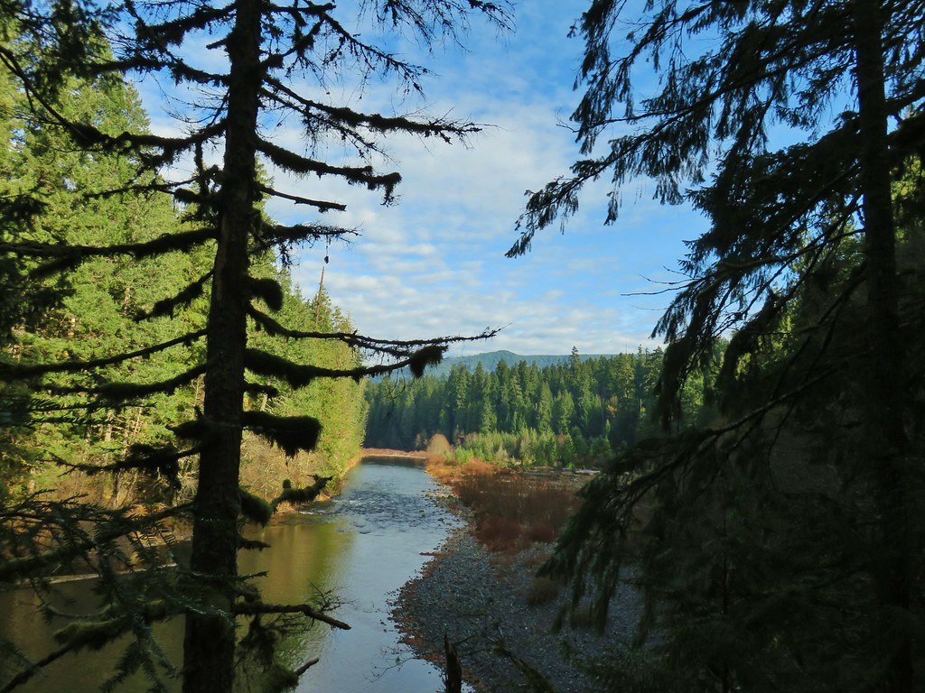 Now from above the rock beach.


 Clackamas River at the Riverside Campground.


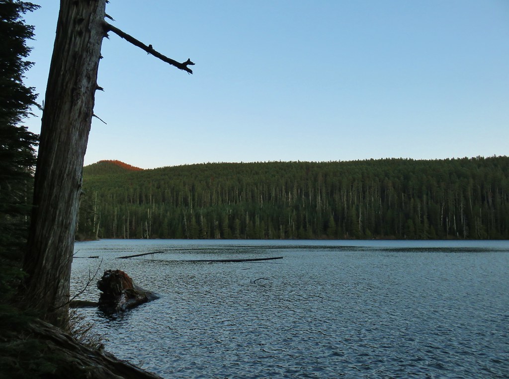 Chindrie Mountain from across Wahtum Lake.


 Chindrie Mountain
 Tanner Butte
 Table Mountain
 Chindrie Mountain again.
 Indian Mountain
 Mt. Hood
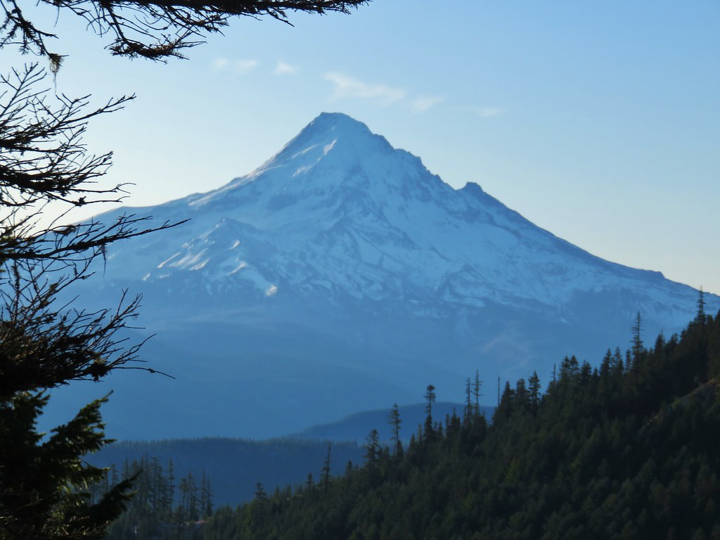


 Crossing FR 660 near Indian Springs
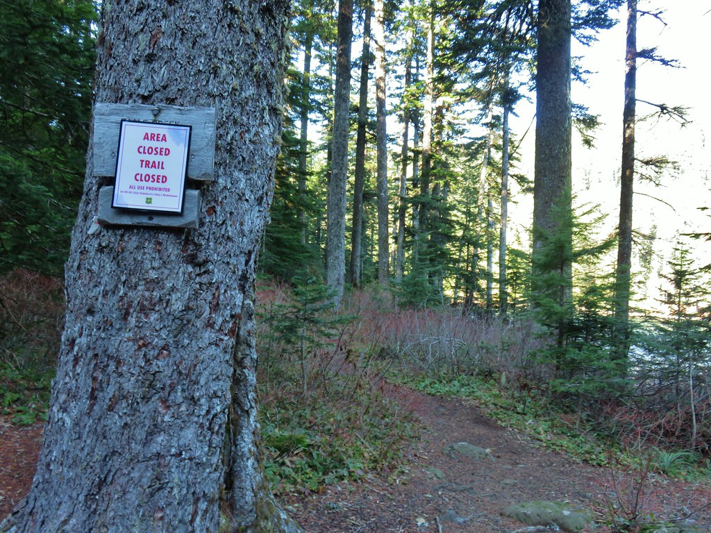
 Trail sign at the junction with the currently closed Indian Springs Trail.


 Table Mountain and Greenleaf Peak with Mt. St. Helens in the background.
 Mt. St. Helens
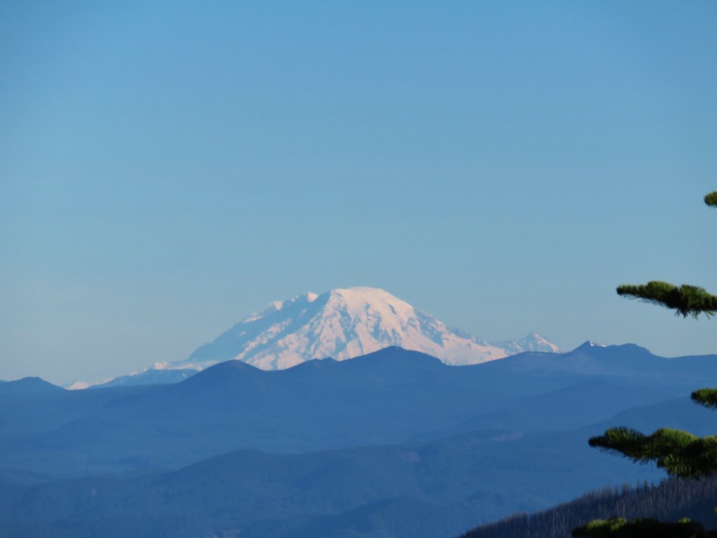 Mt. Rainier
 Goat Rocks
 Mt. Adams and Chindrie Mountain


 Mt. Hood and Mt. Jefferson
 Mt. Jefferson
 Mt. Hood from the former lookout site.
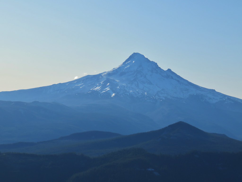 Mt. Hood with Lost Lake Butte (
 Snow on the north side, green on the south.
 Mt. St. Helens with some snow on the trees in the foreground.
 Crystals on a bush.

 Stream crossing
 Herman Creek Trail junction.


 Looking at the summit from the trail.
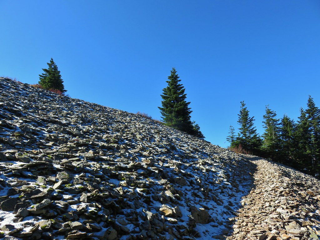
 Mt. Hood
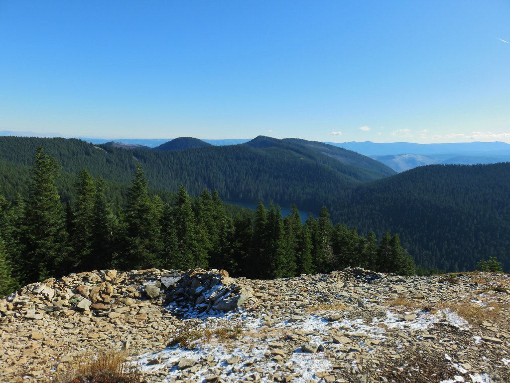


 Lots of beargrass clumps.
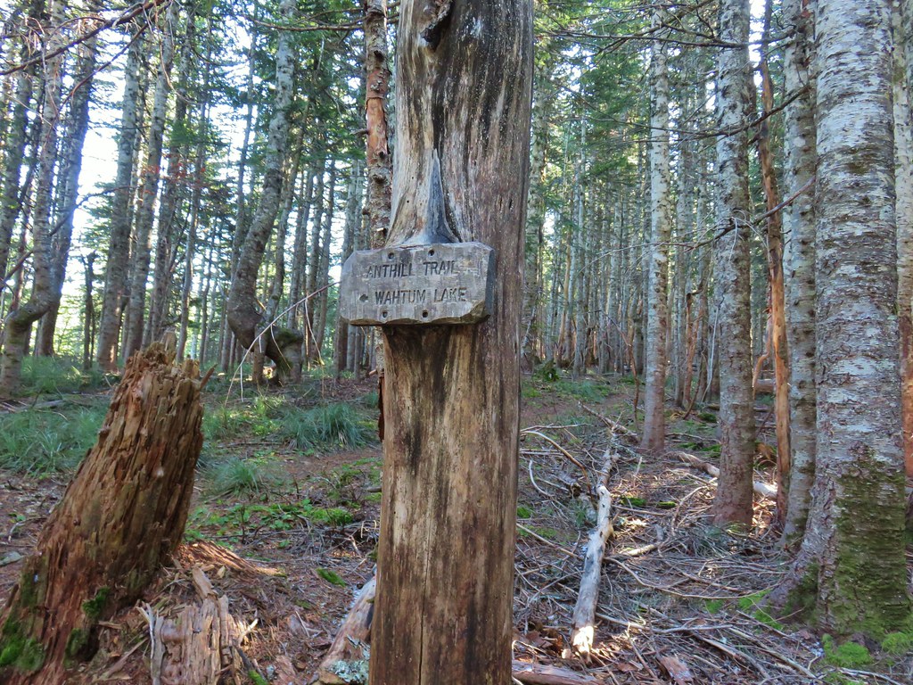
 Trail to Tomlike on the left.


 There’s at least one cairn here.

 Mt. Adams to the right.
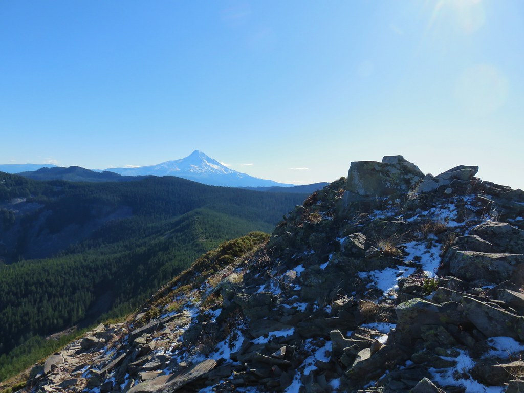
 Mt. Hood with Indian Mountain rising up behind Chindrie Mountain to the right.
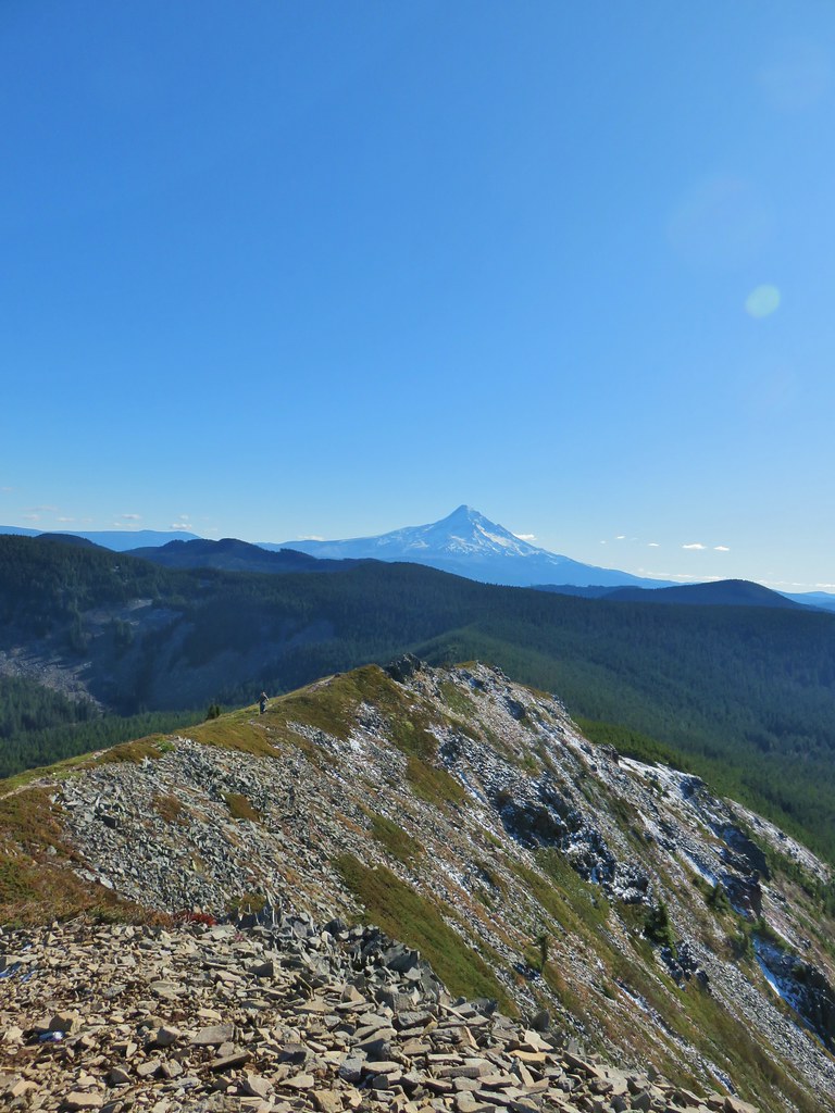 Heather crossing the ridge below the summit.

 Mt. St. Helens, Mt. Rainier, Goat Rocks and Mt. Adams from left to right.
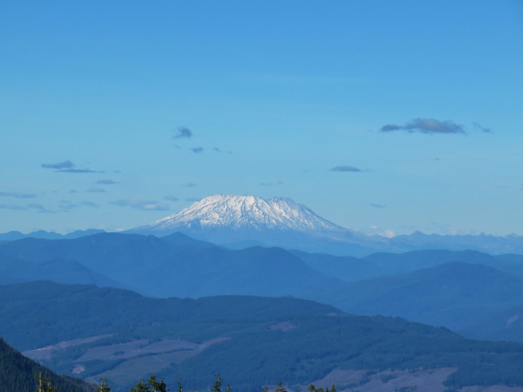 Mt. St. Helens
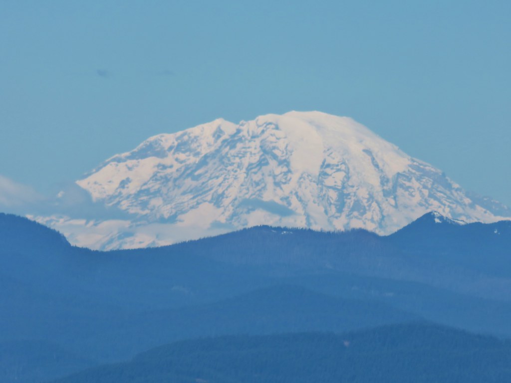 Mt. Rainier
 Goat Rocks
 Mt. Adams
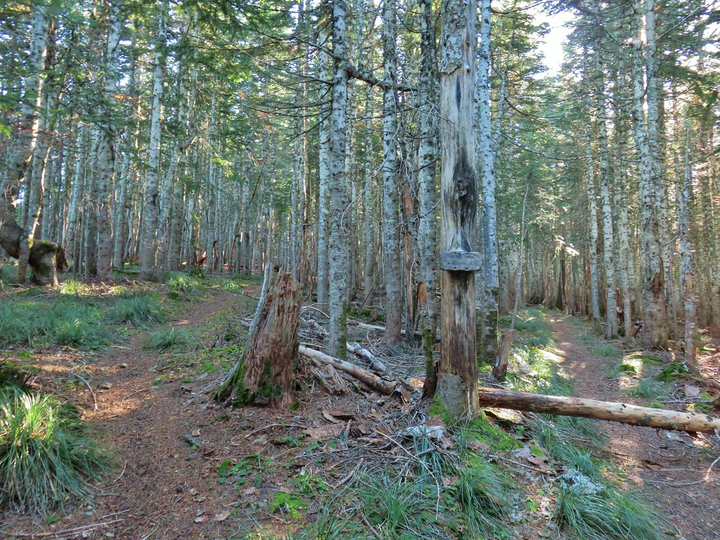 Anthill Trail on the left.


 Mt. Jefferson
 Wahtum Lake and Chindrie Mountain


 Leapfrog Loop
 Mark’s Trail (our return route)


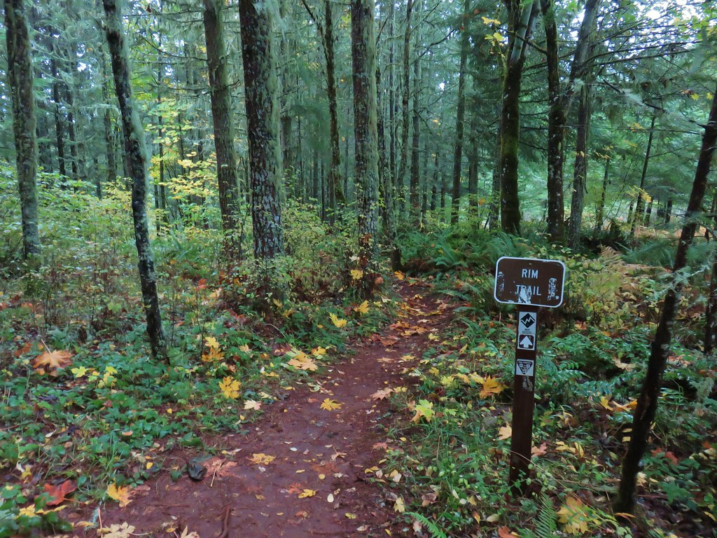
 Rim Trail


 <
<


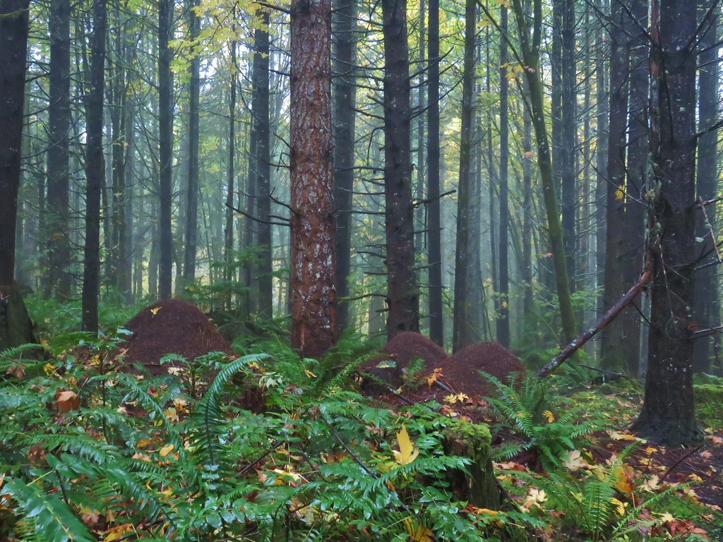 Huge anthills could be seen throughout the hike.
 Skirting the clear cut.


 Unnamed creek.
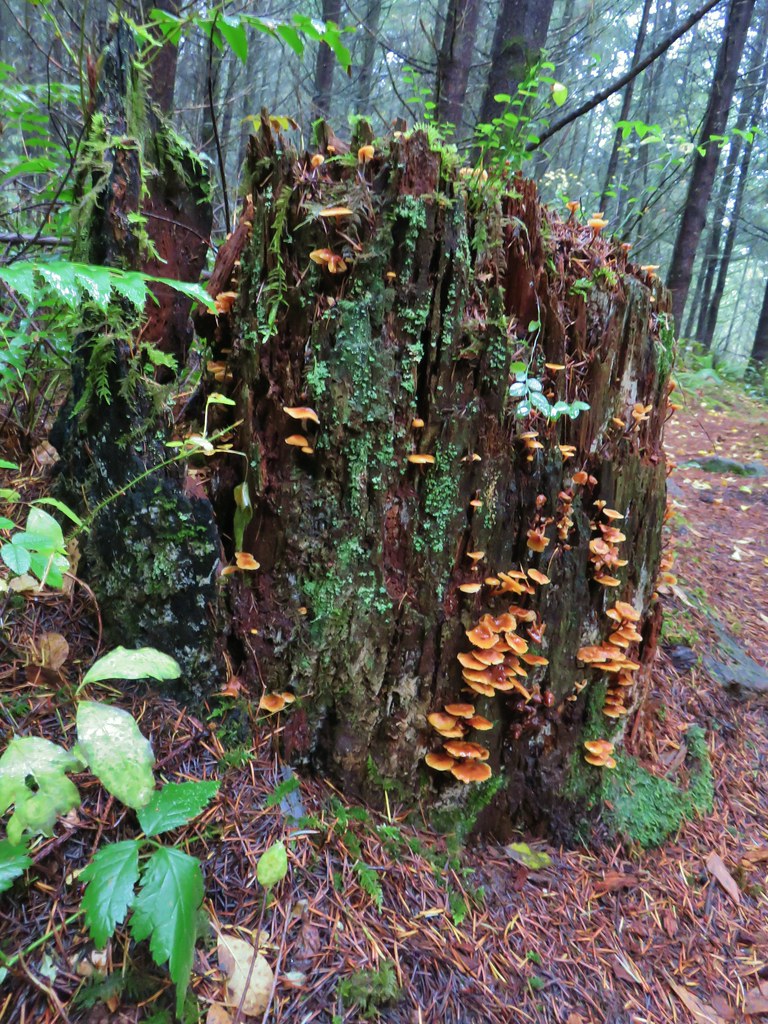

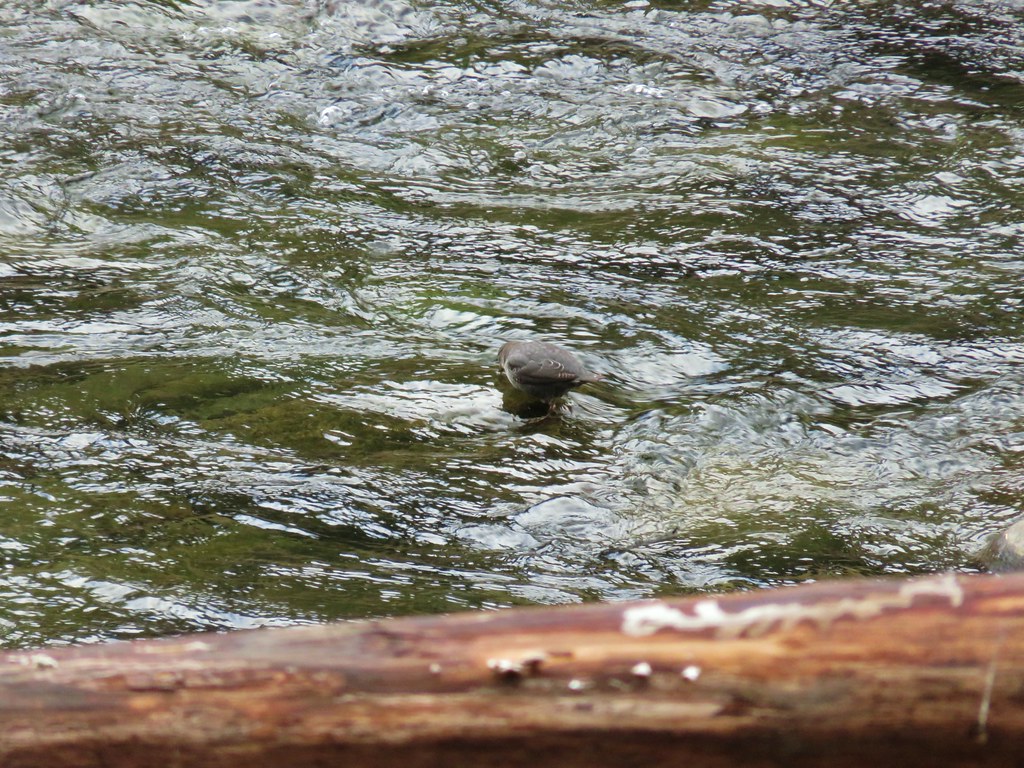
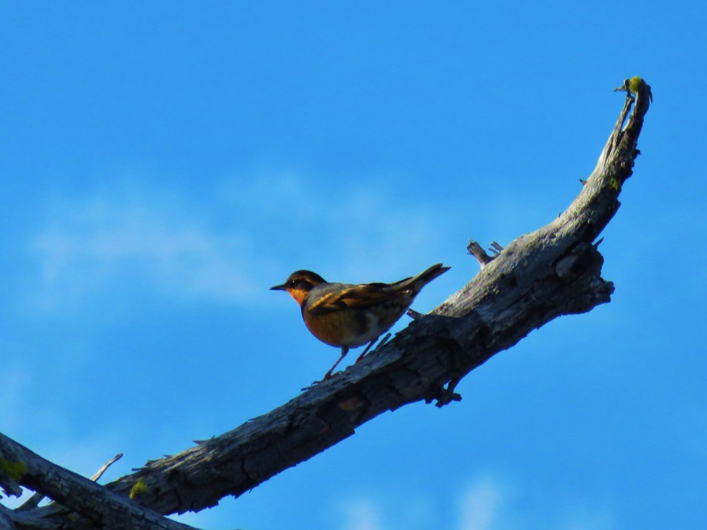
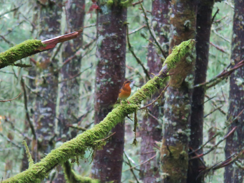 Varied thrush
 One of the few unsigned junctions we came to.


 The Hardy Creek Trail coming up from the

 Going down.
 Going back up.


 Back at Amanda’s Trail.


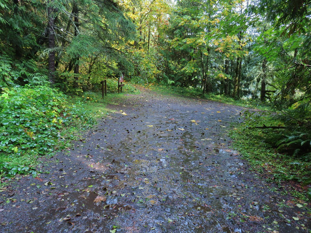
 Gumjuwac Trail at Highway 35.
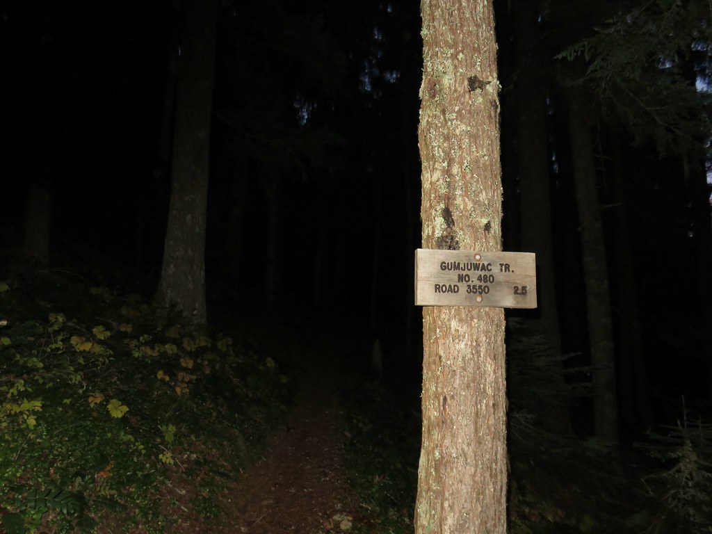
 Mt. Hood in the morning Sun.
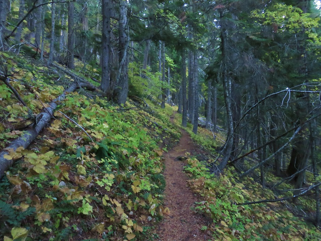


 Mt. Rainier and Mt. Adams
 Mt. Adams
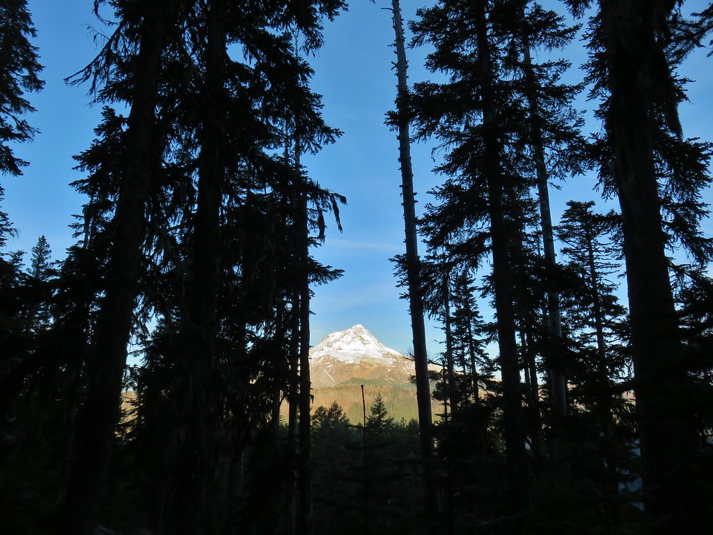
 Finally an unobstructed view of Mt. Hood.
 Gumjuwac Saddle
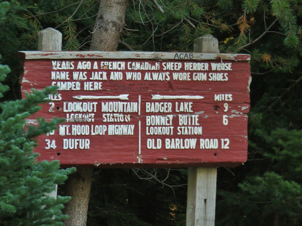


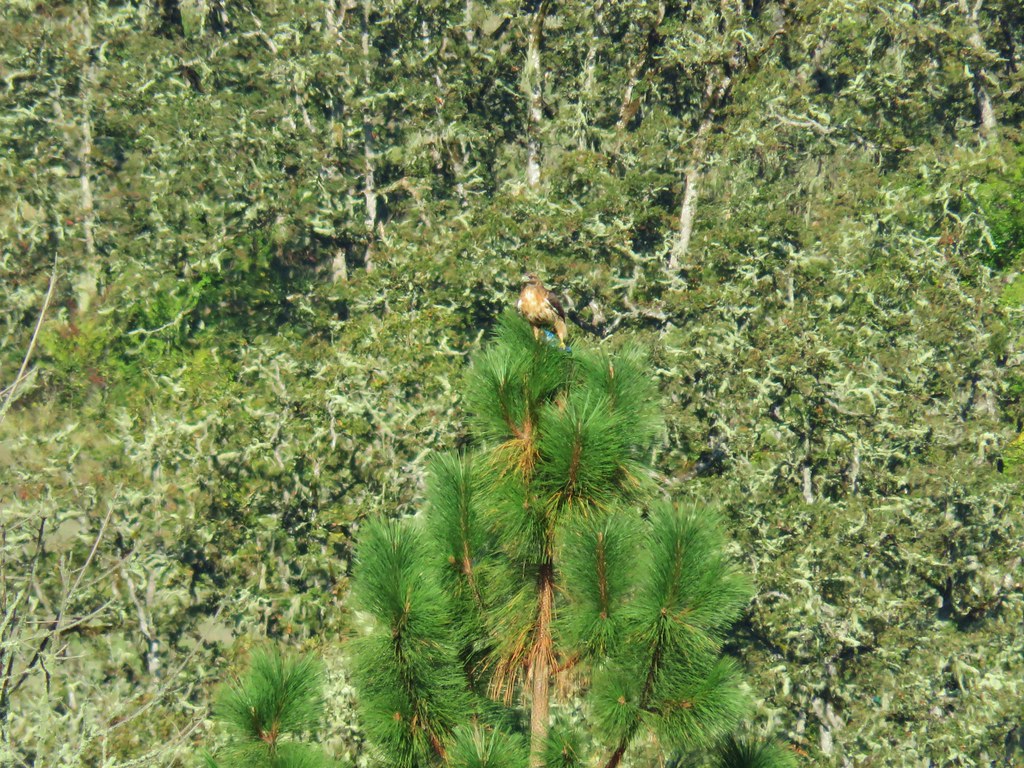
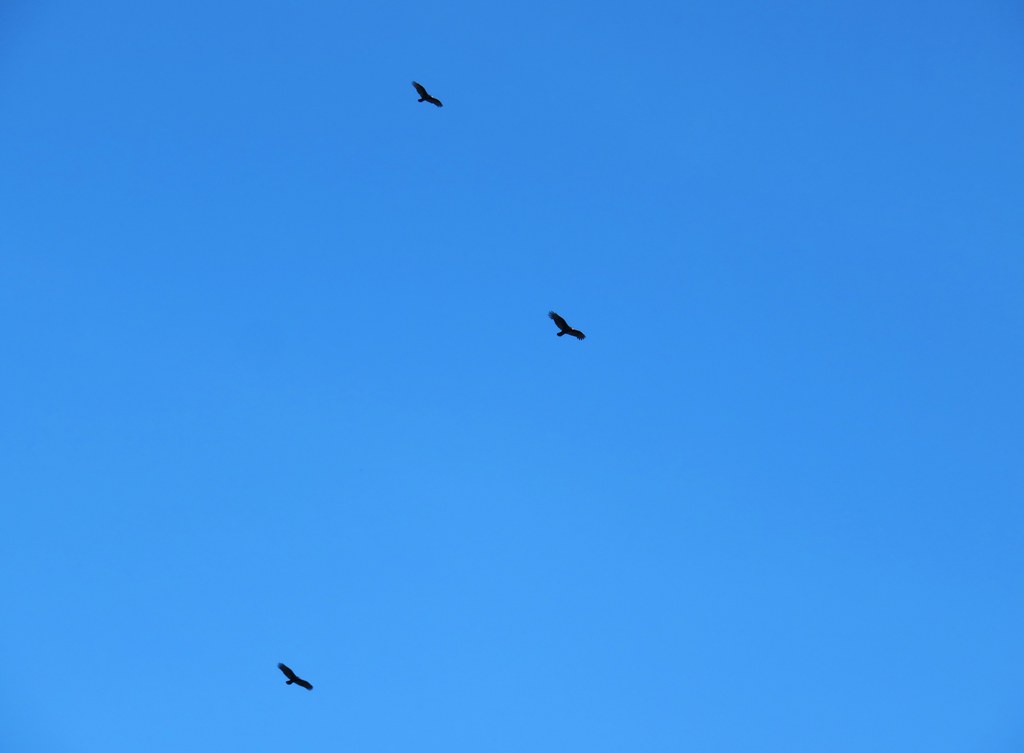
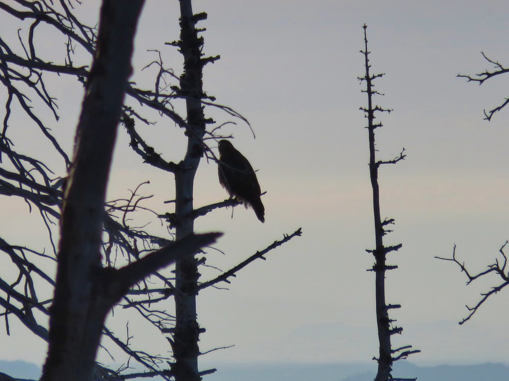 The hawk.
 A less than thrilled raven.
 Light green to yellow larches on the hillside behind the raven.

 Mt. St. Helens
 View south.
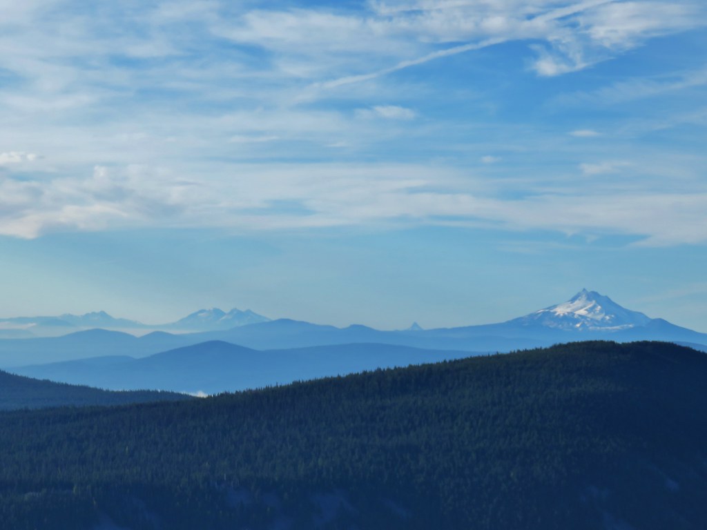 From L to R: Broken Top, The Three Sisters, Mt. Washington, and Mt. Jefferson.

 Mt. Jefferson


 Approaching the summit.
 Lookout on Lookout Mountain.
 Flag Point Lookout in the distance.
 Flag Point Lookout
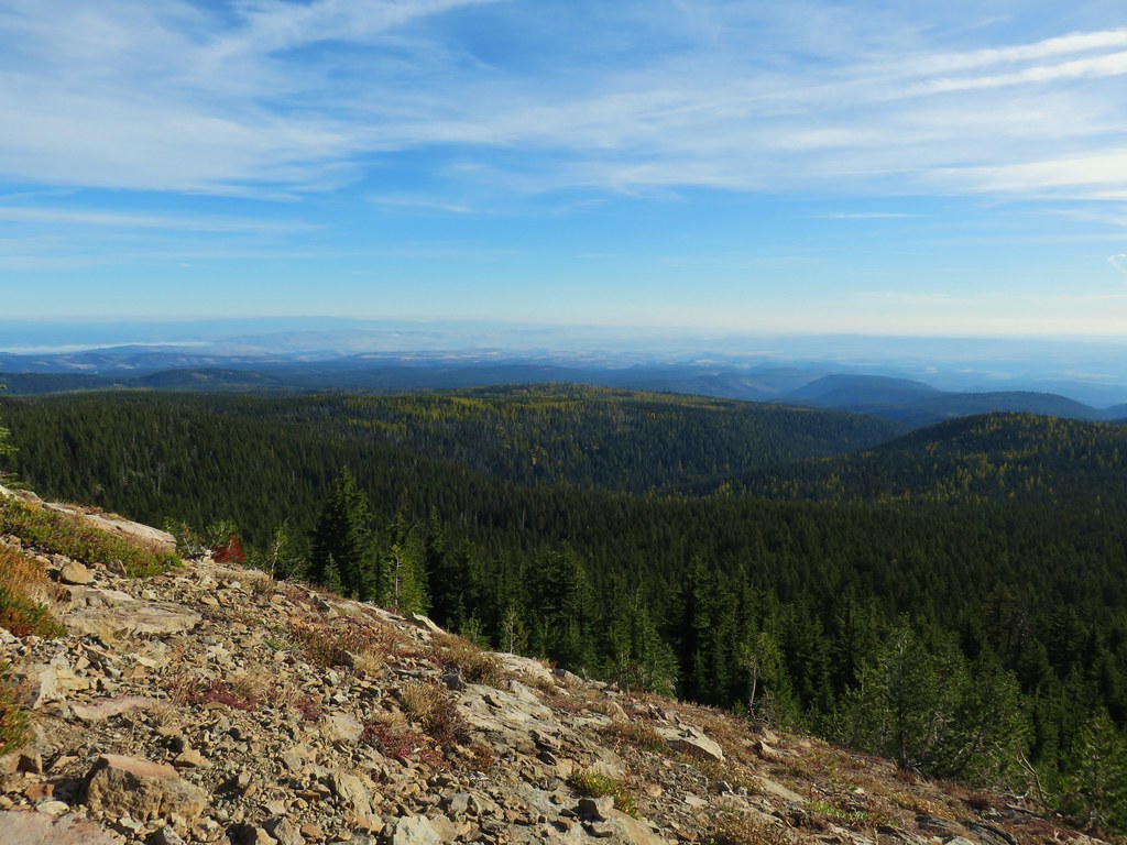


 Mt. St. Helens, Mt. Adams, and Mt. Rainier
 Mt. St. Helens
 Mt. Rainier
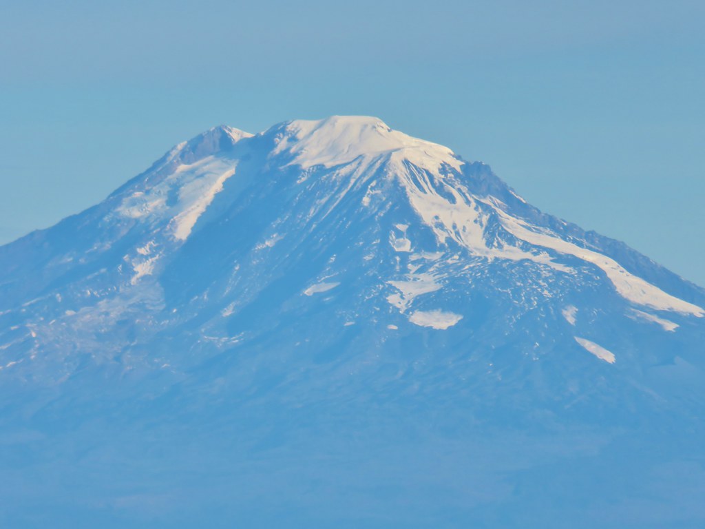 Mt. Adams
 Mt. Hood
 Mt. Jefferson followed by Mt. Washington, The Three Sisters, and Broken Top
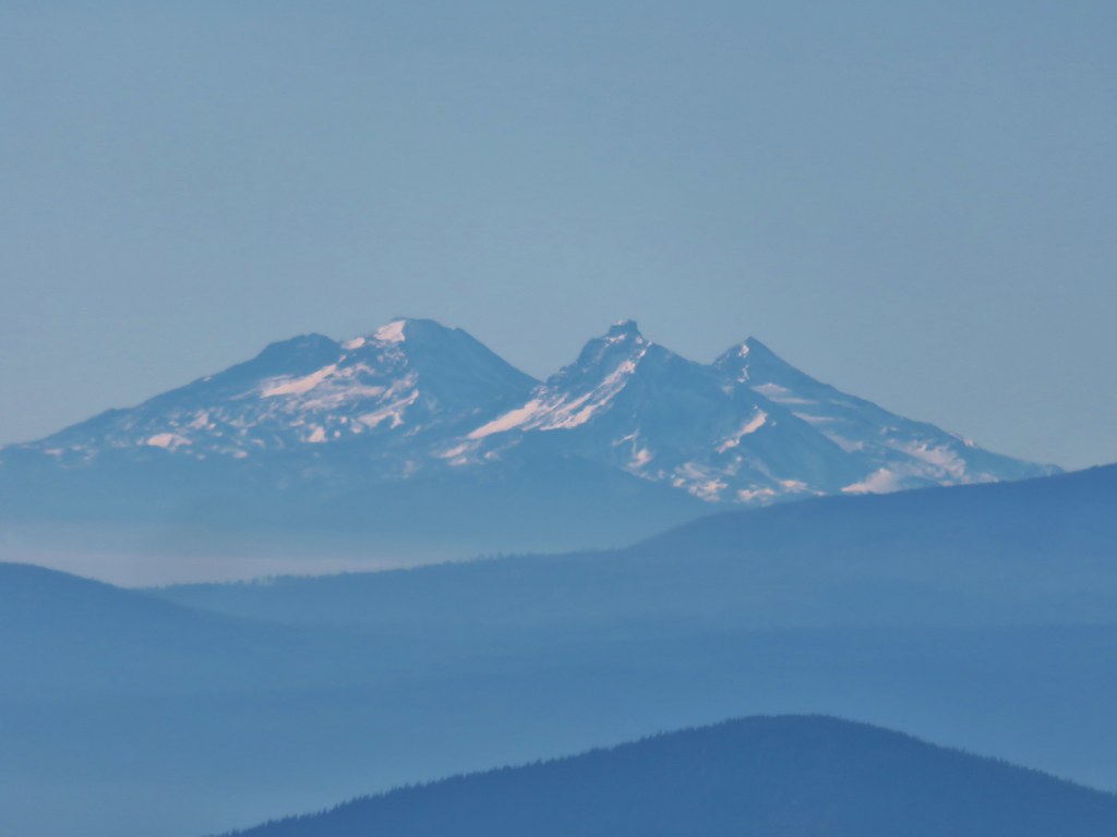 The Three Sisters
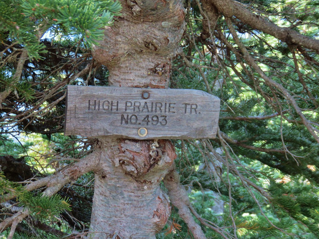


 Lookout Mountain from the Gunsight Butte Trail.
 Clark’s nutcracker
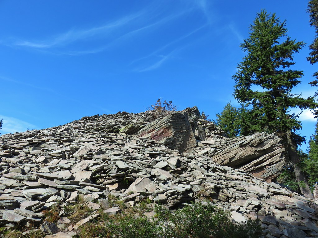


 Olallie Butte

 Mt. Jefferson
 Olallie Lake
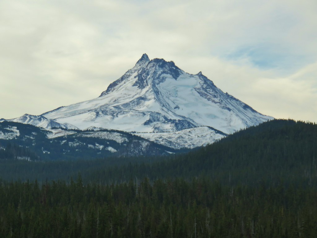

 Mt. Jefferson


 Potato Butte ahead.
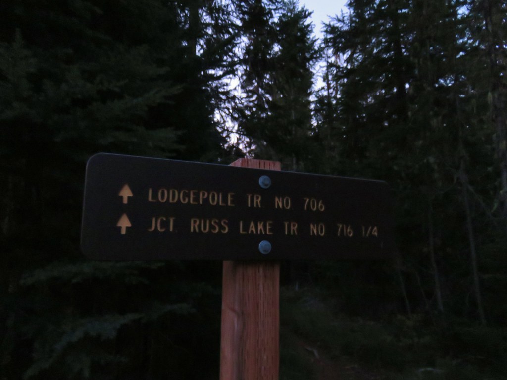
 Lodgepole Trail junction.
 One of the causes of the noisy steps.
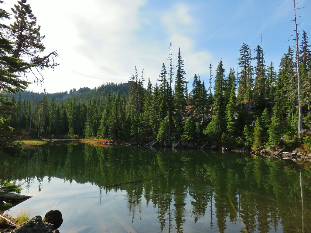 Twin Peaks on the other side of Middle Lake.
 Colors along Middle Lake.

 Olallie Butte
 Twin Peaks from Gifford Lake.


 Sign for the Fish Lake Trail.
 Lower Lake
 Olallie Butte
 Sign for the Lodgepole Trail.
 Pinedrops
 The trail was actually the fainter track to the left leading to the bridge, but that wasn’t obvious until we reached the trees.
 A lone yarrow.


 Approaching the junction.
 Quite the camouflage isn’t it?
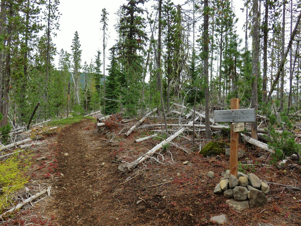

 Jude Lake
 Jude Lake
 Jude Lake
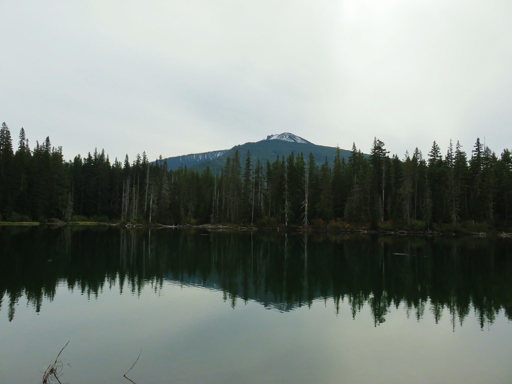 Russ Lake


 Trail 17 to the left with Trail 1 straight ahead.


 Some of the patchy fog in the valley over Eugene.
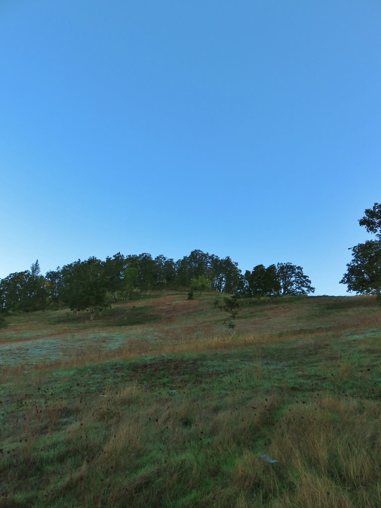 Swing Hill
 Deer high up on the side of Swing Hill.
 Geese flying in front of the fog.
 There were a lot of wet spider webs shining in the brush.
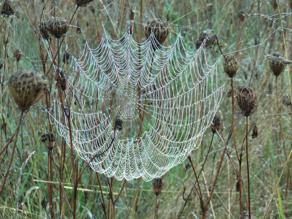


 The north side of Swing Hill was very forested.
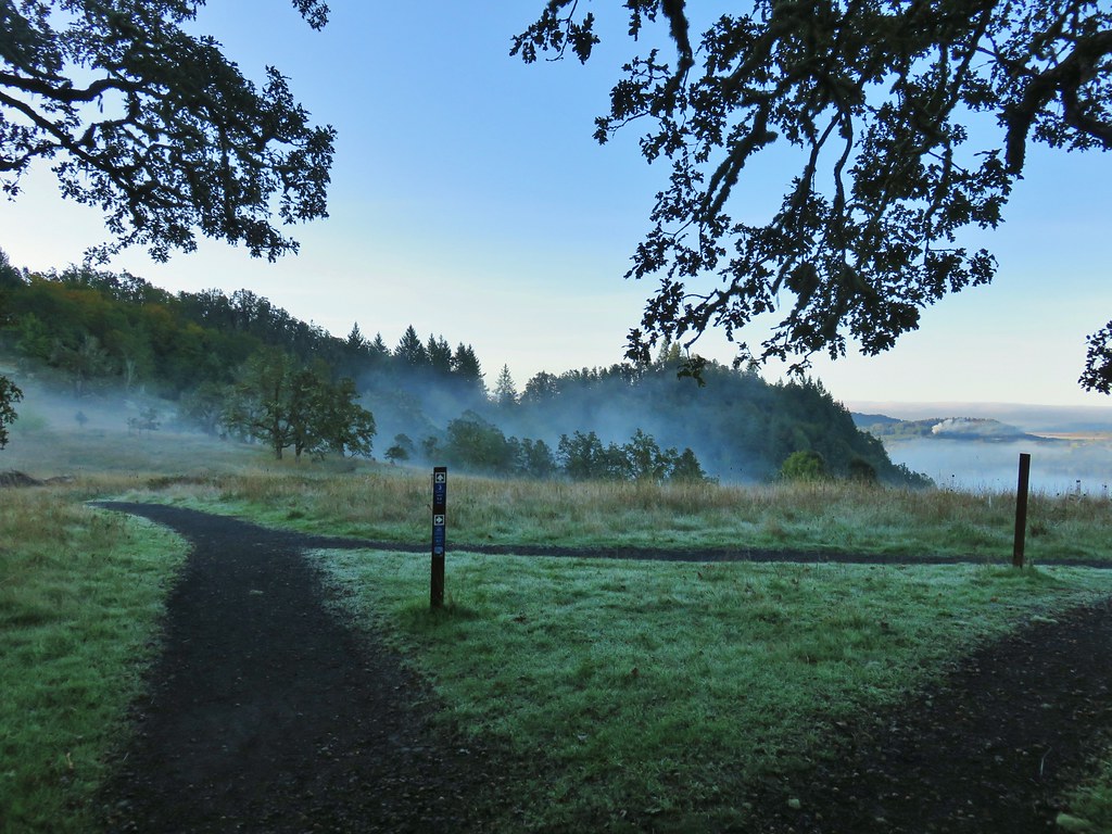 Saddle below Swing Hill

 View from Swing Hill


 Diamond Peak on the horizon.
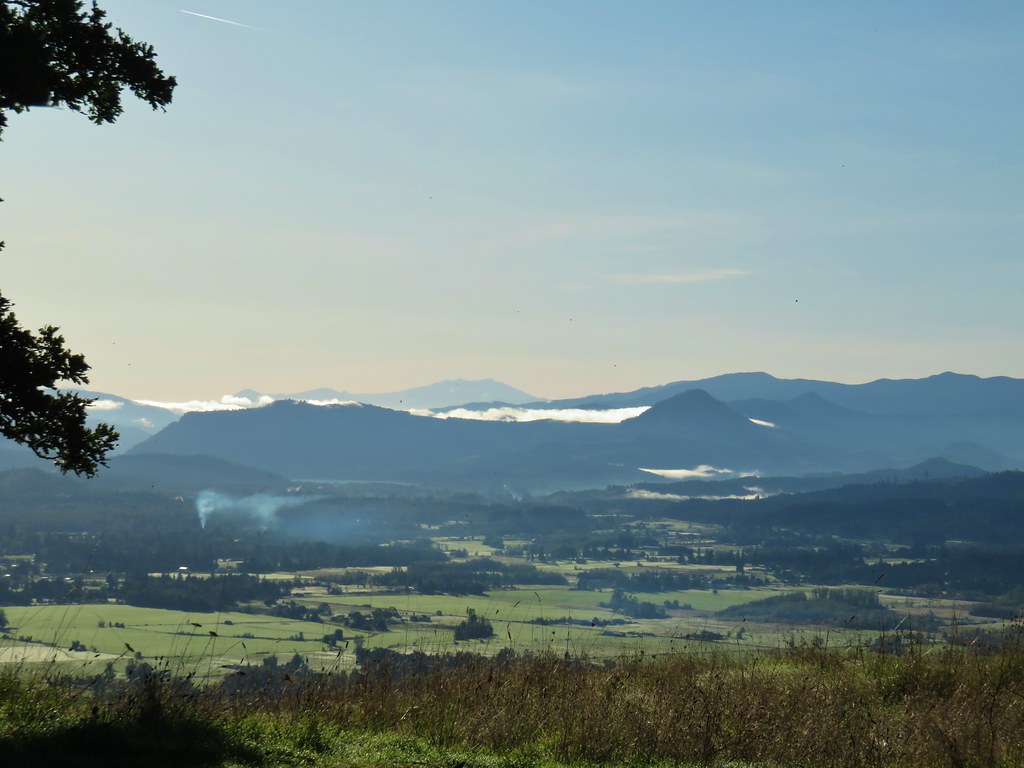 Diamond Peak
 Diamond Peak
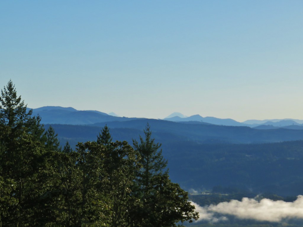 Middle and South Sister.
 Middle Sister
 South Sister photobomb by swallows
 South Sister without swallows.
 Spencer Butte to the west.
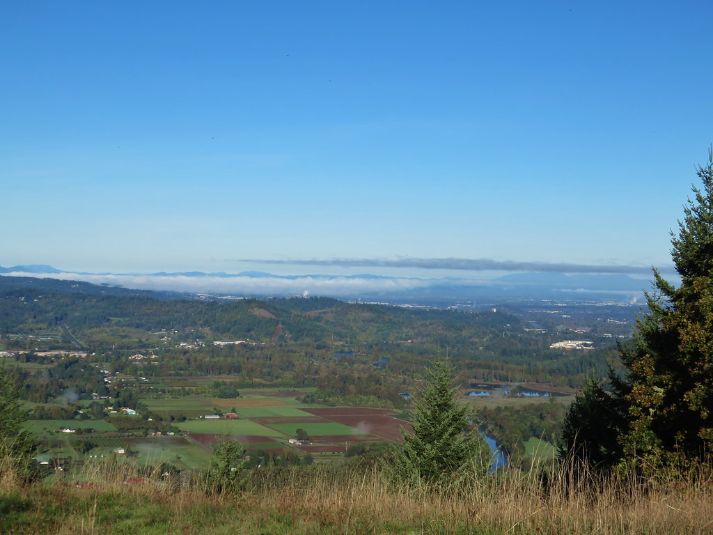 Eugene and the Coast and Middle Fork Willamette Rivers.
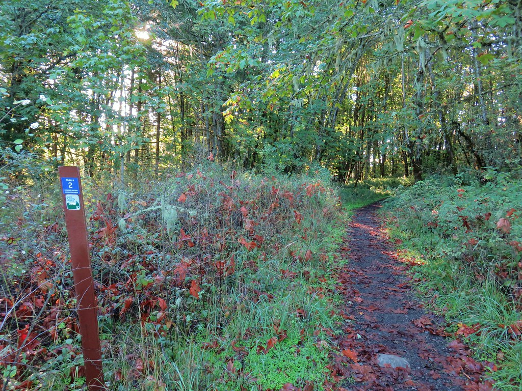
 Looking back uphill.
 Sun still causing problems with the view.
 Some red leaves of poison oak along Trail 24.
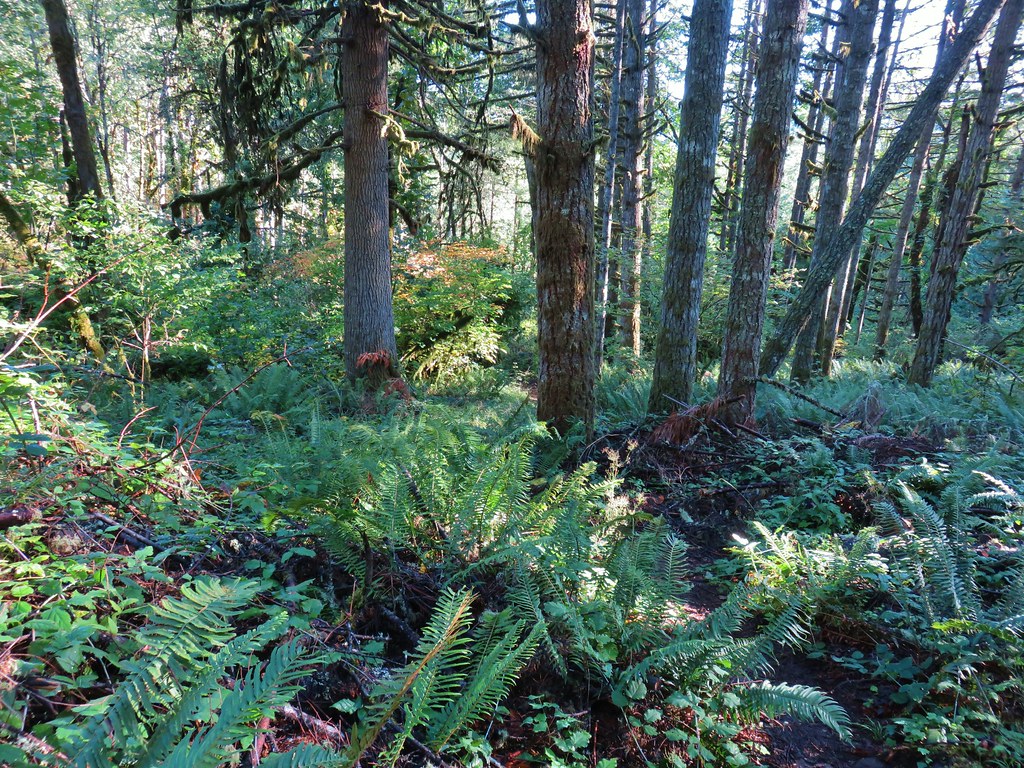


 More poison oak
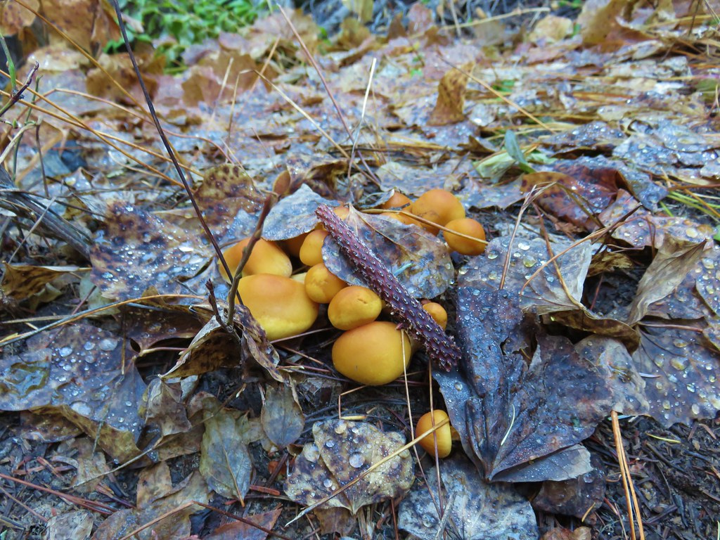
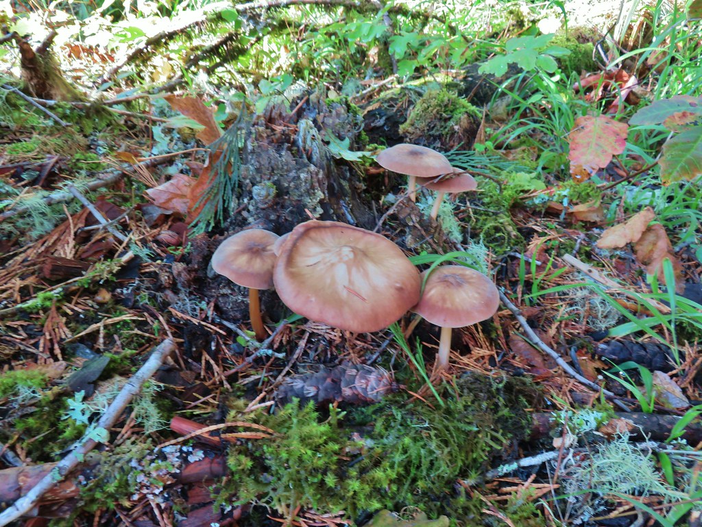 Mushrooms
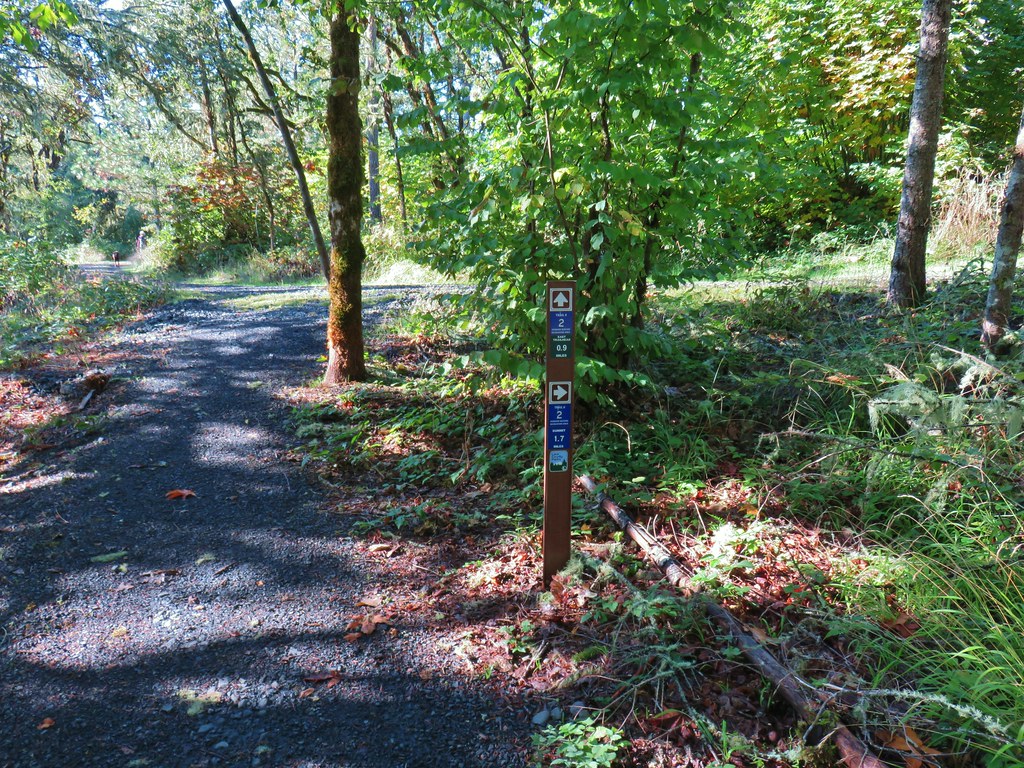

 Bright red tree at a nearby farm from Trail 2.


 Ladybug
 A few late bloomers.


 Cedar Trail to the left.


 Mount Pisgah from the Lower Plateau Trail.


 Ferns on a tree trunk.
 Lichen overhanging the trail.
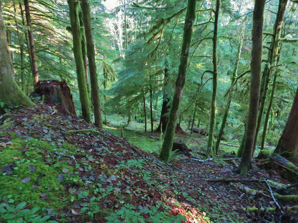

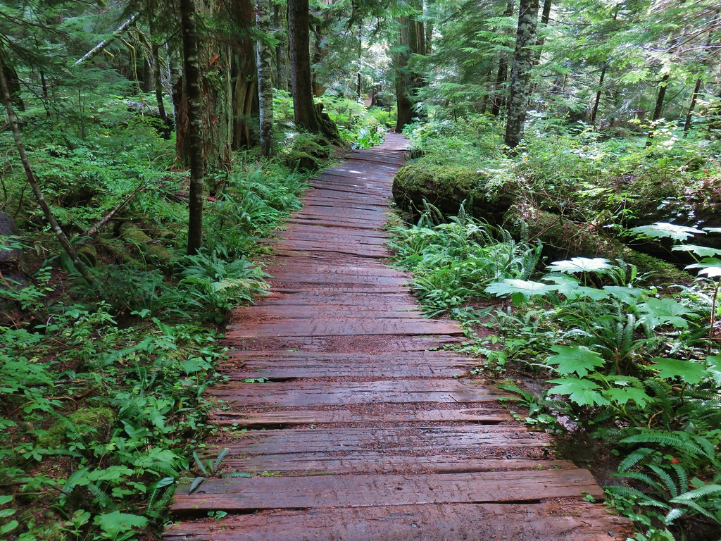
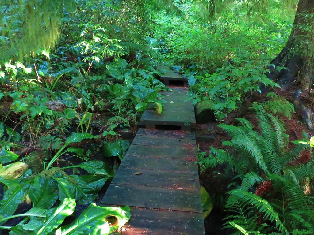 The boardwalk
 Nursery stump
 Spider finishing its morning web.

 There is a flag in there.

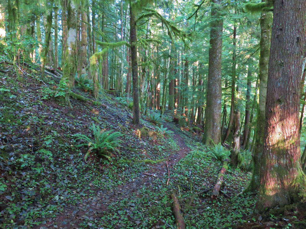
 Flagging along the trail.
 Elk had obviously been on the trail recently.
 Fern covered hillside.


 Satuick Mountain
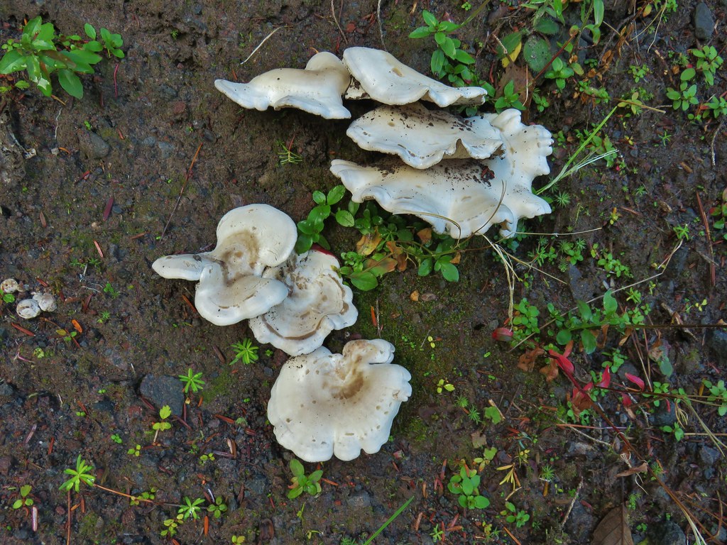

 First crossing
 Second crossing
 The third channel was the largest but still relatively small.
 Mt. Rainier from the far side of Kautz Creek.

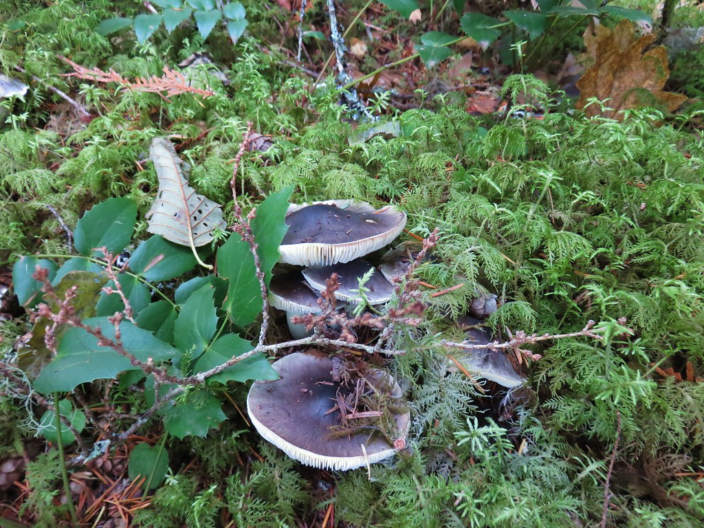
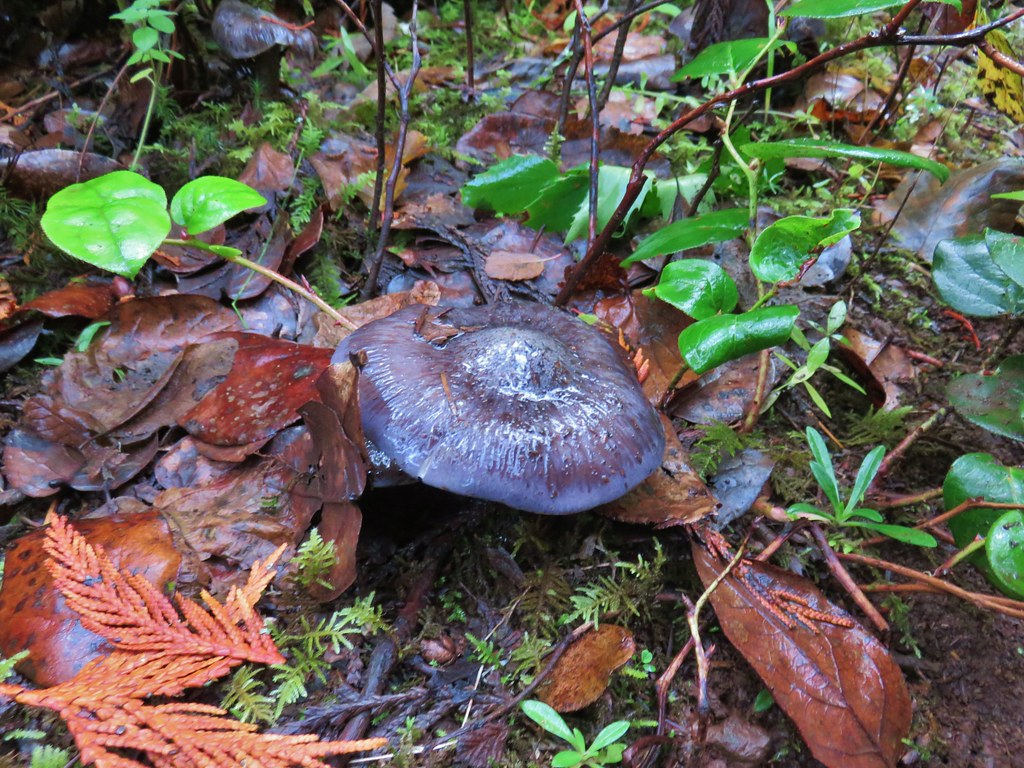
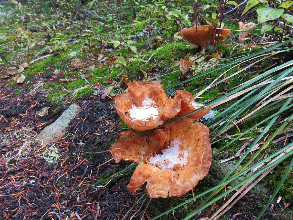
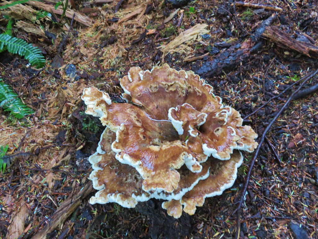
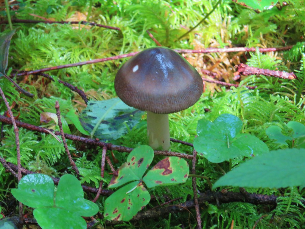
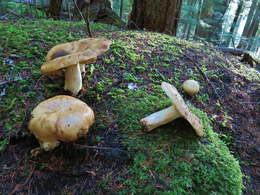
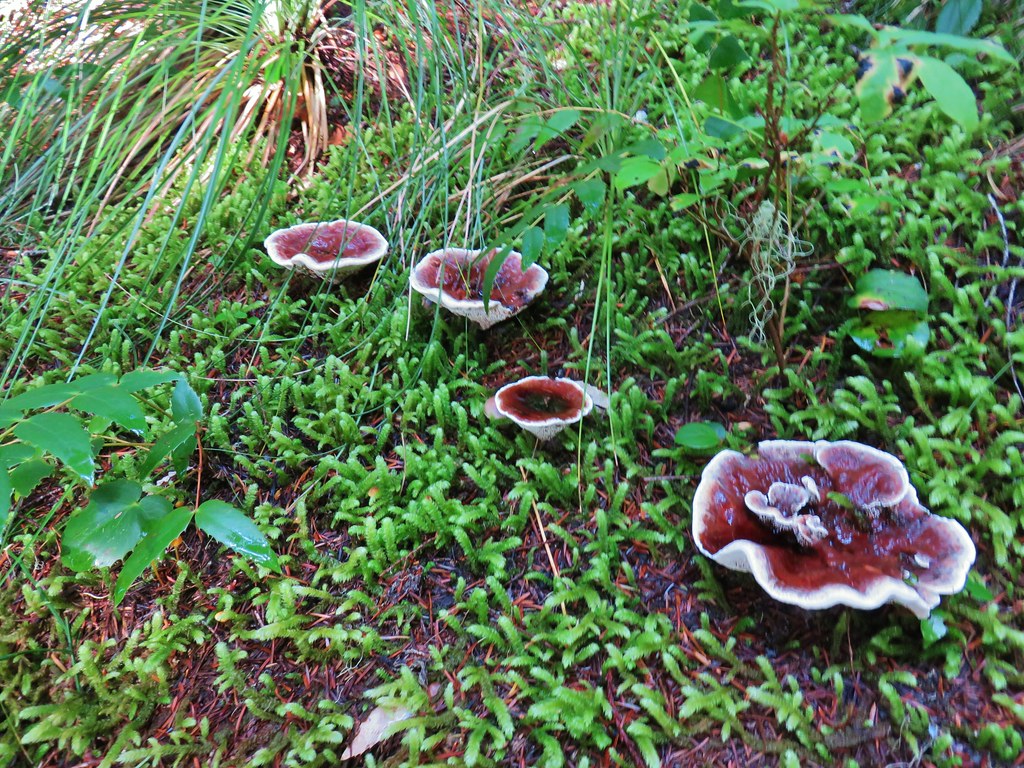
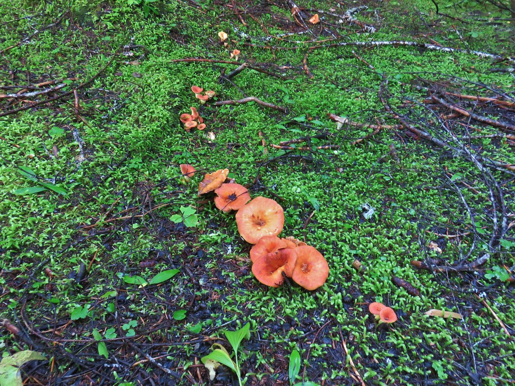
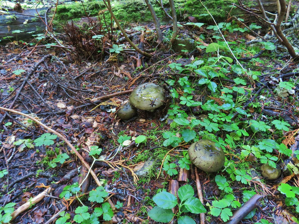
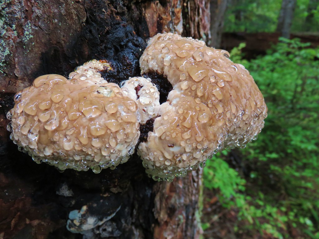
 Yet another big mushroom.


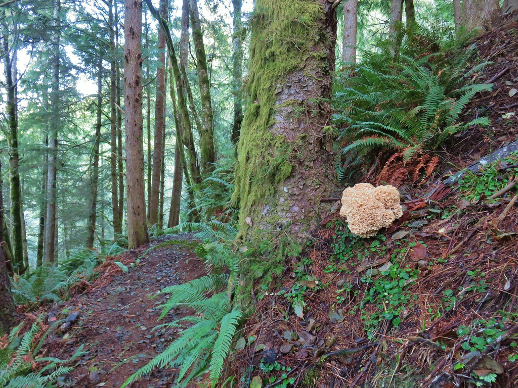
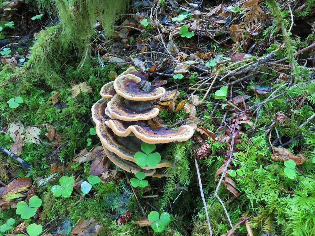
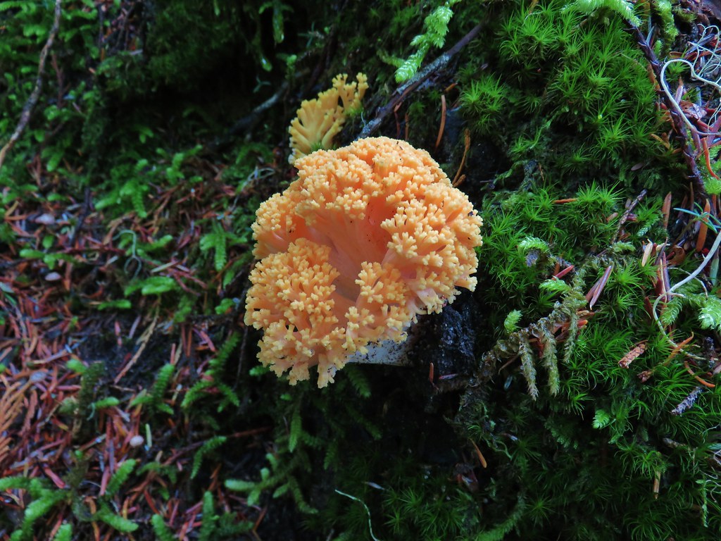 There were quite a few coral fungi present as well.
 Fishers Hornpipe Creek
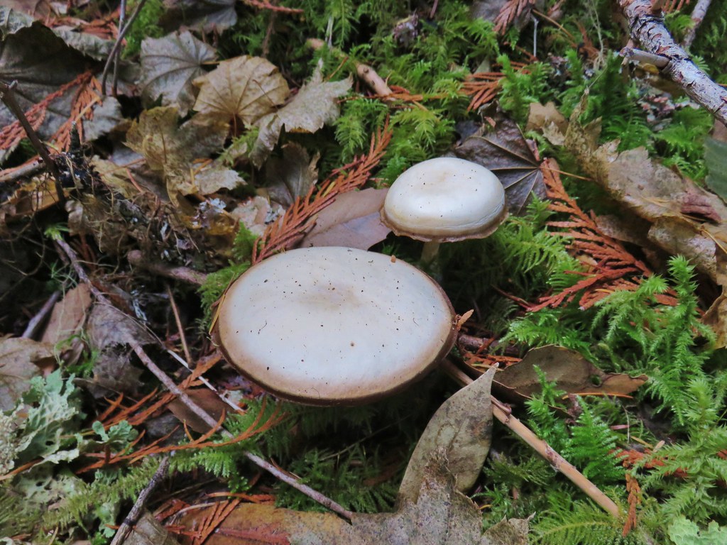
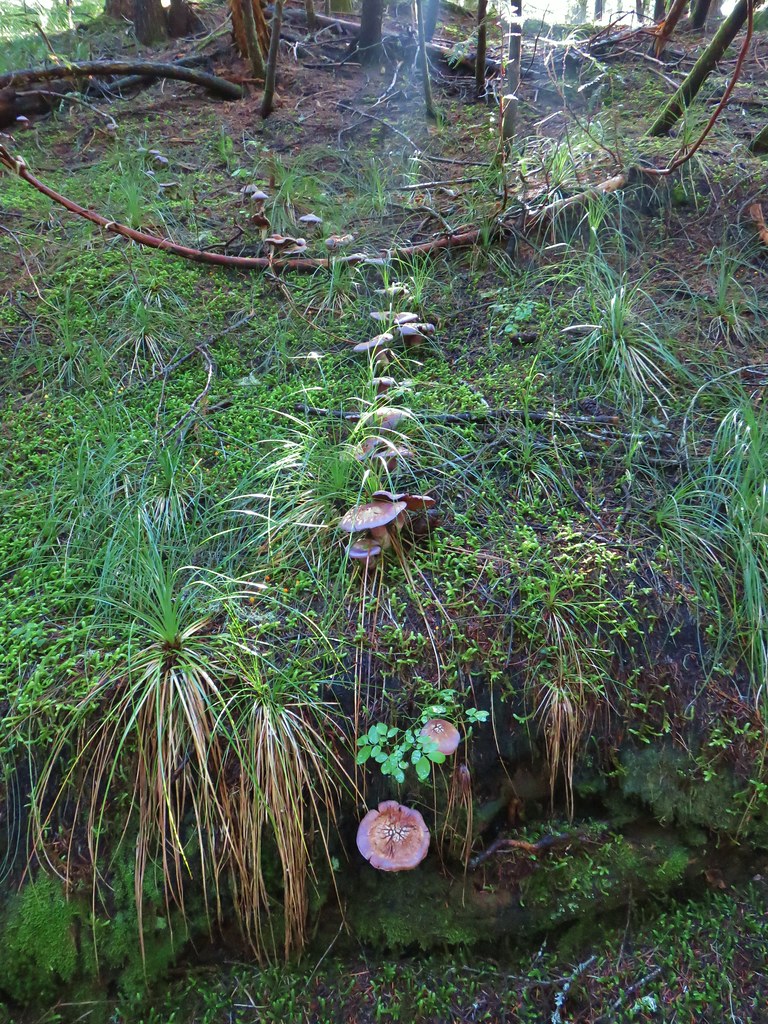
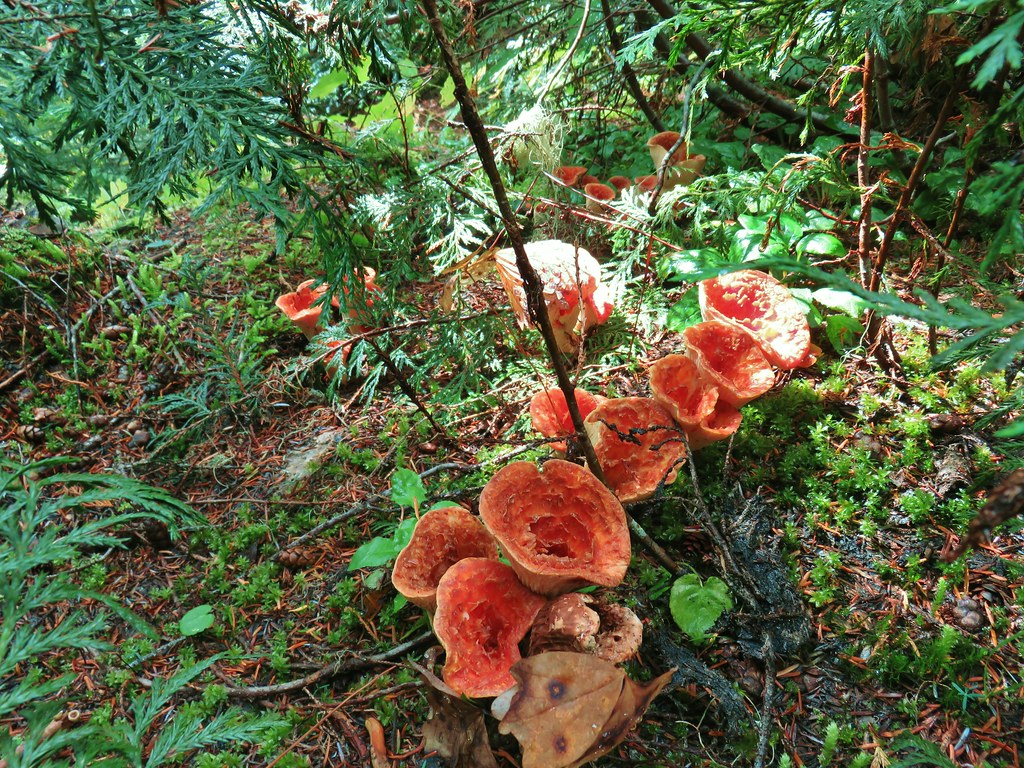
 The mushrooms in the back had exploded.
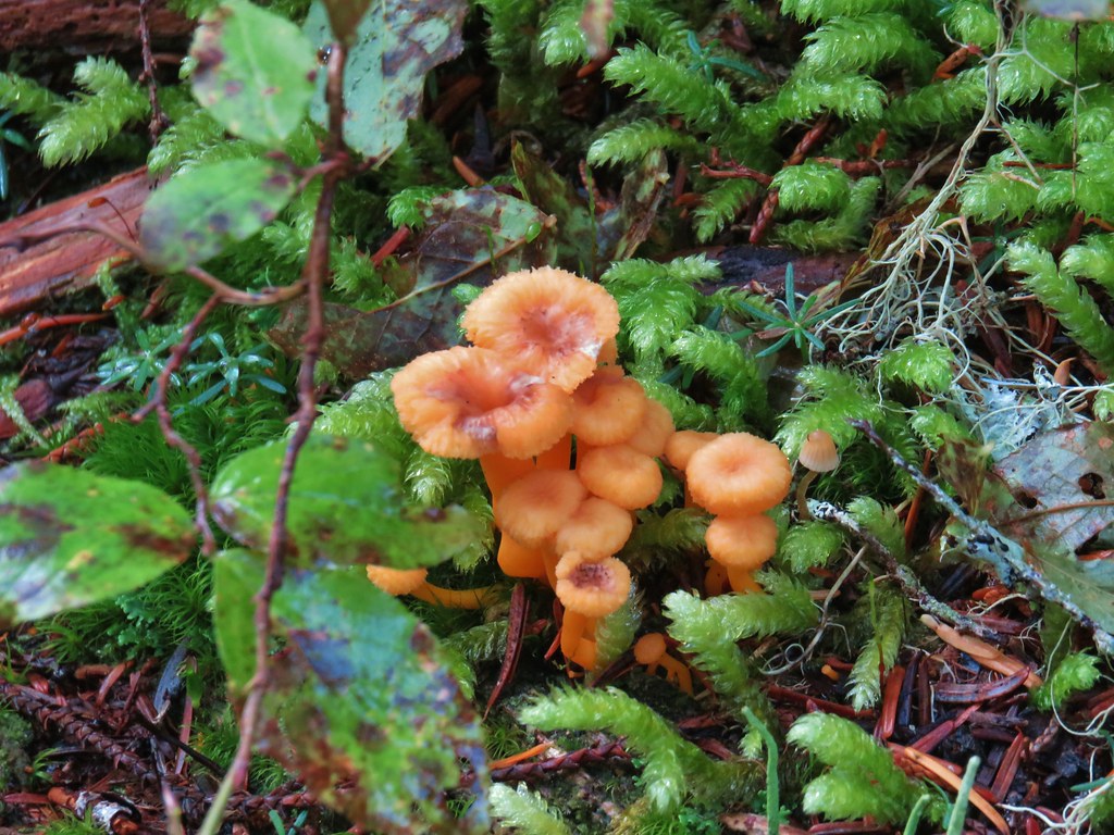
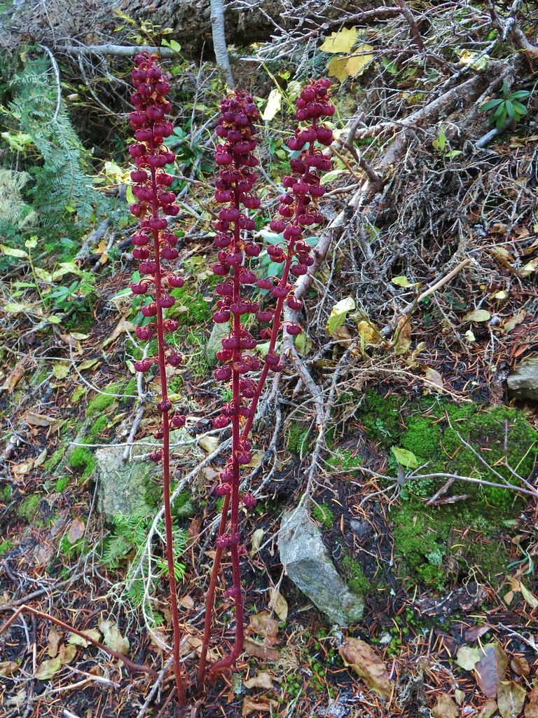
 A few red huckleberries left to eat.


 Bear pole


 Gentians
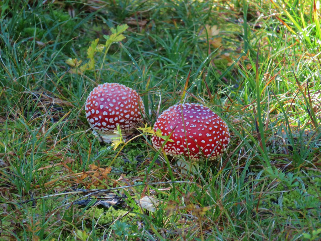 Mushrooms in the meadow.
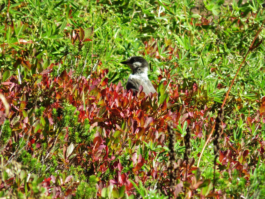 Gray jay in the huckleberries.
 Iron Mountain from the lake.


 Western pasque flower
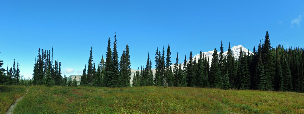


 Paintbrush
 Butterfly on the remains of an aster.
 Gentians
 Pyramid Peak to the right.


 This guy was tiny.

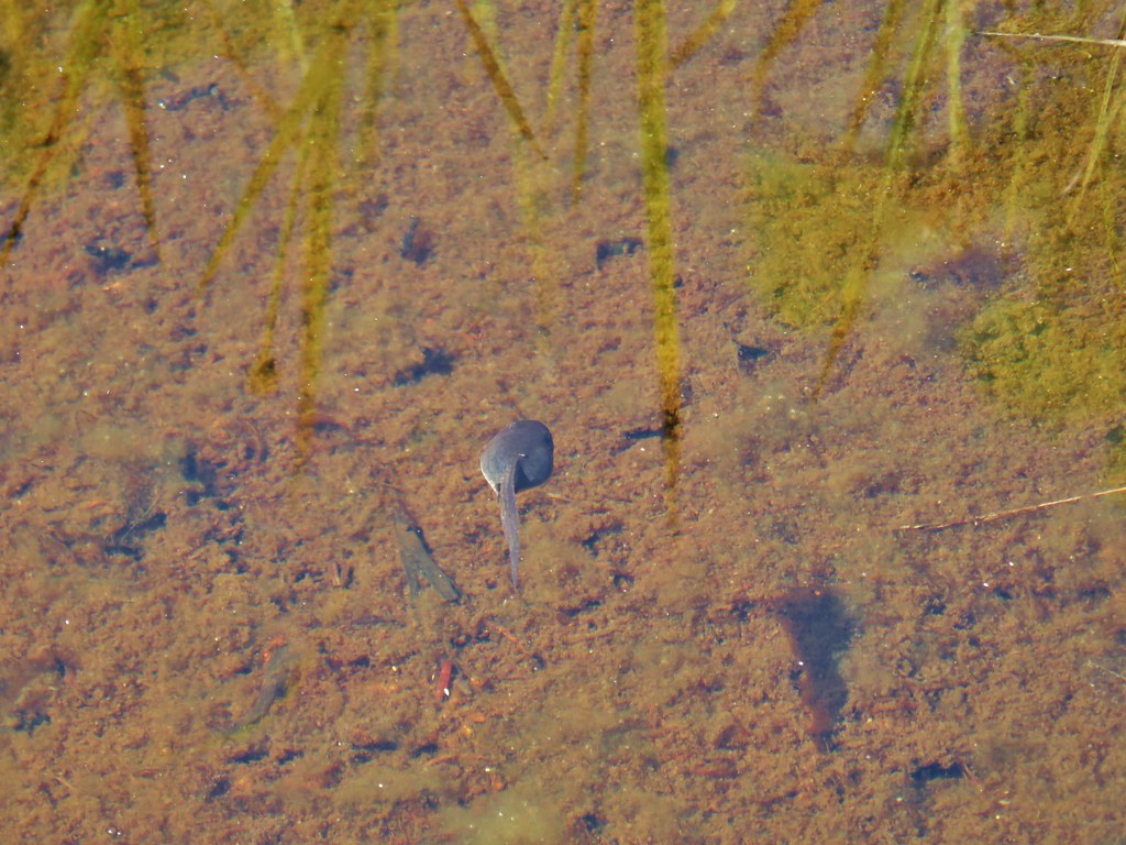
 Frog on a rock at the spring.


 Looking back across the road.