Categories
Hiking Mt. Adams Trip report Washington Washington Cascades

Foggy Flat Backpack Day 2 – 08/02/2020

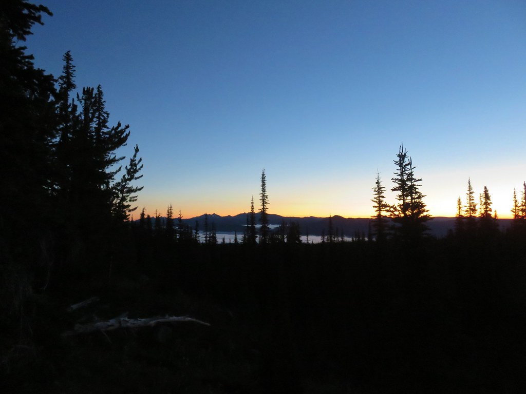
Normally when we are just hiking back to a trailhead the same way we got to a campsite it wouldn’t warrant a separate trip report, but our hike from Foggy Flat back to the Killen Creek Trailhead did. After spending the night at Foggy Flat(post) we woke just after 5am to find clear skies and a nice sunrise.
IMG_3076Goat Rocks in the morning

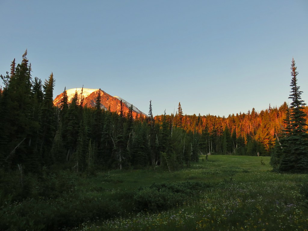
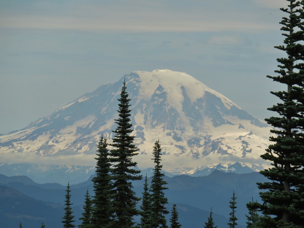
Even before the Sun was up it was light enough to get a good look at Mt. Adams.
IMG_3081Mt. Adams

IMG_3087

IMG_3083

Morning had brought out the mosquitoes so we decided to pack up and stop for breakfast somewhere along the return hike hoping for a less buggy spot. After a mile we stopped at the Muddy Meadows Trail junction where a log made for a prefect bench to have breakfast on.
IMG_3100Looking down the Muddy Meadows Trail from the log.
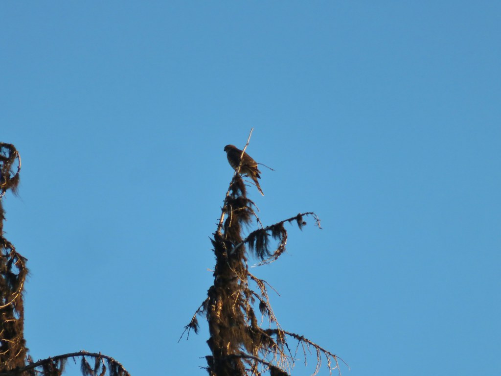
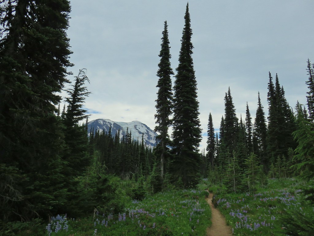
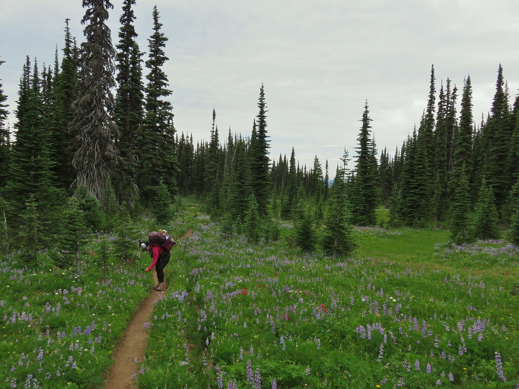
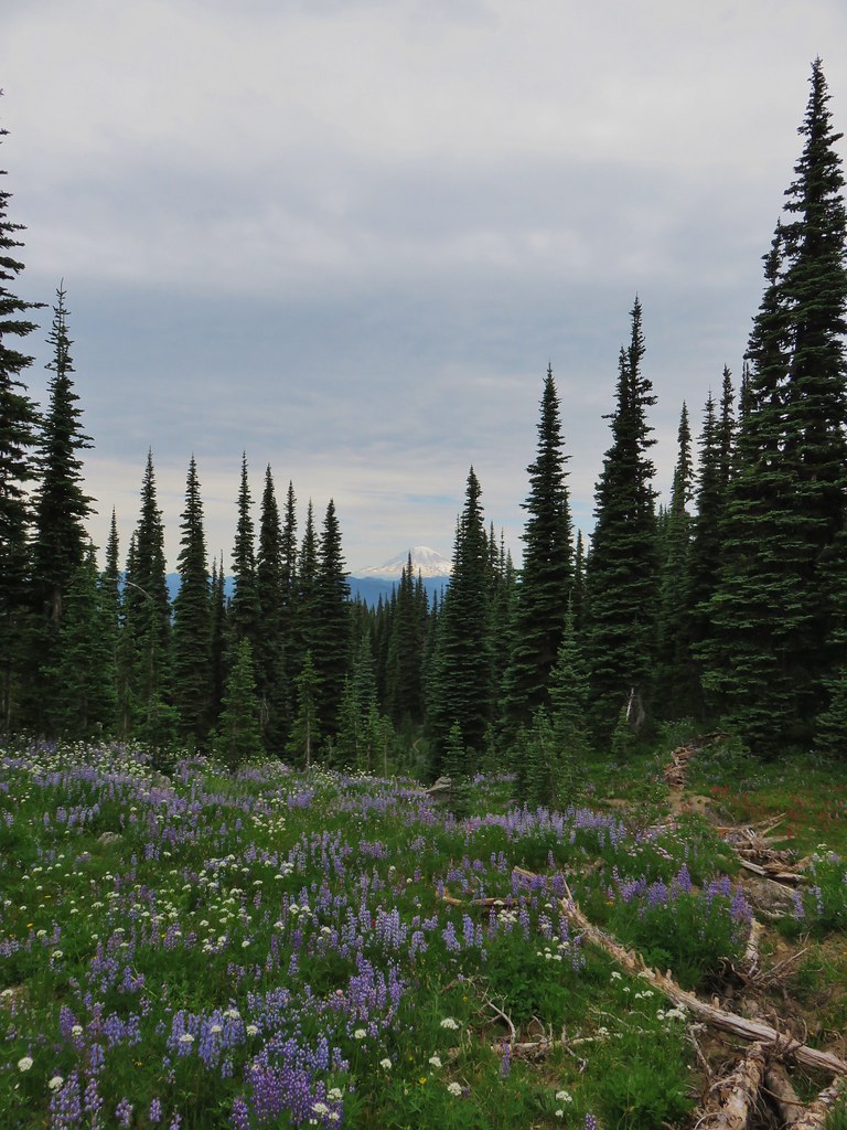
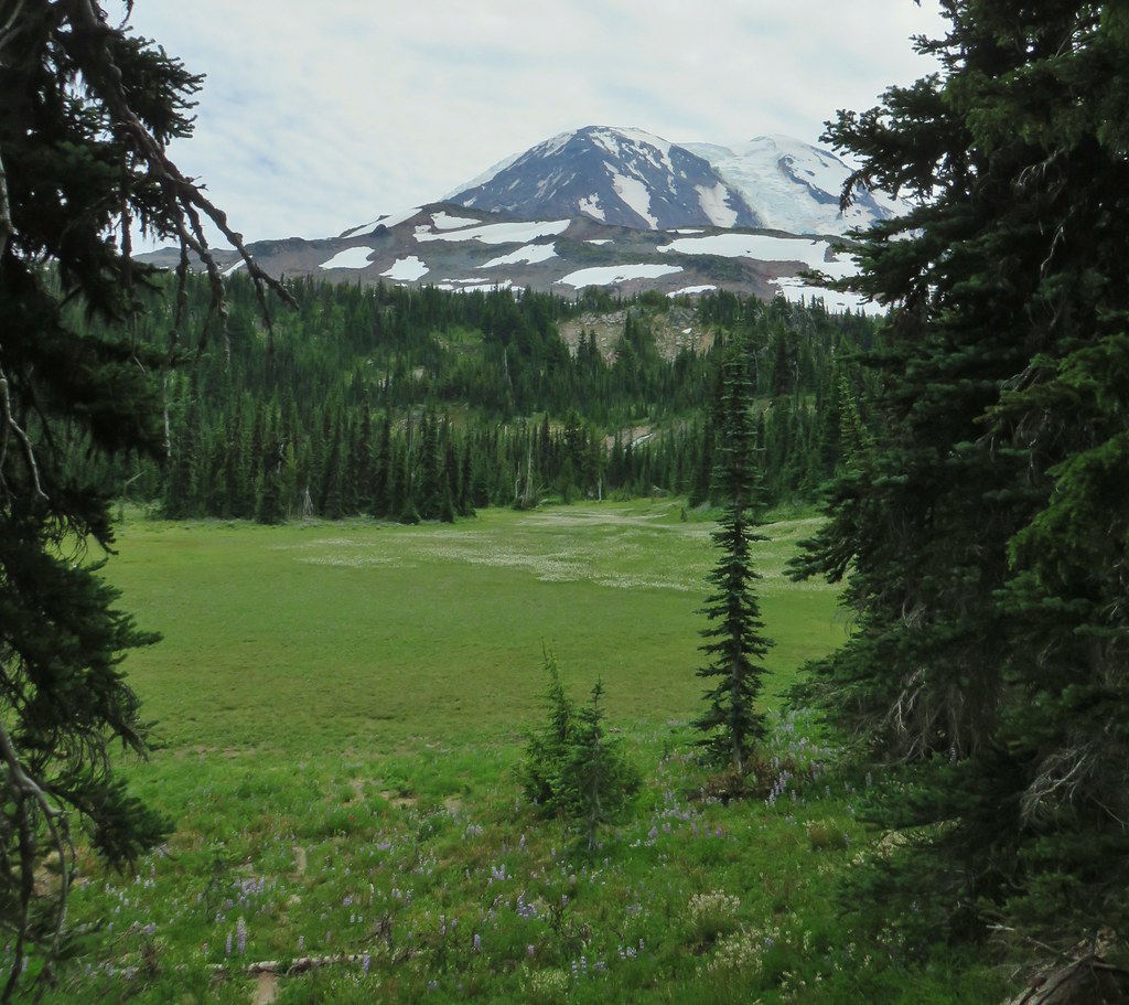
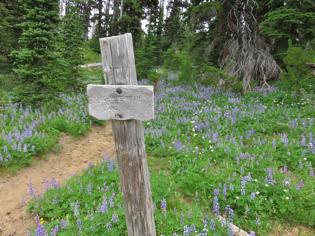
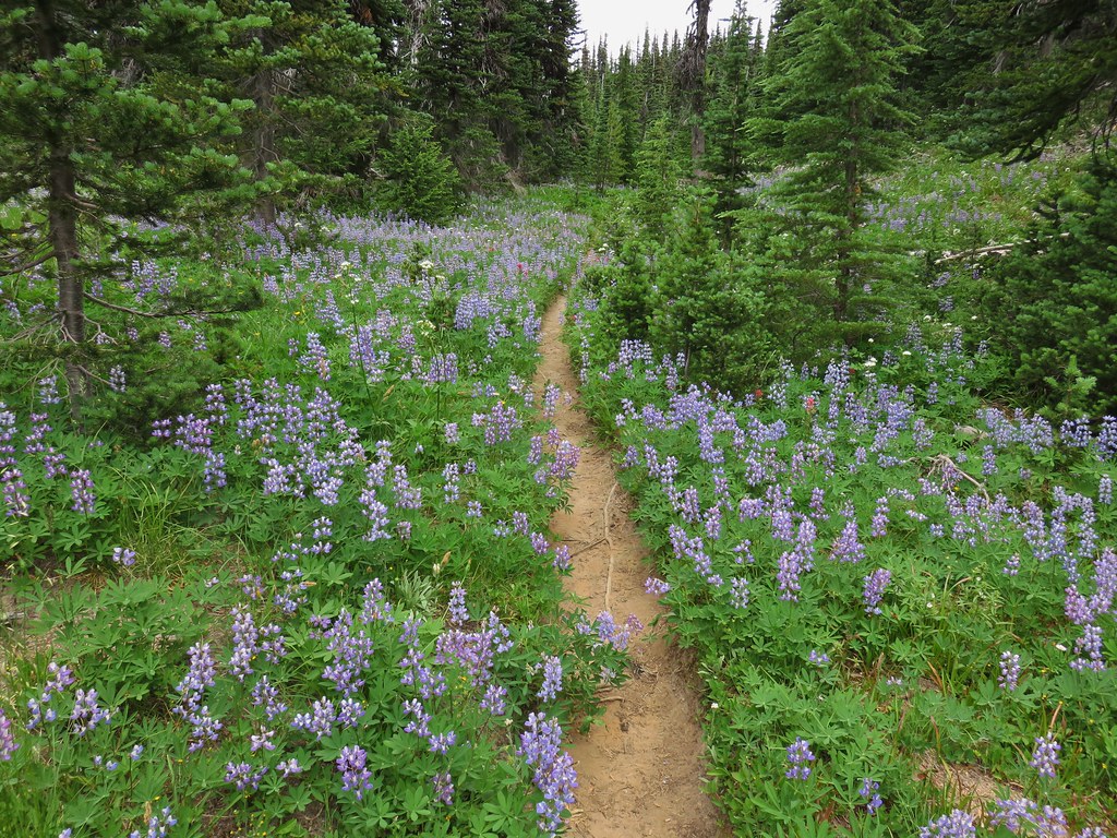
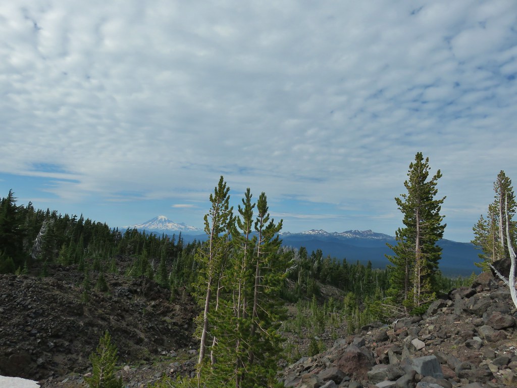
After breakfast we continued on the Highline Trail which offered good views of Mt. Rainier and Goat Rocks in this direction. When we weren’t looking at the mountains or the flowers various birds caught our attention.
IMG_3091Small hawk

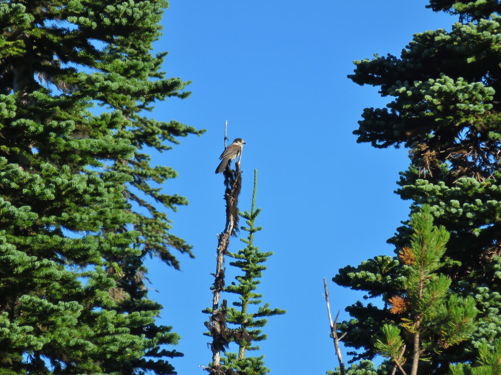
IMG_3120Gray jay

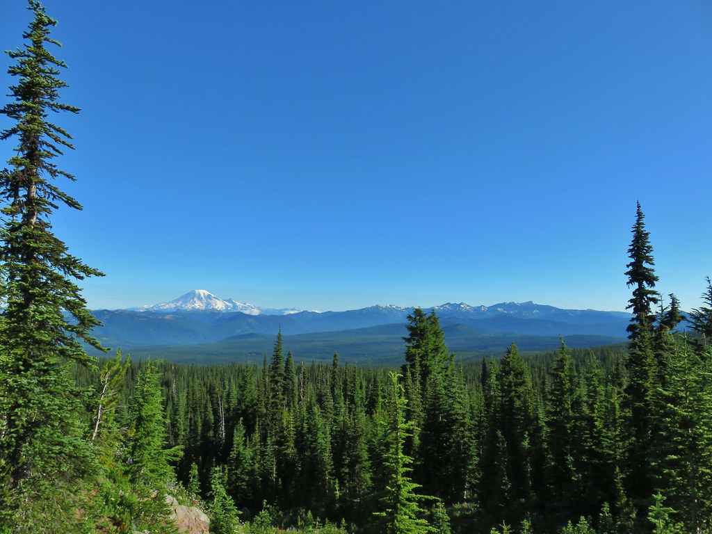
Going in this direction gave us some good looks ahead toward Mt. Rainier.
IMG_3110Mt. Rainier and some of the Goat Rocks.

IMG_3116

IMG_3128Northern flicker

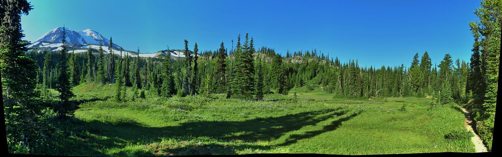
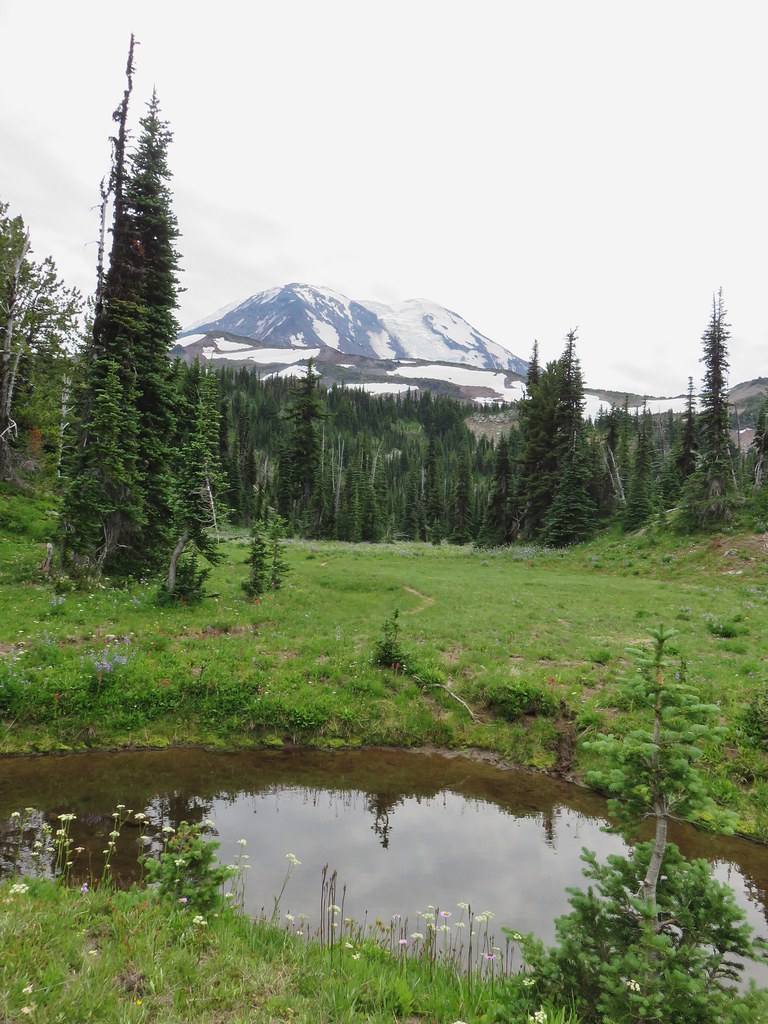
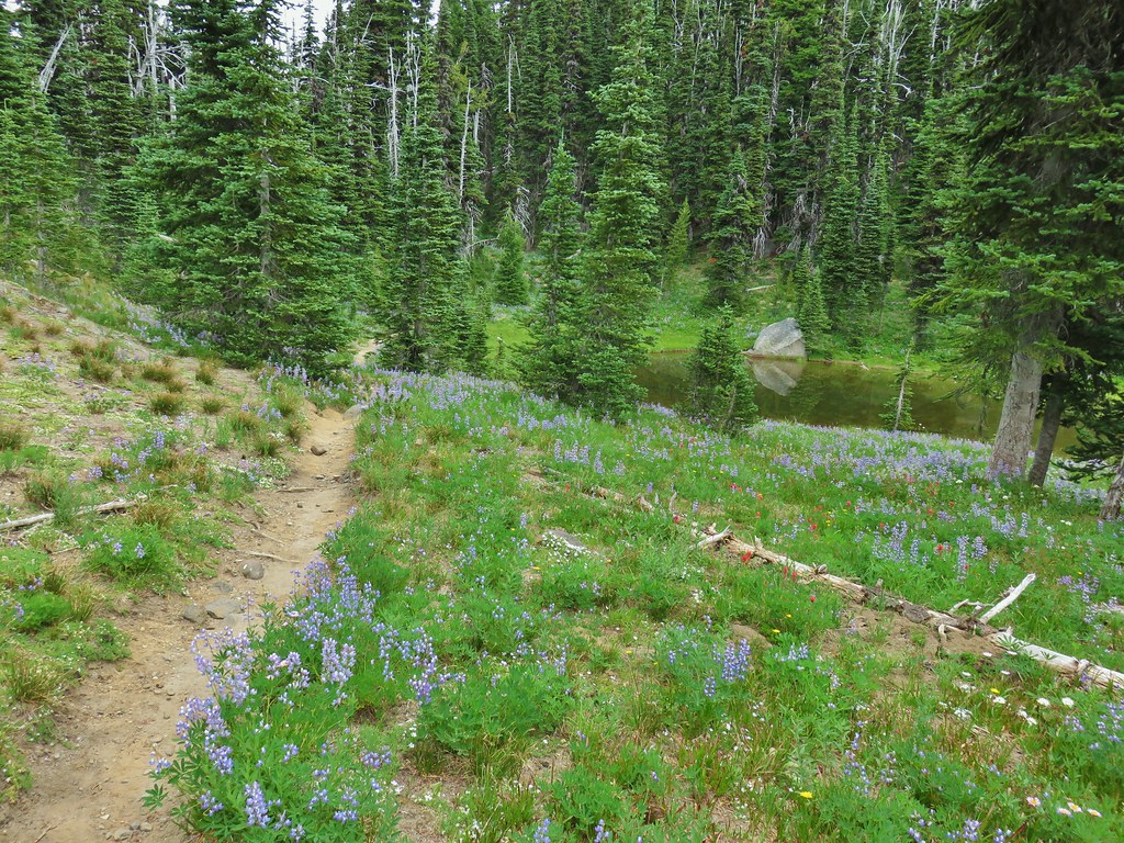
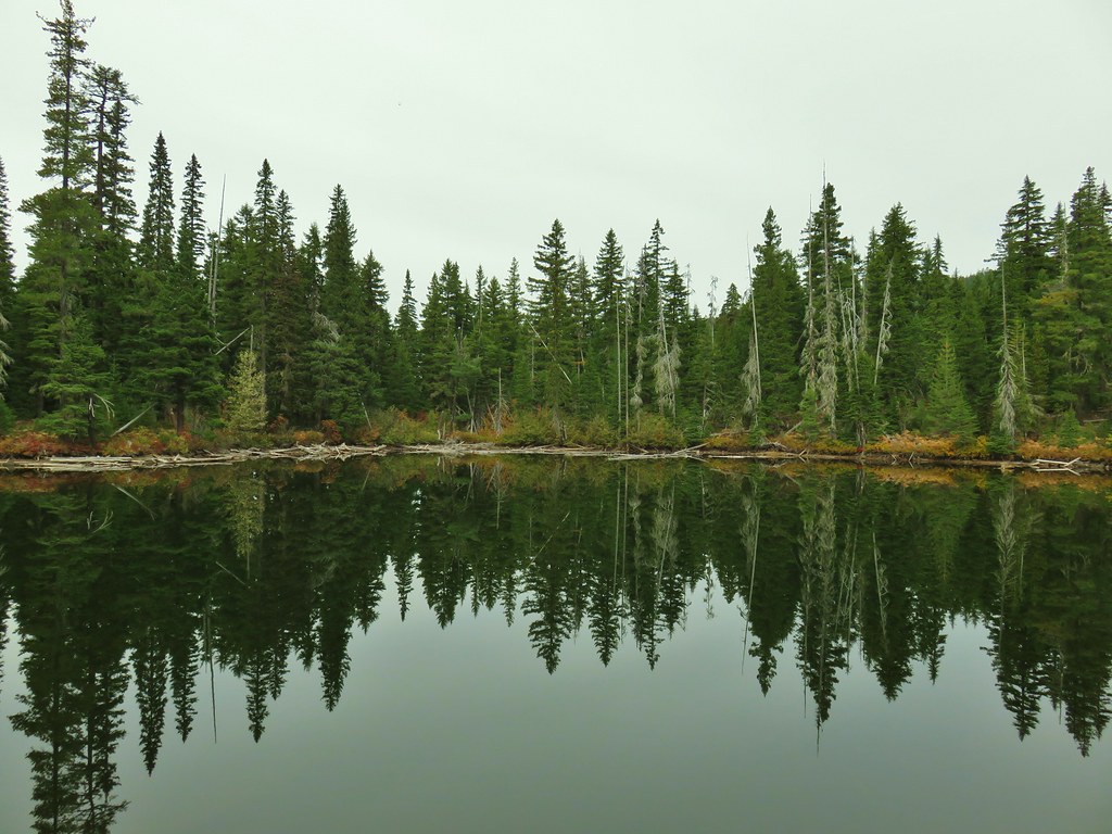
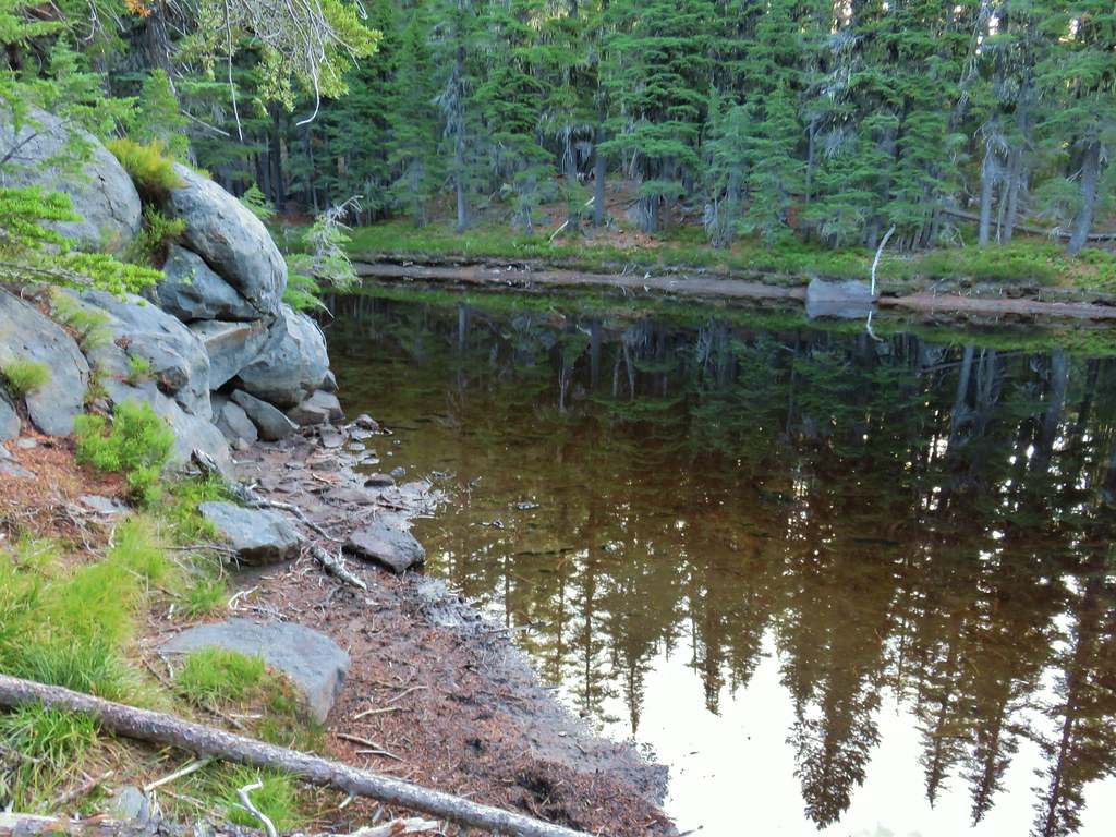
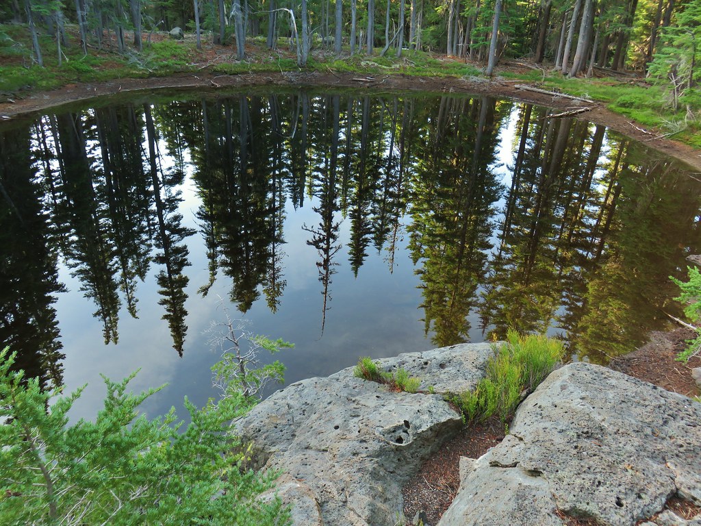
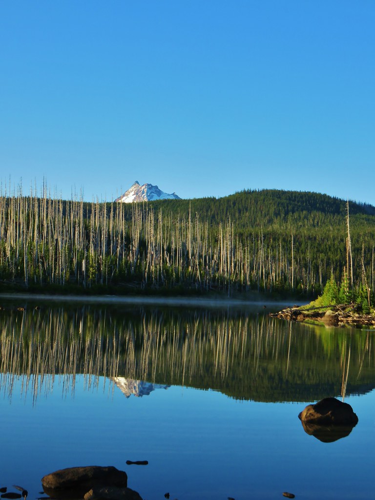
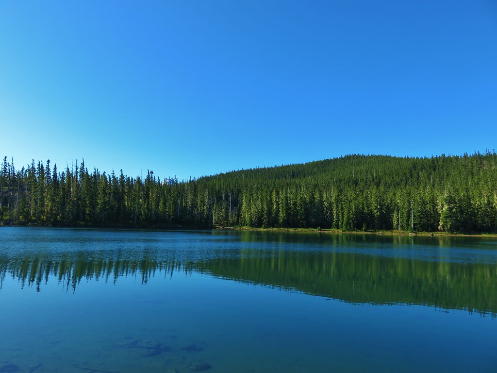
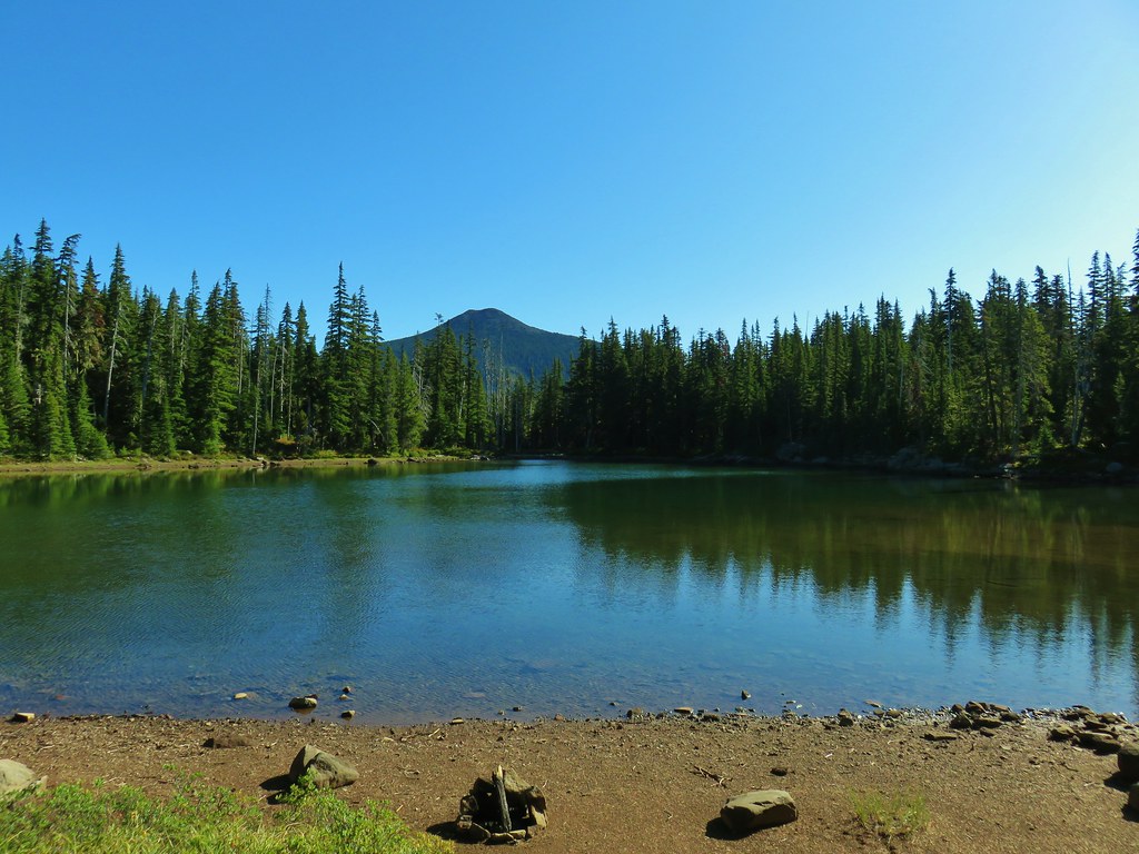
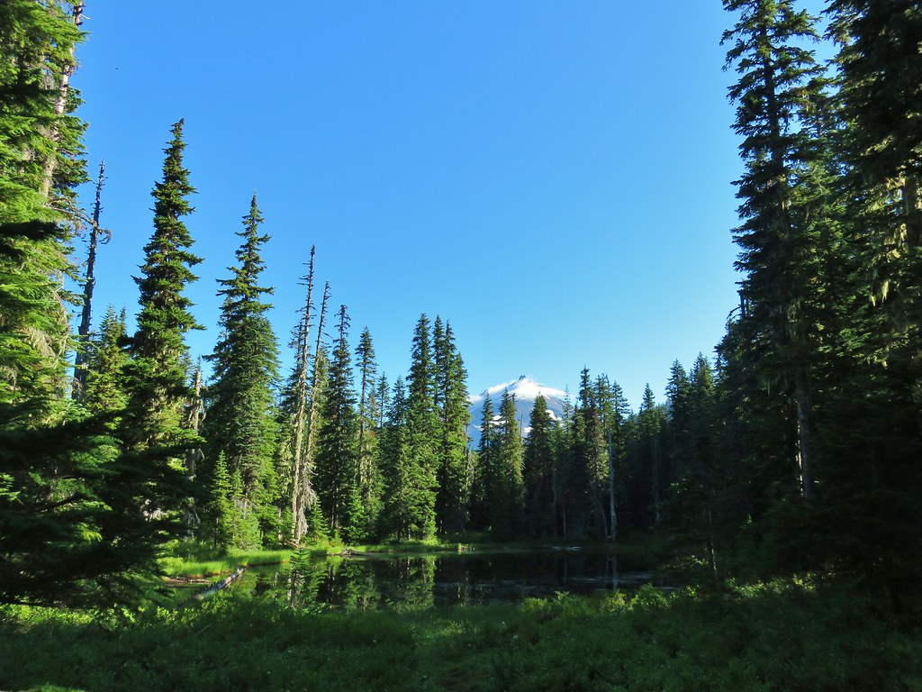
The unnamed lake near the Pacific Crest Trail had an excellent reflection of the forest and Mt. Adams.
IMG_3137

IMG_3141

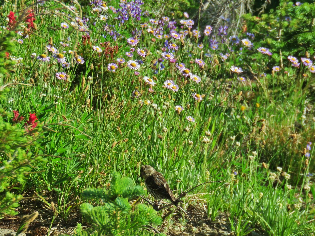
IMG_3145Little bird near the PCT junction.

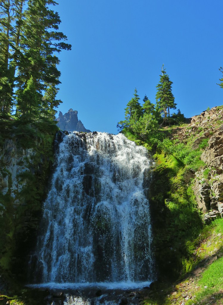
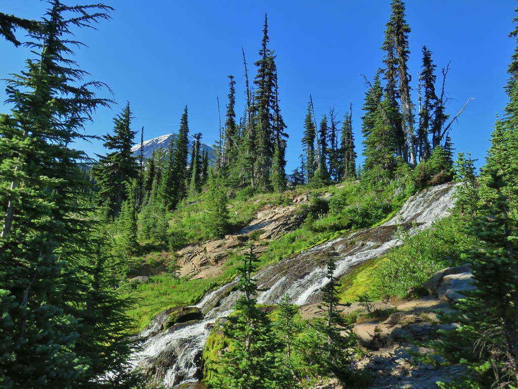
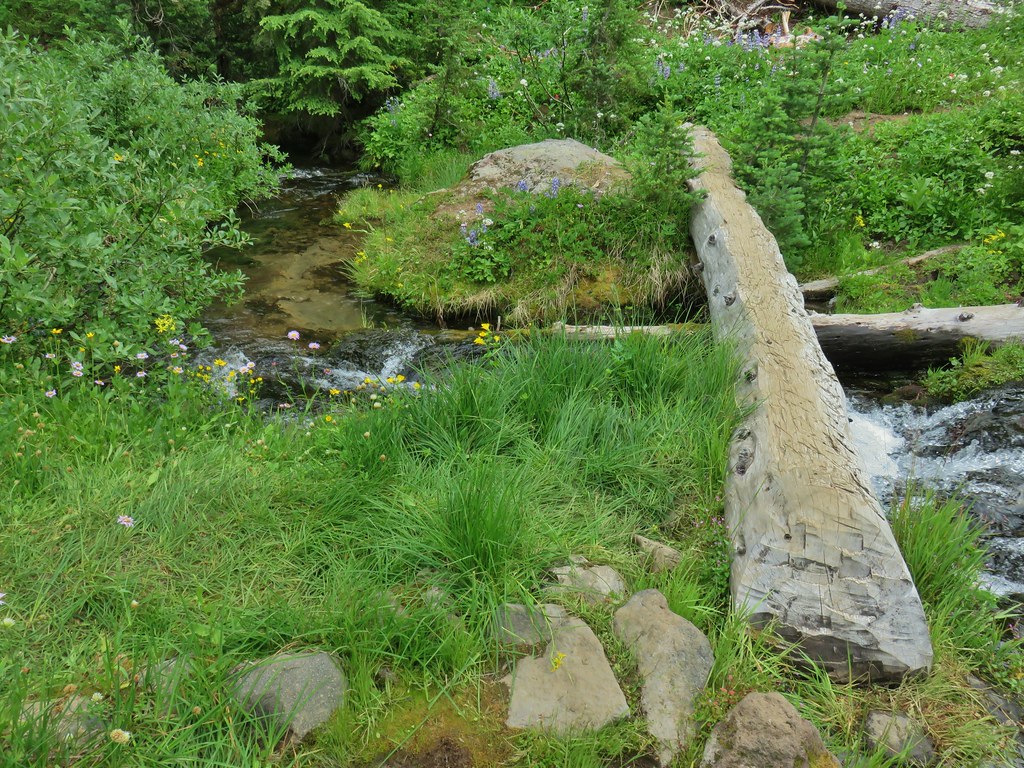
When we reached Killen Creek (.2 miles beyond the PCT junction) we crossed on the footbridge then removed our packs to take the steep use trail down below the waterfall as we’d planned the day before.
IMG_3154

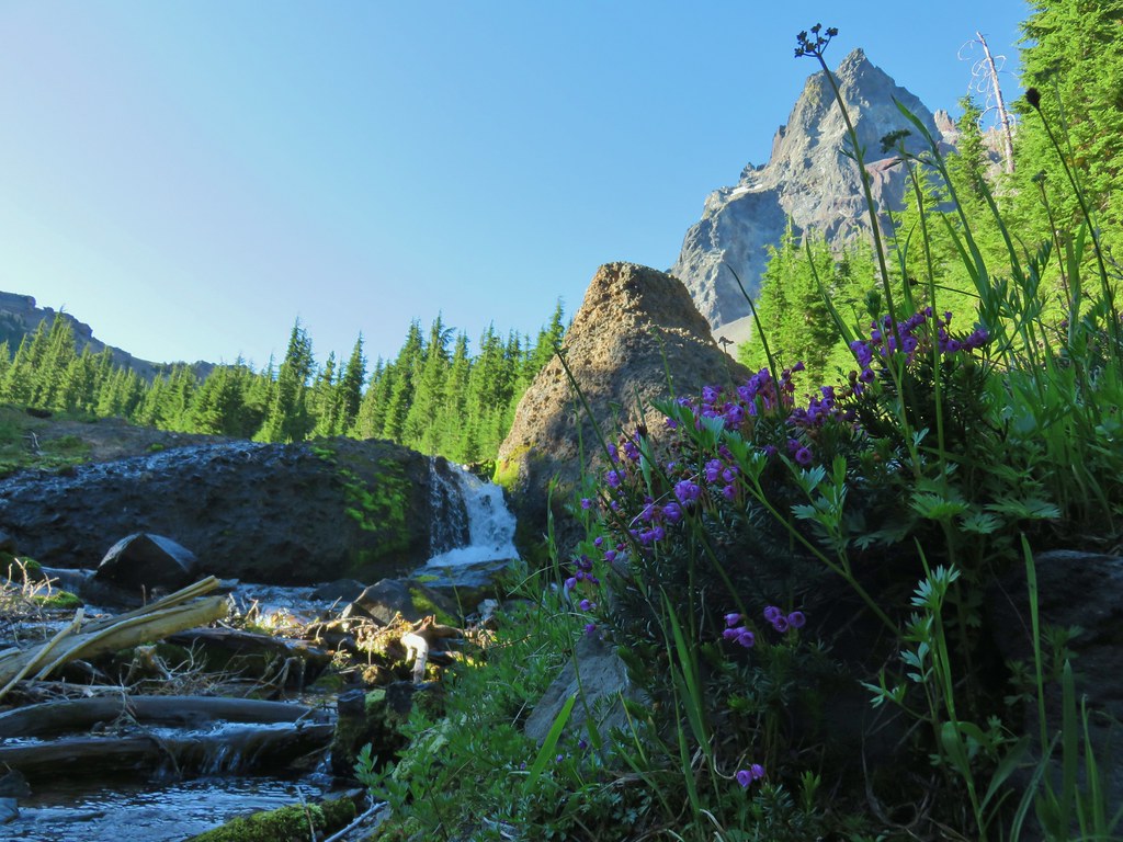
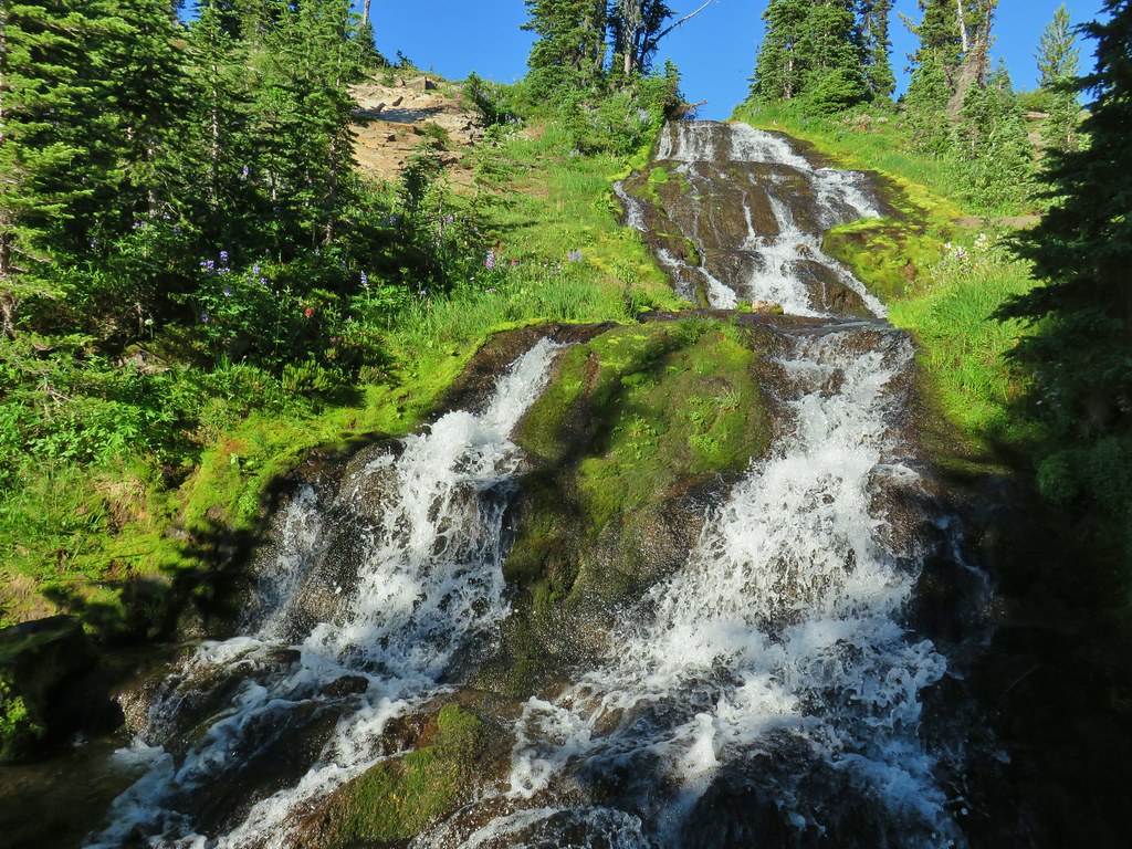
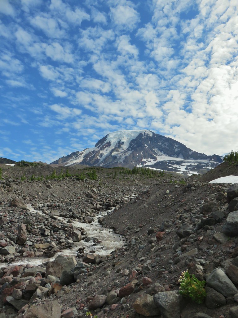
IMG_3158Killen Creek below the waterfall.

IMG_3167

IMG_3171Mt. Adams from the waterfall.

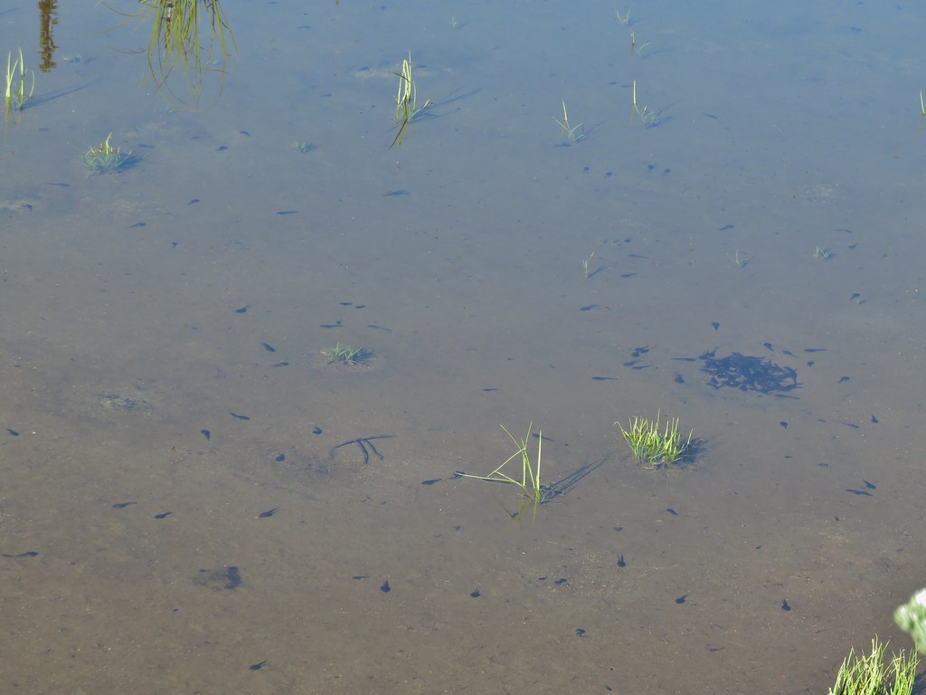
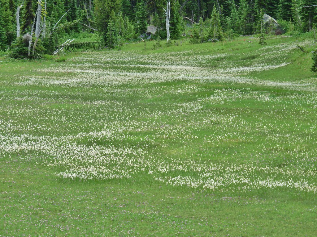
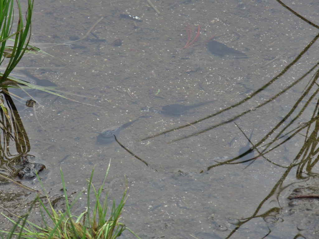
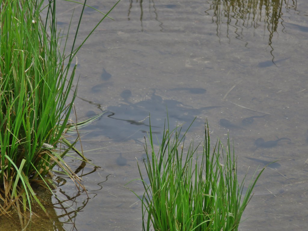
After exploring the area below the falls we climbed back up and continued through Killen Creek Meadows, stopping to check on the pollywogs along the way.
IMG_3174_stitch

IMG_3181

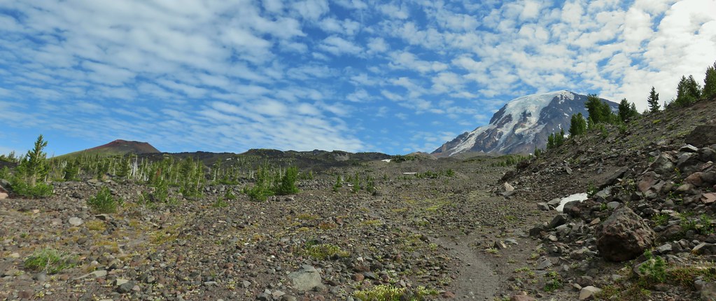
The blue sky made for a different look than we’d had the day before and we kept pausing along the way to marvel at the scenery.
IMG_3195Mt. Rainier and Goat Rocks from the PCT.

IMG_3204

IMG_3207

IMG_3209Breakfast time (possibly second breakfast)

IMG_3210

IMG_3214Zooming in on Mt. Rainier

IMG_3215

IMG_3221

We were almost surprised when we arrived at the junction with the Killen Creek Trail. The miles go by pretty quick when you’re distracted. We turned down that trail putting Mt. Adams to our backs.
IMG_3225

IMG_3231Killen Creek Trail heading away from Mt. Adams.
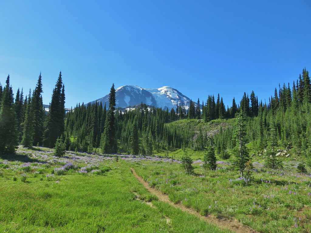
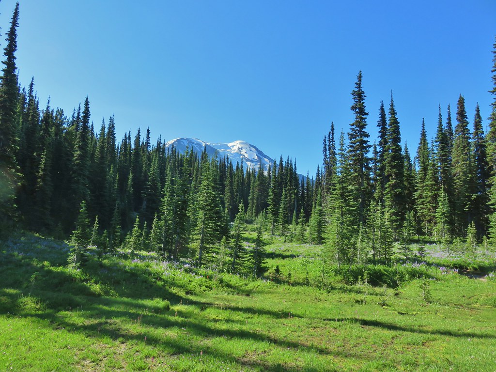
We turned to look back several times seeing less and less of the mountain before we lost sight of it for good.
IMG_3233

IMG_3236

It had been wonderful trip. The Mt. Adams Wilderness has yet to let us down and we’re already looking forward to our next visit down the road. Happy Trails!

Flickr: Foggy Flat Backpack Day 2


Categories
Hiking Mt. Adams Trip report Washington Washington Cascades

Sleeping Beauty & Foggy Flat Backpack Day One- 08/01/2020

Our first backpacking trip of the year was over Memorial Day weekend (post) but since then we hadn’t had an opportunity to break out our tent. Sleeping Beauty, a 3 mile featured hike in Sullivan’s “100 Hikes/Travel Guide Northwest Oregon & Southwest Washington” (4th edition), gave us a reason to put the tent to use again.

It wasn’t because the hike to the top of Sleeping Beauty was backpackable, but rather the 2:45 drive time to the trailhead was too long for this to be a stand alone hike for us. To make the trip worth the drive we decided to continued to nearby Mt. Adams and do a hike to Foggy Flat from Matt Reeder’s “PDX Hiking 365” guidebook.

We began our trip by driving to Trout Lake, WA then continued on to the Sleeping Beauty Trailhead.
IMG_2359

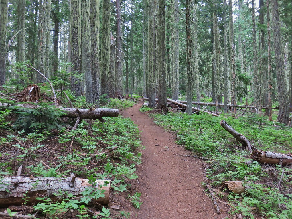
The trail climbed steeply up through a green forest for a mile to a forested saddle. Most of the flowers had passed but a few lingered and the pearly everlasting was getting started. Thimbleberries weren’t quite ripe but we did find a few strawberries to snack on.
IMG_2374

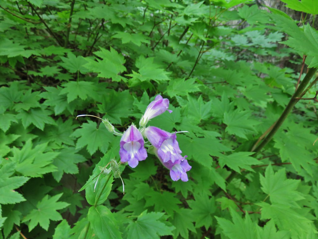
IMG_2376Beardstongue

IMG_2377Pearly everlasting next to thimbleberry bushes.

IMG_2371Not quite ready yet.

IMG_2381

Near the saddle we got our first look at the rock feature that is Sleeping Beauty from the trail (it is visible on the drive).
IMG_2392

The trail bends to the right (ignore a fainter trail heading left) at the saddle continuing through the trees.
IMG_2394

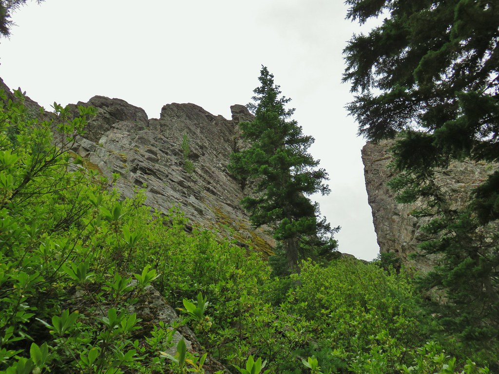
Another bit of climbing brought us beneath the rocks.
IMG_2411

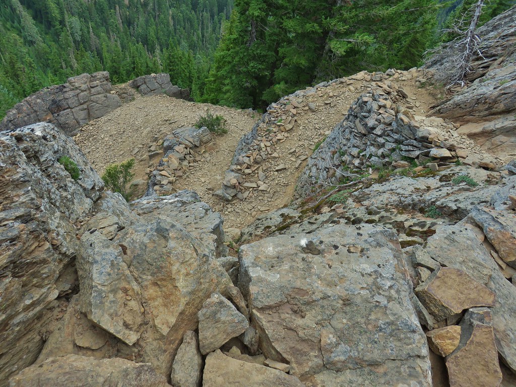
The trail switchbacked its way up amid the rocks up stonework ramps gaining views of the surrounding Cascade mountains along the way.
IMG_2414Mt. Adams

IMG_2415Goat Rocks (post) to the left beyond Mt. Adams

IMG_2417Looking down at some of the switchbacks.

IMG_2419Mt. St. Helens in the distance.

IMG_2424The top of Mt. Rainier.

IMG_2426Mt. Hood to the South.

IMG_2431_stitchMt. St. Helens, Mt. Rainier, Goat Rocks and Mt. Adams.

IMG_2448Indian Heaven Wilderness

It was fairly windy up on the rocks, just windy enough to make us a little nervous when we got to the saddle near the top as we had to push back a bit against it. Luckily the top is fairly wide and there was a least one place behind a rock where the wind was non-existent.
IMG_2430Looking east over the top of Sleeping Beauty.
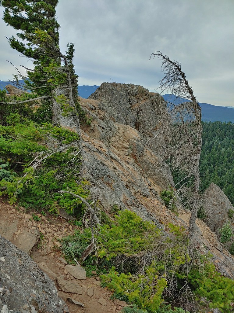
20200801_084405_HDRLooking west to the true summit where a lookout once stood.

We were hoping to see a mountain goat as they do live here but alas we only saw some fur on a rock and a couple of bushes. The views would have to do and they did just fine. I scrambled over to the former lookout site after deciding it looked safe enough while Heather waited at the saddle.
IMG_2443

IMG_2455Mt. Hood from the foundation of the former lookout.
After a good long time exploring the area and enjoying the views we headed back down. We passed several groups of hikers heading up (just about everyone had a mask) so we were once again glad we’d gotten the early start to have the top to ourselves.

From the trailhead we drove back to Trout Lake and turned left onto Mount Adams Road aka Forest Road 23. (Google would have had us continue on the forest road we had been on to reach the Killen Creek Trailhead, but Google doesn’t always know the condition of the Forest Roads and I don’t either so we played it safe.)

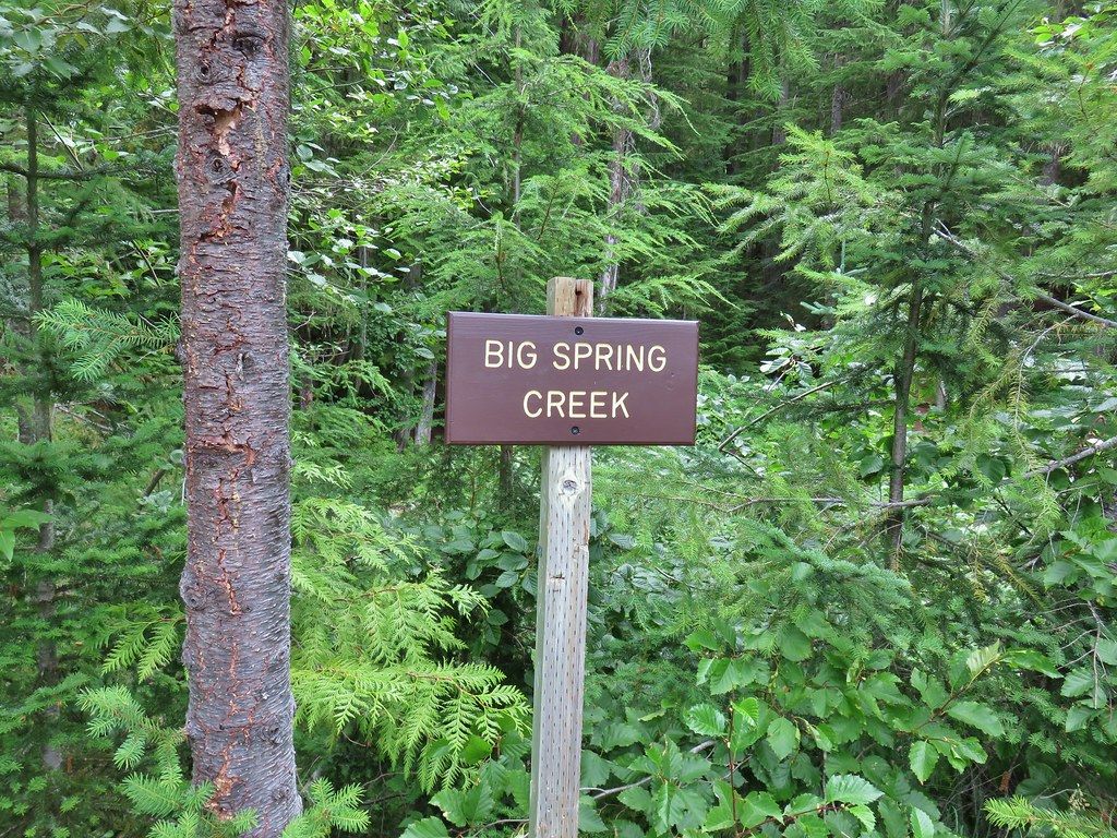
We then followed Reeder’s direction to the Killen Creek Trailhead stopping along the way when Heather spotted a nice waterfall on Big Spring Creek.
IMG_2469Sign at a pullout along FR 23.

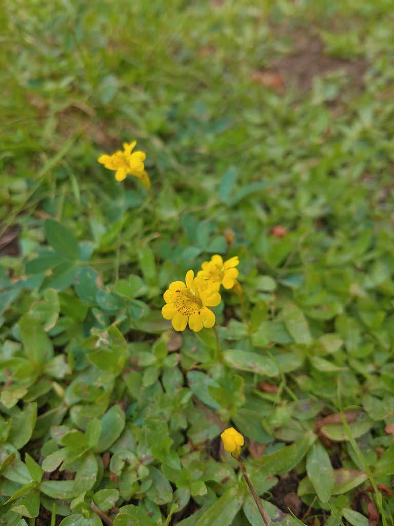
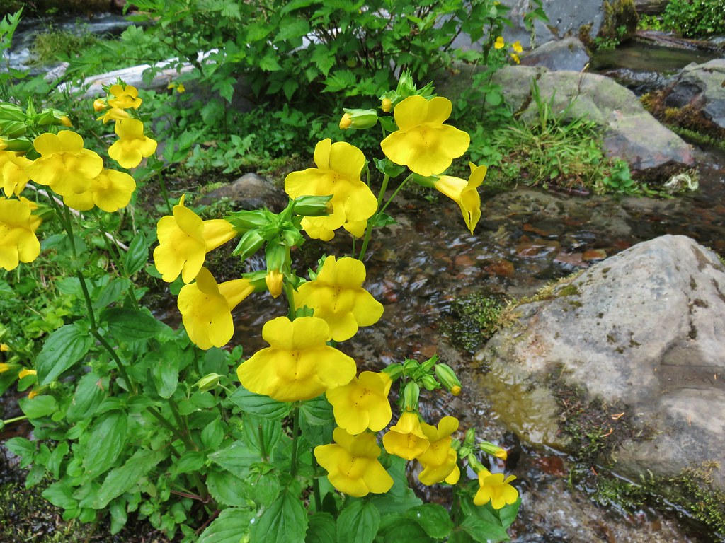
IMG_2471These were huge yellow monkeyflowers.

IMG_2476Big Spring Creek

After the brief stop we drove on. The final 9 miles on FR 23 was gravel but wide and not too bad. We turned off of the gravel onto the narrow, paved FR 2329 which was a nice break, but beyond the turn for Takhalakh Lake Campground this road also turned to gravel. It was not in the best condition and was fairly narrow and busy which made for a bit of a tedious final 6 miles to the Killen Creek Trailhead.
IMG_2479

IMG_2478

After attempting some gear repair (a hole in some clothing) we set off and quickly entered the Mt. Adams Wilderness.
IMG_2485

This was only our third visit to the wilderness with our first having been a hike from the South Climb Trailhead to Iceberg Lake in 2014 (post) and the second an overnight stay at Horseshoe Meadows in 2017 (post). (Apparently this is an every three year thing.)

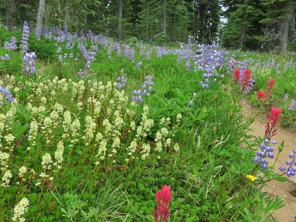
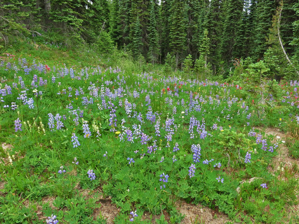
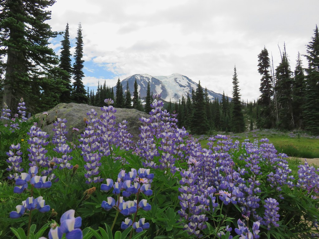
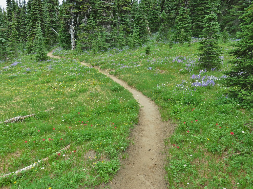
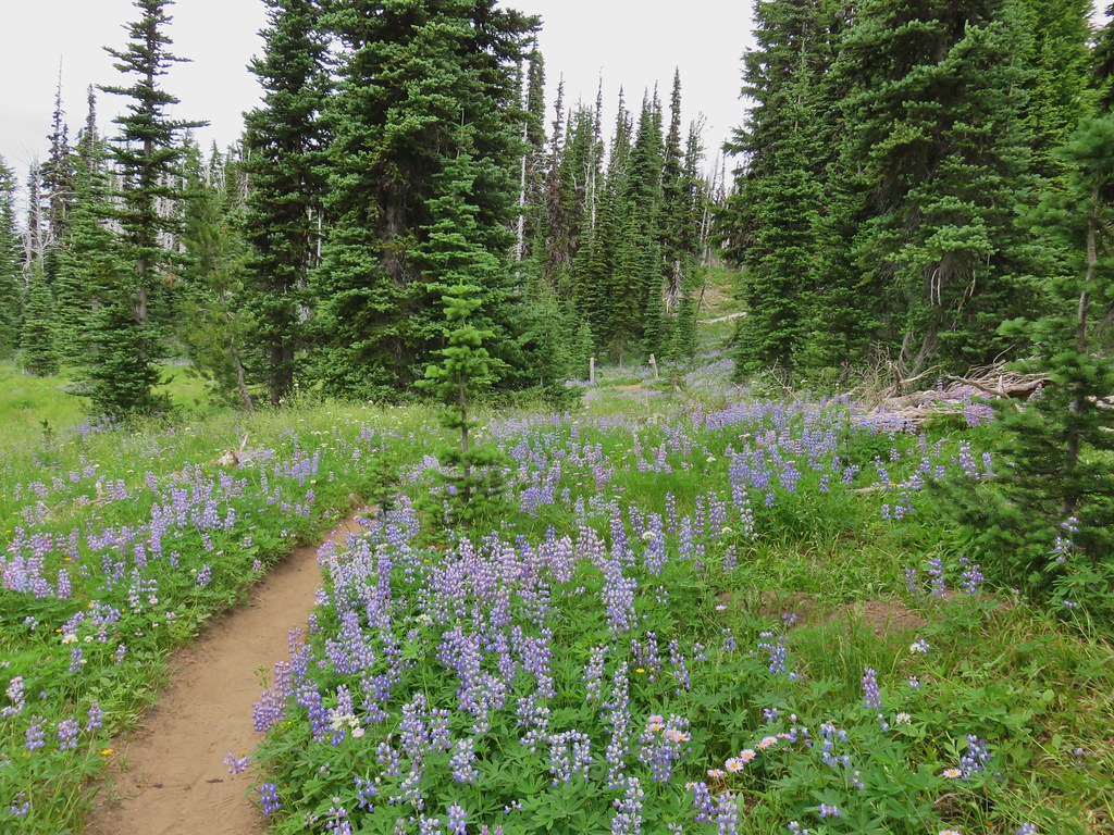
The Killen Creek Trail climbed through the forest where we were pleased to find quite a few flowers were blooming. Little did we know what was coming.
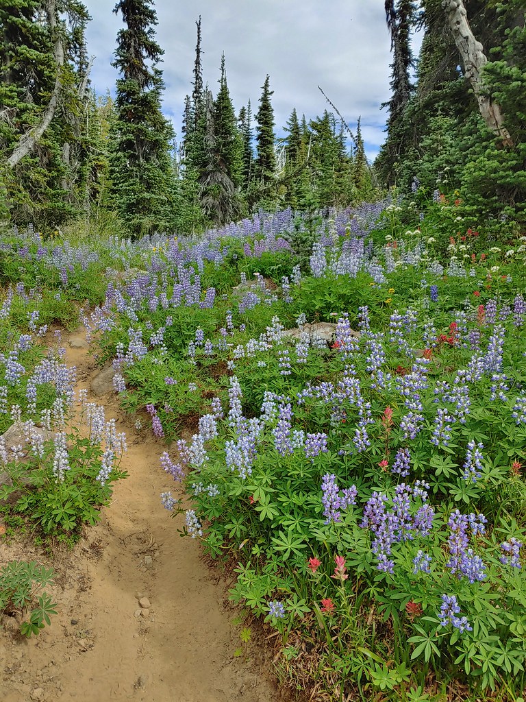
IMG_2493Lupine along the trail.

IMG_2500

IMG_2501Arnica

IMG_2504Lousewort

IMG_2505More lupine along the trail.

IMG_2506Partridge foot and lupine.

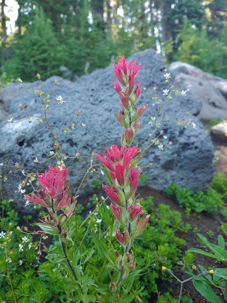
IMG_2514Lupine, paintbrush and valerian.

IMG_2523Lupine along the trail which sees a good amount of equestrian use.

IMG_2526Mountain heather.

IMG_2529

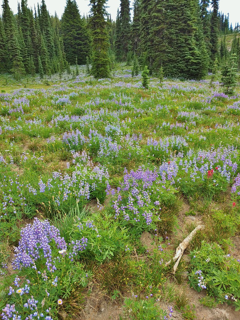
As we continued to climb the number and types of flowers we were seeing kept increasing.
IMG_2536Yellow buttercups mixed in with the lupine, paintbrush and valerian.

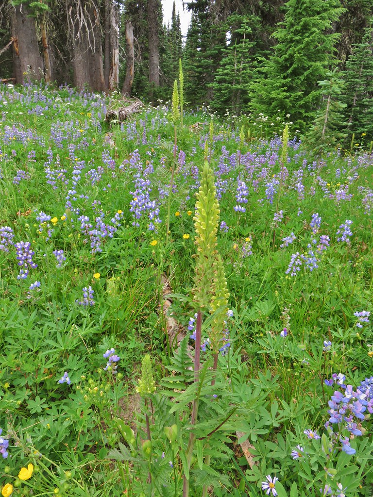
IMG_2542Beardstongue, arnica and lupine.

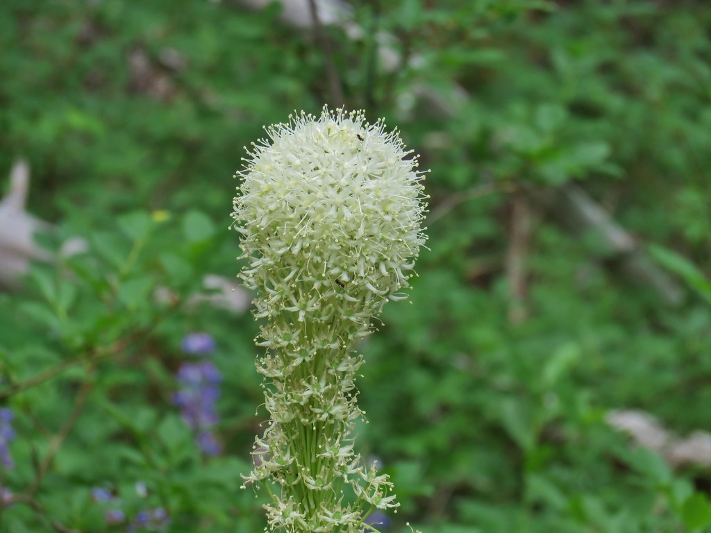
IMG_2544Beargrass

Approximately 2.5 miles up the trail the flowers really started to explode as the trail began to level out a bit.
IMG_2553

IMG_2555

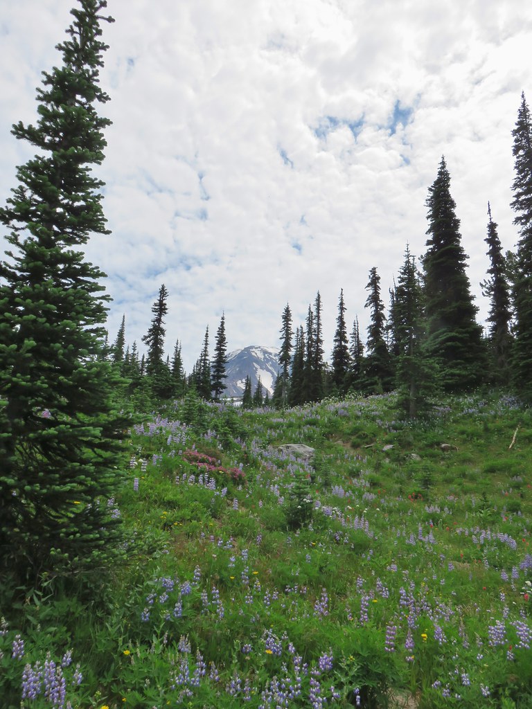
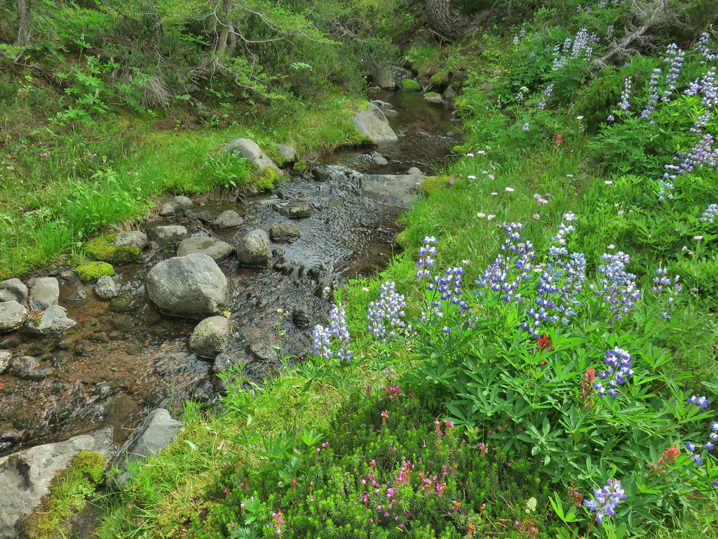
Over the next mile we gained views of Mt. Adams and crossed a small alpine stream all while being mesmerized by the flowers.
IMG_2563

IMG_2571

IMG_2582Lousewort

IMG_2586

IMG_2591

IMG_2595Elephants head near the stream.

IMG_2604Elephants head and a shooting star.

IMG_2601

IMG_2608

IMG_2612

20200801_125034Mountain heather

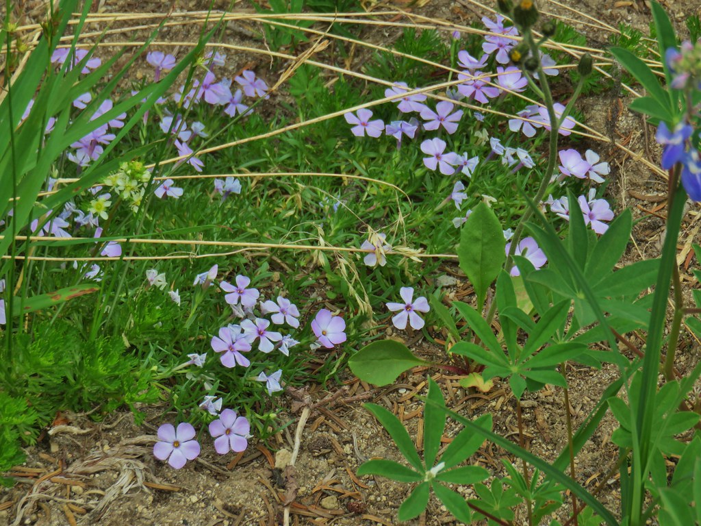
IMG_2620Phlox

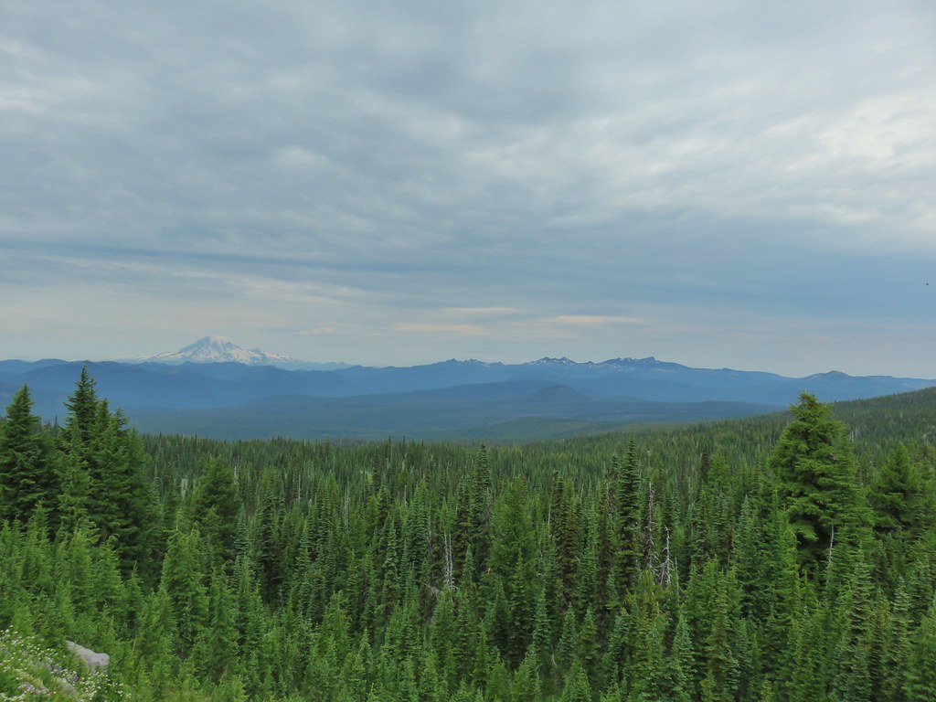
As we gained elevation we also began to get glimpses of Mt. Rainier to the NW.
IMG_2626

IMG_2631

The views and flowers just kept getting better as we went.
IMG_2646

IMG_2652False hellebore amid the lupine.

20200801_130422

IMG_2665Paintbrush framed by trees.

IMG_2675Woolly pussytoes

After a little over 3.25 miles the Killen Creek Trail ended at the Pacific Crest Trail.
IMG_2685

We had been to this junction in 2017 when we had hiked the PCT north from Horseshoe Meadows. We had continued a few hundred feet before realizing that Killen Creek was still almost a mile away. This time we would be hiking beyond Killen Creek and so we turned left on the PCT and continued on.
IMG_2689

Where the Killen Creek Trail was heading for Mt. Adams the PCT was bending around the mountain. This made for more up and down hiking as opposed to steady climbing. Mt. Adams occasionally made an appearance over our right shoulders and the flowers continued to be amazing.
IMG_2692

IMG_2696

20200801_131817Cinquefoil

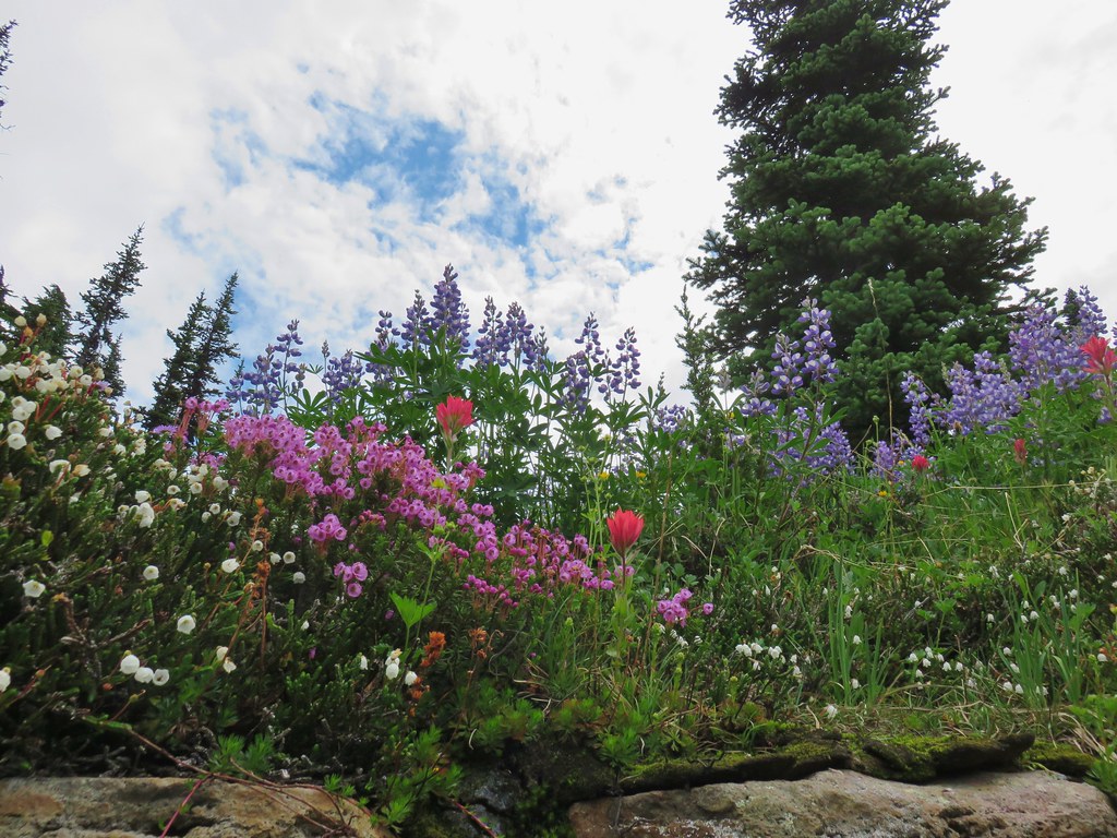
IMG_2702White and pink mountain heather, paintbrush and lupine above the PCT.

IMG_2706Shooting star

IMG_2733Violets

IMG_2737Coming in for a landing on groundsel.

IMG_2731

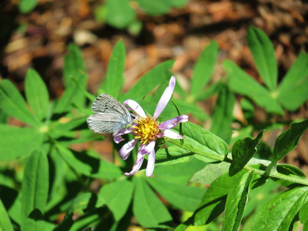
IMG_2739Aster

The Goat Rocks was soon fully visible between us and Mt. Rainier.
IMG_2744

IMG_2746_stitchGoat Rocks

A little under a mile from the Killen Creek Trail junction the PCT began a descent to Killen Creek Meadows.
IMG_2756

IMG_2761Aster and white seed heads

There were a couple of small ponds still holding water in the meadows and we noticed a lot of ripples in the water as we approached.
IMG_2764

It turned out to be pollywogs, and a lot of them.
IMG_2768

IMG_2772

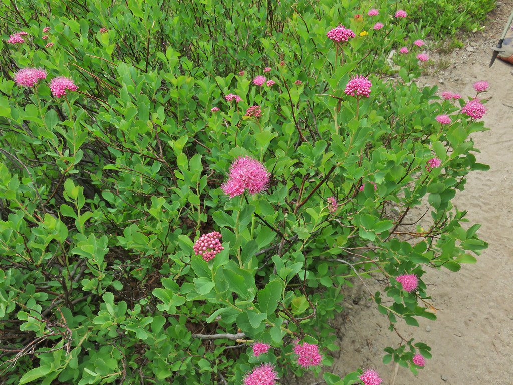
IMG_2775Spirea

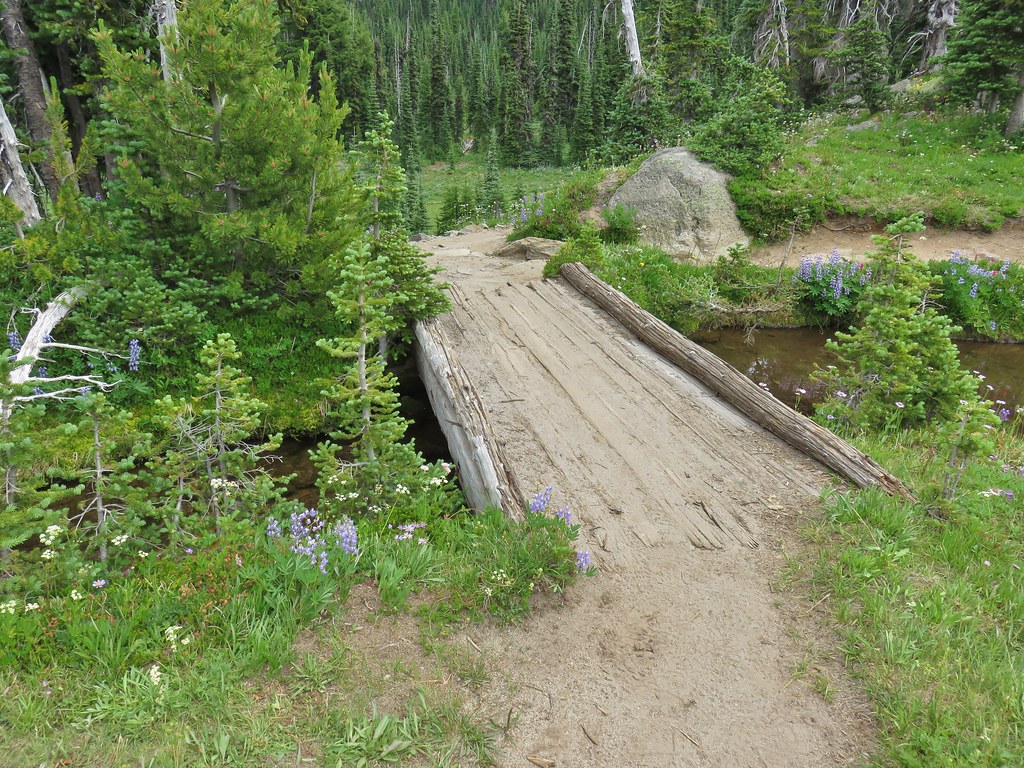
The PCT crossed Killen Creek on a footbridge just above a waterfall.
IMG_2781

IMG_2782Killen Creek and Mt. Adams.

There was a steep path down on this side of the falls but it looked like the PCT might have a good view of it on the other side of the creek so we opted not to head down. We figured the worst case scenario was that there wouldn’t be a view and we could just go down on the way back out.
IMG_2780

As we started to cross the bridge we noticed something in the creek nearby, it was an ouzel.
IMG_2785

There wasn’t a great view of the waterfall on the other side.
IMG_2791The waterfall from the PCT.

The PCT descended to a lower meadow where a trail led out to a campsite and another possible vantage point for the waterfall but the view was obscured so we put it on the to do list for the next day.
IMG_2792

From Killen Creek it was .2 flower filled miles to a junction with the Highline Trail.
IMG_2800Highline Trail ahead.

IMG_2801

Here we left the PCT as it continued on its way to Goat Rocks and beyond and turned up the Highline Trail. Not far from the junction we arrived at an unnamed lake with a reflection of Mt. Adams.
IMG_2804

IMG_2805

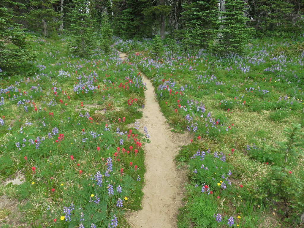
The wildflowers had been impressive thus far but the Highline Trail took it up a notch.
IMG_2809

IMG_2812Yellow arnica along the trail.

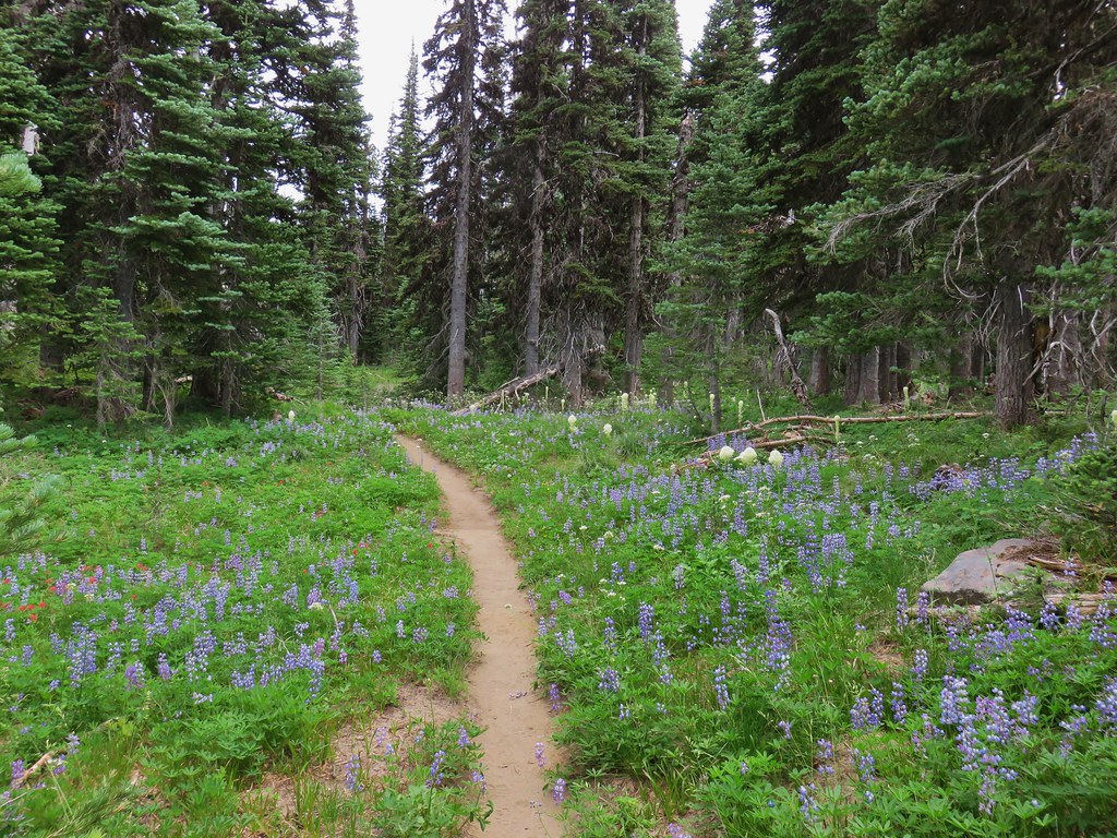
IMG_2813Beargrass in full bloom.

IMG_2818

IMG_2830

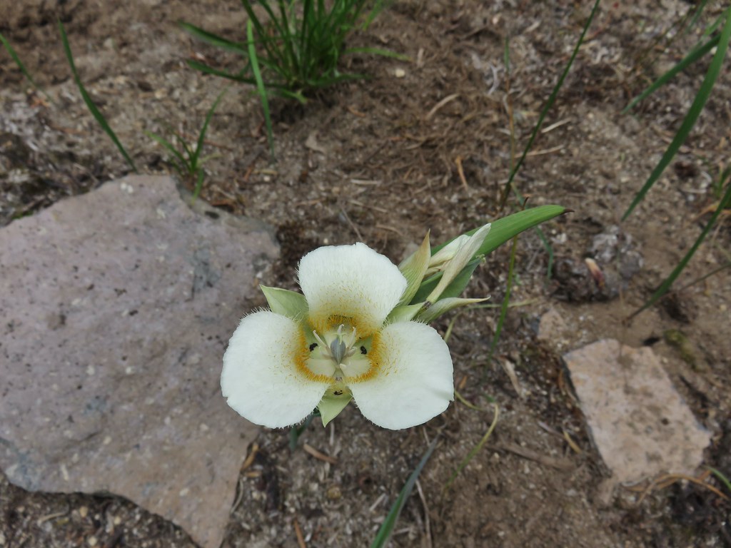
IMG_2836Subalpine mariposa lily

After a total of 1.7 miles on this trail we arrived at another junction. This time it was the Muddy Meadows Trail.
IMG_2838

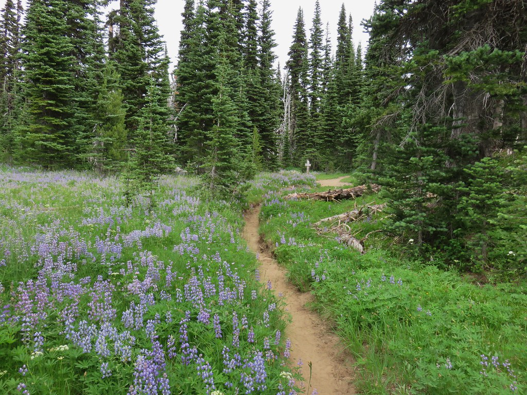
IMG_2840Look more lupine that way.

We continued on the Highline Trail another mile before reaching Foggy Flat, a wet meadow near an unnamed creek.
IMG_2844Still tons of flowers.

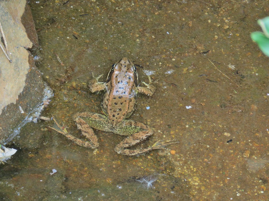
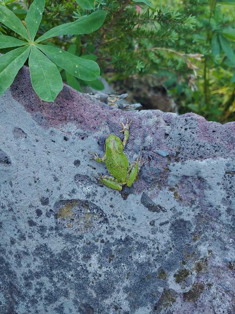
IMG_2856Frog near Foggy Flat

IMG_2862Mt. Adams from Foggy Flat

IMG_2869Frog in a little stream at Foggy Flat.

IMG_2868Zoomed in

We walked along the meadow to the far end where the creek was located looking for tent sites. There was one occuppied site along the trail across from the meadow but that was about all we saw at first.
IMG_2874

The Highline Trail crossed the creek on a footbridge but then launched steeply uphill so we turned around and decided to check around the meadow more thoroughly for a suitable site.
IMG_2875

IMG_2881

IMG_2878Gentian

IMG_2884Elephants Head

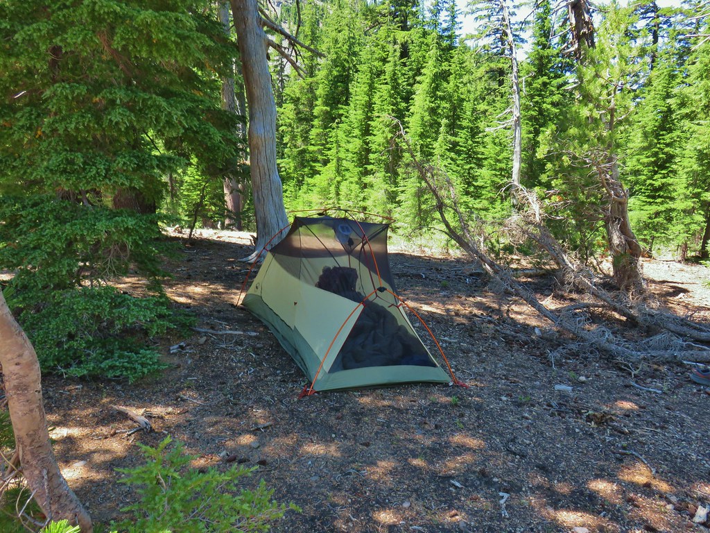
We are fairly picky about our campsites. We do not like to camp on any vegetation, especially in meadows and we do our best to maintain a proper distance from water and trails. Unfortunately we are in the minority and it was obvious from the fire rings and smashed grasses that many others aren’t as selective (not to mention the TP – come on people). We finally managed to find an acceptable spot tucked into some trees.
IMG_2889

With camp established we took our daypacks out put our essentials plus dinner and the stove into them and set off across the creek on the Highline Trail. Reeder described the trail beyond Foggy Flat as having “incredible views” but also “difficult creek crossings”. Our plan was to go as far as the Muddy Fork crossing and unless it looked really easy turn back there.
IMG_2897Monkeyflower and willowherb along the creek.

The climb up from the creek was indeed steep and we were happy to just have our daypacks on.
IMG_2902Mt. Rainier behind us.

20200801_161001_HDR

IMG_2911The trail dropping steeply behind us on one of the steeper sections.
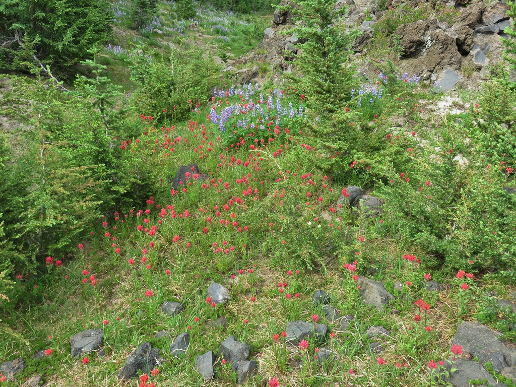
We passed several nice campsites as the terrain became more level at the edge of a lava flow. A couple of the sites were occupied. Despite the rockier conditions due to the lava flow the flower show continued.
IMG_2914Can you spot the yellow paintbrush?

Shortly after crossing another little creek we found ourselves in the lava field with an excellent view of Mt. Adams. We had been waiting for the clouds to break up all day and now they were starting to oblige.
IMG_2923

IMG_2926

IMG_2933

IMG_2934Buckwheat

We continued to follow the Highline Trail through the lava and past snow fields.
IMG_2942

IMG_2946

The lava also provided great views of Mt. Rainier and Goat Rocks.
IMG_2944

IMG_2949Goat Creek falling from Goat Lake.

IMG_2955_stitchRed Butte and Mt. Adams

IMG_2961Red Butte, a neat looking cinder cone.

IMG_2959Flower amid the rocks.

We did indeed stop at Muddy Fork. It was a little more of a crossing than we wanted to tackle at that point.
IMG_2969

IMG_2970

IMG_2978

We backed track a bit to rise where we had seen a great looking spot for dinner (or a tent). We cooked our dinner there and then explored a bit on the ridge above the spot where we found a few flowers amid the rocks and more amazing views.
IMG_2984Paintbrush

IMG_2993Cutleaf daisy

IMG_2999Dwarf alpinegold

IMG_2992?

IMG_3003_stitch

20200801_175828

We eventually headed back to Foggy Flat under the watchful eyes of the locals.
IMG_3024

We were momentarily distracted below one of the snow fields as we watched a stream forming in front of our eyes.
IMG_3028Water in the upper portions of the snowmelt stream.
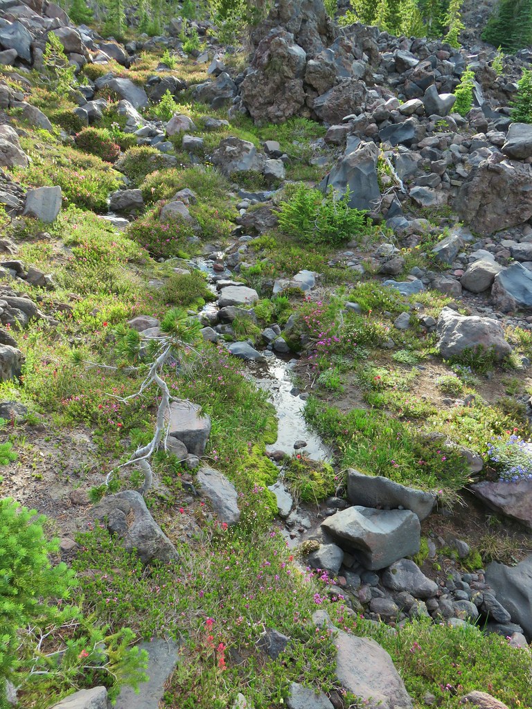
IMG_3030The same stream 3 minutes later.

When the water reached a large hole that would take some time to fill we managed to pull ourselves away and continue back to our campsite. We stopped at the creek to get water for the next day and turned in fairly quickly. There were just enough mosquitoes about to be a nuisance making the confines of the tent that much more appealing.

Combining this hike with our previous two visits we’ve managed to cover quite a bit of the trails that wrap around the mountain. The east side of Mt. Adams is on part of the Yakima Indian Reservation and is largely trail less. Special permits are required to enter the Reservation with the exception of Bird Creek Meadows on the SE side of the mountain.
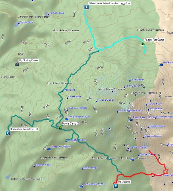
Mt. Adams Tracks

From every angle that we’ve seen it Mt. Adams continues to impress us. It’s truly a special place. Happy Trails!
20200801_191051_HDR

Categories
Hiking Year-end wrap up

The Hikes of 2019 – A Look Back

2019 turned out very differently than we’d originally planned. Not long after our first planned long trip to Joseph, OR one our cats, Buddy, had some health issues. After some time at the veterinarians he was doing better but he needed to be prescribed 3 daily medications (two twice a day). We decided that being there for our friend of 17 years was more important than our remaining plans so we cancelled nearly all of our overnight trips and spent the rest of the year doing day hikes from Salem. Buddy is still with us and seems to be doing well although he sleeps more than ever and has taken to wearing sweaters for warmth.
20191102_134933

With us only doing the one long distance trip we didn’t make it to as many new areas as we have been in recent years. On that trip we stopped at the Umatilla Wildlife Refuge near Hermiston (post), OR and hiked in the Hells Canyon (post) and Wenaha-Tucannon Wilderness areas (post).
McCormack SloughMCormack Slough in the Umatilla Wildlife Refuge.

Looking into Hells Canyon from the Summit Ridge TrailLooking towards Hells Canyon from Freezout Saddle.

Wenaha River CanyonWenaha River Canyon

Thanks to my parents willingness to take care of the cats we also managed to take an overnight trip up to Seattle in September to watch a Seattle Seahawks game stopping on the way up at Mt. Rainier National Park (post).

Cancelling the majority of our overnight trips had a couple of effects. First it reduced the number of days of hiking from an original 60 to 54. These would have been shorter hikes back to the car after backpacking or on the drive home from wherever we’d been. It also compressed the area in which we were able to hike keeping it under a 3 hour drive from Salem.
2019 HIkes

One thing that wasn’t affected was our tendency not to repeat hikes. Of our 54 days hiking only two days were repeats. For the first time we were able to hike with my brother and his family from Missouri taking them to Jawbone Flats and the Little North Fork Santiam River (post).
Little North Santiam River

The second repeat was to the old lookout site atop Maxwell Butte (post) to get the view that eluded us on our first hike there (post).
Mt. Jefferson, Santiam Lake, and Three Fingered Jack from Maxwell Butte

A visit to Four-In-One Cone, also to get a view that had previously eluded us, (post) was nearly a repeat but we started from a different trailhead making the first (and final) .4 miles new to us.
View from Four-in-one Cone

Thirteen other days did include some trail that we’d previously hiked and three more outings had turn around points that we’d previously been to but from an entirely different route. That left 35 days with entirely new trails to us. To put those figures in miles we hiked a total of 627.7 miles (according to my GPS). Only 70.6 of those miles, or just over 11%, were on portions of trails that we had hiked on in previous years.

I say “trails” but in reality not all the miles we hiked were on actual trails. Some of it was spent on paved roads, decommissioned roads, and some was entirely off trail/road.
Scoggins Creek Recreation AreaRoad walk at Henry Haag Lake

Baty ButteDecommissioned road to Baty Butte.

North Sister and the headwaters of Soap CreekCross country to Thayer Glacial Lake.

2019 was a really good year weather wise. Aside from some rain/snow showers on our Freezout Saddle hike in June and a brief stint of rain at Cascade Head and in the Mollala River Recreation Area precipitation was almost non-existent during our outings.
Marks Cabin Trail a bit below usSnow falling on our Freezout Saddle hike.
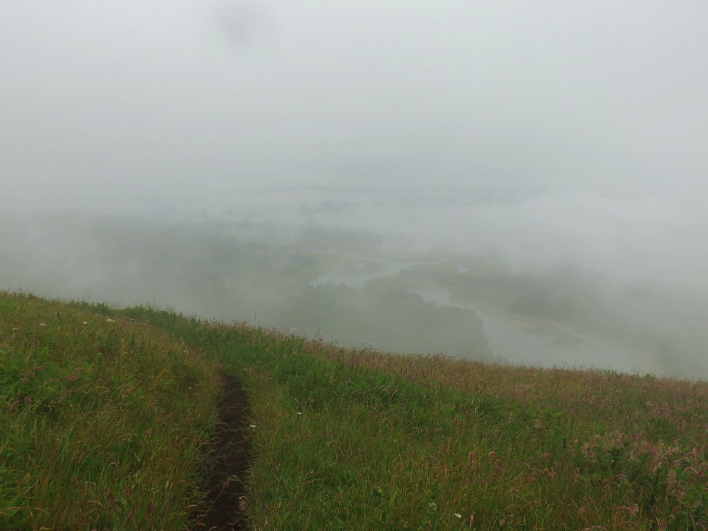
Salmon River through the fogRain shower approaching at Cascade Head.

Huckleberry TrailTaking cover under a tree in the Mollala River Recreation Area as a rain shower passes overhead.

Even on those three hikes with measurable precipitation there were breaks allowing for some sort of views.
Rainbow Framing the Wallowa MountainsRainbow framing the Wallowa Mountains from the Feezout Saddle Trail.

View from the Cascade Head TrailView from Cascade Head after the shower.
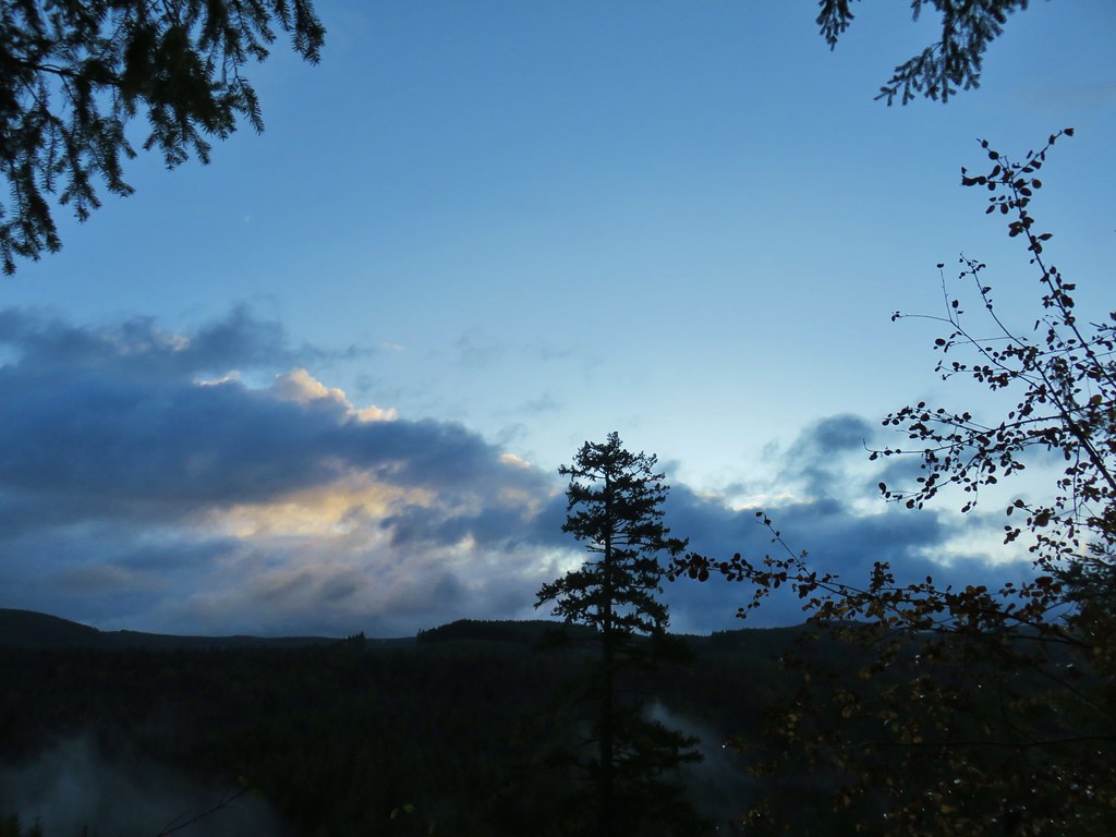
Veiw from Amanda's TrailView from the morning across the Mollala River Canyon.
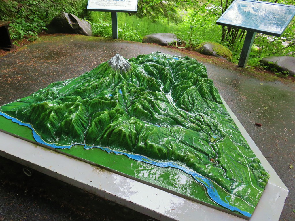
Between the cooperative weather and a lack of significant wildfires in the area made 2019 a great year for viewpoints. In fact there was only one hike, our second to the summit of Huckleberry Mountain (post) where we felt skunked on views. That hike began in the Wildwood Recreation area and the interpretive trails along the Salmon River made up for the lack of views up top.
3d Model of Mt. Hood along the Cascade Streamwatch TrailNeat 3D display at Wildwood Recreation Area.

Viewpoint on Huckleberry MountainView atop Huckleberry Mountain.

Even on that day blue sky made an appearance before the end of our hike.
Mt. Hood behind some clouds

We also never got much of a view (but we did see blue sky) on our visit to Silver Star Mountain (post) but the point of that hike was to see the flower display.
Wildflowers along the Silver Star Trail

As always our hikes included a variety of landscapes, natural features, and some man-made ones. A sample of which follows. (We will cover wildflowers and wildlife in separate posts later.)
Gales CreekGales Creek – Coast Range

Dry Creek FallsDry Creek Falls – Columbia River Gorge, OR

Camassia Natural AreaCamassia Natural Area – West Linn

The Two Chiefs and Table MountainTwo Chiefs and Table Mountain – Columbia River Gorge, WA
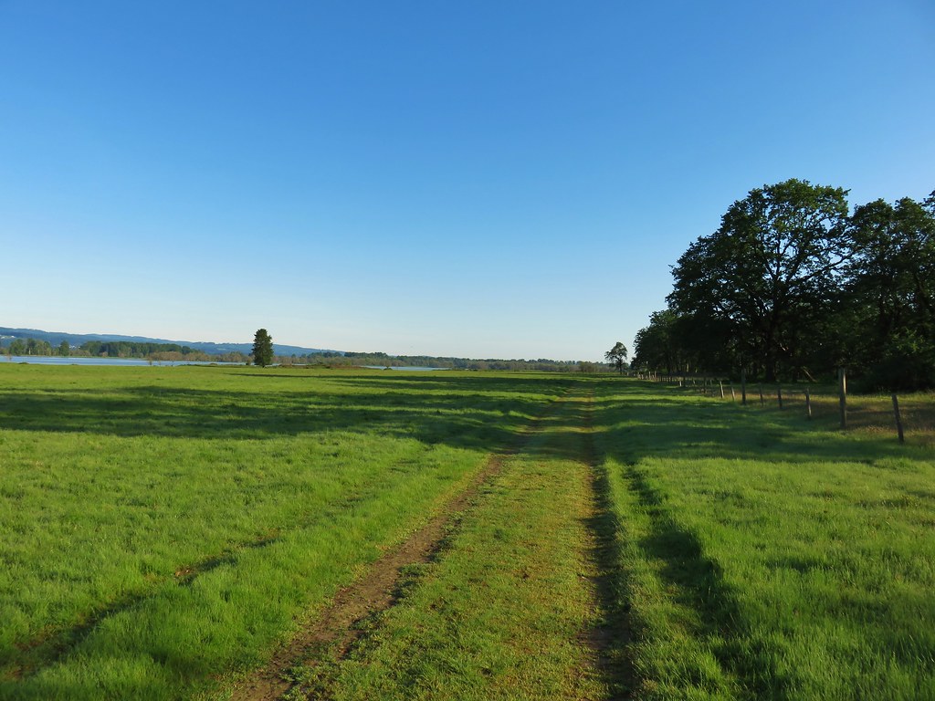
Nature Trial at Oak IslandOak Island – Columbia River

B.C. Creek FallsB.C. Creek Falls – Wallowa Mountains

Wallowa Mountains including Hurricaine Point and Ruby PeakWallowa Mountains

Harins ButteHarsin Butte – Zumwalt Prairie

Sardine MountainSardine Mountain – Willamette National Forest

Gorton FallsGorton Creek Falls – Columbia River Gorge, OR
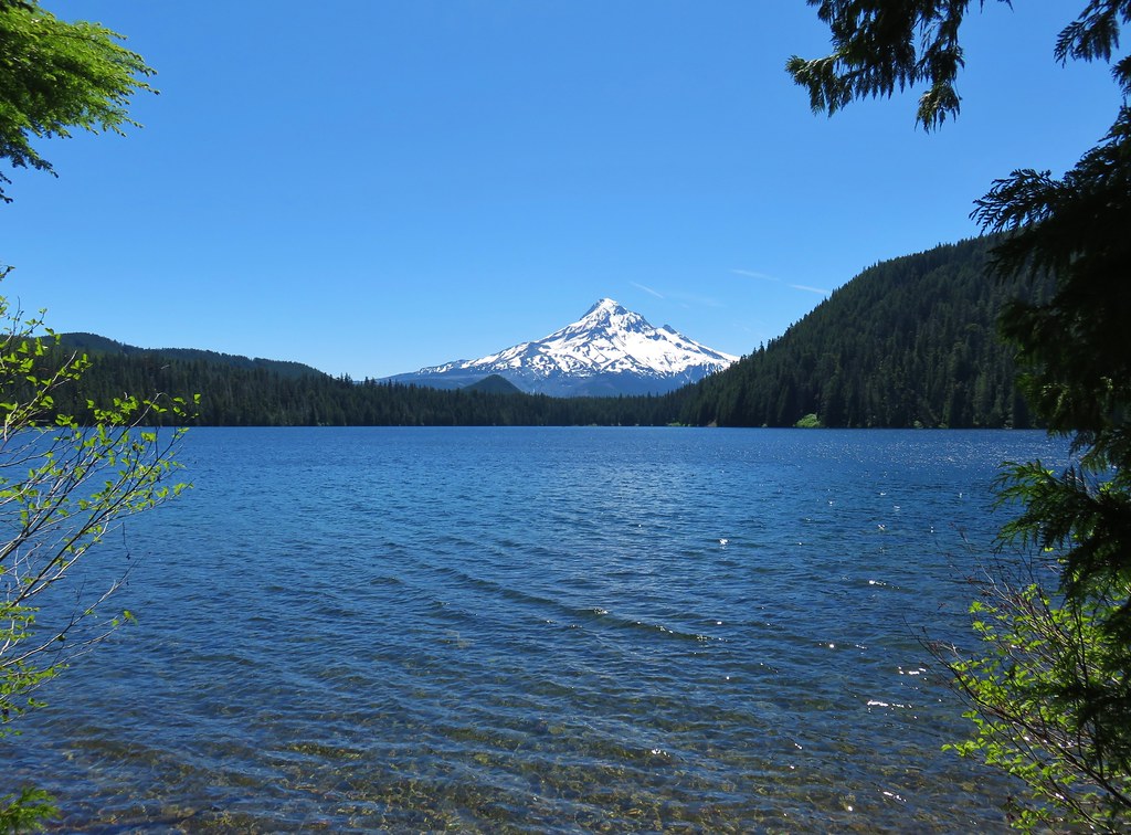
Mt. Hood from Lost LakeMt. Hood from Lost Lake

Mt. Hood from the Vista Ridge TrailMt. Hood from Vista Ridge

Sand Mountain LookoutSand Mountain Lookout – Willamette National Forest

Cape Kiwanda and Haystack RockCape Kiwanda and Haystack Rock from Sitka Sedge Beach
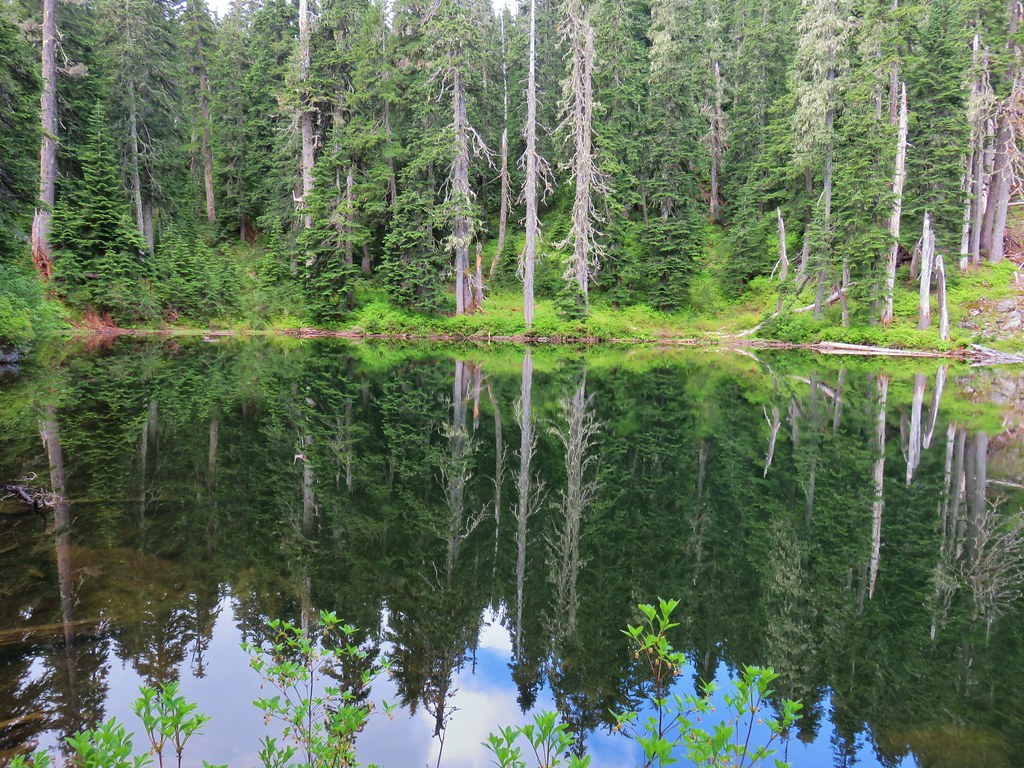
High LakeHigh Lake – Mt. Hood National Forest

Tidbits MountainTidbits Mountain – Willamette National Forest

Bunchgrass MeadowBunchgrass Meadow – Willamette National Forest

Top tier of the Breitenbush CascadesBreitenbush Cascades – Willamette National Forest

Mt. St. HelensMt. St. Helens from Cinnamon Ridge – Mt. St. Helens National Volcanic Monument

View from Bear PointMt. Jefferson from Bear Point – Mt. Jefferson Wilderness
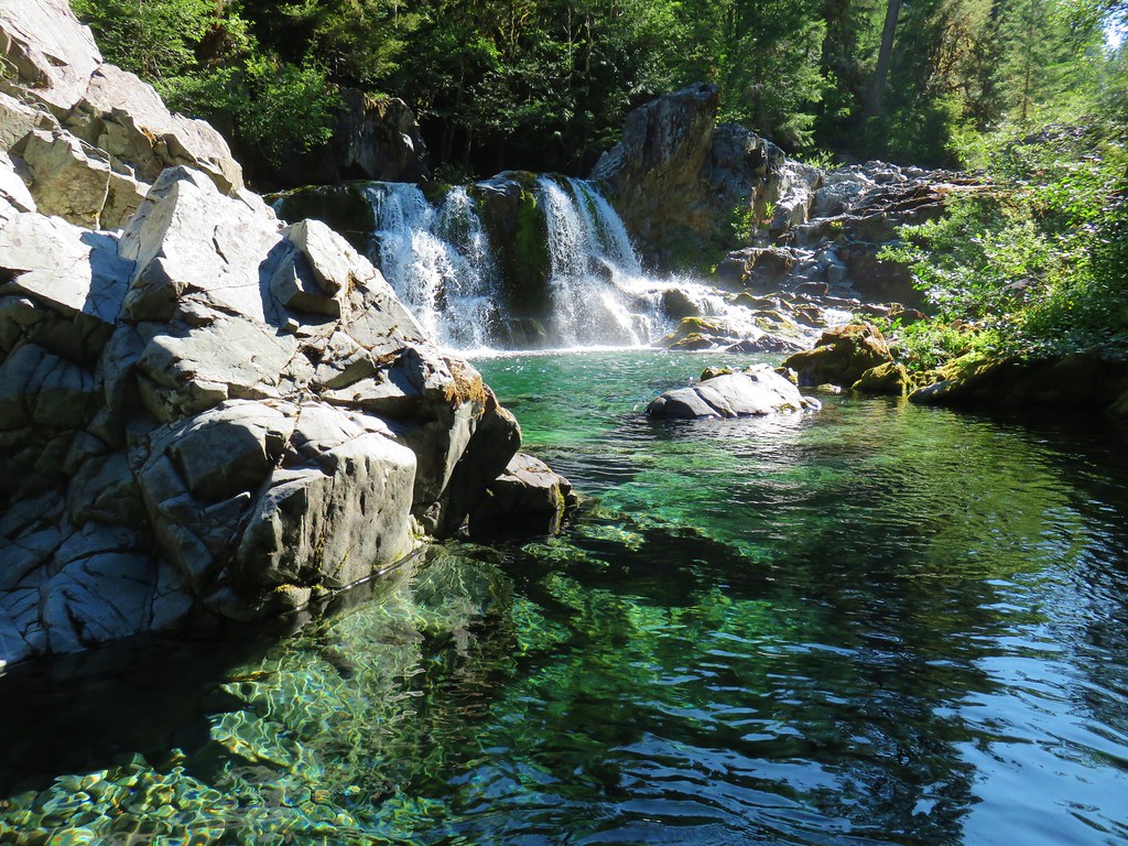
Sawmill FallsSawmill Falls – Little North Fork Santiam River

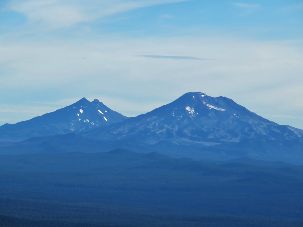
Three Fingered Jack with Three Sisters and Mt. Washington beyond Red ButteThree Fingered Jack, The Three Sisters, and Mt. Washington

Scramble route up Baty ButteScramble route to Baty Butte – Mt. Hood National Forest
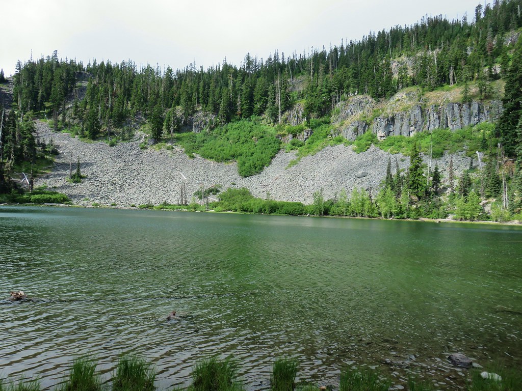
Boulder LakeBoulder Lake – Mt. Hood National Forest

Drift CreekDrift Creek – Drift Creek Wilderness

Thayer Glacial LakeNorth Sister and Thayer Glacial Lake – Three Sisters Wilderness

View from Four-in-one ConeNorth Sister, Middle Sister, and The Husband from Four-In-One Cone – Three Sisters Wilderness

Mt. Hood from Tumala MountainMt. Hood from Tumala Mountain – Mt. Hood National Forest

Bull of the Woods LookoutBull of the Woods Lookout – Bull of the Woods Wilderness

Mt. Hood and Barret Spur from Elk CoveMt. Hood from Elk Cove – Mt. Hood Wilderness
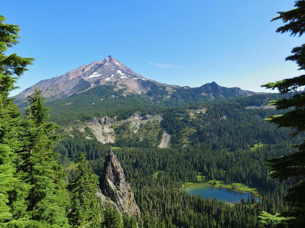
Mt. Jefferson and Hunts CoveMt. Jefferson and Hunts Cove – Mt. Jefferson Wilderness

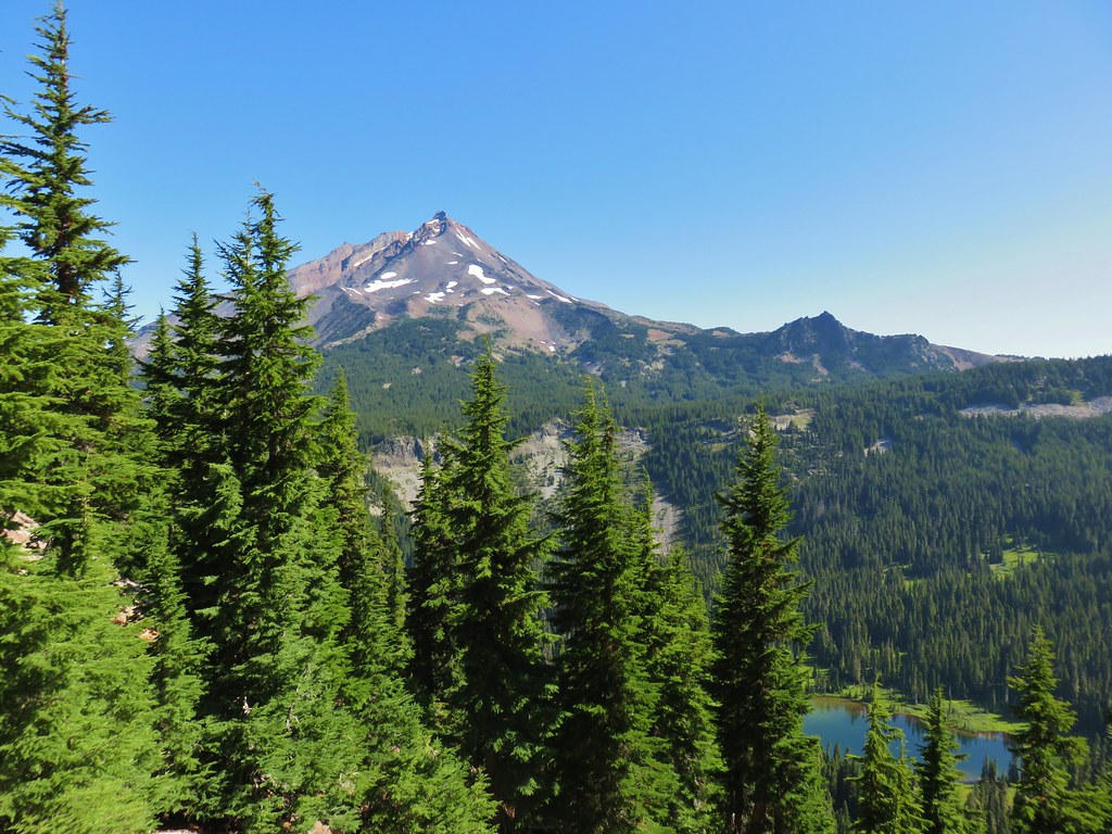
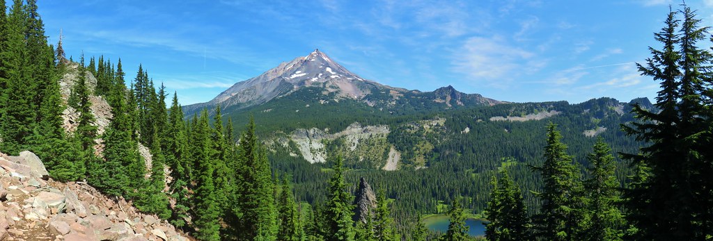
Mt. Jefferson with Monon, Olallie and Timber LakesView from Olallie Butte – Warm Springs Indian Reservation

Lillian FallsLillian Falls – Waldo Lake Wilderness

Olallie Mountain lookoutOlallie Mountain Lookout – Three Sisters Wilderness

King TutKing Tut – Crabtree Valley

View from Ruddy HillMt. Jefferson from Ruddy Hill – Mt. Hood National Forest

Henry Haag LakeHenry Haag Lake – Scoggins Valley

View from the north summit of The TwinsWaldo Lake and the Cascade Mountains from The Twins – Deschutes National Forest

Bobby LakeBobby Lake – Deschutes National Forest

Patrol Cabin at Indian Henry's Hunting GroundIndian Henry’s Hunting Ground – Mt. Rainier National Park

Fog over the valley from Trail 17 (Theodore Trail)Fog over the valley from Mt. Pisgah – Eugene, OR

Twin Peaks and Gifford LakeTwin Peaks and Gifford Lake – Olallie Lake Scenic Area

Mt. Adams from Lookout MountainMt. Adams from Lookout Mountain – Badger Creek Wilderness Area

Huckleberry TrailMollala River Recreation Area

View from the PCT and Indian Mountain Trail junctionView toward Washington from the Pacific Crest Trail near Indian Mountain – Mt. Hood National Forest

Clackamas River at Alder FlatClackamas River – Mt. Hood National Forest

Maple TrailForest Park – Portland, OR

Tilikum CrossingTilikum Crossing – Portland, OR

There were many more great places and sights that we visited but they can’t all be included here. It was another amazing year of discovering God’s creation and we are looking forward to seeing what next year brings. For the first time I have two sets of planned hikes going into next year, one is in the hopes that Buddy continues to do well on his medications leading us to stick to day hikes through the year and the other includes long distance trips in the unfortunate event that we have to say goodbye to our furry friend.

Either way we know that we will be blown away yet again by whatever we see on those hikes. Happy Trails and Happy New Year to all!

Flickr: Album List

Categories
Columbia River Gorge South Hiking Oregon Trip report

Wahtum Lake with Indian, Chindrie, and Tomlike Mountains – 10/27/2019

After a false start we closed out our 2019 hiking season with a bang on a 16.7 mile jaunt to three peaks near Wahtum Lake. We set off on Saturday morning for this hike but only made it 16 miles from our house where we wound up stuck on Interstate 5 for more than three hours due to an unfortunate accident that resulted in a fatality. By the time we were able to proceed it was too late for our liking so we took a mulligan and tried again the next morning.

Our next attempt went better and we arrived at the trailhead at the Wahtum Lake Campground just before dawn. A loan car was parked at the trailhead with just a bit of fresh snow on it from the night before. (We would find out later that he had spent the night at Mud Lake.)
IMG_1364

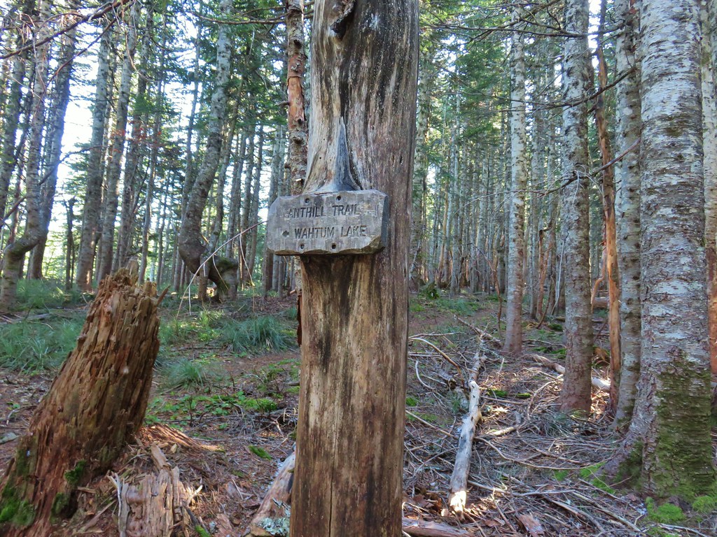
After some deliberation regarding our planned route we settled on the following. We would hike down to the lake then go southbound on the Pacific Crest Trail to the Indian Mountain Trial and take it up to the summit of Indian Mountain. Then we would return to Wahtum Lake on the PCT and follow the Chindrie Cutoff Trail around the southern end of the lake and climb up to the PCT near the Chindrie Mountain Trail (This part of the plan wound up being changed but more on that later) and hike up to that summit as well. After tagging Chindrie the plan was to return to the PCT and go southbound once again to the Herman Creek Trail following it to the unofficial trail to the summit of Tomlike Mountain. Finally after returning to the Herman Creek Trail from Tomlike Mountain we would backtrack a few hundred feet to the Anthill Trail which would lead us back to the Wahtum Lake Campground.

From the campground we took the Wahtum Express Trail down a series of slick looking steps entering the Mark O. Hatfield Wilderness along the way.
IMG_1368

IMG_1372

IMG_1374

After dropping a little over 200′ in .2 miles we arrived at the PCT as it curved around Wahtum Lake.
IMG_1377

Before turning left (south) on the PCT we went down to the lake shore. It was a little under 30 degrees and a crisp breeze was making it feel even colder so we didn’t linger but between a small island and a section of snow flocked trees to the north it was a nice scene. Chindrie Mountain was visible across the lake to the SW.
IMG_1379

IMG_1381Chindrie Mountain from across Wahtum Lake.

We set off on the PCT passing a couple of additional nice views of the lake before arriving at a trail junction at the lakes southern end.
IMG_1386

IMG_1383

IMG_1388

IMG_1391

At the junction we noticed a closure sign for the Eagle Creek Fire closure area over the signs for our planned route to Chindrie Mountain.
IMG_1563

I admittedly hadn’t checked the Forest Service closure map in a while but it had been my understanding that the Eagle Creek Trail was closed at the junction with the Chindrie Cutoff Trail but I had expected this trail to be open. Being uncertain we altered our plans and decided to follow the PCT all the way around the northern end of Wahtum Lake on our way between Indian and Chindrie Mountains. According the mileage shown on our map that would and approximately three quarters of a mile to our day. Further research would confirm that it was indeed only the Eagle Creek Trail that was closed which was just over a tenth of a mile further along the Chindrie Cutoff Trail (it would have been nice if the sign had been clear about that).

We continued south on the PCT gradually gaining over 400′ as we contoured along the side of Waucoma Ridge before arriving at the old Indian Springs Campground a little under 3 miles later. Along this stretch we had some additional views of Chindrie Mountain as well as Tanner Butte and Washington’s Table Mountain (post).
IMG_1395Chindrie Mountain

IMG_1399Tanner Butte

IMG_1403

IMG_1404Table Mountain

IMG_1408

IMG_1413Chindrie Mountain again.

We also got our first look at Indian Mountain and Mt. Hood .6 miles from Indian Springs after leaving the wilderness and popping out of the forest alongside Forest Road 660.
IMG_1416Indian Mountain

IMG_1418Mt. Hood

IMG_1428

The presence of ice formations and a bit of snow here and there made the scenery even better.
IMG_1421

IMG_1432

IMG_1435Crossing FR 660 near Indian Springs

IMG_1436Trail sign at the junction with the currently closed Indian Springs Trail.

We continued south on the PCT for another third of a mile crossing a small stream before climbing up and around a treeless ridge where a frigid wind was steadily blowing.
IMG_1439

IMG_1440

IMG_1441

The view from the ridge was spectacular. To the north the snow covered peaks in Washington were visible beyond Chindrie Mountain and to the south was our goal, the 4892′ Indian Mountain.
IMG_1446

IMG_1457

As the PCT rounded the ridge we came to the junction with the Indian Mountain Trail.
IMG_1462

IMG_1463

20191027_091244

The wind was pushing us around a bit as we turned up the Indian Mountain Trail. As this trail climbed the open ridge the views just got better eventually leading to a decent view of Goat Rocks (post) between Mt. Adams and Mt. Rainier.
IMG_1486

IMG_1476Table Mountain and Greenleaf Peak with Mt. St. Helens in the background.

IMG_1491Mt. St. Helens

IMG_1490Mt. Rainier

IMG_1488Goat Rocks

IMG_1477Mt. Adams and Chindrie Mountain

The trail finally went back into the trees which gave us some relief from the biting wind.
IMG_1492

IMG_1493

After passing remains of the former lookout (and bathroom) the trail climbed to the rocky summit a mile from the PCT.
IMG_1495

IMG_1498

Given the time of day and year the Sun wasn’t in the greatest spot for pictures but the view of Mt. Hood was great and there was also a decent view further south to Mt. Jefferson.
IMG_1499Mt. Hood and Mt. Jefferson

IMG_1503Mt. Jefferson

IMG_1514Mt. Hood from the former lookout site.

IMG_1512Mt. Hood with Lost Lake Butte (post) in front.

The snow and cold weather added some nice touches to the scenery here as well.
IMG_1508Snow on the north side, green on the south.

IMG_1524Mt. St. Helens with some snow on the trees in the foreground.

IMG_1528Crystals on a bush.

We headed back the way we’d come and arrived back at the junction with the Chindrie Cutoff Trail where we paused to see if we could find any indication that that trail was indeed open. With no confirmation in sight we erred on the side of caution and stuck to the PCT which began a gradual climb up and away from the lake beyond the Wahtum Express Trail.
IMG_1568

IMG_1571

We gained another 400 plus feet over the next 1.6 miles before arriving at a junction with the Herman Creek Trail.
IMG_1577

IMG_1580Stream crossing

IMG_1581Herman Creek Trail junction.

We stuck to the PCT and promptly passed the junction with the Chindrie Cutoff Trail. At this end there was no closure sign signifying that we could indeed have taken the trail up from Wahtum Lake savings us about .7 miles (but at a “steeper” price).
IMG_1584

Another 100 yards on the PCT brought us to a fork where the Chindrie Mountain Trail headed uphill to the right.
IMG_1585

IMG_1586

This .4 mile trail was the steepest we were on during the hike as it gained approximately 400′ on the way to the rocky viewpoint atop the mountain.
IMG_1590Looking at the summit from the trail.

IMG_1592

IMG_1593

IMG_1596Mt. Hood

The 360 degree view included Wahtum Lake to the east below.
IMG_1609

IMG_1619

The view south included Mt. Hood and Indian Mountain (and some Sun glare).
IMG_1613

Tanner Butte rose above the fire scarred Eagle Creek Valley to the west.
IMG_1603

The best view, given the position of the Sun, was to the north where the Washington Cascades lined the horizon.
IMG_1597

There was also a good view of the rock spine of Tomlike Mountain in front of Mt. Adams.
IMG_1622

From the angle it looked like a pretty gradual ascent. It was a little breezy at the summit so we didn’t linger long because the wind was making it cold. We returned to the PCT and then to the Herman Creek Trail junction where we set off on that trail.
IMG_1632

We had been on the lower end of the Herman Creek Trail before (post) but not this end. Here the trail climbed gradually through an open forest with with lots of beargrass.
IMG_1636

After a quarter mile we passed the Rainy/Wahtum Trail.
IMG_1637

IMG_1645Lots of beargrass clumps.

About a mile from the PCT we passed another junction, this time with the Anthill Trail which we would be taking back to Wahtum Lake later.
IMG_1646

Just under a tenth of a mile later the Herman Creek Trail made a hairpin turn before beginning a steep descent to Mud Lake. Here the unofficial trail to Tomlike Mountain headed out along the ridge to the left. A yellow “temporary” Forest Service sign at the junction identified only the Herman Creek Trail.
IMG_1649Trail to Tomlike on the left.

The trail began in the trees before skirting some cliffs above Mud Lake.
IMG_1652

The trees began to give way allowing for a view ahead to Tomlike Mountain which from this angle looked like it might be a bit steeper of a climb than it had from Chindrie.
IMG_1656

The other thing we noticed was that it looked further than the mile that the map showed between the summit and Herman Creek Trail. Sometimes it seems like it’s better not to be able to see your goal.
IMG_1660

Much of the path was faint with occasional cairns or flagging marking the way. The rocky terrain was somewhat challenging given that we had, by this point, covered over 12 miles already.
IMG_1663

IMG_1671There’s at least one cairn here.

The higher we climbed along the ridge the more of Mt. Hood that was visible behind us.
IMG_1664

IMG_1670

After climbing up a pile of larger rocks the trail entered a patch of small trees which we found to be a fun little section.
IMG_1672

IMG_1673

The trail emerged from the little trees for the final time as it climbed to the rocky summit.
IMG_1674

IMG_1677

IMG_1679Mt. Adams to the right.

IMG_1680

IMG_1683Mt. Hood with Indian Mountain rising up behind Chindrie Mountain to the right.
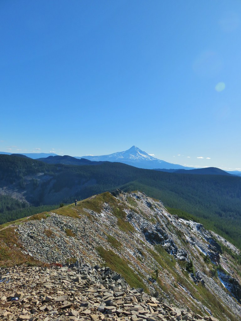
IMG_1693Heather crossing the ridge below the summit.

The trail continued for a bit beyond the summit although it didn’t provide any real different views.
IMG_1694

IMG_1707

IMG_1700Mt. St. Helens, Mt. Rainier, Goat Rocks and Mt. Adams from left to right.
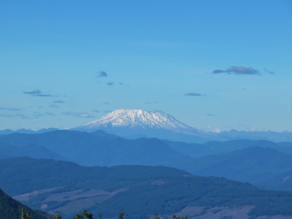
IMG_1706Mt. St. Helens

IMG_1705Mt. Rainier

IMG_1703Goat Rocks

IMG_1701Mt. Adams

We left Tomlike Mountain and returned to to the Herman Creek Trail and then walked back to the Anthill Trial junction and turned up that trail for a final 1.9 miles back to Wahtum Lake.
IMG_1720Anthill Trail on the left.

The Anthill Trail climbed for a half a mile to an old road bed which ran between Wahtum and Rainy Lakes.
IMG_1728

We crossed the road and continued to climb gradually to a saddle where we crosed over a ridge and began a descent which included views of Mt. Hood, Mt. Jefferson and Wahtum Lake.
IMG_1731

IMG_1739

IMG_1742

IMG_1744Mt. Jefferson

IMG_1751Wahtum Lake and Chindrie Mountain

The descent was gradual until the final quarter mile or so where it steepend before arriving at the campground.
IMG_1752

IMG_1755

It was a great way to end our hiking season with a little snow on the ground and a lot of blue sky above. The persistent wind was a little chilly, but we had dressed appropriately so it wasn’t too much of an issue (my fingers weren’t pleased about having to come out so often for pictures). We plan on getting out a couple more times this year but it’s time to back off a bit and relish in the memories of some great hikes this past year. Happy Trails!

Flickr: Wahtum Lake with Indian, Chindrie, and Tomlike Mountains

Categories
High Cascades Hiking Mt. Jefferson Area Oregon Trip report

Lodgepole Loop – 10/12/2019

**Note the 2020 Lionshead Fire burned the area covered by this hike.**

We’re entering the time of year where the weather can be a real wildcard. A week earlier there was snow down to the mountain passes. There wasn’t any snow in the forecast but a continuously changing threat of cloudy conditions and rain showers kept us from deciding exactly where we’d be heading until the night before. A mostly cloudy but precipitation free forecast led us to our third hike of the year in the Olallie Lake Scenic Area for a lake filled hike where the presence of clouds would have minimal affect on the scenery.

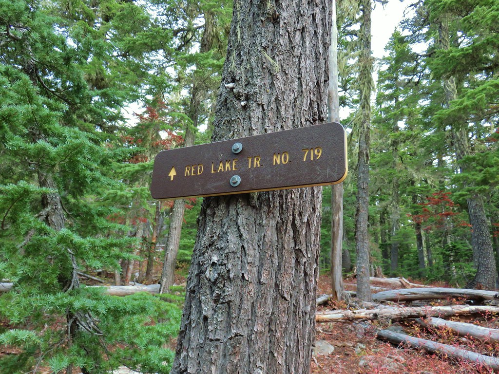
Our plan was to follow a route suggested by Matt Reeder in his “101 Hikes in the Majestic Mount Jefferson Region” starting at the Olallie Meadows Campground and taking the Lodgepole Trail to the Red Lake Trail which we would then take east to the Pacific Crest Trail. Heading north on the PCT would bring us to the Russ Lake Trail. After a side trip to Russ and Jude Lakes we would take the Russ Lake Trail west to the Lodgepole Trail and return to Olallie Meadows. That was our plan anyway but it isn’t quite how things played out.

We parked at a trail sign at the end of the Olallie Meadows Campground and checked out the meadows while we waited for a little more light. The sky was fairly cloud free which was encouraging but it also meant that the overnight low of 35 that had been in the forecast was actually 27 (according to the car).
IMG_0442

IMG_0446

IMG_0447

We didn’t have to wait long and soon we were crunching along the trail. There was a lot of frozen moisture so every step sounded like we were crushing a bag of potato chips, it wasn’t a good sign for seeing any morning wildlife. A quarter mile from the trailhead we passed the Russ Lake Trail junction where we would be coming from on our return.
IMG_0452

For now we stayed straight enjoying the fall colors and traces of snow along the trail while we tried to keep some feeling in our fingers.
IMG_0455

IMG_0456

After a short climb the view ahead opened up to Olallie Butte which we’d climbed earlier in the year.(post)
IMG_0460

Three quarters of a mile from the Russ Lake Trail we arrived at another signed junction.
IMG_0463

We turned right here onto what turned out to be the Pacific Crest Trail (we didn’t notice the marker on a nearby tree on this first pass) following a pointer for Olallie Lake.
IMG_0464

Shortly afterward we began to realize something was amiss. Prior to setting off we had taken a last look at Reeder’s map and remembered that there was a short section of trail that we would not be hiking on if we did the loop the way we’d planned. What we didn’t remember was where that section was, but if we were already on the PCT it didn’t seem possible for there to be such a section so we differed to the book and realized that somewhere between the Russ Lake Trail and the PCT the Lodgepole Trail should have forked to the right and crossed Skyline Road near the Triangle Lake Horsecamp. Neither one of us remembered seeing anything that looked like a trail. We contemplated going back to look for it, but decided to just continue on in the opposite direction as planned.

We followed the PCT south passing a large dry lake then a small frozen one before crossing under a set of power lines and passing the Olallie Butte Trail in just under a mile.
IMG_0466

IMG_0472

IMG_0474

Another 2.2 miles on the PCT brought us more colorful foliage, another frozen pond, and a glimpse of Mt. Jefferson before arriving at Skyline Road just north of Olallie Lake (post).
IMG_0475

IMG_0480

IMG_0485

IMG_0491

IMG_0493

IMG_0494

IMG_0500

We crossed the road sticking to the PCT and stopped to take a look at Head Lake.
IMG_0508

IMG_0515

IMG_0523_stitch

Beyond Head Lake the PCT climbs for approximately a mile and a half to the Red Lake Trail junction. We had been on this section of the trail before (post) but on that day the clouds had restricted the views to the forest and ponds along the trail. In addition to the great fall colors on this trip we had some excellent views of Mt. Jefferson.
IMG_0532

IMG_0533

IMG_0535

IMG_0536Olallie Butte

IMG_0538

IMG_0553

IMG_0559Mt. Jefferson

IMG_0562Olallie Lake

IMG_0568

IMG_0564

IMG_0575Mt. Jefferson

We even had a rather obscured view of Mt. Hood for a moment.
IMG_0584

IMG_0585

At the junction with the Red Lake Trail we turned right onto that trail.
IMG_0587

IMG_0589

This trail was also familiar to us as including the unnamed lake below Twin Peaks.
IMG_0590

IMG_0591

IMG_0592

Beyond the lake the trail began a rocky descent to a junction with the Lodgepole Trail just over a mile from the PCT.
IMG_0594Potato Butte ahead.

IMG_0596

IMG_0597Lodgepole Trail junction.

Here we turned right back onto the Lodgepole Trail. We were back on new-to-us trail and in less than a quarter mile came to an unnamed lake on the left.
IMG_0606

IMG_0603One of the causes of the noisy steps.

Just over a quarter mile from the junction was Middle Lake on the right.
IMG_0612Twin Peaks on the other side of Middle Lake.

IMG_0616Colors along Middle Lake.

Next up was supposed to be a short out and back to Gifford Lakes on a trail located somewhere between Middle and Lower Lakes. We missed the unmarked trail on our first pass, but realized it fairly quickly when a GPS check showed we were closer to Lower Lake than we should have been. (For the record it’s about a quarter mile from Middle Lake.) We turned around and headed back the way we’d come looking for yet another trail we’d missed. I had an idea of where we’d missed it having noticed some logs and branches that looked like it could have been over an old trail. Sure enough that turned out to be the spot, but between the wood and snow it had been really easy to miss.
IMG_0622

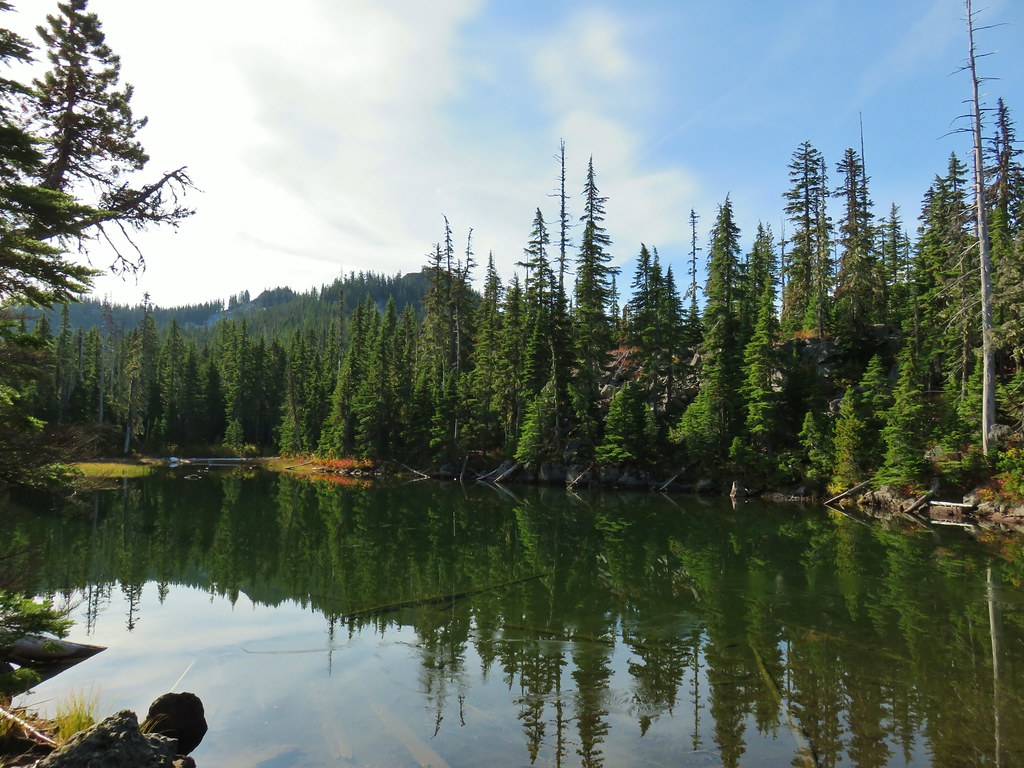
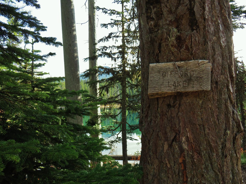
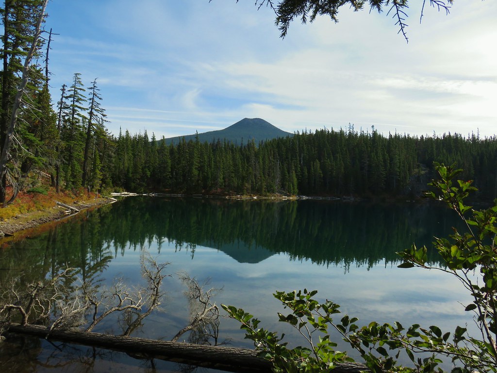
A .2 mile detour brought us to the larger of the two Gifford Lakes. We had heard that this was probably the prettiest lake in the area and we wouldn’t argue that.
IMG_0624

IMG_0625

IMG_0630Olallie Butte

IMG_0636

IMG_0643

IMG_0648Twin Peaks from Gifford Lake.

IMG_0664

A trail to the left around the lake led to a ridge between the two Gifford Lakes. The smaller lake didn’t have the views that its larger neighbor enjoyed but it was scenic nonetheless.
IMG_0669

IMG_0678

IMG_0670

After exploring the lakes and a snack break we returned to the Lodgepole Trail and turned right to continue on our loop. We came to another junction about .4 miles from the trail to Gifford Lakes.
IMG_0702

Here the Lodgepole Trail continued straight crossing the Fish Lake Trail. We turned briefly down the Fish Lake Trail to take a quick look at Lower Lake before continuing on.
IMG_0704Sign for the Fish Lake Trail.

IMG_0705Lower Lake

IMG_0707Olallie Butte

IMG_0713Sign for the Lodgepole Trail.

The trail dropped to a meadow then reentered the forest and climbed to a ridge top .8 miles from the junction.
IMG_0714

IMG_0716

IMG_0719Pinedrops

IMG_0729

IMG_0731The trail was actually the fainter track to the left leading to the bridge, but that wasn’t obvious until we reached the trees.

IMG_0733A lone yarrow.

IMG_0737

After cresting the ridge the trail dropped to a dry crossing of the Clackamas River.
IMG_0746

Approximately two miles from the Fish Lake Trail we found ourselves passing back under the power lines.
IMG_0749

Another mile of fairly level trail brought us to Triangle Lake.
IMG_0752

IMG_0756

IMG_0761

After passing the lake and horse camp we quickly found ourselves crossing Skyline Road again.
IMG_0764

We were really interested in seeing where we were going to meet up with the trail from that morning. Our answer came in less than 100 yards when the clear trail we were on arrived at a junction. A small tree was lying across the trail but the tread was rather obvious. We decided we must have been focused on the hill that was just beyond the junction and not looking at that side of the trail because it was hard to miss.
IMG_0766Approaching the junction.

IMG_0767Quite the camouflage isn’t it?

We turned right climbing the little hill, for the second time that day, and in a tenth of a mile were back at the Pacific Crest Trail. This time we turned left following the Jude Lake pointer.
IMG_0768

The PCT entered the Warm Springs Reservation before arriving at the Russ Lake Trail in a third of a mile.
IMG_0771

IMG_0772

Here we turned right on the Russ Lake Trail (which was not signed).
IMG_0773

The trail passed a small pond after a tenth of a mile and the southern end of Jude Lake after two tenths before arriving at Russ Lake a little of a third of a mile from the junction. (Please note that fishing is not allowed on the Reservation without a permit.)
IMG_0774Jude Lake

IMG_0775Jude Lake

IMG_0776Jude Lake

IMG_0786Russ Lake

IMG_0782

IMG_0801

We watched the ducks on Russ Lake for a bit before heading back. It wasn’t until we were passing Jude Lake again that we actually realized that it was Jude Lake which allowed us to skip a short out and back north on the PCT to see the other side of that lake. Having seen Jude Lake we stayed on the Russ Lake Trail when we got back to the PCT junction and in a tenth of a mile turned right on a short unsiged spur trail to Brook Lake.
IMG_0803

IMG_0805

IMG_0808

From Book Lake it was another .2 miles to the Lodgepole Trail and about the same back to Olallie Meadows.
IMG_0811

IMG_0813

We were anticipating a 13.2 mile loop (per Reeder) but a little extra exploring, missing the Gifford Lakes Trail, and screwing up the route to begin with we ended our day just over 14 miles. It turned out to be a really nice day (after our hands warmed up) with a lot of nice scenery. We only ran into a single pair of backpackers during the hike although there were a number of vehicles on Skyline Road both in the morning and on our drive out. The Olallie Lake Scenic Area is definately a great place for late Summer/Fall hiking. Happy Trails!

Flickr: Lodgepole Loop

Categories
High Cascades Hiking Oregon Trip report Waldo Lake Area

The Twins and Bobby Lake – 9/14/2019

The weather was once again looking promising for the last hike of our mini-vacation so we headed up to Waldo Lake to visit a viewpoint atop The Twins with a side trip to Bobby Lake thrown in. This wasn’t the first time that we had planned on doing the hike The Twins, but the elements hadn’t played nice and we’d changed plans every time before.

We took Highway 58 from Eugene to the Waldo Lake (Forest Road 5897) and followed it for just over 6 miles to the Twin Peaks Trailhead
IMG_9249

We set off on the trail which gradually climbed through a fairly open forest of lodgepole pine and mountain hemlock.
IMG_9251

We quickly (less than a tenth of a mile from the trailhead) passed our return route, a connector trail with a pointer for Gold Lake.
IMG_9252

We stuck to The Twins Trail and in another mile and a half reached a four way junction with the Pacific Crest Trail. A variety of mushrooms could be seen along the trail.
IMG_9255

IMG_9257

IMG_9259

IMG_9263

IMG_9264

IMG_9265

IMG_9266PCT junction.

We continued straight across the PCT climbing steeply at first before becoming more gradual. Here the trail passed through an open forest of mountain hemlock with a couple of ponds and many rock outcrops. It was the type of forest that called for exploration and we both felt like we could have set up camp in the area and stayed relaxed for days.
IMG_9270

IMG_9272More cool mushrooms.

IMG_9273

IMG_9277First pond

IMG_9278Looking down on the first pond.

IMG_9280Liked the pattern on this shroom.

IMG_9282A smaller pond.

IMG_9283

IMG_9289

IMG_9291Found a few blooming bleeding heart.
We reached another junction 1.2 miles from the PCT at a sign for Charlton Lake.
IMG_9293

IMG_9295

This would also be a return trail for us as part of a short loop including the summits of The Twins.

The trail steepened beyond the junction and eventually headed straight up the cinder covered rim around The Twins crater.
IMG_9298

IMG_9300

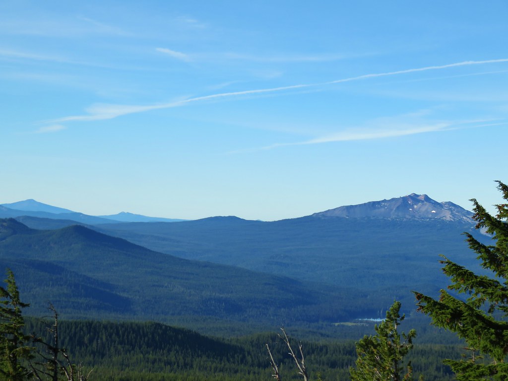
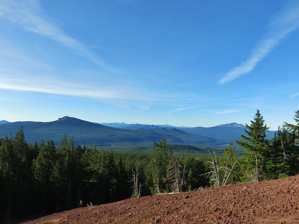
Over our shoulder a nice view to the south was unfolding including Maiden and Diamond Peaks, Mt. Thielsen and Mt. Bailey and even Mt. Scott in Crater Lake National Park.
IMG_9306

IMG_9307Diamond Peak on the right and Mt. Bailey (post) on the left.
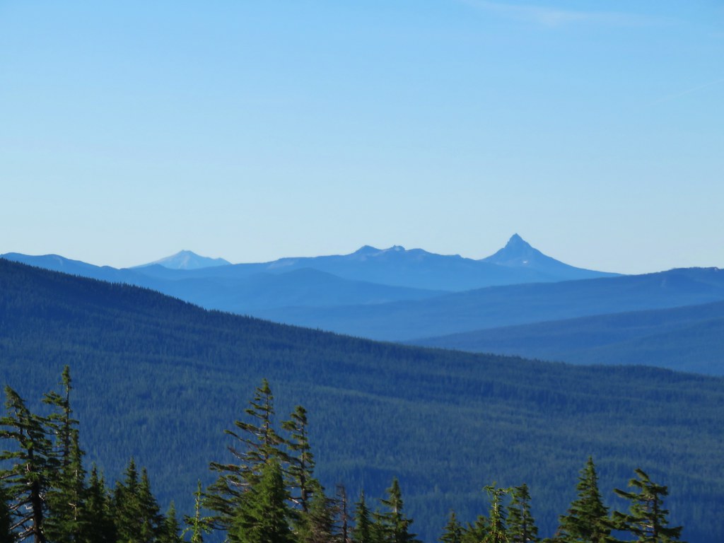
IMG_9326Mt. Scott (post) on the left and Mt. Thielsen (post) behind Howlock Mountain.

IMG_9322Maiden Peak (post) in the center.

IMG_9338Close up of Diamond Peak

As we followed the rim north Waldo Lake could be seen below to the west.
IMG_9329

IMG_9331Waldo Mountain Lookout (post) on the far side of Waldo Lake.

At the north summit the view north was spectacular stretching all the way to Mt. Jefferson.
IMG_9371_stitch

IMG_9368Rigdon Butte (post) along Waldo Lake

IMG_9362Mt. Jefferson (with Three Fingered Jack in front), Mt. Washington, and The Husband
IMG_9346The Three Sisters

IMG_9347Broken Top

IMG_9350Mt. Bachelor

The Sun was still to the east making that view a little bright and there seemed to be some smoke over the LaPine area but Newberry Crater and Paulina Peak were visible above the smoke with a low water Wickiup Reservoir in the foreground.
IMG_9380

To the SE Davis Lake was visible in front of Davis Mountain and Hammer ButteIMG_9458

To the south the taller southern summit blocked some of the view.
IMG_9356

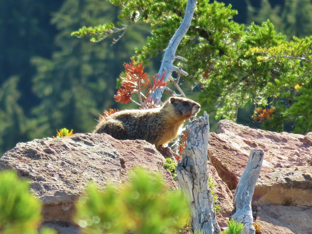
As we started down the trail a saddle between the two summits we spotted a marmot.
IMG_9388

IMG_9400The marmot on a rock ledge with Crane Prairie Reservoir in the background.

IMG_9399

The saddle was forested complete with green grass.
IMG_9401

IMG_9403

The trail forked on the far side of the saddle where a faint path traversed the hillside below the south summit.
IMG_9407

The other fork headed 200′ up to second summit.
IMG_9408

The view north was still great from this summit and Waldo Lake was still visible by looking west across the cinder cones crater.
IMG_9410

IMG_9438

Here though the view to the south was back.
IMG_9413_stitchThat’s Bobby Lake below Maiden Peak.

IMG_9452Mt. Yoran near Diamond Peak

IMG_9459Gold Lake

IMG_9462Fuji Mountain (post)

Llao Rock was visible over the right shoulder of Mt. Thielsen from this angle.
IMG_9456The closest rocky peak to the right of the photo is Cowhorn Mountain (post)
We had planned on going back down the way we’d come up and taking the trail around the summit, but from the summit we noticed another user path heading down the back side and meeting up with the loop trail at another saddle.
IMG_9463

It didn’t look too steep so we decided to try it out. As we started down we quickly realized that it was quite a bitter steeper than it had seemed but we were able to get down without too much trouble. Lower on the hillside we came across a number of elk tracks.
IMG_9465

IMG_9471

IMG_9472

We turned right onto the trail when we reached the saddle where there was a bit of a view of the Three Sisters and Broken Top.
IMG_9473

IMG_9475

We completed the 2 mile loop and arrived back at The Twins Trail at the Charlton Lake sign and turned left to head back down to the PCT where we turned left again following the point for Bobby Lake.
IMG_9486

We followed the PCT south for 2.5 miles, losing a little elevation along the way and passing a pair of small lakes/ponds just before arriving at a 4-way junction.
IMG_9488

IMG_9494Tiny PCT frog.

IMG_9510

IMG_9513One of the unnamed lakes.

IMG_9516Trail sign at the 4-way junction.

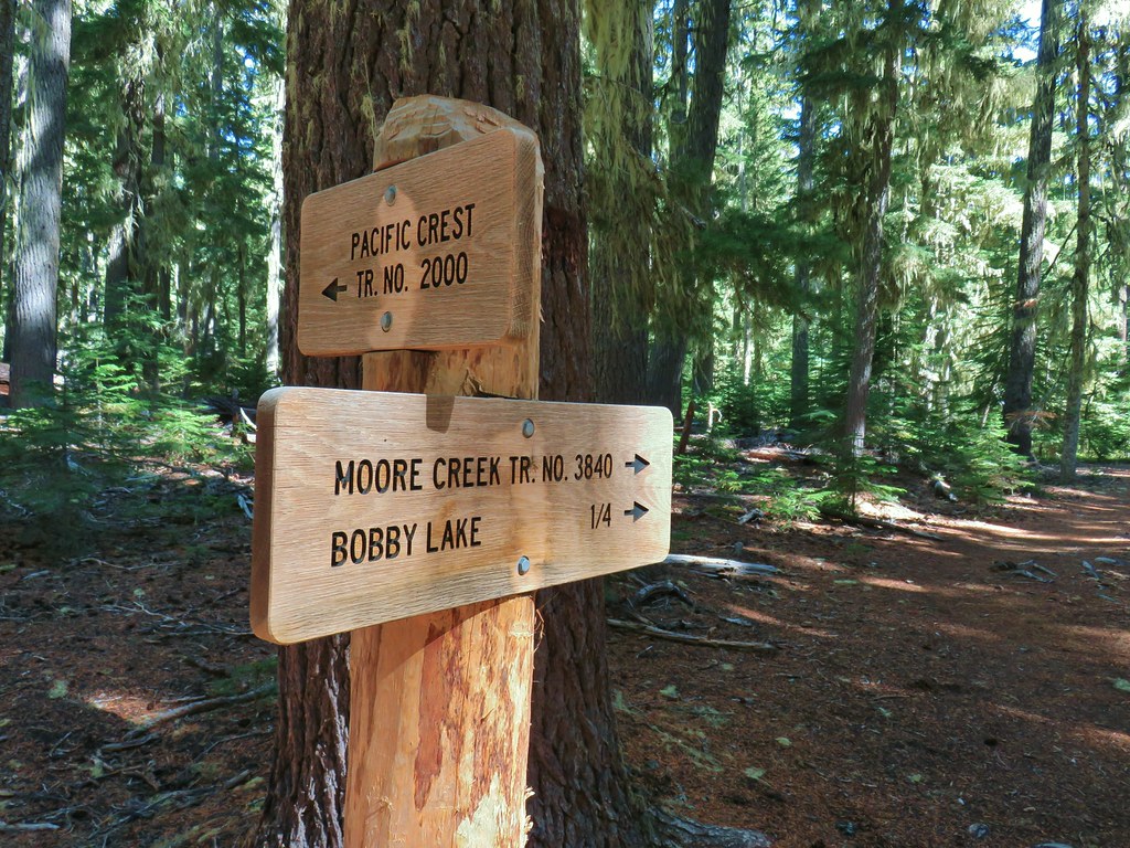
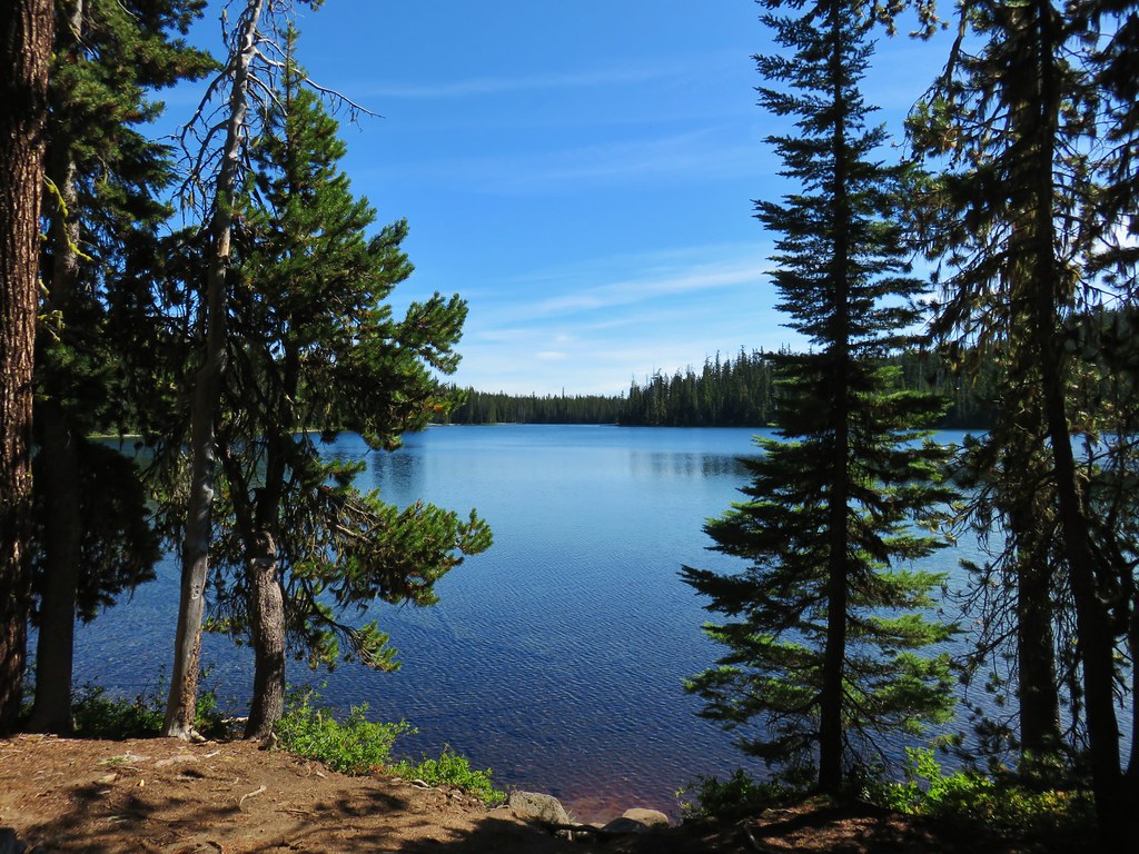
We turned left and dropped down to Bobby Lake which we reached in just over a quarter mile, but not before being looked over by some grey jays.
IMG_9518

IMG_9526

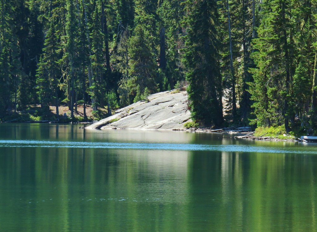
A short distance along the lake shore to the right was a large rock feature.
IMG_9531Maiden Peak above the lake.

IMG_9534

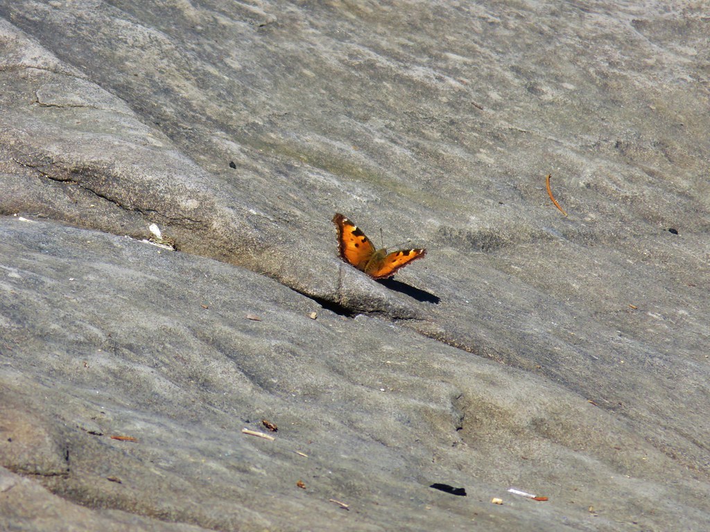
We made our way over to the rocks and took a nice break where we had some company.
IMG_9545_stitch

IMG_9550The Twins

IMG_9555One of several butterflies.

20190914_114501_HDR

20190914_114650

After the break we returned to the PCT junction and continued straight on the Bobby Lake Trail toward Waldo Lake Road.
IMG_9562

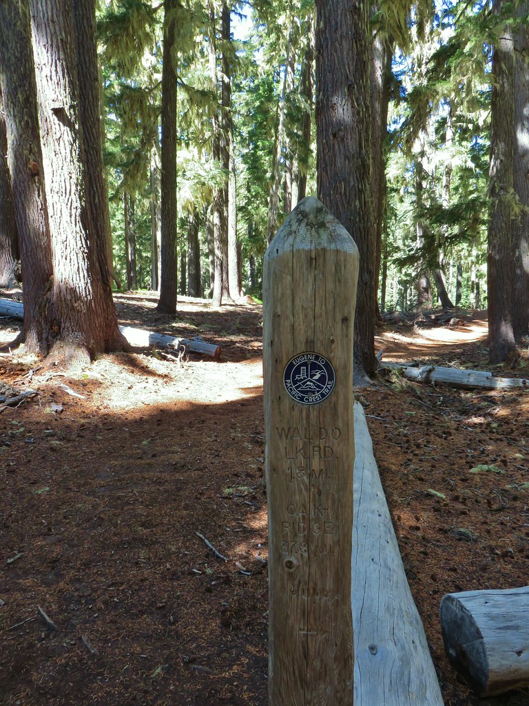
Of particular interest to us was a post located about 100 feet from the junction marking the end of the Eugene to Crest Trail. We had done some of that route earlier in the year during our Bunchgrass Ridge hike (post)

IMG_9563

IMG_9566

We followed the Bobby Lake Trail for a little over one and three quarters of a mile before turning right at a point for The Twins Trail.
IMG_9569

IMG_9571Nordic trail sign high on the tree.
A fairly level but not at all straight mile walk back to The Twins Trail followed as did a chance encounter with a toad.
IMG_9575

IMG_9572

We didn’t see too many people during the hike but we found the trailhead parking area full, counting at least 10 cars plus ours (we had been the only car when we started). The hike came in at 12.1 miles and gained upwards of 2100′ of elevation gain making it a good workout but well worth the effort. Happy Trails!

Flickr: The Twins and Bobby Lake

Categories
High Cascades Hiking Mt. Jefferson Area Oregon Trip report

Monon Lake-Ruddy Hill Loop – 9/12/2019

**Note the 2020 Lionshead Fire burned the area covered by this hike.**

A series of wet storms passed through Oregon just in time for an extended weekend of hiking. With a sunny forecast for Thursday we headed back up to the Olallie Lake Scenic Area to check off another one of Sullivan’s featured hikes (Monon Lake) and to revisit Ruddy Hill since our first time up this peak was viewless (post). With the addition of Ruddy Hill to the Monon Lake hike we used Matt Reeder’s “101 Hikes in the Majestic Mt. Jefferson Region” for additional inspiration and came up with our own hike mashup.

In addition to Monon Lake and the view from Ruddy Hill we also wanted to see Timber and Horseshoe Lakes for the first time. Our plan was to start our hike at Monon Lake and do a clockwise loop with side trips up Ruddy Hill and to Timber Lake. This meant driving past the Olallie Lake Resort on the infamous Skyline Road to the northern Monon Lake Trailhead. The road was passable in our Outback and the recent rains helped clearly identify the numerous potholes along the way.
IMG_8671

There was a nearly immediate view across part of the lake to Olallie Butte which we had recently climbed (post).
IMG_8673

The trail began to curve around the northern end of the lake passing through a section of forest before reaching some boardwalks and bridges in a meadow between Monon Lake and a smaller unnamed lake to the north.
IMG_8676

IMG_8680

IMG_8681Fading gentians

IMG_8677A few gentians still holding their blue color.

IMG_8683Olallie Butte and the unnamed lake.

There were plenty of views across Monon Lake as the trail entered a fire scar. More and more of Mt. Jefferson was revealed as we continued east.
IMG_8684The tip of Mt. Jefferson sticking up above the high point on the ridge.

IMG_8687More of the mountain (Ruddy Hill is the round butte to the right.)

IMG_8689Dusting of new snow on Mt. Jefferson

IMG_8692Duck on the lake.

IMG_8697A little more of Mt. Jefferson showing.

The trail climbed atop a small rocky hill above the lake which happened to be where a trial junction was hidden.
IMG_8704View from atop the rocks.

The Monon Lake Trail continues to the right around the lake while the Mon-Olallie Trail forked left for .3 miles to the Olallie Lake Trail. We completely missed the Monon Trail and the small rock cairn marking the junction.
IMG_8970The small rock cairn coming from the opposite direction on the Monon Lake Trail later in the day.
Having missed the junction where we had planned to go right we wound up on the Mon-Olallie Trail which passed Mangriff Lake on the left.
IMG_8705

IMG_8707

Just beyond Mangriff Lake was Nep-te-pa Lake on the right.
IMG_8708

Nep-te-pa Lake

By the time we realized that we had missed our junction we were nearing Olallie Lake so we decided that we would just do our loop in the opposite direction of what we had planned. The Mon-Olallie Trail ended at an obvious and signed junction near Olallie Lake.
IMG_8712

IMG_8713

We turned right and after a nice view of the lake entered a stand of green trees.
IMG_8717

IMG_8718

Approximately .4 miles from the Mon-Olallie Trail junction we arrived at another junction with the Long Lake Trail at the border of the Warm Springs Reservation. Unlike the trail up Olallie Butte this trail was clearly marked as closed to the public.
IMG_8719

We continued around Olallie Lake passing numerous spectacular views of Mt. Jefferson.
IMG_8726_stitch

IMG_8724

IMG_8734Mergansers

IMG_8744

IMG_8745

Three quarters of a mile from the Long Lake Trail junction we came Paul Dennis Campground.
IMG_8748

A brief road walk brought us to the Olallie Lake Resort where we followed a trail between the lake and some cabins.
IMG_8750

IMG_8749

IMG_8753

The views of Mt. Jefferson from the resort were great and we stopped at the dock and the picnic area for photos.
IMG_8754

IMG_8755

We passed through the picnic area and popped onto Skyline Road where we turned left for three tenths of a mile to the Red Lake Trail.
IMG_8758

IMG_8759

We had come down this trail to visit Olallie Lake during our previous Ruddy Hill hike. That had been a 17.9 mile day so we had skipped the side trail to Timber Lake. After a .7 mile gradual climb past several small ponds we arrived at the junction with the Timber Lake Trail.
IMG_8761

IMG_8762

IMG_8763

IMG_8767

IMG_8768

We turned down this trail and followed it .6 mostly level miles (there were two short but steep climbs over ridges) to Timber Lake.
IMG_8774

IMG_8777

We followed a path along the northern shore of the lake until we had a decent view of the top section of Mt. Jefferson.
IMG_8785

IMG_8790

IMG_8789

After getting our view of the mountain we returned to the Red Lake Trail. We turned left and continued the gradual climb to the Pacific Crest Trail. In a little over a quarter mile we arrived at Top Lake.
IMG_8792

IMG_8793

At the NW end of the lake the Red Lake Trail forked right but we turned left passing a nice view of Olallie Butte.
IMG_8796

IMG_8797

This connector trail climbed steeply via a series of switchbacks to an unsigned junction with the Pacific Crest Trail near Cigar Lake where we turned left (south).
IMG_8799Rock cairn along the PCT marking the connector trail.
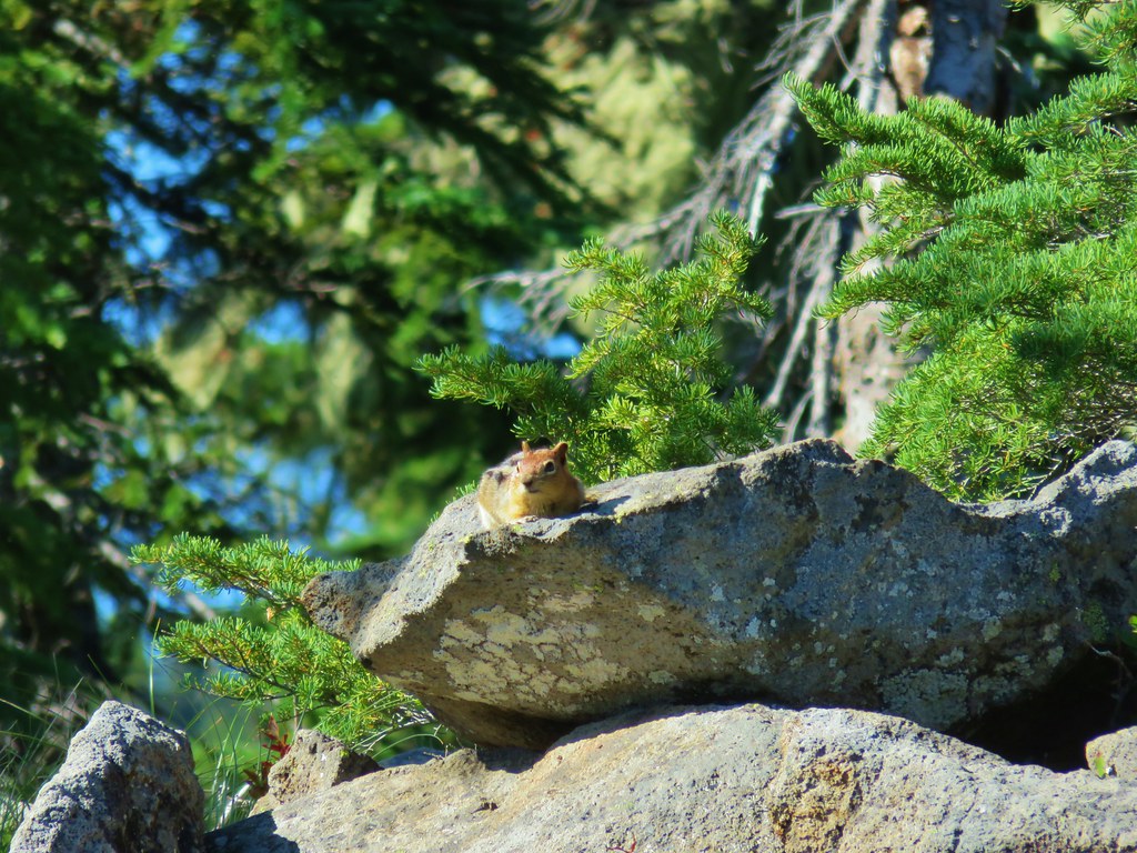
IMG_8807PCT lookout.

IMG_8813

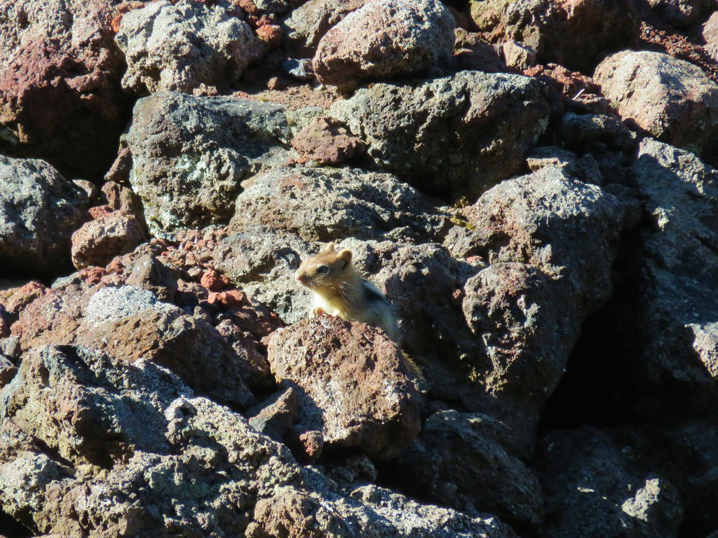
IMG_8811Golden-mantled ground squirrels at Cigar Lake.
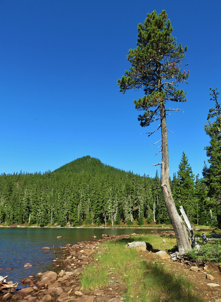
The southern end of Cigar Lake is the location of the Double Peaks Trail. We had taken this trail twice hoping for nice views to no avail. (One was the 17.9mi hike including Ruddy Hill, the other was in 2013.) It would have likely been a great view now, but the .7 mile trail is frustratingly steep and we just didn’t feel like tackling it again. On the other hand the PCT remained fairly level over the next mile as it passed Upper Lake then a meadow with a view of Mt. Jefferson.
IMG_8820

IMG_8822Double Peaks from Upper Lake

IMG_8829

At the meadow the PCT turned left and began a brief climb up a butte. A third of a mile into the climb we passed the Many Lake Viewpoint. Here we had a nice view of Mt. Hood (and many lakes).
IMG_8832

IMG_8834

IMG_8835

IMG_8838

IMG_8841Company at the viewpoint.

We continued south from the viewpoint and were soon descending along a forested hillside when we heard an elk bugle. We guessed that it was a bow hunter but hoped it was an actual elk. Our guess was right though and we stopped to briefly talk to the hunter before continuing on.
IMG_8844Approximate location when we heard the “elk” bugle.

Just over a mile from the Many Lakes Viewpoint we arrived at the Ruddy Hill Trail where we turned right leaving the PCT.
IMG_8847

The nearly half mile trail was quite a bit steeper than we’d remembered but we soon found ourselves on the red topped summit looking at the view of Mt. Jefferson that we had missed on our previous visit.
IMG_8853

IMG_8858_stitch

IMG_8867

Although there was no view north, the view to the west was good with the peaks of the Bull of the Woods Wilderness.
IMG_8869 Flat topped Battle Ax Mountain to the left to the fire scarred summit of Schreiner Peak to the right.

IMG_8875Battle Ax (post)

IMG_8877Bull of the Woods (post)

After resting at the summit we headed back down the PCT and continued south another .2 miles where we turned left on the “Rondy Trail”.
IMG_8882

IMG_8883

This trail descended a drainage before leveling out and arriving at Horseshoe Lake in three quarters of a mile. There was a nice variety of mushrooms along the way.
IMG_8884

IMG_8888

IMG_8890

IMG_8895

IMG_8897

IMG_8904

IMG_8907

IMG_8916

We followed the trail along the lake shore to the Horseshoe Lake Campground located right on Skyline Road.
IMG_8917

IMG_8919

For second time on this hike we went the wrong way and turned right on Skyline Road thinking it was an entrance road to the campground. We had only gone a tenth of a mile before realizing our mistake and turning around. We followed Skyline Road north for a mile. We were eager to get a firsthand look at what many consider one of the worst trailhead roads in NW Oregon. It was certainly a bad looking road but the section we hiked wasn’t quite as bad as some we’d seen in eastern and southeastern Oregon. It may well be worse beyond Horseshoe Lake though.
IMG_8923

When we arrived at the southern end of Monon Lake we were just .3 miles from our car, but we turned onto the Monon Lake Trail to finish that trail. The views of Olallie Butte from this end of the lake were spectacular.
IMG_8925

IMG_8931

More boardwalks were present as we passed through the forest along this end of the lake.
IMG_8933

We soon found ourselves back in the fire scar which just provided more views of the lake and Olallie Butte.
IMG_8946

IMG_8950

IMG_8957

A little over a mile from the road the trail began to curve around to the west where we once again had views of Mt. Jefferson across the lake.
IMG_8968

One and a quarter miles from the road we were back on top the rocks above the lake and heading for the junction we’d missed that morning.
IMG_8969

We then followed our route from the morning back to our car. We had hopped that the Sun would have coaxed some of the gentians to open, but it appeared to be too late in their life cycle for that to happen.
IMG_8985

IMG_8989

Our loop with side trips came in at 13.6 miles with approximately 1500′ of elevation gain. It was a beautiful day and so nice to have been able to get that view from Ruddy Hill. Happy Trails!

Flickr: Monon Lake- Ruddy Hill Loop

Categories
High Cascades Hiking Mt. Jefferson Area Oregon Trip report

Bingham Ridge (Mt. Jefferson Wilderness) – 8/24/2019

**Note the 2024 Bingham Fire burned a portion of this hike.**

After a week back at work it was time to hit the trails again. We once again turned to Matt Reeder’s “101 Hikes in the Majestic Mount Jefferson Region” for inspiration choosing the Bingham Ridge Trail as our destination.

The Bingham Ridge Trailhead is located 5 miles up Forest Road 2253 aka Minto Road. That road is just 17 miles east of Detroit, OR and was in great shape except for some water damage in the first quarter of a mile. Beyond that short stretch it was a good gravel road all the way to the parking area just before the road was gated.

The trail began opposite the little parking area where we had parked along side two other vehicles.
IMG_7369

IMG_7371

The trail climbed through a green forest along the dry bed of Willis Creek before briefly passing through the edge of a clear-cut.
IMG_7372

IMG_7373

IMG_7381Huckleberry bushes and beargrass in the clear-cut.
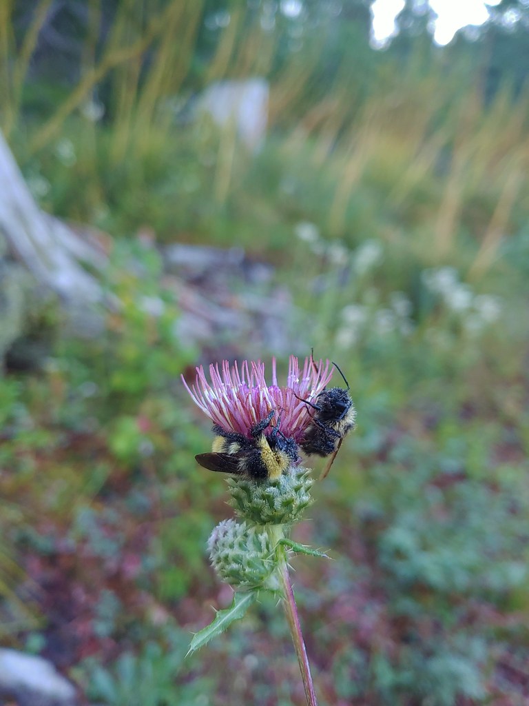
20190824_065018Sleeping bees on some thistle.

The trail soon reentered the trees and then passed into the Mt. Jefferson Wilderness.
IMG_7384

IMG_7386

IMG_7395The bees on the thistle may have been asleep but a western toad was out and about.
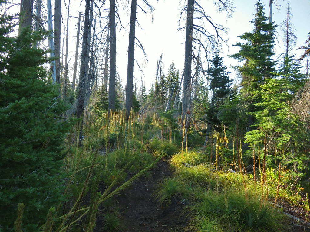
After entering the wilderness the trail continued to climb very gradually as it passed through alternating sections of green trees and forest scarred by the 2006 Puzzle Creek Fire.
IMG_7396

IMG_7400Mt. Jefferson through the burned trees.

IMG_7402Back in the green.

IMG_7404Three Fingered Jack through the burned trees.
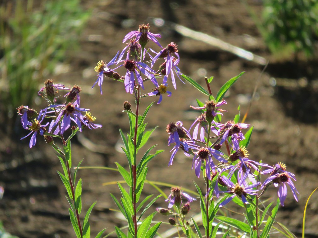
IMG_7408Aster

IMG_7409Pearly everlasting

IMG_7410Fireweed

The longest stretch through burned forest occurred as the trail passed to the right of a rocky rise along the ridge.
IMG_7412Three Fingered Jack

IMG_7416

IMG_7417The rock covered rise.

IMG_7418South Cinder Peak (post) to the left and Three Fingered Jack to the right.

IMG_7422Still passing the rocks.

We heard a couple of “meeps” from pikas in the rocks but we only managed to spot a golden-mantled ground squirrel.
IMG_7423

As the trail passed around the rocky rise we reentered green forest and quickly came to the end of the Bingham Ridge Trail at a junction with the Lake of the Woods Trail 3.7 miles from the trailhead.
IMG_7426

IMG_7427

The Lake of the Woods Trail runs north-south between the Pamelia Limited Entry Area and Marion Lake (post). We turned left (north) onto this trail which promptly crossed over the ridge at a low saddle and began to traverse a forested hillside.
IMG_7429The low saddle.

IMG_7430

IMG_7431

The trail wound around the basin arriving at a ridge end viewpoint where we had hoped to get a view of Mt. Jefferson but soon realized that we hadn’t come far enough around yet and we were looking west not north.
IMG_7432Coffin and Bachelor Mountains (post).

We continued along the hillside finally coming far enough around to get a look at Mt. Jefferson.
IMG_7433

Just a little further along we arrived at Reeder’s turn around point for the 8.8 mile hike described in his book. A cinder viewpoint of Mt. Jefferson across the Bingham Basin.
IMG_7438

IMG_7439

There was a strange group of clouds hanging out on the top of the mountain. We could see them moving in what appeared to be a SE direction but despite seeing the movement it never really appeared that they were going anywhere.
IMG_7443

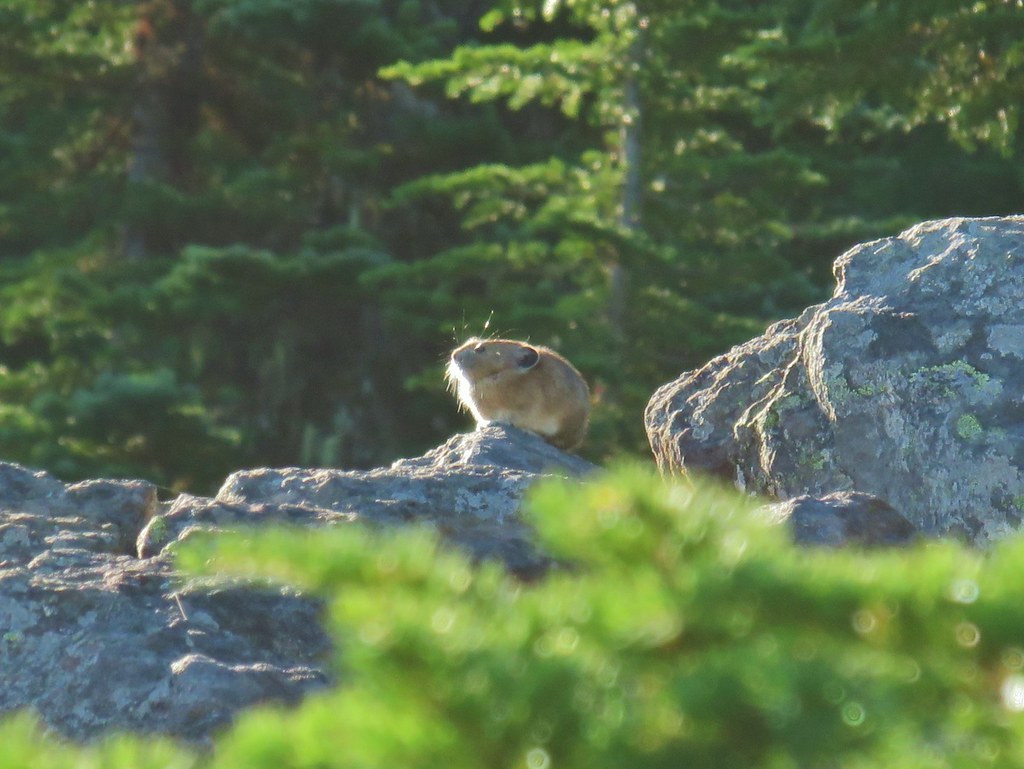
As we stood at this rocky viewpoint we could hear more pikas and then Heather spotted one sitting on top of some rocks, maybe enjoying the same view we were.
IMG_7448

Even though Reeder calls this viewpoint “the most logical stopping point for dayhikers” he does provide information for those wishing to continue. Since logic sometimes goes out the window with regards to hiking we continued on. The trail dropped just a bit to a fairly level bench where it passed through a couple of meadows before arriving at an unnamed lake with a view of Mt. Jefferson on the left.
IMG_7460

IMG_7461Spirea with a beetle.

IMG_7464Unnamed lake with Mt. Jefferson (and those pesky clouds).
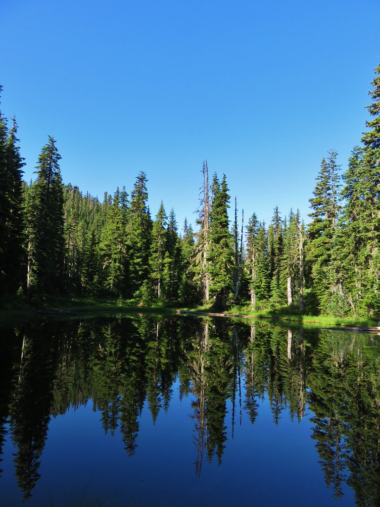
IMG_7469From the opposite side of the lake.

A half mile later (or just under 2 miles from the Bingham Ridge Trail junction) we arrived a Papoose Lake.
IMG_7470

IMG_7482

The mountain was mostly hidden by trees from this lake but there were several frogs to watch and a short scramble up a rockpile on the east side of the lake did provide another look at Mt. Jefferson.
20190824_092141

IMG_7492

IMG_7484

It was actually a really impressive amount of boulders here and although we didn’t spot any, we could hear a number of resident pikas.
IMG_7483Looking south over the rock field.

Turning back here would have put the hike in the 11.5 mile range, but we had our sights set on a further goal – the Pacific Crest Trail. Beyond Papoose Lake the Lake of the Woods Trail passed several seasonal ponds which were now meadows where we had to watch out for tiny frogs.
IMG_7495

IMG_7496One of the frogs.

IMG_7667

IMG_7663Frog in the trail.

IMG_7672

Just under three quarters of a mile from Papoose Lake (6.3ish from the trailhead) we arrived at the northern end of the Lake of the Woods Trail where it met the Hunts Creek Trail (post).
IMG_7500

A left on this trail would lead us into the Pamelia Limited Entry Area for which we did not have a permit, but to the right the trail remained out of the limited area as it headed to the Pacific Crest Trail.
IMG_7501

In his book Reeder describes this section of trail as “spectacular” which is what prompted us to abandon logic in the first place. We turned right and continued the theme of gradual climbs as the trail passed a hillside dotted with a few asters.
IMG_7503

IMG_7504

After little over a quarter of a mile we found ourselves beneath a large talus slope (by the sound of it filled with a pika army).
IMG_7507

Here we embarked on possibly the most significant climb of the day as the trail switchbacked up through the rocks to a saddle.
IMG_7510Apparently the trail was rerouted at some point because we could see tread that we never used.

IMG_7511The Three Pyramids beyond Bingham Ridge.
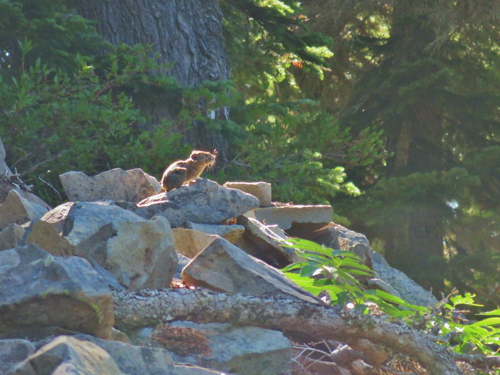
As we neared the saddle we spotted what must have been the pika lookout.
IMG_7515

IMG_7516

There was more talus on the opposite side of the saddle, and more pikas too!
IMG_7520

IMG_7526

We spotted at least 4 pikas (it’s hard to keep track when they are running in and out of the rocks) and heard many more. The only thing that could tear us away from our favorite wildlife critters was the view of Mt. Jefferson looming over Hunts Cove.
IMG_7534 (the clouds had finally vanished)

Continuing away from the saddle just a bit provided an excellent view of the mountain and Hanks Lake with a bit of Hunts Lake visible as well.
IMG_7648_stitch

IMG_7551Hanks Lake

IMG_7552Hunts Lake

IMG_7553Rock fin above Hunts Cove.

Reeder hadn’t exaggerated by using spectacular to describe this section of trail. The views of Mt. Jefferson were amazing and a variety of wildflowers (past peak) lined the trail.
IMG_7560Penstemon and a western pasque flower.

IMG_7563Western pasque flower seed heads.

IMG_7568

20190824_101714Hippie-on-a-stick

IMG_7570

IMG_7574

IMG_7576Paintbrush and lupine

IMG_7582

20190824_102625Patridge foot

IMG_7584Mt. Jefferson, Goat Peak (behind the tree) and the Cathedral Rocks.
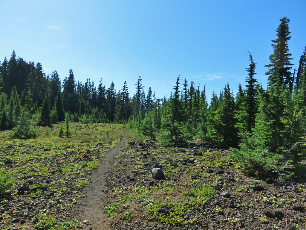
As the trail crossed a cinder field glimpses to the south between trees reveled the Three Sisters (among others).
IMG_7586

IMG_7588South Cinder Peak

IMG_7591The Three Sisters

IMG_7594Three Fingered Jack

The trail briefly lost sight of Mt. Jefferson as it passed around a butte, losing a little elevation as it did so.
IMG_7596

IMG_7597Paintbrush in a meadow behind the butte.
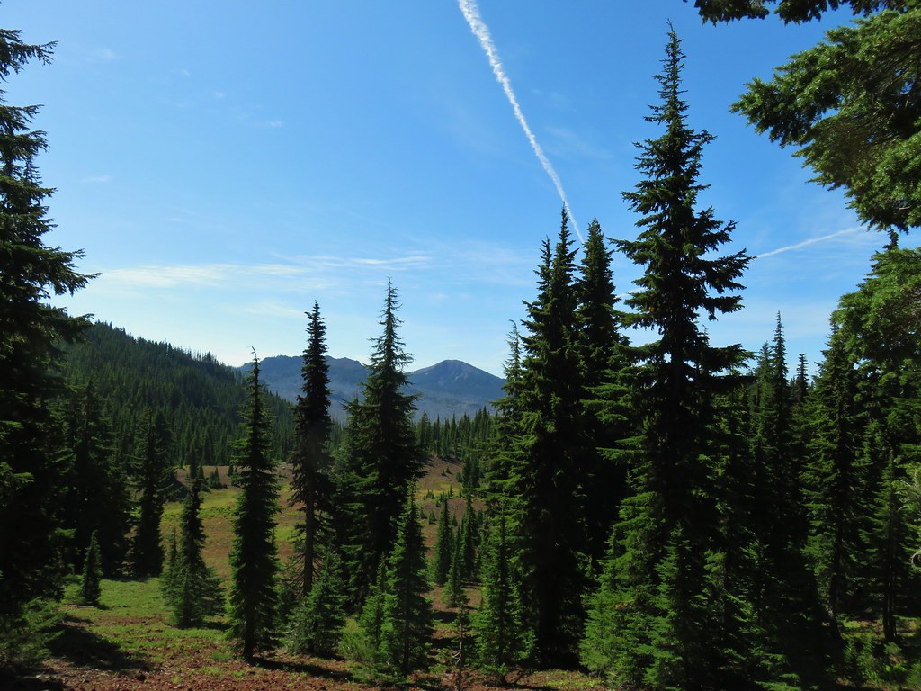
Although the view of Mt. Jefferson was temporarily gone the view was still good. There was a large basin full of meadows just below the trail and occasional views of South Cinder Peak and Three Fingered Jack.
IMG_7602South Cinder Peak

IMG_7603Three Fingered Jack

IMG_7630

The trail gained a little of the elevation back as it came around the butte regaining a view of Mt. Jefferson in the process.
IMG_7606

After passing another sign for the Pamelia Limited Entry Area at a now abandoned (but still used) portion of the Hunts Creek Trail we arrived at the Pacific Crest Trail.
IMG_7608

IMG_7620_stitch

We sat on some rocks here and rested. We were now at least 8 miles (that is the mileage Reeder assigns but with some extra exploring we’d done a bit more) from the Bingham Ridge Trailhead and needed a good break. Up until this point we’d only run into one other person, a bow hunter along the Bingham Ridge Trail. As we rested in the shade a pair of backpackers heading south on the PCT stopped briefly to talk. After they continued on we did little bit of exploring in the immediate area since there were a few flowers about and at least one tree frog.
IMG_7619Mostly past lupine

20190824_110312Paintbrush

20190824_110411

We returned the way we’d come enjoying the views just as much on the way back as we had the first time by. We didn’t see anyone else the rest of the day and we didn’t see anymore pikas, but as always there were a few things we spotted on the way back that we hadn’t seen or noticed earlier.
IMG_7632Butterfly on an aster.

IMG_7636Never seen one of these looks so clean and smooth, it almost looked fake.

IMG_7660We don’t know if this was just a stunted wallflower or something we’d never seen before.
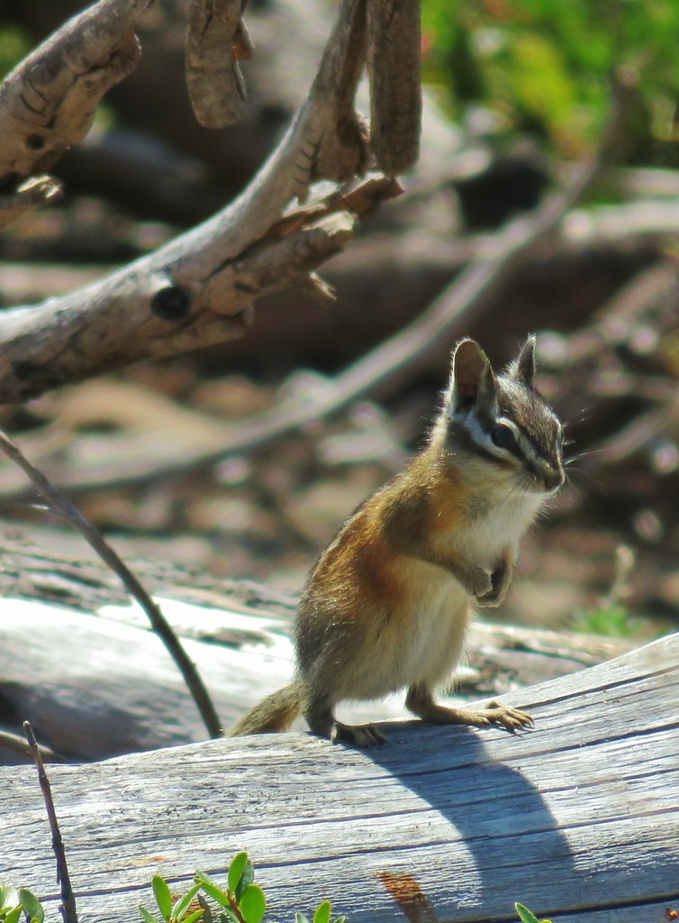
IMG_7692

We ended the day nearly out of water (luckily for us the temperatures stayed below 70 so it wasn’t too warm) and with some sore feet. Our GPS devices both showed us having traveled nearly 17 miles which was further than we’d planned but all the little side trips and exploring can really add up. Depsite the distance this was a great hike with varied scenery, good wildlife, and a reasonable elevation gain made better by the trails having such gradual grades. Of course any trail where we see multiple pikas is going to be aces in our minds. Happy Trails!

Flickr: Bingham Ridge

Categories
High Cascades Hiking Oregon Three Sisters Area Trip report

Four-In-One Cone – 8/14/2019

The third hike of our vacation was another repeat (this time only partially) of a viewless outing. In 2012 we had embarked on “the hike that shall not be named” (post) It was an ambitious hike that went wrong in a couple of ways. First I misunderstood the guidebook and turned a 15 mile loop into an 18.6 trudge and second the persistent low cloud layer denied us of virtually any views. Our plan to hike to Four-In-One Cone would cover part of that hike.

We chose the Four-In-One Cone portion of that hike for two reasons. First Four-In-One Cone is a really cool volcanic feature and second much of the remainder of that loop passes through the Obsidian Limited Entry Area for which we didn’t have a permit nor were any available. We started the hike at the Scott Trailhead located along Highway 242 (17 miles from Highway 126 or 20.3 miles from Highway 20).
IMG_6219

The Scott Trail briefly follows along the highway before crossing it and entering the Three Sisters Wilderness.
IMG_6223

IMG_6224

A third of a mile from trailhead we came to a somewhat familiar junction.
IMG_6236

Neither of us quite remembered it looking like it did now (for one thing the trail sign was missing) but the right hand fork led to the Obsidian Trailhead and had marked the final .6 miles of THAT hike. We forked left and began to climb via several switchbacks which we had no recollection of. We also passed a viewpoint at one of the switchbacks.
IMG_6245

After the viewpoint the trail continued to climb but more gradually as it passed through a mixed forest.
IMG_6247

IMG_6249Pinesap

IMG_6251

IMG_6252A very blurry deer spotted through the trees.
IMG_6257

IMG_6258

IMG_6262

Three miles from the trailhead we arrived at the first of two short lava flow crossings. A large western toad was in the trail here and there was also a squirrel nearby which seemed like a suspicious combination.
IMG_6265

IMG_6270

20190814_085527

IMG_6274

The lava crossings are separated by an island of forest that escaped the flow.
IMG_6282

IMG_6284North Sister

IMG_6290Middle Sister

IMG_6288More spies watching us.

Beyond the second lava crossing we spent a little time back in the forest before once again entering a volcanic landscape as we came around the south side of Four-In-One Cone.
IMG_6294

IMG_6299

IMG_6300

Unlike our previous visit the Cascade Mountains were visible.
IMG_6301North and Middle Sister behind the Little Brother.
IMG_6312Mt. Jefferson beyond Four-In-One Cone

IMG_6317Mt. Hood over the right shoulder of Mt. Jefferson.
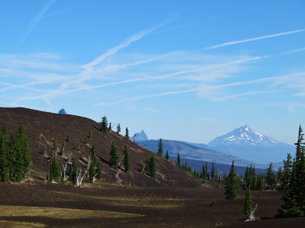
IMG_6319Mt. Washington’s spire behind the cone with Three Fingered Jack and Mt. Jefferson.
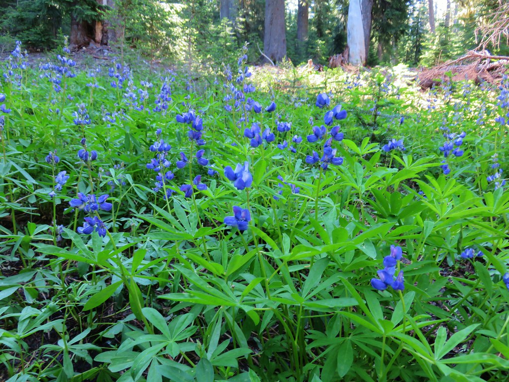
The route up Four-In-One Cone is just under 1.5 miles from the first lava crossing and is marked by a signpost.
IMG_6309

Before going up the cone we decided to continue another .8 miles to the Pacific Crest Trail in Scott Meadow. We had of course been to that junction during our loop in 2012 but we’d also visited it in 2013 from the north on the PCT from South Matthieu Lake (post). Lupine is said to bloom profusely from mid-July through August but we hadn’t seen much in 2013 (2012 was late September) so we thought we’d give it another try. Prior to reaching Scott Meadow we did pass a couple of hillsides with a decent amount of lupine but I don’t know that we considered it profuse
IMG_6328

IMG_6331

IMG_6333

IMG_6335

IMG_6343Scott Meadow

There wasn’t any lupine at all around the PCT junction but the view of Little Brother next to the North and Middle Sisters is nice.
IMG_6358_stitch

After a short break and pointing a group of trail runners toward Opie Dilldock along the PCT we turned around and headed back for Four-In-One Cone.
IMG_6369

IMG_6383

Four-In-One Cone is just that, four cinder cones which erupted at different times but are joined together creating a .4 mile long ridge.
IMG_6390

To the SE the North and Middle Sister are closer than the Cascades to the NW the position of the Sun made the view of the further peaks a little clearer.
IMG_6398North Sister, Middle Sisters behind Little Brother and The Husband.

IMG_6392North Sister with Collier Cone in front and South Sister behind Little Brother.
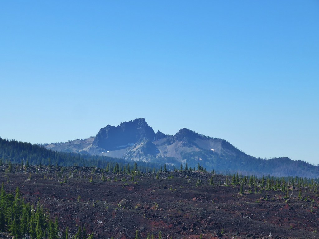
IMG_6411The Husband

IMG_6443Scott Mountain (post) beyond the lava flows of Four-In-One Cone.

IMG_6404One of the craters.

After visiting the southern end of the cones we made our way to the northern end.
IMG_6434Mt. Washington, Three Fingered Jack, Mt. Jefferson, Mt. Hood, and Black Crater (post)

IMG_6444Looking back south.

IMG_6460Belknap Crater (post)

IMG_6459Mt. Washington beyond Little Belknap Crater with Three Fingered Jack behind.

IMG_6462Mt. Jefferson and Mt. Hood

After fully exploring the cones we returned the way we’d come capping off a 12.3 mile, 1750′ elevation gain hike. We were happy to have finally gotten to see what we’d missed back in 2012. Happy Trails!

Flickr: Four-In-One Cone

Categories
Hiking Indian Heaven Trip report Washington Washington Cascades

Grassy Knoll & Big Huckleberry Mountain – 7/06/2019

It has been an interesting couple of months where the weather is concerned. We have spent a lot of time checking forecasts trying to find the most favorable hiking conditions. It seems that in years past when the forecast hasn’t been good it hasn’t been good anywhere within our driving range but this year has been different. For the most part we have been able to find at least one location with the possibility of “partly sunny” conditions. For our most recent hike that location was Grassy Knoll in Washington.

A quick scan of forecasts the night before our hike showed that the forecast for Grassy Knoll was partly sunny skies moving to mostly sunny later in the day. Nearby Big Huckleberry Mountain, which was to be our turn around point, was a little less favorable but mostly cloudy to partly sunny didn’t sound too bad.

We followed the directions to the Grassy Knoll Trailhead from the Oregonhikers.org field guide. While the forecast had been good the roads were not. The roads weren’t the worst we’d been on, but they did take home the award for most unavoidable potholes. High clearance was helpful and driving was slow at times but we arrived at the trailhead in one piece.

We had driven through quite a bit of drizzle between Portland and Cascade Locks but had been encouraged by the sight of the edge of the cloud cover to the east. Unfortunately the break was further east than we were so we set off on the trail under a full cover of clouds.
IMG_2724

The trail started off in a past peak wildflower meadow but there were still a few flowers blooming.
IMG_2729Arrow leaf buckwheat

IMG_2730Blue-head gilia, stonecrop, wild onion, and arrow leaf buckwheat

IMG_2735Farewell-to-spring waiting for the Sun (just like us)

After climbing through the meadow the trail entered the forest and continued to climb fairly steeply at first.
IMG_2749

There were a surprising number of flowers blooming amid the bushes and trees along the forested ridge.
IMG_2746Tiger lily

IMG_2765Twin flower

IMG_2768Penstemon

IMG_2761Lupine

IMG_2787Arnica?

IMG_2793Patinbrush and penstemon

IMG_2797Columbine

IMG_2803Lots of arnica

The trail passed what we took for two viewpoints, but with the cloudy conditions we couldn’t tell what the view should have been.
IMG_2784First viewpoint approximately 1 mile in.

IMG_2774First viewpoint

IMG_2807Second viewpoint, about 1.5 miles in. The hillside was covered in cat’s ear lilies.

IMG_2822

IMG_2811Penstemon and cat’s ears

IMG_2824Cat’s ears and wild onion

Beyond the second viewpoint the trail alternated between forest and wildflower meadow for a quarter mile before starting a fairly steep climb up the open hillside of Grassy Knoll.
IMG_2830

IMG_2831

IMG_2834Two kinds of paintbrush

IMG_2840

20190706_081442Onion

20190706_081510Looks to be some sort of orchid

IMG_2848Blue-head gilia and an unknown yellow flower.

IMG_2852Arrow leaf buckwheat and blue-head gilia

IMG_2857A bunch of flowers

IMG_2862Starting up Grassy Knoll

We were a little late for peak flowers but the hillside still had a lot to show us.
IMG_2867

IMG_2872

IMG_2865Balsamroot

IMG_2877Catchfly

After just two miles of hiking we came to the site of the former lookout tower atop Grassy Knoll. It wasn’t even close to partly sunny by the way.
IMG_2887

With no view to speak of we continued on hoping that the clouds would start breaking up soon, or at least by the time we were passing back by. The trail leaving Grassy Knoll was a bit brushy at first but then cleared up. There were plenty more flowers to see as we continued along a somewhat level ridge.
IMG_2889

IMG_2892

IMG_2894A little better view down for a moment.

IMG_2895

20190706_084303

IMG_2897Larkspur

A little under a quarter mile from the lookout site we entered the first in a series of impressive wildflower meadows along the ridge.
IMG_2899

This first meadow had a bit of a beetle infestation.
IMG_2900

IMG_2904

IMG_2901

IMG_2906

IMG_2908

IMG_2909

IMG_2913

IMG_2915

IMG_2922

IMG_2923

IMG_2926Phlox and a cat’s ear lily

IMG_2928

IMG_2929

IMG_2932

IMG_2934

IMG_2936

IMG_2944

IMG_2952Another type of penstemon

IMG_2957Beargrass

IMG_2965

IMG_2978

IMG_2984

IMG_2985

IMG_2993

IMG_2996Not sure what this is either, it’s the first time we recall seeing it.

IMG_3000

IMG_3004

IMG_3017

IMG_3018

Finally, after nearly one and a quarter miles of wildflower bliss the trail veered off the ridge to the left and entered the forest.
IMG_3021

IMG_3023

It was a nice forest with a bright green understory.
IMG_3028

IMG_3036

Around the 3.75 mile mark we arrived at Cold Springs Camp
IMG_3033

IMG_3034

A spur trail led down to what we presume was Cold Spring but it was hidden in brush. The unofficial (but signed) Alway Trail led downhill on a faint path to FR 68 from the camp as well. Just beyond this camp was another sign for Hilltop Camp, but unlike Cold Springs Camp this one looked to no longer be used.
IMG_3112

IMG_3113

The trail was part of the Cascade Crest Trail which was the precursor to the Pacific Crest Trail. The current route of the PCT is further to the west but it does pass Big Huckleberry Mountain and we would briefly be on it later.

From the camps the trail lost some elevation as it passed beneath a rock outcrop which looked to have a pretty good sized cave or at least a big overhang at its base.
IMG_3039

IMG_3040

We arrived at the PCT five and a quarter miles from the trailhead.
IMG_3056

IMG_3054

From here we were about five miles south of the trailhead where we had set off on the PCT on our 2018 hike to Indian Racetrack in the Indian Heaven Wilderness (post). We turned right, took a couple of steps, and veered right again following the pointer for Big Huckleberry Mountain. A .2 mile climb brought us to the open summit where the forecast was right for the first time today, it was mostly cloudy.
IMG_3058

IMG_3060

Big Huckleberry Mountain was also home to a lookout at one time but now aside from a few remains the summit was just occupied by wildflowers.
IMG_3065

IMG_3062

IMG_3064

IMG_3067

IMG_3069

20190706_102617

IMG_3077

A fairly long rocky spine extended east from the former lookout site with a couple of pockets of trees separating the open areas where the flowers were prevalent.
IMG_3085

IMG_3101

IMG_3088

IMG_3089

IMG_3090

The slope eventually steepened enough to make for a good stopping point.
IMG_3091

The end here was just a little further beneath the clouds which allowed for a good view of the Big Lava Bed which lay between Big Huckleberry Mountain and Mt. Adams but not for much else.
IMG_3093

There was also a view south where the Bridge of the Gods could be seen (barely) spanning the Columbia River.
IMG_3096

IMG_3099

After exploring the summit and also resting a bit we headed back. There were some encouraging signs that the clouds might actually move on as we made our way back through the wildflower meadows.
IMG_3117

IMG_3157

IMG_3146Snowy flank of Mt. Adams through the clouds.

IMG_3191

IMG_3193

Back at Grassy Knoll the conditions were better than they had been earlier in the morning but they still weren’t great.
IMG_3205

IMG_3211

IMG_3212Wind Mountain and the Columbia River

The same was true for the other viewpoints.
IMG_3227Little Huckleberry Mountain and Big Lava Bed

IMG_3229A bit of Mt. Adams again.

It was a little frustrating to be able to see clear blue sky beyond the edge of the clouds, but what can you do. The flower show had been more than entertaining and to cap the hike off the farewell-to-spring near the trailhead had started to open up despite the lack of sunshine.
20190706_132534

20190706_132501

Missing out on the view will put this 11.8 mile hike toward the front of the list for a revisit, although the roads might hold it back just a bit. Happy Trails!

Flickr: Grassy Knoll and Big Huckleberry Mountain