For our day trips we try and keep our driving time time to trailheads under 3 hours (preferably two and a half or less). The one exception to that is Mount Adams which sits right around that 3 hour mark from Salem. Due to the distance we don’t get there as much as we’d like but we’d put it on this years schedule. We’ve been turning more to Matt Reeder’s guidebooks and hike #16 his “Off the Beaten Trail (2nd edition) was the hike that we’d originally planned on. While doing some research on the Riley Camp Trail I learned of a use trail not far from the that trail’s junction with the Pacific Crest Trail that led to Crystal Lake so we decided to extend his suggested hike a bit.
A very favorable forecast, sunny skies with a high in the low 50s, provided a green light for our plans and we made the long drive to the Riley Camp Trailhead.
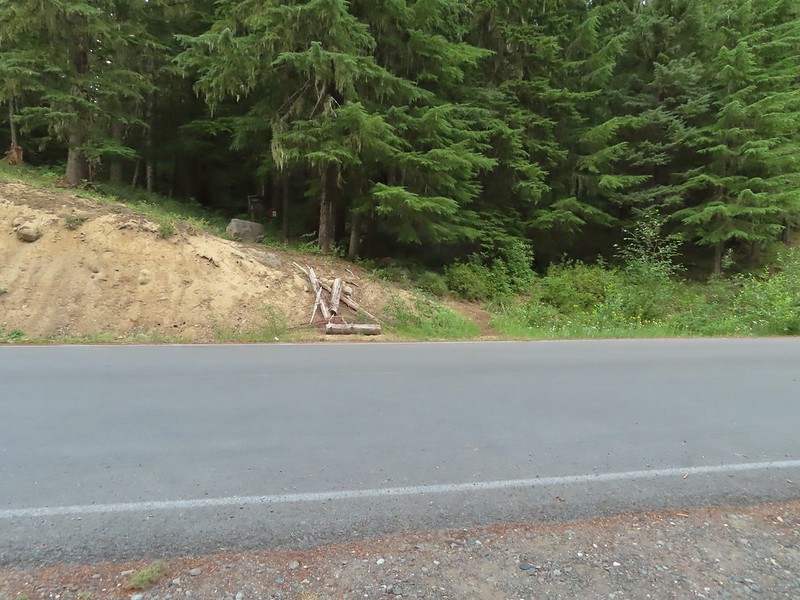 The Riley Camp Trail (Trail 64) on the opposite side of FR 23.
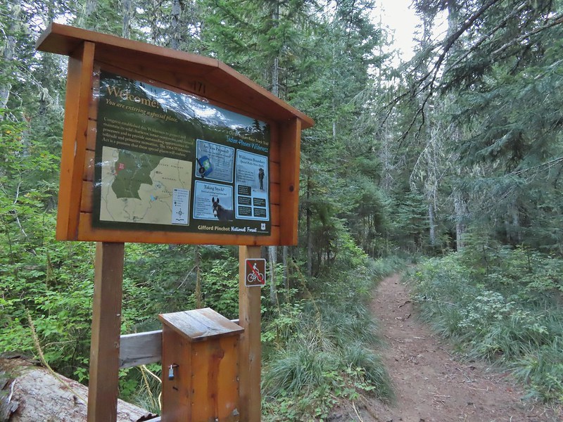
A short distance up the trail we stopped to fill out a day use permit (free) and review the wilderness map on the signboard.


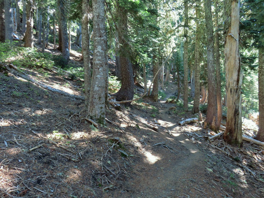
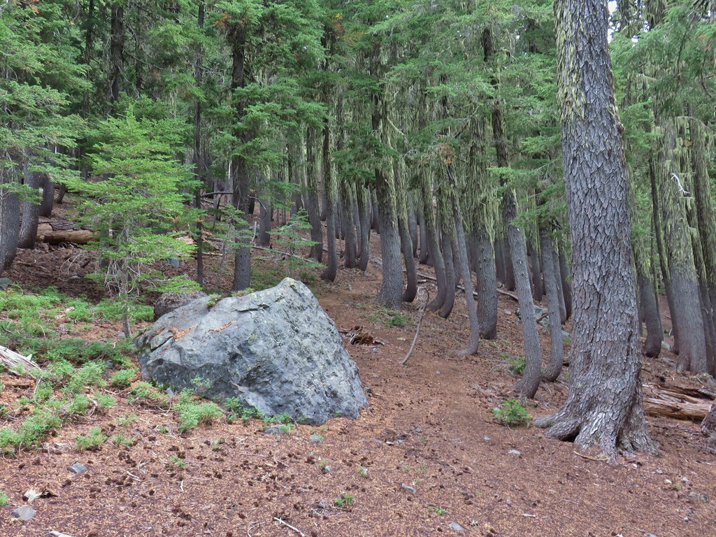
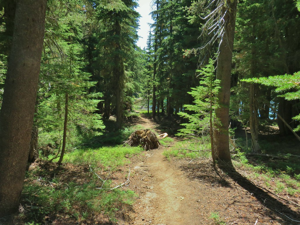
Trail 64 led gradually uphill through a nice forest.
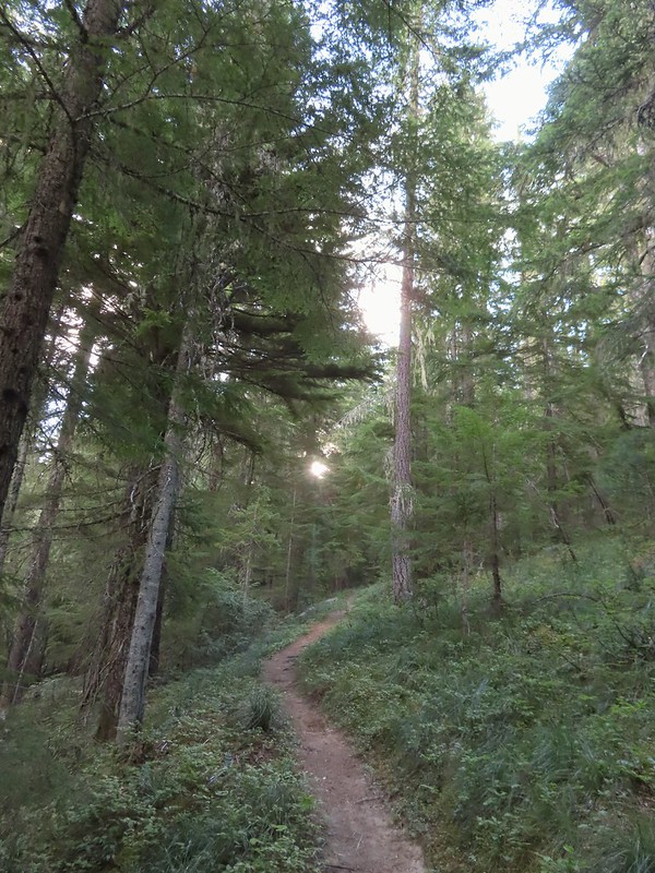
A little over one and a quarter mile from the trailhead we came to a signed junction with the Riley South Trail (Trail 64A).

We stayed left on the Riley Camp Trail which almost immediately entered the Mount Adams Wilderness.

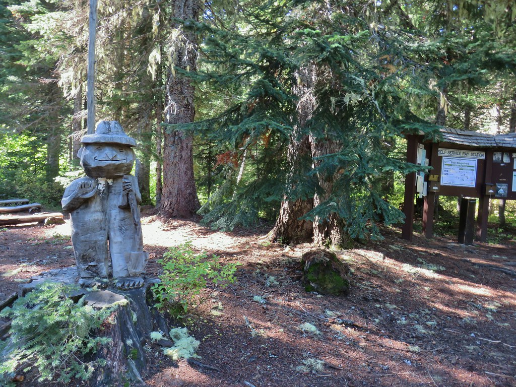
 We weren’t aware that the Forest Service was employing wilderness greeters.
 May I see your self-issued permit?
We had started to notice a fair number of mosquitos near the junction and were forced to turn to the Deet. We’d been pretty luck so far this year at avoiding the little blood suckers but not on this day. While they weren’t anywhere near as bad as we’ve had them before they were persistent between the Riley South junction and the end of the Riley Camp Trail at the PCT. With the bugs after us we kept a decent pace as the trail continued it’s gradual climb through the forest.
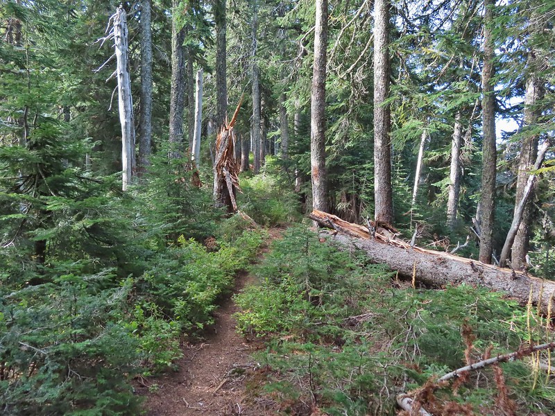
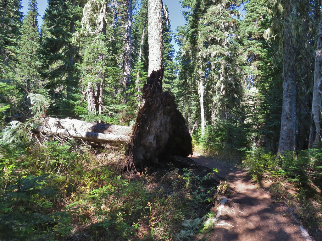
 The trail was in pretty good shape with just a few downed trees to step over/under.
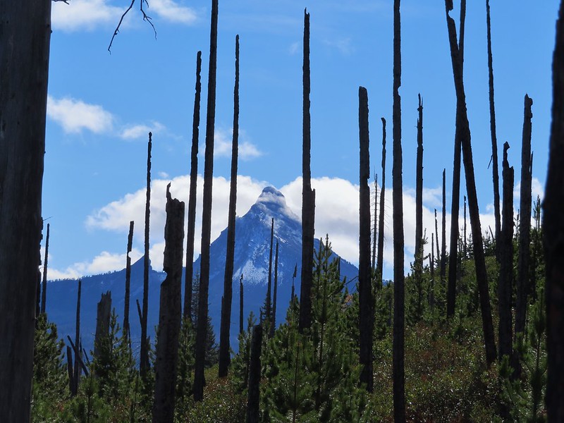
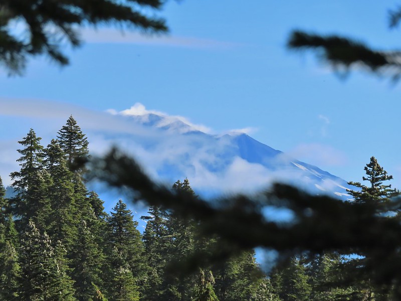
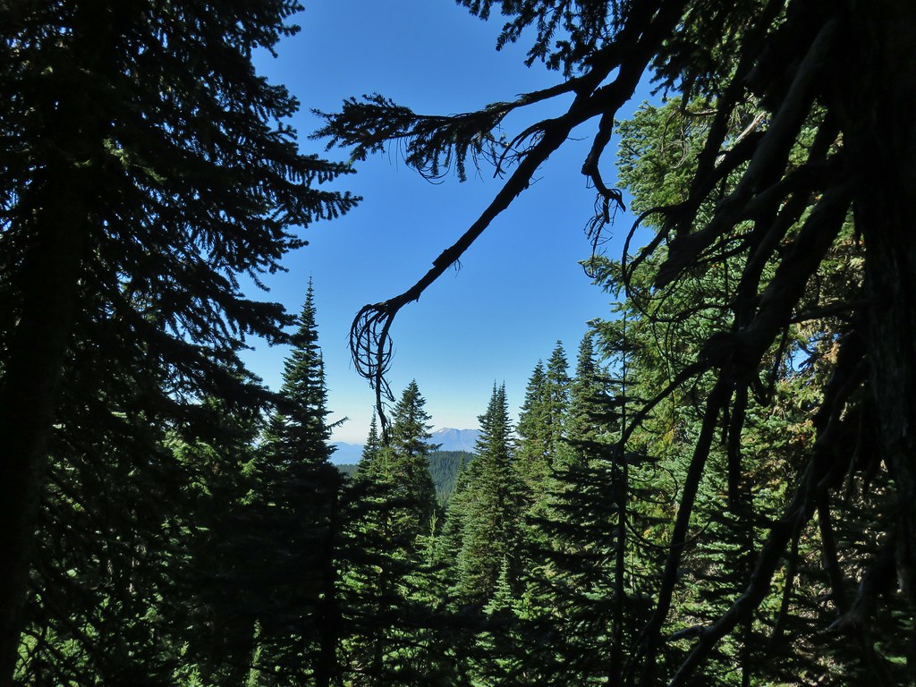
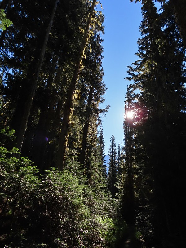 First look at Mt. Adams through the trees.
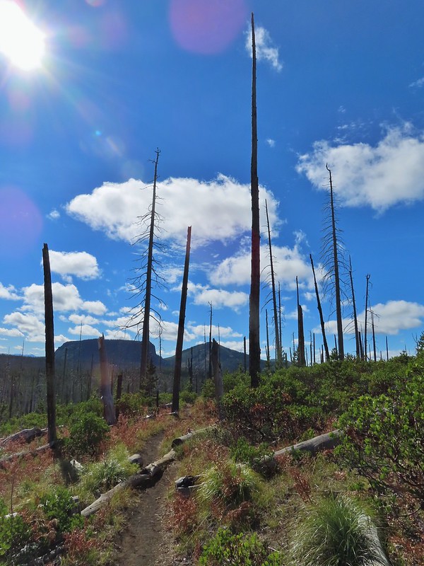
Near the 2.7 mile mark the trail briefly entered a 2015 fire scar.


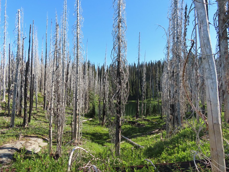 Luna Lake
 Aster
Aster

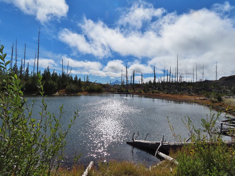
We left the fire scar behind as the trail turned north passing by a series of ponds/lakes (mosquito breeding grounds).

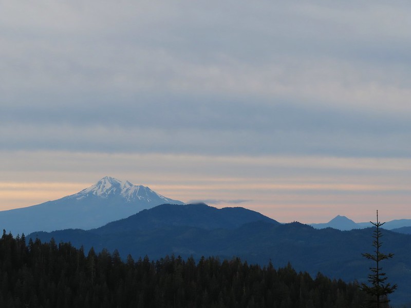
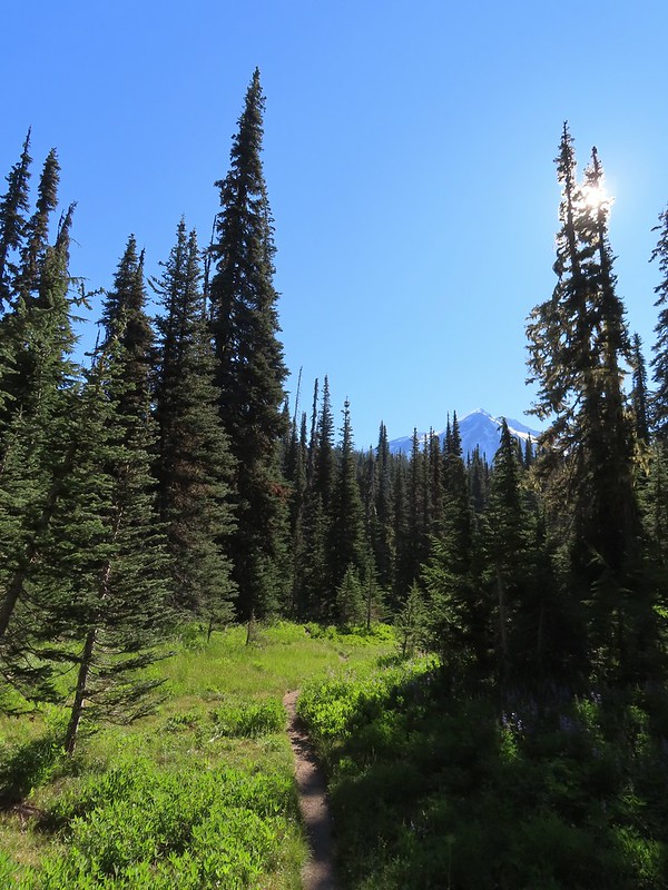 More Mt. Adams.
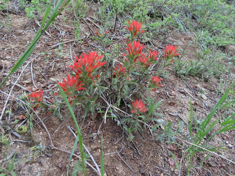
 Paintbrush and lupine

Beyond the mosquito birthing centers the trail began to curve back to the east and entered Riley Creek Meadows.

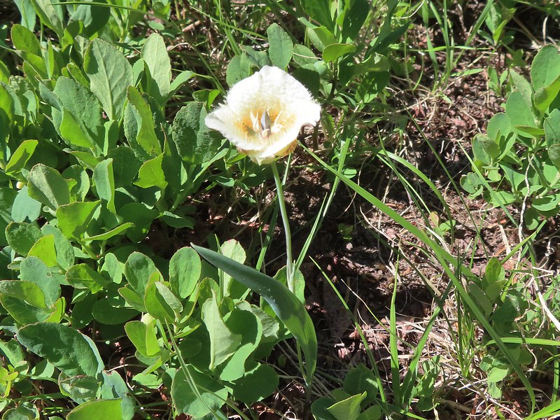 Sub-alpine mariposa lily
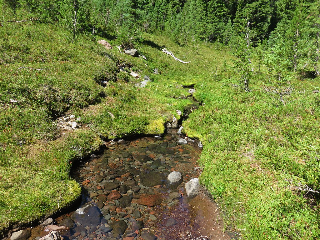
 Riley Creek along the trail.
Just over 4.5 miles from the trailhead we crossed Riley Creek.
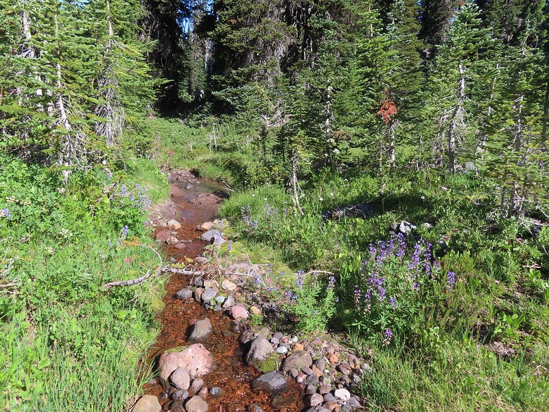 Riley Creek at the crossing.
Beyond the crossing the trail made a final 0.3 mile climb to the PCT.
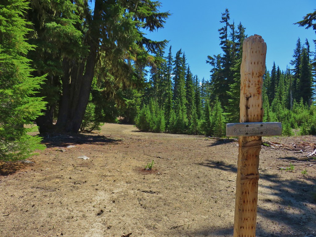
 A trail sign up ahead at the junction.
We turned right on the PCT which brought us back to Riley Creek after 0.2 miles.
 PCT marker on the tree.
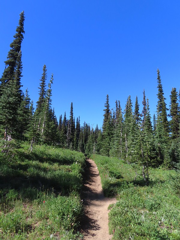
 Riley Creek below the PCT crossing.
We detoured briefly upstream to revisit our dinner spot during an overnight trip in 2017 (post).

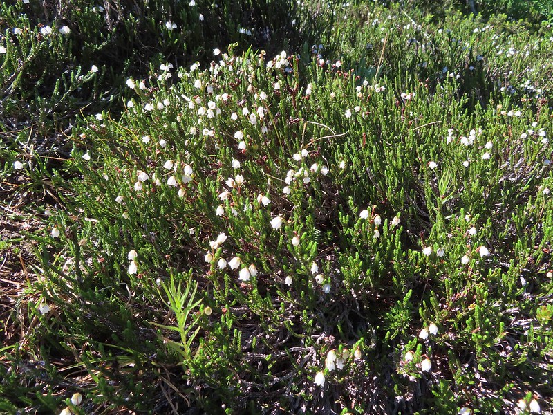 White mountain heather
 A nice paintbrush
After the short detour we continued south on the PCT to Burnt Rock (just under half a mile from Riley Creek).
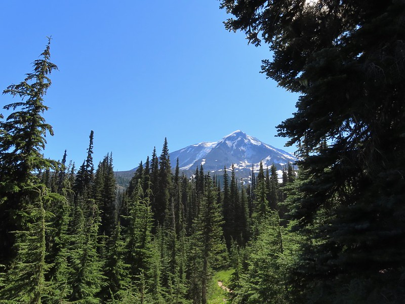 Mt. Adams behind us as we headed south.
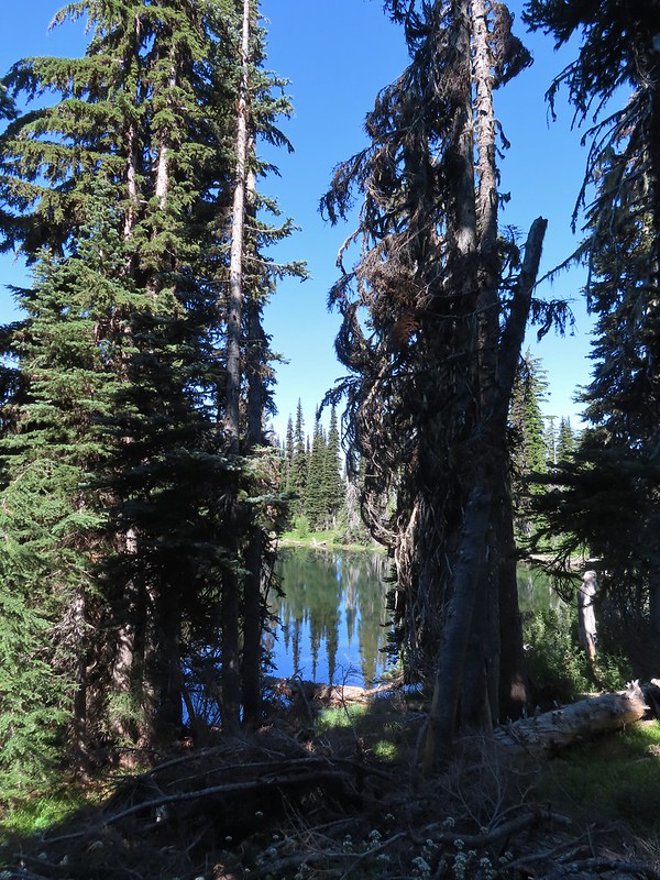 Sheep Lake
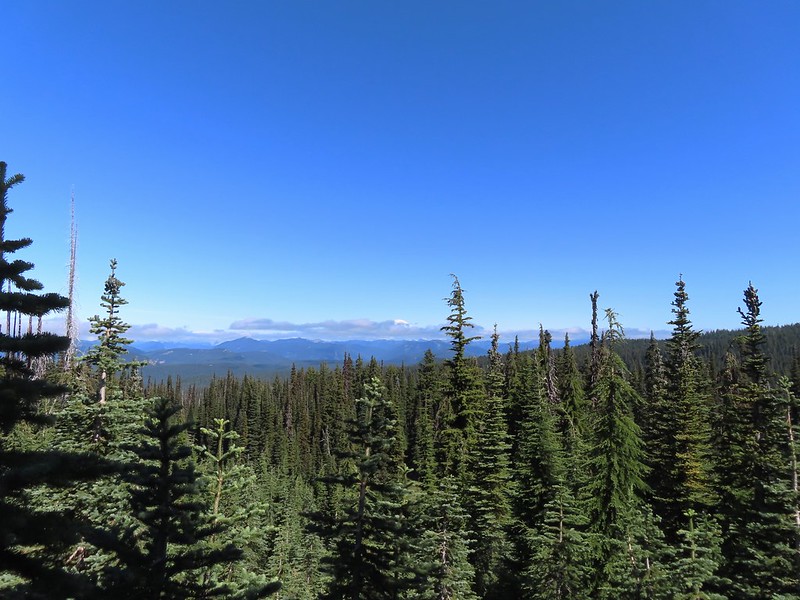 Mt. Rainier behind a line of clouds.
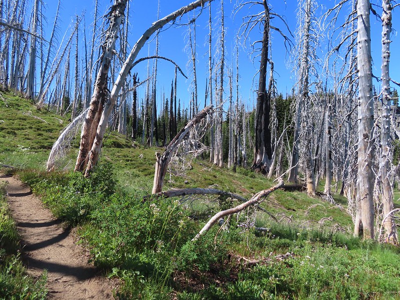 Burnt Rock behind the snags left over from the 2012 Cascade Creek Fire.
 Alpine false dandelion
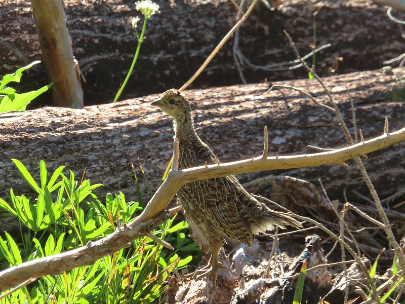 Grouse
Near Burnt Rock we looked for a user trail heading toward the mountain and took a left onto it once we spotted it.
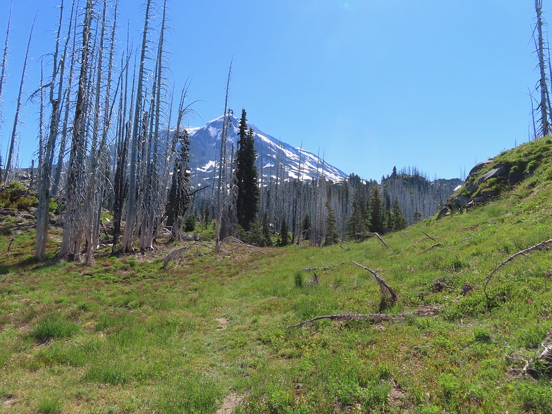
It was another half mile to Crystal Lake. The use trail was fairly easy to follow. It did steepen just before the lake.

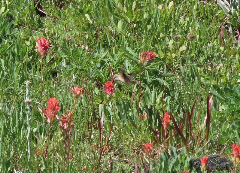 Hummingbird visiting paint.
 Mountain heather


 On the final pitch.
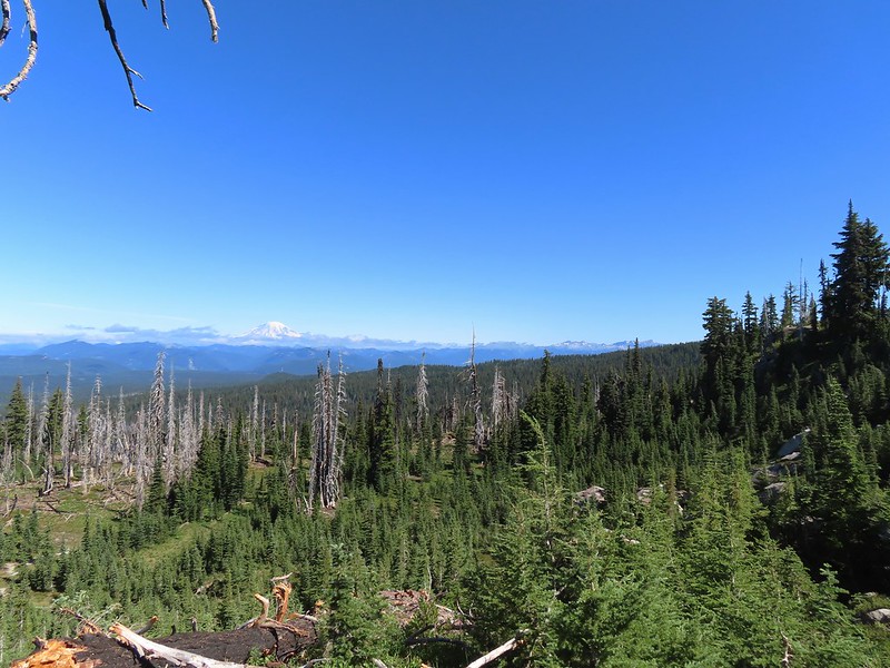 Mt. Rainier and Goat Rocks
 Phlox
Phlox
 Almost there.
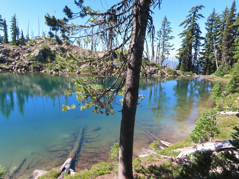
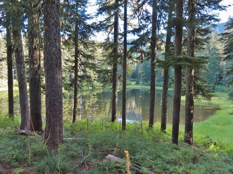
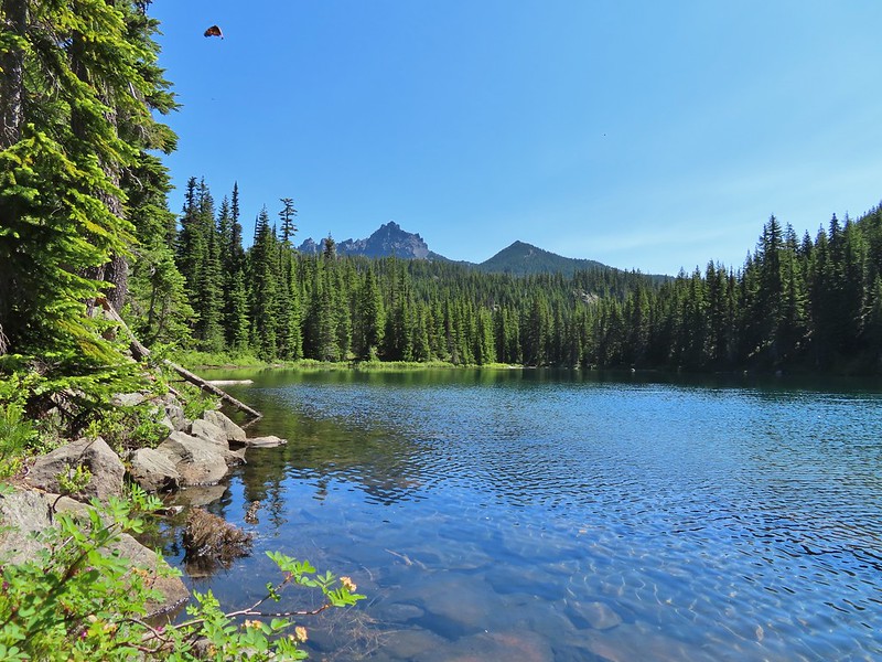
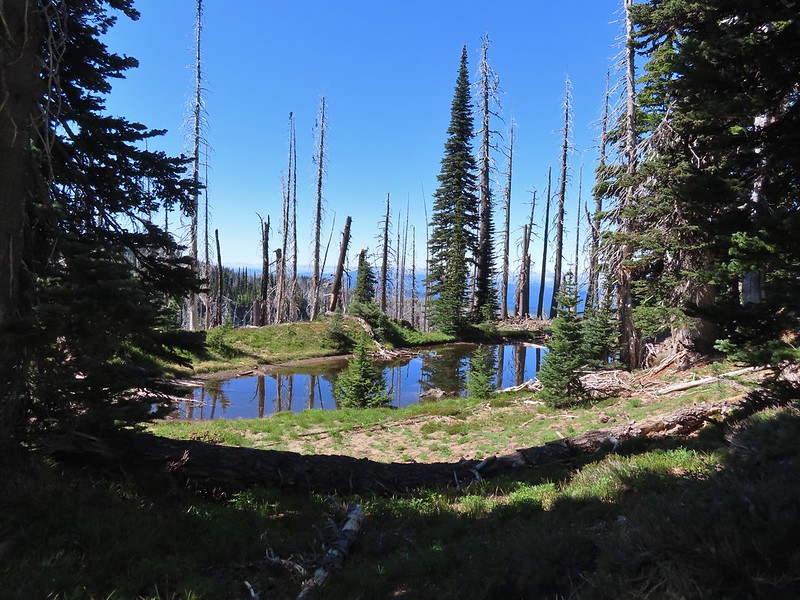 Not Crystal Lake, just a pretty little tarn nearby.

Fortunately mosquitos weren’t an issue up here so we were able to relax and spend a good deal of time exploring around the lake and a little beyond.
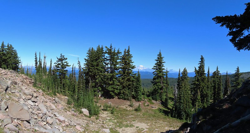 Mt. Rainier
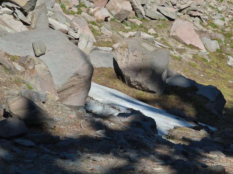 Just a bit of snow left around 6300′.
 The little tarn we’d passed.
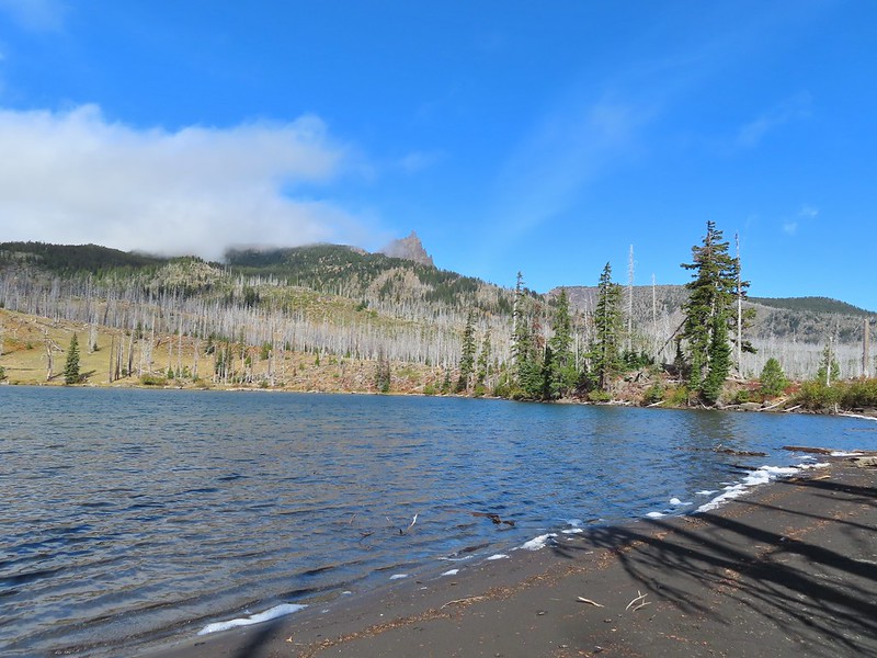
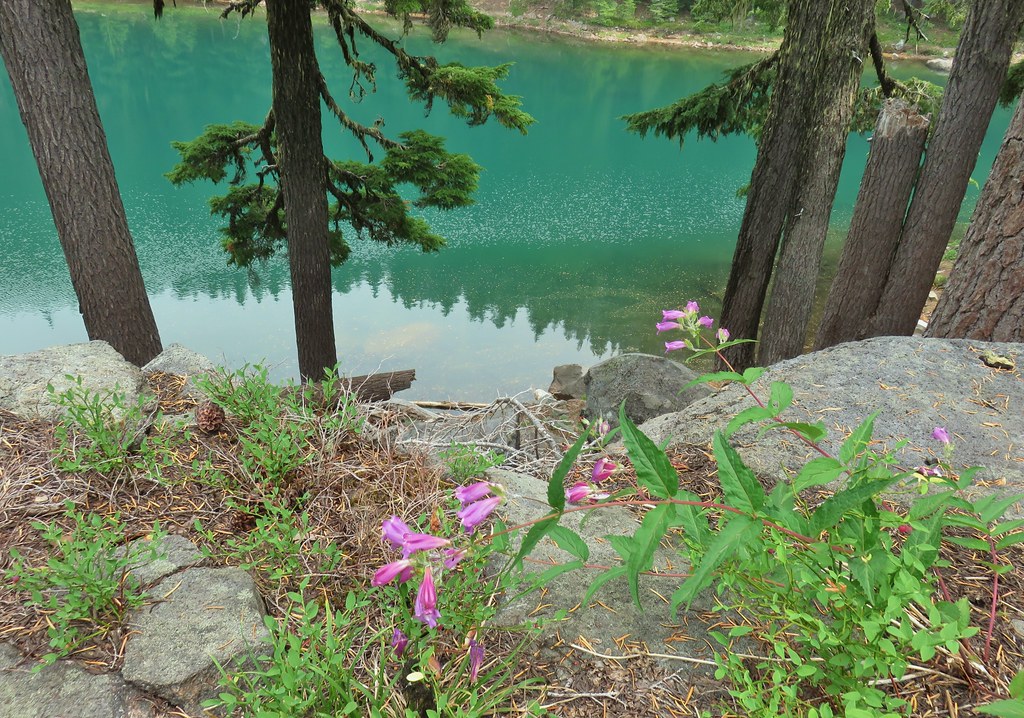
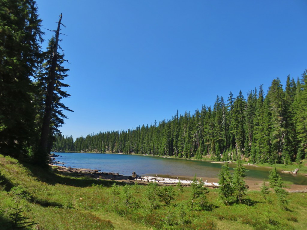
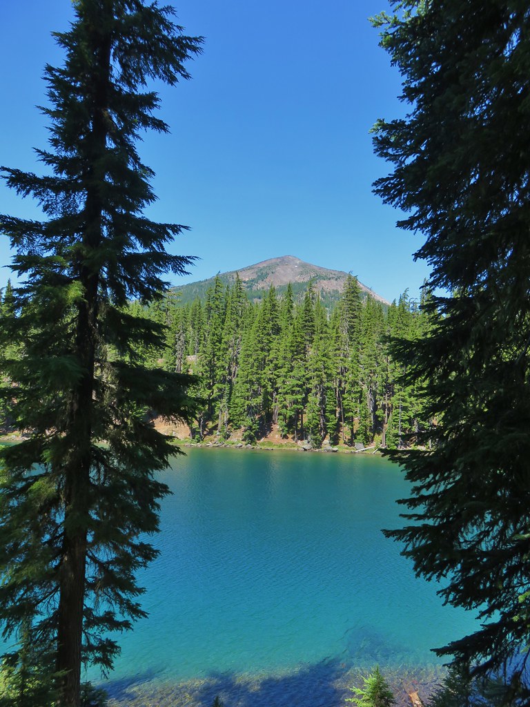
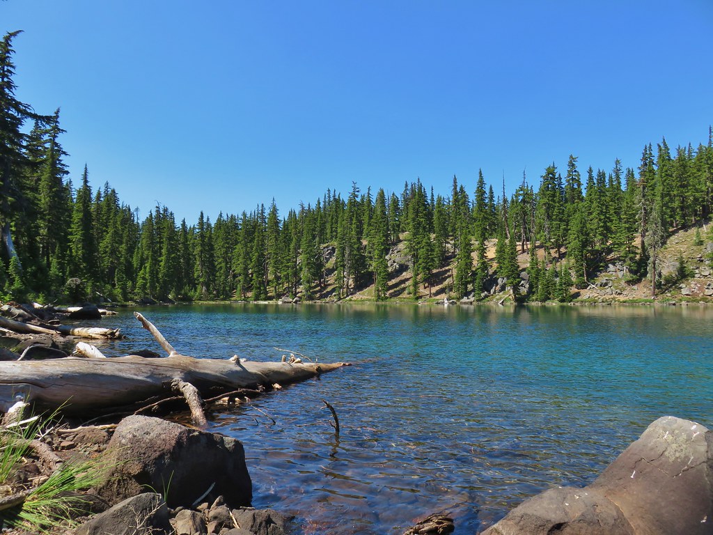
 While not big Crystal Lake was deep.
 View down from the rocky ridge on the south side of the lake.
 The rocky ridge along the south side of the lake.
 We continued a tenth of a mile beyond the lake for a dramatic view of Mt. Adams.
 We could hear a waterfall below on Riley Creek.
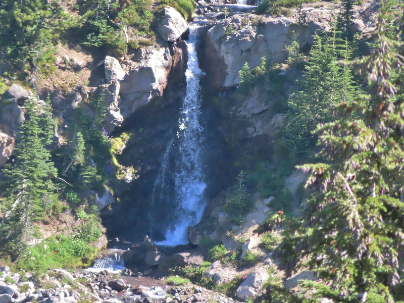 Zoomed in on the waterfall below.
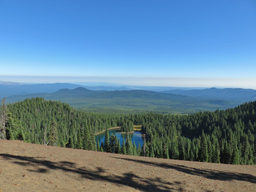
 Crystal Lake from above.
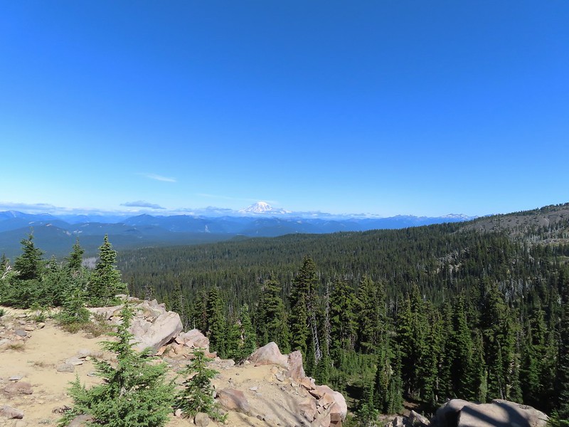 Mt. Rainier with Goat Rocks to the right.
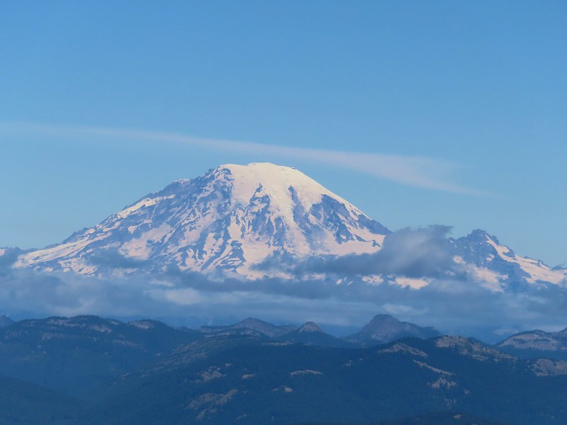 Mt. Rainier
 Some of Goat Rocks.
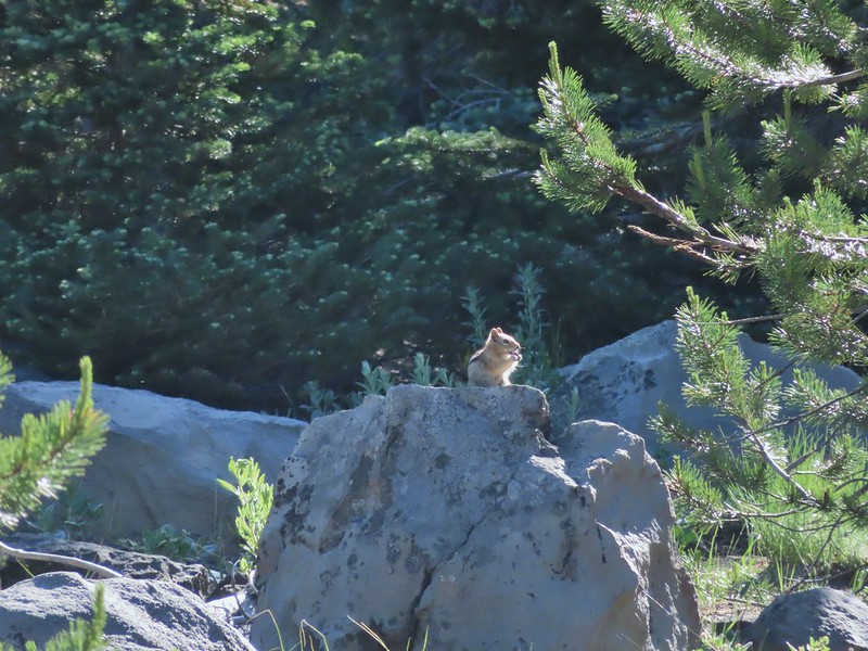
 Golden-mantled grounds squirrel
After a good break we headed back down past the lake and back to the PCT.



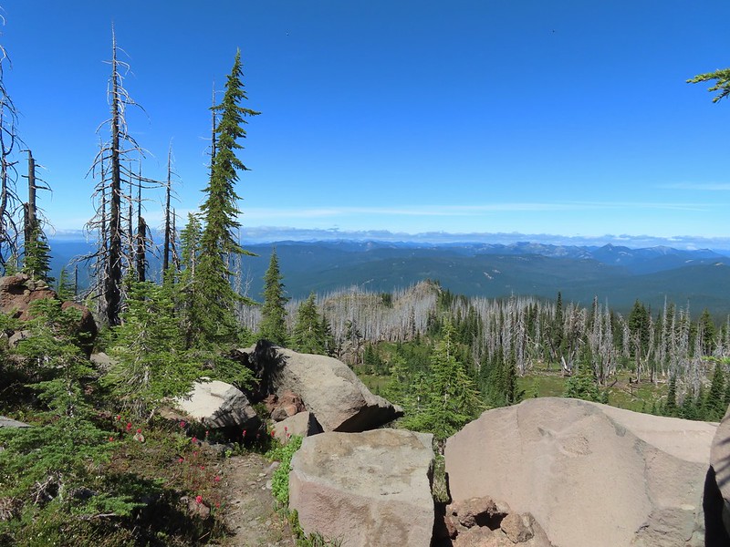 Getting ready to drop down.
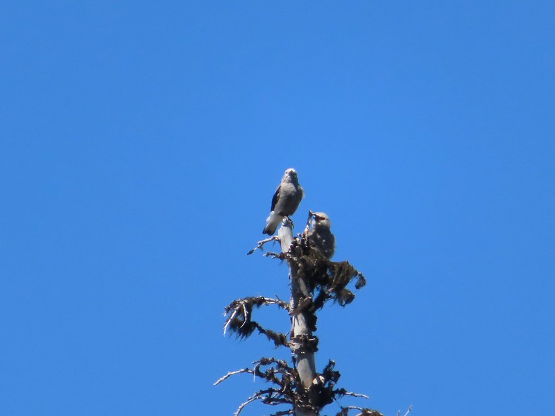 Clark’s nutcrackers
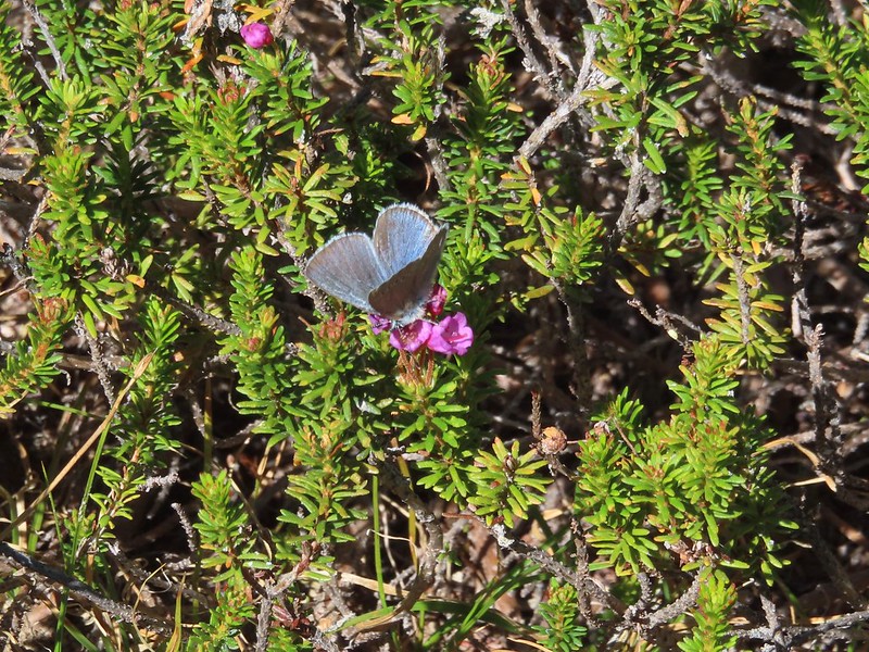 Butterfly on mountain heather.
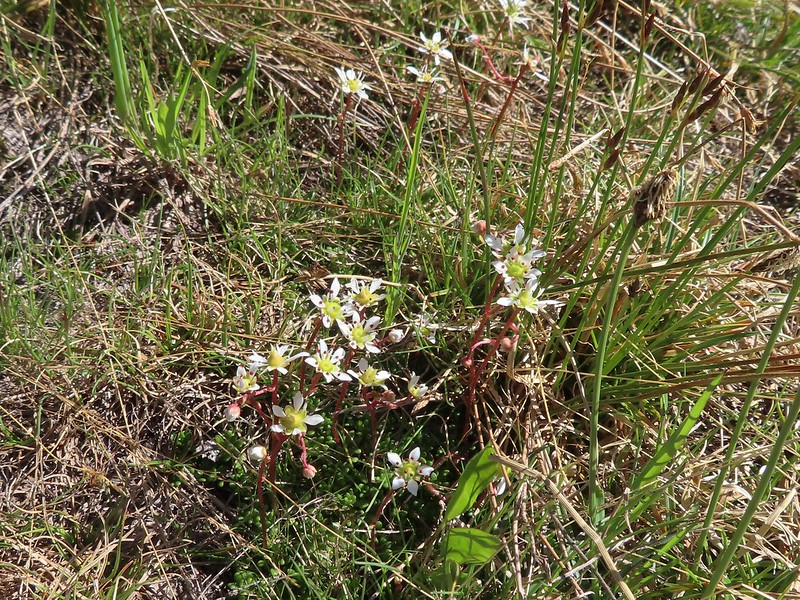 Saxifrage
 Violet
 Alpine speedwell
 A checkerspot
 A crescent
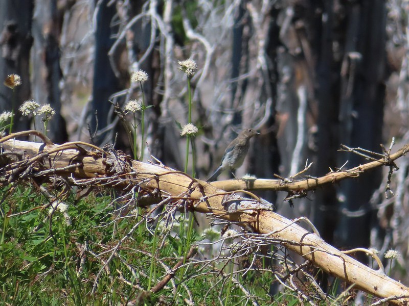 Mountain bluebird
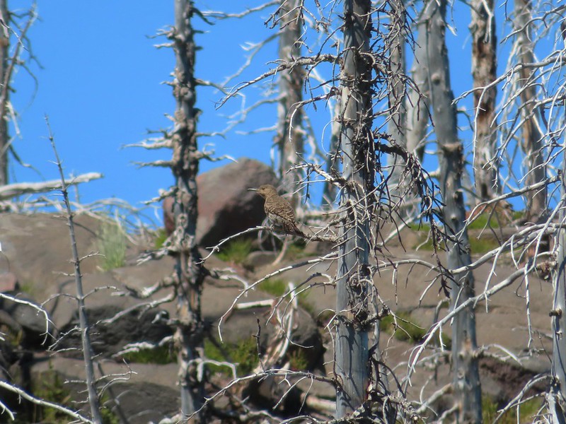 Northern flicker
 I’m guessing a warbler of some sort. We saw quite a few of these little yellow birds but had a hard time actually getting a photo.
We turned right on the PCT and followed it back to the Riley Camp Trail and then followed that trail back to our car.
 Mt. Adams from the PCT.

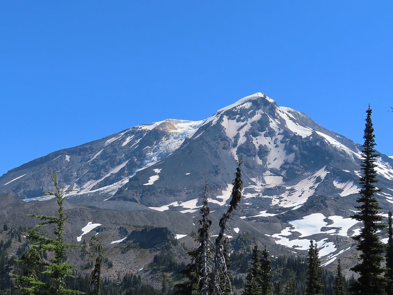
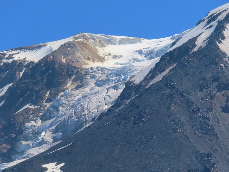 Adams Glacier
 Riley Creek at the PCT crossing.
 Wildflowers along the PCT.
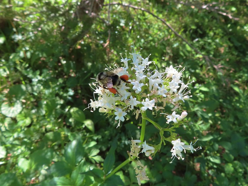 Bee on valerian
 Butterfly on valerian
 Another butterfly on valerian
 Looking back at Mt. Adams from the Riley Camp Trail.
 Passing through Riley Creek Meadows.
 Gentian
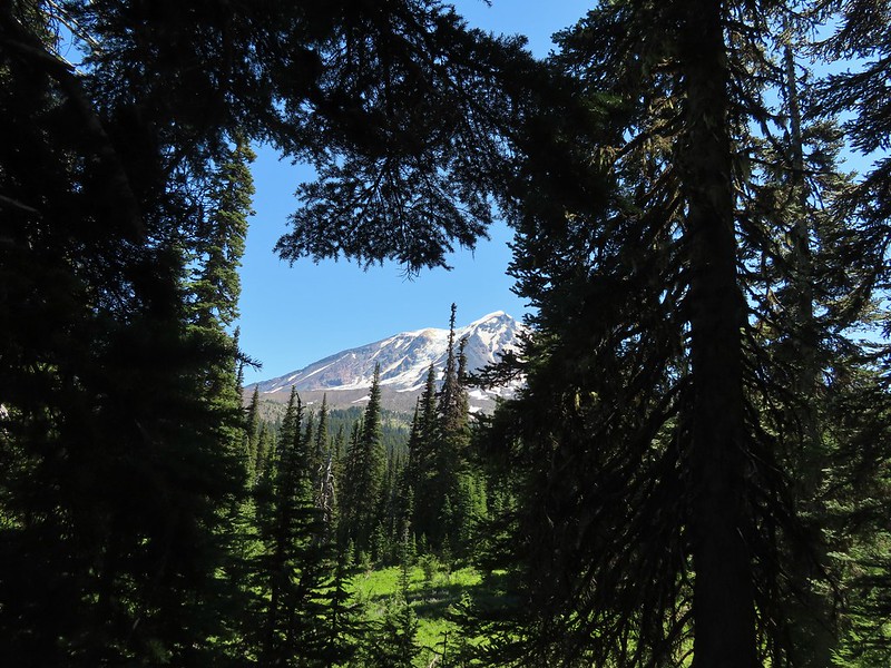
 We only saw a couple of beargrass blooms.
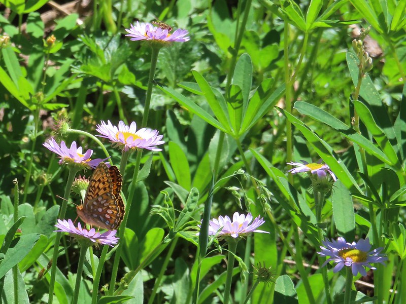 Pollinators on fleabane.
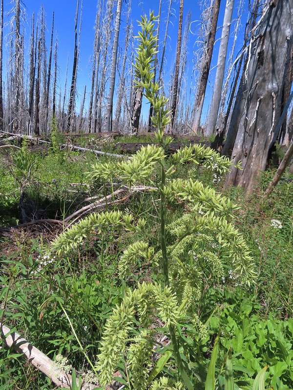 False hellebore
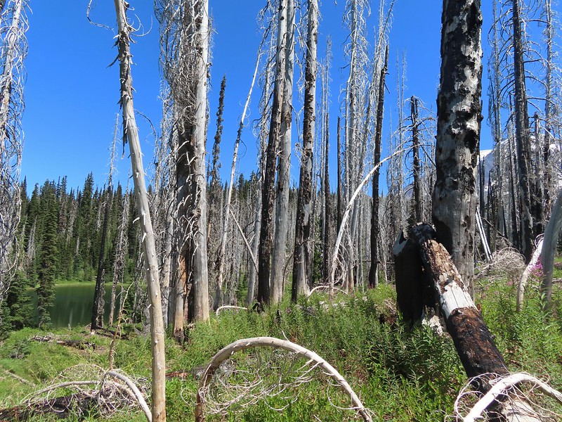 Luna Lake and Mt. Adams from the trail.
The mosquitos remained a nuisance as we made our way back to the car so we kept a brisk pace. When we arrived back at the car there was a family preparing to set off for an overnight stay. They had an extra half of a pizza due to getting a free pie after the pizzeria initially made the wrong one. They offered us the extra since they couldn’t take it with them and we gladly accepted. Lunch was solved and dinner wound up also being solved when my parents took us and our Son (who was visiting for our Nephew Tyler’s 4th birthday party) out to Gilgamesh Brewing’s The Woods. It was a great ending to the day.
Our hike to Crystal Lake came in at 12.6 miles with approximately 2900′ in cumulative elevation gain. While I typically don’t share tracks for off trail hikes this one is listed on several prominent hiking websites so am including it below. If you do visit please be respectful, tread lightly, and Leave No Trace. Happy Trails!

Flickr: Crystal Lake

 The deepest hole, it doesn’t look too bad here.
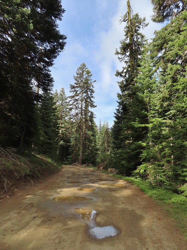 Potholes on FR 20. These turned out to be the worst of the stretch between the junction and Siskiyou Gap but we didn’t know that until we’d walked this road later in the day.
 The PCT was just a few yards into the forest from the FR 20/22 junction.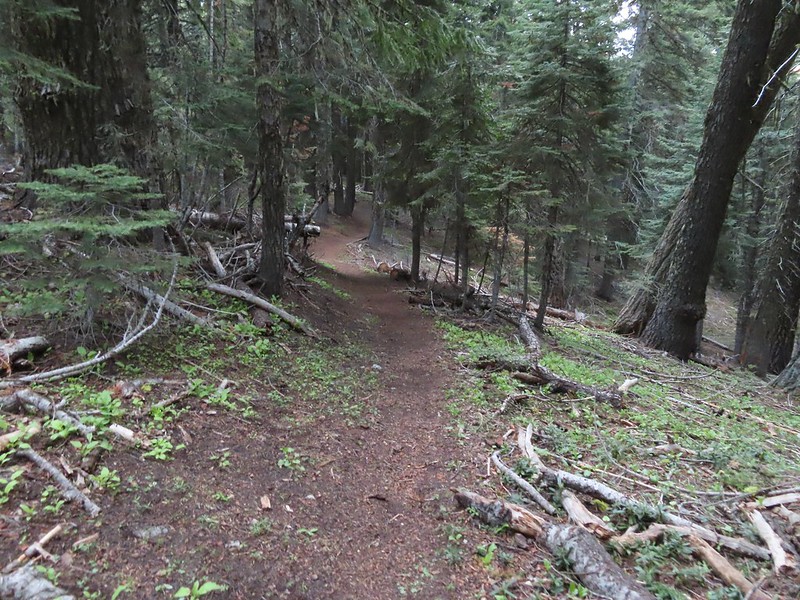
 Jessica sticktight?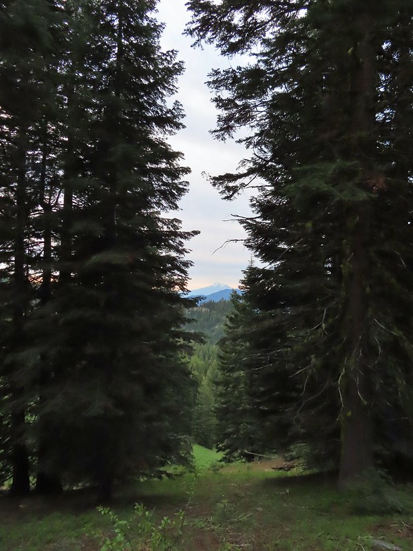
 Mt. Shasta and Black Butte (
 Paintbrush
 Siskiyou Peak from the PCT.
 Lupine and pussypaws
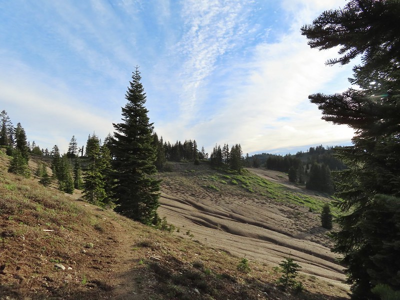 The PCT heading toward Mt. Ashland from the ridge where we left it.
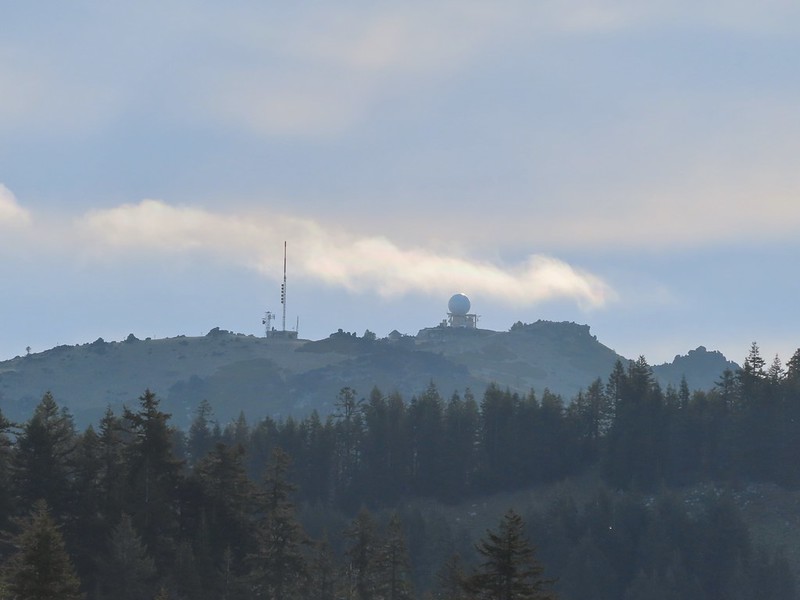 Towers on Mt. Ashland.
 The trail up Siskiyou Peak.
 Observation Peak to the left, where we had been the day before with Big Red Mountain on the right, where we were going later today.
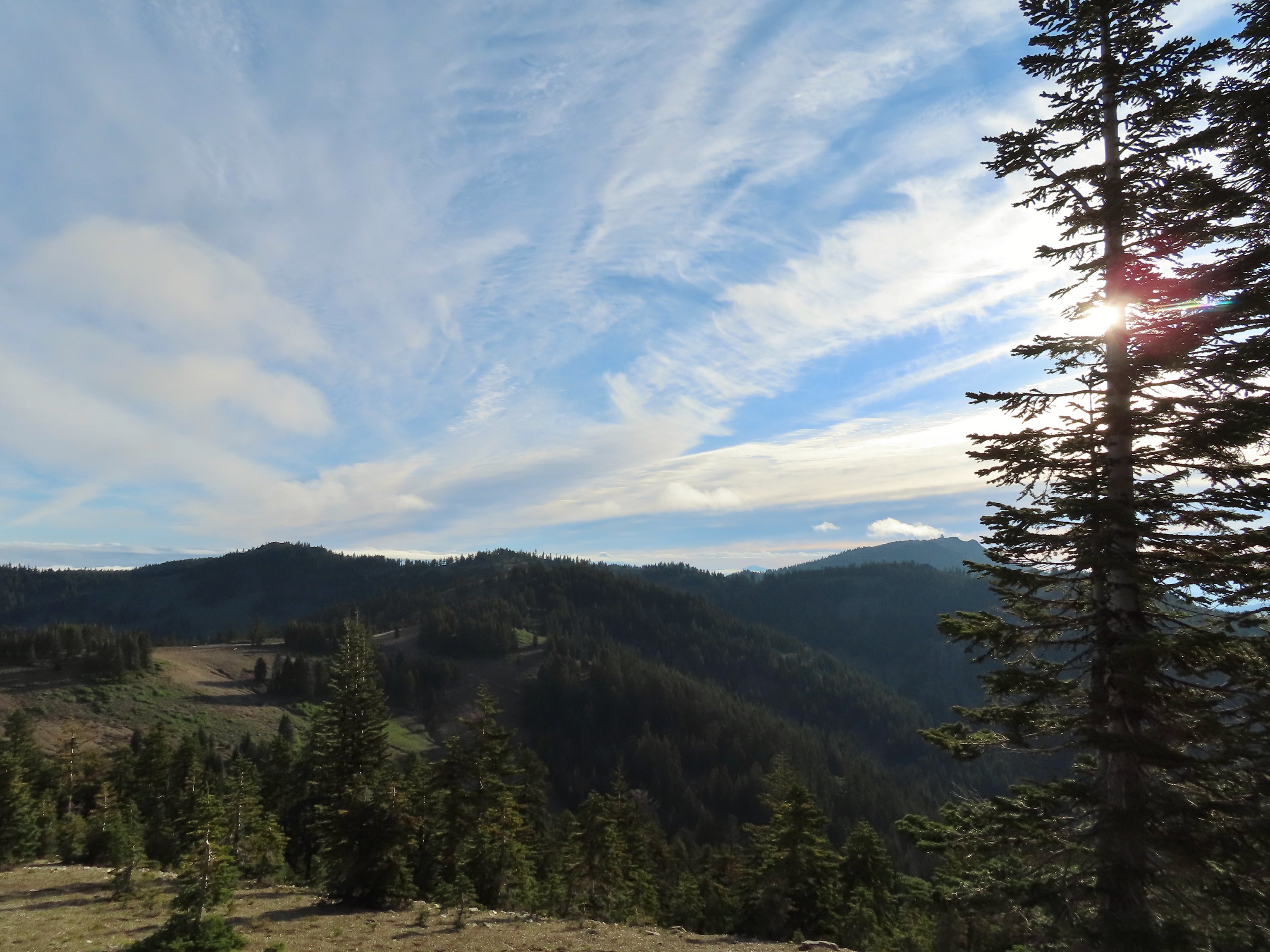 Mt. Ashland to the right.
 Mt. McLoughlin (
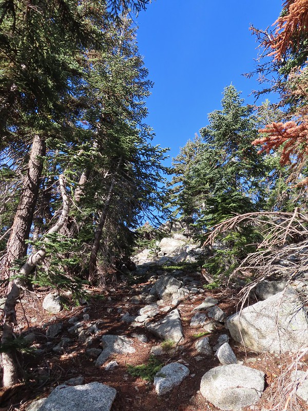 The final rocky climb to the summit.
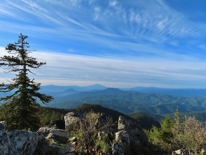 Mt. Shasta from the summit.
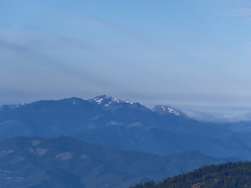
 The snowy Marble Mountains (
 Some of the Marble Mountains.
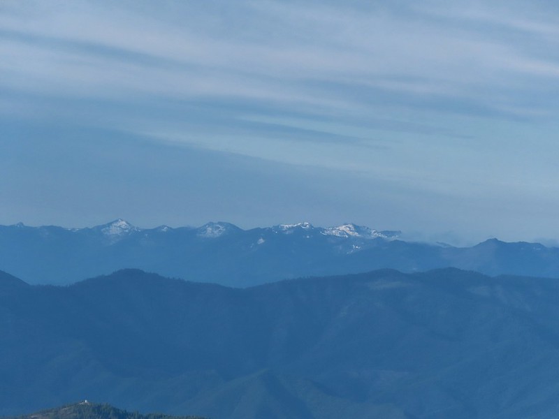 I believe these are peaks in the Russian Wilderness.
 Observation Peak and Big Red Mountain with Dutchman Peak in a cloud behind Big Red.
 Our shadows from the summit.
 Dutchman Peak emerged from the clouds to make an appearance over Big Red Mountain.
 Wagner Butte (
 Arriving at the junction.
 Trillium along FR 20.
 California Jacob’s ladder
 FR 20 looking a little better here.
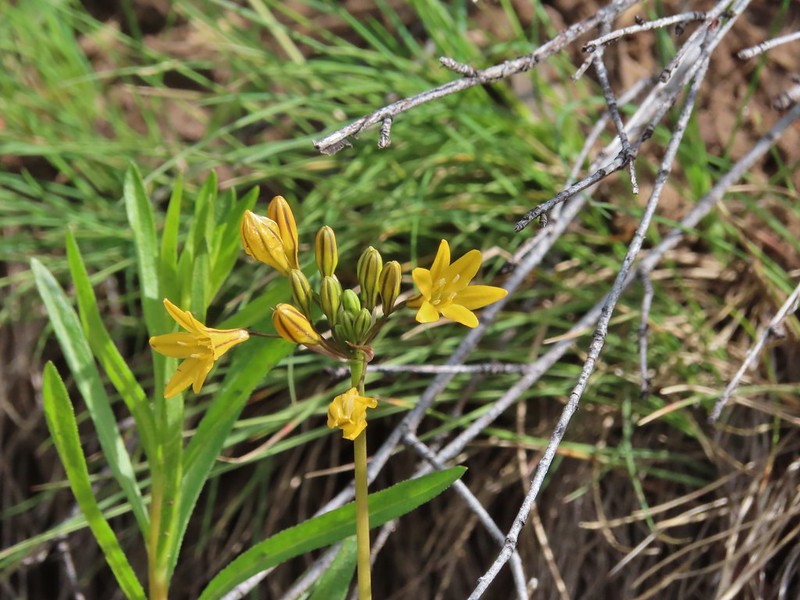 Pretty face
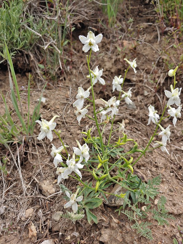 Larkspur
 Larkspur
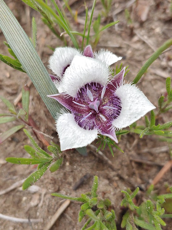 Mariposa lily
 FR 20 became a little rutted just before Siskiyou Gap.
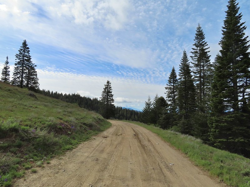 Mt. Shasta from the gap.
 Mt. Shasta
 Siskiyou Gap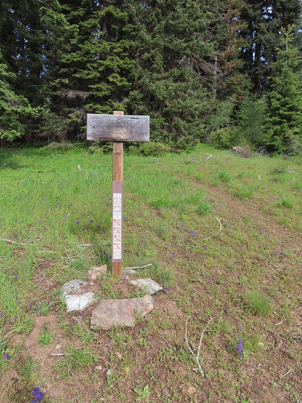

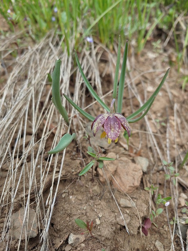 Chocolate lily
 Violets, larkspur and alpine pennycress.
 Ballhead waterleaf
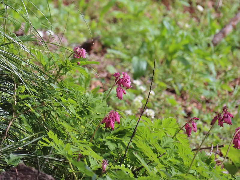 Bleeding heart

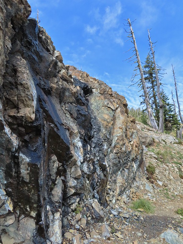 A trickle of water flowing down over the rocks along the trail.

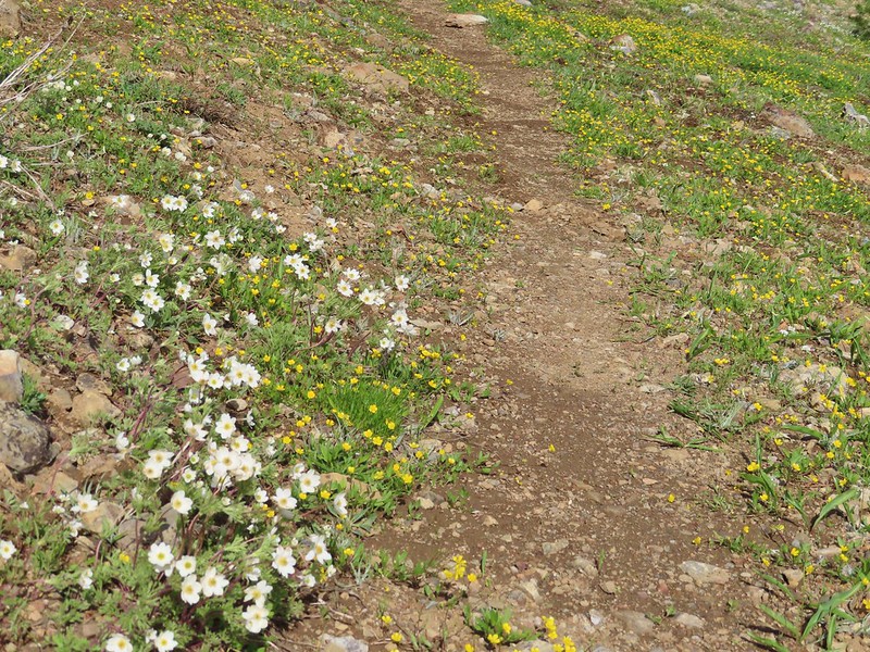 Anemones and buttercups
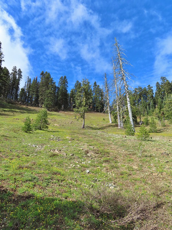 It’s hard to tell just how many flowers there were from the photo but it was very impressive to the naked eye.
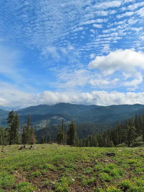 A cloud over Wagner Butte which stayed this way the rest of the day.
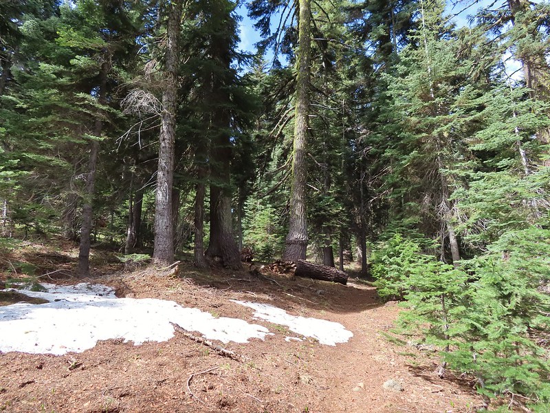 A few small patches of snow were all that was left along the PCT.
 Starting to leave the trees behind as the PCT passes below Big Red Mountain.
 Looking toward Medford to the NE.
 Upper Table Rock (
 You could see where this large chunk of rock used to be.
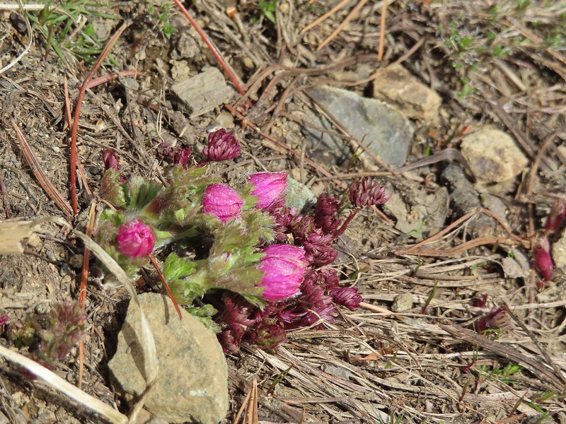 Something budding out.
 Dummond’s anemone – the blueish/purplish hue on some was quite pretty.
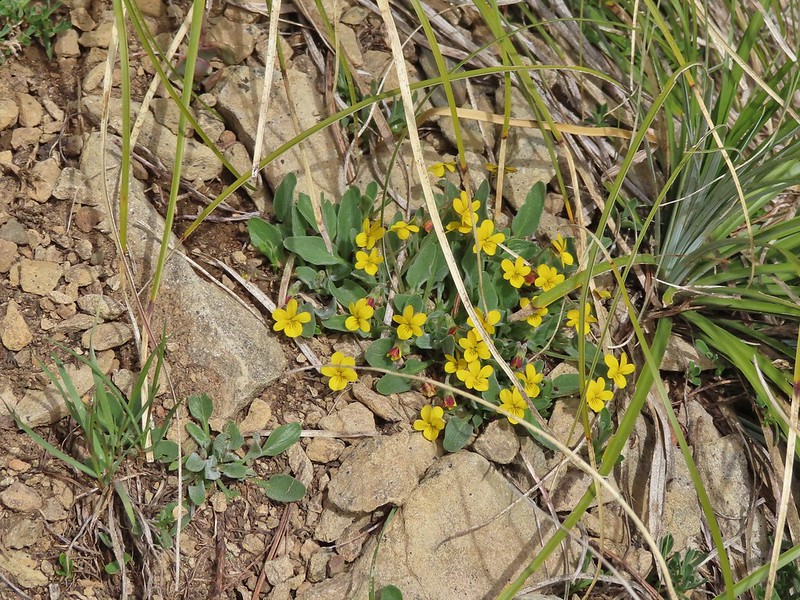 Violets
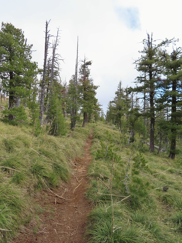 There was a decent sized beargrass meadow along this section which appeared to have bloomed last year.
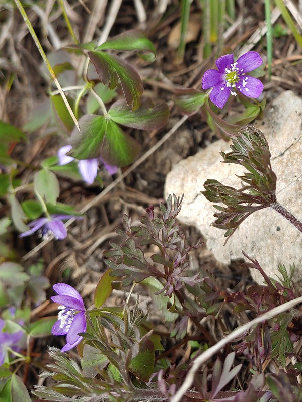 Anemones
 A saxifrage
 Siskiyou Peak from the trail.
 Splithair Indian paintbrush and a lomatium.
 Phlox
Phlox A small green pond and two of the Monogram Lakes.
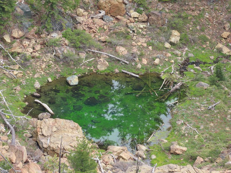 The green pond.
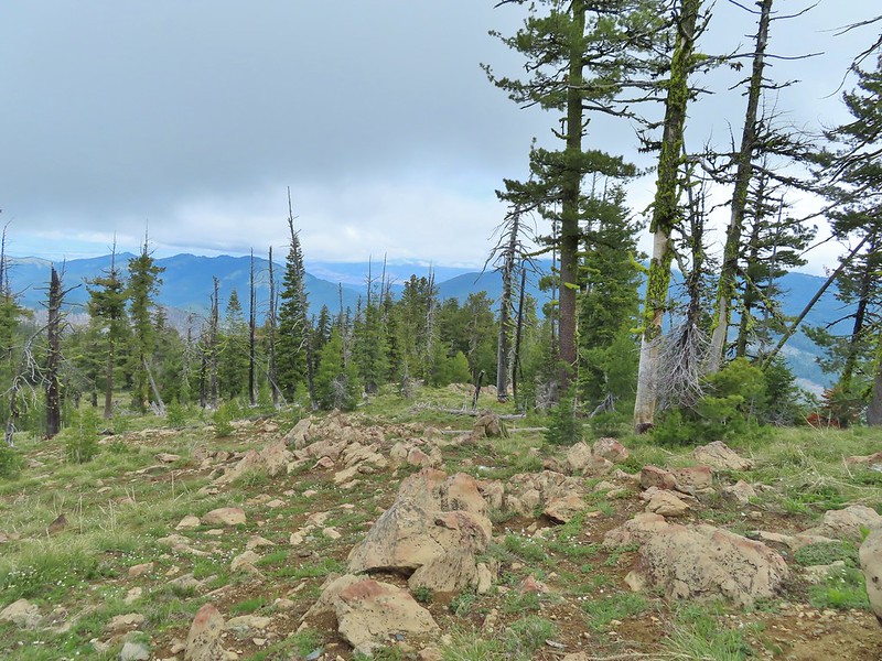 Looking down the ridge.
 Heather sitting up on the PCT while I made my way down the ridge.
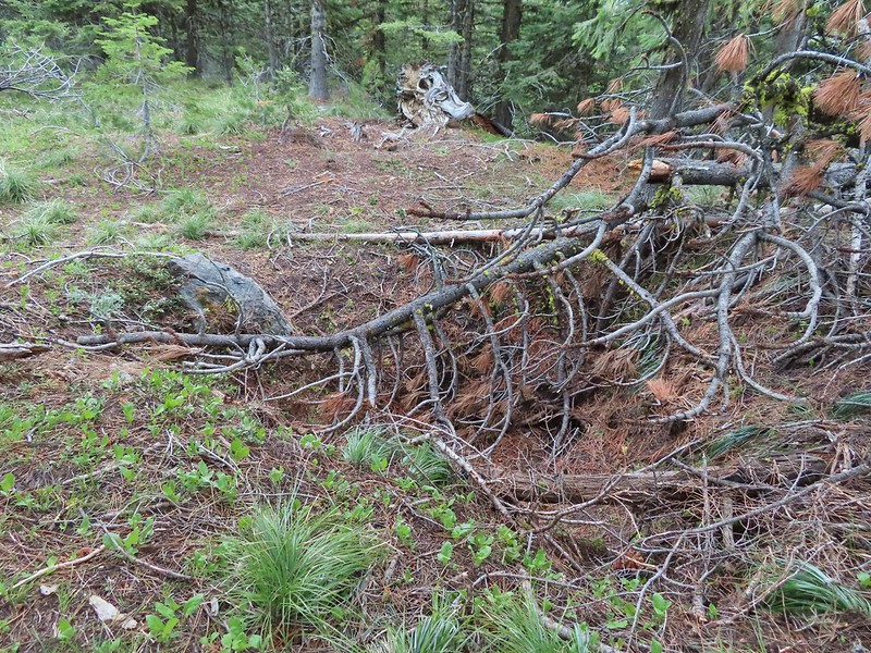 The pit with the mining trail on the far side.
 Old mining trail.
 The mining cart.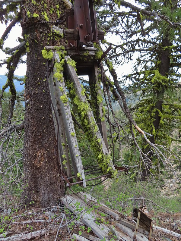
 Cable running up to the snag.


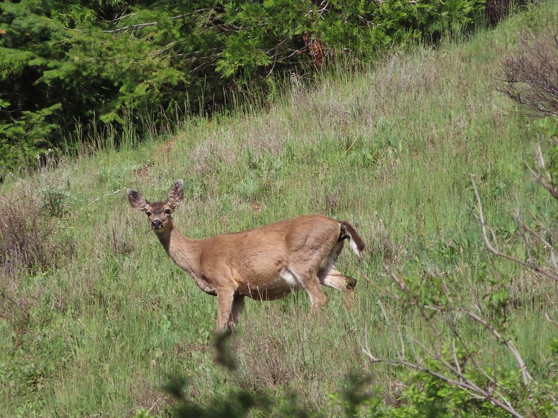
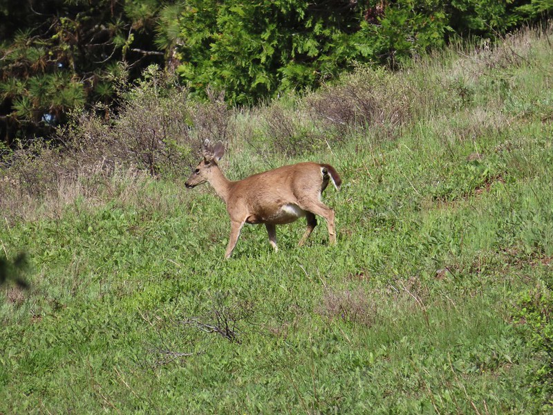
 I spotted something moving down in the meadow here.
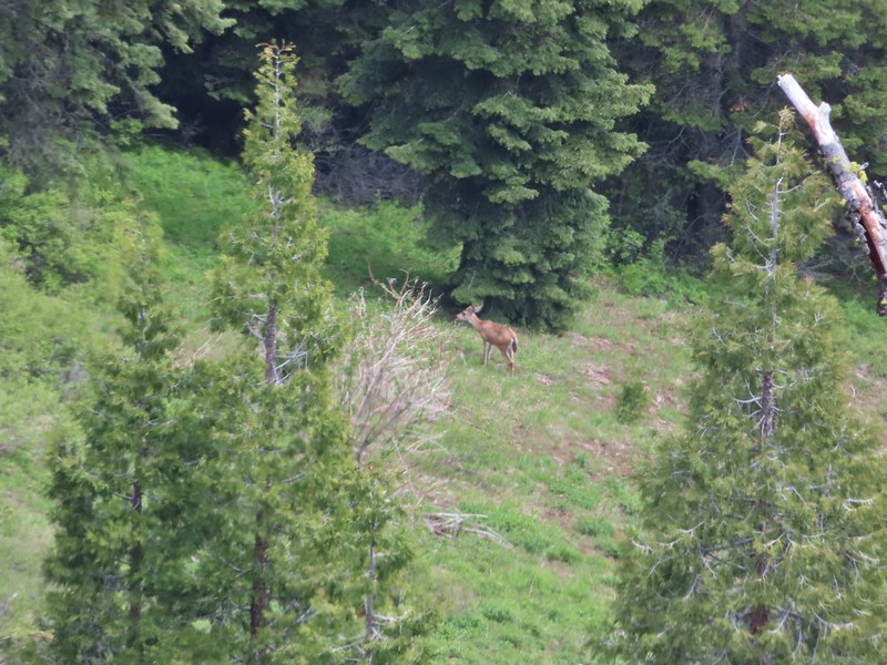 Had too use a lot of zoom to determine it was a deer.
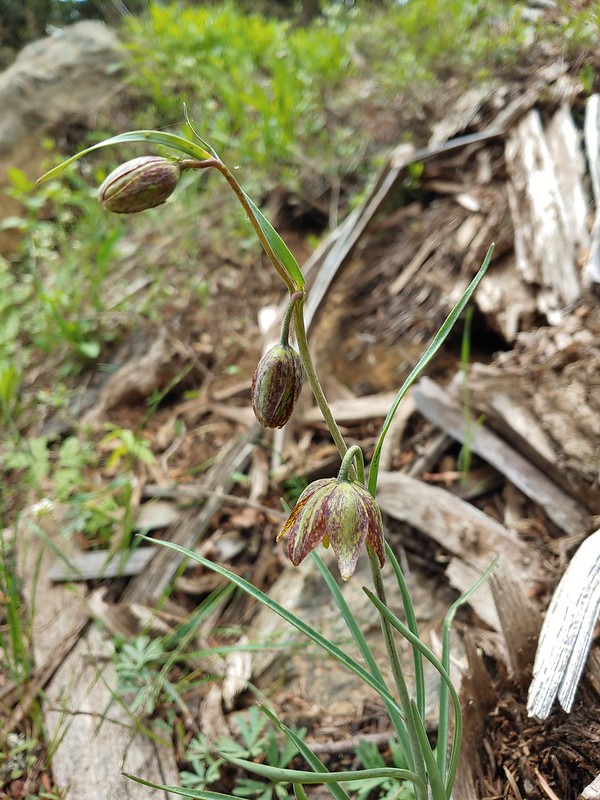 Chocolate lily
 Mt. Shasta and Black Butte from Siskiyou Gap on the way back.
 Our final view of Mt. Shasta this trip.
 Mt. Eddy (

 The PCT heading south from the Stateline Trialhead
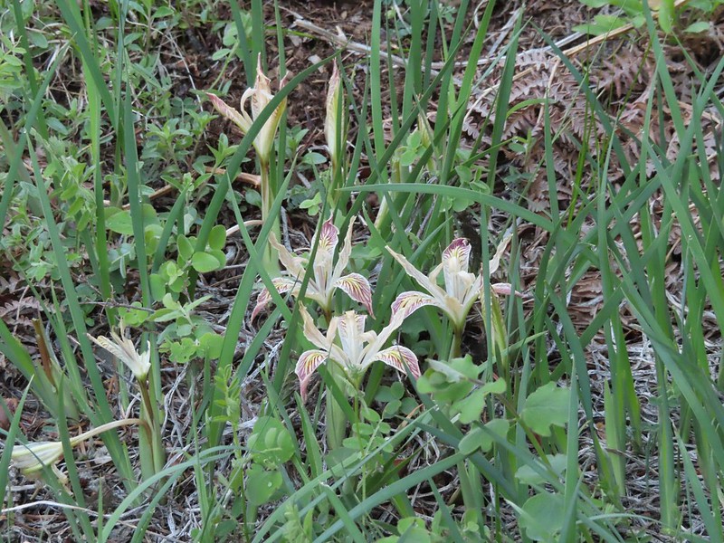 Iris
Iris
 A register is located 0.4 miles from the trailhead at the Oregon/California border.
 We were long overdue for a visit to California, our last hike in the state was way back in 2018 at the Lava Beds National Monument (
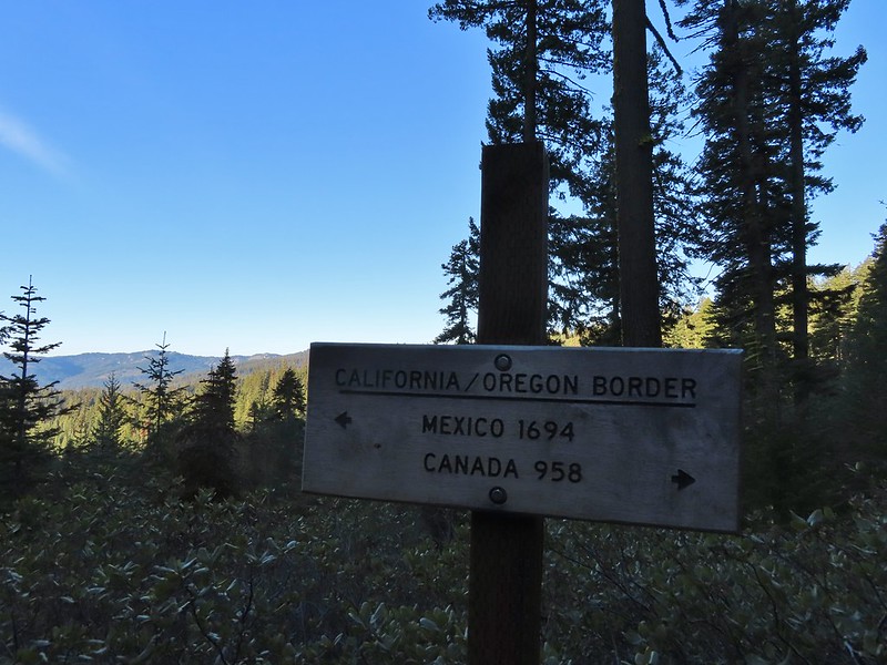 A good reminder of how much of the PCT is located in CA.
 Pussytoes
 First look at Donomore Meadows.
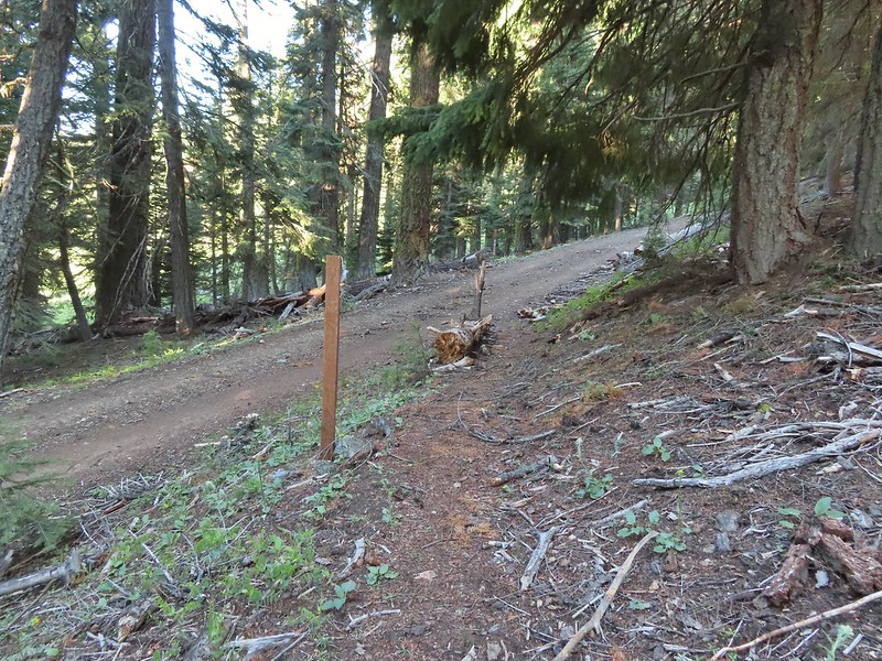 This road crossing is just over a mile from the trailhead. The Donomore Cabin is just up the road to the right.
 The cabin was built in 1935.
 The meadow below the cabin.

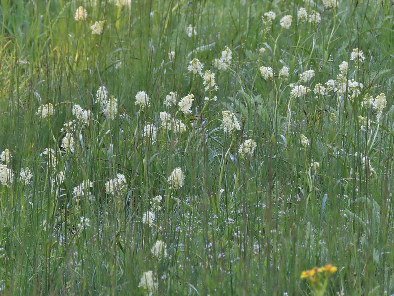 Death camas in the meadow.


 Mariposa lily
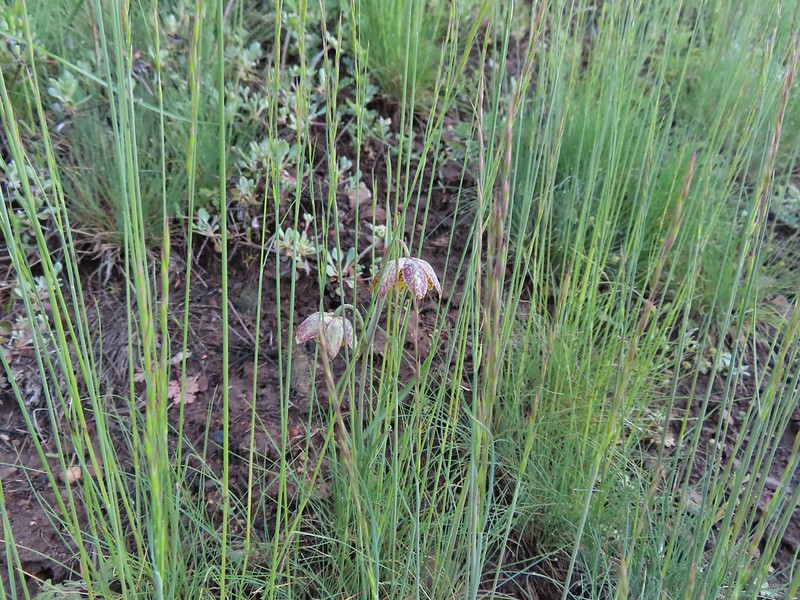 Chocolate lily
 Cinquefoil?
 Violets
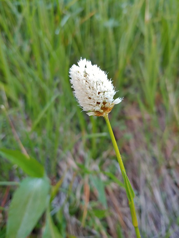 Bistort
 Heather passing through the meadow.
 There wasn’t much to the brushy creek but it made for a definitive turnaround point.
 California ground cone
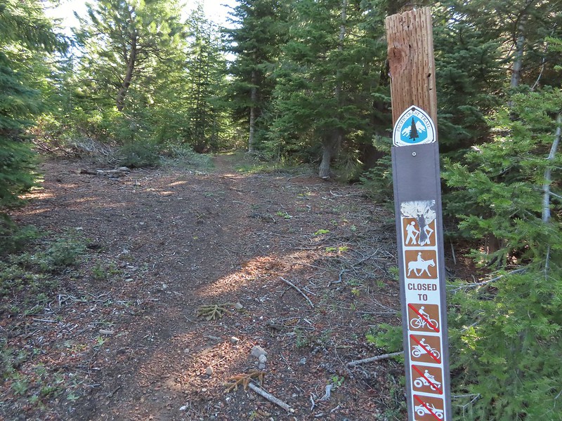 PCT heading north from the Stateline Trailhead.
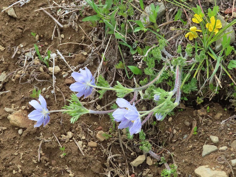
 Pasque flower
 Grayback Mountain in the distance with a small patch of snow.
 One of three springs the trail passes on the way to Observation Peak.
 Marsh marigolds
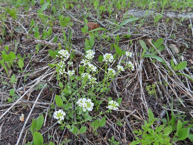 Alpine pennycress
 Another spring with marsh marigolds and glacier lilies.
 Scraggy Mountain
 Looking SE to the Red Buttes (
 Kangaroo Mountain and Red Butte with Preston Peak, Twin Peak and El Capitan behind in the Siskiyou Wilderness.
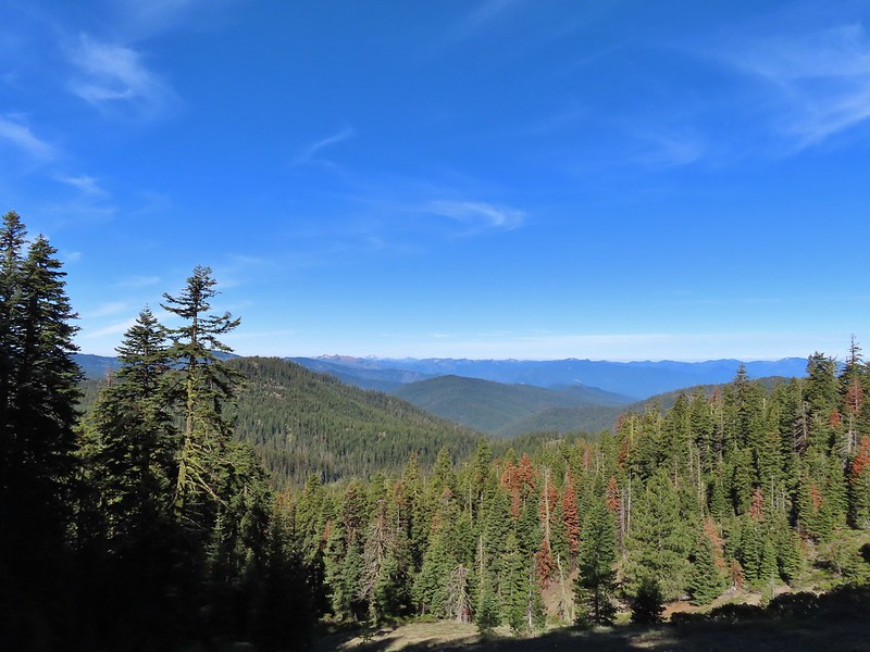
 View south.
 Part of the Marble Mountains (
 Kettle Lake through the trees.
 Heading up to the ridge.
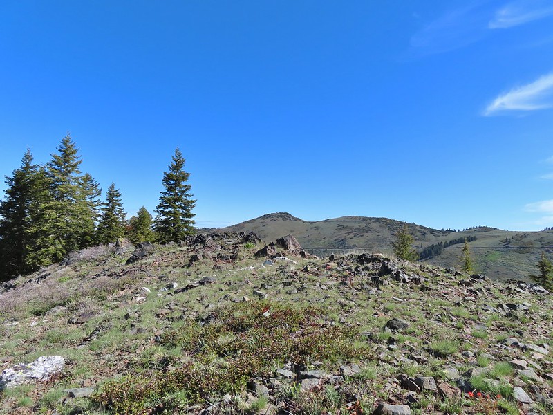 Dutchman Peak from the ridge.
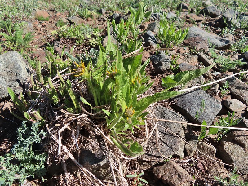 Not sure if these are mule’s ears or a balsamroot.
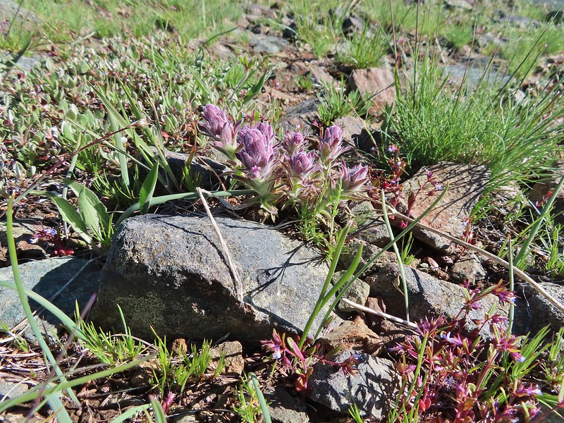 Splithair Indian Paintbrush (Castilleja schizotricha)
 Swallowtail on phlox.
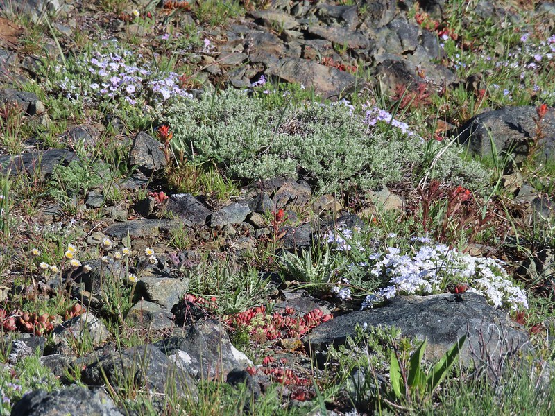 Wildflowers on the ridge.
 Cutleaf daisy?
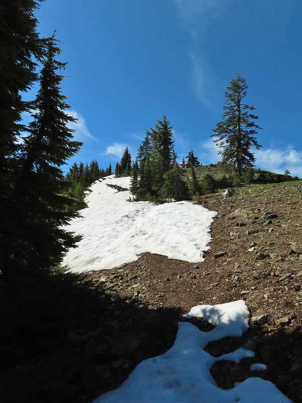 Snow drifts covering the PCT.
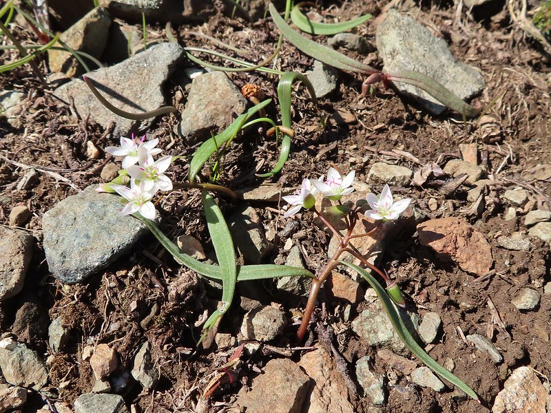 Lance-leaf Spring Beauty
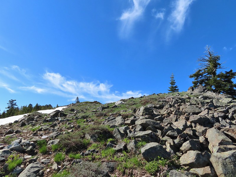 Heading for the summit.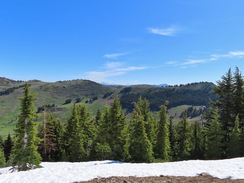

 Pilot Rock (
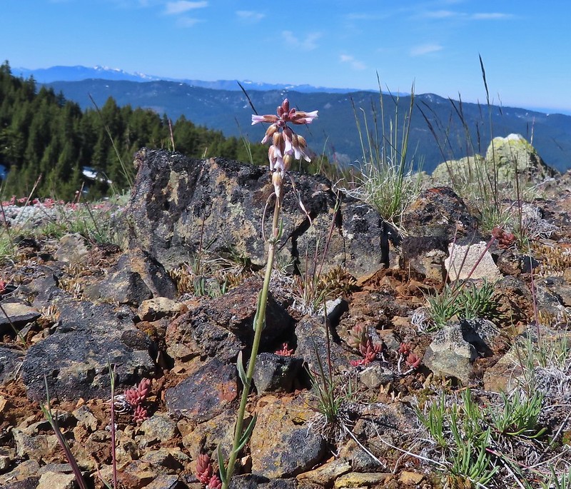 A rockcress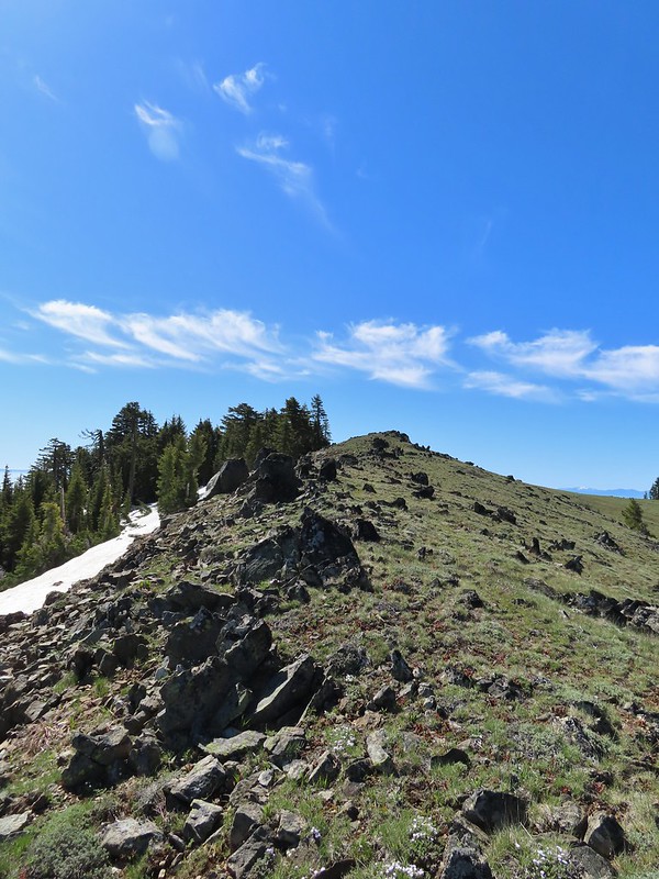

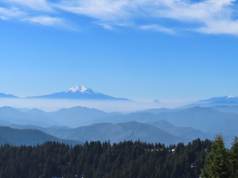 Mt. Shasta above a layer of smoke that mostly hid Black Butte (
 I think these peaks are a mix of the Russian Wilderness in the forefront and Trinity Alps behind. Bruce correct me if I am wrong on that :).
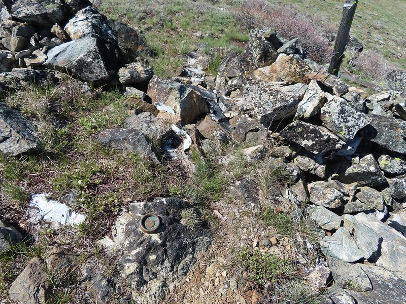 Rock pile at the summit.
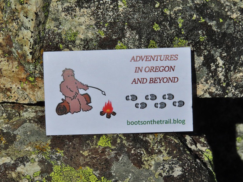 Our big find. I took a couple of pictures and put the card back for someone else to find (and added one of ours).
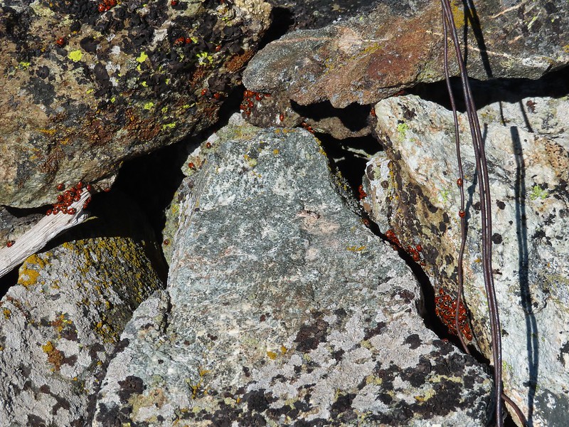 There were dozens of ladybugs in the rock pile.
 One of many photos of Mt. Shasta. We don’t get too many chances to see this Cascade Mountain.
 We could see Mt. Thielsen (
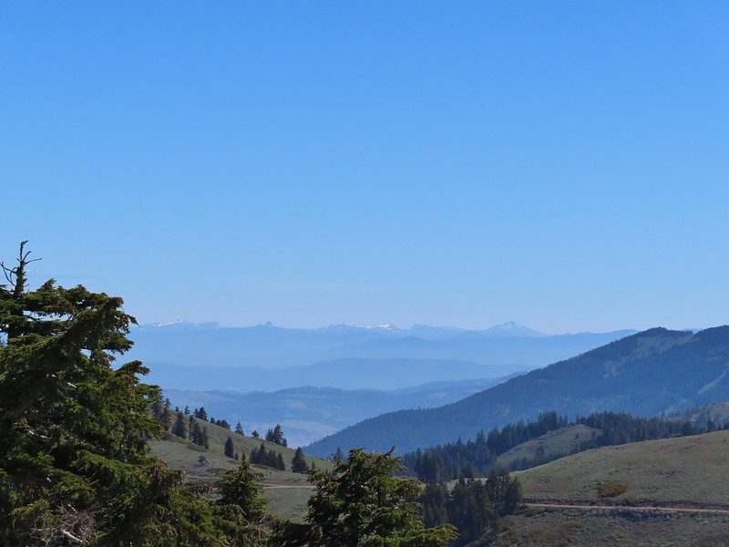 The peaks around the rim of Crater Lake.
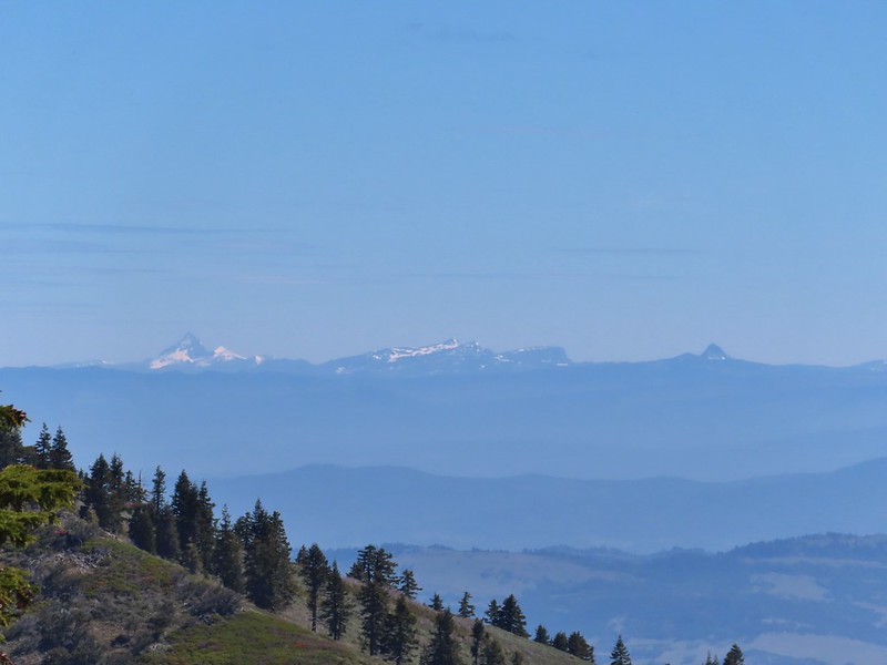 Mt. Thielsen to the left of Crater Lake.
 Mt. Bailey (
 The Red Buttes in front of Preston Peak.
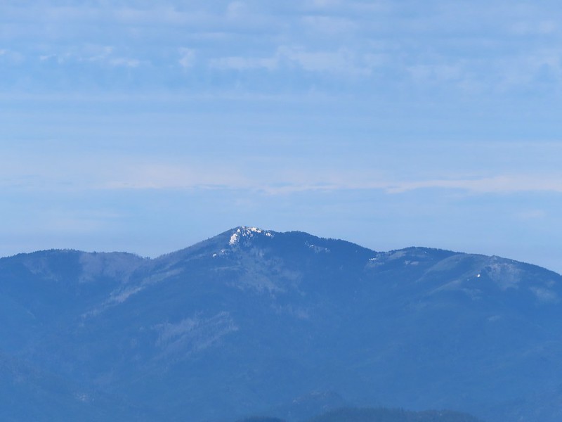 Grayback Mountain
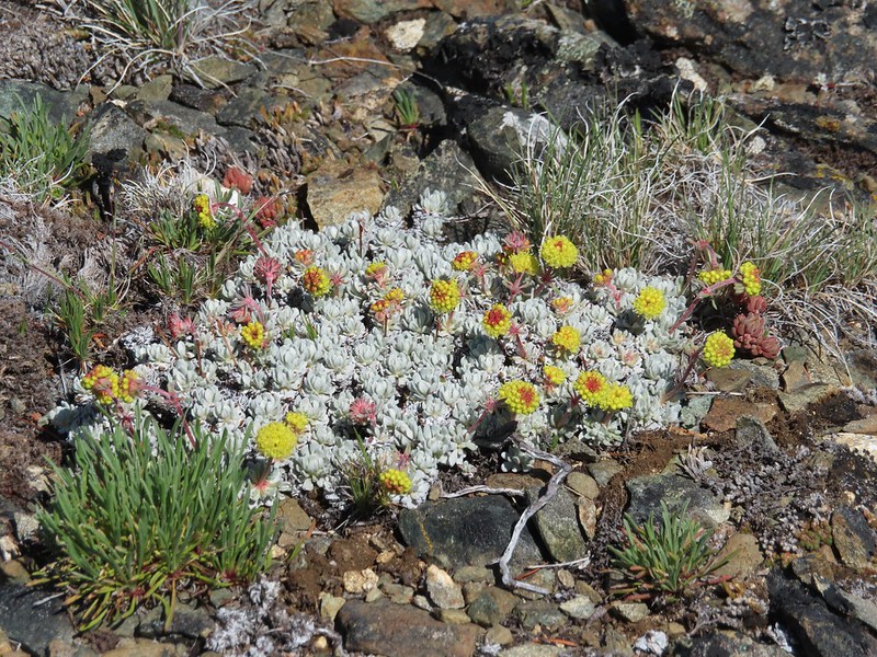 Buckwheat
 Alpine pennycress
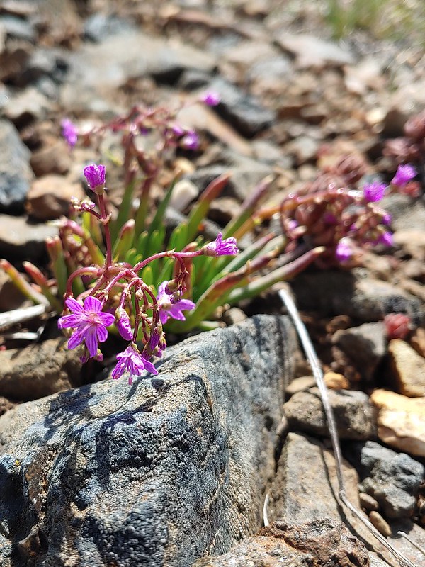 Quill-leaf Lewisia
 Larkspur
 Chipmunk having a snack.
 One of two hairstreaks we encountered on the PCT.
 The 2nd hairstreak.
 Where I left the PCT.
 Lots of this orange fungus in the forest.

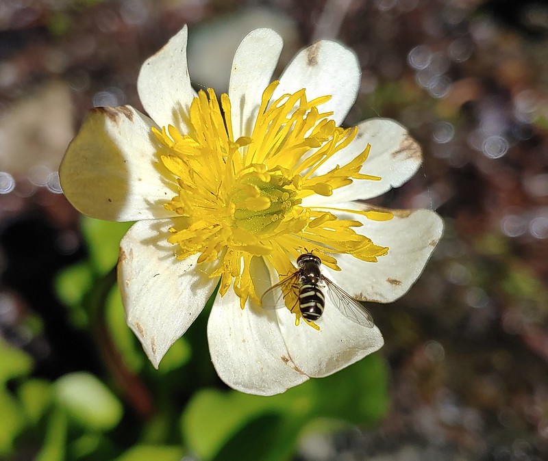 Bee on a marsh marigold.
 Glacier lily
 Trillium
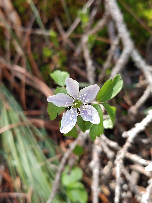 Anemone
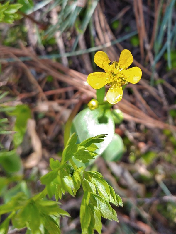 Buttercup?
 Passing through the manzanita section.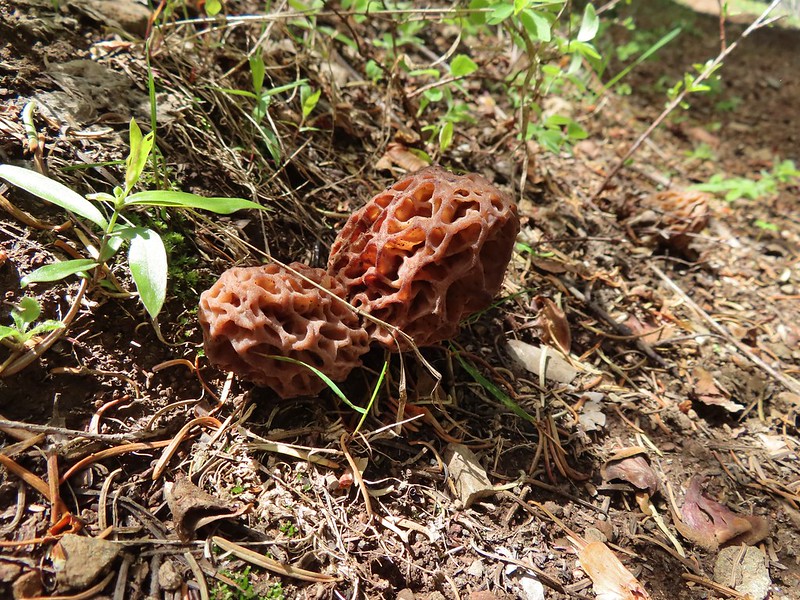


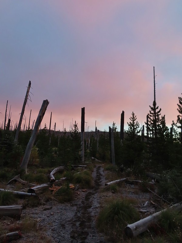
 Black Crater (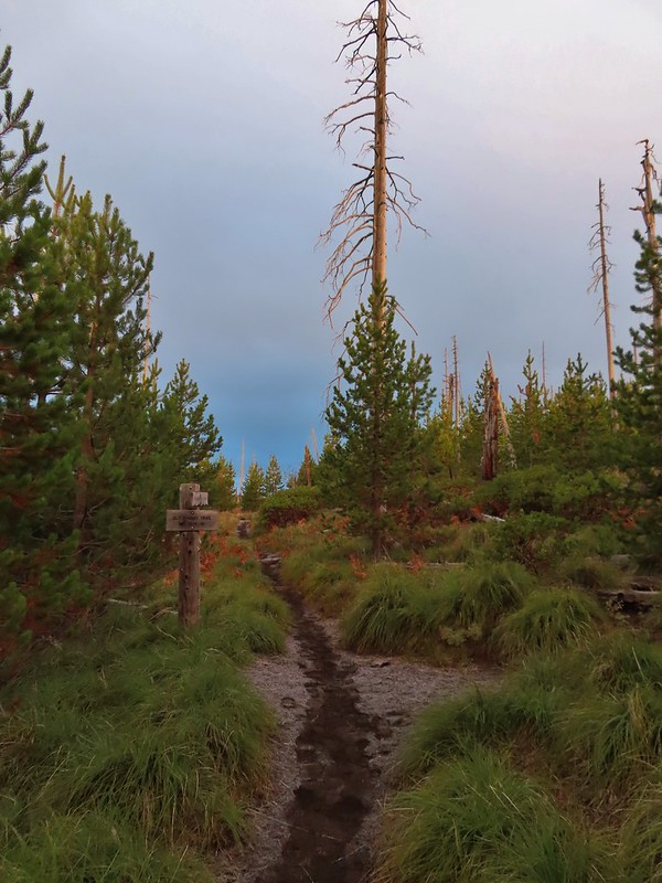

 Black Crater and North Sister
 Black Crater, the top of Broken Top, some of the Sisters, and part of Mt. Washington.
 Hayrick and Hoodoo
 Between Mt. Washington and Hayrick Butte is Scott Mountain (
 Cache Mountain is the high point furthest to the left.
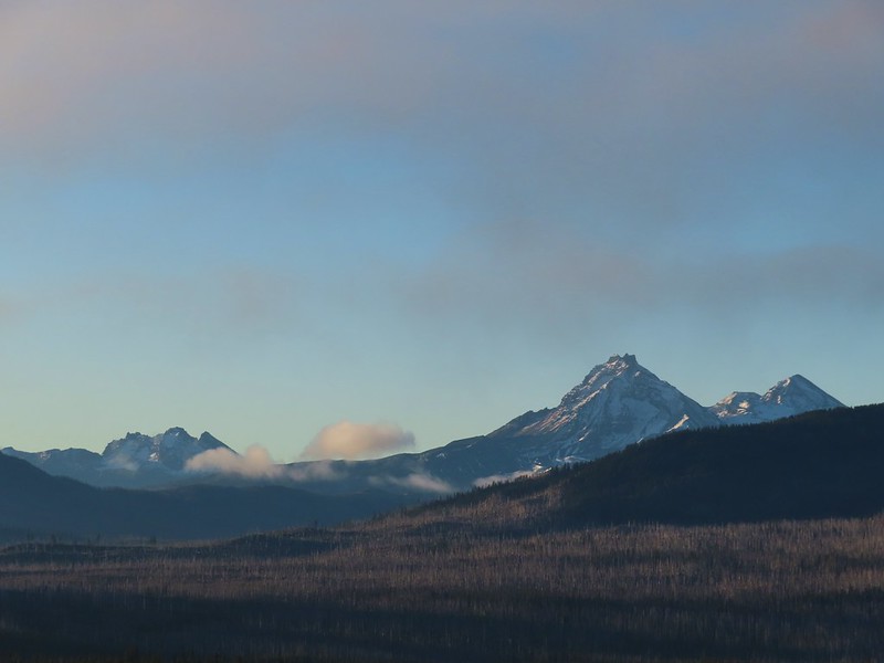 Broken Top and the Three Sisters
 Mt. Washington
 The Three Sisters. The summit of South Sister is between North and Middle Sister behind 9321′
 Black Butte (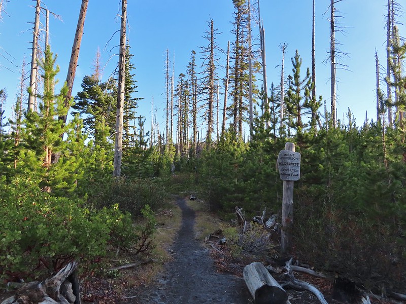
 A different angle from 2012.

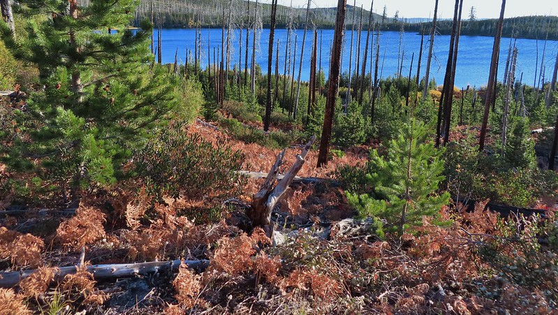 One white rump with a black tail amid the ferns near the center of the photo (good luck).
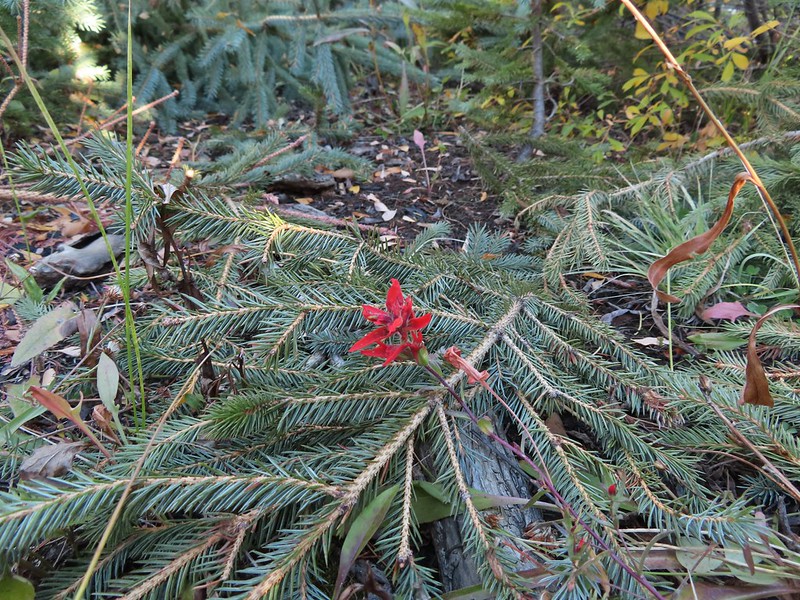 The only paintbrush we would see all day.
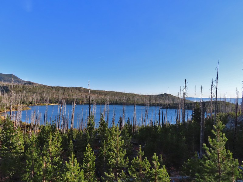
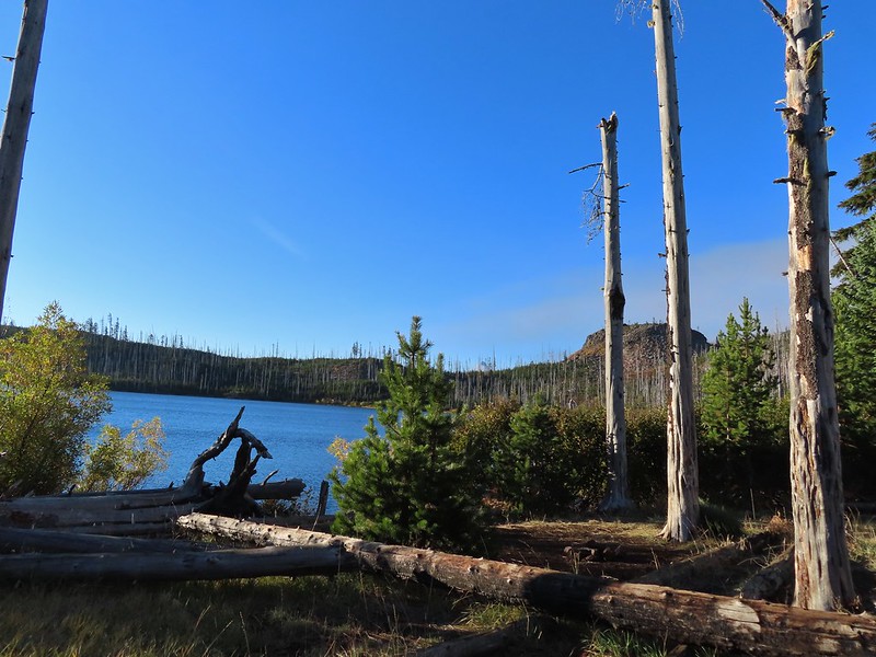 The top of Mt. Washington is just visible on the other side of Square Lake.

 Mt. Washington’s spire again.
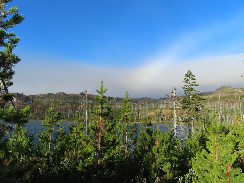 A rainbow was trying to form to the west.

 Lodgepole pine seeds require fire in order to be released from their tight cones.
 Our first sighting of Long Lake (zoomed in).

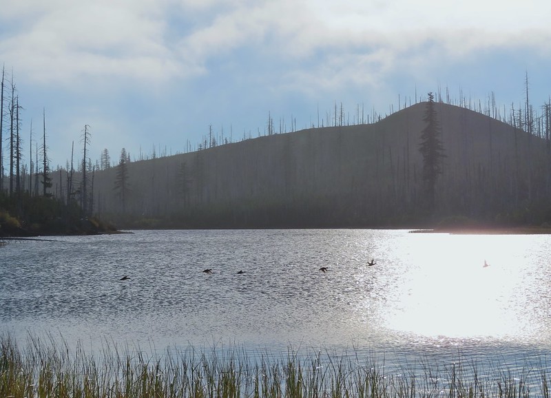 Ducks taking off from Long Lake.
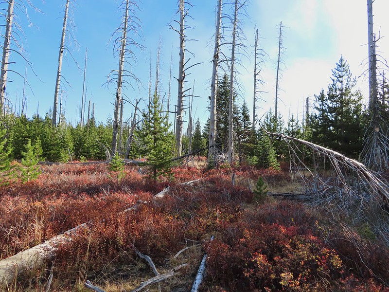
 This is one of the areas that we could see getting pretty muddy/wet.
 Rainbow
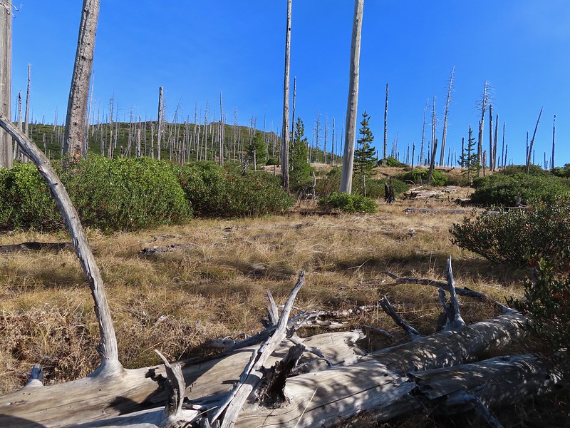 The Round Lake Trail just on the other side of the downed tree.
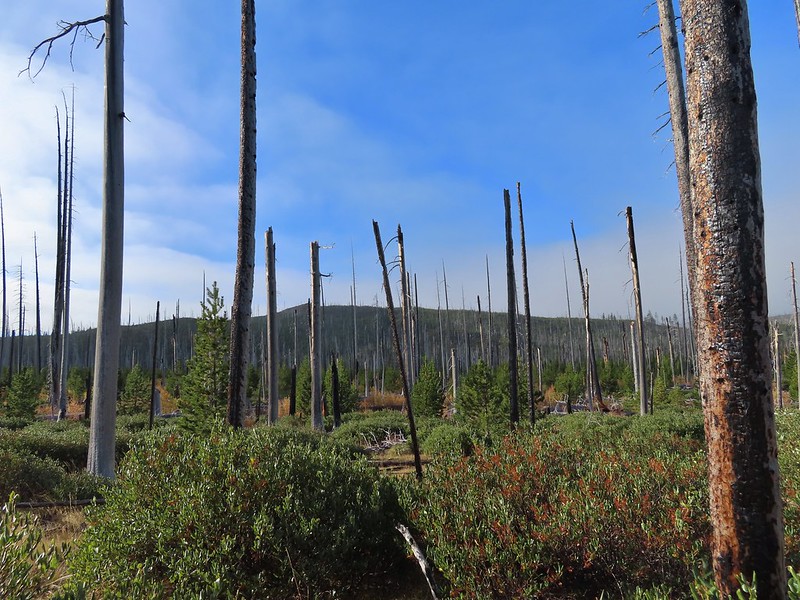 Long Lake is back down that way somewhere.
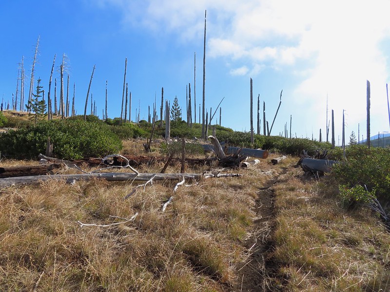 Back on the Round Lake Trail.
 Black Butte shedding the morning clouds.
 The top of Three Fingered Jack behind some thin clouds.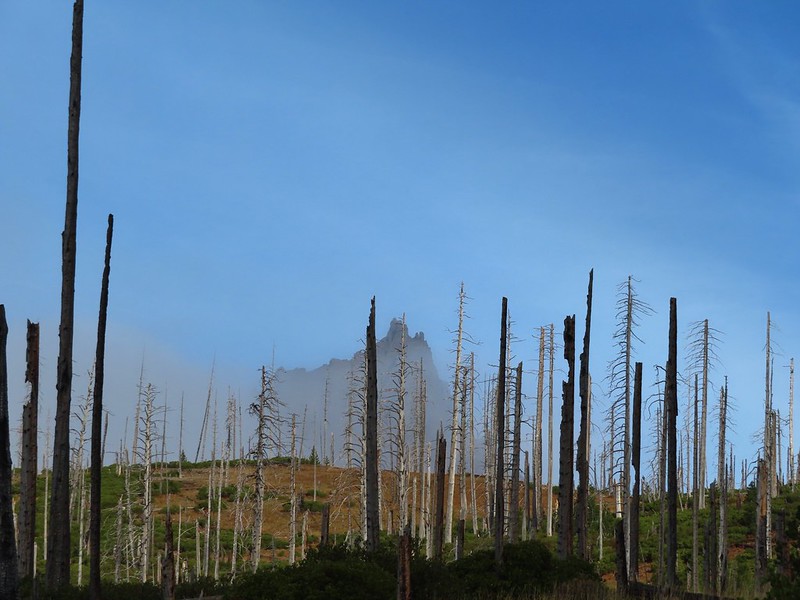
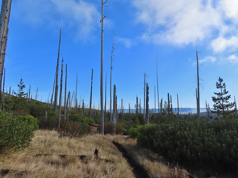 Green Ridge (
 A better look at Three Fingered Jack.
 First glimpse of Round Lake.
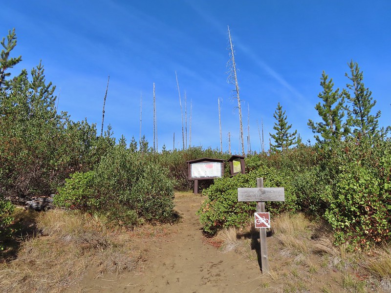




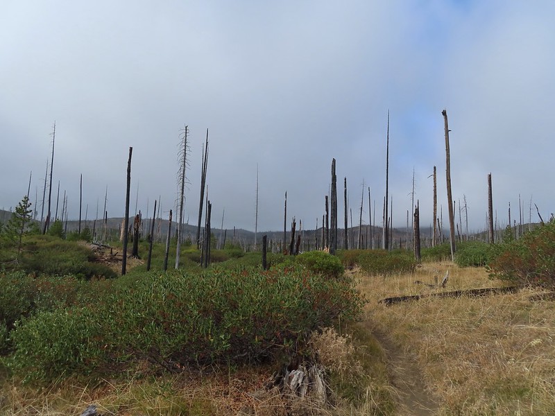
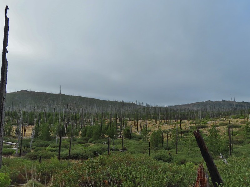 Starting to look kind of grey.
 A mountain bluebird adding a splash of blue to the green backdrop.
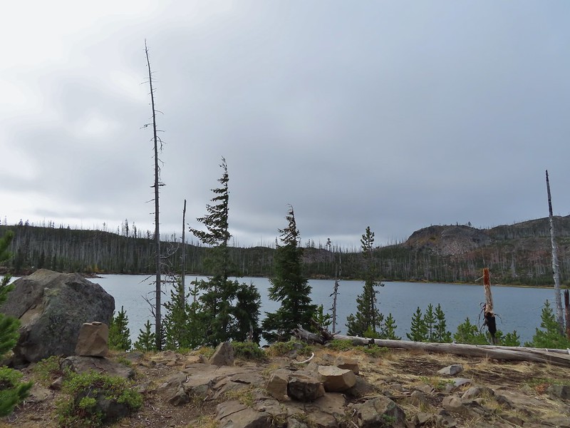 Clouds over Square Lake.
 A few scarlet gilia blossoms.
 The unnamed lake is about halfway up the far hillside.
 Black Butte and Long Lake from the trail.
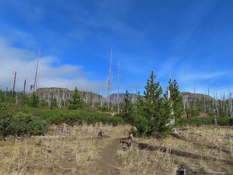 Heading toward Three Fingered Jack we got back under blue skies.
 Square Lake still under a clouds,
 The unnamed lake that drew our attention.
 Similar view from 2012.
 The trail at the gap. It was grey and cloudy to the west.
 Still at the gap, it was blue skies to the east.
 There is Three Fingered Jack.
 A good look at Green Ridge.
 A lupine that was late to the party.
 Booth Lake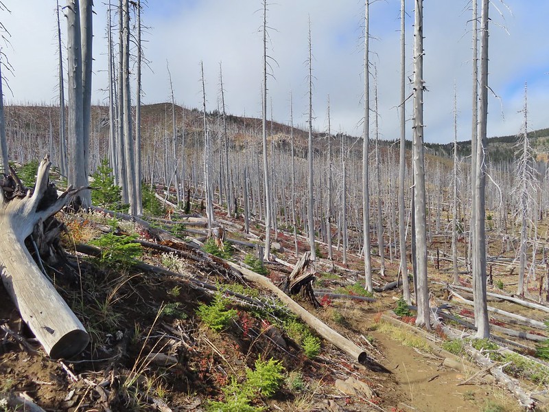


 The trail cut on the far hillside.
 Black Butte, Long Lake, and part of Square Lake.
 Square Lake along with Broken Top and the Three Sisters (Mt. Washington was hiding in the clouds still).
 Part of the rock ledge.
 Three Fingered Jack had once again disappeared.
 Where’s Heather.

 View climbing away from Square Lake.
 Similar view in 2012.
 2012
2012

 Finally clear!
 Hayrick Butte and Hoodo as we neared the trailhead.

 There were no signs for the obvious trail.

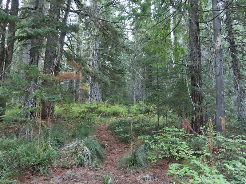
 Entering the


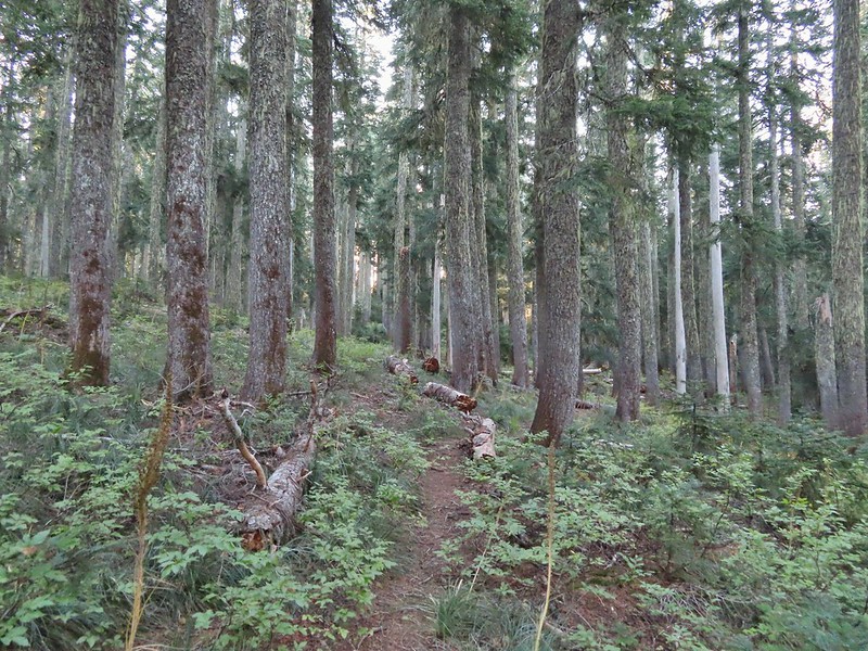


 Typical vegetation and trees on the ridge.
 We rediscovered tread as we dropped to a saddle near Janet Lake.
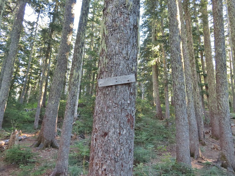 Sign at the saddle between Peggy and Janet Lakes.



 Sleepy ducks
 I believe Oregon Hikers calls this one “Cindy Lake”.

 The small saddle we’d been aiming for.

 Heather down to the right between a couple of trees.
 Me getting close to the top.
 The top of the ridge.
 Mt. Adams in some clouds.
 Mt. St. Helens behind a line of clouds.
 Gifford Peak (
 Chipmunk
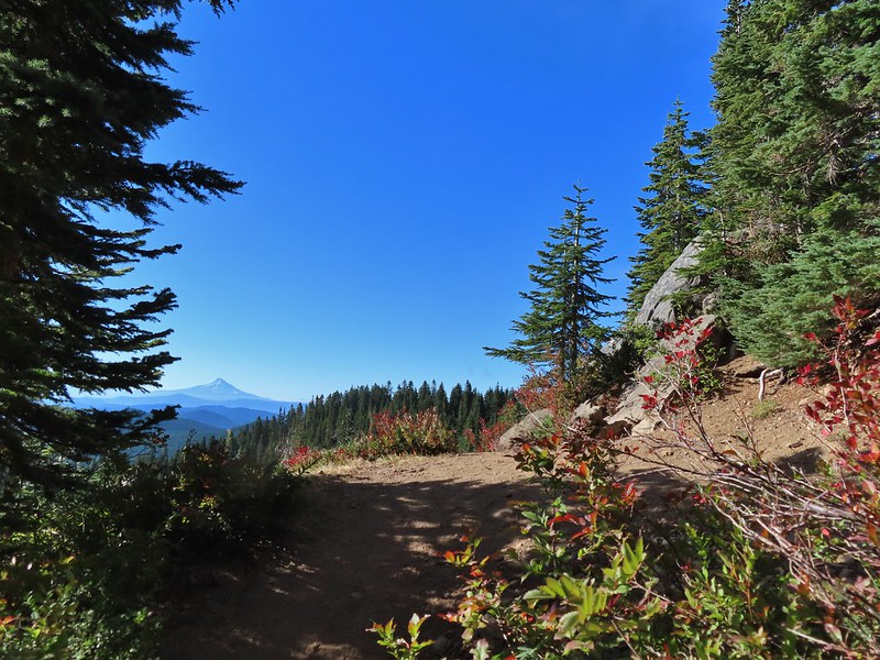

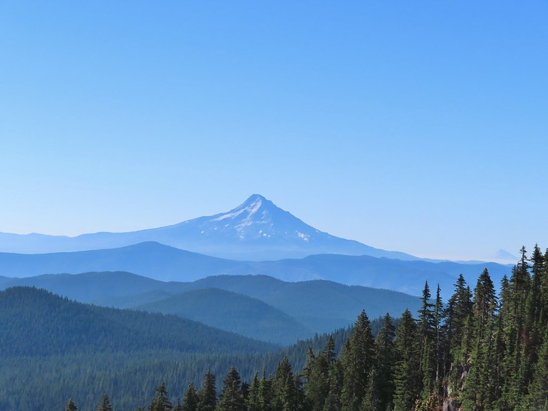 Mt. Jefferson was also visible to the right of Mt. Hood. Unfortunately so was the smoke being produced by the Bull Complex Fire which destroyed the historic Bull of the Woods Lookout (
 Autumn is on the way, bring on the rain please.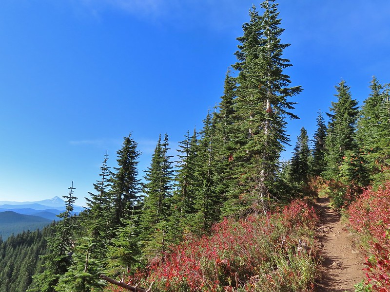
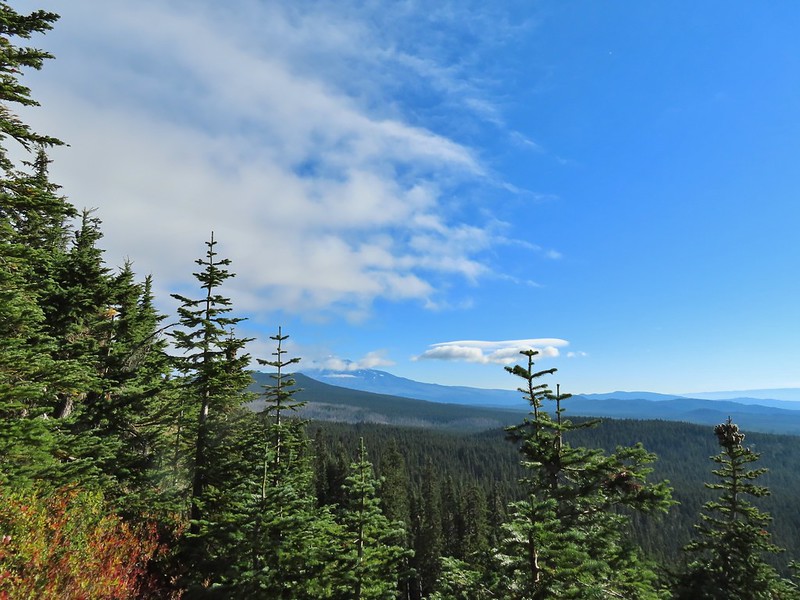 Mt. Adams
 Looking toward Mt. St. Helens
 The peaks in the Trapper Creek Wilderness (
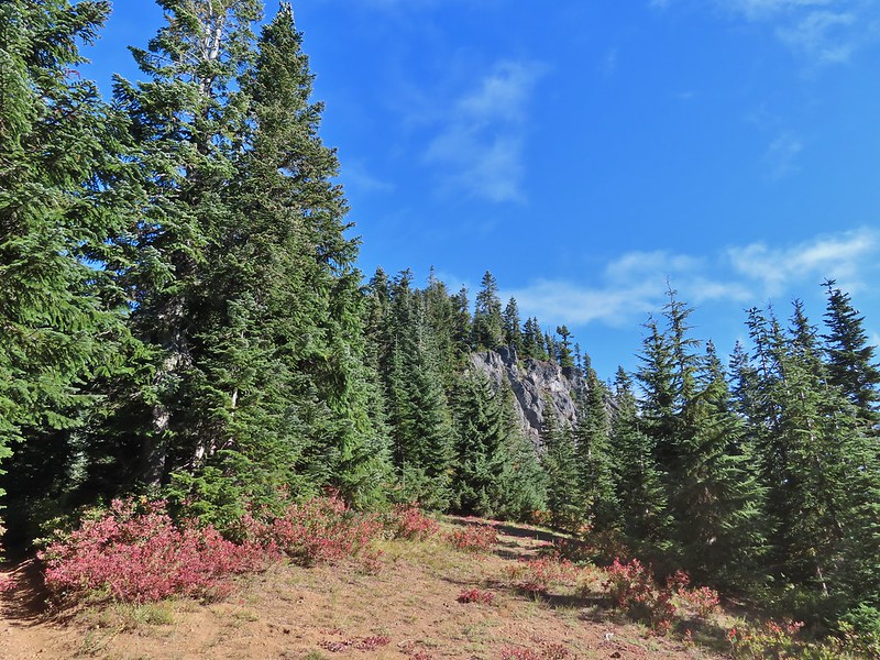 Cliffs on Berry Mountain
 Mt. Hood as we headed downhill.
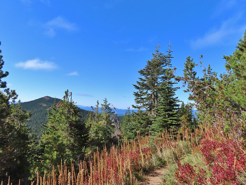 Red Mountain and its lookout tower.
 This beargrass is way off schedule.


 Mt. Adams from a viewpoint along the way.
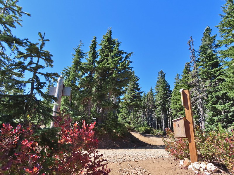
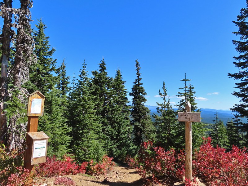
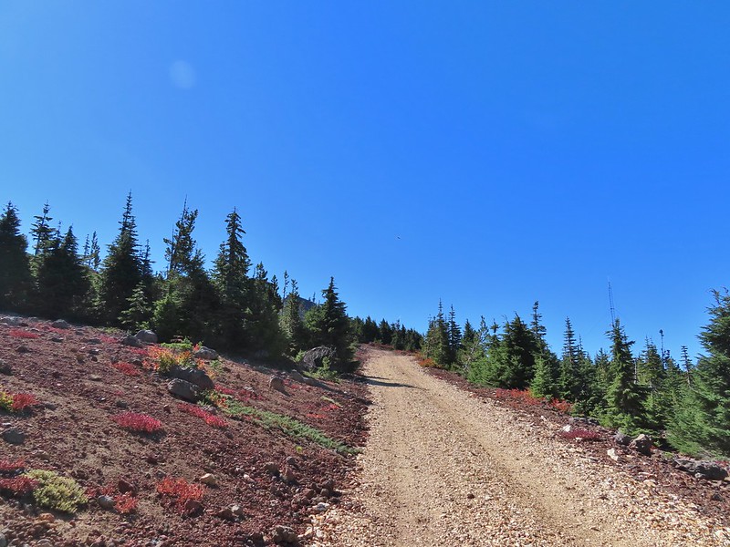


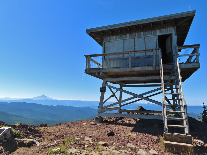 Not sure if someone forced the door open too or not.
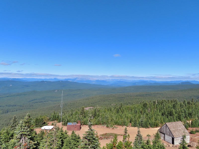
 View of Mt. Adams beyond Indian Heaven.
 Photo taken from the doorway, it looked like nothing had been vandalized.
 Mt. St. Helens still hiding behind that line of clouds.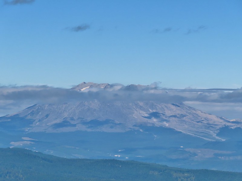
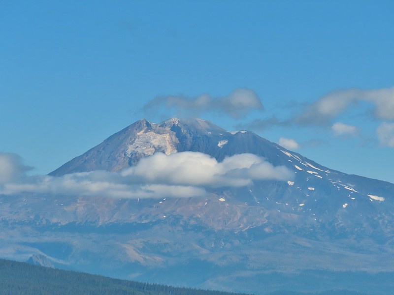 Mt. Adams with a few clouds passing by.
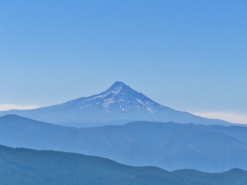 Mt. Hood with smoke from the Bull Complex behind.
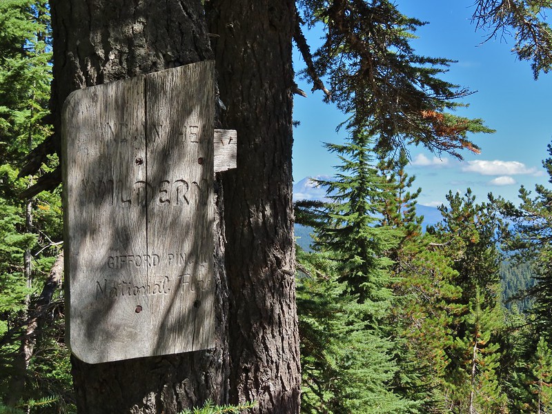 Indian Heaven Wilderness sign on Red Mountain with Mt. Adams in the background.
 Race Track Lake on the left.

 Hardhack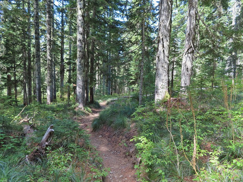
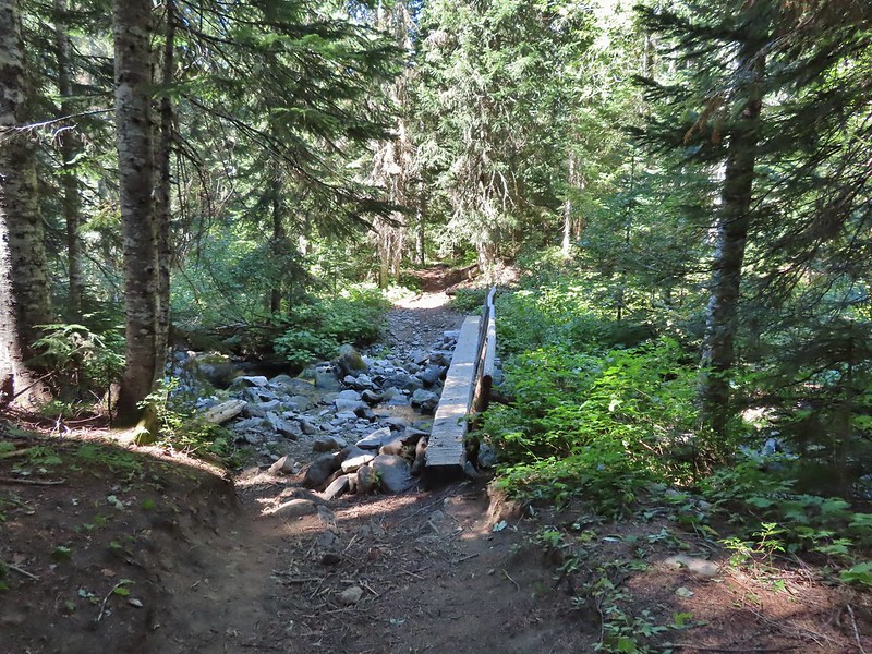 Footbridge over Falls Creek.
 Falls Creek
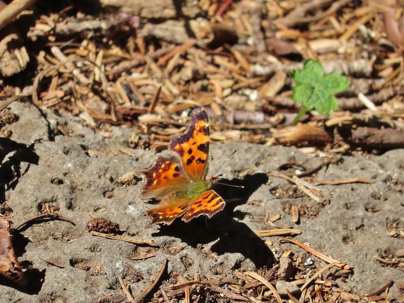 Butterfly near Falls Creek.
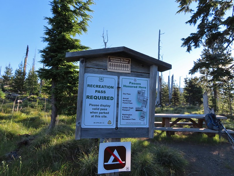
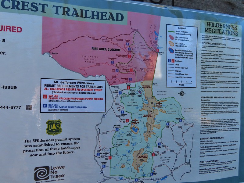
 Sign at the final trail junction near FR 65.


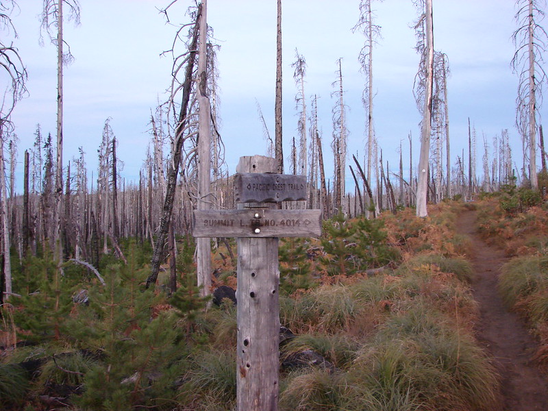 Trail sign at the junction on 10/13/2012.
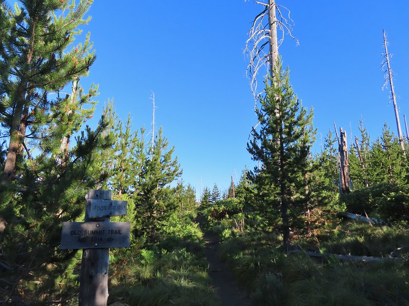 Trail sign at the junction on 07/03/2021.
 Entering the Mt. Jefferson Wilderness in 2012 (0.3 miles from the TH).
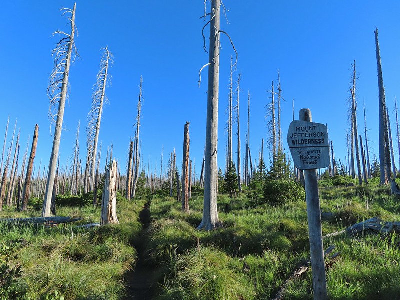 Entering the wilderness in 2021.
 Cache Mountain, Black Crater (post), Tam McArthur Rim & Broken Top (post), North & Middle Sister, Mt. Washington, and Hayrick Butte (flat top on the right).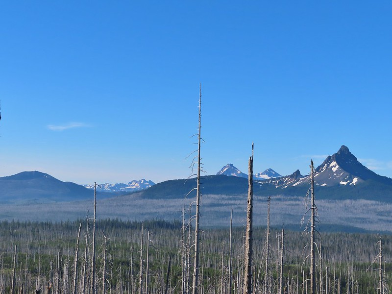

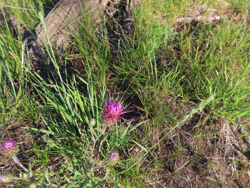 A thistle
 Penstemon
 Bleeding heart
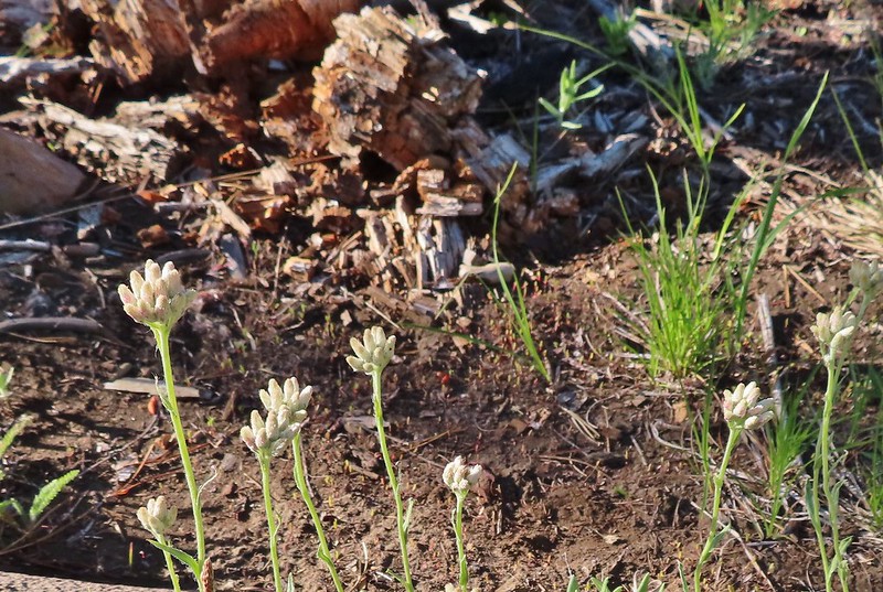 Pussytoes
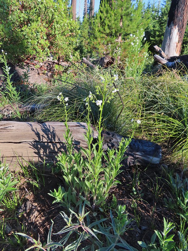 California stickseed
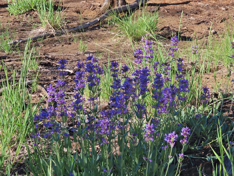 Another penstemon
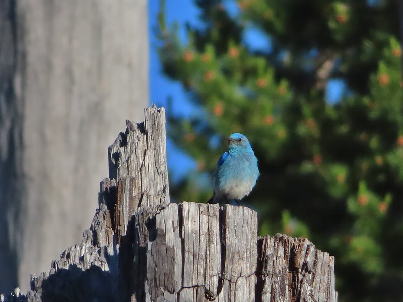 Mountain bluebird by the lake.

 There was a good amount of scarlet gilia blooming along this section of trail.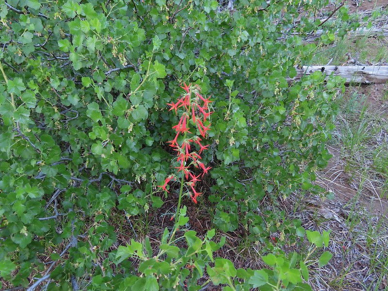
 Three Fingered Jack
 One of the ponds.
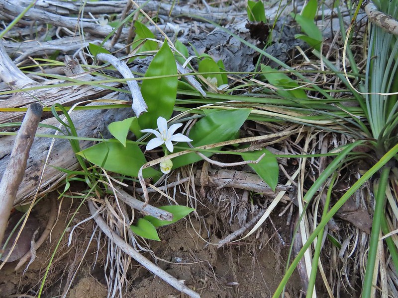 Queen’s cup
 Another pond with Maxwell Butte (
 Unnamed lake along the trail with Maxwell Butte behind.
 Lupine
 Dark-eyed junco
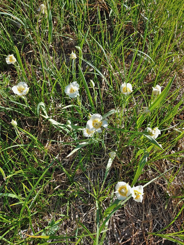 Sub-alpine mariposa lilies
 Woodpecker
 The view south.



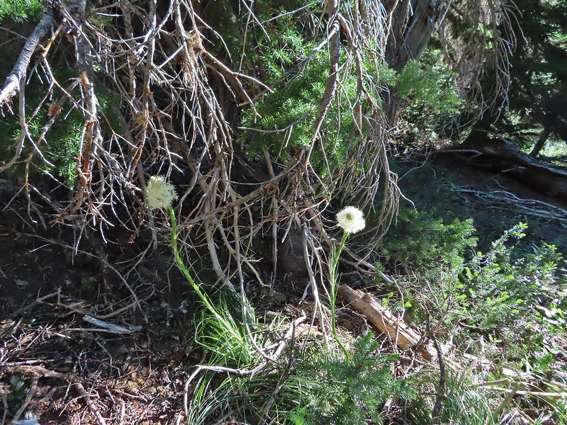 Beargrass
 Recent snow melt is another recipe for mosquitos.
 Another creek crossing.
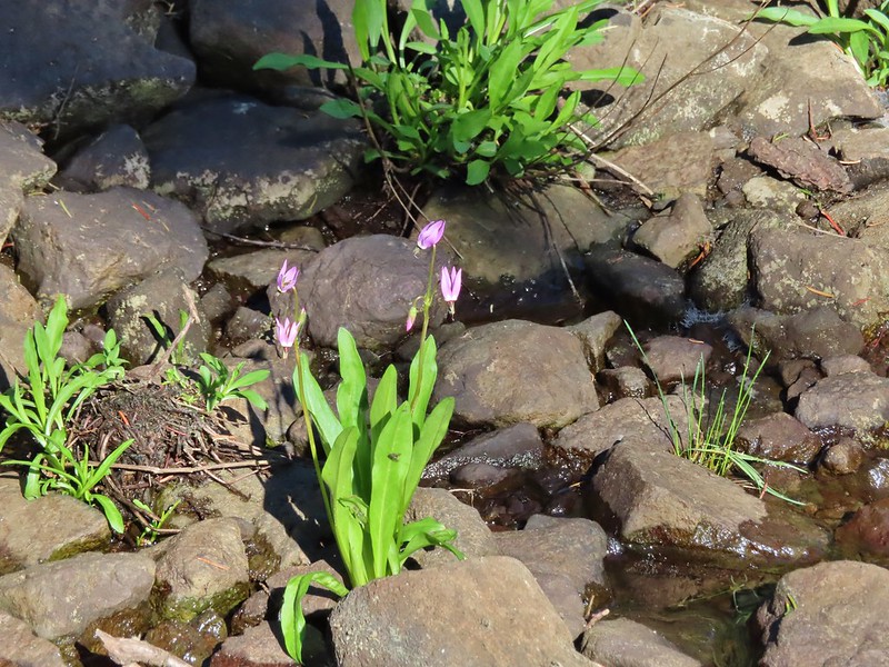 Shooting star
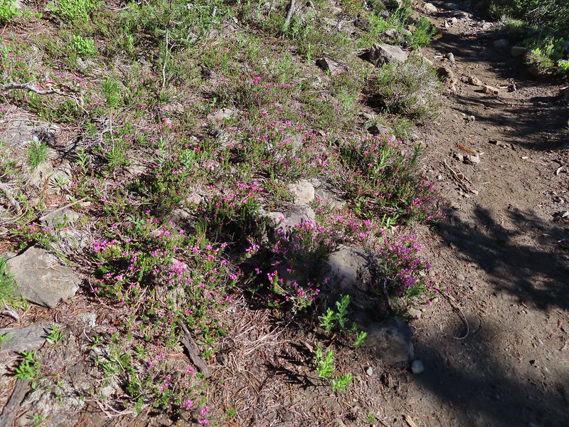 Mountain heather. Typically if we see this blooming we expect there to be mosquitos.
 A sulphur
 Alpine false dandelion
 One of several snow patches at the tree line.
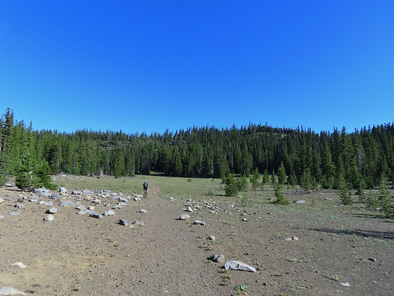 Nearing the end of the opening.
 More snow in the trees.
 A checkerspot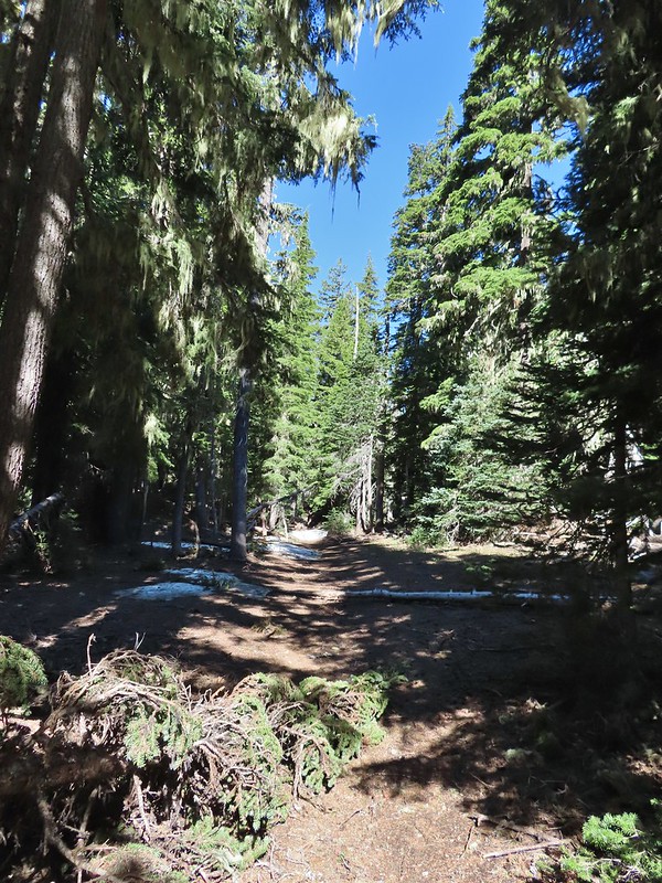
 Trees & melting snow = more mosquitos.
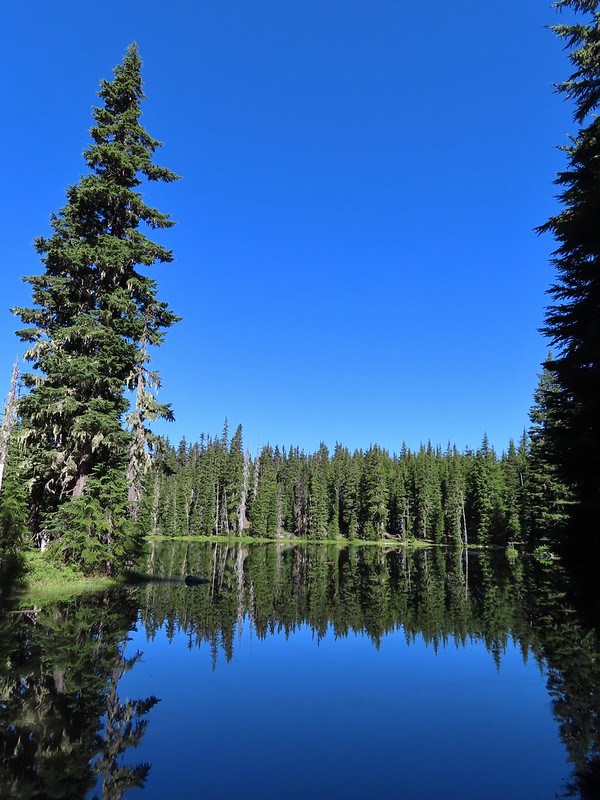 Not Santiam Lake but a very pretty unnamed lake just to the left of the trail approximately 0.4 miles from Santiam Lake.
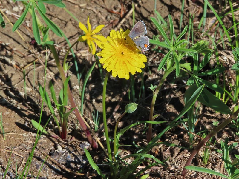 Not sure what type this is but the orange on the wing was pretty.
 Mt. Jefferson behind Red Butte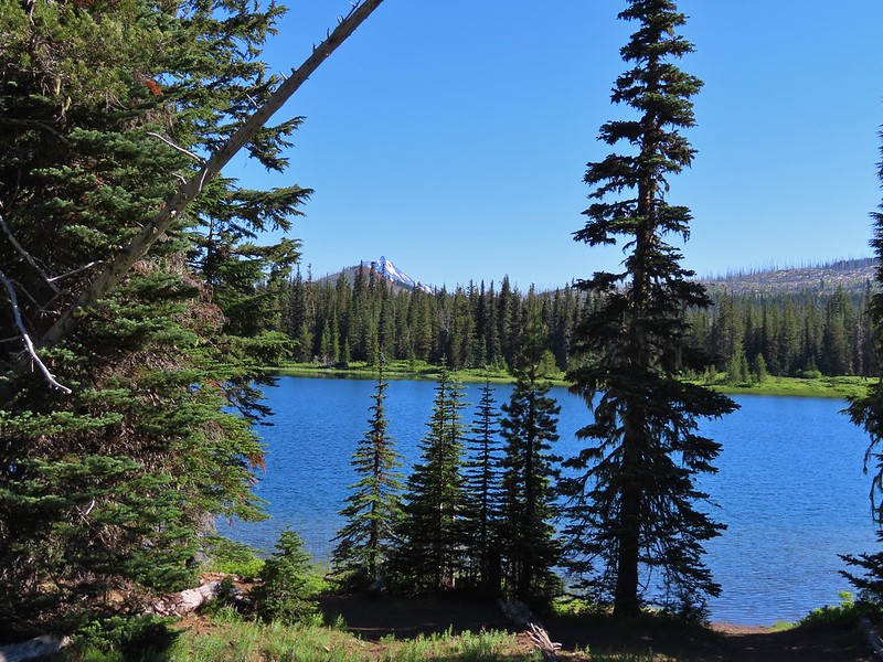
 Duffy Butte on the left.
 Three Fingered Jack
 Paintbrush, shooting stars, and buttercups.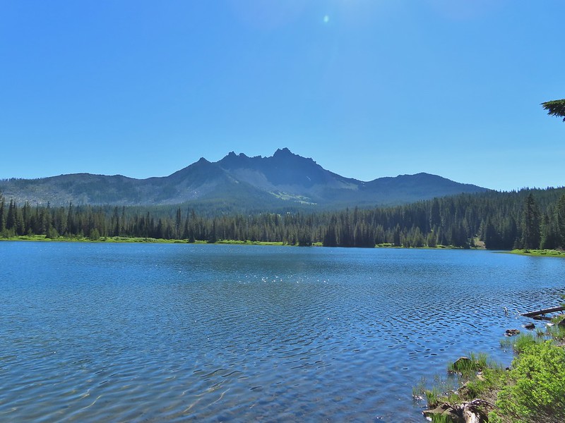
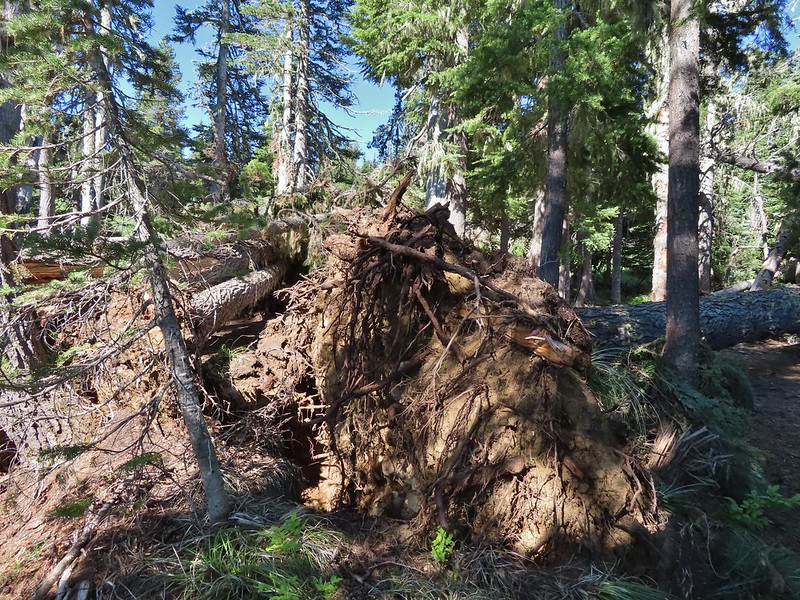 Just one of several large uprooted trees along the shore.

 The “topographic feature” ahead on the right where we planned on turning for Lower Berley Lake.
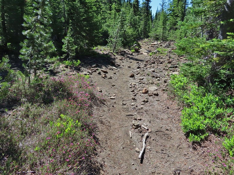 Mountain heather along the trail, it was warm and sunny enough that the mosquitos weren’t as bad this time by.
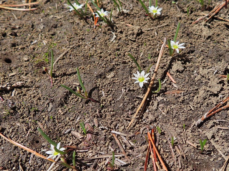 Threeleaf lewisia
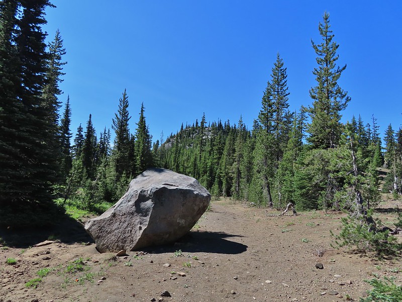 Getting closer to the hill where we planned on turning.
 California tortoiseshell butterflies in the bed of Lost Lake Creek.


 Three Fingered Jack from the rocks.
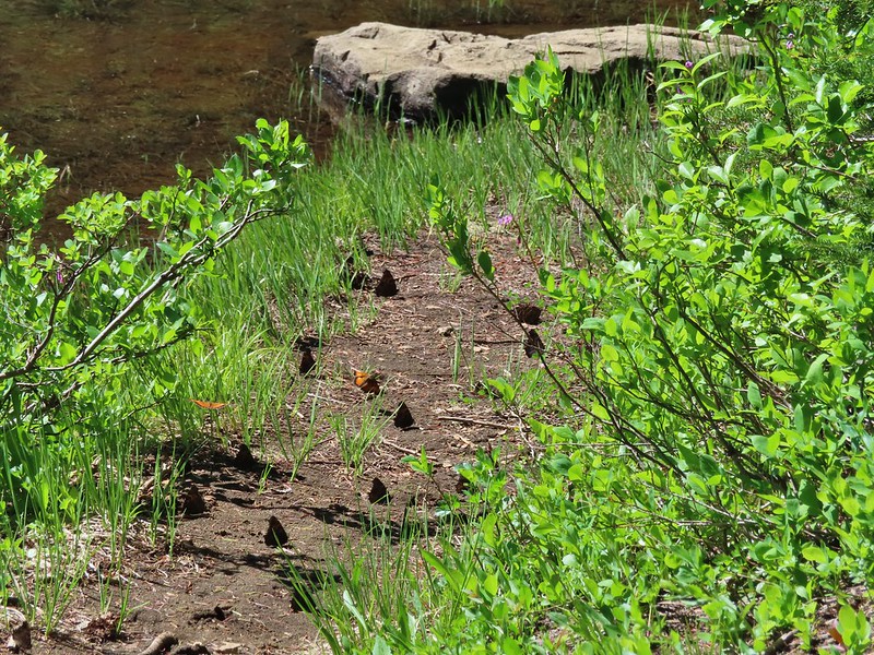 More tortoiseshells
 A butterfly photo bomb


 The bed was popular with the butterflies.
 Cross country to Upper Berley Lake, the doe was in this meadow and headed in the direction of the patch of snow at the far end.
 Upper Berley Lake
 We wound up finding the same “user trail” and followed it down to the lower lake.
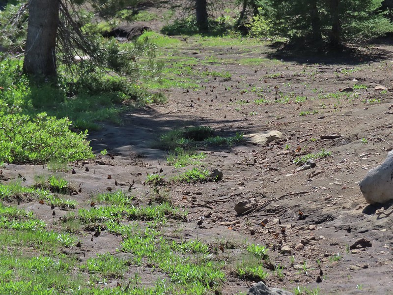 California tortoiseshell butterflies along Lower Berley Lake.
 Three Fingered Jack and about a half dozen butterflies.
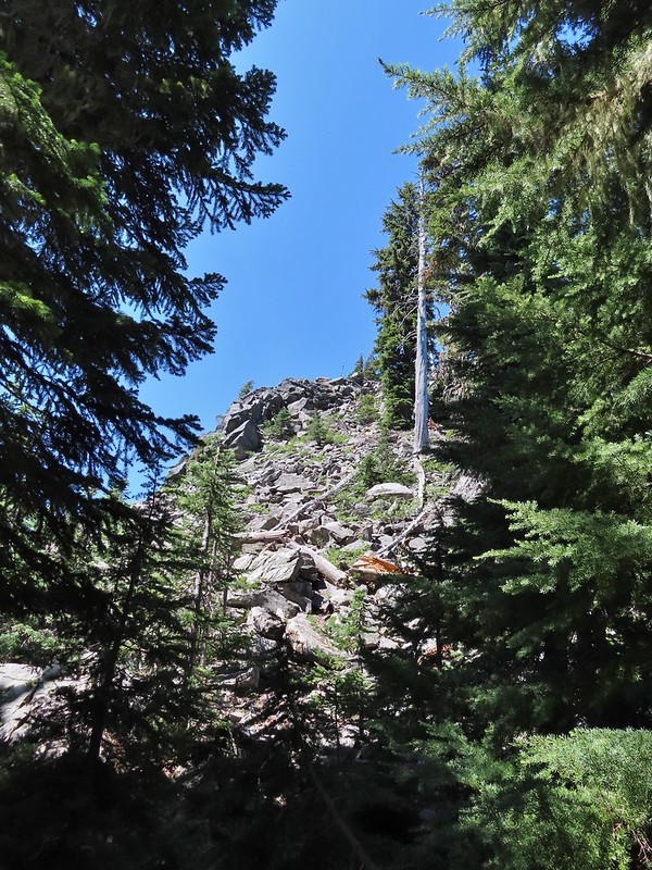 The hillside on the right was rocky.
 The trail dropping down from the saddle with Mt. Washington and the North Sister ahead.

 Found it!


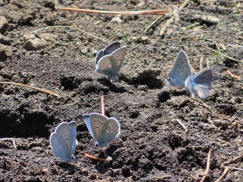
 Yellow beetle on lupine.
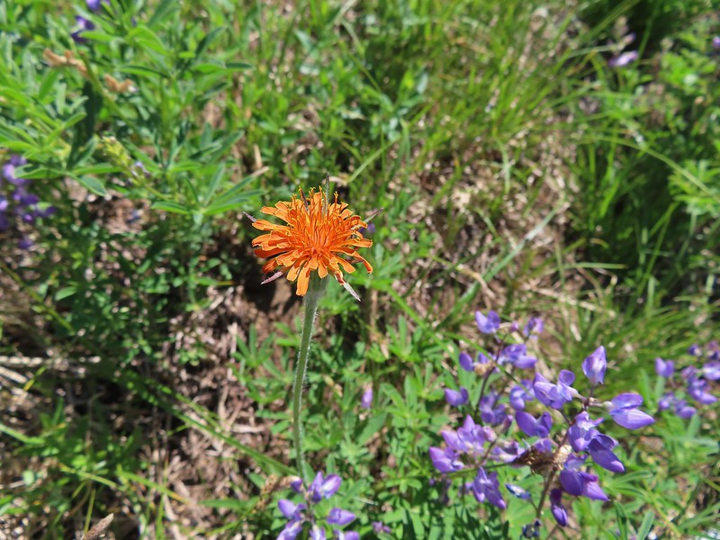 Orange agoseris
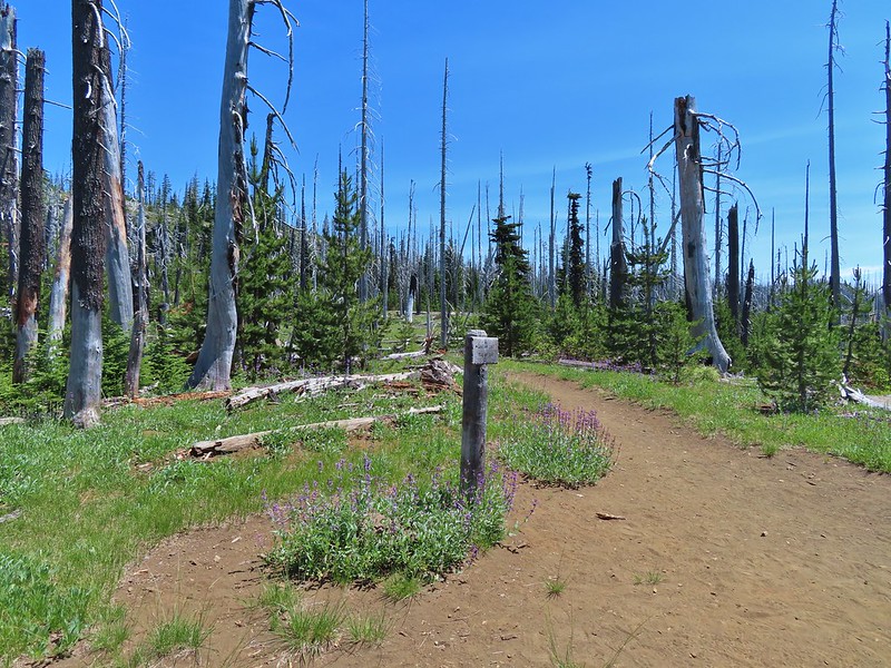 Back at the PCT.
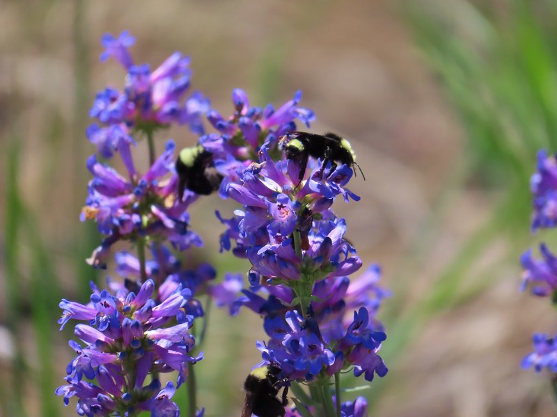 Bumble bees on penstemon.
 Cicada in the grass.
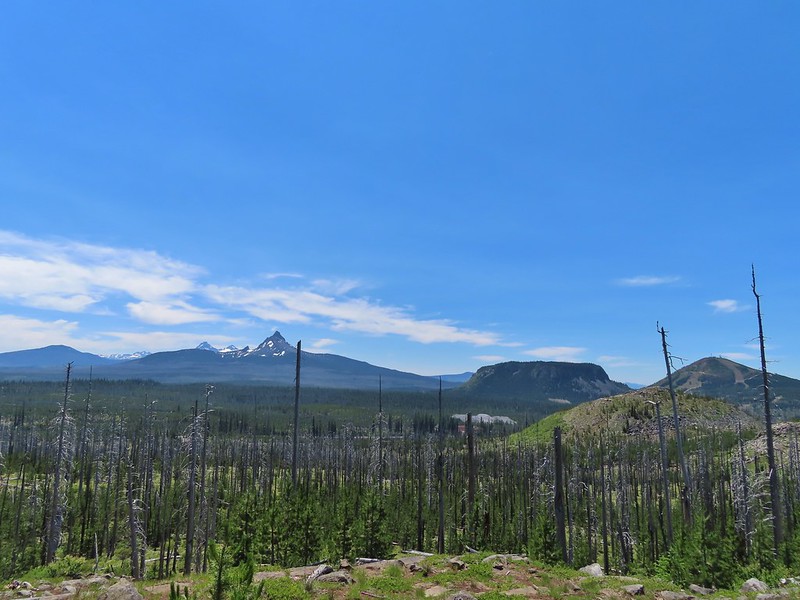 Black Crater, Broken Top, North & Middle Sister, Mt. Washington, Hayrick Butte, and Hoodoo Butte from the viewpoint.


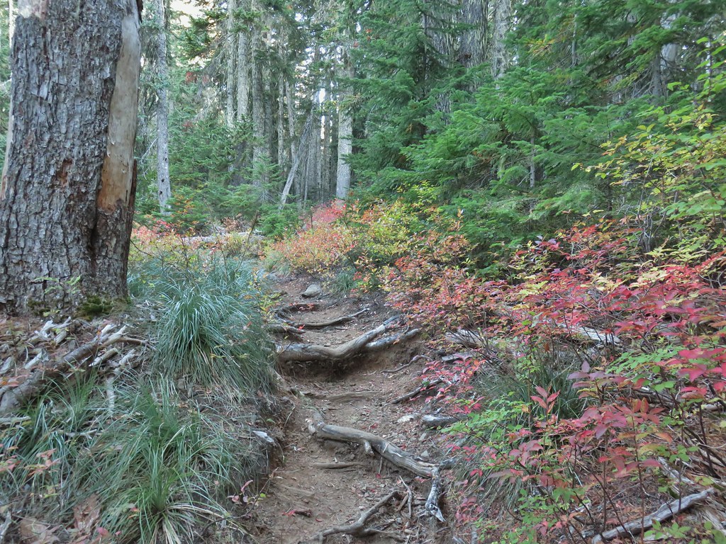


 Still some fireweed blooming in the fire scar.
 East Crater beyond a pond.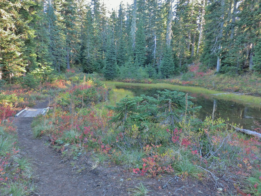
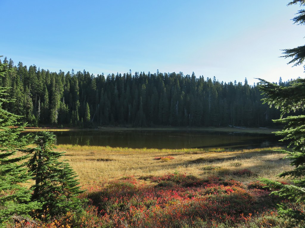 Junction Lake
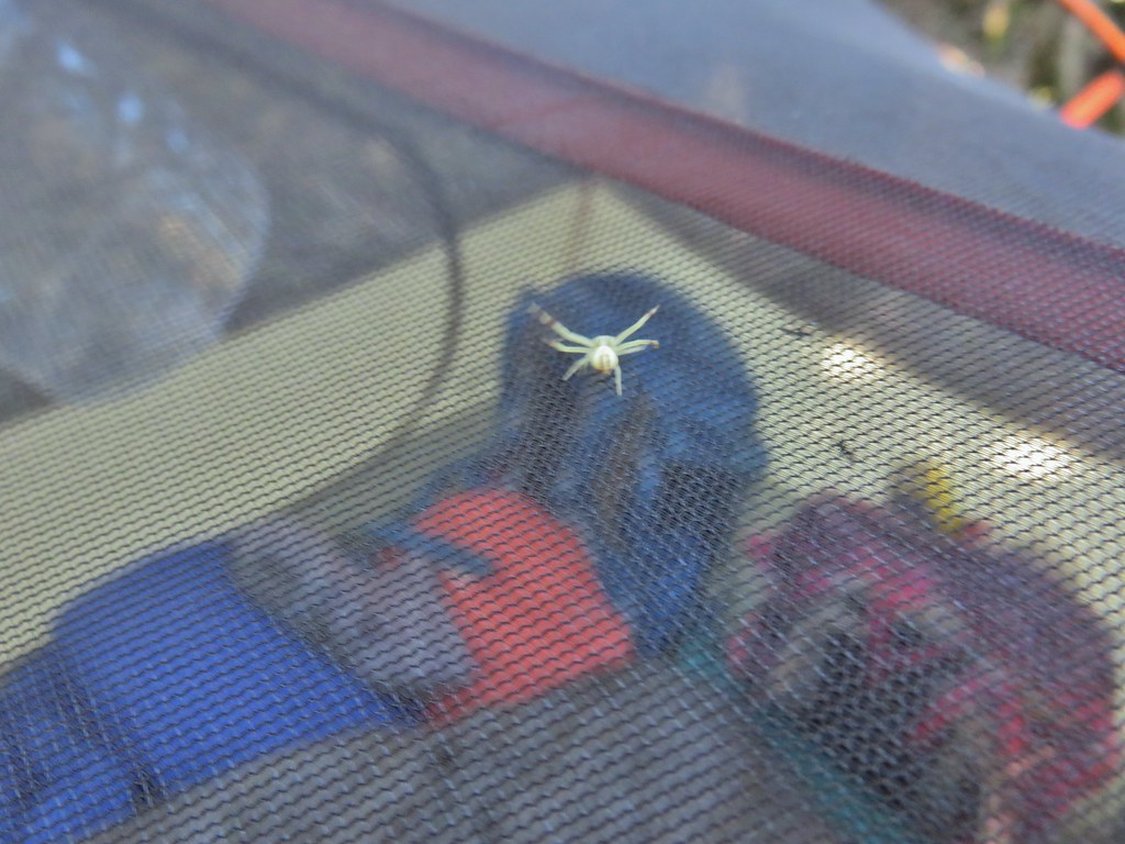 This crab spider offered to watch our tent for us while we were away.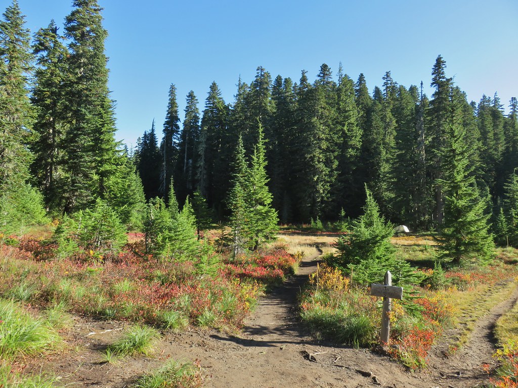



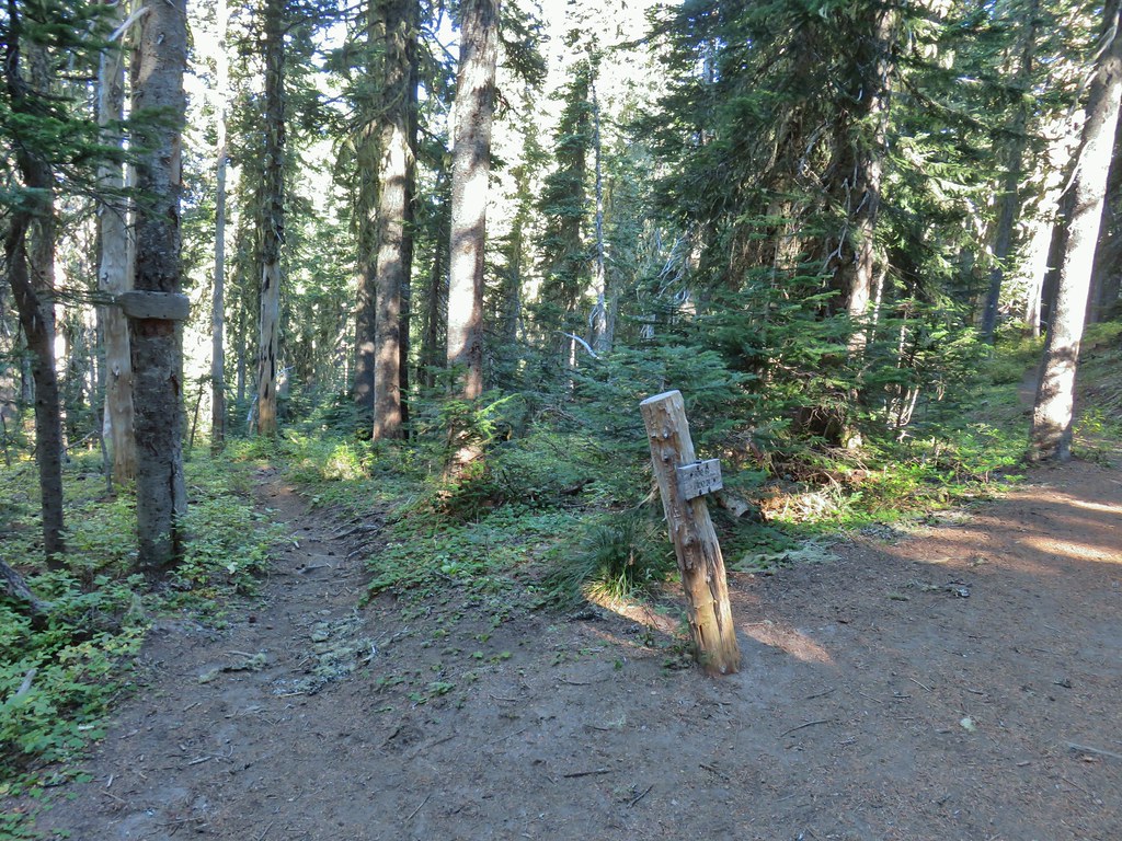 Placid Lake Trail on the left.
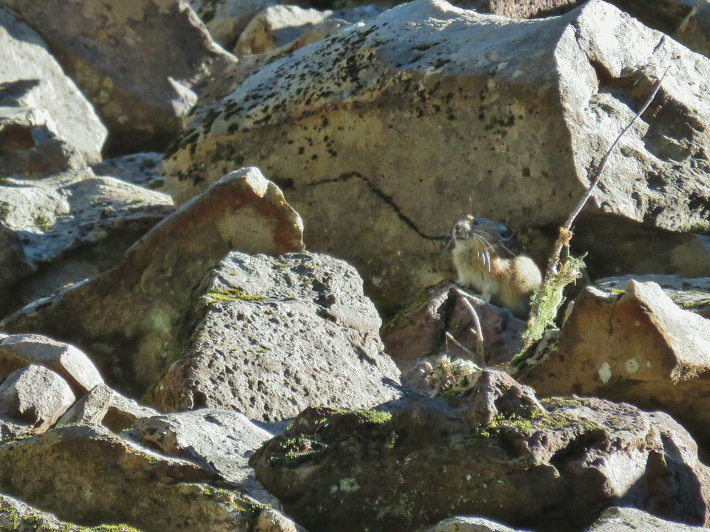
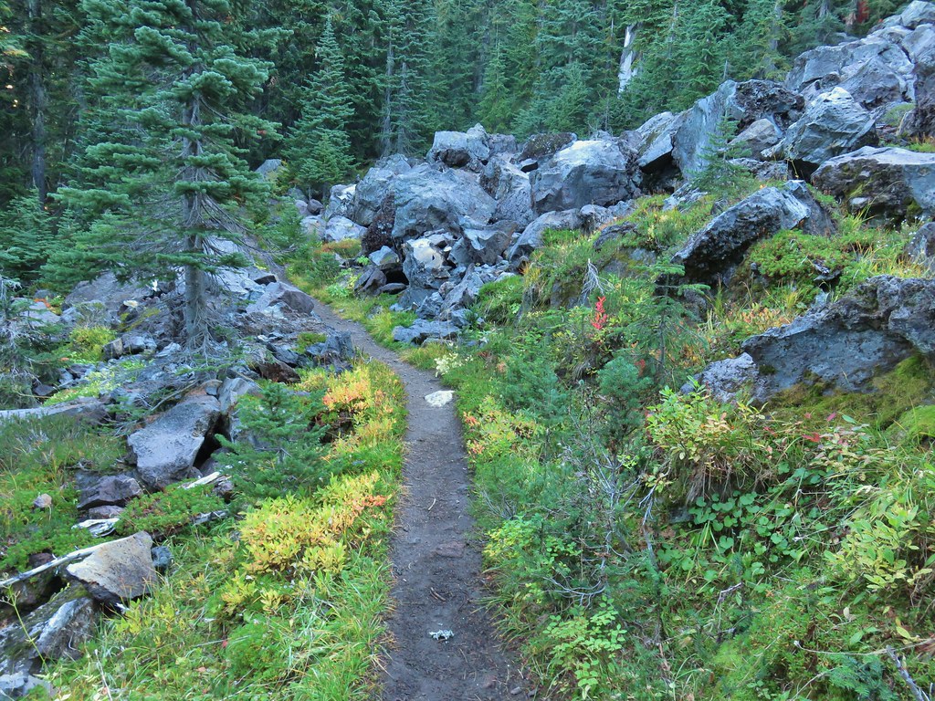 No pikas in these rocks, that we saw.
 PCT at the 4-way junction.
 Cultus Creek Trail heading uphill to the right.

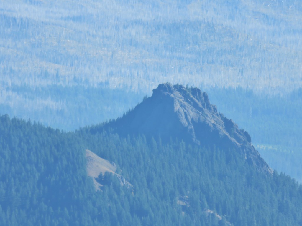
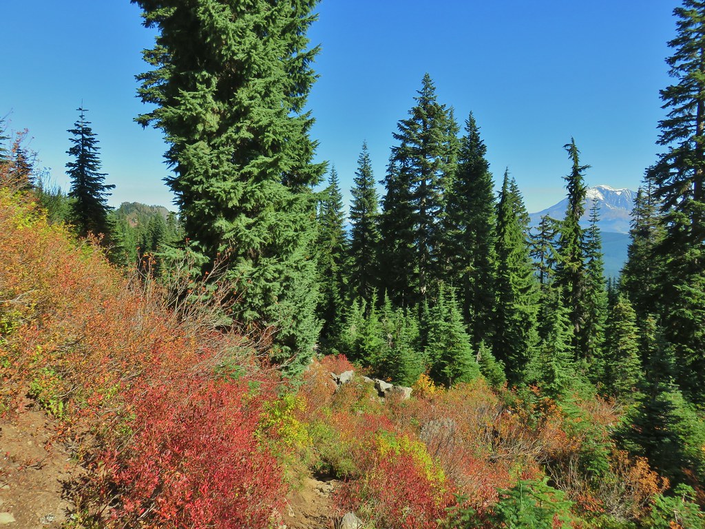
 Goat Rocks with Mt. Adams hiding behind trees.
 Mt. Rainier behind Sawtooth Mountain (and Steamboat Mountain to the right)
 Mt. Rainier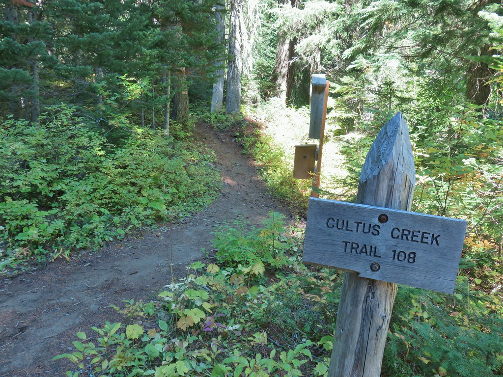




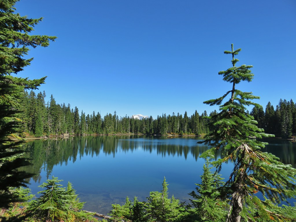
 The Labor Day wind storm had knocked a number of trees down but the trails we took had mostly been cleared already.

 Cultus Lake from the Deep Lake Trail.
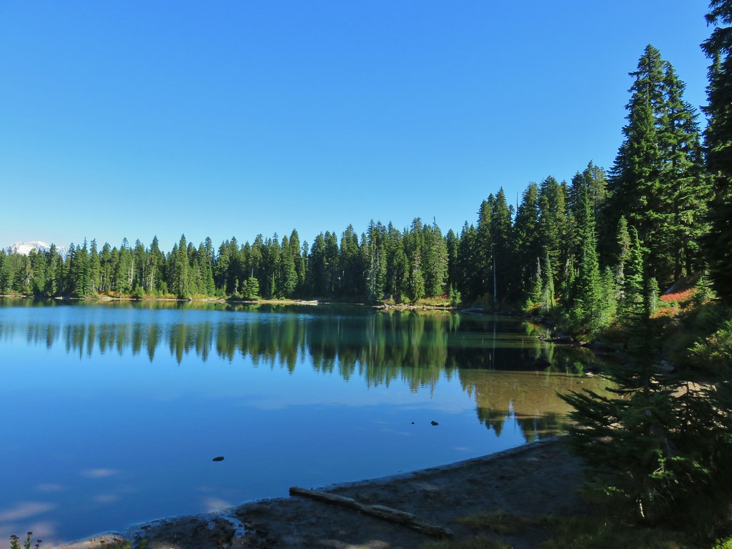
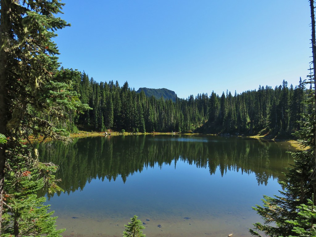 Lemi Rock beyond Cultus Lake
 Cultus Lake from the Lemi Trail.

 The climb was up a forested hillside.
 Mt. St. Helens

 Mt. Adams as we approached the viewpoint.
 Lake Wapiki
 Mt. Hood


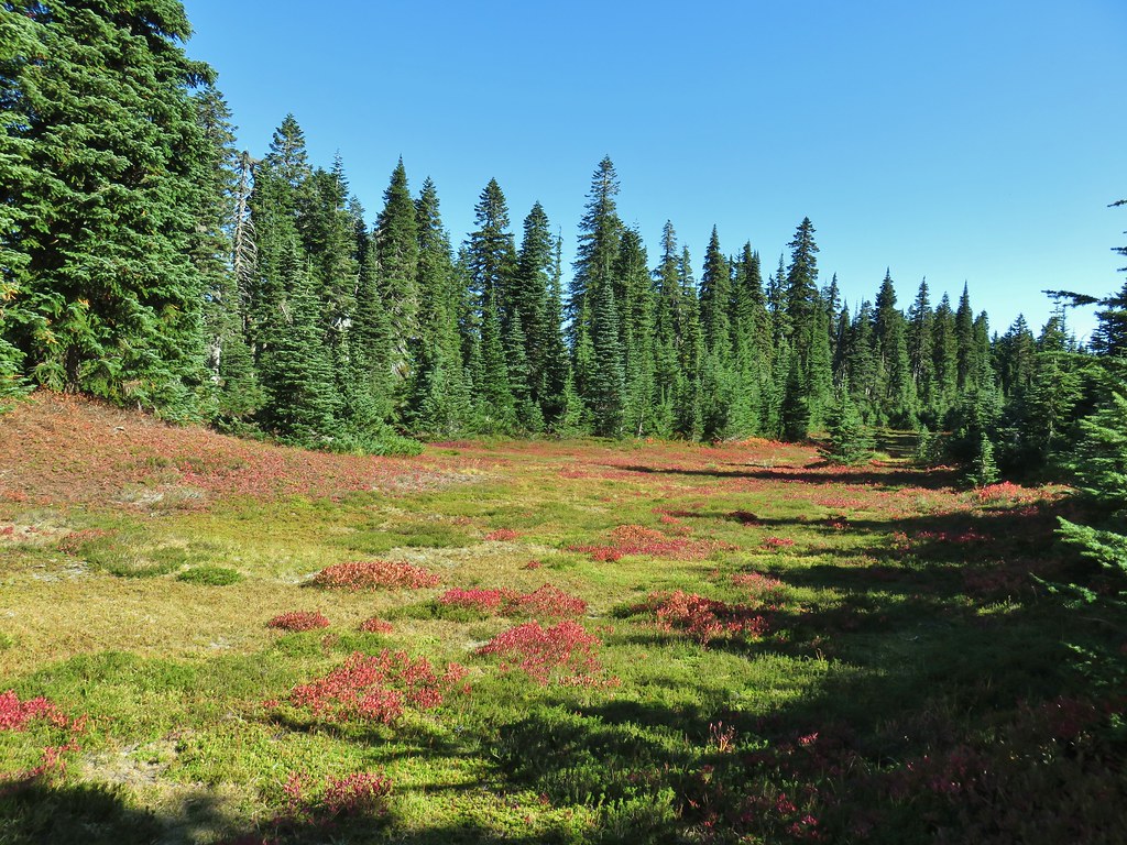
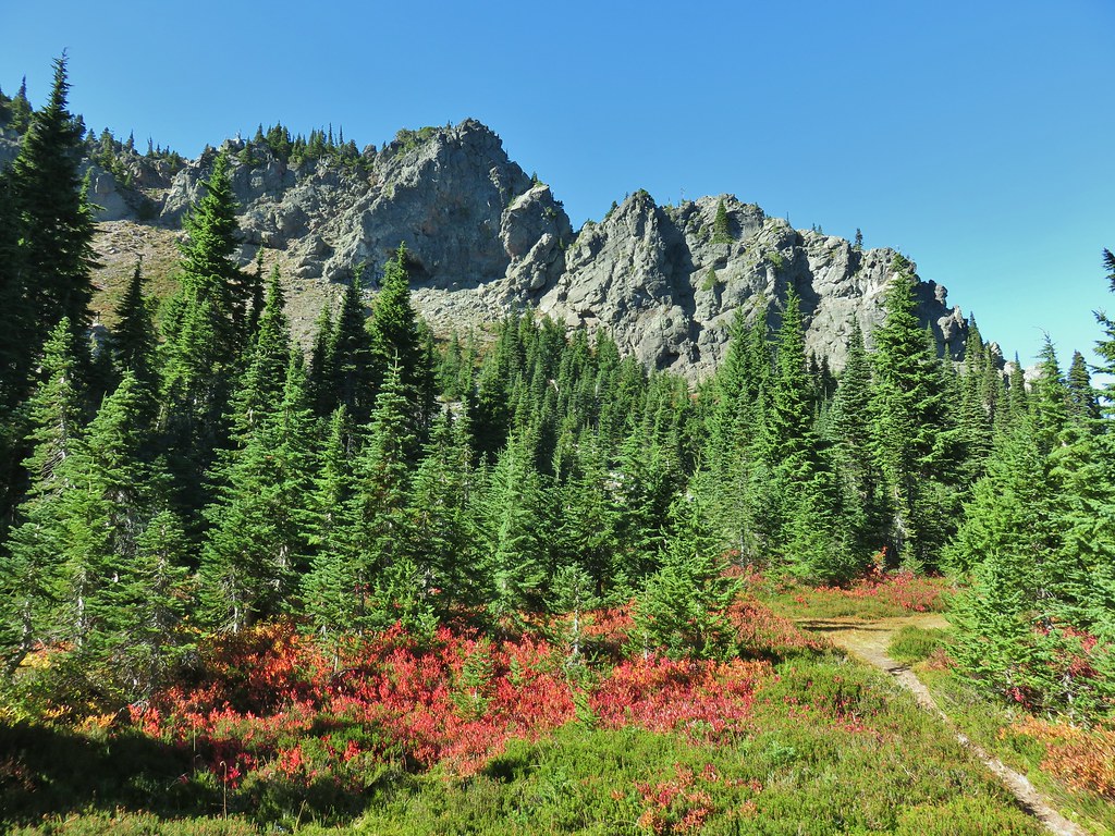


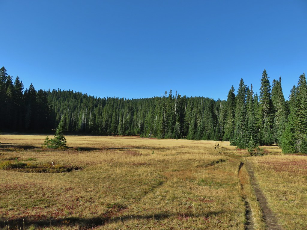

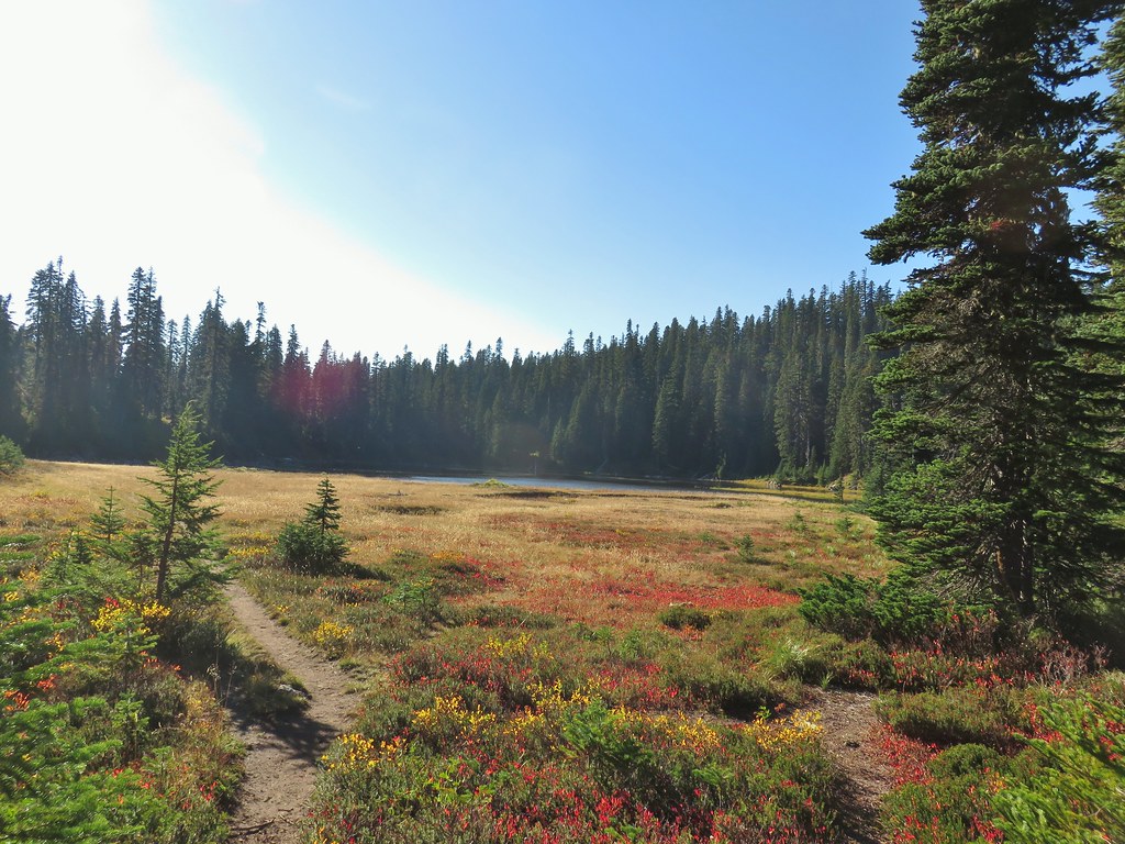 Lemi Lake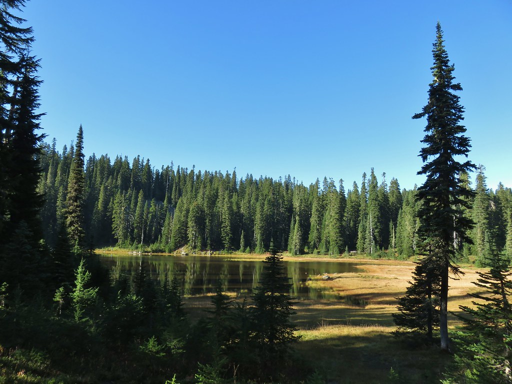


 Pearly everlasting
 Lemi Rock from the Lemi Lake Trail.

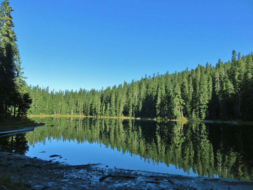
 Junction Lake
 Back to the PCT.
 Junction Lake from the PCT/Lemi Lake Trail junction.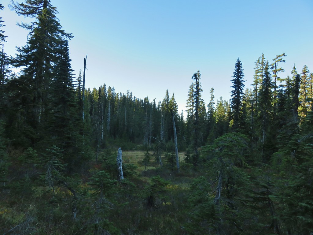


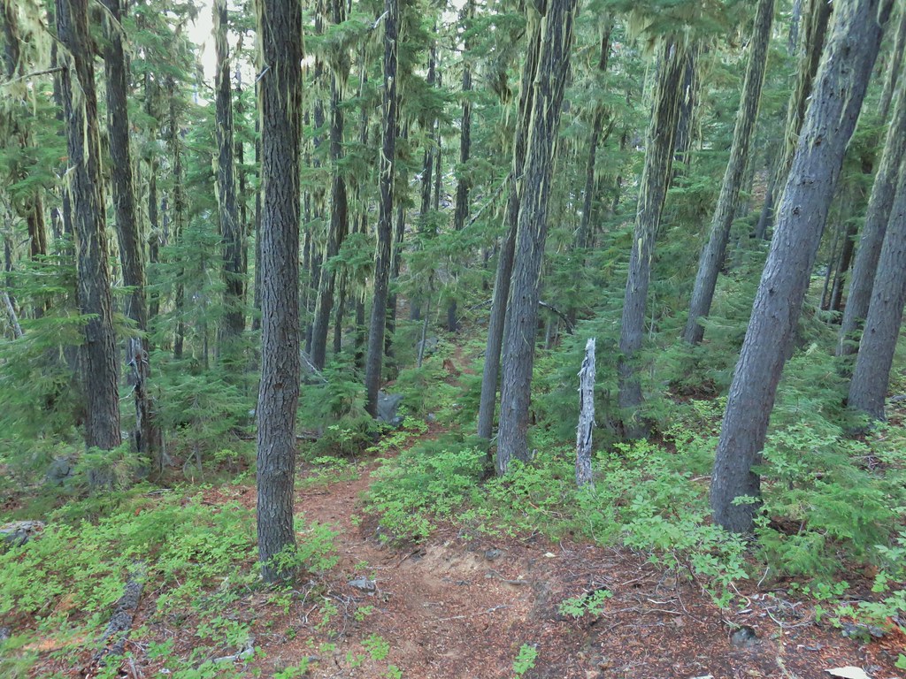
 Some blue sky again.
 Happy Lake Trail junction.
 Just a small part of the meadow.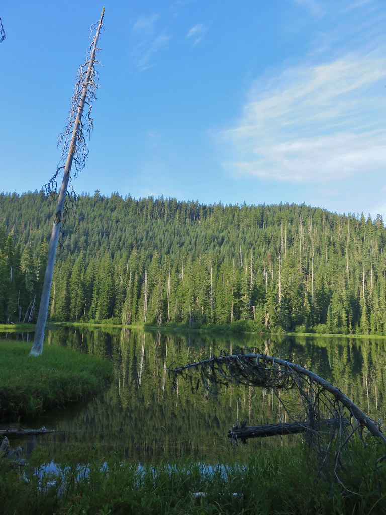
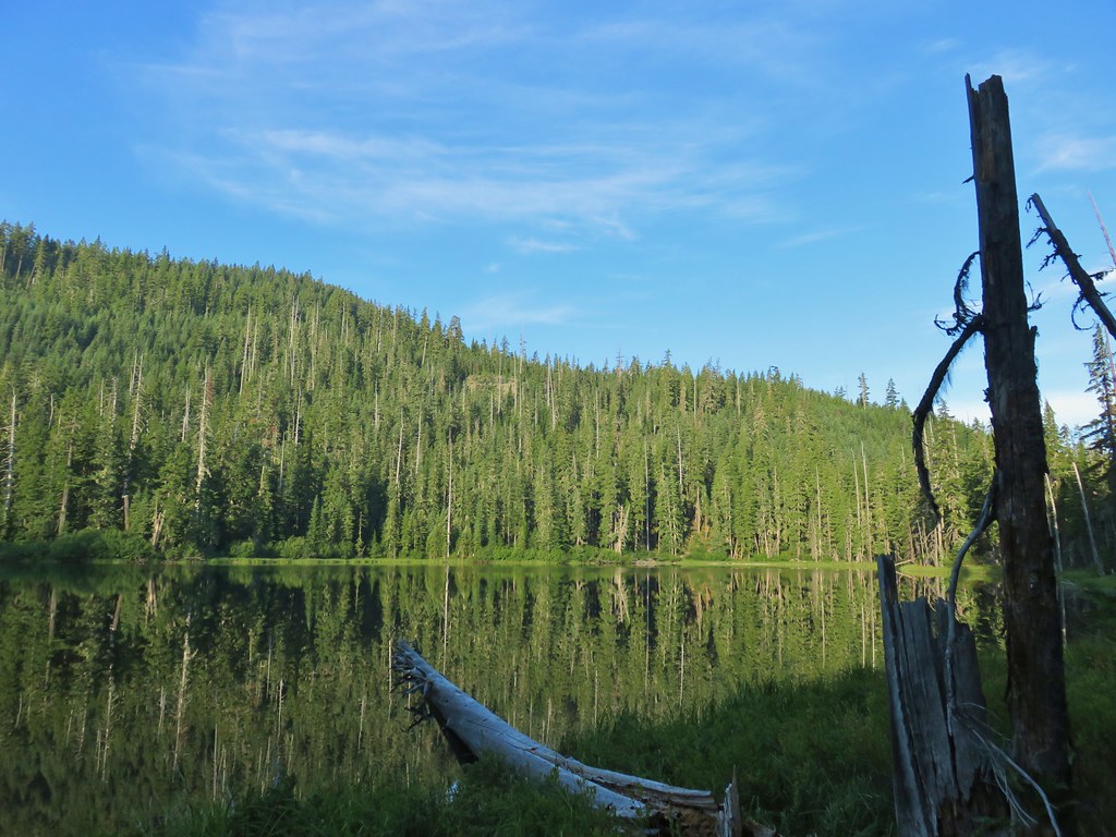
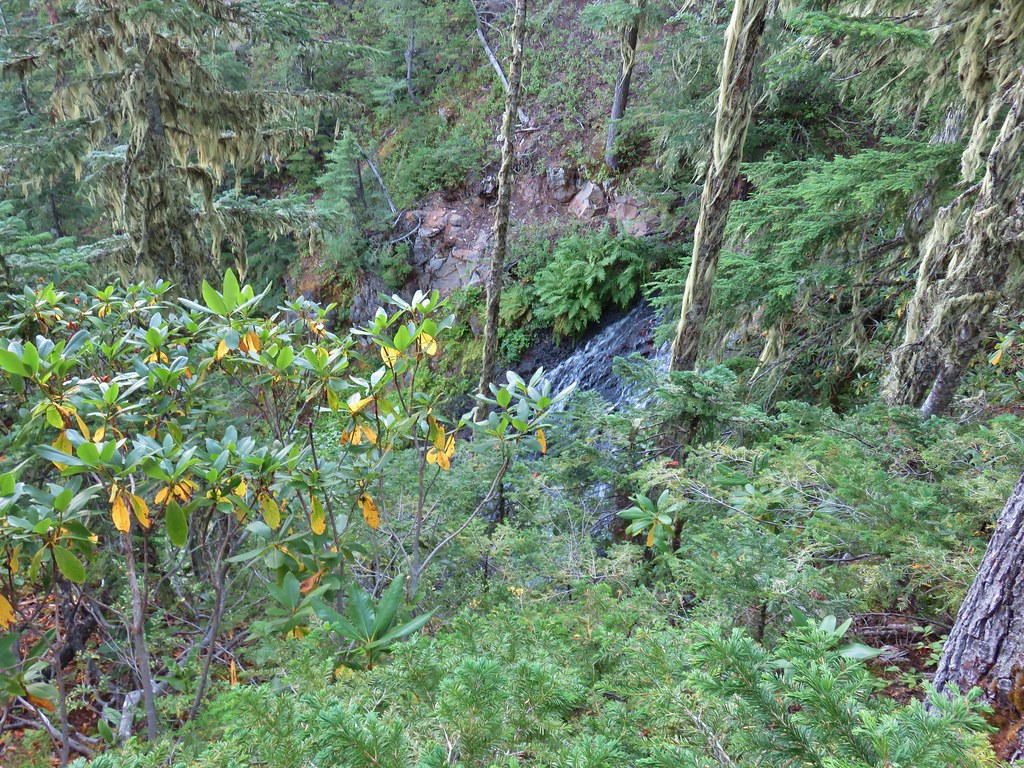



 We think this was Bear Creek. Other than the outlet of Happy Creek no other creek beds had flowing water on this side of the mountain.
 Diamond Peak from the trail.


 One of several damp meadows.
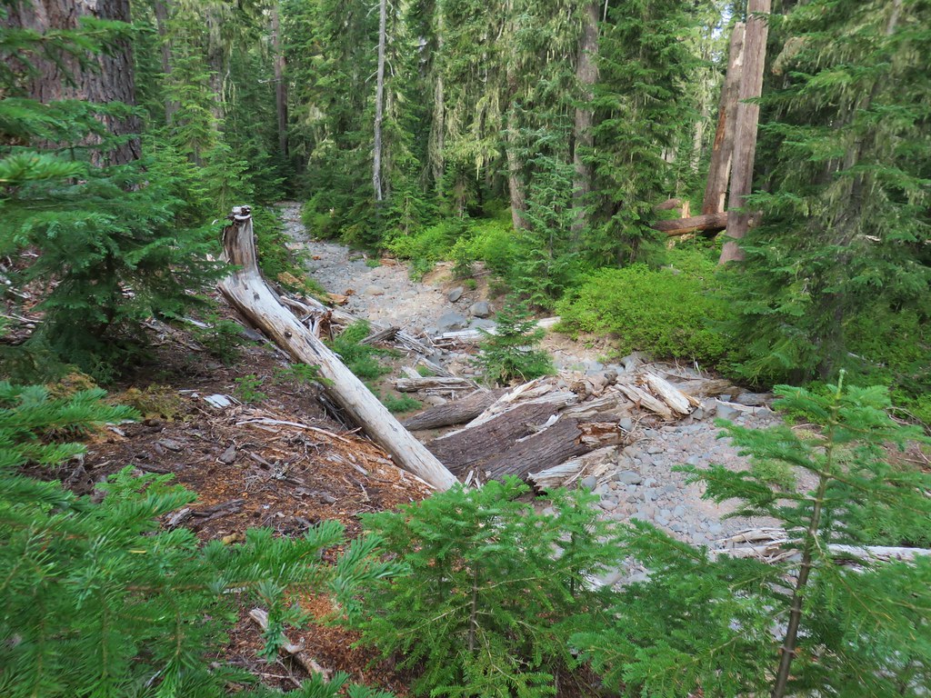 The creeks were still dry though.
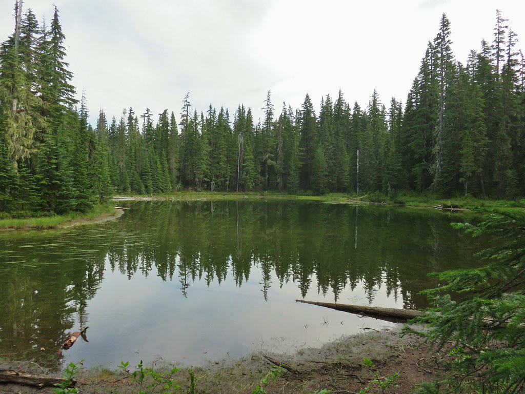 An unnamed lake.
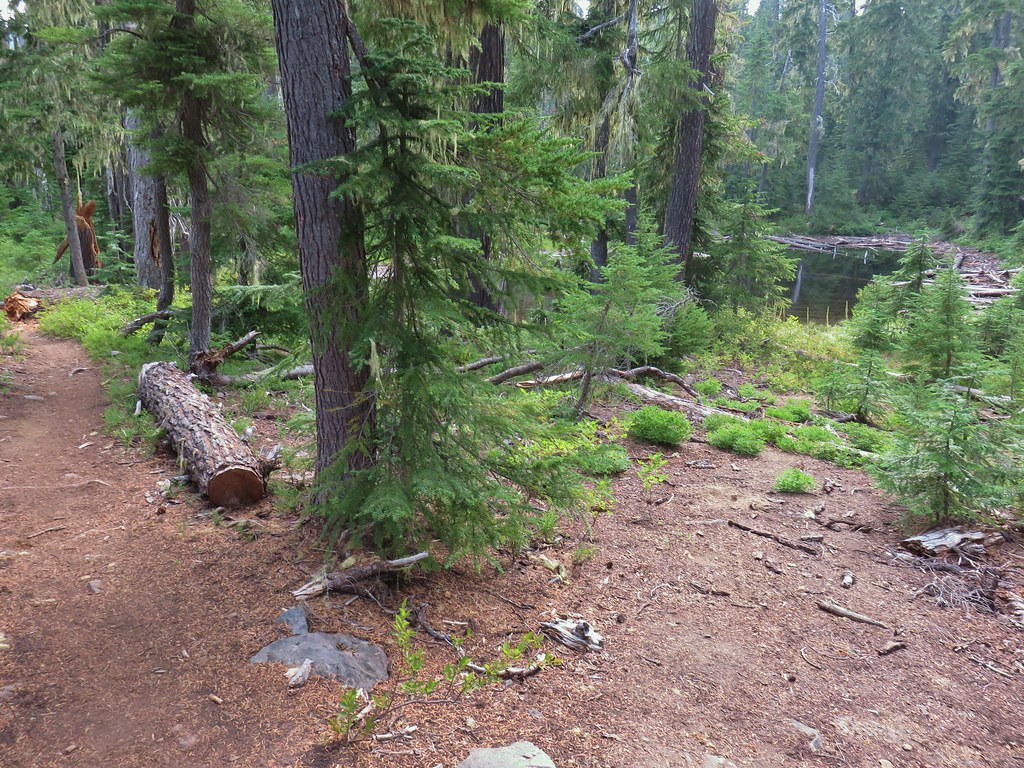
 Small unnamed lake just before Notch Lake.
 Another little lake/pond near Notch Lake.
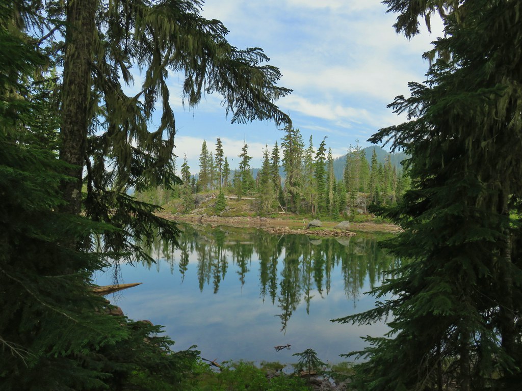 Notch Lake

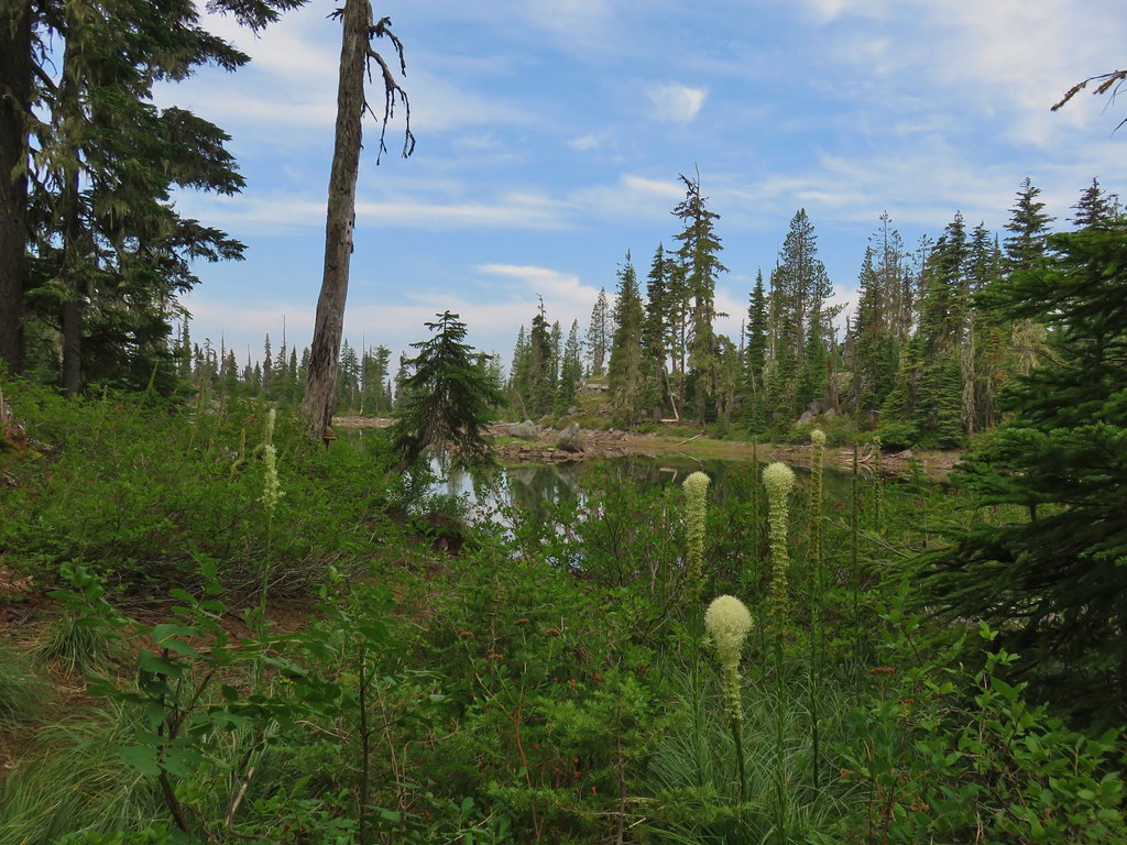 Beargrass
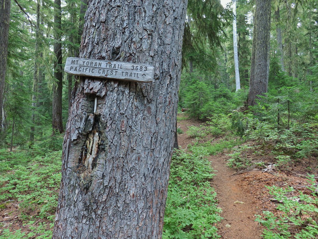
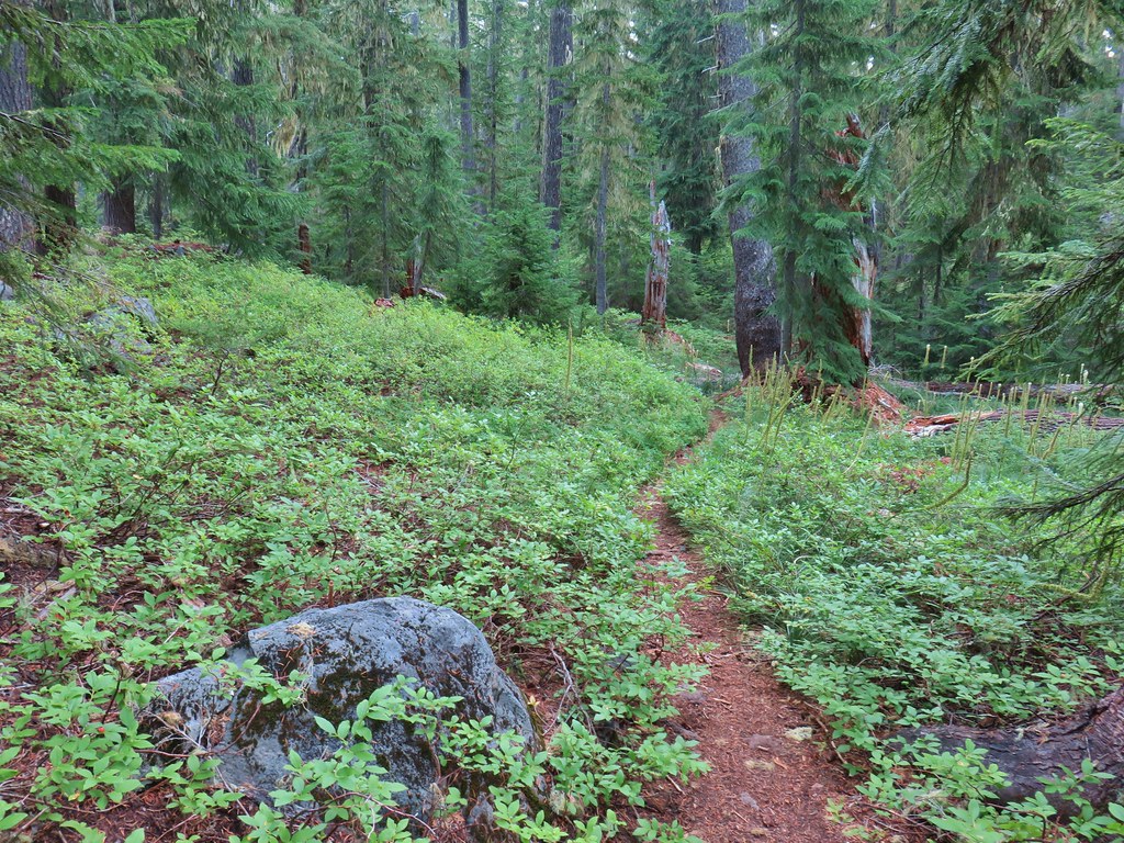

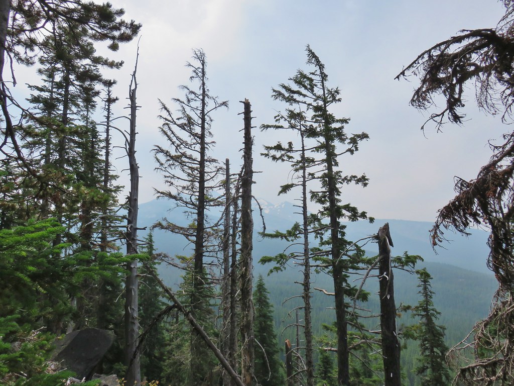 Diamond Peak from the trail; the smoke was back.
 Textured mushroom
 On the ridge.
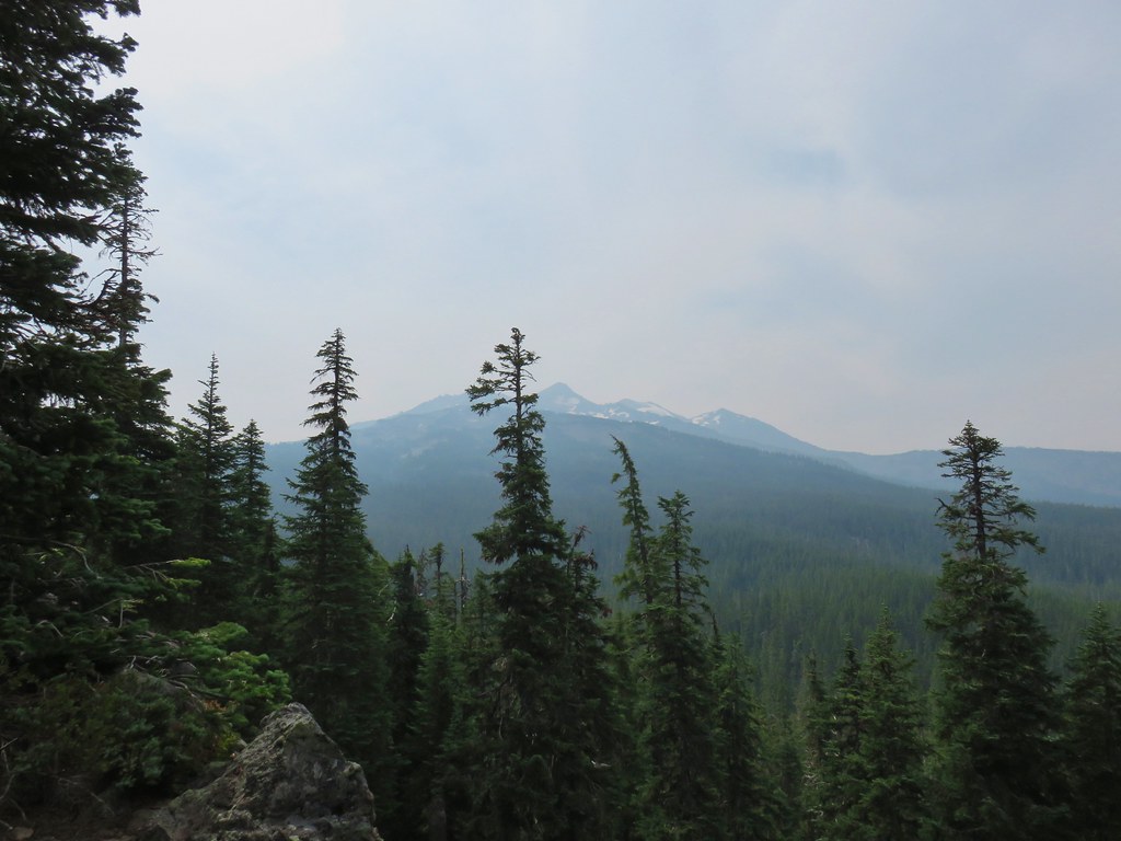 Diamond Peak
 Lousewort
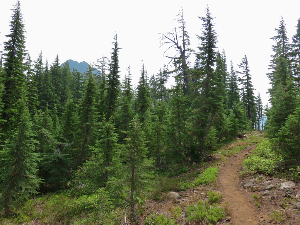 Mt. Yoran from the trail.
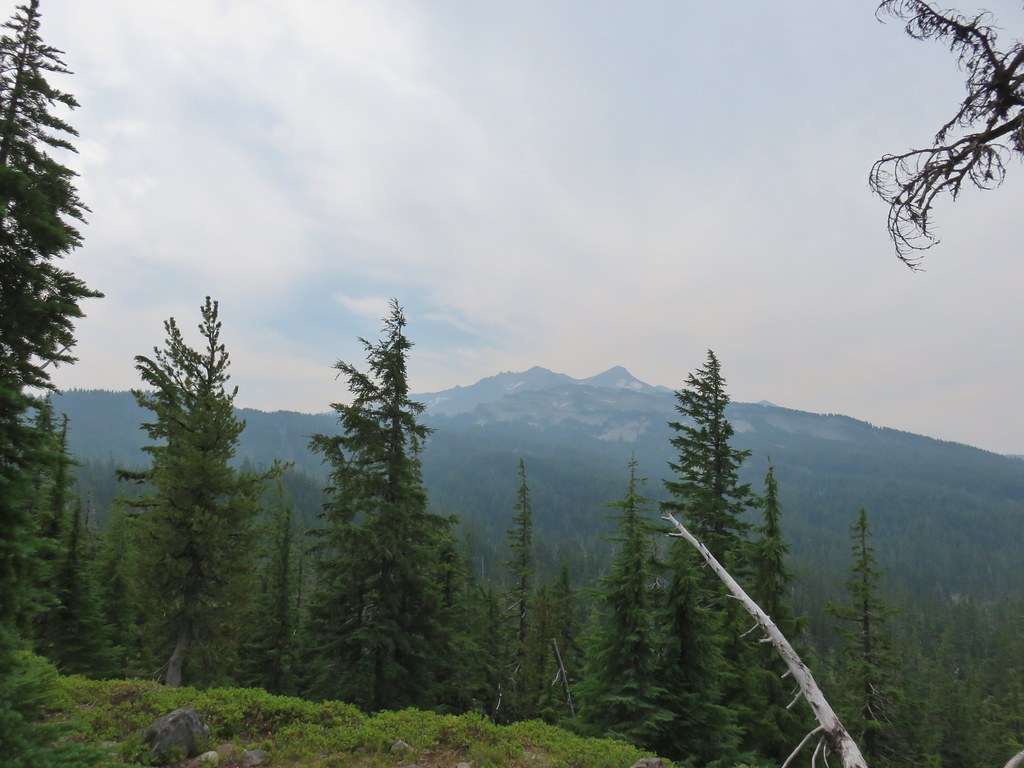 Diamond Peak again.
 Mt. Yoran on the left and the divide on the right.
 Passing under Mt. Yoran.
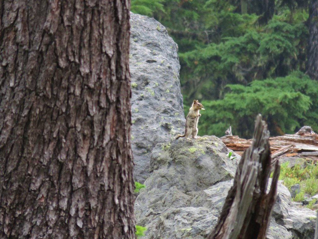 Please tell me that’s a seed and not that the ground squirrels have taken up smoking.
 Divide Lake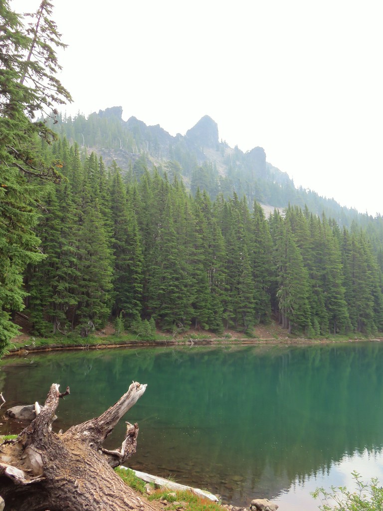

 Blue sky making a comeback.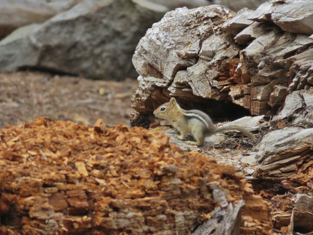
 Diamond Peak from Divide Lake
 Climbers trail to Mt. Yoran.
 Thank goodness it was a seed.
 Beardtongue
 Mt. Yoran from Divide Lake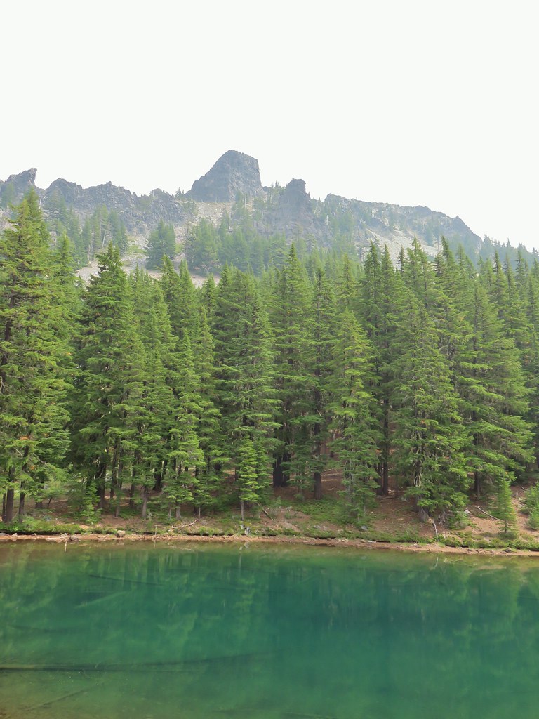
 One of the unnamed lakes.
 Starting up to the divide.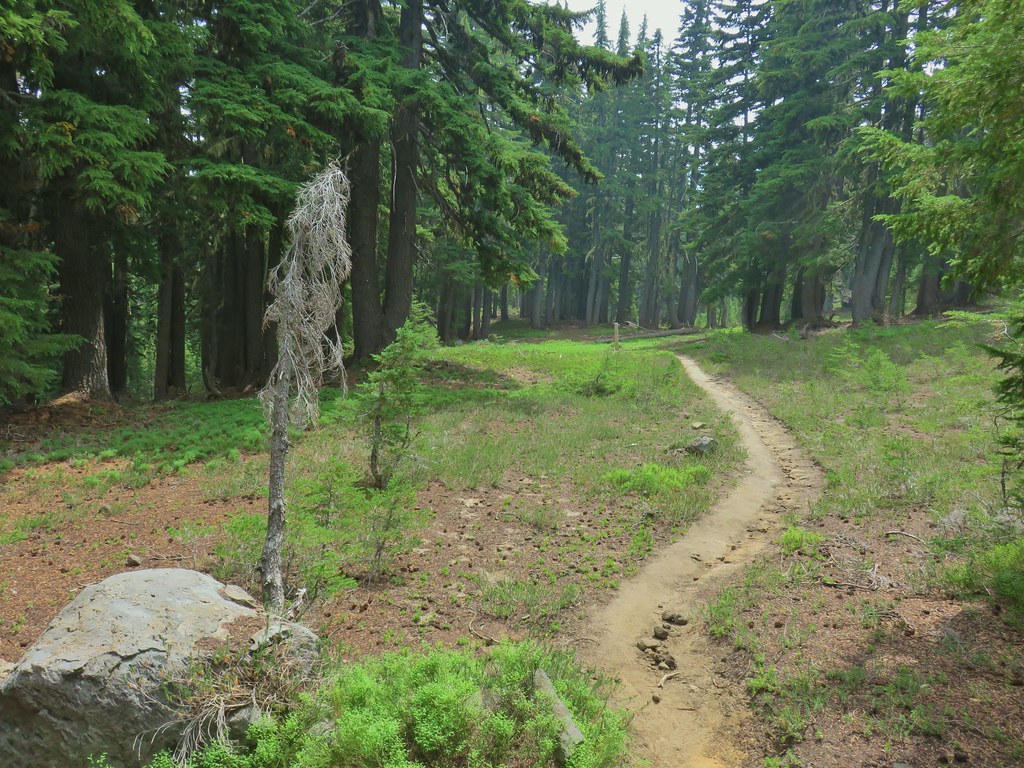
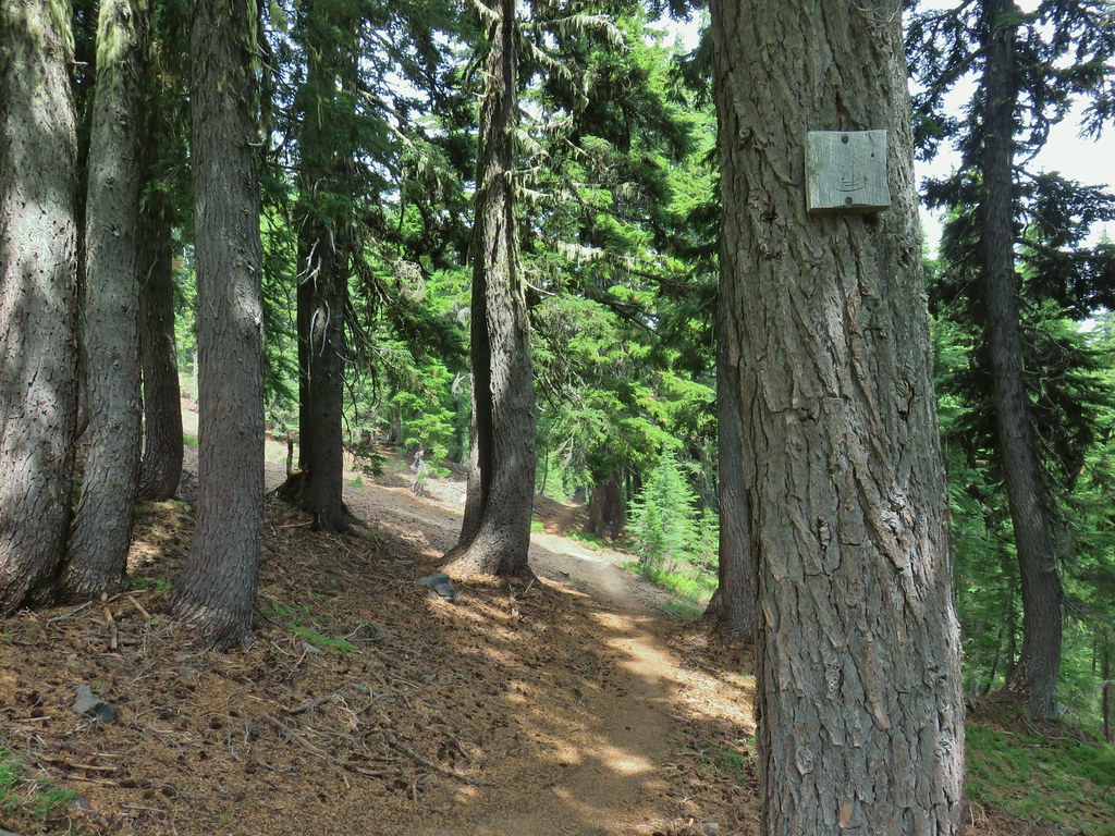
 PCT
PCT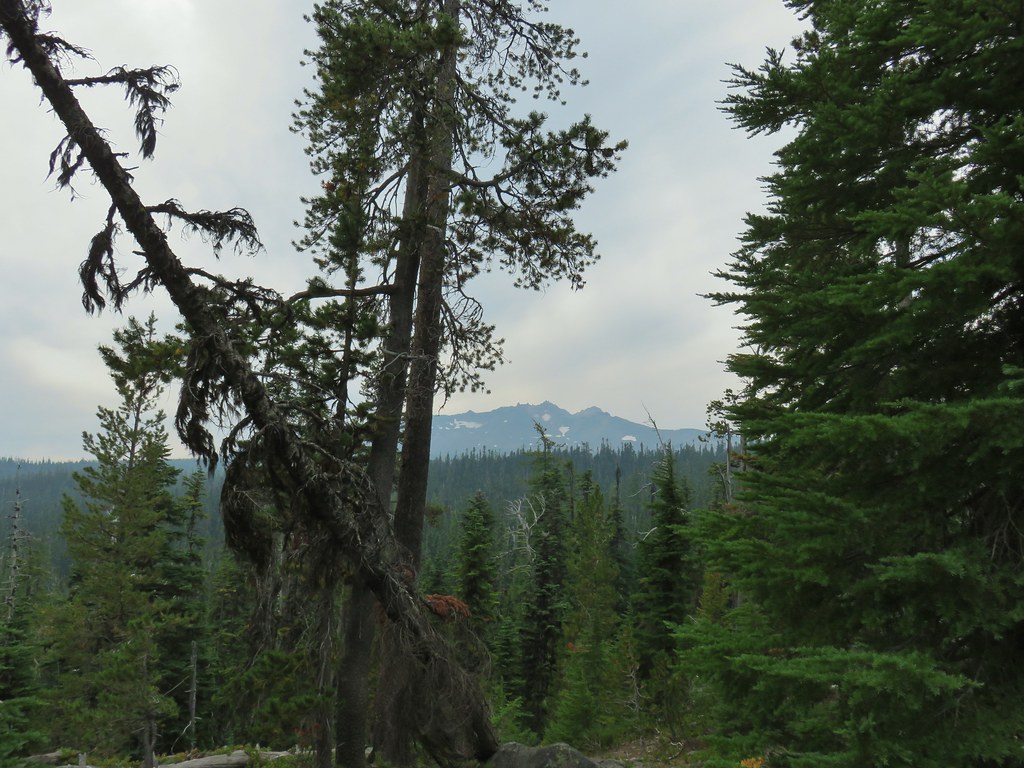 Diamond Peak from the PCT.
 Lakeview Mountain
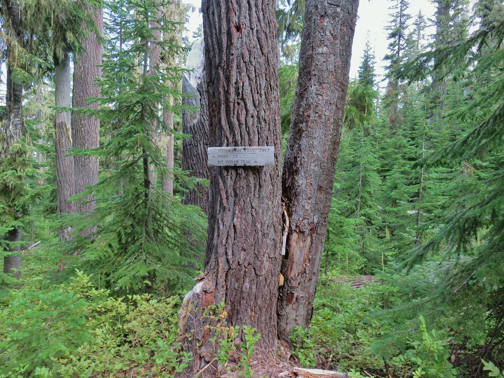
 New looking sign at the newly extended Yoran Lake Trail.
 Huge tree mushroom at the junction.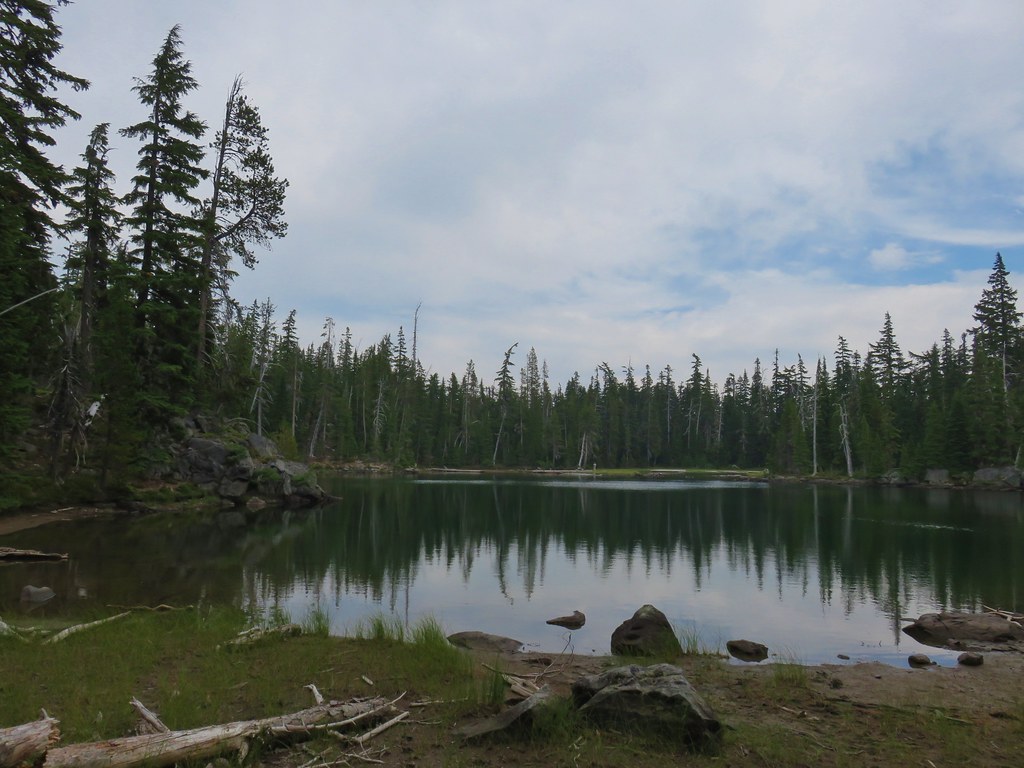
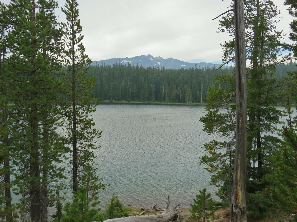
 Diamond Peak from Yoran Lake.
 Dry creek bed (this feeds Trapper Creek).
 Right hand fork to Karen Lake.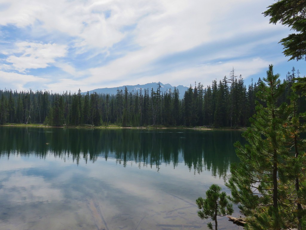
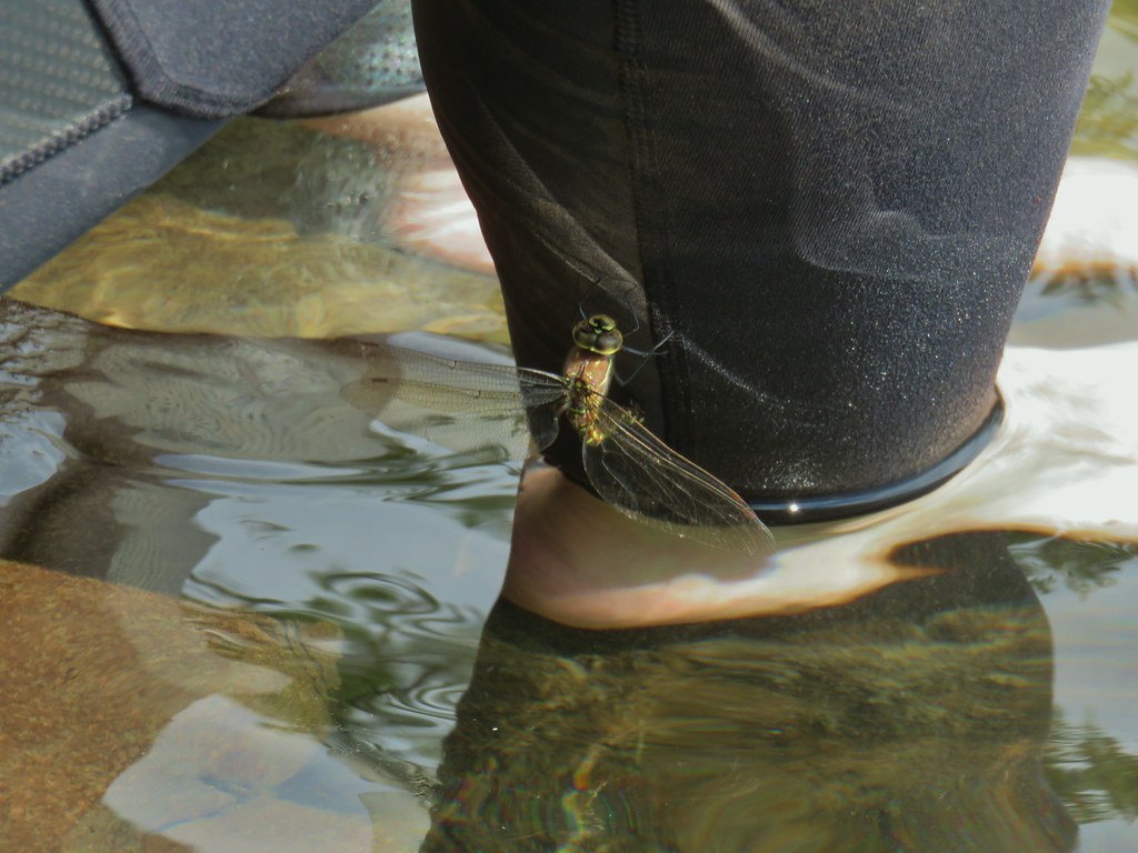 Dragon fly visit.
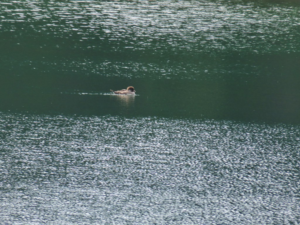
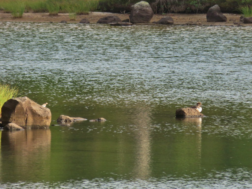 A little bird joining the duck on the rocks.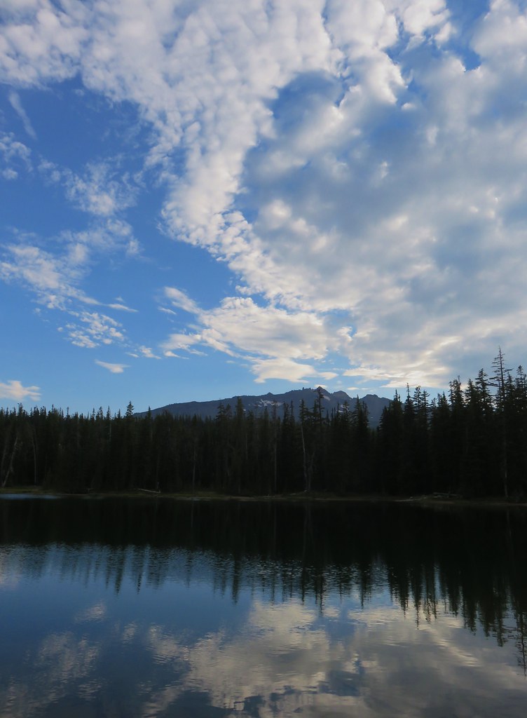
 Is this a tadpole? We first thought it was a newt then a fish but it’s got feet.
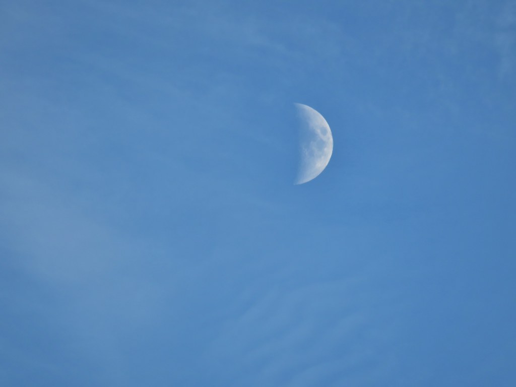 The moon was really showing up well over the mountain.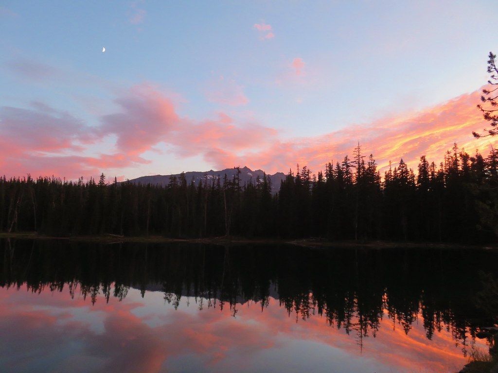

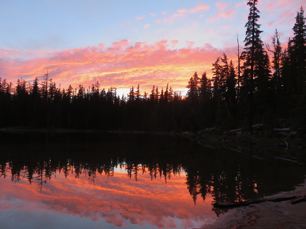


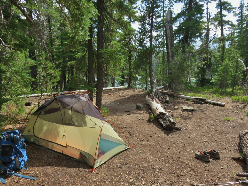
 Rainfly deployed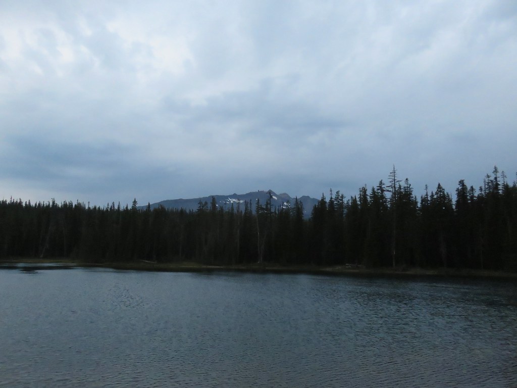
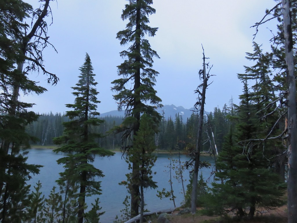 Another light shower passing over as we were leaving.
 Some funny looking beargrass along the trail.


 The lake doesn’t show a name on the map but West Bay Creek flows out of it (of course it too was dry at this time of year).

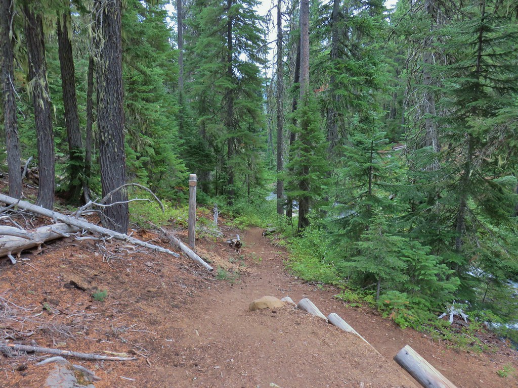

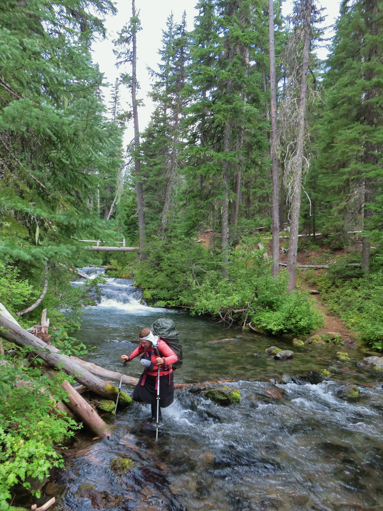
 Diamond Peak in the morning.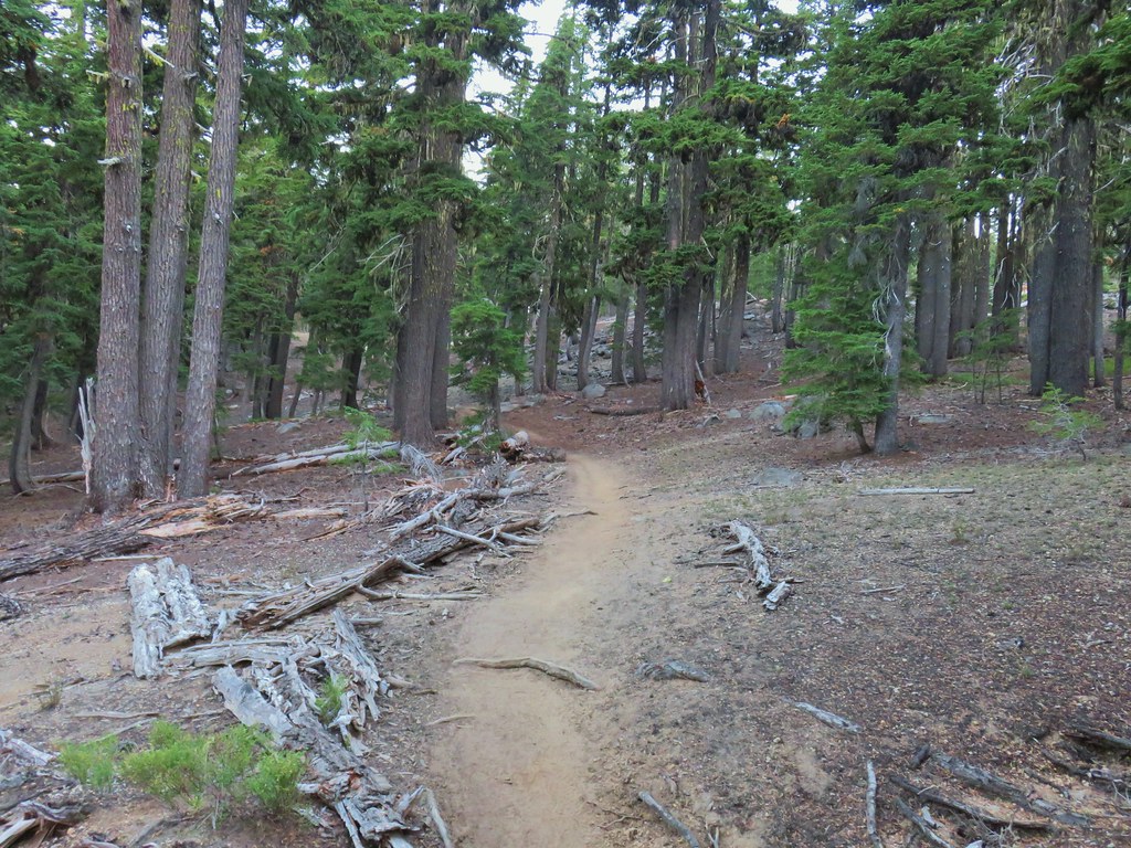
 The viewpoint from below on the PCT.
 Summit Lake and a lot of smoke.
 The north flank and route up Diamond Peak.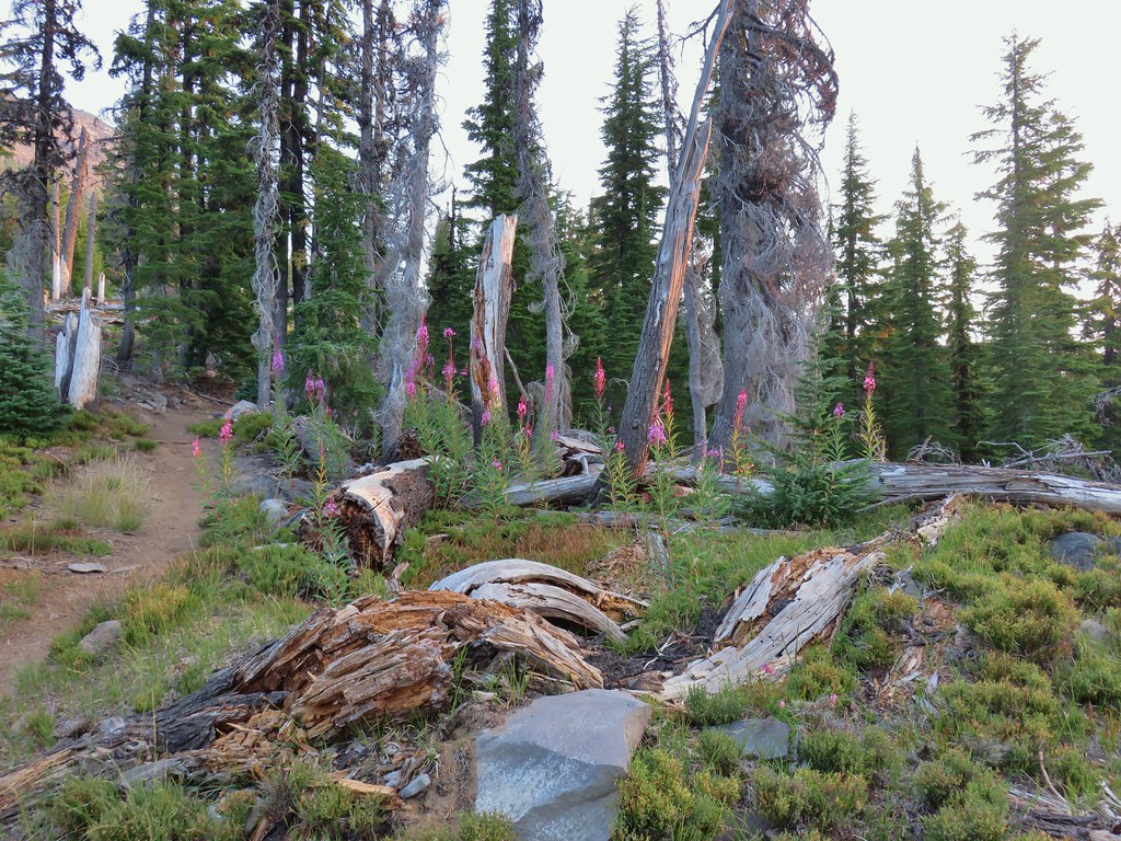
 Fireweed catching the morning sunlight.
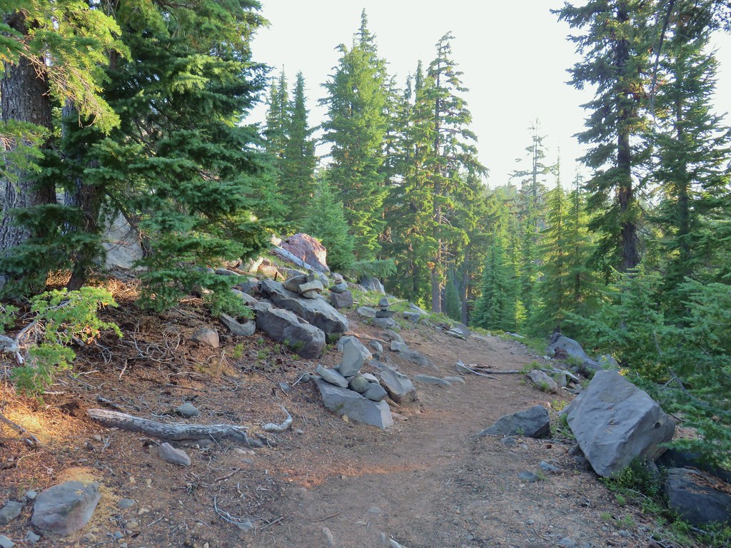 Cairns on the left side of the trail marking the route.
 Chipmunk inspecting some bleeding heart.
 Summit Lake and the route up through the trees.
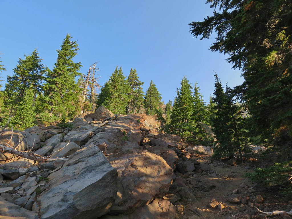 Here come the rocks.
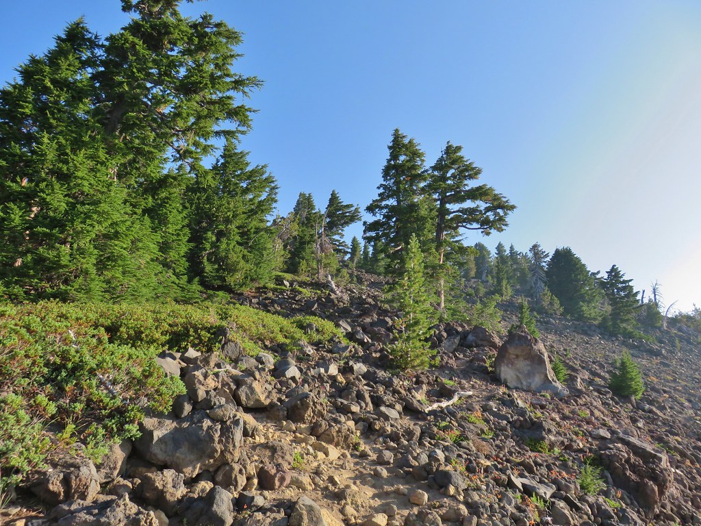 Cairn on top of the big rock on the right.
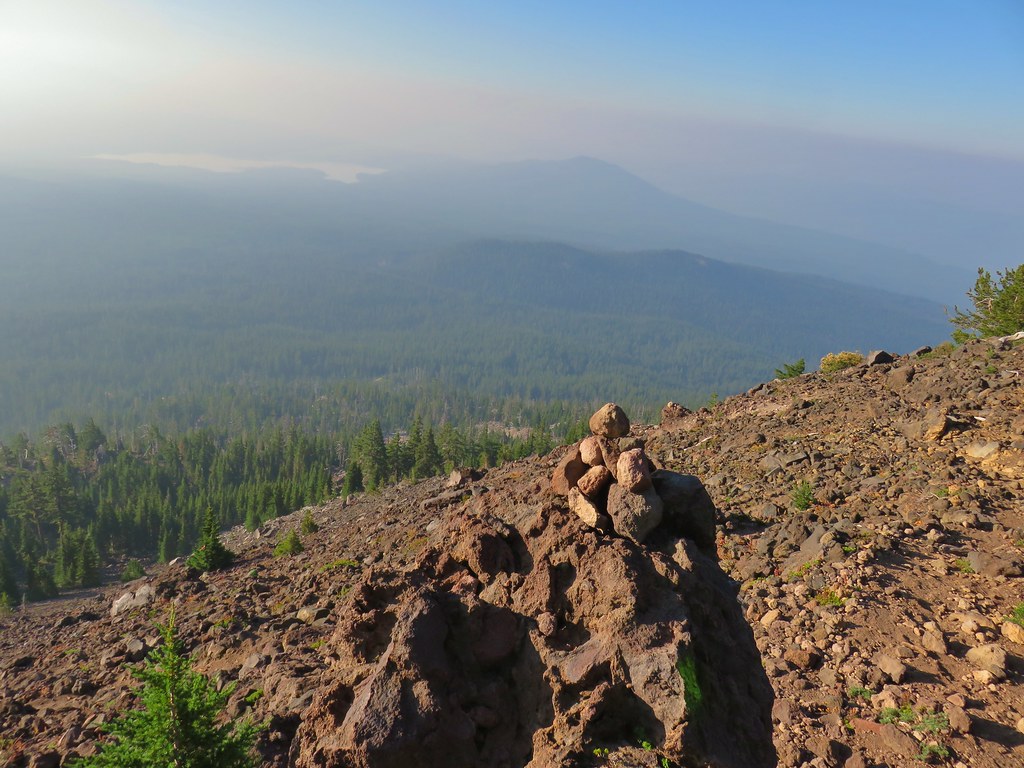 A carin and paint on a rock along the route and some pink flagging on the tree down to the left.
 Looking up at the false summit.
 Paintbrush
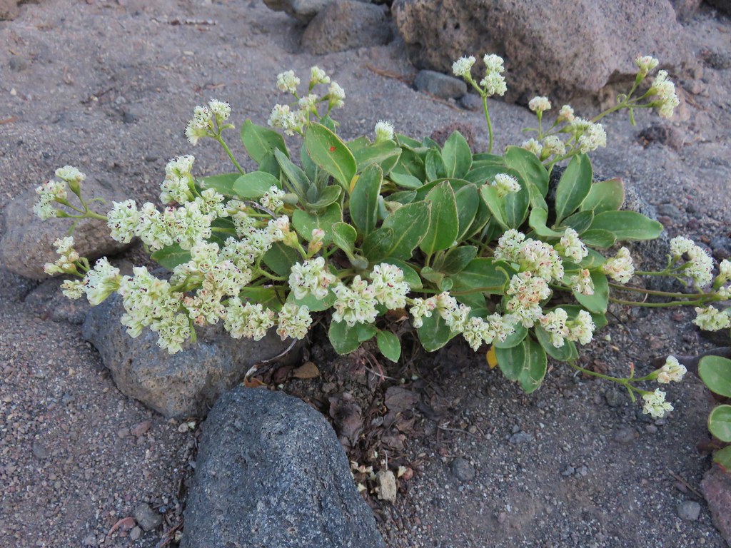 Buckwheat
 Patches of penstemon.
 Seed heads of Drummond’s anemone
 Dark smoke to the SW
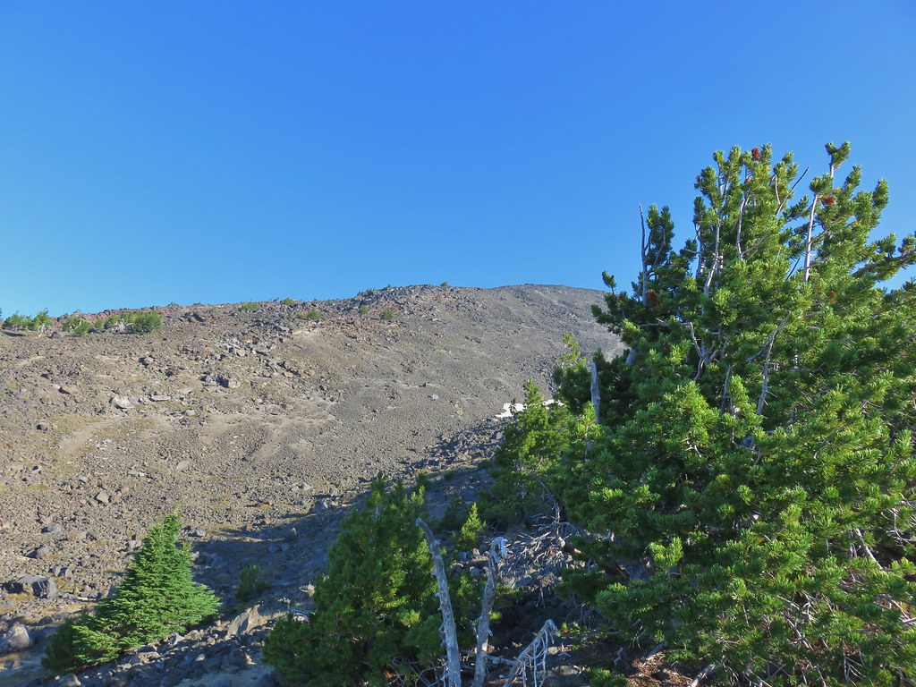 A snow patch below the false summit.
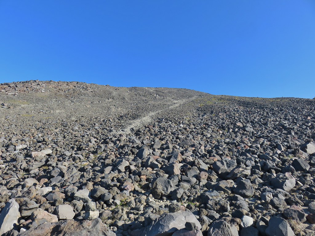 Final pitch to the false summit, still pretty blue.

 Looking west to a wall of smoke.
 Smoke to the east.
 Smoke to the NE too.
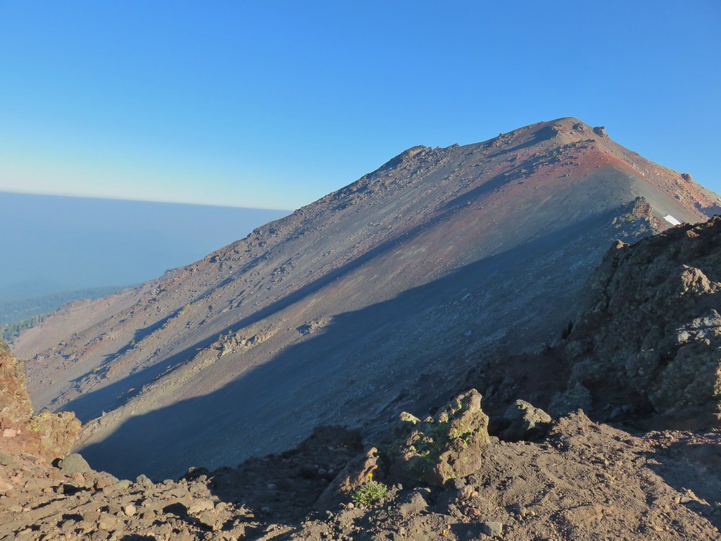 NW also equals smoke.
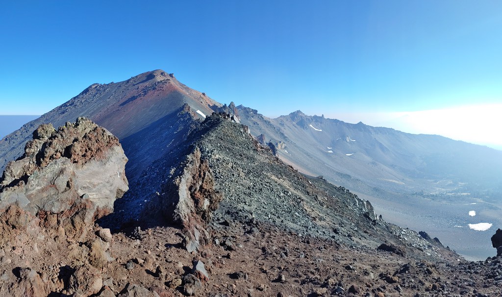 Smoke starting to drift in from the east.
 One of several Clark’s nutcrackers.
 Buckwheat
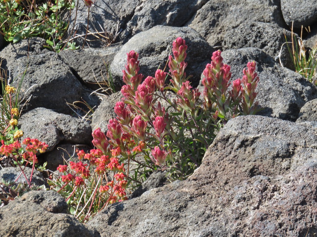 Paintbrush
 Penstemon
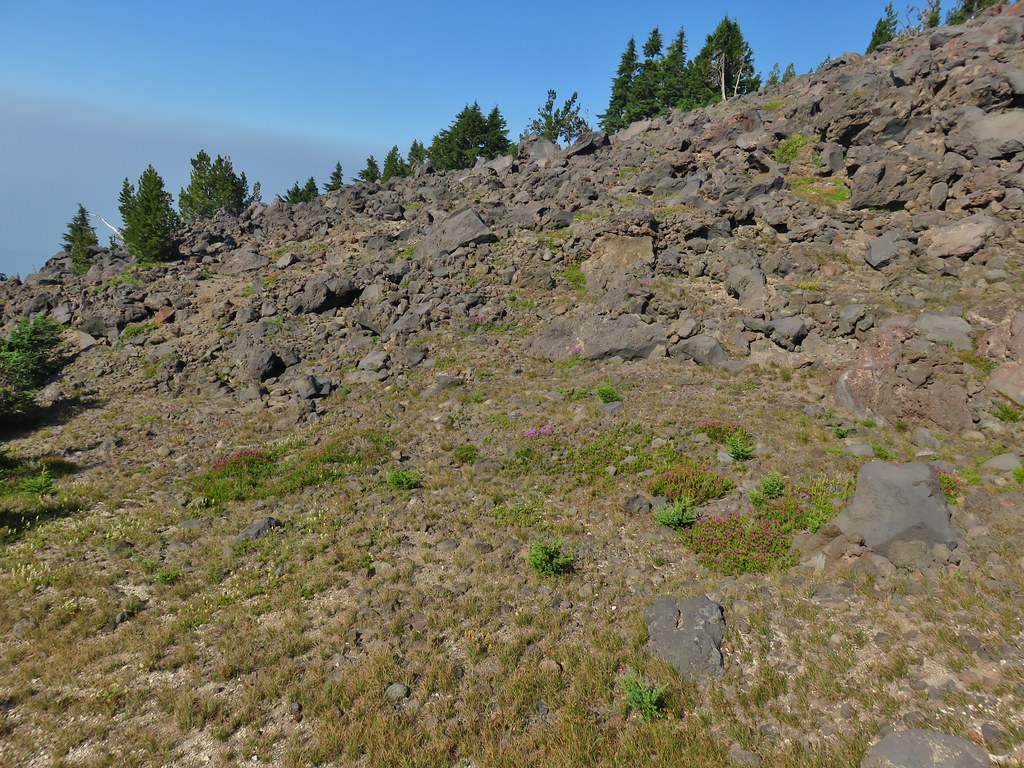 Basin with a number of flowers.
 Mountain heather
 Partridge foot
 Another paintbrush
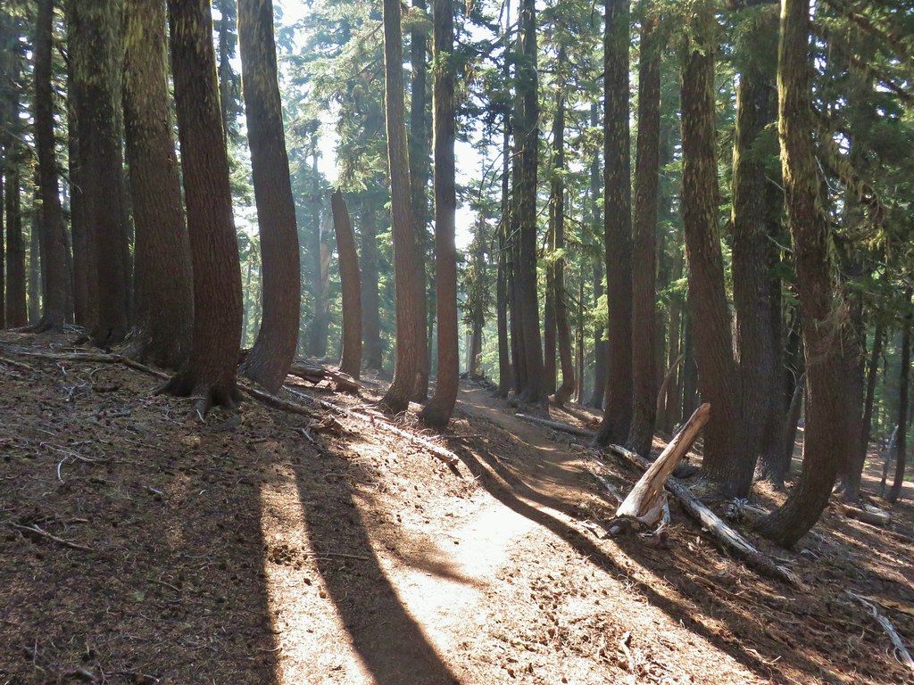 A little smoke in the trees.
 Slightly smokier Rockpile Lake.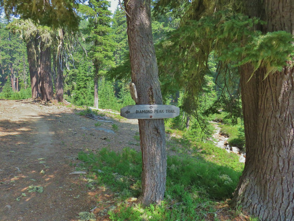

 Summit Lake out there in the smoke.

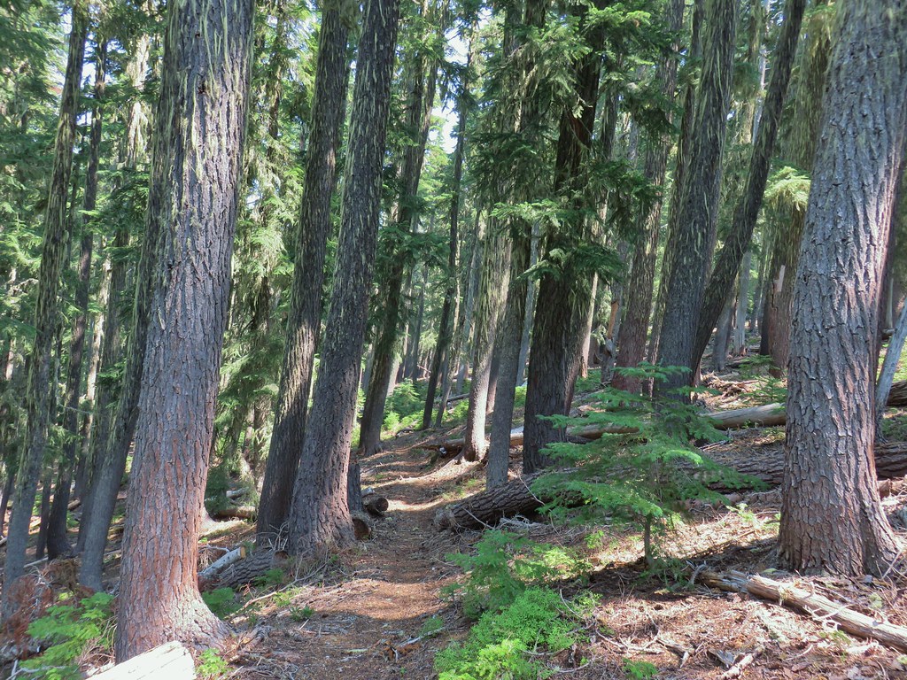
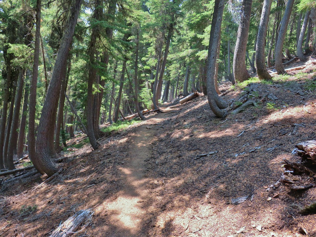
 One of the uphill sections.
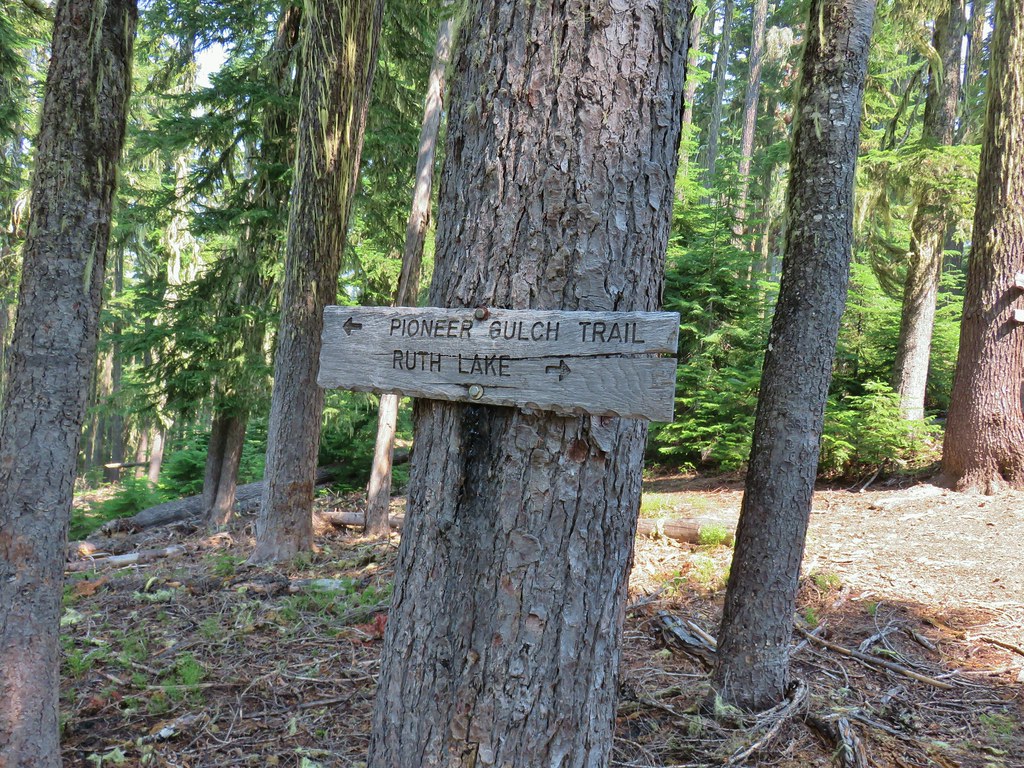
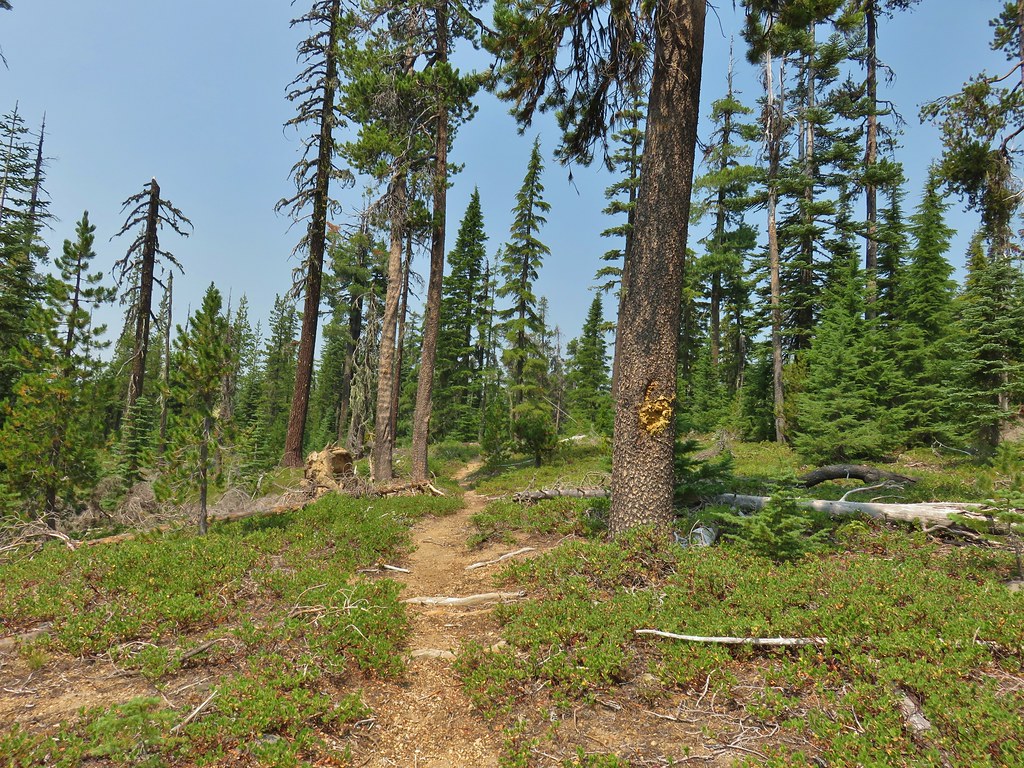
 Note again that the sign is letting you know what is in the different directions but not identifying the trail name.
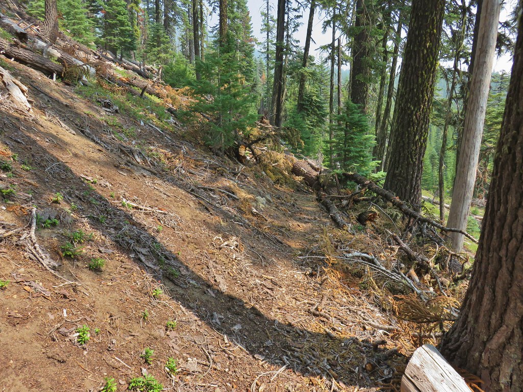 Typical obstacle for this stretch.
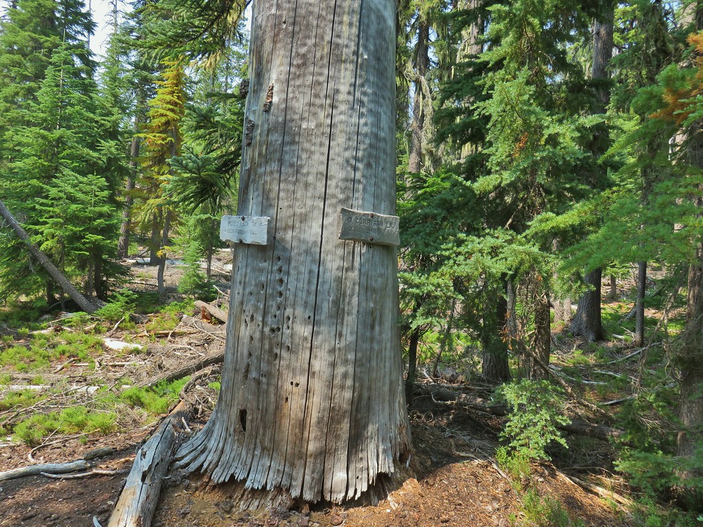


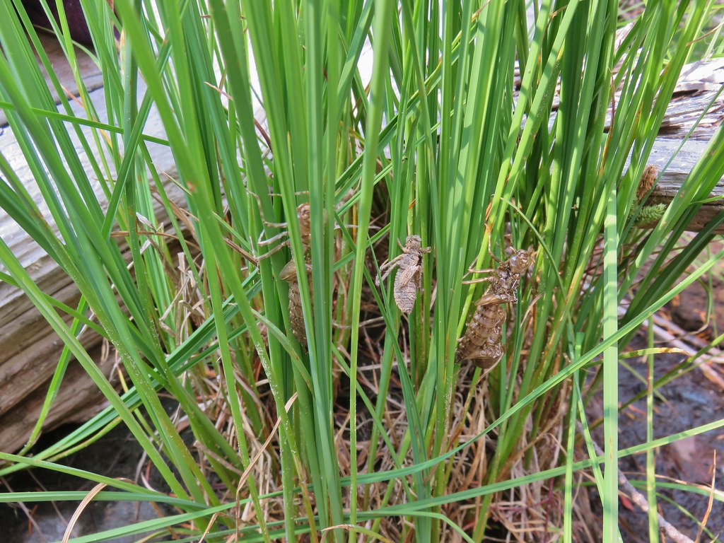 Lots of insect husks on the plants along the lake.
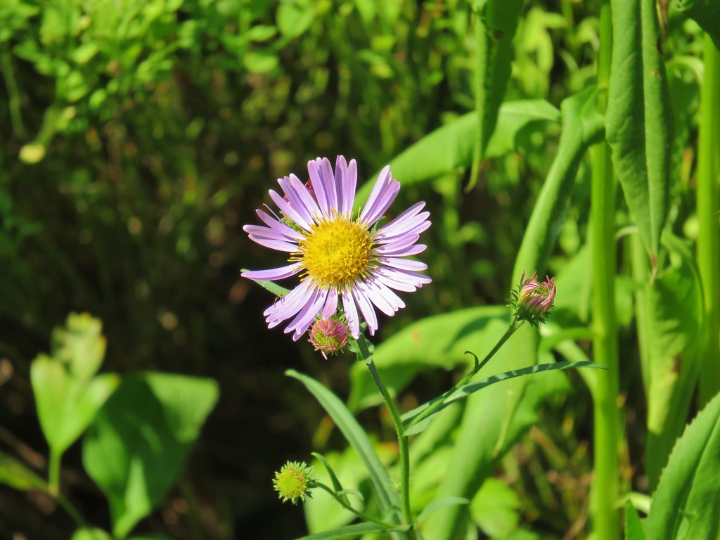 Fleabane
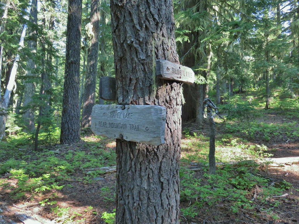
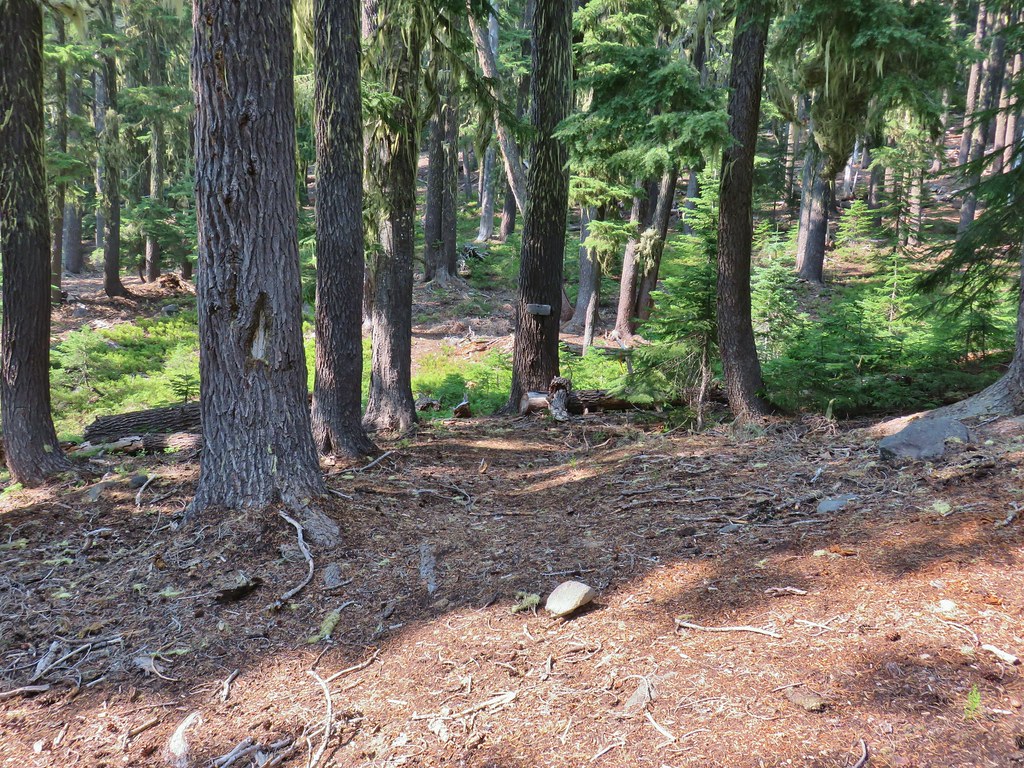 Bear Mountain Trail junction.
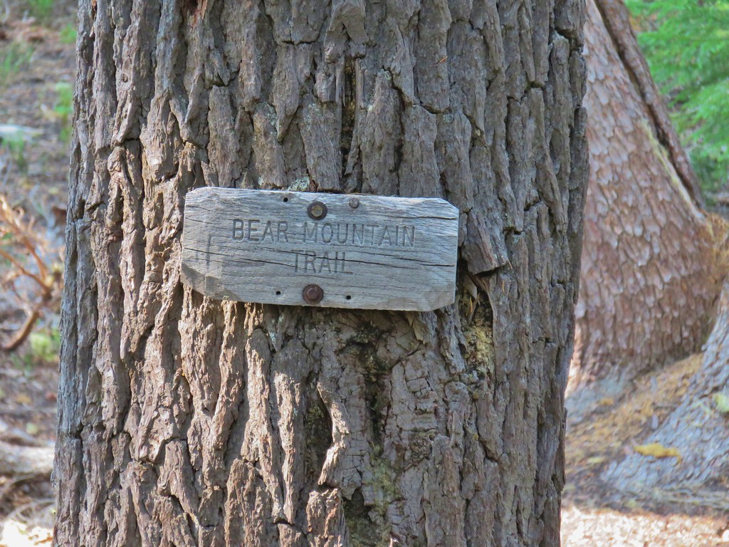 Look a named trail!
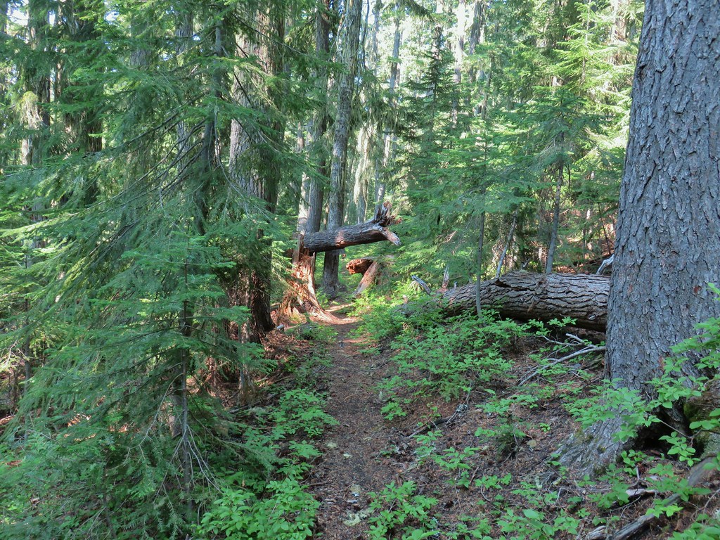

 Starting to drop off the ridge.
 Arnica
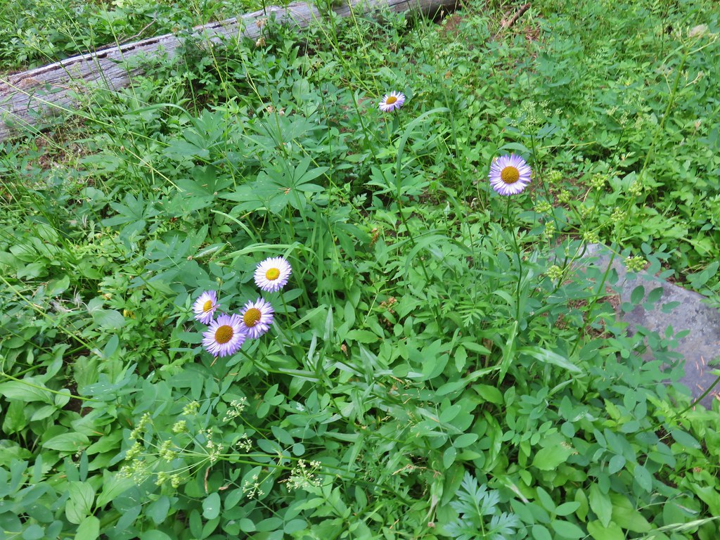 Fleabane
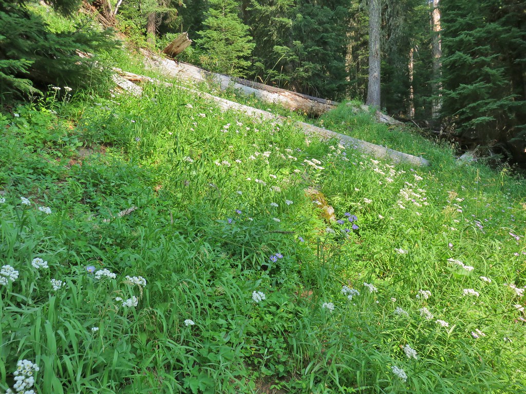 Pearly everlasting and fringed grass of parnassus
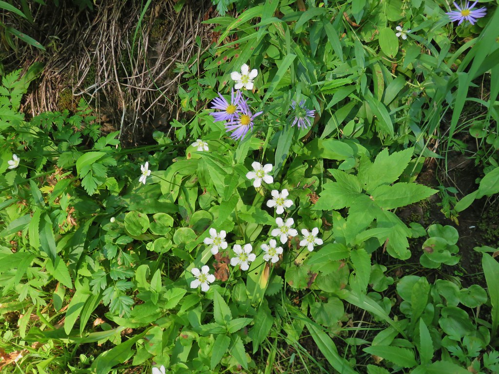 Aster and fringed grass of parnassus
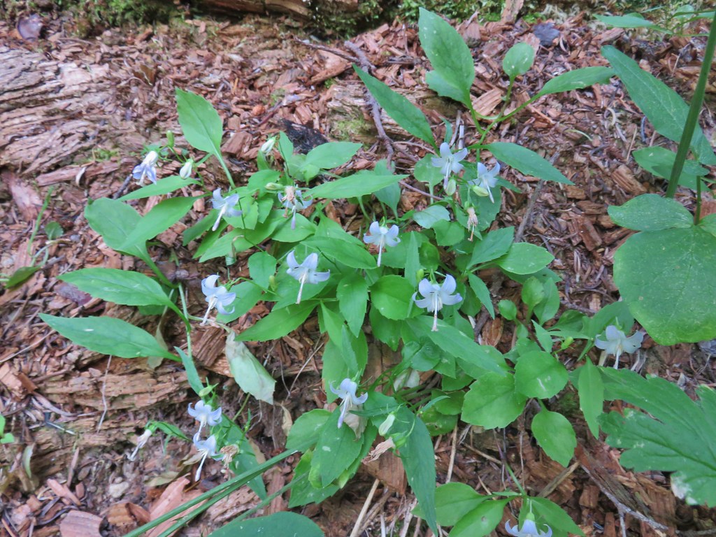 Scouler’s bluebells

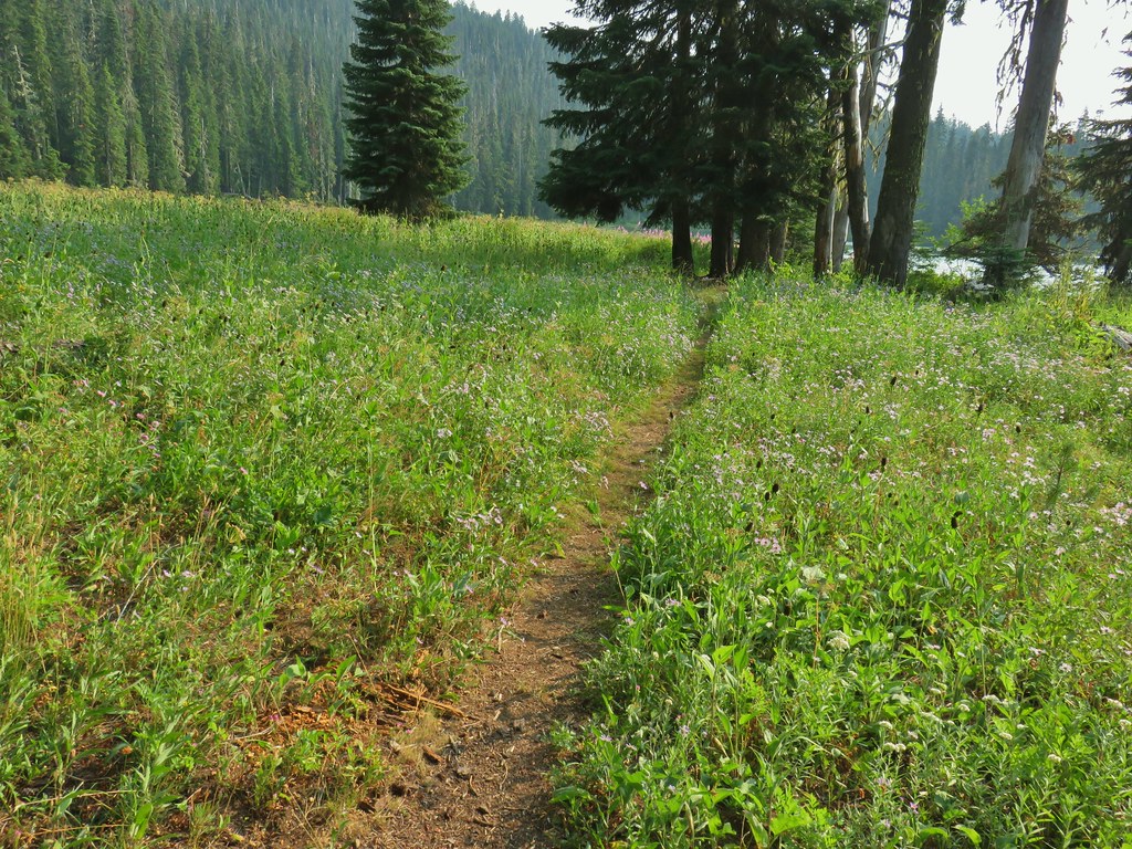
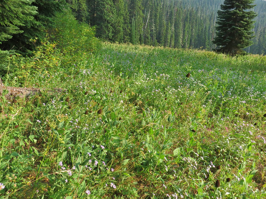 Lots of coneflower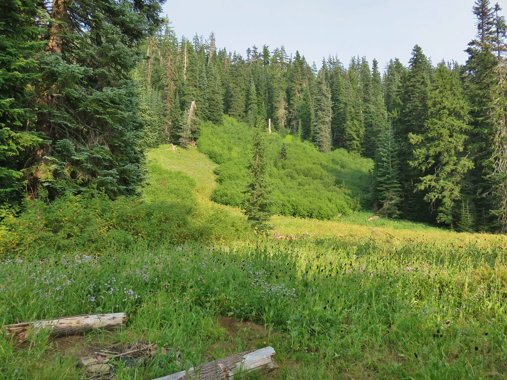
 Fireweed and coneflower
 Owl’s clover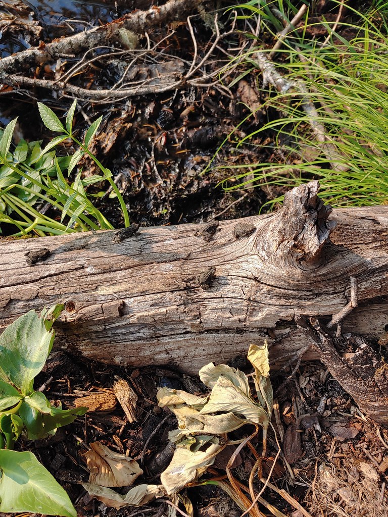

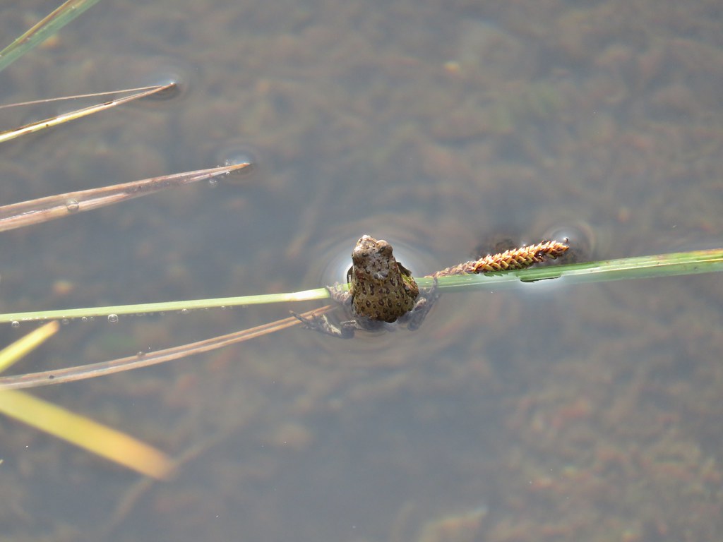
 Dragon fly and a bunch of frogs
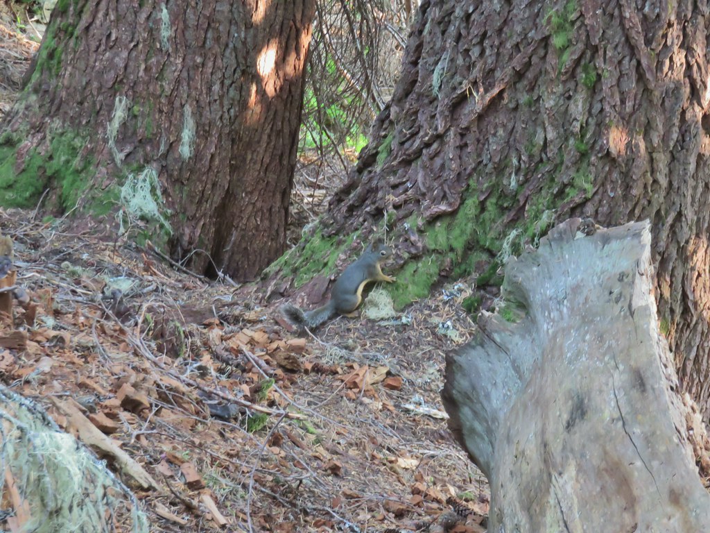 Chatty squirrel


 The writing on the sign made us chuckle, it says “If you need a map you should stay home”. All kidding aside you should always carry a map and refer to it as often as necessary.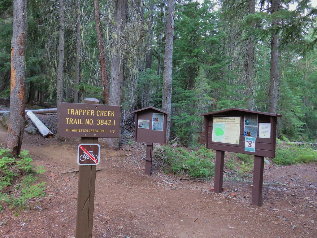



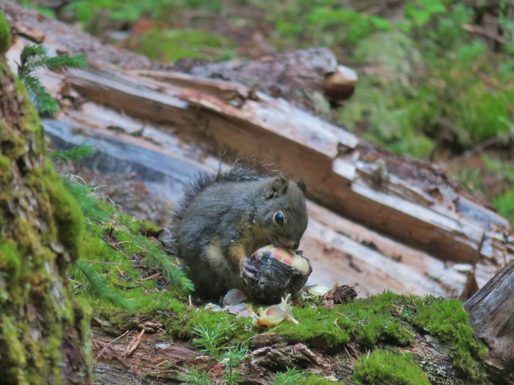 Breakfast time.
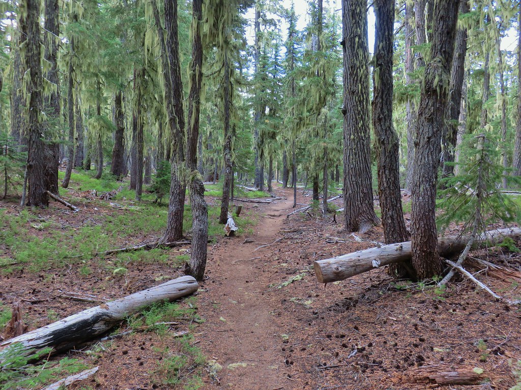
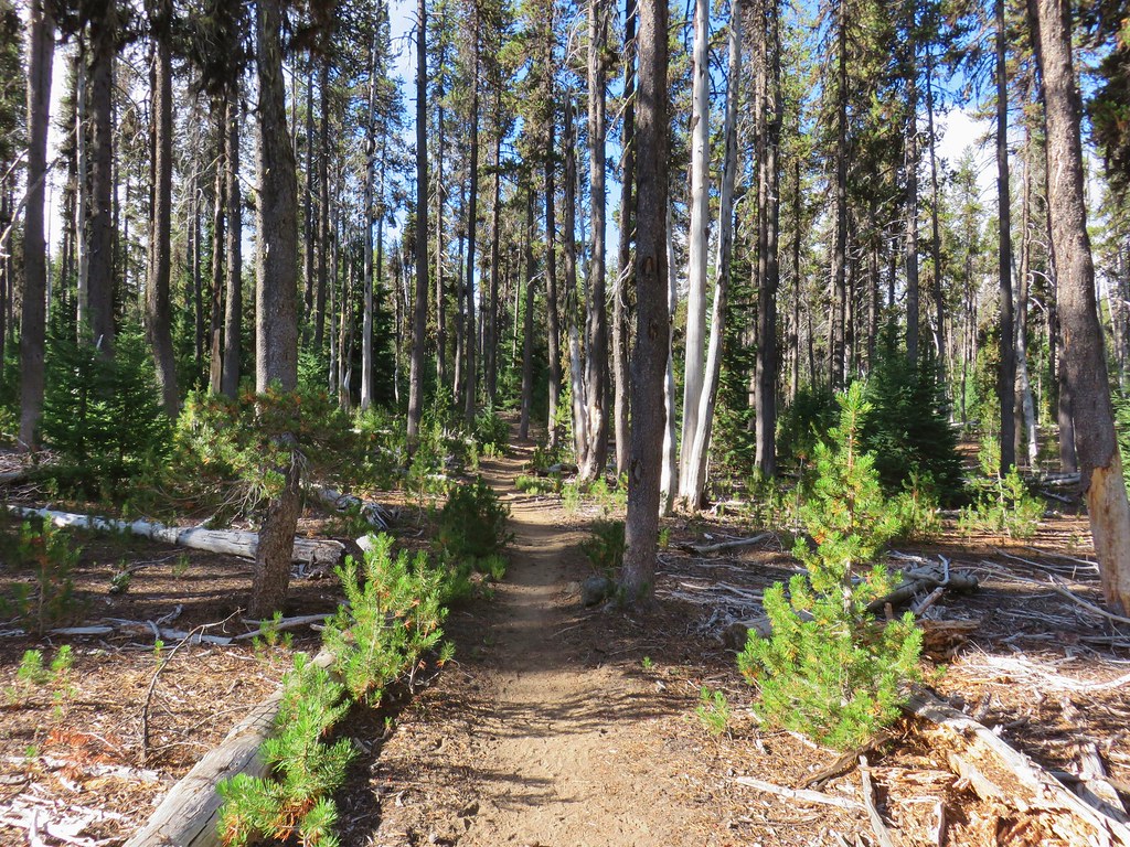
 Unnamed lake along the Whitefish Trail
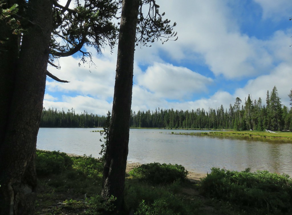 Arriving at Diamond View Lake
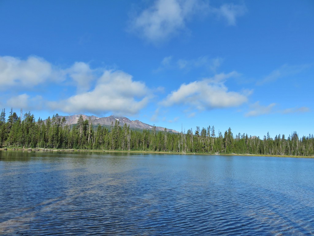 Diamond Peak with Mt. Yoran to the right.
 Sharing our break spot with a butterfly
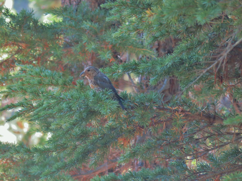 Crossbill near Diamond View Lake

 Mile marker?
 A lone lupine
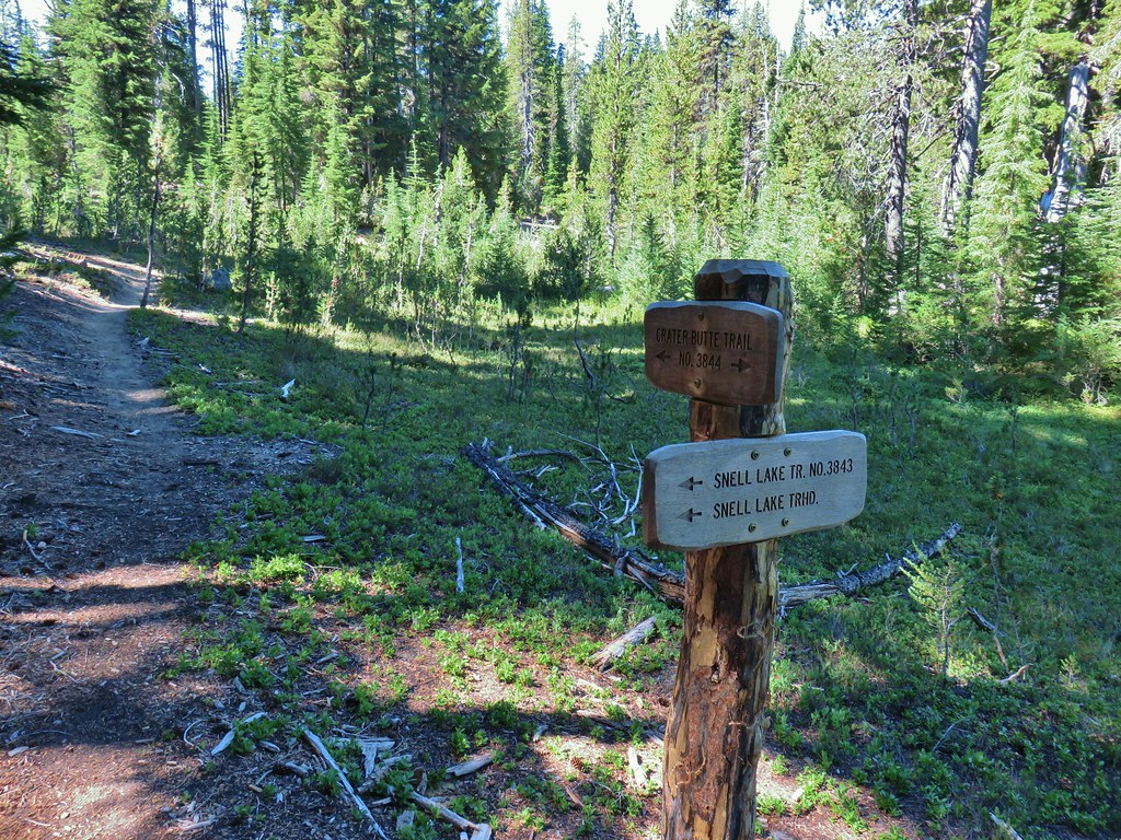 Nice looking sign for the Snell Lake Trail.
 It didn’t look like the Snell Lake Trail sees much use, at least at this end.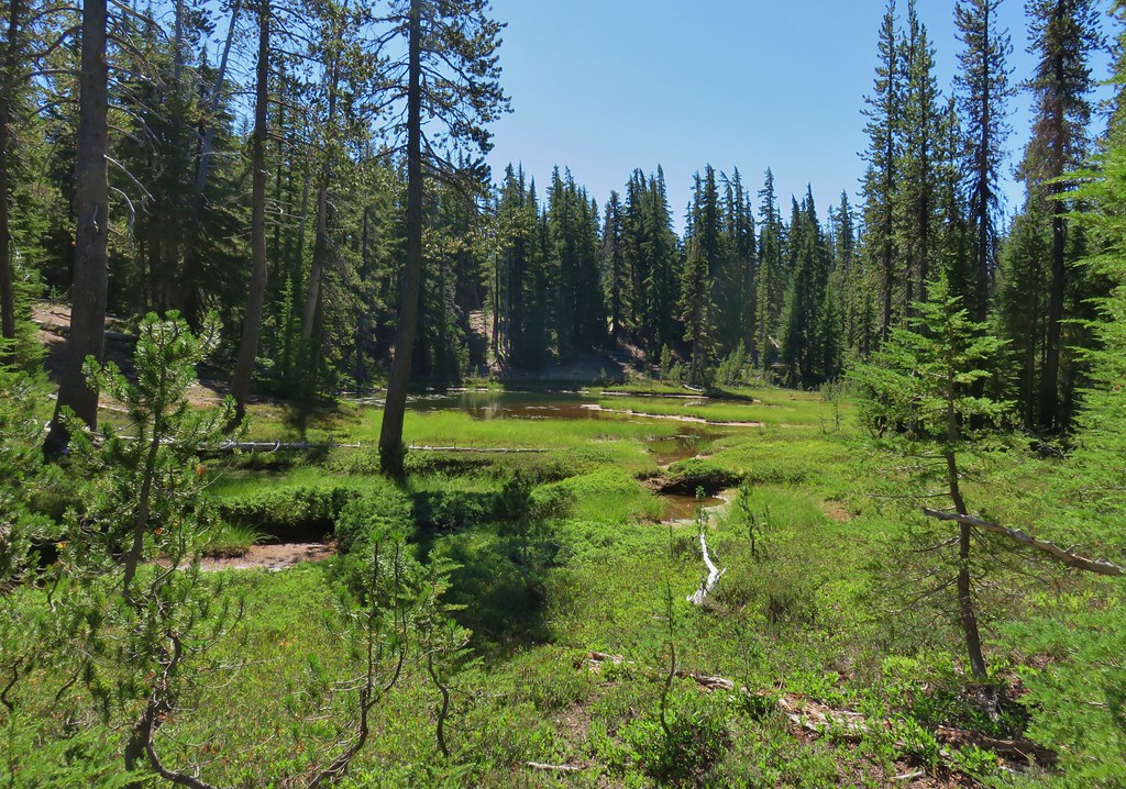
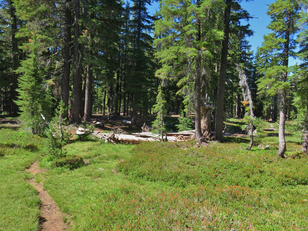 The heather was all done blooming but there was a lot of dried blossoms.

 The summit of Diamond Peak.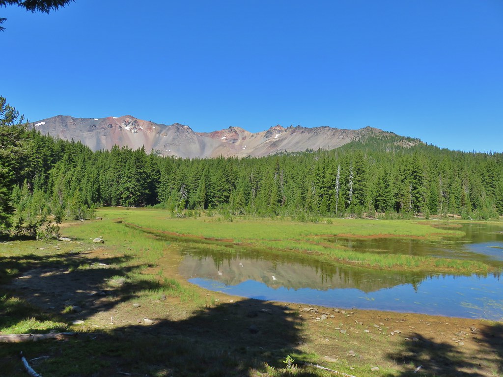


 Diamond Peak from the Rockpile Trail
 Rockpile Lake

 Hikers on the trail to the right coming down from the false summit.
 Dragon fly