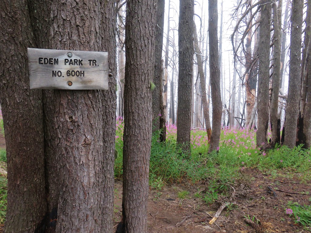
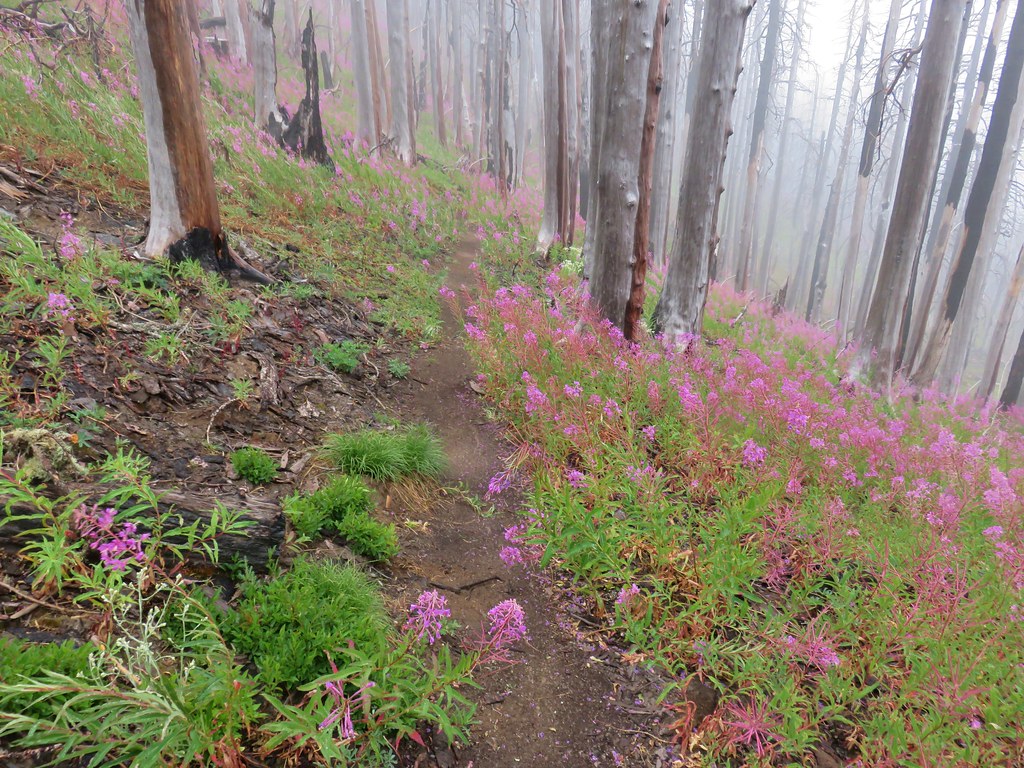
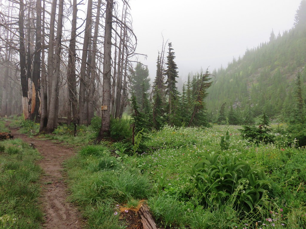
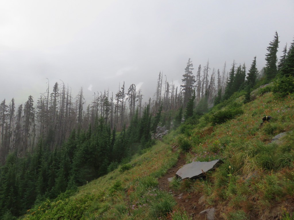
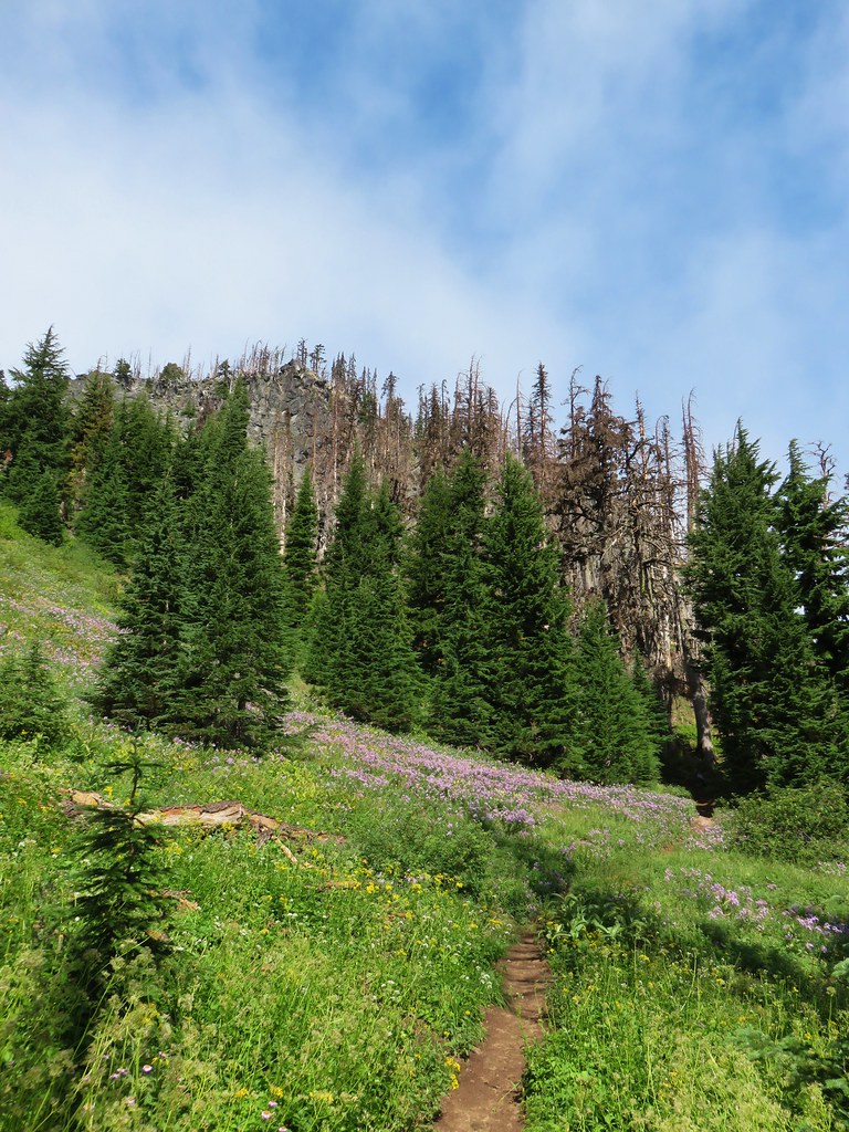
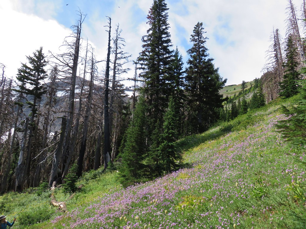
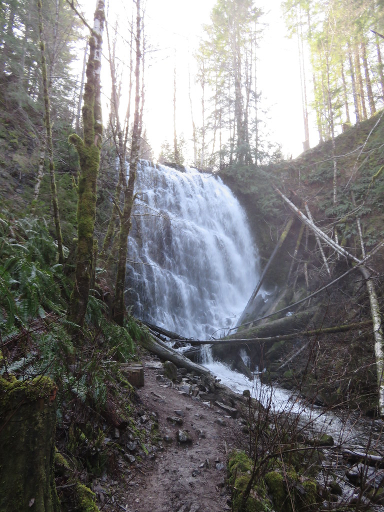
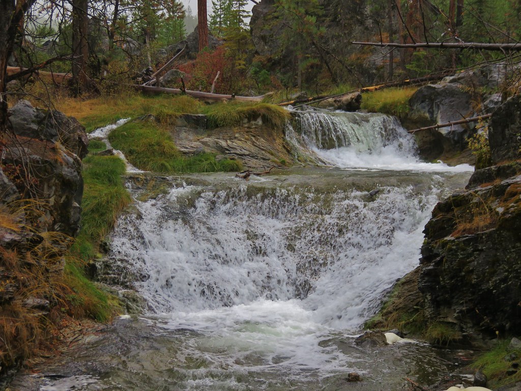
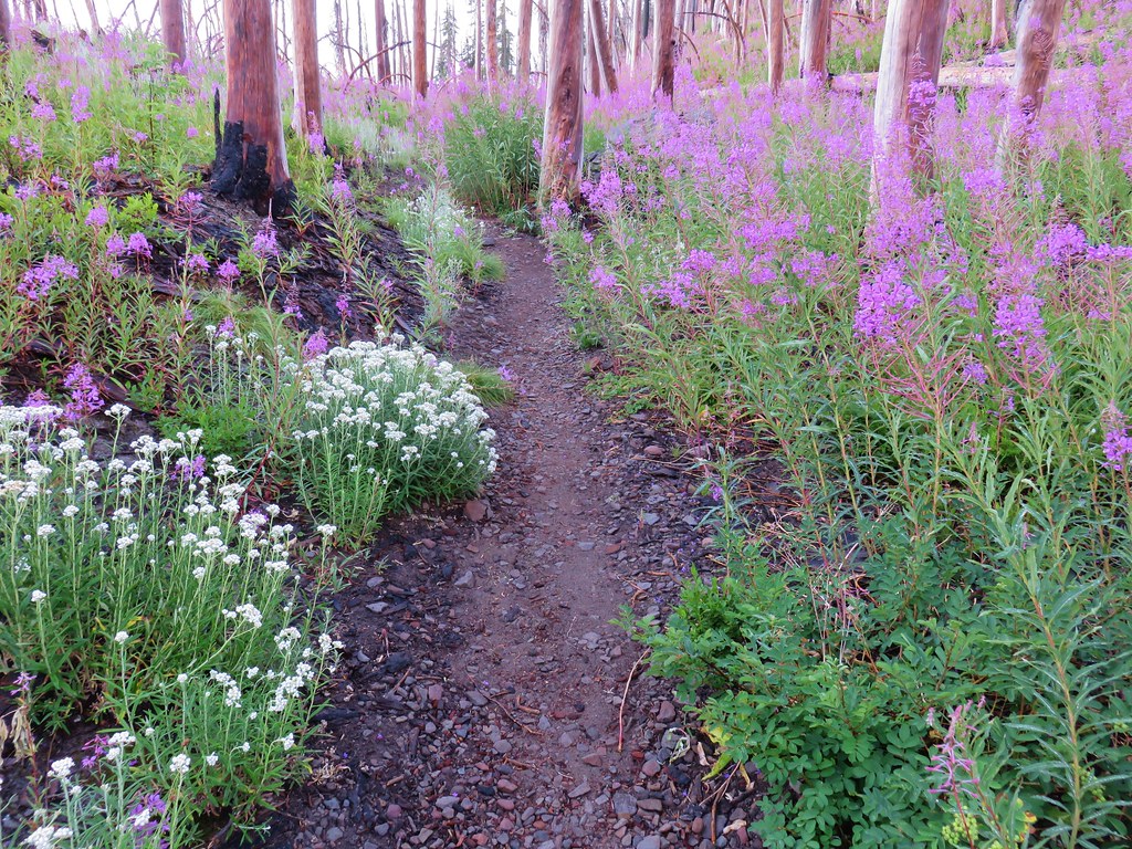
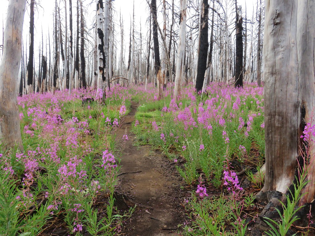
**Note a portion of this hike burned in the 2021 Bull Complex.**
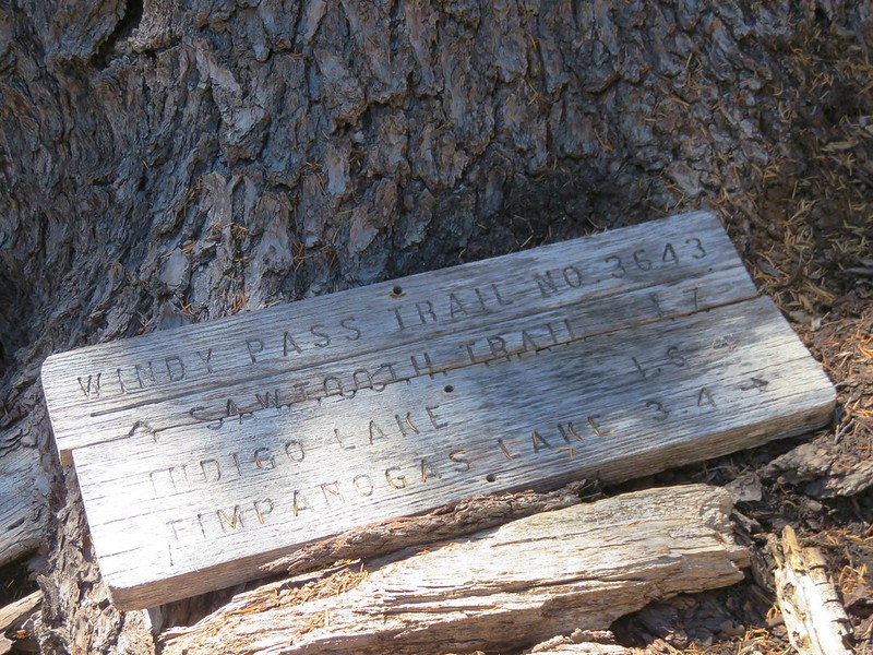
For the 5th hike of our vacation we finally got around to one of Sullivan’s featured hikes that we hadn’t done yet, Pansy Lake. Pansy Lake is located in the Bull of the Woods Wilderness in a basin below the Bull of the Woods Lookout. In his guidebook Sullivan has you start the hike from the Pansy Lake Trailhead which is just over a mile from the lake. He gives two options, a 2.4 mile out-and-back to Pansy Lake or a 7.1 mile loop past the lake up to the lookout and then back down passing Dickey Lake along the way. Either of these options would have caused us to break our self-imposed rule against driving for more time than we spend hiking due to the driving time to the Pansy Lake Trailhead being roughly 2:45 for us. Fortunately Sullivan also mentions the option of starting at the Bull of the Woods Trailhead for an easier hike to the lookout. The Bull of the Woods Trailhead was about a 15 minute closer drive and it added almost 3 miles to the round trip which provided an acceptable drive/hike ratio.
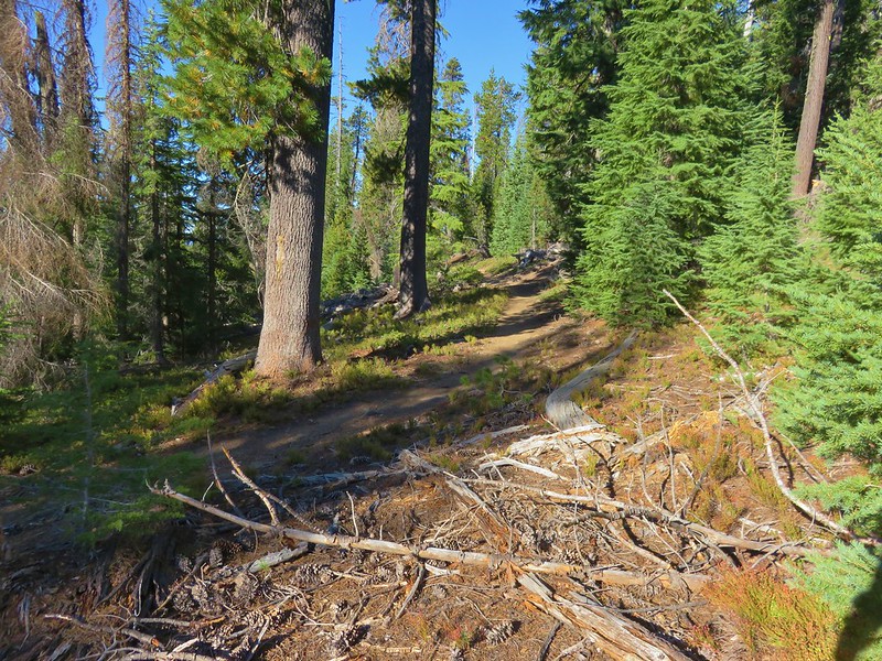
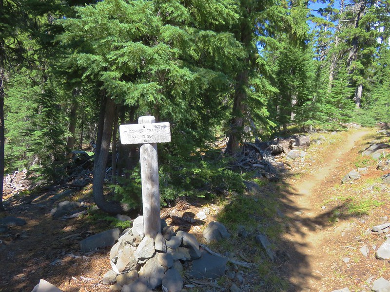
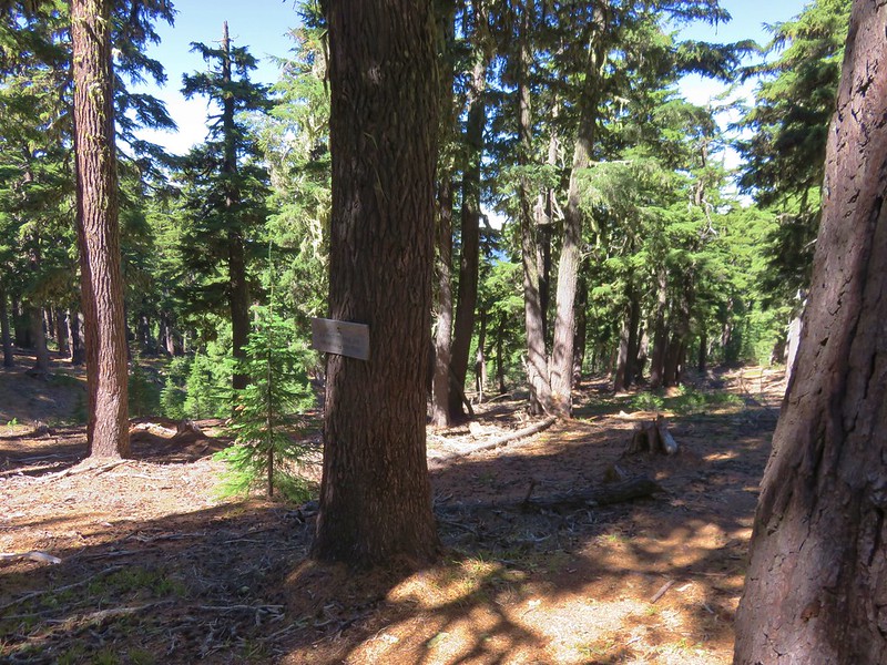
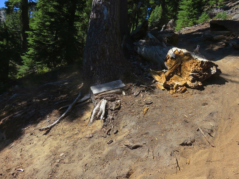
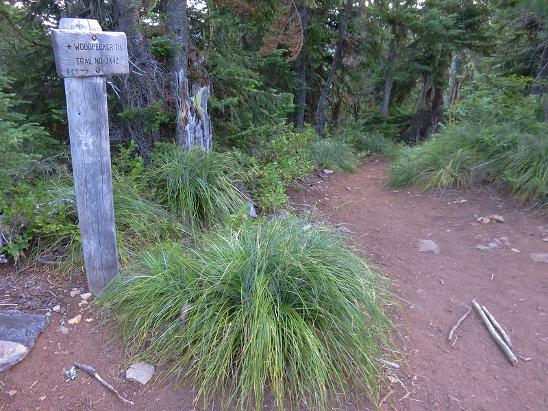
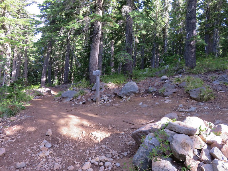
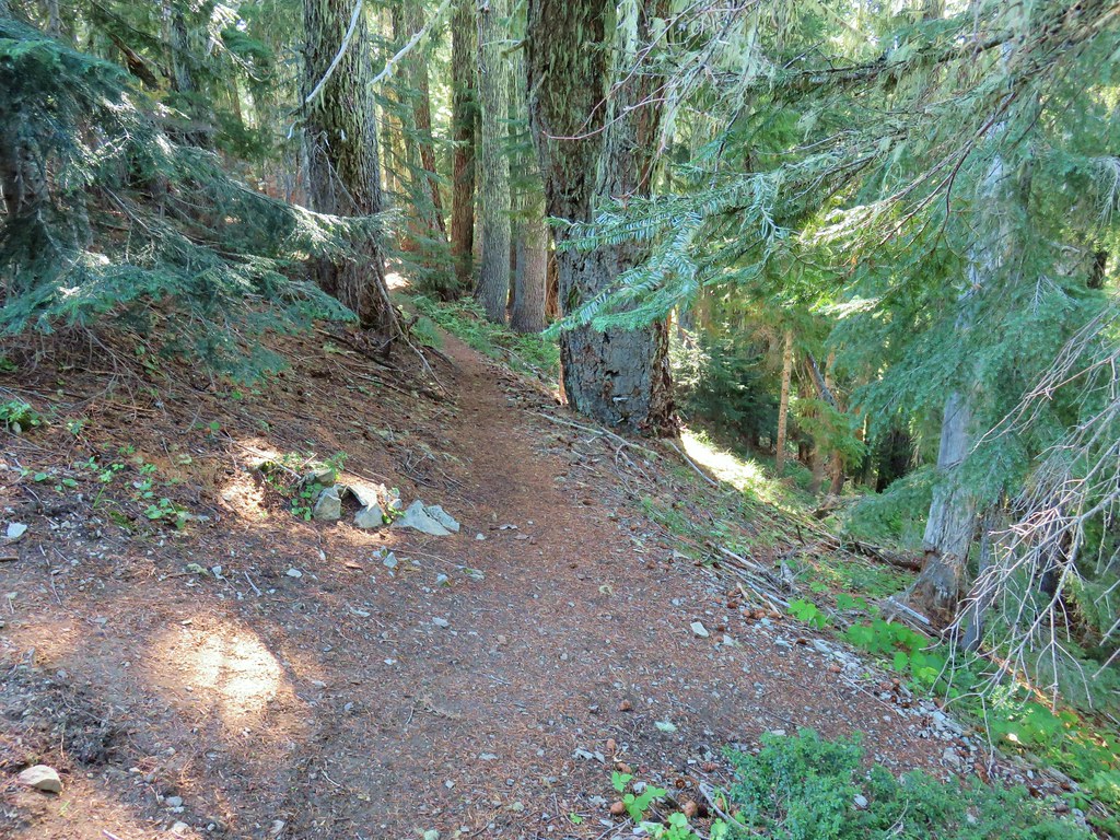
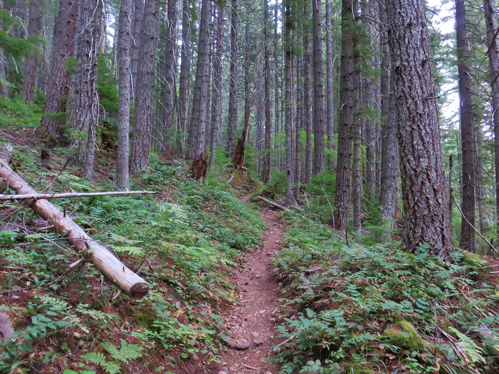
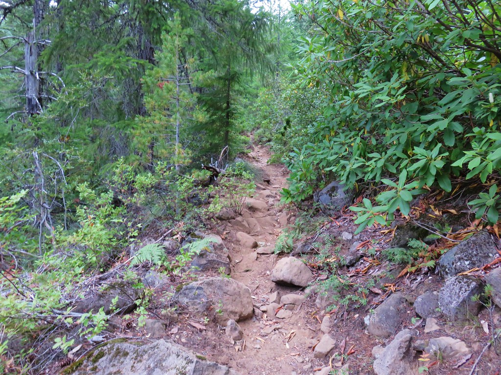
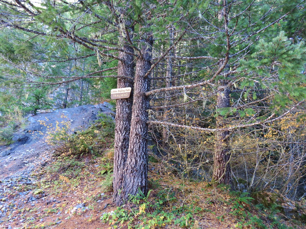
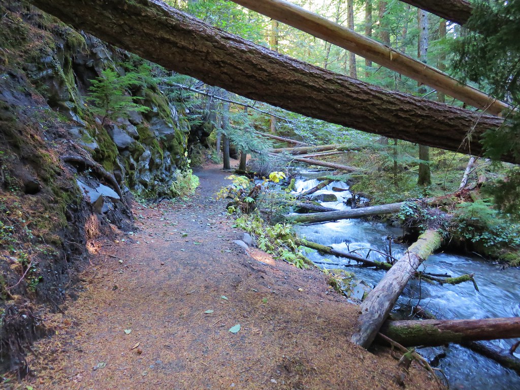
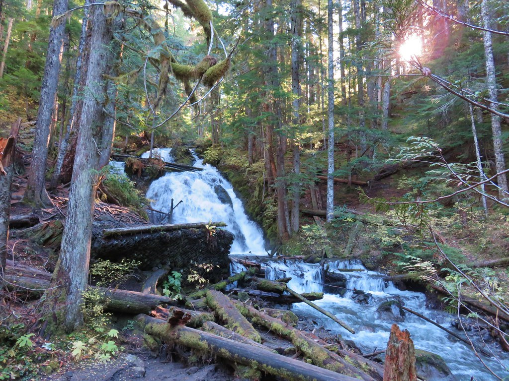
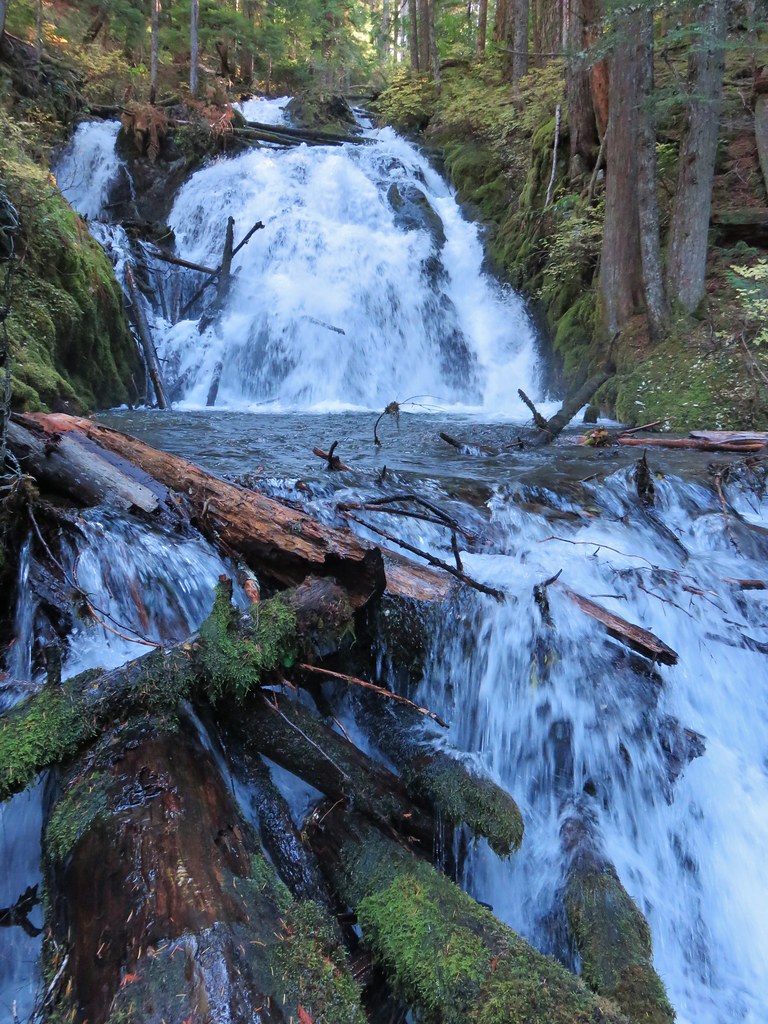
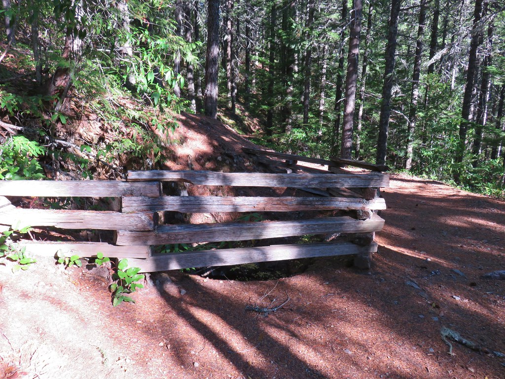
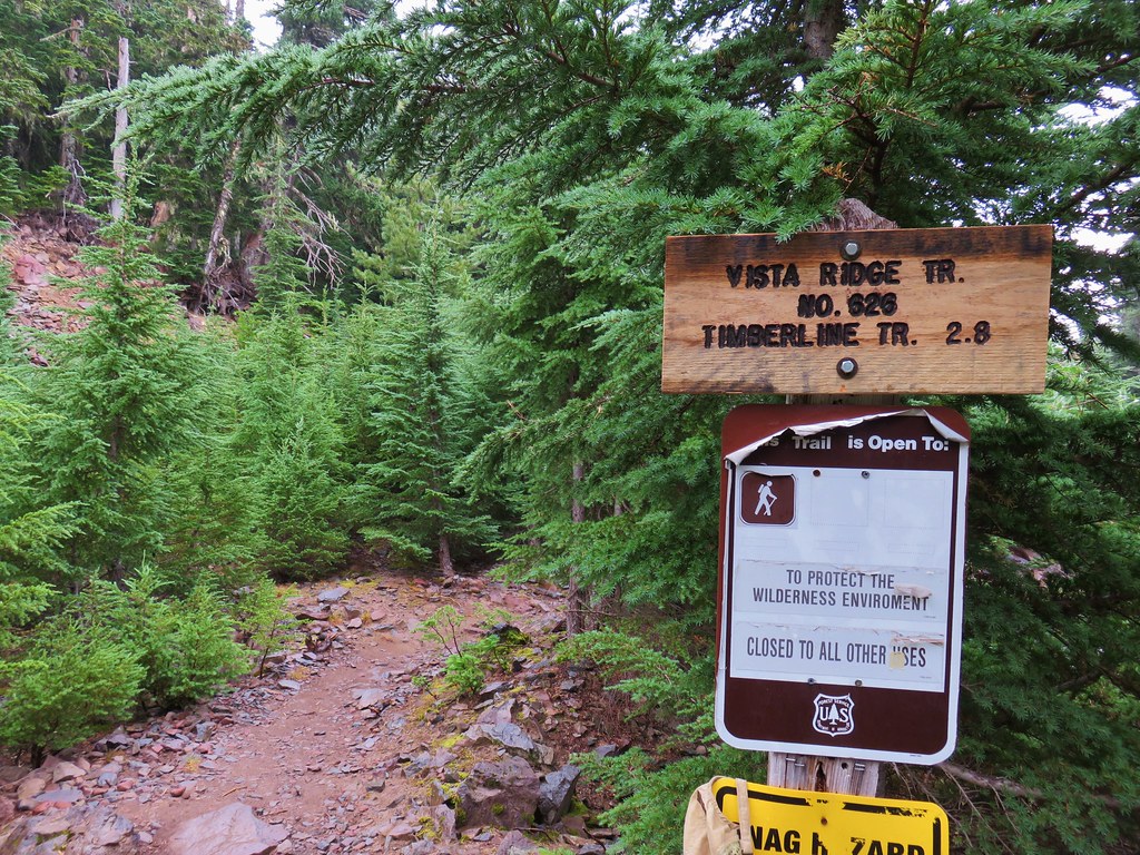
With our plan in place we set off on the drive which proved to be a bit of an anomaly. The trailhead is located at the end of Forest Road 6340. Where the road was good it was an excellent gravel road but there were a couple of ugly obstacles along the way. The first was a slide that covered the road, half of which was impassable while the spot that could be driven over required a very slow, bumpy crossing (high clearance is probably necessary until it gets cleaned up). This was prior to a fork where the right hand fork (FR 6341) continued to the Pansy Lake Trailhead. After this fork sections of FR 6340 were deeply rutted by channels created by runoff again requiring careful placement of tires. We arrived at the trailhead no worse for wear though and set off on the signed trail.

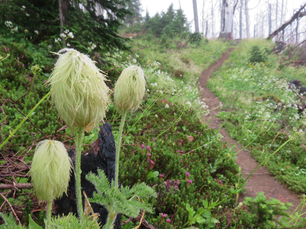
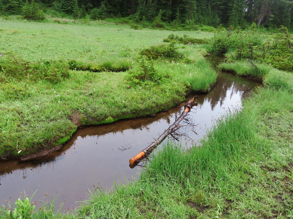
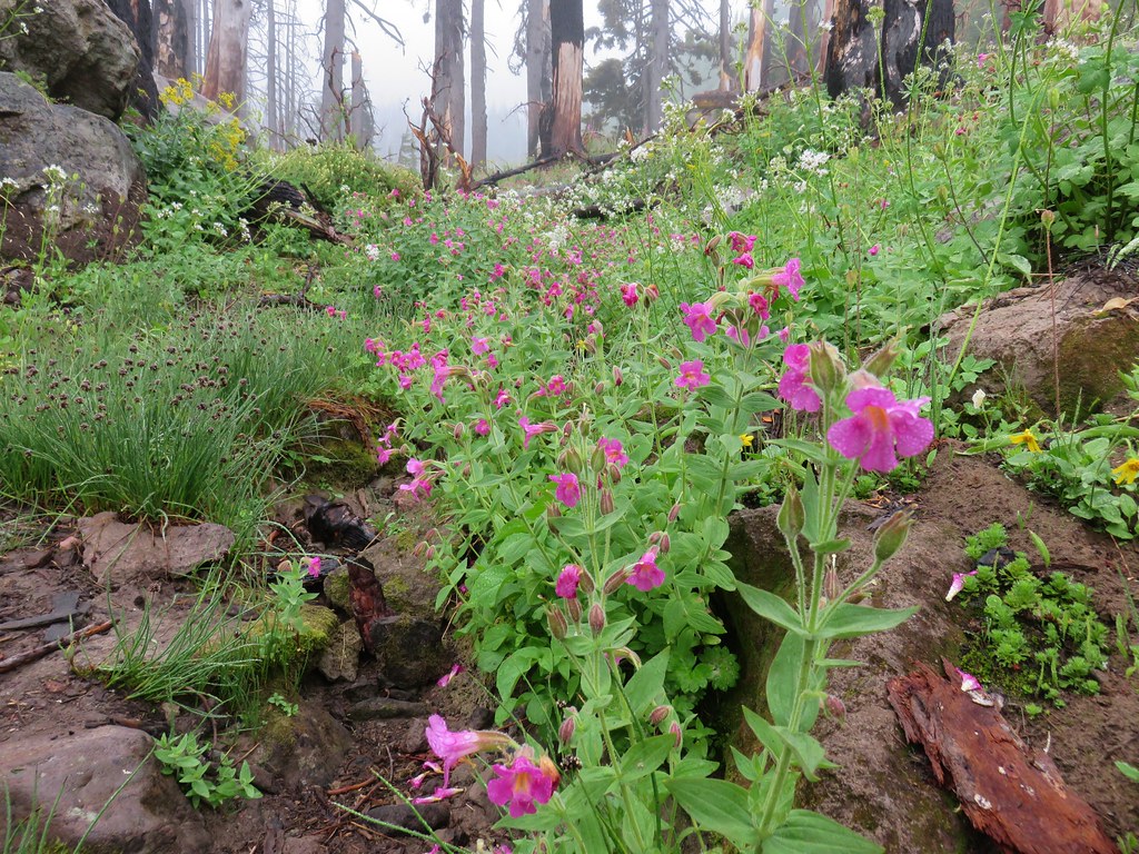
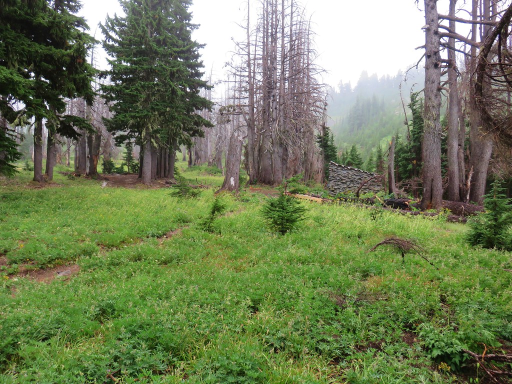
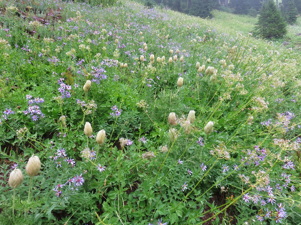
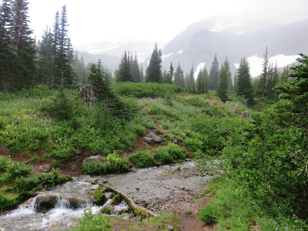
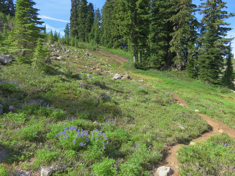
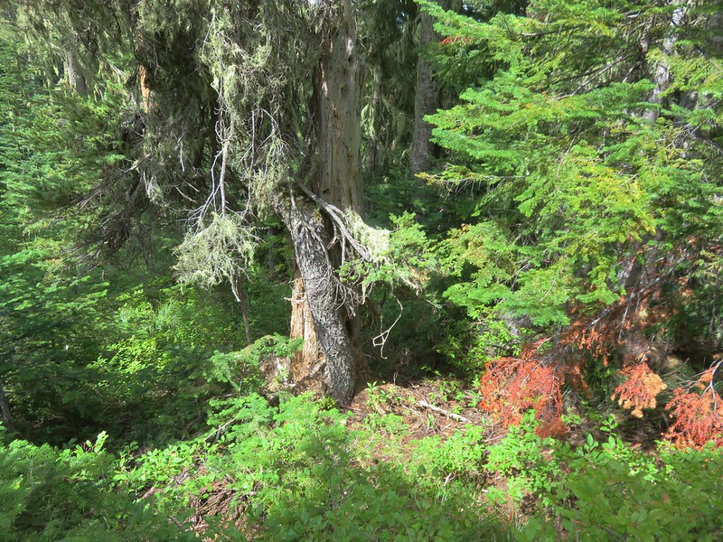
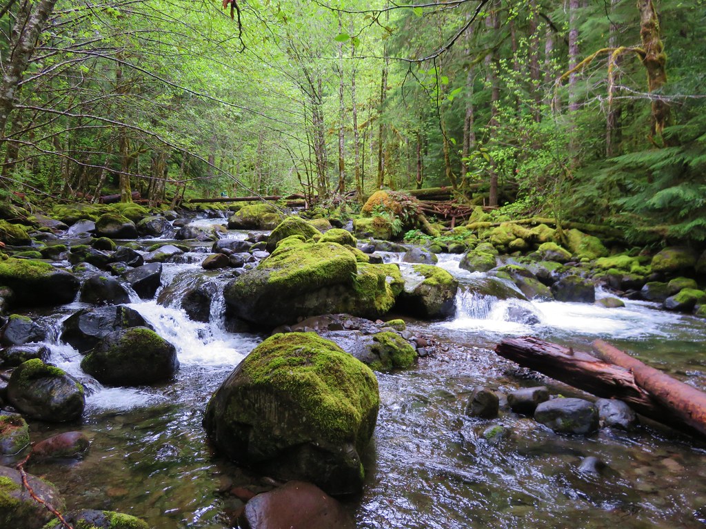
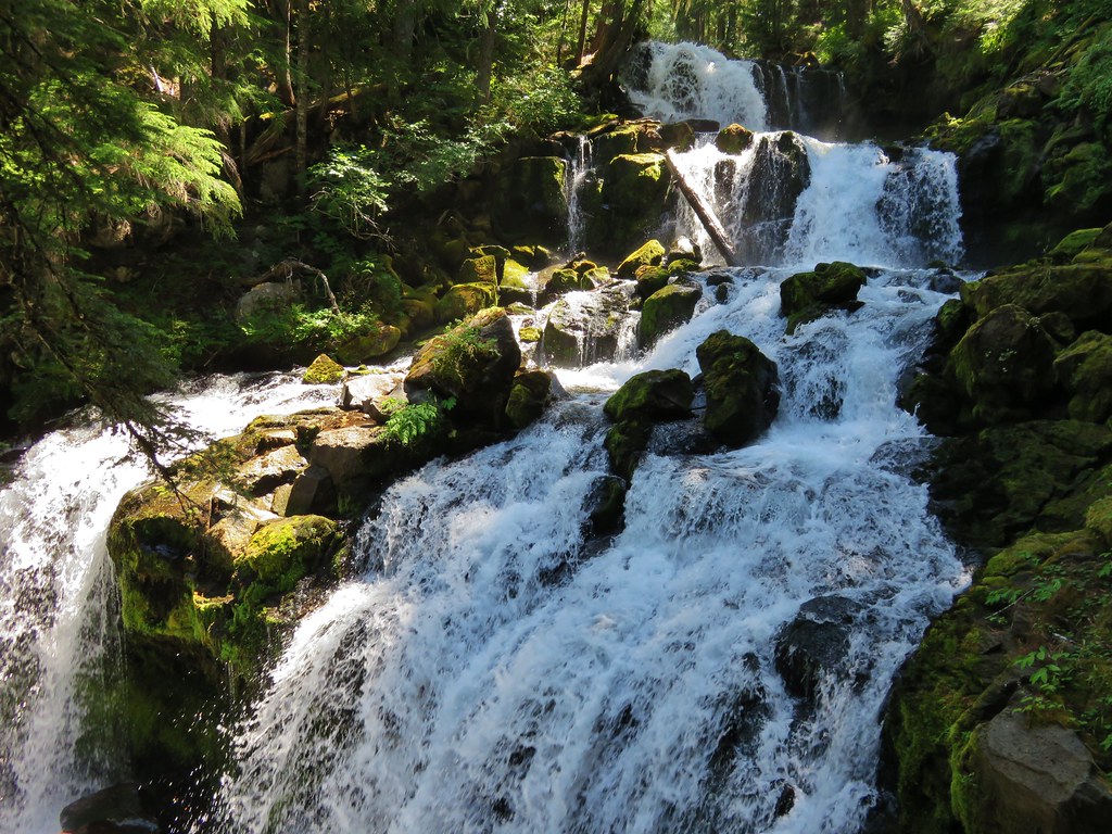
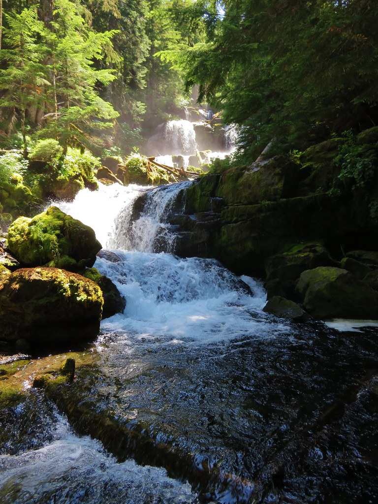
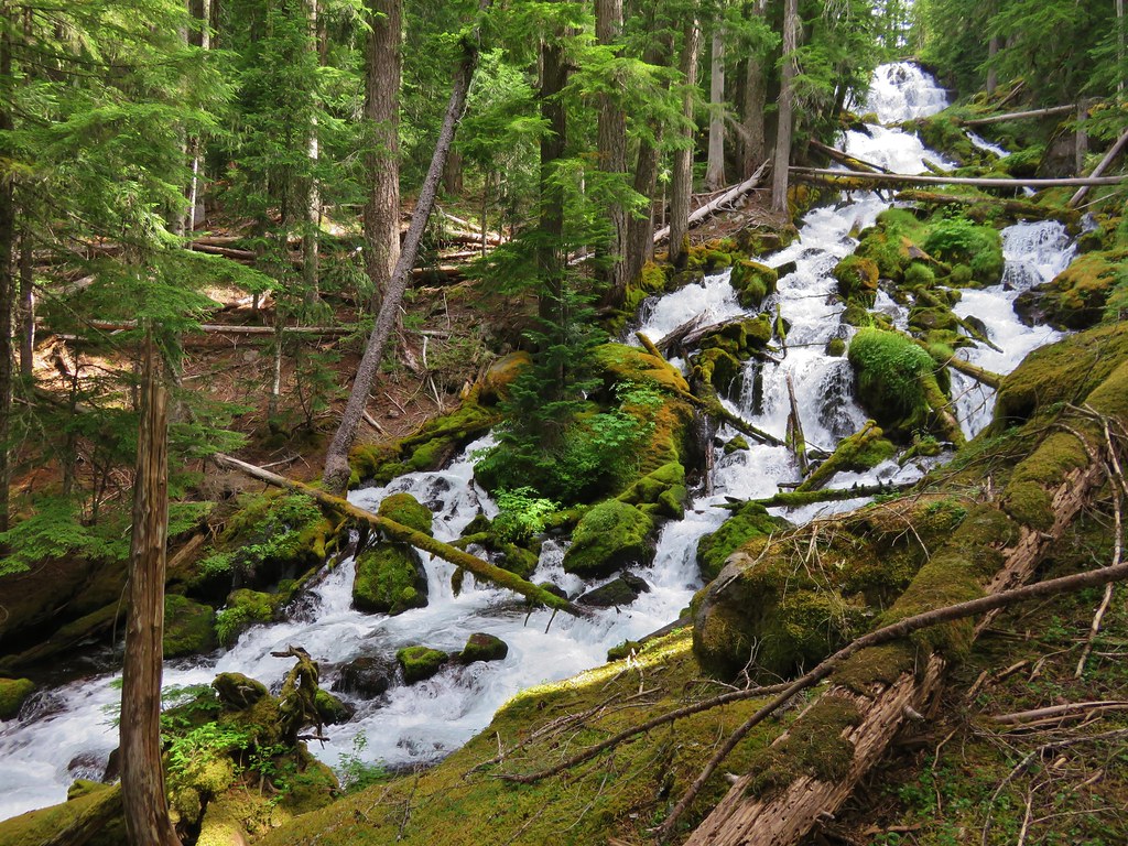
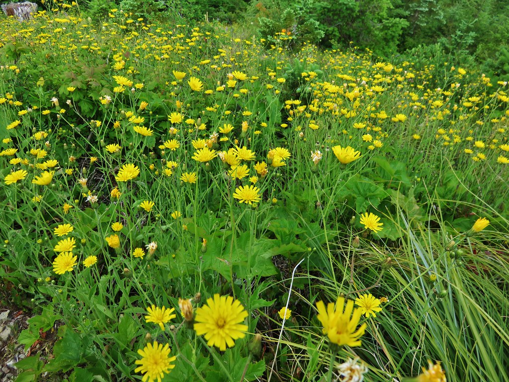
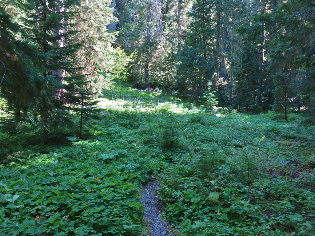
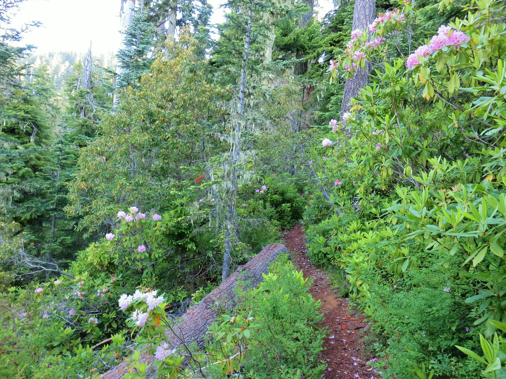
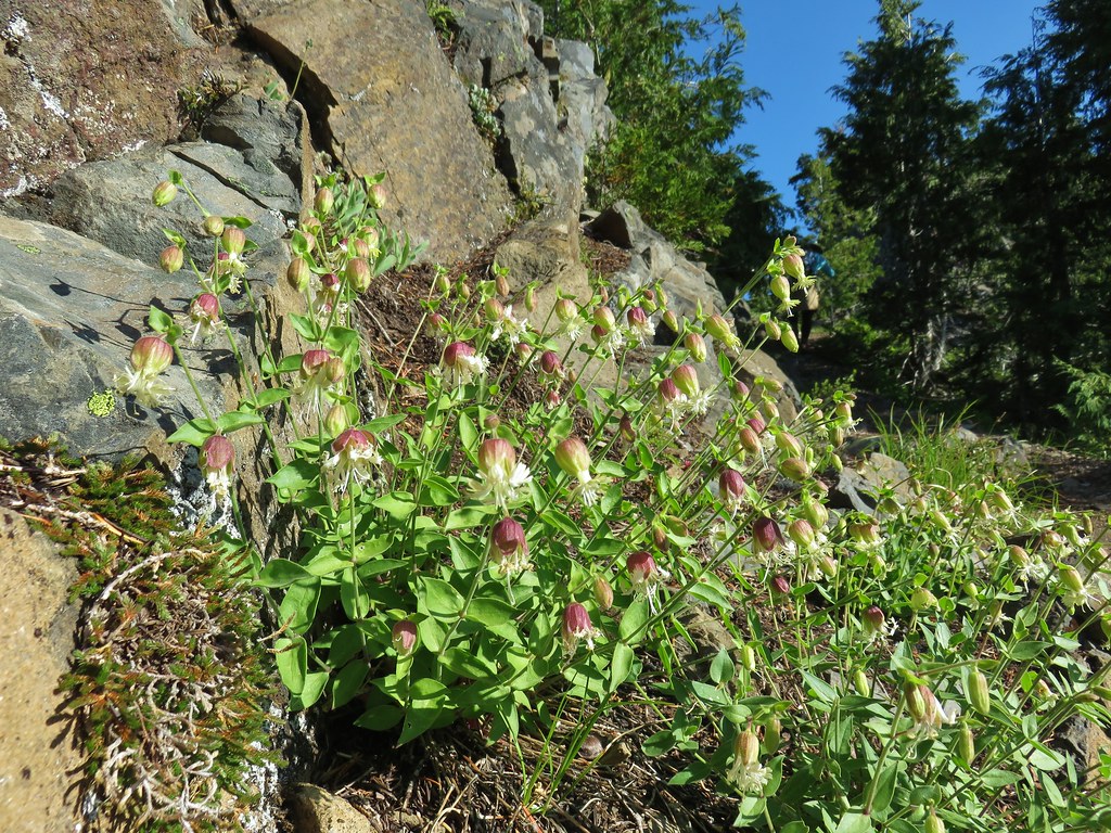
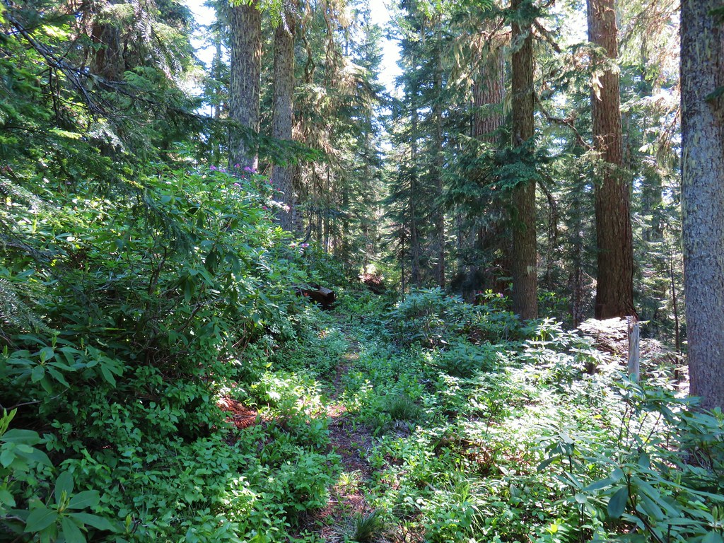
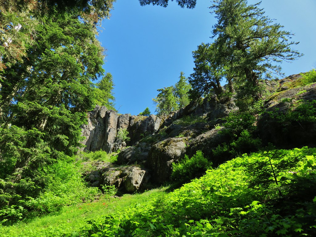
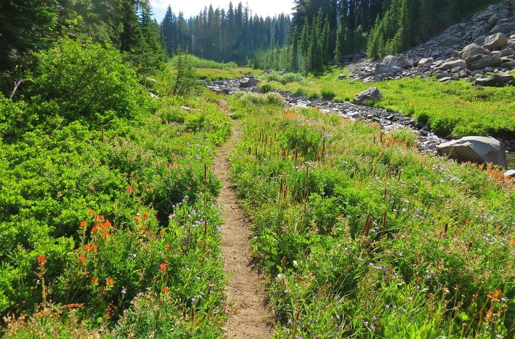
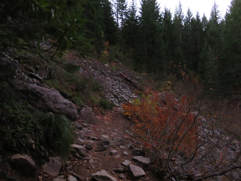
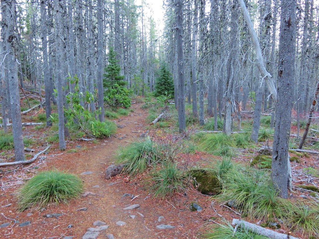
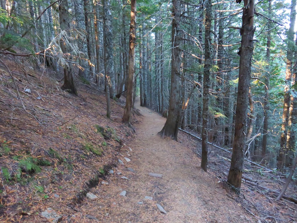
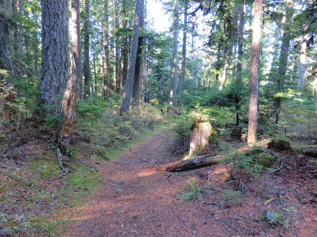
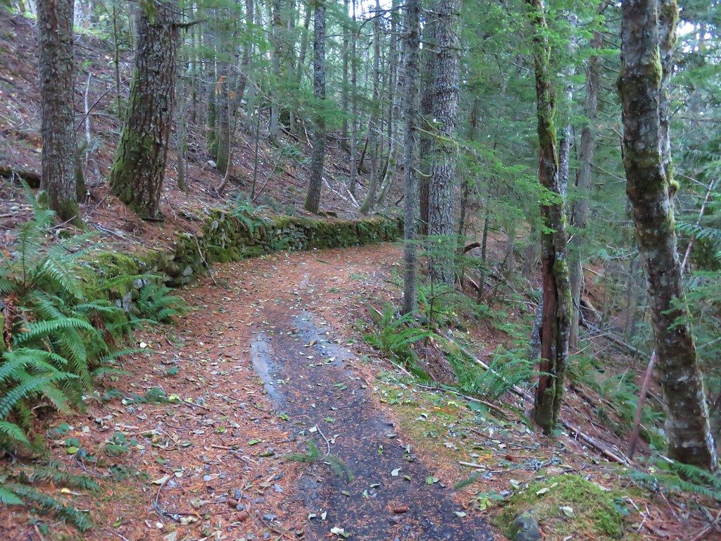
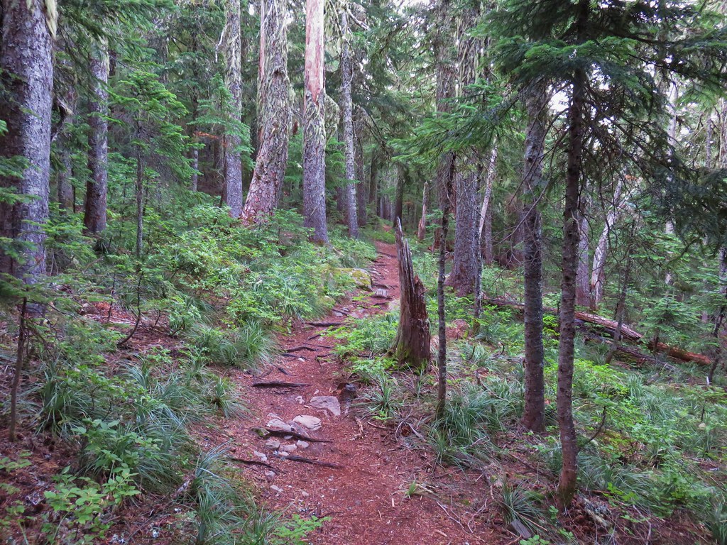
The first few hundred yards were a little brushy but soon the vegetation gave way to a huckleberry filled forest.

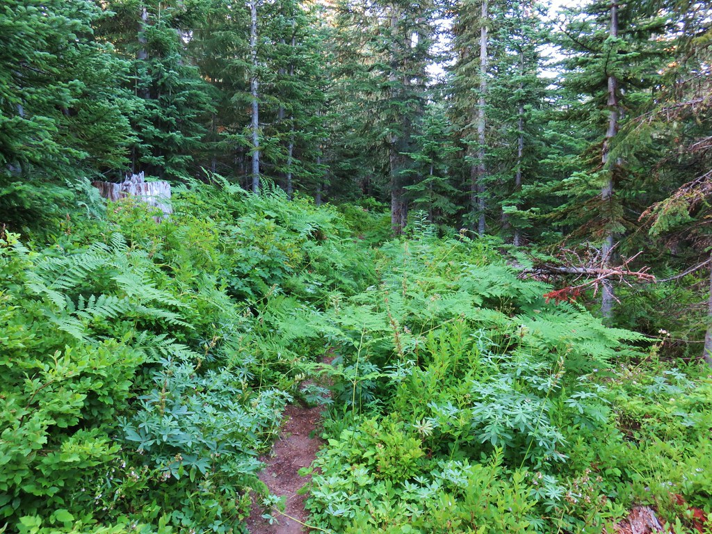

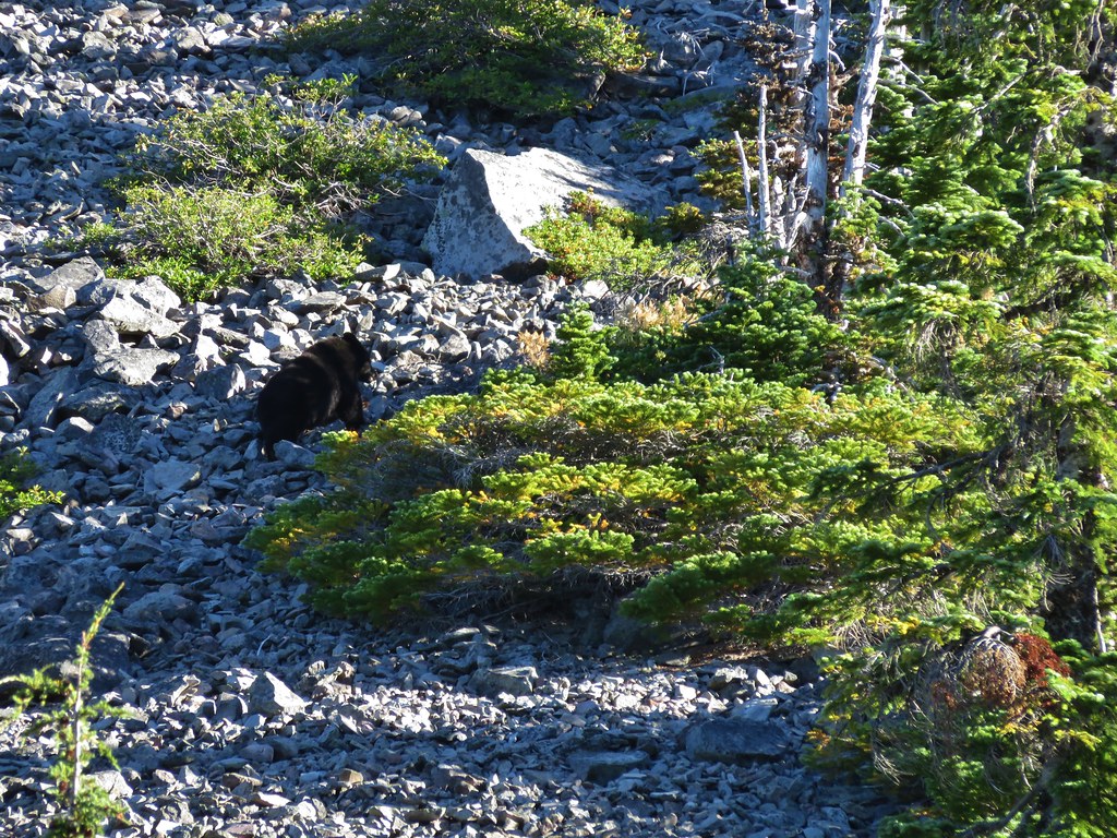
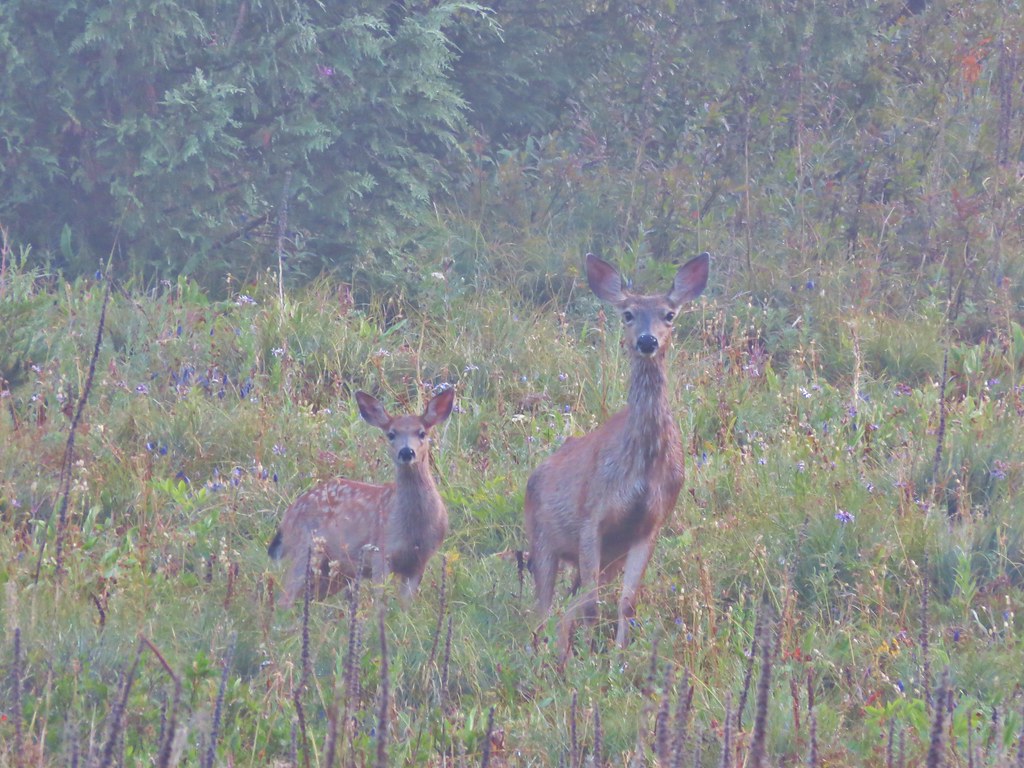
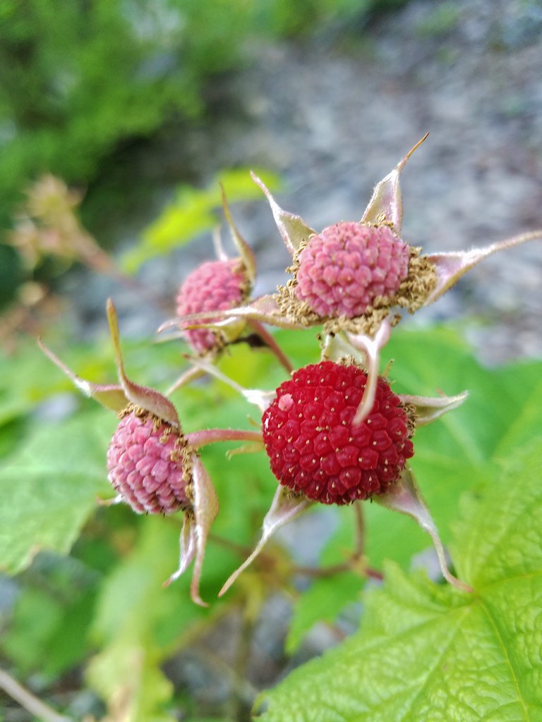
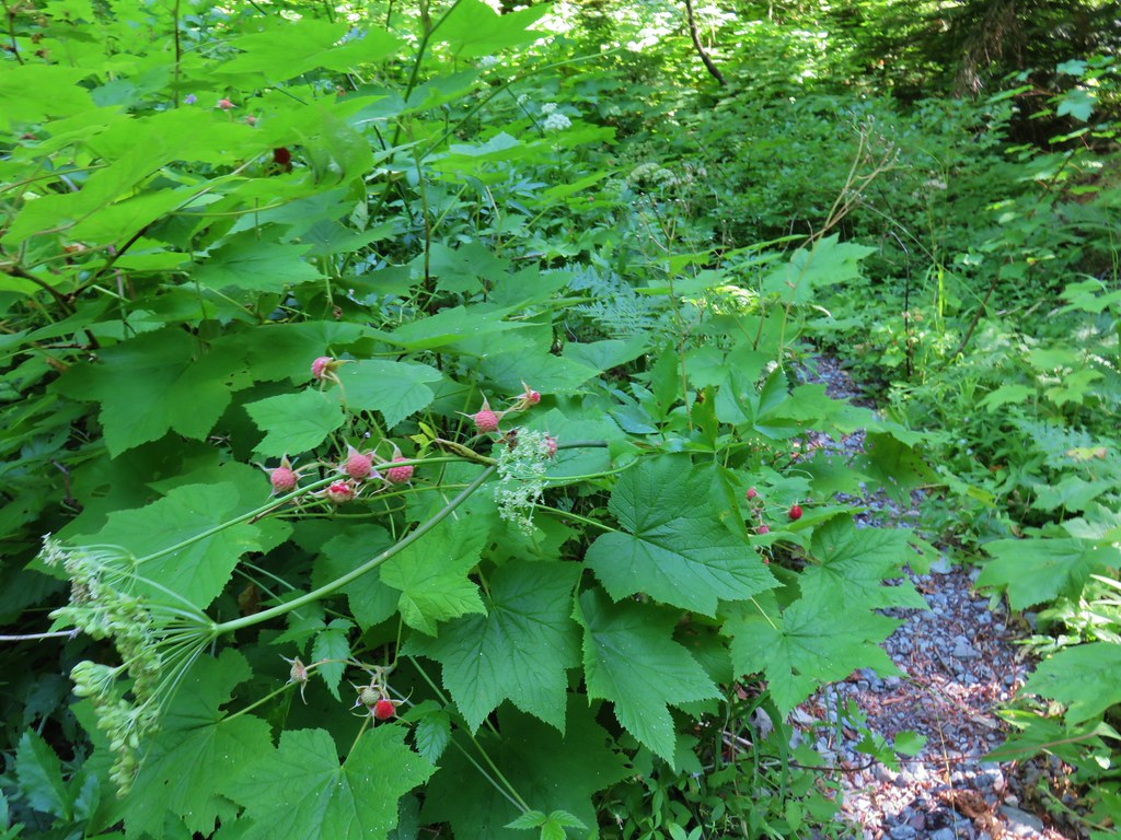
There were ripe berries everywhere and they were big juicy berries too. In fact for most of the day there were ripe berries available and we ate quite a few. We weren’t the only ones feasting on berries though as we counted no less than 13 piles of berry filled bear scat along the trails.

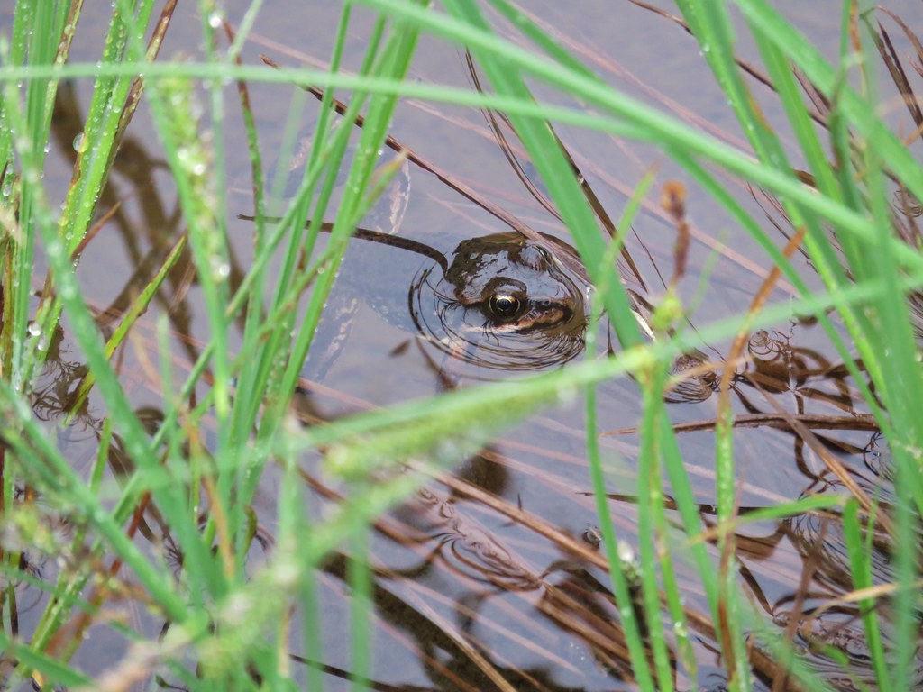
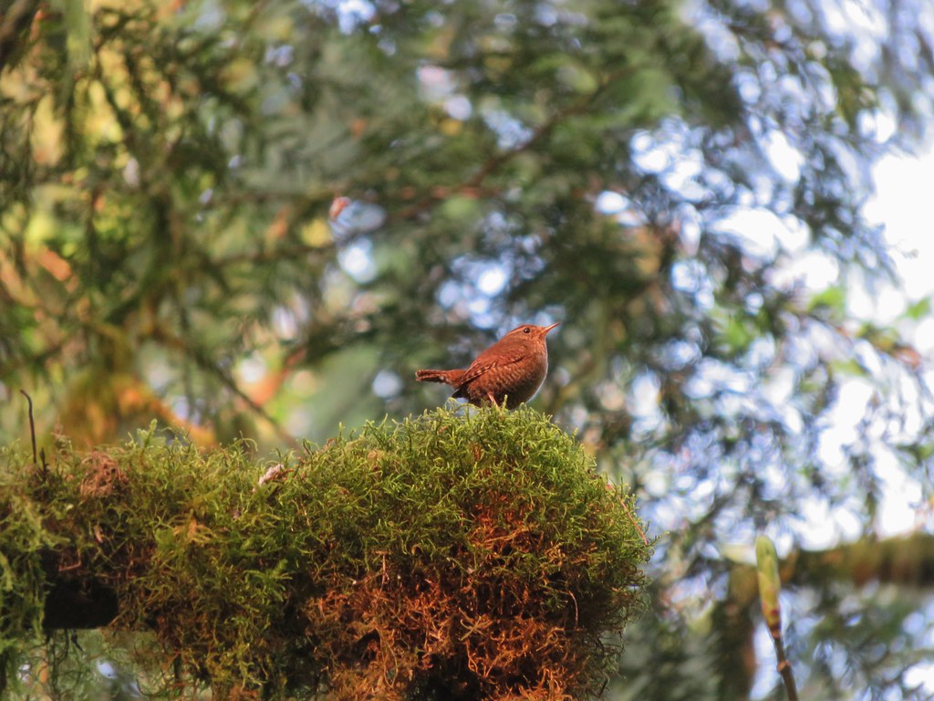
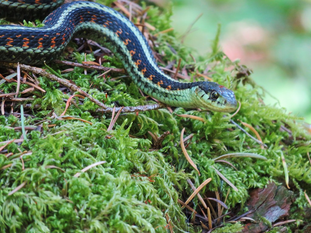
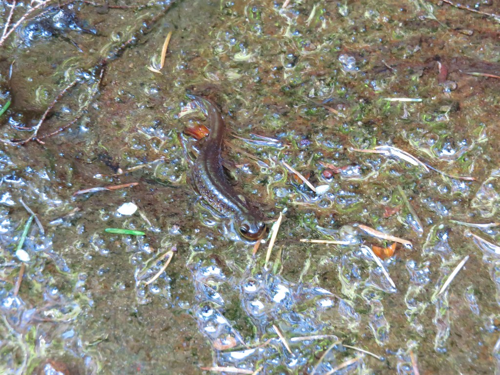
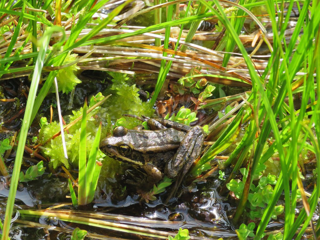
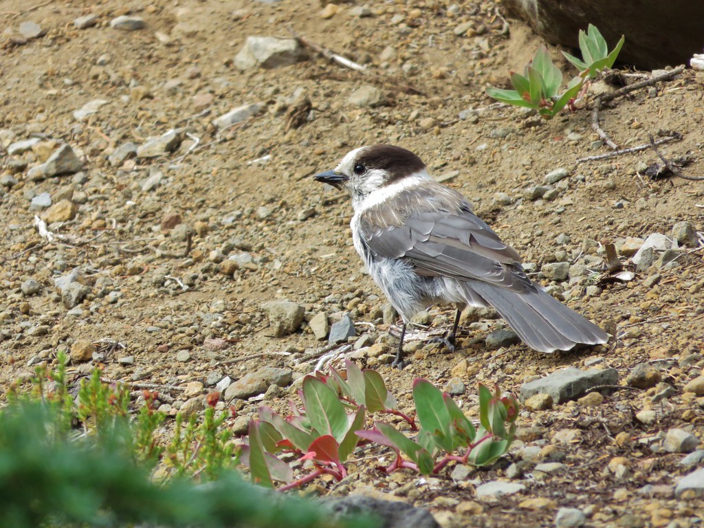
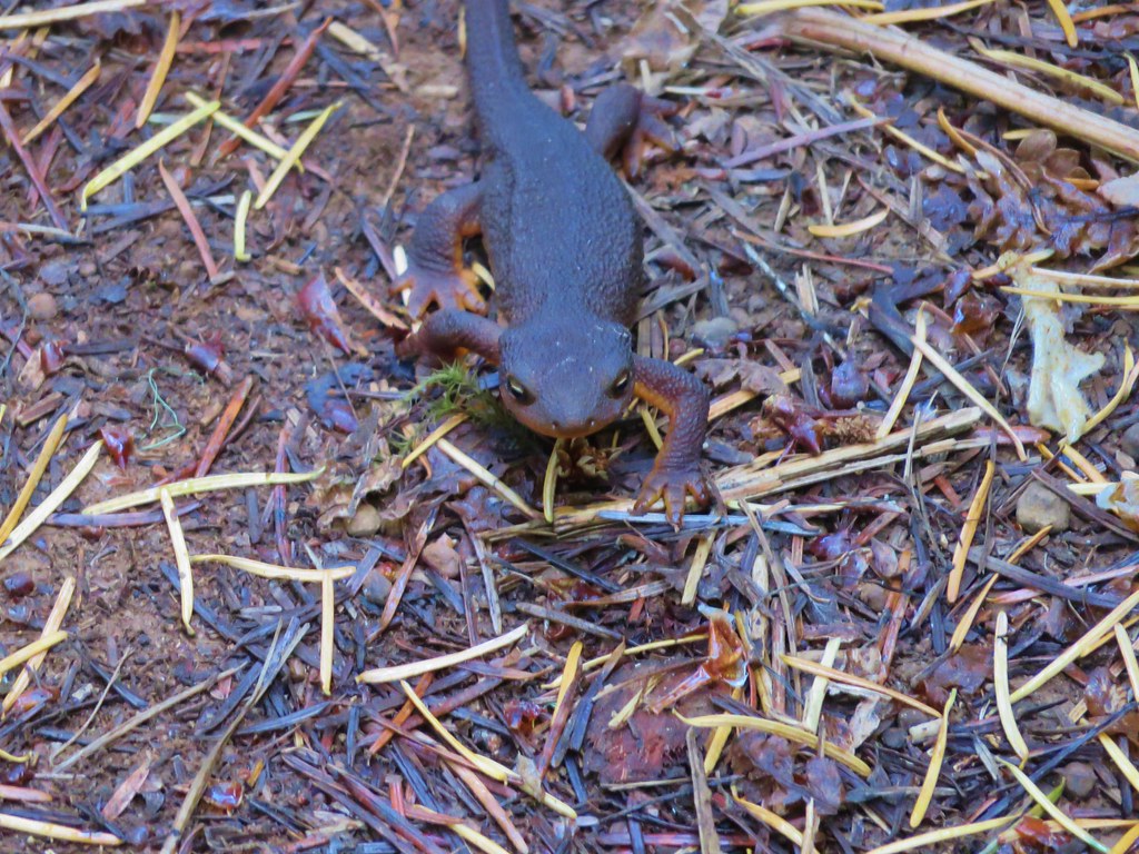
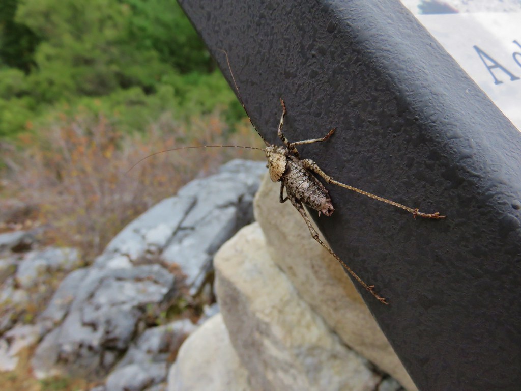
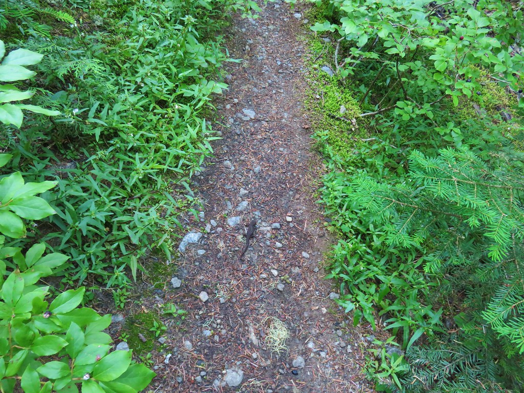
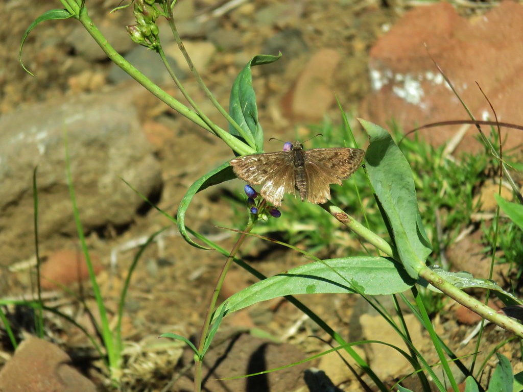
Although we kept our eyes open for a bear all we ran into on the trail was a rough skinned newt.

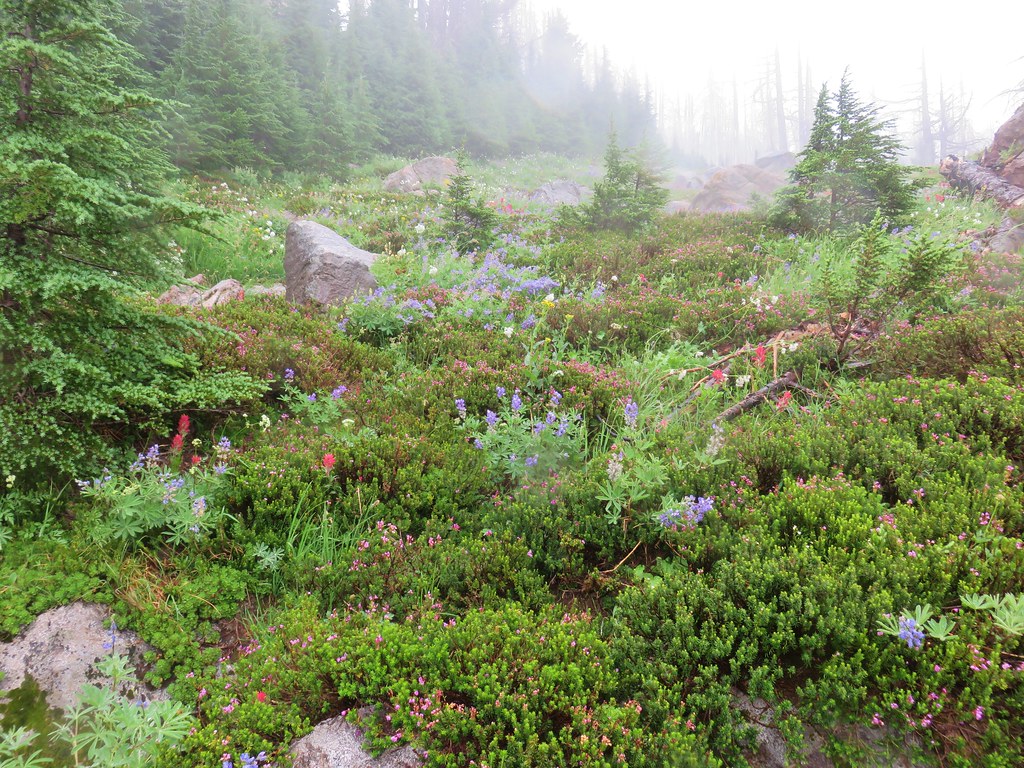
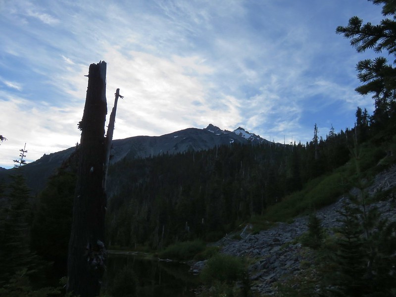
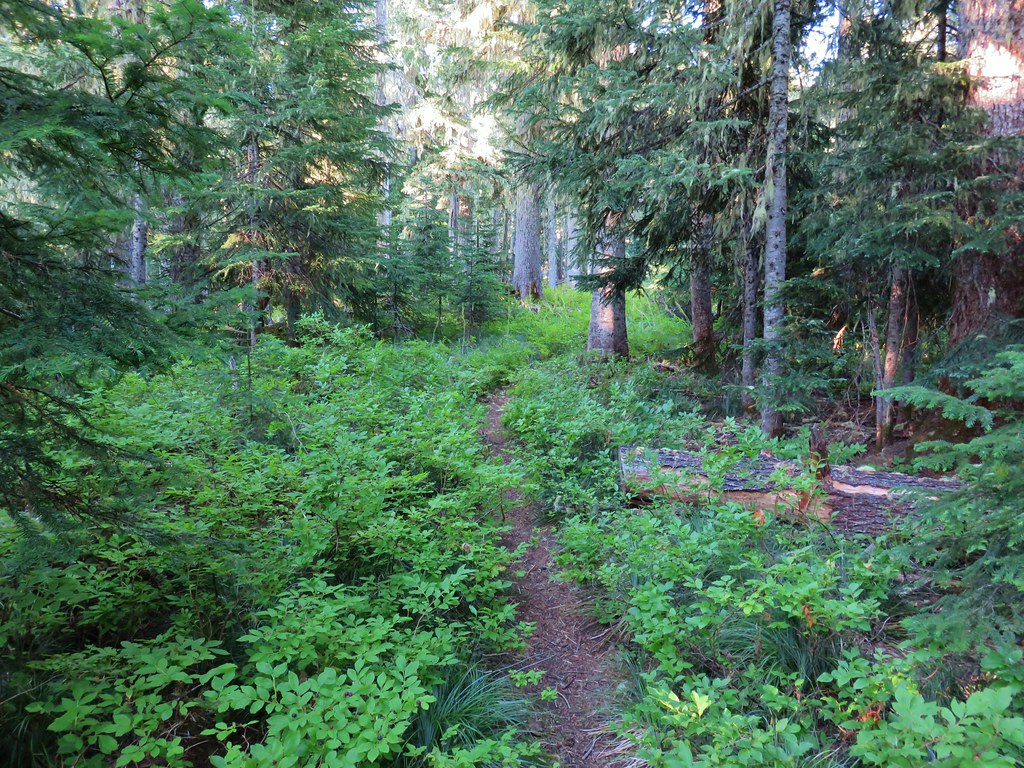
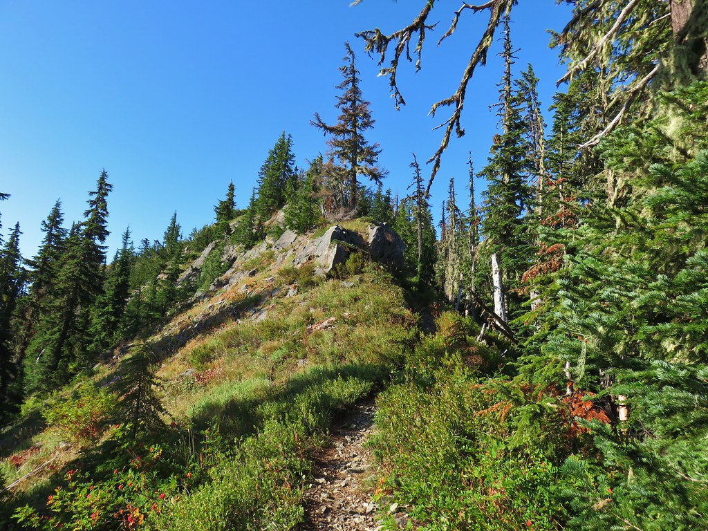
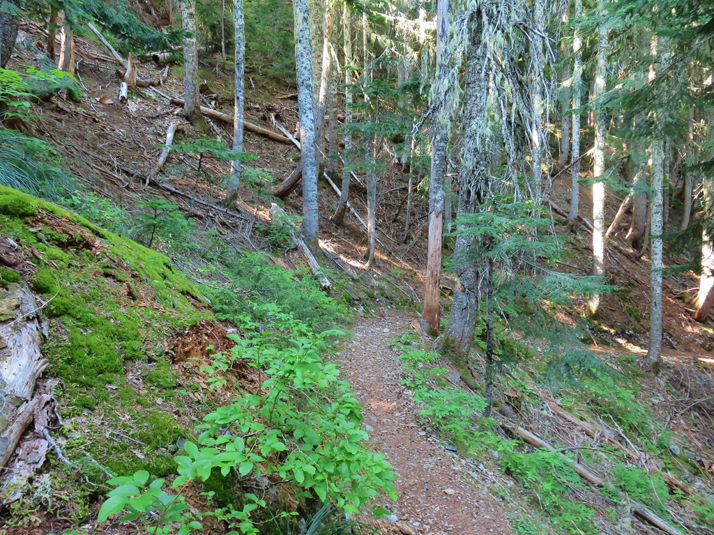
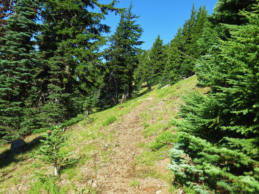
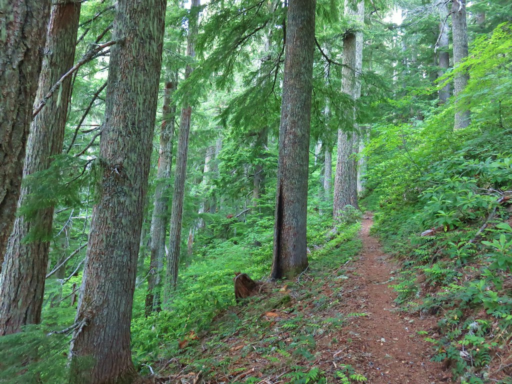
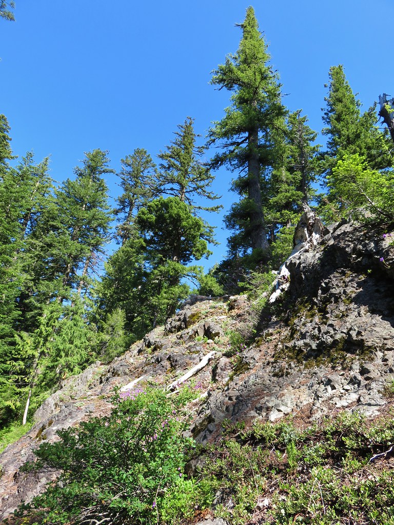
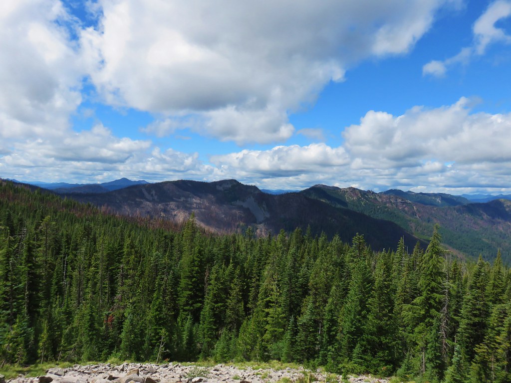
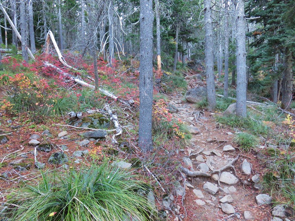
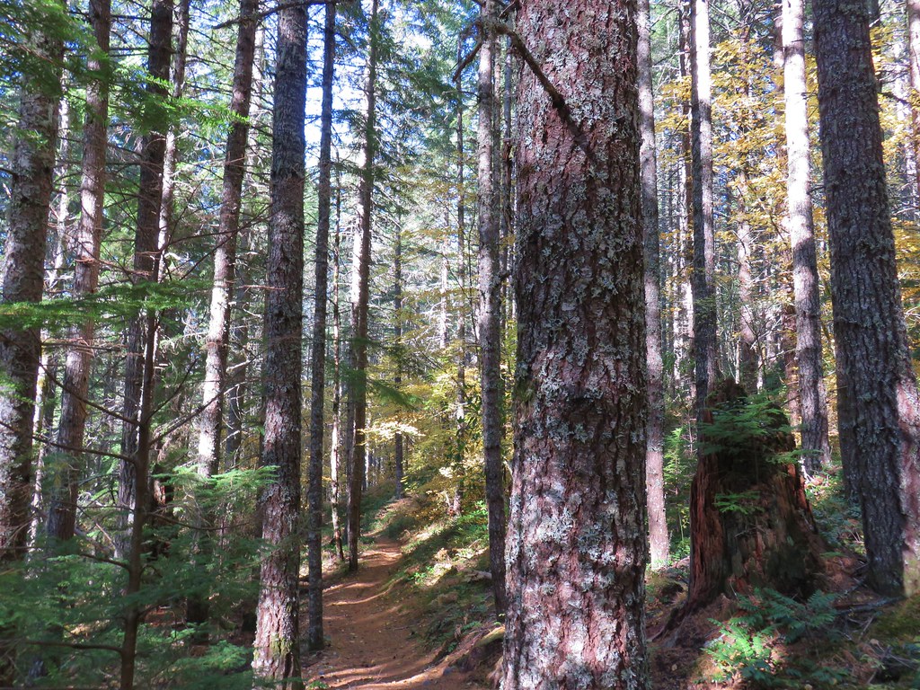
The Bull of the Woods Trail climbed gradually as it passed below North and South Dickey Peaks.

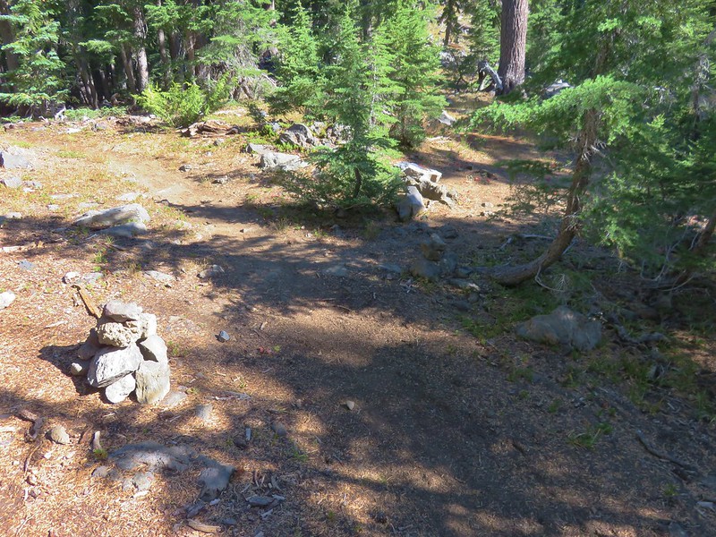
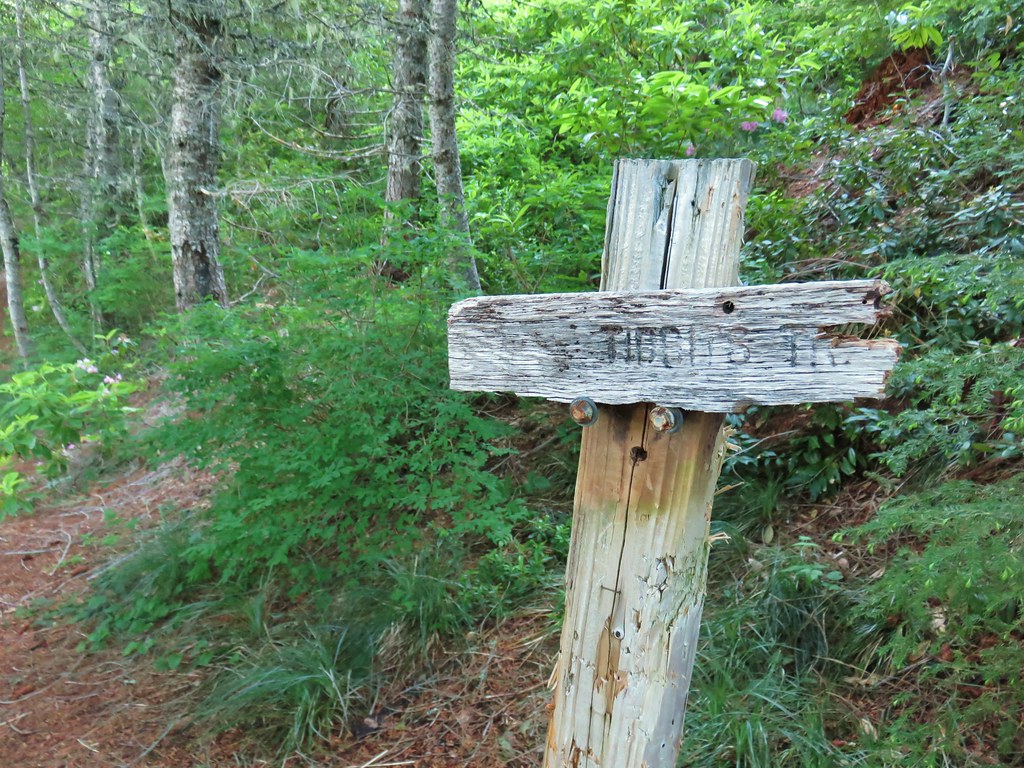
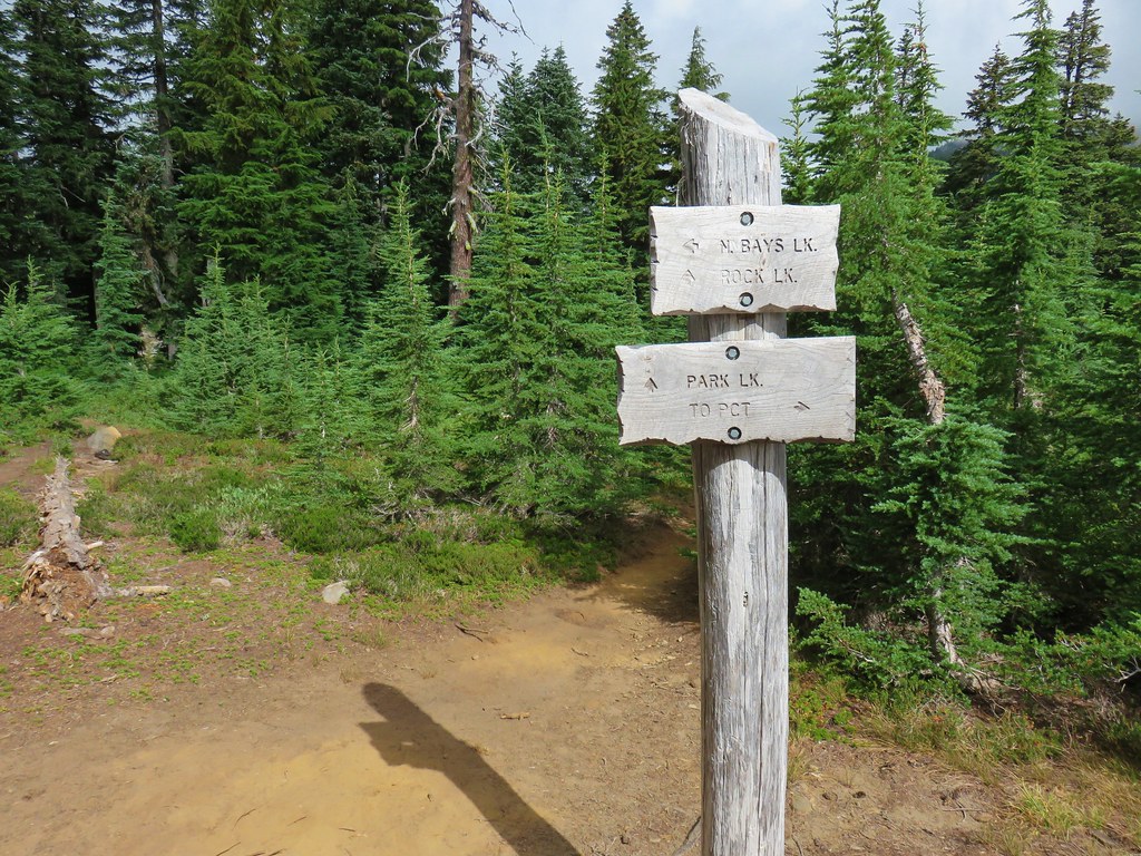
A little over 2.25 miles from the trailhead we arrived at a junction with the Dickey Lake Trail. We would be coming back up that trail later after visiting Pansy and Dickey Lakes.

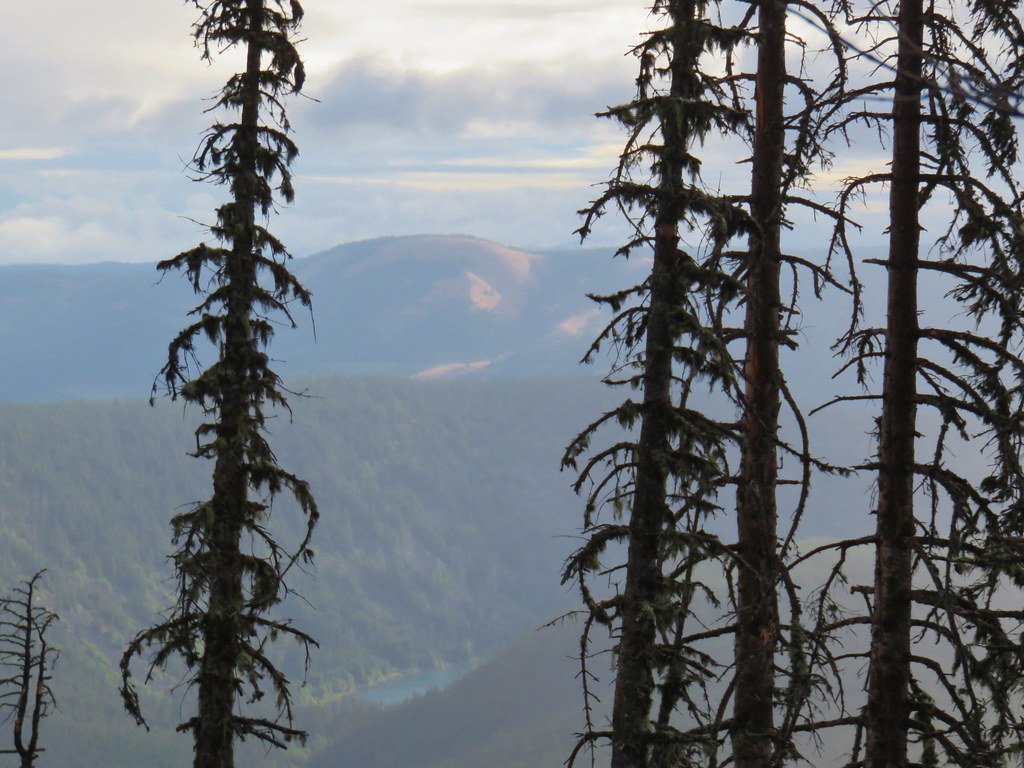
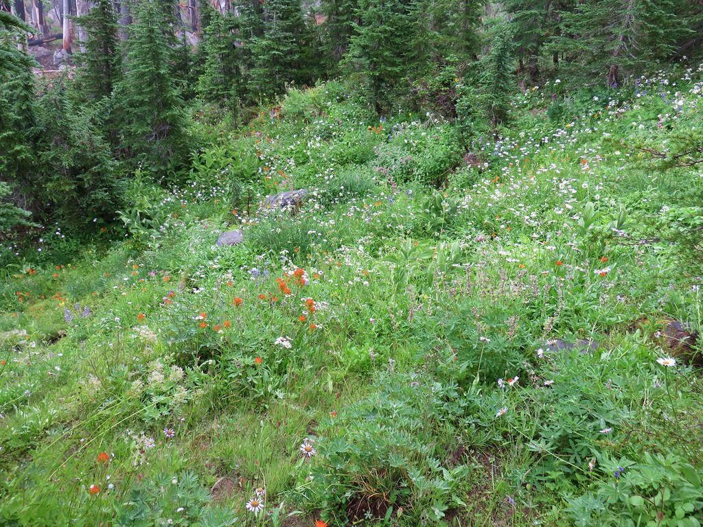
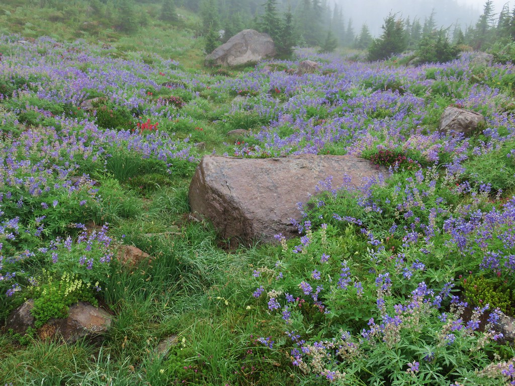
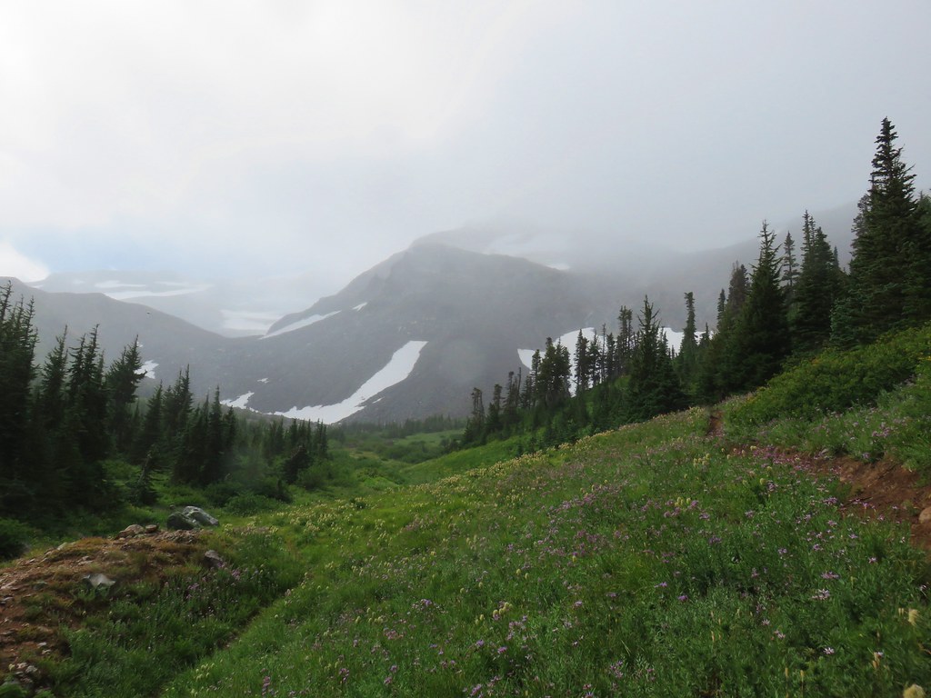
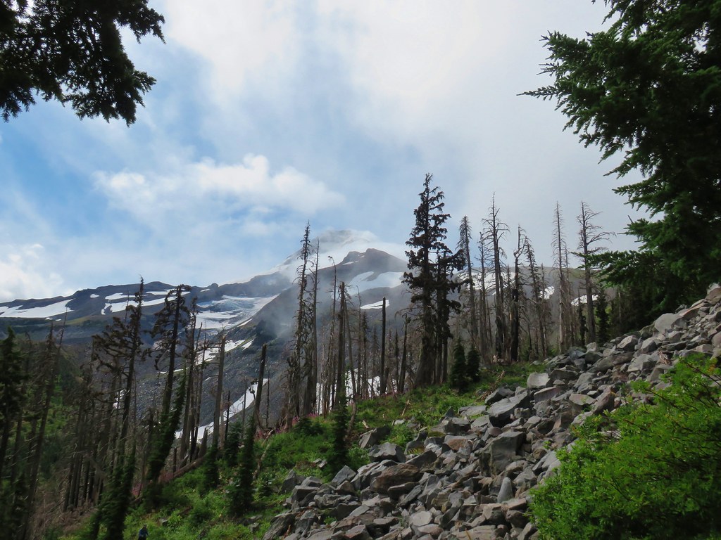
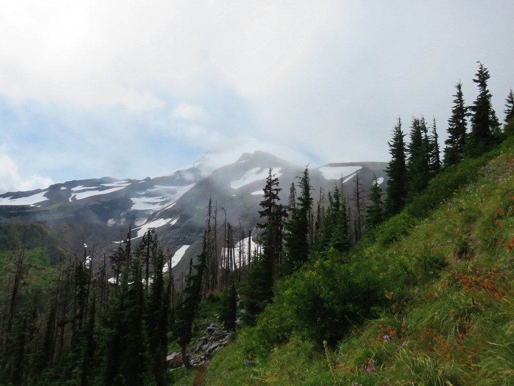
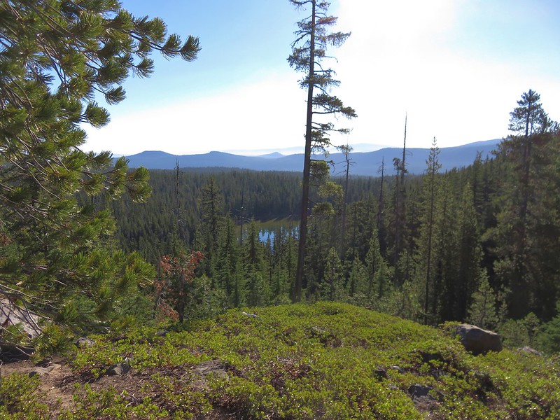
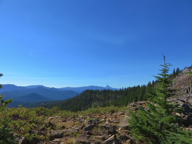
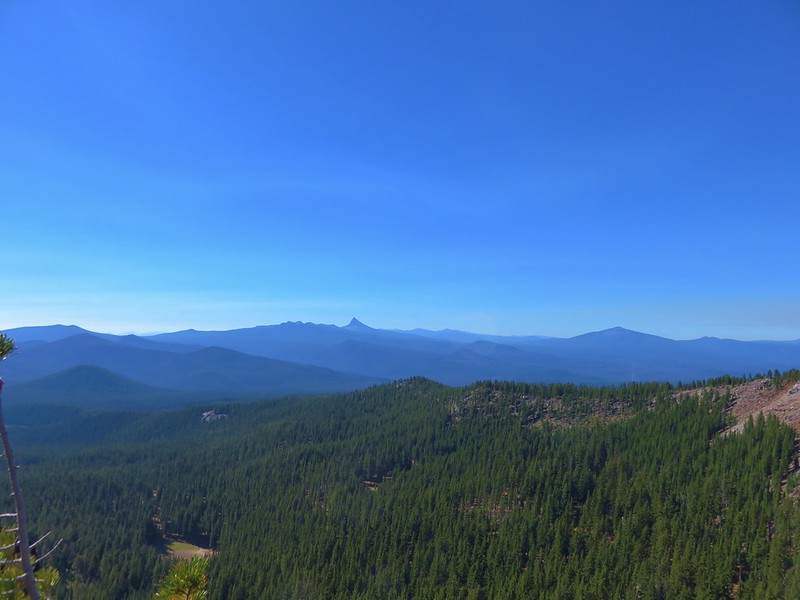
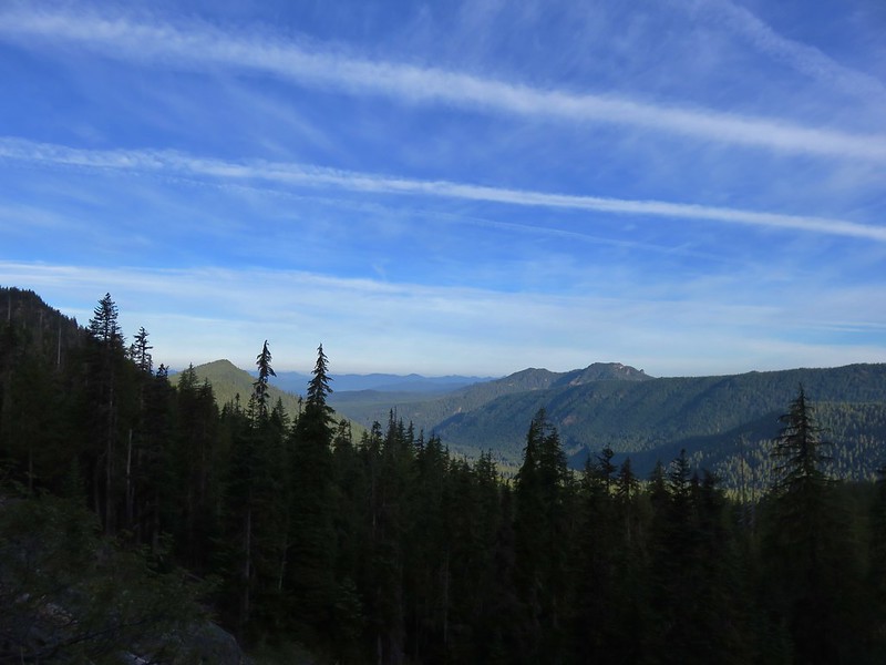
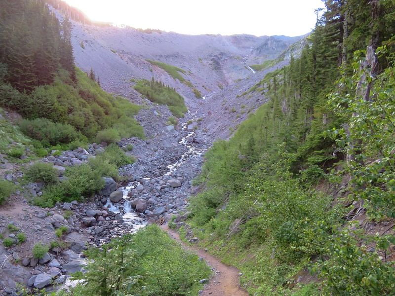
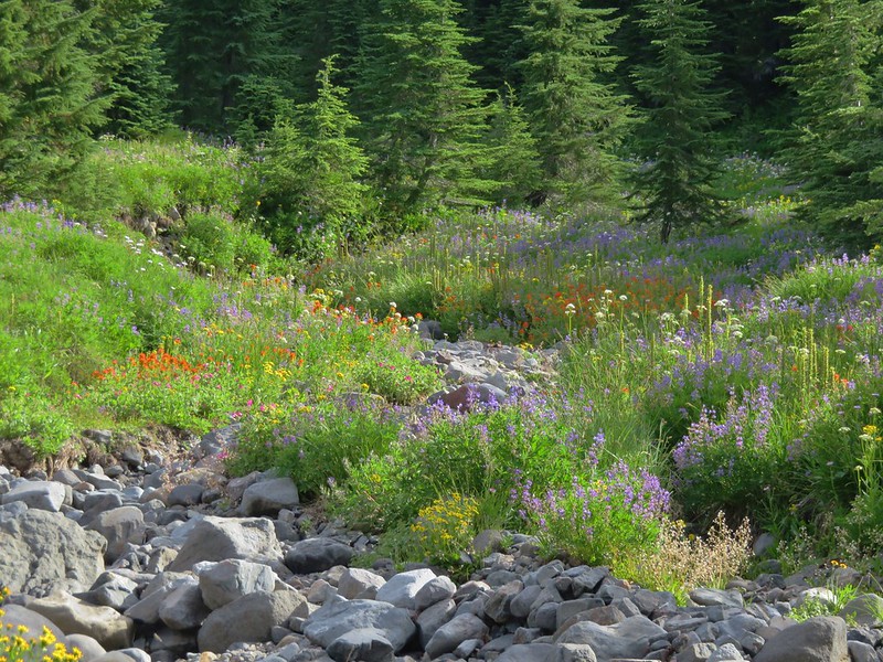
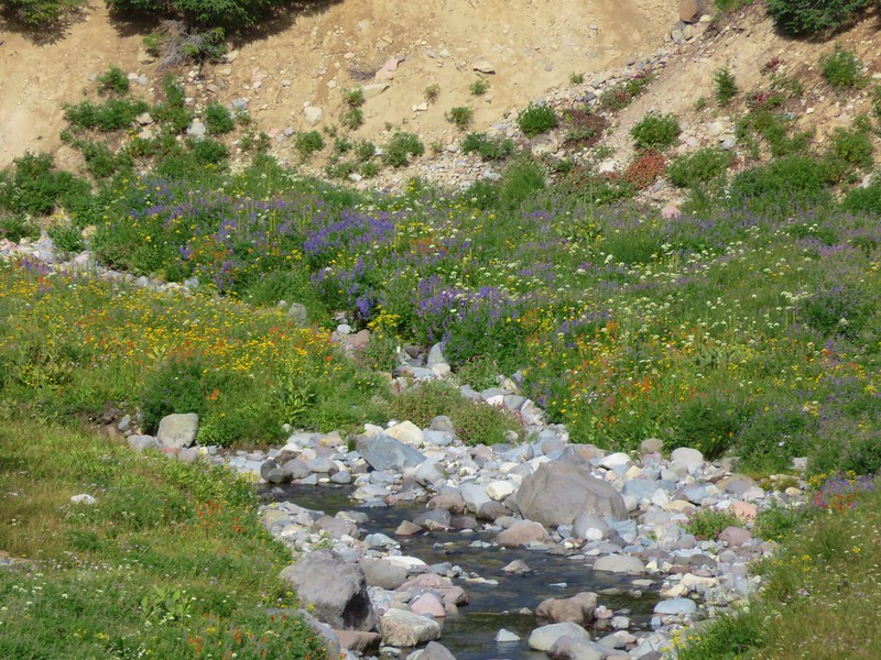
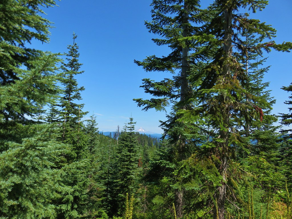
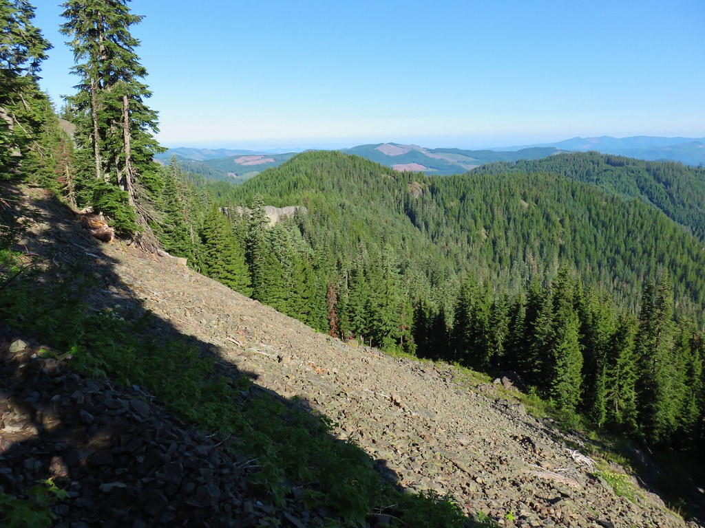
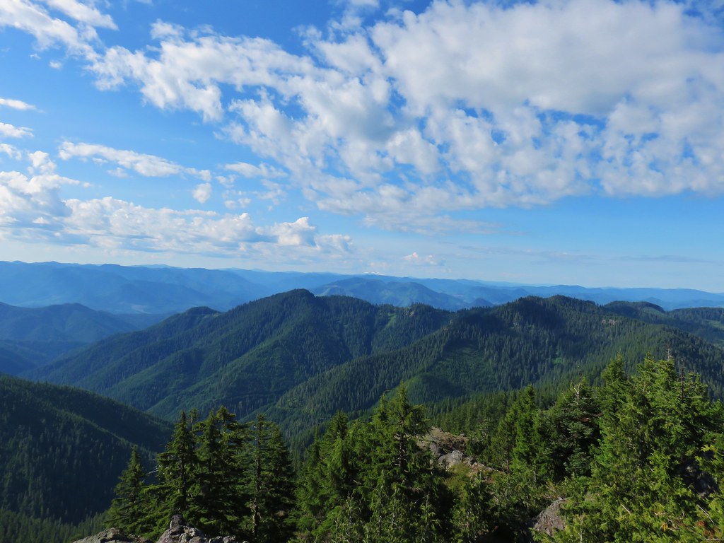
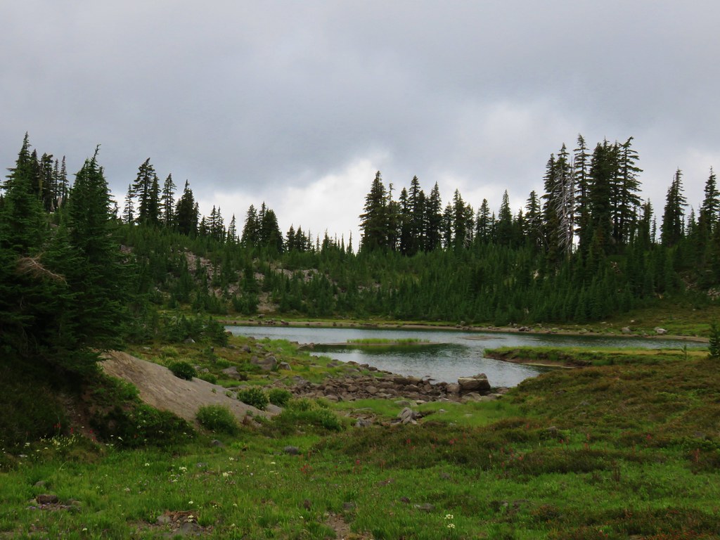
As the trail continued to climb we were treated to a couple of different views. First was to the west across the Pansy Lake Basin.

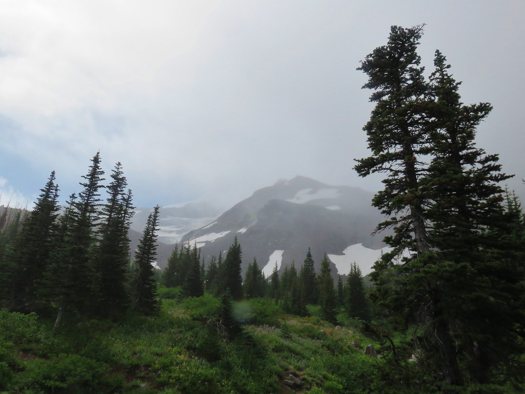
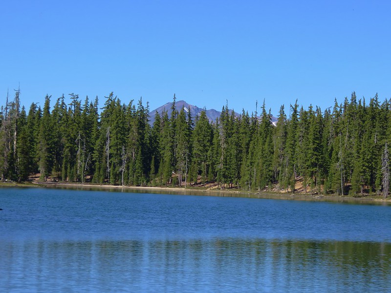
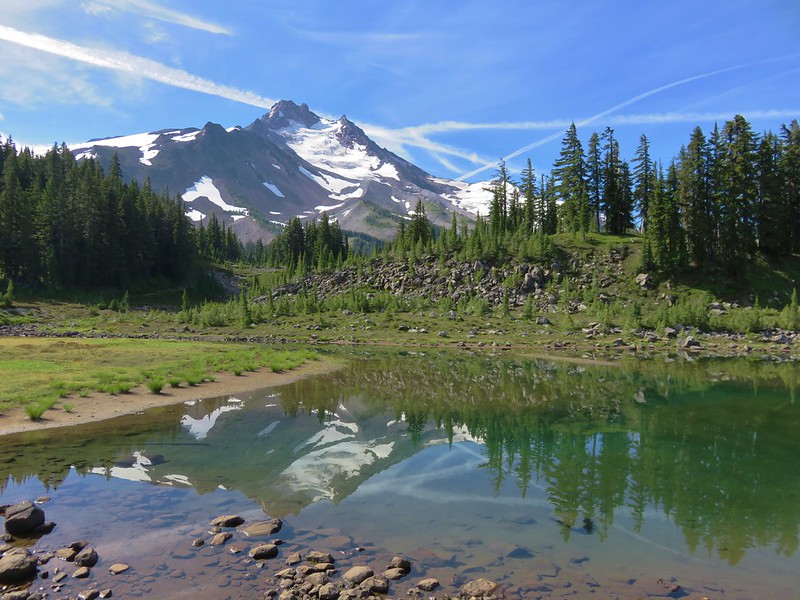
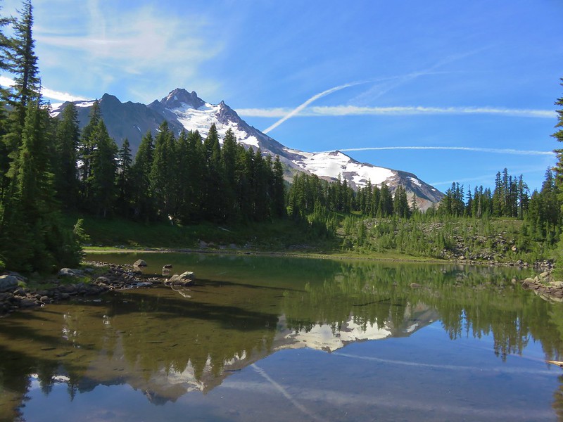
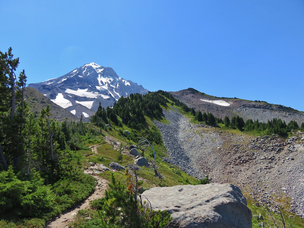
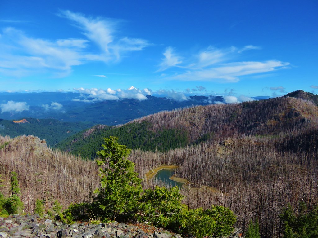
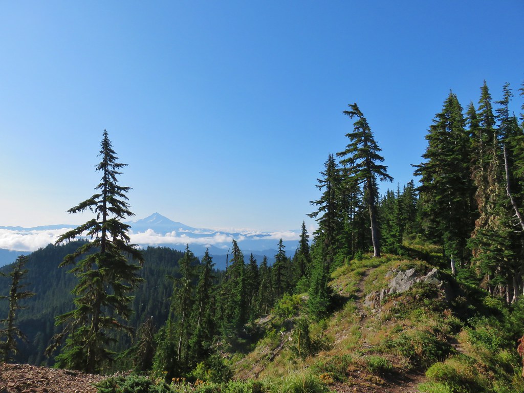
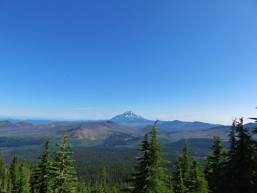
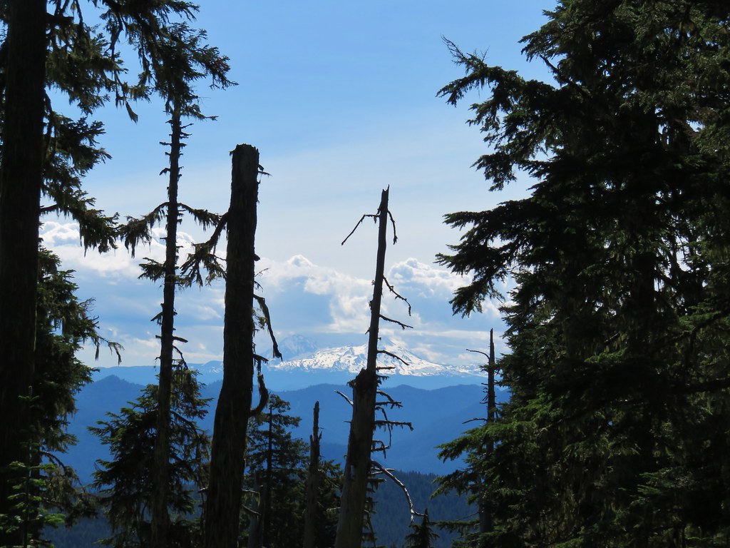
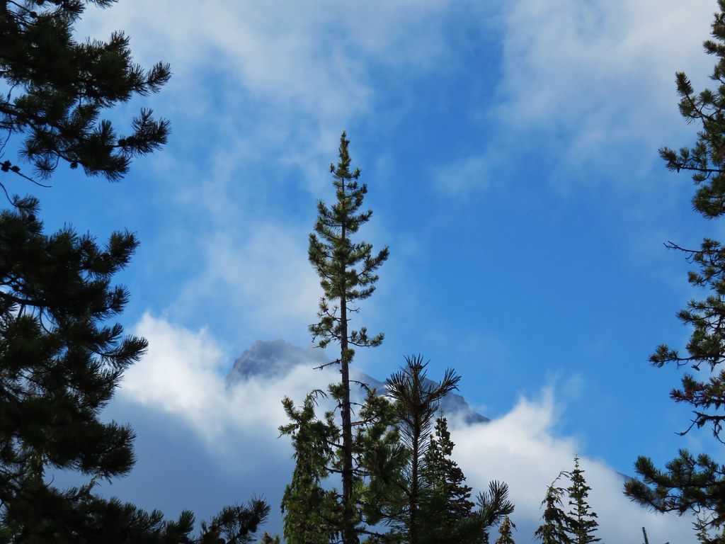
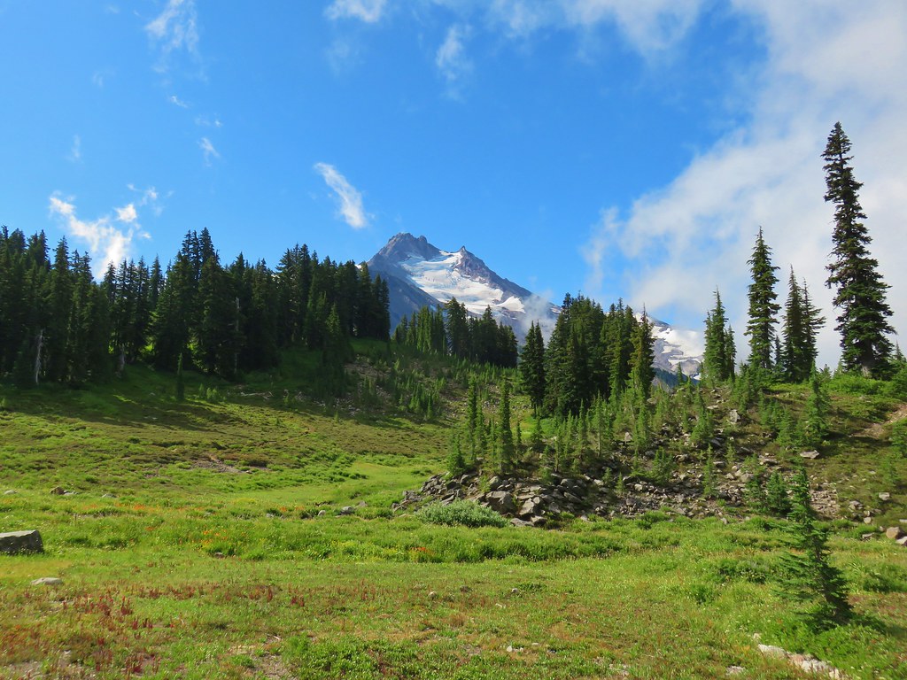
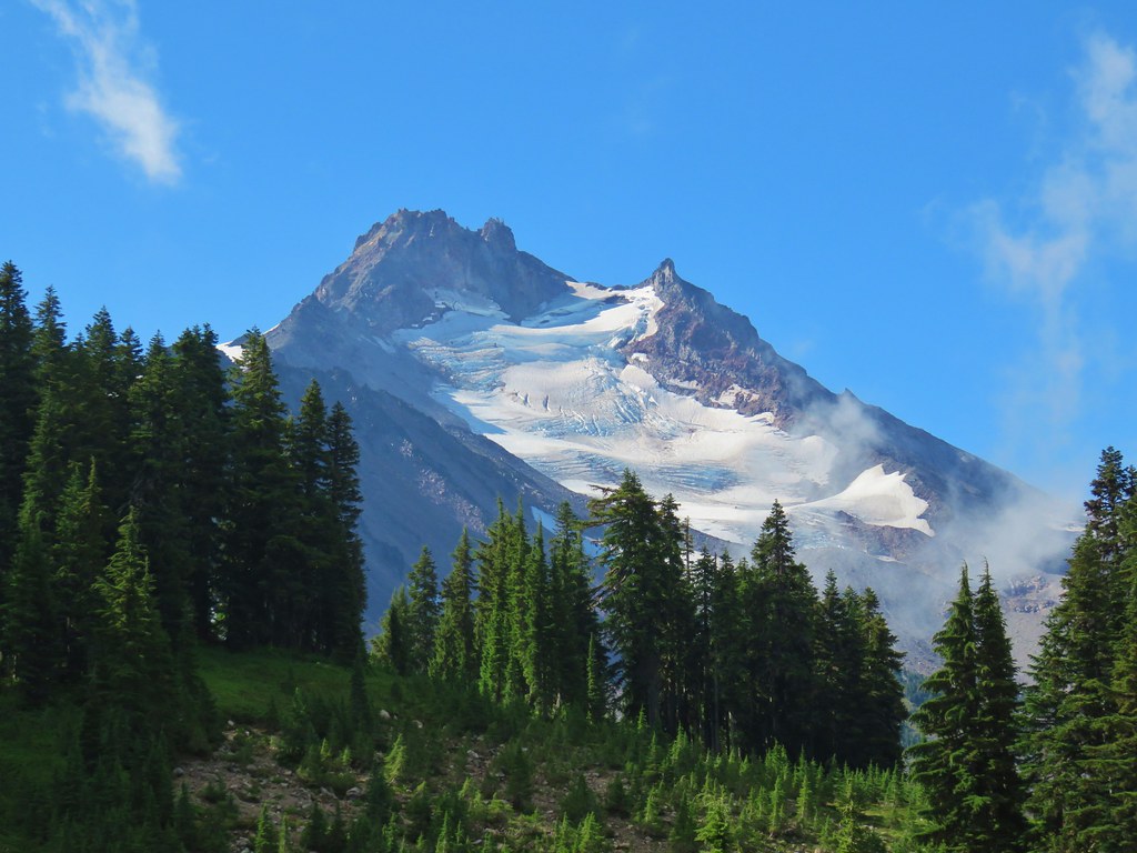
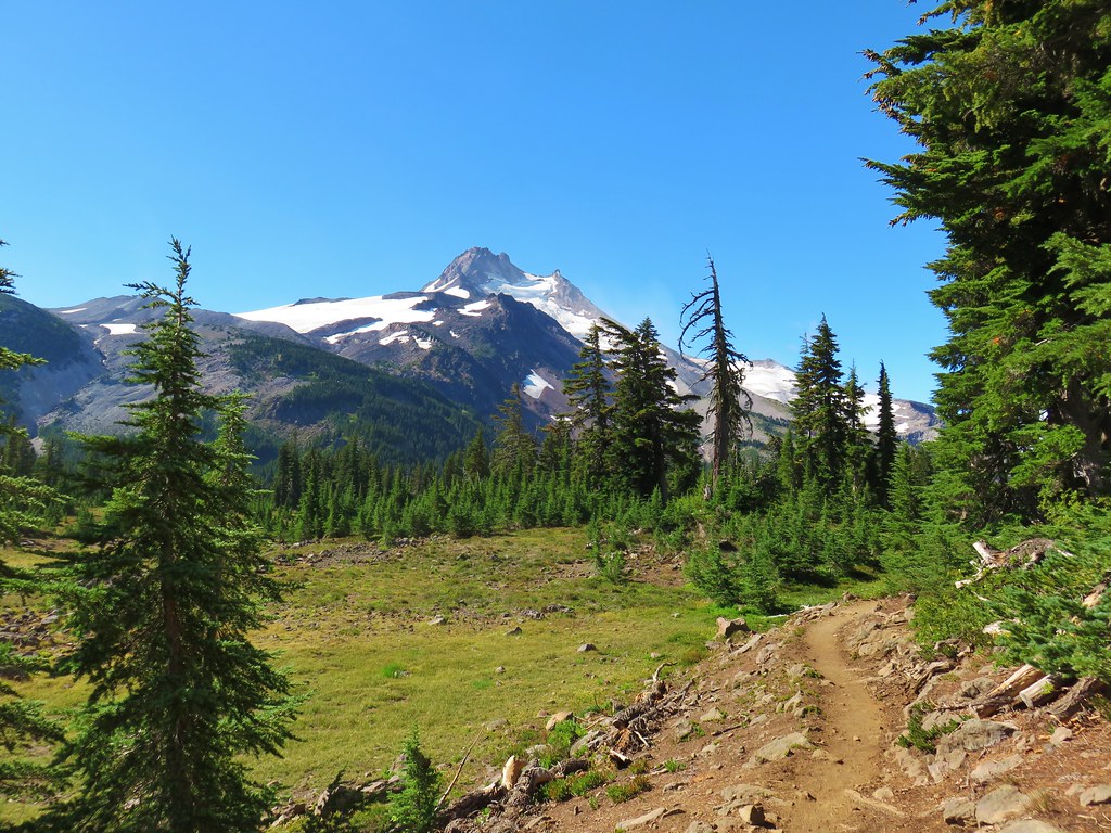
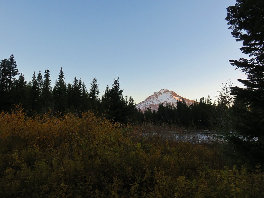
A little further along, when the trail crested the ridge, we got a look a Mt. Hood which was rising above some clouds.

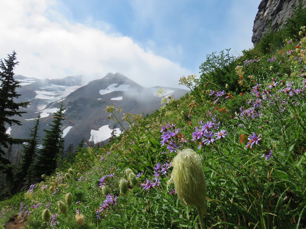
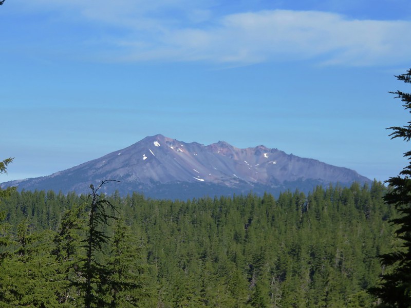
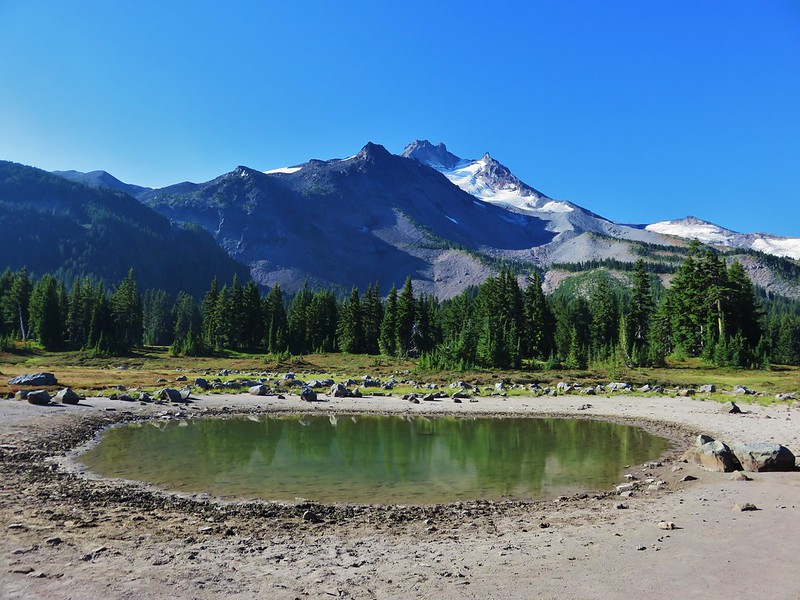
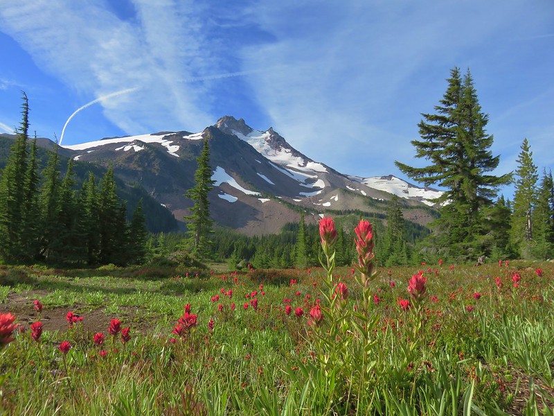
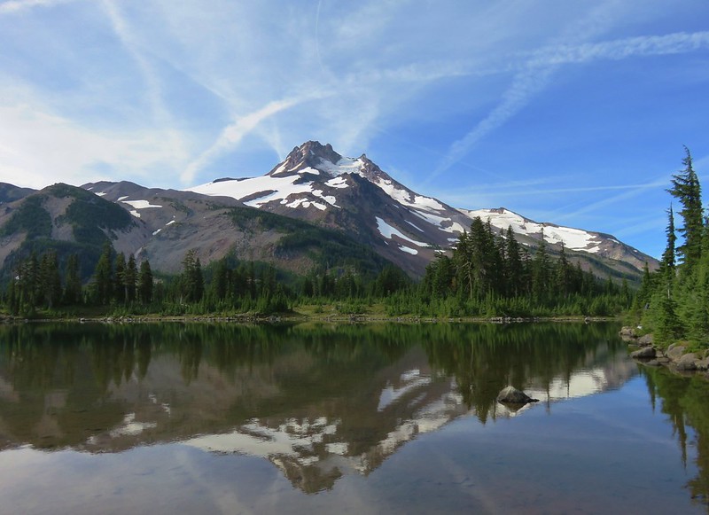
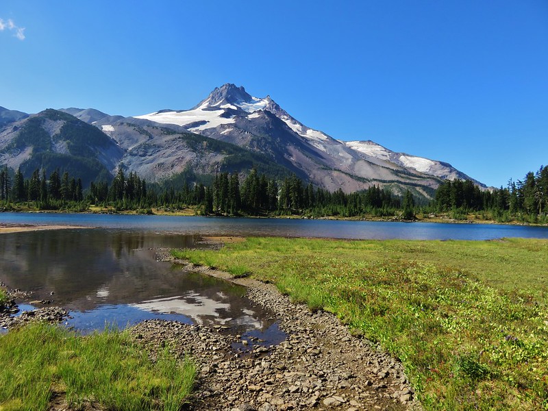
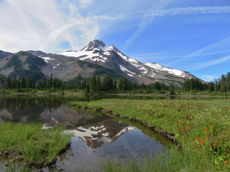
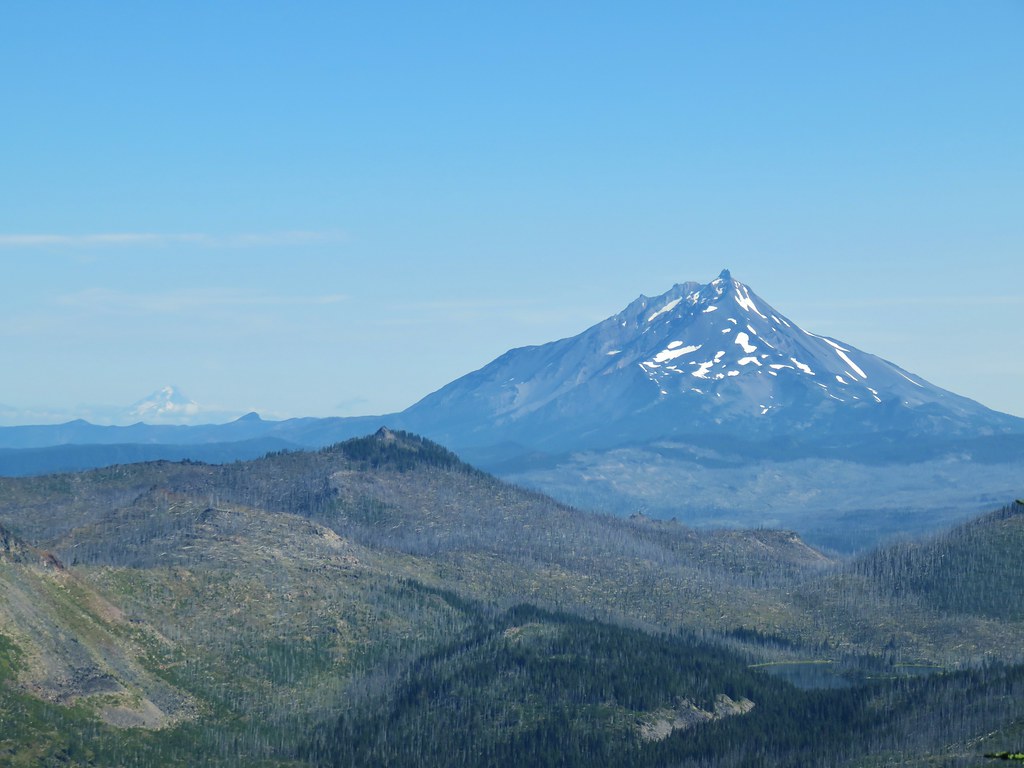
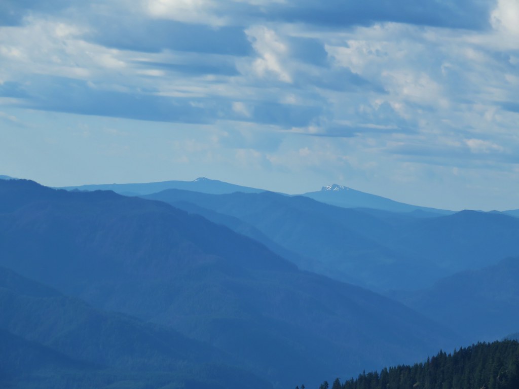
The trail left the ridge for a bit and then regained it where the view also included Mt. Jefferson to the SE.
 Mt. Hood
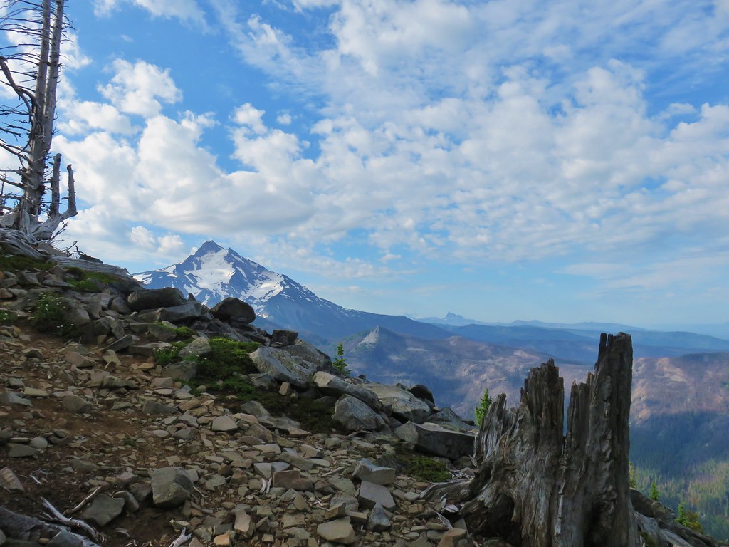
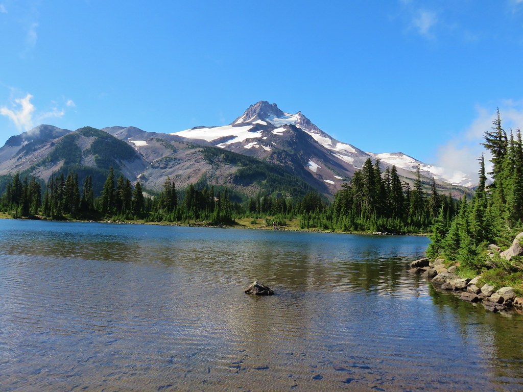
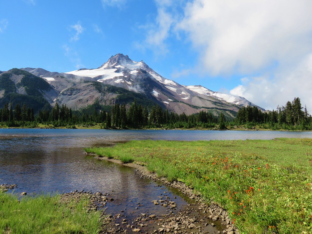
 Mt. Jefferson
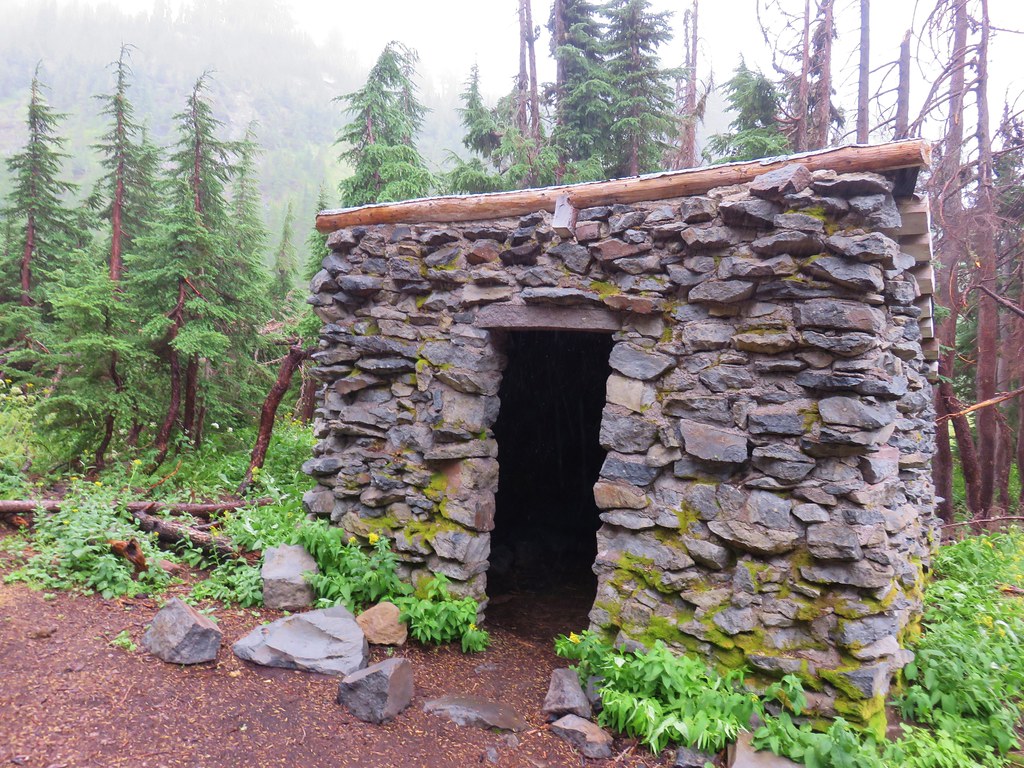
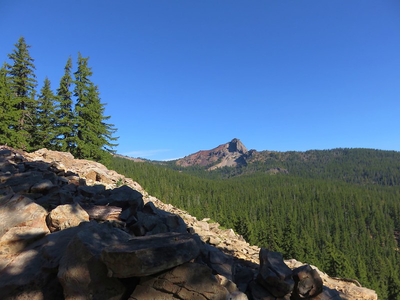
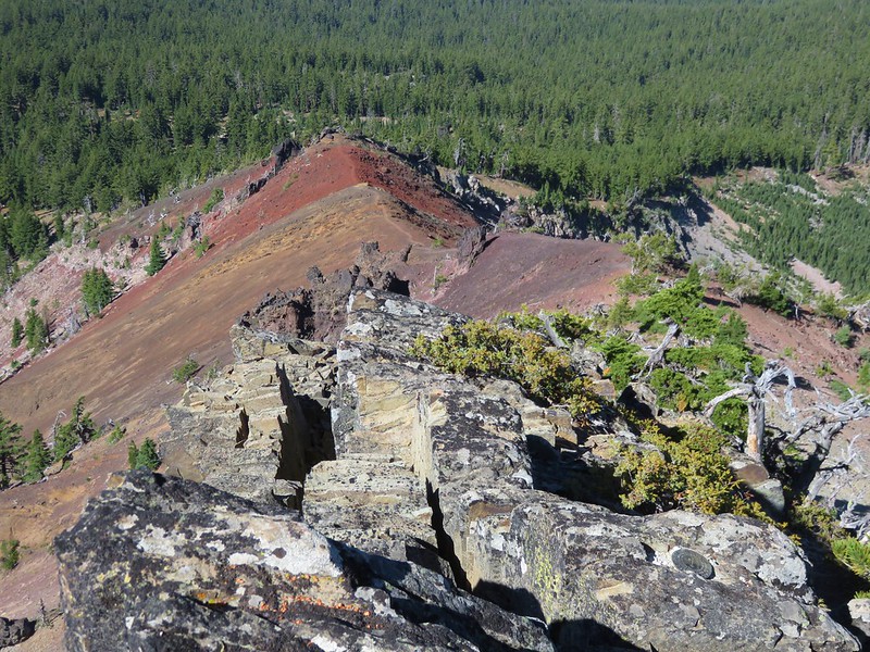
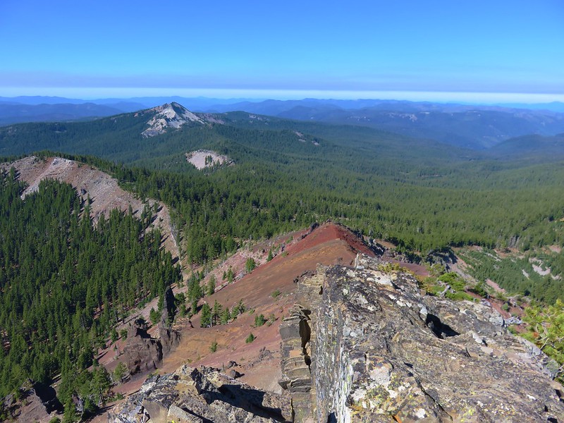
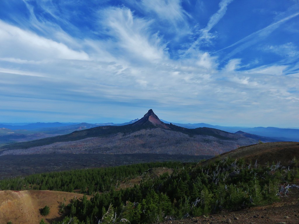
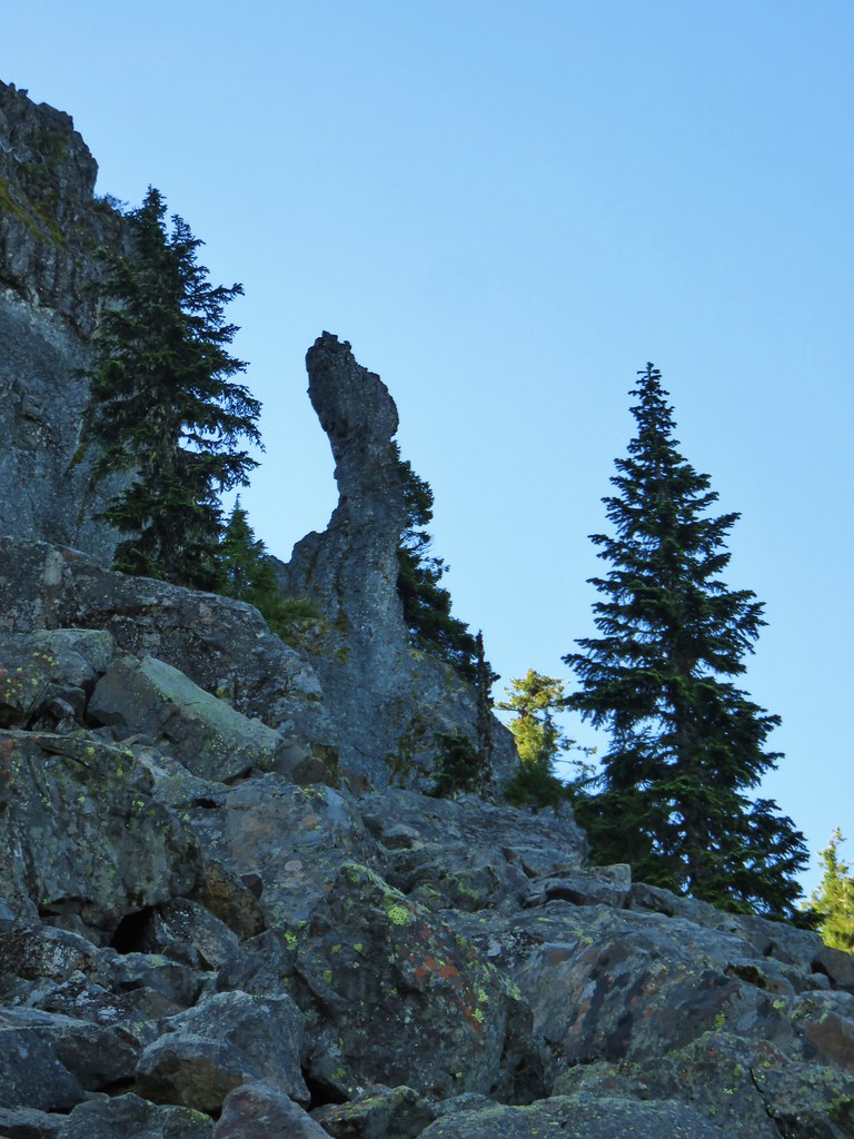
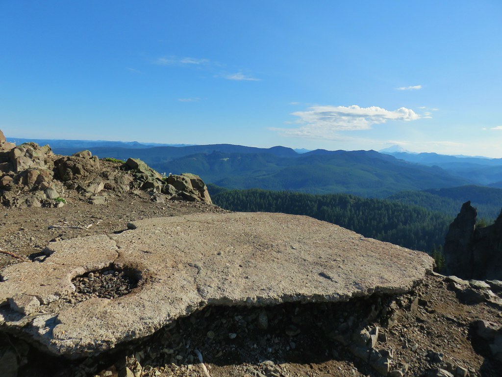
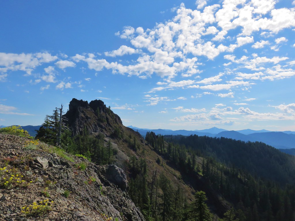
The trail then followed a narrow rocky ridge passing below the lookout and coming up to it from the other side, 3.5 miles from the trailhead.

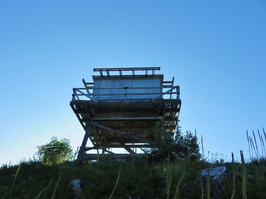

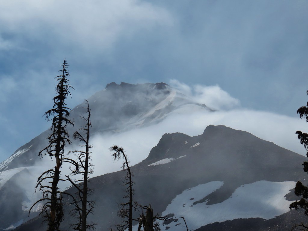
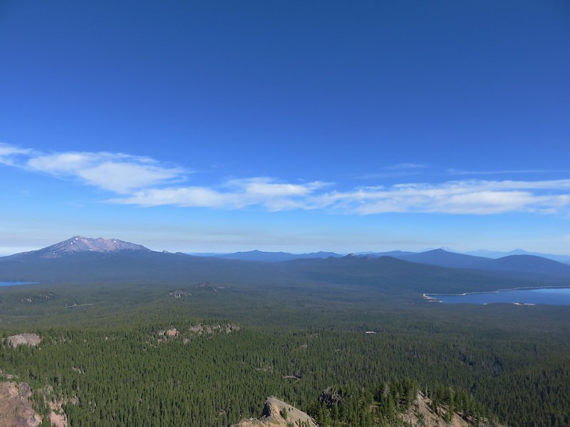
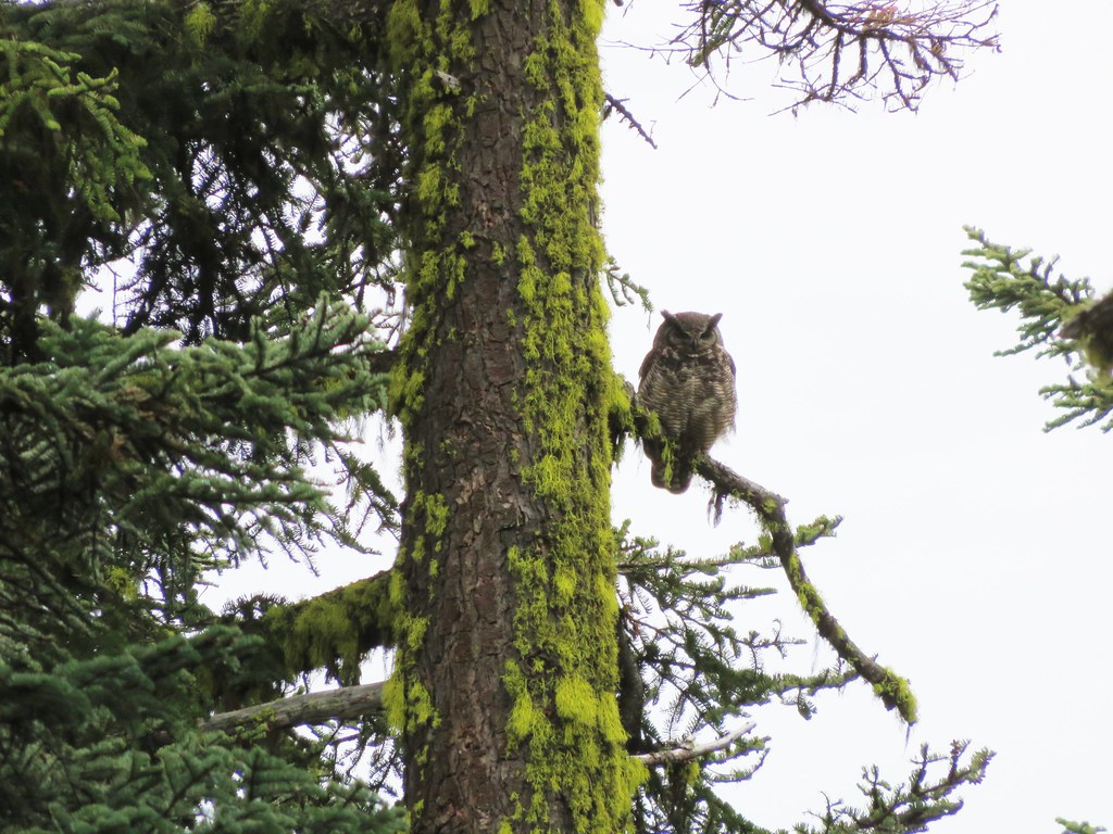
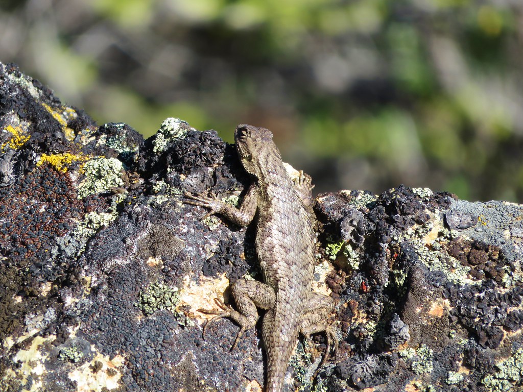
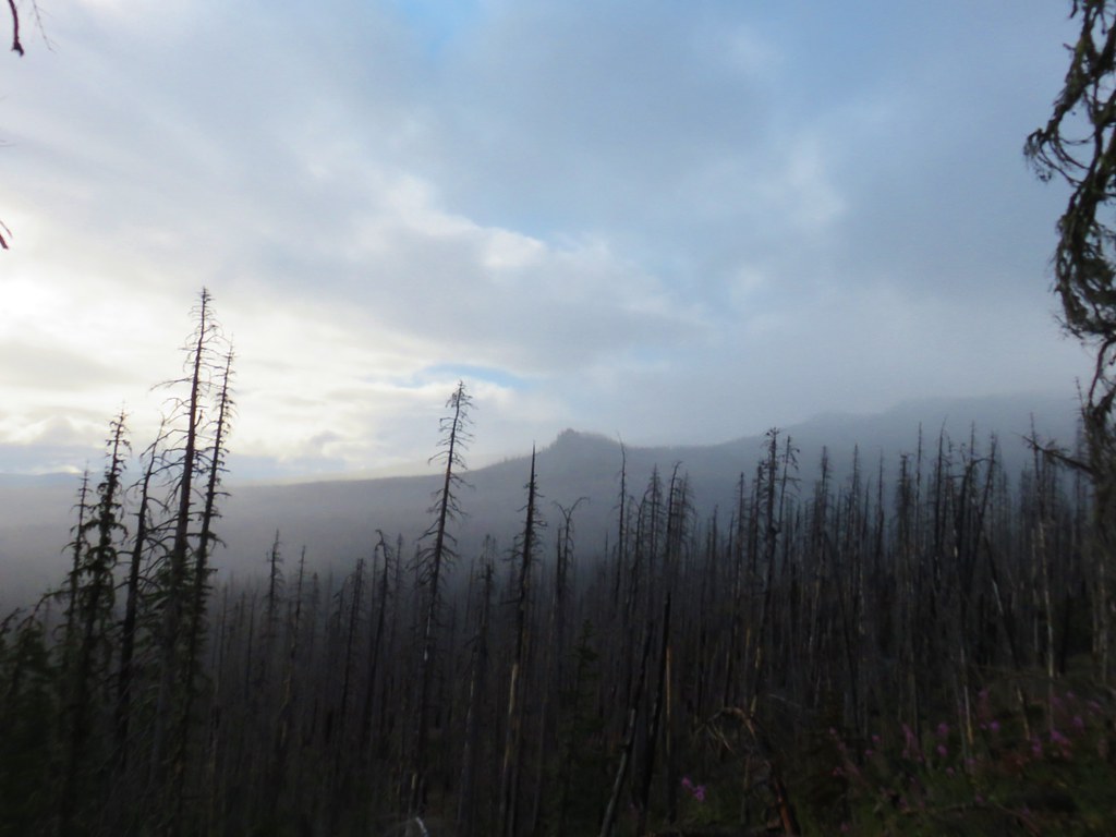
A lizard scurried into the rocks beneath the lookout as we approached. Aside from a bit of morning haze the view was great. The clouds to the north hid the Washington volcanoes from sight but Mt. Hood stood out just fine.
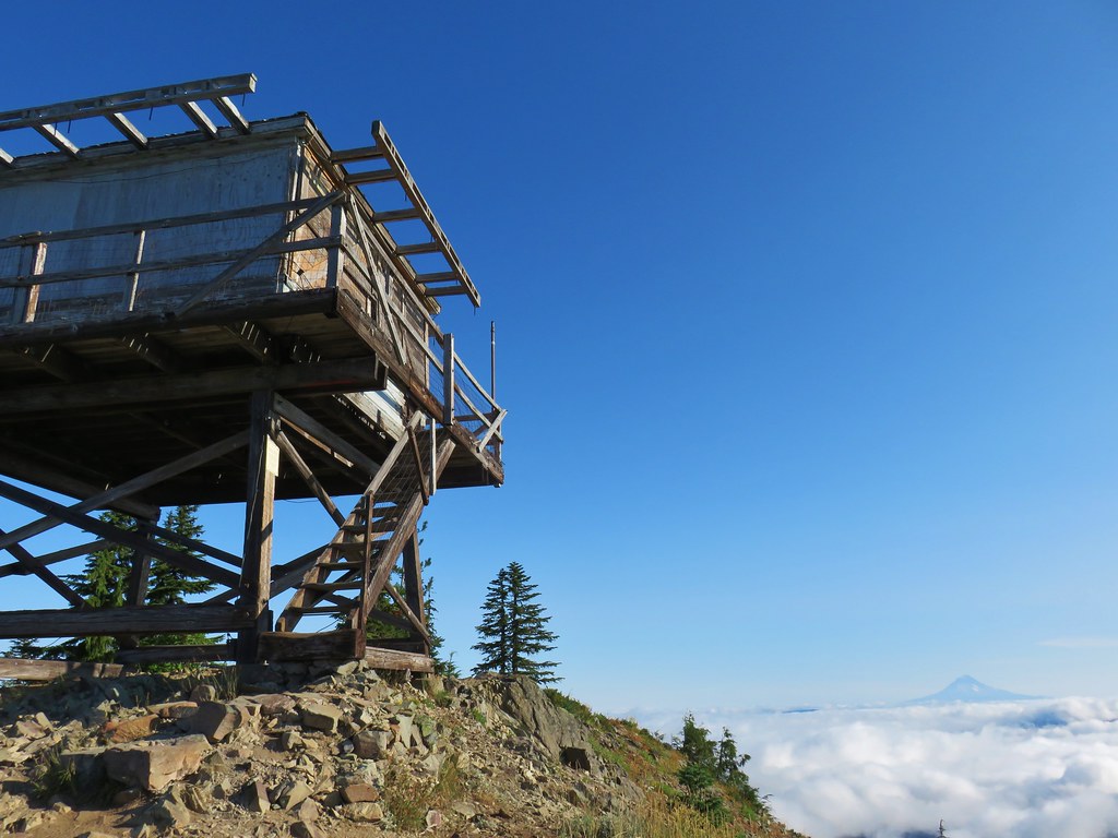

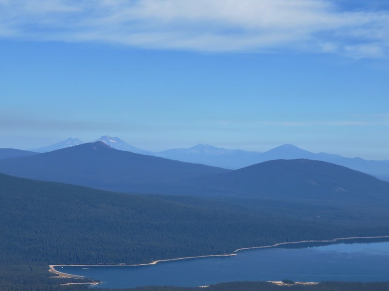
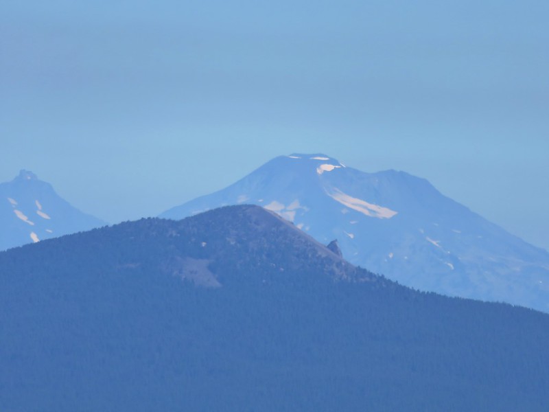
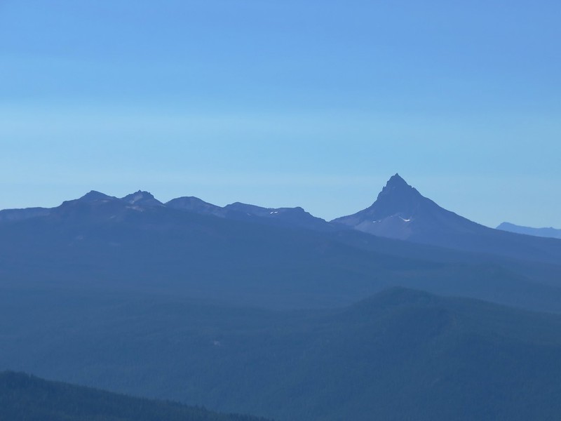
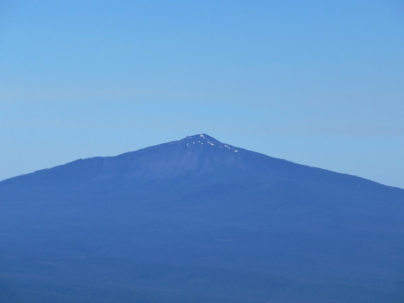
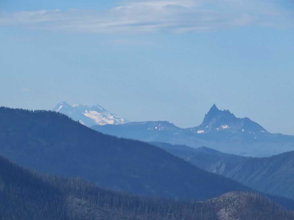
To the south Mt. Jefferson was cloud free and so was Three Fingered Jack for a bit. Mt. Washington and the Three Sisters played peek-a-boo through the clouds though.

 Three Fingered Jack
 Mt. Washington and the Three Sisters
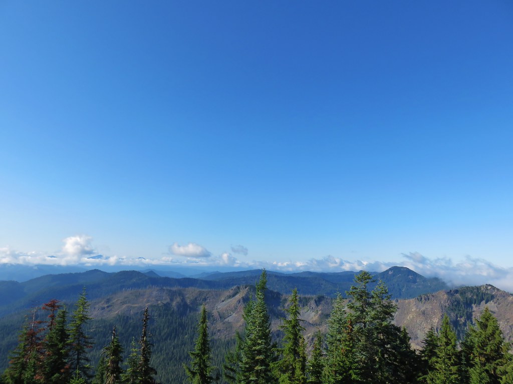
In the basin to the NE Big Slide Lake (post) was visible.


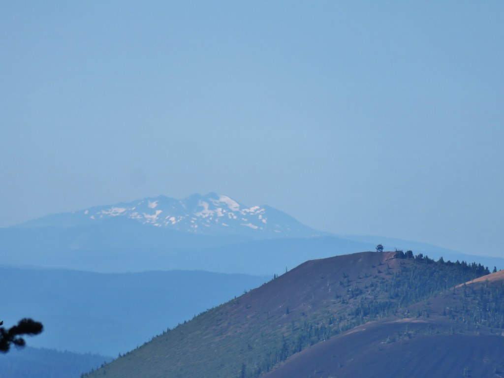
To the SW the flat topped Battle Ax Mountain (post) rose up above the surrounding peaks.
We sat below the lookout for awhile enjoying the cool morning air as we watched the procession of clouds around us. After our break we headed steeply downhill via switchbacks for just over half a mile to the Mother Lode Trail.

 Bull of the Woods Trail ending at the Mother Lode Trail.
We turned right onto the Mother Lode Trail.

We continued to descend as we followed this trail for approximately 1.25 miles, passing a viewpoint of Mt. Jefferson shortly before arriving at another junction.


We turned right again, this time onto the Pansy Lake Trail.

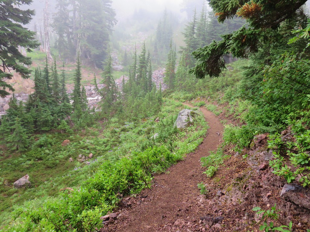
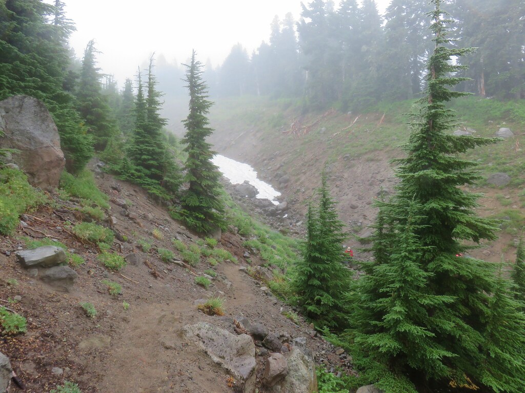
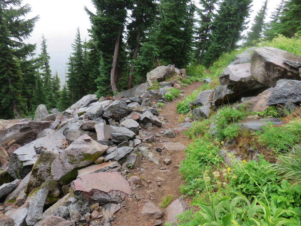
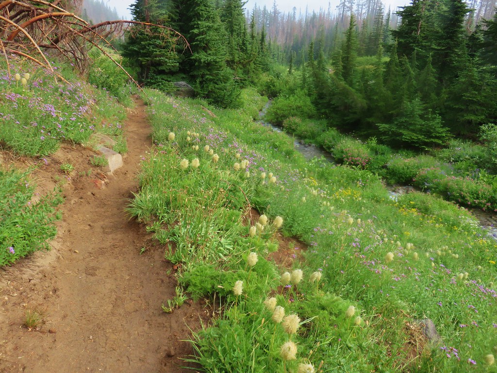
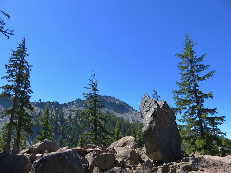
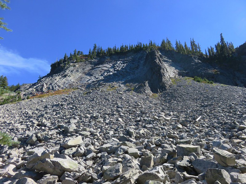
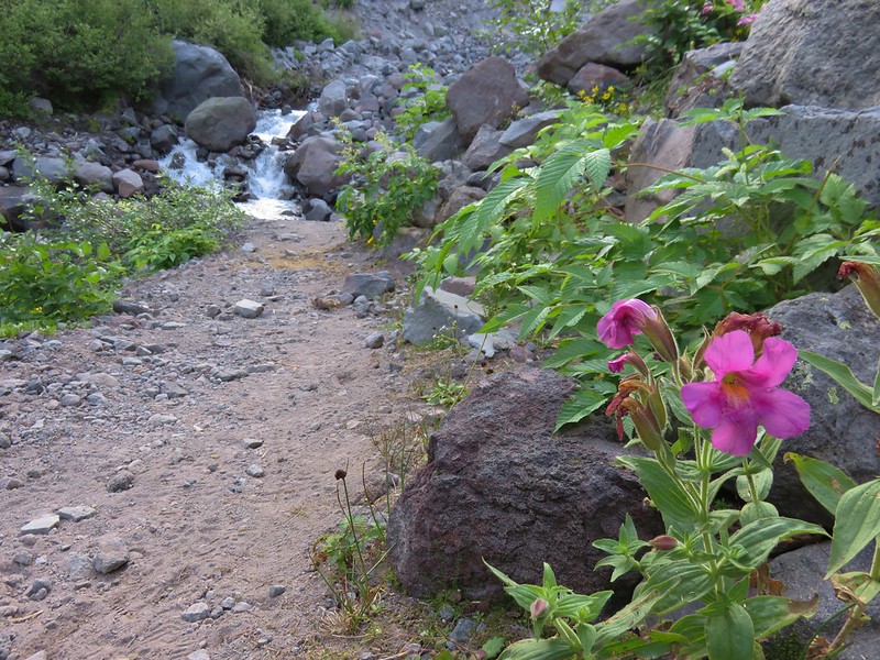
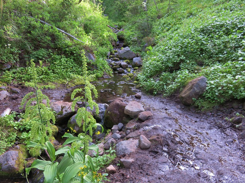
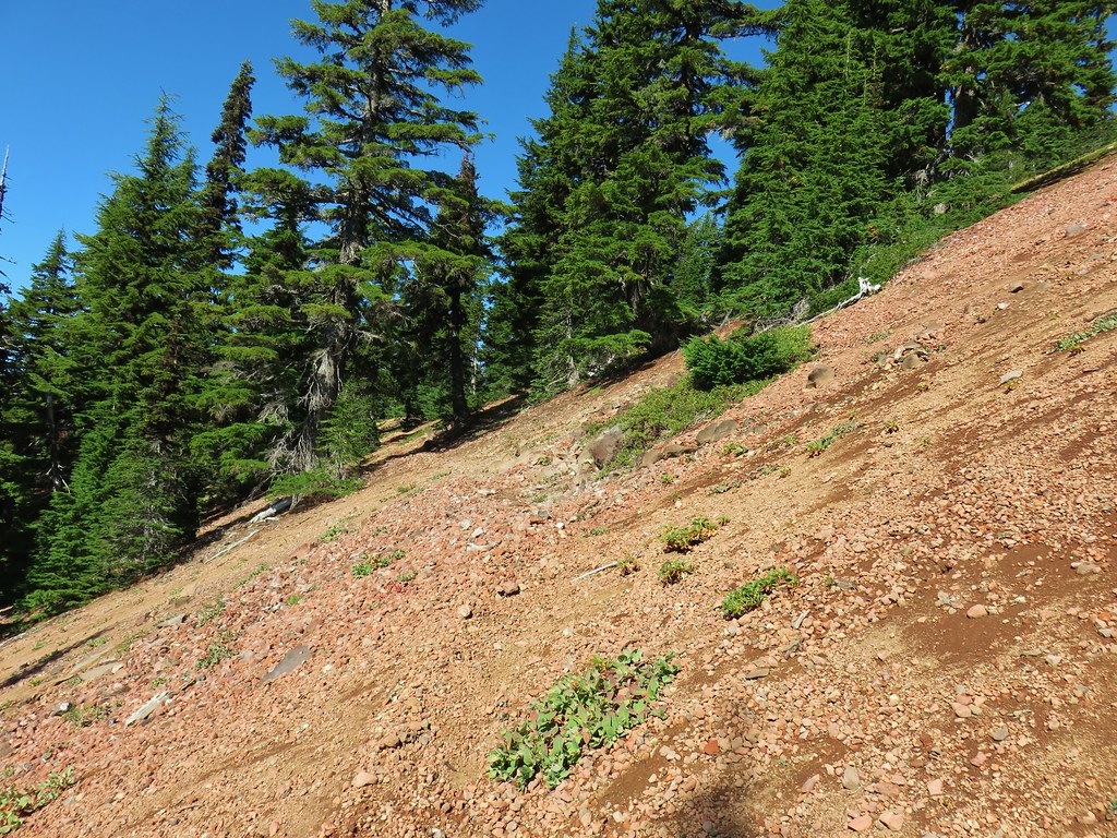
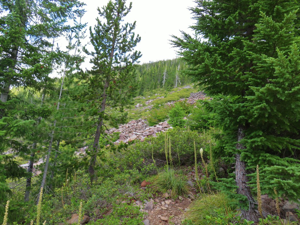
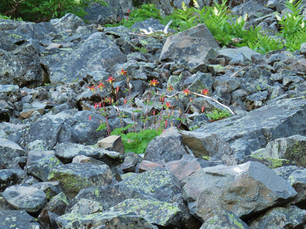
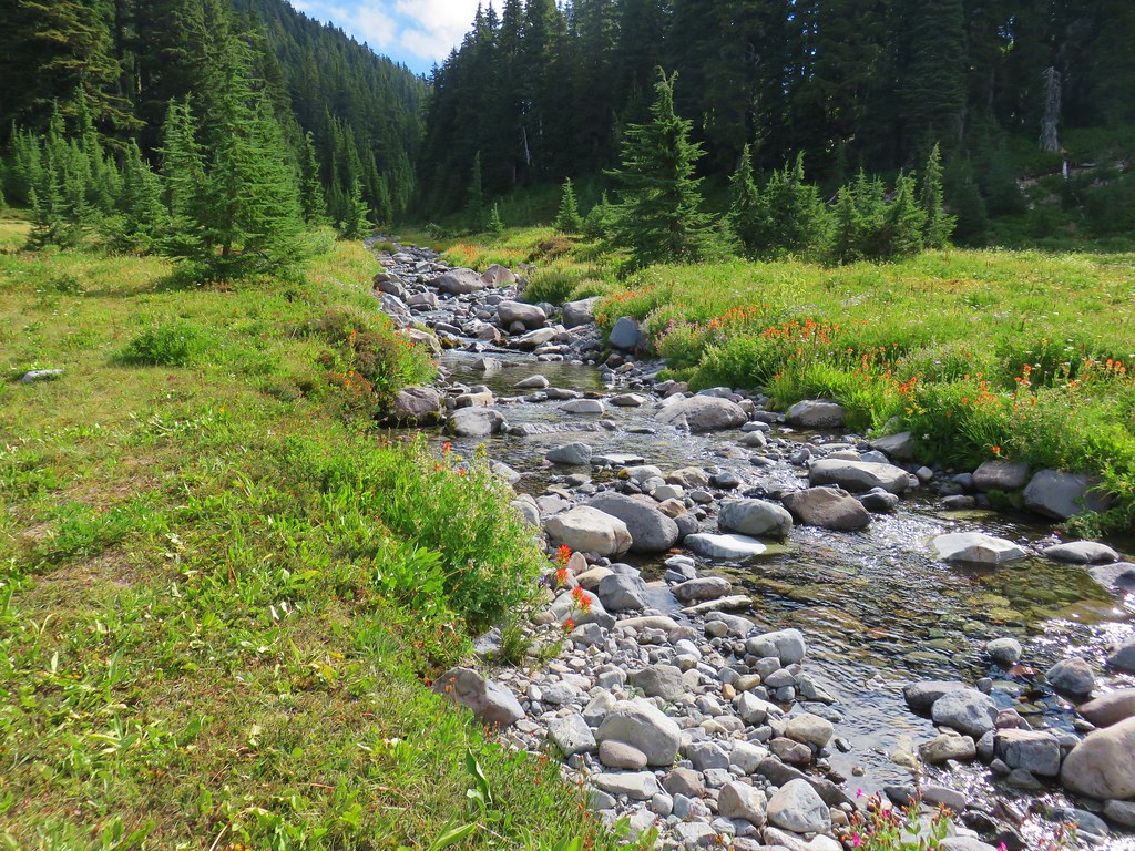
More downhill hiking ensued as we dropped into the basin. The trail was a bit rockier than the others and passed over a couple of talus fields.

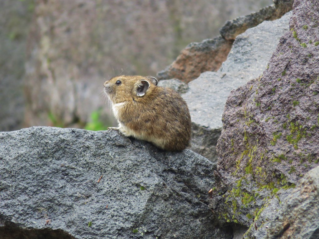
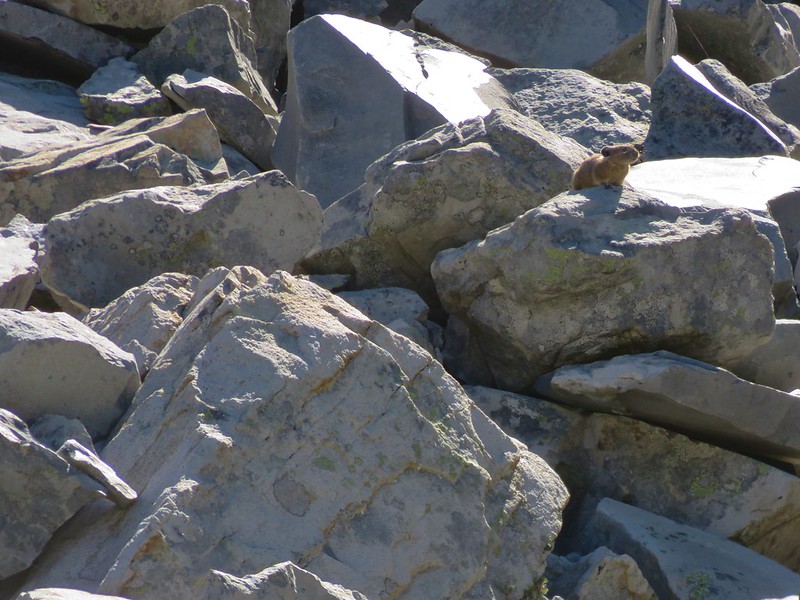
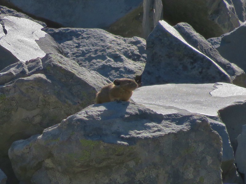
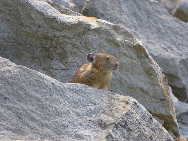
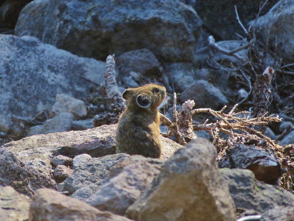
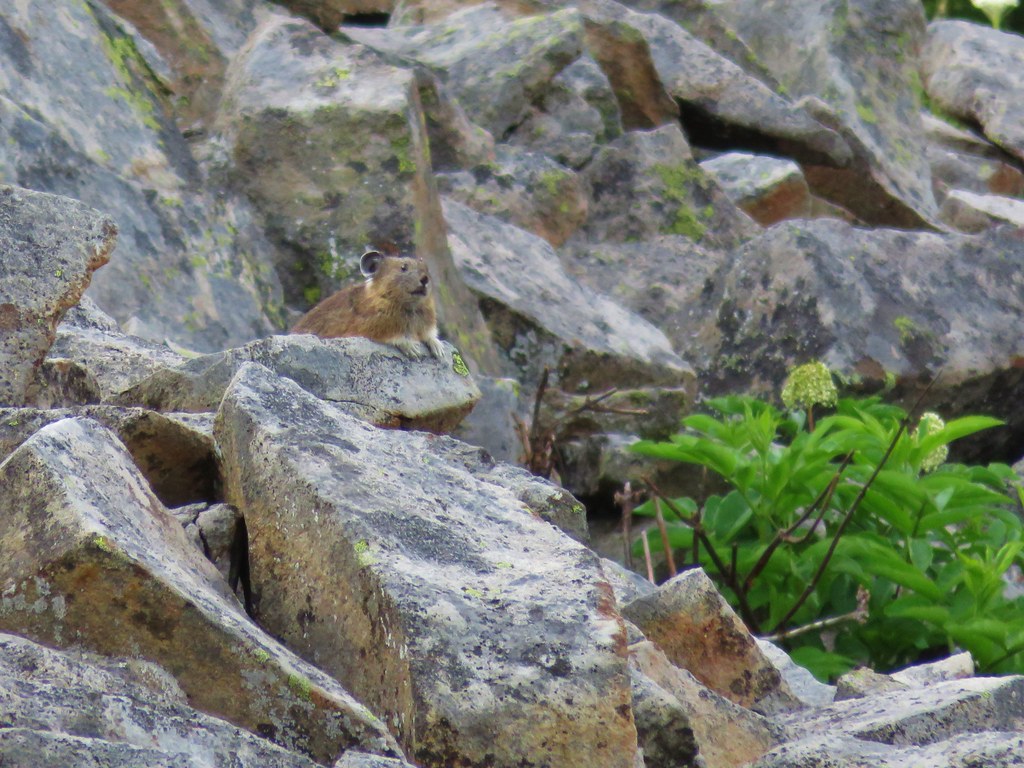
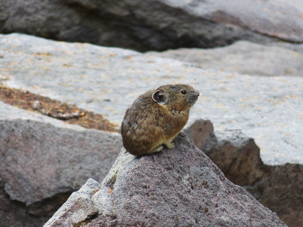
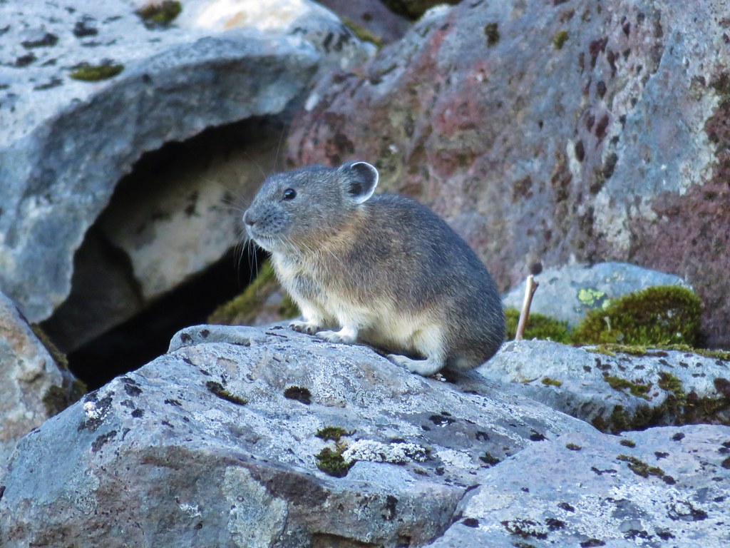
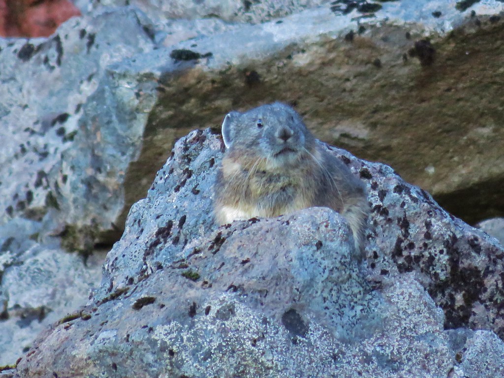
We’re always on the lookout for pikas and have had quite a bit of luck in spotting them this year, enough so that we have started calling it “the year of the pika”. As we came to the second section of talus Heather spotted one of the little “rock rabbits” scurrying along the hillside.


After talking to the pika (I don’t know why but we tend to have a lot of one sided conversations with the wildlife) we continued on. Shortly before reaching the lake we found a couple of ripe thimbleberries, they were delicious.
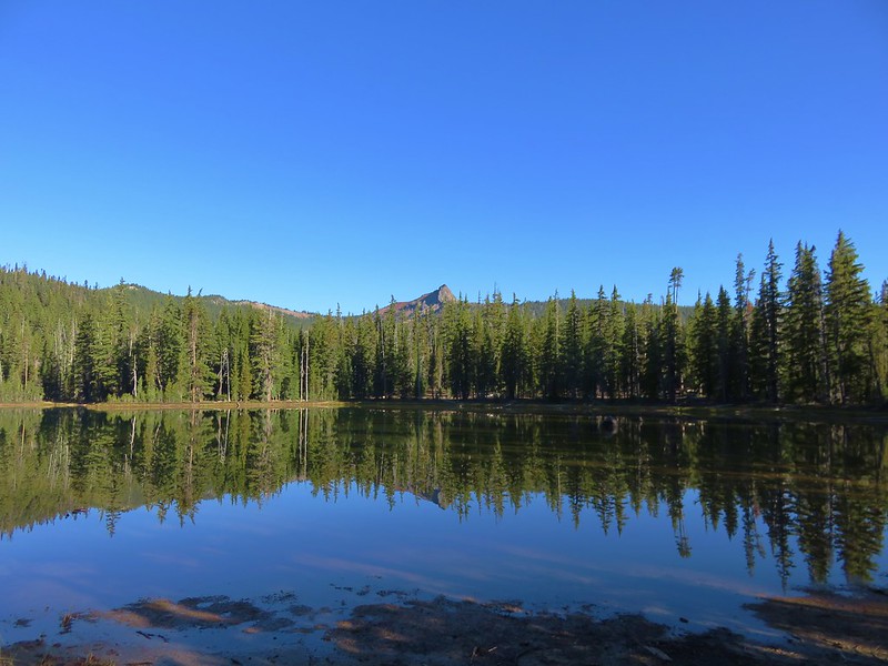
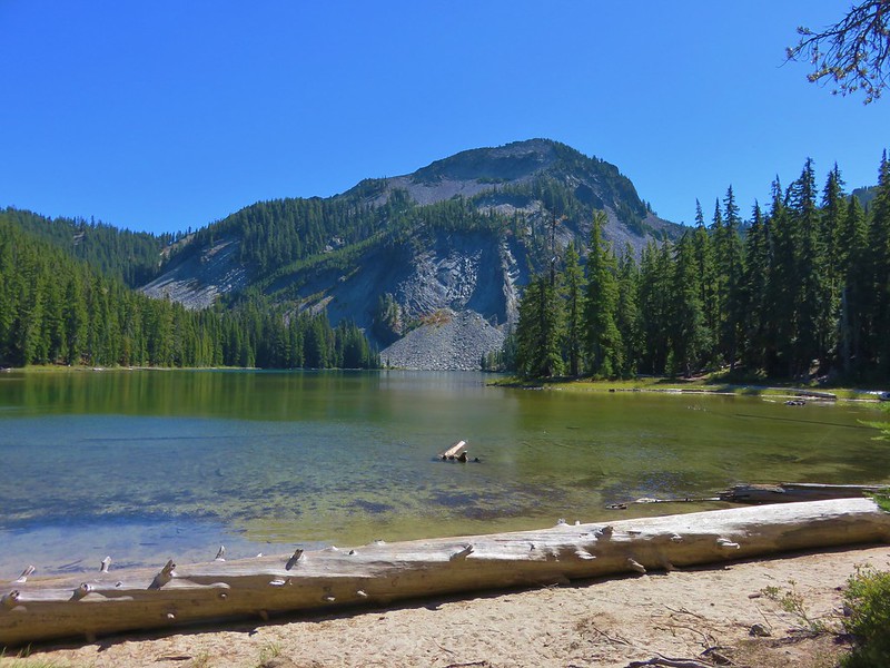
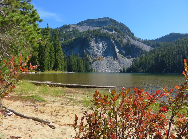
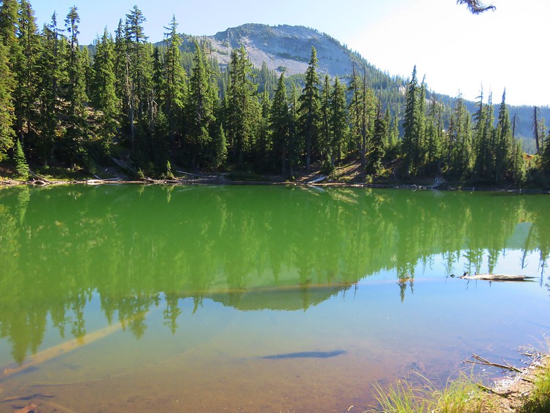
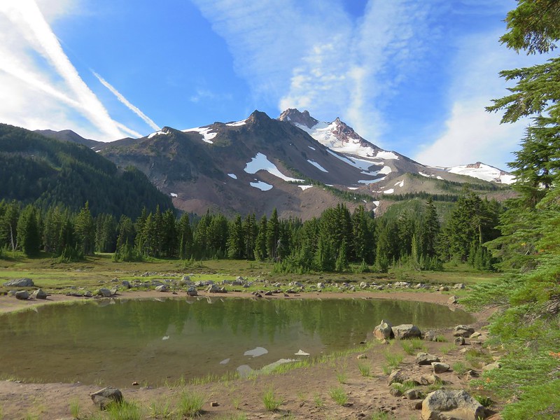
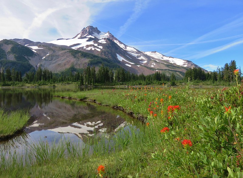
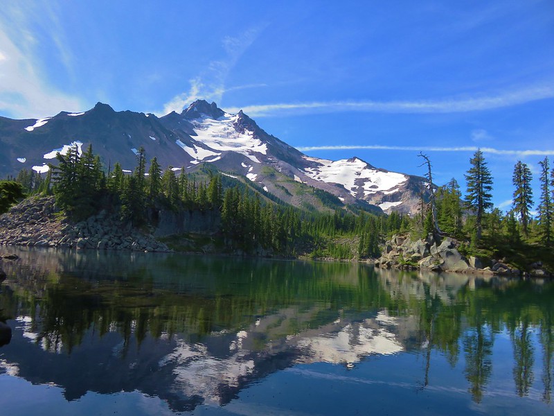
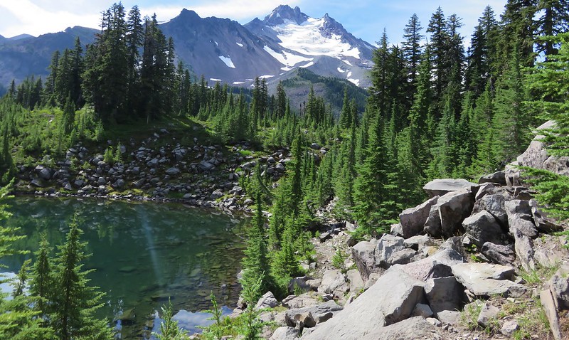
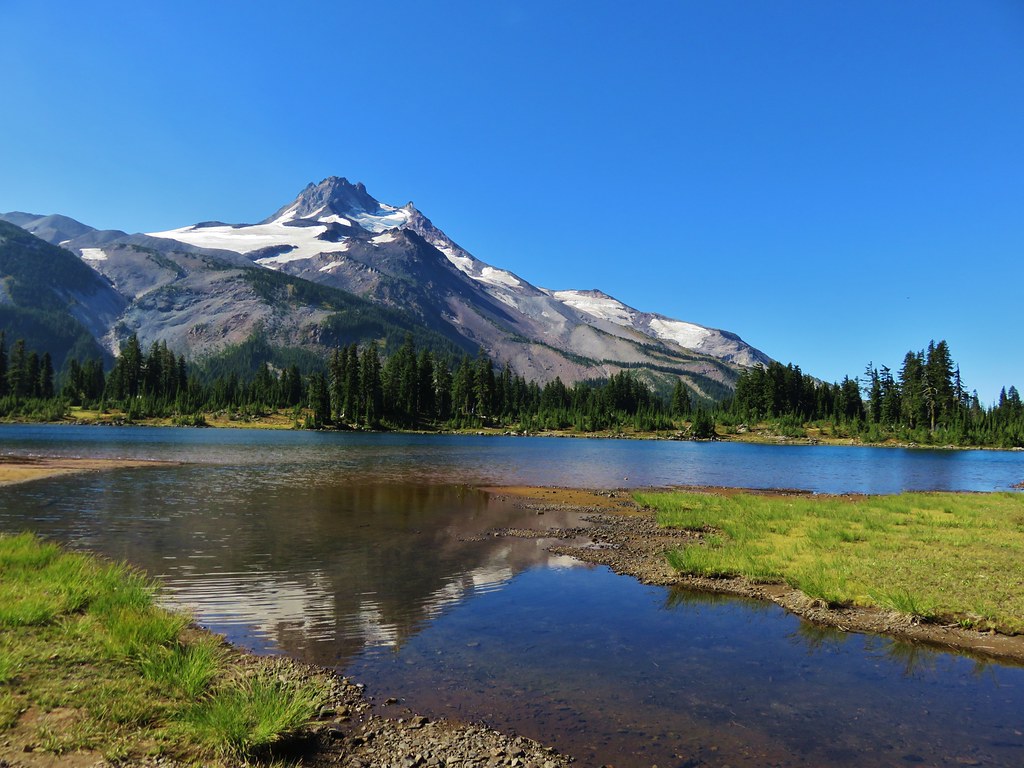
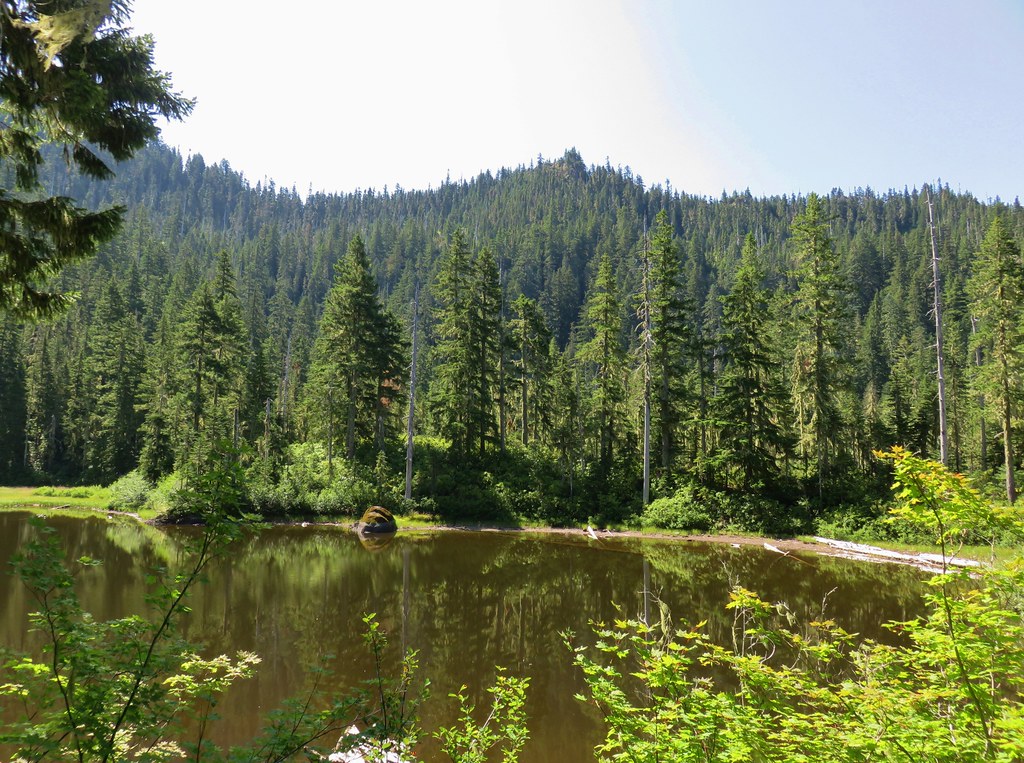
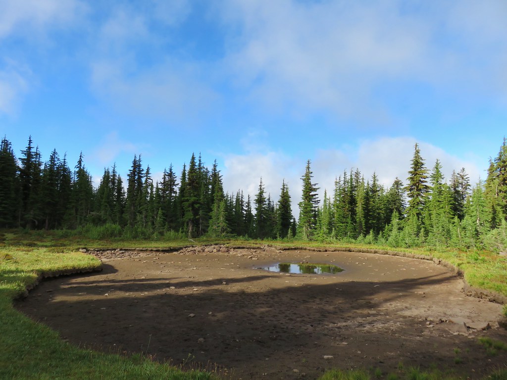
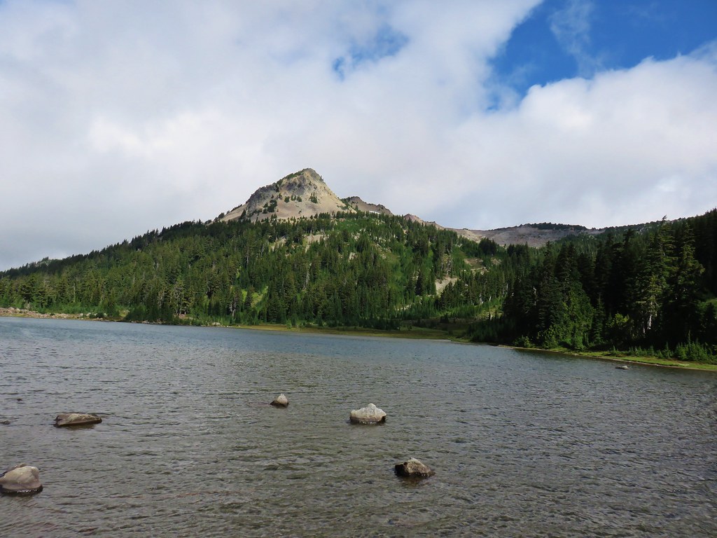
 First look at Pansy Lake.
We passed by the lake and reached a junction .8 miles from the Mother Lode Trail. We turned left and quickly arrived at the lake where we were a bit surprised that we were the only people there.


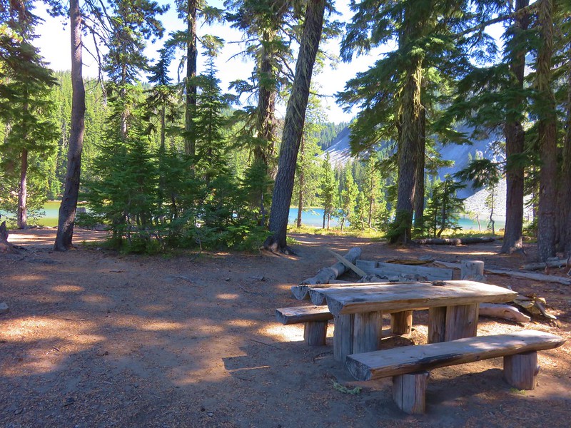
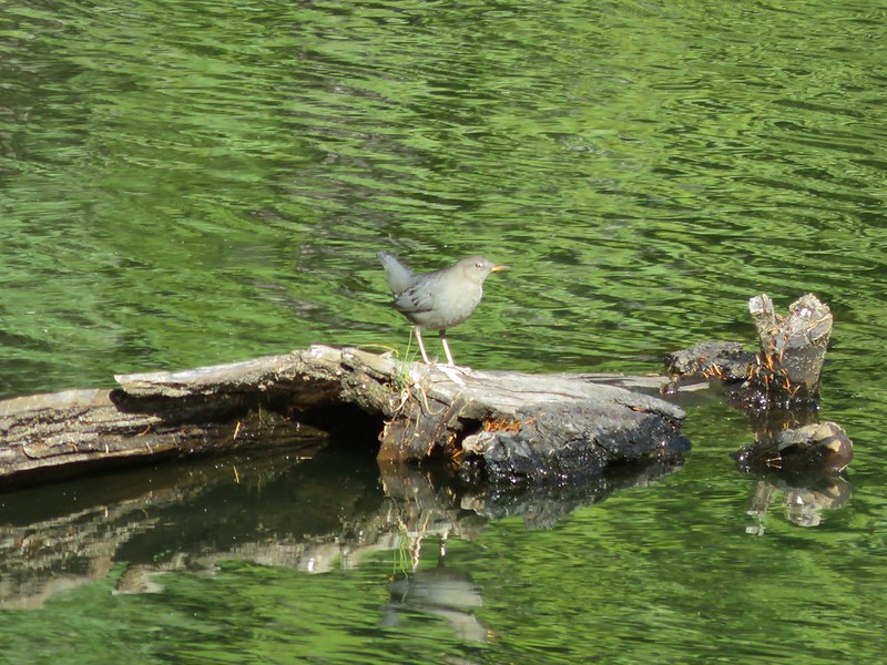
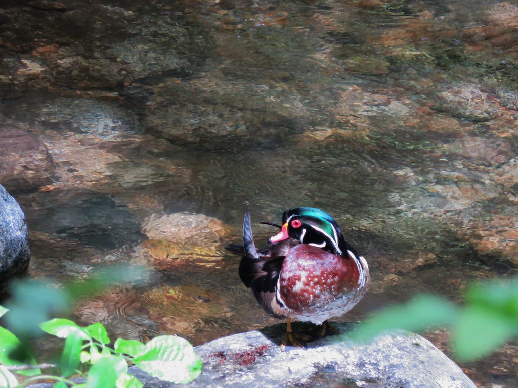
We wandered around the lake passing through numerous empty campsites before finding a little log to sit on by the lake where we could watch the dragonflies and ducks.


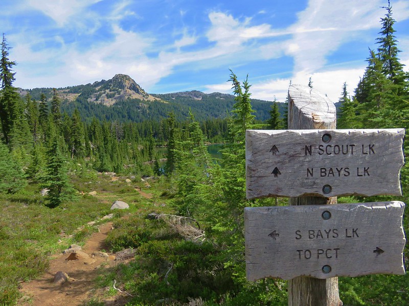
After a short break we returned to the trail junction and turned left continuing on the Pansy Lake Trail for another .2 miles to the Dickey Lake Trail junction.

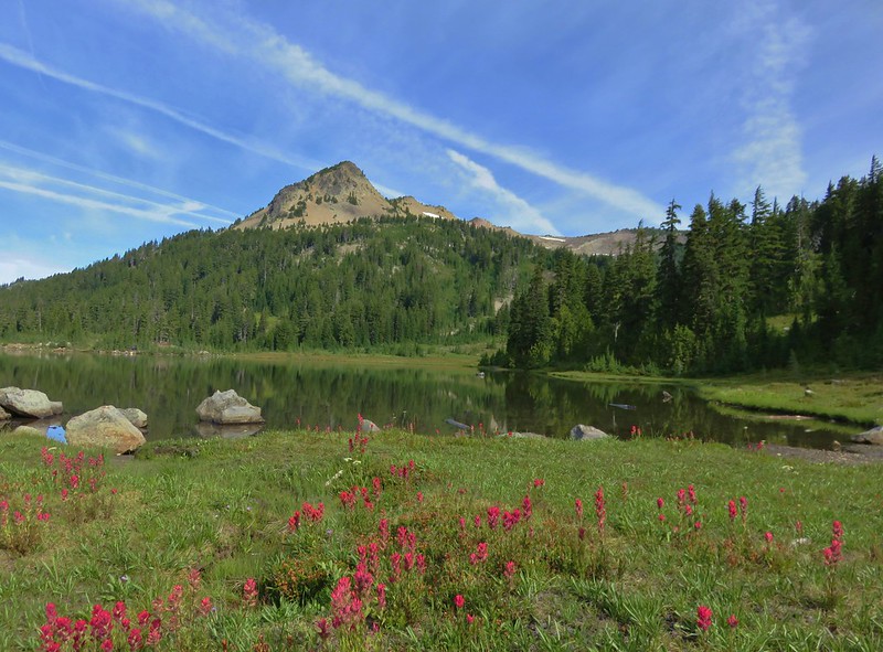
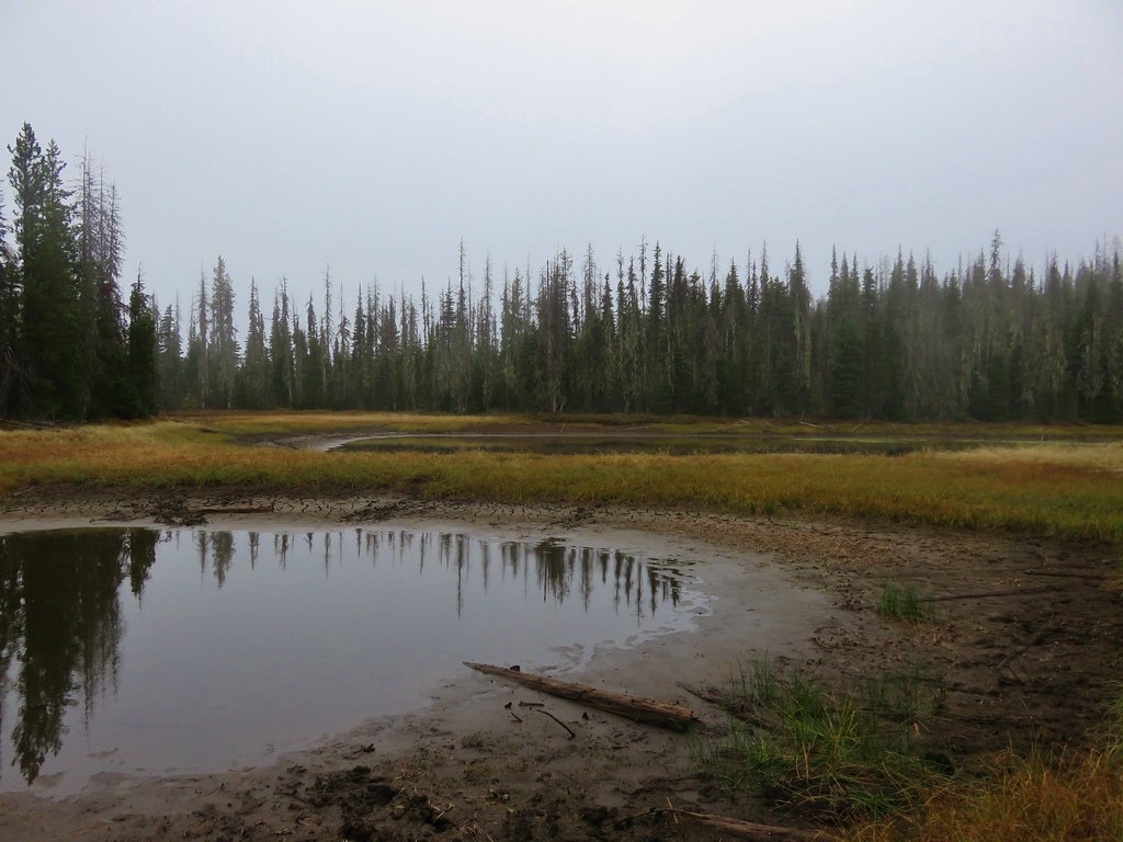
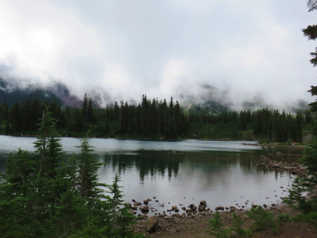
It was time to climb now and we headed up the Dickey Lake Trail which climbed relatively steeply at times. After .6 miles we came to a spur trail on the right which led down to Dickey Lake.

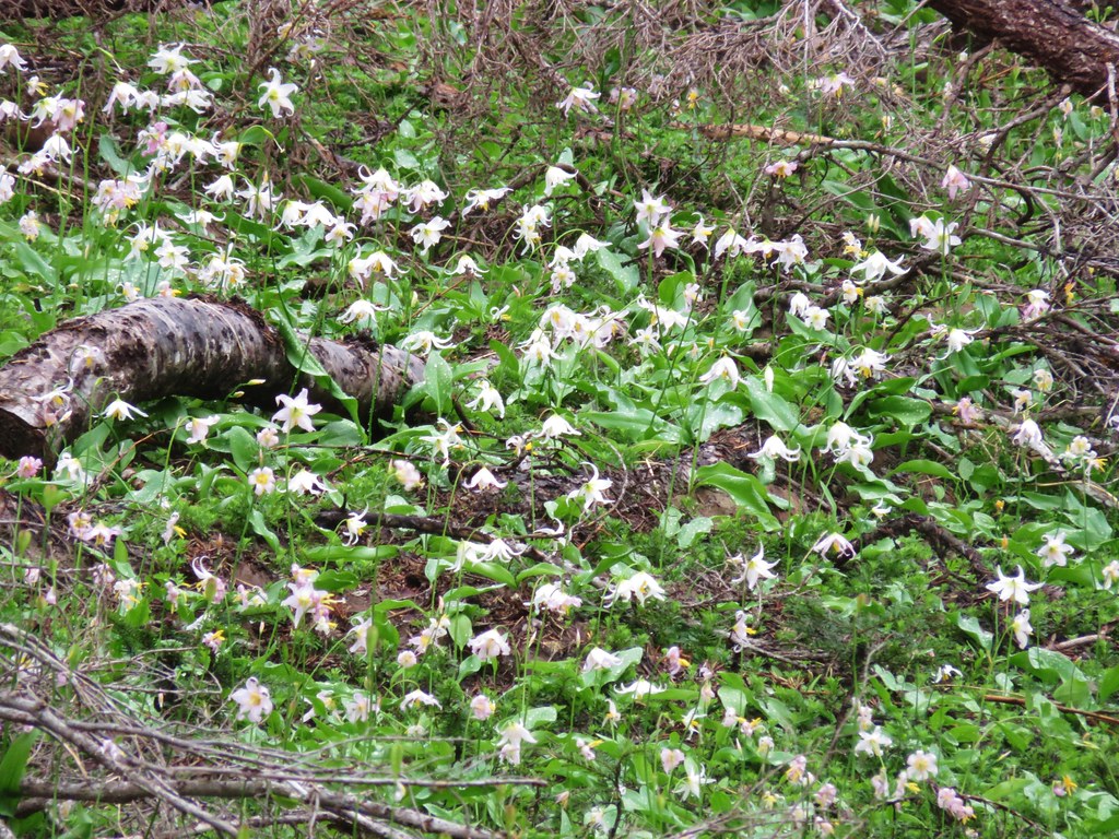
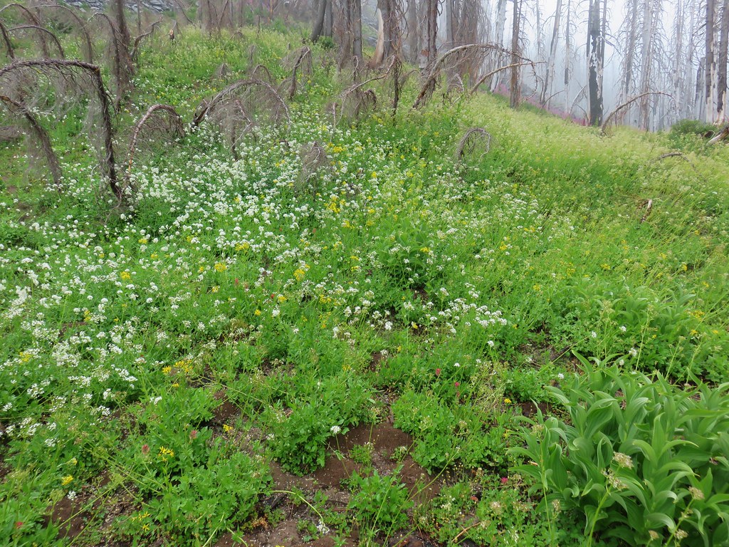
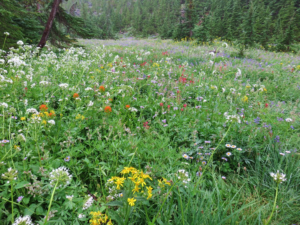
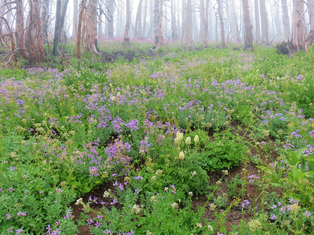
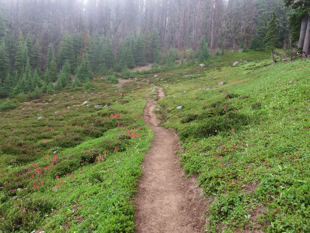
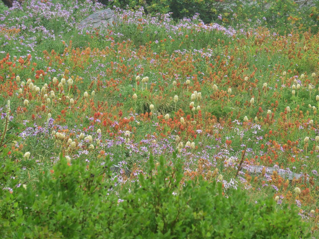
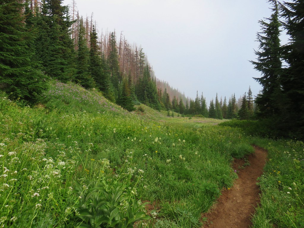
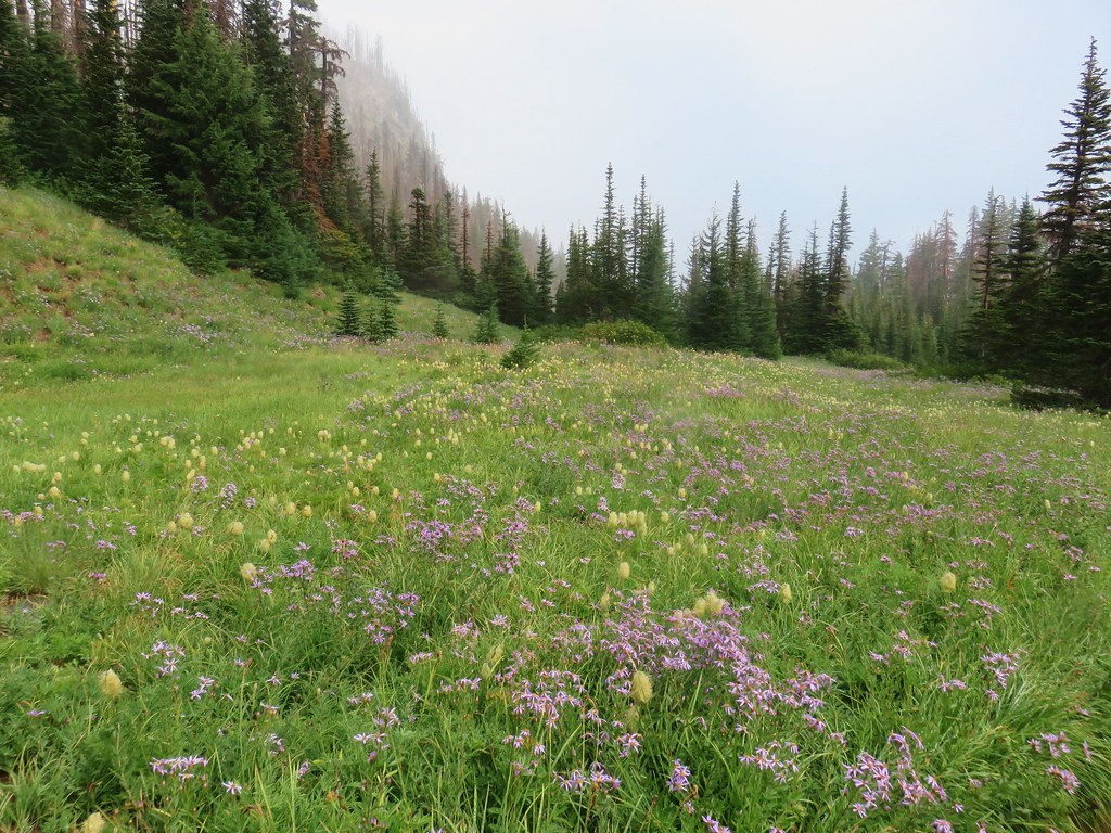
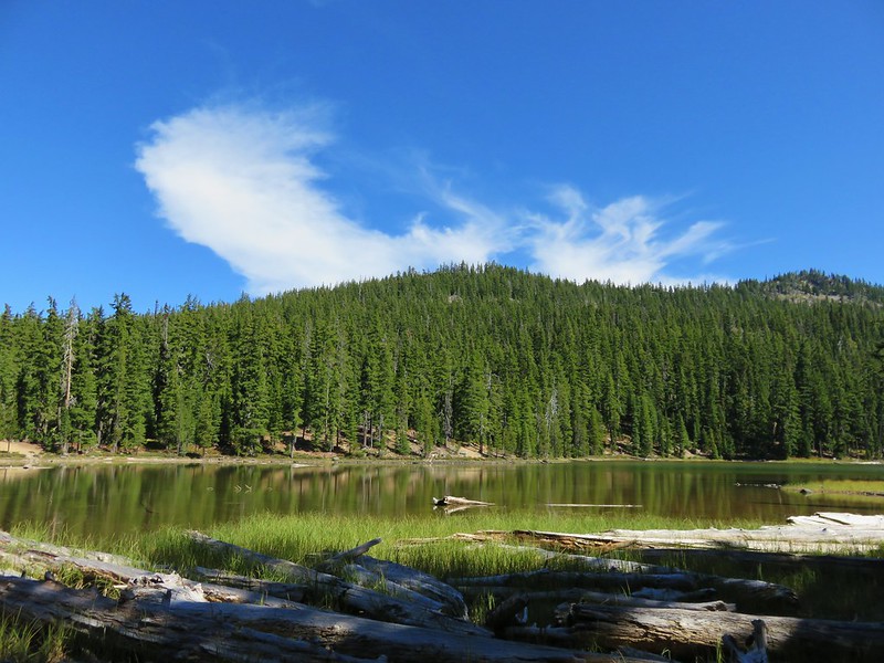
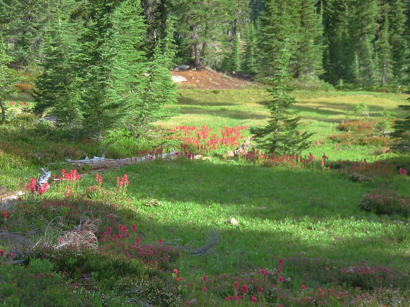
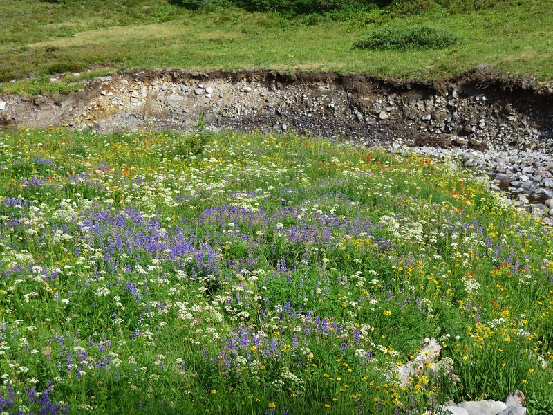
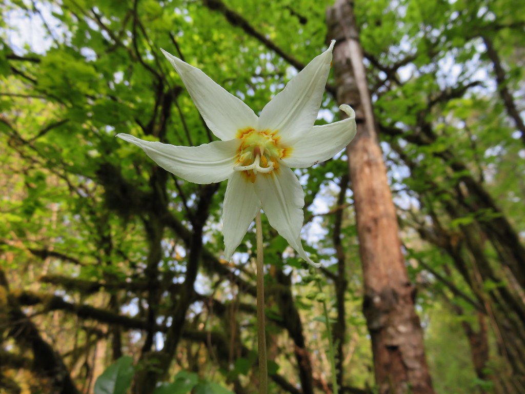
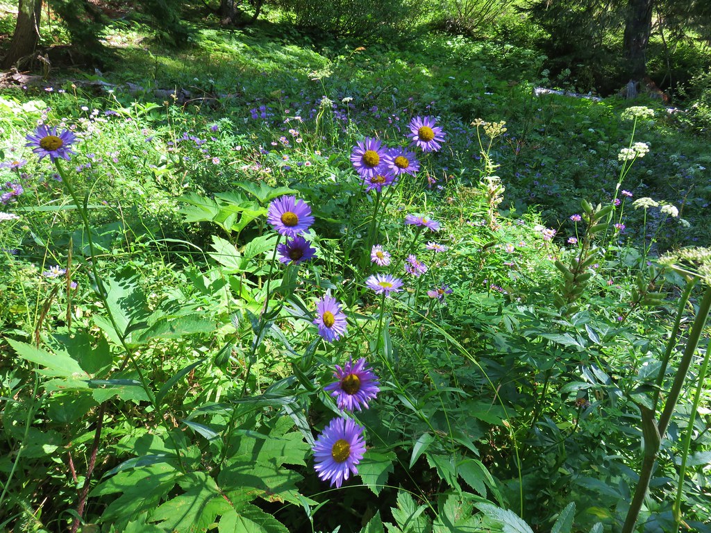
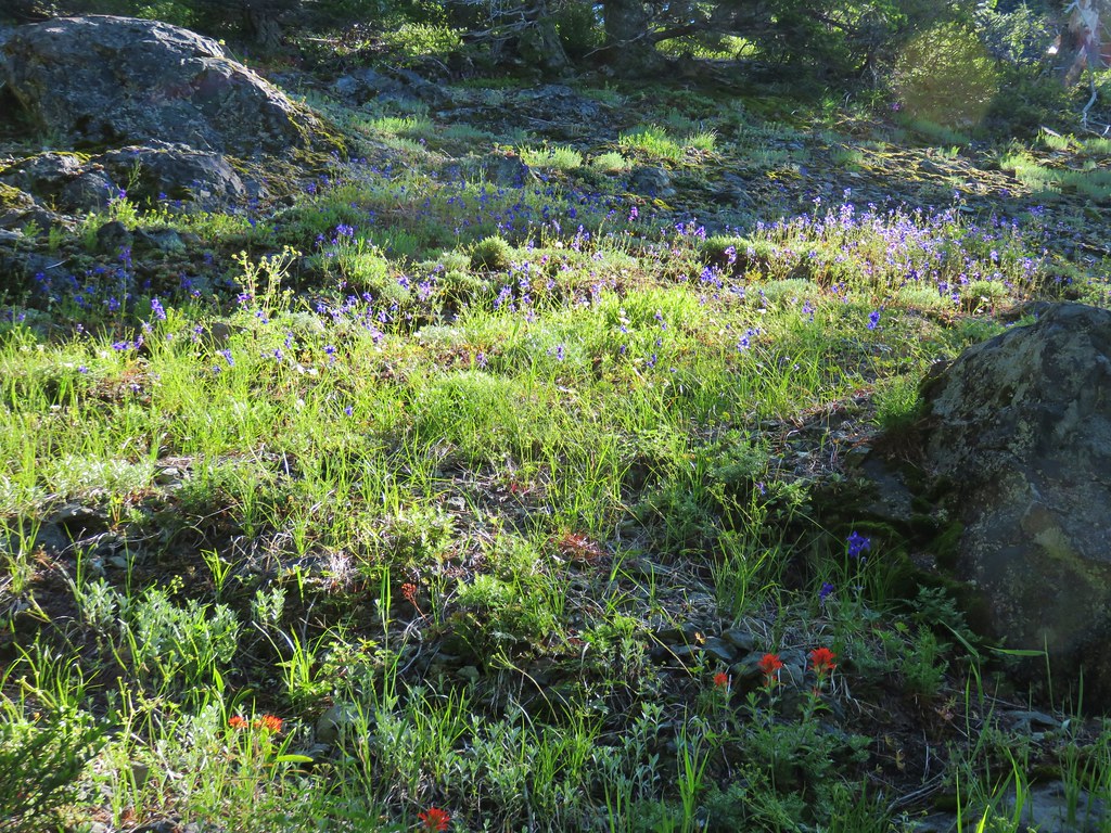
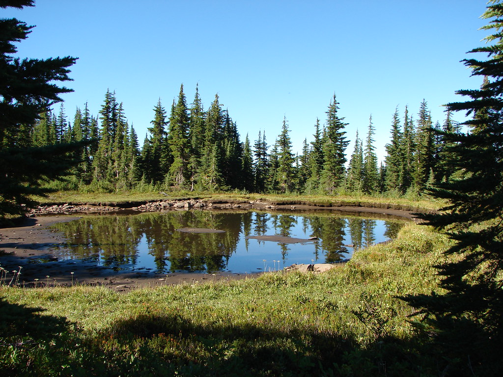
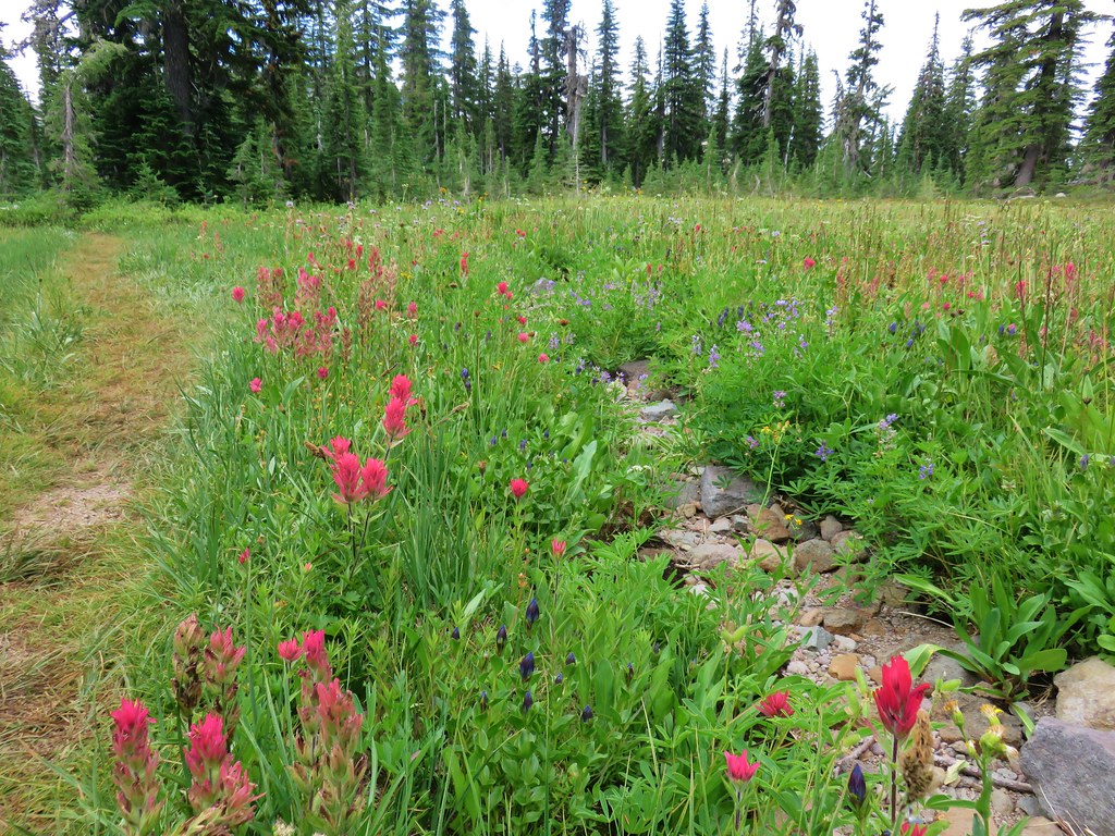
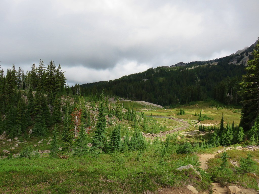
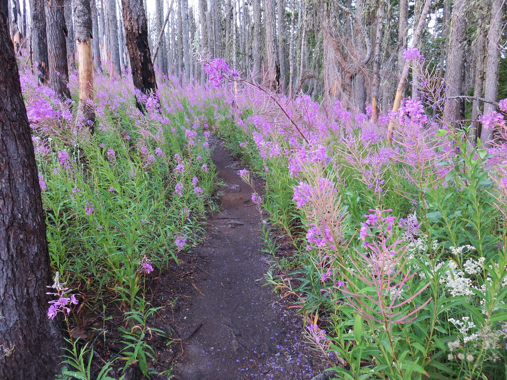
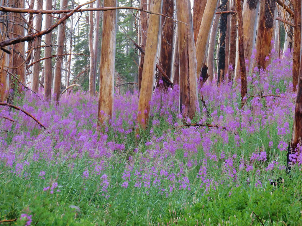
The lake was quite a bit smaller than Pansy Lake and a lot brushier. After getting a look we returned to the Dickey Lake Trail and continued the climb back up to the Bull of the Woods Trail. A bit beyond the lake the trail passed through a little meadow with some remaining wildflowers and a few more thimbleberries.

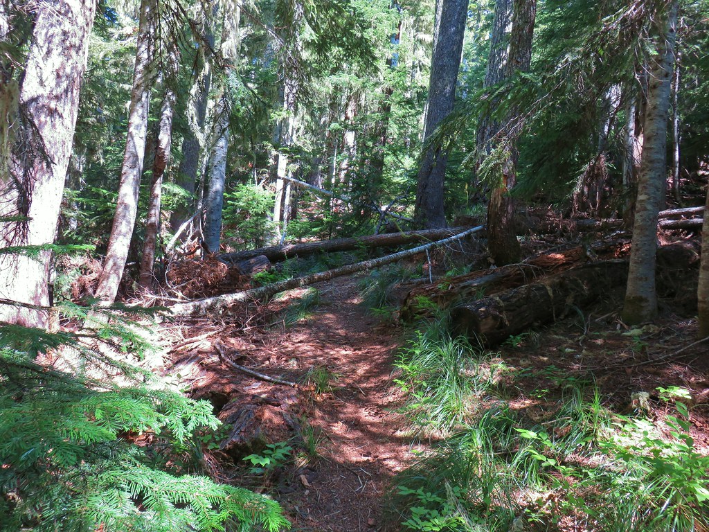
We gained approximately 800′ over the next .8 miles before reaching the junction. There was a few more downed trees along this trail than we had encountered on any of the others but none of them were too troublesome.
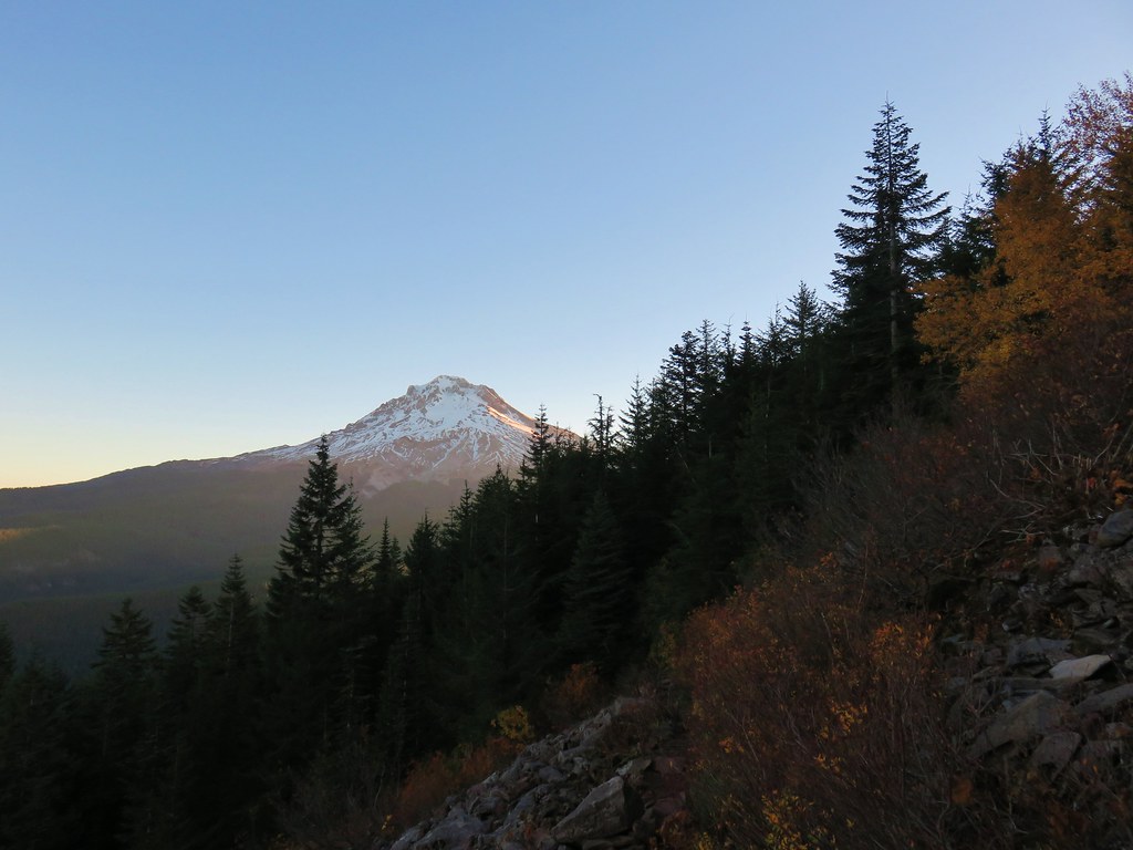
We turned left onto the Bull of the Woods Trail and followed back to the car getting one last look at Mt. Hood along the way.
With the extra exploring around the lakes we wound up doing 10.6 miles (for the third time in the week). We both thought that the elevation gain doing the loop from the Pansy Lake Trailhead would have been quite a bit worse so the extra miles were worth it in our minds, plus it gave us that much more time to eat berries. Happy Trails!


 The wilderness sign in 2015.

 2015
2015
 2015
2015

 2015
2015
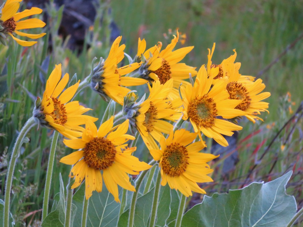
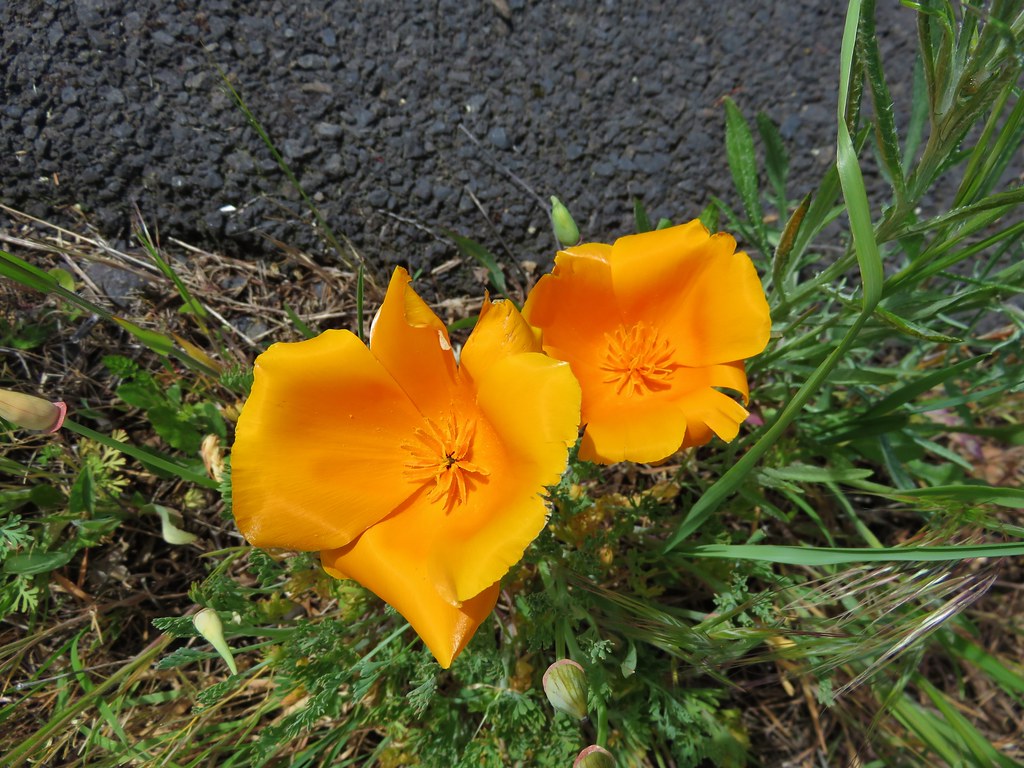
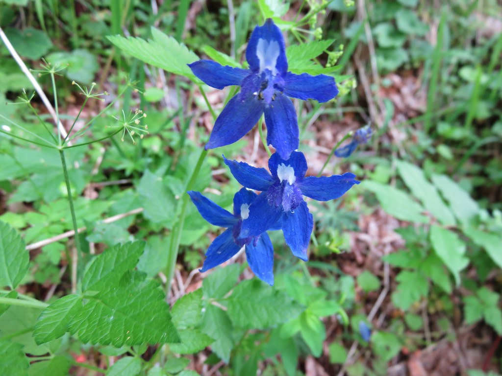
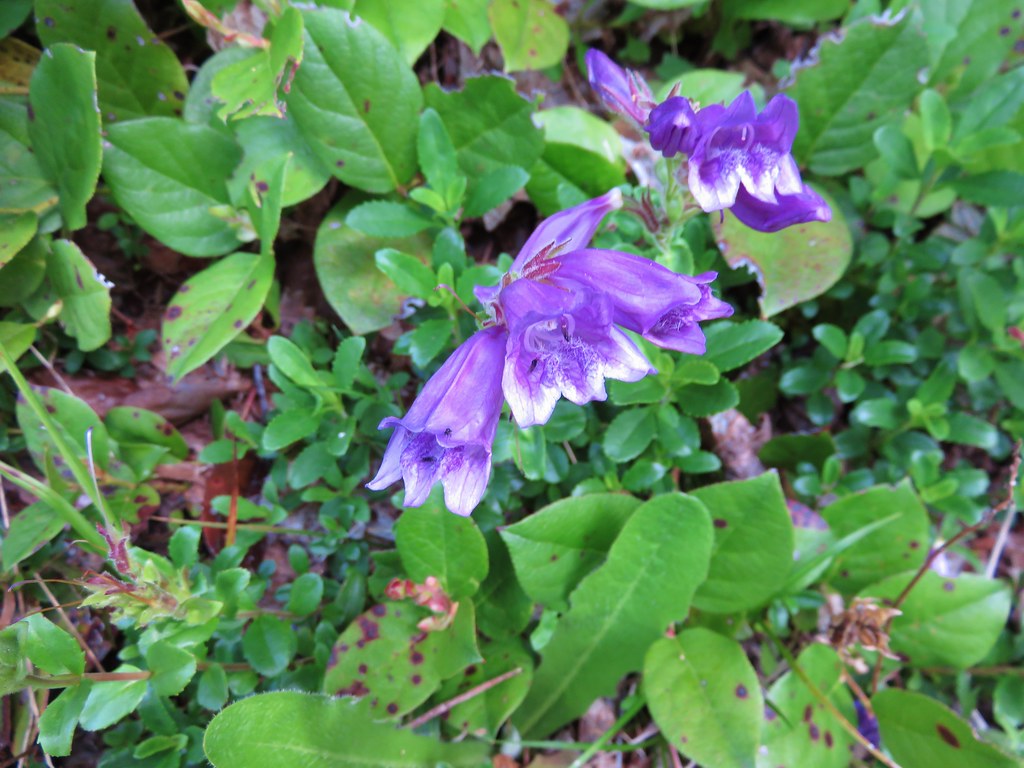
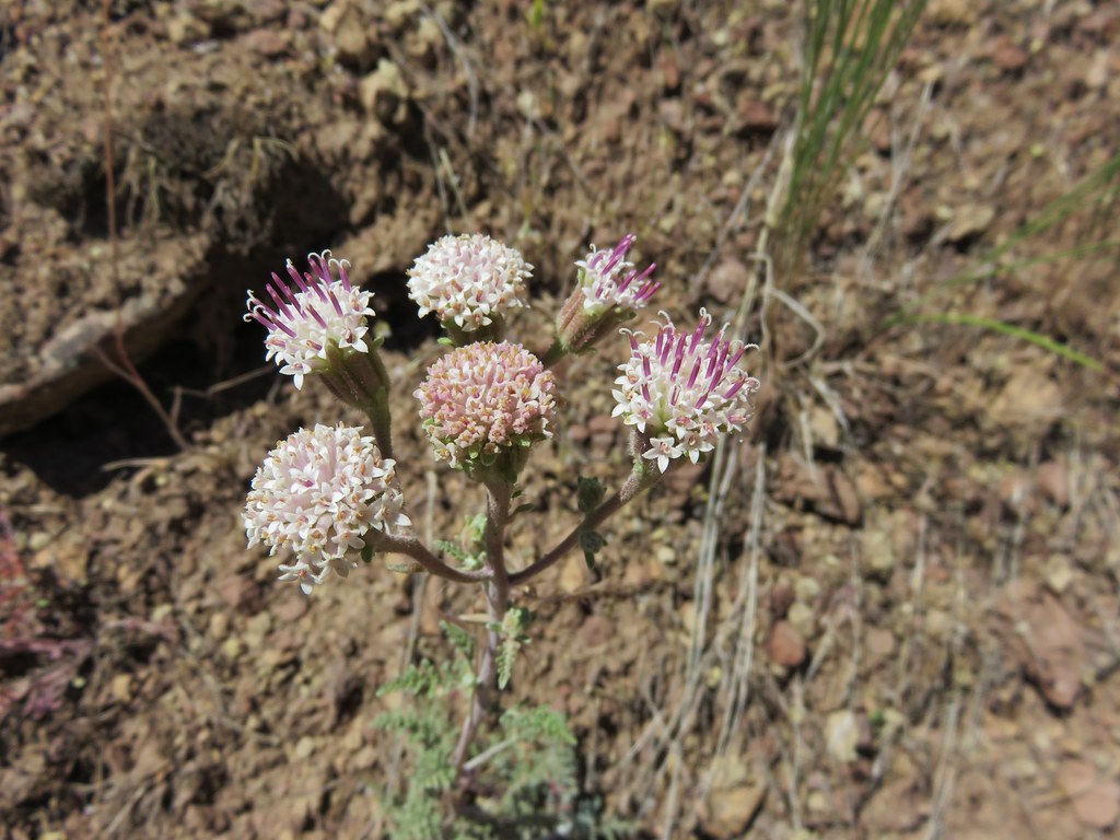
 Penstemon
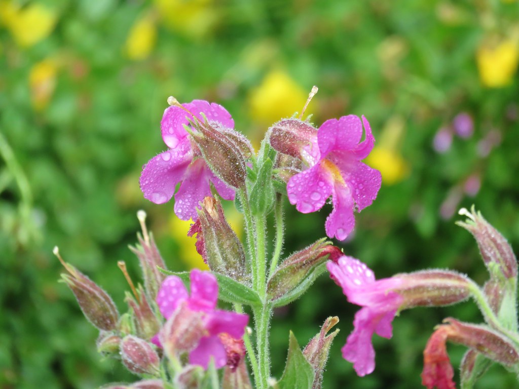
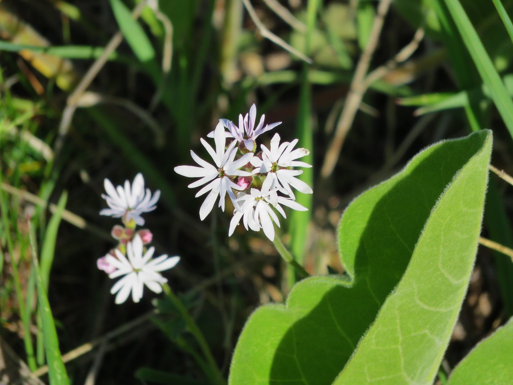
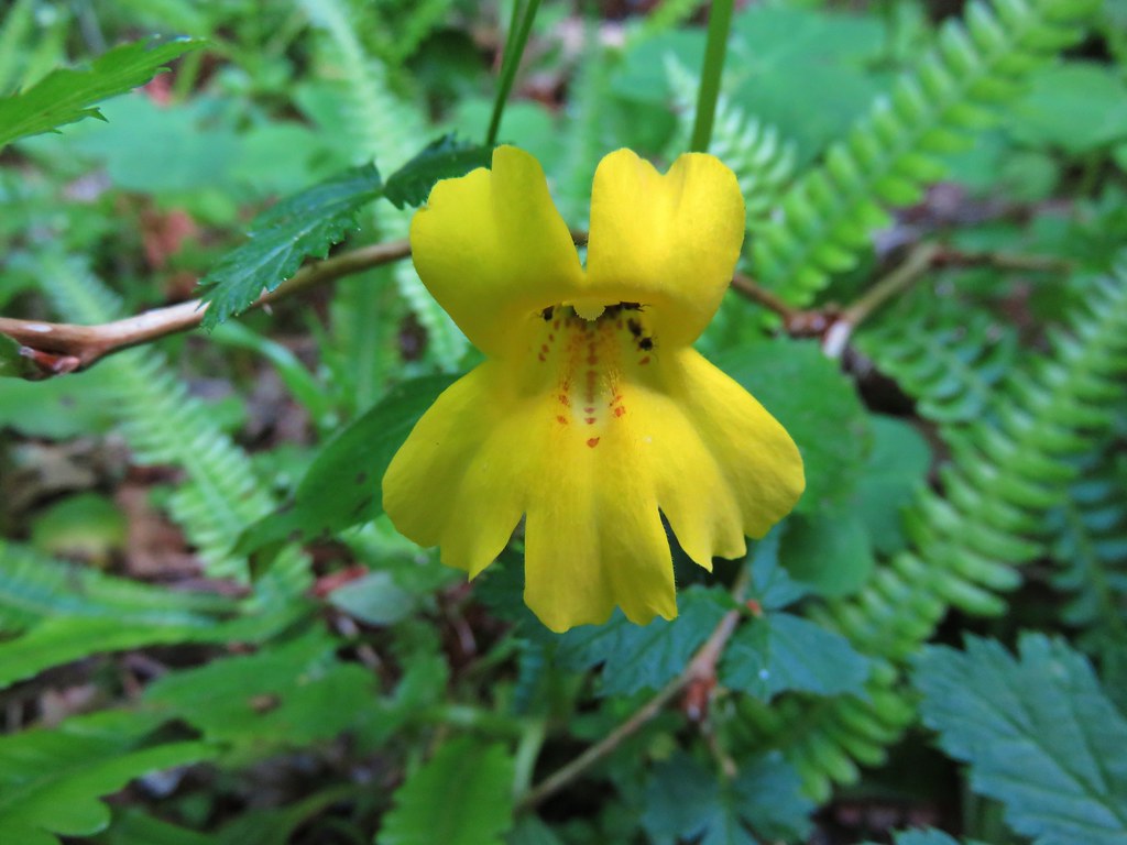
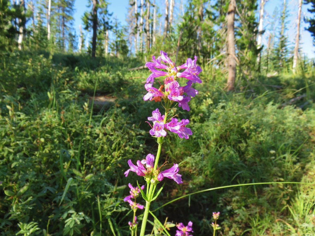
 Lousewort
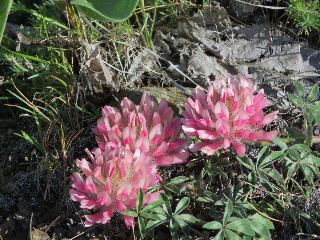
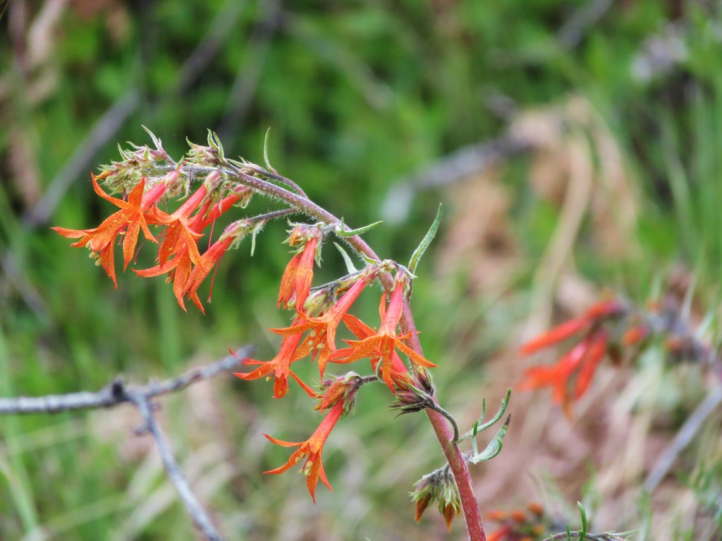
 Scarlet gilia
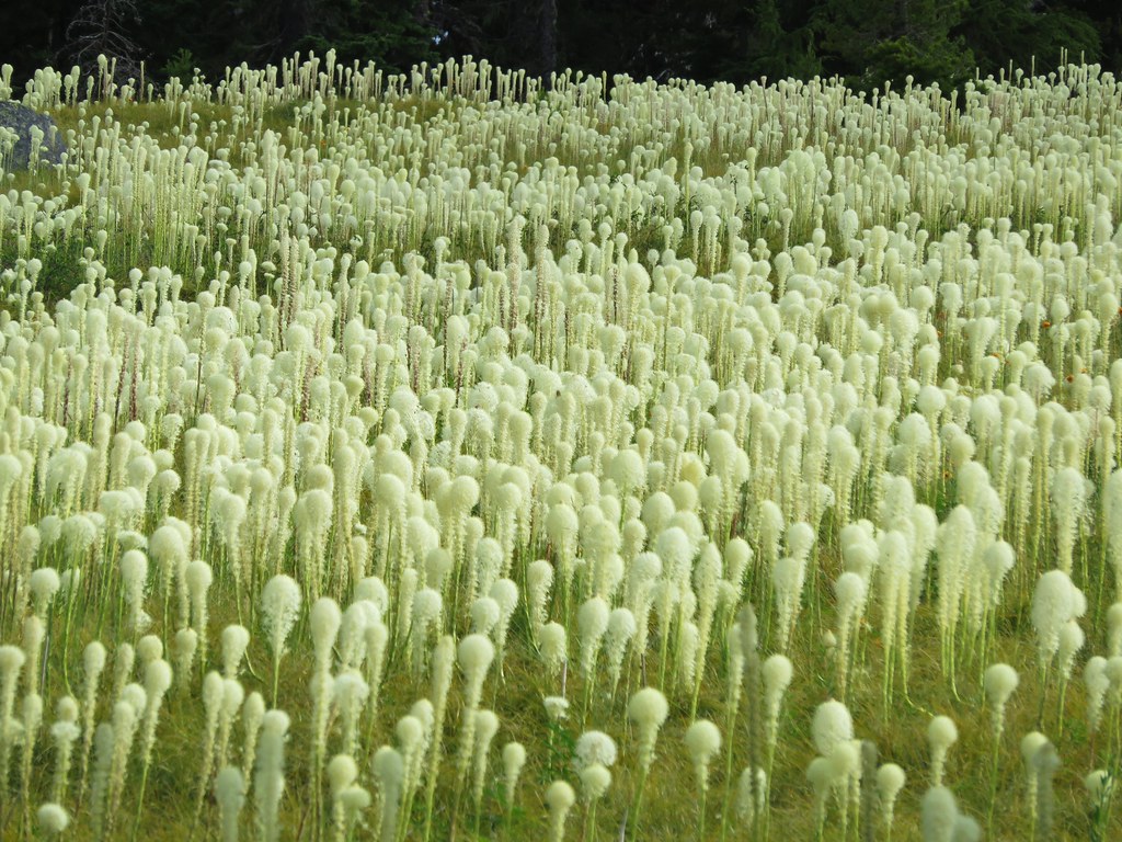
 A couple of short (and late) beargrass plumes.
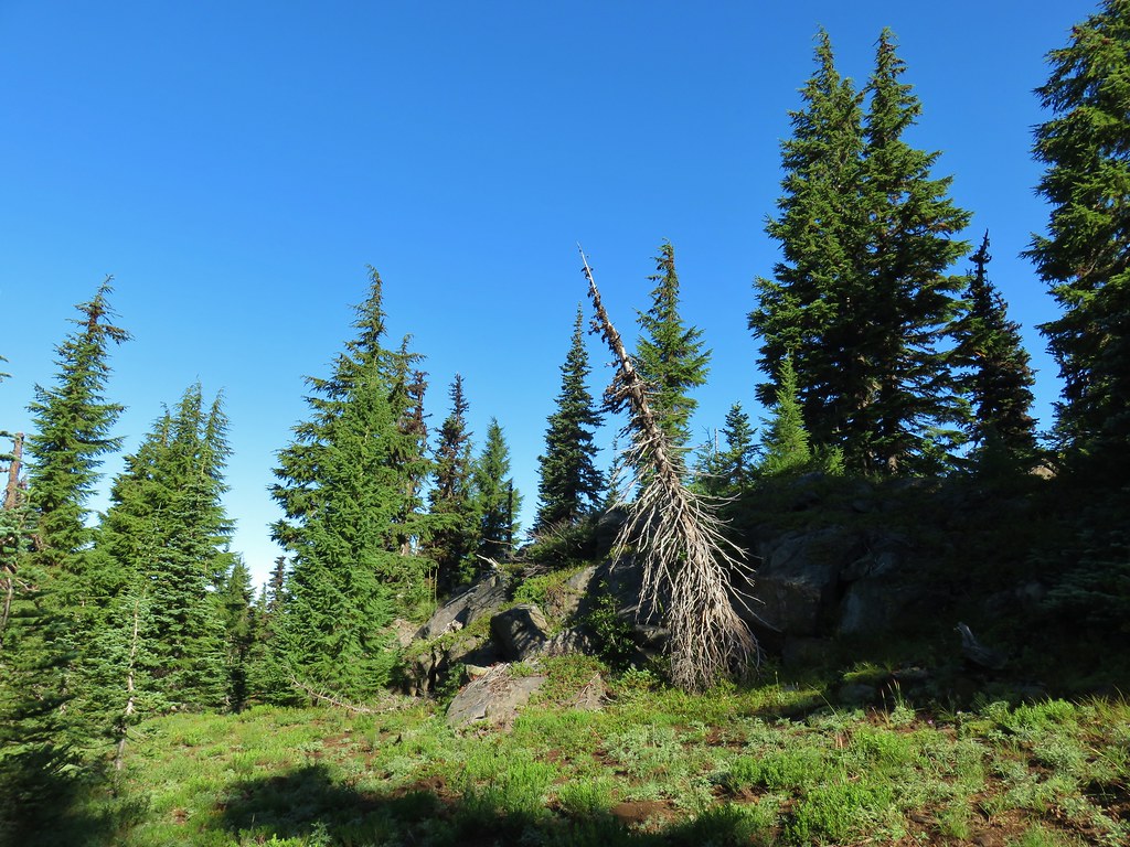

 This looked like prime pika habitat to us.


 Hogg Rock (near left), flat topped Hayrick Butte next to Hoodoo Butte, Mt. Washington with Broken Top behind left and the Three Sisters behind right.
 Mt. Hood in the distance to the left of Mt. Jefferson.

 Mt. Jefferson and Three Fingered Jack with Santiam Lake in the forest below.
 The view south.
 Broken Top, Mt. Washington, and the Three Sisters with Hayrick Butte in the forefront.
 Santiam Lake
 Duffy Lake (
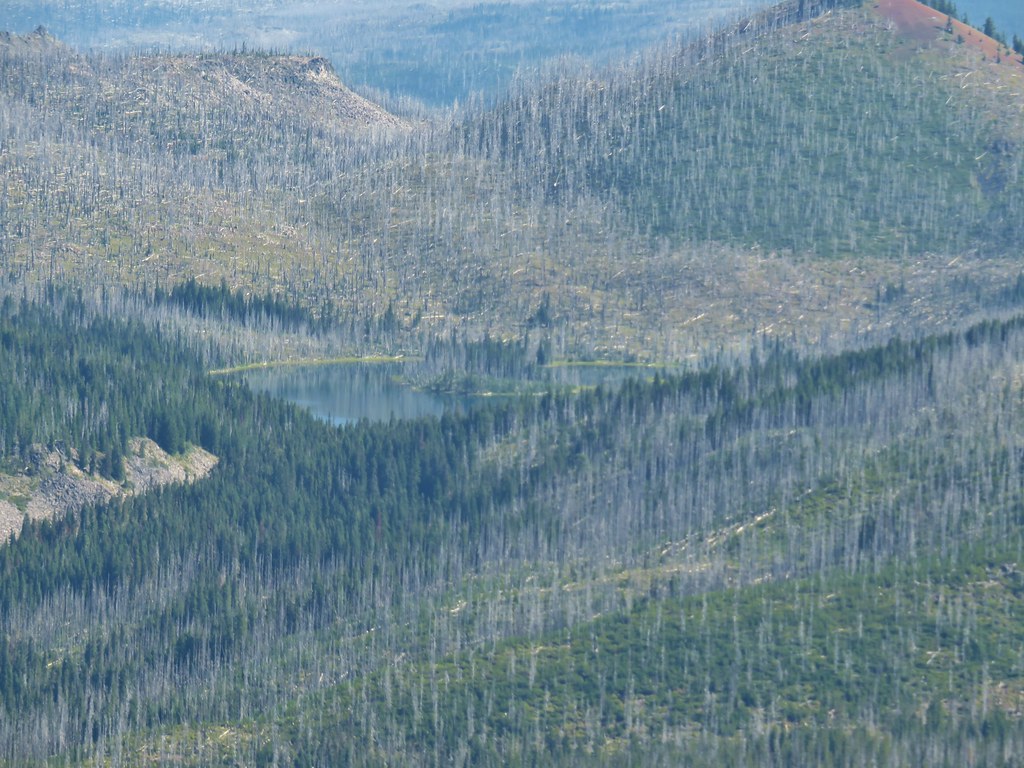 Mowich Lake
 Paintbrush in the crater.


 Pika
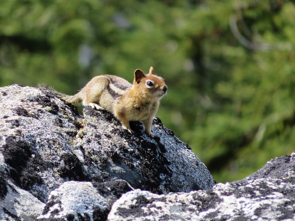
Pika Golden-mantled ground squirrel in the same rocky area as the pika.
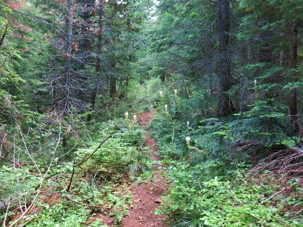
 Lots of spent beargrass along the trail.

 Thimbleberry bushes near the spring.
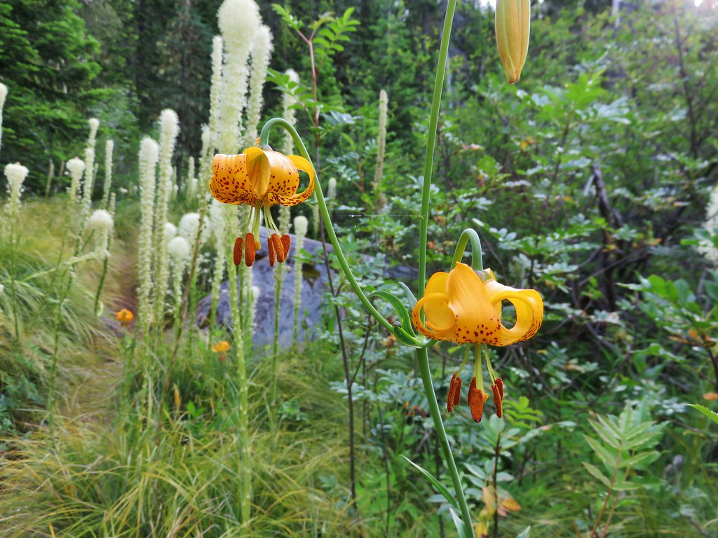
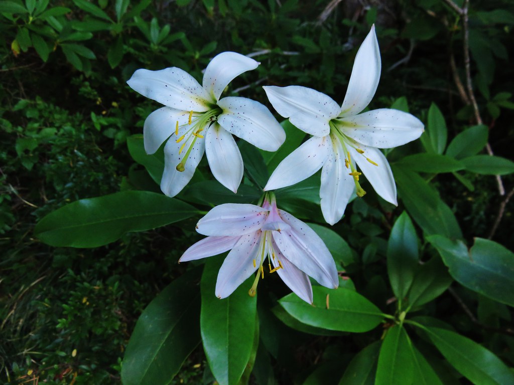
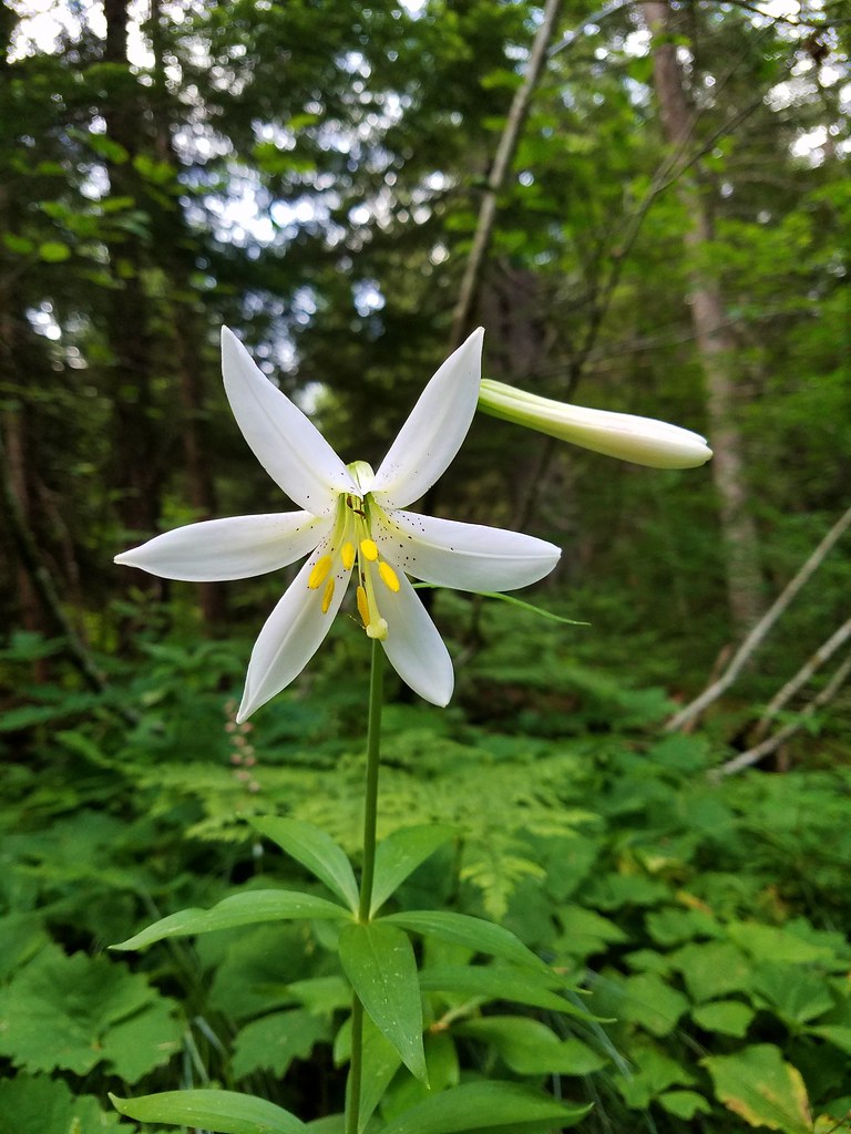 Washington lily
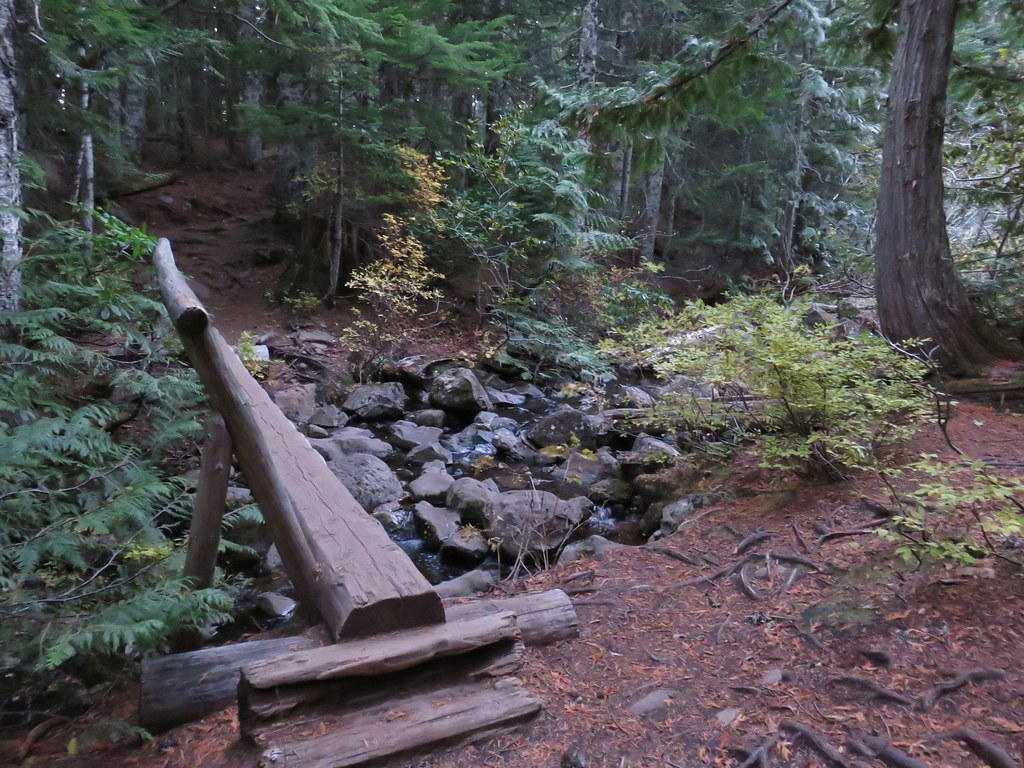
 Spring near the trail.

 Spotted the first pika of the day at this switchback (it’s on one of the red rocks)
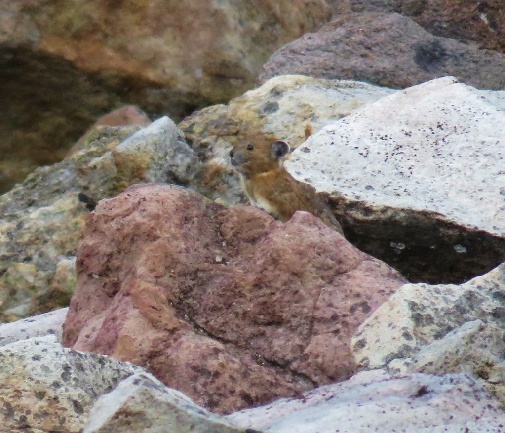


 The Three Pyramids, Bachelor Mountain, and Coffin Mountain in the distance with Triangulation Peak in a cloud shadow along the near ridge to the right.
 Mt. Jefferson with Three Fingered Jack now fully visible.
 Three Fingered Jack
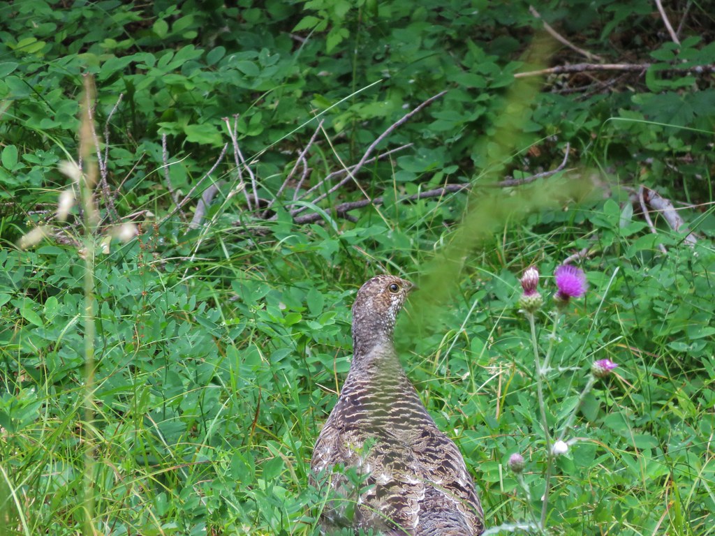
 Grouse in the brush to the left of the trail.
 Grouse
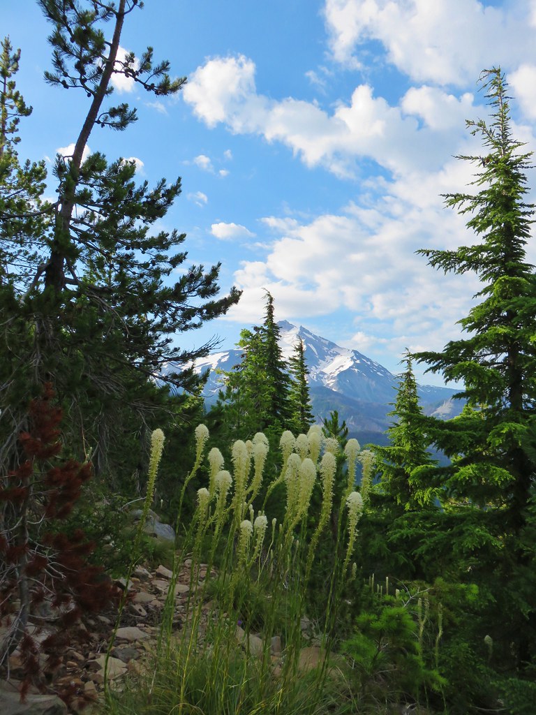


 Almost to the top.
 Bear Point summit.
 The Three Sisters and Three Fingered Jack
 Mt.Jefferson
 Park Ridge (
 Bear Lake, Dinah-Mo Peak, and Park Ridge
 Triangulation Peak and Devils Peak
 Boca Cave below Triangulation Peak (
 Devils Peak (high point to the right of the ridge), which we had just hiked to a couple of weeks earlier (
 Mt. Hood and Olallie Butte (The Breitenbush Cascades are also out there amid the trees.)
 Mt. Hood with Slideout and Mildred Lakes in the forest below.
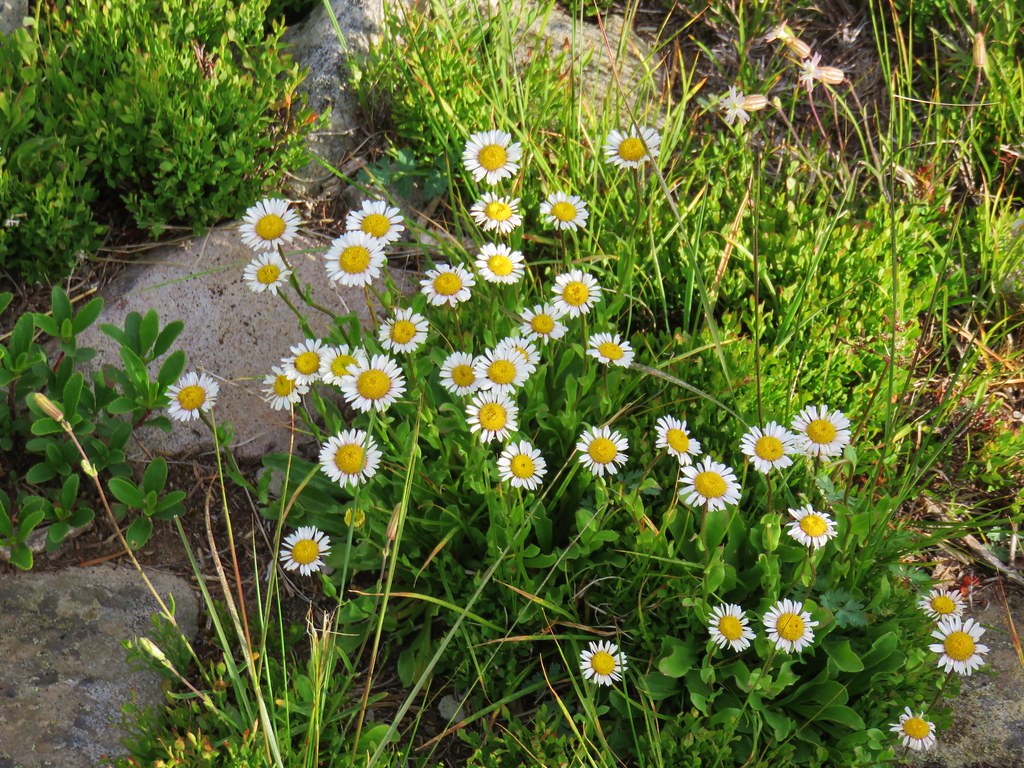 Fleabane
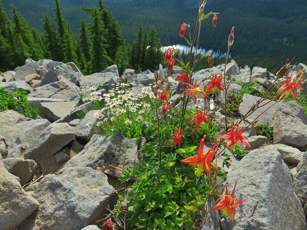 Columbine and fleabane with Bear Lake in the background.
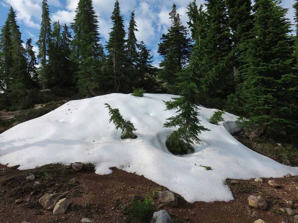 Snow patch near the summit.
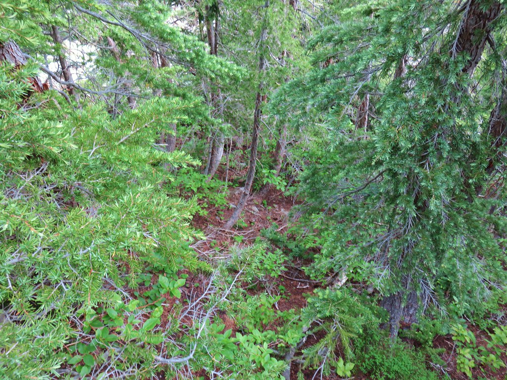 Typical terrain, it’s hard to tell here but this was a steep hillside.
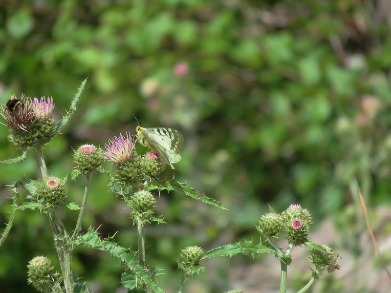
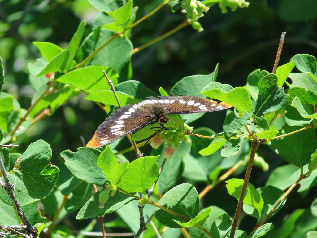
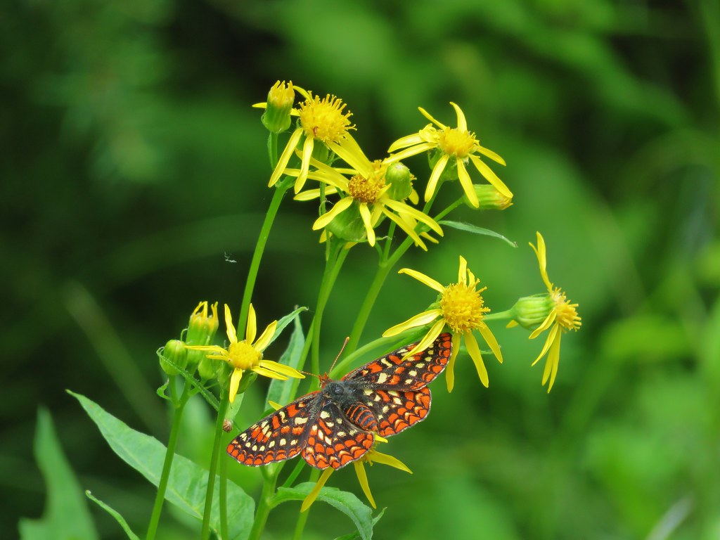
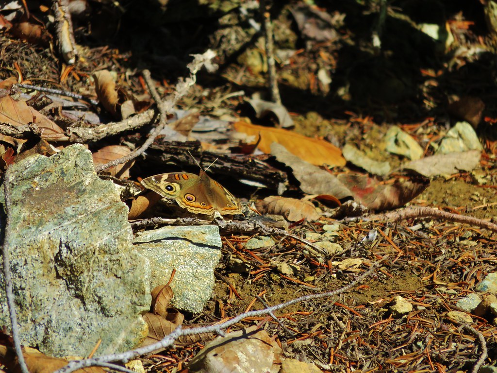
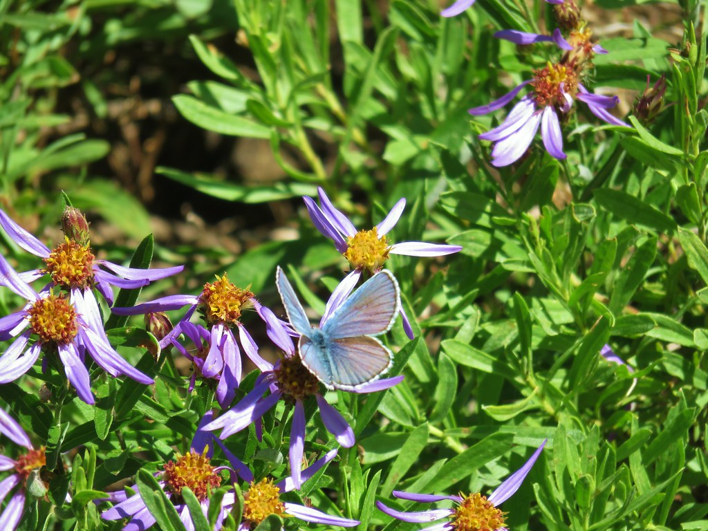
 There were tons of these butterflies around.
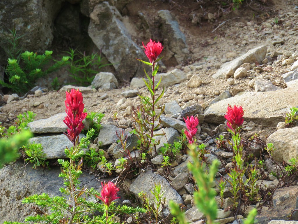 Paintnbrush
 Crossing a talus slope.
 More typical conditions.
 Pond near the lake.
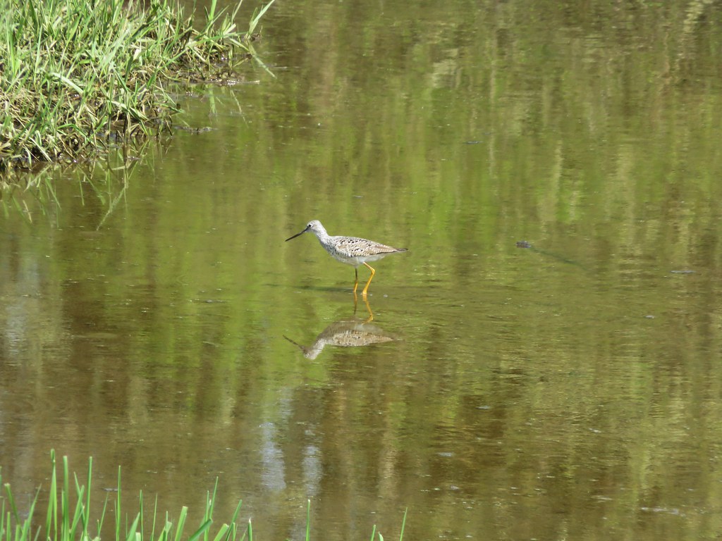
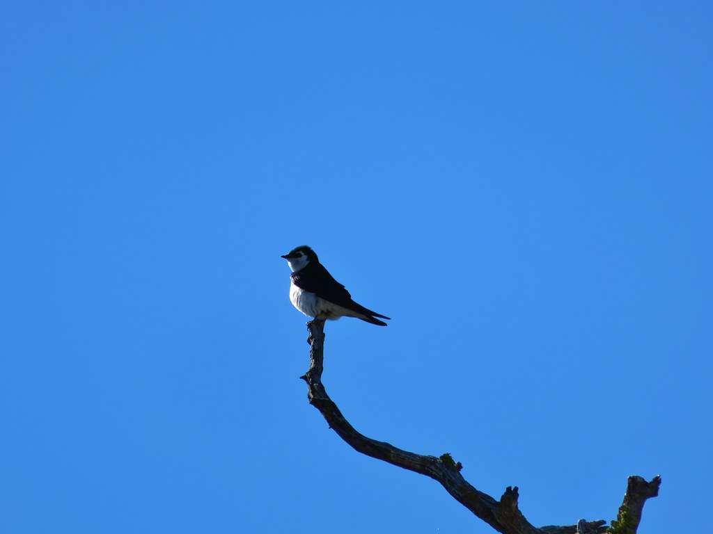
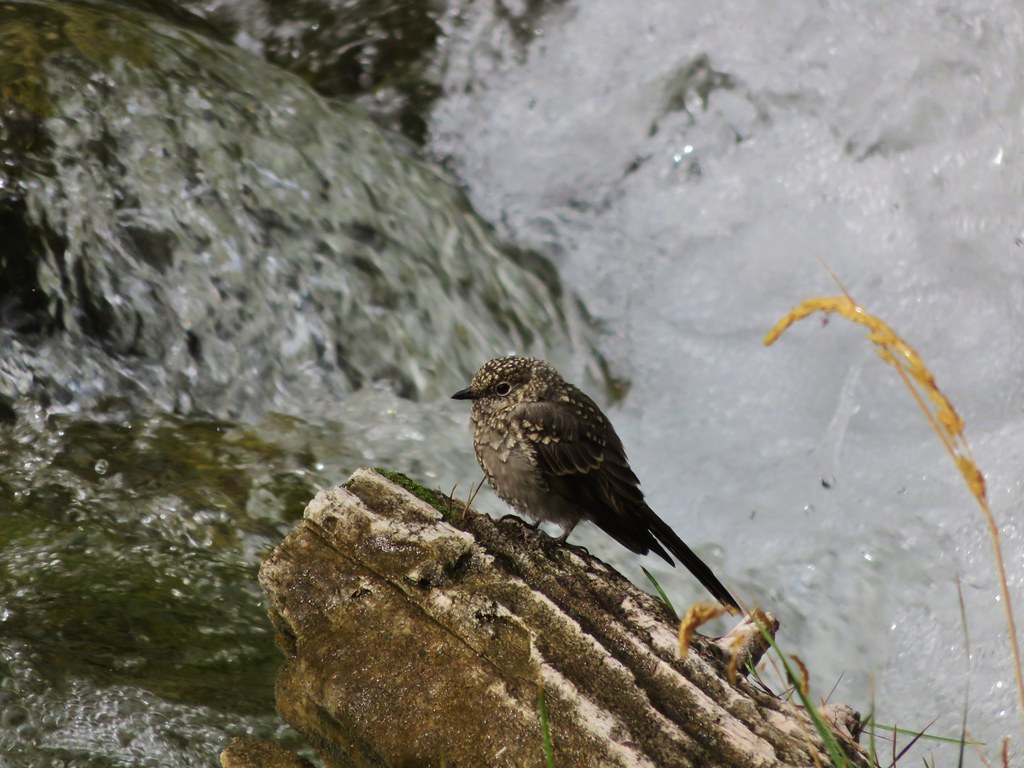
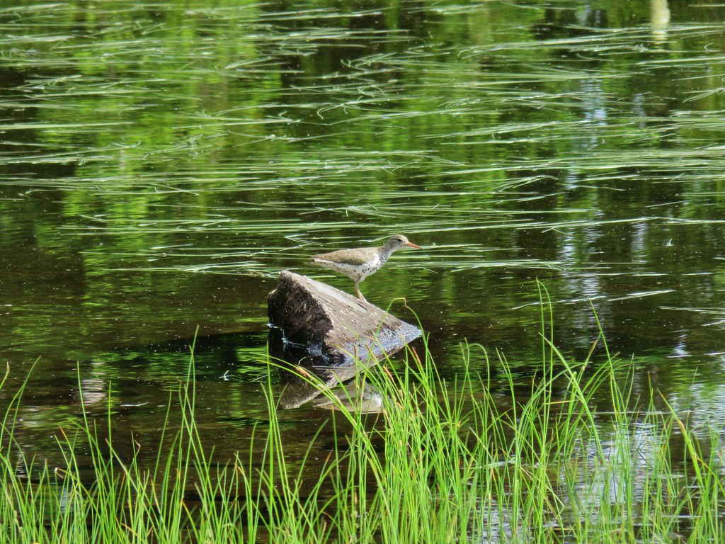 Bird at the pond.
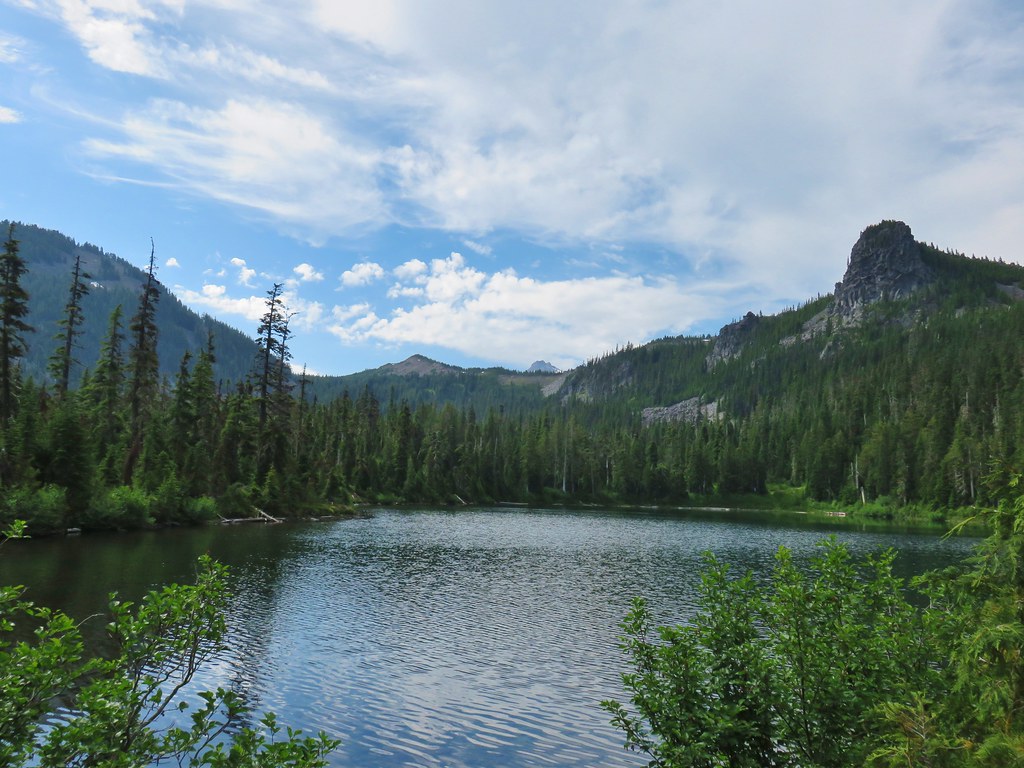 The lake
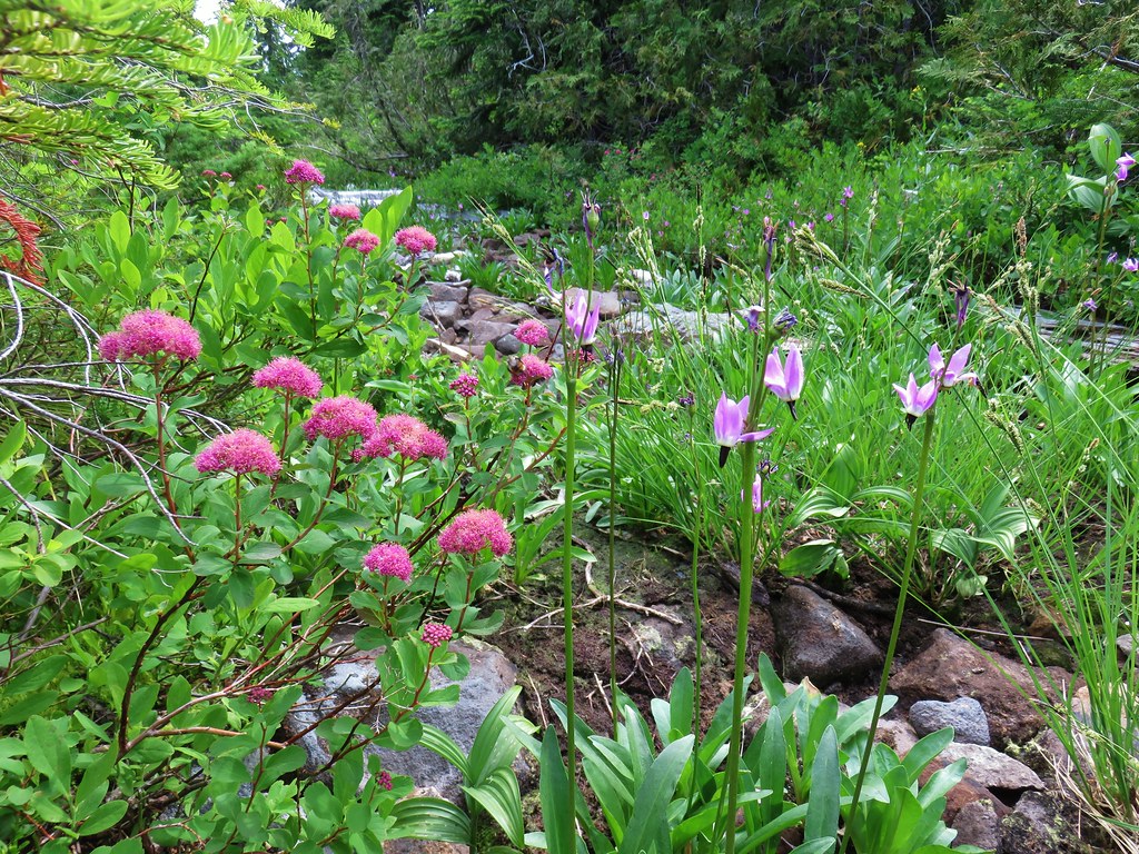 Spirea and shooting stars
 Crab spider with a bee
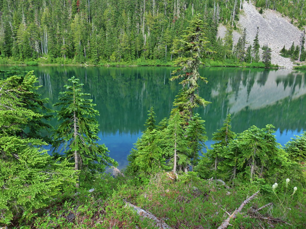 The lake
 Aster
Aster Lupine and beargrass
 FR 877 at FR 1509


 Penstemon
 Showy phlox
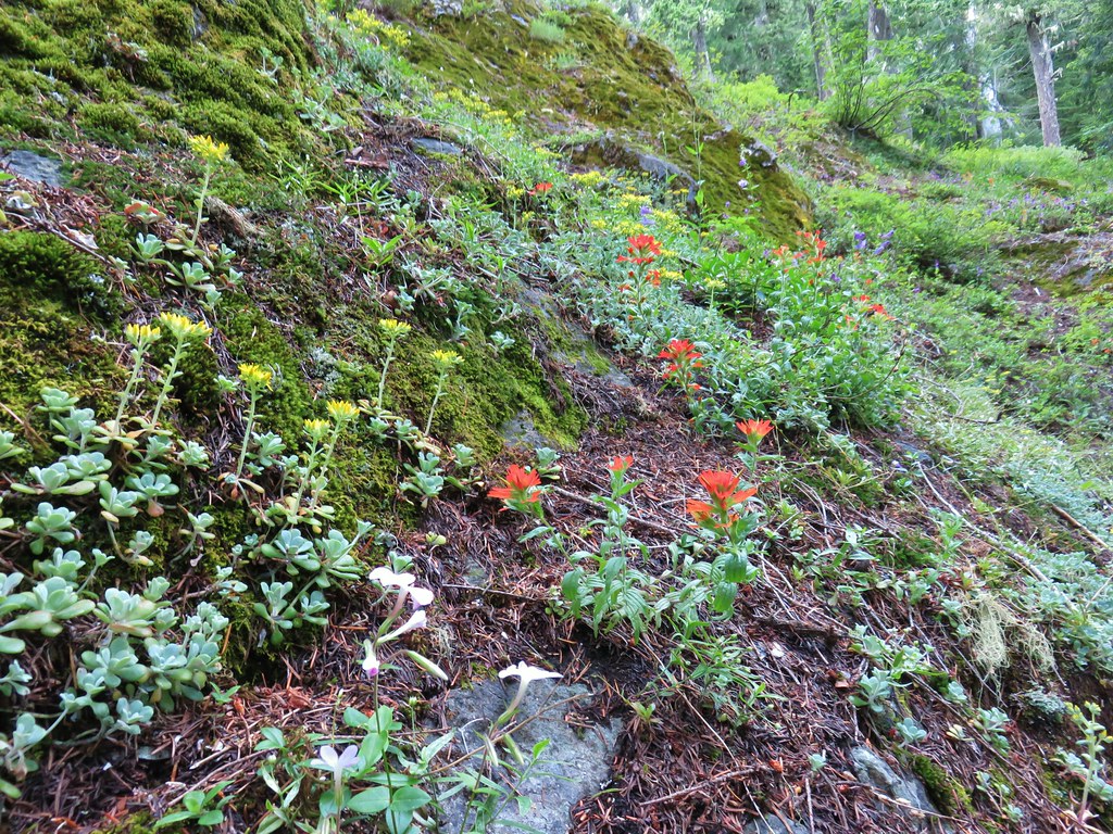 <script async src=”//embedr.flickr.com/assets/client-code.js” charset=”utf-8″Paintbrush and stonecrop
 Anemone
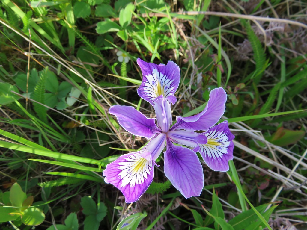
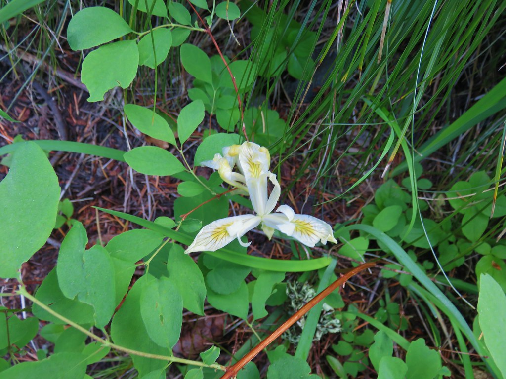 Iris
Iris Arnica


 Looking west toward the Green Mountain Lookout.
 Green Mountain Lookout
 Mt. Jefferson
 Three Fingered Jack
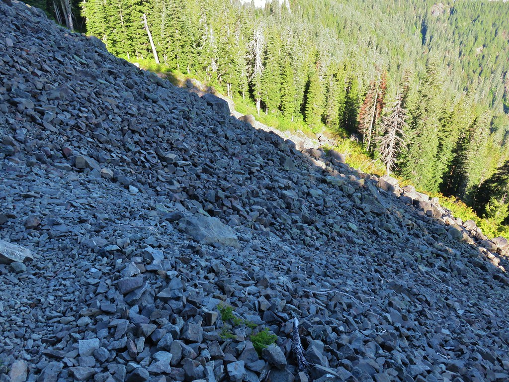 There is at least one pika in this picture.
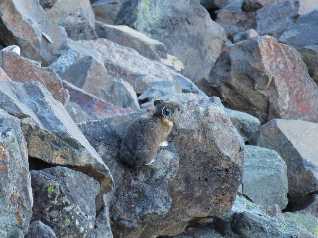
 There is another one in this picture.
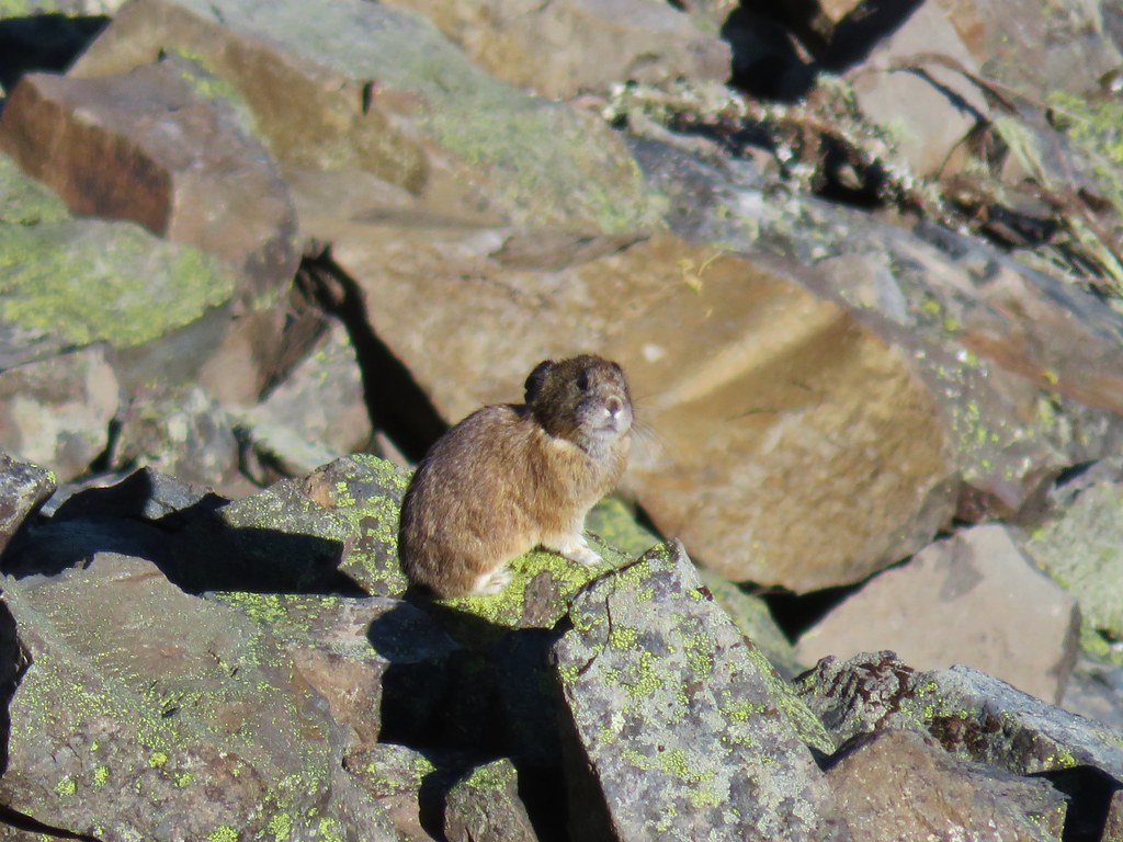


 Columbine and solomonseal in the talus slope.
 Last of the snow along the talus.

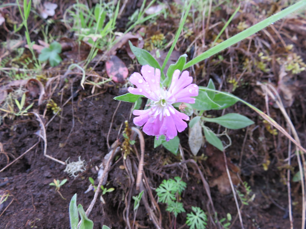
 Catchfly on the way up.
 Lookout remains below the summit.
 Foundation remains
 Wildflowers at the summit.
 NE we could see Mt. Hood, Mt. Jefferson, and Three Fingered Jack.
 Mt. Jefferson behind Iron Mountain and Cone Peak
 Three Fingered Jack
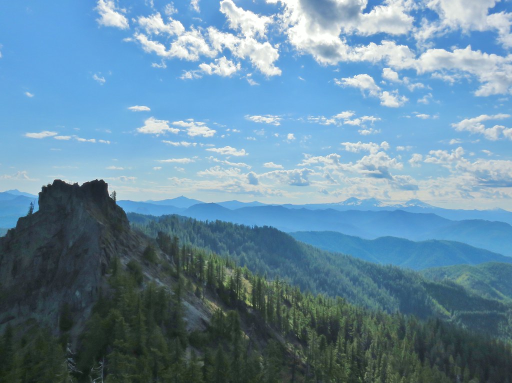
 Mt. Washington
 Three Sisters
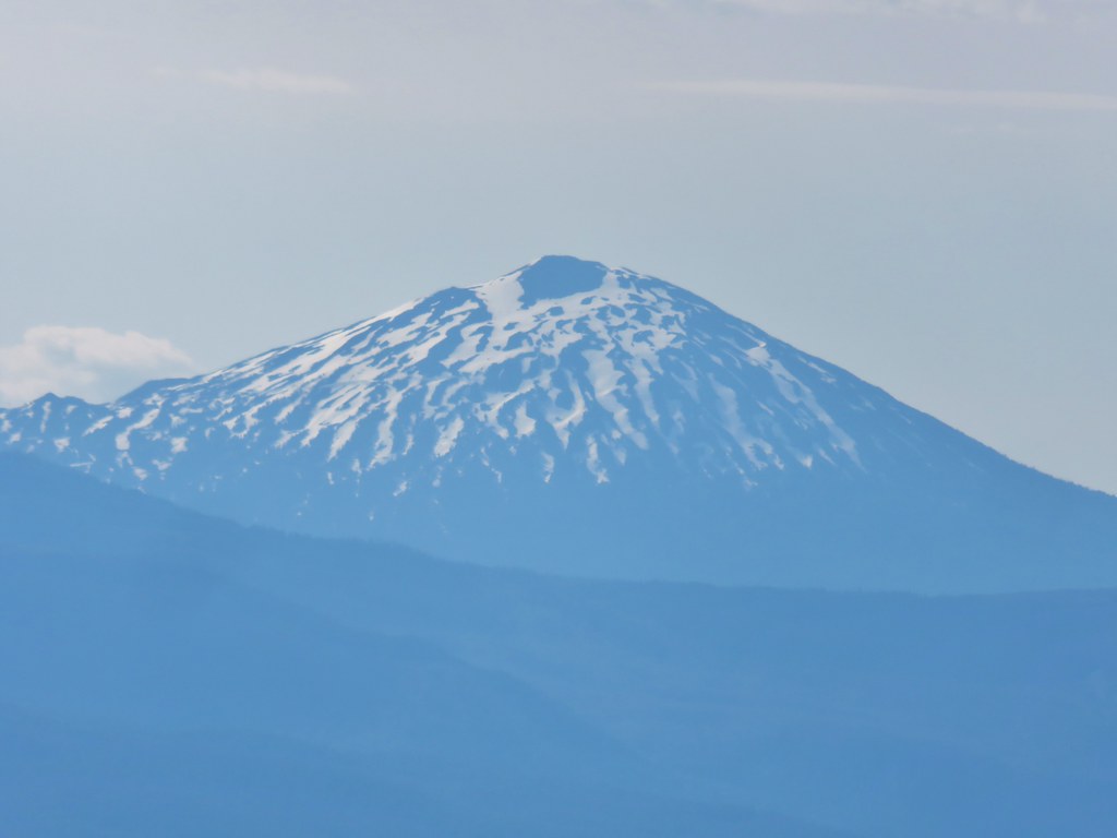 Mt. Bachelor
 Maiden Peak (
 Mt. Thielsen (
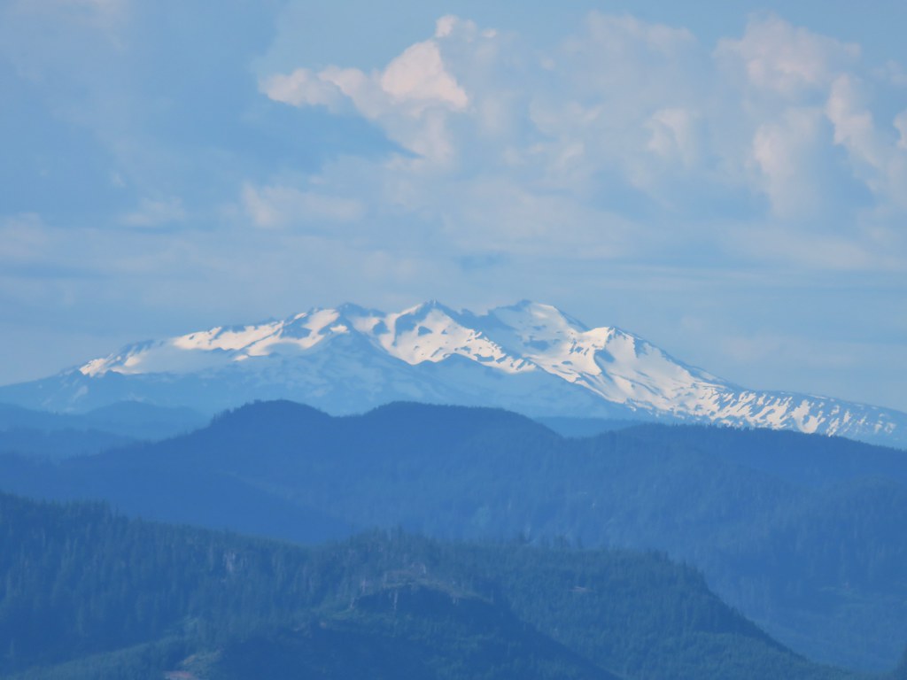 Diamond Peak
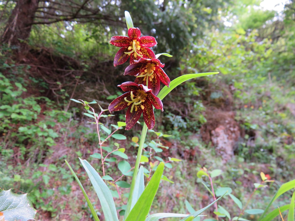
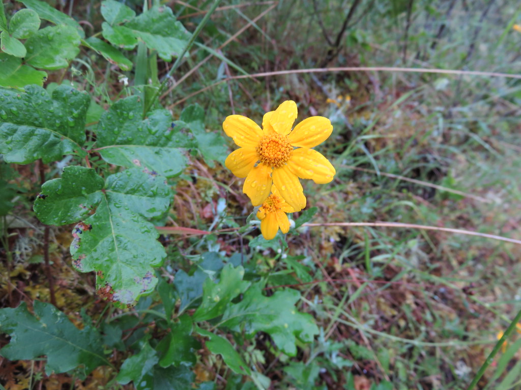
 Cat’s ear lilies
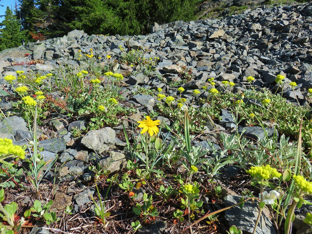 Oregon sunshine amid buckwheat
 Penstemon and paintbrush
 A fleabane or aster
 Looking down from the lower viewpoint.
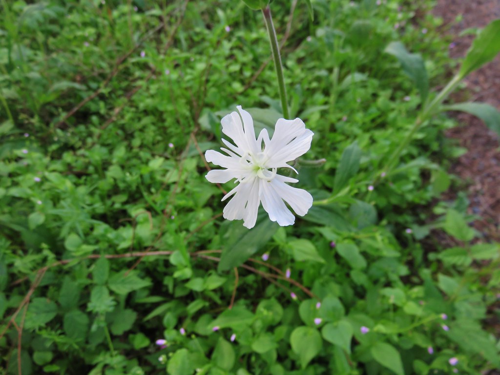
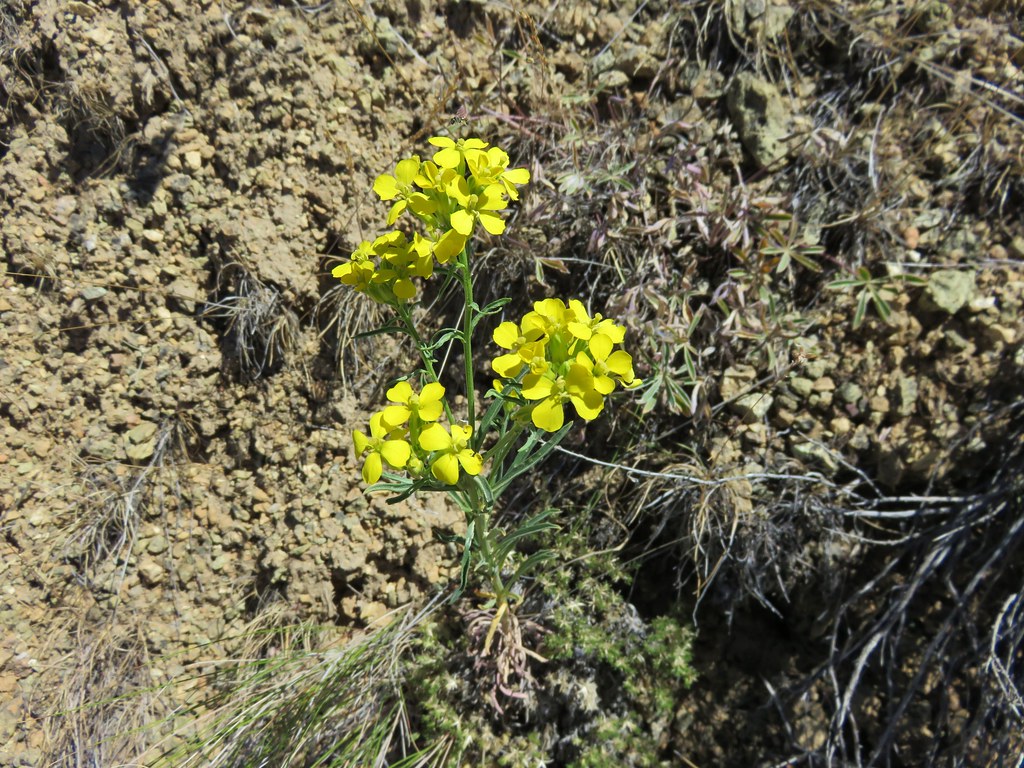
 Western wallflower
 Larkspur
 Paintbrush
 Cinquefoil
 Baneberry
 Current
 Bleeding heart, trillium and wood violets
 Wood violet


 North and Middle Sister


 Mt. Bachelor
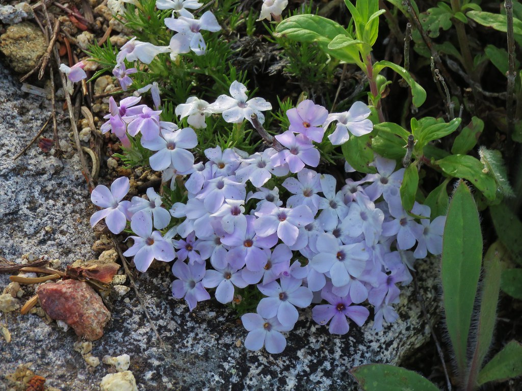
 Showy phlox
 Washington lilies getting ready to bloom


 The Two Girls
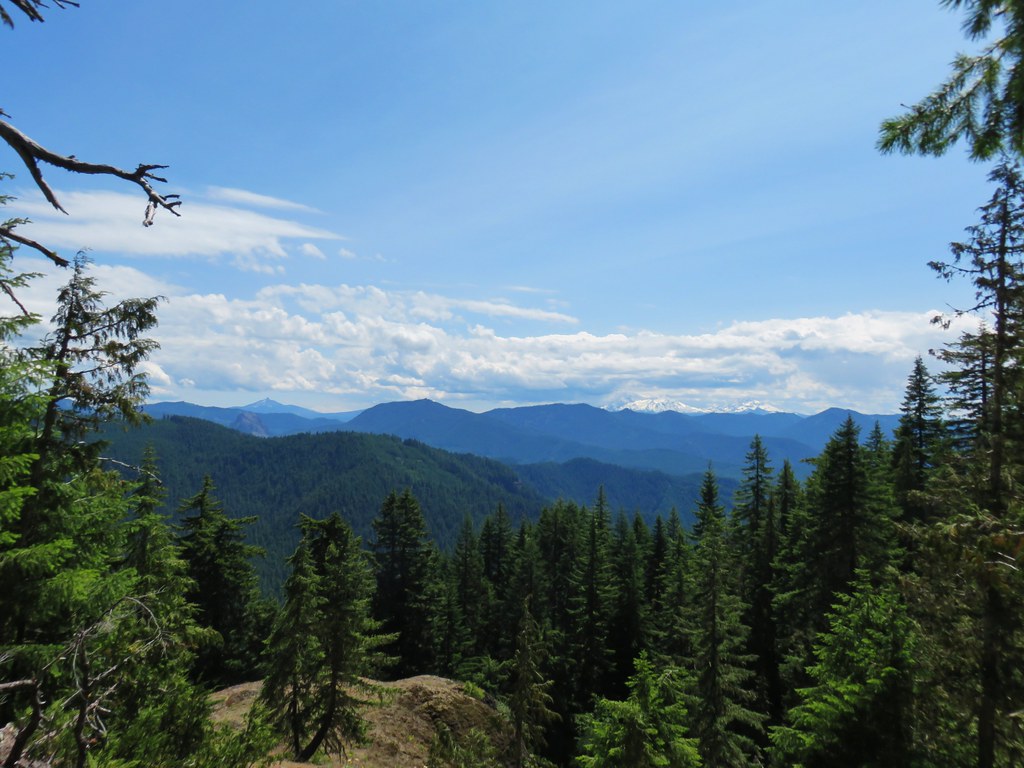 Mt. Washington and the Three Sisters
 Wolf Rock an Mt. Washington
 North Sister
 Middle Sister
 South Sister
 Mt. Jefferson had been overtaken by clouds but Iron Mountain and Cone Peak were still visible.
 Buckwheat and paintbrush
 Wallflower and cat’s ear lilies
 Penstemon and paintbrush
 Young tree growing out of an old trunk.
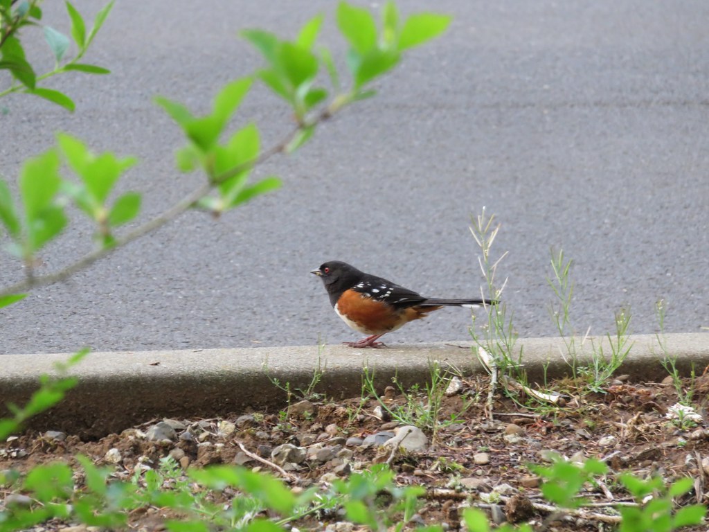
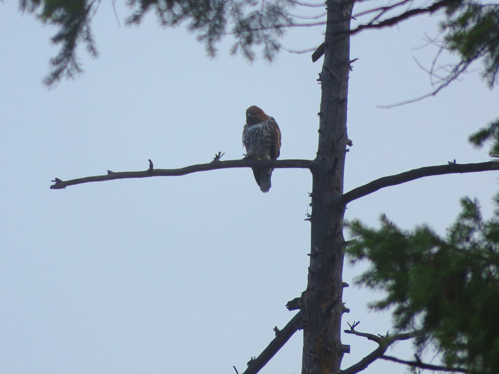
 Grouse
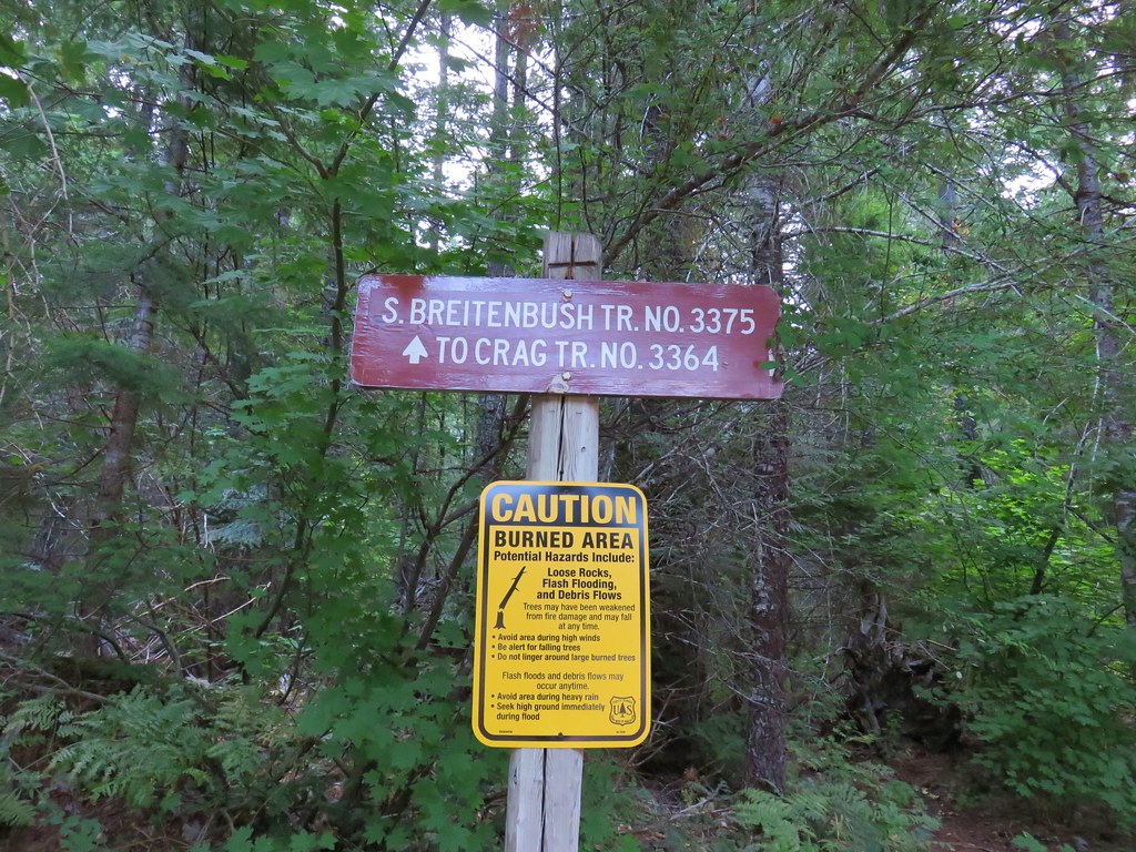
 Bear Point Trail sign 2013
 Bear Point Trail sign 2018
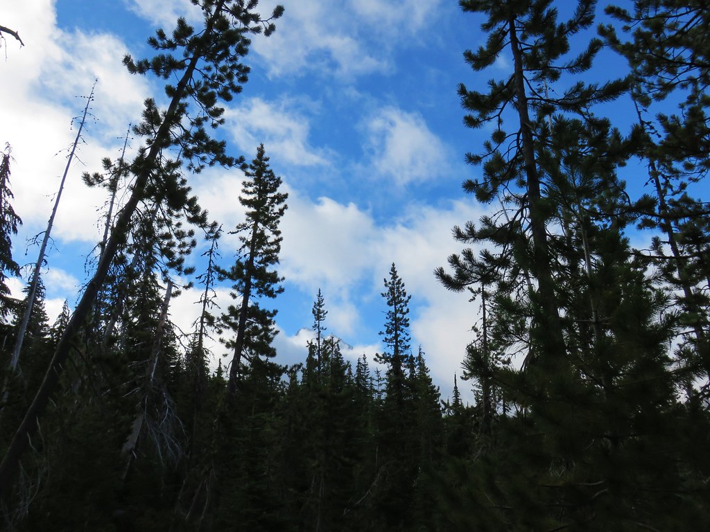
 8/11/2018
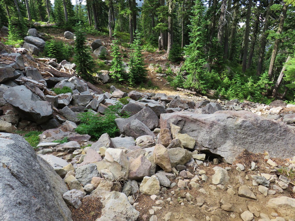


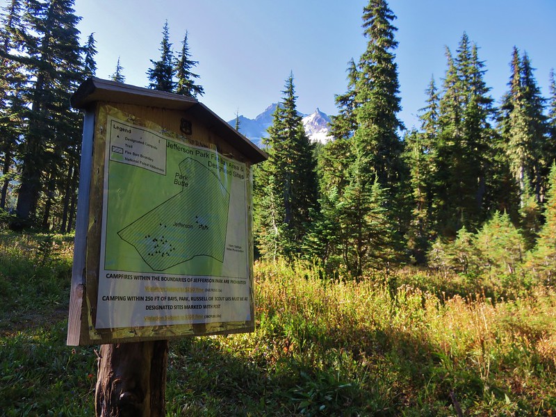
 PCT heading south through Jefferson Park.
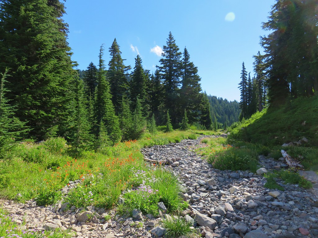

 Park Butte


 Mt. Hood and Mirror Lake with Mt. Adams in the background
 From left to right: Mt. St. Helens, Mt. Rainier, and Mt. Adams.
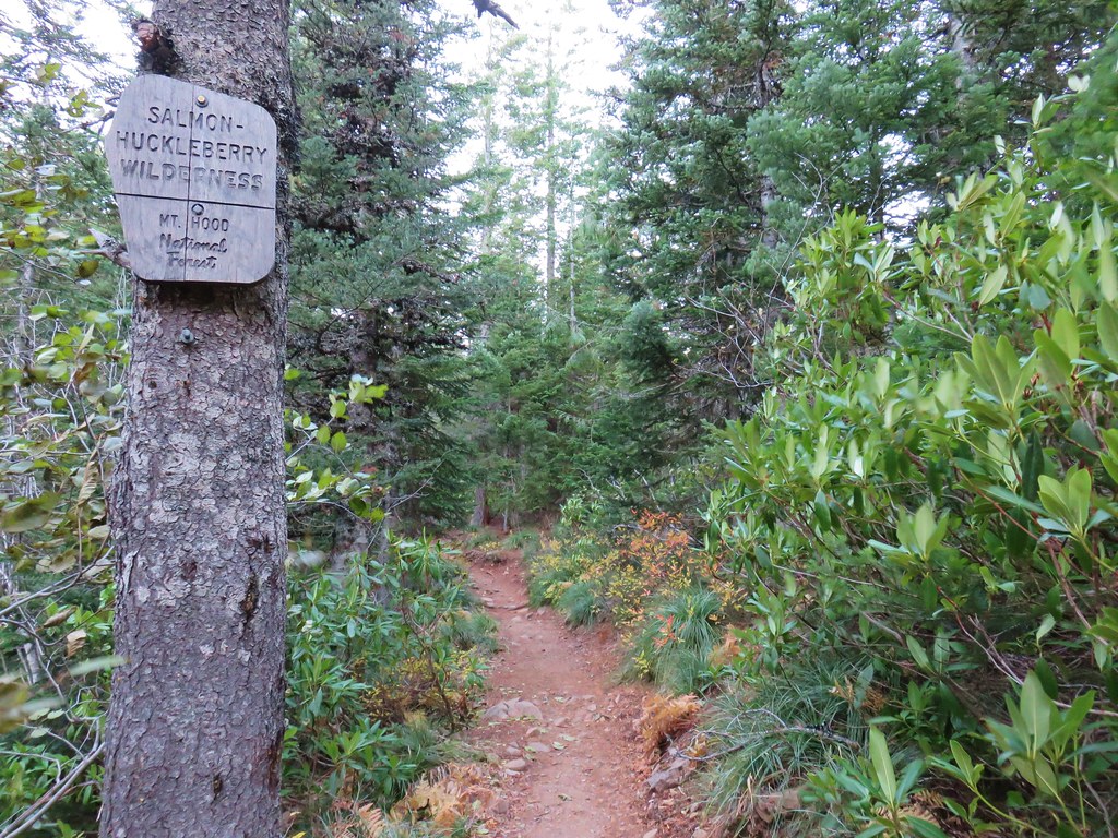
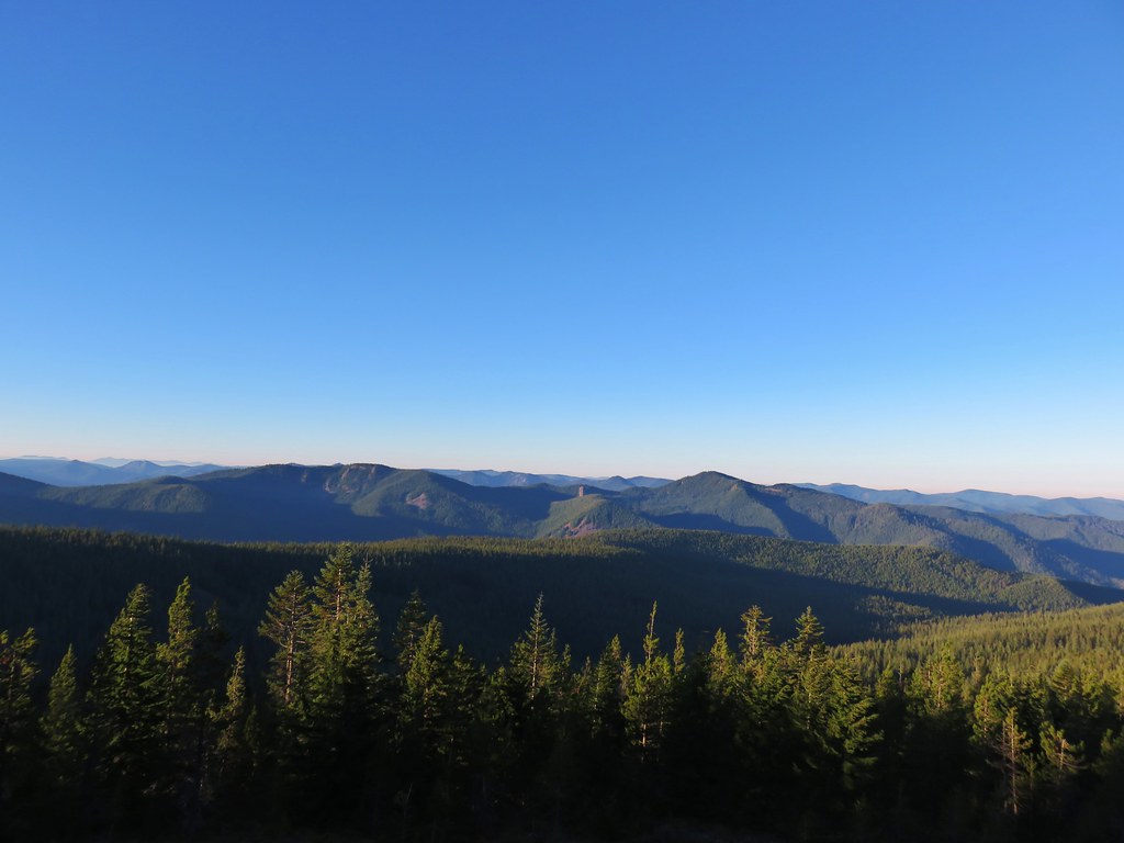 Salmon-Huckleberry Wilderness
 Mt. Jefferson
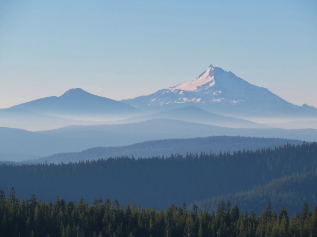 Olallie Butte, Mt. Jefferson, and the top of Three Fingered Jack
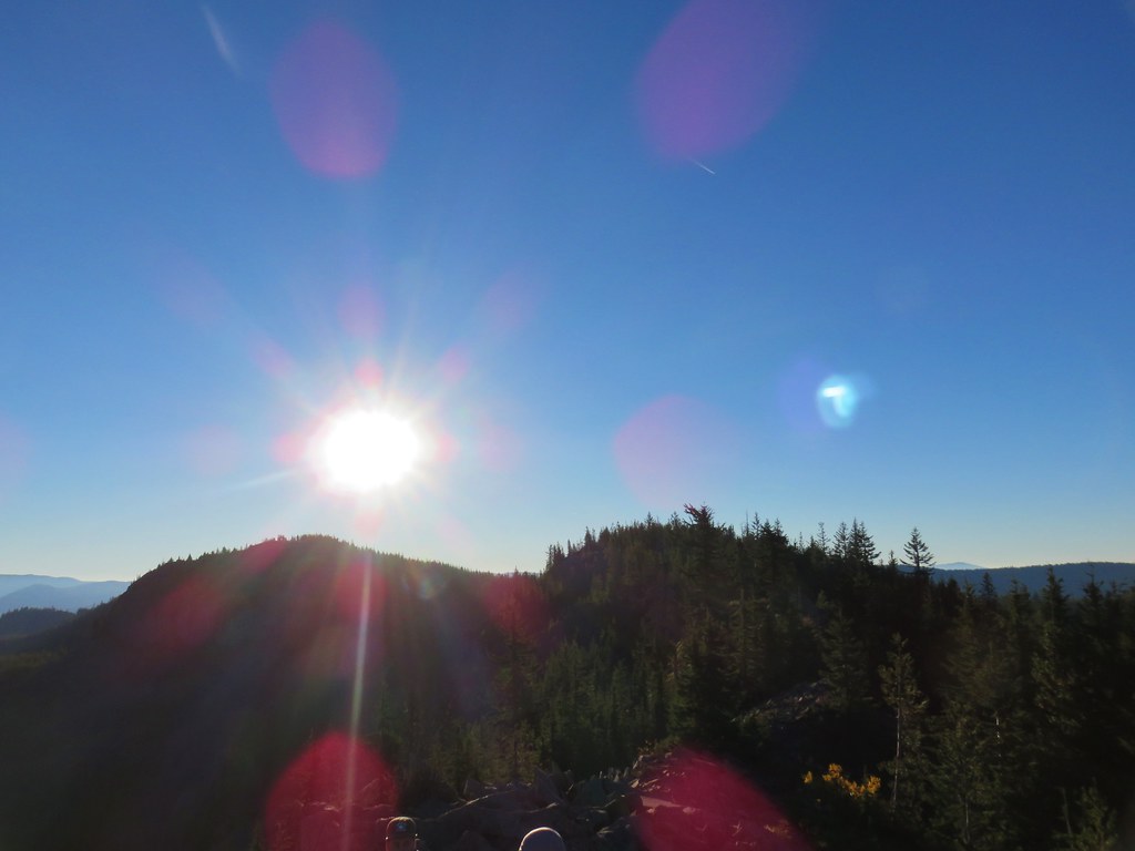 The rest of Tom Dick and Harry Mt.
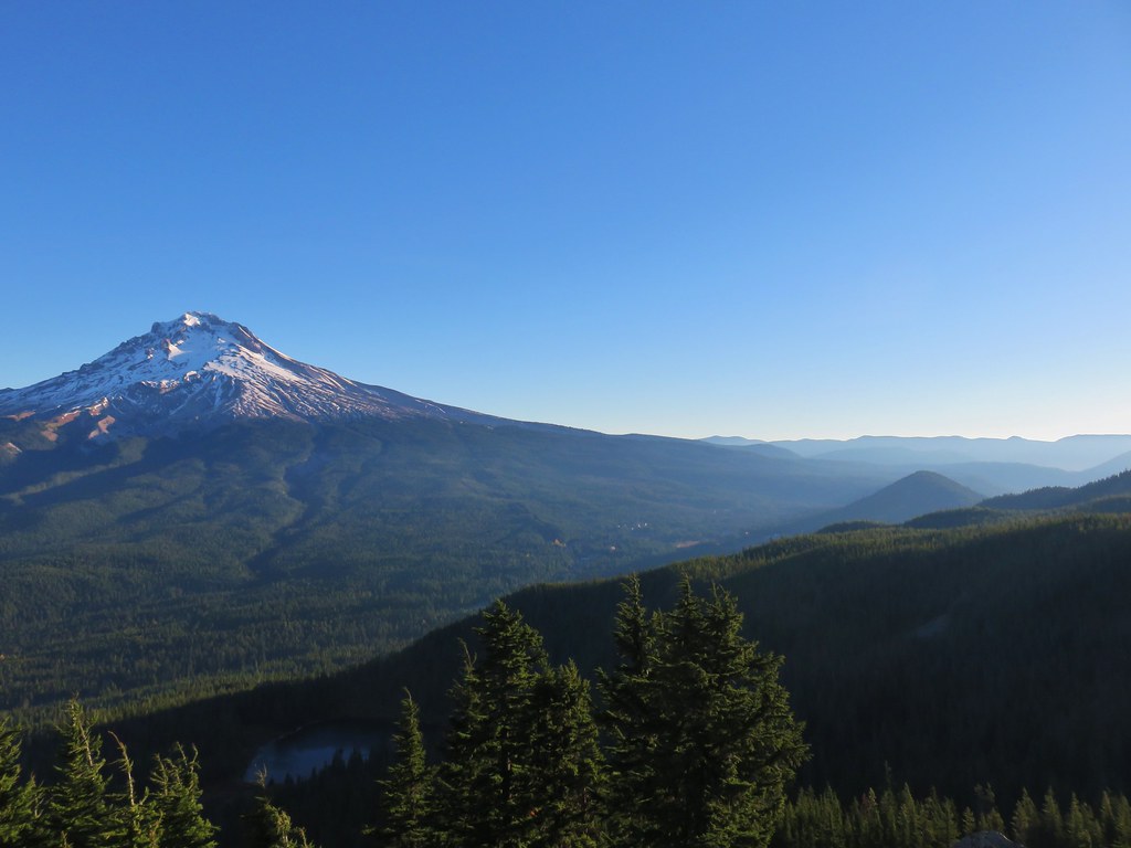 Lookout Mountain and Gunsight Butte in the Badger Creek Wilderness east of Mt. Hood.


 Pinnacle Ridge