We had a full itinerary scheduled for the second day of our Union Creek trip with three stops planned. We had originally planned on stopping first at the Rabbit Ears which are about 10 miles from Union Creek along Forest Road 6515. From Union Creek we drove north on Highway 62 to Highway 230 where we continued north on that highway for .9 miles before turning left and crossing the Rogue River on Forest Road 6510 (Hershberger Road). After 1.6 miles we forked right onto Forest Road 6520 and in another half mile turned left onto Forest Road 6515 (shown on Google Maps as Road 299). DO NOT rely on Google maps to get you to either Rabbit Ears or Hershberger Mountain. Not only is the road number incorrect but after approximately 4.5 miles it is misidentified on Google maps which shows the road making a hairpin turn to the left and shows no other existing roads. In reality this is a 4-way junction with FR 6515 continuing as a slight left. A total of 5.6 miles after turning onto this road we came to an actual hairpin curve to the left around a small meadow. To the right was a small parking area for the Rabbit Ears, but it was still a bit dark out to start hiking so we decided to change our plans and head up to Hershberger Mountain first. To reach Hershberger Mountain we needed to continue another mile on FR 6515 and turn right onto FR 580 for what Sullivan described as 1.8 steep, rough miles. We originally missed the part about the right turn after a mile and wound up passing FR 580 which was also marked as an OHV trail. After going more than 1.8 miles the wrong way we turned on our GPS unit to confirm our location then reread the book and found our error. We turned around and drove back missing FR 580 again thinking it was strictly an OHV trail and not an actual road but this time we quickly caught our mistake, turned around again and were finally back on track. A 2017 wildfire burned much of this area and along most of FR 580 which was in pretty bad shape with a number of large waterbars, some deep enough that the front bumper our our Subaru Outback scrapped the ground ever so slightly so passenger cars probably shouldn’t try it. When the 1.8 miles was up we came to a parking area on the left side of the road with some trails signs and a truck.
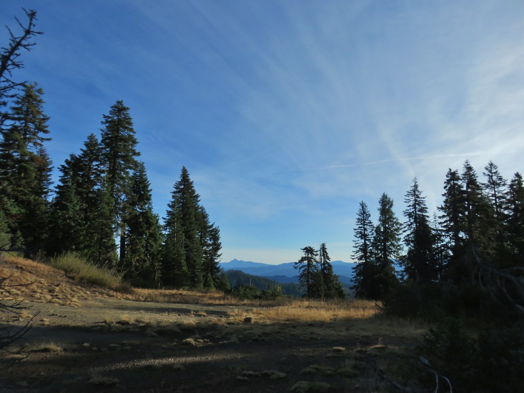
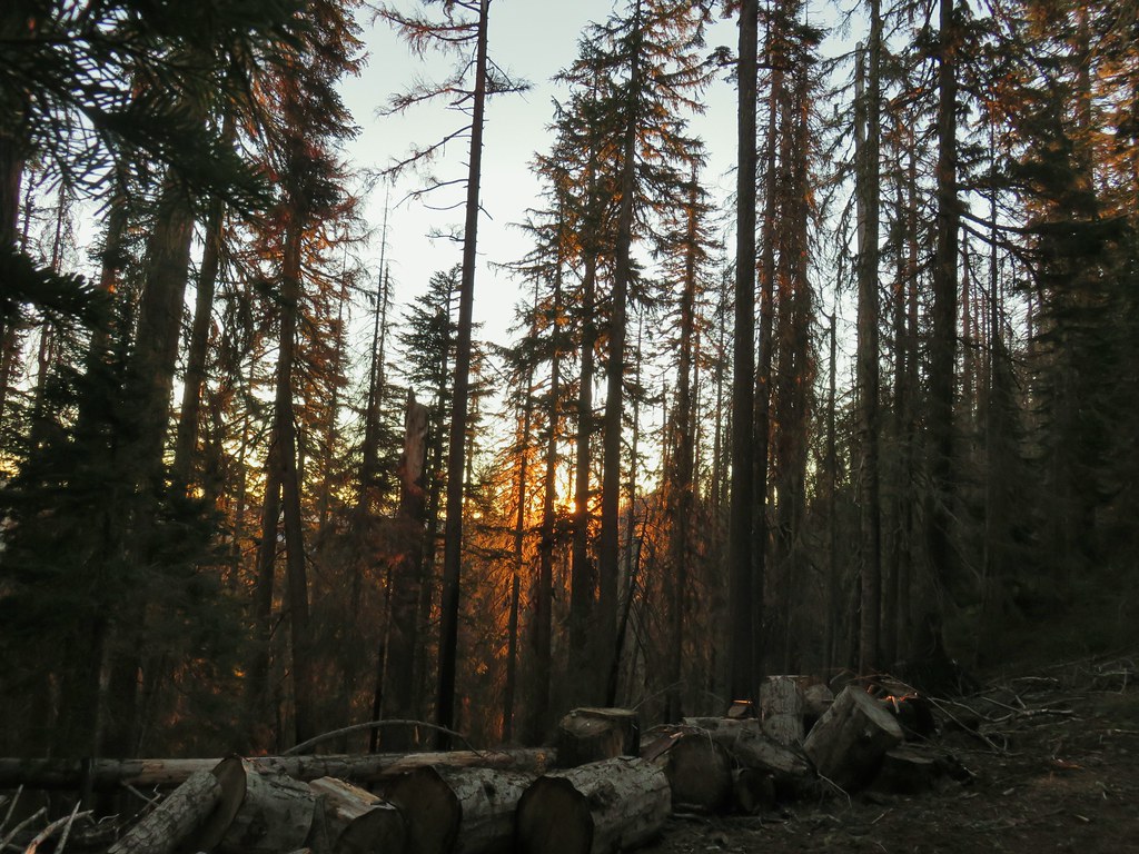 Sunrise from the parking area.
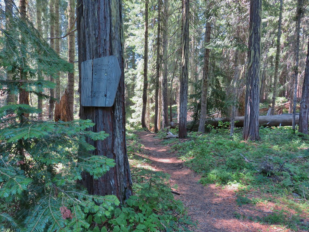
Two trails left the parking area, the Rogue-Umpqua Divide Trail and the Acker Divide Trail.

We would be taking the Acker Divide Trail but first we wanted to visit the lookout on Hershberger Mountain so we continued up FR 580 toward the lookout.

We could have driven the .8 miles up to a parking area just below the lookout but 1.8 miles of FR 580 had been enough. This stretch may actually have been in a little better shape but then again we were only walking on it and not trying to drive.

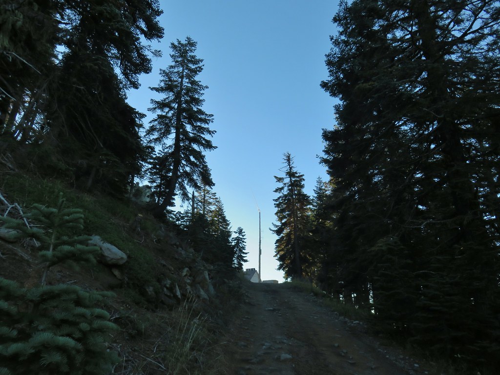
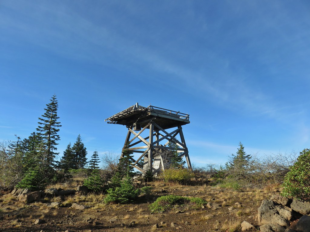
The lookout tower is available on a first come first serve basis and with the truck at the parking area below we weren’t sure if someone was using it so we didn’t go in but we did explore the area around it.


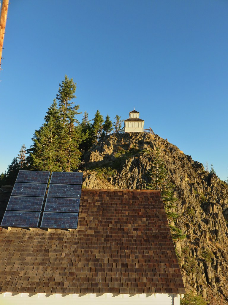
The views were great which was a nice change to our Labor Day trip to Rattlesnake Mountain where smoke ruled the views. (post)
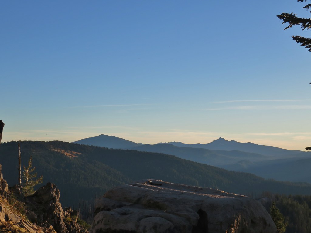 Mt. Bailey, Howlock Mountain, and Mt. Thielsen
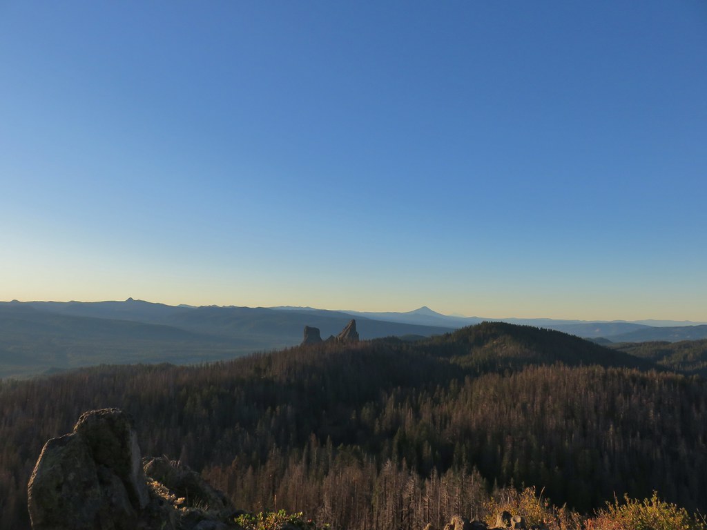 Arant Point, Union Peak, Goose Egg, Klamath Point, Lee Peak, Devils Peak, Pelican Butte, Lucifer Peak, Venus, Rabbit Ears, Mt. McLoughlin, and Mt. Shasta (among others).
 Mt. McLoughlin and Mt. Shasta
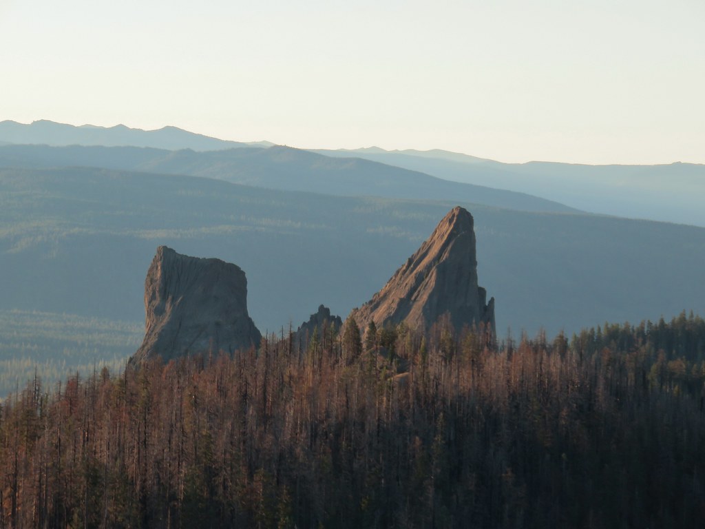 Rabbit Ears
 Sun over Crater Lake National Park
While up near the lookout I noticed a sign along the rocky ridge to Hershberger Mountain’s summit.
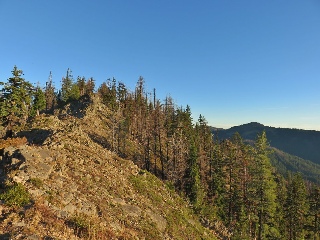

I headed for the sign and then continued onto the summit on a user path.
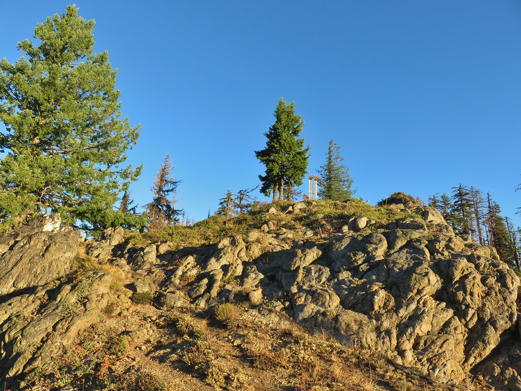
From the summit I could make out Rattlesnake Mountain (post) behind some burned snags.
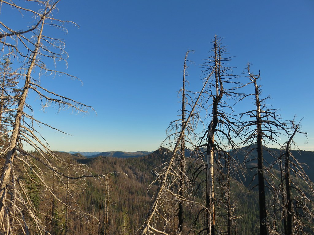
Weaver Mountain just to the left of the snags with Rattlesnake Mountain behind to the right and Fish Mountain the furthest right.
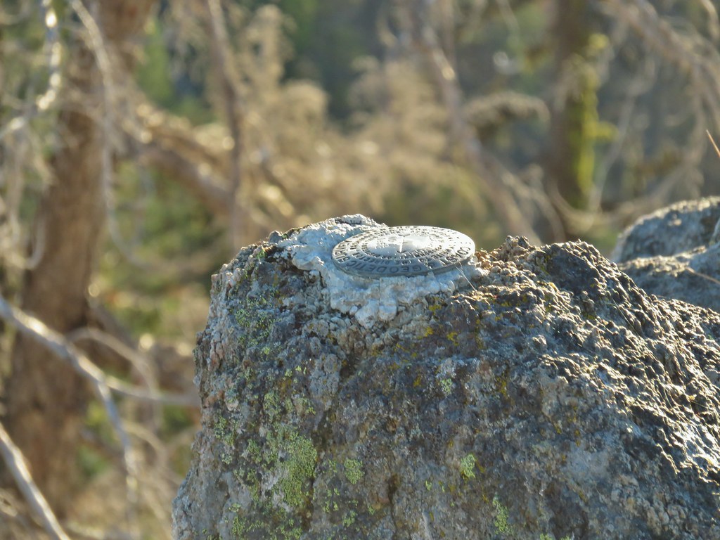 Survey marker at the summit.
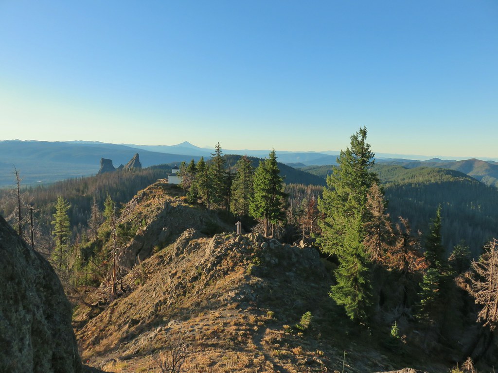 The sign, lookout, Rabbit Ears, Mt. McLoughlin, and Mt. Shasta coming back from the summit.
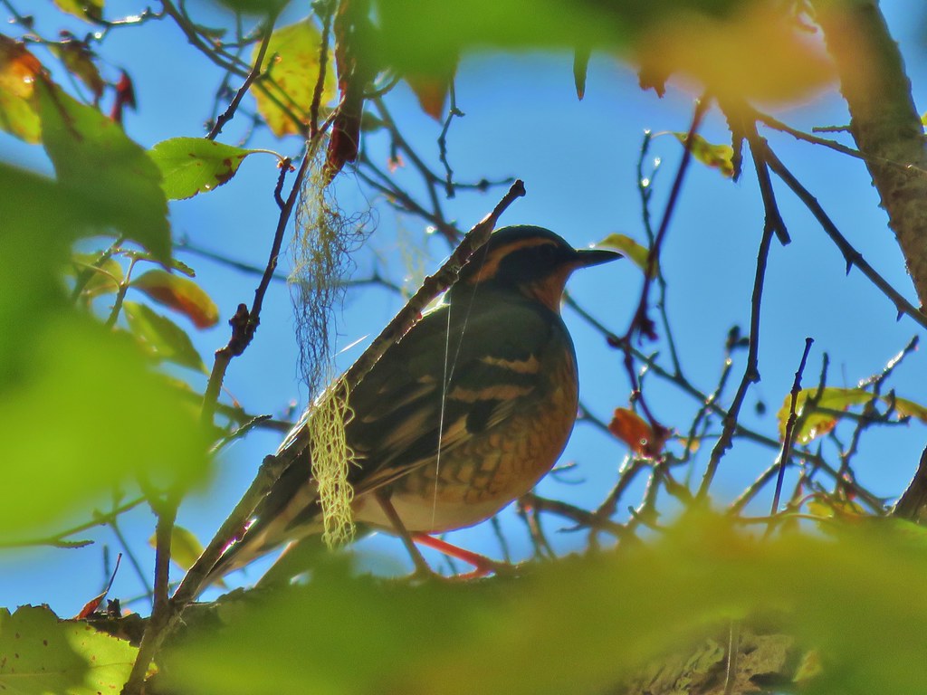
As I was coming back the unbelievable happened. For the second day in a row a varied thrush held still long enough for me to get decent picture.

I rejoined Heather near the lookout and we hiked back down to our car and after taking a few more sips of the coffee we’d left in it we started down the Acker Divide Trail.
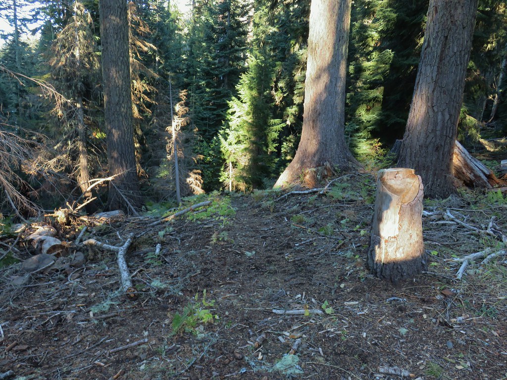 Acker Divide Trail leaving FR 580.
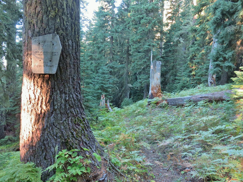
The trail quickly entered the Rogue-Umpqua Divide Wilderness.
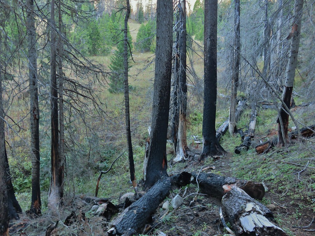
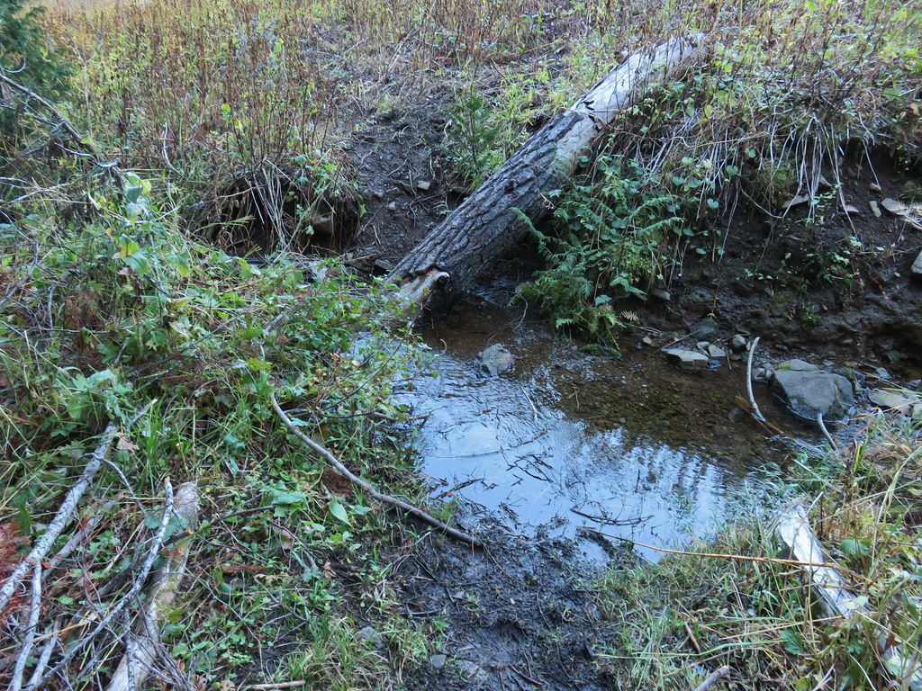
The trail dropped quickly losing nearly 300′ in the first .4 miles where the trail crossed a small stream at the edge of a meadow.
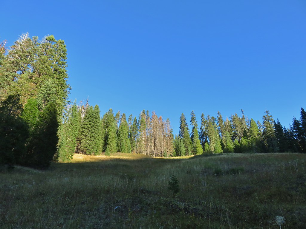
The meadow was what we have come to picture when we think of this particular wilderness. Faint tread with a few cairns led us through the meadow and into a section of green trees.

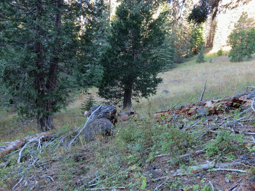 Another cairn to the right of the tree ahead.
Beyond the meadow the trail leveled out a bit and just over a mile and a half from the trailhead we passed a sign for the Rogue-Umpqua Divide Trail.
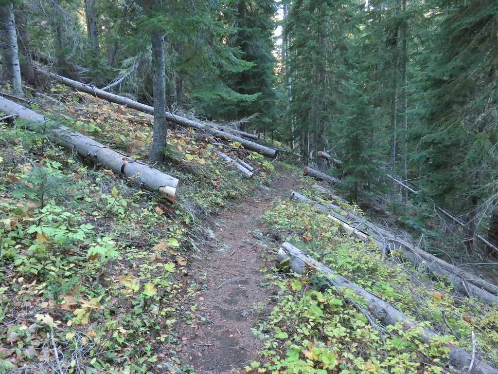
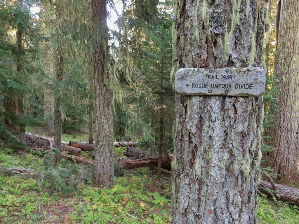
I believe that the 2 mile section beyond this sign may be abandoned. On the map it leads to the edge of the wilderness near the junction of FR 6515 & FR 580 but according to the Forest Service and a sign we saw at a horse camp along FR 580 the Rogue-Umpqua Divide Trail follows FR 580 between that horse camp and the trailhead we were parked at. In any event we stuck to the Acker Divide Trail arriving at a meadow below Toad Lake in another .4 miles.

 A lonely flower along the Acker Divide Trail
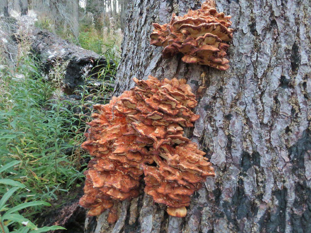
 Mushroom near the meadow.
 Toad Meadow
Another .4 miles brought us within view of the Cripple Creek Shelter at the edge of the fire scar.
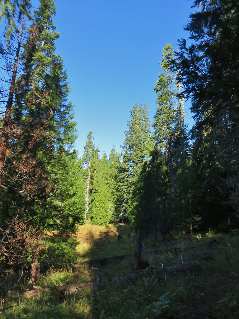
We made our way to the shelter where we took a nice break and enjoyed the surroundings.


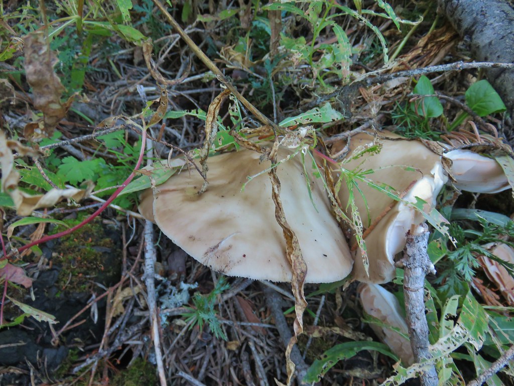
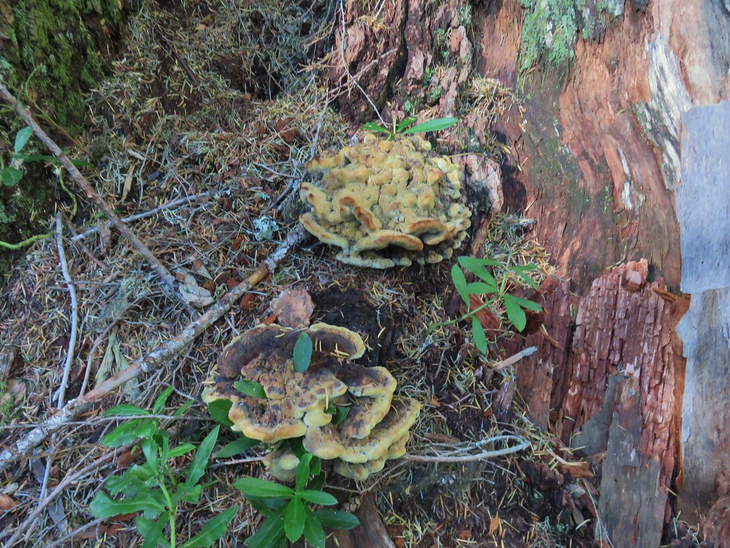
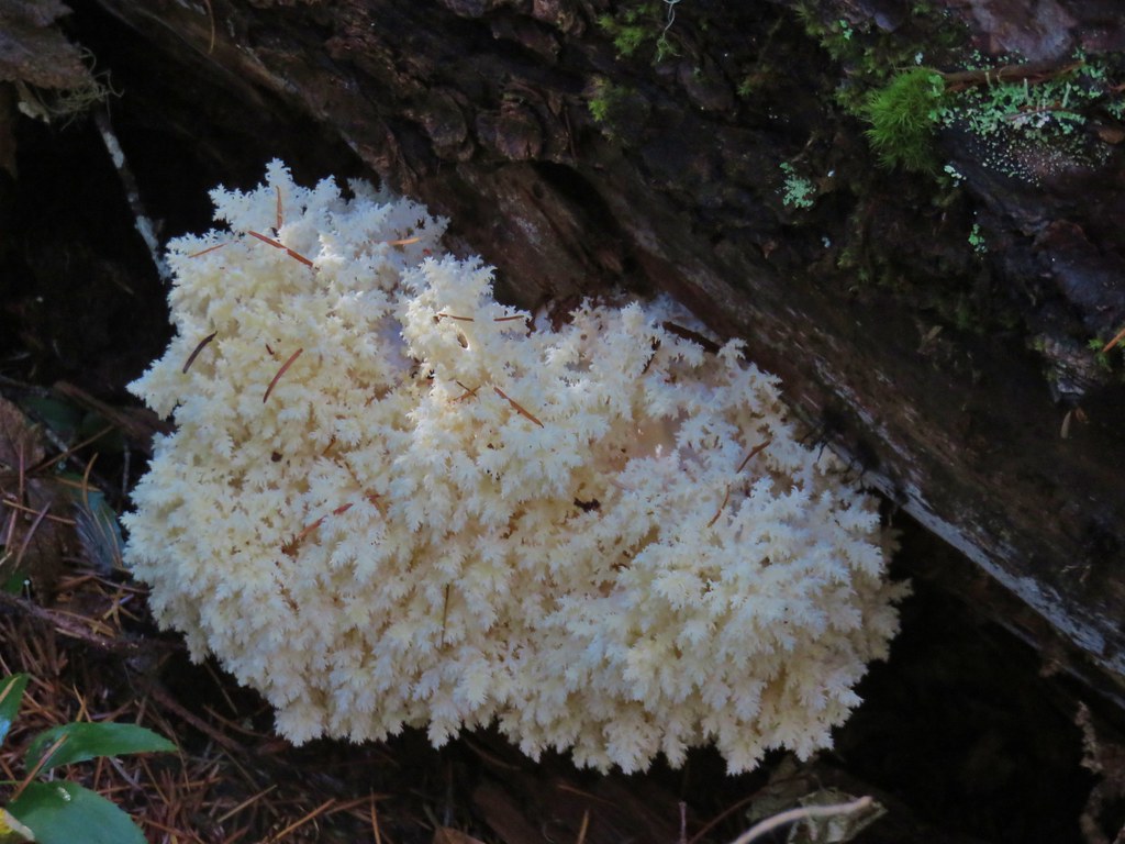
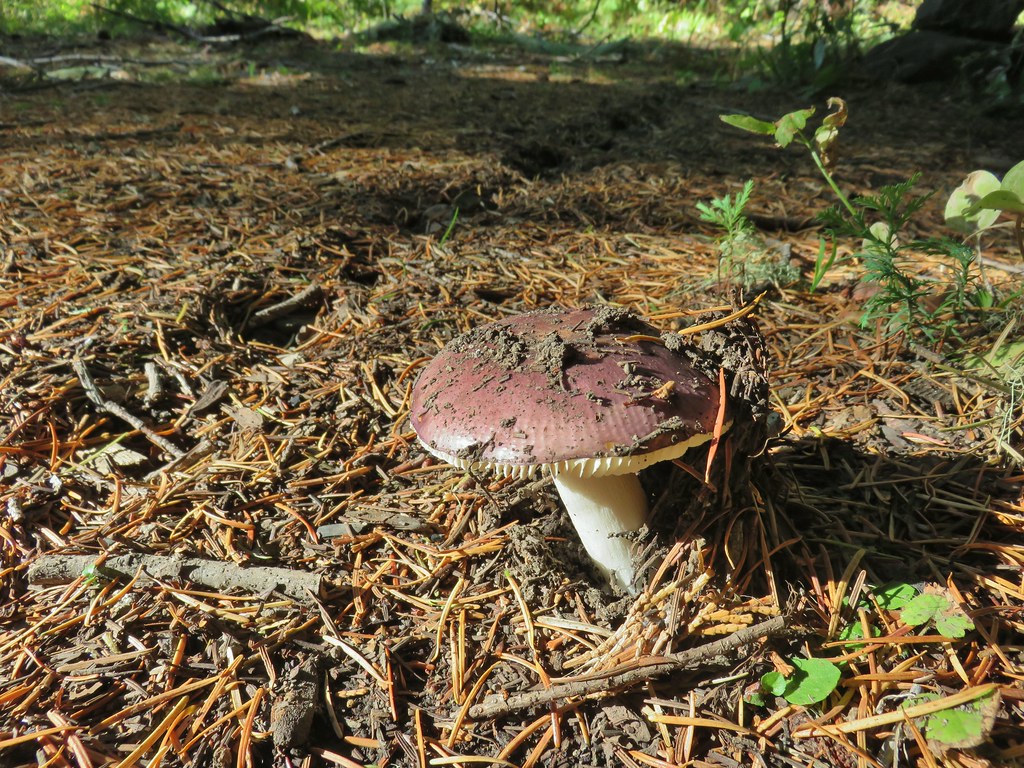 Tis the time of year for Mushroom to replace flowers.
We returned the way we’d come keeping our eyes out for mushrooms and any lingering flowers that might yet be blooming.

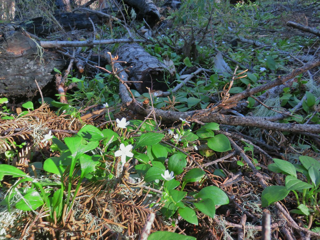 Candyflower
Our hike here came in at 6.8 miles and approximately 1200′ of elevation gain. After successfully navigating FR 580 again we stopped at the Rabbit Ears pullout and followed a path into the trees.
 Pullout along FR 6515
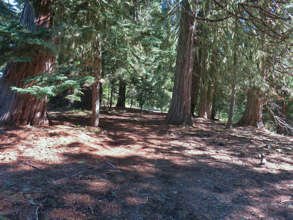 Trail to Rabbit Ears
In a tenth of a mile the patch split and we chose to go right which brought us to the base of the rock formation.
 The split
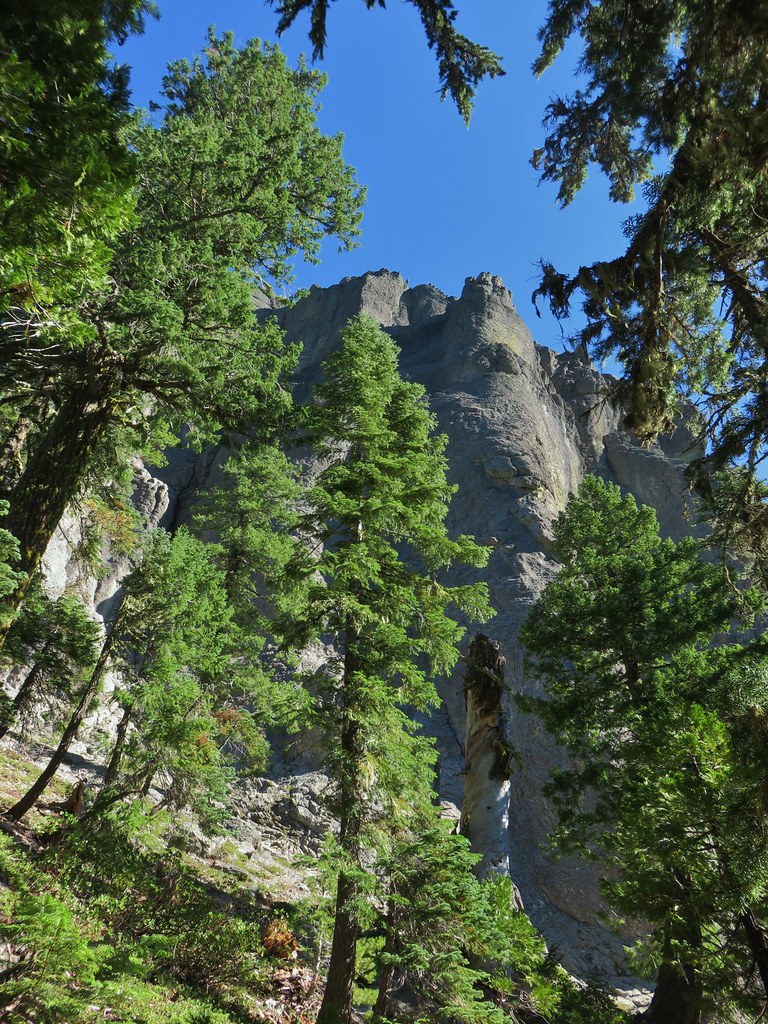

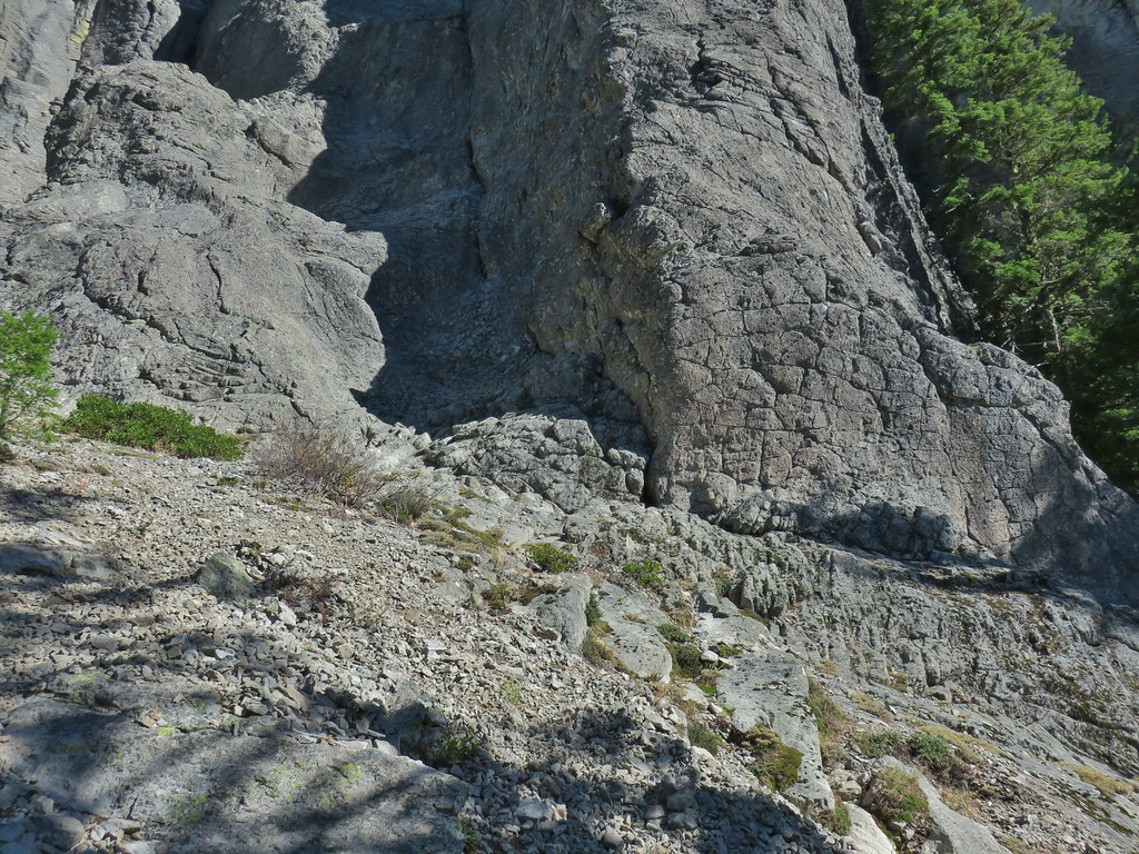
The trail then turned uphill on some loose rock which made us happy that we’d chosen to go this direction because we felt going up it would be easier than coming down.

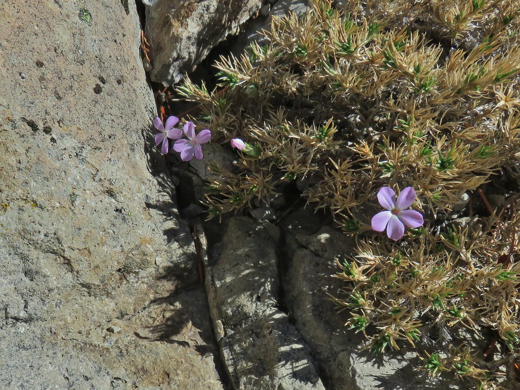 We were surprised to find these phlox blossoms still looking good.
From the high point we had a pretty good view of Mt. McLoughlin and Mt. Shasta to the south.

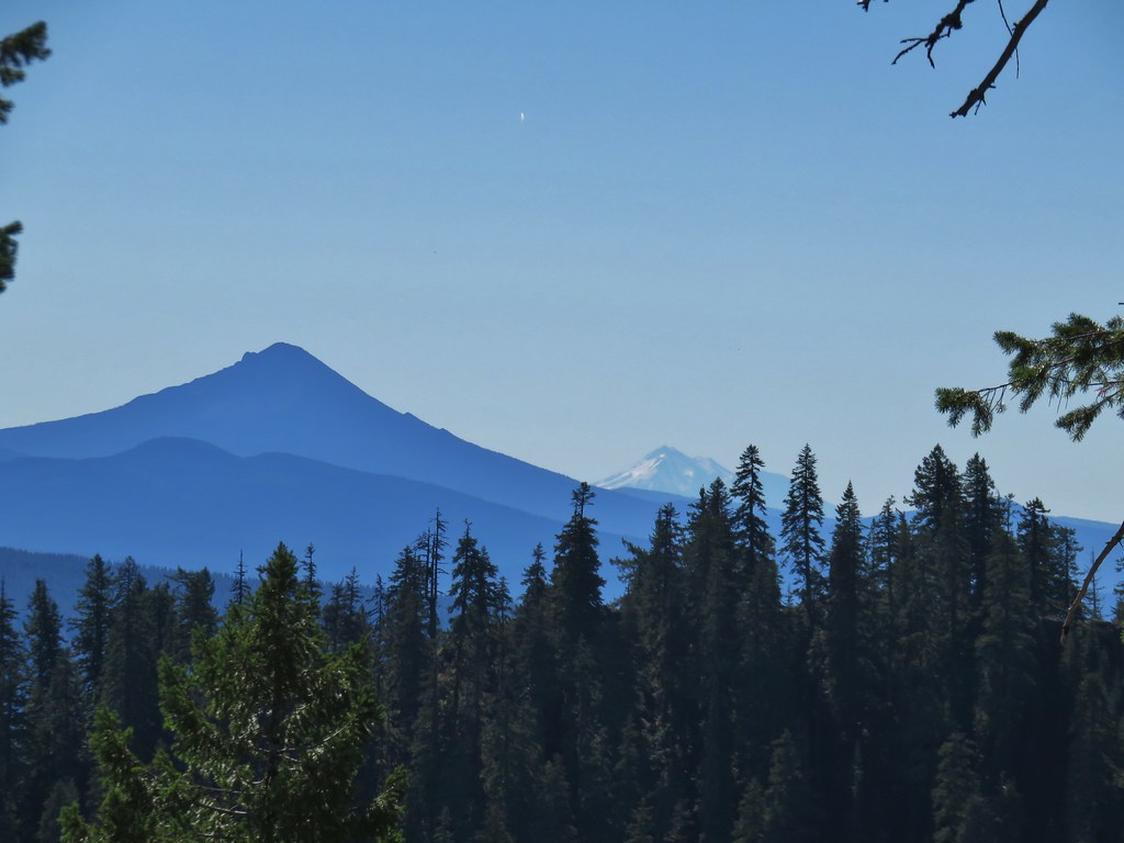
Continuing on the trail brought us a view of Fish Mountain to the north before the trail dropped back down into the trees to complete the loop.

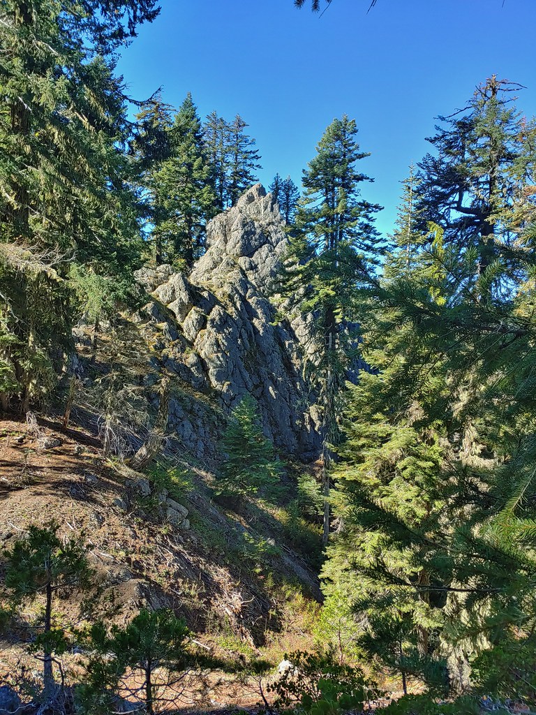 Smaller rock formation along the trail.
The half mile loop was really nice. Getting to see the Rabbit Ears up close was interesting and the added bonus of mountain views and surprise phlox was icing on the cake. We then drove back to Union Creek and parked at the lodge where we were staying since our next hike started just across the highway.
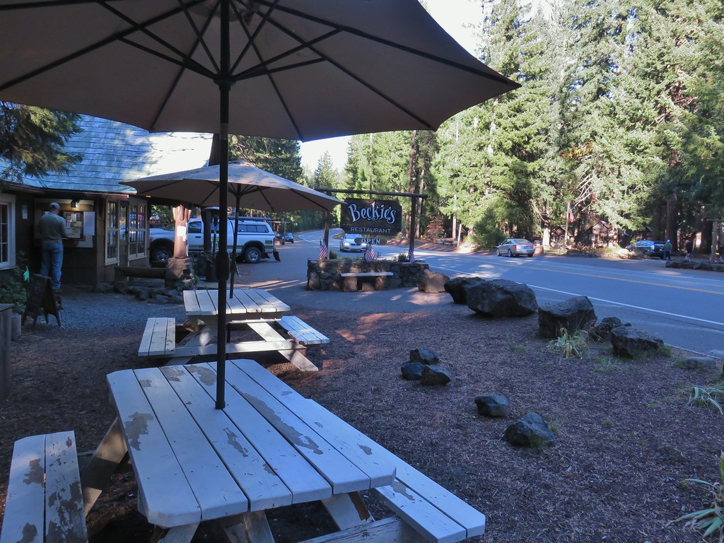
 Beckie’s Cafe across Highway 62.
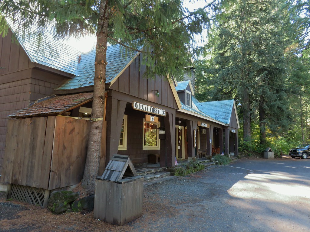 The lodge, store, and gift shop at Union Creek Resort.
We crossed the highway to the seasonally closed ice cream shop and followed a path on its right side to the Rogue Gorge Viewpoint parking area.
 The Ice Cream shop and to it’s right the sign for the trail to the Rogue Gorge Viewpoint.
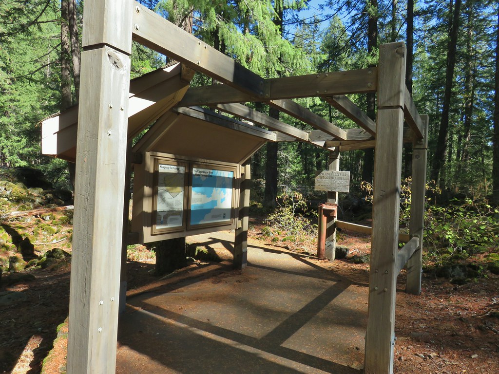 Interpretive signs at the parking area.
A .2 mile paved loop offers a short but spectacular option for a quick tourist stop with several viewpoints of the Rogue Gorge. We did the loop counter-clockwise heading first to viewpoint 4.
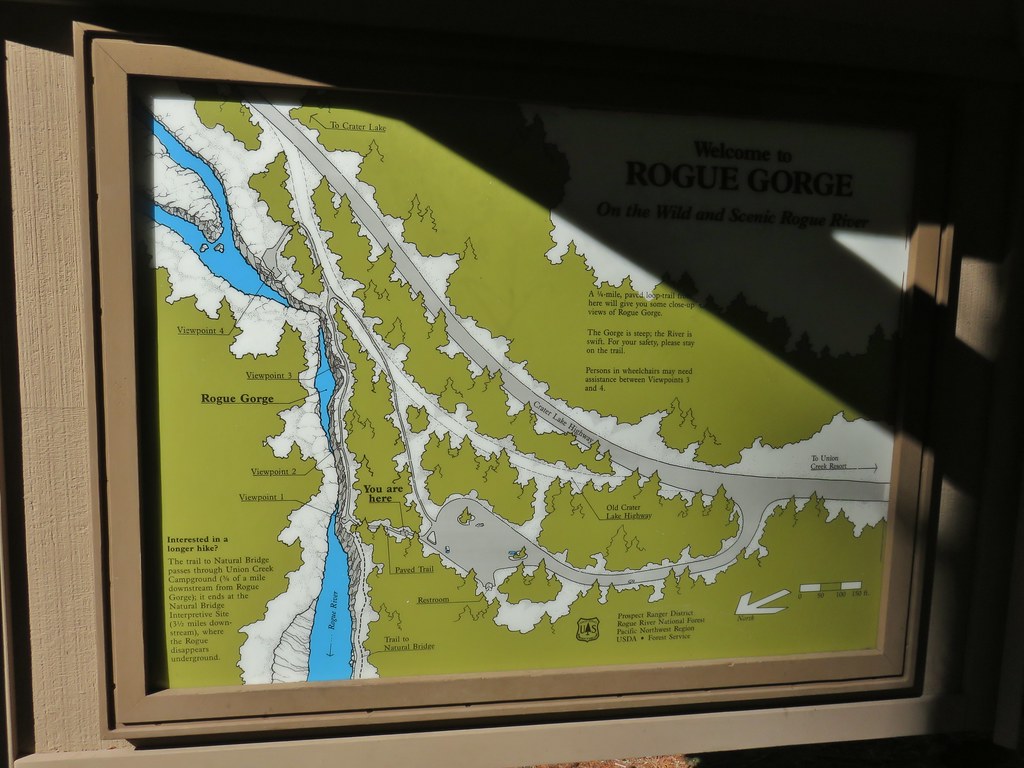
 Viewpoint 4
 Rogue River at viewpoint 4.
 Viewpoint 3
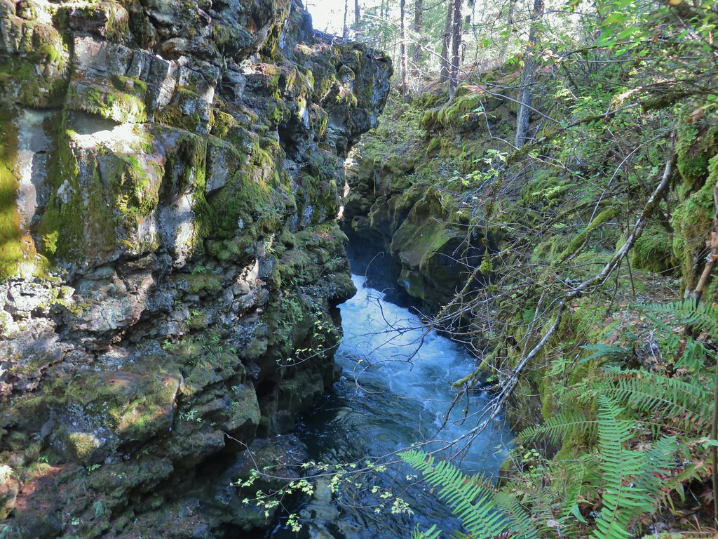 View upriver from viewpoint 3.
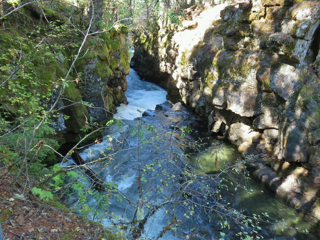 Downriver from viewpoint 3.
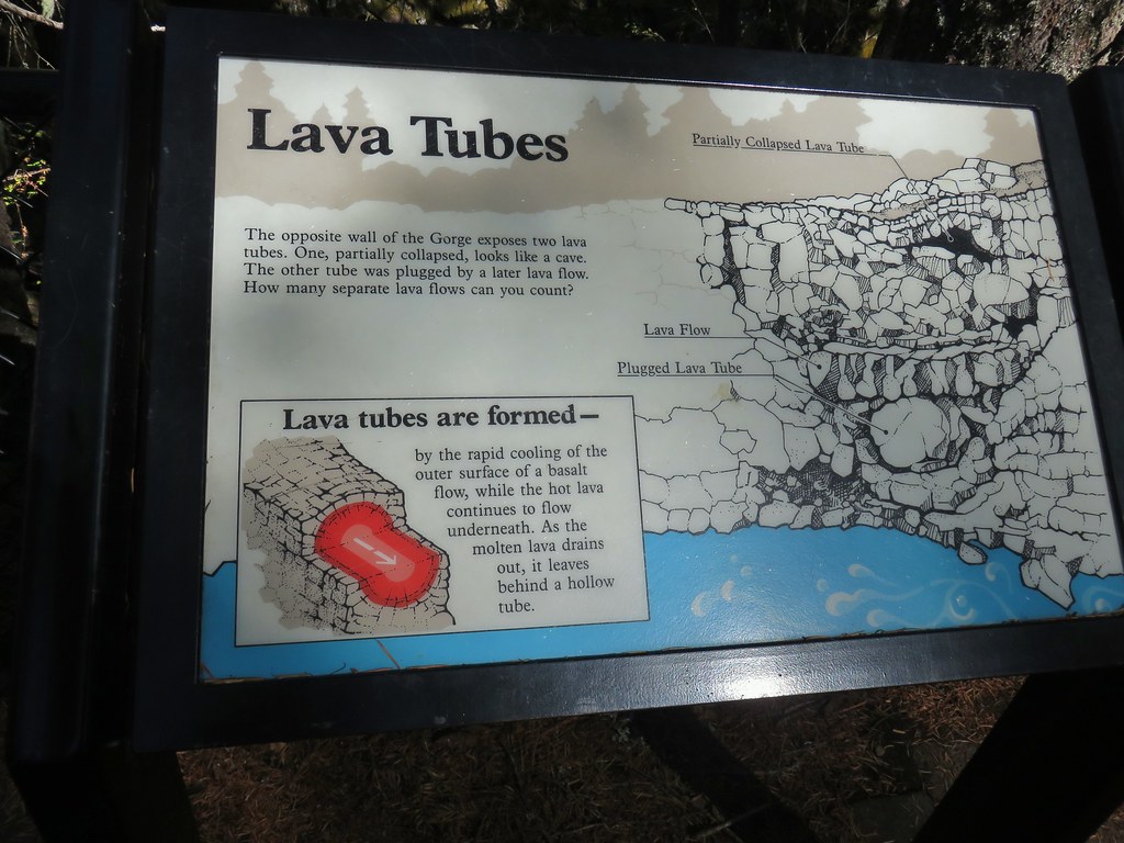 Interpretative sign at the viewpoint.
 The lava tubes.
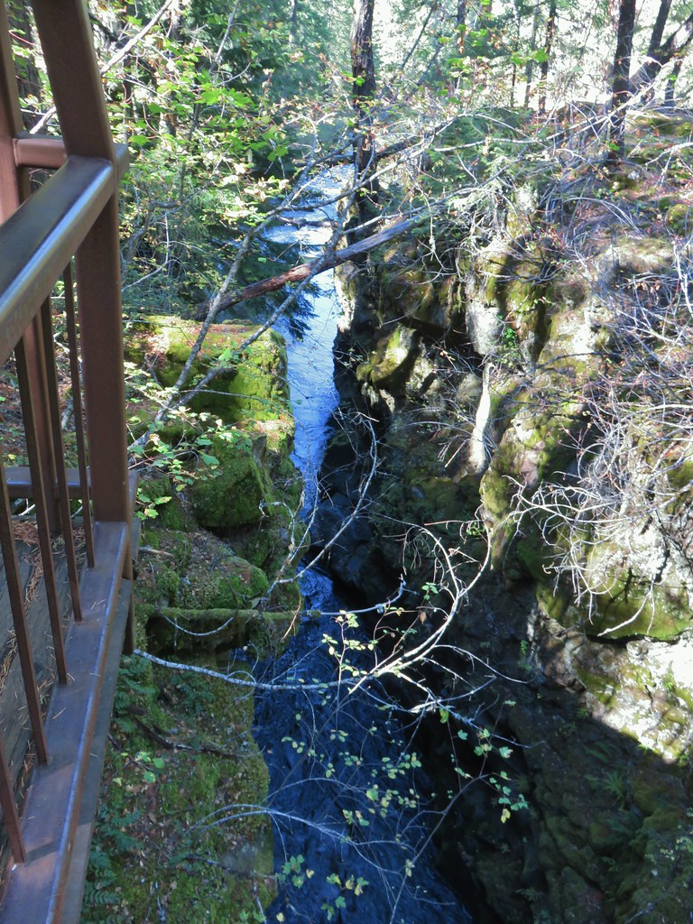 Viewpoint 2
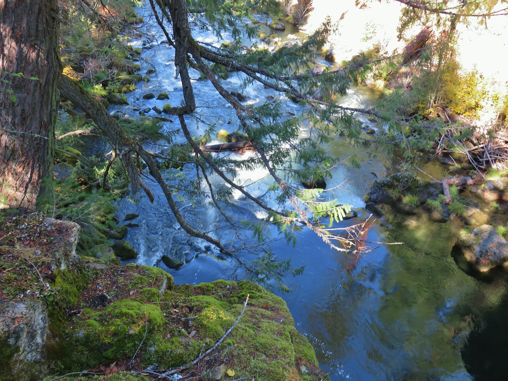 Viewpoint 1 above the end of the Rogue Gorge.
From viewpoint 1 the paved path crossed a footbridge before arriving at the interpretative sign boards at the parking area. The Rogue Gorge Trail, which we took, continued as a dirt trail descending to the riverbank and continuing downstream.

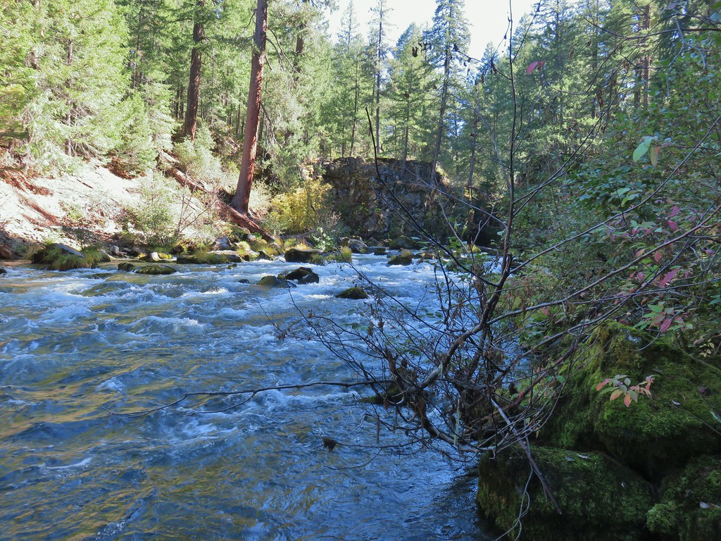
For the next 1.2 miles the Rogue Gorge Trail followed the river closely as it passed a number of cabins and a portion of the Union Creek Campground. This section of the Rogue River flowed quietly past a wonderful display of Fall colors.
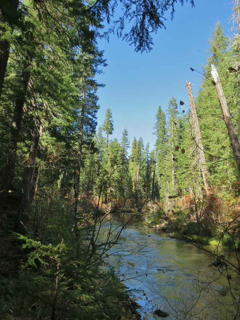
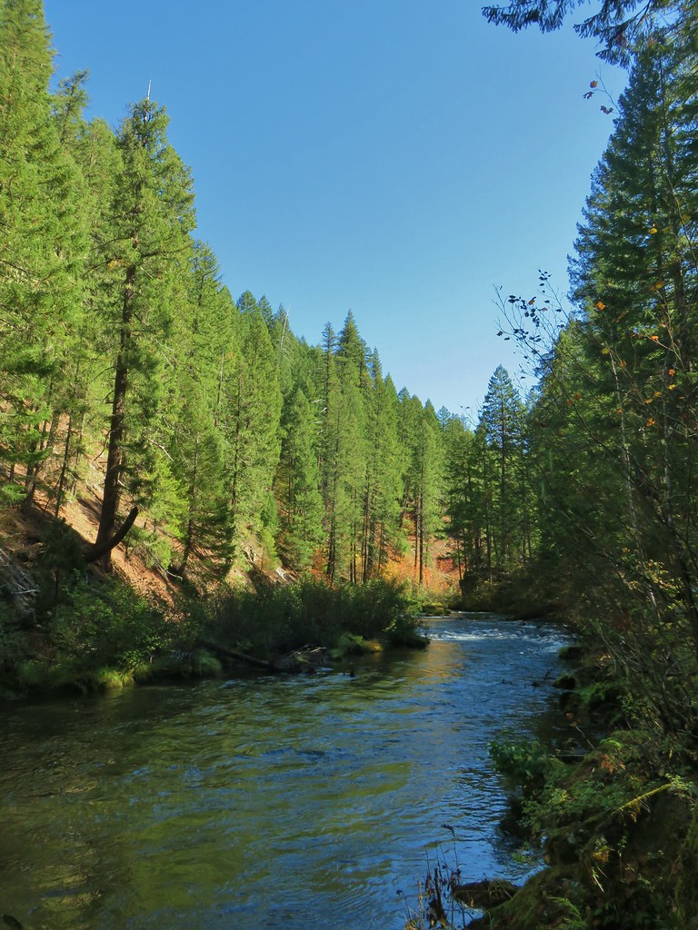
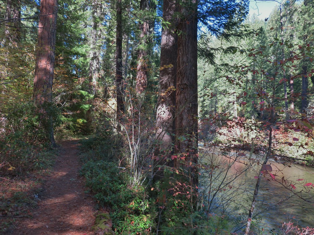
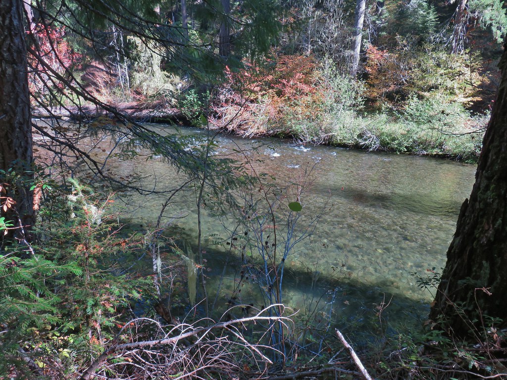
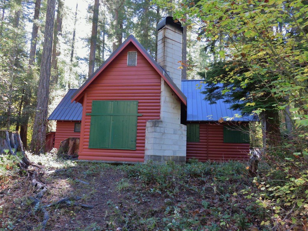

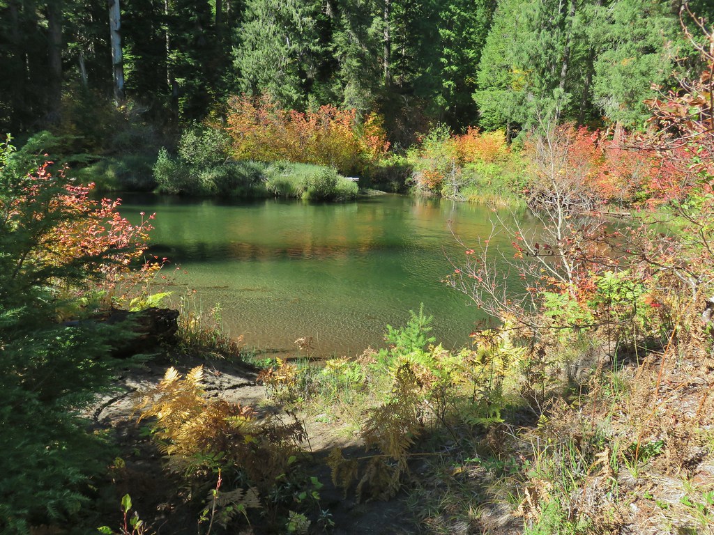

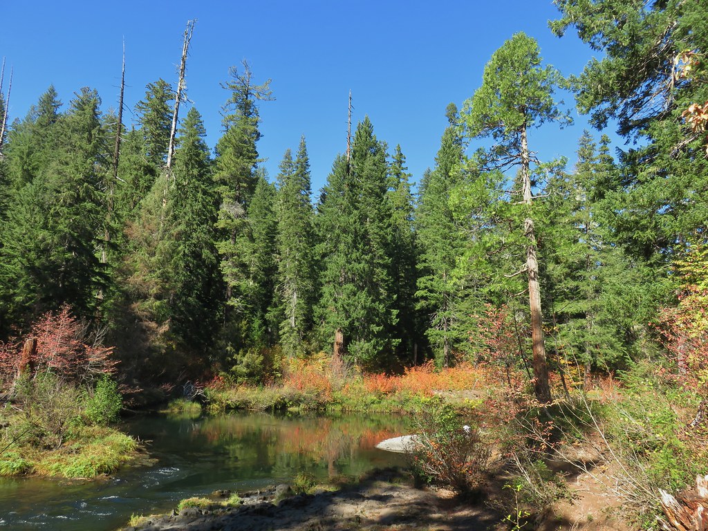
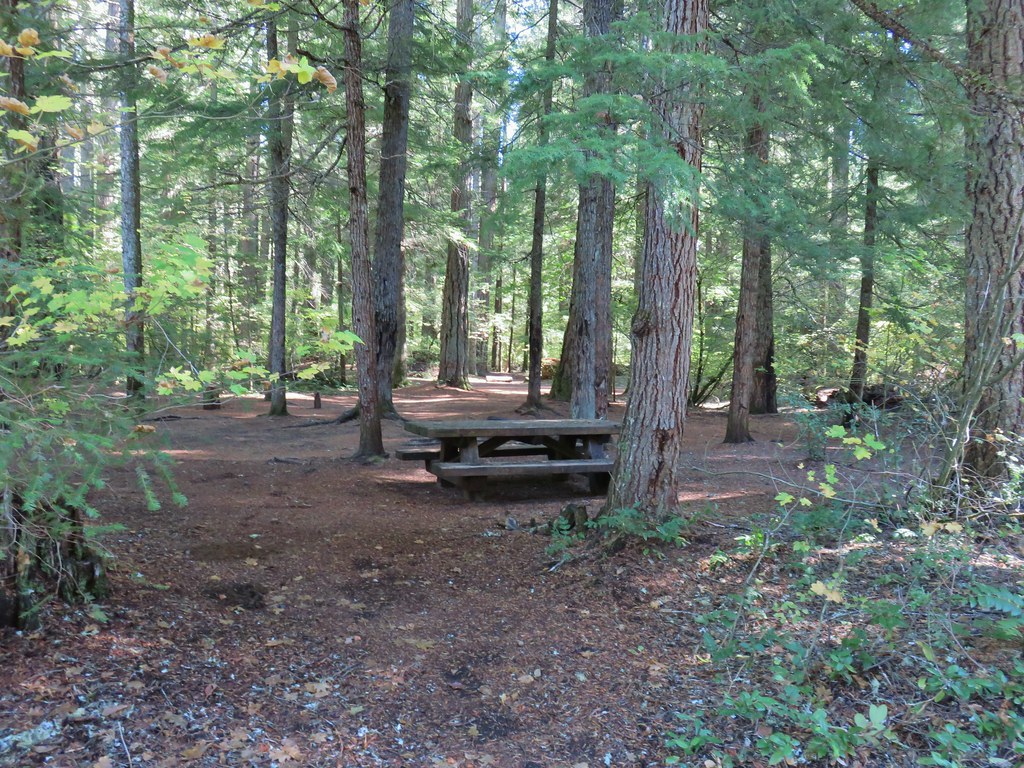 Union Creek Campground
At the end of the 1.2 mile stretch we arrived at Union Creek (the actual creek) and crossed it on a footbridge.
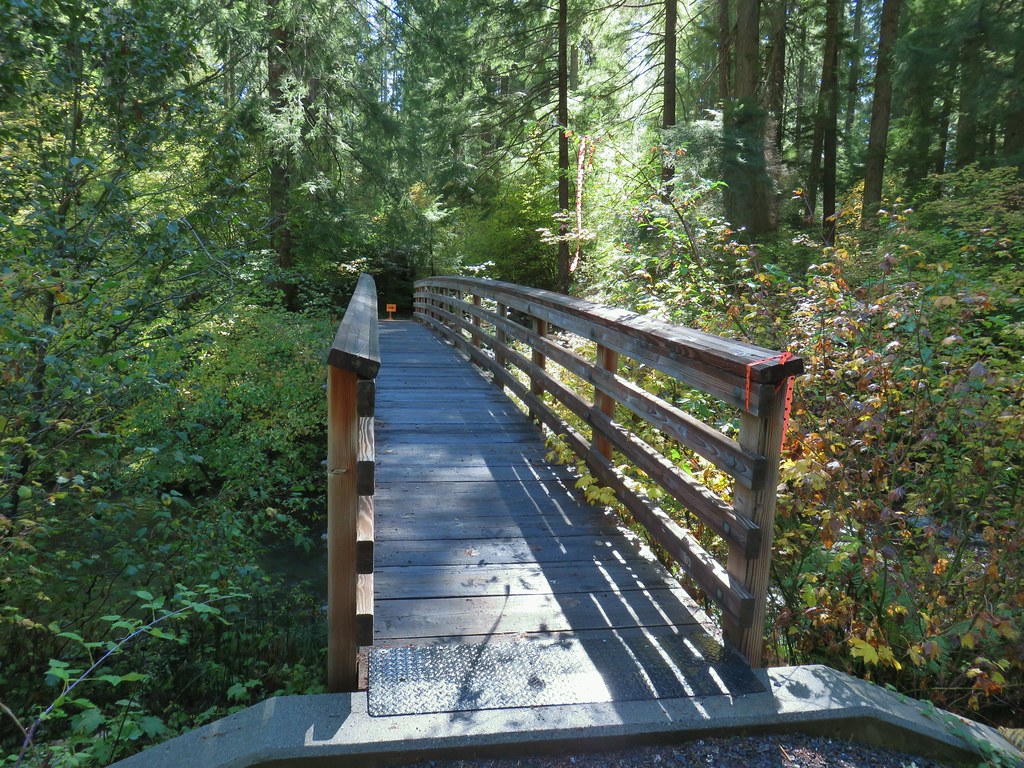 The orange sign and flagging was for a 50k being run the following day.
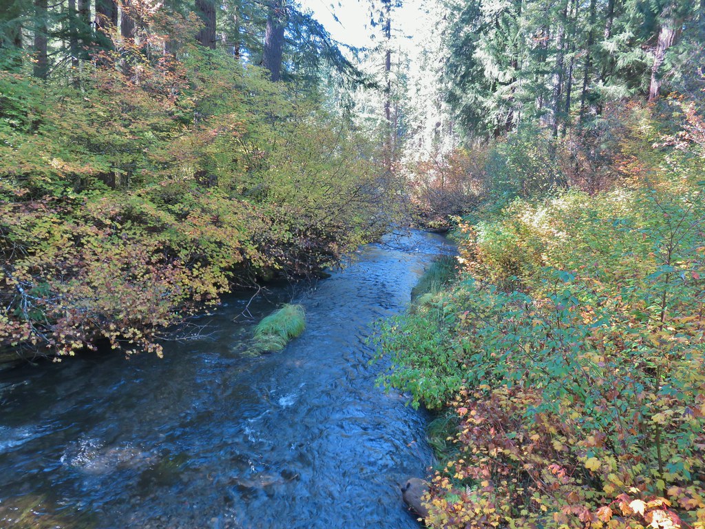 Union Creek
Beyond the footbridge was a 1.7 mile stretch of trail passing more of the campground and some other cabins before arriving at a footbridge spanning the Rogue River.


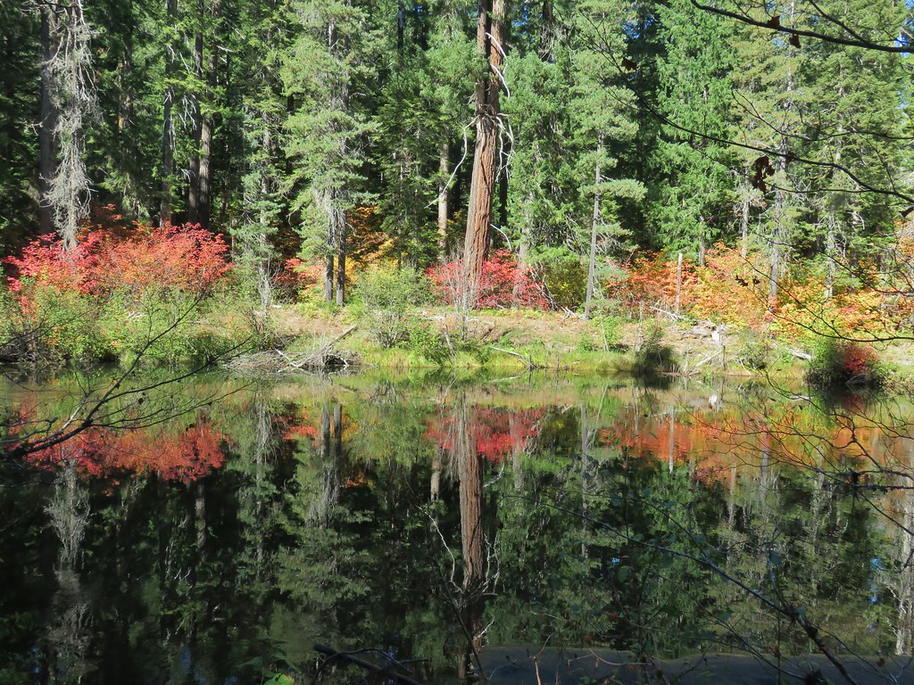

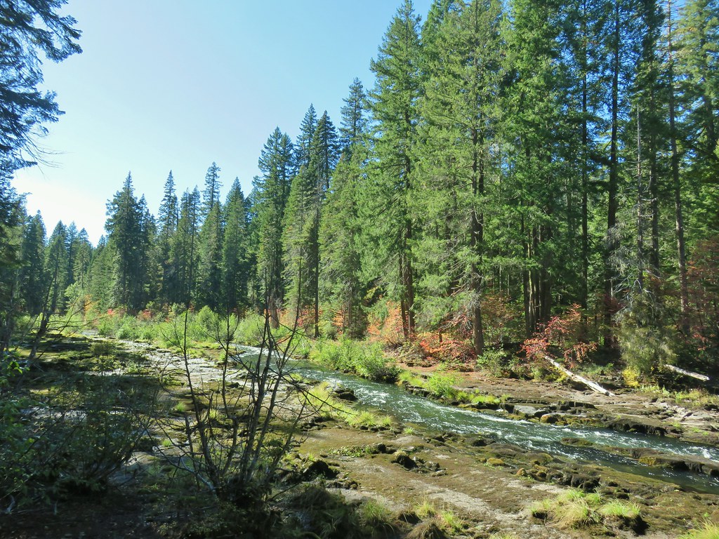
As we neared the bridge the river became wilder as it passed over and through more lava flows.

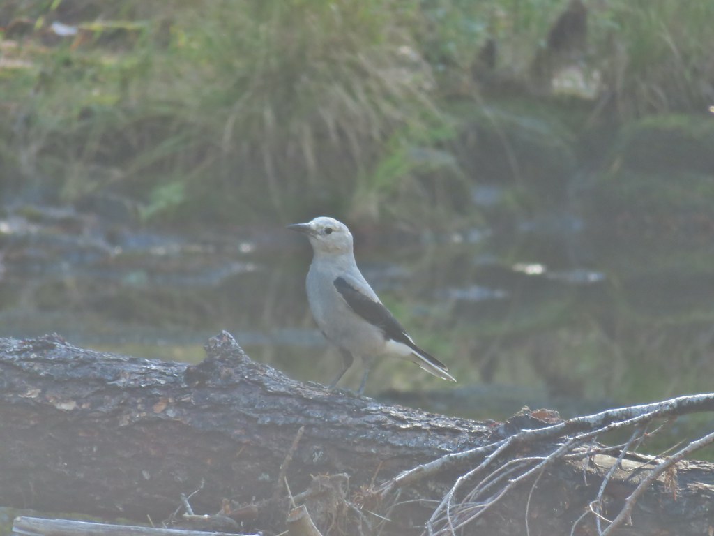 A Clark’s nutcracker
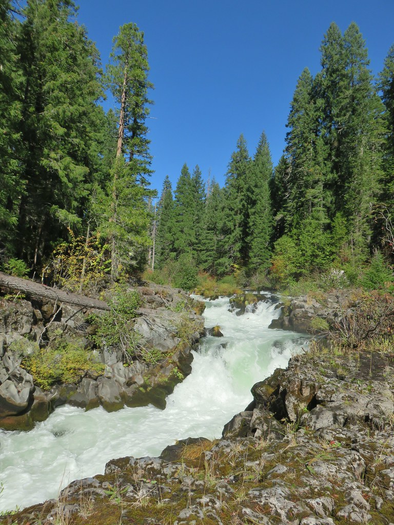
 The footbridge to the upper left.
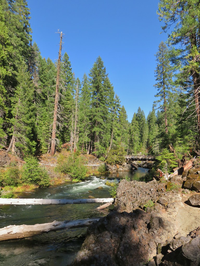
The footbridge offered an opportunity for a 2.2 mile loop using the Upper Rogue River Trail and passing Natural Bridge. For now we stuck to the Rogue Gorge Trail and continued past the footbridge.
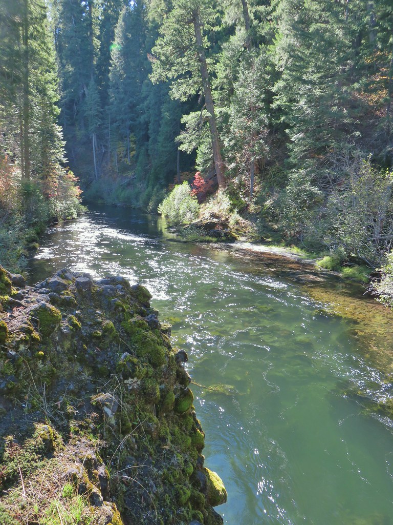 Rogue River on the other side of the footbridge.
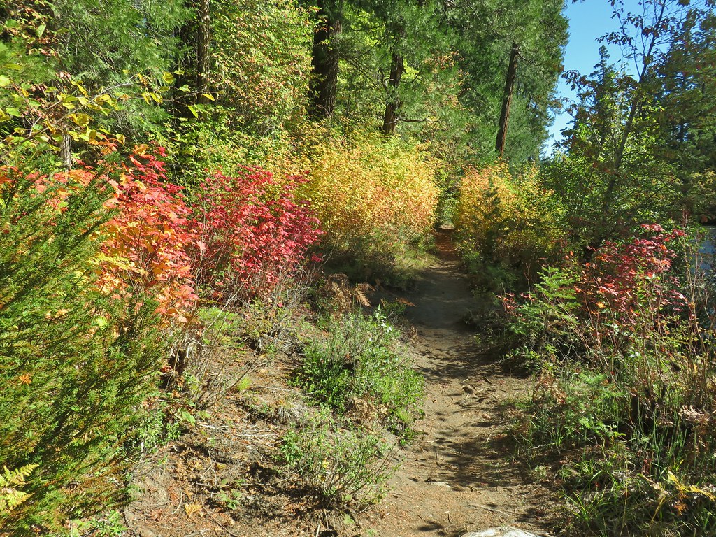
About a mile from the footbridge we came to a sign at what looked like a fork in the trail.

We took the right hand fork sticking to the river bank where a gentleman was walking his dog. The trail petered out on some rocks along the river.
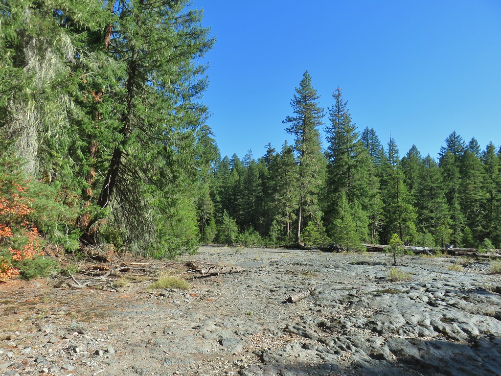
It was easy enough to walk over the rocks though so we continued on not realizing that we were very close to Natural Bridge which in the past had been the way across the river but has been closed and replaced by another footbridge.
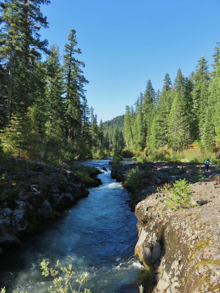
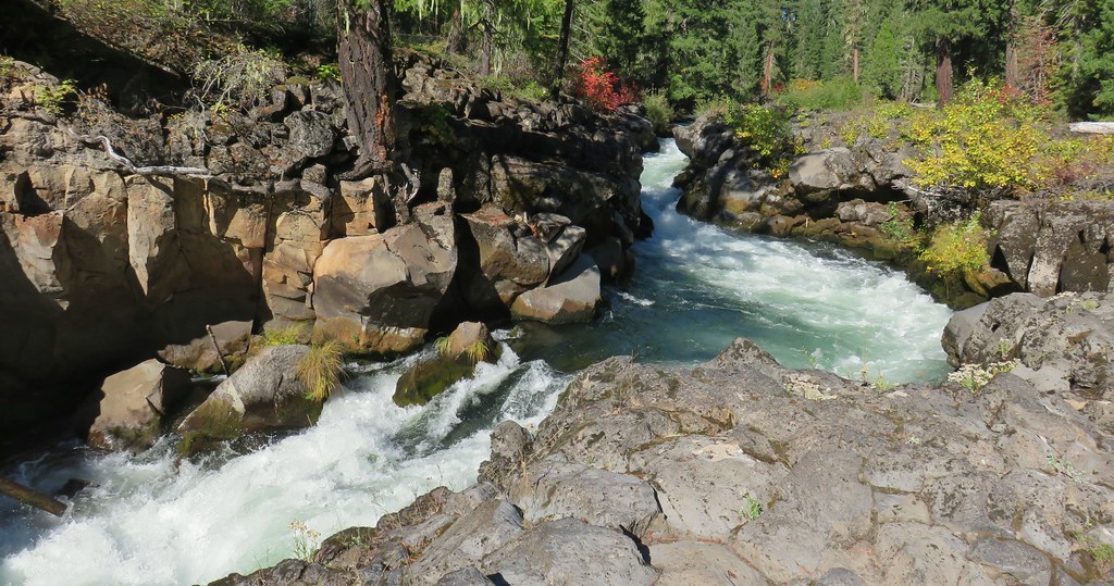
We turned inland on an old road bed still not realizing we were off course until it petered out and we discovered we were on the wrong side of a fence.

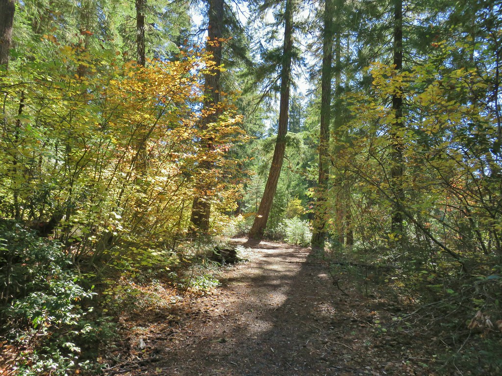
When we saw the fence we realized that we should have forked left at that sign so we made our way to the correct side of the fence and quickly picked up a paved path coming from the Natural Bridge Day Use Area.
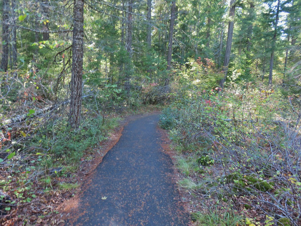
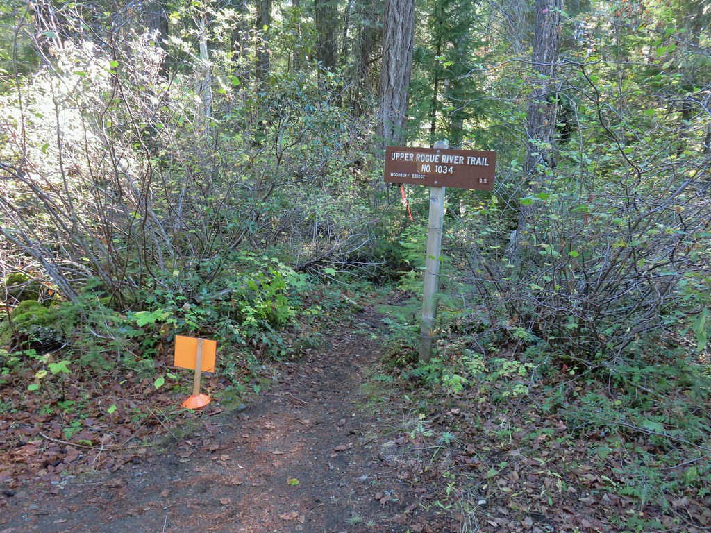
The paved path brought us to the Upper Rogue River Trail which we took to the footbridge across the river.


The Rogue Gorge had been spectacular but Natural Bridge added the element of oddity to the mix as the river disappeared under the lava rock only to reappear a short distance later.


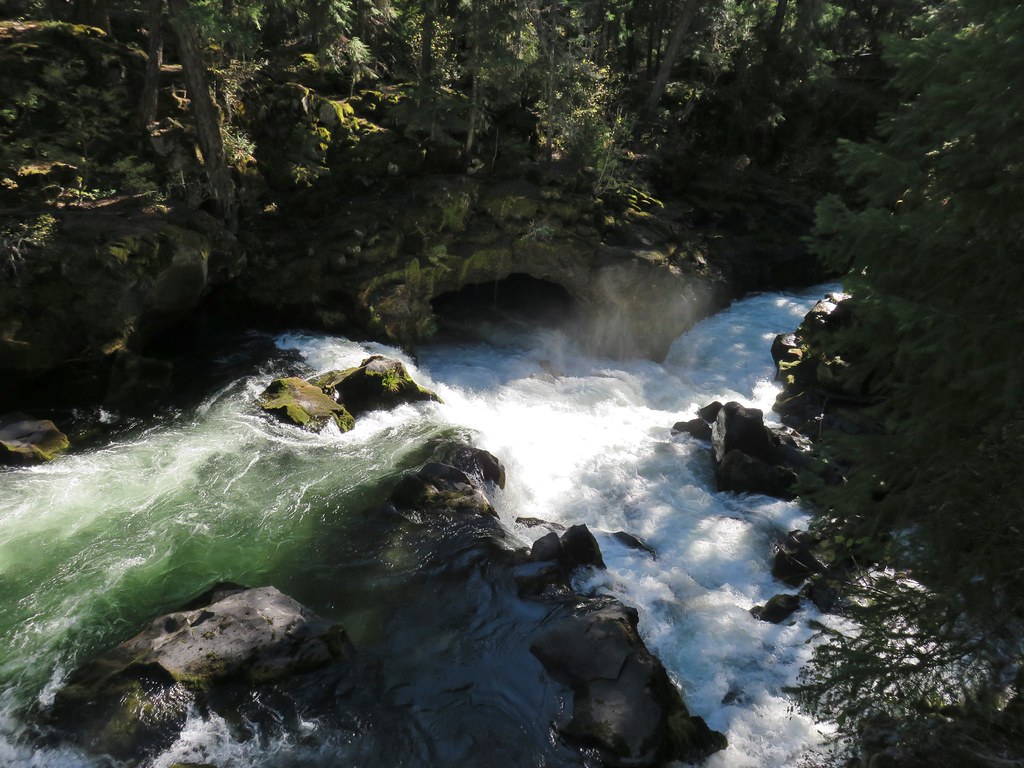

 The inlet
Beyond Natural Bridge the Upper Rogue River Trail decided to gain some elevation as it climbed steeply gaining 300′ before dropping back down to the other footbridge. The climb did provide a brief glimpse of Llao Rock along the rim of Crater Lake.

We turned off the Upper Rogue River Trail to cross the footbridge and return to the Rogue Gorge Trail.
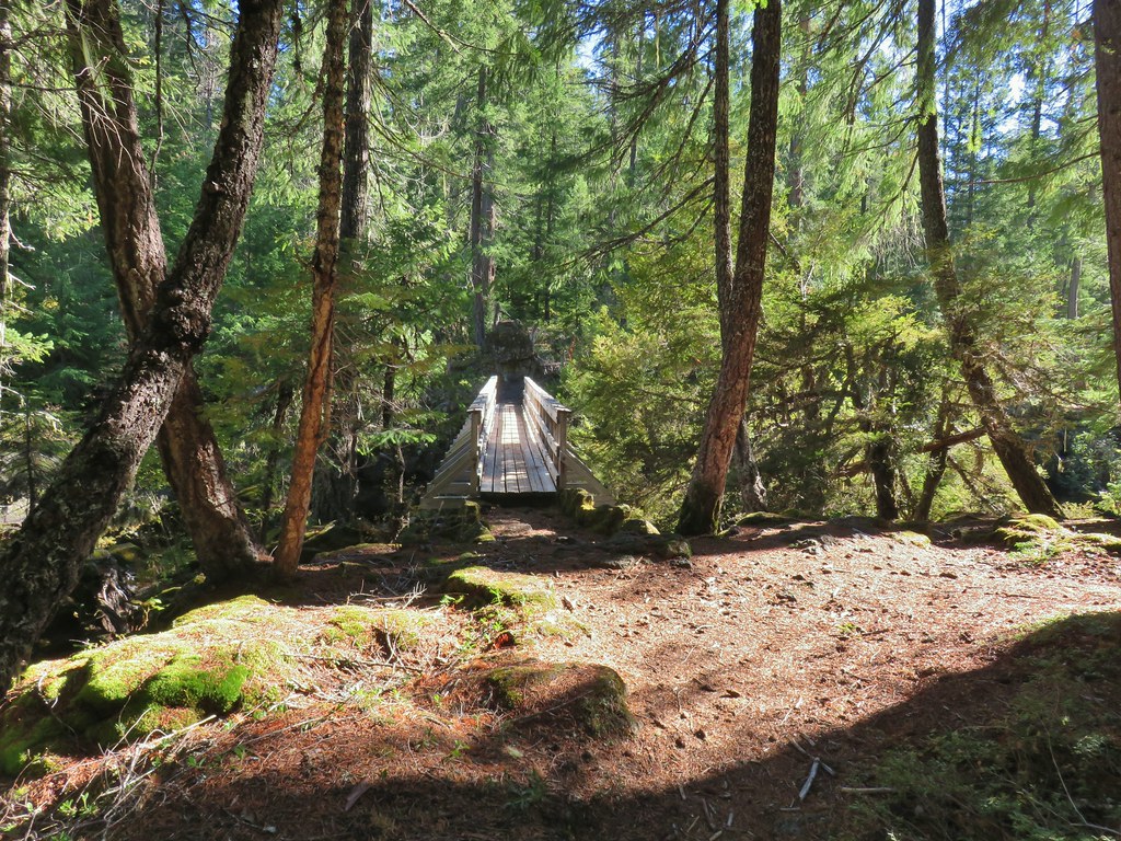

We turned left on the Rogue Gorge Trail and followed it back to Union Creek. Instead of crossing the creek this time we turned right onto the Union Creek Trail.
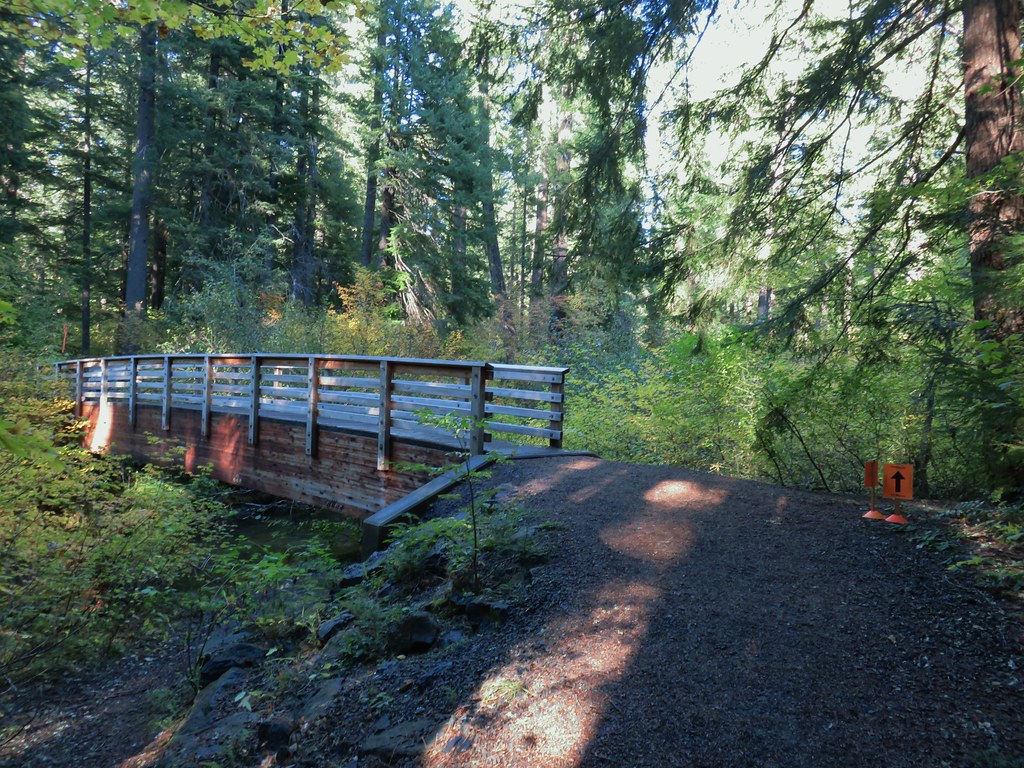
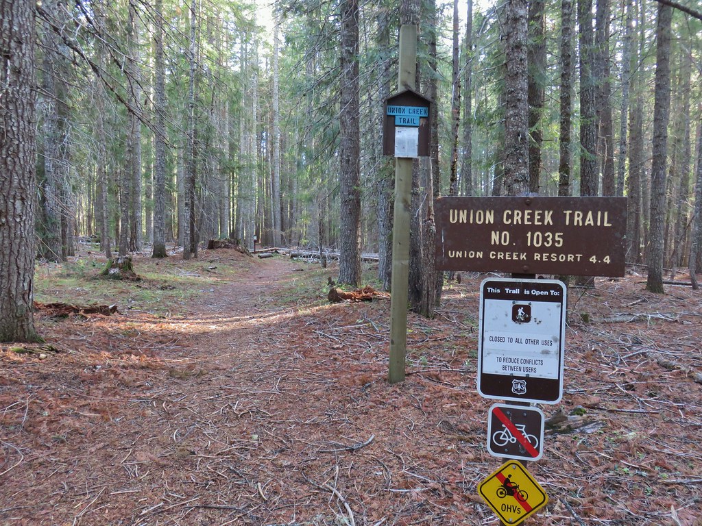
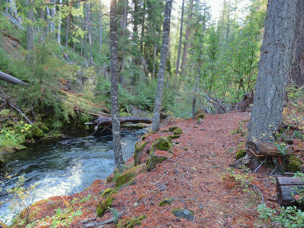
The Union Creek Trail followed the creek closely for .7 miles through the Union Creek Campground. The trail actually passed through some campsites but this section of the campground was closed for the season so all of the sites were empty.

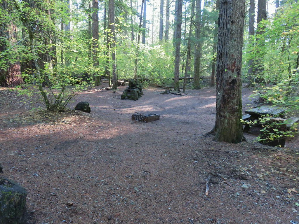

The trail crossed Union Creek on a footbridge near the campground entrance.

On the far side of the bridge was a parking area near the Union Creek Amphitheatre where they were setting up for the 50k.

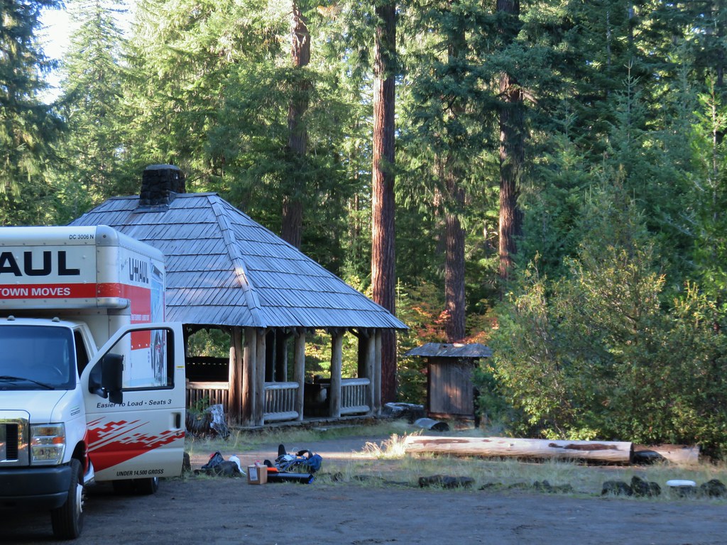
Just up the road from the parking area here a short path led to another parking are near Beckie’s Cafe where we simply walked up to the take out window and ordered dinner and a piece of pie.

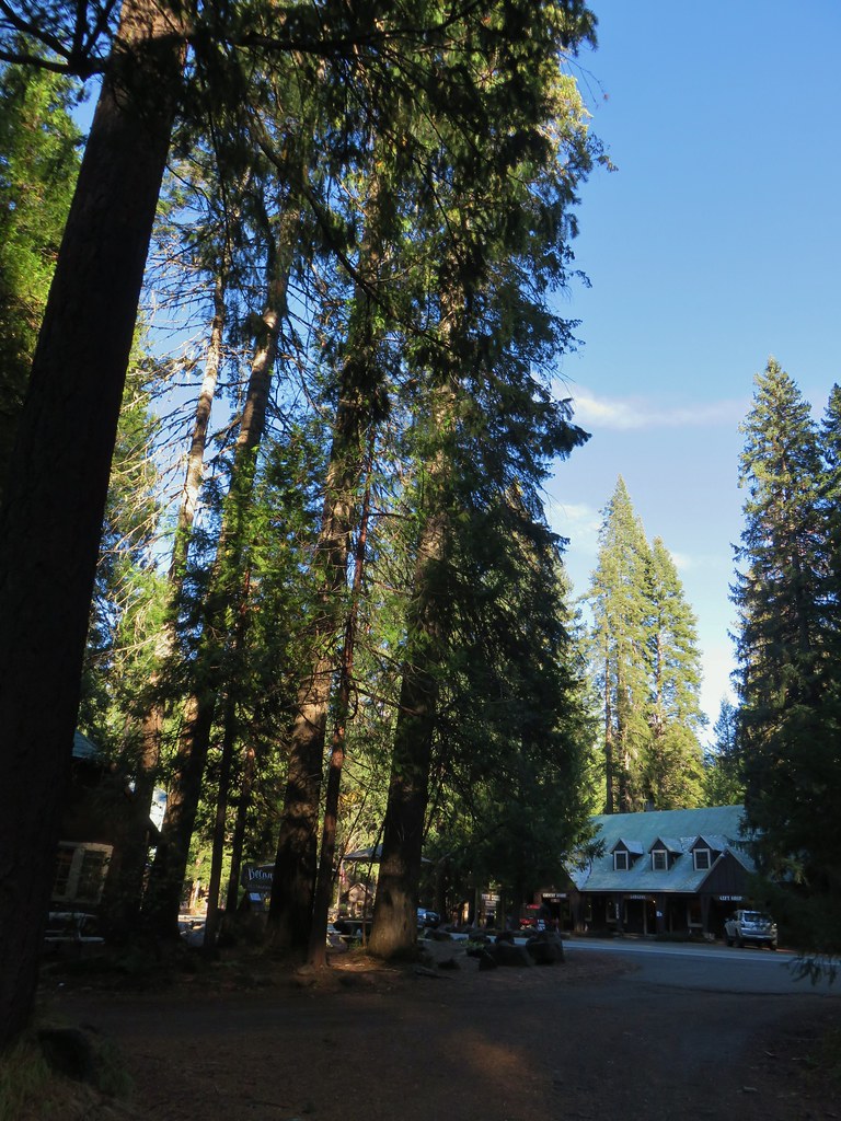
The pie was as good as I had hoped it would be having read about it from Boots on the Trail. After dinner we walked across the highway and into our room at the Union Creek Resort Lodge. It had been another day of nice hikes in this area. We were growing more and more impressed with the Rogue-Umpqua Divide Wilderness (despite the lack of trail maintenance). There was something about that wilderness that just felt peaceful. We went to bed looking forward to another visit to it the following day. Happy Trails!
Flickr: Hershberger Mountain and Natural Bridge
 .
.

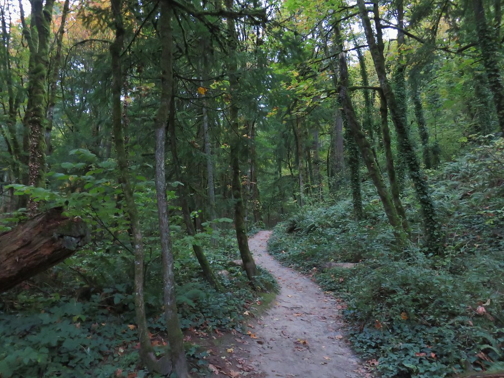
 Switchback along the Wild Cherry Trail.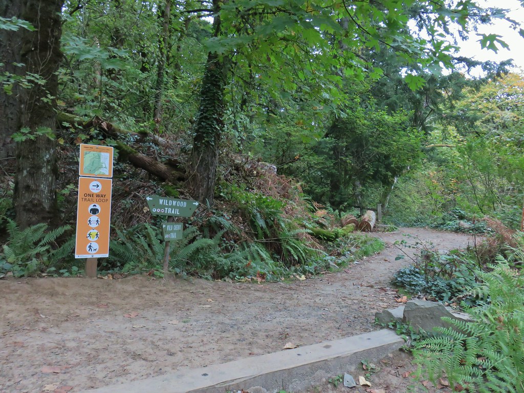


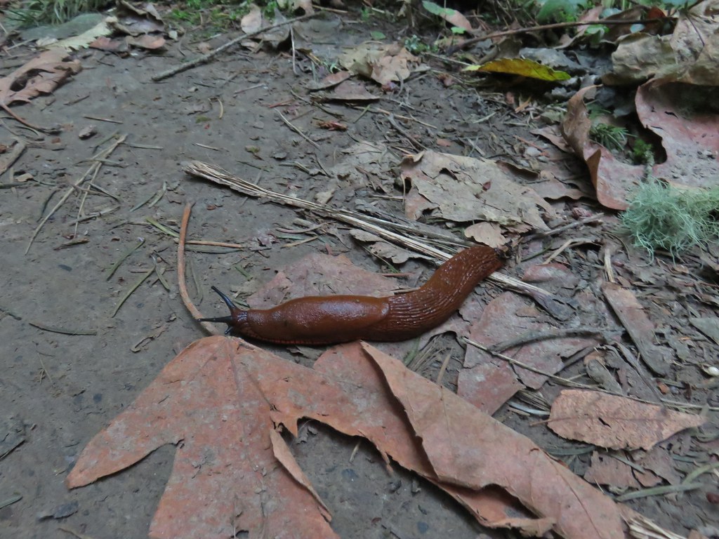 This was the first slug we recall seeing of this color.
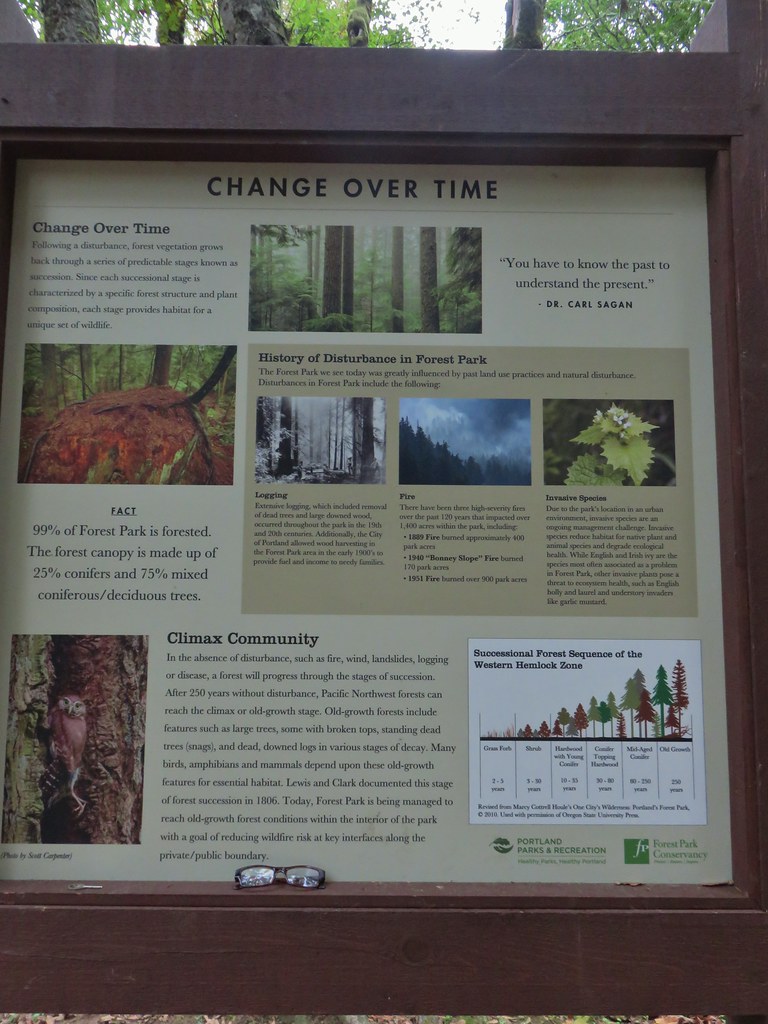 Interpretive sign at the NW 53rd parking area.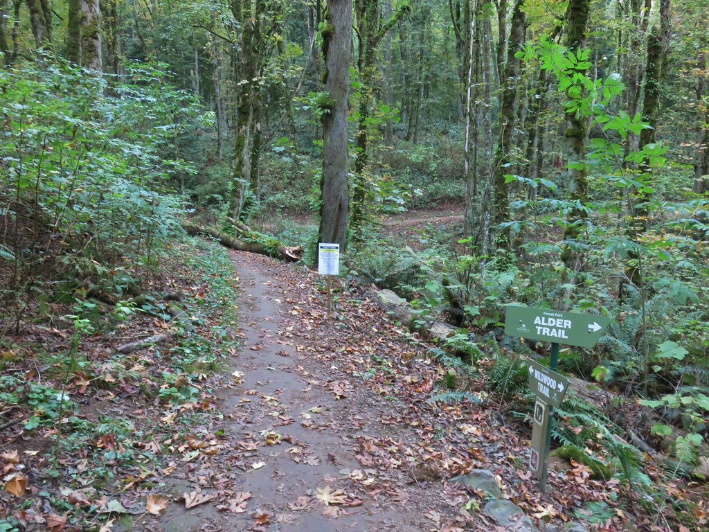


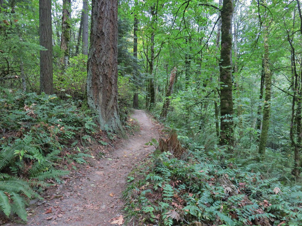
 The bridge damage was not an issue.
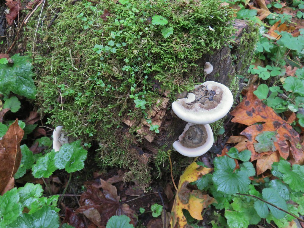
 Another bunch of musrhooms.

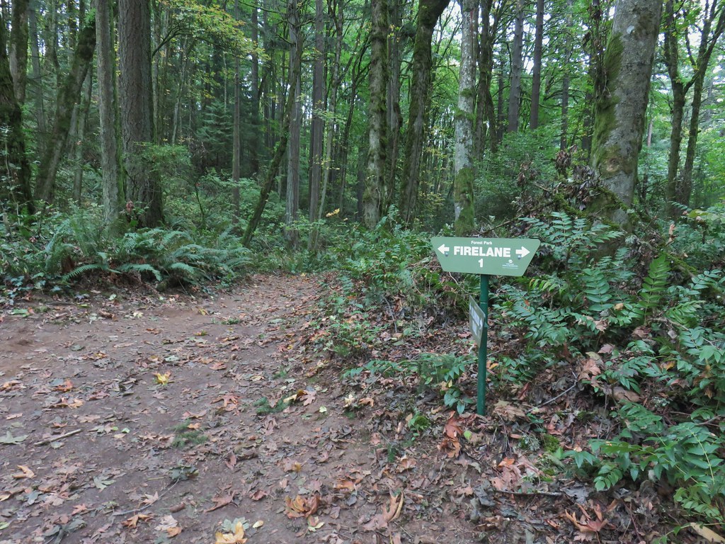 Firelane 1 junction.

 The fork, left was downhill right up.


 Firelane 1
 Somewhere along Leif Erikson there was supposed to be a view of Mt. St. Helens, Mt. Adams and Mt. Hood along the way but the clouds never burned off like the forecast had called for.
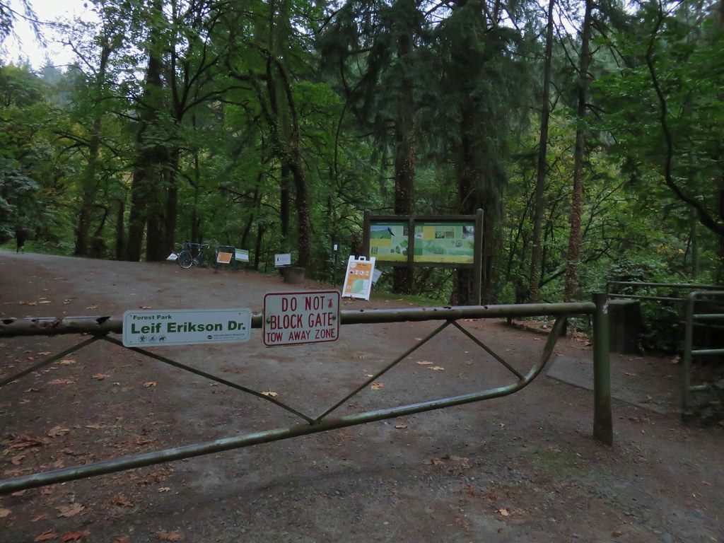
 The Alder Trail at Leif Erikson Dr.
 An orange one-way marker along Leif Erikson Drive between the Dogwood and Wild Cherry Trail junctions.
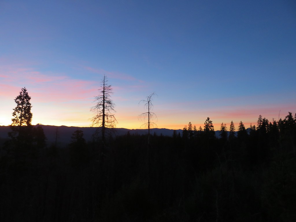 Union Peak and Mt. McLoughlin on our drive to the trailhead.
 The peaks of Crater Lake National Park
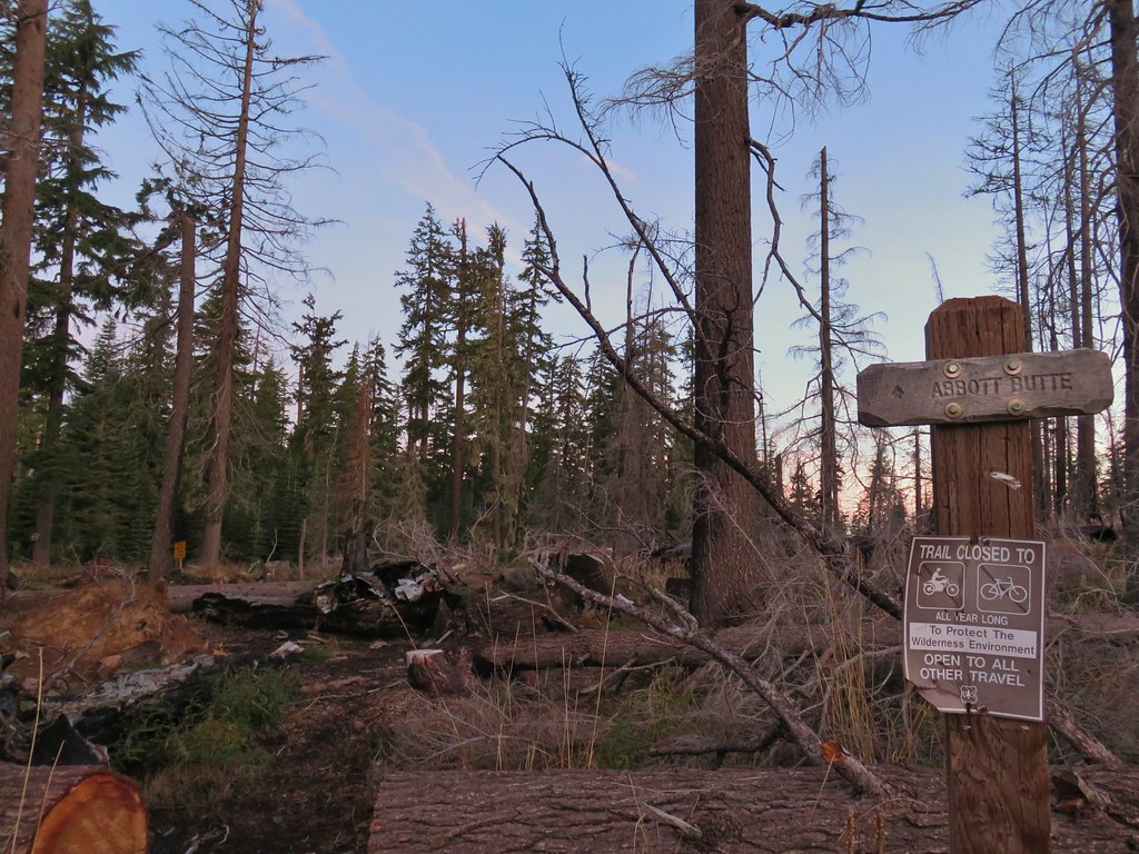 Abbott Butte Trailhead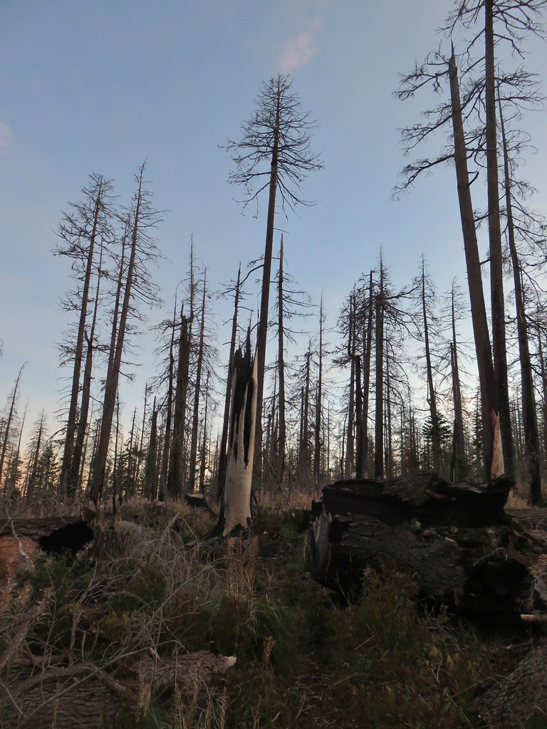
 Huckleberry bushes
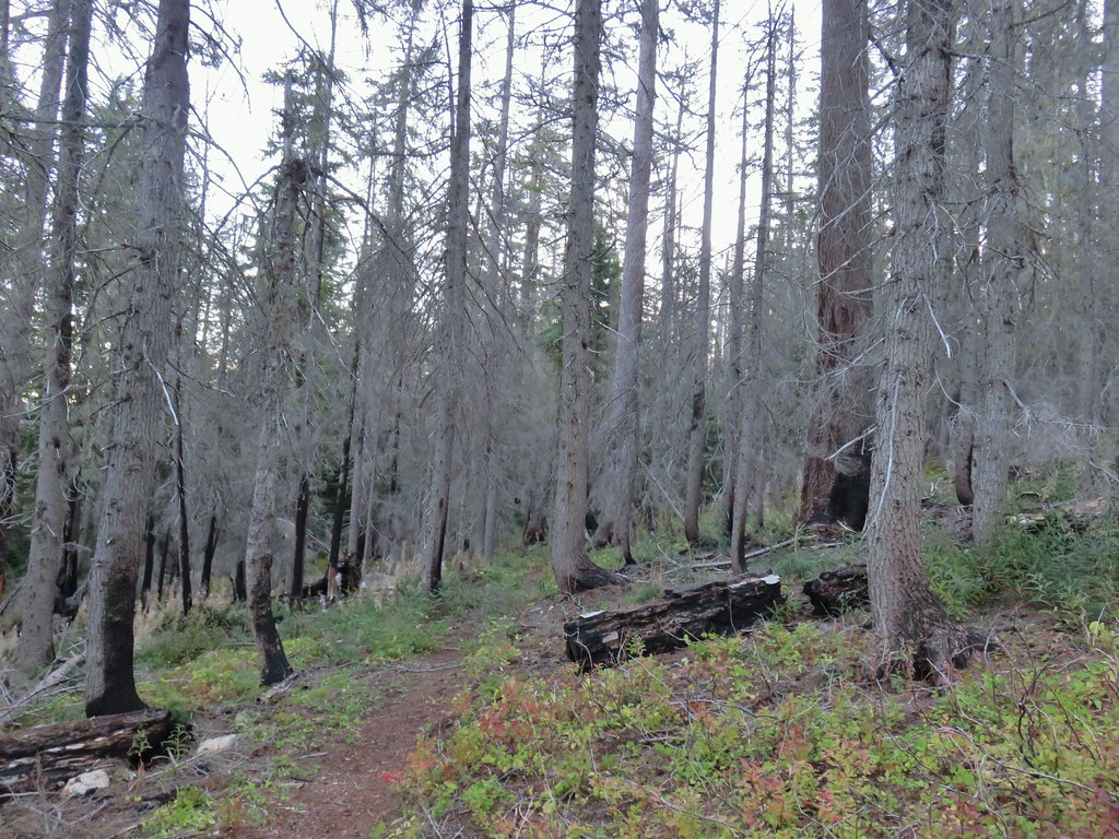
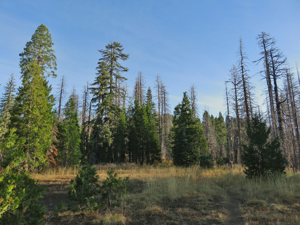
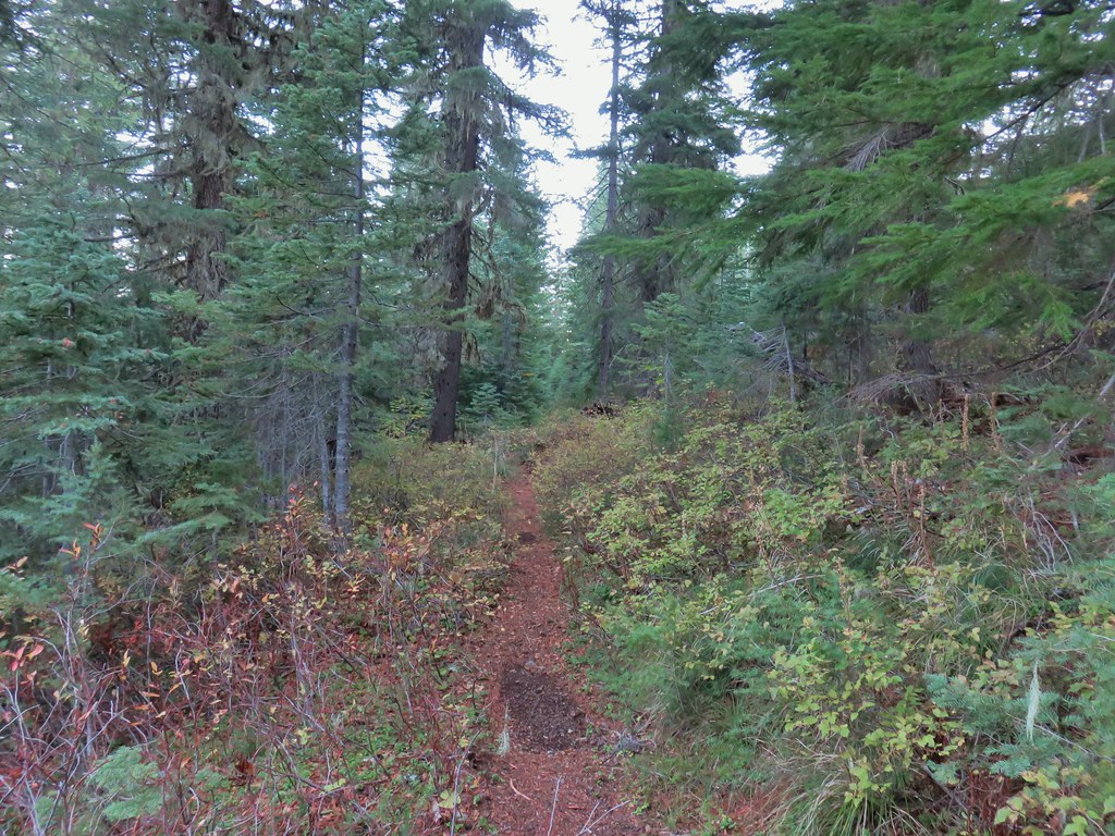 A section of green trees along the trail.
 Quartz Mountain
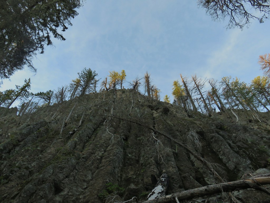 Passing below Quartz Mountain
 Abbott Butte from the trail.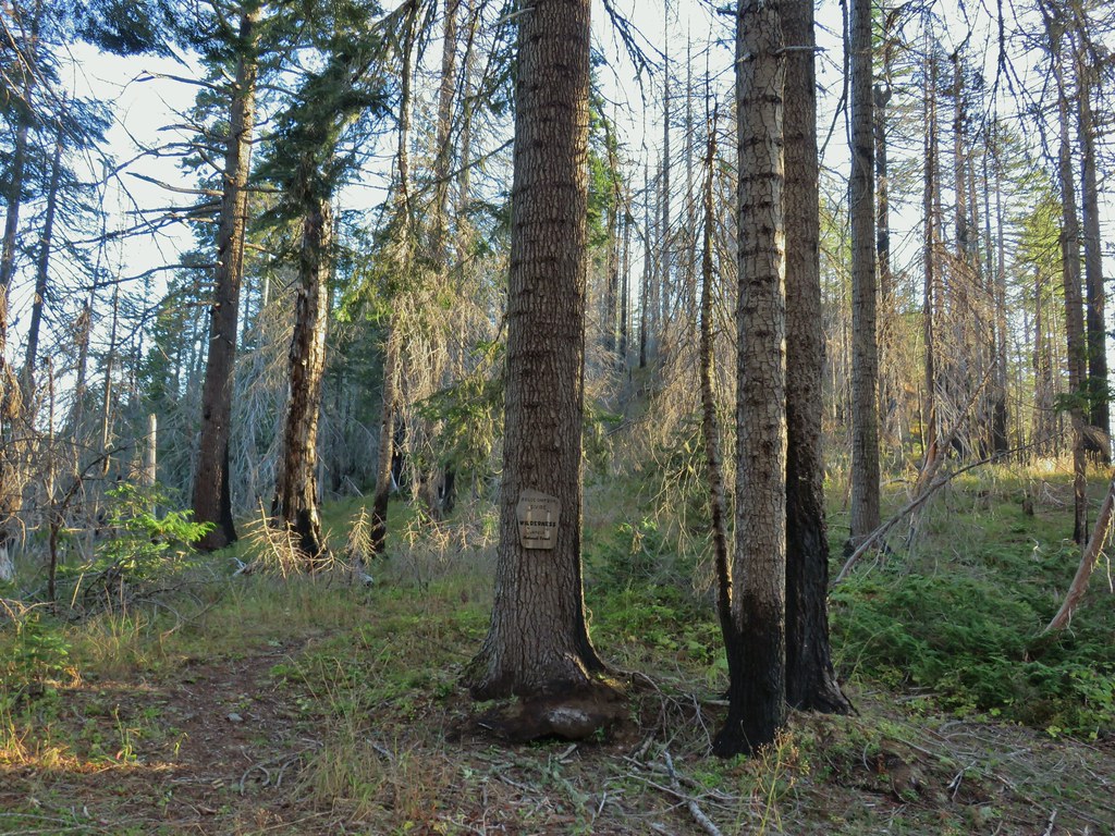
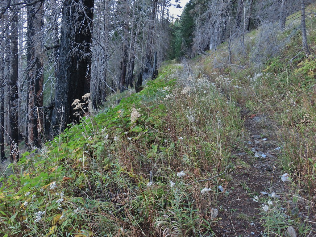
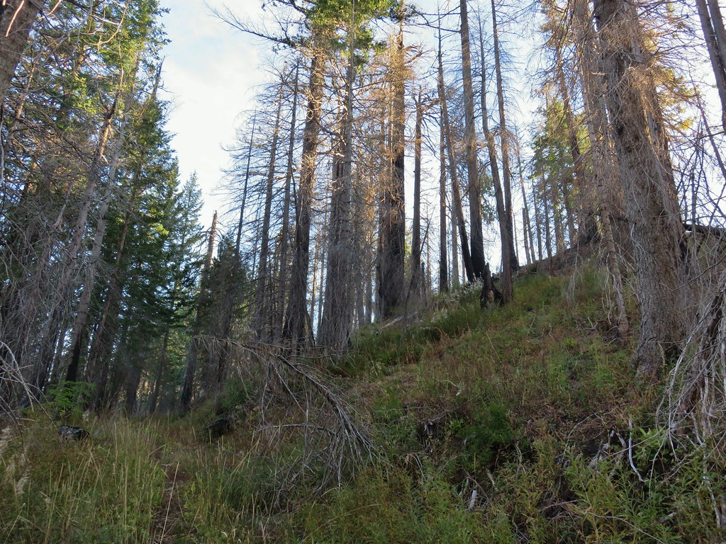 On the roadbed
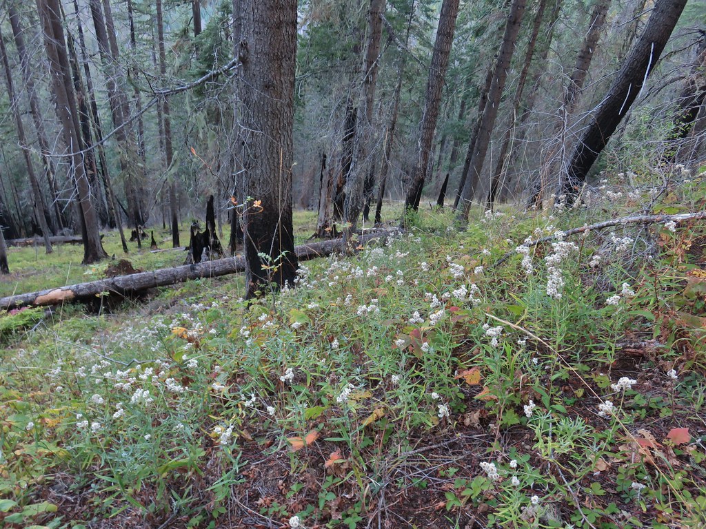 Pearly everlasting
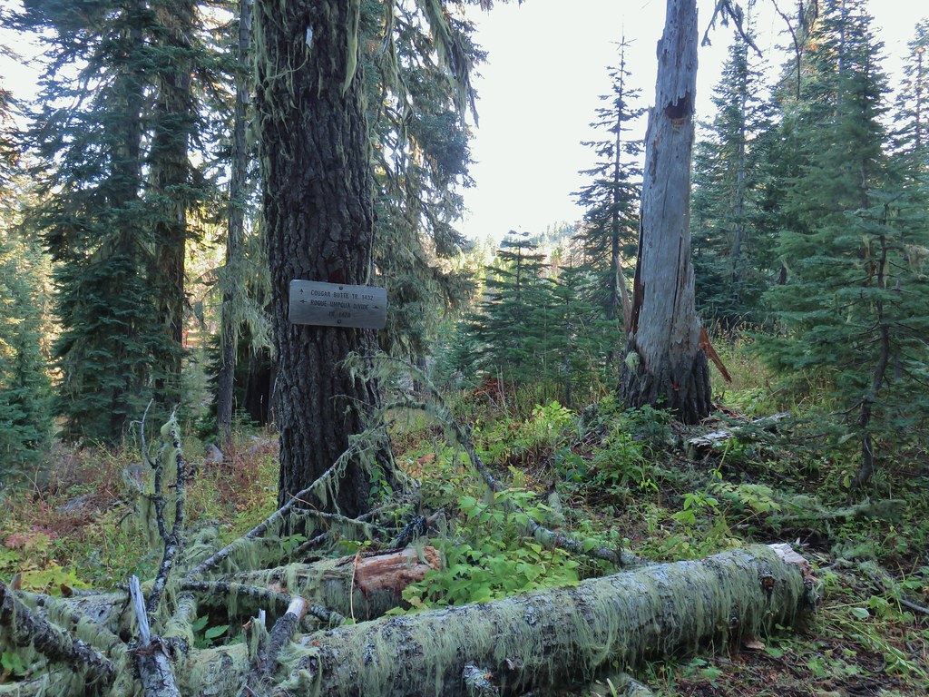
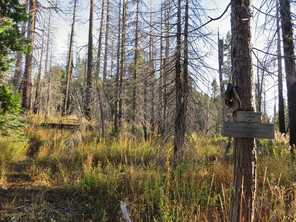
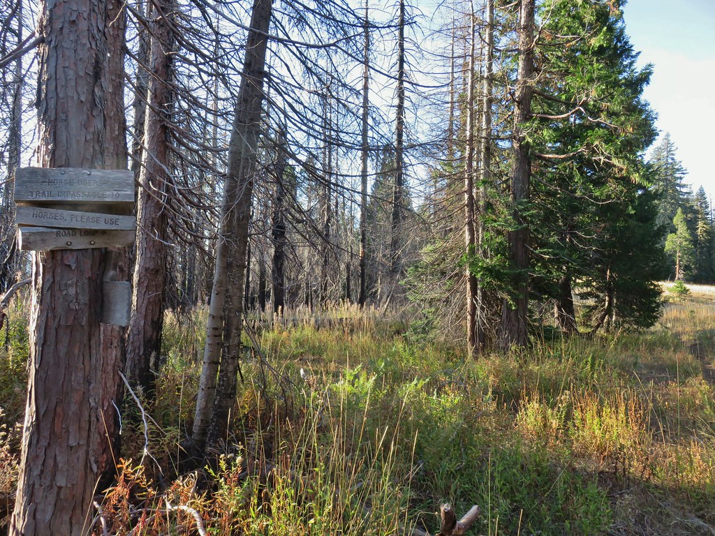 Sign indicating the non-existent trail is not suitable for horses.

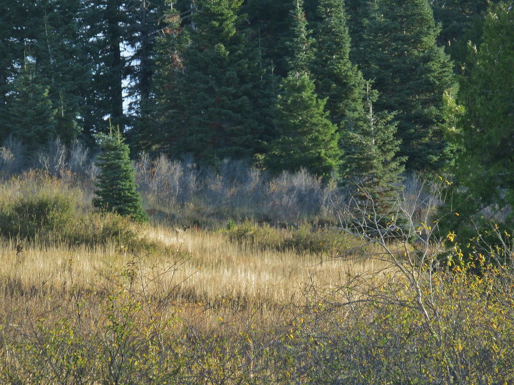
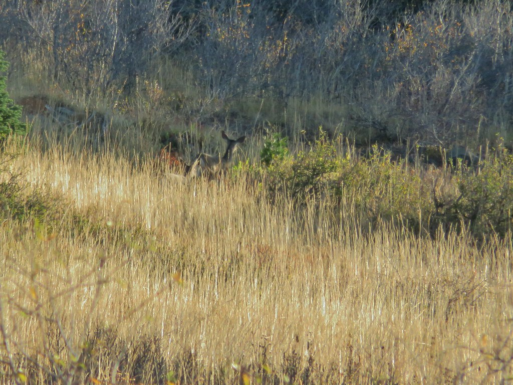
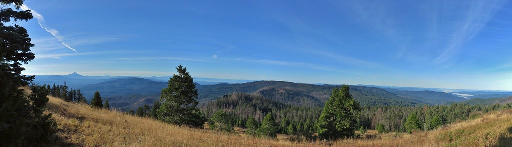 Mt. McLoughlin and Mt. Shasta and a whole lot of other peaks that I should know.
 Mt. Thielsen
 Nearing the summit.
 The old lookout on Abbott Butte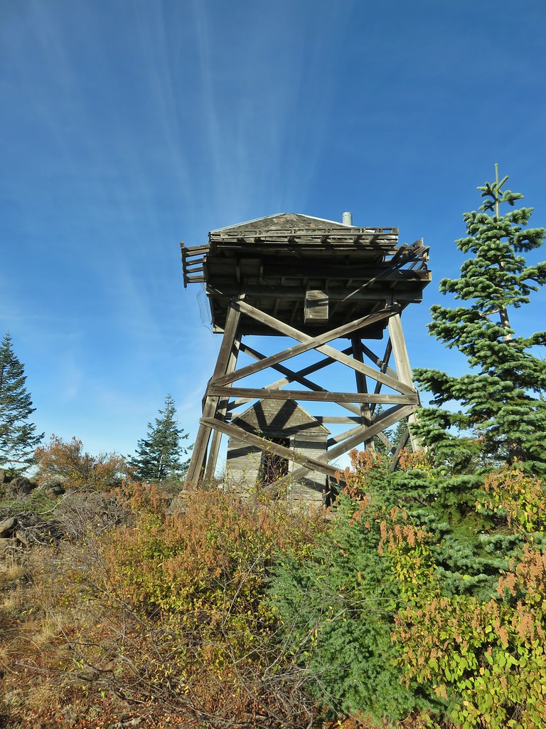
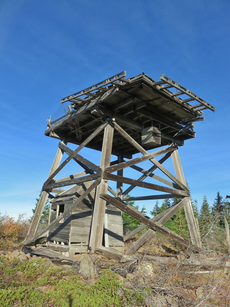
 The old outhouse?
 Mt. Thielsen and the peaks of Crater Lake.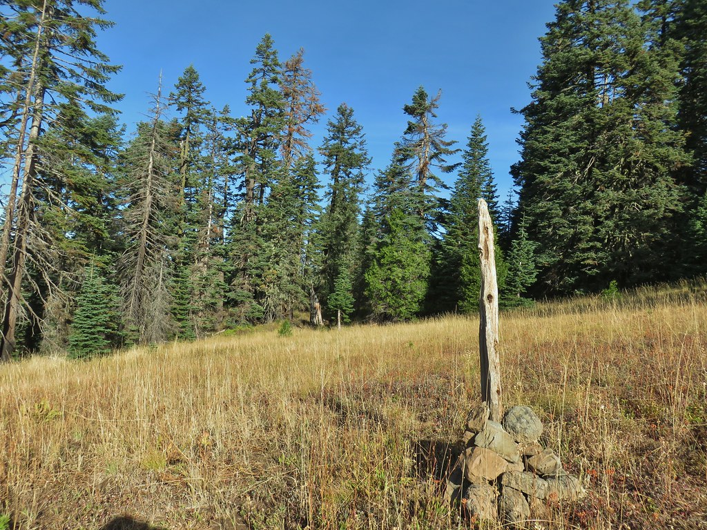
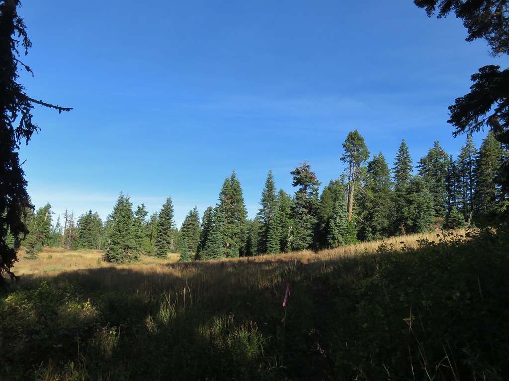 Flagging marking the route.
 A cairn along the tread ahead.
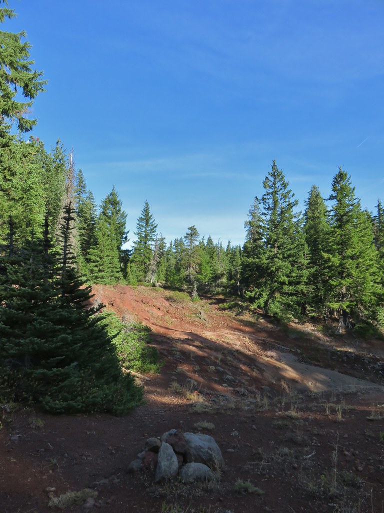
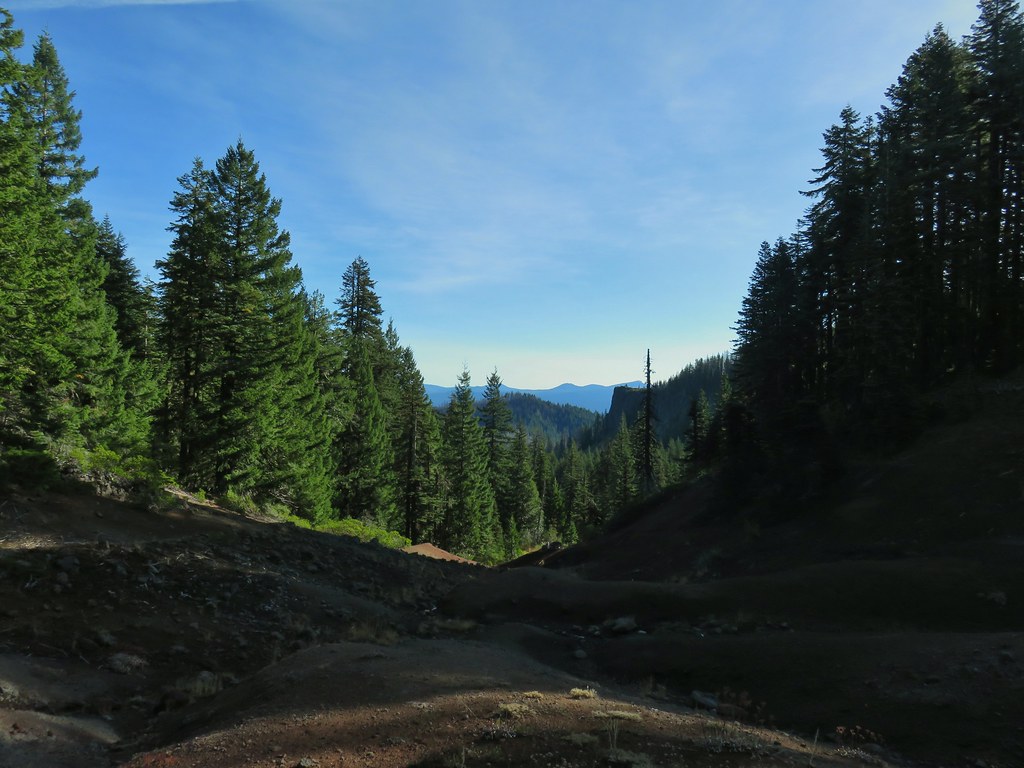
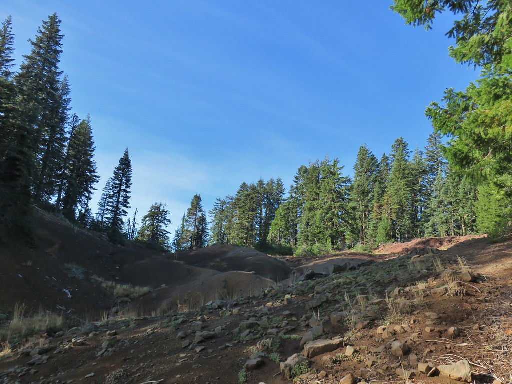
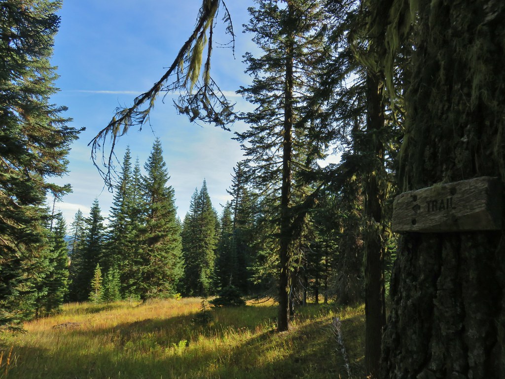
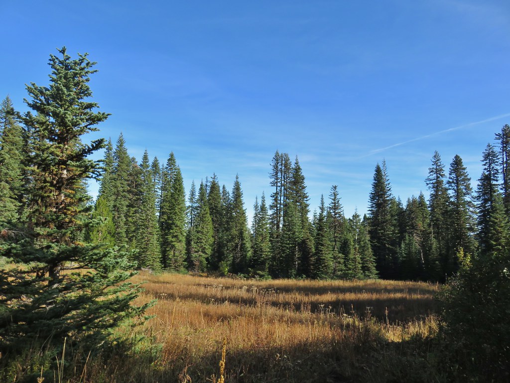
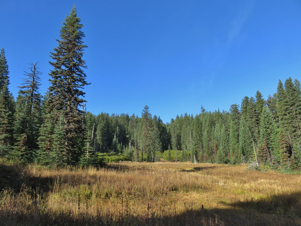 This meadow is where we heard the voice.
 Another late flower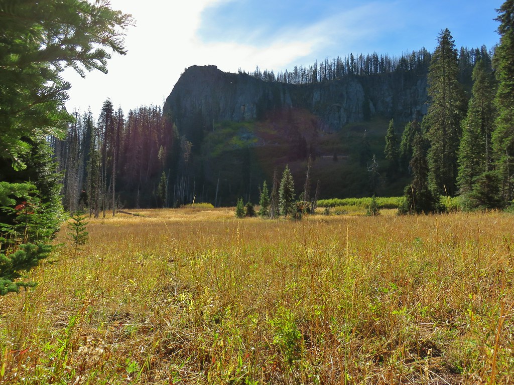
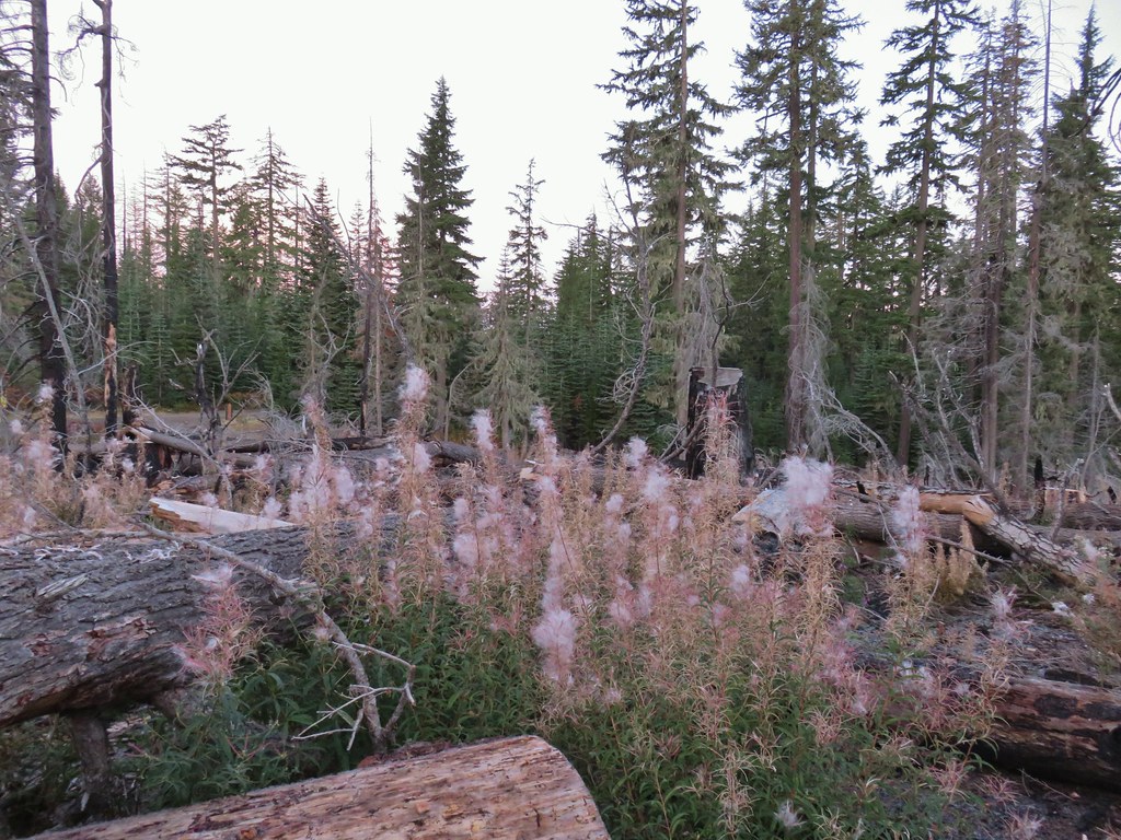
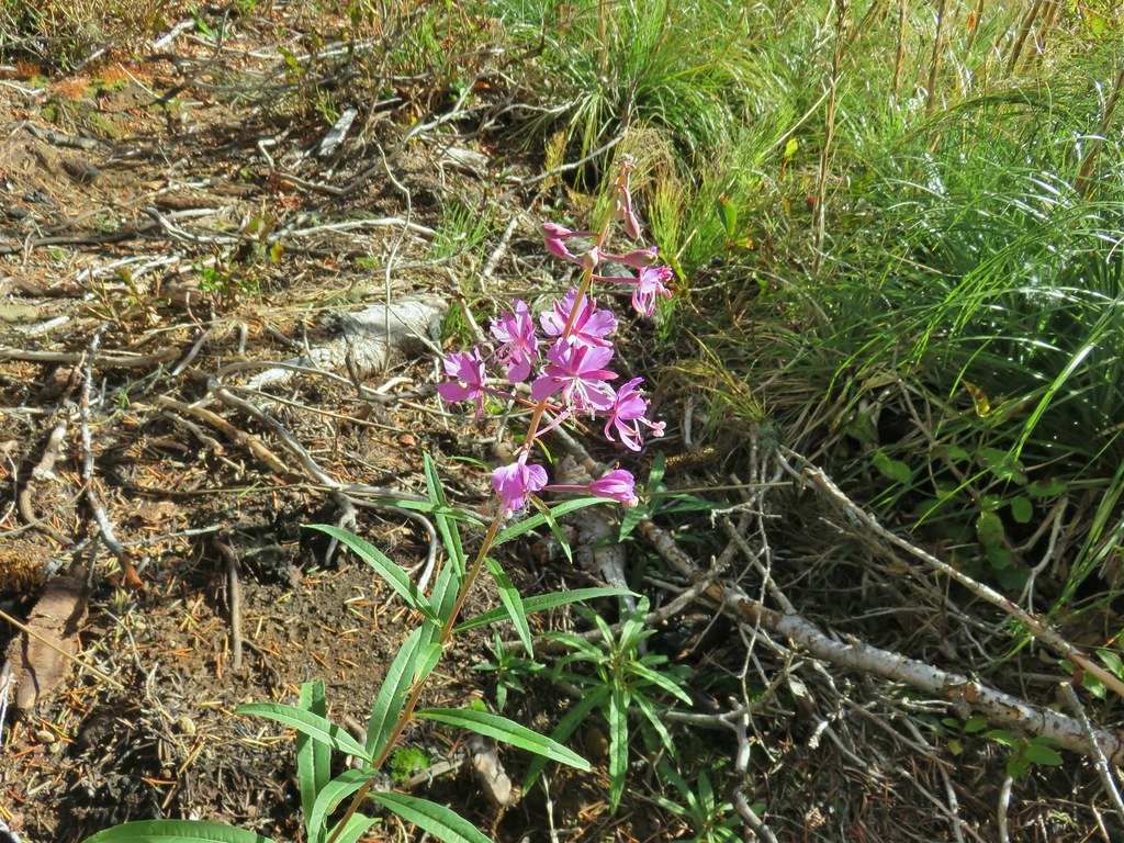 Fireweed that hadn’t gone to seed.
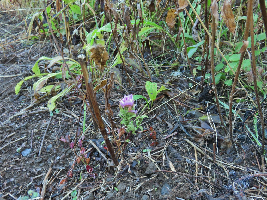 An owl’s clover
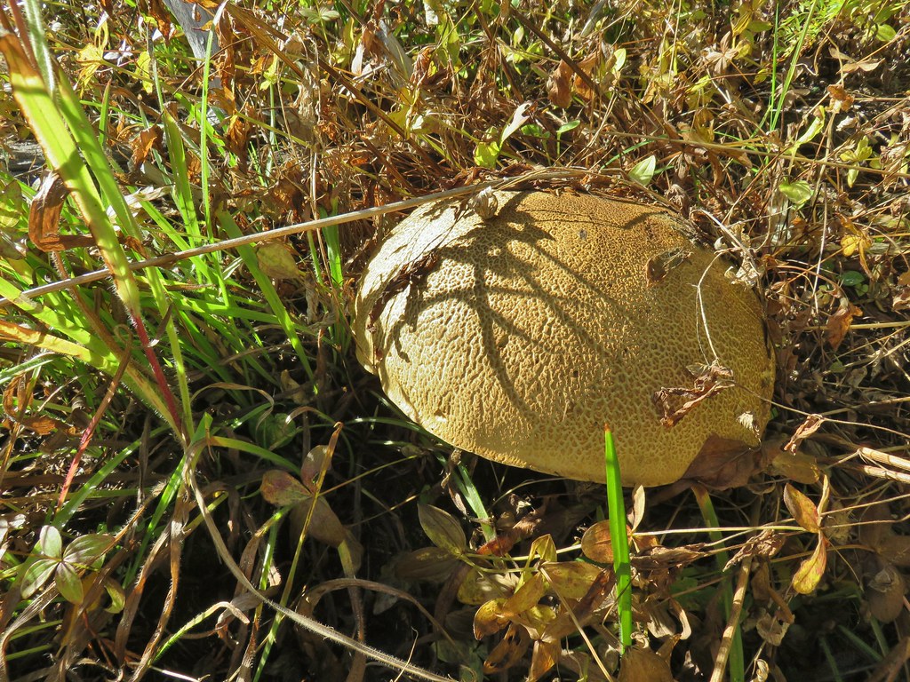 It’s hard to tell from the photo but this mushroom was big.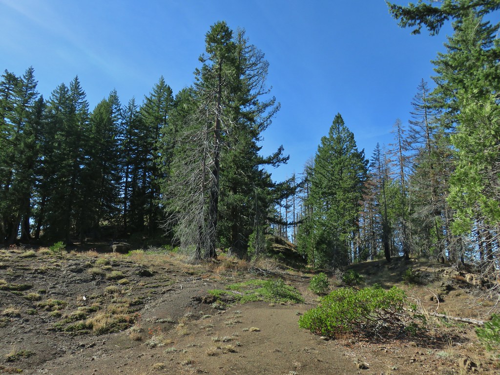

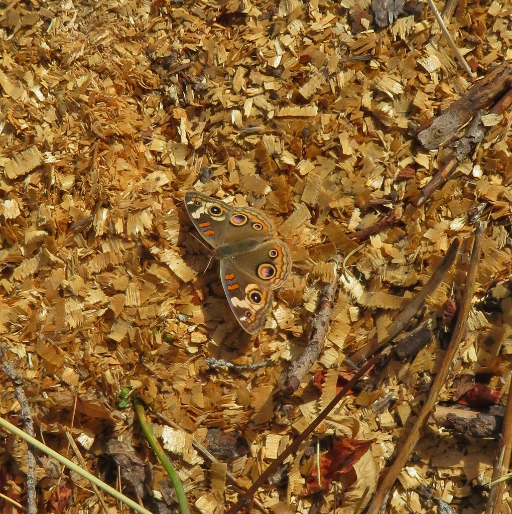




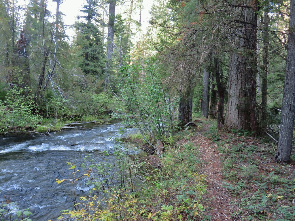
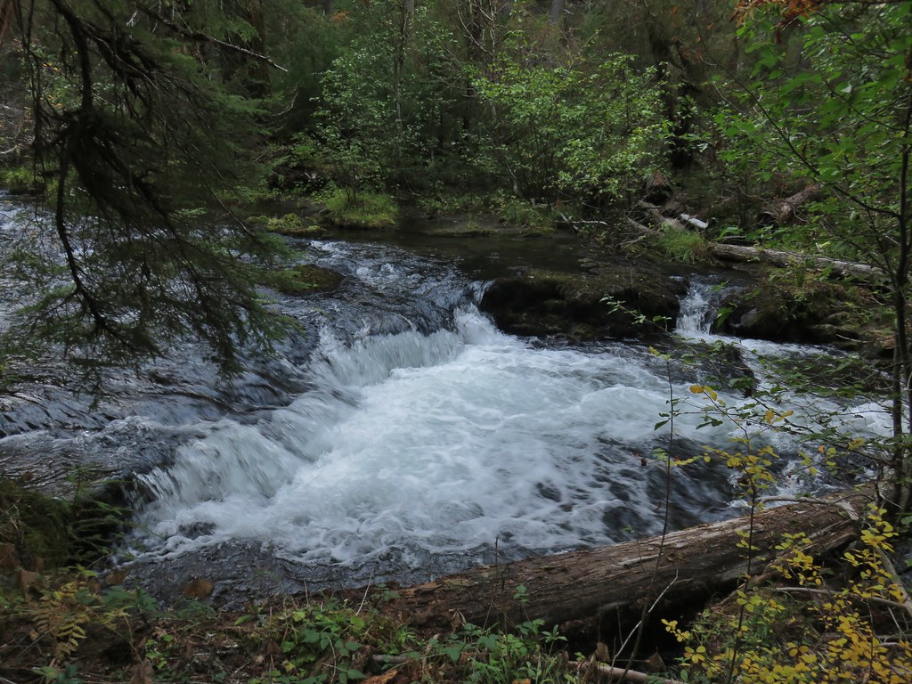
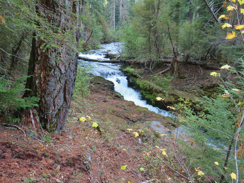
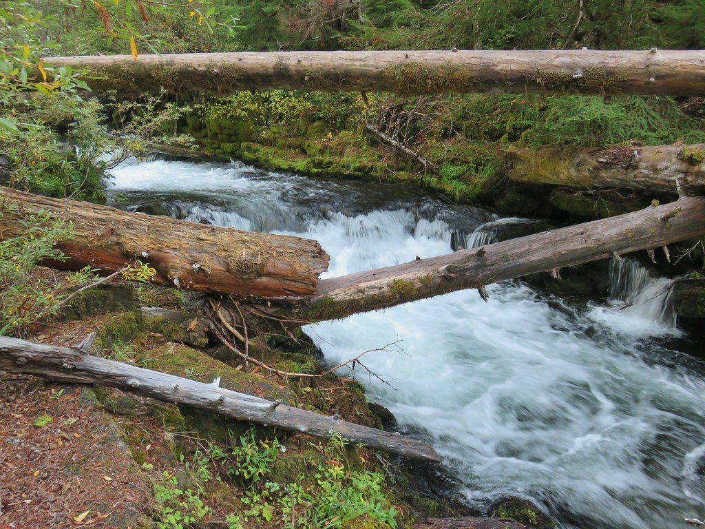



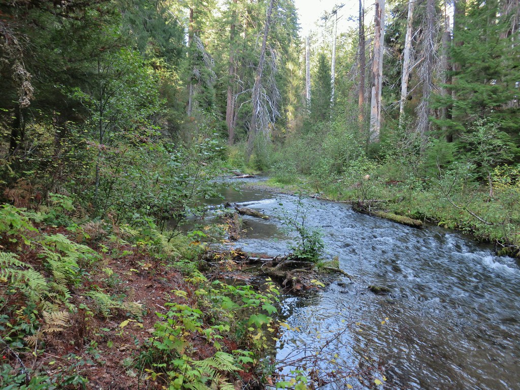 The broken zoom function didn’t let me get a good shot but the ouzel is on a rock in the middle of the creek.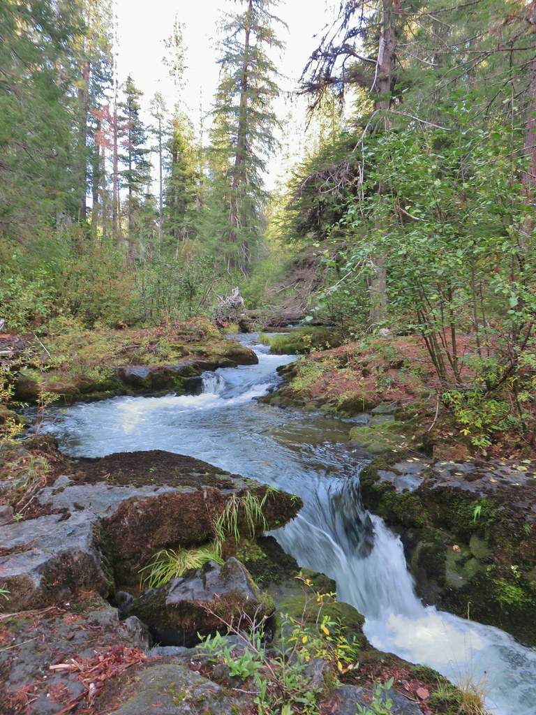

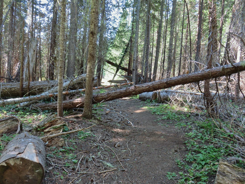
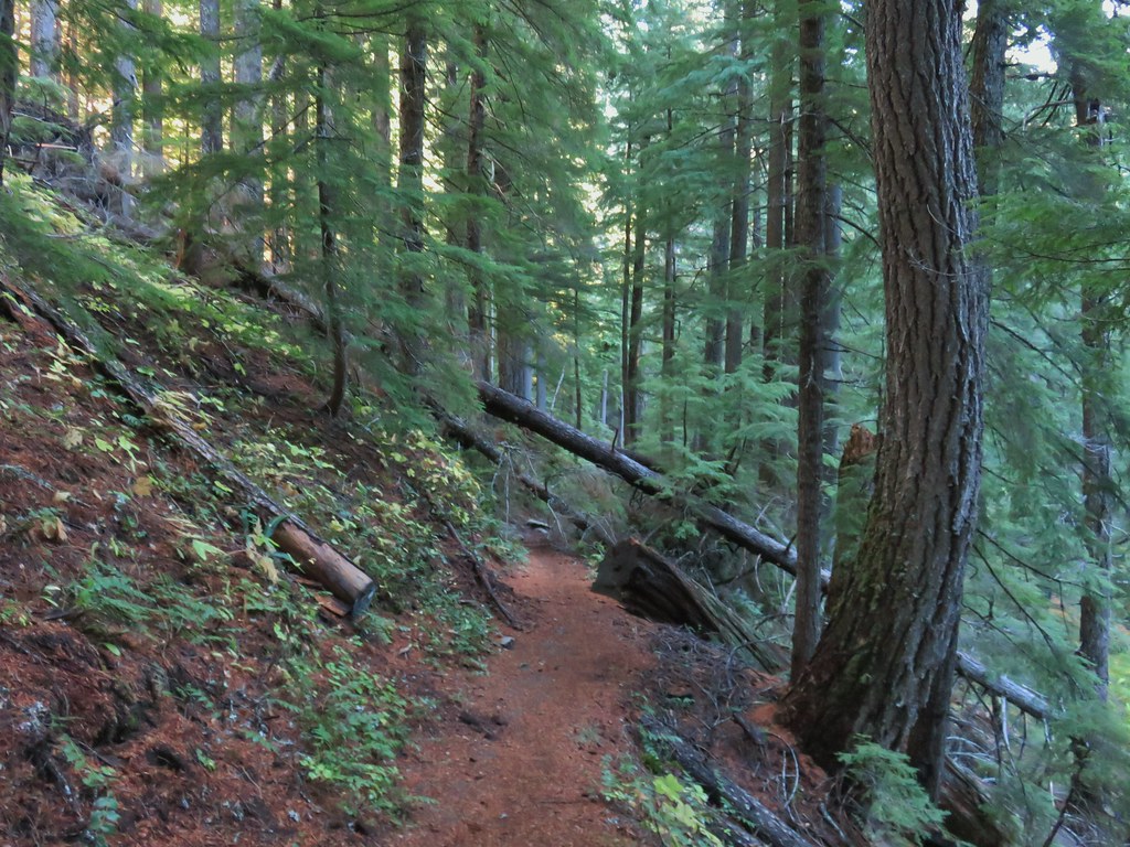 There was just a little bit of blowdown to navigate on the way down.
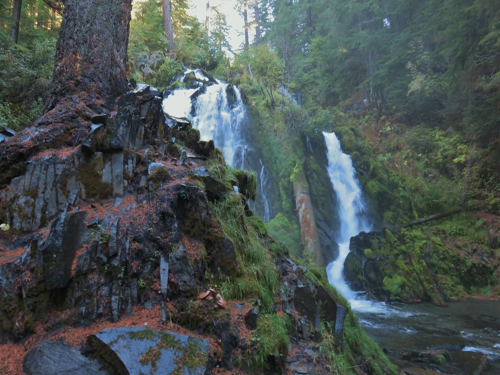 National Creek Falls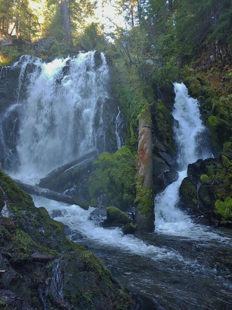
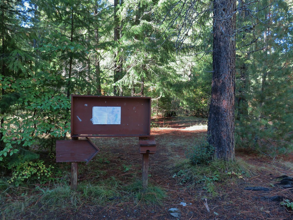 Signboard at the pullout.
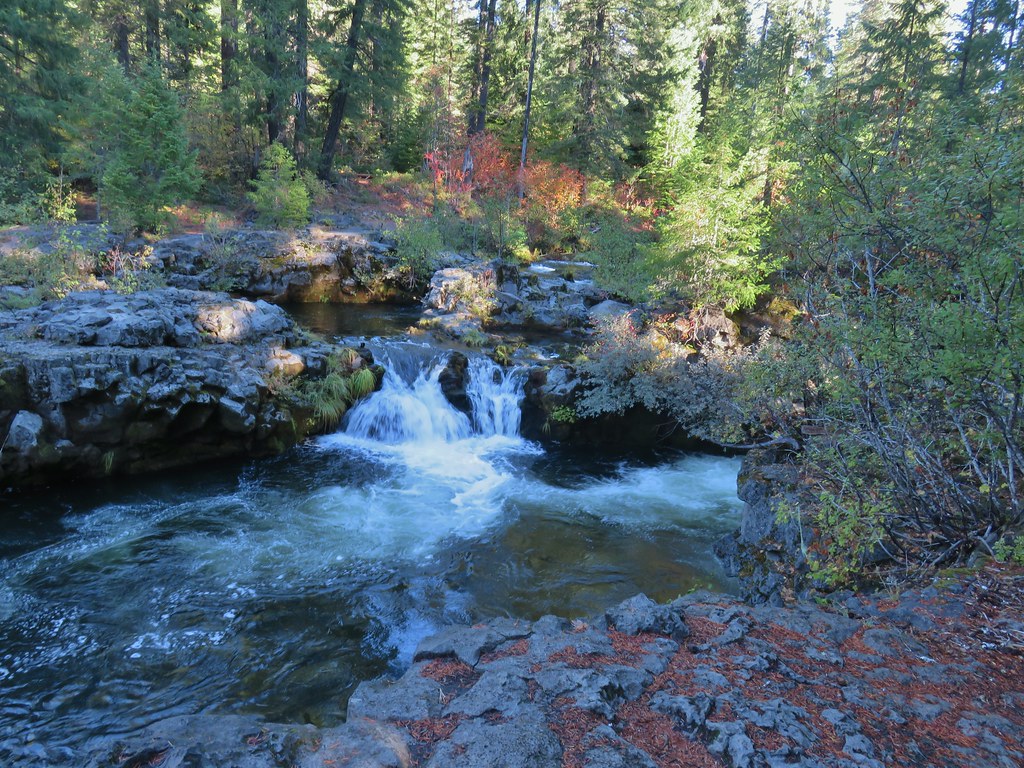


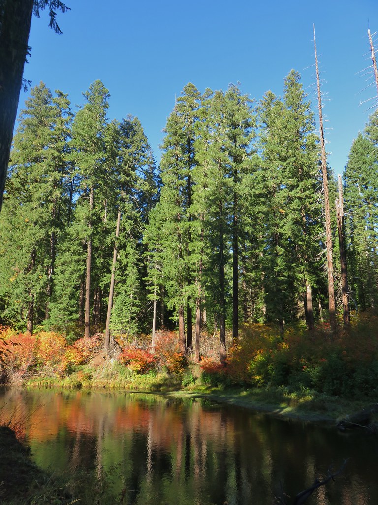



 Rogue River emerging from a channel.
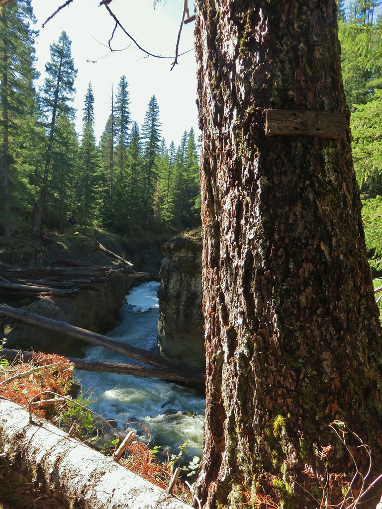

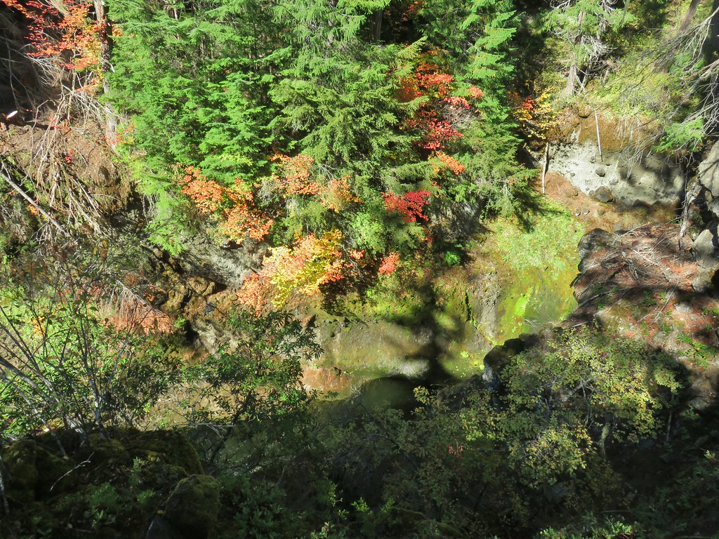
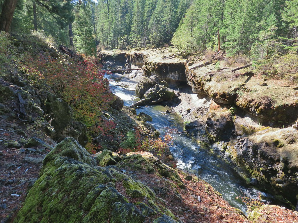
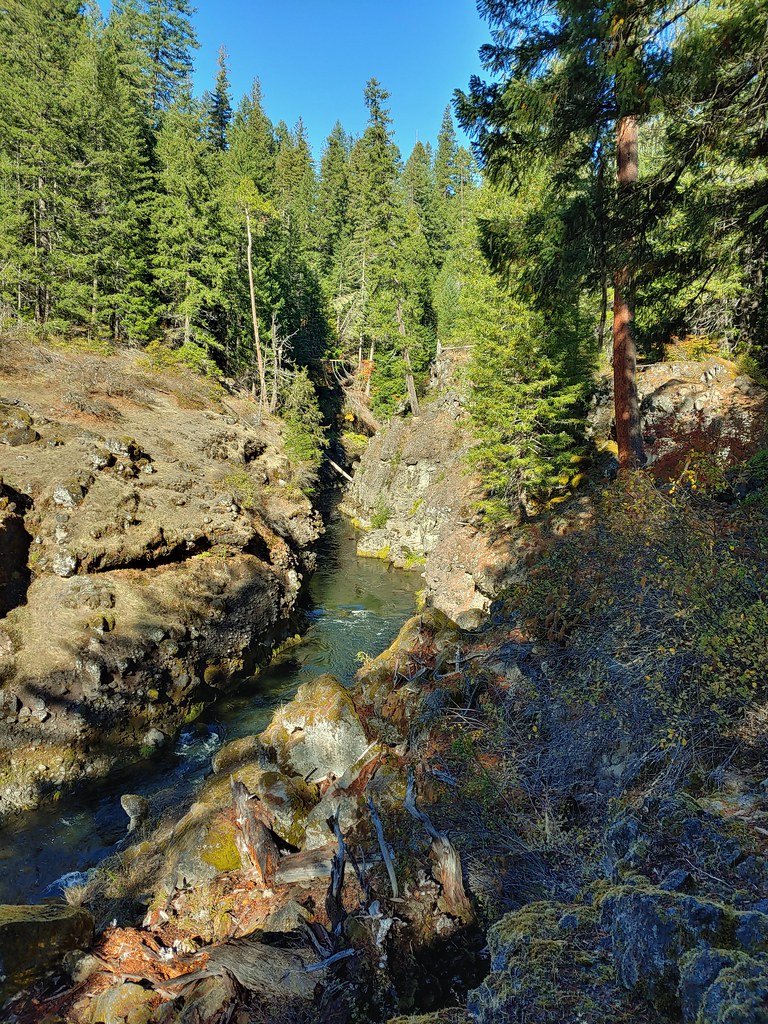

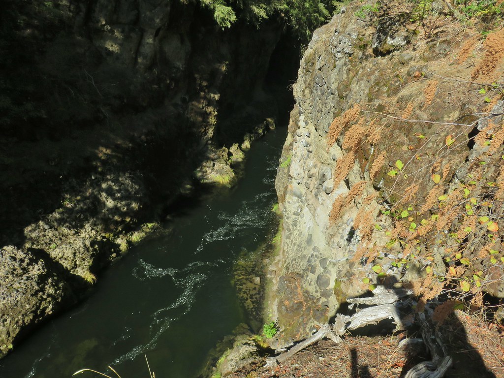
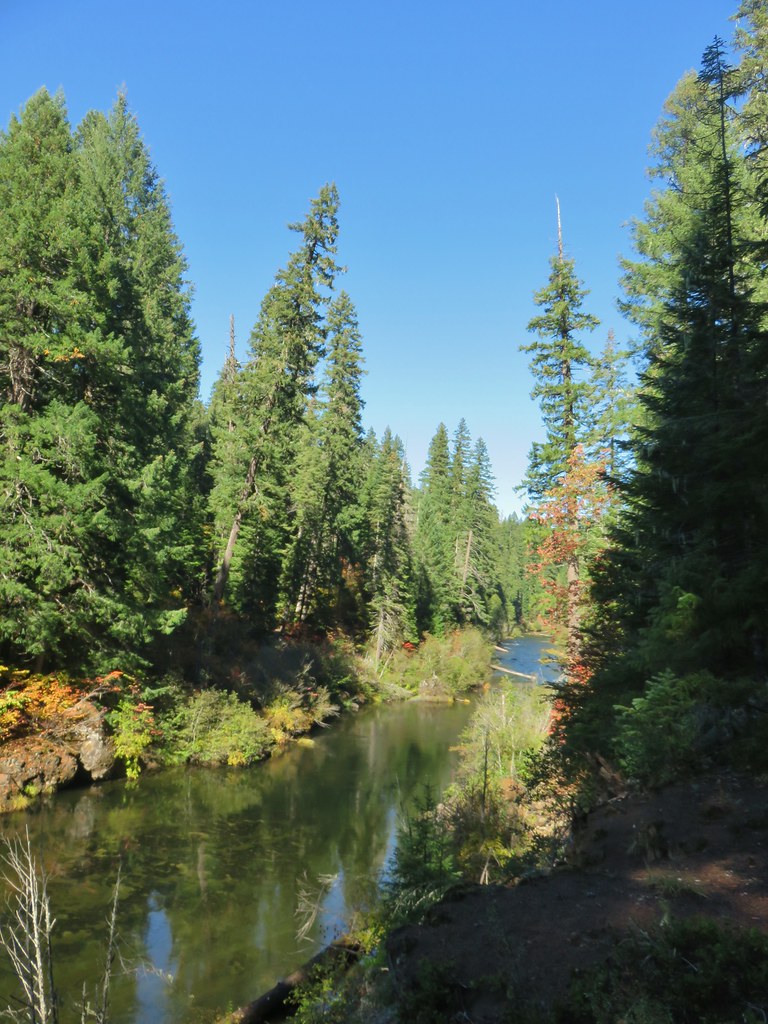
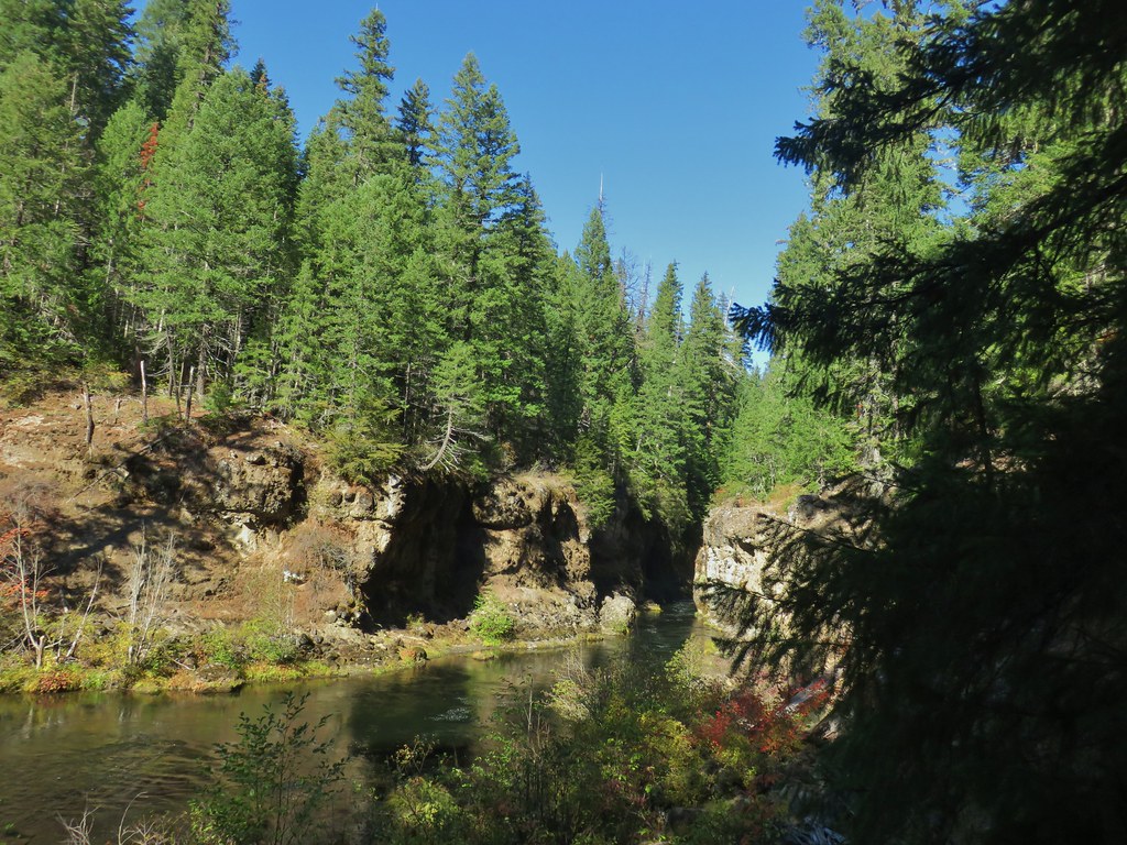 Rogue River emerging from Takelma Gorge.

 Ouzel
Ouzel
 River Bridge






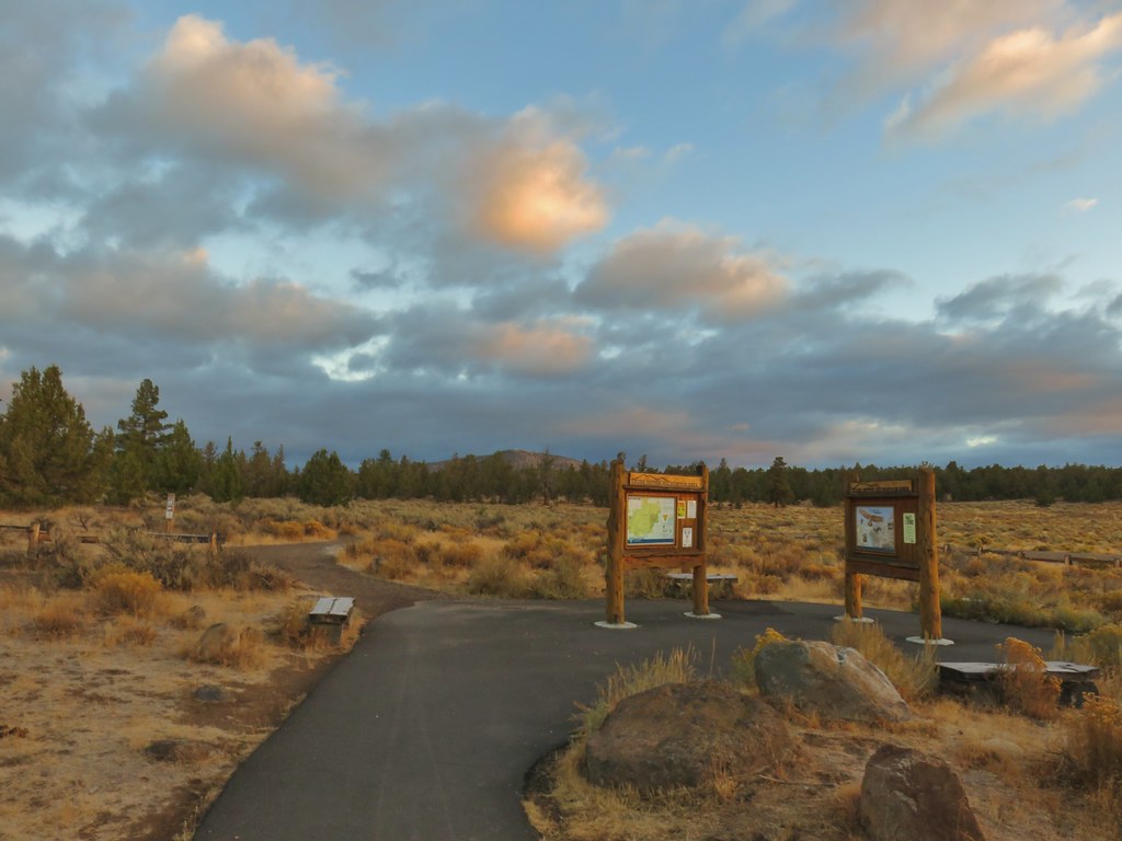 Cline Buttes from the Maston Trailhead.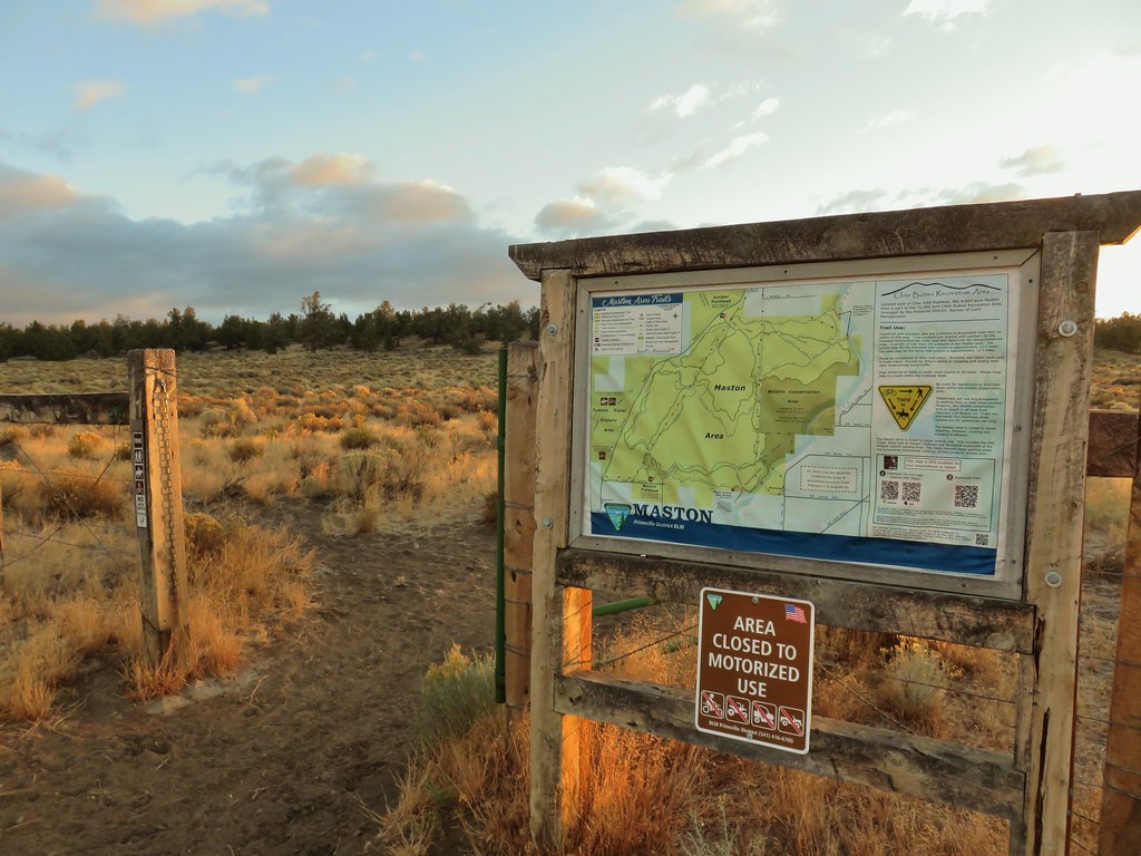

 Interpretive sign at the Maston Trailhead telling the story of the settlers.
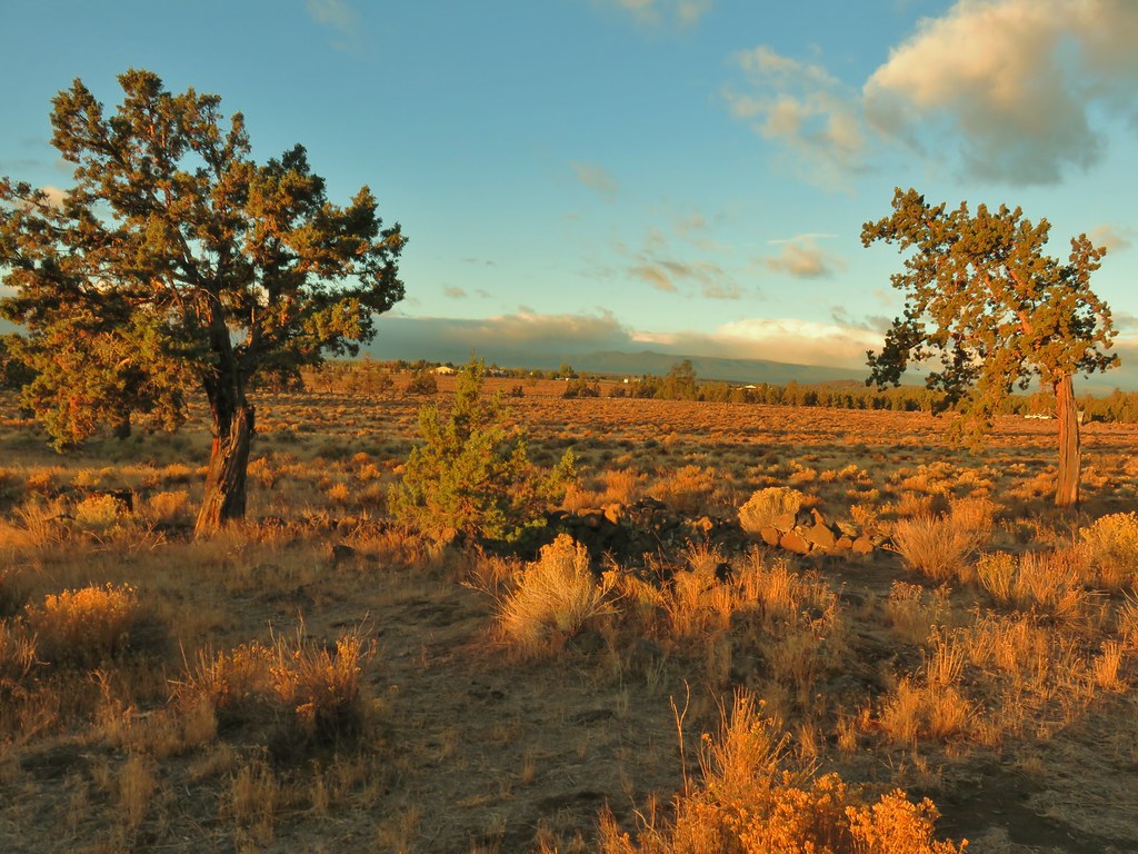 Stone foundation of one of the abandoned buildings along the Settlement Trail.
 Typical sign at a junction. Not all of the junctions had signs and not all of the signs identified which trail/junction it was so having a copy of the trail system map is a really good idea.
 This one may be a sparrow of some sort, it was signing quite a bit.
 Possibly another sparrow or a finch or something else.
 Maybe a bluebird?
 Wildcat Canyon Trailhead off to the right.
 I managed to snap one photo and of course the camera focused on said juniper instead of the rabbit beyond.
 Wildcat Canyon on the right joining the Deschutes River Canyon
 The Deschutes River near where the canyons meet.
 Grizzly Mountain in the distance beyond the Deschutes River.
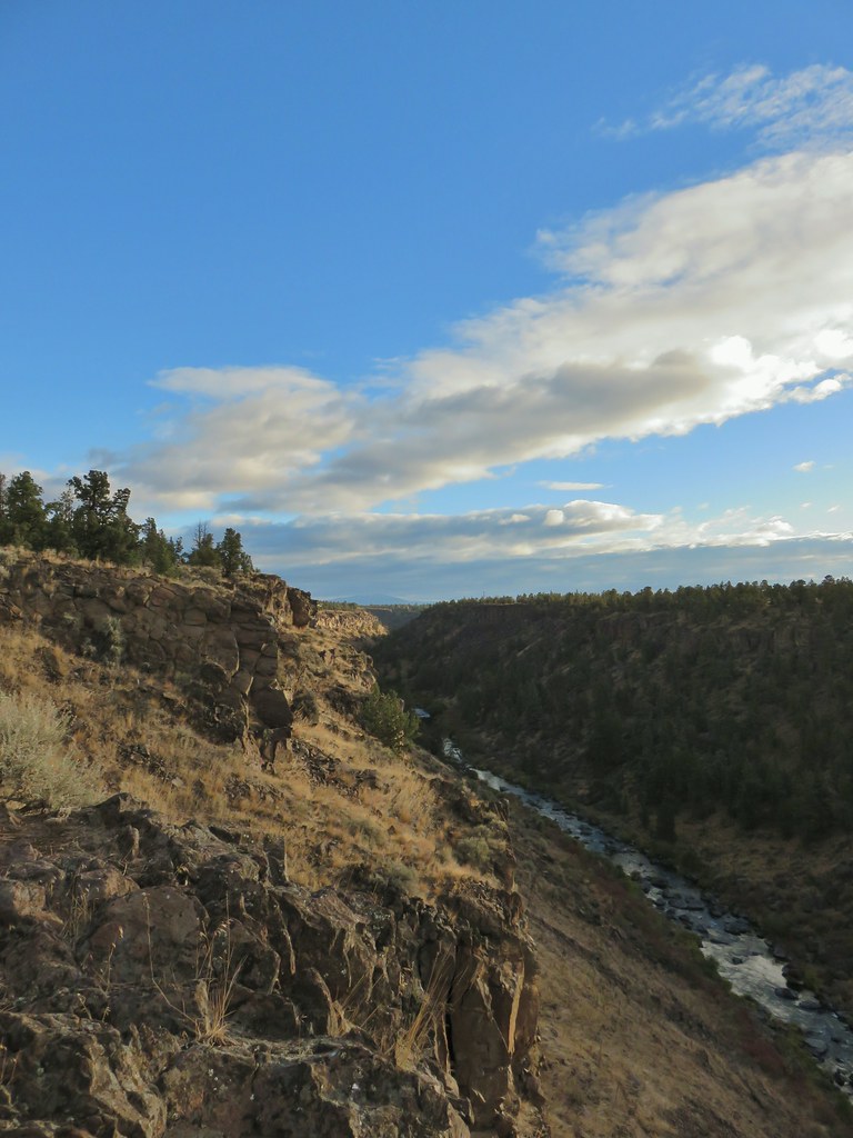 Another of several viewpoints along the rim.
 Some Fall color along the Deschutes River.
 Rock dove
 A viewpoint along the Rockbar Trail.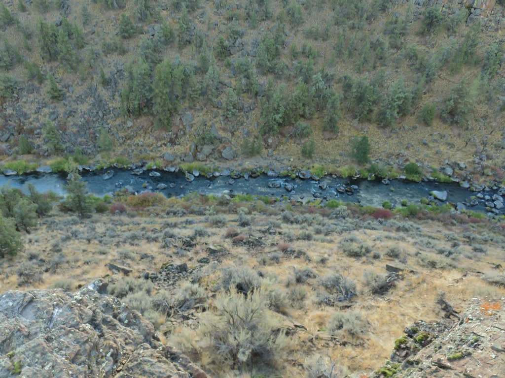
 Looking south up the river canyon.
 A calm pool along the Deschutes.
 I could see this one, a Stellar’s jay.
 Coming up to the road.


 This was Junction 2 (one of the junctions with an identifying sign). We stayed right on the Headgate Trail here.
 Tam McArthur Rim is left center with South Sister in the center and North Sister to the right center.
 Heather and Dominique on the Maston Trail.
 Coming up on the Settlement Trail.
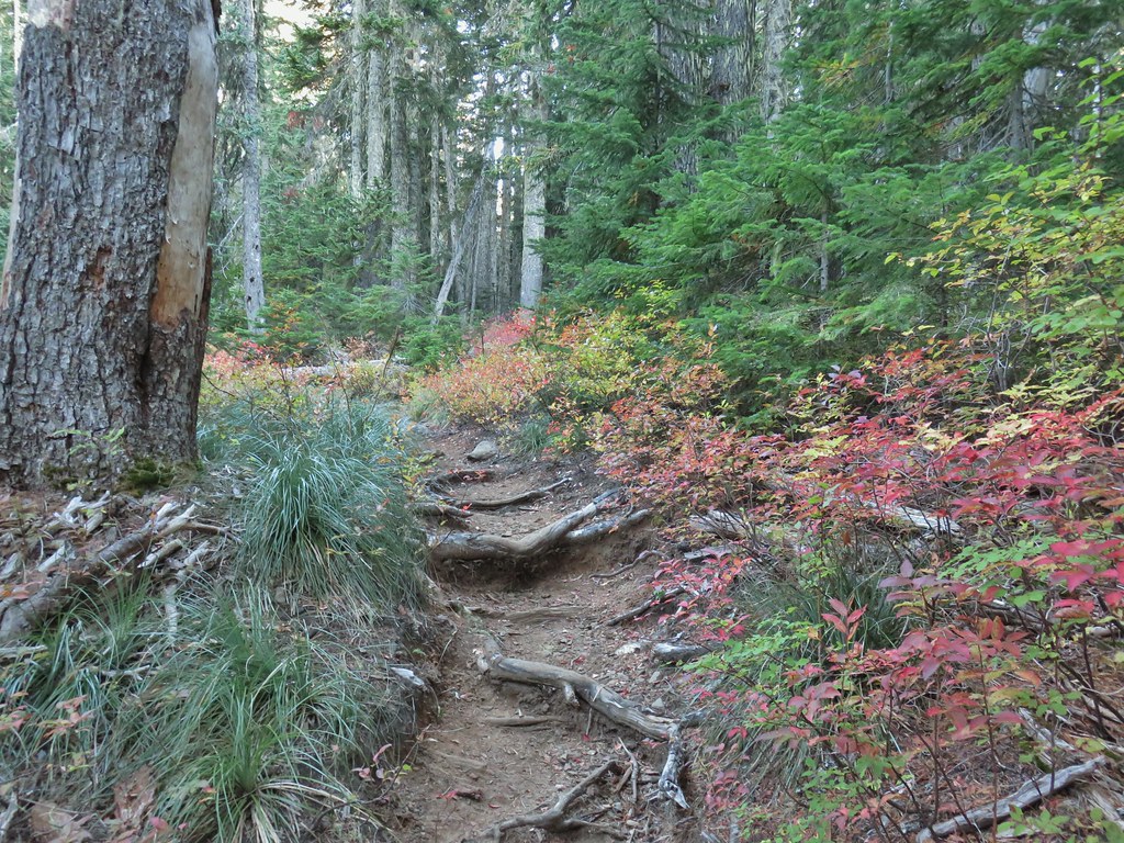


 Still some fireweed blooming in the fire scar.
 East Crater beyond a pond.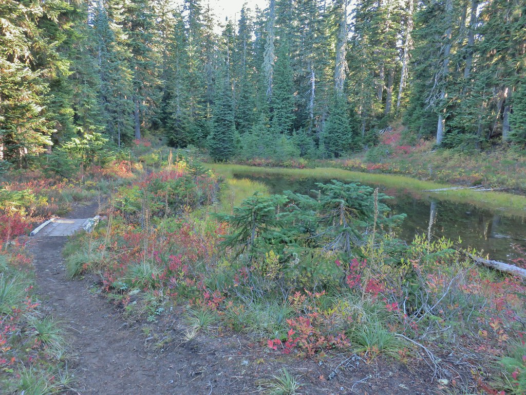
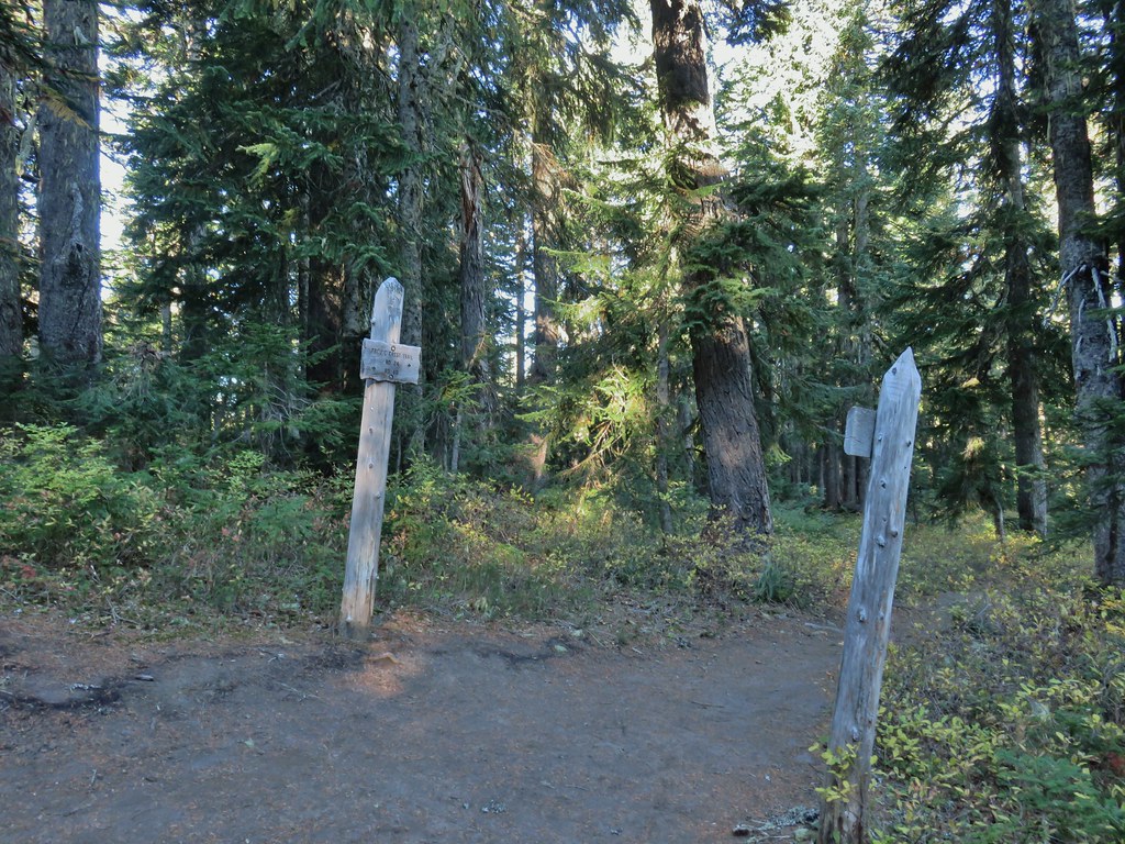
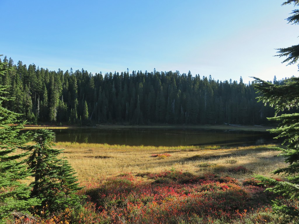 Junction Lake
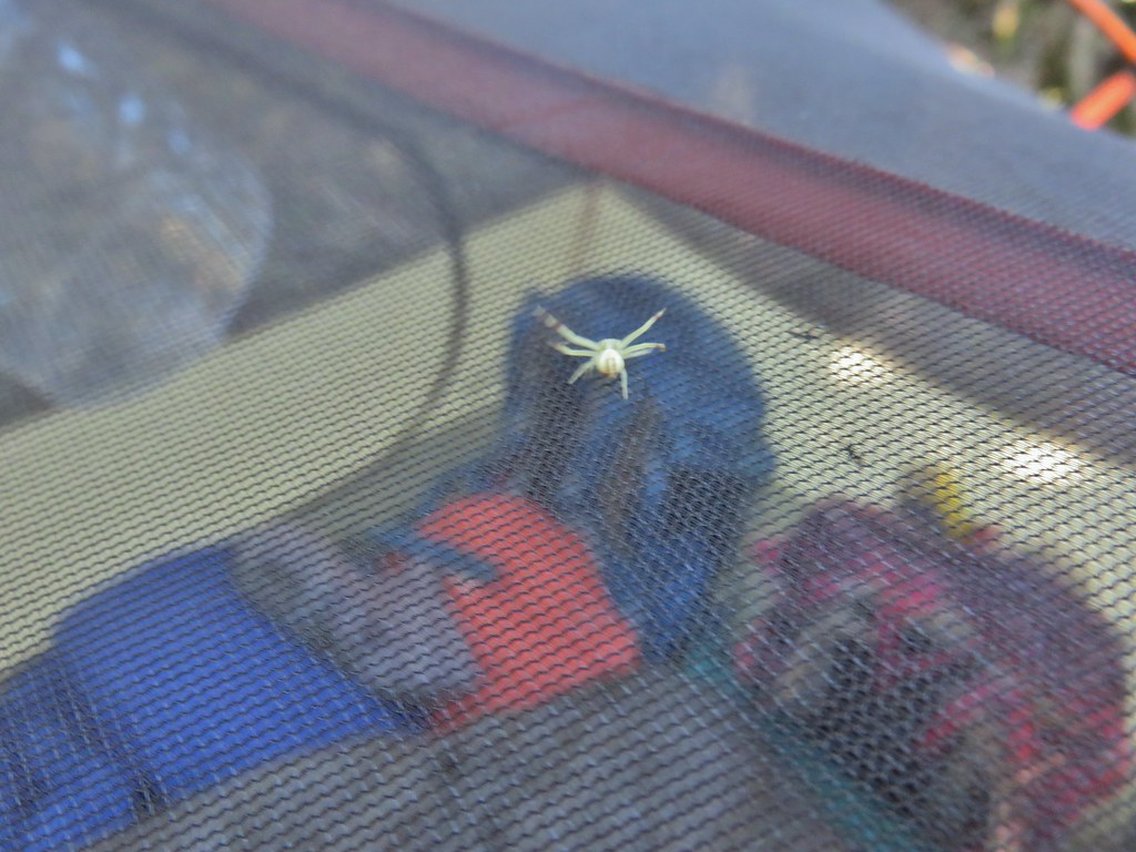 This crab spider offered to watch our tent for us while we were away.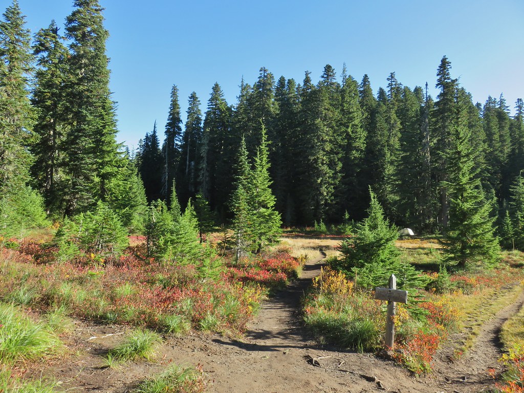



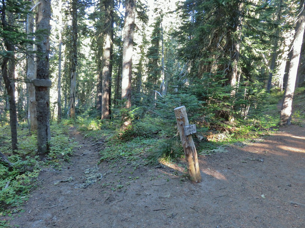 Placid Lake Trail on the left.
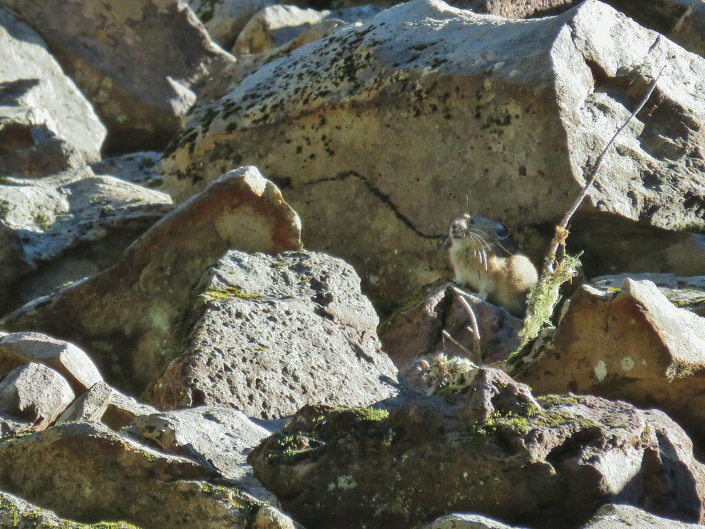
 No pikas in these rocks, that we saw.
 PCT at the 4-way junction.
 Cultus Creek Trail heading uphill to the right.

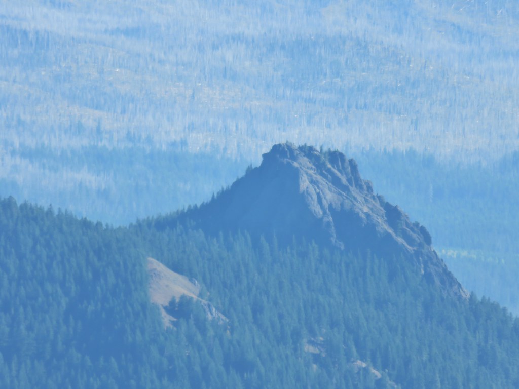
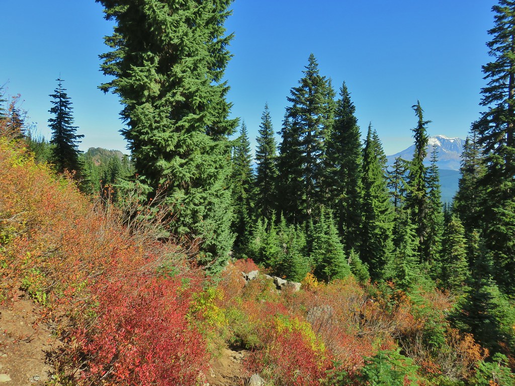
 Goat Rocks with Mt. Adams hiding behind trees.
 Mt. Rainier behind Sawtooth Mountain (and Steamboat Mountain to the right)
 Mt. Rainier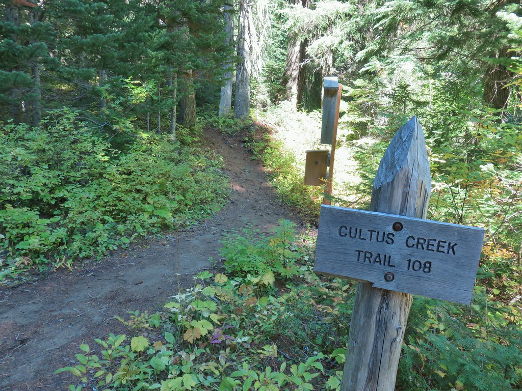

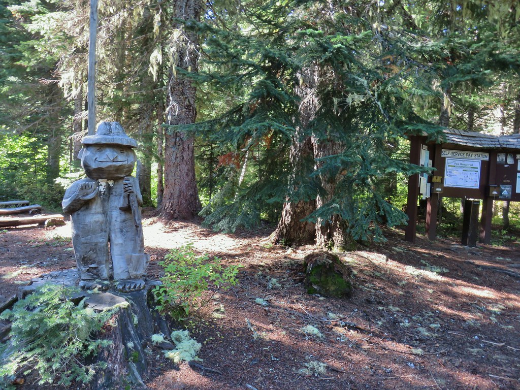

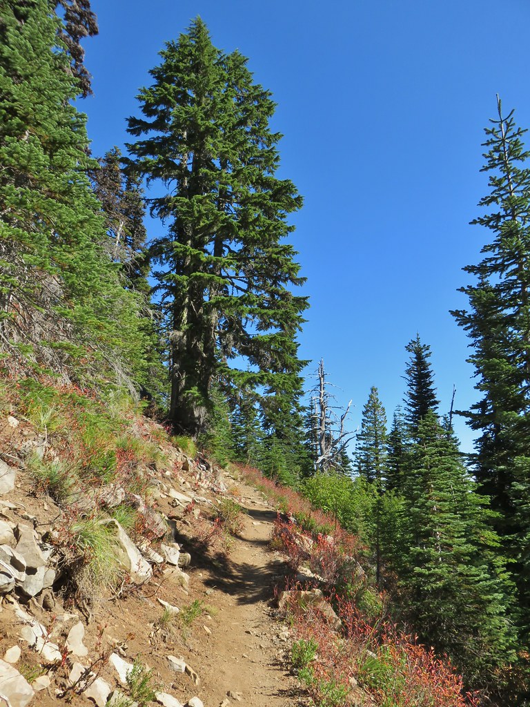


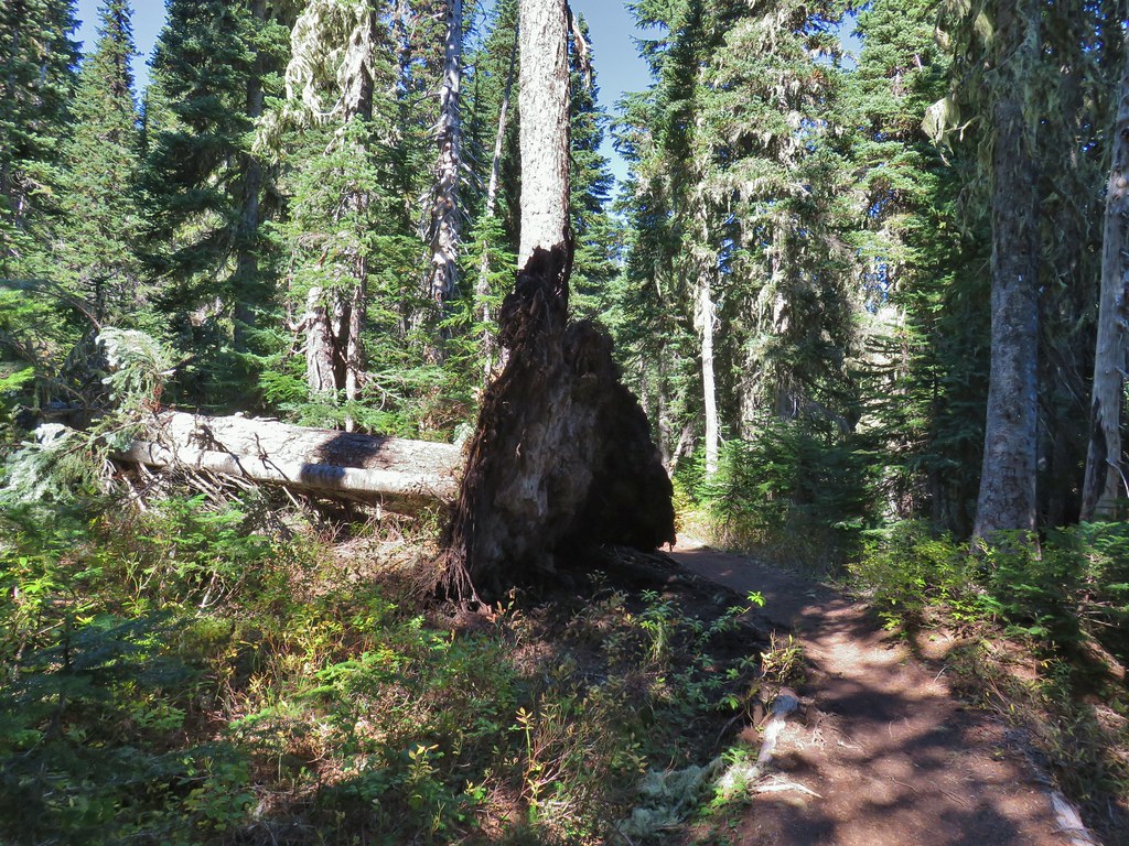 The Labor Day wind storm had knocked a number of trees down but the trails we took had mostly been cleared already.

 Cultus Lake from the Deep Lake Trail.
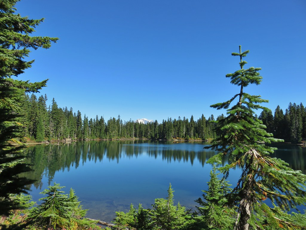
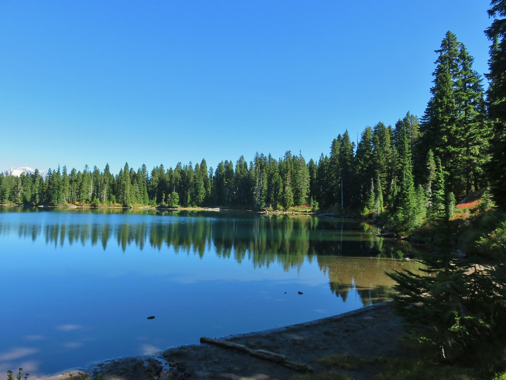
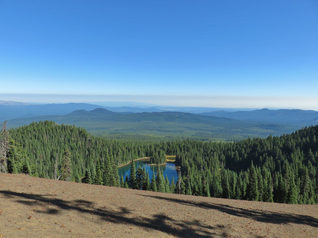
 Lemi Rock beyond Cultus Lake
 Cultus Lake from the Lemi Trail.

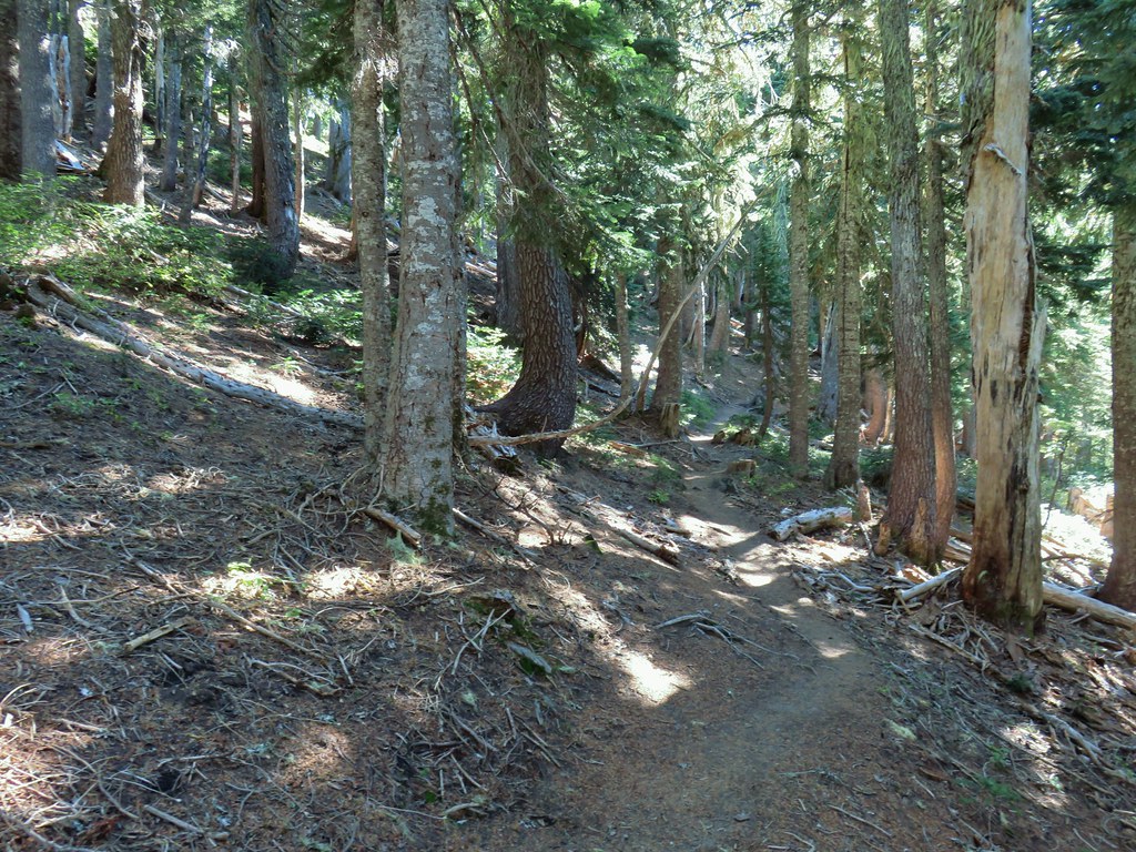 The climb was up a forested hillside.
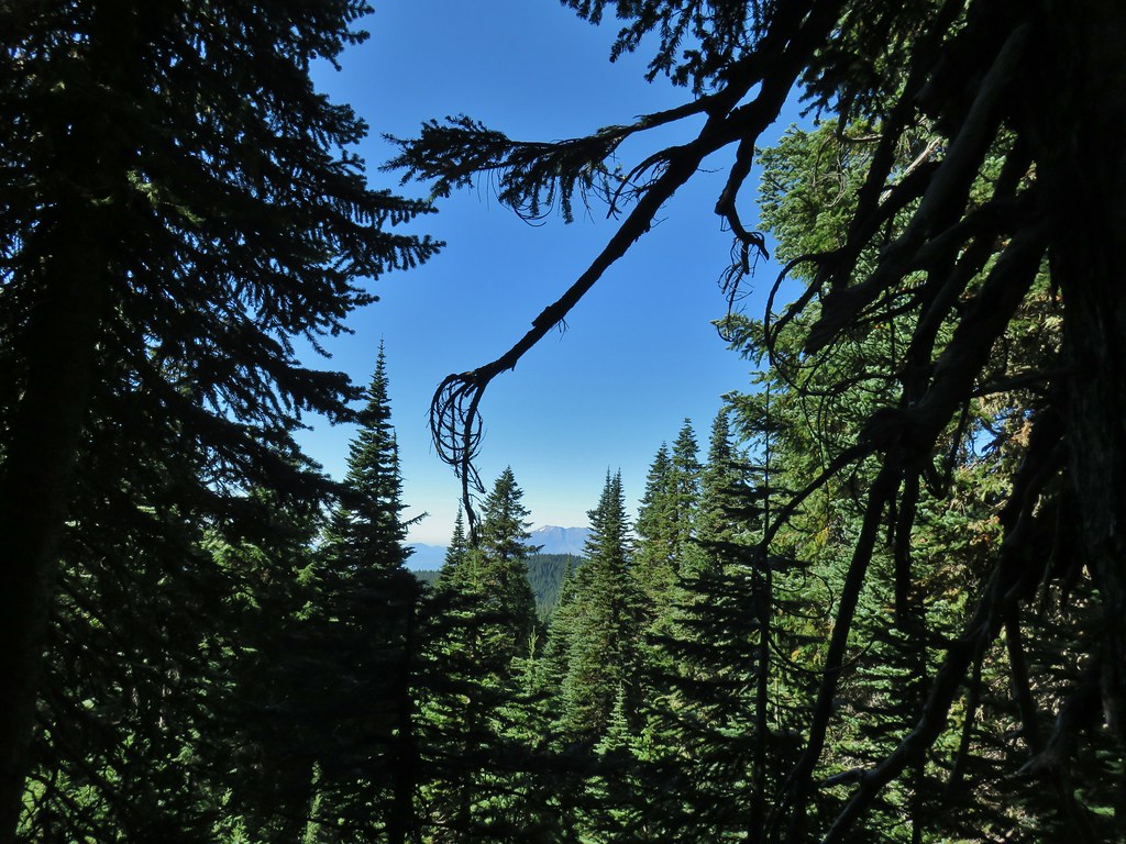 Mt. St. Helens

 Mt. Adams as we approached the viewpoint.
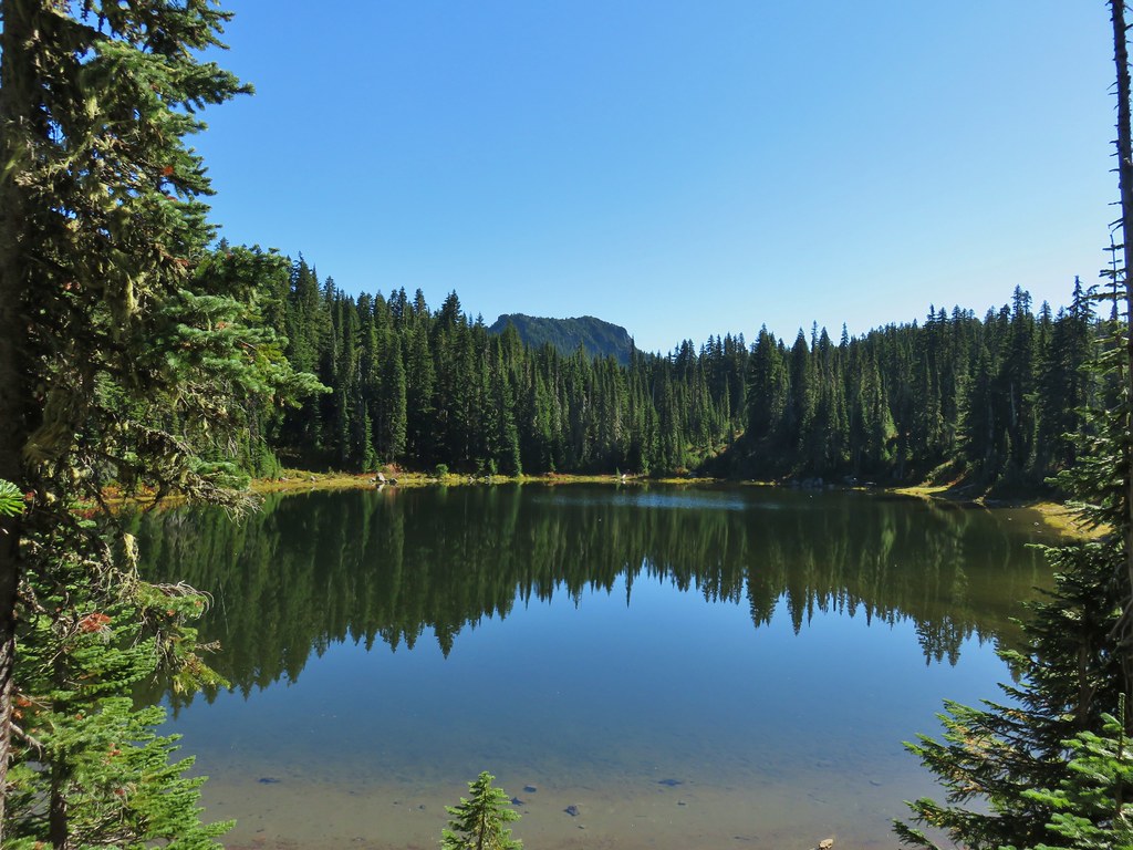
 Lake Wapiki
 Mt. Hood




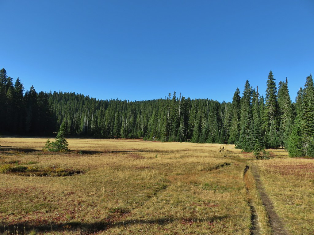

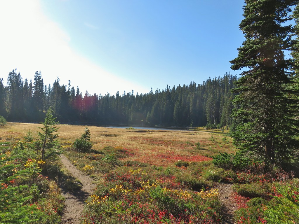 Lemi Lake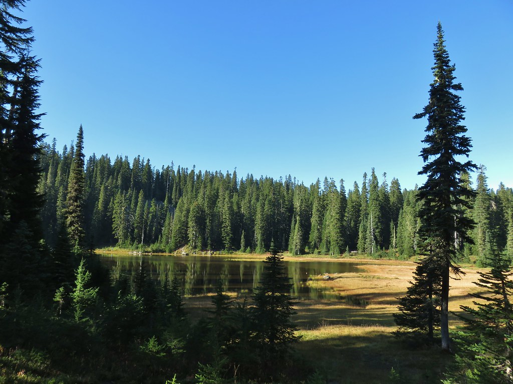


 Pearly everlasting
 Lemi Rock from the Lemi Lake Trail.

 Junction Lake
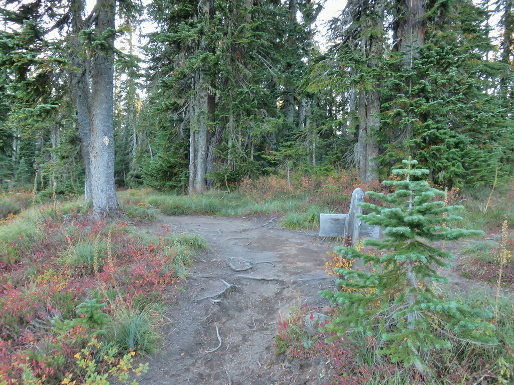 Back to the PCT.
 Junction Lake from the PCT/Lemi Lake Trail junction.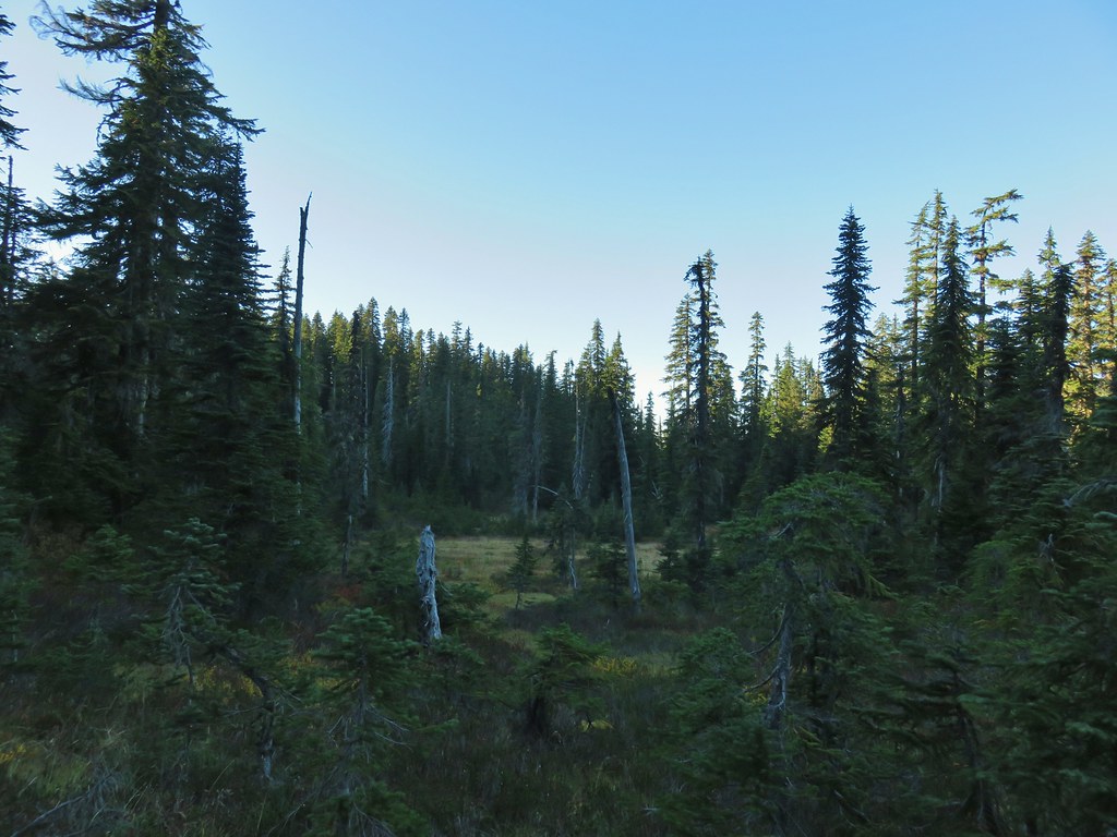


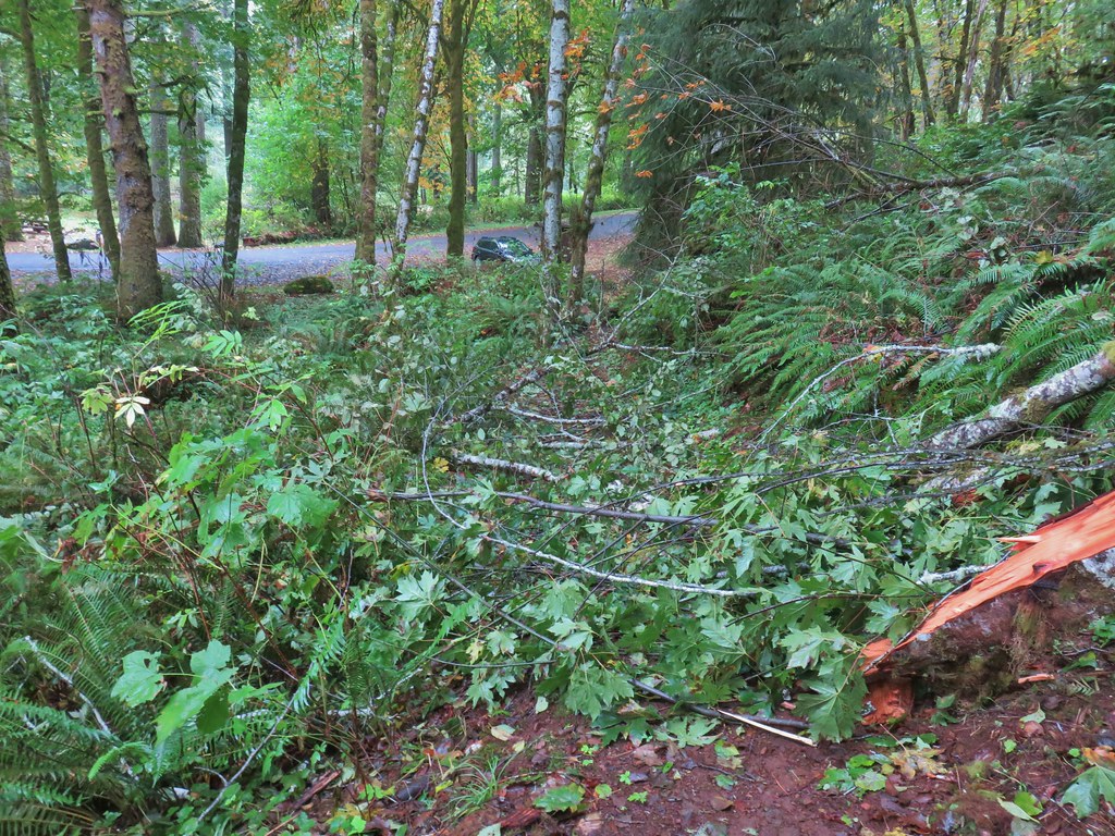


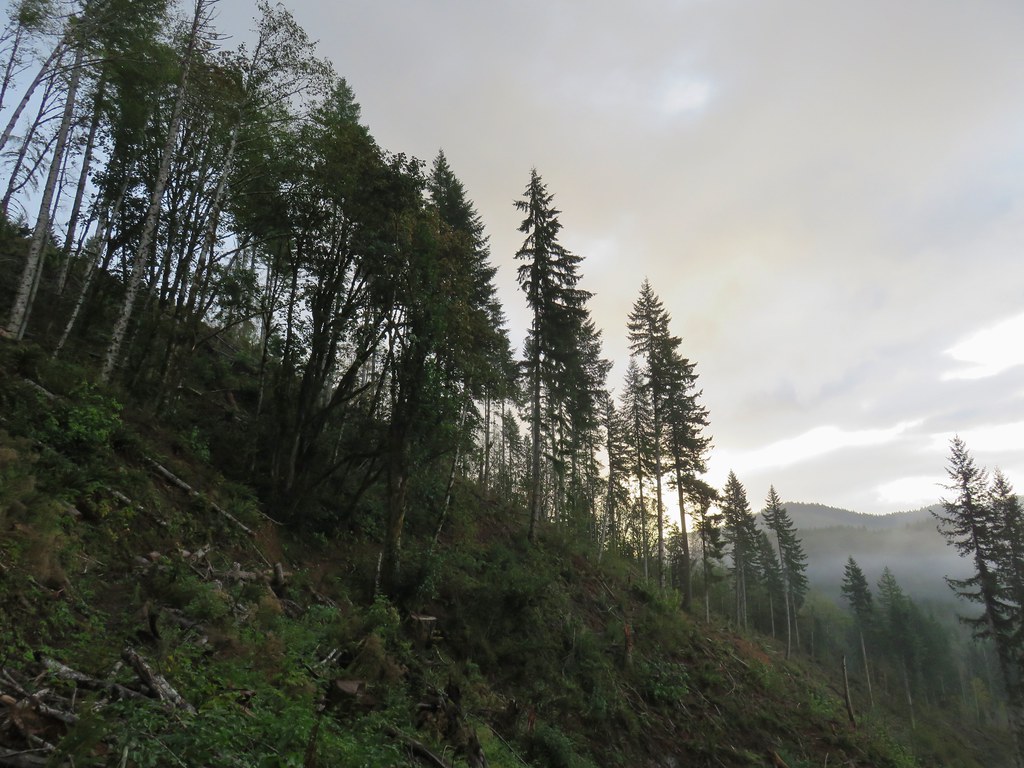


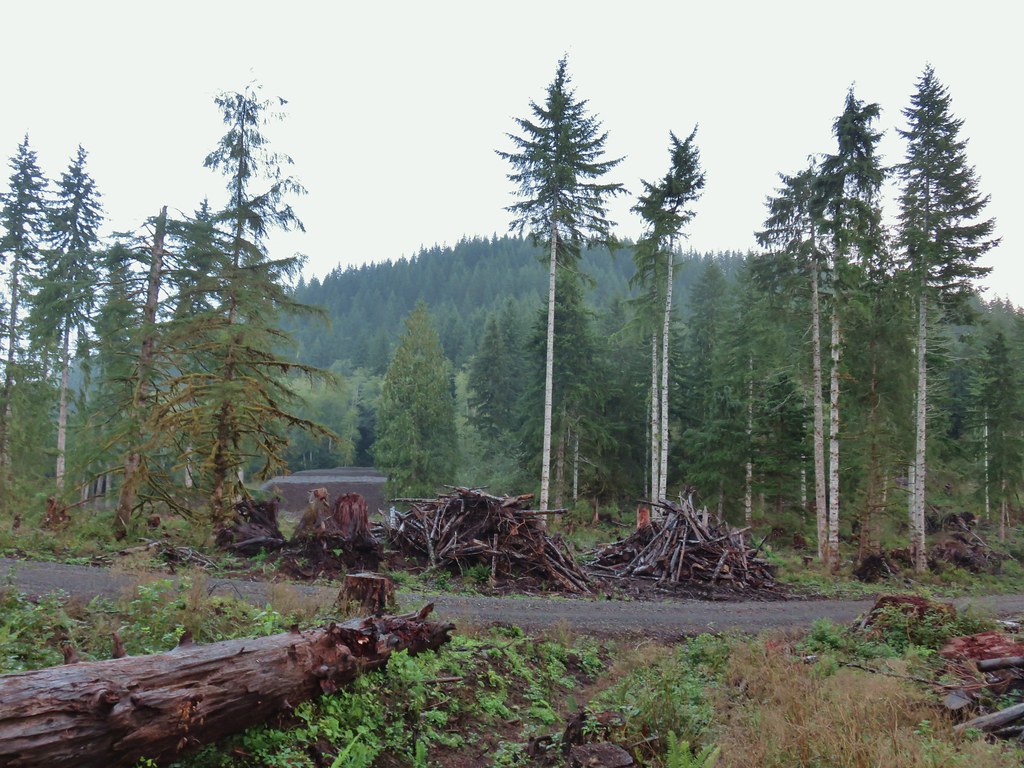
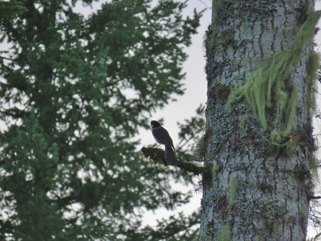

 The open gate and Lost Lake Road from a logging road.
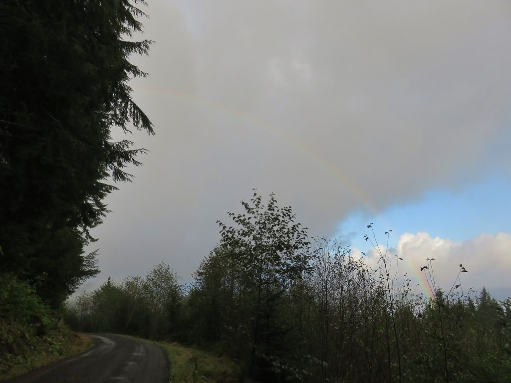




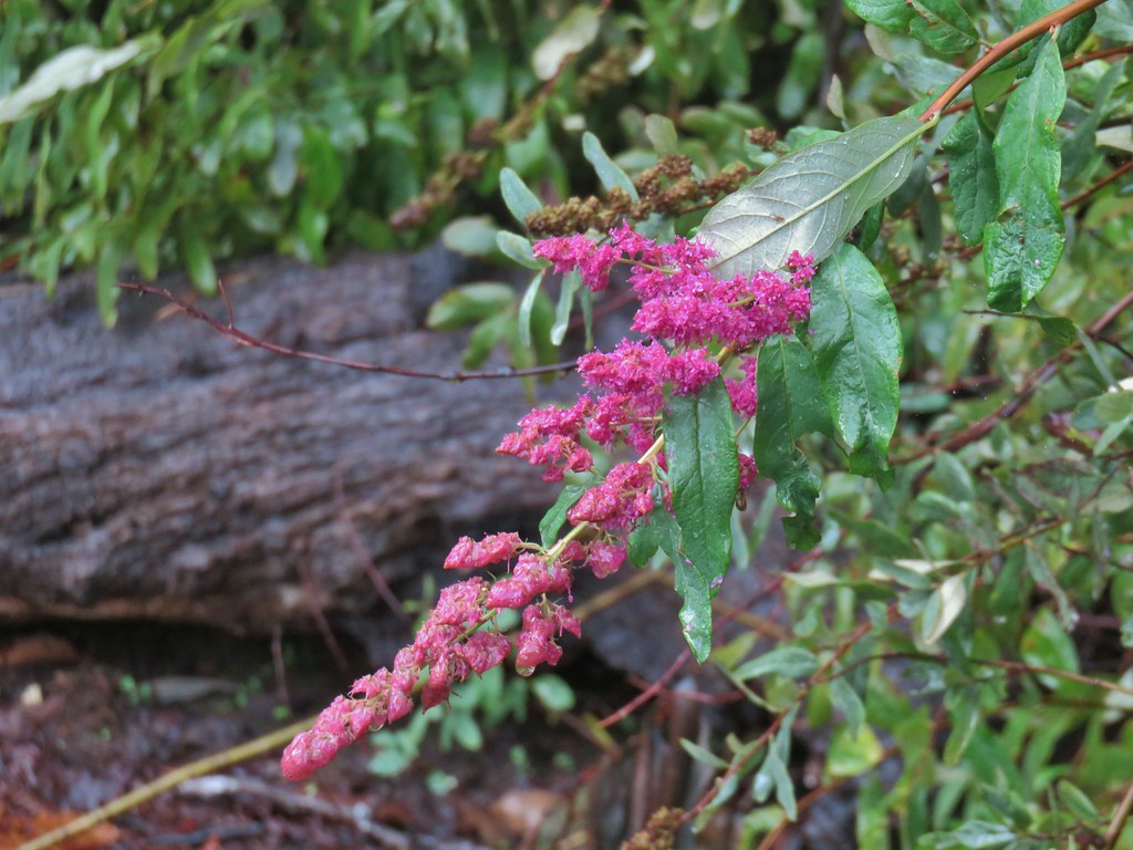 Hardhack
 Spruce Run Creek Trail on the left.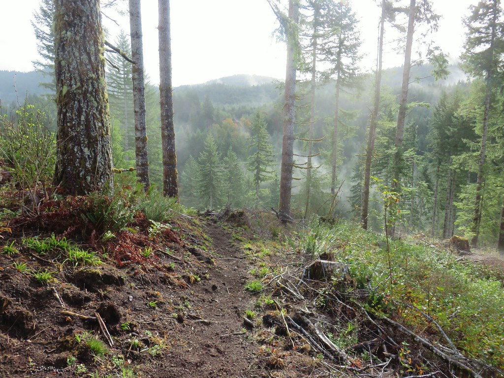

 Leaving the logged area.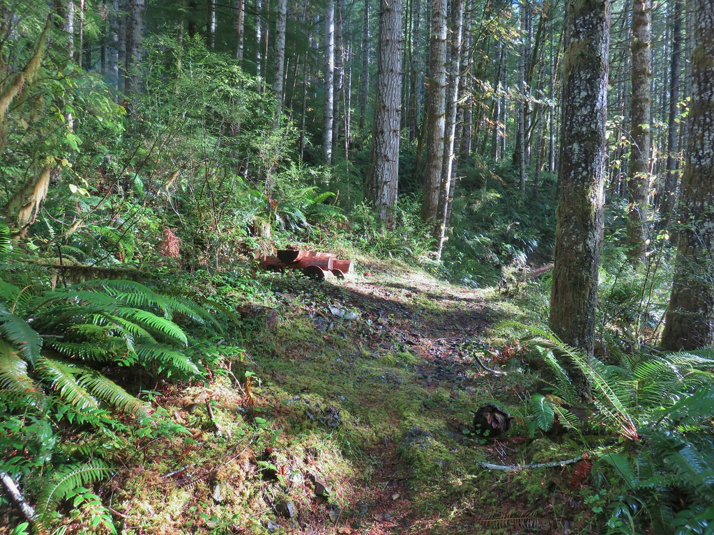
 Rough skinned newt near Spruce Run Lake.
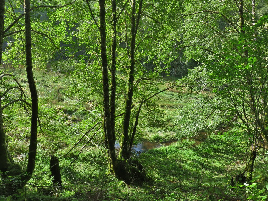
 One of many damp spider webs in the meadow.
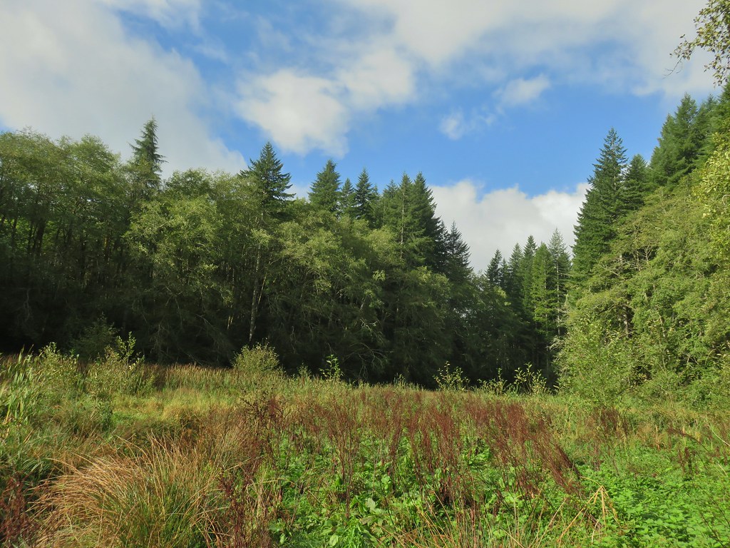 The meadow from the bank of Spruce Run Creek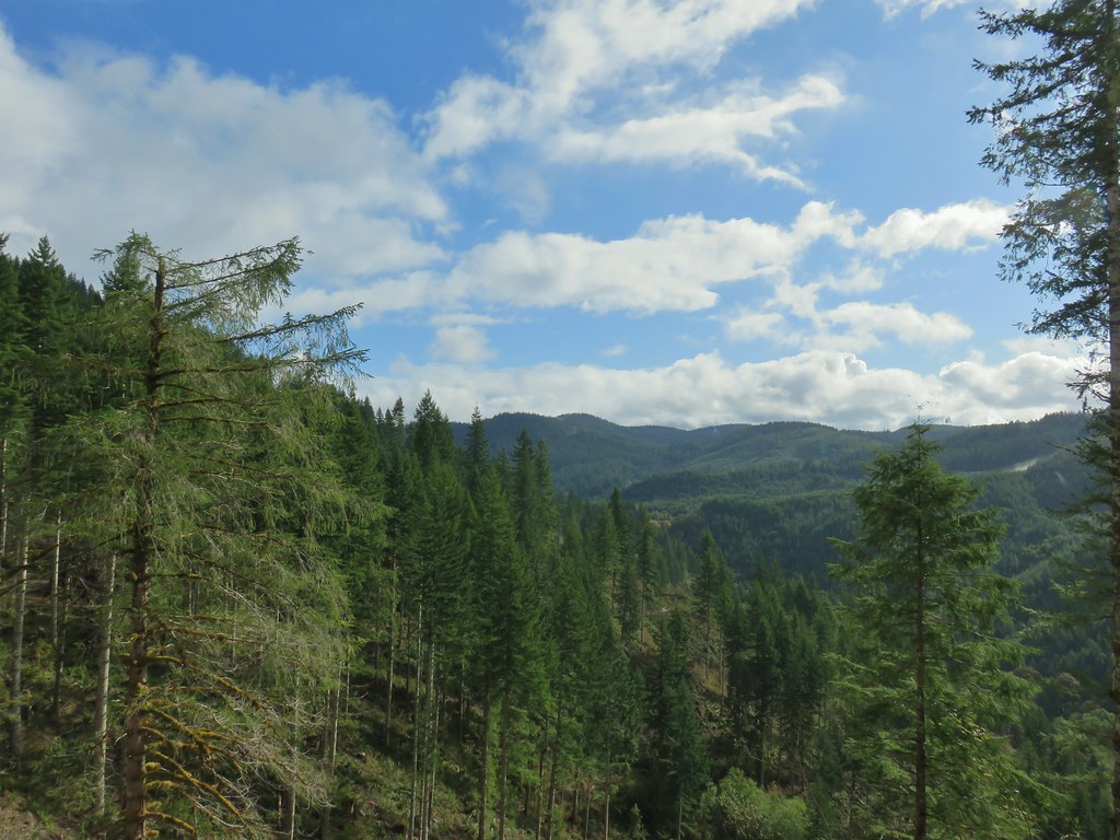
 Bleeding heart
 Scouler’s bluebell
 A little butterfly
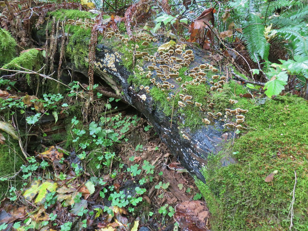



 Fall means mushrooms start replacing wildflowers.
 August Fire Road

 Snail near Bloom Lake.
 Mushrooms
 More mushrooms
 Buck Canyon Trail
 View from the Buck Canyon Trail
 Hummingbird Meadows Trail

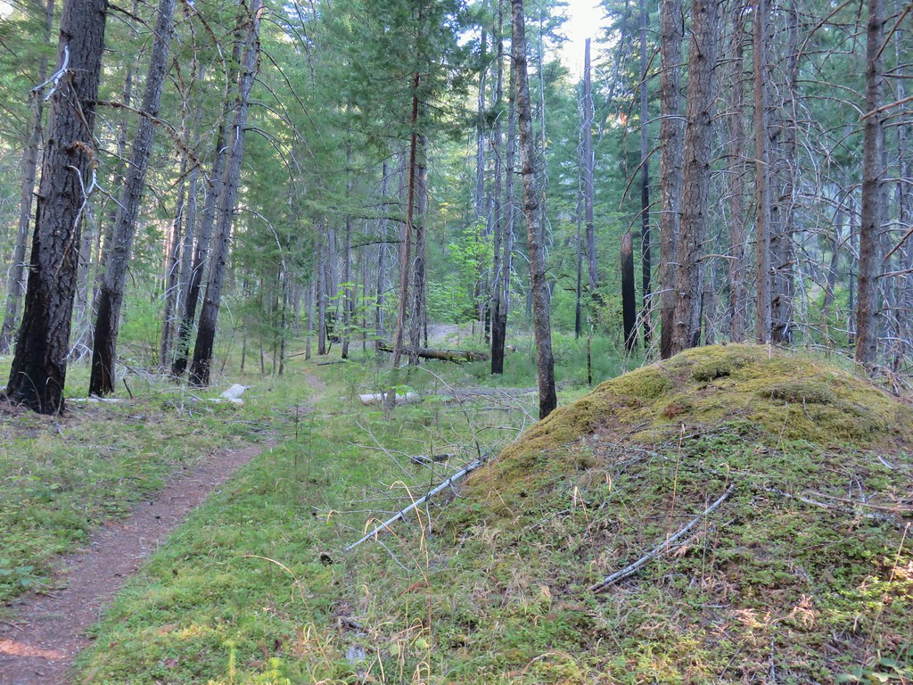
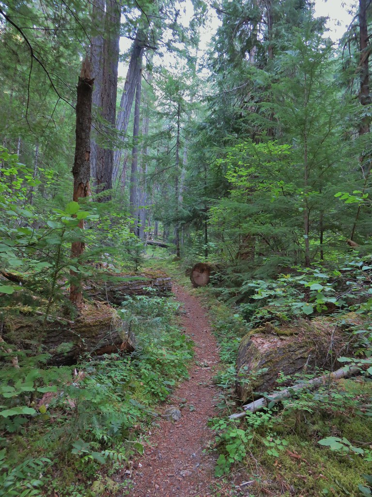


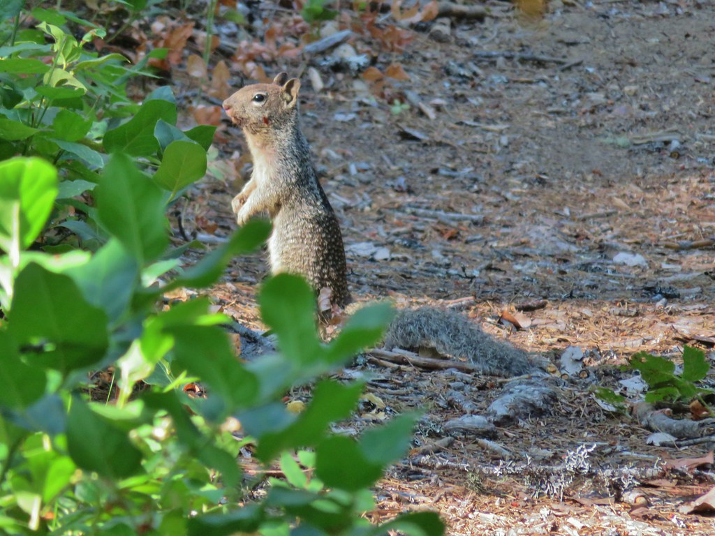

 Bradley Trail passing below some cliffs.
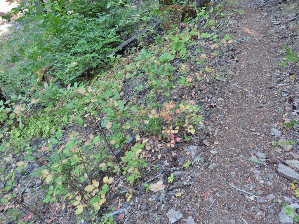 A lot of the poison oak was turning color which made it easier to spot.
 Entering the 2017 fire scar.
 Lizard
 Bradley Trail arriving at Pine Bench.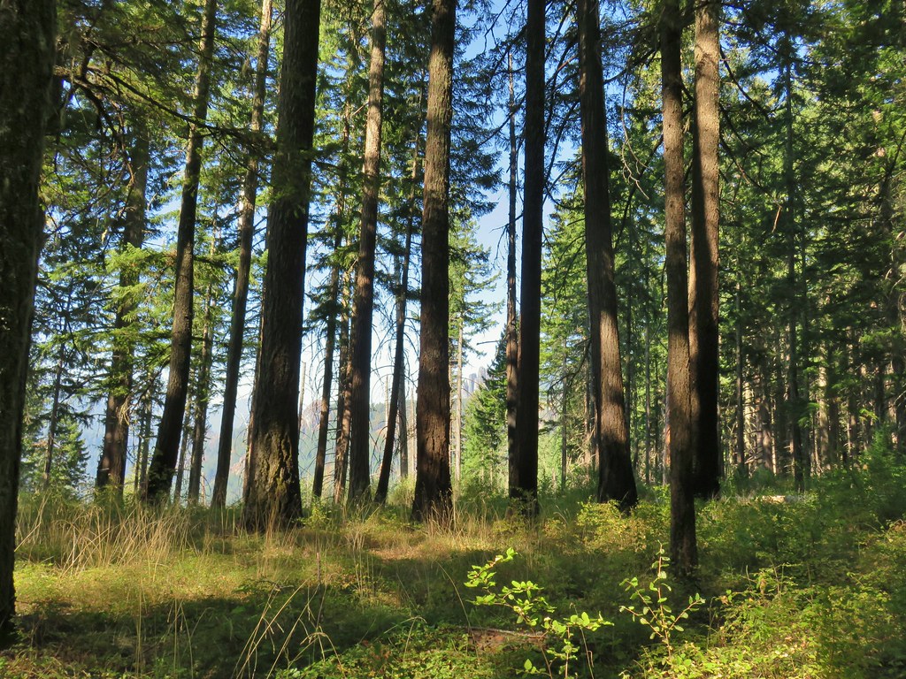
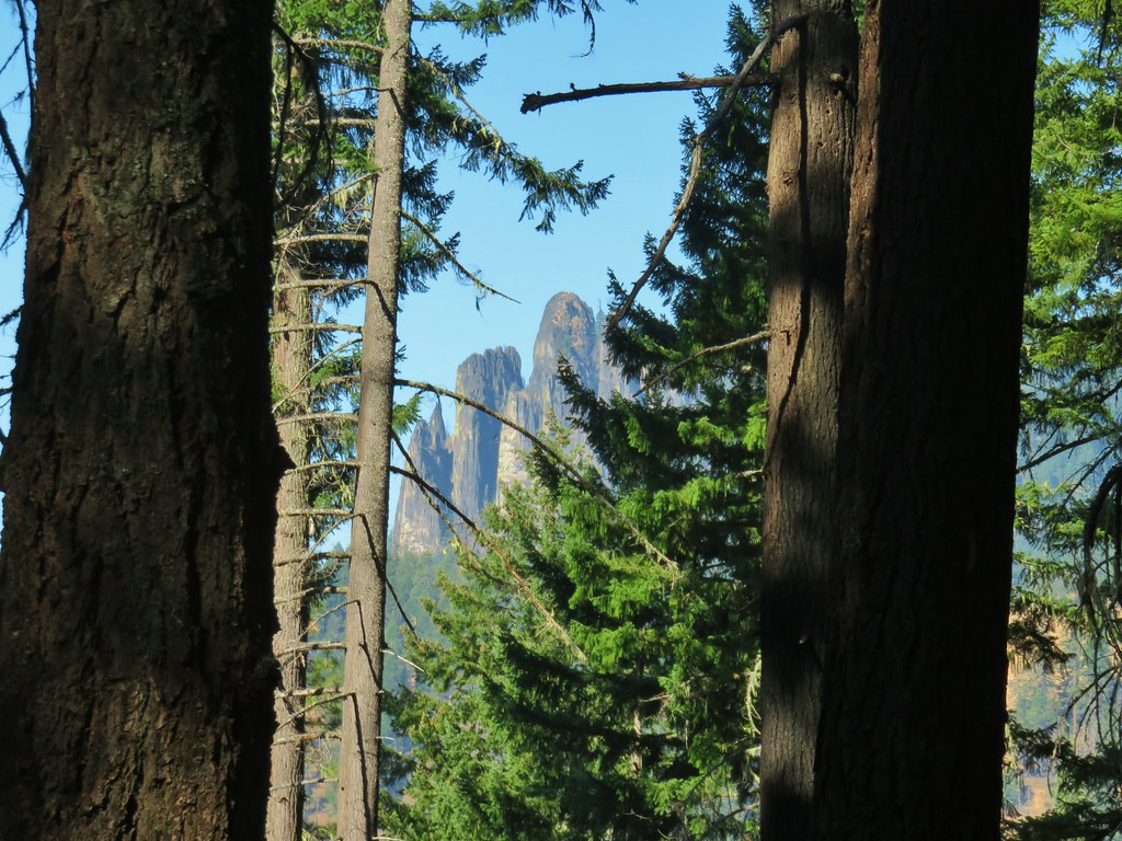 Rock formation visible from the Bradley Trail.

 Common wood nymph
 Illahee Rock Lookout

 Spur trail to the left.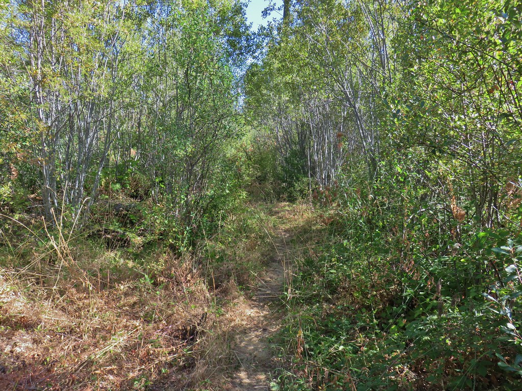
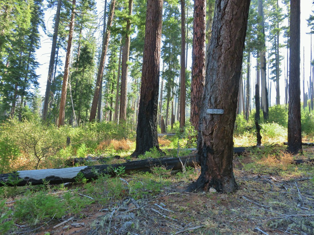 Just over half a mile from the campsite we passed the very faint Perry Butte Trail.
 Trail maintenance and ripe blackberries.
 Looking up the Boulder Creek Valley
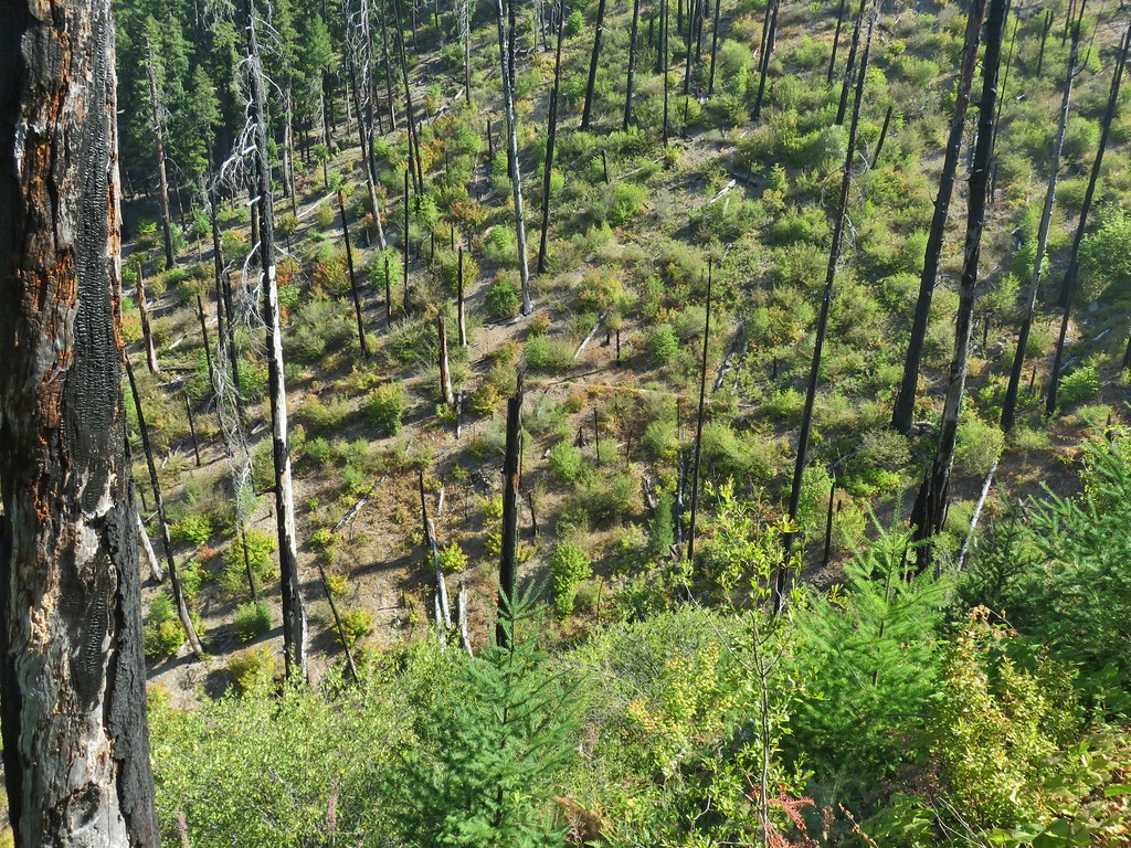 Looking down at the trail across a side drainage.
 Looking across the Boulder Creek valley.
 Small fall on Boulder Creek
 Final drop down to Boulder Creek.
 Boulder Creek
 The continuation of the Boulder Creek Trail on the far side of Boulder Creek which reportedly becomes even fainter and more wild.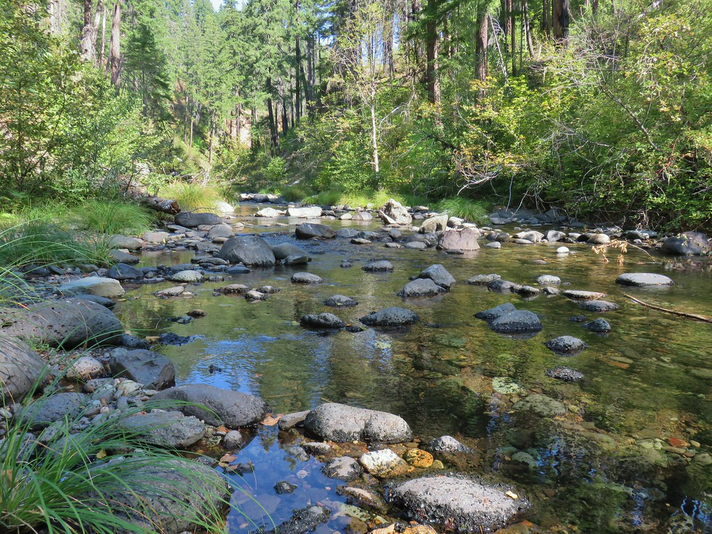


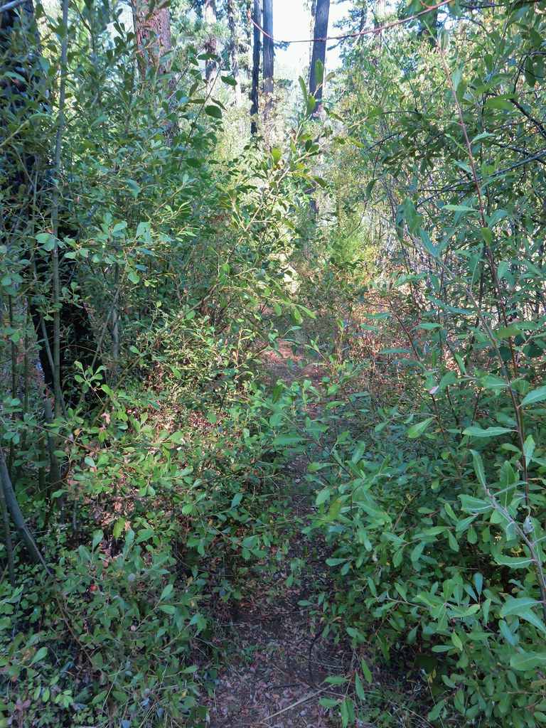


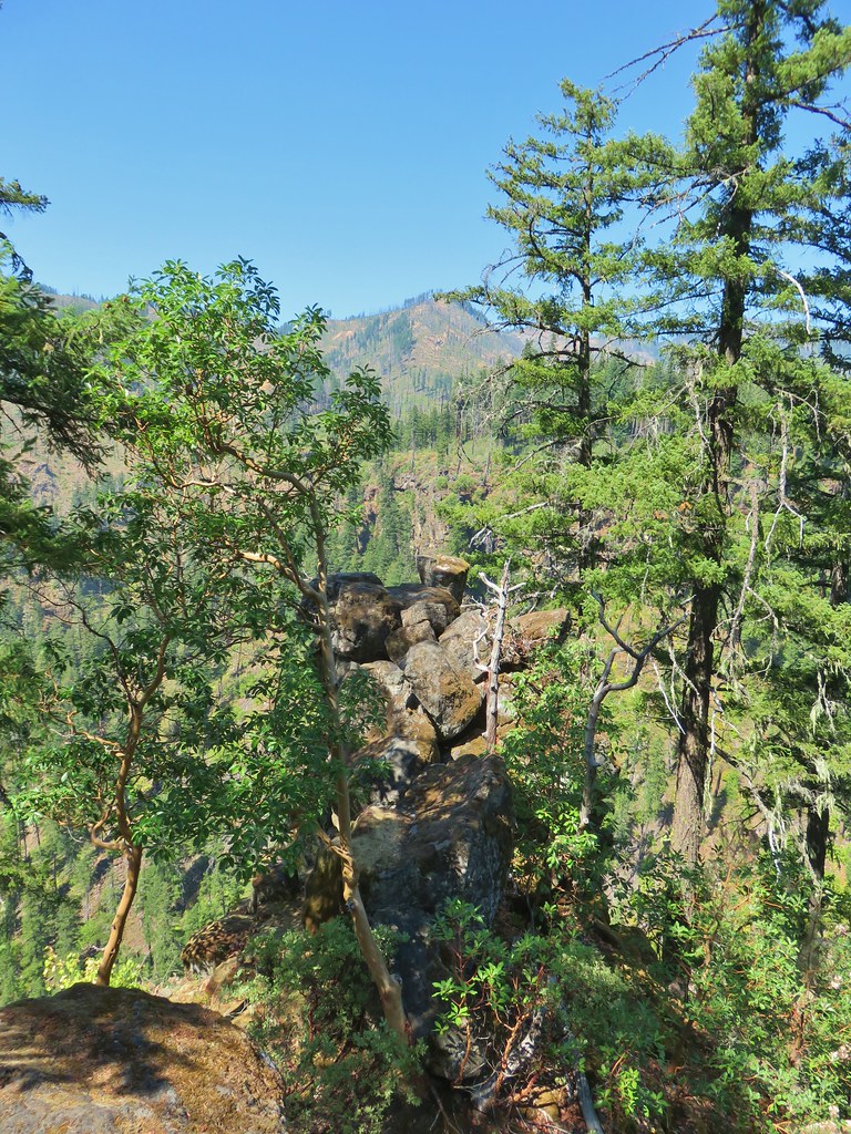
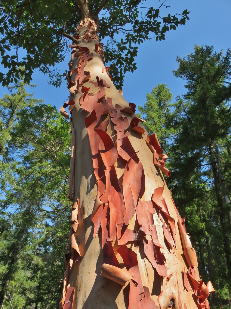

 Fern tree along the Boulder Creek Trail.
 This log was the trail.
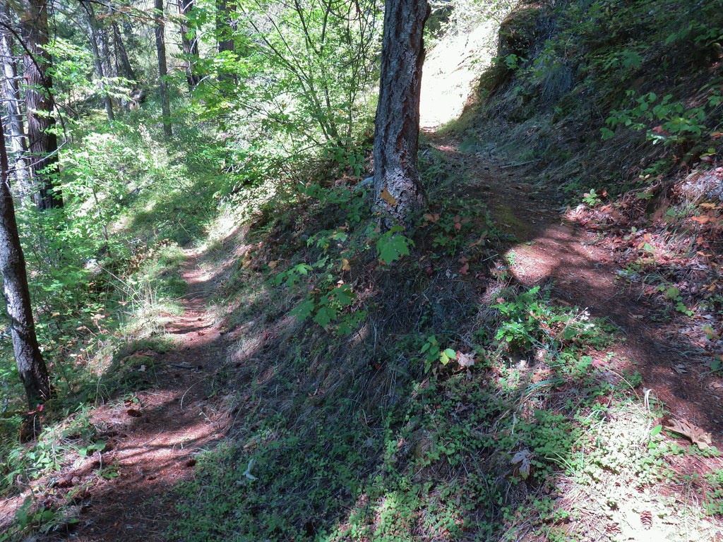 Another switchback with poison oak on all sides of the trail.
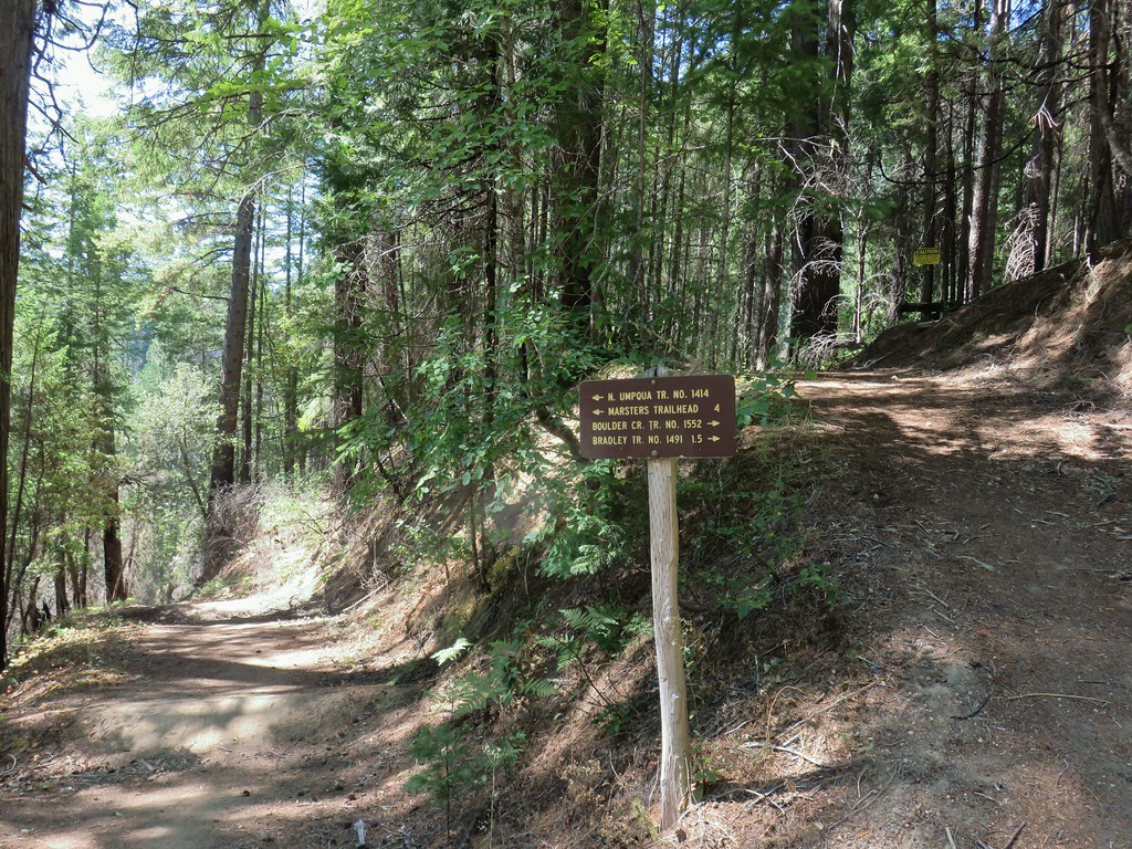






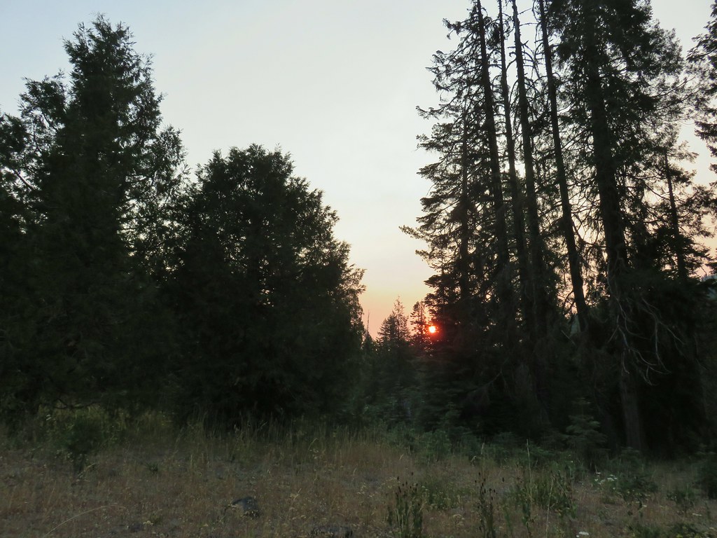 Smokey skies turning the Sun red.


 Little trees surrounding a giant.
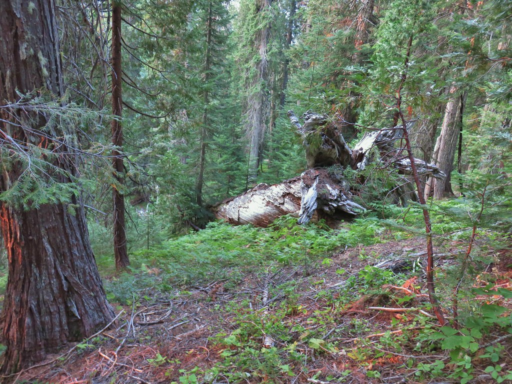 A downed giant.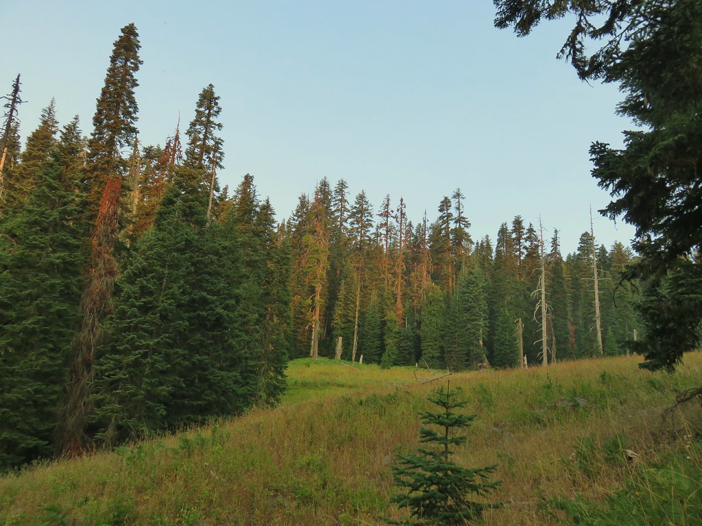

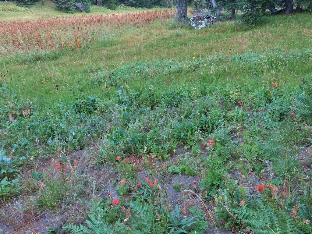
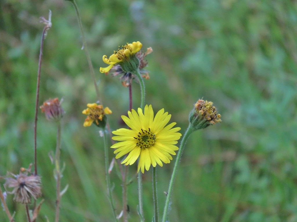 Madia
Madia Paintbrush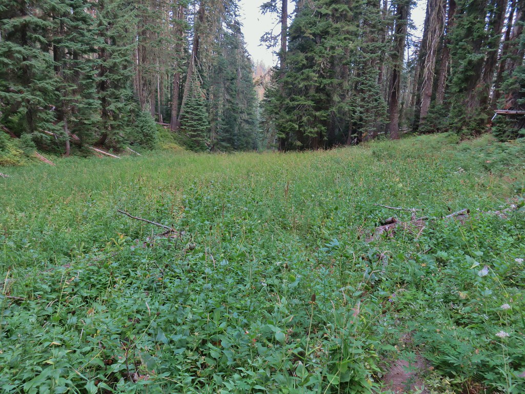


 Goldenrod and other flowers.
 Arnica?
 Columbine
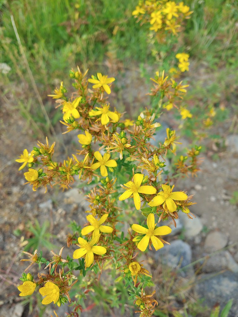 St. John’s wort
 Fleabane (or aster) and coneflower


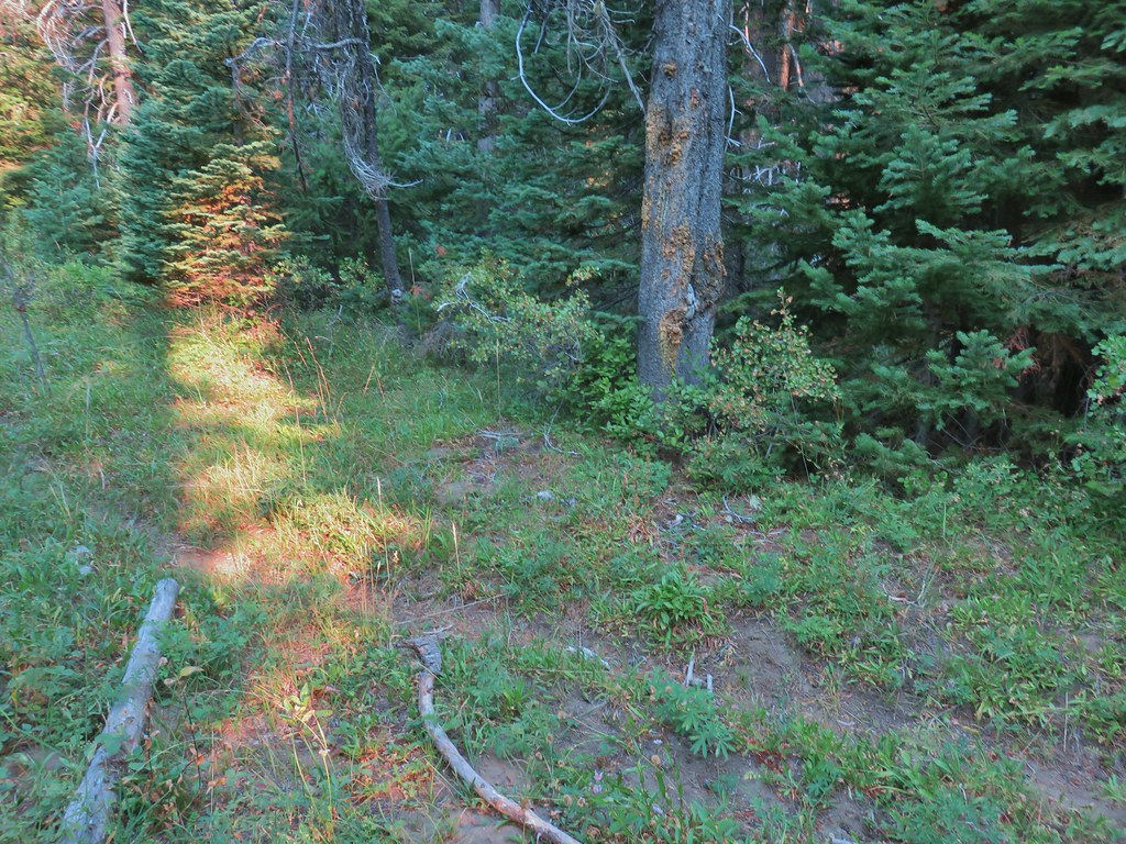

 The trail sign on the left wasn’t particularly descriptive.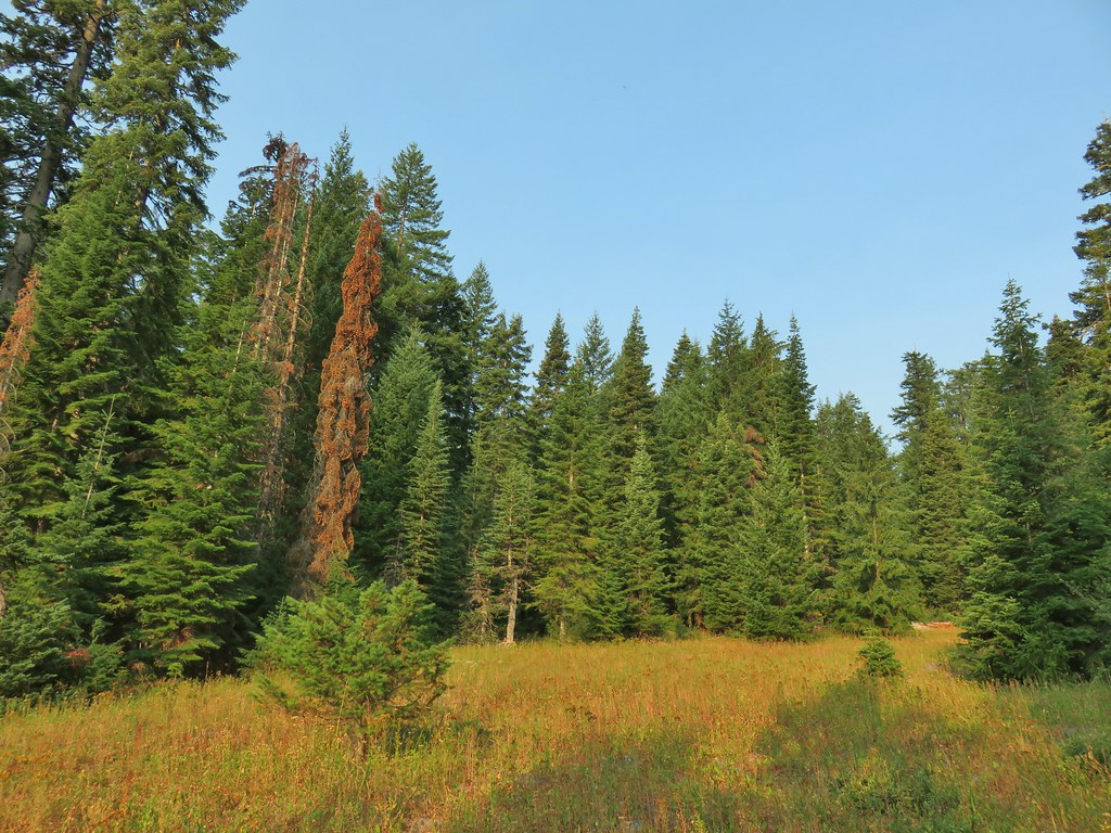
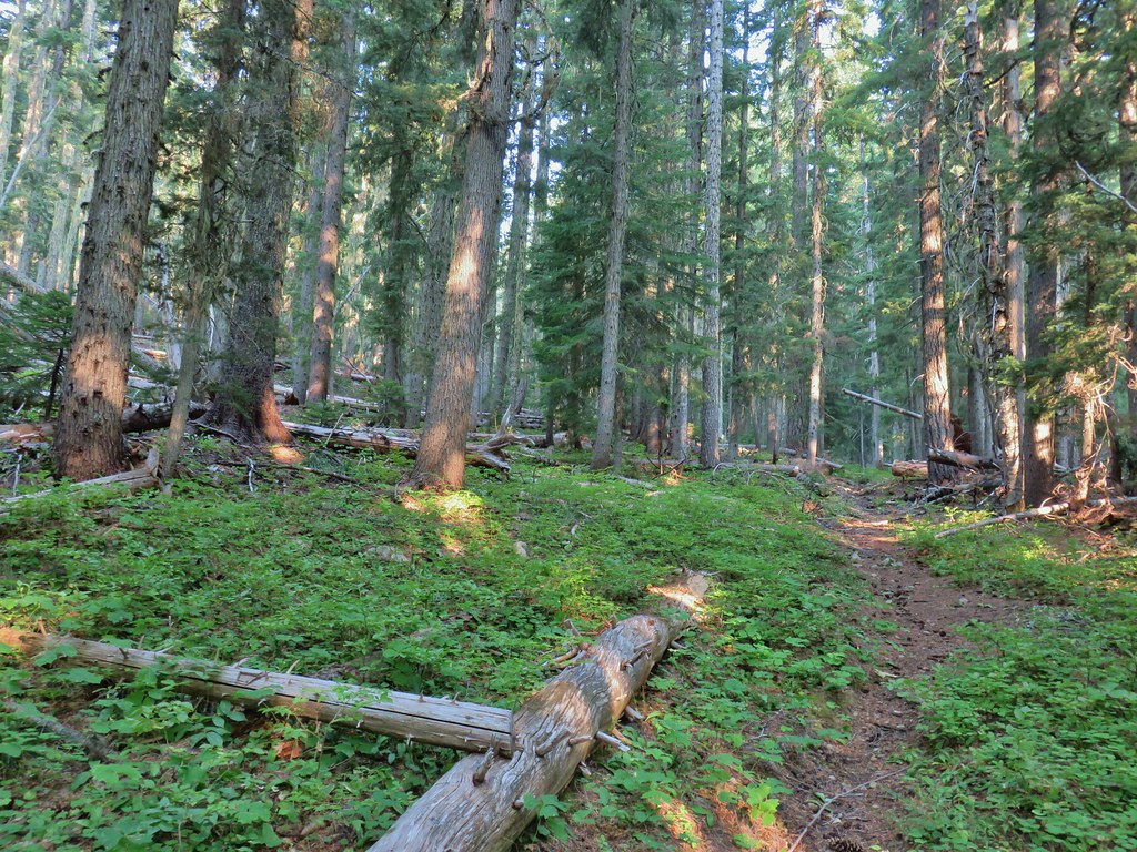
 The owl is in the center of the picture behind the branch with green needles.
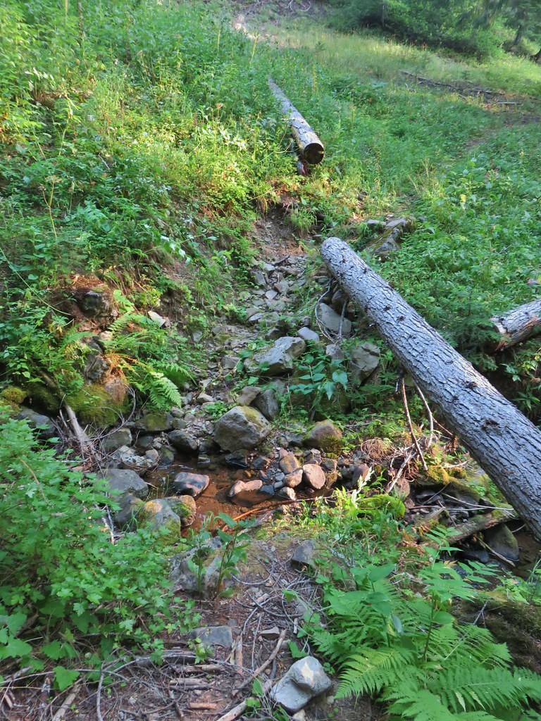 Small stream crossing
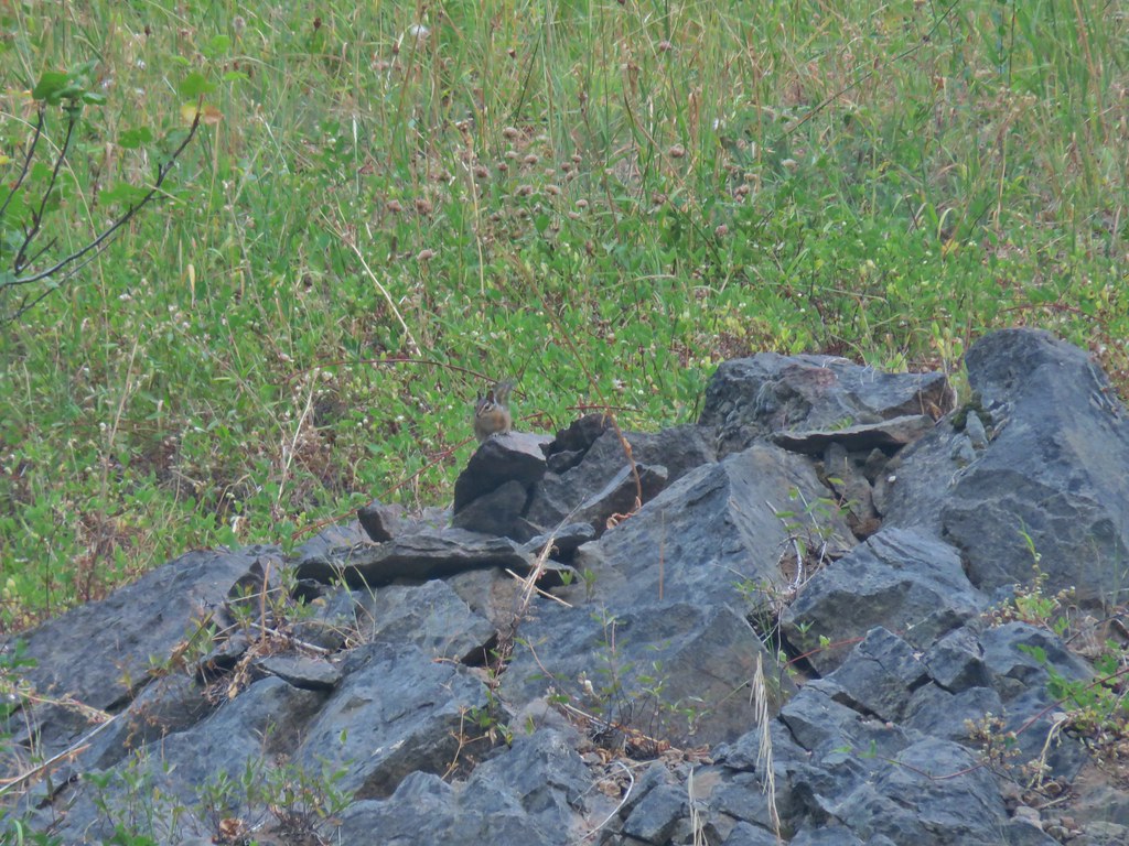 Chipmunk


 Windy Gap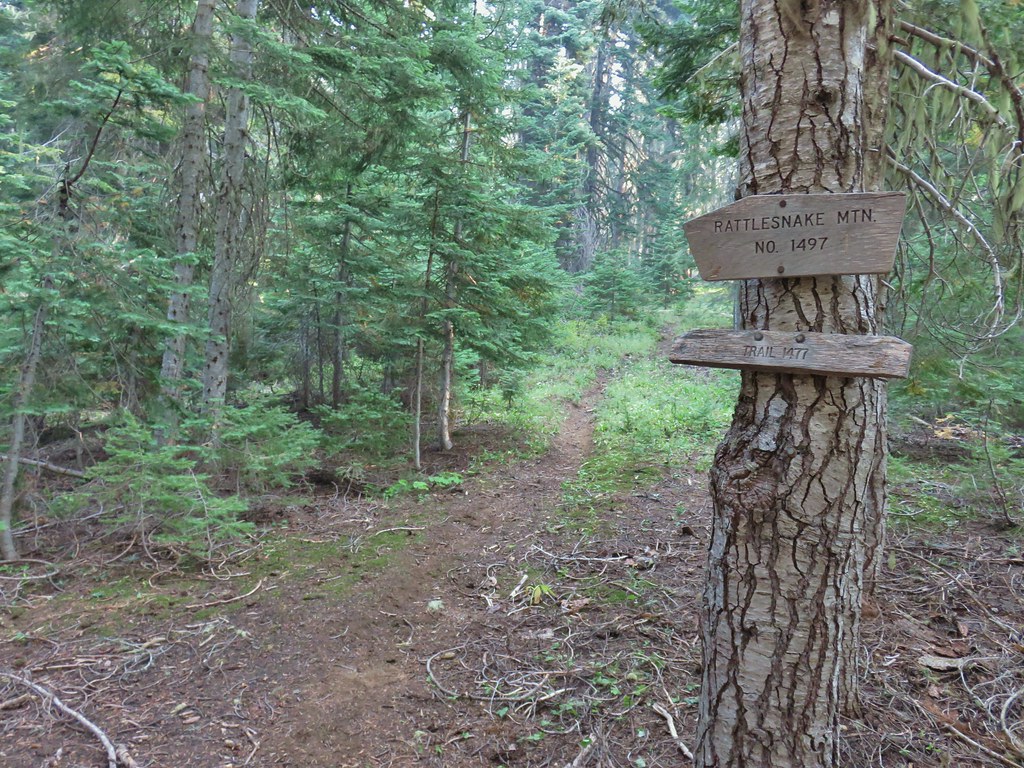


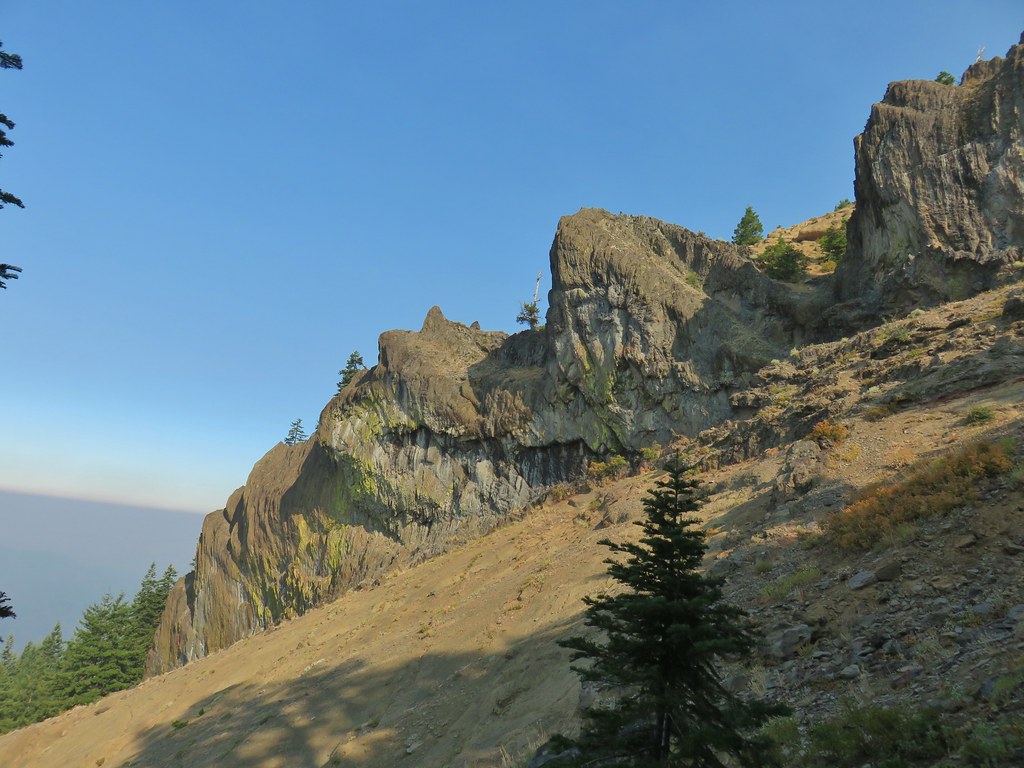
 Near the upper end of the 1.2 mile section we entered a burn scar with views of Mt. Bailey, Mt. Thielsen and Crater Lake.
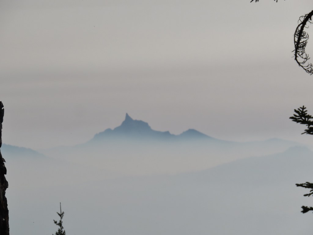 Mt. Thielsen
 High points along the rim of Crater Lake above the smoke.
 A bee photobomb with Mt. Bailey and Mt. Thielsen to it’s right.
 Flagging in the burn scar.
 Nuttall’s linanthus
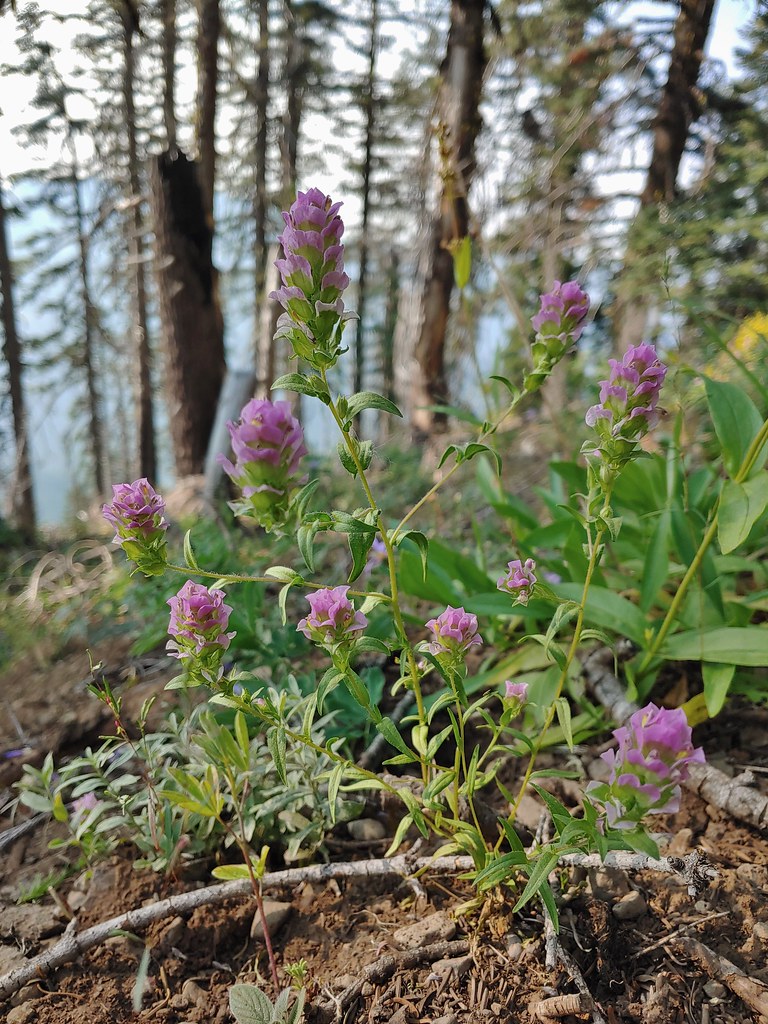 Owls clover
 Golden-mantled ground squirrel.
 The rock cairn.
 Nearing the summit.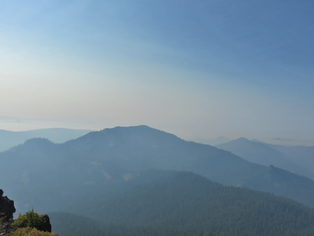
 Mt. McLoughlin
 Hillman Peak and The Watchman at Crater Lake
 Butterfly and bees.
 For some reason this cracked us up.
 Heather spotted this cricket on my shoulder (I always have some sort of insect on me for some reason).
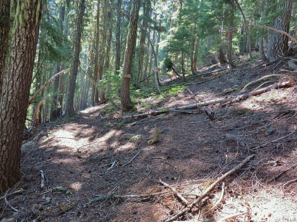

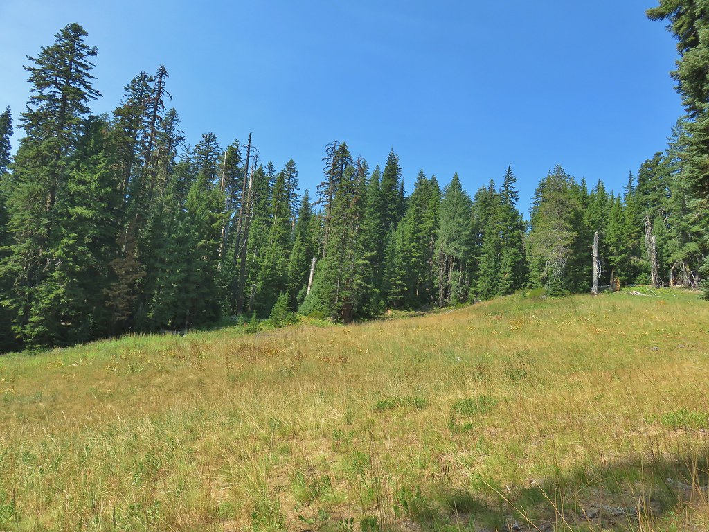
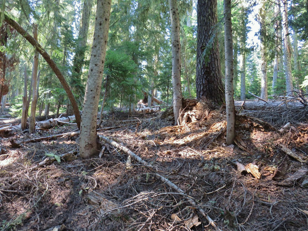 We’d lost the trail here and were just heading for the Castle Creek Trail.
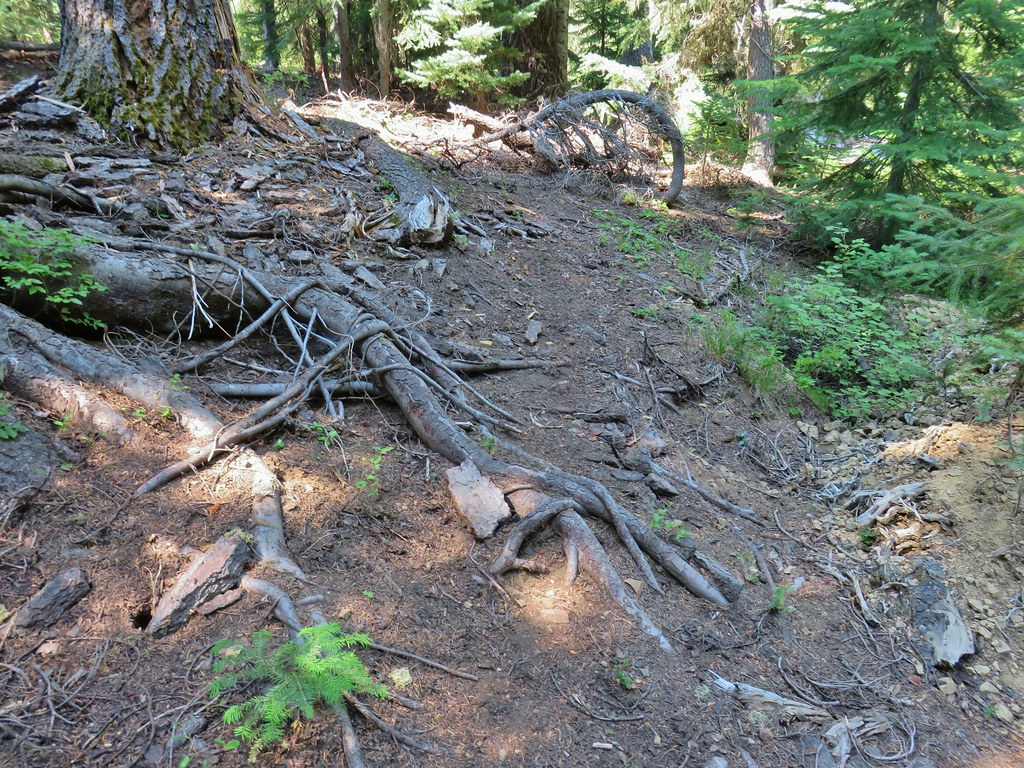 We came across this faint tread in the trees before reaching the Castle Creek Trail and started following it.
 Apparently it was the actual trail as it popped us out at a trail sign along the Castle Creek Trail.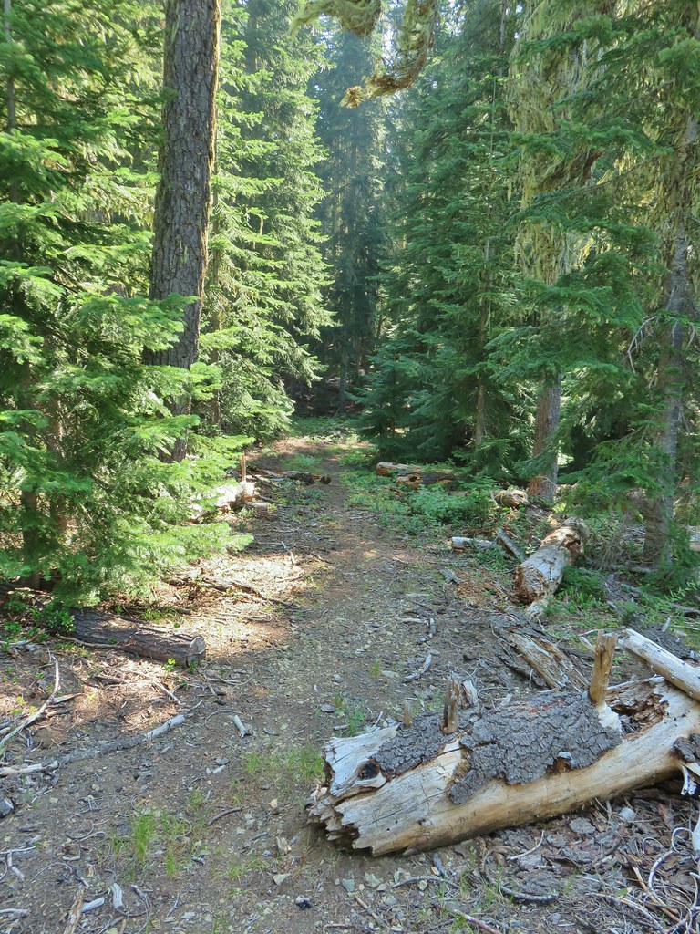

 Rattlesnake Mountain
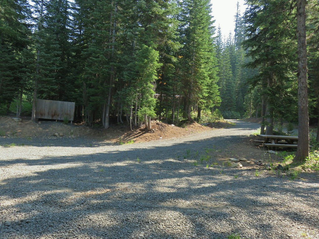 Happy Camp Trailhead
 Rattlesnake Mountain
 Rogue-Umpqua Divide Trail
 Snake in Fish Creek
 Scarlet gilia
 Fish Creek
 Fish in Fish Creek
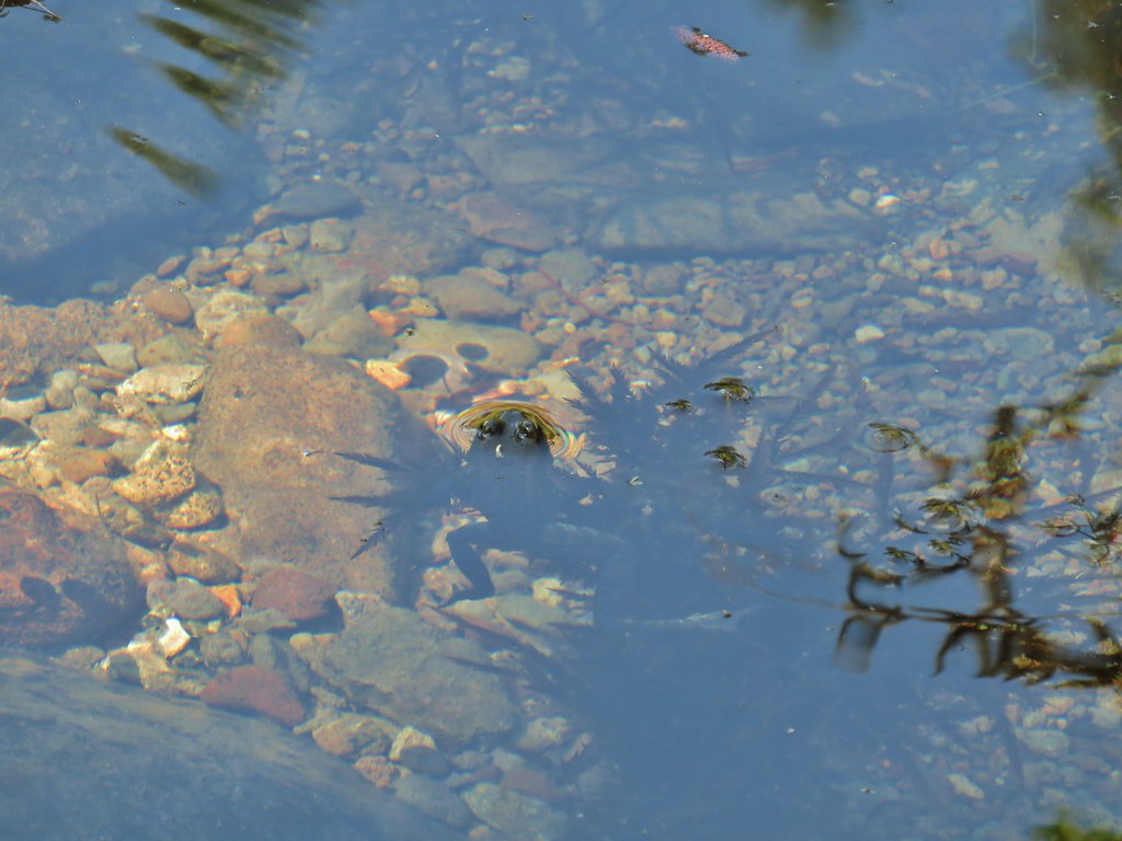 Frog in Fish Creek
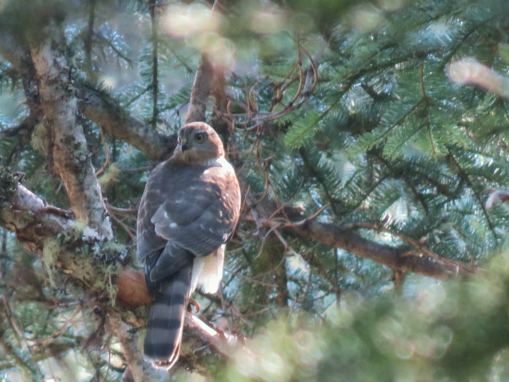

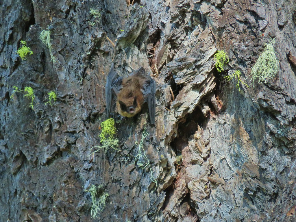
 Monkshood
 This frog decided that under Heather’s pack was a nice spot to chill.
 Horse Lake
 Lesser yellowlegs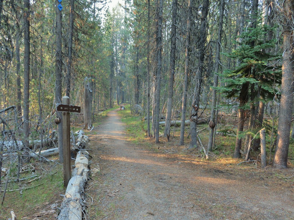

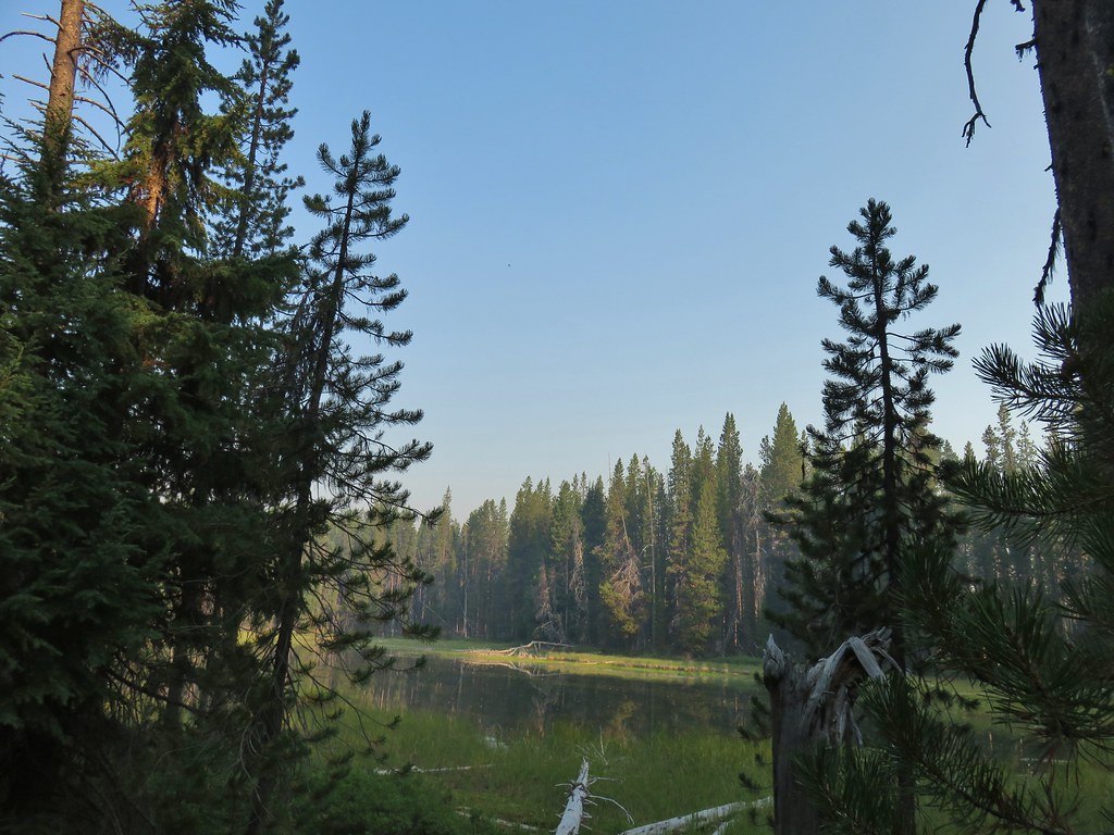

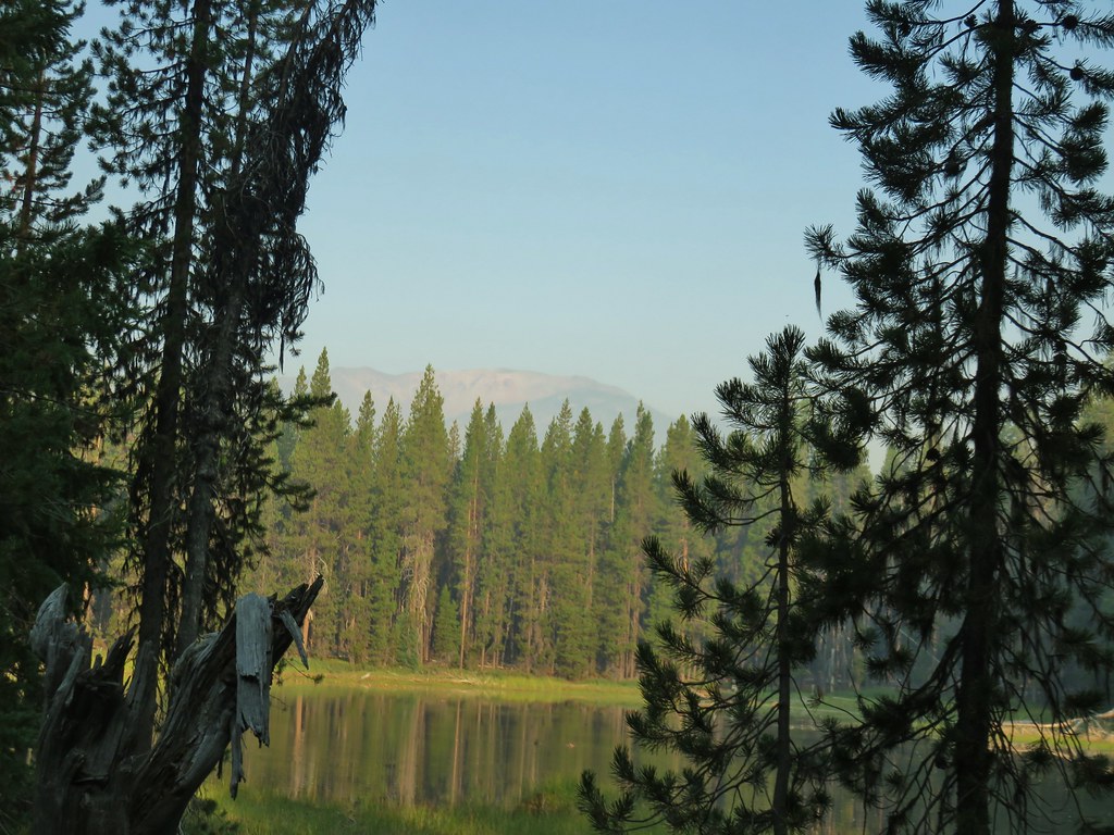


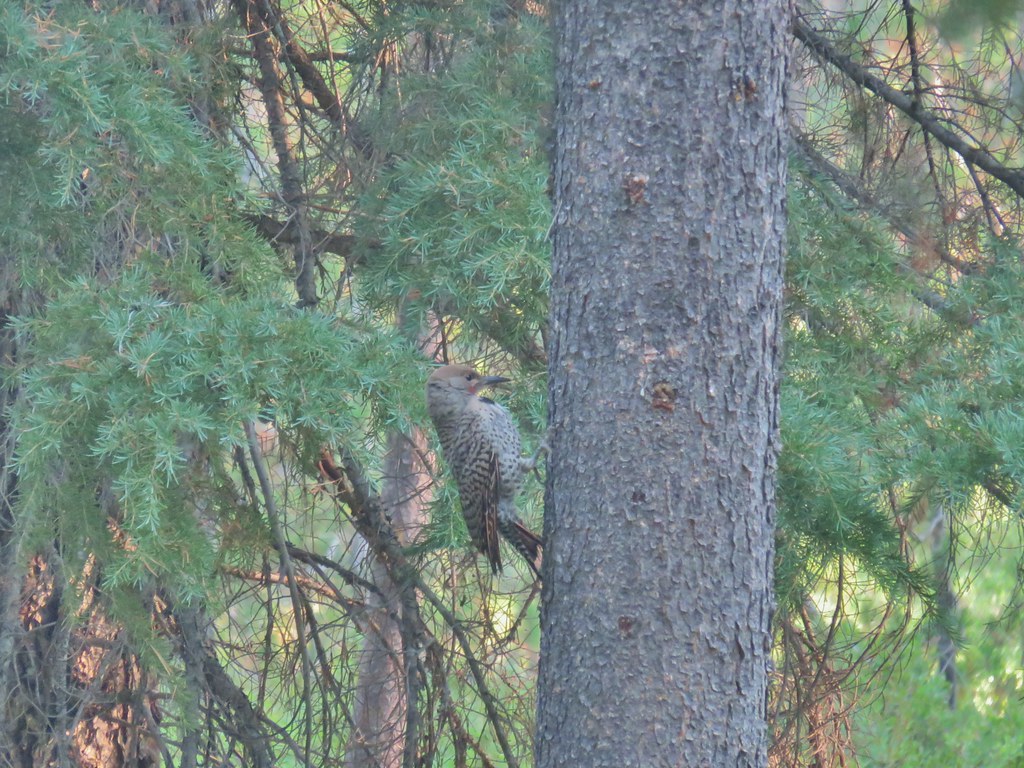 Northern flicker
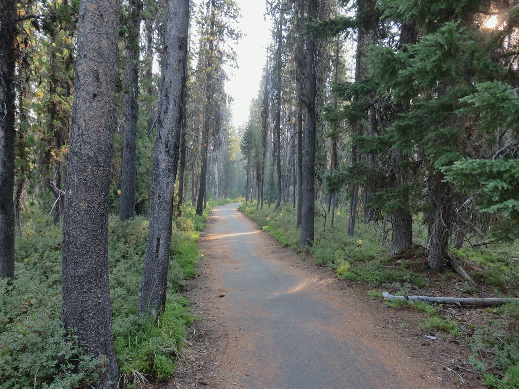

 Mt. Bailey beyond the meadow.
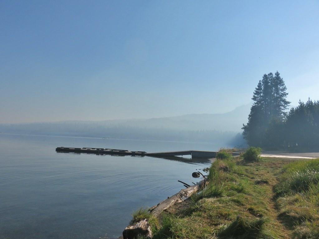 Mt. Thielsen from the South Shore Picnic Area
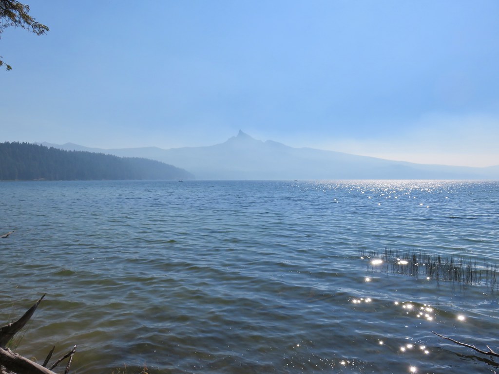
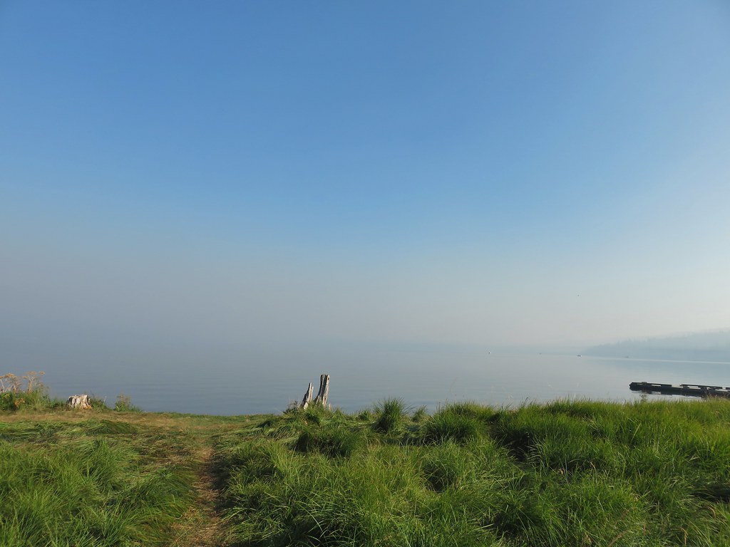 Diamond Lake underneath the smoke.
 Mt. Bailey
 Mt. Thielsen from the boat dock.
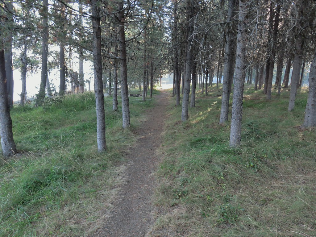 Picnic tables in the picnic area.
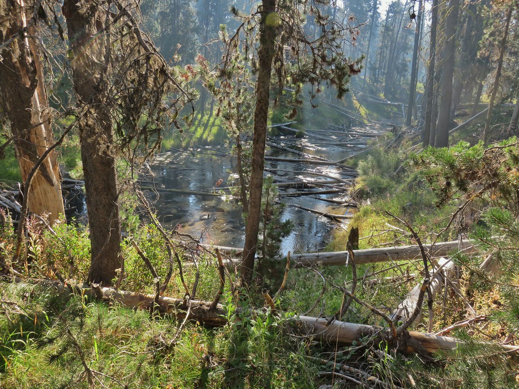 Short Creek (it really is short)
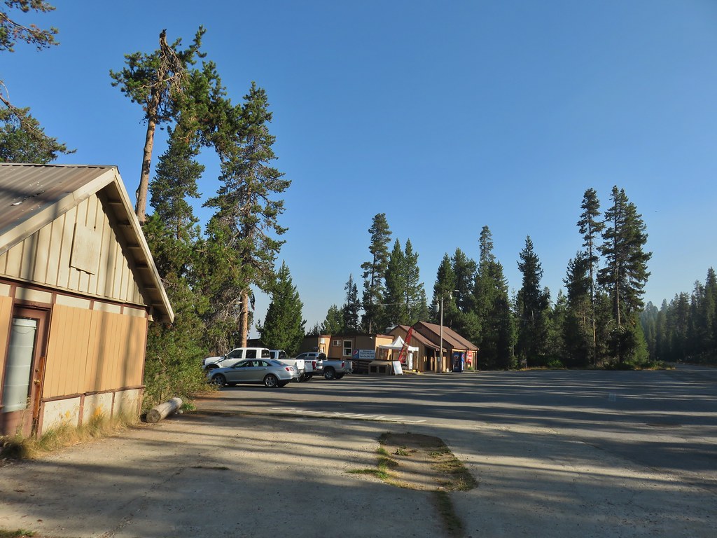 Resort buildings between the RV park and campground.
 Sign instructing users to follow painted bike symbols through the campground.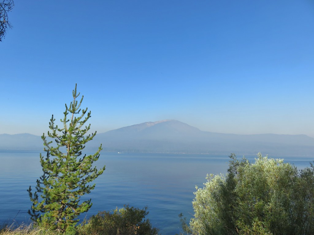
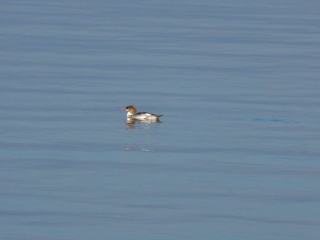 Common merganser
 Goldeneyes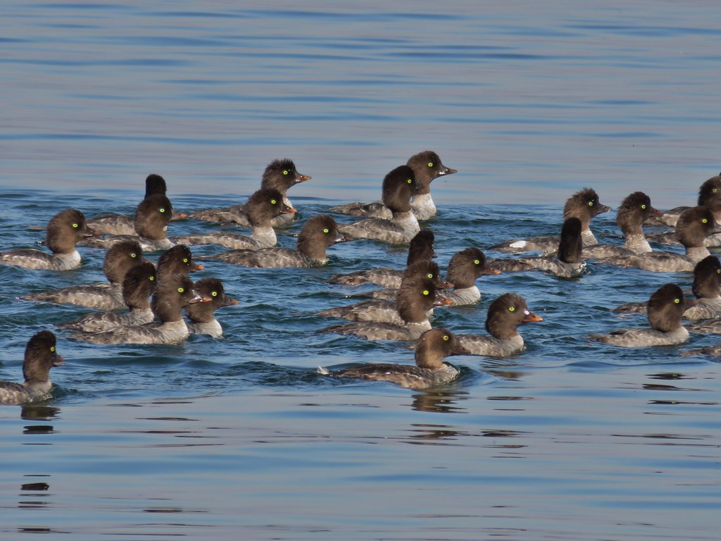

 Mt. Bailey again.
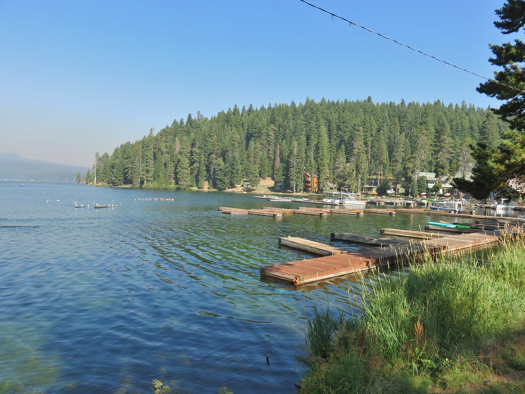 Arriving at the lodge area.
 Seagulls



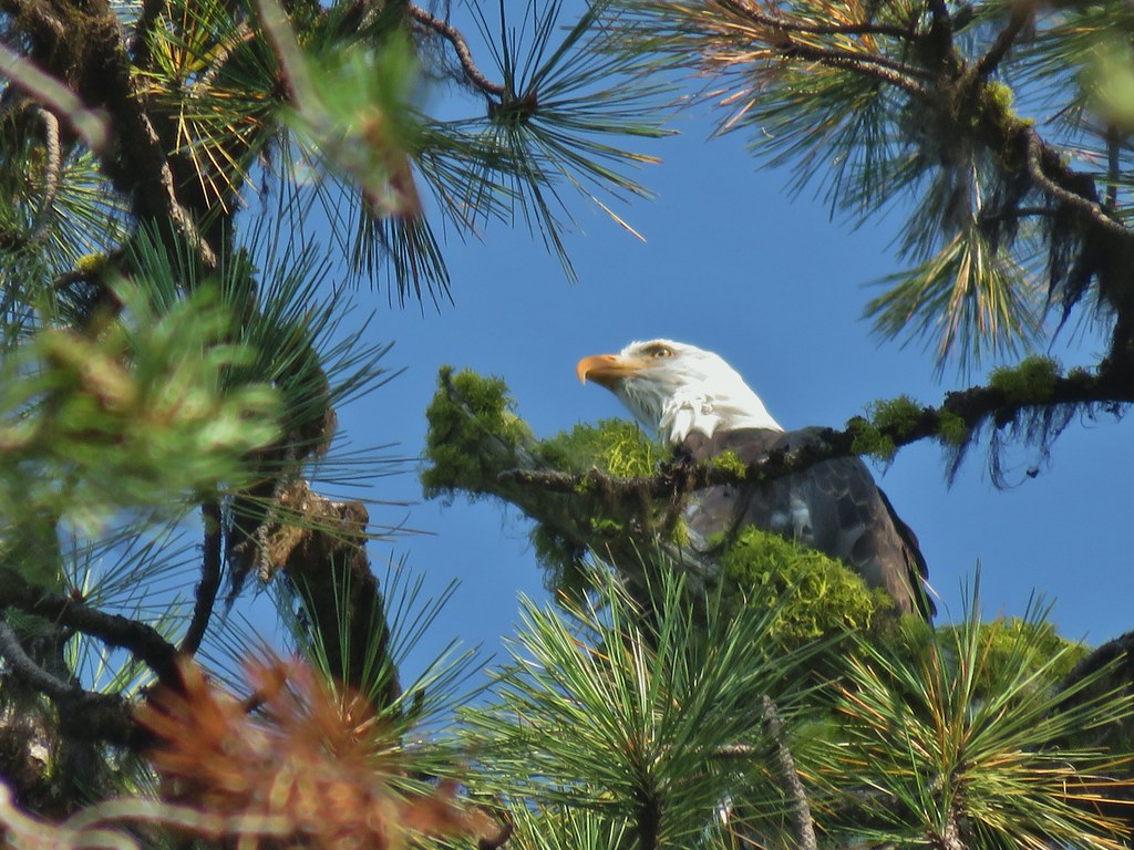 Bald eagle
 I’ve been spotted
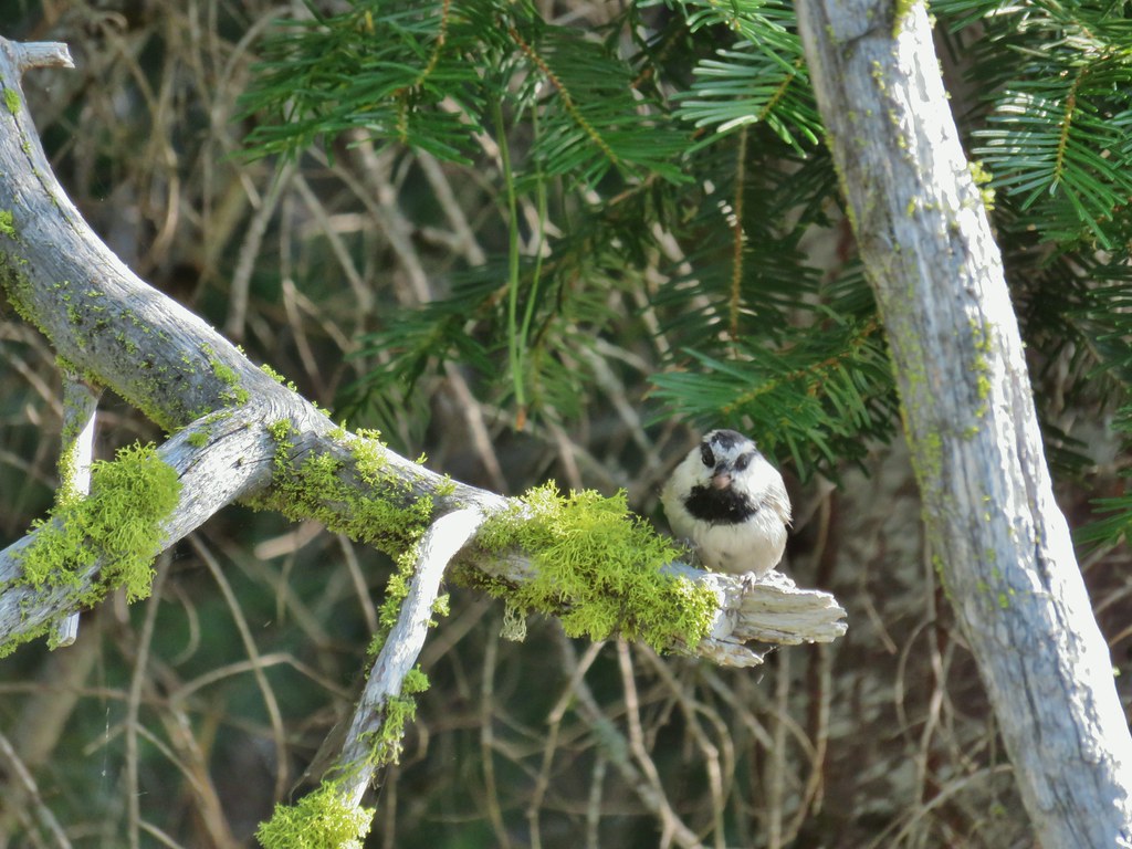 Chickadee with a seed or nut.
 Junco in some fireweed.
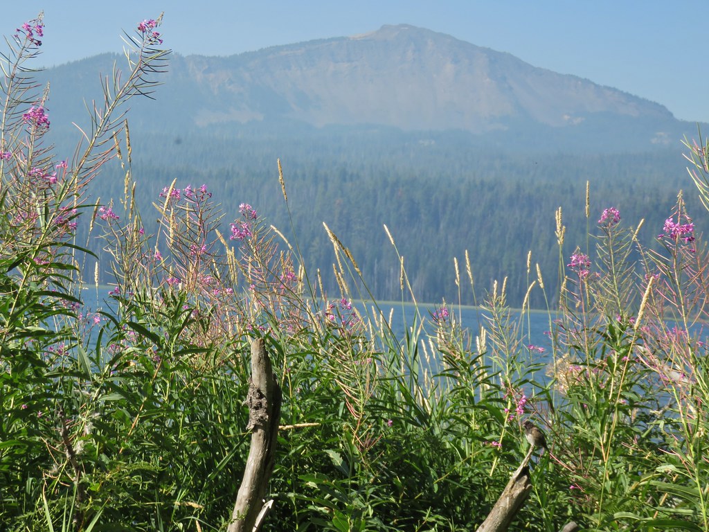 The junco with Mt. Bailey in the background.
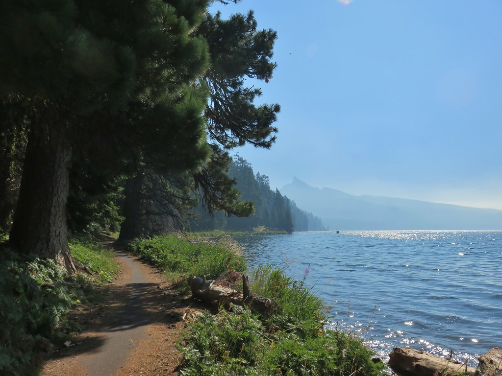 Looking back at Mt. Thielsen
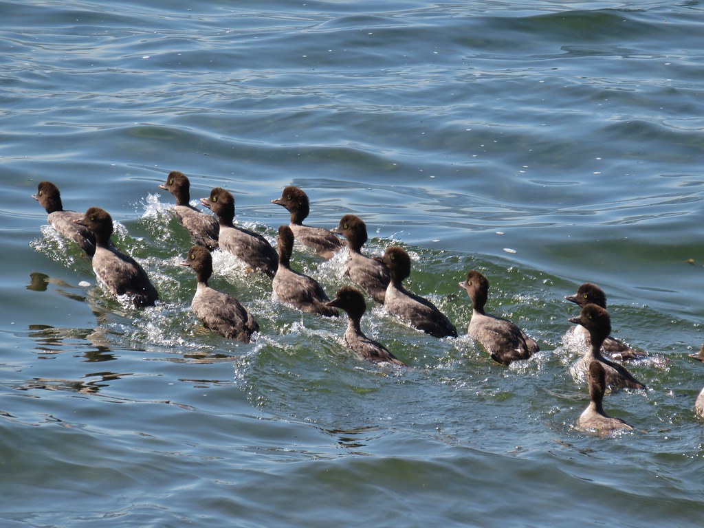 More goldeneyes
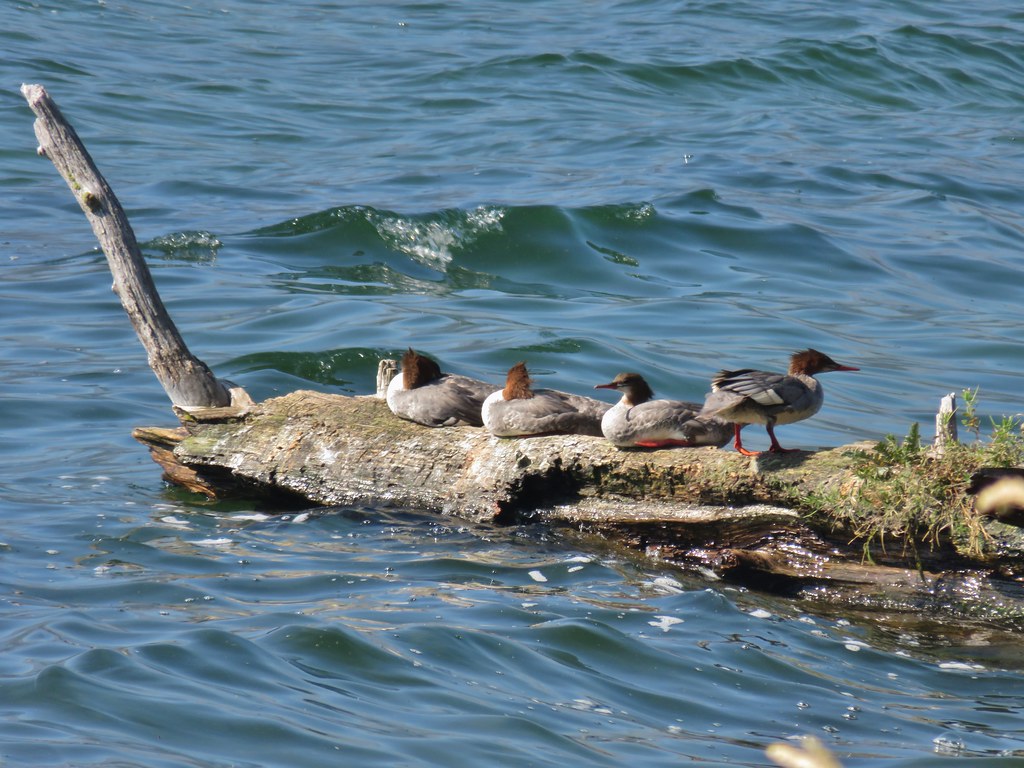 Mergansers


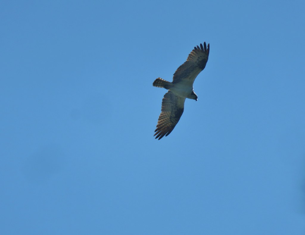 Osprey

 Cormorant
 Howlock Mountain to the left and Mt. Thielsen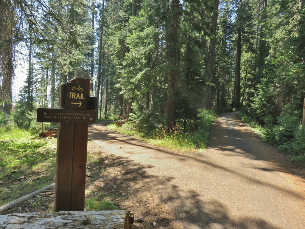


 Back on the lake side of FR 4795.


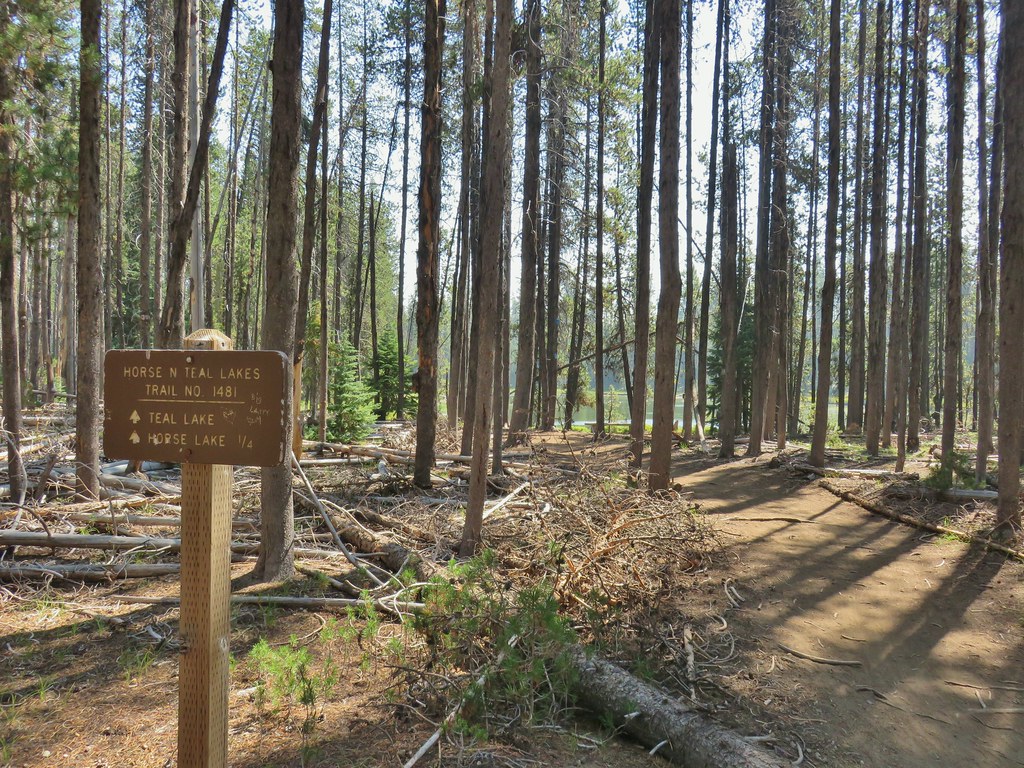
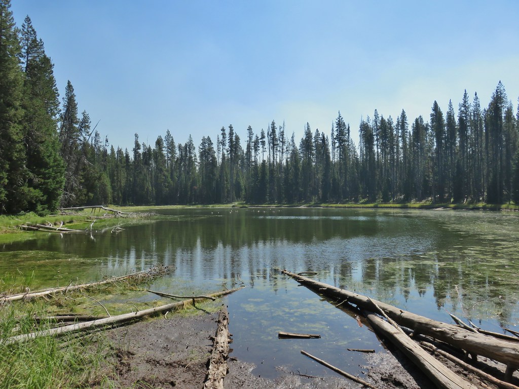 Canada geese at Teal Lake.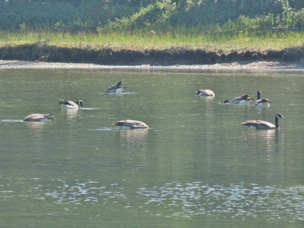
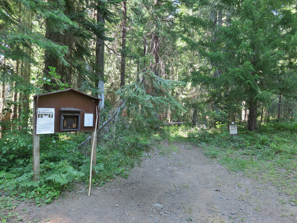



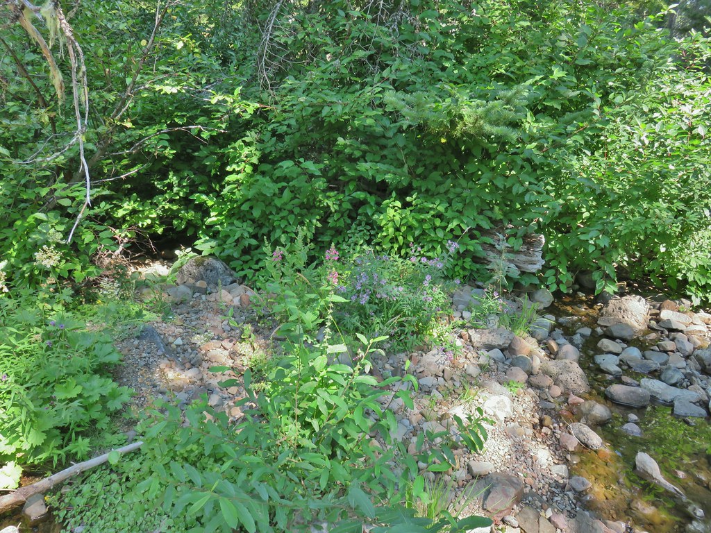 hedgenettle and aster.
 Monkeyflower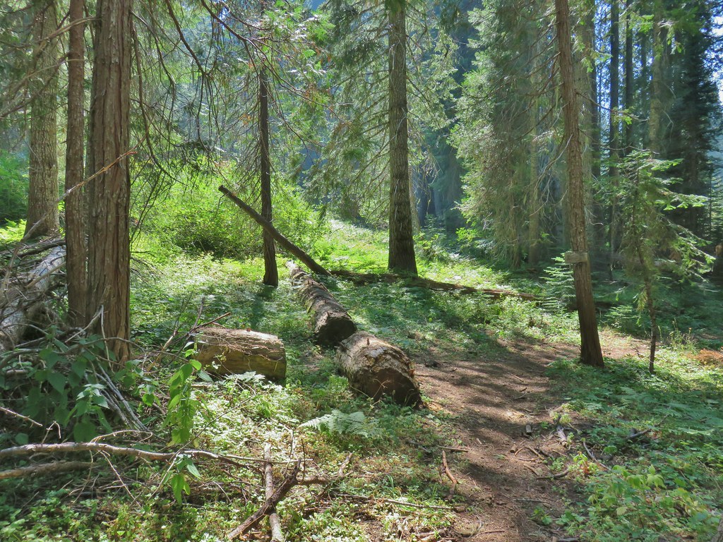


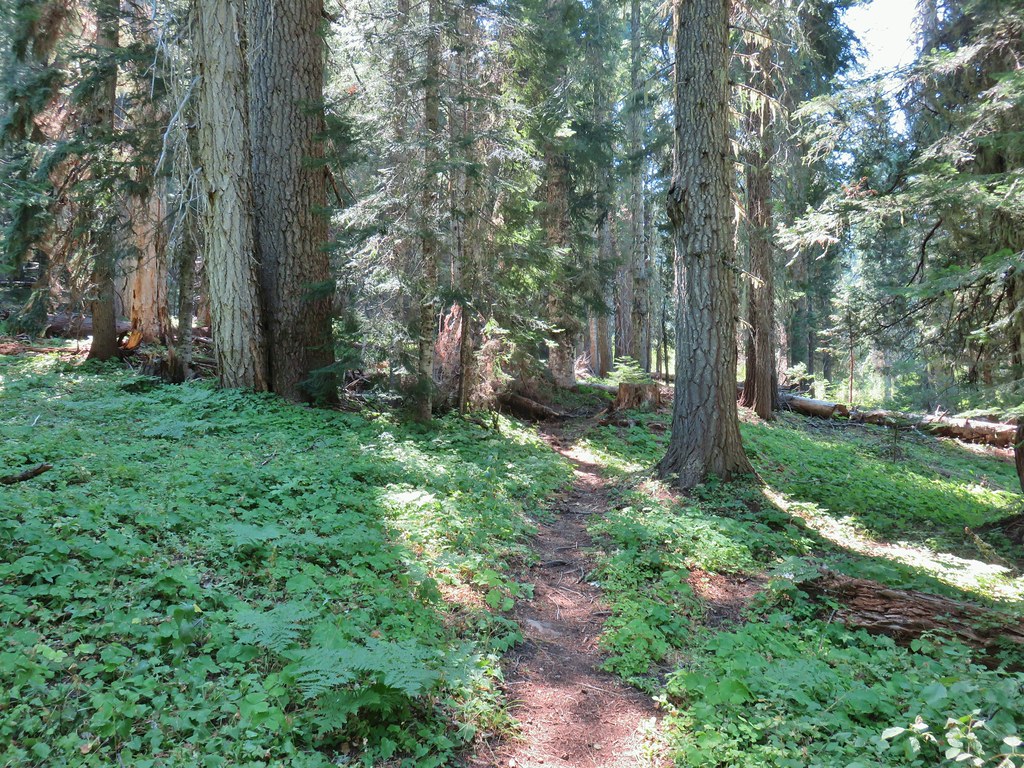
 Wiley Camp Trail on the right.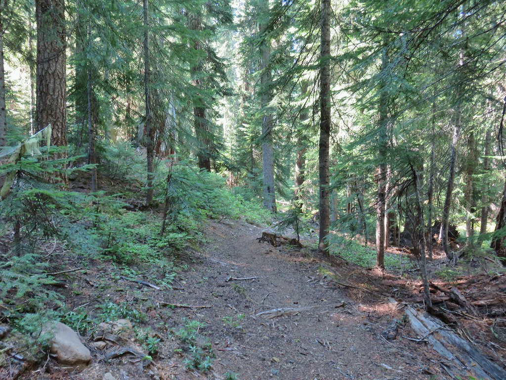

 Wiley Camp sign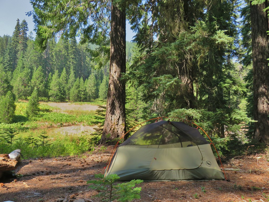

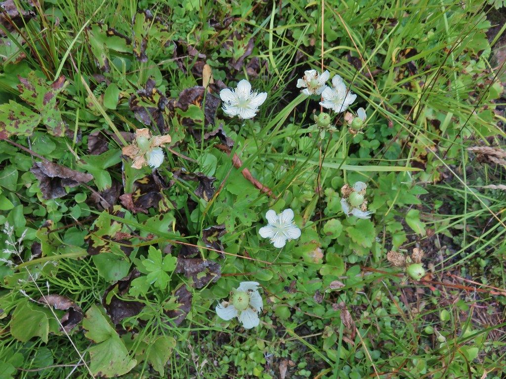 Grass of parnassus
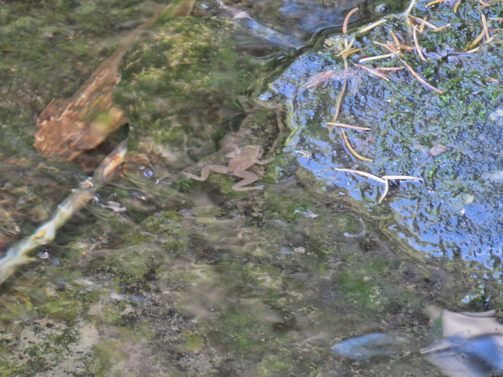 Frog
Frog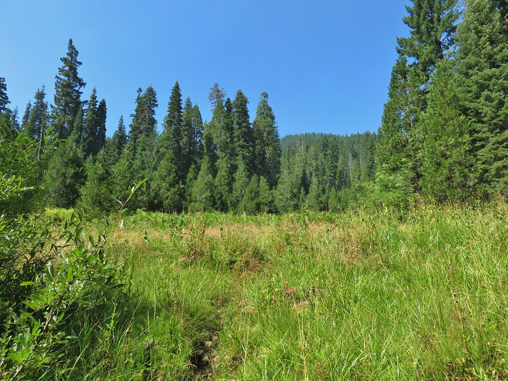 Trail leading up from the creek into the meadow.
 Big cedar at the edge of the meadow.
 Cairn and pink flagging (small tree to the right) marking the Wiley Camp Trail.
 Elder berry
 Twisted stalk


