Several years ago we set a goal for ourselves to hike all 500 featured hikes in William L. Sullivan’s “100 Hikes…” series of guidebooks (post). In 2020 we finished the first of his five guidebooks covering the Central Oregon Cascades. The achievement became bittersweet just 10 days after finishing the final featured hike at Erma Bell Lakes (post) when a freak windstorm caused the Lionshead and Beachie fires to explode burning a number of the trails that we had hiked on our journey to complete this goal. On the one hand we were fortunate enough to see these areas before they burned but it also means being more aware of what was lost, at least for the time being. The 2020 fires were not the first to burn trails that we’d hiked in the area, sometimes after and sometimes before. Fire is part of a forest’s cycle but their time frames take much longer than ours.
For this post we want to recap our journey to complete the 100 featured hikes while sharing a little of what the area looked like as we experienced it but first a little context. The area that Sullivan covers in the Central Cascades book, as well as his books for the other four areas, isn’t exactly easy to define. The vast majority of hikes could be fit into a rectangle starting with the upper left hand corner in Salem and extending east to Highway 97 then south to the junction of highways 97 & 58, then west until intersecting with a line due south from Salem. (The imaginary line follows I5 south until Cottage Grove where the freeway jogs SW.) That is over simplification though as that description overlaps at times with hikes described in the NW & Eastern books and excludes two featured hikes west of I5 and two east of Highway 97. The first snip below generally shows the described rectangle with the hiker symbols representing trailheads where we have started hikes (not limited to the featured hikes being discussed here). The second snip excludes any hikes that are included in one of the other areas that Sullivan covers.
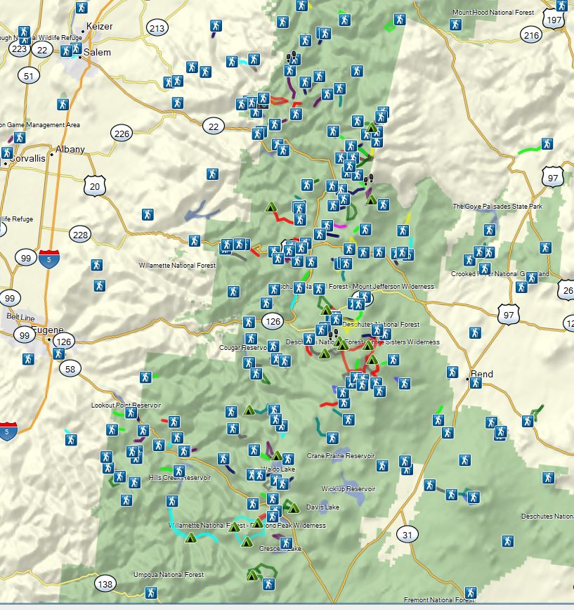
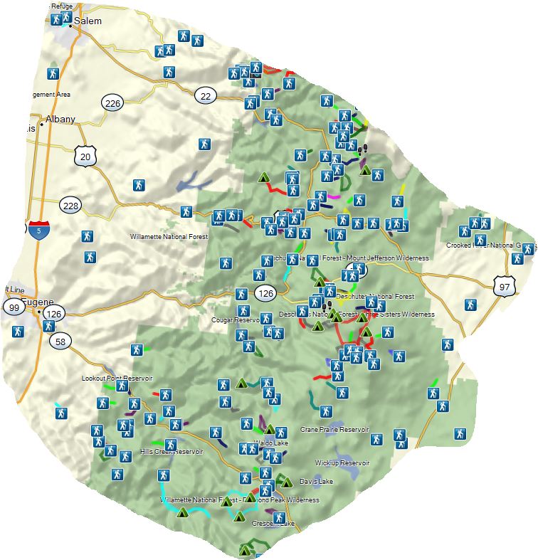
The area is home to a variety of landscapes and ecosystems and contains at least parts of nine designated Wilderness Areas: Opal Creek, Bull of the Woods, Mt. Jefferson, Mt. Washington, Three Sisters, Menagerie, Middle Santiam, Waldo Lake, and Diamond Peak.
The area has been hit by a number of large fires since 2000. The map below covers the same approximate area as the second map above. The colored areas represent fires with yellow being 2000-2005, light orange 2006-10, dark orange 2011-14, and red 15-19.
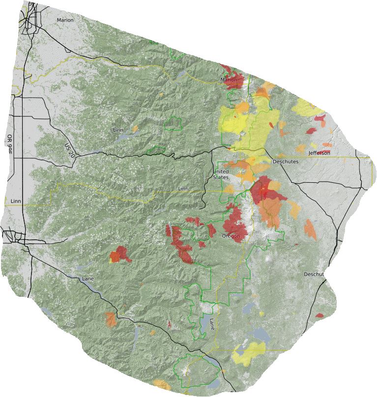
Not included in the map above are the Green Ridge, Beachie or Lionshead Fires from 2020. The Green Ridge fire did not burn over any of the featured hikes (it did burn part of the Green Ridge Trail) but the Beachie and Lionshead Fires impacted a number of hikes in the Mt. Jefferson, Bull of the Woods and Opal Creek Wilderness and surrounding areas.
The map below includes the Riverside Fire (large fire to the north), Beachie and Lionshead (center left and right which combined after Labor Day) and the Green Ridge Fire (SE).

We were lucky enough to complete many of the hikes prior to them being burned but we also hiked a number post fire and have seen the recovery in process. I’ve done my best to note below if a featured hike has experienced fire since 2000 with the year and name of the fire.
After all of that here are the 100 featured hikes from the 2012 4th edition of “100 Hikes in the Central Oregon Cascades”:
#1 – Ankeny Wildlife Refuge-Hiked 4/6/2014

#2 – Silver Fall-Hiked 2006, 7/30/2010 & 3/29/2018
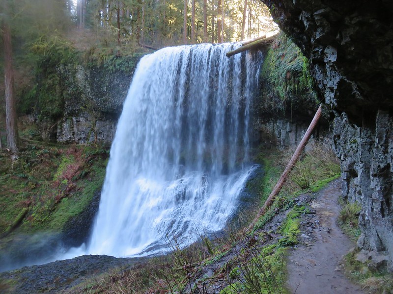 Middle North Falls
#3 – Shellburg Falls-Hiked 5/23/2011
Burned-2020 Beachie Fire
 Shellburg Falls
#4 – Little North Santiam-Hiked 4/5/2012
Burned-2020 Beachie Fire

#5 – Henline Falls & Henline Mountain 7/27/2009 & 6/14/2020
Burned-2020 Beachie Fire
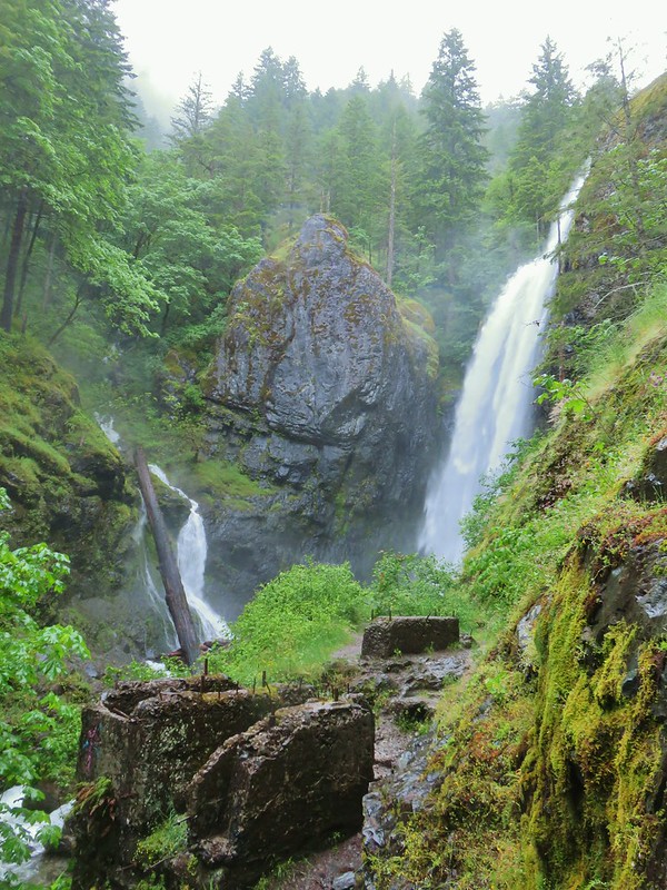 Henline Falls
#6 – Opal Creek 7/4/2010, 7/4/2012, 6/21/2014 & 7/24/2019
Burned-2020 Beachie Fire
 Jawbone Flats
#7 – Dome Rock and Tumble Lake 7/18/2010
Burned-2020 Beachie Fire
 Tumble Lake from Dome Rock
#8 – Battle Ax and Twin Lakes 9/20/2014
 Mt. Jefferson from Battle Ax
#9 – Stahlman Point 5/6/2013
Burned 2020 Beachie Fire
 View from Stahlman Point
#10 – Coffin Mountain Lookout 8/2/2013 & 7/4/2016

#11 – Three Pyramids 7/18/2020
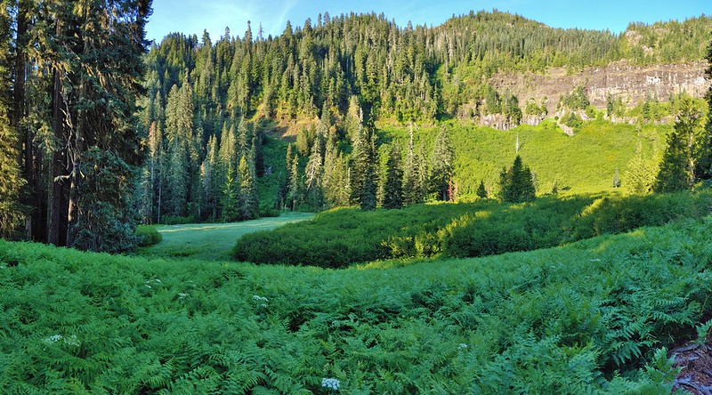 Meadow below the Three Pyramids
#12 – Crescent Mt. 7/6/2014
 Beargrass on Crescent Mountain
#13 – Browder Ridge 9/9/2012 & 7/4/2018
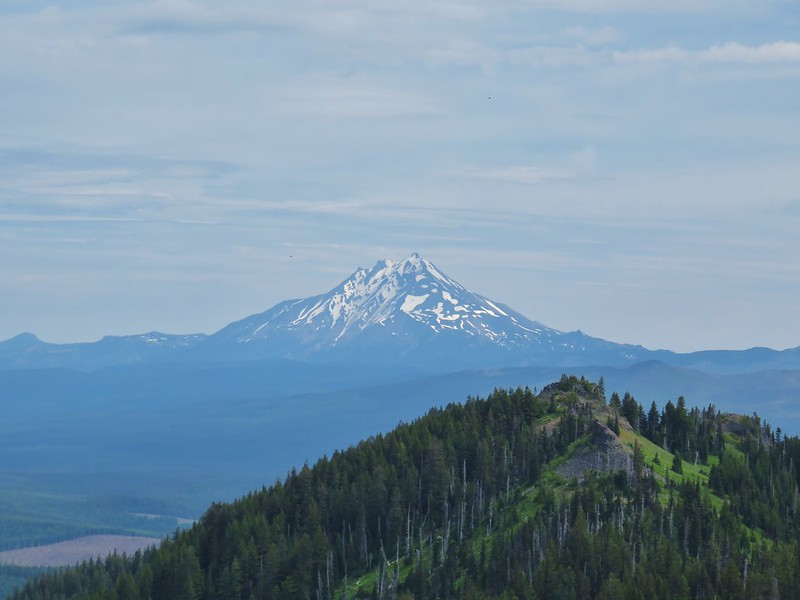 Mt. Jefferson from Browder Ridge
#14 – Echo Basin and Fish Lake 6/19/2020
 Boardwalk in Echo Basin
#15 – Iron Mt. 7/25/2010 & 7/4/2014
 Iron Mountain from the trail.
#16 – House Rock 11/8/2014

#17 – Rooster Rock 6/12/2016

#18 – Cascadia State Park 6/12/2016
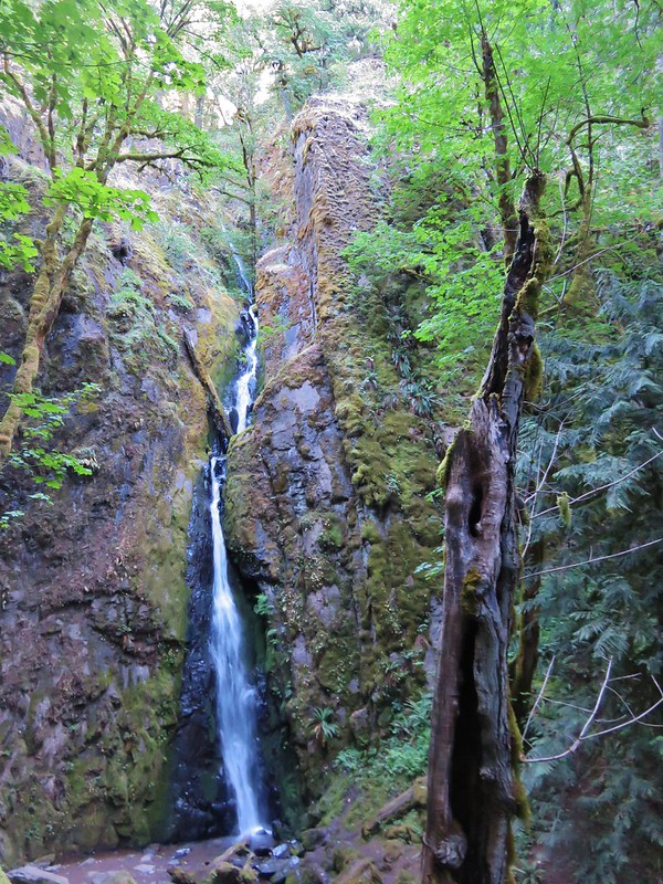 Soda Creek Falls
#19 – Crabtree Lake 9/7/2019
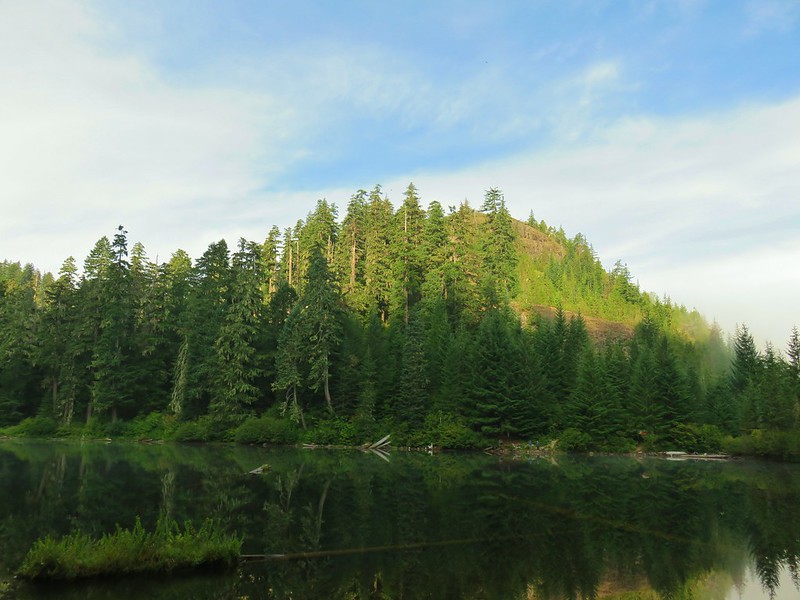
#20 – McDowell Creek Park 2/16/2014
 Majestic Falls
#21 – South Breitenbush Gorge 5/11/2013
Burned 2020 Lionshead Fire
 Roaring Creek
#22 – Jefferson Park 9/23/2011, 10/13/2014, & 8/8/2015
Burned partly in 2017 Whitewater and rest in 2020 Lionshead Fire
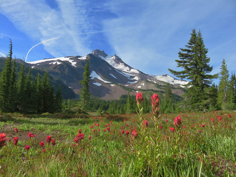 Mt. Jefferson
#23 – Pamelia Lake 9/19/2013 & 9/8/2018
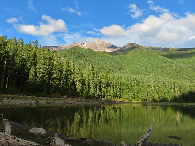
#24 – Marion Lake 10/3/2014 & 9/10/2016
Burned 2002 Mt. Marion, 2003 B&B Complex, 2006 Puzzle, 2015 208SRZ Marion
 Three Fingered Jack from Marion Lake
#25 – Duffy Lake 7/28/2010
Burned 2002 Mt. Marion, 2003 B&B Complex
 Mowich Lake and Duffy Butte from Red Butte
#26 – Three Fingered Jack 10/13/2012
Burned 2003 B&B Complex

#27 – Canyon Creek Meadows 7/28/2013
Burned 2003 B&B Complex
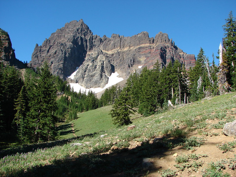 Three Fingered Jack
#28 – Carl Lake 9/1/2018
Burned 2003, B&B Complex, 2006 Puzzle
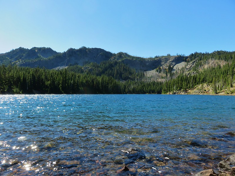
#29 – Metolius River 7/23/2012
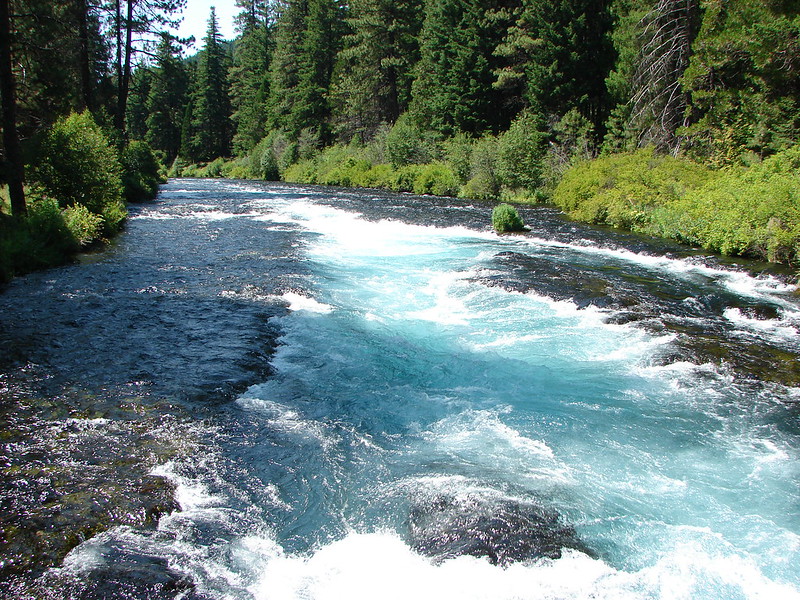 Wizard Falls
#30 – Black Butte 10/13/2013 & 5/28/2018
Burned 2009 Black Butte II

#31 – Alder Springs 8/3/2011
 Deschutes River
#32 – Scout Camp Trail 5/1/2016

#33 – Steelhead Falls 5/1/2016

#34 – Smith Rock 7/14/2006, 7/13/2011 & 6/5/2015
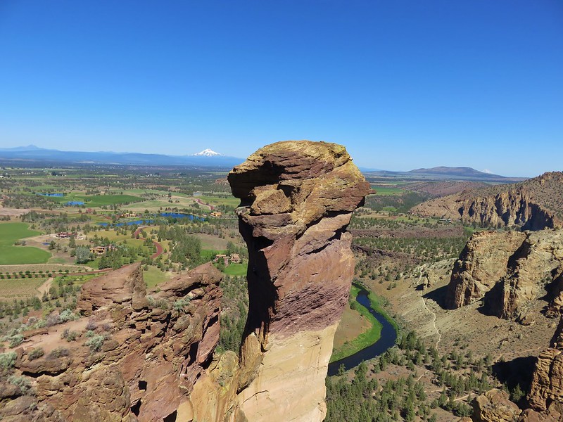 Monkey Face
#35 – Shevlin Park 8/5/2011
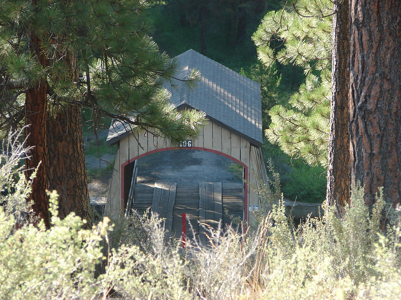 Hixson Crossing Covered Bridge
#36 – Tumalo Falls 9/27/2014

#37 – Dillon & Benham Falls 8/1/2013
 Benham Falls
#38 – Lava Cast Forest and Lava River Cave 5/28/2017

#39 – Fall River 9/16/2015
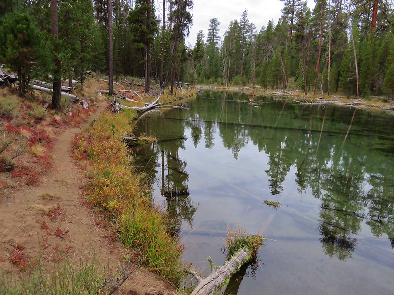
#40 – LaPine State Park 9/16/2015
 Deschutes River
#41 – Poxy Falls and Linton Lake 5/3/2014(Proxy Falls) & 7/01/2017(Linton Lake)
Burned (Linton Falls) 2017 Separation Fire
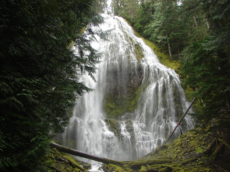 Proxy Falls
#42 – Obsidian Trail 10/14/2012
Burned (tiny portion of trail) 2017 Separation Fire
 Obsidian Falls
#43 – Four-in-one-Cone 10/14/2012 & 8/14/2019
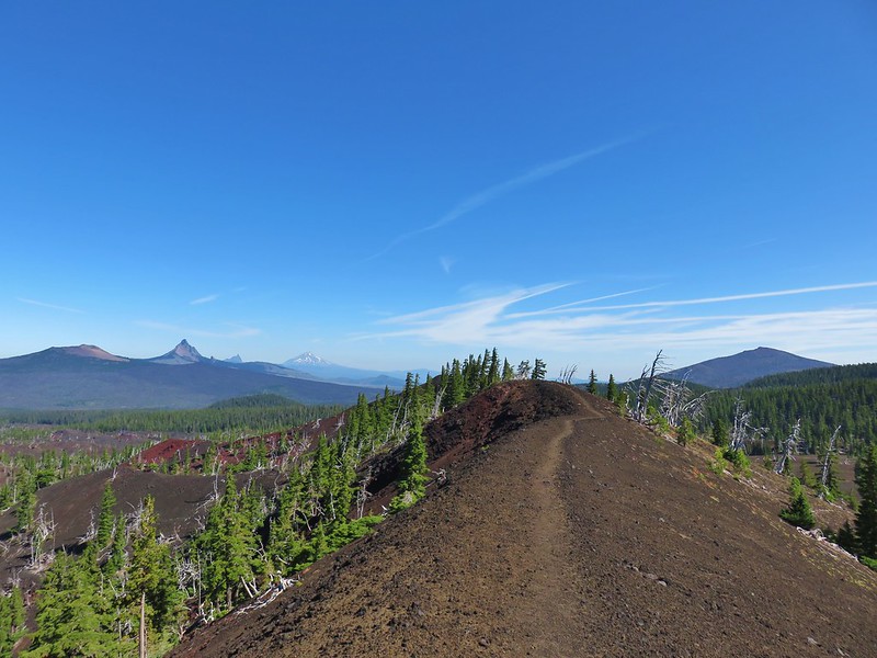 View from Four-in-One-Cone
#44 – Benson Lake 10/14/2012 & 8/30/2014
Burned (small section of longer loop trail) 2010 Scott Mt. Fire
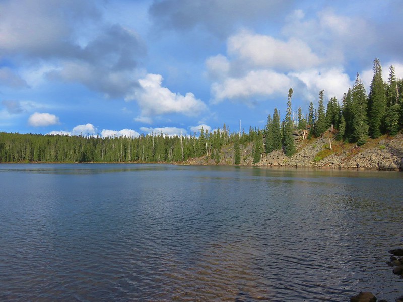
#45 – Hand Lake Shelter 8/30/2014

#46 – Little Belknap Crater 9/14/2015
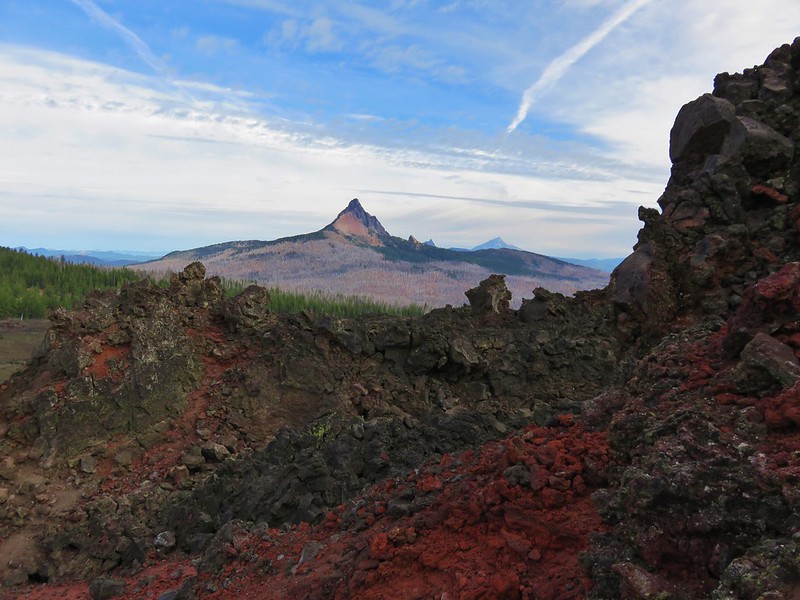 Mt. Washington, Three Fingered Jack, and Mt. Jefferson from Little Belknap Crater
#47 – Matthieu Lakes 7/29/2013
Burned 2017 Milli Fire
 North Sister from South Matthieu Lake
#48 – Black Crater 10/1/2016
Burned 2017 Milli Fire
 Former lookout site on Black Crater.
#49 – Chambers Lakes 8/26/2014
Burned 2012 Pole Creek Fire
 South Sister from Camp Lake
#50 – Park Meadow 8/27/2014
Burned 2012 Pole Creek Fire
 Middle and North Sister from Golden Lake
#51 – Tam McArthur Rim 8/31/2013
 Broken Top and Broken Hand from Tam McArthur Ridge
#52 – Tumalo Mt. 9/27/2014
 Trees near the summit of Tumalo Mountain.
#53 – Todd Lake and Broken Top 8/23/2014
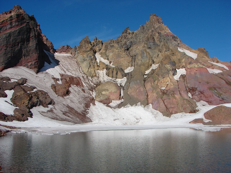 Broken Top from No Name Lake
#54 – Sparks Lake 10/1/2014
 South Sister from Sparks Lake
#55 – Green Lakes via Fall Creek 9/15/2015
 The third Green Lake
#56 – Moraine Lake and South Sister 9/1/2013
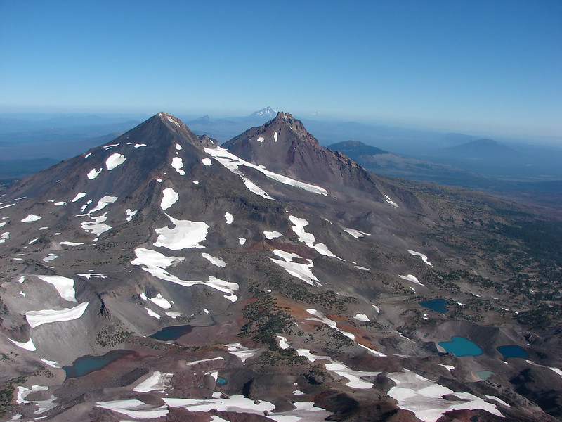 Looking north from the South Sister.
#57 – Sisters Mirror Lake 9/19/2015
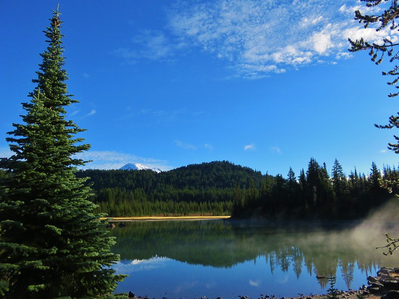 South Sister from Sisters Mirror Lake
#58 – Horse Lake 8/4/2011
 Horse Lake
#59 – Doris & Cliff Lakes 9/29/2014
 Doris Lake
#60 – Clear Lake 6/15/2014
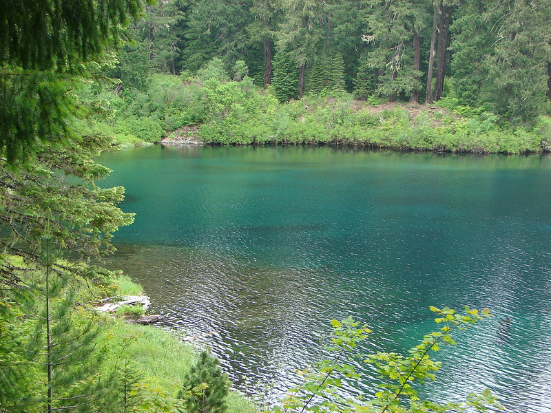
#61 – Sahalie & Koosah Falls 9/9/2012
 Sahalie Falls
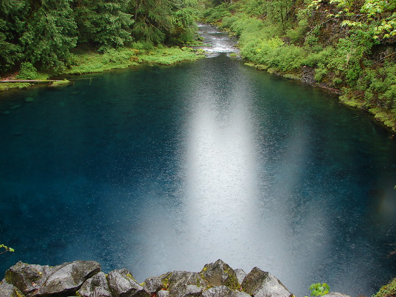
#62 – Tamolitch Pool 5/27/2013
#63 – Rainbow Falls and Separation Lake 5/3/2014
 Separation Lake
#64 – Horsepasture Mt. 7/7/2018
 South Sister and Mt. Bachelor form Horsepasture Mountain.
#65 – Olallie Mt. 9/1/2019
Burned 2017 Olallie Lookout Fire (Lookout burned down winter 2019/20).

#66 – Lowder Mt. 9/1/2019
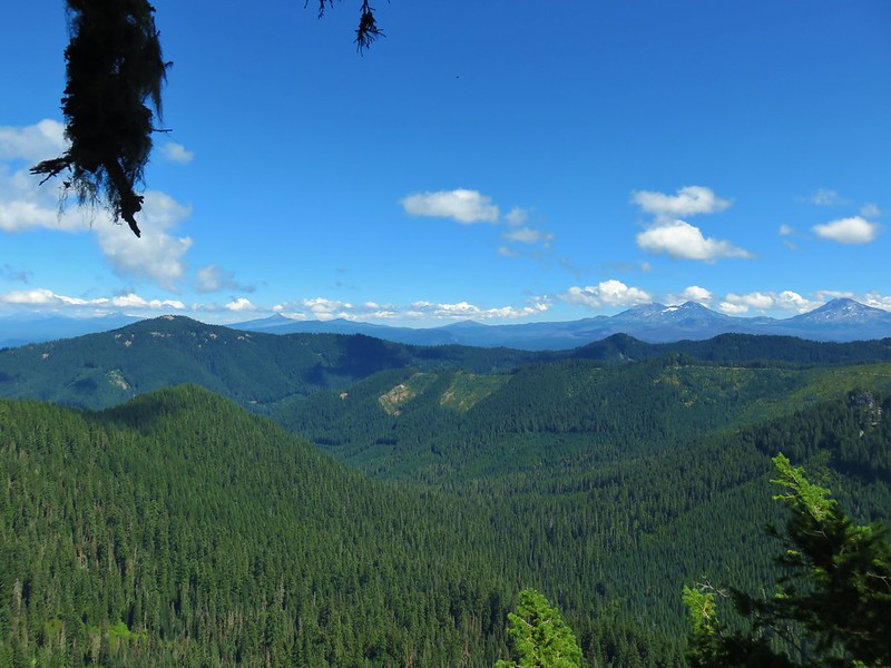 View from Lowder Mountain.
#67 – Tidbits Mt. 6/29/2019
 View from Tidbits Mountain.
#68 – Castle Rock 6/3/2017
 Monkeyflower and plectritis on Castle Rock.
#69 – French Pete Creek 5/16/2015
Burned 2017 Rebel and 2018 Terwilliger Fires
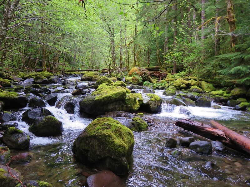
#70 – Erma Bell Lakes 8/29/2020
 Middle Erma Bell Lake
#71 – Spencer Butte 2/9/2020
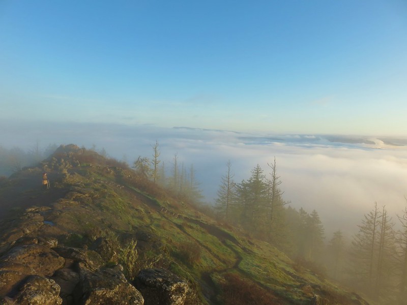 Fog over Eugene.
#72 – Mt. Pisgah 10/5/2019
 Summit marker on Mt. Pisgah.
#73 – Shotgun Creek 2/9/2020
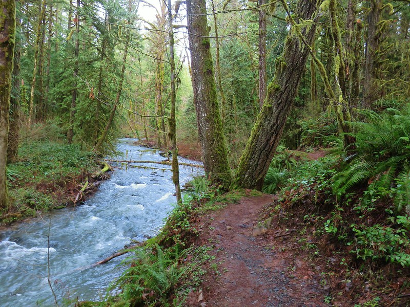
#74 – Fall Creek 3/31/2013
Burned 2003 Clark and 2017 Jones Fires
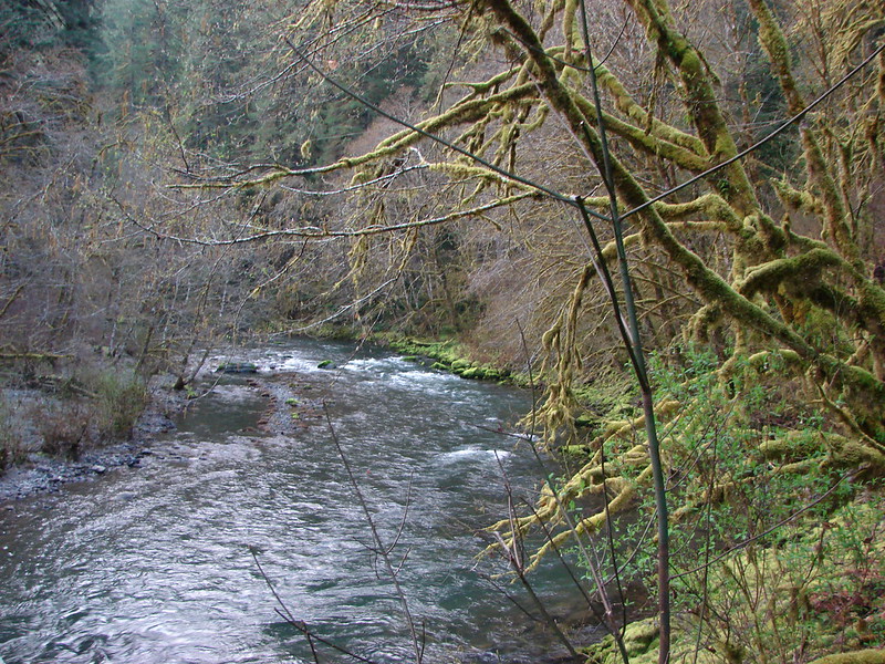
#75 – Mt. June 6/2/2013
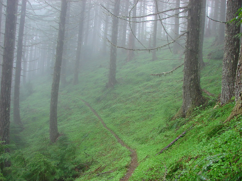 Sawtooth Trail
#76 – Goodman Creek 11/10/2013

#77 – Patterson Mt. 5/5/2018
 Lone Wolf Meadow
#78 – Tire Mt. 6/8/2014
 Wildflowers along the Tire Mt. Trail.
#79 – North Fork and Buffalo Rock 5/10/2020
 Buffalo Rock from the North Fork Willamette River
#80 – Grasshopper Meadow 7/15/2017
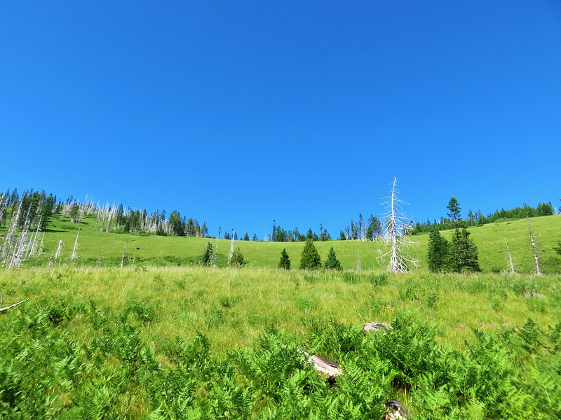
#81 – Blair Lake and Wall Creek 6/11/2015
 Beargrass meadow along the Blair Lake Trail.
#82 – Chuckle Springs 5/24/2020
Burned 2009 Tumblebug Complex
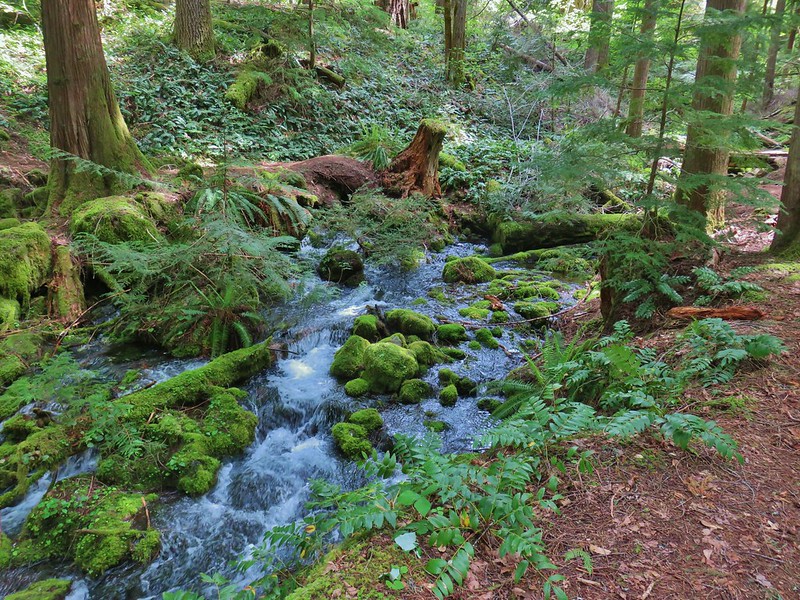 Indigo Springs (These springs have not burned.)
#83 – Spirt, Moon, and Pinard Falls 6/17/2020
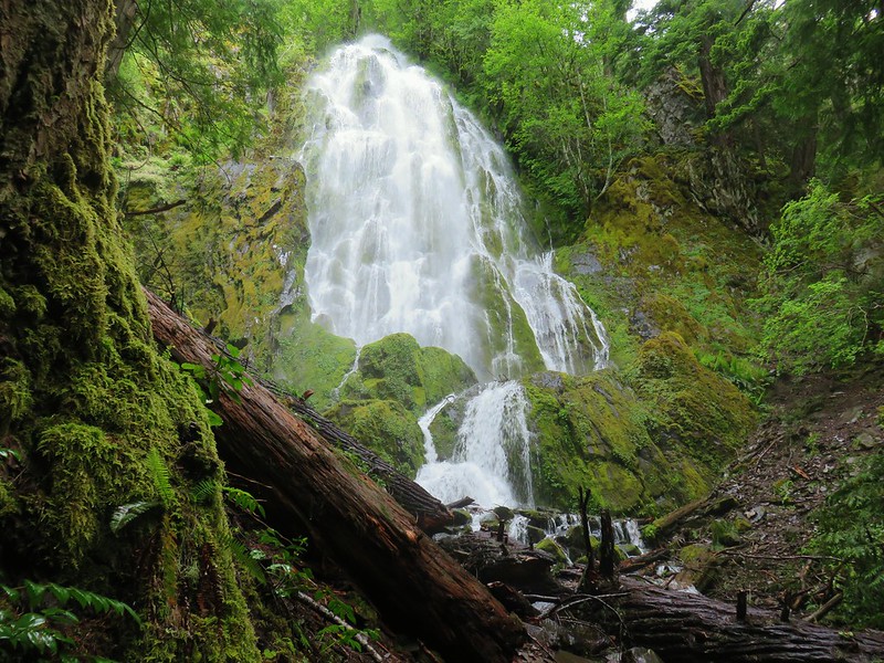 Moon Falls
#84 – Brice Creek 5/5/2014
 Upper Trestle Creek Falls
#85 – Bohemia Mt. 8/15/2020

#86 – Eddeeleo Lakes 8/25/2018
 Lower Eddeeleo Lake
#87 – Waldo Mt. 9/7/2013
 View from the Waldo Mountain Lookout.
#88 – Lillian Falls 8/30/2019

#89 – Fuji Mt. 10/6/2013

#90 – South Waldo Lake 8/22/2015
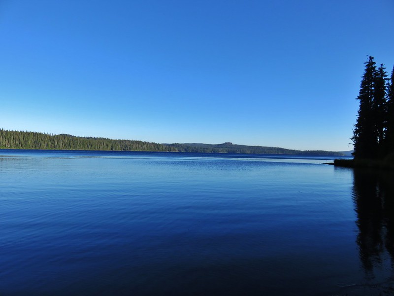
#91 – The Twins 9/14/2019

#92 – Rosary Lakes and Maiden Peak 9/3/2016
 Pulpit Rock from Middle Rosary Lake
#93 – Salt Creek Falls 7/4/2013
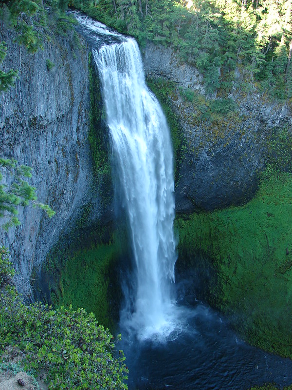
#94 – Midnight & Yoran Lakes 10/18/2014
 Yoran Lake
#95 – Diamond View Lake 8/22/2020
 Diamond Peak from Diamond View Lake
#96 – Fawn Lake 9/22/2018
 Huckleberry Bushes along Saddle Lake.
#97 – Divide Lake 8/24/2020
 Notch Lake
#98 – Blue and Corrigan Lakes 8/23/2020
 Diamond Peak from Corrigan Lake
#99 – Marie Lake and Diamond Peak 8/23/2020
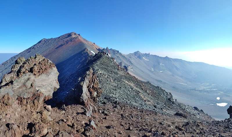 Diamond Peak
#100 – Timpanogas Lake 9/17/2016
 Sawtooth Mountain from Timpanogas Lake
In addition to the 100 featured hikes we’ve manged to add other hikes from Sullivan’s additional hikes located in the back of his book. In doing so we have also completed all 100 featured hikes in the 3rd edition and are just 2 hikes short of completing the 5th edition as well. There were 14 hikes from the 3rd edition that were not featured hikes in the 4th edition while the 5th edition contains 12 new featured hikes from the 4th edition (Three of these had been featured hikes in the 3rd edition.) Even with all of the hikes we’ve done, and the areas lost to fire in 2020 there are a number of trails in the Central Cascades we have yet to explore. We will continue to work those into our plans as we strive to explore as many different places as possible while we can.
Happy Trails!

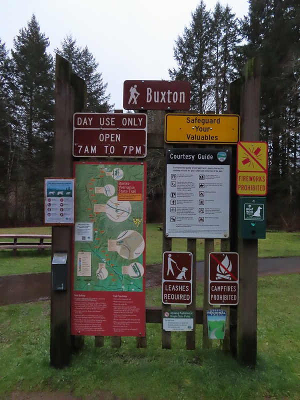


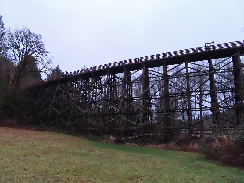


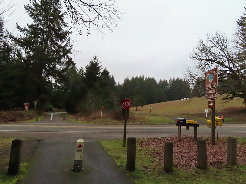 Leaving the Buxton Trailhead area.
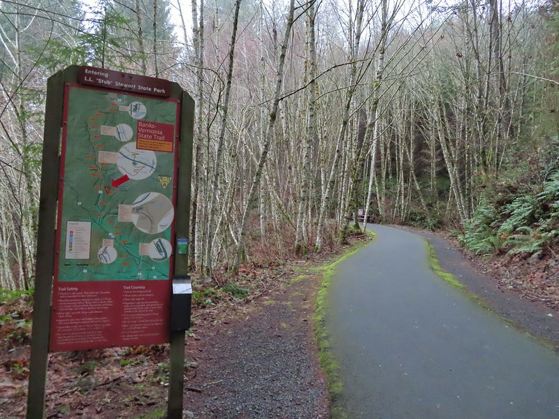 Entering Stub Stewart State Park.
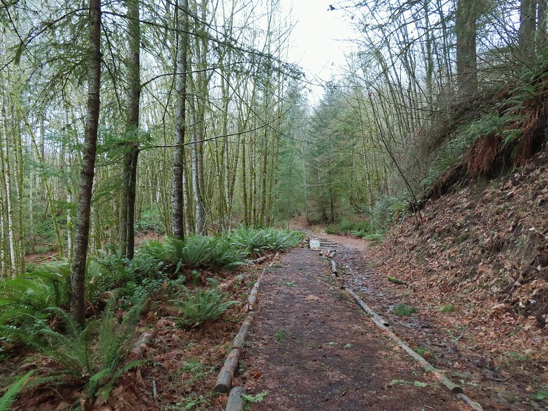
 This trail was just north of Logging Creek and appeared to just loop back to the Banks-Vernonia Trail a bit further north.
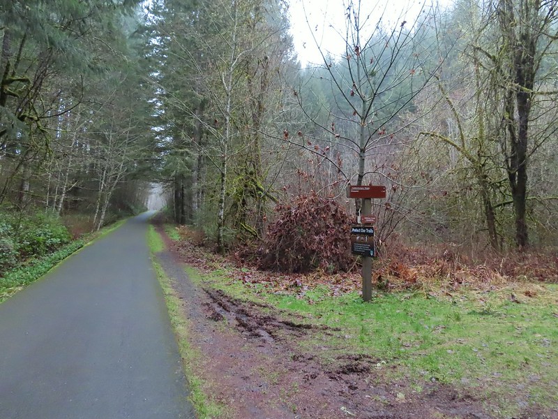 The Caddywhomper Way(s) Trail was signed better. We skipped the viewpoint given the amount of fog/clouds and not wanting to add another 2 miles to the days total. The Oregonhikers field guide also mentions that there isn’t much of a view left due to the presence of trees.
 Trail junction just north of Williams Creek


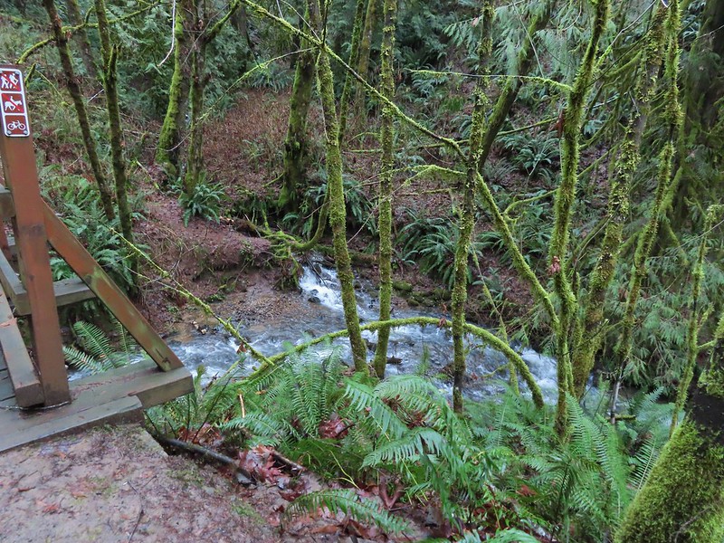


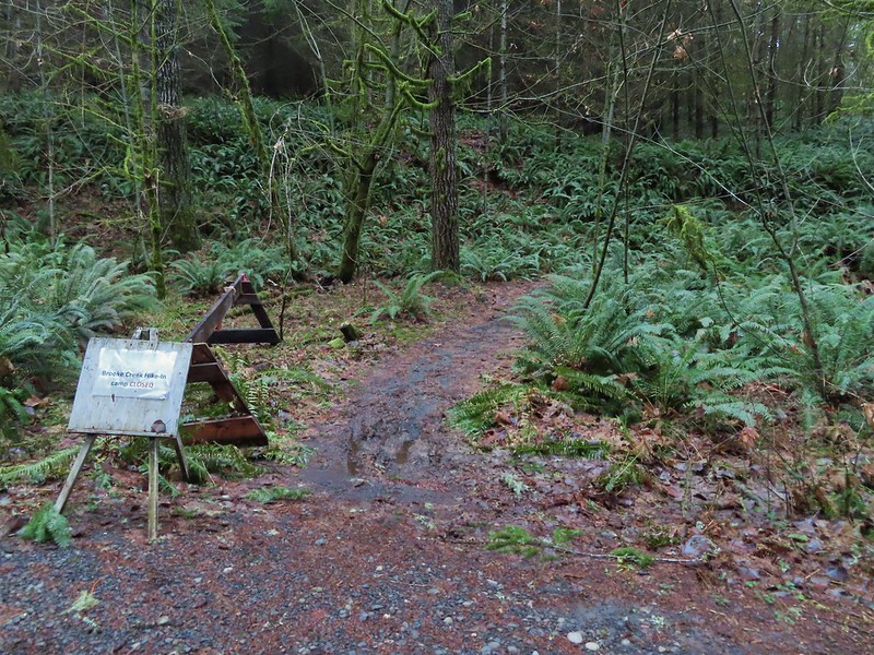



 Sign for the Widowmaker Way and Harse Canyon Trails.
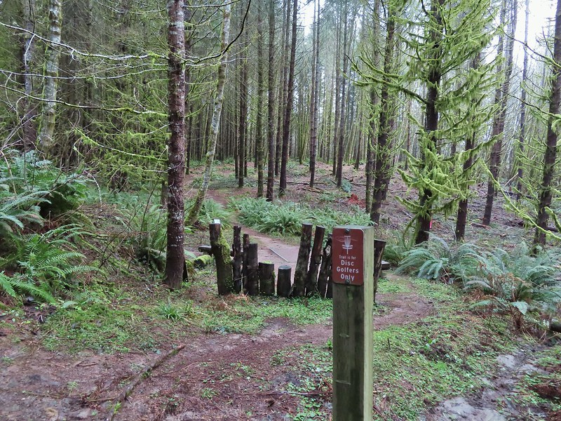

 No flowers yet but plenty of mushrooms and fungi.
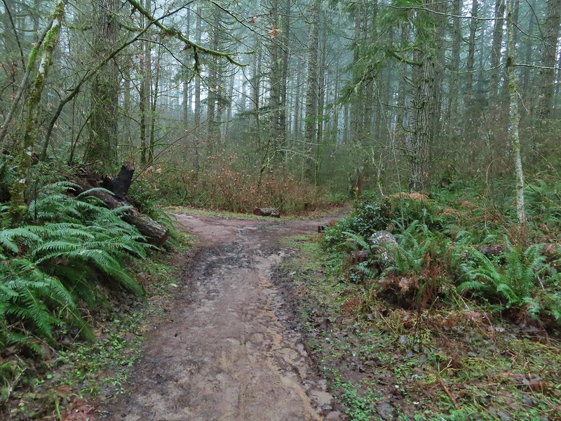
 The trails were well signed so it was easy to stay on the Hares Canyon Trail.
 Comming up on North Caddywhomper Way



 Wet webs in the trees.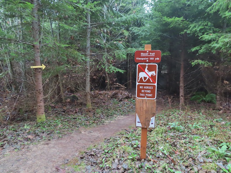


 Chatty squirrel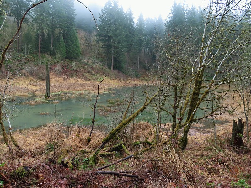

 Passing over Highway 47 on the way to the Tophill Trailhead.
 Orange jelly fungus on a tree.
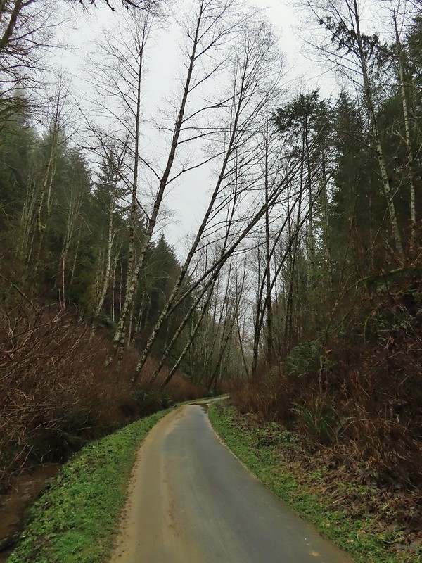 Heading up from the hill from the less steep south side.
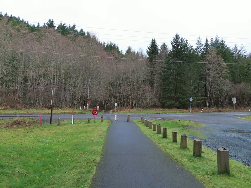 Highway 47 at the Tophill Trailhead.
 Chestnut-backed chickadee
 Pond along the trail.
 Entrance road to Stub Stewart.
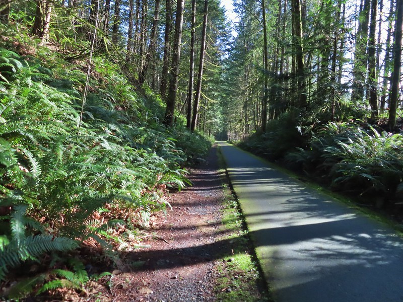
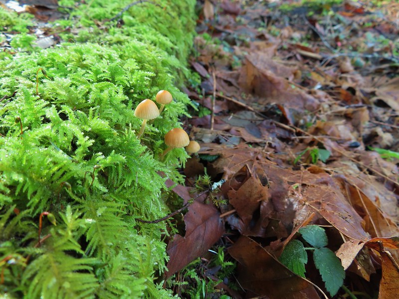
 Back at the Buxton Trailhead
 Bench at the Buxton Trailhead
 Ponderosa Pines in the Boulder Creek Wilderness
 Boulder Creek Wilderness
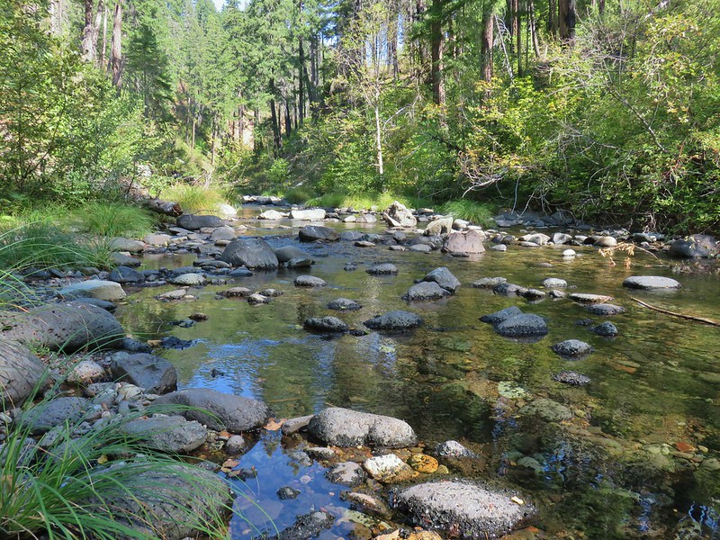 Boulder Creek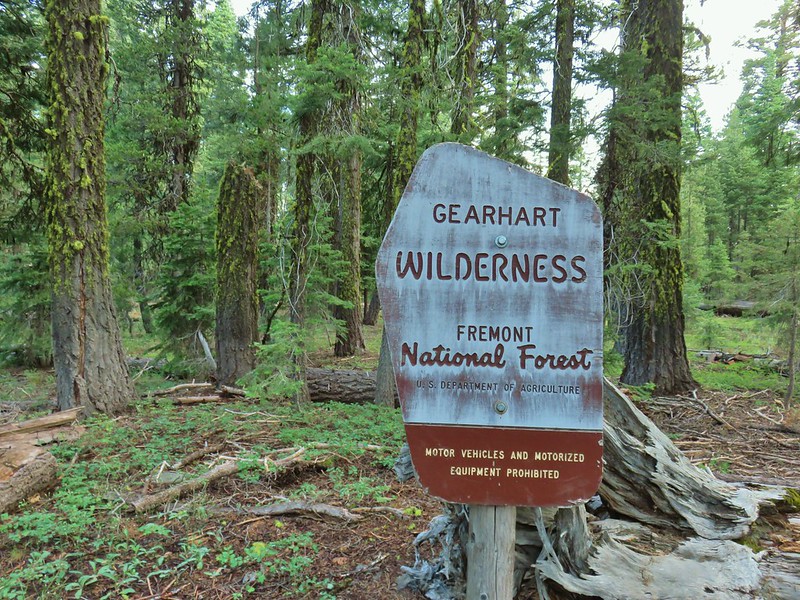
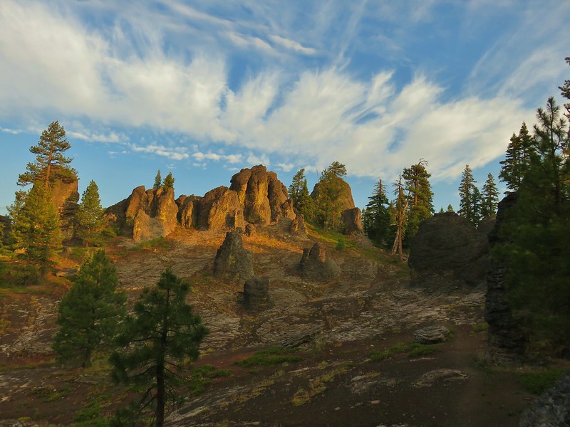 The Palisades
 Gearhart Mountain
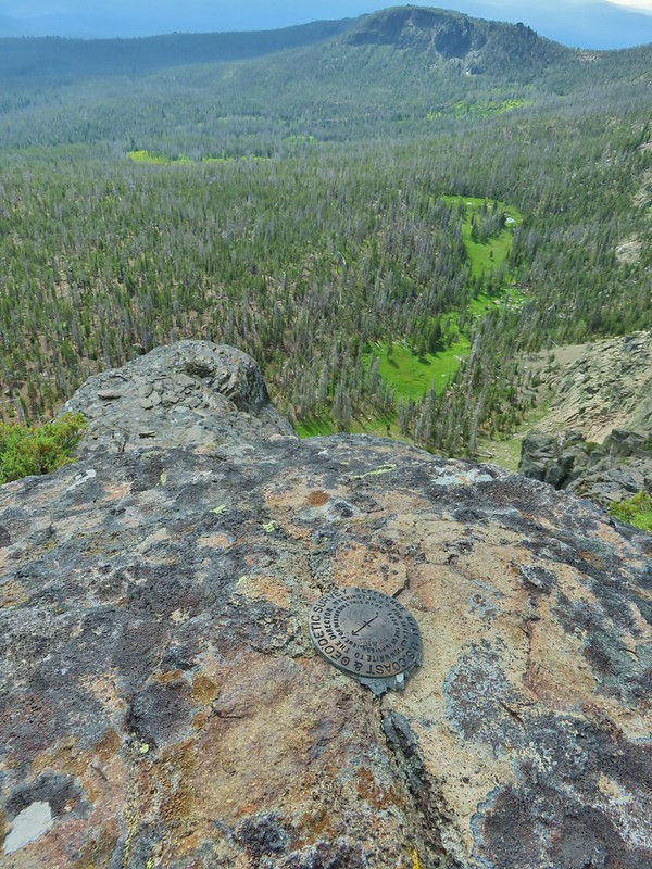 Looking down from Gearhart Mountain
 Meadow below Gearhart Mountain
 Looking up at Gearhart Mountain
 Violet
 Manzanita
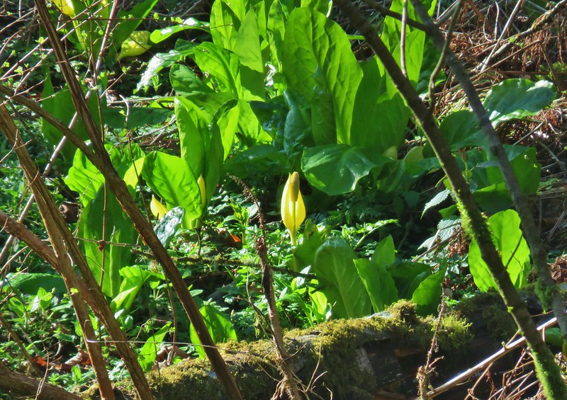 Skunk cabbage
 Violet
 Purple deadnettle
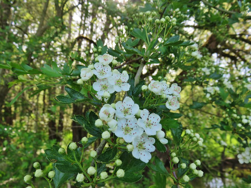 Blossoms on a tree
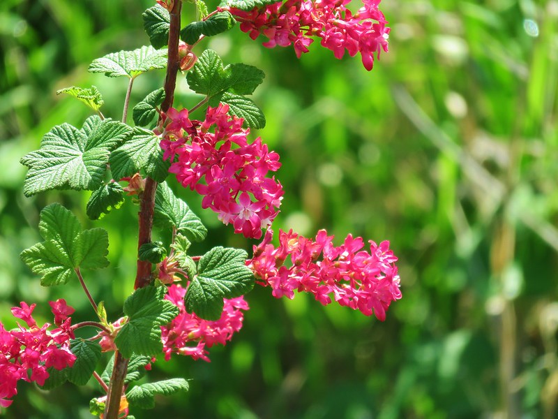 Red flowering currant
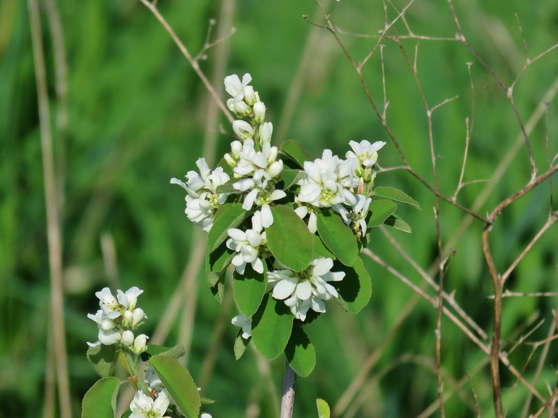 Western service berry
 California poppy
 A checkermallow
 Perriwinkle
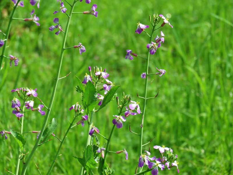 Cultivated radish
 Vetch
Vetch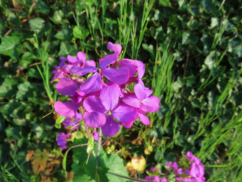 Annual honest
 Giant white wakerobbin
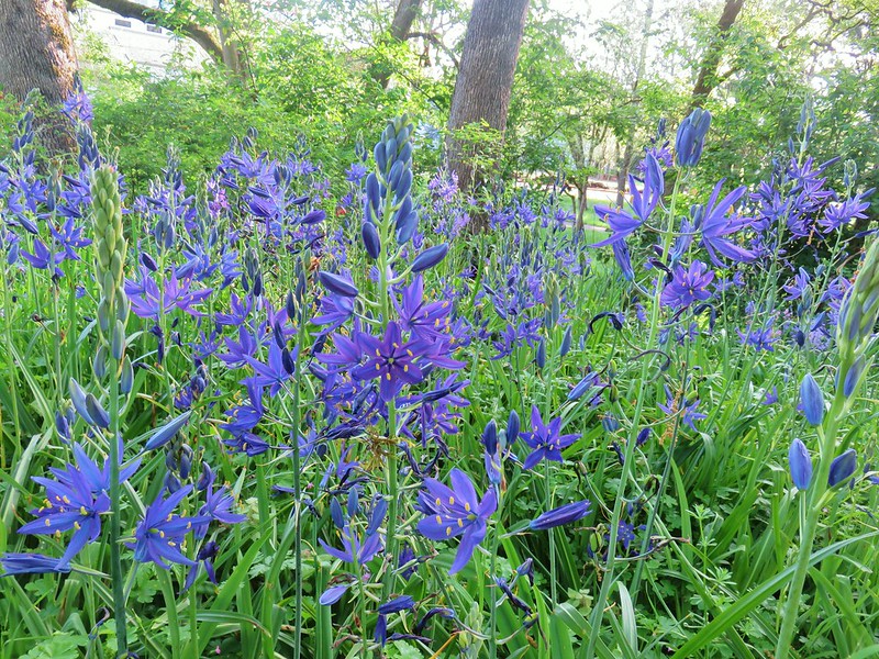
 Camas
Camas Cow parsnip
 Flowering bush as Basket Slough Wildlife Refuge
 Red clover
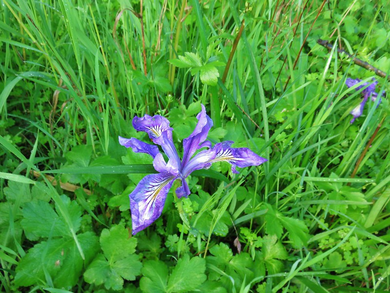 Iris
Iris Columbine
 Indian plum
 Tolmie’s mariposa lily
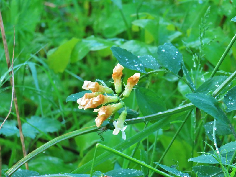 Thin-leaf pea
 Giant blue-eyed Mary
 Golden paintbrush
 Plectritis
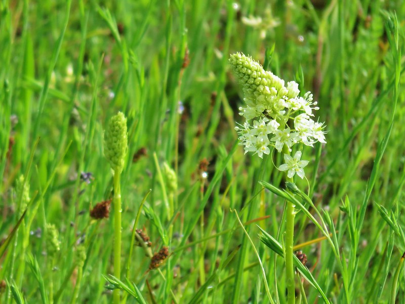 Meadow death camas
 Purple sanicle
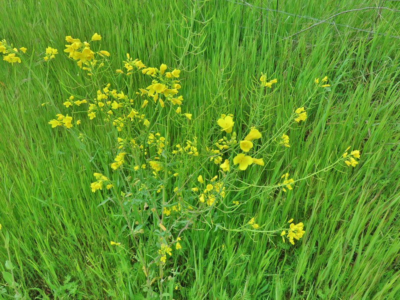 A mustard
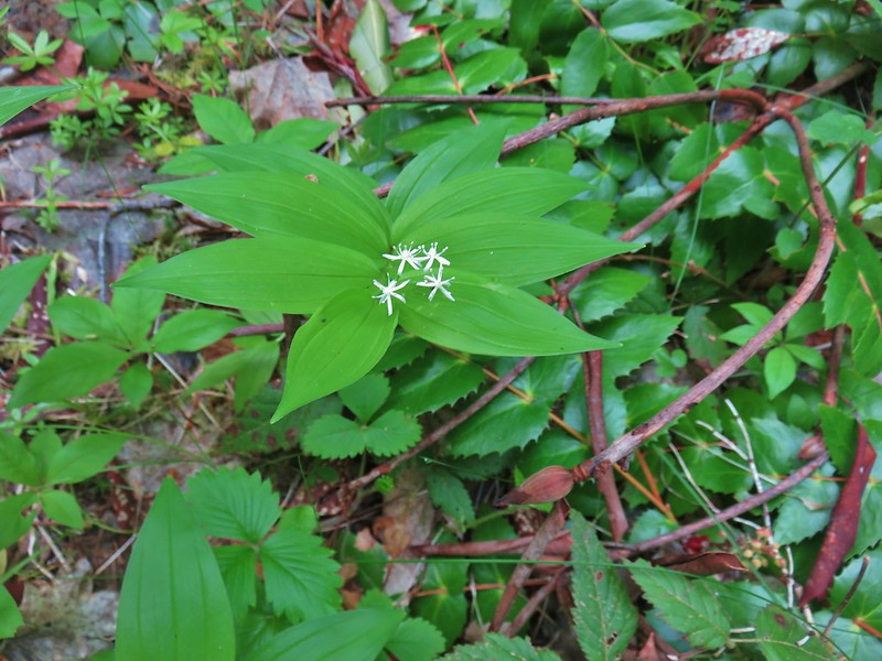 Star flowered solomseal
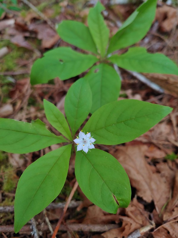 Starflower
 Yellowleaf iris
 Valerian
 Spotted coralroot
 Thimbleberry
 Hookedspur violet
 Fairy slipper
 Dogwood
 Buck Brush
 Fairybells
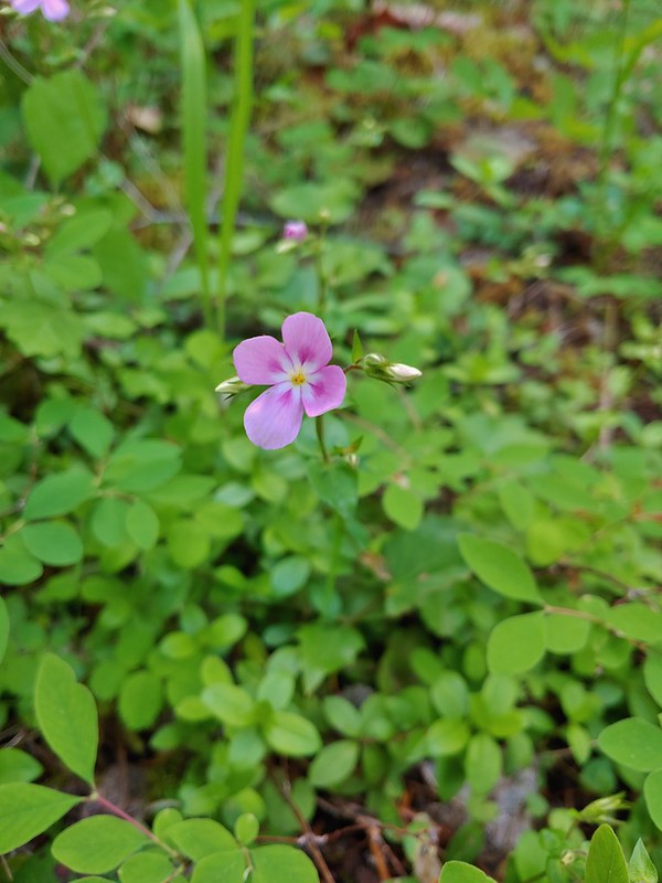 Showy phlox
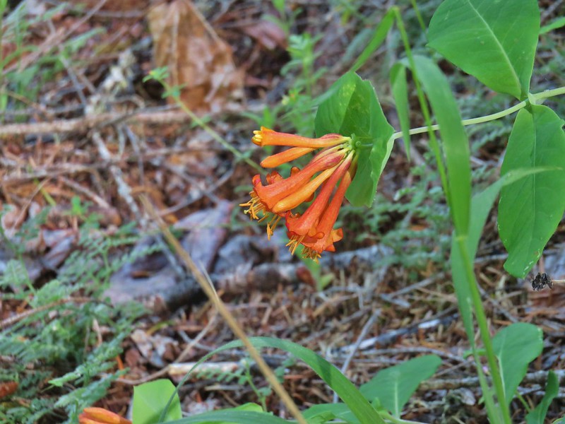 Honeysuckle
 A pea and poison oak
 Yout-on-age
 Monkey flower
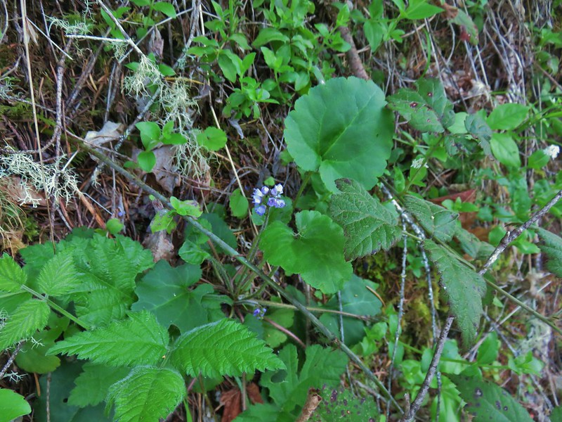 Snow queen
 Pale falx
 Wild ginger
 Oregon grape
 Candy flower
 Striped coralroot
 Bleeding heart
 Strawberry
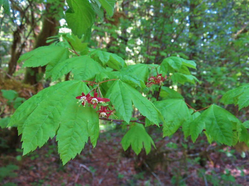 Maple
Maple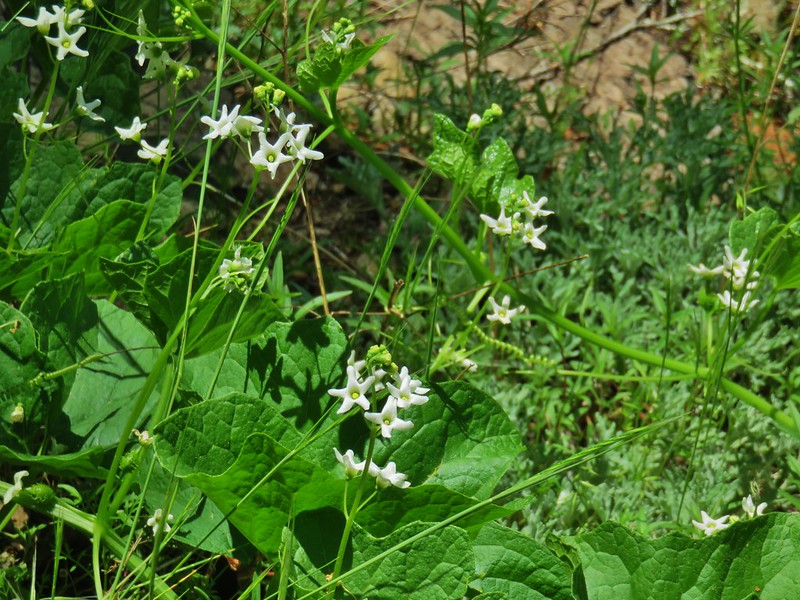 Coastal manroot
 Popcorn flower?
 Variable collomia
 Western yellow oxalis
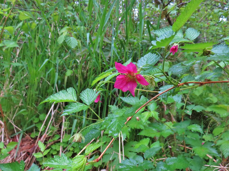 Salmonberry
 Pacific waterleaf
 Queen’s cup
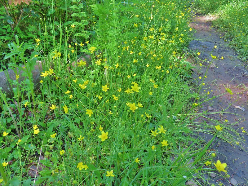 Western buttercups
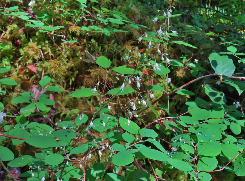 Foam flower
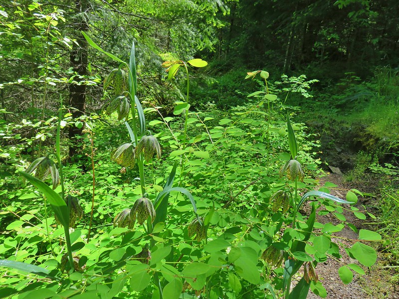 Chocolate lillies
 Vanilla leaf
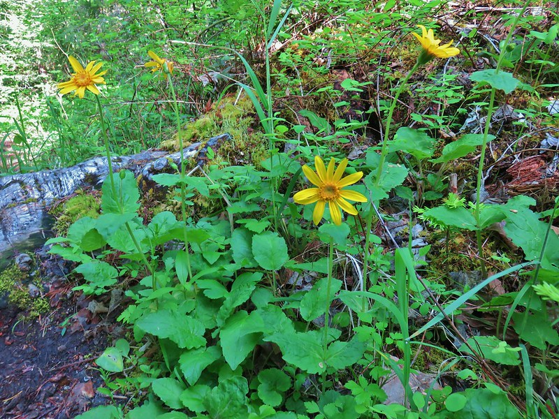 Arnica
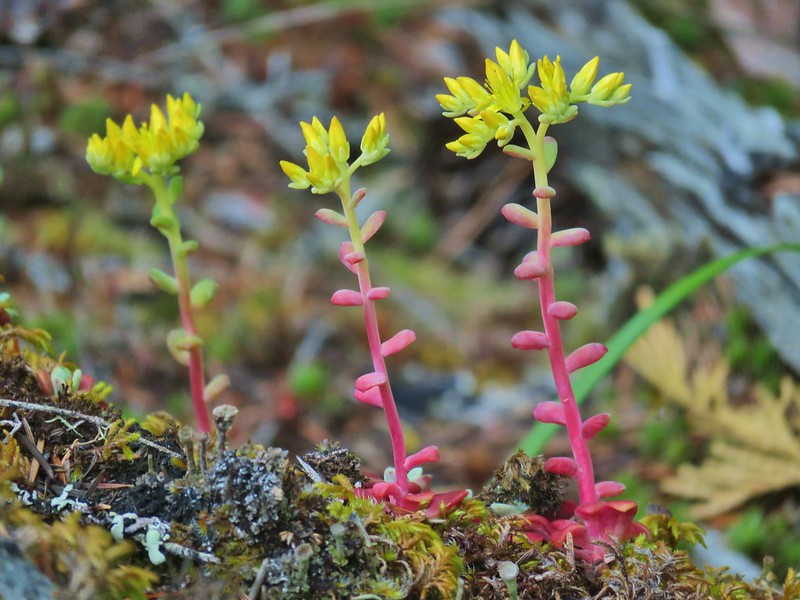 Stonecrop
 Tall bluebells
 Anemone
 Oregon geranium
 Vetch and daisies
 Common St. John’s wort
 Douglas spirea
 Lupine
 Ookow
Ookow Yellow glandweed
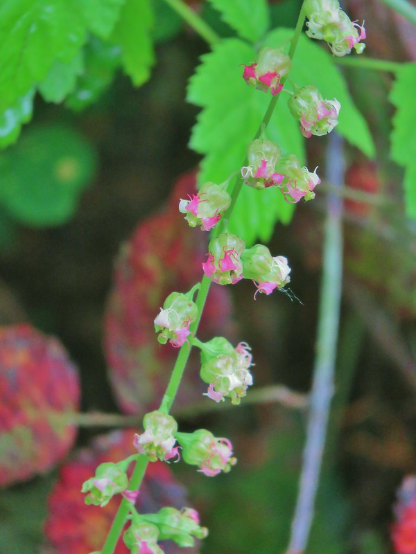 Fringecup
 Wild rose
 Inside out flower
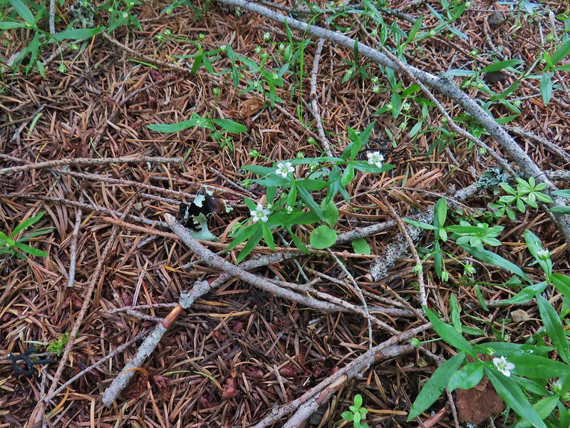 Largeleaf sandwort
 False solomonseal
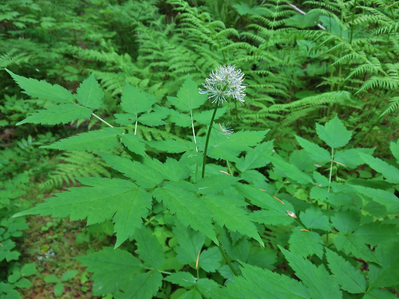 Baneberry
 <Sourgrass
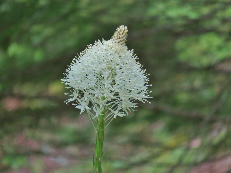 Beargrass
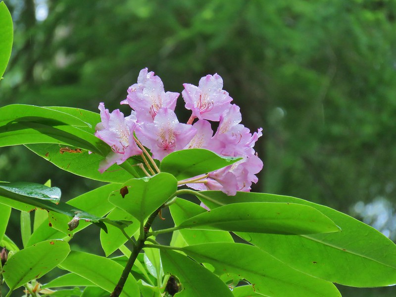 Rhododendron
 Subalpine mariposa lily
 Trillium
 Larkspur
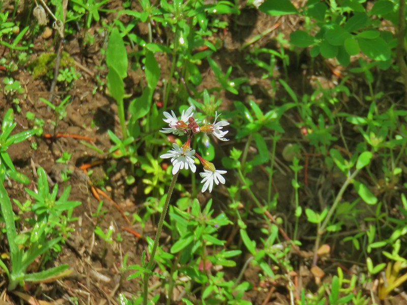 Woodland stars
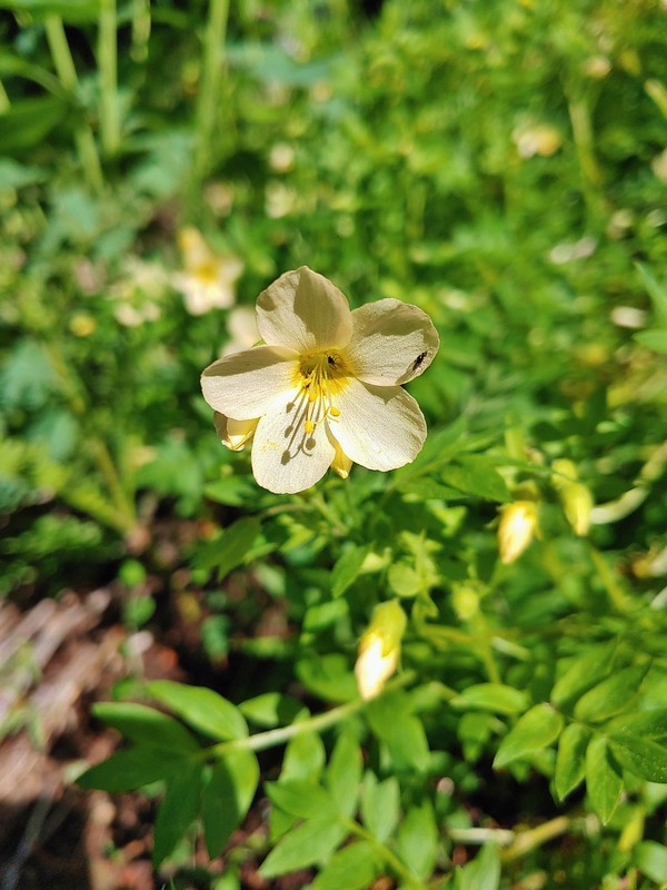 Royal Jacob’s ladder
 Nightblooming false bindweed
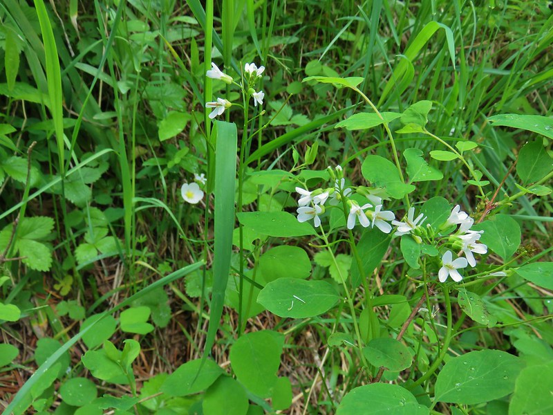 Alpine pennycress
 Twinflower
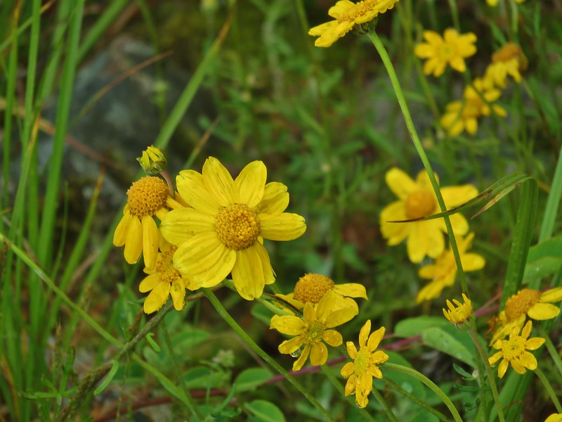 Oregon sunshine
 Bunchberry
 Mountain ash
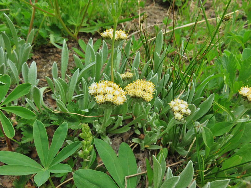 Raceme pussytoes
 Phlox
Phlox Paintbrush
 Rusty saxifrage
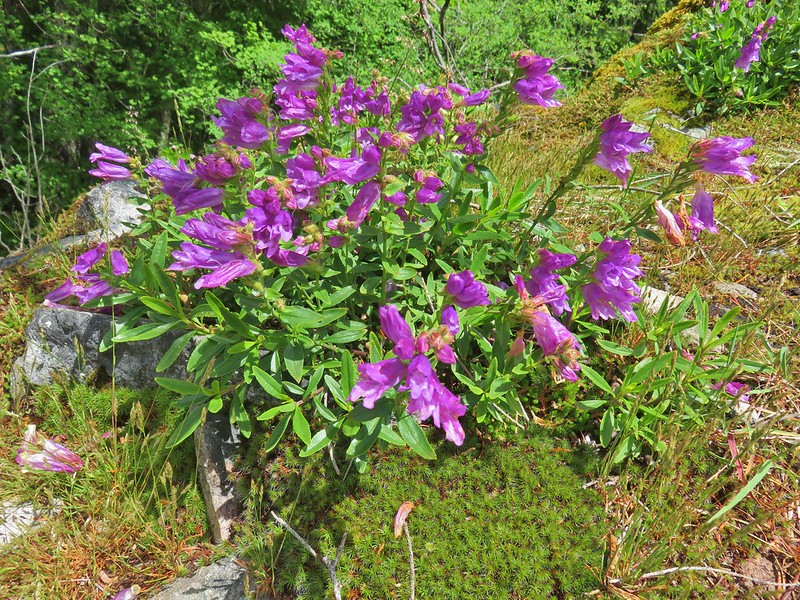 A penstemon
 Salal
Salal A pyrola
 Tiger lily
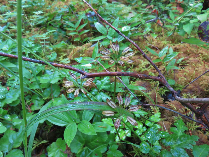 Gold threads
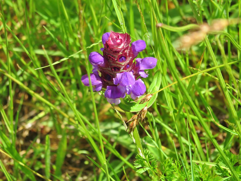 Self heal
 Bachelor button
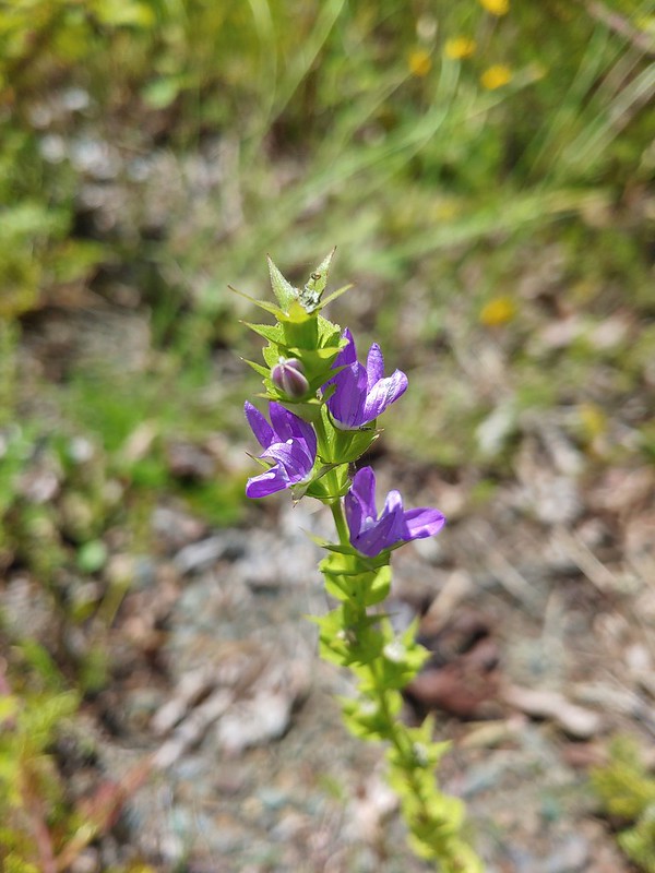 A willowherb?
 A pea
A pea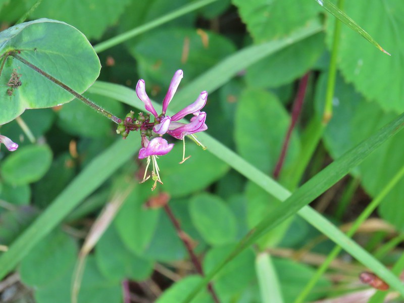 Pink honeysuckle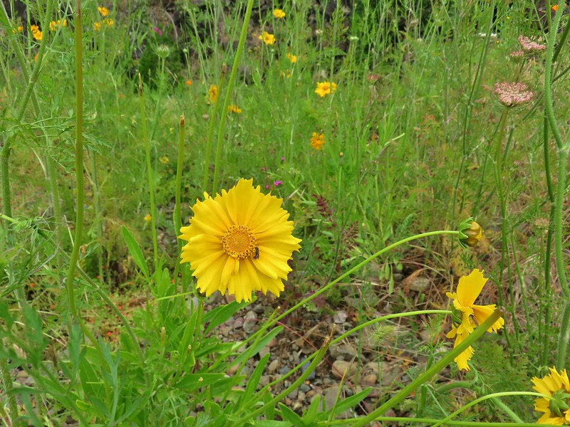
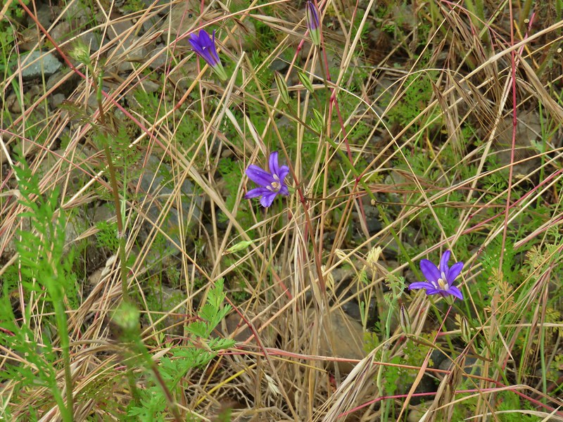 A brodeia
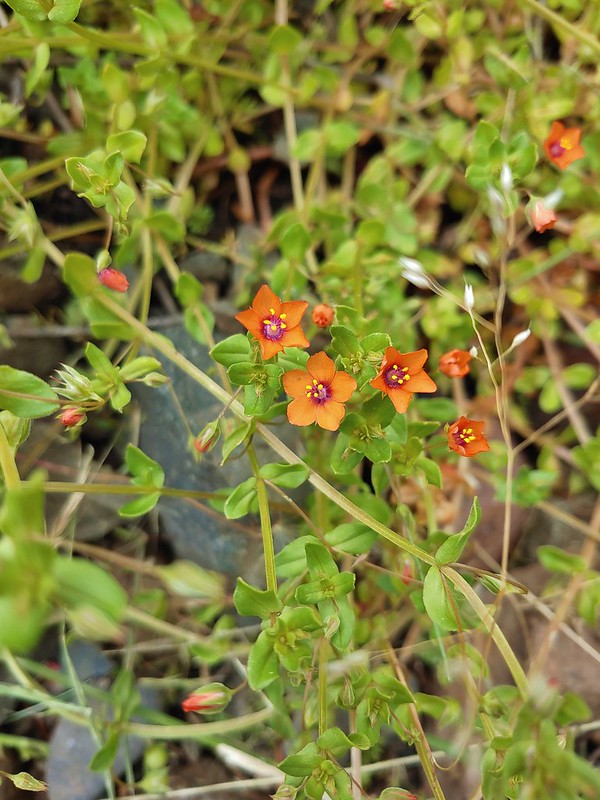 Scarlet pimpernel
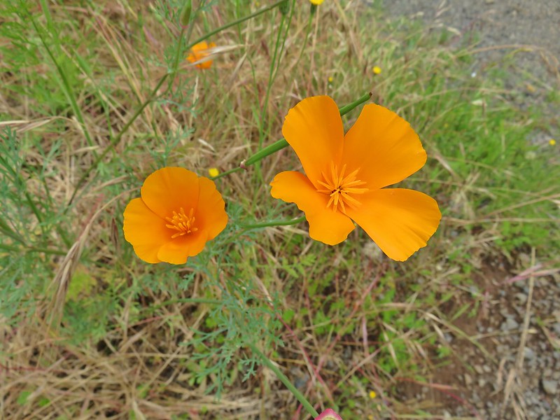 A poppy
 Foxglove
 Hedgenettle
 A phacelia
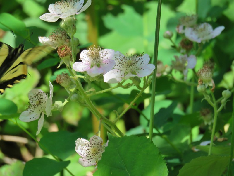 Blackberry
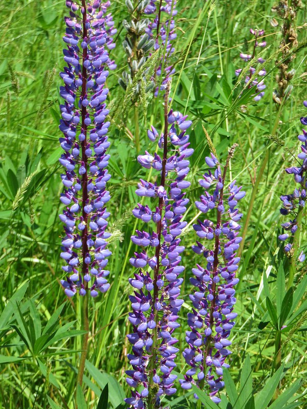 Lupine
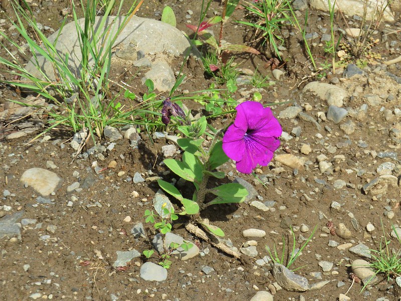 Petunia
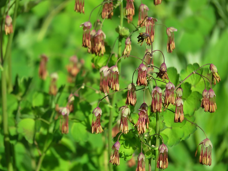 Western meadow-rue
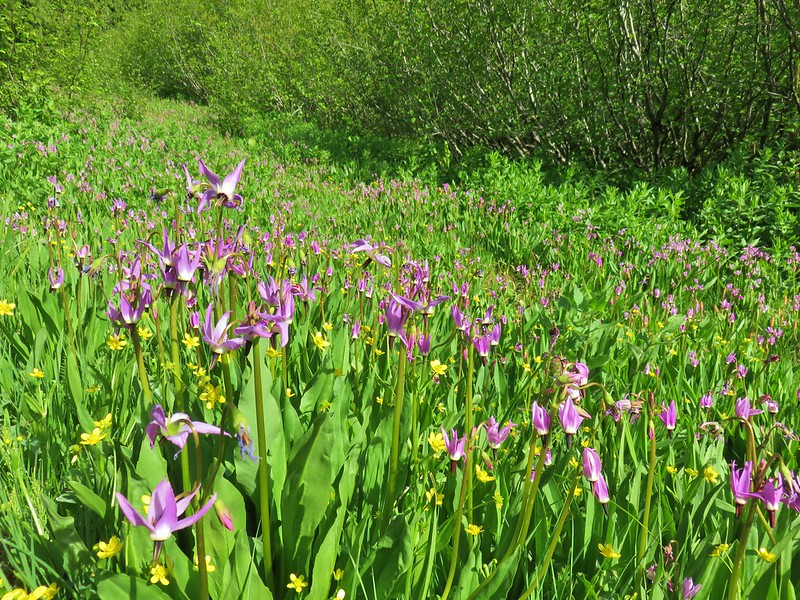 Shooting stars and western buttercups
 Elephants head
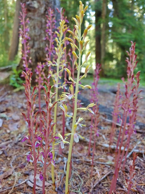 Pacific coralroot
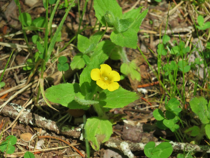 Musk monkeyflower
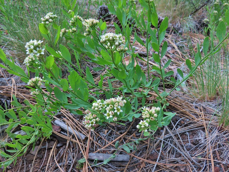 Bastard toadflax
 Yarrow
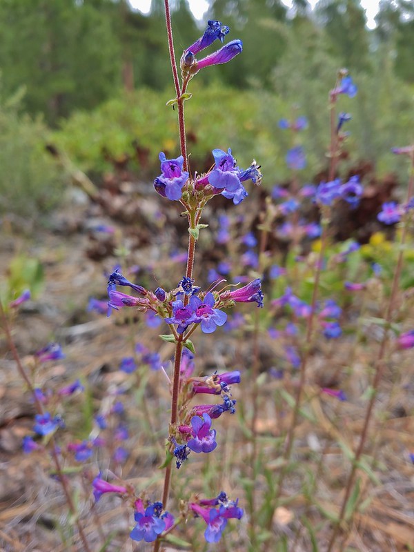 A penstemon
 Silverleaf phacelia
 Washington lily
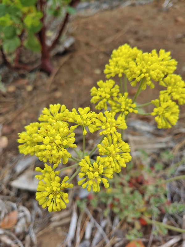 A buckwheat
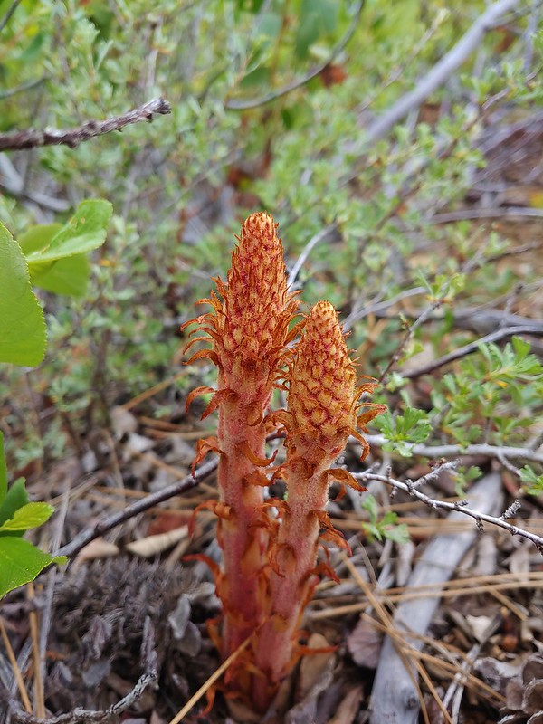 Pinedrops
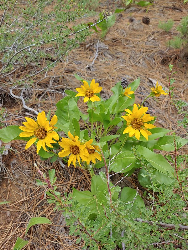 Balsamroot
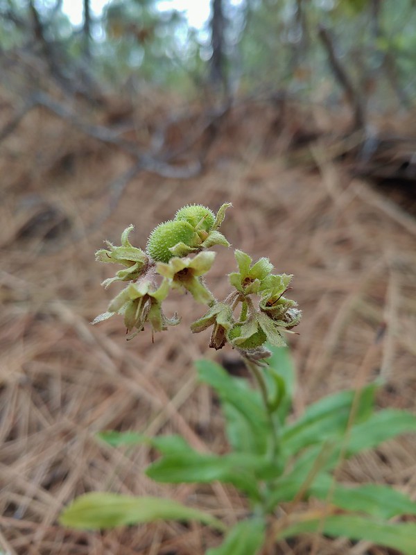 Western hound’s tongue
 Diamond clarkia
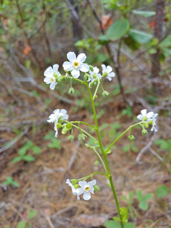 California stickseed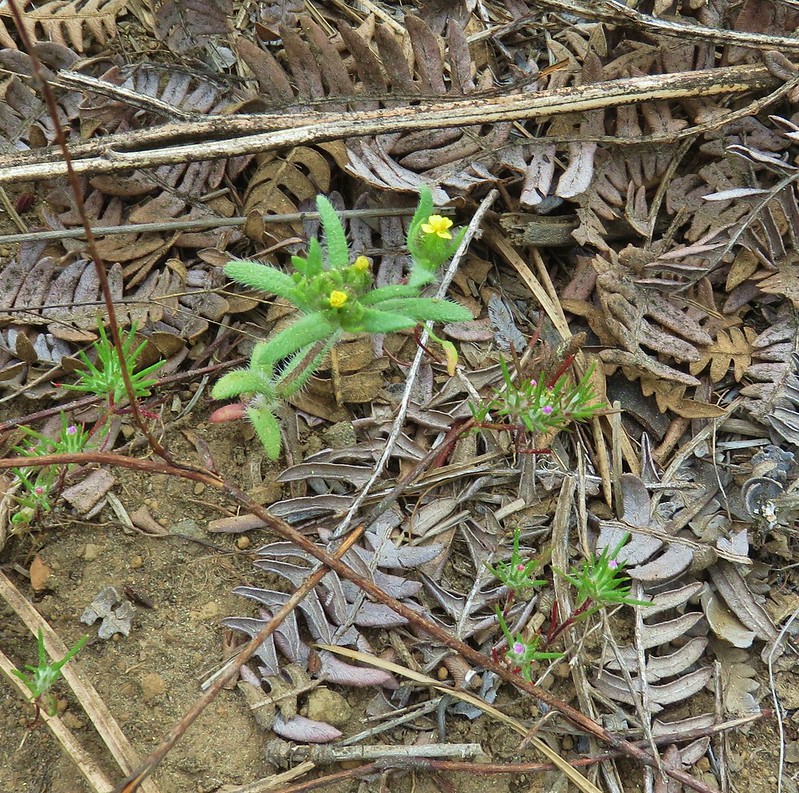
 Scarlet gilia
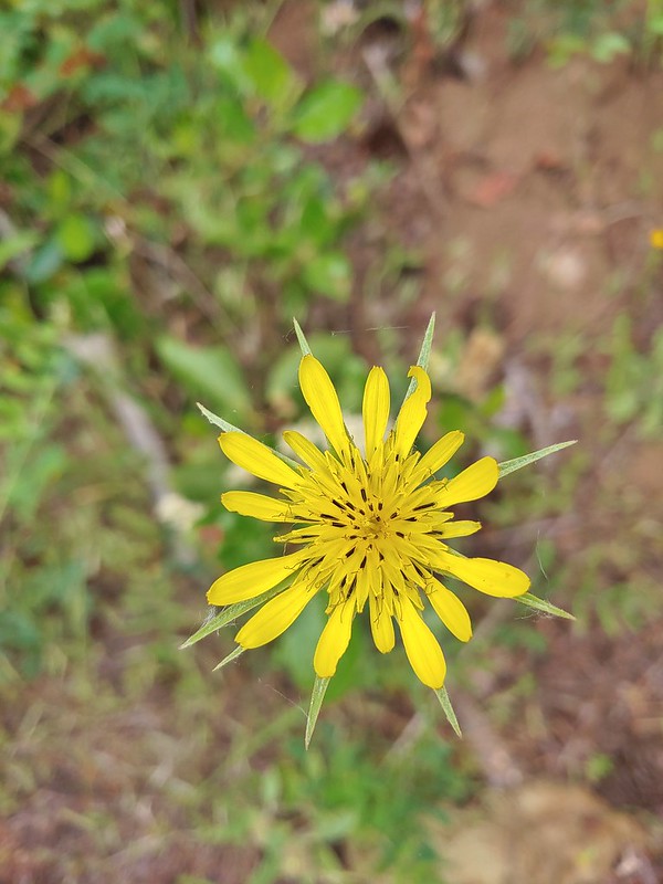 Salsify
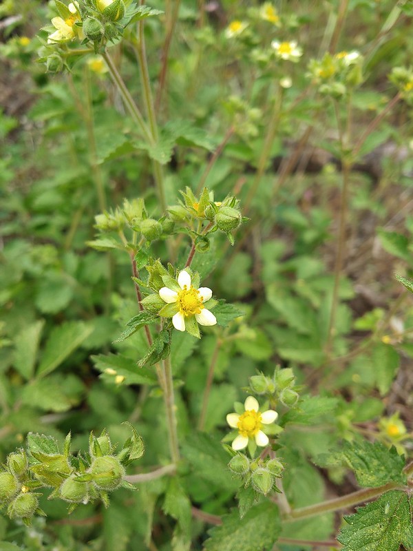 Sticky cinquefoil
 Gooseberry
 A thistle
 A buckwheat
 Blue-eyed Mary
 Fawn lily
 Sandwort
 Olympic onion
 A phlox
 False sunflower
 Bistort and paintbrush
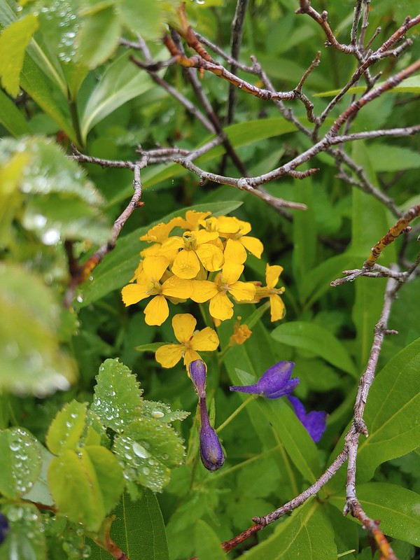 Wallflower
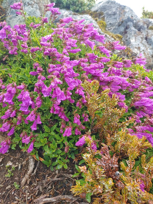 A penstemon
 Phantom orchid
 A penstemon
 A buckwheat
 Tall buckwheat
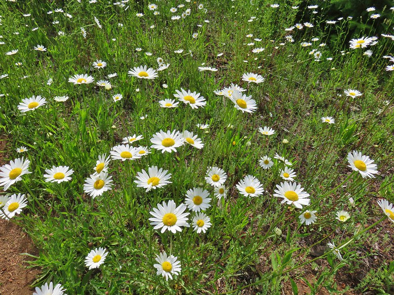 Daisies
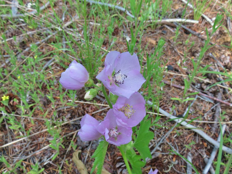 Streambank globe mallow
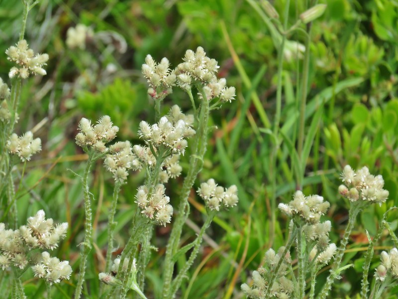 Pussytoes
 Tapertip onion
 White stemmed frasera
 Prince’s pine
 Goats beard
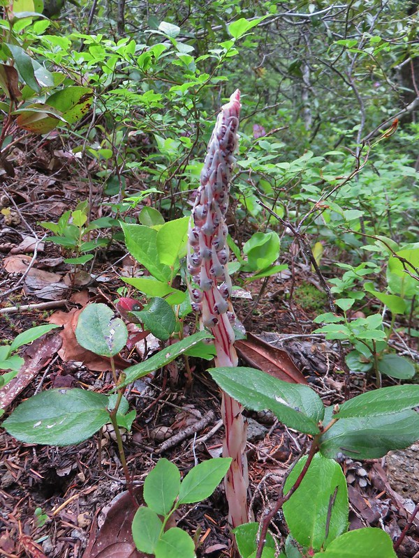 Sugarstick
 A saxifrage
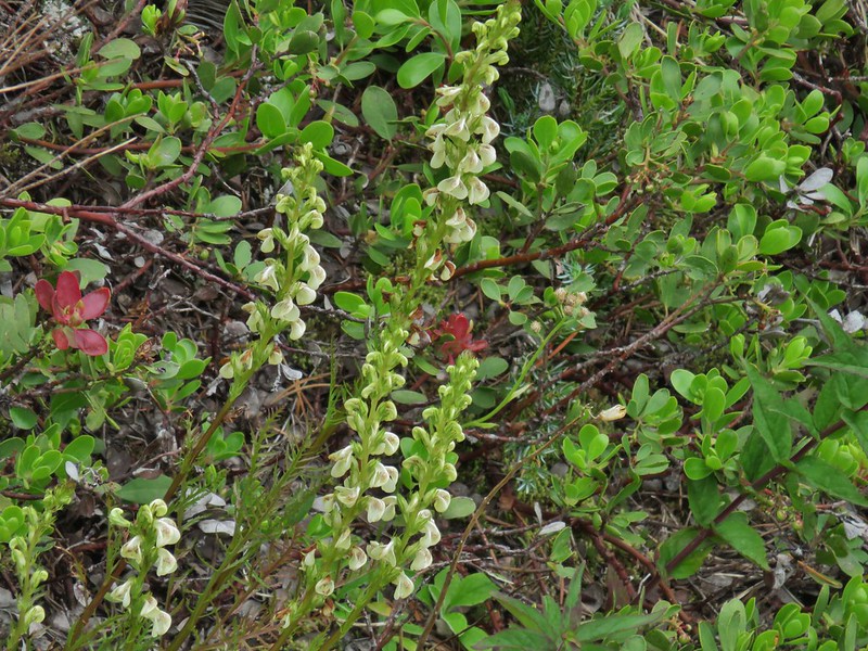 A lousewort
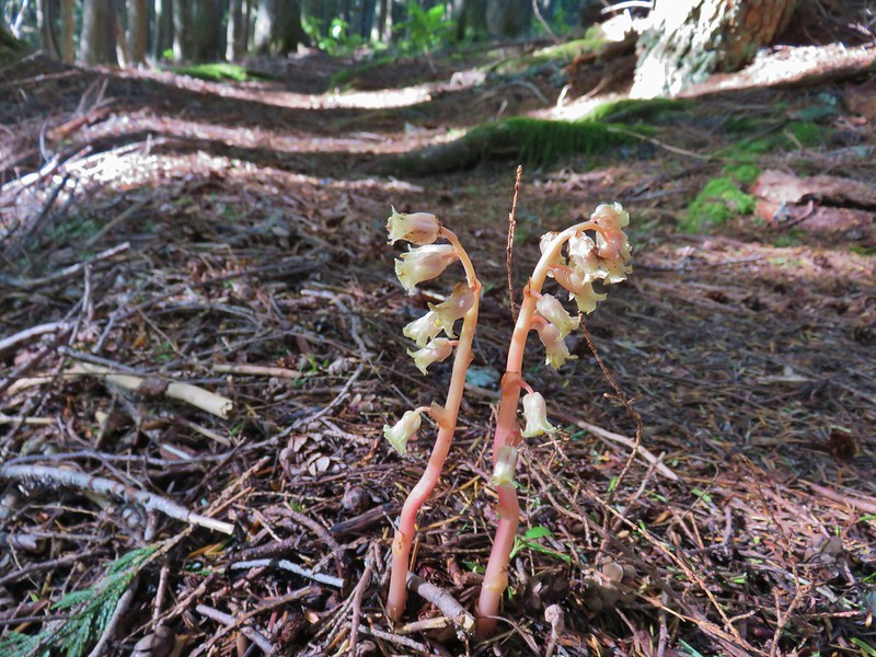 Pinesap
 A stonecrop
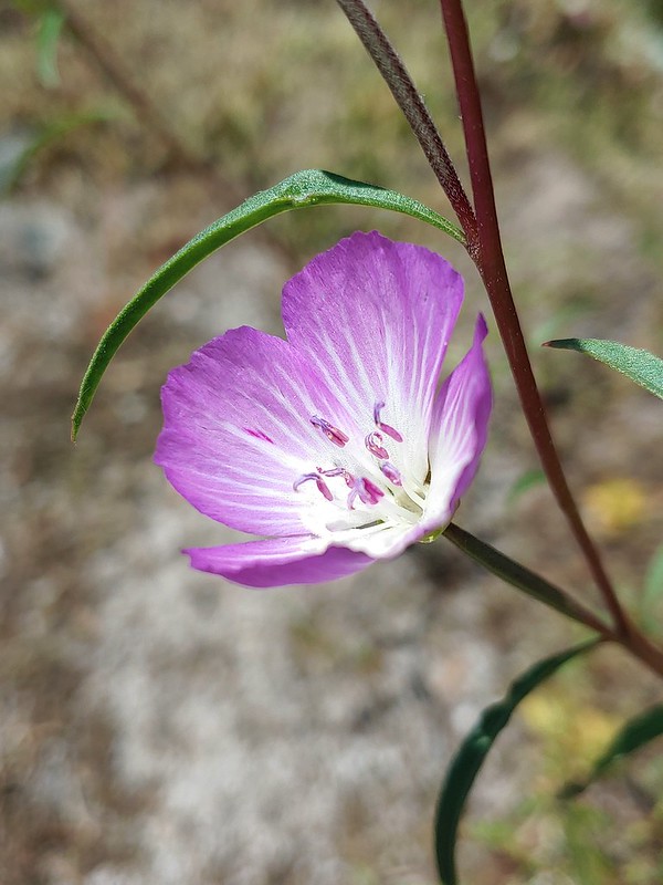 Clarkia
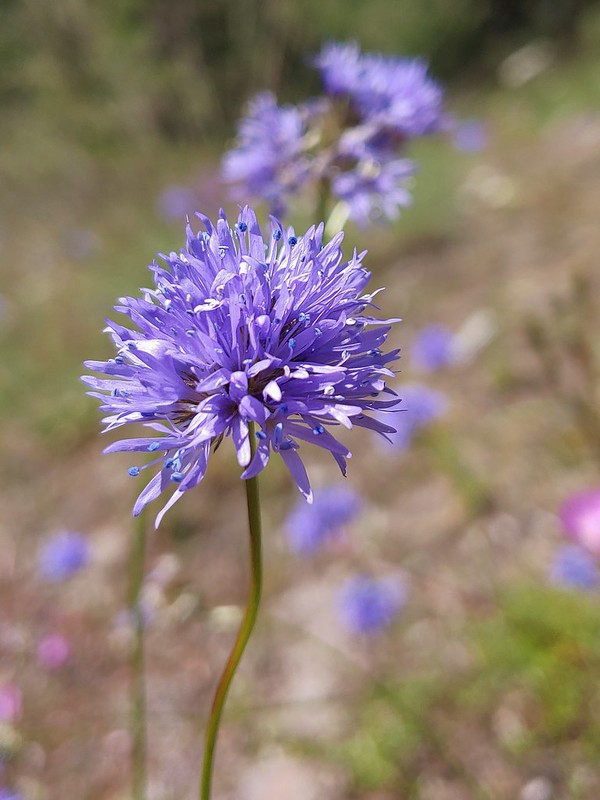 Blue-head gilia
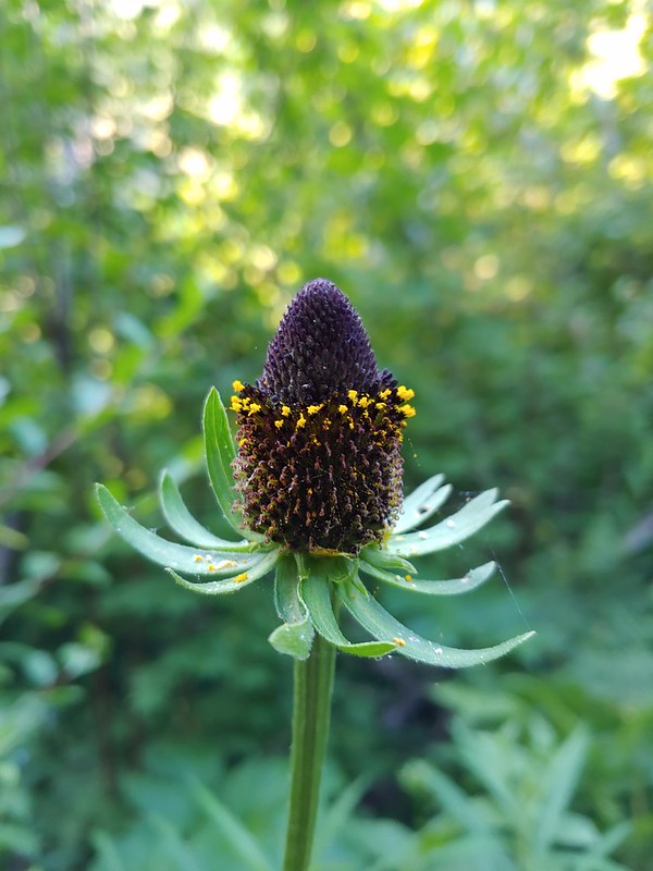 Cone flower
 A currant
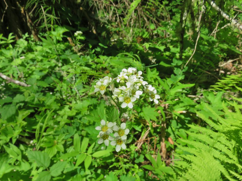 Large boykinia
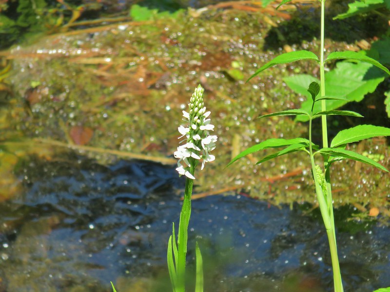 Bog orchid
 Old man’s whiskers aka prairie smoke
 A paintbrush
 Sticky chickweed
 Nettle-leaf giant hyssop
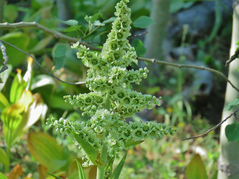 California corn lily
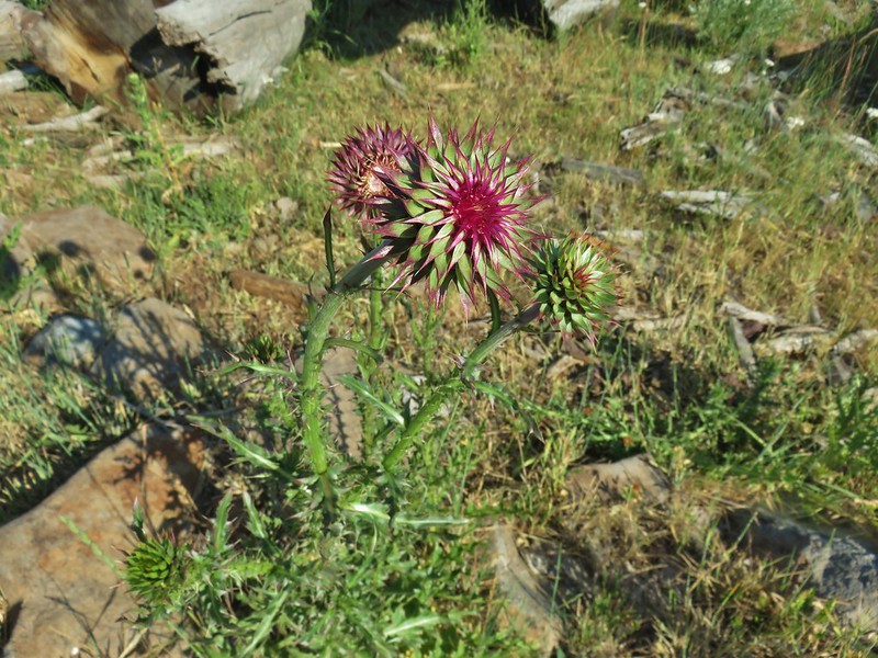 Musk thistle
 A checkermallow
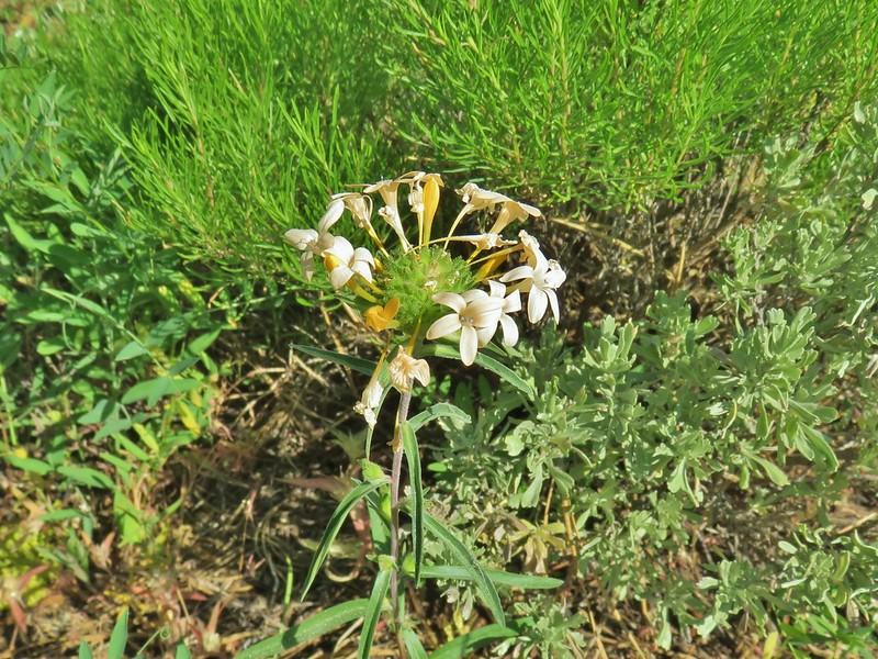 Grand collomia
 Rosy pussytoes
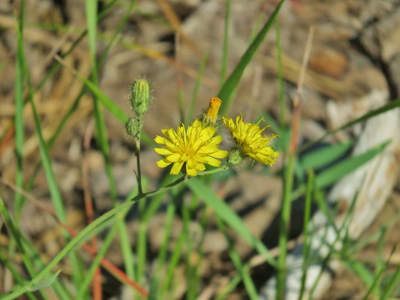 Scouler’s woollyweed?
 An orobanche
 Slender cinquefoil
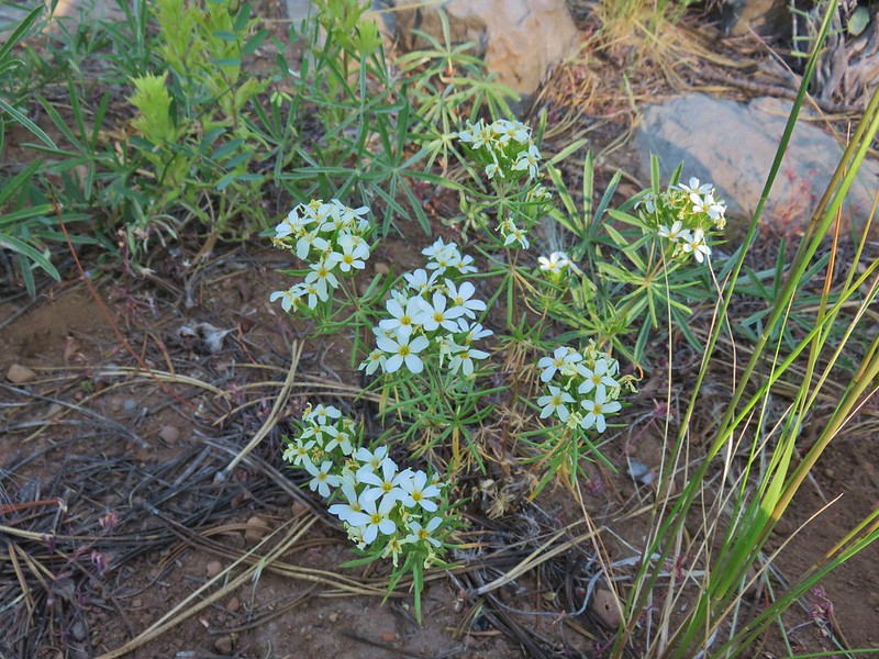 Nuttal’s linanthus
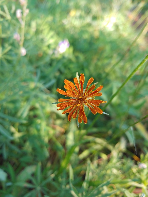 Orange agoseris
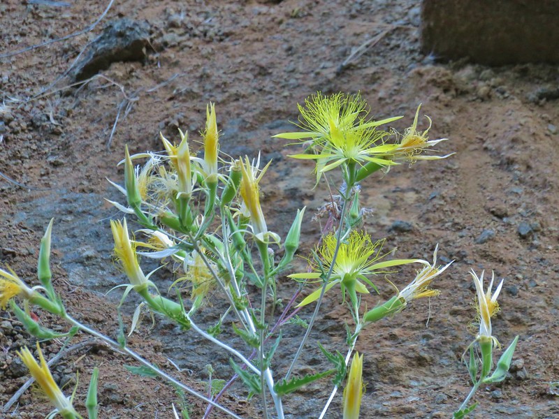 Smooth stem blazing star
 Rough eyelashweed
 A weed
 White water buttercups
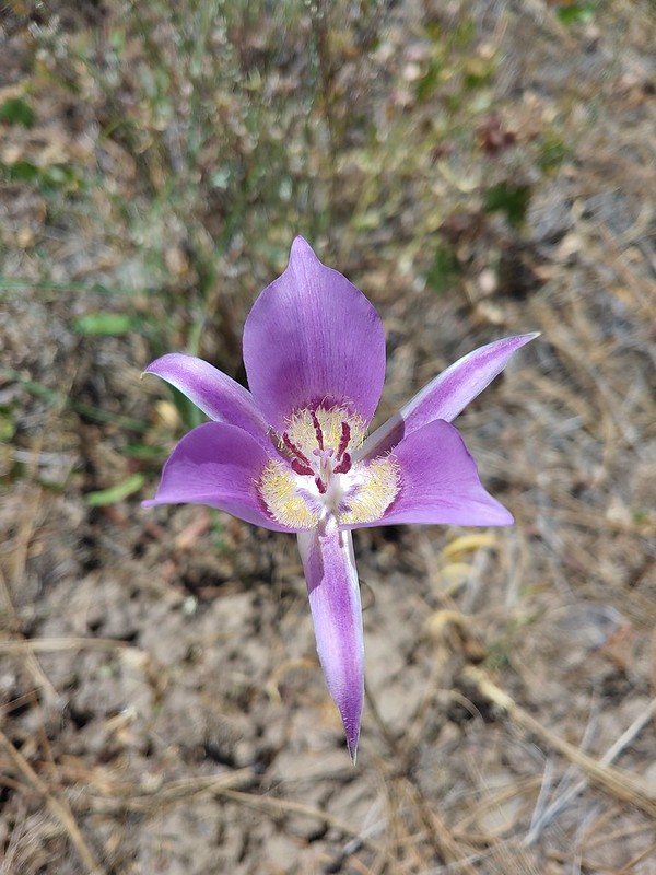 Sagebrush mariposa lily
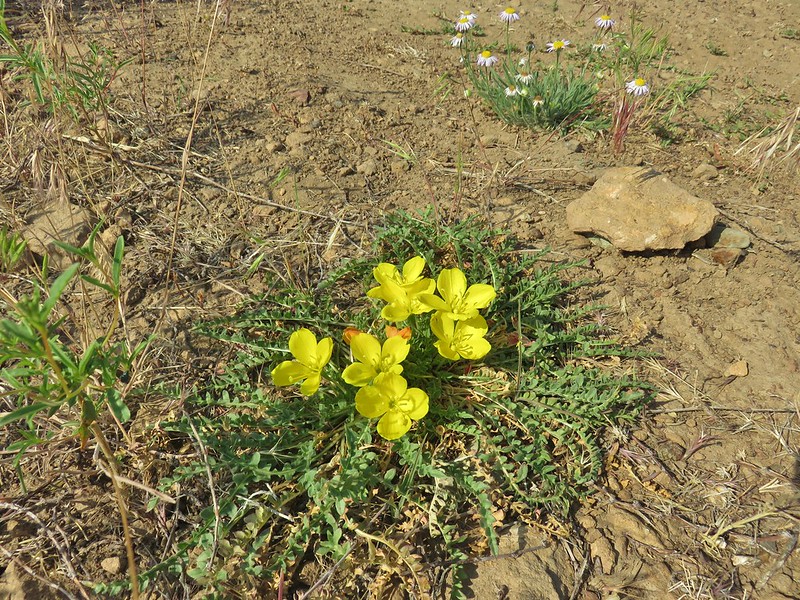 Tansyleaf evening primrose
 Dustymaidens
 A horkelia
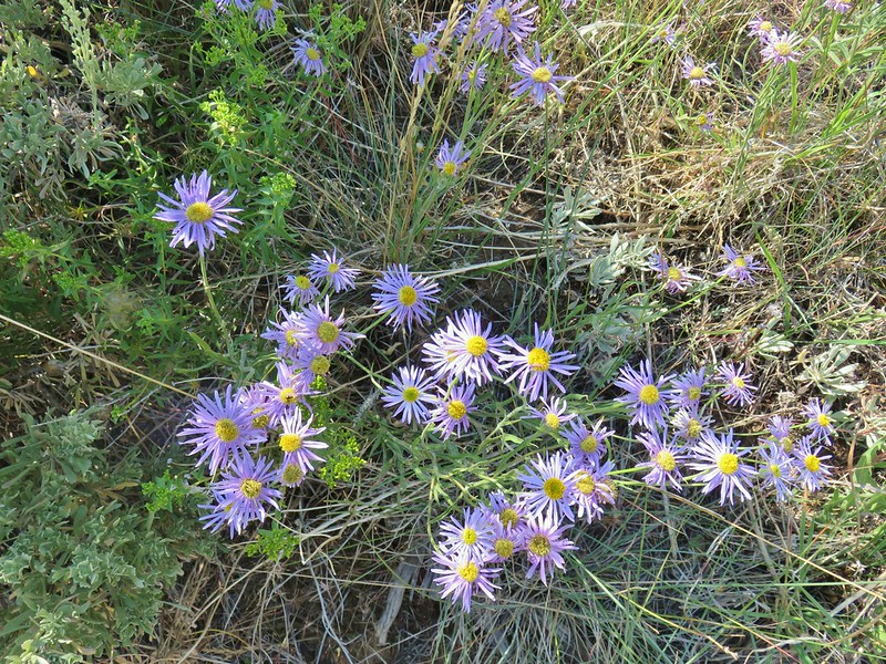 An aster?
 An orobanche
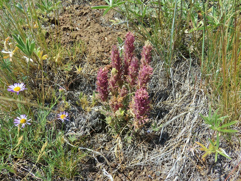 A paintbrush
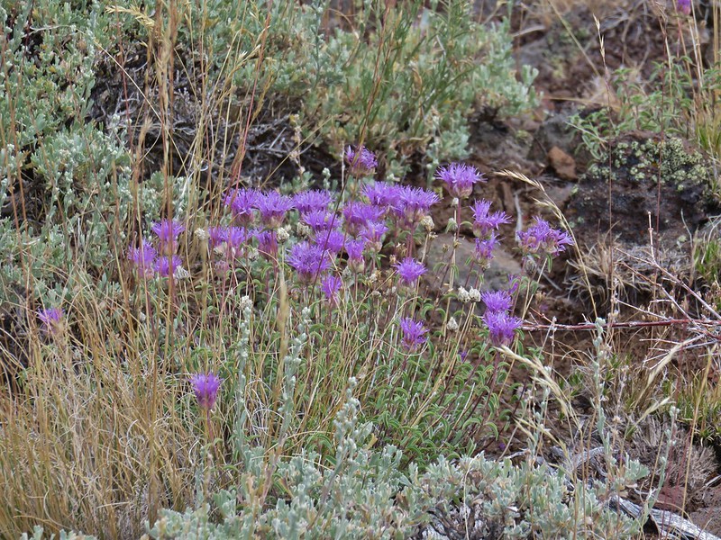 Mountain coyote mint
 Rabbitbrush


 Spreading dogbane
 Monkshood
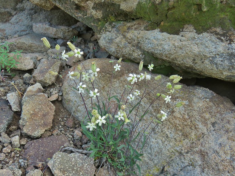 Catchfly
 Pussypaws
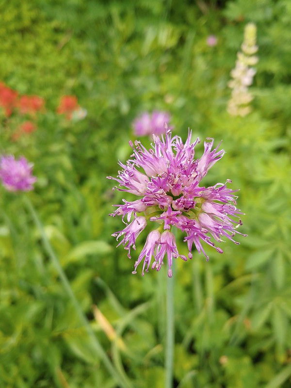 Swamp onion
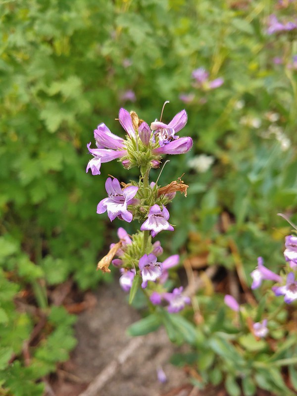 A penstemon
 A thistle
 Common mullen
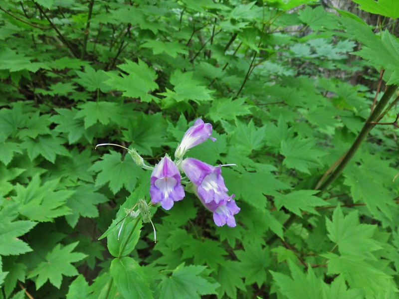 Beardtongue
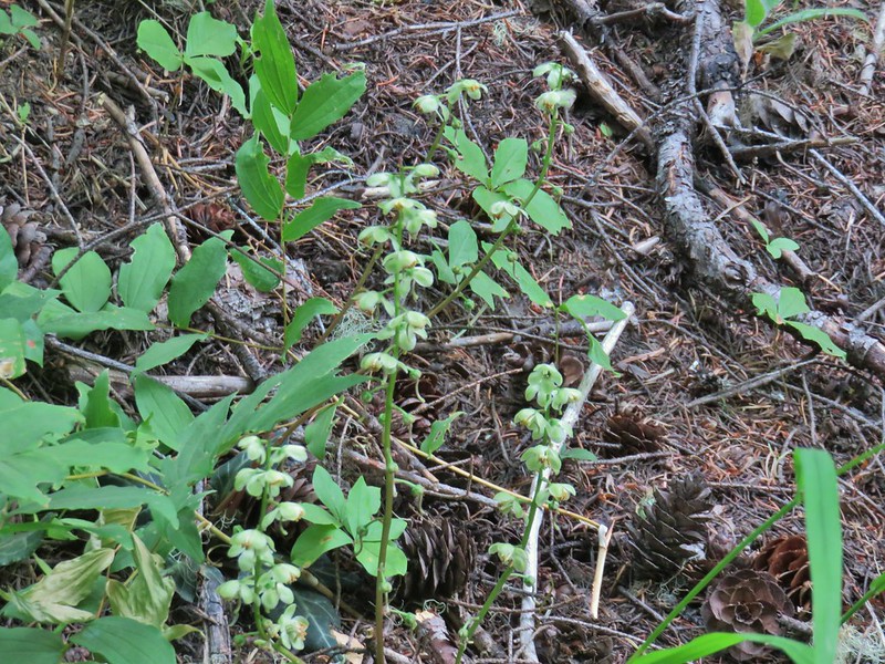 Wintergreen
 Monkeyflower
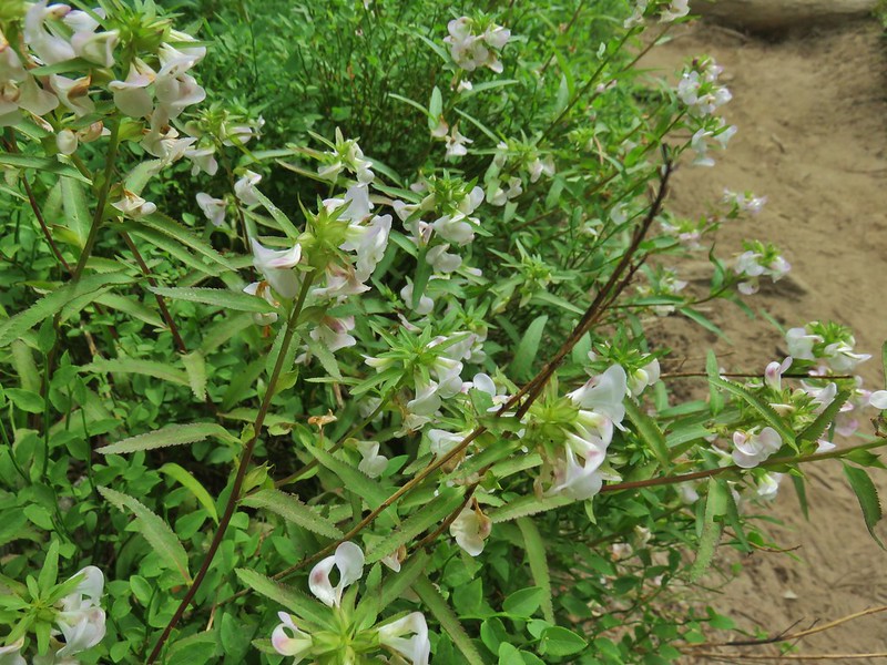 A lousewort
 Lousewort and lupine
 Mountain heather
 White mountain heahter
 False hellebore
 Violets
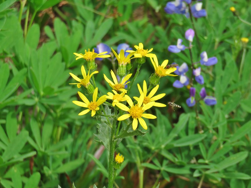 Groundsel
 A fleabane
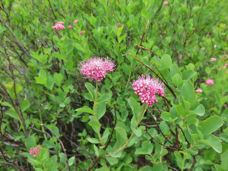 A spirea
 Gentian
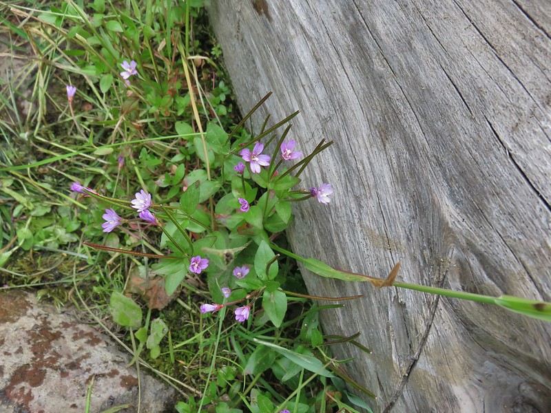 A willowherb
 Cutleaf daisy
 Dwarf alpinegold
 Jacob’s ladder
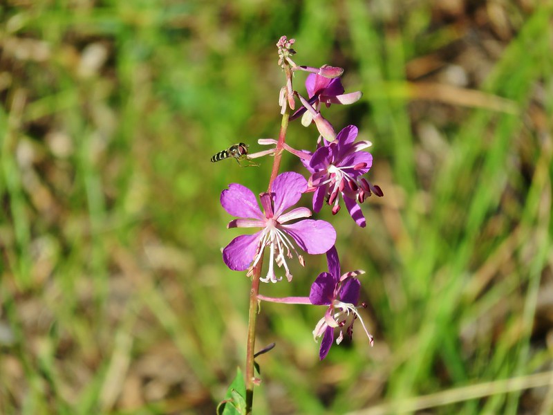 Fireweed
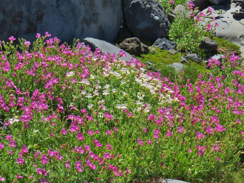 Monkeyflower
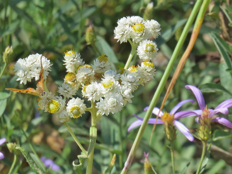 Pearly everlasting
 Drummond’s anemone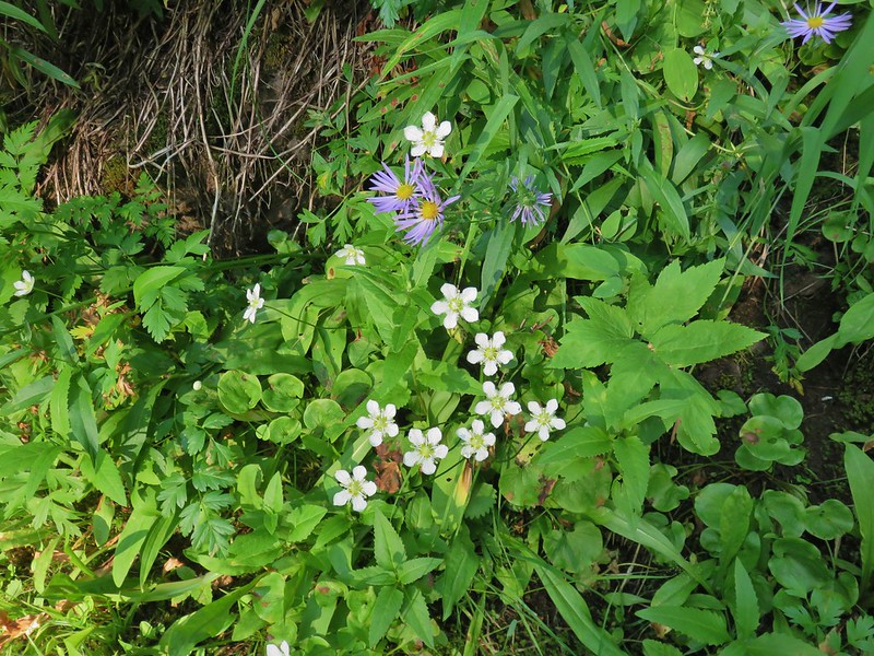
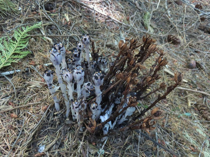 Ghost pipe
 Common madia
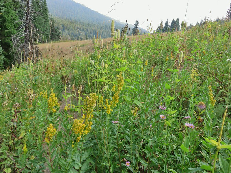 Goldenrod
 Owl’s clover


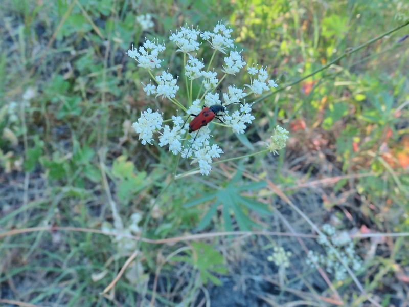


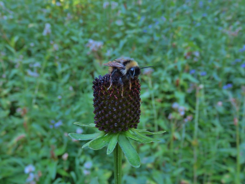

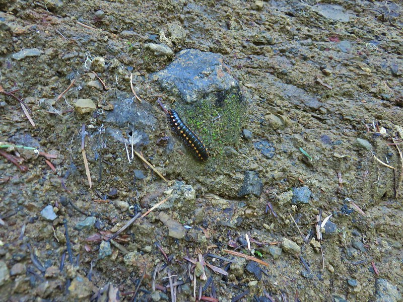


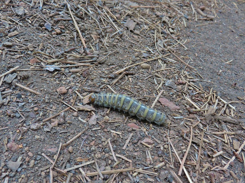


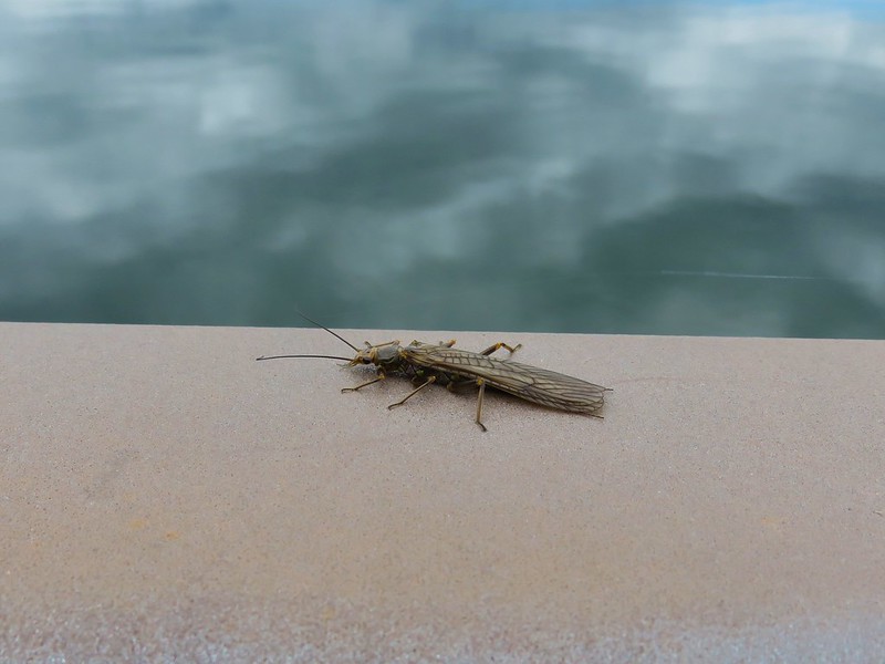


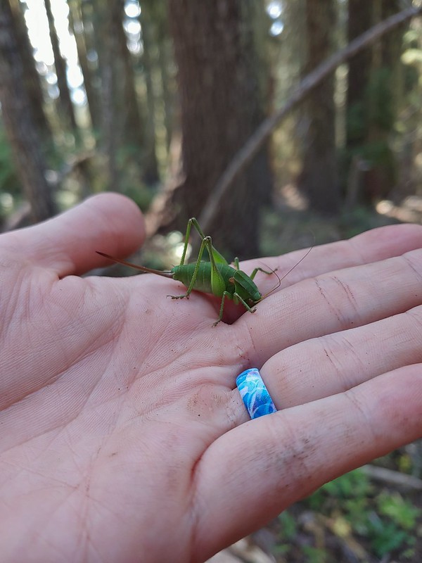















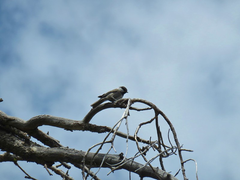
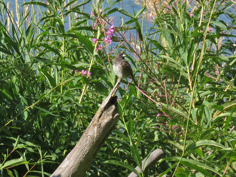


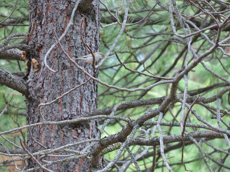
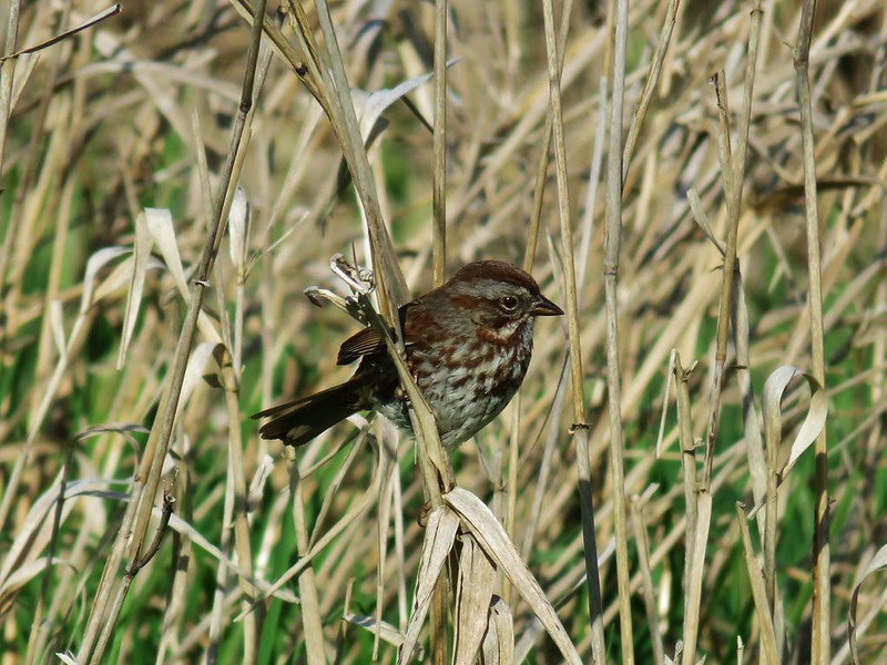

 This one is here for the golden-crowned sparrow.
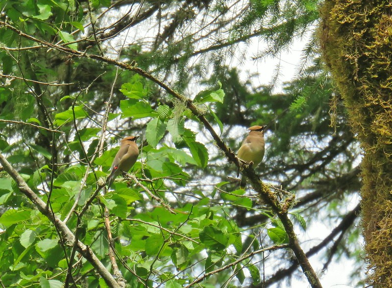


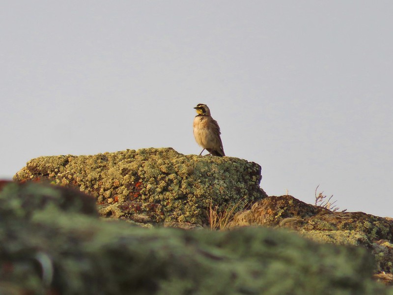
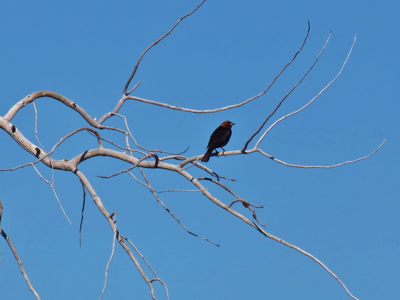

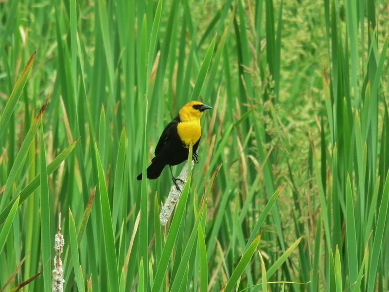


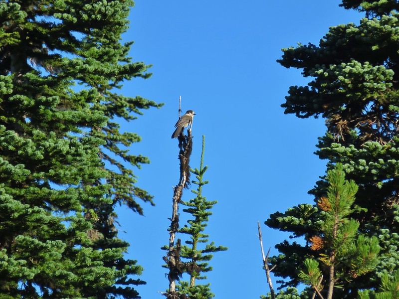
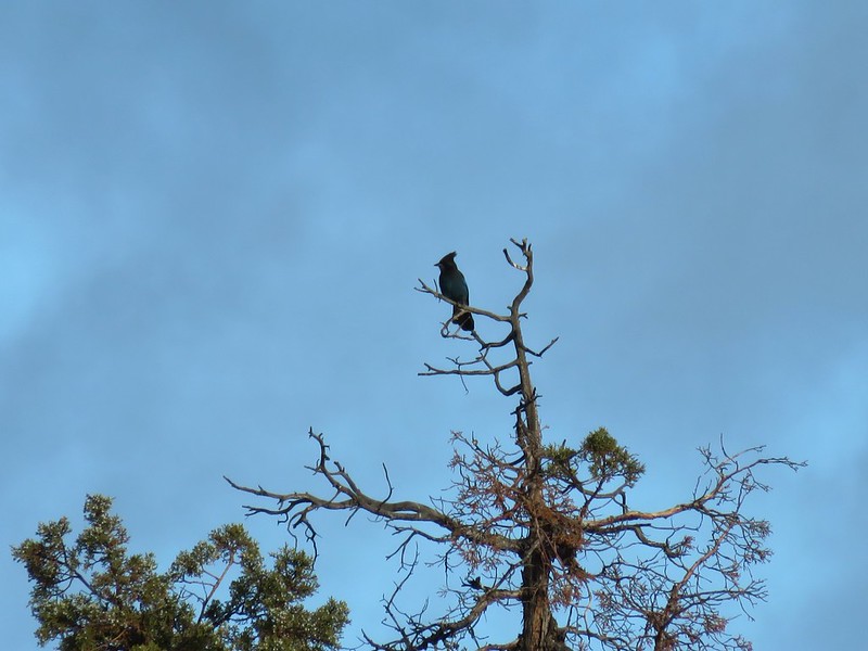
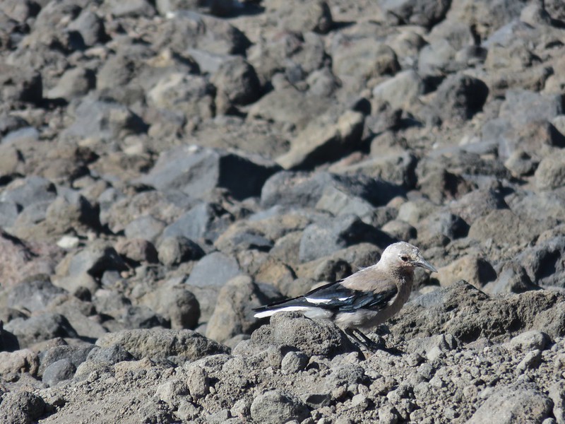


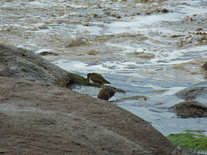


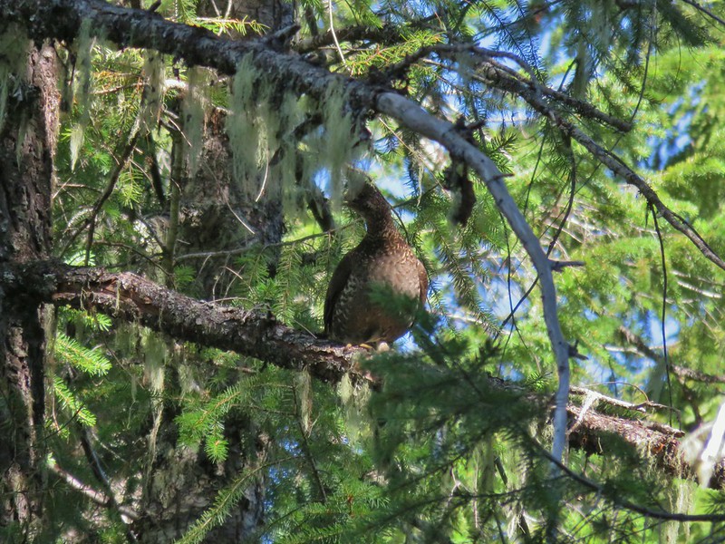






 There is an owl in this photo.







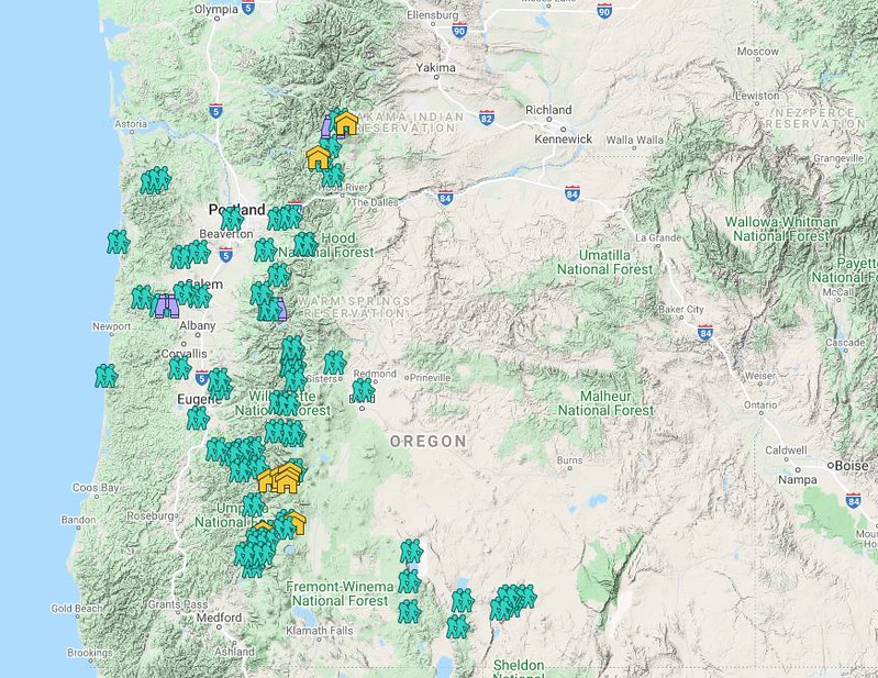 Hiker symbol = Trails/trailheads, yellow houses = campsites, purple binoculars = roadside waterfalls
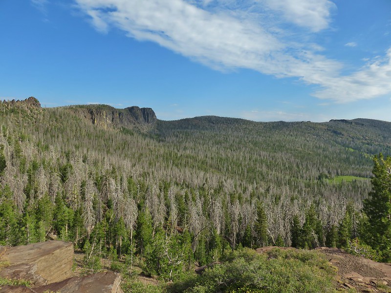 Gearhart Mountain
 Netarts Spit
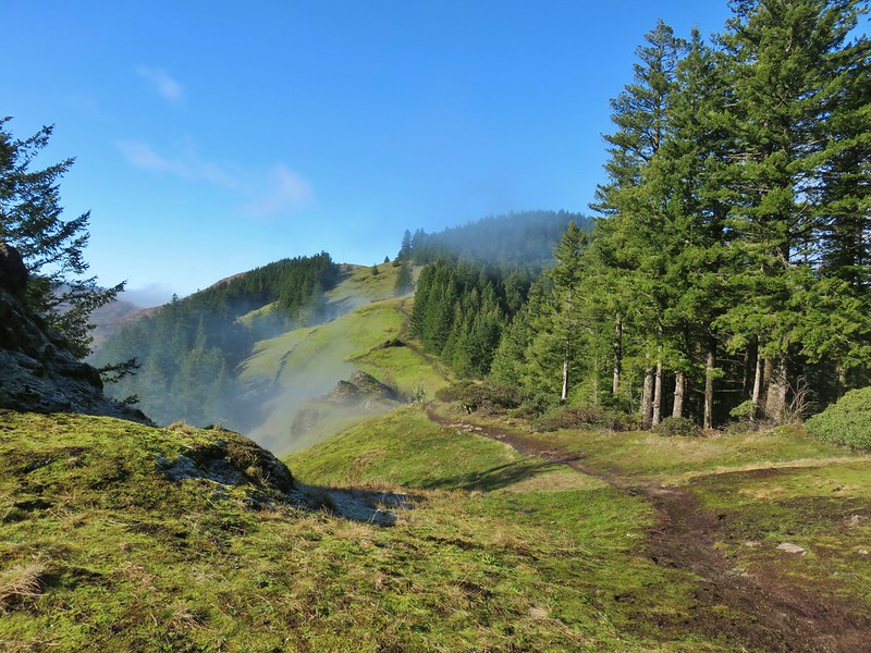 Horse Rock Ridge
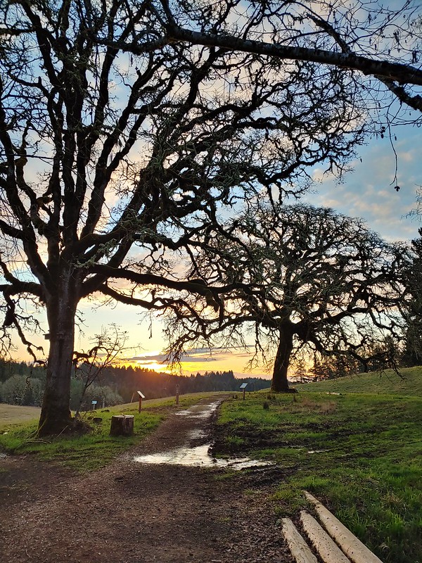 Miller Woods
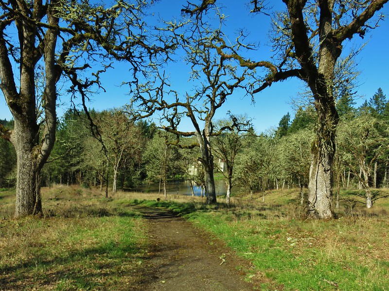 Trappist Abbey
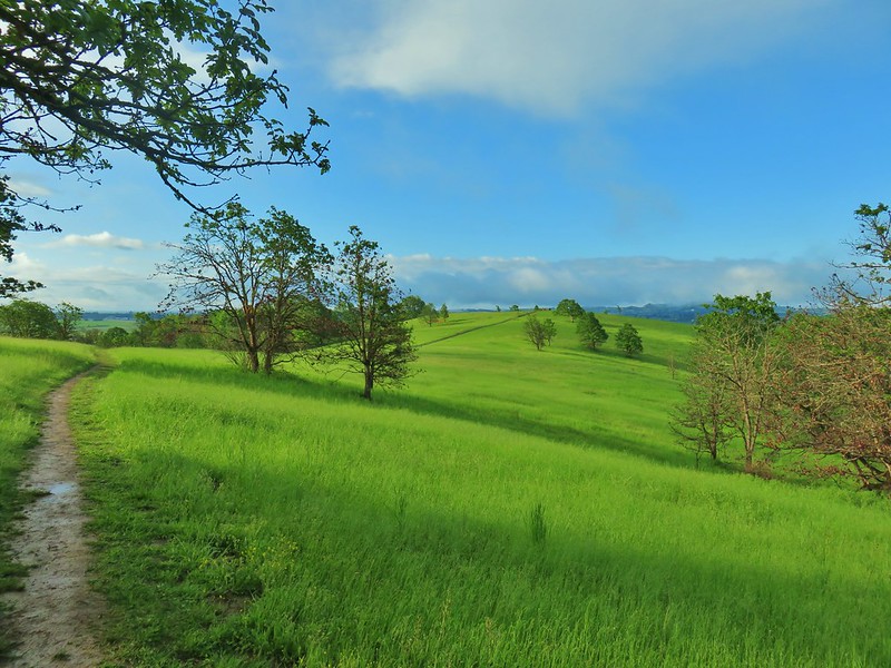
 Bush Pasture Park
 Basket Slough Wildlife Refuge
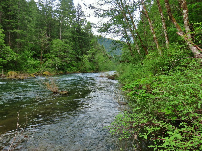 North Fork Willamette River
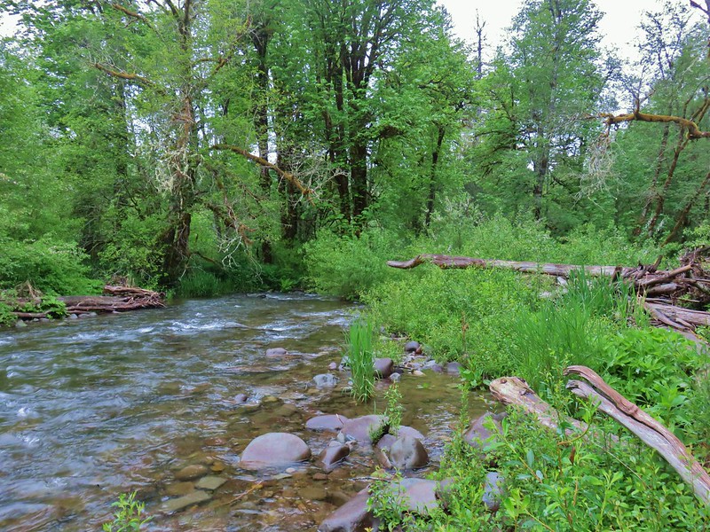 Little Luckiamute River
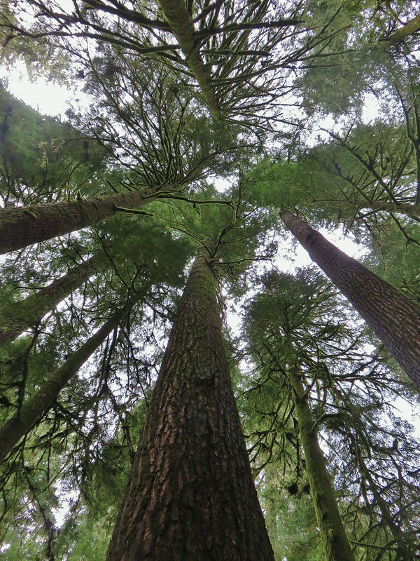 Valley of the Giants
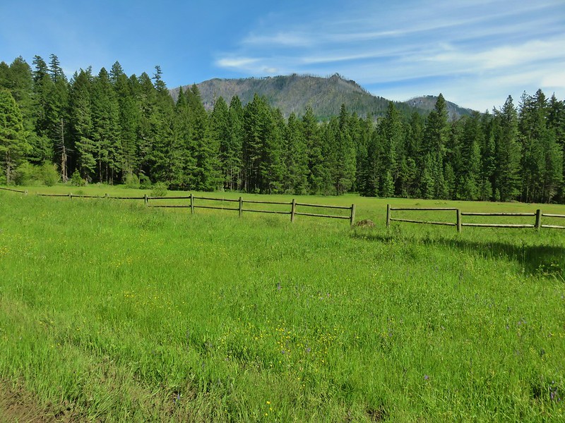 Rigdon Meadows
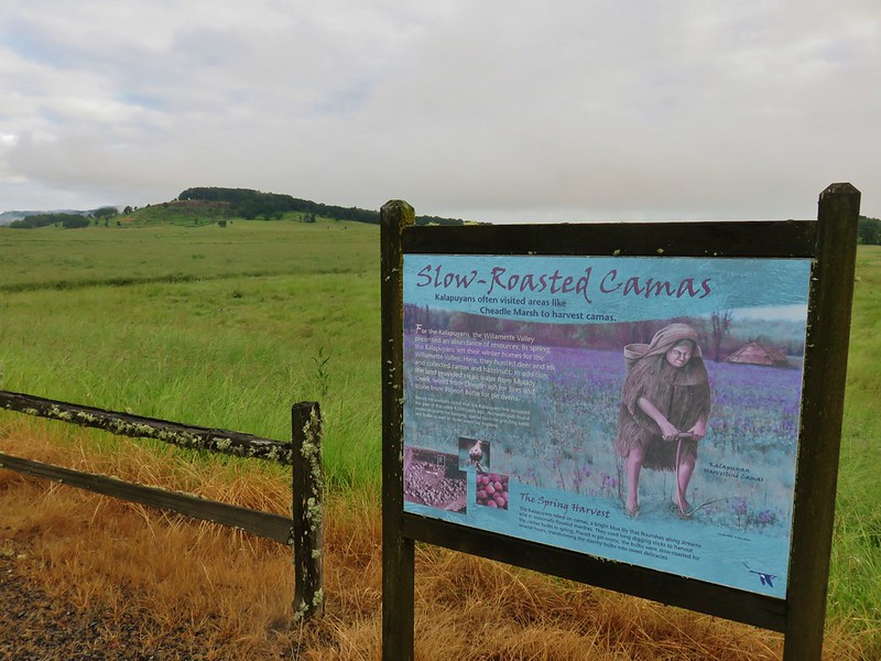 Pigeon Butte
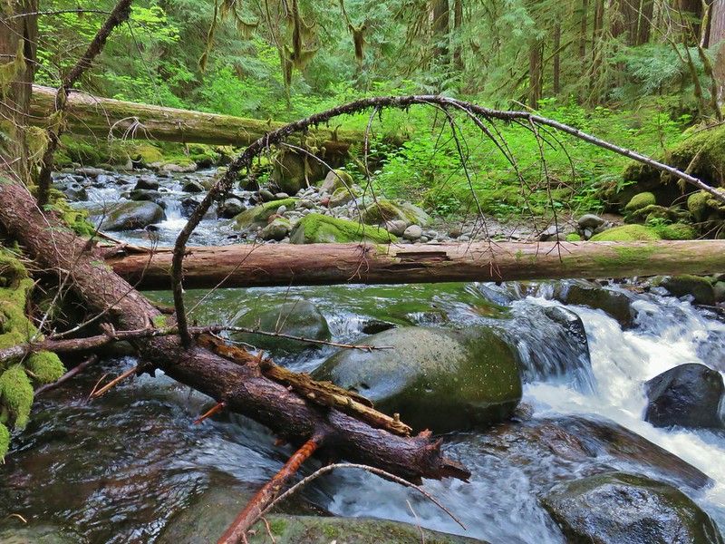 East Fork South Fork McKenzie River
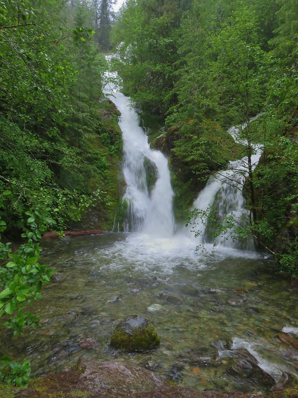 Sullivan Creek Falls*
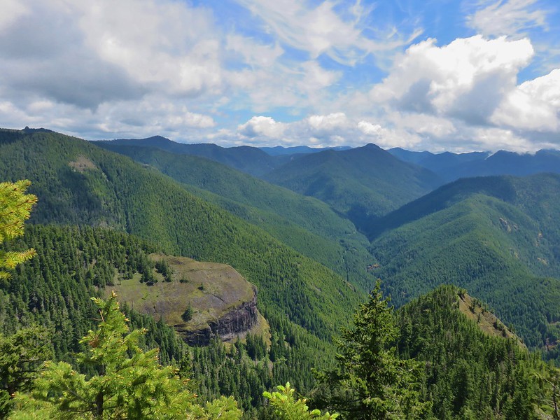 Henline Mountain*
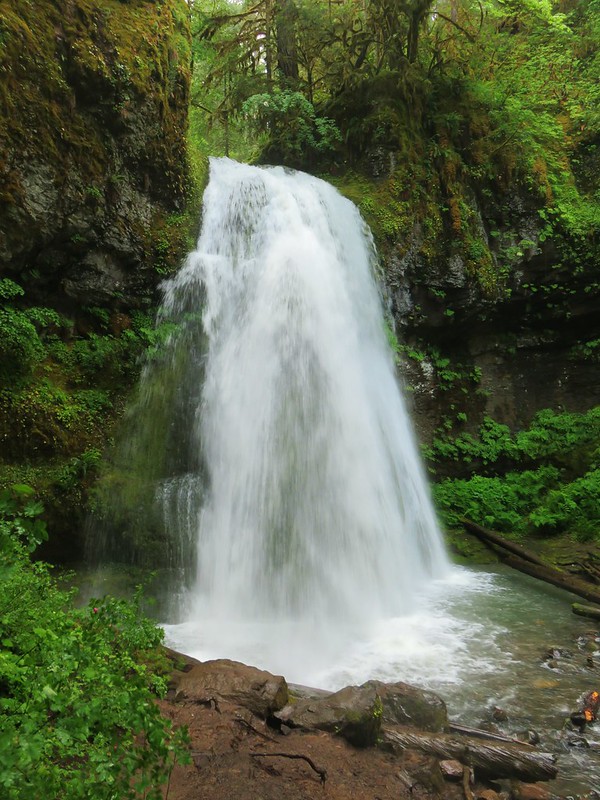 Spirit Falls
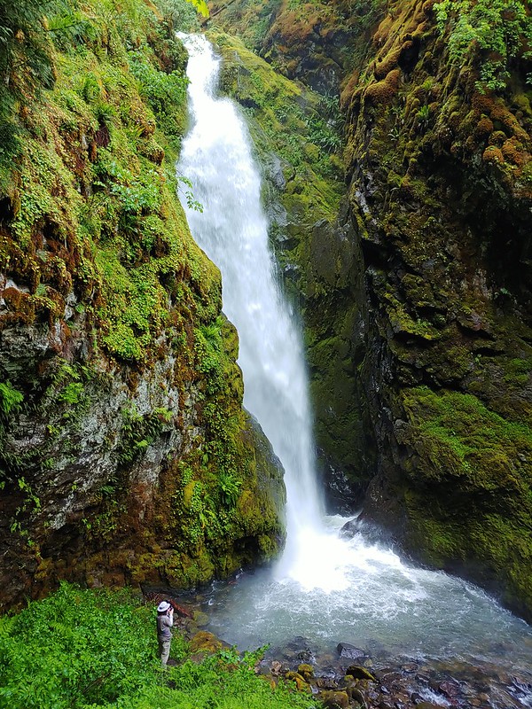 Pinard Falls
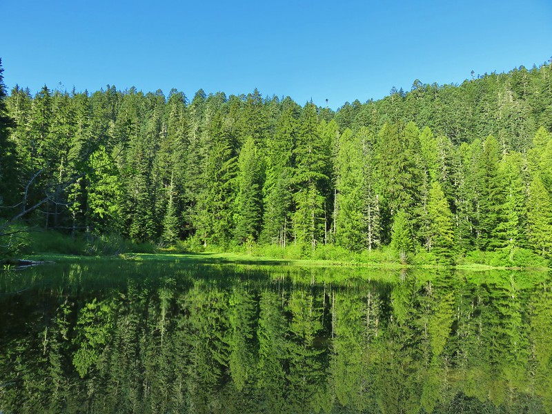 Memaloose Lake*
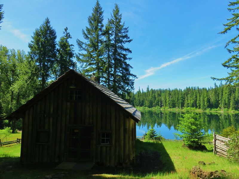 Fish Lake
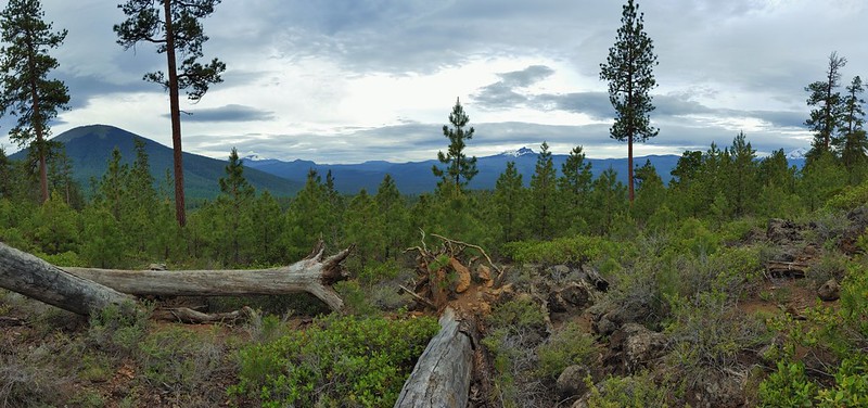 Green Ridge*
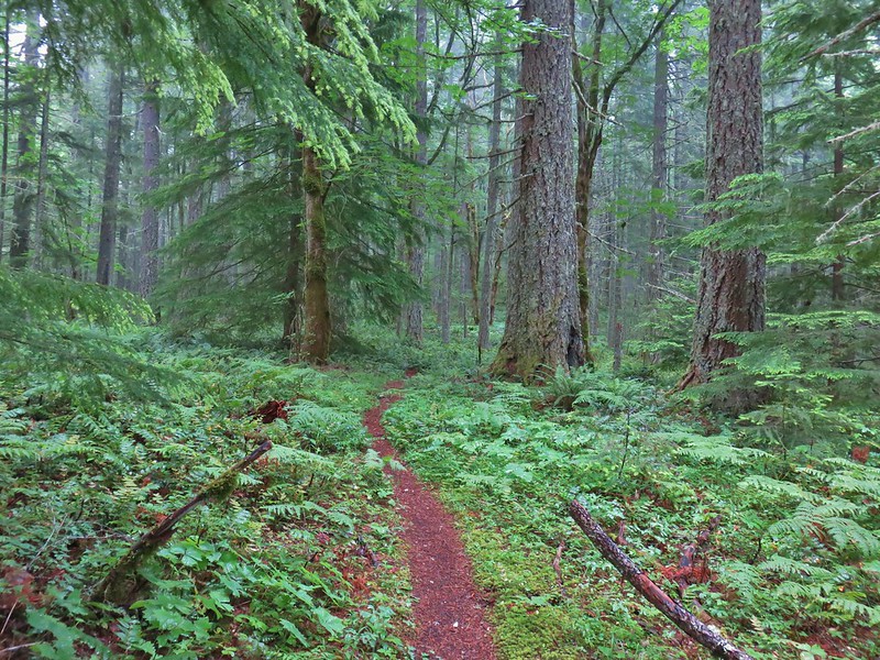 Table Rock Wilderness* (The Riverside fire burned at least the access road and may have encroached into the SW portion of the wilderness.)
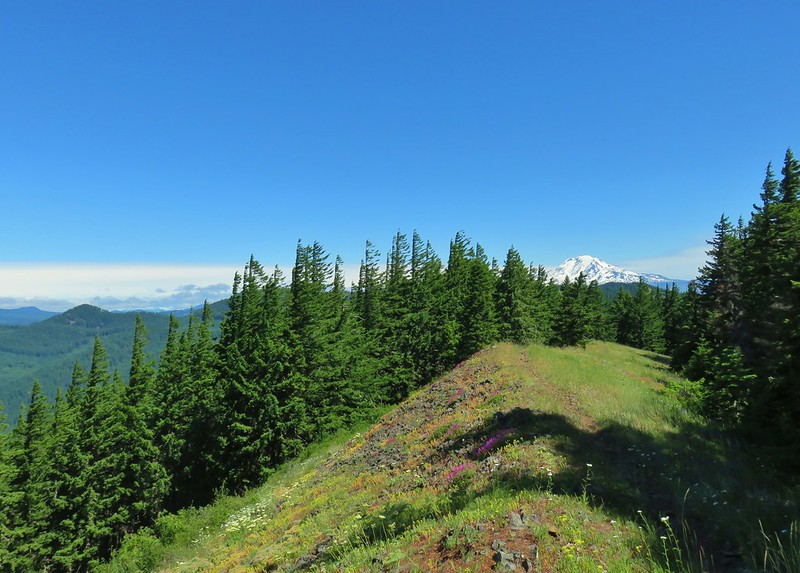 Monte Carlo Trail
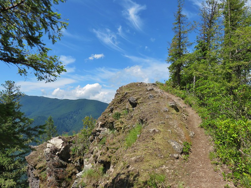 Hunchback Mountain
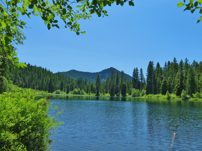 Daly Lake
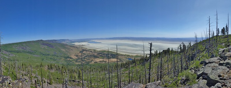 Winter Ridge
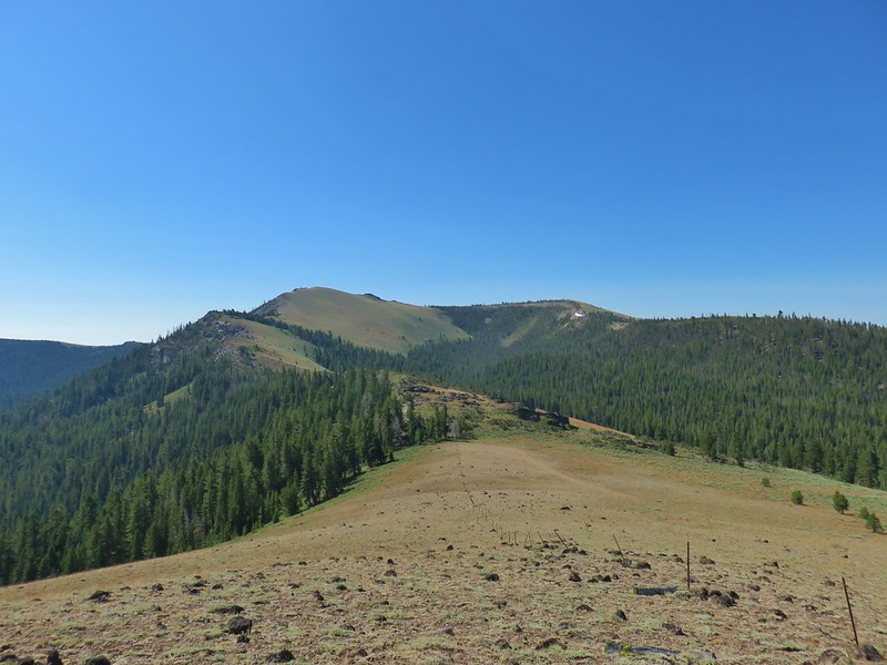 Fence Pass
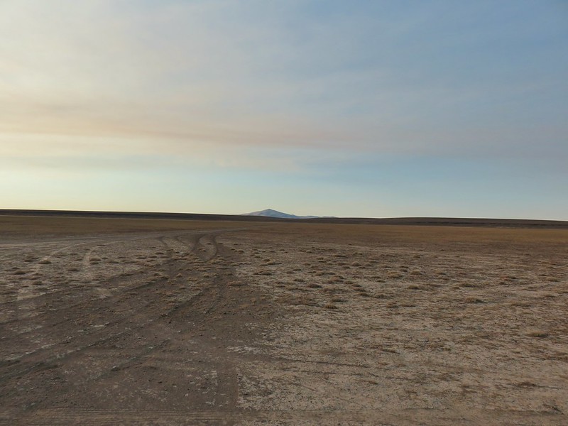 Flook Lake
 Hart Mountain Antelope Refuge
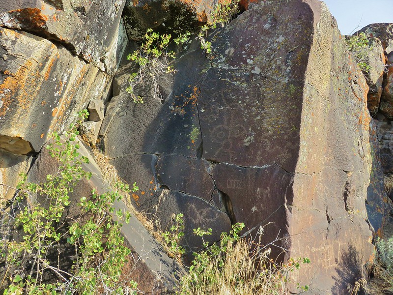 Petroglyphs along Petroglyph Lake
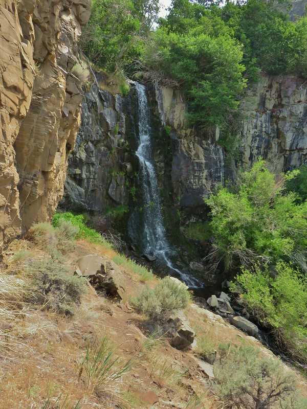 DeGarmo Canyon
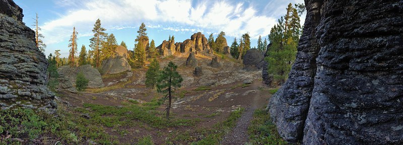 The Palisades in the Gearhart Mountain Wilderness (This was probably our favorite area of the year amid these rock formations.)
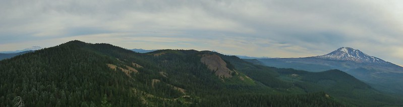 Sleeping Beauty
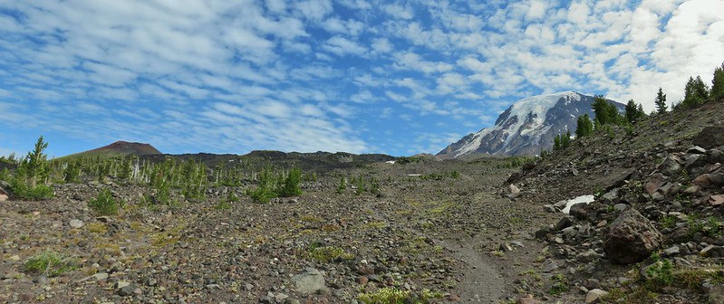 Highline Trail
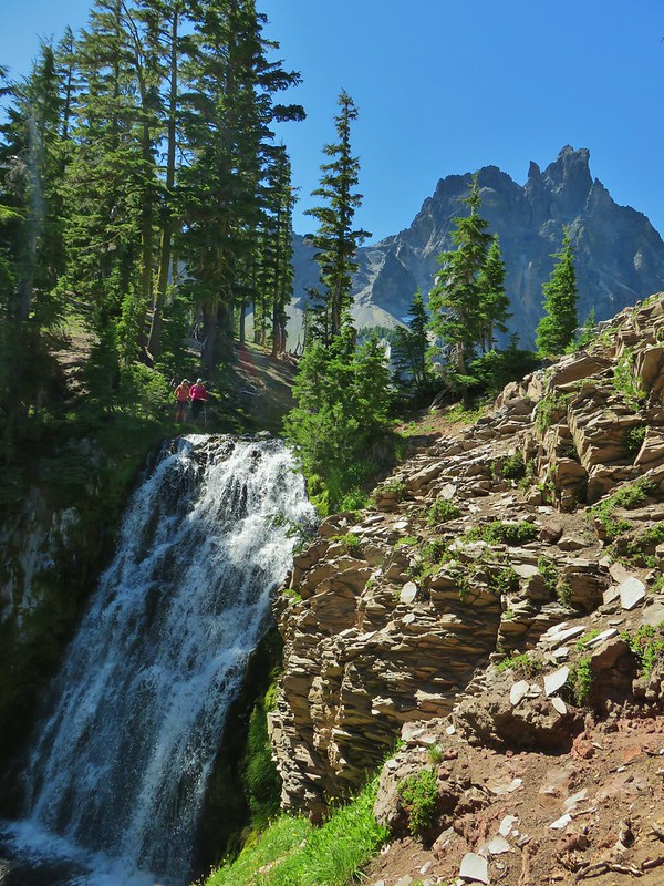 Cottonwood Creek Falls (This was probably the sketchiest hike we’ve done.)
 Mt. Thielsen* (The Thielsen Creek fire burned a small part of the trails in the area.)
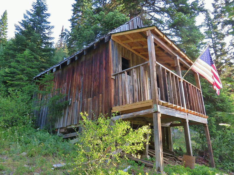 Bohemia Post Office
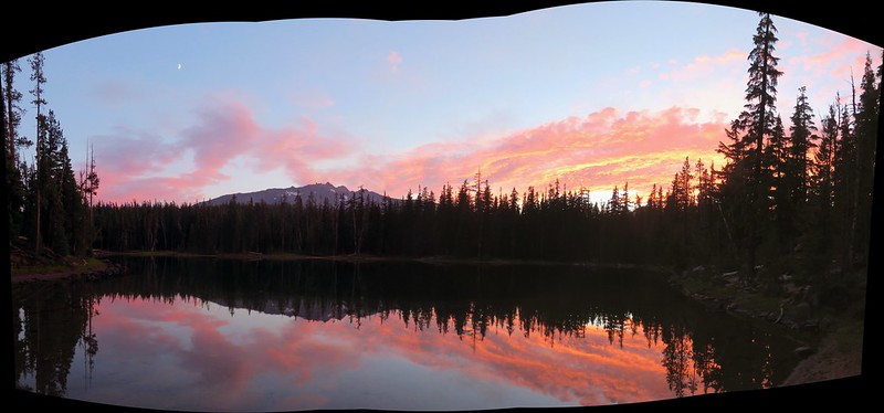 Karen Lake
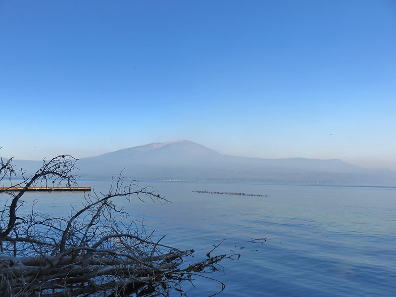 Diamond Lake
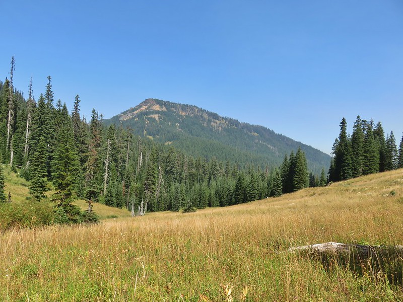 Rattlesnake Mountain
 Spruce Run Creek Trail
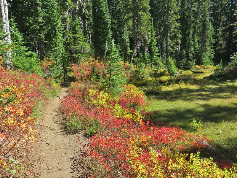 Indian Heaven Wilderness
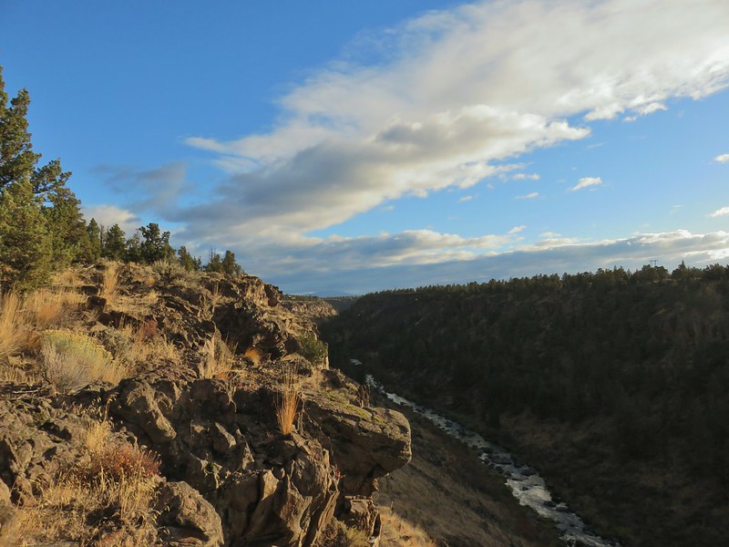 Wildcat Canyon
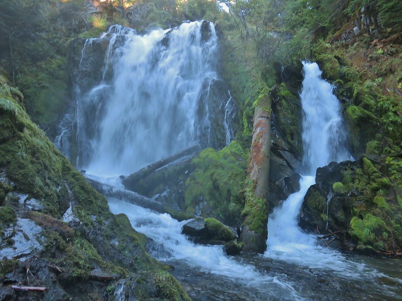 National Creek Falls
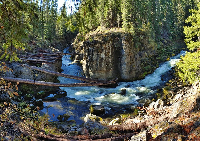 Takelma Gorge
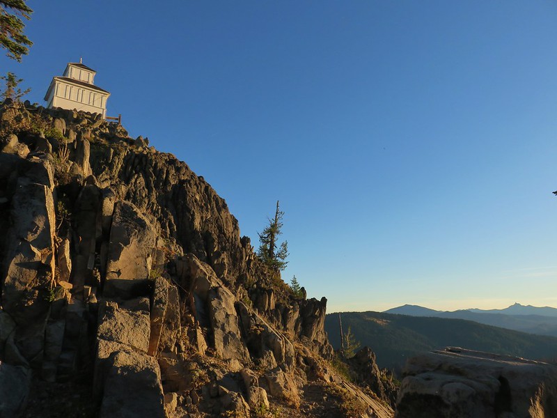 Hershberger Mountain
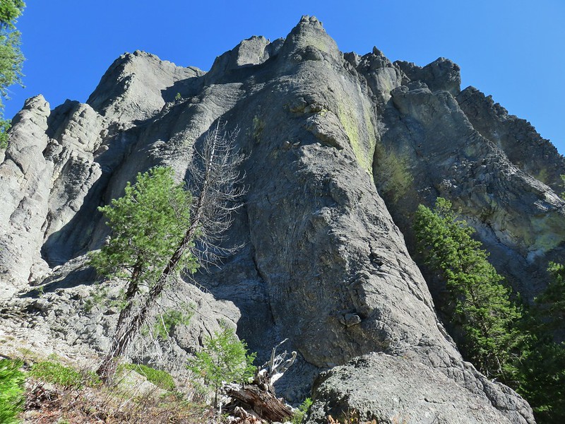 Rabbit Ears
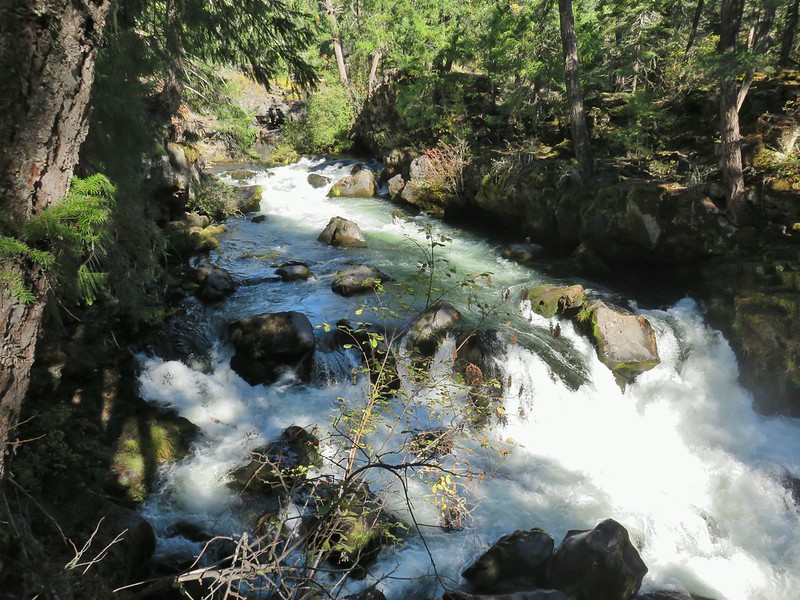 Natural Bridge
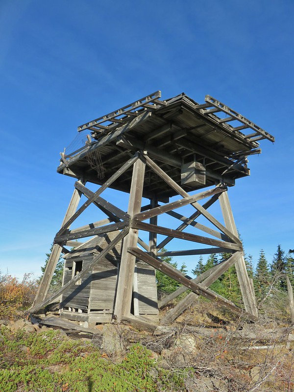 Abbott Butte Lookout
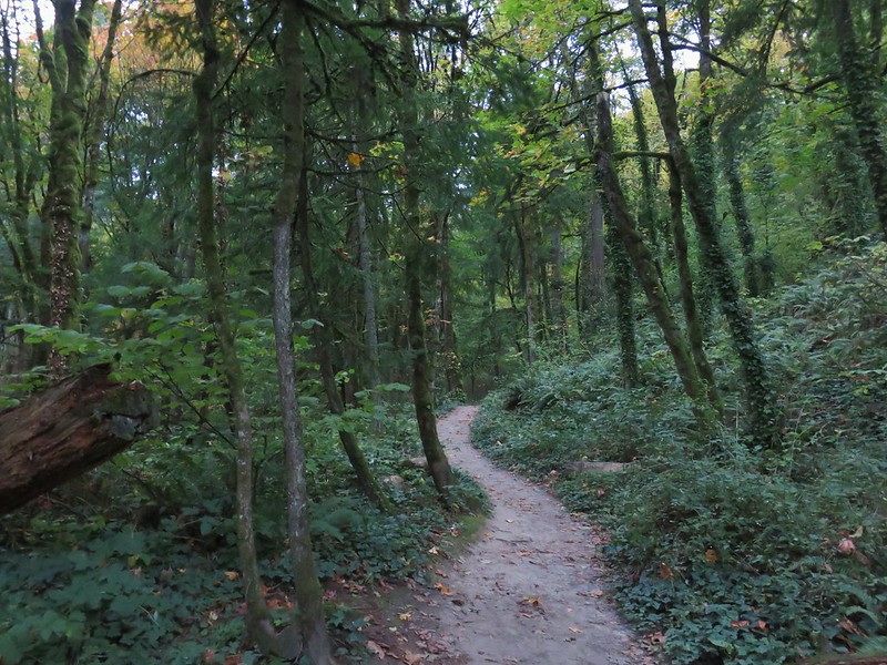 Forest Park
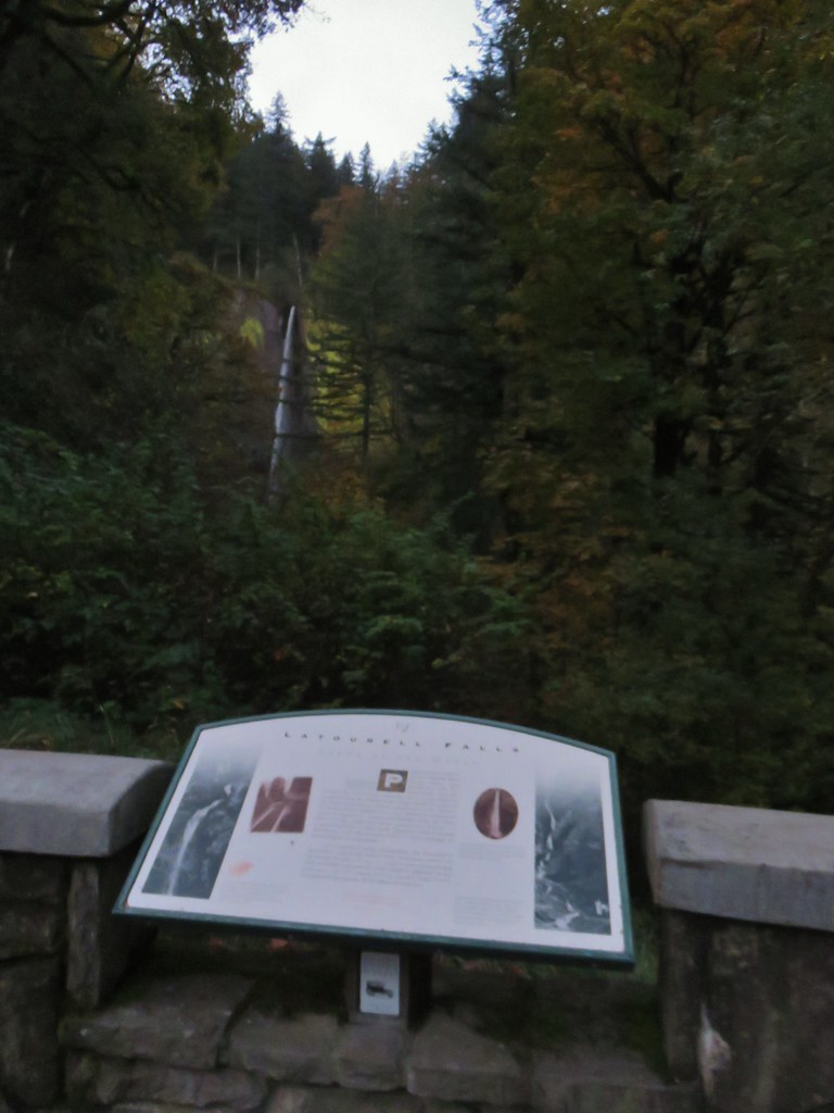
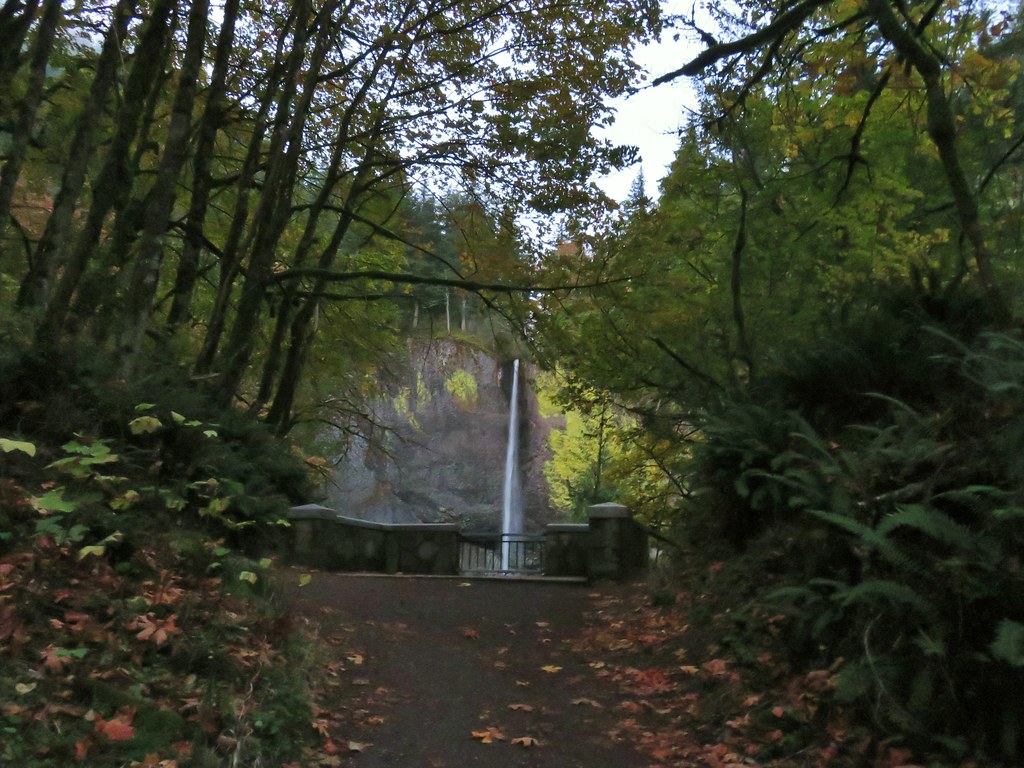
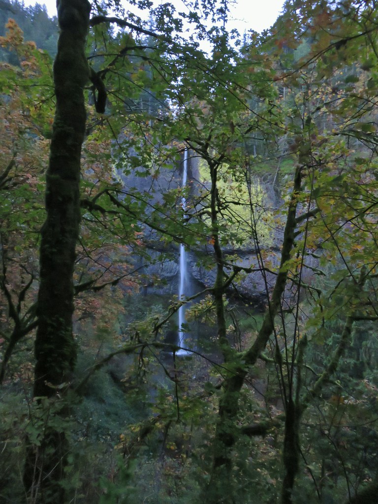
 Upper Latourell Falls
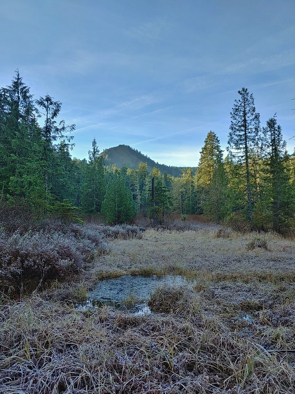 Larch Mountain
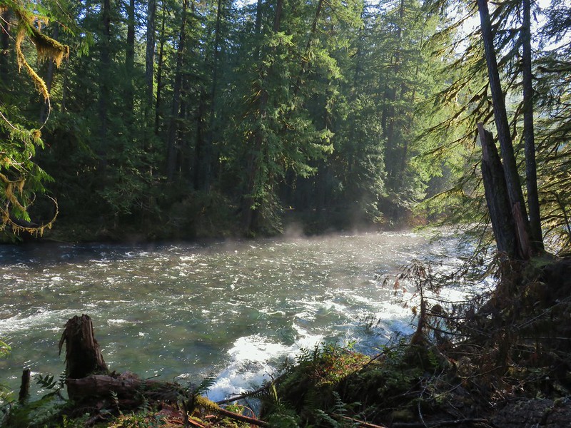 McKenzie River
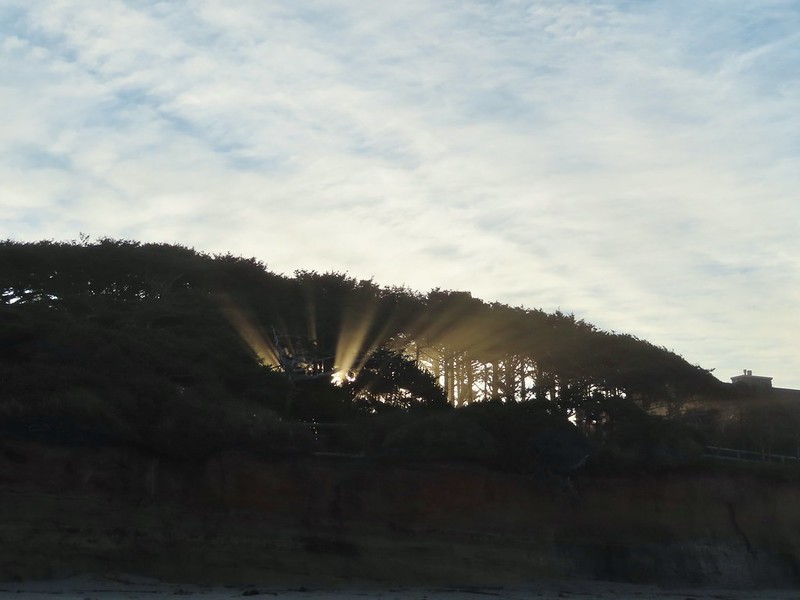 Yachats
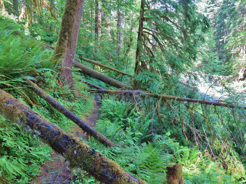 Swordfern Trail
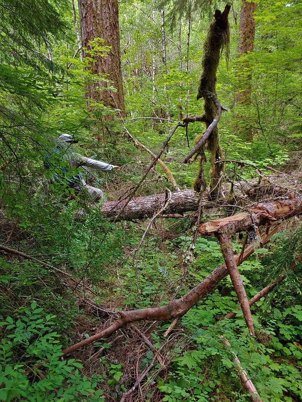 East Fork Trail
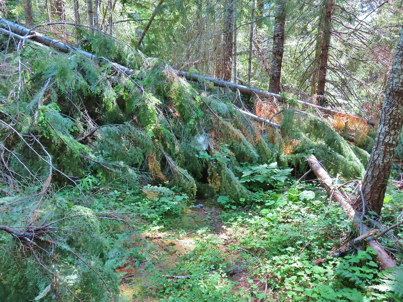 Riggs Lake Trail
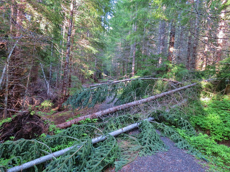 Hackleman Old Growth Loop
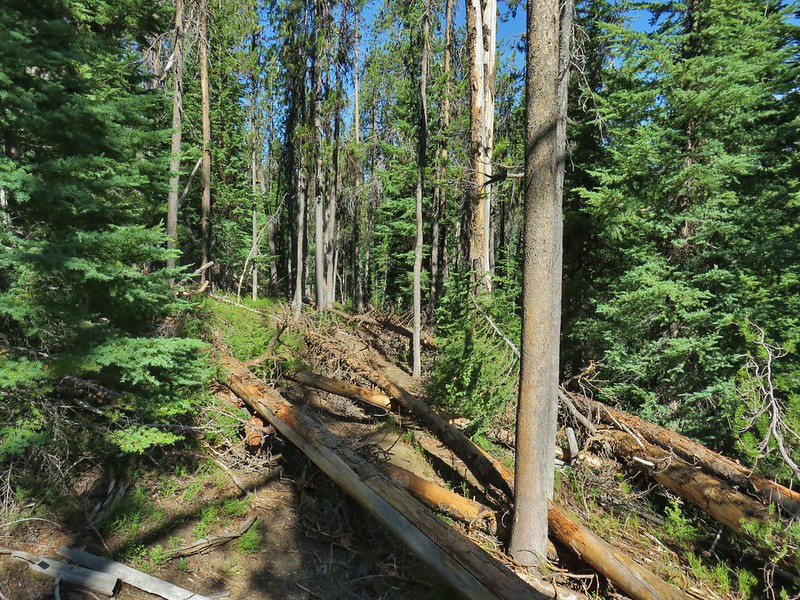 Howlock Mountain Trail
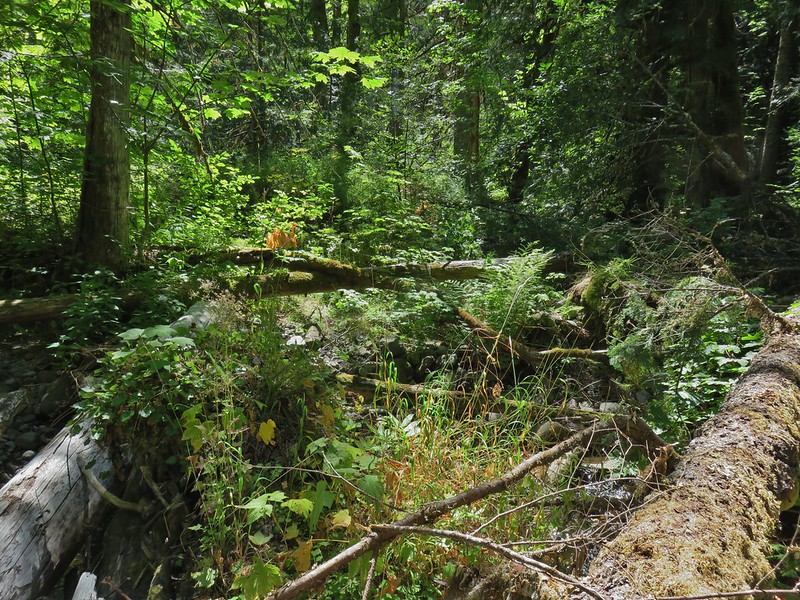 Shale Ridge Trail
 Acker Divide Trail
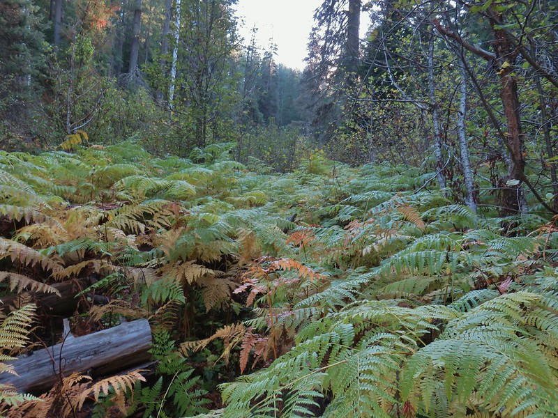 Union Creek Trail
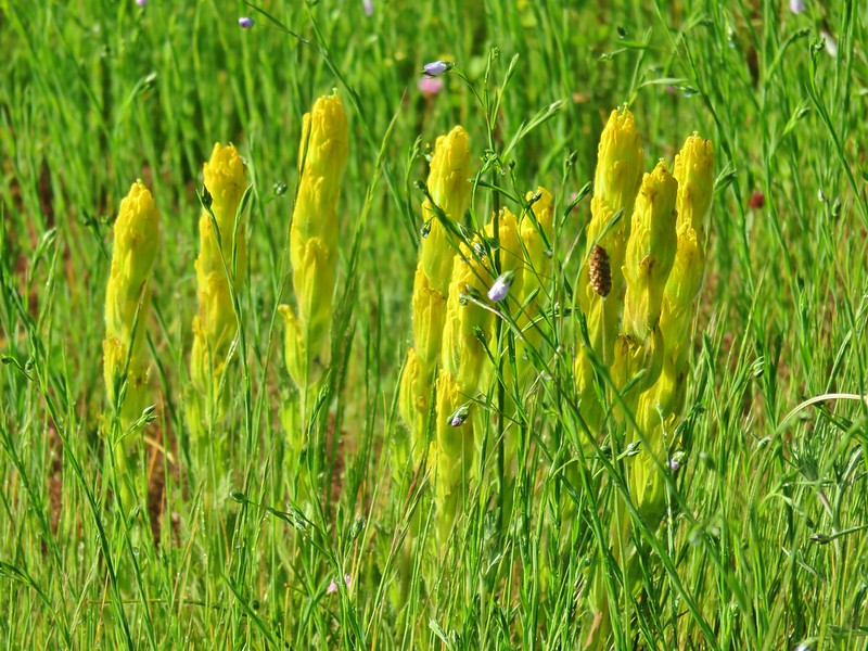 Castilleja levisecta – Golden Paintbrush at Basket Slough Wildlife Refuge (
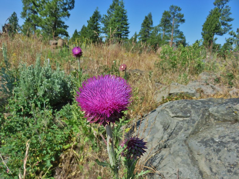 Musk Thistle at Winter Ridge (Unfortunately it’s an invasive but they were impressive.)
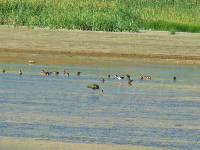 Black necked stilt at Summer Lake


 Looking back south as the sunrise paints the clouds.
 A house on the cliffs.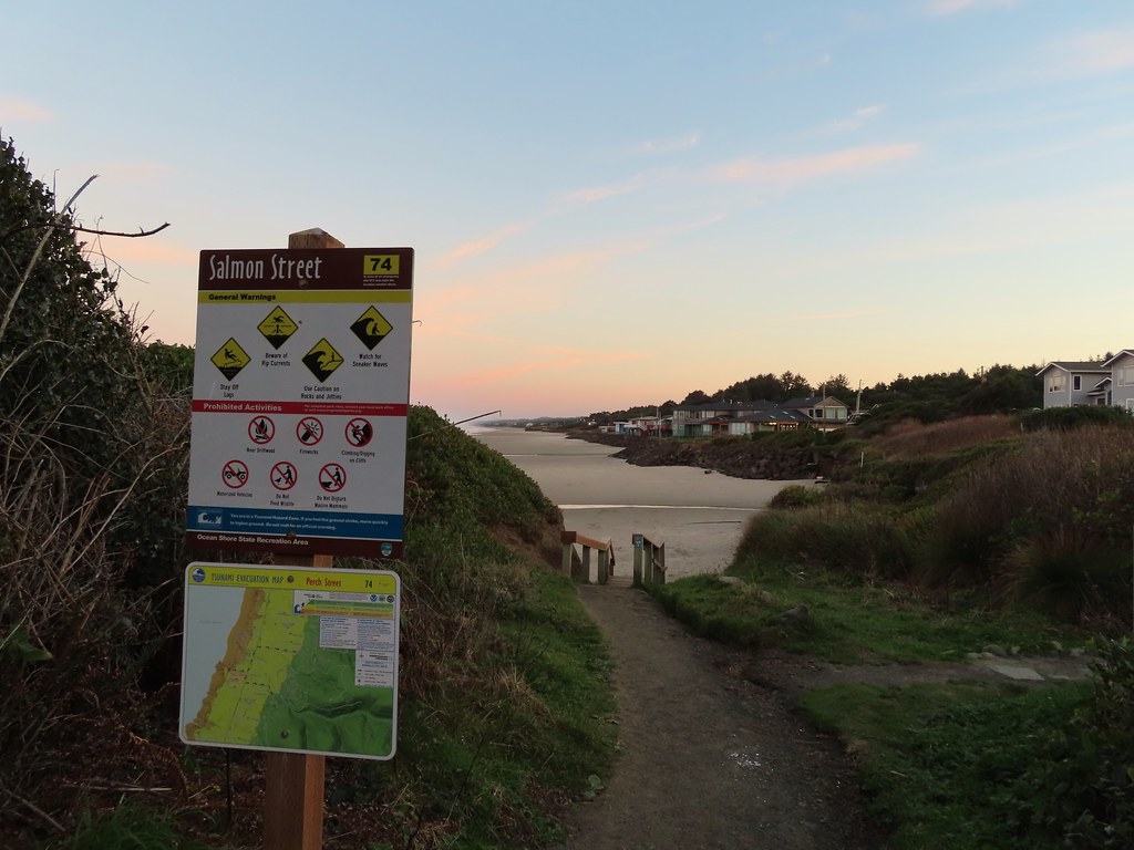

 Seagulls outnumbered people in the early part of the day.


 Vinge Creek, about a mile down the beach, was crossable on small rocks.
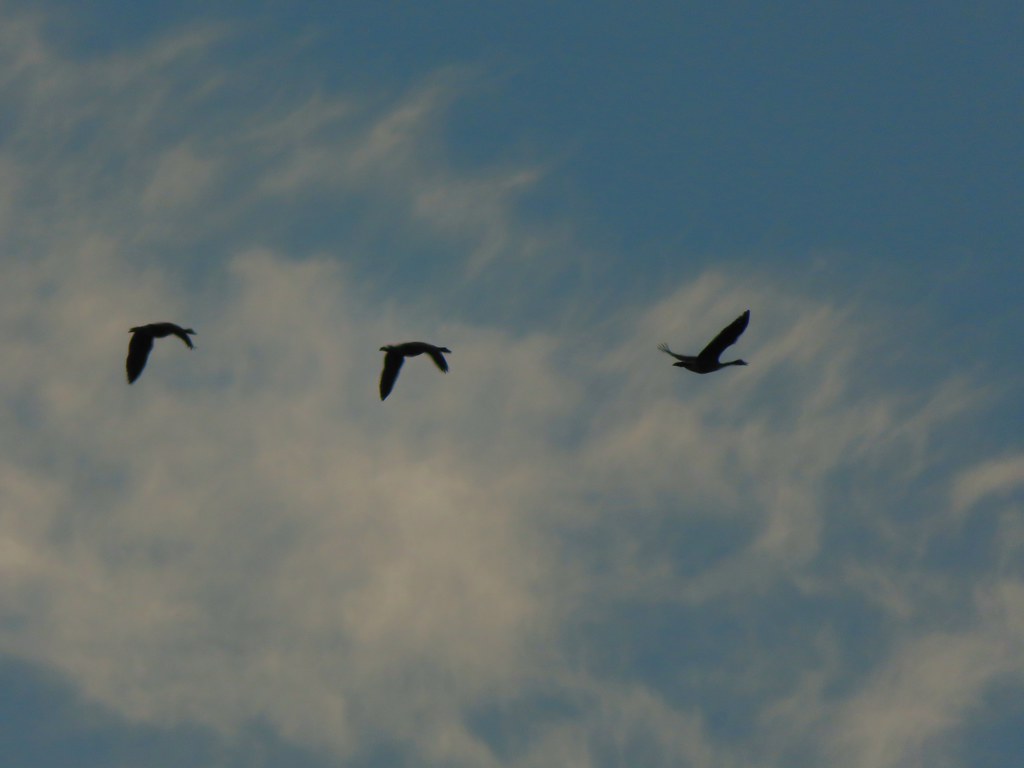 Geese flying overhead, we couldn’t make out what kind.
 At first we thought there were two weather vanes on the houses, a whale on the right and a heron on the left.
 It turned out to be a real great blue heron (but the whale was a vane).
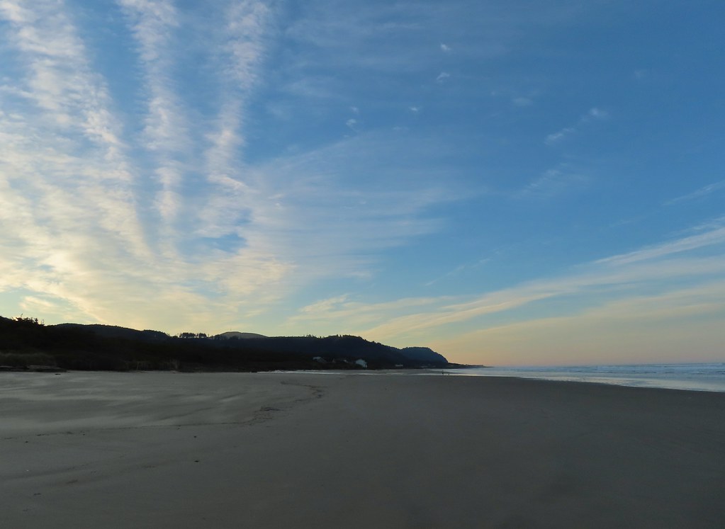 Looking south toward Cape Perpetua (
 View north.
 Sunlight on the wave tops.
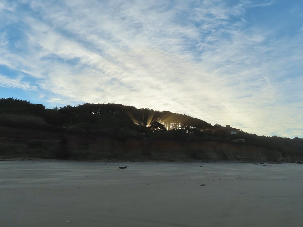 Sunlight bursting through the trees.
 Wavy sand.

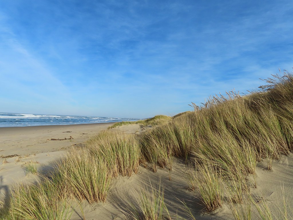
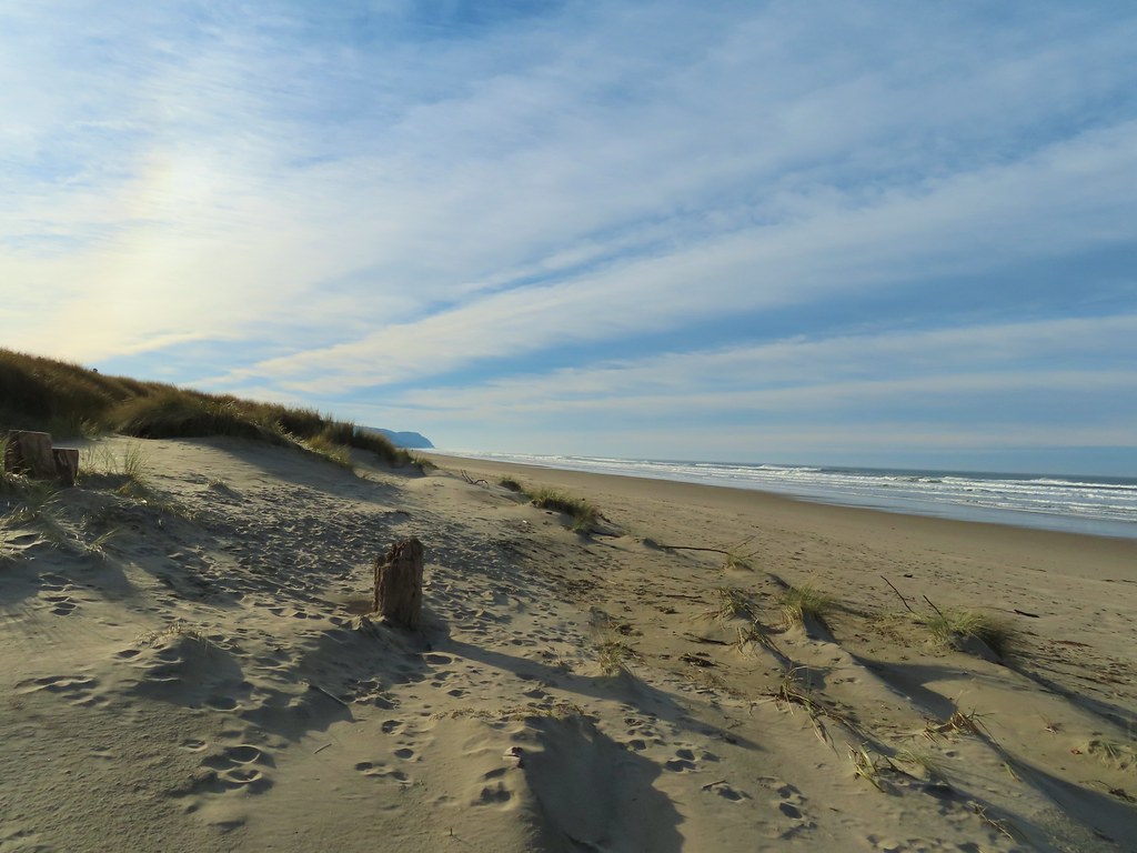 Cape Perpetua from the dunes.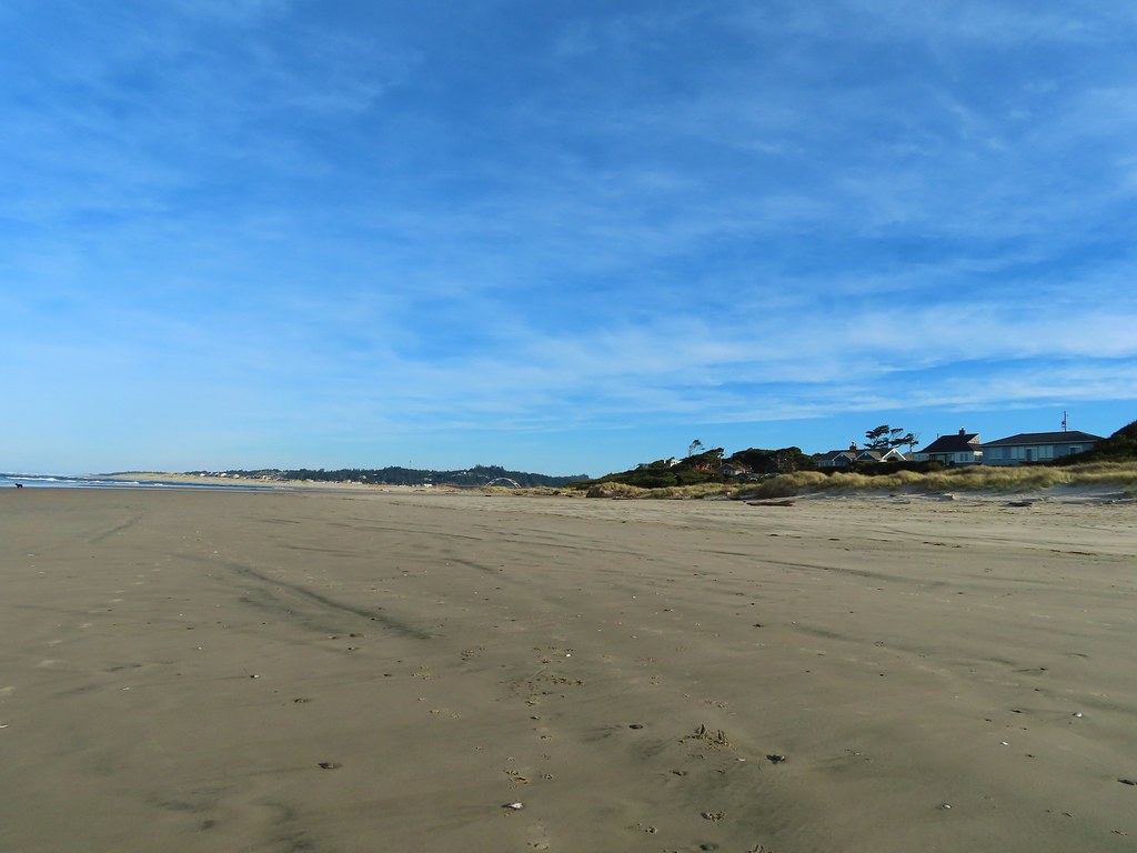
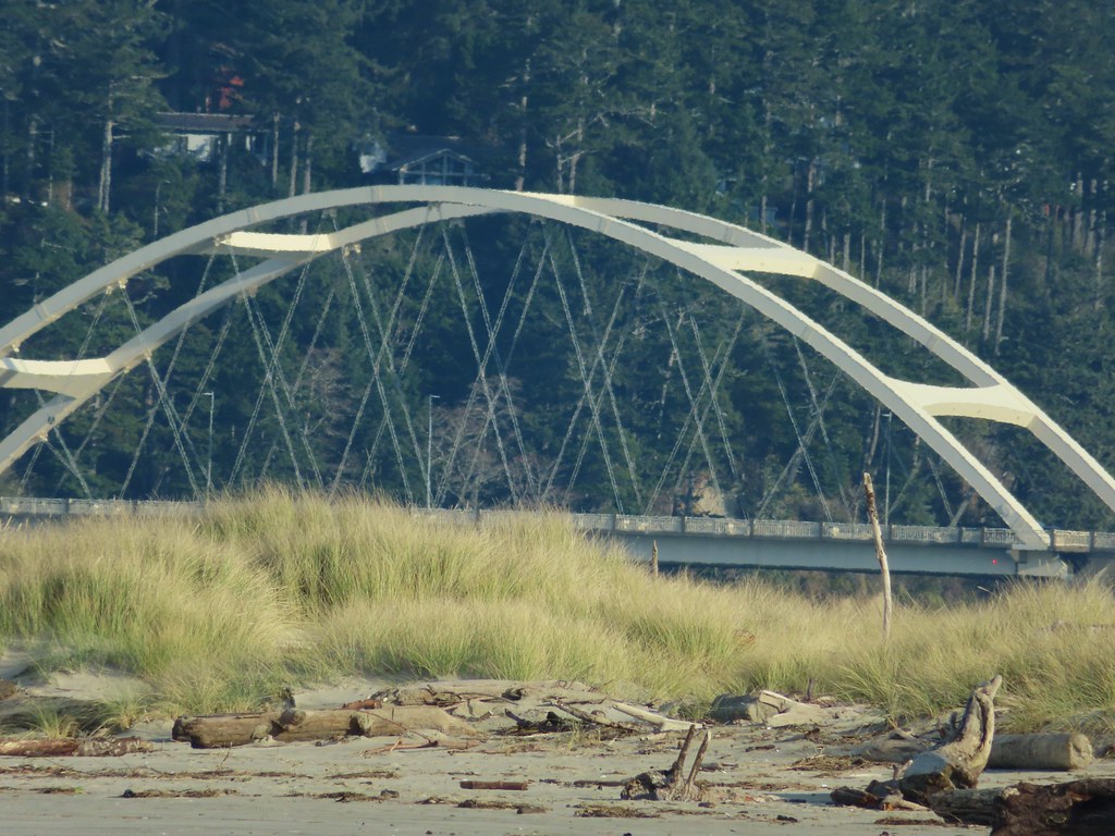 Testing the 40 zoom feature on the Canon SX740HS.
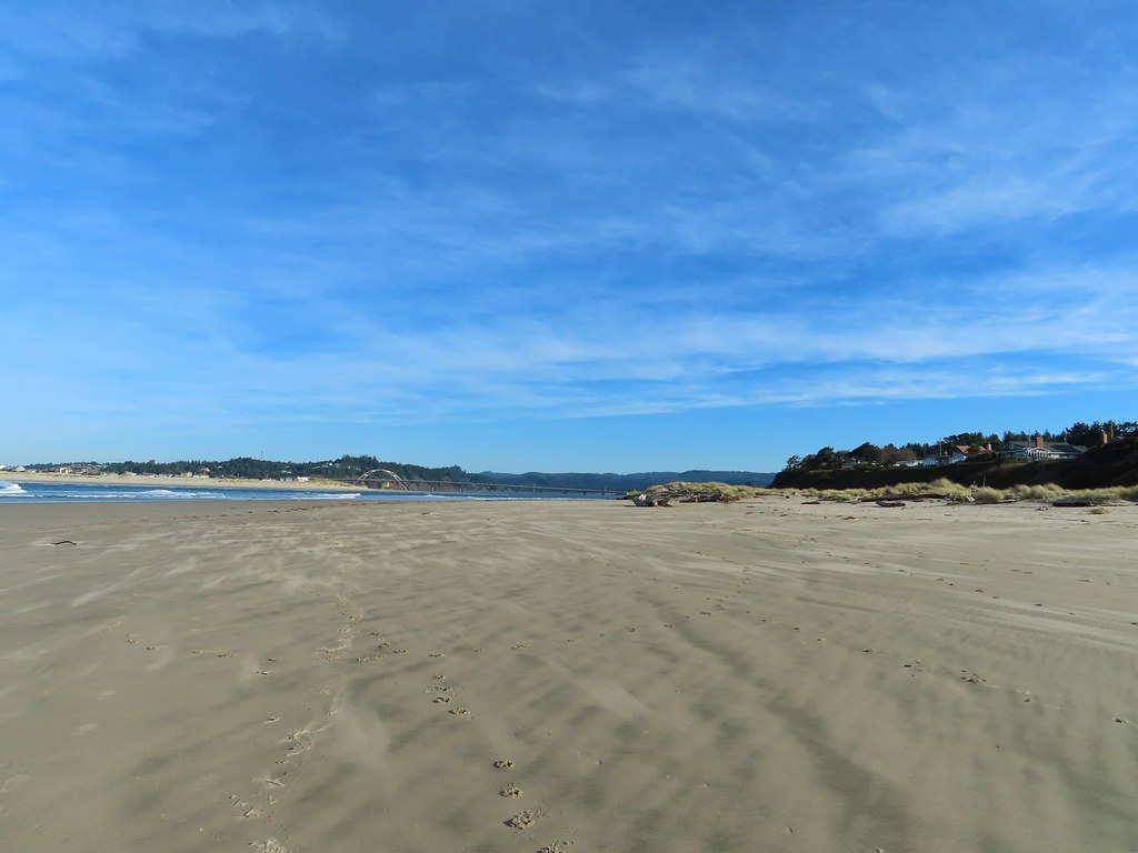 Heading for the log.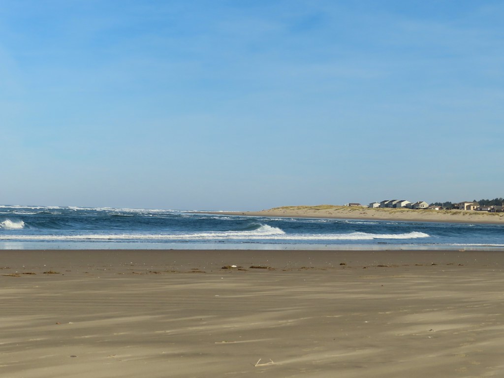
 View from the log.
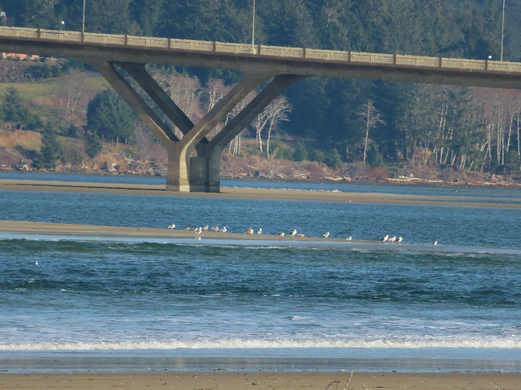 More testing of the zoom function. Seagulls on the near sandbar and seals on the one on the other side of the bridge.
 Looking at the dark cloud bank over the Pacific.
 Seal
Seal A little more cloud cover to the south over Cape Perpetua.
 More cloud action.
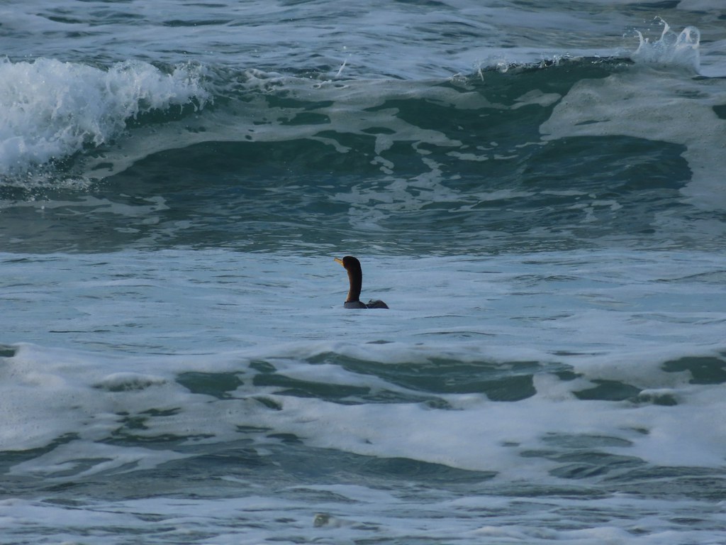 Cormorant
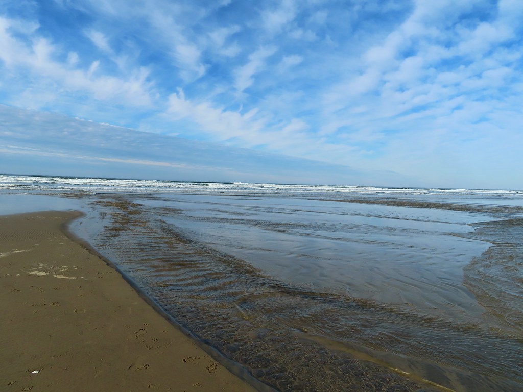 Reynolds Creek after fording.
 Finally starting to feel like it could start raining soon.
 The advancing line of clouds.
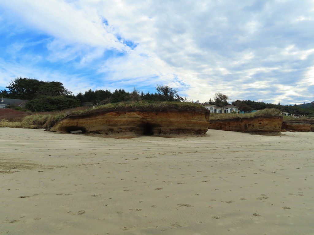 Another look at the arch.
 A kingfisher near the stairs up from the beach.
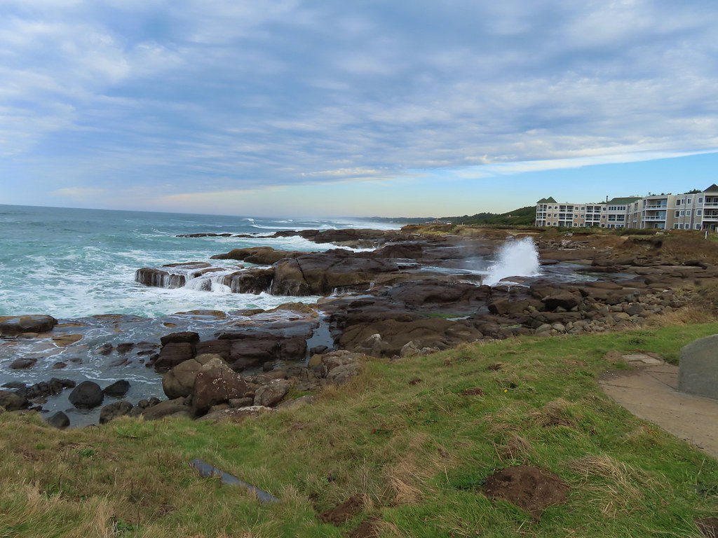
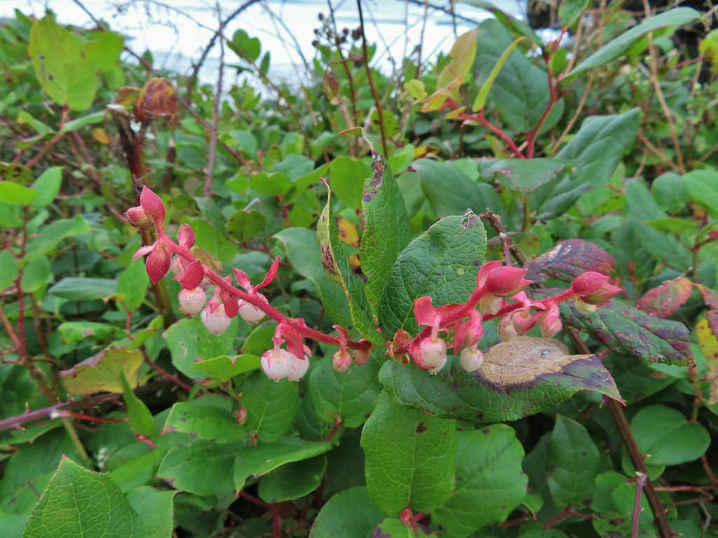 December blossoms on salal along the 804 Trail.


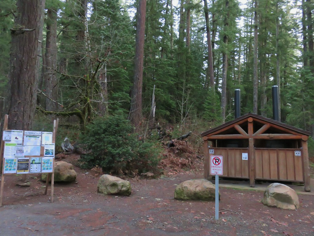
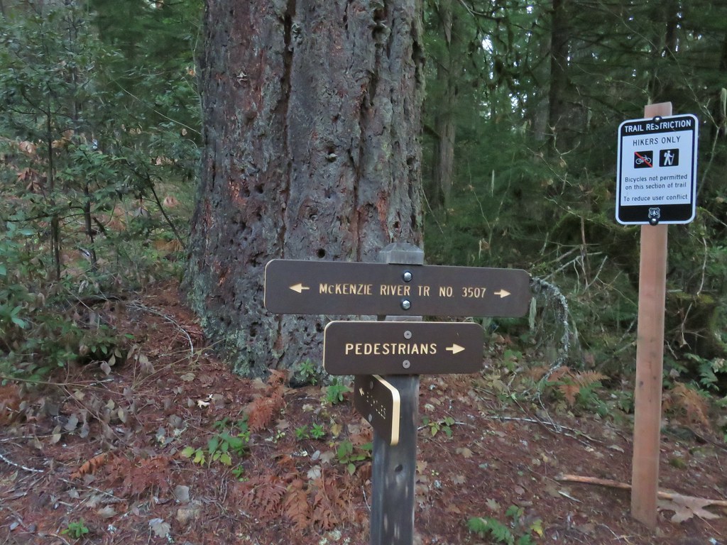


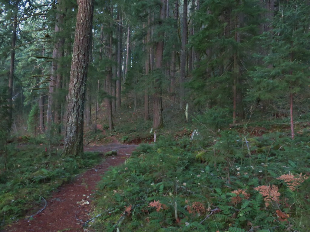 Forest road crossing.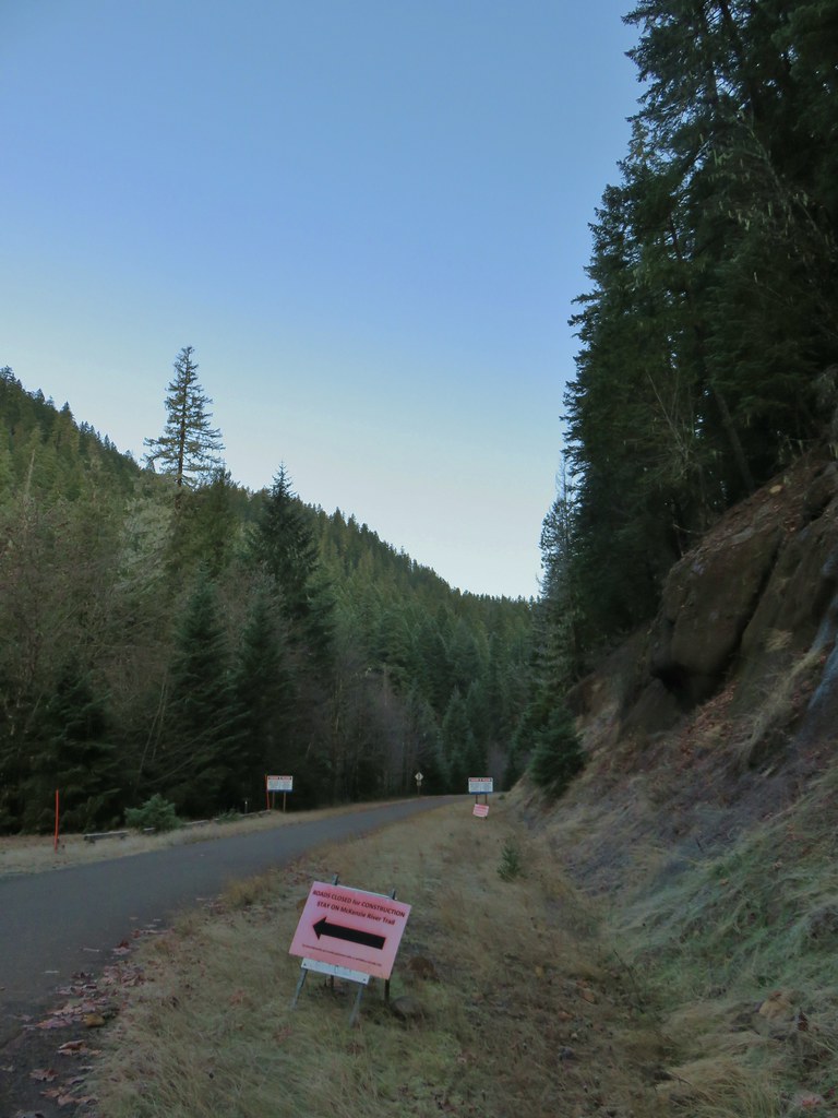


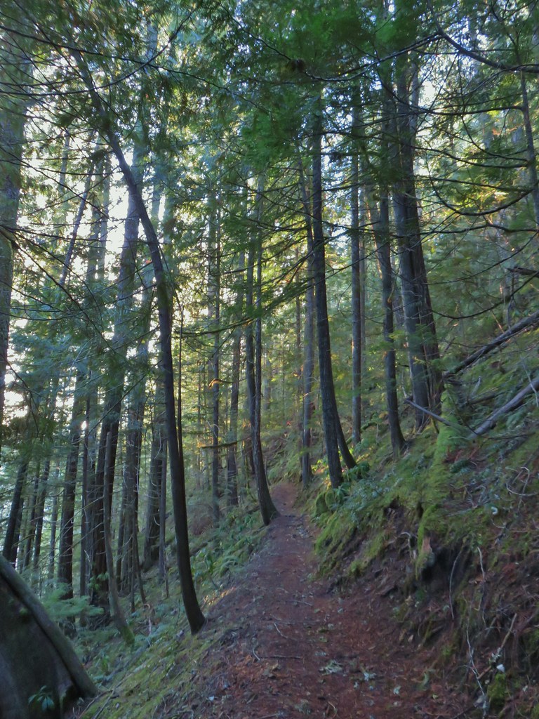


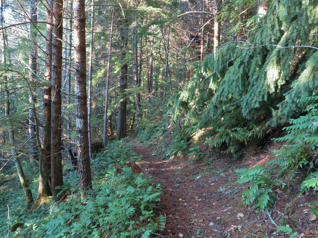
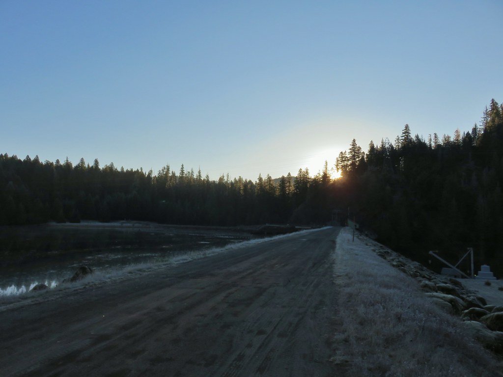
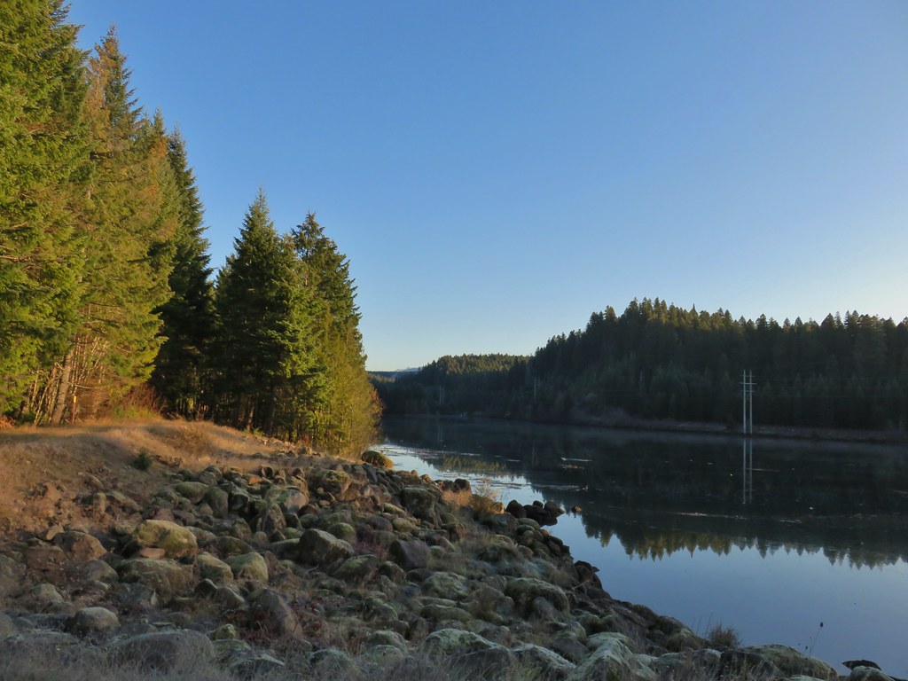 The top of Three Fingered Jack is visible in the distance.
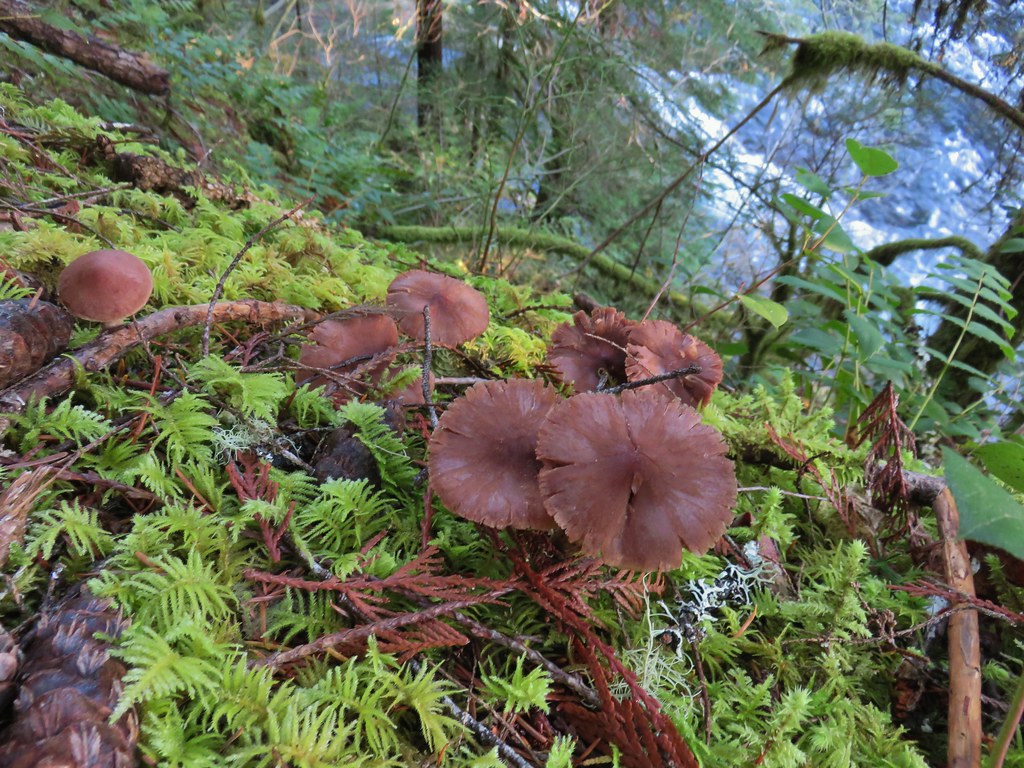
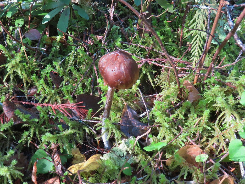
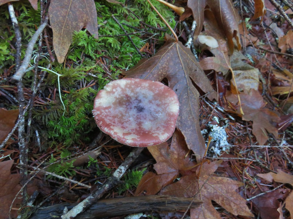
 Fall means mushrooms.


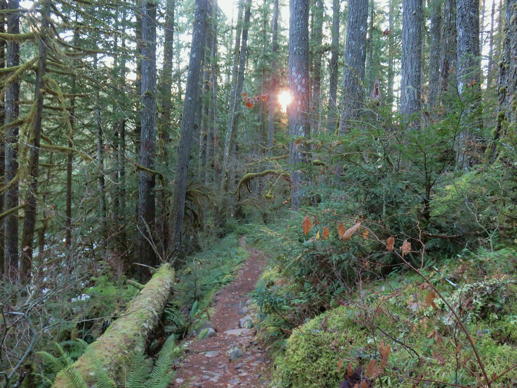
 Anderson Creek joining the McKenzie.
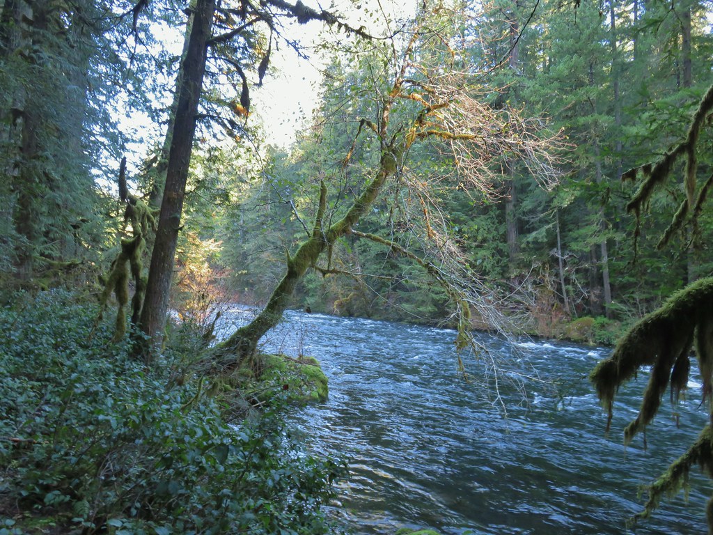
 Olallie Creek across from the trail.
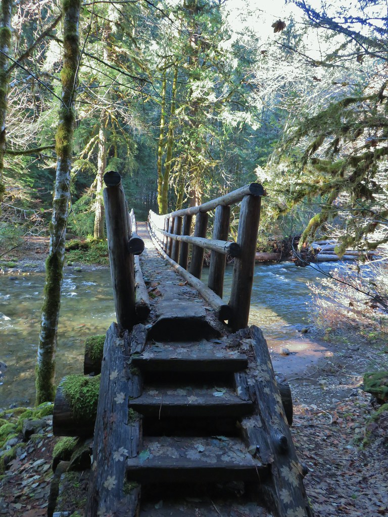
 Turning up Deer Creek to reach the footbridge.
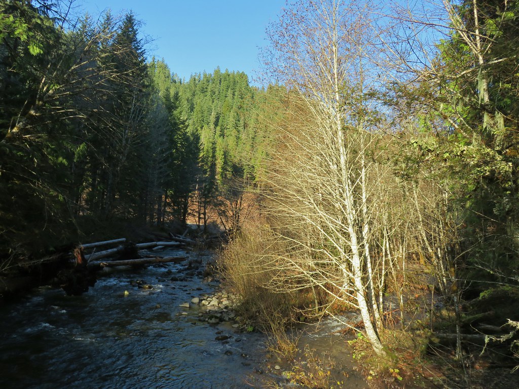
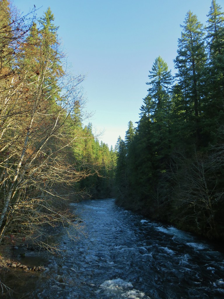 Up river from Deer Creek Road.
 Deer Creek Hot Springs would be somewhere along the right hand side of the river.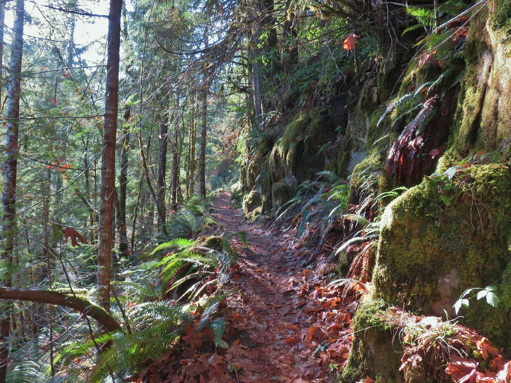
 We had to go around this bridge due to frost and it being at an angle.

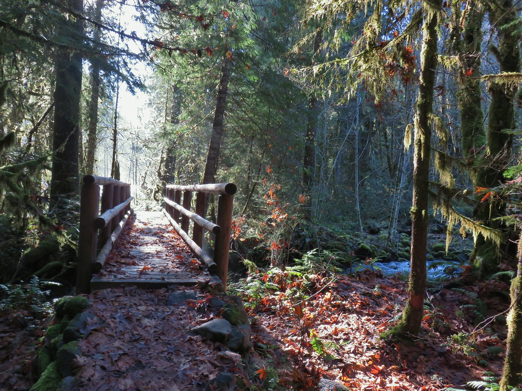 Footbridge over Frissel Creek.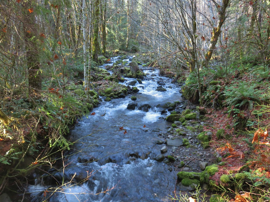
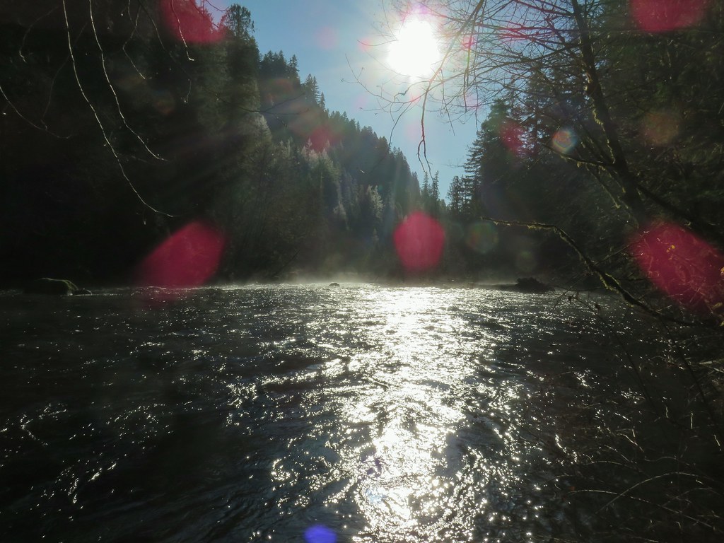 Sun over the McKenzie River
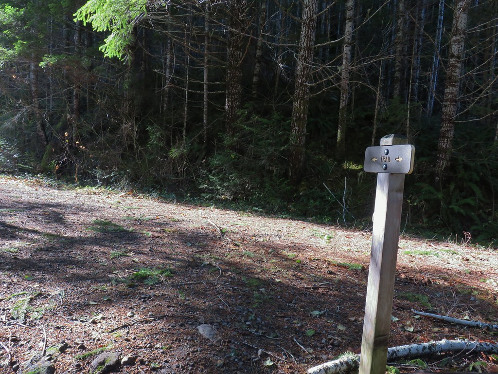 FR 610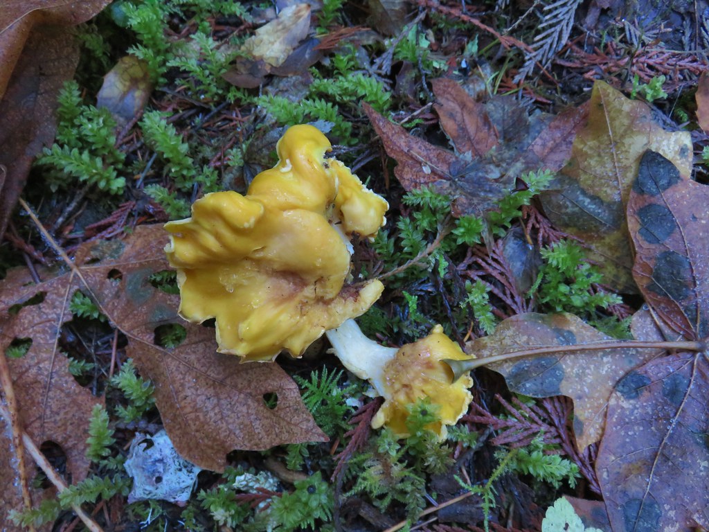

 We missed this sign for slough creek the first time by.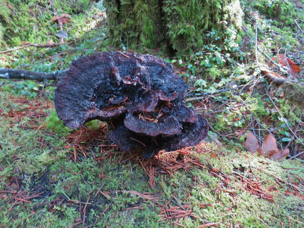

 Missed this survey marker too.
 We also completely missed this sign at Deer Creek.
 Still cold




 Without the use of the zoom on the camera they are hard to make out but the tops of the North and Middle Sister are visible over the hills.







 Silver Star Mountain in the background with the cliffs of Cape Horn (
 Looking east down the Columbia River.
 Looking NW across the Columbia.
 Silver Star Mountain again.
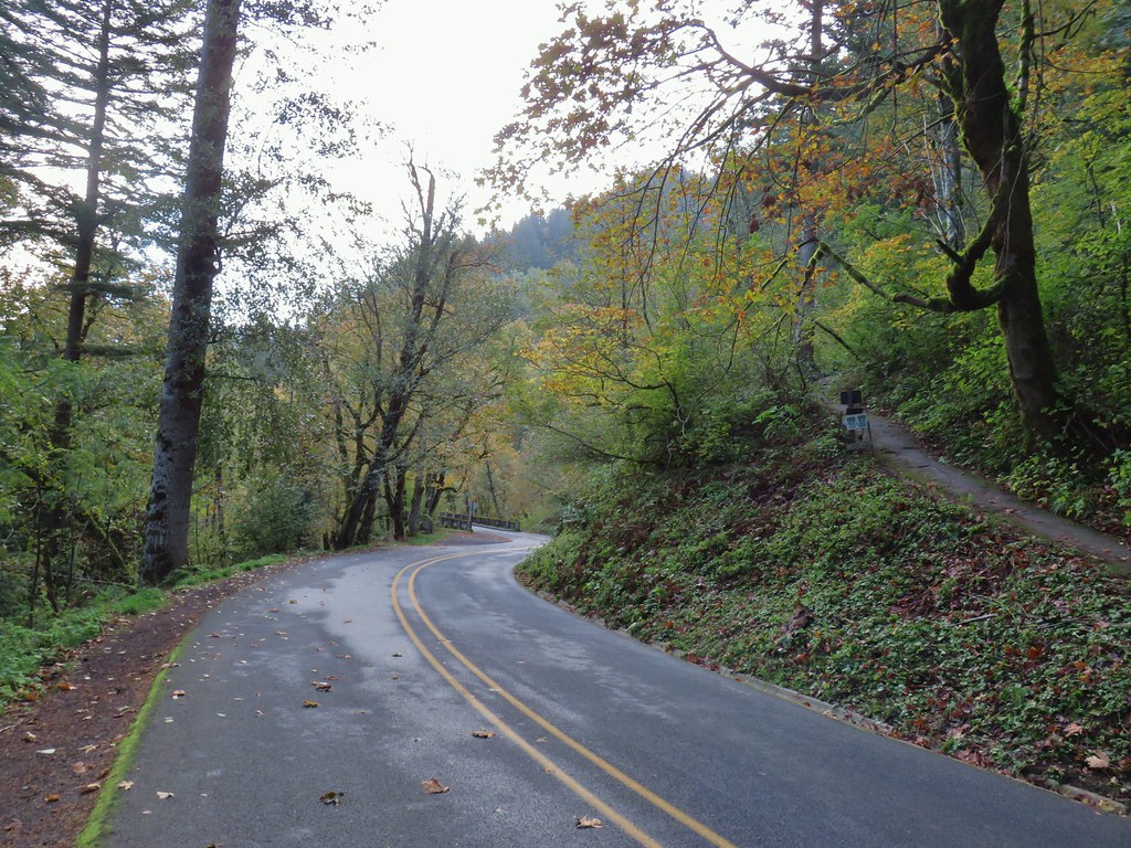


 Looking down toward the corner from the small pullout on the right.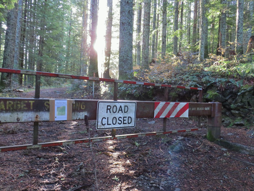


 Multnomah Creek Way Trail.


 Larch Mountain from Multnomah Basin

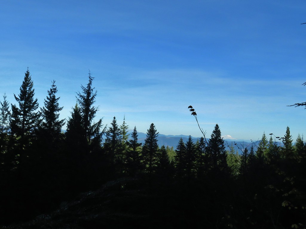 Mt. St. Helens (behind some tress) and Mt. Rainier.
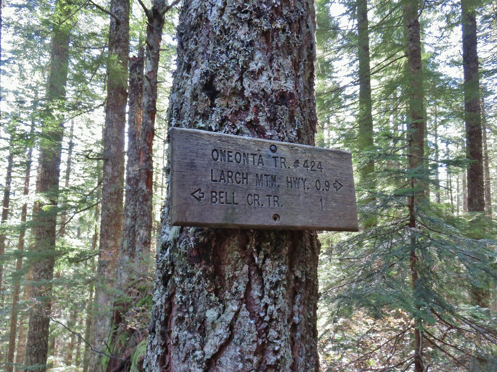
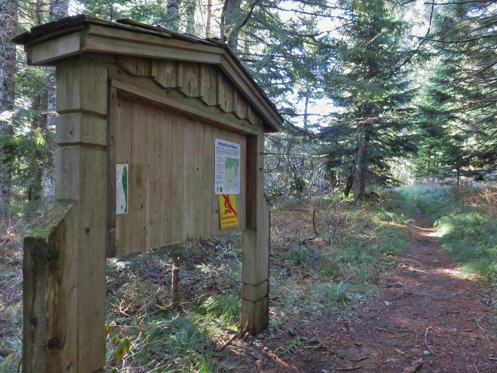 Signboard near Larch Mountain Road.
 Larch Mountain Road from the end of the Oneonta Trail

 Just a few of the steps up to Sherrard Point.
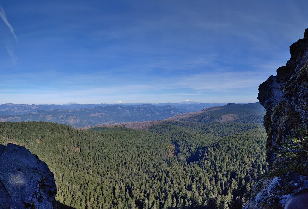 Mt. St. Helens, Mt. Rainier, and Mt. Adams.
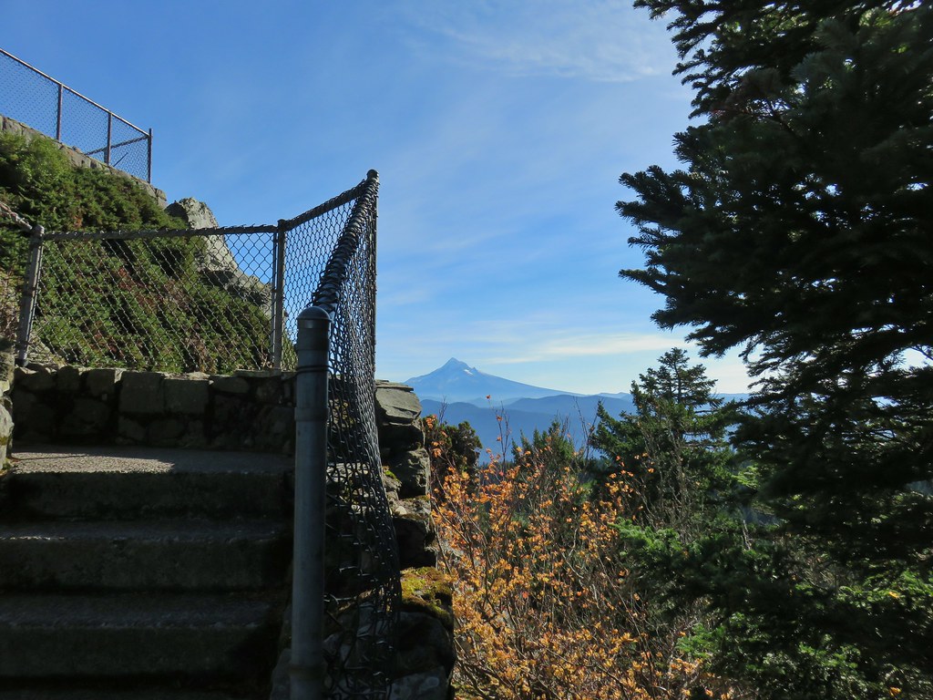 Mt. Hood
 Mt. Hood with Mt. Jefferson to the right.
 Mt. Jefferson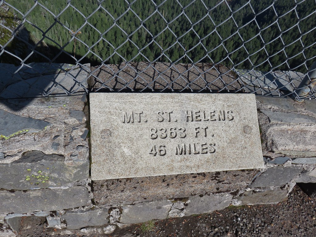
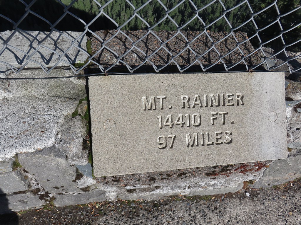

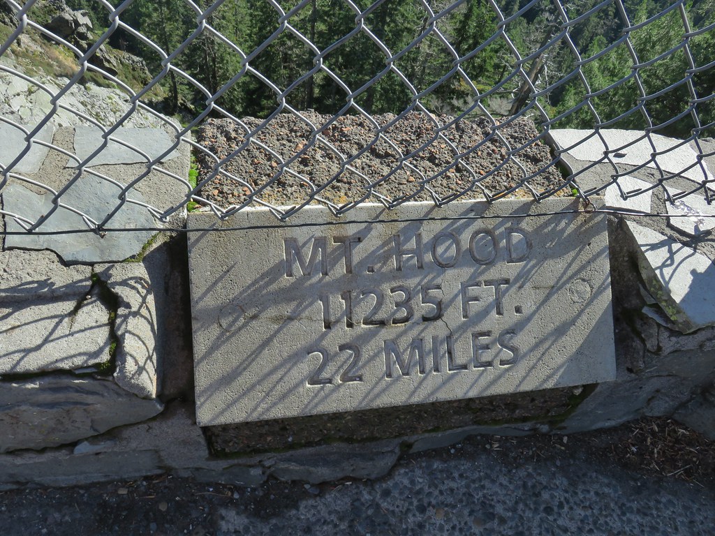

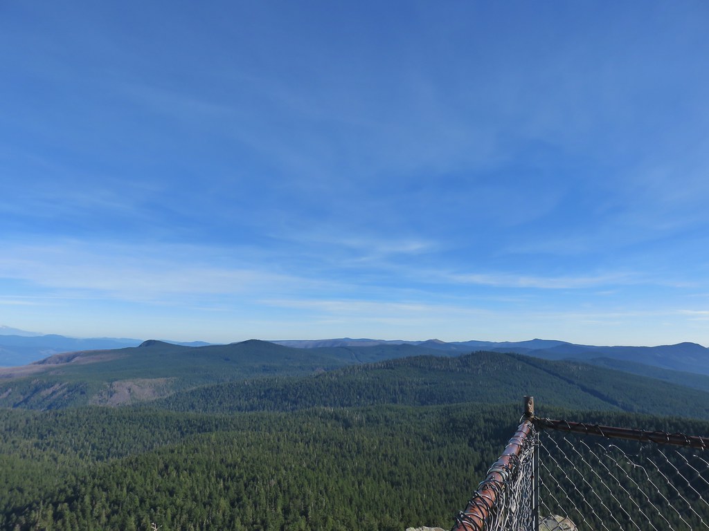 View east from Sherrard Point.