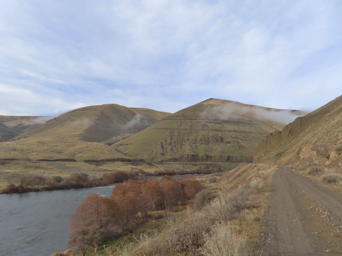
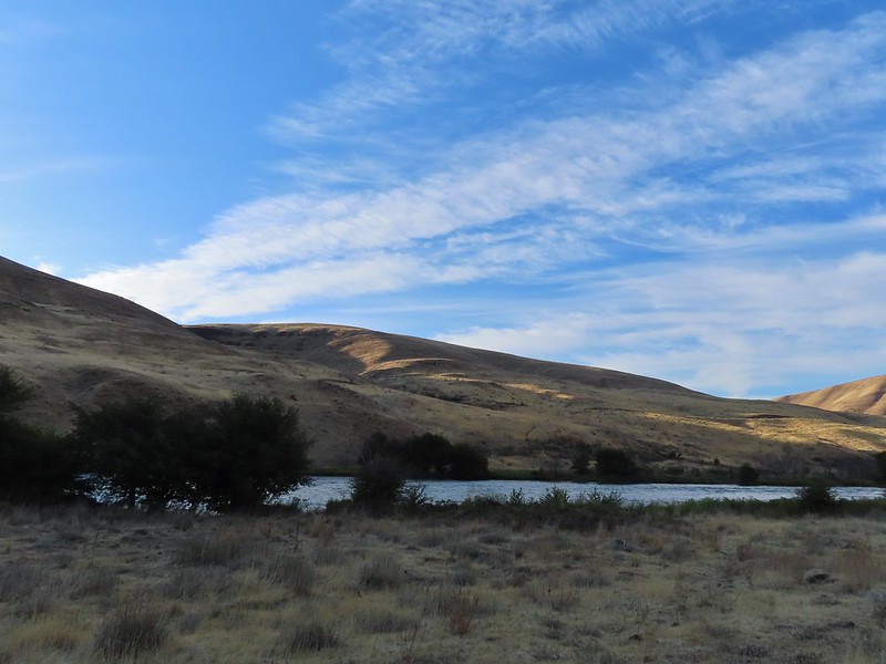
Our unusually warm and alarming dry winter continued through the end of January which has resulted an extremely low snowpack. While that doesn’t bode well for summer it provided plenty of dry hiking opportunities during the month, another of which I took advantage of before flipping the calendar to February. It was another solo outing so picked an area Heather had been to previously, the Lower Deschutes River, and planned a slightly different route than we’d done on our visit in 2018 (post).
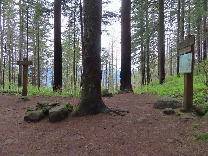
I made the two-and-a-half-hour drive from Salem to the Deschutes River State Recreation Area and parked in the overnight parking lot currently shown on Google Maps as the Old RailBed Trail Parking. There is a slightly closer trailhead which we parked at on our previous visit, but that section of the park was not yet open for the season. I had arrived just before sunrise and had expected mostly cloudy conditions. The forecast showed the sky cover gradually decreasing to 60% around 10:30am then starting to increase again. I had not anticipated how low that cloud cover would be. It wasn’t quite fog but it was about as close as you can come.

The overnight parking lot.

Old stagecoach at the parking lot.
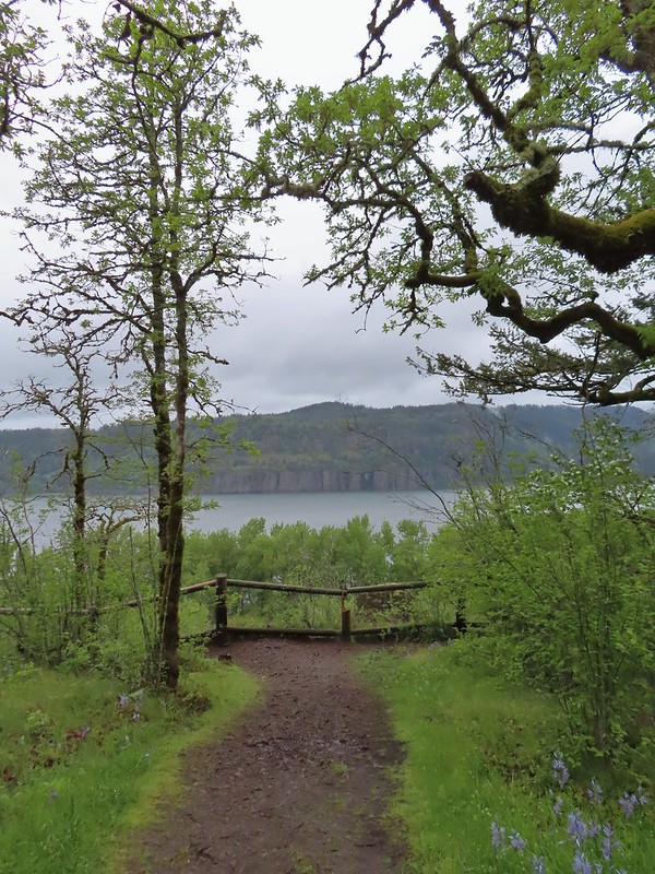
My plan was to follow the Deschutes River for close to three hours then turn around and possibly hike the Ferry Springs Loop on my way back as we’d done in 2018. That detour would depend on the clouds though. I wasn’t willing to climb 500′ just to wind up in fog with no views. Plan B would be to return along the river unless I was seeing any ticks in which case I’d stick to the railroad grade as much as possible.

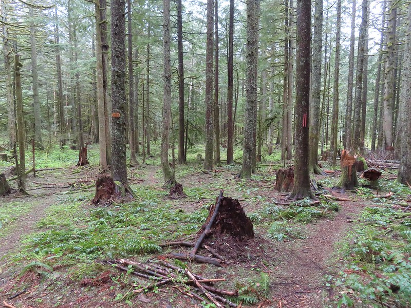
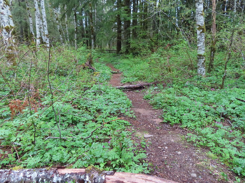
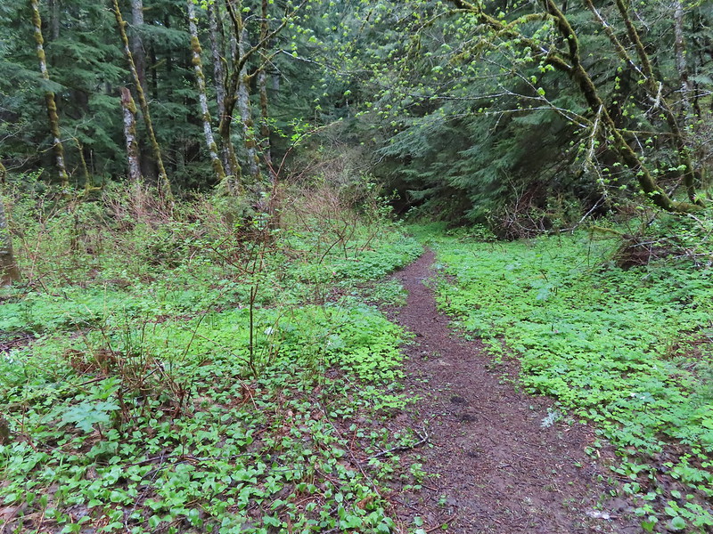
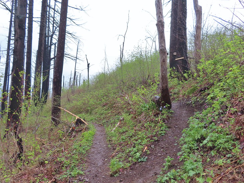
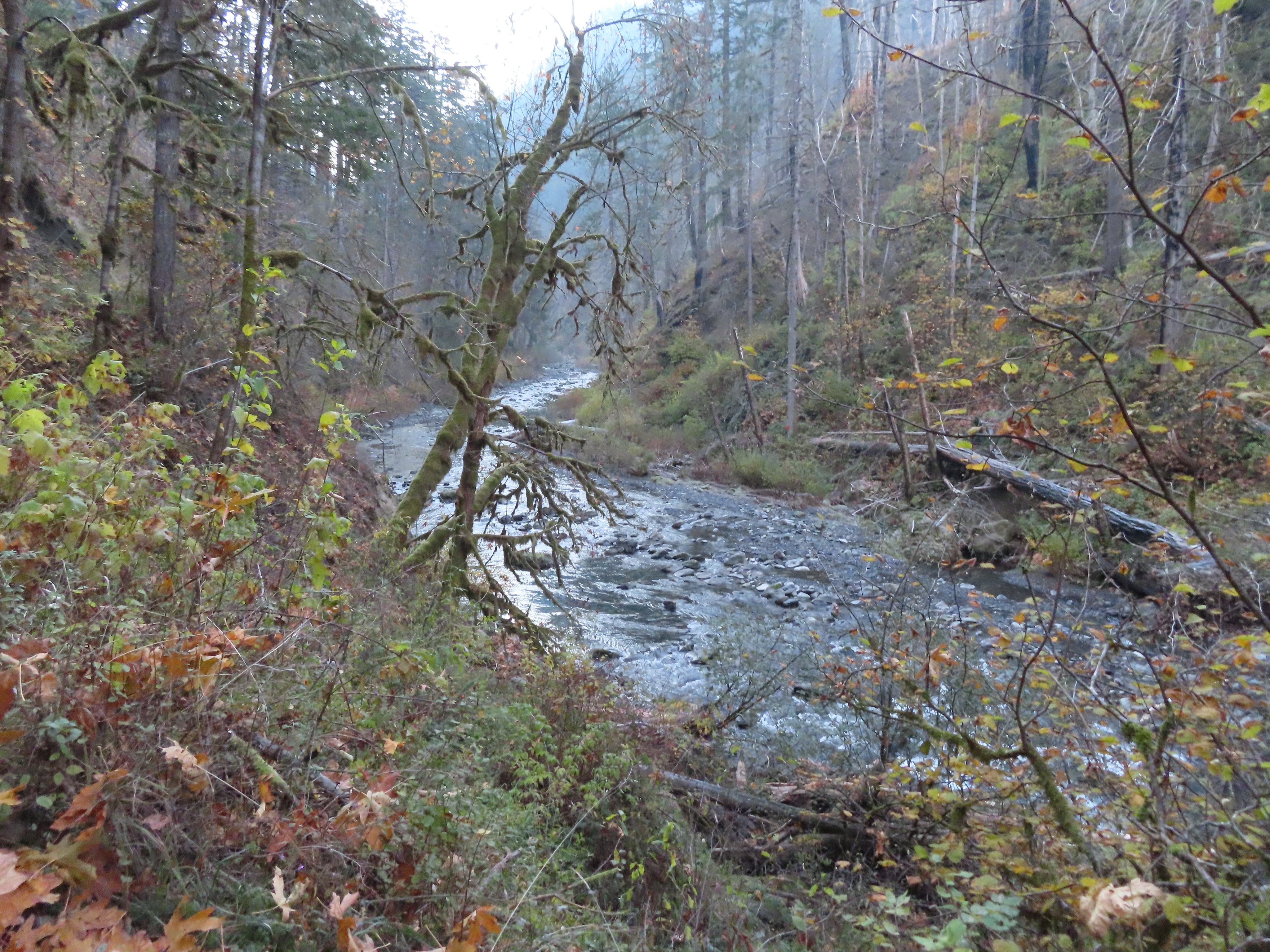
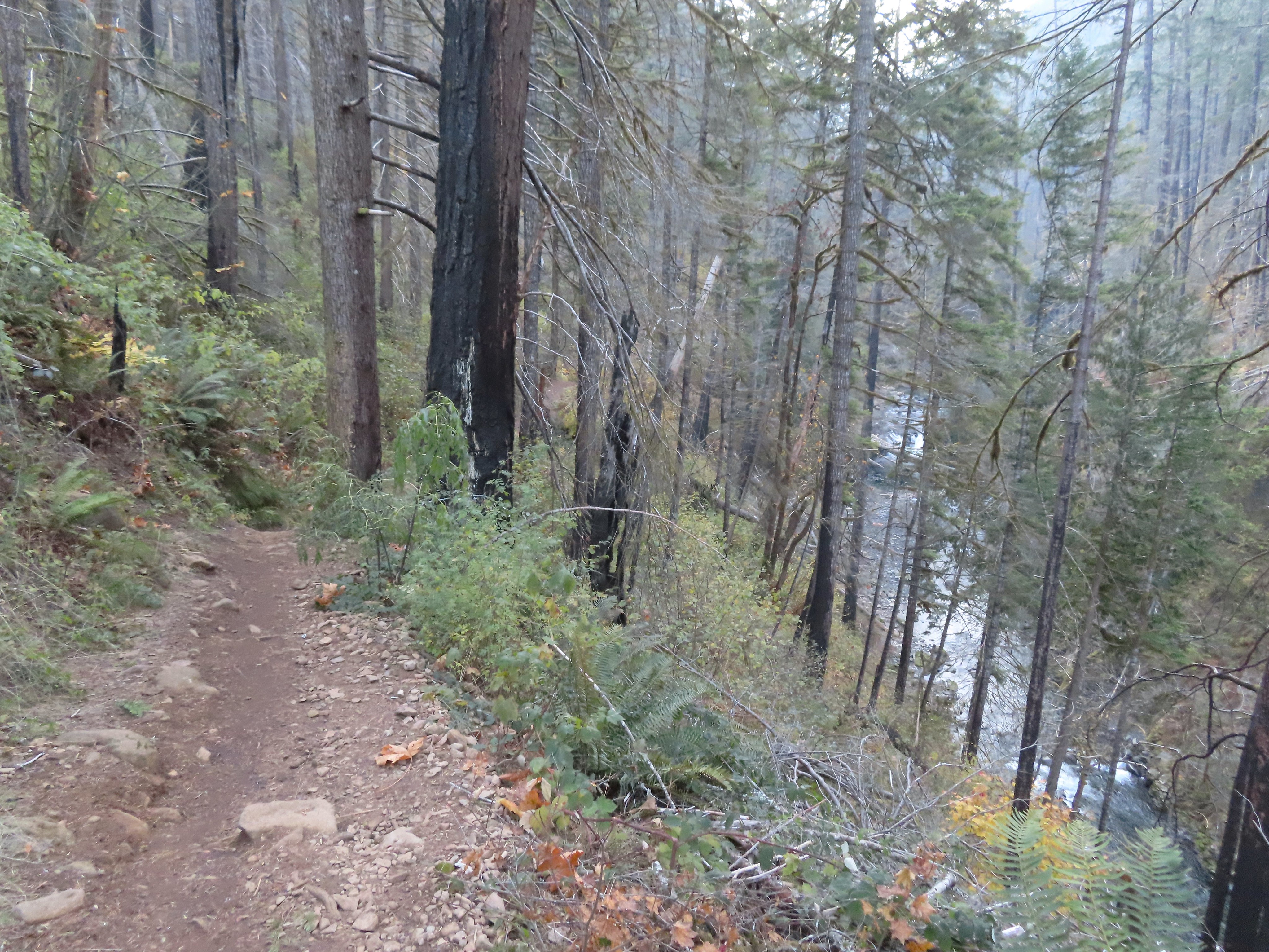
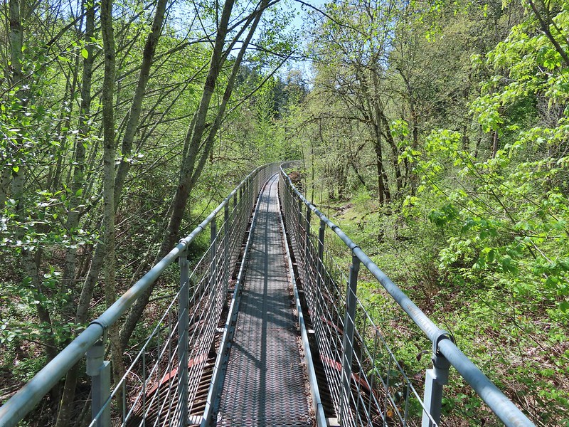
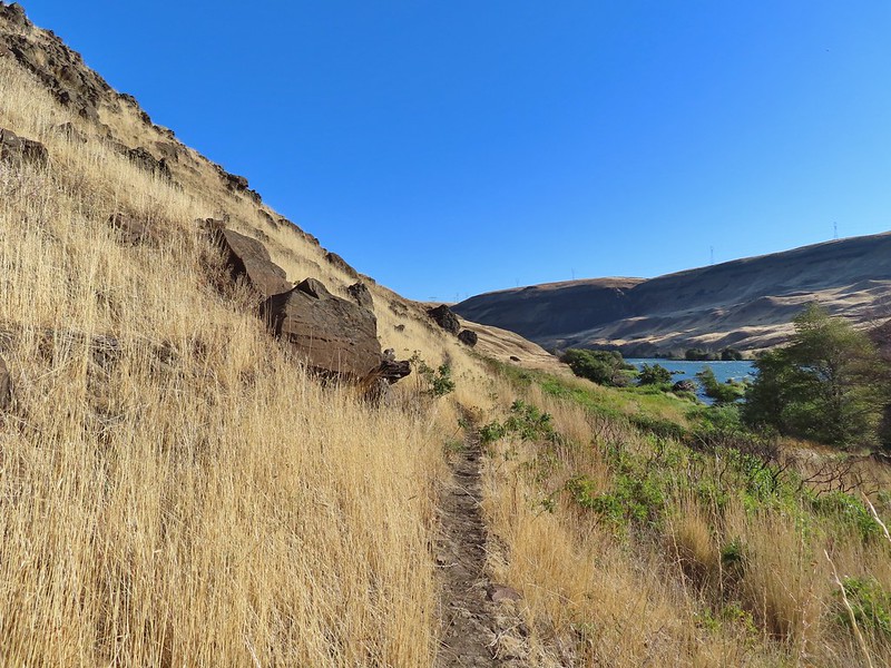
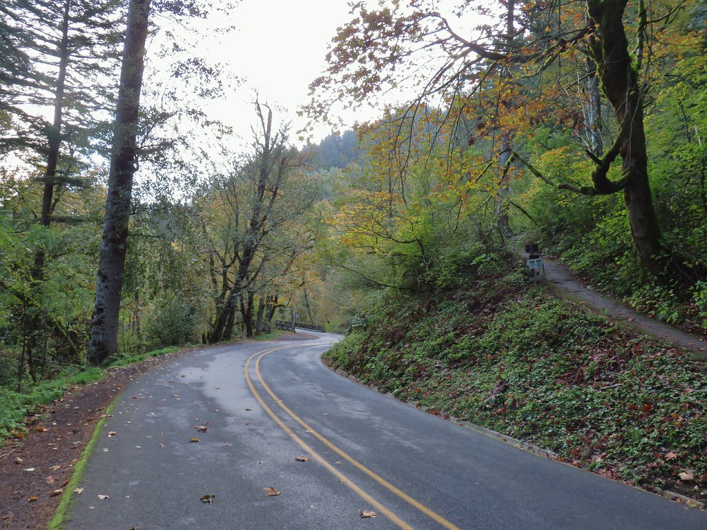
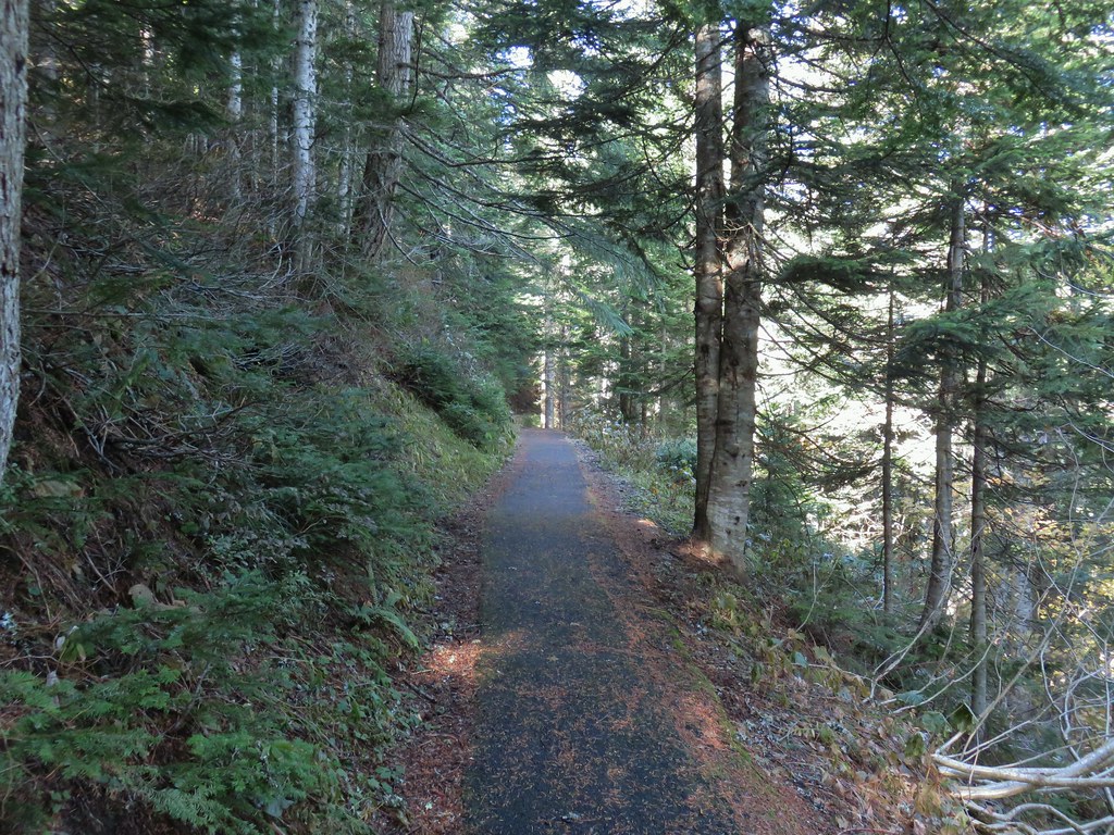
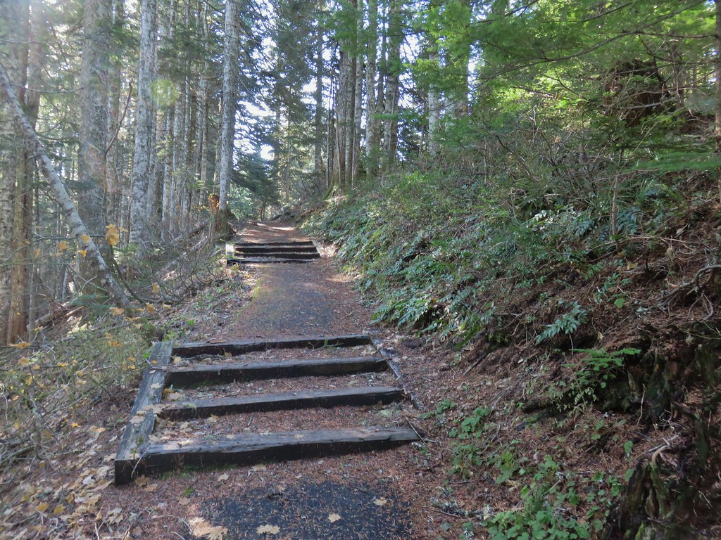
I set off on the Deschutes River Trail which is an old railroad grade.


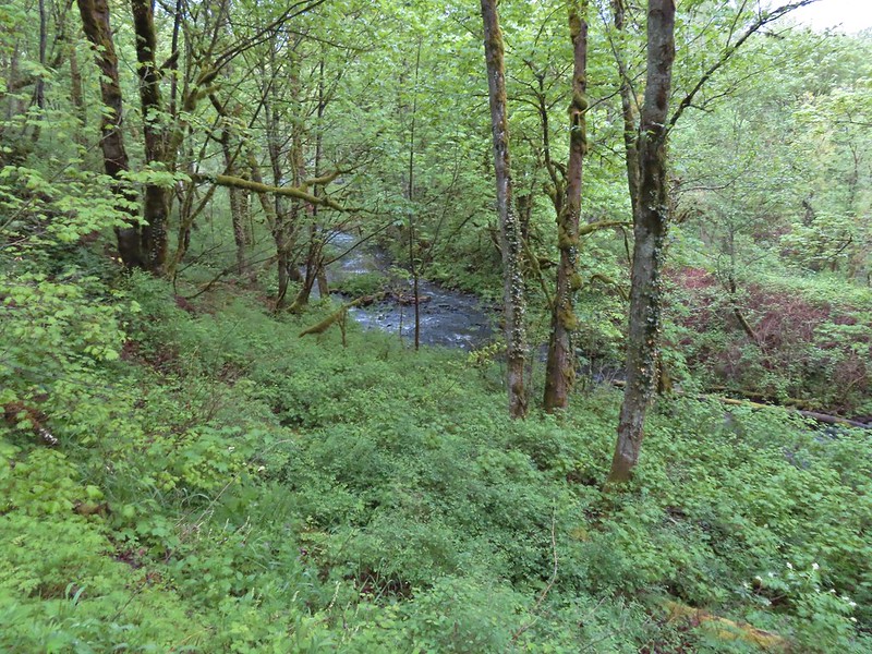
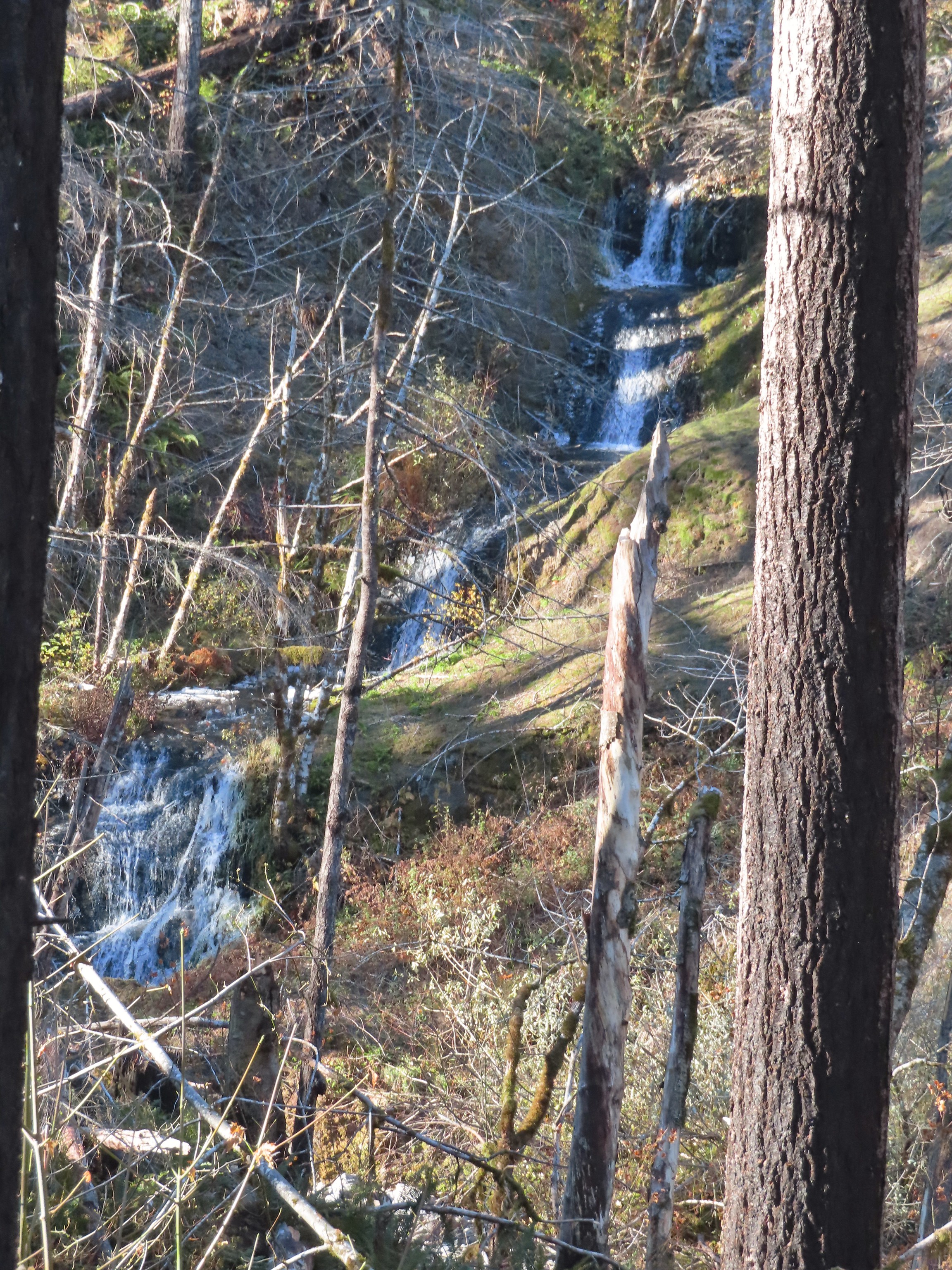
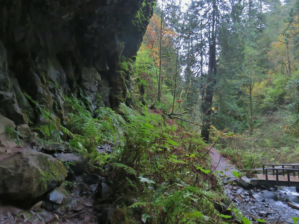
The first mile from where I’d parked was new trail for me. Due to the low clouds the views were limited but the river was visible at least.


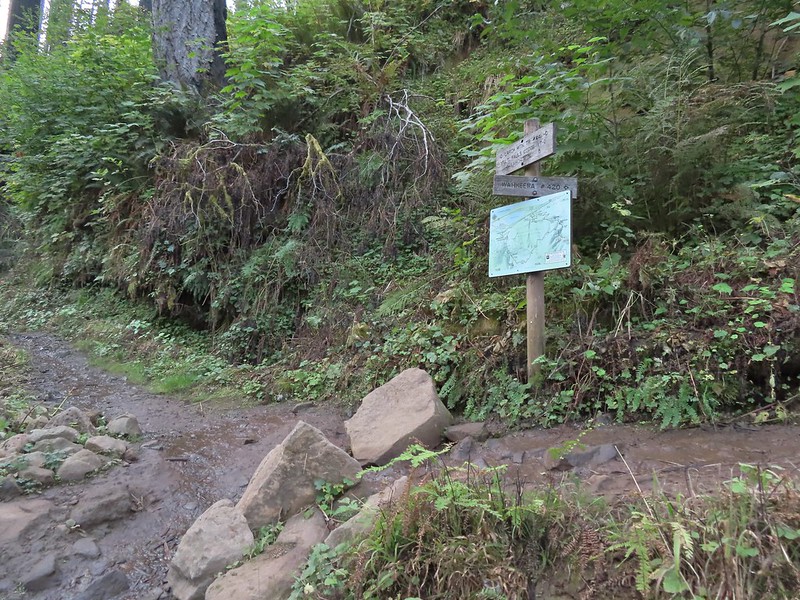
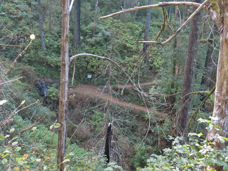
After a mile I came to a signed trail junction with pointers for the Blackberry and Riverview Trails.

These were new signs since my last visit, and they had also renamed the trails. The Blackberry Trail was named the River Trail in 2018 and the Riverview Trail was the Middle Trail. That’s neither here nor there though since I was sticking to the Deschutes River Trail (which was simply the “Bicycle Trail” in 2018). A tenth of a mile from this junction I passed a junction with the Ferry Springs Trail on the left.

The dirt Riverview Trail on the hillside below.


The northern end of the Ferry Springs Trail.
I continued on the Deschutes River Trail for another for another 1.1-miles to the junction with the southern end of the Riverview Trail. This was another new section for me.


A junco peeking out through some branches.


Caterpillars

Is that a break in the clouds?

Western meadowlark

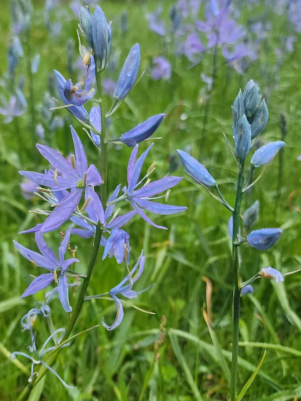
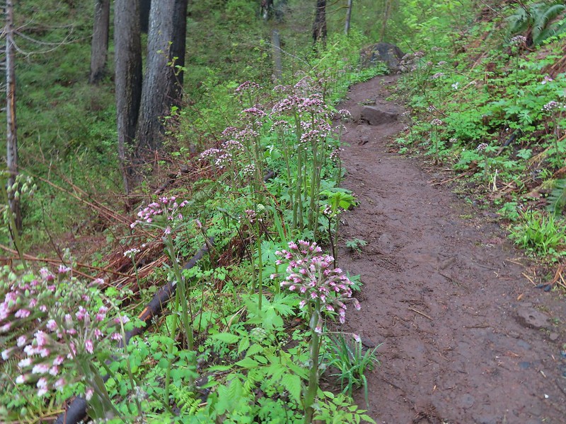
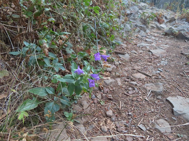
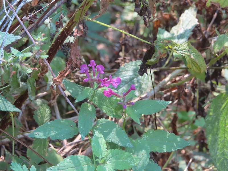
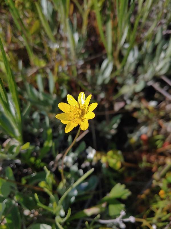
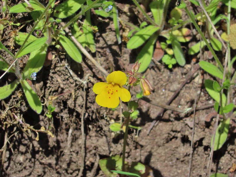
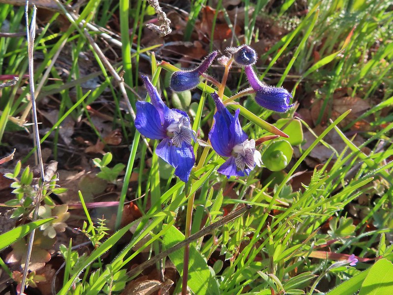
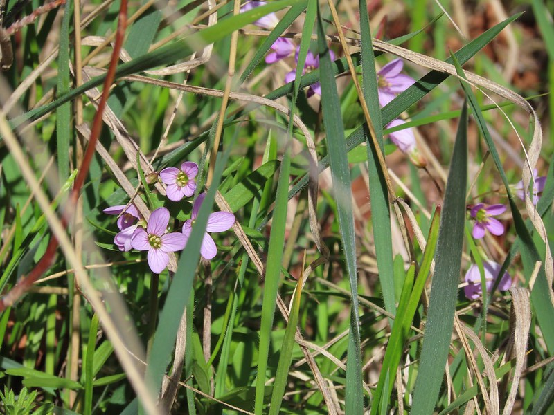
Still a little early for flowers but I did spot these phlox about to bloom.

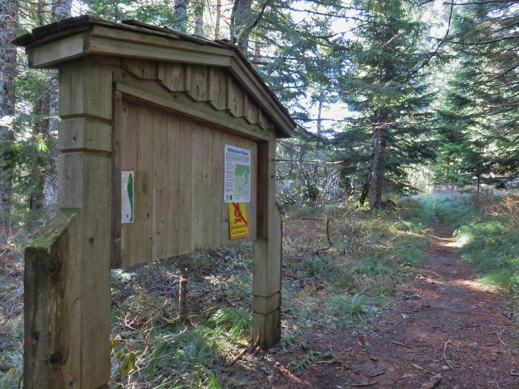
The Riverview Trail is just beyond the large signboard announcing the Lower Deschutes River Wildlife Area.

Just beyond the Riverview Trail junction I came to the southern Ferry Springs Trail junction.

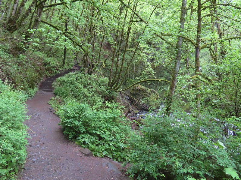
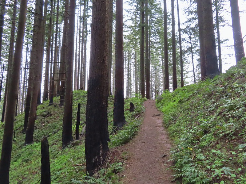
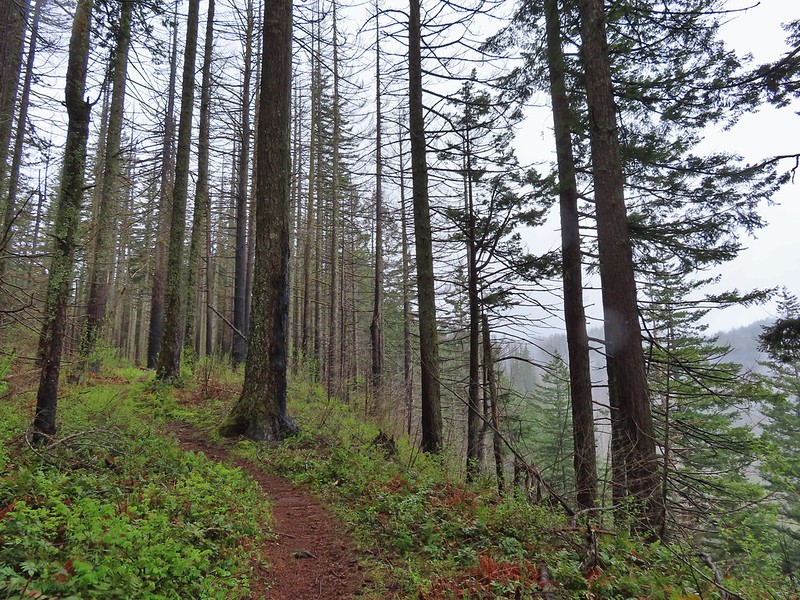
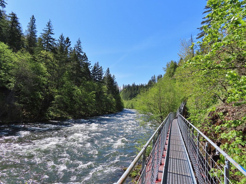
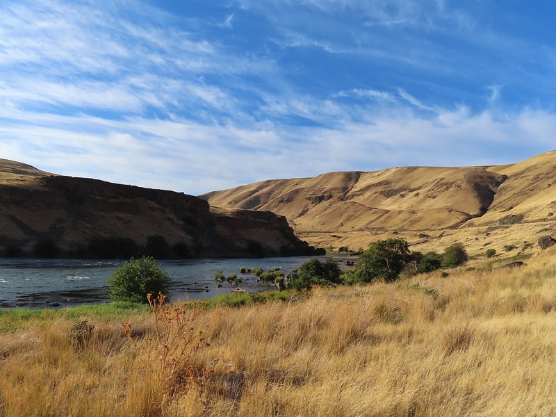
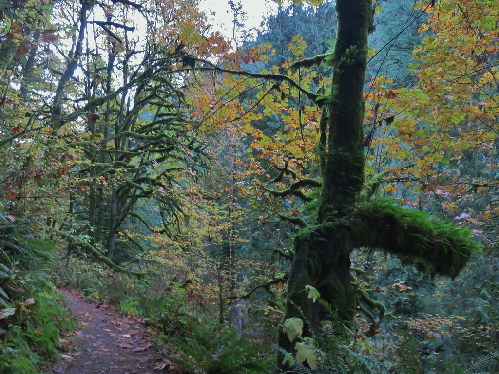
The next 1.4-miles on the Deschutes River Trail to Gordon Canyon was a repeat of 2018.

This probably qualifies as fog.

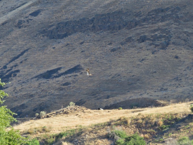
American kestral


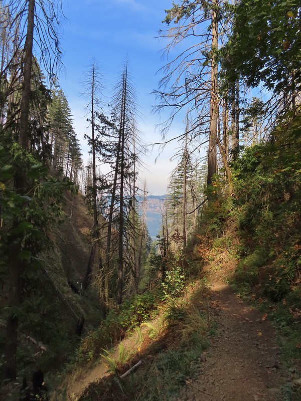
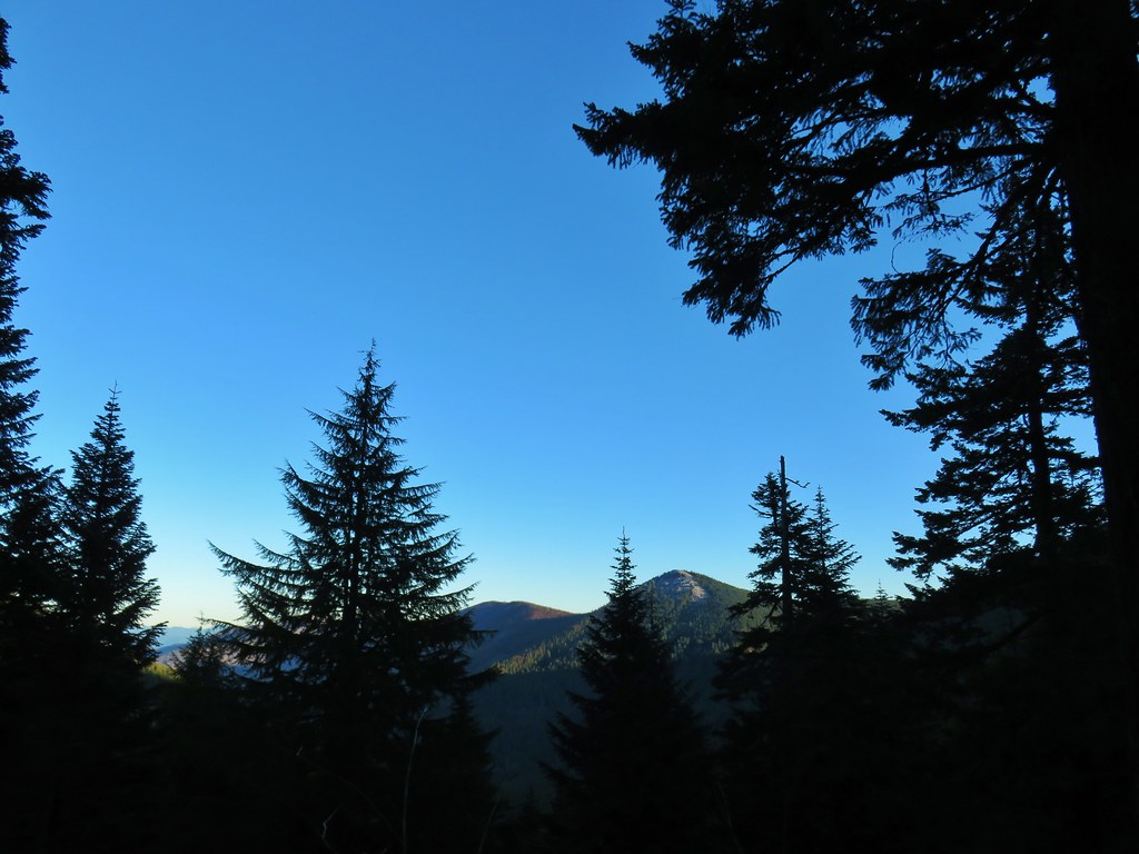
Some blue in the sky above the canyon.


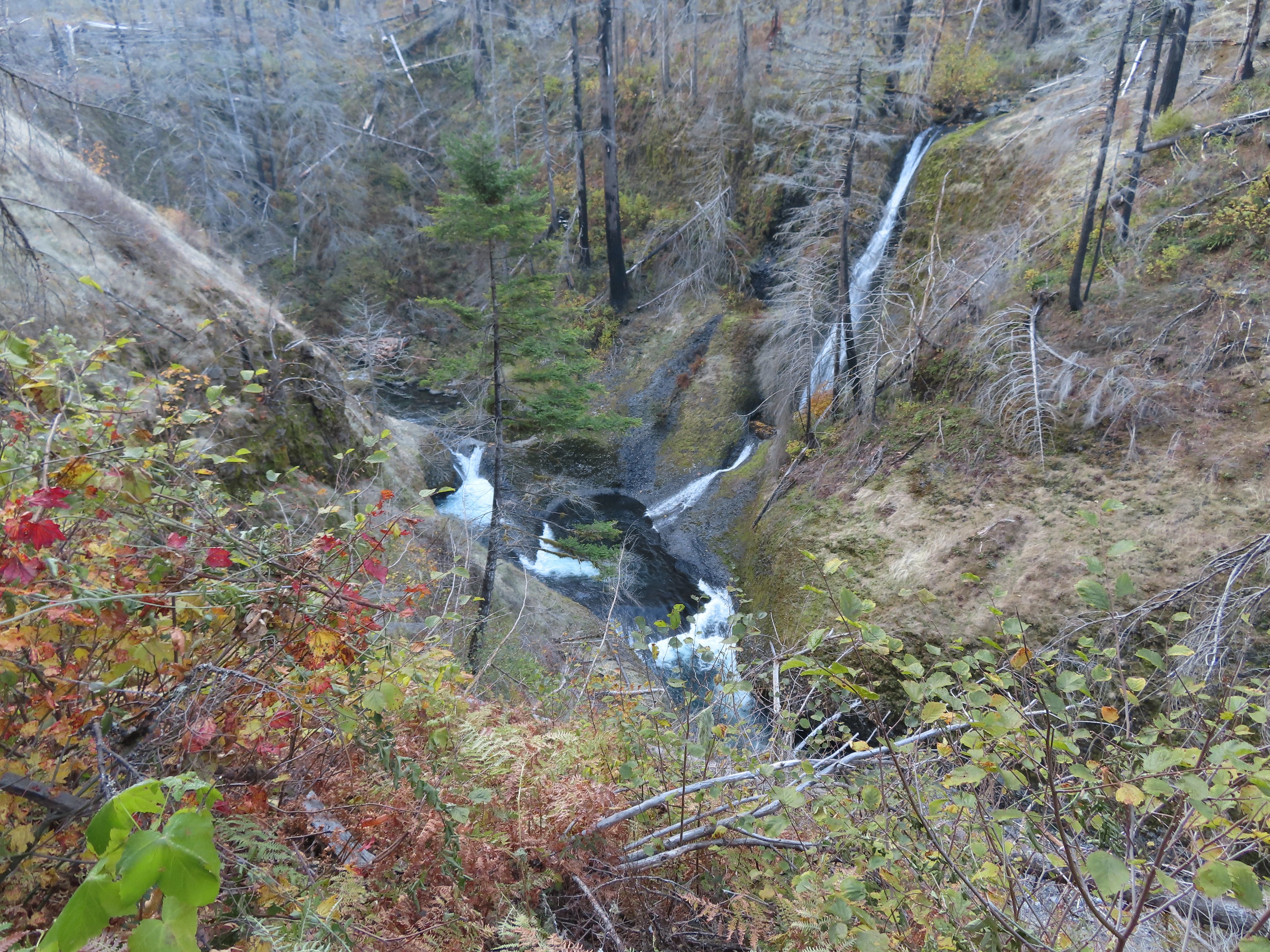
Starting to descend into Gordon Canyon.

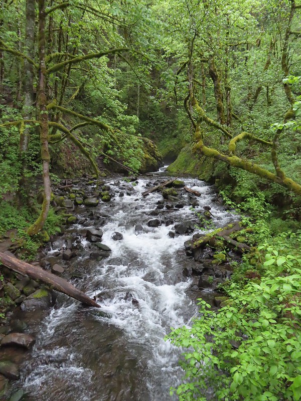
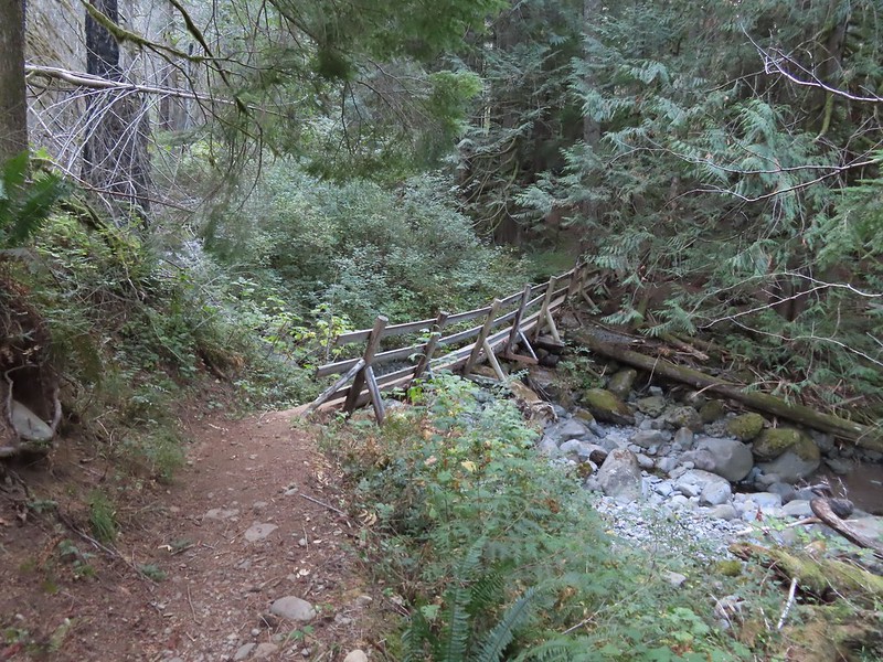
Gordon Creek
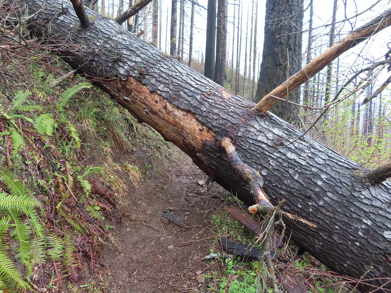
In 2018 we’d turned off the Deschutes River Trail here and visited Colorado Camp 0.2-miles downriver before heading back on the River Trail (aka the Blackberry Trail). This time I continued on going heading deeper in the canyon.

Colorado Camp is down the road on the right.

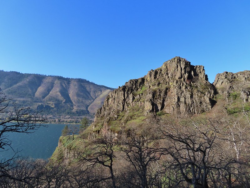
Looking back toward Gordon Canyon and some blue sky.
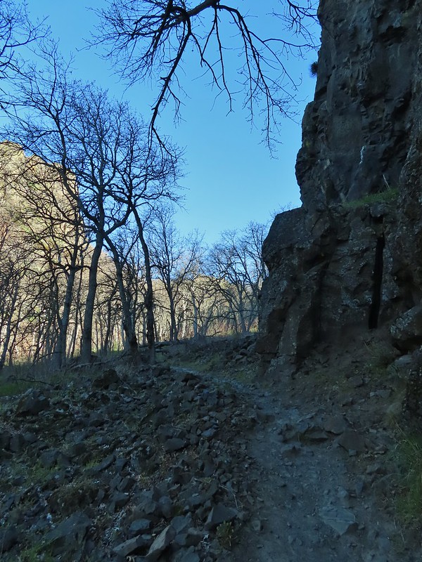
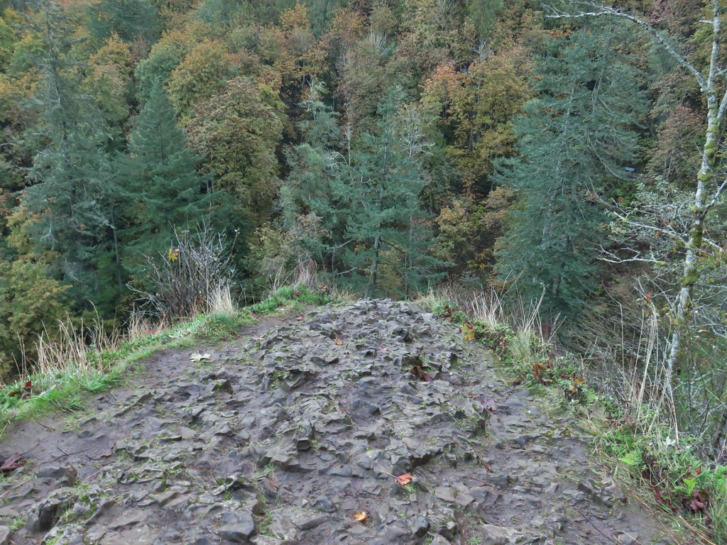
Shortly after climbing out of the canyon the trail passes the Gordon Cliffs below Gordon Butte.

Coming up on the Gordon Cliffs.
The cliffs have some interesting basalt formations.


Folds

Rock pigeon

Townsend’s solitaire

The “Eye”.

Mile four.

Magpie showing off its tail.

Cormorant


Common goldeneyes and a common merganser.
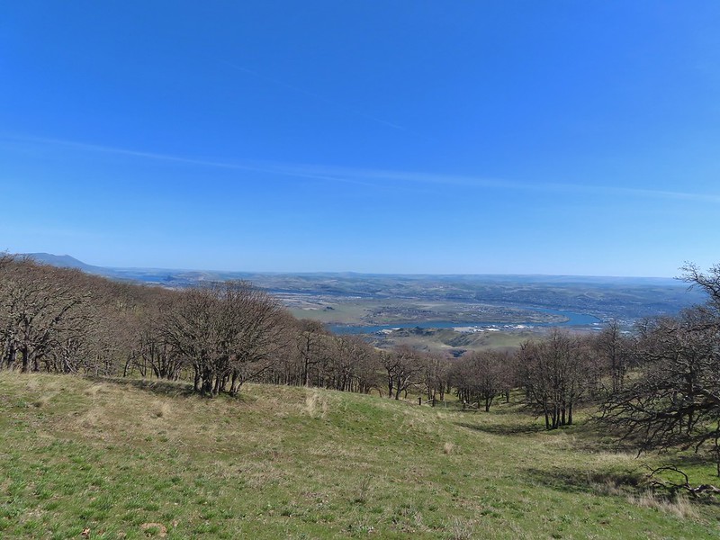
By mile five there was quite a bit more blue sky.


A sandy beach along the Deschutes River.


Mallards

Looking up toward Gordon Butte.

At mile six a train passed by on the far side of the river, one of several on the day.
It was a quarter to ten when I passed Mile 6 and given that I was likely moving at a little over 2.5mph I decided to make Mile 7 my turn around point. I did not account for there not being a post at Mile 7 so after another 30 minutes of hiking I turned around.


Mallards and common goldeneyes

I was spending a lot of time scanning the hillsides for bighorn sheep.

Seagull with a fish.

More common goldeneyes.

Passing the former site of Free Bridge. An 1887 bridge built by Wasco County allowing for a free crossing of the river. The bridge was upgraded in 1905 and apparently blown up in 1914 by someone opposed to it, possibly someone(s) who operated a competing toll bridge.

The remains of Free Bridge.


Four cormorants standing on rocks and two common mergansers.

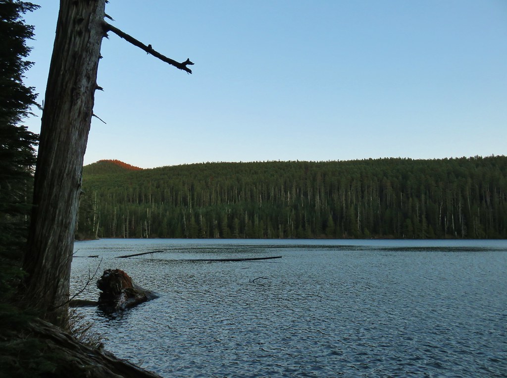
My turn around spot. This was about 10.5-miles from where Heather and I had turned around on our Macks Canyon hike along the river in 2018 (post).
I had gone four tenths of a mile beyond the 7-mile mark. I was happy to be heading away from the sun as I headed back which made the views better.


Passing the Free Bridge site again.
I had started to think it wasn’t going to be my day for spotting bighorn sheep but then I spotted something a little off top of a cliff up the hillside.

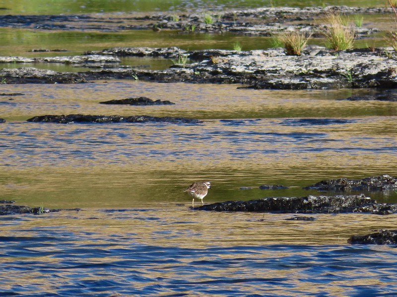
Can you spot it?


She had spotted me.
We watched each other for quite a while before she decided I was no threat and went back to grazing.

That was the only sheep I saw but given how seldom we are even hiking in bighorn sheep habitat, it was more than enough. After she went back to eating, I continued my hike.


Another access road down to an outhouse and camps.


Great blue heron
When I got back to the Gordon Cliffs, I found the clouds/fog again.


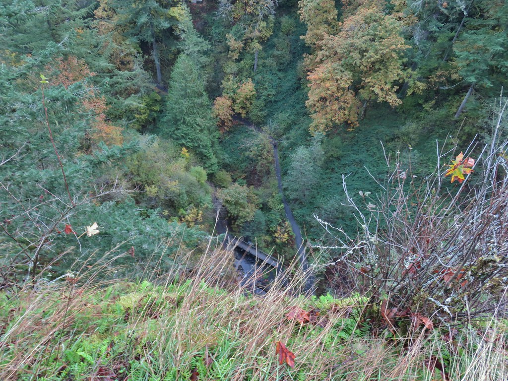
Gordon Canyon
At Gordon Canyon I turned off the Deschutes River Trail and onto the unsigned Blackberry Trail.

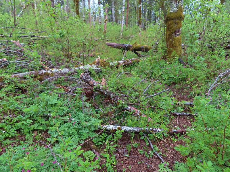
As I made my way along the grassy track I occasionally checked to make sure, I wasn’t picking up any ticks which can be an issue here in both winter and spring. I saw a lot of birds but no ticks.


Yellow-rumped warbler


Geese and common goldeneyes.
I took a spur trail back up to the Deschutes River Trail before reaching the southern end of the Ferry Springs Trail to give myself that option if the cloud cover wasn’t too much.


Rock wren

Ferry Springs Trail on the right with the Riverview Trail ahead on the left.
Looking up the Ferry Springs Trail gave me no confidence that I would get any views along that trail, so I went with Plan B and turned onto the Riverview Trail.

Nope
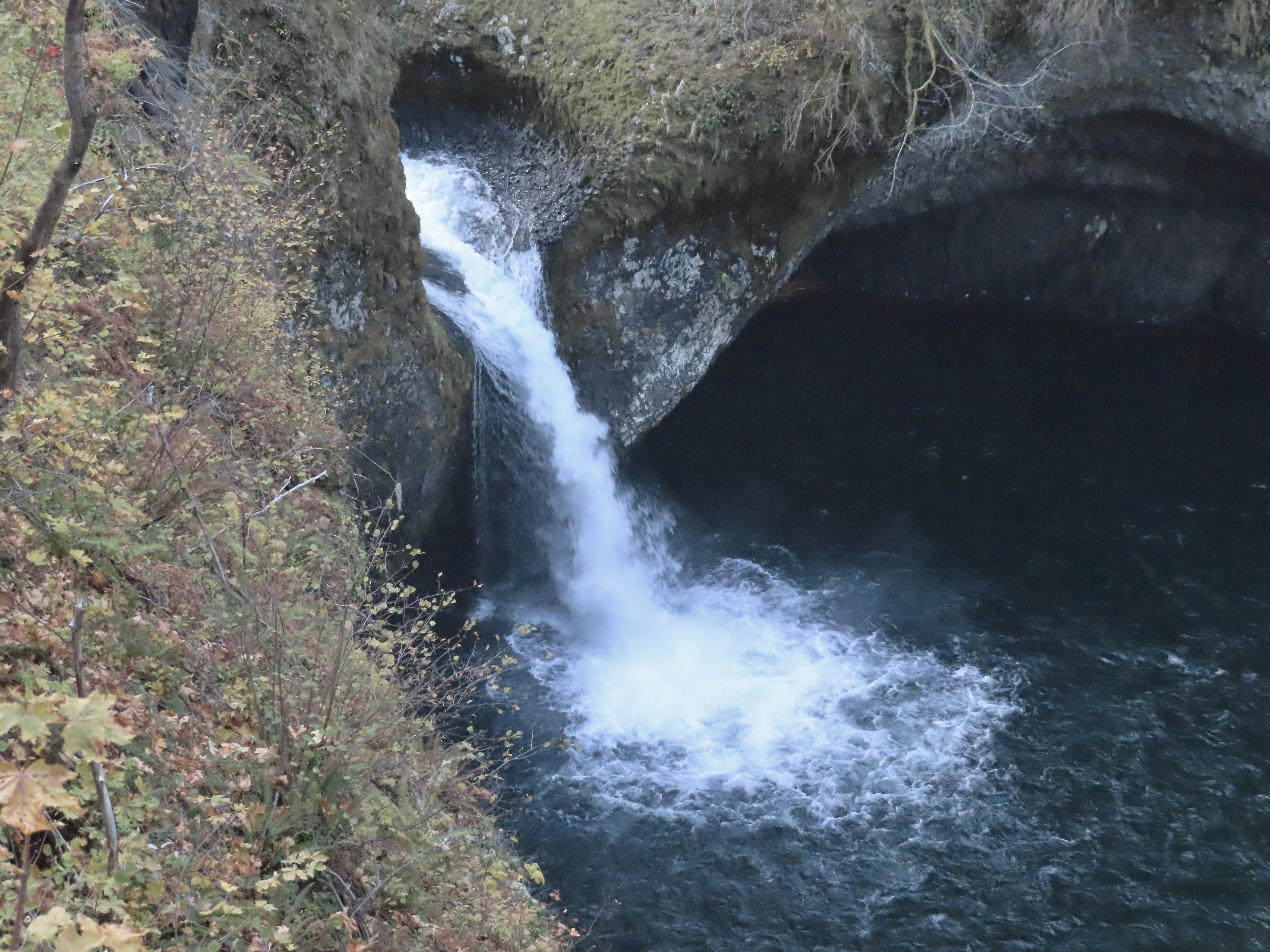
The Riverview starts at a rock arch and heads uphill to the right of it nearly parallel to the Deschutes River Trail.


Looking down at the junction from the Riverview Trail.


After 0.4-miles on the Riverview Trail I came to a junction with a pointer for the Blackberry Trail. I had the choice of sticking to the Riverview Trail or dropping down to the Blackberry Trail. Both would lead me to the Lower Deschutes Trailhead. I decided I’d rather be closer to the river, so I dropped down.


I turned right on the Blackberry Trail and followed it 1.4-miles to Lower Deschutes Trailhead.


Song sparrow

Blackberry bushes along the Blackberry Trail.


The empty Lower Deschutes Trailhead at the end of the dog area.
From the Lower Deschutes Trailhead I walked up the park entrance road 0.4-miles to the Old Railbed Trailhead.


Geese

Oregon Trail information.

My hike came in at 14.8-miles with approximately 400′ of cumulative elevation gain.

Despite the cloudy conditions this was a nice hike. The trails were not busy and there was a good amount of wildlife. The highlight was seeing a bighorn sheep on a hike for the first time since 2019. Happy Trails!
Flickr: Lower Deschutes River


 Trail signs for the Benson-Ruckle Trail.


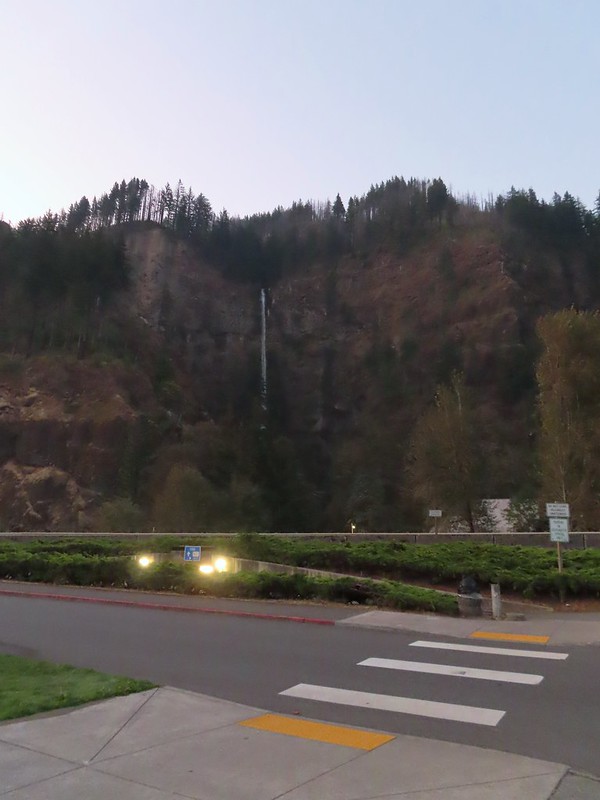
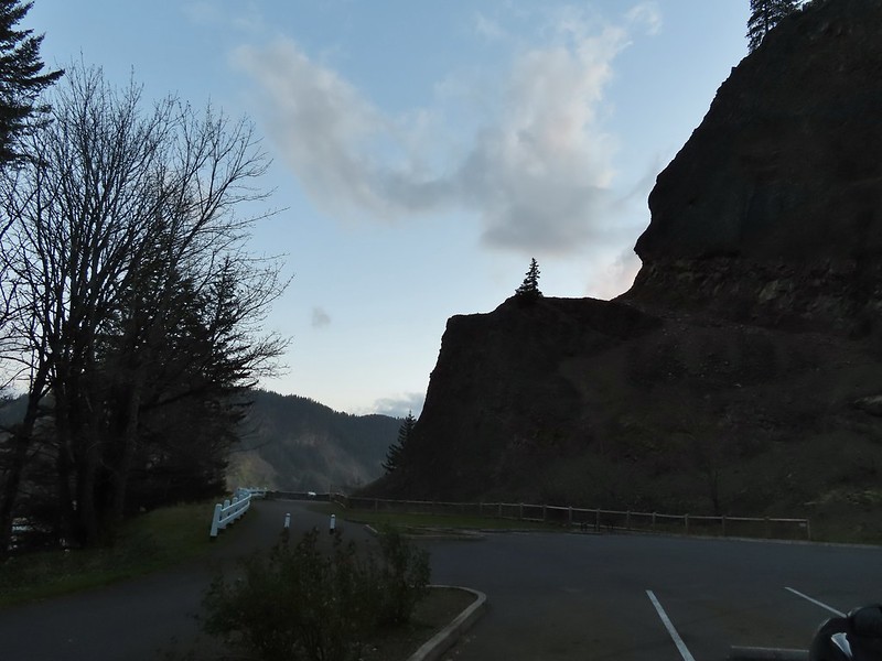
 The trailhead at 6:15am.
 The Bishops Cap along Highway 30.
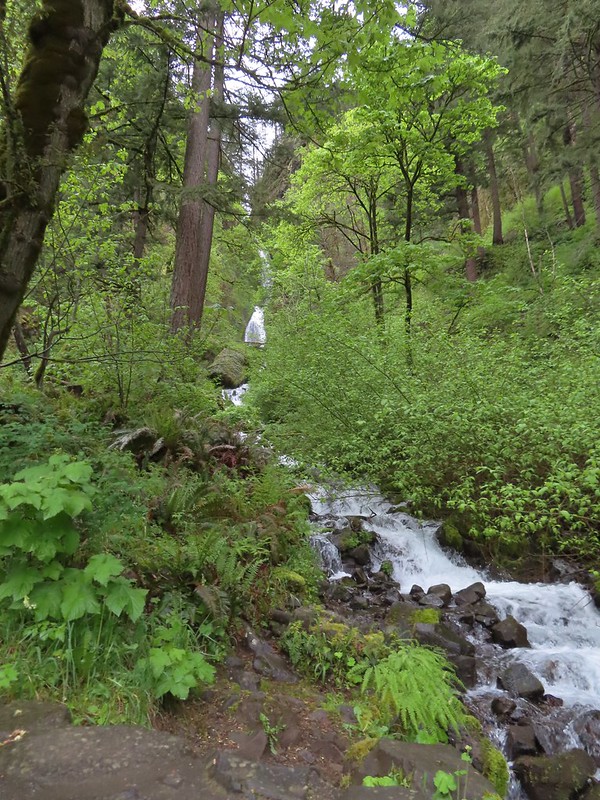
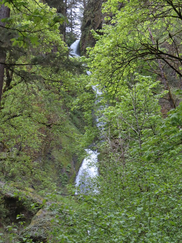
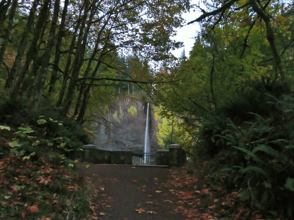
 The stone railed trail can be seen along the cliff above the lower falls.
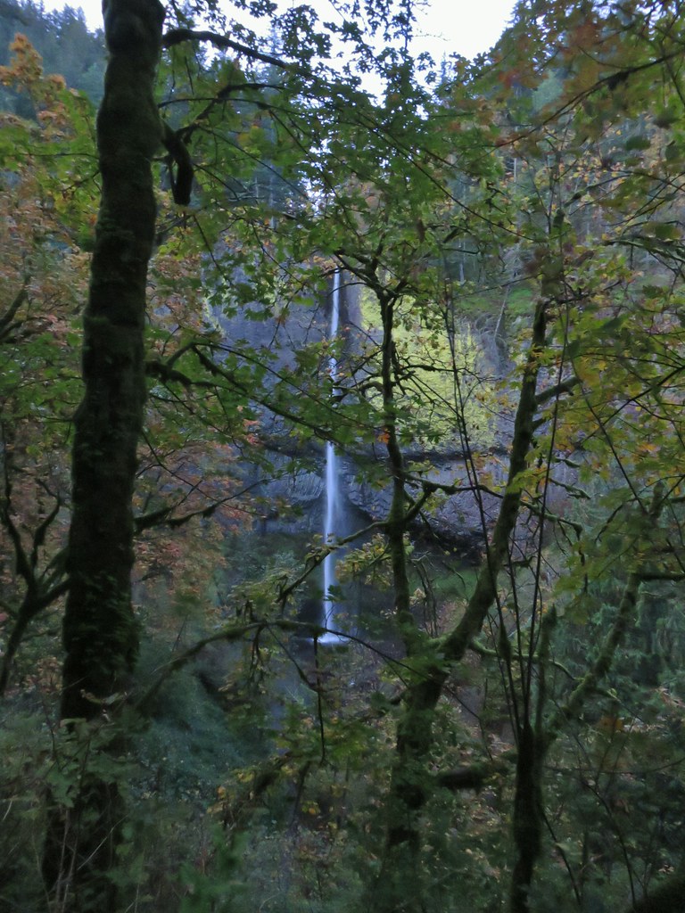
 The upper falls can be seen through the trees with the lower falls more visible.
 End of the trail.
 The bridge from the trail.
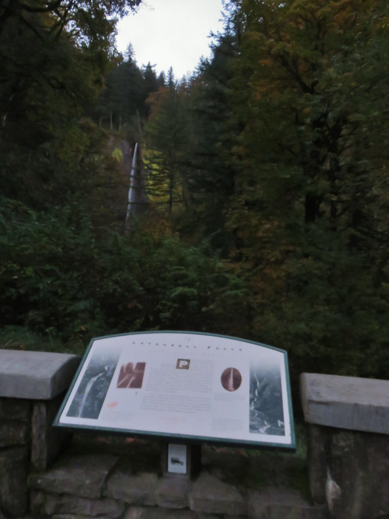
 Informational signboard at the trailhead.
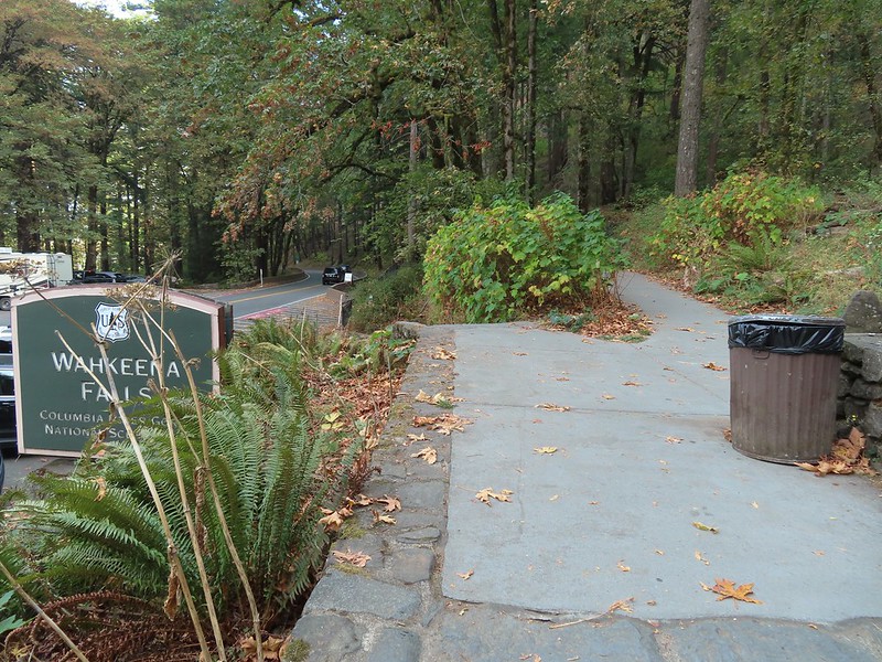
 Bridal Veil Creek
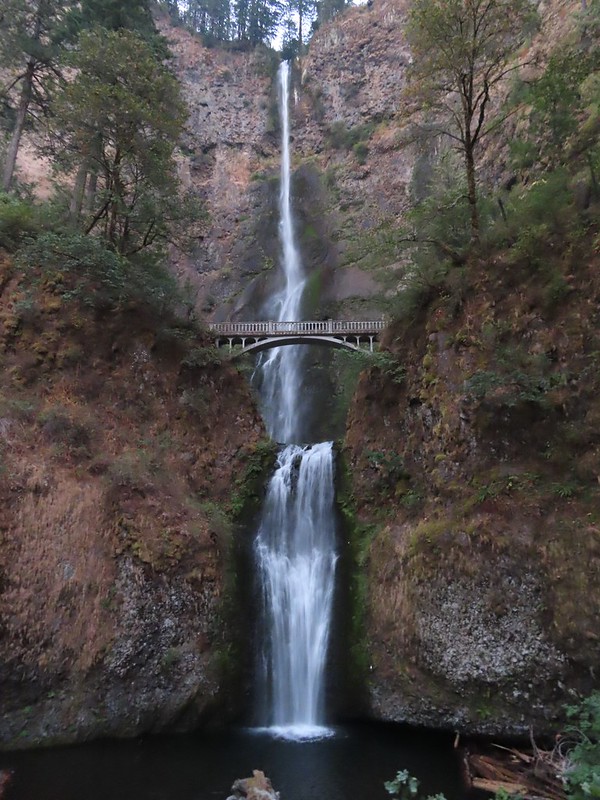
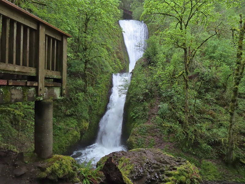 The 120′ two-tiered Bridal Veil Falls.
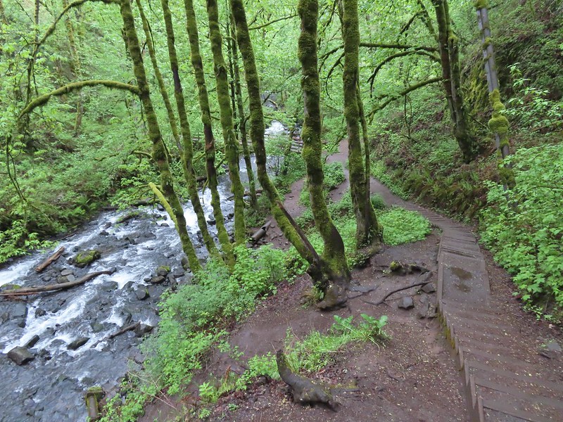
 Cape Horn (
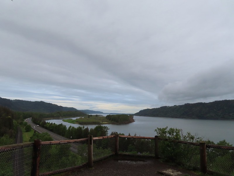 Sand Island to the west.
 The Overlook Loop arriving back at the trailhead parking area.
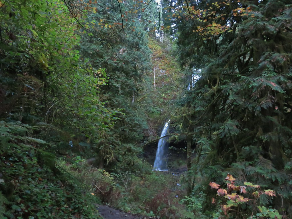
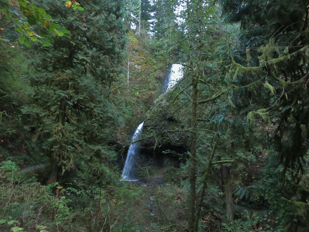
 While the Wahkeena Trail passes just below the falls the upper portion of the falls is only visible from a distance.
 The Wahkeena Trail switchbacking up to the Lemmon Viewpoint junction.
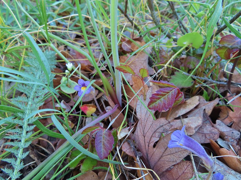
 Sitka mist-maidens
 Woodland-star
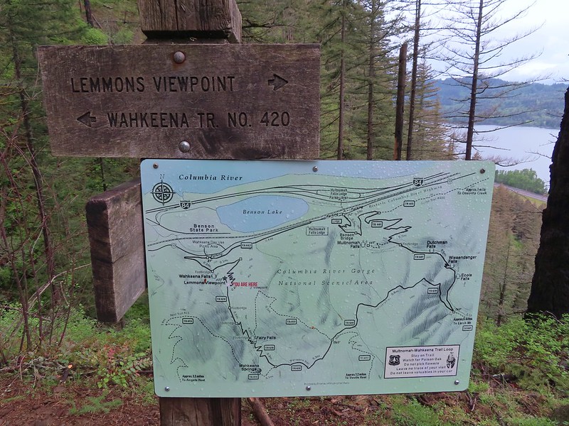 The Forest Service includes maps at junctions involving official USFS trails. Note that the map does not extend to Devil’s Rest or include the Foxglovia area.
 Our first paintbrush sighting for the year was at the Lemmons Viewpoint.
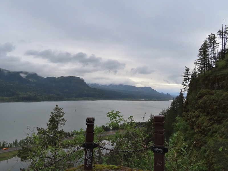 Archer Mountain in the foreground with Hamilton Mountain (
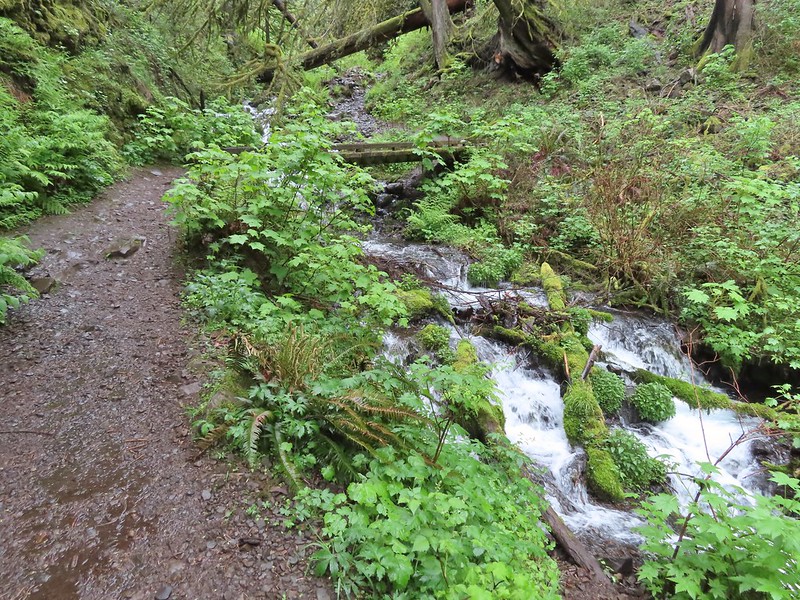 The first crossing of Wahkeena Creek.
 Second footbridge.
 This was the first sketchy new obstacle. The large tree is cutting across a switchback rerouting the trail steeply uphill. While there were some footholds the steepness combined with muddy conditions required caution.
 Wahkeena Creek
 Fairy Falls with Wahkeena Creek through the trees on the right.
 Fairy Falls
 Trillium
 Bleeding heart
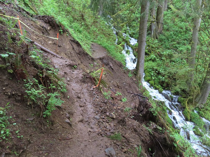 The worst slide took out a section of trail just before a switchback.
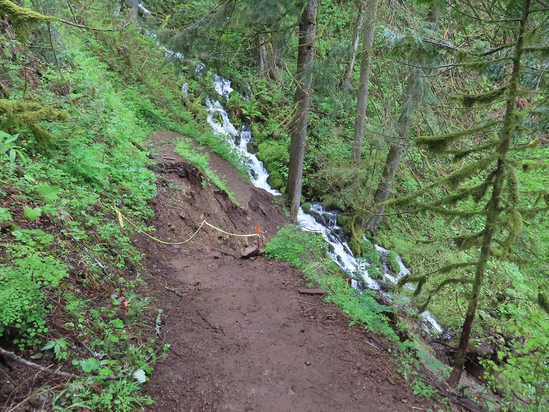 Looking down the washout.
 The switchback in 2022.
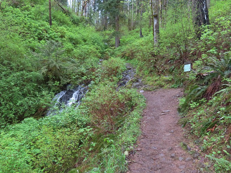 Coming up on the lower end of the Vista Point Trail.
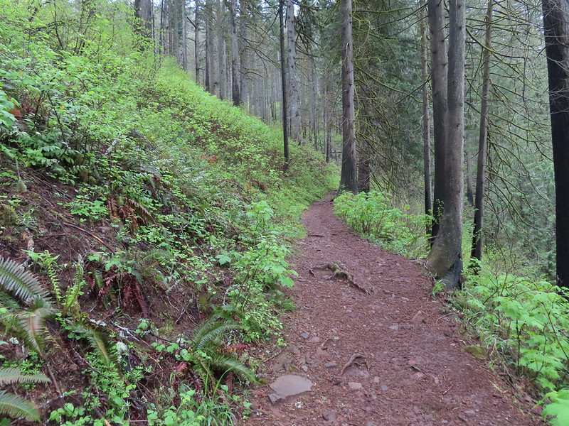
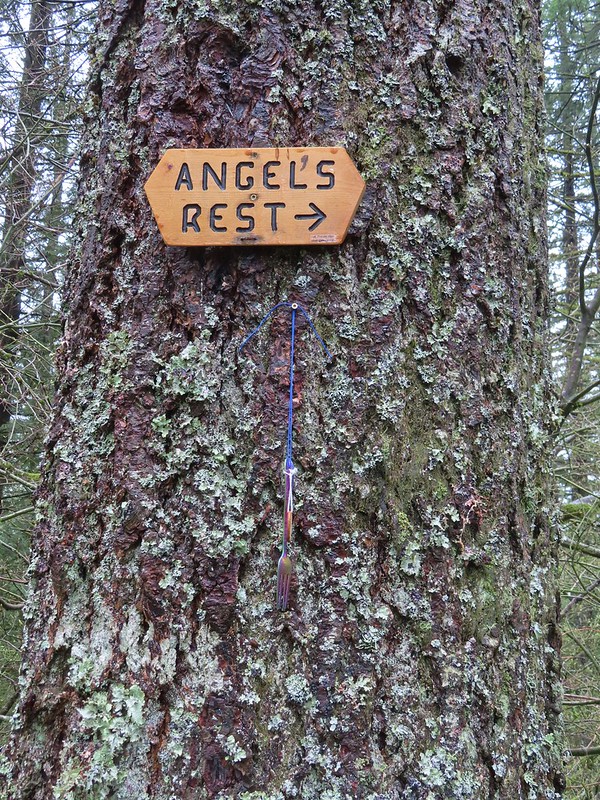
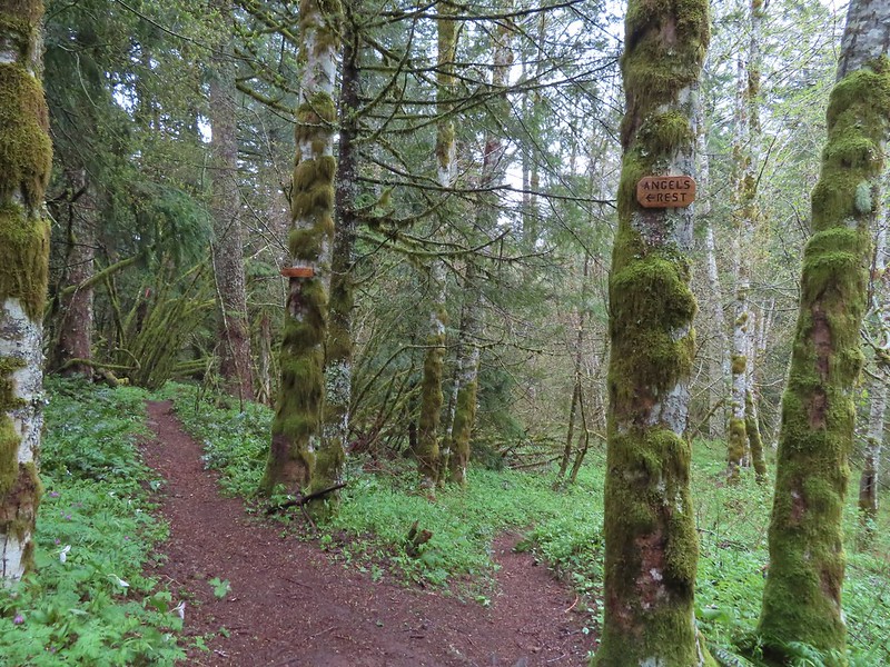
 The Angel’s Rest Trail junction.
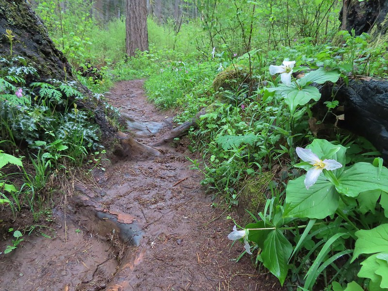
 Signs at the junction with upper end of the Vista Point Trail.
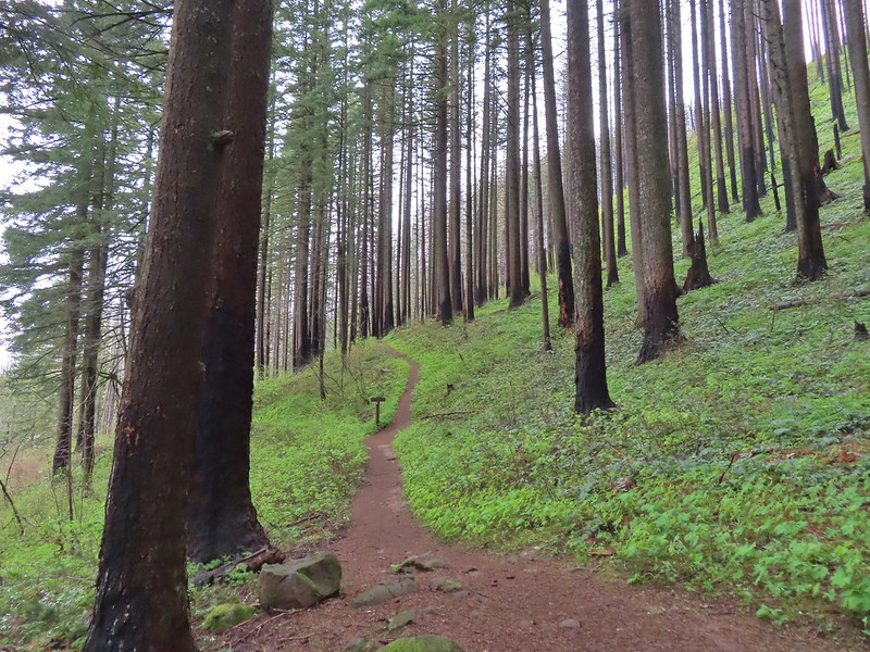

 Coltsfoot along the trail.
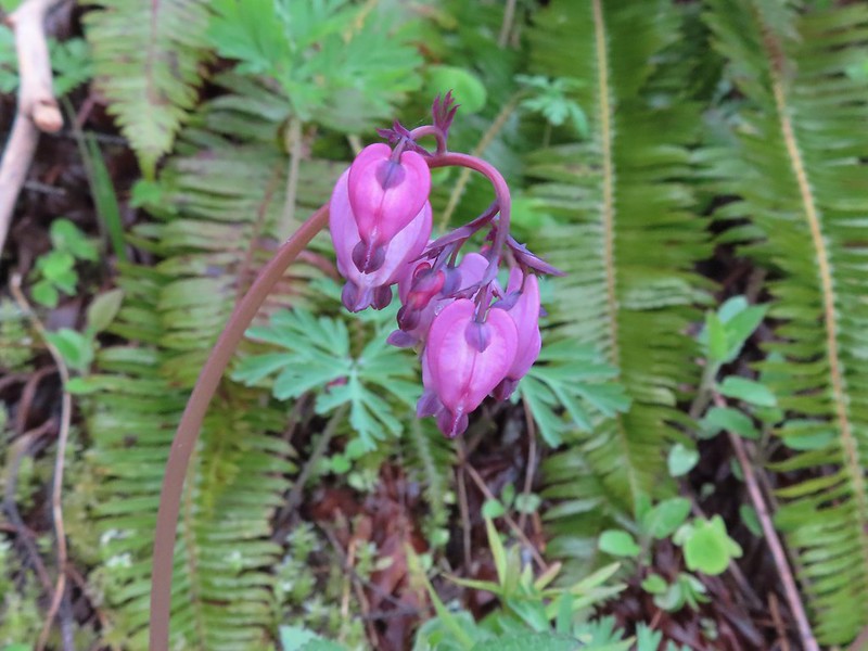 Bleeding heart
 Violets lining the trail.
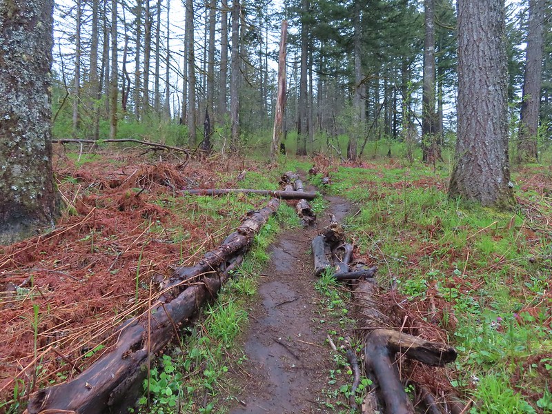
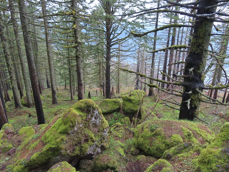
 Traveling along the rim of the Wahkeena Bowl.
 A small pocket of forest that escaped the Eagle Creek Fire.
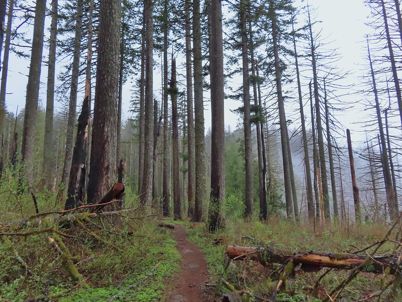 Devil’s Rest looking a little foggy from below.
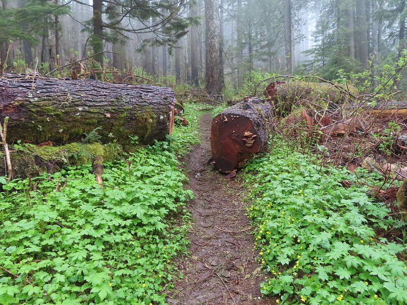
 There were a lot of trillium along the rim.
 The first viewpoint was slightly off the trail.
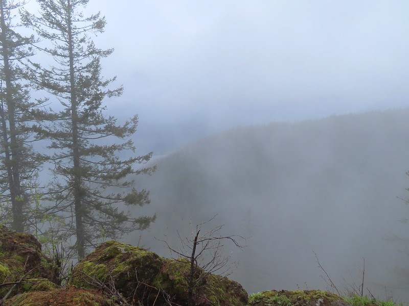 We could at least make out the Columbia River below.
 We were going in and out of fog ever few minutes.
 Archer Mountain making an appearance.
 A trail led to the second outcrop which had a rock sticking up.
 Company at the viewpoint.
 Something for the trail crew to work on.
 Nearing Devil’s Rest.

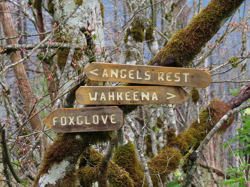
 The pointer says “To She Devil Trail” with Red Shorts Cut at the bottom but AllTrails and some more recent Oregon Hikers maps label this section the She Devil Trail.
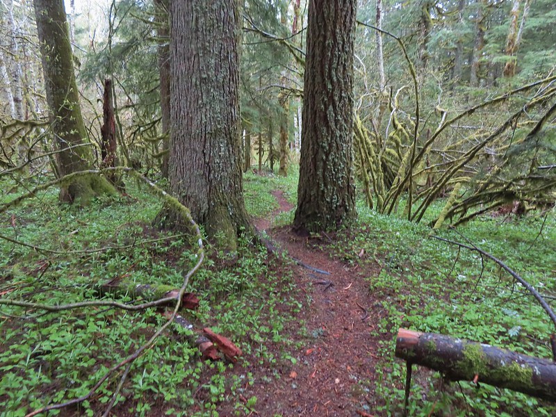


 The pointer on the left is for Smith Road. We didn’t see any signs for the right-hand fork.
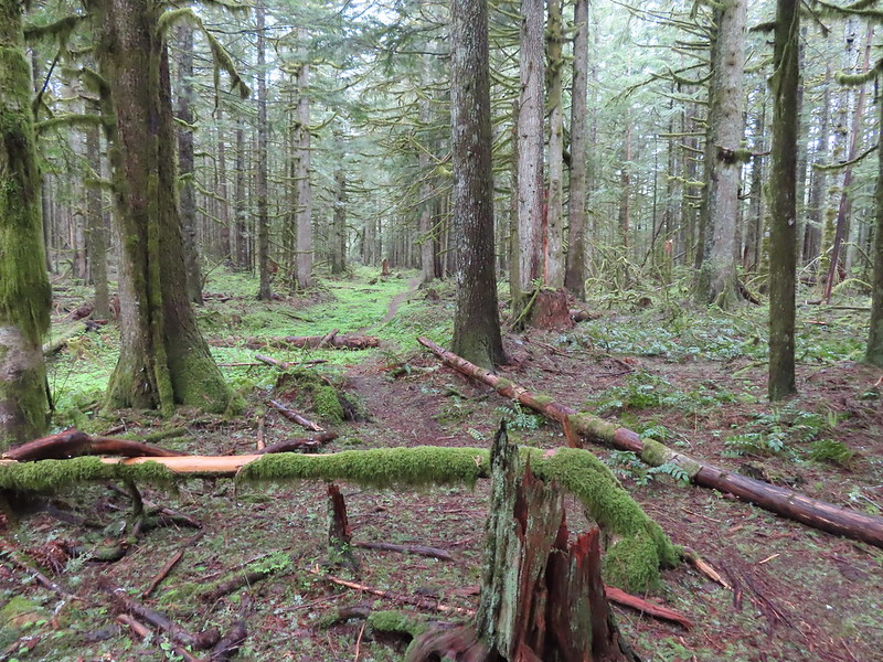
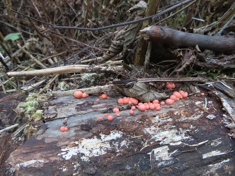
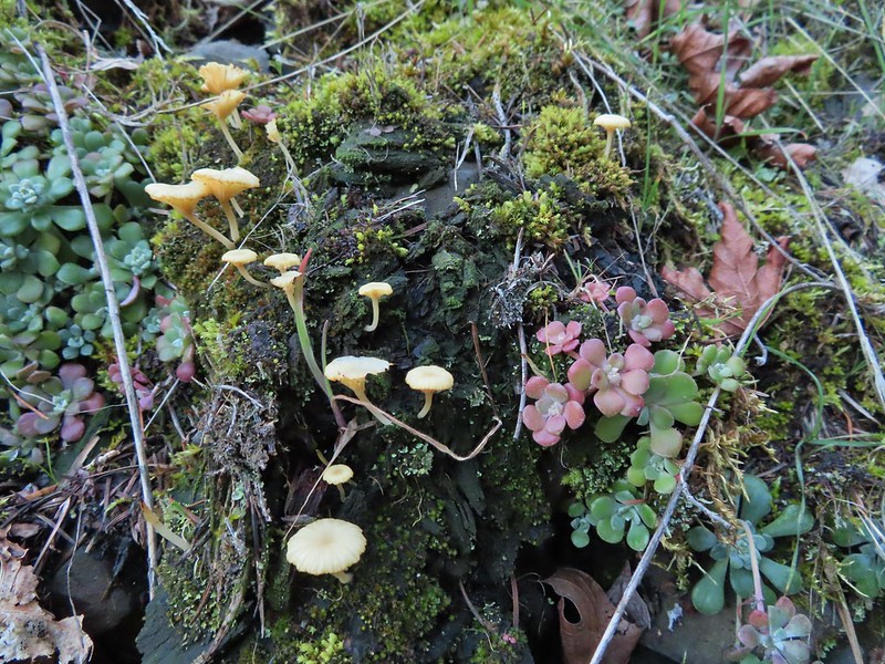
 Mushrooms
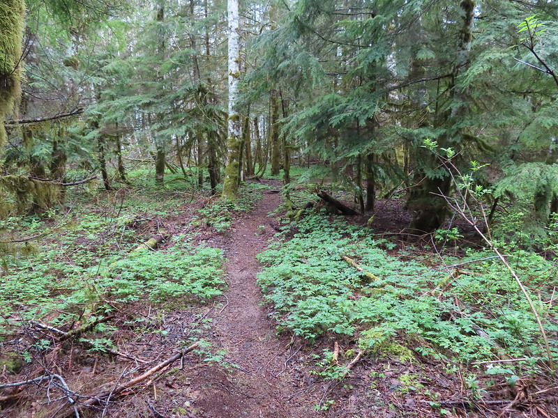


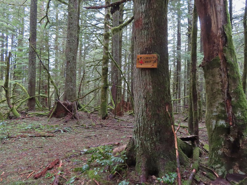
 The Devil’s Cut-off Trail on the right.
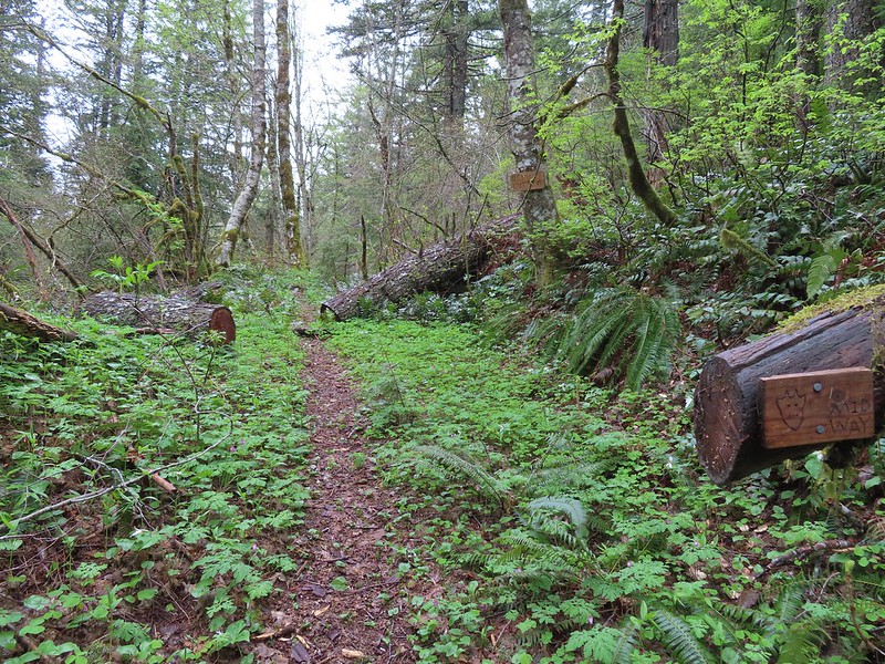 Signage on the Devil’s Cut-off Trail.
 This was honestly the most debris/blowdown we encountered on the user-maintained trails.
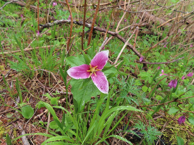
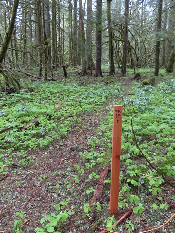
 Pointers at the junction with the Lily’s Lane Trail.
 Devil’s Fork Trail signs at the junction.
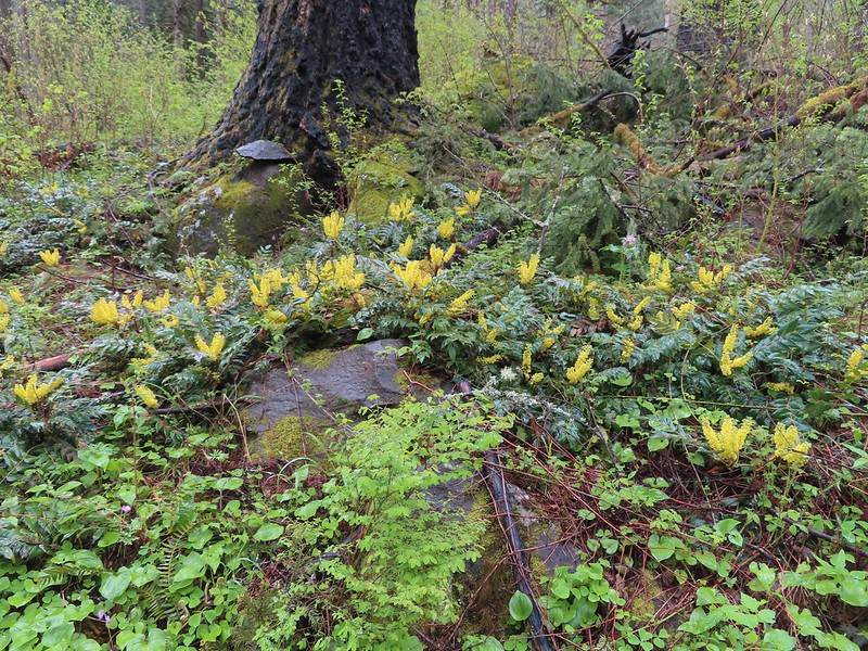
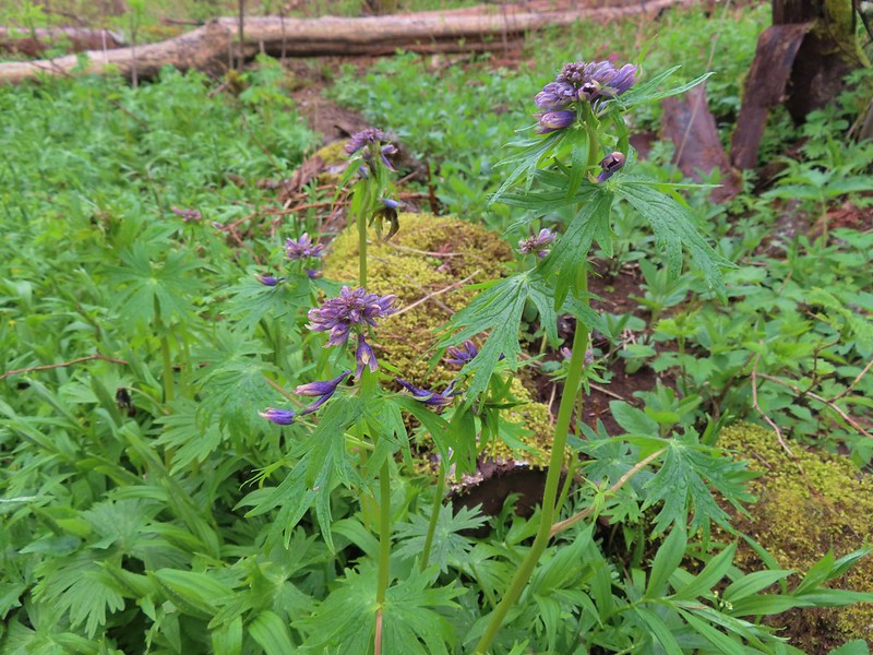 Columbian larkspur getting ready to bloom.
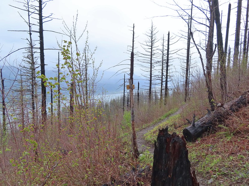
 Sign at the Lily’s Lane/Angel’s Rest Trail junction.
 Mist Creek Footbridge.
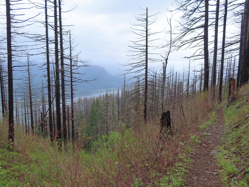
 The first of two logs that required crawling under.
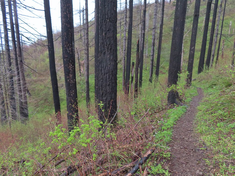
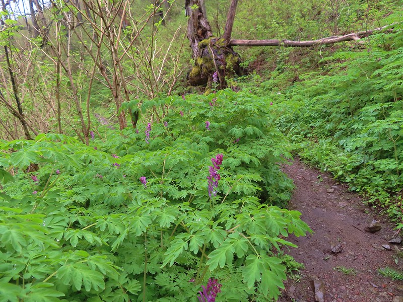 There was a short section filled with Scouler’s corydalis.
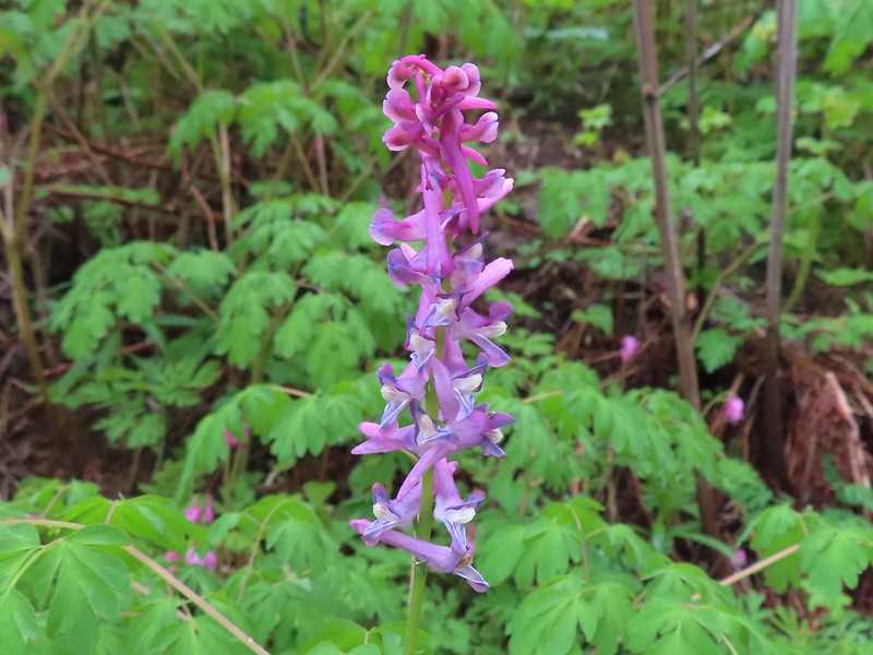
 The Primrose Path joining from the right.
 Primrose Path warning.
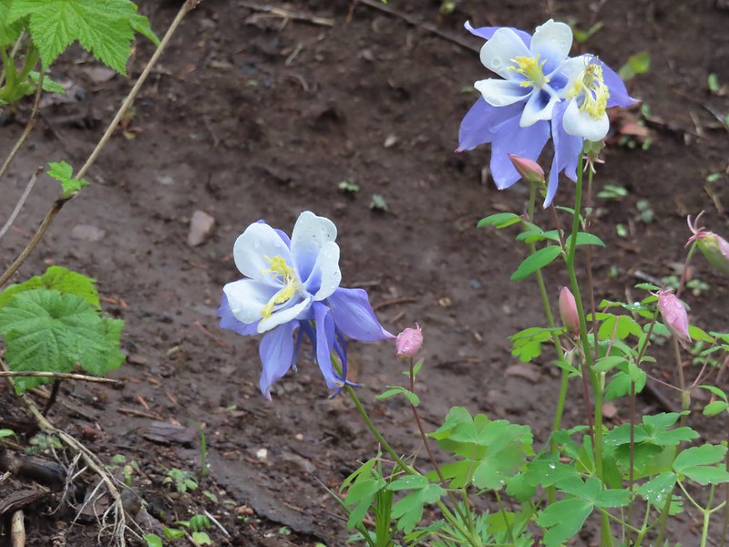 Does anyone know the story of this columbine at the Primrose junction? It has to be non-native.
 Wahkeena Creek from the Angel’s Rest Trail.
 Valerian
 Nice display of Oregon grape near Wahkeena Springs.
 Arriving at Wahkeena Springs.
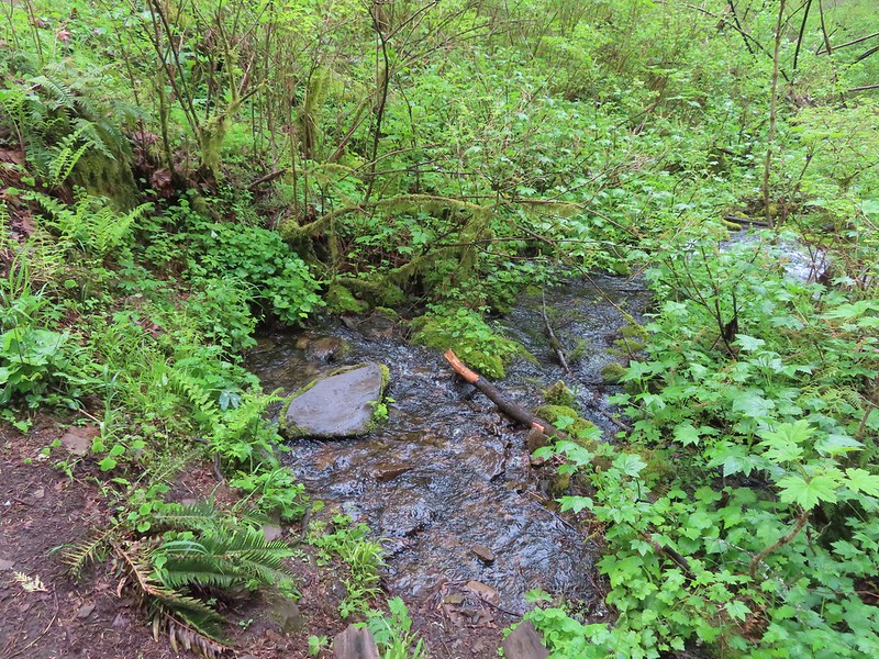 Wahkeena Springs
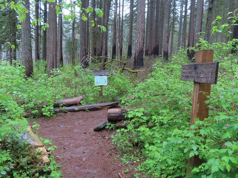 The Wahkeena Trail junction is a very short distance from Wahkeena Springs.
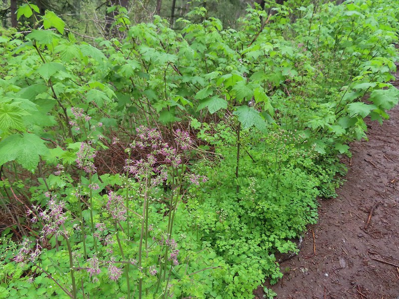 Both female and male versions of western meadowrue. Today was by far the most meadowrue we’d ever seen on a hike.
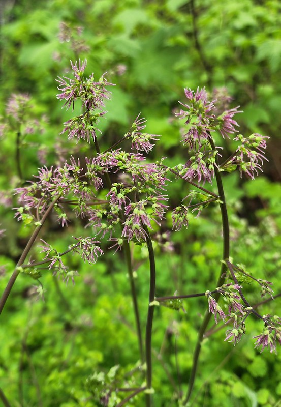 Female
 Male
Male Fairy Falls
 Starting down the switchbacks.
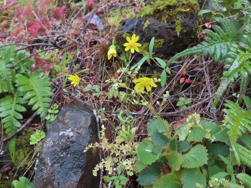 Gold stars
 Wahkeena Falls.
 It was hard to tell at times which parts were frozen.
 Snow at the higher elevations.
 A pink cloud in the direction of the Columbia River Gorge.
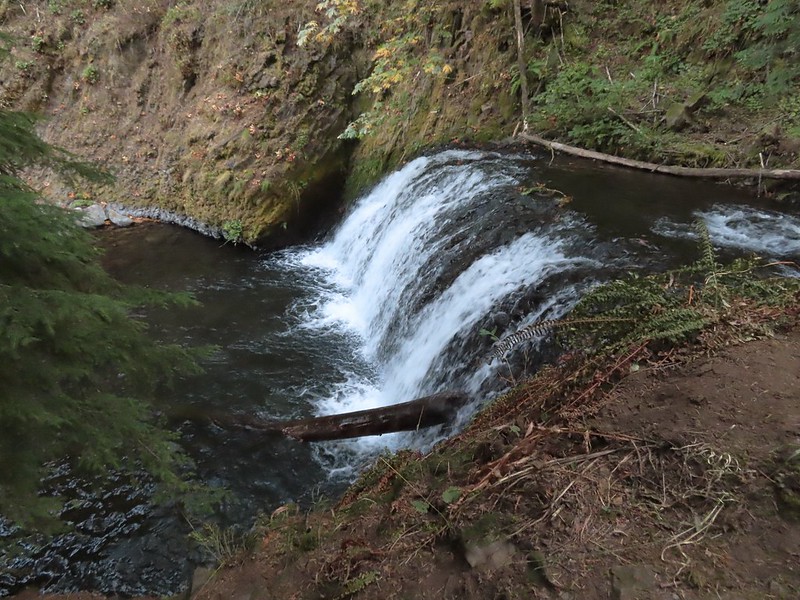
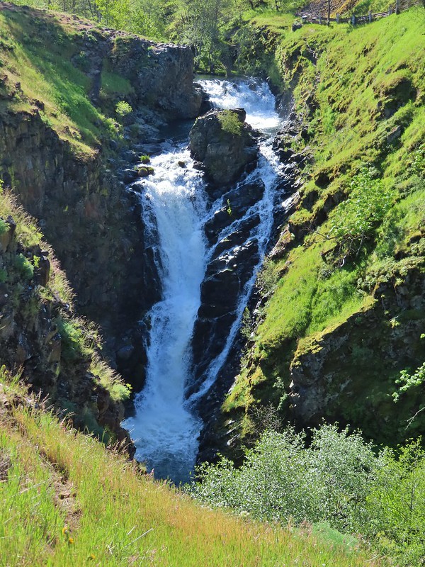
 Sorenson Falls splashing down into Eagle Creek.
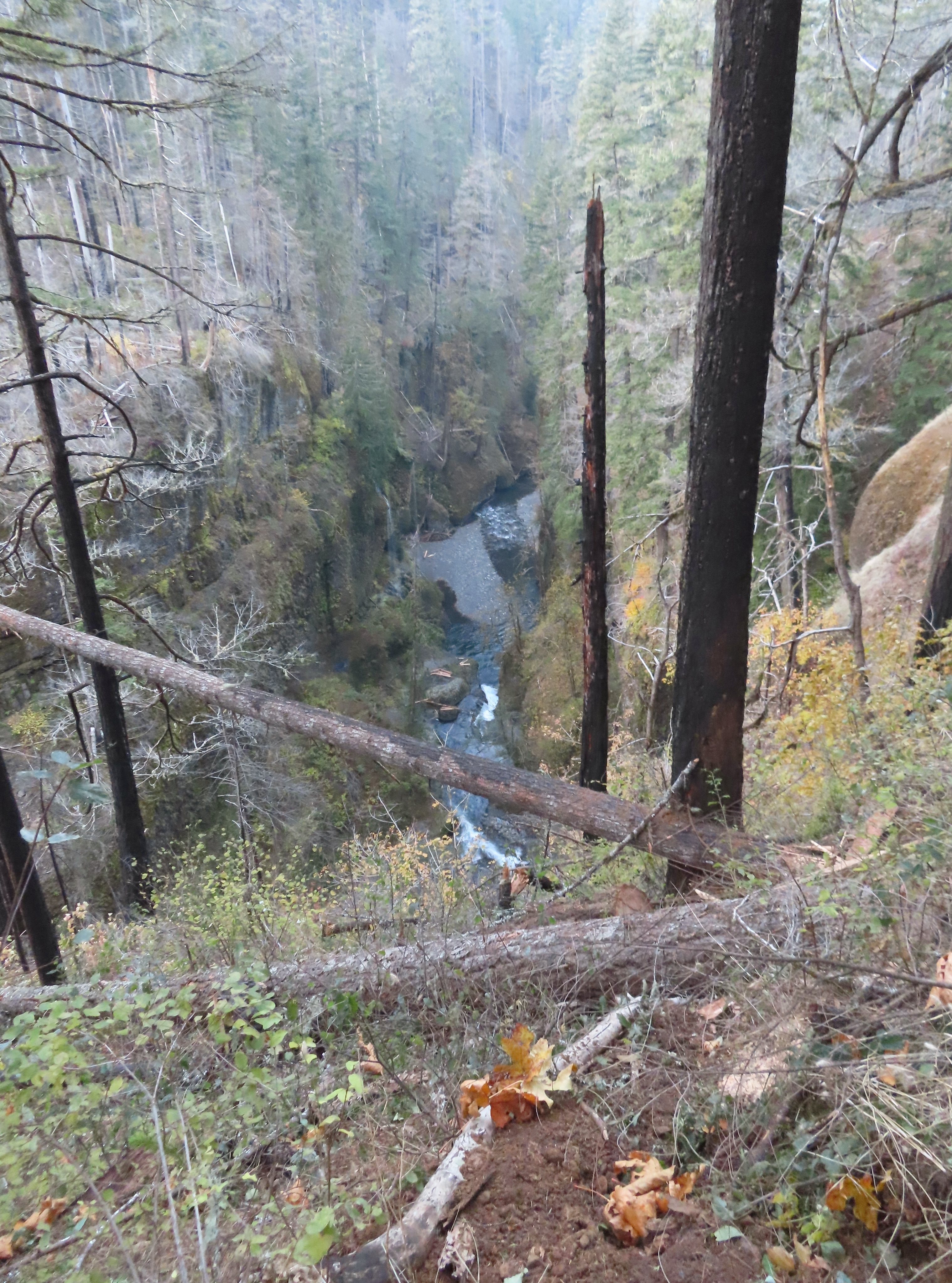 Looking back down Eagle Creek. It was hard to tell where the spur trail had been.
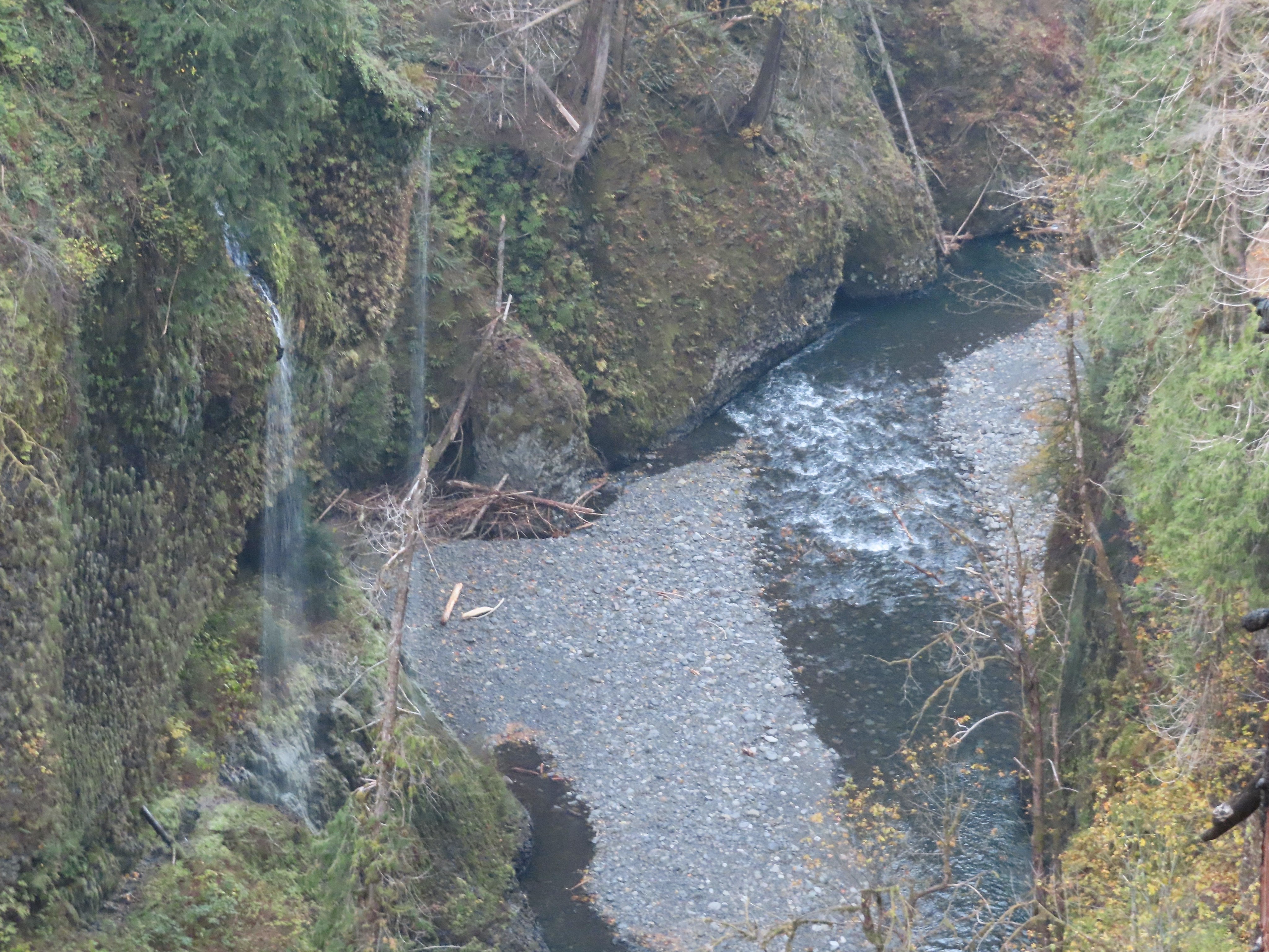 Runoff falling from the cliffs into Eagle Creek.
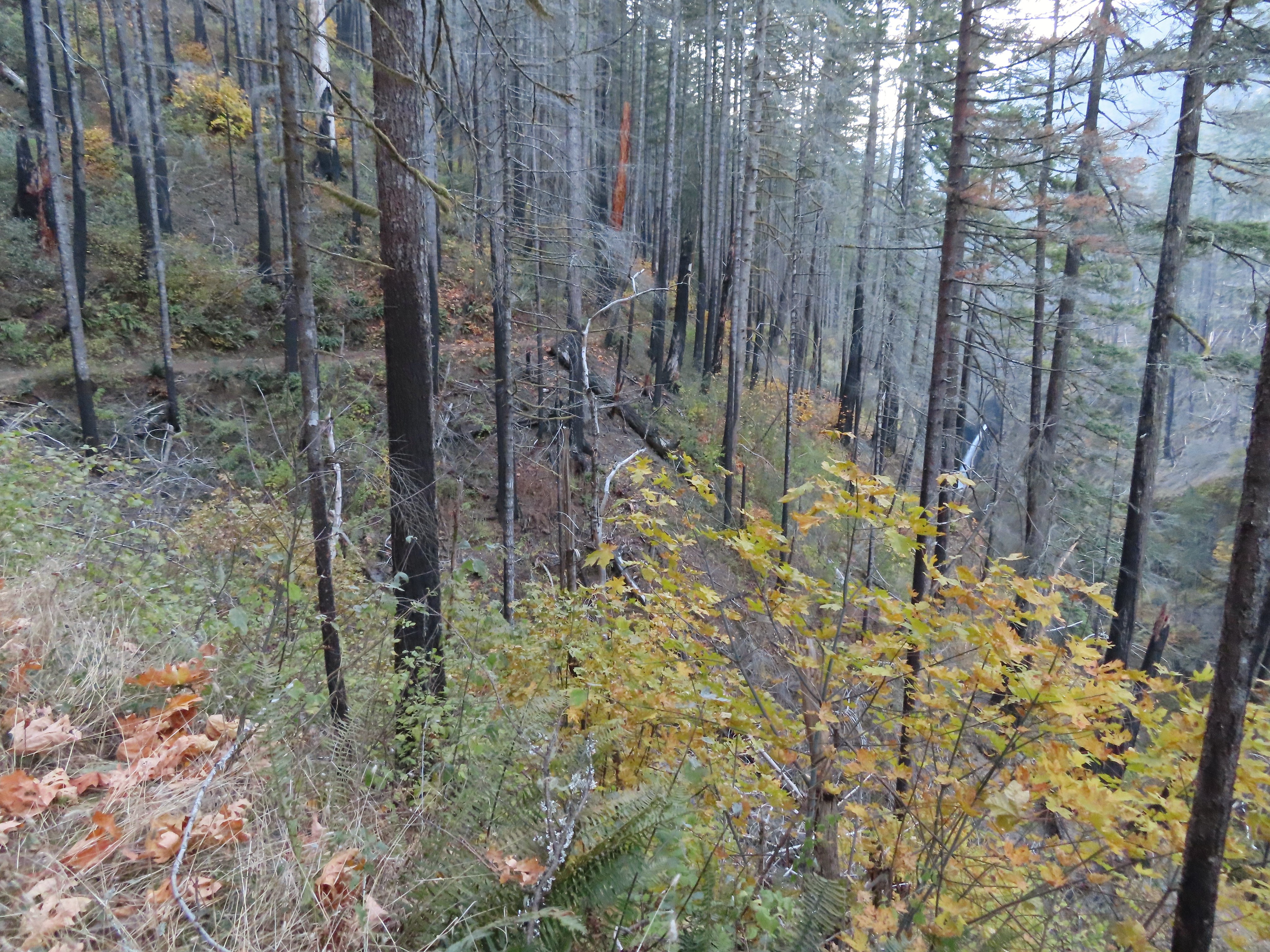 Metlako Falls
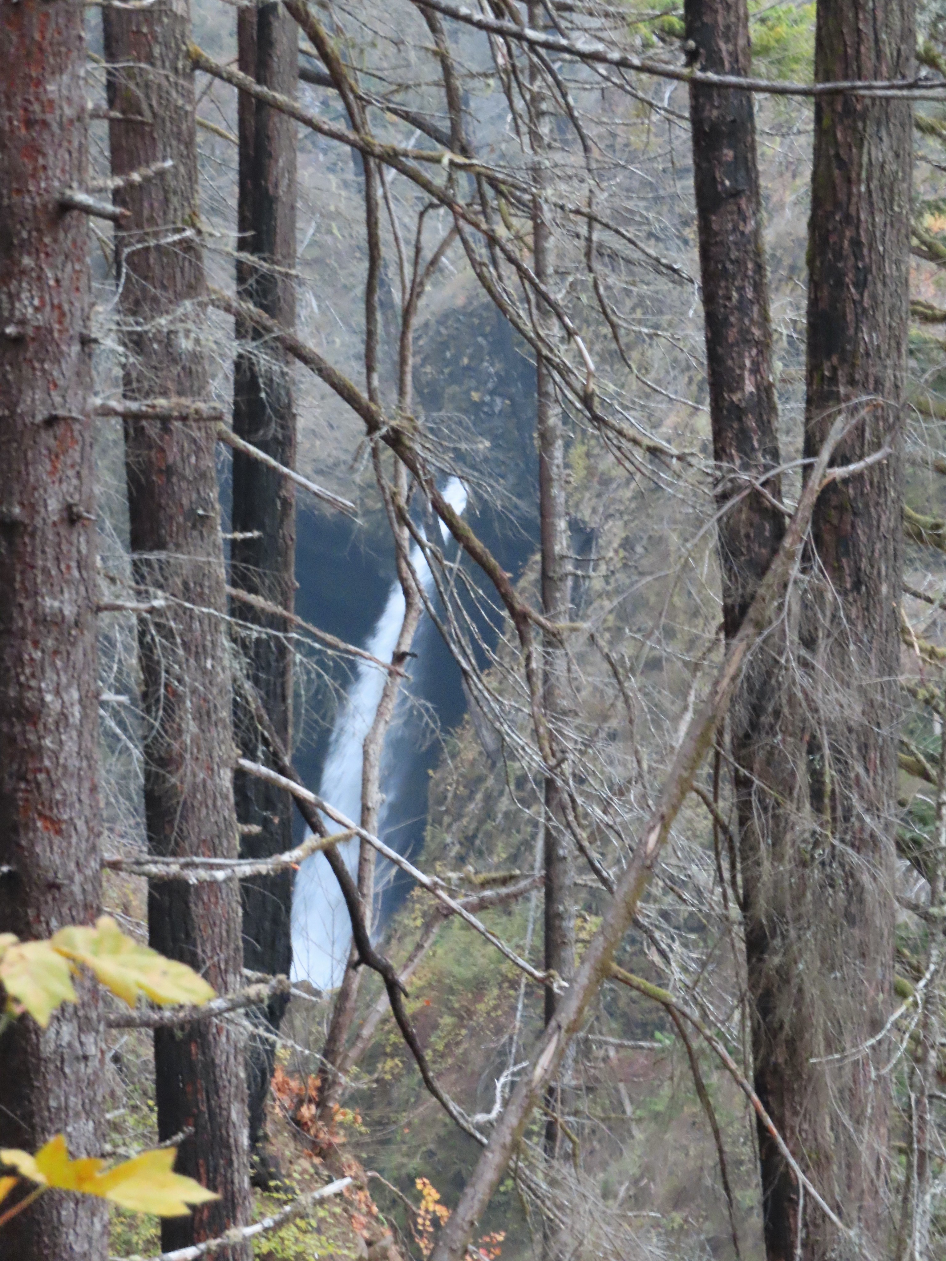 Metlako Falls

 Lower Punchbowl Falls
 Rocks from the landslide on the right.
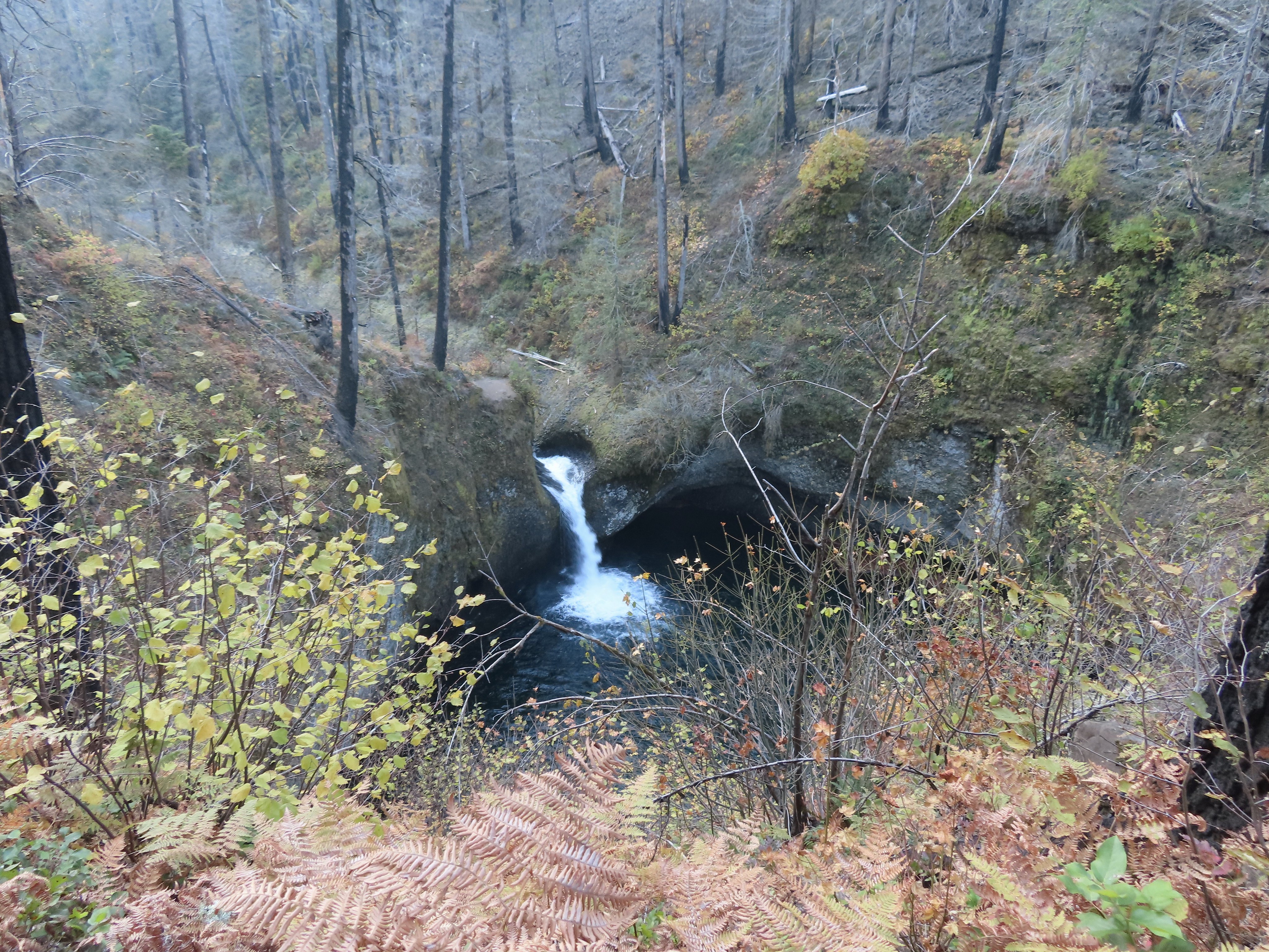
 Tish Creek Bridge
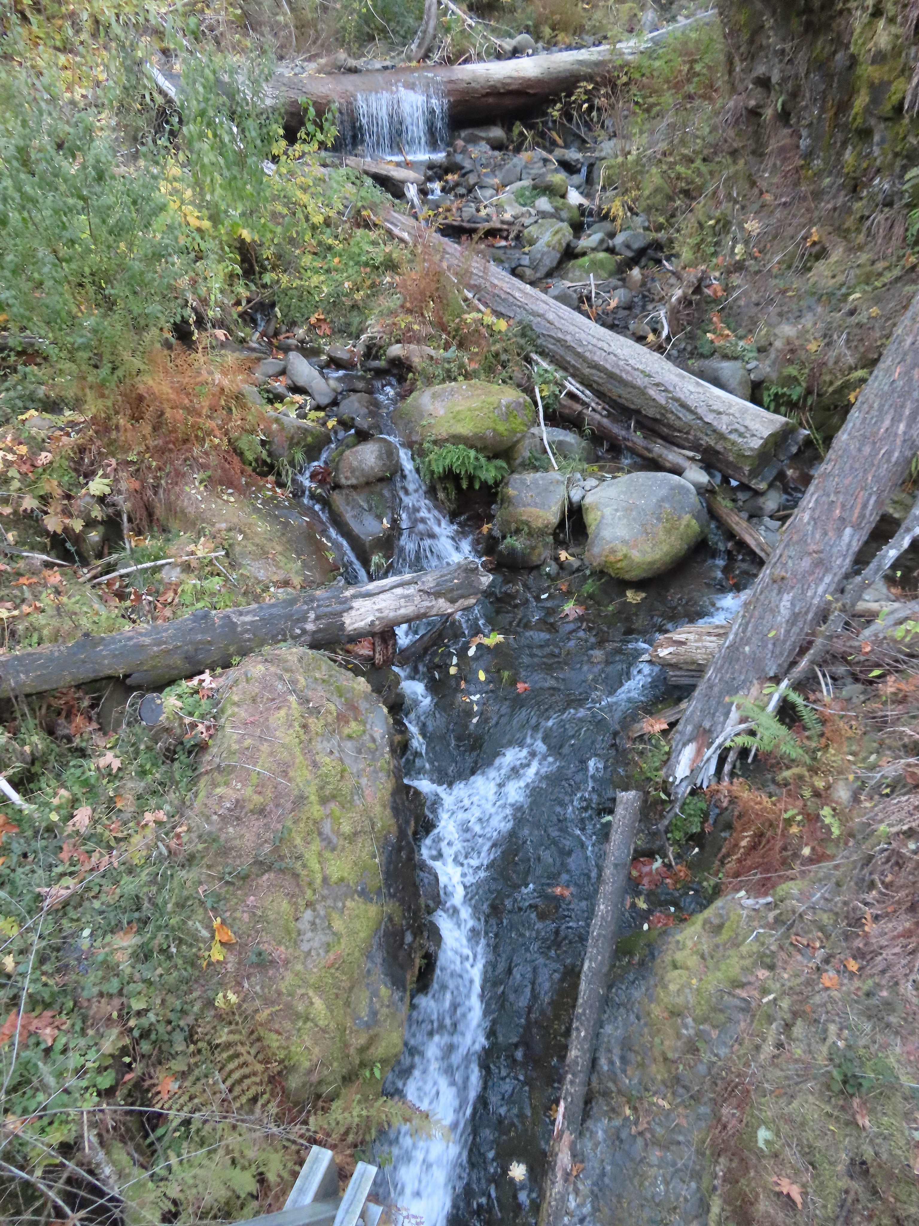 Tish Creek
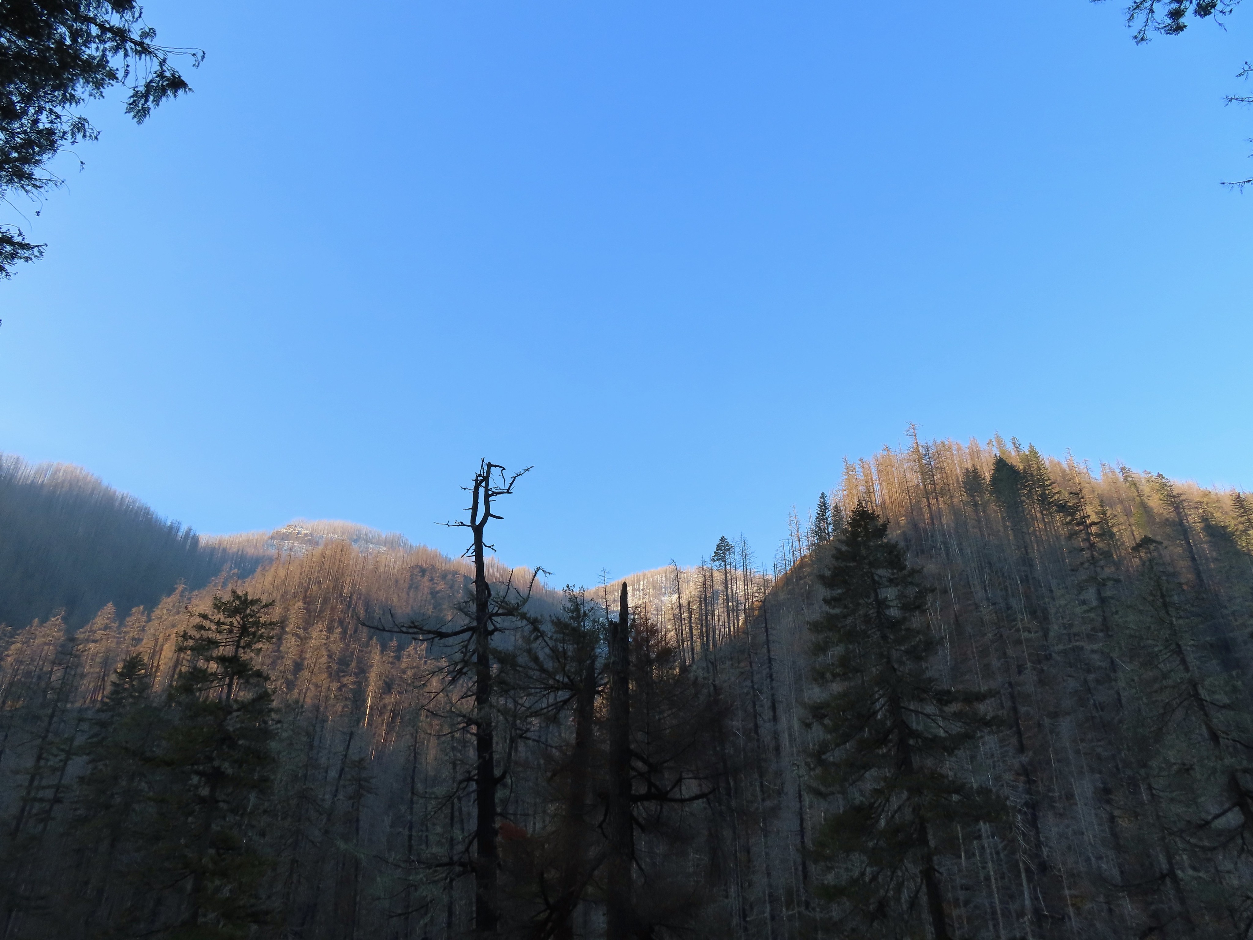 More snow on the ridge.
 Fern Creek Bridge
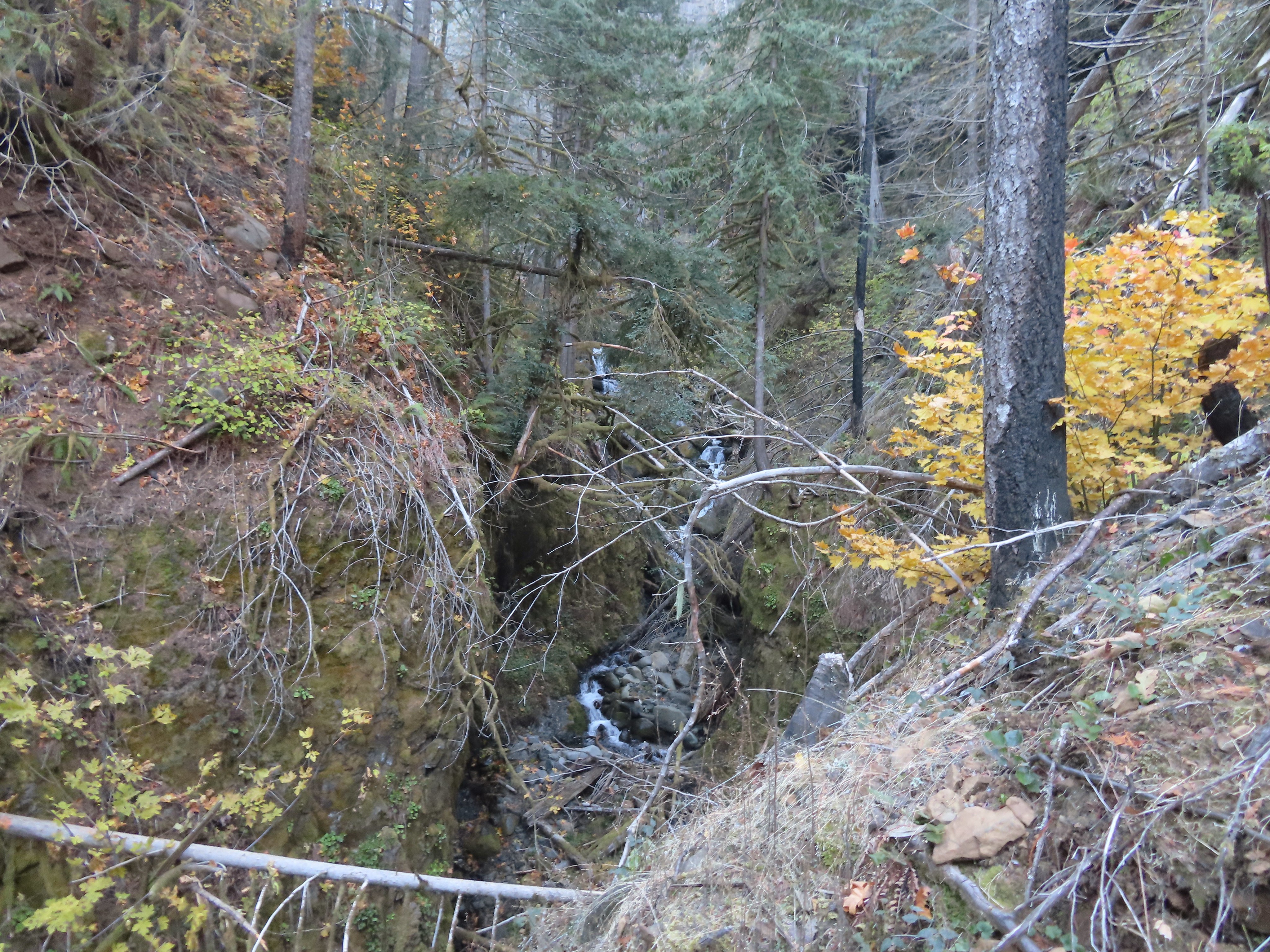 Fern Creek


 Careful where you step.
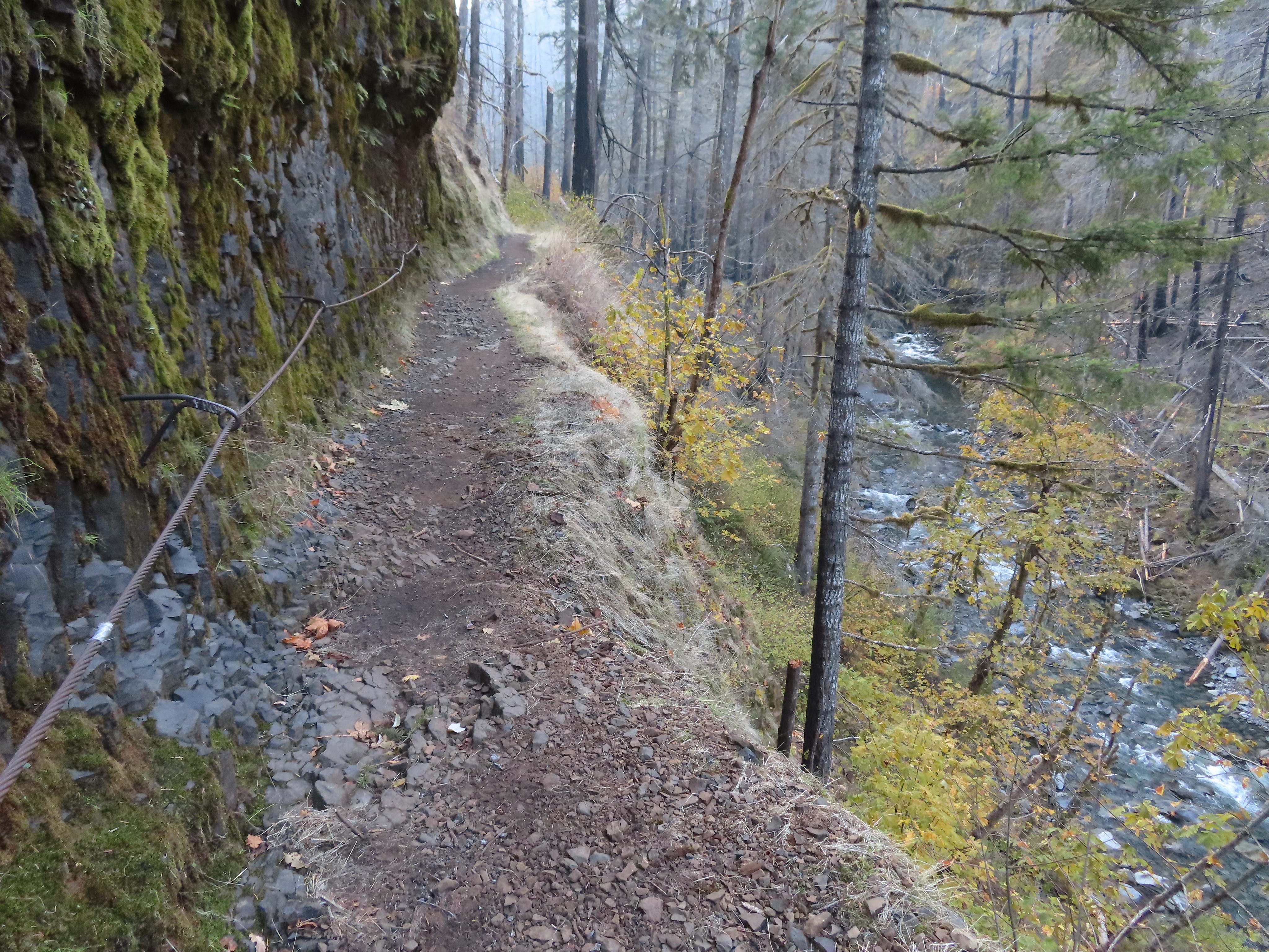 The last part was ice free.
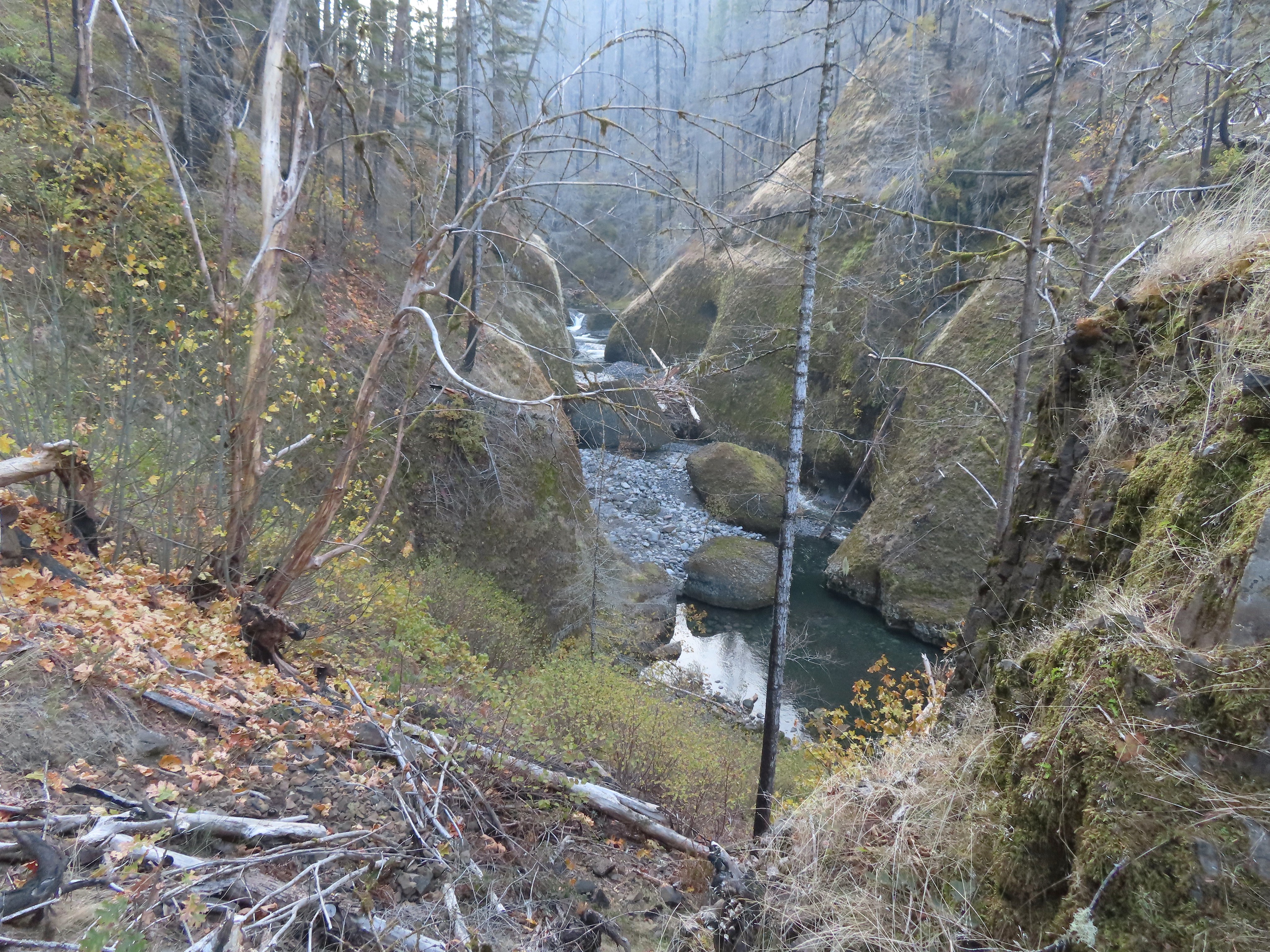
 Passing Loowit Falls.
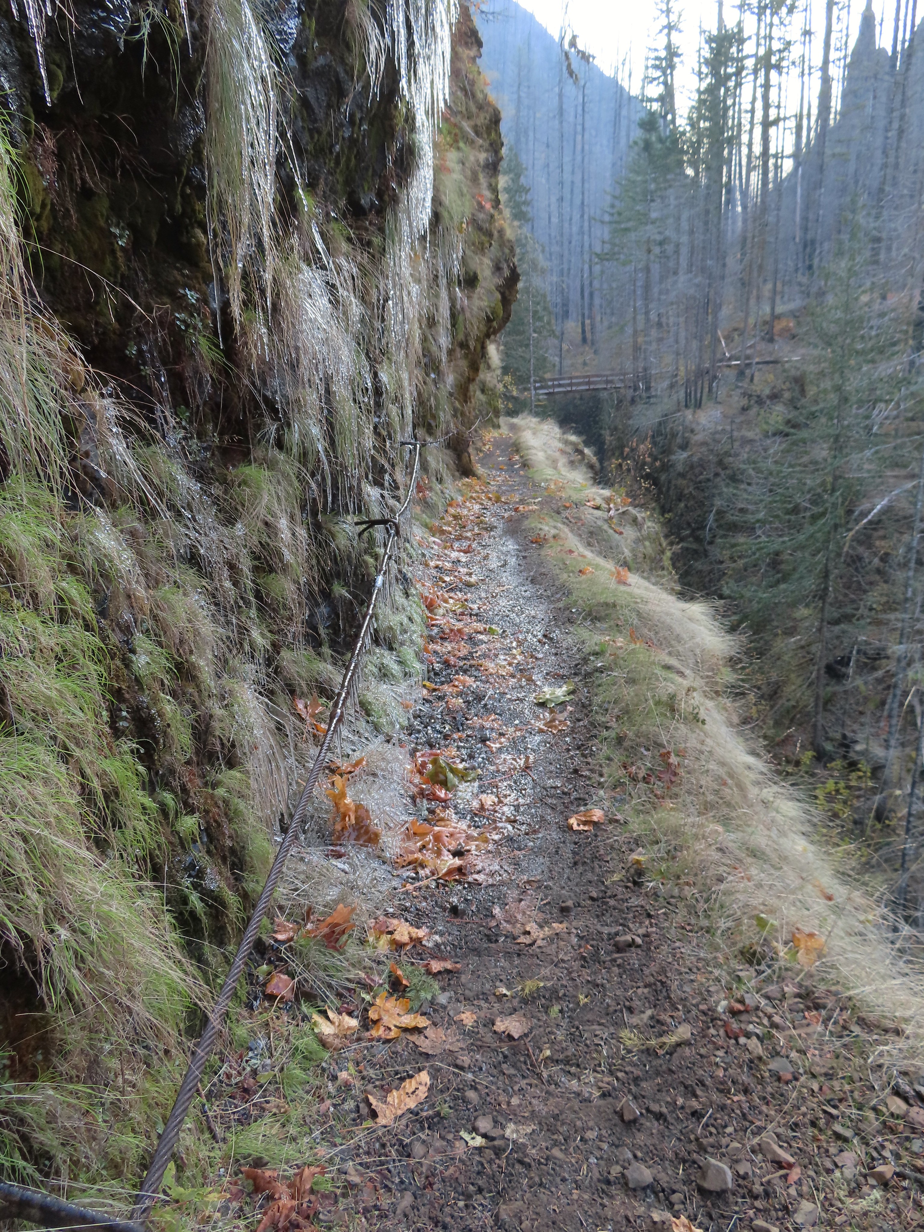 More cable passing Loowit Falls with High Bridge in
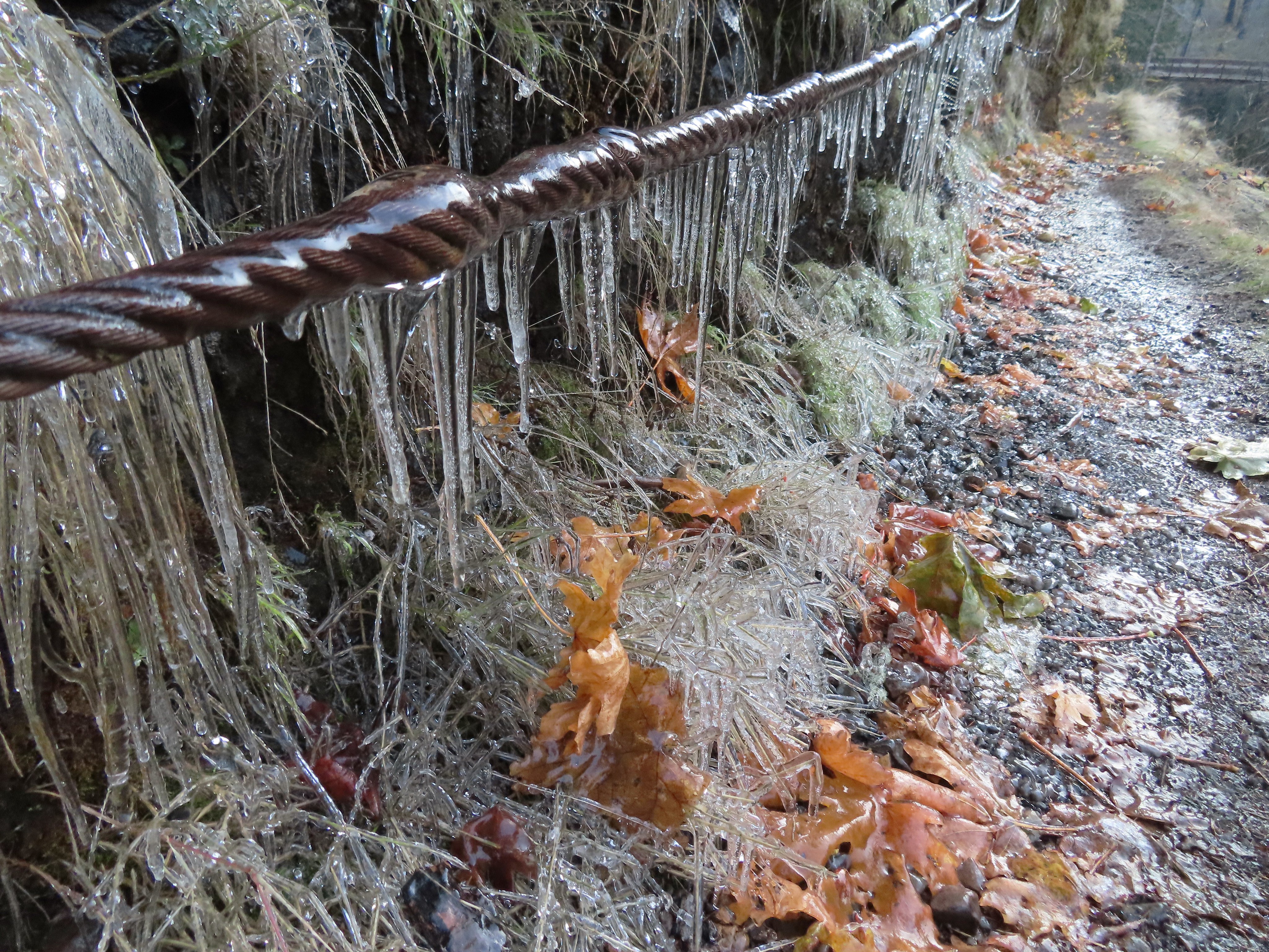


 Eagle Creek from High Bridge.
 Eagle Creek from High Bridge, looking upstream.
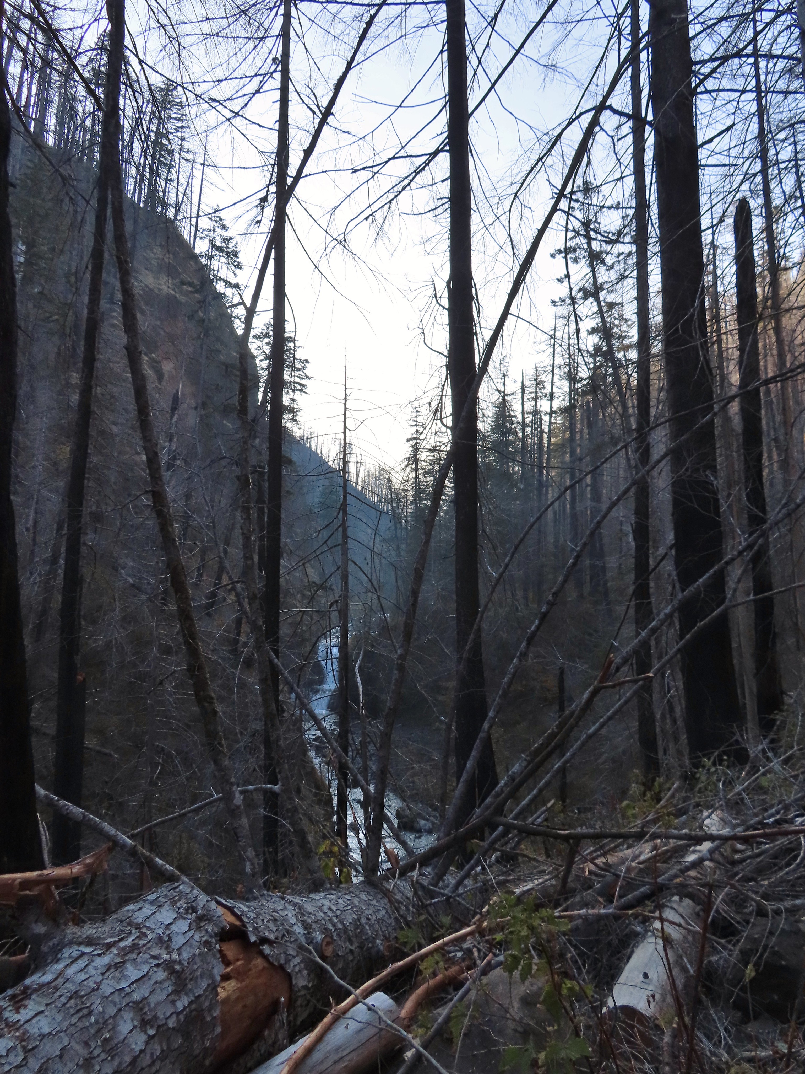
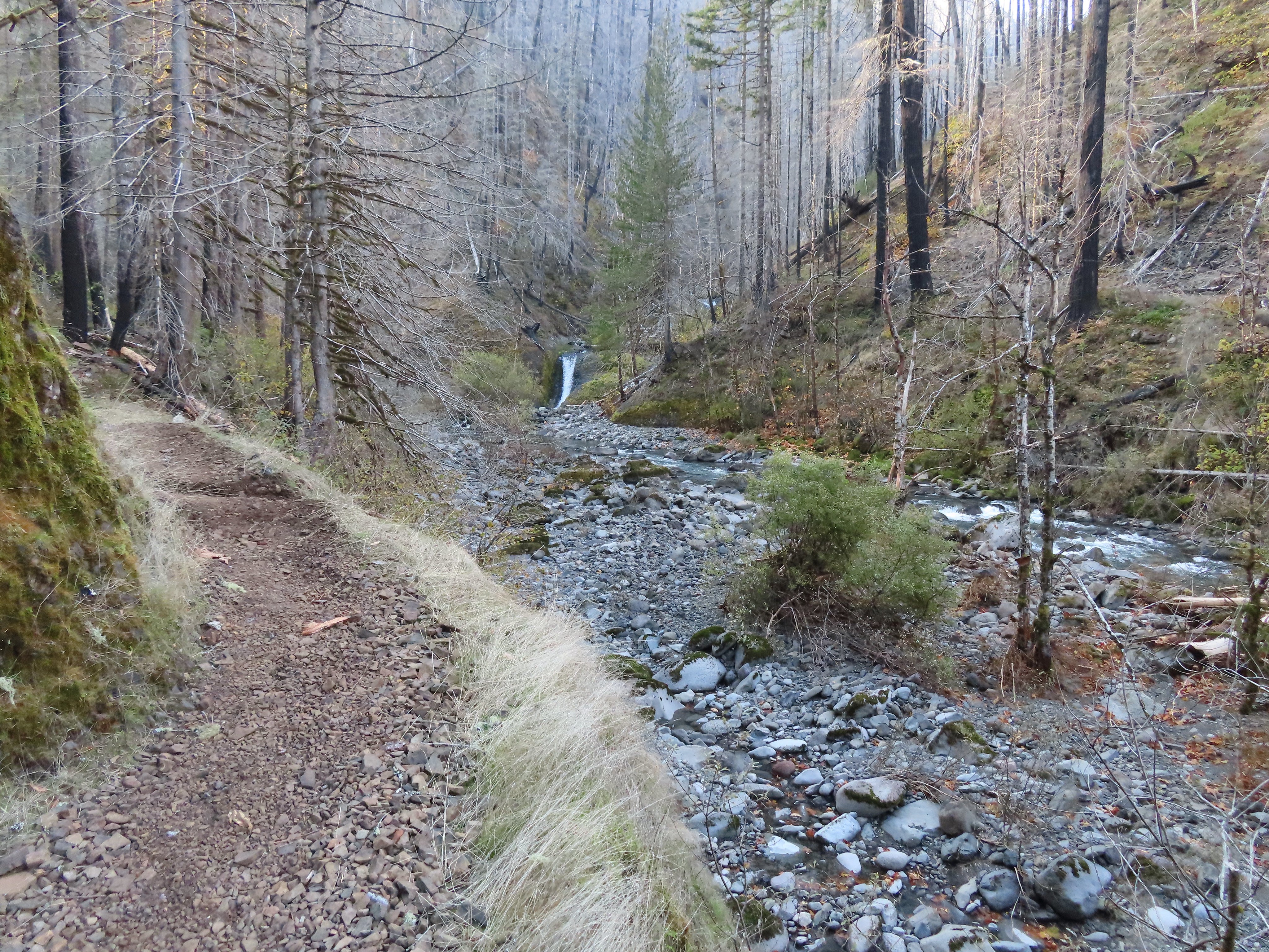
 Skoonichuck Falls
 Not my worst varied thrush photo.
 Another nice view of Skoonichuck after I’d given up on the thrush.
 Sad looking penstemon but I’m counting it as a flower.
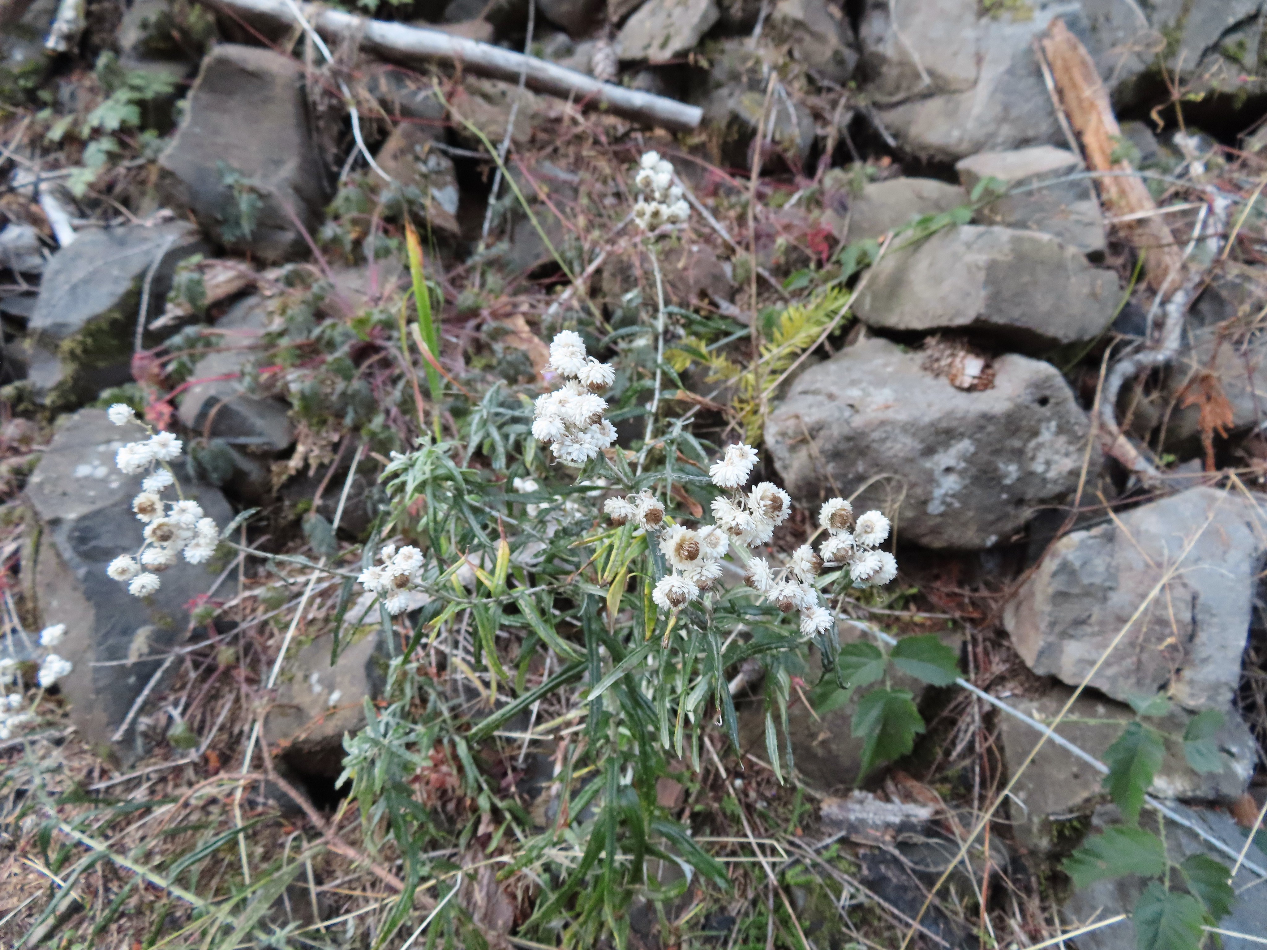 Some nearly as sad pearly everlasting.
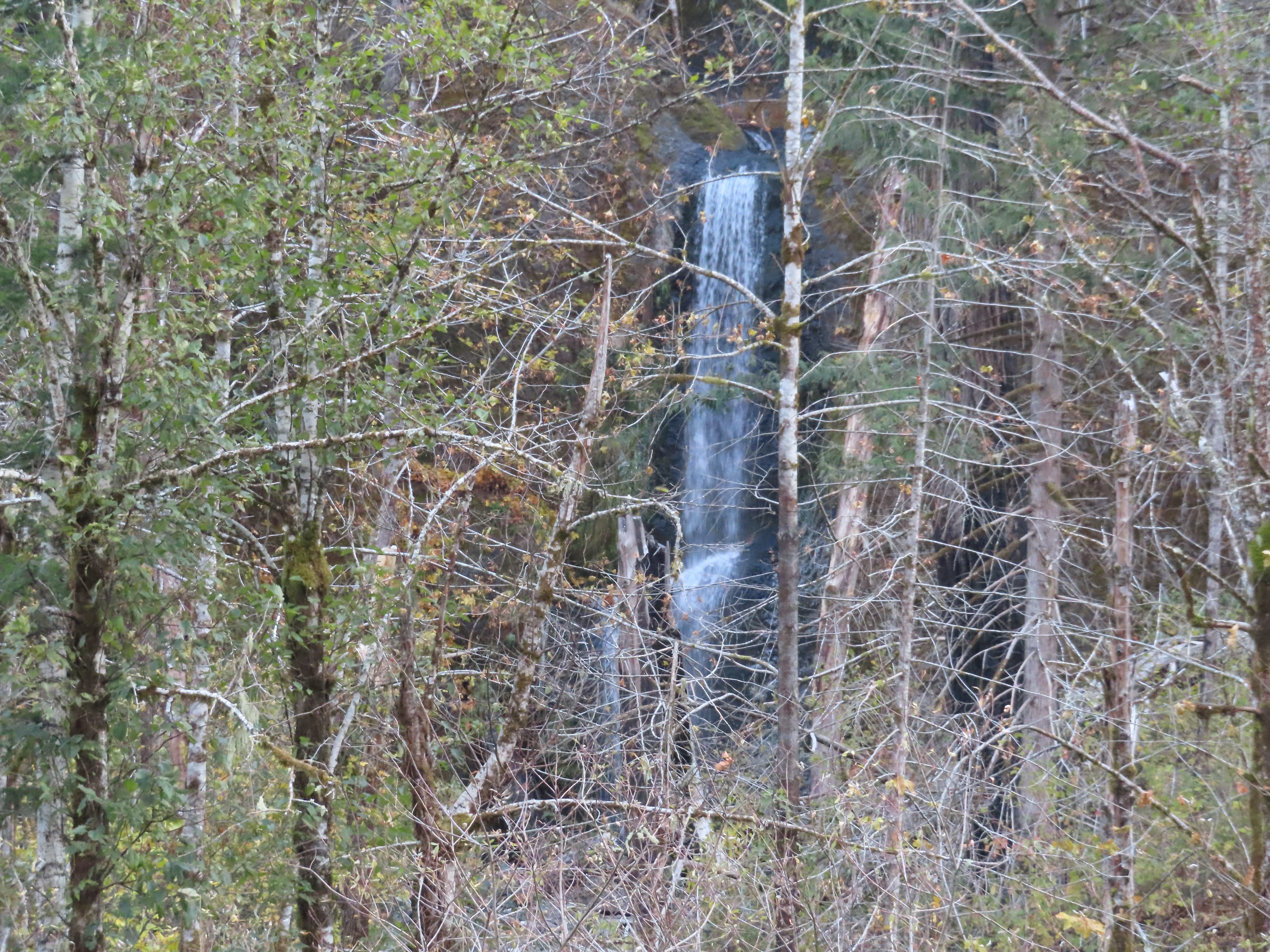 This fall was visible across the creek on an unnamed creek (at least on the maps I’ve seen).
 I arrived at nearly the same time as the Sun.
 Beach and Summer swimming hole at 4 1/2-mile bridge.
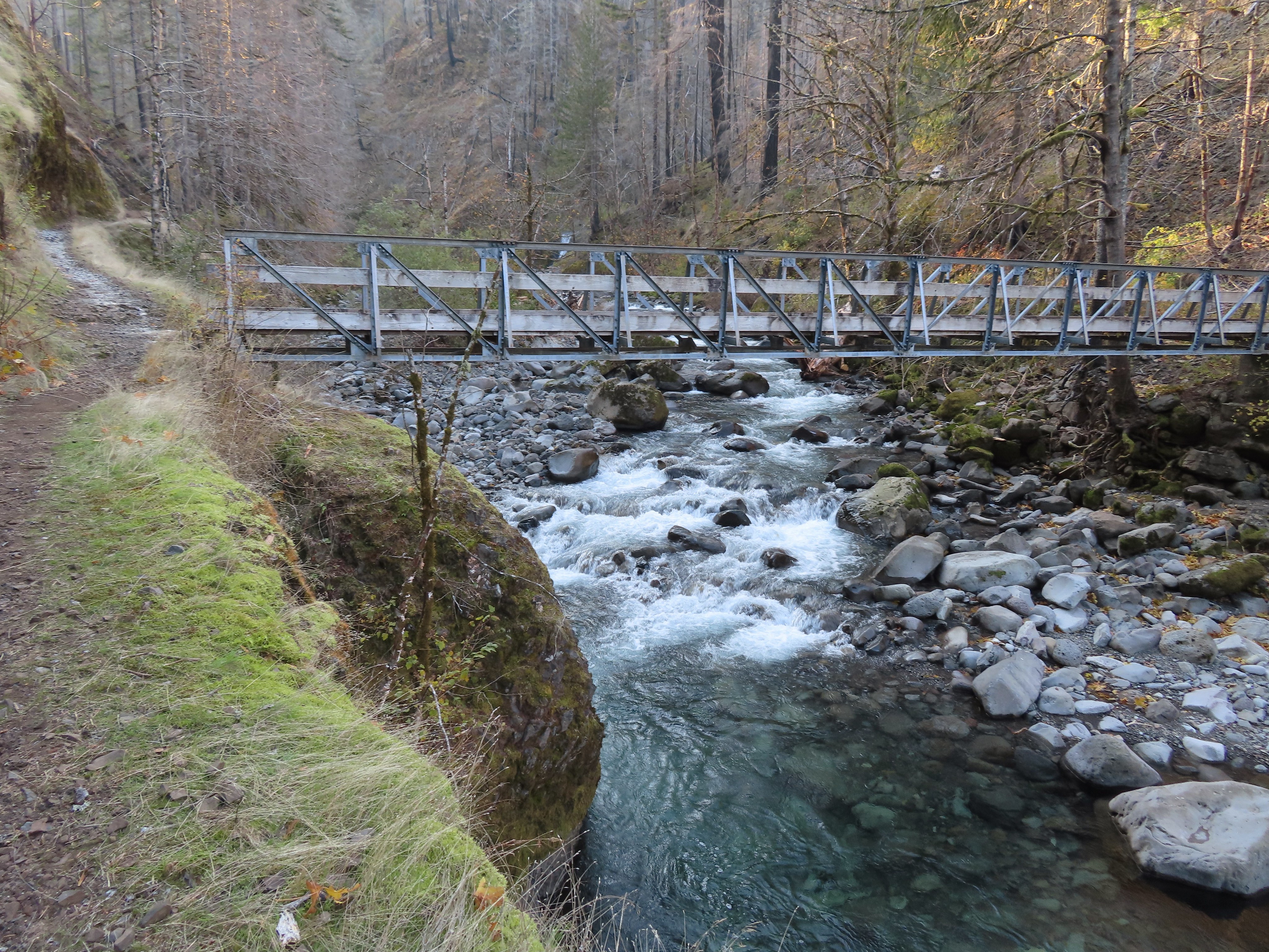
 Tenas Falls
 Opal Creek flowing into Eagle Creek.


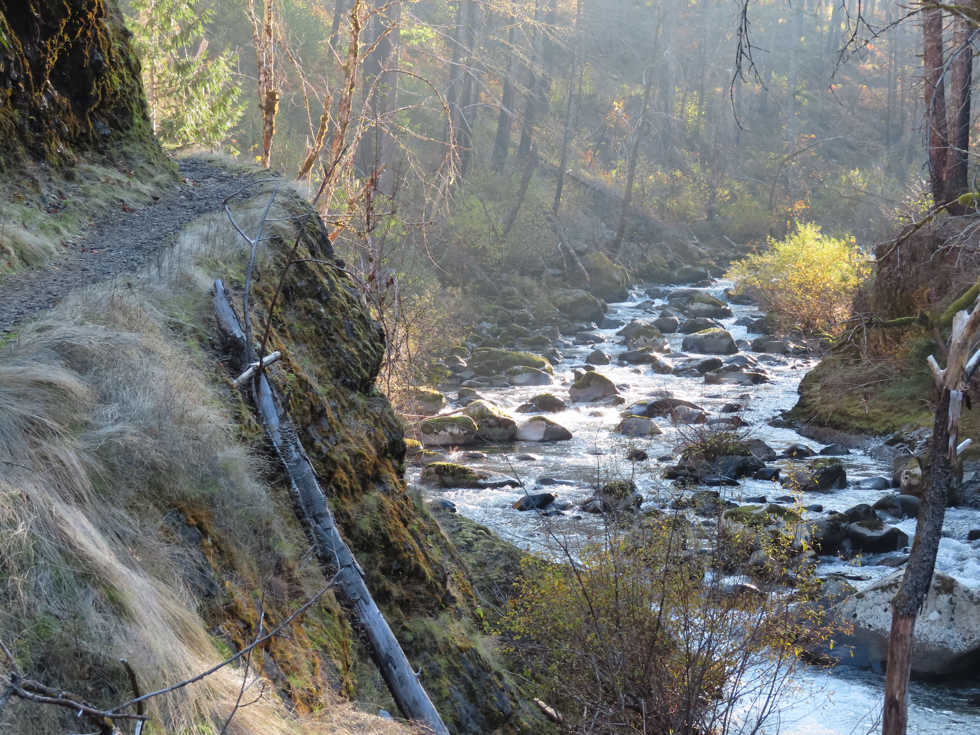
 The wilderness begins a little over 5.5 miles from the trailhead.
 A bluebird sky above a few green topped trees.


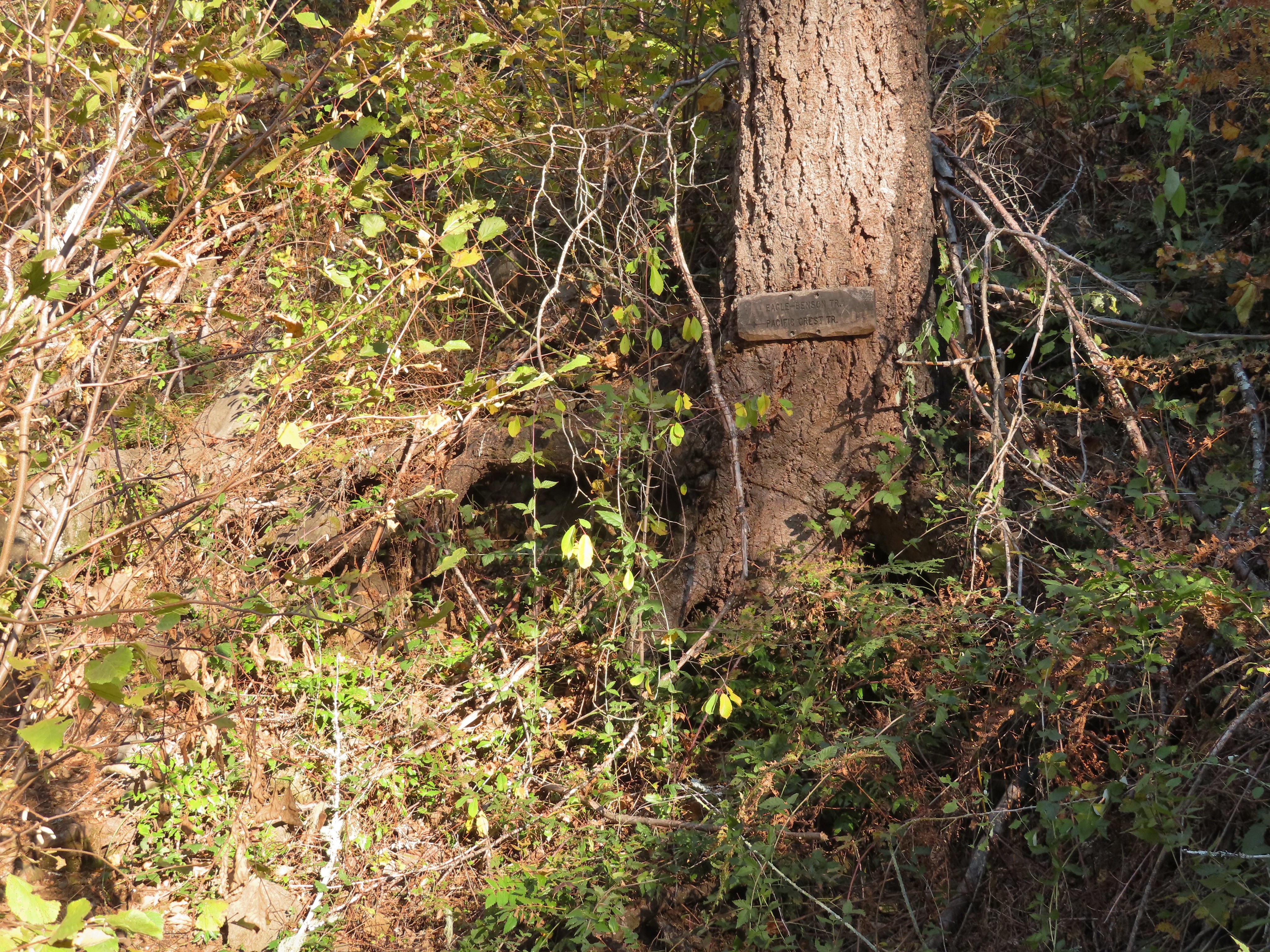 Near the six-mile mark I passed the signed Eagle-Benson Trail which hasn’t been maintained since the fire, in fact the sign was the only sign of a trail here.
 Sunrays over Eagle Creek.
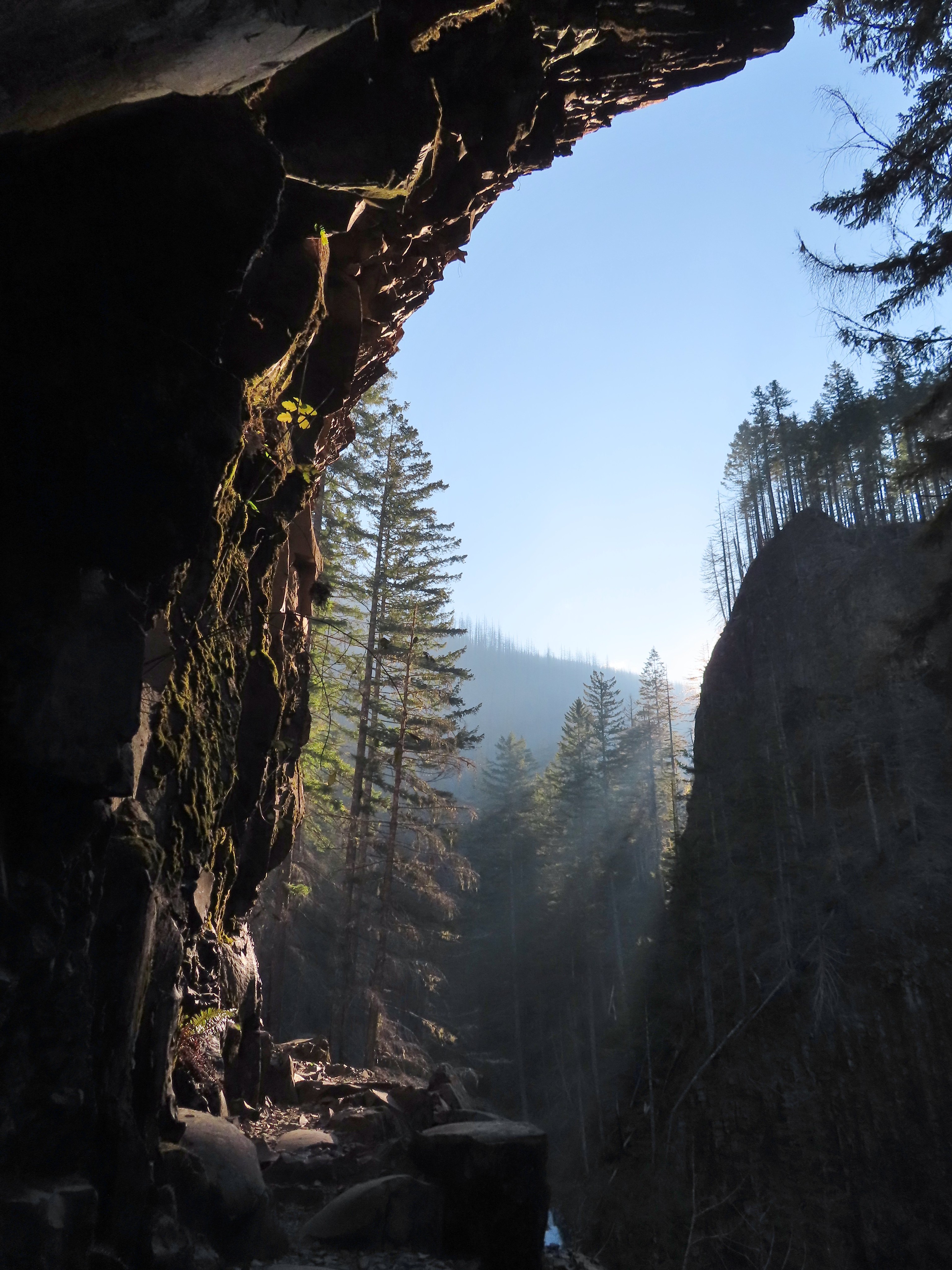
 Note the hexagonal shape of the basalt columns making up the trail surface here.
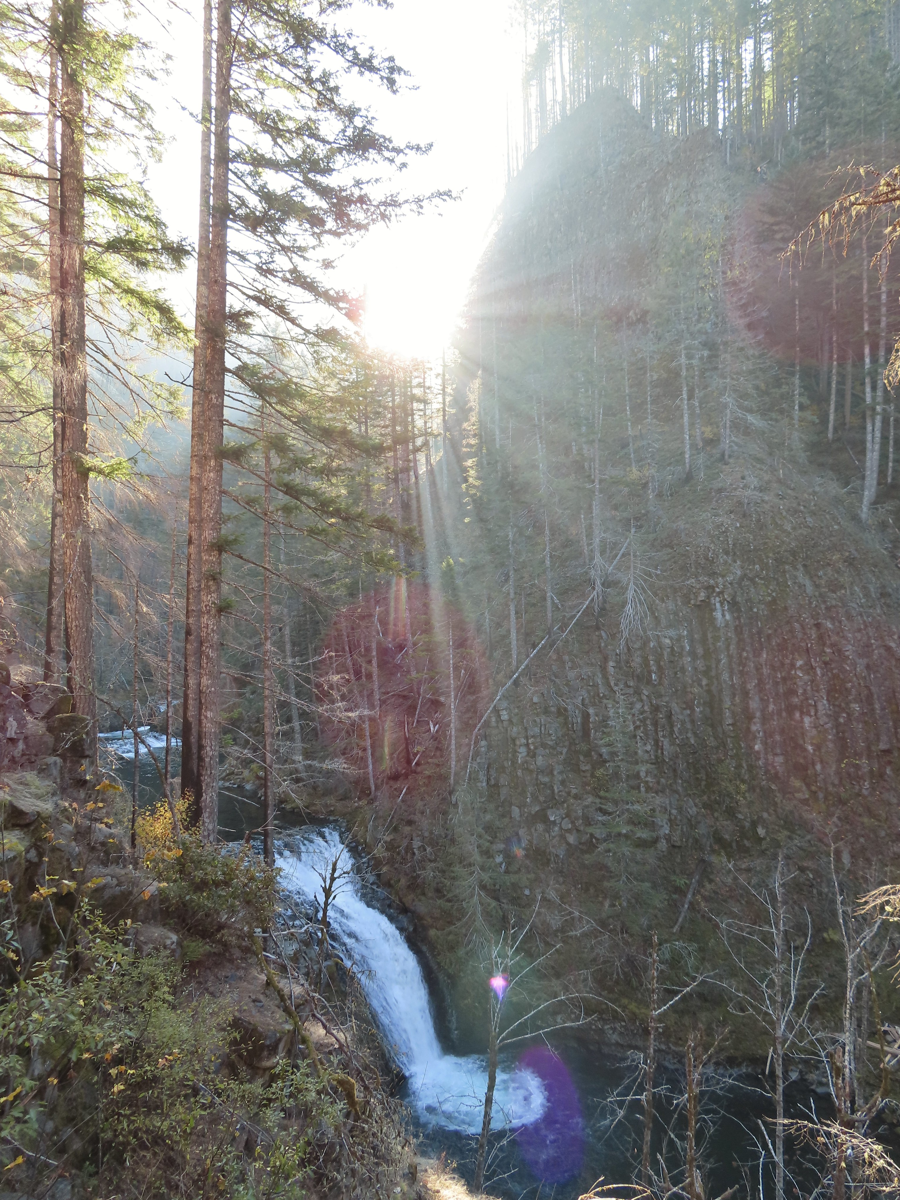 Grand Union Falls
 Tunnel Falls on East Fork Eagle Creek.

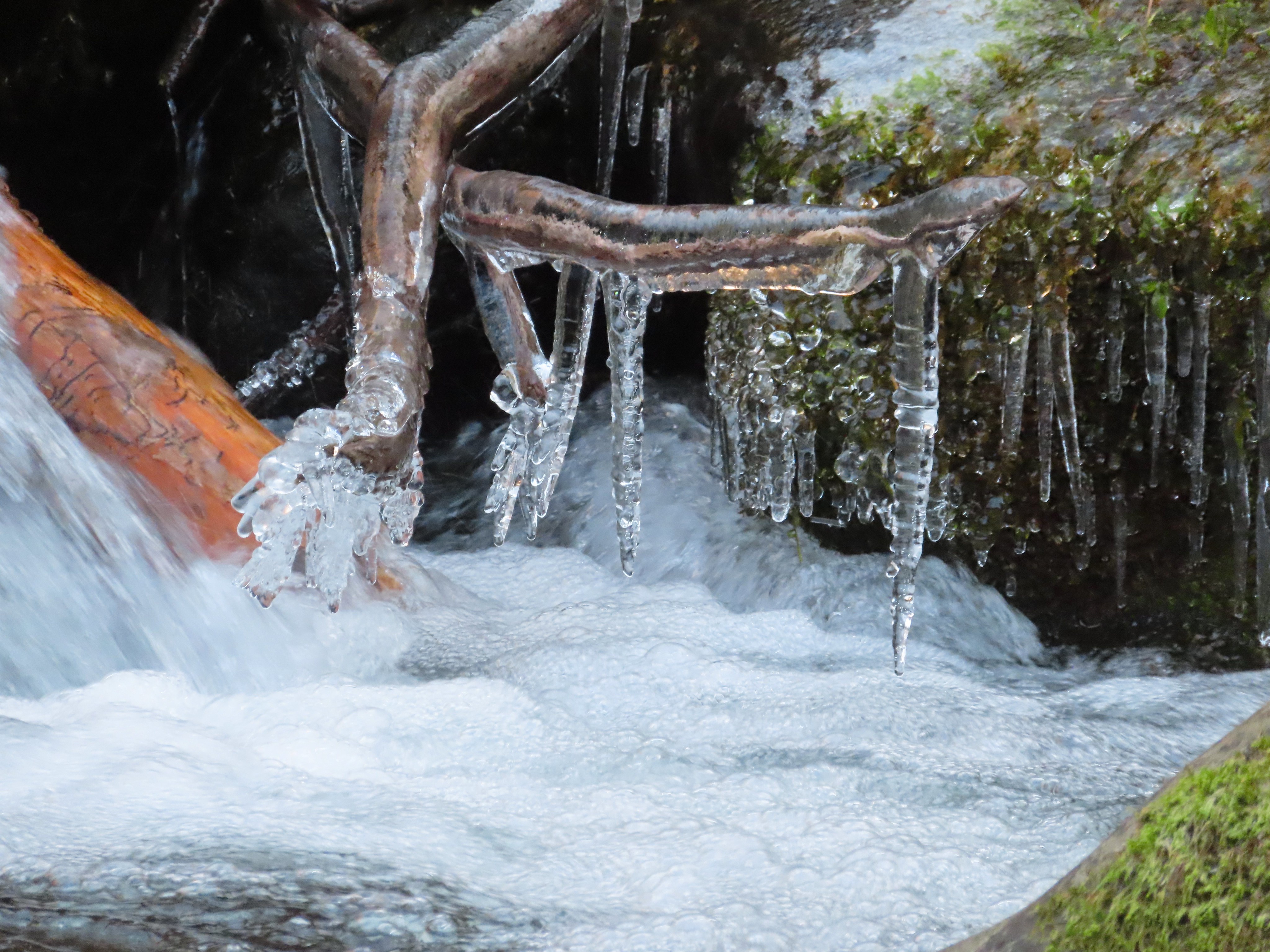
 I had brought my micro spikes just in case, but even though there were some impressive ice features there was enough good footing (and cable) to not require putting the spikes on.
 The slickest section was exiting the tunnel here.


 This was the trickiest section but again there was just enough good footing to allow passing without need spikes.
 A bit more overgrown here.
 Hair ice, only the second time I’ve encountered it.
 I stopped at this campsite which some maps show as 7 1/2 Mile Camp, but I pulled out my National Geographic topo which showed the camp a little further ahead near a pair of small creeks. I think both are correct and this was just the first of the sites that make up the “camp”.
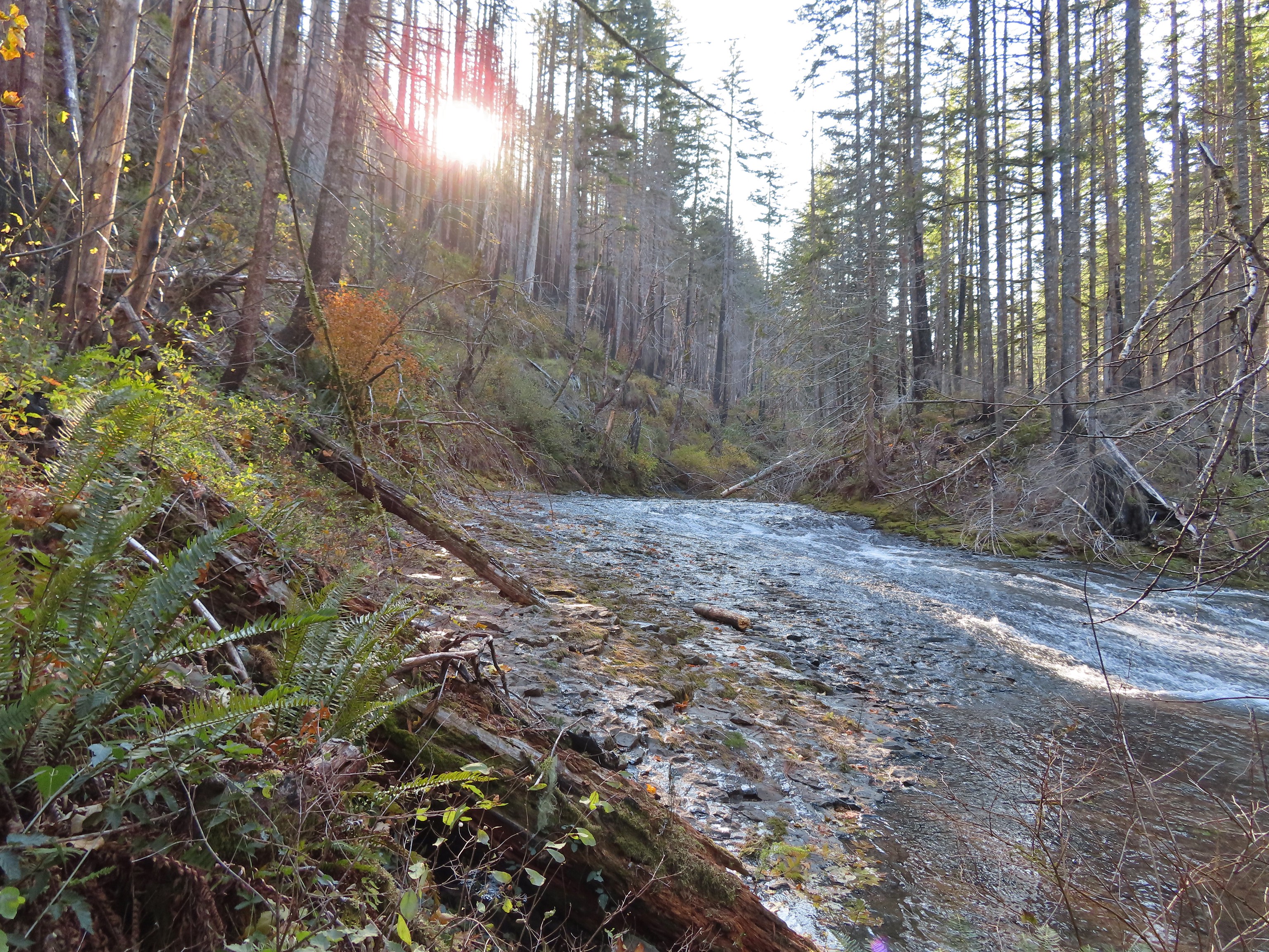 Eagle Creek near the first campsite.
 More campsites near the first creek.
 The first small creek. This one was a lot icier than any of the other creeks I’d crossed. I was able to find enough dry rock to make my way to the other side though.

 Looking back at the creek.
 This cascade was across Eagle Creek near the last campsites.
 Woodpecker
 Green pool above Twister Falls.
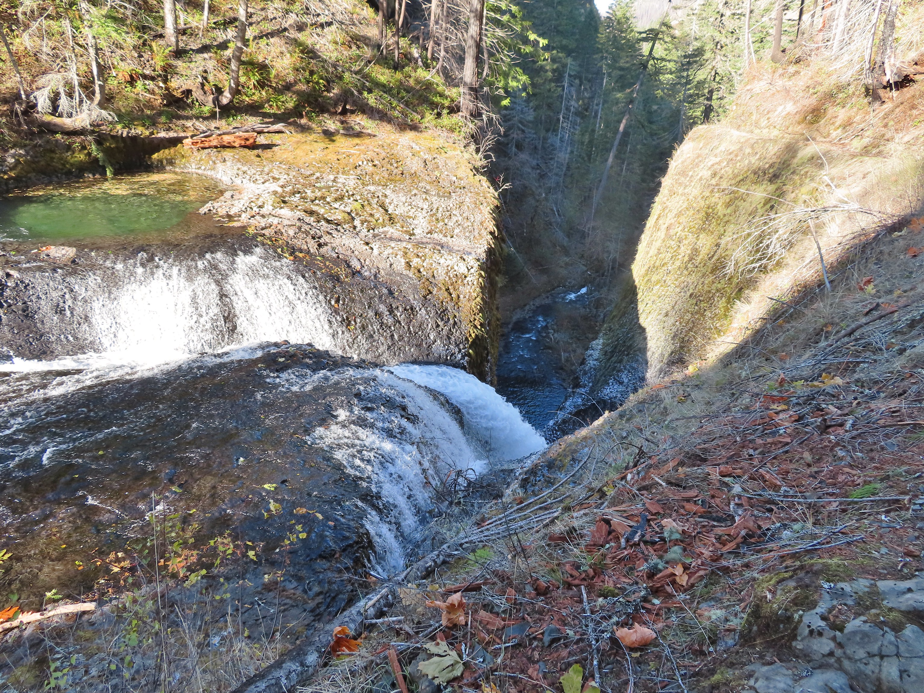 Above Twister Falls.

 Plant in ice.
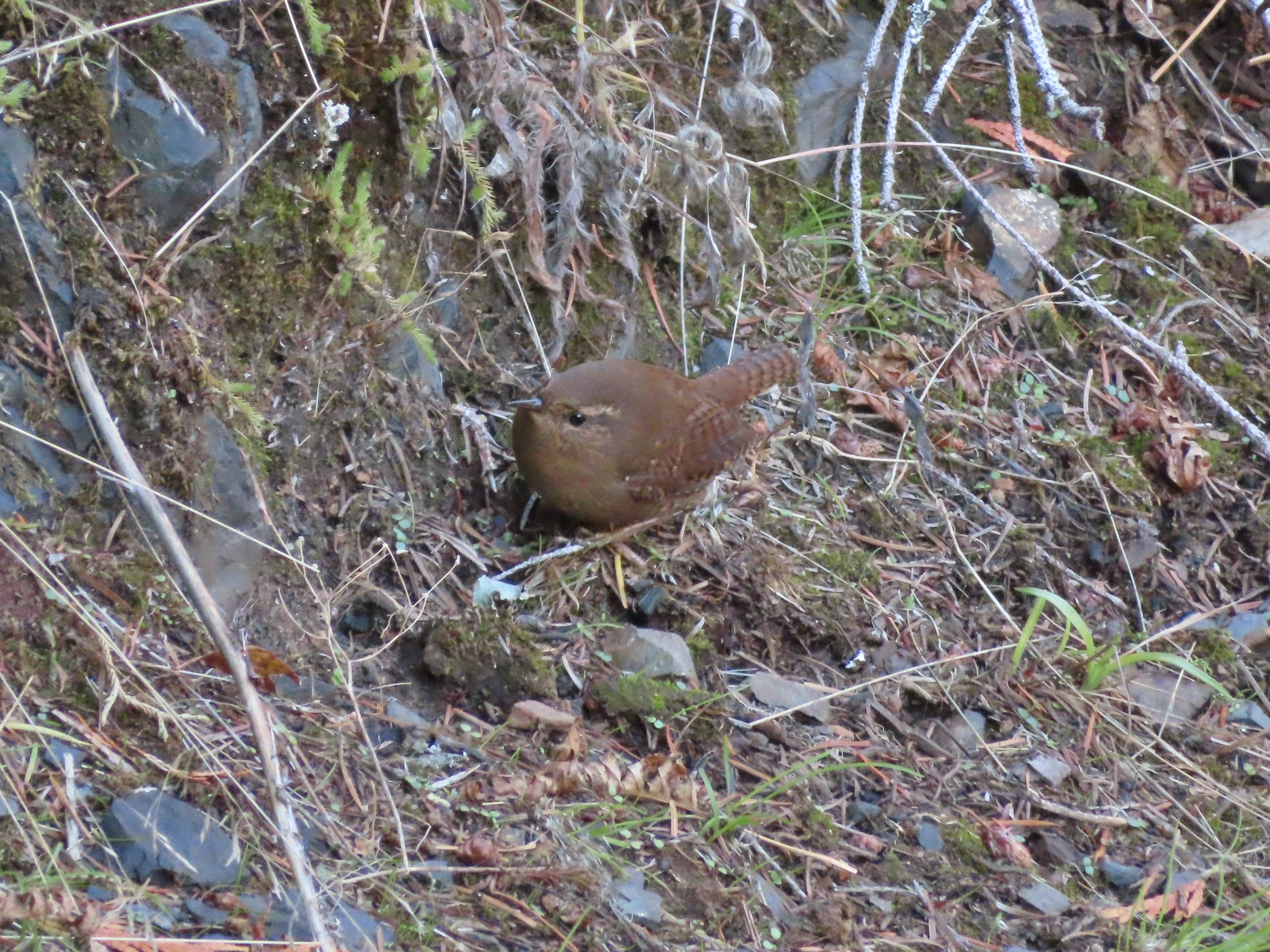 Wren
Wren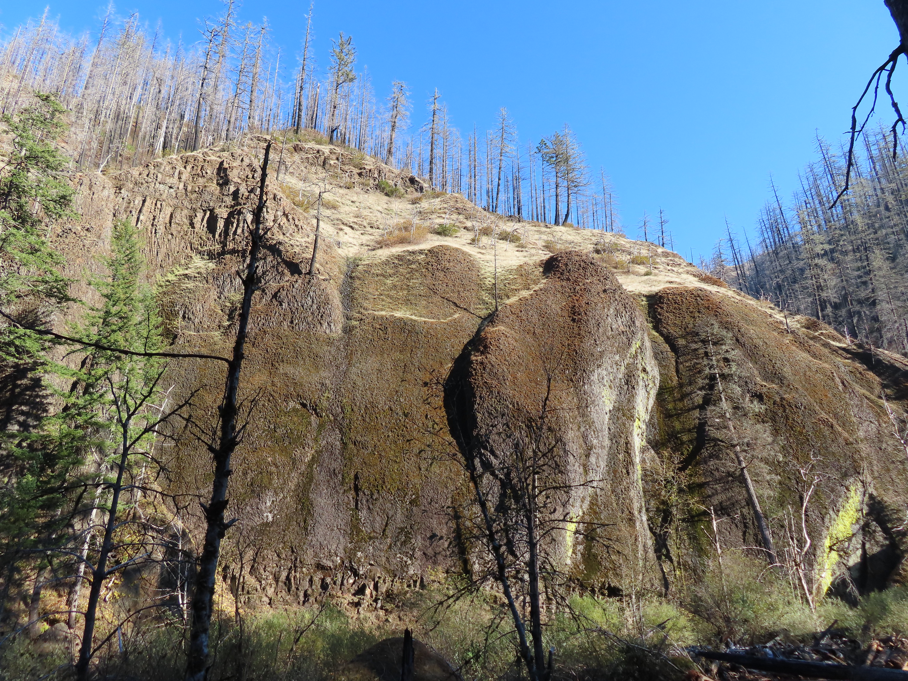


 Chipmunk


 Multnomah Falls
 The Benson Bridge.
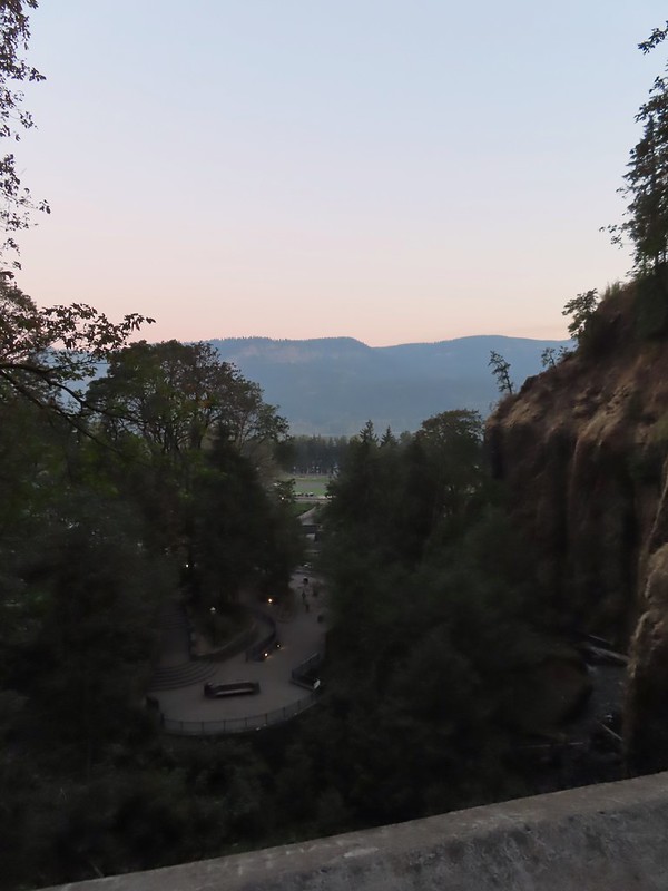 View from the bridge.
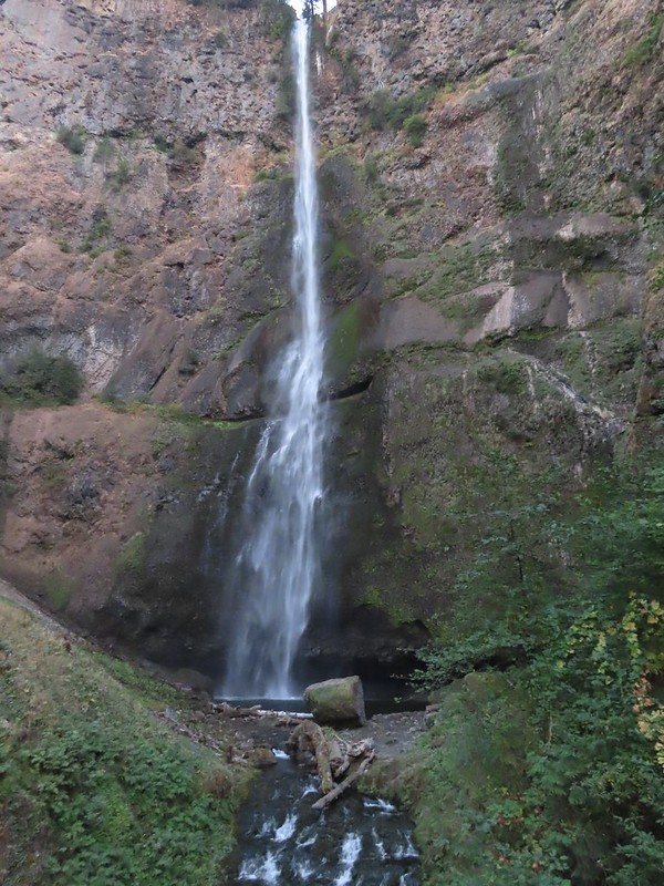 Multnomah Falls from the bridge.
 The Moon beyond the Columbia River and Multnomah Falls Lodge.
 Beacon Rock (
 The second switchback.
 Another view of the falls. I passed a pair of hikers along this stretch then didn’t see another person for another couple of hours.
 Viewpoint trail.

 Small fall just upstream from Multnomah Falls.
 Cape Horn (
 Bridge over Multnomah Creek.
 Approaching Middle Dutchman Falls.
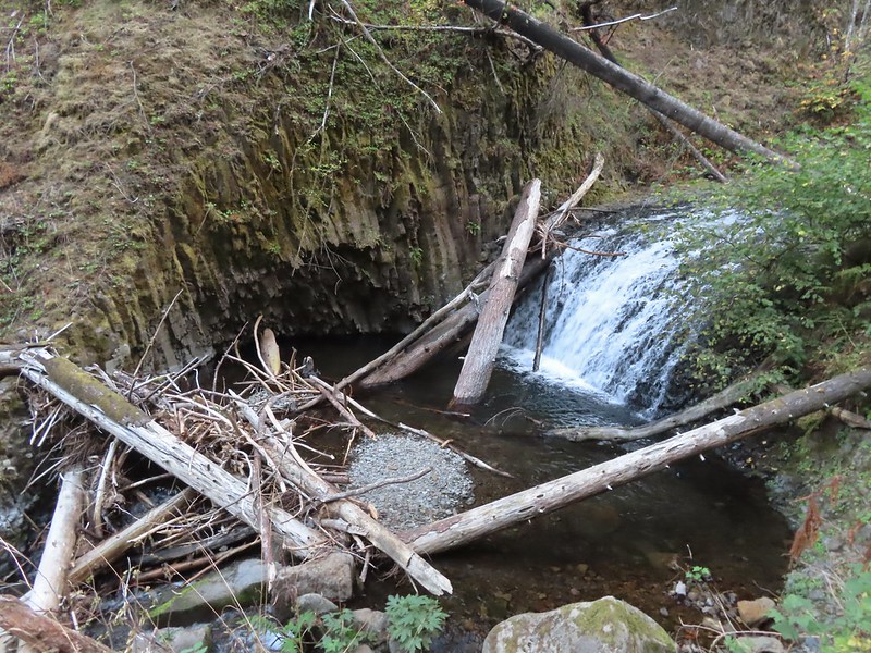 Middle Dutchman Falls
 Upper Dutchman Falls
 Dutchman Tunnel
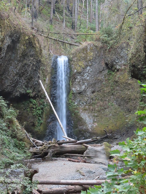 Wiesendanger Falls is located just beyond Dutchman Tunnel.
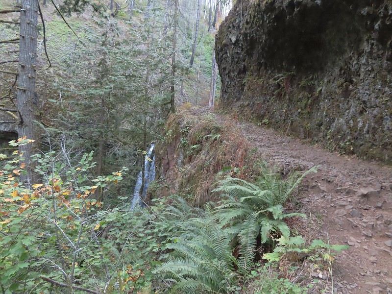 A short distance beyond Wiesendanger Falls is Ecola Falls.
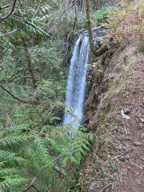 Ecola Falls
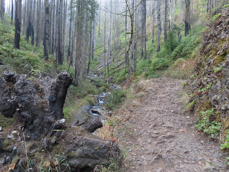
 Good signage at nearly all trail junctions, especially those closest to the trailheads.
 Looking down the creek at sunlight starting to hit the hillside.
 A few bleeding heart were still in bloom.
 Penstemon
 This section is flooded in late Winter/Spring. The signed High Water Trail leads up and around it for those high water times.
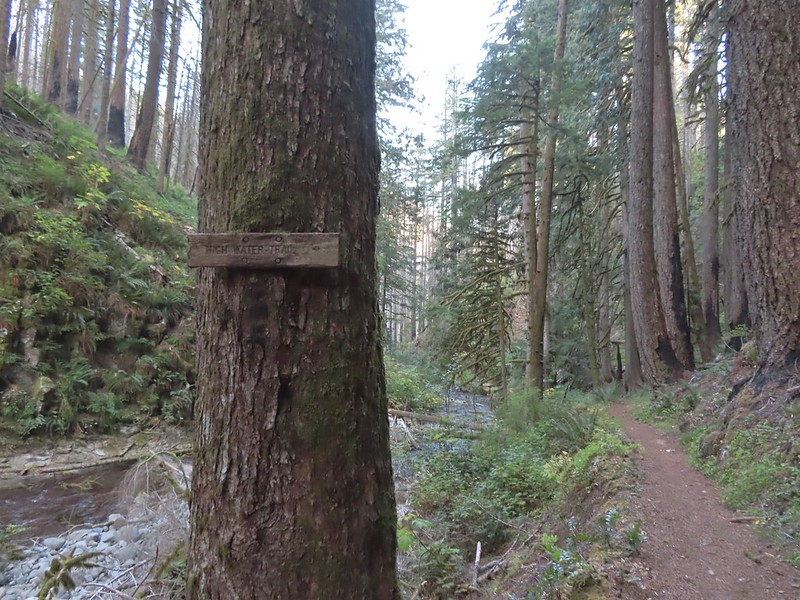 Sign for the High Water Trail at its southern end.
 The southern end of the High Water Trail heading uphill to the right.
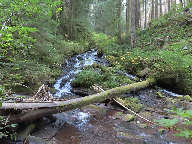 I couldn’t find a name for this creek but it had a good flow, in fact it was more water than what was in Multnomah Creek upstream from their confluence.
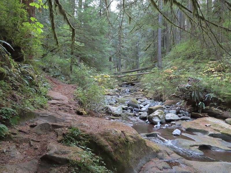 Multnomah Creek upstream from the unnamed creek.


 Reentering the fire scar.
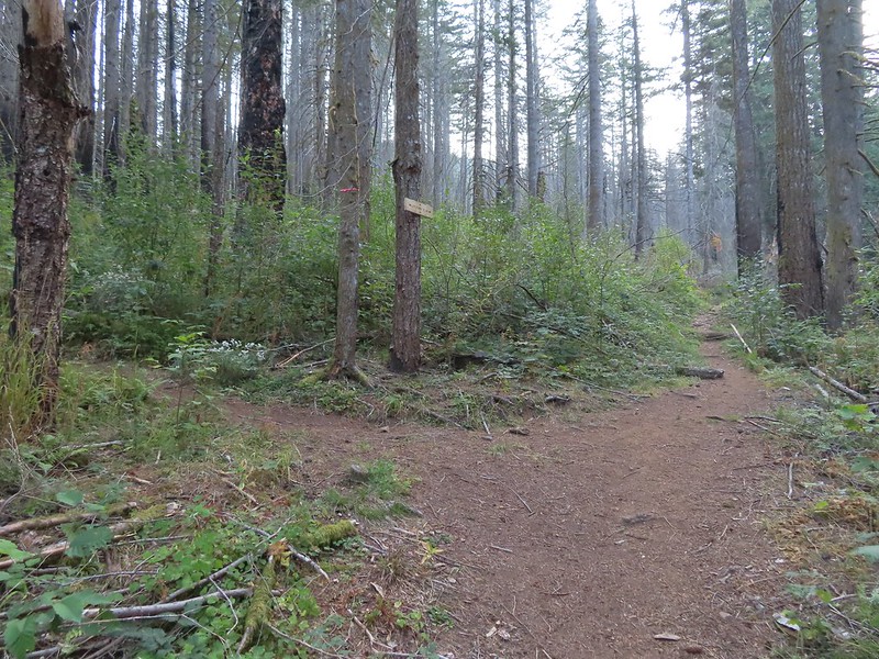 The Franklin Ridge Trail on the left.


 Maple changing colors
 I’m sure there is at least one pika in this photo somewhere.
 Looking back toward Franklin Ridge.
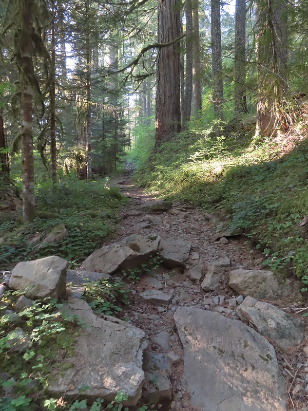
 Arriving at the junction.


 I was hoping for less smoke in the air but these sunbeams told me that there was still a fair amount lingering around much as it had been for the last several days.
 After 1.25 miles I passed a pair of old campsites with picnic tables on the right. I stayed right at an unsigned junction with a trail that led uphill to the left. We had come down that way on our previous trip skipping a short section of the actual Larch Mountain Trail.
 There were four cars at this trailhead.
 Vine maple near the Sherrard Point Trail.


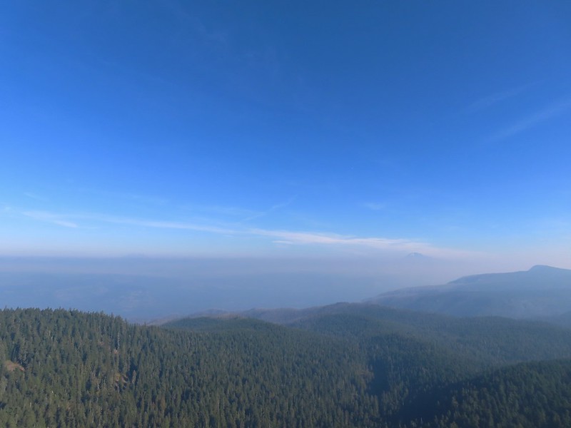 Mt. St. Helens in the smoke to the left and Mt. Adams a bit above it to the right.
 Mt. Hood
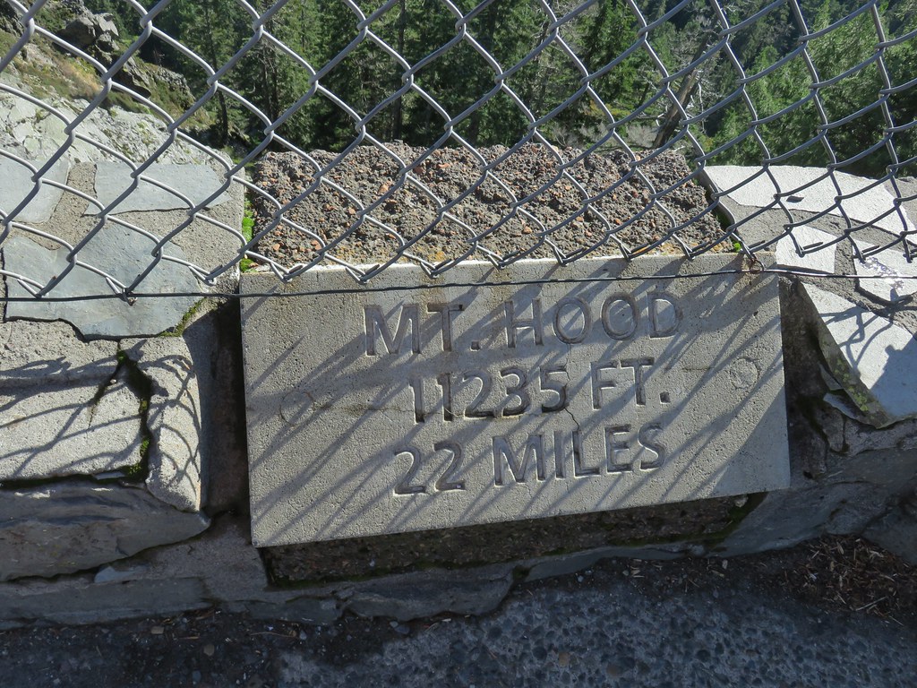
 Mt. Adams
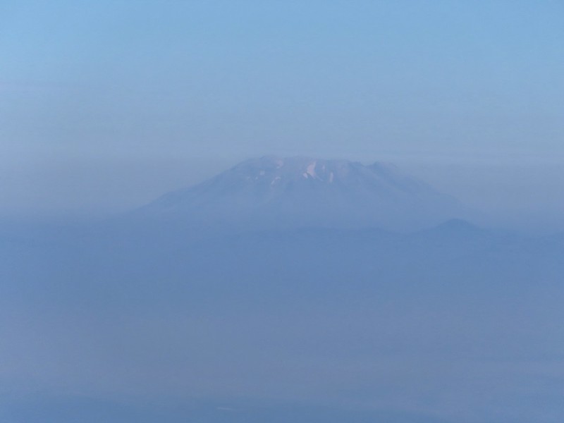 Mt. St. Helens
 Silver Star Mountain (
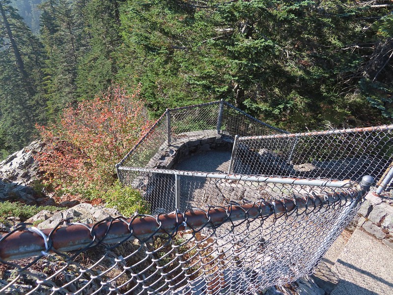 Heading down.
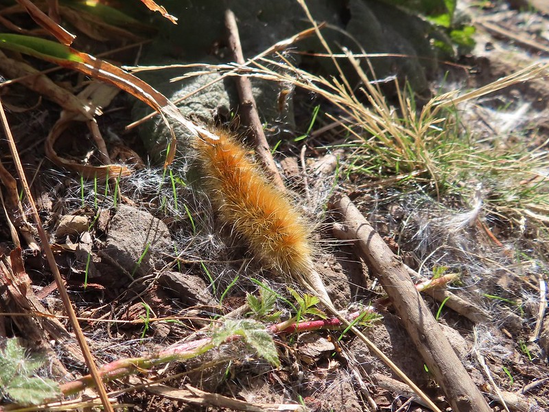


 Lots of fungi on this tree.
 Hedgenettle
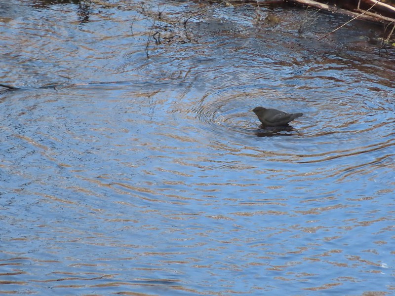 Ouzel
Ouzel
 Looking back down at Multnomah Creek.
 Cape Horn again across the Columbia.
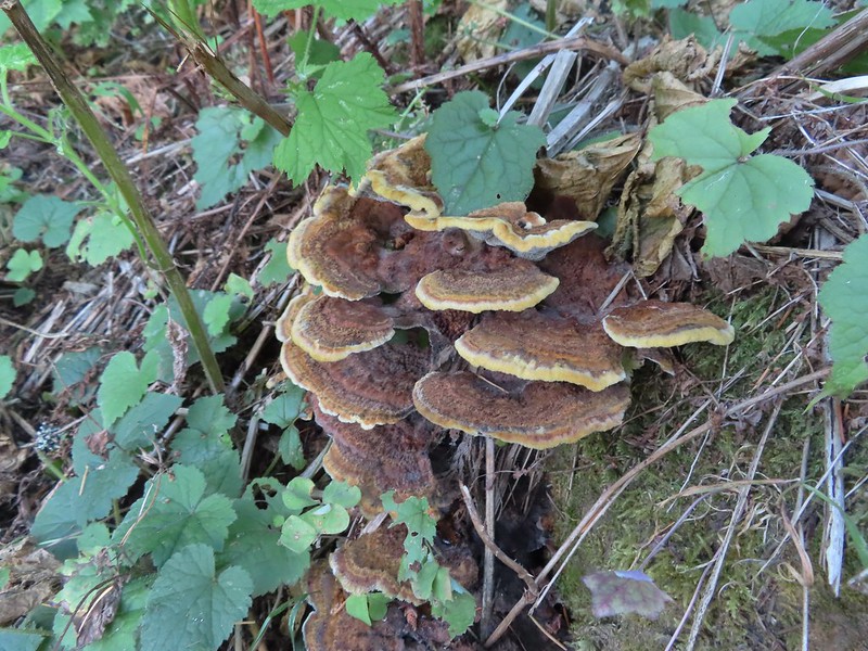
 I couldn’t recall seeing these before on a hike, not this color anyway.
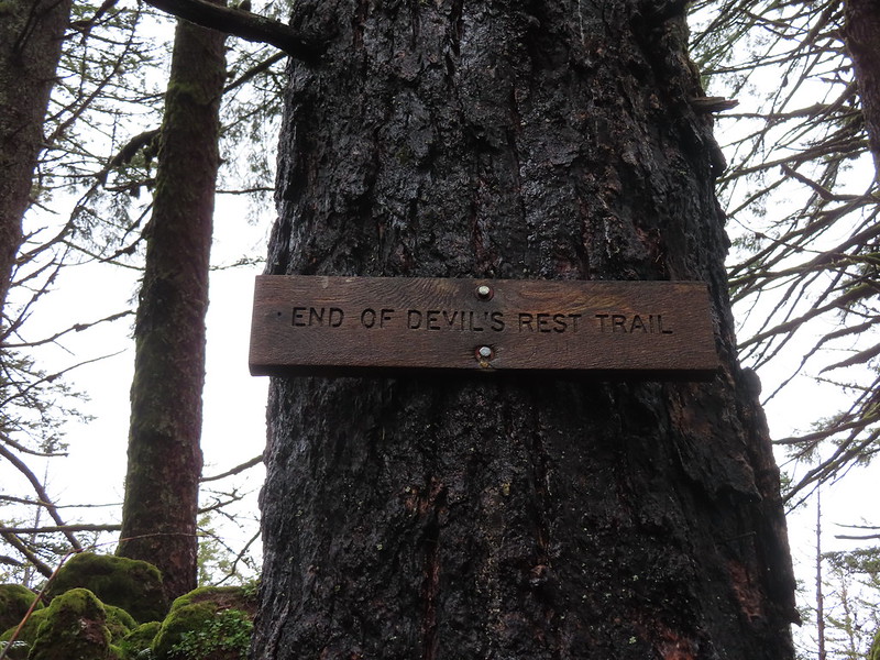
 The Devil’s Rest Trail on the left at the ridge top.
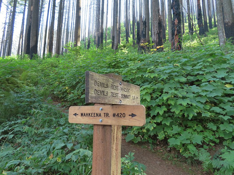
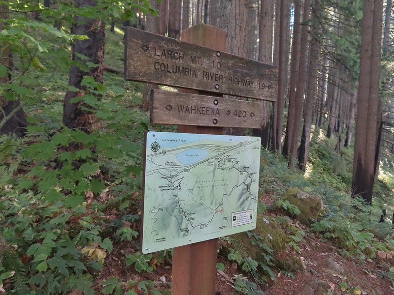 I should have followed the Wahkeena Trail Pointer here.
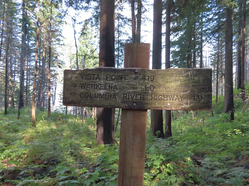 Instead I followed the pointer for Wahkeena 1.0.
 Vista Point Trail
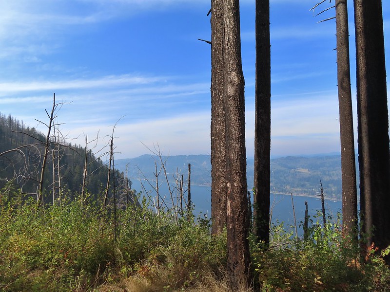


 There is the trail I had intended to be coming down arriving at the junction with the other end of the Vista Point Trail.
 Looking back at the Vista Point Trail from the junction.
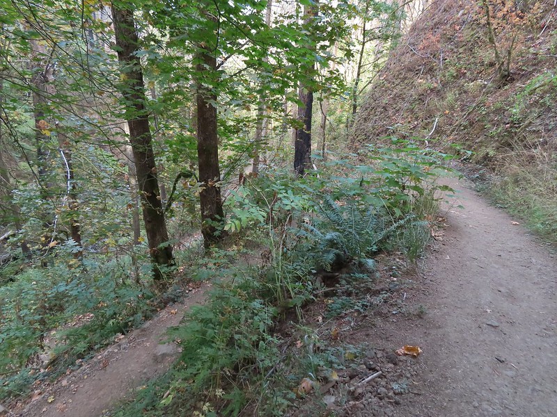 Lots of tight switchbacks to get down the gorge.
 Fairy Falls
 Fairy Falls

 Looking out across the Columbia River.


 Cape Horn (again)
 The Wahkeena Trail from Lemmons Viewpoint.
 The poison oak was really colorful.
 Approaching Wahkeena Falls.
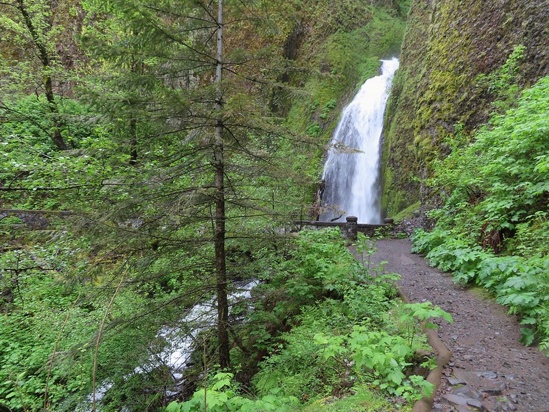
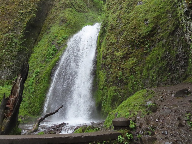
 Wahkeena Falls
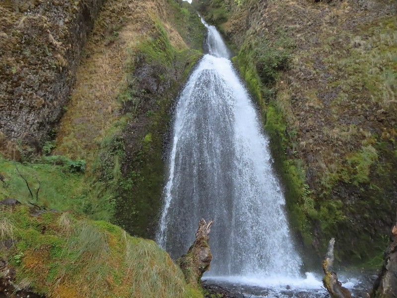 Wahkeena Falls.
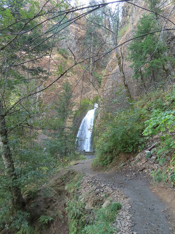 Looking back at Wahkeena Falls.
 One last look at Wahkeena Falls through the trees.

 A line of cars on Historic Highway 30 in front of the lodge.


 Merry (black) is 3 mos. and Pippin is 2 mos. Both boys from separate litters.


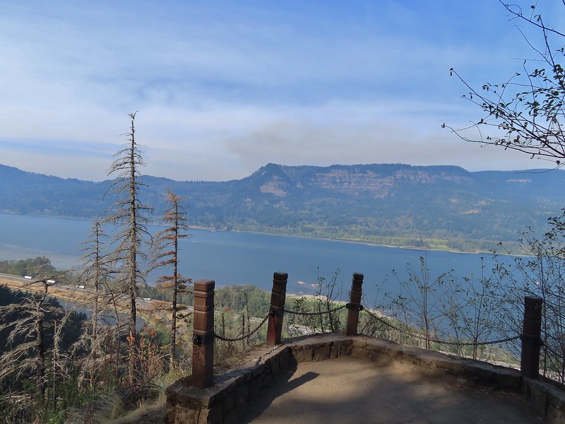
 Looking west down the Columbia River from the overlook.
 Naked broomrape and poison oak
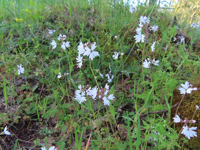 Woodland stars
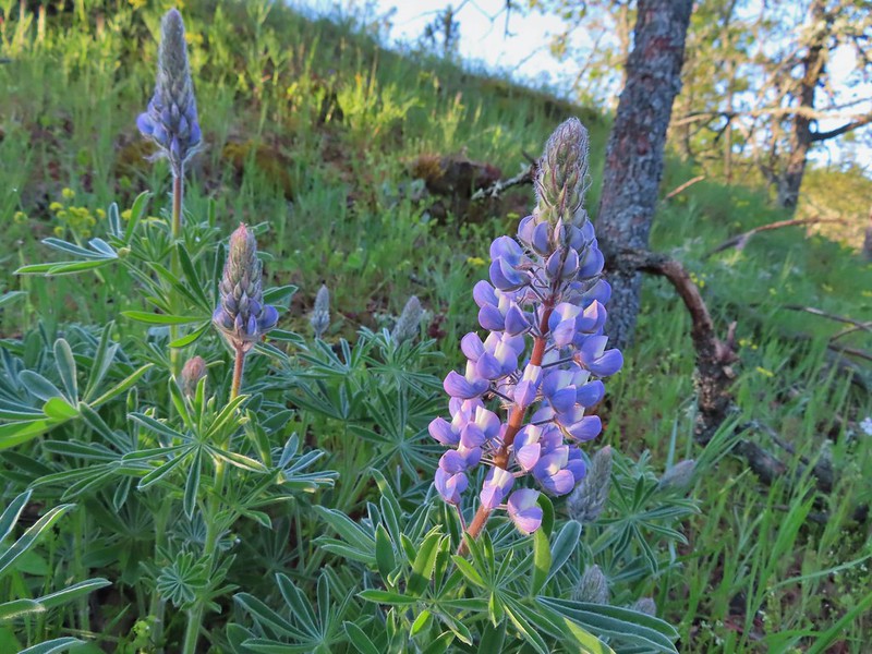 Lupine
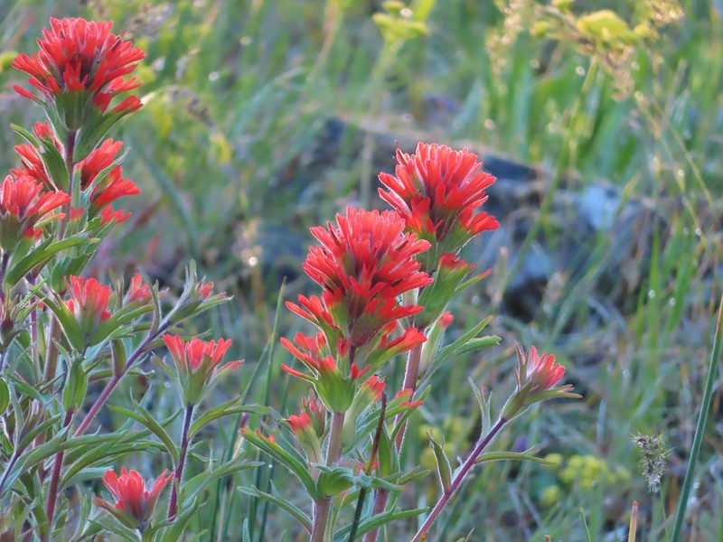 Paintbrush
 Larkspur and parsley
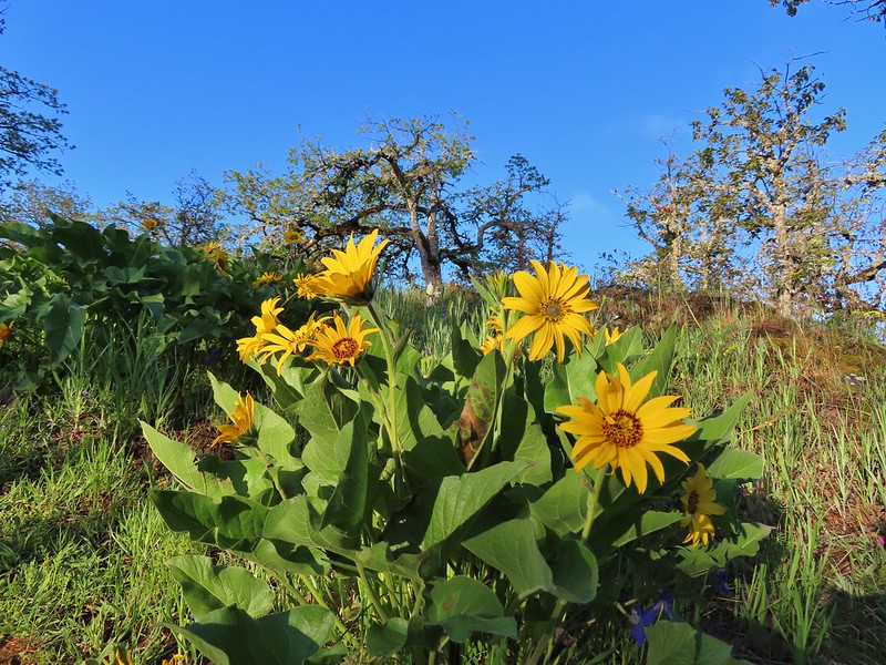 Balsamroot
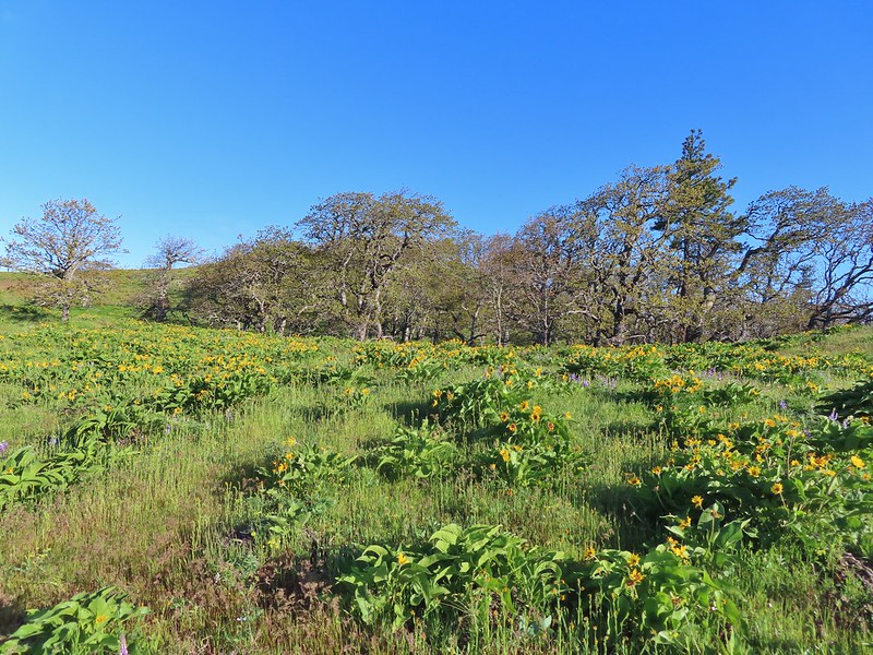

 Chocolate lilies
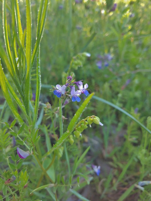 Giant blue-eyed Mary
 Coming up on the creek crossing.
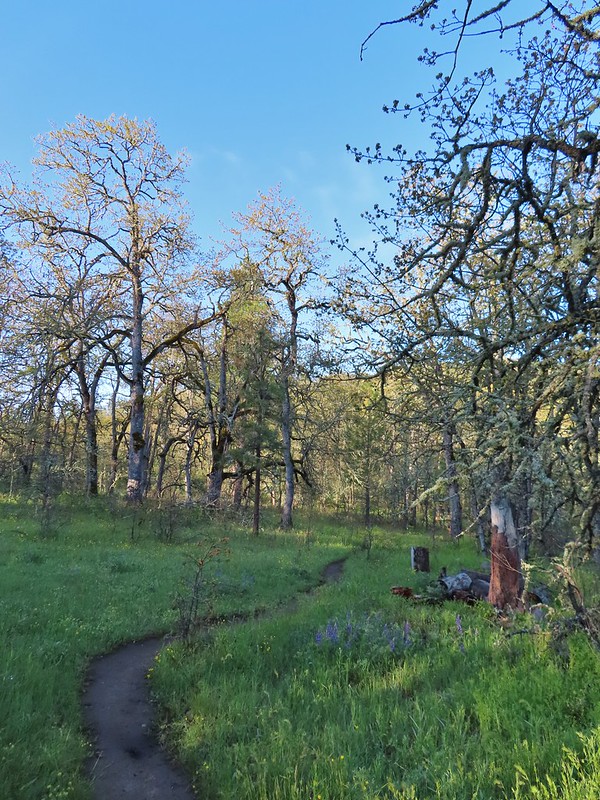

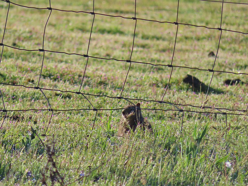 Ground squirrel on the other side of the fence.
 Looking back at the pond surrounded by trees.
 Heading up Chatfield Hill.
 Fiddleneck and other wildflowers in front of Mt. Hood.


 The Hood River Bridge spanning the Columbia River.
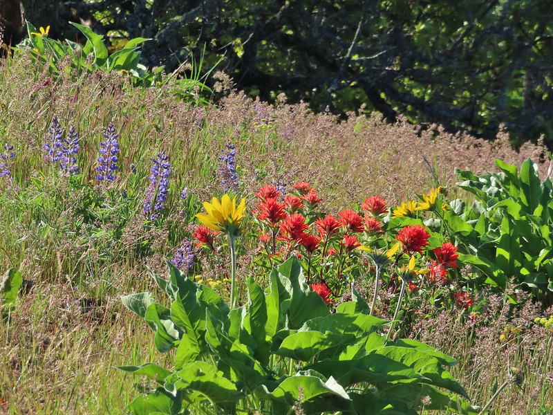 Lupine, balsamroot, and paintbrush
 Balsamroot
 Large-head clover
 Large-flower Triteleia
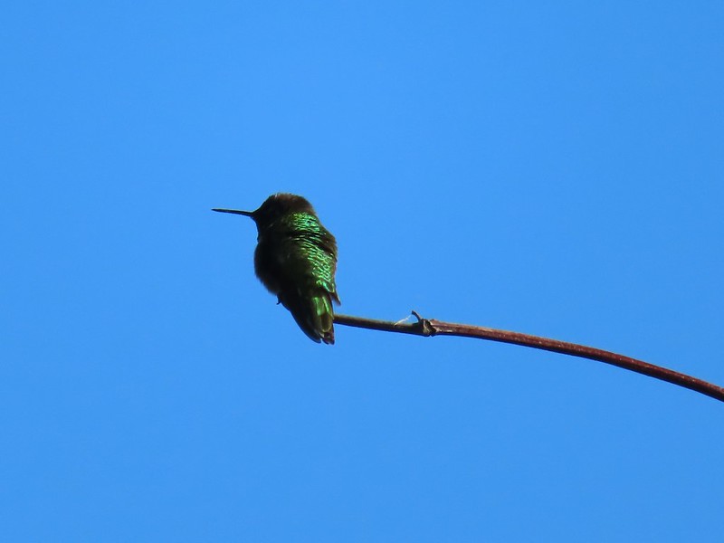 Hummingbird
 Balsamroot on Marsh Hill
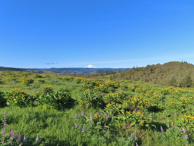
 Lupine and balsamroot
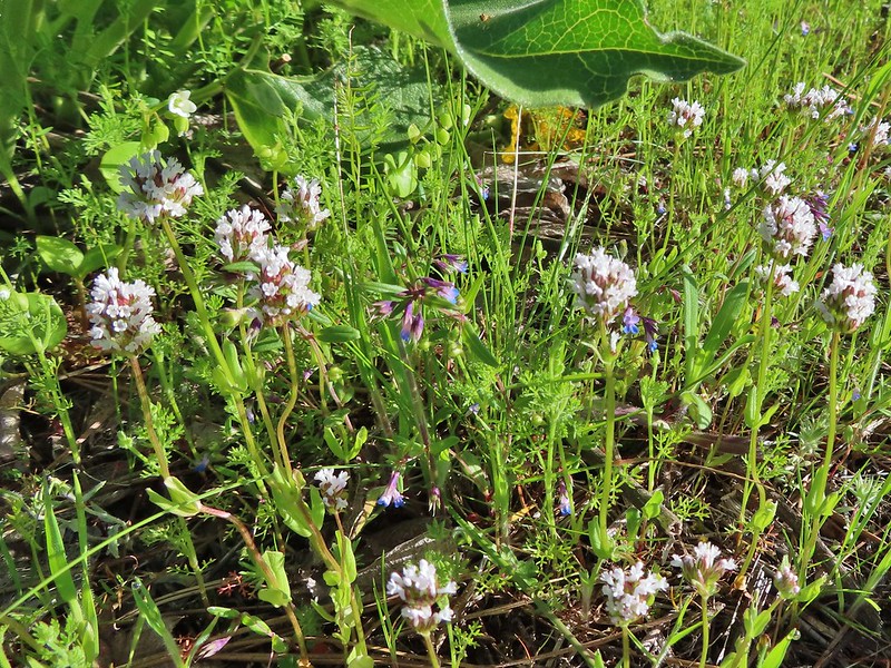 I think this is longhorn plectritis
 Sign for the parking area (If this small lot is full there are other


 Looking up the hillside.
 Red-stem storksbill
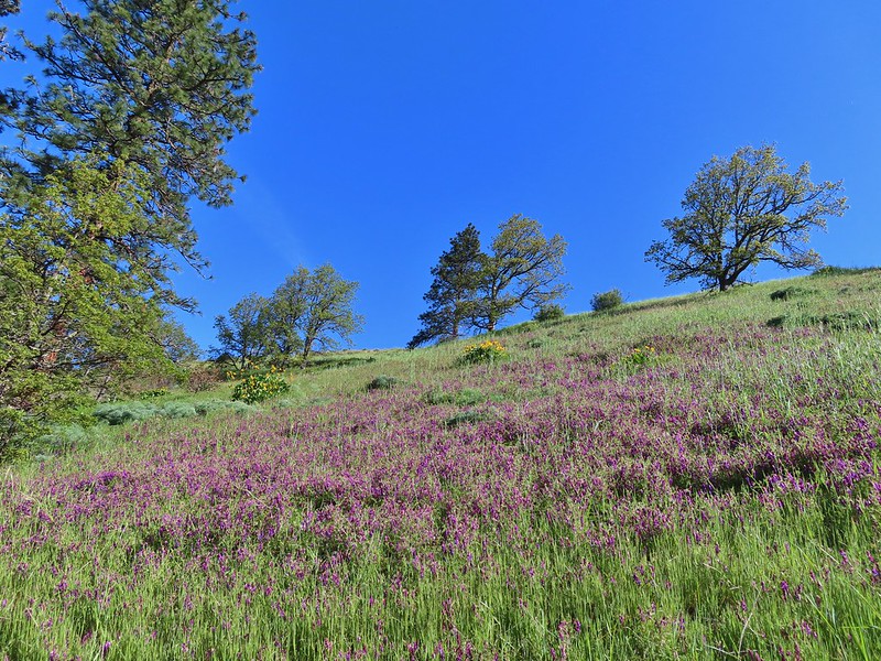 Vetch and balsamroot
 Silver-leaf phacelia
 Coyote Wall (


 Gold star
 Fiddleneck
 Balsamroot
 View east.
 Mosier to the west.
 Gray hairstreak
 Busy bumblebee
 A duskywing (propertius?) on vetch.
 Propertius duskywing
 Poppies opening up to the Sun.
 Bachelor button
 The old powerhouse.

 Stellar’s jay near the tracks.
 The trail ahead to the right.


 Monkeyflower
 Looking back from the turnaround point.
 Lizard
 Mallard
 Scrub jay
 Starlings
 Osprey

 Sunlight on Haystack Butte in Washington.
 Part of Moody Rapids.
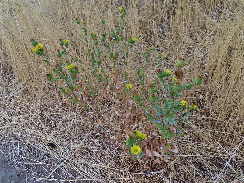 Gum weed
 The last petals on a blanket flower.
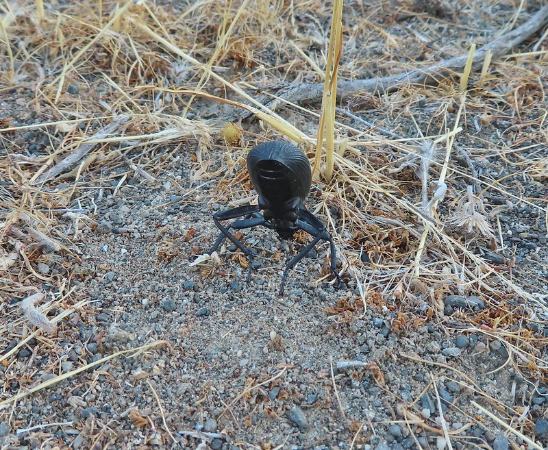 We saw several of these large beetles, all prepared to defend themselves.
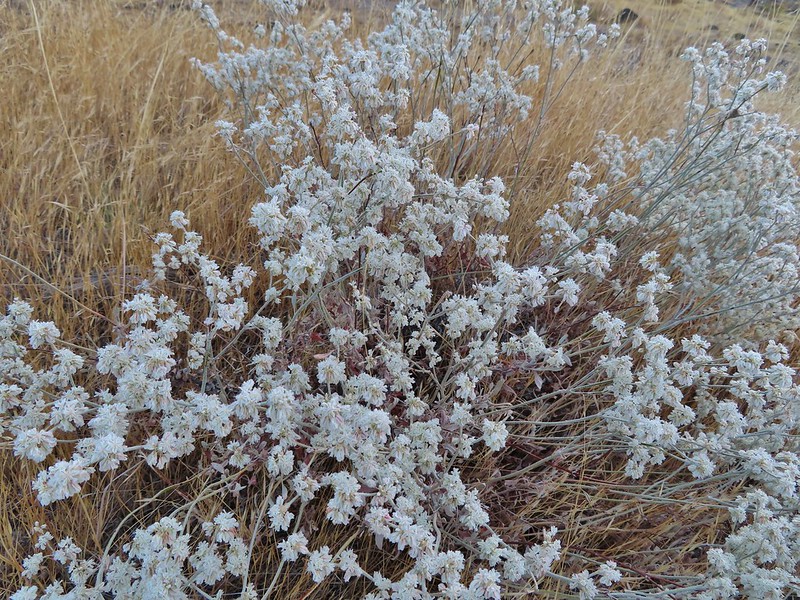 Snow buckwheat
 Chicory
 Seagull
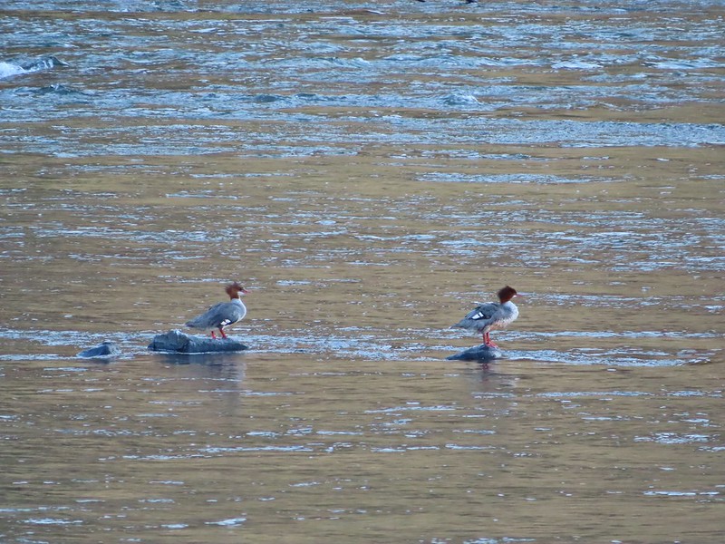 Mergansers
 Sparrow
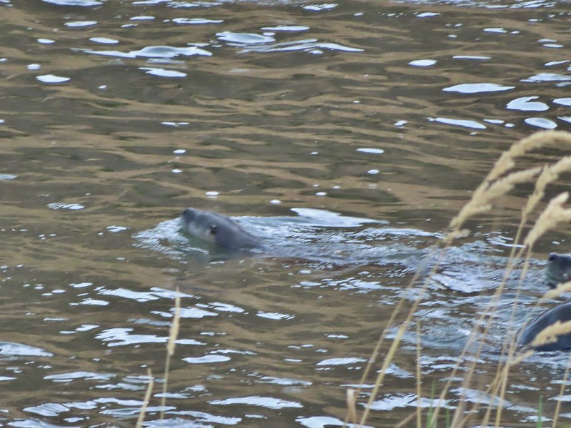 One blurry otter head and another partial otter on the right.
 A bunch of tree branches, oh and an otter in the water.

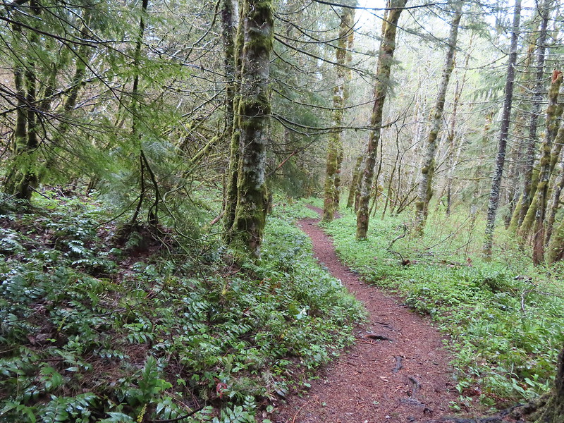
 At times there were multiple trails to choose from.
 Rattlesnake Bend is up ahead but we stopped here for a bit to watch a heron getting breakfast.

 A sparrow, possibly a Savannah sparrow.
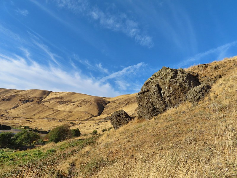 The trail climbed higher on the hillside for a bit to avoid some thick vegetation below.
 Rattlesnake Bend
 Railroad tracks above the trail.
 Looking back from Rattlesnake Bend near where we turned around.
 Rattlesnake Rapids
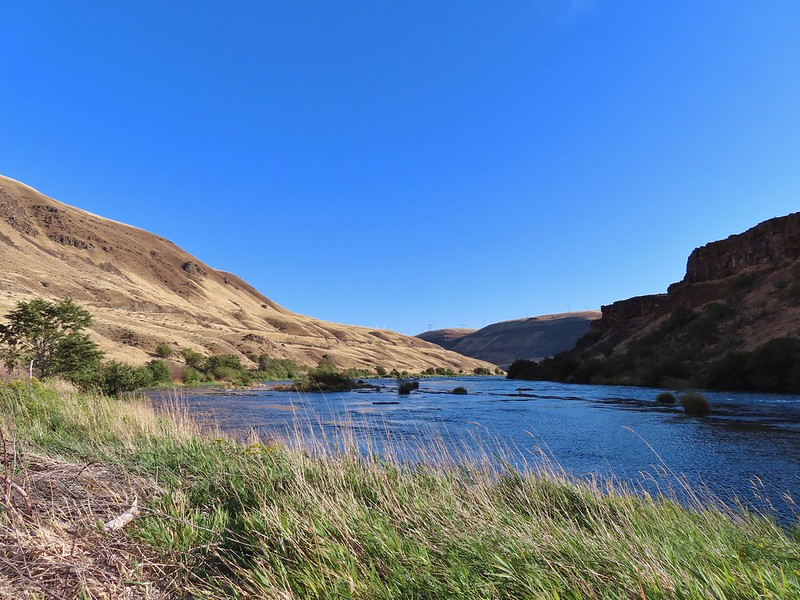
 Killdeer
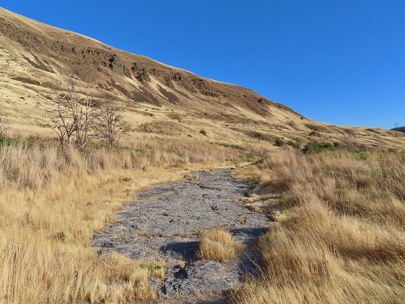 An older channel?
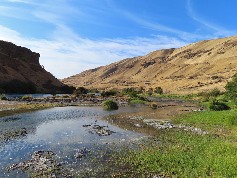

 Had to go back up to avoid the vegetation here.
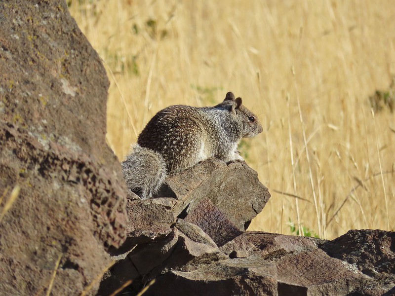 Ground squirrel
 Heron flying up river.
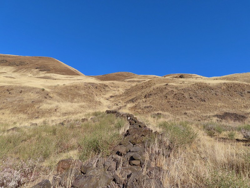 Old rock wall along the way.
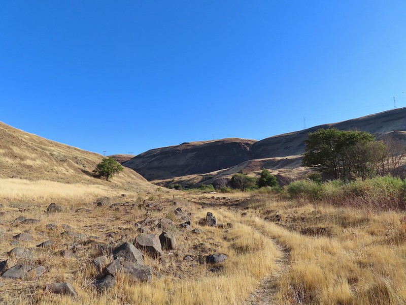 Typical use trail.
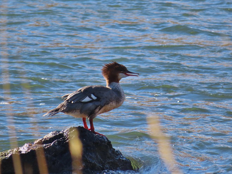 Merganser
 Aster
Aster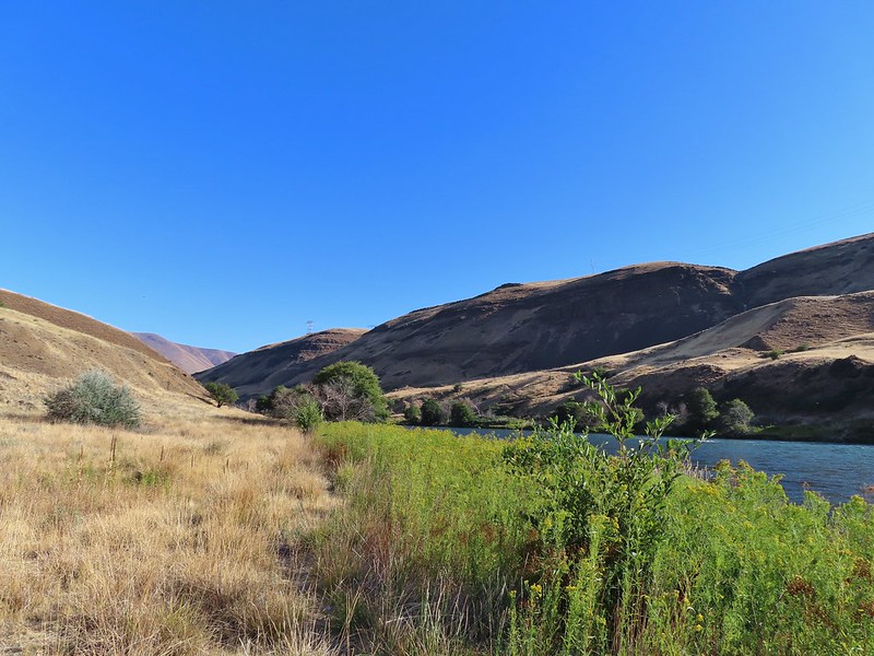
 Osprey showing up the fishermen.
 Finch
Finch More birds near the spring.
 Little yellow birds, maybe warblers?
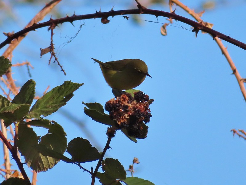 One of the yellow birds on a blackberry plant.
 Moody Rapids
 Haystack Butte
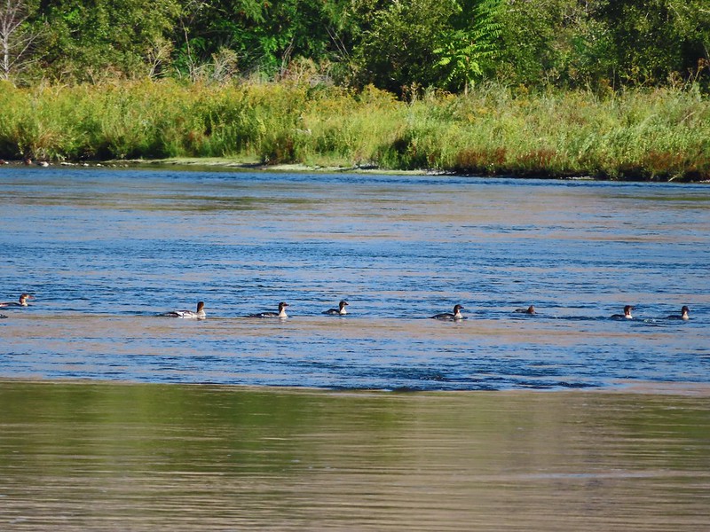 A line of mergansers.

 Bench at a switchback.

 Reroute below Mitchell Point
 Mushrooms’ and some sedums.

 Houndstongue
 Grass Widows
 Woodland stars
 Yellow bell lily
 Desert parsley and woodland stars
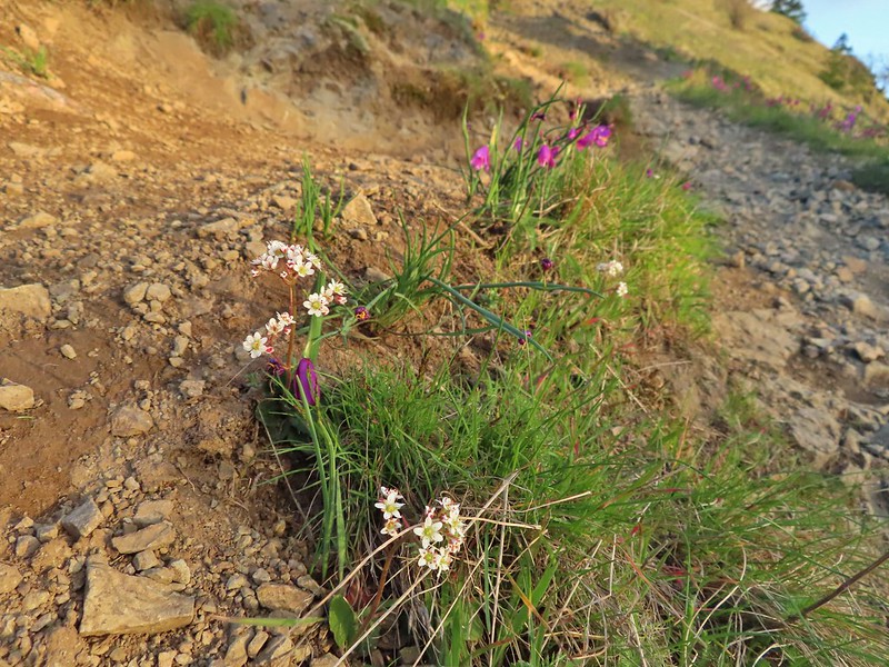 A saxifrage
 Gold stars and woodland stars
 Looking west
 North across the Columbia River into Washington
 East
East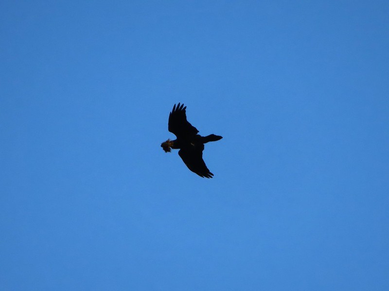 Looks like moss for a nest maybe?
 Turkeys on the Wygant Trail
 Red leaves of poison oak behind a death camas
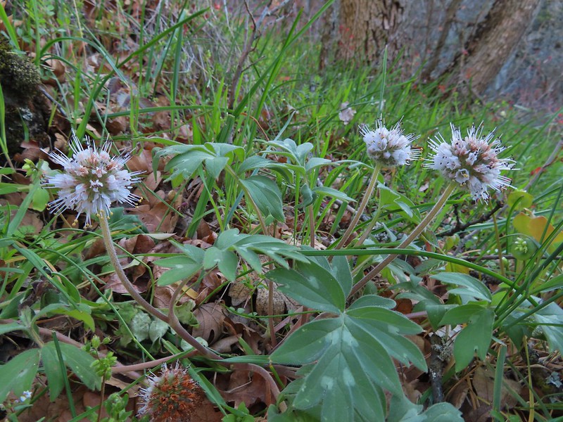 More poison oak behind a waterleaf
 Poison oak around some balsamroot


 Fiddleneck
 Desert parsley
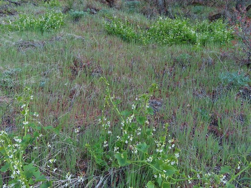 Manroot
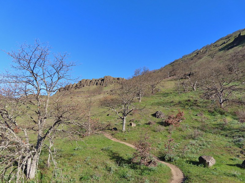
 Lots of death camas blooming on the plateau.
 Looking up at the cliffs above.
 Balsamroot blooming below the rim.

 Balsamroot
 Woodland stars with some lupine leaves
 Columbia desert parsley
 A biscuitroot
 Balsamroot
 Balsamroot
 View west (With a snow capped Mt. Defiance (
 Larkspur
 Buttercups
 Glacier lilies
 Yellow bell lily, woodland stars, grass widows and shooting stars.
 Yellow bell lilies
 Toothwort
 Sagebrush false dandelions
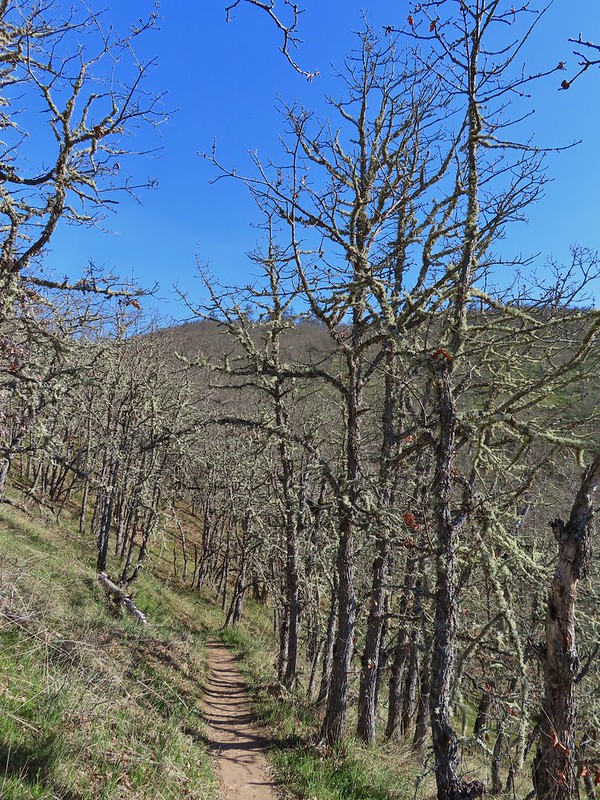
 Tortoiseshell butterfly
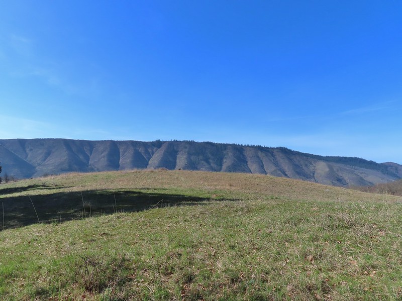


 Tom McCall Point and the Rowena Plateau with Mt. Defiance in the distance.
 Hikers on the trailhead and below.
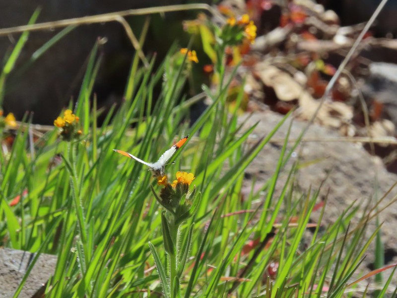 Just my third photo of an orange-tip.
 Mt. Hood and Columbia desert parsley from the first knoll we tried.
 Top of knoll #1.
 A lone balsamroot blossom.
 The path leading past the spring to the oaks.
 The spring
 Back on the right side
 Balsamroot surrounded by some little white flowers.
 Lupine thinking about blooming.
 Larkspur
 Yellow bell lilies
 We didn’t notice any poison oak here.
 A grass widow at the viewpoint.
 Mt. Adams
 Mt. Hood over the oak stand.


 The Dalles beyond the fence line.
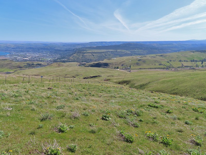 Heading down the fence line.
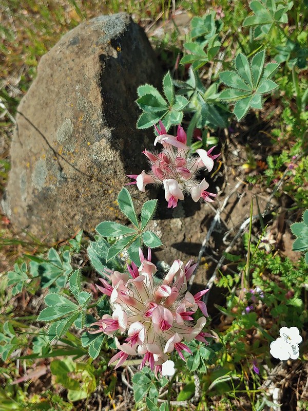 Large head clover
 A lupine with blossoms.
 Hillside covered in Columbia desert parsley
 Our car had been joined by one other. (middle left of photo)
 Gooseberry Creek


 Silver Star Mountain in the background with the cliffs of Cape Horn (
 Looking east down the Columbia River.
 Looking NW across the Columbia.
 Silver Star Mountain again.


 Looking down toward the corner from the small pullout on the right.


 Multnomah Creek Way Trail.


 Larch Mountain from Multnomah Basin

 Mt. St. Helens (behind some tress) and Mt. Rainier.
 Signboard near Larch Mountain Road.
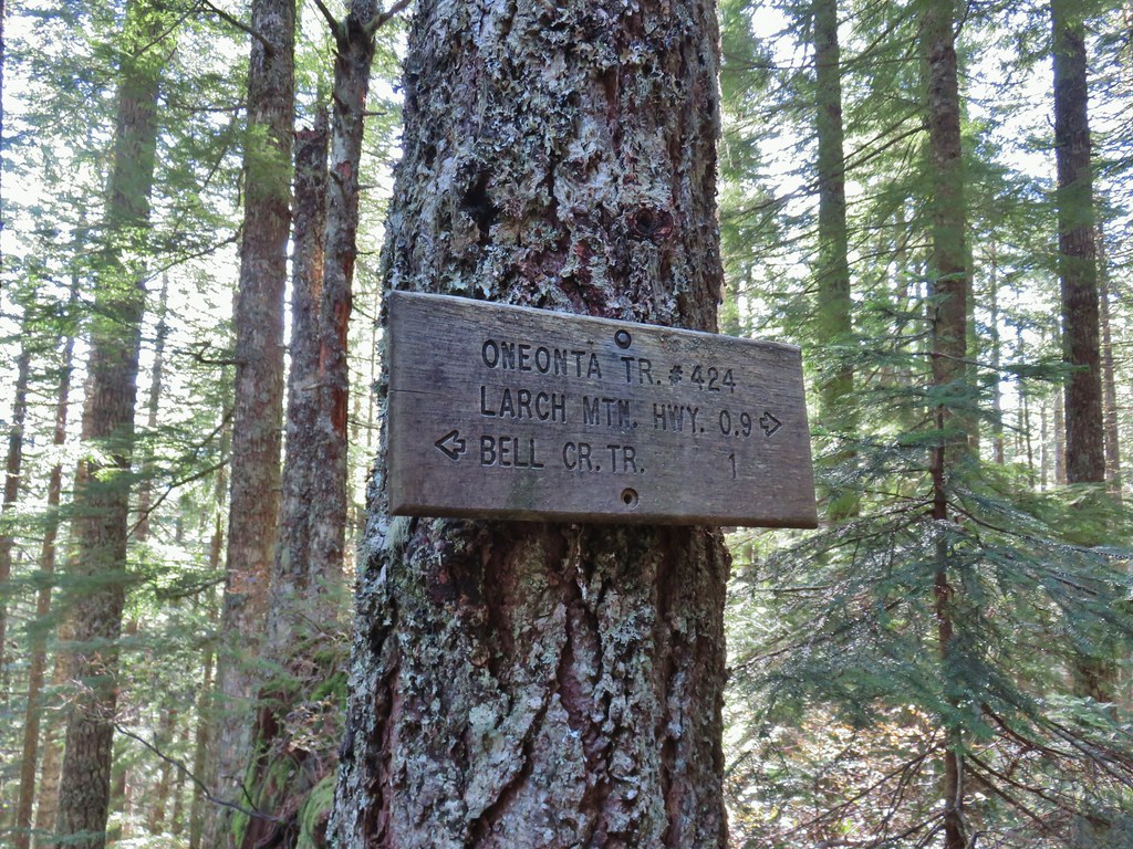
 Larch Mountain Road from the end of the Oneonta Trail

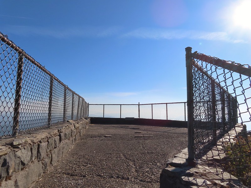
 Just a few of the steps up to Sherrard Point.
 Mt. St. Helens, Mt. Rainier, and Mt. Adams.
 Mt. Hood
 Mt. Hood with Mt. Jefferson to the right.
 Mt. Jefferson
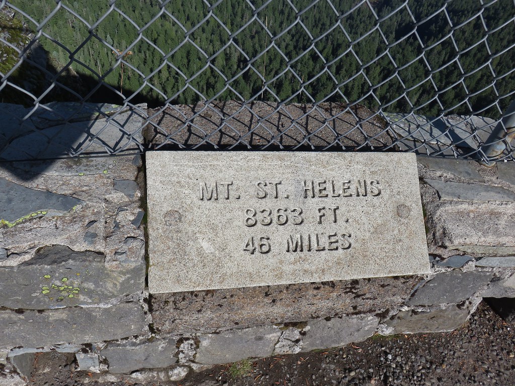


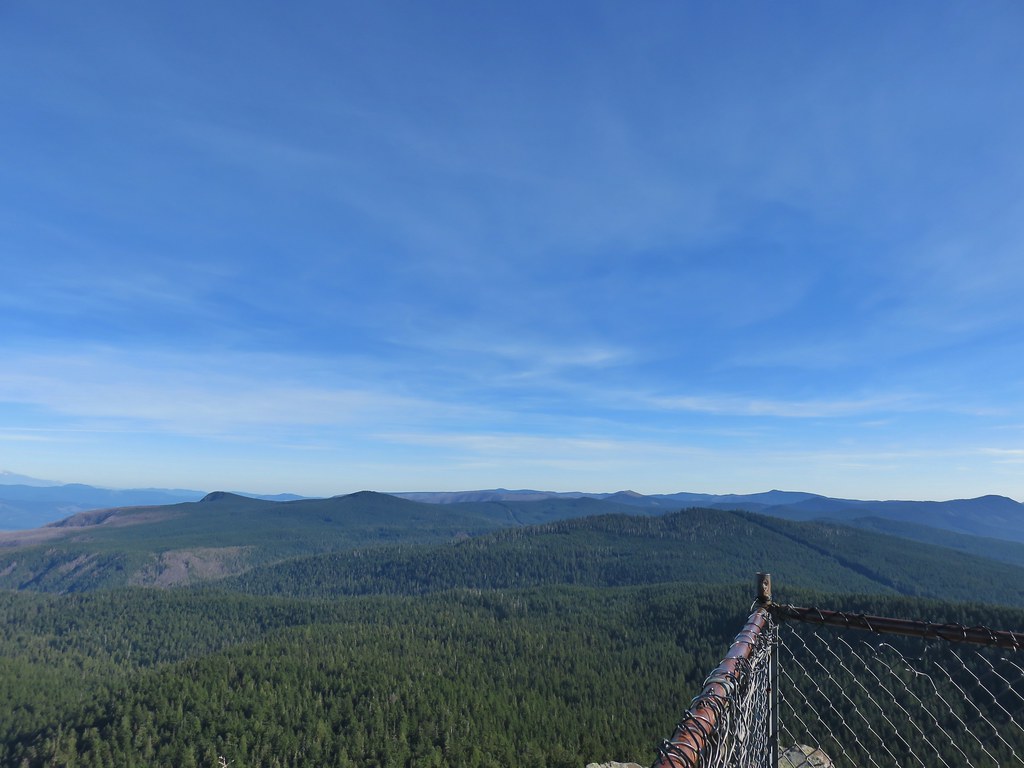 View east from Sherrard Point.


 Chindrie Mountain from across Wahtum Lake.


 Chindrie Mountain
 Tanner Butte
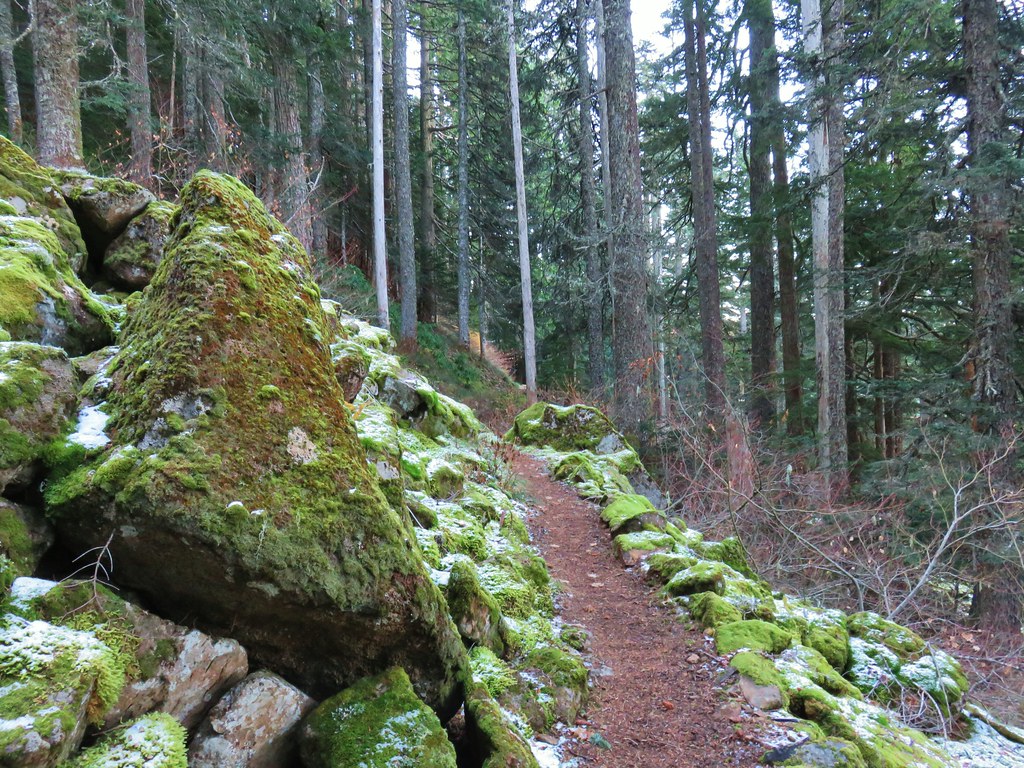
 Table Mountain
 Chindrie Mountain again.
 Indian Mountain
 Mt. Hood


 Crossing FR 660 near Indian Springs
 Trail sign at the junction with the currently closed Indian Springs Trail.


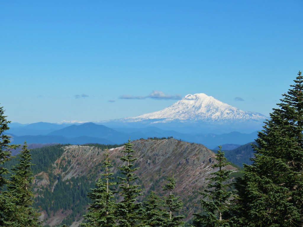
 Table Mountain and Greenleaf Peak with Mt. St. Helens in the background.
 Mt. St. Helens
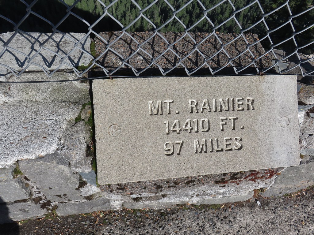
 Mt. Rainier
 Goat Rocks
 Mt. Adams and Chindrie Mountain


 Mt. Hood and Mt. Jefferson
 Mt. Jefferson
 Mt. Hood from the former lookout site.
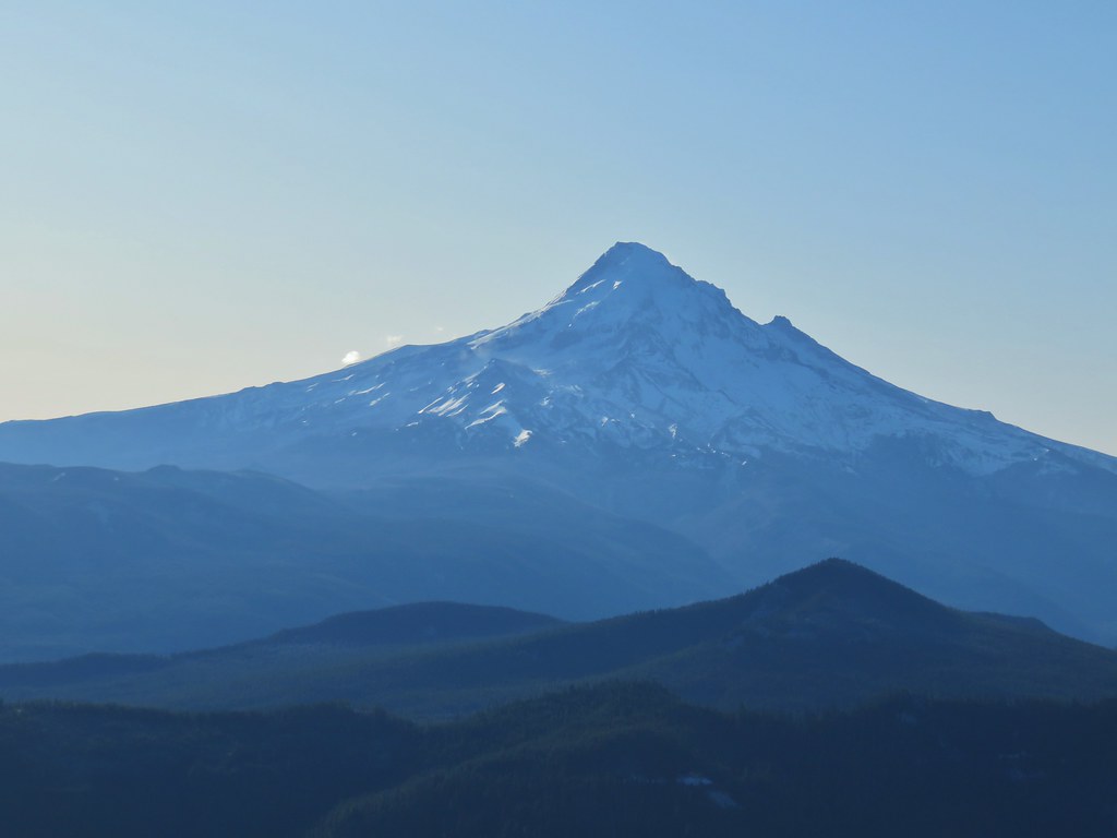 Mt. Hood with Lost Lake Butte (
 Snow on the north side, green on the south.
 Mt. St. Helens with some snow on the trees in the foreground.
 Crystals on a bush.

 Stream crossing
 Herman Creek Trail junction.


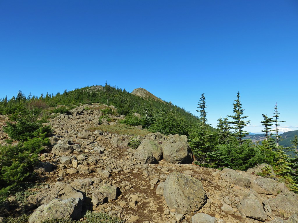
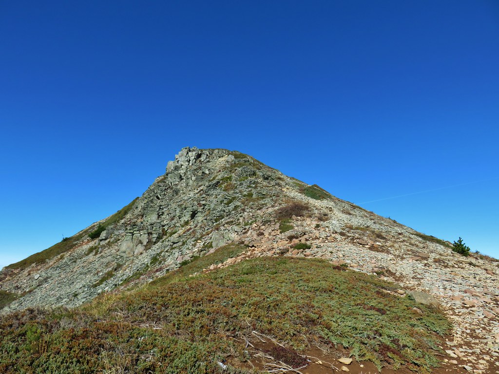
 Looking at the summit from the trail.
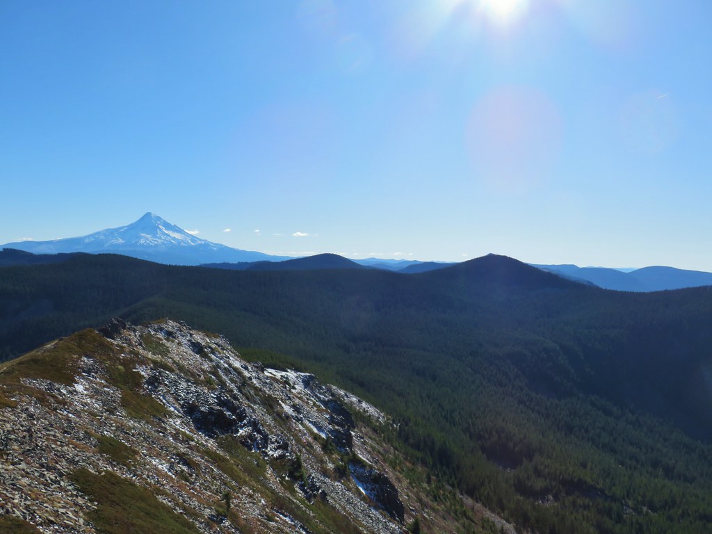
 Mt. Hood


 Lots of beargrass clumps.
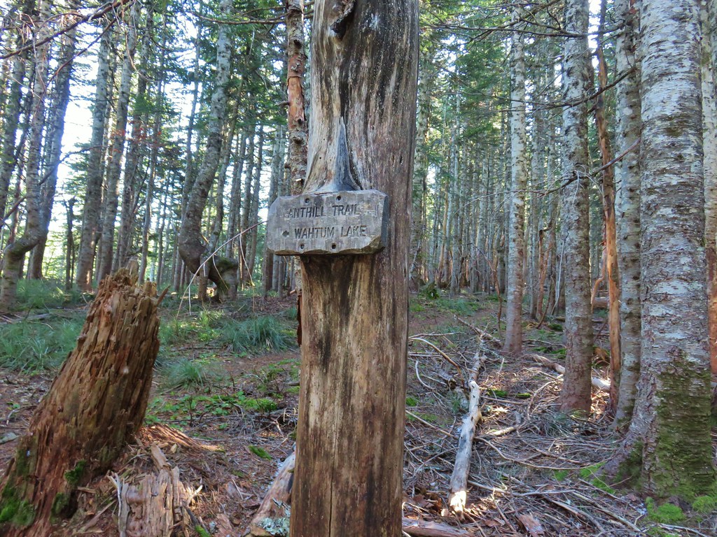
 Trail to Tomlike on the left.


 There’s at least one cairn here.

 Mt. Adams to the right.
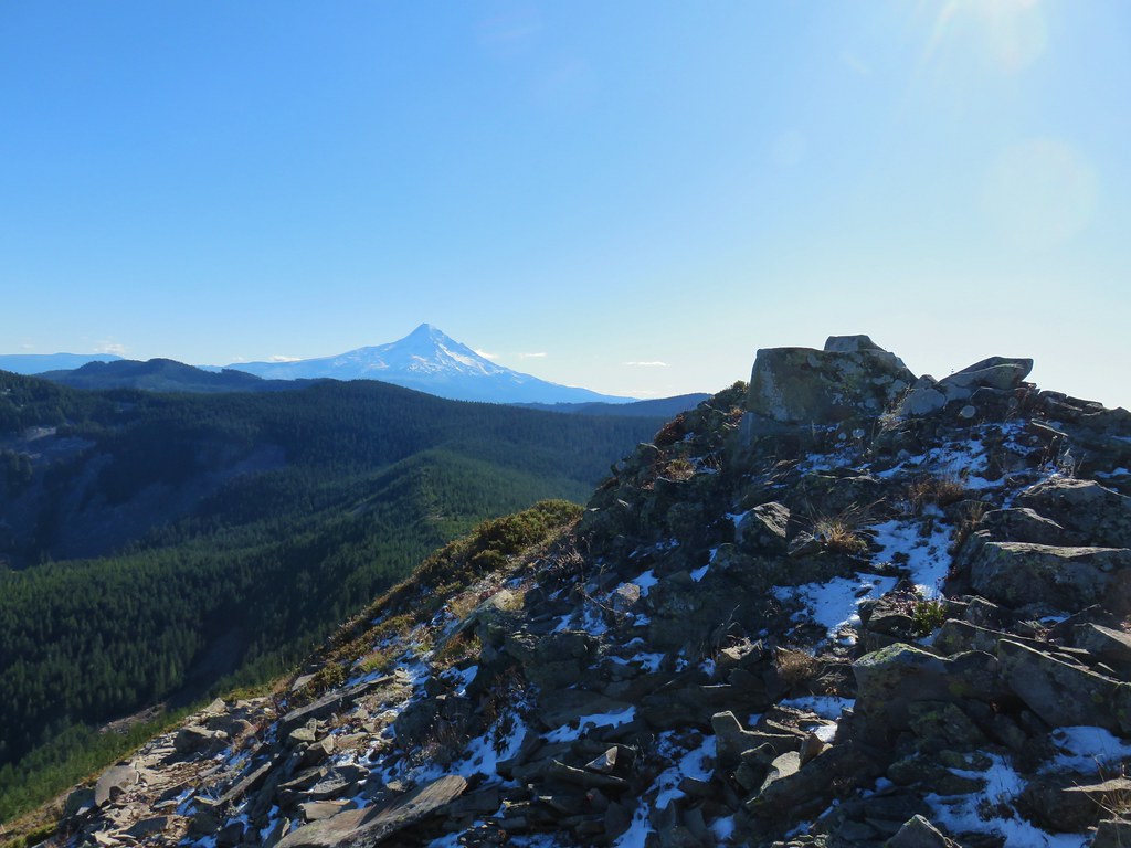
 Mt. Hood with Indian Mountain rising up behind Chindrie Mountain to the right.
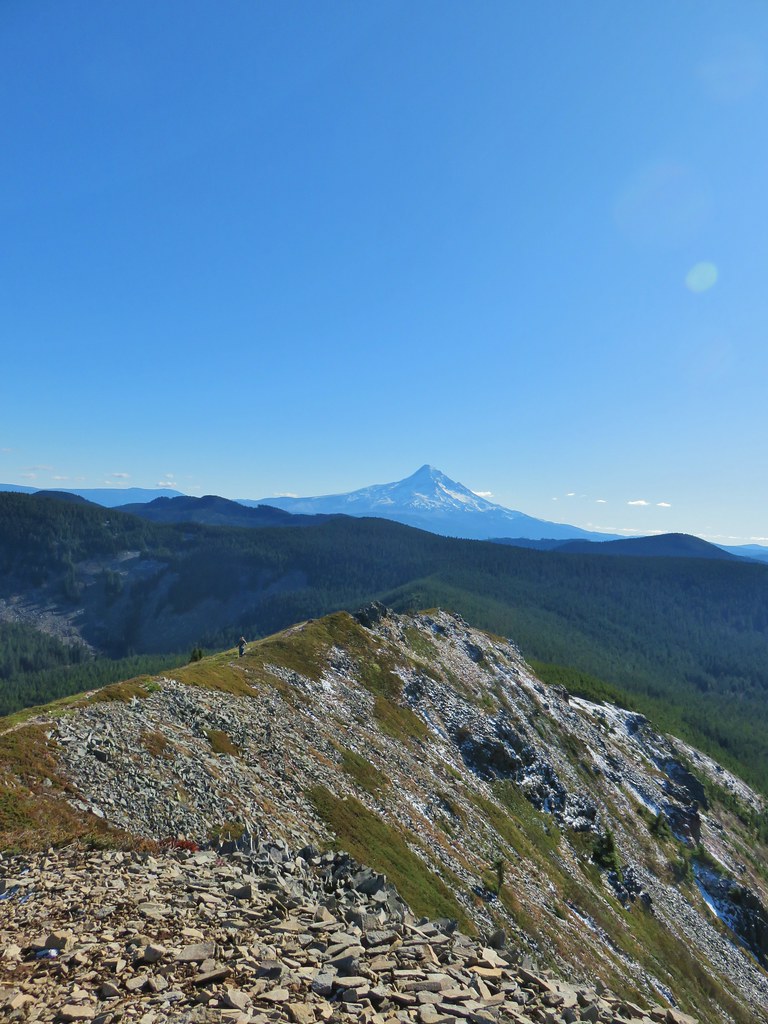 Heather crossing the ridge below the summit.

 Mt. St. Helens, Mt. Rainier, Goat Rocks and Mt. Adams from left to right.
 Mt. St. Helens
 Mt. Rainier
 Goat Rocks
 Mt. Adams
 Anthill Trail on the left.
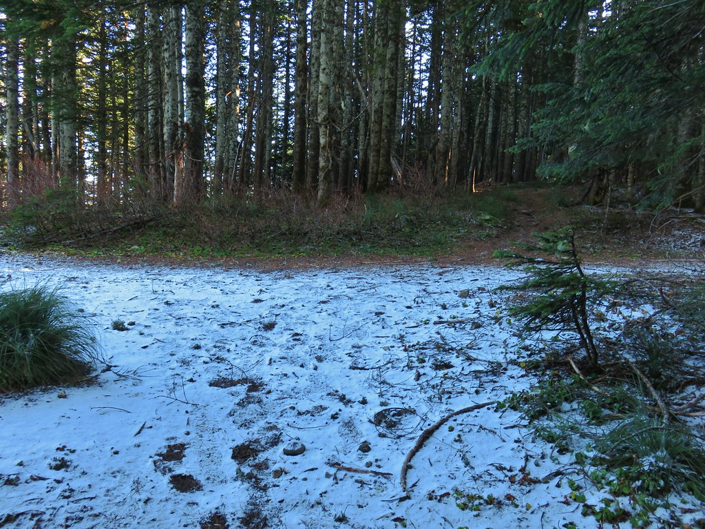


 Mt. Jefferson
 Wahtum Lake and Chindrie Mountain

