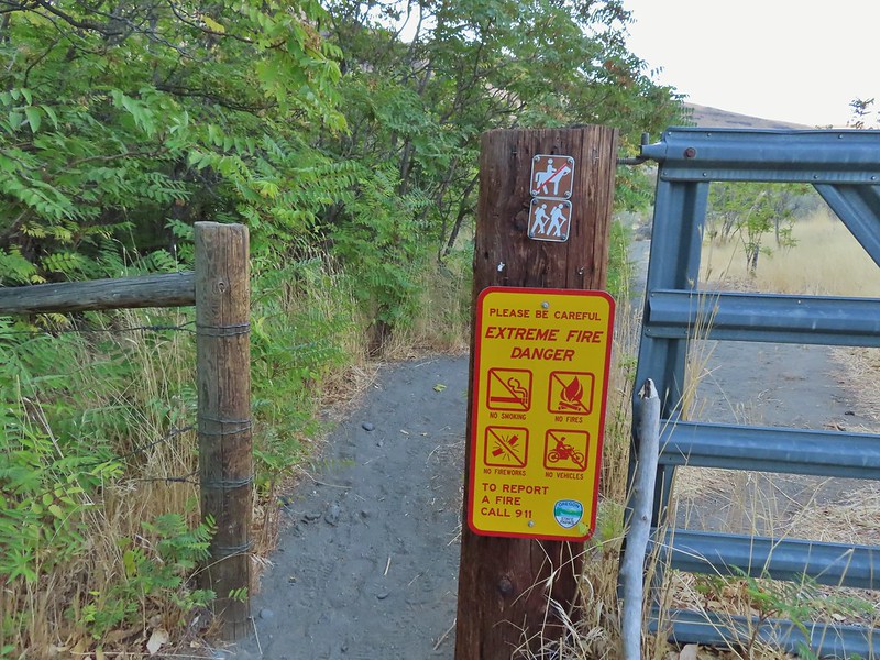
After missing a week of hiking due to heavy rains arriving for the one weekend we’d obtained a Central Cascade Wilderness Overnight Permit we were heading to Bend to celebrate Heather’s parents 50th wedding anniversary (congratulations again). That was possibly the first time we were excited to have to cancel our hiking plans as the rain (and snow on the mountains) continues to be greatly needed. Saturday was set aside for the anniversary party but we planned on getting a quick hike in Sunday morning before driving home.
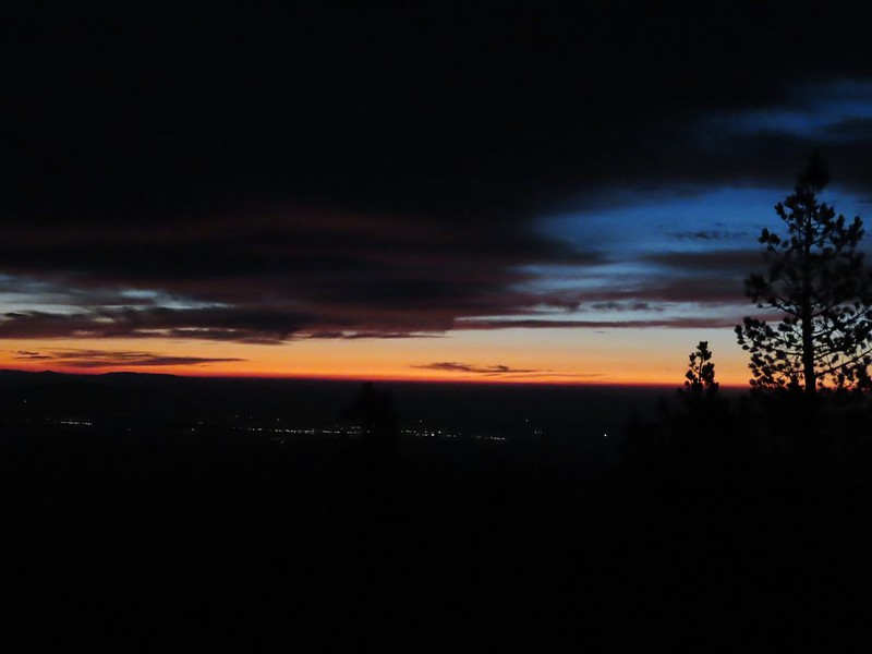
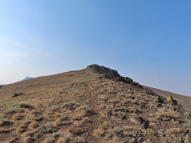
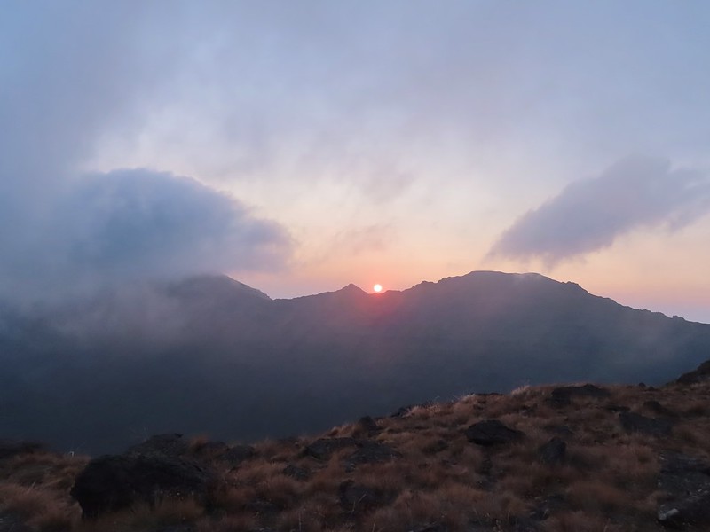
In 2014 we attempted a to catch the sunrise from Tumalo Mountain (post) but were thwarted by low clouds which provided almost zero viability. Nearly seven years later (9/26/21 vs 9/27/14) we returned for another attempt and this time were rewarded with a colorful show. We arrived at the Dutchman Sno-park/Trailhead just after 5am and got ready to head out using our headlamps. Things already looked more promising than on our previous trip as the Moon was visible over Mt. Bachelor.
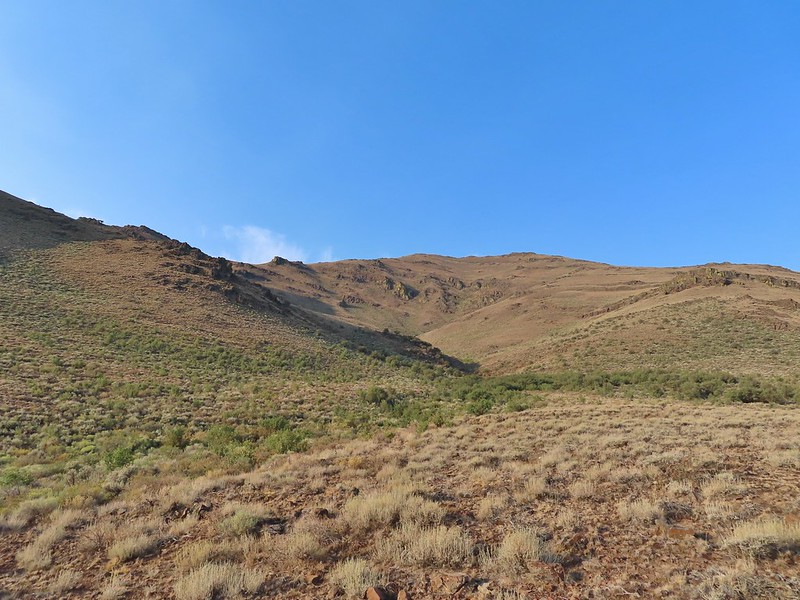
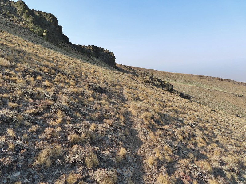
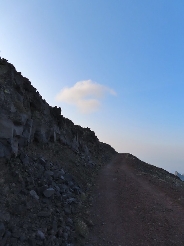
The Tumalo Mountain Trail gains 1425′ in two miles to the site of a former lookout tower. I hustled up to the lookout site as fast as my legs would allow and arrived a little after 6am to catch the first strip of color to the east beyond Bend.
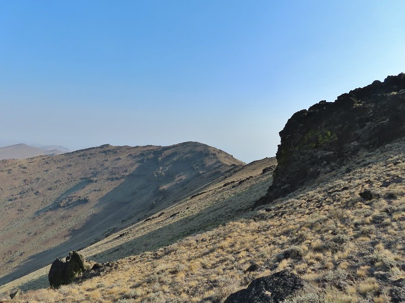
After Heather joined me we continued further along the broad summit to the northern end where the view included Mt. Bachelor to the south and the Three Sisters and Broken Top immediately to the NW. Mt. Bachelor
The Three Sisters and Broken Top
We spent the next half an hour watching the changing light and colors as we waited for the Sun to rise. We had brought an extra camera which I had been using the day before to photograph the anniversary. This proved interesting as each of the cameras we were using captured the sights in their own ways. As I’ve mentioned before I basically have no idea what I’m doing as far as photography and mostly I just rely on getting lucky once in awhile if I take enough photos. My usual camera is a Canon SX740HS, a small point and shoot with 40x optical zoom. Heather was using her phone, an LGE LM-G820, and the other camera, a Nikon Coolpix P900, belongs to my parents. Mt. Bachelor via the Nikon.
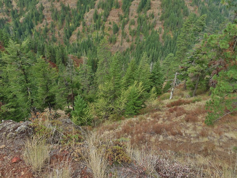
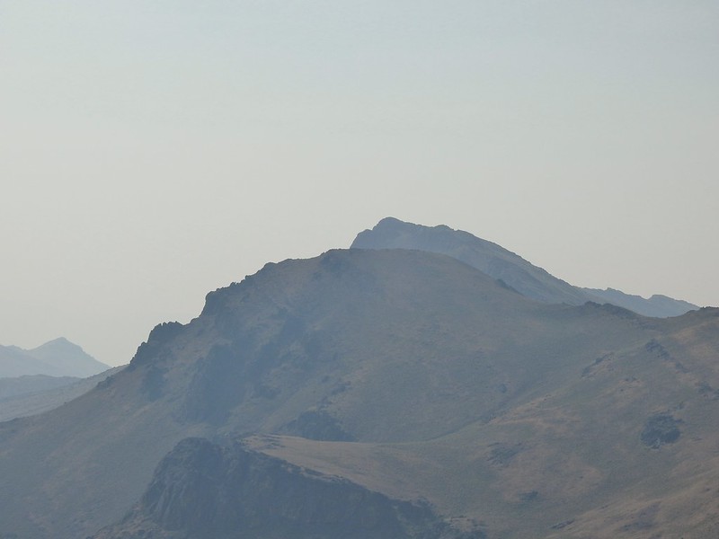
There were lots of views of Mt. Bachelor on the way down and we could also make out Mt. Thielsen (post) and Mt. Scott (post) further south.
Mt. Scott to the left and Mt. Thielsen to the right.
Grouse
Chipmunk
Mt. Bachelor as we arrived back at the snow-park.
We finished our hike just after 7:45am and headed back to Salem. The hike had been everything we could have hoped for. There were just enough clouds in the sky to create some beautiful colors (the lingering smoke even added a bit although we would rather it wasn’t in the air) and the mountains were all clearly visible. My GPS showed a total of 4.7 miles which made sense given it was too cold to simply sit while we waited for the sunrise, spending over half an hour wandering around at the summit.
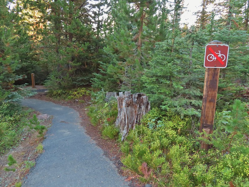
There were two other groups of hikers watching the sunrise with us and we passed many more as we descended. Tumalo Mountain is a great choice for a short hike with spectacular views. It is also just outside the Three Sisters Wilderness meaning that a Cascade Wilderness Permit is not needed. Happy Trails!
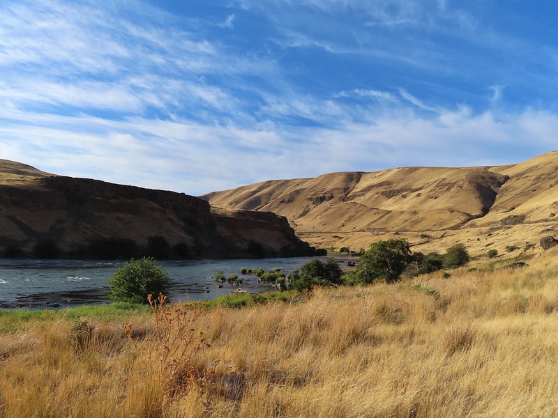
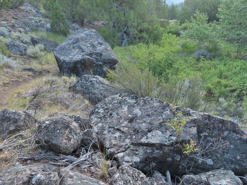
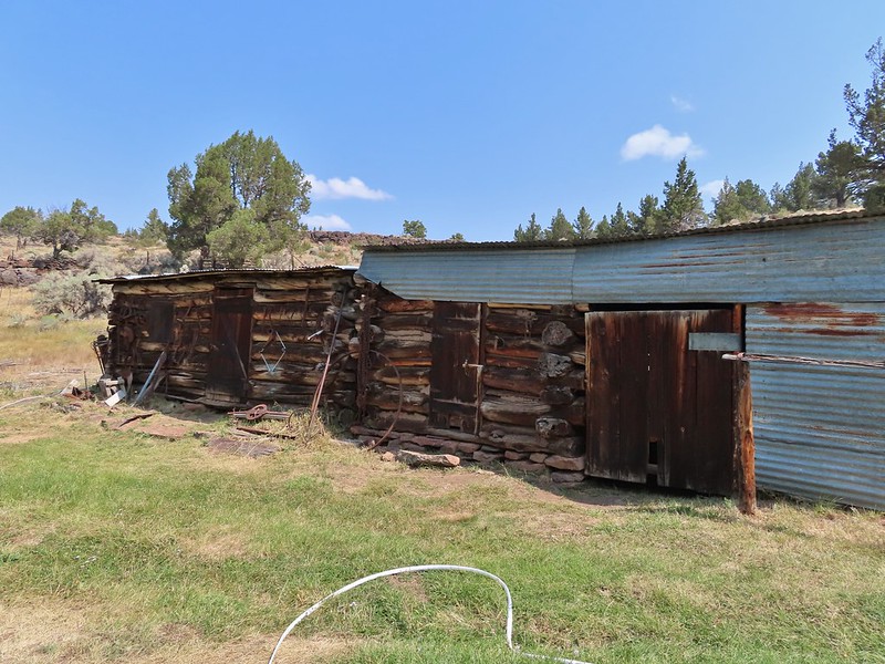
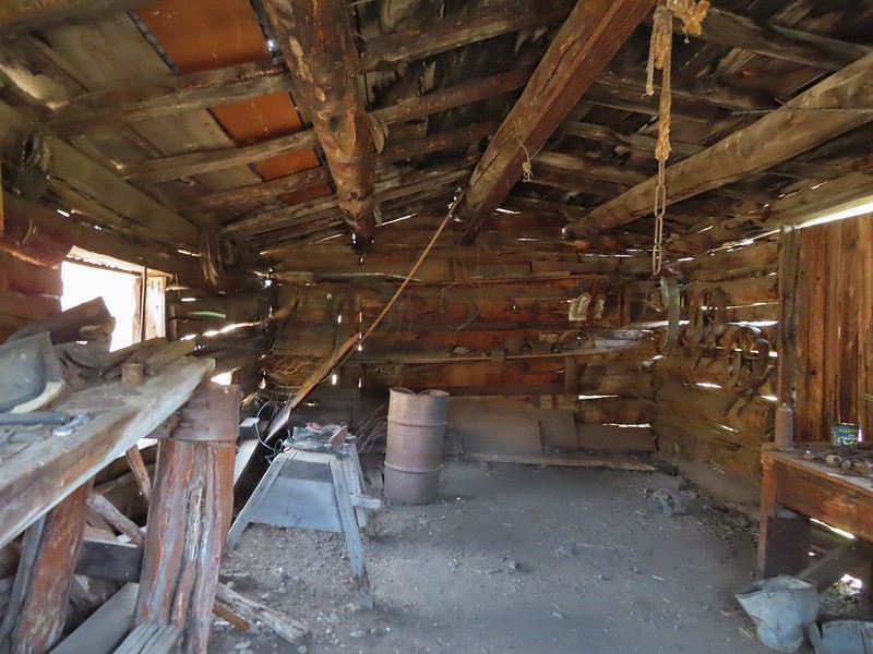
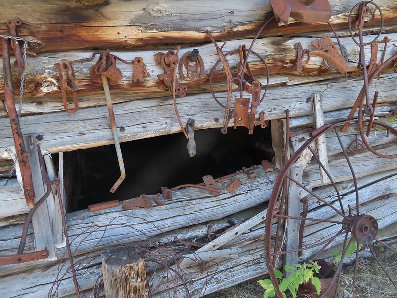
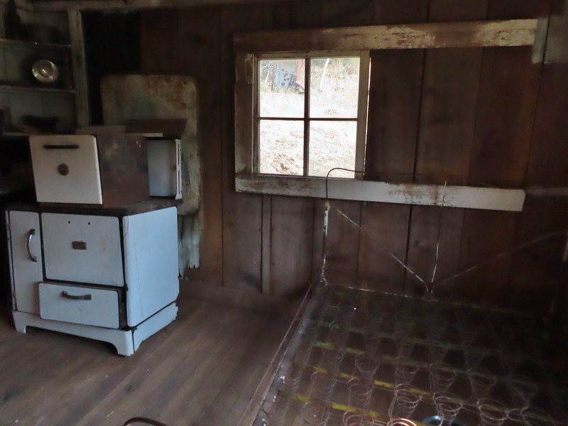
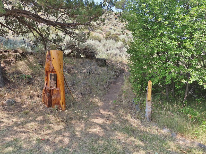
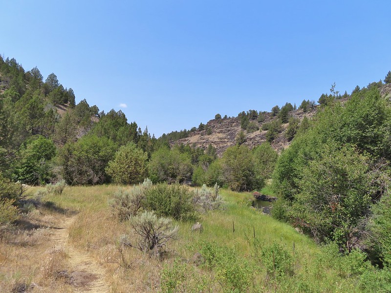
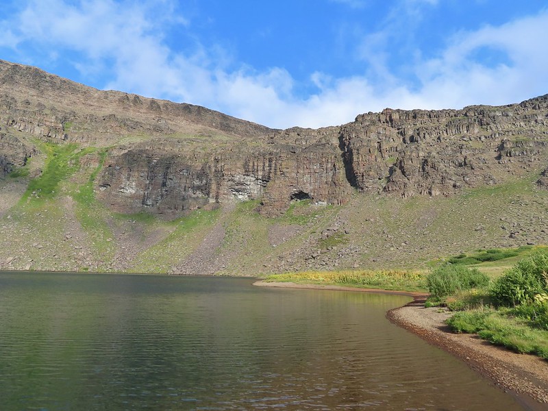
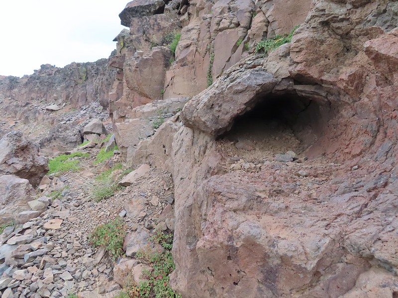
After spending two days hiking in the Blue Mountains NE of Pendleton it was time to head home. We typically look for a short hike that can act as a leg stretcher when we are facing long drives to or from a vacation spot. Driving from Pendleton to Salem meant looking for something along I-84 preferably closer to Pendleton than Salem. Looking through our hiking books gave us the perfect answer, Heritage Landing. The hike along the Deschutes River from Heritage Landing is included in Matt Reeder’s “PDX Hiking 365” guidebook (Hike #9). There is also an entry for the hike on Oregonhikers.com as well. Heritage Landing is primarily used by rafters and fishermen but the fishermen and other users have created a series of trails up river at least as far as Rattlesnake Bend.
We parked in a gravel lot on the left side of the road just uphill from the boat ramp and hiked down past a gate.
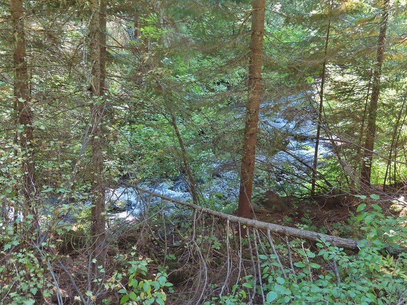
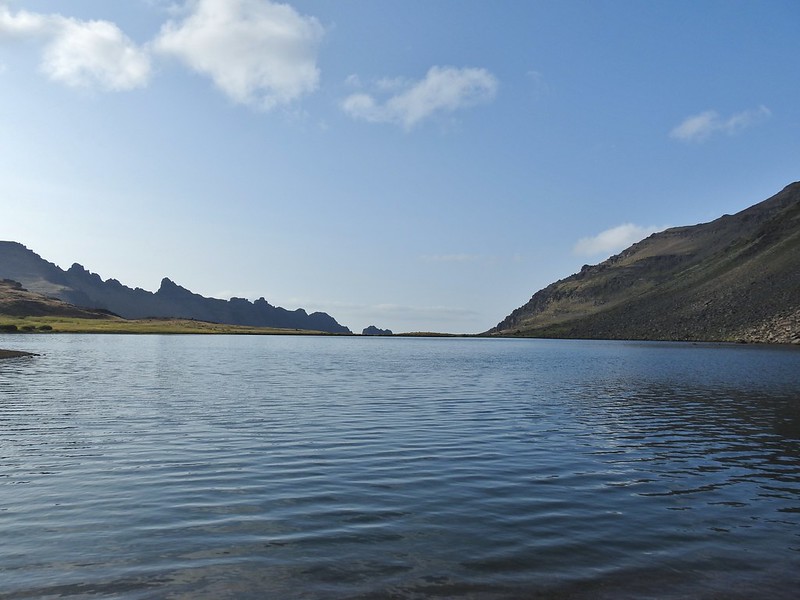
We followed an old road bed upstream past Moody Rapids. We had hiked the Deschutes River Trail on the other side of the river in 2018 (post)
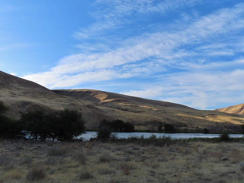
Sunlight on Haystack Butte in Washington.
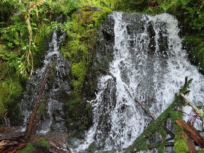
Part of Moody Rapids.
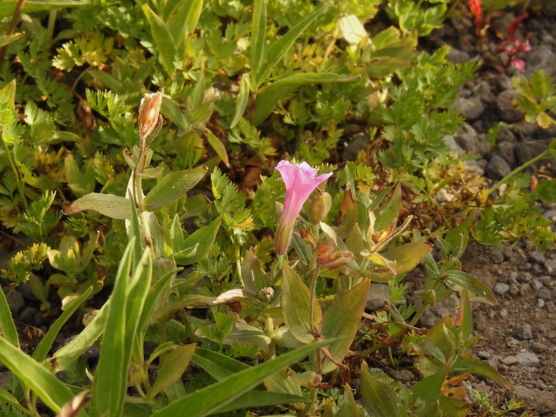
Gum weed
The last petals on a blanket flower.
We saw several of these large beetles, all prepared to defend themselves.
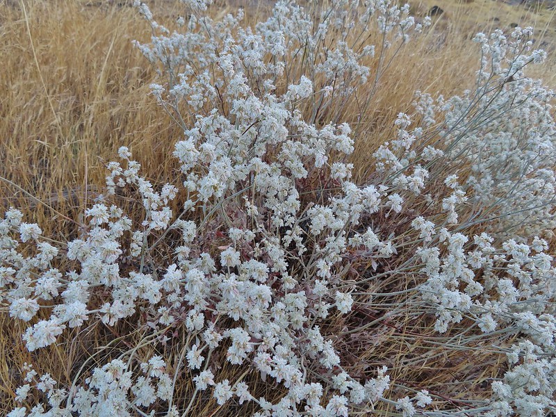
Snow buckwheat
Chicory
Seagull
Mergansers
The trail passed by a spring where thick blackberry bushes and other green vegetation hosted a number of small birds (and a few fishermen).
Sparrow
Shortly after passing the spring both Heather and I noticed something that looked out of place down by the water but we both decided it was another fisherman. After a few more steps we realized it was a river otter grooming itself on a small rock or patch of grass. I tried to grab my camera but it somehow knew I wanted a photo and disappeared into the water. The next thing we knew there were three otters swimming with the current and heading downstream but they were close enough to the bank that my camera kept focusing on the grass or limbs between them and us so I still don’t have a decent picutre of an otter. 😦 One blurry otter head and another partial otter on the right.
A bunch of tree branches, oh and an otter in the water.
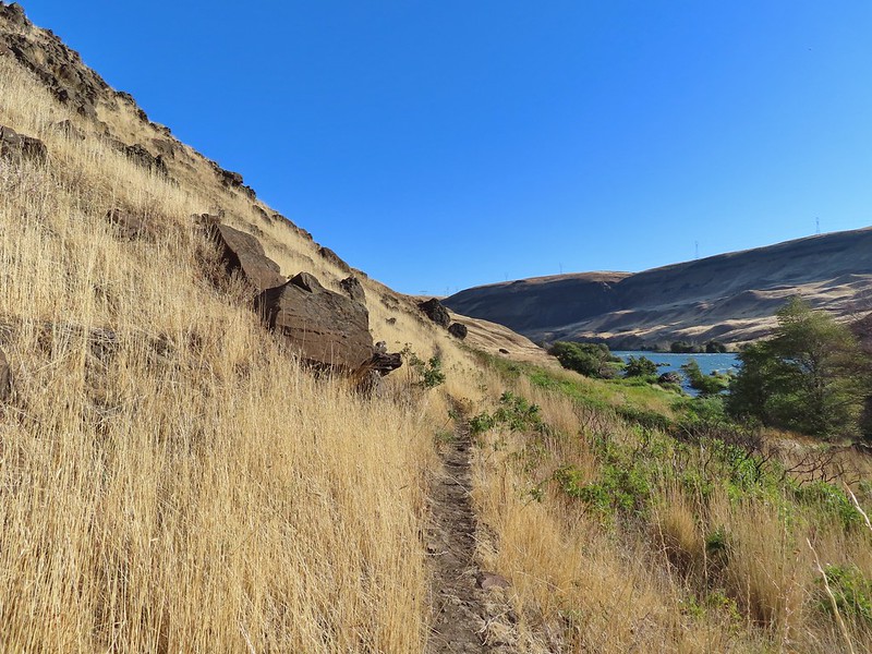
After the exciting and yet disappointing otter encounter we continued up river. We planned on hiking until either the tread petered out or we reached Rattlesnake Rapids. The tread petered out a little before the rapids but we had a nice view of them from Rattlesnake Bend.
At times there were multiple trails to choose from.
Rattlesnake Bend is up ahead but we stopped here for a bit to watch a heron getting breakfast.
A sparrow, possibly a Savannah sparrow.
The trail climbed higher on the hillside for a bit to avoid some thick vegetation below.
Rattlesnake Bend
Railroad tracks above the trail.
Looking back from Rattlesnake Bend near where we turned around.
Rattlesnake Rapids
On our way back we tried to choose the fishing trails closer to the river.
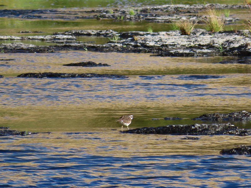
Killdeer
An older channel?
Had to go back up to avoid the vegetation here.
Ground squirrel
Heron flying up river.
Old rock wall along the way.
Typical use trail.
Merganser
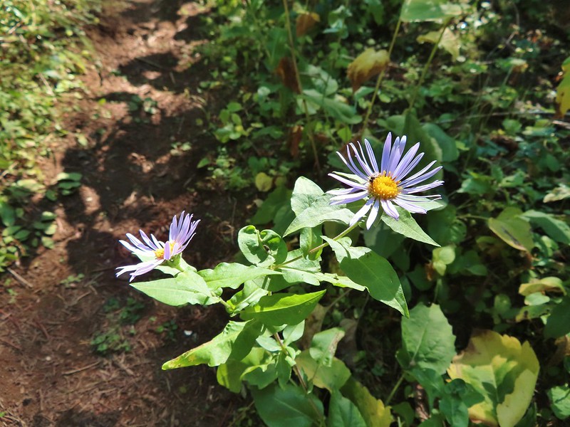
Aster
Osprey showing up the fishermen.
Finch
More birds near the spring.
Little yellow birds, maybe warblers?
One of the yellow birds on a blackberry plant.
Moody Rapids
Haystack Butte
A line of mergansers.
This turned out to be an excellent hike with great scenery and plenty of wildlife (and no rattlesnakes). We got in a little over 4 miles round trip. Reeder listed it as a 3.2 mile out and back while Oregonhikers has it at 3.8 miles but a lot depends on where you turn around and how much back and forth you do down to the river.
Our track for the day.
It hadn’t been the vacation that we’d originally planned but our three days of hiking were beautiful and we were thankful to have been able to enjoy them so much. Happy Trails!
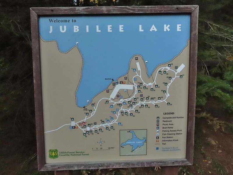
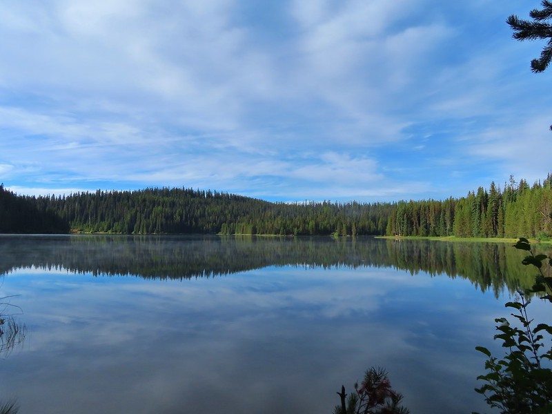
After spending the night in Pendleton we headed back to the same area in the Blue Mountains where we had hiked the day before on the Wenaha River Trail (post). We started our day at the Jubilee Lake Campground. (We had passed the entrance road the day before on our way to the Timothy Springs Trailhead.) An earlier version of this trip had us staying at the campground given the hike here and it’s proximity to the other two trails that made up the trip but sleeping in a comfy bed won out over a tent in a busy campground. After paying the $3 day use fee we parked near the boat ramp where the morning sunlight was just hitting the lake.
The Jubilee Lake Trail loops around the the lake and is one of two hikes Sullivan lists for hike #42 in his “100 Hikes/Travel Guide Eastern Oregon” 3rd edition guidebook. He recommended hiking the loop counter-clockwise so we headed right from the boat ramp past a picnic area and onto a paved trail.
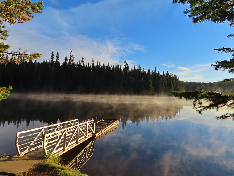
From the boat ramp the trail winds around the lake for three quarters of a mile to the lake’s dam which was built in 1968. We passed several picnic tables and viewpoints along this stretch.
The trail passed over the dam and continued on the far side switching from paved to dirt tread.
This squirrel was making an impressive amount of noise with its mouth full.
Passing around one of the lake’s arms.
One of several bridges over creeks.
Mergansers
There were several benches positioned along the trail. We got a kick out of this one which was right next to a nice view of the lake but it was facing directly into some trees.
The view next to the bench.
The view from the bench.
Going around another arm.
A checker-mallow
Aster
Forest as we neared the campground again.
Arriving back at the ramp.
The loop around the lake came in at just about three miles which we thought was a perfect distance for a hike around a lake. Longer loops around lakes often begin to feel repetitive but this one didn’t. We were also glad we stopped here first as there wasn’t anyone out on the lake while we hiked nor did we pass any other users on the trail (there were a couple of fishermen/hunters behind us at one point). From Jubilee Lake we then drove to our second stop at the Rough Fork Trailhead near Mottet Campground. The final 1.5 miles to this trailhead on FR 6043 were rough and probably only passable with a high clearance vehicle.
From the trailhead we followed a sign for the Rough Fork Trail.
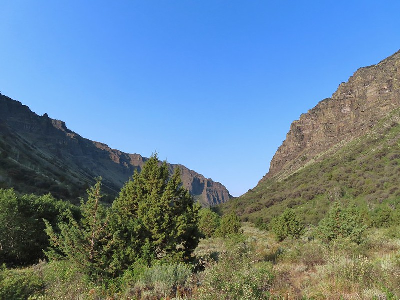
The Rough Fork Trail descends nearly 1900′ in 3.3 miles. Twelve switchbacks allow the grade to never be too steep and there were nice views nearly all the way down to the South Fork Walla Walla River Trail. The first part of the trail passed through a stand of trees.
View to the west along the South Fork Walla Walla River canyon.
Loved the top of this tree.
Another view, there was just a hint of smoke in the air giving the hillsides a blue tint which is where the name “Blue Mountains” comes from. Apparently smoke has been a common occurrence here for a long time.
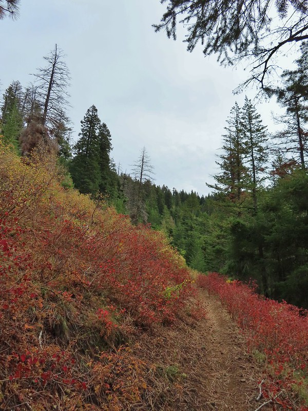
There was a lot more Fall color along this trail.
Paintbrush
Cone flower
Aster amid some thimbleberry leaves.
Vine maple
Looking down toward the Sheep Creek.
Finally found the river.
There was a 6 to 8′ waterfall along Sheep Creek but no way to get a clear view of it through the thick vegetation on a steep hillside.
As we neared the river the trail leveled out in a lusher forest.
Two types of clover.
Footbridge over the South Fork Walla Walla River.
There was a small campsite near the bridge where we took a break and watched an ouzel dip up and down on rocks in the river.
Reser Creek on the left joining the South Fork Walla Walla River just upstream from the bridge.
There was another small cascade on Sheep Creek near the river which I was able to reach with a little effort. There were just enough exposed rocks for me to work my way downstream from the bridge to Sheep Creek.
After enjoying the river we headed back up having completed Sullivan’s suggested hike here. We could have continued two more miles downstream to Box Canyon but adding another four miles to our day didn’t seem necessary. The climb up wasn’t as bad as we’d feared. The grade along with a cooling breeze that would come and go helped immensely.
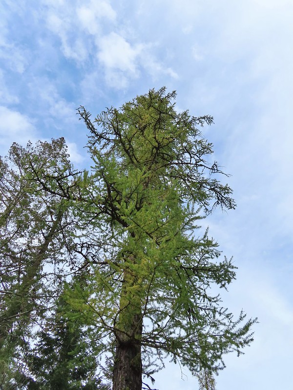
A couple of the larch trees were just starting to turn color for the fall.
A scarlet gilia blossom waiting to fall off.
A final view back over the canyon with the crooked tree.
The hike came in at the expected 6.6 miles giving us a total of 9.6 for the day.
Rough Fork Trail track
We were done early enough to spend a relaxing afternoon in Pendleton where we discovered that a lot of the downtown restaurants were closed on Sundays. We wound up eating at Thai Crystal which turned out to be a good choice. These two hikes finished off Sullivan’s featured hikes in the northern Blue Mountains but that doesn’t mean we wont be back. There are more trails in the area and all our hikes there so far have been enjoyable. Happy Trails!
For the second year in a row our September vacation plans were disrupted by wildfires. The reality we are facing is that this may well be the norm now and maybe September isn’t the best time to try and take a hiking trip. We’d been avoiding October due to the erratic weather that time of year but it might be time to rethink that. Unlike last September when we scrapped our plans and just stayed home staying inside to avoid the smoke this year we had a viable back up plan. Our original plan was for a long weekend in Union Creek near Crater Lake National Park but that area seemed to be ground zero for unhealthy air quality so we canceled our reservations there and watched the weather and smoke forecast waiting until Friday to make our final decision. A favorable forecast put Pendleton as our first choice but according to the Forest Service website two of the three trails we planned on hiking were showing as closed. The entire Umatilla National Forest had been closed earlier this year due to wildfires but those were either out or mostly contained and the closure area had been greatly reduced. I reached out to the Forest Service and they confirmed that despite what the website said the trails we were planning on hiking were open.
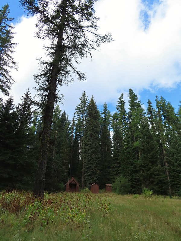
It was a 5 to 5 1/2 hour drive from Salem to the Timothy Springs Trailhead for our first hike of the weekend on the Wenaha River Trail. We had hiked on this trail in 2019 but from the other end near Troy, OR (post). The trail is just under 31.5 miles long but for this hike we planned on following the trail downhill for 4.5 miles to Milk Creek which is Sullivan’s longer option for his featured hike #43 in the 3rd edition “100 Hikes/Travel Guide Eastern Oregon”. We arrived to find the campground at the trailhead full of bow hunters which we had expected this time of year. We parked in a dirt area not far from the historic Timothy Springs Guard Station because the only spot open at the actual trailhead would have meant parking over grass which we didn’t want to do given the fire danger. The guard station.
The only “parking spot” open near the actual trailhead.
The trail descended gradually through a the forest crossing a couple of small streams before reaching the South Fork Wenaha River at the 2.3 mile mark. There was a lot of cone flower along the trail.
It had rained the night before but most of the moisture had already dried up or evaporated.
There were just a few flowers hanging on.
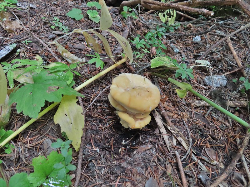
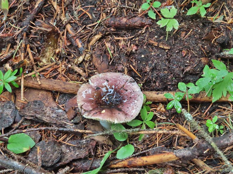
There was also a nice variety of mushrooms.
Paintbrush
One of the small streams.
Self-heal
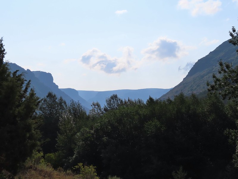
There weren’t many views along the trail but this one was nice.
Pearly everlasting
Ghost pipe
This was one of the smallest frogs we’ve seen. When I first saw it jump I mistook it for a grasshopper.
A short distance before reaching the river we passed what Sullivan described as 6′ waterfall. There wasn’t much water flowing this time of year so we had to picture it mostly.
South Fork Wenaha River
The river was just wide enough and the logs wet enough that crossing dry wasn’t an option so we forded the river, it was maybe mid-calf at its deepest. A brief climb on the far side quickly put us above the river as the trail traversed a rock hillside.
The views were better along this section as it gradually descended to Milk Creek 2.2 miles beyond the South Fork Wenaha ford.
One of two snakes we came across, both the harmless types.
South Fork Wenaha River
Fall colors along the trail.
Milk Creek with the Wenaha River Trail continuing on the far side.
Milk Creek joining the South Fork Wenaha River.
Elderberry near Milk Creek
Snowberry
After a nice break at Milk Creek we began the 1300′ climb back to the trailhead. It was a fairly uneventful return trip but we managed to spot a few flowers and mushrooms along the way that we’d missed on our first pass.
Might be an aven?
Coral fungus
Aster
A lone arnica still blooming.
This was a pleasant 9.1 mile hike and despite it being bow hunting season most of the hunters were already back in camp when we arrived so we only saw one group of three people the entire hike.
It was interesting to see the difference in the forest and terrain between the upper and lower ends of the Wenaha River Trail too. We then drove to Pendleton and after a little hiccup in our plans checked into a motel and then went to OMG! Burgers & Brew for dinner. Happy Trails!
We had a long day planned for the final day of our trip to SE Oregon. We were starting off by doing Sullivan’s Pueblo Mountains hike (#96 in his “100 Hikes/Travel Guide Eastern Oregon” guidebook and we were going to attempt the long drive back to Salem (a 6 1/2 to 7 hour drive). We were a little nervous about getting to Sullivan’s starting point for his described 7.2 mile hike which follows a portion of the Oregon Desert Trail. He describes the final 2.2 miles of road as a “rocky, bumpy road”..”passable only by high-clearance vehicles”. Given where we were and the tire scare we’d had earlier in the week we decided that adding 4.4 miles of road walk round trip was okay with us so after turning right off of Highway 205 exactly three miles south of Fields we followed a decent gravel road 4.7 miles to a fork where we took the left most track a hundred yards or so to the first decent spot we could pull off and park at.
The Oregon Desert Trail is a 750 mile route doesn’t always follow a trail (or road or other discernible track).
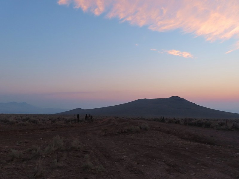
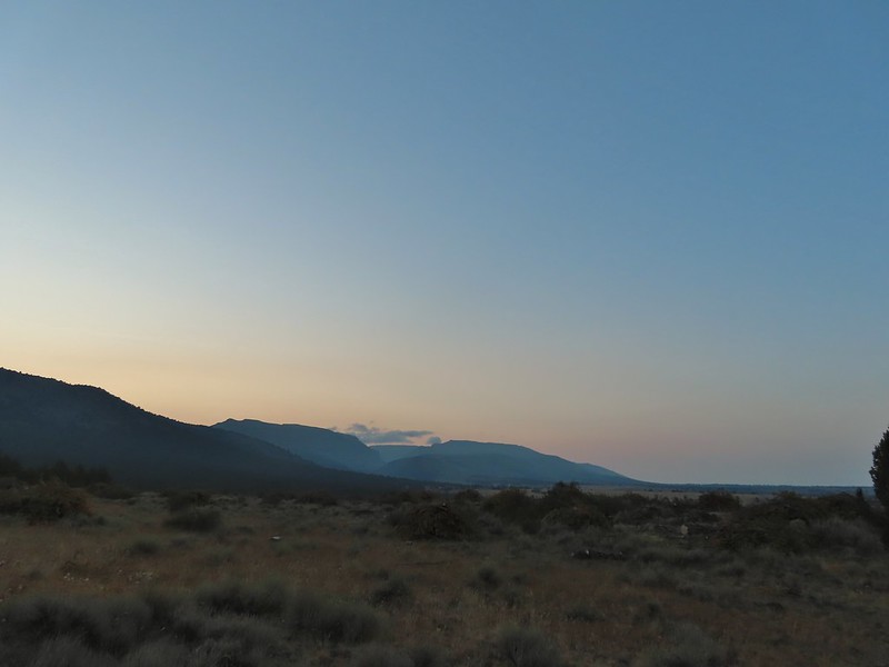
The section we would be hiking was guided by rock cairns with a couple of sections of what appeared to be actual tread but may also simply have been game/cattle trails that were going the same way. First we had to get to the start of the hike though so after a moment appreciating the desert sunrise we started up the rocky road.
The view back along the road to the fork.
Road walk
Rabbit
There was a bit more smoke/haze on the horizon this morning than there had been for a few days and a red Sun rose in the east.
After just under a mile the road made a 90 degree turn at a fence corner then crossed Sesena Creek, which was still flowing.
A hawk in a dead tree above the springs feeding Sesena Creek.
This was the only water we’d see all day.
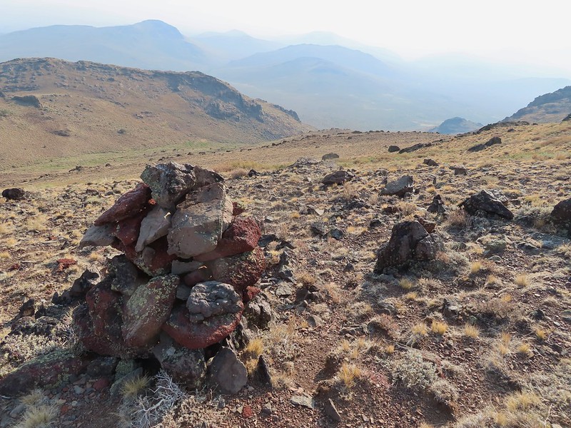
We arrived at the grassy flat Sullivan described as the start of the hike. Sullivan listed 14 cairns along his hike starting with one here at the starting point but the rocks it had been comprised of were spread on the ground. We hoped that wasn’t a sign of things to come.
The first cairn from later in the day.
Luckily Sullivan had supplied GPS coordinates both along the drive and for cairns 1, 5, 10, and 14 which I had entered into both our GPS units. From the road at cairn one we followed an old road bed through the sage brush toward the mountains.
A little over half a mile along the road brought us to another grassy area, an old cow lick, where we veered left on a trail (cattle?) through the sagebrush.
We could see the second cairn on a little rise ahead to our right and made our way towards it.
Sullivan’s instructions beyond the cow lick were to “head cross-country up the leftmost branch of the valley and scramble up past a grove of shrub-sized mountain mahogany trees to find cairn #3”. We could see the mahogany trees and using binoculars and the zoom feature on the camera were able to spot what we assume to be cairn #3.
From there the climb got steep fast and neither of us are sure we we ever saw cairn #4. Luckily we had the GPS coordinates for #5, which was 0.3 miles from #3, to keep us relatively on track. View from cairn #3.
Looking back over the mahogany trees, the rise with cairn #2 and the cow lick.
Looking up the steep hillside.
On the climb up to #5.
Cairn #5 was said to be atop a 12′ rock in a saddle. There appeared to be more than one possible saddle though as we climbed and at the angle we were at we couldn’t see any 12′ rocks.
I picked a saddle to aim for and arrived first but there was no cairn here.
The view from the saddle.
I climbed up on a the rocks to the west of the saddle to see if I could see cairn #5 which, based on the GPS coordinates would have been a little to the SE and downhill from where I was.
When Heather arrived we discussed the next stage our hike. Even though we couldn’t see #5 from where we were we could see another cairn atop a cliff on the hillside ahead of us.
We decided to contour up along the hillside heading for that cairn and as we came over a rise we spotted what must have been cairn #5.
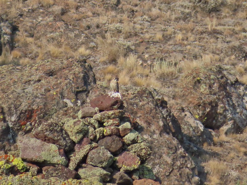
A kestral on a cairn.
The GPS coordinates were a little off but it fit the description of the fifth cairn pretty well.
We continued heading uphill toward the cliff with what we believe was cairn #6.
You can see Heather following me up on this “less” steep section.
As we neared the cliffs we spotted another cairn which was a lot easier to reach.
Looking down into the haze in the east.
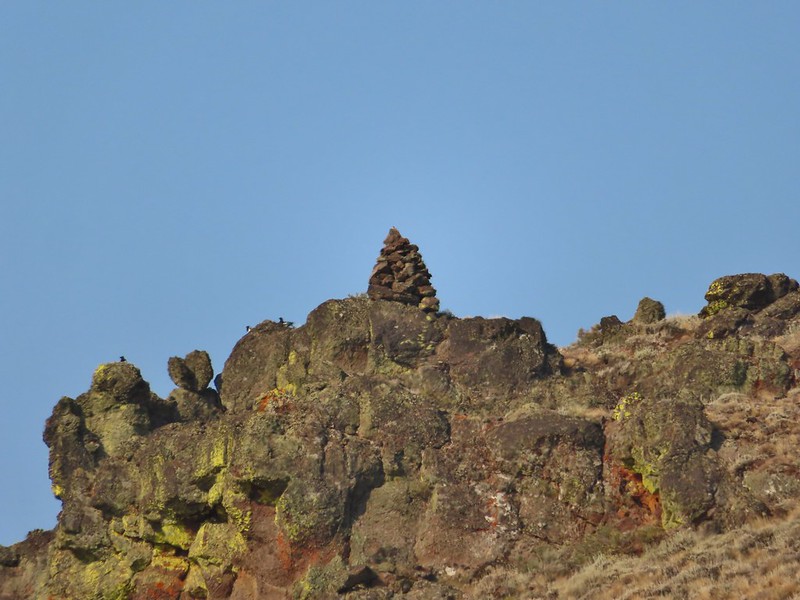
From the cairn with no number we could see another cairn perched atop a rock outcrop which we determined to be #7 since #8 was shown to be at a pass.
Cairn #7 was being guarded by magpies.
Cairn #7 was uphill more than was necessary to reach the ridge beyond it so instead of heading directly for it we traversed the hillside below it. View south over the Pueblo Mountains.
Passing below cairn #7 (upper right corner).
We found cairn #8 at the pass.
View to the NW from the pass.
Pueblo Mountain (the large rounded peak) from the pass.
Heather was delayed reaching the pass due to spotting a sheep moth.
Sullivan’s map was a little confusing from cairn #8 to cairn #9. The sketch appeared to show the route passing behind (on the west side of) a rise to cairns #9 & #10 and then arriving at cairn #11 at another pass. What we found was that it was easier to hike south on the ridge for two tenths of a mile where a much larger rock outcrop forced us off the ridge to the west. We climbed this rise on the ridge and continued on the top for a bit.
Heather near cairn #8 in the saddle and cairn #7 on the hillside behind.
We didn’t cross over to the west side until we reached a much larger rock formation along the ridge. Looking at the rocky cliffs that would force us to the west.
We were starting to notice actual tread along the ridge and when we reached the rocks a clear, albeit thin, trail could be seen traversing the hillside.
It’s not a desert trail without bones.
As we approached the other end of the rock outcrop we spied cairn #9 on a hillside.
Looking back
The tread disappeared in a small draw filled with sagebrush, but a little bushwhacking and a short steep climb got us to the cairn. The sagebrush draw below (Heather is traversing the hillside.)
Cairn #9 and the view west.
For some reason cairn #10 was ahead and further DOWN the hillside. From cairn #9 we could see our goal for the day ahead, a high point on a ridge above the Oregon Desert Trail before it began a descent that would eventually lead to Denio, Nevada. The next ridge is where the high point we were planning to turn around at was.
We made our way to the saddle where cairn #11 sat. Cairn #11 in the saddle along the ridge.
Heather dropping down to the saddle, cairn #10 was out of frame to the left here.
View to the west from the saddle.
From cairn #11 we could see cairn #12 sitting atop an outcrop at the start of the next rocky section.
Sculpted rock along the ridge.
The small section of hike near cairn #12 was one of the toughest on the day. Large boulders were surrounded by taller and thicker sagebrush than any we’d encountered since the mahogany trees. The easiest route was to boulder hop as directly as possible to the cairn which meant extra climbing but the vegetation was too thick to pass through safely due to hidden holes amid the boulders. Heather making her way up to #12.
We then followed the rocky ridge until the sagebrush thinned out.
Thought this might be an arrowhead or at least something that was used for a tool of some sort.
Heather resting by cairn #12 while I scouted the route.
After a false summit we realized that the high point was at the far end of the ridge.
A hazy Pueblo Mountain (and more of the Pueblo Mts.) from the high point.
Cairn #15 is on a small rock outcrop near the saddle at center.
Cairn #15 (at least we think).
We had a nice break at the summit, and for some reason I felt compelled to trot down and tag cairn #14 only to realize too late that I had to hike back up to the high point. Cairn #15 below from the cairn #14 coordinates, it appears that cairn #14 may have been at least partially dismantled.
Oh great, more uphill.
It would have been nice to have had a less hazy view but at least we could make a few things out.
Peaks in the Pueblo Mts. near the Nevada border.
Cairn #12 and the saddle zoomed in.
Van Horn Creek is down there somewhere as is Ten Cent Meadows.
After resting up we headed back attempting to follow the same route but judging by our track we may have been drinking something other than water up at the high point. A lupine with a few blossoms left.
Lots of colored lichen on the rocks along the way.
Vertical rocks.
Rounded rocks.
Back to the mahogany trees.
Cairn #2 dead ahead.
Found the cow lick again.
Looking back at the Pueblo Mountains from the road walk.
Trees marking the spring and Sesena Creek.
The southern end of Steens Mountain from the road walk.
Sage grouse hen
The last half mile or so of the road walk provided us with a couple of close encounters with common nighthawks that were resting along the barbed wire fence.
We got back to our car just before 1pm and after changing started the long drive to Salem. We got home just before 8pm making for a long but fun day. It had been a really nice vacation despite the hazy conditions for several of the hikes. The temperatures had ranged from hot the first two days to freezing on Wednesday to just about right Tuesday, Thursday and the hike in the Pueblos wasn’t all that warm either. We already have more ideas for hikes and stops in that part of Oregon so we’ll be heading back at some point even though we have finished with the “featured hikes” in the area. Happy Trails!
My mileage for the day came in at 13.3 including a total of 4.2 along the dirt road. Total elevation gain was approximately 2400′.
Our track for the hike. The orange segment is the road walk which was 2.1 miles each way.
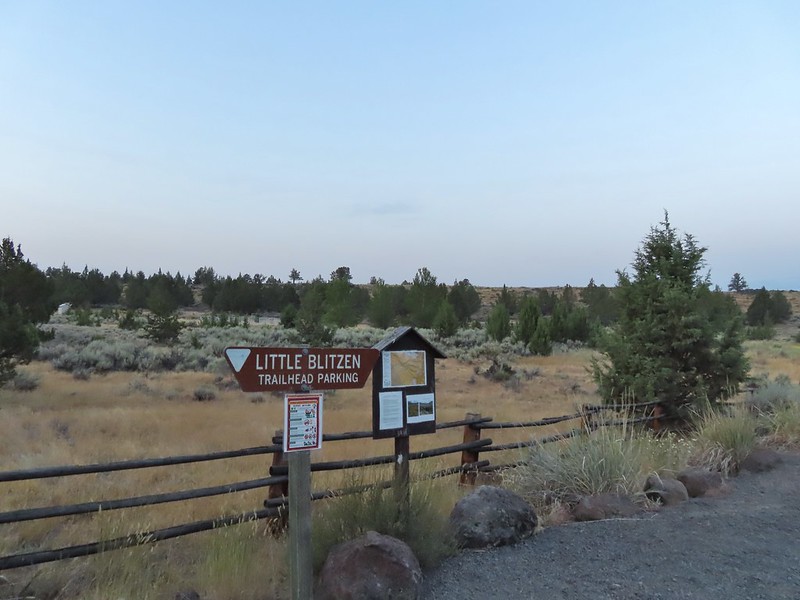
After three nights at the Steens Mountain Resort it was time to move on. Our plan for Thursday was to make two stops for hikes along the Little Blitzen River then continue driving south to Fields Station where we’d spend the night before hiking the Pueblo Mountains on Friday then making the long drive back to Salem. We started our morning at the Little Blitzen Trailhead located along the Steens Mountain Loop Road at South Steens Campground.
The trail begins on the far side of the road and similar to the Big Indian Gorge Trail begins in a landscape of juniper and sagebrush.
It was a much clearer morning than it had been when we hiked Big Indian Gorge on Tuesday. Big and Little Indian Gorges from the Little Blitzen Trail.
Heading for the Little Blitzen Gorge.
So many dried out wild onions.
The trail descended to the lone ford of the Little Blitzen River at the 1.4 mile mark which we crossed easily on rocks.
On the far side of the river was a sign for several trails. The Nye and Wet Blanket Trail led up out of the gorge further up the Little Blitzen Trail while the Fred Riddle Trail was barely visible along the grassy hillside leading off toward Cold Springs Road and the Riddle Ranch.
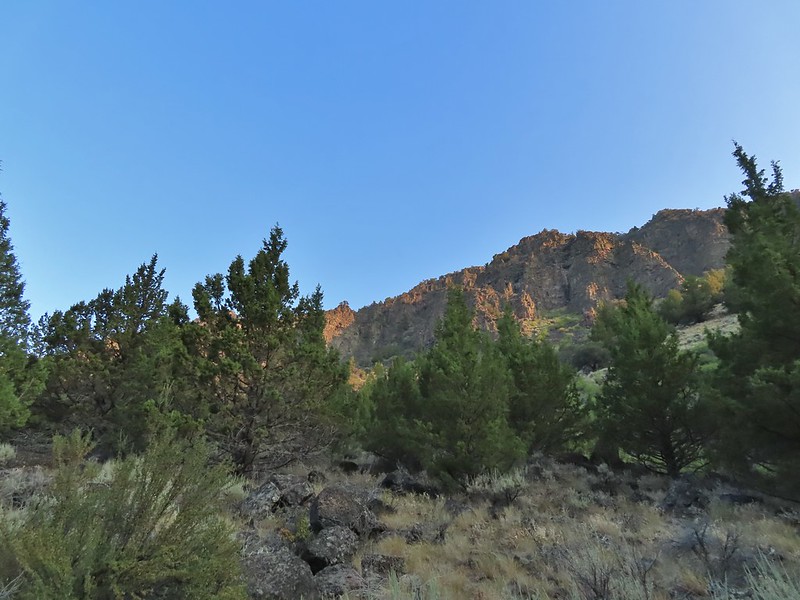
We followed the Little Blitzen Trail through a grassy meadow and into a much narrower gorge than Big Indian Gorge.
It was nice to not have any haze limiting our view of the rocky walls.
Speaking of rocks there were quite a few larger boulders along this trail.
There were also boulders present in the river which created some nice cascades.
Our plan had been to turn around at 4-mile camp, approximately 4.5 miles from the trailhead or 3 miles beyond the ford. We took our time admiring the scenery along the way.
Looking back the way we’d come.
The view ahead.
A stand of quacking aspen.
Something to avoid.
A geranium blossom.
Passing through some willows.
Hyssop
Vegetation along a spring fed creek.
Monkshood
We hadn’t paid enough attention to Sullivan’s hike description so we didn’t realize when we passed the remains of an old corral that was Four Mile Camp.
In our defense there were no obvious camp sites in this area, just a grassy area inside the corral remains. We had passed an obvious campsite about a mile earlier, too soon to be Four Mile Camp. We continued a half mile beyond the corral remains before deciding we had missed the camp and then we read the hike description again where Sullivan mentioned the corral. The view ahead where we turned around.
A robin
Heading back
The Little Blitzen River near Four Mile Camp
More of the old corral.
Gentians under a willow.
Paintbrush
Another little cascade along the river.
A nice pool.
There were a number of tiny grey birds in here, at least two in this photo.
A bigger bird, but not by a lot.
A wood nymph
This was a huge boulder along the trail. At least two small junipers were growing out of it.
Having overshot Four Mile Camp our hike came in just under 10 miles round trip with about 900′ of elevation gain.
Little Blitzen Track
From the trailhead we drove back along Steens Mountain Loop Road a quarter mile and turned right on a narrow gravel road (signed from the other direction for the Riddle Brothers Ranch). We did this hike second because a gate 1.3 miles up the road doesn’t open until 9am.
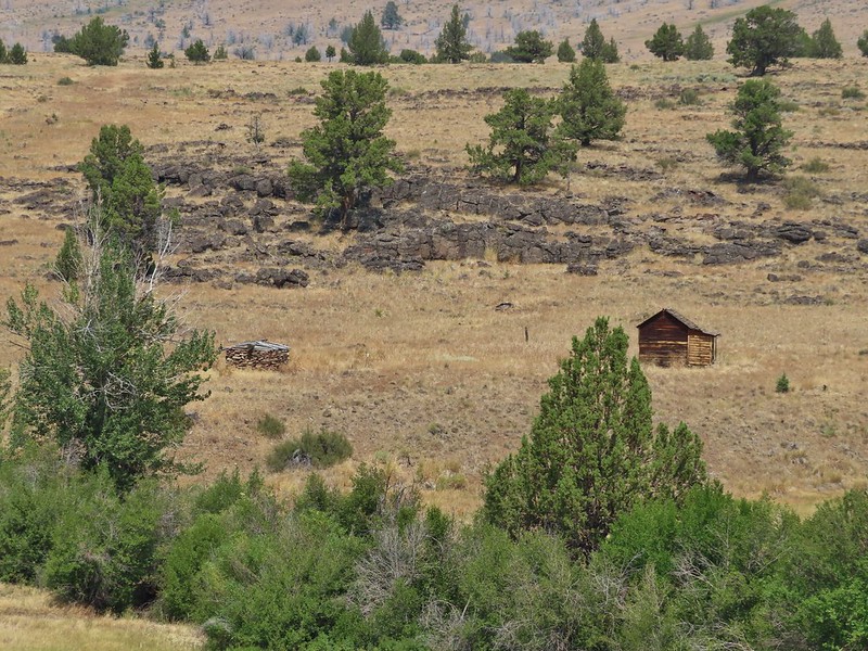
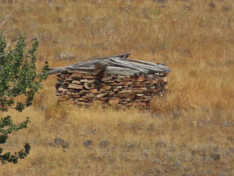
From the gate Ben Riddle’s restored cabin and his original stone house were visible on the hillside across the Little Blitzen River.
The stone house is too low to even stand up in but it was enough to stake a claim to the land.
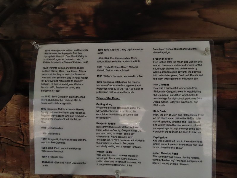
The road continues 1.3 more miles beyond the gate to the Riddle Brothers Ranch. Now a National Historic District the ranch was established in the early 1900s by brother Walter, Fredrick and Ben Riddle. We were met by the volunteer caretaker who gave us a tour and history of the ranch before we set off on the 1.5 mile Levi Brinkley Trail which follows the Little Blitzen River from the parking lot to its confluence with the Donner und Blitzen River (post).
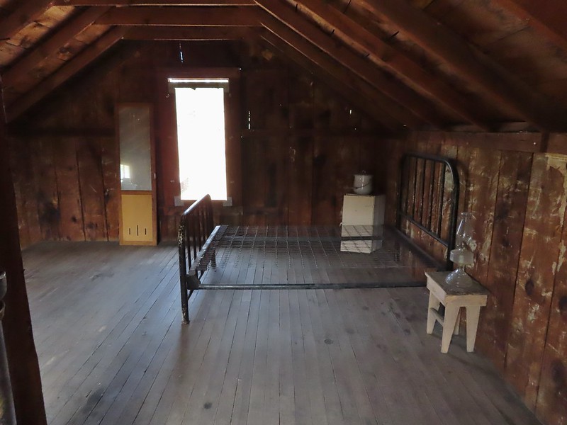
Upstairs
<
The barn
Inside the Bunkhouse
After touring the ranch we walked back across the Little Blitzen River to the other side of the parking lot where the Levi Brinkley Trail began.
Levi was one of 9 Prinveille Hotshot firefighters who perished on Storm King Mountain in Colorado fighting the South Canyon Fire. This hit home for me having gone to school with one of the 9, Bonnie Holtby.
The trail set off along the river passing an old willow corral after a quarter mile.
Thistle in a field once used for hay production by the Riddles.
Could be a green-tailed towhee
Beyond the corral the trail made a series of ups and downs passing through several flat areas the Riddles once irrigated for hay.
Lots of butterflies in the grassy areas.
Nearing the confluence.
The confluence of the Donner und Blitzen River (left) and Little Blitzen River (right).
A skipper at the confluence.
We returned the way we’d come, keeping an eye out for snakes but the only reptile we spotted was a western fence lizard.
A ringlet
The mouth of Big Indian Gorge from the Levi Brinkley Trail.
After completing the three mile hike here we drove back to Highway 205 and headed south (left) to Fields where we checked into our accommodations for the night at Fields Station then ordered bacon cheeseburgers and milkshakes from the cafe. Heather got a chocolate, marshmallow, butterscotch combination and I froze at the wide variety of flavors and just got a butterscotch (it was good though). Old wagon at Fields Station.
In the morning we’d be heading just a little further south into the Pueblo Mountains and then home. Happy Trails!
On Tuesday a change in the weather had pushed much of the smoke away from Steens Mountain which is what we had hopped would happen in anticipation for our drive up the Steens Mountain Loop Road on Wednesday. The shift in weather also brought cooler temperatures which had made the previous days hike at Big Indian Gorge one of the more comfortable (temperature wise) of the year thus far. We once again got an early start hoping to reach the first of four planned stops around 6am and immediately realized that it was a lot cooler than it had been Monday or Tuesday. In fact the car was showing 39 degrees when we set off. Since the Steens Mountain Resort where we were staying was located along the Steens Mountain Loop Road we simply left the resort and turned right driving past the entrance to the Page Springs Campground and gradually climbing up the fault block Steens Mountain. By the time we arrived at the left turn for our first stop the Kiger Gorge Viewpoint 19.1 miles beyond the Page Springs Campground the temperature was down to 30 degrees. Luckily we try and come prepared so we had jackets, Buffs, and gloves although in hindsight we could have been a little more prepared. There was a decent breeze which made it feel a lot colder than 30 degrees.
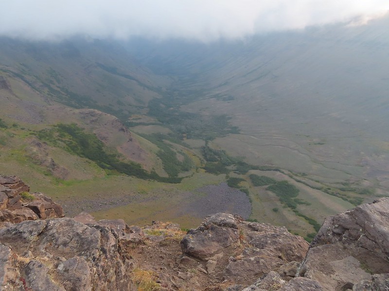
The Kiger Gorge is one of 5 glacier carved valleys on Steens Mountain and is the largest and most scenic. We were fortunate to arrive just before some clouds moved in.
Still some smoke to the east as shown by the red Sun.
Here come the clouds.
With the clouds moving in we hustled back to the car and continued on the loop road another 2.7 miles to a four-way junction where we turned left at a pointer for the East Rim Viewpoint where the clouds had not yet reached.
Between the Sun and haze it was hard to see much of the ragged eastern side of Steens Mountain or the Alvord Desert (post) below.
Frozen thistle
The Alvord Desert through the haze.
A look back at the parking area.
After checking out this view we returned to the 4-way junction and turned left at a pointer for Wildhorse Lake following this road for almost two miles to a parking area below the 9741′ summit of Steens Mountain. A gated road led uphill the final half mile to some towers on the summit.
Wildhorse Lake below the summit.
The rocks here provided a little protection from the freezing wind.
After checking out the summit we walked back down past the gate and turned left at a post on a trail heading downhill to a registration box.
The trail split here with the left hand fork heading downhill for a mile to Wildhorse Lake. The tread was a little dicey near the top but soon became better as it switchbacked down to a small bench before steepening quite a bit along a small stream. Typical tread near the top.
Buckwheat
The bench.
The small stream.
A wren.
Wildhorse Lake from near the end of the bench.
We were a little disappointed to see just how late we were for most all of the wildflowers. I don’t know how much the drought this year affected the timing or if it blooms that much earlier in SE Oregon but the remains of what looked to have been an excellent display were all we were left with.
A few stone steps began the steep descent along the stream.
A few of these little yellow flowers were still in bloom.
This was a mass of pink monkeyflower a few weeks ago.
A look up at the summit.
The trail descending less steeply to the lake.
A lone lupine blooming near the lake.
A pair of paintbrush and the remainder of some aster or fleabane.
A ground squirrel near the lake.
We rested for a bit by the lake where there was thankfully not much of a breeze and then explored along the shore.
The only pink monkeyflower blossom we spotted.
Ranger buttons
Mountain coyote mint
Cascade grass-of-parnassus
Gentians
Wildhorse Creek
Looking down along Wildhorse Creek.
Wildhorse Lake and Steens Summit.
After checking out the lake we started back up the trail as a few more clouds began to move in.
Rockfringe willowherb
Raptors soaring above Steens Mountain.
When we had both reached the registration box we took the other trail fork downhill. Sullivan shows this unofficial trail leading to a pass above Little Wildhorse Lake after in a mile but mentions having to use your hands in an update on his website Oregonhiking.com but that “adventurous hikers should have no trouble”.
Big Indian Gorge
The summit from the unofficial trail.
The trail on the ridge.
Looking ahead at the ridge the rocky outcrop looked a bit intimidating.
The view out over Big Indian Gorge.
Wildhorse Lake
After a small saddle the trail came to the final rock fin along the ridge and I followed some clear tread along the left side of the outcrop.
In hindsight the correct route was probably up onto the top of the ridge and the right hand side was a very steep loose rocky slope because the path I was following just ended at a small slide.
I turned back here, I’m not that adventurous.
I retraced my steps and met Heather at the small saddle. She was not liking this little trail and at that point neither was I. Between the cold, incoming clouds, and steady breeze we decided we’d seen enough and retreated back to the trailhead. Darker clouds over the summit from the trailhead.
Our hike here came to a little over 6 miles with approximately 1400′ of elevation gain.
Track for Steens Summit
We drove back the way we’d come instead of completing the loop. Two reasons, the final downhill stretch to South Steens Campground was reportedly rough and recommended for 4×4 high clearance vehicles (In fact the folks at the resort recommended going counter-clockwise and driving up from that side if we were going to drive the loop) and we had a low tire pressure light on. It had come on when we’d driven over a cattle guard that morning which we were hoping was simply due to the cold temperatures but we didn’t want to try driving a rougher road in case. Going back the way we’d come would also gave us an opportunity to stop at the viewpoints again if the conditions looked better. The East Rim Viewpoint was in the middle of the clouds though so we drove on by but did detour to the Kiger Gorge Viewpoint again. We did stop along the way to take a couple of photos.
Our planned hike for the next day was up this gorge.
The view was a little better and a little warmer at Kiger Gorge.
We made one final stop on the way back to the resort by pulling into Fish Lake (5.7 miles from the turn for the Kiger Gorge Viewpoint). There is no hike here but we wanted to see the lake.
The tire pressure light was still on when we got back to the resort so after showering we made the hour plus drive north into Burns to visit Les Schwab. Ironically we had had to stop in this same Les Schwab the last time we were in the Steens area due to a low tire pressure light in our Rav 4. That turned out to be a nail stuck in the tire but this time it was simply a low reading in the right rear tire. They made sure there was nothing stuck in it and that it wasn’t leaking and they had us back on our way in no time. We really appreciate the service we get from every Les Schwab we visit. It was a nice evening at the resort and the clouds made for a dramatic setting Sun.
This was our final night here and we’d be leaving early the next morning to hike along the Little Blitzen River before driving on to Fields (and getting milkshakes). Happy Trail!
Our original plan for Tuesday had been to drive up the Steens Summit Loop Road and hike to the summit and Wildhorse Lake, one of four of Sullivan’s featured hikes (post) we were hoping to check off during the trip. With the amount of smoke in the air Monday night though we decided to wait until morning to decide if that was still the plan or if we were going to do the Big Indian Gorge hike instead. At 5am when we were heading out the door the air still smelled of smoke so Big Indian Gorge it was. We drove from the Steens Mountain Resort to Highway 205 in Frenchglen (a whopping 3.1 miles) and headed south on the highway ten miles to the southern end of the Steens Mountain Loop Road where we turned left for 18.9 miles to the South Steens Campground. This section of road passes through the South Steens Horse Management Area (HMA) and we got a chance to see some of the wild horses up close as we passed through.
The hike up Big Indian Gorge begins at a day use area at the end of the South Steens Campground.
One thing that we really appreciated about the trails in the area was the quality of information the BLM had posted at all the trailheads we visited. Maps, trail condition reports and photos were posted at them all.
The Big Indian Gorge Trail began as an old road bed passing through juniper and sagebrush on the way to the mouth of the gorge.
It was long past flower season but evidence of a large number of wildflowers was still visible. There were tons of wild onions along the way.
Deer on one of the hillsides.
Beginning to drop down to Big Indian Creek.
Just under two miles from the current trailhead we arrived at a much older trailhead and a ford of Big Indian Creek.
This was the first of three fords (two of Big Indian Creek and one of Little Indian Creek) which I managed to make dry footed. Heather was not so lucky, which was a change from what normally happens on these types of crossings. The ford of Little Indian Creek followed just 0.2 miles later and proved to be quite a bit easier.
While there was still quite a bit of haze in the sky there was beginning to be some signs that things were improving.
Our goal for the day was to reach Cottonwood Camp, approximately 6.5 mile in, before turning around. Beyond Little Indian Creek the trail climbed a bit passing a collapsed cabin 0.4 miles from the second ford.
Three quarters of a mile from the cabin ruins we arrived at the third ford (3.1 miles from the trailhead). This crossing had enough exposed rocks to also make it across dry footed.
Quacking aspen along the trail.
We continued on passing a rather large boulder a mile from the third crossing where we passed a backpacker on his way back to the trailhead. The landscape was a mix of juniper and sagebrush with some quacking aspen and cottonwoods scattered about. Most of the wildflowers here were also far past bloom but a few were hanging on. We did notice that there had been a lot of Brown’s peony plants in the area which we sadly missed blooming.
One of the many Brown’s peonies along the trail.
Hawk atop a cottonwood
This counts a lupine in bloom!
A lone yarrow
One of a couple of spring fed streams along the trail.
Aspens and junipers
Tassel-flowered Brickellbush
Waxwings
The large boulder later in the day on our way out.
Cottonwood Camp was another 2.4 miles beyond the boulder. It was a very gentle climb through increasingly open terrain to the camp. We were heading toward the Sun which was amplifying the smokey haze ahead of us. We kept thinking we were going to be heading into increasingly thick smoke but that never really materialized.
One of the other spring fed crossings.
There were lots of crickets/grasshoppers bouncing about.
We could see some of the closer cliffs through the haze.
We started to see a few more lupine in bloom the further in we hiked.
What the smoke looked like ahead.
Lots of butterflies too.
Salsify
Paintbrush
Aster or fleabane
Geranium
We couldn’t see very far up the gorge because of the smoke.
The view was better behind us.
Coneflower
Hummingbird visiting paintbrush
A few aspen already turning golden.
Cottonwood Camp down to the right.
Looking up Big Indian Gorge from the trail near Cottonwood Camp.
Genitian
Raptor
We took a short side trail to the large camp site and took a nice break amid the cottonwoods. It hadn’t gotten too warm yet and as we rested a nice breeze picked up which kept the temperature down and started to push the smoke out. Cottonwood Camp
View across the gorge when we arrived at the camp.
Big Indian Creek
A few white clouds started to appear along with the breeze.
The near wall above Big Indian Creek and Cottonwood Camp.
By the time we started back we could at least make out the headwall and other features further up the gorge through the haze that was left.
The view heading out of the gorge continued to improve as we made our way back to the fords and eventually the trailhead.
We missed this nest on the first pass. It was about 30 yards off the trail.
We also missed this Nuttall’s linanthus blooming along the trial.
Improving views
This was a very pretty butterfly that for some reason the camera just didn’t want to focus on.
Clearer skies above.
Skipper
Clouds building up over Steens Mountain
Lorquin’s admiral
Ground squirrel
Some type of wood nymph.
Back to the first ford, which I again managed to cross dry footed giving me a perfect record for the day which is unheard of.
A comma of some sort.
A vast improvement over the morning.
Looking back toward the gorge from the old road bed.
What a difference a few hours can make. Our track – My GPS had 14 miles vs 13 miles but I tend to wander, a lot.
After our hike we drove back to the Steens Mountain Resort where the views had also improved greatly over the previous afternoons. Happy Trails! Our accommodations.
Monday was mostly a travel day as we left Bend and headed for the Steens Mountain Resort where we would be staying for the next three nights. We did however manage to get a few short hikes in along the way beginning with a trail that had intrigued us since the first time we’d stopped at the Sagehen Rest Area on Highway 20 eighteen miles west of Burns. A highway rest stop seemed like a bit of an odd place for a trail but that’s part of what piqued our interest. The Sagehen Hill Nature Trial is a short (just over half a mile) interpretive loop with 11 numbered stops. Trailhead sign at the south end of the rest stop. Brochures were located in the small box under the sign.
Map on the trailhead sign.
Smoke from fires near Lakeview, OR made for a smoke filled horizon and unlike our hike on Mt. Bachelor the previous day (post) here we could smell it in the air. Red Sun through the smoke.
Despite the lack of views (on a clear day Steens Mountain would have been visible) it was a nice hike and the interpretive stops were interesting. We didn’t see any sage grouse here but we spotted some other wildlife along the route.
The Harney Valley to the east.
This stop was for a juniper that was blown apart by a lightning strike.
The rest area from the loop.
The last stop was to discuss the relationship between the junipers and the Idaho fescue that grows underneath.
This was a neat little trail and a nice leg stretcher. After completing the loop we drove into Burns, filled up our gas tank and then headed for our next stop at the Malheur National Wildlife Refuge Headquarters. This was the one place we had previously visited (post) but we hadn’t driven the entire auto tour route that time and there were some other trails in the complex that we could check out. We started with a stop at the headquarters where we once again were treated to a variety of wildlife as we toured the complex.
Deer in the nearly dry Marshall Pond
Yellow headed blackbird
California quail
Owl
Chipmunk
More quail
The early bird
Hummingbird
Little bird on a feeder
We skipped the Overlook Trail this time due to the smoke filled horizon and started the auto tour route. Again there was plenty of wildlife to pause for along the drive and we also stopped at Benson Pond to hike the Benson Pond Trail (a short half mile out and back) where we were treated to a large number of ducks and other birds on the pond.
The auto tour route ends at the Steens Mountain Loop Road just a mile and a half from the Steens Mountain Resort. We were a bit too early to check in though so we drove past the resort another tenth of a mile to the entrance of the Page Springs Campground. We turned into the campground and parked at the day use area at its far end where two trails start. The one mile Wilderness Nature Trail and the 3.7 mile long Donner und Blitzen River Trail.
We decided to take the Donner und Blitzen Trail since the nature trail looped back into the campground and ended near one of the campsites leaving a short road walk back to the trailhead. The Donner und Blitzen Trail entered the Steens Mountain Wilderness a short distance from the trailhead and followed the river fairly closely for the first 1.2 miles which is as far as we went on this day. It was a little smokey and it was hot and enough time had passed that we would be able to check into the resort by the time we made it back to our car. The trail was a little brushy at times but a nice surprise was finding a loop option not shown on the map but clearly marked starting 0.4 miles from the trailhead and rejoining the river trail at the 0.7 mile mark. We took this route on the way back climbing up through the cliffs above the river providing some nice views despite the haze.
Bee and a butterfly
A brushy section.
A bee and a skipper
Praying mantis
The “other” trail on the hillside at the 0.7 mile mark.
A wren?
Fence crossing
Rejoining the Donner und Blitzen Trail at the 0.4 mile mark.
2.9 mile hike on the Donner und Blitzen trail
We got a total of 5.4 miles of hiking in between Sagehen Hill, the refuge headquarters, Benson Pond, and the Donner und Blitzen River. The abundant wildlife was the highlight of the day. We checked into the resort and got settled in our modular unit which had a full kitchen, shower, couch and most importantly A/C. We were hoping that the smoke would move out overnight or at least over the next day or two when the temperature was also set to drop to more reasonable levels. We spent the evening listening to the osprey that had a nest below the resort. Happy Trails!
For our August vacation this year we finally returned to the Steens Mountain area for five days of hiking but along the way we made a stop in the Cascade Mountains to hike up to the summit of Mt. Bachelor. As the 6th largest ski resort in the US, Mt. Bachelor is known more for that winter sport than hiking. Hiking also takes a back seat to mountain biking and even a zip line tour but as part of an agreement between the resort and the Forest Service a trail is maintained to the summit for hiking to the 9068′ summit. Growing up in the Bend area I spent a lot of time skiing the mountain but other than riding the Summit lift to the top one Summer (when that lift still operated in the Summer months) neither of us had spent time on the mountain without snow. It was going to be another warm, hazy day as that seems to be the new norm here in the West but the air quality wasn’t in the danger zone so we left early on Sunday morning and arrived at the West Village Parking lot a little before 8am to find a somewhat blue sky overhead.
There are currently three routes shown on the resorts web page with the easiest being from the top of the Pine Marten Lift which operates from 10am thru 5 or 7pm depending on the date. The other two routes start at the West Village Lodge near the Pine Marten Lift which allows for a reverse lollipop hike which is what we did. We took the more scenic trail up which was marked by blue signboards for the West Village to Summit Connect Trail.
A hazy look at the South Sister and Broken Top.
After a short distance on cat roads we came to an actual trail which led into the trees.
The trail traversed along the mountain crossing several ski runs before turning uphill near the “Marshmallow” run and the Sunrise lift.
Passing under the Skyliner Express
The ski runs gave us a good look at the top of the mountain.
Turning uphill
Spotted a grouse hen and her chicks in this little meadow.
Two of the chicks.
Passing under the Sunrise lift.
The first 1.4 miles had gained under 350′ but after turning uphill the trail steepened gaining almost 2400′ over the next 2.5 miles.
Nearing the top of the Sunrise lift.
Another hazy look at the nearby mountains.
South and Middle Sister through the haze.
The top of Sunrise and the bottom of the Summit lifts.
Looking up from the top of Sunrise.
Above the Sunrise lift the trees thinned out leaving a few scattered trees including white bark pines.
Signs gave way to white arrows painted on rocks at the higher elevations.
Looking down from beneath the Summit Express.
We could really feel the elevation affecting our breathing and by this point we were both sucking wind.
Dwarf alpinegold
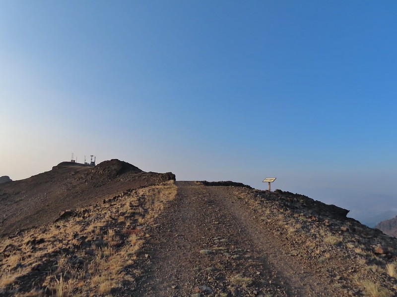
I arrived at the summit first and followed the path the the mountain’s high point. Looking back at the Summit Express.
Heading for the high point.
A mountain bluebird near the summit.
South Sister and Broken Top with Sparks Lake (post) the brown patch below.
I took my pack off and had a seat and was soon joined by a curious golden mantle.
It’s our rule not to feed the wildlife but it was obvious that many don’t adhere to that LNT principle. I had to put my pack back on to avoid having a hole chewed through my pocket.
View of the summit.
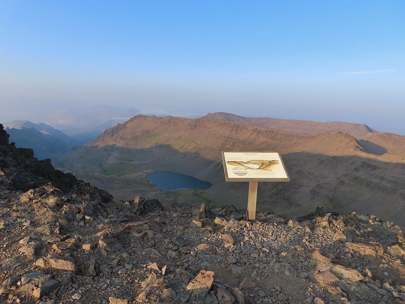
The surrounding smoke made it impossible to see anything to the east, very little to the south or west and just the closest features to the north, but a cool breeze made it a comfortable spot for a rest while I waited for Heather to join me. Broken Top, the Pine Marten Lodge halfway up the mountain, the West Village Lodge and parking area below and Tumalo Mountain across the Cascade Lakes Highway.
After Heather had a chance to relax at the summit as well we headed back down taking a short detour to a viewpoint above the Cirque.
We then hiked back down just above the Sunrise Lift where we turned left on the West Village Getback road which I could picture skiing on all those years ago. A little better view of Broken Top and Tumalo Mountain on the way down.
Clark’s nutcracker
Left leads up to the Pine Marten Lodge atop the Pine Marten Express, right to the West Village Lodge.
The road walk is not only not as scenic as the trail route we took up it also passes through the mountain bike trails so we had to keep our eyes open at the crossings.
A decent look at Tumalo Mountain
Warning sign for a bike crossing.
A look at some of the mountain bike trails and some haze moving in overhead.
A tortoiseshell butterfly on the road.
The trail map showed this route passing under the Pine Marten Express and turning 90 degrees downhill alongside the lift.
There was a disc golf hole here but no sign of any trail except for a faint line continuing straight ahead through some grass. We followed it briefly before realizing it wasn’t going to get us to the parking lot. At least we could see the mountains a little better from here.
We turned back to the lift and headed cross country downhill alongside it. We eventually did find some tread which took us to the base of the lift and back to the parking lot. We were glad we’d gotten there as early as we had because it was now quite a bit hazier overhead and a lot warmer.
We left the mountain and drove to Heather’s parents house where we spent the night before once again heading out early for another adventure. Happy Trails!
Our track for Mt. Bachelor. The GPS said 8.8 miles and 2800′ of elevation but the resort lists the hike as 6.5 miles and 2742′ of elevation gain.


 Mt. Bachelor
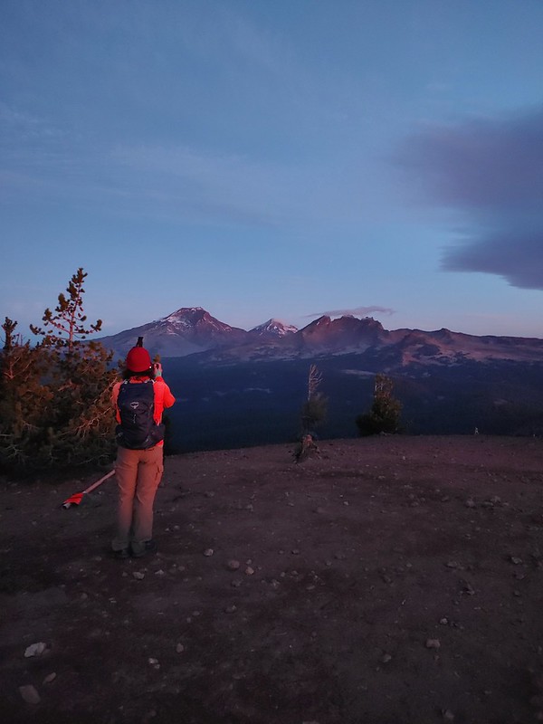 The Three Sisters and Broken Top
 Mt. Bachelor via the Nikon.
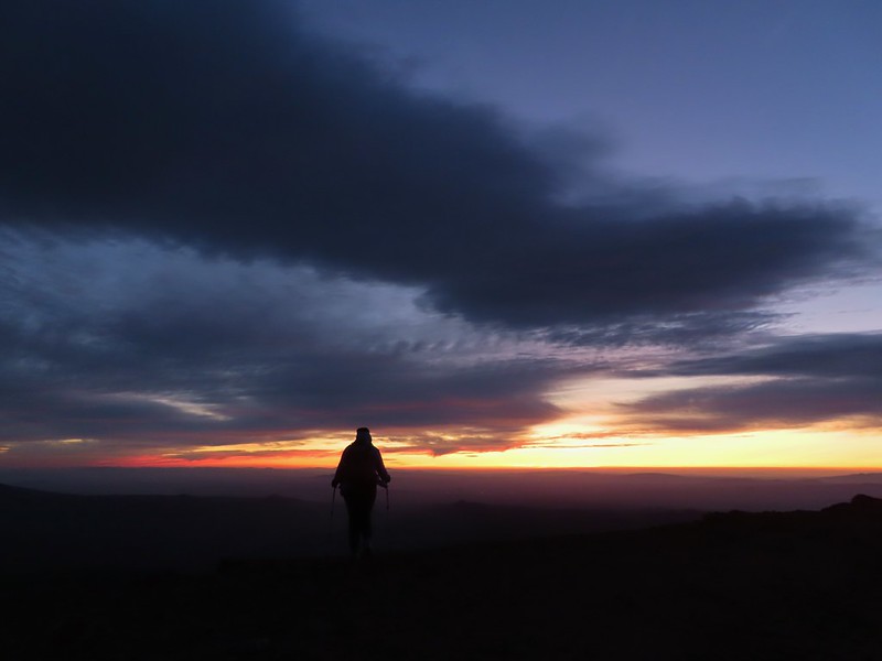 Heather watching the show taken with the Canon.
 The Three Sisters with the Canon.
 Canon
Canon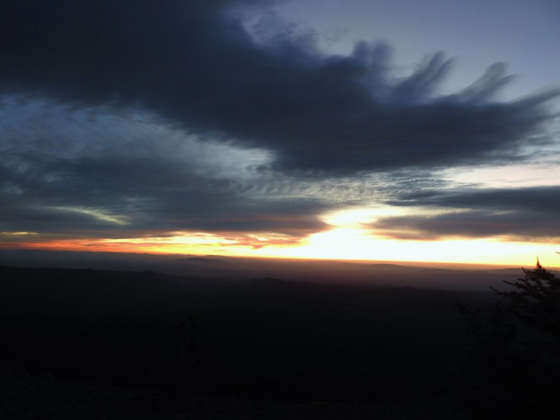 Nikon
Nikon Mt. Bachelor (post) with the Canon.
 Canon shortly before the Sun became visible.
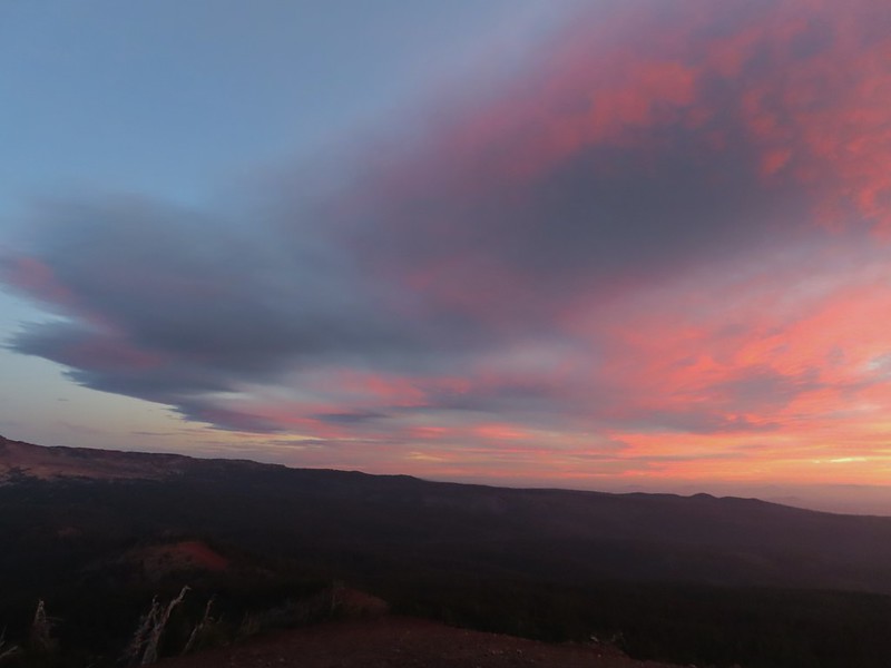 Canon shortly before the Sun became visible.
 The Three Sister just before sunrise with the Nikon.
 The Three Sister just before sunrise with Heather’s phone.
 Canon moments before sunrise. A line of wildfire smoke on the horizon gave it a red tint.
 Canon
Canon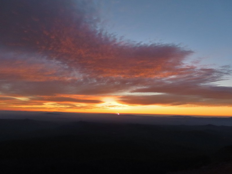 Canon catching the Sun.
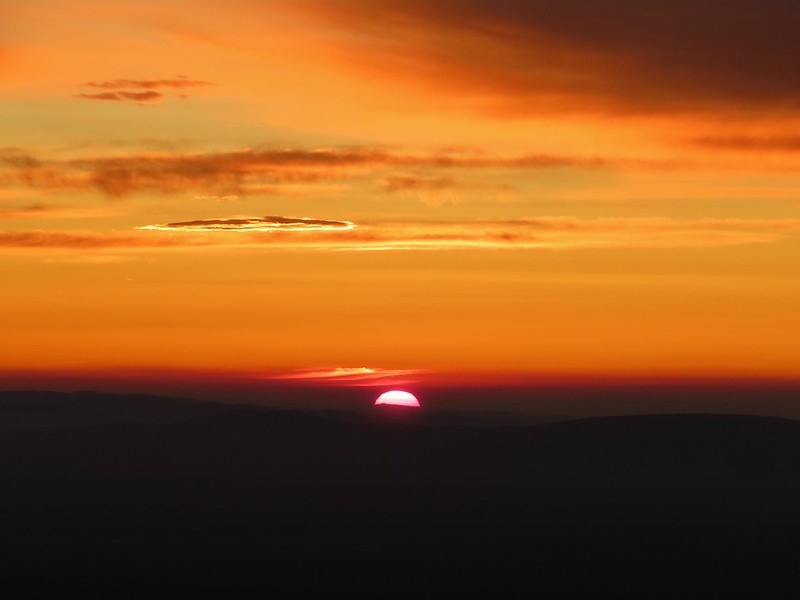 Canon
Canon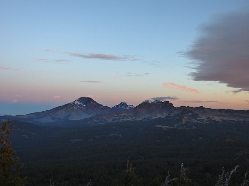 The Three Sisters and Broken Top (Nikon)
 South Sister (post) (Nikon)
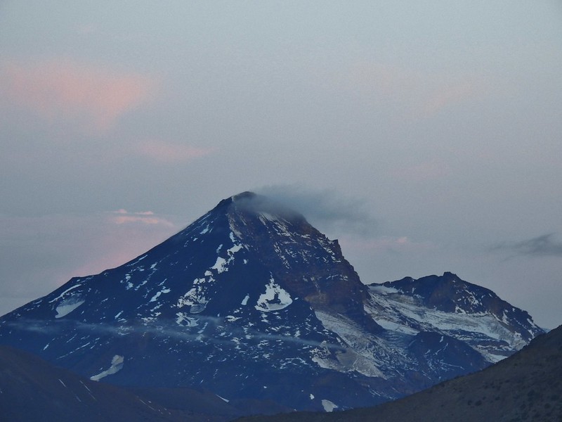 Middle and North Sister (Nikon)
 Broken Top (post) (Nikon)
 Aline glow hitting the mountains. (Canon)
 South Sister (Canon)
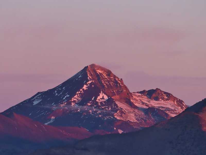 Middle and North Sister (Canon)
 Broken Top (Canon)
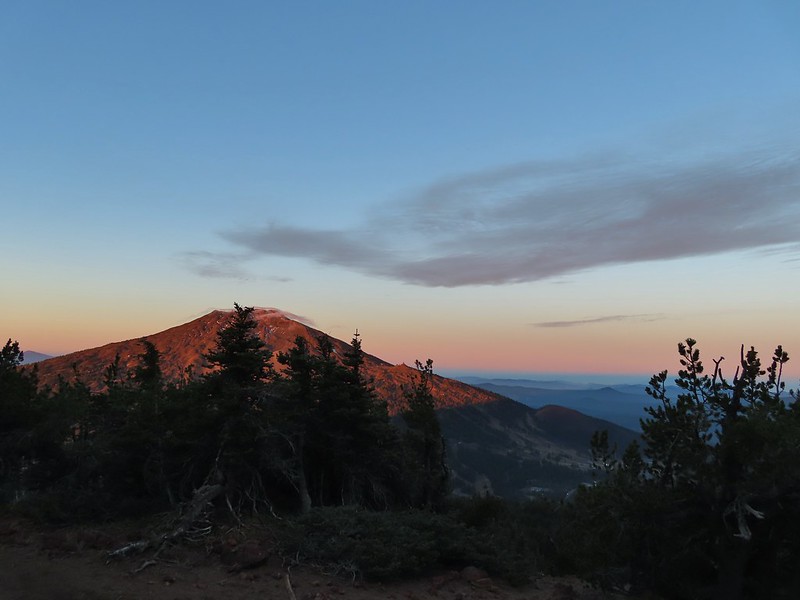 Mt. Bachelor (Canon)
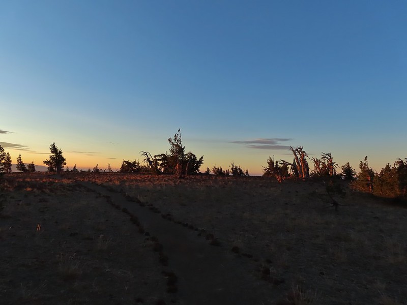

 Mt. Scott to the left and Mt. Thielsen to the right.
 Grouse
 Chipmunk
 Mt. Bachelor as we arrived back at the snow-park.


 Sunlight on Haystack Butte in Washington.
 Part of Moody Rapids.
 Gum weed
 The last petals on a blanket flower.
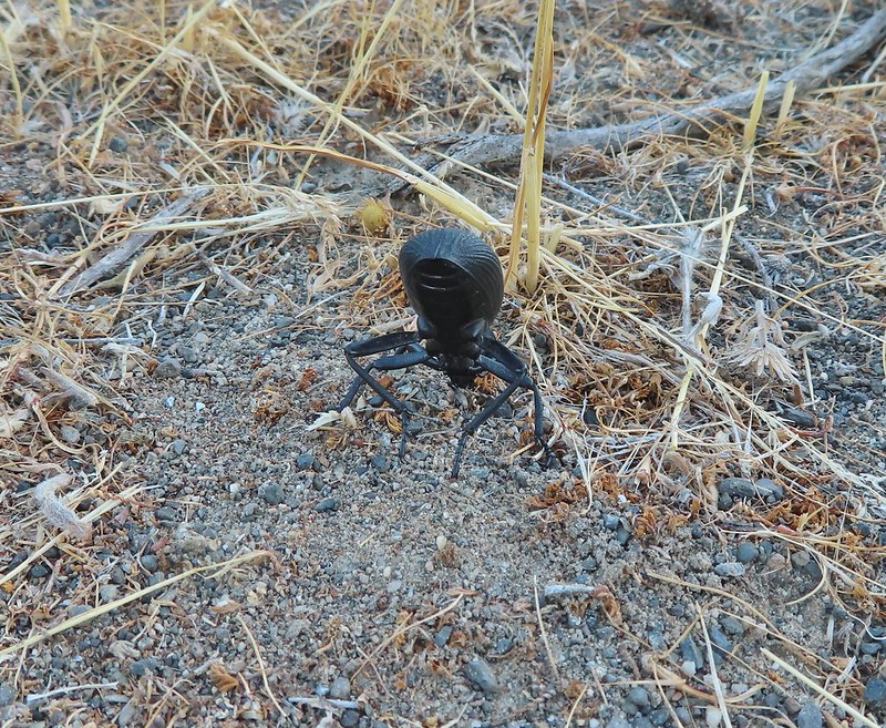 We saw several of these large beetles, all prepared to defend themselves.
 Snow buckwheat
 Chicory
 Seagull
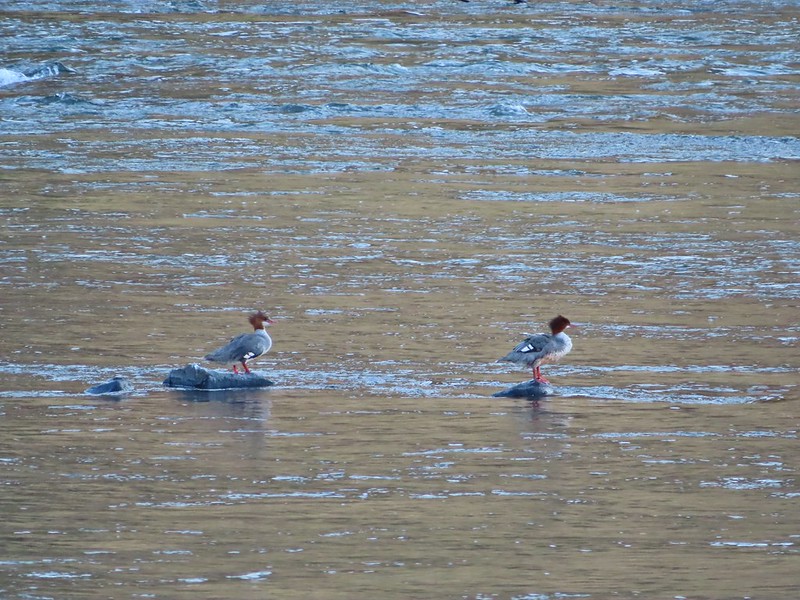 Mergansers
 Sparrow
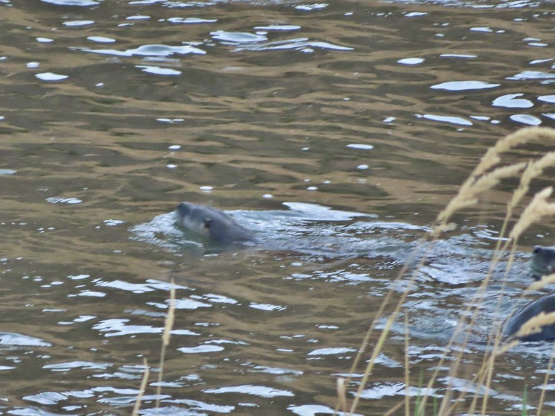 One blurry otter head and another partial otter on the right.
 A bunch of tree branches, oh and an otter in the water.

 At times there were multiple trails to choose from.
 Rattlesnake Bend is up ahead but we stopped here for a bit to watch a heron getting breakfast.

 A sparrow, possibly a Savannah sparrow.
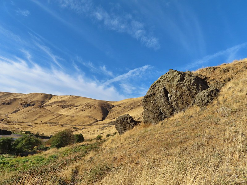 The trail climbed higher on the hillside for a bit to avoid some thick vegetation below.
 Rattlesnake Bend
 Railroad tracks above the trail.
 Looking back from Rattlesnake Bend near where we turned around.
 Rattlesnake Rapids
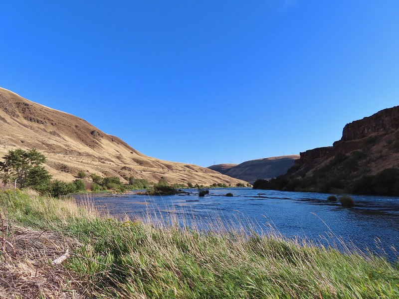
 Killdeer
 An older channel?
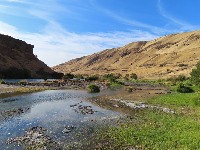

 Had to go back up to avoid the vegetation here.
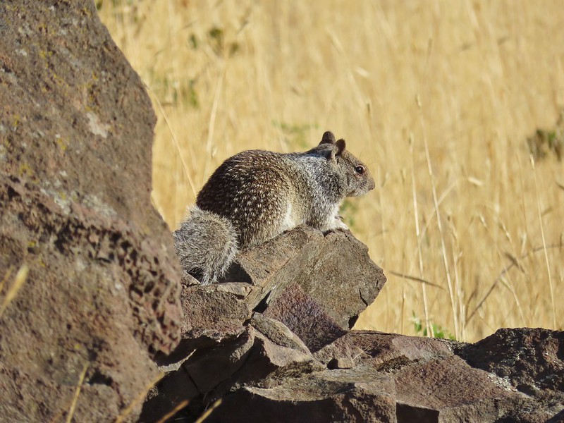 Ground squirrel
 Heron flying up river.
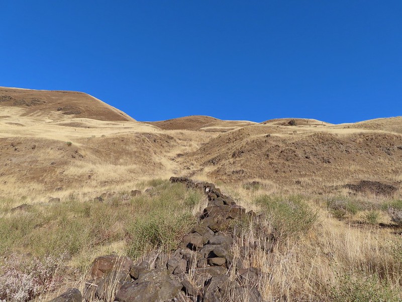 Old rock wall along the way.
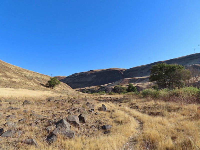 Typical use trail.
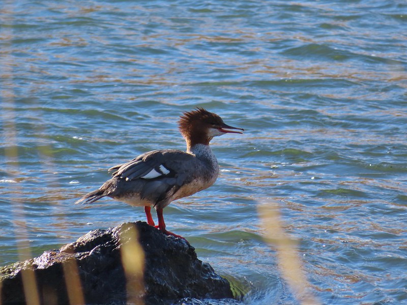 Merganser
 Aster
Aster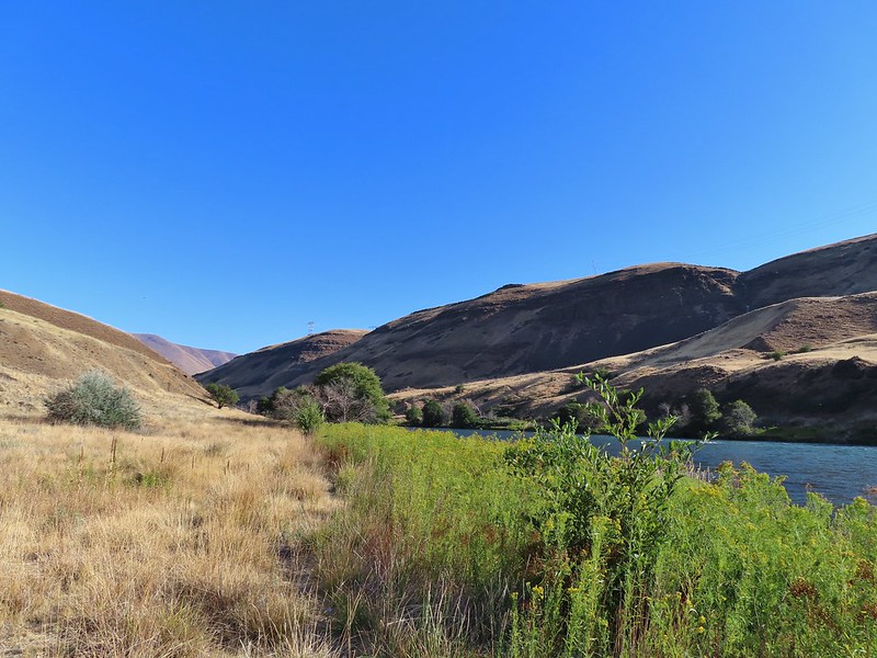
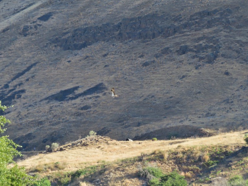 Osprey showing up the fishermen.
 Finch
Finch More birds near the spring.
 Little yellow birds, maybe warblers?
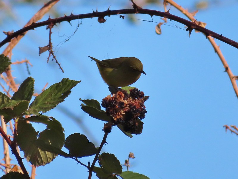 One of the yellow birds on a blackberry plant.
 Moody Rapids
 Haystack Butte
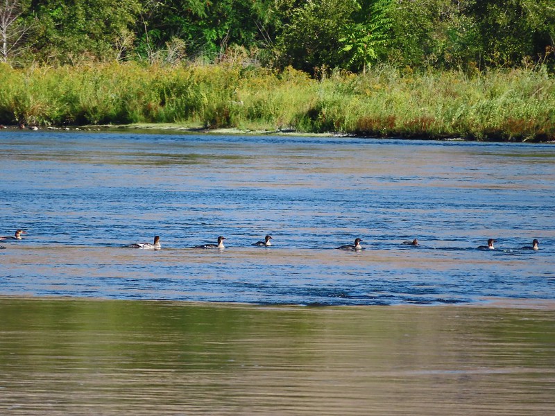 A line of mergansers.


 This squirrel was making an impressive amount of noise with its mouth full.
 Passing around one of the lake’s arms.
 One of several bridges over creeks.
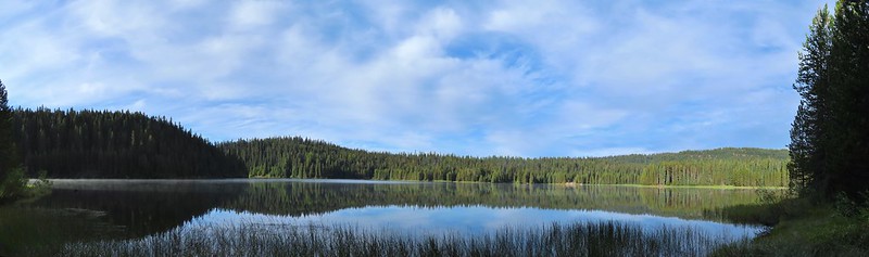
 Mergansers
 The view next to the bench.
 The view from the bench.
 Going around another arm.
 A checker-mallow
 Aster
Aster Forest as we neared the campground again.
 Arriving back at the ramp.
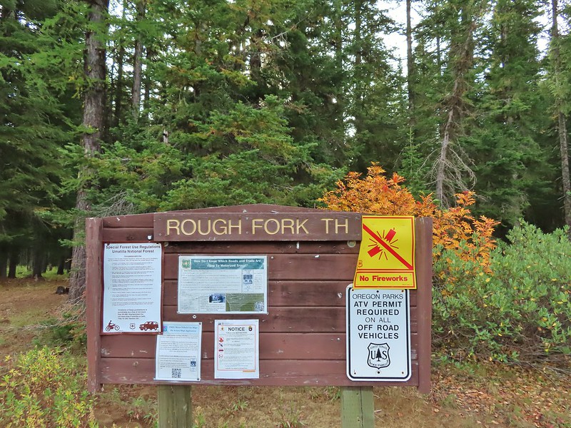

 The first part of the trail passed through a stand of trees.
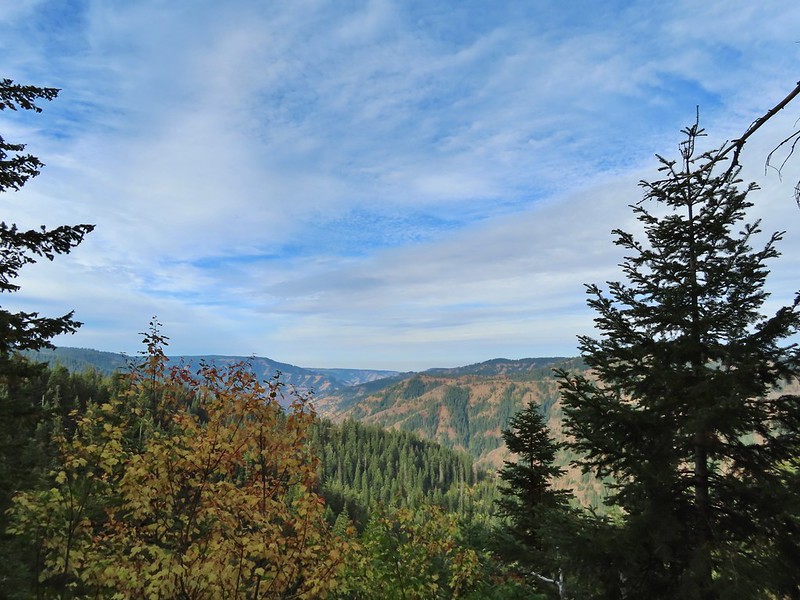 View to the west along the South Fork Walla Walla River canyon.
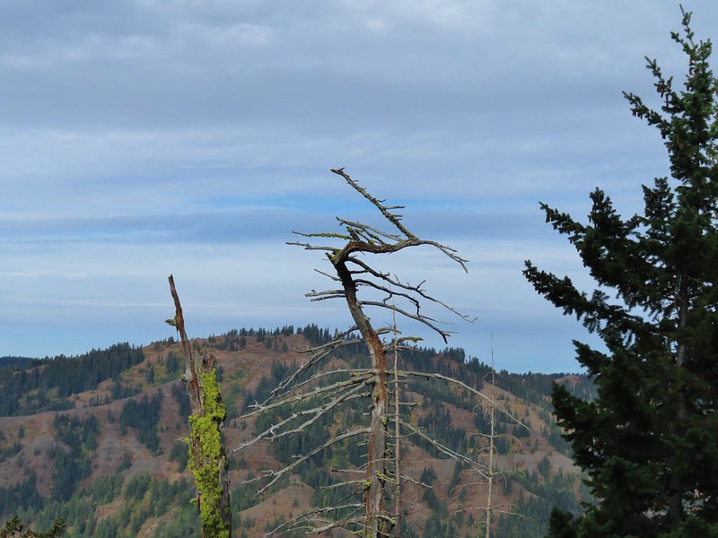 Loved the top of this tree.
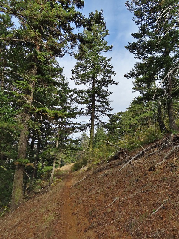
 Another view, there was just a hint of smoke in the air giving the hillsides a blue tint which is where the name “Blue Mountains” comes from. Apparently smoke has been a common occurrence here for a long time.
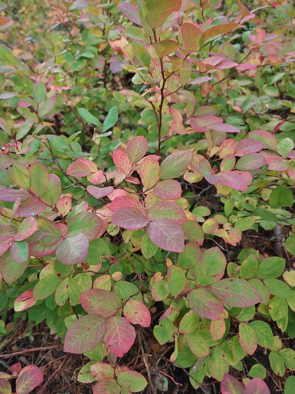 There was a lot more Fall color along this trail.
 Paintbrush
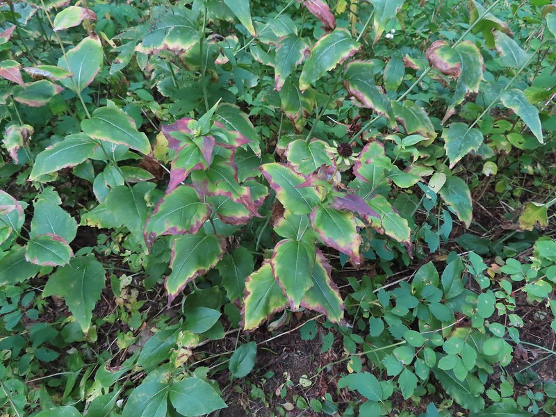 Cone flower
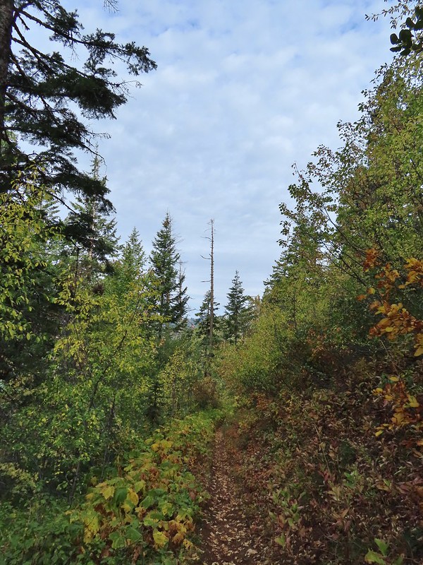
 Aster amid some thimbleberry leaves.
 Vine maple


 Looking down toward the Sheep Creek.
 Finally found the river.
 There was a 6 to 8′ waterfall along Sheep Creek but no way to get a clear view of it through the thick vegetation on a steep hillside.

 Two types of clover.
 Footbridge over the South Fork Walla Walla River.


 Reser Creek on the left joining the South Fork Walla Walla River just upstream from the bridge.
 There were just enough exposed rocks for me to work my way downstream from the bridge to Sheep Creek.

 A couple of the larch trees were just starting to turn color for the fall.
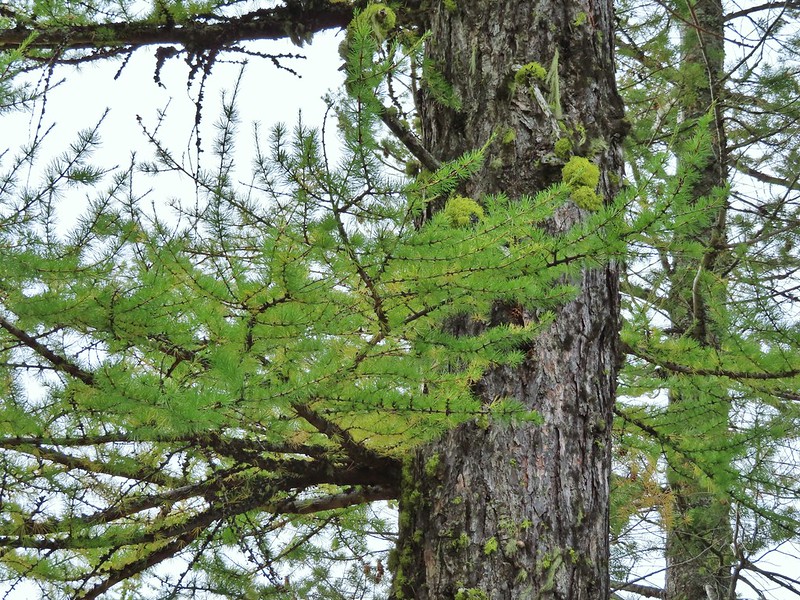

 A scarlet gilia blossom waiting to fall off.
 A final view back over the canyon with the crooked tree.
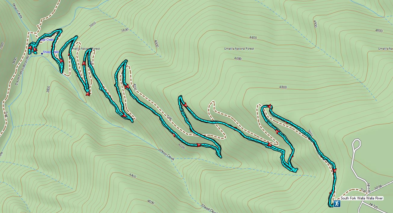
 The guard station.
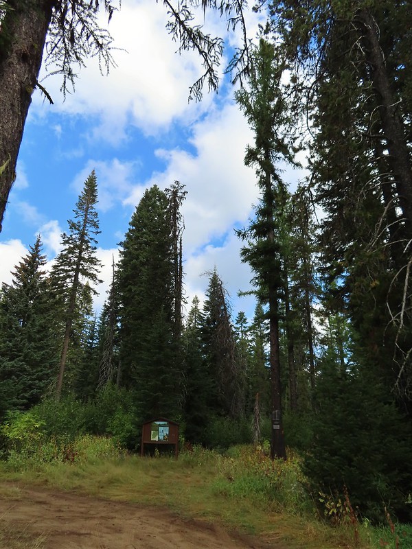 The only “parking spot” open near the actual trailhead.

 There was a lot of cone flower along the trail.
 It had rained the night before but most of the moisture had already dried up or evaporated.
 There were just a few flowers hanging on.
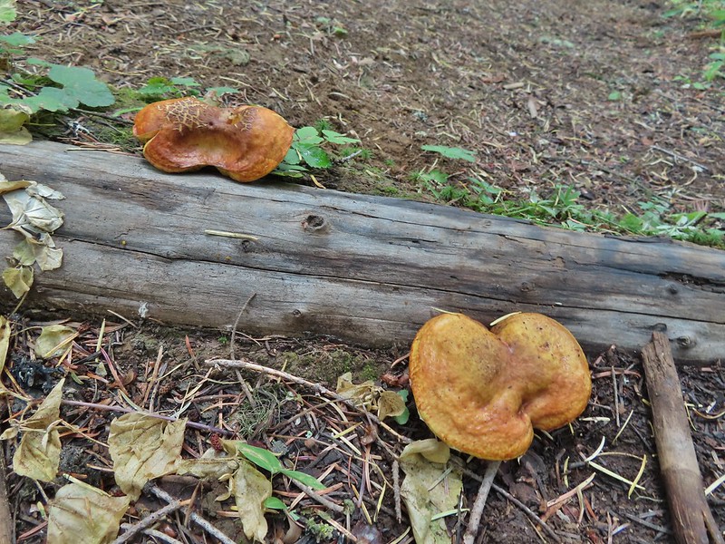 There was also a nice variety of mushrooms.
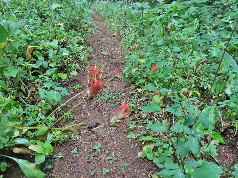 Paintbrush

 One of the small streams.
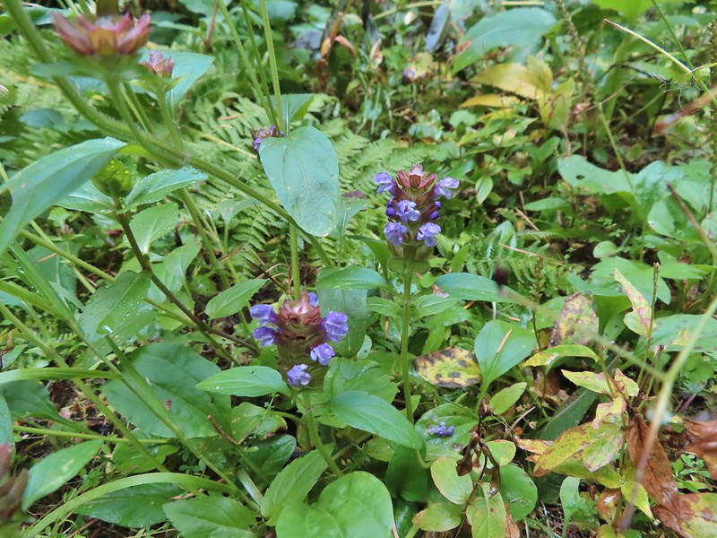 Self-heal
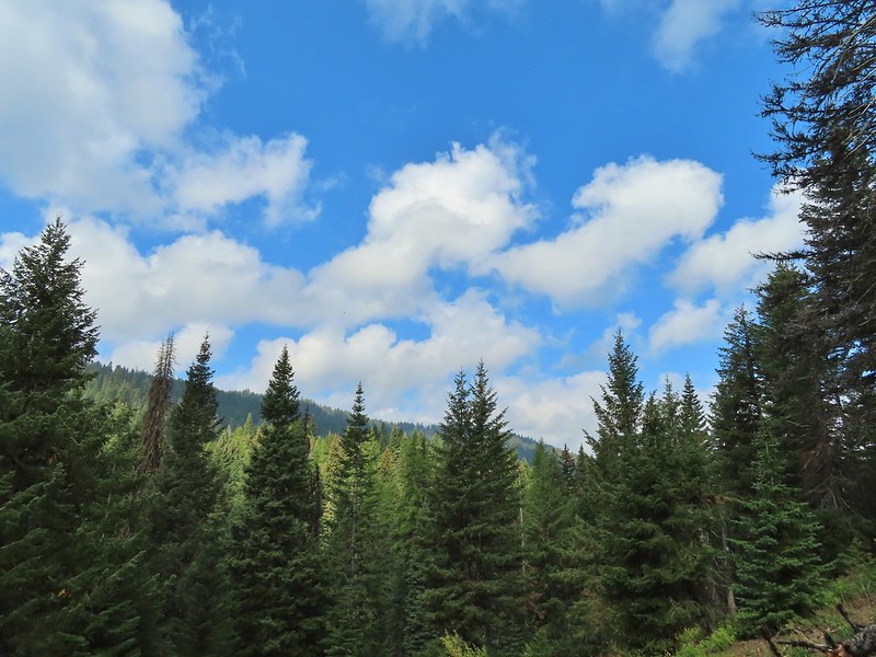 There weren’t many views along the trail but this one was nice.
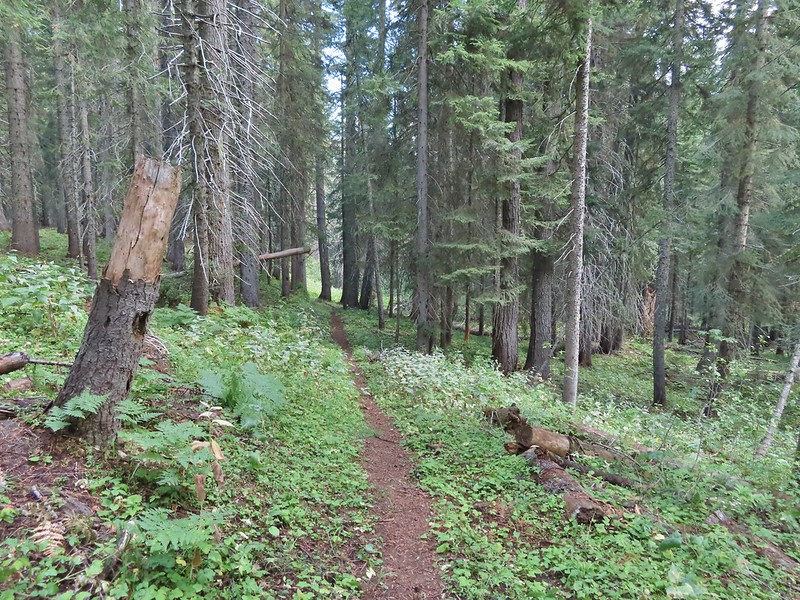
 Pearly everlasting
 Ghost pipe
  This was one of the smallest frogs we’ve seen. When I first saw it jump I mistook it for a grasshopper.

 South Fork Wenaha River


 One of two snakes we came across, both the harmless types.
 South Fork Wenaha River
 Fall colors along the trail.
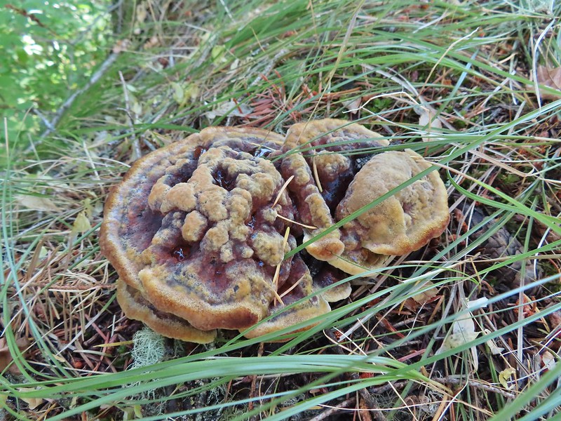

 Milk Creek with the Wenaha River Trail continuing on the far side.
 Milk Creek joining the South Fork Wenaha River.
 Elderberry near Milk Creek
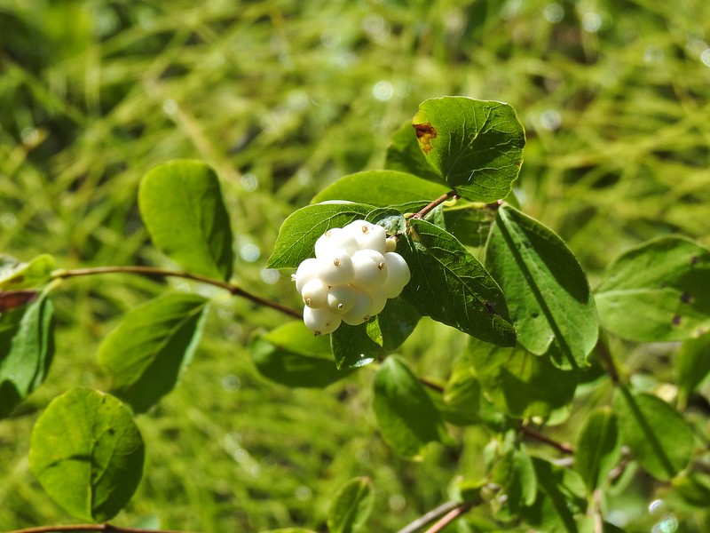 Snowberry
 Might be an aven?
 Coral fungus

 Aster
Aster
 A lone arnica still blooming.


 The view back along the road to the fork.
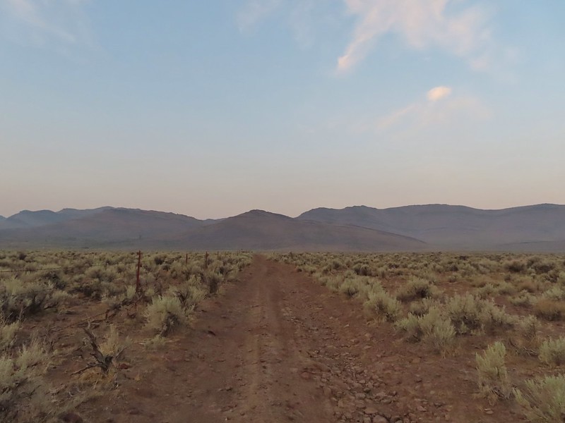 Road walk
 Rabbit


 A hawk in a dead tree above the springs feeding Sesena Creek.
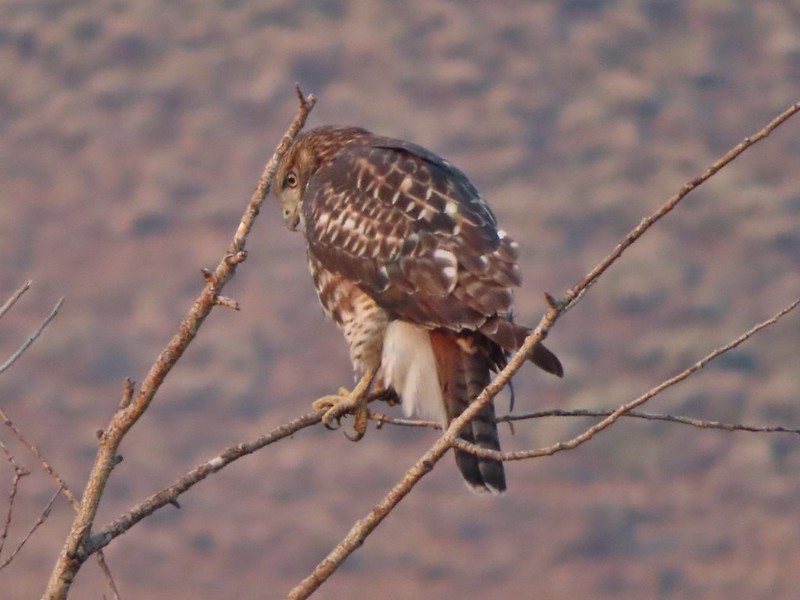
 This was the only water we’d see all day.
 The first cairn from later in the day.


 View from cairn #3.
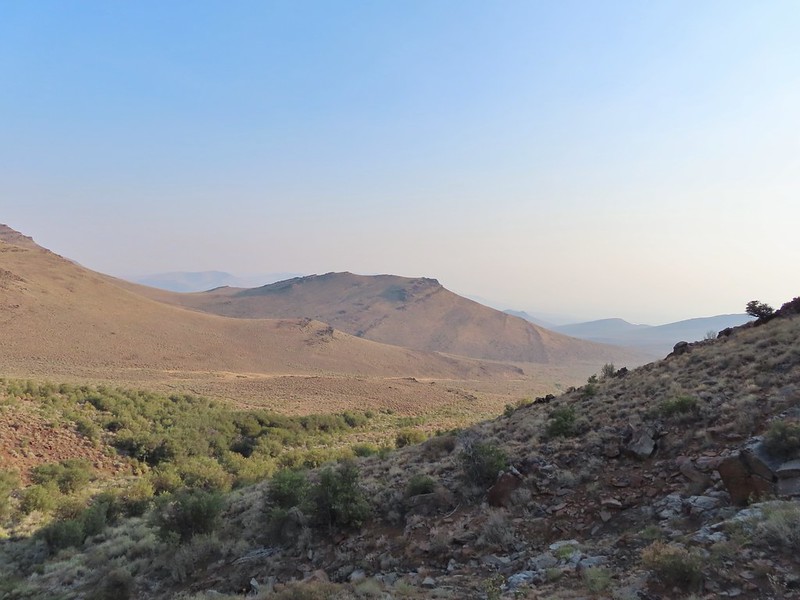 Looking back over the mahogany trees, the rise with cairn #2 and the cow lick.
 Looking up the steep hillside.
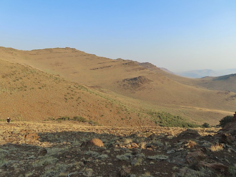 On the climb up to #5.

 The view from the saddle.


 A kestral on a cairn.
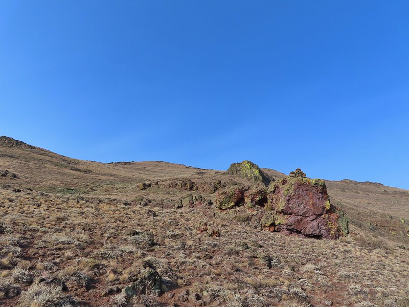

 You can see Heather following me up on this “less” steep section.
 Looking down into the haze in the east.
 Cairn #7 was being guarded by magpies.
 View south over the Pueblo Mountains.
 Passing below cairn #7 (upper right corner).
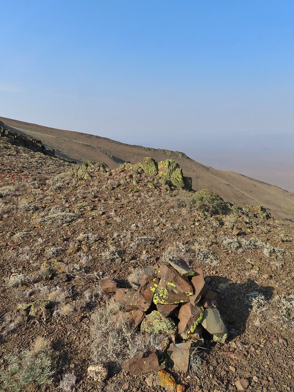
 View to the NW from the pass.
 Pueblo Mountain (the large rounded peak) from the pass.
 We climbed this rise on the ridge and continued on the top for a bit.
 Looking at the rocky cliffs that would force us to the west.
 It’s not a desert trail without bones.
 Looking back
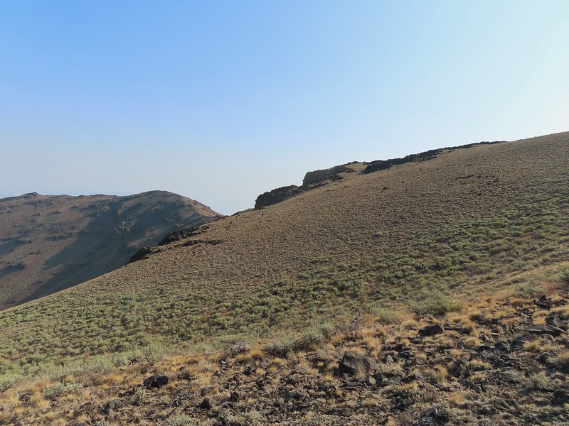 The sagebrush draw below (Heather is traversing the hillside.)
 Cairn #9 and the view west.
 The next ridge is where the high point we were planning to turn around at was.
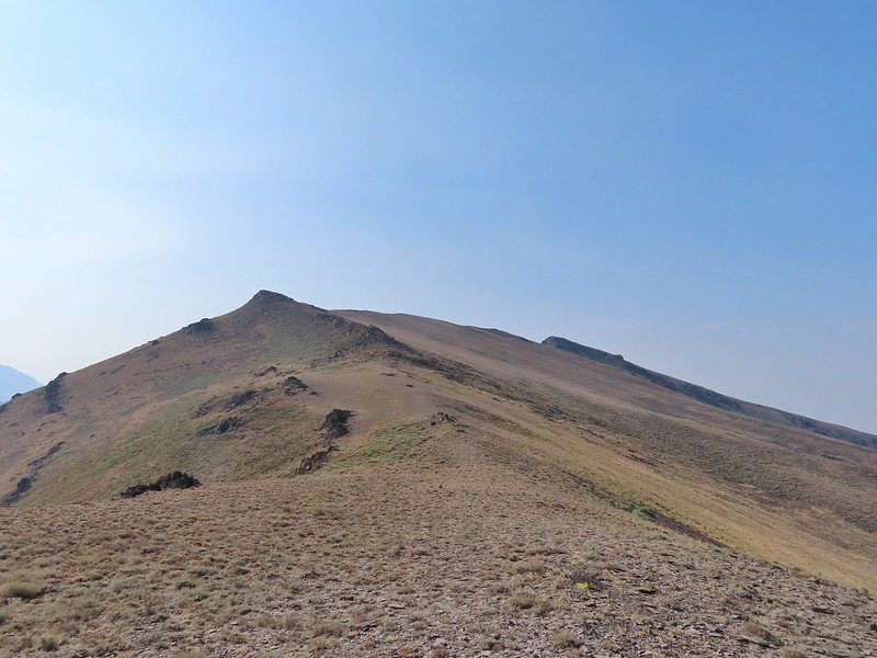 Cairn #11 in the saddle along the ridge.
 Heather dropping down to the saddle, cairn #10 was out of frame to the left here.
 View to the west from the saddle.
 Sculpted rock along the ridge.
 Heather making her way up to #12.
 Thought this might be an arrowhead or at least something that was used for a tool of some sort.
 Heather resting by cairn #12 while I scouted the route.
 A hazy Pueblo Mountain (and more of the Pueblo Mts.) from the high point.
 Cairn #15 is on a small rock outcrop near the saddle at center.
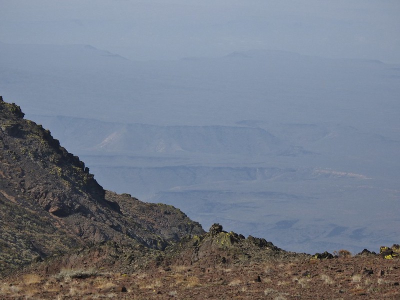 Cairn #15 (at least we think).
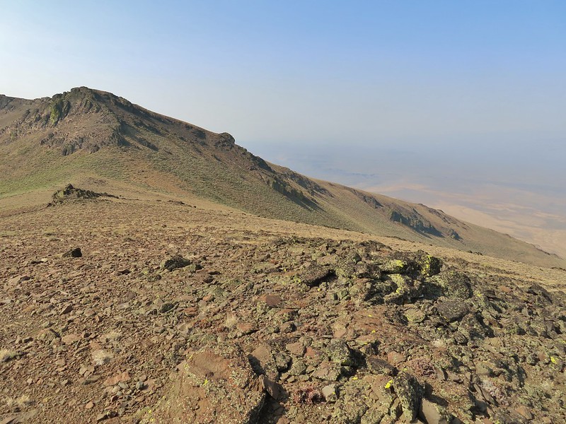 Cairn #15 below from the cairn #14 coordinates, it appears that cairn #14 may have been at least partially dismantled.
 Oh great, more uphill.
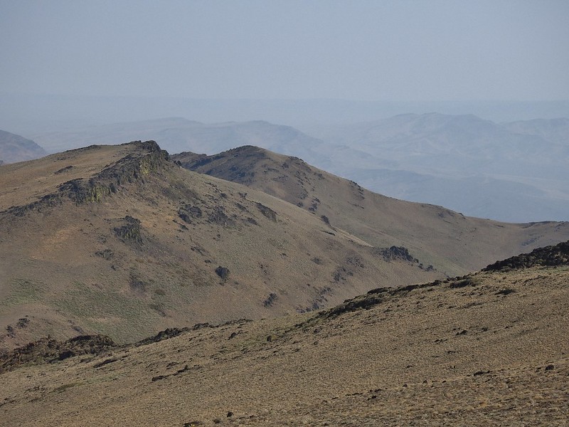
 Peaks in the Pueblo Mts. near the Nevada border.
 Cairn #12 and the saddle zoomed in.
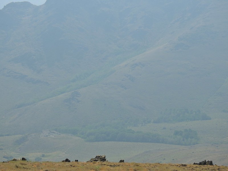 Van Horn Creek is down there somewhere as is Ten Cent Meadows.
 A lupine with a few blossoms left.
 Lots of colored lichen on the rocks along the way.
 Vertical rocks.
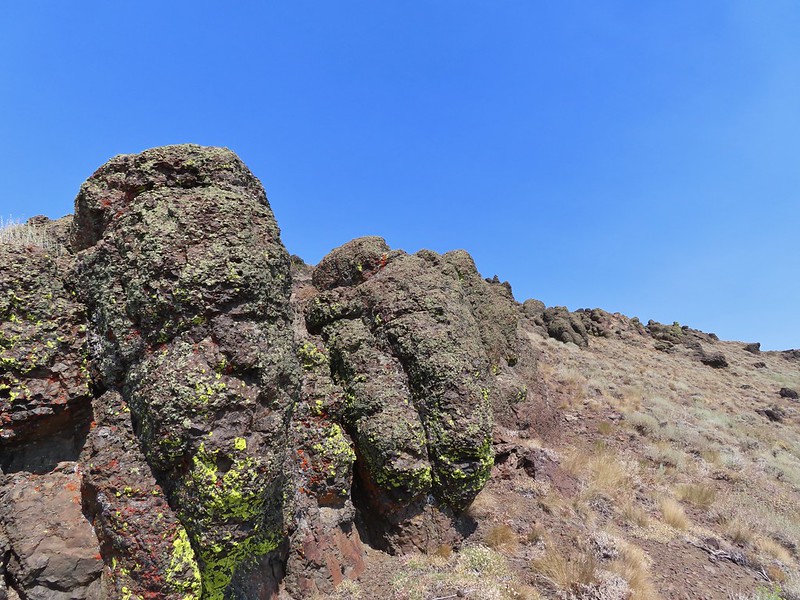 Rounded rocks.
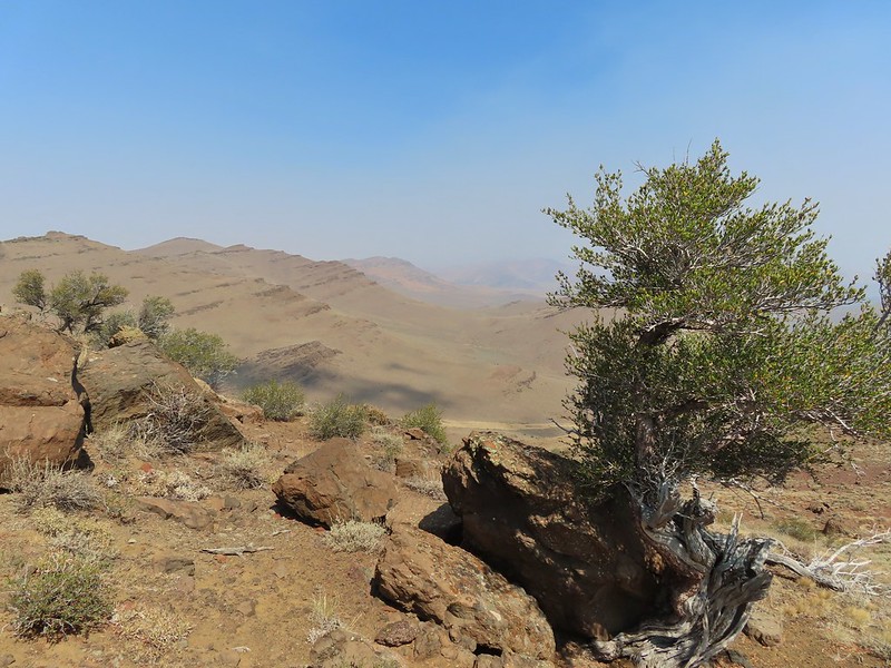 Back to the mahogany trees.
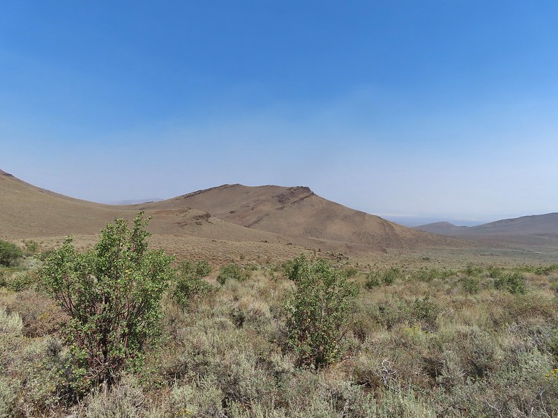 Cairn #2 dead ahead.
 Found the cow lick again.
 Looking back at the Pueblo Mountains from the road walk.
 Trees marking the spring and Sesena Creek.
 The southern end of Steens Mountain from the road walk.
 Sage grouse hen


 Big and Little Indian Gorges from the Little Blitzen Trail.
 Heading for the Little Blitzen Gorge.
 So many dried out wild onions.
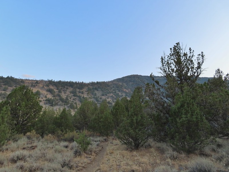


 Looking back the way we’d come.
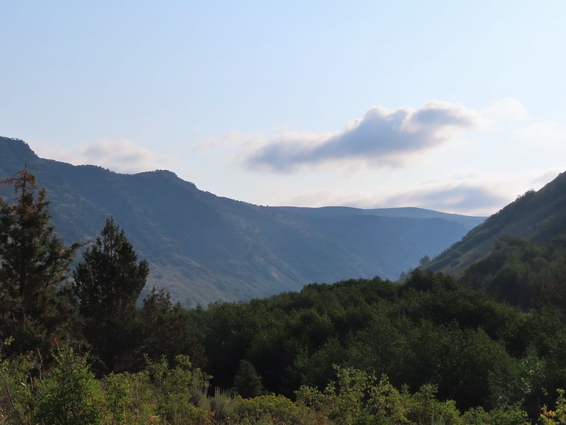 The view ahead.
 A stand of quacking aspen.
 Something to avoid.
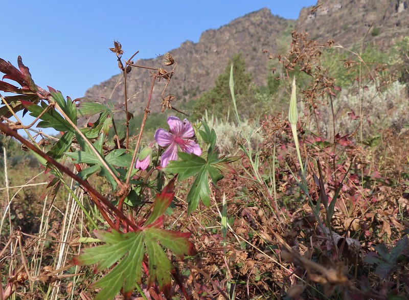 A geranium blossom.
 Passing through some willows.
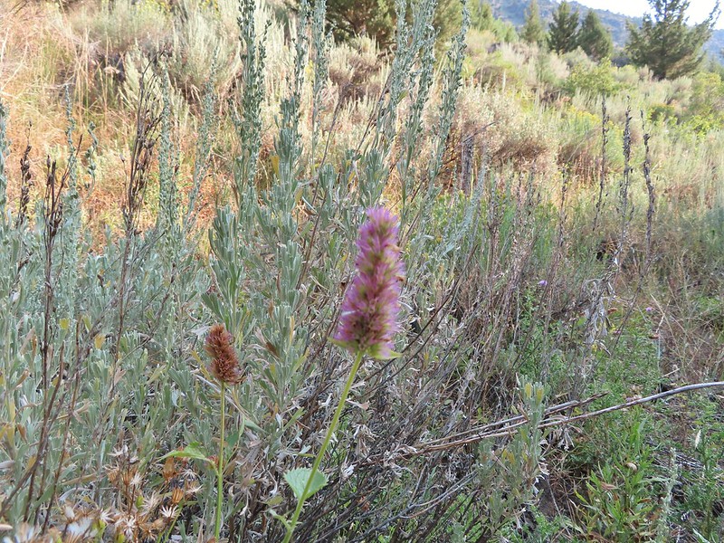 Hyssop
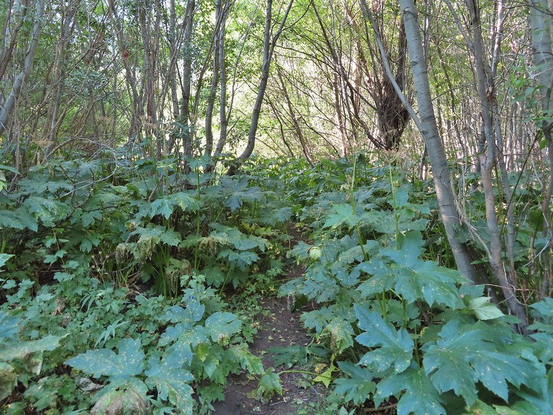 Vegetation along a spring fed creek.
 Monkshood
 The view ahead where we turned around.
 A robin
 Heading back
 The Little Blitzen River near Four Mile Camp
 More of the old corral.
 Gentians under a willow.
 Paintbrush
 Another little cascade along the river.
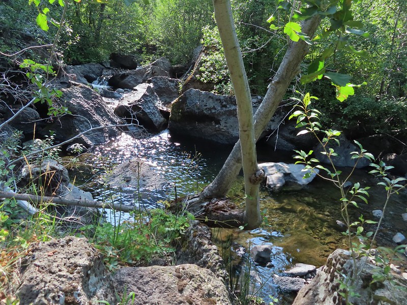 A nice pool.
 There were a number of tiny grey birds in here, at least two in this photo.
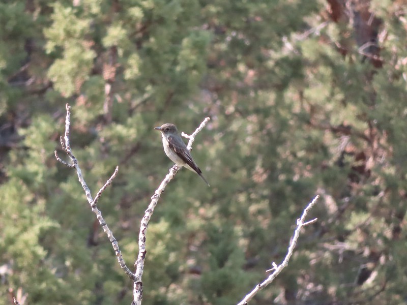 A bigger bird, but not by a lot.
 A wood nymph
 This was a huge boulder along the trail. At least two small junipers were growing out of it.
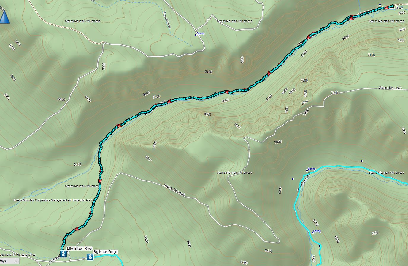

 The stone house is too low to even stand up in but it was enough to stake a claim to the land.


 Upstairs
 The barn
 Inside the Bunkhouse
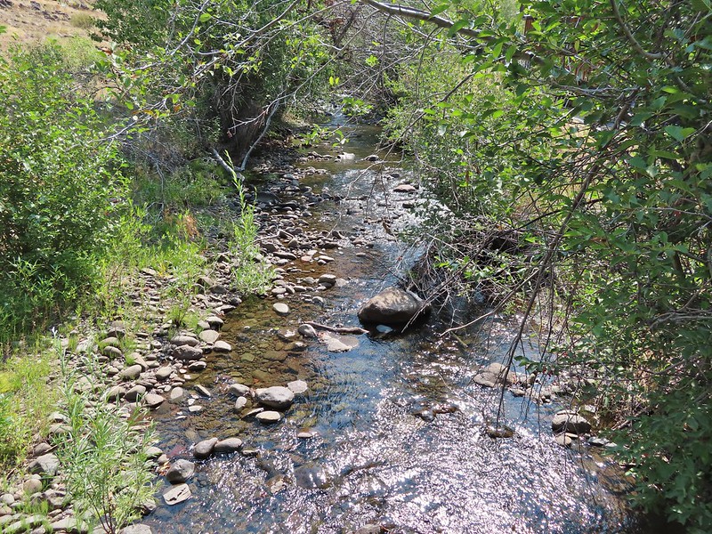
 Levi was one of 9 Prinveille Hotshot firefighters who perished on Storm King Mountain in Colorado fighting the South Canyon Fire. This hit home for me having gone to school with one of the 9, Bonnie Holtby.
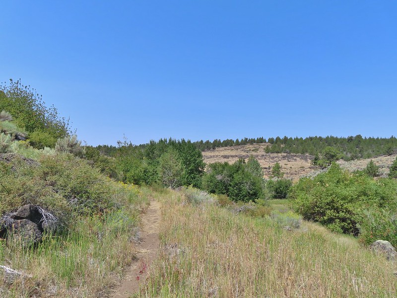
 Thistle in a field once used for hay production by the Riddles.
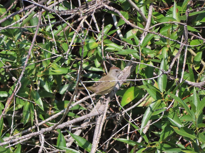 Could be a green-tailed towhee


 Lots of butterflies in the grassy areas.


 Nearing the confluence.
 The confluence of the Donner und Blitzen River (left) and Little Blitzen River (right).
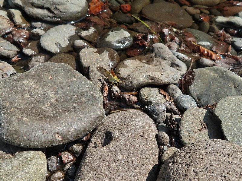 A skipper at the confluence.
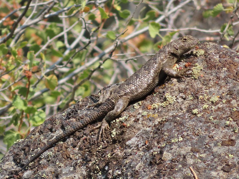
 A ringlet
 The mouth of Big Indian Gorge from the Levi Brinkley Trail.
 Old wagon at Fields Station.


 Still some smoke to the east as shown by the red Sun.
 Here come the clouds.

 Between the Sun and haze it was hard to see much of the ragged eastern side of Steens Mountain or the Alvord Desert (
 Frozen thistle
 The Alvord Desert through the haze.
 A look back at the parking area.
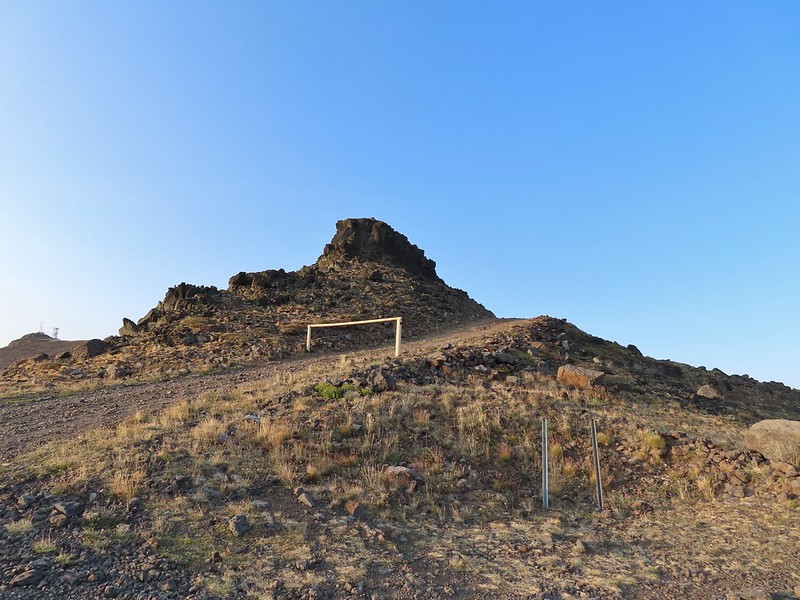
 Wildhorse Lake below the summit.
 The rocks here provided a little protection from the freezing wind.
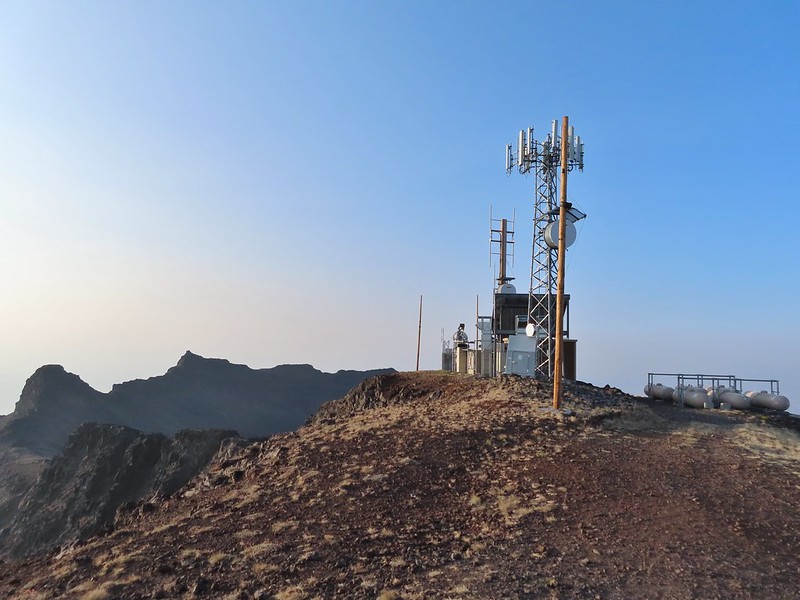
 Big Indian Gorge (
 Heather getting a closer look at Wildhorse Lake.
 Not much snow left up here.

 Typical tread near the top.
 Buckwheat
 The bench.
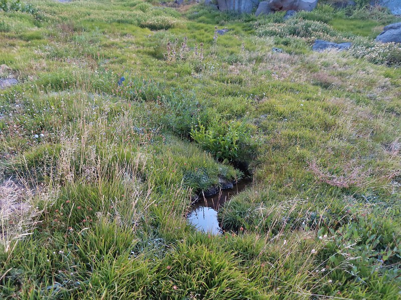 The small stream.
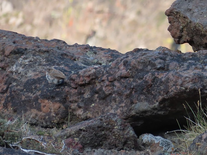 A wren.
 Wildhorse Lake from near the end of the bench.
 We were a little disappointed to see just how late we were for most all of the wildflowers. I don’t know how much the drought this year affected the timing or if it blooms that much earlier in SE Oregon but the remains of what looked to have been an excellent display were all we were left with.
 A few stone steps began the steep descent along the stream.
 A few of these little yellow flowers were still in bloom.
 This was a mass of pink monkeyflower a few weeks ago.
 A look up at the summit.
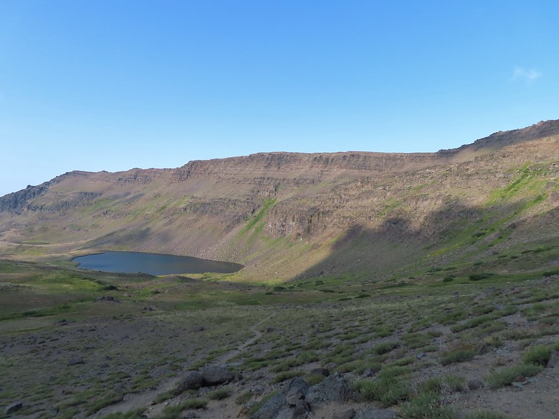 The trail descending less steeply to the lake.
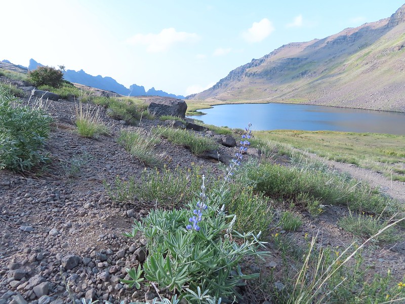 A lone lupine blooming near the lake.
 A pair of paintbrush and the remainder of some aster or fleabane.
 A ground squirrel near the lake.

 The only pink monkeyflower blossom we spotted.
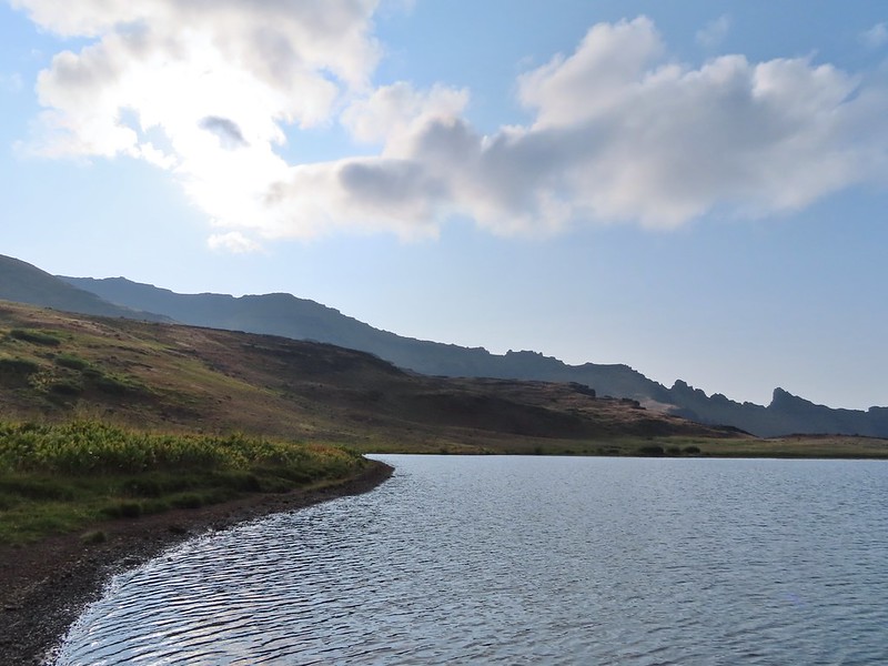
 Ranger buttons
 Mountain coyote mint
 Cascade grass-of-parnassus

 Gentians
 Wildhorse Creek
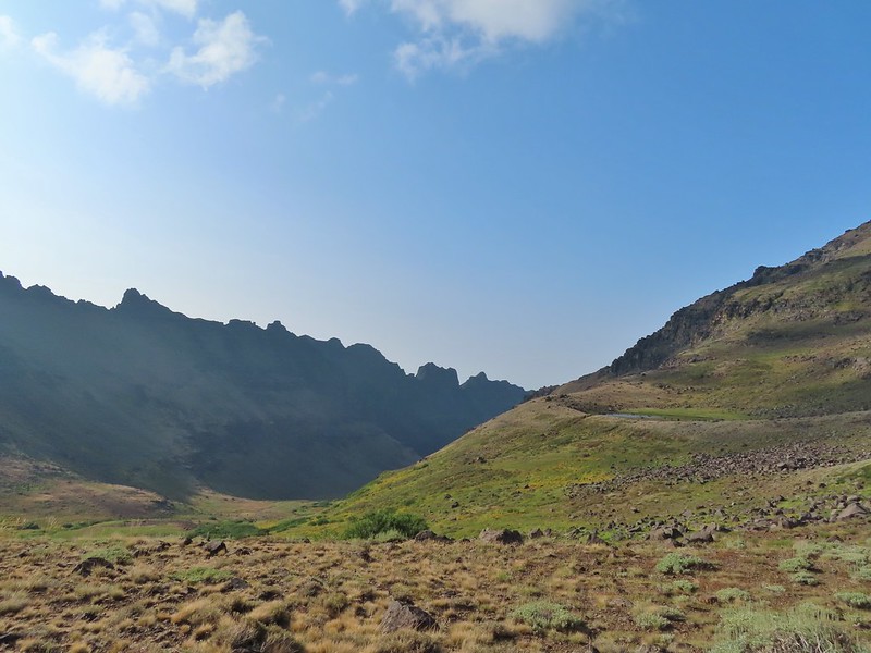 Looking down along Wildhorse Creek.
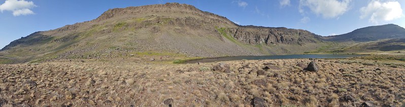 Wildhorse Lake and Steens Summit.


 Rockfringe willowherb
 Raptors soaring above Steens Mountain.

 Big Indian Gorge
 The summit from the unofficial trail.
 The trail on the ridge.
 Looking ahead at the ridge the rocky outcrop looked a bit intimidating.
 The view out over Big Indian Gorge.
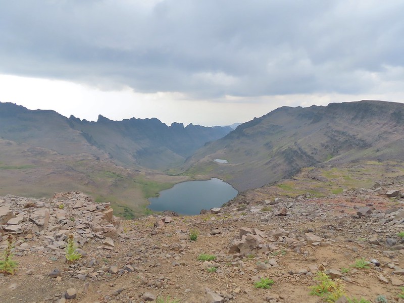 Wildhorse Lake
 I turned back here, I’m not that adventurous.
 Darker clouds over the summit from the trailhead.
 A little better view of the Alvord Desert.
 The view as we prepared to drive off.
 We did stop along the way to take a couple of photos.
 Our planned hike for the next day was up this gorge.
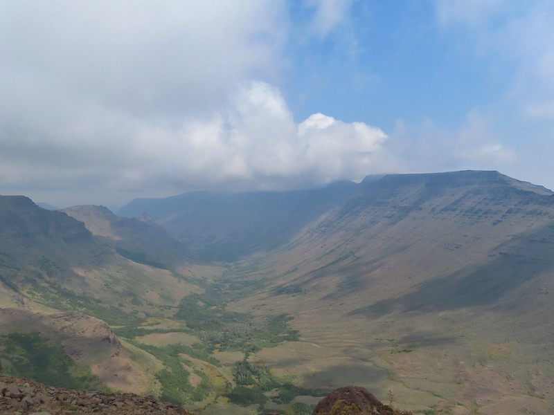

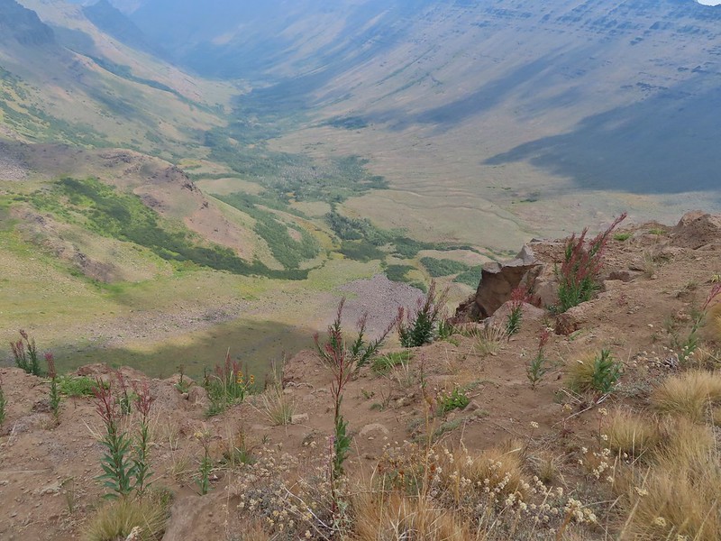
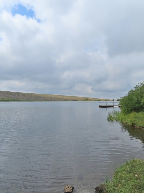

 The historic

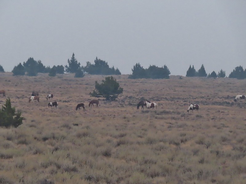
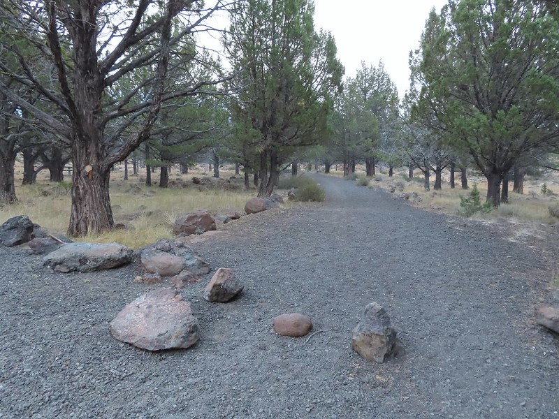
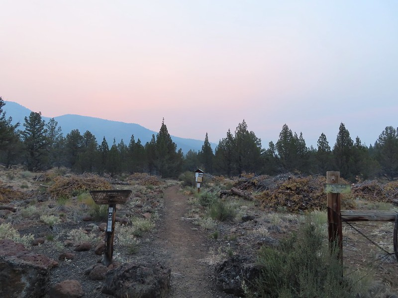
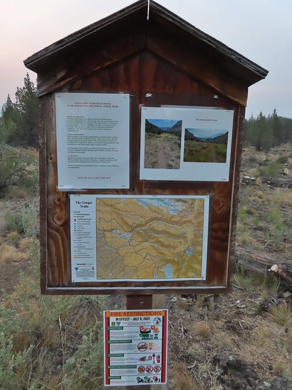
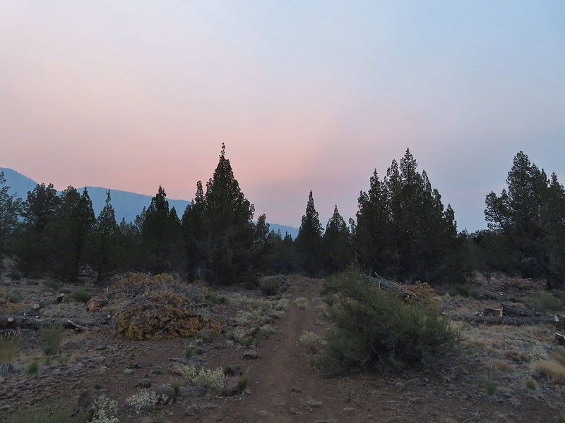
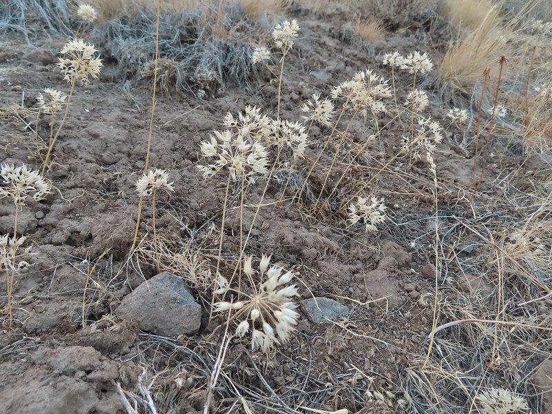 There were tons of wild onions along the way.
 Deer on one of the hillsides.
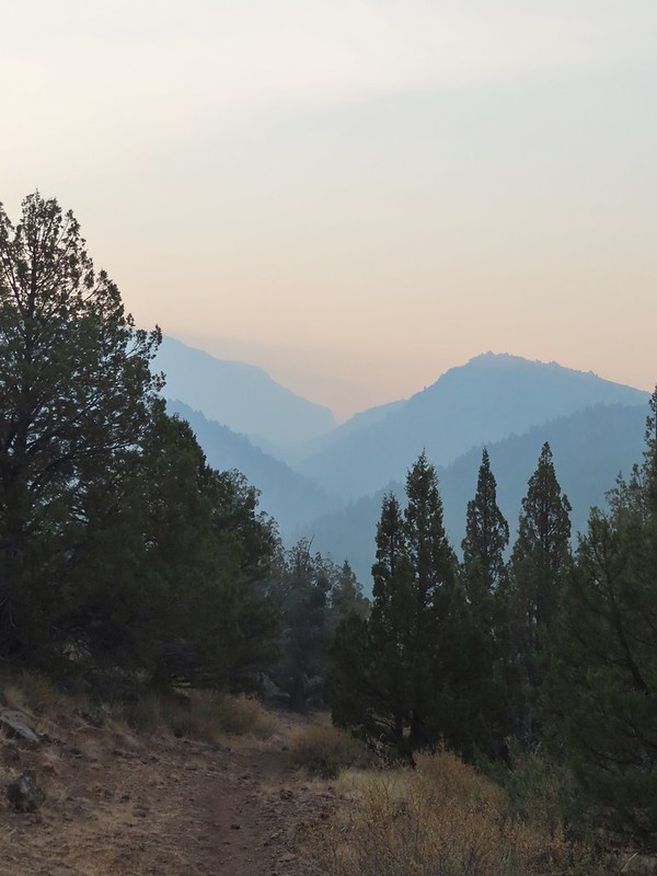 Beginning to drop down to Big Indian Creek.
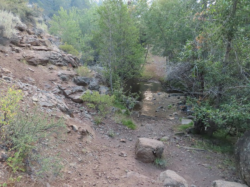
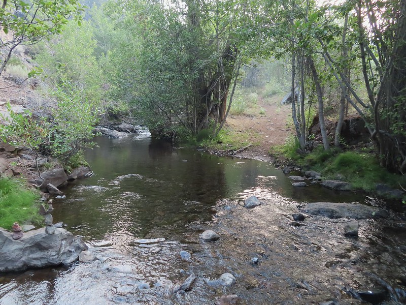

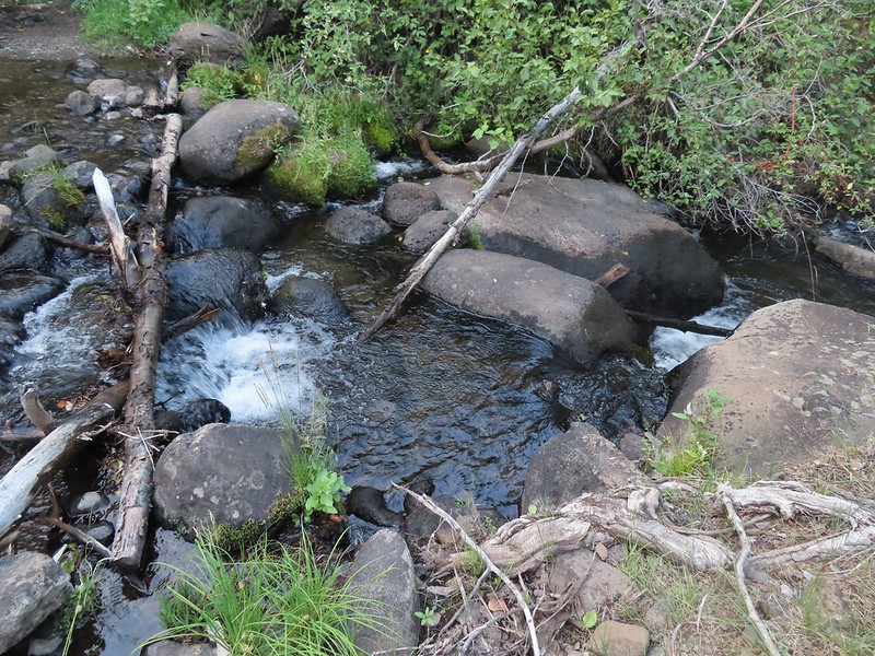


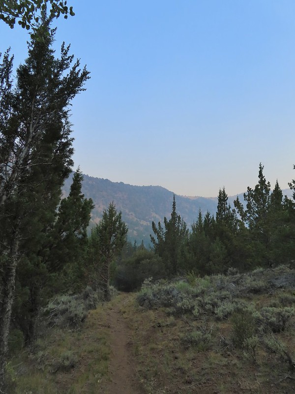
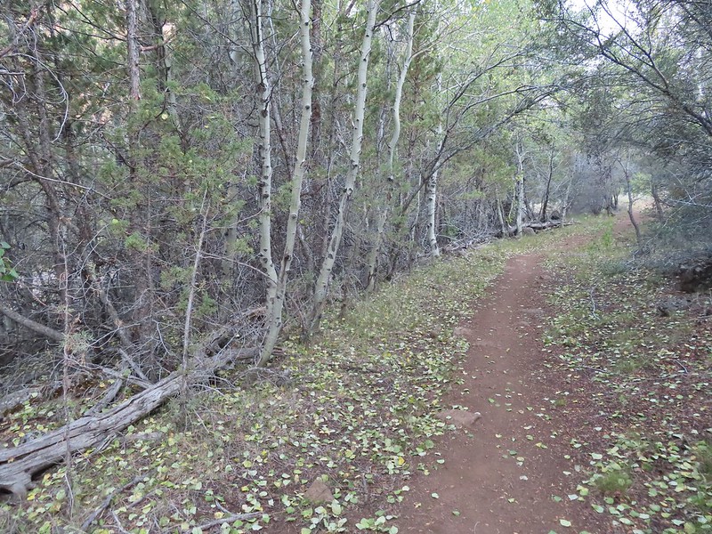 Quacking aspen along the trail.
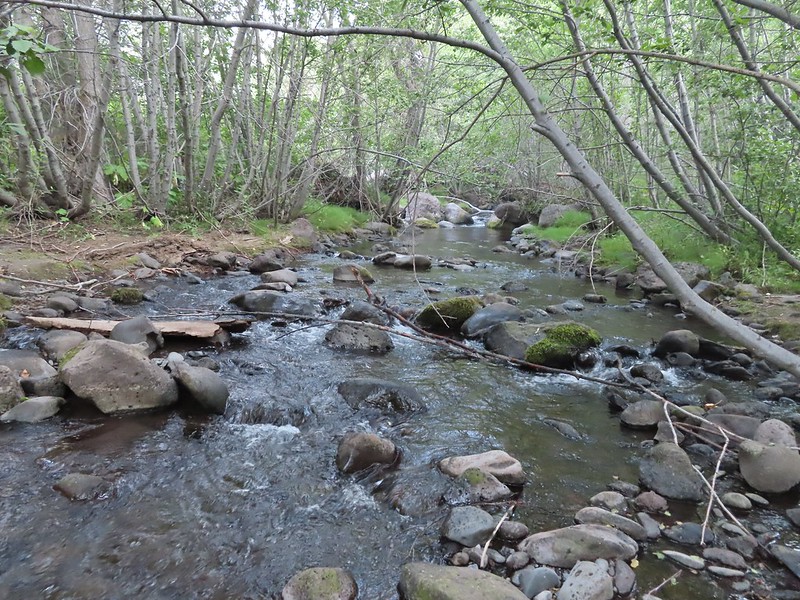

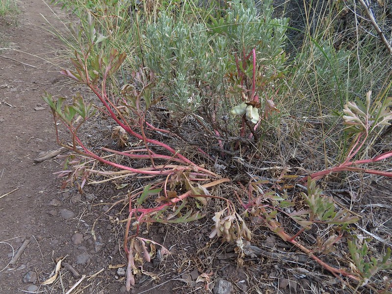 One of the many Brown’s peonies along the trail.
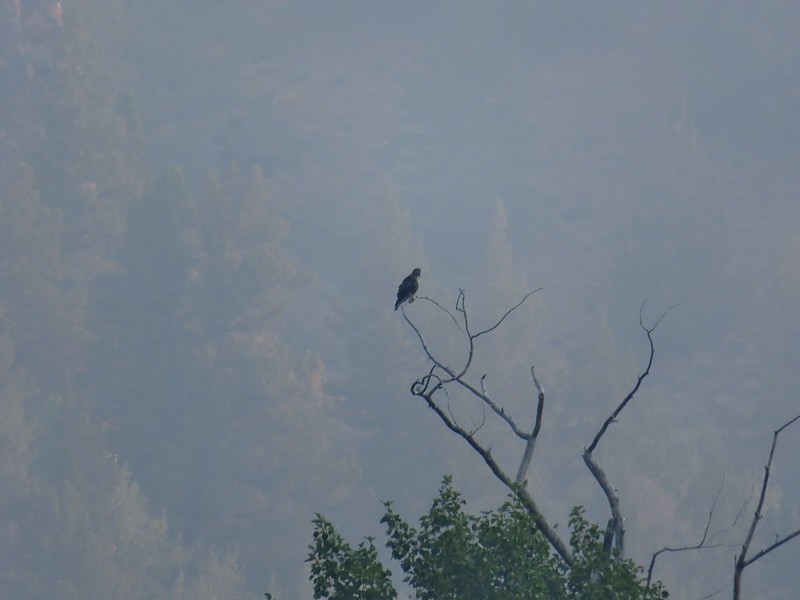 Hawk atop a cottonwood
 This counts a lupine in bloom!
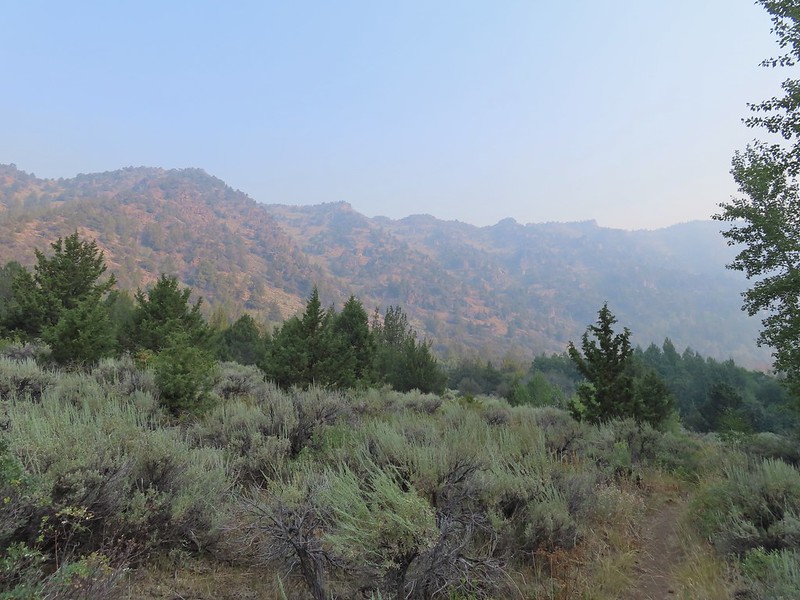
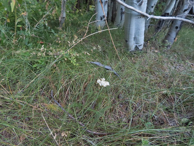 A lone yarrow
 One of a couple of spring fed streams along the trail.
 Aspens and junipers
 Tassel-flowered Brickellbush
 Waxwings
 The large boulder later in the day on our way out.
 One of the other spring fed crossings.
 There were lots of crickets/grasshoppers bouncing about.
 We could see some of the closer cliffs through the haze.
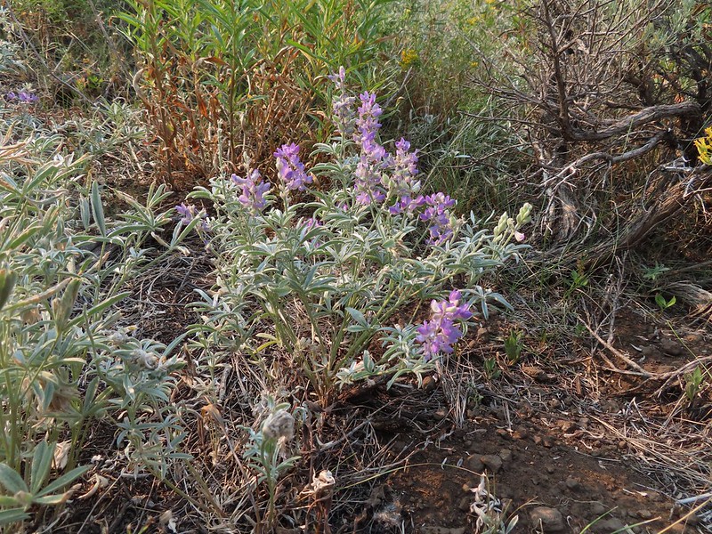 We started to see a few more lupine in bloom the further in we hiked.
 What the smoke looked like ahead.
 Lots of butterflies too.
 Salsify
 Paintbrush
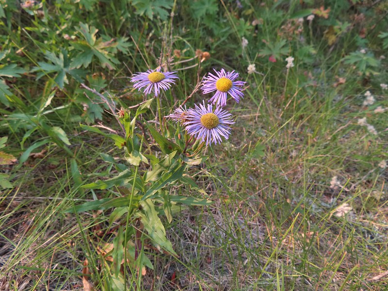 Aster or fleabane
 Geranium
 We couldn’t see very far up the gorge because of the smoke.
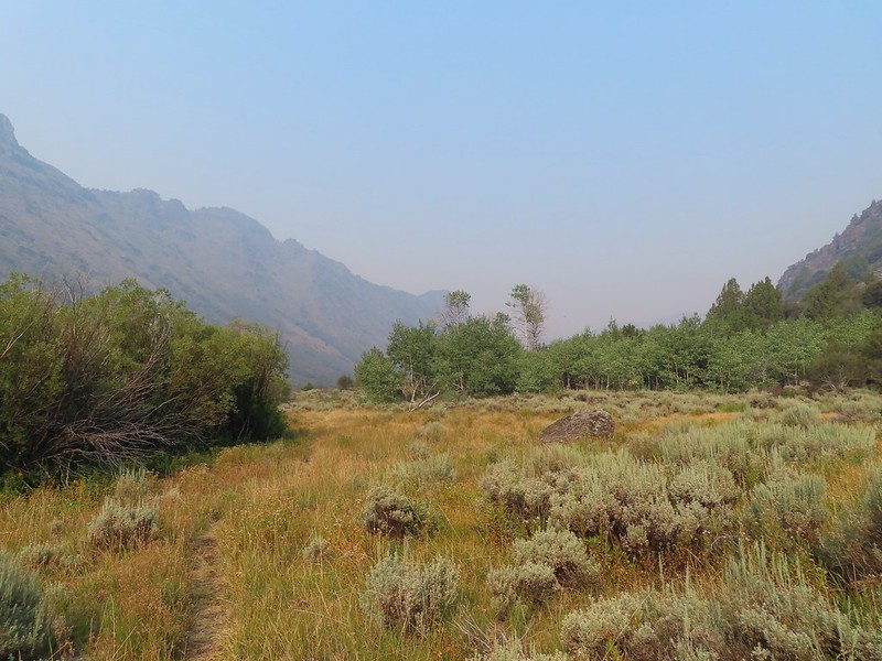 The view was better behind us.
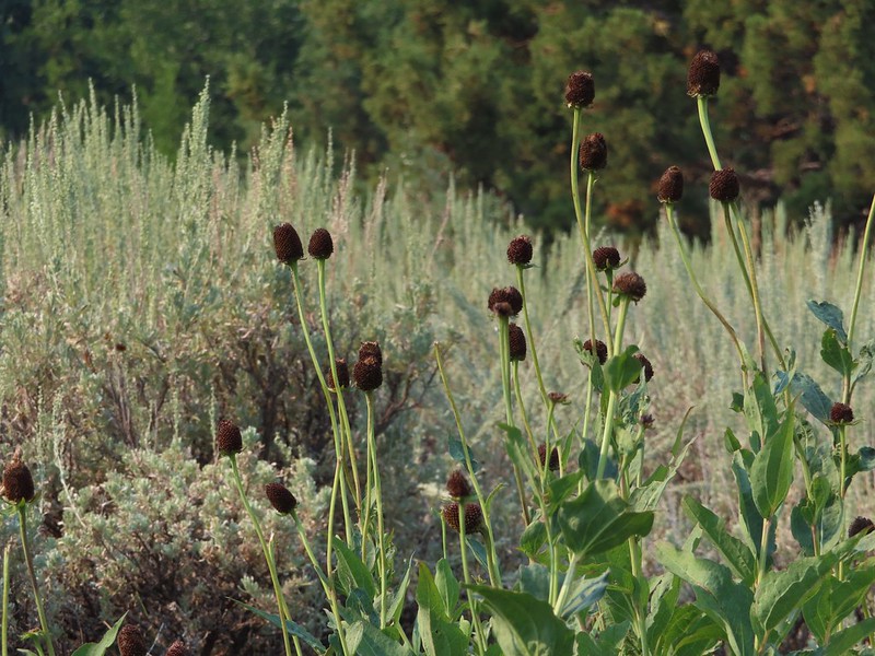 Coneflower
 Hummingbird visiting paintbrush
 A few aspen already turning golden.
 Cottonwood Camp down to the right.
 Looking up Big Indian Gorge from the trail near Cottonwood Camp.
 Genitian
 Raptor
 Cottonwood Camp
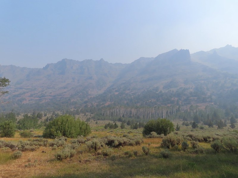 View across the gorge when we arrived at the camp.
 Big Indian Creek
 A few white clouds started to appear along with the breeze.
 The near wall above Big Indian Creek and Cottonwood Camp.
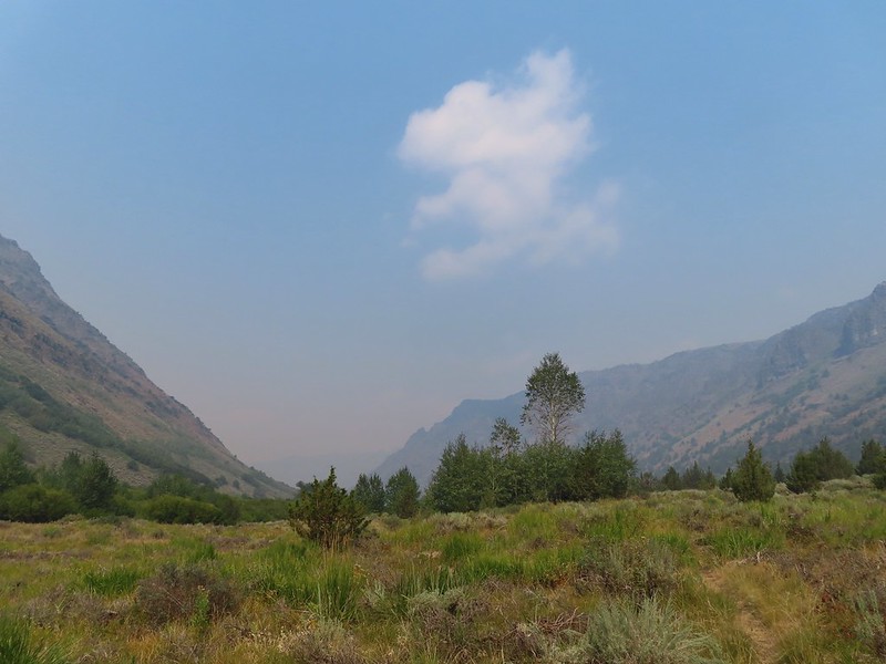
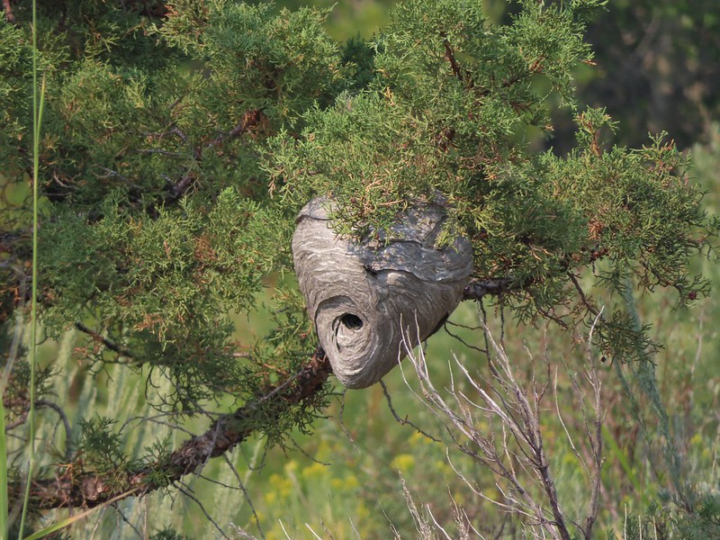 We missed this nest on the first pass. It was about 30 yards off the trail.
 We also missed this Nuttall’s linanthus blooming along the trial.
 Improving views
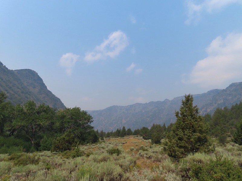
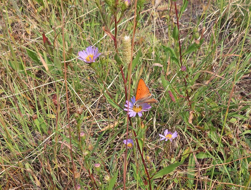 This was a very pretty butterfly that for some reason the camera just didn’t want to focus on.
 Clearer skies above.
 Skipper
 Clouds building up over Steens Mountain
 Lorquin’s admiral
 Ground squirrel
 Some type of wood nymph.
 Back to the first ford, which I again managed to cross dry footed giving me a perfect record for the day which is unheard of.
  A comma of some sort.
 A vast improvement over the morning.
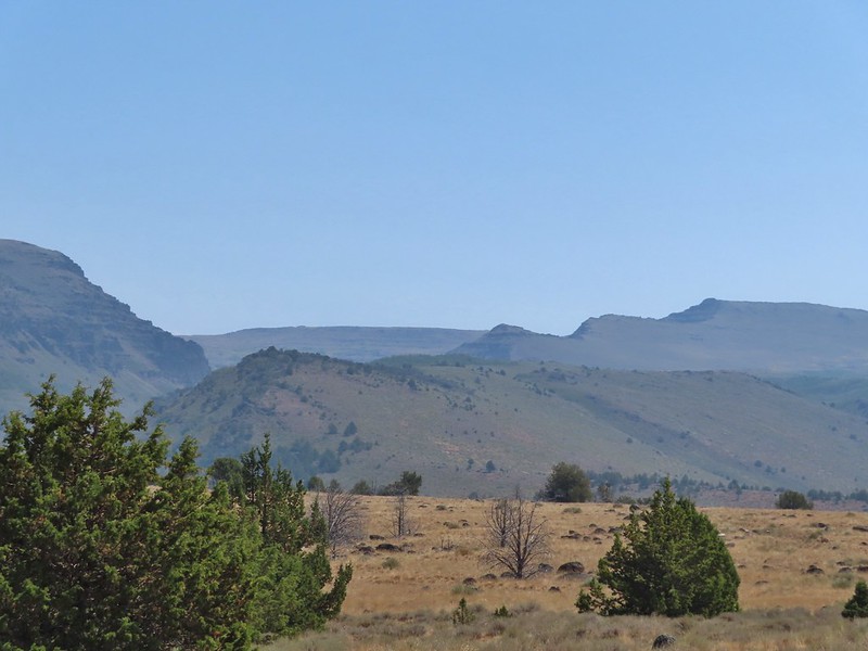 Looking back toward the gorge from the old road bed.
 What a difference a few hours can make.
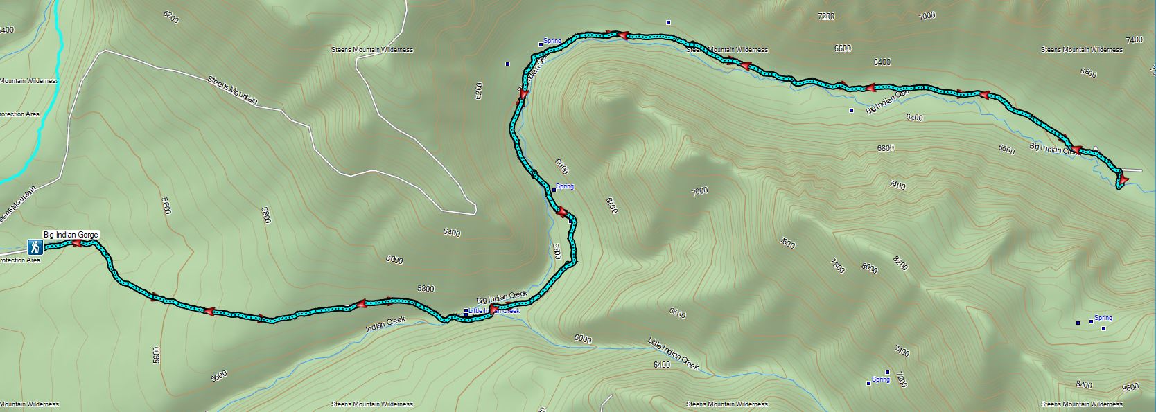
 Our accommodations.
 Trailhead sign at the south end of the rest stop. Brochures were located in the small box under the sign.
 Map on the trailhead sign.
 Red Sun through the smoke.
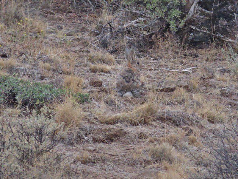

 The Harney Valley to the east.
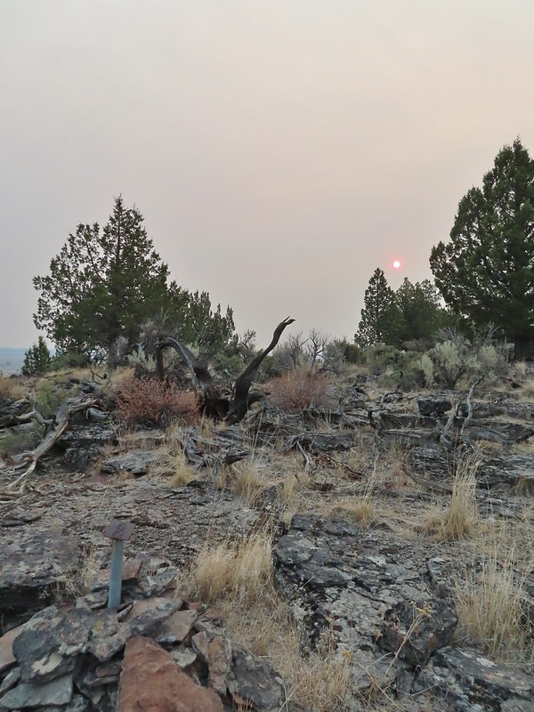 This stop was for a juniper that was blown apart by a lightning strike.
 The rest area from the loop.
 The last stop was to discuss the relationship between the junipers and the Idaho fescue that grows underneath.
 Deer in the nearly dry Marshall Pond
 Yellow headed blackbird
 California quail
 Owl
Owl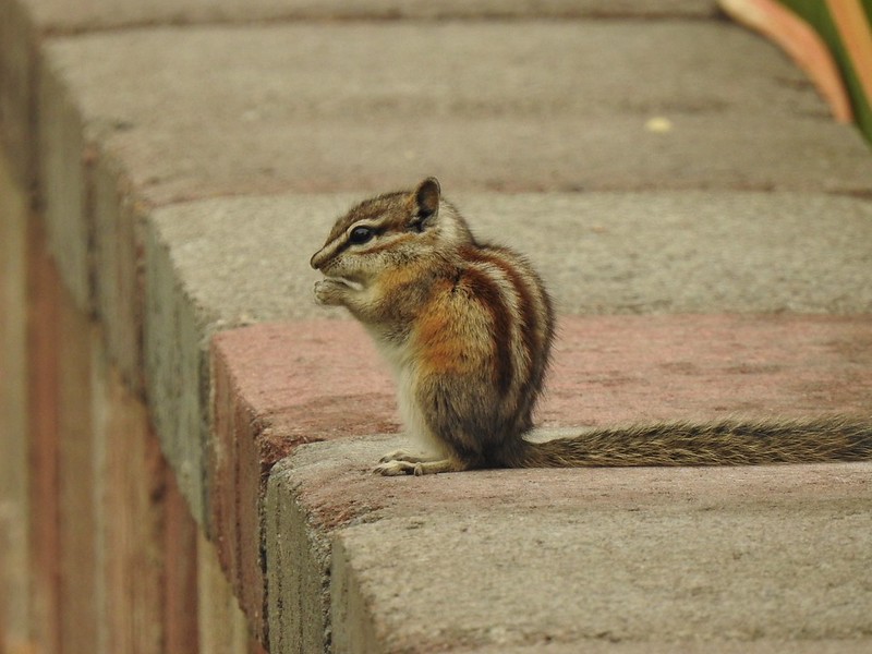 Chipmunk
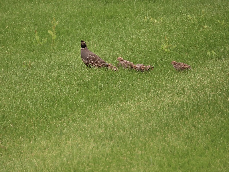 More quail
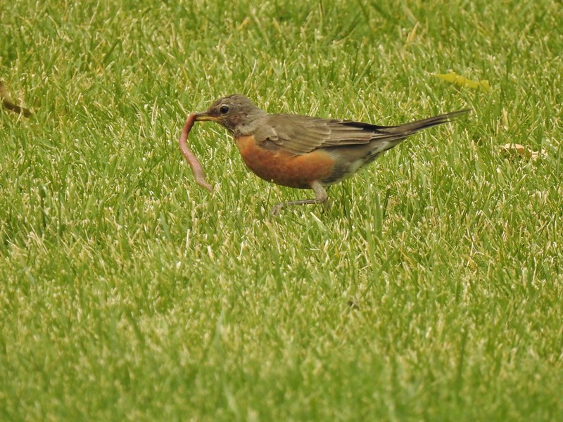 The early bird
 Hummingbird
 Little bird on a feeder
 Shrike
 Hawk and a magpie
 Osprey
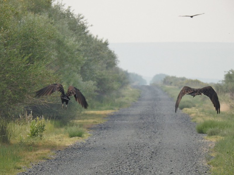 Turkey vultures
 Coyote
 Mourning doves
 Egrets and ducks at Benson Pond
 Old cabin at Benson Pond
 Another owl
 Another turkey vulture
 Grasshopper
 White faced ibis
 Great blue heron amid the ducks.
 A couple types of egrets it appears.
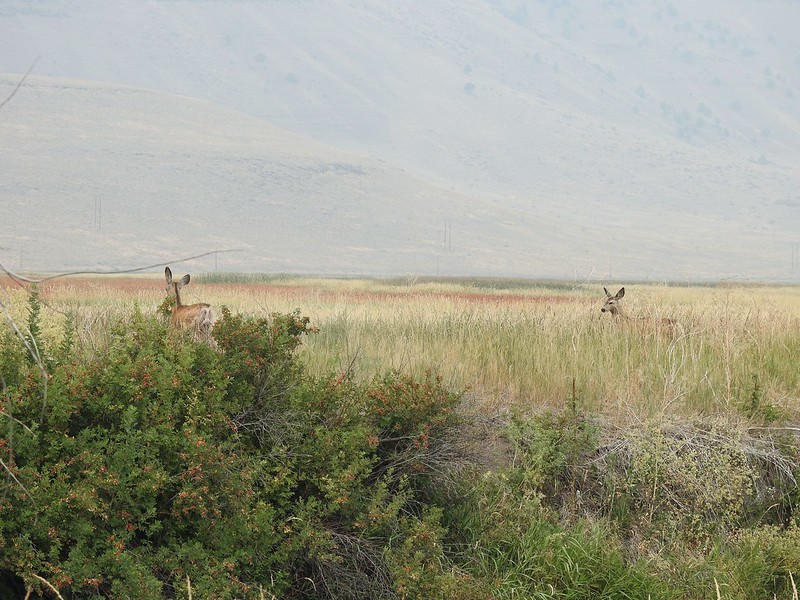 Deer that were in the Blitzen River
 Bounding fawn
 Ducks and coots at Knox Pond
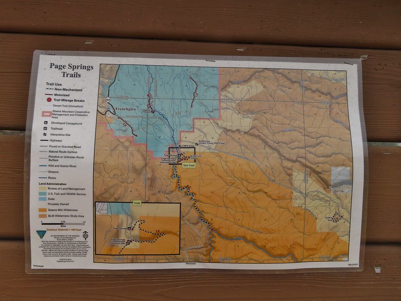

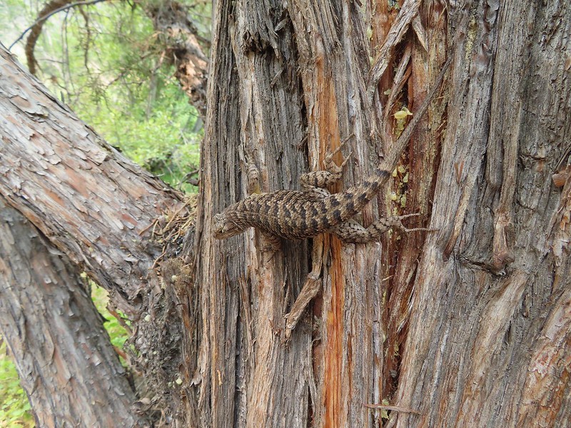
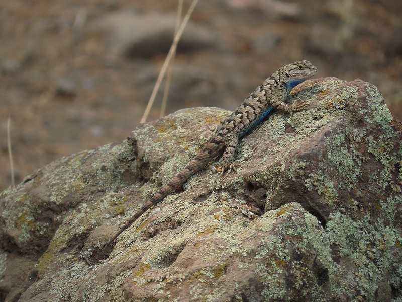

 Bee and a butterfly
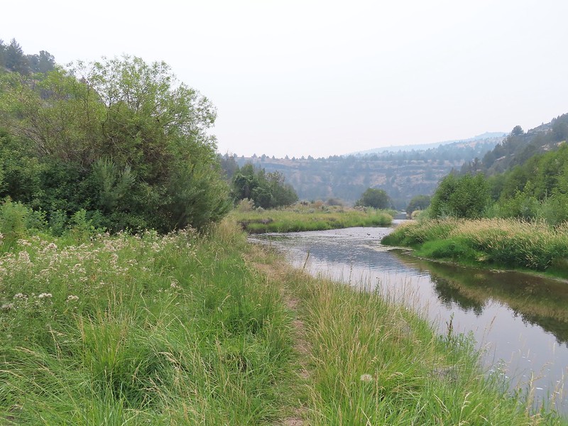
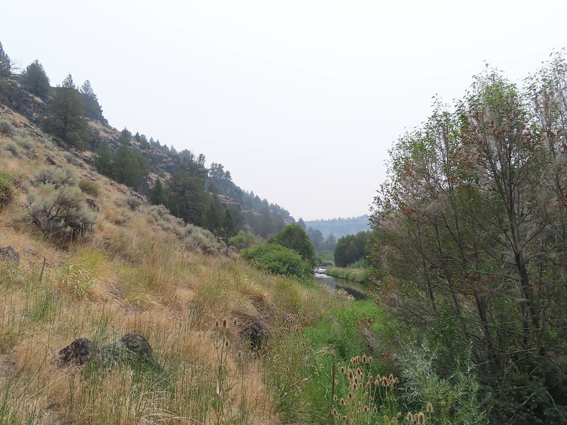 A brushy section.
 A bee and a skipper
 Praying mantis
 The “other” trail on the hillside at the 0.7 mile mark.
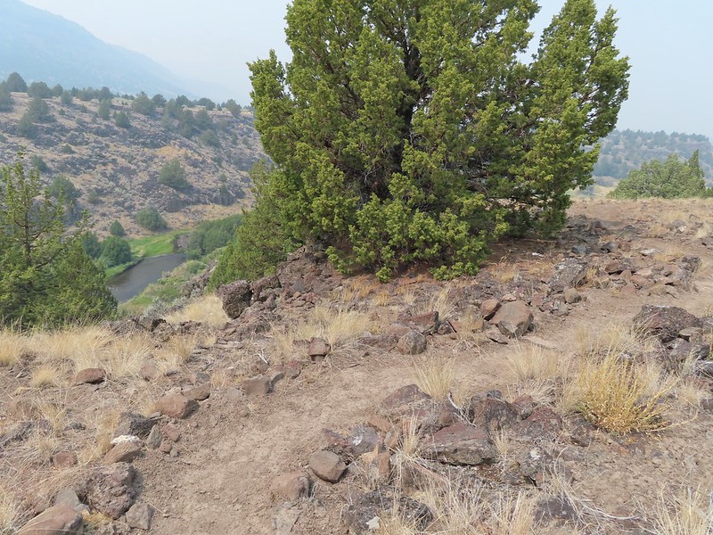
 A wren?
 Fence crossing
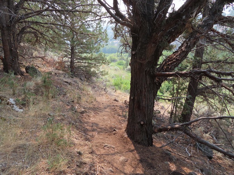 Rejoining the Donner und Blitzen Trail at the 0.4 mile mark.
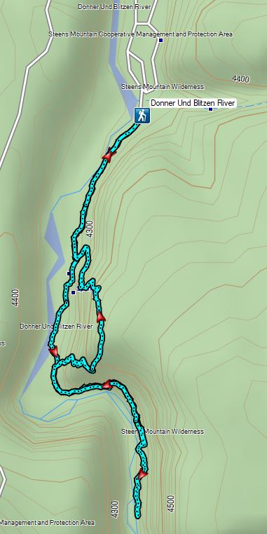


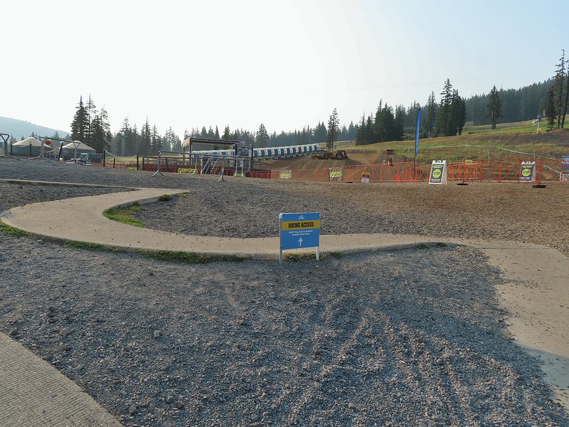

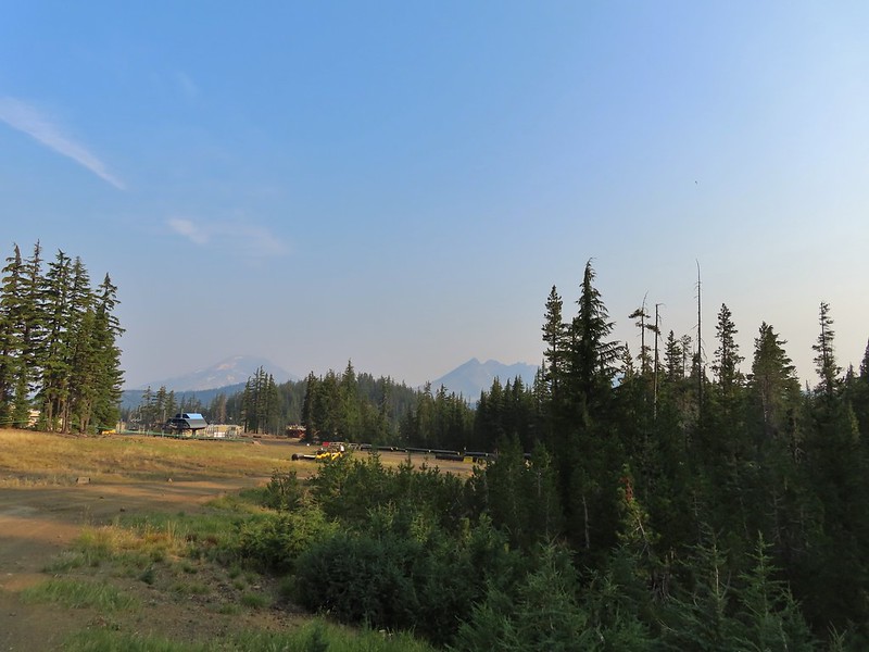 A hazy look at the South Sister and Broken Top.

 Passing under the Skyliner Express
 The ski runs gave us a good look at the top of the mountain.
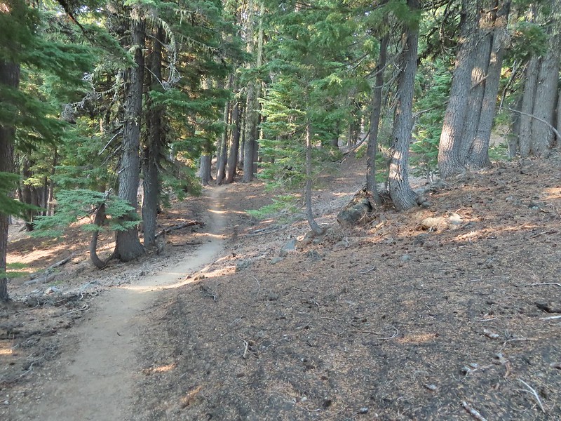

 Turning uphill
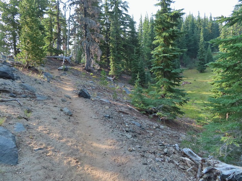 Spotted a grouse hen and her chicks in this little meadow.
 Two of the chicks.
 Passing under the Sunrise lift.
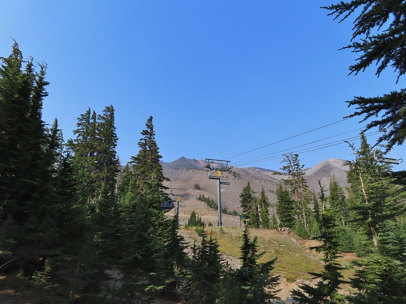 Nearing the top of the Sunrise lift.
 Another hazy look at the nearby mountains.
 South and Middle Sister through the haze.
 The top of Sunrise and the bottom of the Summit lifts.
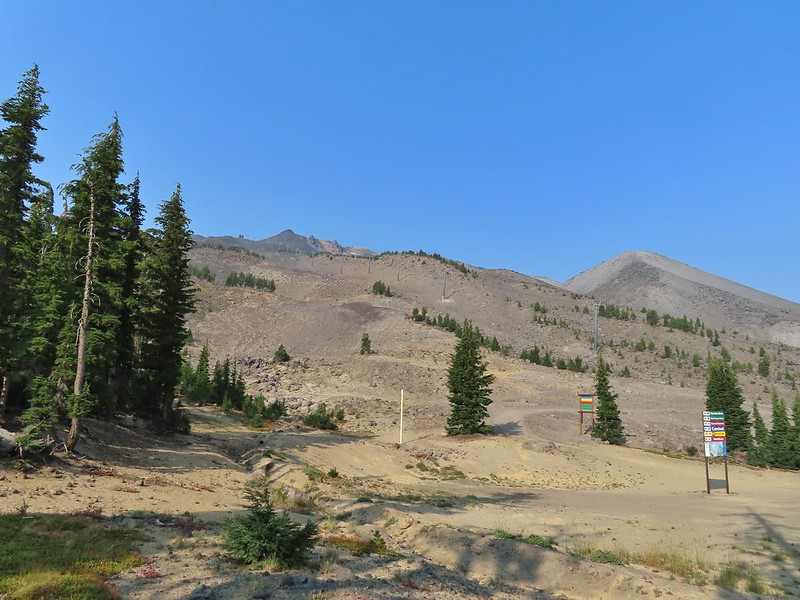 Looking up from the top of Sunrise.
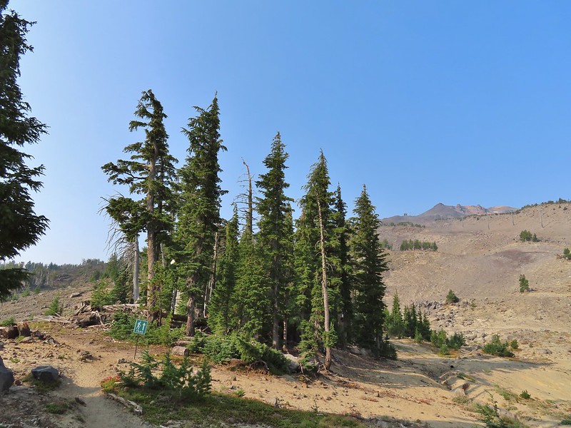


 A few saxifrage blossoms still left.
 Alpine buckwheat and paintbrush
 The first patch of snow we passed.
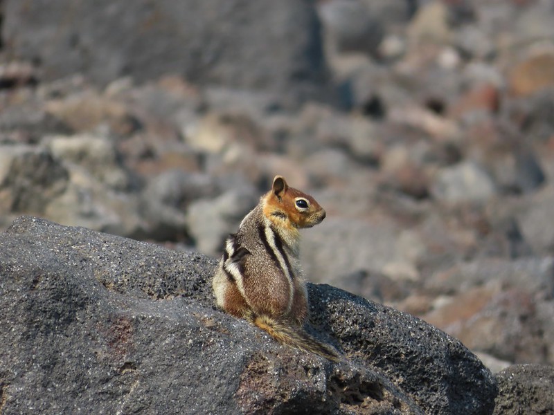 Golden mantled ground squirrel
 Tumalo Mountain (
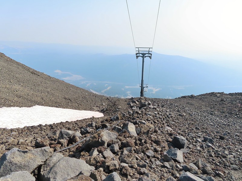 Looking down from beneath the Summit Express.
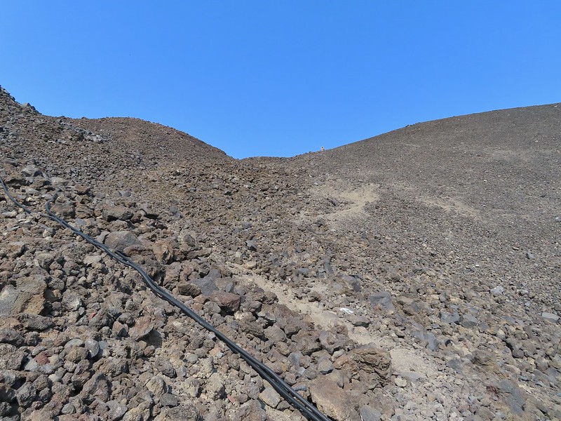 We could really feel the elevation affecting our breathing and by this point we were both sucking wind.
 Dwarf alpinegold
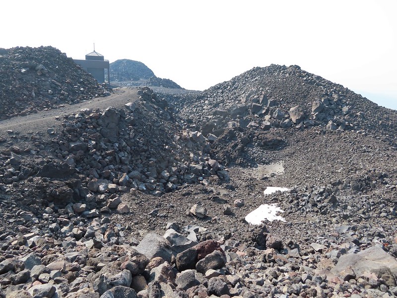 Looking back at the Summit Express.
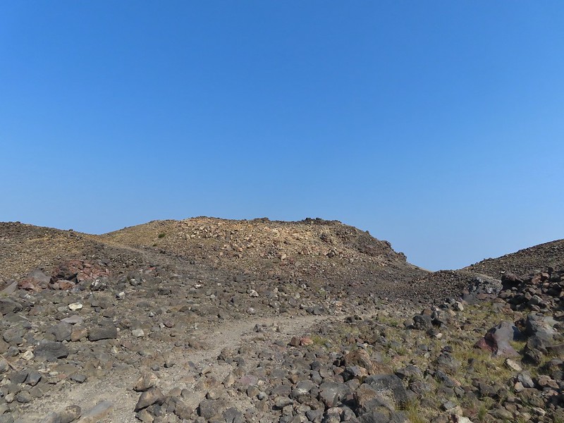 Heading for the high point.
 A mountain bluebird near the summit.
 South Sister and Broken Top with Sparks Lake (

 It’s our rule not to feed the wildlife but it was obvious that many don’t adhere to that LNT principle. I had to put my pack back on to avoid having a hole chewed through my pocket.
 View of the summit.
 Broken Top, the Pine Marten Lodge halfway up the mountain, the West Village Lodge and parking area below and Tumalo Mountain across the Cascade Lakes Highway.

 A little better view of Broken Top and Tumalo Mountain on the way down.
 Clark’s nutcracker

 Left leads up to the Pine Marten Lodge atop the Pine Marten Express, right to the West Village Lodge.
 A decent look at Tumalo Mountain
 Warning sign for a bike crossing.
 A look at some of the mountain bike trails and some haze moving in overhead.
 A tortoiseshell butterfly on the road.

 At least we could see the mountains a little better from here.

