
A wet weather system along with a small chance of thunderstorms led us to look for a plan “B” for our second outing in May. Looking ahead to the hikes on our 2023 list for April/May gave us a suitable alternative so we moved a 2022 hike to next year and moved up an outing to visit four parks, two in Hillsboro and two SE of McMinville. These hikes were all located within an hour of Salem allowing to stay relatively close to home and we figured that the less than ideal weather might make for less crowded trails. We decided to start at the northern most trailhead and work our way south.
We arrived at the Orenco Woods Trailhead (open dawn to dusk) just before 6am and headed past the restrooms to an interpretive sign in front of the McDonald House.

Beyond the house the path forked with the right hand fork leading to the Rock Creek Trail while the left fork led to the Habitat Trail which is the way we went.
 Camas
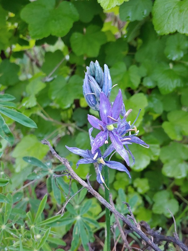
Camas
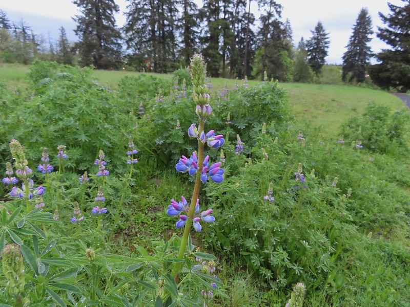 Lupine
 Habitat Trail

After a third of a mile we arrived at the Rock Creek Trail near NW Cornelius Pass Road where we made our first wrong turn of the morning. We initially turned right which would have led us back into Orenco Woods.
 We’ll blame our inability to read this sign on it still being early in the morning. We started down the path ahead before quickly questioning the direction and correcting course.
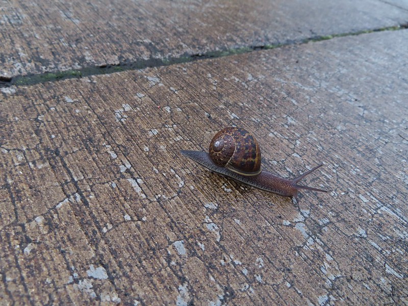 He probably knew which way he was going.
 Heading the right way now.
From Orenco Woods the Rock Creek Trail follows the sidewalk along NW Cornelius Pass Road north 150 yards to a crosswalk where it crosses the road and follows NW Wilkins Street west another third of a mile.
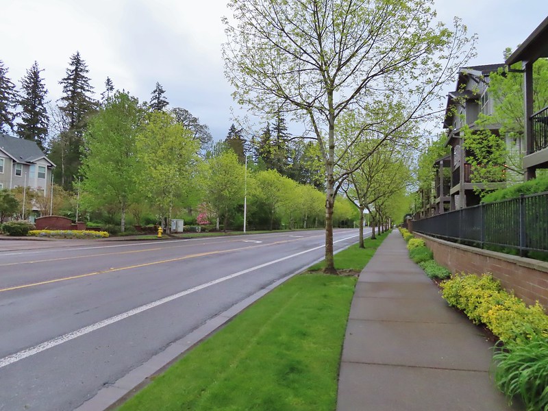 NW Wilkins
The trail crosses NW Wilkins St below some power lines at a crosswalk and resumes as a paved path.


While there are no more sidewalk stretches of the trail until the Rock Creek Trailhead at NE Rock Creek Boulevard there are three other road crossing; NE Walker, NE Cornell, and NE Evergreen Parkway. Fortunately all of these road crossings are at signaled crosswalks.
A little over a half mile from Wilkins Street we arrived at the start of a loop in Orchard Park


We stayed left planning on completing the loop on our return.
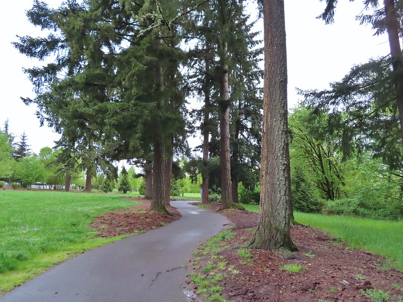
 Another trail user
Two tenths of a mile from the start of the loop the trail split. We didn’t see a sign/map here and didn’t consult the maps we had on our phones and mistook the left hand fork as simply a spur trail to a parking lot in the park and we stayed right. This was our second wrong turn of the morning.

This path led downhill and crossed crossed Rock Creek without realizing that we had curved a full 180 degrees.


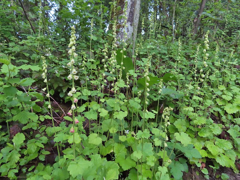 Fringecup
The trail split again two tenths of a mile later and here we veered left thinking it was the continuation of the Rock Creek Trail.
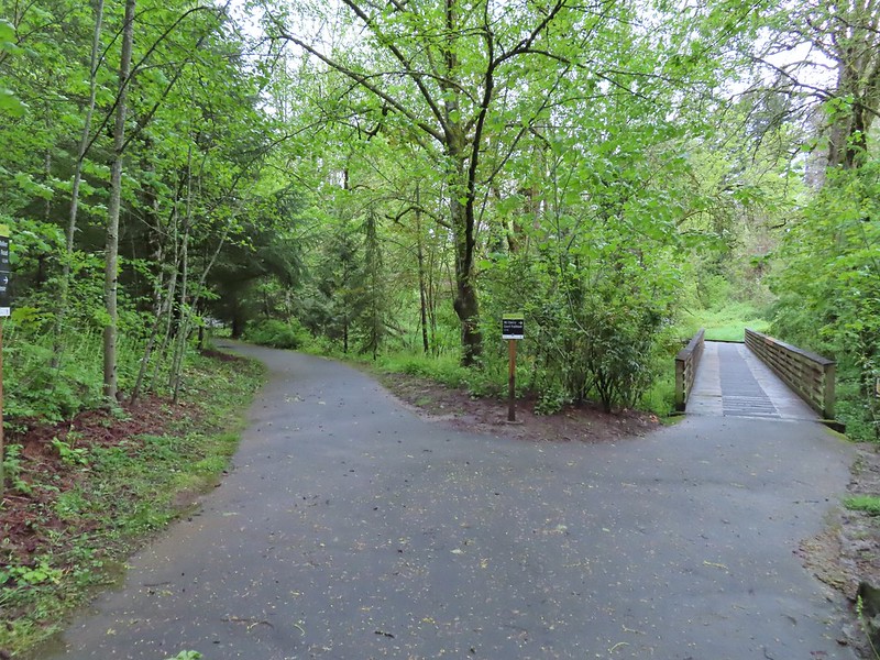
After a short distance the pavement ended at a circle of stone benches.
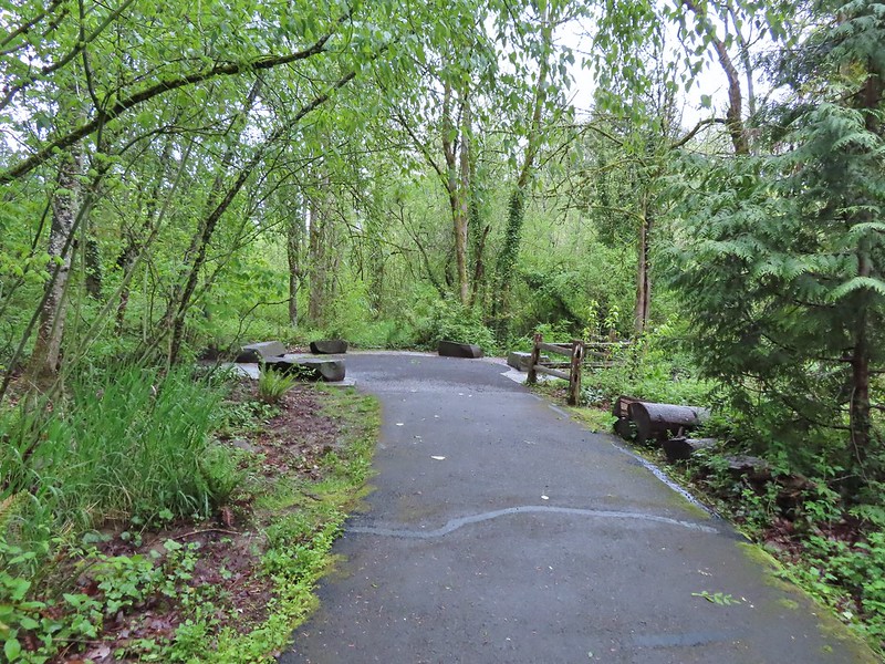
A well worn dirt path picked up here along a fence line behind some apartements

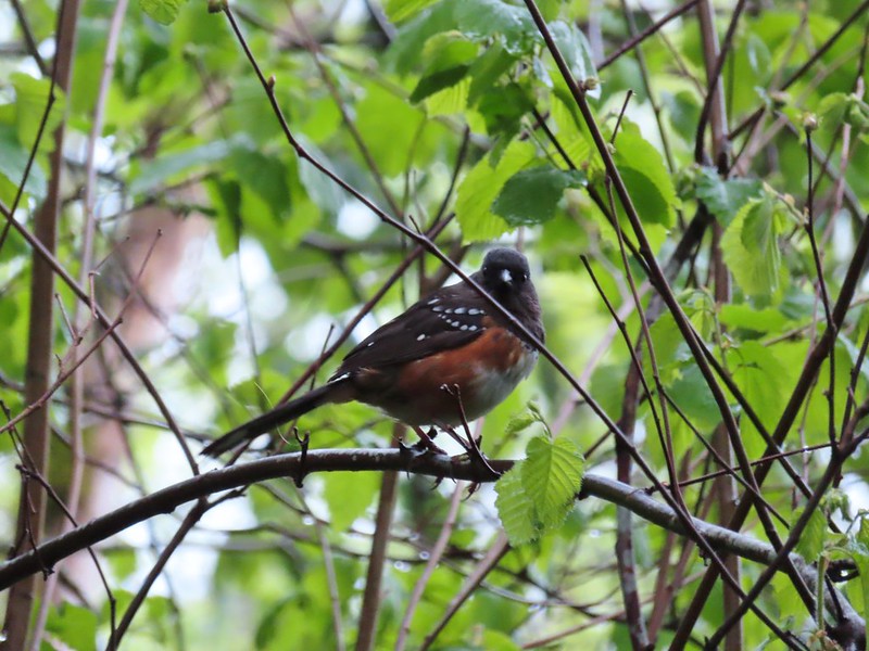 Spotted towhee
 Stellar’s Jay
This dirt path ended after a tenth of a mile at what turned out to be NW John Olson Avenue but we didn’t figure that our right away. We didn’t see any signs for the trail here so we finally consulted the maps we had in our phones but even then didn’t realize our mistake. On the map there was a slight jog right coming out of Orchard Park before crossing NE Walker so we headed right to the next street corner where we read the street sign realized this was NE Walker. The full extent of our mistake still wasn’t clear though as we followed the dirt path back past the stone benches to the fork where we’d veered left. It was here that we made our third and final wrong turn of the morning. We were actually on the Orchard Park Loop and not on the Rock Creek Trail which had veered left up to the parking lot while we had gone downhill to the right. Not realizing this we took the right hand fork which recrossed Rock Creek and then climbed back up to the Rock Creek Trail at the start of the loop
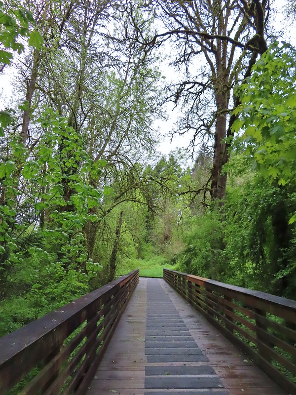
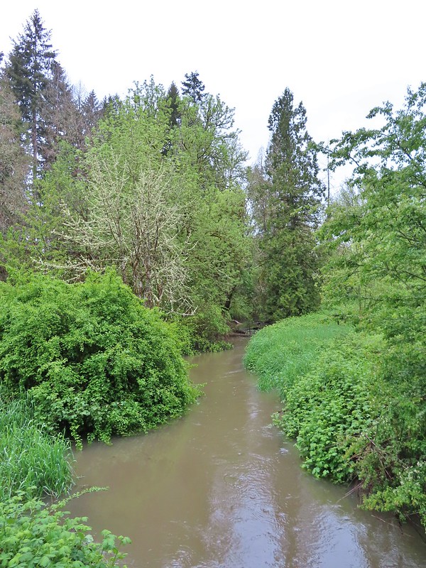
We almost made our fourth mistake here as we didn’t initially realize that we had made the full loop. It wasn’t until we spotted some familiar looking camas nearby that the light bulb went off.
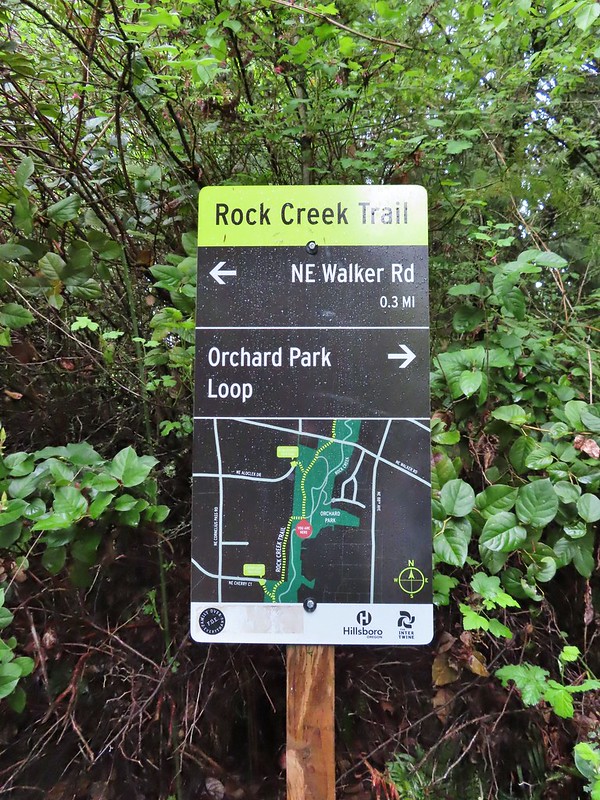 Second time staring at this sign.
Having finally figured it out we headed north through Orchard Park again but this time hiked uphill through the parking lot to NE Walker.


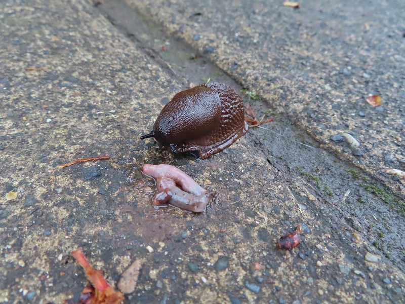 Not sure exactly how to interpret this scene – mourning, a murder, or breakfast?
 The slight jog right along NE Walker.
We crossed NE Walker and a tenth of a mile later crossed NE Cornelius Pass.


The next three quarters of a mile proved to be the most active for wildlife even though portions of it were between the creek and residences.

 Bridge of Rock Creek

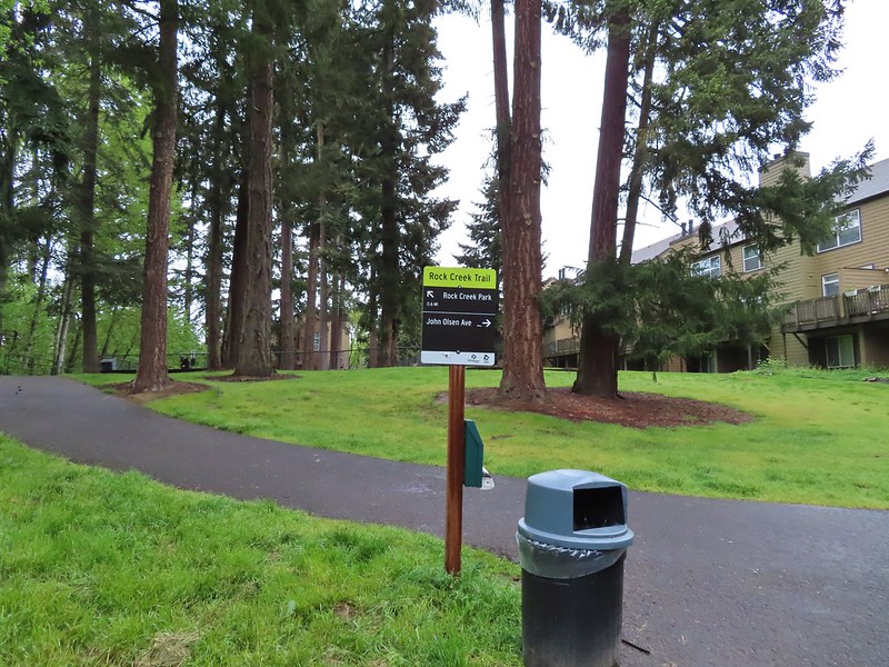 Look a pointer for John Olsen Avenue (just a lot further north).
 Mallards (A pair of wood ducks flew off at the same time the mallards headed downstream.)

We had stopped while I attempted to get a photo of a small yellow bird that was bouncing around in a tree when we heard a branch/tree crack nearby. While I continued to try and get a picture Heather went over to the creek to investigate. It turned out to be a beaver which had been one of the animals left on our list that we hadn’t yet seen on a hike (or drive to one). Before she could get my attention (or a photo) it disappeared underwater so I still haven’t seen one in the wild.
 Here is the only photo that I could even get with the little yellow bird visible at all.
 NE Evergreen Parkway
Two tenths of a mile beyond NE Evergreen the trail passed under Highway 26 and in another 400′ arrived at the Rock Creek Trailhead.

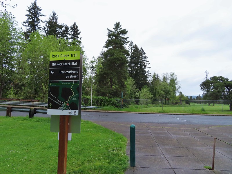
This was our turn around point so we headed back the way we’d come. We checked again for the beaver but it was no where to be found. Since we had inadvertently completed the Orchard Park Loop earlier we went straight back through the park and made our way back to Orenco Woods. At the entrance to the park we forked left staying on the Rock Creek Trail. (Retracing the short distance that we had hiked in the morning when we had made our first wrong turn.)
Two tenths of a mile into the park we came to a footbridge over Rock Creek.
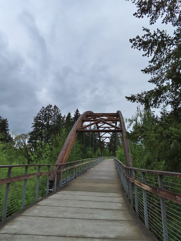
After crossing the bridge we forked left and then took another left back on the Habitat Trail.

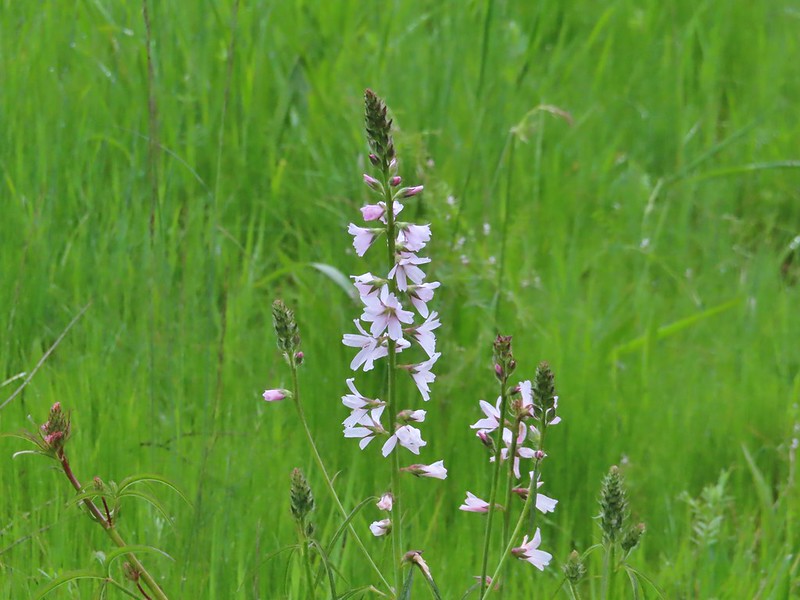 Checkermallow

The trail looped around and downhill to pass under the footbridge before arriving at small pond with a viewing platform.
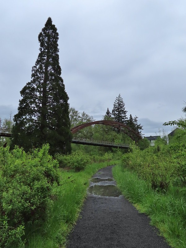
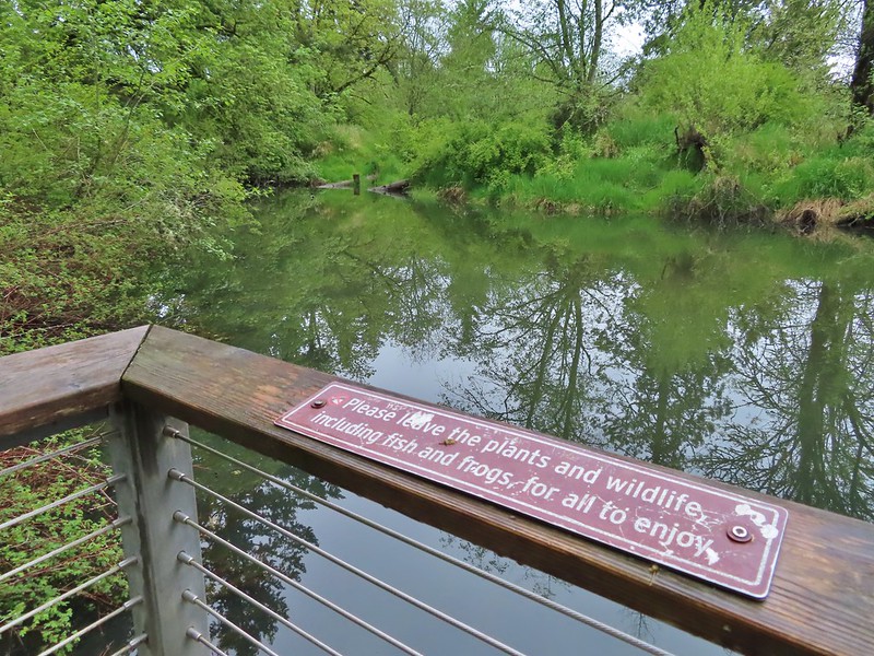

Beyond the pond the trail climbed back uphill near the McDonald House. We turned left here and made our way back to the trailhead.

While it had remained cloudy all morning there had not been any noticeable precipitation during our 7.5 mile hike here.

From Orenco Woods we drove to the Baseline Road Trailhead at nearby Noble Woods.

Our plan here was to make a counterclockwise loop using the outer most trails.

From the trailhead we headed downhill to the right behind the rest rooms.
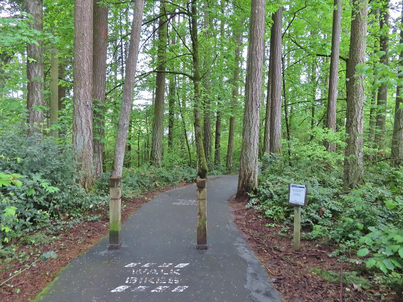
Even though we were less than a mile from Orenco Woods we spotted a few flowers that we hadn’t seen during that hike.
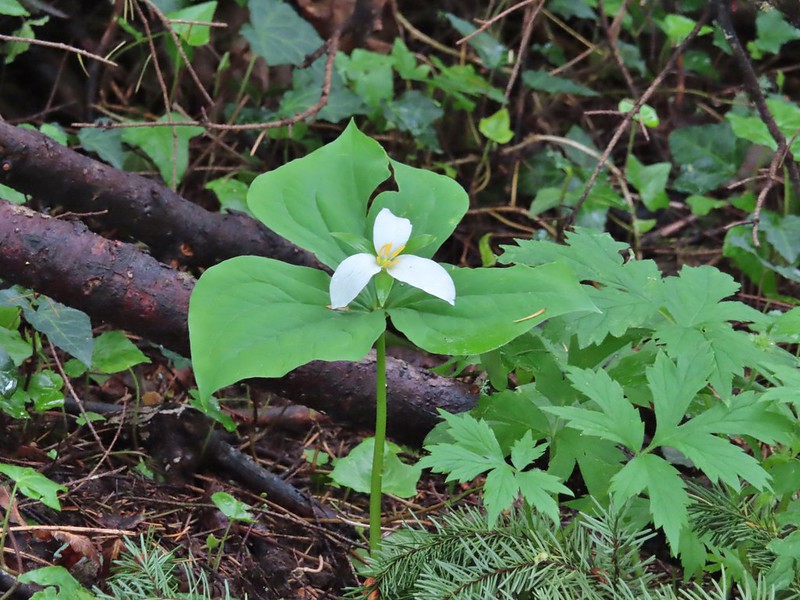 Trillium
 Solmonseal
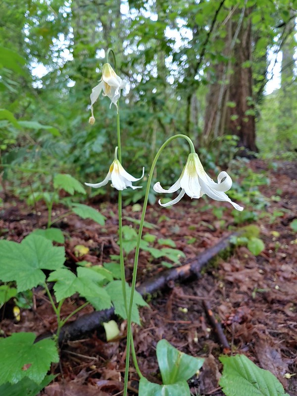 Fawnlilies
The trail leveled out to cross Rock Creek.

 Aven
Aven
A short spur trail on the other side of the creek theoretically led to Rock Creek but the recent rains had swollen it enough that the trail ended before the actual creek.

We continued on the loop climbing toward Borwick Road Trailhead but before reaching the grassy park at that trailhead we turned right leaving the paved path for a compacted gravel/dirt trail

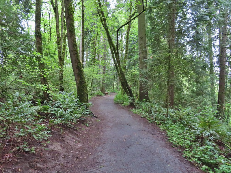
This trail swung to the west before making a 180 degree turn and leading to the Borwick Road Trailhead. Near a viewpoint and bench Heather spotted a barred owl being harassed by a robin.


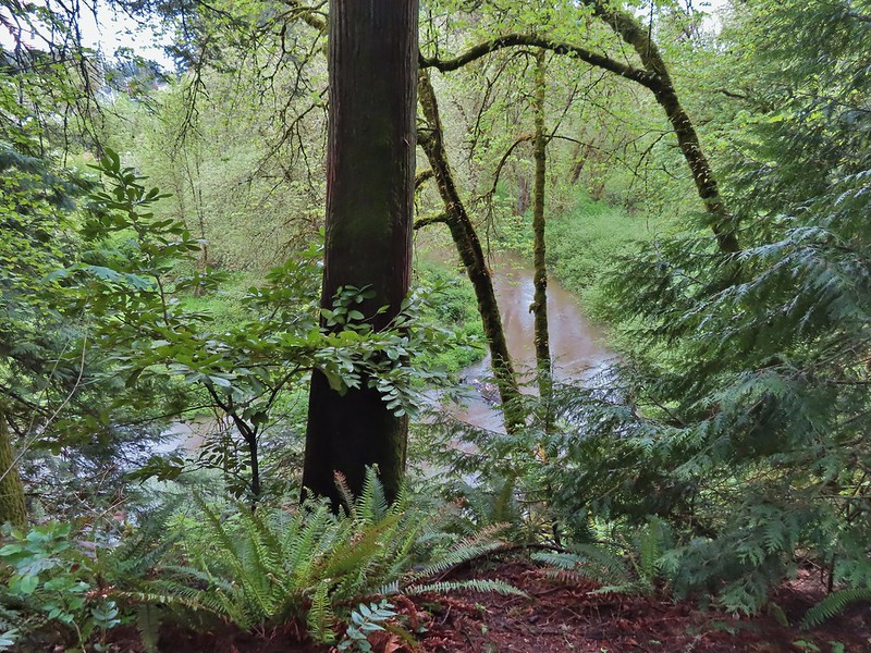 Rock Creek from the viewpoint.
 The back of the owl (middle tree 2/3 of the way up)


The viewpoint was near the turn of the trail so we got some more glimpses of the owl through the trees after the turn. A second owl began hooting and this one wound up flying off to have a conversation. We hiked past the parking area at the Borwick Road Trailhead and hopped on a the trail the map called a “wood-chip” trail. In truth it was mostly mud at this point.
 Violets
We stuck to the outer trail when this trail forked.

We arrived back at the paved loop near Rock Creek. We turned right onto it, crossed Rock Creek, and then climbed back up to the Baseline Road Trailhead.
 Swollen creek
 Fairy bells
 Cinquefoil
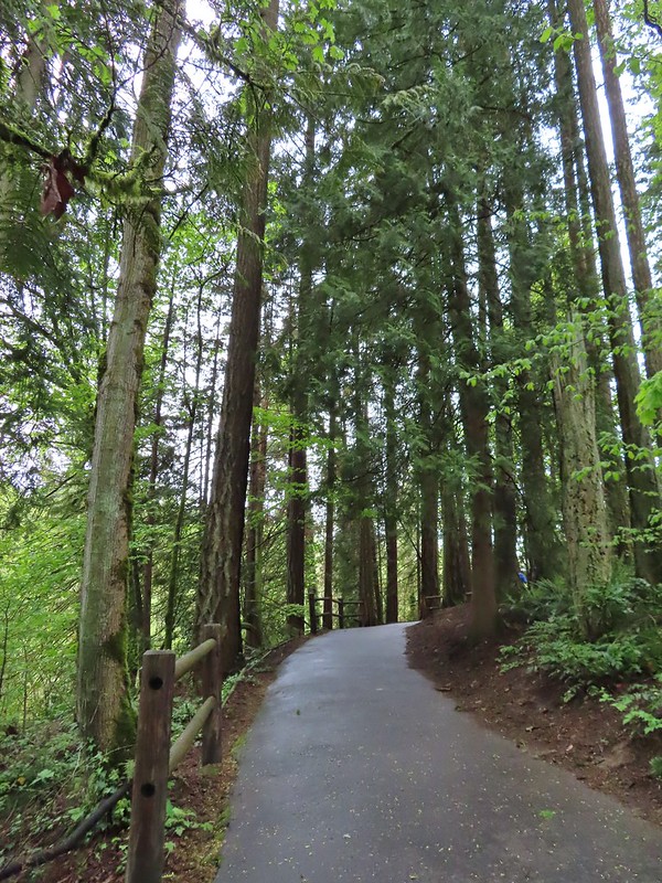 Nearing the trailhead.
The loop here was just over a mile.

We had once again been sparred any precipitation and as we drove to our next stop at Miller Woods found ourselves under blue skies and bright sunshine. Miller Woods however was under cloud cover but we were feeling pretty confident and put all our rain gear into our packs before setting off from the trailhead. While it had been our first visit to Orenco and Noble Woods we had hiked here in March, 2020 (post).

On our previous visit we had taken the yellow Outer Loop and had considered taking one of the other trails this time but a portion of the Discovery Loop was closed due to hazardous conditions (appeared to be a slide/washout) and the Oak Summit Trail didn’t look as interesting as the Outer Loop so we followed our route from 2020 except for a short section that had been rerouted.

From the kiosk we followed the yellow pointers downhill through the grass passing camas and birds along the way down.


 A wren and a white-crowned sparrow
 American goldfinches
 Tree swallows

As we neared the tree line the precipitation finally arrived and a light rain began to fall.
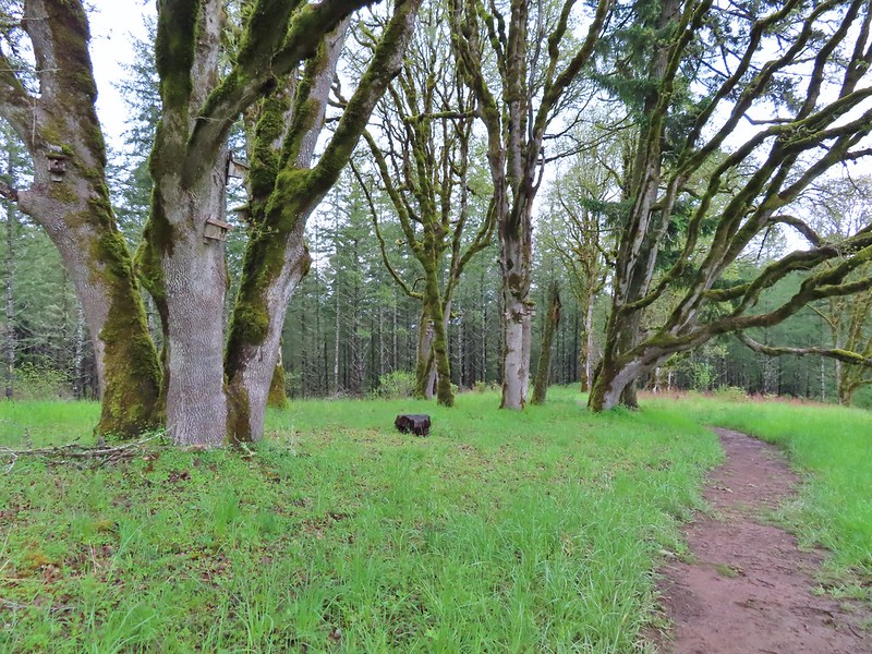
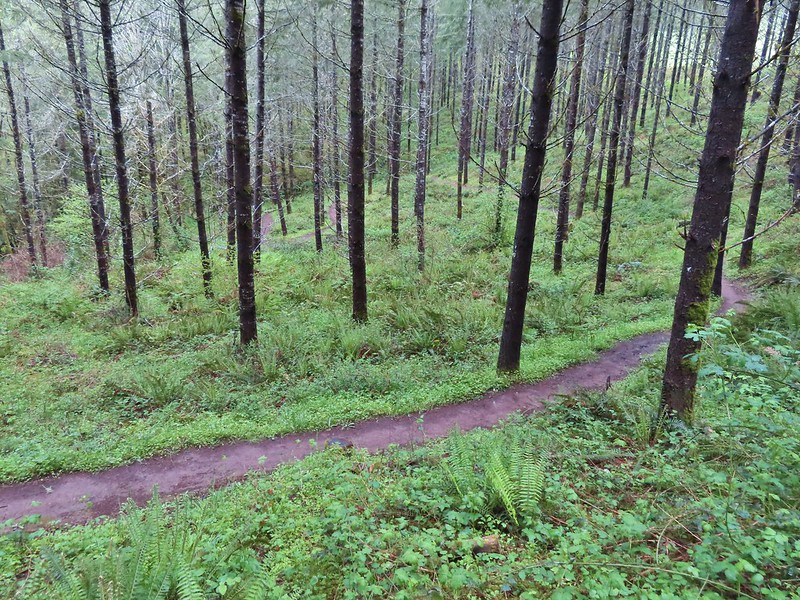
We stopped in the trees to put our rain jackets on and then began descending through the forest to an unnamed stream.
 Bleeding heart near the stream.
The trail then turned NNW leveling out a bit above Berry Creek as it traversed the hillside.
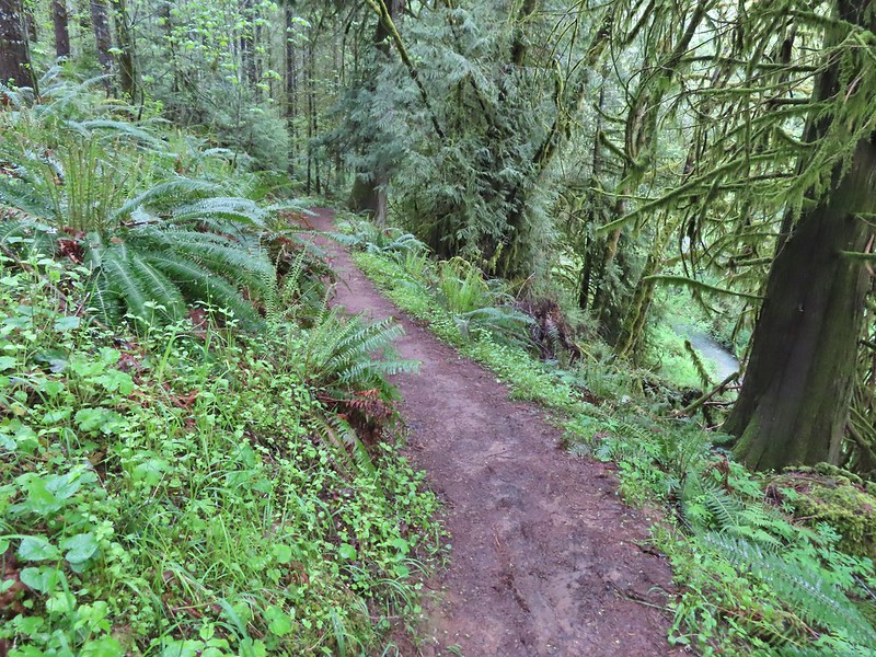 Berry Creek down to the right.
 There was a lot of wild ginger on the hillside.
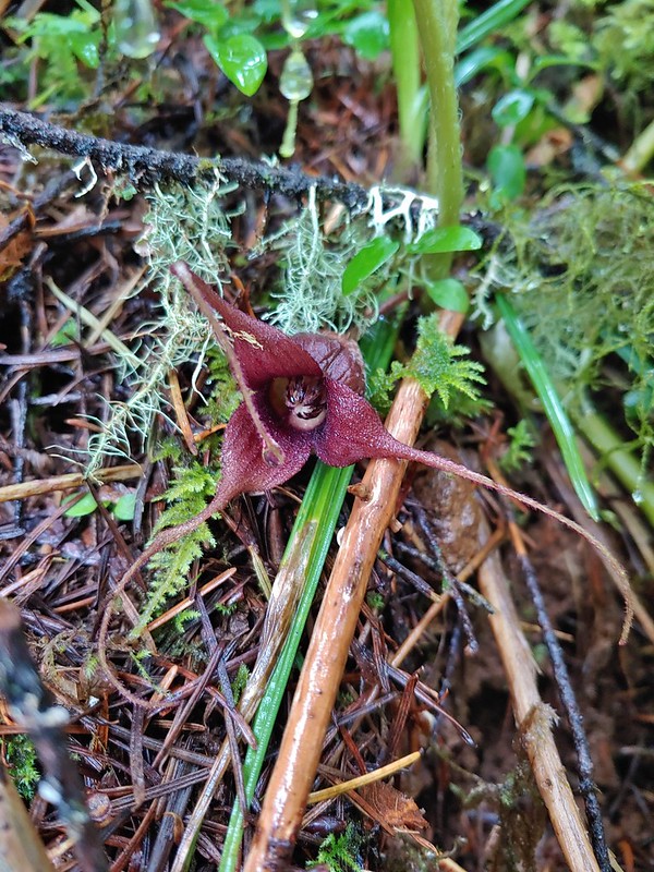
Not long after donning our rain jackets the rain stopped and sunlight began to break through again.
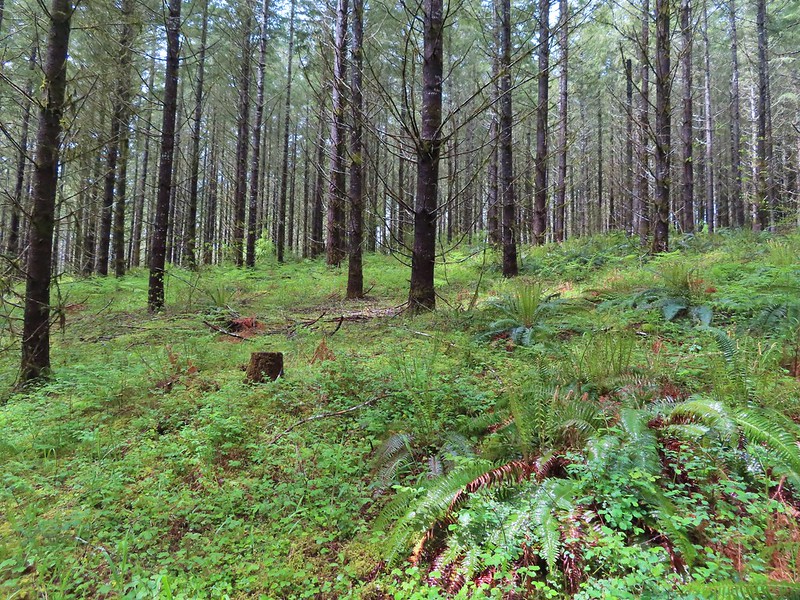
The trail climbed as it came around the hill and we spotted a deer in the distance.
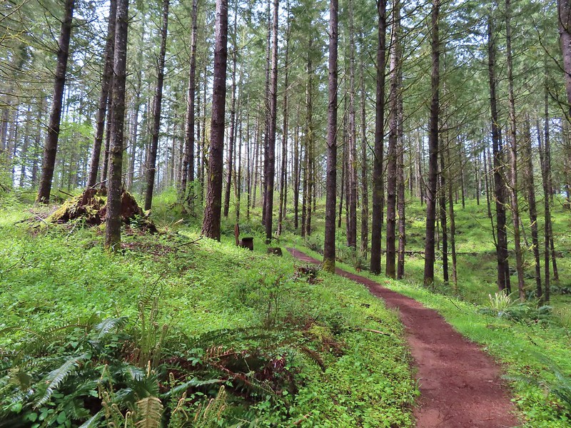

It was a young one that was munching on plants along a service road. As we made our way by on the trail Heather noticed the mother bedded down on the road.

After leaving the deer the trail soon began to descend and leave the trees.
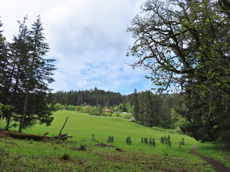
It was here that the trail had been rerouted since our 2020 visit. In 2020 the trail veered left to a service road and made a right turn along the road back to the tree line before reaching a bridge across a creek. Now the trail simply headed downhill sticking to the treeline.
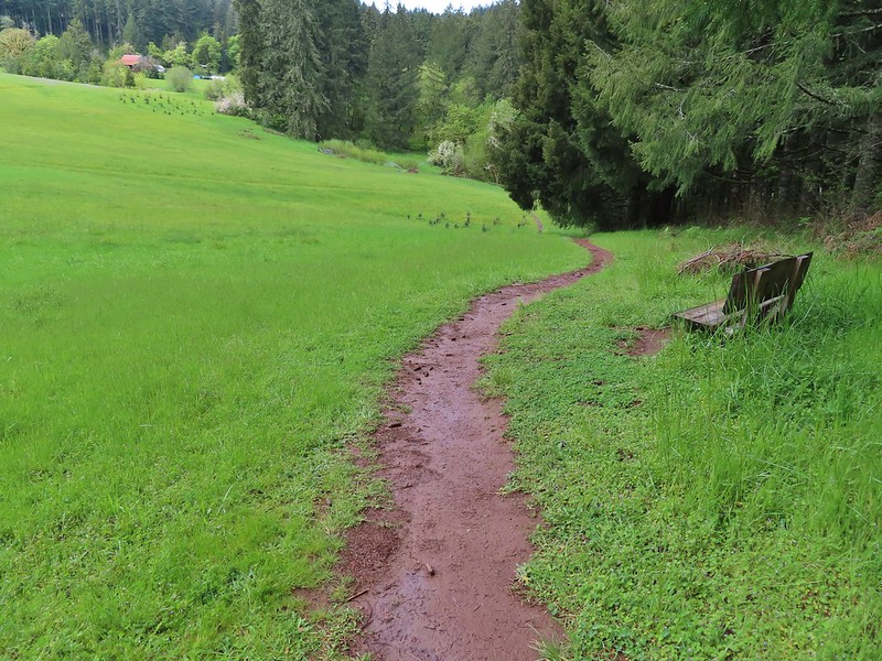
 Iris
Iris
 Buttercups
One of the neat features at Miller Woods is the wildlife survey covers which are liftable metal covers that could house wildlife. We had yet to lift one and see anything more than ants though until the cover near the creek. Lifting this cover revealed a small snake.

 Small garter snake
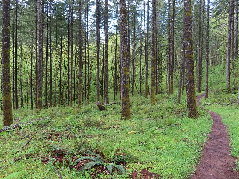
We gently replaced the cover and continued on the loop which reentered the trees after crossing the creek.
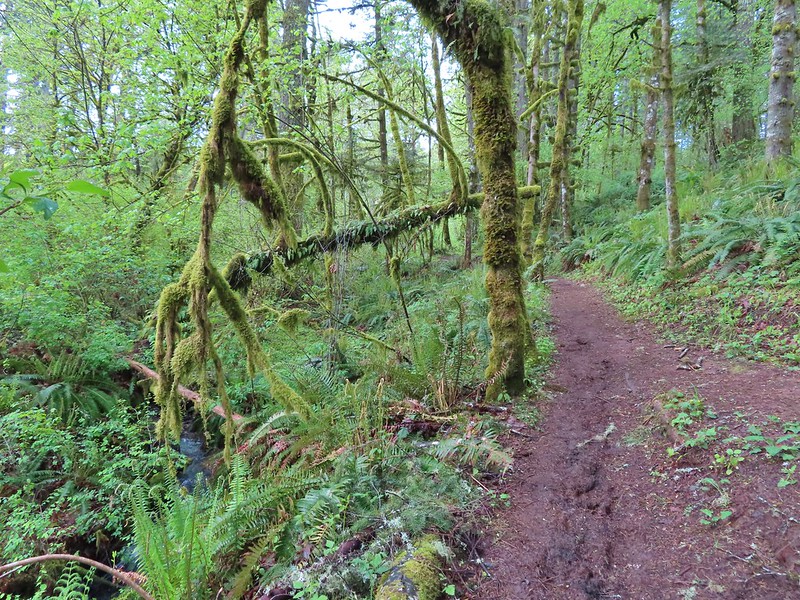
 Approaching the bridge and creek.
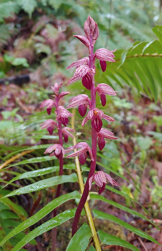 Striped coralroot
It was shortly after crossing the bridge that we discovered the trail closure which ended the question of whether we would do the different, shorter loop this time or repeat our previous hike.

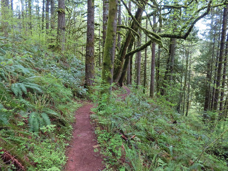
Doing the longer 4.5 mile loop turned out to be great as the weather stayed dry and we spotted several more deer and some birds along the way.
 Sparrow
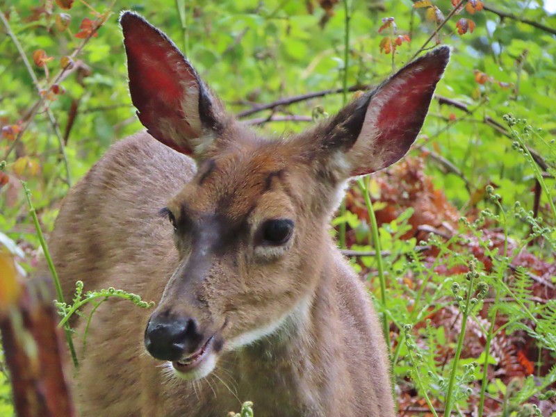 Doe just hanging out in a patch of poison oak. (It doesn’t bother deer.)

 Nearing the high point of the trail at K.T. Summit
 Spotted coralroot
 K.T. Summit
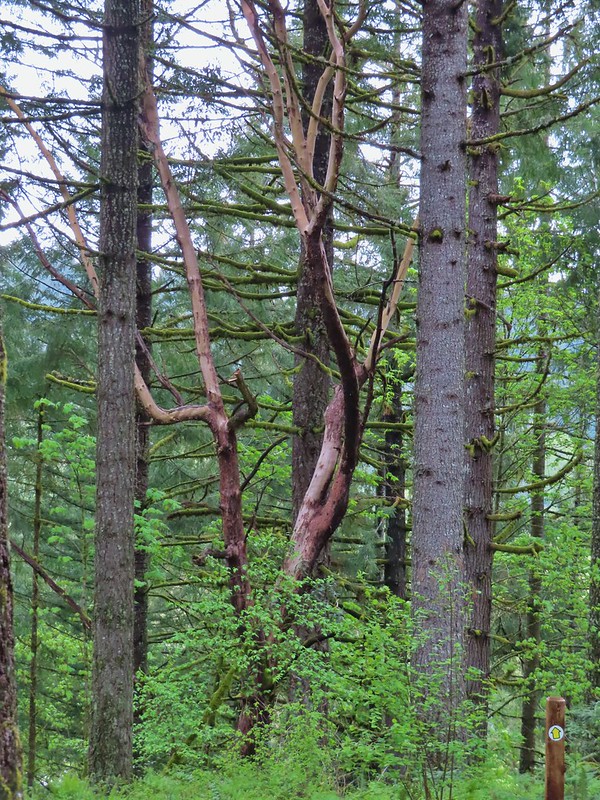 A very cool madrone tree.
 Two more deer with a third off camera.
Another neat feature that was new for us this visit were a number of signs along the trail identifying different evergreen trees in the Miller Woods Diversity Area.
 There was at least one identifier for each tree listed on this sign. The signs were particularly nice because many were next to younger trees which made it easier to see the needles and bark instead of just look at a trunk and having to look up to try and see other details of the trees.
A couple of examples.
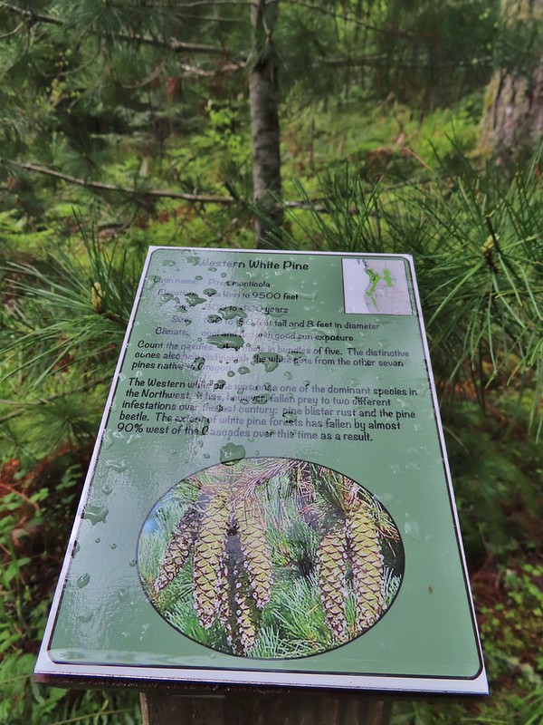 Western white pine
 Western larch
 Vanilla leaf
 Fairy slippers
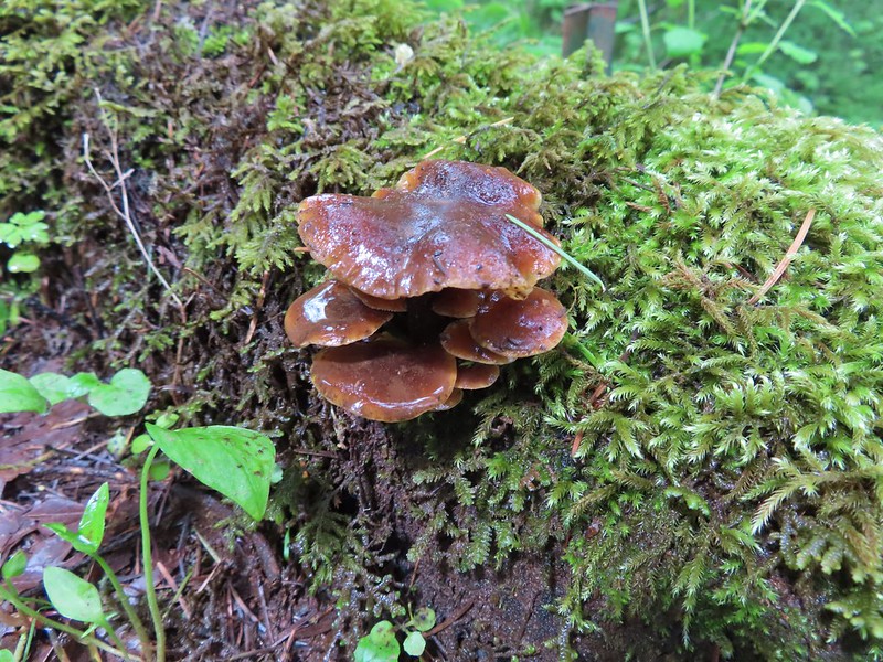

The trail passes above the entrance road and swings out before dropping down to what you expect to be the parking area (there is a signed short cut to it along the way) but the Outer Loop actually loops back behind the parking area and pops out of the trees near a the pond that the Discovery Loop goes around.


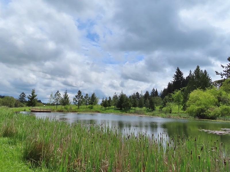
 Frog near the pond.
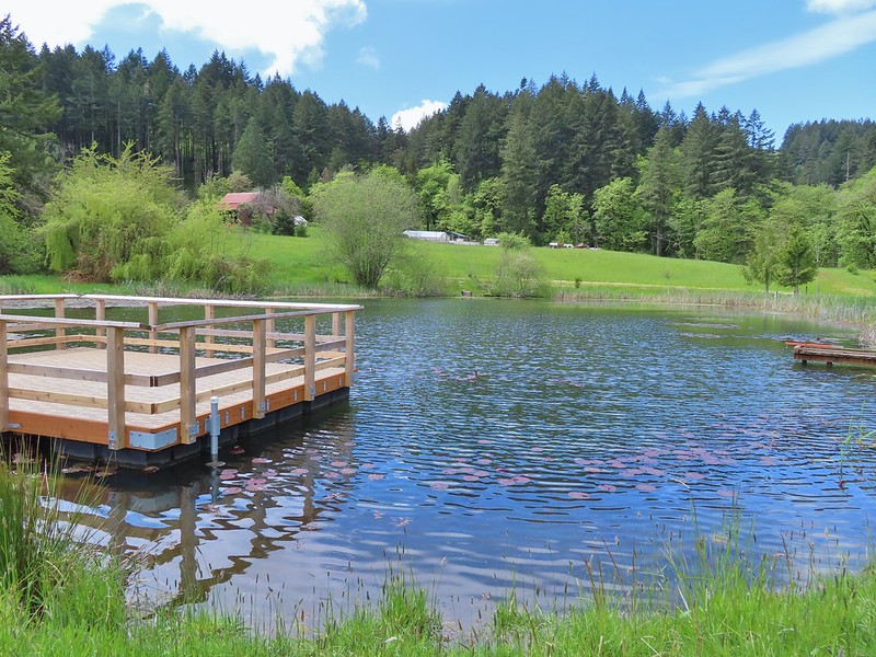
Another new feature was a platform over the pond.
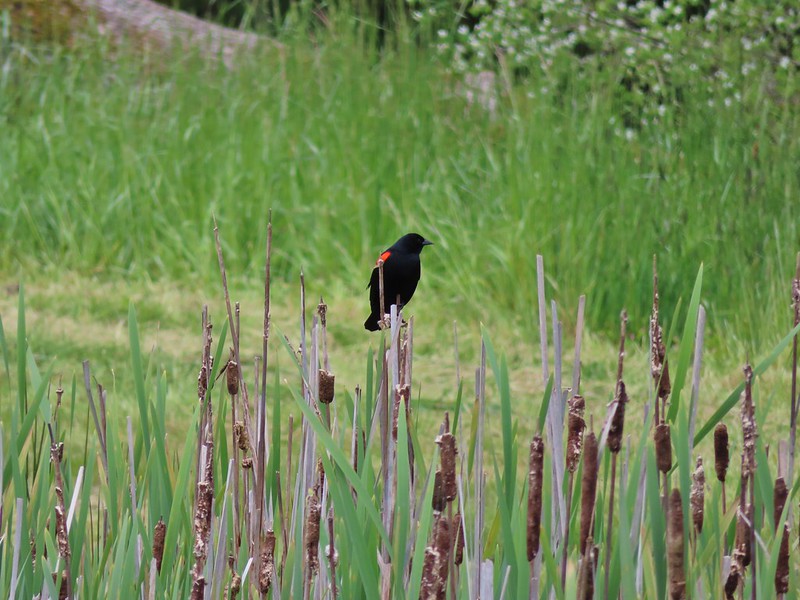 Red-winged blackbird

After taking a break on the platform we hiked uphill to the parking area and headed for our last stop.

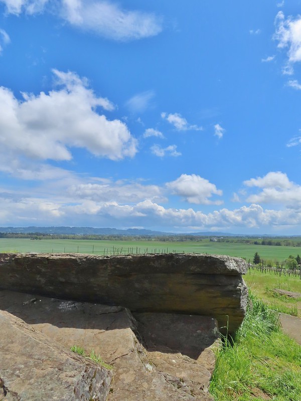
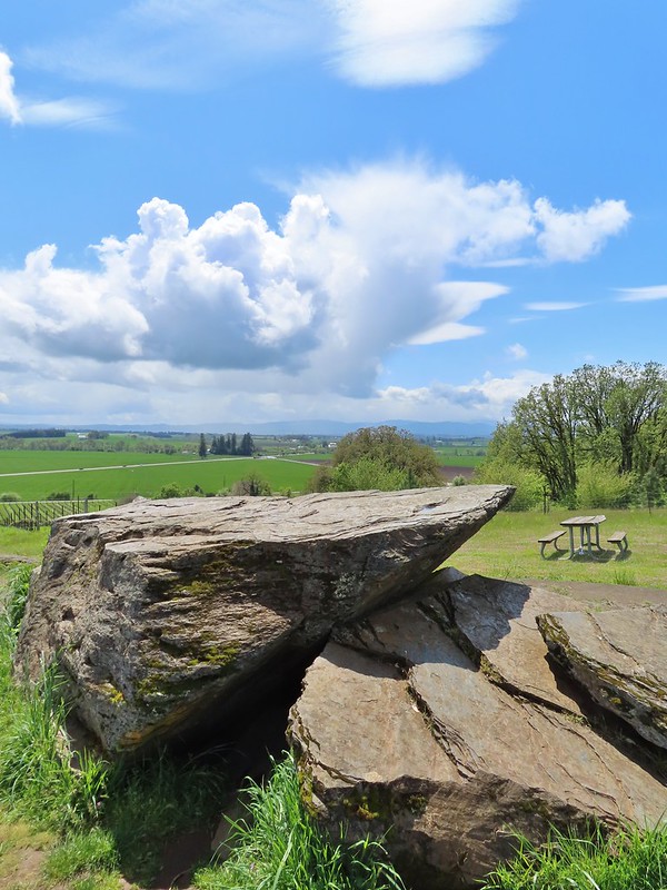
The Erratic Rock State Natural Site is located just off Highway 18 between McMinville and Sheridan. There are no amenities at the site, just a quarter mile paved trail uphill to the rock from a small pullout along Oldsville Road. While it is less than 30 miles from our house that is a stretch of highway that we never find ourselves on. I realized when I was planning this outing that it would only add about 10 minutes to our drive home from Miller Woods to detour to the site so I added it to the plans.
We missed the little pullout but found a wide section of shoulder to pull off on and walk back to the signed trail.
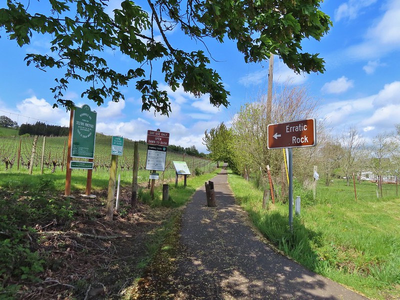
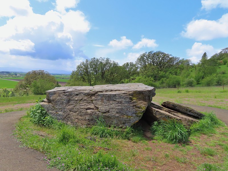
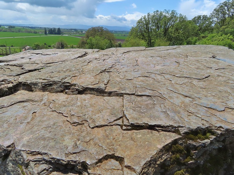
The Erratic Rock is a 90 ton rock from the Northern Rocky Mountains that wound up over 500 hundred miles away on a hill in Oregon after being deposited here after one of Lake Missoula’s floods.
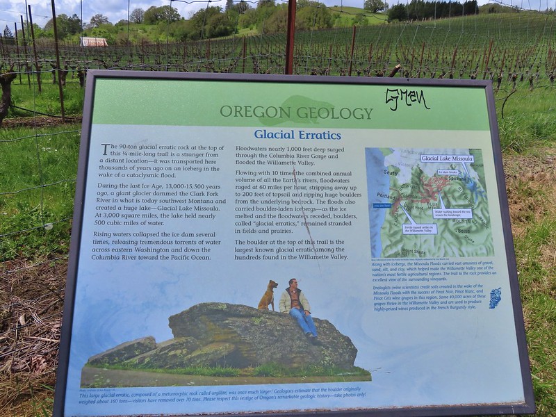 Interpretive sign at the start of the trail.
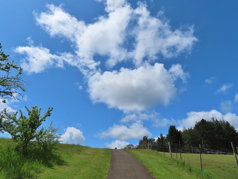
We were in a pocket of mostly blue sky as we headed up the trail.
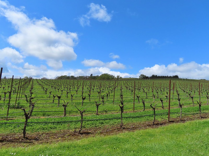 Vineyard along the trail.
Although short the trail gains over 100′ in the quarter mile to the rock and we had already hiked over 13 miles, we were relieved when we saw the trail begin to crest.
Seeing the rock there and knowing how far it had to travel to wind up there made it an impressive sight. The views from the hill were also quite nice making it a worthwhile detour.

Our total for the day came to 13.8 miles with only 920′ of cumulative elevation gain. Individually each of these hikes are worth a stop and they all have things to offer young hikers. It turned out to be a fun combination with a unexpected amount of wildlife sightings and aside from the 10-15 minutes of light rain had been a surprisingly dry day. Happy Trails!
Flickr: Orenco, Noble & Miller Woods and Erratic Rock State Natural Site


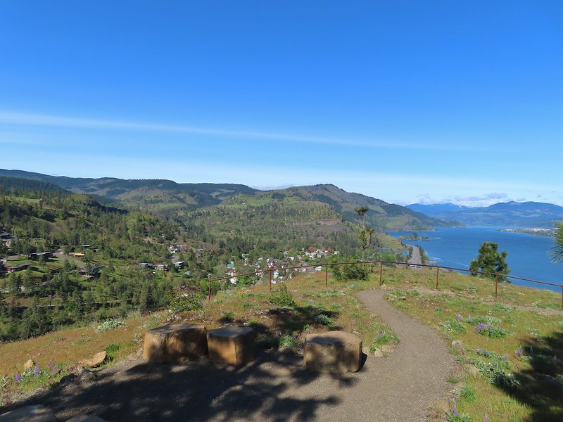
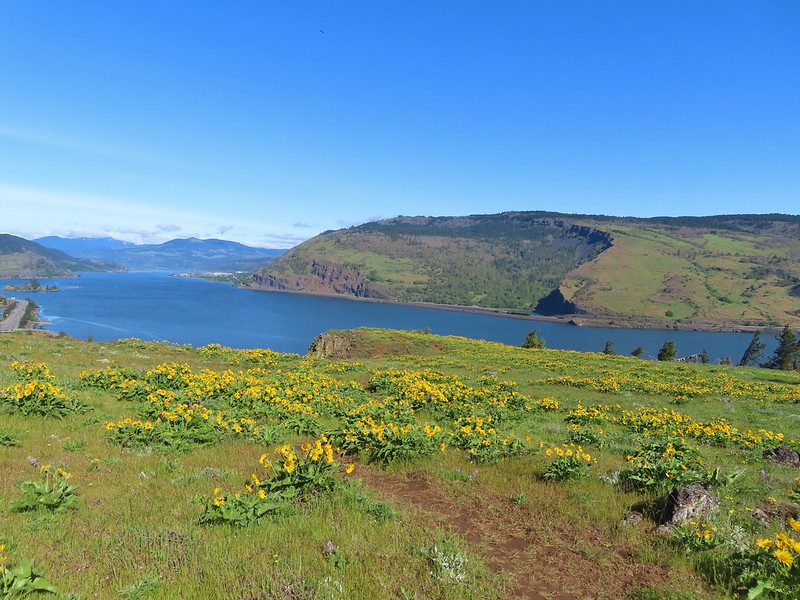
 Looking west down the Columbia River from the overlook.
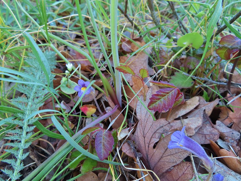 Naked broomrape and poison oak
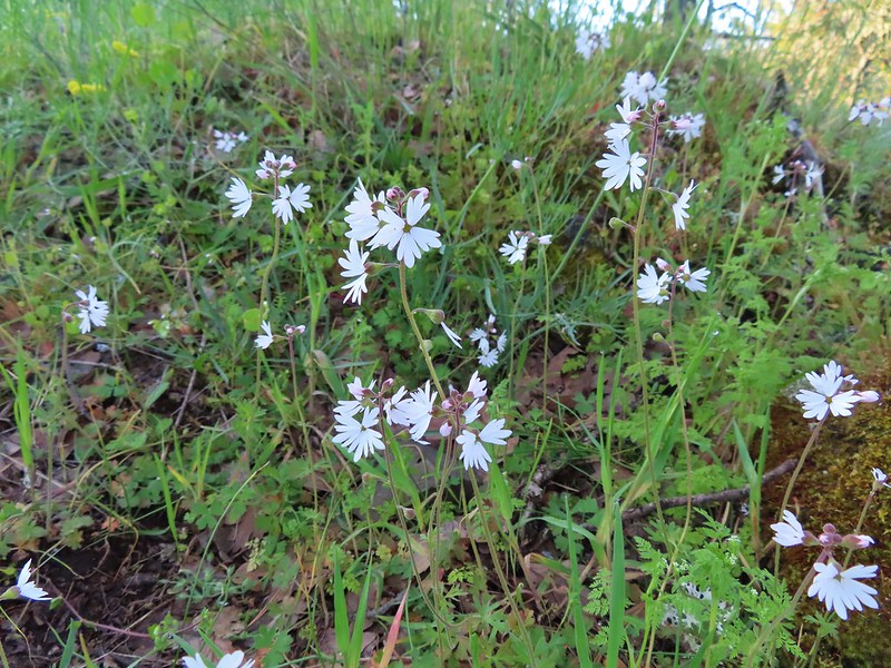 Woodland stars
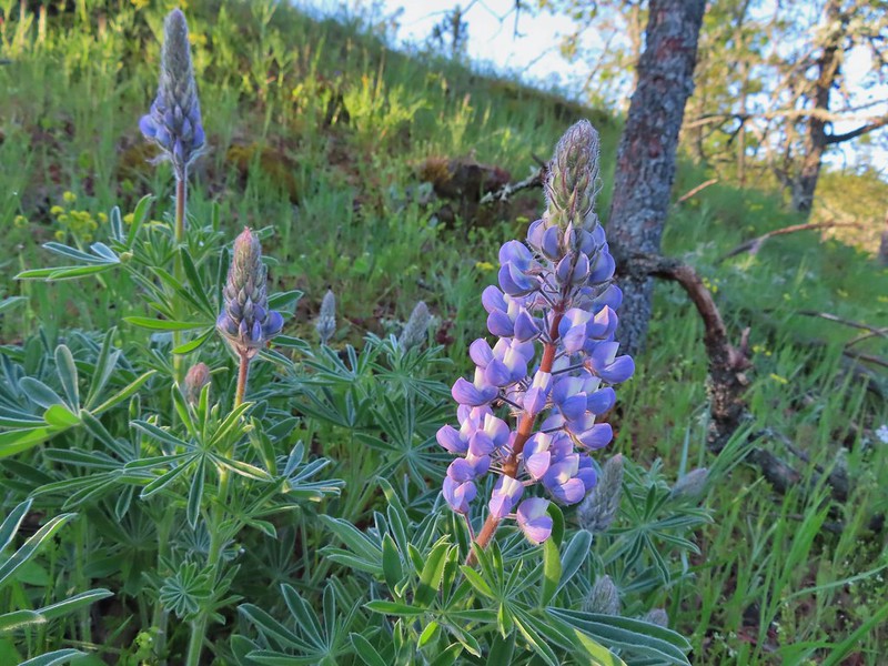 Lupine
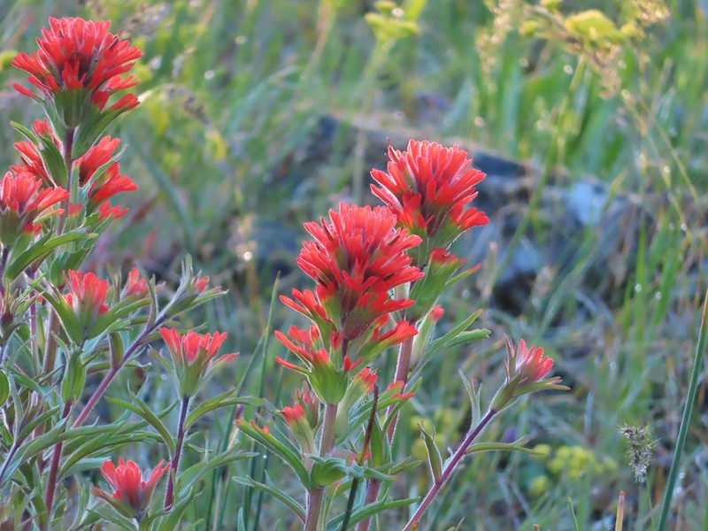 Paintbrush
 Larkspur and parsley
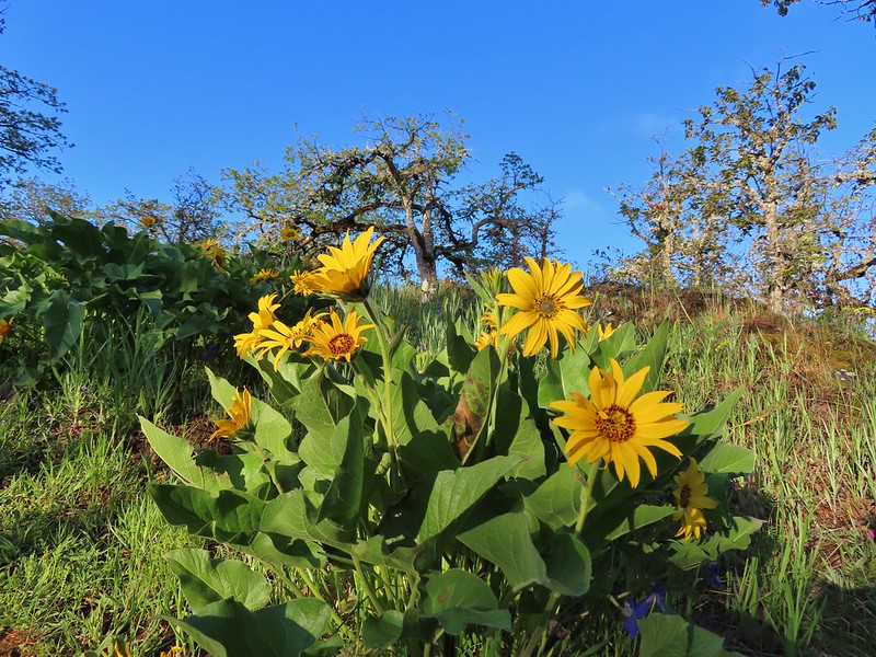 Balsamroot

 Chocolate lilies
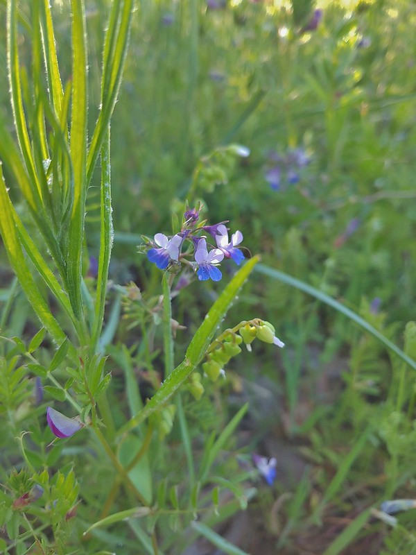 Giant blue-eyed Mary
 Coming up on the creek crossing.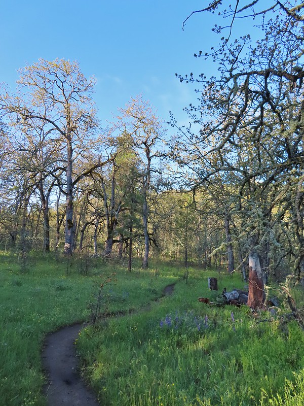

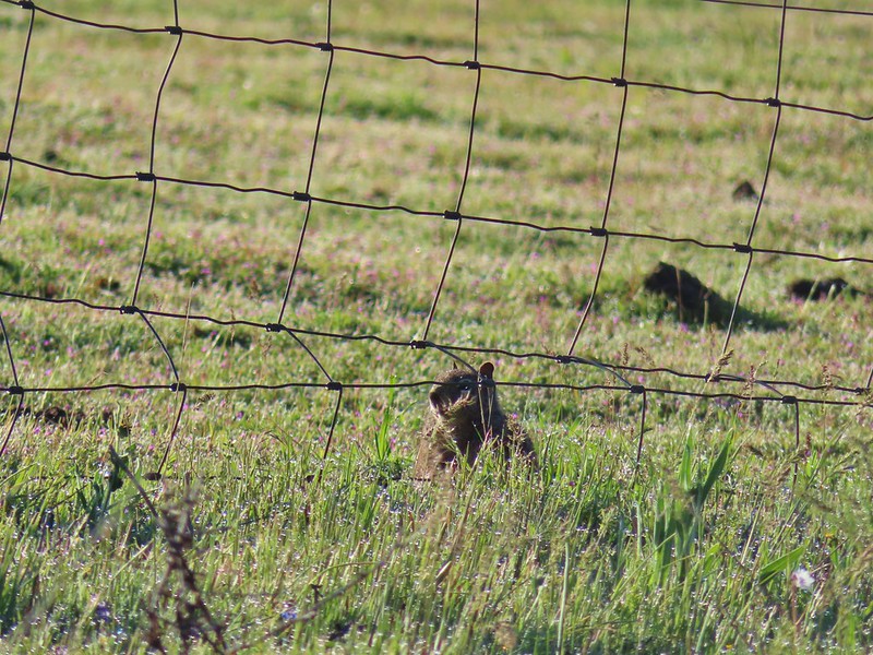 Ground squirrel on the other side of the fence.
 Looking back at the pond surrounded by trees.
 Heading up Chatfield Hill.
 Fiddleneck and other wildflowers in front of Mt. Hood.
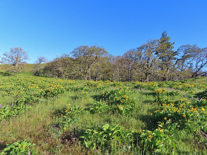


 The Hood River Bridge spanning the Columbia River.
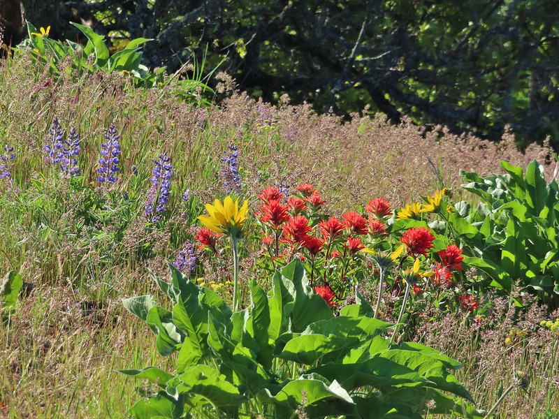 Lupine, balsamroot, and paintbrush
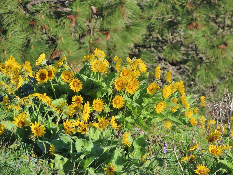 Balsamroot
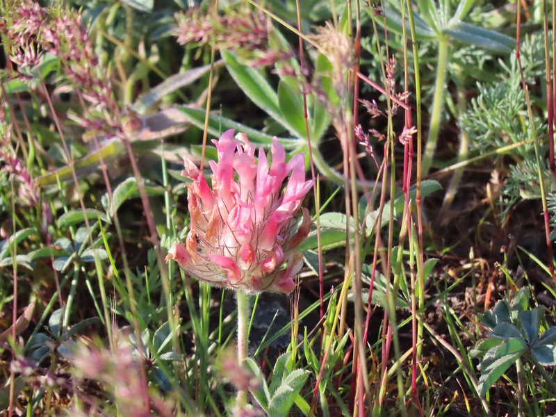 Large-head clover
 Large-flower Triteleia
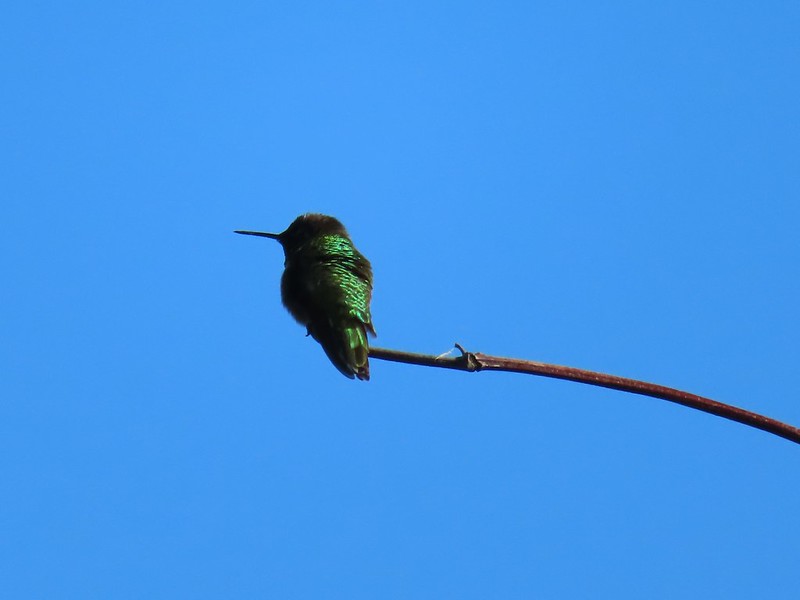 Hummingbird
 Balsamroot on Marsh Hill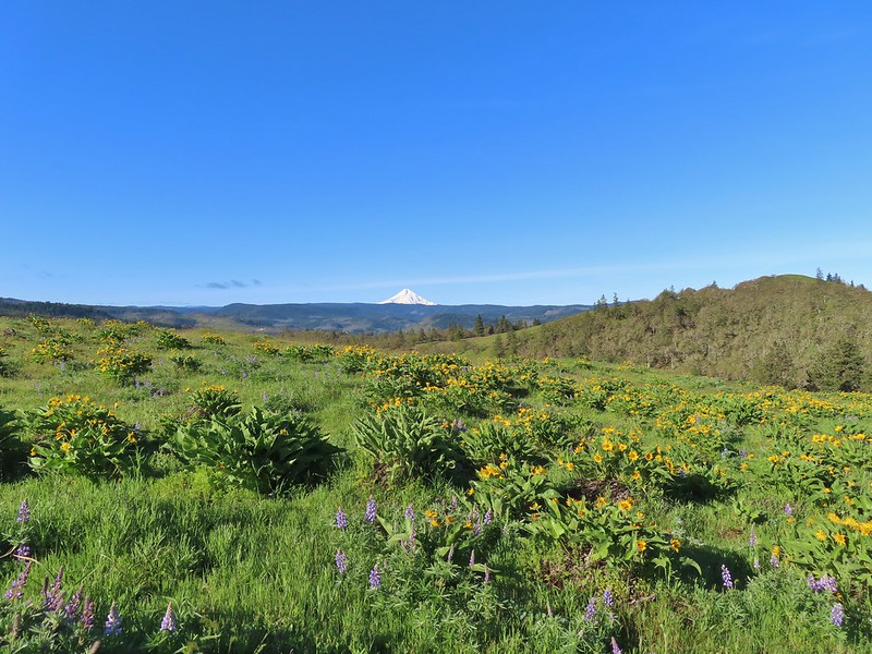
 Lupine and balsamroot
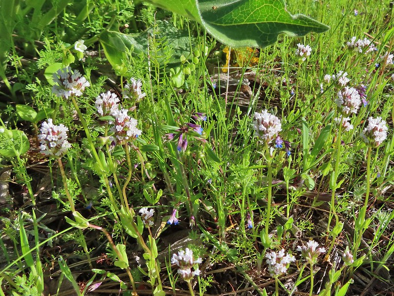 I think this is longhorn plectritis
 Sign for the parking area (If this small lot is full there are other


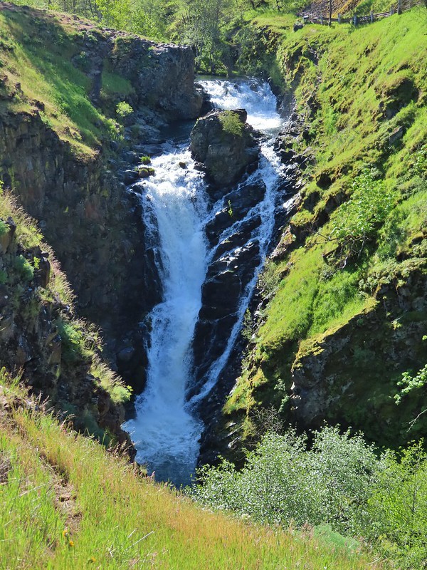


 Looking up the hillside.
 Red-stem storksbill
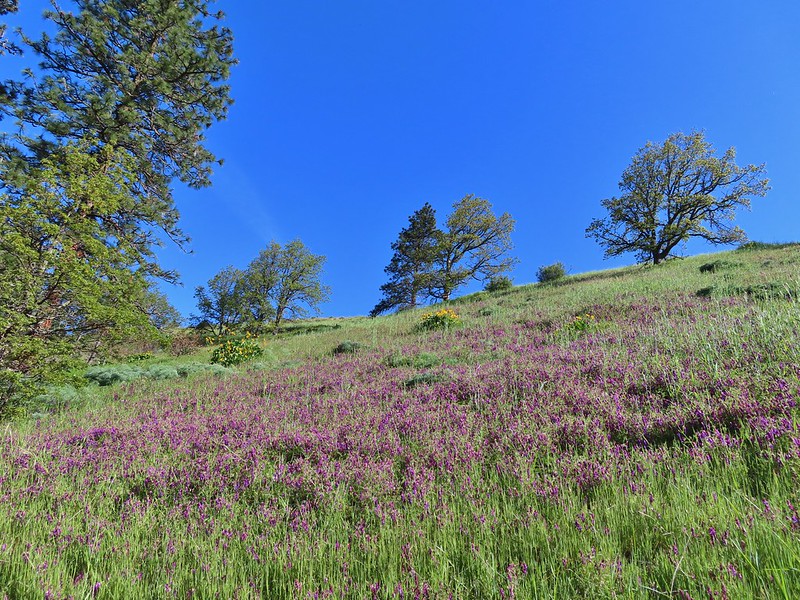 Vetch and balsamroot
 Silver-leaf phacelia
 Coyote Wall (


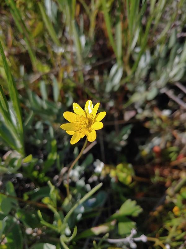 Gold star
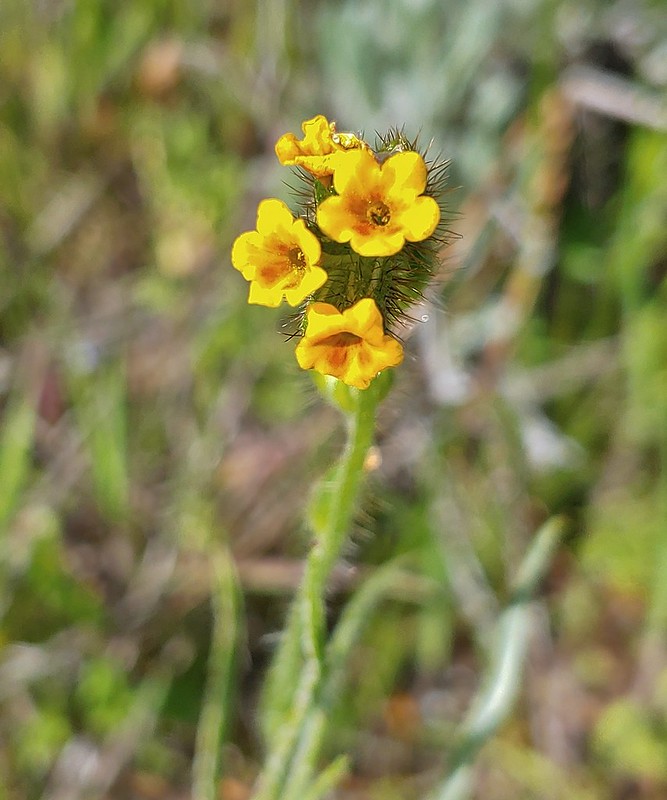 Fiddleneck
 Balsamroot
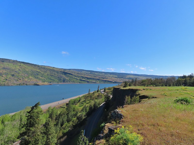 View east.
 Mosier to the west.
 Gray hairstreak
 Busy bumblebee
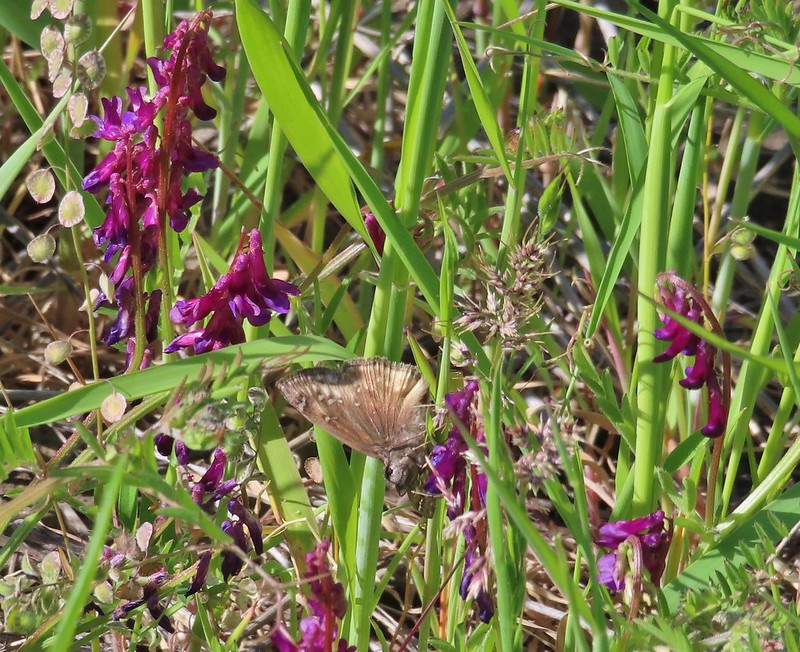 A duskywing (propertius?) on vetch.
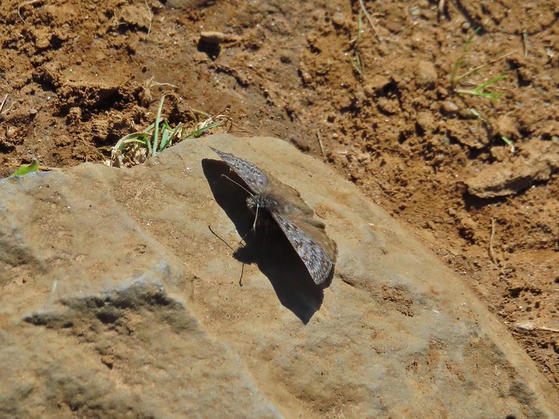 Propertius duskywing
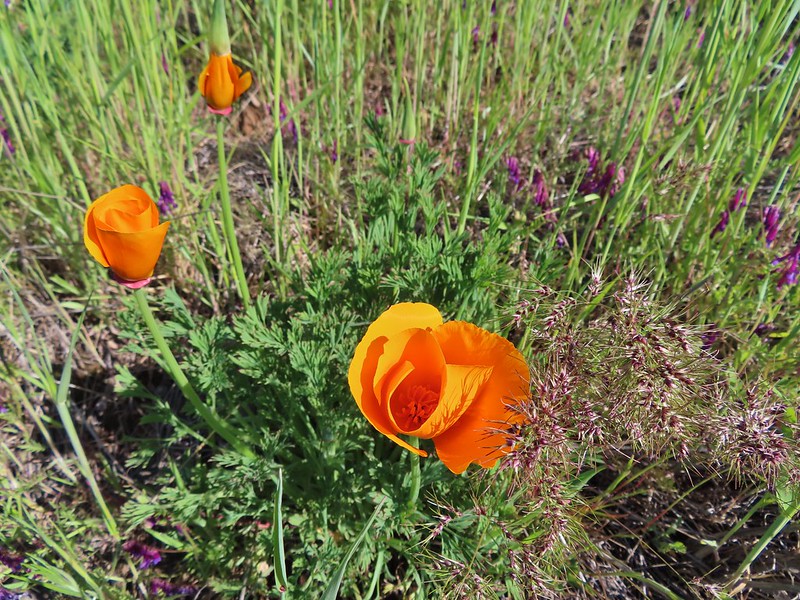 Poppies opening up to the Sun.
 Bachelor button
 The old powerhouse.

 Stellar’s jay near the tracks.
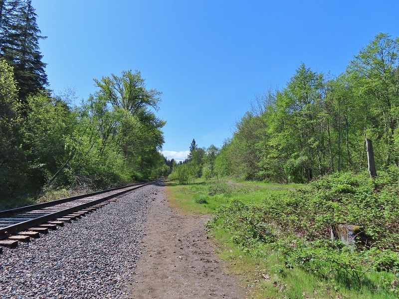 The trail ahead to the right.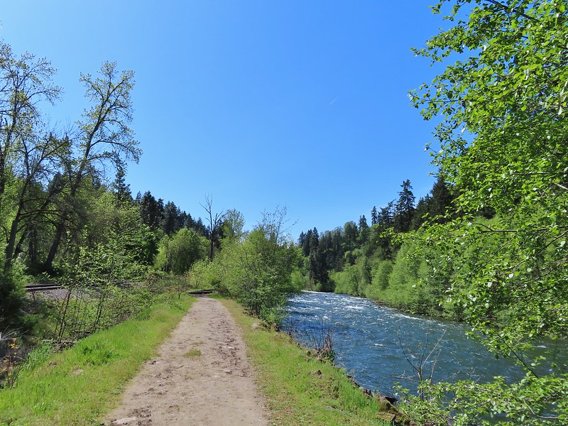


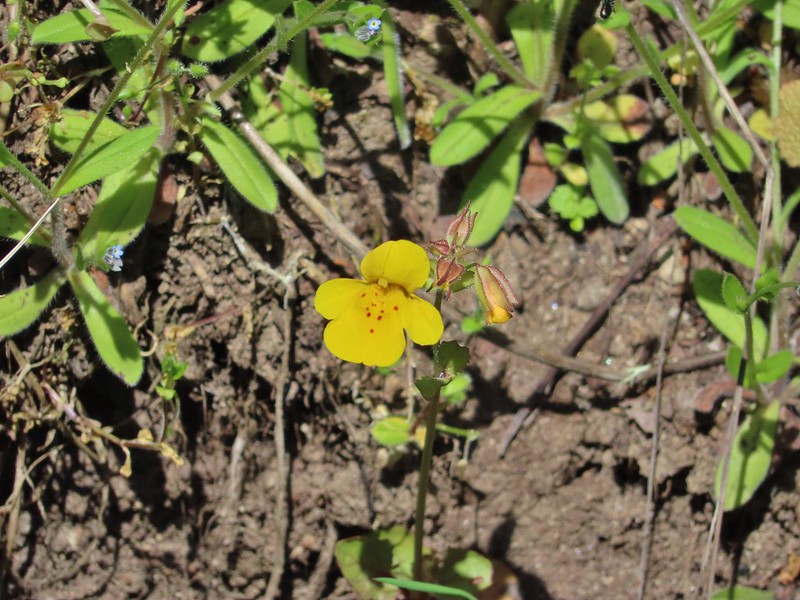 Monkeyflower
 Looking back from the turnaround point.
 Lizard
 Mallard
 Scrub jay
 Starlings
 Osprey


 Camas
Camas Black phoebe in the fog. It’s the only one seen all day so despite the poor quality I kept the photo.
 Wet spider webs are the best.
 There was a brief respite in the fog before it rolled in again.
 The fog bank waiting to move back in.
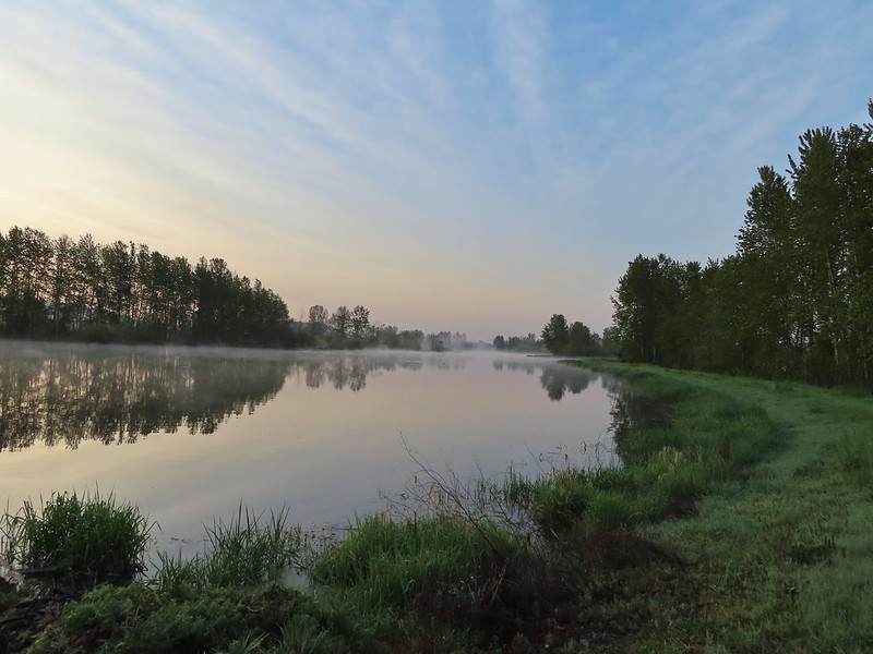 Teal Marsh
 Northern flicker
 A very grumpy looking spotted towhee
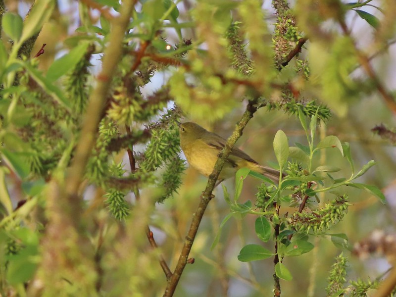 I have a hard time identifying some of these little birds. This one may be an orange-crowned warbler.
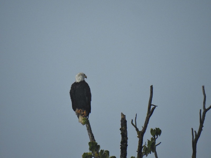 A bald eagle that was across Willow Marsh.
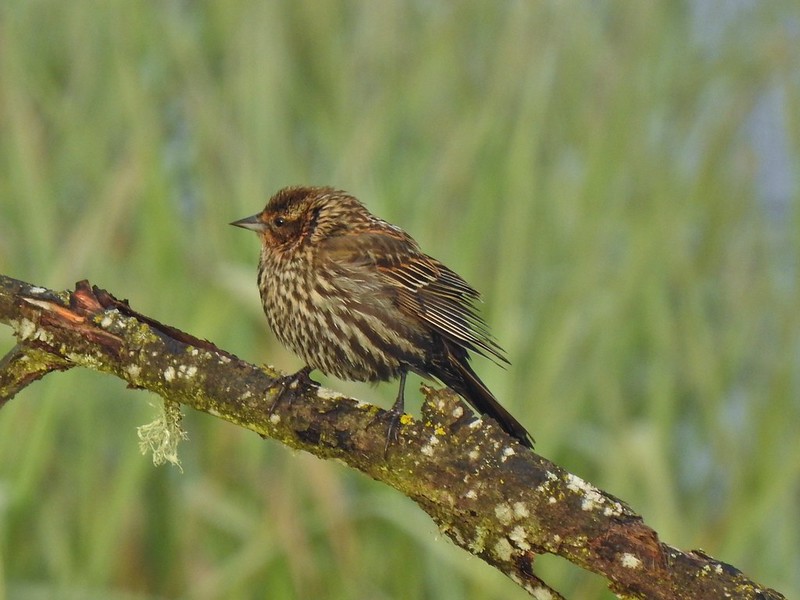 Female red-winged blackbird
 Buffleheads
 A less grumpy looking spotted towhee
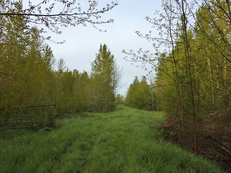 Here comes the fog again.
 Black capped chickadee
 Yellow-rumped warbler (Audubon’s)
 Red-winged blackbird
 Wrens can be tricky too, I think this is a marsh wren.
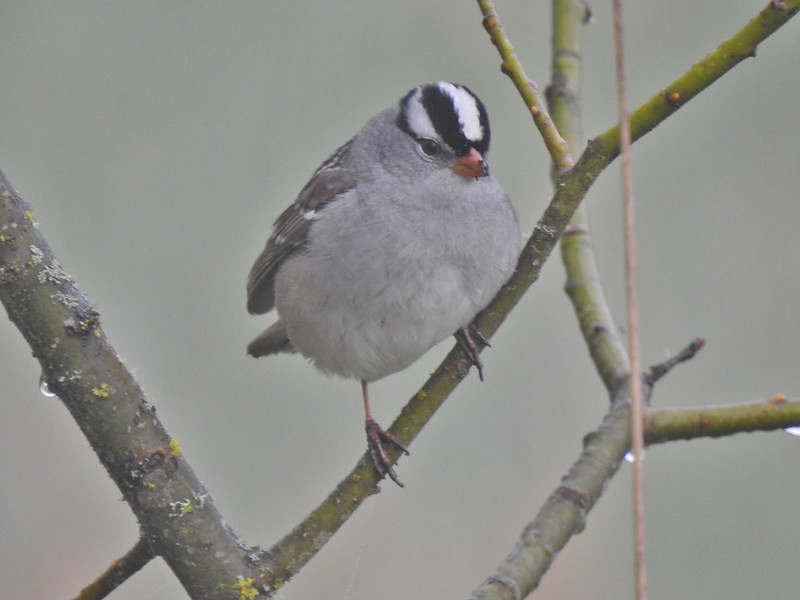 White-crowned sparrow
 Song sparrow
 Eagle Marsh, still can’t see much.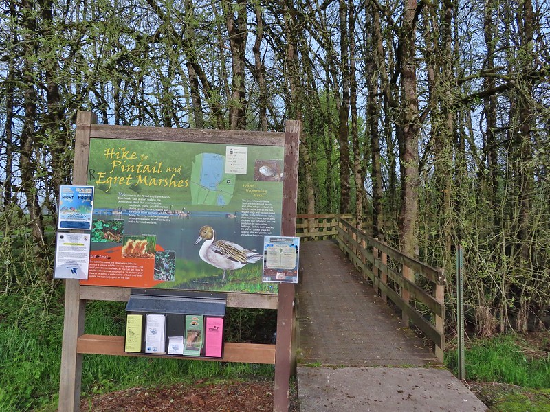
 Bashaw Creek
 Egret Marsh from the blind.


 Lots of fringecup along the trail.
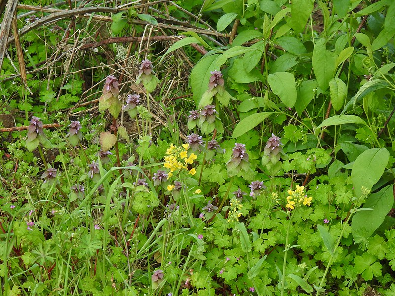 Purple deadnettle and field mustard
 Common yellow-throat
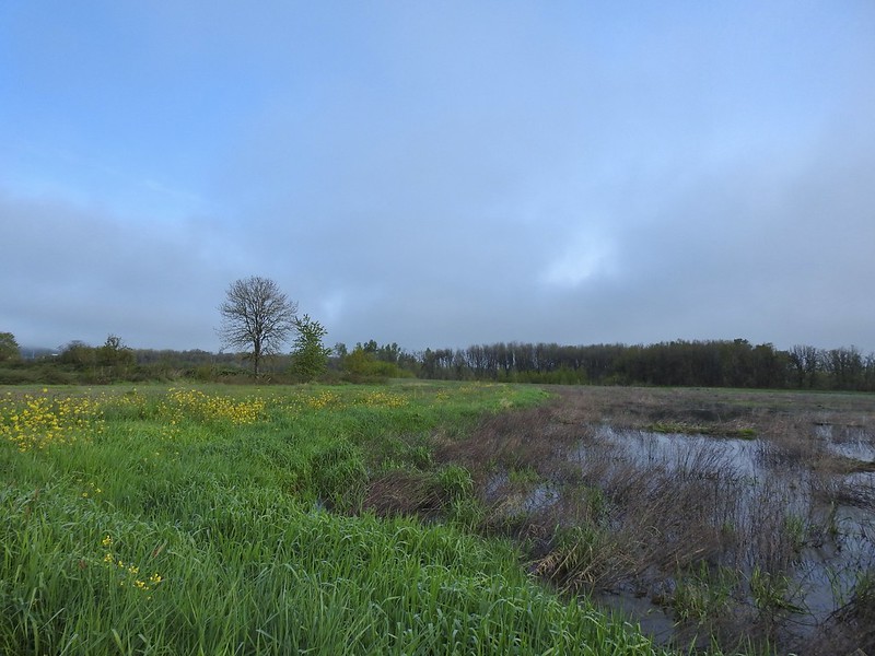 Looking back along the eastern side of the marsh. There was a lot less water this year.
 Water level on 4/13/21.
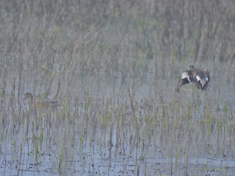 Seeing them was a lot easier than getting photos.
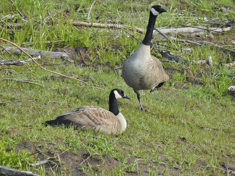 Canada flamingo?
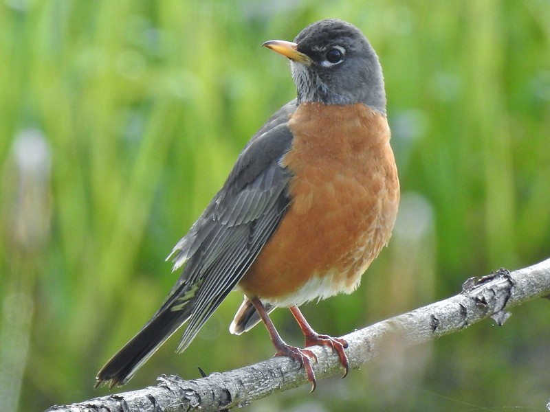 American robin
 Dunlin Pond from the boardwalk.

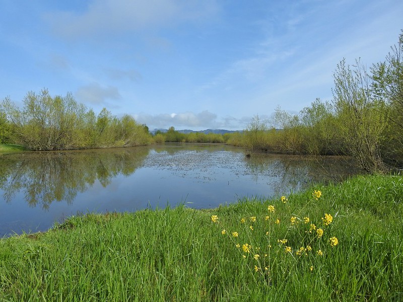 Egret Marsh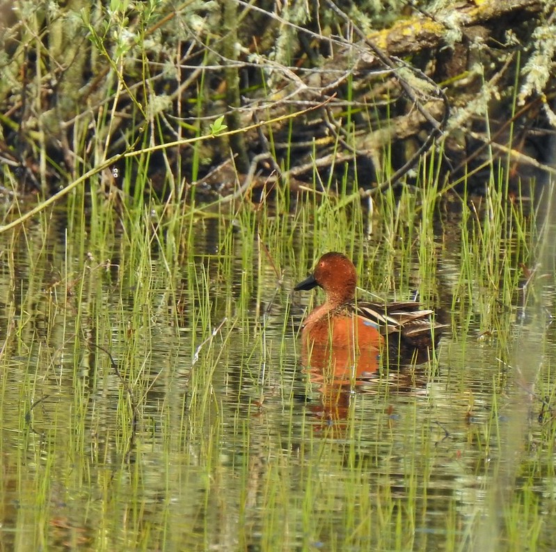
 Ring-necked ducks.
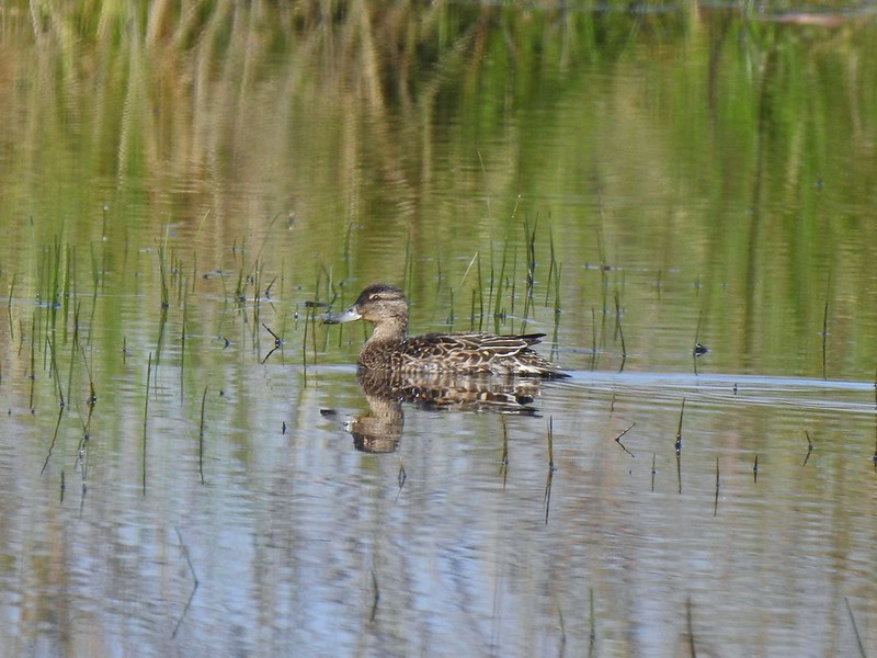 Anyone know if this is a female cinnamon or blue-winged teal?
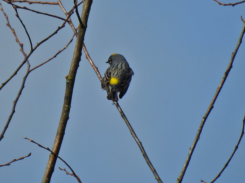 Another yellow-rumped warbler (Audubon’s) showing off its yellow rump.
 Egret Marsh
 The trail around Egret Marsh.
 I think these might be long-billed dowichters. Please correct me if I’m wrong.
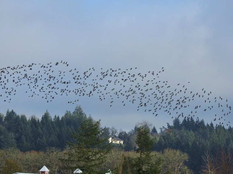
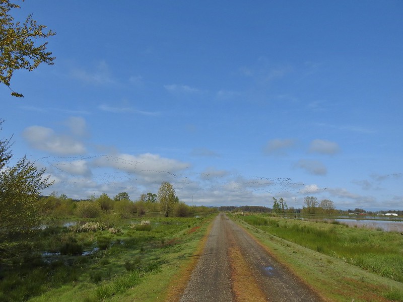 Heading to the right turn. Egret Marsh is on the left and Mallard Marsh on the right. A huge flock of geese had just taken to the sky.
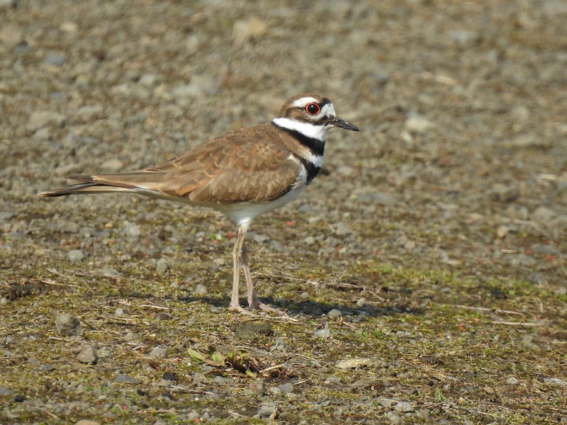 Killdeer
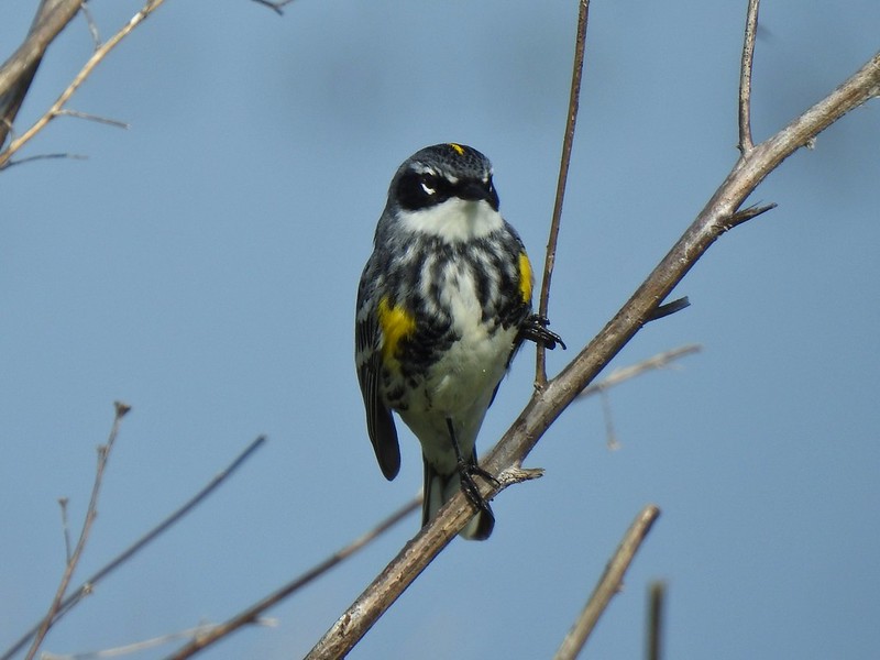 Today I realized that there are two yellow-rumped warblers, this one is a Myrtle, note the white throat compared to the yellow throat of the Audubon’s above.
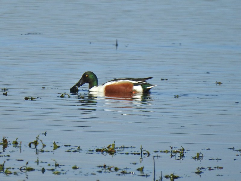 Northern shoveler
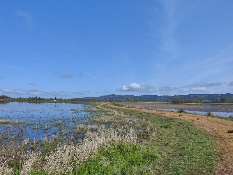 Mohoff Pond and Mallard Marsh
 Canada goose with various ducks in the background. At least one of the ducks is a ruddy duck which is one I hadn’t seen yet (that I know of). They were too far to get clear photos of though.
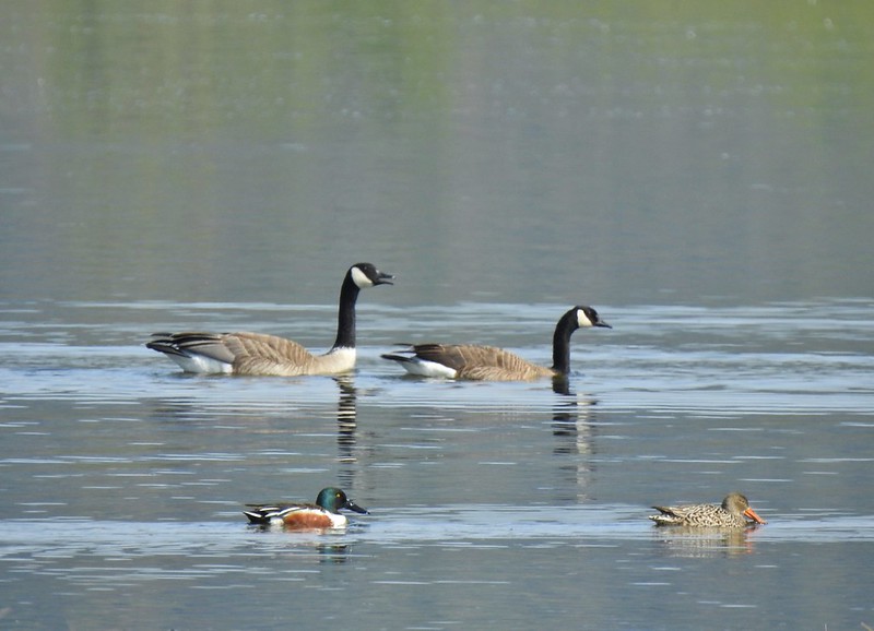 Canada geese and northern shovelers giving a good size comparison.
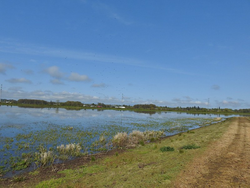 The black dots in the sky here aren’t geese, they are little insects that followed me along the dike.
 Not Canada geese flying over.
 Immature bald eagle.
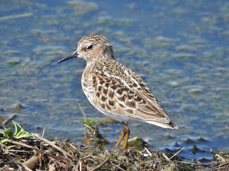 Sandpiper
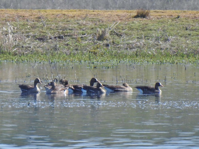 Greater white-fronted geese, another first.
 Bushtit. Several flew in here but I couldn’t make them out once inside so I took a few pictures hoping to get lucky.
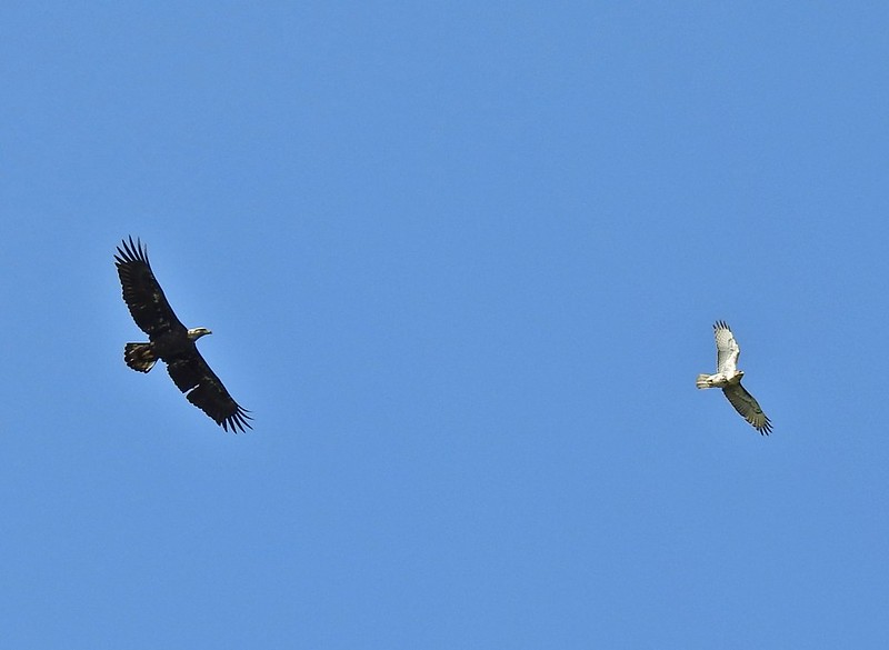 Can anyone ID the hawk? Another thing that I find difficult.
 Swimming lessons, Canada goose style.


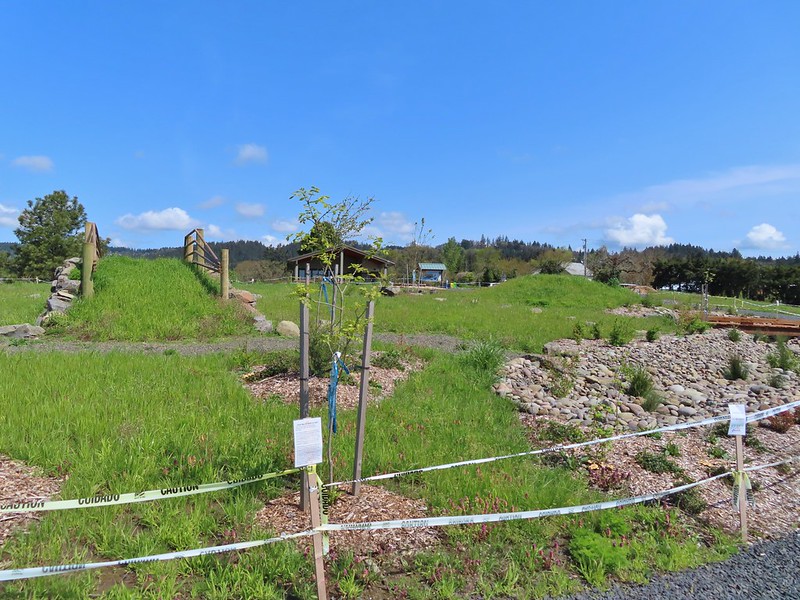
 Buttercups
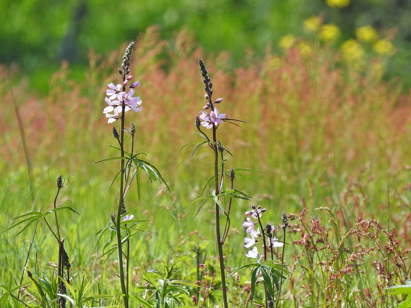 Meadow checker-mallow
 Columbine
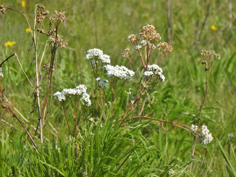 Yarrow
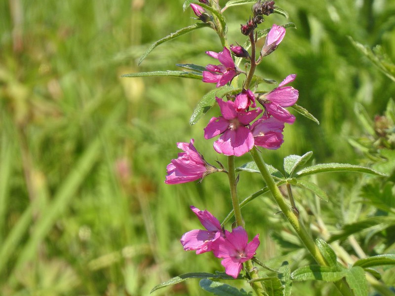 Possibly Nelson’s checker-mallow
 Lupine that will be blooming soon.

 Iris
Iris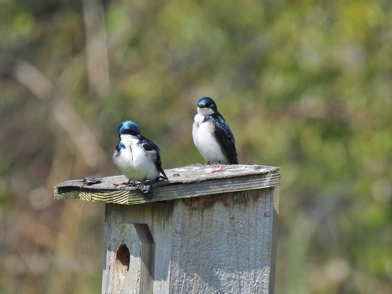 Swallows
 Mary’s Peak (
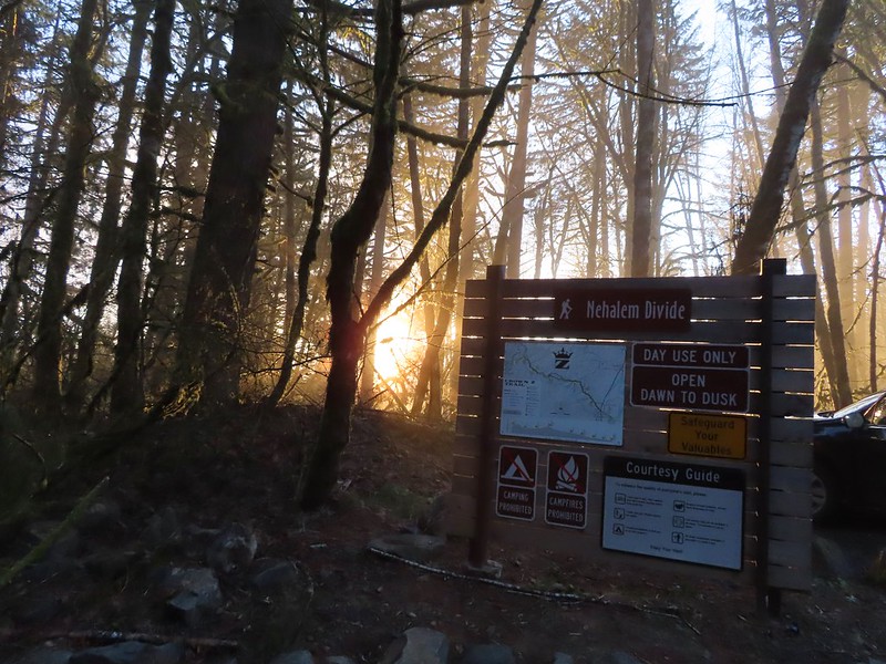
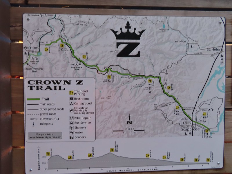
 Heading down the connector trail.
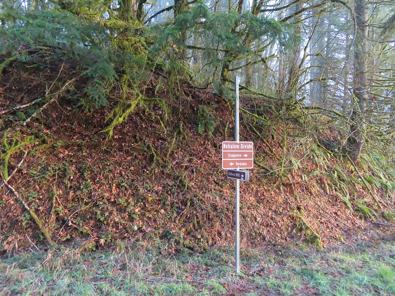 Trial sign at the jct with the CZ Trail.
 CZ Trail passing under the highway.

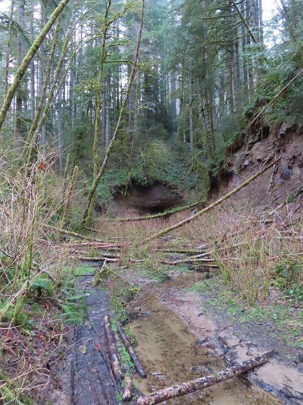

 Light from the eastern portal is visible at the other end but the tunnel is not safe to enter without at least a hard hat.

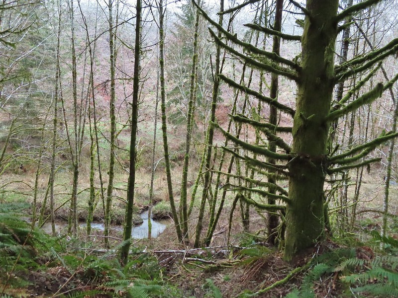 The East Fork Nehalem River next to the trail.
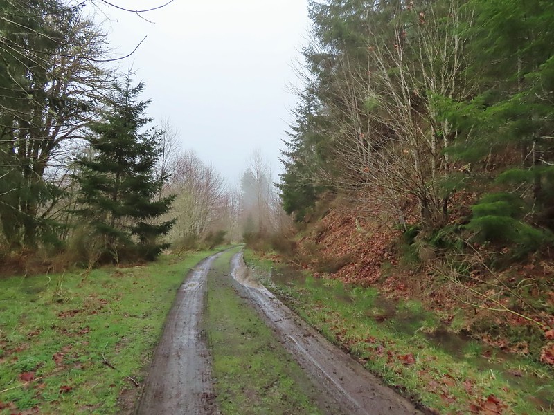 It was a little muddy in places.
 Another of several interpretive signs along the trail.
 Not much in the way of flowers yet but there were a few indian plum starting to blossom.




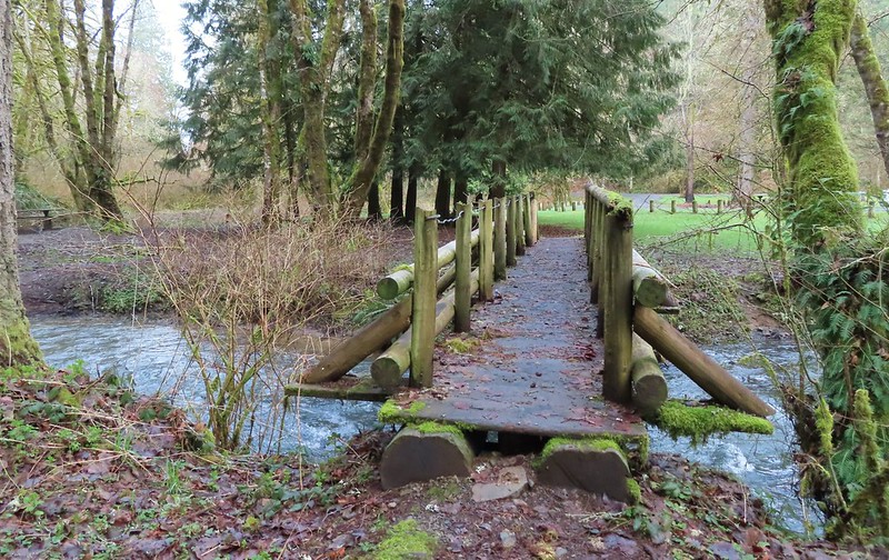
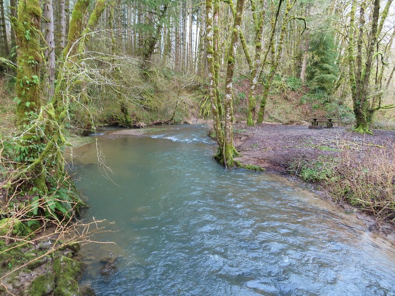 East Fork Nehalem River
 Pointer for the CZ Trail in Scaponia Park

 American kestral

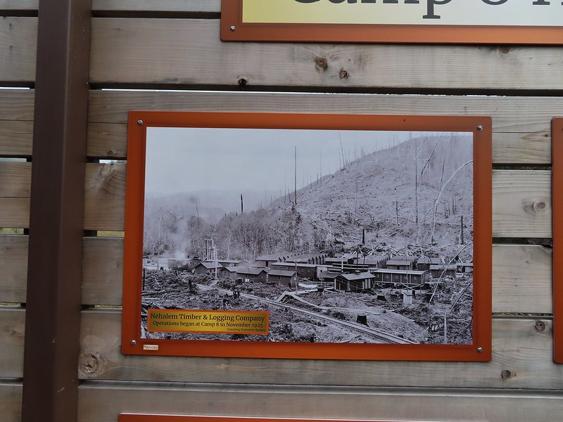
 Robin in the meadow that once was Camp 8.

 The orange mile marker 19 ahead.
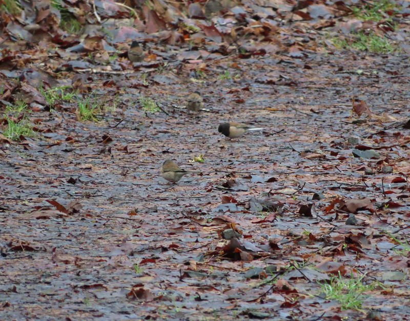 Juncos
 Another not great picture of a varied thrush.
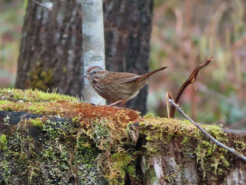 Sparrow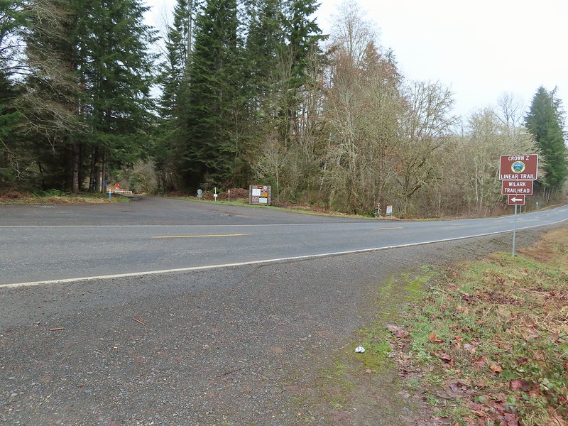


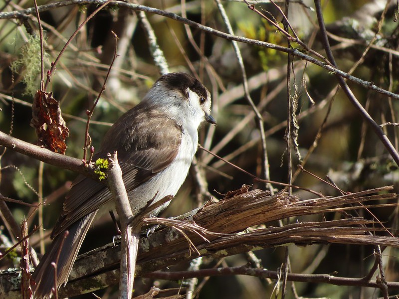 A grey jay enjoying the emerging sunlight.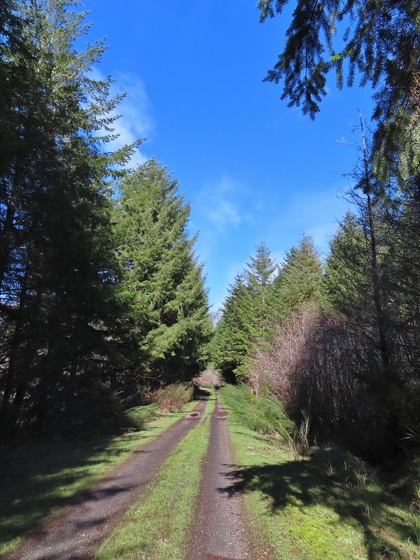
 Blue sky near the Floeter Trailhead.

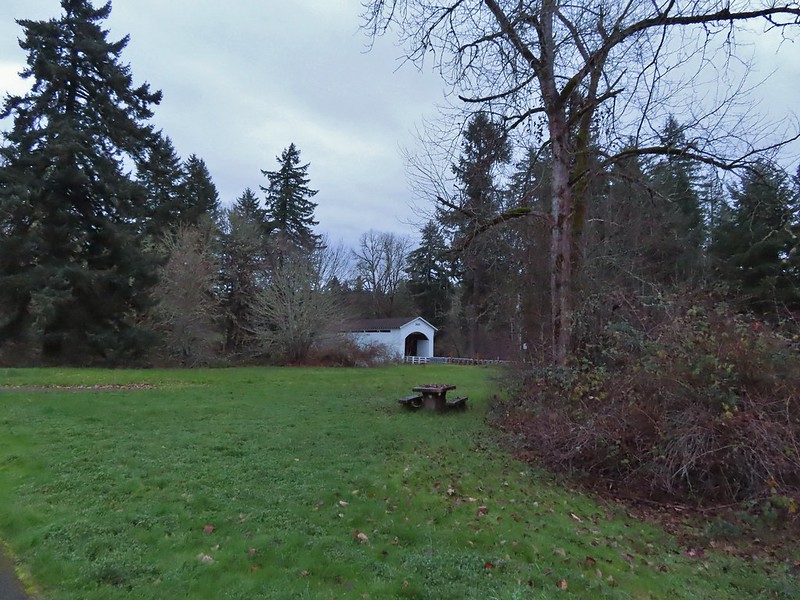

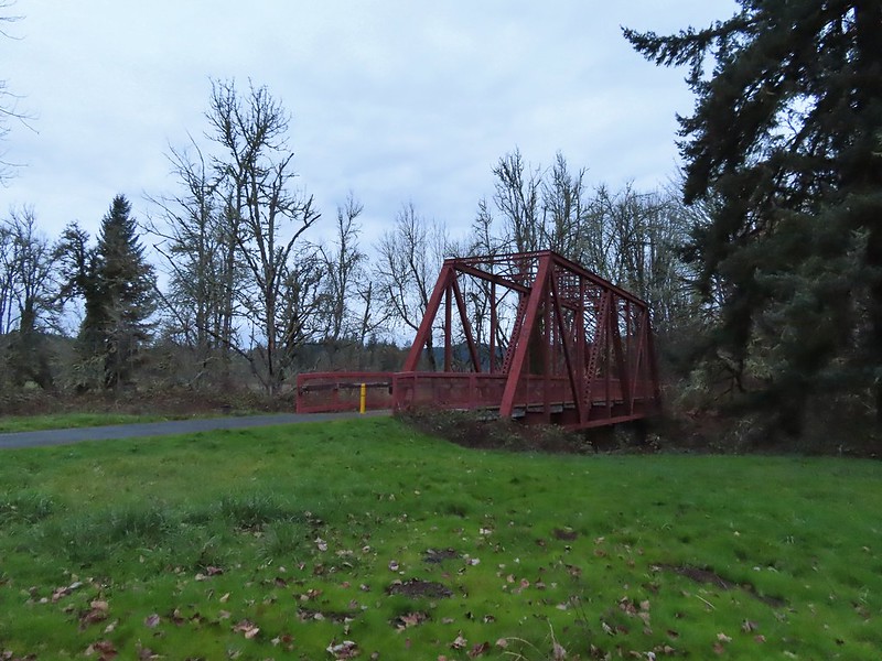

 Ivy disguising itself as a tree.
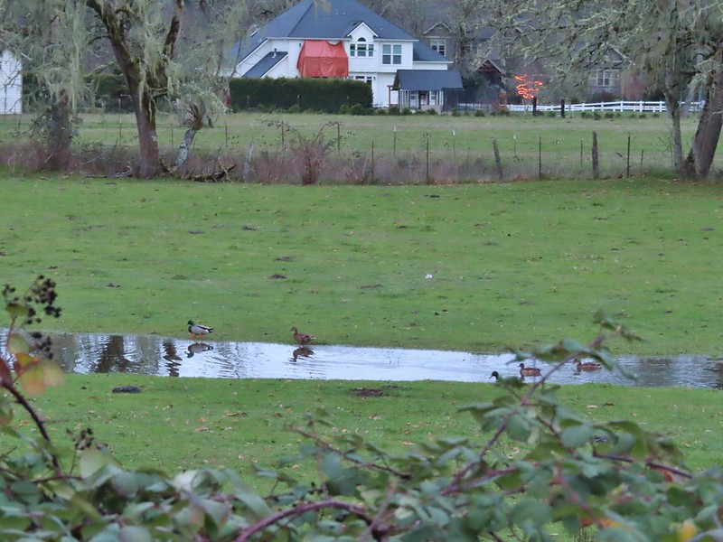 Mallards and Christmas lights.
 Layng Road crossing. The lights on the signs were activated when sensors picked up something approaching.

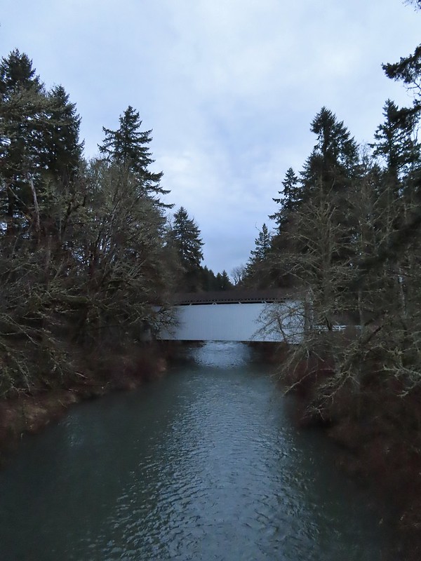
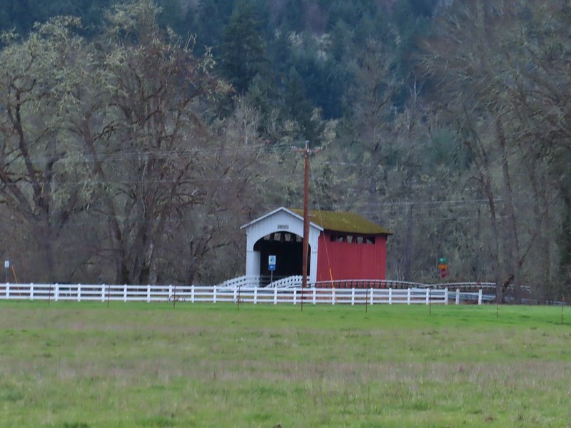 Currin Covered Bridge on Layng Road.
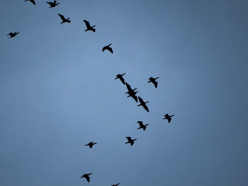 Cormorants flying overhead.
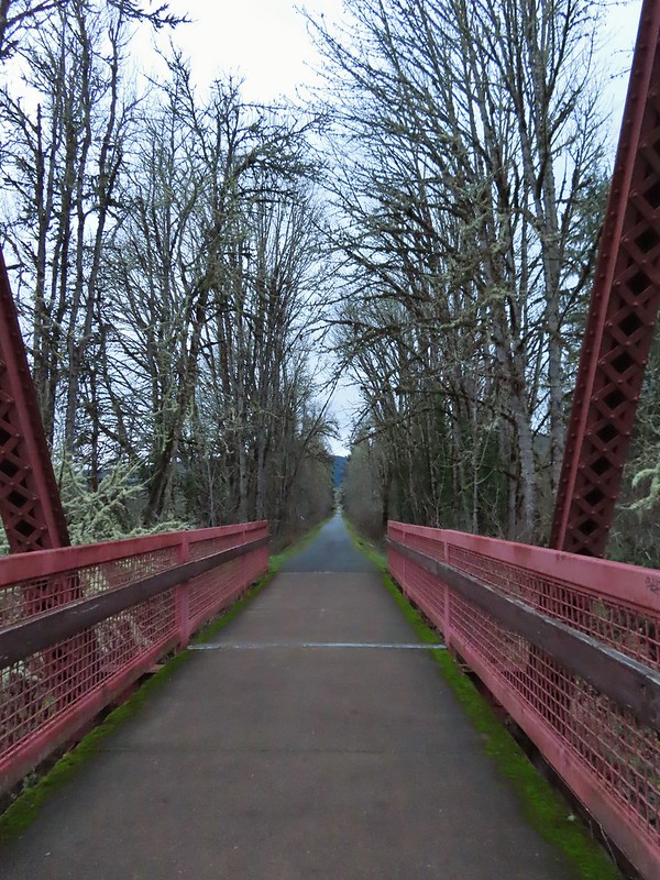
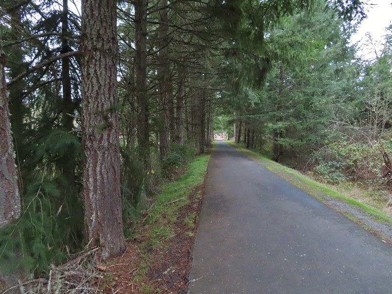 Approaching the bridge over the Row River.
 Row River
 Lesser scaup. I would have liked a better picture but it was still early and not very light and the little guy was a ways away on the river.
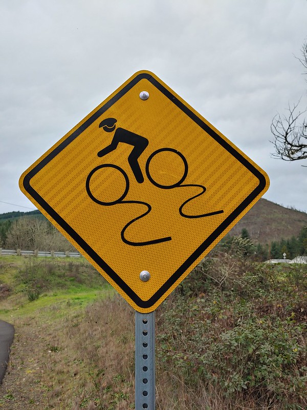 This was a new sign to us.
 Row River Road with some snowy hillsides in the distance.
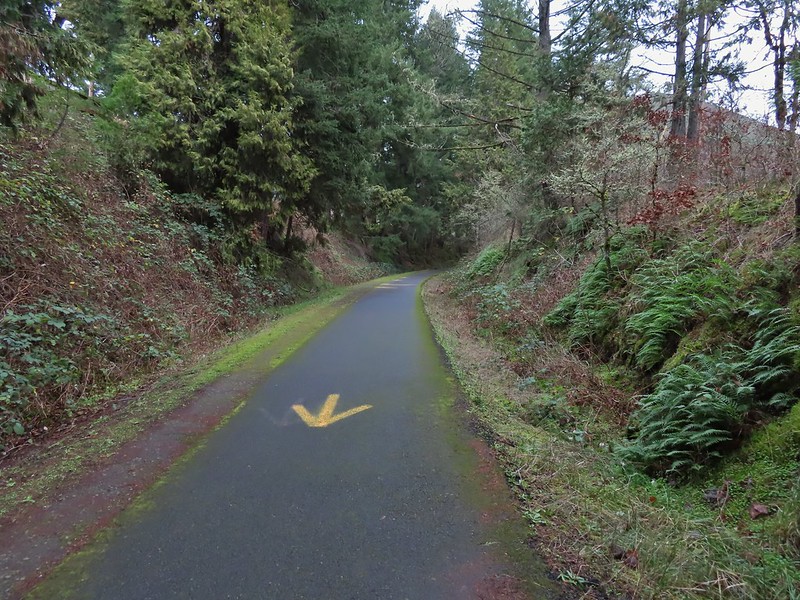 Arrows and other yellow markings identified bumps and holes in the trail for equestrian and bike users.
 Jelly fungus
 Hamblen Creek
 Turkeys in a field.
 Sign along a private driveway.
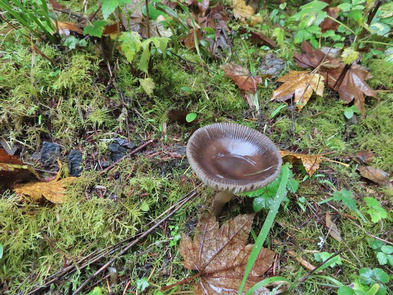
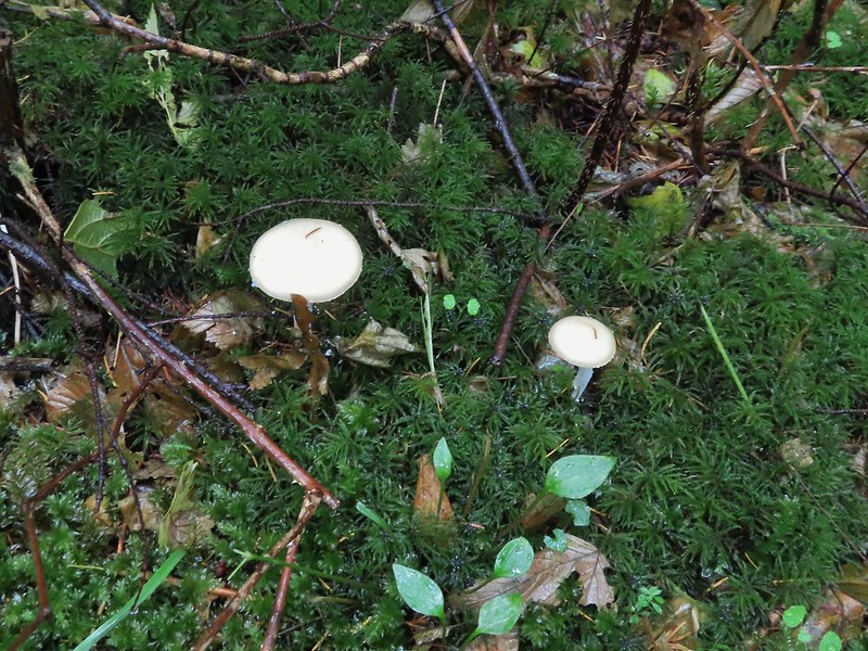
 Not very many mushrooms but these were good sized.

 Do squirrels jog?
 Madrone along the trail.
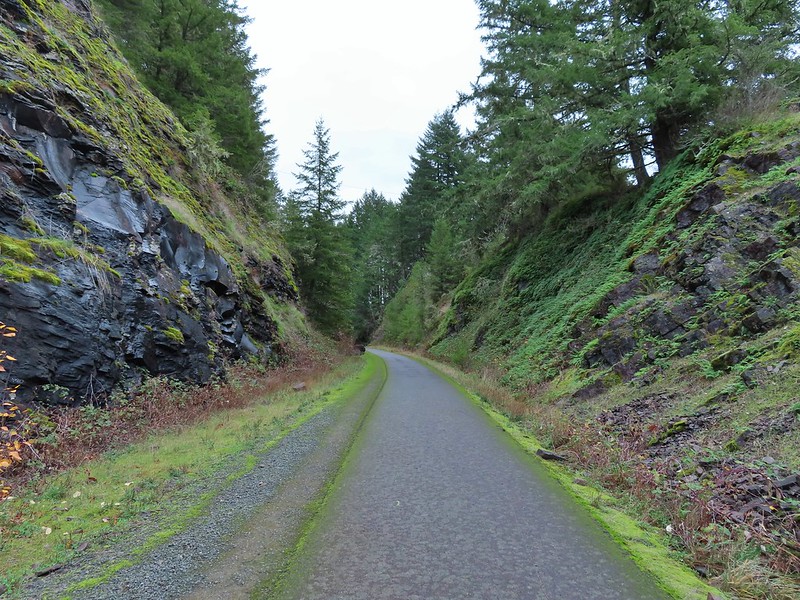 Row River Road was overhead to the left along this rocky section.
 Nearing a bench along the trail facing Dorena Lake Dam.
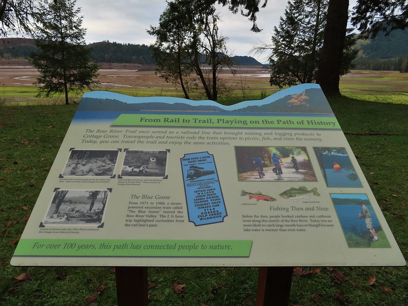
 Interpretive sign near the bench.

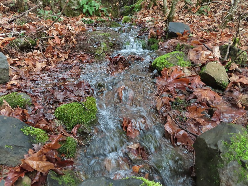
 Snow in the Calapooya Mountains.
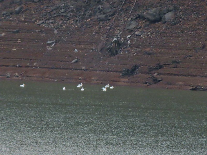 White pelicans on the other side of Dorena Lake.
 Still no rain despite the clouds.
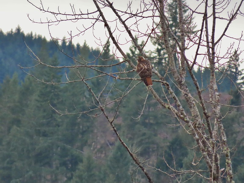 Red-tailed hawk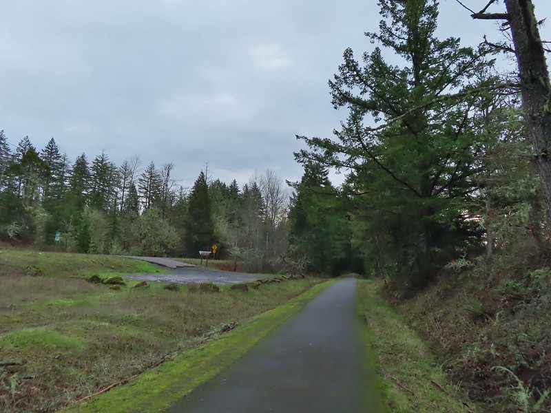


 A kingfisher and a great blue heron.
 Pelicans and other waterfowl on the move.
 Cerro Gordo from Row Point.
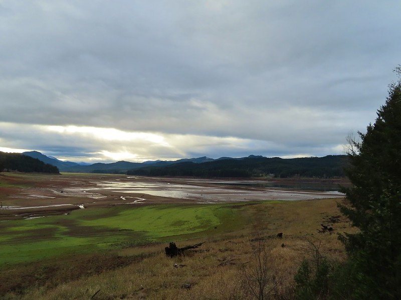 Not much water at all in the eastern end of the reservoir.
 A great blue heron on the far left with a bunch of white pelicans and cormorants.
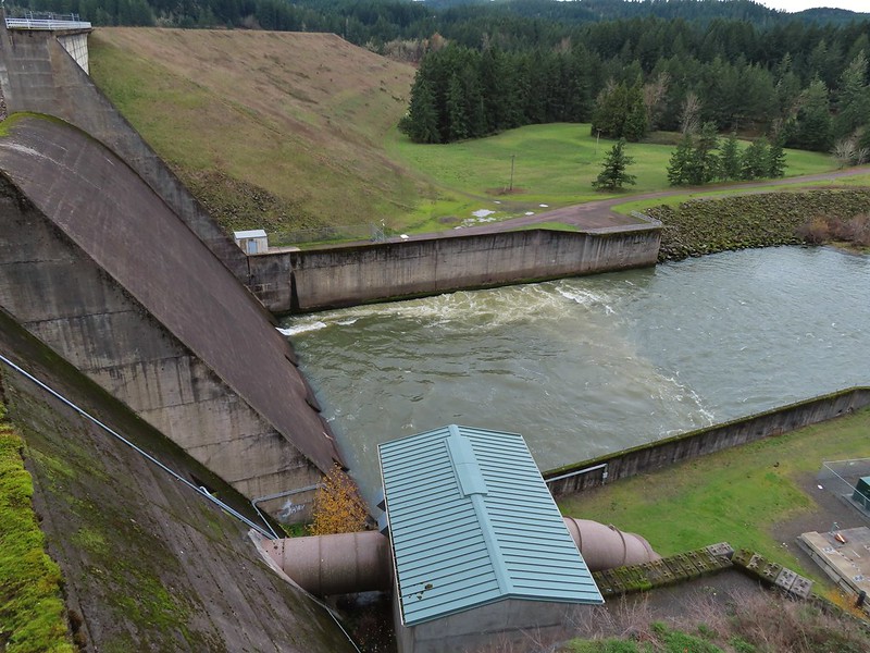
 Actual sunlight hitting the dam.
 Spotted towhee
 Rat Creek Bridge
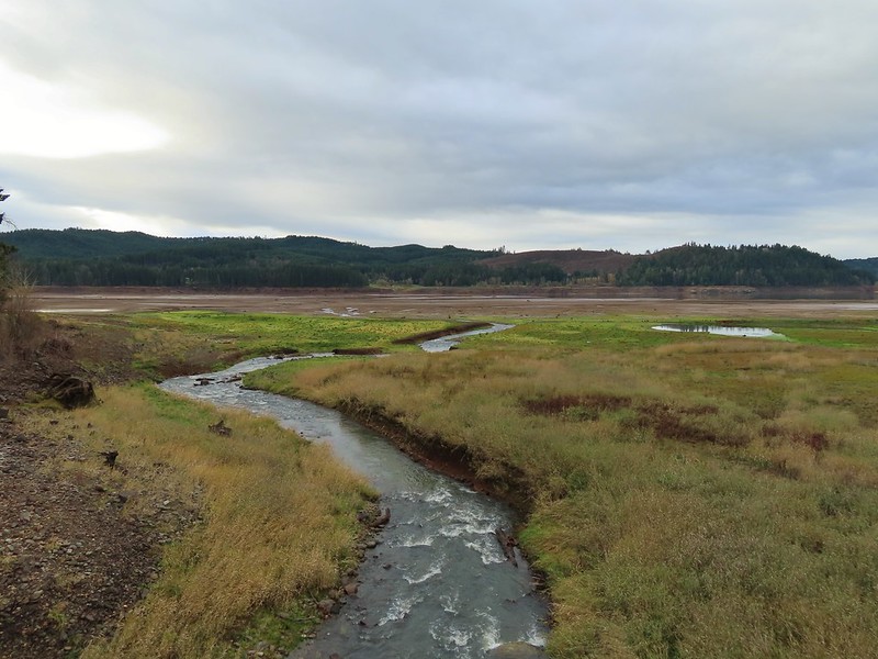 Rat Creek
 June 2020 from the Rat Creek Bridge.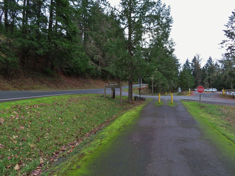
 Gold tree in front of Cerro Gordo.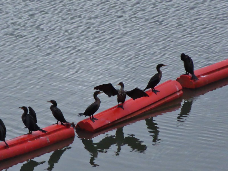
 The little hill to the left provides access to the north end of the dam.



 Just drying out.
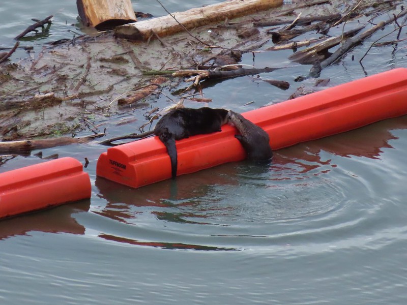 Trying to play.
 No luck.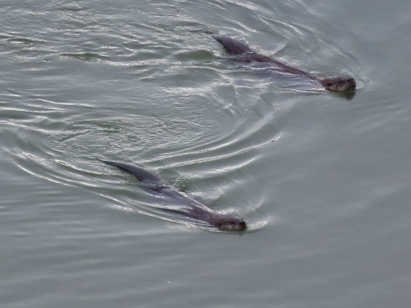

 Rabbit
 American wigeons
 Nature slowly reclaiming an old farm truck.
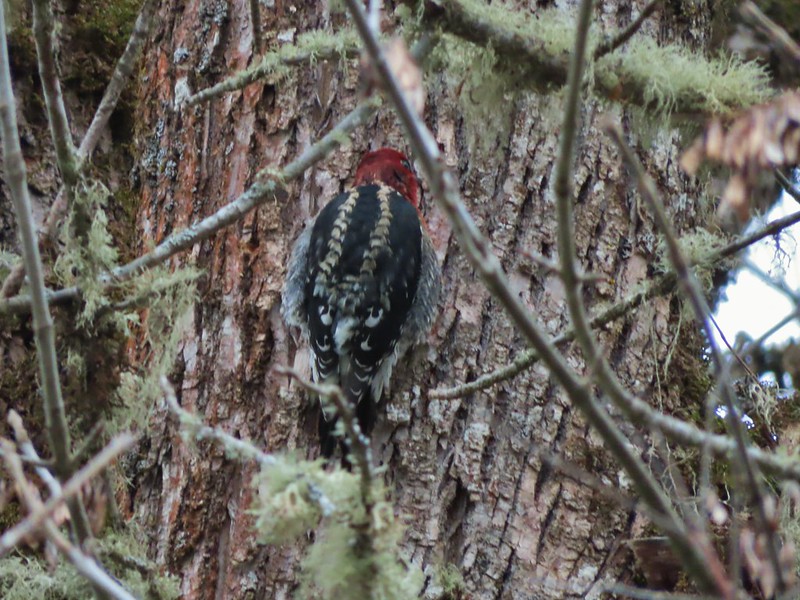 Red breasted sap sucker.
 Mosby Creek
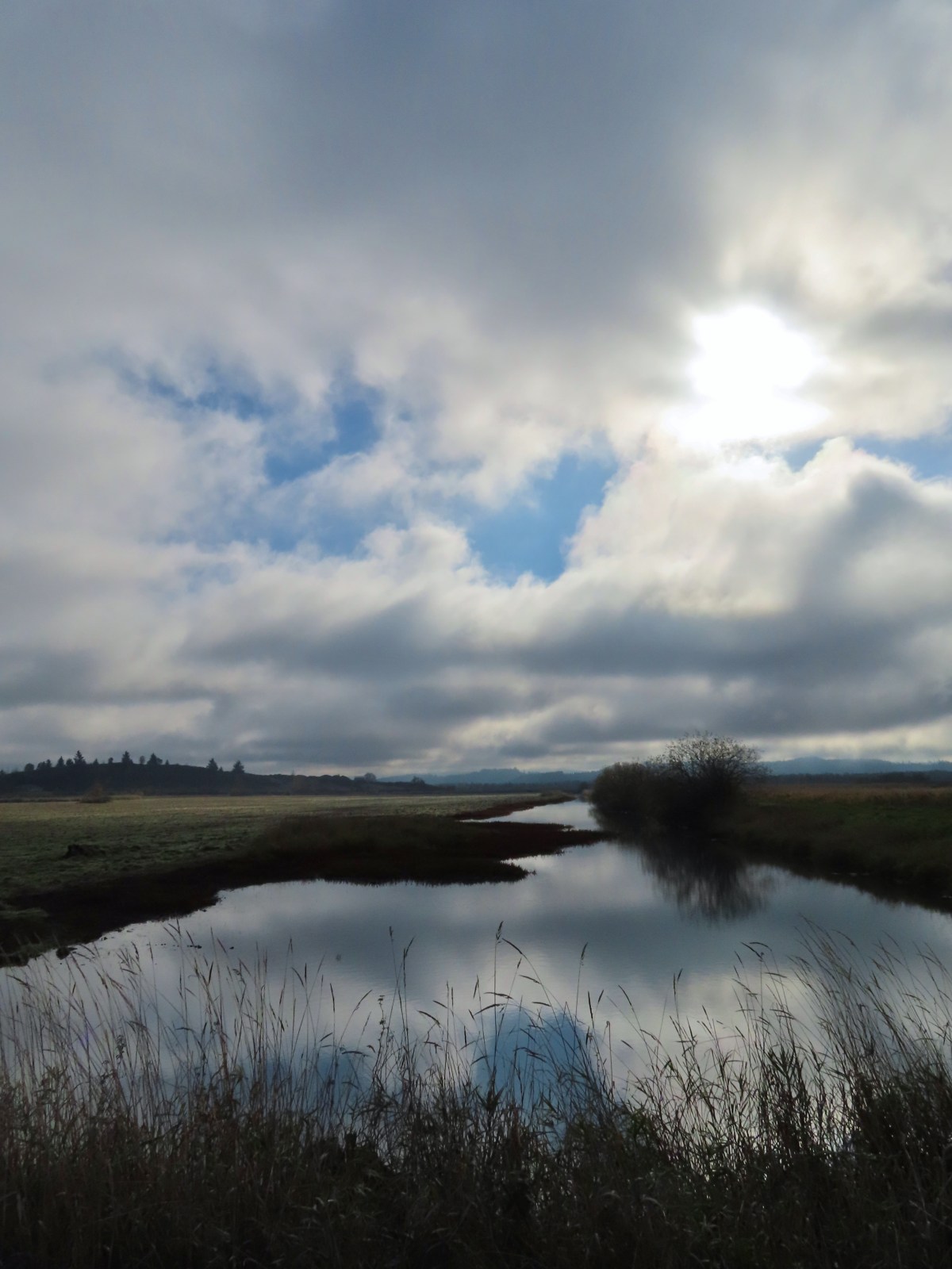
 The trailhead sign for the Clay Creek Trail is ahead on the opposite side of the road.
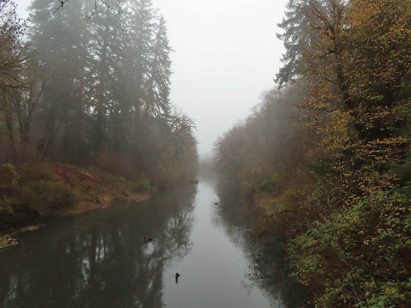 Siuslaw River
 Clay Creek on the left emptying into the Siuslaw.
 Stairs at the Clay Creek Recreation Area across the river.

 The Clay Creek Trail climbing above Clay Creek.
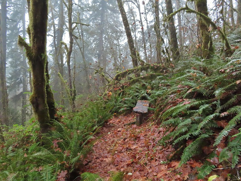
 It’s hard to tell size here but the diameter of this tree was well over 5′.
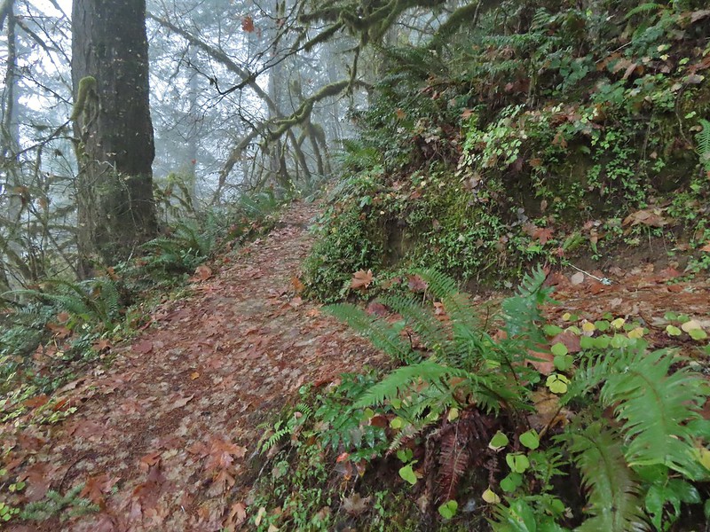 The junction for the loop.
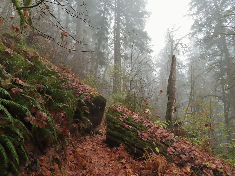
 One of several reroutes we encountered.
 On the ridge top.
 Madrone trunk and bark, always fascinating.
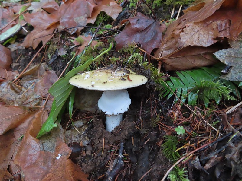
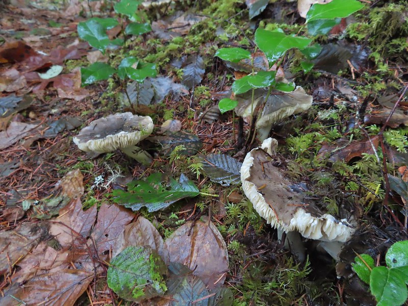 Lots of mushrooms pushing up through the forest floor.
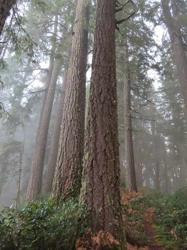 Good sized trees near the high point.
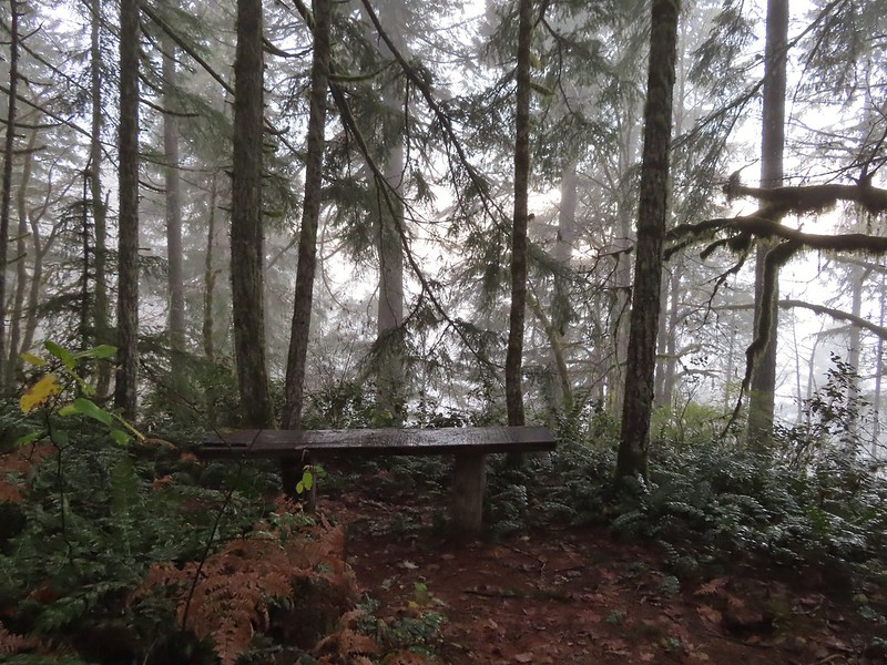 No idea what you might see on a clear day.

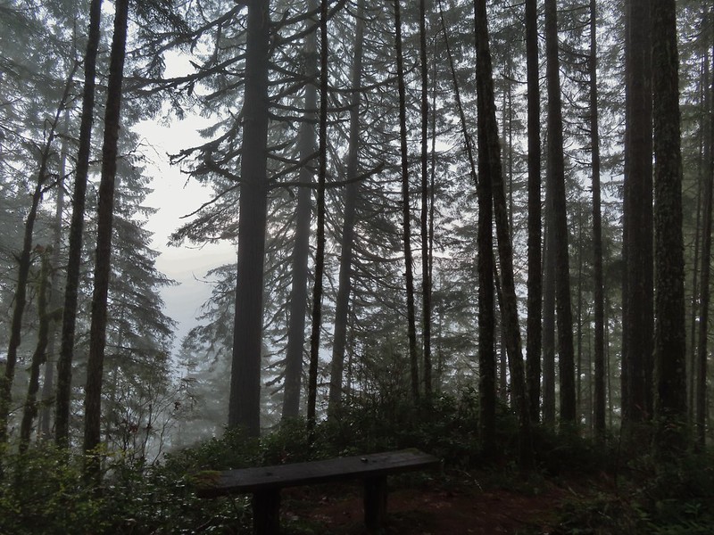 The viewpoint.

 Nearing the footbridge.
 The fog had lifted off the river at least.
 Note that Royal Ave and the trail to the viewing platform are open year around with the other restrictions listed below.
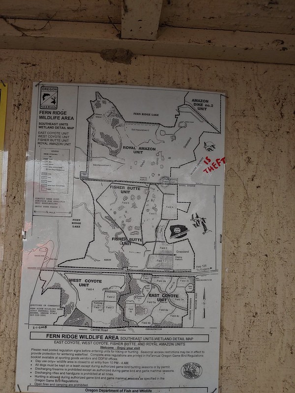 We took a picture of this map to assist us with our route.

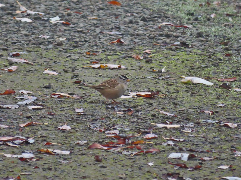 White crowned sparrow
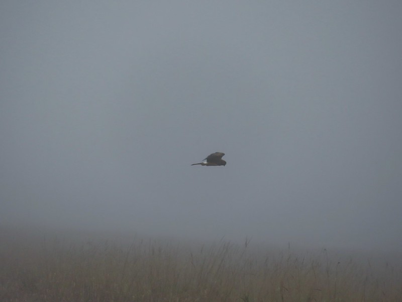 Northern harrier on the hunt.
 Wetlands in the Royal Amazon unit.
 The bittern taking off.
 Not the greatest photo but enough to identify it.
 A hawk on a stump.
 American coots
 Gibson Island (with the eagles in the snag to the far left)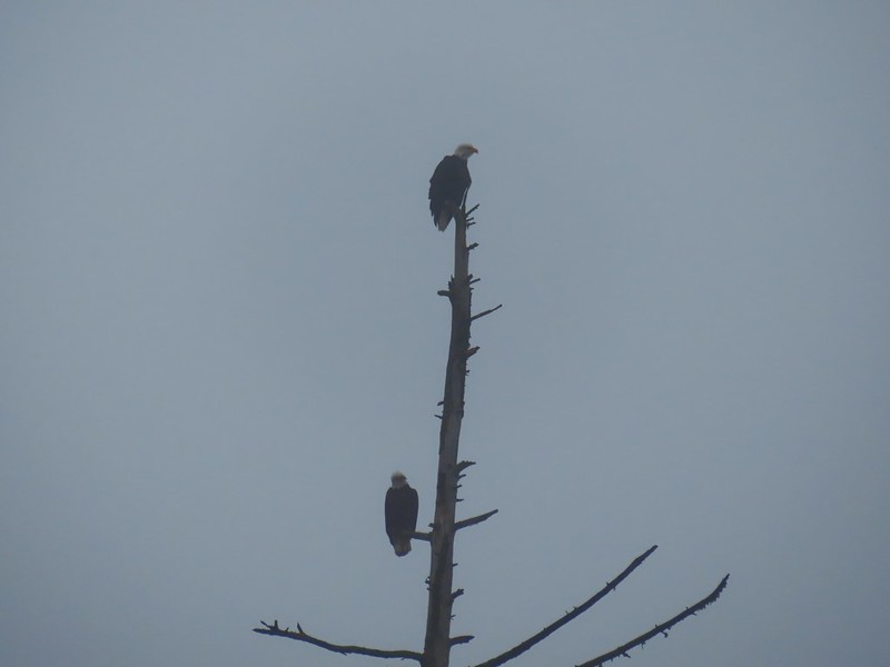



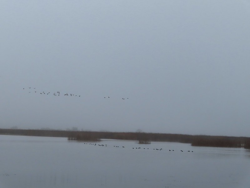 A flock of geese above the coots.
 There were a number of these small birds pecking around in the mud which, with some help from Molly in the comments, are American pipits.
 Continuing west.
 We used the stones to the right to cross the water here.
 Great blue heron (with Highway 126 in the background).
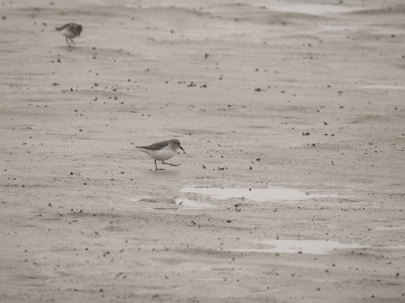
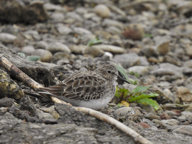 Sandpiper in the roadway.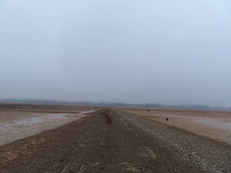
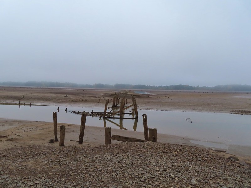 End of the line.

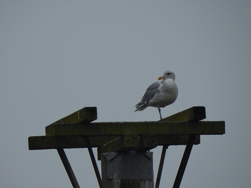 Seagull
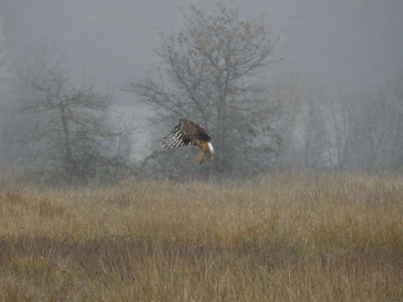 Perhaps the same northern harrier.
 The harrier taking a break.
 The path to the platform.
 Dunlins (thanks again to Molly)
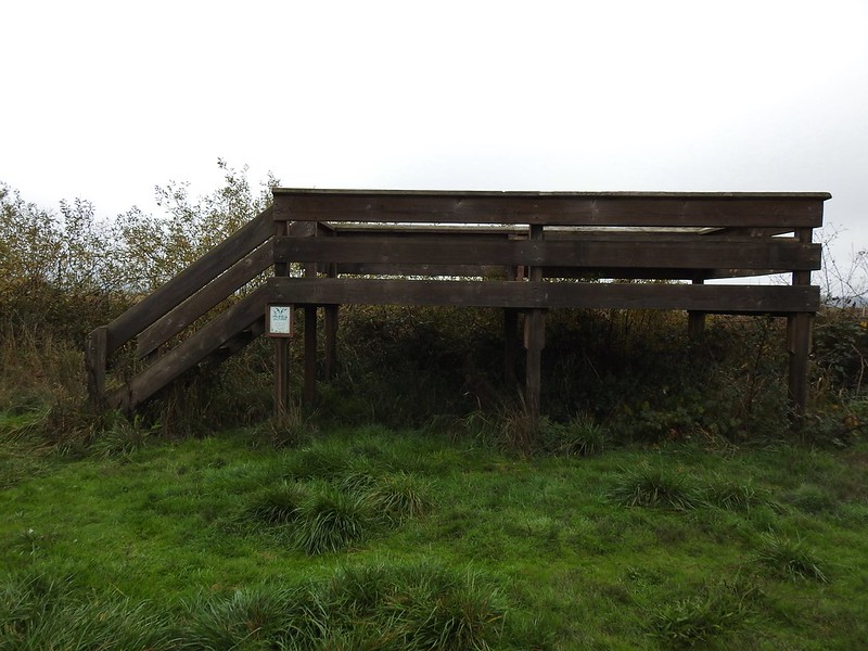 The platform.
 The first signs that the fog/clouds might be breaking up.
 Looking back at a little blue sky and a visible Gibson Island


 Fisher Butte is the low hill ahead to the right.
 Gibson Island was now lit by direct sunlight.
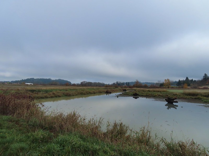 The dike running between Fields 3 & 4.
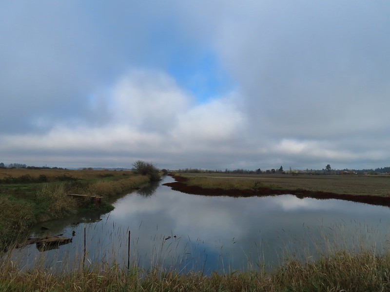 Looking back over the ditch.
 California scrub jay
 Northern shovelers and a bufflehead.
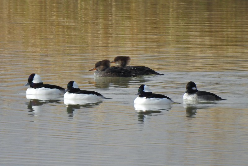 Buffleheads and two hooded merganser females.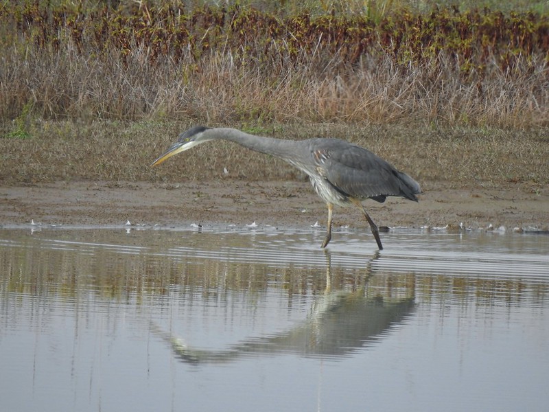
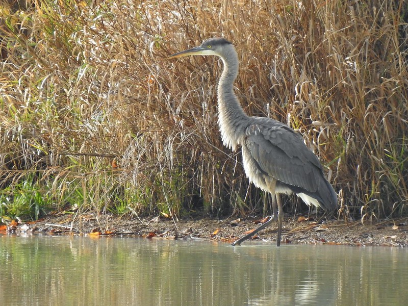
 Kingfisher
 American robin
 The gravel road and another small portion of the wildlife area on the other side.
 Noisy geese.
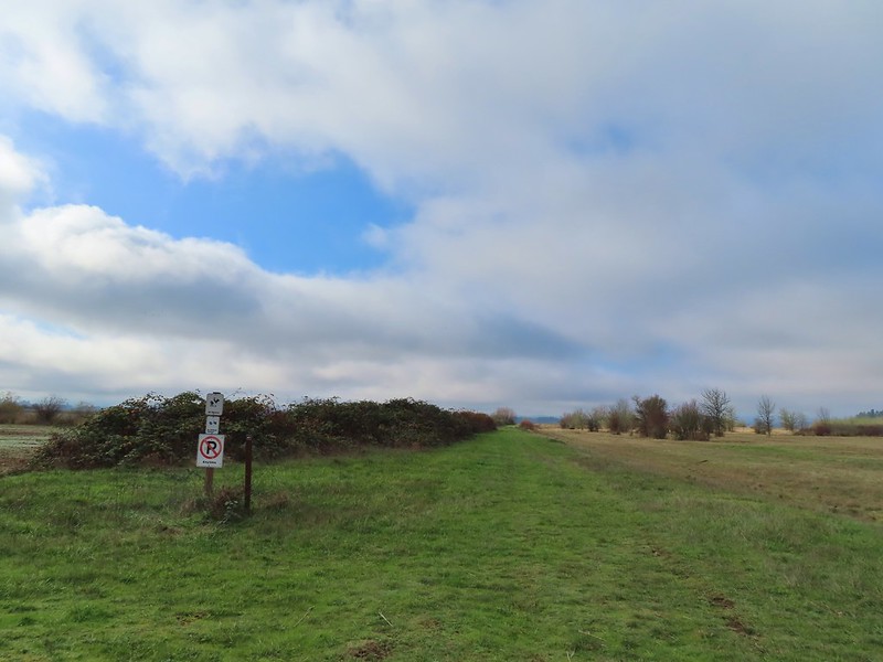 Back on the mowed track.
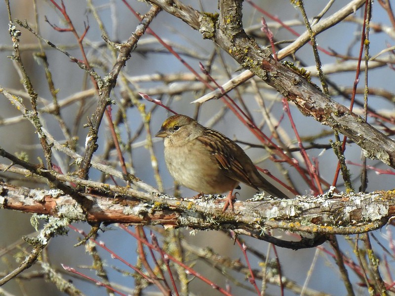 A sparrow
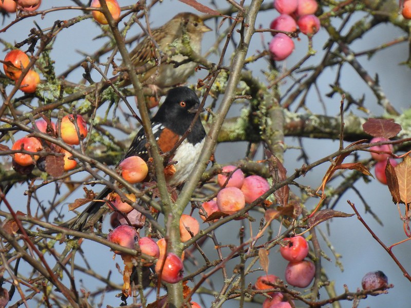 Spotted towhee and friend.
 Finch
Finch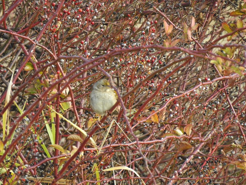 As of yet unidentified little bird.
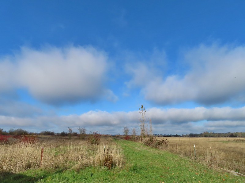 This path headed north from the trailhead, something to explore on our next visit.


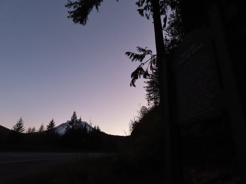 Mt. Hood from the trailhead.


 The wagon chute.

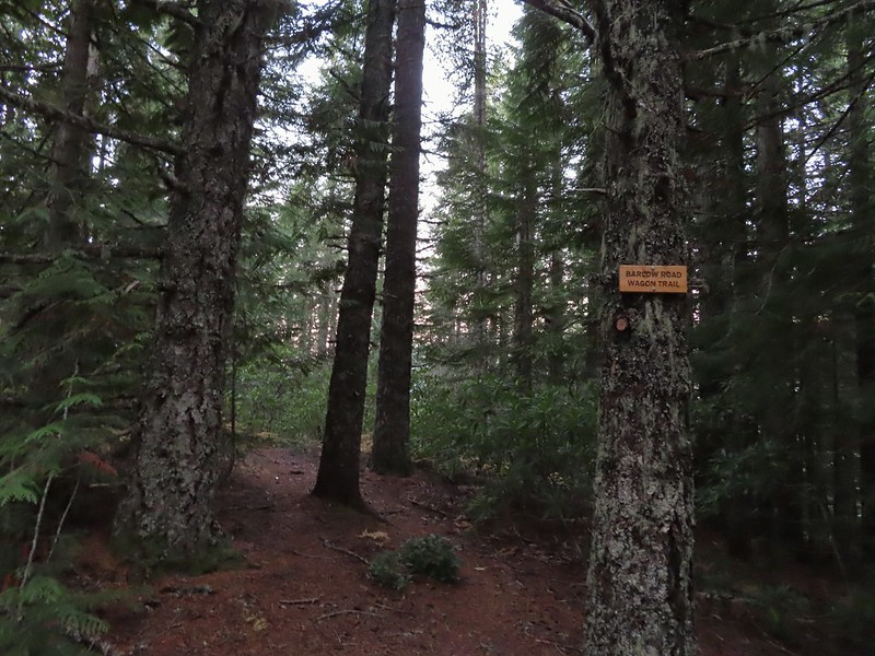 The left at the 4-way junction.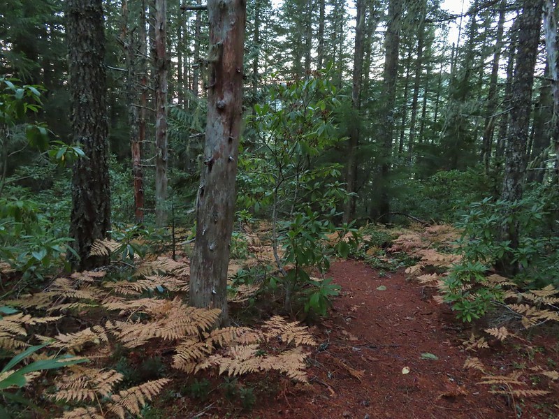
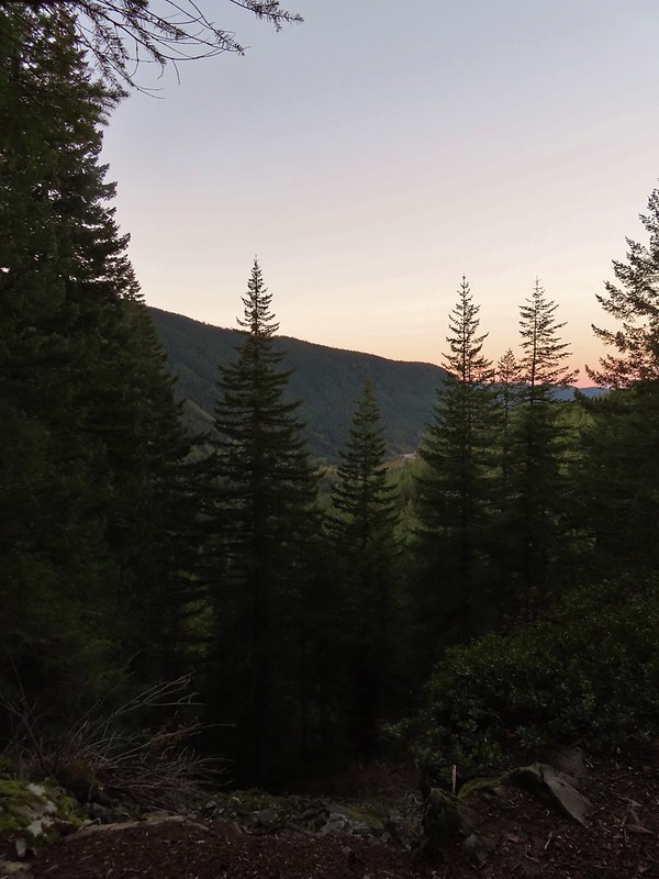
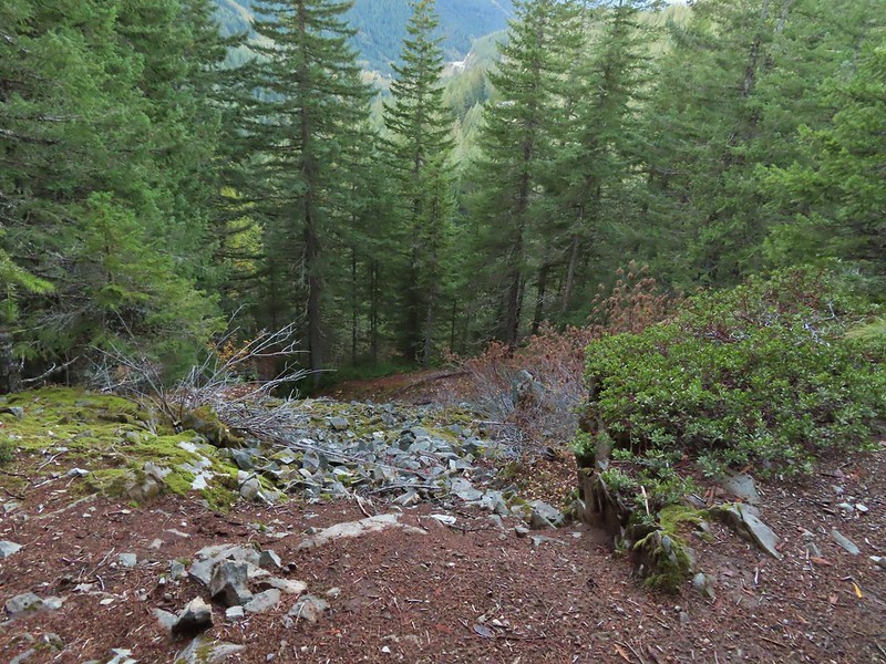 Looking down the chute.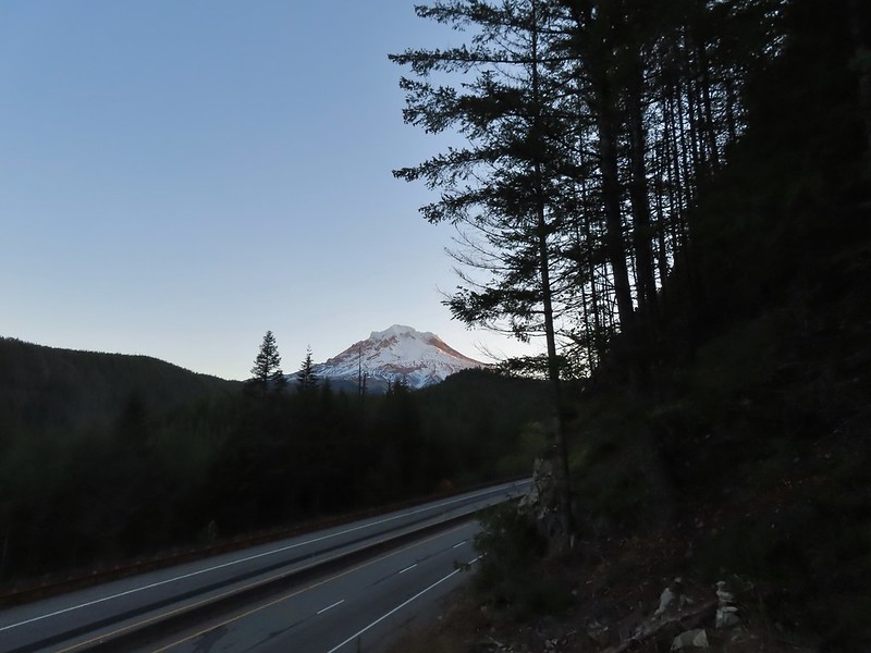
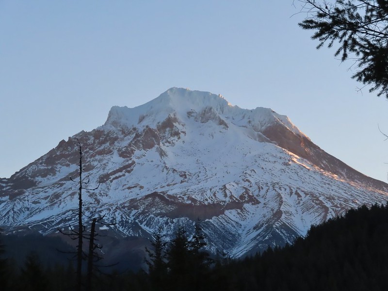 Sunlight starting to hit the SE side of Mt. Hood.
 Ravens photo bombing a close up of the mountain.


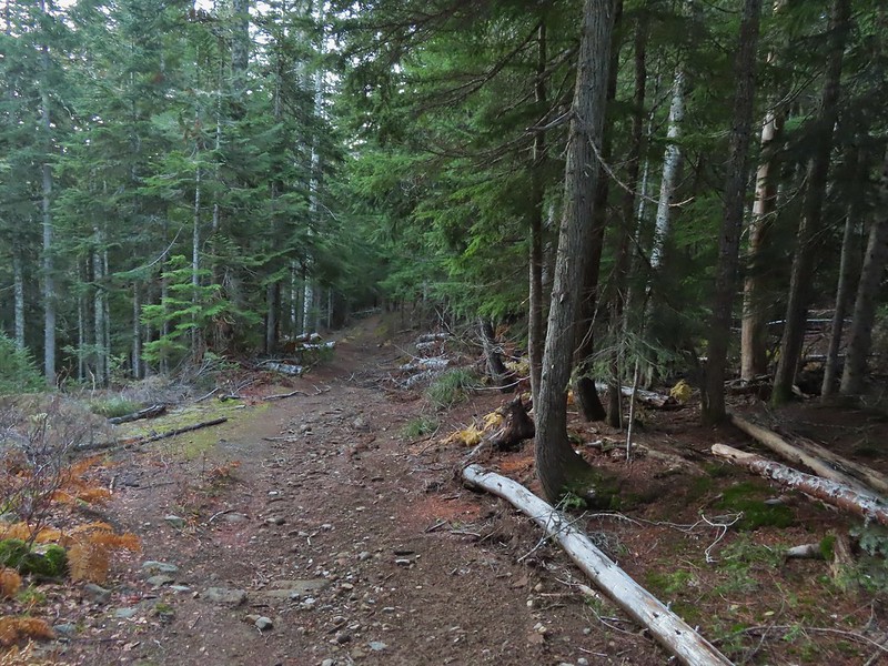 A portion of the original Barlow Wagon Road.
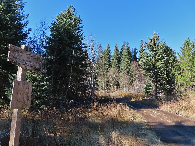
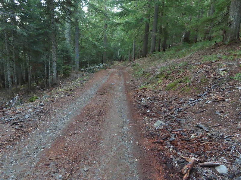 Barlow Road (FR 3530)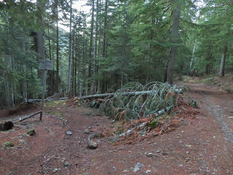



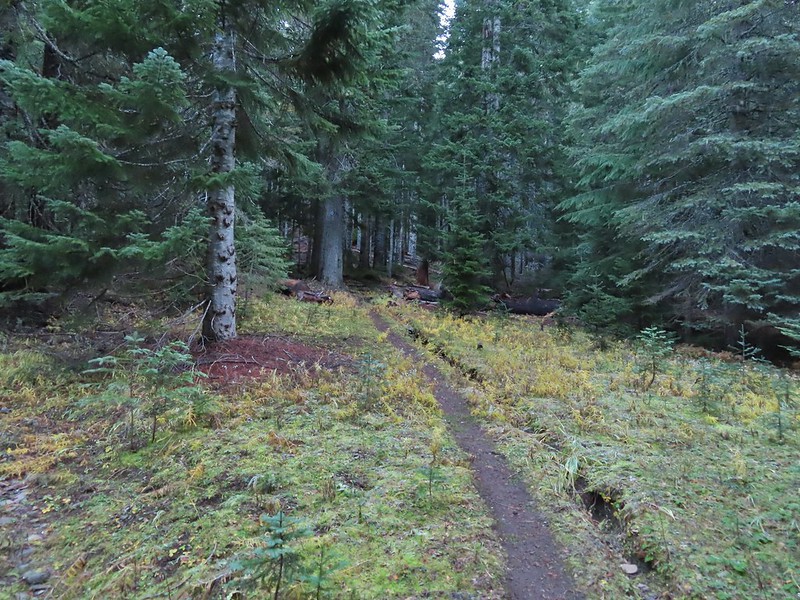


 Wilderness sign along the Barlow Butte Trail.
 Getting steeper.
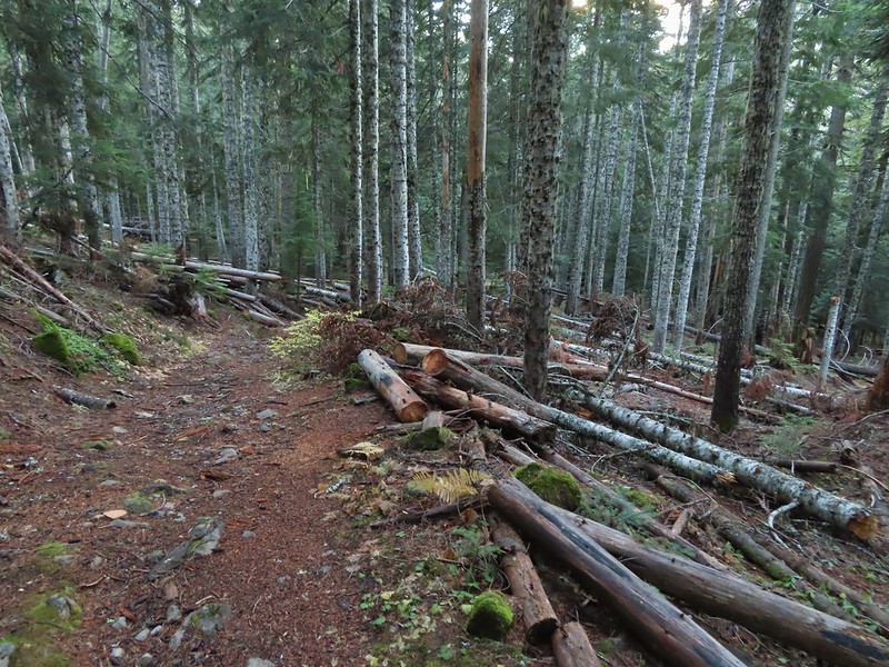
 This was the worst of the blow down we had to navigate on this section.
 Nearing the junction.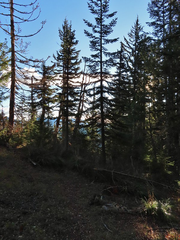
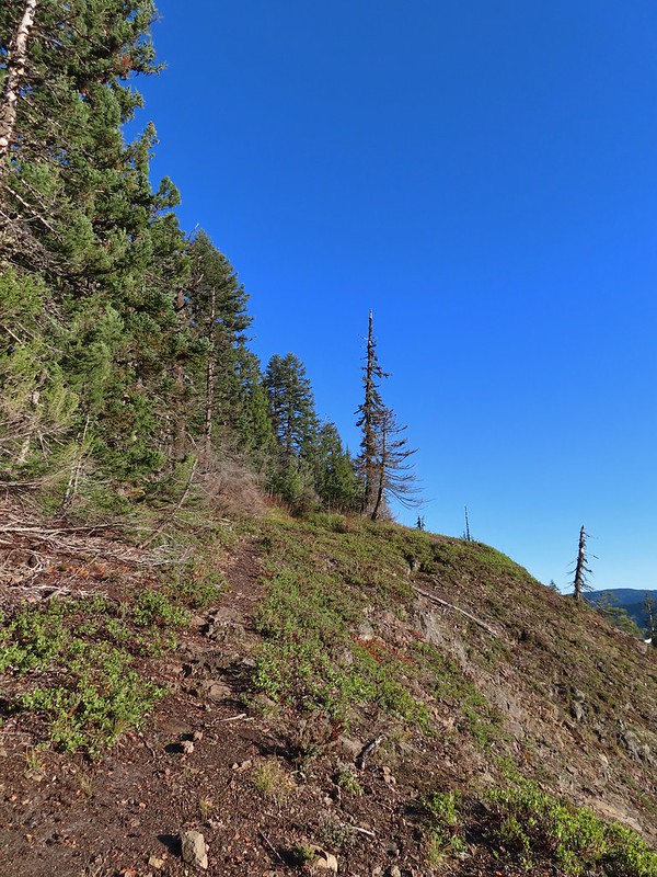
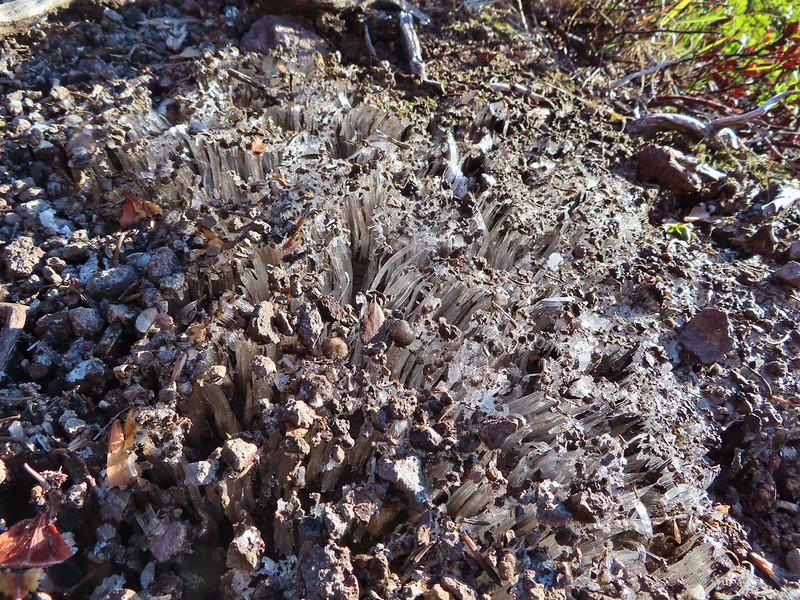 It was a little chilly with temps in the mid 30’s combined with a stiff breeze adding to the wind chill.
 On the right of the far ridge is Bonney Butte (
 Remains from the lookout.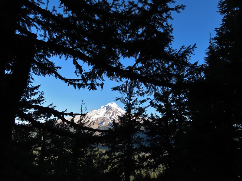
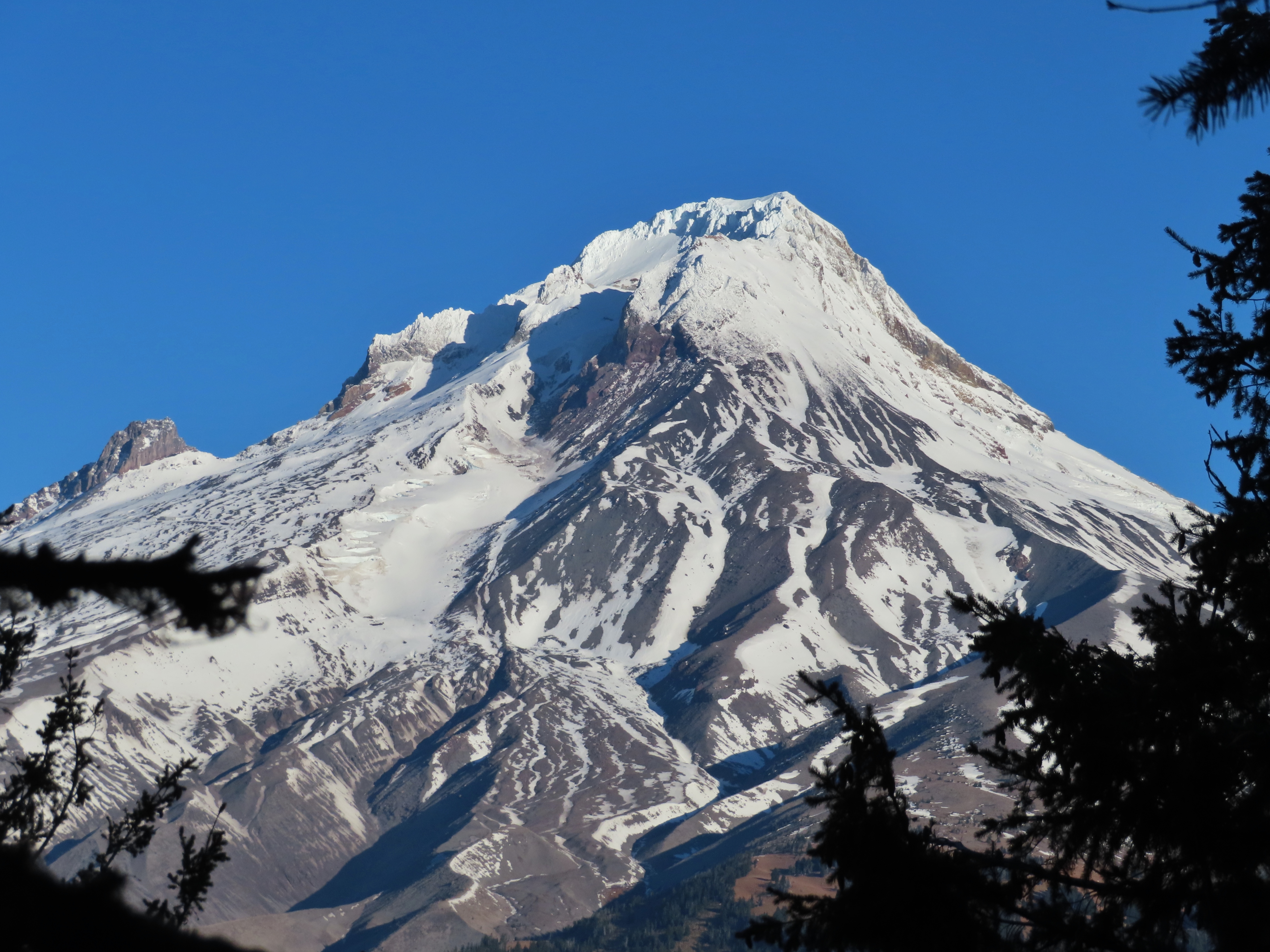
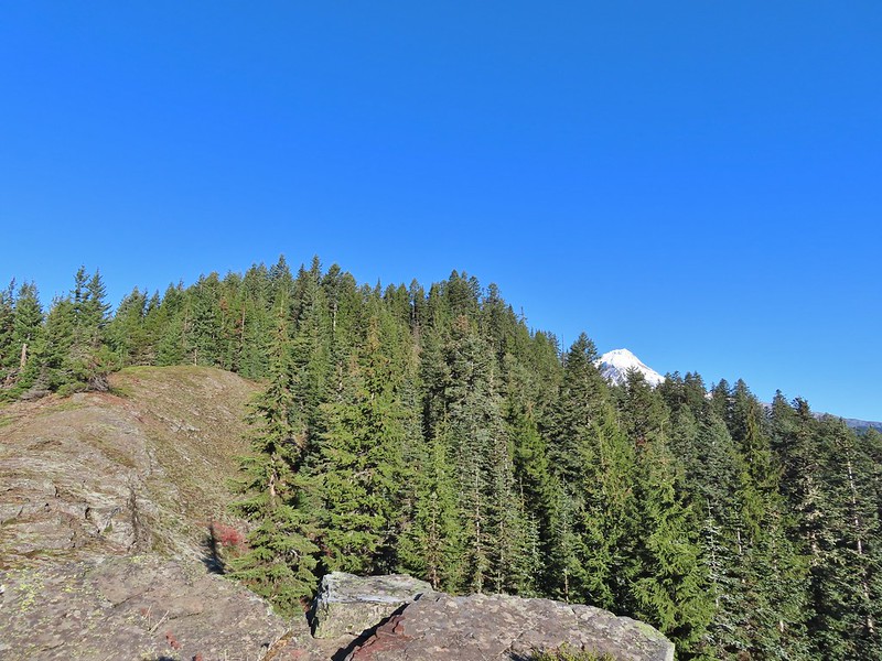 Barlow Butte and the top of Mt. Hood.
 Frog Lake Buttes (
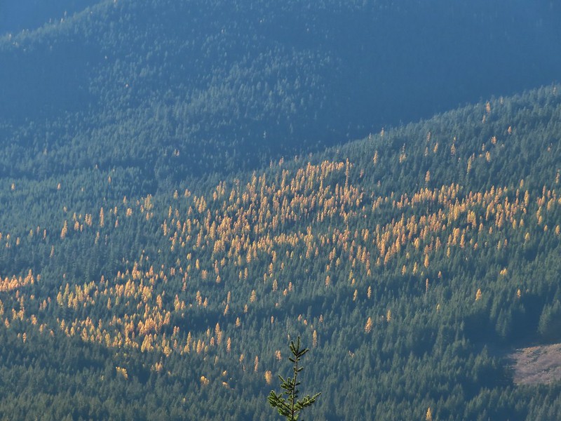 Western larches
 Mt. Jefferson behind some clouds.
 Sisi Butte (double humps) and Bachelor Mountain (
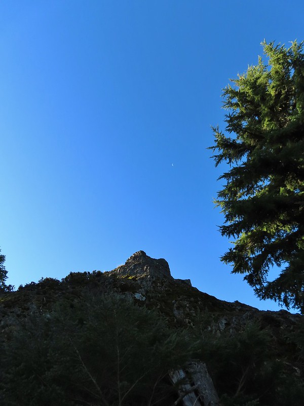


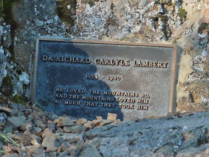
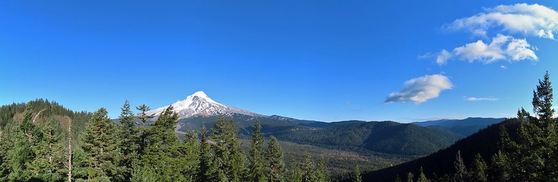 Barlow Butte to the left of Mt. Hood.
 Mt. Jefferson still behind some clouds.
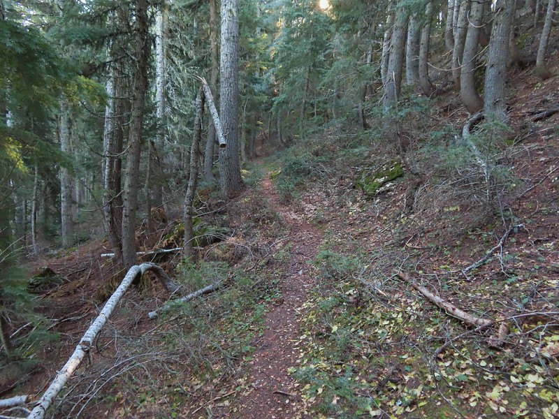
 Parts of Mt. Jefferson peaking through the clouds.
 Tom Dick and Harry Mountain (with the rock fields near the top).
 Small cairns in a meadow.
 One of the aforementioned diamonds.
 Approaching the high point.
 Clouds were starting to pass over Lookout Mountain at this point.
 Mt. Hood from the high point of Barlow Ridge.
 Carin in the trees ahead.
 Elk or deer tracks leading the way.
 Another section of frost.
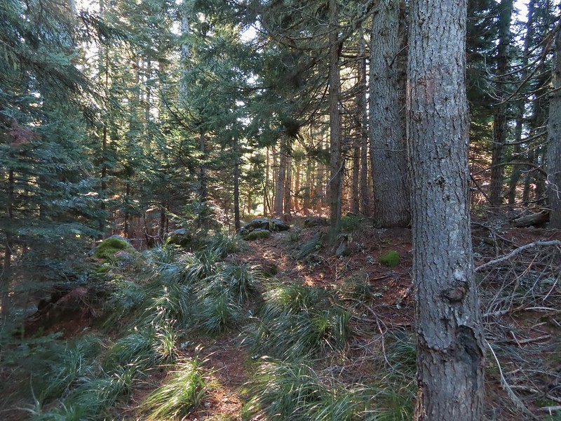 We took this as a blaze.
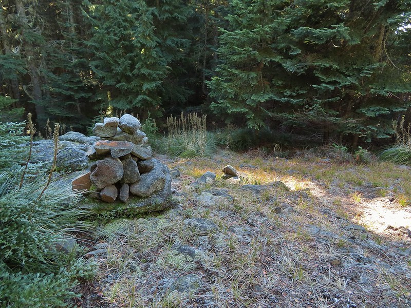 That blaze led to this large cairn.
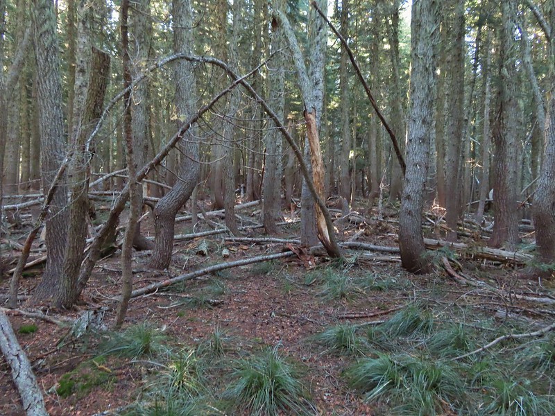 Things were starting to get interesting here.
 Stopped here to listen for pikas, no luck though.
 This could be trail.
 Still on the right track, note the folded trail sign on the tree at center.
 The small meadow.
 Officially off-trail now.
 This looked like a place the trail would go.
 A final look at Mt. Hood from Barlow Ridge.
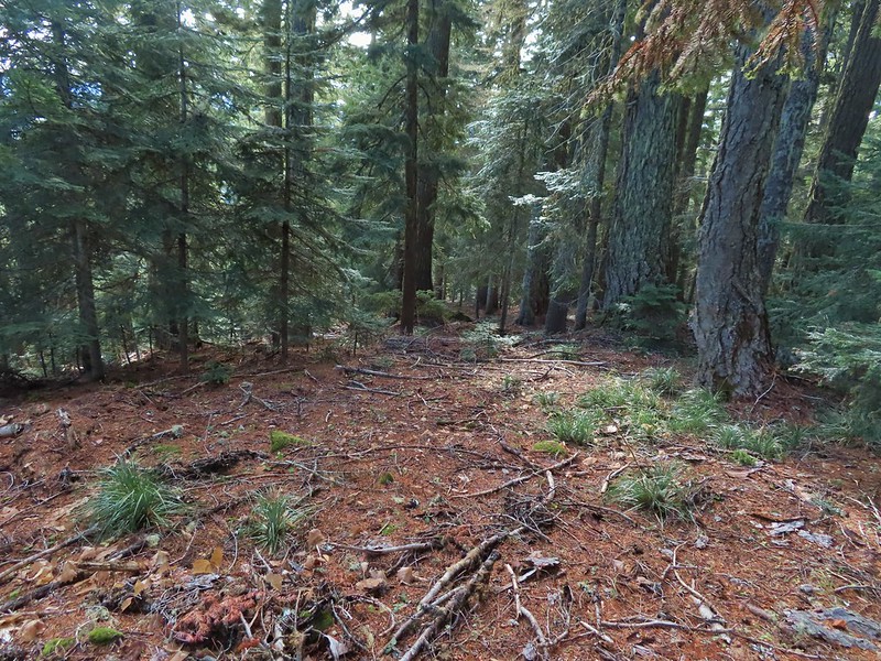 This doesn’t look so bad.
 One of several big trees we encountered.
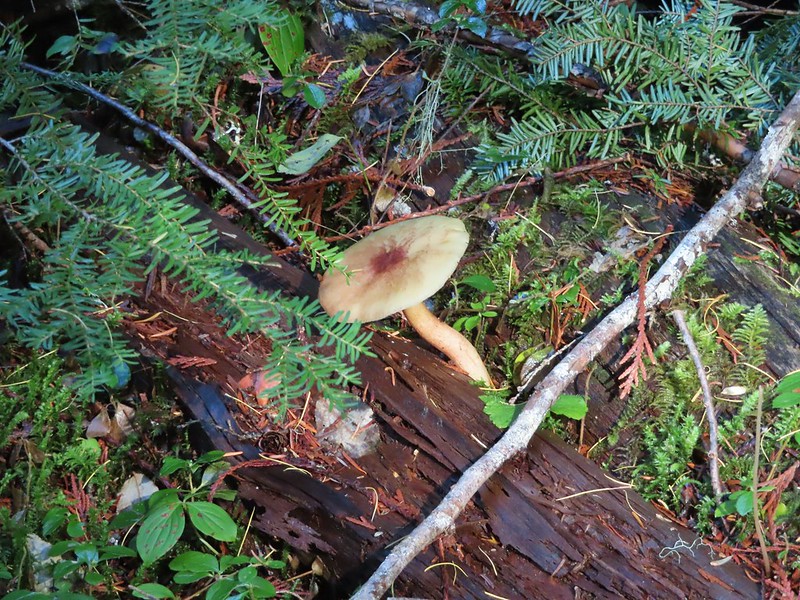
 Little orange mushrooms, how appropriate for Halloween.
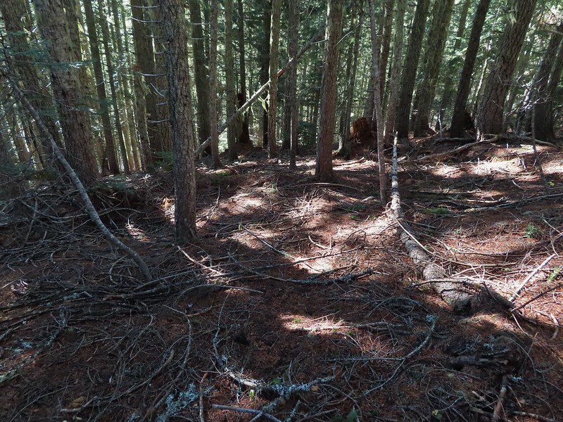 Starting to encounter more debris.
 If there had been a trail good luck finding it.
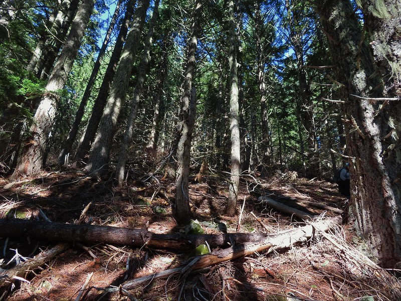 Heather coming down behind me.
 Pretty decent game trail here.
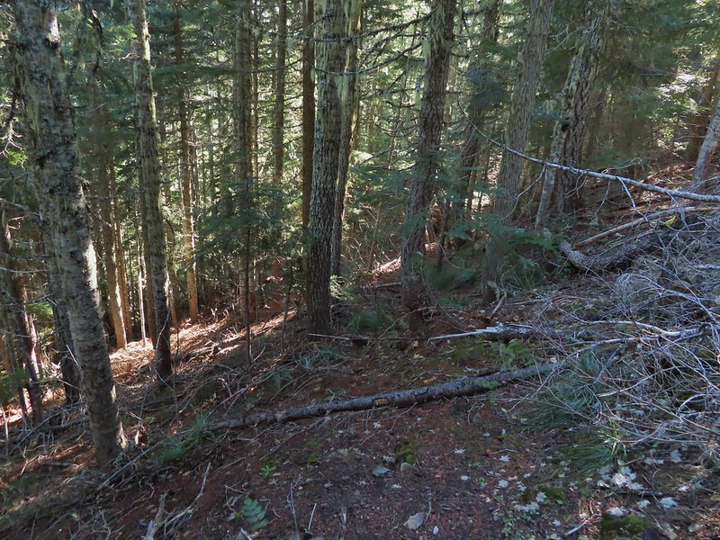 This section was fun.
 A bigger orange mushroom.
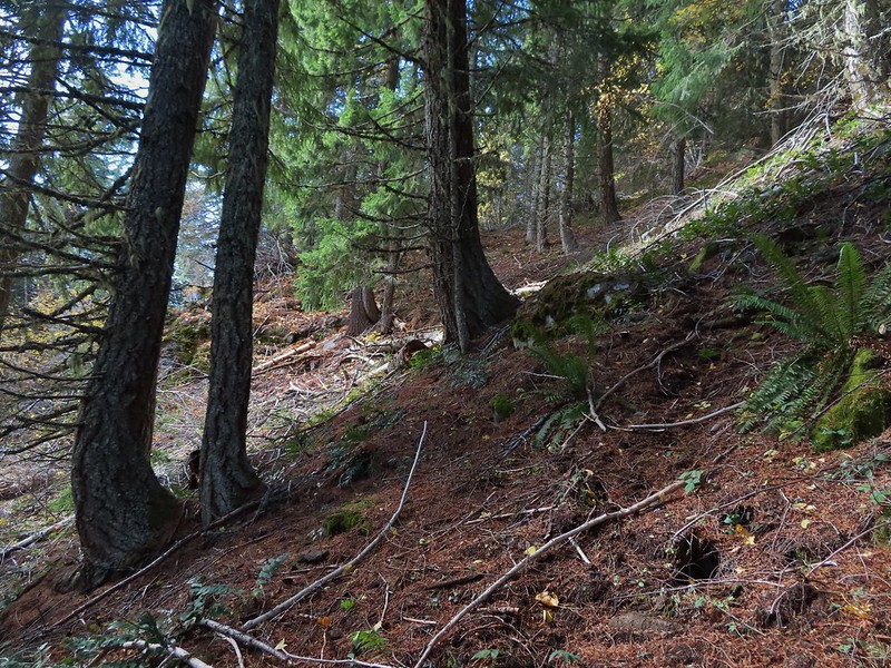 Uphill on this game trail.
 Thickets of brush kept us from getting all the way over to the ridge we needed so we just kept going downhill knowing that we would eventually run into one of the forest roads at the bottom.
 More steep fun.
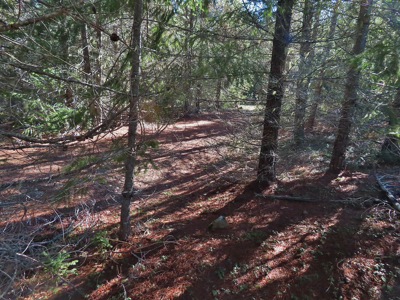 Look Ma a road!
 It doesn’t look that steep from down here.
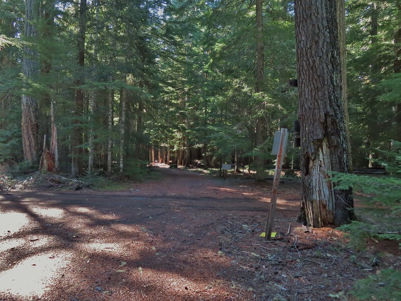 Barlow Road.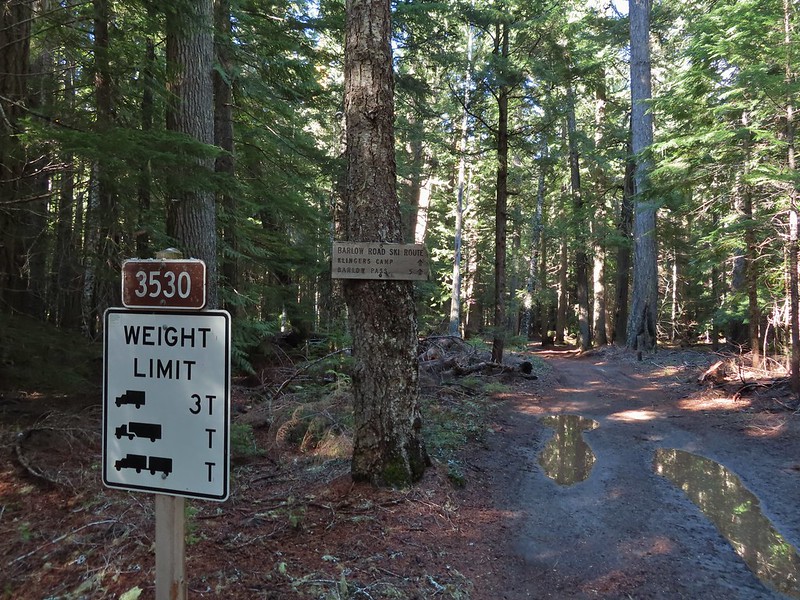



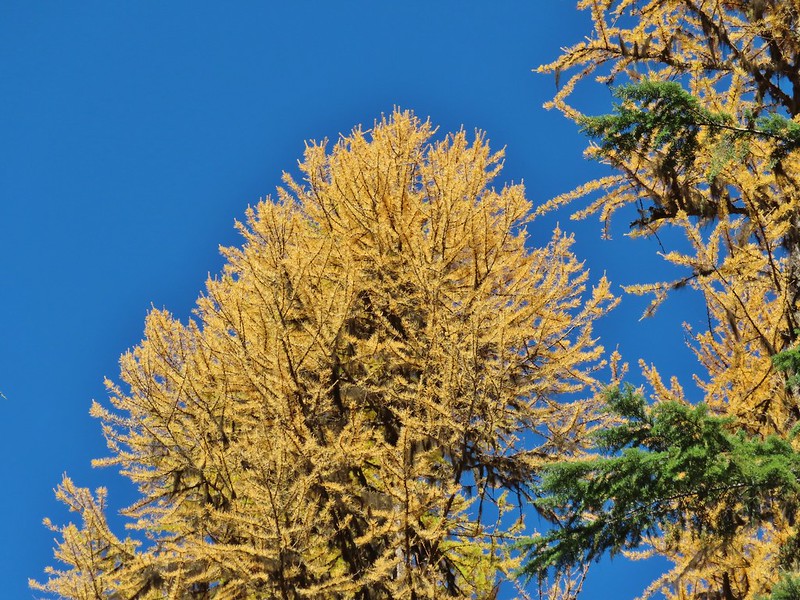 Western larches above Barlow Road.
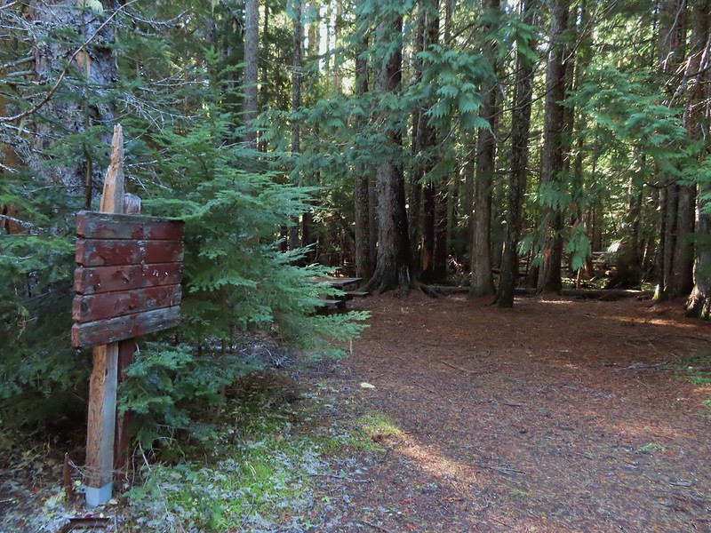 Grindstone Campground
 Barlow Creek
 Crossing Barlow Creek near Devil’s Half Acre Meadow.
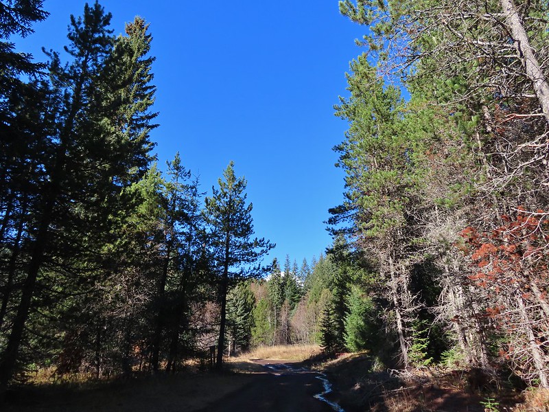 Clouds on top of Mt. Hood towering over the trees.
 Barlow Road at the campground.
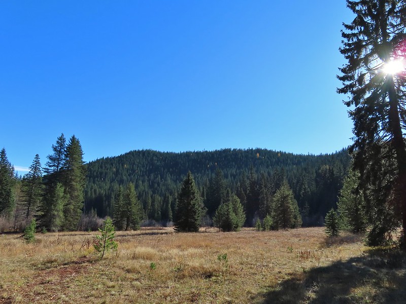 Devil’s Half Acre Meadow.
 Finally back to where we’d left the road in the morning.
 Arriving back at the Barlow Pass Trailhead
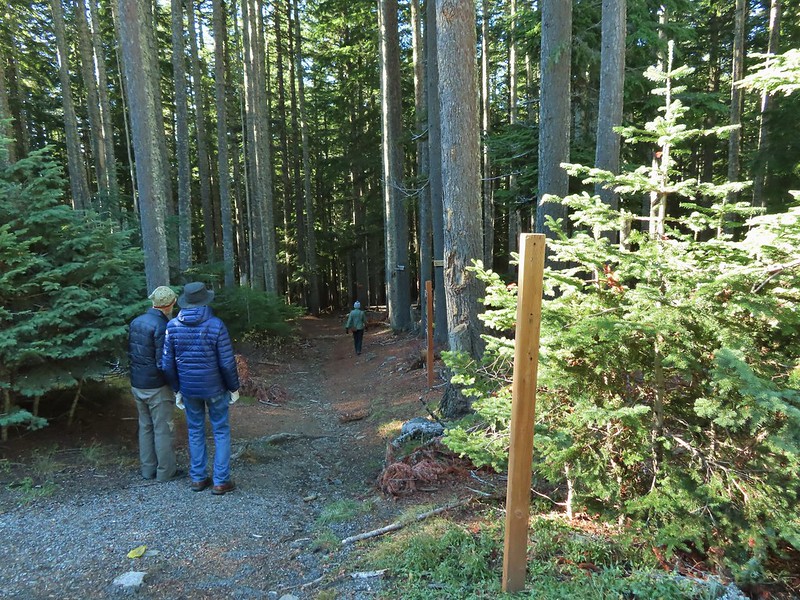 The first other people (not counting the two drivers in the pickups) that we’d seen all day.
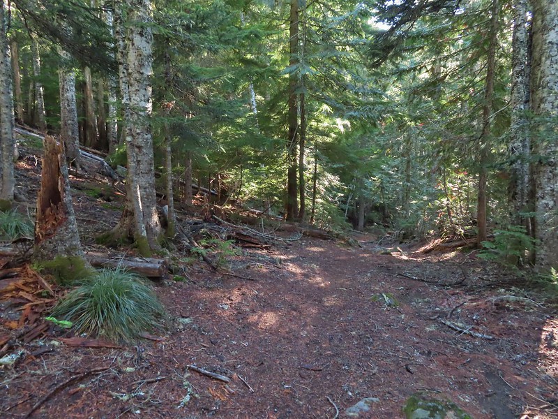


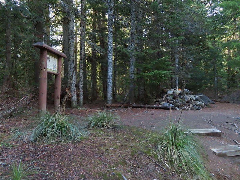
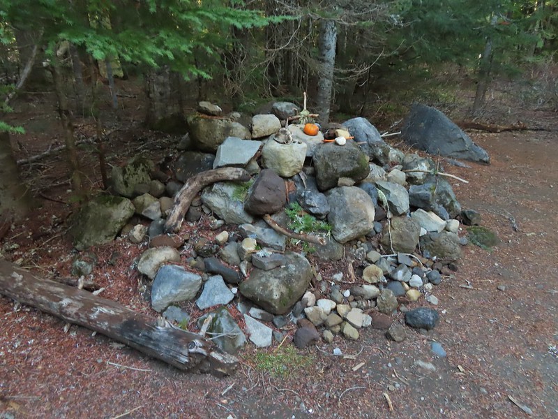

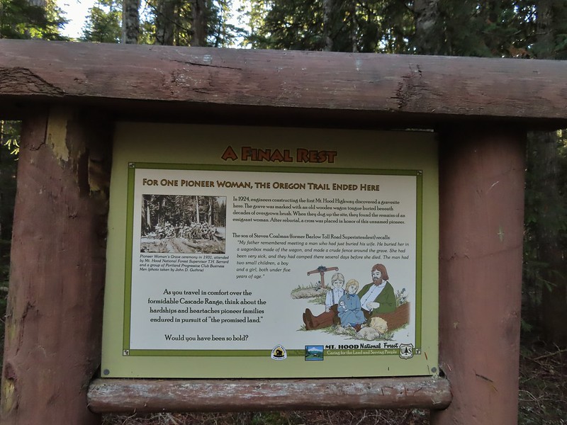
 East Fork Salmon River



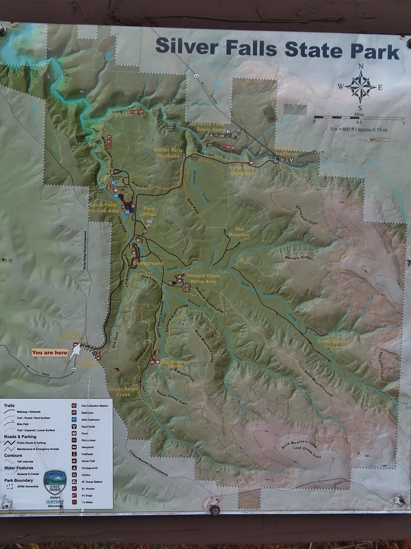 Park map at the viewpoint.
 Willamette Valley
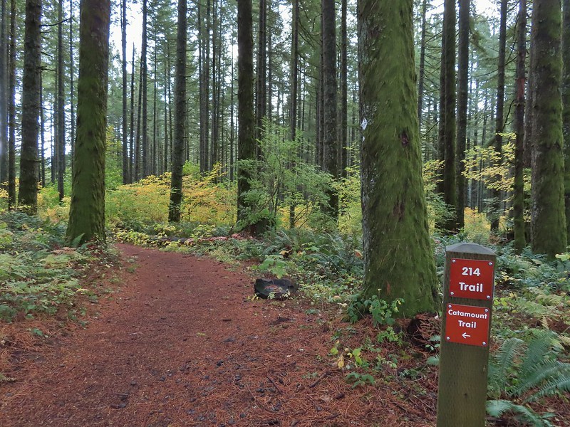

 Sign post for the Newt Loop and mountain biking skills station.
 As much blue sky as we were going to get on this day.
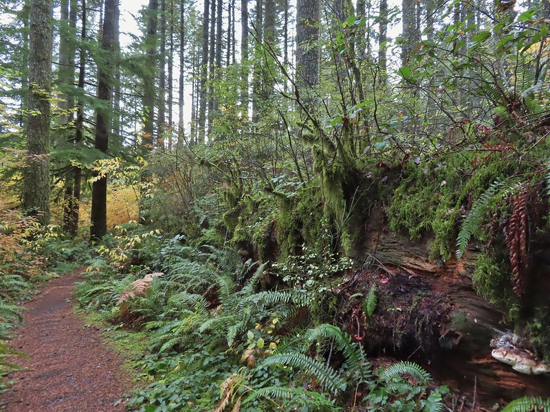 A massive old growth nursery log. The tree stood for hundreds of years and will spend hundreds more slowly decaying and providing nutrients for younger trees.
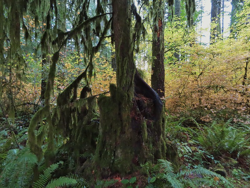 Nursery stump. While some old growth exists in the park it was also logged heavily which was the primary reason it was passed over for National Park status.
 The Smith Creek Trail junction.
 Does anyone know their salamanders? Not sure what type this one was.
 The Nature Trail junction.
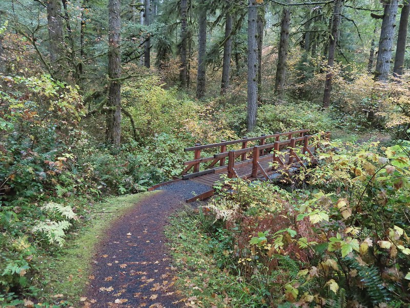


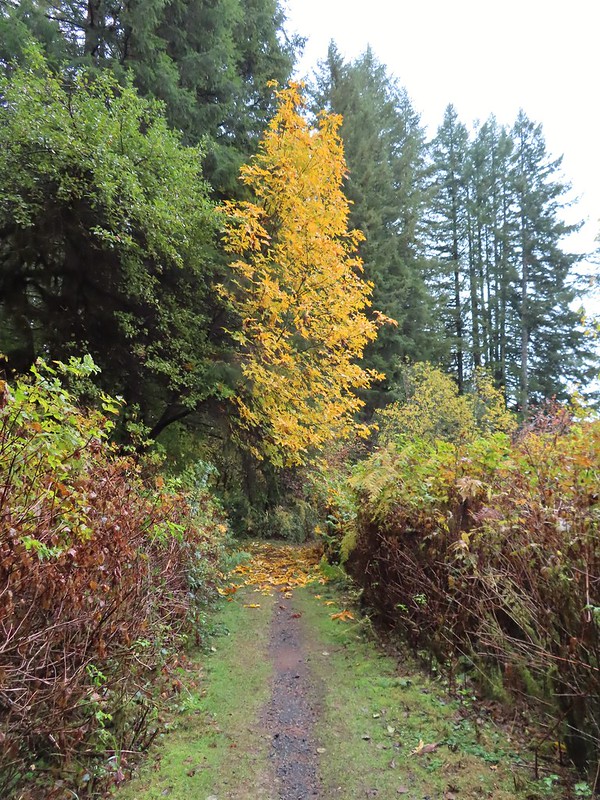

 From the spot that we entered the campground you could just see a hiker sign at the far end of the paved campground road.

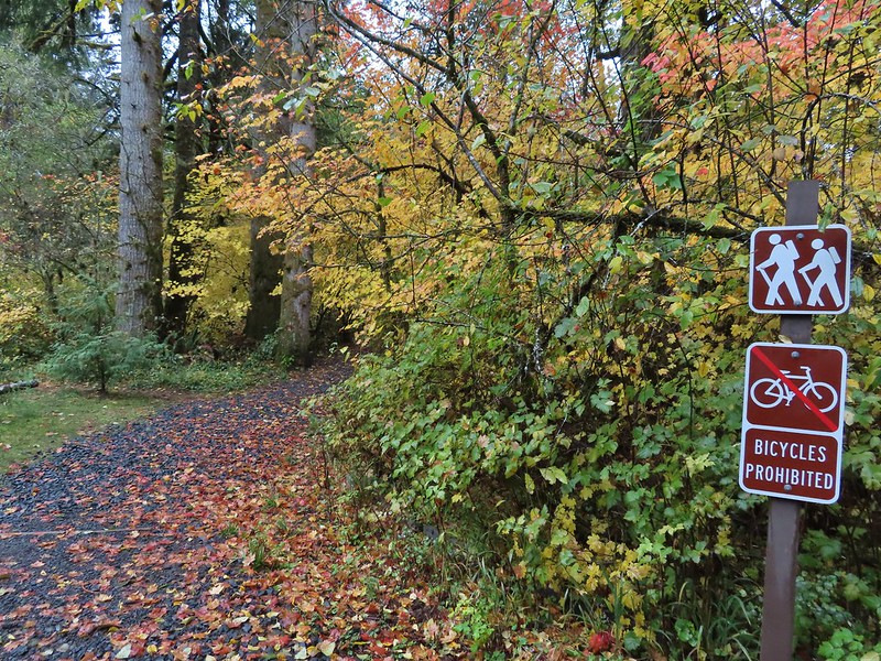
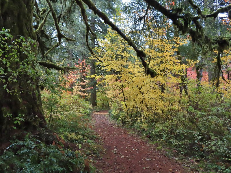

 No wildlife to view today.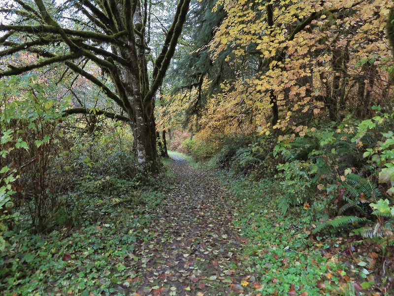

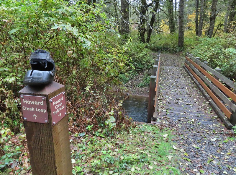
 The Howard Creek Loop Trail.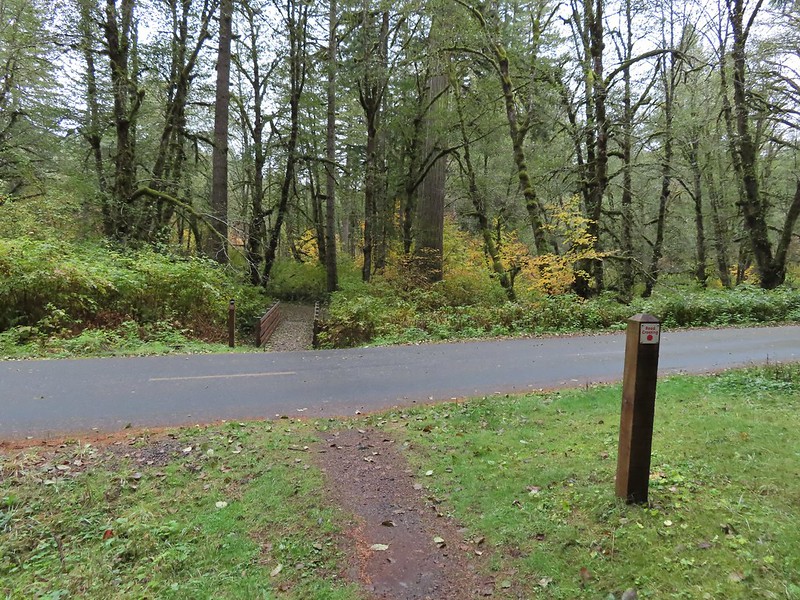
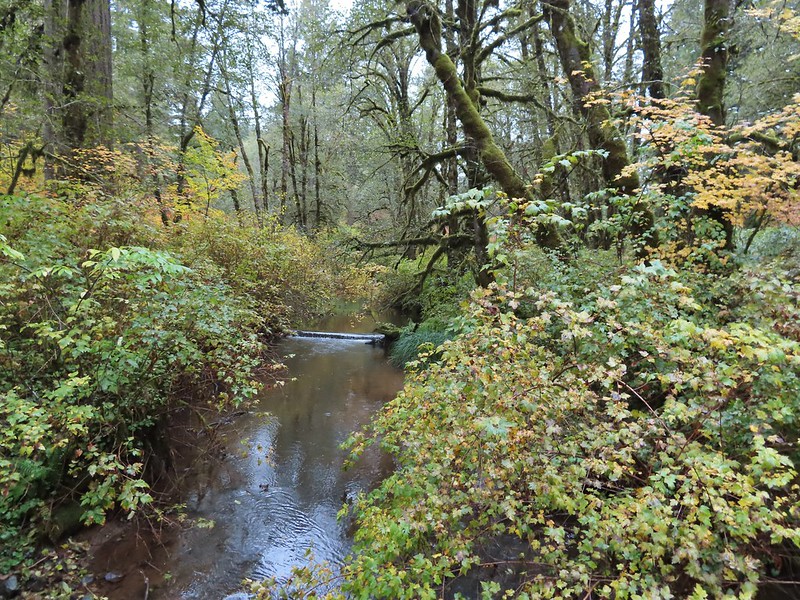 Howard Creek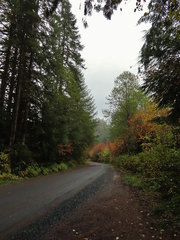
 Sign for the trailhead.


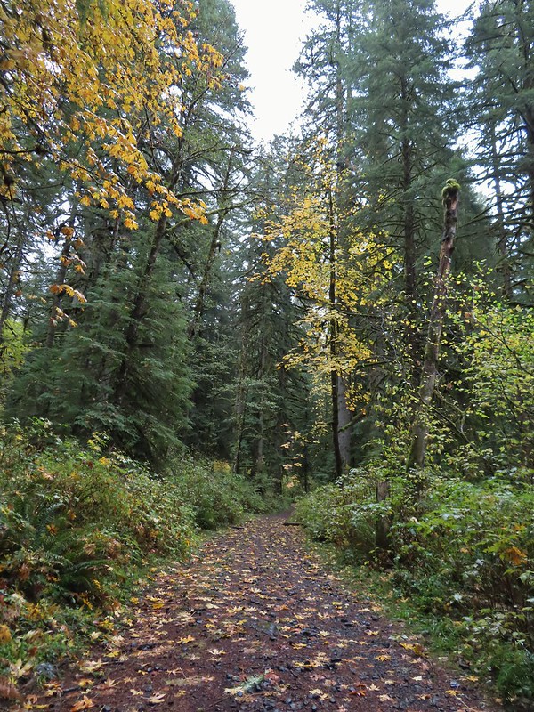
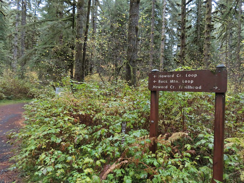
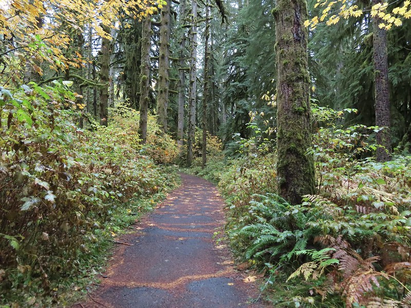

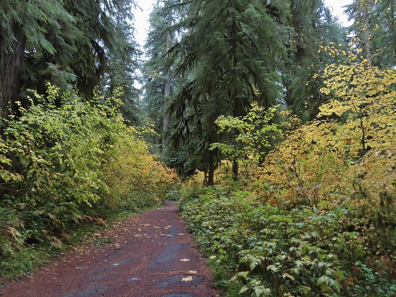
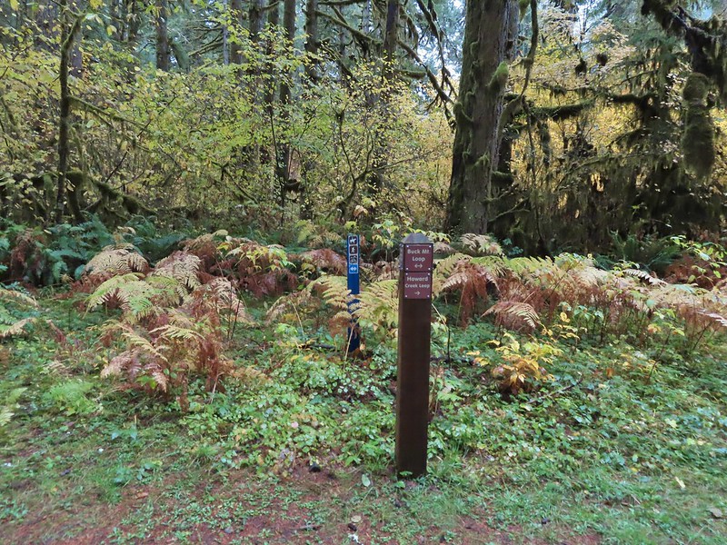


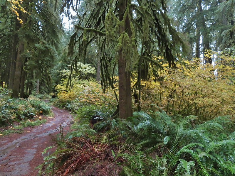
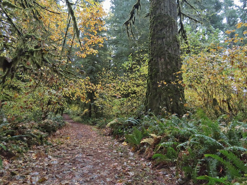

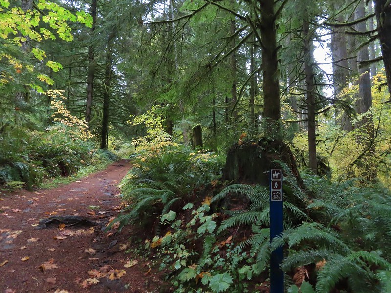 Blue appeared to mean Buck Mountain Loop (the posts along the Howard Creek Loop had been red and later the Smith Creek Trail posts were yellow.)

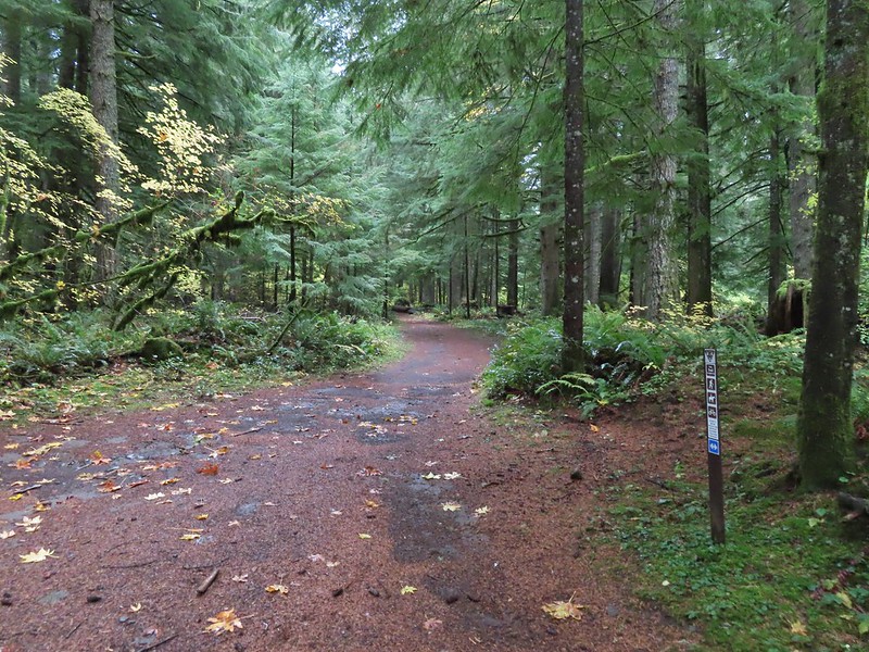
 The mix of tree trunks here caught our eye.
 Approaching the trail junction.

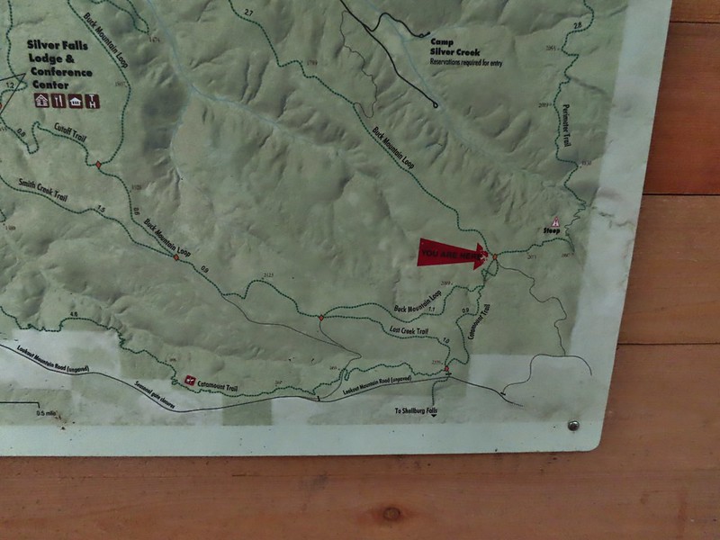
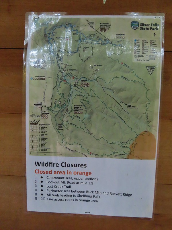 The 2020 Beachie Creek Fire threatened the Park and did in fact burn over nearby Shellburg Falls (
 Orange fence marking the closure of the Catamount Trail.
 The first footbridge which spans Howard Creek. The creek was obscured by brush.
 The second footbridge over a tributary not shown on the topo map.
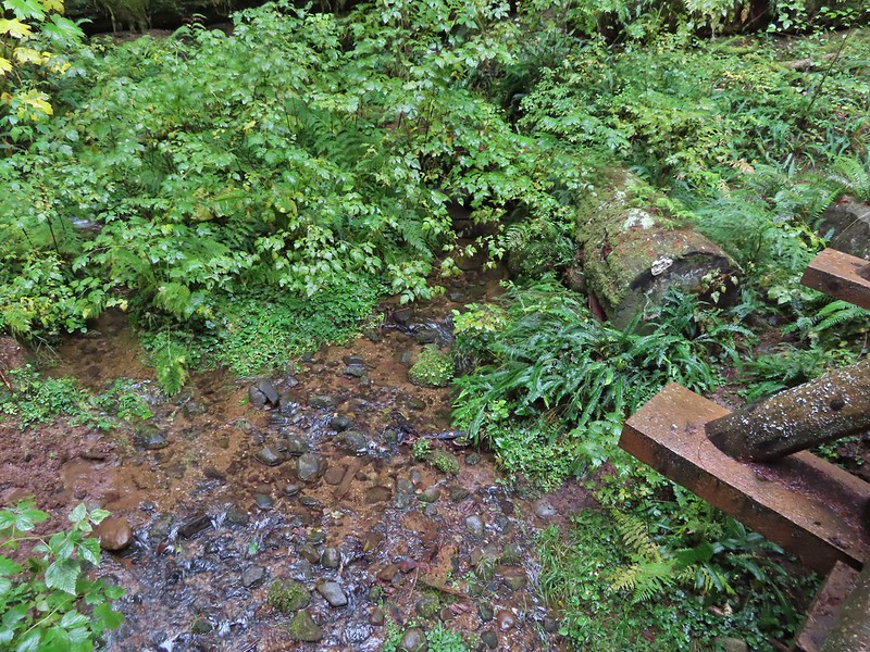 This stream was a little easier to see.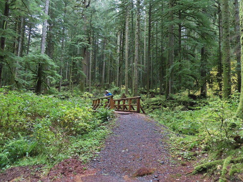
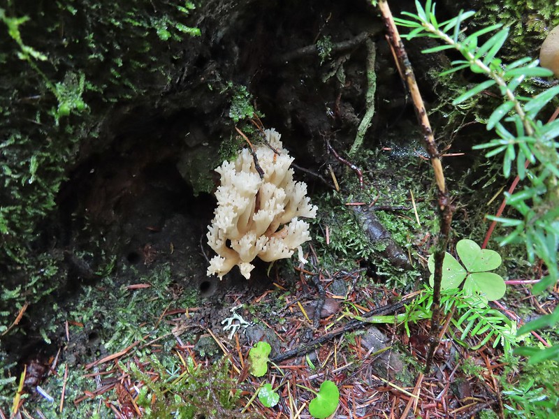
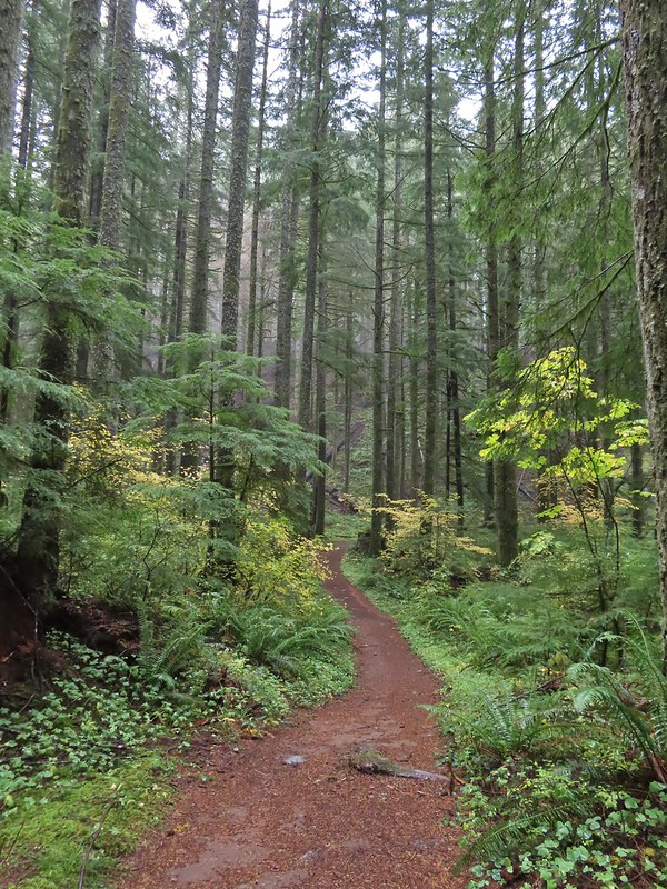
 A reminder of how close the Beachie Creek Fire was.
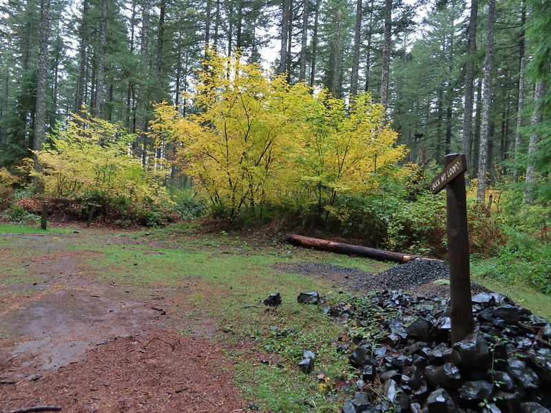 The 4-way junction.

 Approaching the Smith Creek Trail junction.




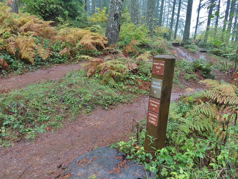 Ramps in the background at the skills station.
 The Catamount Trail arriving on the left.
 The 214 Trail from the Newt Loop.
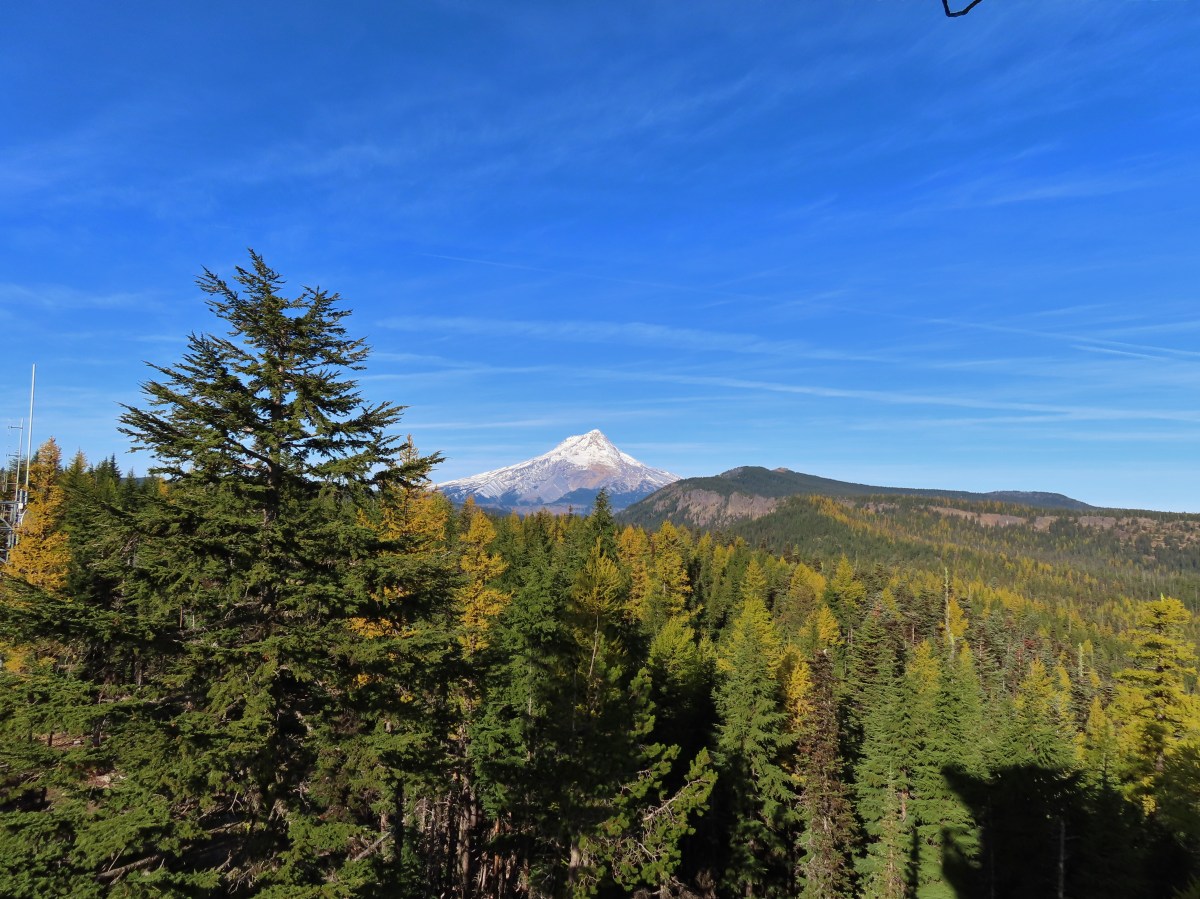

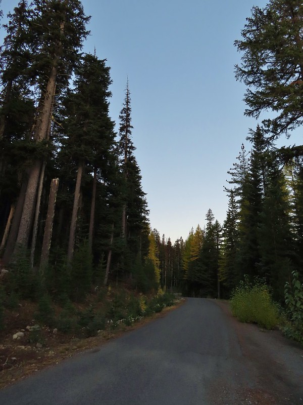 A few larches along Road 2730
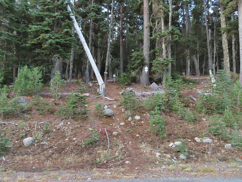 Fret Creek Trail across from the pullout.
 Entering the Badger Creek Wilderness.


 Starting to climb again.
 Sign for Oval Lake.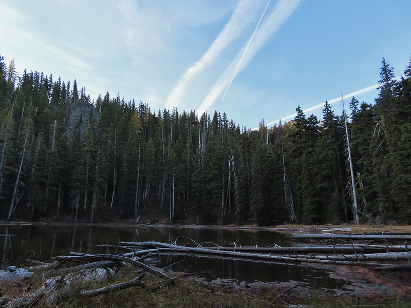
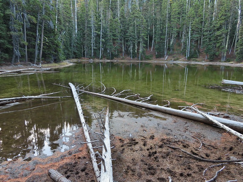
 June 28, 2014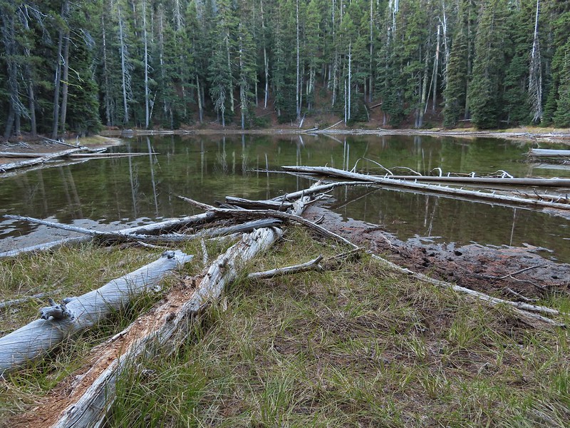
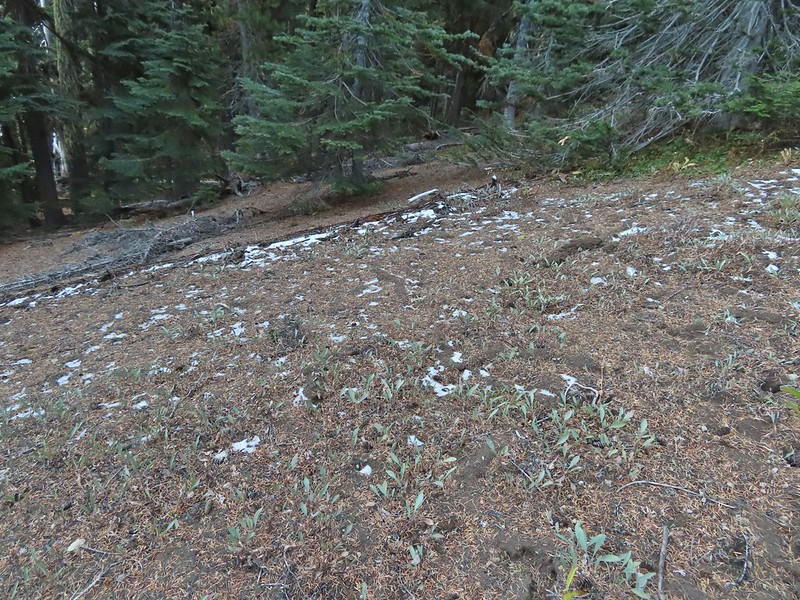 A bit of snow left from the recent snowfall.
 The Divide Trail.
 Some snow near a switchback along the trail.
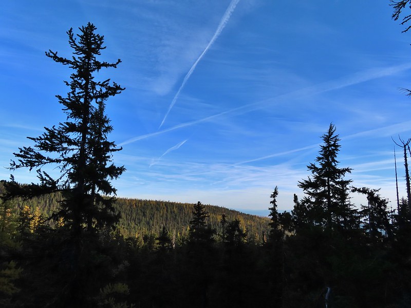 Mt. Adams starting to peak over a ridge to the north.
 Mt. Adams with some larch trees in the foreground.
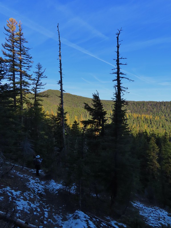 Lookout Mountain from the Divide Trail (The bare peak in between the two bare snags. Just to the right of the left snag.)
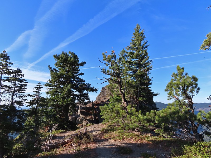 Side trail to Palisade Point.
 Broken Top, The Three Sisters, Mt. Washington, Three Fingered Jack (just the very top), Mt. Jefferson, and Olallie Butte (
 Mt. Jefferson with the tip of Three Fingered Jack to the left and Olallie Butte to the right.
 Mt. Hood peaking up over the rocks.
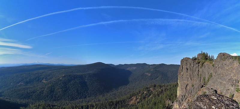 Panoramic view with Badger Creeks valley below.
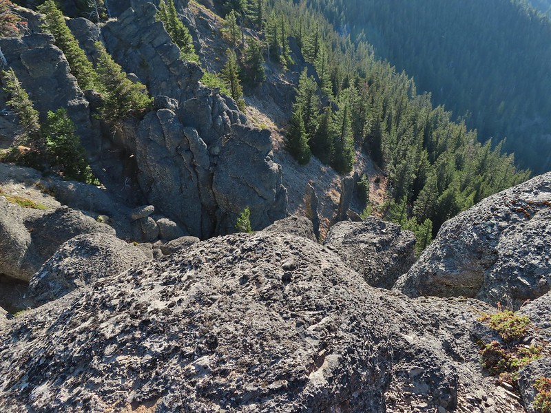 Rocks below Palisade Point.
 We ran into this jumble of downed trees shortly after leaving Palisade Point but fortunately it was the worst of the obstacles.
 Flag Point Lookout from the trail.
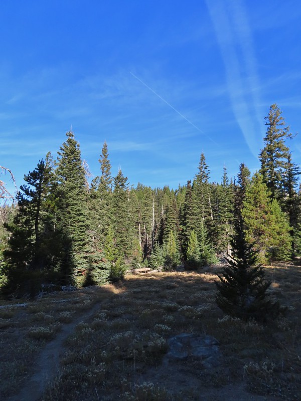 A small meadow that was full of flowers a couple of months ago.
 A stand of larches.
 A better view of Mt. Hood.
 Zoomed in.
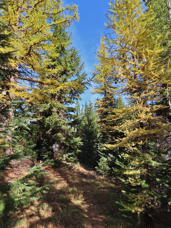 Looking back through larches at a Badger Creek Wilderness sign near Road 200.
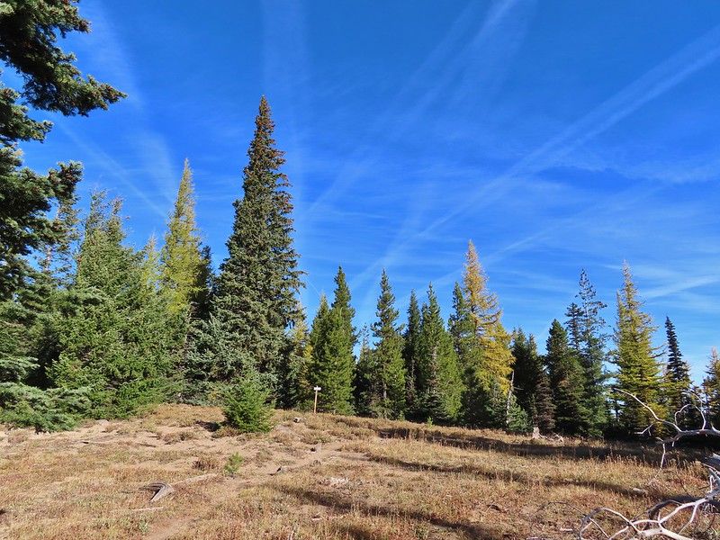 Looking back at the Divide Trail.
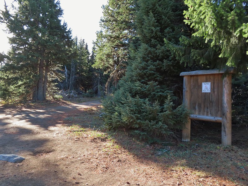 Road 200
 Chipmunk
 Nearing the lookout.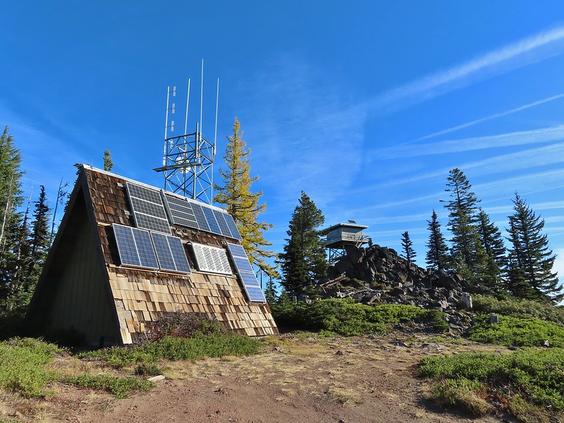

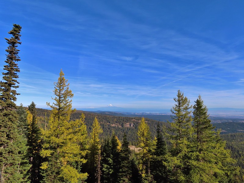 Mt. Rainier and Mt. Adams to the north.
 Mt. Rainier and Mt. Adams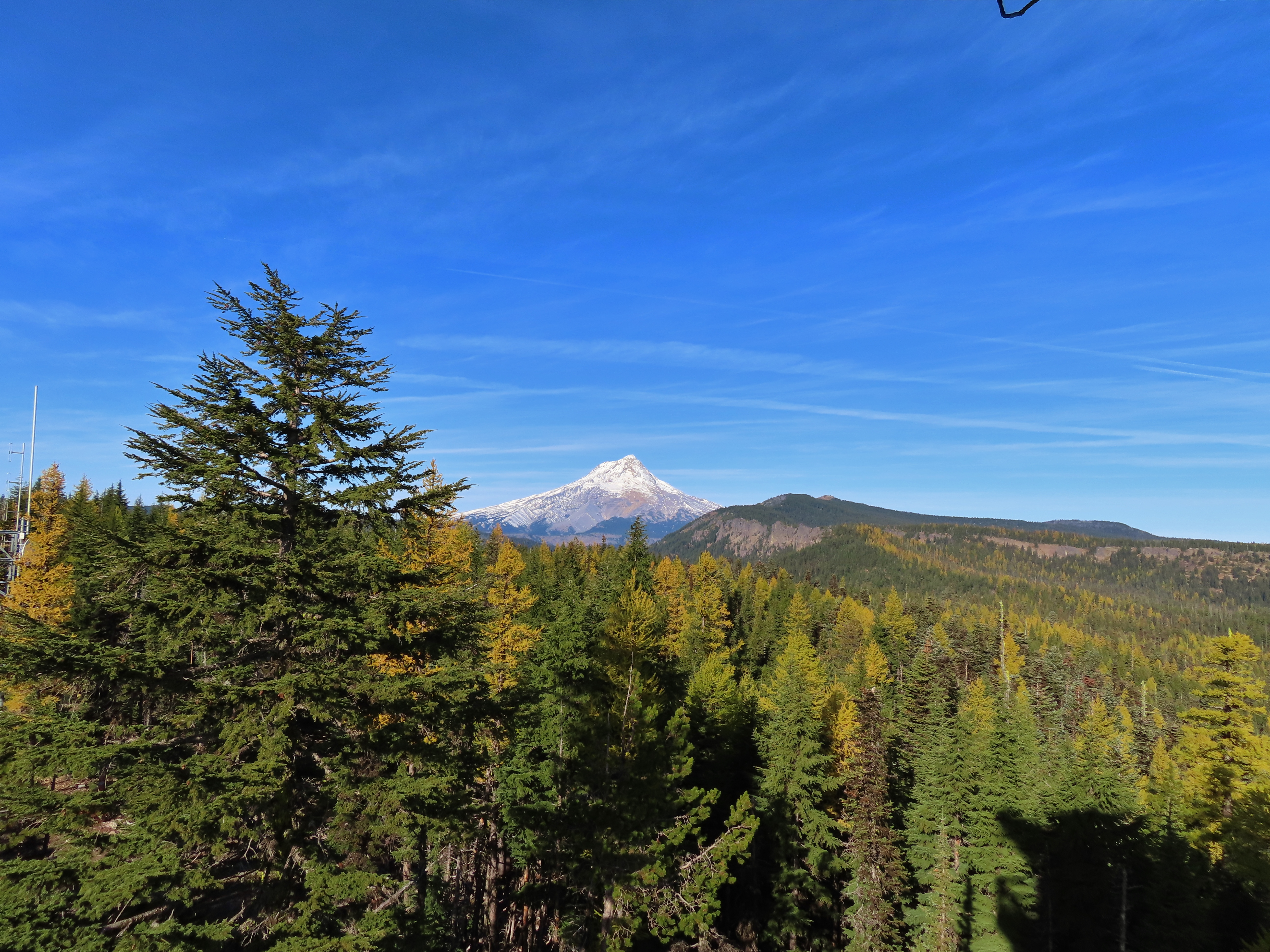

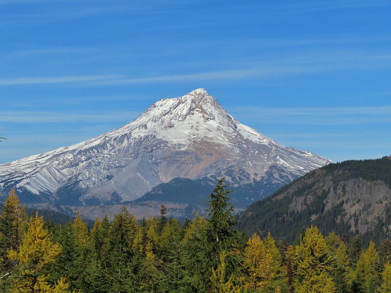
 Three Fingered Jack, Mt. Jefferson, and Olallie Butte
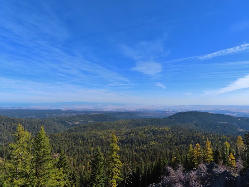 View east to the hills above the Columbia River.
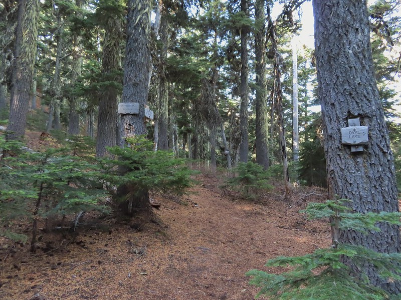 Passing the Fret Creek Trail.
 We did need to gain almost 800′ of elevation to reach Lookout Mountain which at times was a fairly steep climb.
 Another viewpoint along the way where Badger Lake was visible.
 Badger Lake

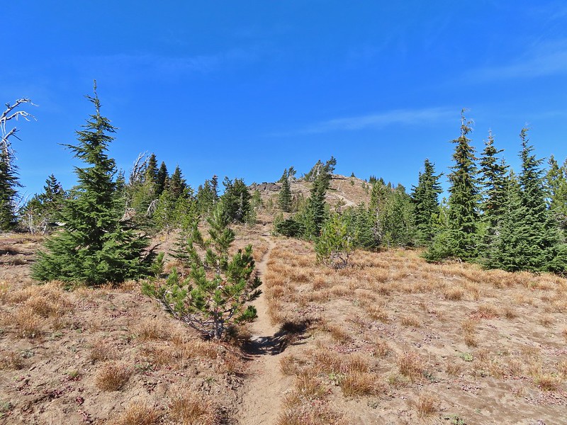 The final pitch to the summit, there is at least one hiker visible up top.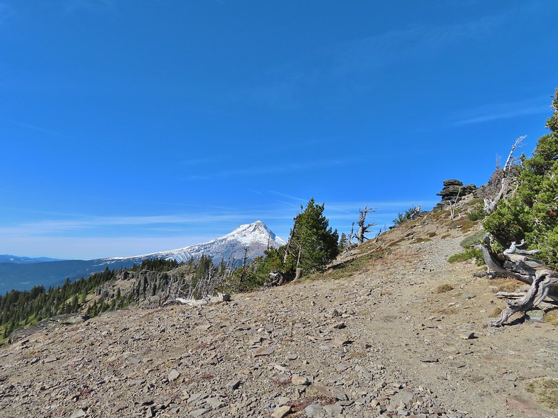
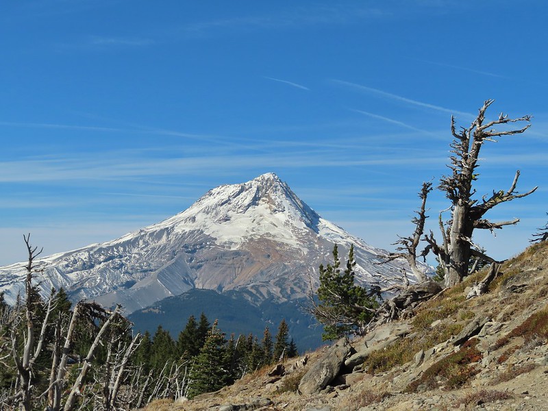
 Looking back to Flag Point.
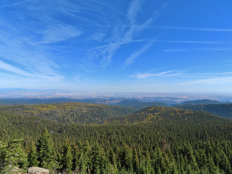 Looking NE toward The Dalles and the Columbia River.
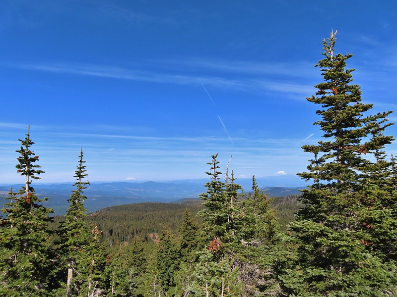 Mt. St. Helens, Mt. Rainier, and Mt. Adams
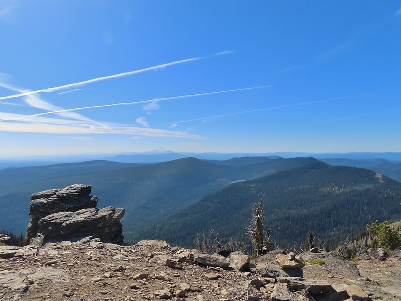 View south past Badger Lake to Mt. Jefferson.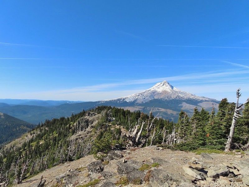
 Flag Point from the Helispot.
 And of course Mt. Hood again.

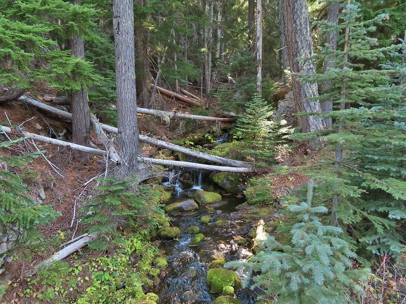 Fret Creek from the road near the trailhead.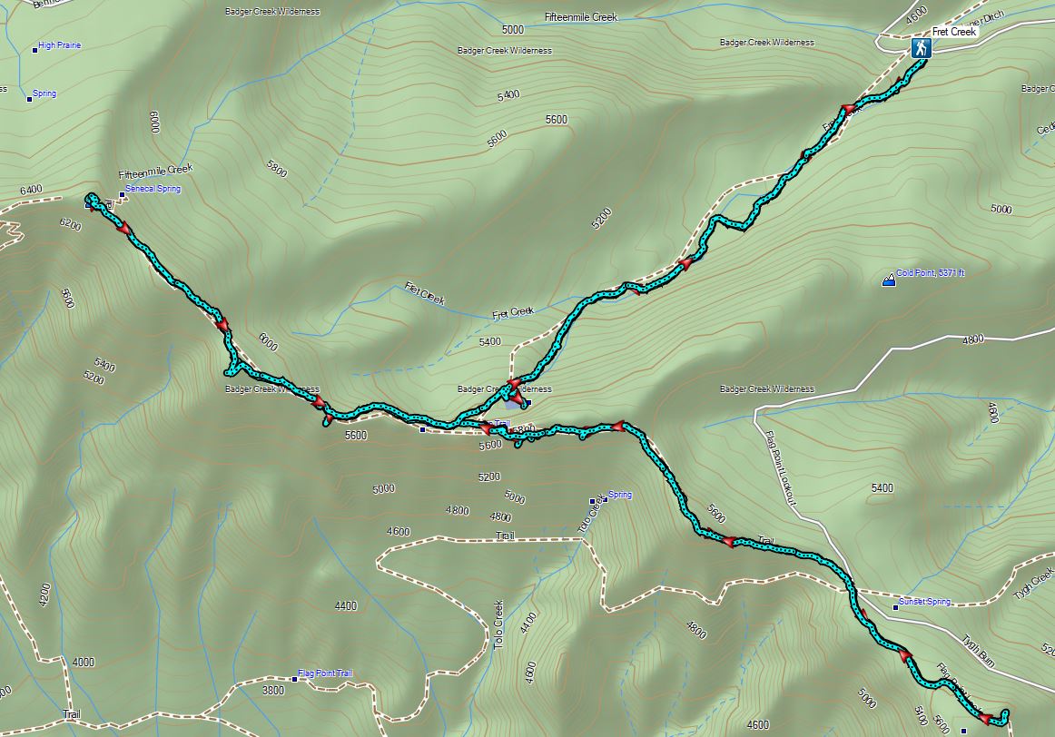

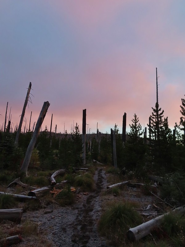
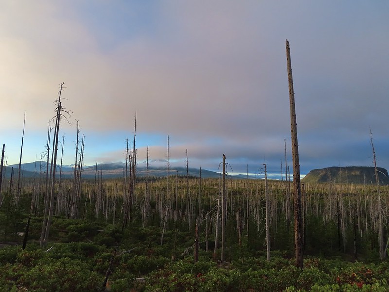
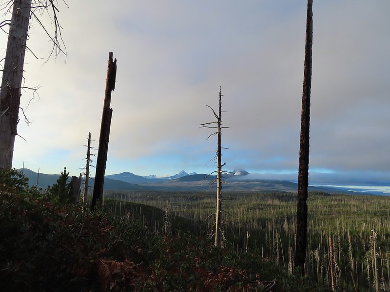
 Black Crater (

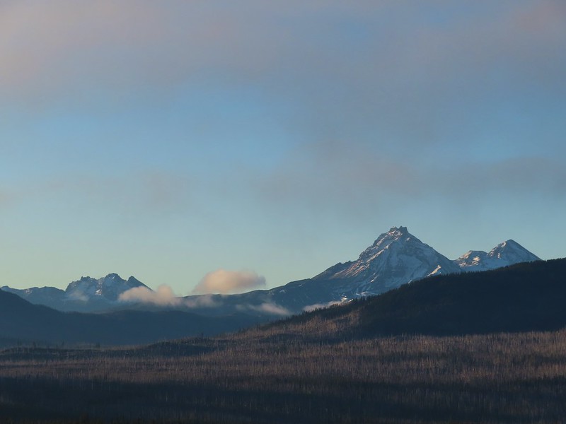
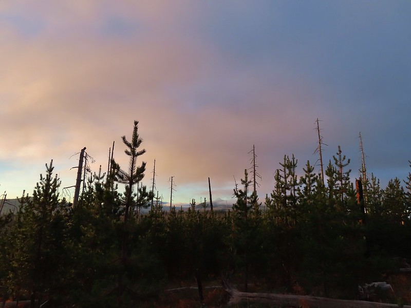 Black Crater and North Sister
 Black Crater, the top of Broken Top, some of the Sisters, and part of Mt. Washington.
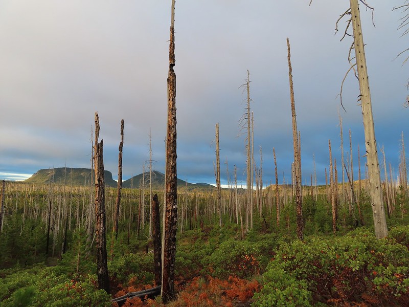 Hayrick and Hoodoo
 Between Mt. Washington and Hayrick Butte is Scott Mountain (
 Cache Mountain is the high point furthest to the left.
 Broken Top and the Three Sisters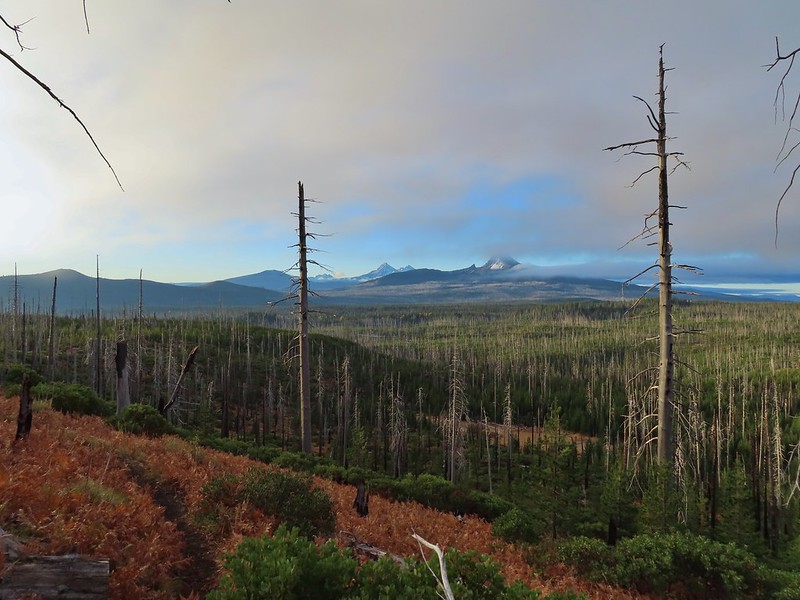
 Mt. Washington
 The Three Sisters. The summit of South Sister is between North and Middle Sister behind 9321′
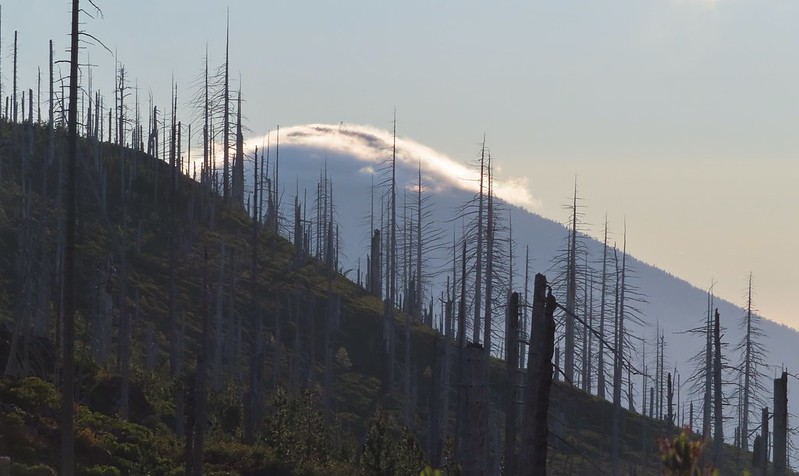 Black Butte (
 A different angle from 2012.

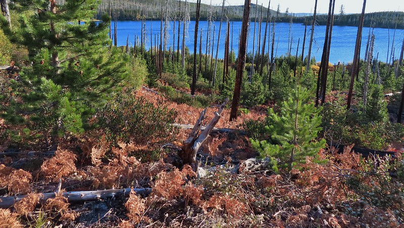 One white rump with a black tail amid the ferns near the center of the photo (good luck).
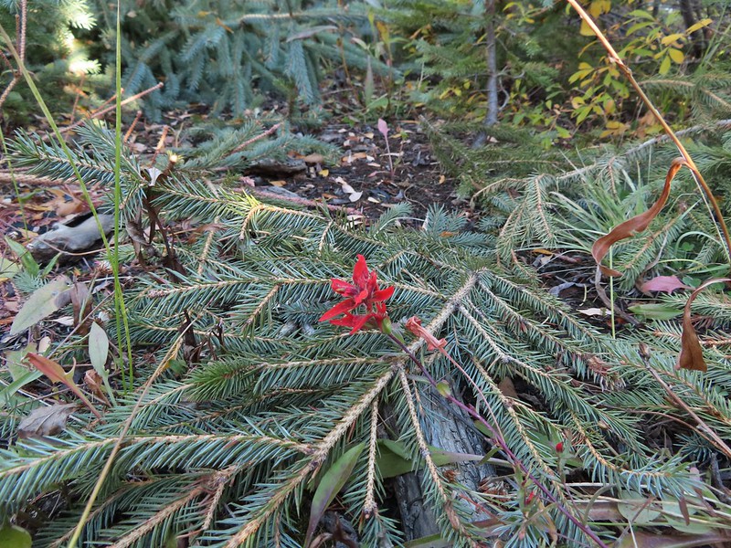 The only paintbrush we would see all day.
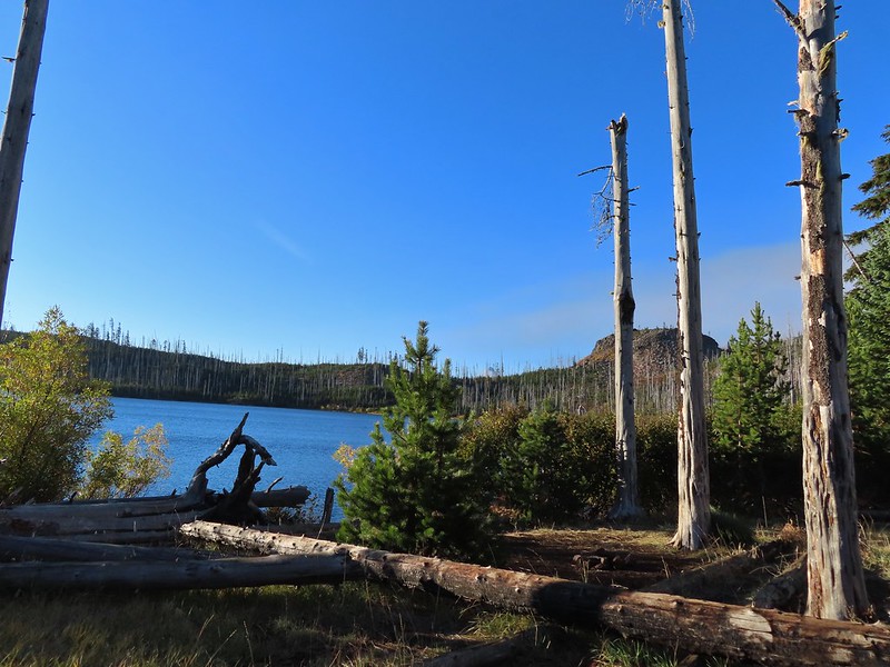 The top of Mt. Washington is just visible on the other side of Square Lake.

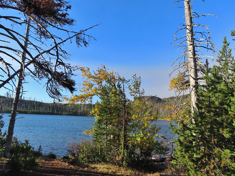
 Mt. Washington’s spire again.
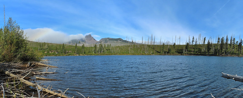
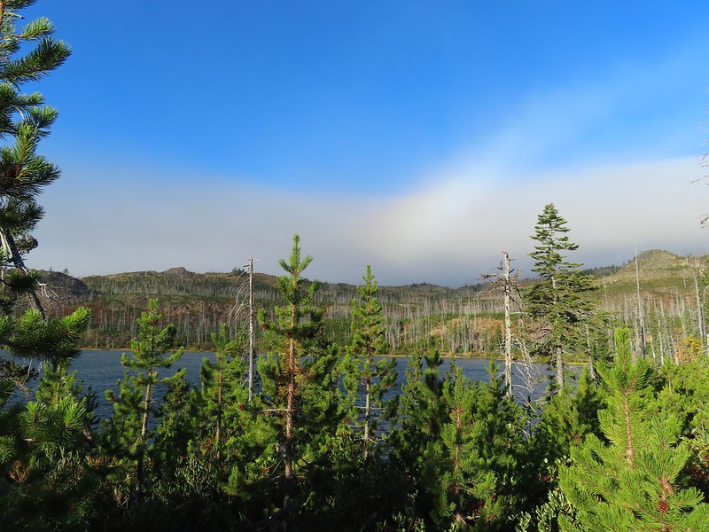 A rainbow was trying to form to the west.

 Lodgepole pine seeds require fire in order to be released from their tight cones.
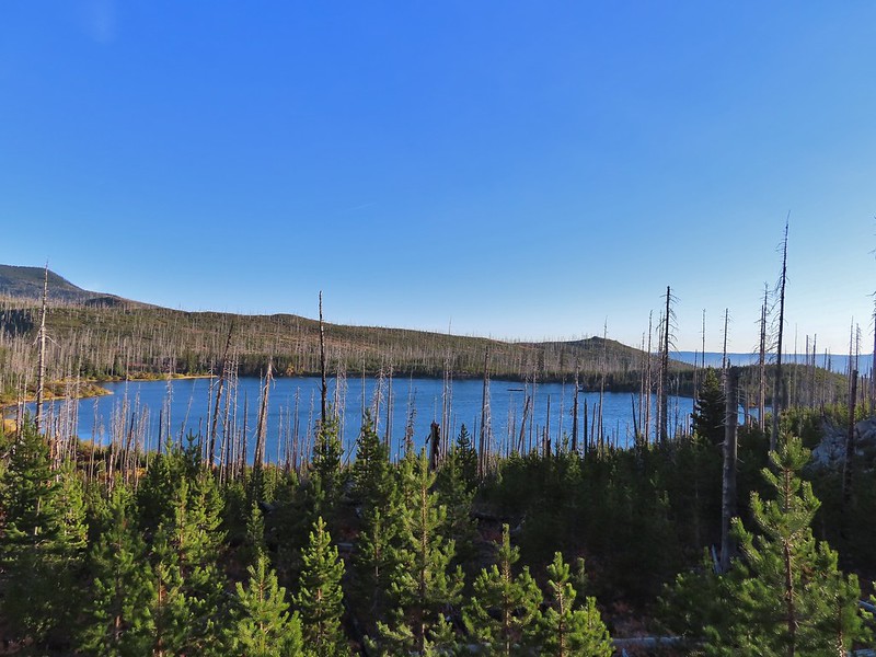
 Our first sighting of Long Lake (zoomed in).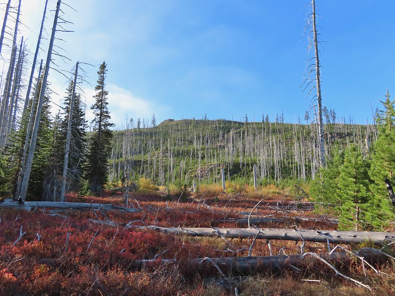
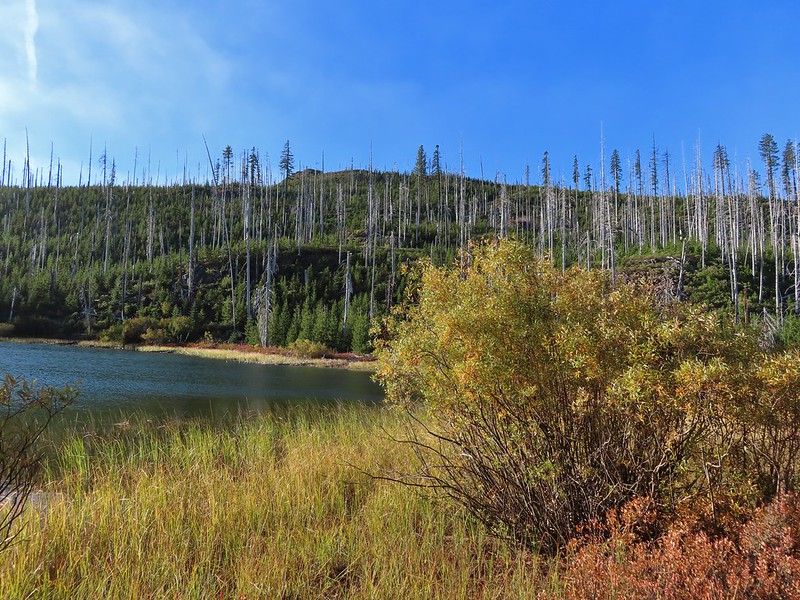

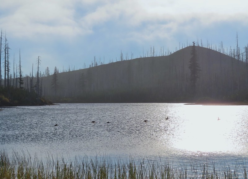 Ducks taking off from Long Lake.
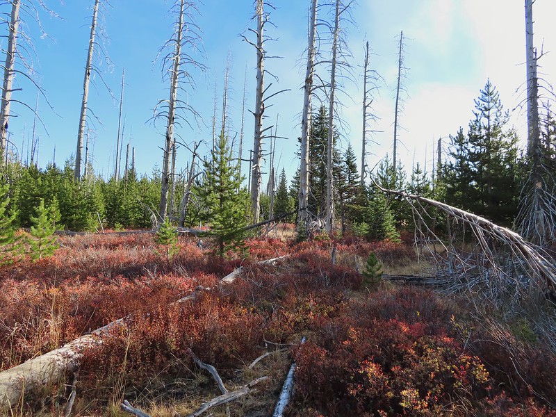
 This is one of the areas that we could see getting pretty muddy/wet.
 Rainbow
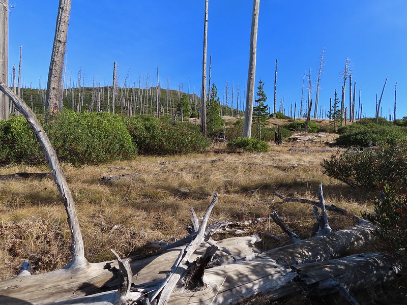 The Round Lake Trail just on the other side of the downed tree.
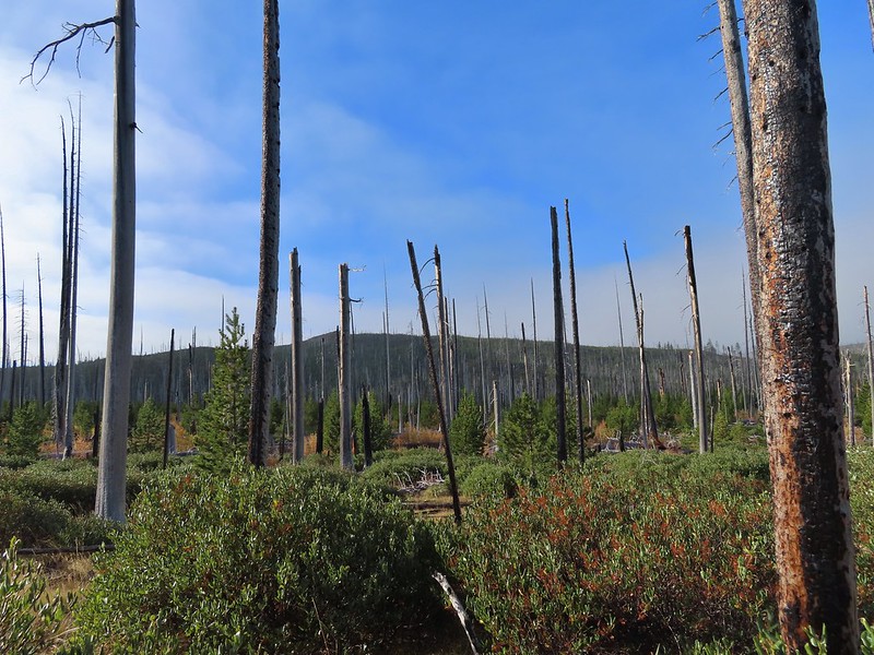 Long Lake is back down that way somewhere.
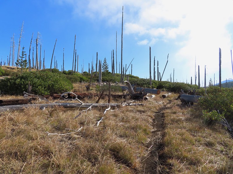 Back on the Round Lake Trail.
 Black Butte shedding the morning clouds.
 The top of Three Fingered Jack behind some thin clouds.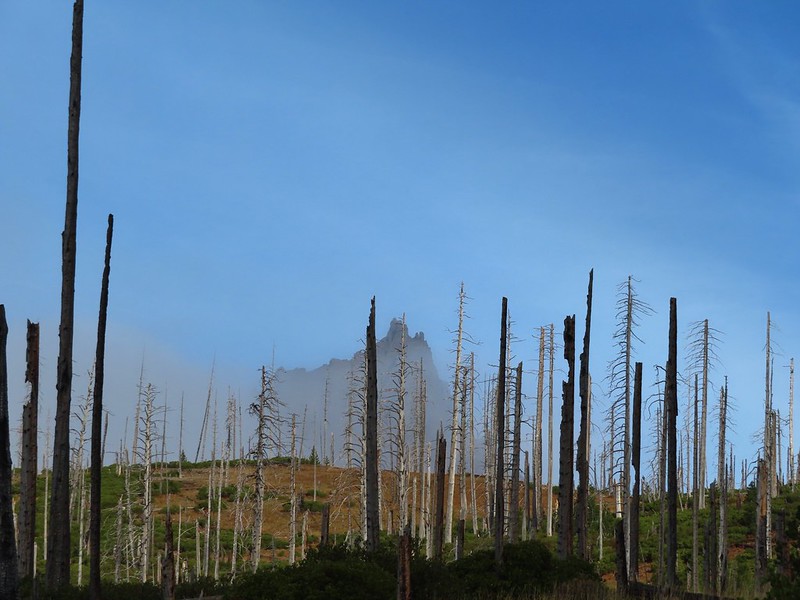
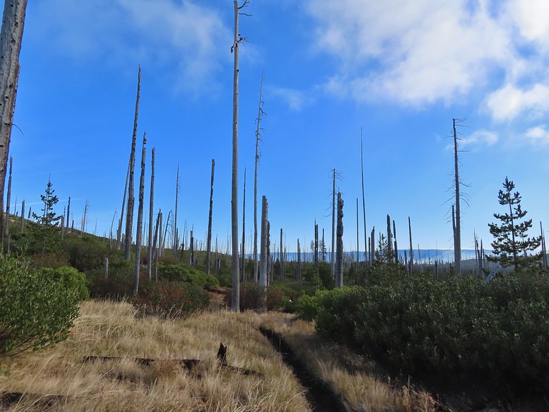 Green Ridge (
 A better look at Three Fingered Jack.
 First glimpse of Round Lake.
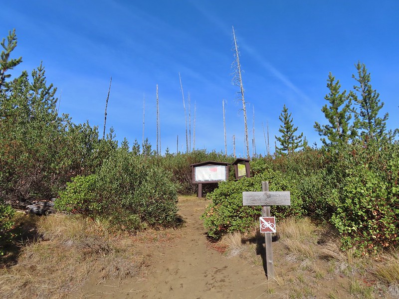
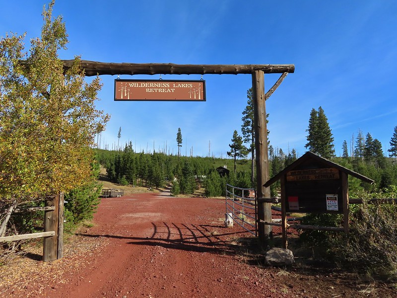

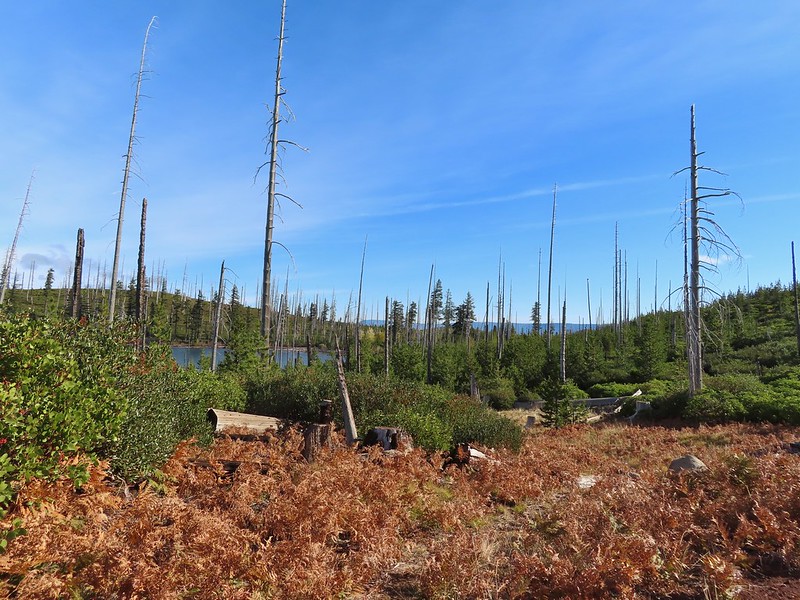



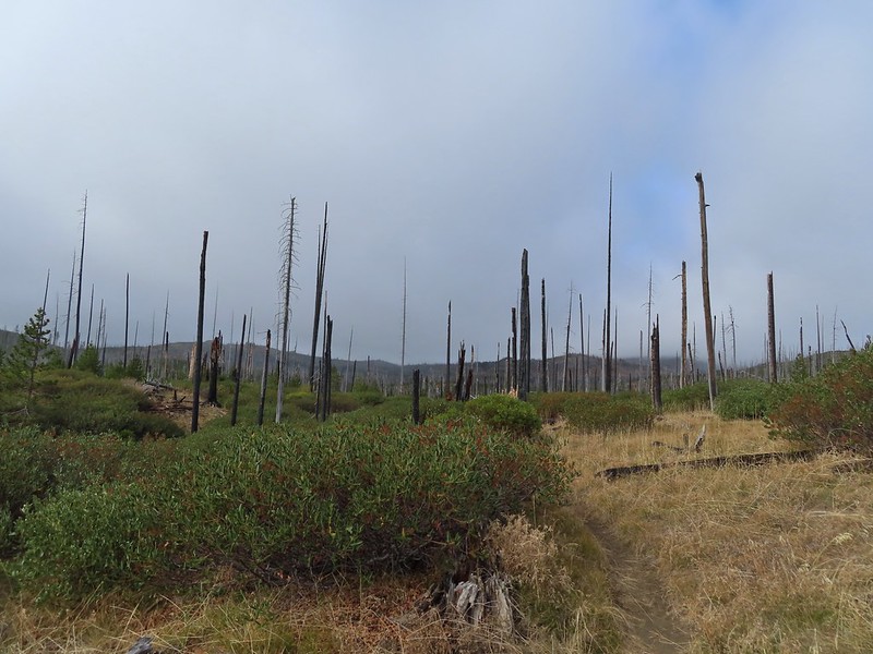
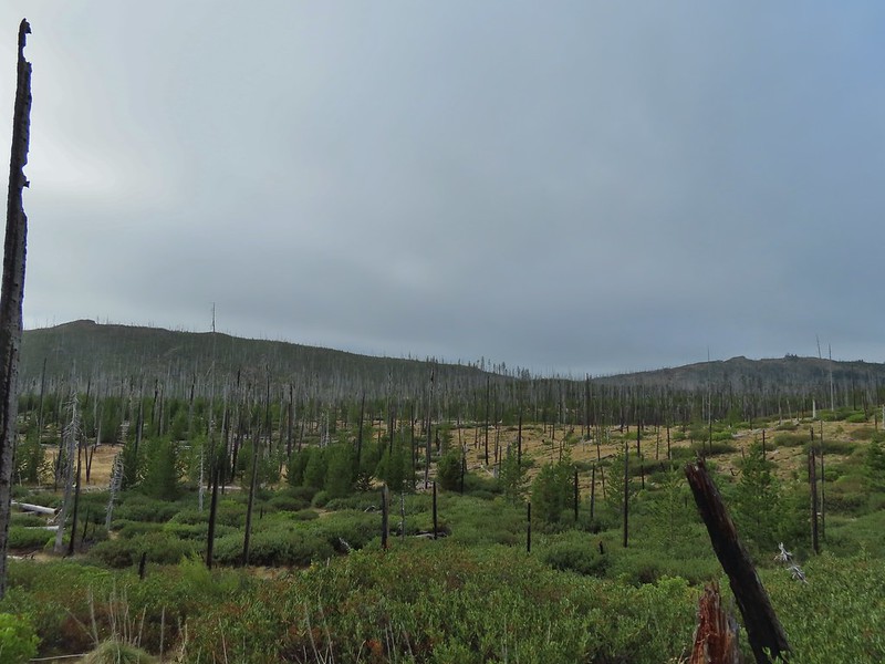 Starting to look kind of grey.
 A mountain bluebird adding a splash of blue to the green backdrop.
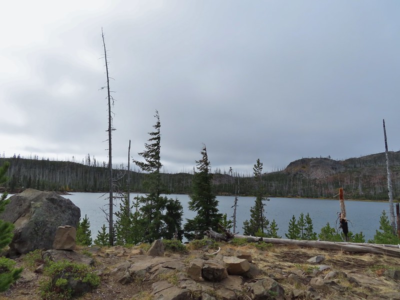 Clouds over Square Lake.
 A few scarlet gilia blossoms.
 The unnamed lake is about halfway up the far hillside.
 Black Butte and Long Lake from the trail.
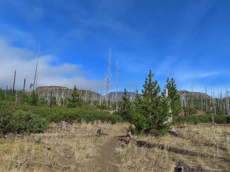 Heading toward Three Fingered Jack we got back under blue skies.
 Square Lake still under a clouds,
 The unnamed lake that drew our attention.
 Similar view from 2012.
 The trail at the gap. It was grey and cloudy to the west.
 Still at the gap, it was blue skies to the east.
 There is Three Fingered Jack.
 A good look at Green Ridge.
 A lupine that was late to the party.
 Booth Lake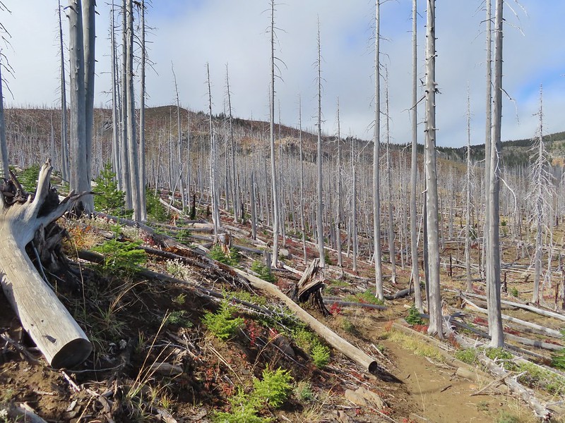
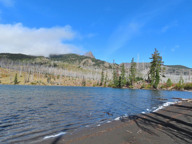


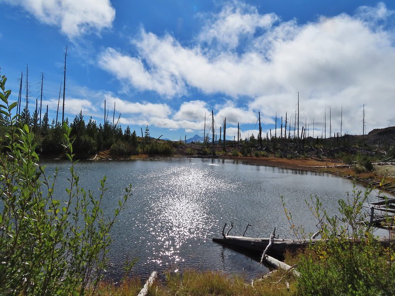
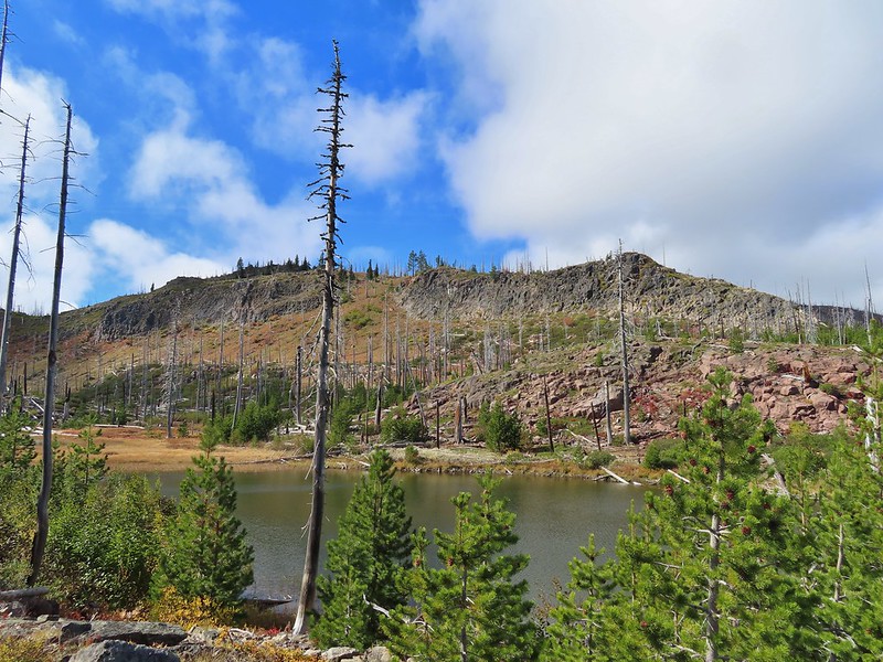
 The trail cut on the far hillside.
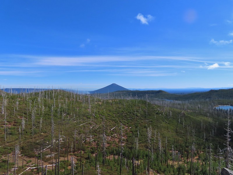 Black Butte, Long Lake, and part of Square Lake.
 Square Lake along with Broken Top and the Three Sisters (Mt. Washington was hiding in the clouds still).
 Part of the rock ledge.
 Three Fingered Jack had once again disappeared.
 Where’s Heather.

 View climbing away from Square Lake.
 Similar view in 2012.
 2012
2012
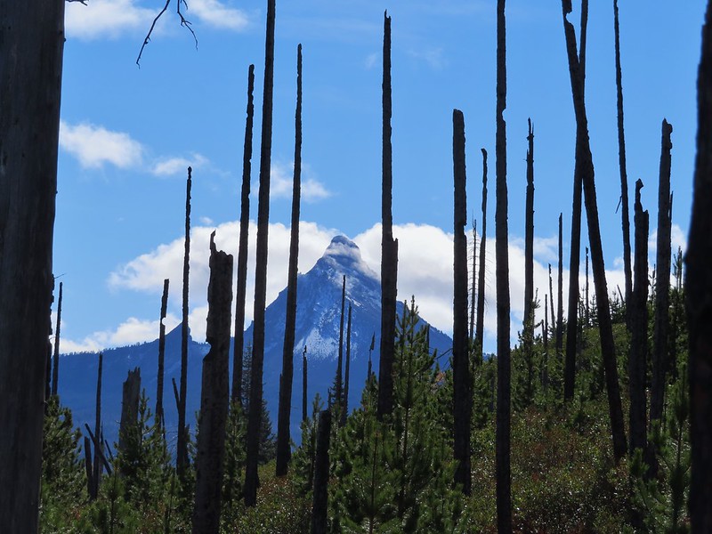

 Finally clear!
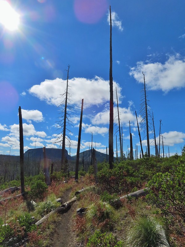 Hayrick Butte and Hoodo as we neared the trailhead.

