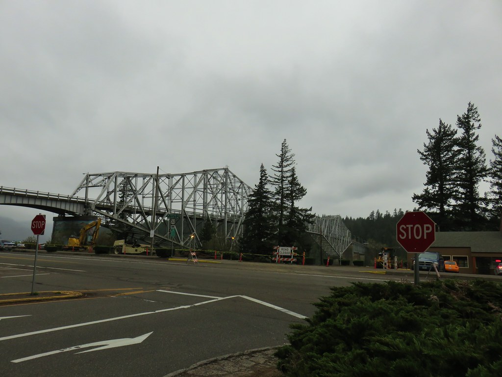
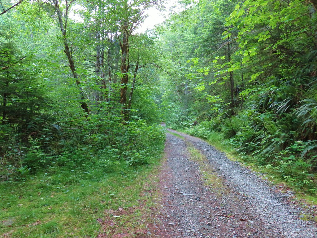
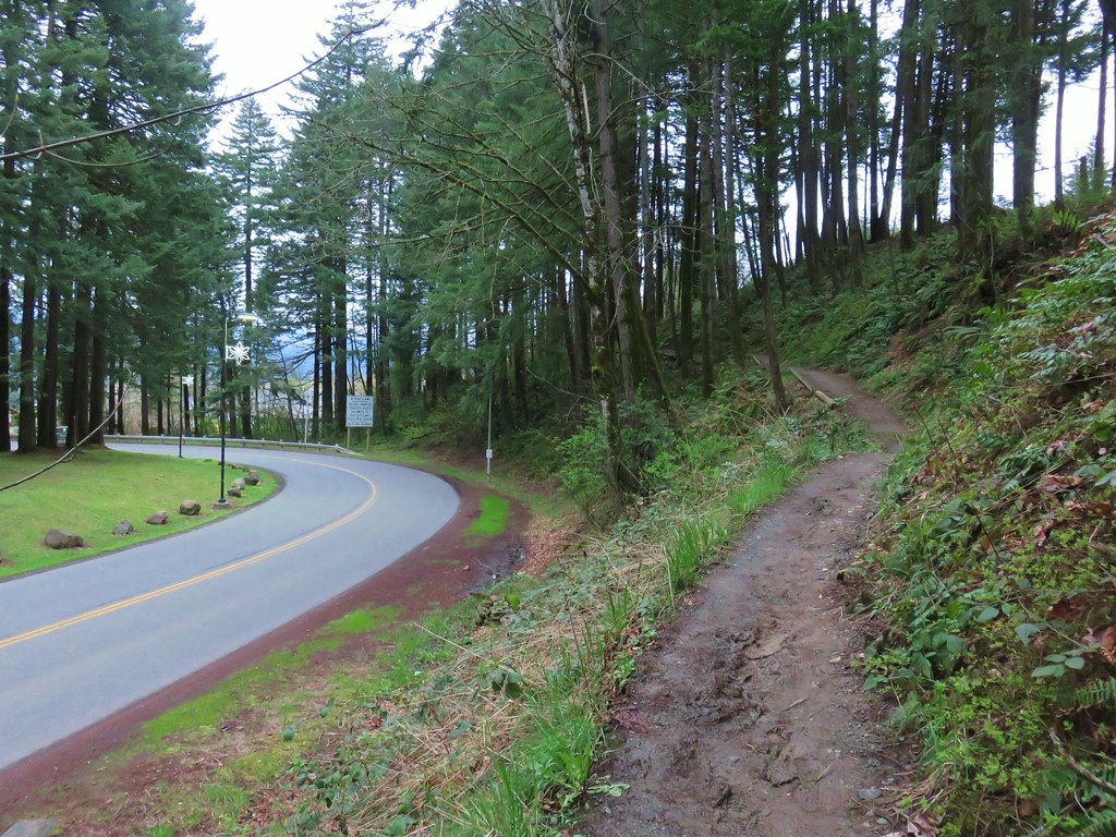
Our most recent hike brought us to the BLM managed Wildwood Recreation Site. We were going to be taking the Boulder Ridge Trail from the site to a viewpoint along Huckleberry Mountain in the Salmon-Huckleberry Wilderness. The view had escaped us during a 2015 hike the same viewpoint using the Bonanza Trail (post). Cloudy conditions that day had been our downfall so we were a little apprehensive when we saw the forecast calling for a slight chance of showers in the morning but then it called for the skies becoming mostly sunny.
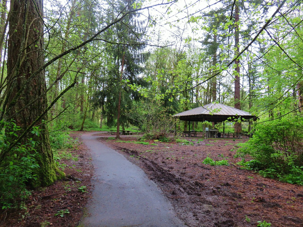
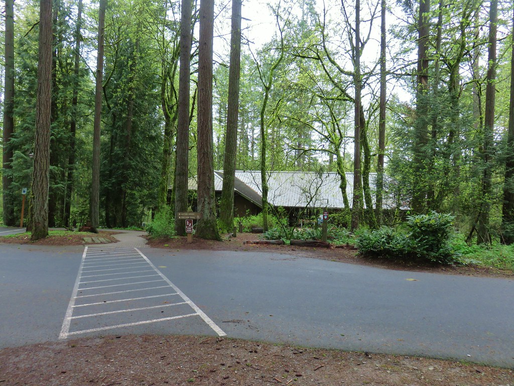
With the Wildwood Recreation Site not opening until 8am (the road is gated) it meant we would be getting a little later start than we normally would which would hopefully give the clouds more time to burn off. After paying the $5 day use fee we parked at the trailhead parking area which acts as the trailhead for the Boulder Ridge Trail as well as for two short interpretive trails – The Cascade Streamwatch and the Wetlands. We decided to do both of these before heading up the Boulder Ridge Trail to give the weather even more time to clear up.

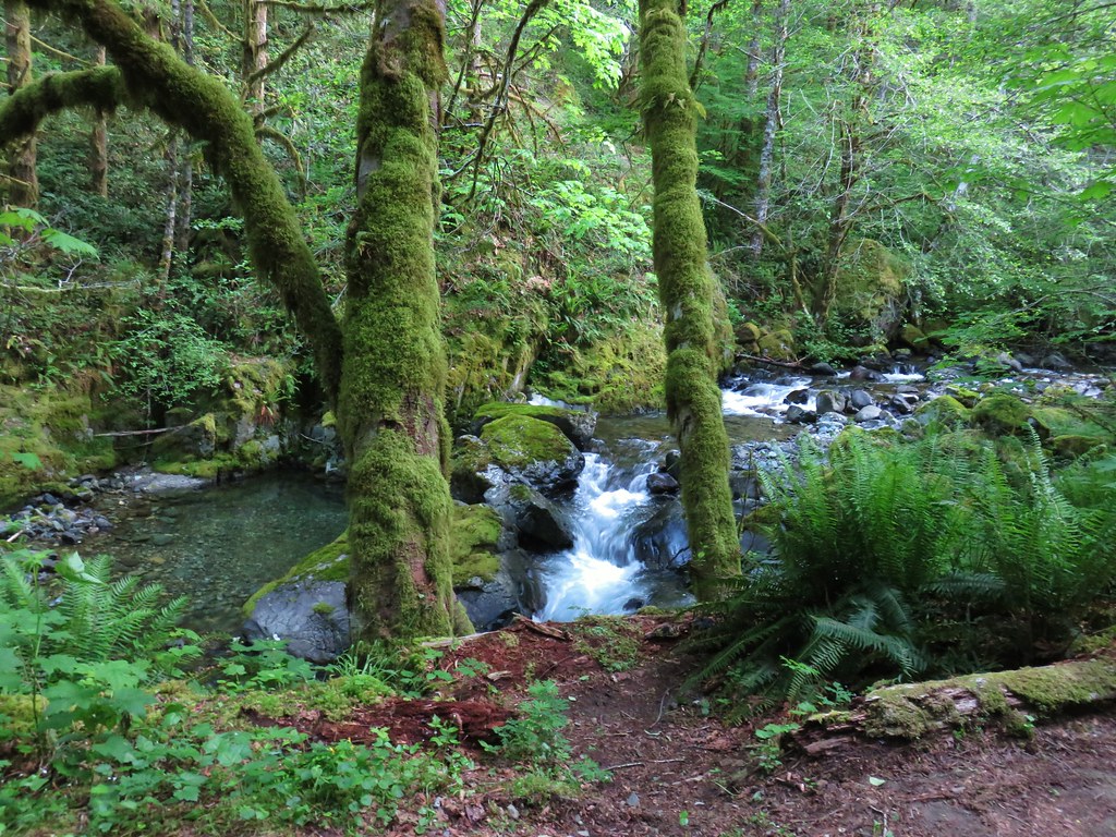
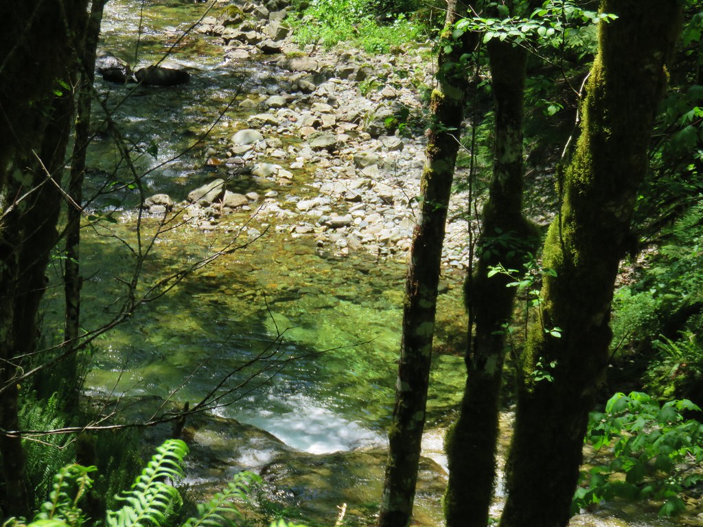
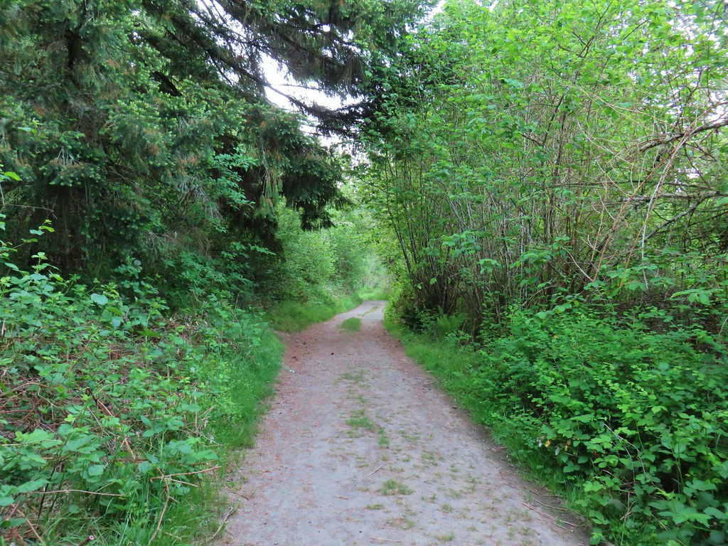
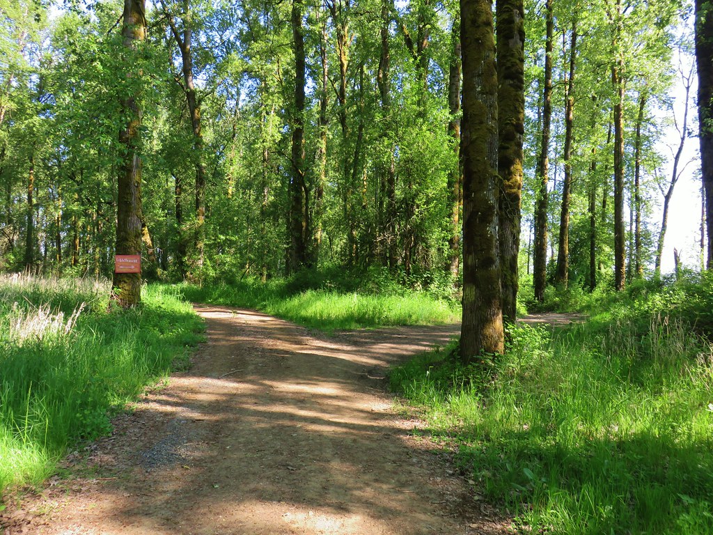
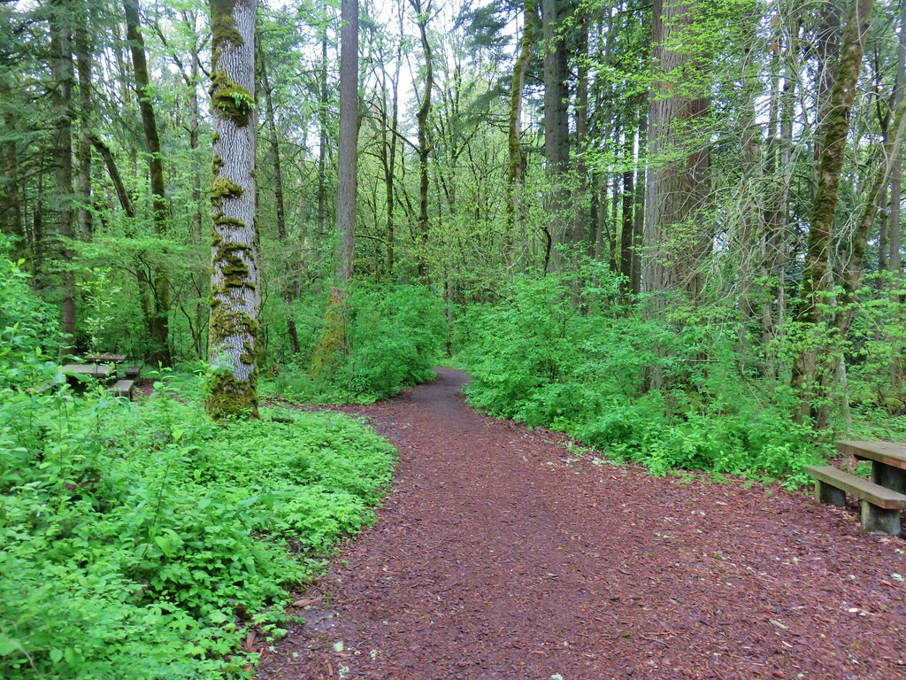
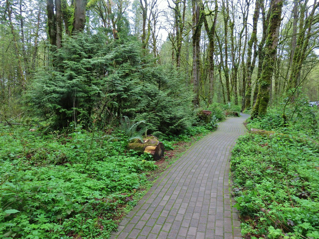
We began with the paved Cascade Streamwatch Trail.
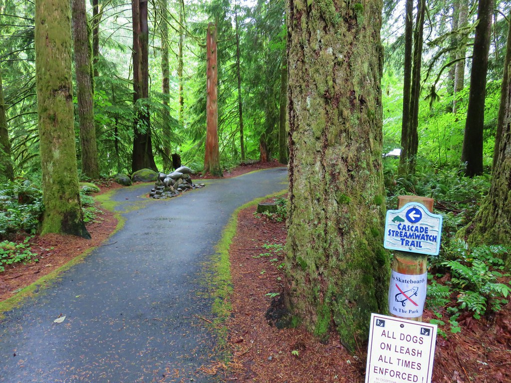
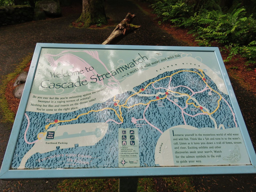
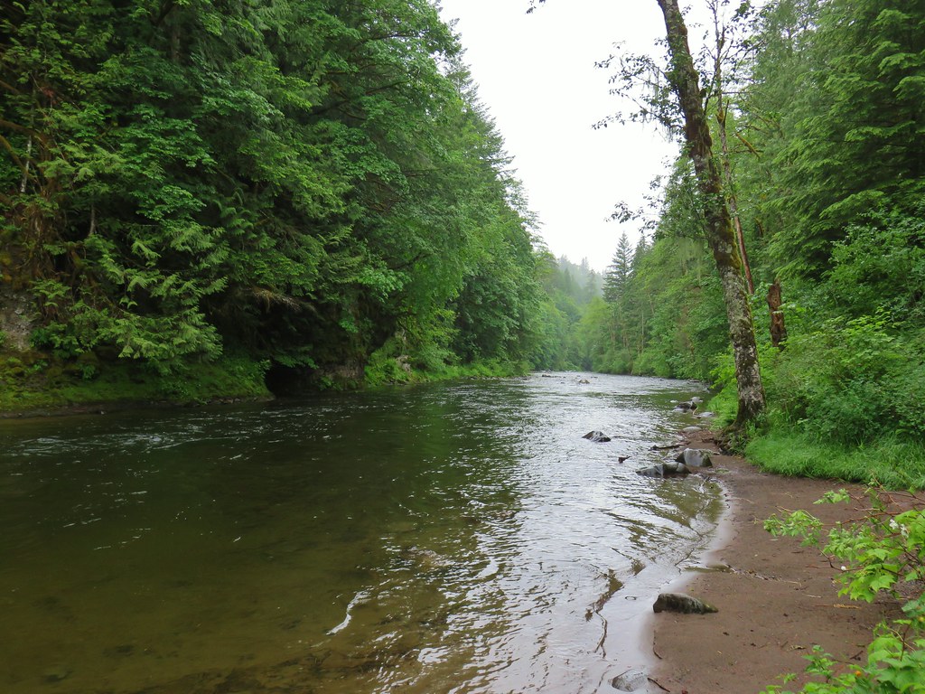
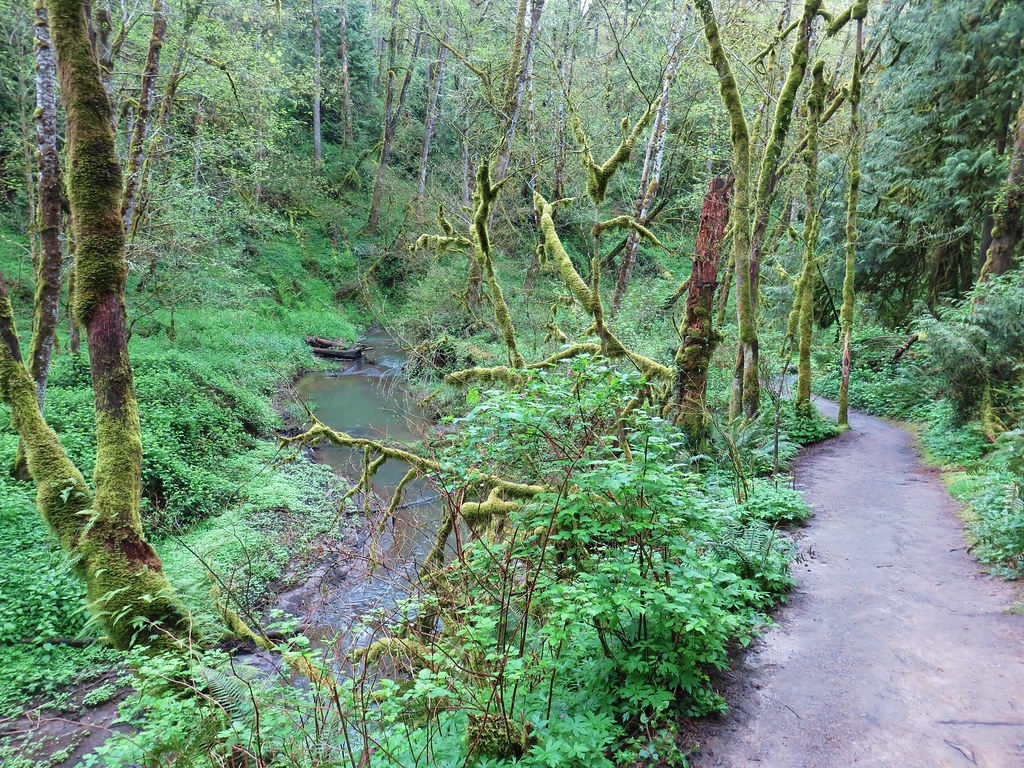
The trail led down through the forest to the bank of the Salmon River with several interpretive signs along the way.

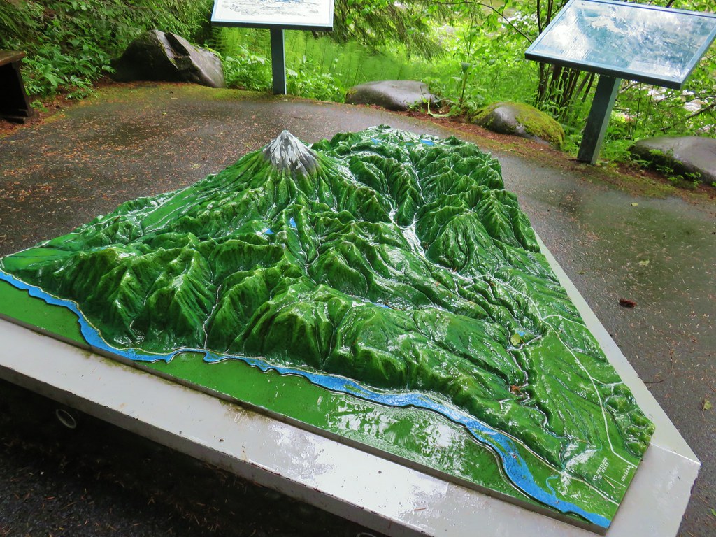
Of particular interest was a 3D model of the Salmon River drainage including Mt. Hood. It mapped out the southern and western flowing creeks and rivers drain into the Sandy River and eventually the Columbia.
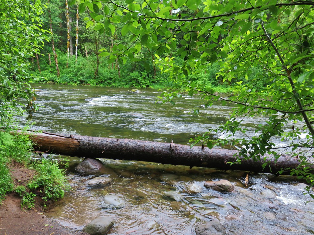
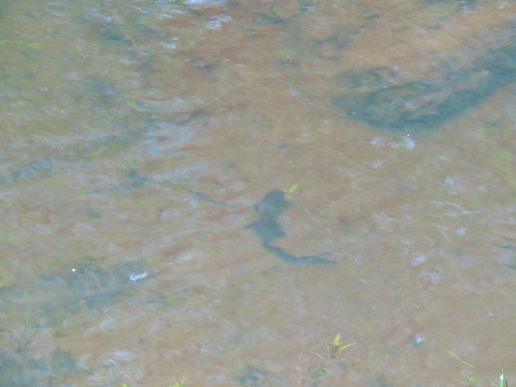
Further along the loop is an underwater viewing area. There were only a few small fish visible on this day but we imagined that at times it would be quite a sight.

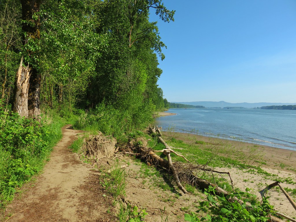
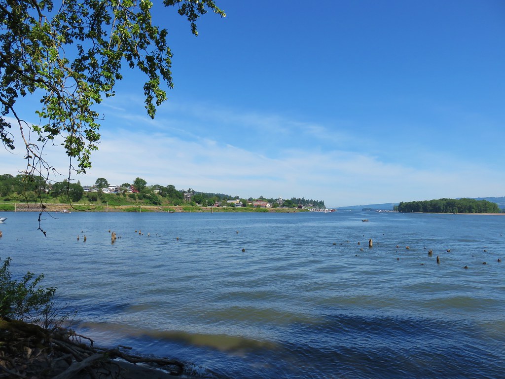
We continued on the loop which passed a sandy beach near a deep hole in the Salmon River where at times spawning steelhead trout and chinook salmon can be seen.

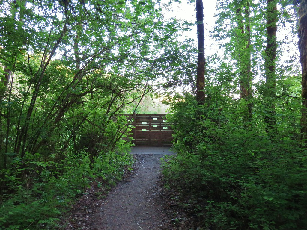
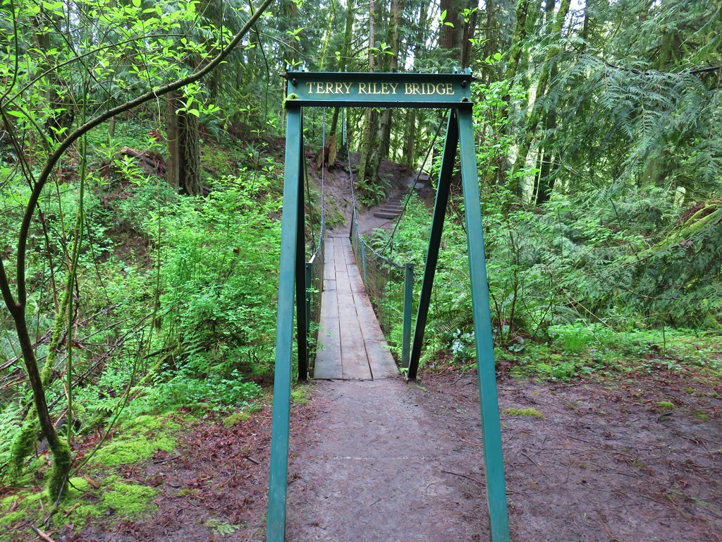
After completing this short (under a mile) informative loop we returned to the trailhead parking and walked over to a signboard for the Boulder Ridge Trail.

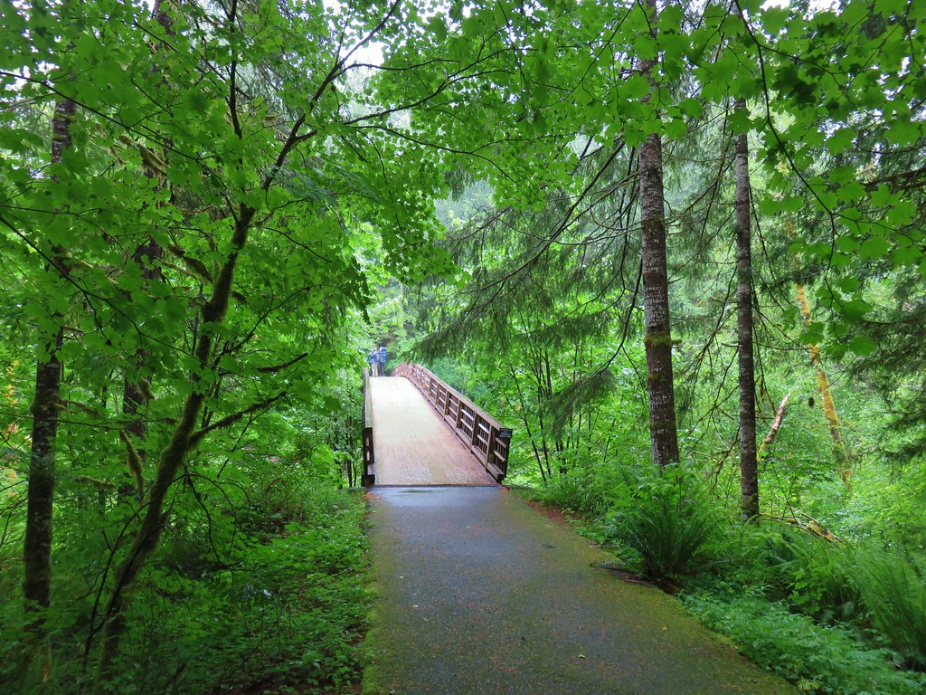
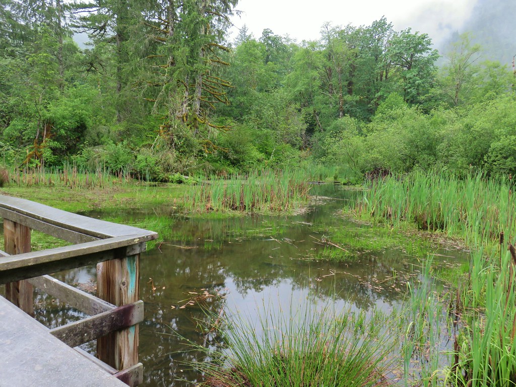
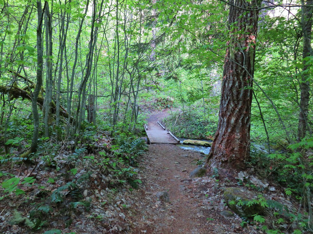
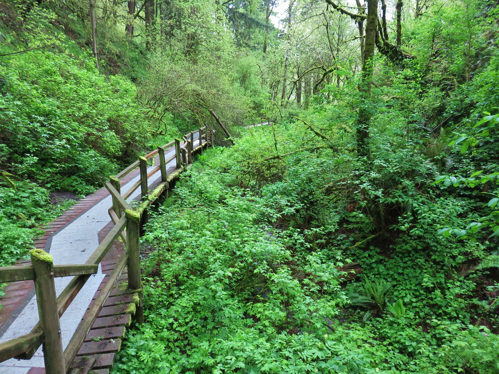
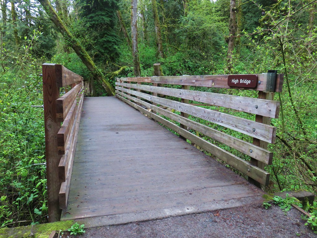
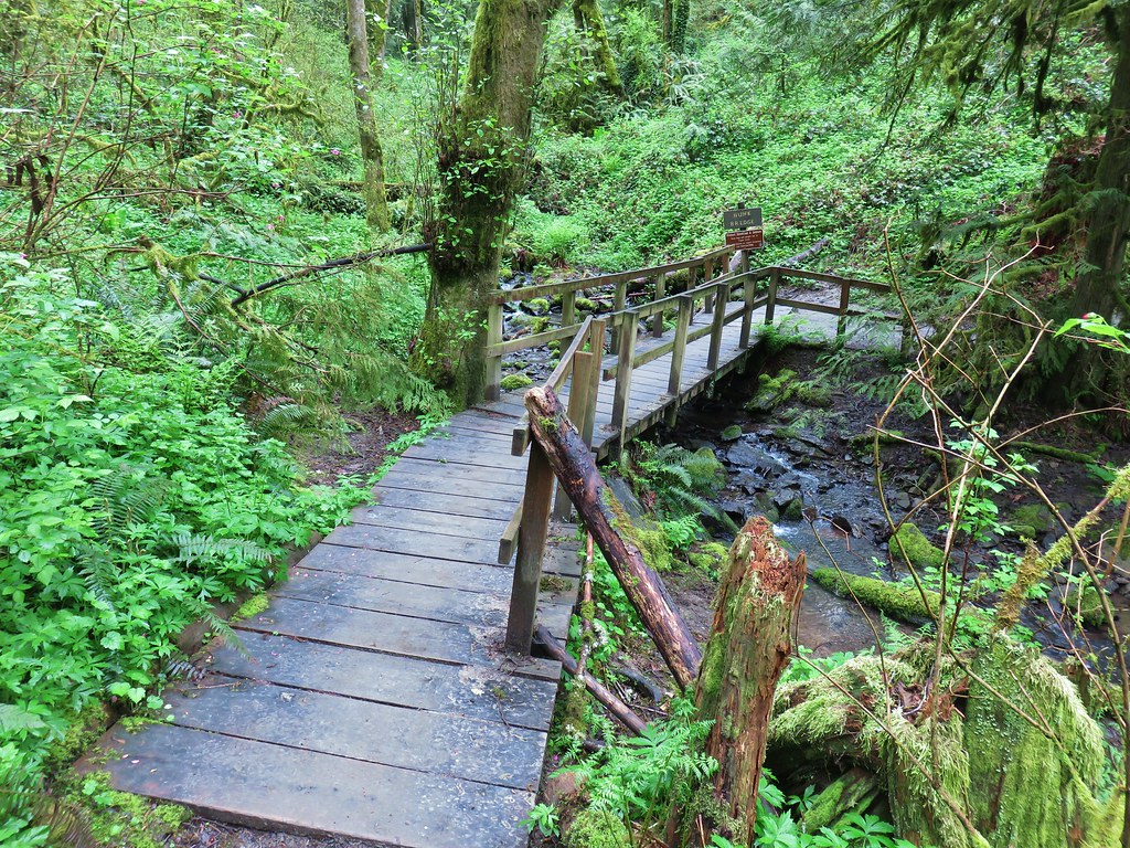
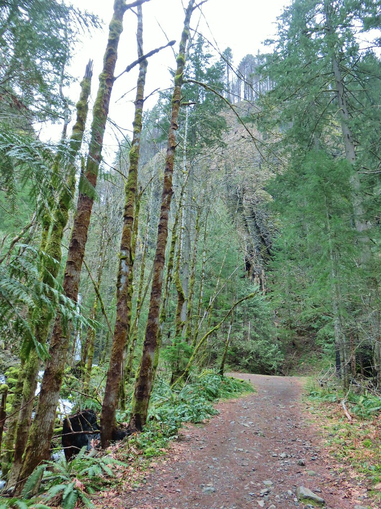
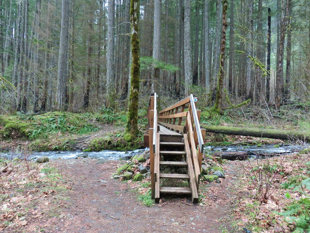
A paved path here lead to a bridge spanning the Salmon River and the start of the Wetlands Boardwalk.

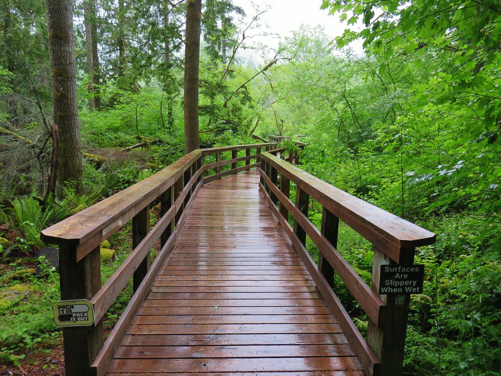
We took each of the side trails along the boardwalk starting with the detour to Cattail Marsh.

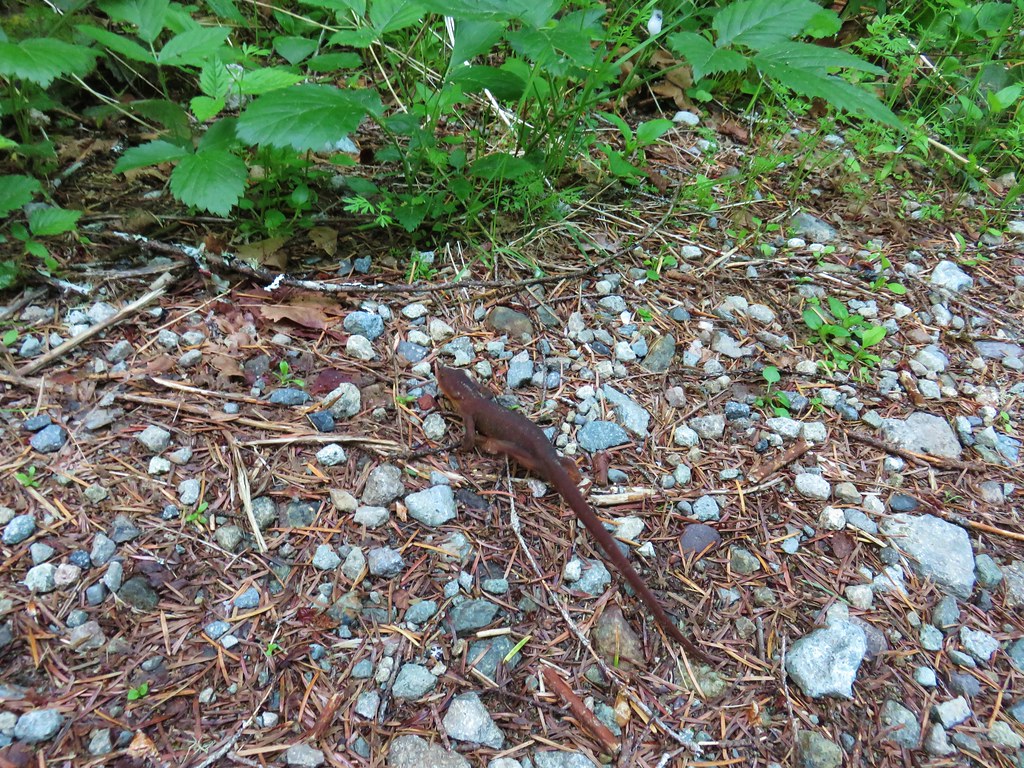
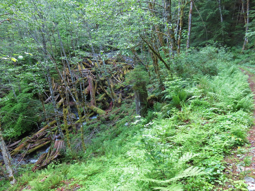
The next side trip was to see the results of beaver dams and how they help create the wetlands. We didn’t see any beavers (yet again) but there were some newts swimming in the waters.
Next up was a “Ghost Forest” caused by rising waters caused by the beavers work.

The boardwalk then passed a large amount of skunk cabbage before reaching a final detour to a view of the transition from a wetland to a stream.


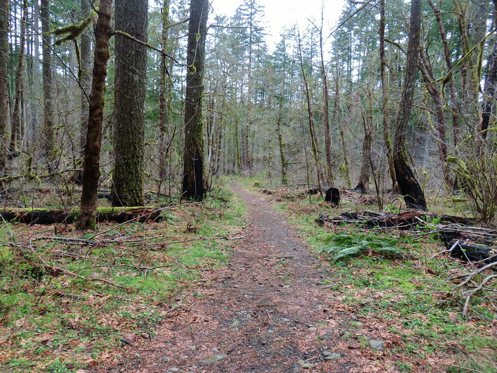
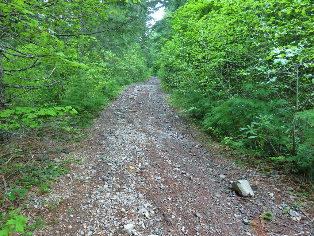
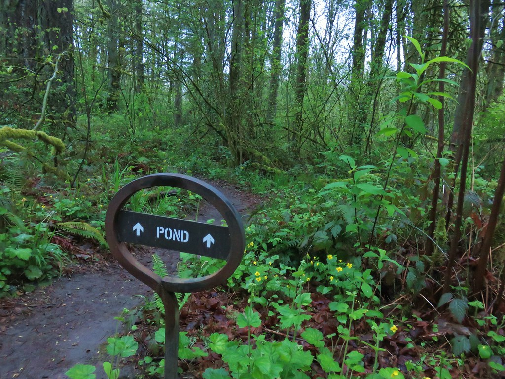
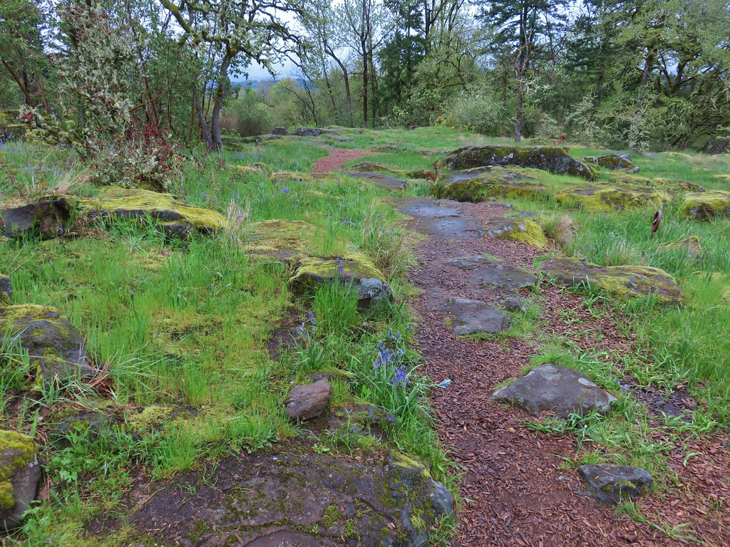
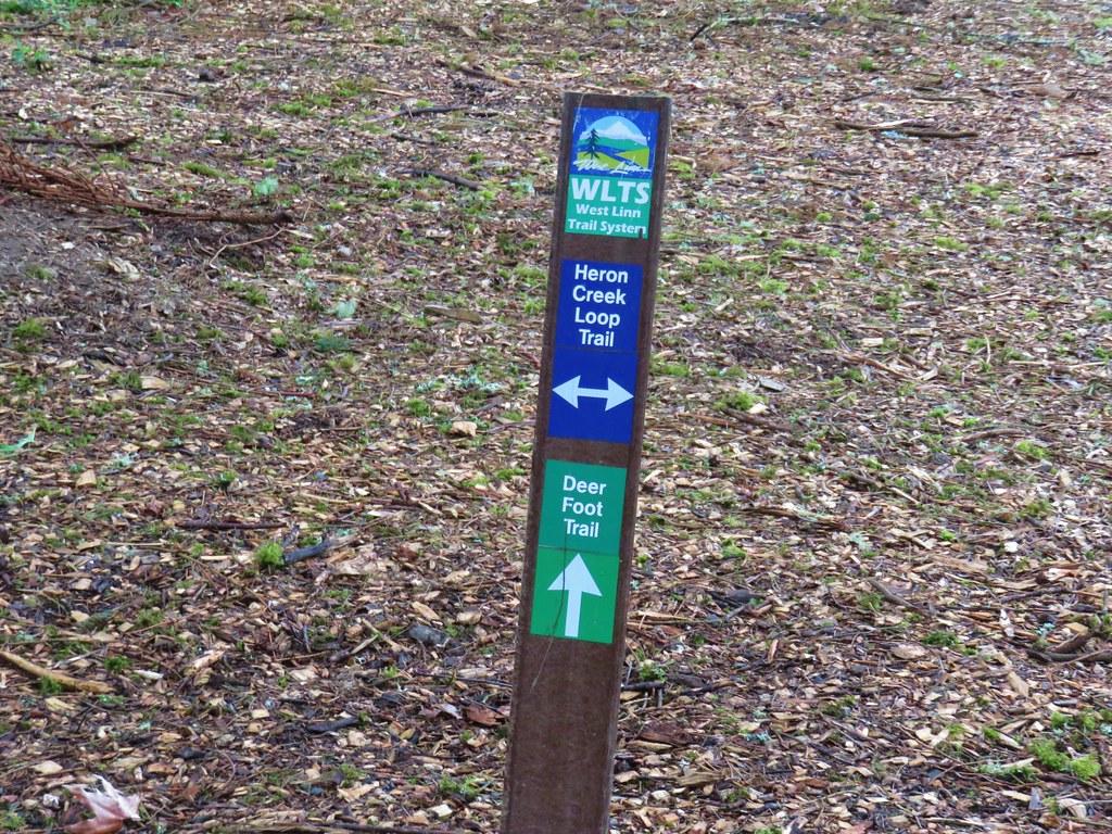
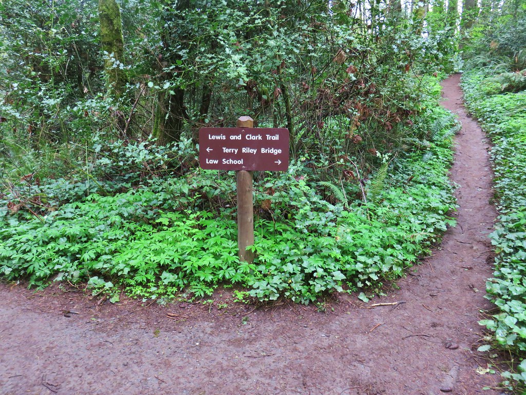
The boardwalk ended at a junction where a left turn led to the Boulder Ridge Trail while a right turn would complete a short loop back to the parking area (also under a mile total).
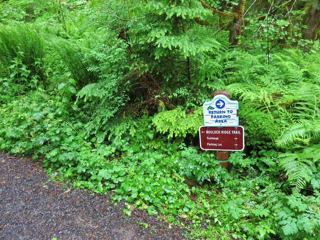
Left we went passing a sign for the Boulder Ridge Trail and signing in at a signboard.

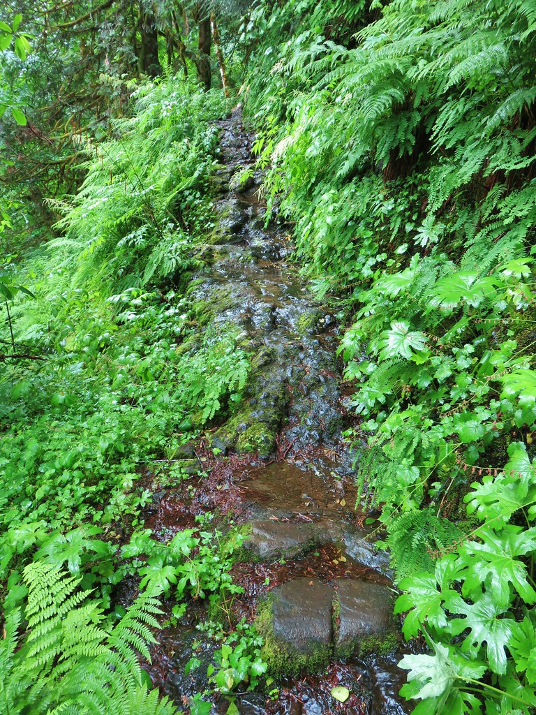
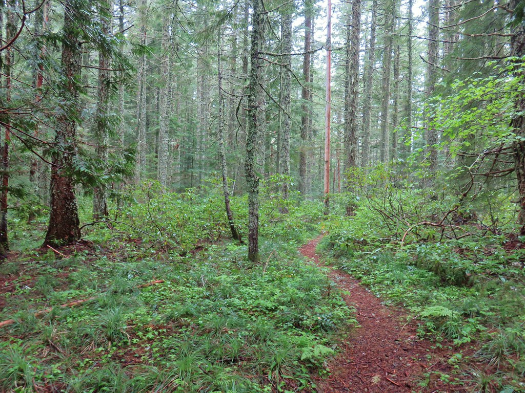
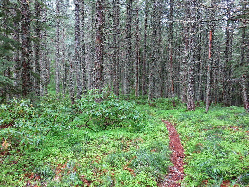
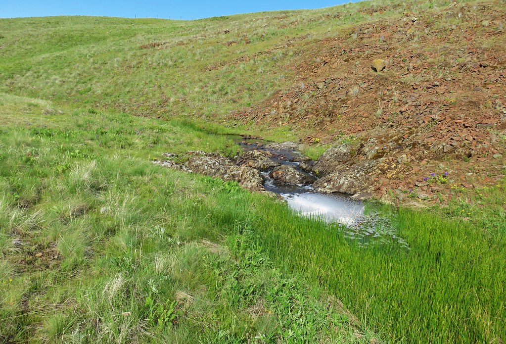
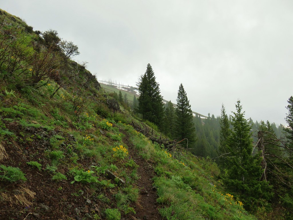
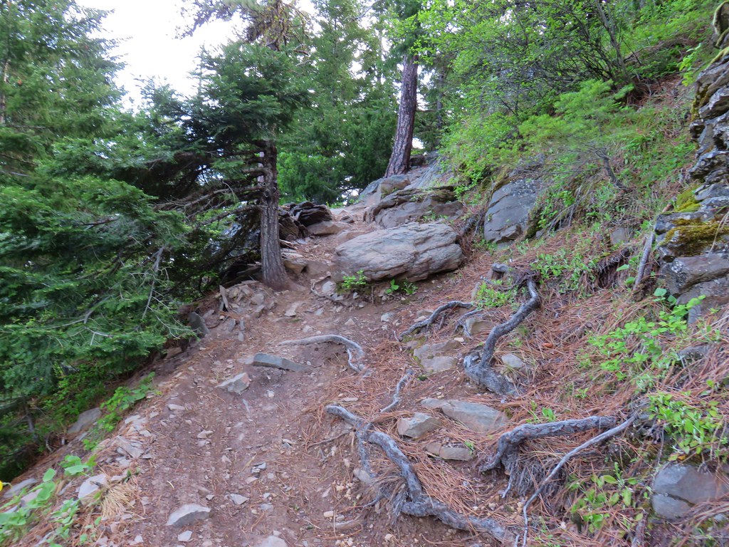
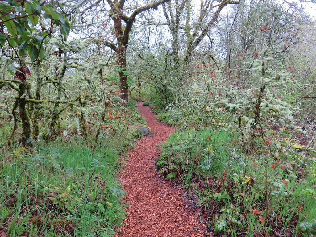
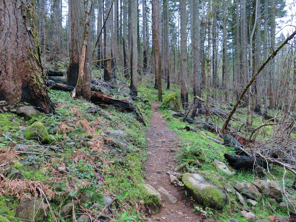
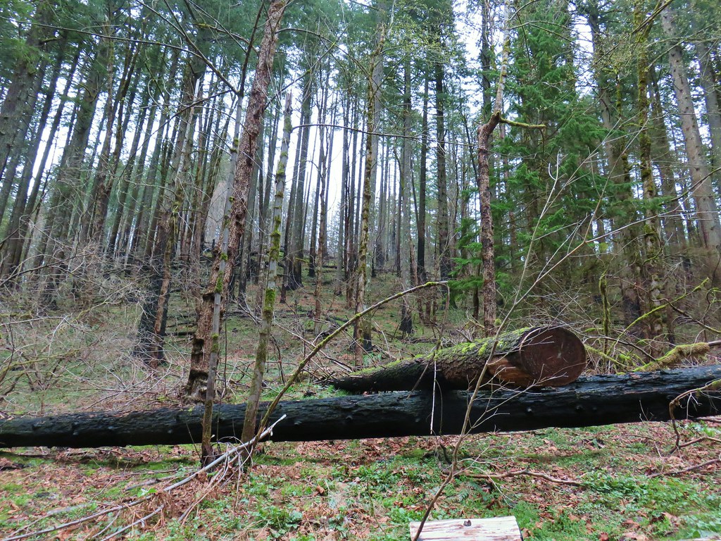
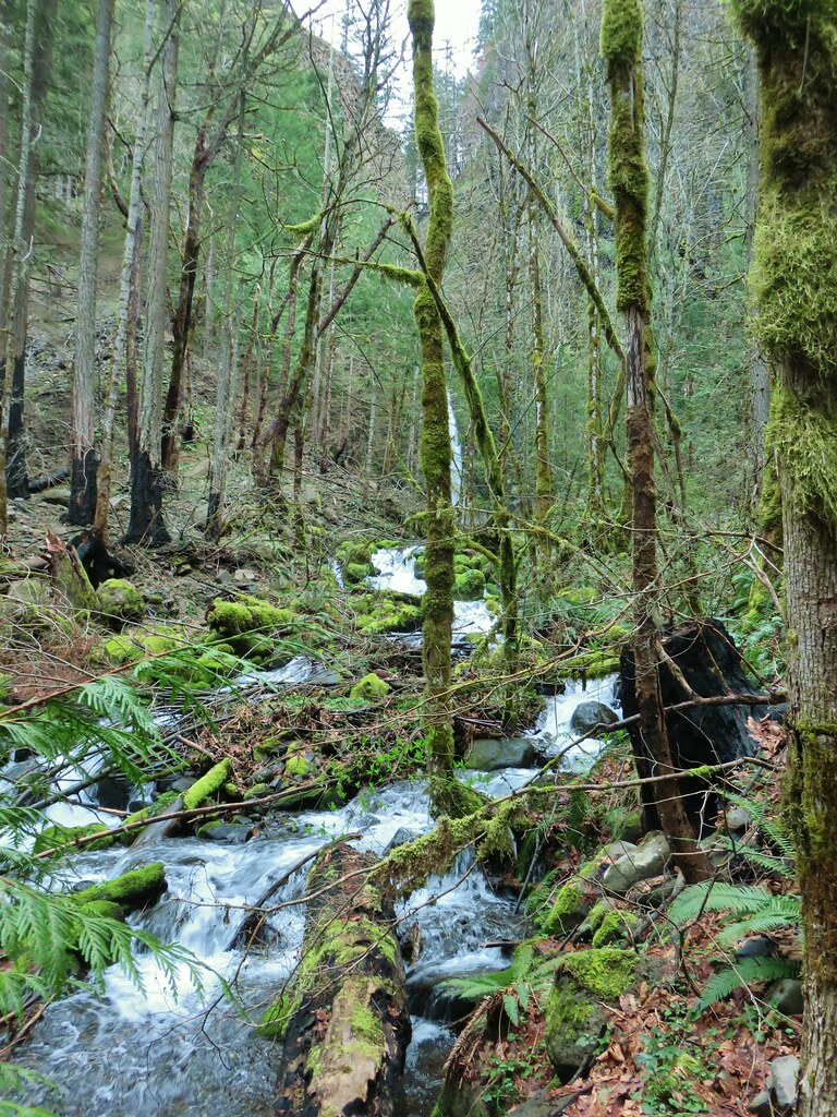
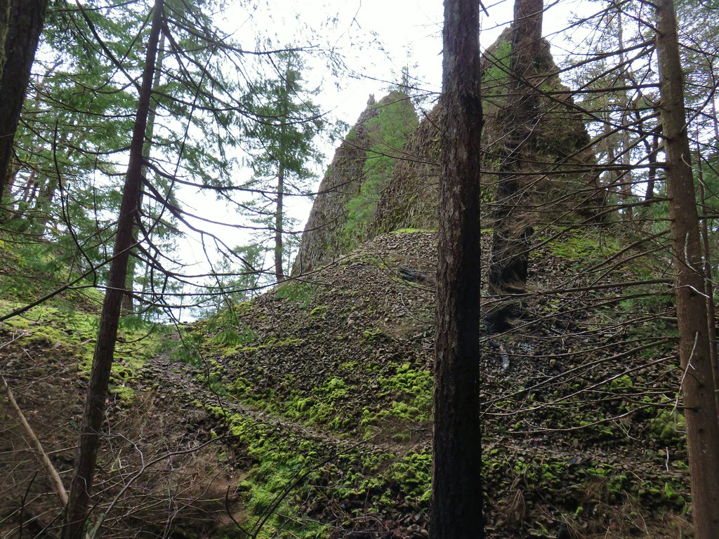
The trail wasted little time in launching uphill needing to gain 3100′ to reach the top of Huckleberry Mountain. Not only did it head uphill immediately but it crossed a rocky area that had been exposed by a series of seeps. It looked narrow and possibly slick.
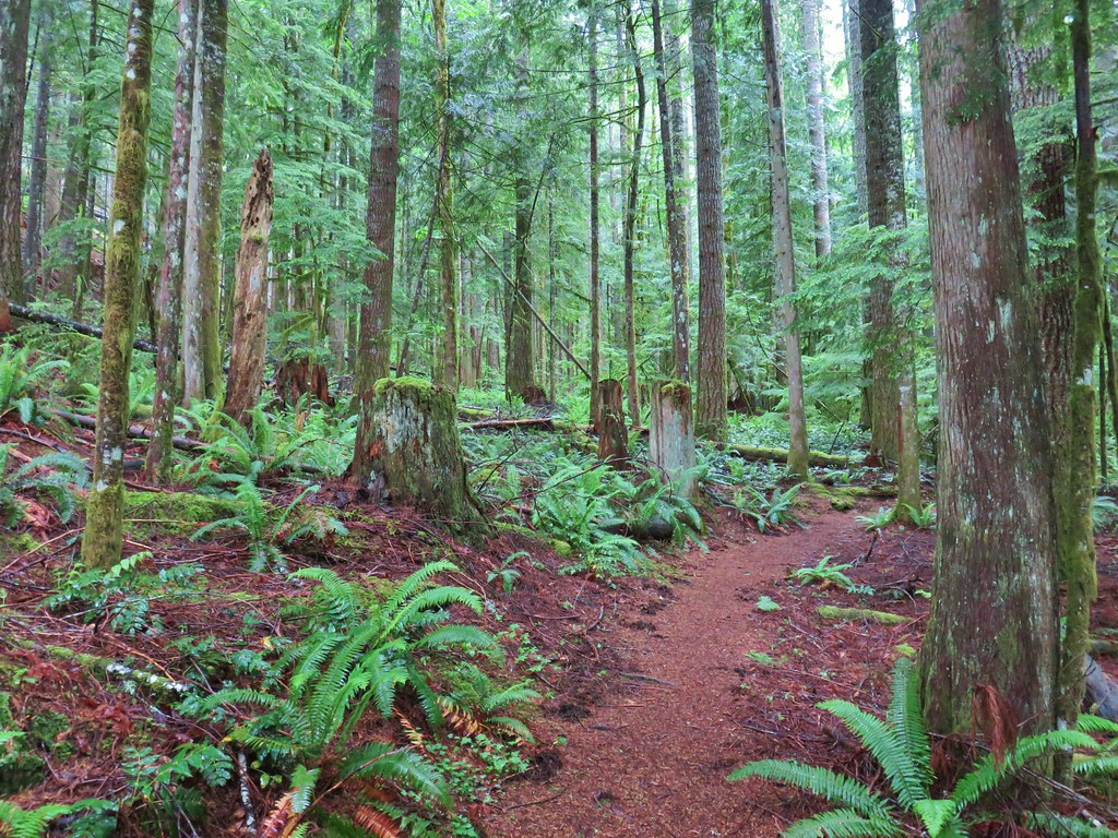
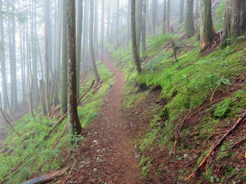
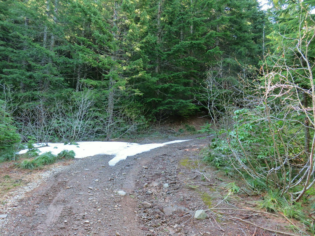
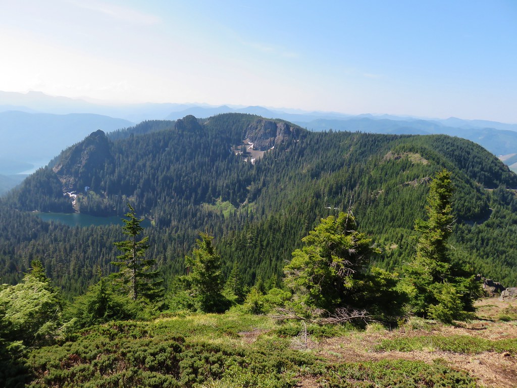
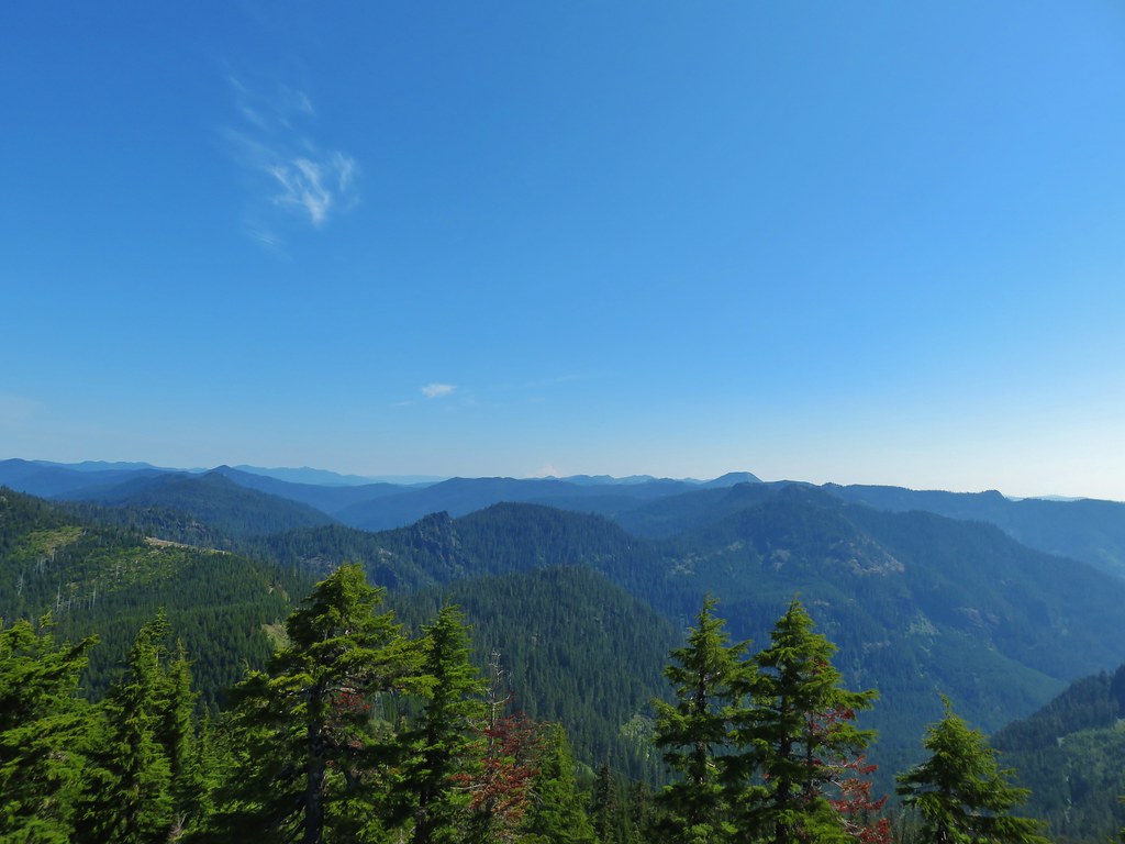
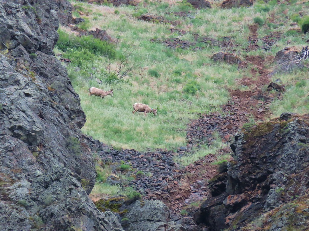
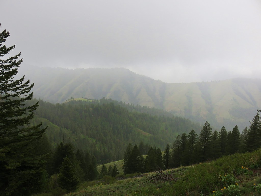
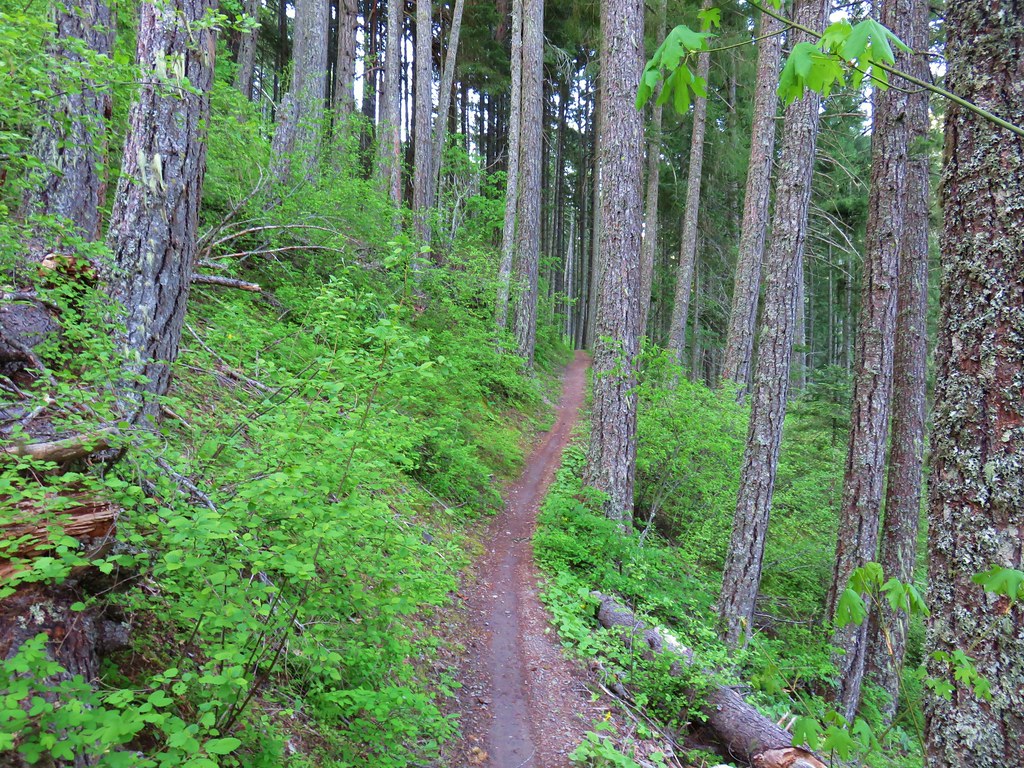
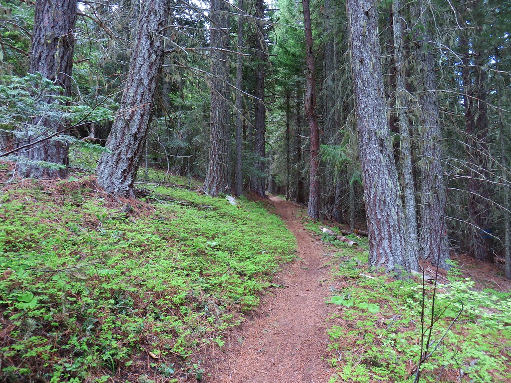
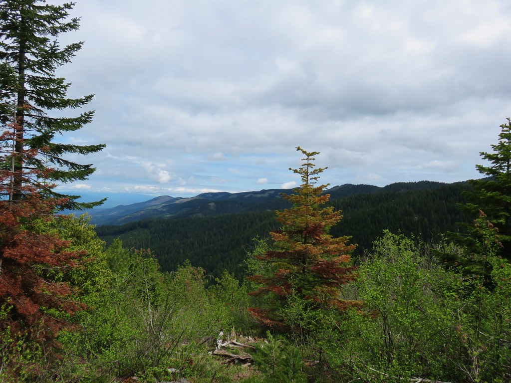
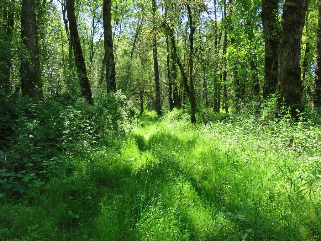
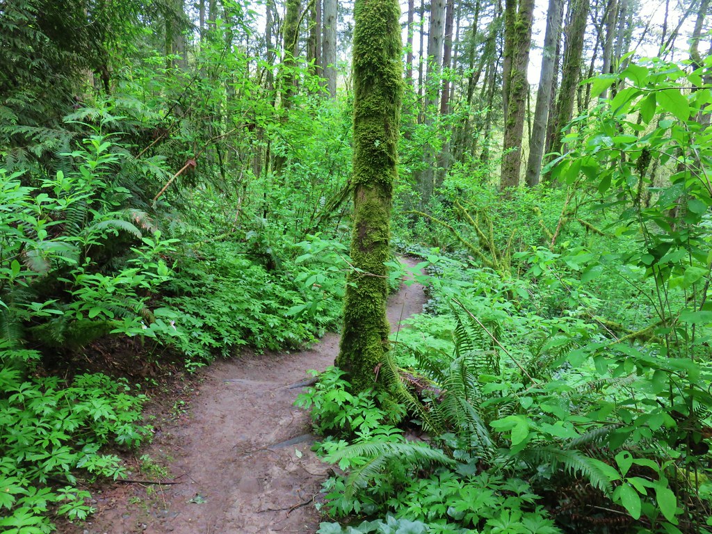
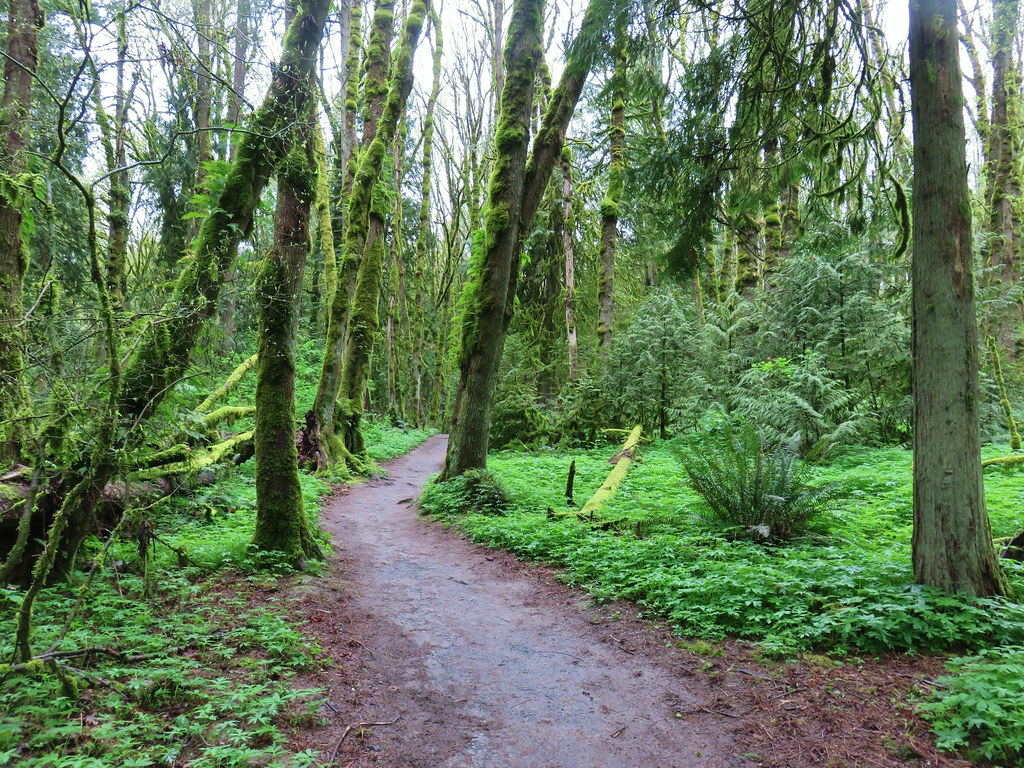
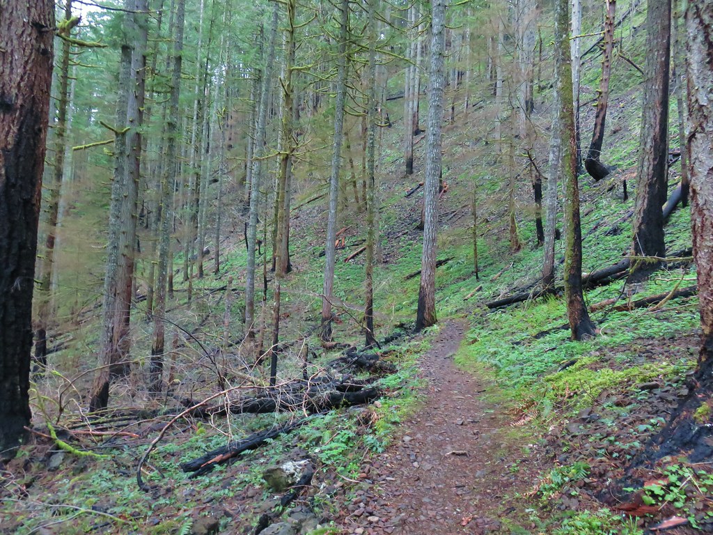
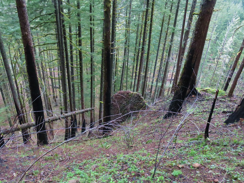
The trail climbed steeply gaining 1400′ in then next two and a quarter miles where a rocky viewpoint looked into clouds instead of Mt. Hood. Just a bit before reaching the viewpoint we had entered the Salmon-Huckleberry Wilderness. One thing that has never disappointed us about the Salmon-Huckleberry Wilderness and surrounding area is the beauty of the forest. The clouds might have been blocking our views of Mt. Hood but the fog added a nice element to the forest.

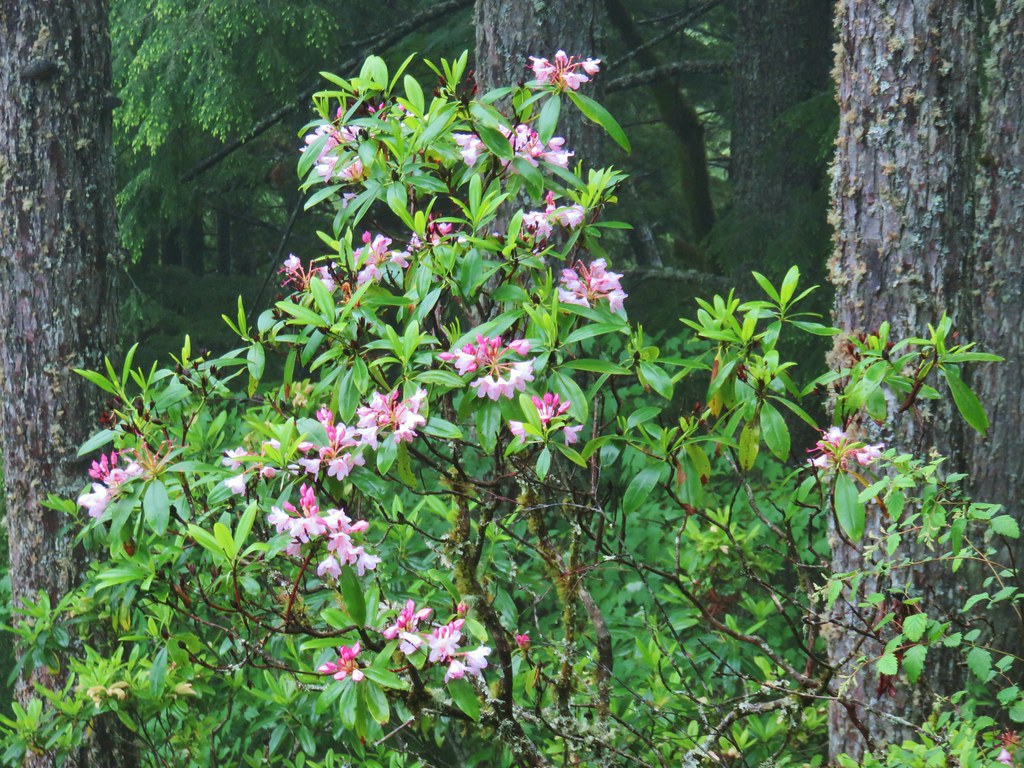 Rhododendron
 Honeysuckle
 Beargrass and rhododendron along the trail.
 Coralroot and sourgrass
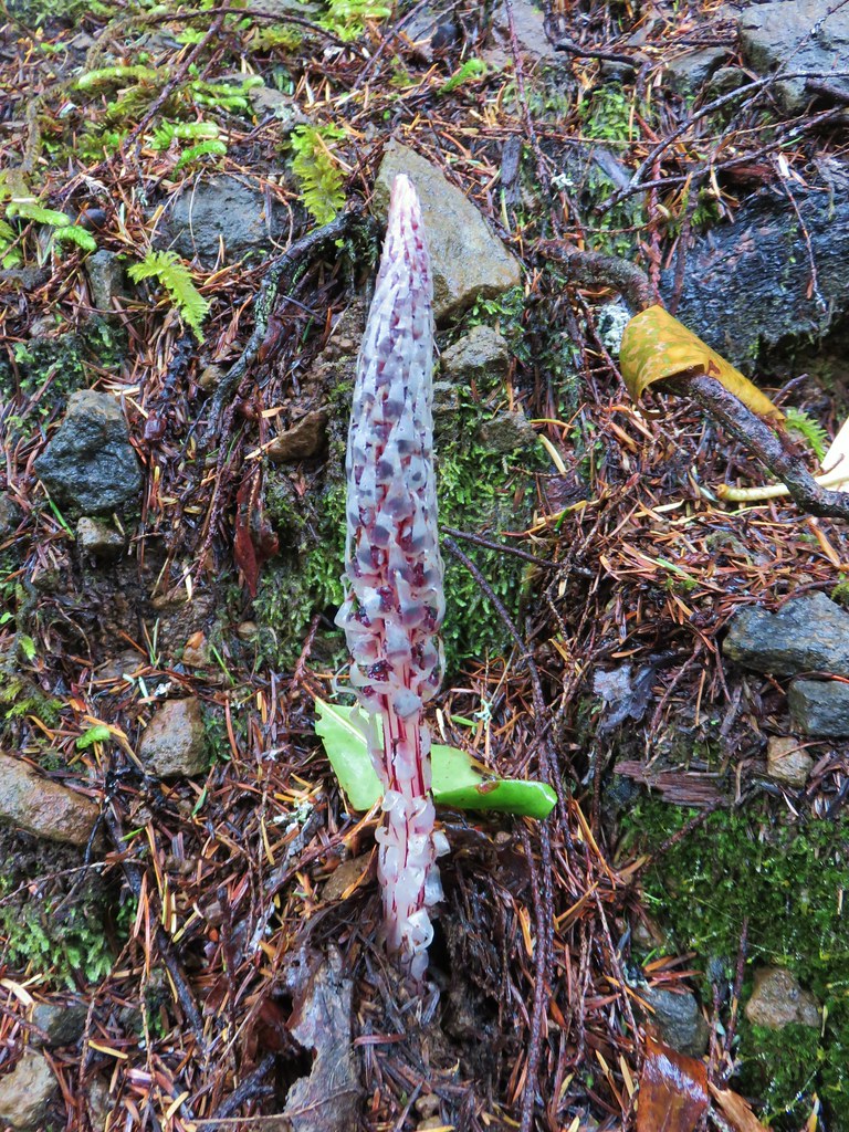 Candy stick

 Damp iris


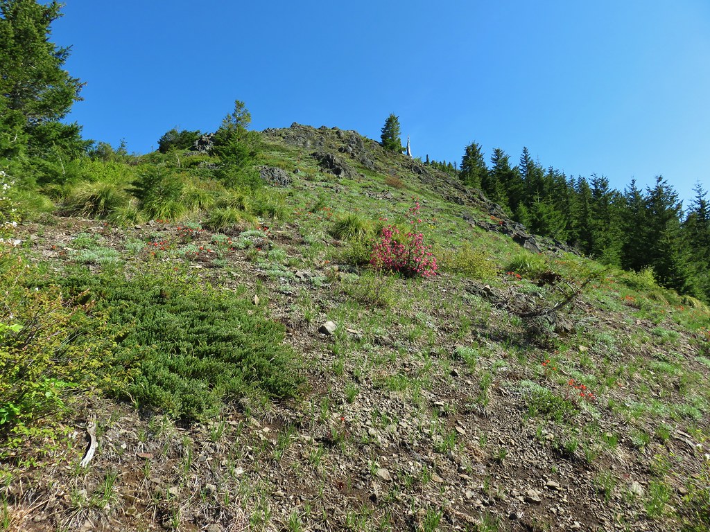
We passed by the viewpoint hoping that maybe there would be a view by the time we were headed back down. The trail continued to climb gaining another 800′ over the next mile and a quarter where another rock viewpoint looked east.
 Green lichen

 A few trees peaking through the clouds along McIntyre Ridge (post)
With no view to speak of we turned our attention to the flowers in the area.
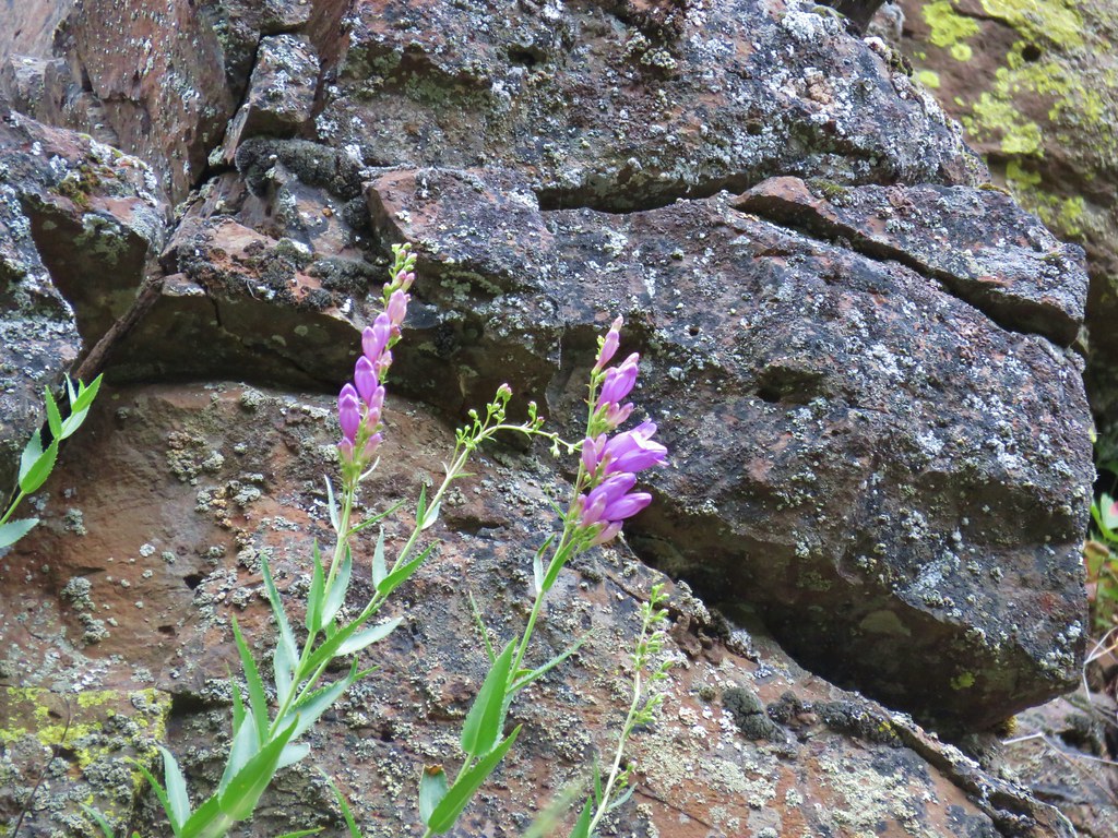
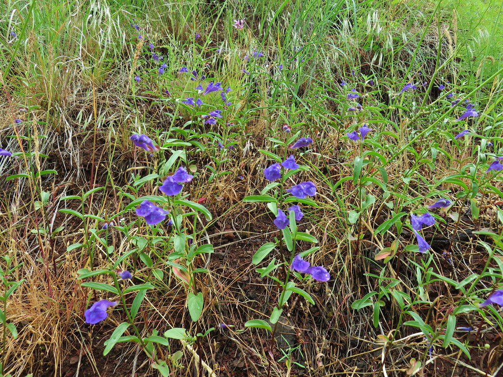
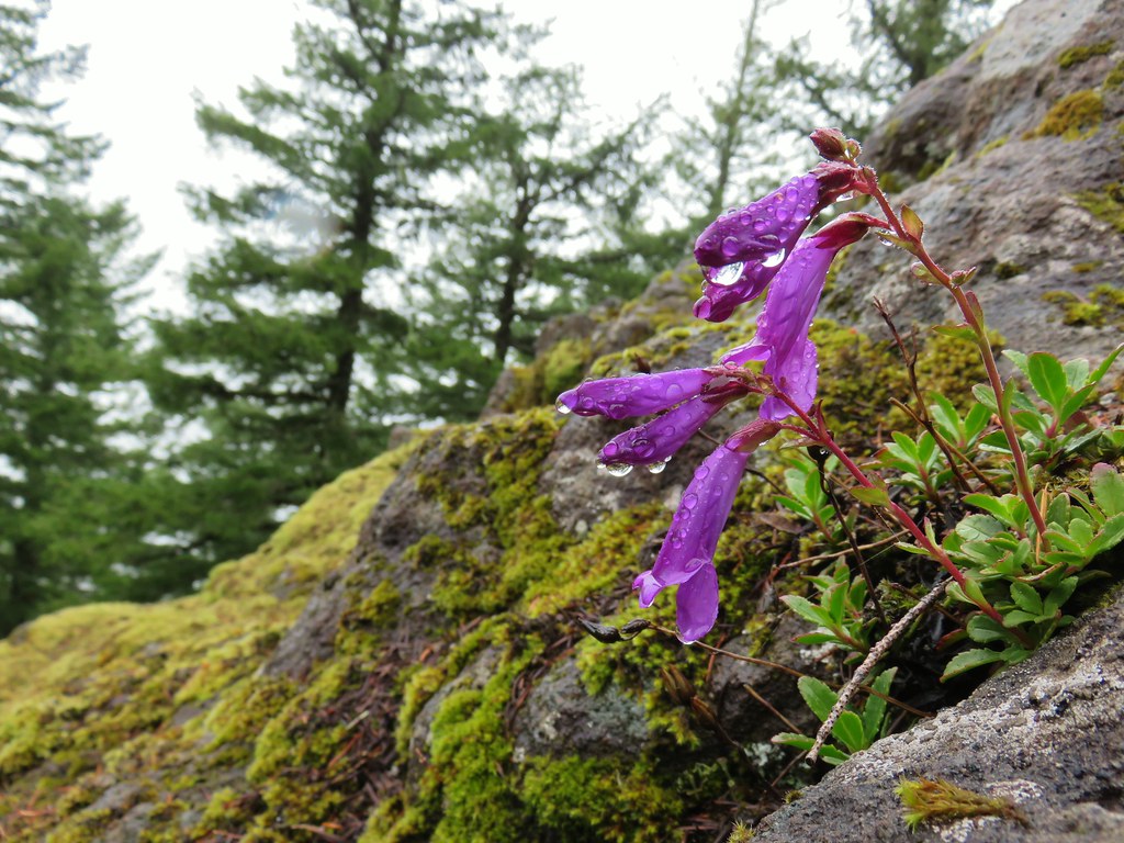 Penstemon
 Paintbrush
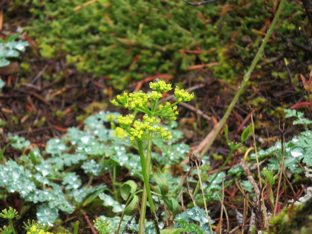 Biscuitroot
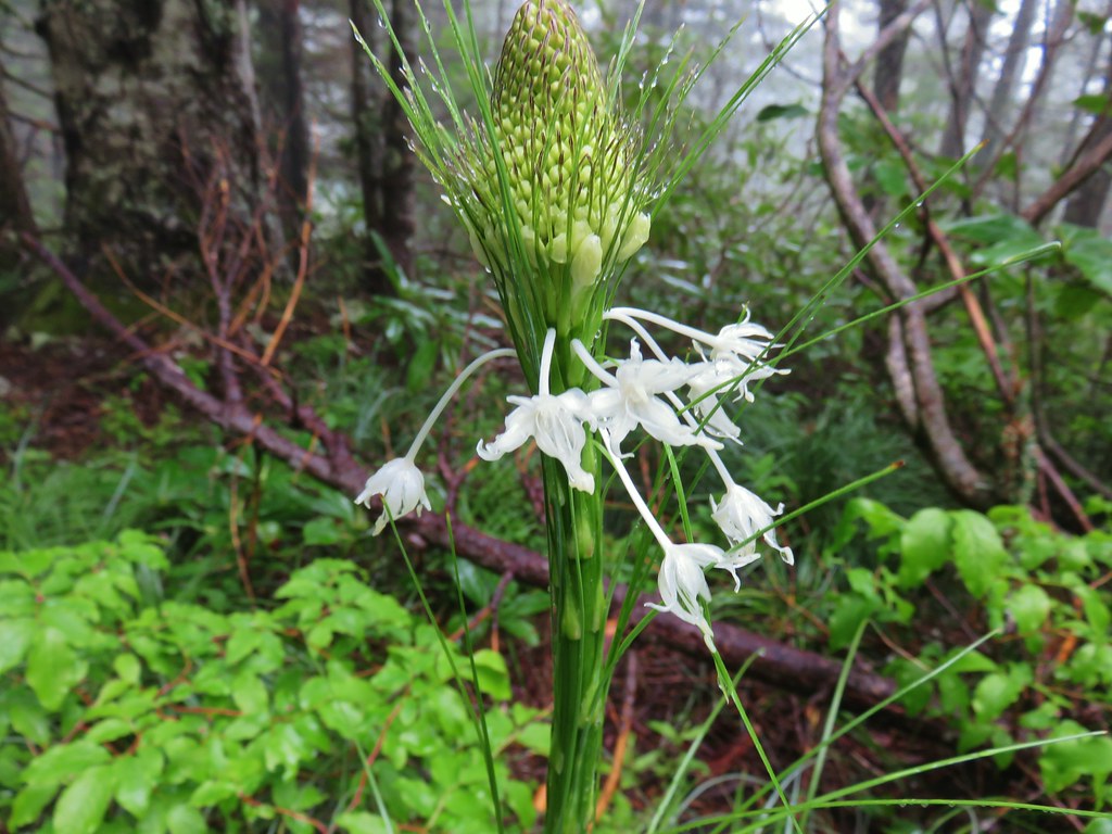
 Beargrass
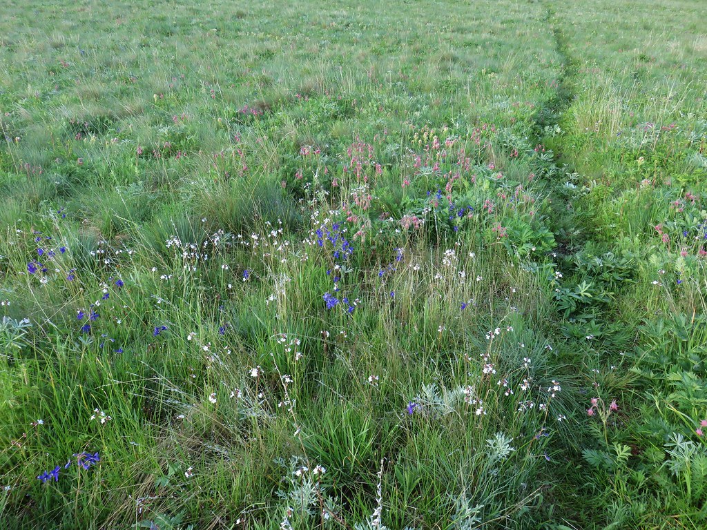
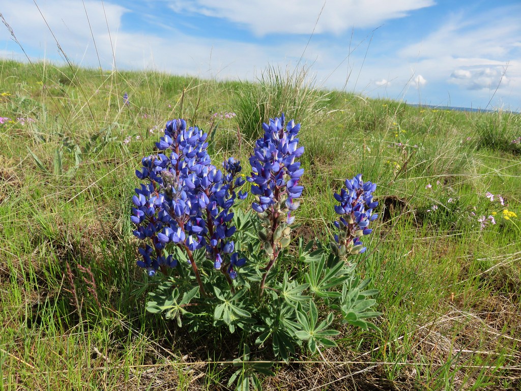
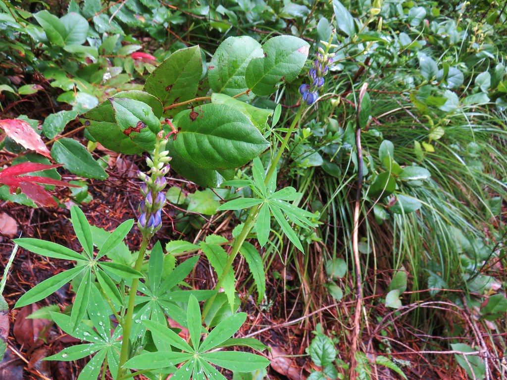 Lupine
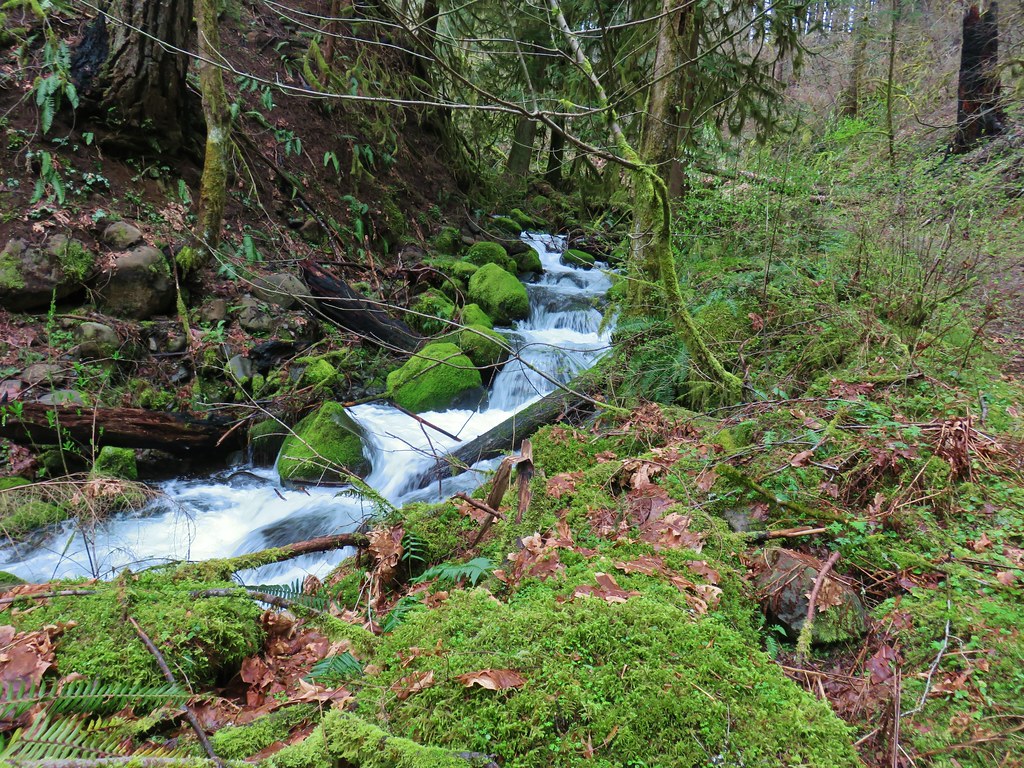
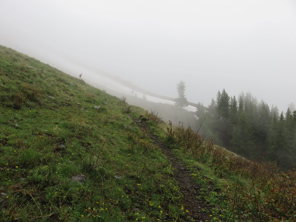
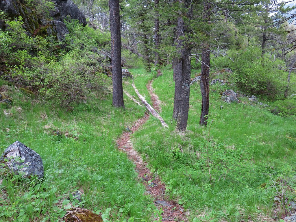
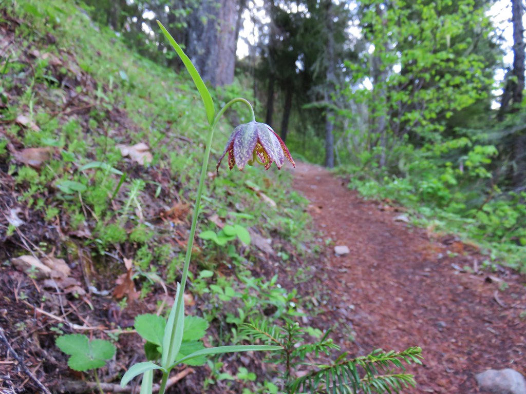
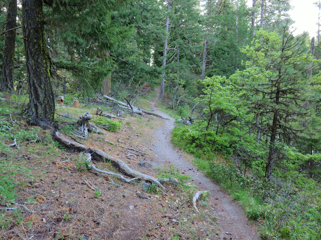
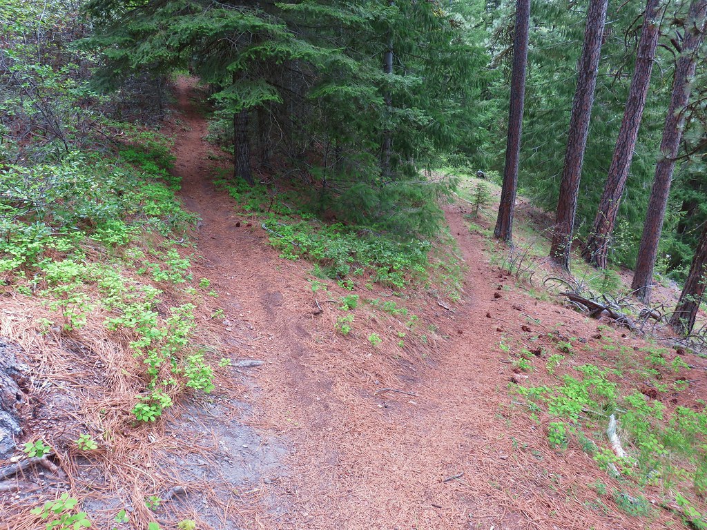
For the next half mile the trail climbed more gradually spending some time on the ridge top amid a carpet of green before dropping off and arriving at a small seasonal stream where some Scouler’s corydalis was blooming.


Another half mile of climbing brought us to the end of the Boulder Ridge Trail at a signed junction with the Plaza Trail.

The only choice to continue here was to turn right onto the Plaza Trail as there is no longer any discernible continuation of it to the left of the junction.
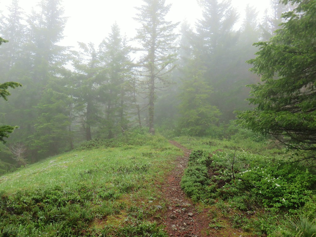
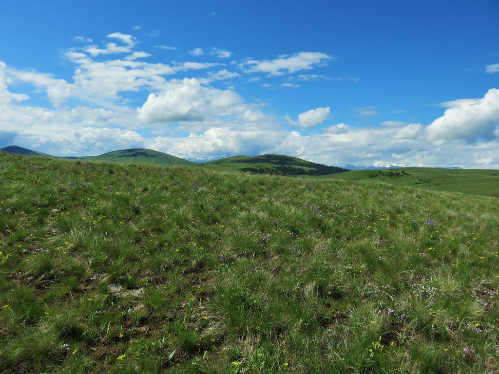
It was almost 11:45 now and we had been hoping that the skies would be starting to clear but looking up revealed no sign of it happening anytime soon. We still had approximately a mile and a half to our goal though so we sallied forth. After a brief respite from climbing the trail headed uphill into more fog.

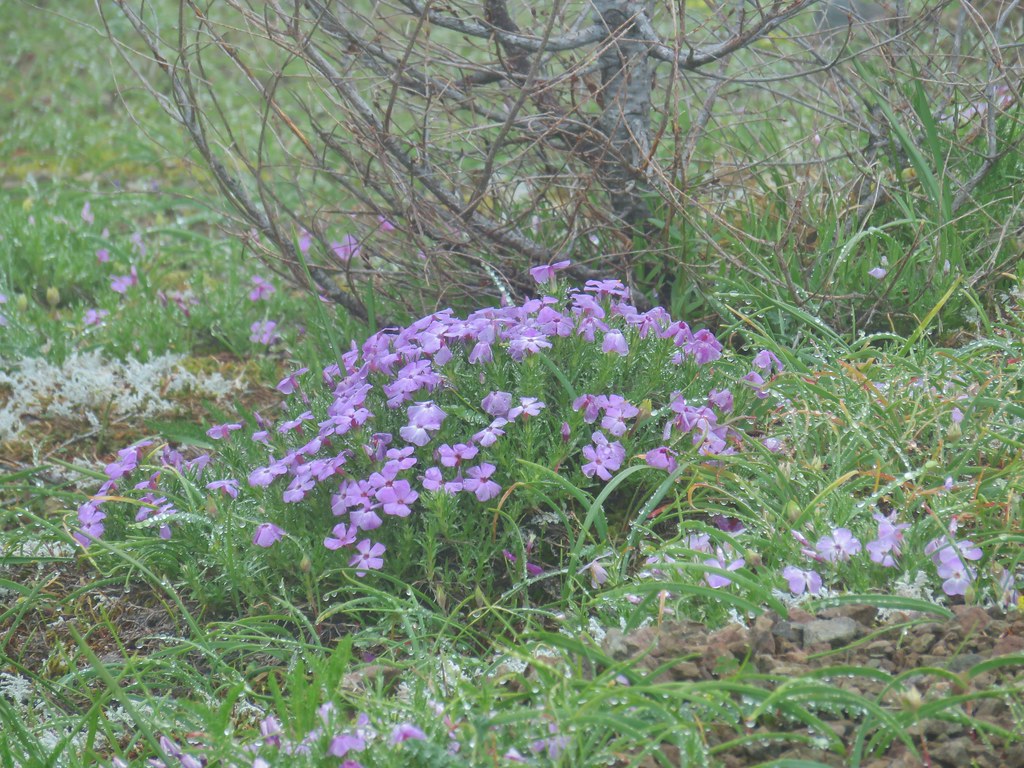
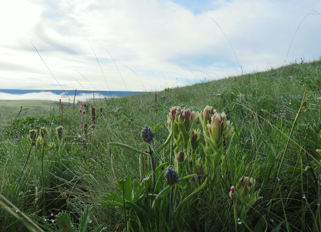
As the trail passed the 4000′ elevation it passed through a small grassy meadow where a few phlox were blooming.
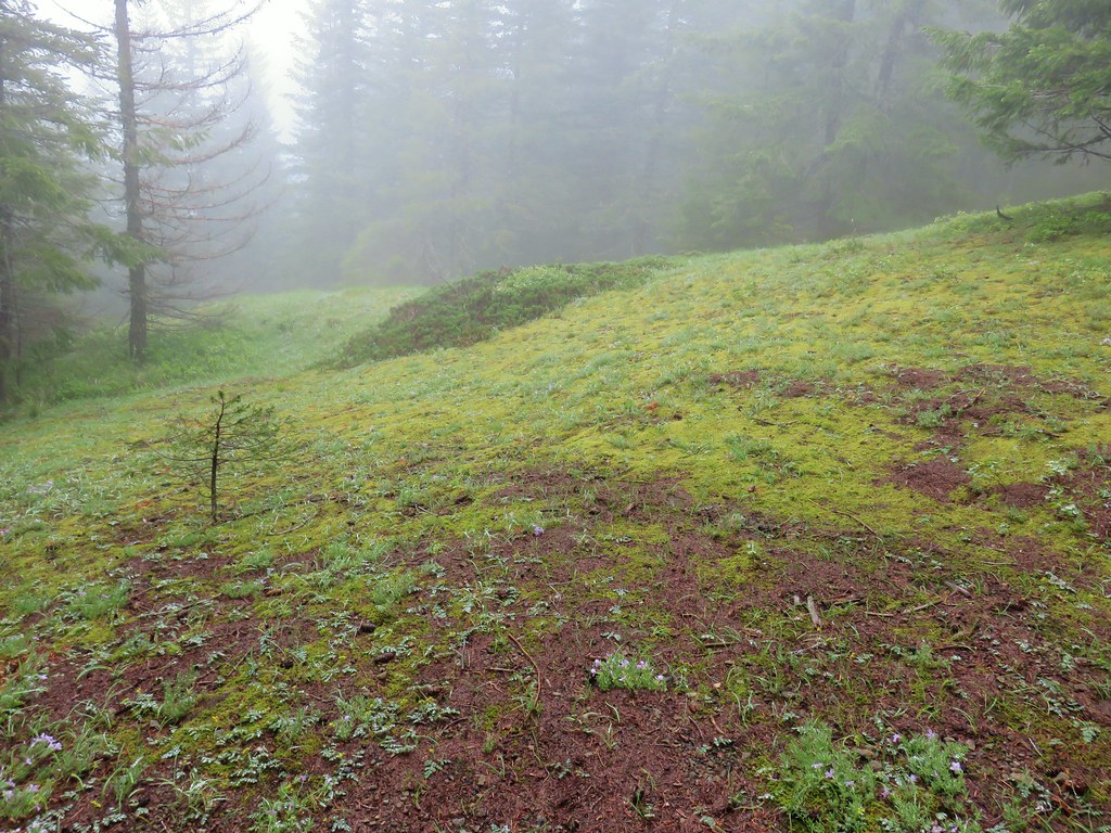

As the trail gained the final 280′ of elevation there were more open areas where indian plum was blooming while the beargrass was just starting.

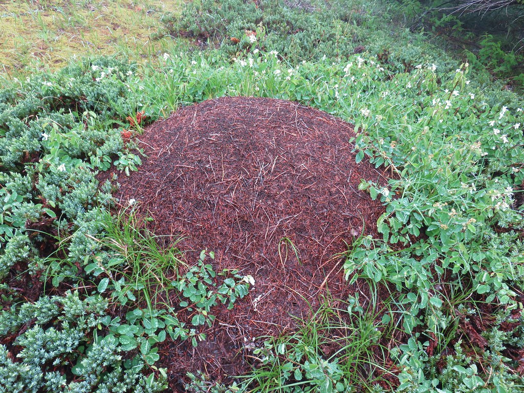
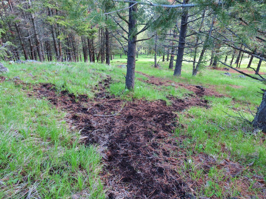
We passed by a large ant pile.

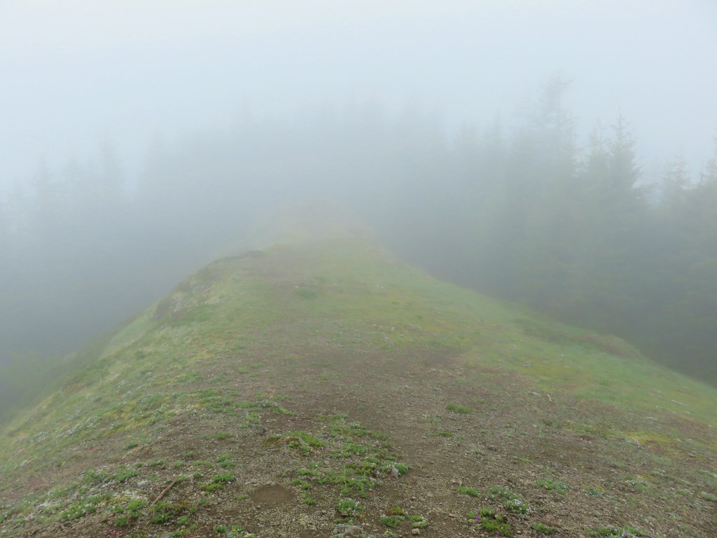
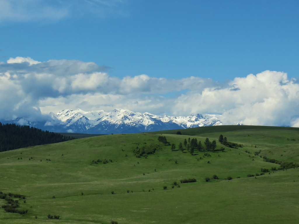
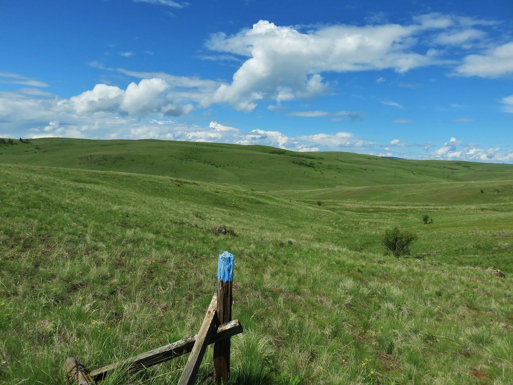
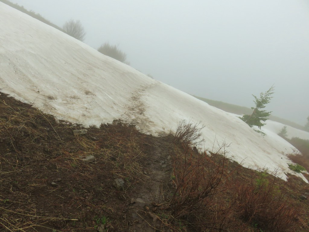
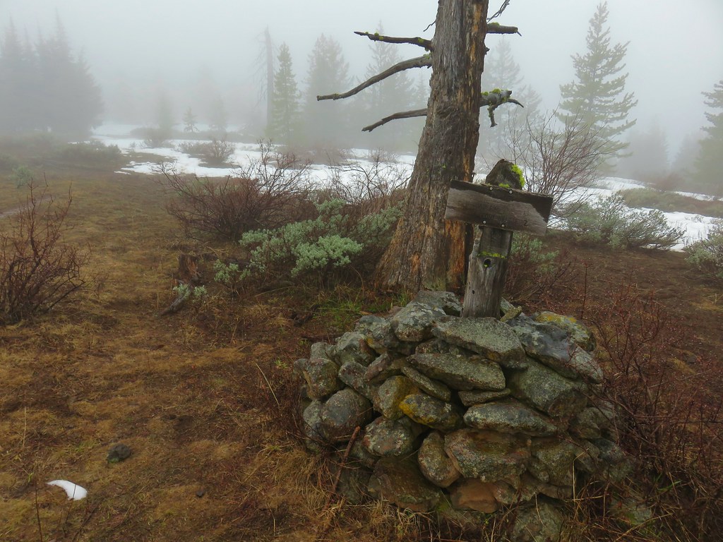
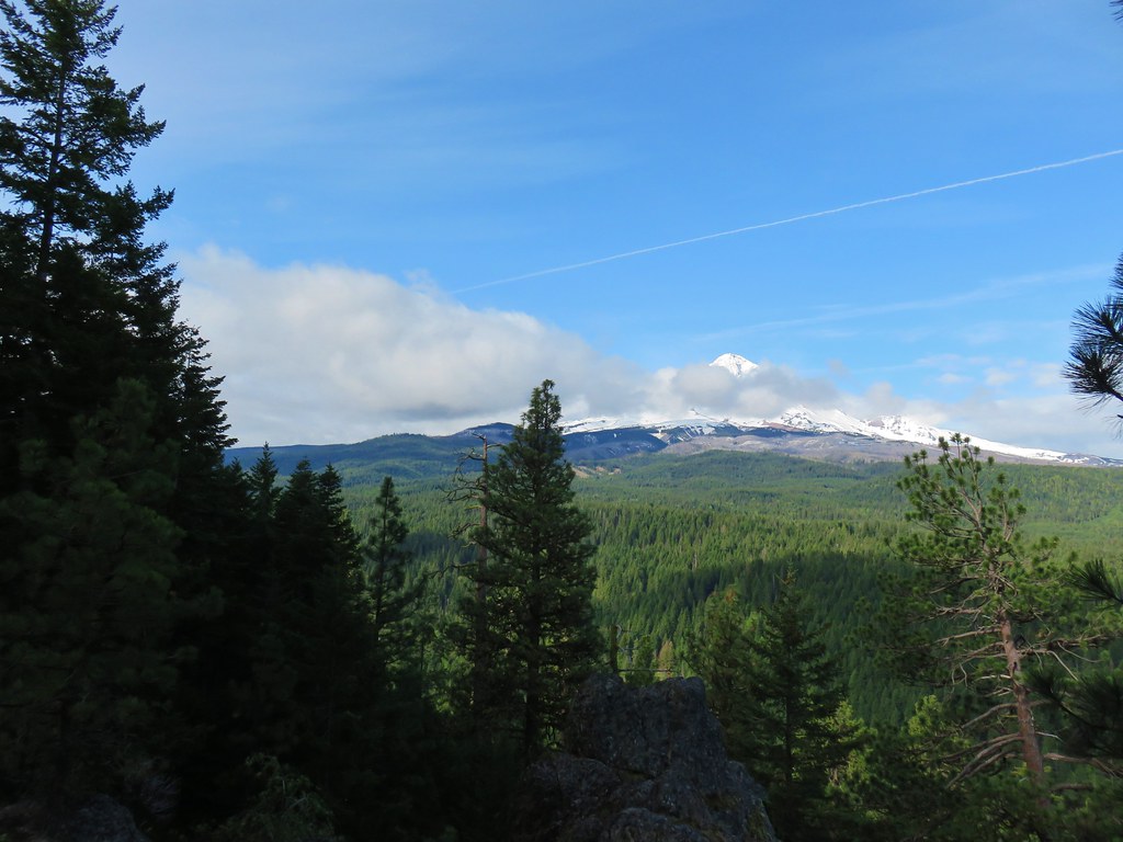
When we reached the viewpoint the clouds had not only not lifted but they were actually worse than they had been in 2015.
 2019
2019
 2015
2015
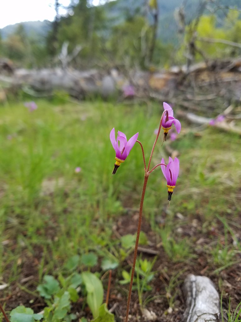
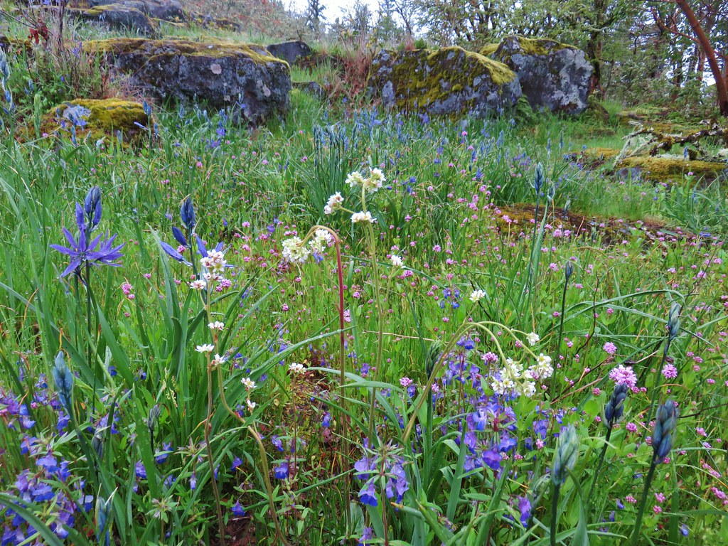
Slightly disappointed we made our way to a rock outcrop and again looked to the nearby flowers instead of Mt. Hood.
 Phlox
Phlox
 Paintbrush
 Penstemon
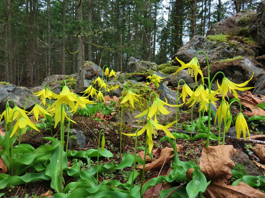
 Avalanch lily
 Wild onion
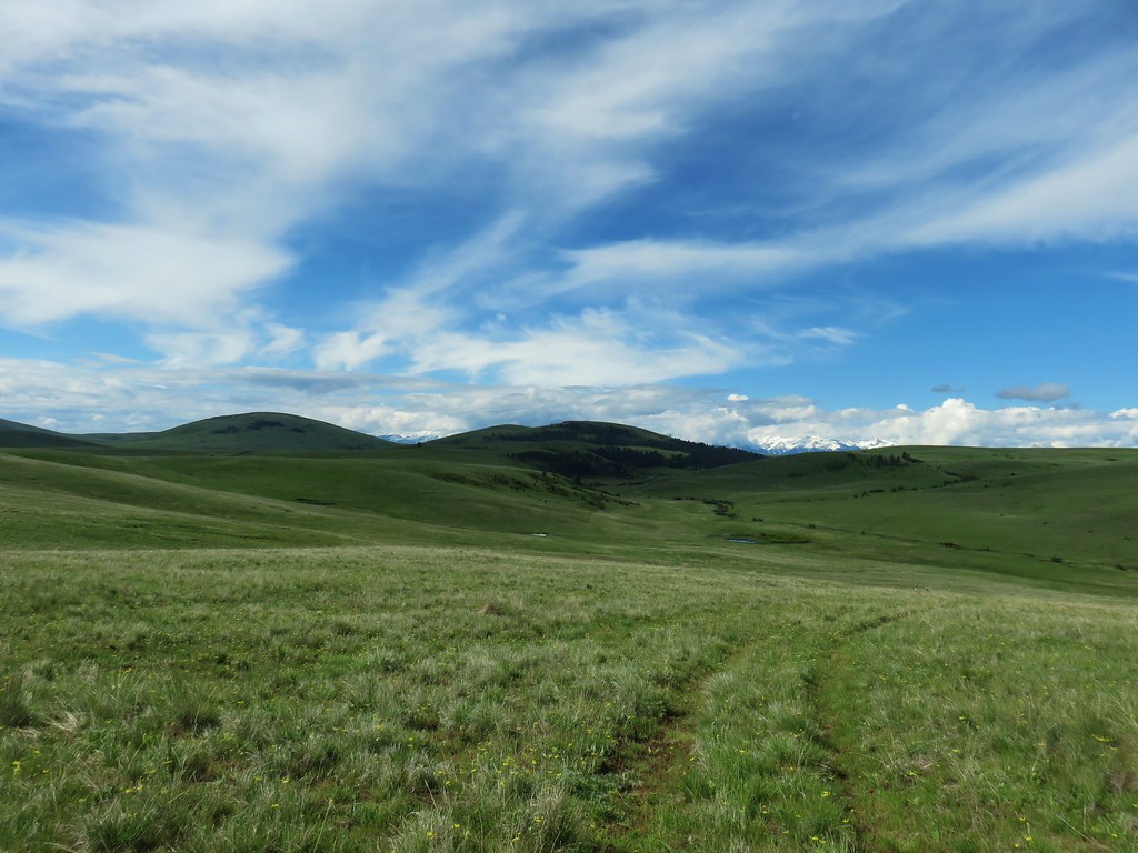
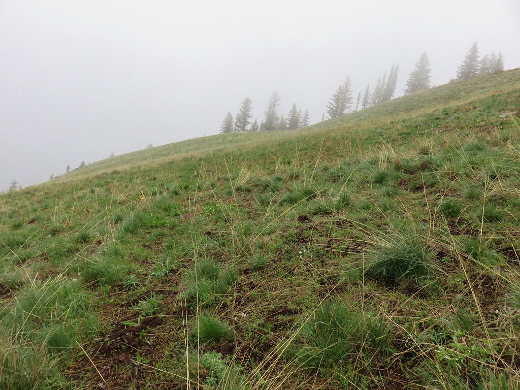
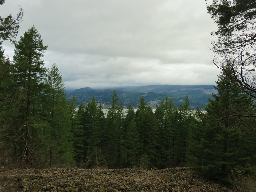
We stayed for a bit looking for any hint of the clouds breaking but they sky remained a canvas of white so we started back down shortly before 1pm. The view had changed quite a bit at the eastern facing viewpoint when we arrived 45 minutes later. It was still overcast but the clouds had lifted noticeably.

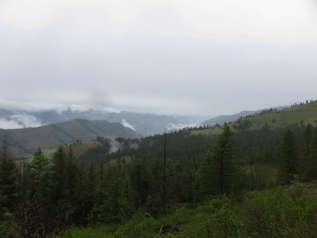
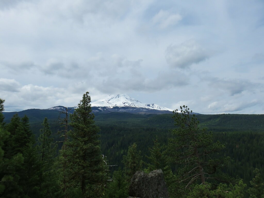
By the time we reached the lower viewpoint that we had not stopped at earlier there was a significant amount of blue sky overhead.

The only problem was a mass of clouds directly over (or in front of) Mt. Hood.

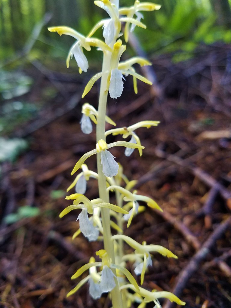
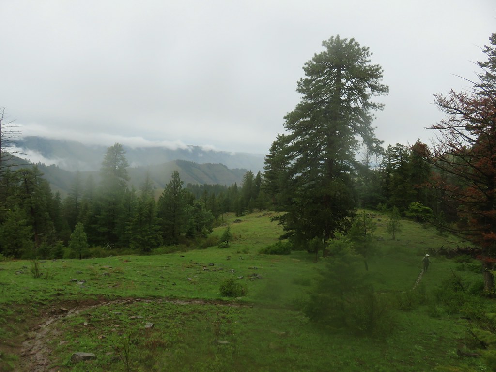
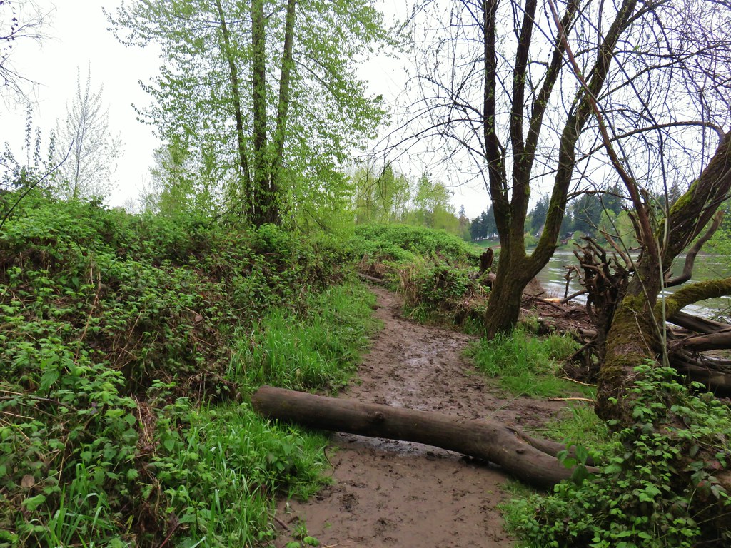
You win some you lose some. We made our way back down to the Salmon River stopping to admire some yellow coral root along the way.


Despite missing out on the view again the 12.9 mile hike was a good one albeit challenging with over 3000′ of elevation gain. The interpretive trails were a lot of fun and the Mt. Hood National Forest in the Salmon-Huckleberry Wilderness was as scenic as ever. Happy Trails!
Flickr: Boulder Ridge


 Paintbrush above Sardine Creek
 Iris
Iris Rhododendron
 Candy flower


 Beargrass
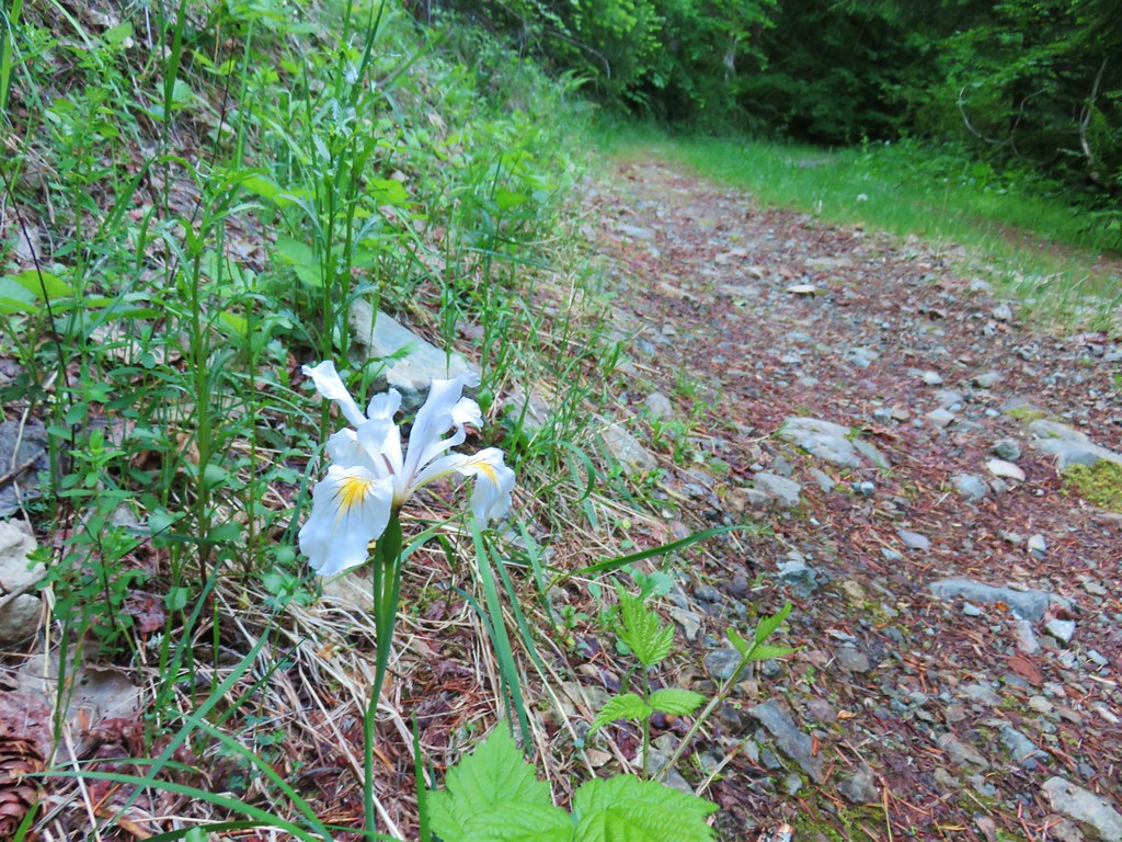 Iris
Iris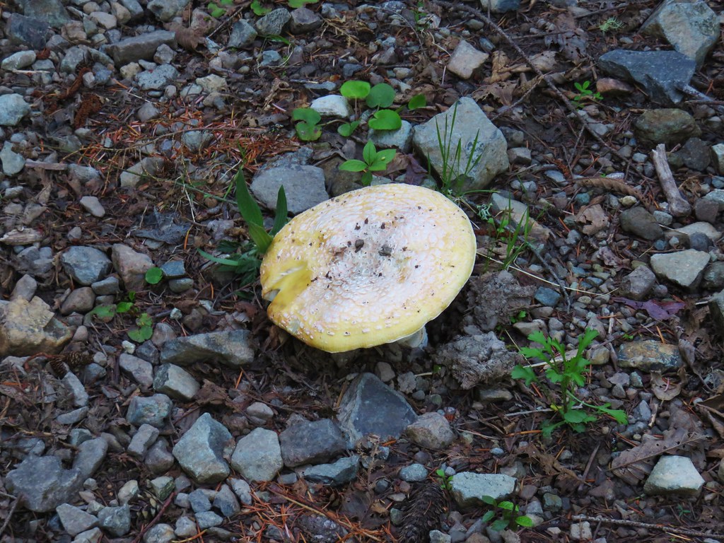 Mushroom in the middle of the road
 Valerian
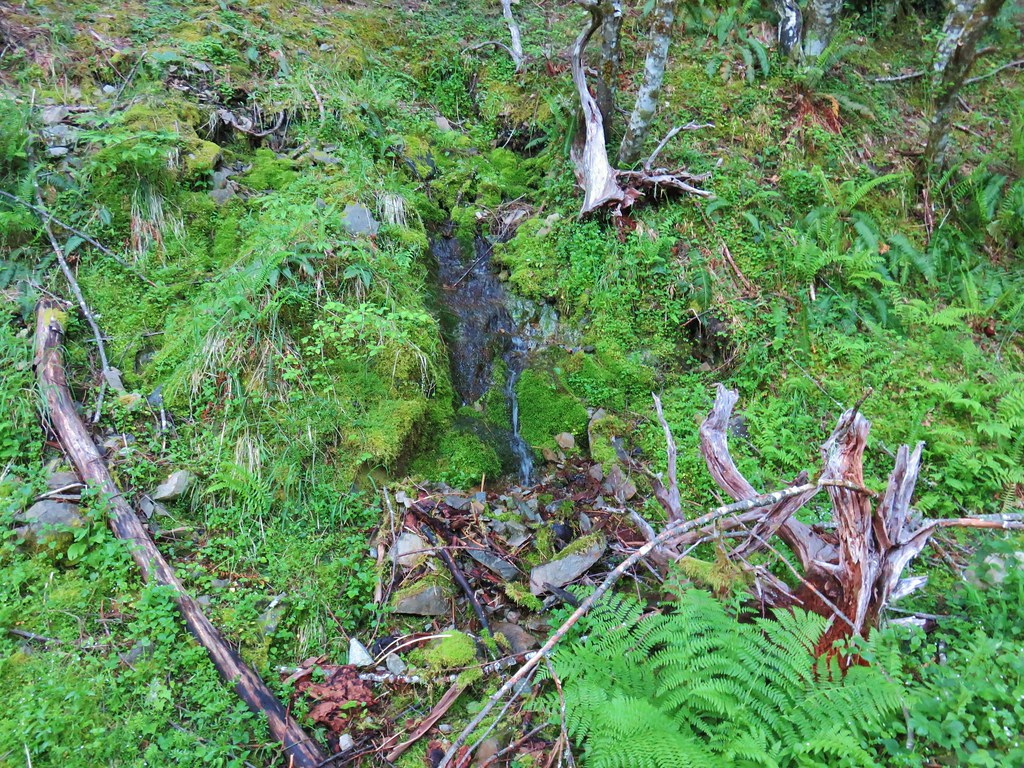 A hillside spring


 Red flowering currant


 Mt. Hood with North Dicky Peak in front.


 Three Fingered Jack
 Mt. Washington and the Three Sisters
 Tumble Lake
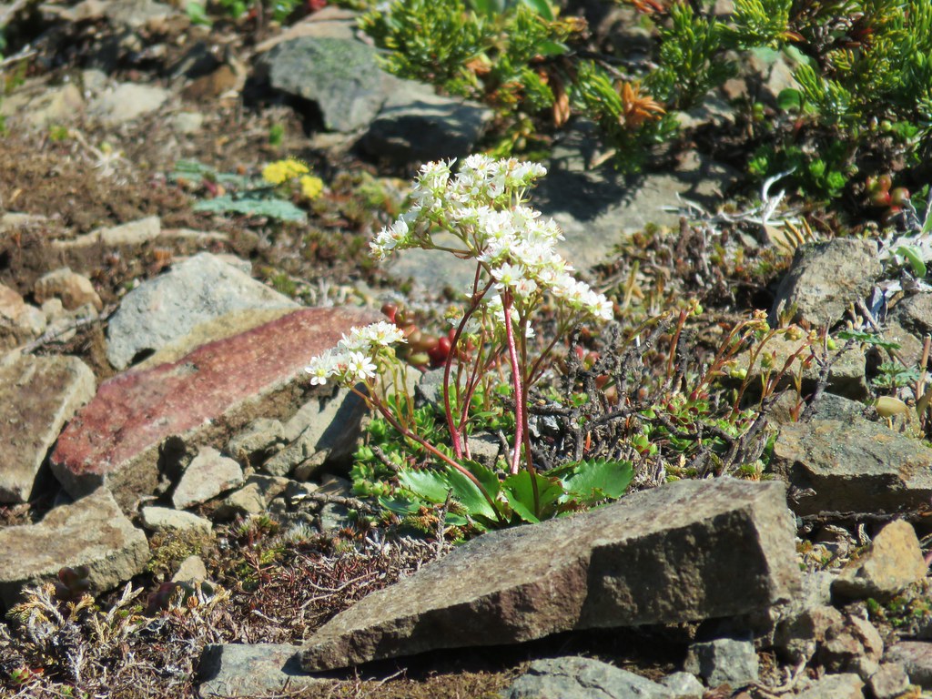 A saxifrage
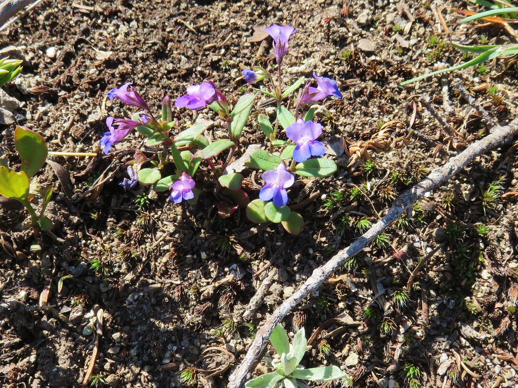 Blue-eyed mary
 Cats ears
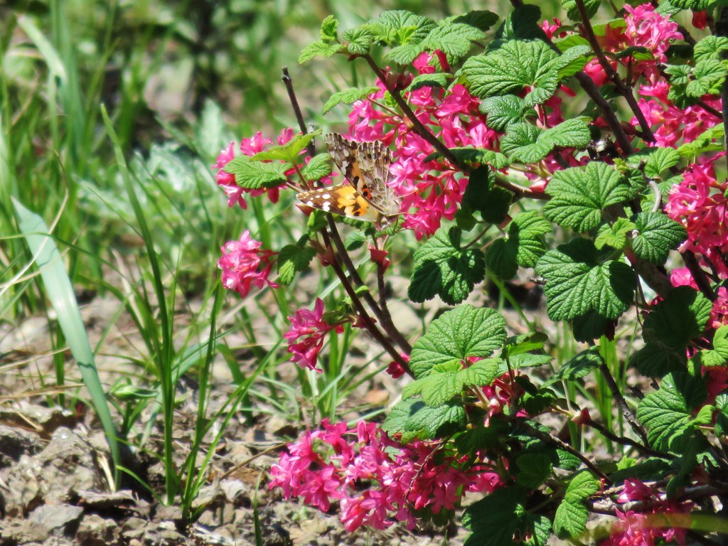 Butterfly on red flowering currant
 Rabbit
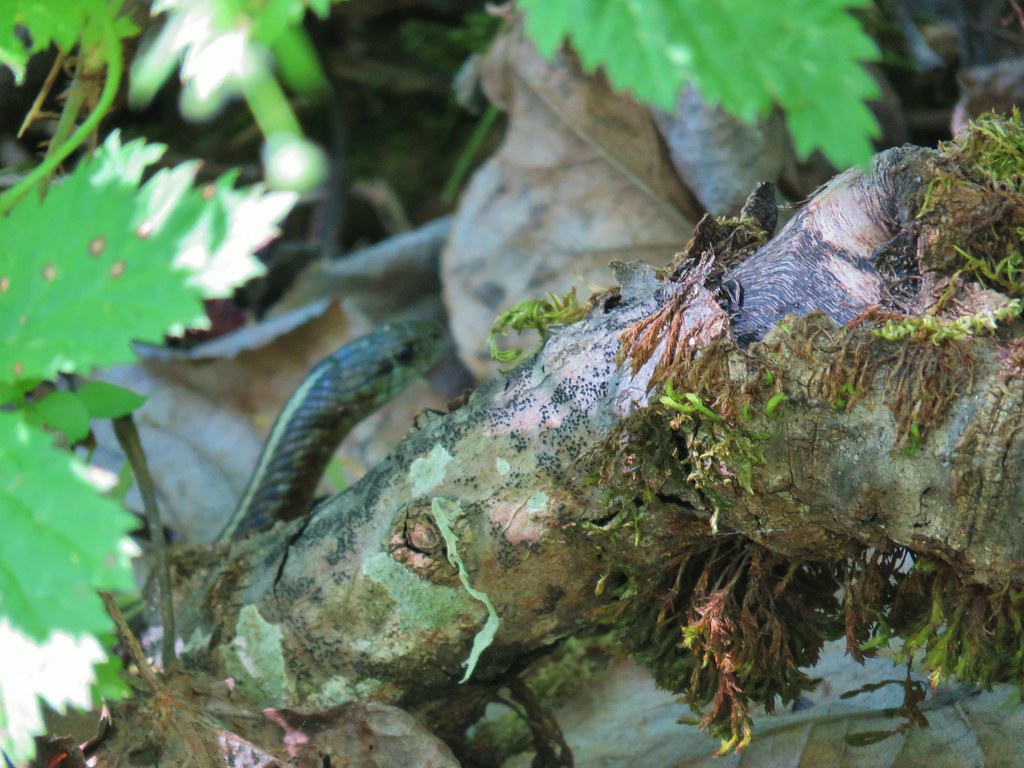
 Snake
Snake
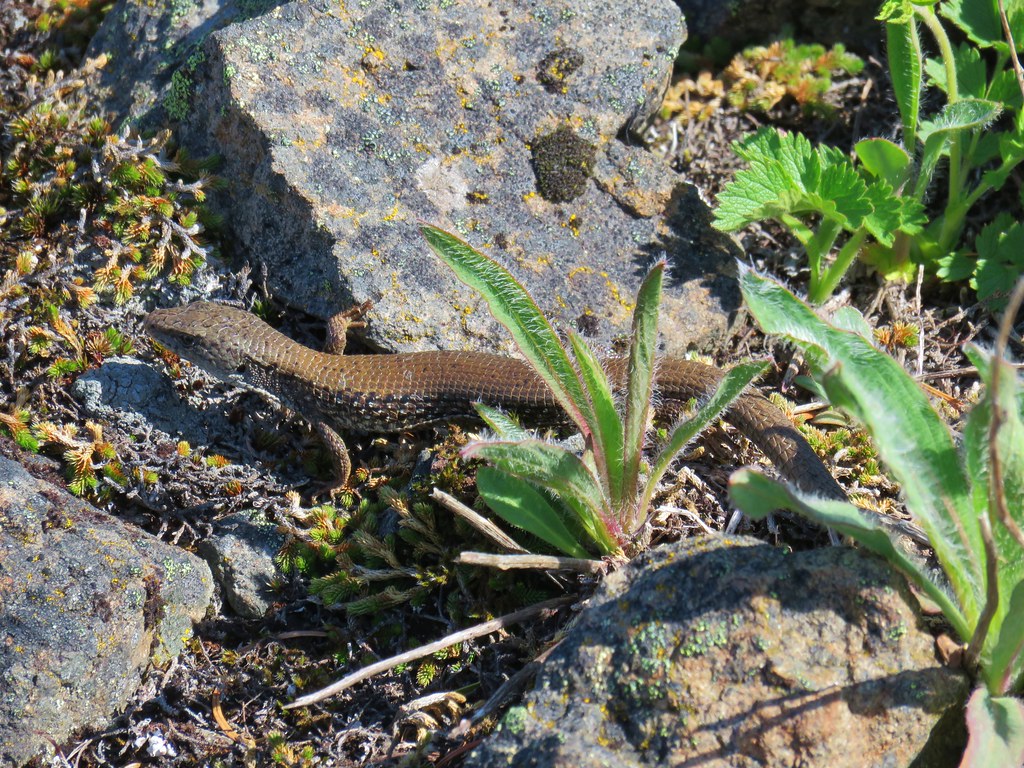
 Another northern alligator lizard
 These two long legged spiders got into a brawl when they met crossing the road.
 Candy flower
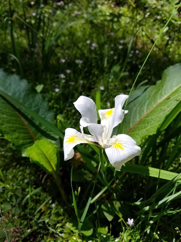 Iris
Iris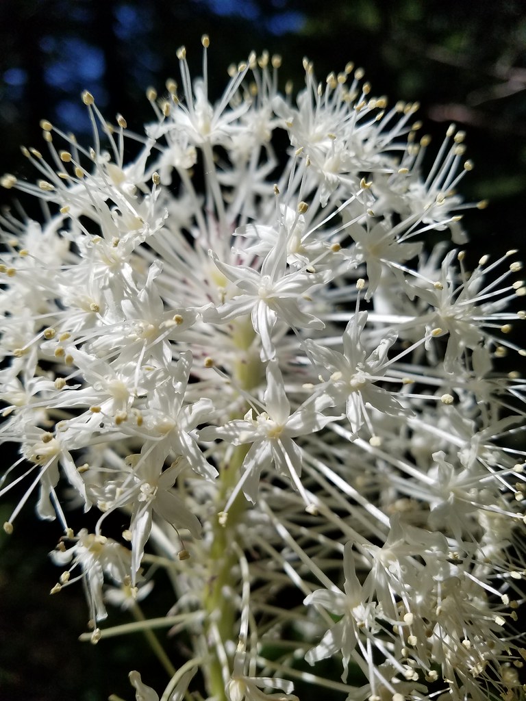 Beargrass
 Fringecup
 Monkeyflower
 Thimbleberry
 Stonecrop
 Youth-on-age with an interesting insect


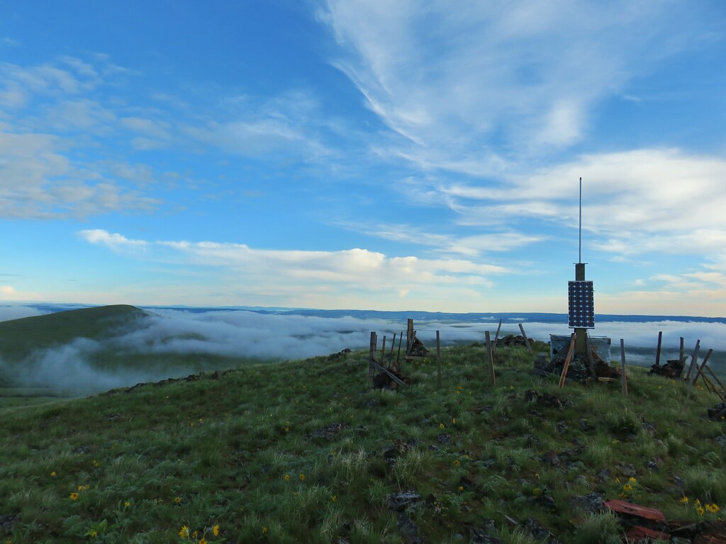
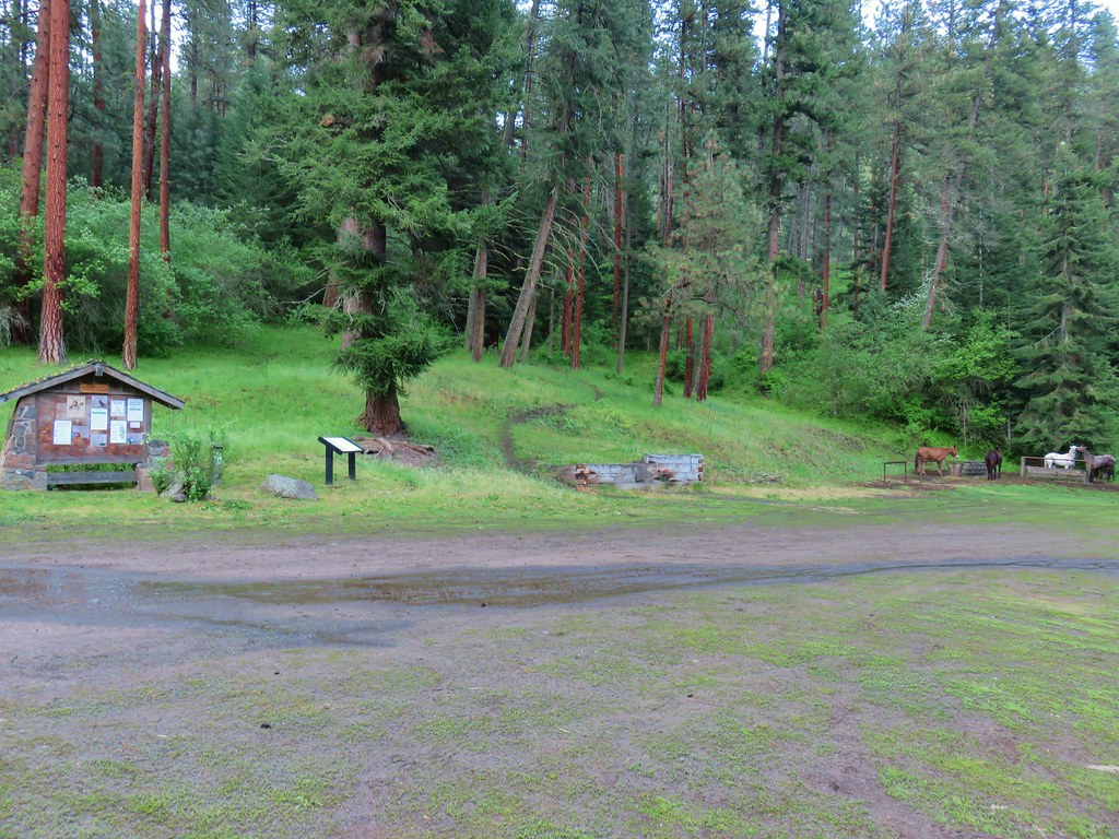
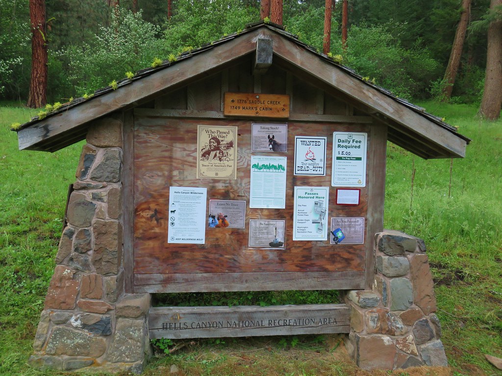
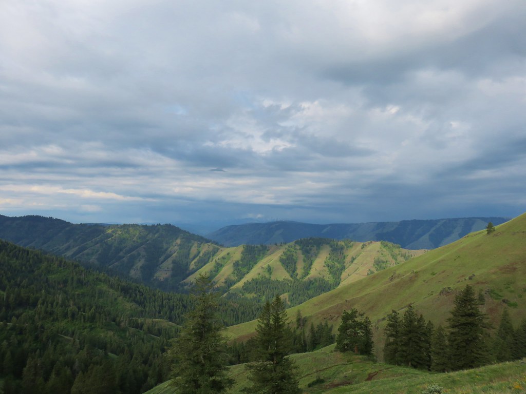
 Looking toward the Seven Devils in Idaho
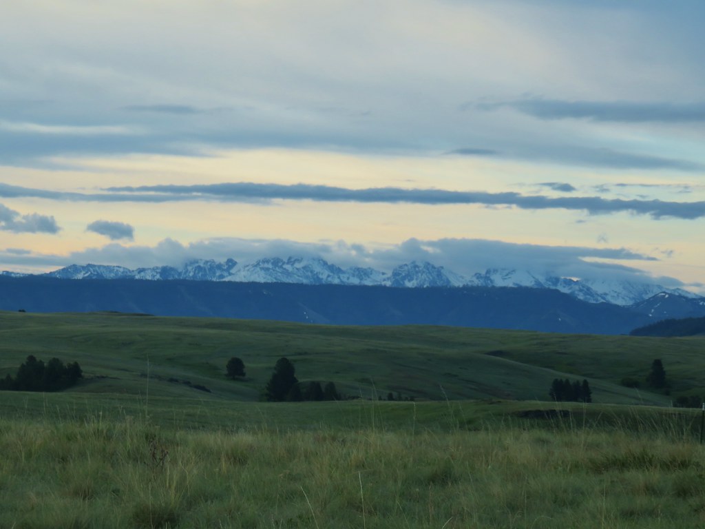

 Findley Buttes (You can see some of the standing water on Duckett Road on the right hand side.)
 Old man’s whiskers
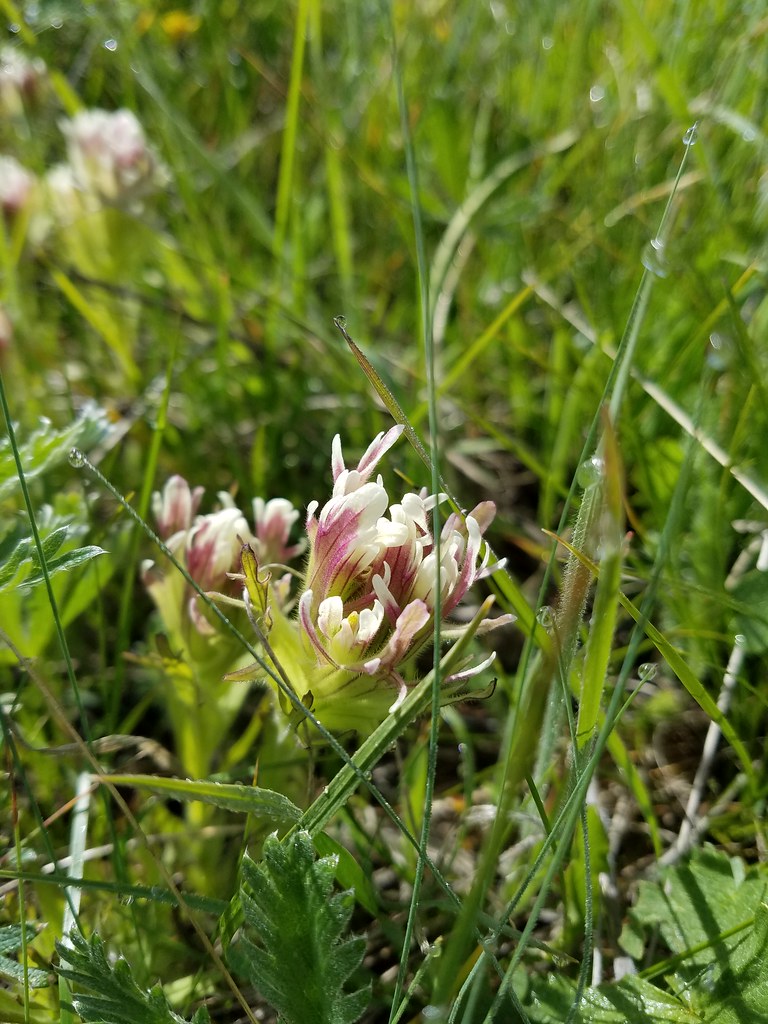
 Phlox with larkspur in the background
 Cusick’s paintbrush
 White-stem frasera
 Paintbrush
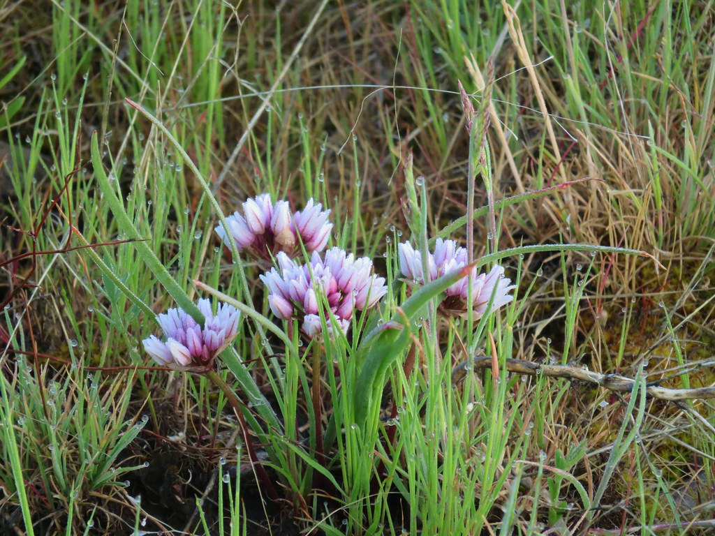 A wild onion
 Larkspur
 Milk vetch
 Chickweed
 Woodland stars
 An assortment of flowers
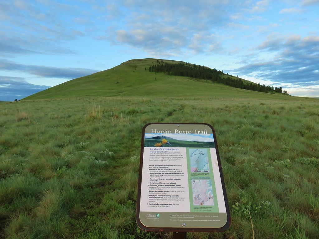
 One of the carins and the trail going up Harsin Butte in the background.

 Monument plant
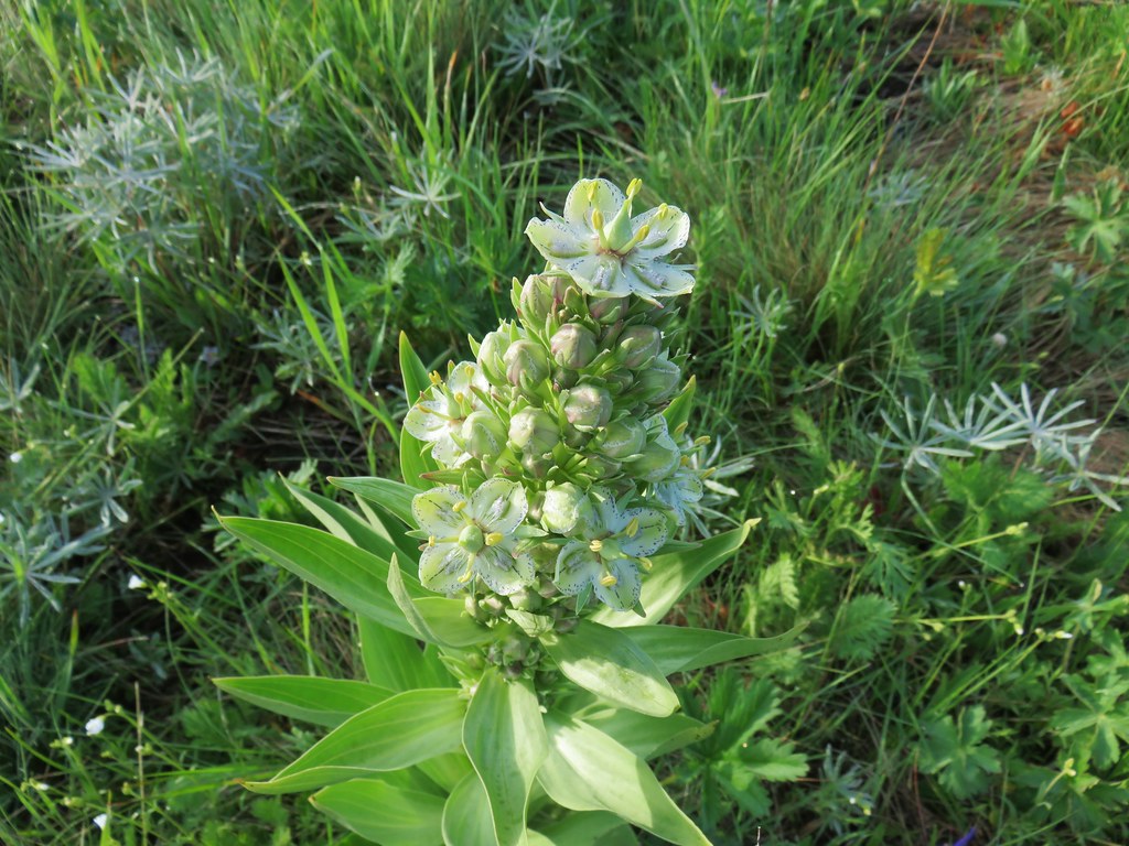 Top of the monument plant
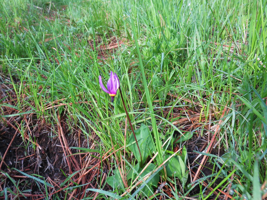 Shooting star
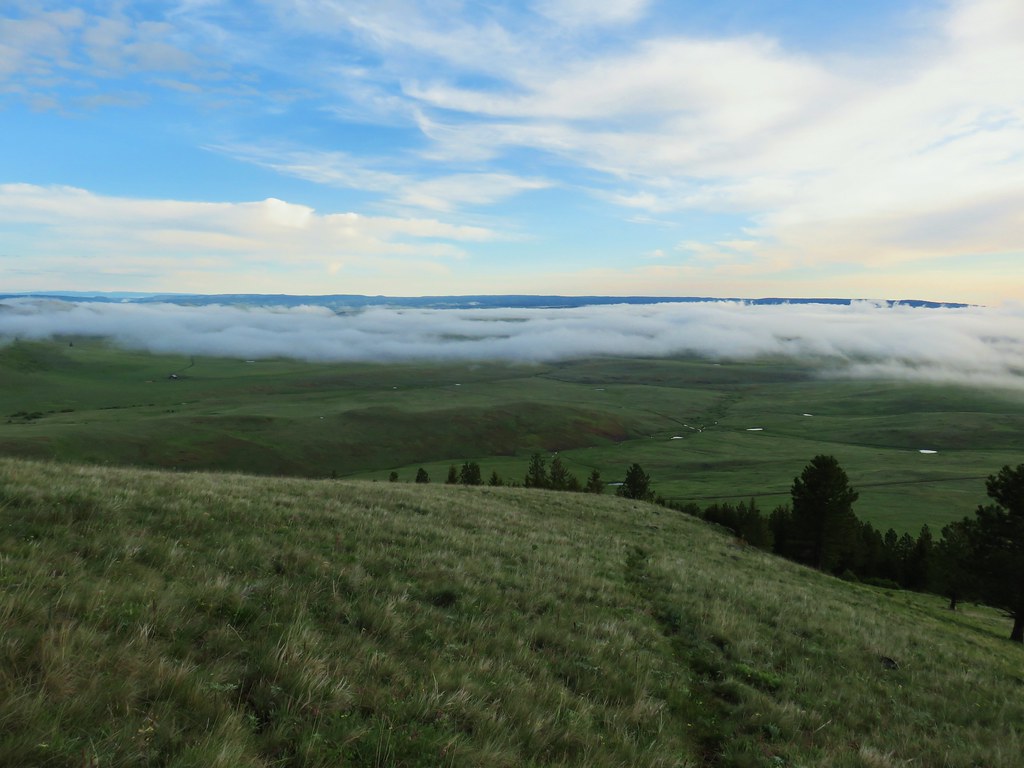 Here comes the clouds.
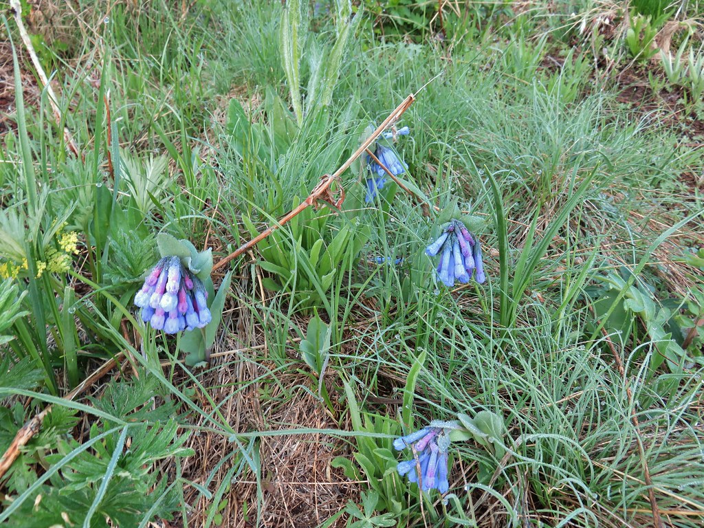 Bluebells
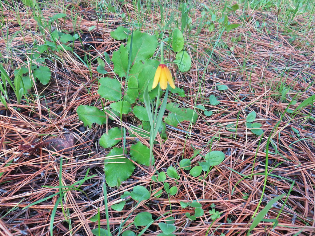 Yellow bell
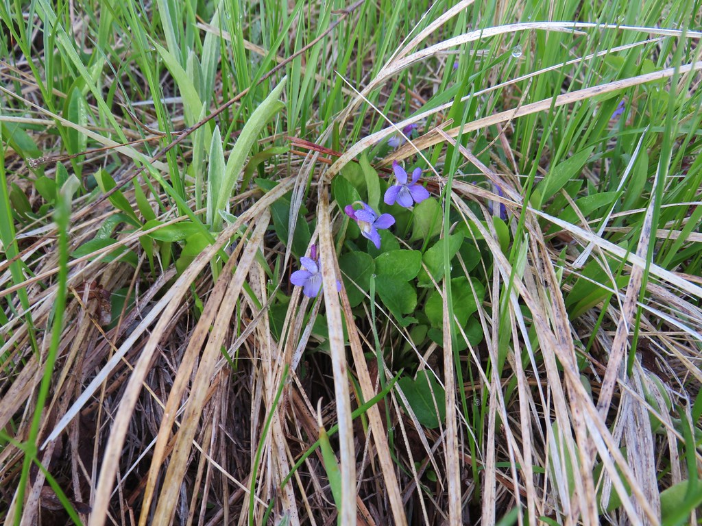 Violets
 Ball-head waterleaf


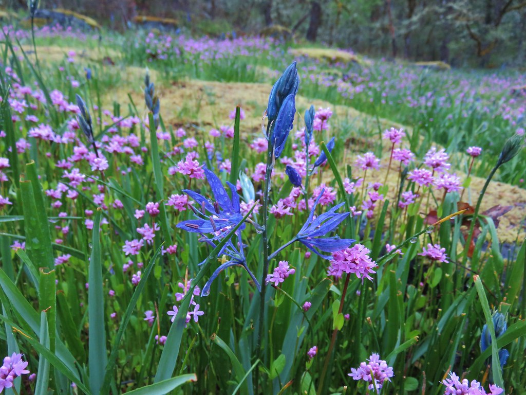
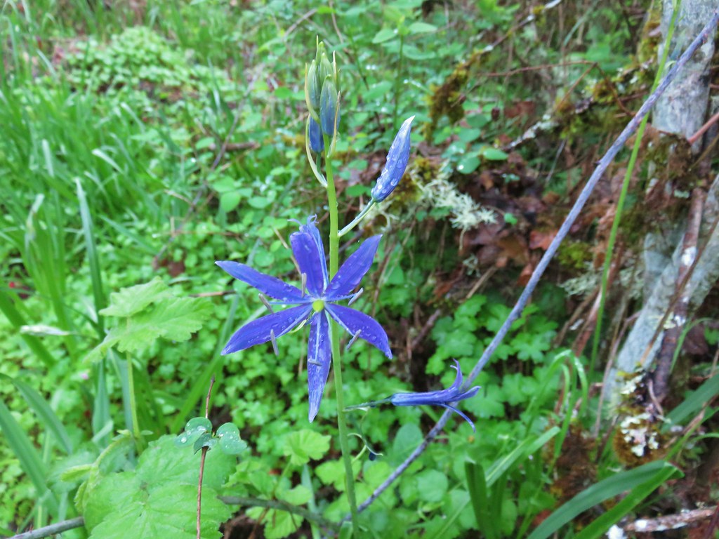
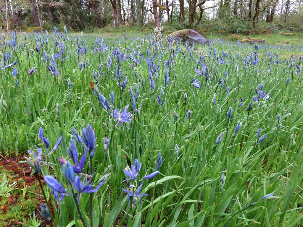
 Camas
Camas Old man’s whiskers and white-stem frasera
 Lots of phlox
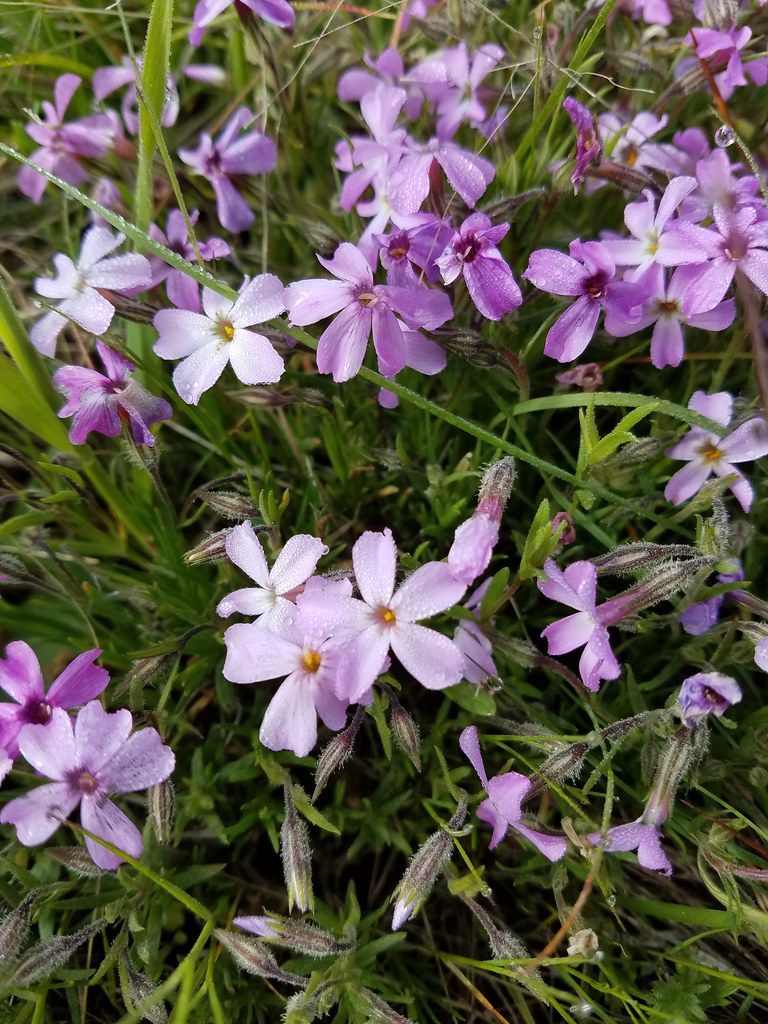 Phlox
Phlox Large head clover, larkspur, and wild onion
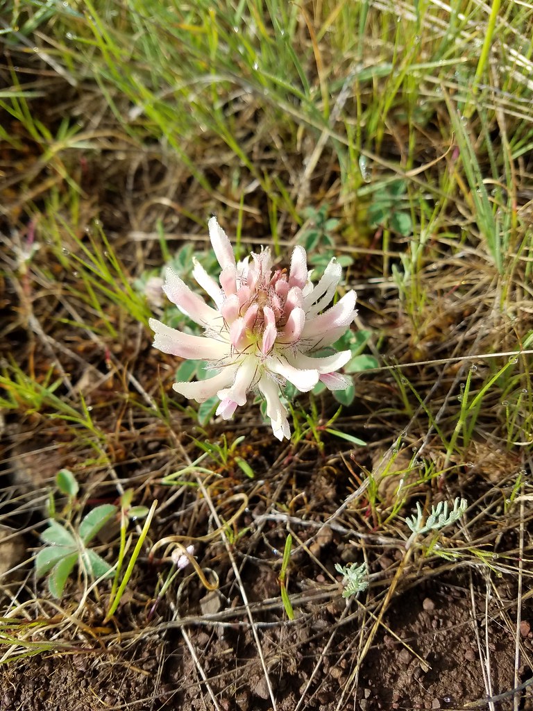 Large head clover
 Wild onion
 Duckett Barn starting to disappears as we descended.
 Possibly hoary balsamroot
 Hoary balsamroot?
 Phlox
Phlox Diffuseflower evening-primrose
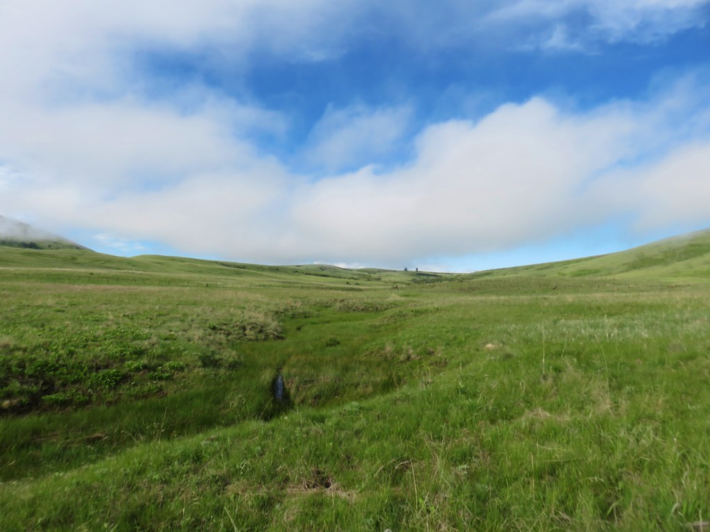 Camp Creek
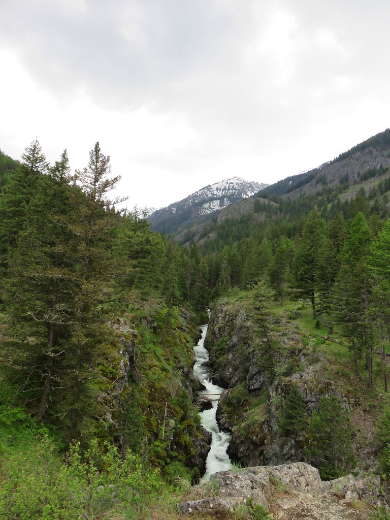

 Possibly a mustard
 White-stem frasera blooming
 Violets
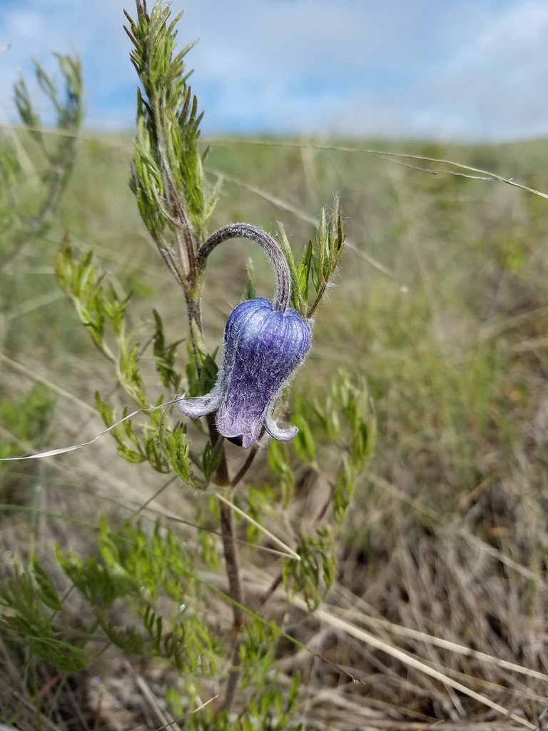 Hairy clematis
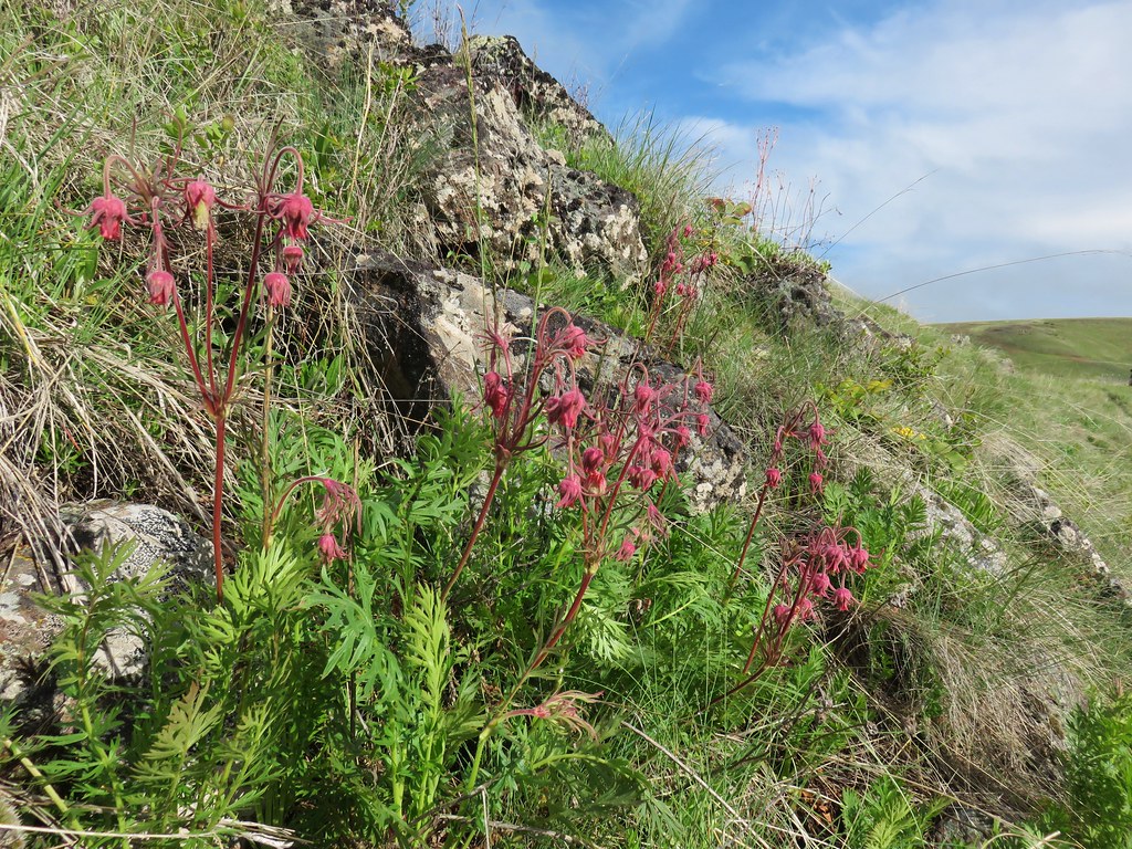 Old man’s whiskers

 Cusick’s paintbrush


 Paintbrush and biscuitroot
 A ragwort or groundsel (I think)
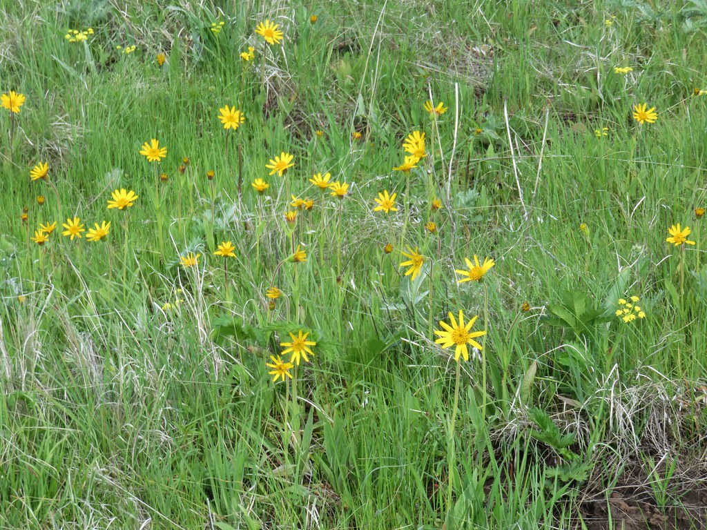 False sunflower?
 Old man’s whiskers and milk vetch
 Western stoneseed
 I had to dip into the digital zoom to get this photo so it’s a bit blurry.


 Dwarf yellow fleabane
 Blue dicks
 Looking back down the draw.
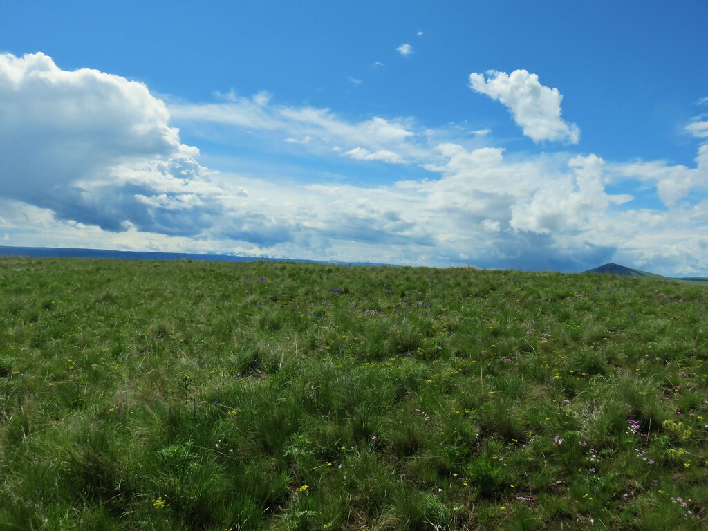


 Vetch
Vetch Spreading dogbane
 Wild rose with a beetle
 Yarrow
 Houndstongue
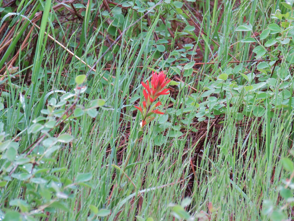 Paintbrush
 Catchfly
 sticky purple geranium


 Oregon sunshine
 Monkey flower
 Watercress?
 Fiddleneck
 Rough eyelashweed
 Blanket flower with two sleeping bees
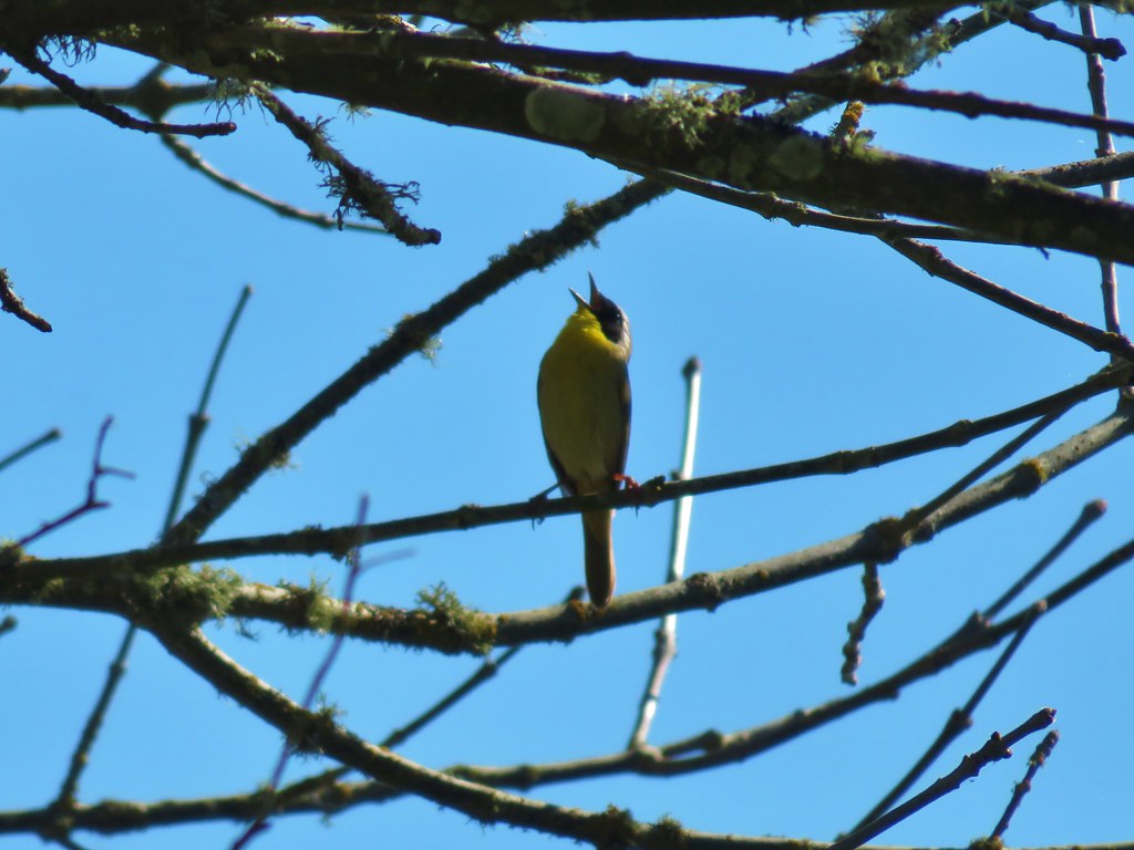
 Yellow breasted chat
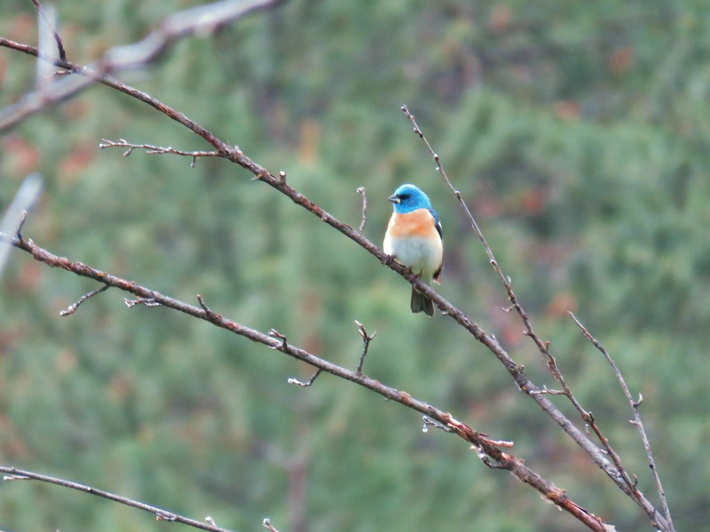 Lazuli bunting
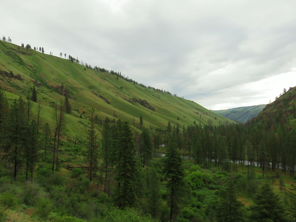


 Penstemon
 Clarkia
 Phlox
Phlox More spreading dogbane
 Buckwheat
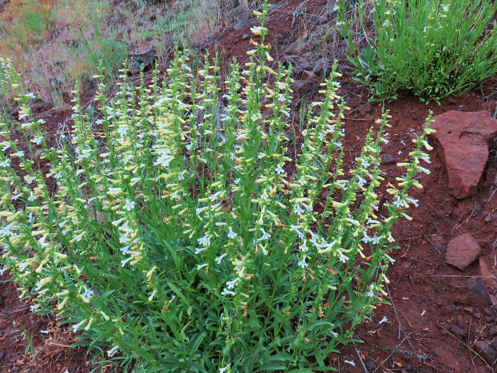 Scabland penstemon
 Cinquefoil?


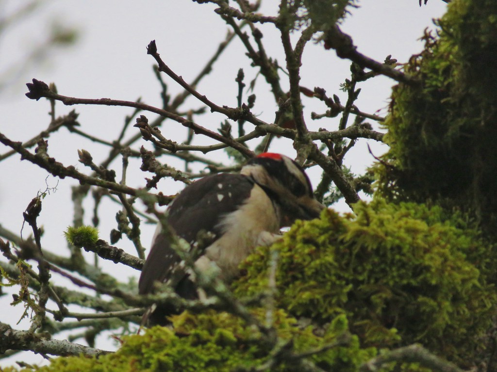
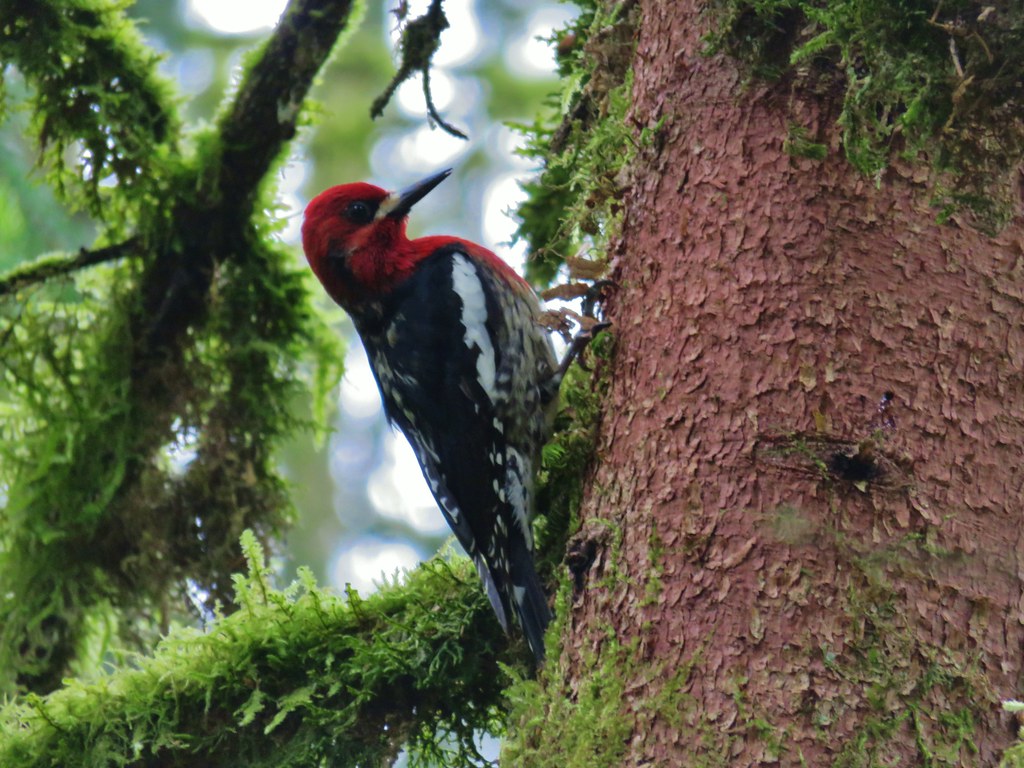
 Woodpecker with a snack.
 Northern flicker
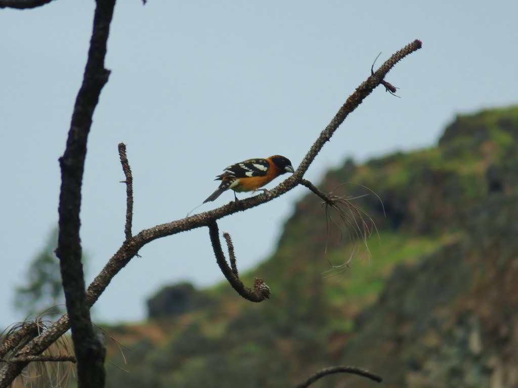 Black headed grosebeak
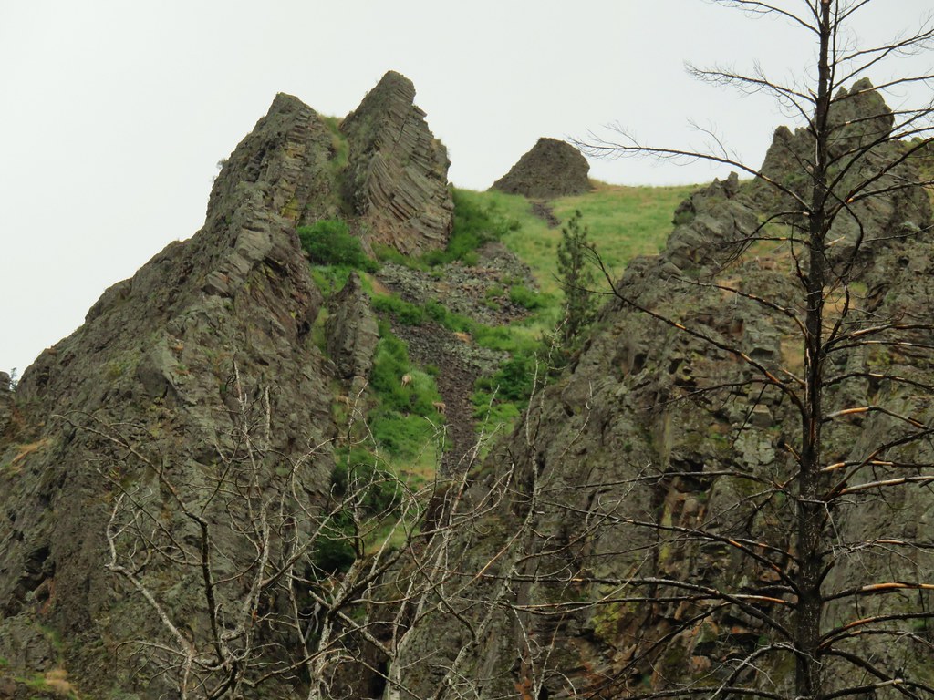
 Blue dicks with a beetle
 Lupine
 Salsify
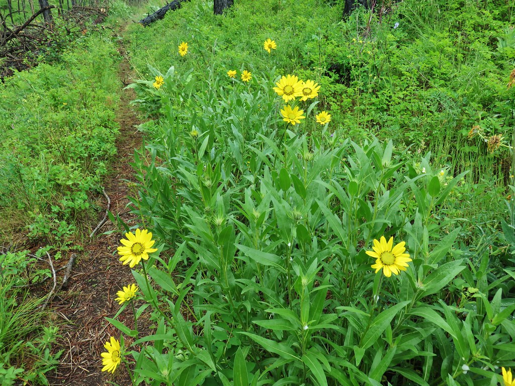 False sunflowers
 Balsamroot
 Clarkia with beetles
 View from the ridge end.
 Another bunting
 Wallflower
 Another chat


 Geranium

 Skullcap
 Stream globemallow
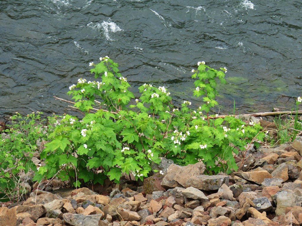 Thimbleberry
 Threadleaf phacelia


 Officially inside the wilderness
 Blue sky
 Wren
Wren Spider and blue dicks
 Old man’s whiskers
 Wild onion


 The bees woke up at some point.


 (The black dot in the center of the hill is one such cow.)
 Western stoneseed
 Prairie stars
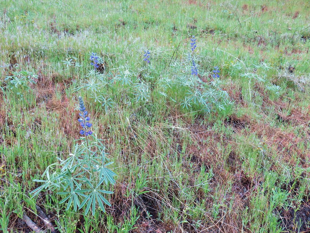 Lupine
 Heather emerging from the brushy section.


 Blue Dicks
 Balsamroot
 Balsamroot, paintbrush and biscuitroot


 Larkspur and monkeyflower
 Paintbrush
 Chickweed
 Possibly going to be a penstemon
 Unkown
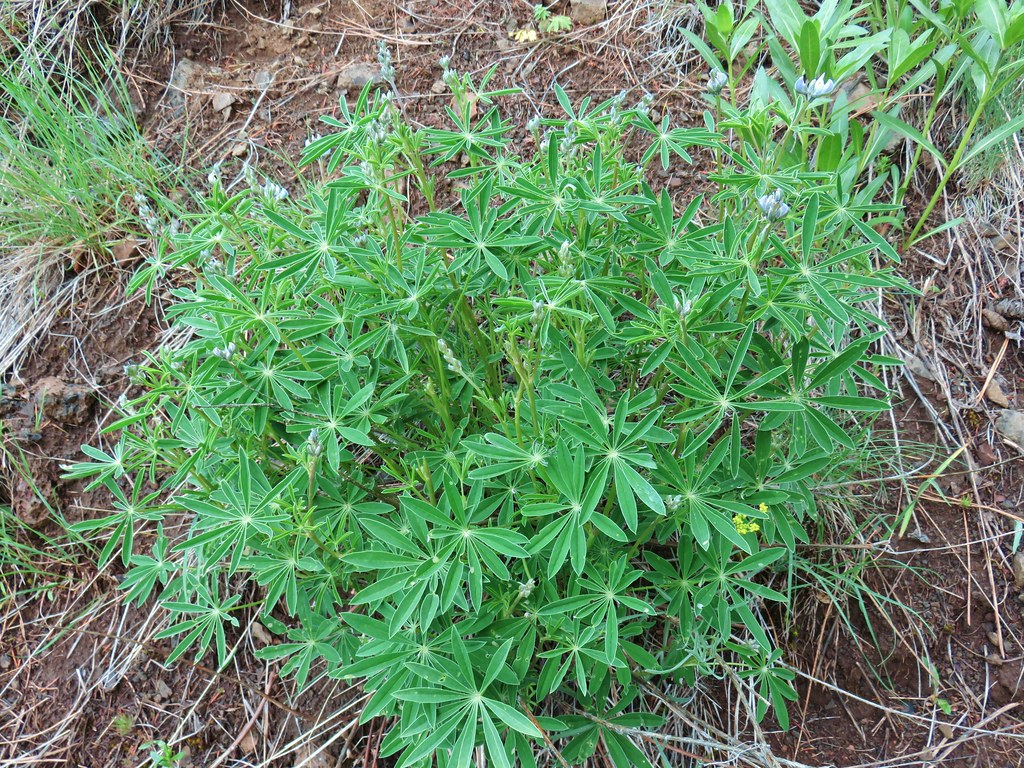 Lupine
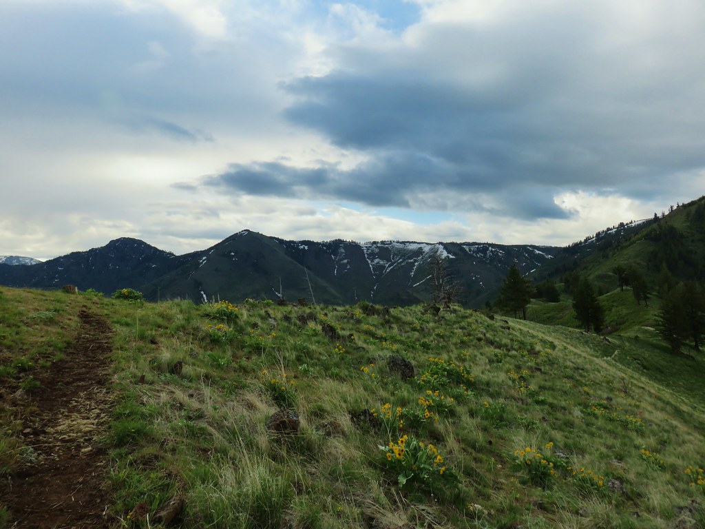

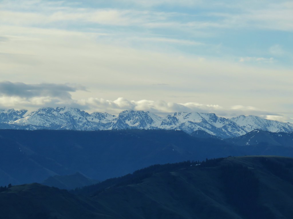
 West to the quickly vanishing Wallowa Mountains.
 North
North South
South East into Hells Canyon
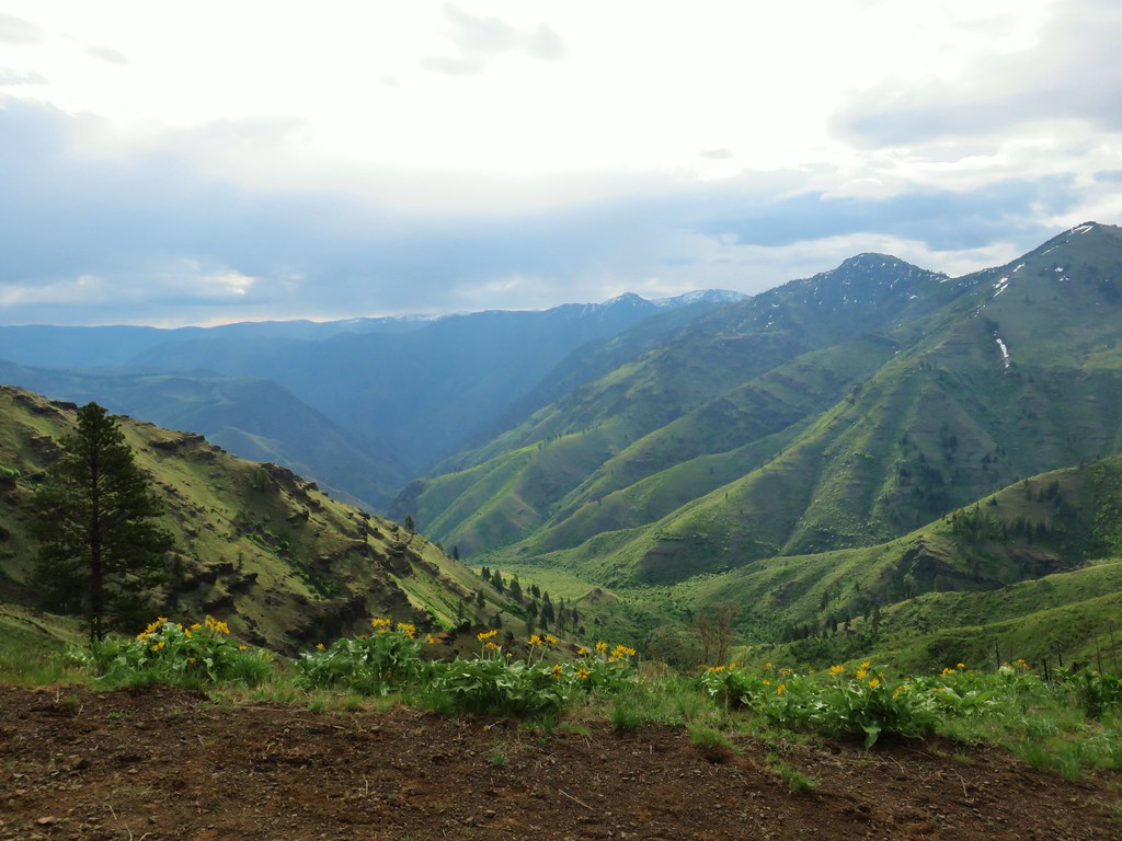
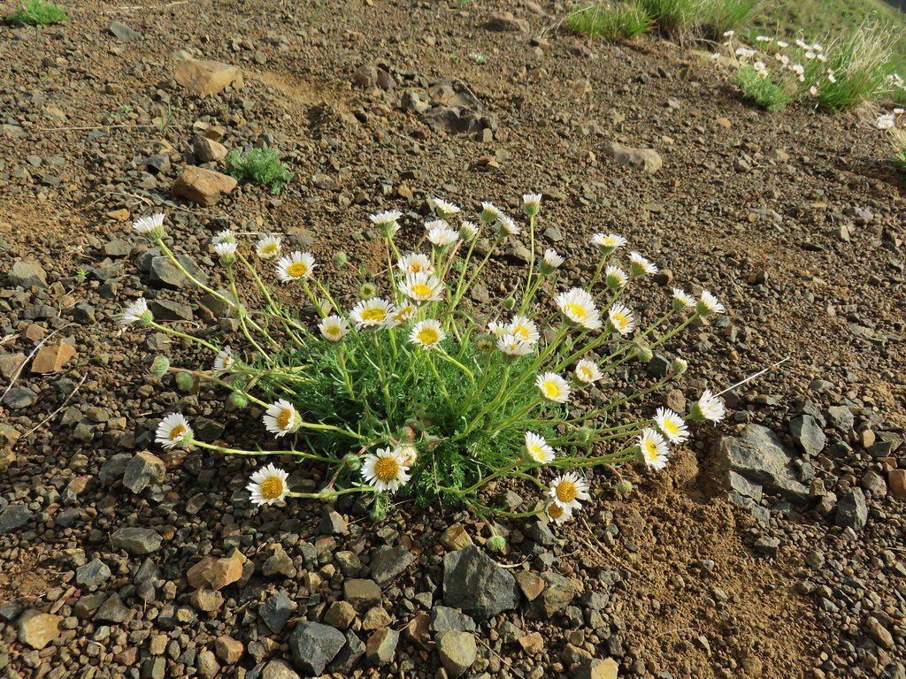 Cutleaf daisy
 Largehead clover


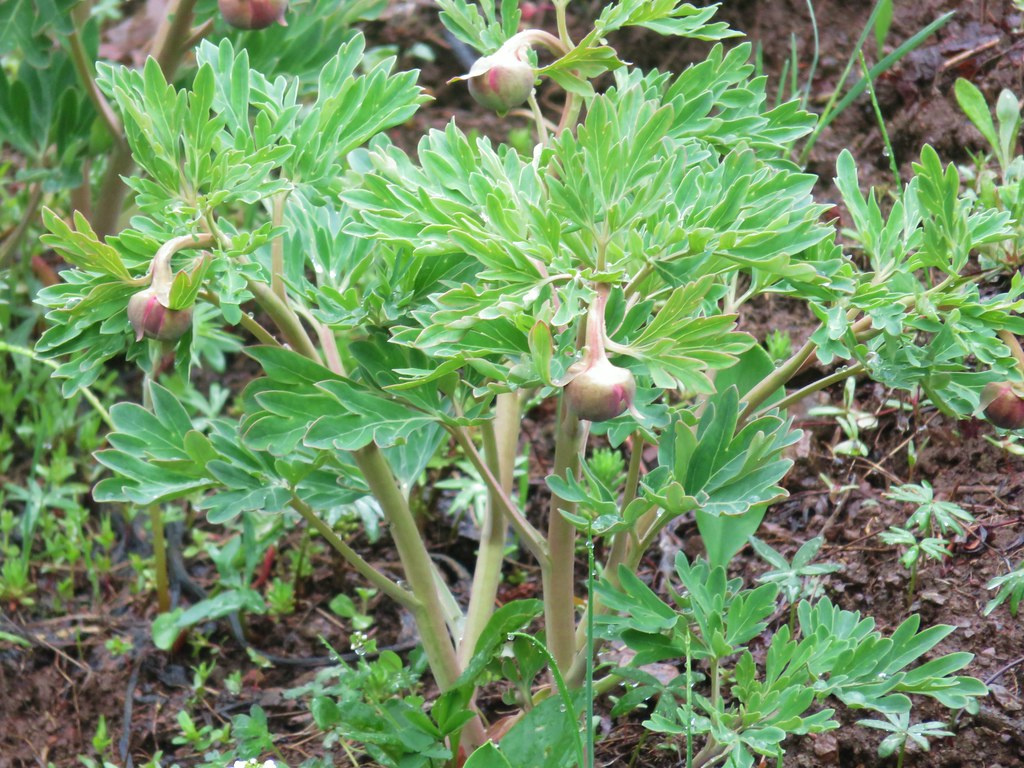 Brown’s peony getting ready to bloom.
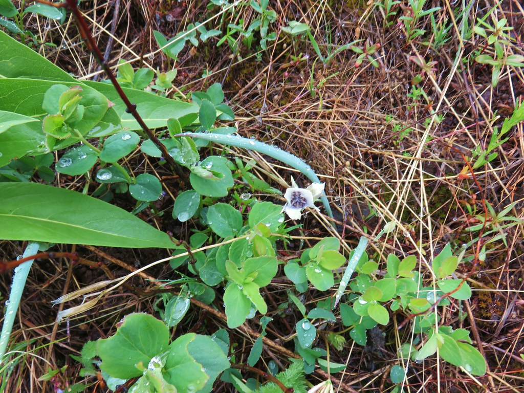 Mariposa lily starting to open.


 Small flower miterwort


 Yarrow


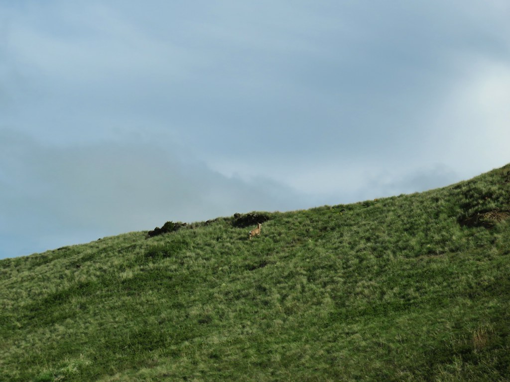
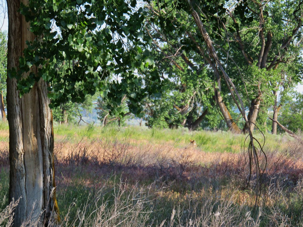 First coyote in the grass.
 Second coyote racing off through the grass.
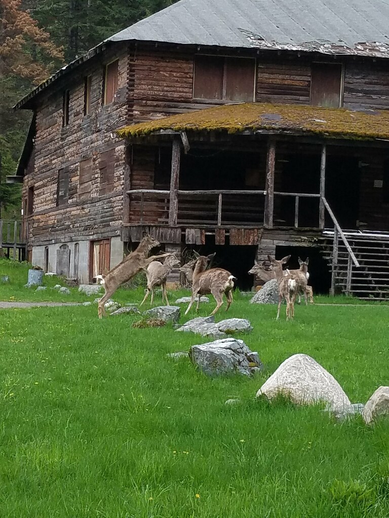
 One of the deer running off.
 Great blue heron flying off.
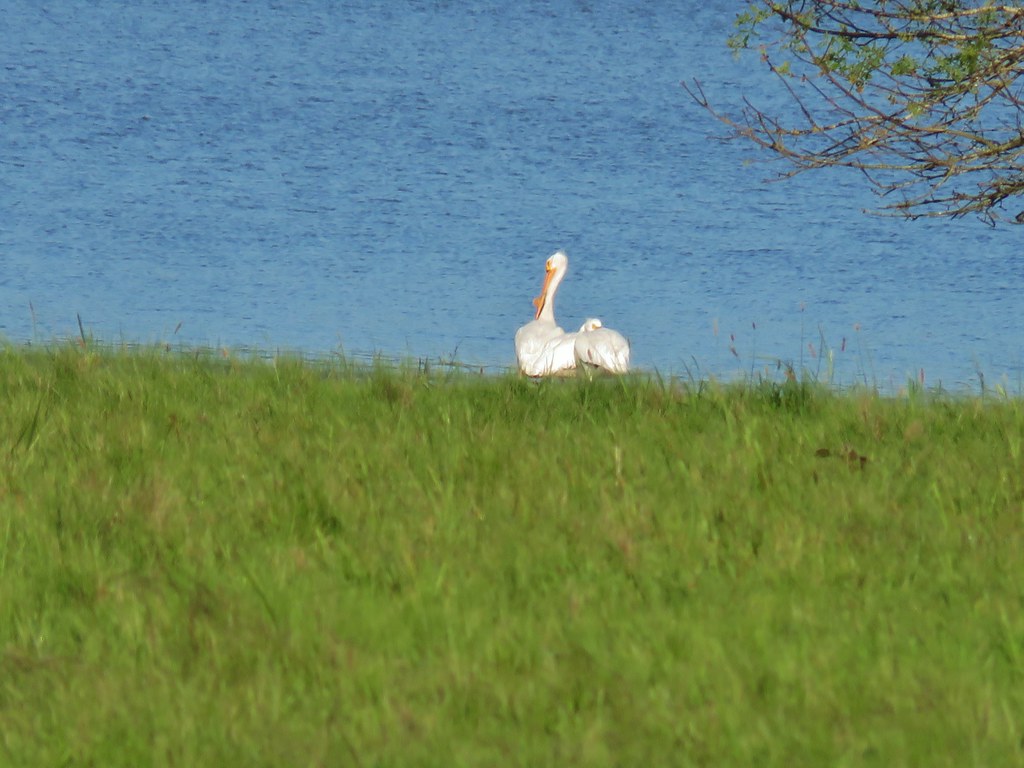
 White pelicans circling overhead.
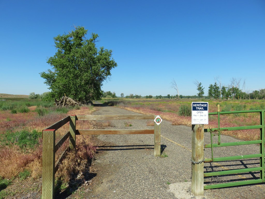

 Bald Eagle
 Wild Rose
 Butterfly
 Killdeer
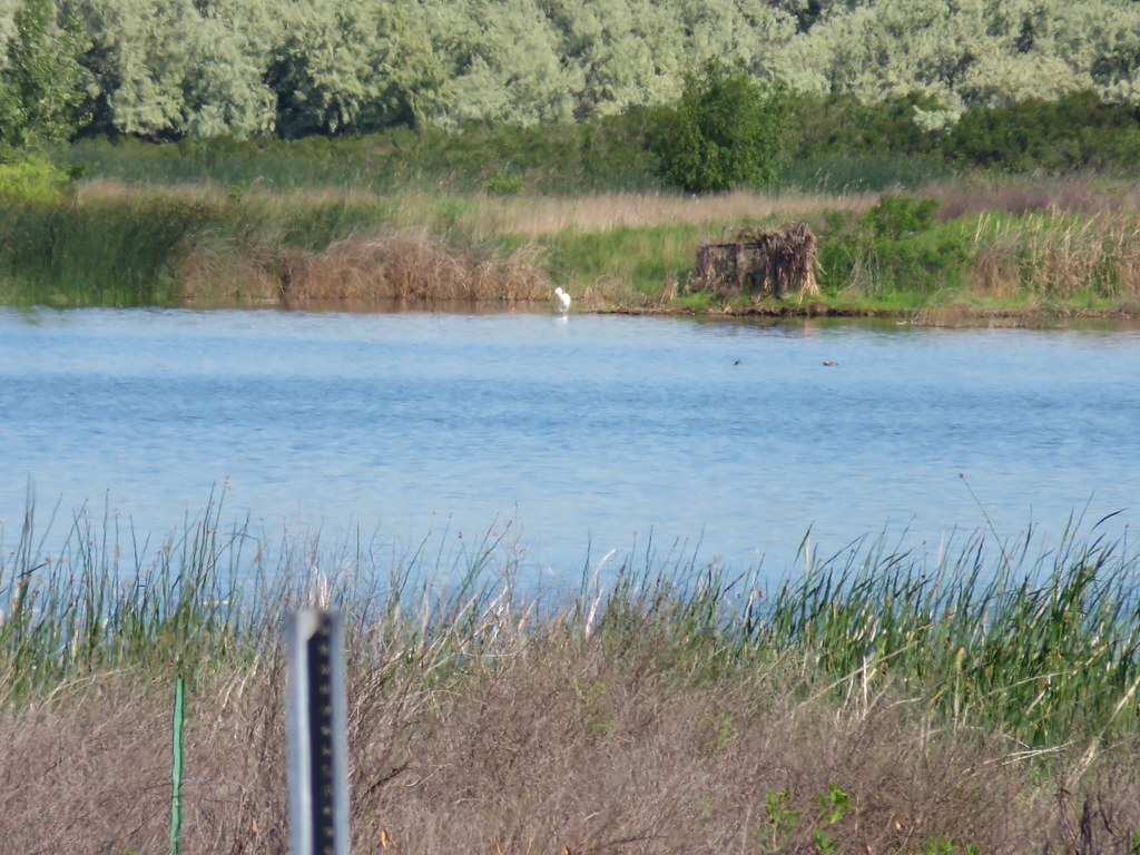 An egret on the other side of the slough.
 Sagebrush lizard
 Another butterfly
 Deadly Nightshade
 A goose in the reeds.
 Anemone
 Fairyslipper
 Arnica


 Bluebells
 Prairie stars
 More rock clematis
 Paintbrush
 Larkspur
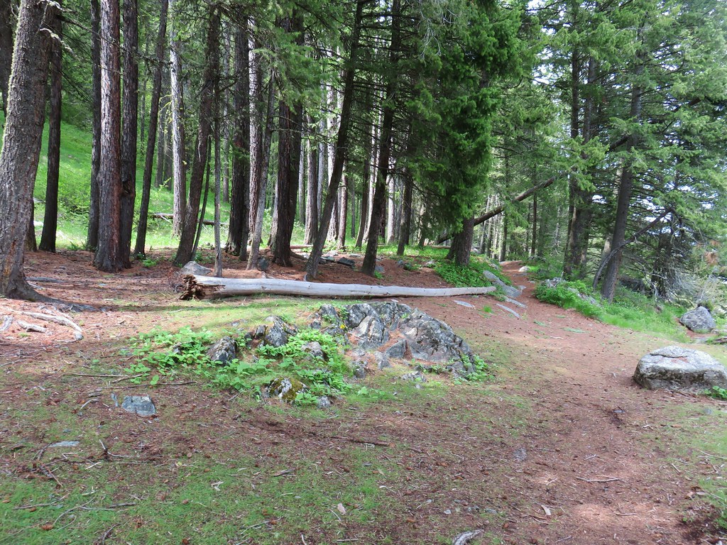 Area near the viewpoint.
 Looking further into the Wallowas.
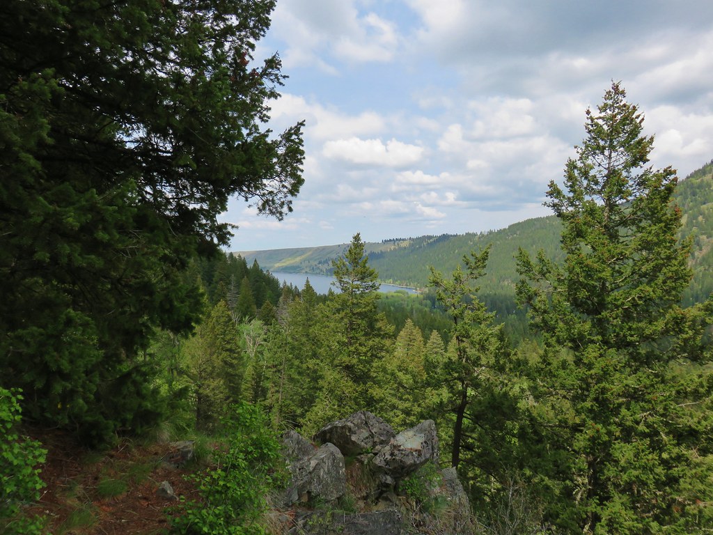 Wallowa Lake


 Shooting star
 Old man’s whiskers
 Possibly a checkermallow
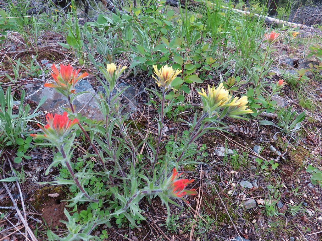 Paintbrush


 Chocolate lily
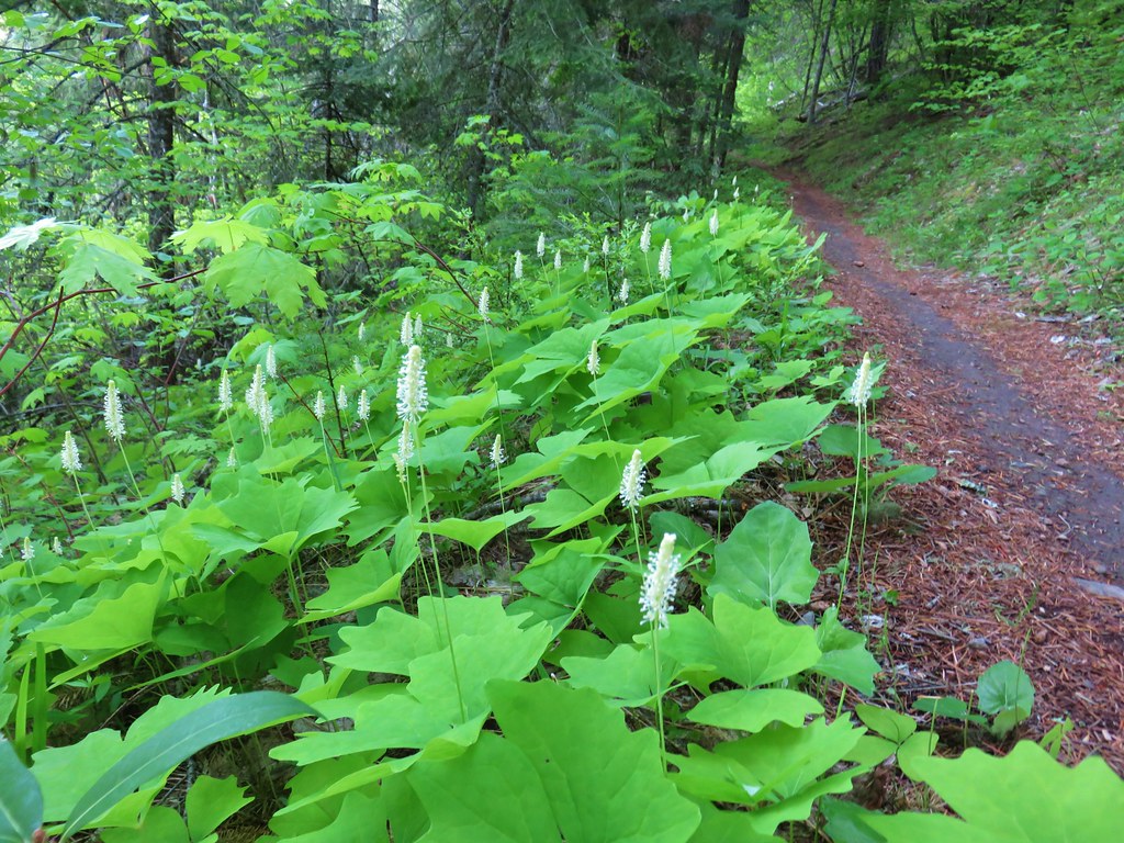 Vanilla leaf
 Columbia windflower (anemone)
 Red flowering currant
 Ball-head waterleaf
 Dogwood (and a crab spider)
 Arnica
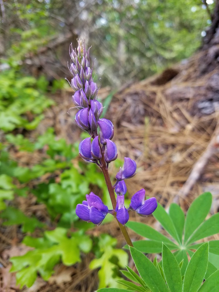 Lupine
 Lupine yet to bloom
 Woodland stars
 Larkspur with biscuitroot in the background
 Fairy slippers
 Indian paintbrush
 Popcorn flower
 Sandwort
 Sticky blue-eyed mary
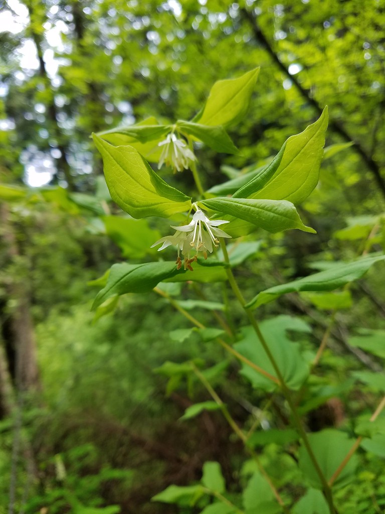 Hooker’s fairy bells
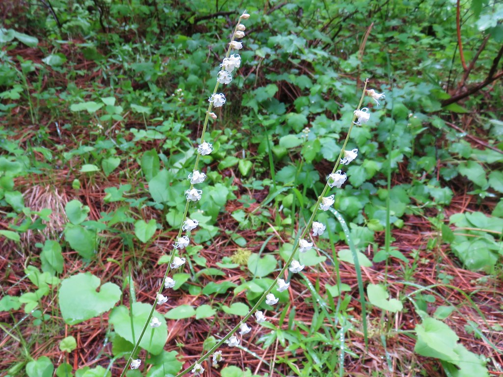
 Solomon’s seal
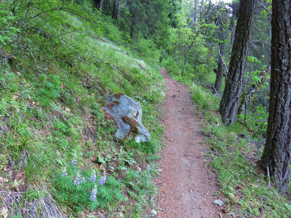


 Penstemon
 Phlox
Phlox


 Manzanita
 A currant
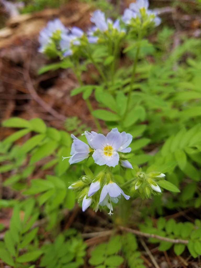 Jacob’s ladder
 Popular tree


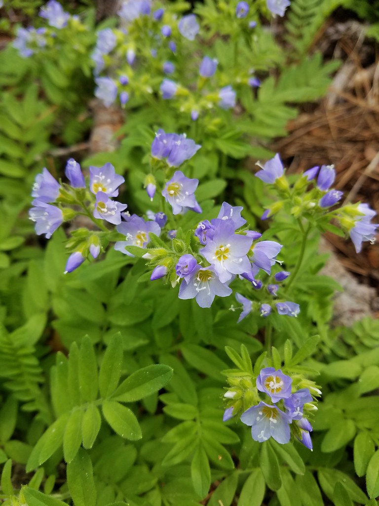 There was quite a bit of Jacob’s ladder along this stretch of trail.
 Oregon anemone
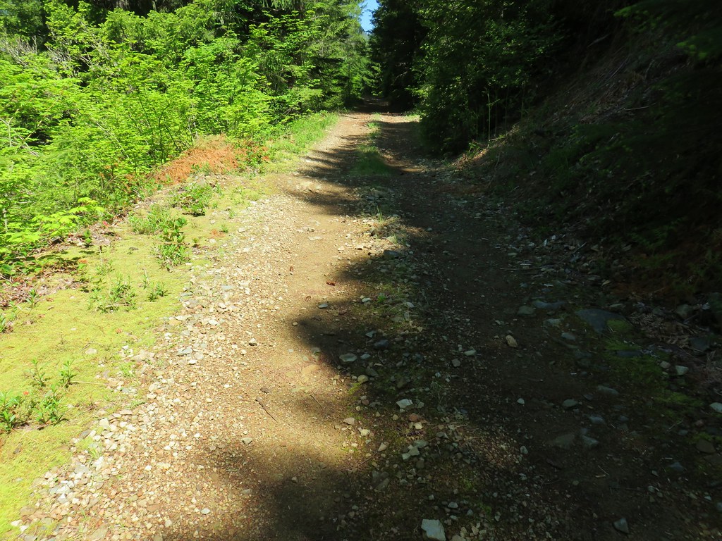
 Forest Road 620.


 A still cloudy Mt. Hood
 Looking down the talus slope with the Dog River Trail visible between the trees to the right.


 Black-headed grosbeak
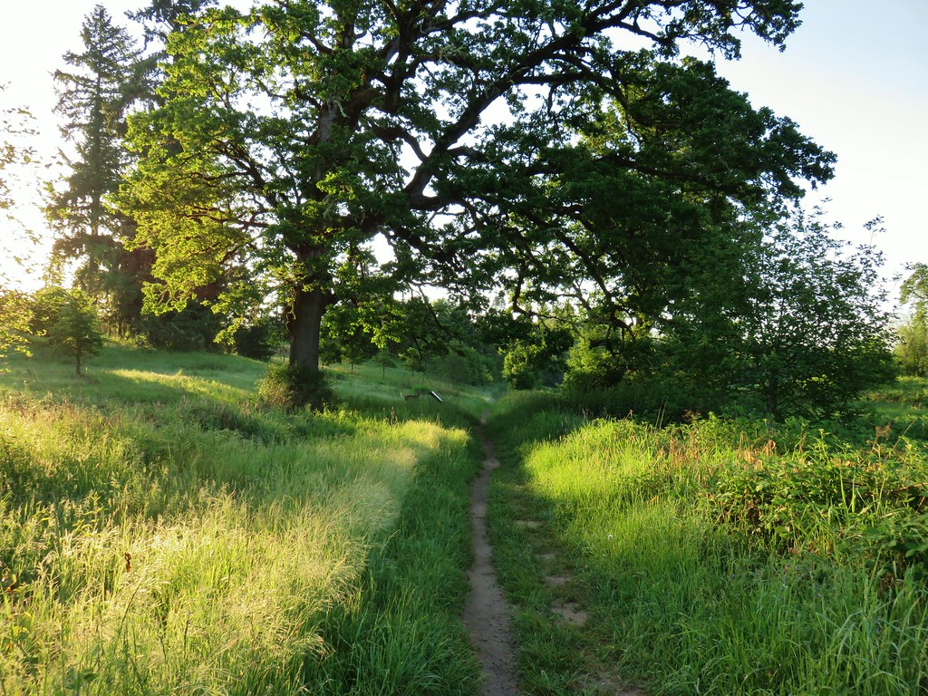


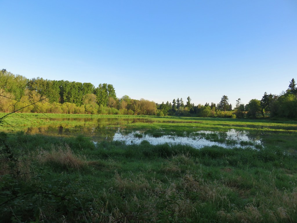
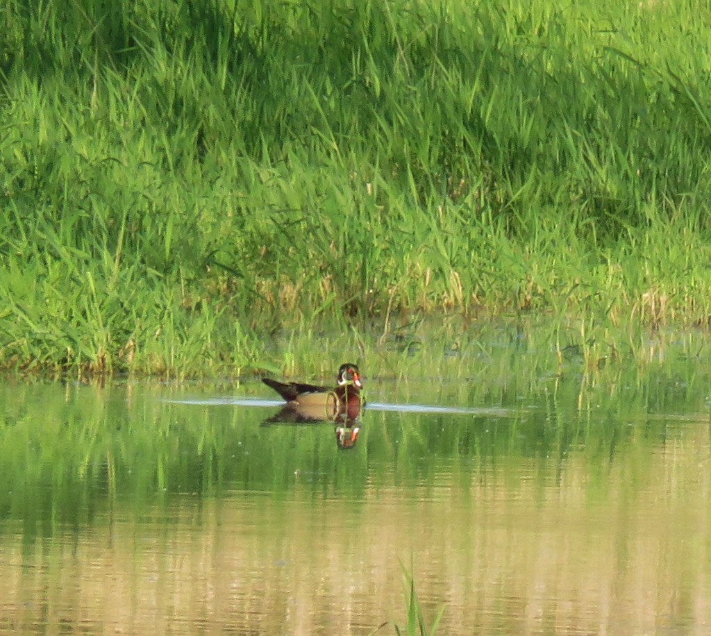
 Mallards with a great blue heron in the distance.
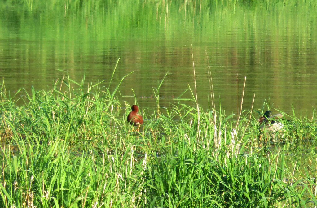 Cinnamon teal and a mallard
 Pied-billed grebe


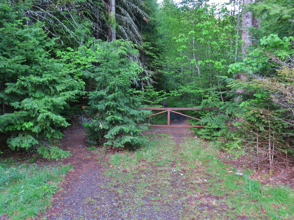
 Looking back at the gate.

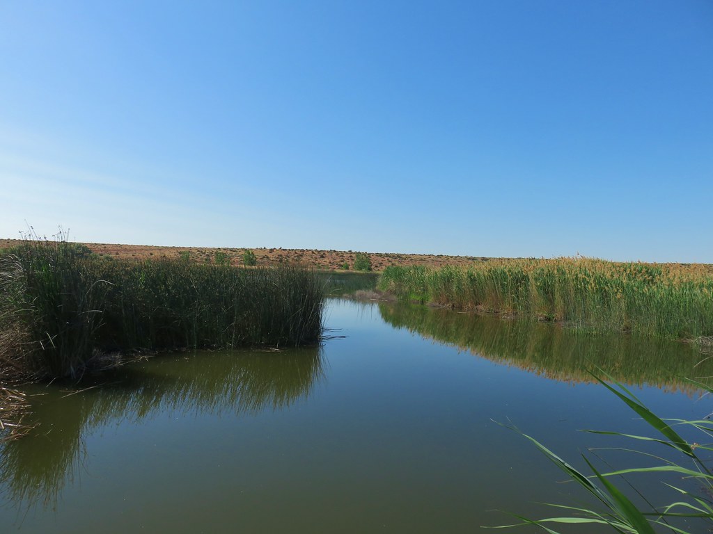
 Looking toward Steelman Lake from the Narrows.
 The Narrows. Another lake, Mud Lake, is on the other side of the trees.
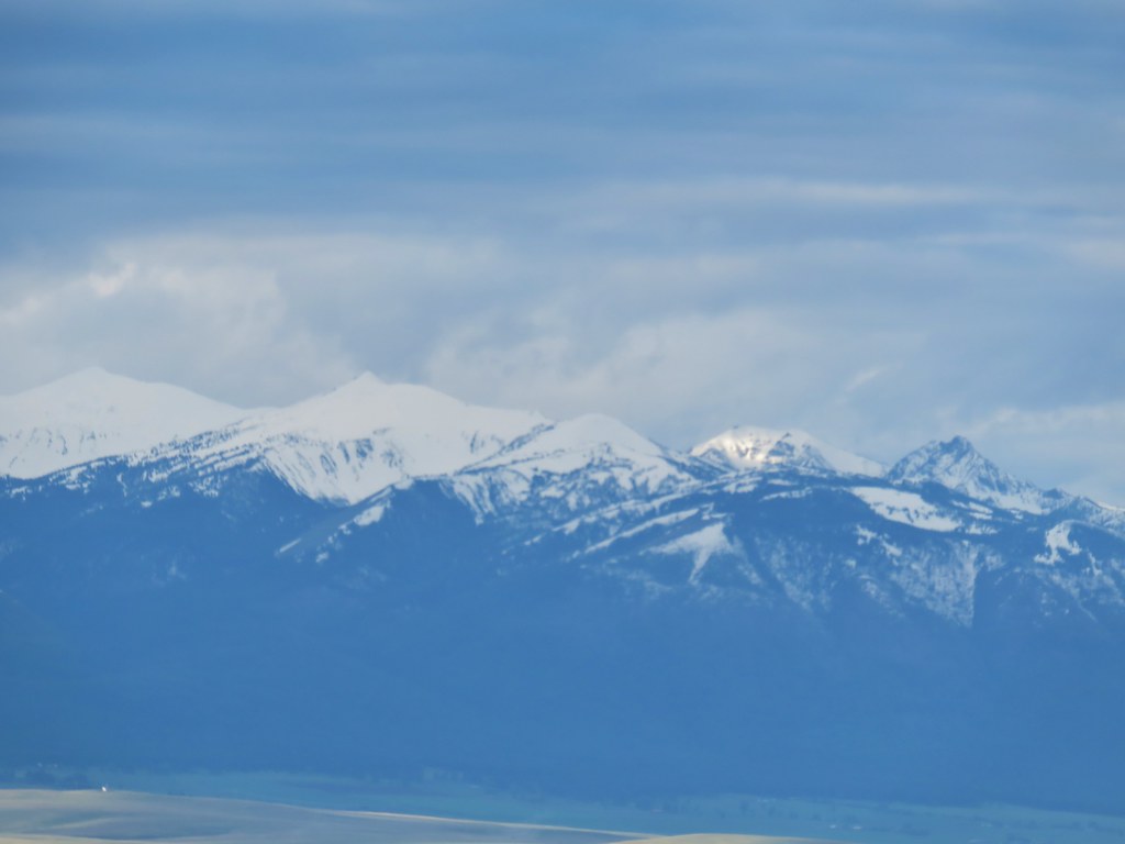
 Mt. Adams (it is really there)
 Mt. St. Helens


 Mt. St. Helens and an Osprey nest.
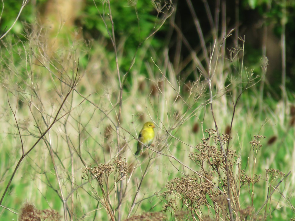 Female
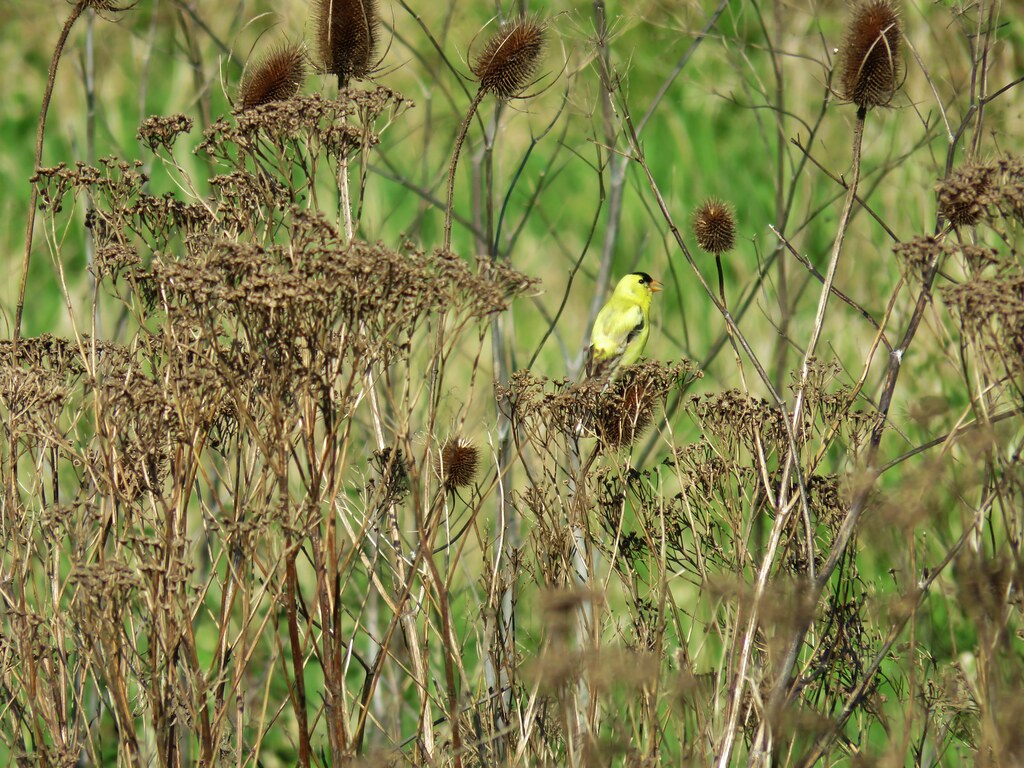 Male
Male

 Mt. St. Helens again.


 1905 Columbia County Courthouse


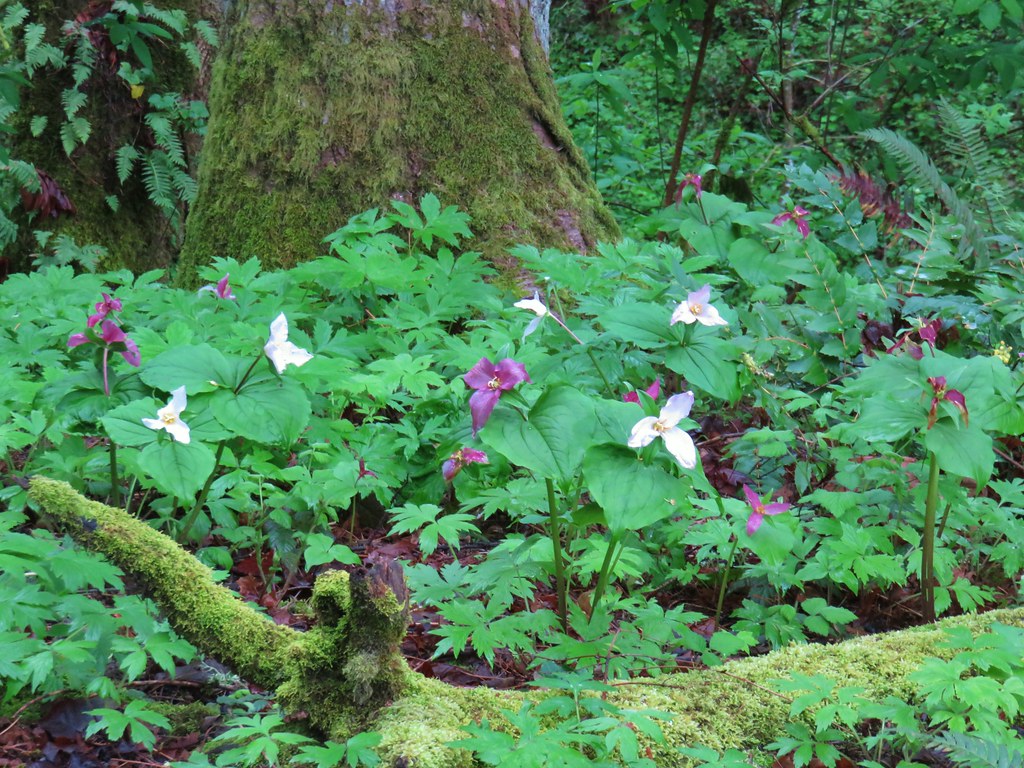


 Snow queen and violets
 Trillium


 October 2015
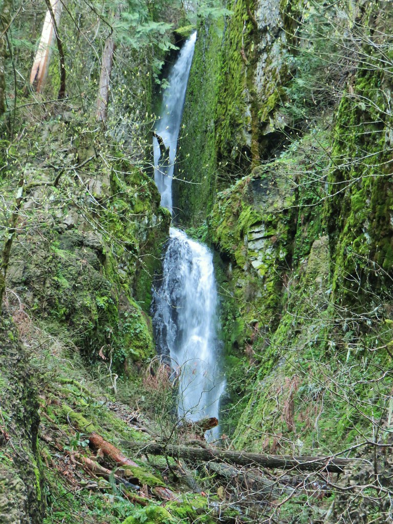 April 2019