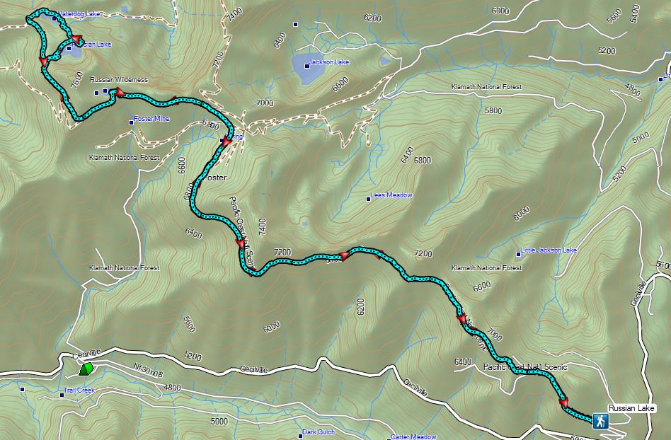
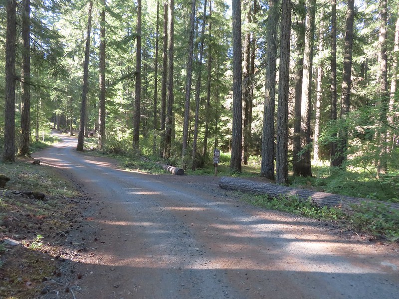
For Labor Day Weekend we continued our focus on featured hikes from the Southern Oregon area and headed for the Rogue-Umpqua Divide Wilderness to visit several lakes. Our goal was to finish hikes #6 & 7, Fish Lake and Buckeye & Cliff Lakes respectively. To do this we planned hiking into Fish Lake from the Beaver Swamp Trailhead, setting up camp there, and then taking the Lakes Trail from there to the Buckeye and Cliff Lakes for a loop described by Sullivan visiting Grasshopper Mountain. We planned on hiking out the next day one of two ways, either by Rocky Ridge which Sullivan described as a rough route requiring route finding skills or back the way we’d come via the Beaver Swamp Trail.
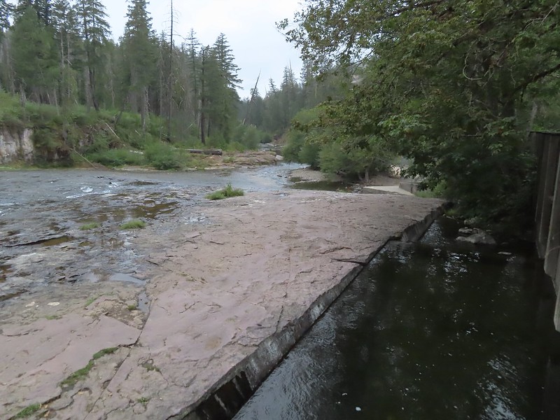
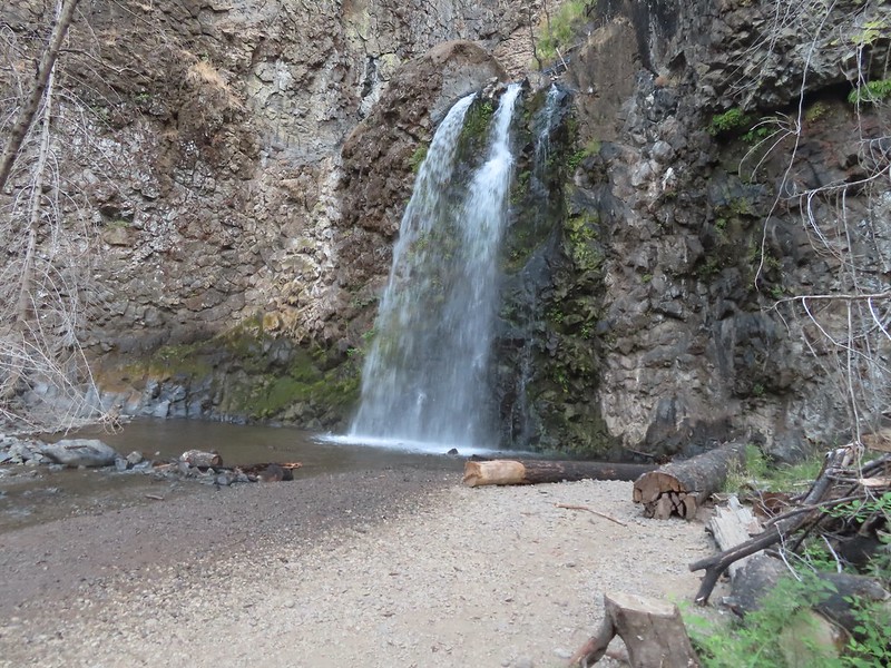
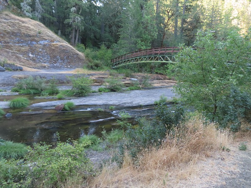
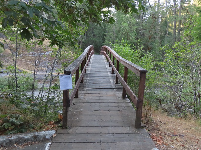
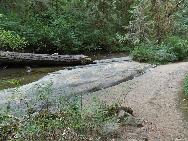
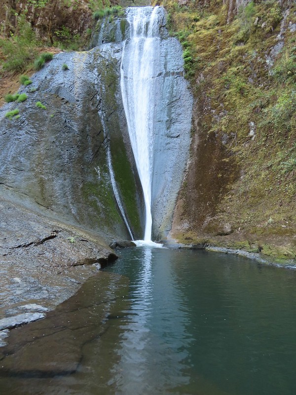
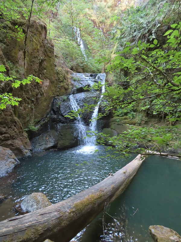
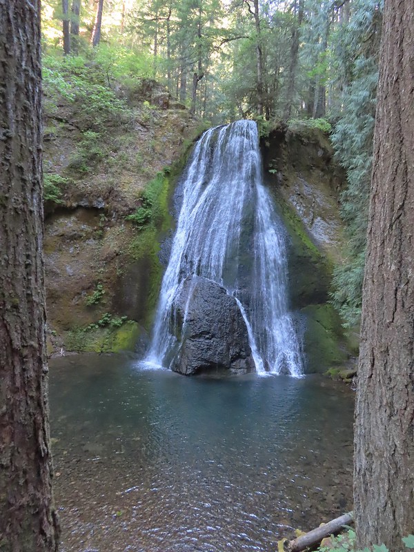
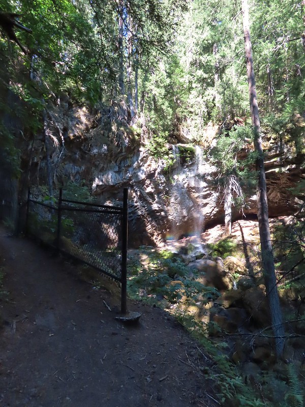
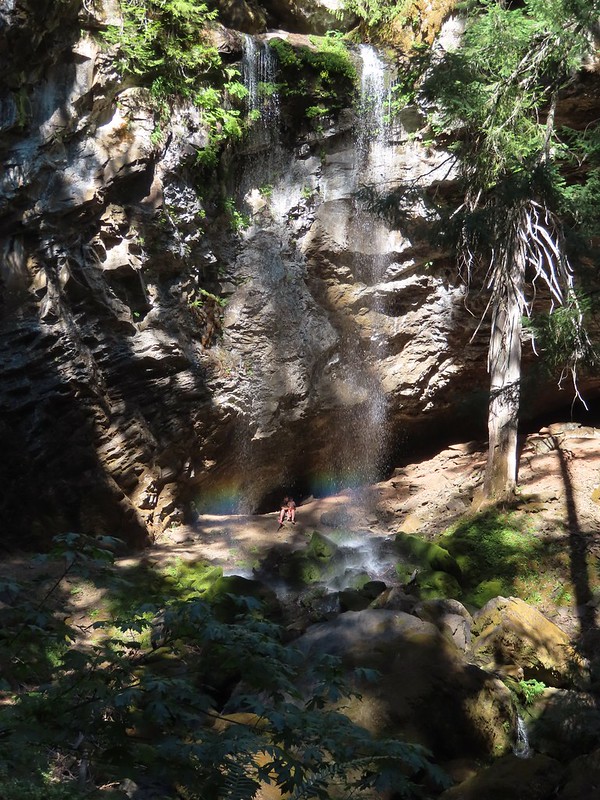
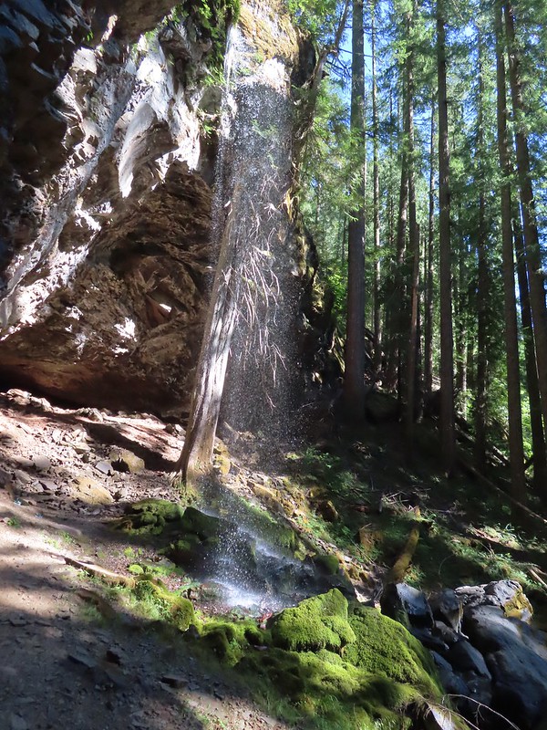
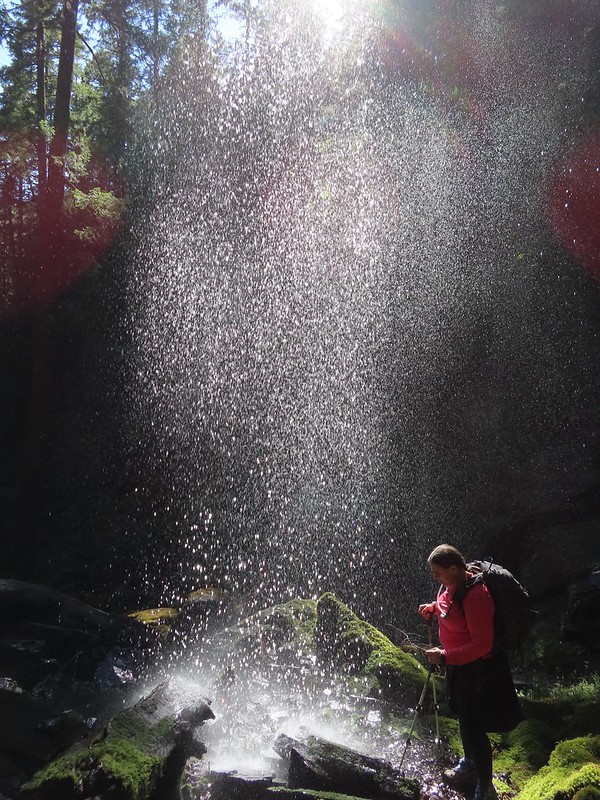
We made an unscheduled stop on the drive to the trailhead at South Umpqua Falls (We used our NW Forest Pass to cover the $5 day use fee). My Mom had mentioned a water fall along the South Umpqua River that they had not made it to during their explorations and when I saw the sign for the South Umpqua Falls picnic area I thought this might be the falls she was talking about so we pulled in for a quick peek.

We had the popular swimming area that often draws large crowds all to ourselves. We began by visiting the base of the falls then hiked up above the falls.


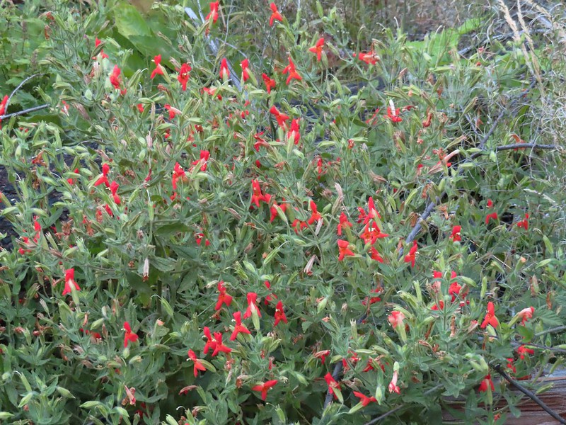
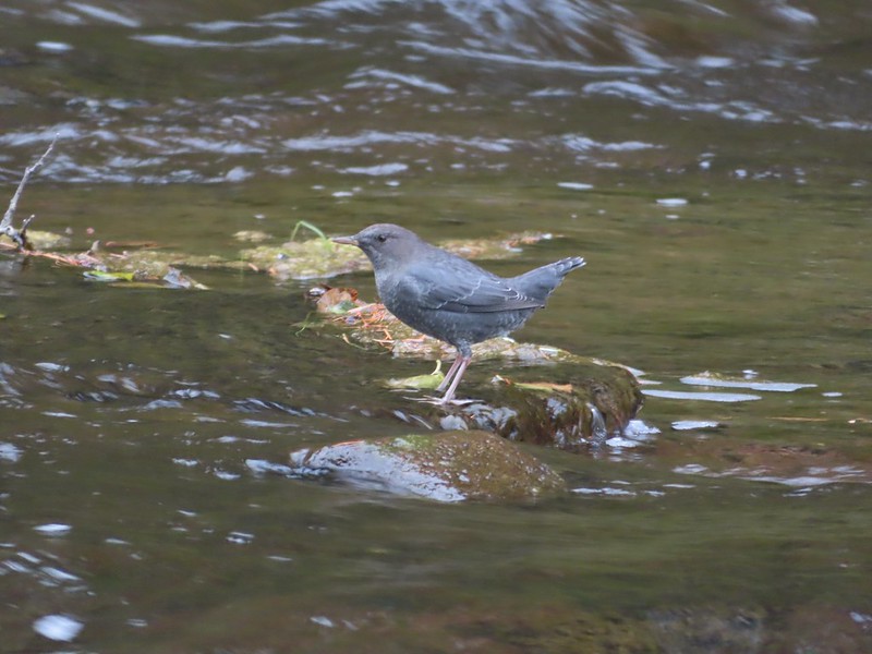 Ouzel
Ouzel
In all our wanderings here came to 0.4 miles, a good leg stretcher after having driven for a little over 3 hours. We then continued on our drive to the Beaver Swamp Trailhead which we arrived at shortly after 9am.
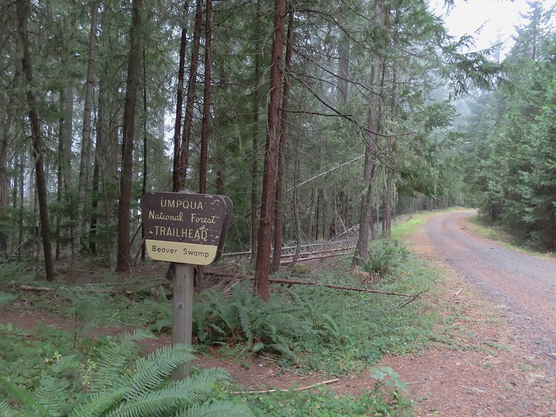
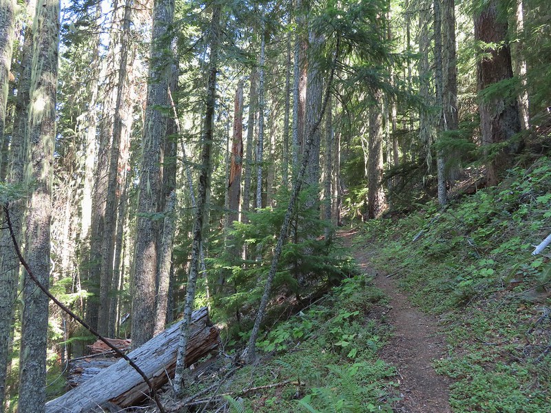
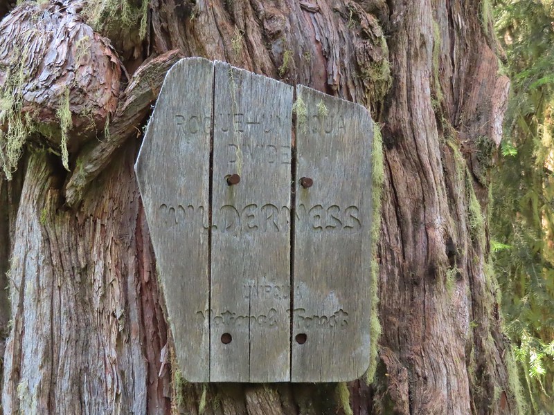
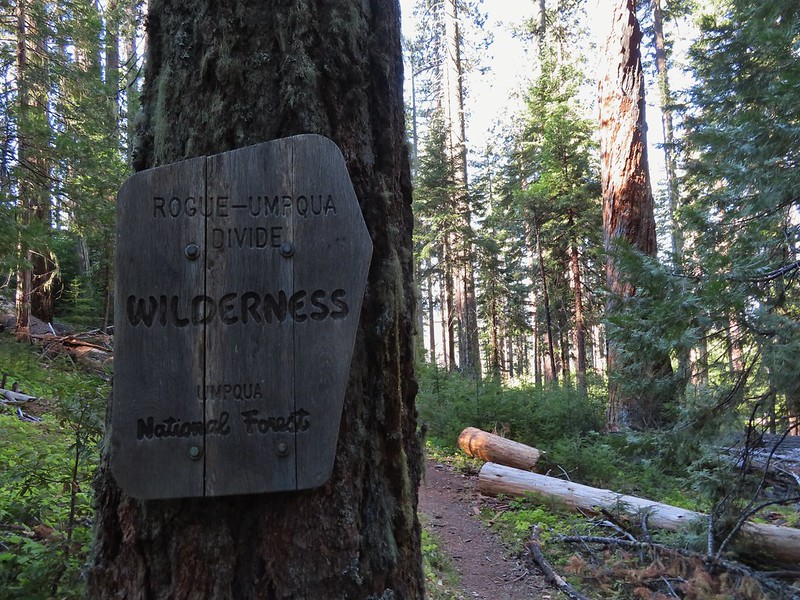
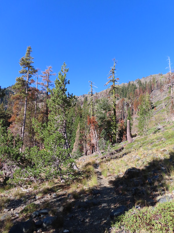
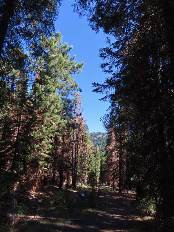
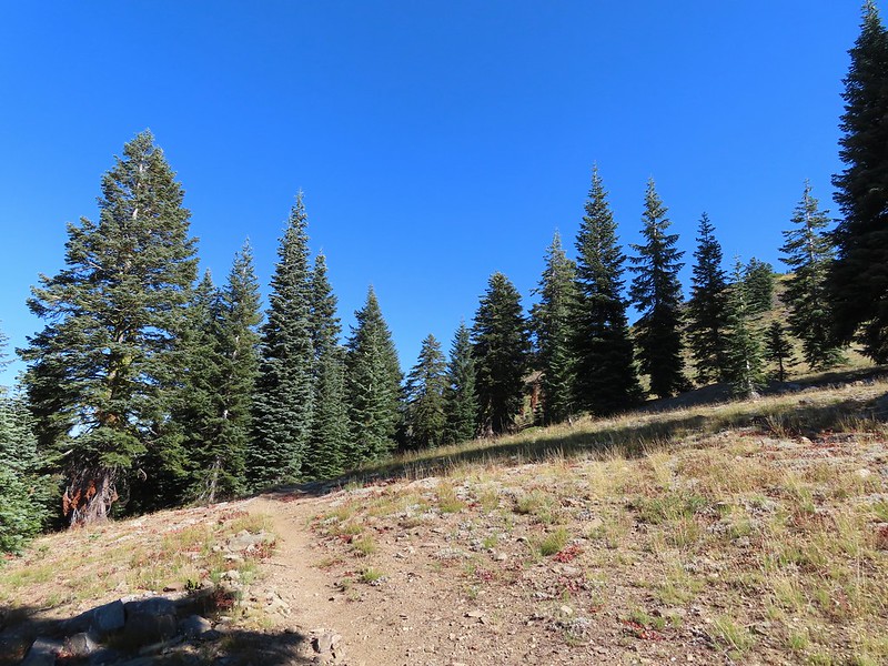
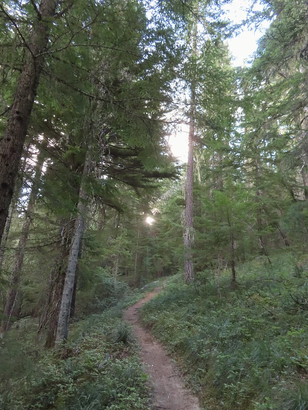
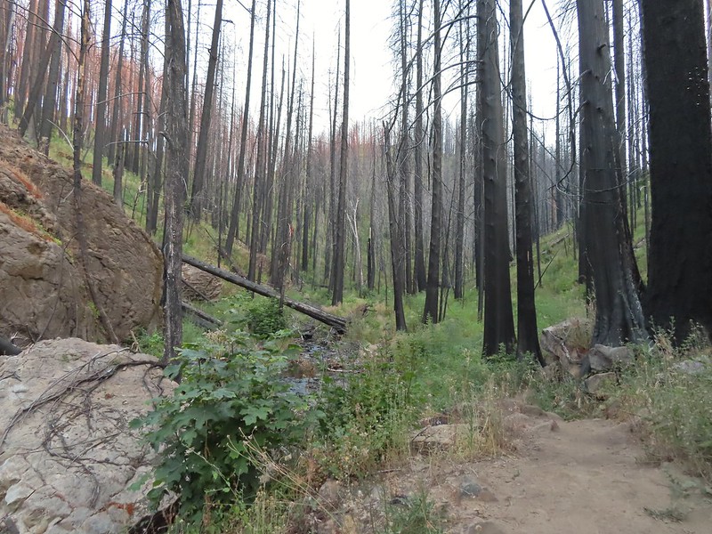
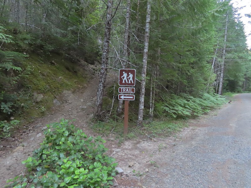
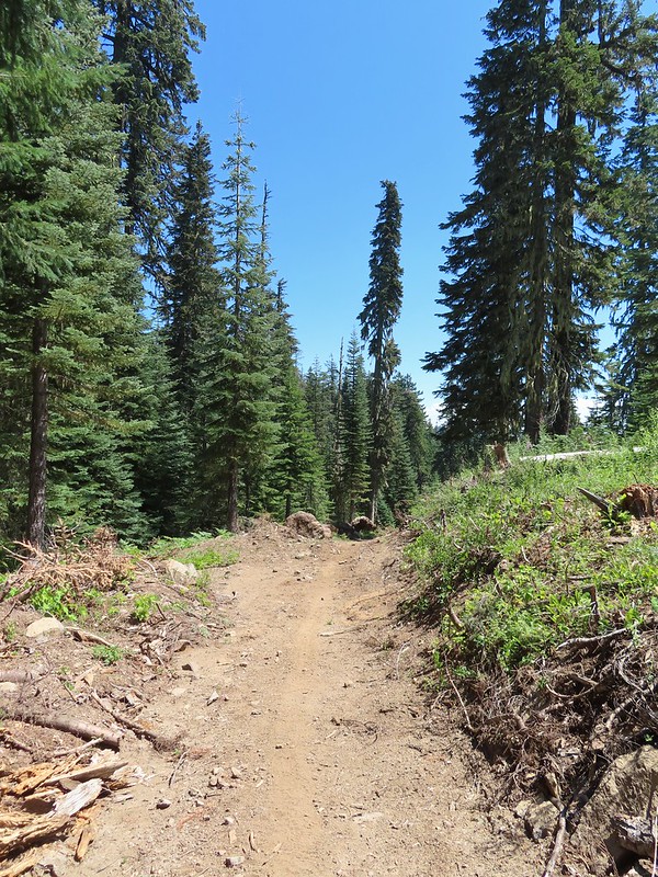
We set off downhill on the Beaver Swamp Trail which promptly entered the Rogue-Umpqua Divide Wilderness.
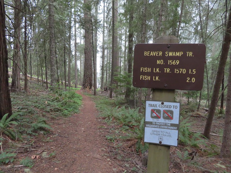

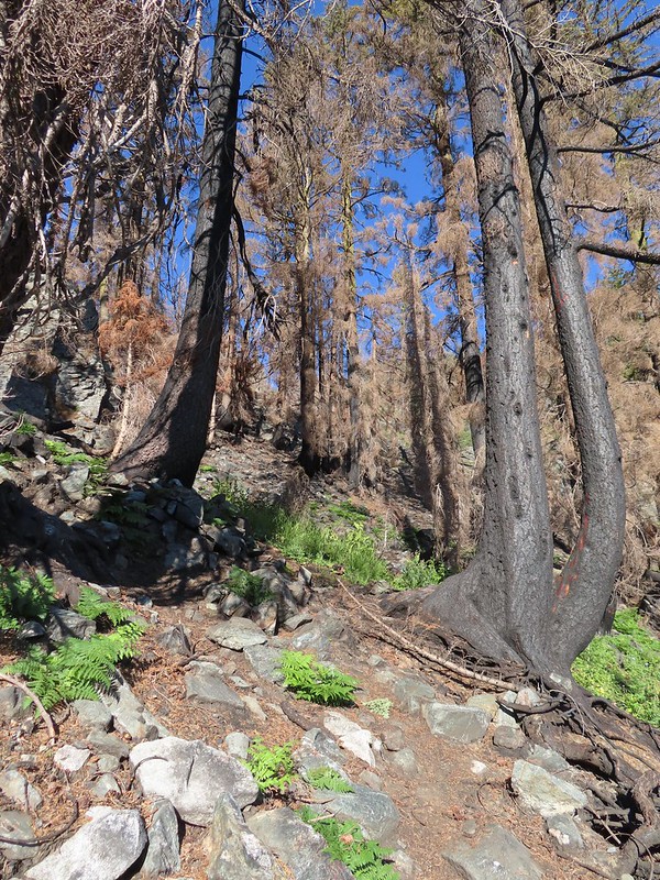
It was surprisingly overcast and a light drizzle was falling as we hiked through a mixed forest with madrone trees and sporadic poison oak. When I’d checked the forecast the night before it simply called for “widespread haze” with Sunday showing as sunny.


After 1.4 miles on the Beaver Swamp Trail we arrived at the Fish Lake Trail where we turned left.
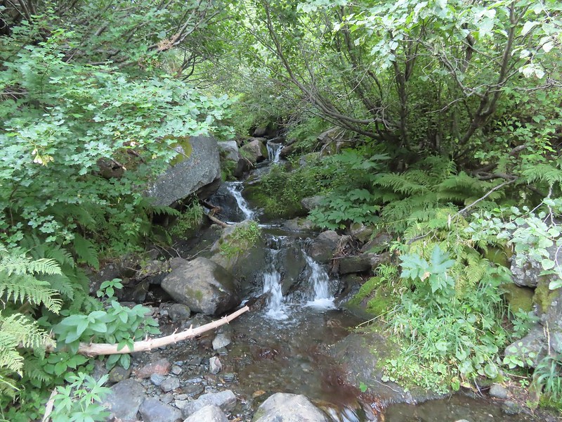
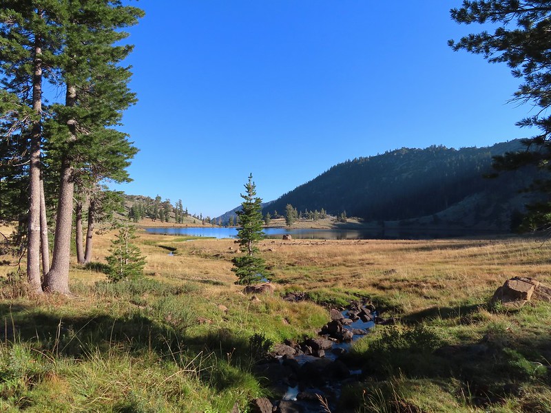
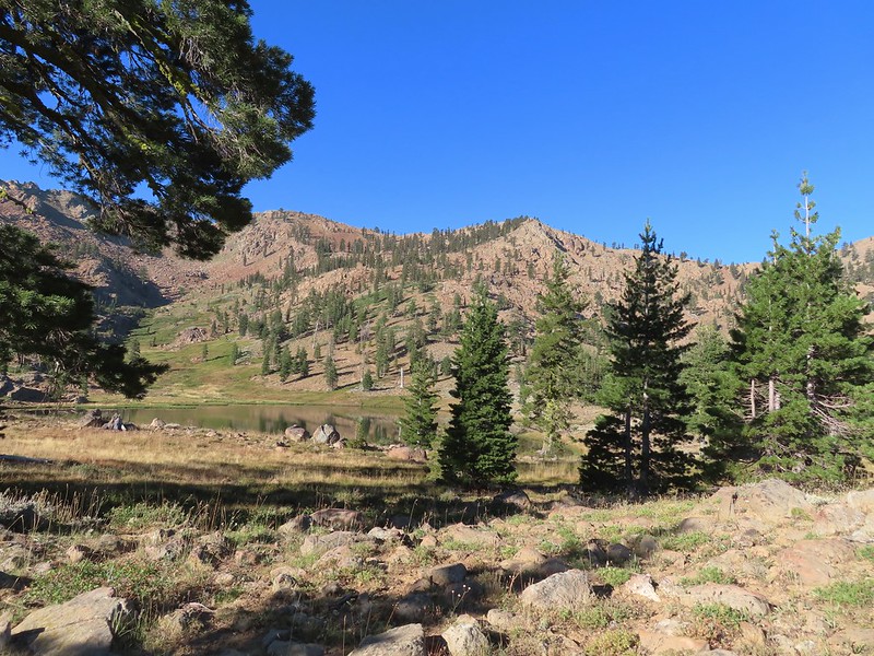
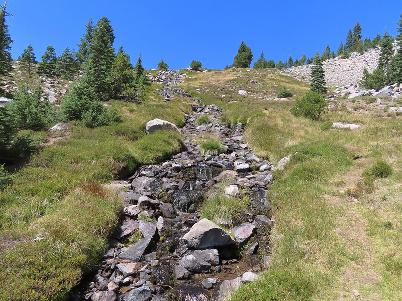
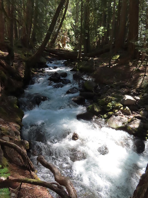
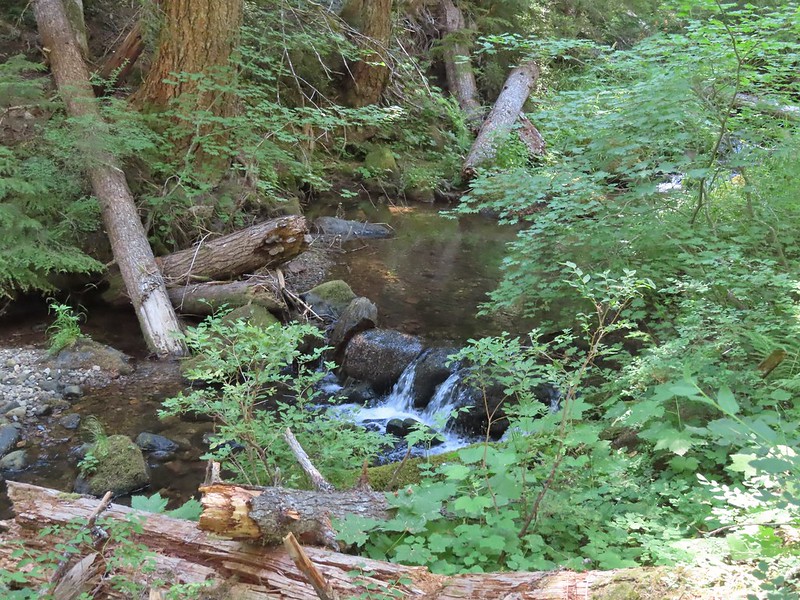
This trail followed Fish Lake Creek for 0.3 miles to Fish Lake.

 Small cascade on Fish Lake Creek.
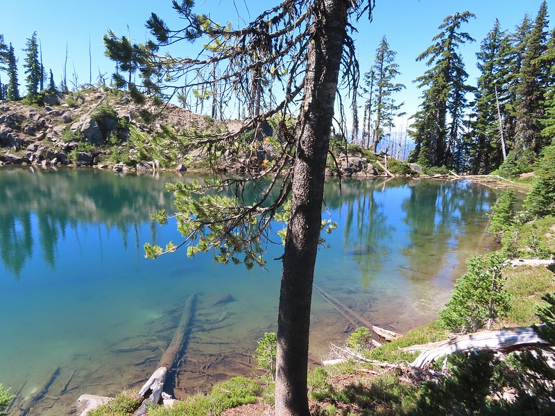
 Logs at the outlet of Fish Lake. The Indian Trail can be seen on the far side. This junction was unmarked and you would have to cross the logs to reach it. In theory one could take this trail to the Lakes Trail near Buckeye Lake, but as we understand it the trail does not receive regular maintenance so we did not include it in our plans.
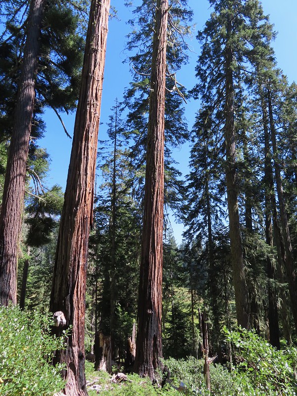
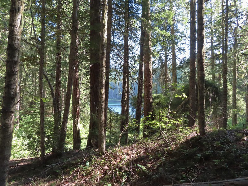
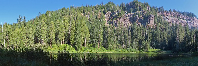
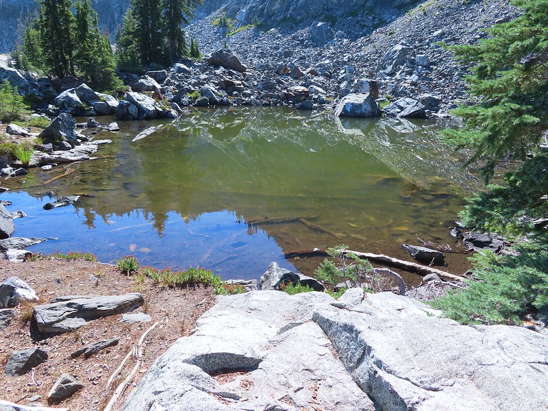
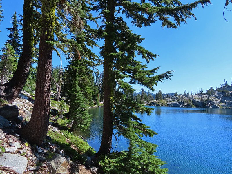
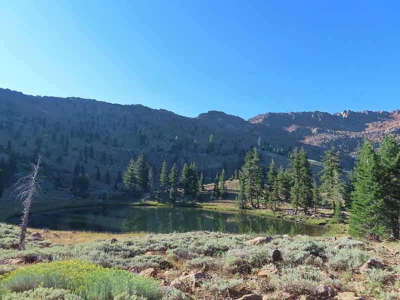
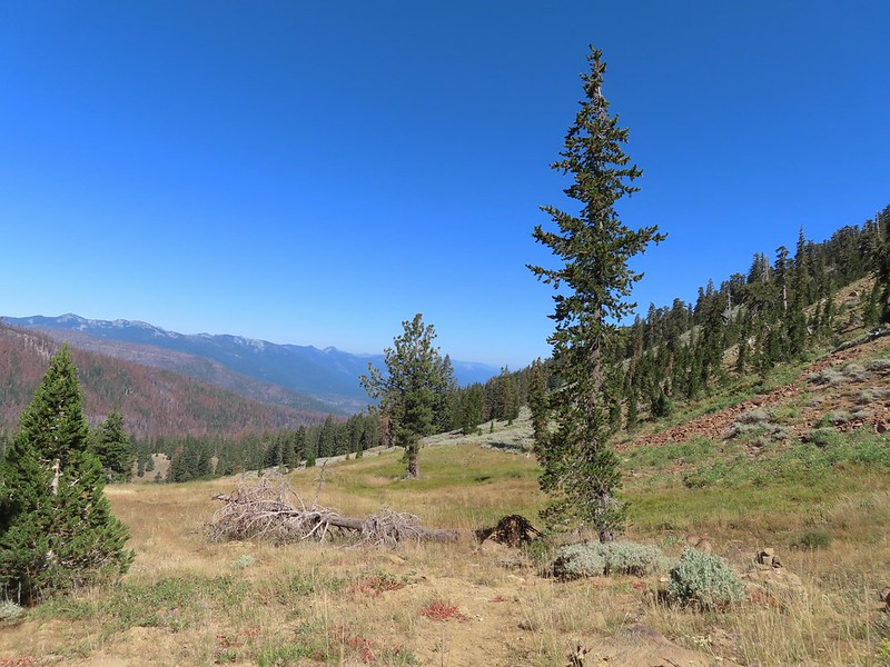
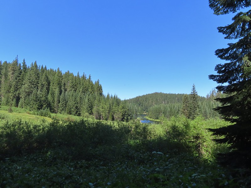
 Arriving at Fish Lake
We continued around the northern shore of the lake for three quarters of a mile passing the one other family camped at the lake along the way (more on them later). Before reaching Highrock Creek we followed a use trail uphill to locate a suitable campsite. When we passed by the campers we caught the distinct smell of campfire smoke which, as of 7/22/2022 had been prohibited in Wilderness areas within the Umpqua National Forest. (Not a good start with this group.)


 The clouds began burning off before we’d found our campsite.
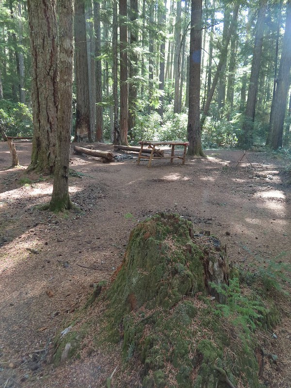
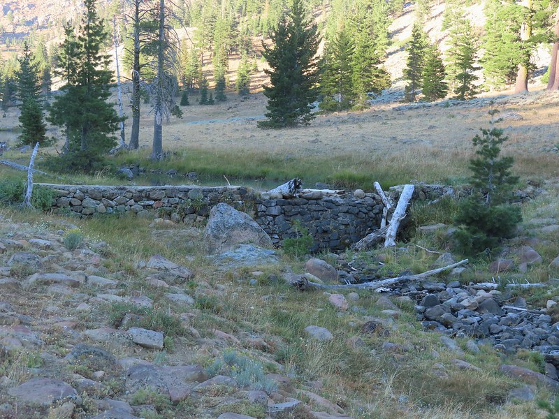
 We set up camp on a little knoll near an old stone foundation. We’re interested to know what used to be there but so far haven’t found any information on it.
After setting up camp we returned to the Fish Lake Trail which appears to have been rerouted through a large and elaborate campsite.
 A little too developed for Wilderness standards.
From the large campsite the trail followed Highrock Creek for 0.6 miles to a fork. The Fish Lake Trail actually veered uphill to the left and the Lakes Trail picked up to the right.
 A dry channel along Highrock Creek.
 Crossing an unnamed creek.
 The trail junction.

Just beyond the junction the Lakes Trail crossed Highrock Creek and began a steady climb along a hillside above Fish Lake.
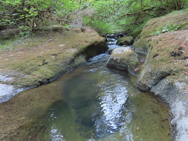
 Highrock Creek. There were several nice pools here which we utilized to replenish our water on our way back to camp.

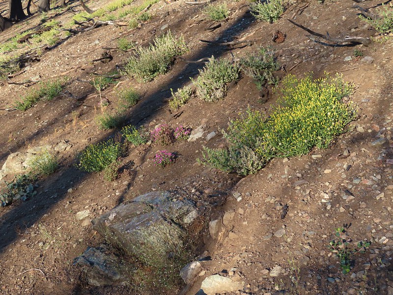
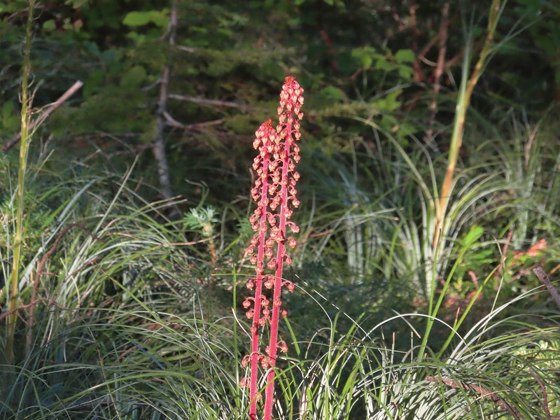
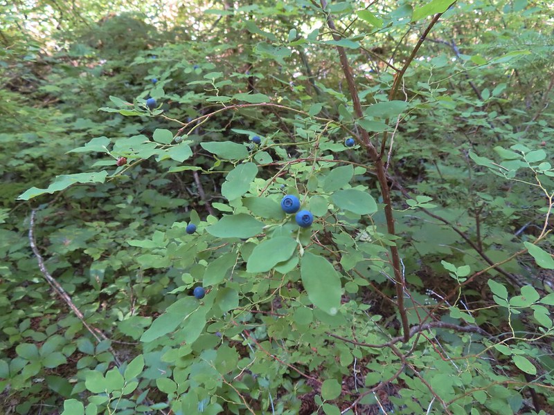
 Foam flower and a few ripe thimbleberries, Heather’s favorite.
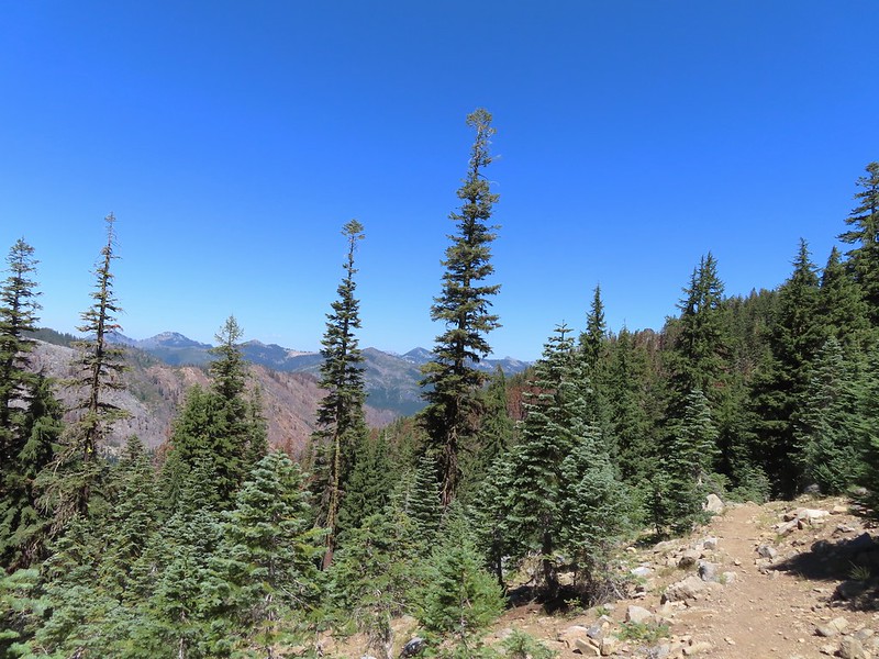
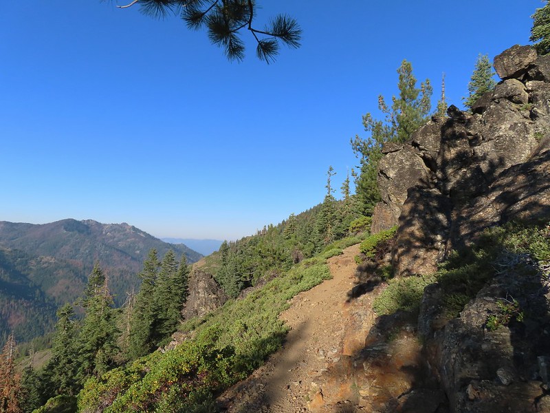
This trail was well maintained and after approximately 2 miles we arrived at a junction with the Grasshopper Trail. A couple of things to note about this segment of the Lakes Trail. Sullivan showed it as 1.7 miles so this was a little longer than we’d expected, but more importantly the trail alignment shown our GPS unit’s topographic map had the trail quite a bit higher on the hillside. (CalTopo agrees with our actual track so it appears to be accurate.)
 The junction with the Grasshopper Trail
We decided to make the climb to Grasshopper Mountain before visiting the two lakes so we turned right onto the Grasshopper Trail and trudged uphill gaining 860′ in the next 1.25 miles before arriving at a junction near Grasshopper Spring.
 Pine white
 Sign for the Gasshopper Mountain Trail.
 Grasshopper Spring is out there somewhere.
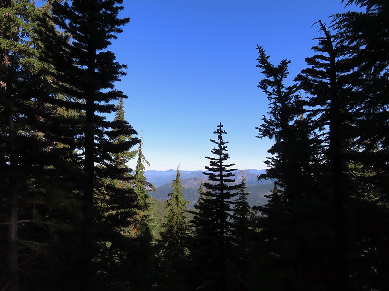
We turned right onto the Grasshopper Mountain trail. This three quarters of a mile trail climbed another 350′ to the site of a former lookout. The climb was surprisingly gradual and passed through a variety of scenery along the way.
 We had to go around this big tree.

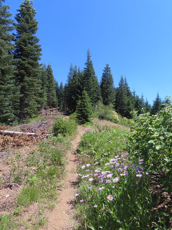
 A few aster
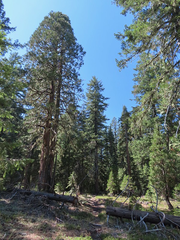 There were some good sized cedars up here.
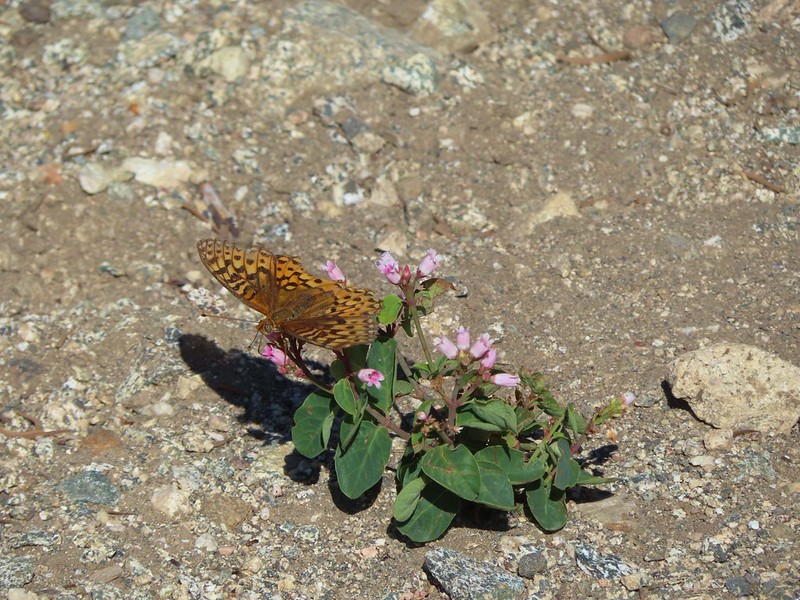
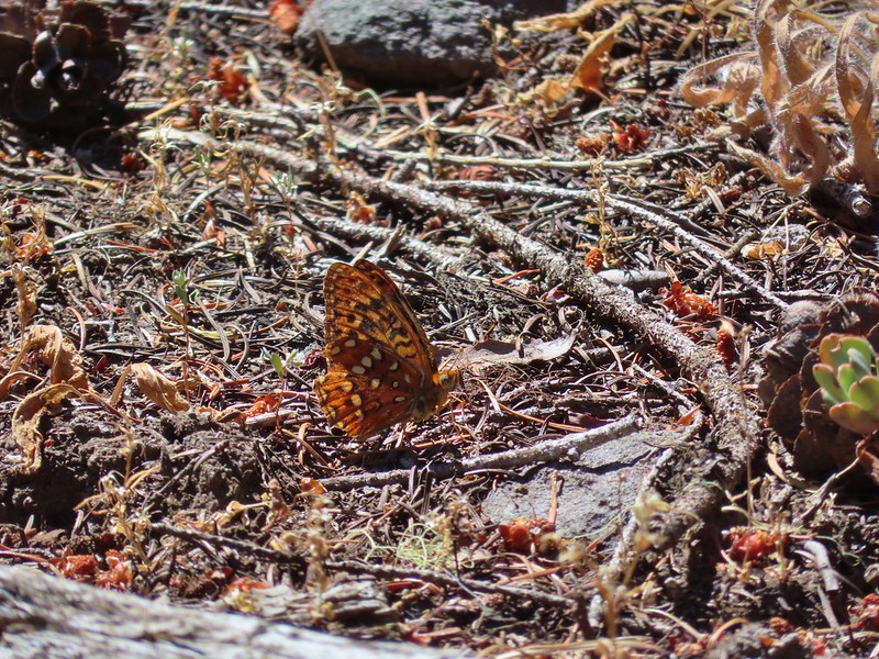 A fritillary
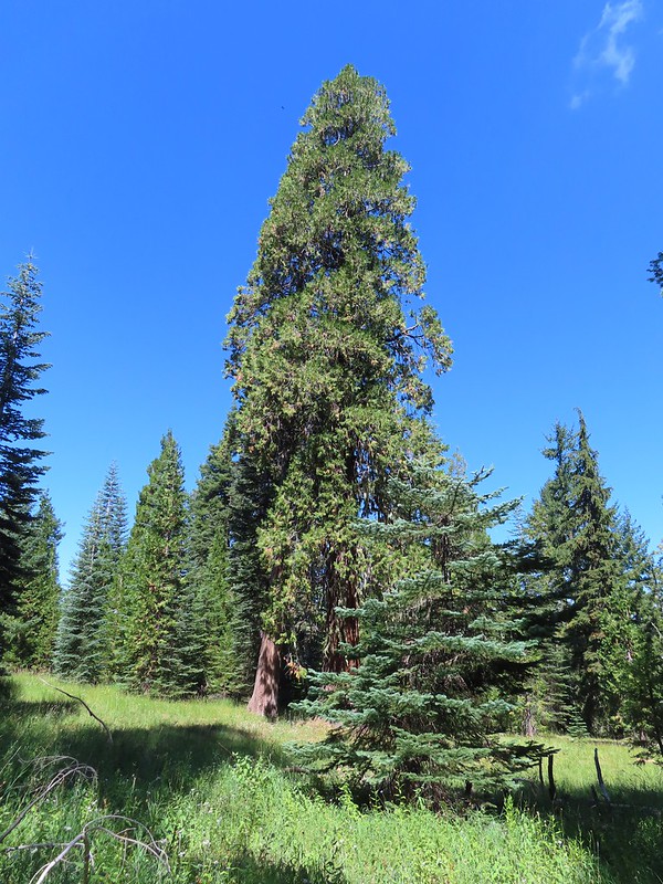 Another big cedar.
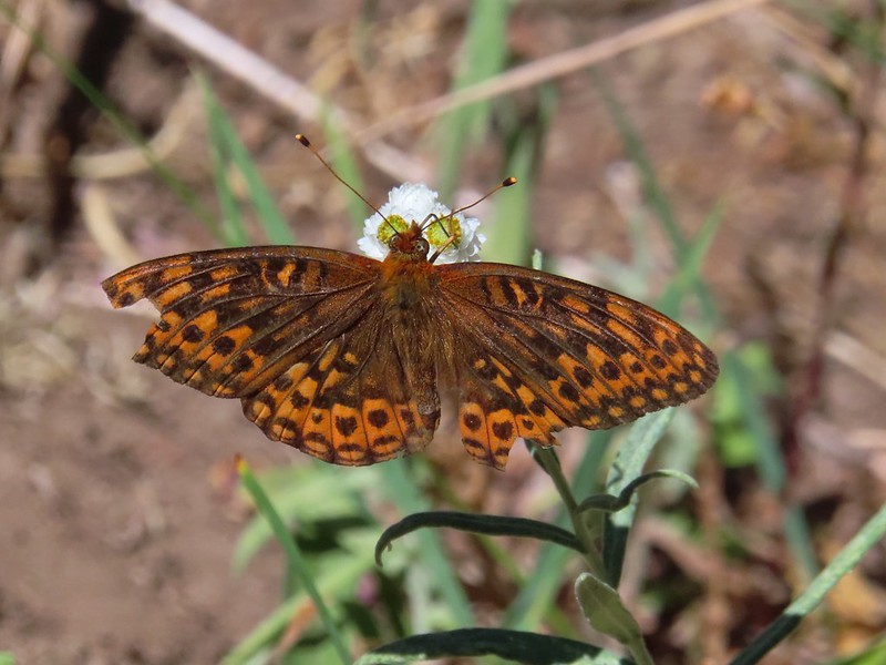 Fritillary on pearly everlasting.
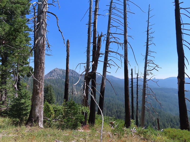
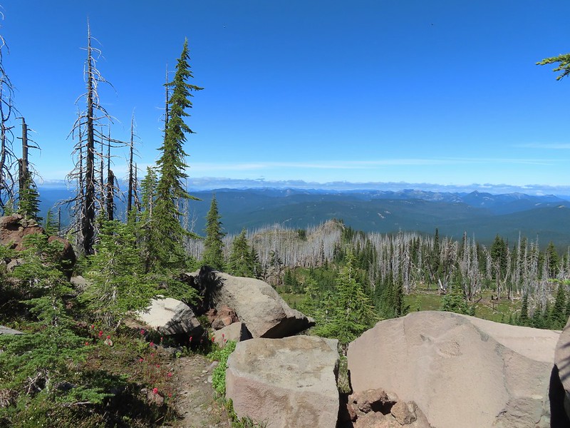
 The final stretch to the summit passed through a fire scar.
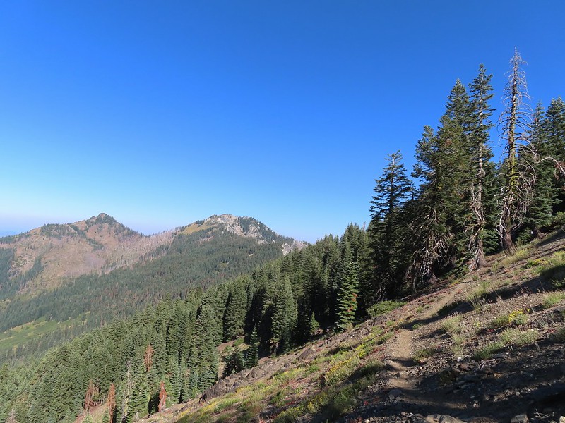
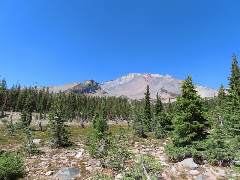
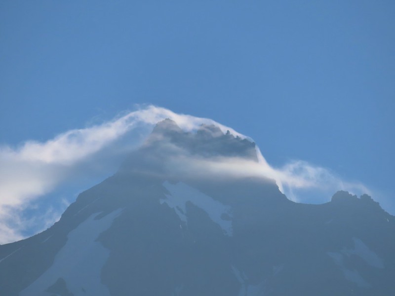
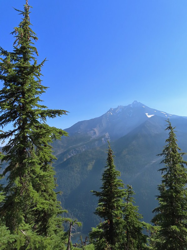
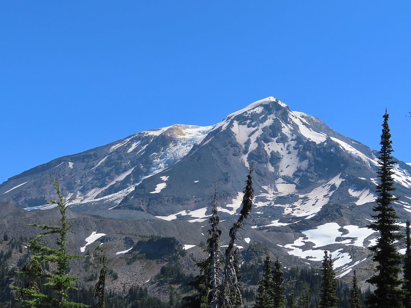
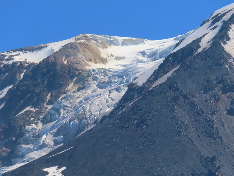
 Highrock Mountain to the left, Hershberger Mountain in the middle, and the Rabbit Ears to the right (post).
 Rabbit Ears closeup.
 Fish Mountain (back left), Weaver Mountain, Highrock Mountain, and Hershberger Mountain with Grasshopper Meadow below.
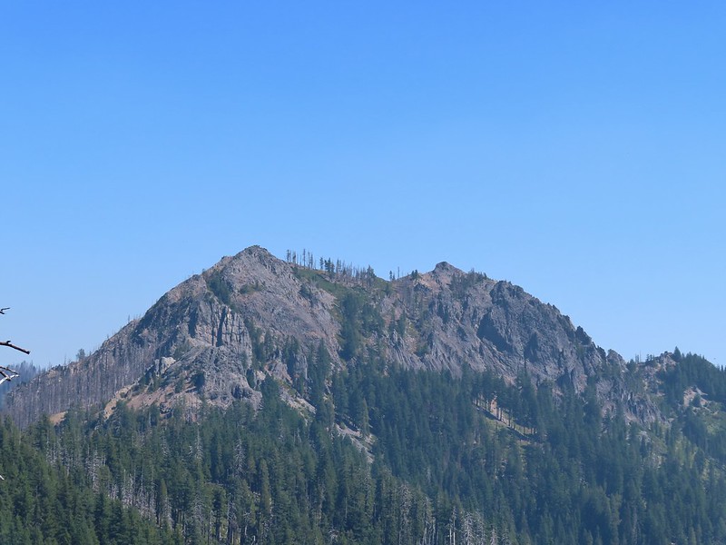 Highrock Mountain
 Owl’s clover.
 Arriving at the old lookout site.
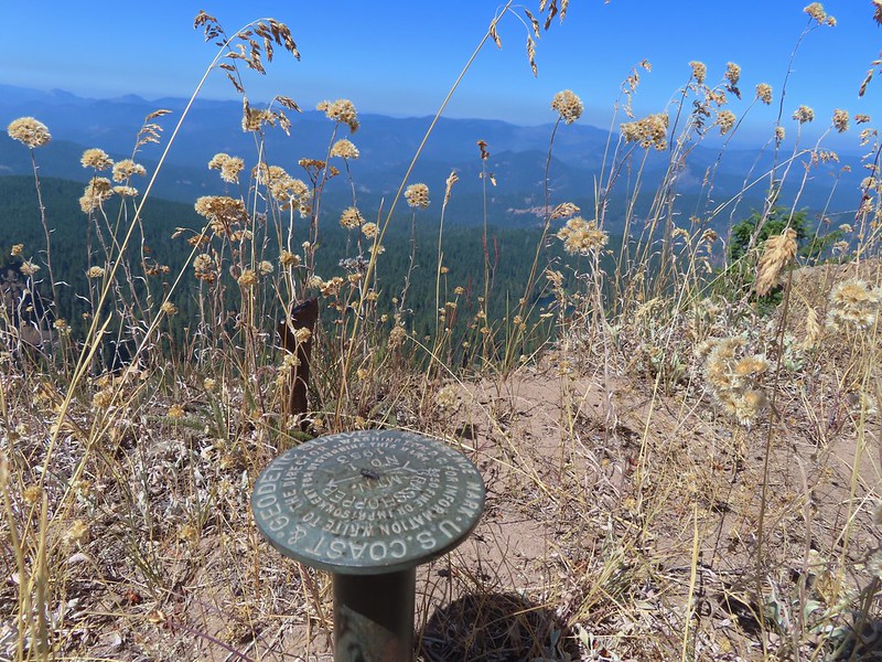
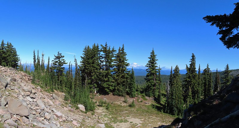
We spent some time enjoying the view but a lack of shade (and places to comfortably sit) kept us from taking a longer break at the summit.
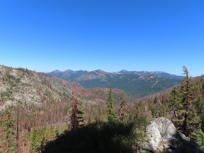
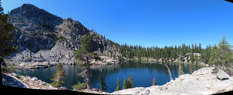
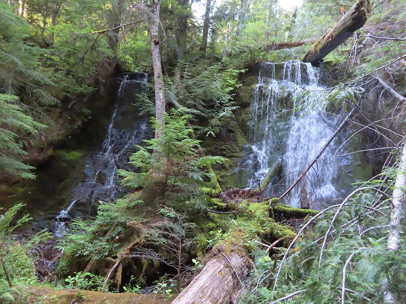
 Buckeye (left) and Cliff Lakes below Grasshopper Mountain. The broad hump beyond to the left is Twin Lakes Mountain. We had visited a viewpoint on the north side of that mountain back in June of this year (post).
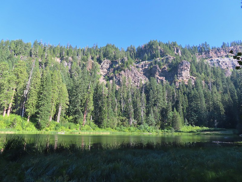
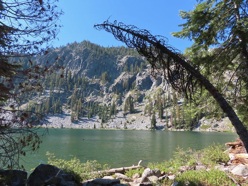
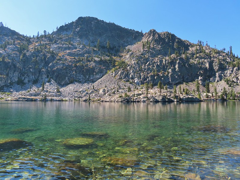
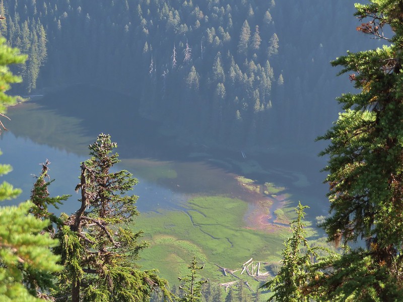
 Buckeye and Cliff Lakes
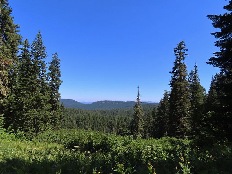
 Smoke on the horizon to the NW. The Cedar Creek fire to the NE, Rum Creek Fire to the SW or several fires in Northern California could be the culprit(s). The peak with the white spot to the center right is Quartz Mountain which we recognized from our Hemlock Lake hike in August (post).
 To the NE we got a glimpse of Rattlesnake Mountain (far left) which we’d climbed during Labor Day weekend in 2020 (post).
 Rattlesnake Mountain behind Standoff Point.
We headed back down toward the Grasshopper Trail but instead of simply retracing our steps we veered right after 0.6 miles on a spur of the Grasshopper Mountain Trail that brought us to the Grasshopper Trail on the opposite side of a saddle from where we’d left it.

 A skipper
 We veered right here which kept us from dropping below the saddle that we otherwise would have had to climb over on the Grasshopper Trail.
 Descending to the Grasshopper Trail.
 Trail sign at the other junction.
We turned right again and continued on our loop following the Grasshopper Trail downhill to Grasshopper Meadow.
 Grasshopper Meadow through the trees.
 Sign for a (faint) spur trail to a spring above the meadow.
The Grasshopper Trail skirted the meadow and a half mile from the saddle arrived at a signed junction with the Acker Divide Trail.
 Highrock Mountain from Grasshopper Meadow.
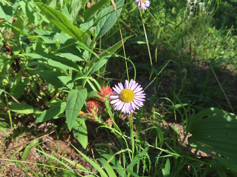
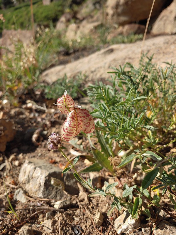
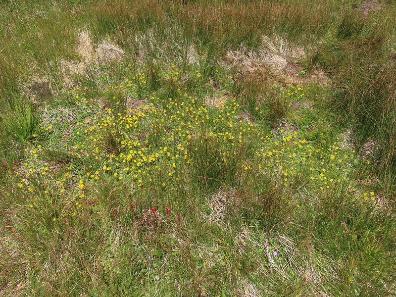
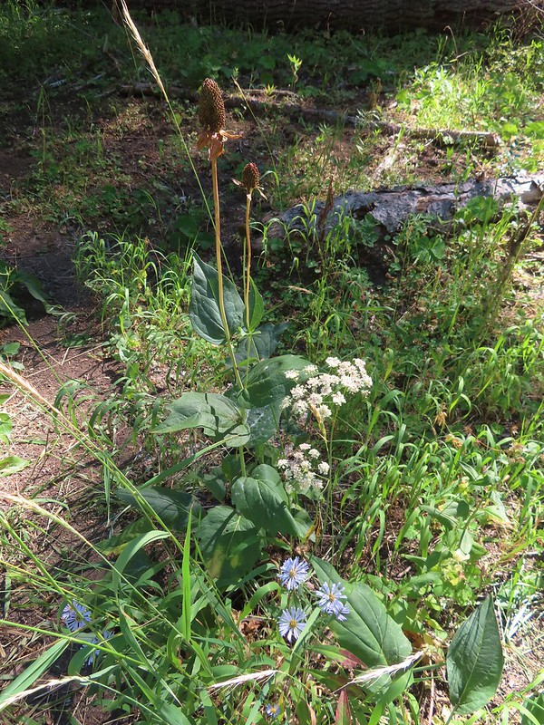 A few flowers hanging on to the last days of Summer.
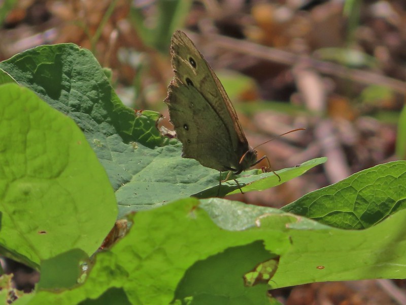 Common wood nymph
 The trail got pretty faint just before the junction but we could see the trail sign so we just headed for it.
 Fleabane? and paintbrush.
 Acker Divide Trail pointer.
 Pointer for Cripple Camp (we visited the shelter there on our Hershberger Mountain hike) and the Rogue-Umpqua Divide Trail.
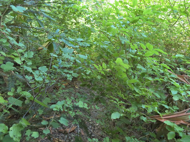
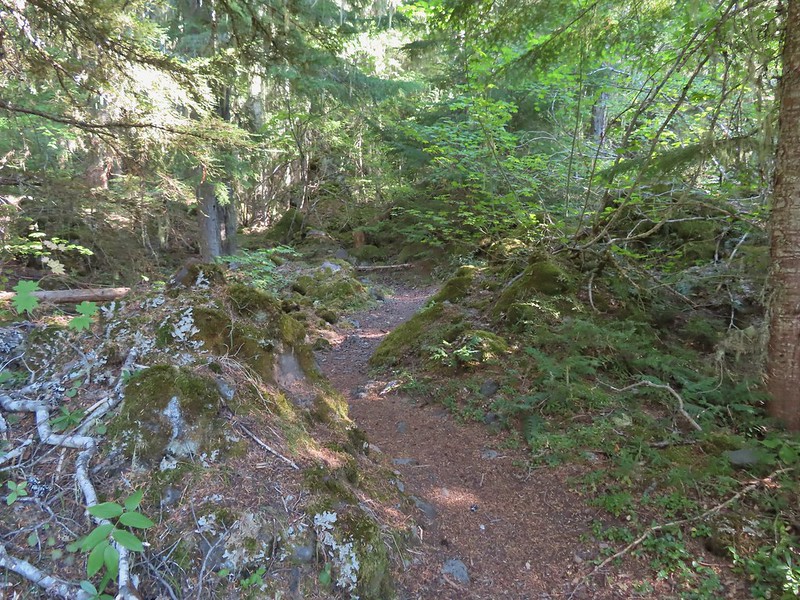
We turned right onto the Acker Divide Trail following this trail for a total of 3.2 miles (per our GPS, Sullivan had it as 3) passing a spur to the Acker Divide Trailhead at the 1 mile mark, Mosquito Camp at the 1.4 mark, and a pond labeled Little Fish Lake in the guidebook after 2.8 miles. This appeared to be the least utilized trail that we’d been on. It was fairly well maintained but there was a lot of debris on it and vegetation crowding the trail. It also left and reentered the wilderness area a couple of times.

 This fuzzy caterpillar was in a hurry.
 The trail along an old log.
 Passing through a small meadow near the spur to the Acker Divide Trailhead.
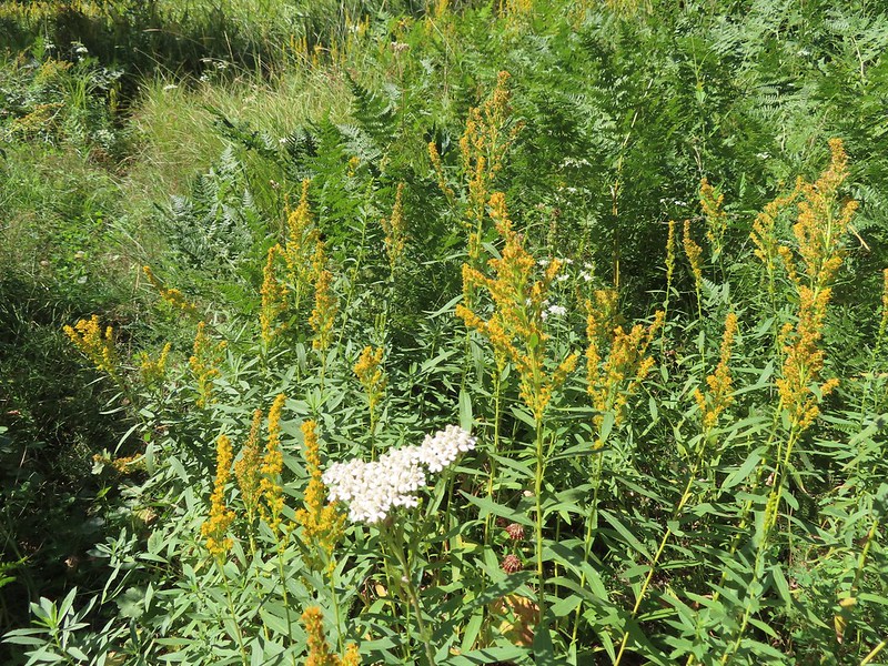 Yarrow and goldenrod
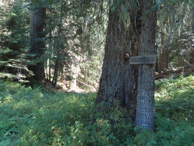
 The area was really well signed.

 Sign for Mosquito Camp on the tree to the right. There was zero sign of any established campsites here.
 Meadow at Mosquito Camp, it came complete with mosquitos (not too many though).
 First of two times reentering the Rogue-Umpqua Divide Wilderness.
 Scat on the trail, at least we knew something used it.
 One of several very small bodies of water along Skimmerhorn Creek which may or may not be Little Fish Lake.
 Overgrown trail near Skimmerhorn Creek.
 Looking down at the pond? lake?
 As we neared the Lakes Trail we began seeing more signs of what appeared to be an ancient lava flow.
 Last of the lupine blooms.
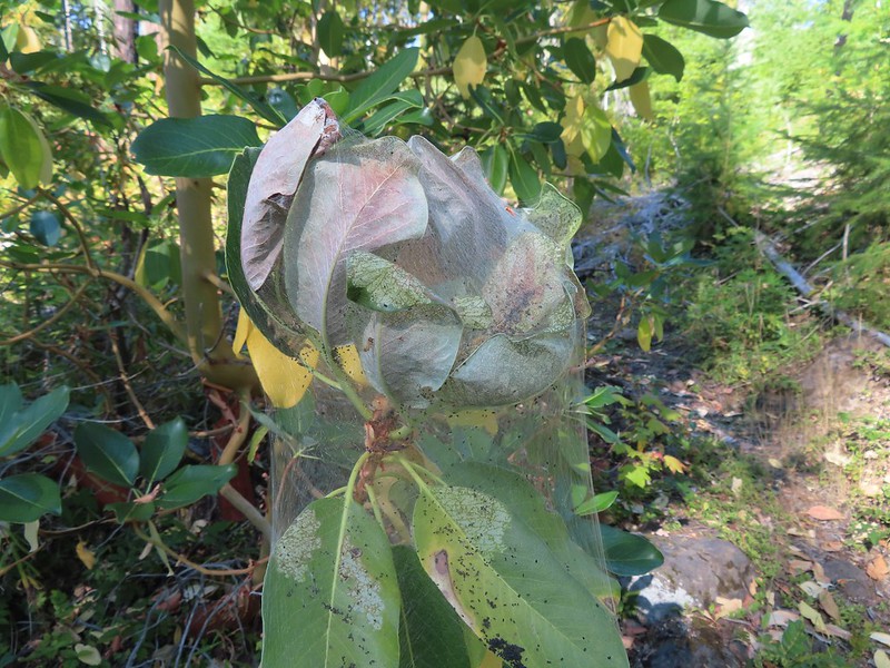 Lots of these insect tents on the madrones in the area.
 Arriving at the Lakes Trail.
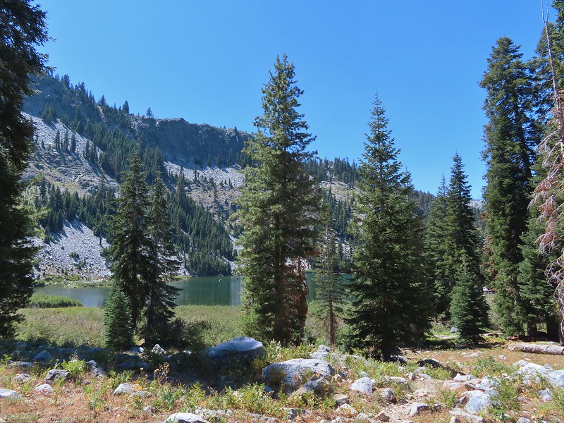
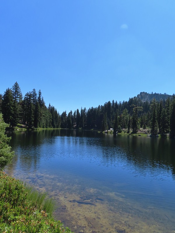
At the Lakes Trail we again turned right following it briefly through a fire scar before reentering unburnt forest and arriving at Buckeye Lake after 0.4 miles.

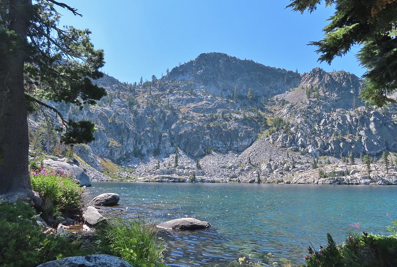
 First glimpse of Buckeye Lake
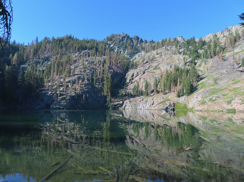
 At this fork we detoured right to visit the lake shore.
 A good reminder that far too many people tend to forget.
 Grasshopper Mountain from Buckeye Lake.
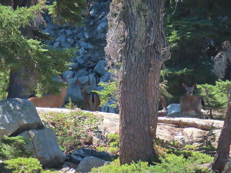
We were surprised to find that there was no one at the lake given that it’s just a mile from the Skimmerhorn Trailhead. While there were no people to be seen we were not alone.
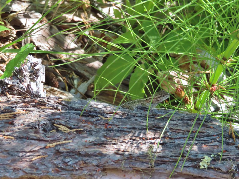 Lizard
 We had to really watch our step because these little guys were everywhere.
 There is an smaller, unnamed lake just West of Buckeye Lake that we did not take the time to check out closer.
From the far end of Buckeye Lake we followed the Lakes Trail 0.2 mile through the old lava flow to a spur trail on the right that led to a large campsite along Cliff Lake. Someone had left (placed) a small BBQ and tarp here but we never saw anyone.
 The spur trail to the campsite.

 Attempted panorama.
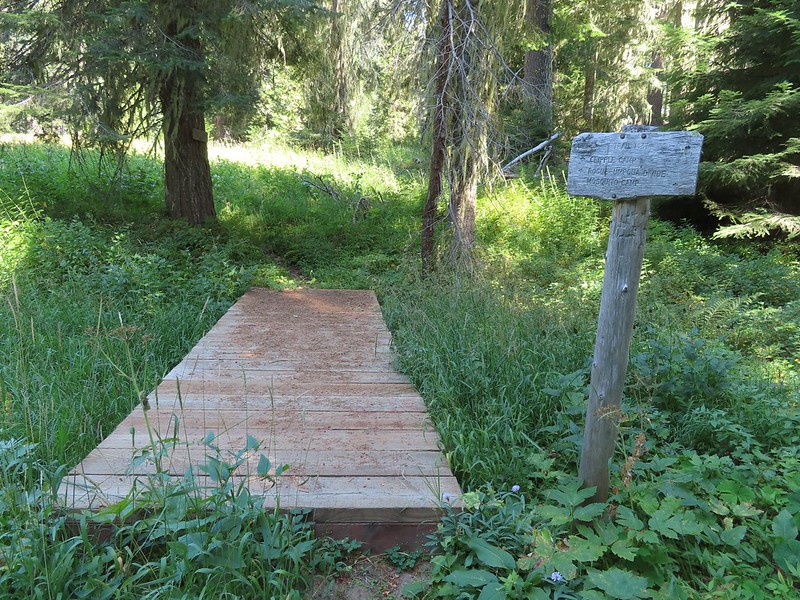
The campsite provided a nice shaded place for a break free of mosquitos. After a nice long break we returned to the Lakes Trail and continued another 0.3 miles to the junction where we had earlier turned onto the Grasshopper Trail. We turned left at the junction and headed back toward Fish Lake.
 Footbridge over the outlet creek which flows into another small unnamed lake that we did not attempt to find.
 Unfortunately the lighting made this tree very hard to photograph but it was the coolest tree/rock combination that we’ve encountered.
 Fritillary on thistle.
 Short climb back up to the junction.
We had considered having our dinner at Cliff Lake since it was close to 5pm but we had decided against it due to being low on water and preferring to refill from one of the creeks over the lakes. We followed the Lakes Trail back to Highrock Creek where I worked on dinner while Heather refilled our water. After enjoying some Mountain House creamy macaroni and cheese we hiked the final 0.6 miles back to our campsite.
 This slug was heading our way while we finished dinner.
 The Sun was getting pretty low as we ended our hike.
 A big nest atop a tree and the Moon above Fish Lake.
 Zoomed in on the nest and Moon.
 Fish Lake just before 7:30pm.
We were again surprised by the lack of people, it appeared that it was still just us and the campfire family. We turned in a little after 8pm to the welcome sound of crickets. Just before 9pm someone with the campfire family decided it was the perfect time to repeatedly fire a small caliber gun. It was both jarringly startling and disconcerting. We were not sure which direction they were firing in and we had no idea if the even knew we were camped there. As the shooting continued we began to consider our options. We couldn’t hike out because we’d need to pass them and that didn’t seem safe in the dark plus we guessed that whoever it was had been drinking. (Based on the four Coors cans we passed the next morning cooling in a stream we think that was probably the case.) The other option was to move camp further back, there was a site near Highrock Creek that was closer to the water than we would normally choose but given the choice of being struck by a stray bullet of camping closer than 200′ to water we were going to pick the water. During a break in the gunfire I quickly retrieved our bear bag and moved it downhill where we could easily access it if we needed move to the creek. We settled on moving camp if the shooting started again but fortunately it did not and we were able spend the rest of the night in relative peace.
The next morning we discussed our plan for the day. Neither of us were too keen on passing by what we were now referring to as the “mouth breathers” but we also both had the sneaking suspicion that the previous days hike was longer than the 13 miles we had come up with adding the distances in Sullivan’s book together. In the end though we both felt like we’d regret not trying the longer (and more elevation gain) return via Rocky Ridge. We decided that we would go ahead and give it a try knowing that we always had the option of turning around and hiking out the way we’d come in on the Beaver Swamp Trail given it was less than 2.5 miles to the trailhead from our campsite that way. We packed up camp and headed for Highrock Creek to top off our water.
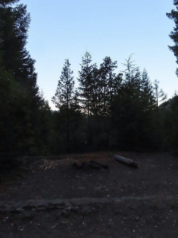 Campsite after packing up in the morning.
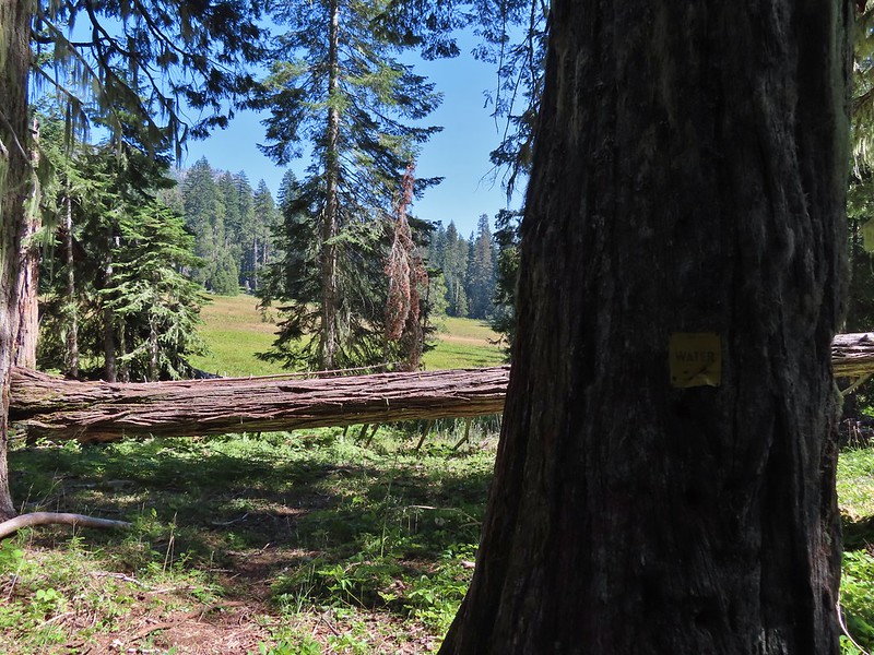
 Passing our planned route for the day on the left. Highrock Creek was just a 20 yard detour to the right.
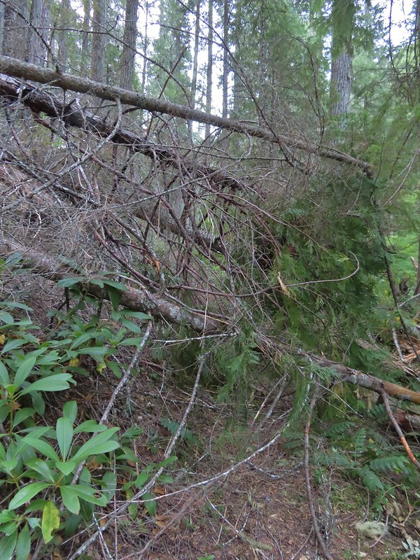
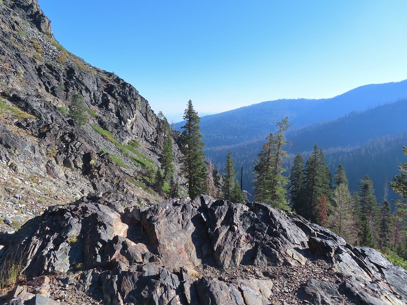
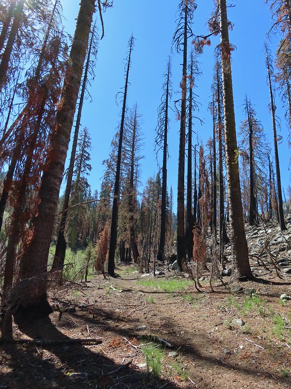
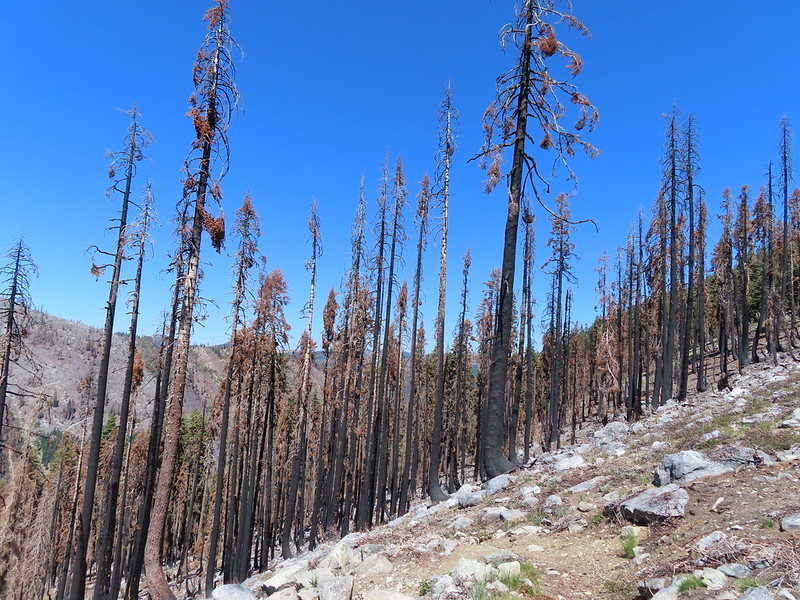
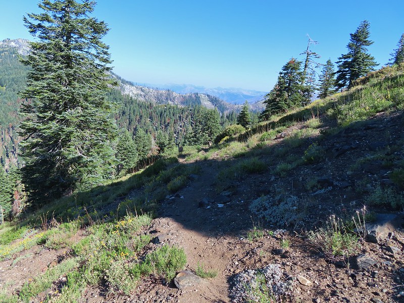
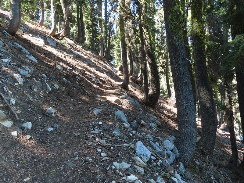
After replenishing our water supply we started up the Fish Lake Trail which climbed nearly 2200′ in three miles to its end at the Rogue-Umpqua Divide Trail near Highrock Meadows. This section of the trail had many signs of the 2017 Pup Fire scar which is the main reason we were uncertain whether or not we would be able to make it back to the trailhead this way. There were some signs of post fire trail maintenance, but we weren’t able to even make it a half mile before encountering a very large downed snag blocking the trail. It was too tall and at too steep of an angle to safely climb over and there wasn’t enough clearance to go under (we’d already done both options on other downed trees). The steep hillside was covered in downed trees and the fire had left the ground unstable making scrambling around too risky for our taste so we called it there and made our retreat.
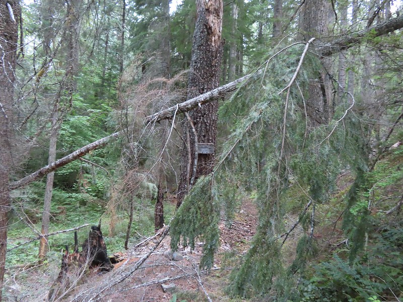
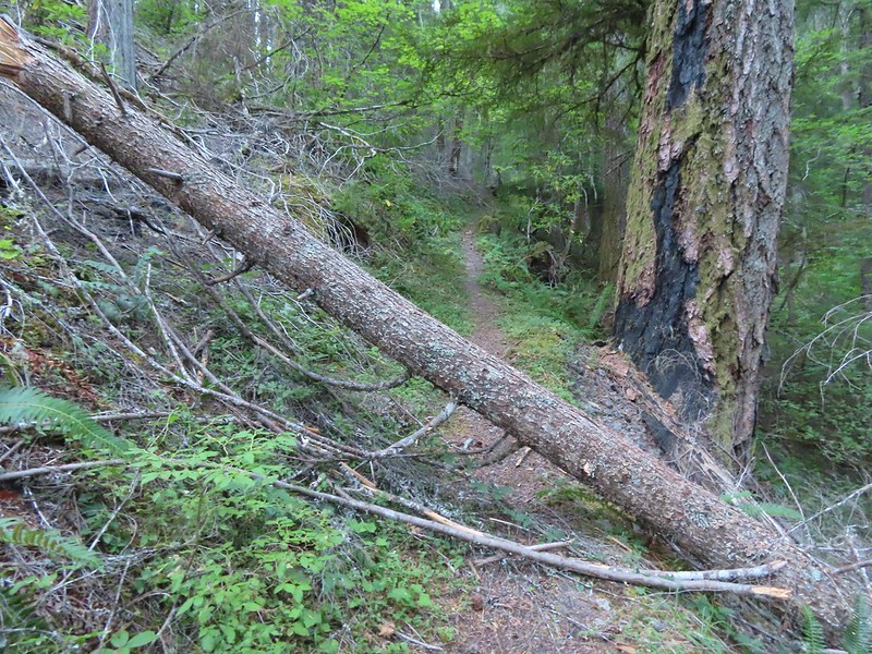 I think this was the third obstacle, one of several that was easy enough to get over.
 Prior maintenance, the second log may have been cut post fire?
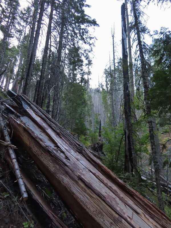 End of the line for us. Even if we somehow got around this one there was still 9.5 miles of burned trail from the trailhead and who knew how many obstacles like this one we might encounter or how long it would take us if we somehow were successful.
 We had the privilege of navigating this one twice. Heather is on the other side coming through.
 Back at the junction.
From the junction it was just under three miles back to the car. We hustled past the mouth breathers who seemed to still be asleep and said goodbye to Fish Lake.
 No clouds this morning.
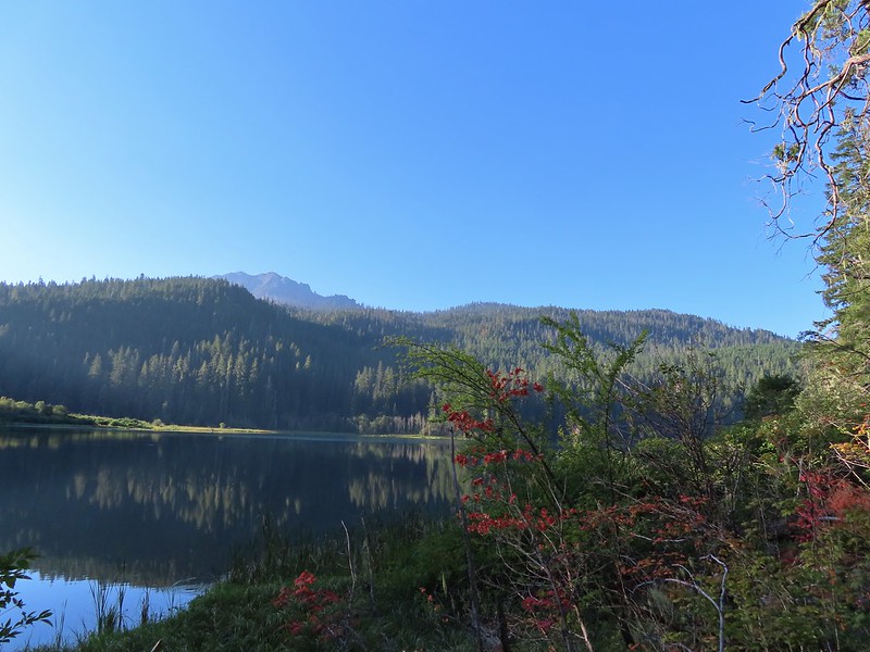 Highrock Mountain behind Fish Lake. Seeing the vine maples turning colors reminded us that despite the heat Autumn was just around the corner.
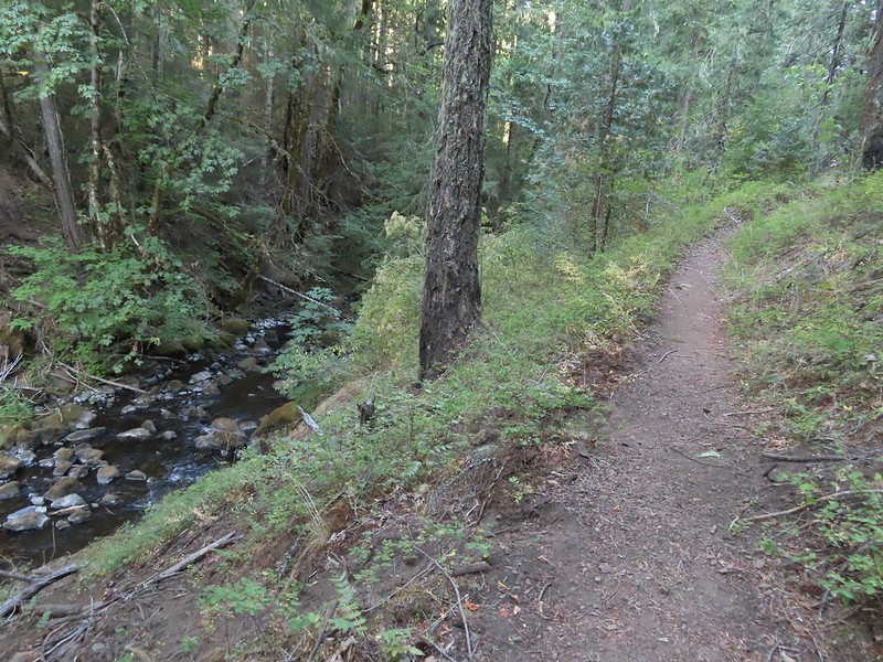 Hiking along Fish Lake Creek.

 Highrock Mountain from the Beaver Swamp Trail.
 Leaving the Rogue-Umpqua Wilderness for the last time this trip.
Our suspicions about the length of our hike on Saturday were confirmed by our GPS showing a distance of 16.4 miles with approximately 3200′ of cumulative elevation gain.

Given the previous days hike and how warm it was by 9am it was probably for the best that we were turned back from the longer return as quickly as we had been. It had been a bit of a mixed bag with some good weather, nice scenery mixed in with the gunfire and not being able to hike out via Rocky Ridge but overall it had been enjoyable. (Click here for a look at the Rocky Ridge route pre-fire courtesy of Boots-on-the-Trail.)
At the trailhead we encountered a Forest Service employee who had just arrived for a two night stay at the trailhead. They were there to perform a survey of recreation users so we spent about 10 minutes answering the questions before heading home.
Unfortunately for us our adventure wasn’t over. If you’ve been following our blog this year you’ll know that we’ve had the low tire pressure light come on three different times, each one a long way from home (Siskiyou Gap, Black Butte Trail, and Russian Lake) due to a nail, a screw, and a rock. The latter leaving us with a flat tire near Callahan, CA and requiring a purchase of four new tires. This time just outside of Roseburg instead of the low tire pressure light half our dashboard lit up. All at once the check engine light came on, the X-mode indicator began blinking, and the Eye Sight unavailable lights all came on. After further review it appears that when the check engine light comes on those other systems are disabled prompting those indicators to come on. Regardless it was a Sunday and we were over a hundred miles from home. We kept a close eye on all the gauges for the rest of the drive and will have to wait until the Tuesday after Labor Day to make an appointment to have the car checked out. What I wouldn’t give for a Star Trek transporter. Happy Trails!


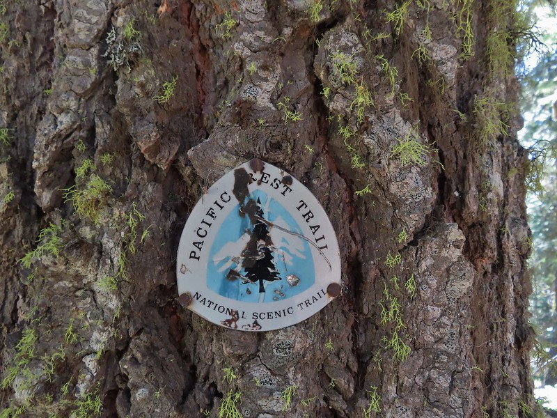
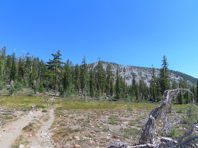
 The PCT running left to right with the Hidden Lake Trail extending straight ahead.
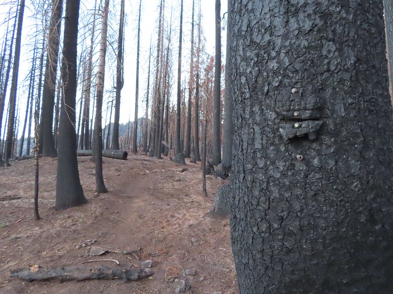 Remnants of a trail sign. The sticks across the Hidden Lake Trail are to let PCT hikers know that is not their trail.
 A layer of smoke over the valley on the horizon.
 A fleabane, possibly California rayless fleabane.
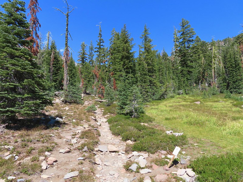
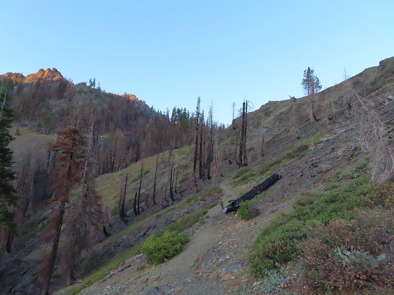 Hidden Lake Trail following the ridge.
 Dwarf purple monkeyflower
 Blue-eyed Mary
 Approaching Hidden Lake.
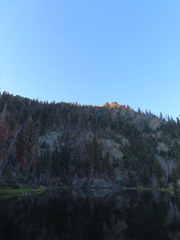


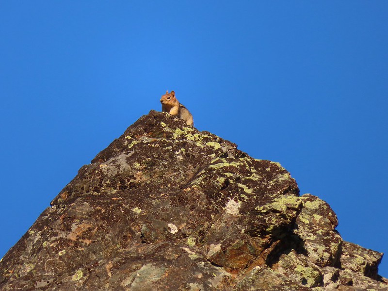 Golden-mantle watching us from atop the ridge.
 Looking back now that there was a little more sunlight.
 Diamond clarkia
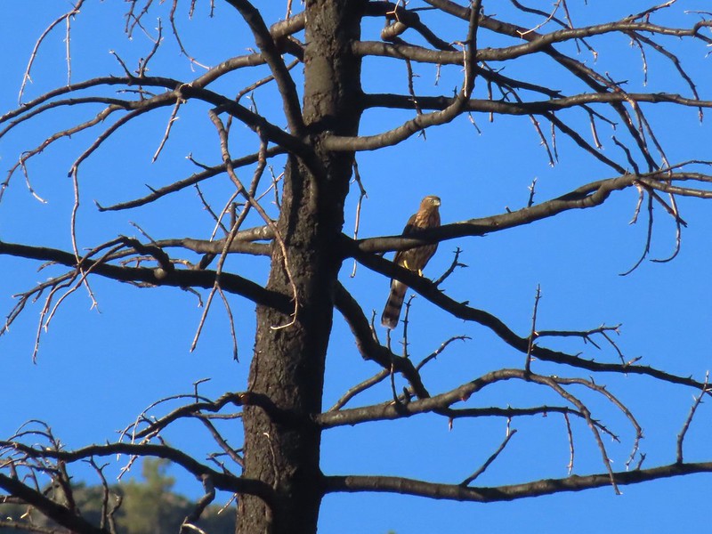 A small raptor watching from a snag.
 Wildflowers in the burn scar.
 Spreading dogbane
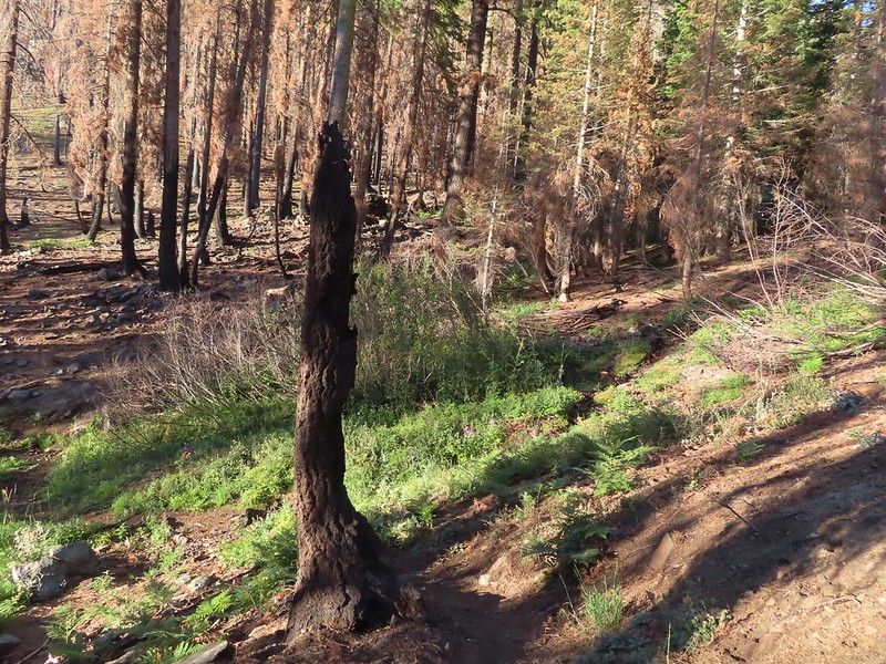 A small stream/spring providing some green.
 Bleeding heart, fireweed, monkeyflower, and hedge nettle along the stream.
 Yarrow and Oregon sunshine.

 California harebells
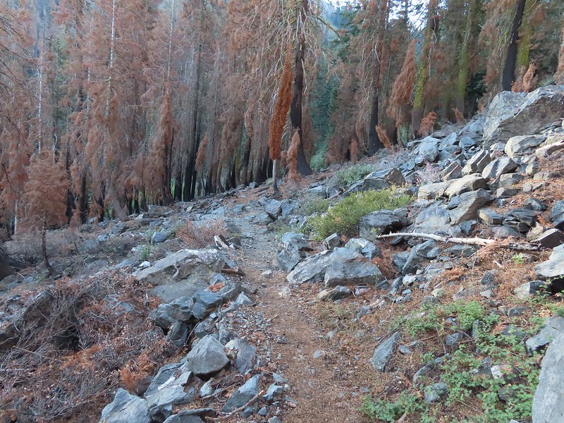
 A lot more green vegetation near the river crossing.
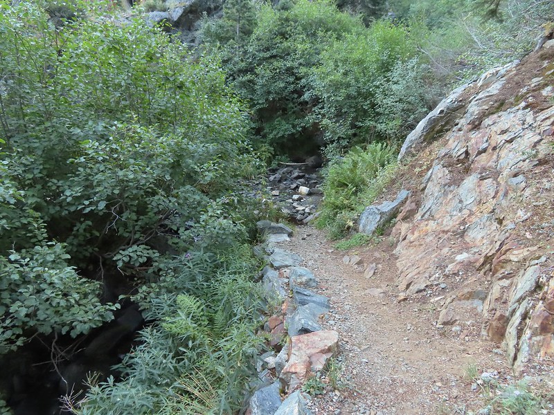
 South Fork Scott River
 Mountain coyote mint
 Mountain larkspur
 Mountain larkspur
 Snacks
 Campsites along the PCT near the river crossing.
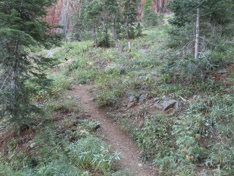 You can just make out the trail ahead heading uphill to the right.
 This trail was the most overgrown/least maintained of all the trails we’d been on this trip.
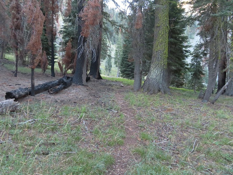 Nearing the meadow.
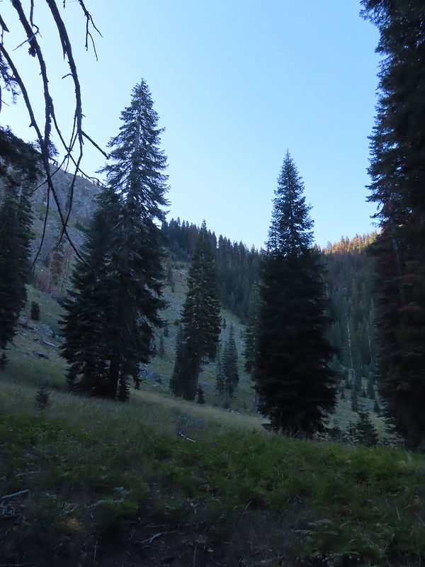 Entering the meadow and losing the trail.
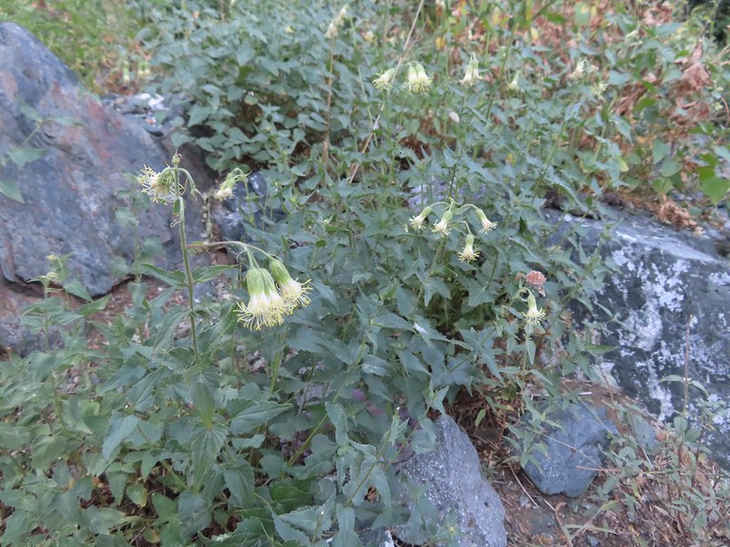 As of yet unidentified flower in the meadow.
 There was a brief pause in the climb while the trail passed a series of springs.
 Vegetation along the trail at the springs.
 Back to climbing.
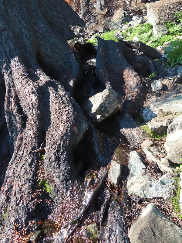 The final spring that we passed was coming out of this hollowed trunk.

 There were several places where it looked like the trail was going to finally crest but when you got there you just found more uphill.
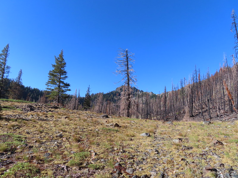 Finally the trail is leveling out.
 Looking back over the lower lake.
 Heading off-trail for the upper lake.
 Back to the lower lake.
 A penstemon
 Another look at the cool spring.
 Monkeyflowers along the springs.
 Butterfly on western snakeroot
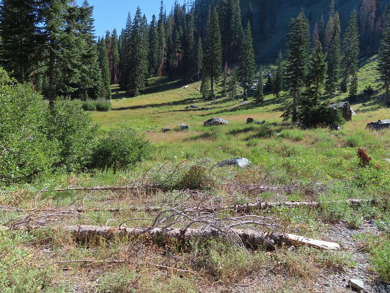 Back through the meadow.
 Thistle
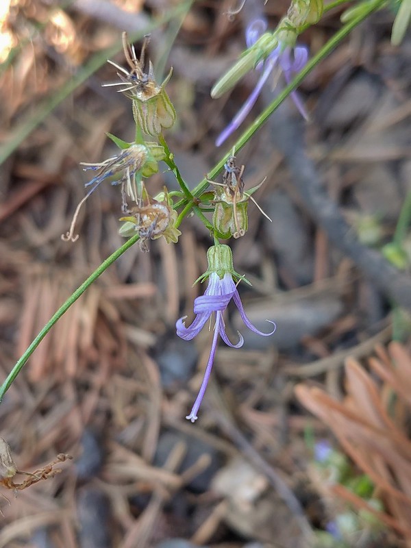 Close up of a California harebell.
 I can see a car at the trailhead.
 The helipad at the trailhead.
 The helipad at the trailhead.
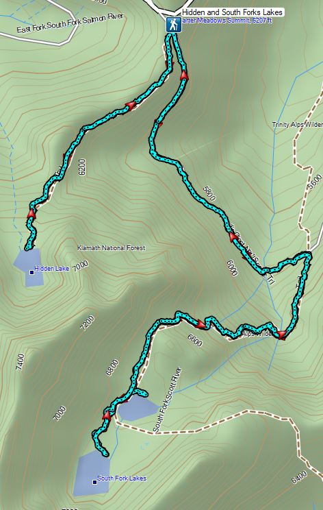


 An aster (or a fleabane, it’s so hard to tell).
 Musk monkeyflower
 Tiny green frog.
 It was easy to spot where the creek was based on the green.
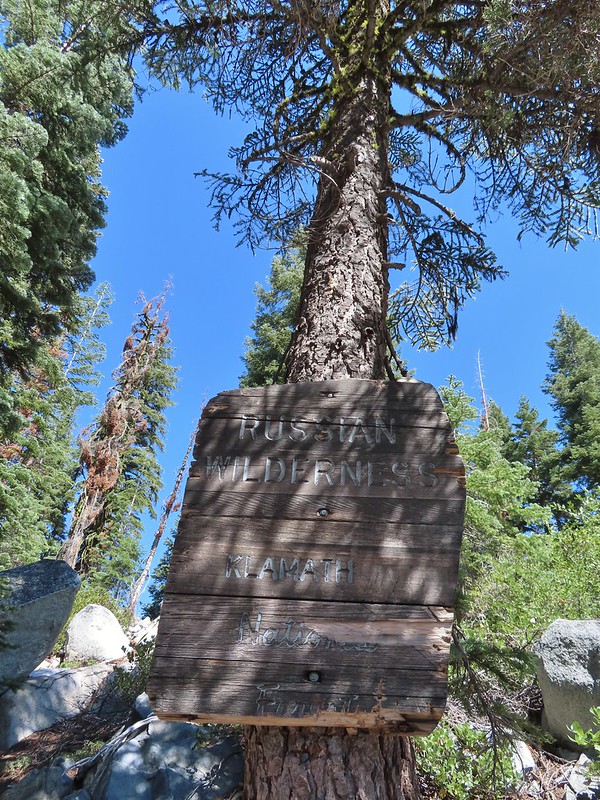
 The wilderness boundary.
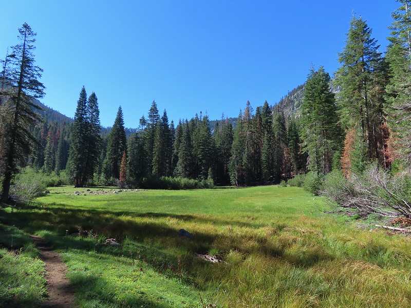
 The creek crossing.
 Paintbrush
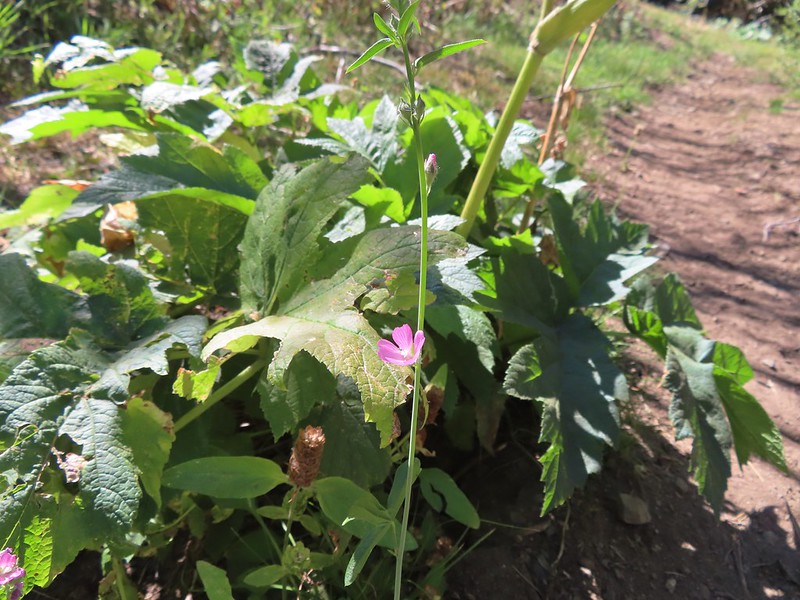 A checker-mallow near the creek.
 A junco. We saw a large number of small birds flying around during our trip, mostly junco’s and chickadees but they rarely ever sat still where we could see them.
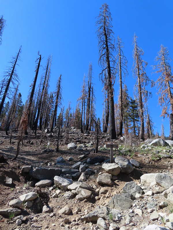 Pointer for Trail Gulch Lake 0.8 miles from the Creek Crossing.
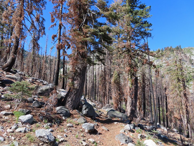


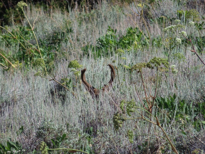
 One of several deer seen running uphill as we made our way up the trail.
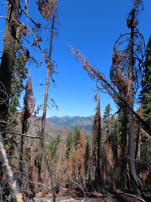 View back down Trail Gulch.
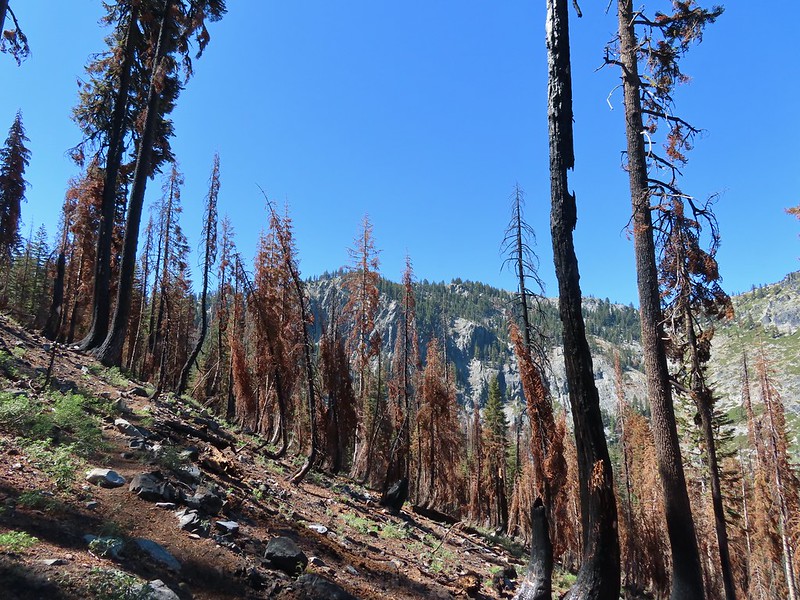
 Paintbrush
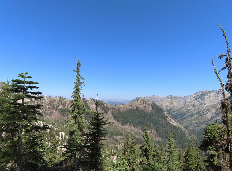
 Peaks in the Russian Wilderness.
 Arriving at the pass.
 Trail Gulch Lake from the pass.
 Clark’s nutcracker
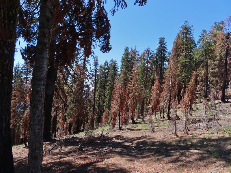
 The sign for Steveale Meadows where we went uphill on the trail to the right.


 View south from the tie trail.
 Approaching the pass.
 Sullivan mentions that it is possible to scramble 0.2 miles to the right along this ridge to get a view of Mt. Shasta and the heart of the Trinity Alps but with the smoke on the horizon we didn’t feel it was worth the effort and skipped that option.
 Looking down into Long Gulch from the pass.


 To the north we could see much of the route we’d taken the day before on the way to Siphon and Russian Lakes.
 Chipmunk with a snack.
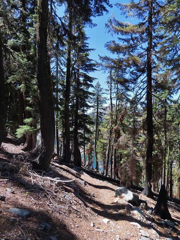

 The outlet creek.
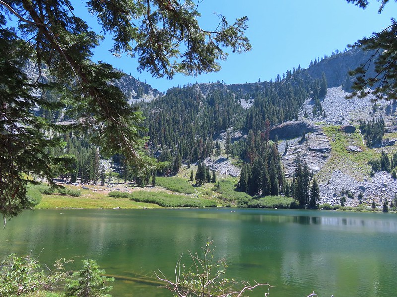
 Long Gulch Trail passed to the north of Long Gulch Lake for a quarter mile.
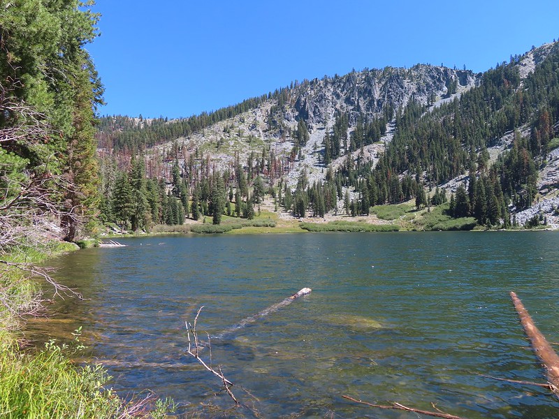 The pass that the trail came down is along the ridge to the left here.
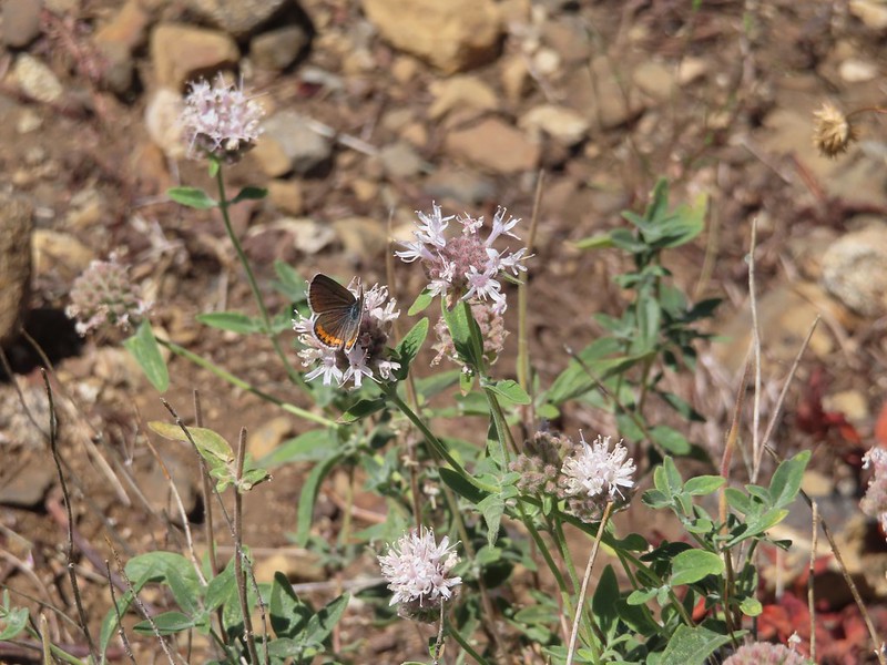
 Parnassian on mountain coyote mint.
 Skipper on mountain coyote mint.


 Meadow with a number of big trees that survived the fire.
 Common buckeye
 A copper or blue
 Lorquin’s admiral
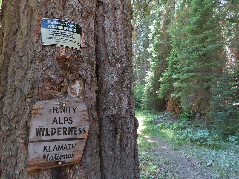 Leaving the Trinity Alps Wilderness.
 The trail briefly followed the Long Gulch Creek.
 Checker-mallow
 The trail crossed the creek just under 2 miles from the junction.
 Arriving at the Long Gulch Trailhead.
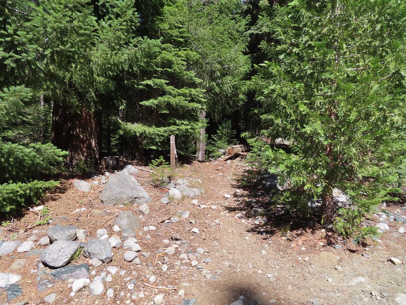


 We did pass a sign for the horse trail along the road.
 To the far right of the photo in between the green and orange branches is where it landed.
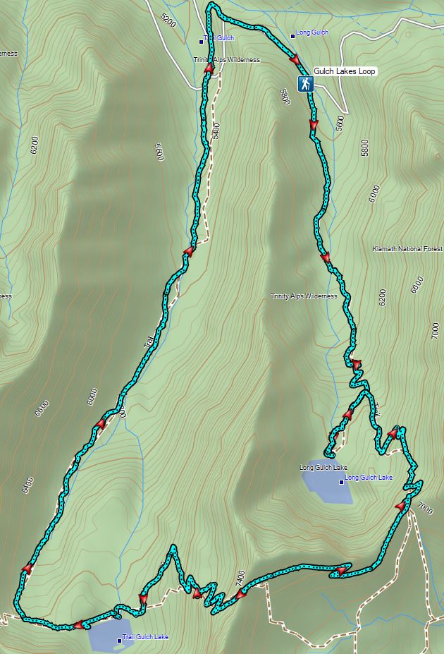

 PCT below FR 39N48.
 Tail and Long Gulches in the
  Lots of buckwheat along the ridge.
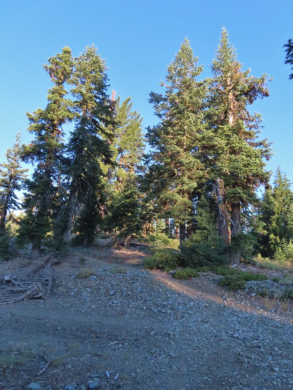

 Buckwheat

 Trinity Alps Wilderness
 Caesar and Thompson Peak
 We would be passing below the peak in the distance later.
 Small buck on the hillside above the PCT.
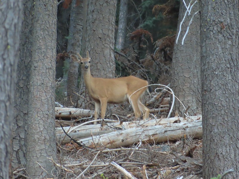
 The Deacon Lee Trail was visible crossing the opening on the far hillside.

 Checker-mallow
 Crescent butterfly
 Small spring along the PCT.
 The junction with the Deacon Lee Trail.


 Dwarf lupine

 Fritillary butterfly on spreading dogbane.
 Nearing Siphon Lake.
 Siphon Lake was just under a mile from the PCT.
 Old pipe that used to bring water down to mines lower on the hillside.


 Zoomed in on the pair.
 The curious fawn.
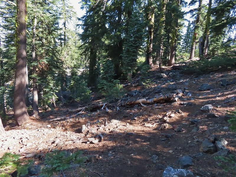


 The pond was full of tadpoles.
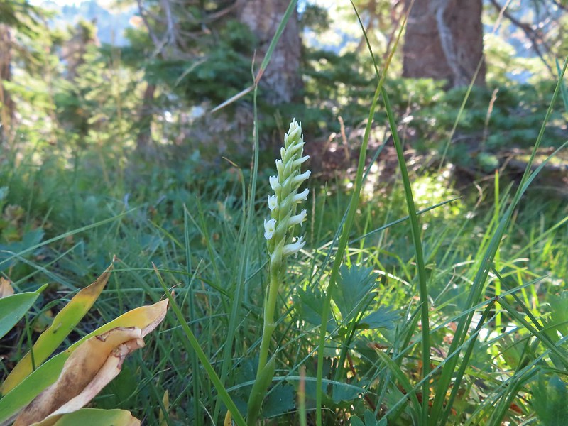 Hooded ladies tresses
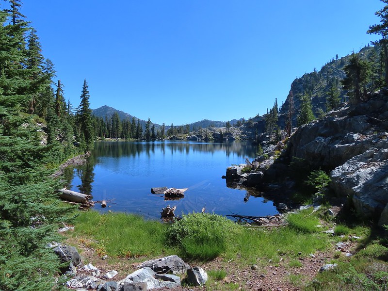
 View from the outlet creek.
 Russian Peak
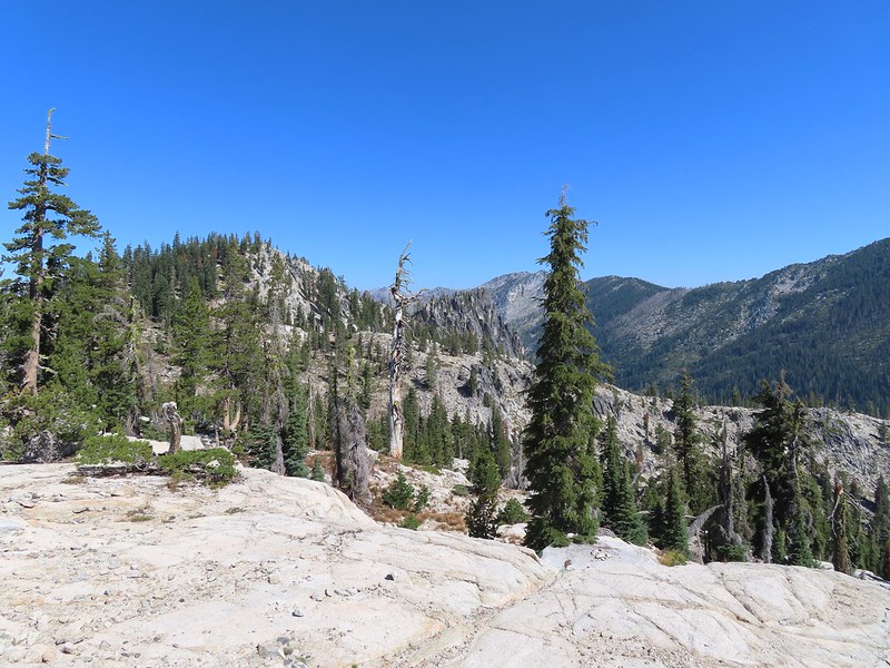


 Fireweed near the outlet.
 Large boykinia

 Saxifrage seed head
 It was a pretty good drop down to Waterdog Lake.
 Waterdog Lake.
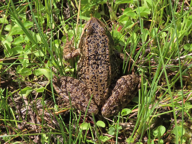

 The deer were across the lake in those trees.
 Looking back along the lake.
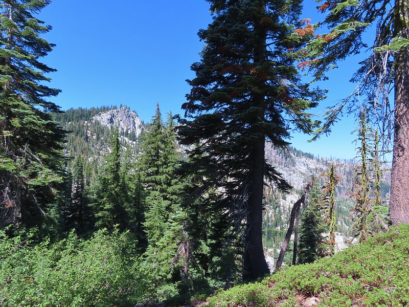


 Paintbrush
 There were dozens of lizards scurrying across the trails all day but not many stopped long enough for photos.
 Haven’t been able to identify this one yet.
 Butterfly on mountain coyote mint
 Another butterfly on mountain coyote mint.
 Grasshopper that became obsessed with Heather’s glove.
 Cricket
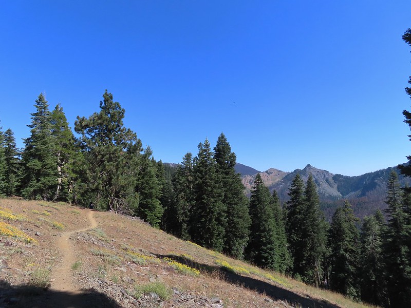


 Entering the

 First view of the small waterfall.
 Bigelow’s sneezeweed
 Marsh grass-of-Parnassus
 Not sure what these little guys are.
 Checker-mallow
 Western snakeroot
 Passing the waterfall.
 Peaks in the
 Dam near East Boulder Lake.
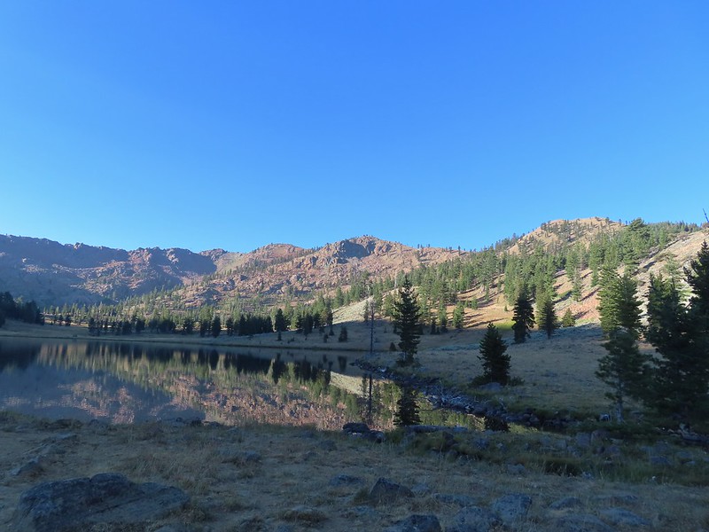


 There were cows out there somewhere but we couldn’t see them.
 View from the dam. We had to watch out for frogs here.
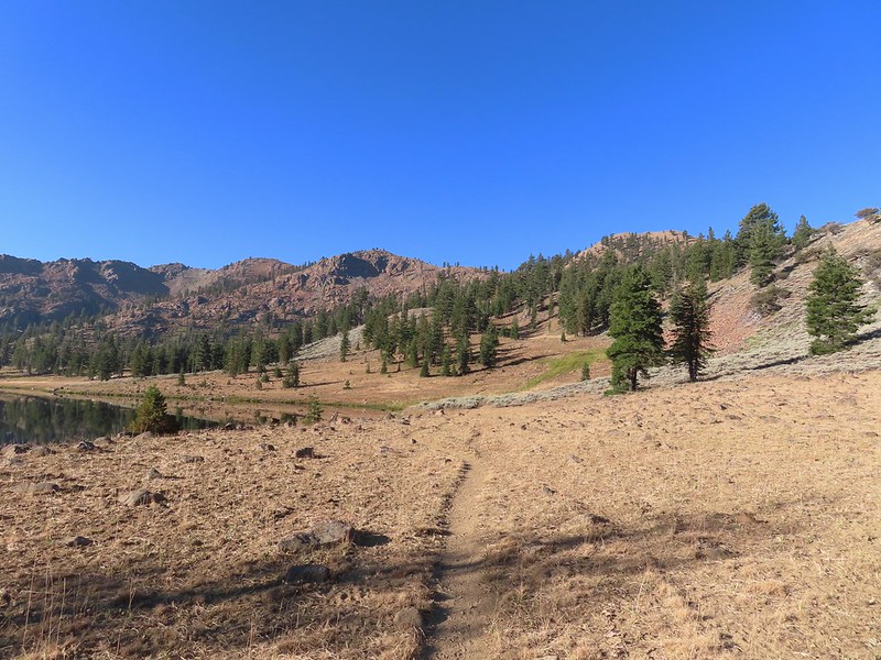

 We should have stuck closer to the lake.
 Buckwheat
 Back on the trail where the cows were just leaving.
 Upper Boulder Lake
 Upper Boulder Lake in the background.
 One of the cows on the far side of the lake to the left.
 Toothed owl’s clover
 Ducks on Upper Boulder Lake.
 The climb was fairly steep at times.
 All four lakes in view.
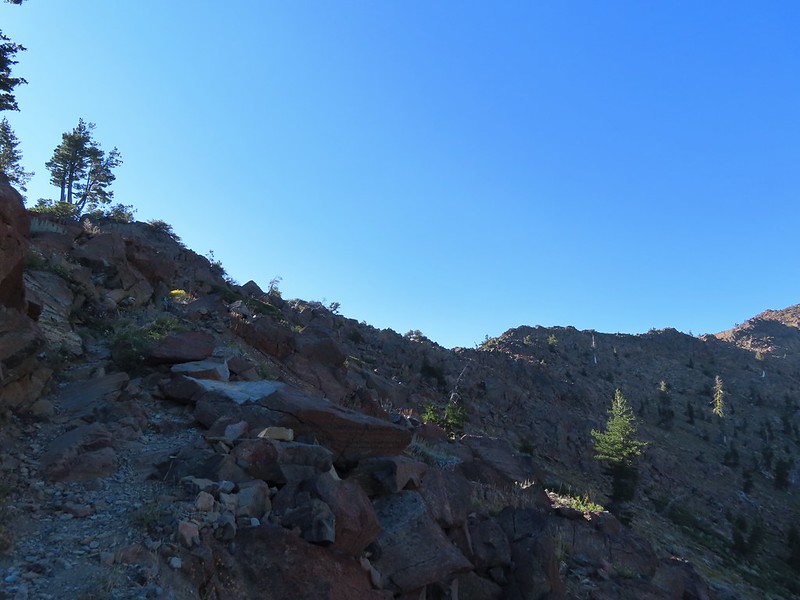 Almost to the pass.
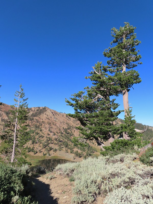 At the pass.
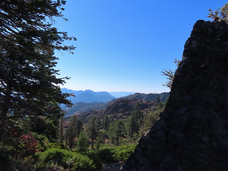 Looking south further into the Trinity Alps Wilderness.


 Balloon-pod milk vetch
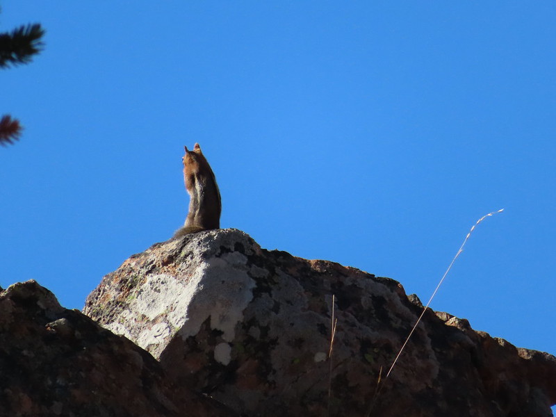 Golden-mantled ground squirrel taking in the views.
 Mt. Shasta over Mt. Eddy through the haze. I believe the lake below to the right is Big Marshy Lake.
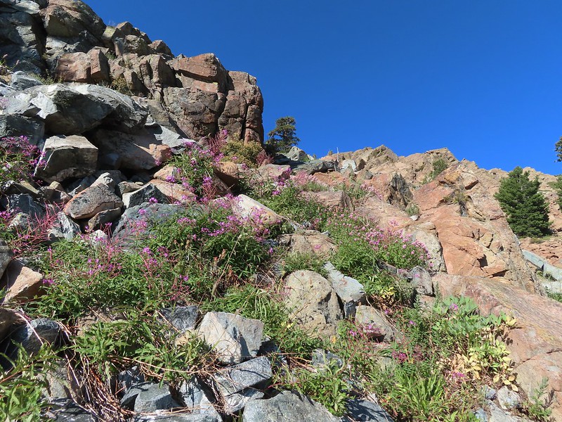 Fireweed in the rocks.
 Paintbrush
 A bit of water from a spring along the PCT.
 The water was coming from somewhere up there.
 Looking back along the PCT.
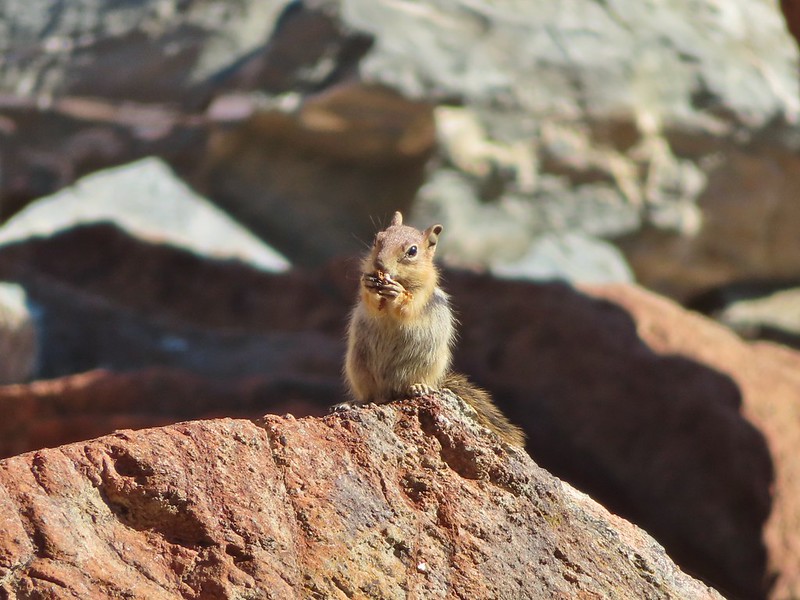 Snack time.
 Caesar and Thompson Peak
 This northern flicker looks like its head is on backwards.
 A little bit of burned forest near the pass.
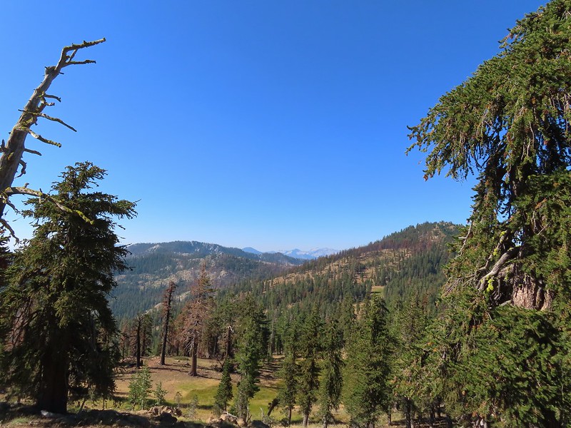 More peaks in the heart of the Trinity Alps.
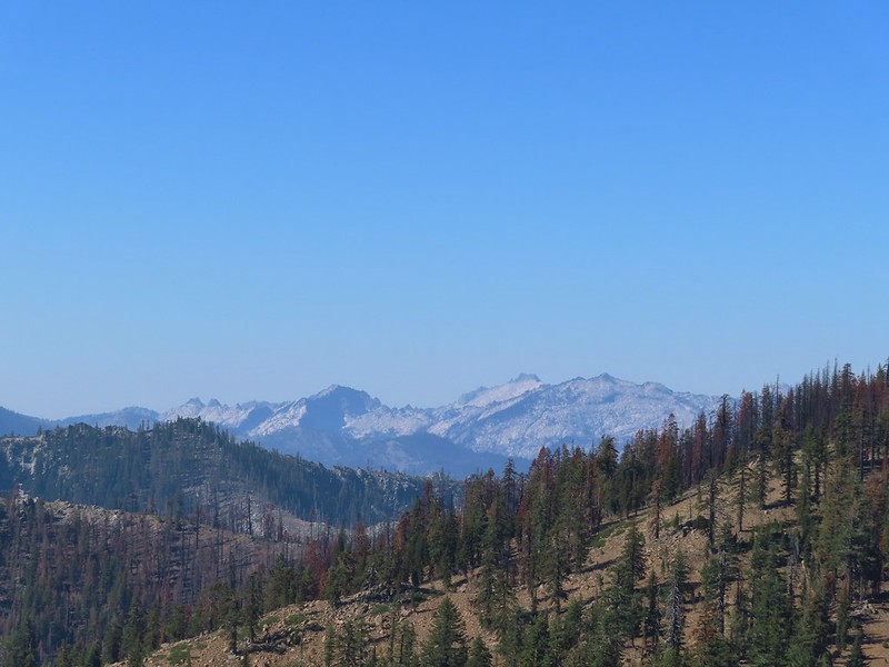 Caribou Mountain (
 The pass above Middle Boulder Lake.
 Middle Boulder Lake is just visible beyond two smaller unnamed lakes.
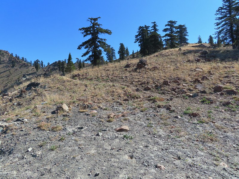 Middle Boulder Lake Trail at the pass.
 The Middle Boulder Lake Trail traversing down the hillside.
 A sulphur butterfly.
 The trail stayed above the two unnamed lakes.
 The trees on the far hillside were burned in the 2021 fire.


 The cairn to the right of the downed tree.
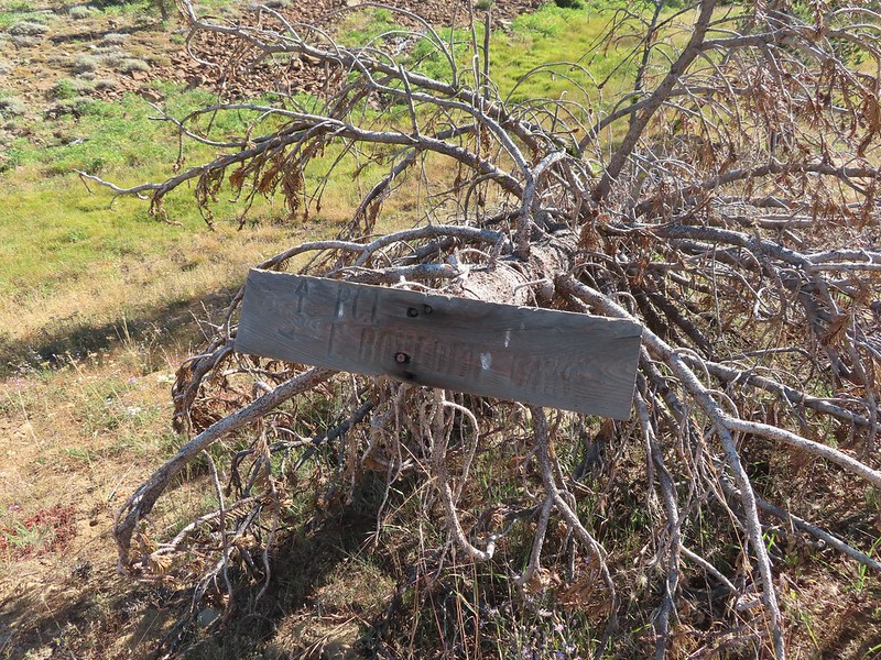
 This may be Autumn dwarf gentian
 One of the more obvious cairns.
 Butterfly on a seed head.
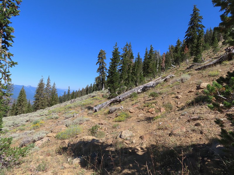 The tread getting clearer.
 Middle Boulder Lake
 Back on good tread.
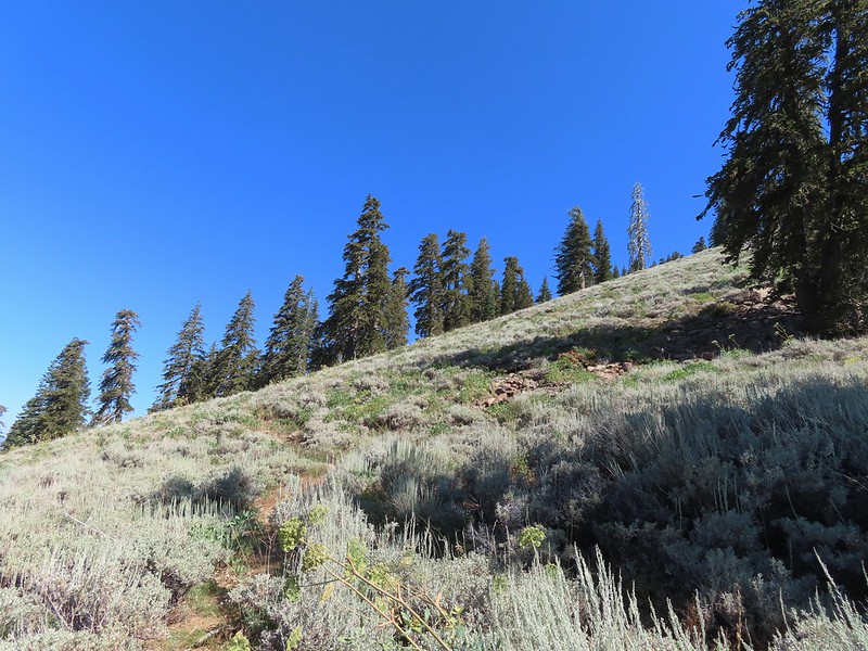


 Orange agoseris
 Passing through a bit of forest before climbing to the saddle.

 Approaching the dam.
 Fish in East Boulder Creek.
 Descending near the waterfall.
 An aster or fleabane.
 Butterfly
 Woodpecker
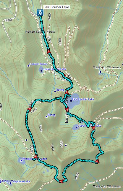

 Lupine at the trailhead.
 A line of smoke over the Castle Crags (
 Castle Crags
 Green Butte and Mt. Shasta
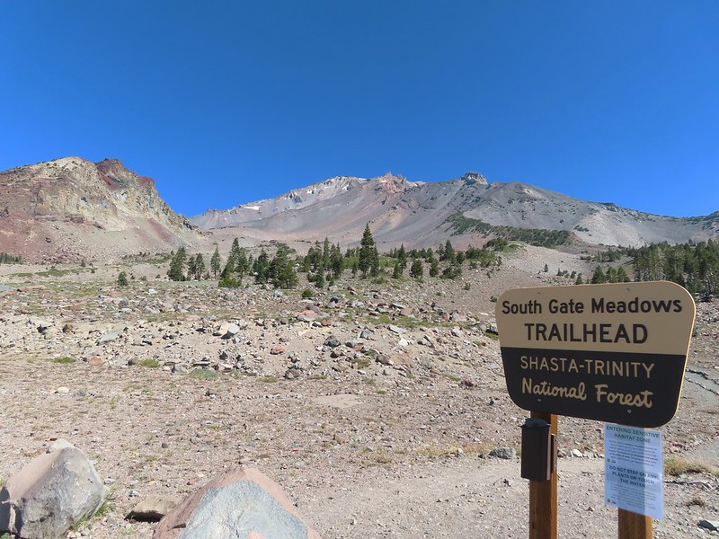
 Common buckeye

 Red Butte from the pass.
 Mount Eddy from the pass.
 Heather standing at the wilderness boundary.
 A dry spring along the trail. Ideally we would have been doing this hike (and trip) in late July for more wildflowers but sometimes the circumstances dictate when and where we wind up.
 Approaching The Gate.
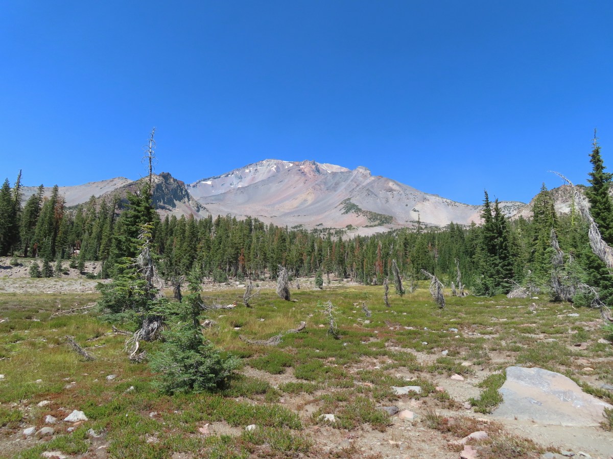
 Shastarama Point and Thumb Rock
 Gray Butte
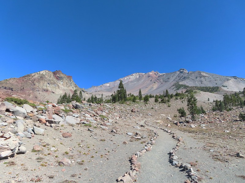
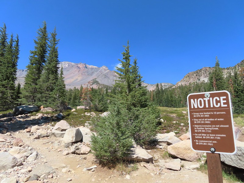
 The trail junction near The Gate. The trail to the right would be our return route to make a loop through Panther Meadows, but for now we went left following the pointer for South Gate Meadows.
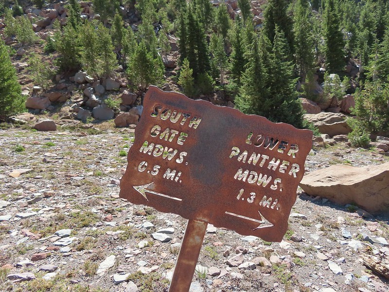


 A paintbrush and aster.
 Penstemon
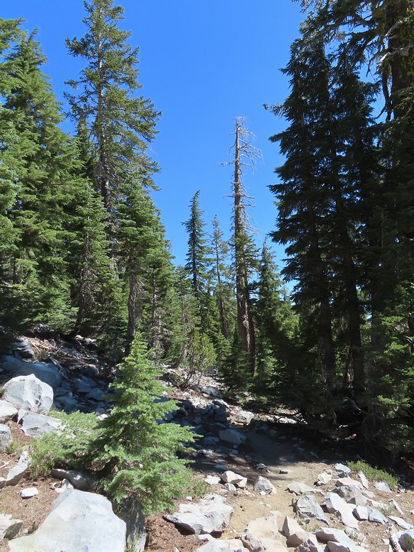
 Some haze to the south but we could make out Lassen Peak which is one we rarely ever get to see.
 Lassen Peak
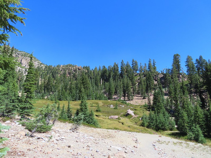

 Primrose monkeyflower
 The use trail crossing the creek.
 In sight of the circular meadow.
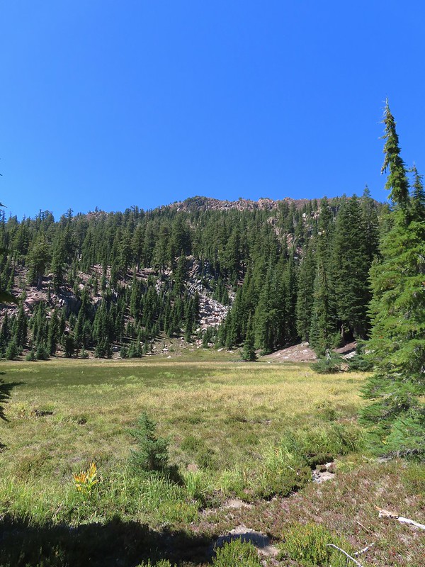
 Marsh grass-of-Parnassus
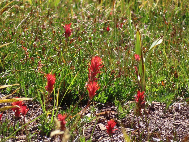 Paintbrush
 Back at the meadows.
 A pair of common buckeyes.
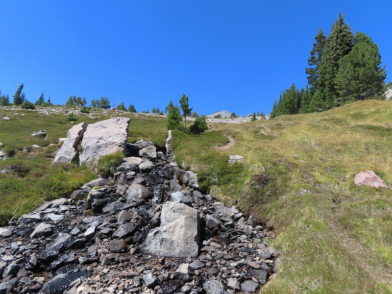
 Primrose monkeyflowers and paintbrush
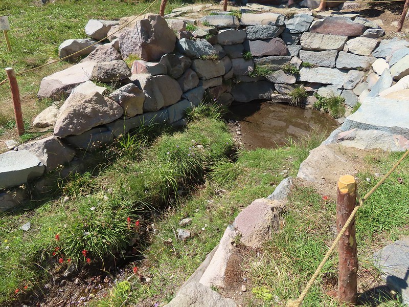
 Not the “monkeyflower” spring but a smaller one along the way up.
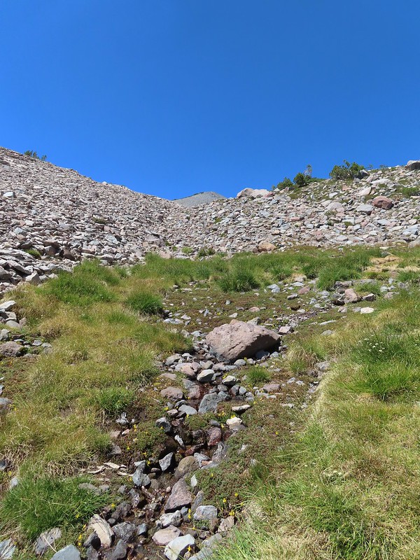 The “monkeyflower” spring.
 A couple of monkeyflowers and a buckeye.
 I climbed a bit above the spring to check out the view.
 Heather arriving at the spring.
 A Clark’s nutcracker also taking a break.
 Two types of monkeyflower and bog St. John’s wort,
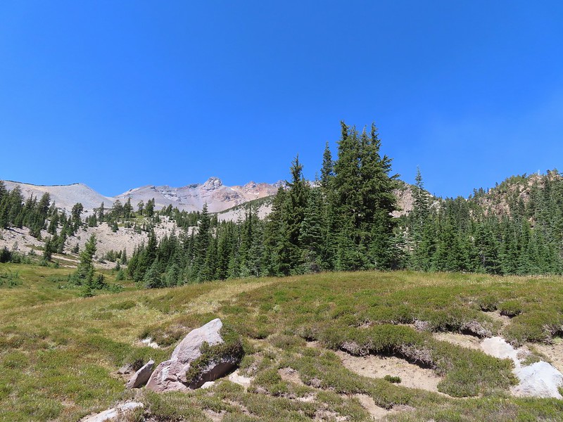 One last pass through South Gate Meadows.
 Red Butte
 Shasta knotweed
 Back at The Gate.
 Mt. Shasta from the trail.
 Red Butte
 Glaciated rock.
 Mt. Shasta and Sargents Ridge.
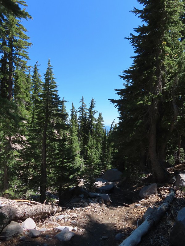 Into the forest.
 The trail left the wilderness along the way.
 The junction with Gray Butte behind the trees.
 Another Clark’s nutcracker. They are boisterous birds and other than first thing in the morning we get a kick out of listening to them.
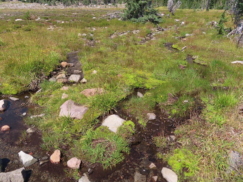 Stream flowing through the meadows.
 Gray Butte from Panther Meadows.


 Picnic tables at the trailhead.


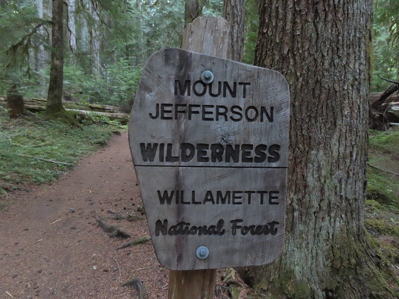
 This was at least the third posted notice so there is no claiming you weren’t aware that a permit is needed.
 Pamelia Creek
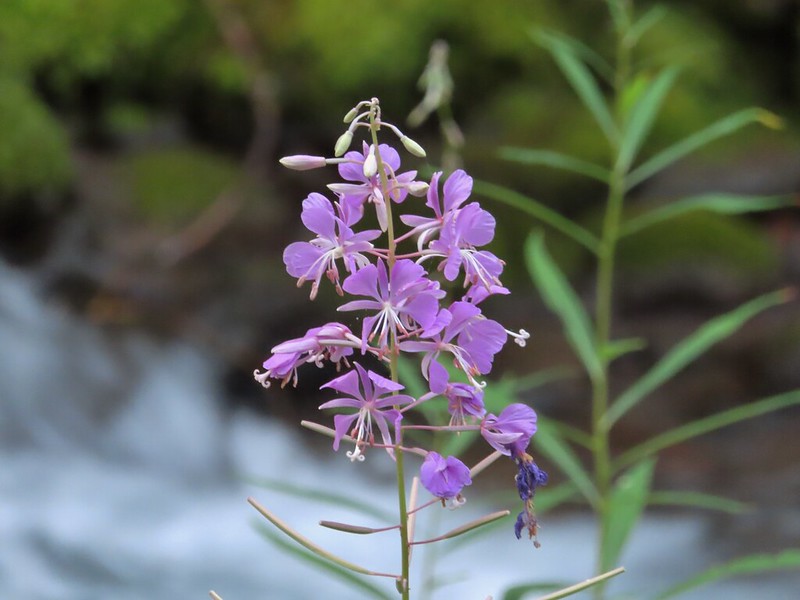 Fireweed along the creek.

 Pamelia Creek only flows underground here much of the year.
 Heading up.
 A glimpse of Mt. Jefferson.
 That might be Woodpecker Hill, it was hard to tell exactly which ridge we could see with nothing else visible to help orient.
 This looked like it might be a nice little waterfall with enough water.
 That’s not enough water.
 Heather below one of several switchbacks.
 Turning up the ridge.
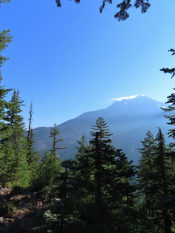 The haze was probably a combination of morning cloud/fog and smoke from the Cedar Creek Fire near Waldo Lake.
 Pinedrops
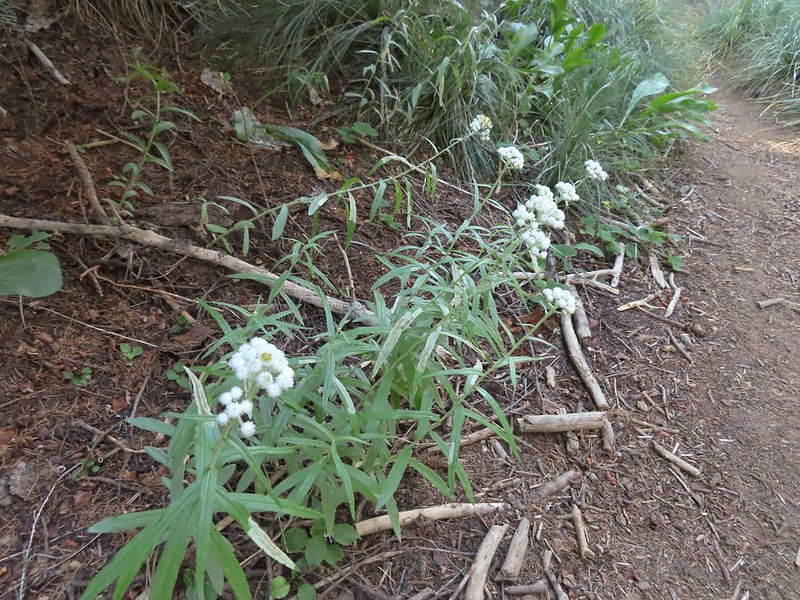 We were too late for most of the flowers but there were a few pearly everlasting going.
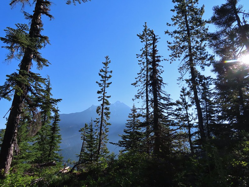 There’s that pesky Sun again.
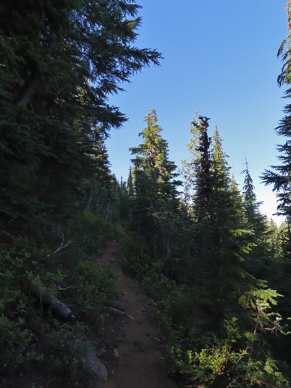
 Aster
Aster Lousewort
 Lots of burnt forest out there.
 Triangulation Peak and Boca Cave (
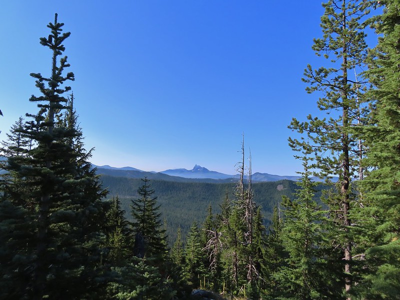
 Broken Top to the far left blending into the haze and Three Fingered Jack to the right with the Three Sisters in between.
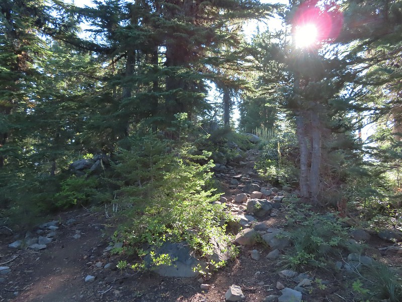 Just below the summit.
 Pamelia Lake below Mt. Jefferson.
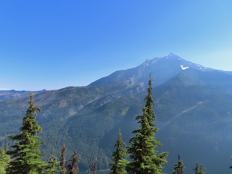
 Hunts Creek flowing into Pamelia Lake.
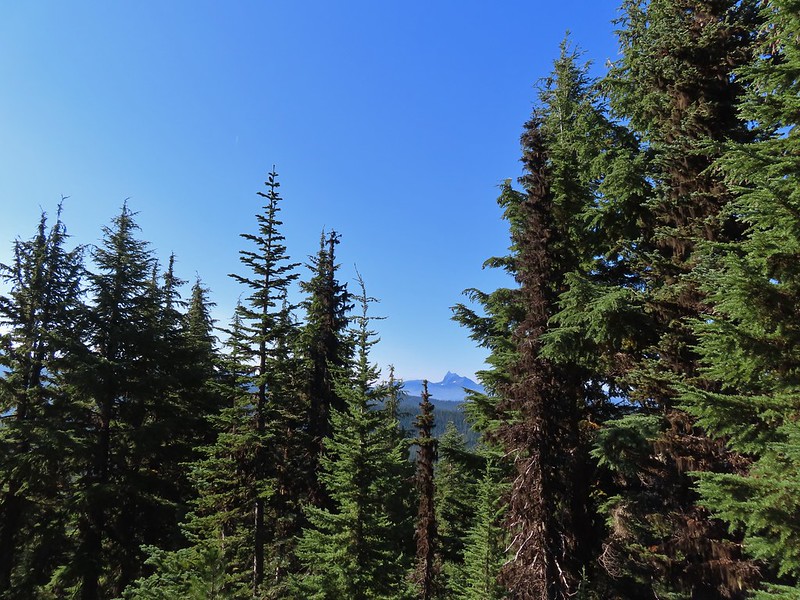 Had to hunt for a view of Three Fingered Jack.
 A hard to make out Mt. Hood beyond the far ridge which consists of Bear Point to the left (
 Mt. Hood
 Beardtongue
 A fritillary butterfly.
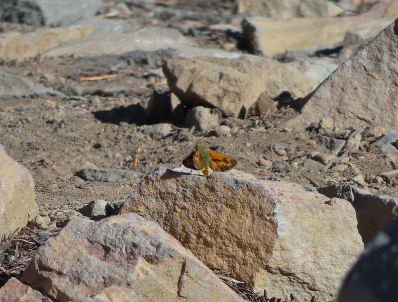 A skipper
 Goat Peak is to the right of Mt. Jefferson.
 Mt. Jefferson and Pamelia Lake from one of the viewpoints along the ridge.
 Cascade toad

 One more of Pamelia Creek.

 The Riley Camp Trail (Trail 64) on the opposite side of FR 23.


 We weren’t aware that the Forest Service was employing wilderness greeters.
 May I see your self-issued permit?
 The trail was in pretty good shape with just a few downed trees to step over/under.
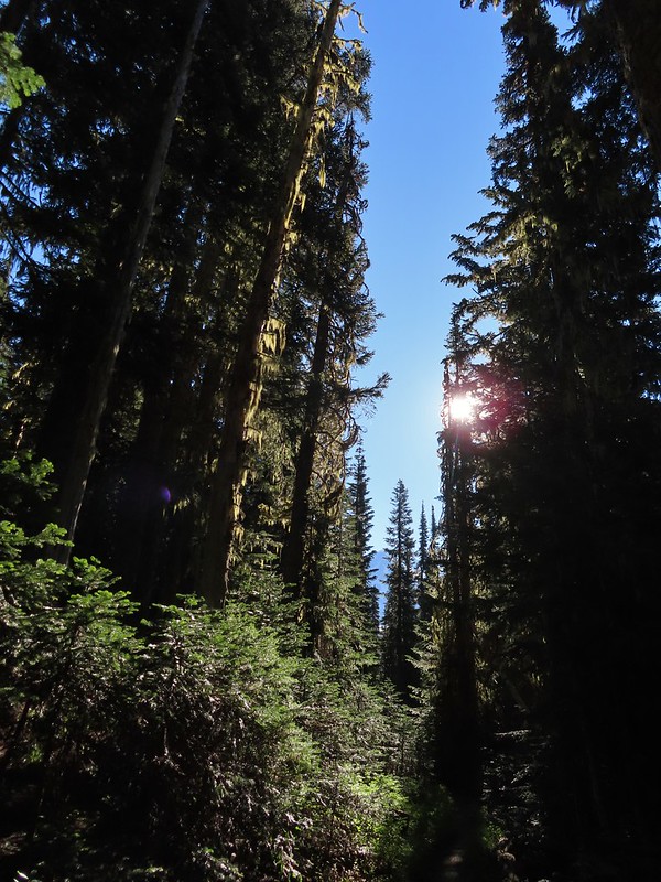 First look at Mt. Adams through the trees.


 Luna Lake
 Aster
Aster

 More Mt. Adams.
 Paintbrush and lupine

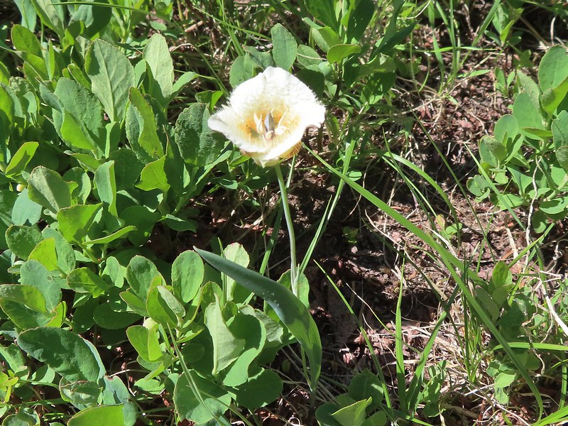 Sub-alpine mariposa lily
 Riley Creek along the trail.
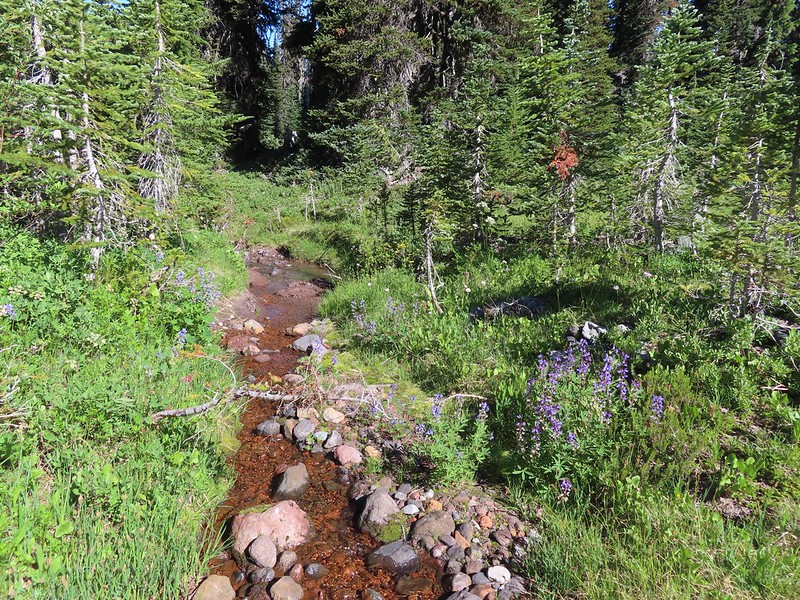 Riley Creek at the crossing.
 A trail sign up ahead at the junction.
 PCT marker on the tree.
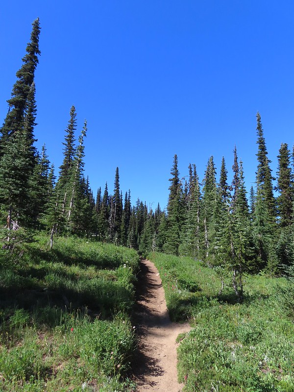
 Riley Creek below the PCT crossing.
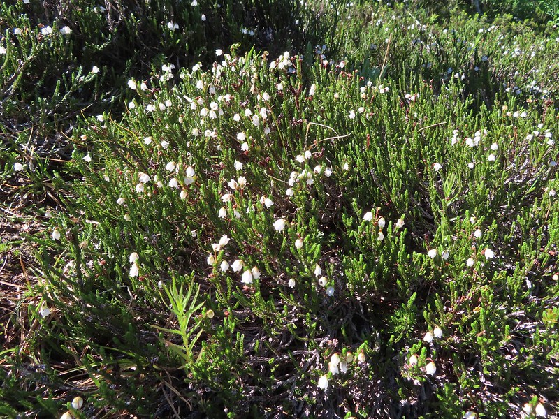 White mountain heather
 A nice paintbrush
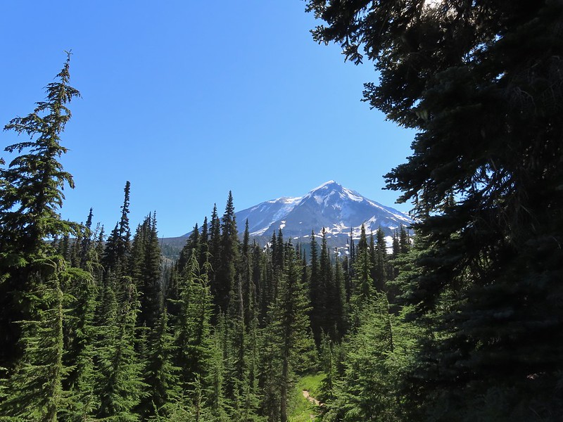 Mt. Adams behind us as we headed south.
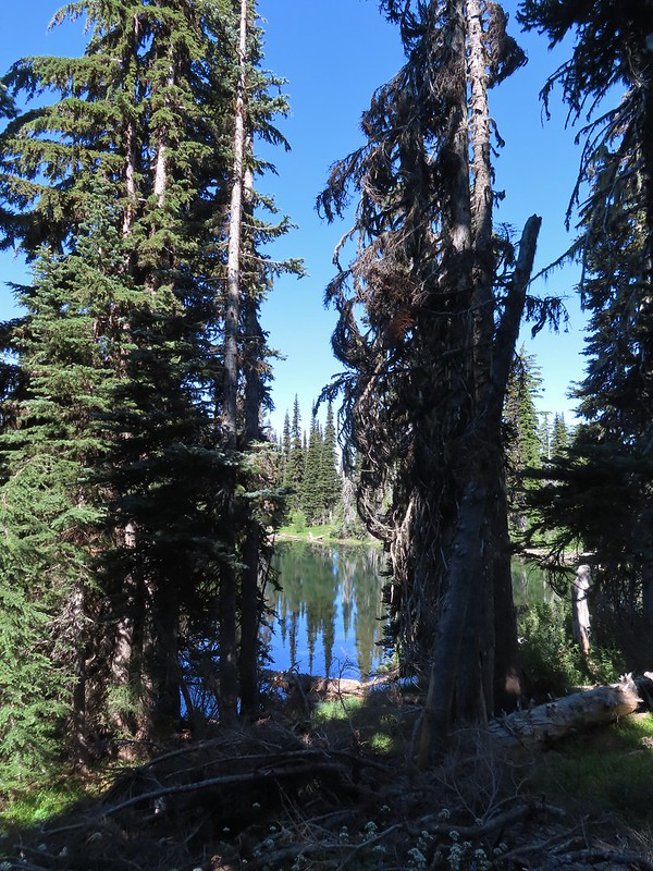 Sheep Lake
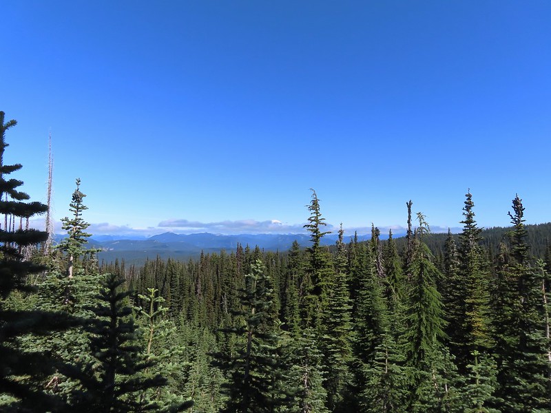 Mt. Rainier behind a line of clouds.
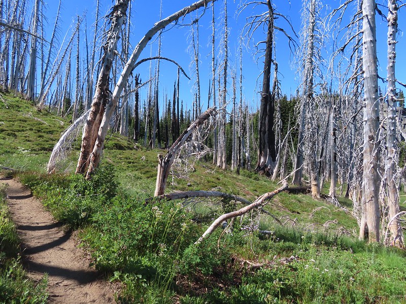 Burnt Rock behind the snags left over from the 2012 Cascade Creek Fire.
 Alpine false dandelion
 Grouse
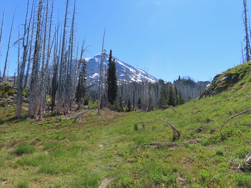

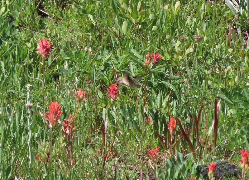 Hummingbird visiting paint.
 Mountain heather

 On the final pitch.
 Mt. Rainier and Goat Rocks
 Phlox
Phlox Almost there.
 Not Crystal Lake, just a pretty little tarn nearby.
 Mt. Rainier
 Just a bit of snow left around 6300′.
 The little tarn we’d passed.
 While not big Crystal Lake was deep.
 View down from the rocky ridge on the south side of the lake.
 The rocky ridge along the south side of the lake.
 We continued a tenth of a mile beyond the lake for a dramatic view of Mt. Adams.
 We could hear a waterfall below on Riley Creek.
 Zoomed in on the waterfall below.
 Crystal Lake from above.
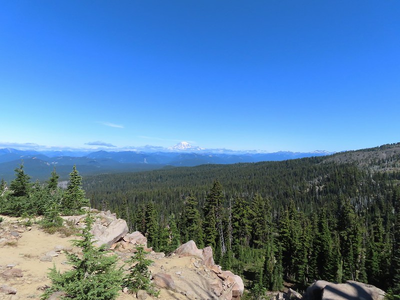 Mt. Rainier with Goat Rocks to the right.
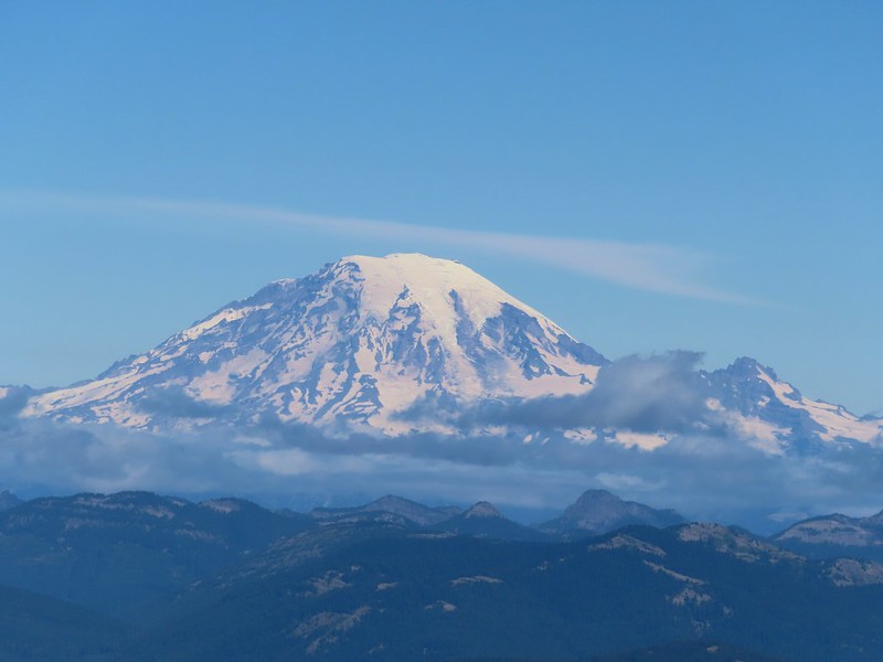 Mt. Rainier
 Some of Goat Rocks.
 Golden-mantled grounds squirrel


 Getting ready to drop down.
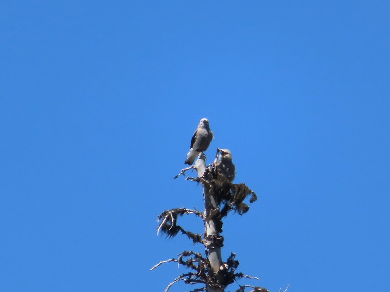 Clark’s nutcrackers
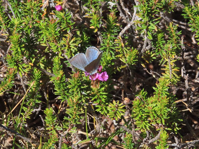 Butterfly on mountain heather.
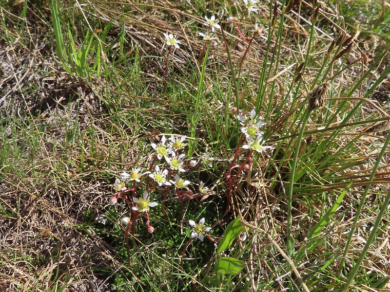 Saxifrage
 Violet
 Alpine speedwell
 A checkerspot
 A crescent
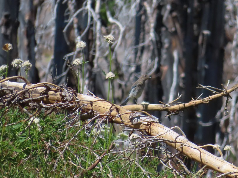 Mountain bluebird
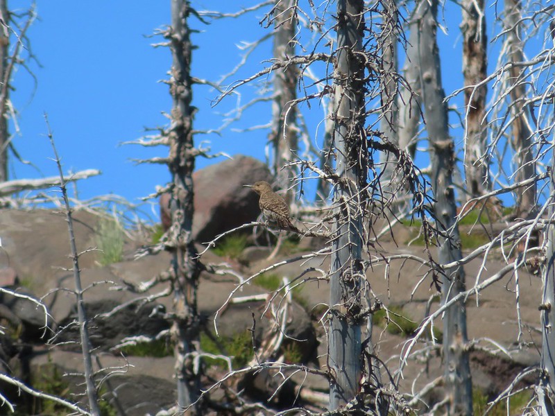 Northern flicker
 I’m guessing a warbler of some sort. We saw quite a few of these little yellow birds but had a hard time actually getting a photo.
 Mt. Adams from the PCT.
 Adams Glacier
 Riley Creek at the PCT crossing.
 Wildflowers along the PCT.
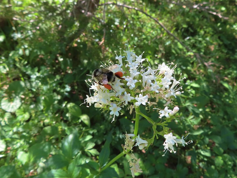 Bee on valerian
 Butterfly on valerian
 Another butterfly on valerian
 Looking back at Mt. Adams from the Riley Camp Trail.
 Passing through Riley Creek Meadows.
 Gentian
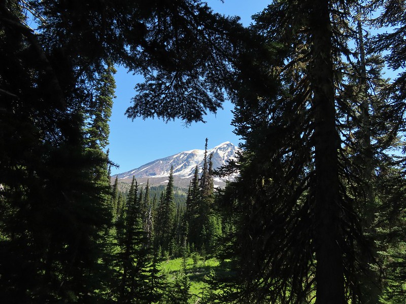
 We only saw a couple of beargrass blooms.
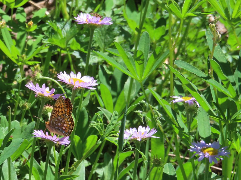 Pollinators on fleabane.
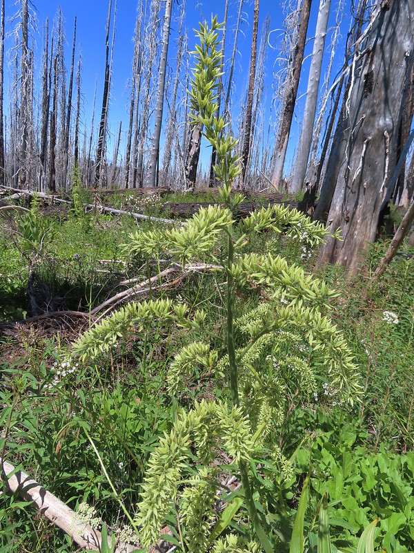 False hellebore
 Luna Lake and Mt. Adams from the trail.


 Scarlet monkeyflower
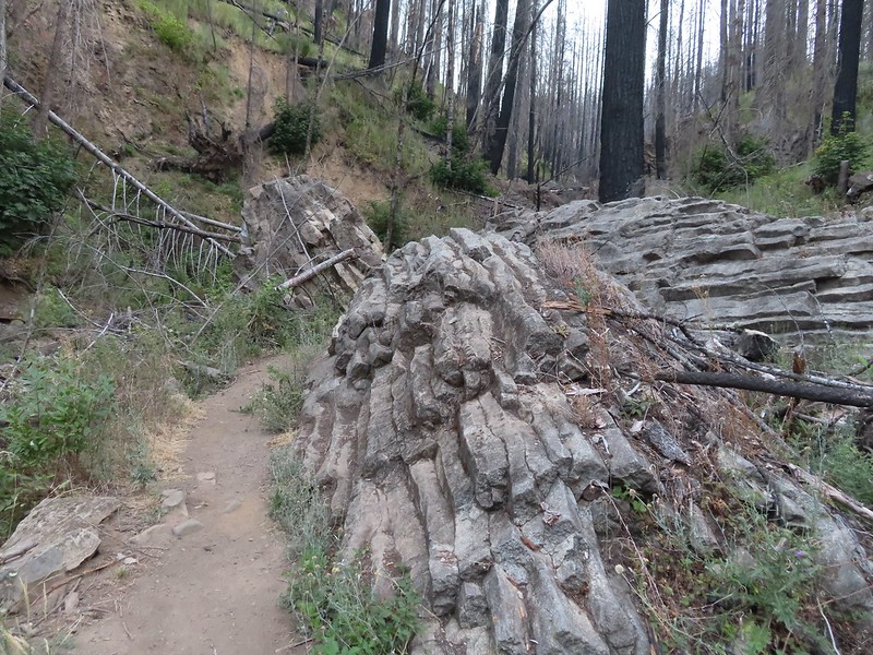


 Heading for the viewpoint.
 The upper tier from the viewpoint.


 First good view of the lower fall from the trail. The upper fall was visible but somewhat blocked by trees.

 We really liked how the water curved and narrowed as it cascaded down.
 The pool appeared to be extremely deep.
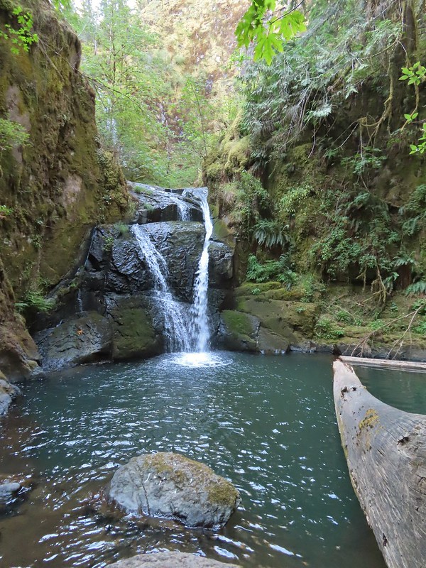

 Hemlock Creek Trail heading uphill toward Hemlock Lake.
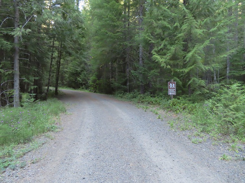 Trail sign for the Hemlock Creek Trail heading down to Lake in the Woods from FR 421.
 Hemlock Creek Trail at Lake in the Woods Campground.
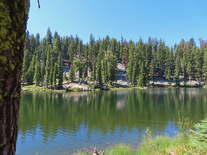
 Lake in the Woods (a 4 acre man made lake).
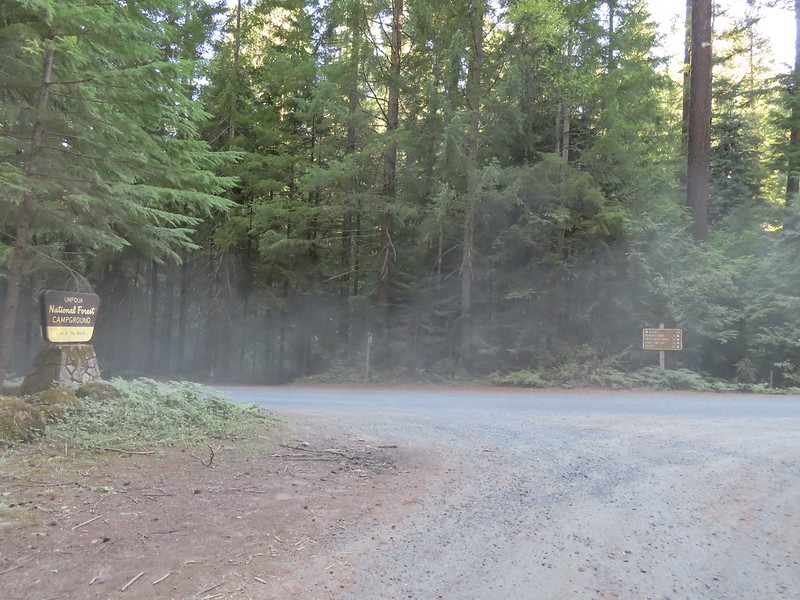


 Ghost plant
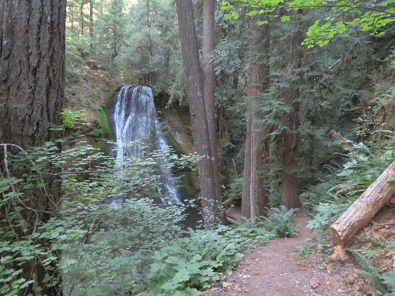
 A rare photo of me for scale.
 We mistook this for another campsite having not noticed the small sign on the tree.


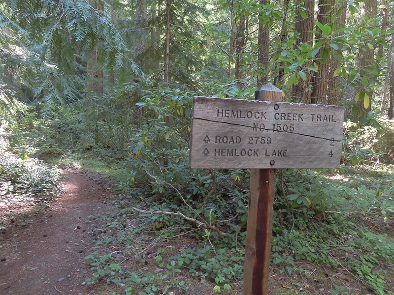 We both noticed that the sign said Hemlock Lake was 4 miles away. Sullivan’s map showed that it was 3 miles from Lake in the Woods to the Yellow Jacket Loop which raised the question was the hike going to be 2 miles longer than we’d expected or did the 4 miles include some of the Yellow Jacket Loop? Based on the mileage in Sullivan’s book I had come up with 16.6 miles so an extra two miles would be pushing us close to 19 (we always find reasons to wander).
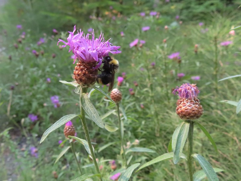 Sleepy bee
 Same mileage on the sign on the other side of FR 421. The fact that Road 2759 showed 2 miles when Sullivan had 1.5 on his map was a pretty good indicator that we were in for more than 16.6 miles.
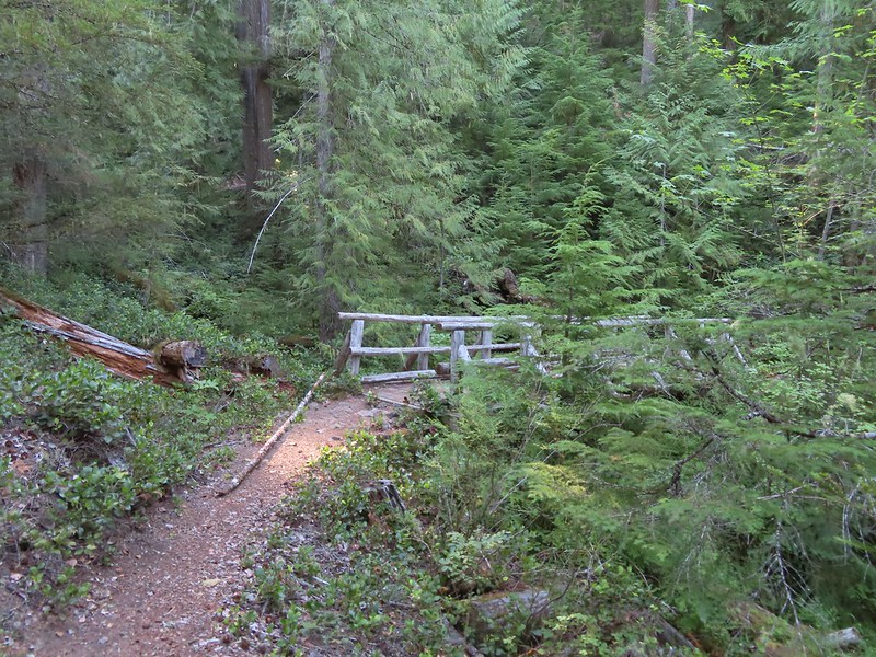
 Tributary Falls (unofficial name) was just below a footbridge approximately a half mile from FR 421.
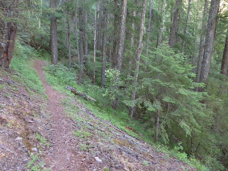
 Middle Hemlock Falls was just two tenths of a mile further along.
 Small cascade below Middle Hemlock Falls.
 Leopard lily
 Another drop with no way to get a view of the fall from above.
 Typical use trail.
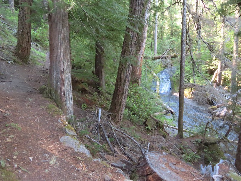 A small slide that was fully visible from the trail.
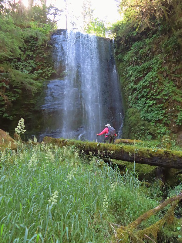 Clover Falls was a quarter mile above Middle Hemlock Falls.
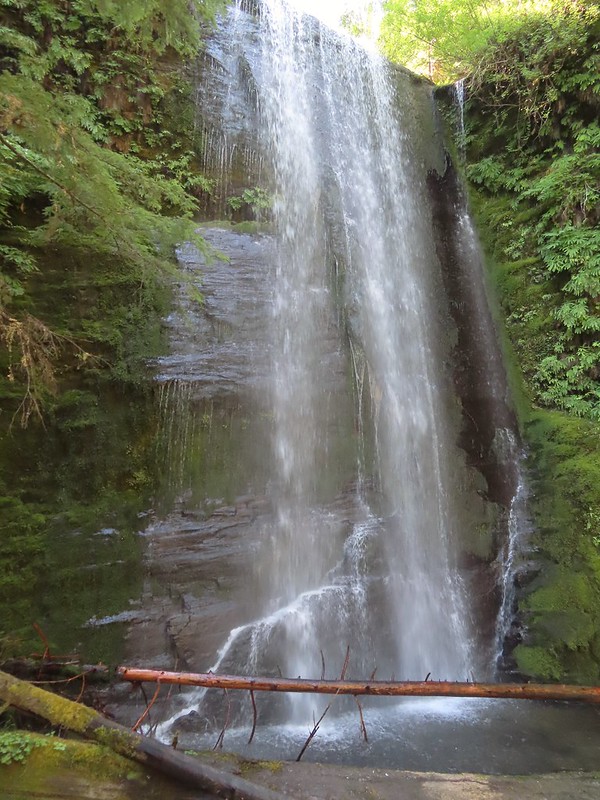 Clover Falls
 More leopard lilies
 Moth hanging out around the falls.
 Use trail to Clover Falls.
 Heather coming up from the falls through a huckleberry bush that I may have been using for snacks.
 Skunk cabbage leaves in a wet area.
 Curious stellar’s jay.
 FR 2759.
 Again with the 2 miles.
 A much more reserved Hemlock Creek.
 More snacks
 Frog
Frog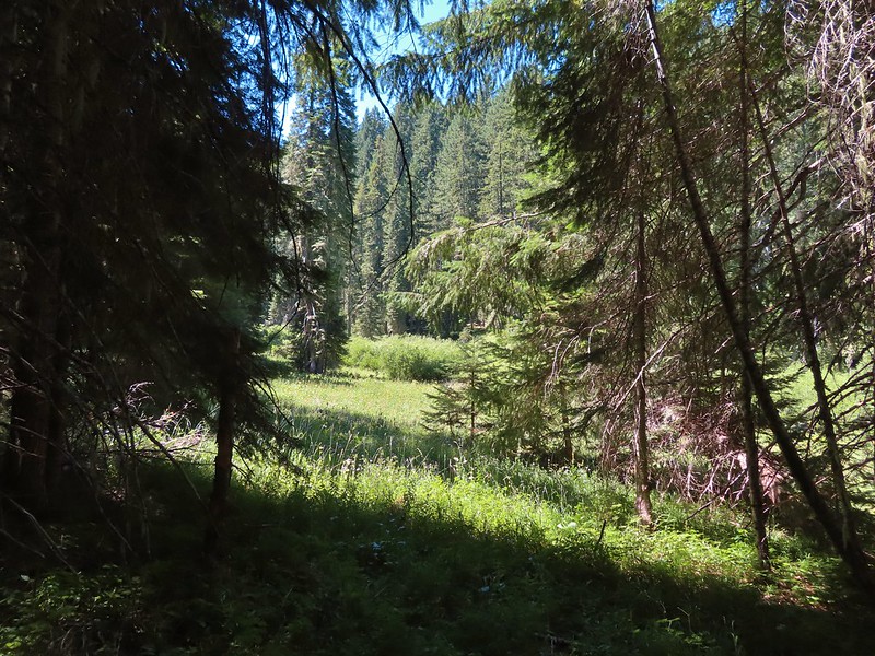
 Coneflower and paintbrush
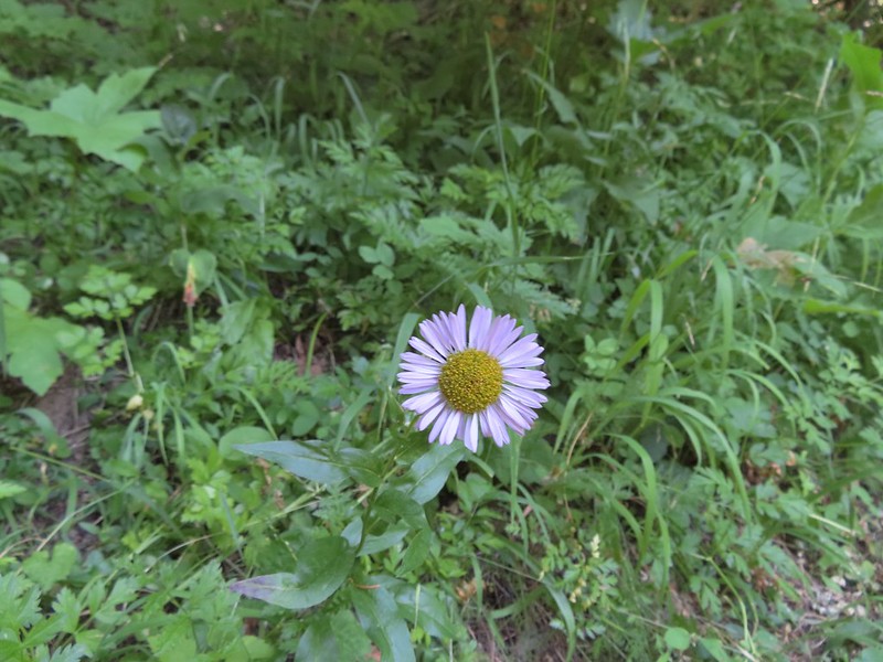 Fleabane
 The wildflowers were already on the way out but on the positive side we didn’t have much trouble at all with mosquitos.
 Hemlock Lake was to the left but Sullivan’s hike description called for doing the loop counter-clockwise. He typically has a reason for the direction he suggests so we’ve learned to stick with his recommendations.
 Busy bee
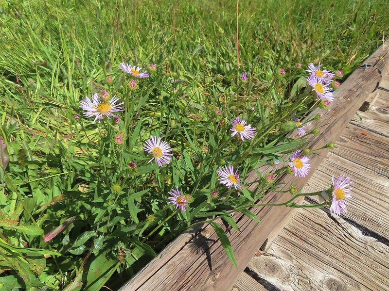
 A lone columbine
 Dragonfly
 Mountain owl’s clover
 Damselfly
 Bee on rainiera
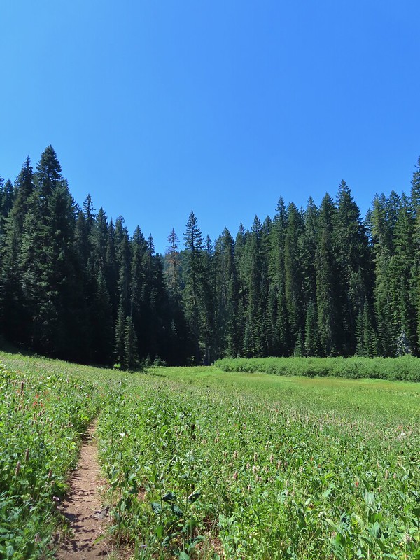
 Butterfly on hyssop
 Oregon checkermallow
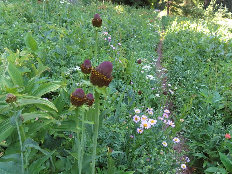 Coneflower
 Fleabane and paintbrush
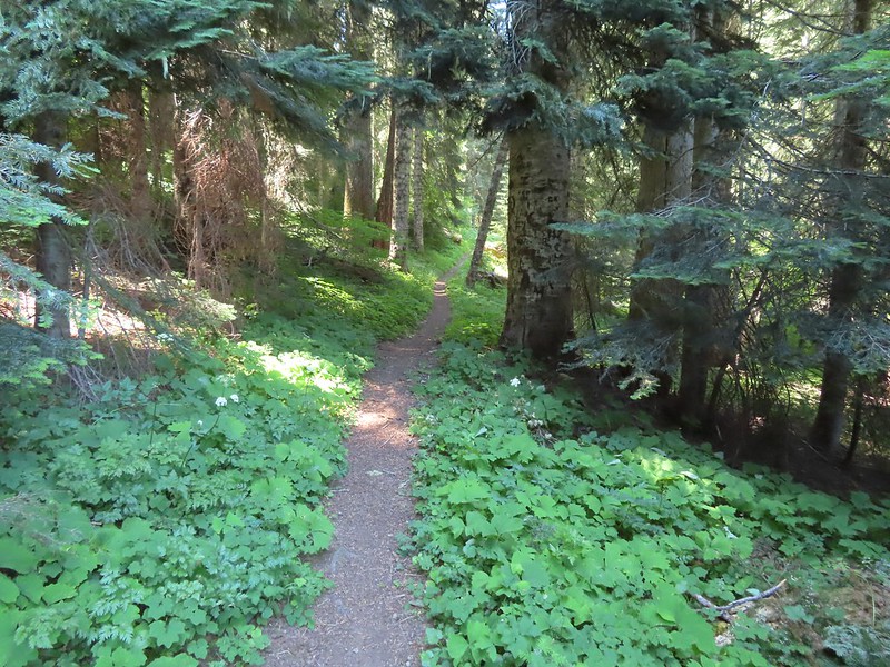 Brief forested section.
 Hedgenettle
 Northern phlox
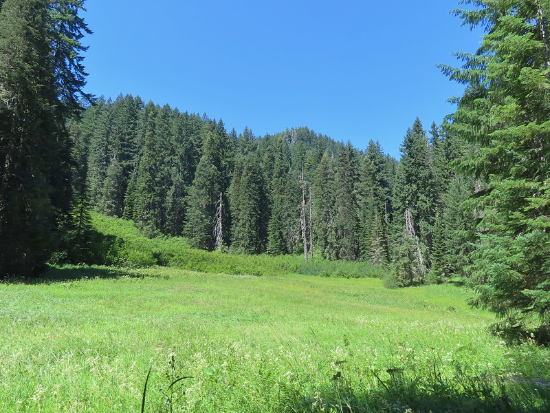 Flat Rock beyond a meadow.
 Large boykina
 There was an opening at the saddle where Diamond Peak (
 The all too familiar Summer “smoke” filter on the mountains.
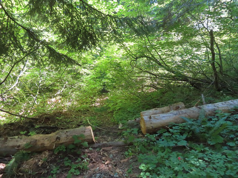 The trail was a bit overgrown in places.
 Starting to climb.
 Heading out to the viewpoint.
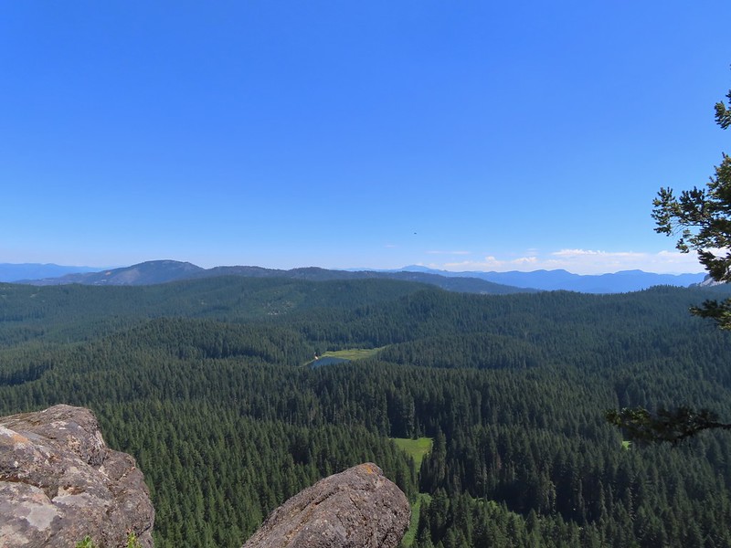 Hemlock Lake from Flat Rock with Mt. Bailey (
 Quartz Mountain in the foreground with Hillman Peak and The Watchman (Crater Lake Rim) in the distance.
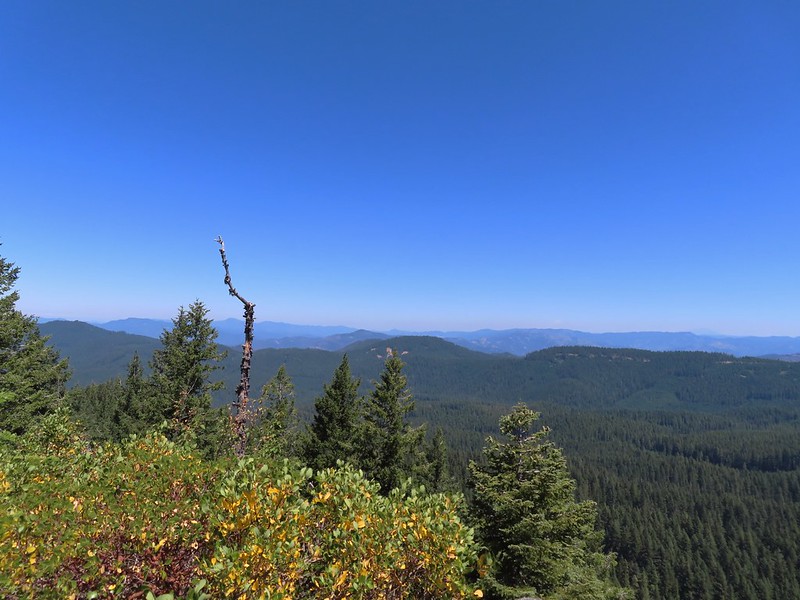 Diamond Peak in the distance to the right and the smoke plume from the Cedar Creek Fire center-right.
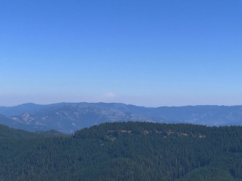 Smoke from the Cedar Creek Fire 😦
 Parnassian on hyssop
 Grand collomia
 Swallowtail on hyssop.

 Mt. Bailey and Quartz Mountain.
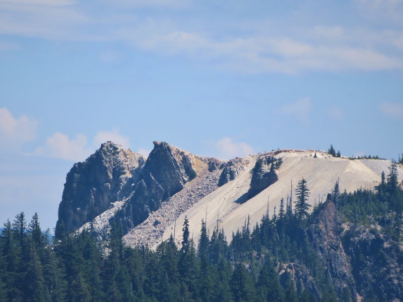 Quartz Mountain
 Union Peak. To the left is Highrock Mountain and to the right of Highrock Mountain are the Rabbit Ears (
 The end of the old road section.
 The only blooming lupine I saw all day.
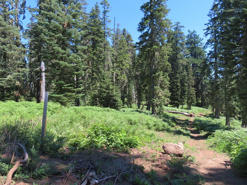 The actual trail to the left was very overgrown here and hard to pick out at first glance.
 The first convergence with FR 625.
 Signpost at the second meeting.
 There were a lot of different types of signs along the loop.


 Monkshood
 I was moving rather quickly now and not stopping for much but I did pause for these sugar sticks.
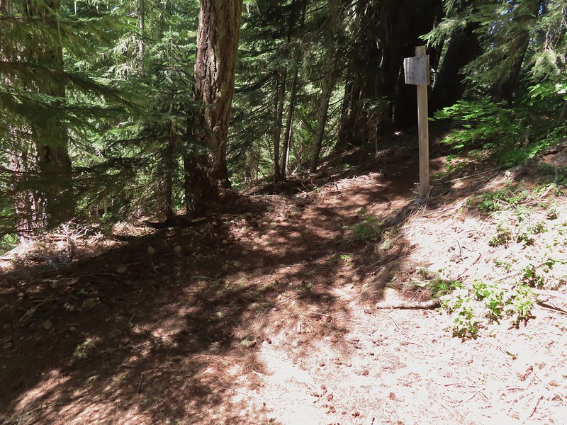
 The trail never got very close to the lake.
 Signboard at the Hemlock Lake Day Use Area.
 Loop complete, no Heather.
 The trailhead is right after crossing Emile Creek.
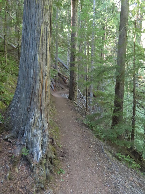


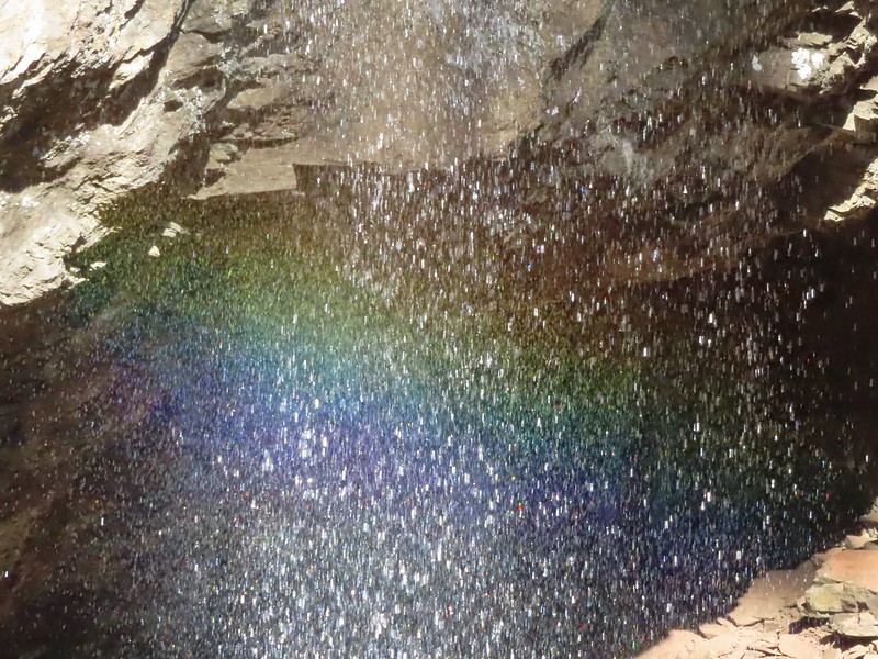
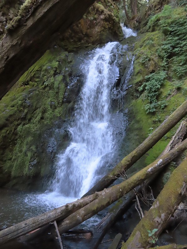
 Cave behind the falls.