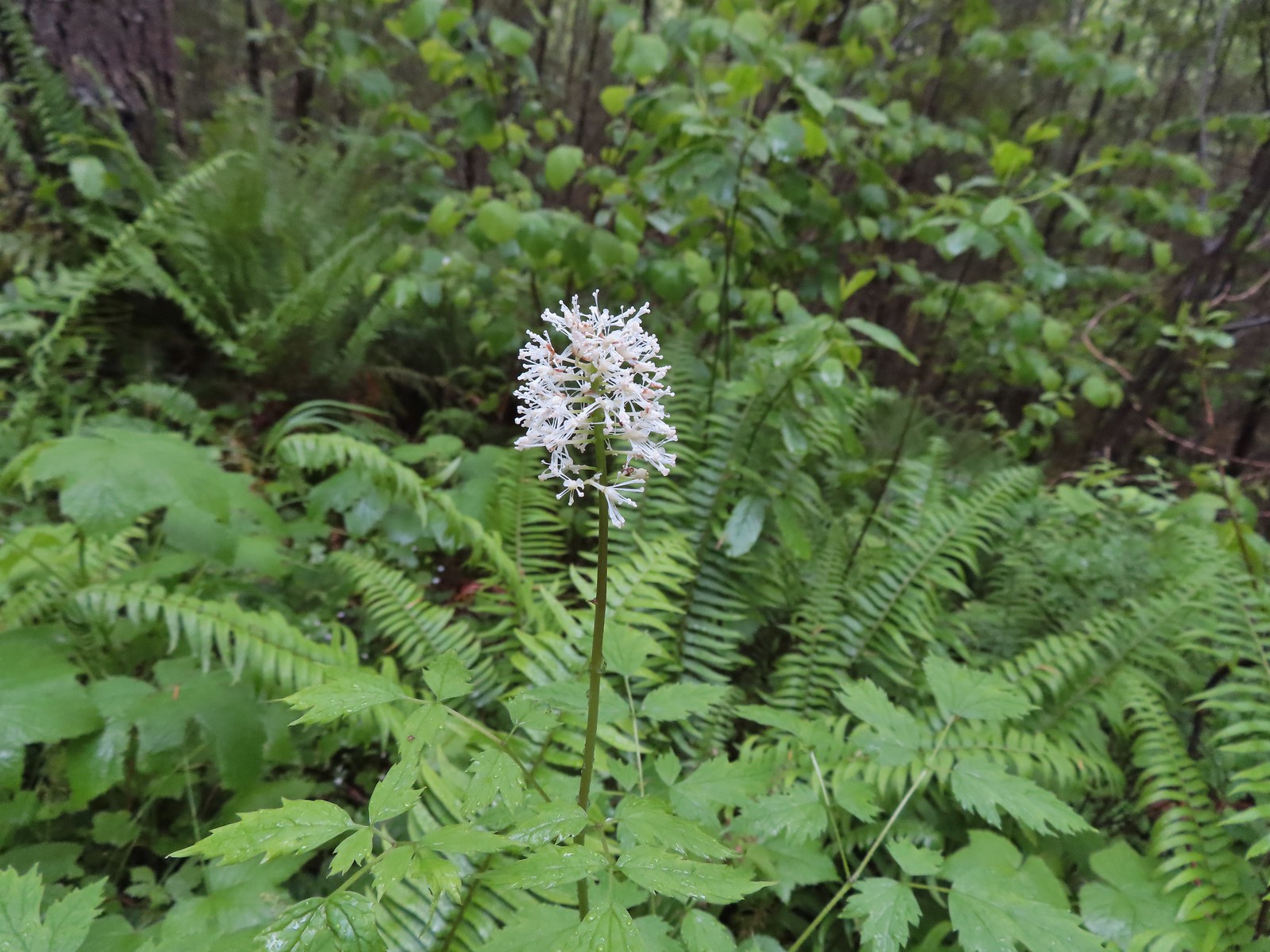
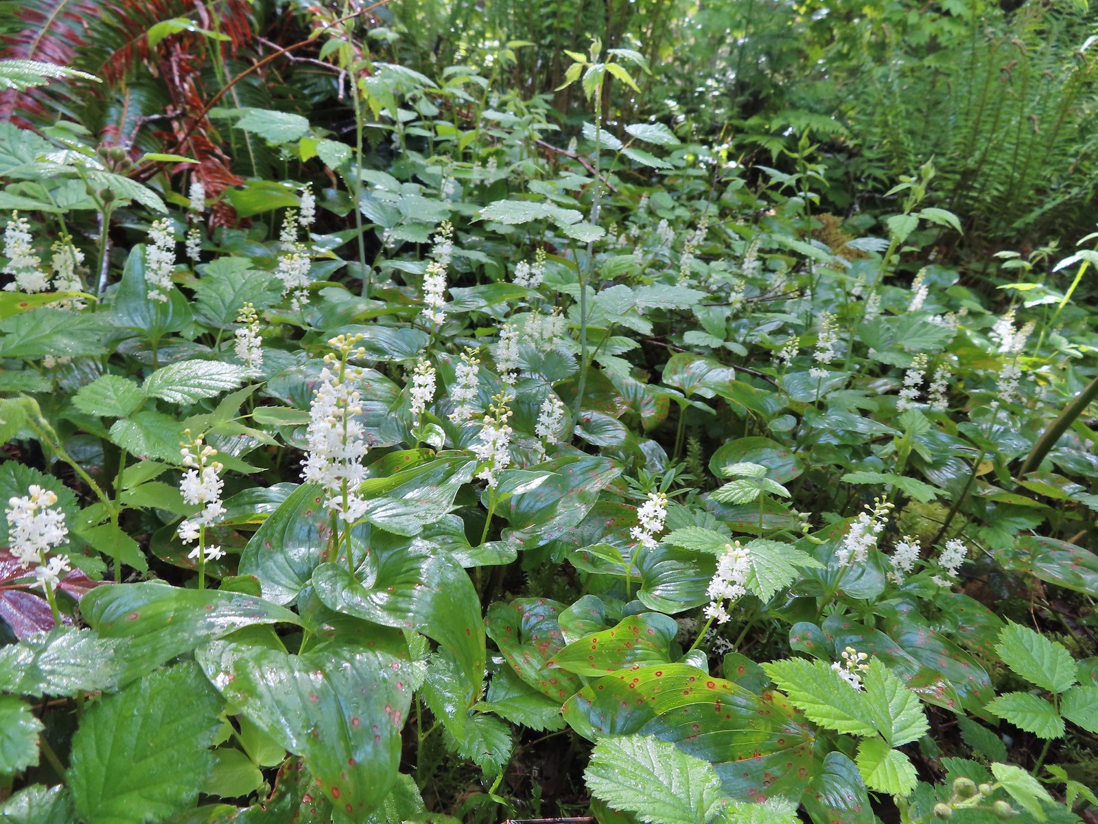
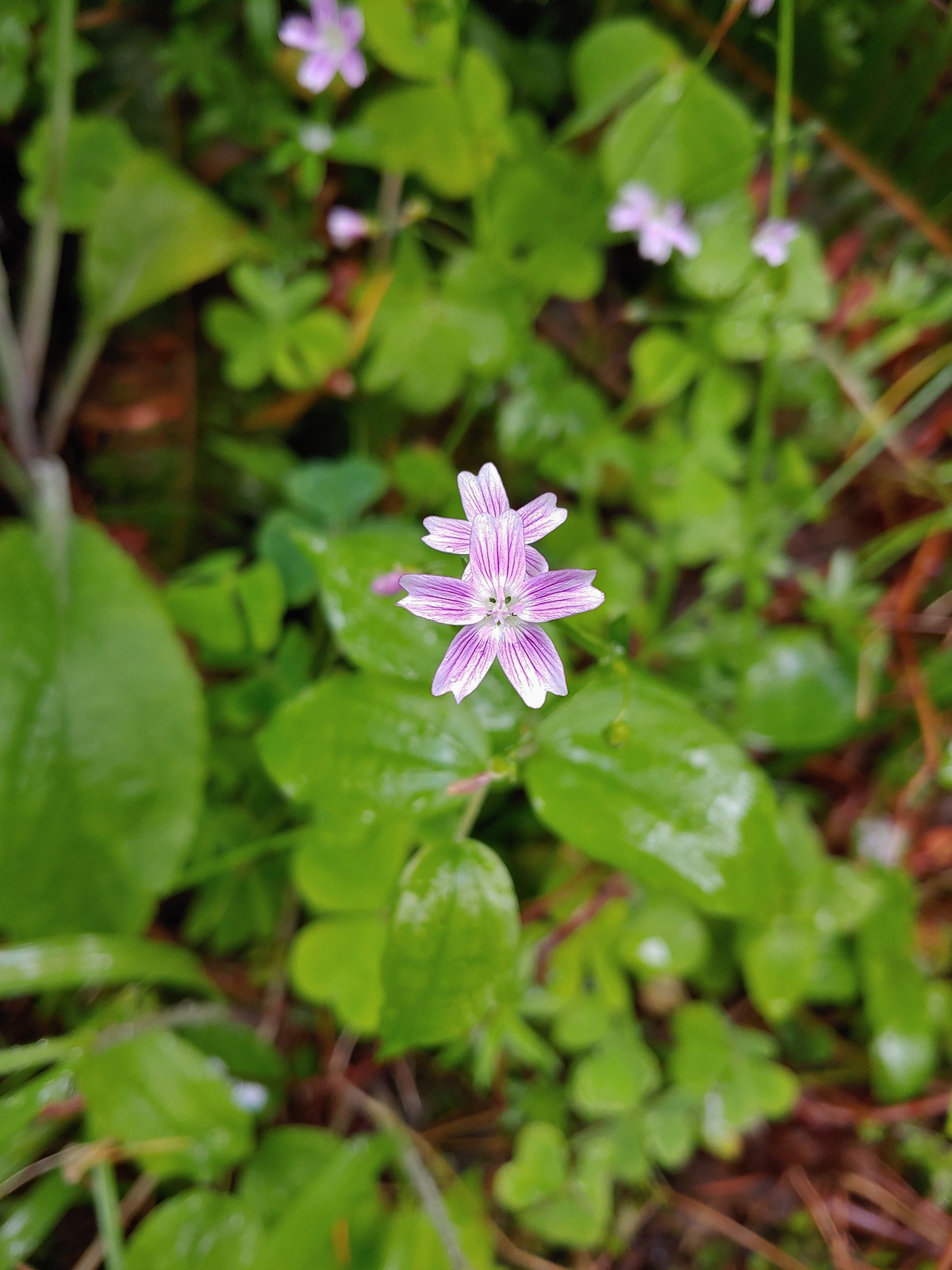
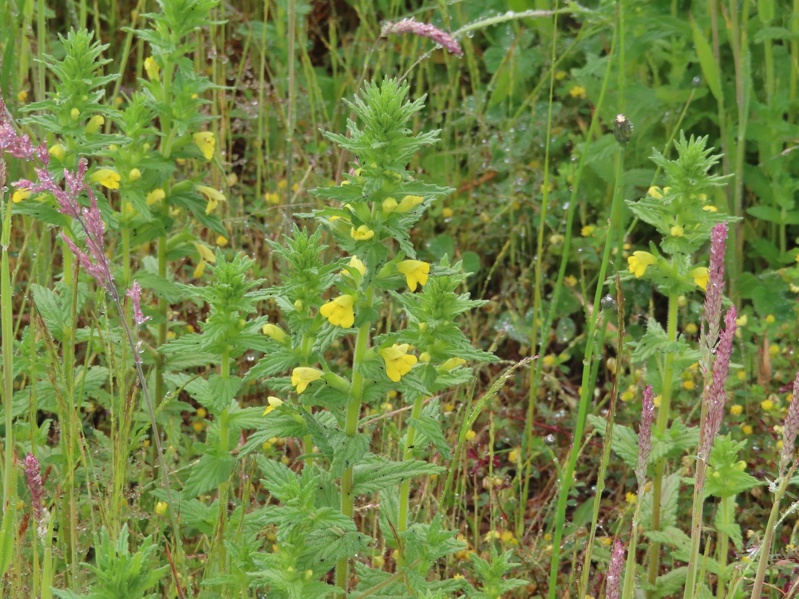
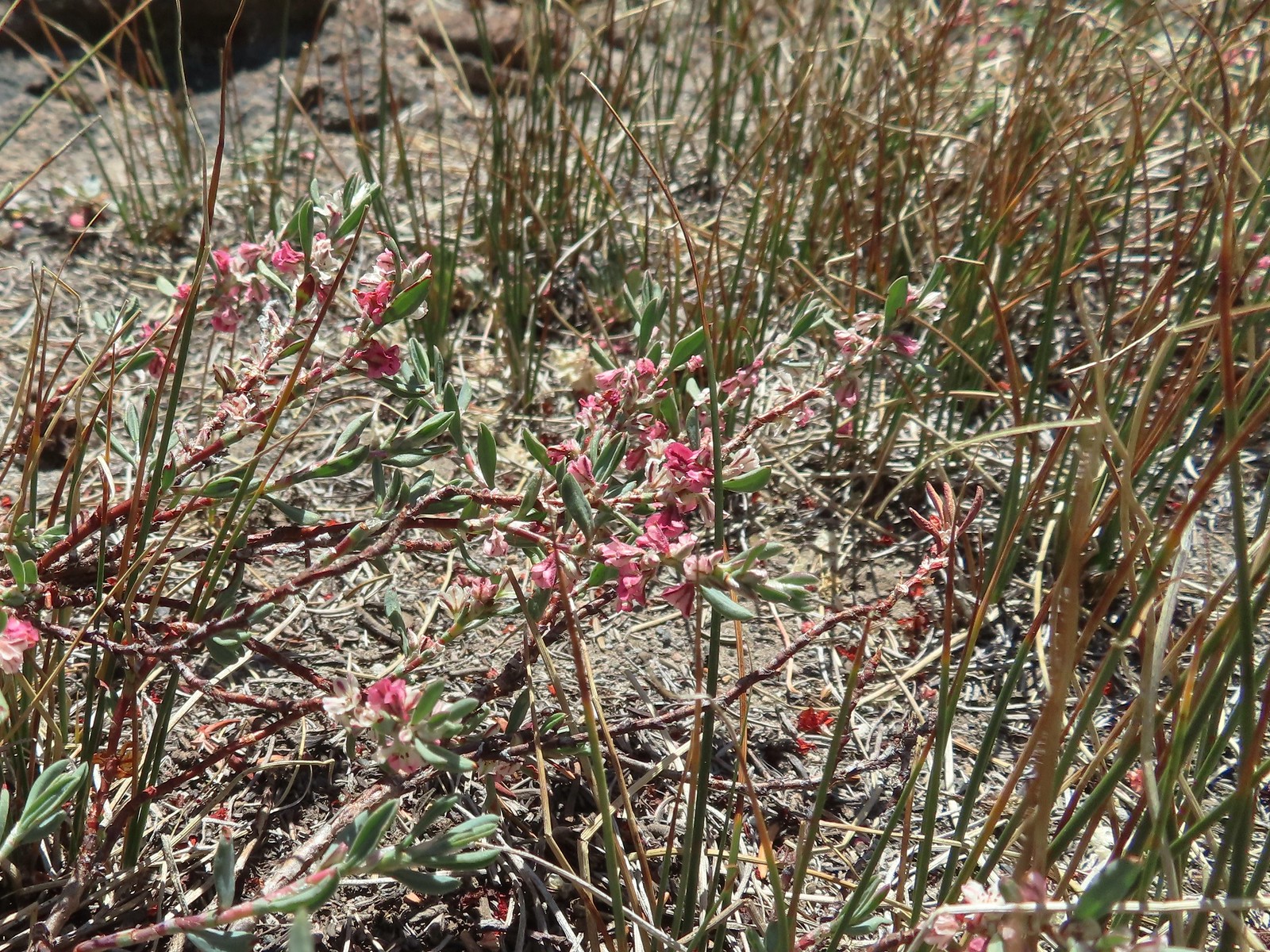
In 2018 we began a tradition of posting a collection of the variety of flowers that we encountered during the years hikes. It’s always a bit shocking to see just how many different varieties we actually saw over the course of the year. It appears that the total in 2022 was right around 400. We are still learning to identify the flowers and are a long way from being able to tell some of the different species apart. For instance, we encounter species in both the genus Castilleja as well as Penstemon regularly but are not typically knowledgeable enough to determine which one we are seeing. That doesn’t take away from our ability to enjoy the flowers though, but the large number of different flowers makes it difficult if not impossible to get them all in one post.
With that in mind here are some (but not all) of the different flowers we saw this past year, in no particular order. (Any IDs provided are best guesses and any corrections or additional IDs are greatly appreciated.)
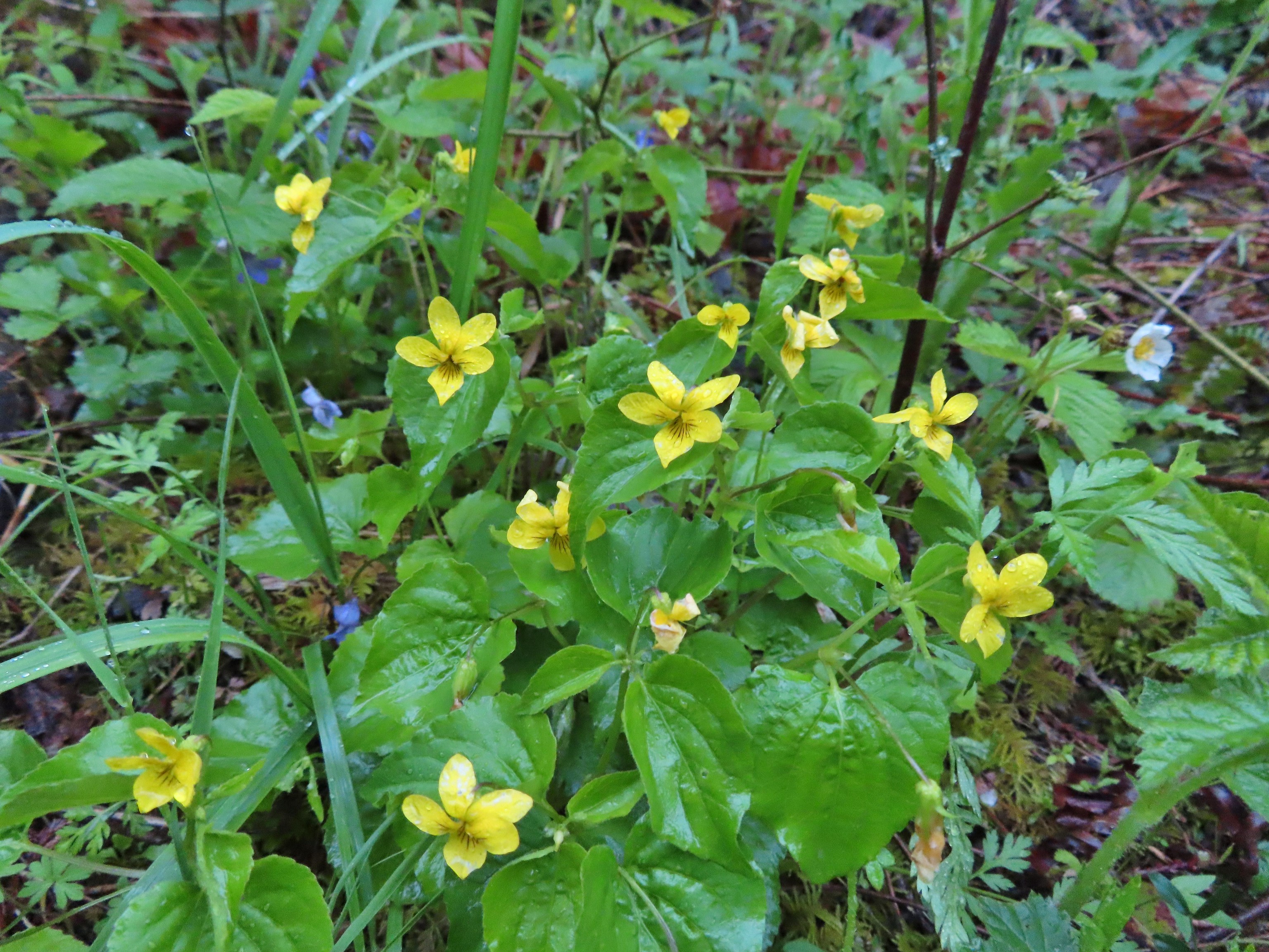
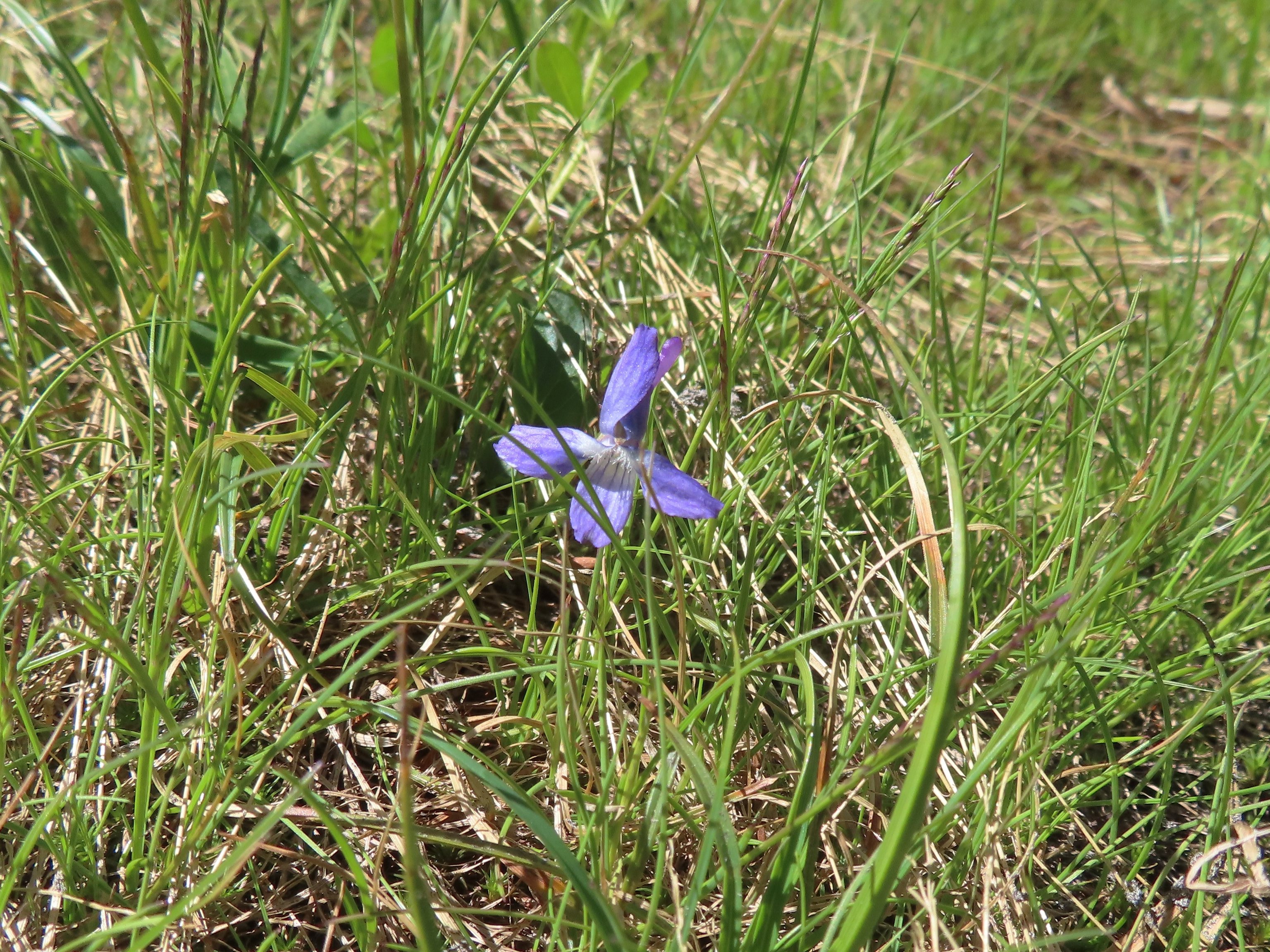
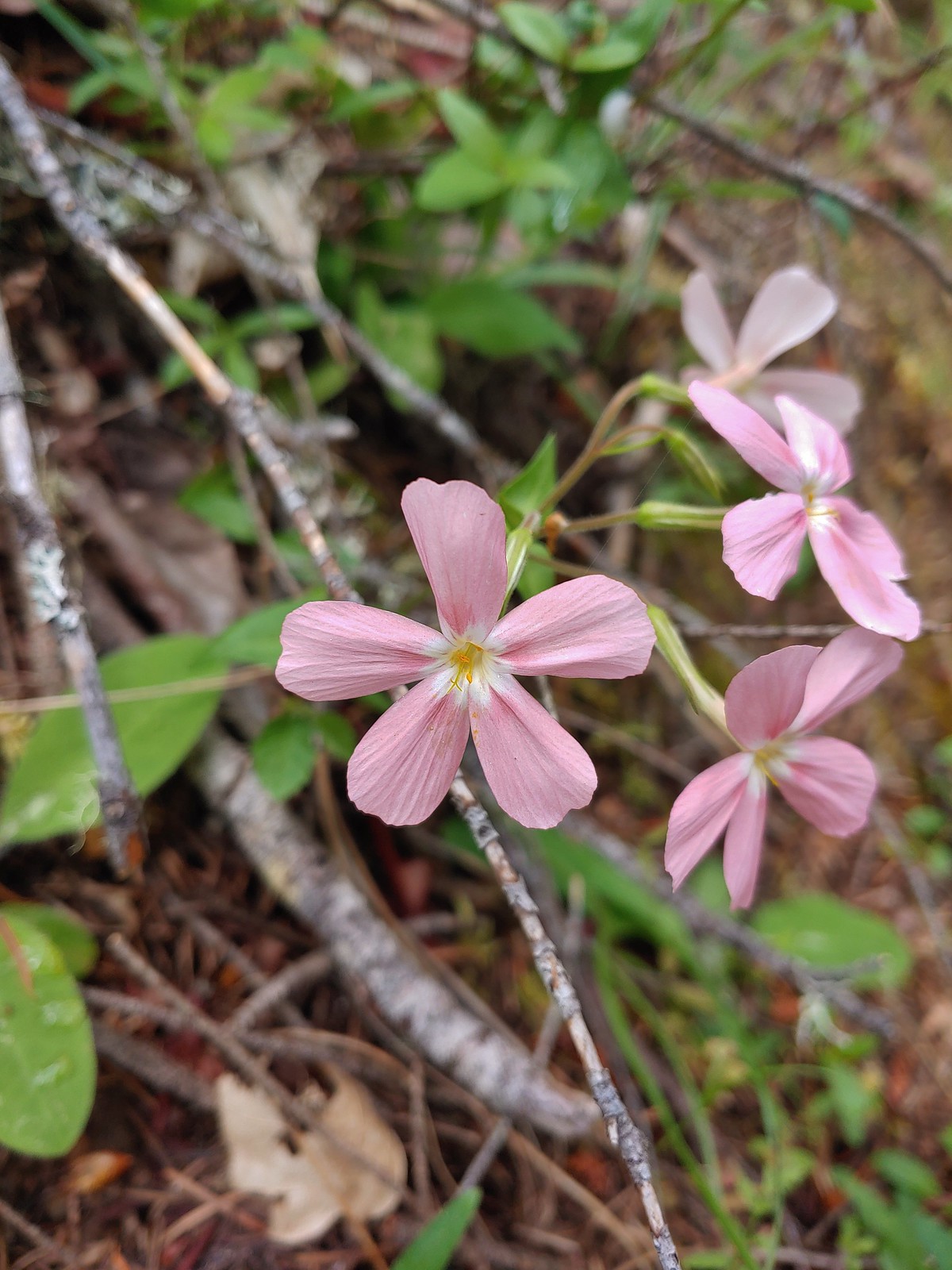
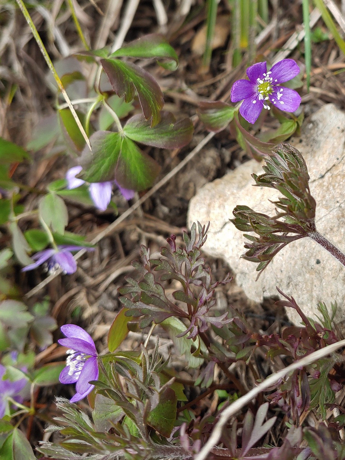
The first wildflower we spotted was a little violet on February 5th at the Yakona Nature Preserve.

It was certainly not the last violet we’d encounter as they are one of the more common flowers we see and also one that struggle to identify beyond “violet”.
 May 14th – Chehalem Ridge Nature Park
 June 15th – Donomore Meadows
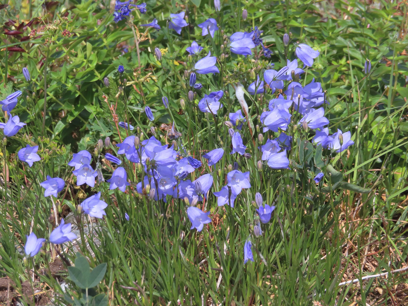
 June 16th – Pacific Crest Trail near Siskiyou Gap
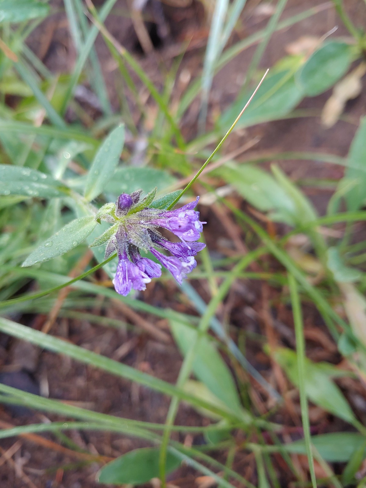
 Marsh violet, June 25th – Goat Marsh Lake
 July 1st – Siskiyou Wilderness
 Wedgeleaf? violet – July 1st – Youngs Valley, Siskiyou Wilderness
 Goosefoot? violet, July 9th – Mt. Ireland
 July 9th – Mt. Ireland
 August 13th – Mt. Adams Wilderness.
The final flower to be photographed was a bleeding heart enjoying a late season bloom along the Eagle Creek Trail on November 19th.

 Here is a more photogenic bleeding heart from May 21st on the Kings Mountain Trail.
We were lucky enough to see a handful of bucket list flowers during our trips to Southern Oregon and Northern California.
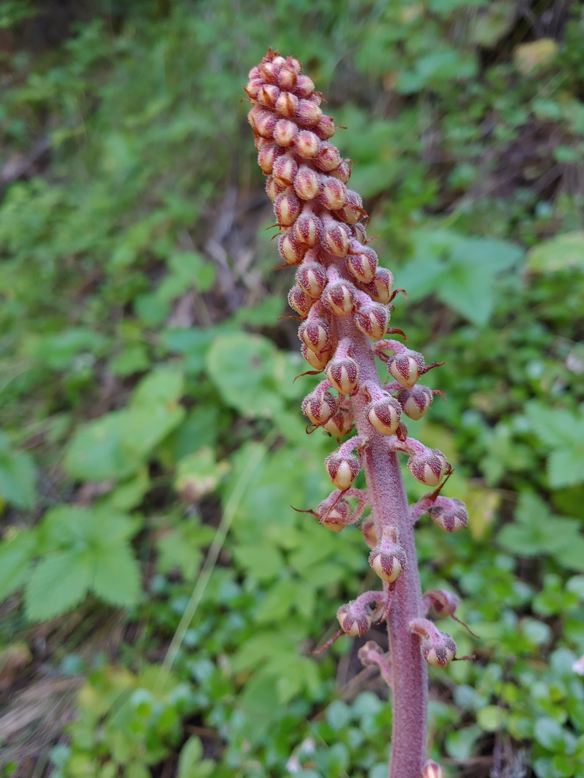
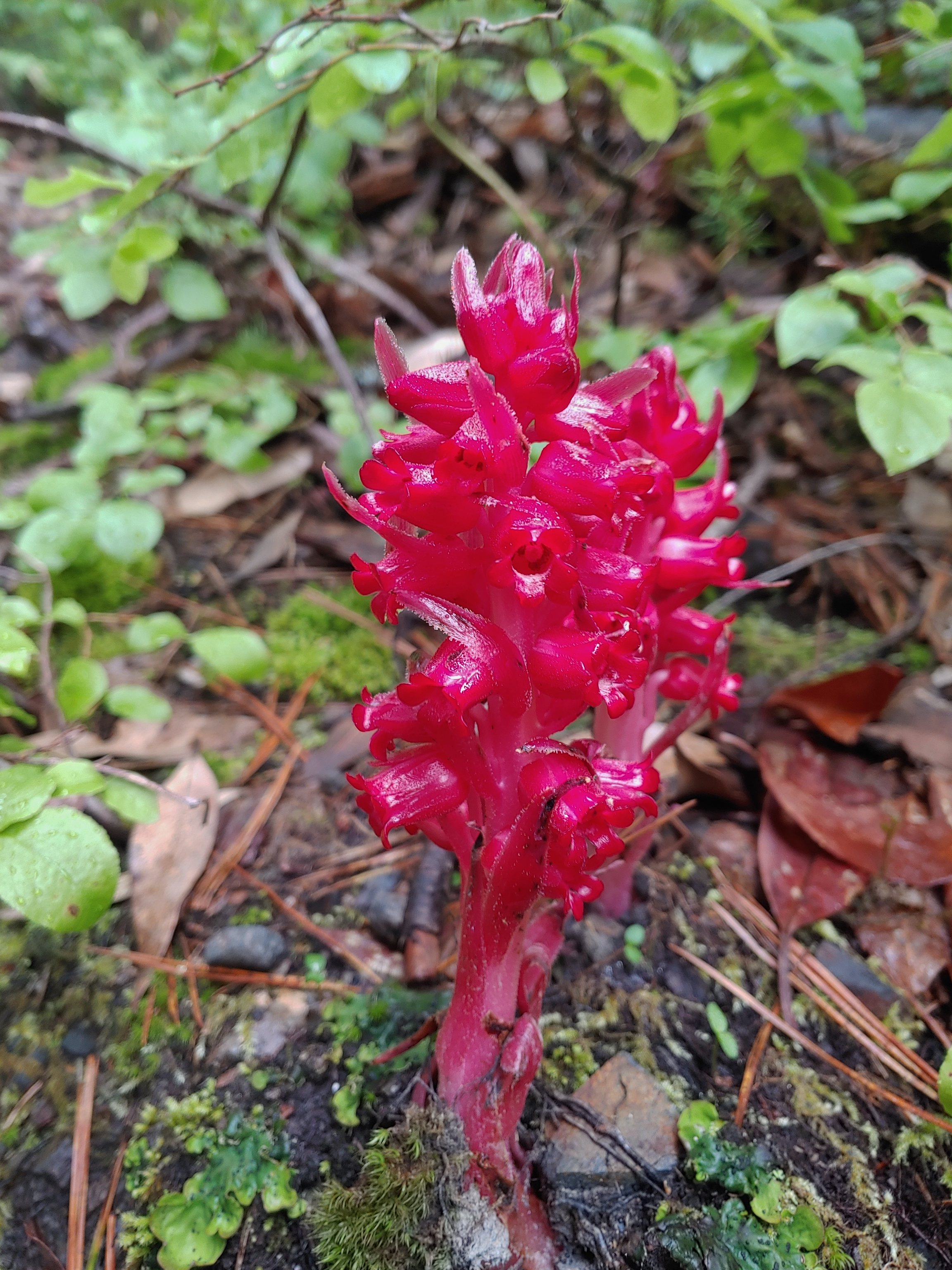 Snow plant, June 18th – Red Buttes Wilderness
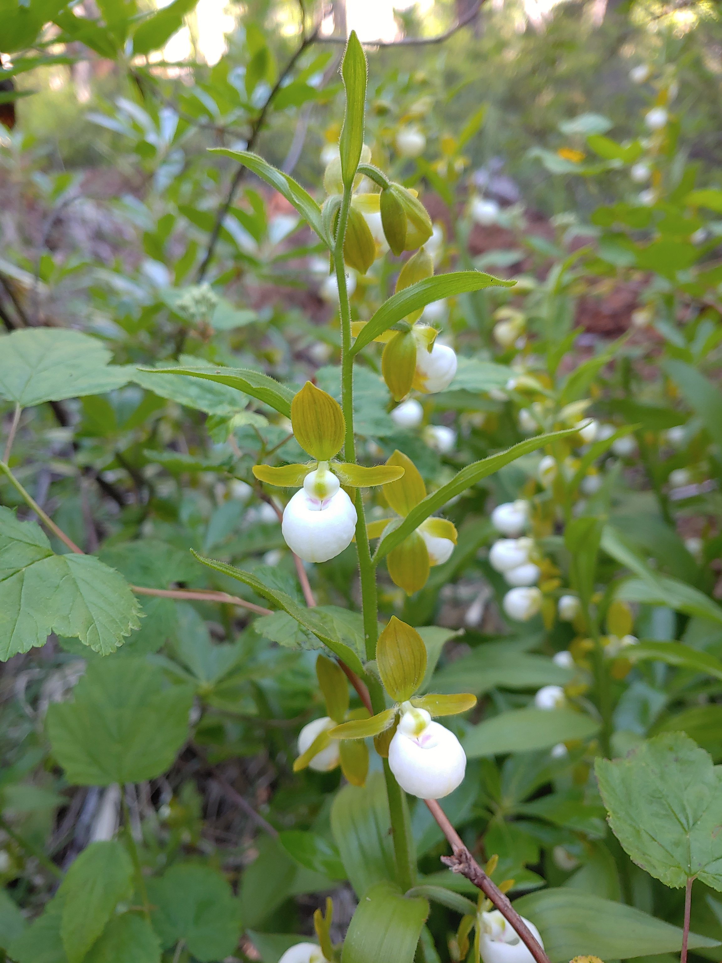 California lady slippers, July 2nd – Siskiyou Wilderness
 Bolander’s lily, July 2nd – Siskiyou Wilderness
 Scarlet fritillary, May 27th – Jack-Ash Trail
 Henderson’s fawn lily, May 27th – Jack-Ash Trail
Here are some of the other’s that we encountered over the course of the year.
 Pungent desert parsley, April 2nd -Balfour Trail
 Columbia desert parsley, April 2nd – Klickitat Trail
 Woodland stars, April 2nd – Balfour Trail
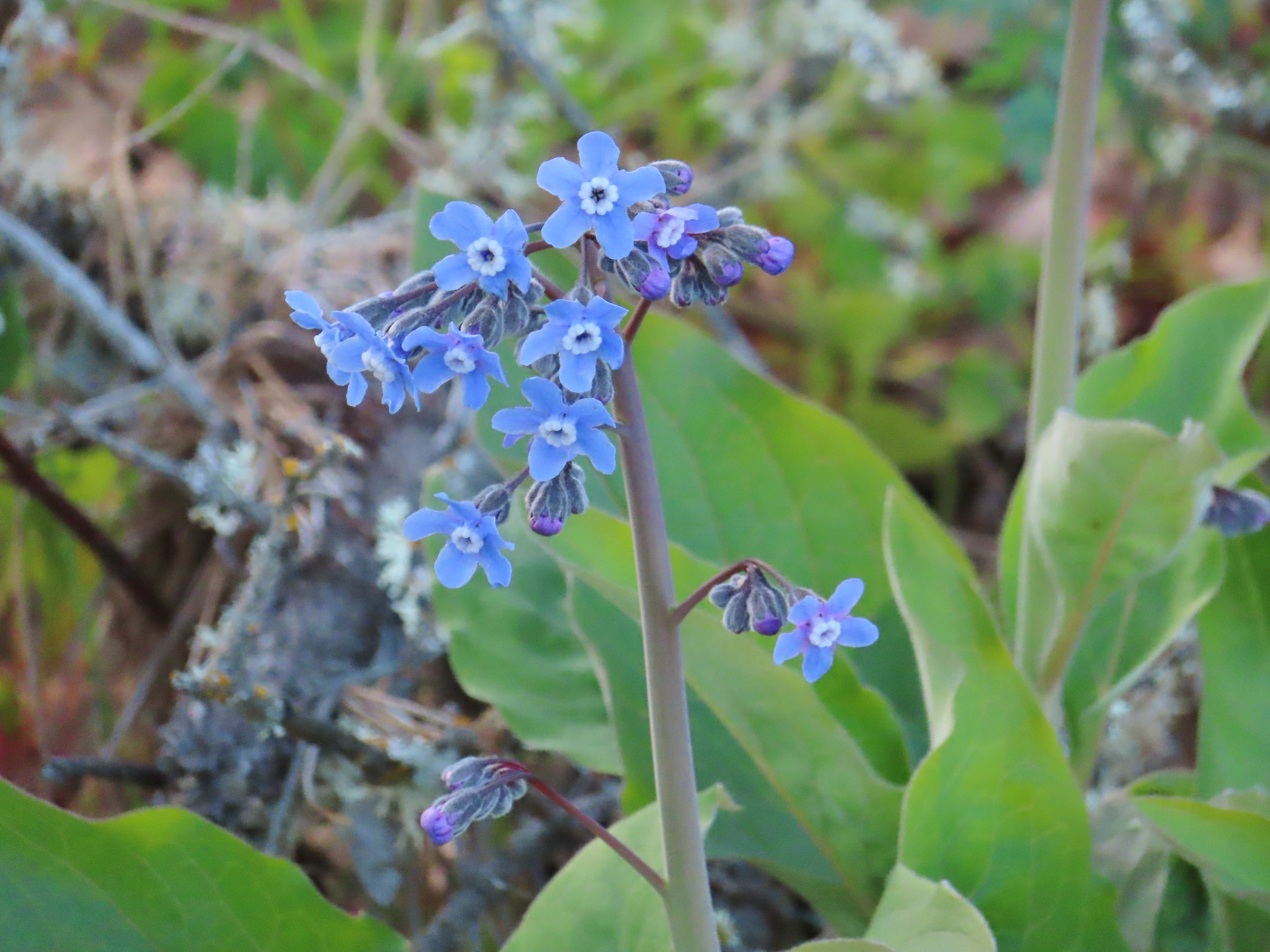 Pacific hound’s tongue, April 2nd – Balfour Trail
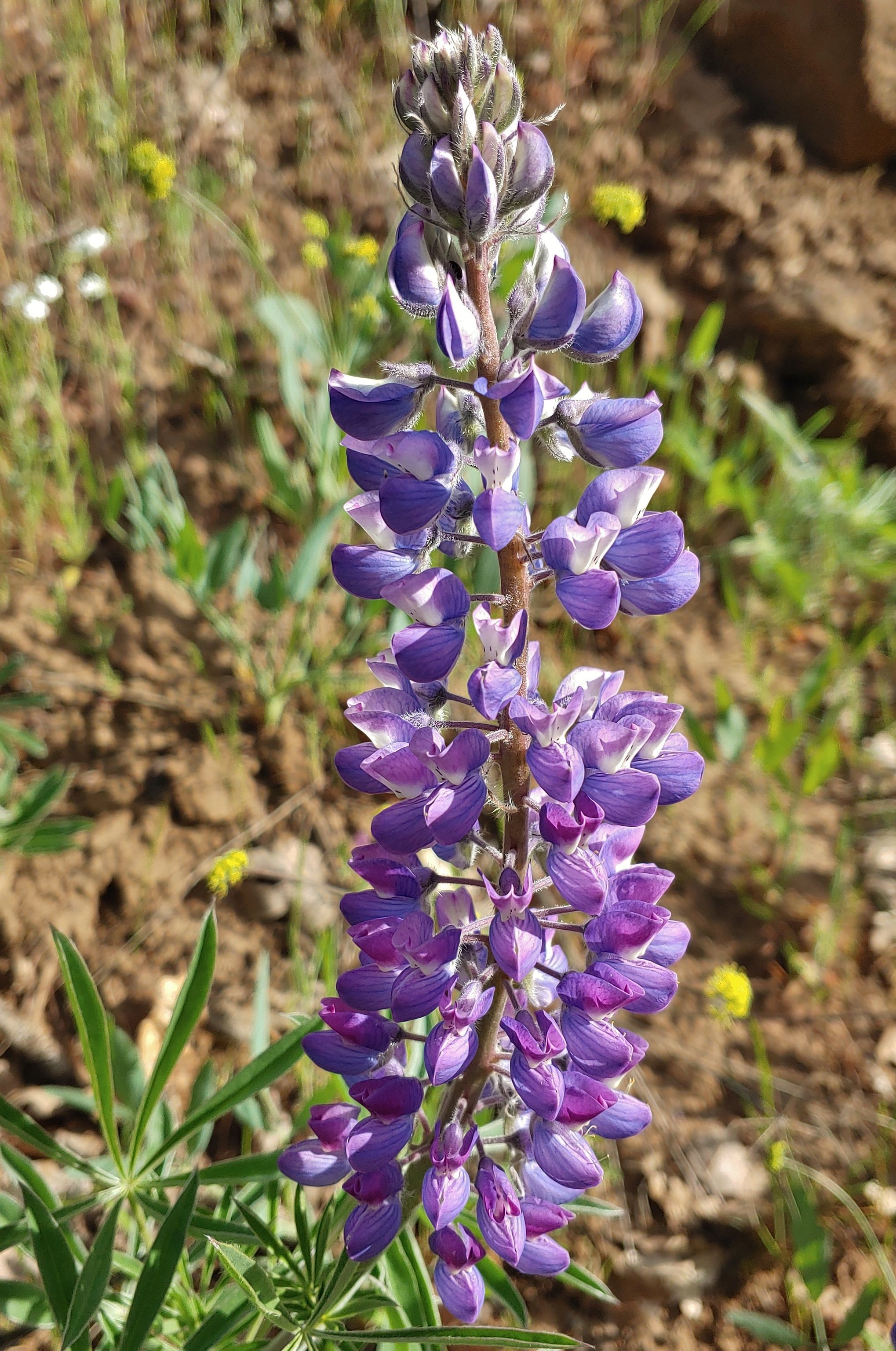 Lupine, April 2nd – Klickitat Trail
 Big leaf maple, April 2nd – Klickitat Trail
 Slender phlox, April 2nd – Klickitat Trail
 Fringecup, April 23rd – Ankeny Wildlife Refuge
 Buttercups, April 23rd – Ankeny Wildlife Refuge
 Checkermallow, April 23rd – Ankeny Wildlife Refuge
 Another checkermallow, April 23rd – Ankeny Wildlife Refuge
 Iris, April 23rd – Ankeny Wildlife Refuge
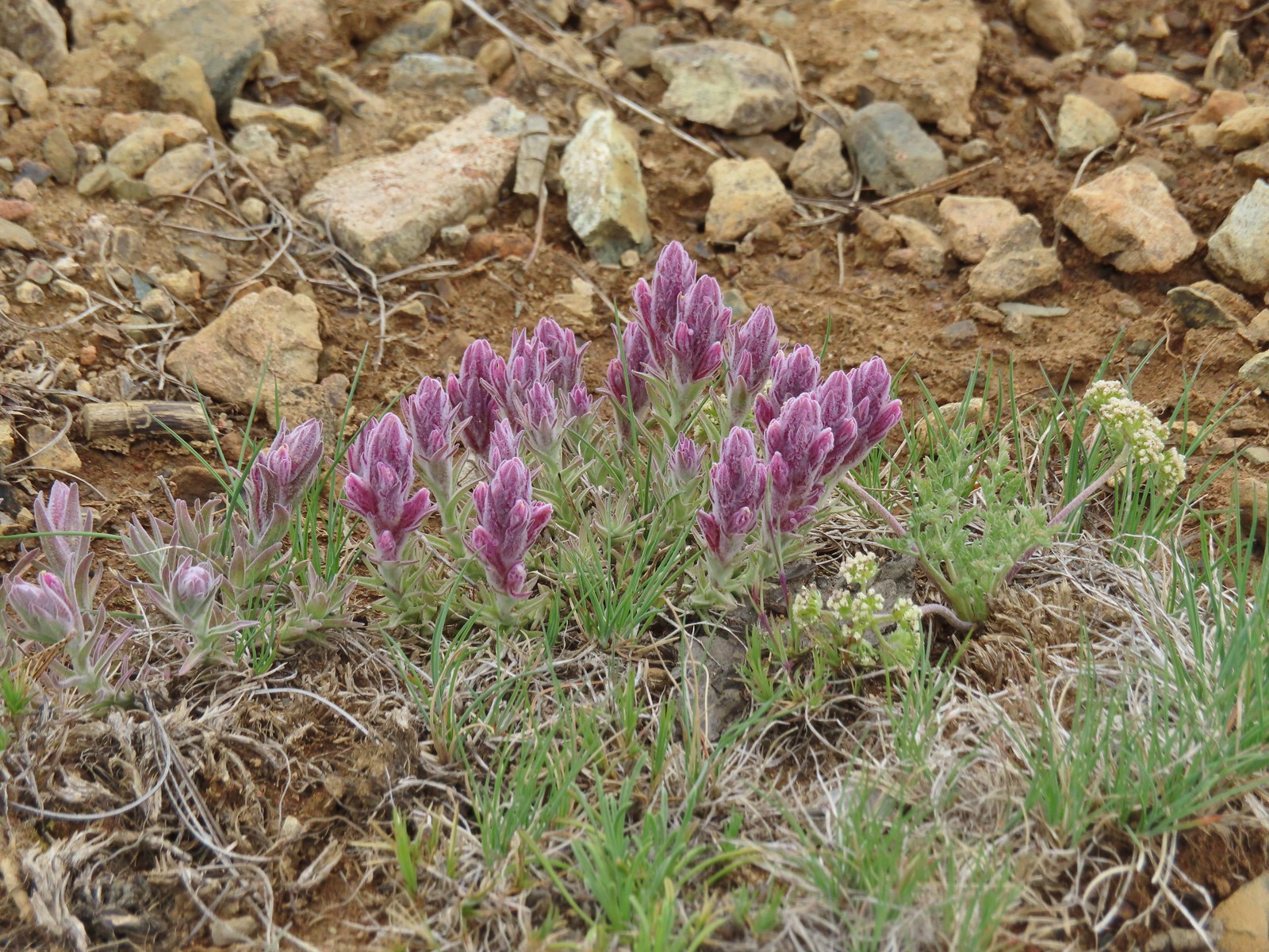
 A paintbrush, May 1st – Memaloose Hills
 Balsamroot, May 1st – Memaloose Hills
 Large-flower triteleia, May 1st – Memaloose Hills
 Naked broomrape, May 1st – Memaloose Hills
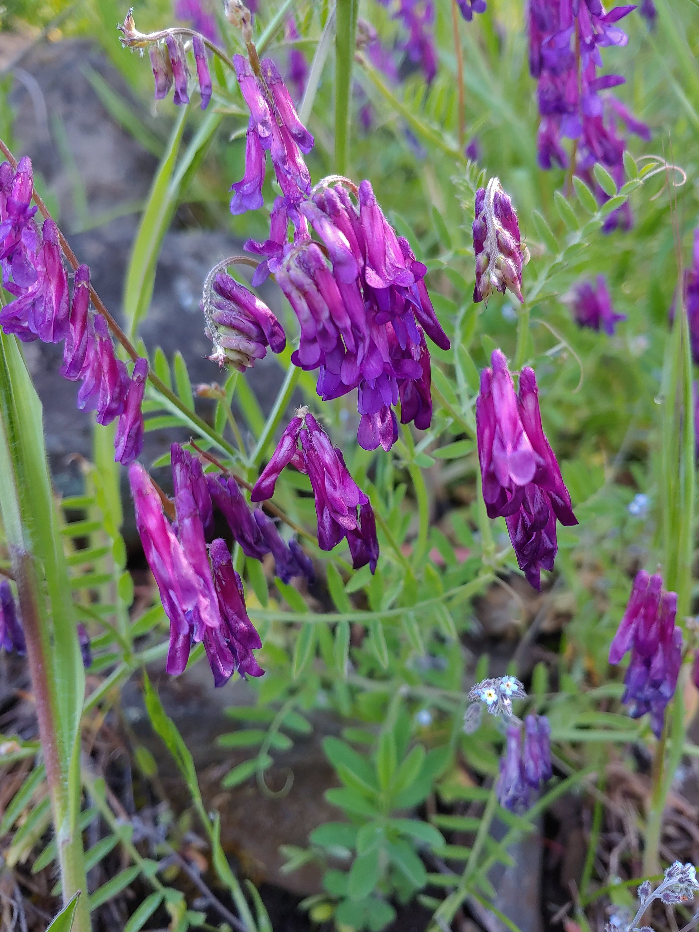 Vetch, May 1st – Moiser Plateau
 Large-head clover, May 1st – Moiser Plateau
 Fiddleneck, May 1st – Moiser Plateau
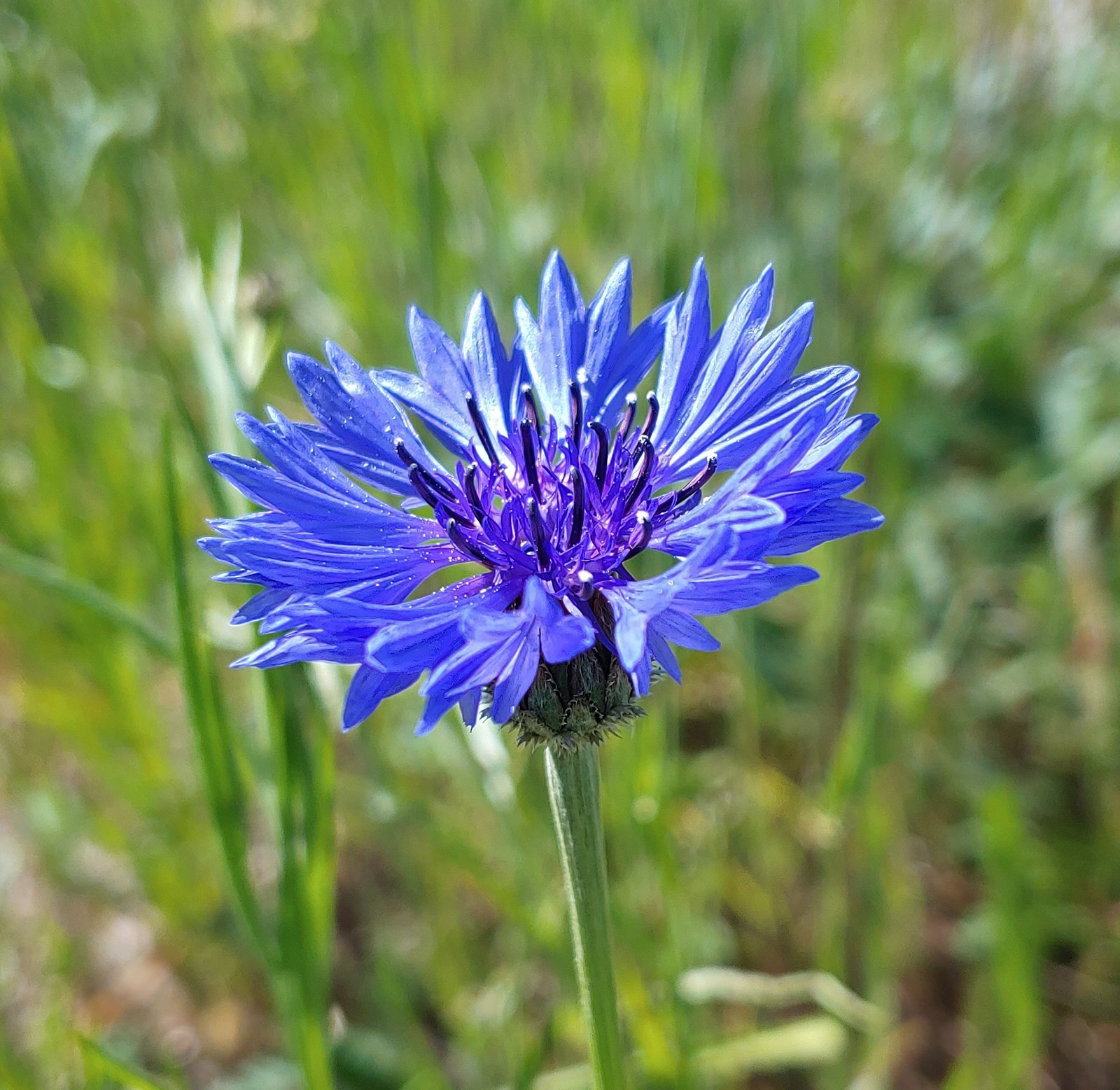 Bachelor button (non-native), May 1st – Moiser Plateau
 Service berry, May 7th – Orenco Woods
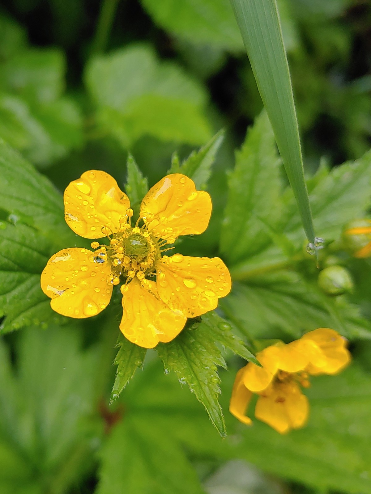 Aven, May 7th – Noble Woods
 Camas, May 7th – Miller Woods
 Wild ginger, May 7th – Miller Woods
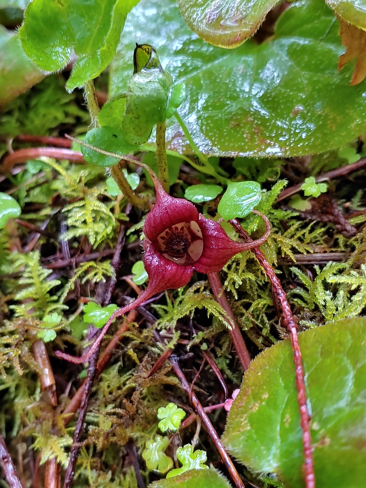
 Striped coralroot, May 7th – Miller Woods
 Fairy slippers, May 7th – Miller Woods
 Plectritis, May 14th – Chehalem Ridge Nature Park
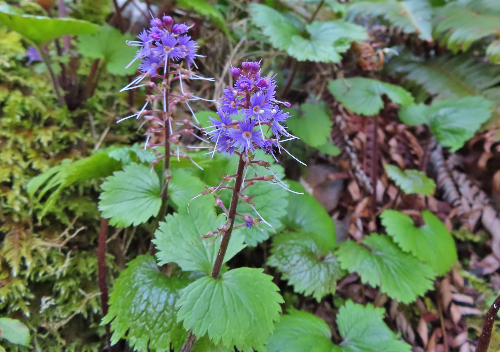
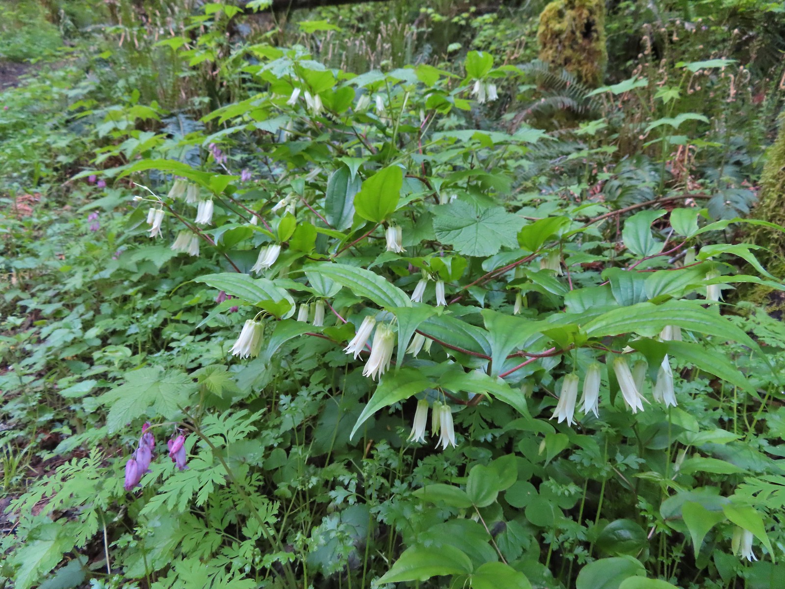 Fairy bells, May 21st – Elk/Kings Mountain Traverse
 Snow queen, May 21st – Elk/Kings Mountain Traverse
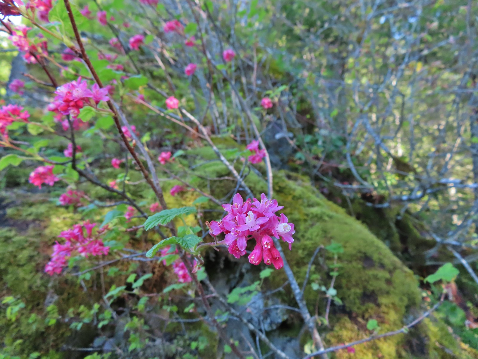 Red flowering currant, May 21st – Elk/Kings Mountain Traverse
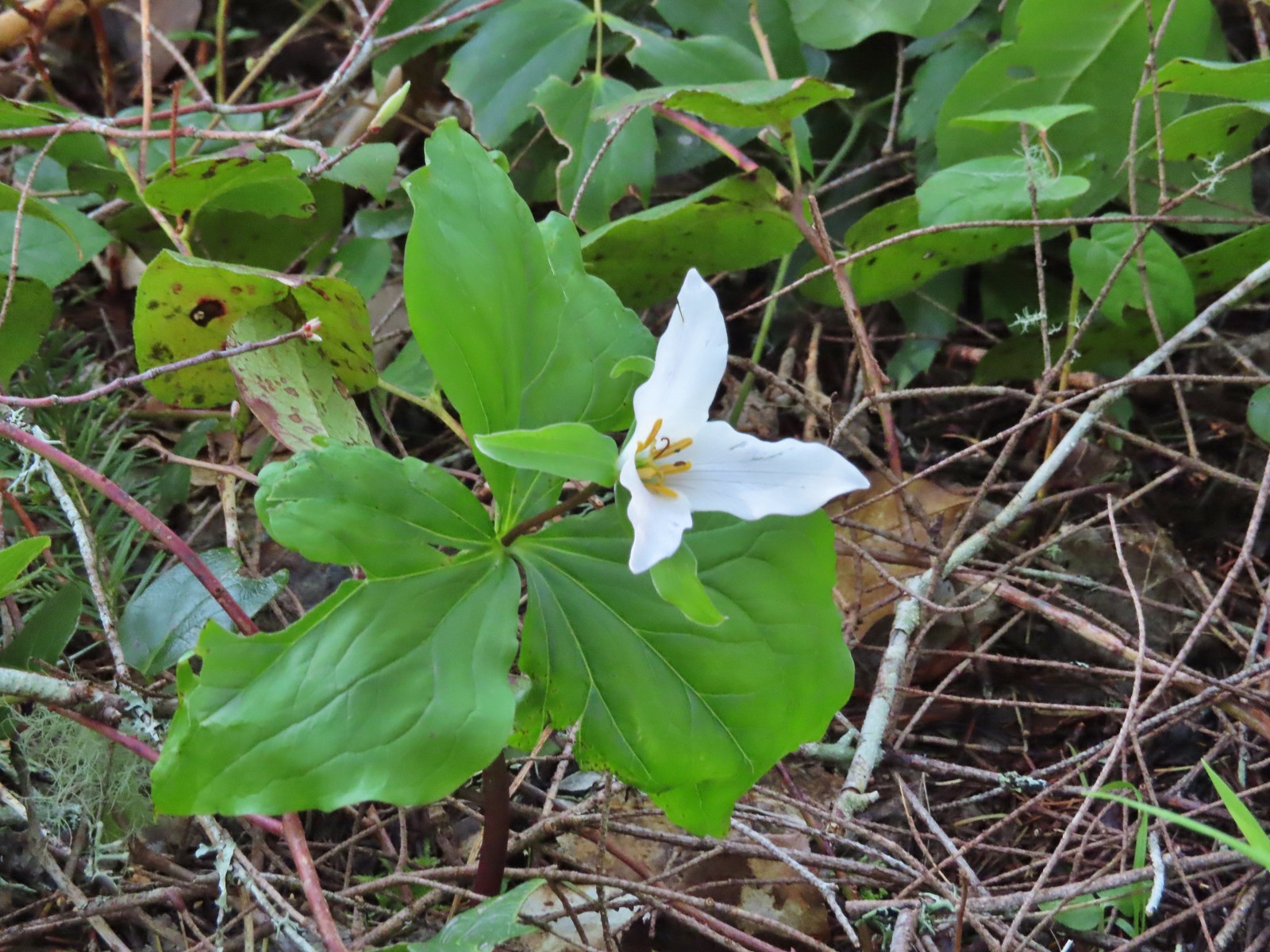 Trillium, May 21st – Elk/Kings Mountain Traverse
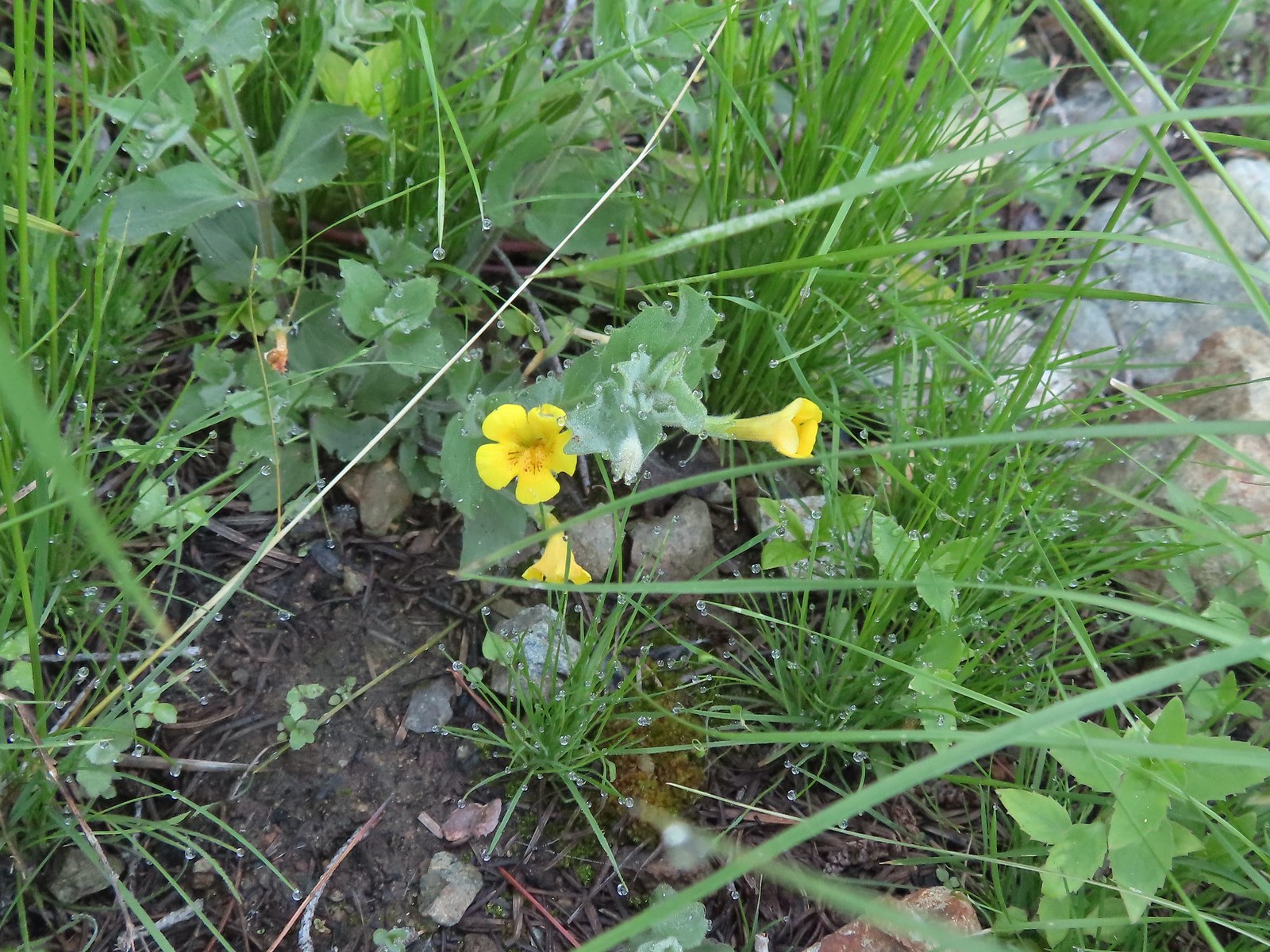
 A monkeyflower, May 21st – Elk/Kings Mountain Traverse
 Chocolate lily, May 21st – Elk/Kings Mountain Traverse
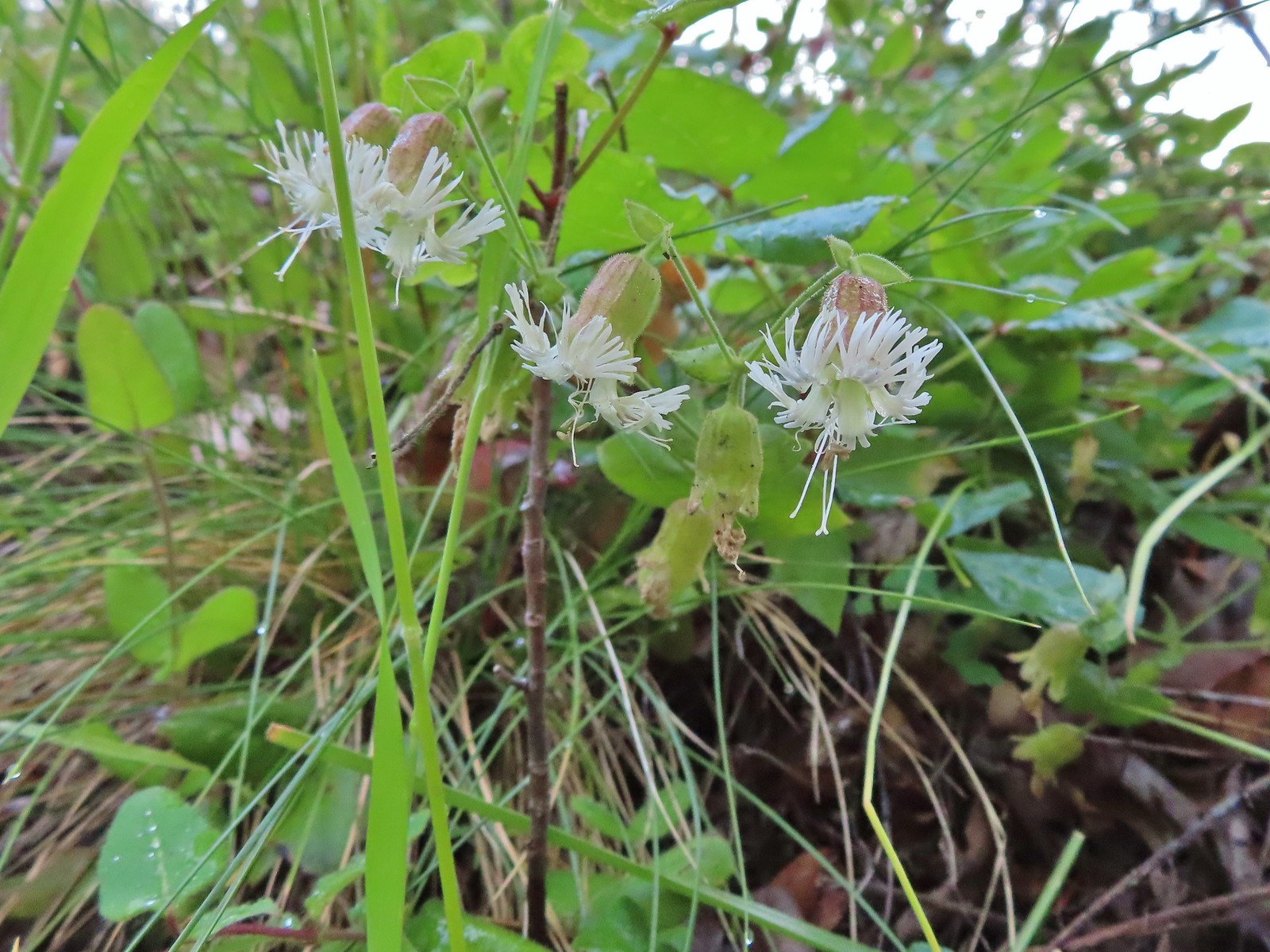
 Kittentails, May 21st – Elk/Kings Mountain Traverse
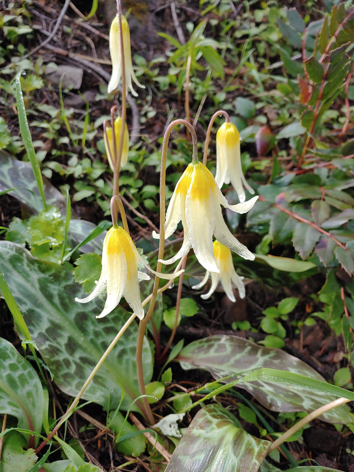
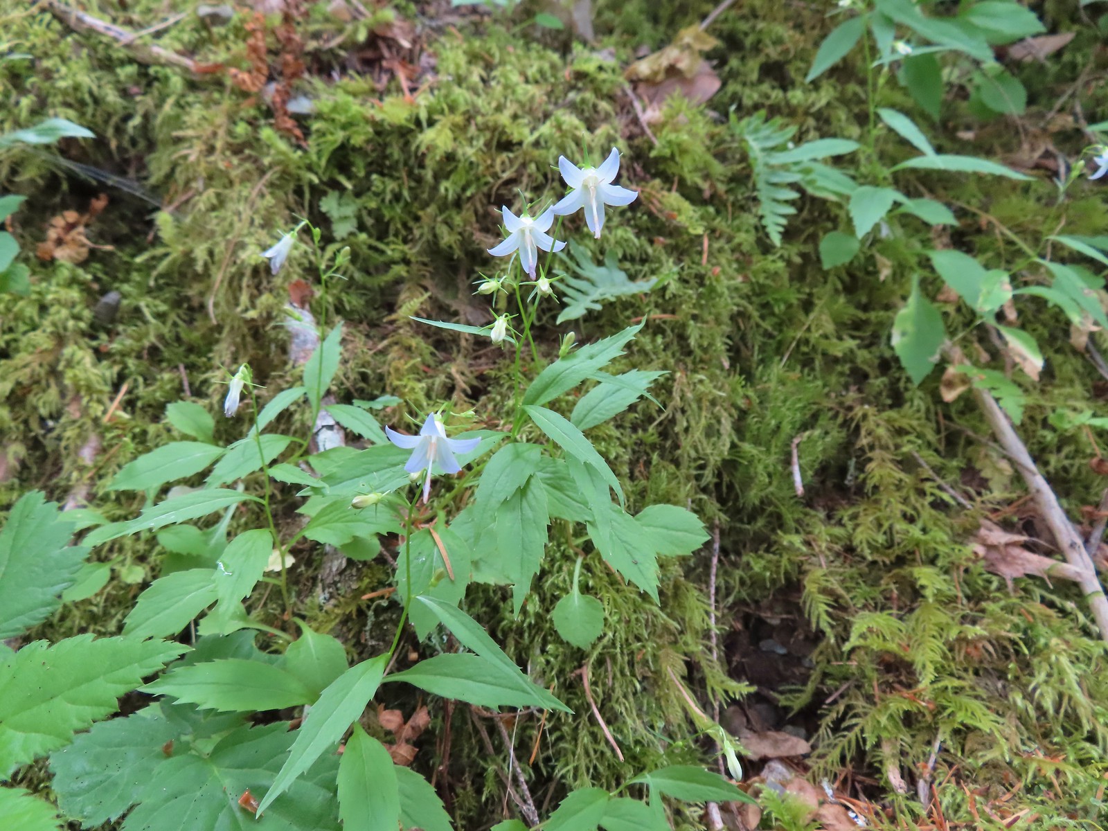
 Glacier lily, May 21st – Elk/Kings Mountain Traverse
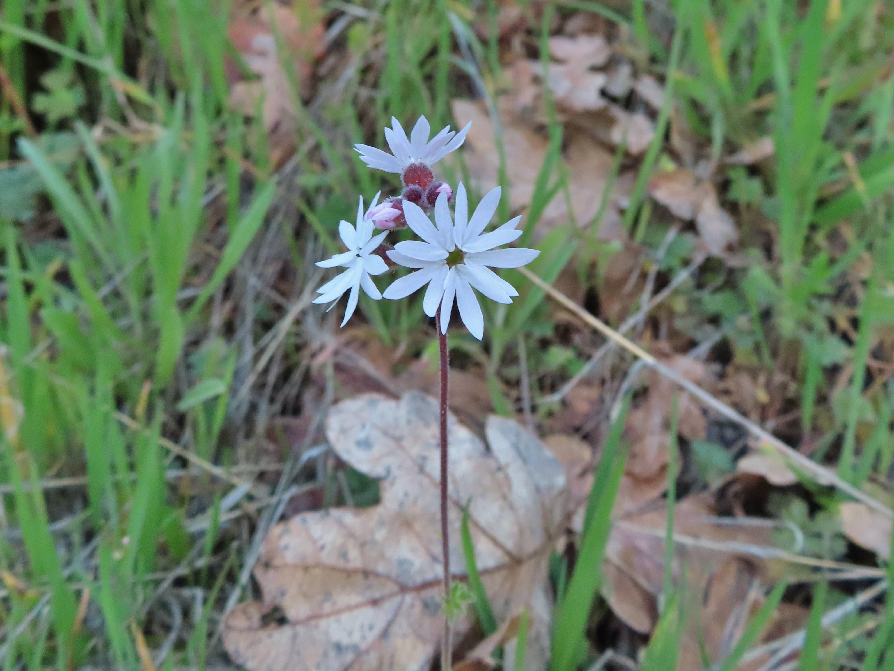
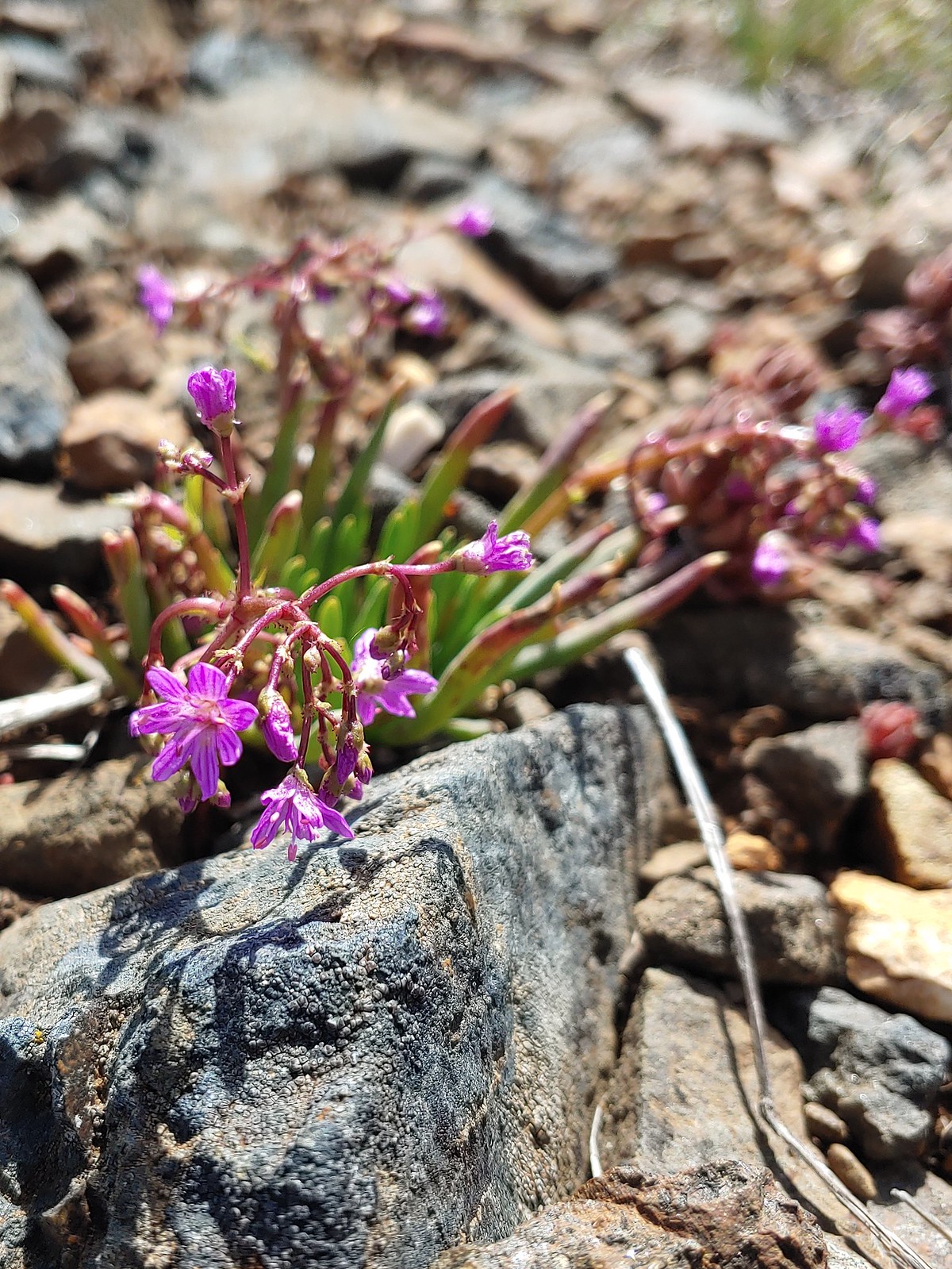
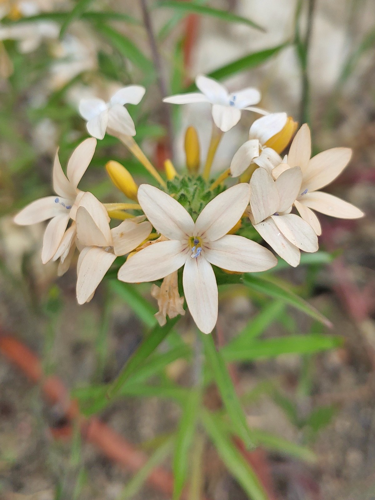
 Henderson’s stars, May 25th – Mule Mountain
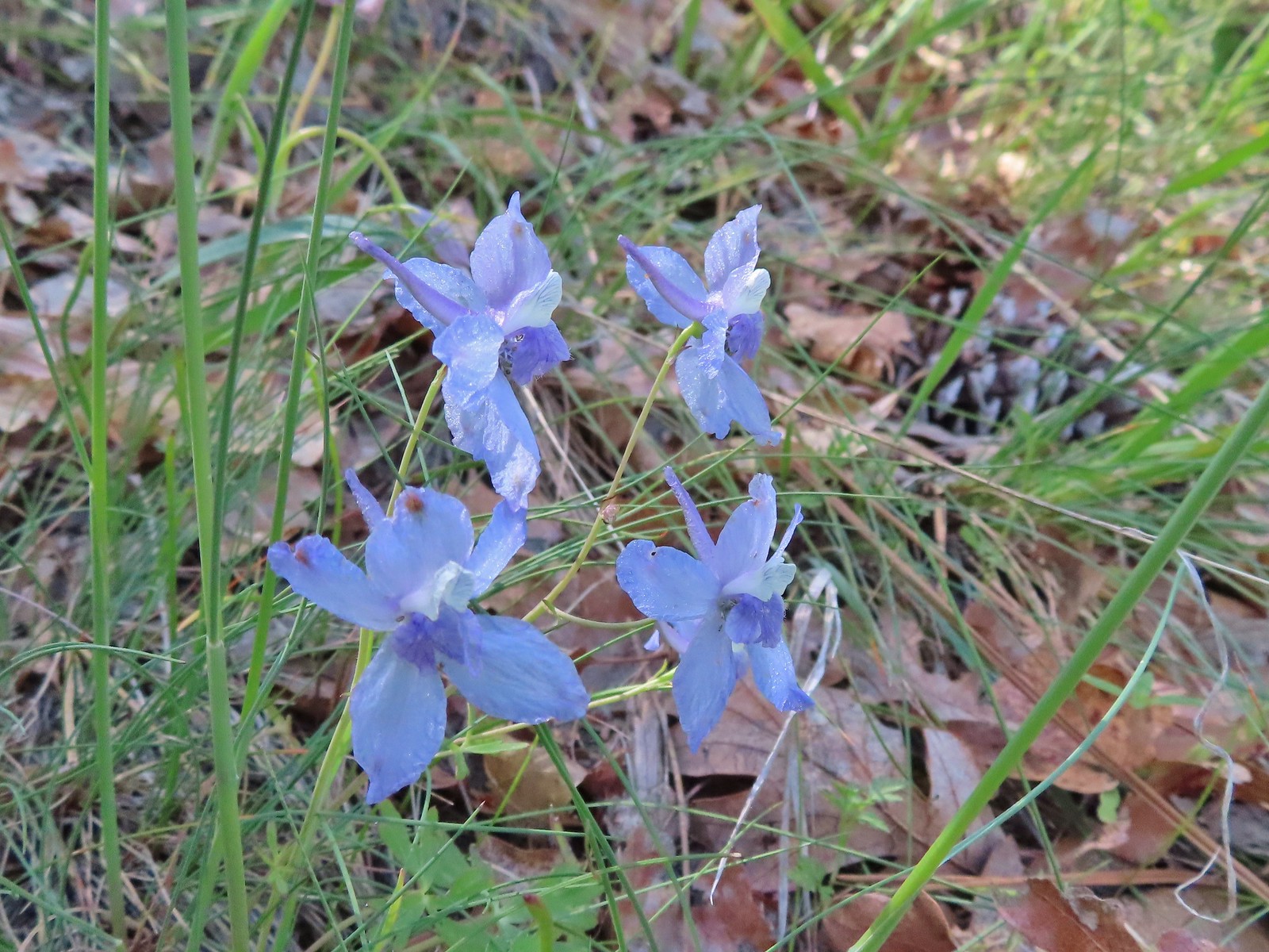 Larkspur, May 25th – Mule Mountain
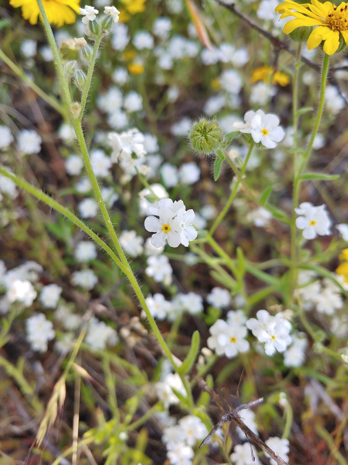 Not sure if this is a cryptantha or a popcorn flower, May 25th – Mule Mountain
 Douglas’ stichwort, May 25th – Mule Mountain
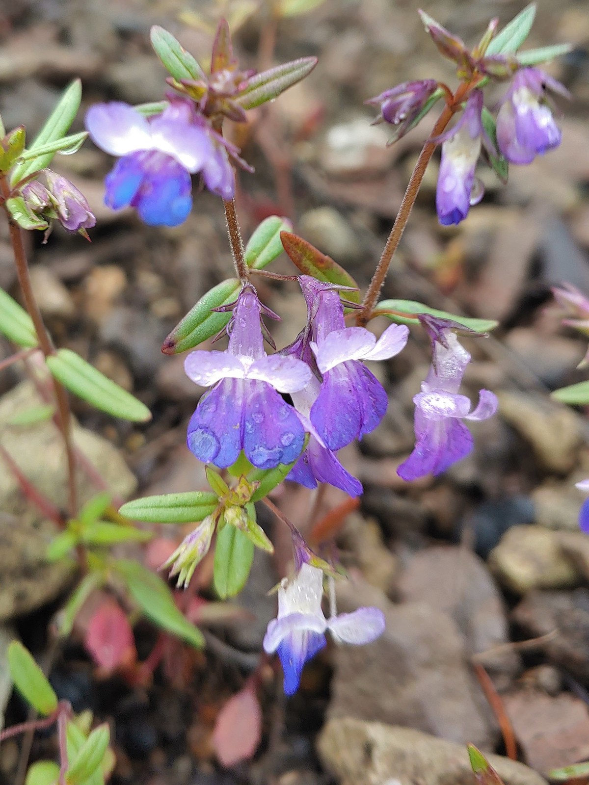
 A blue-eyed Mary, May 25th – Mule Mountain
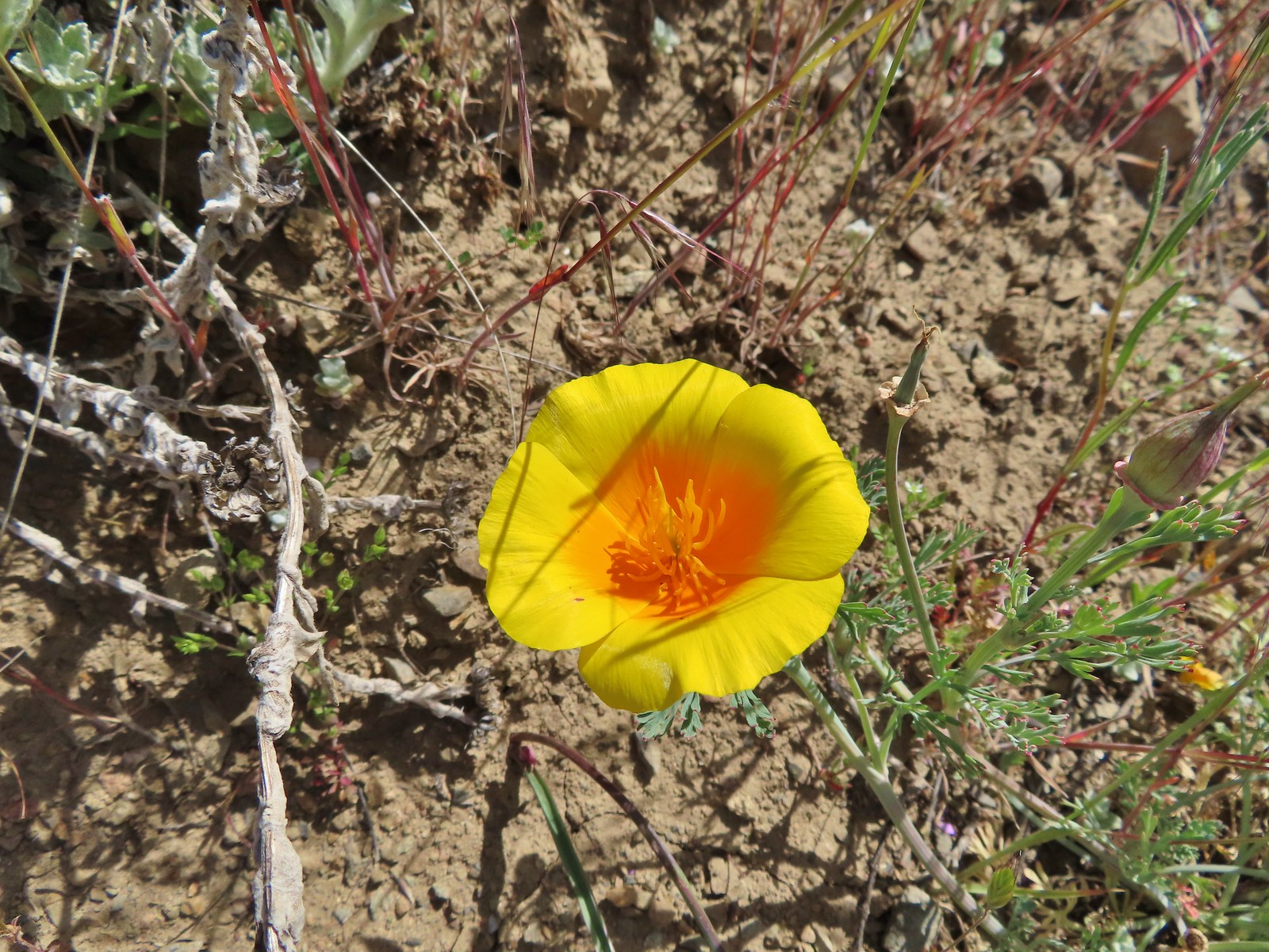 California poppy, May 25th – Mule Mountain
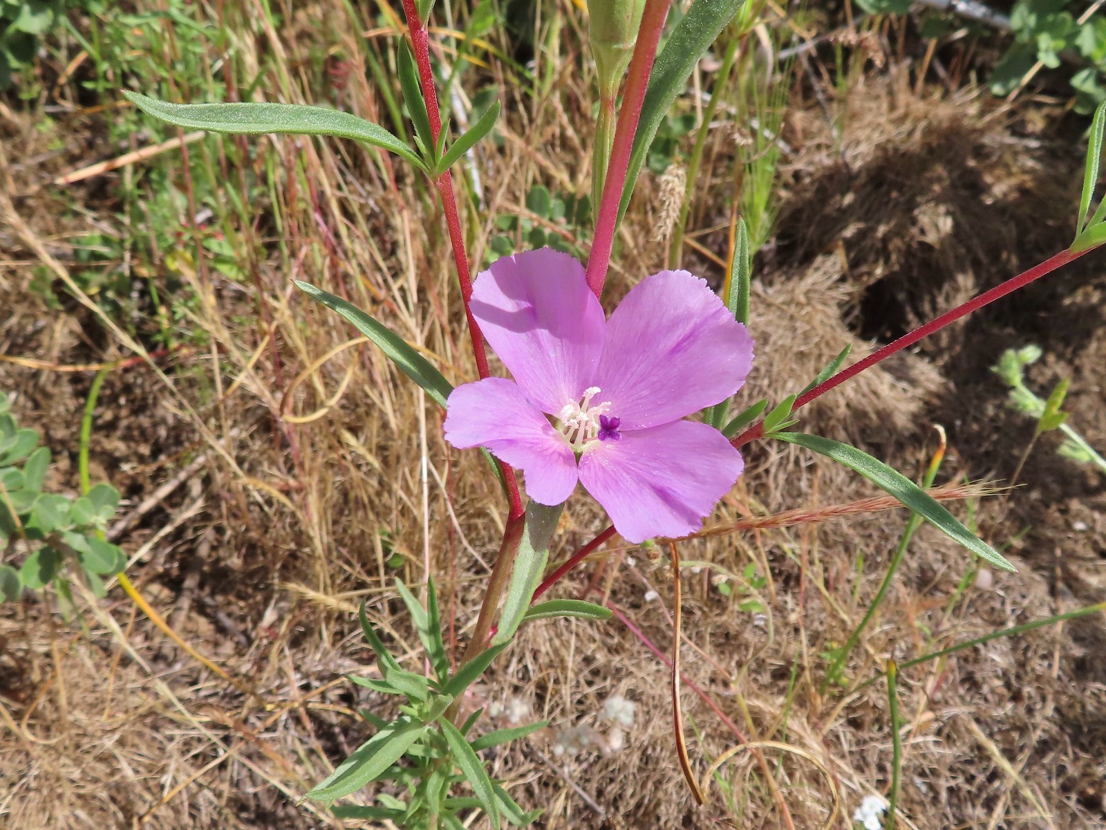
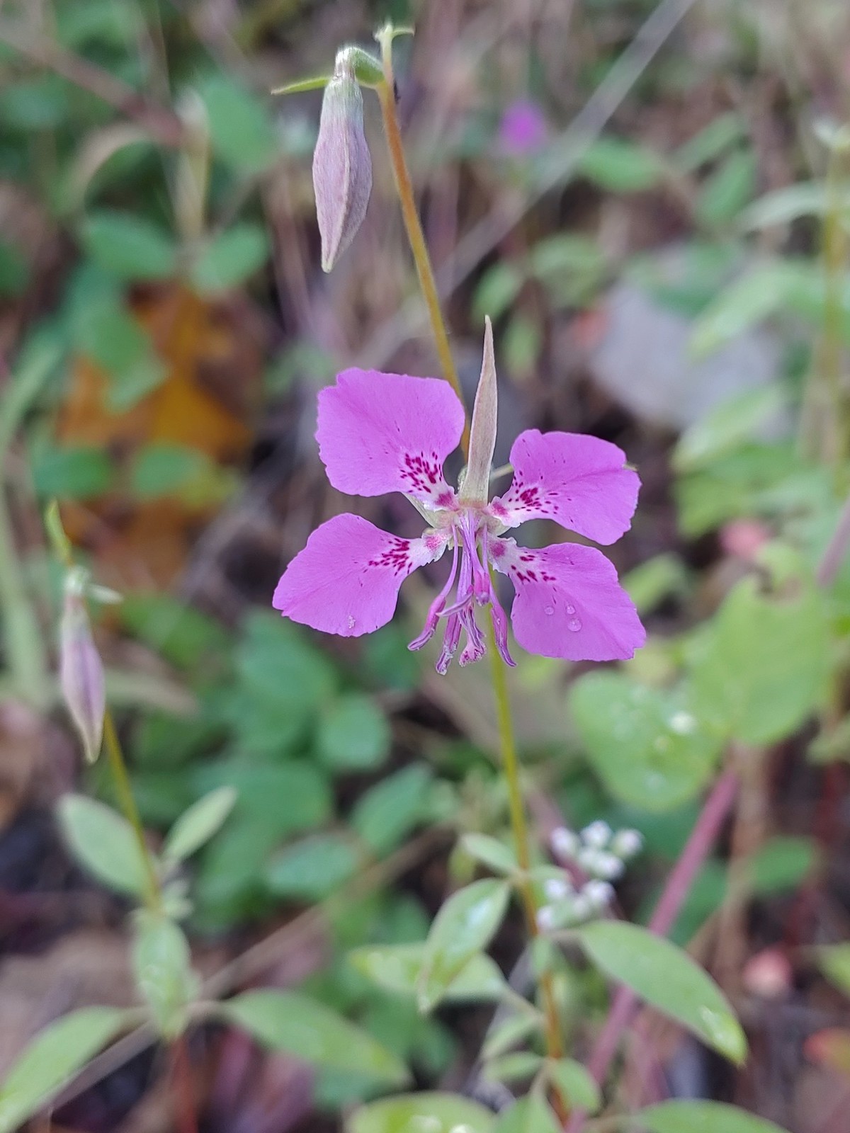
 A clarkia, May 25 – Mule Mountain
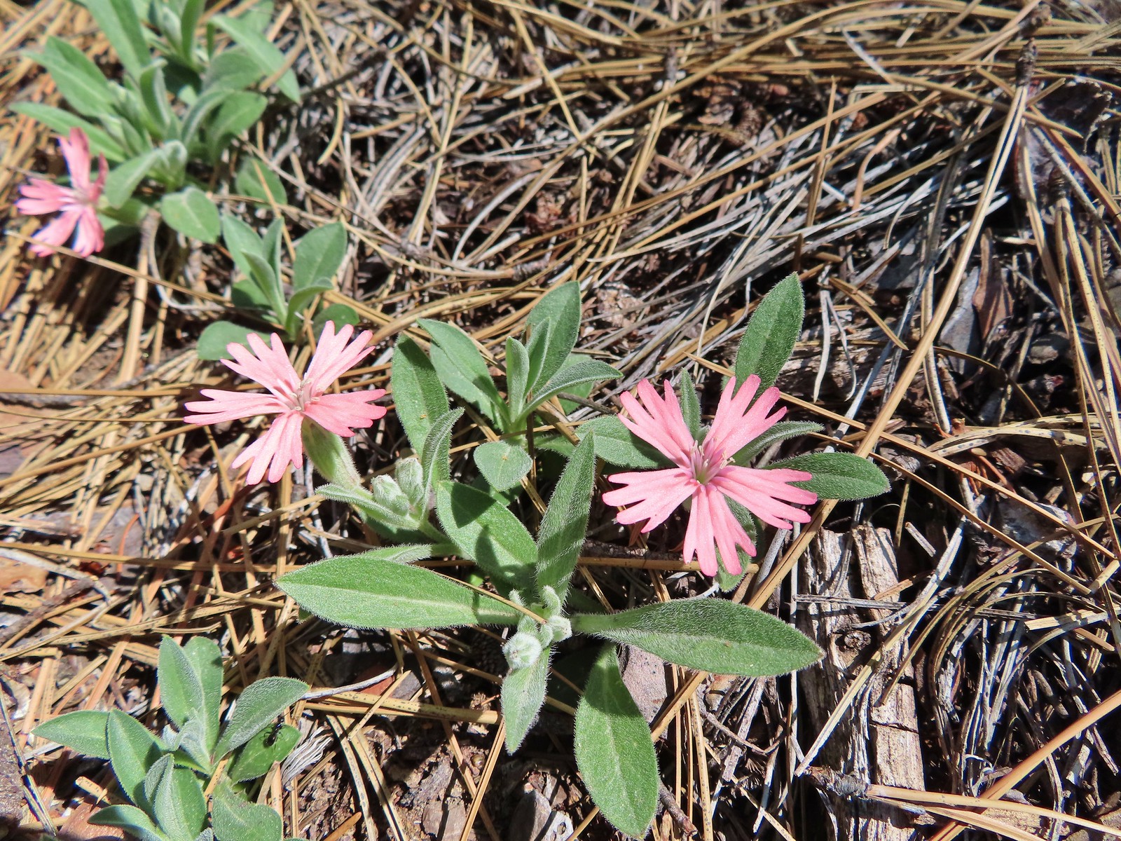 Hooker’s Indian pink, May 25th – Mule Mountain
 Star flower, May 25th – Mule Mountain
 California ground cone, May 25th – Mule Mountain
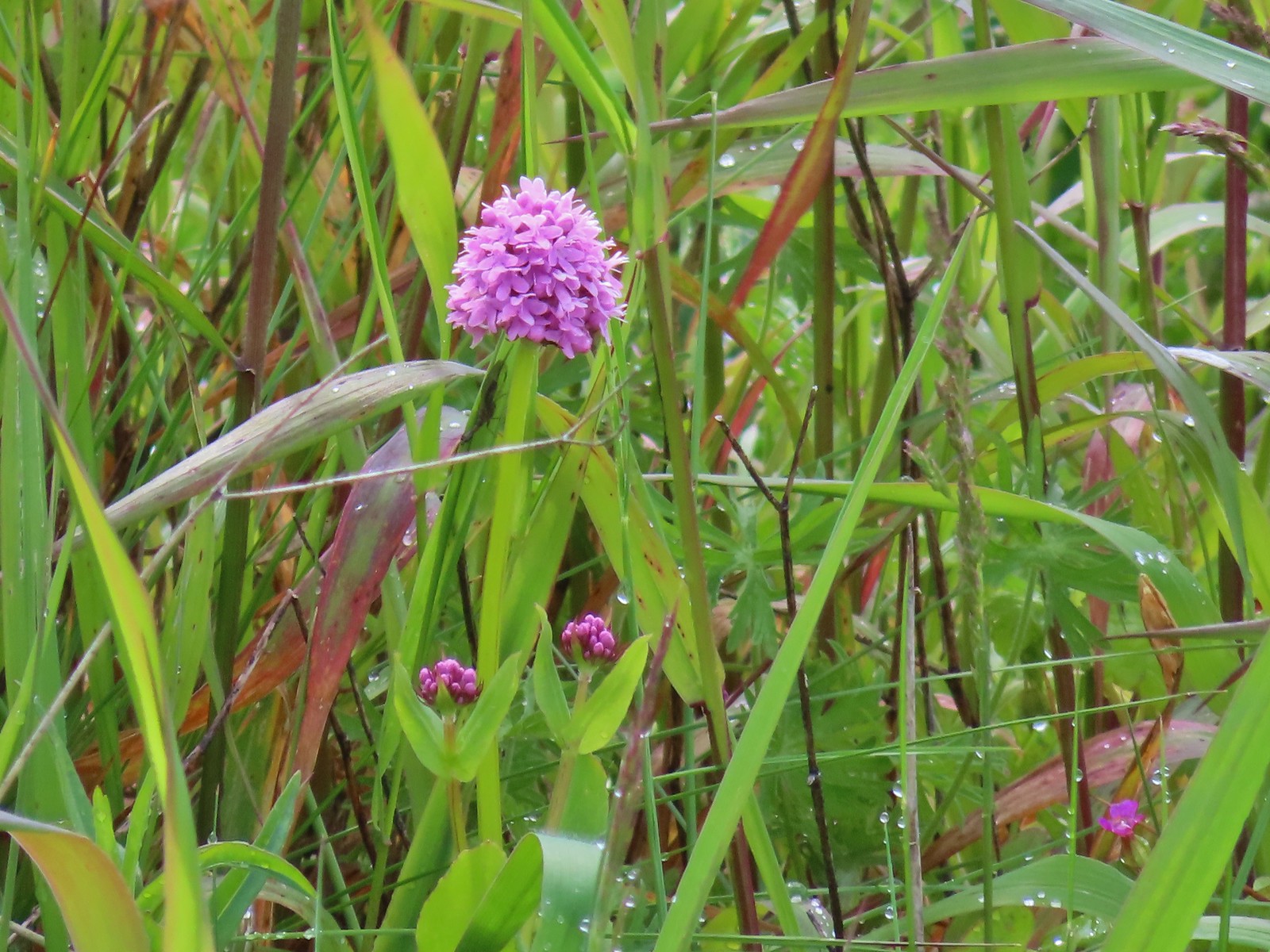
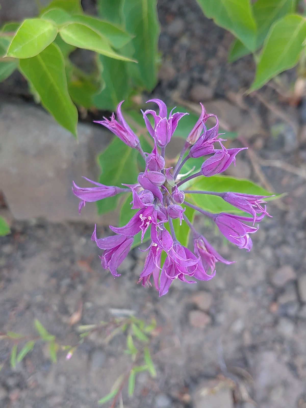
 Ookow, May 26th – Upper Table Rock
 Blow wives, May 26th – Upper Table Rock
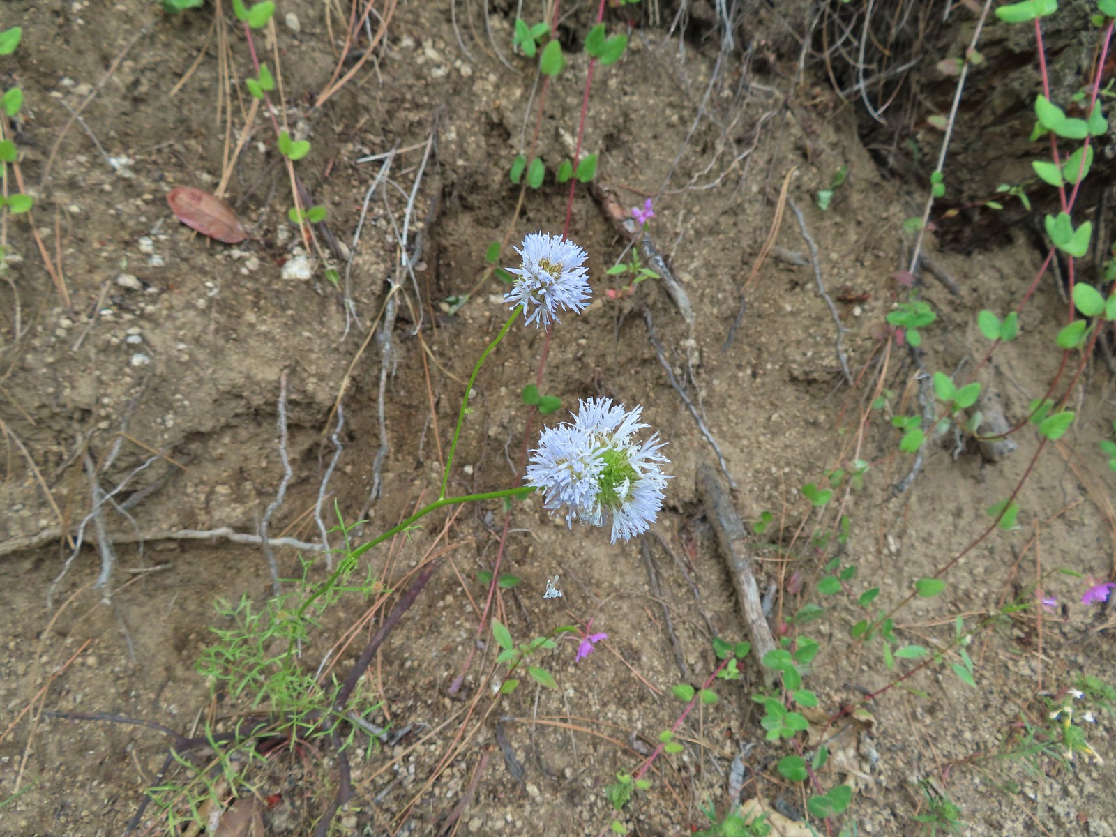
 Best guess is Parry’s hawkweed, May 26th – Upper Table Rock
 Clustered broomrape, May 26th – Upper Table Rock
 Narrowleaf onion, May 26th – Upper Table Rock
 California goldfield, May 26th – Upper Table Rock
 Possibly Fitch’s tarweed, May 26th – Upper Table Rock
 Marigold pincushion plant, May 26th – Upper Table Rock
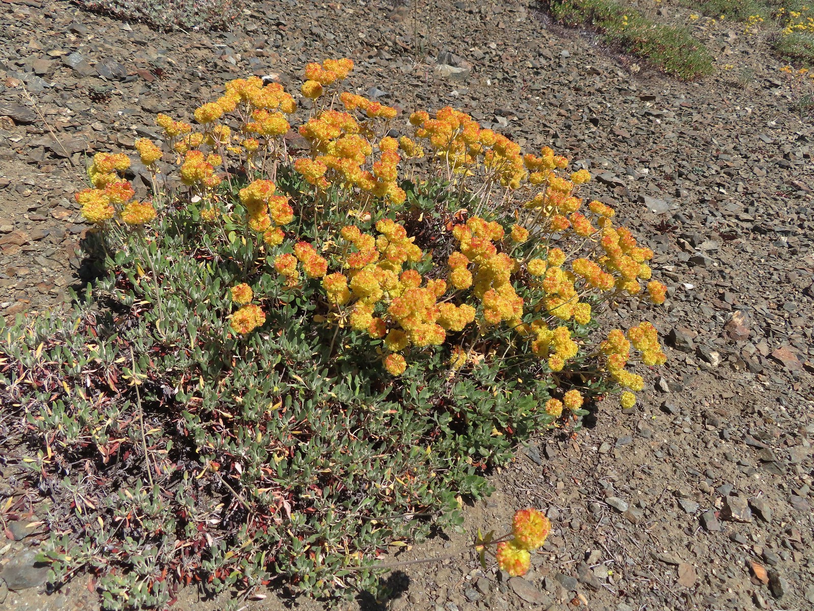
 Arrowleaf buckwheat, May 26th – Upper Table Rock
 A clarkia, May 26th – Upper Table Rock
 Iris, May 27th – Jack-Ash Trail
 Milkvetch, May 27th – Jack-Ash Trail
 Unknown on Anderson Butte, May 27th – Jack-Ash Trail
 Giant white wakerobbin, May 27th – Jack-Ash Trail
 A larkspur, May 27th – Jack-Ash Trail
 Rough eyelashweed, May 27th – Jack-Ash Trail
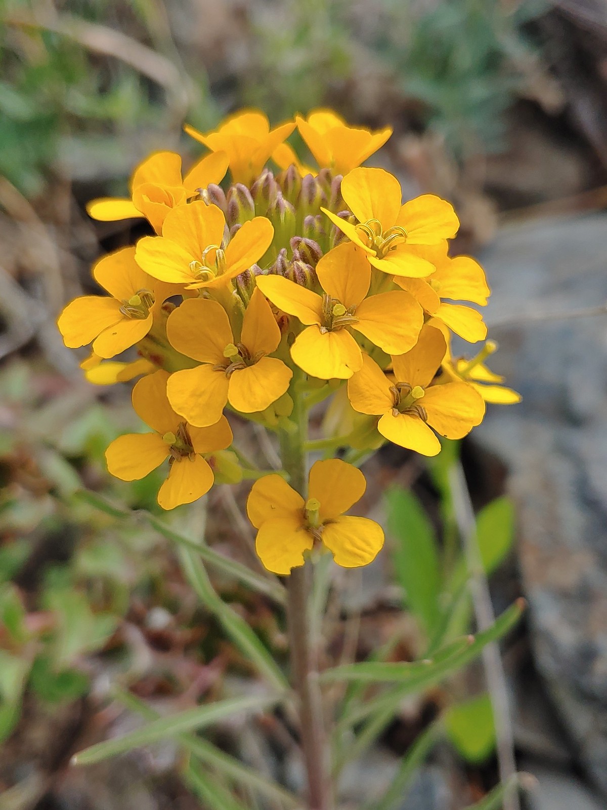 Wallflower, May 27th – Jack-Ash Trail
 A wild onion, May 27th – Jack-Ash Trail
 Jacob’s ladder, May 27th – Jack-Ash Trail
 Death camas, May 28th – Denman Wildlife Area
 Common madia, May 28th – Denman Wildlife Area
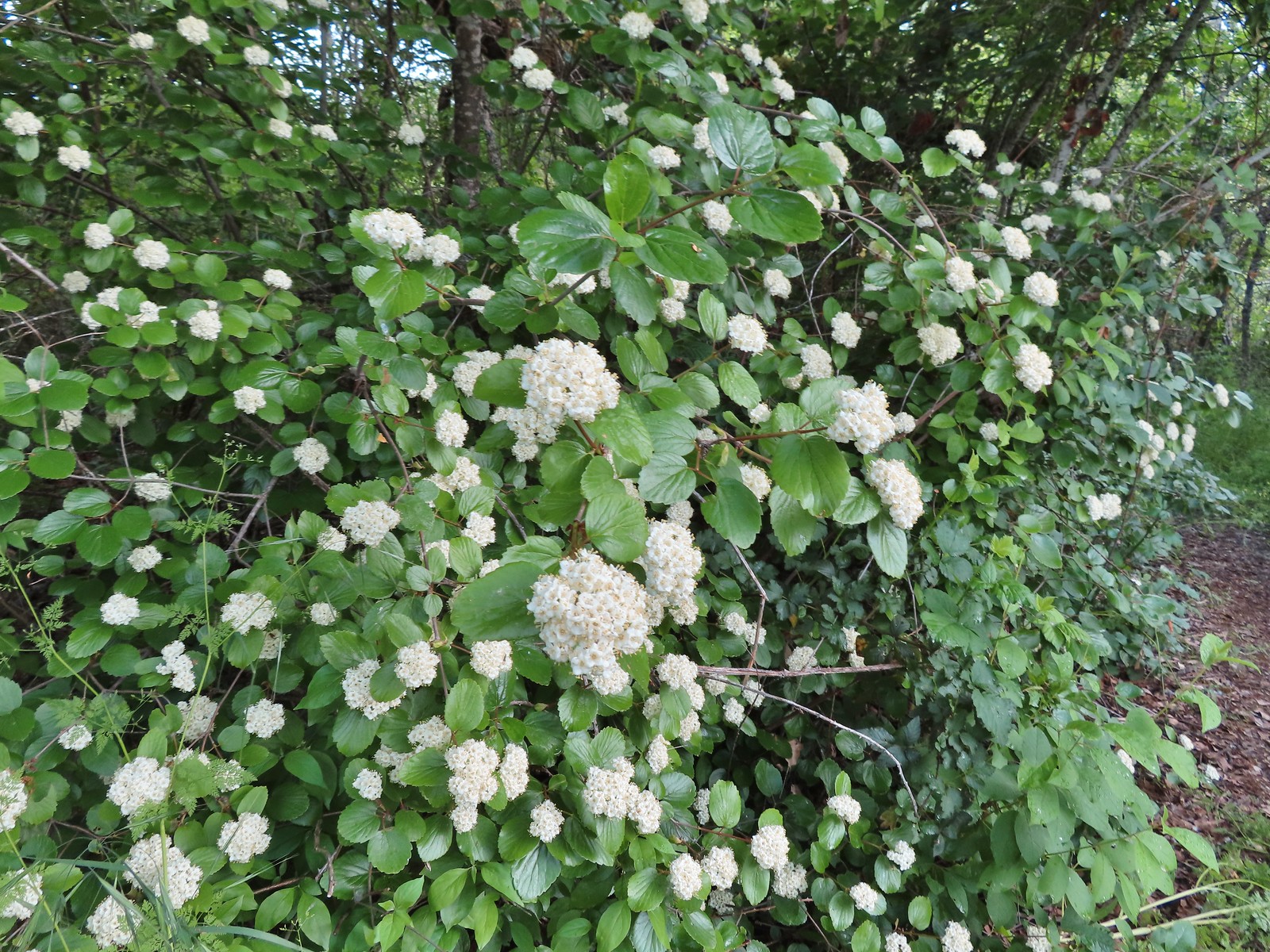 Common viburnum, May 28th – Denman Wildlife Area
 Hairy Indian paintbrush, May 28th – Denman Wildlife Area
 White campion, May 28th – Denman Wildlife Area
 Pale flax, May 28th – Denman Wildlife Area
 Purple oyster (non-native), May 28th – Denman Wildlife Area
 Rose, May 28th – Denman Wildlife Area
 Pea, May 28th – Denman Wildlife Area
 Kellog’s monkeyflower, May 29th – Applegate Lake
 Heart-leaf milkweed, May 29th – Applegate Lake
 Northern phlox, May 29th – Applegate Lake
 White lupine, May 29th – Applegate Lake
 Carrotleaf horkelia, May 30th – Roxy Ann Peak
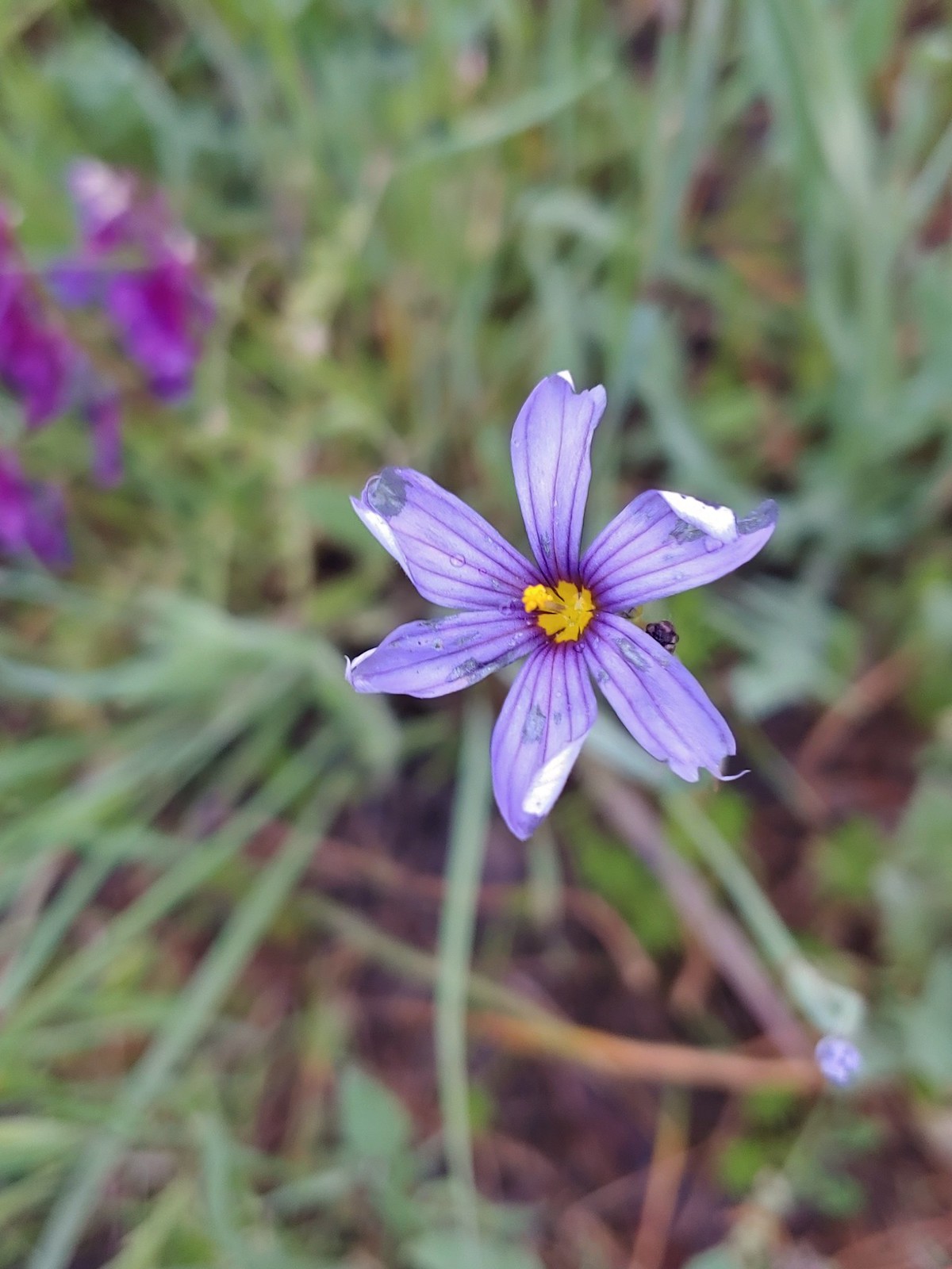 Blue-eyed grass, May 30th – Roxy Ann Peak
 Baneberry, June 4th – North Siouxon Trail
 Star-flower solomonseal, June 4th – North Siouxon Trail
 False lily-of-the valley, June 4th – North Siouxon Trail
 Candyflower, June 4th – North Siouxon Trail
 Scouler’s corydalis, June 4th – North Siouxon Trail
 Yellow glandweed (non-native), June 11th – Julia Butler Hanson Wildlife Refuge
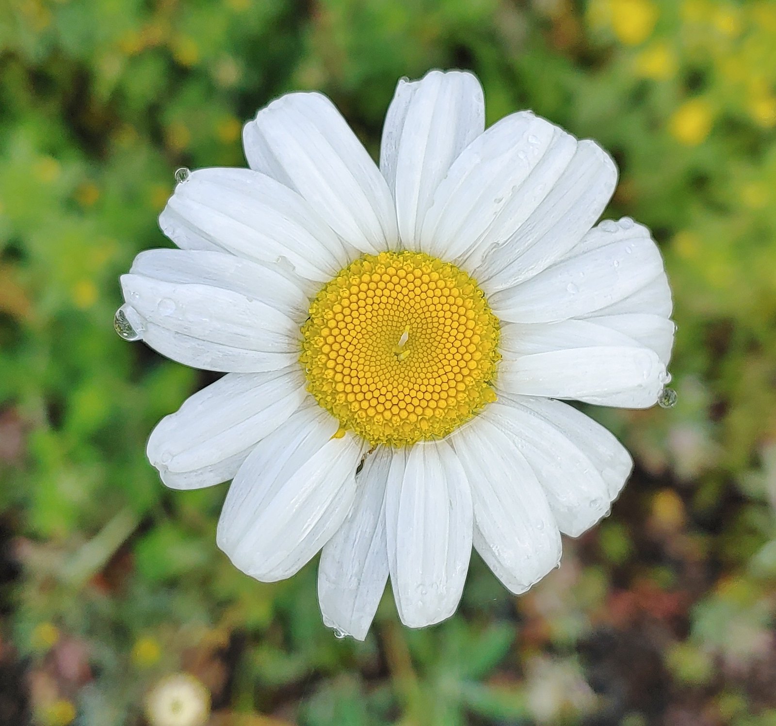 Daisy (non-native), June 11th – Julia Butler Hanson Wildlife Refuge
 Unknown shrub (non-native), June 11th – Julia Butler Hanson Wildlife Refuge
 A vetch or pea, June 13th – Susan Creek Falls Trail
 Columbine, June 13th – Susan Creek Falls Trail
 Solomonseal, June 13th – North Umpqua Trail
 Valerian, June 13th – Lemolo Falls Trail
 Gooseberry, June 14th – Illahee Rock
 Blue-eyed Mary, June 14th – Illahee Rock
 Fawn lilies, June 14th – Illahee Rock
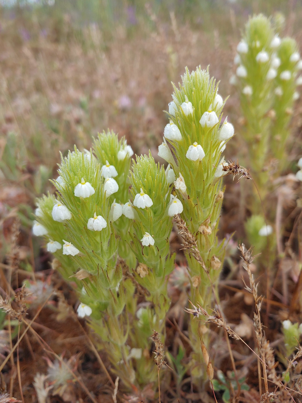
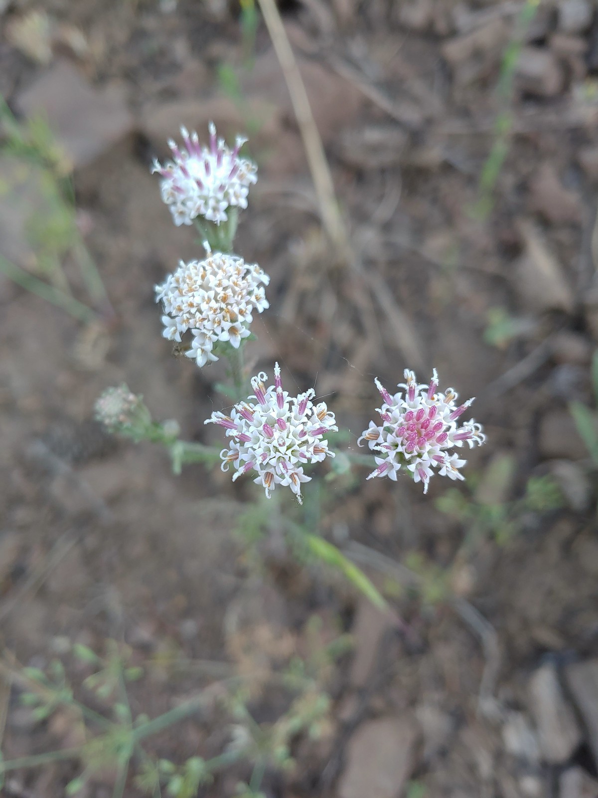
 Pussytoes, June 15th – Pacific Crest Trail near the Stateline Trailhead
 Bistort, June 15th – Donomore Meadows
 Cutleaf daisy, June 15th – Observation Peak
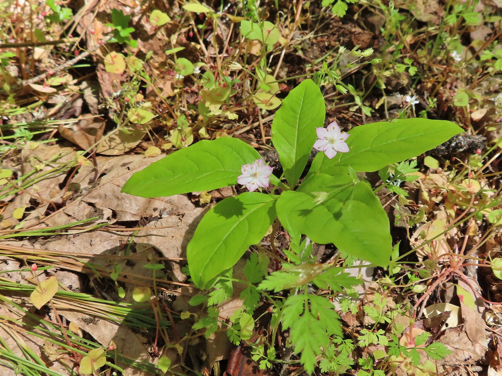
 Lance-leaf spring beauty, June 15th – Observation Peak
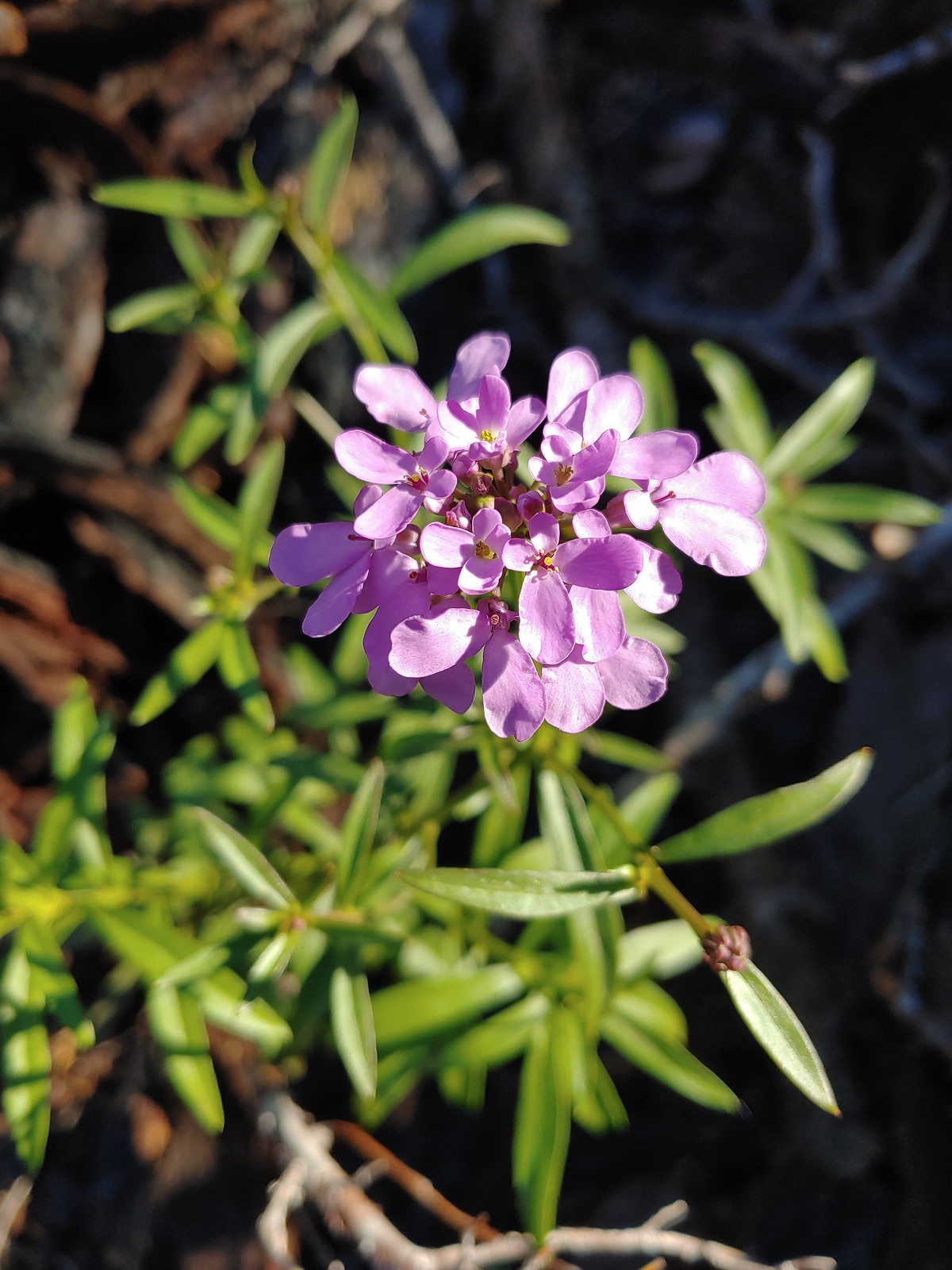
 A rockcress, June 15th – Observation Peak
 Alpine pennycress, June 15th – Observation Peak
 Quill-leaf lewisia, June 15th – Observation Peak
 Marsh marigold, June 15th – Pacific Crest Trail
 Anemone, June 16th – Pacific Crest Trail near Siskiyou Gap
 Jacob’s ladder, June 16th – Pacific Crest Trail
 Buds of an unknown flower, June 16th – Pacific Crest Trail near Big Red Mountain
 A paintbrush, June 16th – Pacific Crest Trail near Big Red Mountain
 Drummond’s anemone, June 16th – Pacific Crest Trail near Big Red Mountain
 Ballhead waterleaf, June 16th – Pacific Crest Trail near Big Red Mountain
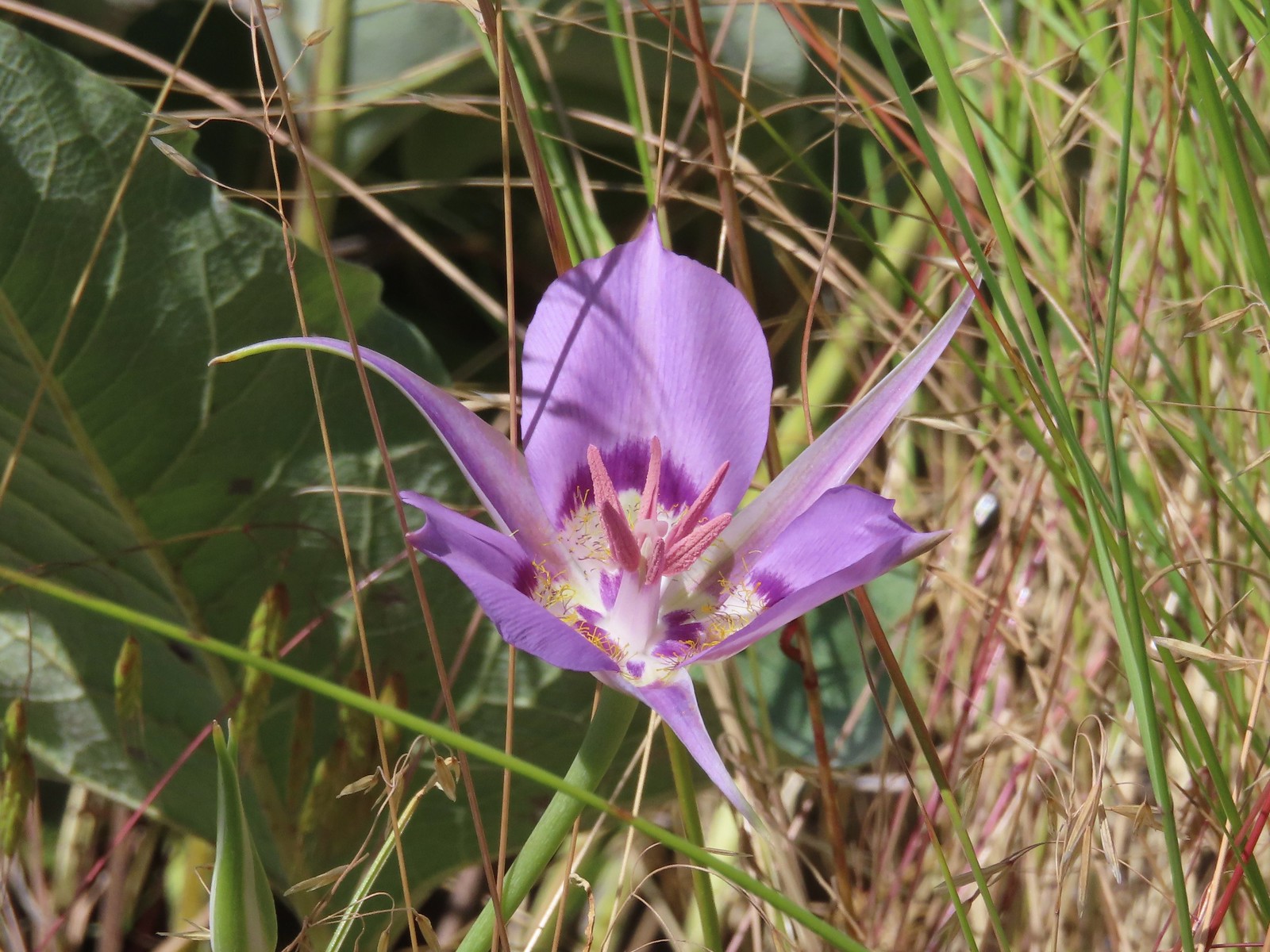
 A mariposa lily, June 16th – Pacific Crest Trail near Siskiyou Gap
 Diamond? clarkia, June 17th – Bandersnatch Trail
 A honeysuckle, June 17th – Bandersnatch Trail
 A catchfly, June 17th – Bandersnatch Trail
 Blue-head gilia, June 17th – Red Queen Trail
 Deerbrush, June 17th – Mike Uthoff Trail
 Grand collomia, June 17th – Mike Uthoff Trail
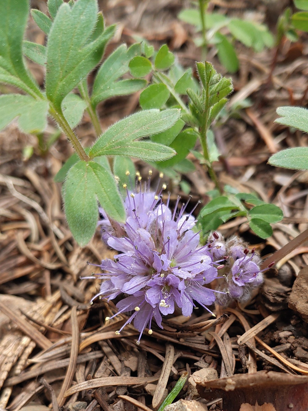
 A phaceli, June 17th – Mike Uthoff Trail
 Rhododendron, June 18th – Frog Pond Trail
 Pretty Face, June 18th – Frog Pond Trail
 Believe this is some sort of saxifrage, June 25th – Toutle Trail
 Avalanche lily, June 25th – Toutle Trail
 A penstemon, July 1st – Siskiyou Wilderness
 A phlox, July 1st – Siskiyou Wilderness
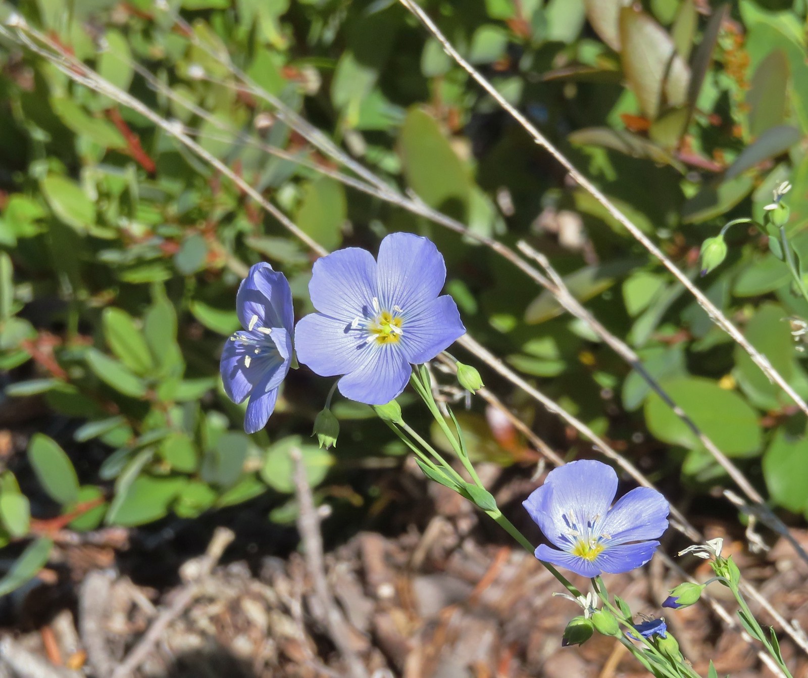 Lewis flax, July 1st – Siskiyou Wilderness
 A paintbrush, July 1st – Siskiyou Wilderness
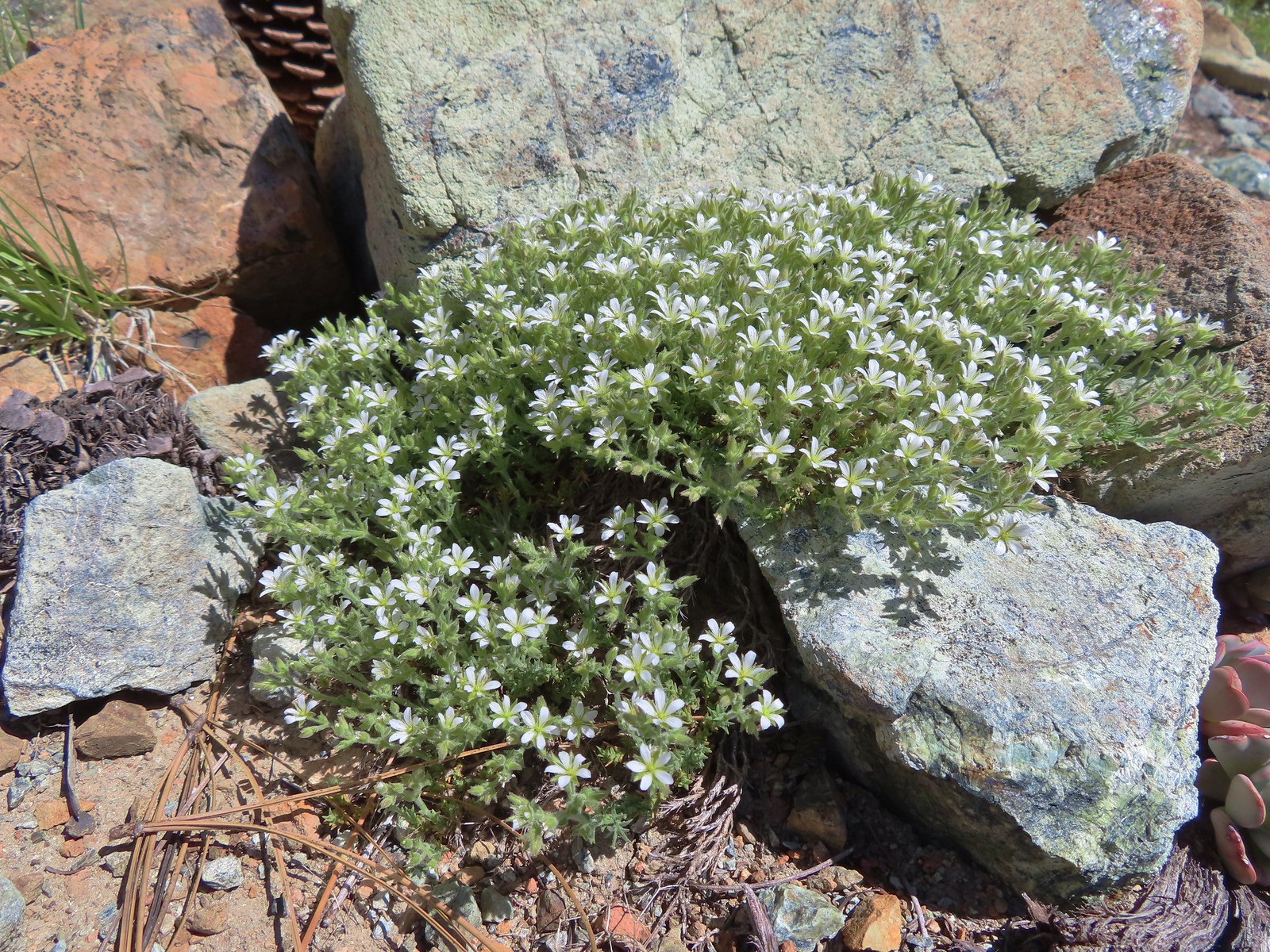 Nuttall’s sandwort?, July 1st -Siskiyou Wilderness
 Queen’s cup, July 1st – Siskiyou Wilderness
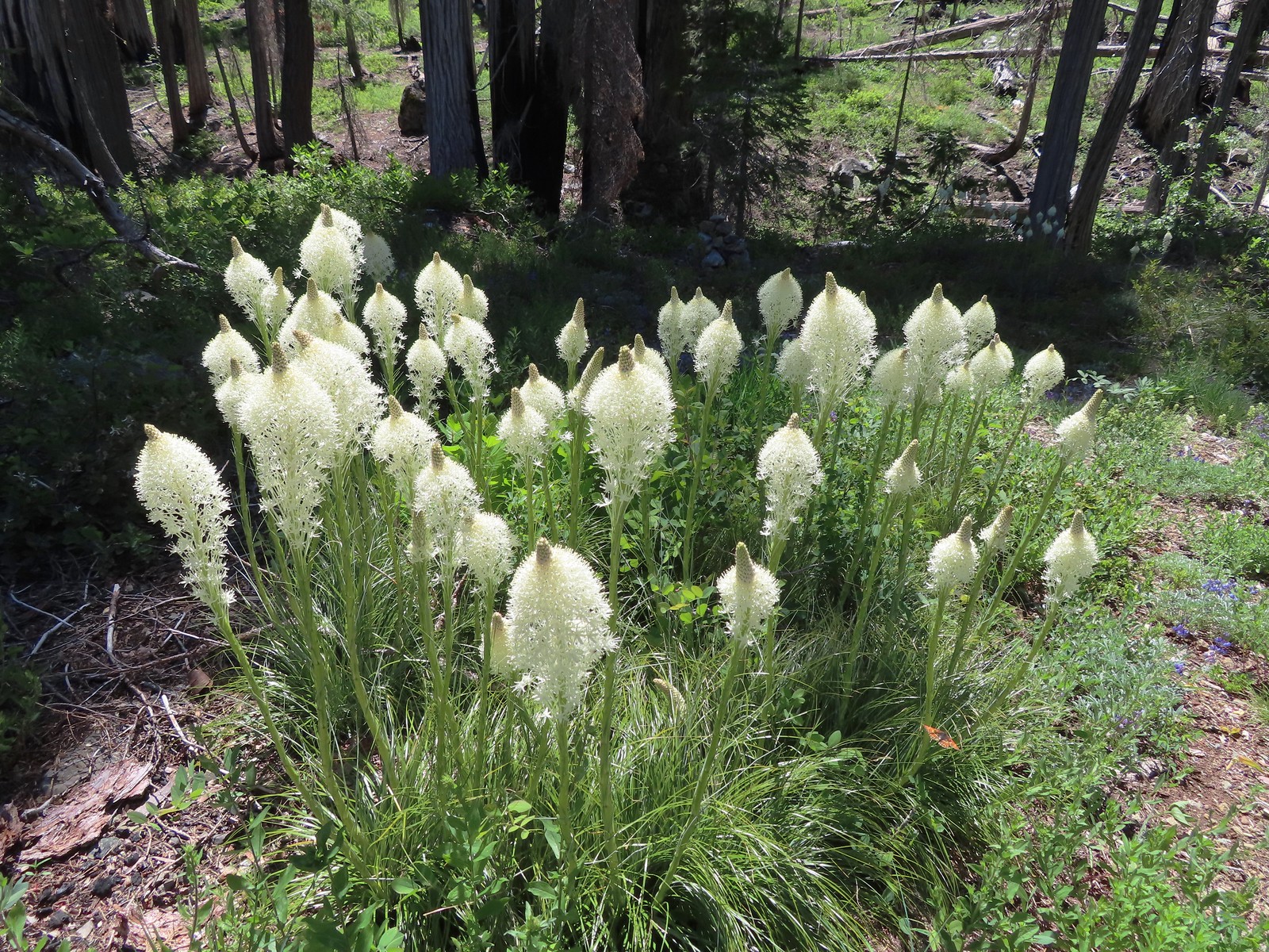 Beargrass, July 1st – Siskiyou Wilderness
 Shooting star, July 1st – Siskiyou Wilderness
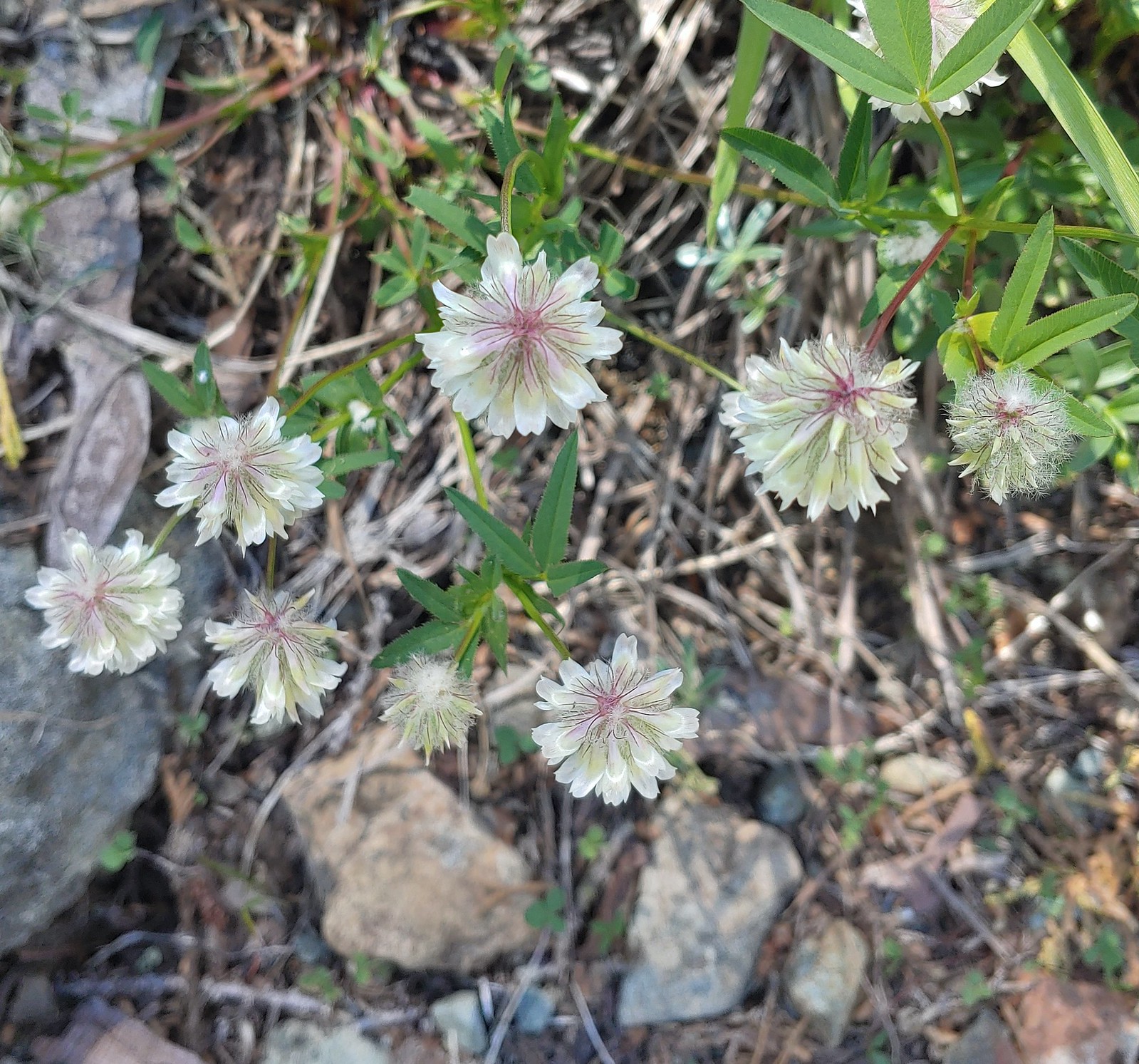 Wolley-head clover, July 1st – Siskiyou ikyWilderness
 A nightshade, July 1st – Siskiyou Wilderness
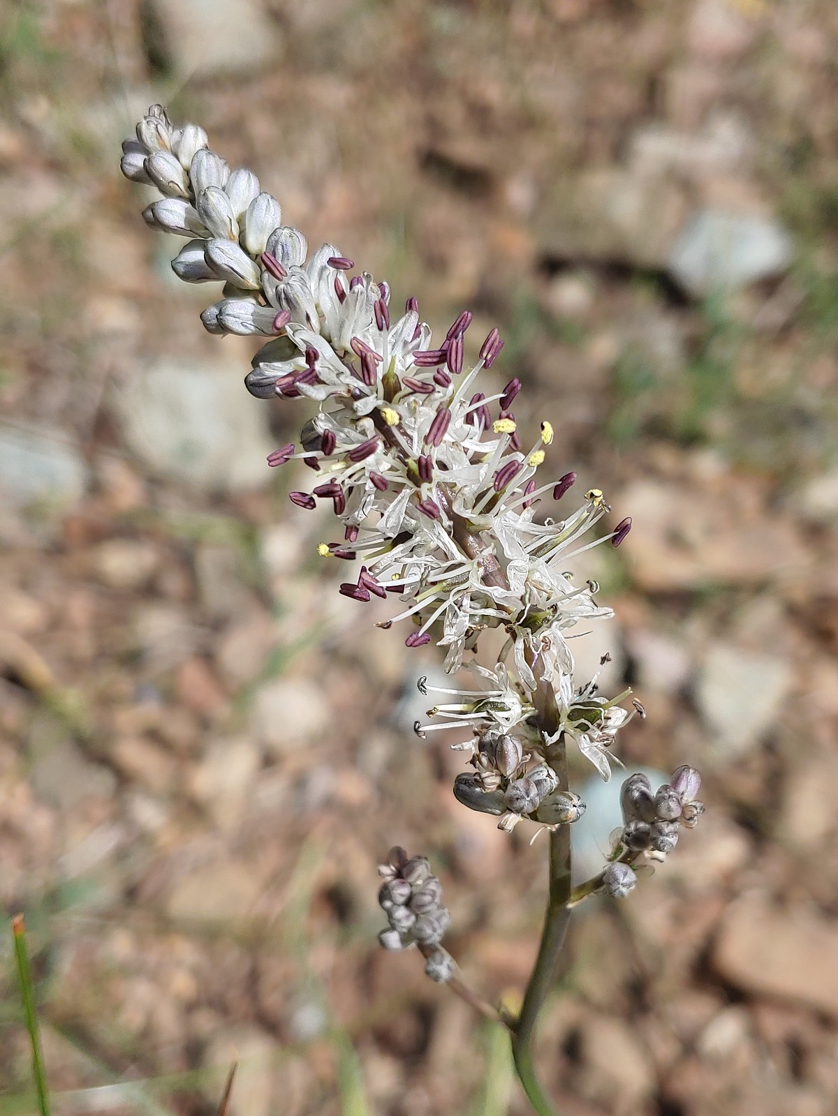
 Siskiyou lewisia, July 1st – Siskiyou Wilderness
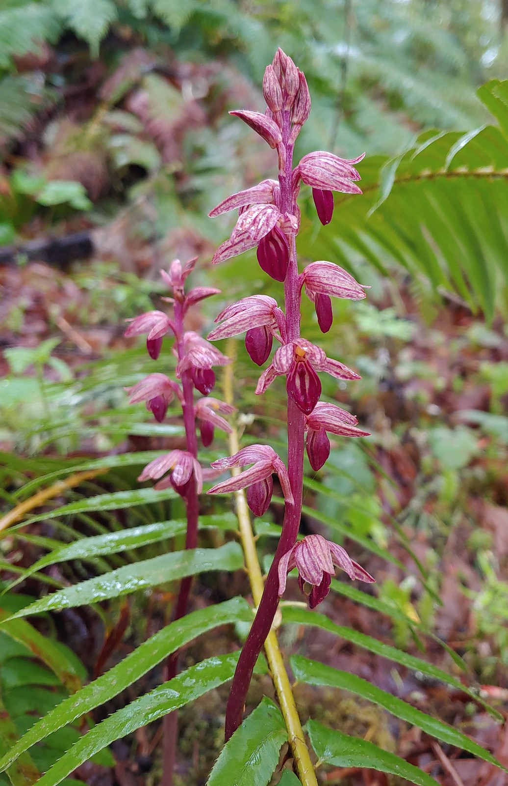
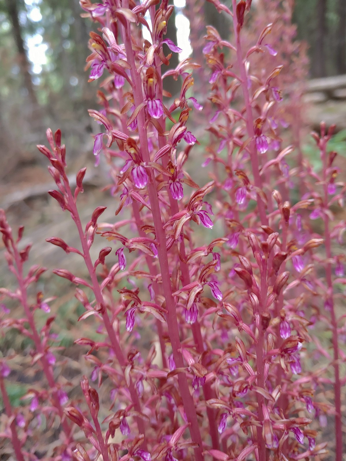
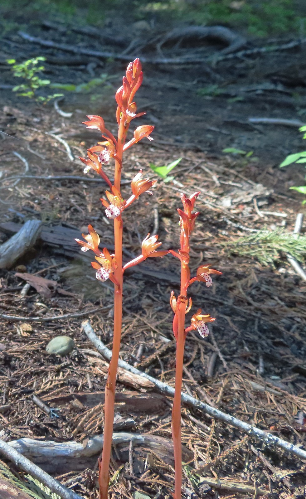 Spotted coralroot, July 1st – Siskiyou Wilderness
 This tiny flower was at the edge of the meadow in Young’s Valley, July 1st – Siskiyou Wilderness
 Azalea, July 2nd – Siskiyou Wilderness
 Honeysuckle, July 2nd – Siskiyou Wilderness
 Pacific ninebark, July 2nd – Siskiyou Wilderness
 Streambank bird’s-foot trefoil, July 2nd – Siskiyou Wilderness
 White-vein wintergreen, July 2nd – Siskiyou Wilderness
 California pitcher-plant, July 2nd – Siskiyou Wilderness
 Also California pitcher-plant, July 2nd – Siskiyou Wilderness
 White-stemmed frasera, July 2nd – Siskiyou Wilderness
 Washington lily, July 2nd – Siskiyou Wilderness
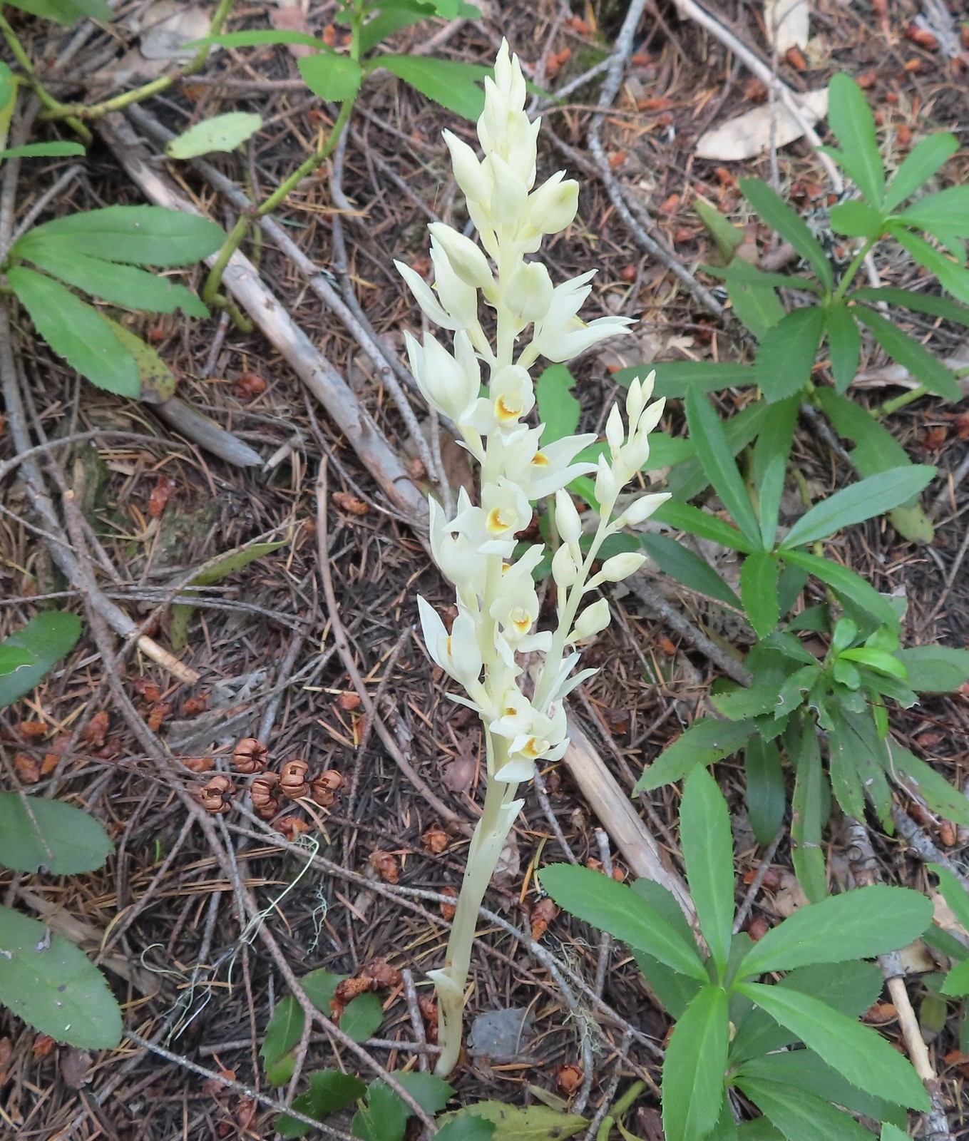 Phantom orchid, July 2nd – Siskiyou Wilderness
 Oregon sunshine, July 2nd – Siskiyou Wilderness
 Pussypaws, July 2nd – Siskiyou Wilderness
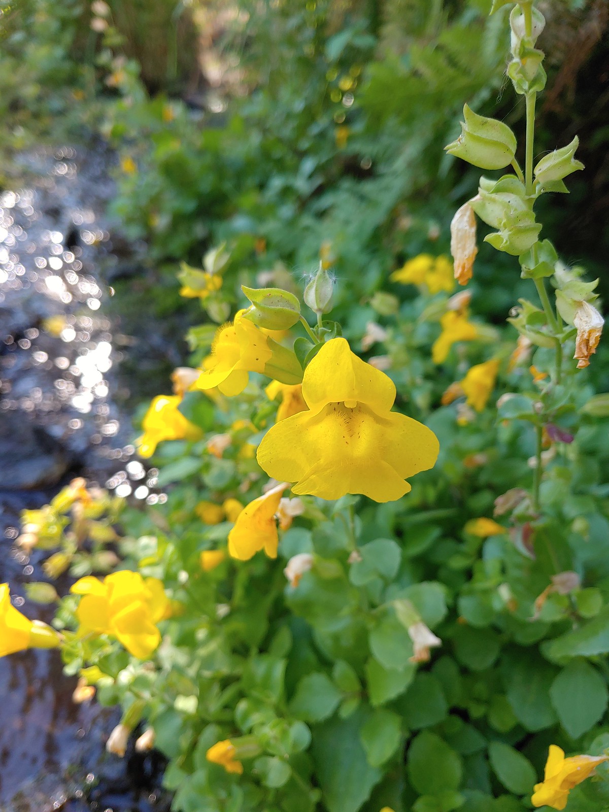
 Musk monkeyflower, July 3rd – Siskiyou Wilderness
 Klamath arnica, July 3rd – Siskiyou Wilderness
 White rushlily, July 3rd – Siskiyou Wilderness
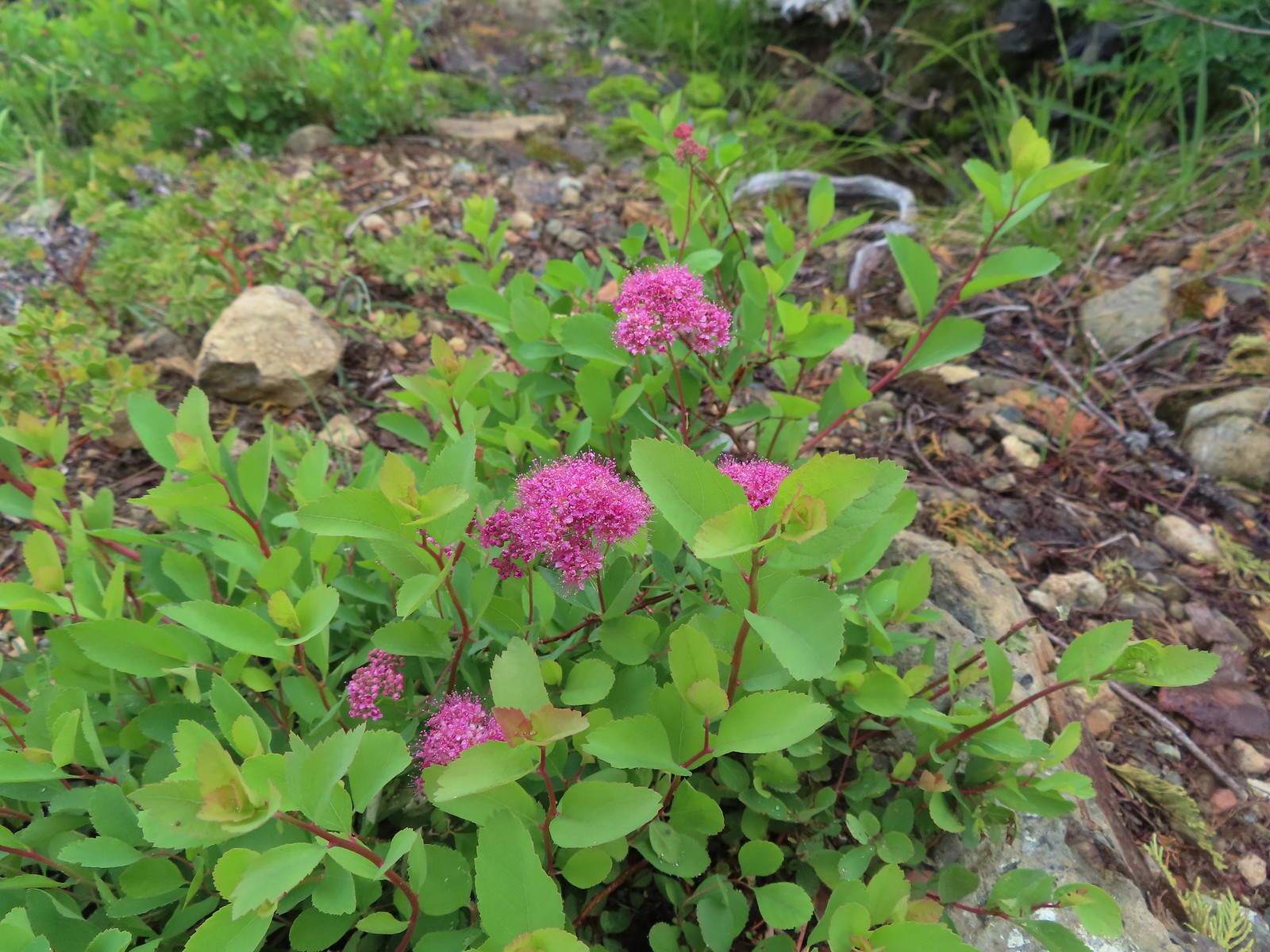 Spirea, July 4th – Siskiyou Wilderness
 Wild onion, July 4th – Siskiyou Wilderness
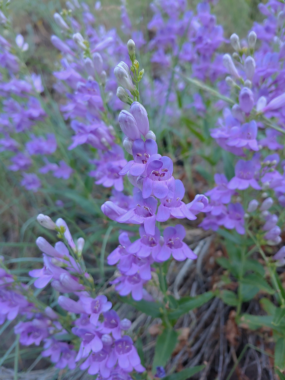
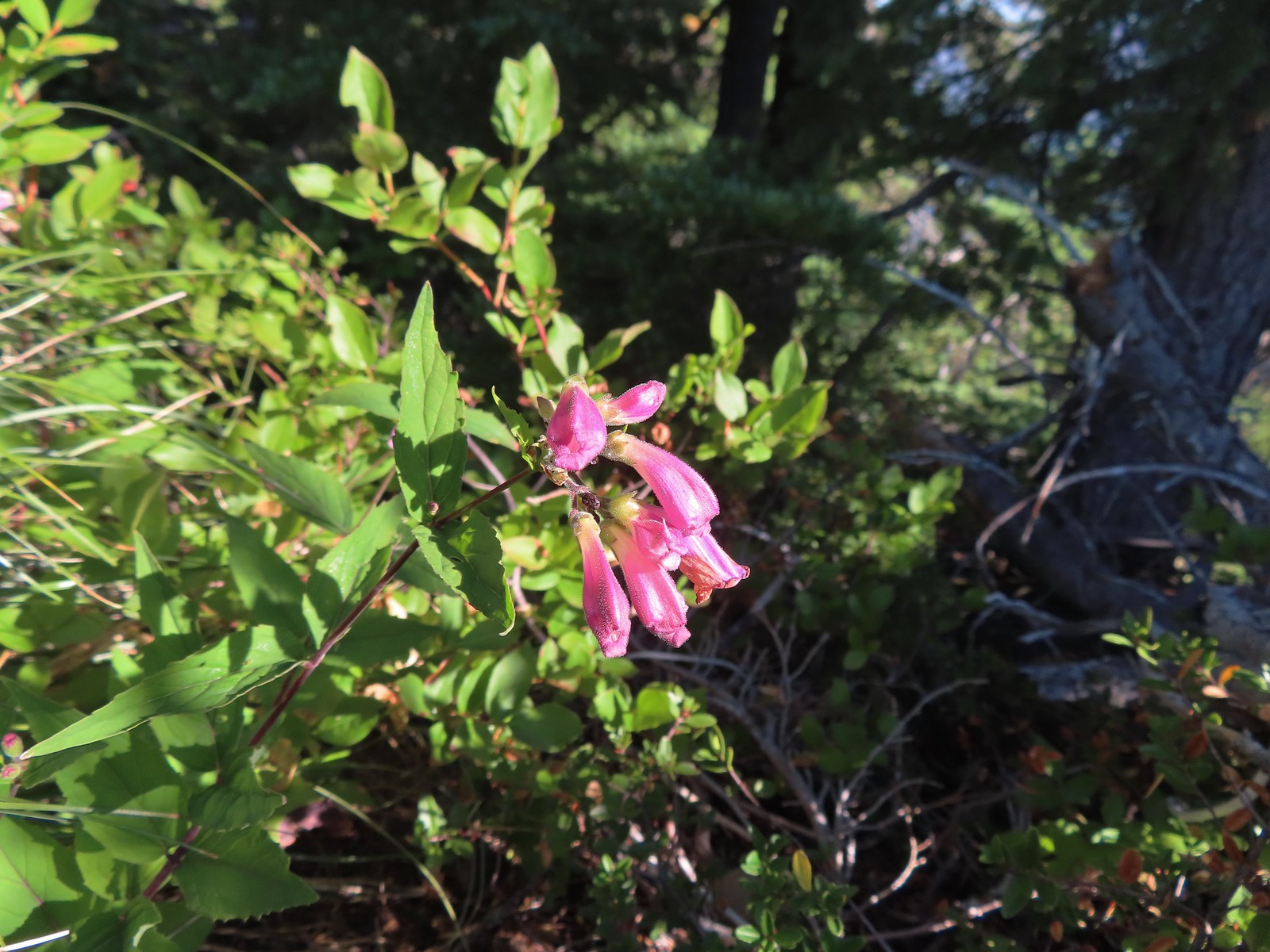
 A penstemon, July 4th – Siskiyou Wilderness
 Phlox, July 9th – Mt. Ireland
 Brown’s peony, July 9th – Mt. Ireland
 Yet another paintbrush, July 9th – Mt. Ireland
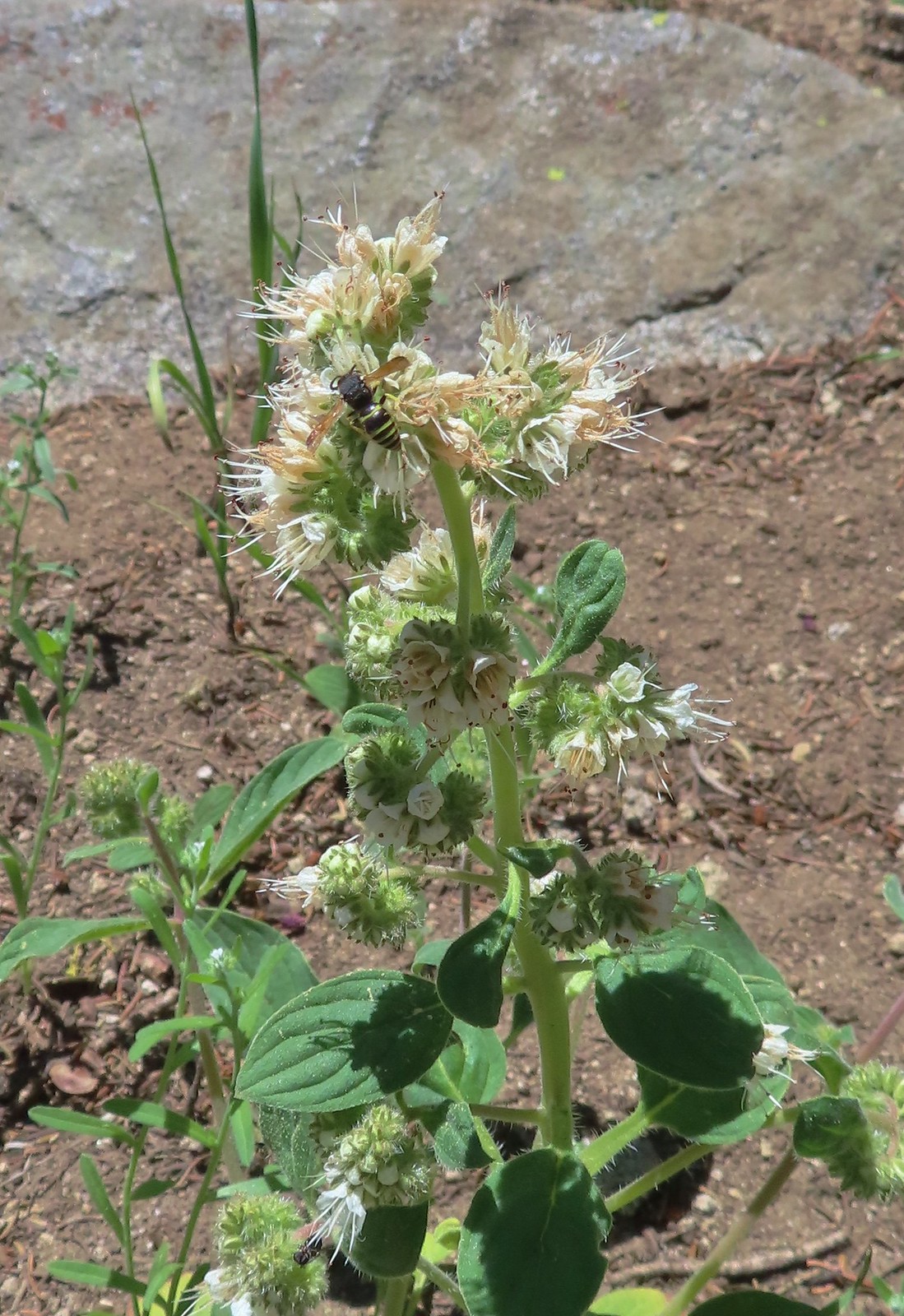 Silverleaf phacelia with visitor, July 9th – Mt. Ireland
 Venus penstemon, July 10th – Catherine Creek Trail
 Douglas dustymaidens, July 10th – Catherine Creek Trail
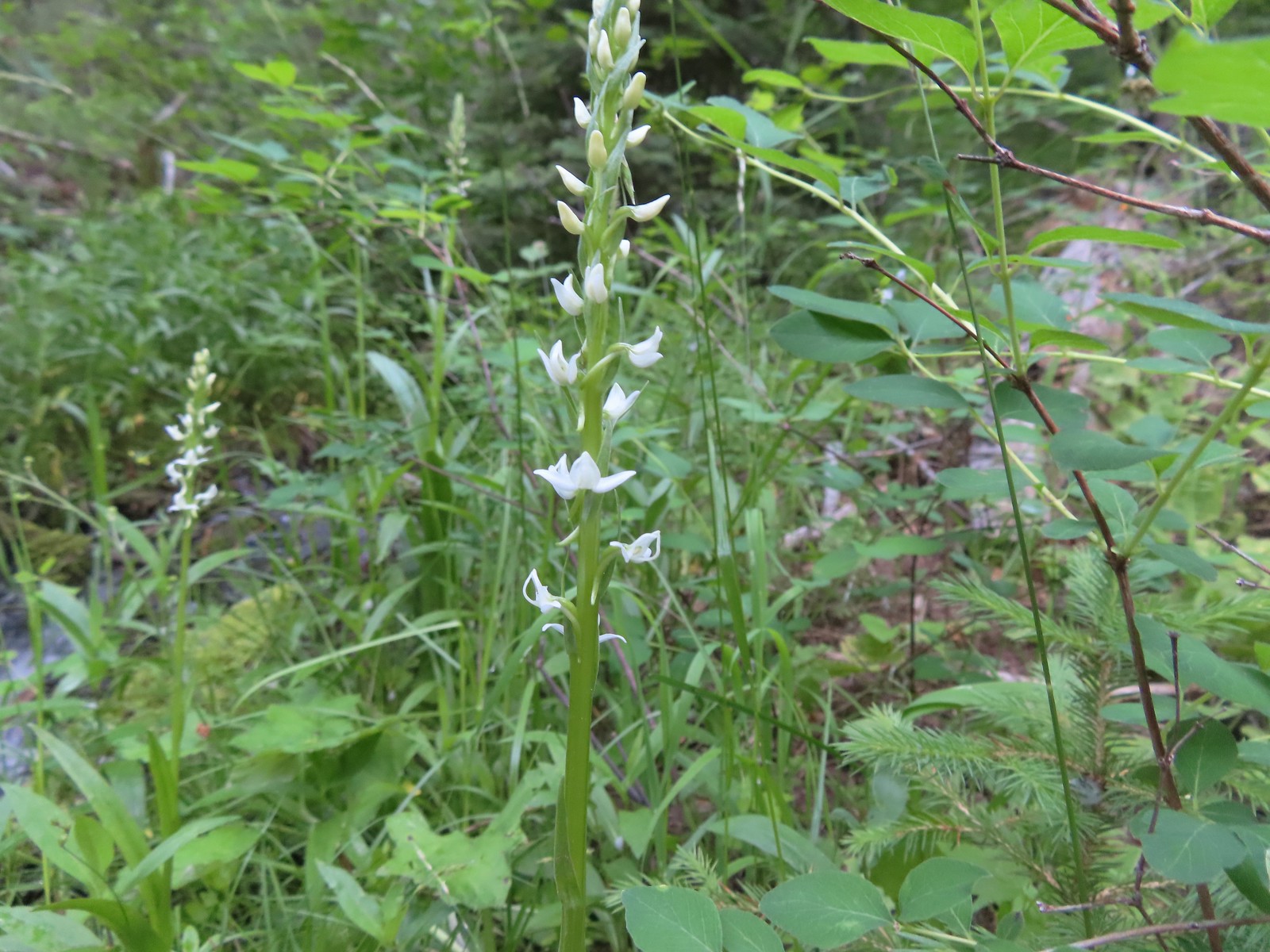 Bog orchid, July 10th – Catherine Creek Trail
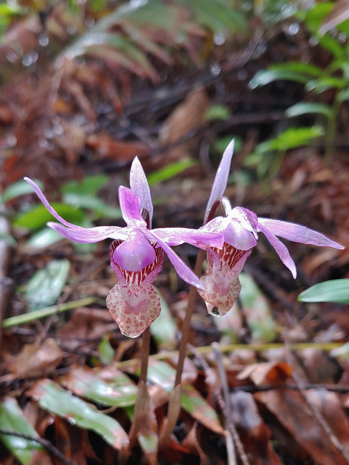
 Mountain lady slippers, July 10th – Catherine Creek Trail
 Rosy pussytoes, July 10th – Catherine Creek Trail
 Yellow columbine, July 10th – Catherine Creek Trail
 Heart-leaved bittercress?, July 10th – Catherine Creek Trail
 Elephants head, July 10th – Catherine Creek Trail
 Cone flower, July 10th – Catherine Creek Trail
 Tall mountain bluebells, July 10th – Catherine Creek Trail
 Another wild onion, July 11th – Horse Ranch Trail
 Scarlet gilia, July 11th – Horse Ranch Trail
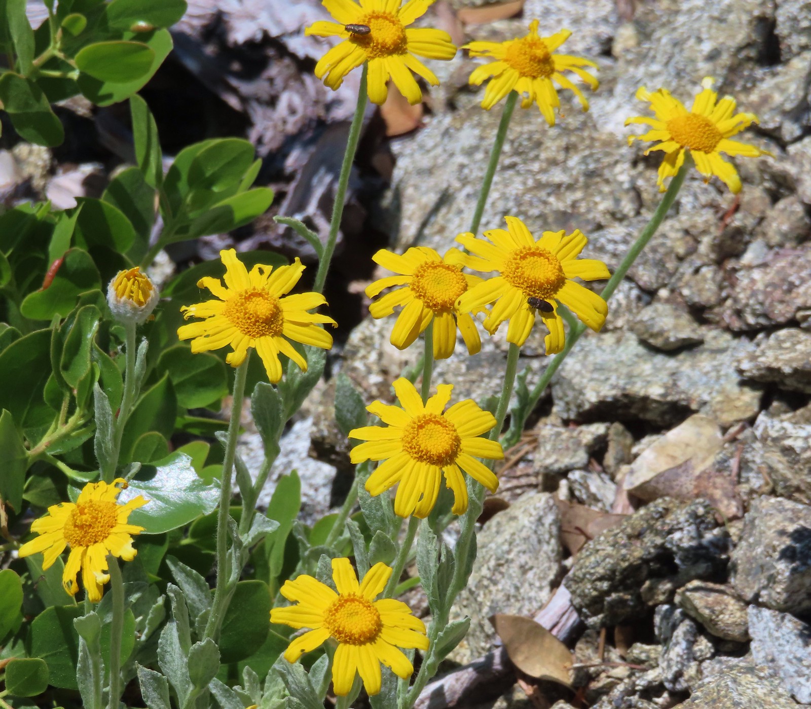
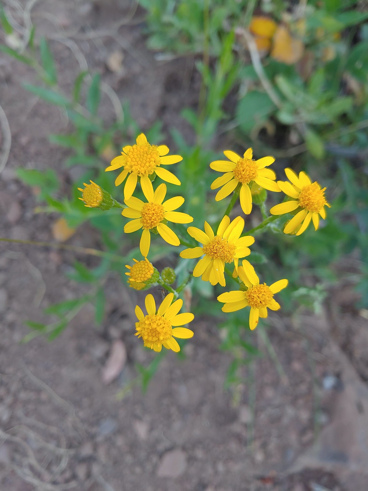 Arrowleaf groundsel, July 11th – Horse Ranch Trail
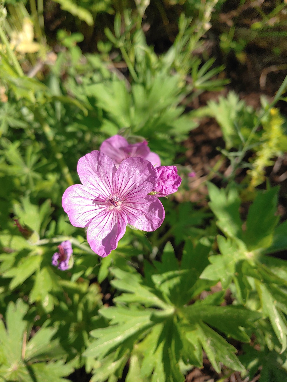 Purple sticky geranium, July 11th – Horse Ranch Trail
 Ragged robin, July 11th – Horse Ranch Trail
 False? sunflower, July 11th – Horse Ranch Trail
 White mariposa lily, July 11th – Horse Ranch Trail
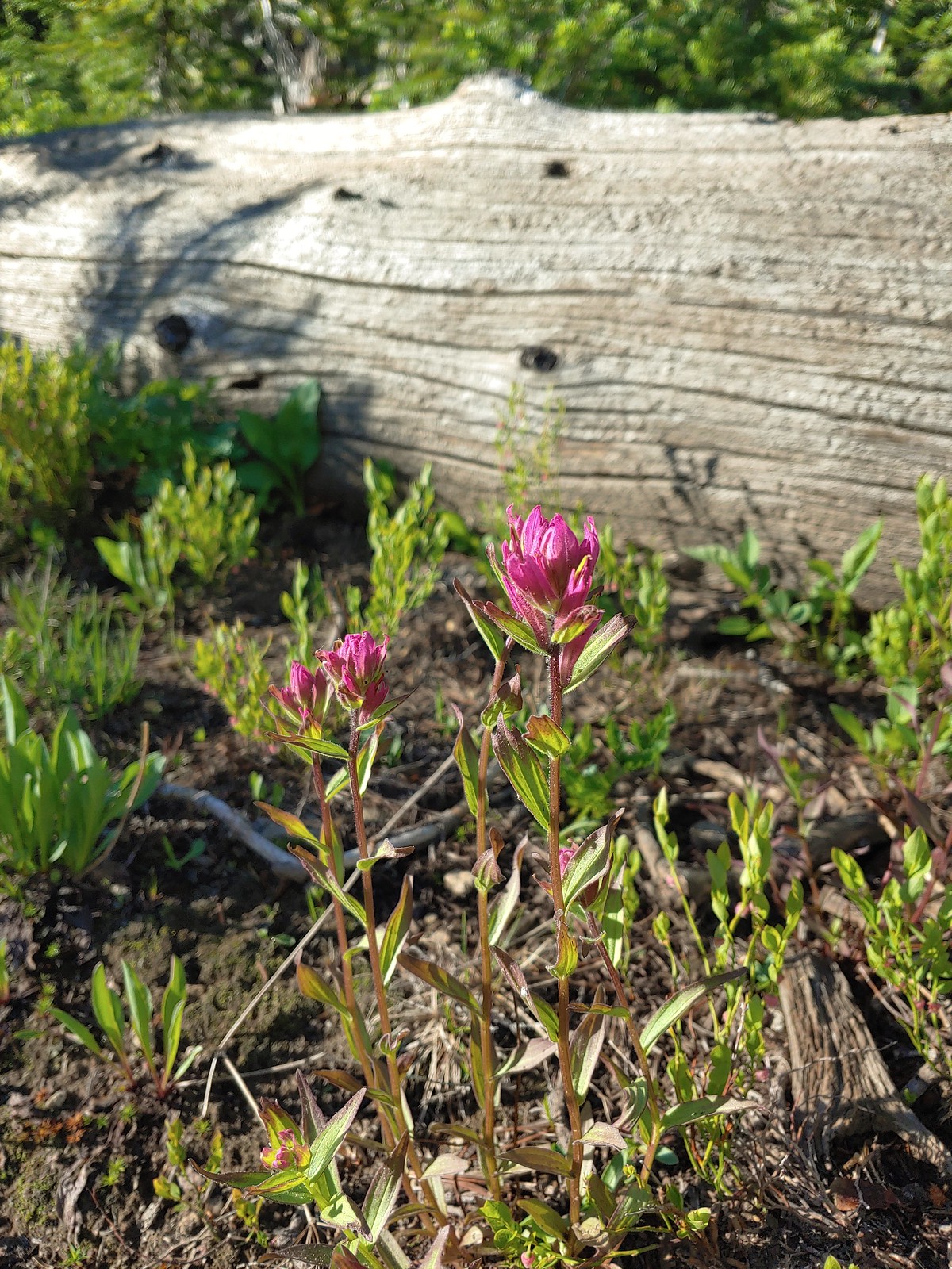 Rosy paintbrush, July 12th – Buck Creek Trail
 Lyall’s rockcress, July 12th – Buck Creek Trail
 Pacific coralroot, July 13th – Rock Springs
Trail
 Hyssop, July 13th – Rock Springs
Trail
 Another penstemon, July 13th – Rock Springs
Trail
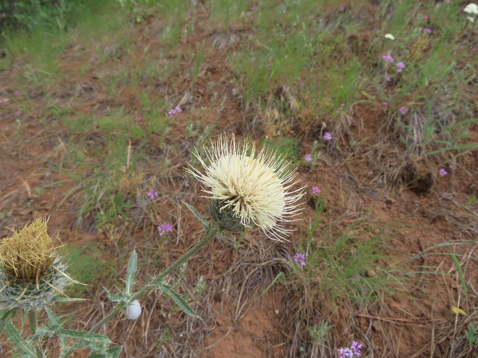 Thistle, July 13th – Rock Springs
Trail
 Oregon checker-mallow, July 13th – Rock Springs
Trail
 This was a new one for us one-flowered moneses, July 14th – Bear Creek Trail
 Pinedrop, July 14th – Bear Creek Trail
 Sagebrush mariposa lily, July 14th – Wallowa Homeland
 Blanket flower, July 14th – Wallowa Homeland
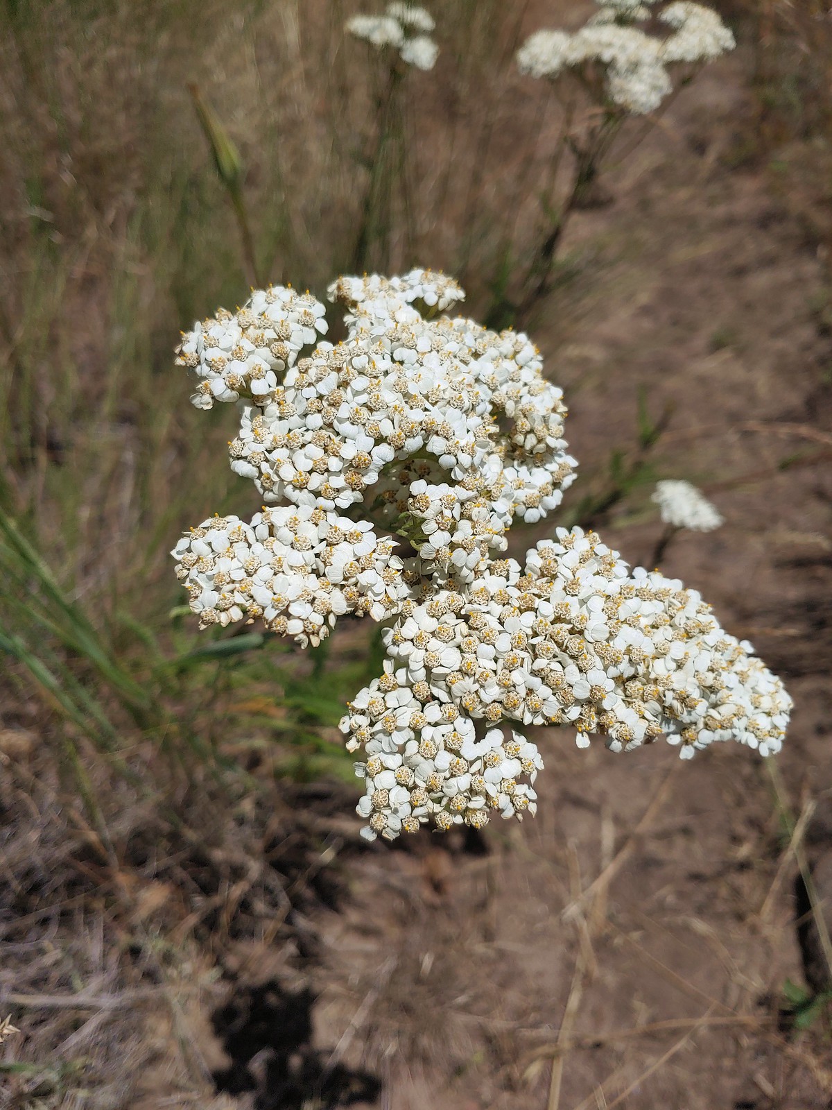 Yarrow, July 14th – Wallowa Homeland
 Scouler’s bluebells, July 23rd – Silverstar Mountain
 Inside-out flower, July 23rd – Silverstar Mountain
 Tiger lily, July 23rd – Silverstar Mountain
 Bluebells of Scotland, July 23rd – Silverstar Mountain
 Subalpine mariposa lily, July 23rd – Silverstar Mountain
 Western sweetvetch, July 23rd – Silverstar Mountain
 Coiled lousewort, July 23rd – Silverstar Mountain
 Best guess is subapline fleabane, July 23rd – Silverstar Mountain
 Orange agoseris, July 23rd – Silverstar Mountain
 A larkspur, July 23rd – Silverstar Mountain
 Mock orange, July 23rd – Silverstar Mountain
 Chicory (non-native), July 30th – E.E. Wilson Wildlife Area
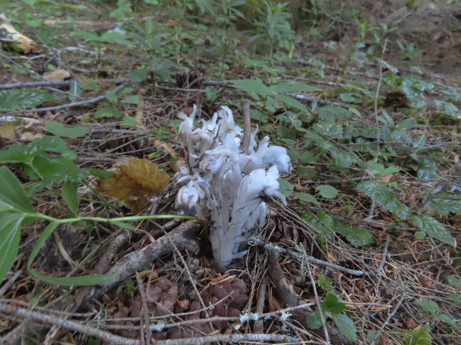 Indian pipe, August 6th – Yasko Falls Trail
 Leopard lily, August 6th – Hemlock Creek Trail
 Mountain owl’s clover, August 6th – Yellowjacket Loop Trail
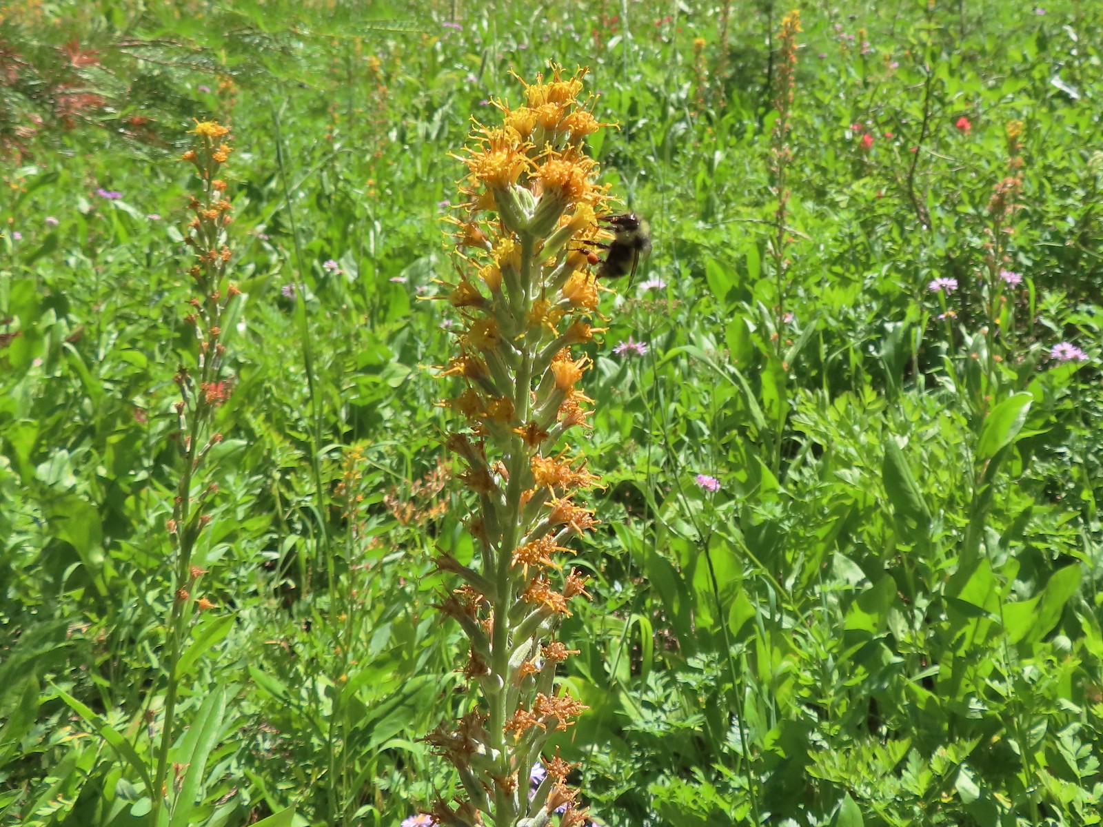 Rainiera, August 6th – Yellowjacket Loop Trail
 Hedgenettle, August 6th – Yellowjacket Loop Trail
 Large boykina, August 6th – Yellowjacket Loop Trail
 Candy sticks, August 6th – Yellowjacket Loop Trail
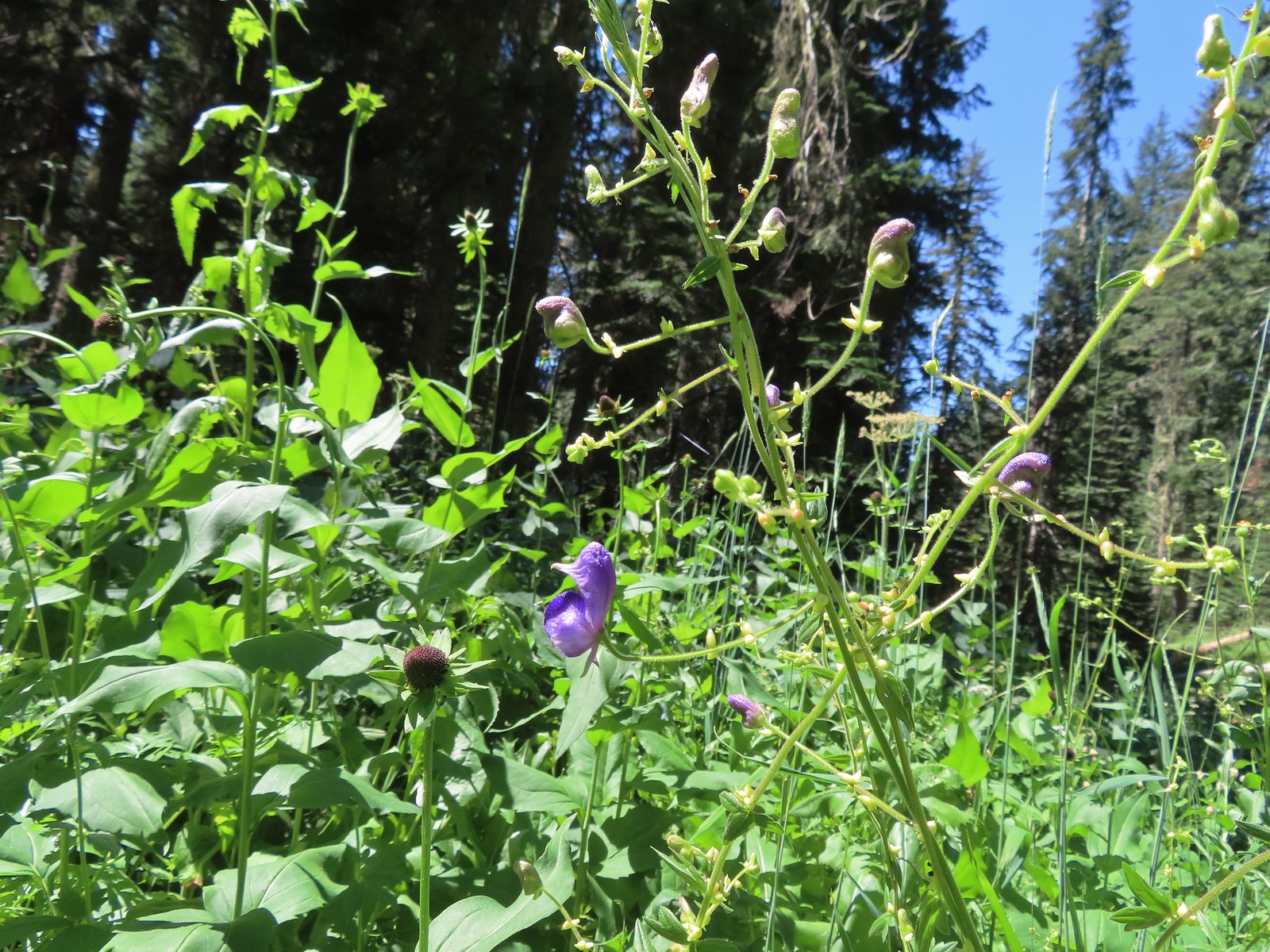 Monkshood, August 6th – Yellowjacket Loop Trail
 Scarlet monkeyflower, August 7th – Fall Creek Falls Trail
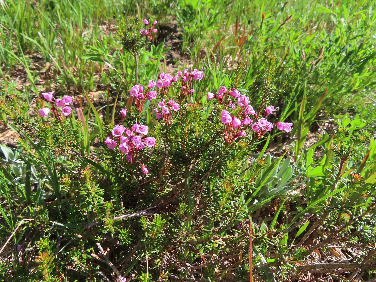
 White mountain heather, August 13th – Mt. Adams Wilderness
 Mountain heather, August 13th – Mt. Adams Wilderness
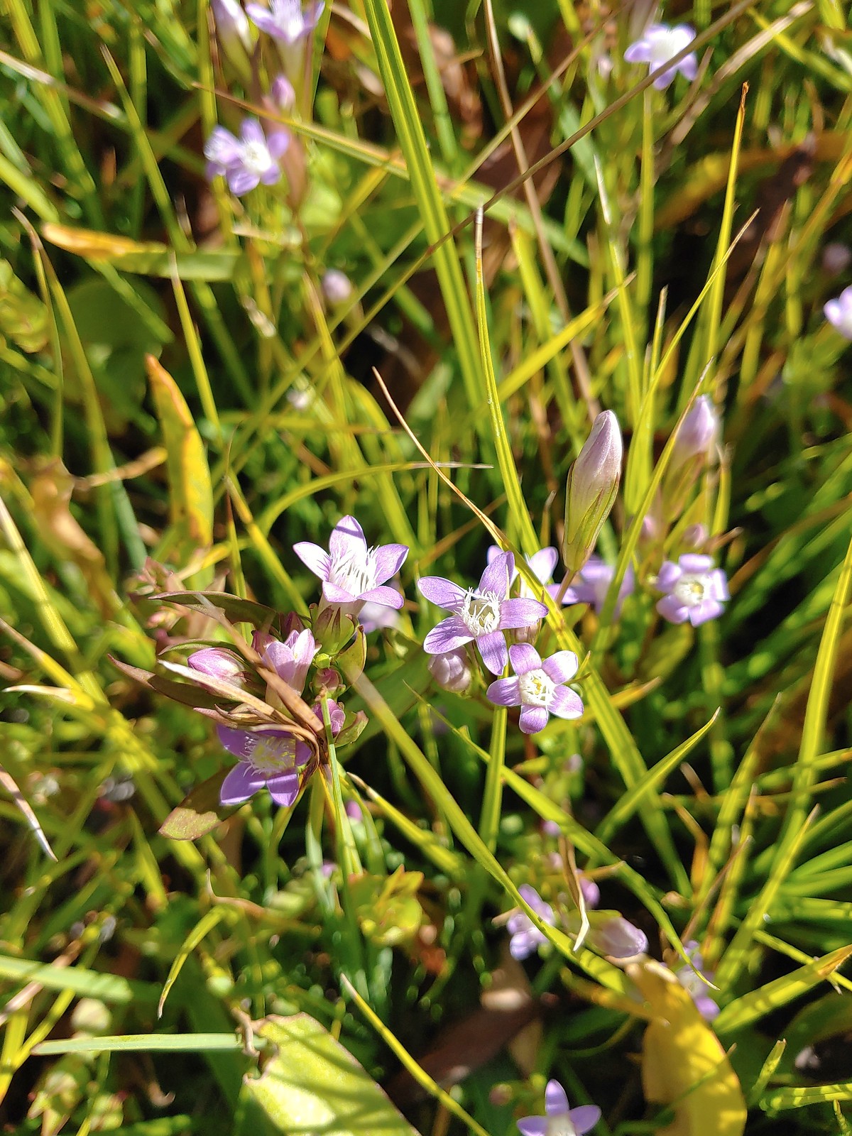
 Gentian, August 13th – Mt. Adams Wilderness
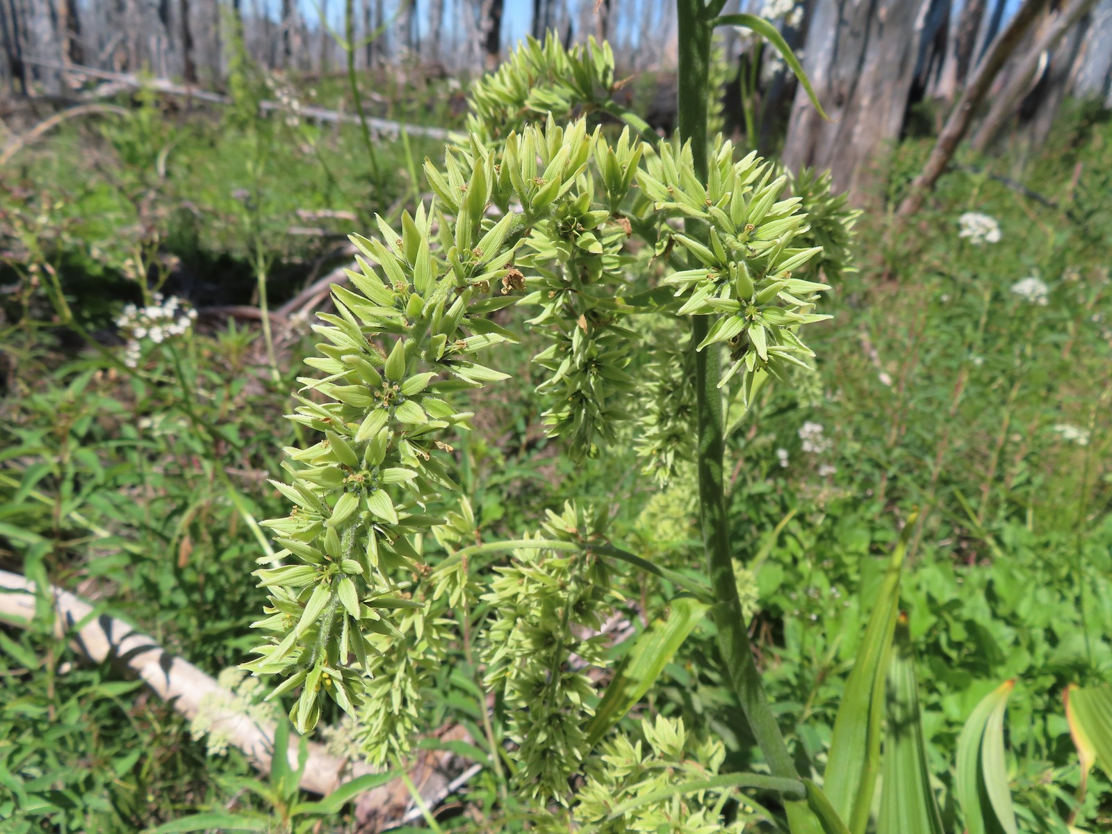 False hellebore, August 13th – Mt. Adams Wilderness
 A saxifrage, August 13th – Mt. Adams Wilderness
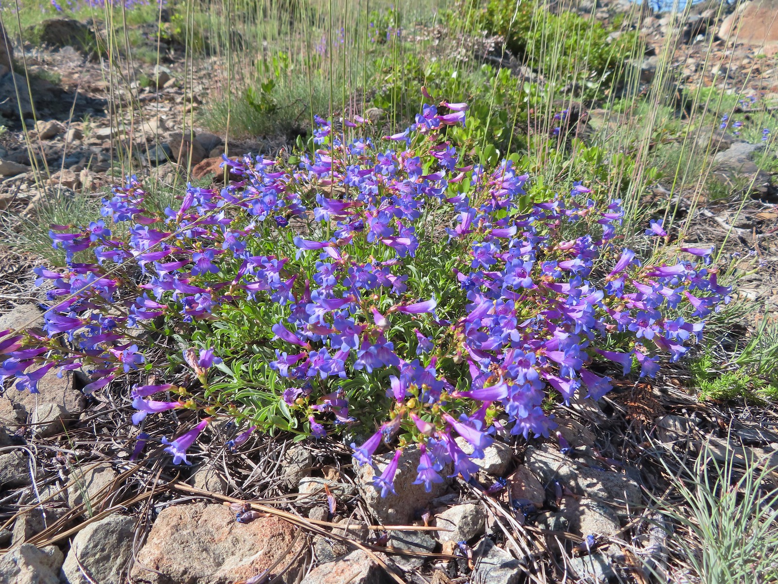
 Beardstongue, August 20th – Grizzley Peak
 Shasta knotweed, August 22nd – Mt. Shasta Wilderness
 Marsh grass-of-Parnassus, August 22nd – Mt. Shasta Wilderness
 Western pasque flower, August 22nd – Mt. Shasta Wilderness
 Bigelow’s sneezeweed, August 23rd – Trinity Alps Wilderness
 Western snakeroot, August 23rd – Trinity Alps Wilderness
 A buckwheat, August 23rd – Trinity Alps Wilderness
 Autumn dwarf gentian, August 23rd – Trinity Alps Wilderness
 Saffron-flowered lupine, August 23rd – Trinity Alps Wilderness
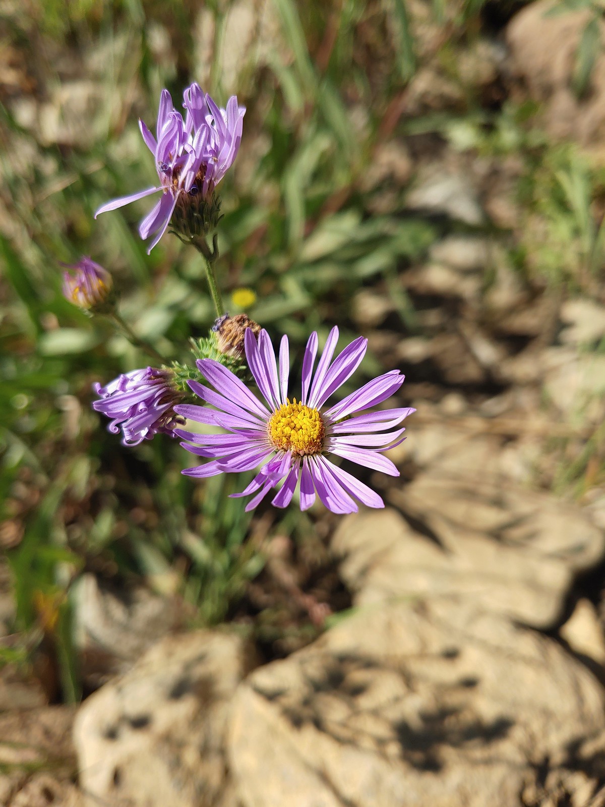 An aster or fleabane, August 23rd – Trinity Alps Wilderness
 Hooded ladies tresses, August 24th – Russian Wilderness
 Can’t seem to identify this flower on the shore of Russian Lake, August 24th – Russian Wilderness
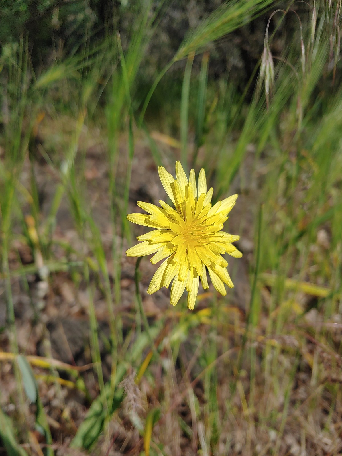
 This one has me a bit stumped too, it looks like a wirelettuce or some sort of lewisa, August 24th – Russian Wilderness
 Buckwheat, August 24th – Russian Wilderness
 A monkeyflower (dwarf purple?), August 26th -Pacific Crest Trail near Carter Meadows Summit
 Mountain coyote mint, August 26th – Pacific Crest Trail near Carter Meadows Summit
 Sierra larkspur, August 26th – Pacific Crest Trail
 Tasselflower brickellbush, August 26th – South Fork Lakes Trail
 Monkeyflower, August 26th – South Fork Lakes Trail
 Thistle, August 26th – South Fork Lakes Trail
 California hairbells, August 26th – South Fork Lakes Trail
 Common toadflax (non-native), September 10th – Spring Valley Greenway
 Fireweed, September 17th – Union Peak Trail
 Douglas spirea, September 18th – Sky Lakes Wilderness
 Best guess is Crater Lake collomia, September 19th – Dutton Creek Trail
 Another mystery seen near the Cold Springs Trailhead, September 25th – Sky Lakes Wilderness
We have a few wildflower hikes planned in 2023. We are hoping to see at least one or two more that we haven’t before along with plenty of familiar faces. Happy Trails!


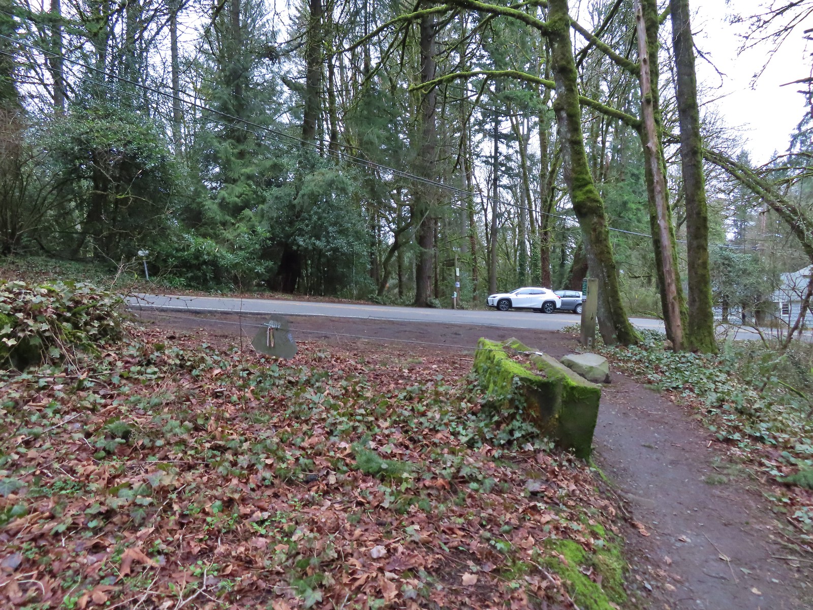
 Coming up to the SW Greenway Ave crossing at the 0.3-mile mark.
 Mossy bench
 Small trailhead at SW Fairmount Blvd at the 0.5 mile mark.
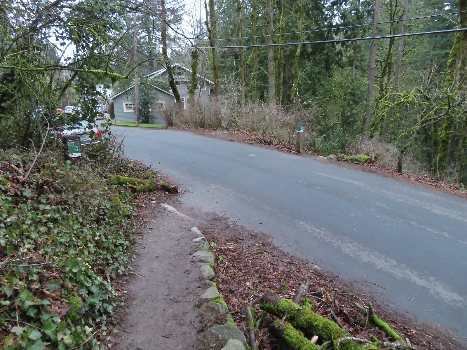 At the 1-mile mark the trail crosses NW Sherwood Dr.
 Maybe the steepest section of the hike was the tenth of a mile between NW Sherwood and the Sunnyside Trail.
 The Sunnyside Trail junction.
 Every (official) trail junction was well marked by pointers which helped us stay on course.
 The Shadyside Trail on the far hillside.
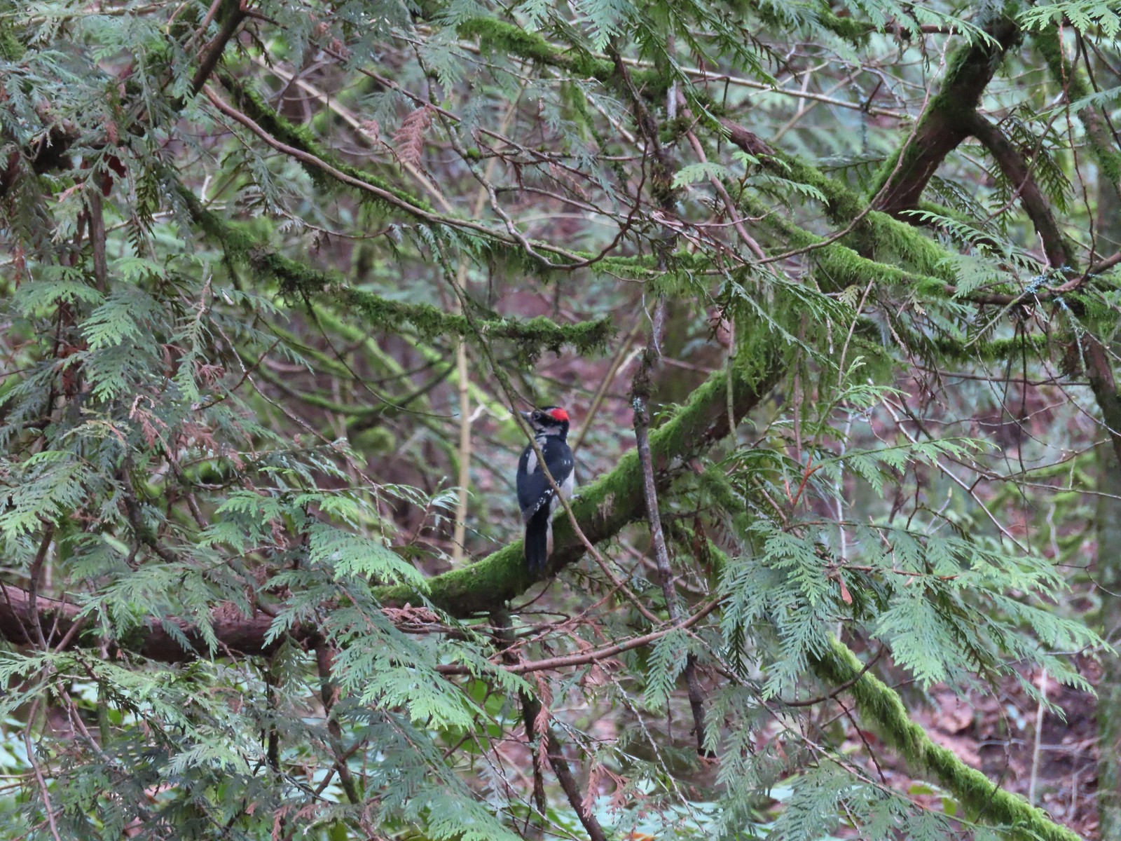 One of two hairy woodpeckers that were busy foraging for breakfast.
 Coming up on the Marquam Shelter.
 We saw little fungi, but these turkey tails added some color to the forest.
 The Marquam Shelter.
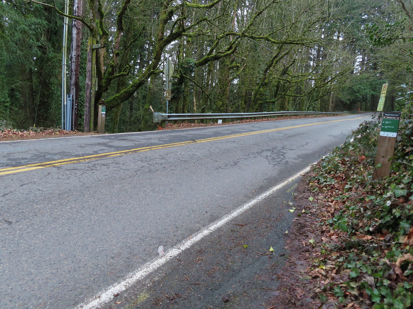
 A tenth of a mile from the shelter we passed the Connor Trail on the left. This trail would have taken us to OHSU and the Portland Areal Tram. Sullivan’s described routes have you taking the Tram both ways for the Marquam Shelter option or downhill for the Washington Park to Council Crest option. (The latter route also includes a Portland Streetcar and Max Light Rail rides.) We were committed to hiking only though, so we continued up the Basalt Trail another 0.2 miles to the Marquam Trail.

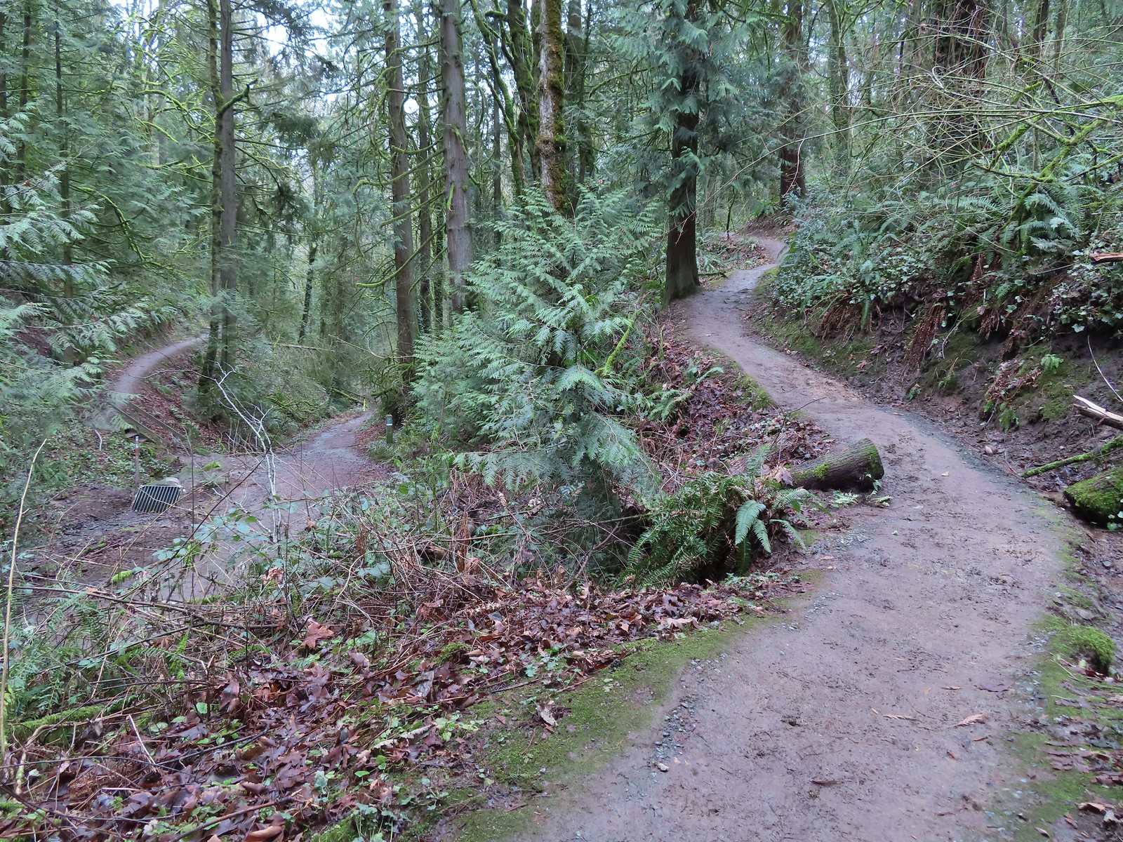 The Marquam Trail to the left and right with the Basalt Trail in the center from the first switchback.
 Trail marker near SW Gibbs.
 The Flicker Trail from the Marquam Trail.
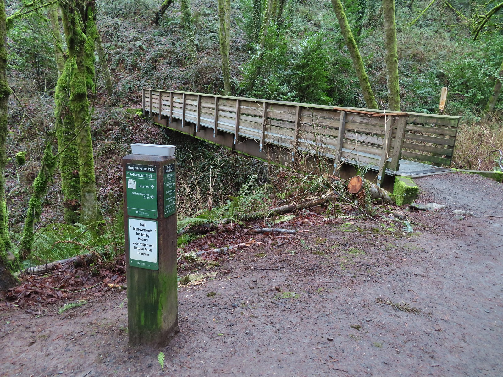


 Note it is still not “mostly sunny” even though it was now almost 10am.
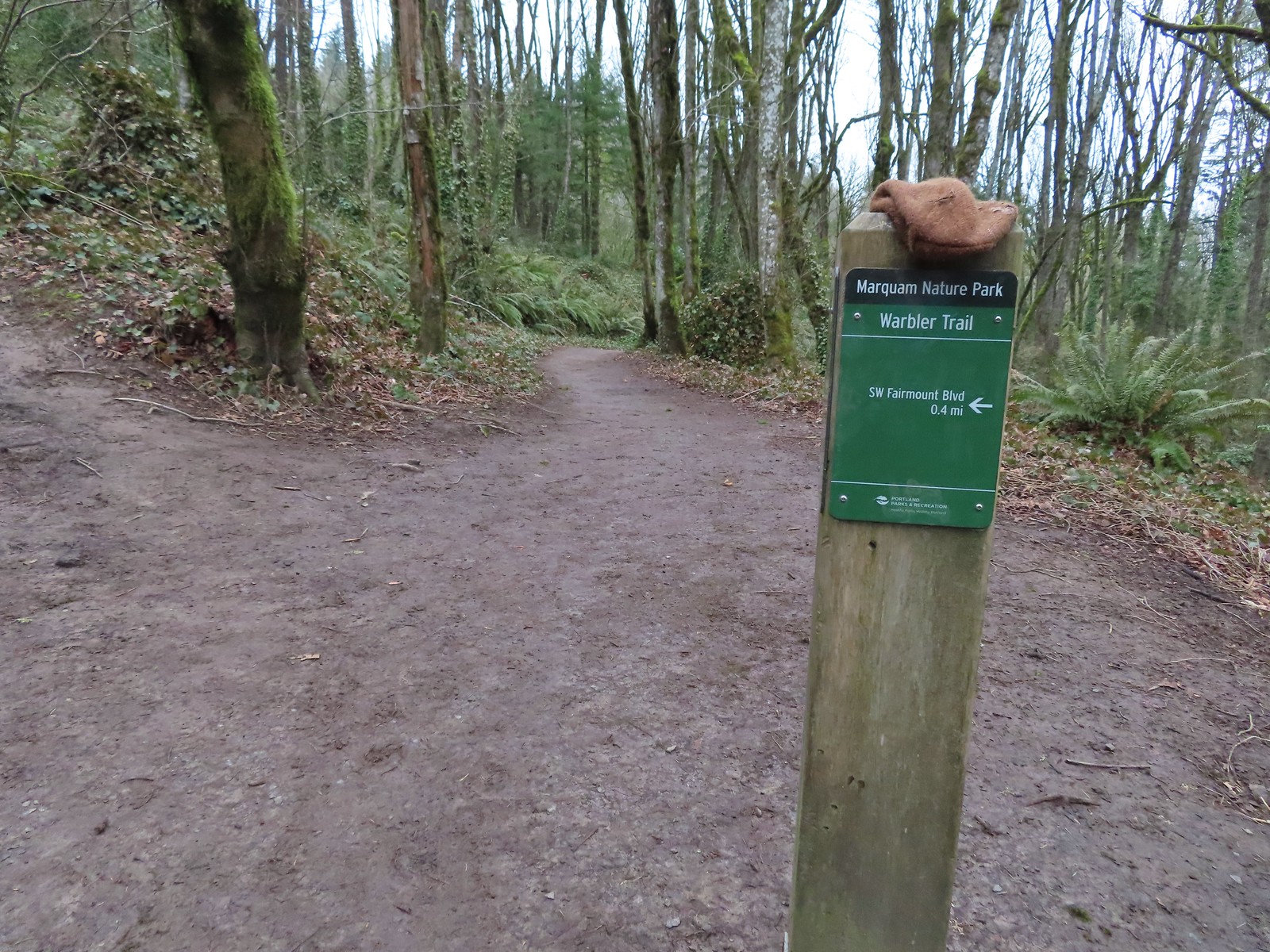
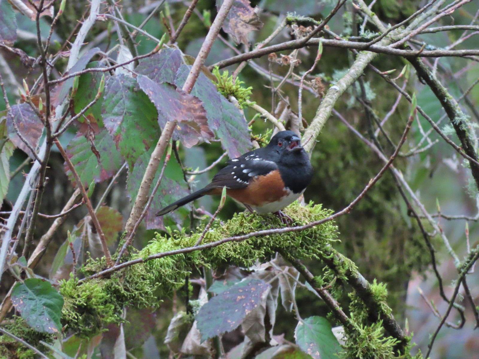 While not a warbler this spotted towhee graced us with a song.
 Checking out a budding leaf.
 The end of the Warbler Trail.


 Pointer for the Marquam Shelter at the trailhead.
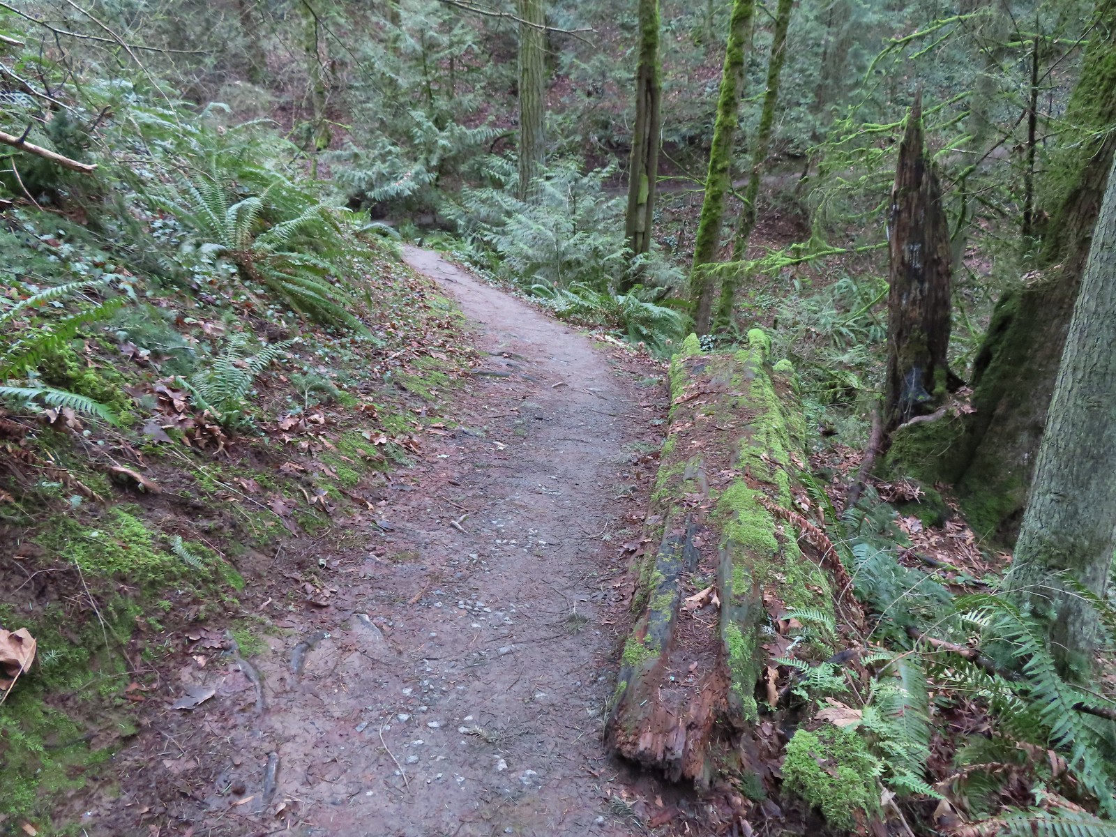
 Bench along the switchbacks down to the Marquam Trail.
 The Towhee Trail junction with Marquam Trail was nearly all the way back down to the Basalt Trail (the lower trail in the photo).
 Not sure what the story is behind this post but it was the only one we spotted with this type of number.
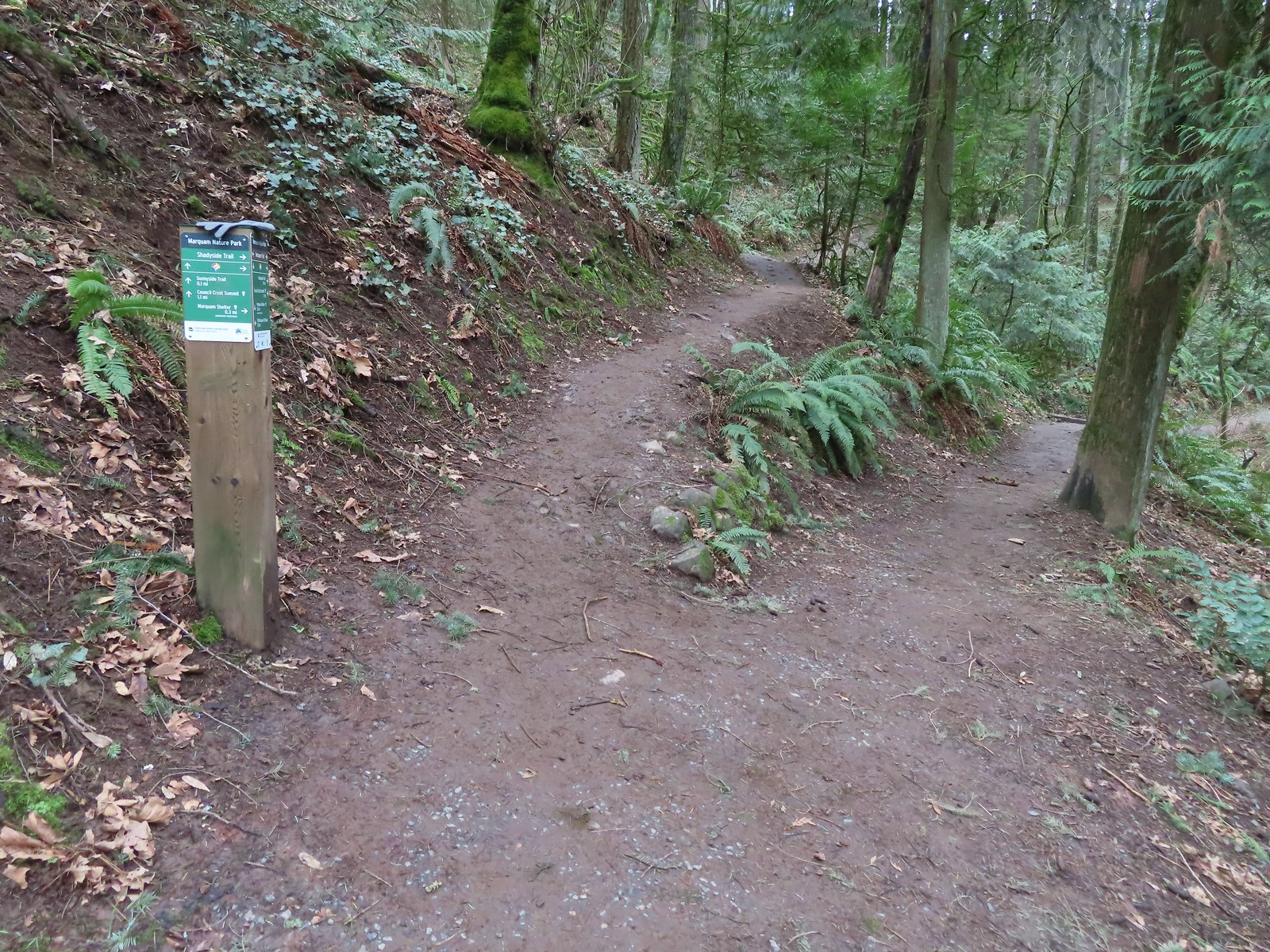 We passed the Shdayside Trail after half a mile.
 There was a short section with some railing before dropping down to the Sunnyside Trail.

 Mt. St. Helens, Mt. Rainier, and Mt. Adams are out there beyond the clouds.
 Freemont Bridge spanning the Willamette River with the Columbia River in the distance.
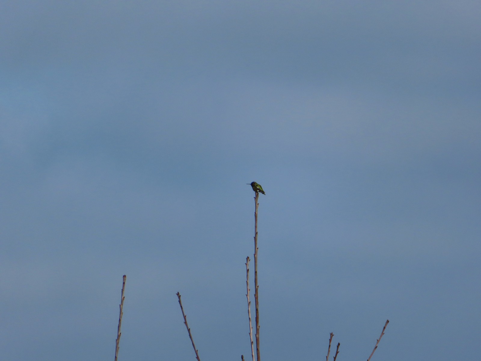 Hummingbird
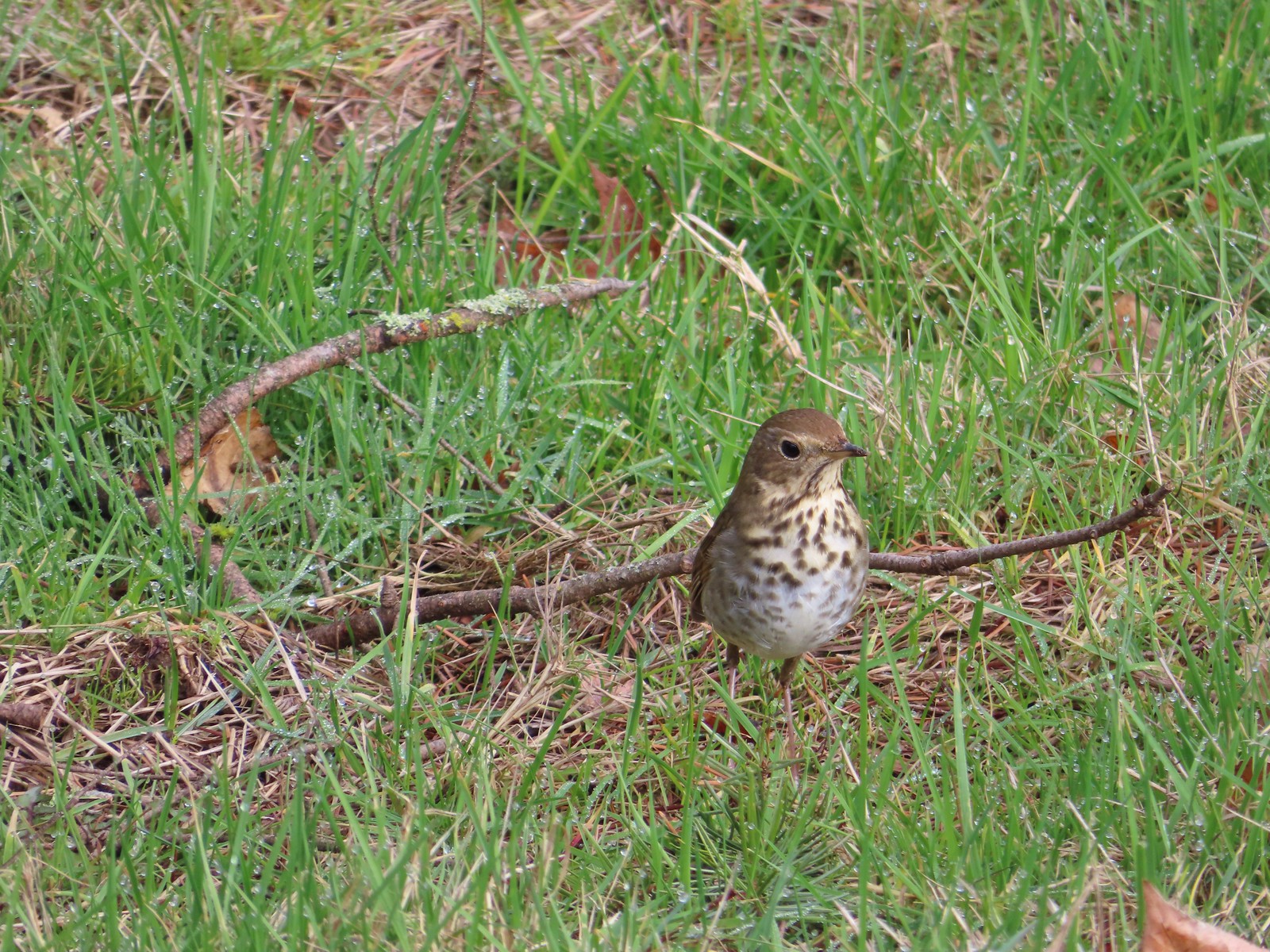 Hermit thrush looking for snacks at Council Crest Park.

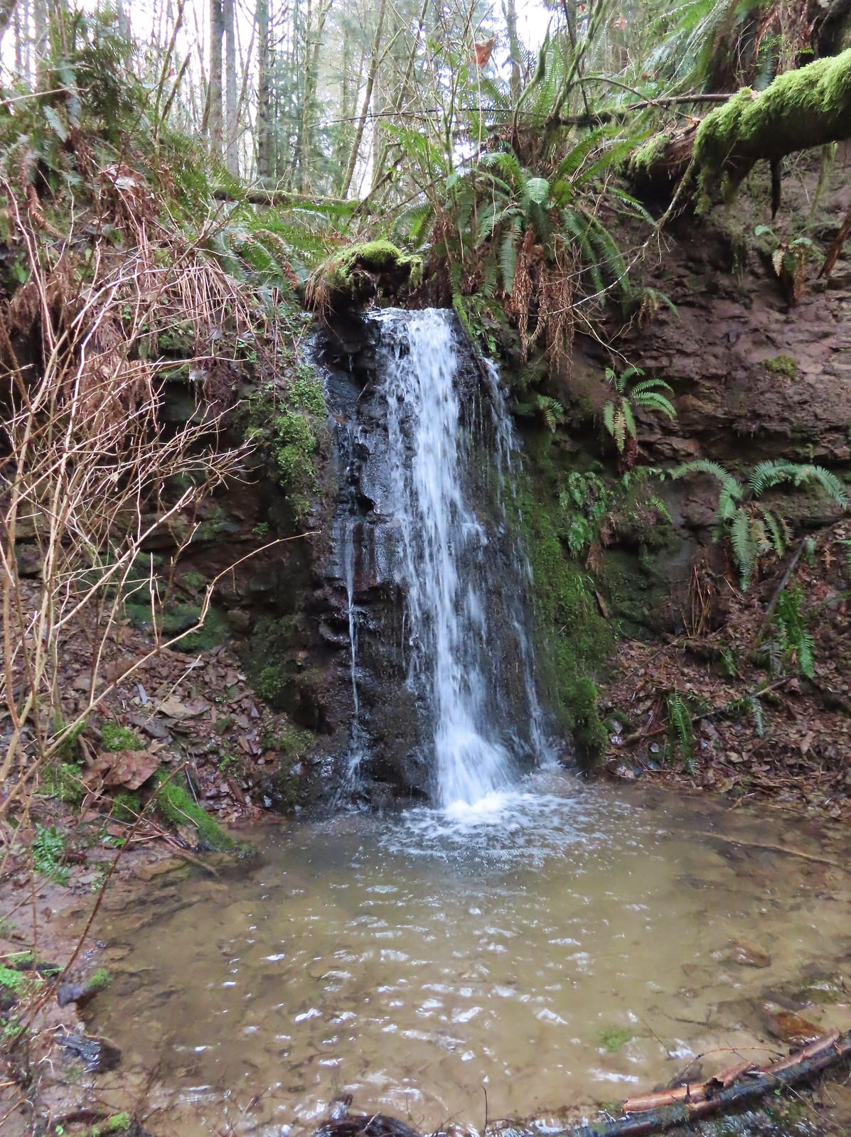
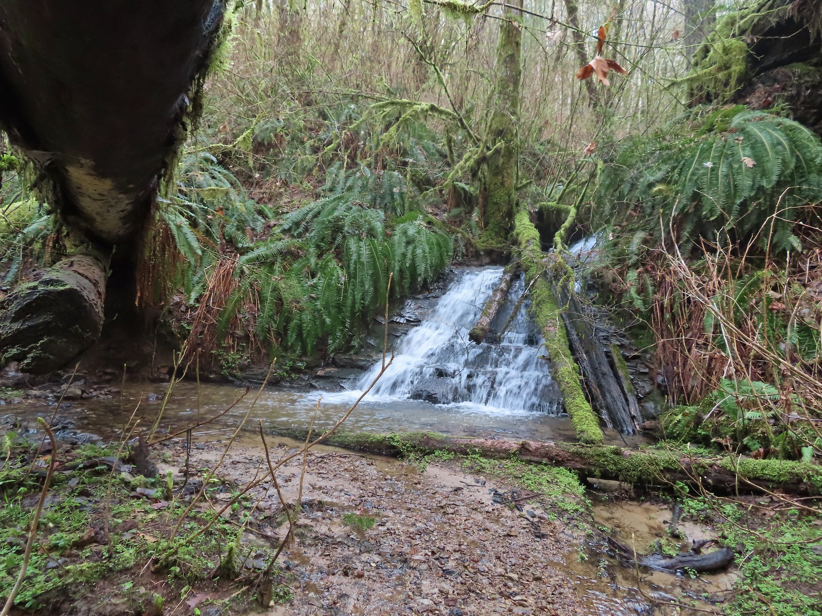


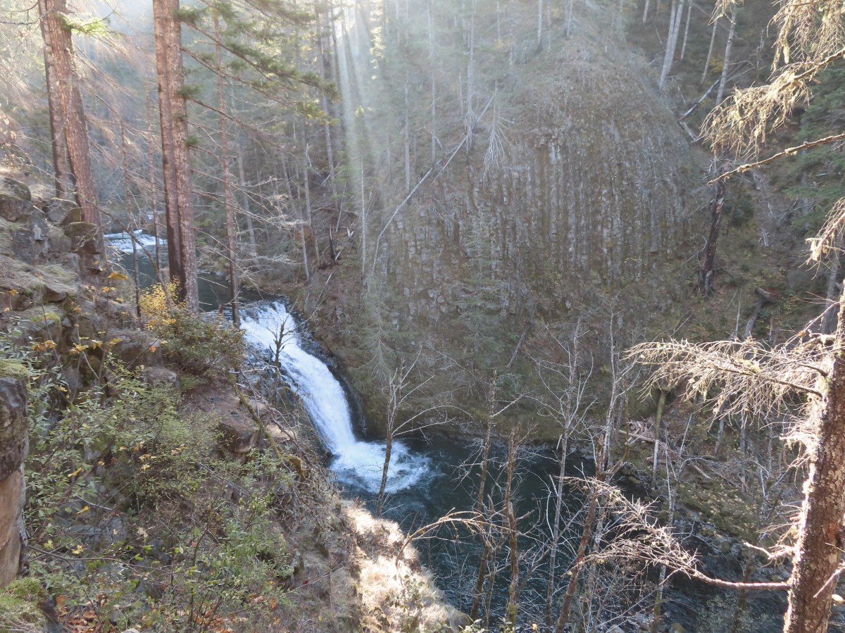
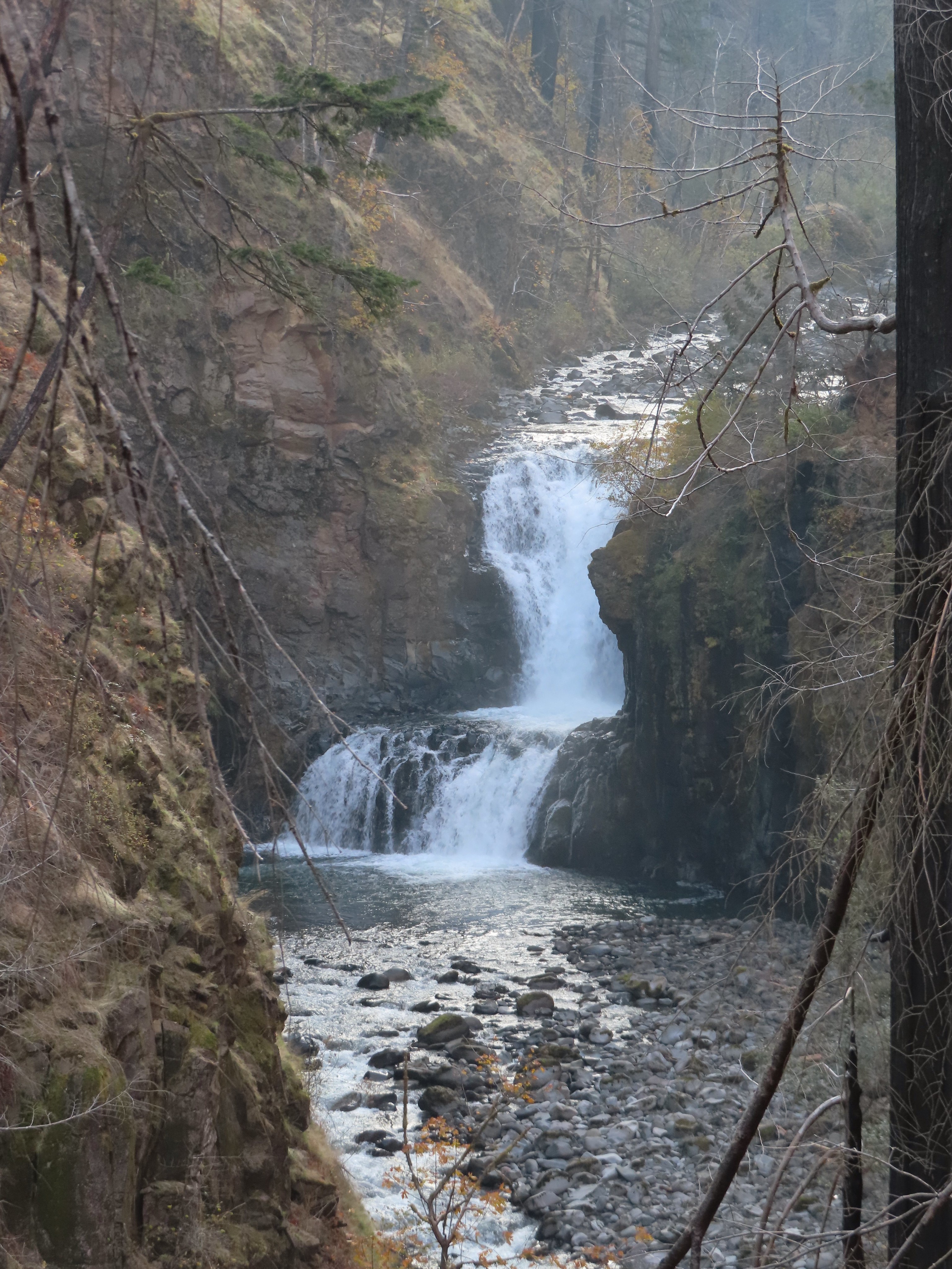
 Unnamed waterfall along Riley Creek in the Mt. Adams Wilderness
 Unnamed waterfall below East Boulder Lake in the Trinity Alps Wilderness.

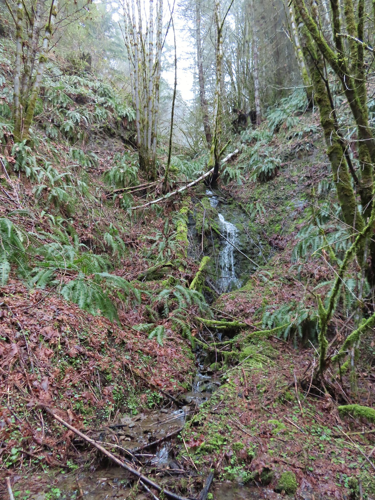
 Cascade on Wahkeena Creek.
 Small cascade along the North Fork Silver Creek.
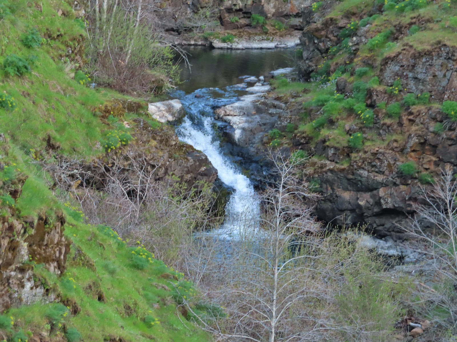
 Mosier Creek Falls (
 Black Hole Falls (
 Susan Creek Falls
 Toketee Falls
 Surprise Falls
 Columnar Falls
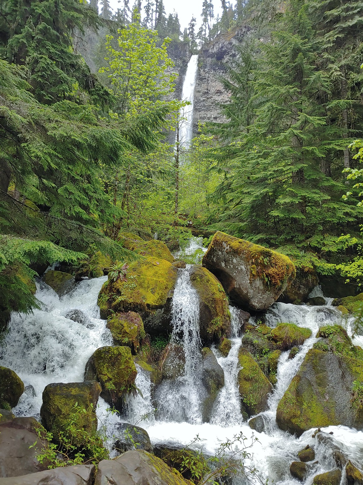 Watson Falls
 Warm Springs Falls
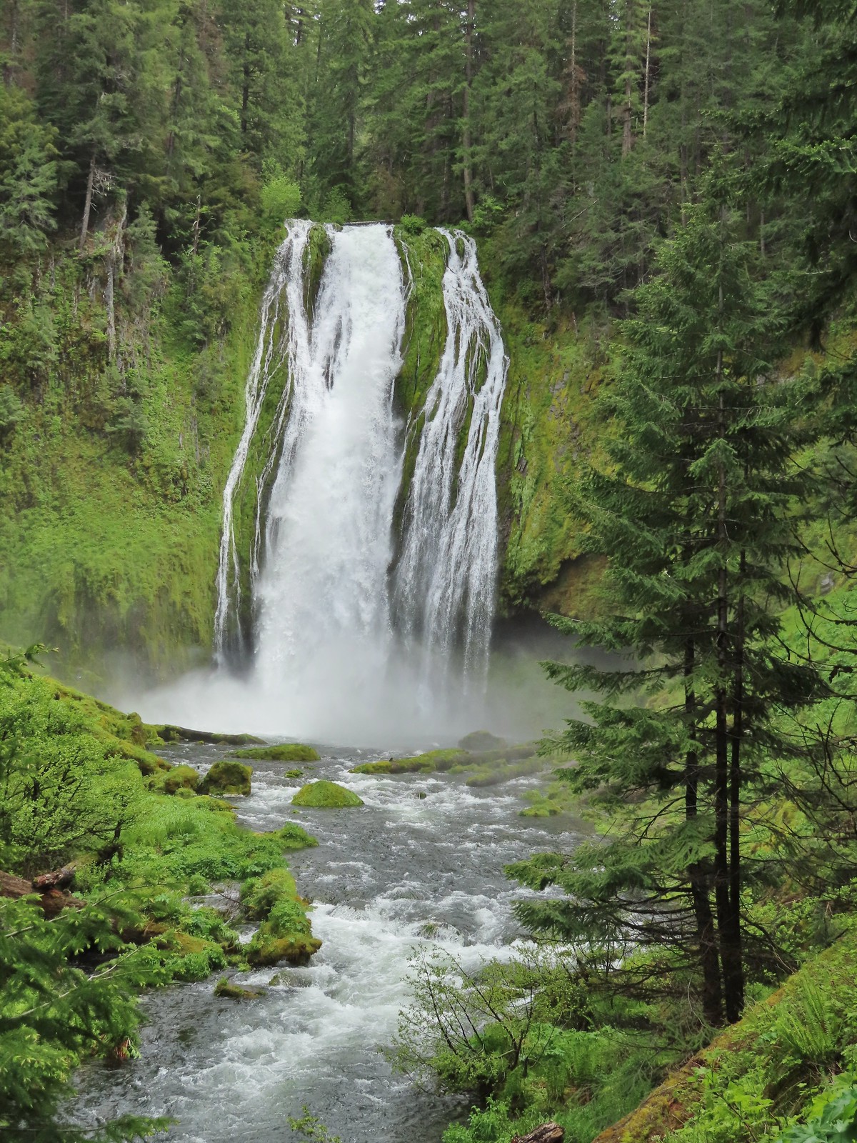 Lemolo Falls
 Alsea Falls
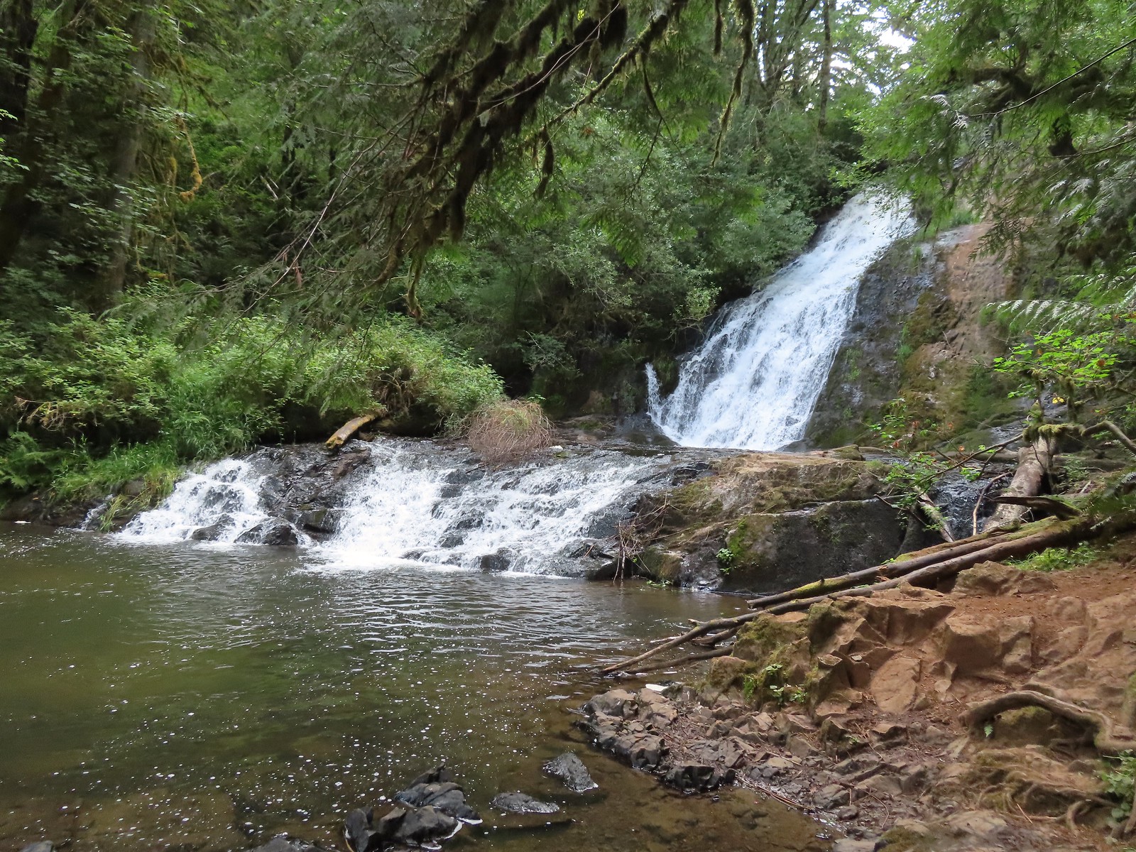 Green Peak Falls
 Yasko Falls
 Hemlock Falls
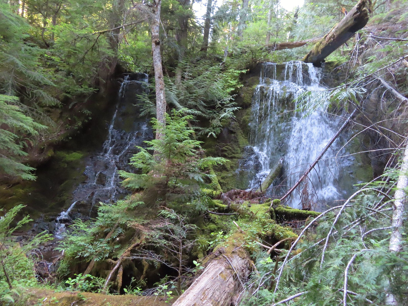 Tributary Falls
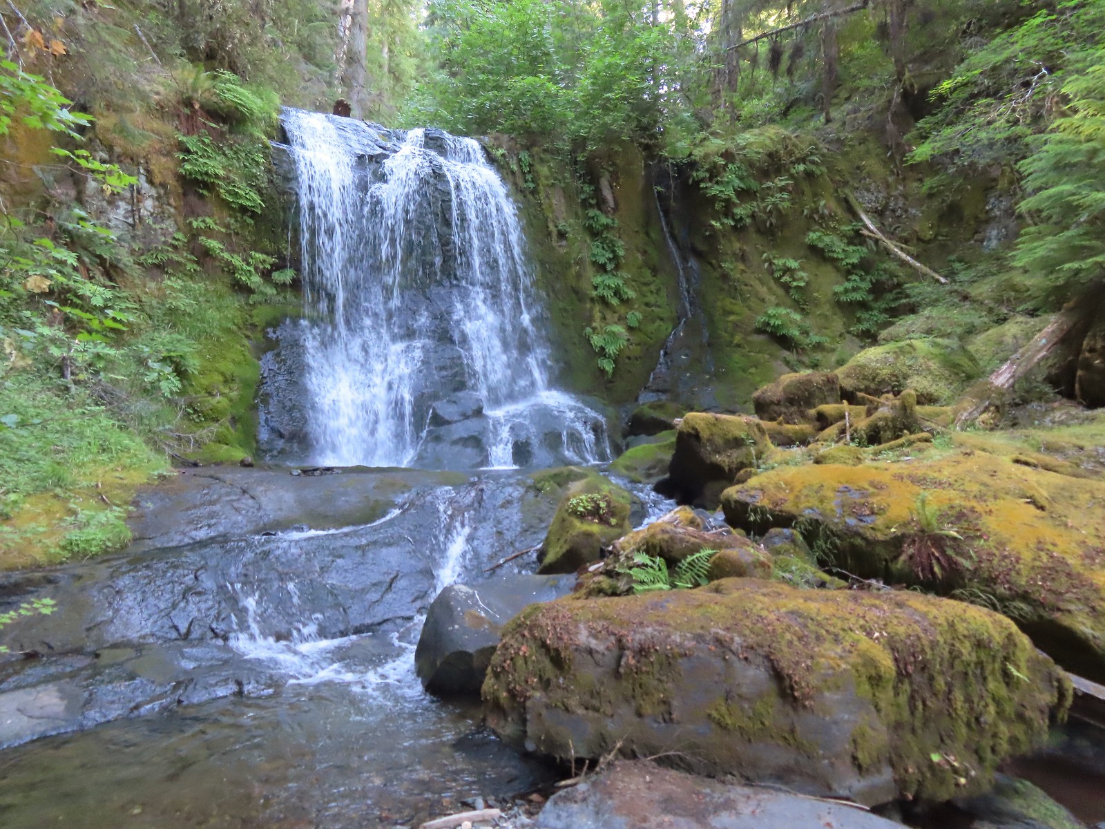 Middle Hemlock Falls
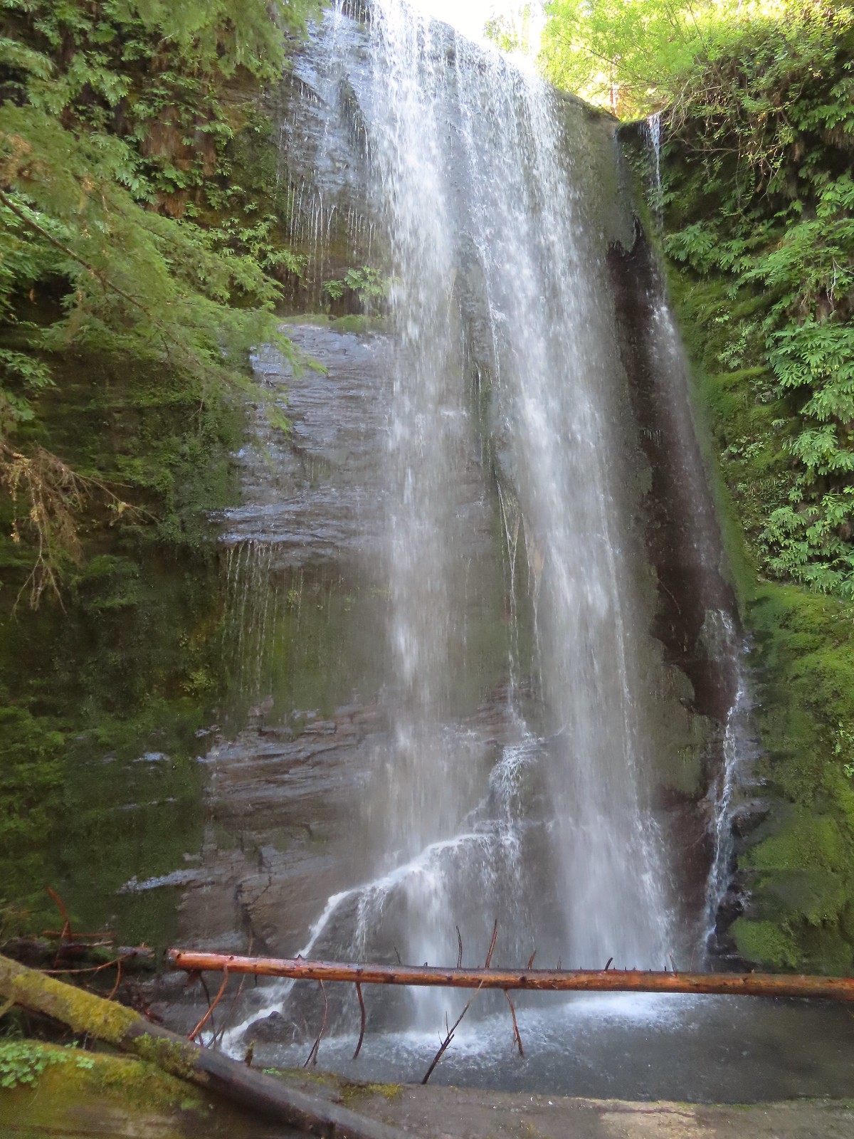 Clover Falls
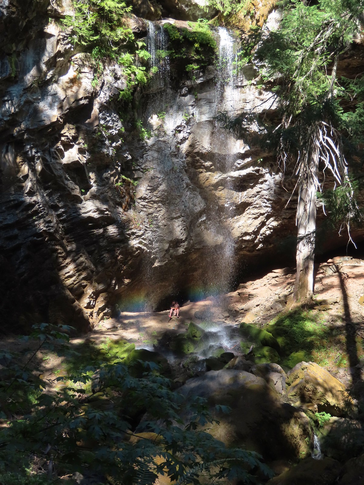 Grotto Falls
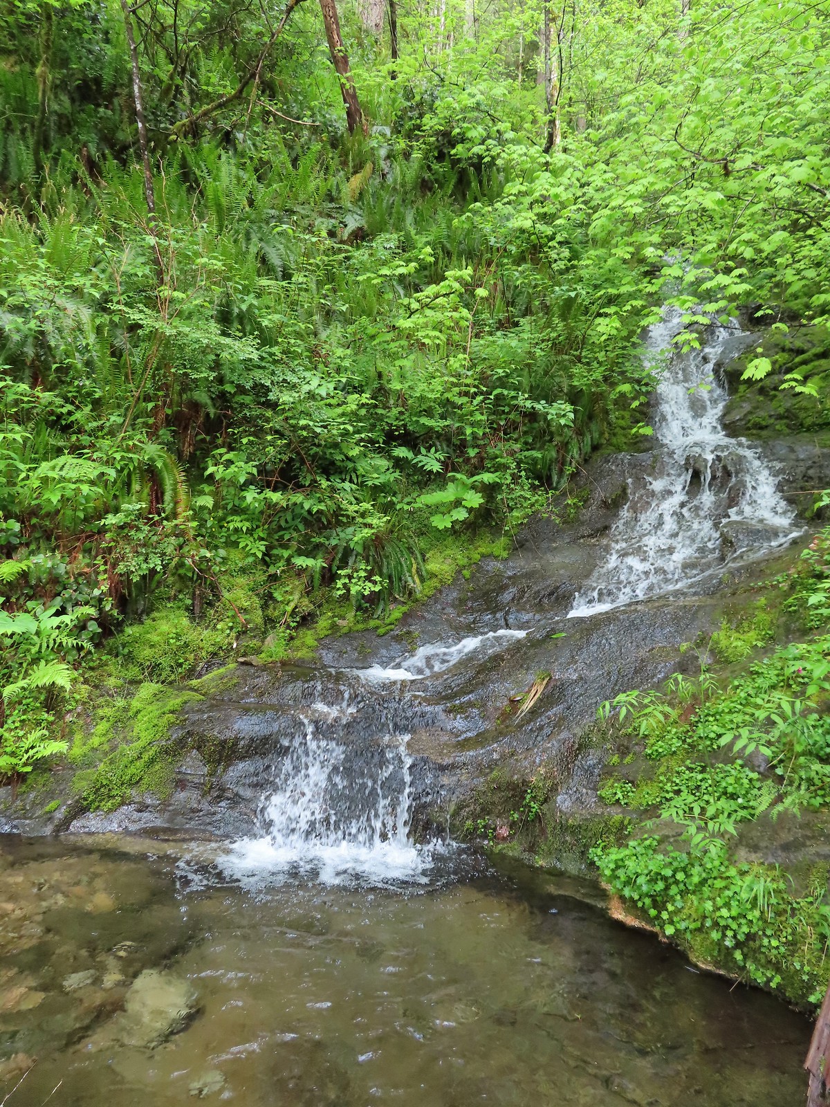
 Fall Creek Falls
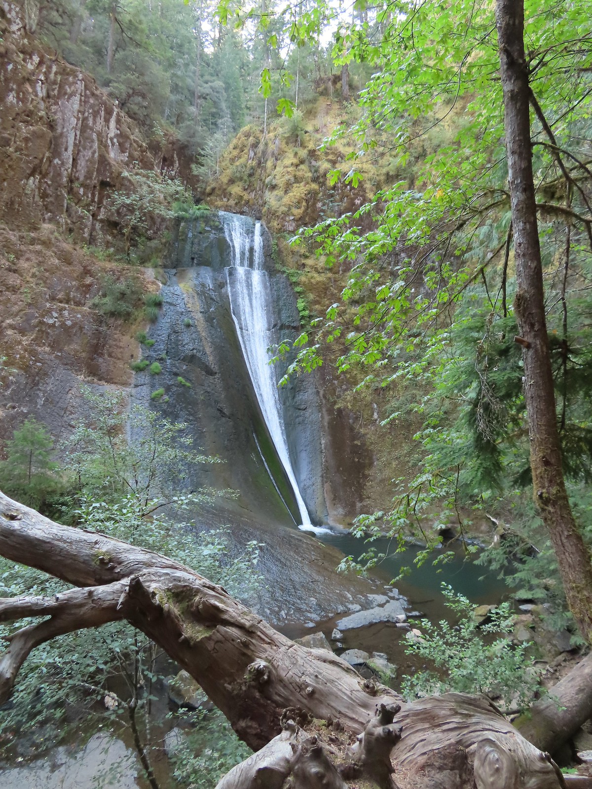 Upper tier of Wolf Creek Falls
 Lower tier of Wolf Creek Falls
 South Umpqua Falls (
 Union Creek Falls (
 Chitwood Creek Falls
 Multnomah Falls
 Lower Dutchman Falls
 Upper Dutchman Falls
 Wiesendanger Falls
 Ecola Falls
 Fairy Falls
 Wahkeena Falls
 Upper North Falls
 North Falls
 Twin Falls
 Winter Falls
 Middle North Falls
 Drake Falls
 Double Falls
 Lower North Falls
 Lower South Falls
 South Falls
 Sorenson Falls
 Metlako Falls
 Lower Punchbowl Falls
 Punchbowl Falls
 Loowit Falls
 Skoonichuck Falls
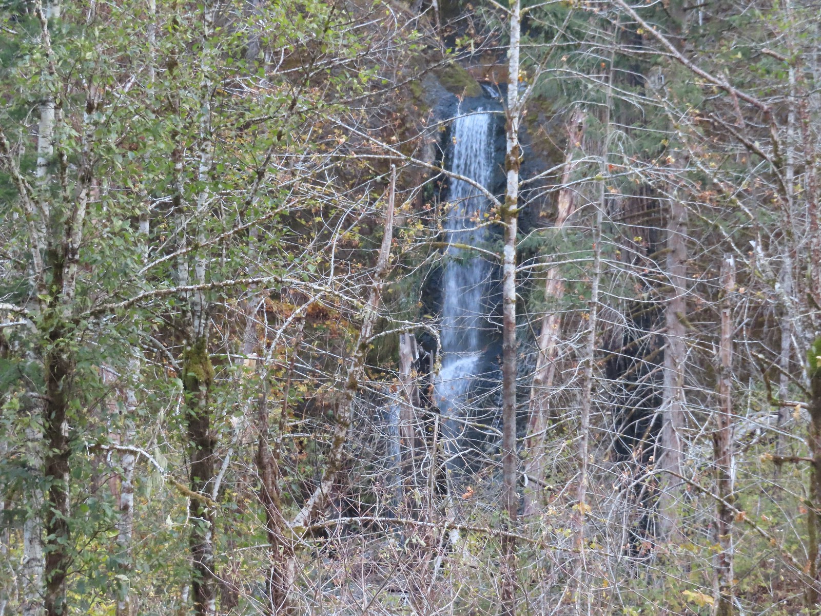 Four Mile Falls
 Tenas Falls
 Wy’East Falls
 Grand Union Falls
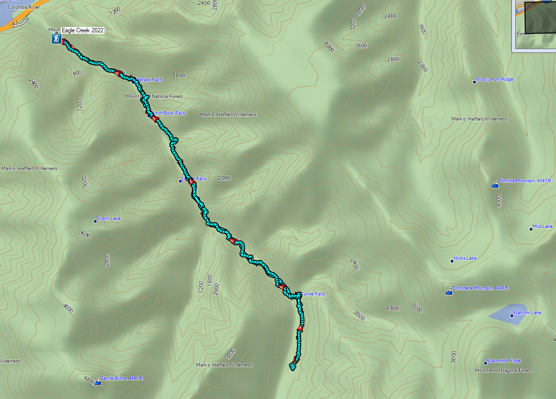
 Tunnel Falls
 Twister Falls
 Seven Mile Falls
 Ants dropping sawdust from a log along the Catherine Creek Trail. We sat and watched these busy ants for quite a while. They had created a good-sized pile on the ground below.
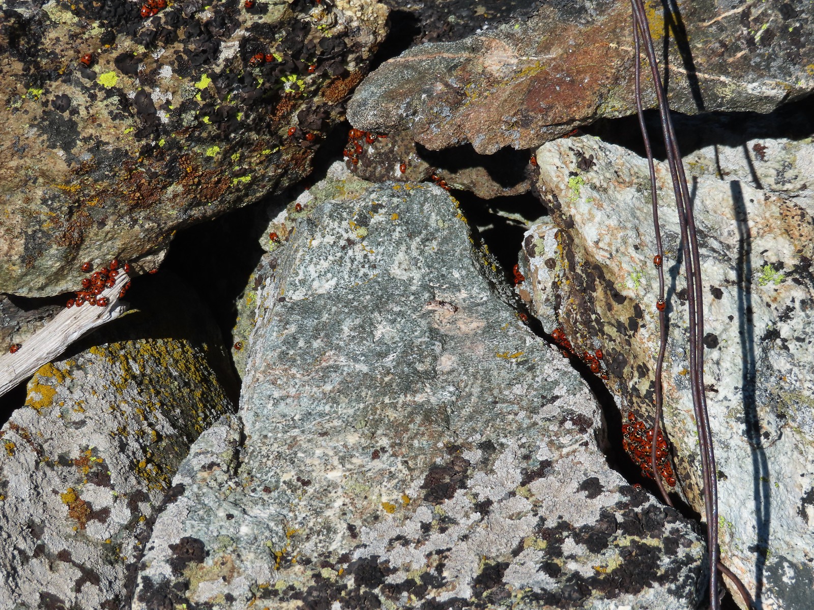 We see a lot of beetles but usually not all at once like these lady bugs on Observation Peak.
 Lady bug – Upper Table Rock
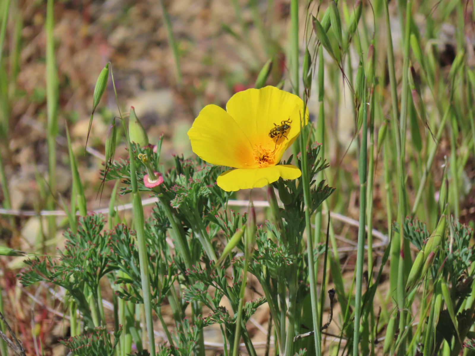 Yellow & black beetle – Mule Mountain
 Green beetle – Siskiyou Wilderness
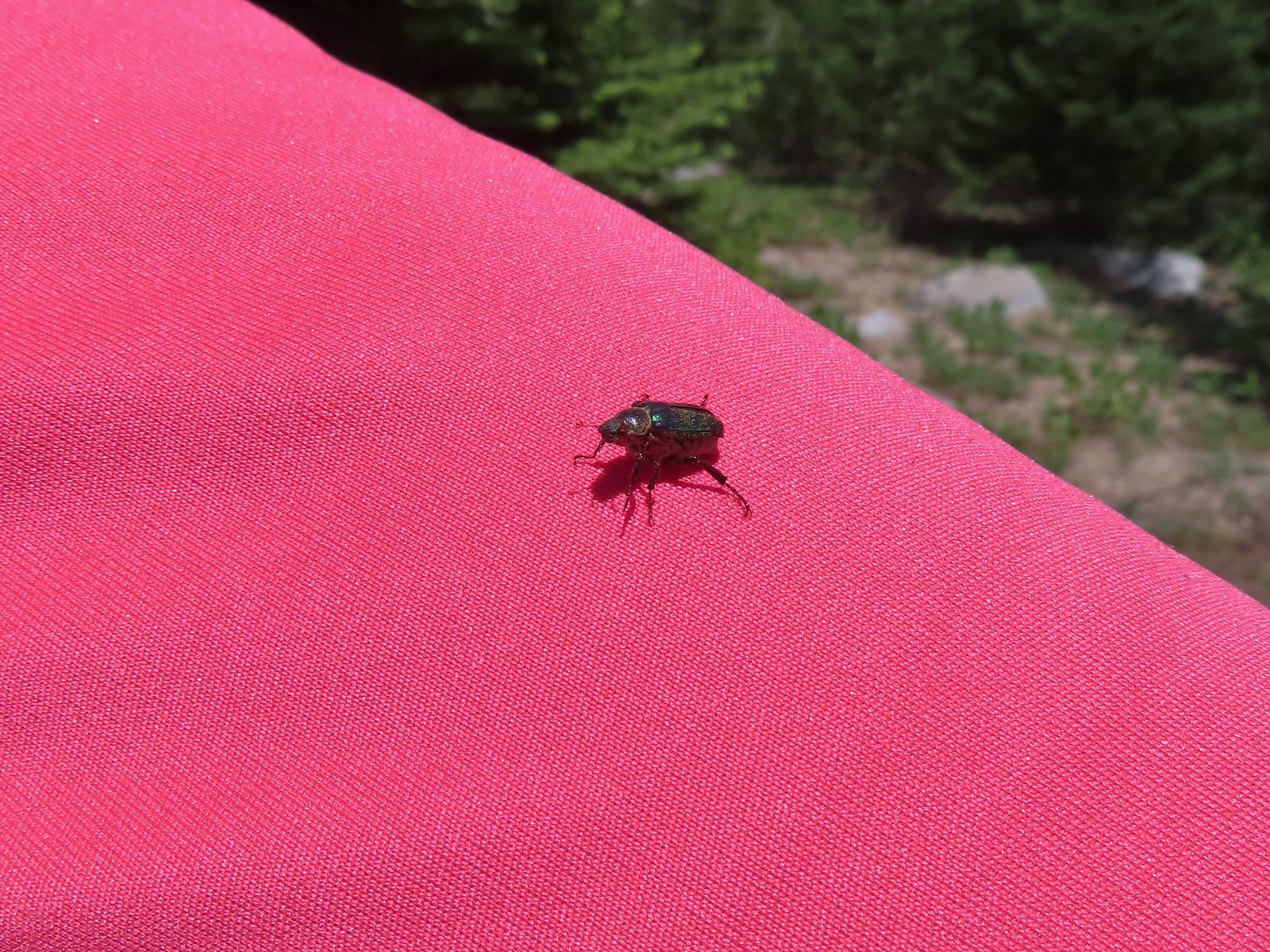 Hitchhiker – Mt. Ireland
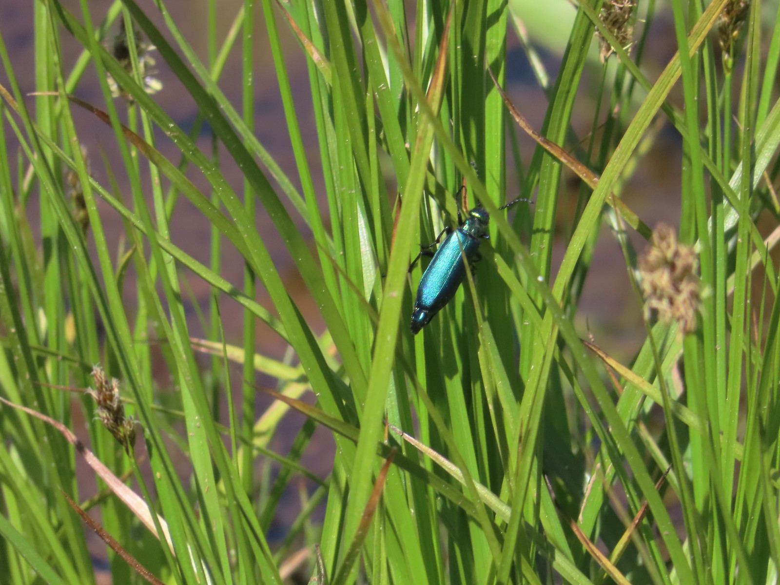 Blueish green beetle – Catherine Creek Meadows
 Small beetle – Catherine Creek Meadows
 Green beetle on a geranium – Eagle Cap Wilderness
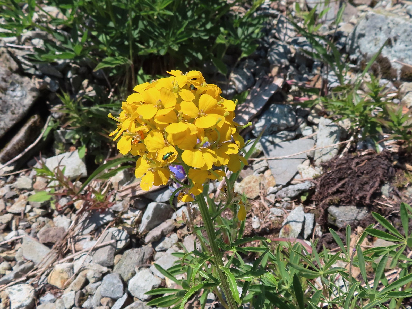 Green beetle on a wallflower – Silver Star Mountain
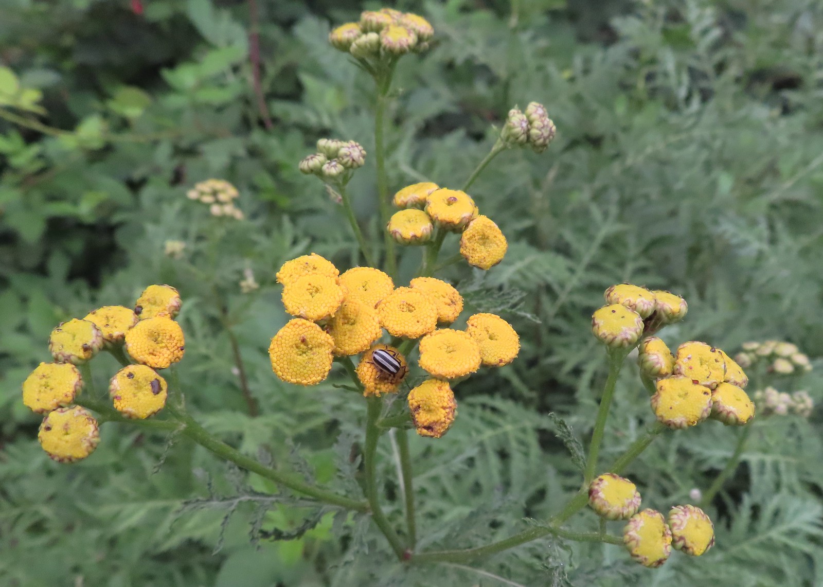 Stripped beetle – Spring Valley Greenway
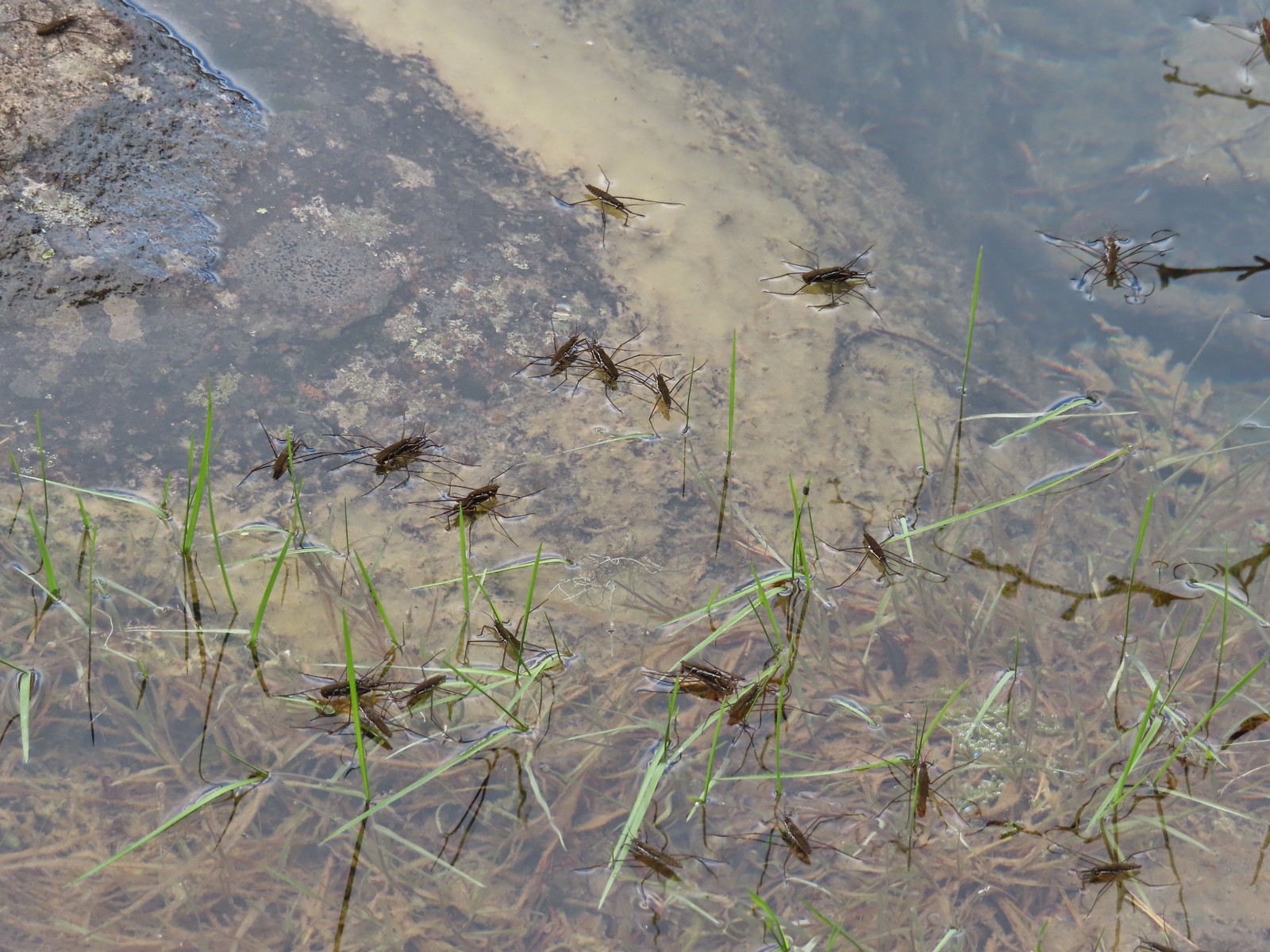 Water skippers – Big Twin Lake
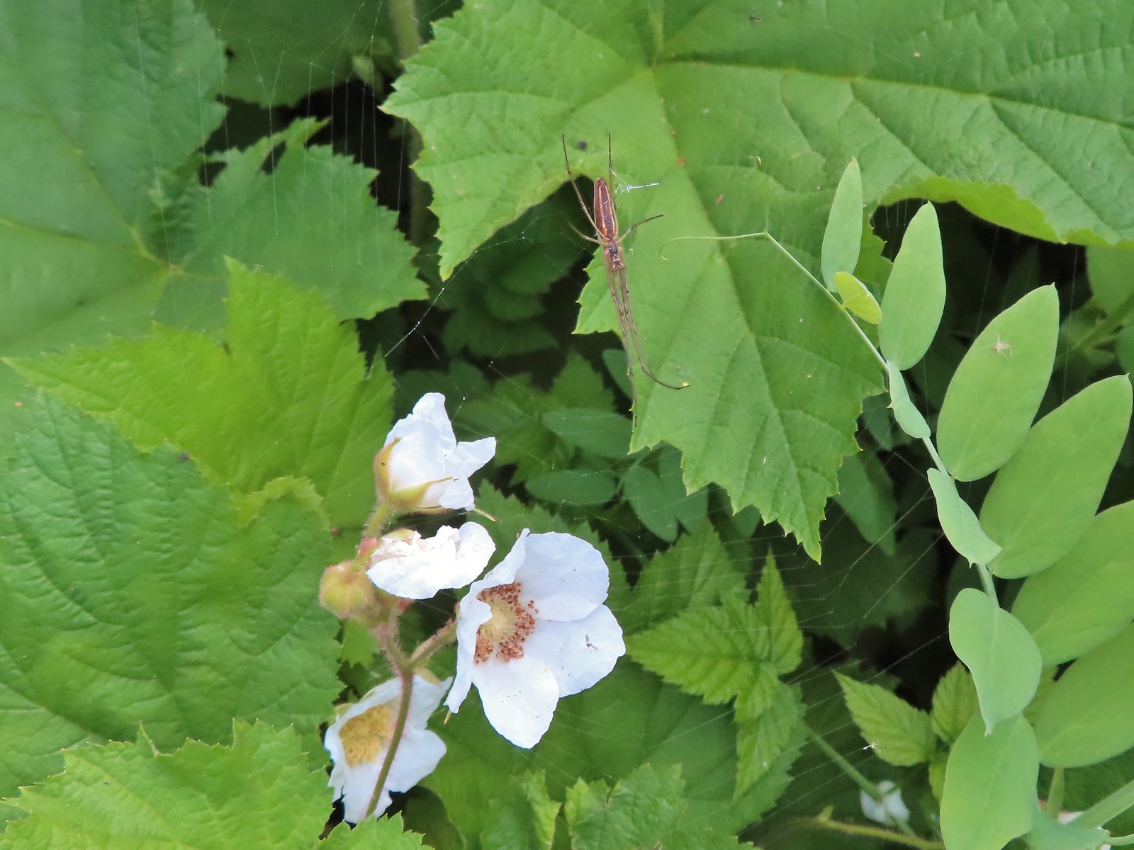 Spider on thimbleberry – Siskiyou Wilderness
 Crab spider – Eagle Cap Wilderness
 Another crab spider – Eagle Cap Wilderness
 Cricket – Pacific Crest Trail
 We are often literally struck by grasshoppers as we hike. Sometimes they stick when they hit us such as this one along the PCT.
 Bee on phacelia – Mule Mountain
 Wet bee on lupine – Julia Butler Hanson Wildlife Refuge
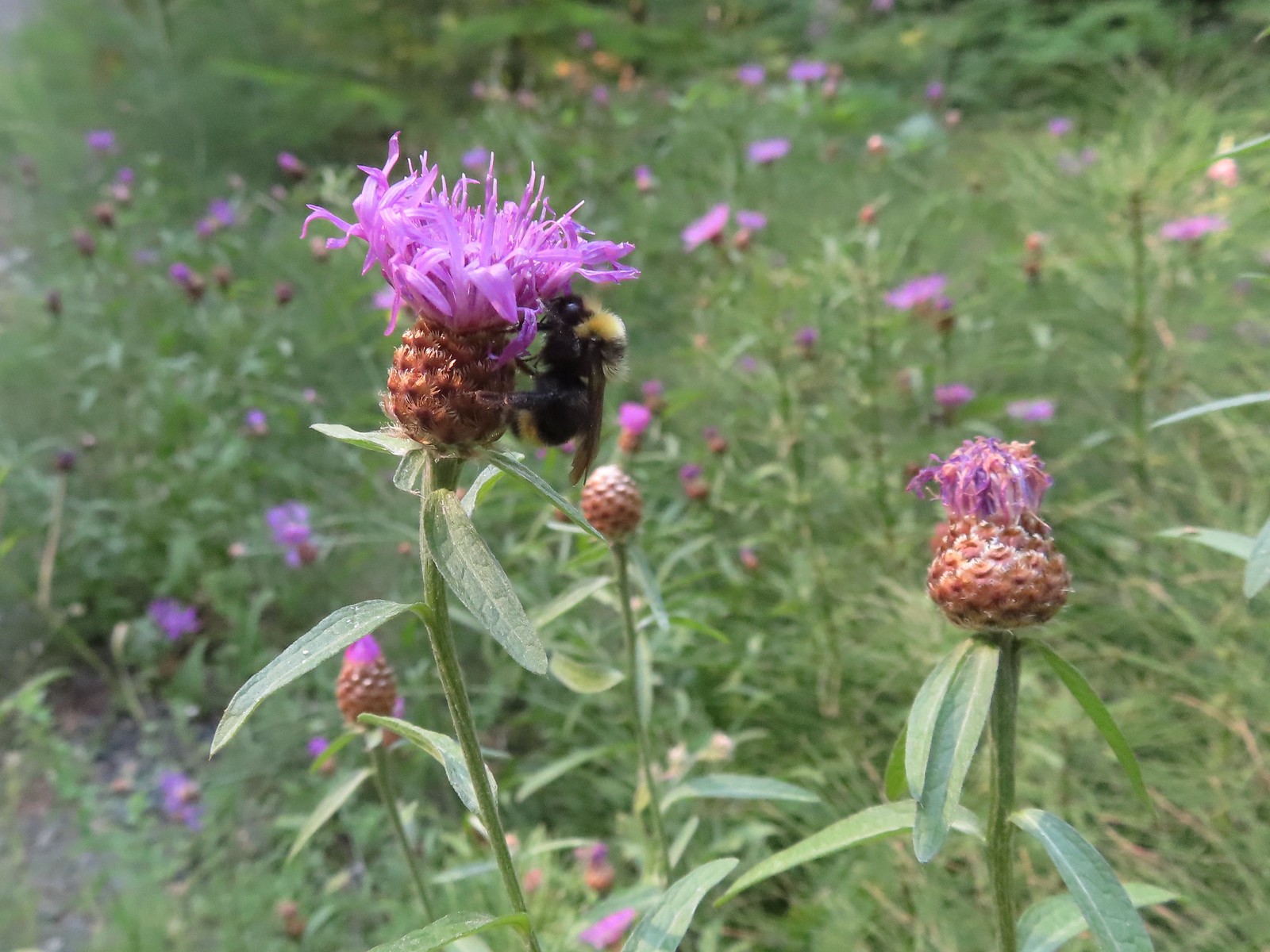 Bumble bee – Hemlock Creek Trail
 Lots of pollen – Mt. Adams Wilderness
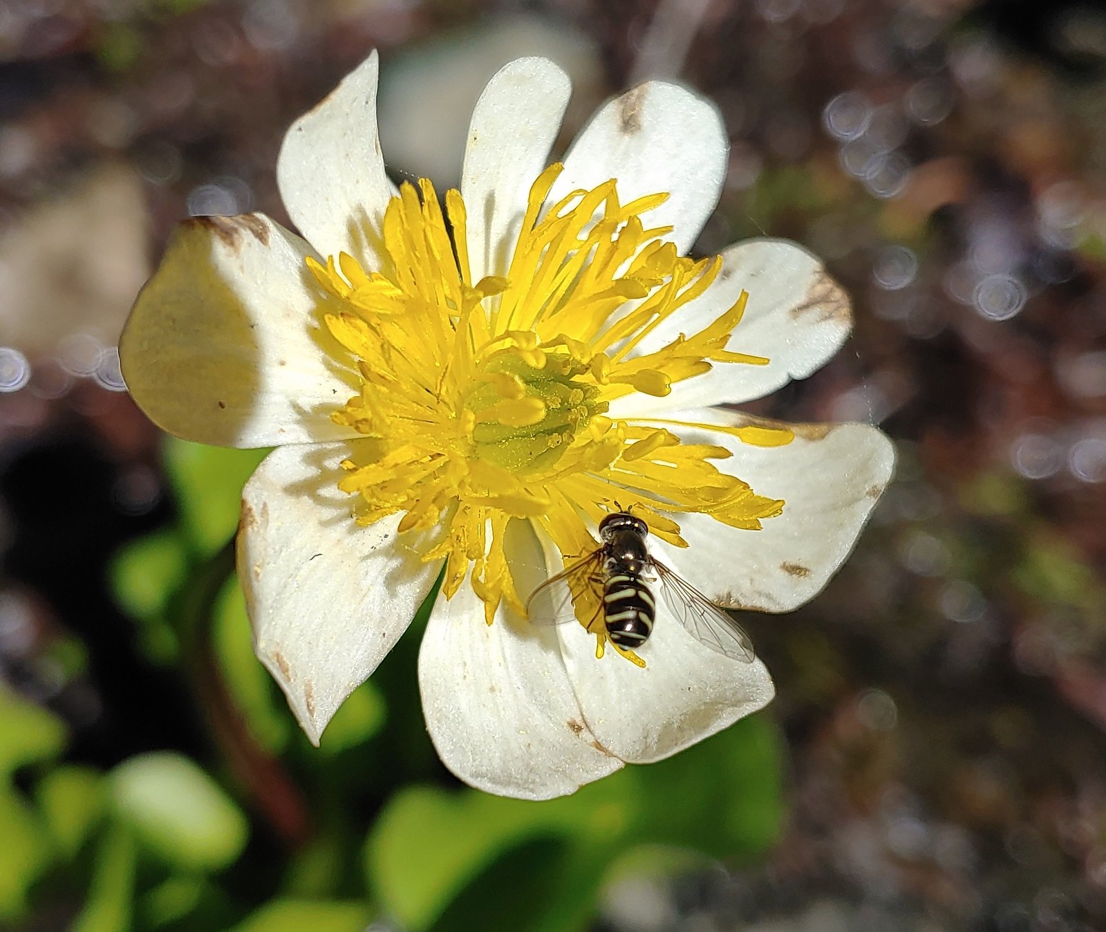 Bee landing on a marsh marigold along the PCT
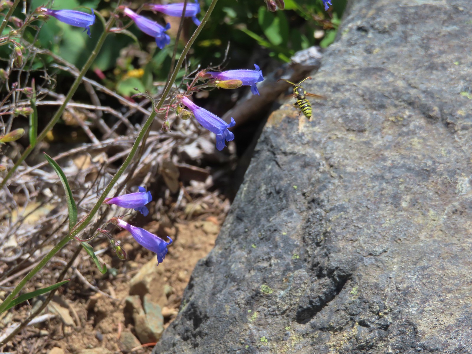 Bee approaching penstemon – Siskiyou Wilderness
 Bee and a tiny ant in a bindweed – Siskiyou Wilderness
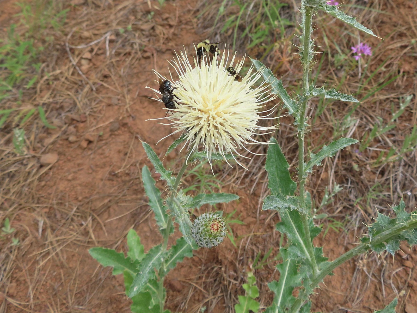 Insects on thistle – Eagle Cap Wilderness
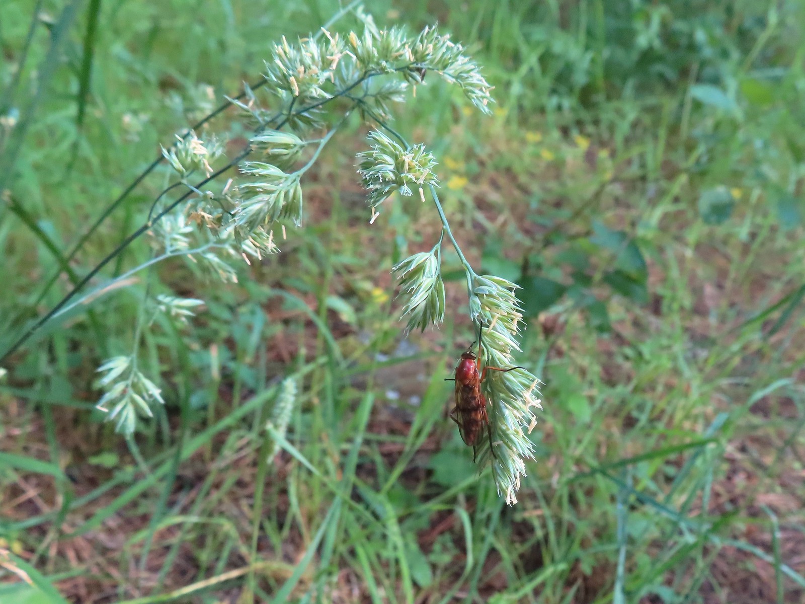 Wasp? – Eagle Cap Wilderness
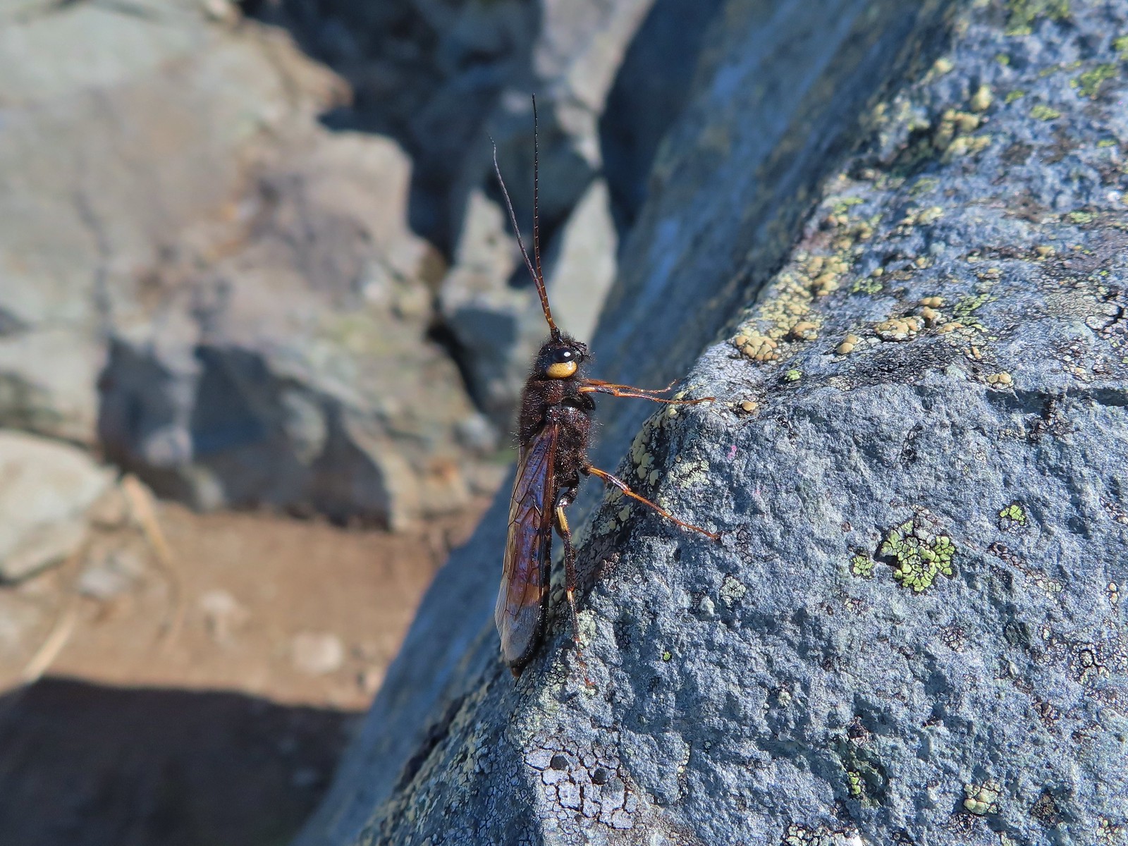 Some sort of wasp – Silver Star Mountain
 Insect along Bear Creek – Eagle Cap Wilderness
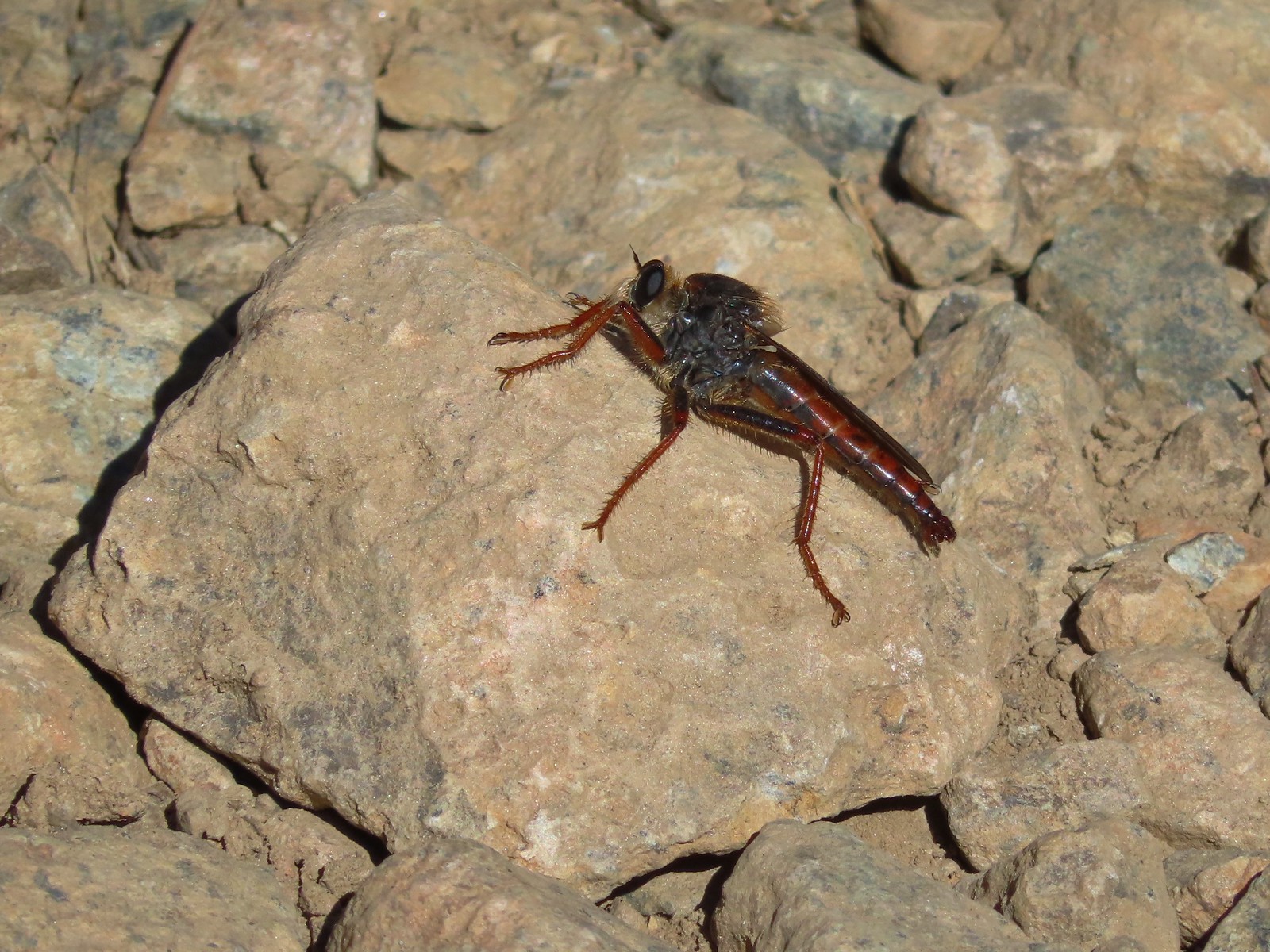 My brother and I used to call these “weird things”; I have no idea what it actually is – Trinity Alps Wilderness
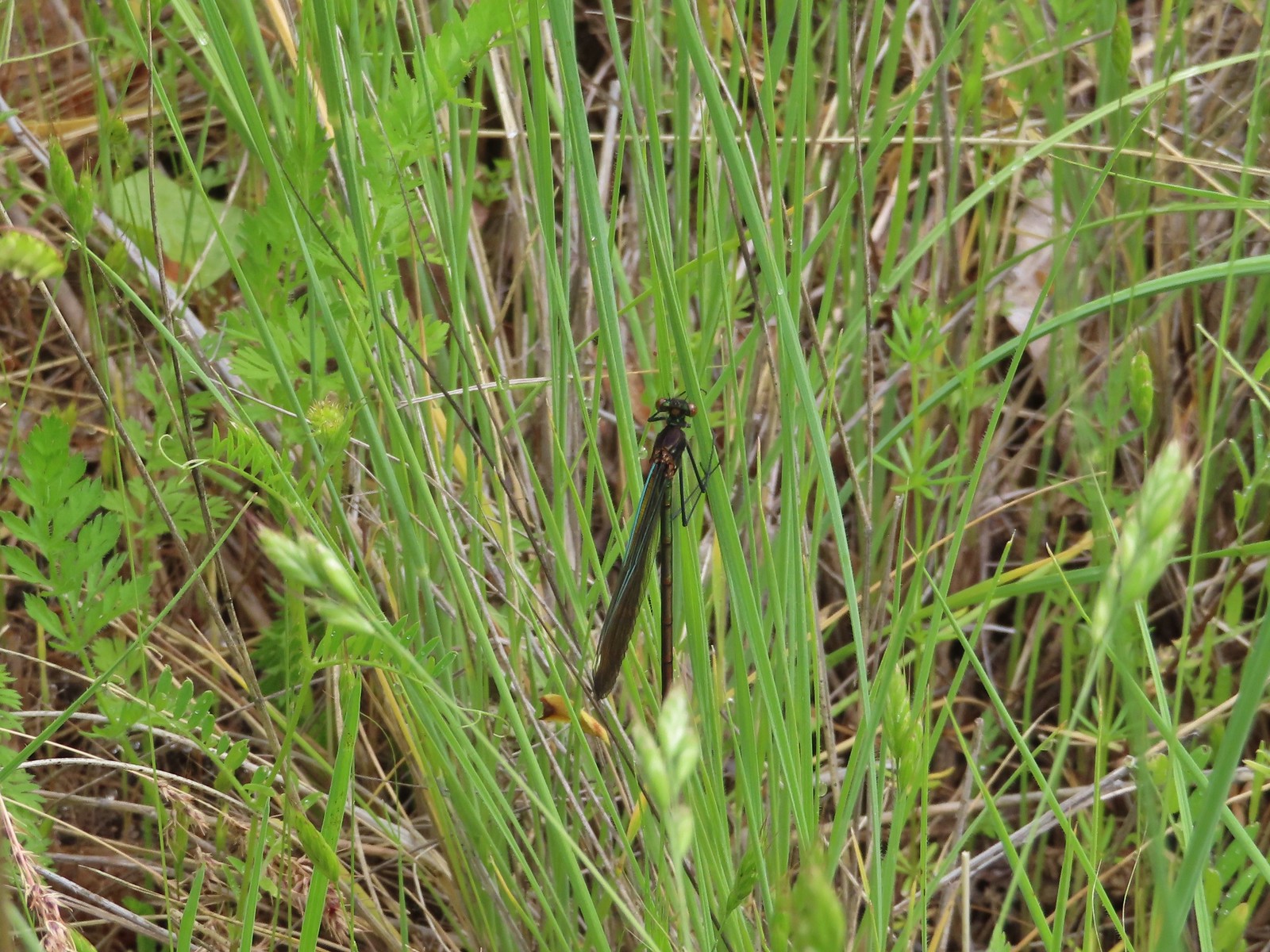 Damsel fly – Denman Wildlife Area
 Damsel fly – Hemlock Lake
 Dragon fly – Goat Marsh Lake
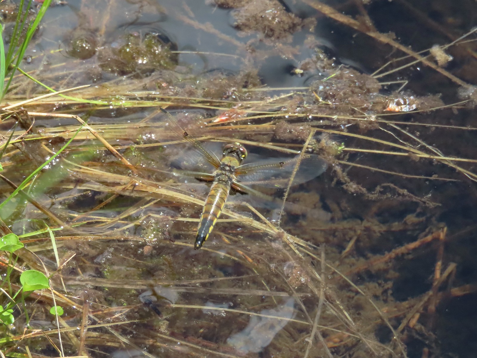 Dragon fly – Siskiyou Wilderness
 Dragon fly – Siskiyou Wilderness
 Dragon fly – Eagle Cap Wilderness
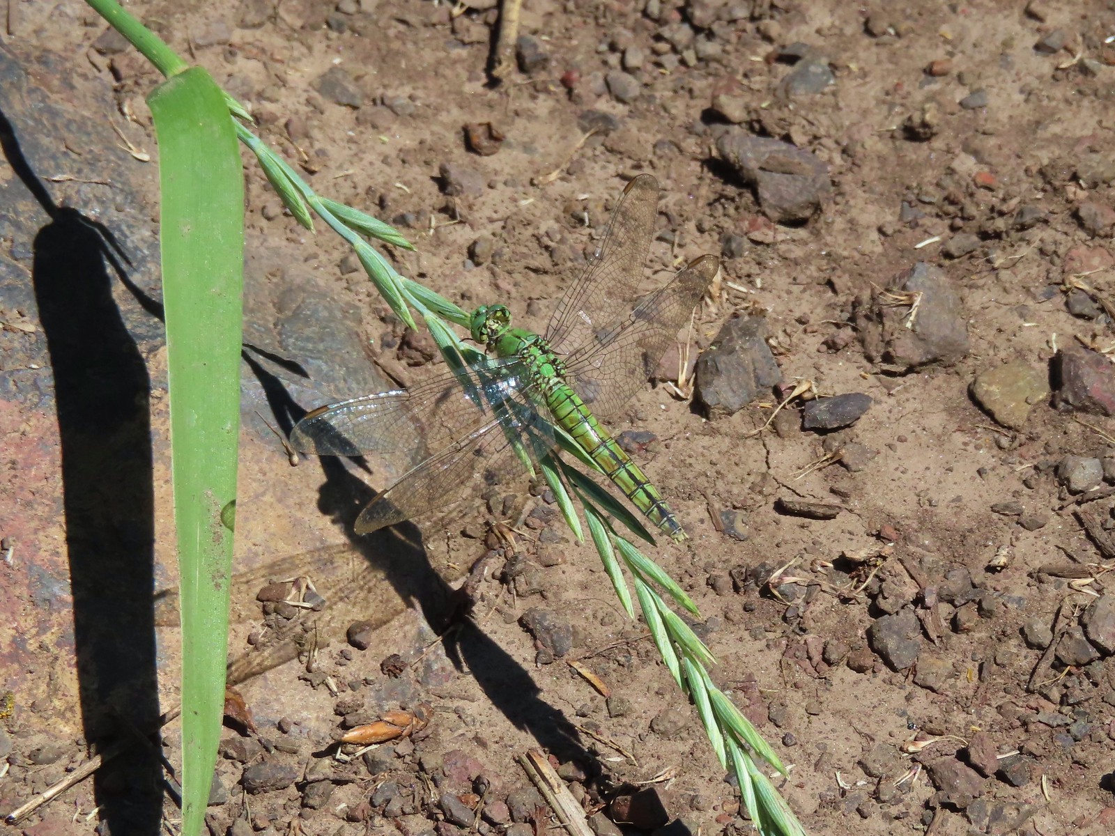 Dragon fly along the Wallowa River – Wallowa Homeland
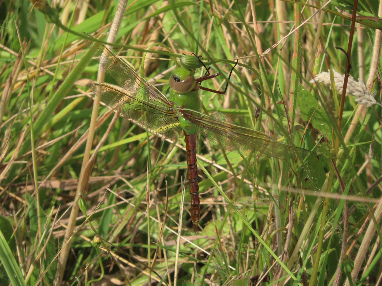 Dragon fly – E.E. Wilson Wildlife Area
 Dragon fly – Hemlock Lake
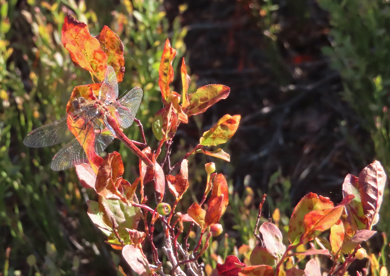 Dragon fly – Sky Lakes Wilderness
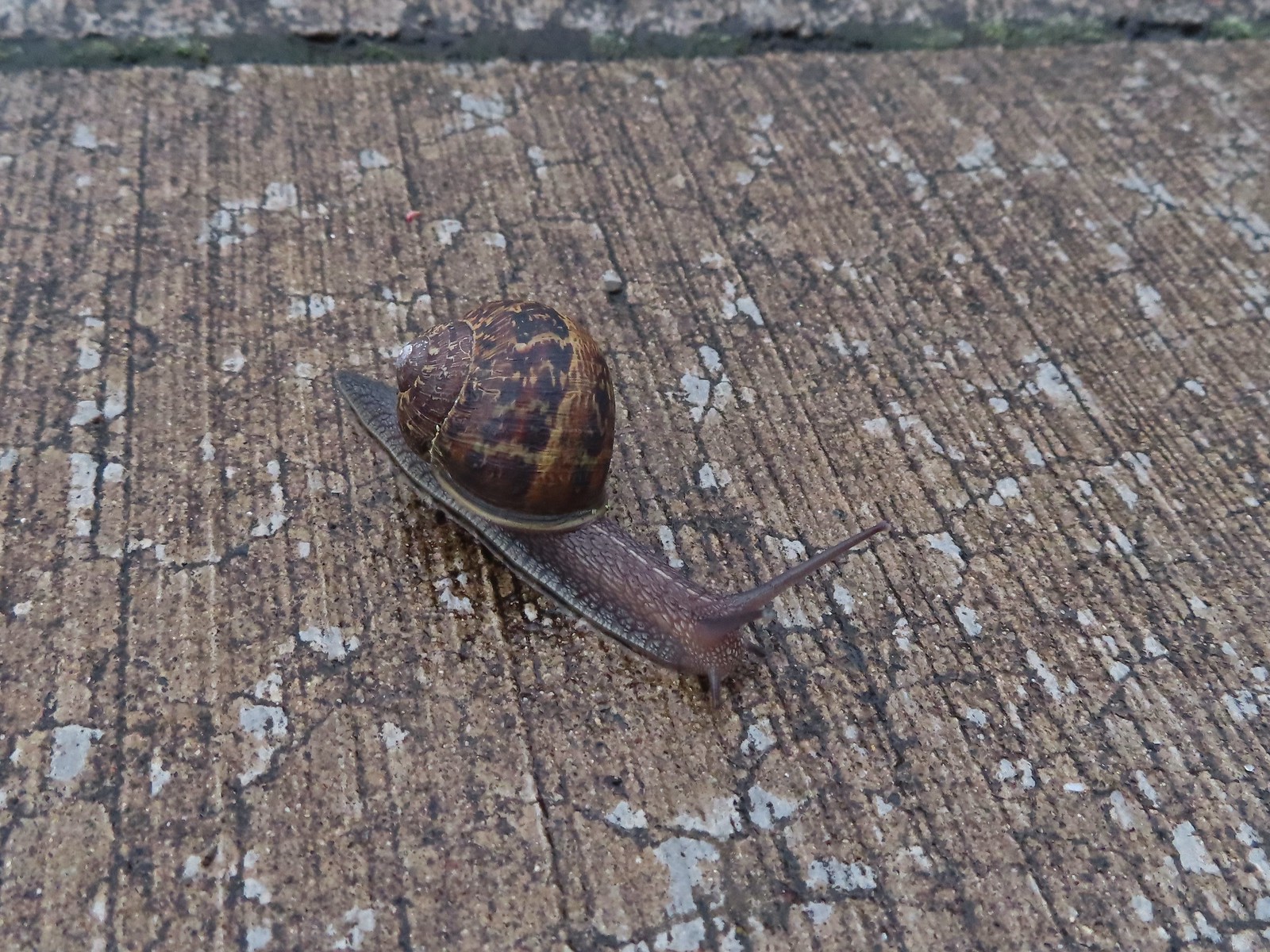 Snail – Rock Creek Trail
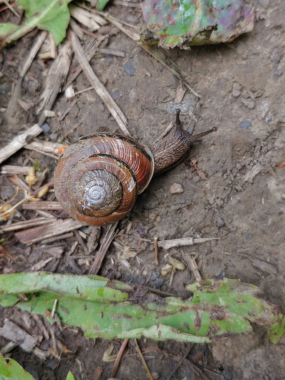 Snail – Applegate Lake
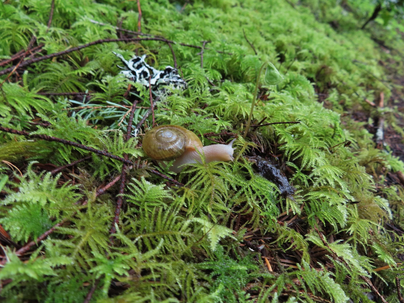 Snail – North Siouxon Trail
 Snail – Julia Hansen Butler Wildlife Refuge
 Snail – Siskiyou Wilderness
 Snail – Cascade Head
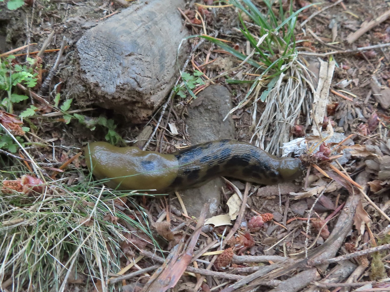 Slug – Larch Mountain Trail
 Slug (and a fly) – Susan Creek Trail
 Slug – Fish Lake
 Slug on lupine – Julia Butler Hansen Wildlife Refuge
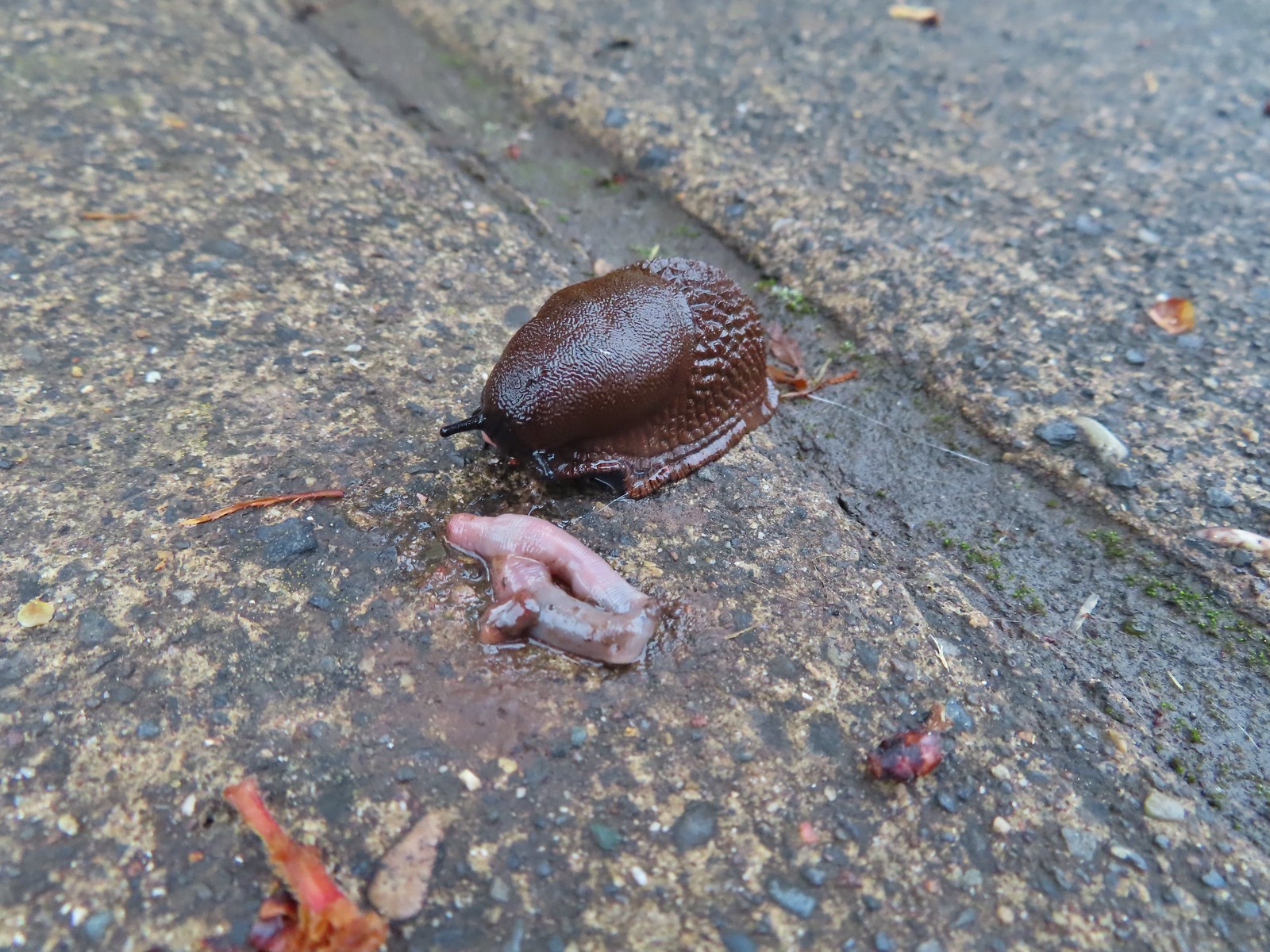 Slug and an unfortunate earth worm – Rock Creek Trail
 Worms – Chehalem Ridge Nature Park
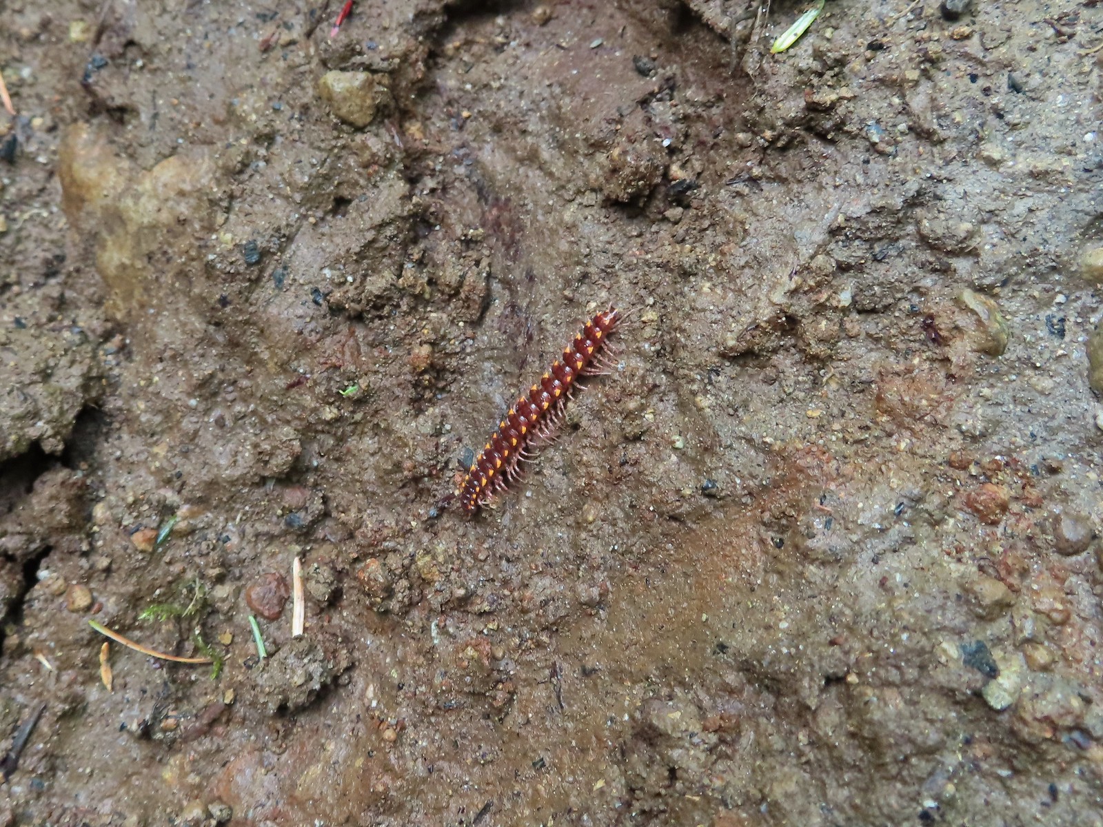 Millipede – North Siouxon Trail
 Millipede – Rock Creek Trail
 Millipede – Illahee Rock
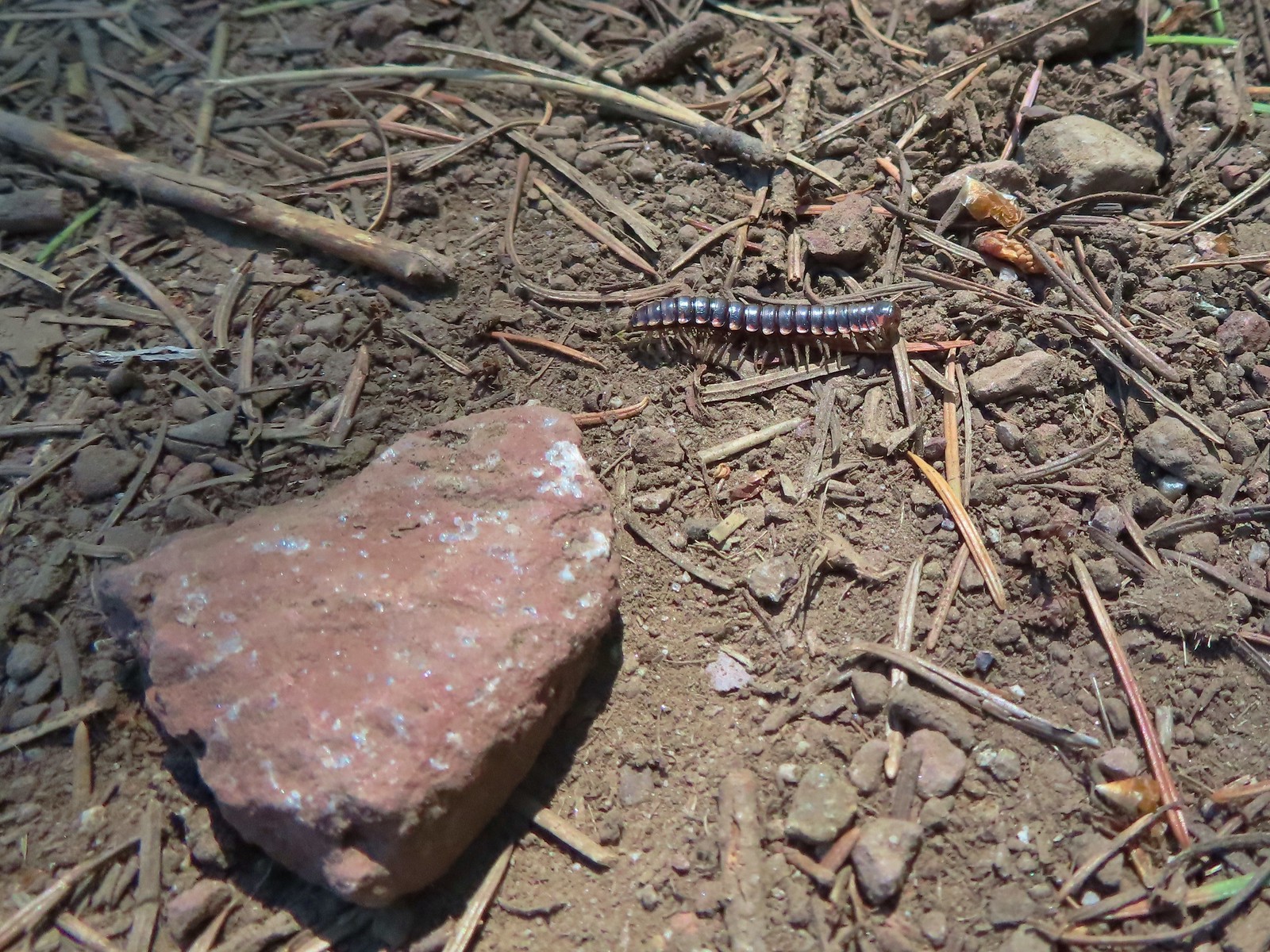 Millipede – Eagle Cap Wilderness
 Wet caterpillar – Yakona Nature Preserve
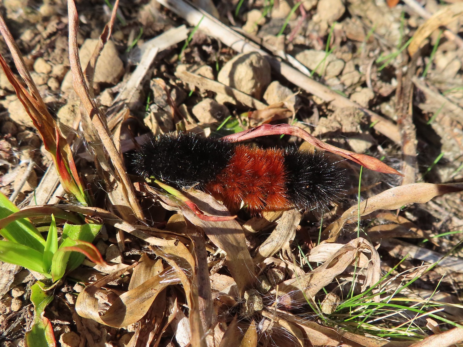 Dry version – Larch Mountain Trail
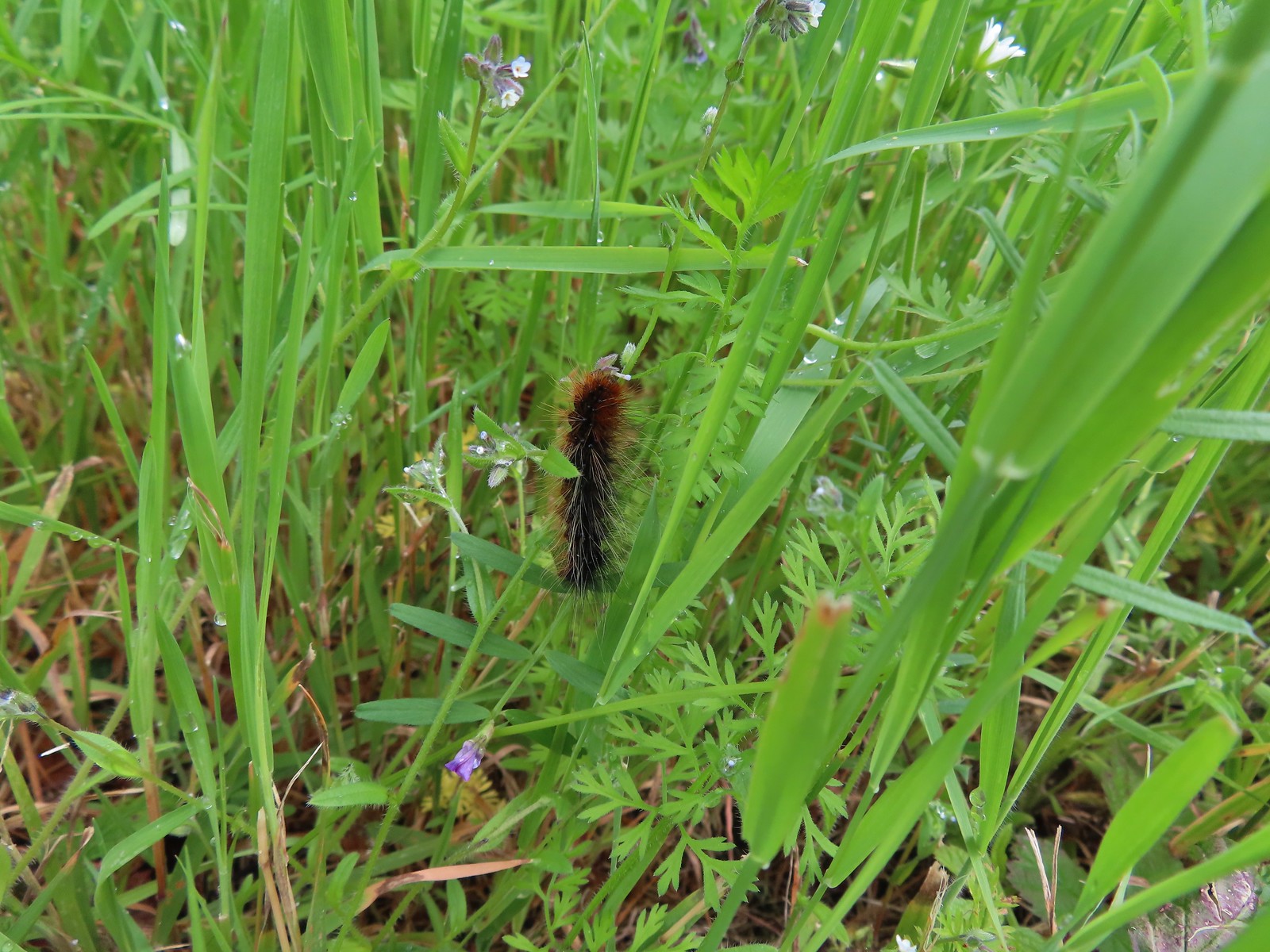 Caterpillar – Julia Butler Hansen Wildlife Refuge
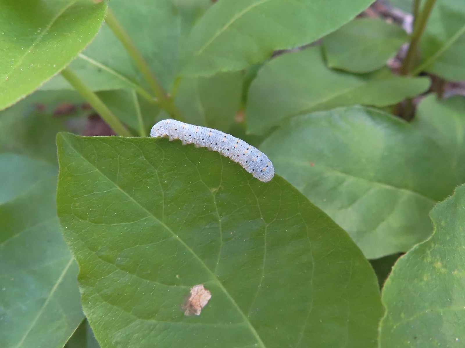 Caterpillar – Siskiyou Wilderness
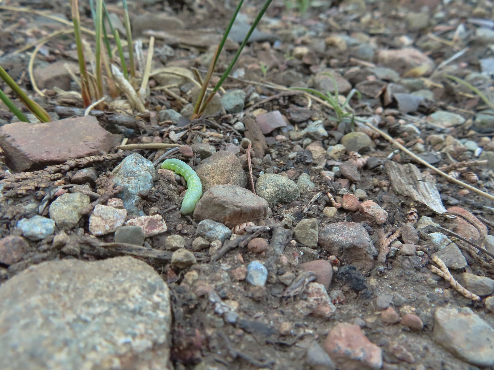 Caterpillar – Siskiyou Wilderness
 Caterpillar – Larch Mountain Trail
 Caterpillar – Larch Mountain Trail
 Caterpillar – Larch Mountain Trail
 Moth – Klickitat Trail
 Moth -Eagle Cap Wilderness
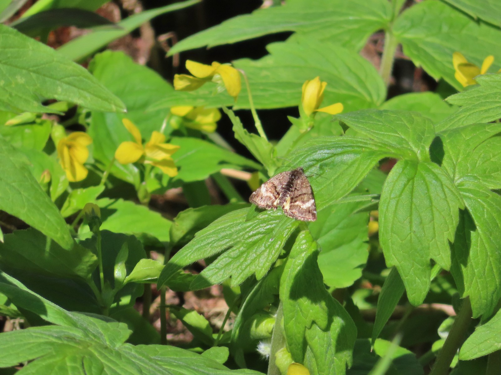 Moth – Twin Lakes
 Moth – Eagle Cap Wilderness
 Moth – Eagle Cap Wilderness
 Moth – Eagle Cap Wilderness
 Moth – Wolf Creek Falls Trail
 Moth – Cascade Head
 Propertius duskywing (Erynnis propertius) – Klickitat Trail
 Duskywing – Siskiyou Wilderness
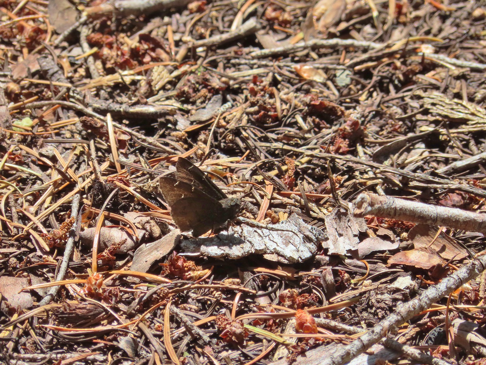 Northern Cloudywing? – Siskiyou Wilderness
 Silver-spotted skipper – Siskiyou Wilderness
 Skipper – Grizzly Peak
 Skipper – Rogue-Umpqua Divide Wilderness
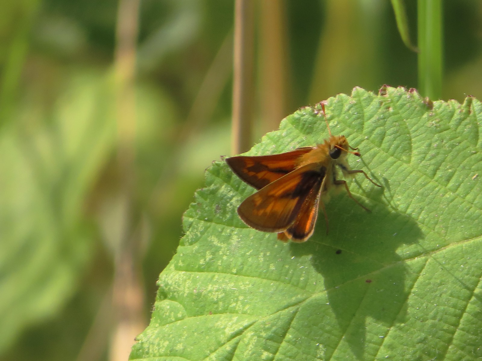 Skipper – E. E. Wilson Wildlife Area
 Hairstreak (bramble?) – Siskiyou Mountains
 Cedar hairstreak – Siskiyou Wilderness
 Hairstreak (possibly thicket) – Eagle Cap Wilderness
 Ochre ringlet – Jack Ash Trail
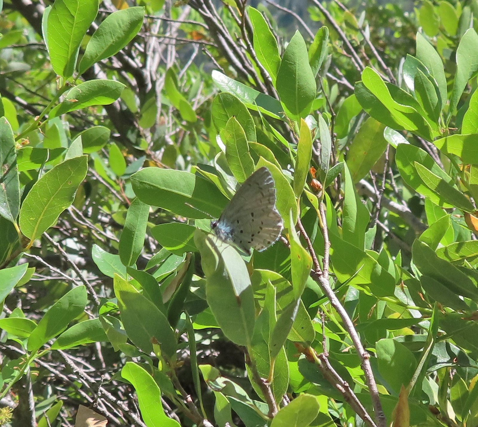 Butterfly – Siskiyou Wilderness
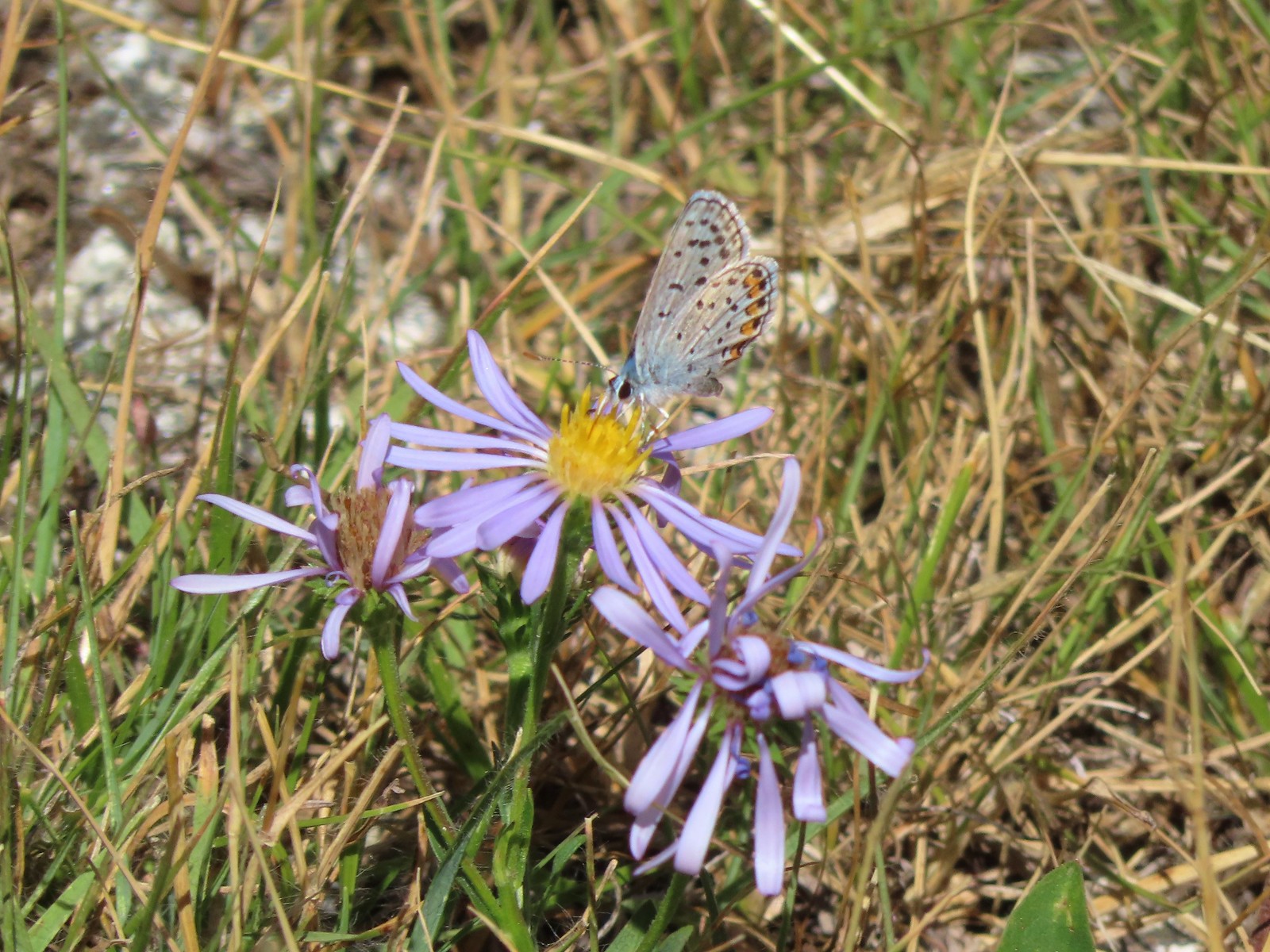 Butterfly – Trinity Alps Wilderness
 Butterfly – Trinity Alps Wilderness
 Butterfly – Upper Table Rock
 Butterfly – Mule Mountain
 Butterfly – Eagle Cap Wilderness
 Butterfly – Eagle Cap Wilderness
 Butterfly – Mt. Adams Wilderness
 Butterfly – Mt. Adams Wilderness
 Butterfly – Mt. Ireland
 Butterfly – Trinity Alps Wilderness
 Butterfly – Silver Star Mountain
 Butterfly – Russian Wilderness
 Butterfly – Trinity Alps Wilderness
 Sara’s orangetip – Klickitat Trail
 Common woodnymph – E. E. Wilson Wildlife Area
 Another woodnymph – Rogue-Umpqua Divide Wilderness
 Orange sulphur – Siskiyou Wilderness
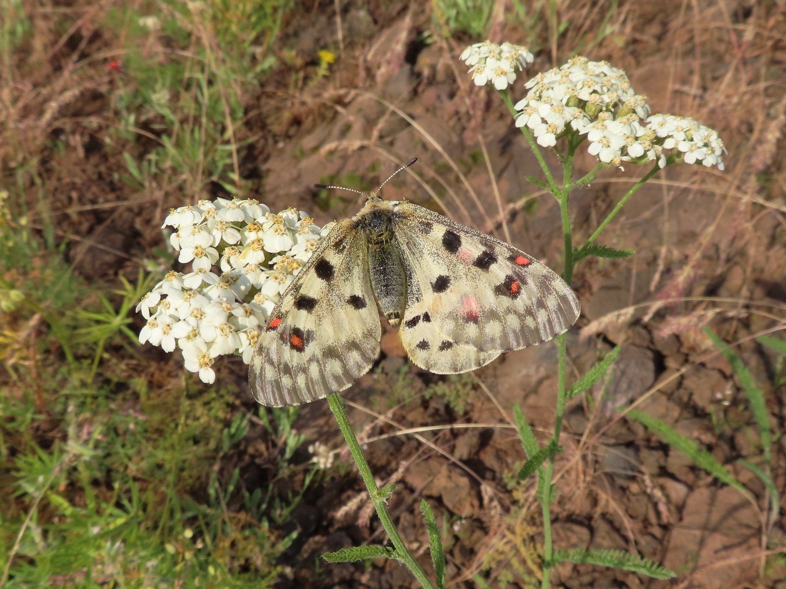 Mountain parnassian – Eagle Cap Wilderness
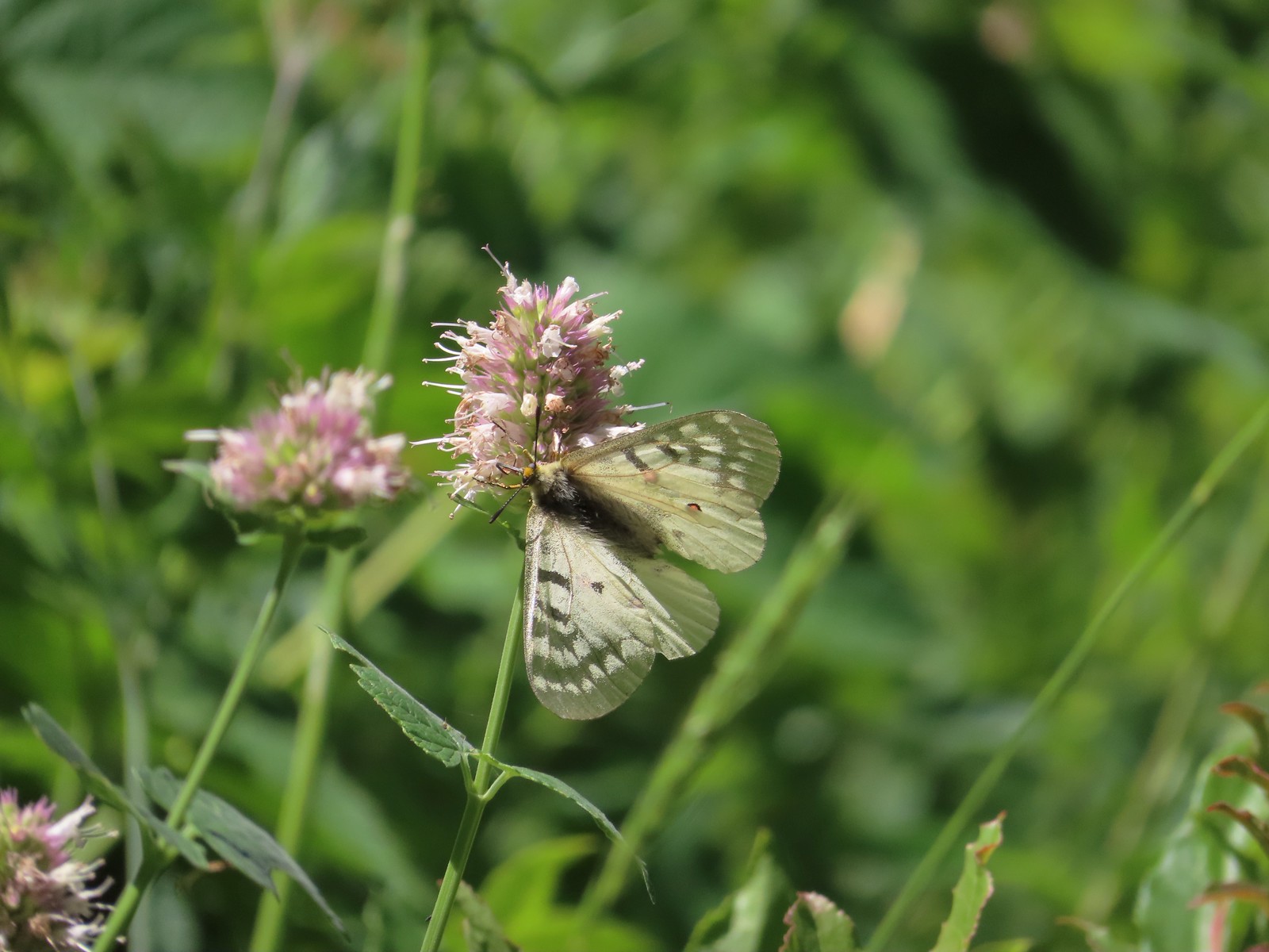 Clodius parnassian – Hemlock Lake
 Western white? – Eagle Cap Wilderness
 Western white – Trinty Alps Wilderness
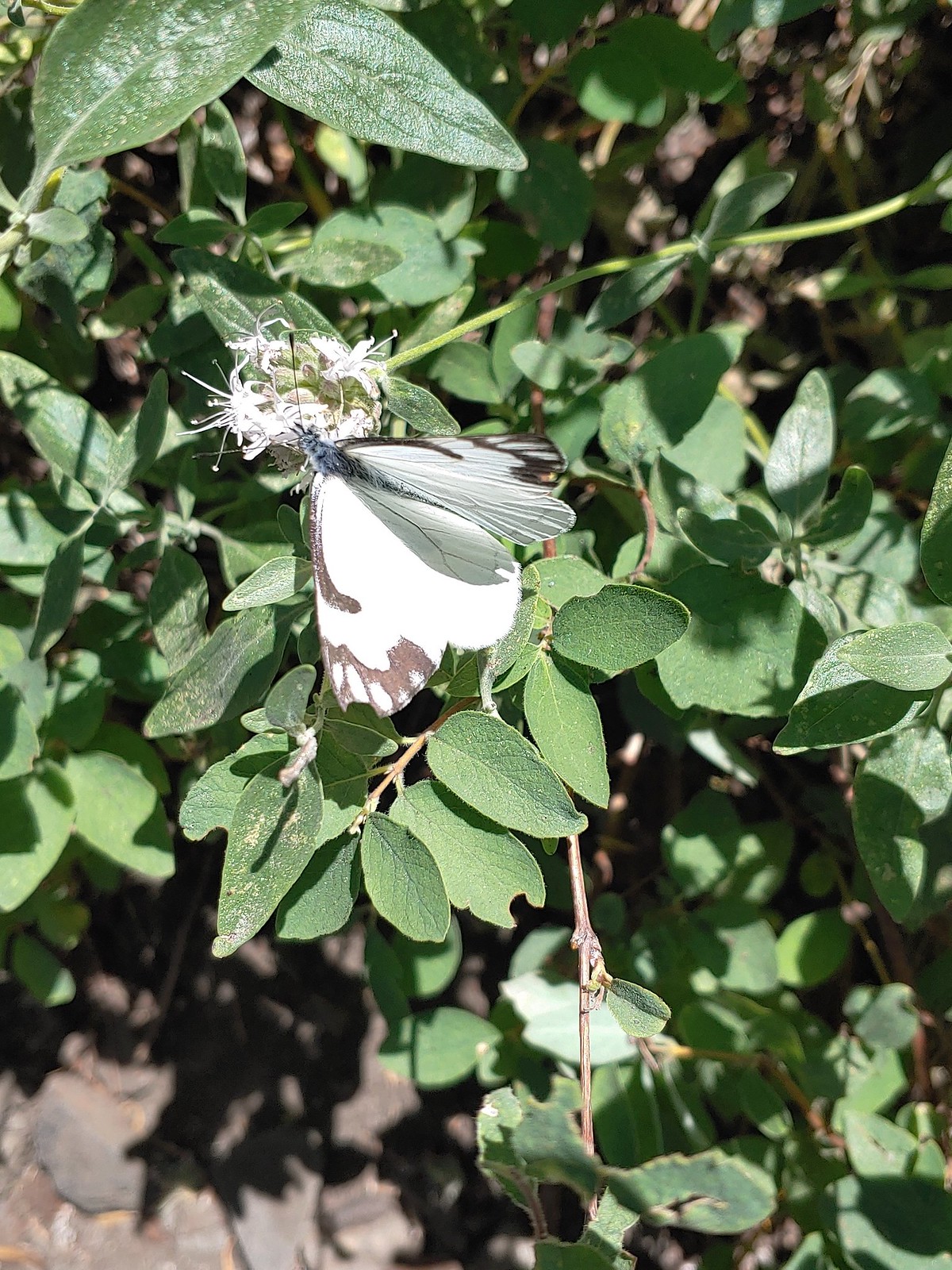 Pine white – Russian Wilderness
 Butterfly – Eagle Cap Wilderness
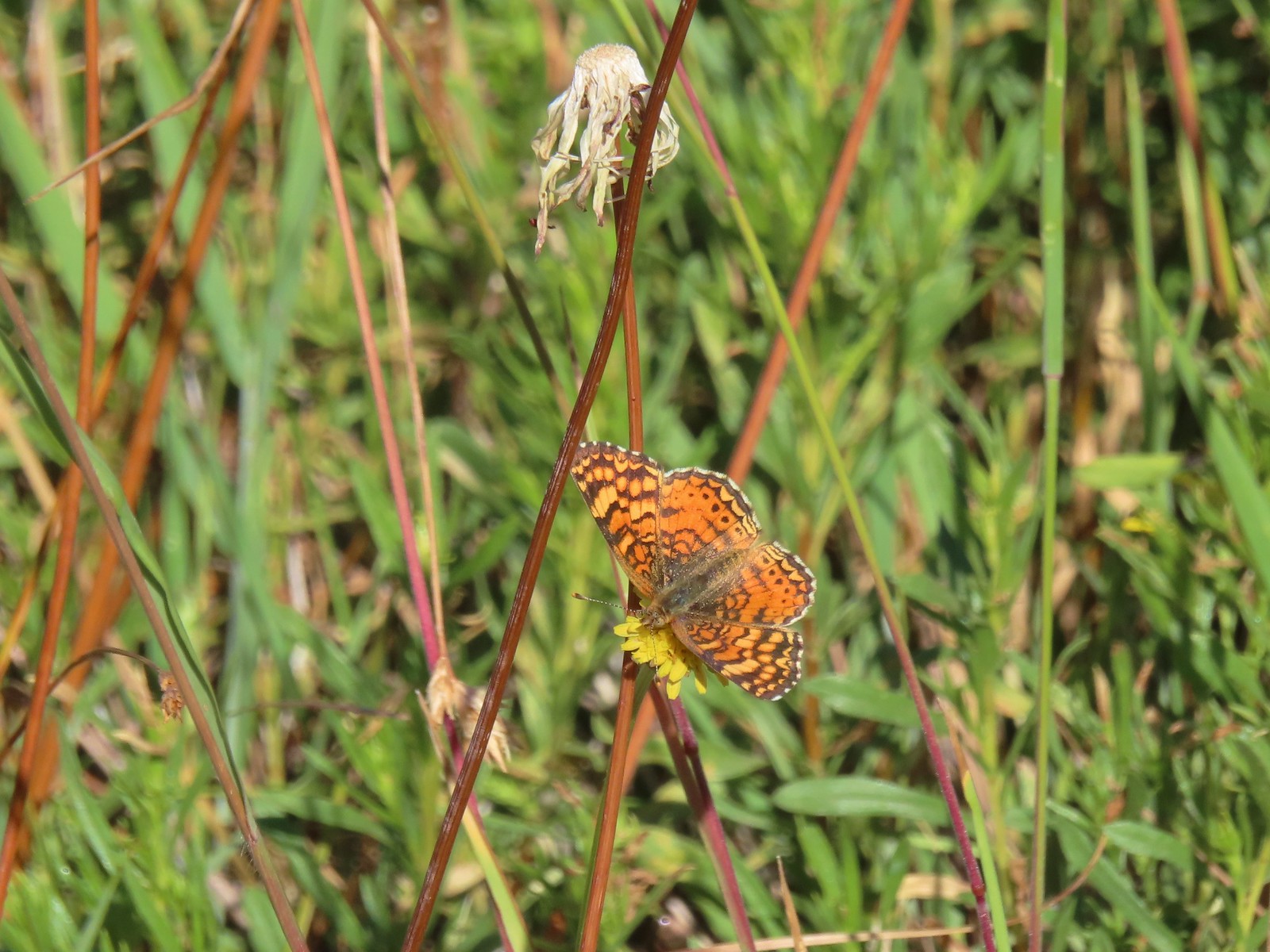 Butterfly – Russian Wilderness
 Butterfly – Mt. Adams Wilderness
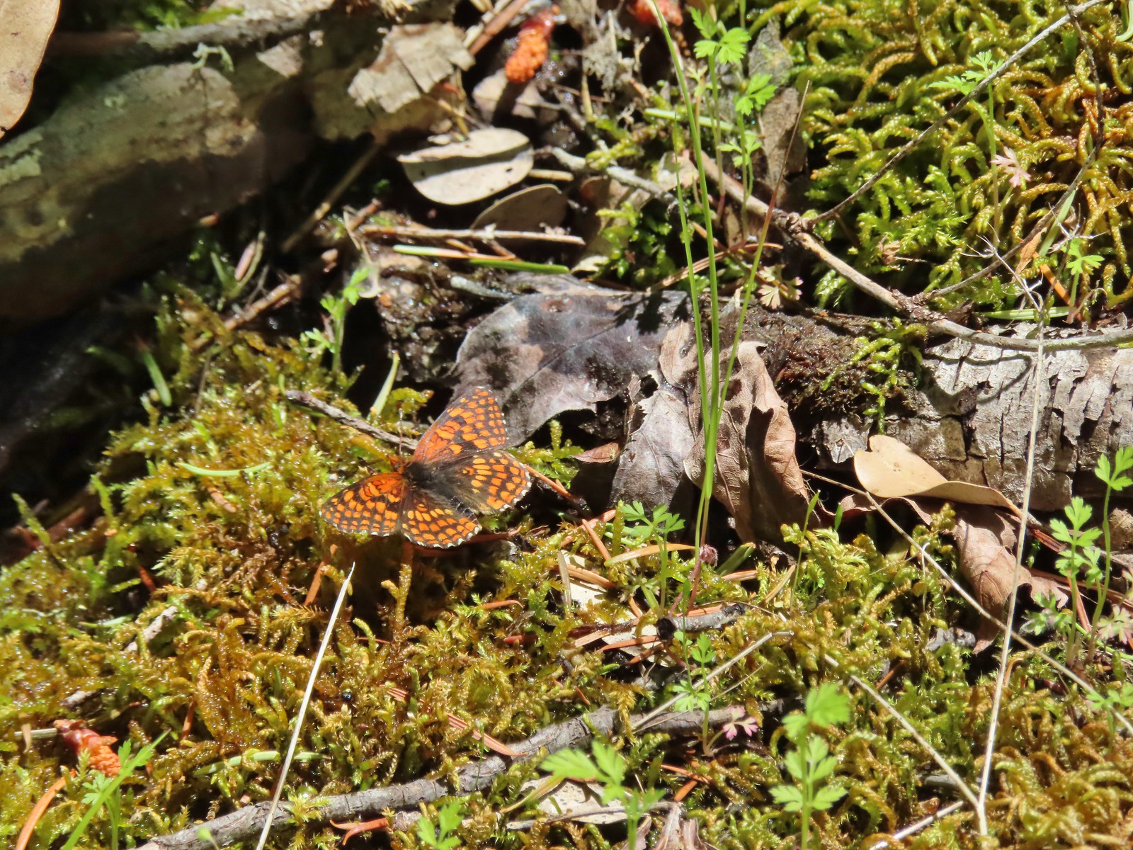 Butterfly – Mule Mountain
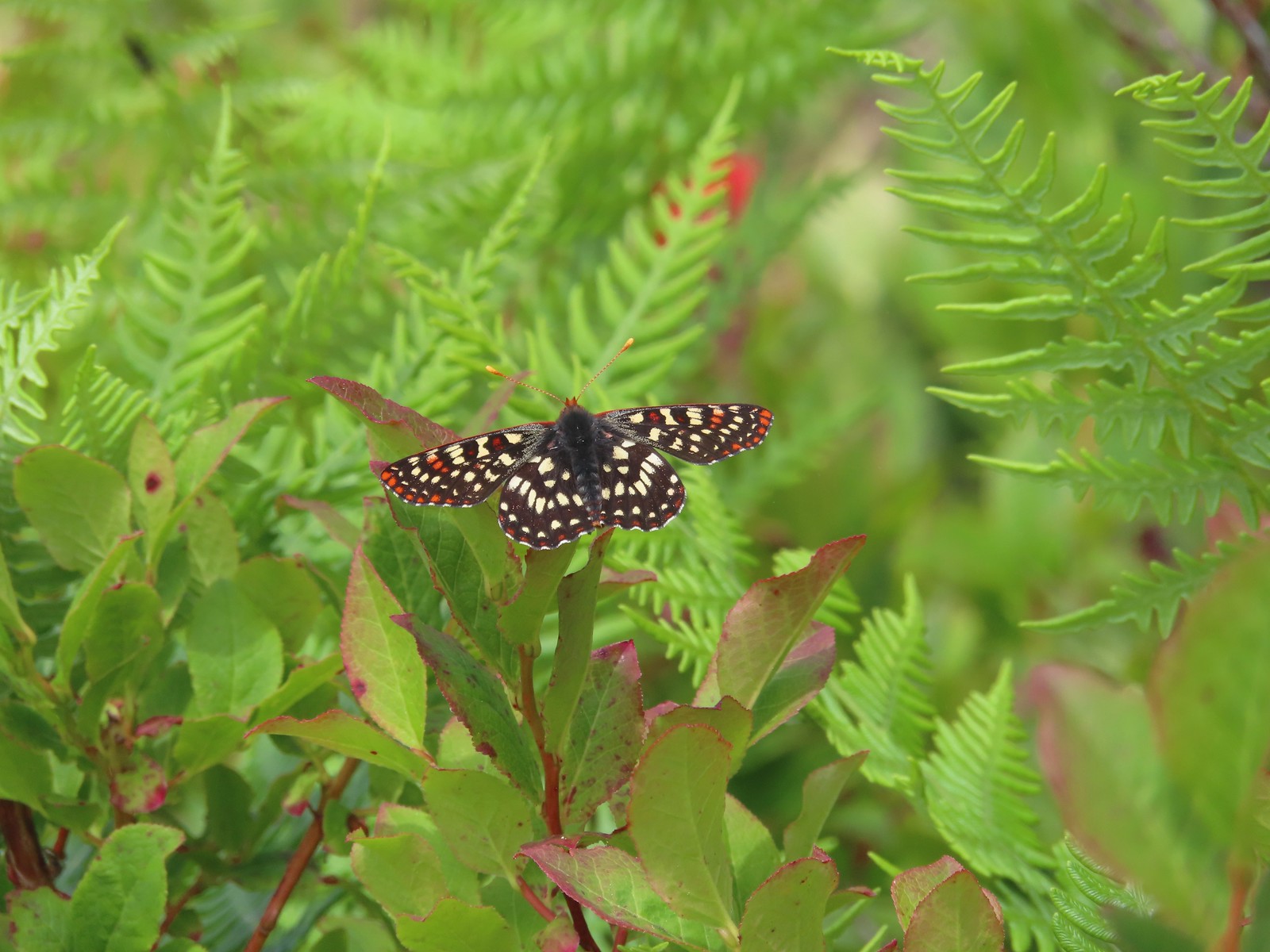 Butterfly – Silver Star Mountain
 Butterfly – Silver Star Mountain
 Butterfly – Silver Star Mountain
 Western meadow fritillary? – Silver Star Mountain
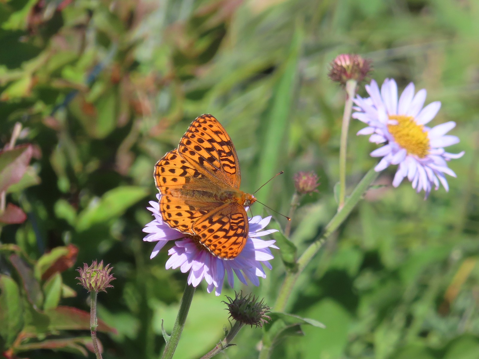 A fritillary – Silver Star Mountain
 A fritillary – Trinity Alps Wilderness
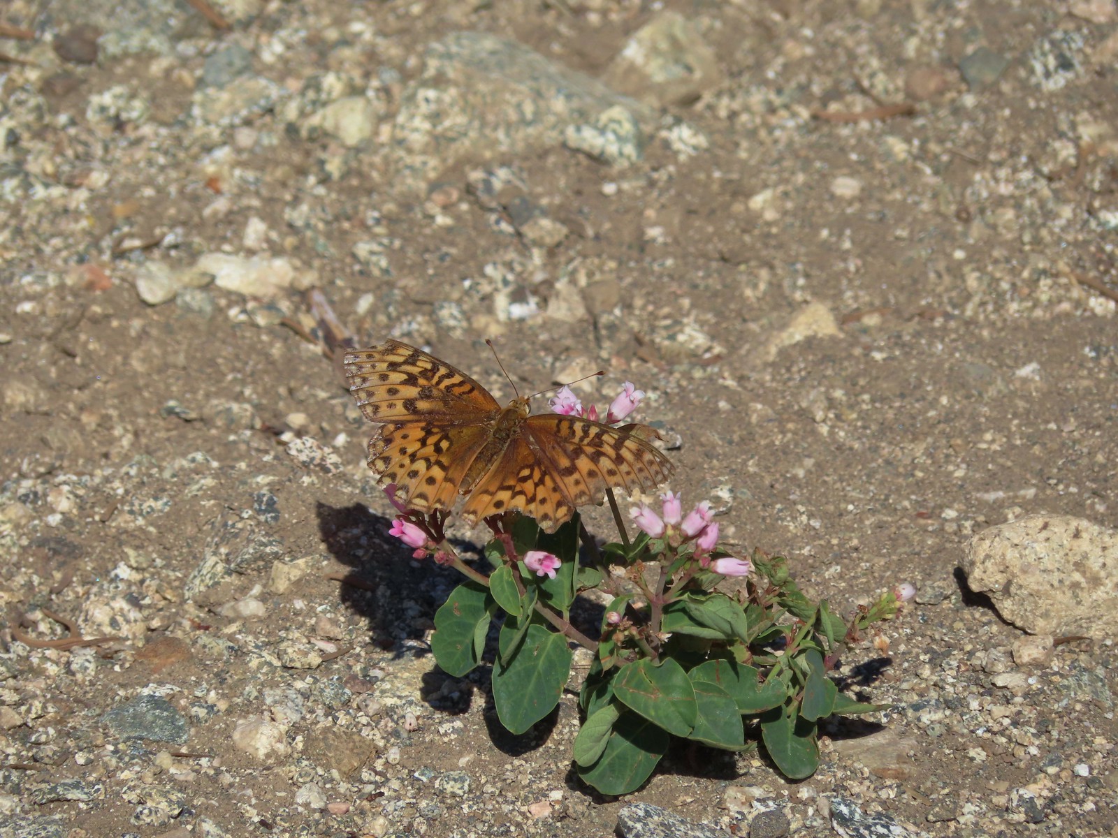 A fritillary -Russian Wilderness
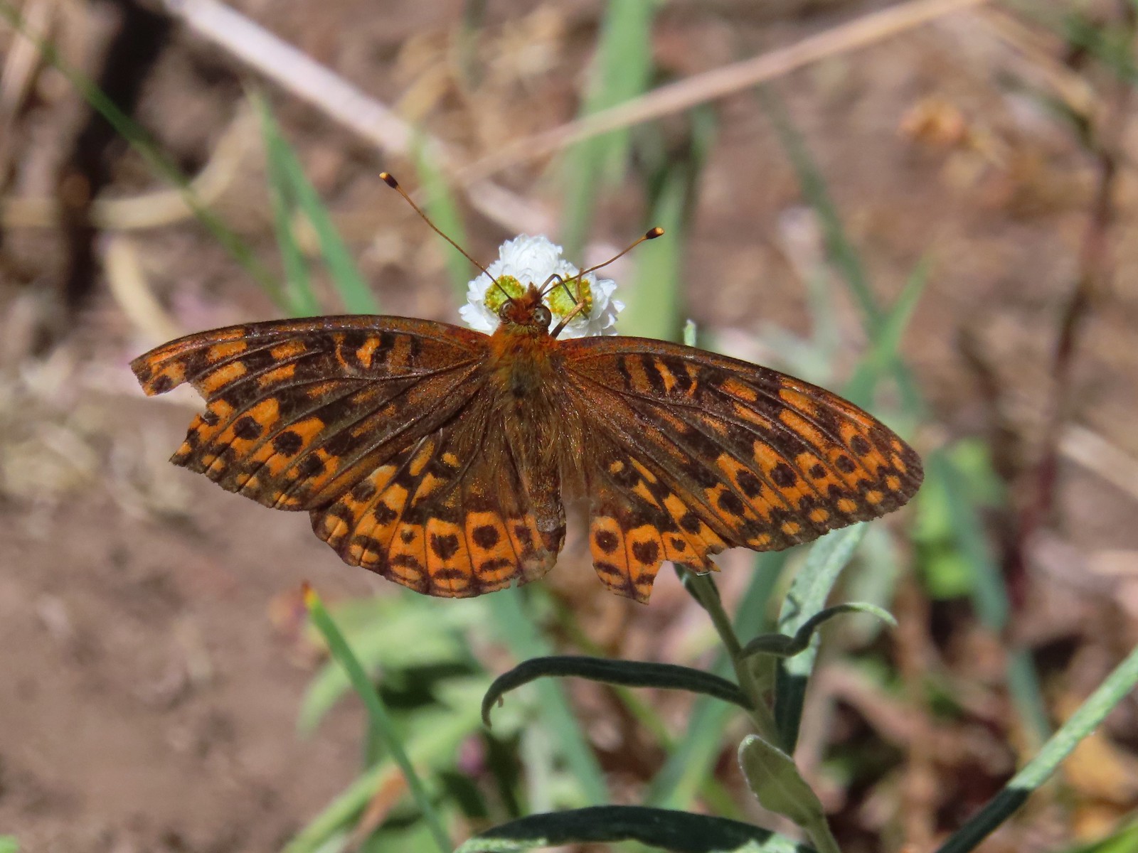 A fritillary – Rogue-Umpqua Divide Wilderness
 Mourning cloak – Klickitat Trail
 California tortoiseshell – Siskiyou Wilderness
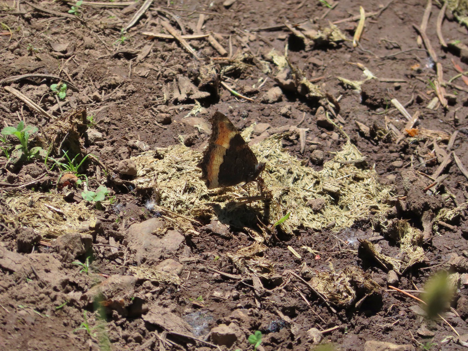 Milbert’s tortoiseshell – Eagle Cap Wilderness
 Lorquin’s admiral – Eagle Cap Wilderness
 Common buckeye – Mt. Shasta Wilderness
 Hoary comma – Sky Lakes Wilderness
 Green comma? – Eagle Cap Wilderness
 Klickitat Trail
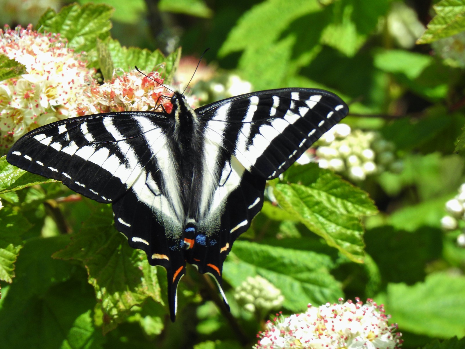 Julia Butler Hanson Wildlife Refuge
 Eagle Cap Wilderness
 Tadpoles – Russian Wilderness
 Tadpole transforming – Mt. Adams Wilderness
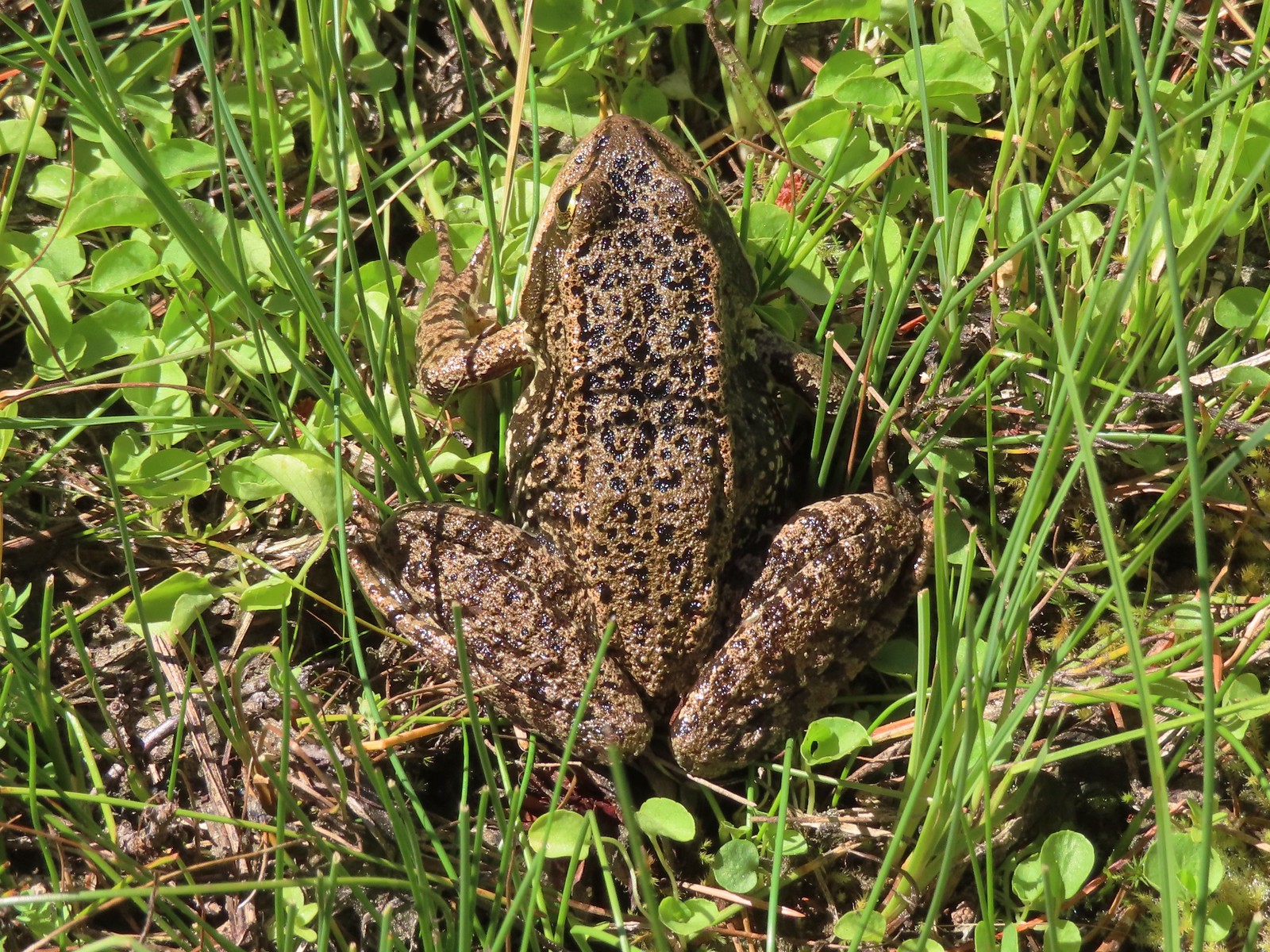 Frog – Russian Wilderness
 Frog – Goat Marsh Lake
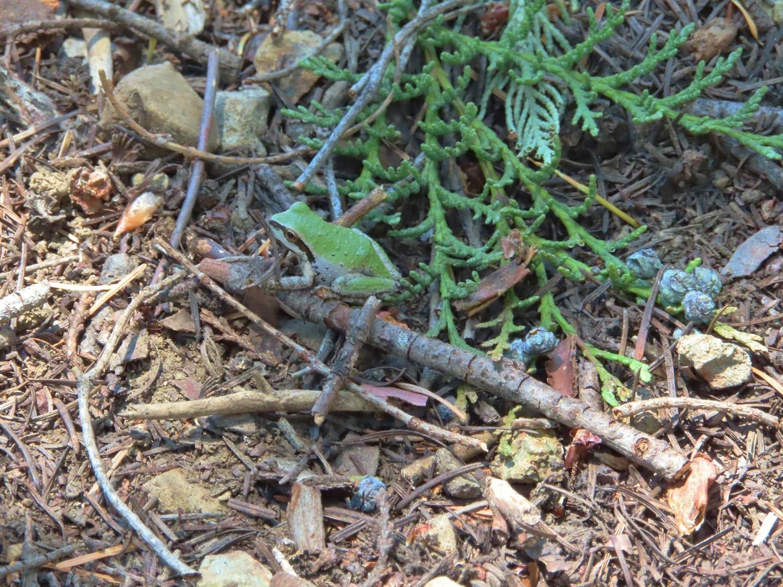 Tree frog – Siskiyou Wilderness
 Frog – Trinity Alps Wilderness
 Toad – Trinity Alps Wilderness
 Toad – Mt. Jefferson Wilderness
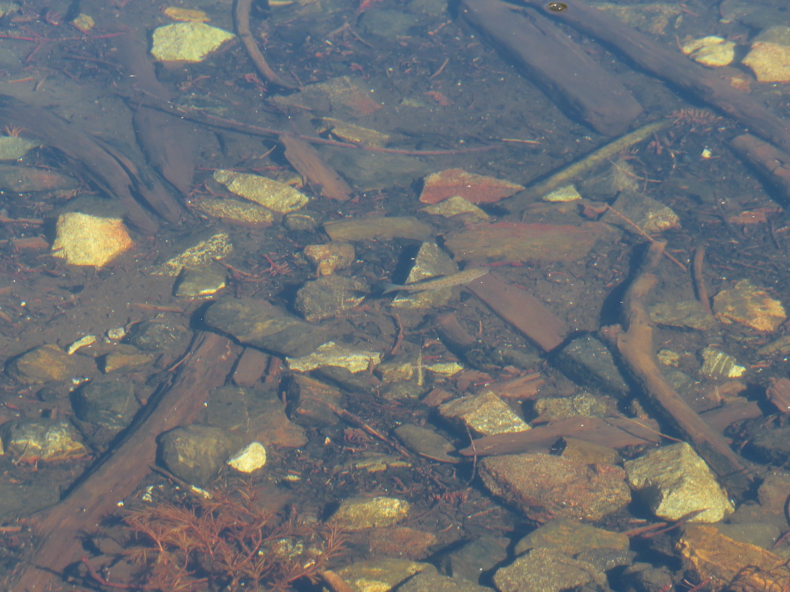 Fish – Siphon Lake
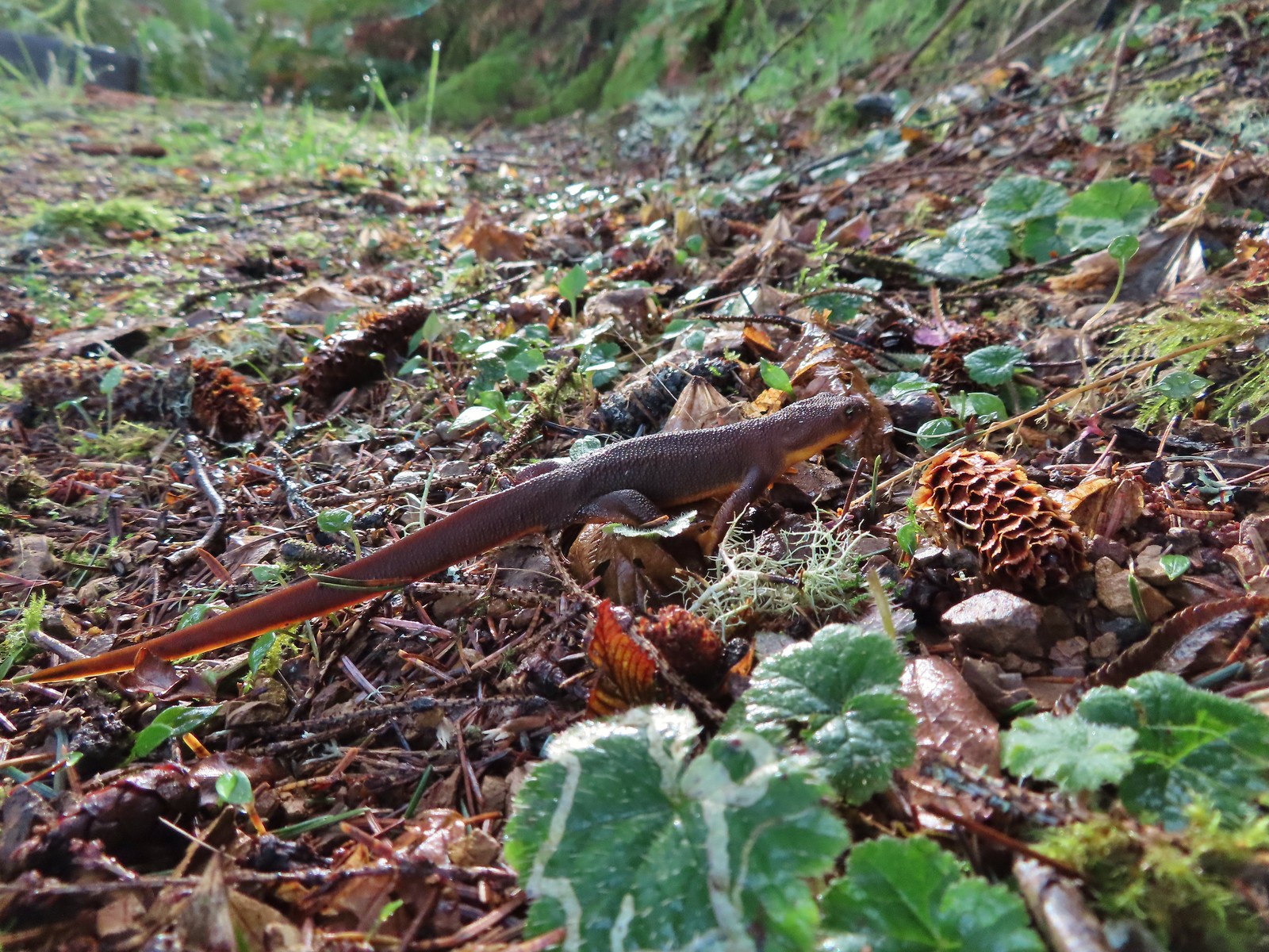 Rough skinned newt – Yakona Nature Preserve
 Western painted turtle – Julia Hansen Butler Wildlife Refuge
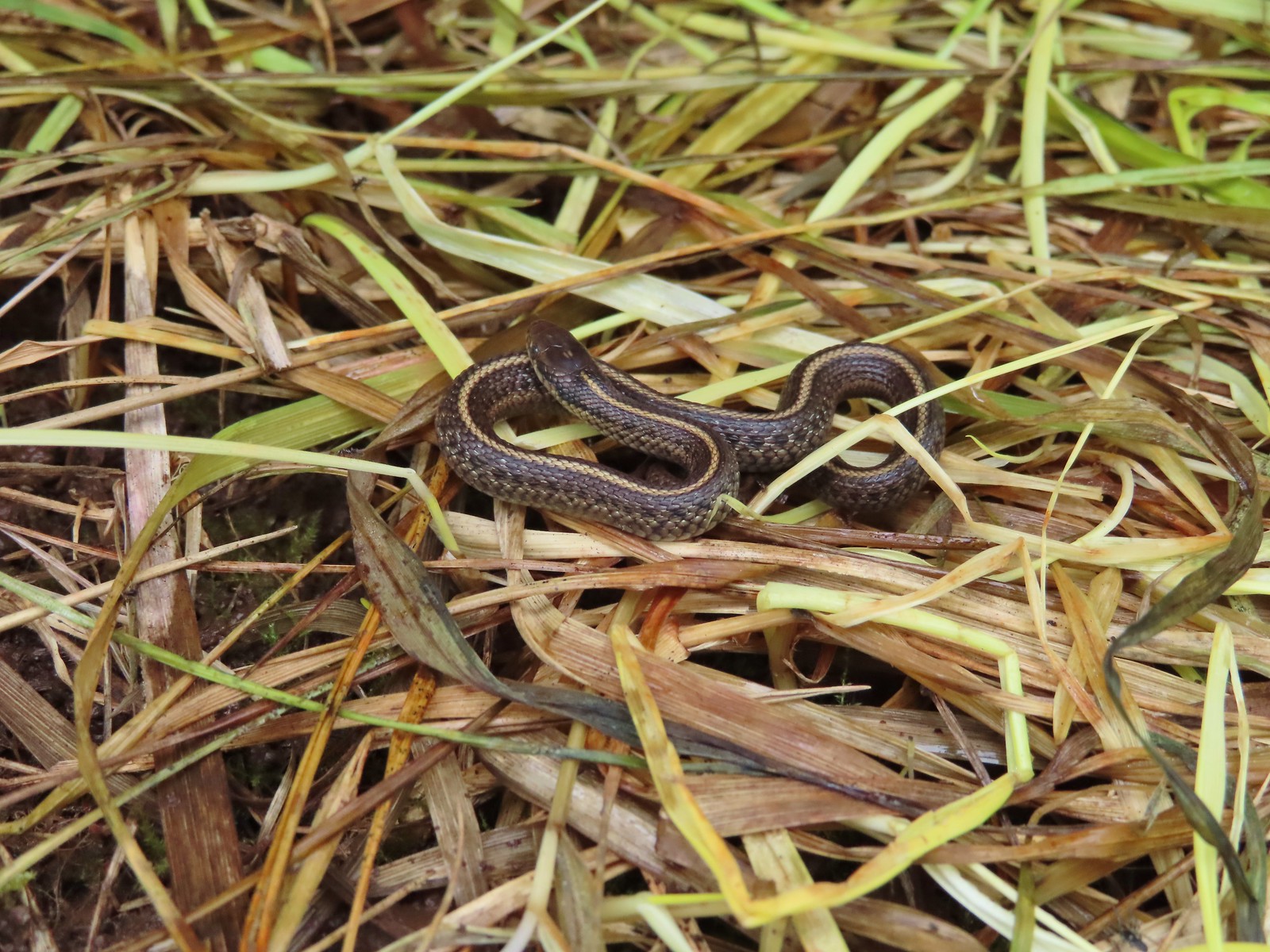 Baby snake – Miller Woods
 Garter snake – Julia Hansen Butler Wildlife Refuge
 Lizard – Mule Mountain
 Lizard – Upper Table Rock
 Lizard – Russian Wilderness
 Lizard – Siskiyou Wilderness
 Lizard – Klickitat Trail
 Lizard – Upper Table Rock
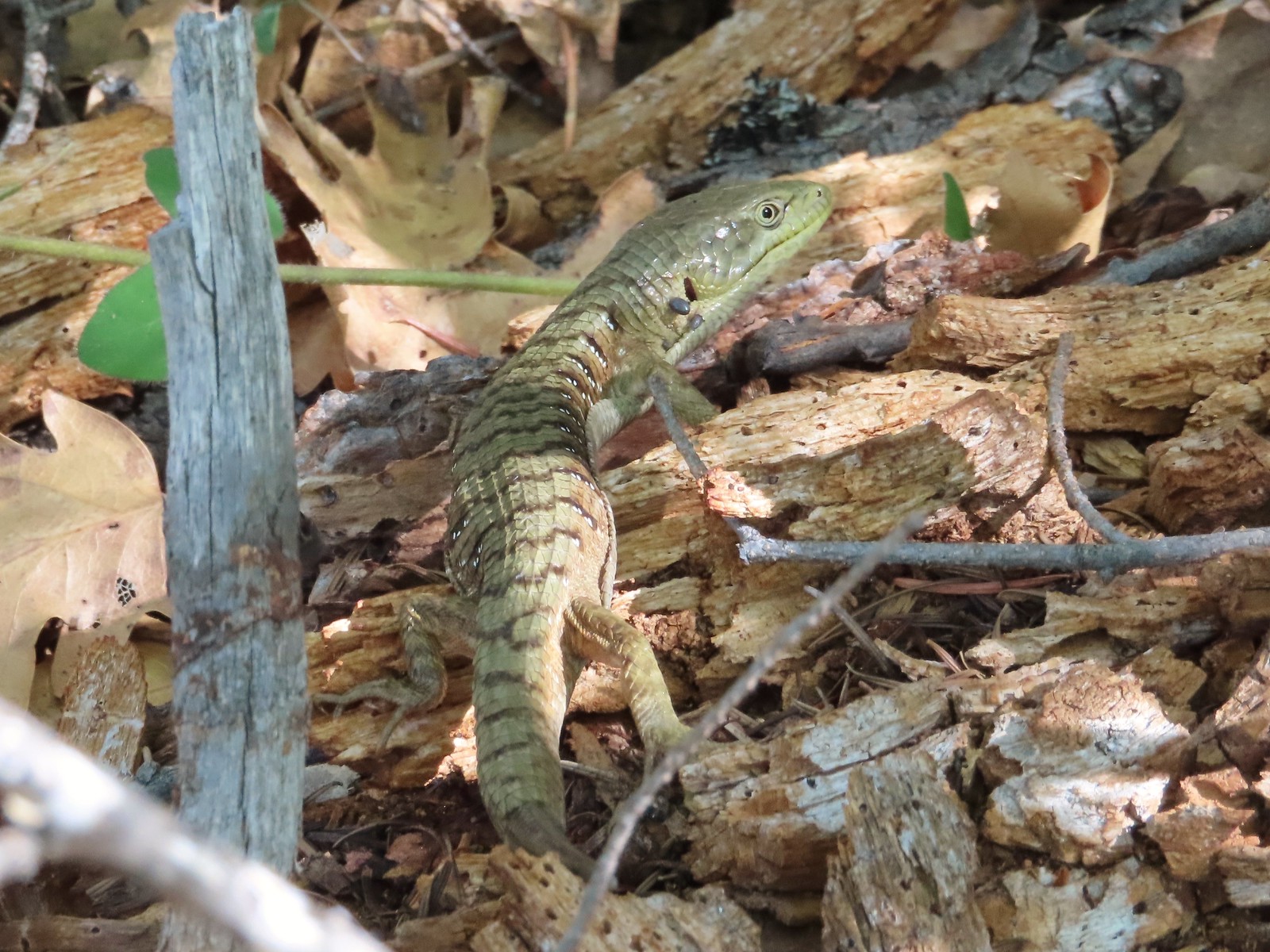 Alligator lizard – Mule Mountain
 Chipmunk – Observation Peak
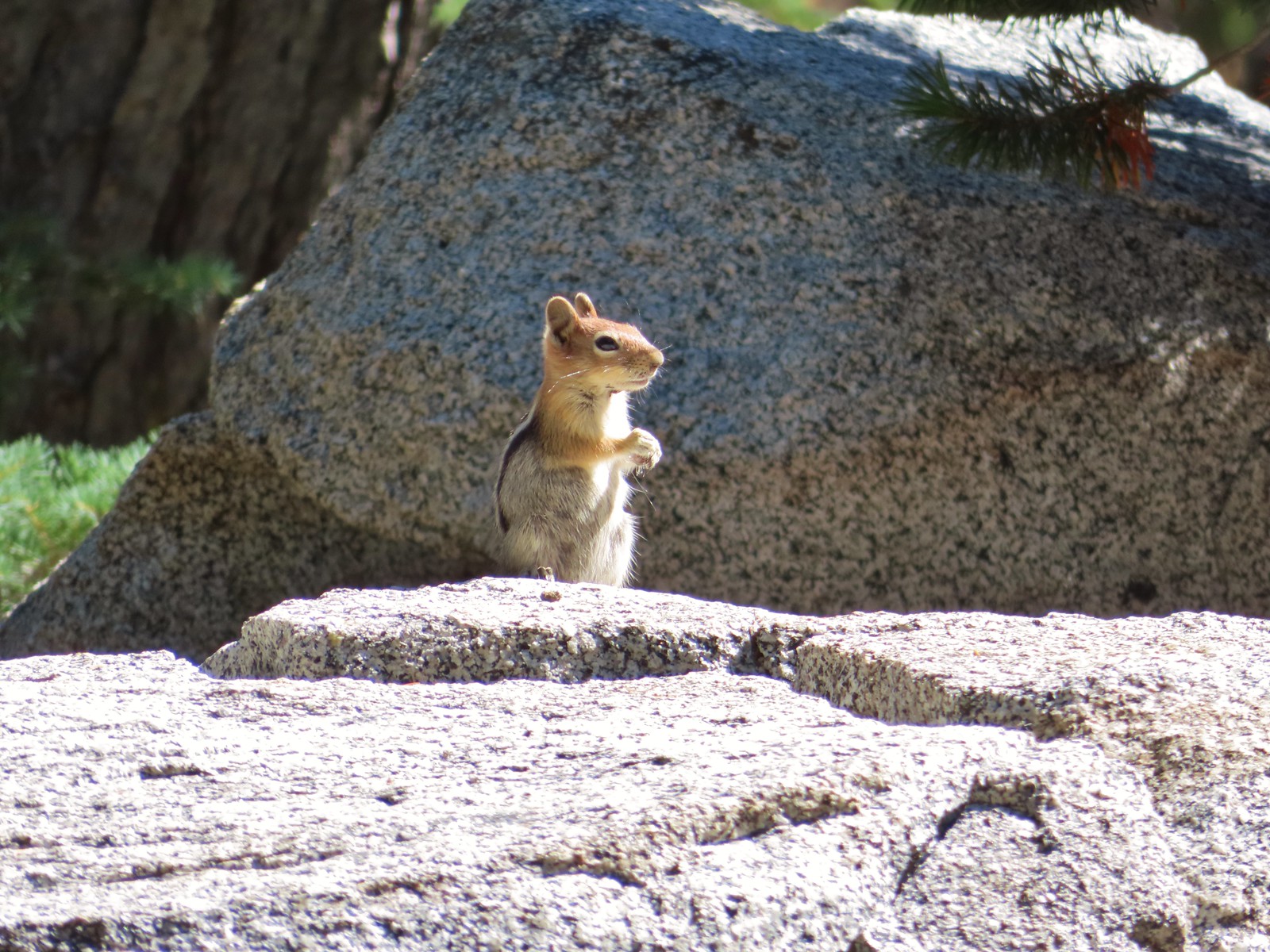 Ground squirrel – Russian Wilderness
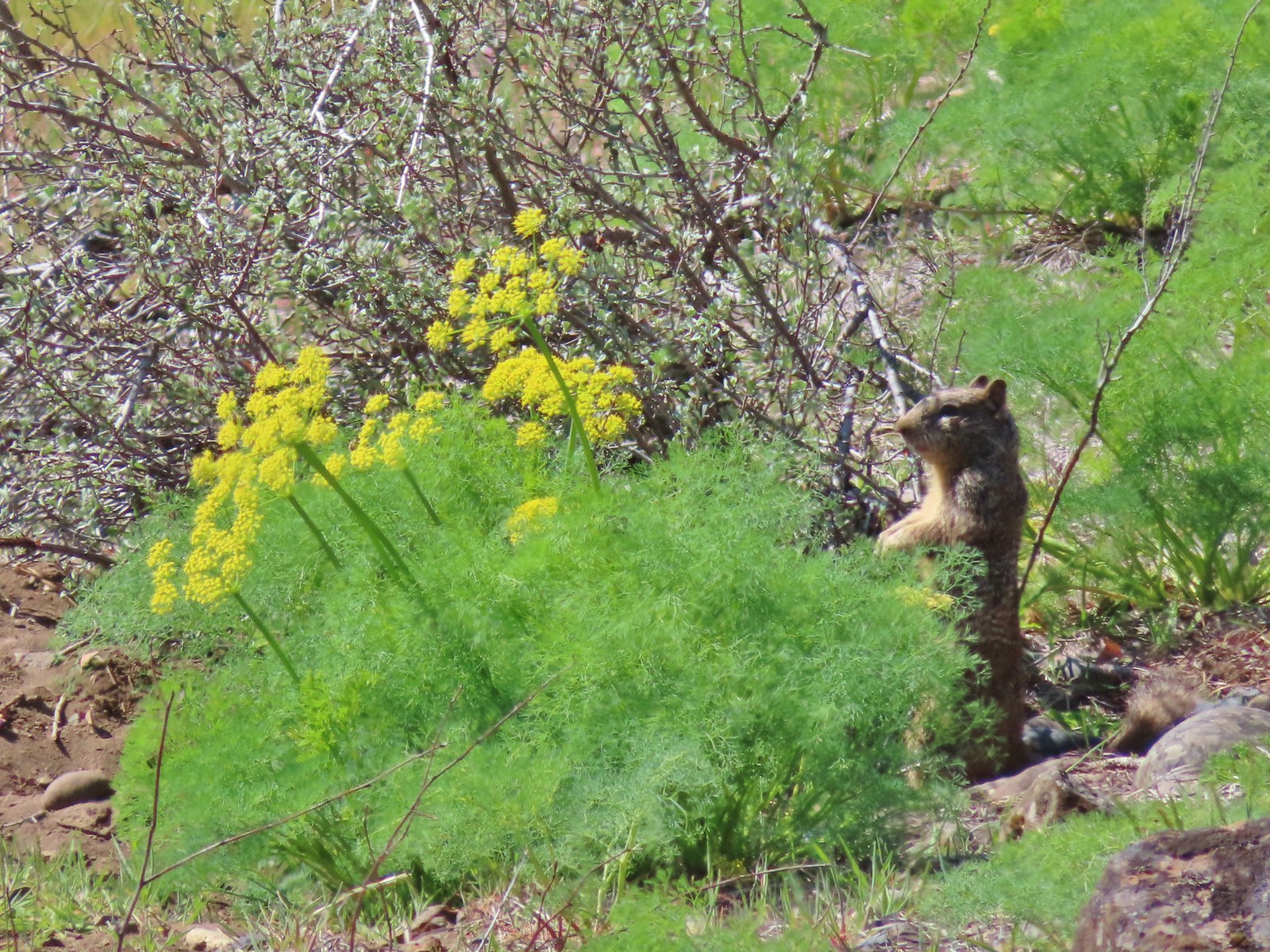 Ground squirrel – Klickitat Trail
 Ground squirrel – Eagle Cap Wilderness
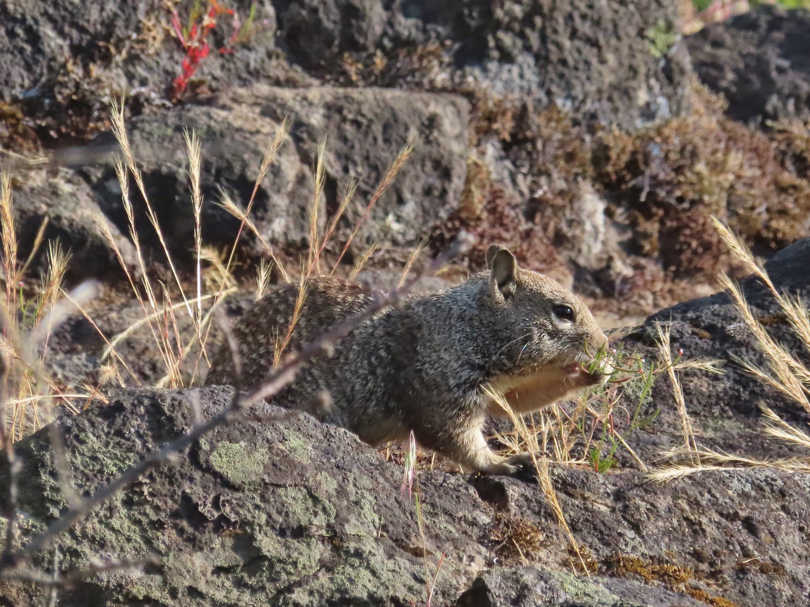 Ground squirrel – Upper Table Rock
 Squirrel – Rock Creek Trail
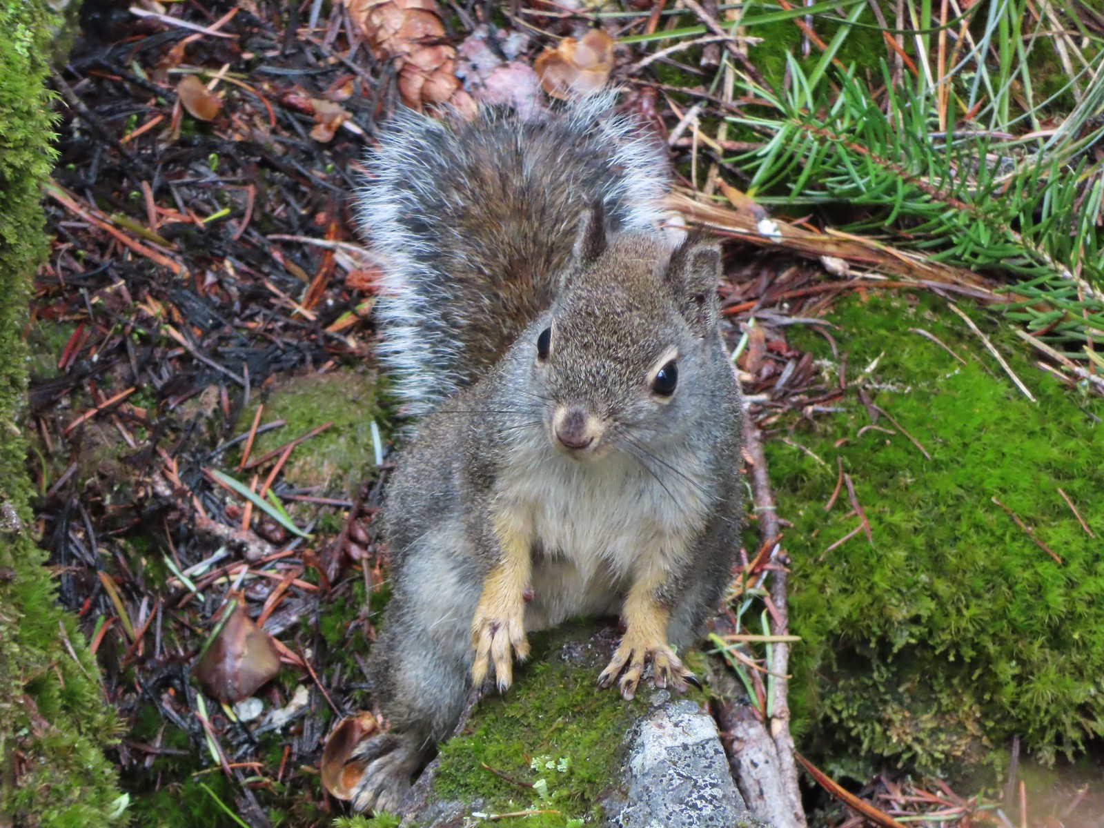 Squirrel – Twin Lakes
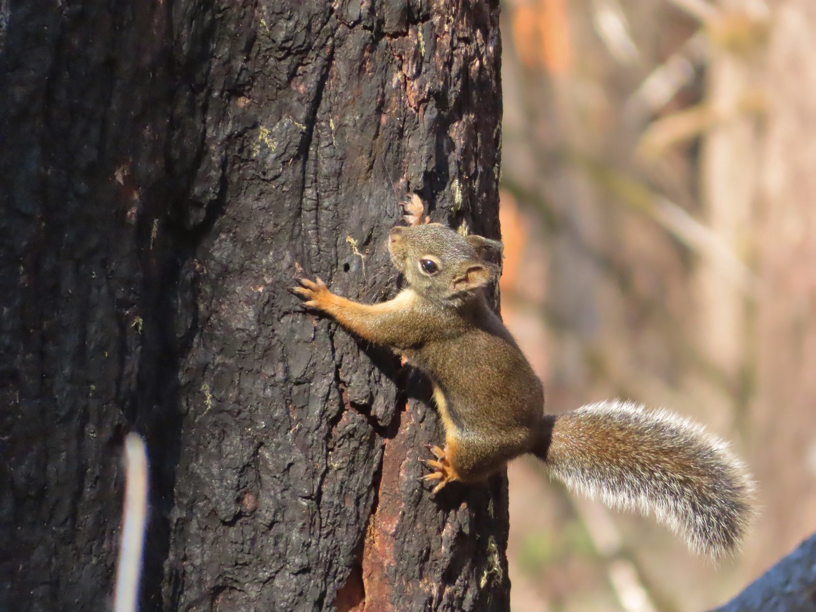 Squirrel – Larch Mountain Trail
 Marmot – Wallowa Homeland
 Jack rabbit – Denman Wildlife Area
 Rabbit – E. E. Wilson Wildlife Area
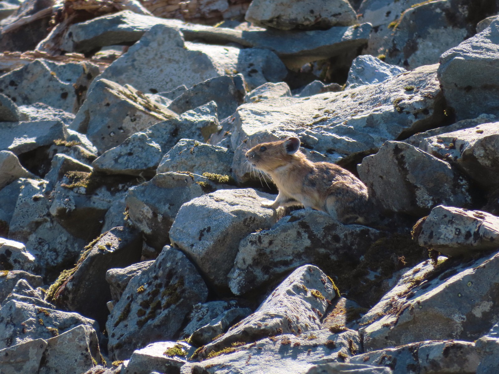 Pika – Silver Star Mountain
 Muskrat – Julia Butler Hansen – Wildlife Refuge
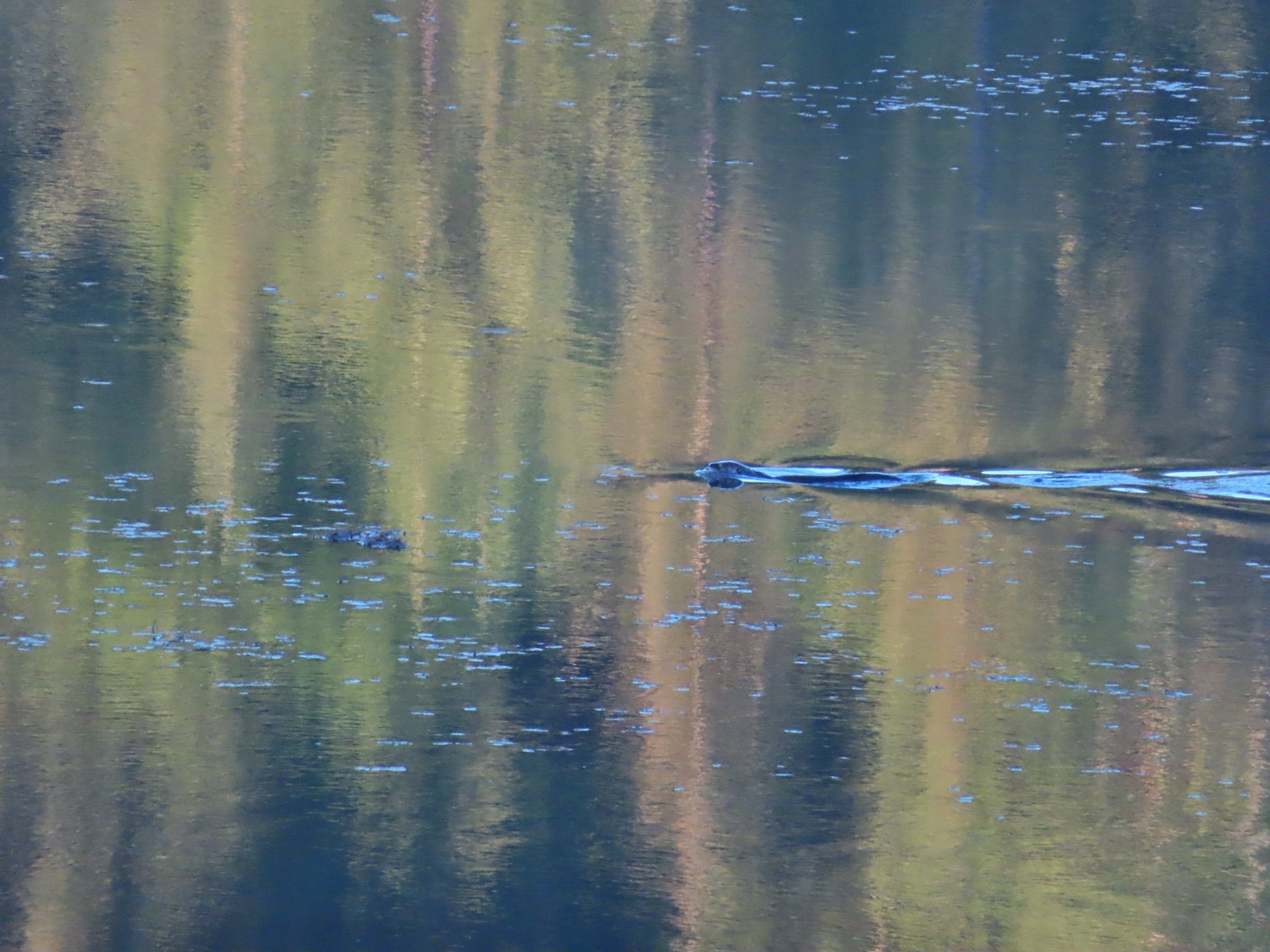 Otter – Killin Wetlands
 Sea lion – Hart’s Cove
 Deer – Memaloose Hills
 Doe – Miller Woods
 Mamma – Roxy Ann Peak
 Fawn – Roxy Ann Peak
 Columbian white-tailed buck – Julia Butler Hansen Wildlife Refuge
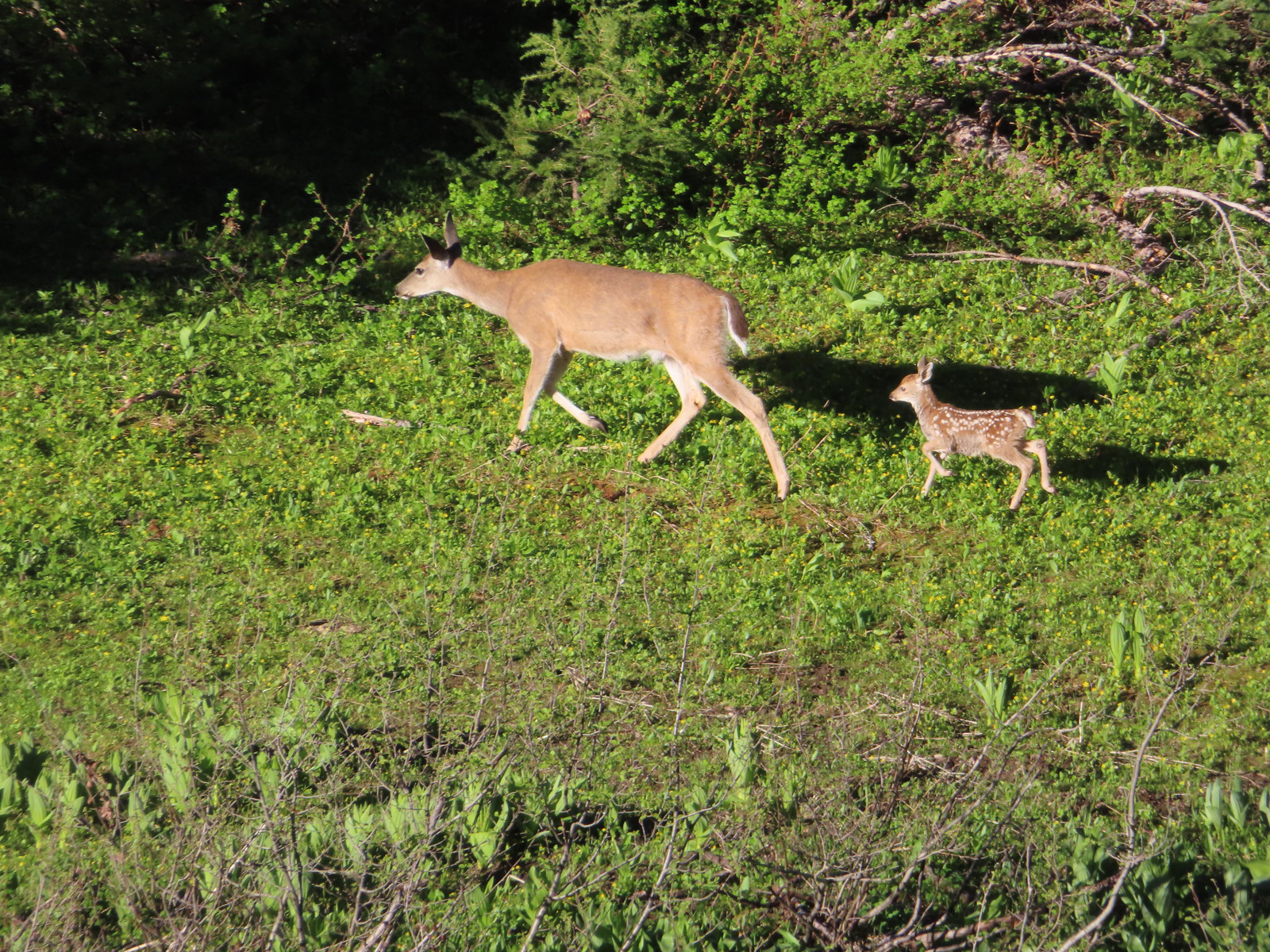 Doe & fawn – Donomore Meadows
 Three bucks – Siskiyou Wilderness
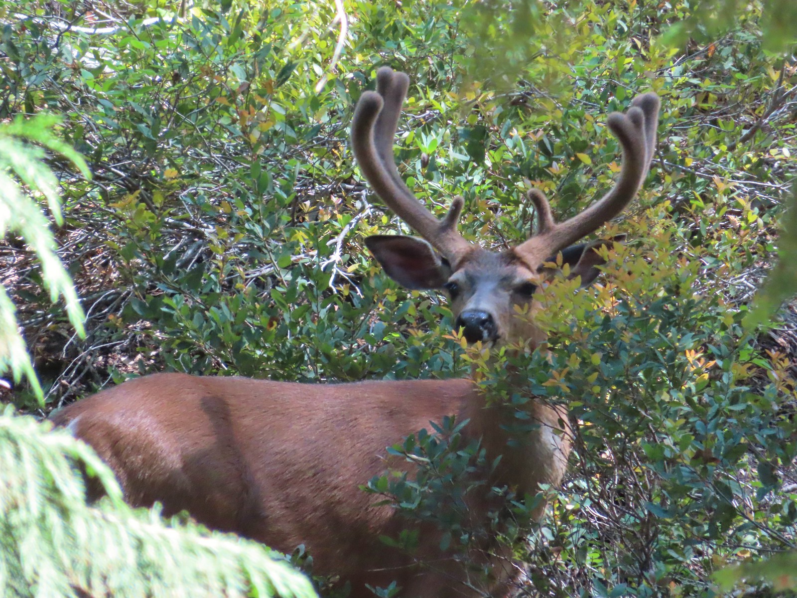 Buck – Siskiyou Wilderness
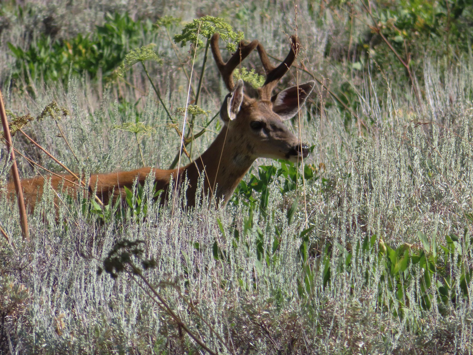 Buck – Trinity Alps Wilderness
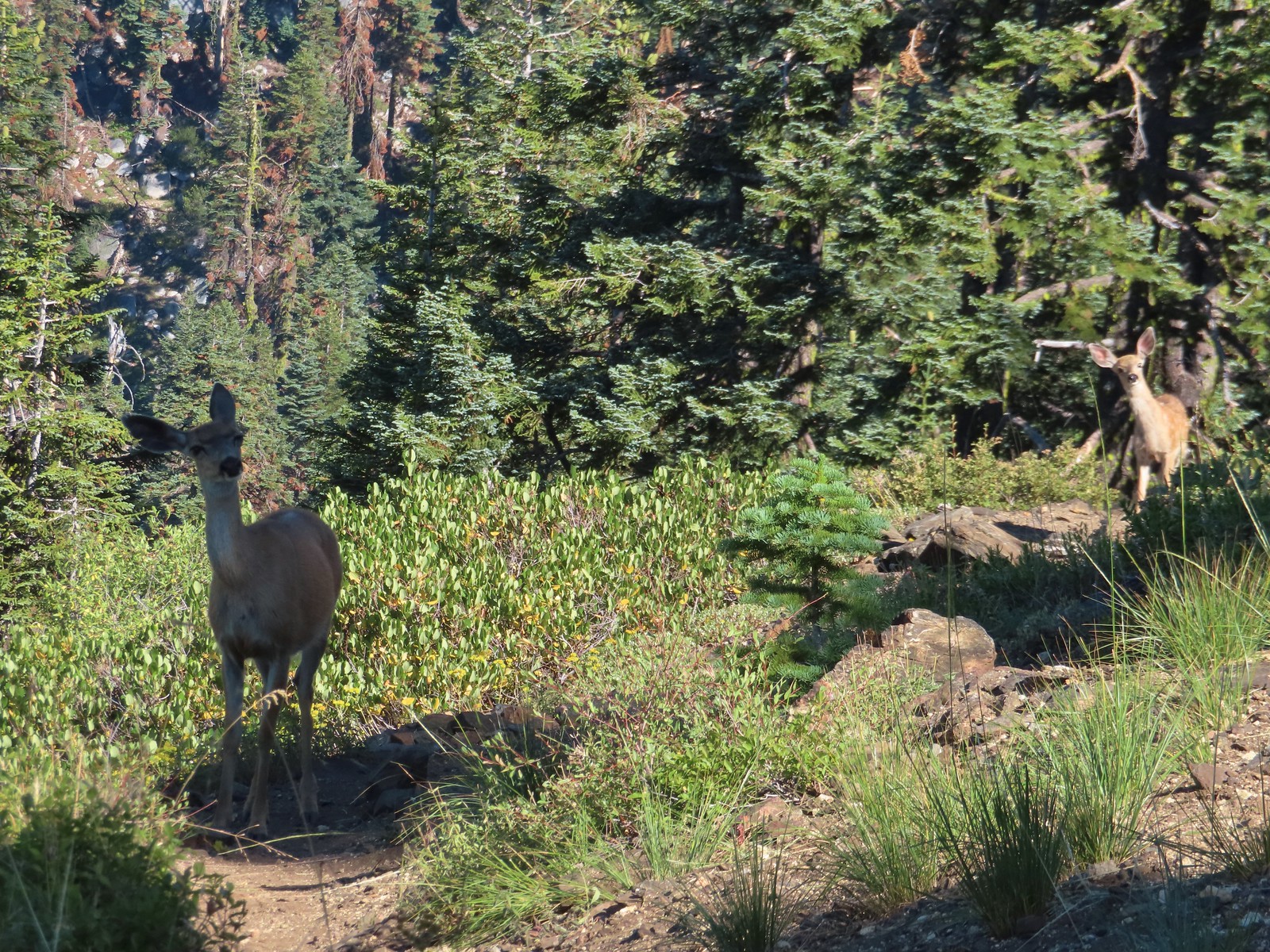 Doe & fawn – Russian Wilderness
 Buck and does – Russian Wilderness
 Two bucks – Crater Lake National Park
 Elk – Yakona Nature Preserve
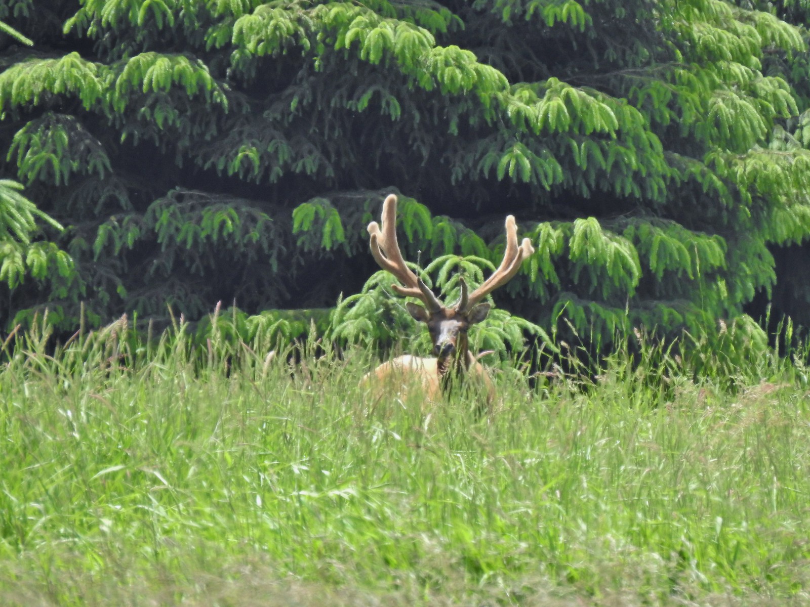 Bull elk – Julia Butler Hansen Wildlife Refuge
 Mountain goat below the Mt. Ireland Lookout – Mt. Ireland
 Domestic goat – Near the Julia Butler Hansen Wildlife Refuge
 Black bear – Siskiyou Wilderness
 The same black bear making eye contact the day before.
 Hummingbird at Memaloose Hills in May.
 Hummingbird at Upper Table Rock in May.
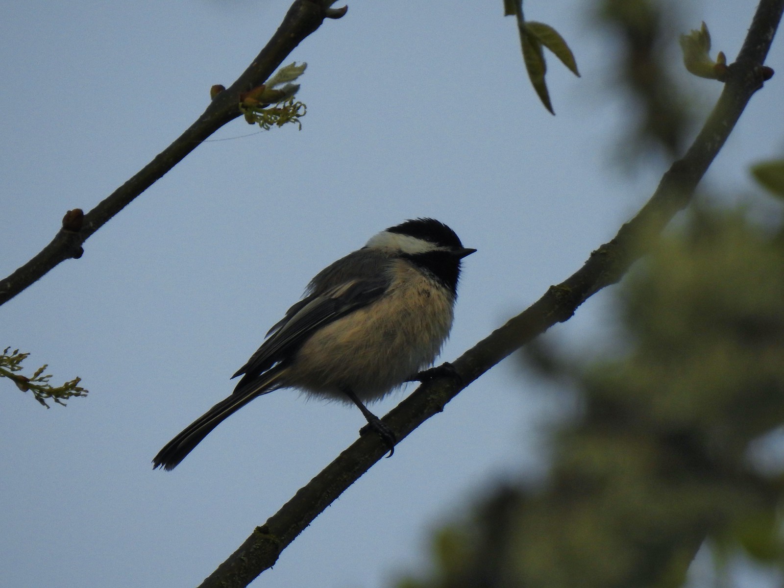 Black capped chickadee at Ankeny Wildlife Refuge in April.
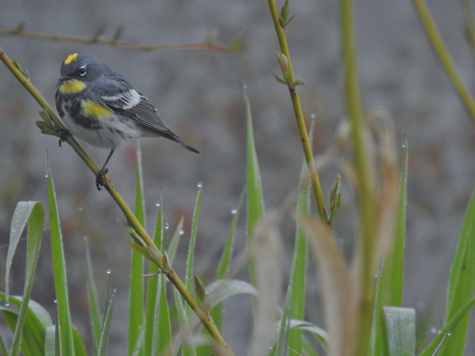 Yellow-rumped warbler (Audubon’s) at Ankeny Wildlife Refuge in April.
 Wren (marsh?) at Ankeny Wildlife Refuge in April.
 White-crowned sparrow at Ankeny Wildlife Refuge in April.
 Sparrow? at Ankeny Wildlife Refuge in April.
 Common yellow throat at Ankeny Wildlife Refuge in April.
 Yellow-rumped warbler (Myrtle) at Ankeny Wildlife Refuge in April.
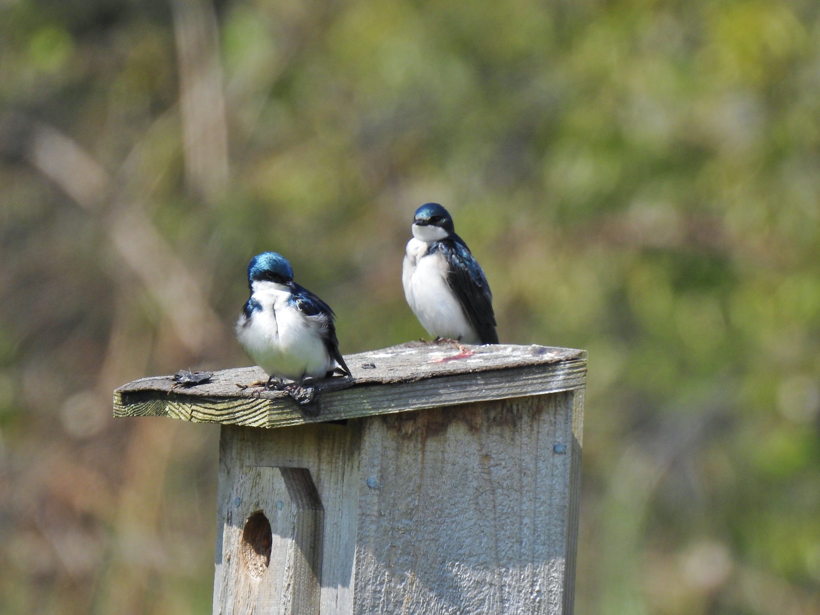 Tree swallows at Ankeny Wildlife Refuge in April.
 White-crowned sparrow and a wren at Miller Woods in May.
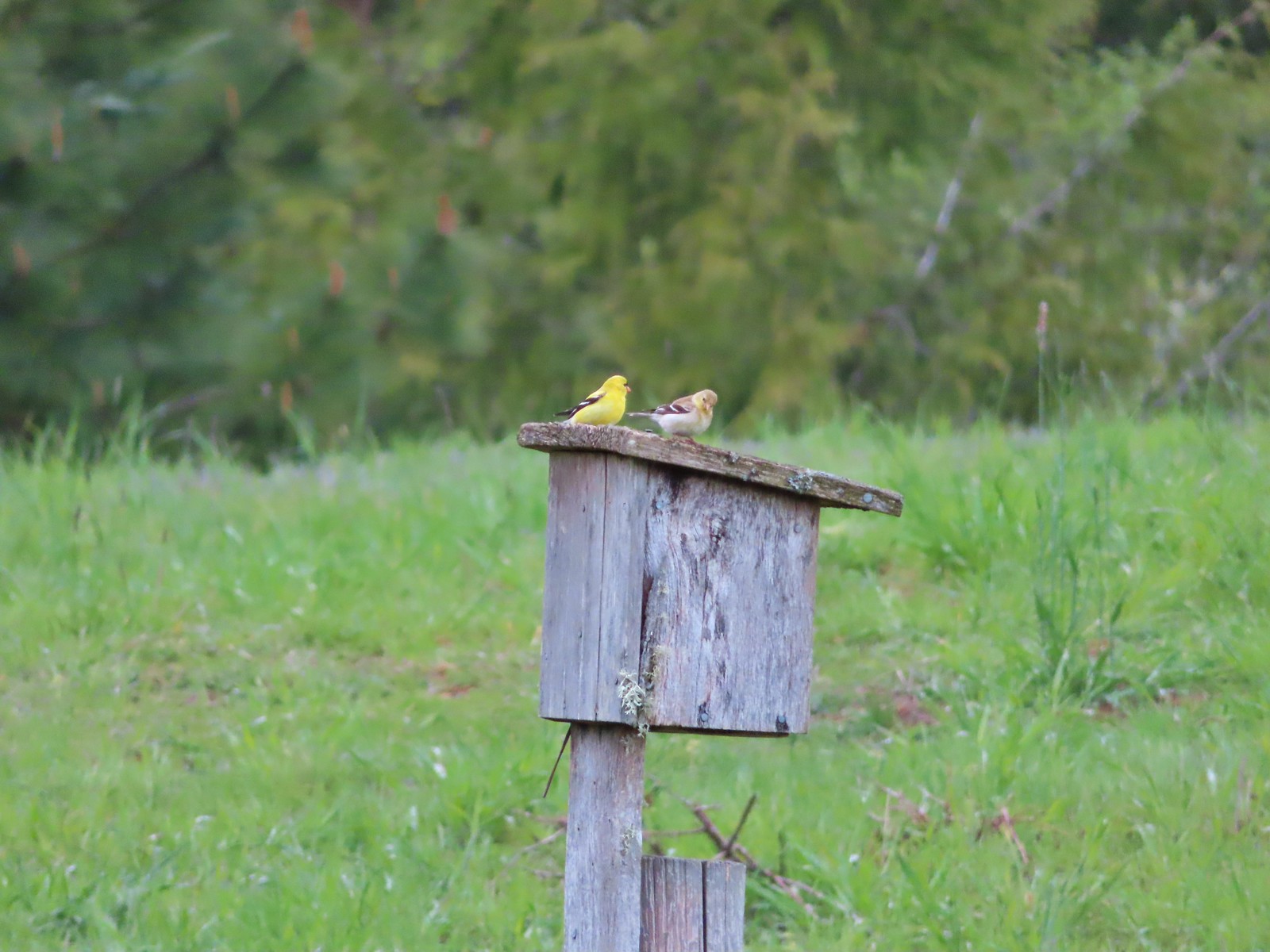 American goldfinch pair at Miller Woods in May.
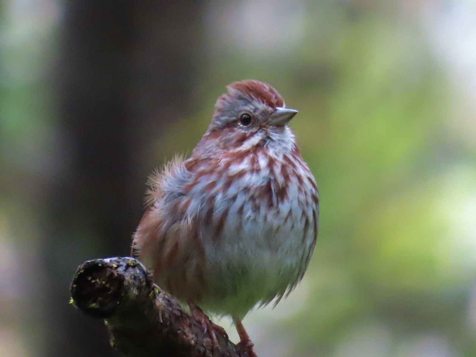 Another sparrow at Miller Woods in May.
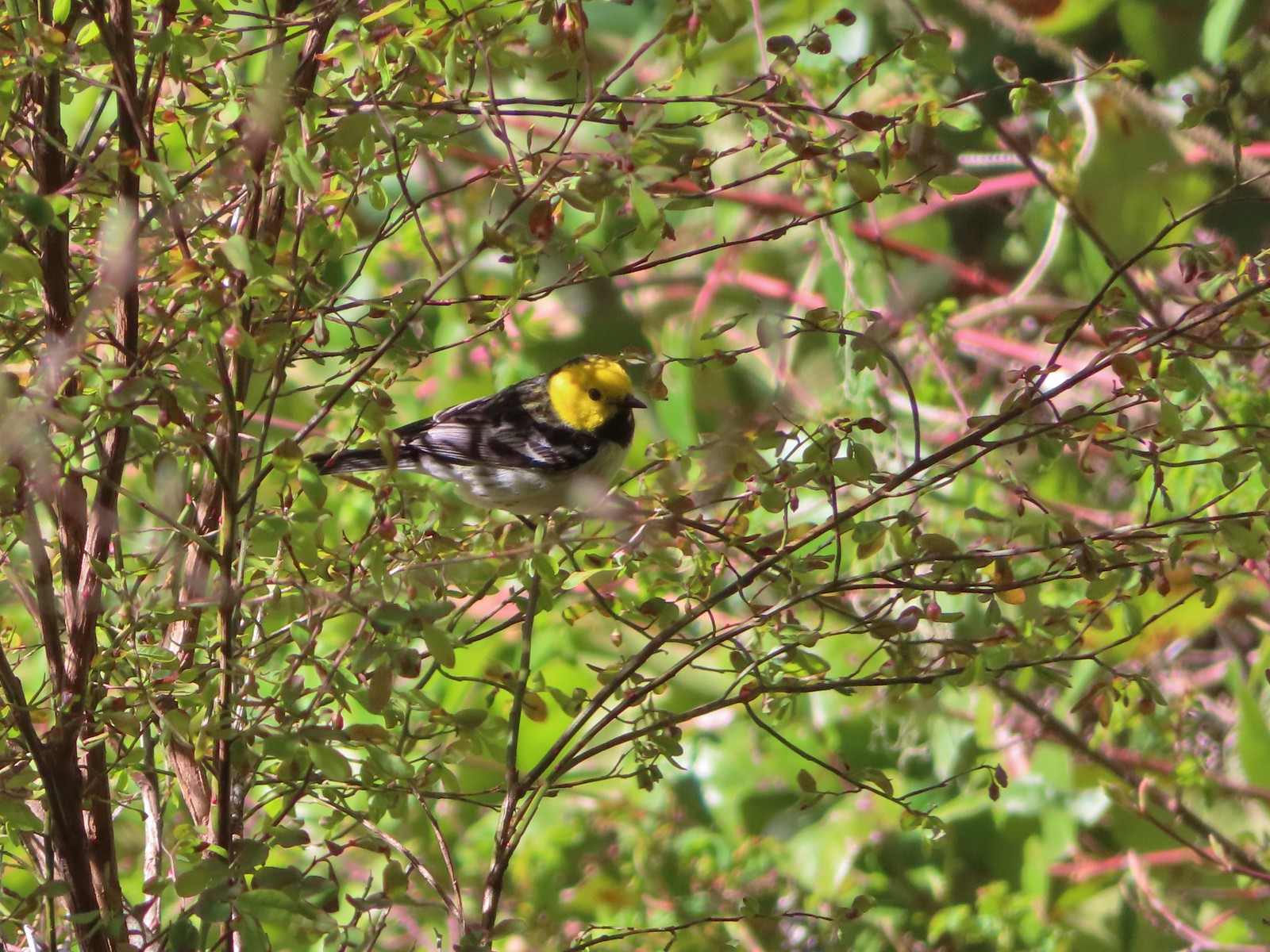 Hermit warbler? near Kings Mountain in May.
 House finch? at Upper Table Rock in May.
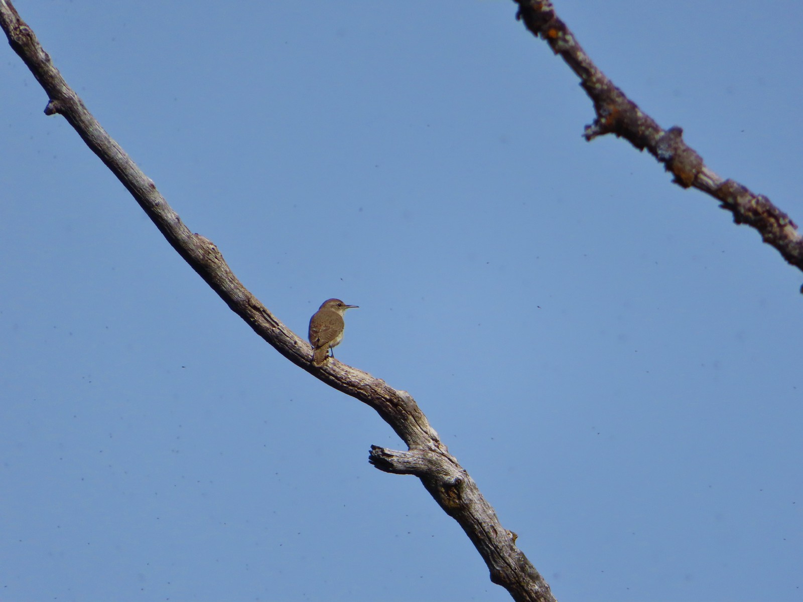 Rock wren? at Upper Table Rock in May.
 Ash-throated flycatcher at Denman Wildlife Area in May.
 Unknown at Denman Wildlife Area in May.
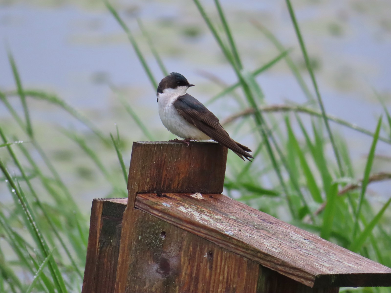 Swallow at Julia Hansen Butler Wildlife Refuge in June.
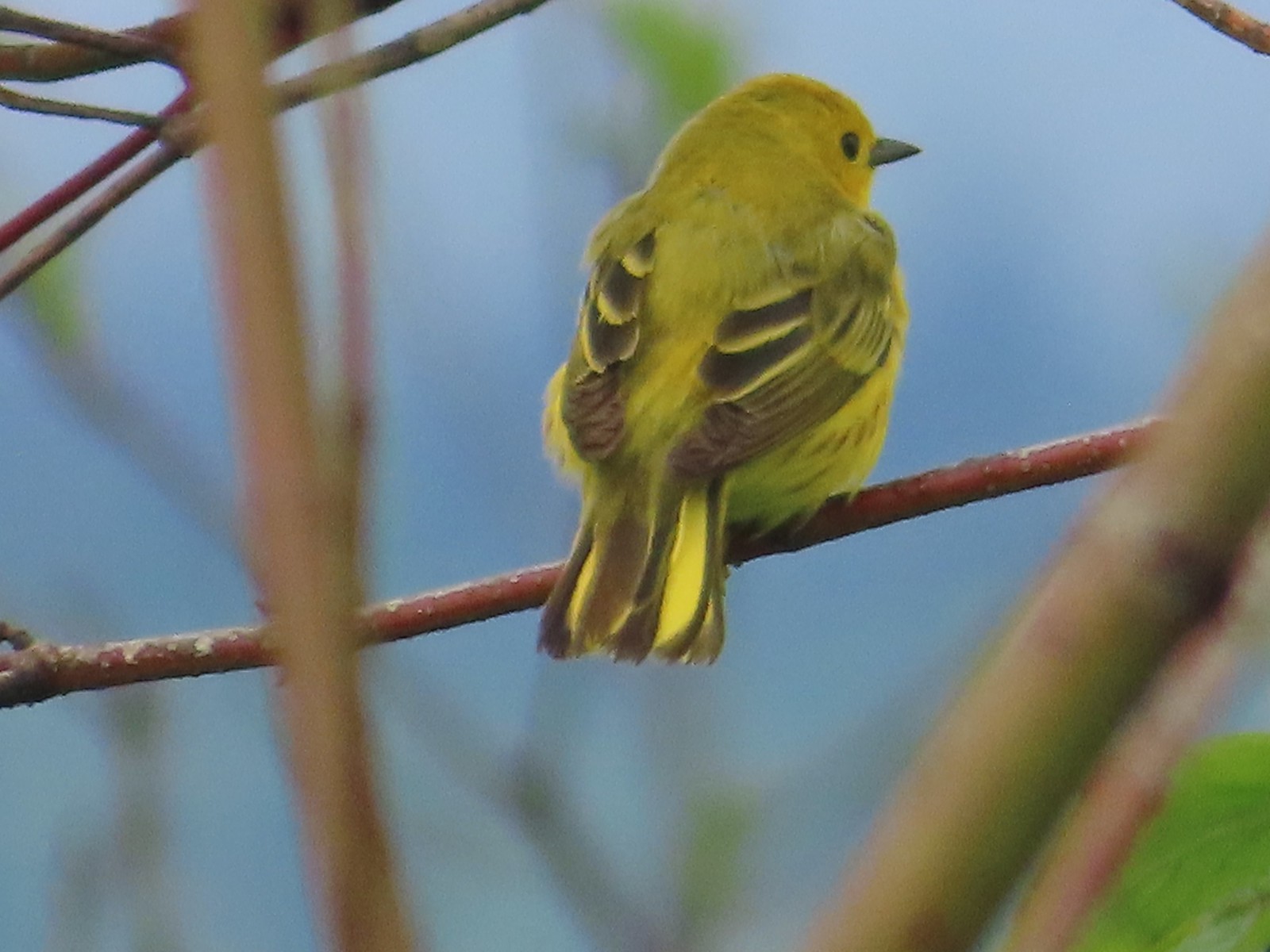 Some sort of warbler? at Julia Hansen Butler Wildlife Refuge in June.
 Purple martins at Julia Hansen Butler Wildlife Refuge in June.
 Another wren at Julia Hansen Butler Wildlife Refuge in June.
 Unknown at Julia Hansen Butler Wildlife Refuge in June.
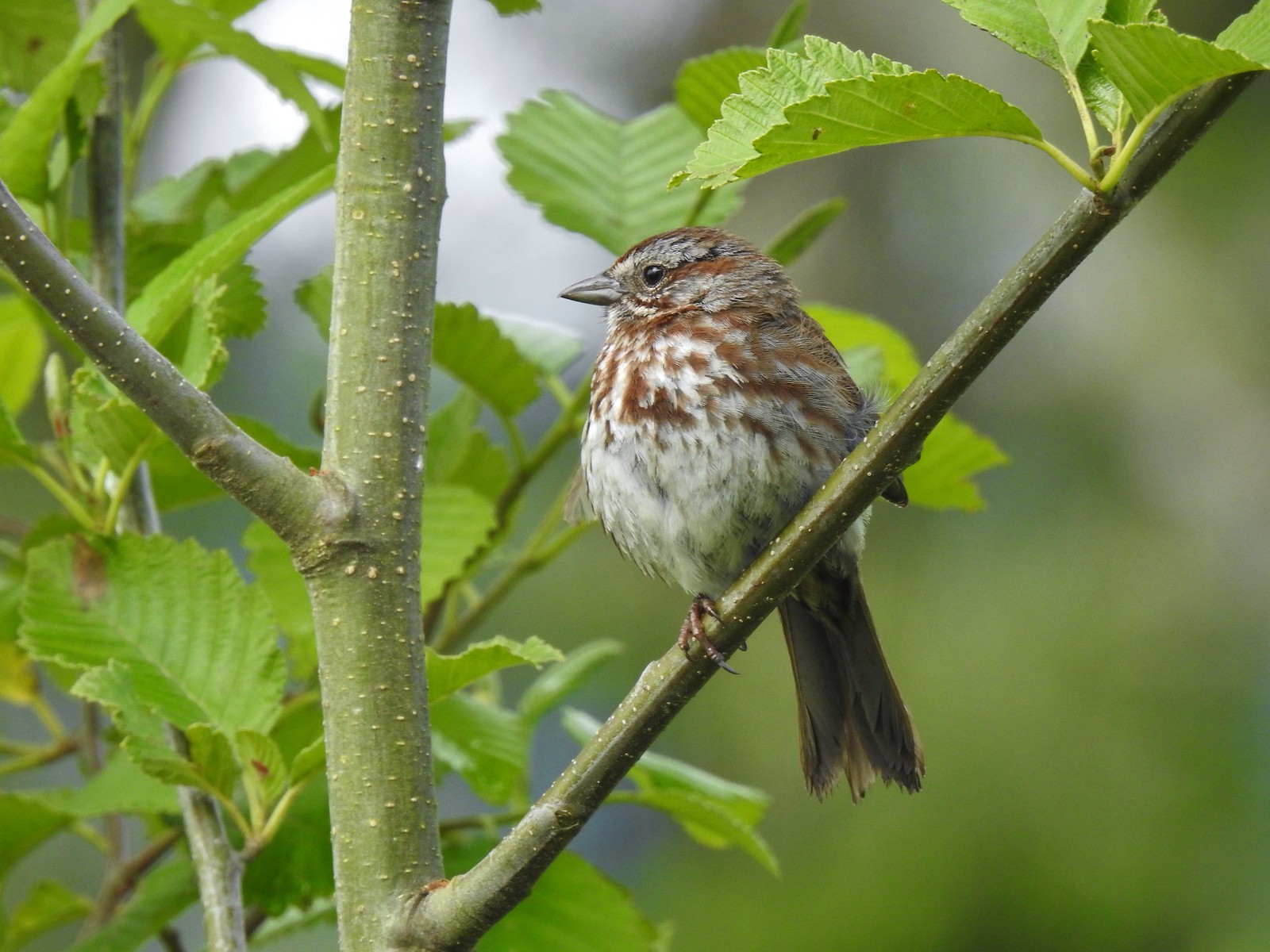 Sparrow? at Julia Hansen Butler Wildlife Refuge in June.
 Warbler? at Julia Hansen Butler Wildlife Refuge in June.
 Black phoebe? at Julia Hansen Butler Wildlife Refuge in June.
 Mountain bluebird near Union Peak in September.
 Red-breasted nuthatch (best I could get) at Crater Lake in September.
 Red crossbilss at Crater Lake in September.
 Wren on the Eagle Creek Trail in November.
 Dark eyed junco at Waverly Lake in December.
 Canada jay (grey jay) along the Crown Zellerbach Trail in March.
 California scrub jay along the Balfour-Klickitat Trail in April.
 Stellar’s jay along the Hood River Pipeline Trail in May.
 Female red-winged blackbird at Ankeny Wildlife Refuge in April.
 Red-winged blackbird at Ankeny Wildlife Refuge in April.
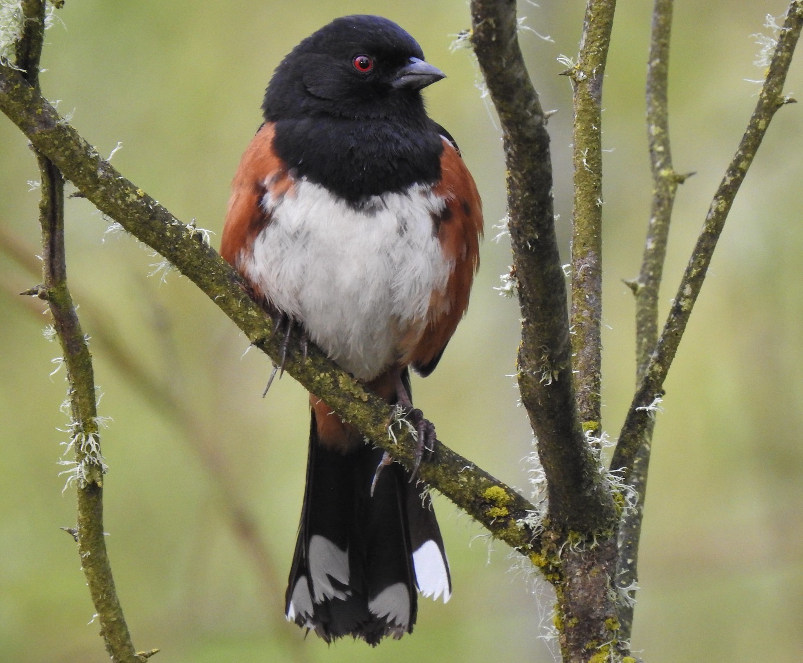 Spotted towhee at Ankeny Wildlife Refuge in April.
 Starlings along the Hood River Pipeline Trail in May.
 Brownheaded cowbird at Upper Table Rock in May.
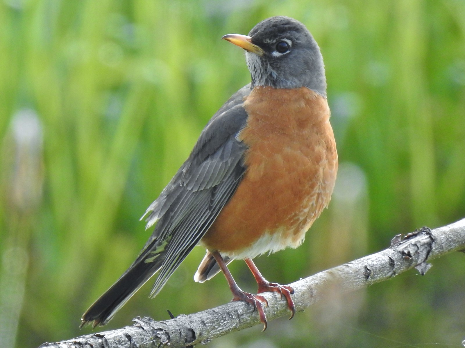 American robin at Ankeny Wildlife Refuge in April.
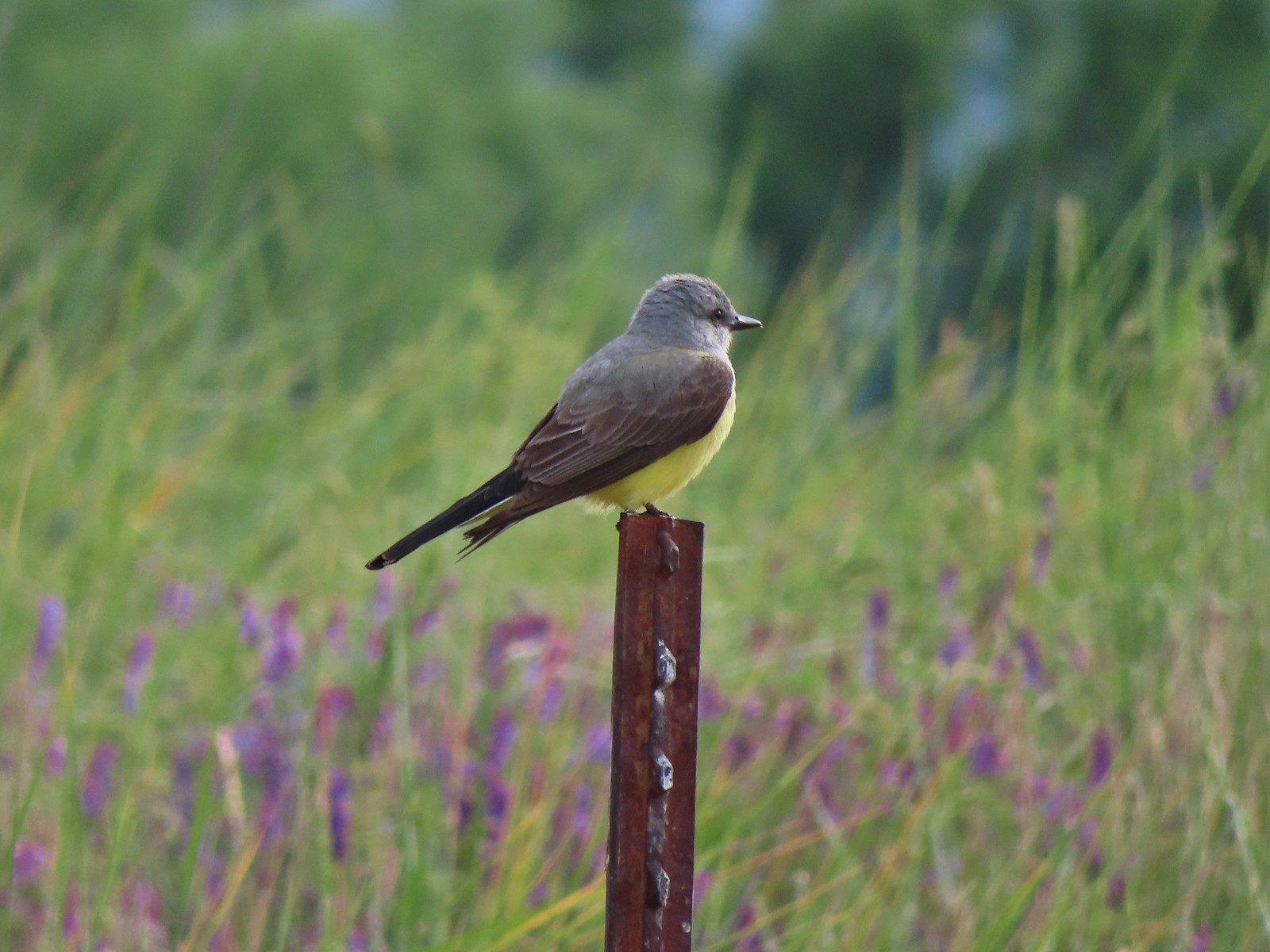 Tropical kingbird? at Denman Wildlife Area in May.
 Black-headed grosbeak (also all I could get) at Applegate Lake in May.
 Lazuli bunting at Roxy Ann Peak in May.
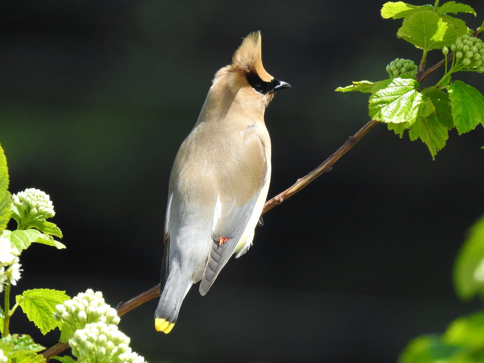 Cedar waxwing at Julia Hansen Butler Wildlife Refuge in June.
 Western tanagers, Siskiyou Wilderness in July.
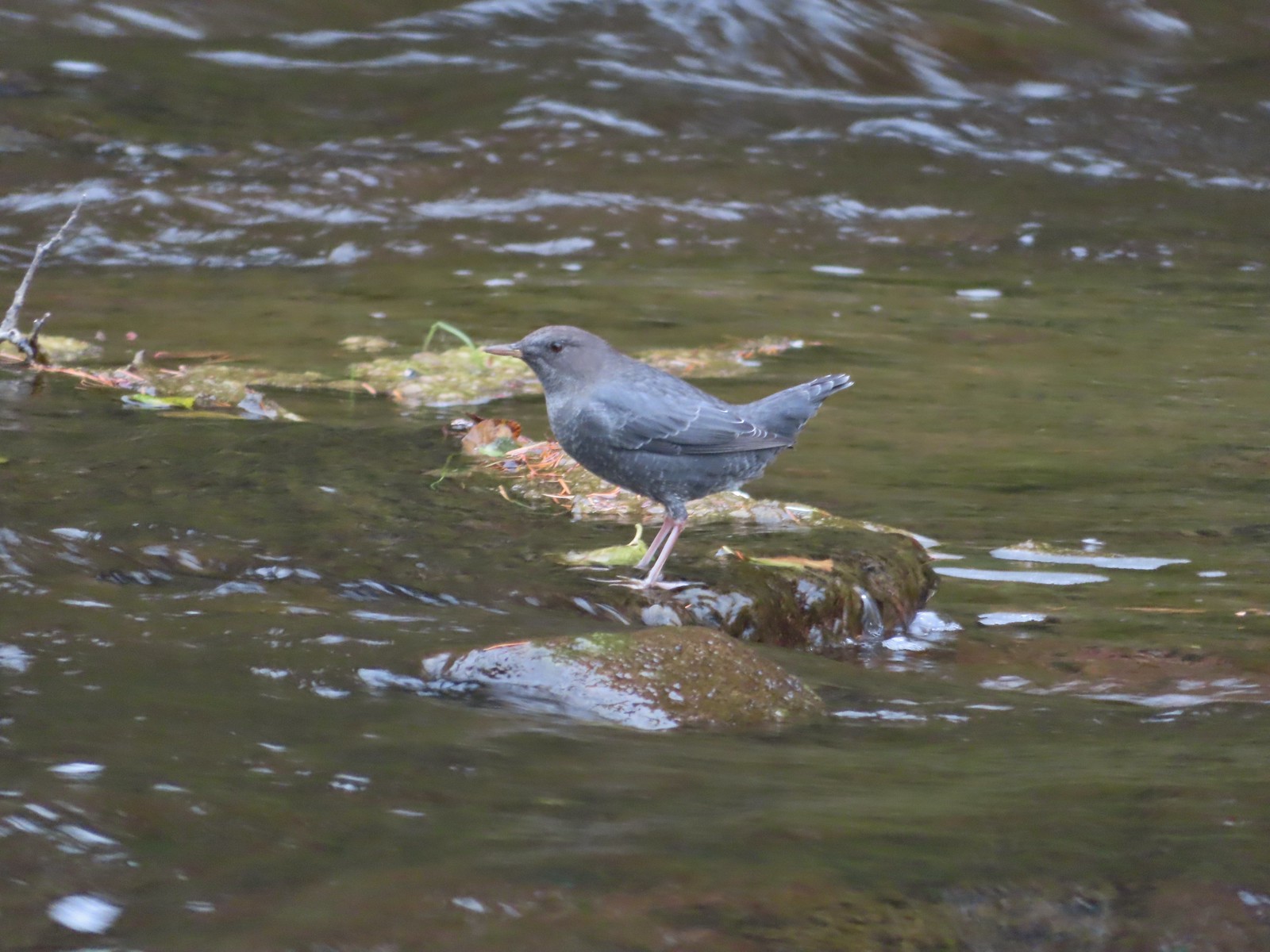 American dipper (Ouzel) near South Umpqua Falls in September.
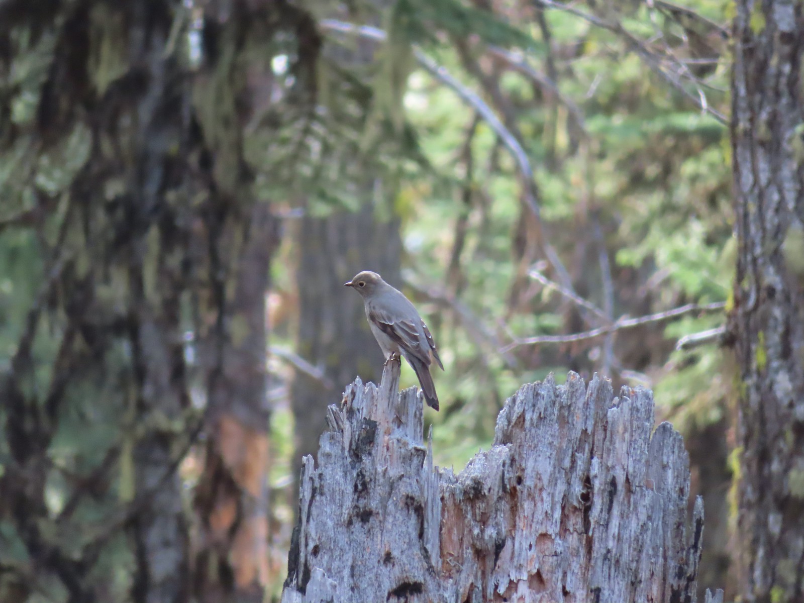 Townsends solitaire at Crater Lake National Park in September.
 Clark’s nutcracker at Crater Lake National Park in September.
 Varied thrush along the Eagle Creek Trail in November.
 Unknown at Cascade Head in October.
 Forest Park in January.
 Northern flicker at Ankeny Wildlife Refuge in April. We seem to see flickers on nearly every hike, but they don’t often sit still long enough for us to get a decent picture.
 Pileated woodpecker at Chehalem Ridge Nature Park in May. We rarely see these but like the flickers, when we do they are very difficult to get a photo of.
 Acorn woodpecker at Denman Wildlife Area in May.
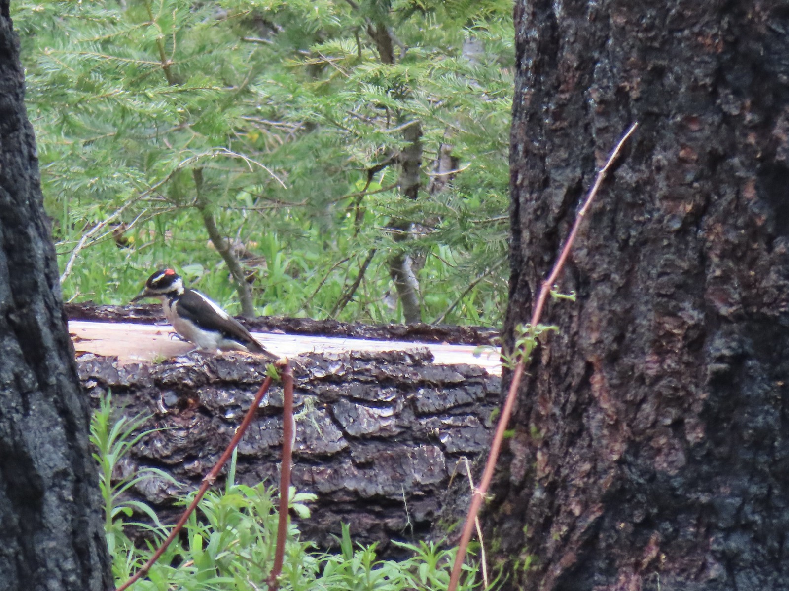 Hairy? woodpecker near Twin Lakes in the Umpqua National Forst in June.
 Red breasted sapsucker at E.E. Wilson Wildlife Area in July.
 Either a hairy or downy woodpecker along the Eagle Creek Trail in November.
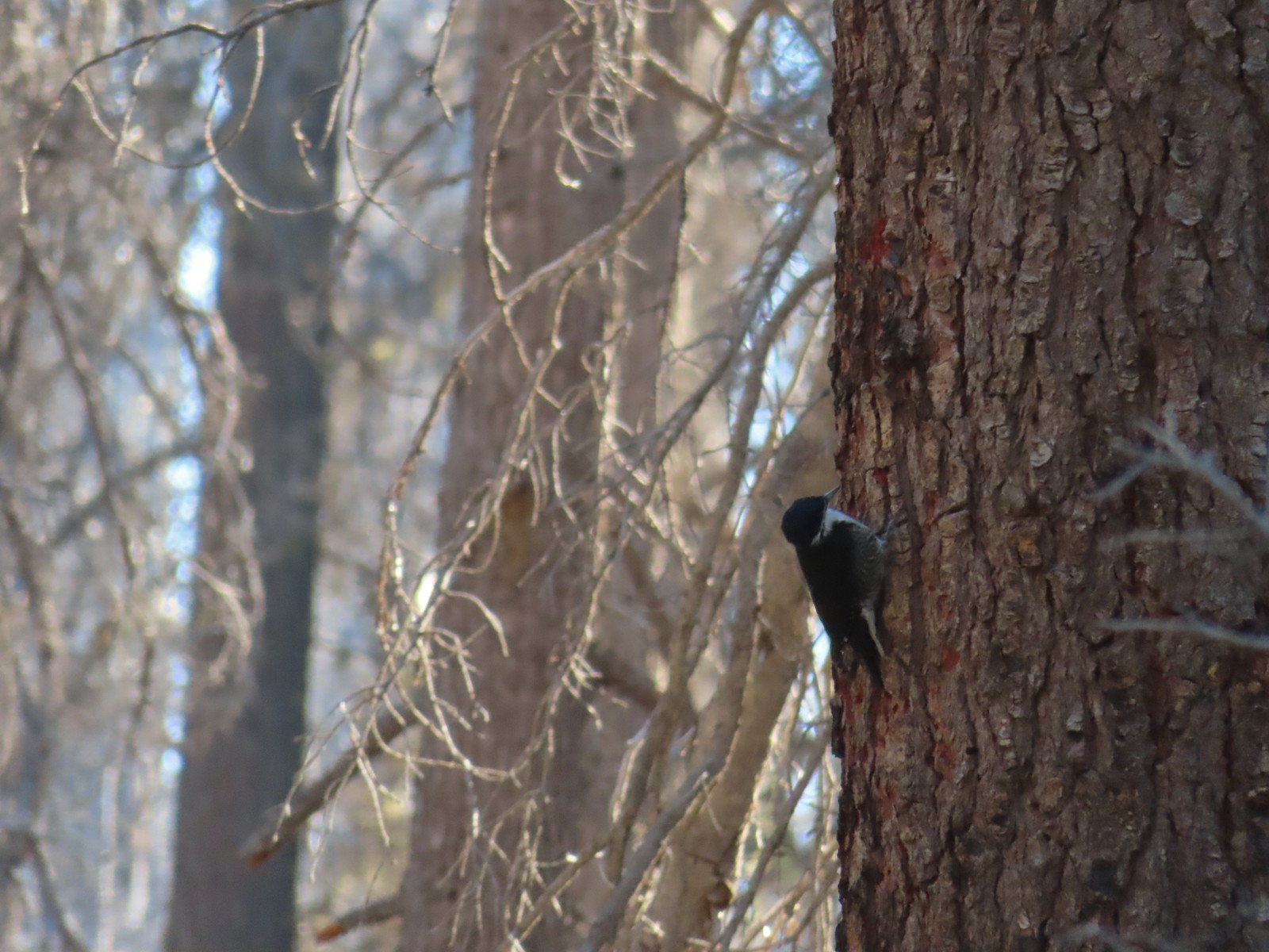 Unknown, Sky Lakes Wilderness in late September.
 Crow along the Crown Zellerbach Trail in March.
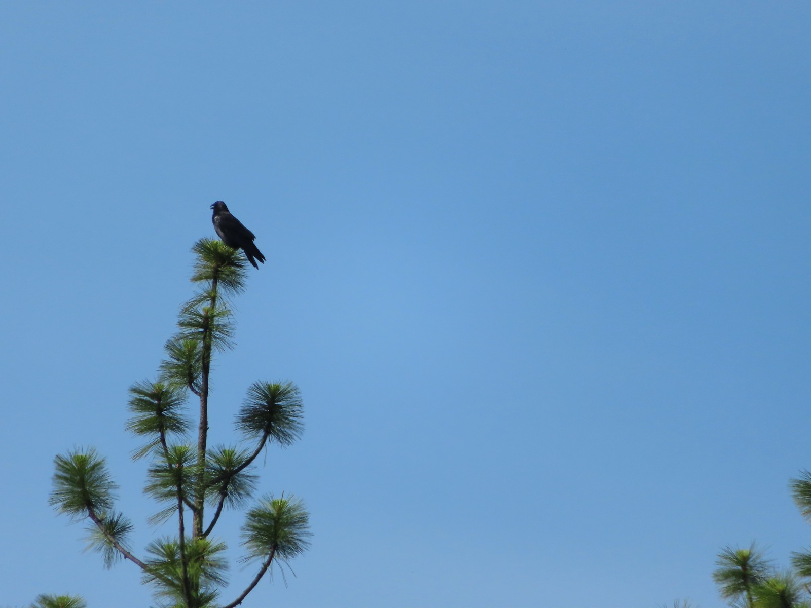 Raven at Upper Table Rock in May.
 Turkey Vulture at Julia Hansen Butler Wildlife Refuge in June.
 American kestral along the Crown Zellerbach Trail in March.
 Osprey along the Hood River Pipeline Trail in May.
 Another osprey at Julia Hansen Butler Wildlife Refuge in June.
 Bald eagle at Julia Hansen Butler Wildlife Refuge in June.
 Eagle in the Sky Lakes Wilderness in September. Not sure if it is a bald or golden.
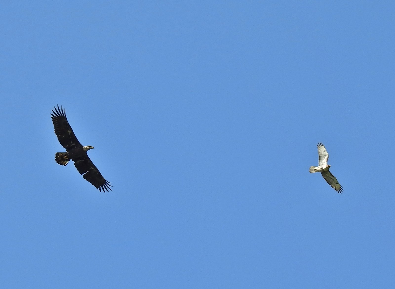 A bald eagle and hawk at Ankeny Wildlife Refuge in April.
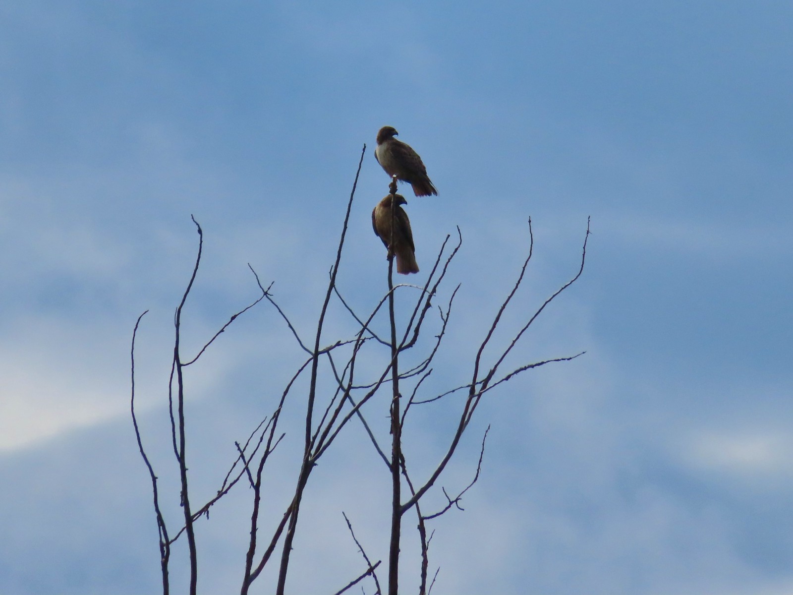 Pair of hawks at Denman Wildlife Area in May.
 Hawk at Denman Wildlife Area in May.
 Hawk at Julia Hansen Butler Wildlife Refuge in June.
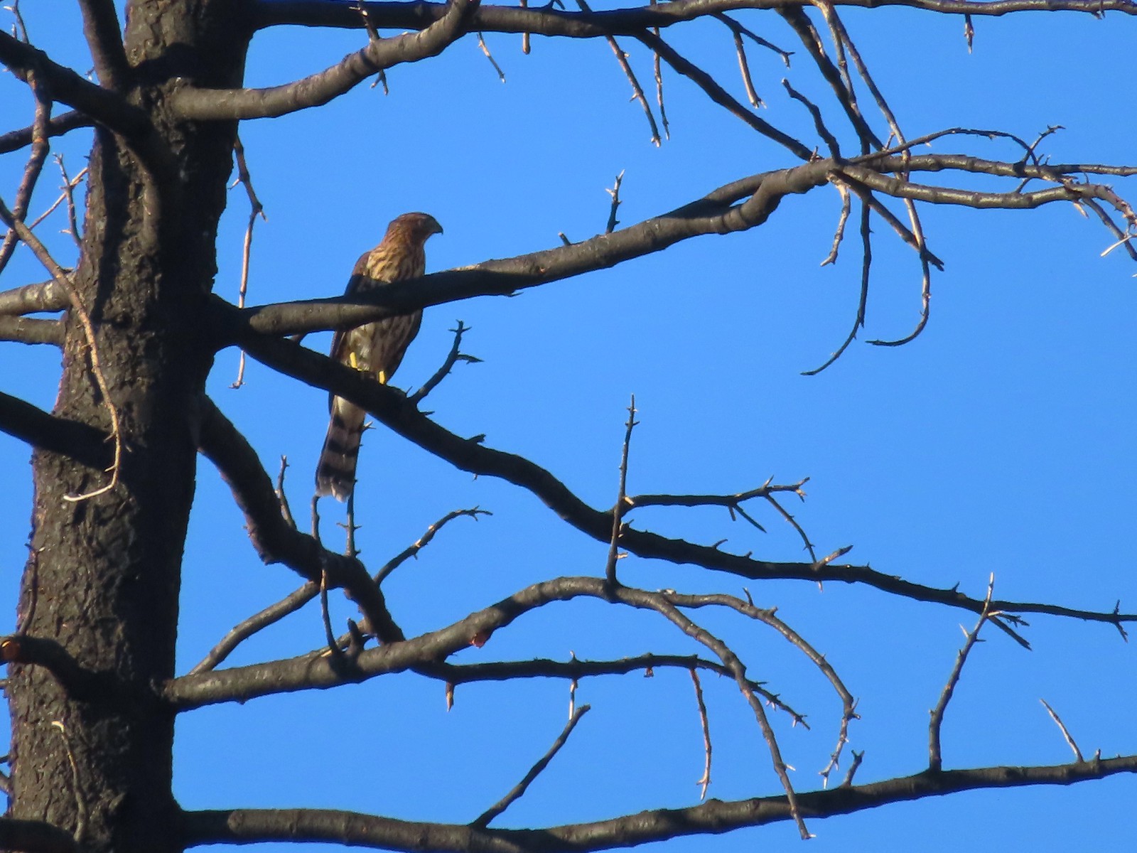 Hawk along the Pacific Crest Trail near Carter Meadows Summit in August.
 Hawk at Crater Lake National Park in September.
 Barred owl at Noble Woods in May.
 Great horned owl at Denman Wildlife Area in May.
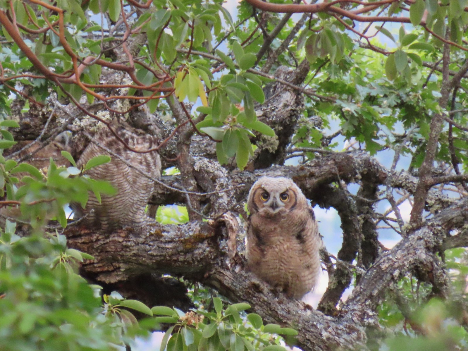 Young great horned owl at Roxy Ann Peak in May.
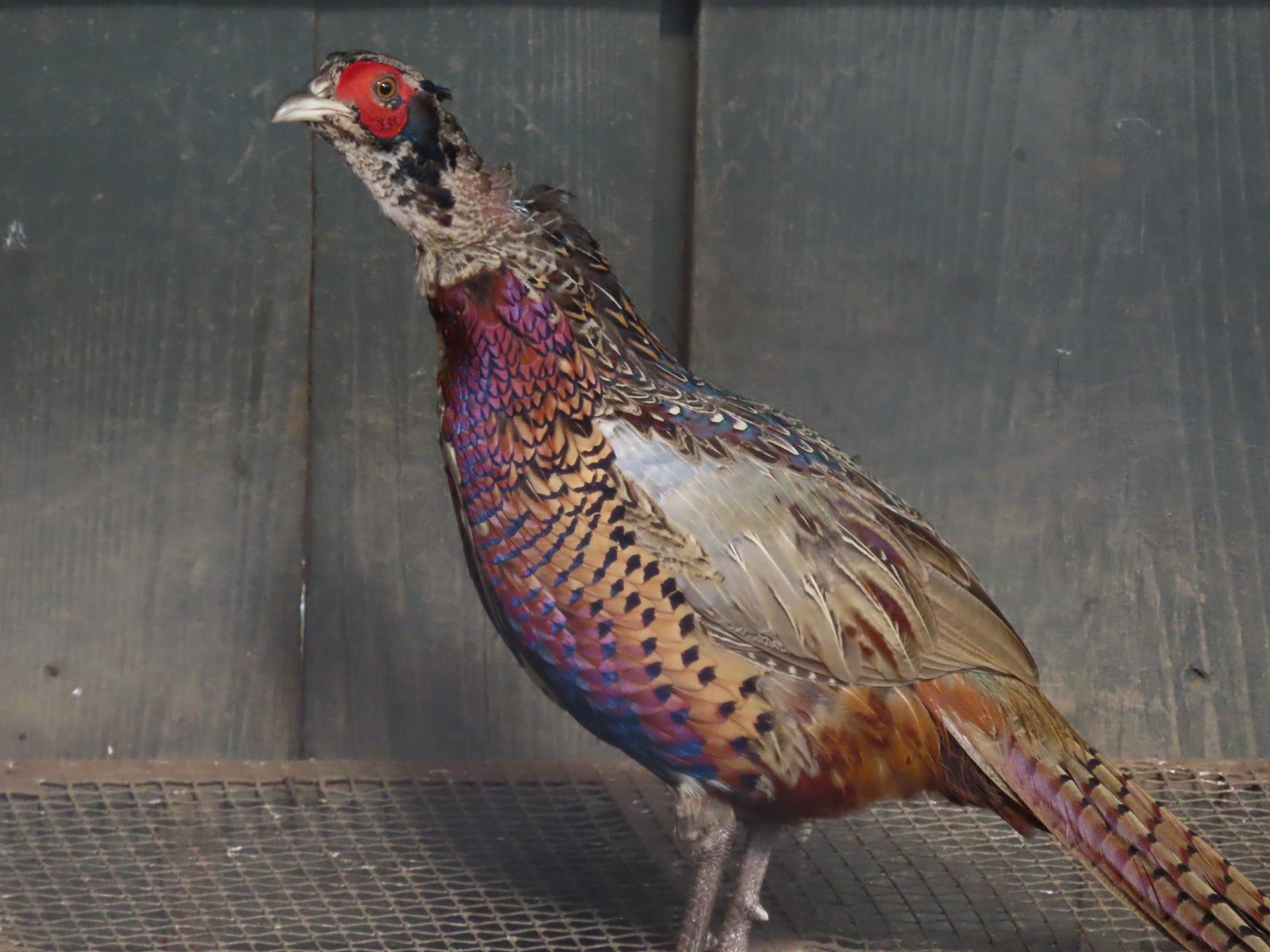 Ring-necked pheasant
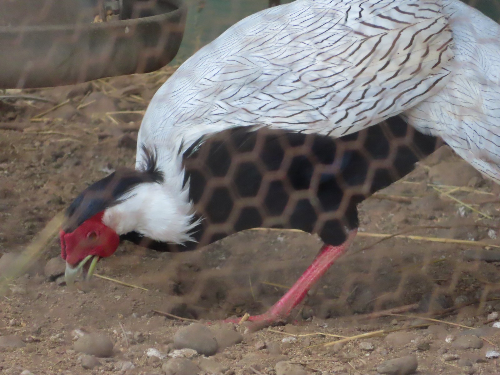 Silver pheasant
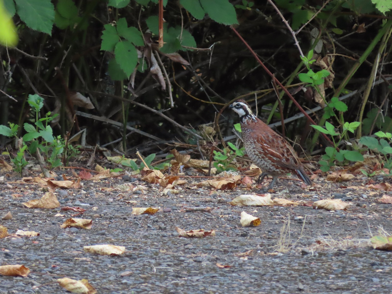 Near the breeding facility at E.E. Wilson Wildlife Area.
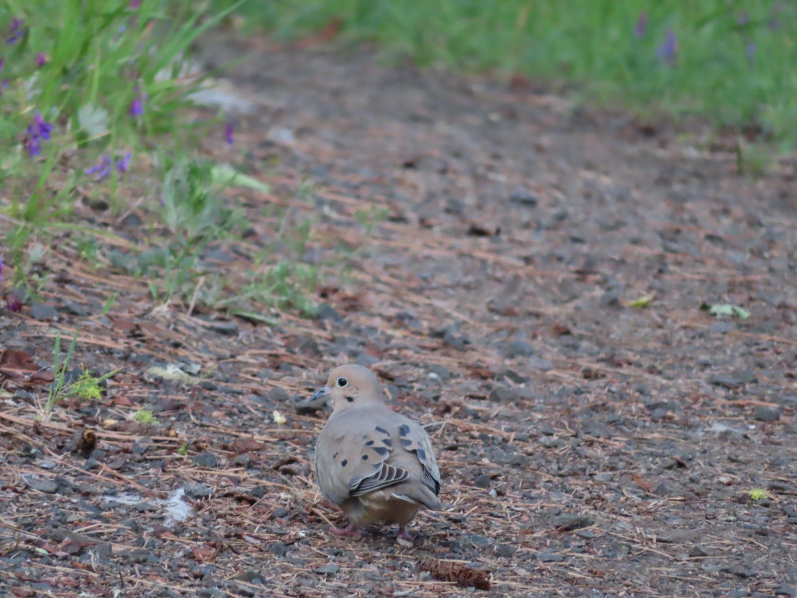 Mourning dove at Roxy Ann Peak a in May.
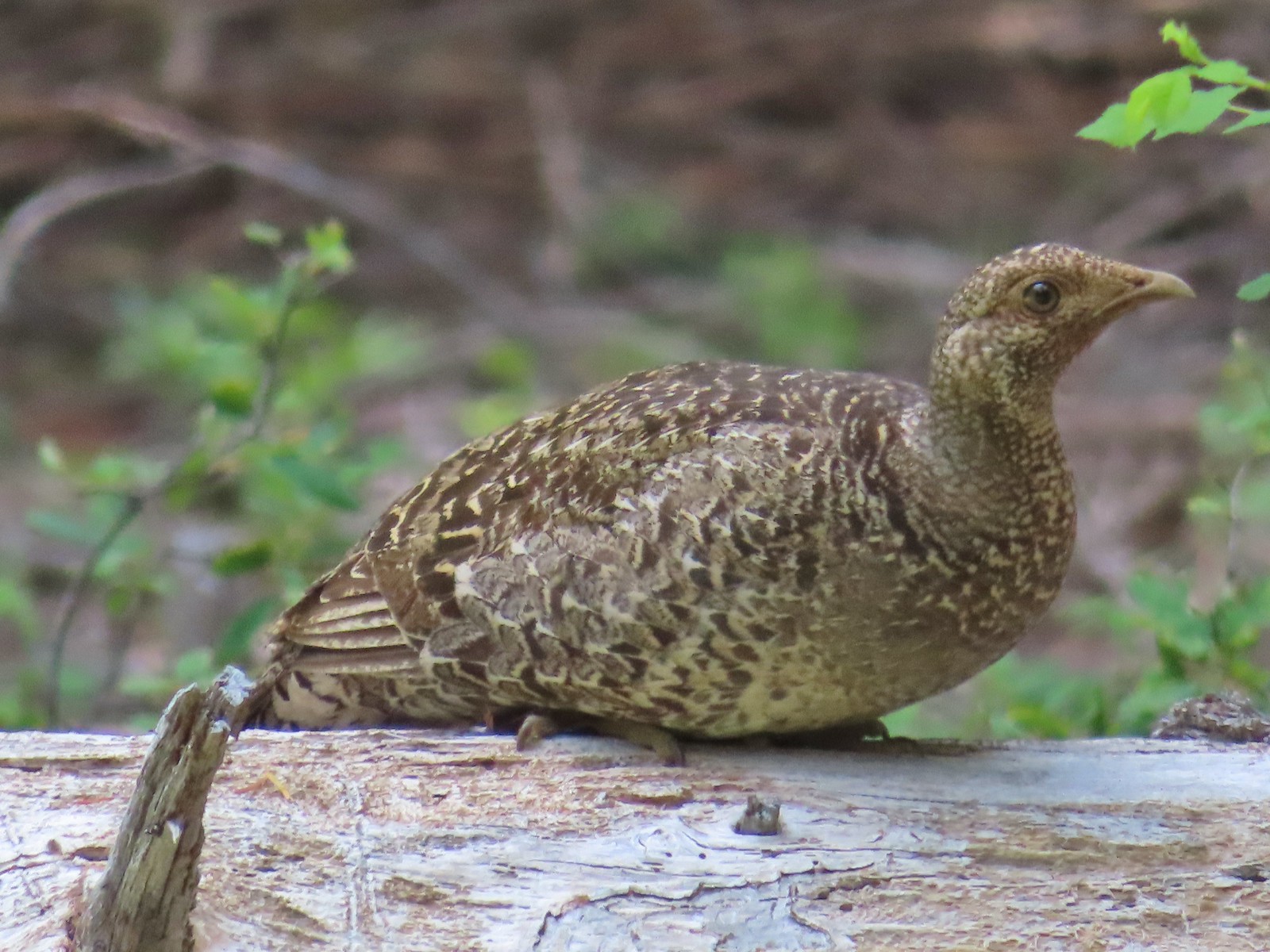 Grouse? in the Siskiyou Wilderness in July.
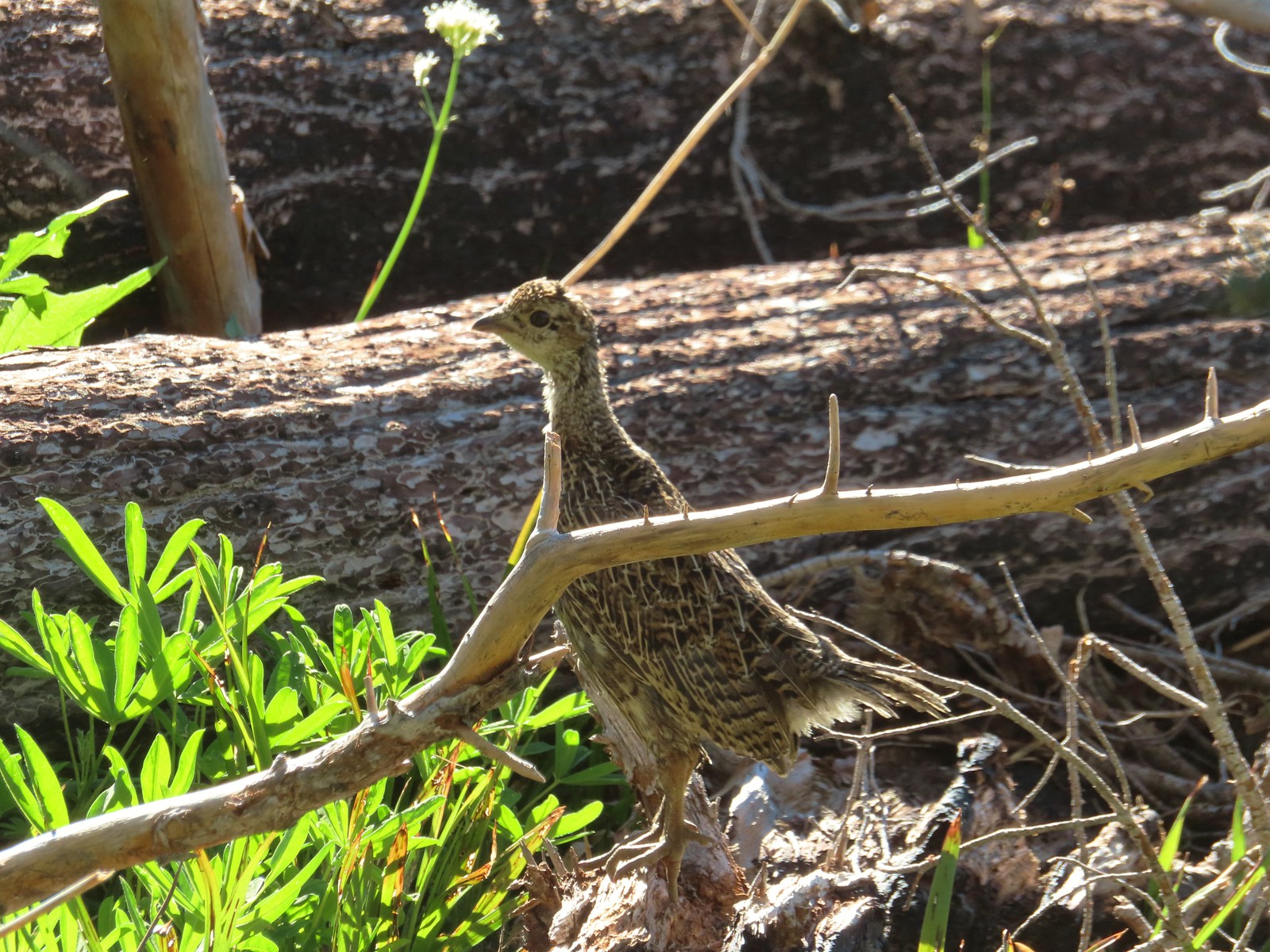 Grouse in the Mt. Adams Wilderness in August.
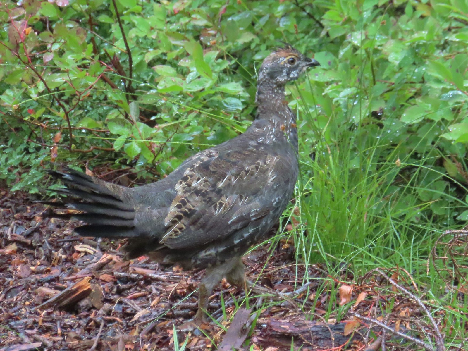 Grouse in the Sky Lakes Wilderness in September.
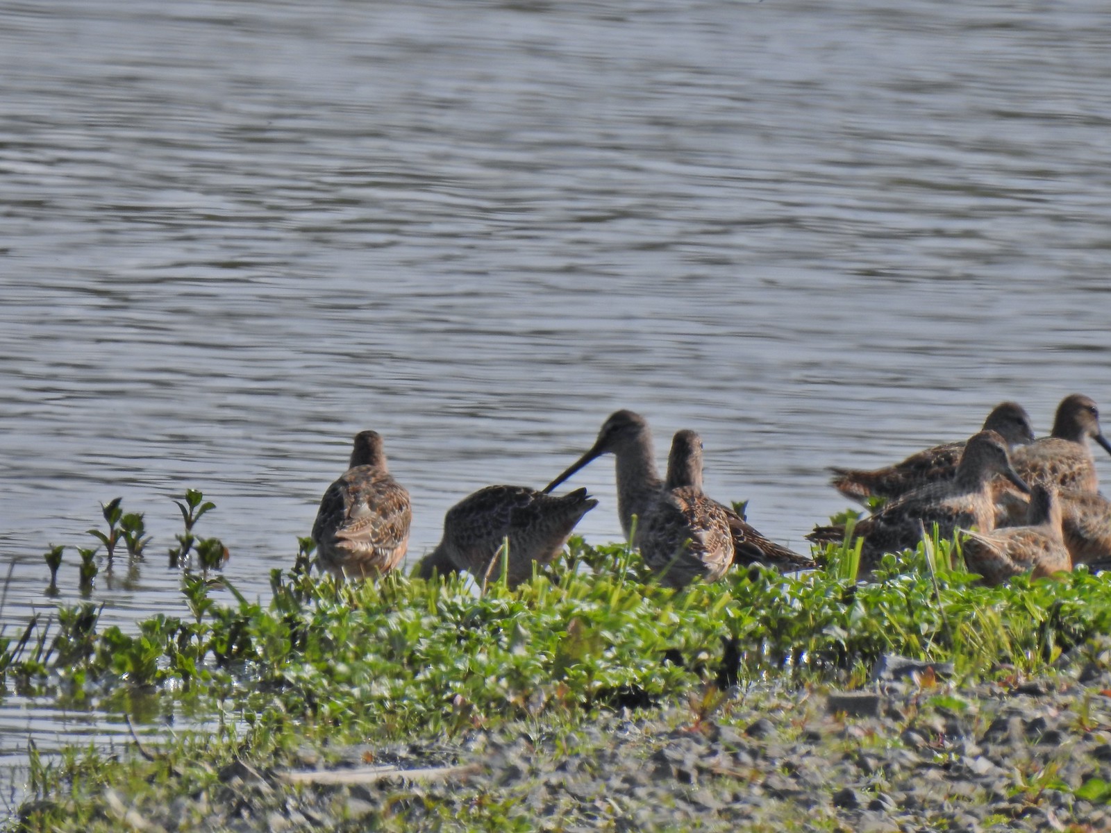 Long billed dowitchers? at Ankeny Wildlife Refuge in April.
 Killdeer at Ankeny Wildlife Refuge in April.
 Sandpiper? at Ankeny Wildlife Refuge in April.
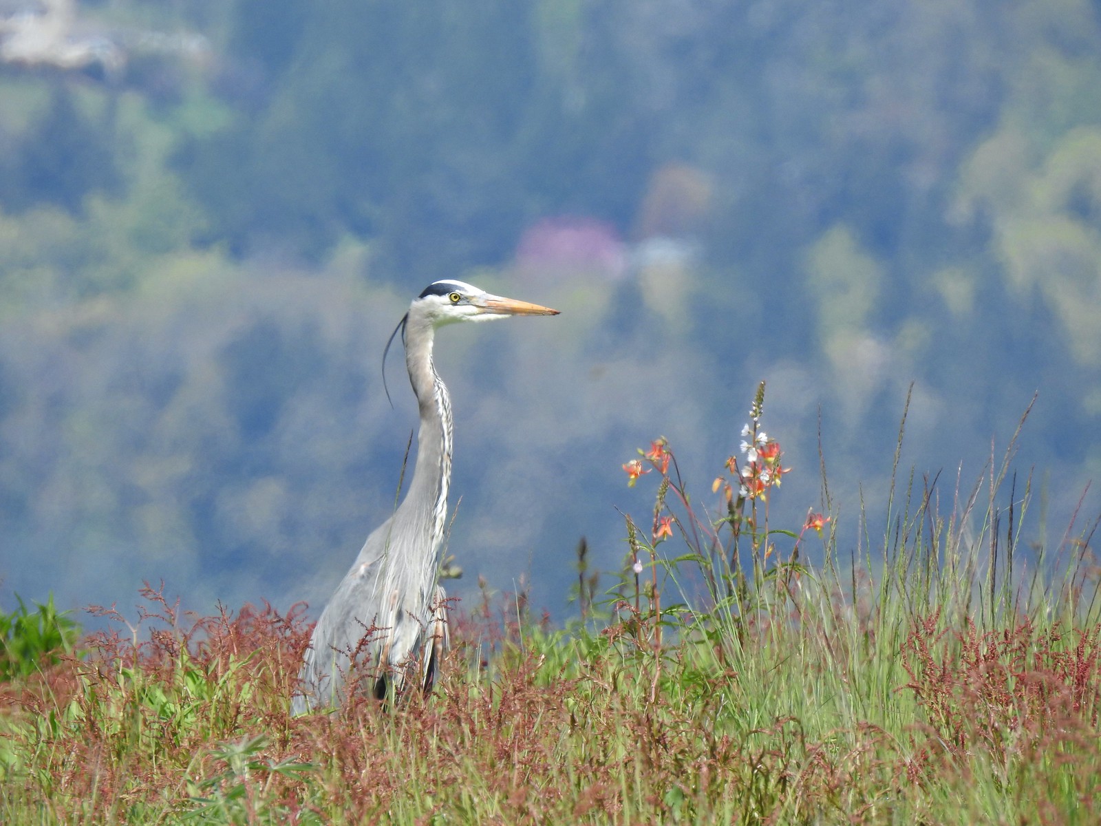 Great blue heron at Ankeny Wildlife Refuge in April.
 Kingfisher at Julia Butler Hansen Wildlife Refuge in June.
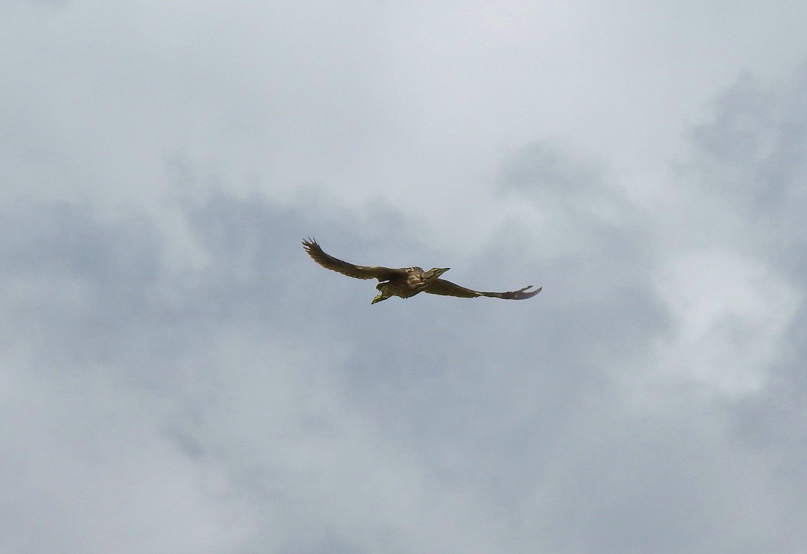 American bittern at Julia Butler Hansen Wildlife Refuge in June.
 White pelicans at Julia Butler Hansen Wildlife Refuge in June.
 Hooded mergansers at Yakona Nature Preserve in February.
 Common mergansers along the Klickitat Trail in April.
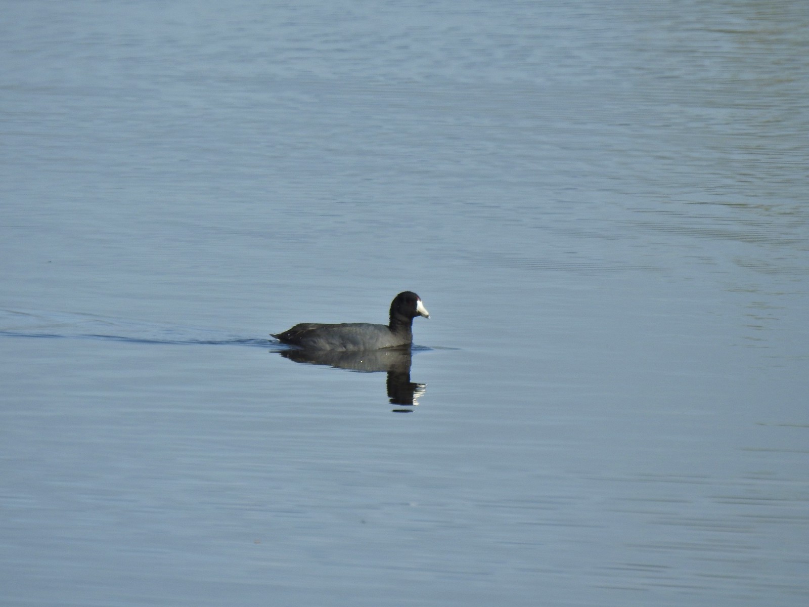 American coot at Ankeny Wildlife Refuge in April.
 Cinnamon teal at Ankeny Wildlife Refuge in April.
 Ring-necked ducks (and an American coot) at Ankeny Wildlife Refuge in April.
 Northern shoveler at Ankeny Wildlife Refuge in April.
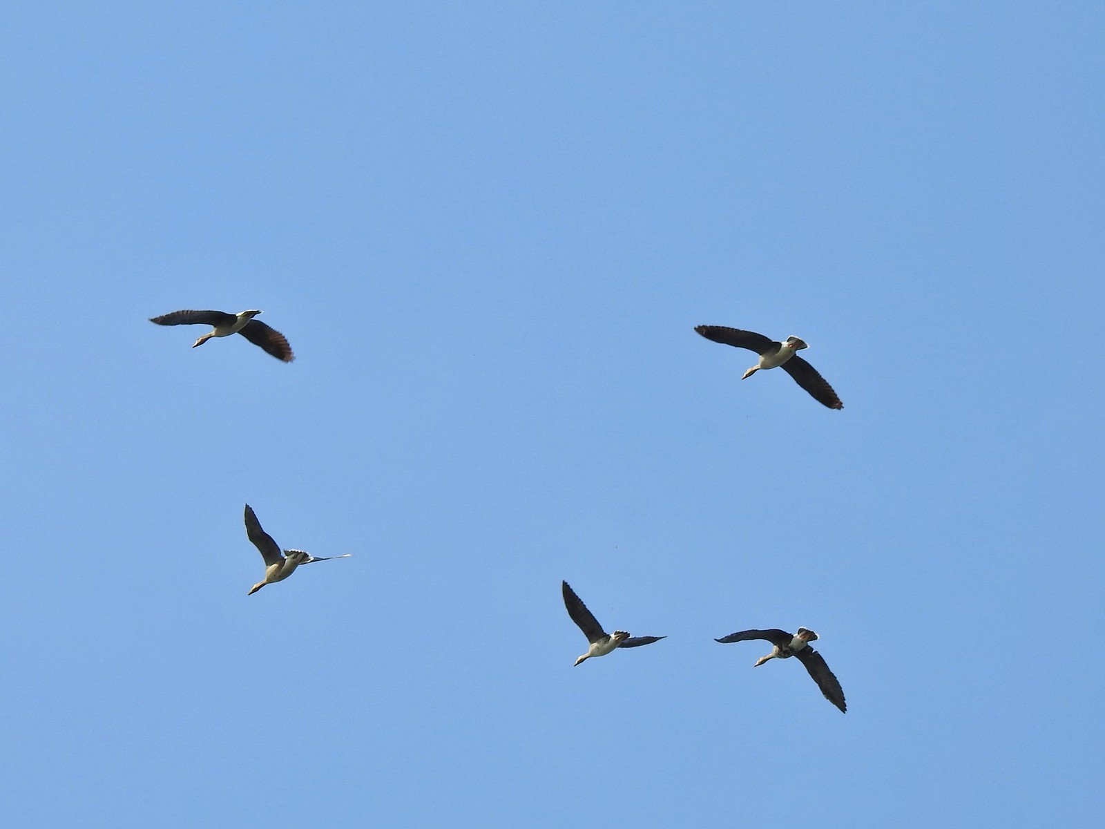 White-fronted geese at Ankeny Wildlife Refuge in April.
 Mallard along the Hood River Pipeline Trail in May.
 Wood duck at Denman Wildlife Area in May.
 Not sure if this is a ruddy duck at Waverly Lake in December.
 Mostly American widgeons with a green winged teal and a female bufflehead or two mixed in at Talking Water Gardens in December.
 Bufflehead at Talking Water Gardens in December.
 Canada geese at Applegate Lake in May.
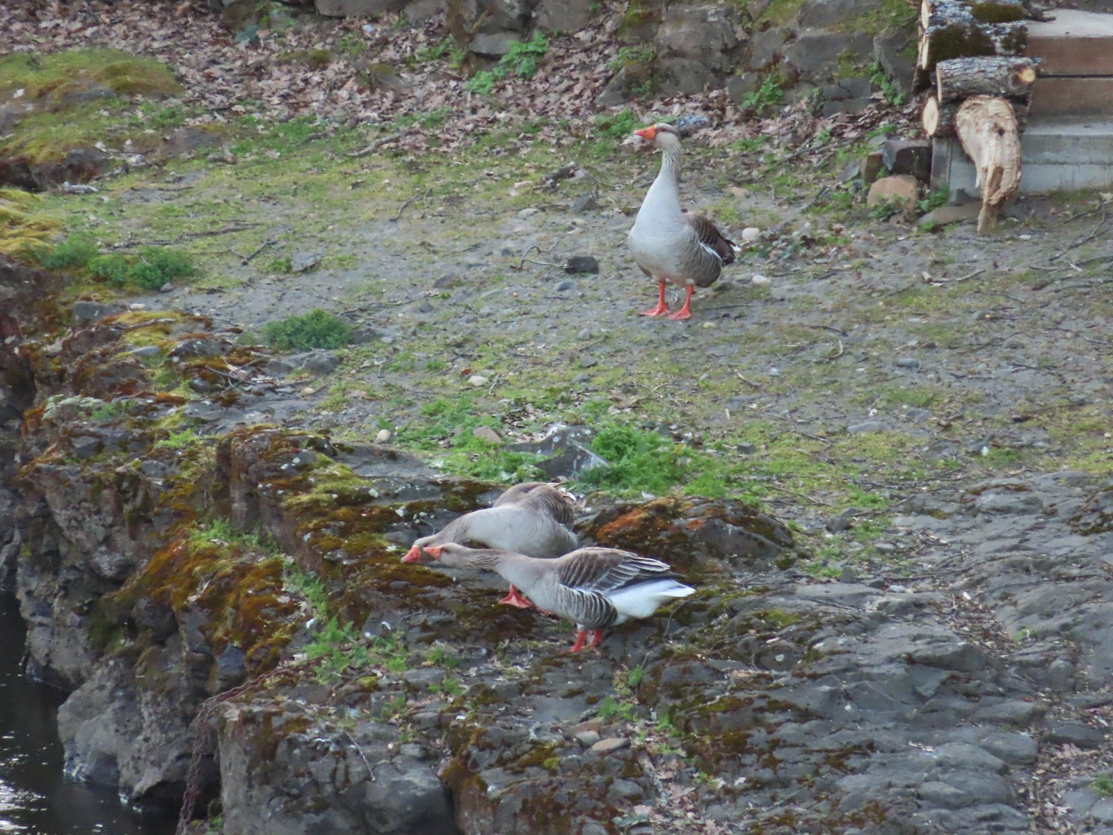 Domestic geese near the Klickitat Trail in April.
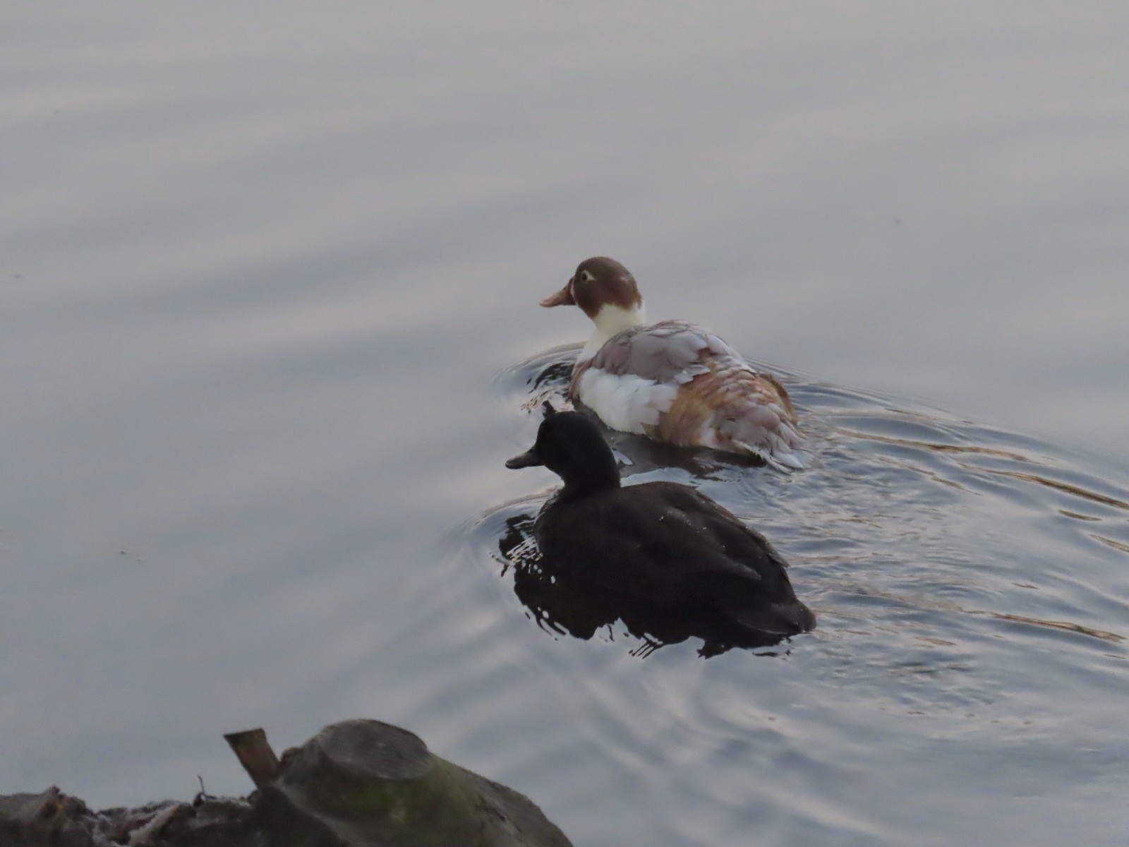 Domestic or hybrid? ducks at Waverly Lake in December.
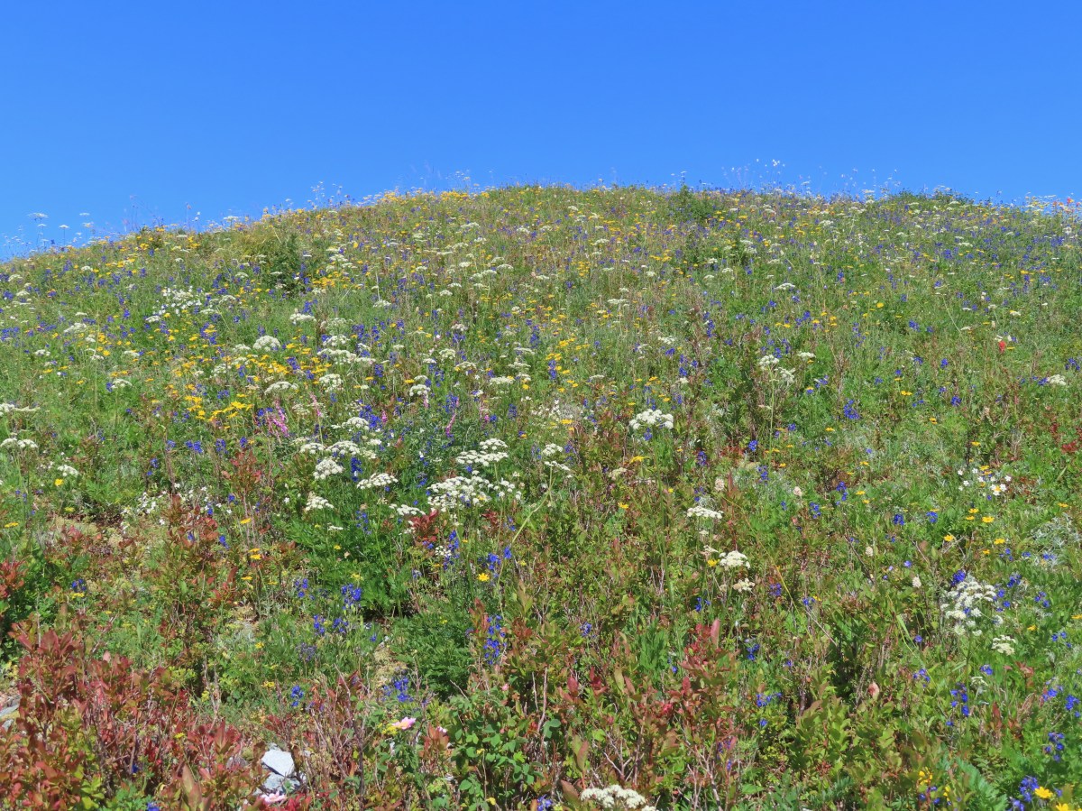


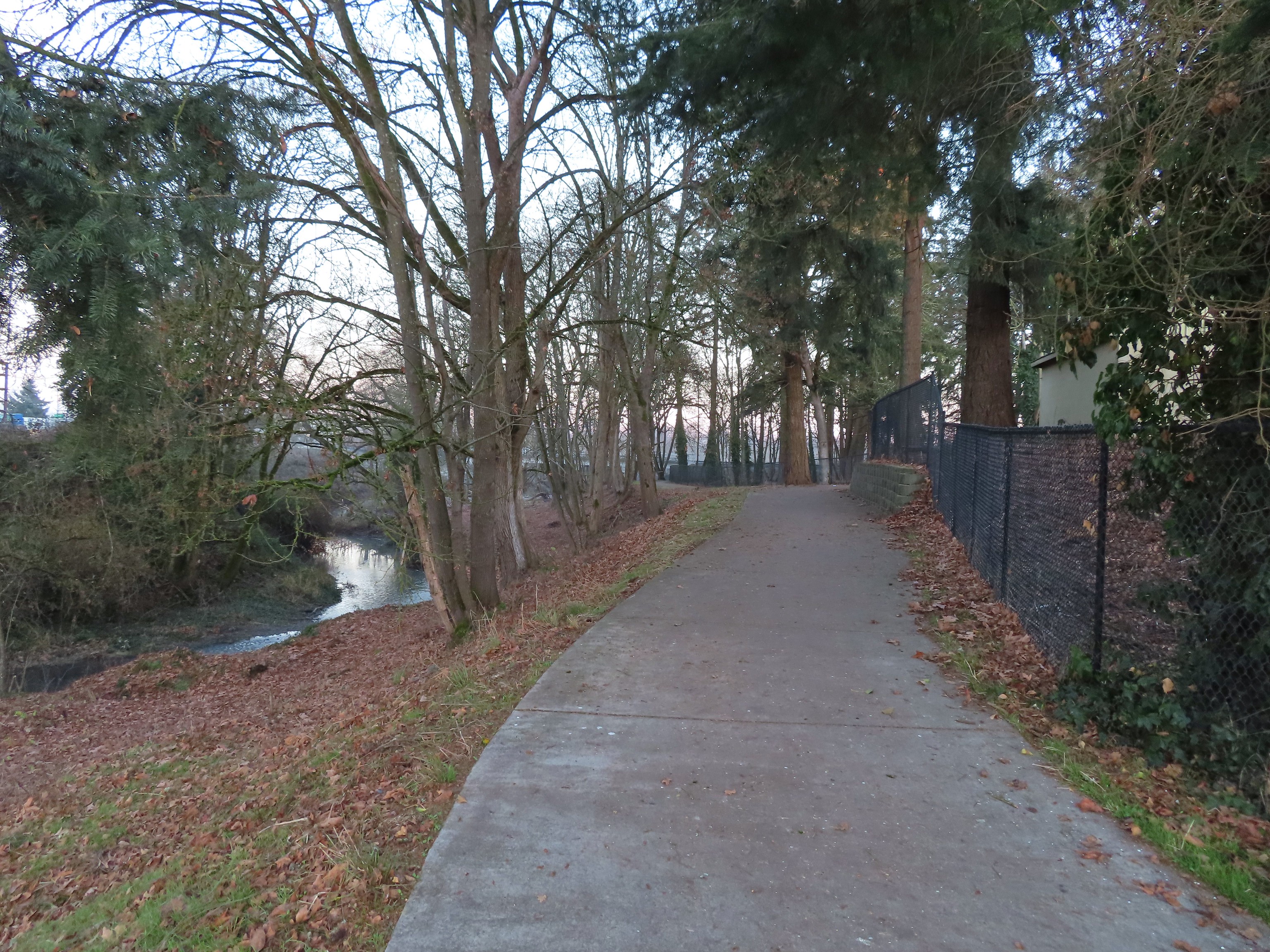
 Junction with the spur Wetlands Trail. The larger sign on the left is a
  End of the trail at East Tide Ave.
 The wetlands.
 Devil’s Lake from Regatta Park.


 Pointer for a heritage tree.

 Another Trail Challenge sign.
 Heading out of Regatta Park
 Neat dragon sculpture.
 West Devil’s Lake Road. The trail is ahead on the right just beyond the driveway on that side.
 There was no sign along the road but there was a trail marker just uphill.
 The trail briefly leveled out atop the ridge before diving down the other side.
 This junction is where our loop began and ended.
 Another fork just beyond the one in the previous photo.
 Footbridge over the northern arm of the lake.
 Spring Lake from the footbridge.
 Found another one.
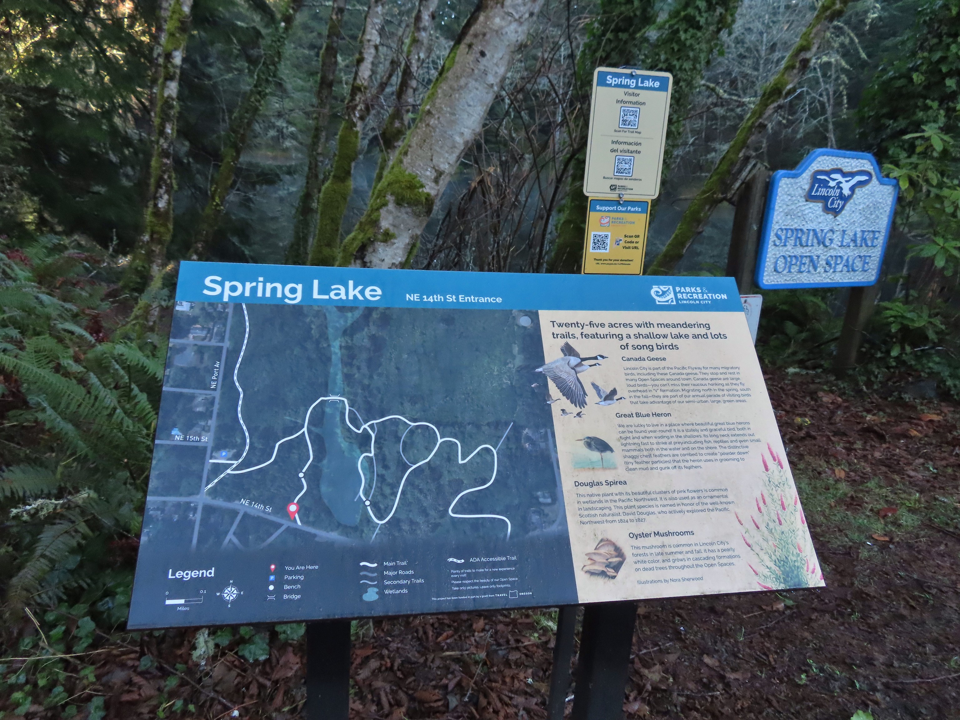 Small trailhead at 14th Street.
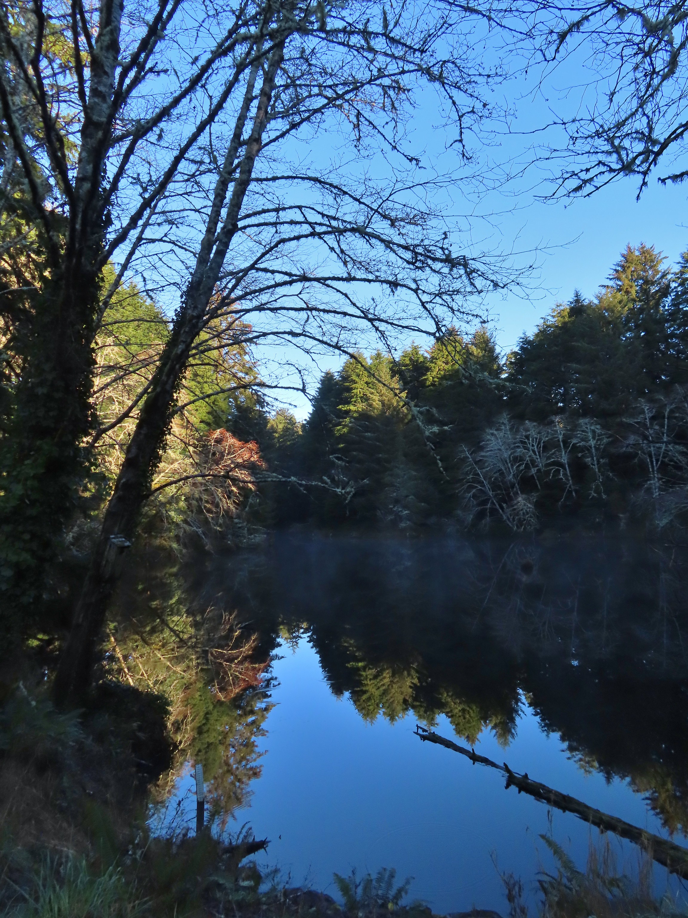 Spring Lake from the 14th Street Trailhead.
 We had to walk a few feet along 14th Street to find the trail on the east side of the lake.
 Approaching the junction at the end of our loop.
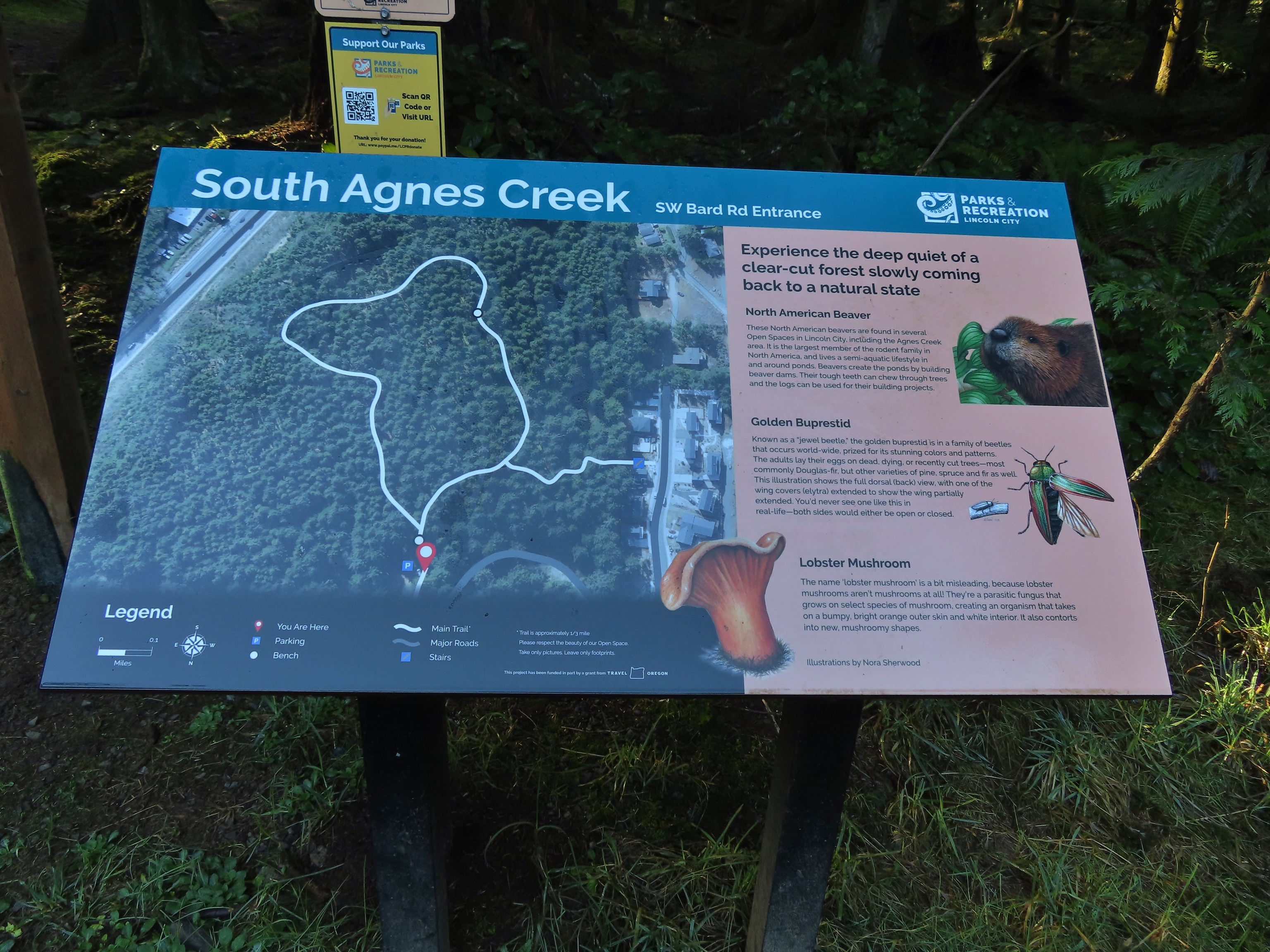

 This forested loop was full of bright green mossed covered ground.

 The connector trail at the south trailhead.
 Two short out-and-back trails begin at the north trailhead. We started with the left hand trail.
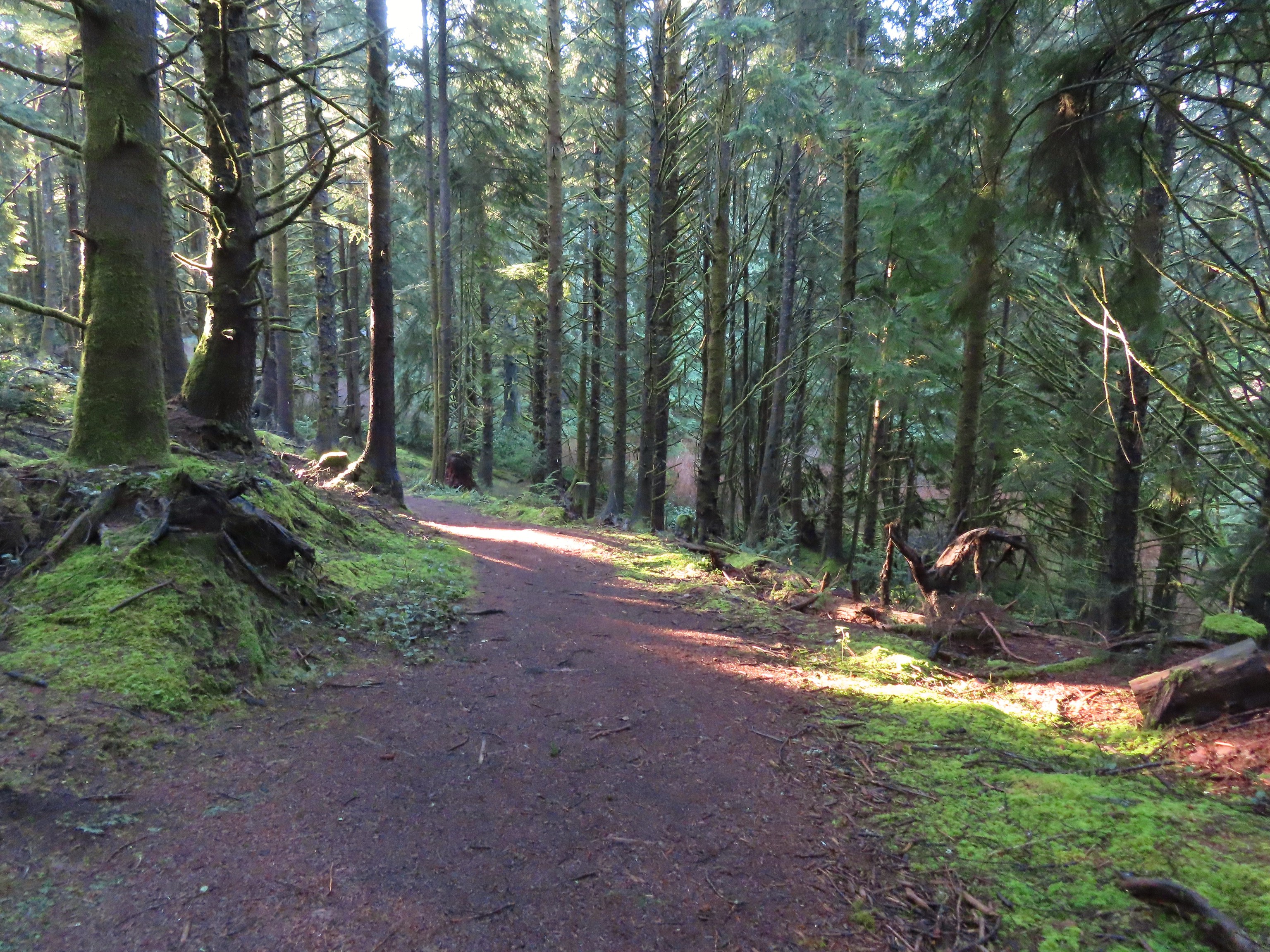

 The left hand spur abruptly ends on a ridge above what we assume was Agness Creek although we couldn’t really make out an actual creek.
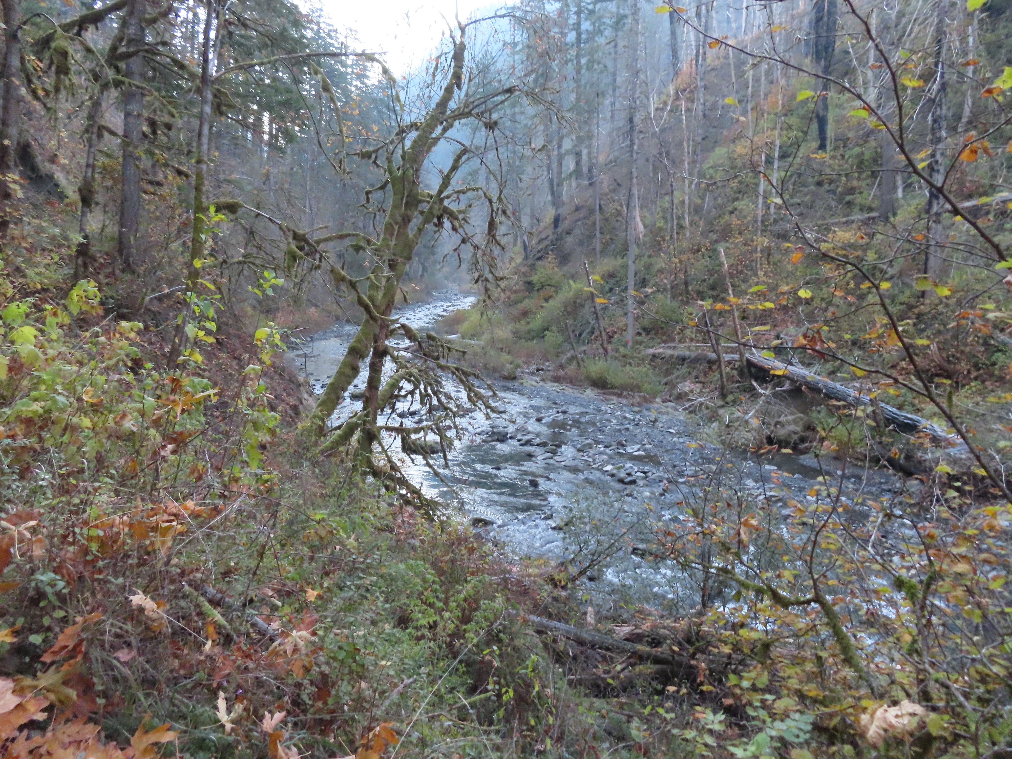
 Agness Creek?
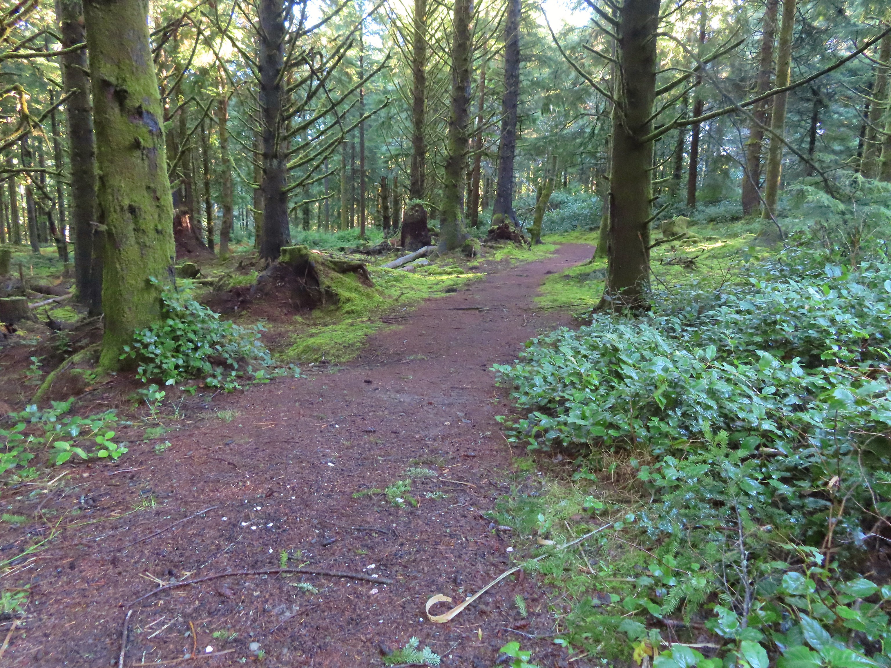


 Approaching SW 19th Street.

 This should have been the end of our loop, not the beginning. Had we realized we weren’t on the perimeter trail we would have taken the first left hand trail which would have allowed us to do our planned loop in reverse (clockwise). Instead we headed straight up the ridge.
 The Trail Challenge sign here was located at a second junction, near the ridge top. A short distance beyond was another junction with an unsigned trail veering off to the right. We still hadn’t figured out our mistake and thought that the right hand trail was a spur trail shown on the map leading to a neighborhood so we went left.

 A lot of clearcuts is what I could see.


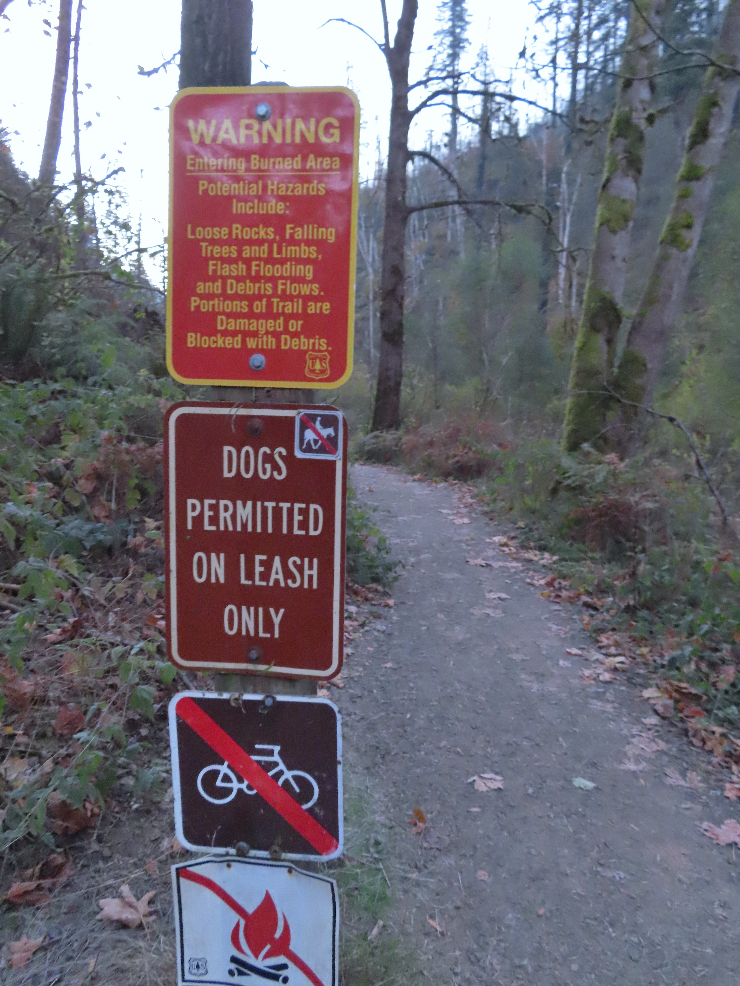
 We were really surprised that this was the only real obstacle we encountered all day given the recent storm.
 An example of the fainter tread along this section.
 The spur to the left led to a neighborhood so we turned right.

 The trail arriving at the trailhead entrance road. The chain link fence at Taft High is on the left.
 Siletz Bay from the brewpub.
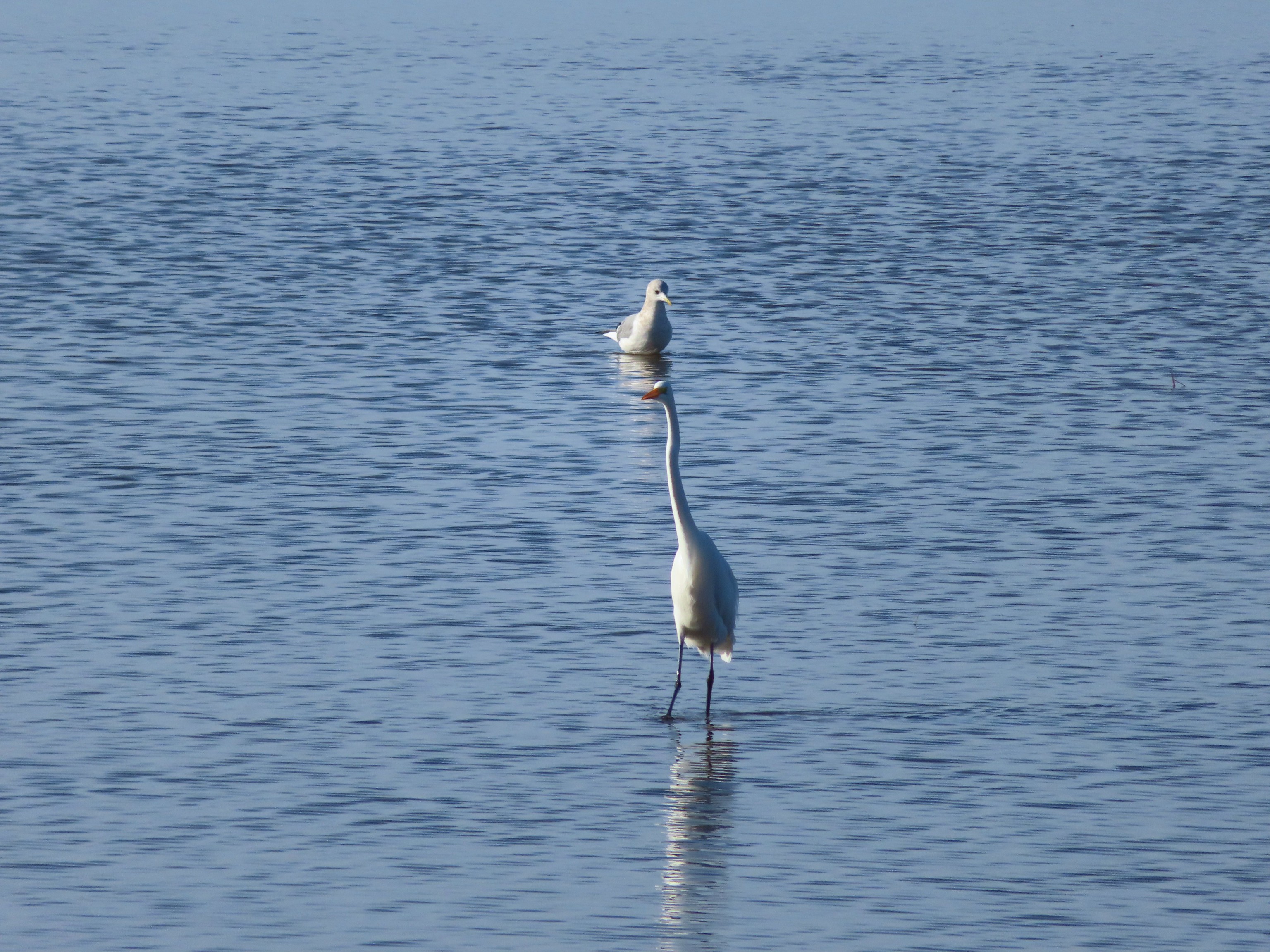 A gull and an egret.
 Long Gulch Lake. The furthest south we hiked was on the trail a short distance after leaving this lake.
 Technically the western most spot we hiked at was the trailhead for this hike, but the Yaquina River was a nicer picture.
 We hit our northernmost point during the stretch of our hike that followed Brooks Slough.
 View of the Wallowa Mountains from our easternmost point.

 That’s the Sun above the trees.
 Iced over snow in Portland’s Forest Park.
 The Crown-Zellerbach Trail, a converted logging road.
 The Klickitat Trail, a converted railroad.
 The Hood River Pipeline Trail.
 Sidewalk, Rock Creek Trail.
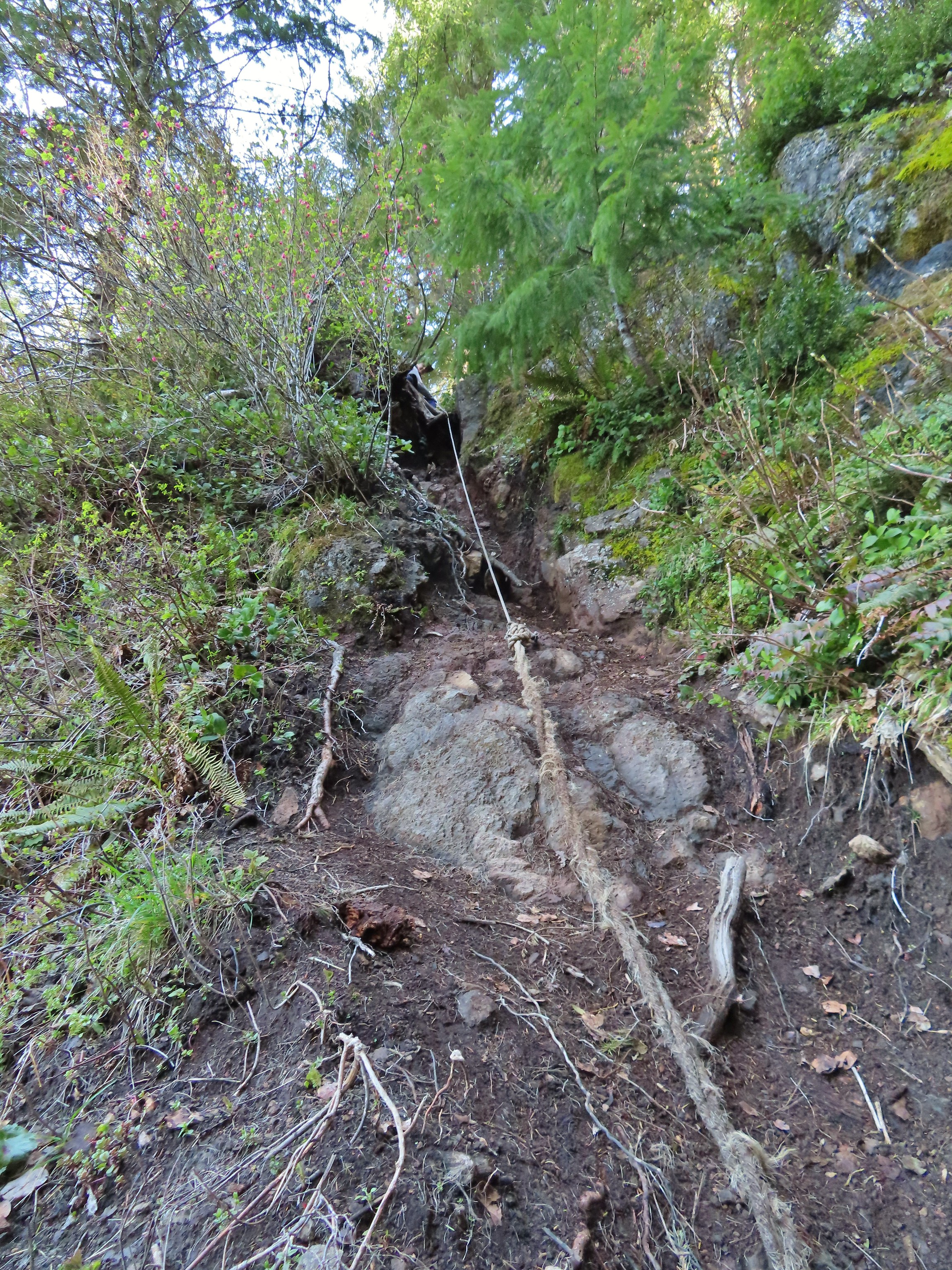 Rope section of the Kings Mountain Trail.
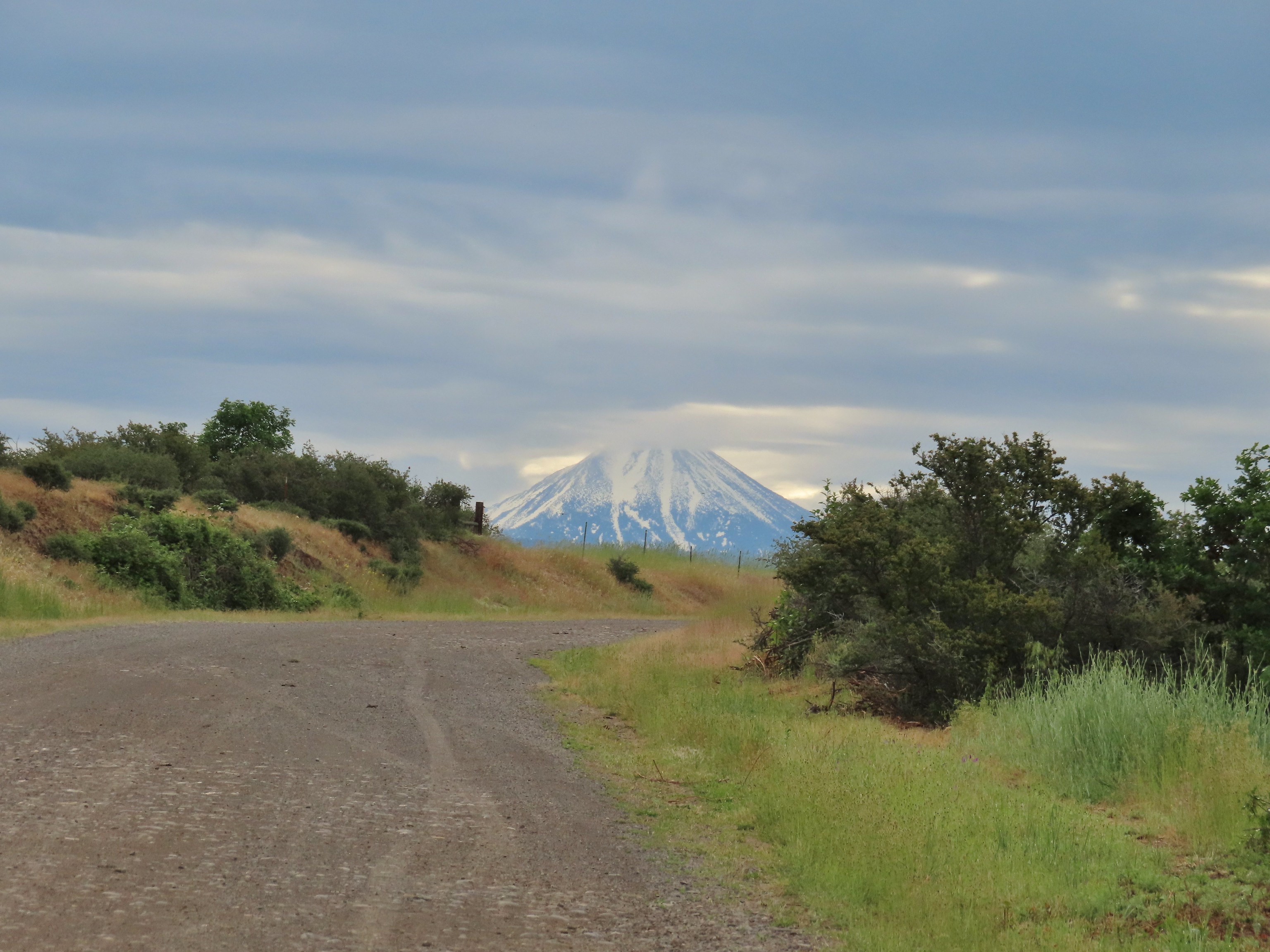 Gravel Road at Denman Wildlife Area.
 Paved Brooks Slough Road, Julia Hansen Butler Wildlife Refuge (it is open to cars).
 Dirt road at Siskiyou Gap.
 Cross-country to Observation Peak.
 Crossing over granite to reach the Devil’s Punchbowl in the Siskiyou Wilderness.
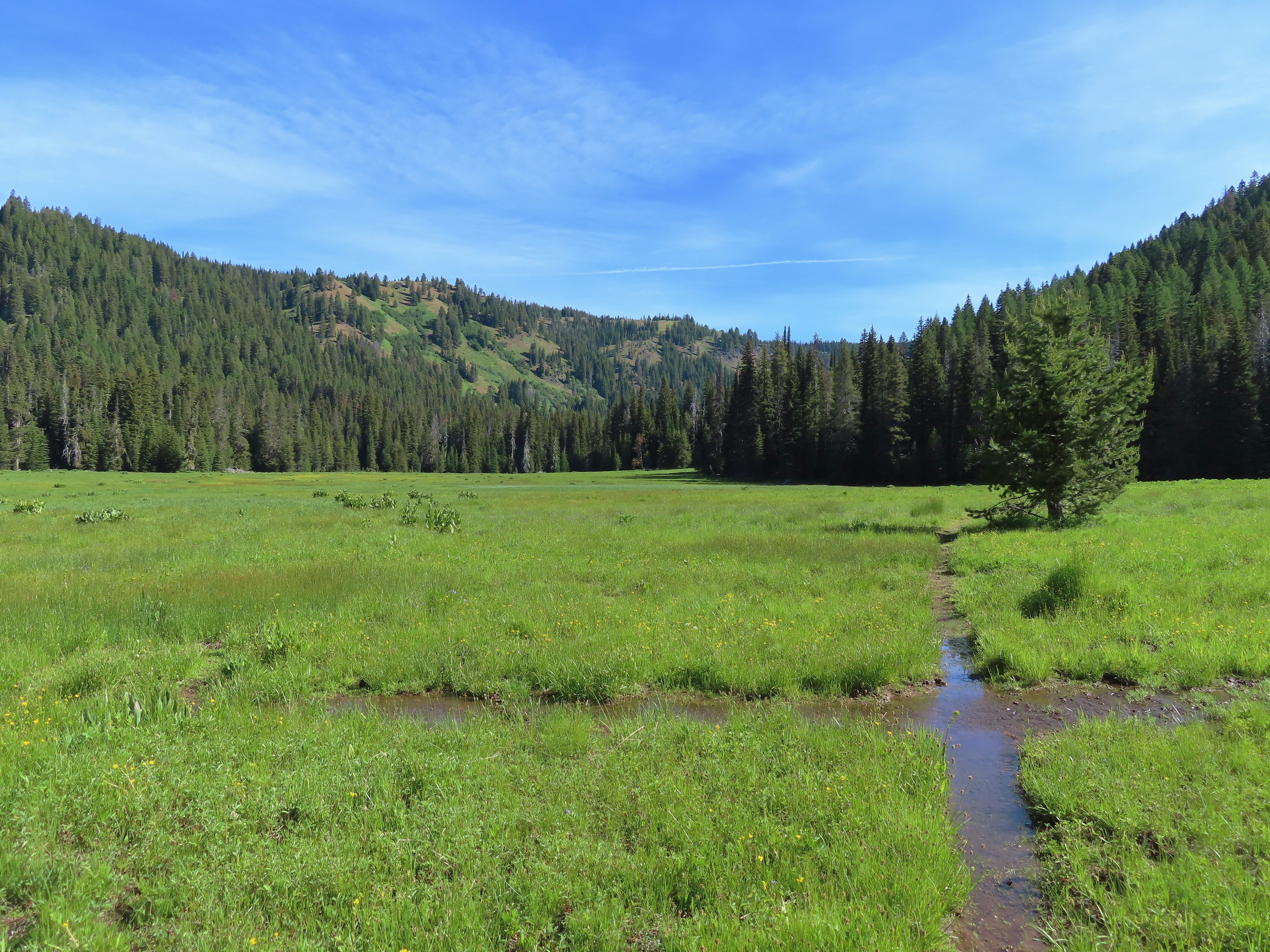 Water covered trail at Catherine Creek Meadows.
 Sandy dirt Mt. Shasta.
 Rock field, Union Peak.
 The remains of the Union Creek Trail.
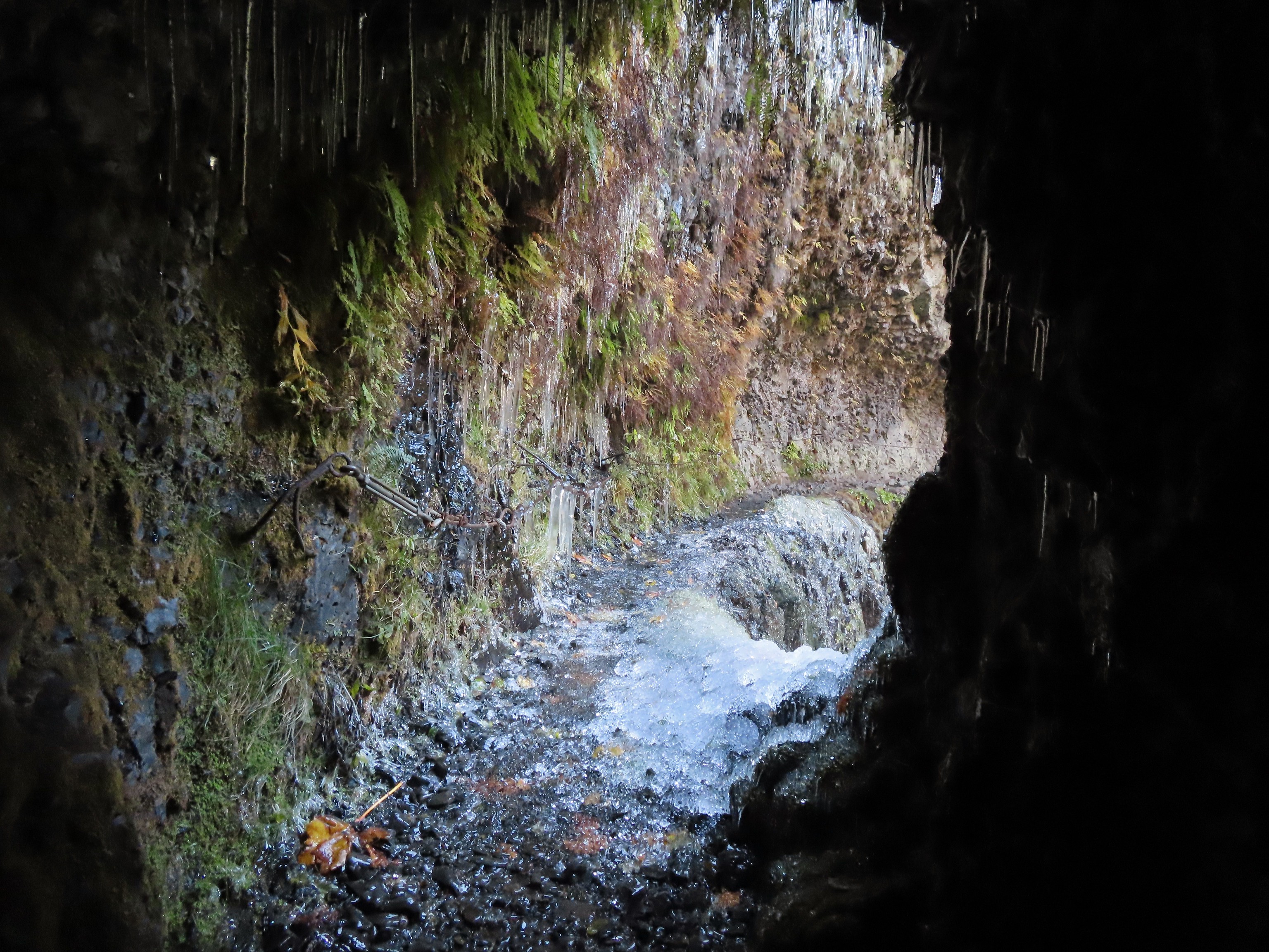 Frozen tunnel on the Eagle Creek Trail.
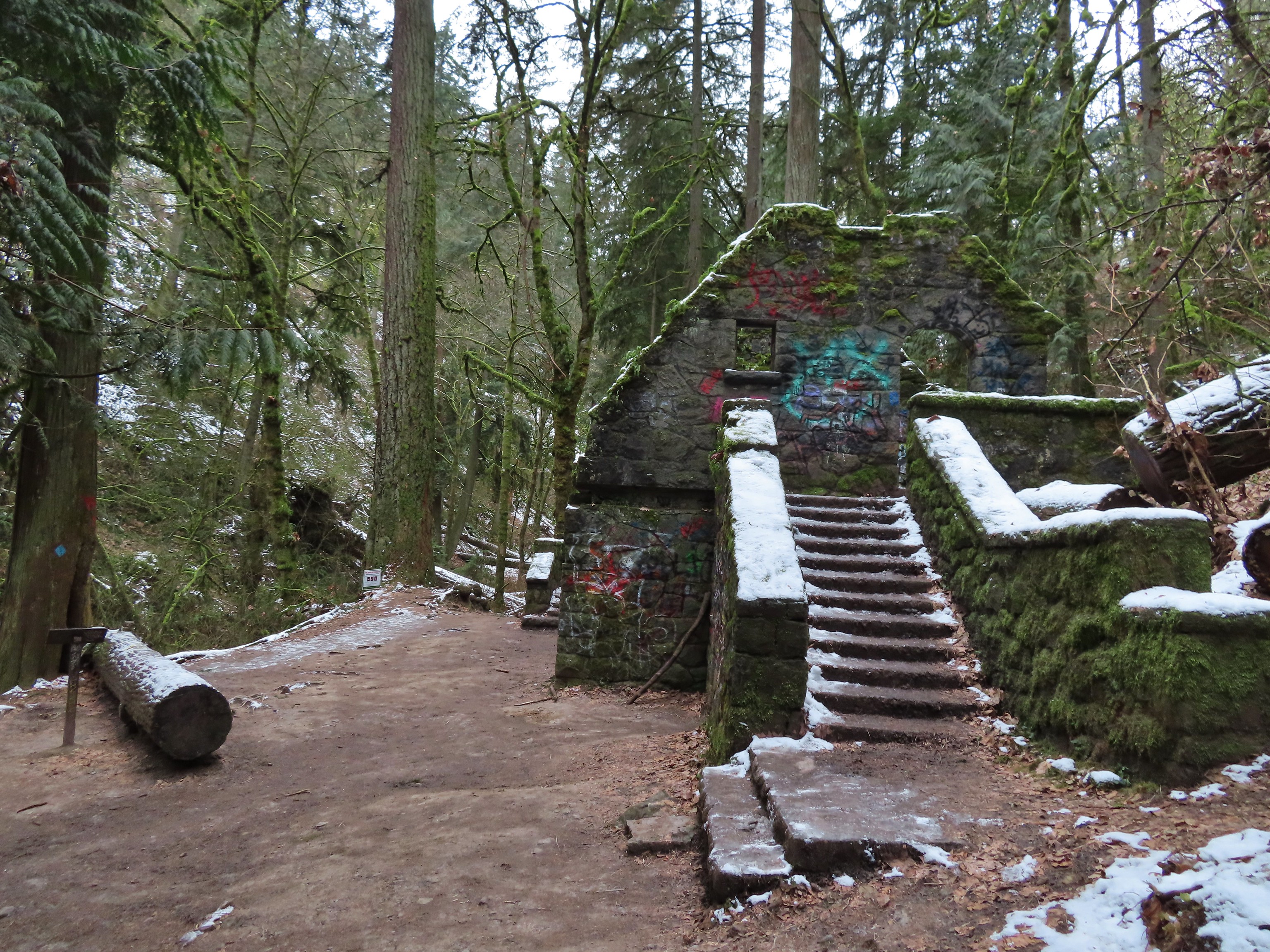 Witch’s Castle – Forest Park, Portland, OR
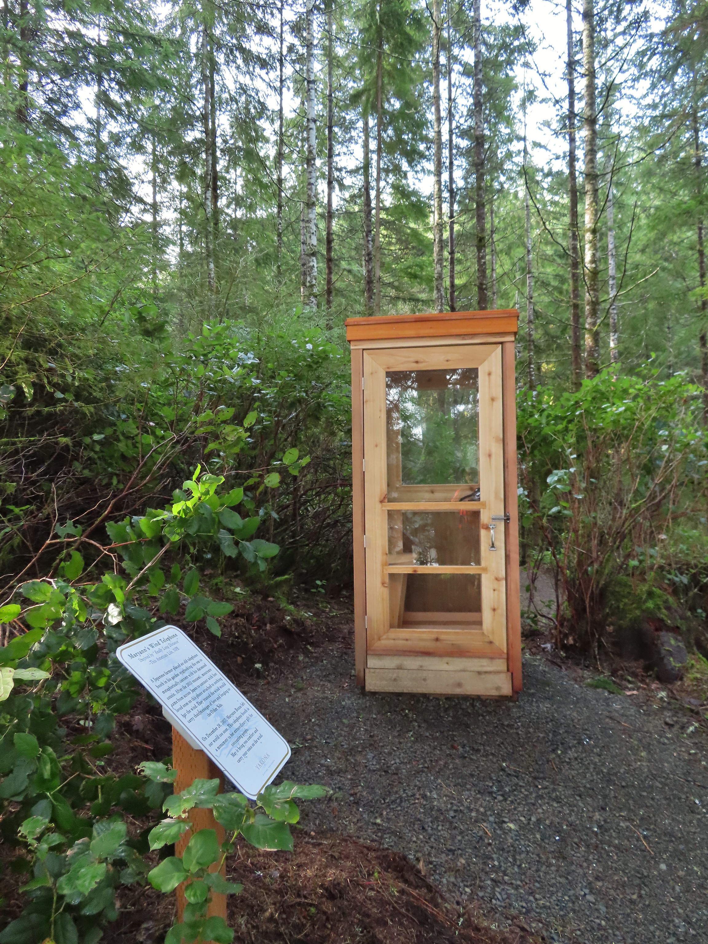 Wind Telephone, Yakona Nature Preserve – Newport, OR
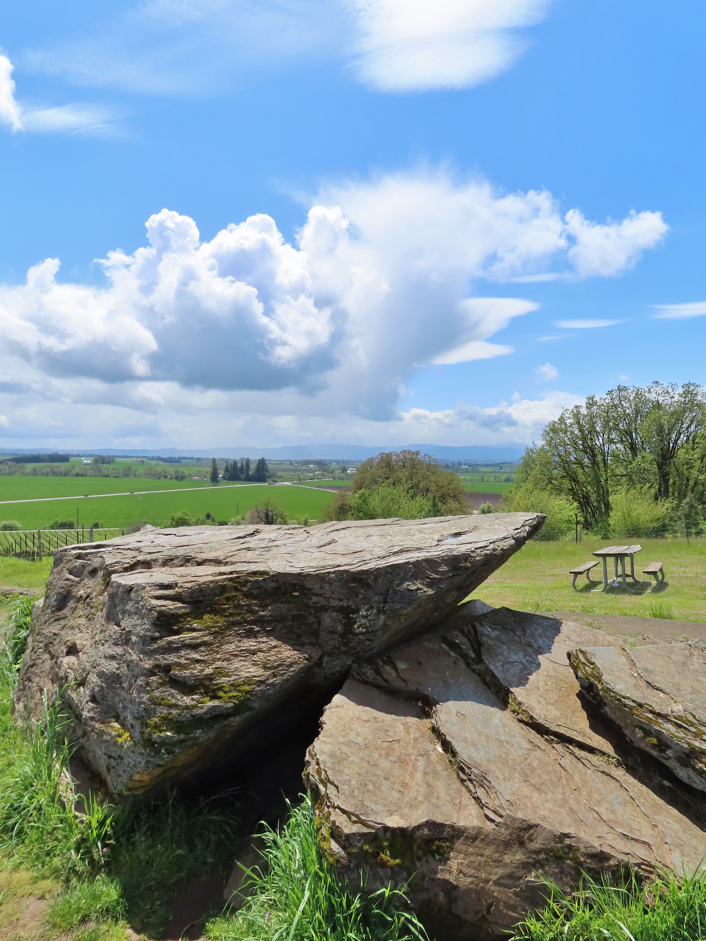 Erratic Rock (
 One of several military bunkers at Ken Denman Wildlife Area – Medford, OR
 Umpqua Hot Springs – Umpqua National Forest, OR
 Illahee Rock Lookout – Umpqua National Forest, OR
 Twin Lakes Shelter – Umpqua National Forest, OR
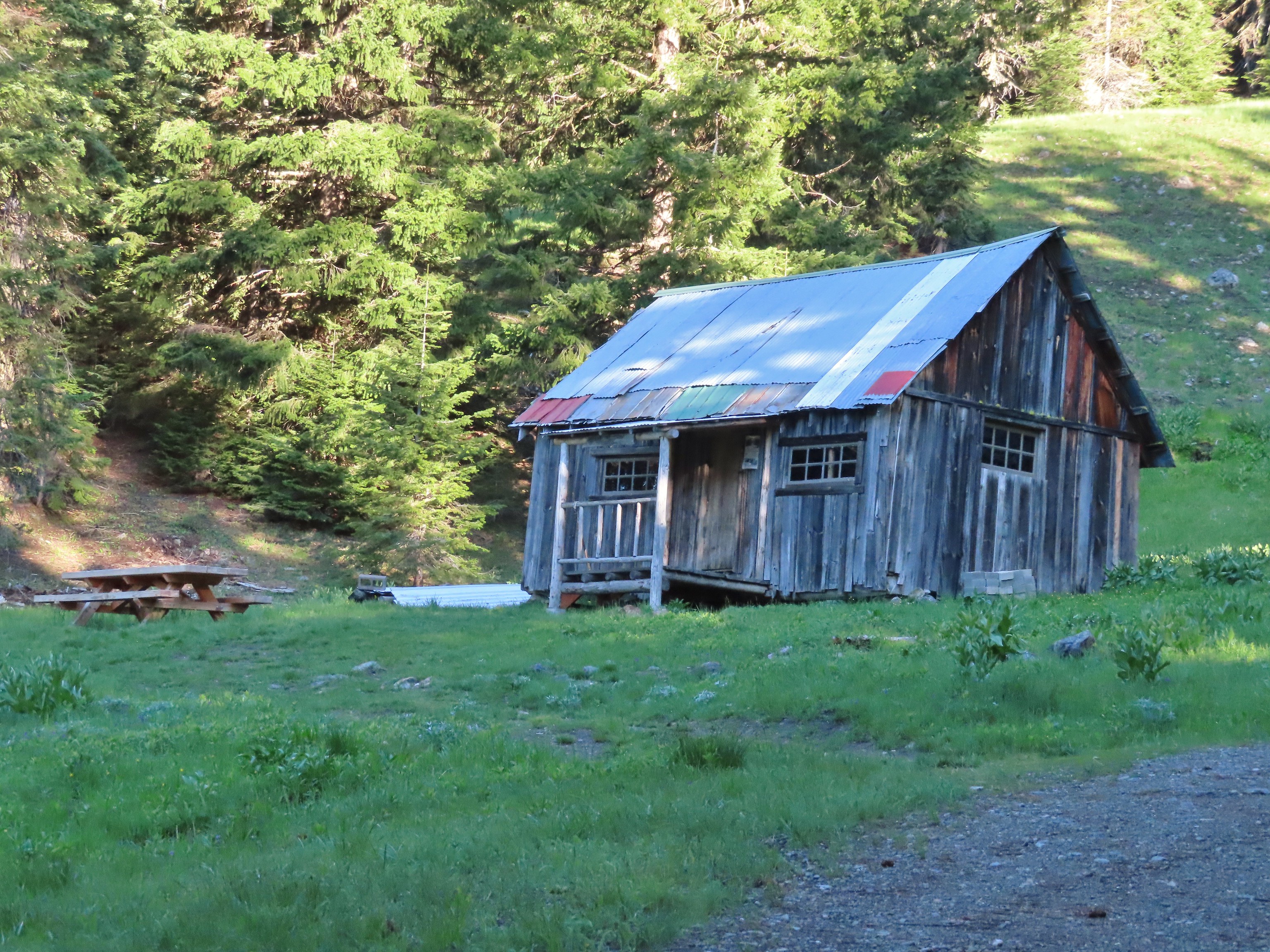 Donomore Cabin – Donomore Meadows, CA
 Mt. Ireland Lookout – Wallowa-Whitman National Forest, OR
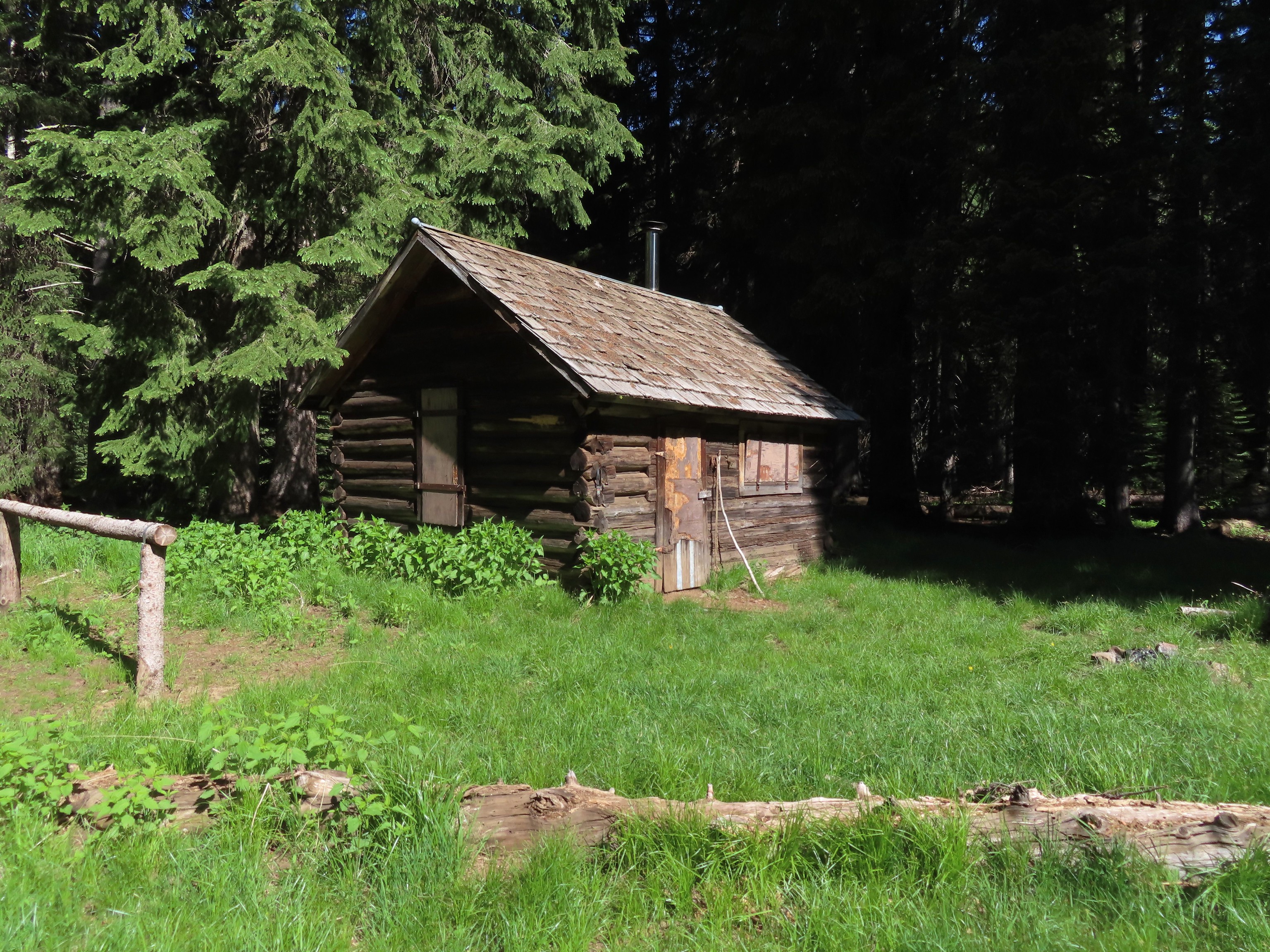 Cabin at Catherine Creek Meadows – Wallowa-Whitman National Forest, OR
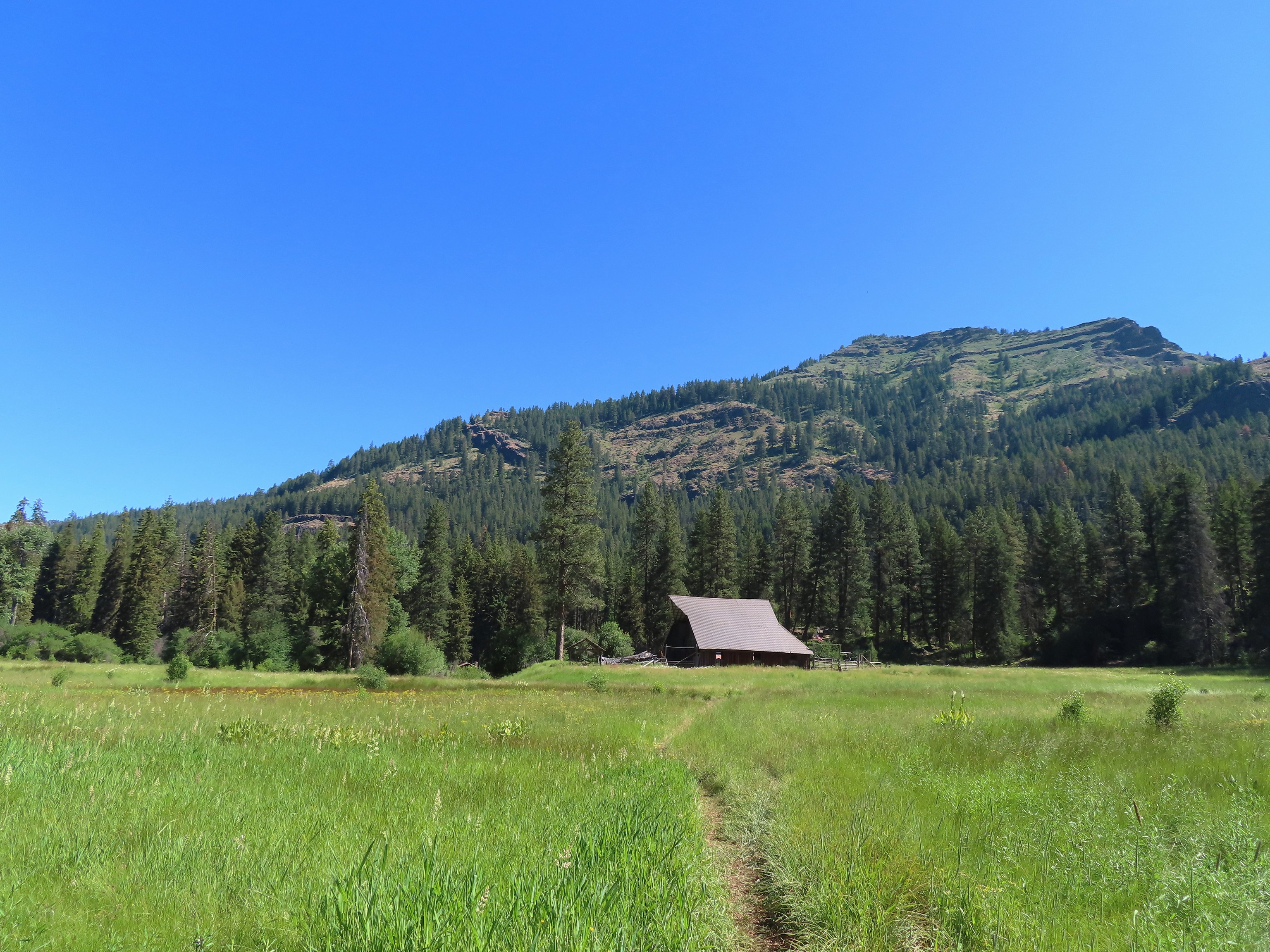 Reds Horse Ranch – Wallowa-Whitman National Forest, OR
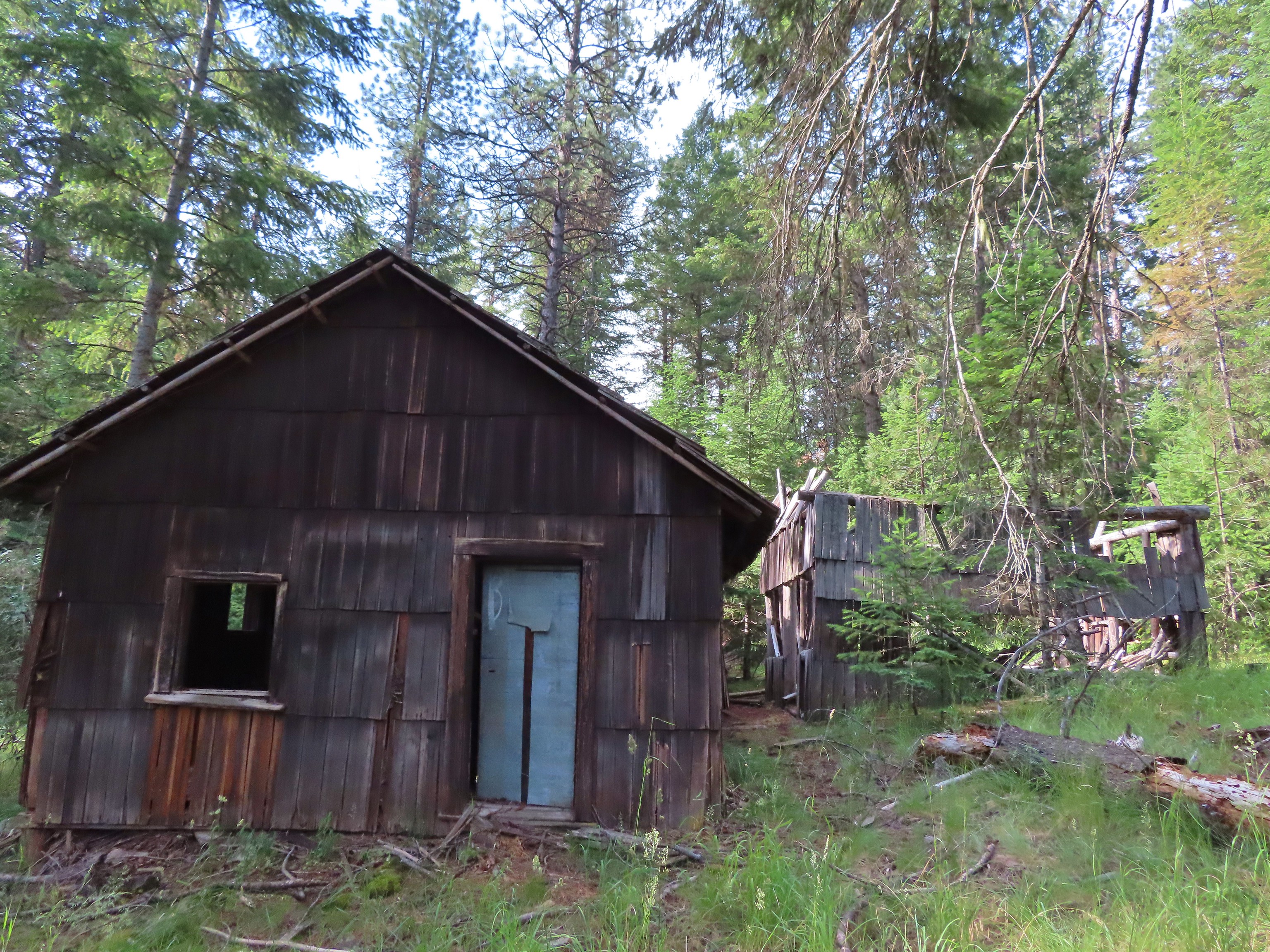 Lodge ruins – Wallowa-Whitman National Forest, OR
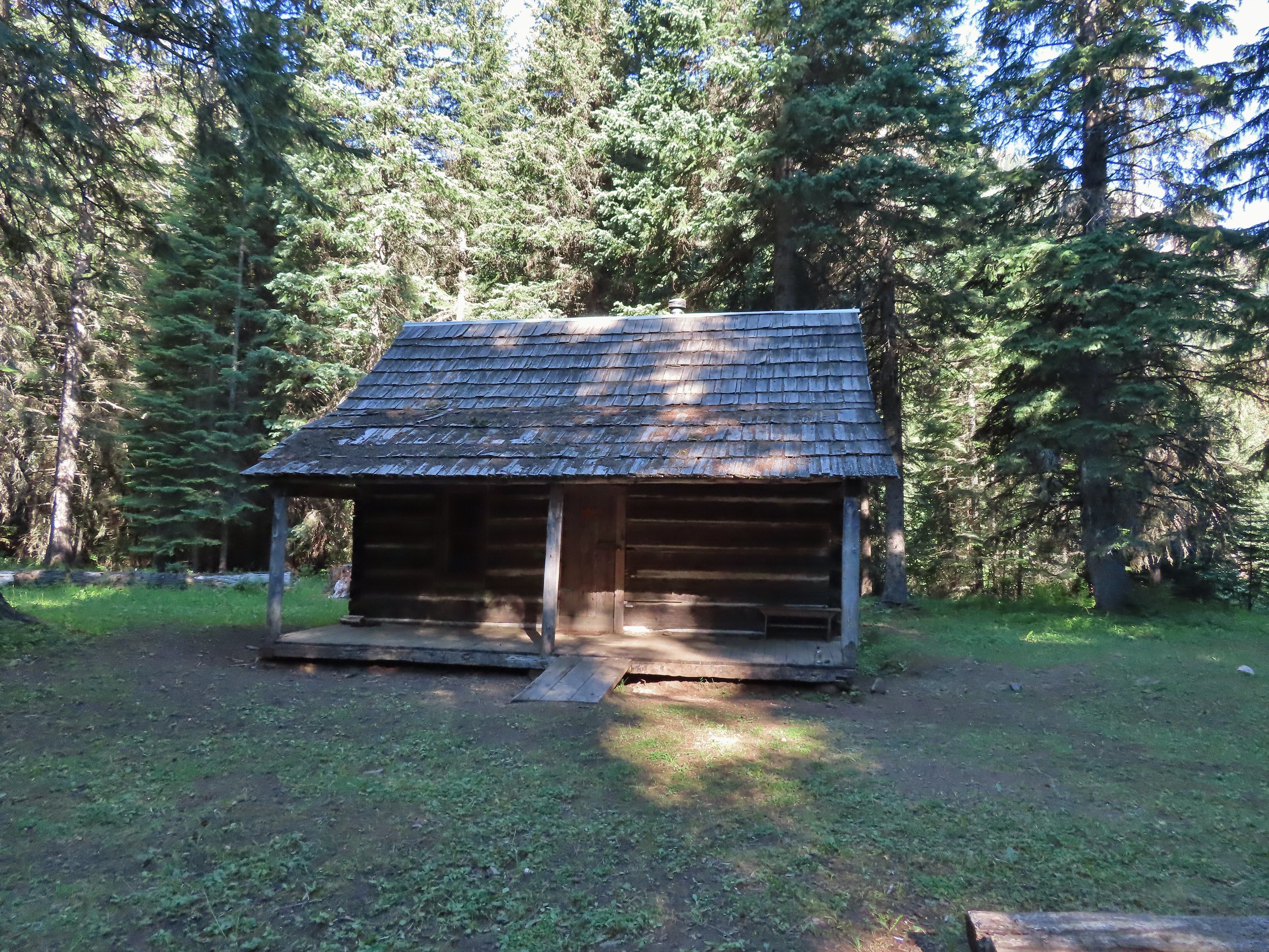 Bear Creek Guard Station – Wallowa-Whitman National Forest, OR
 Gazebo on Tick Hill – Wallowa, OR
 Spring above Southgate Meadows – Mount Shasta Wilderness, CA
 Panther Spring – Mount Shasta Wilderness, CA
 Remnants of the OSU Dean’s house – McDonald Forest, Corvallis, OR
 Talking Water Gardens – Water treatment wetlands, Albany, OR

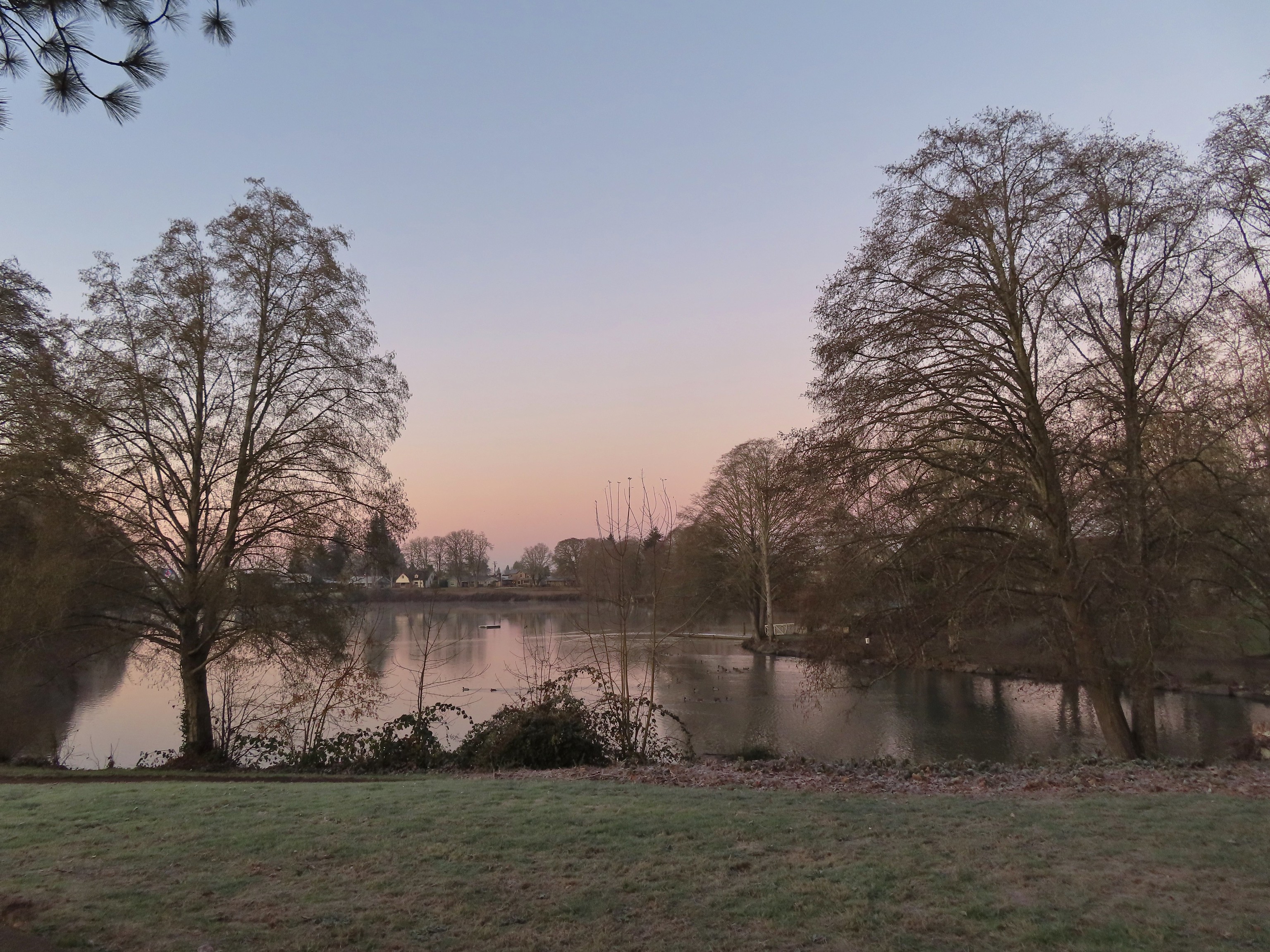 Waverly Lake at sunrise.
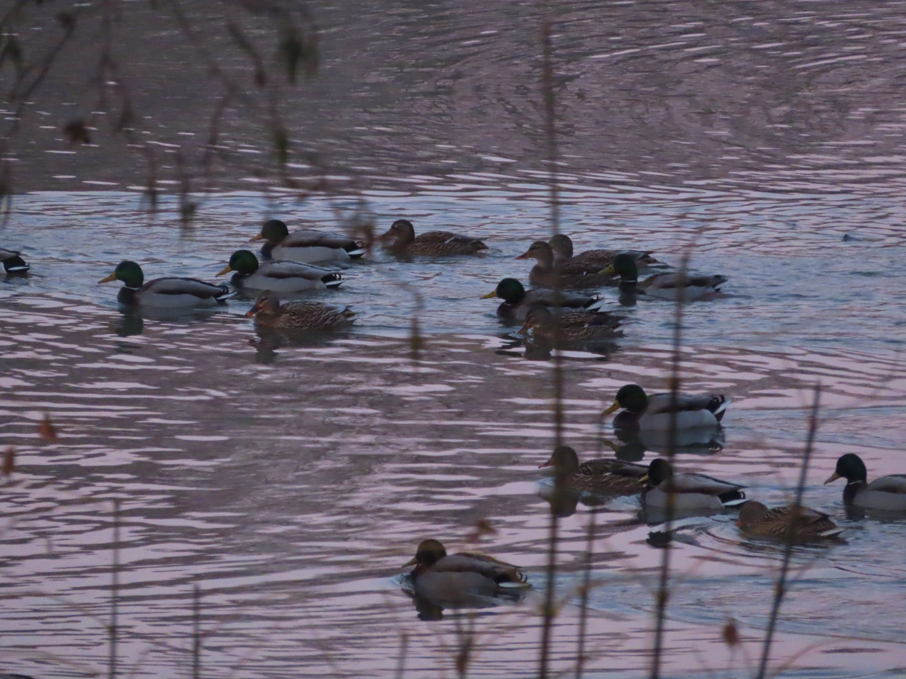 Mallards
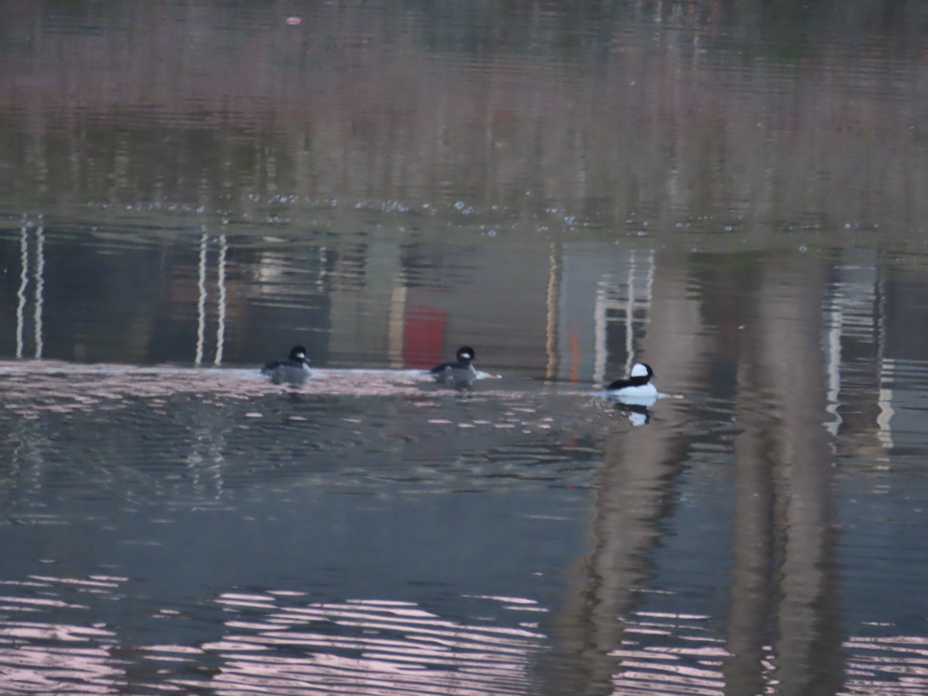 Buffleheads
 I think this is a ruddy duck.
 American coots
 Guessing these are some sort of domestic/mallard? crossbreeds. Very interesting looking.
 More mallards near Cox Creek
 Cox Creek flowing toward Waverly Lake.
 Nearing the outlet of Cox Creek.
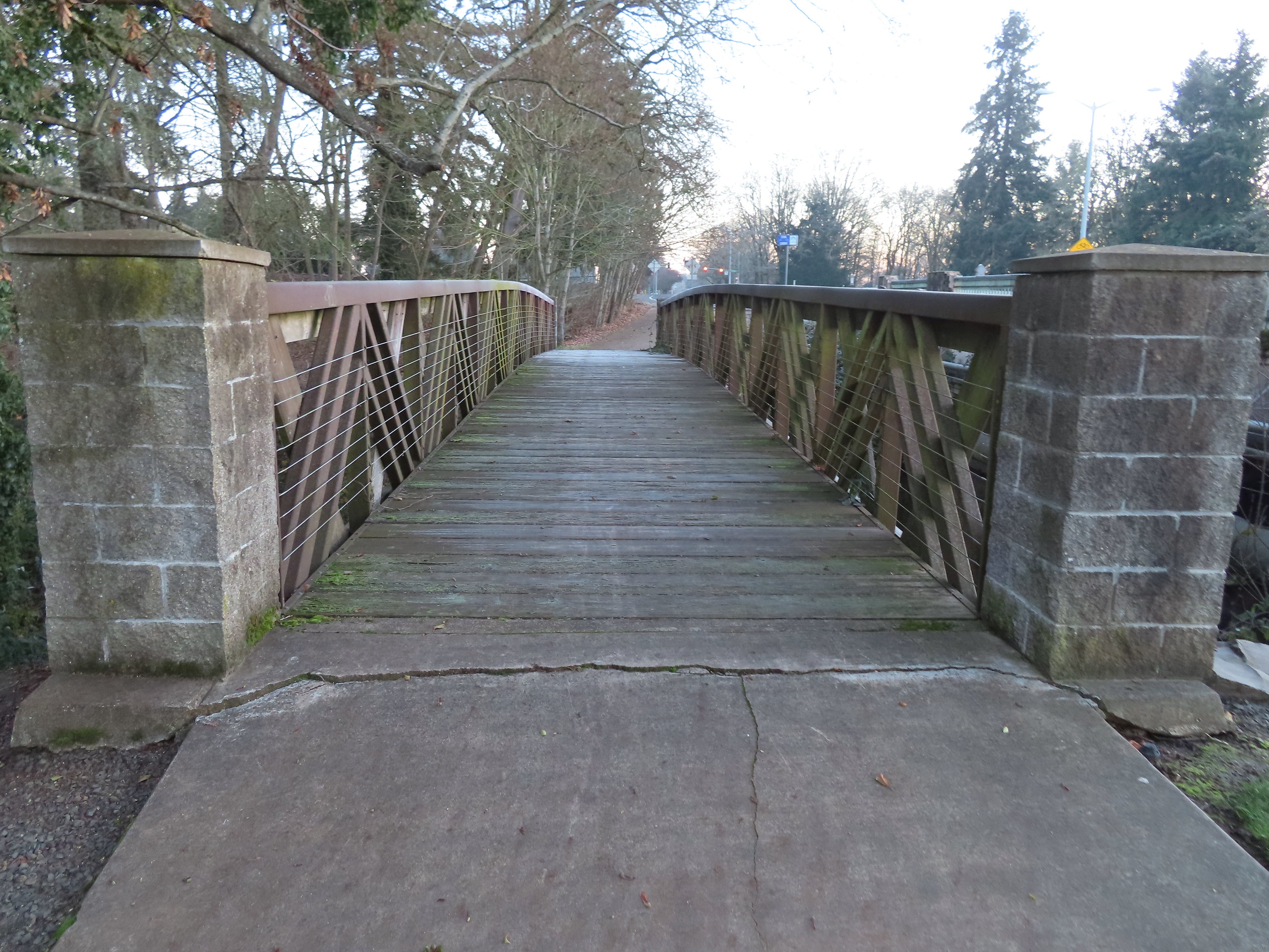
 We almost got off-track here. This path on the right (just after passing under some railroad tracks) does lead into the wetlands but it wasn’t part of the Oregon Hikers described hike.
 One of several interpretive signs along the trails.
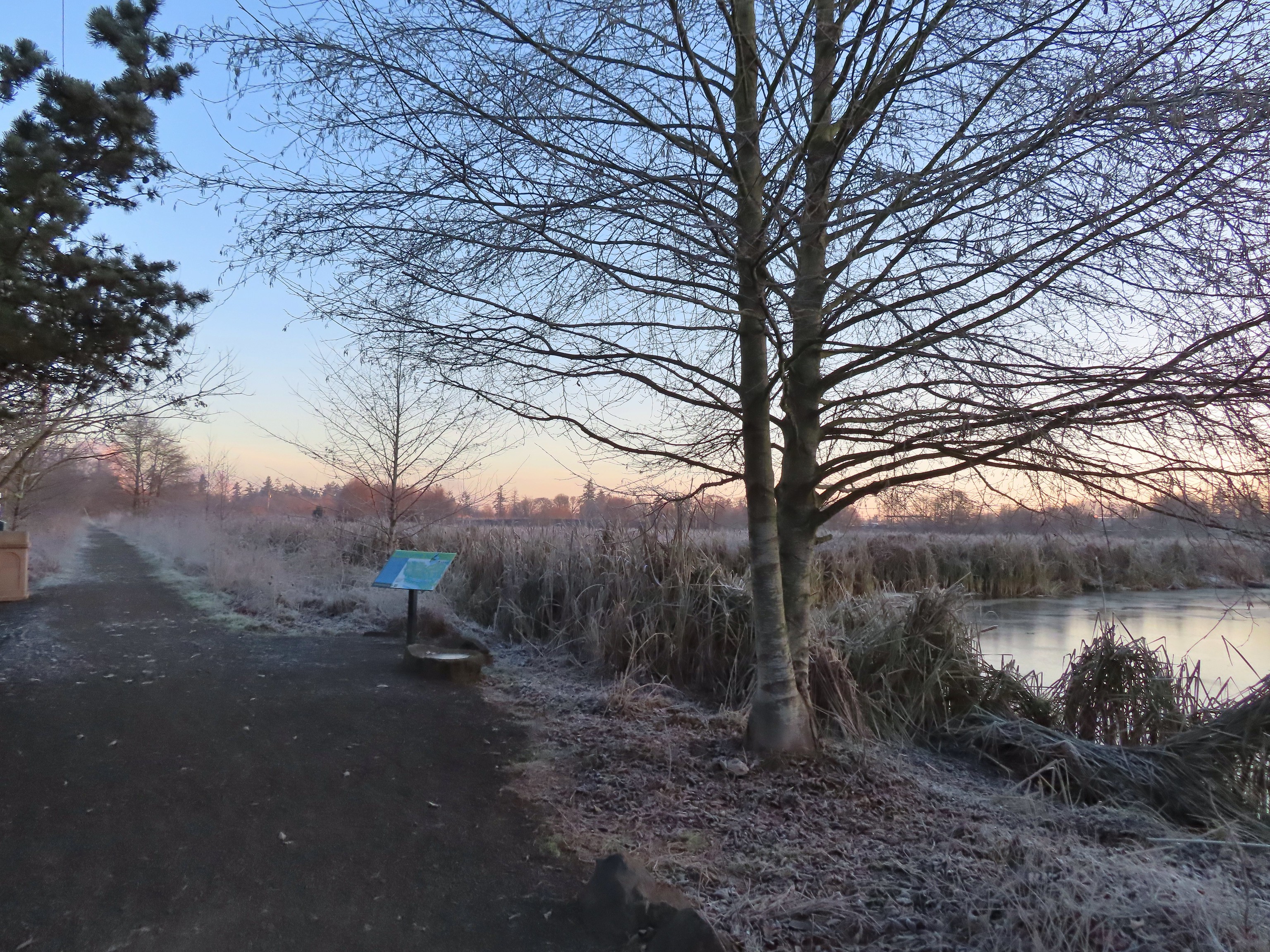
 Frosty leaves, it had been a chilly 28 degrees when we started out.
 Simpson Park
 The Simpson Park Trail is a 1 mile out and back along the Willamette River. It also offers access to the Riverfront Trail which one could follow SW almost 3.5 miles to Monteith Riverpark at the mouth of the Calapooia River. With Heather being limited to shorter hikes for now that wasn’t an option today but will be something we look forward to trying in the future.
 Map on a welcome sign.
 Frozen leaves


 American wigeons
 Bald eagle fly over
 Flock of geese flying over
 One of many unsigned intersections.
 Robin
Robin One of two memorials in the gardens.


 Bufflehead
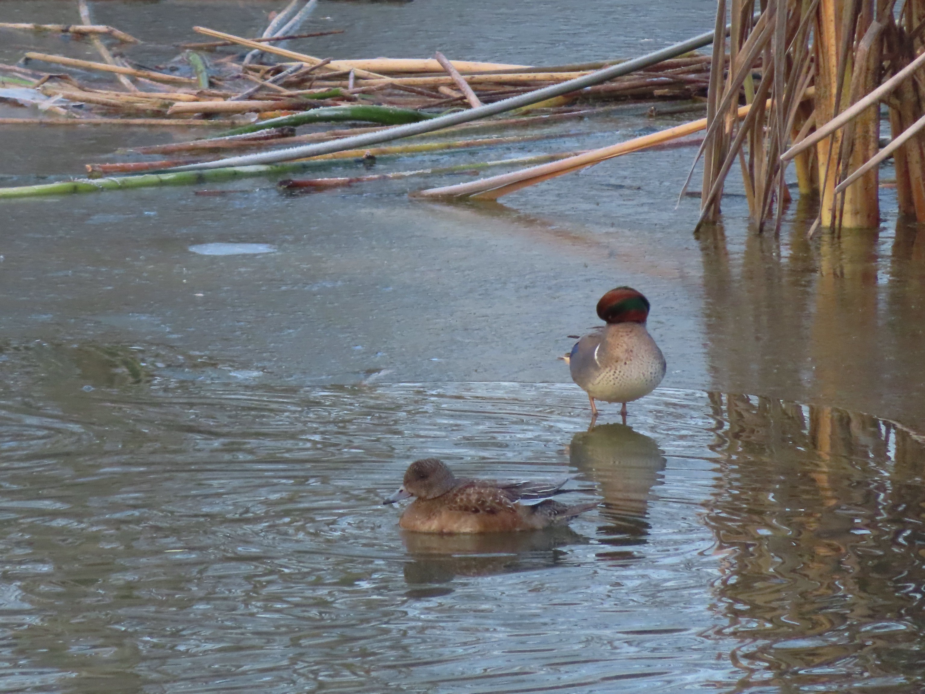 Green winged teal
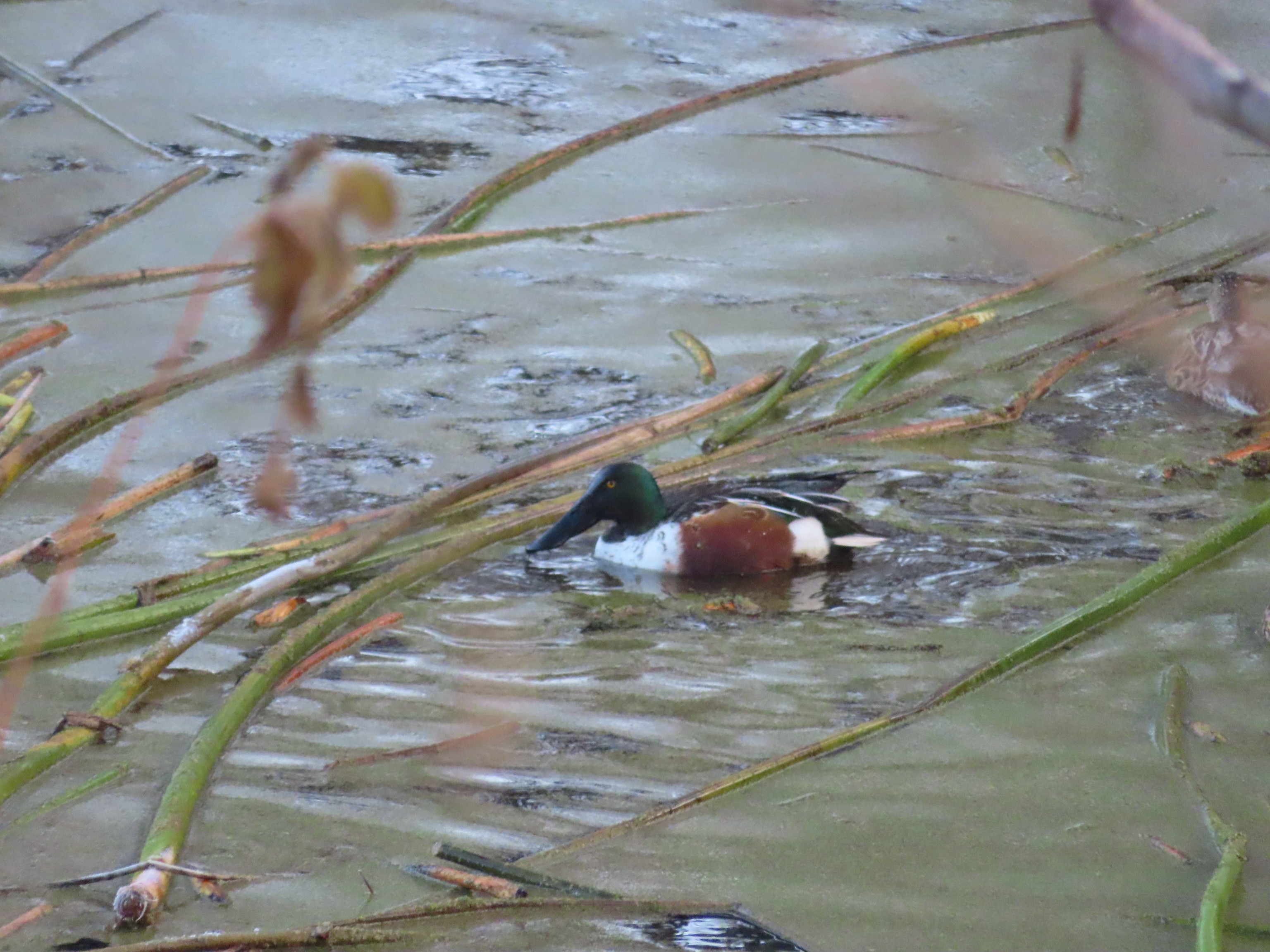 Northern shoveler
 Frost
Frost Simpson Park across a pond.
 Fishermen heading into the fog at Waverly Lake.
 Mallards hanging out in the fog.
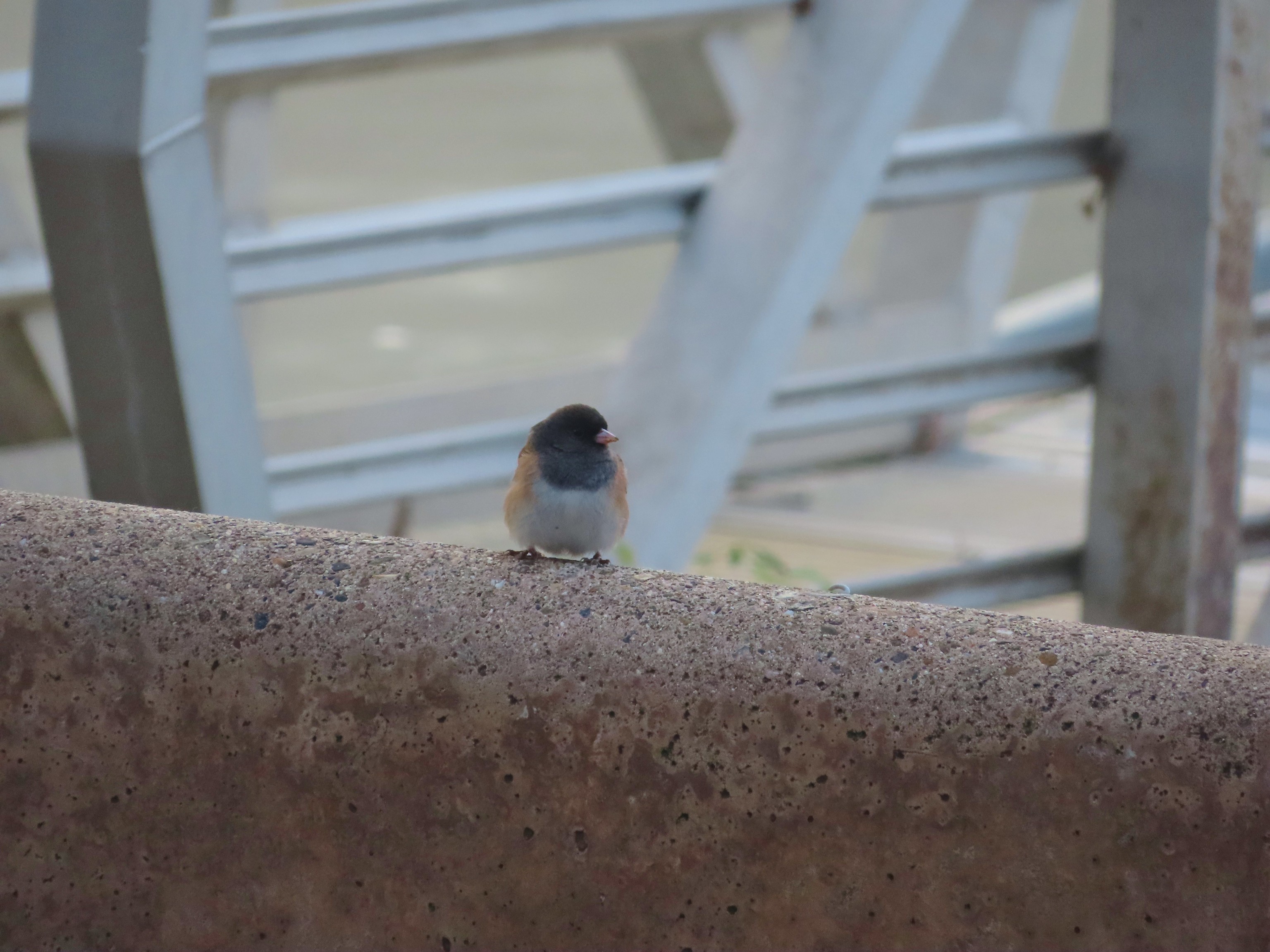 Dark eyed junco
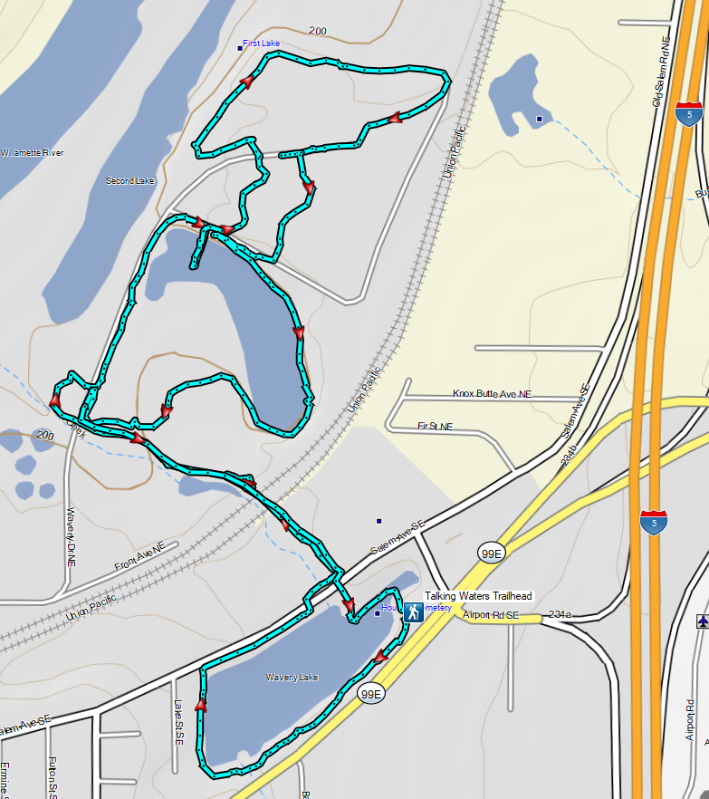
 It was hard to tell at times which parts were frozen.
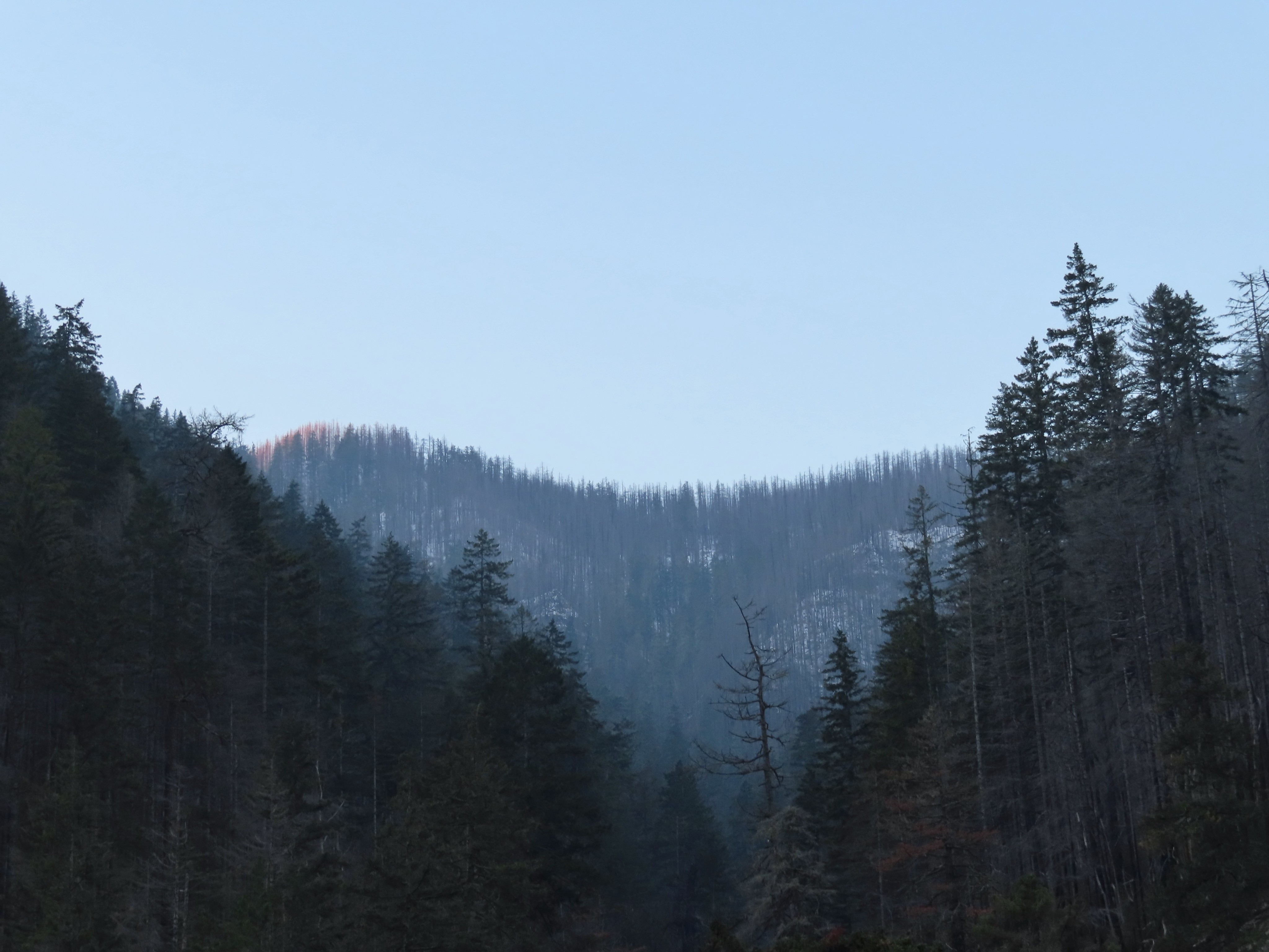 Snow at the higher elevations.
 A pink cloud in the direction of the Columbia River Gorge.
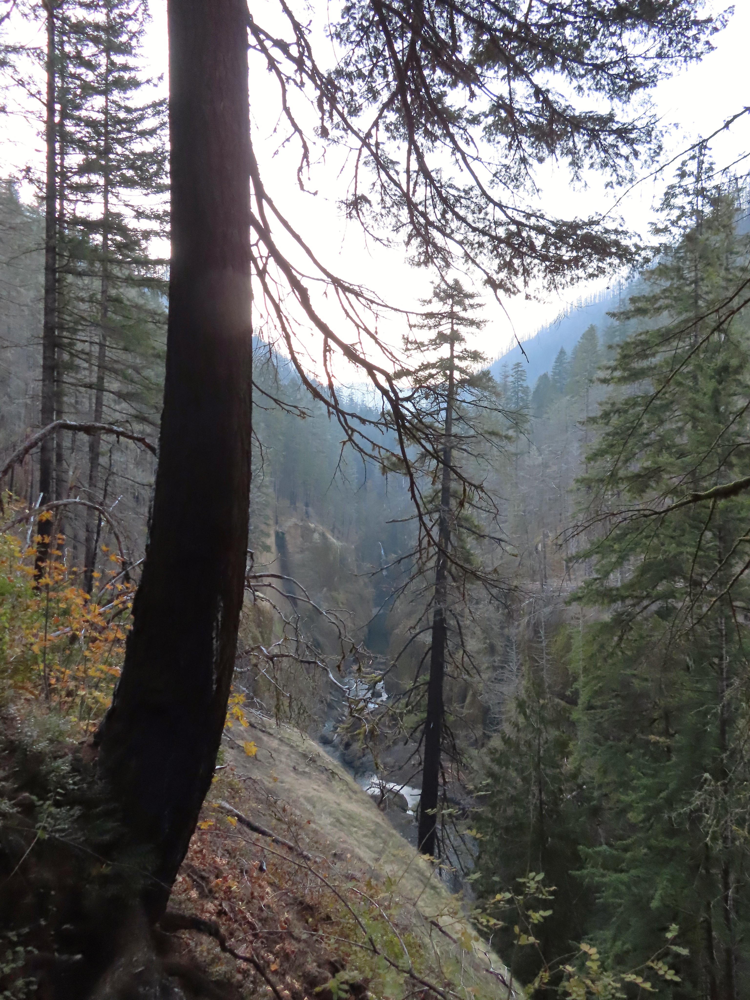
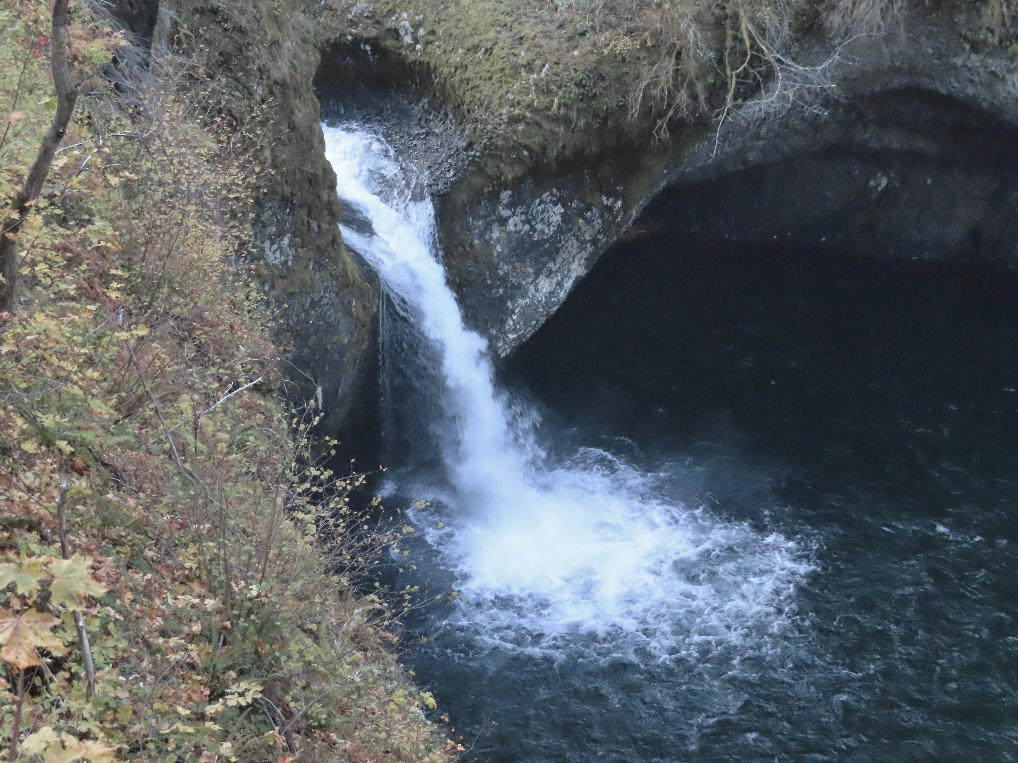
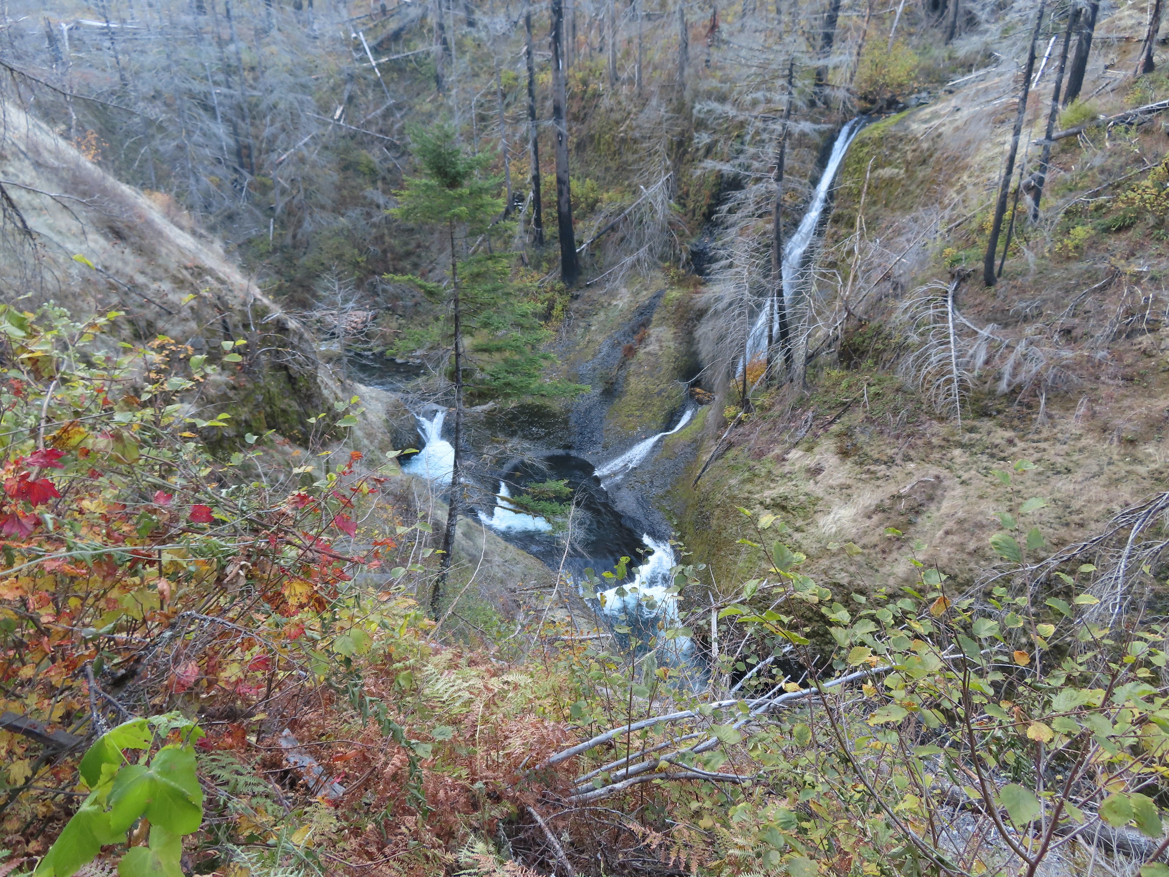
 Sorenson Falls splashing down into Eagle Creek.
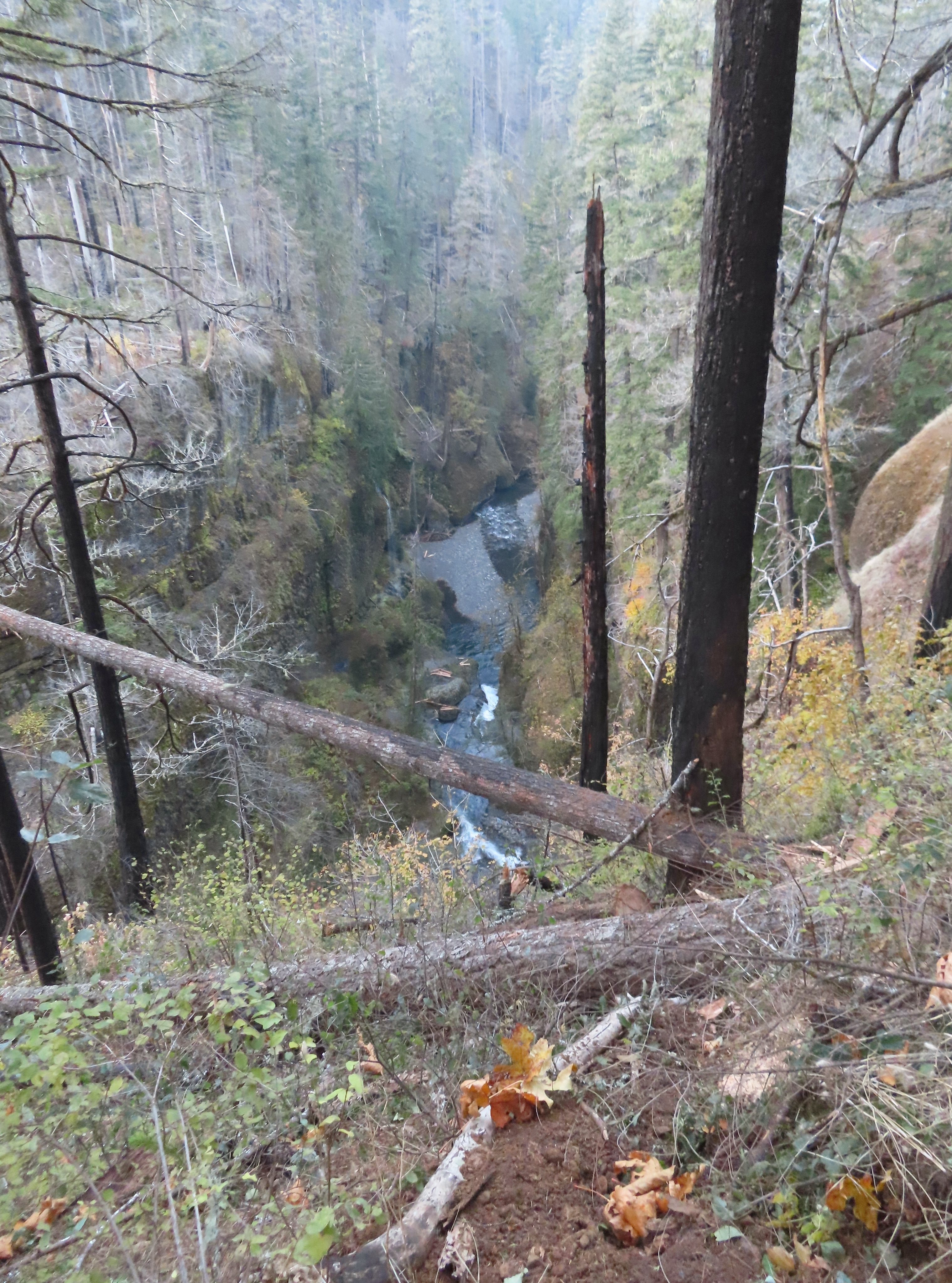 Looking back down Eagle Creek. It was hard to tell where the spur trail had been.
 Runoff falling from the cliffs into Eagle Creek.
 Metlako Falls
 Metlako Falls

 Lower Punchbowl Falls
 Rocks from the landslide on the right.
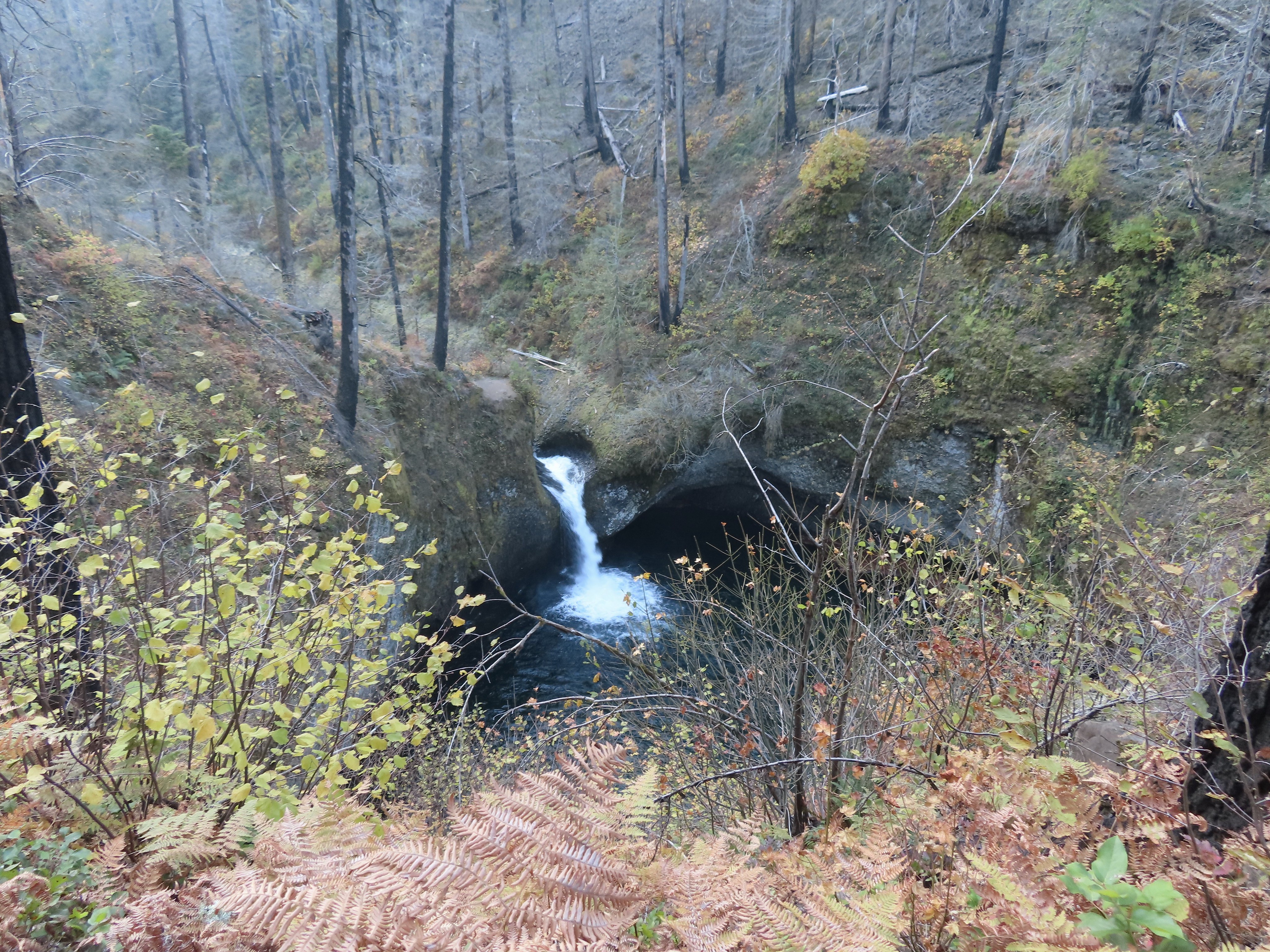
 Tish Creek Bridge
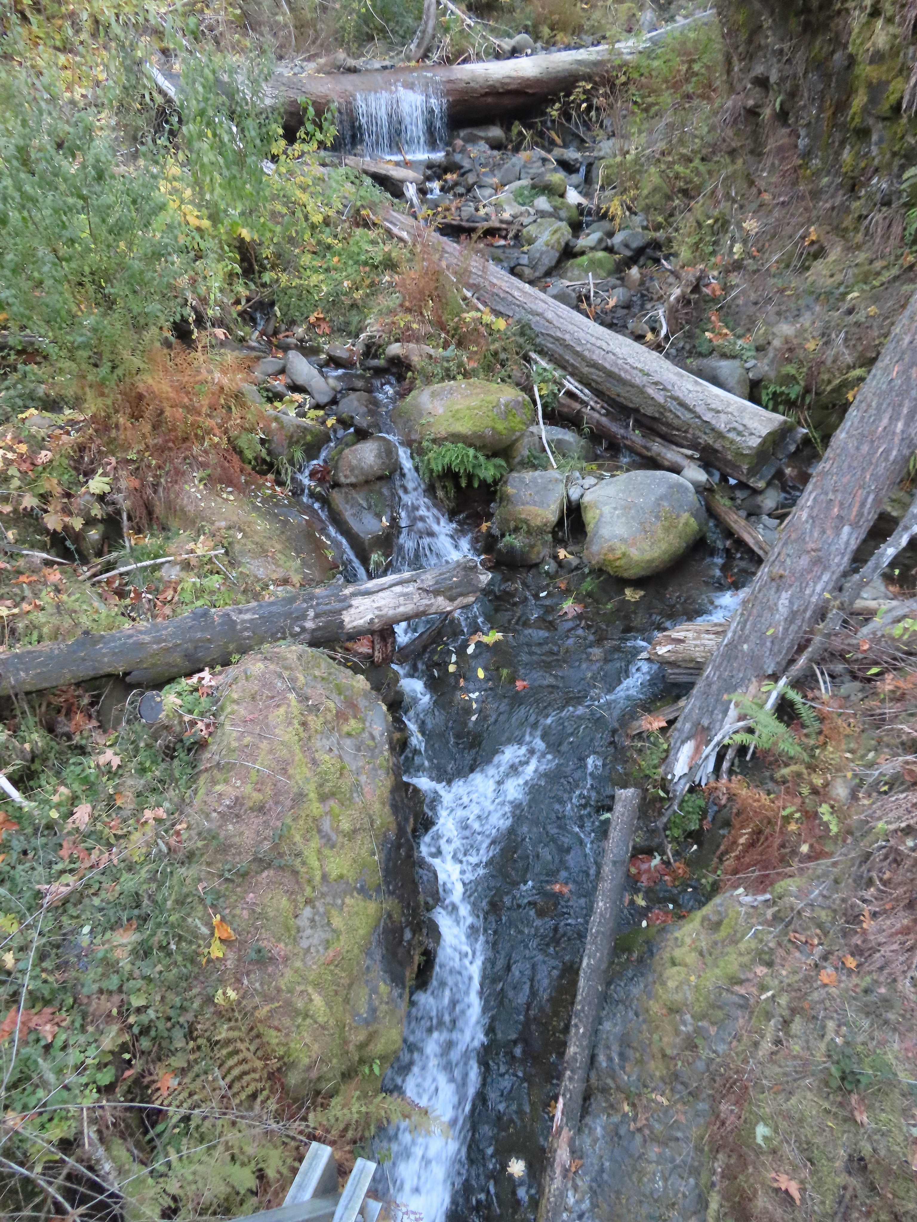 Tish Creek
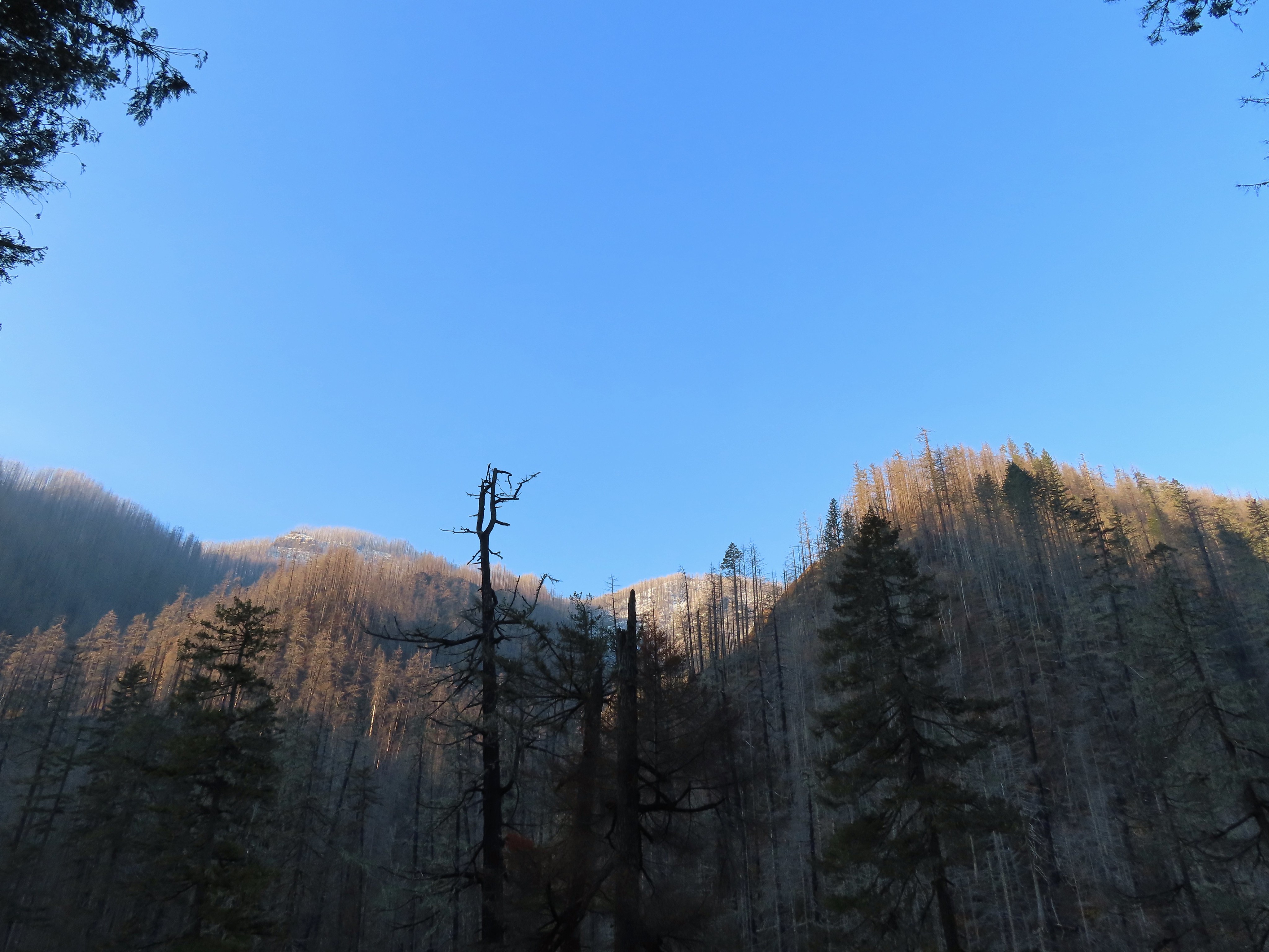 More snow on the ridge.
 Fern Creek Bridge
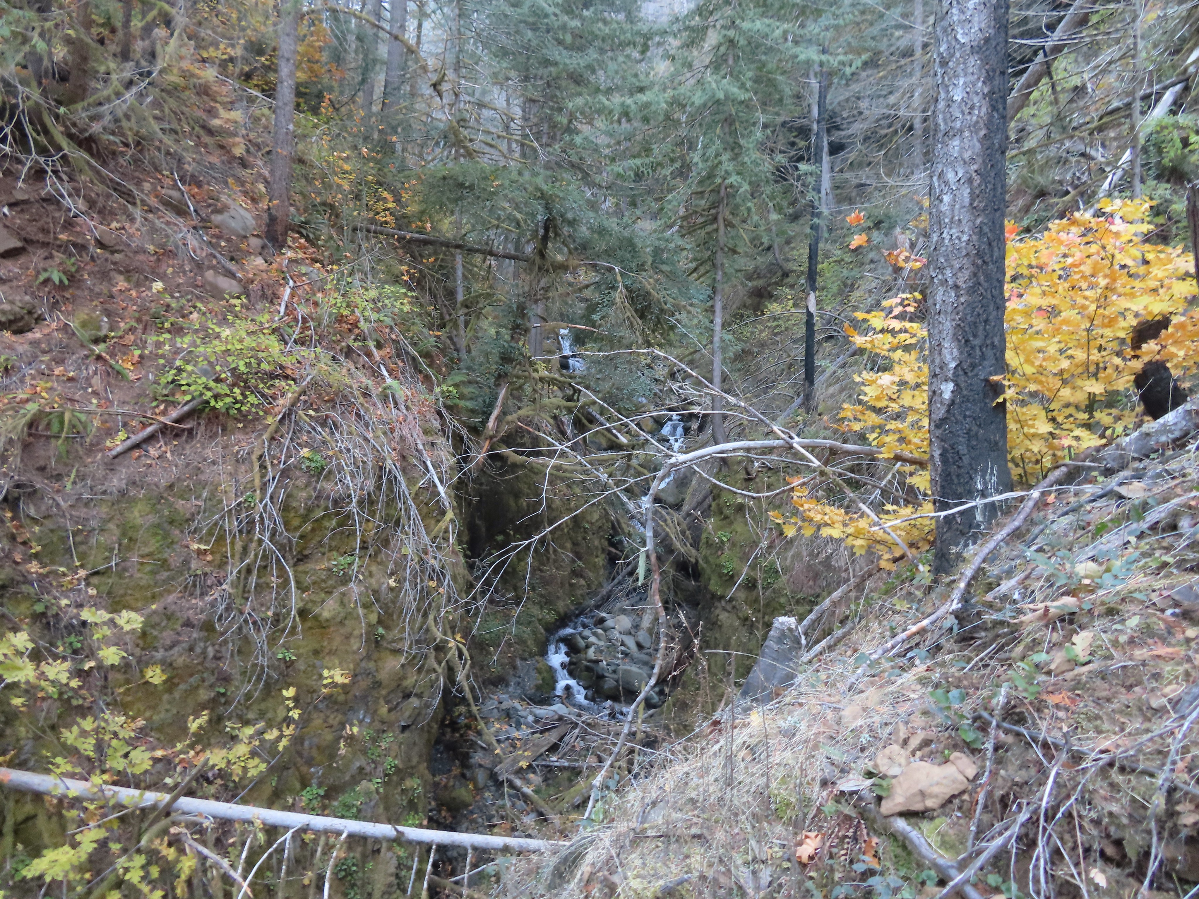 Fern Creek


 Careful where you step.
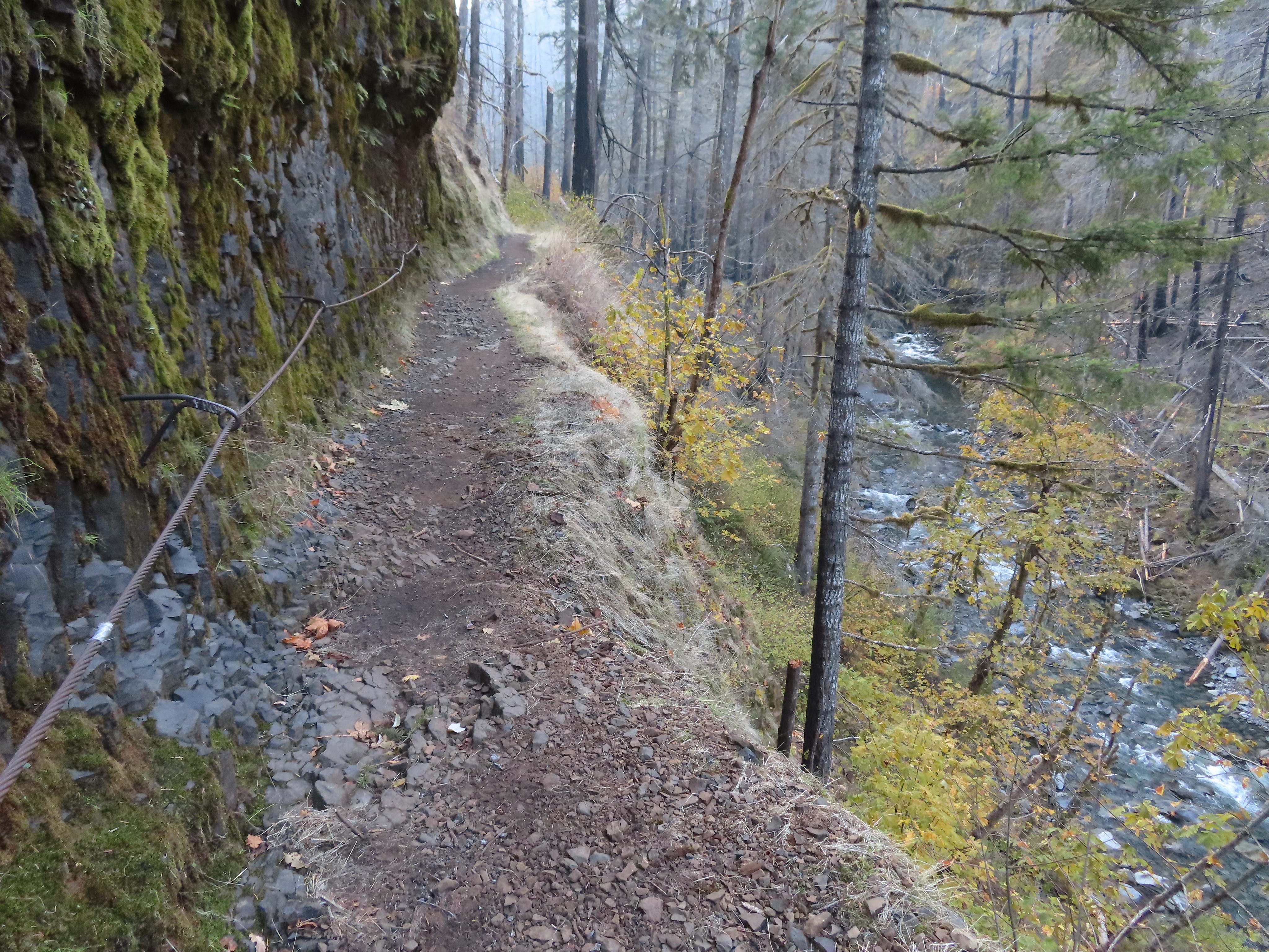 The last part was ice free.
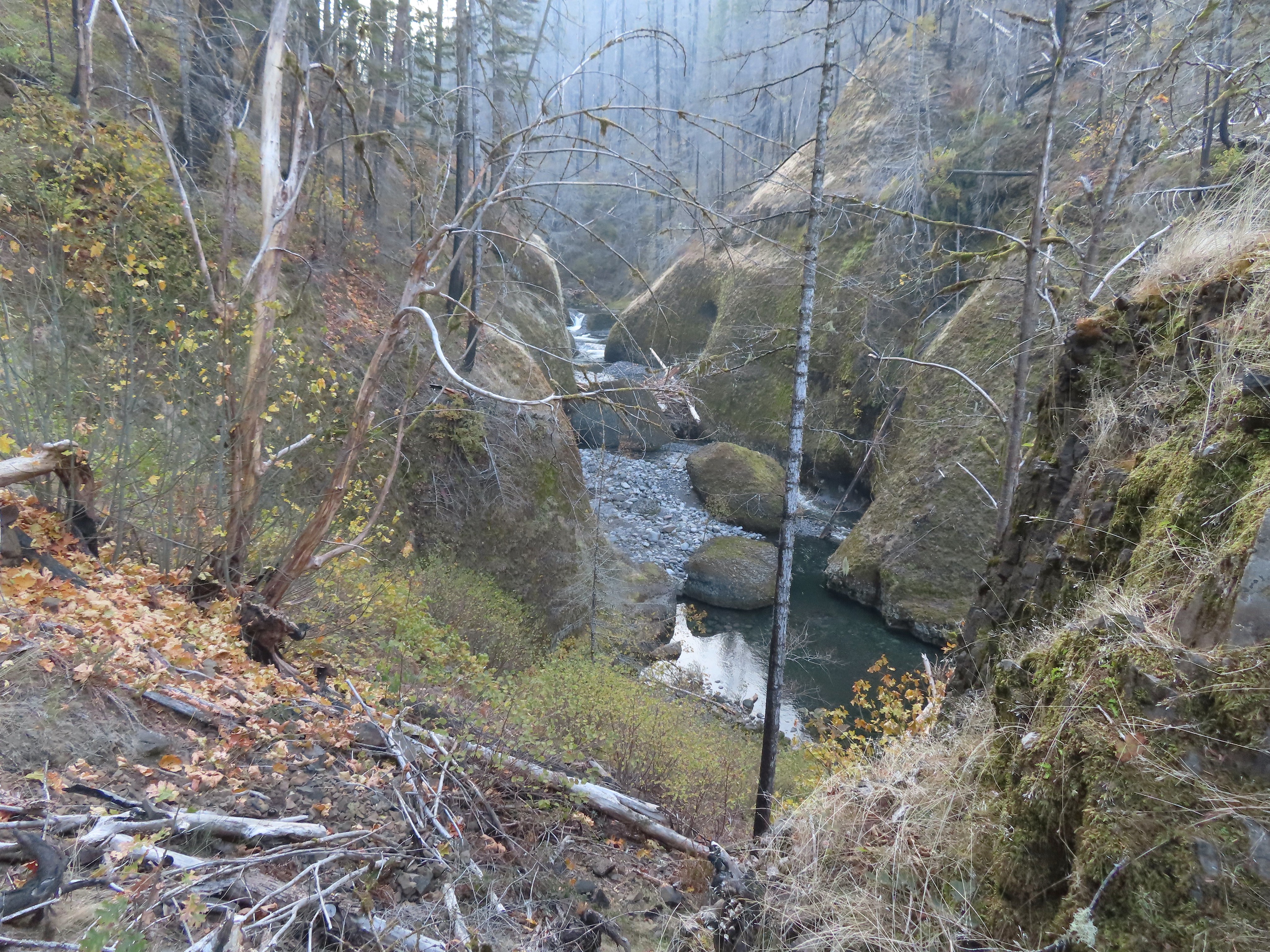
 Passing Loowit Falls.
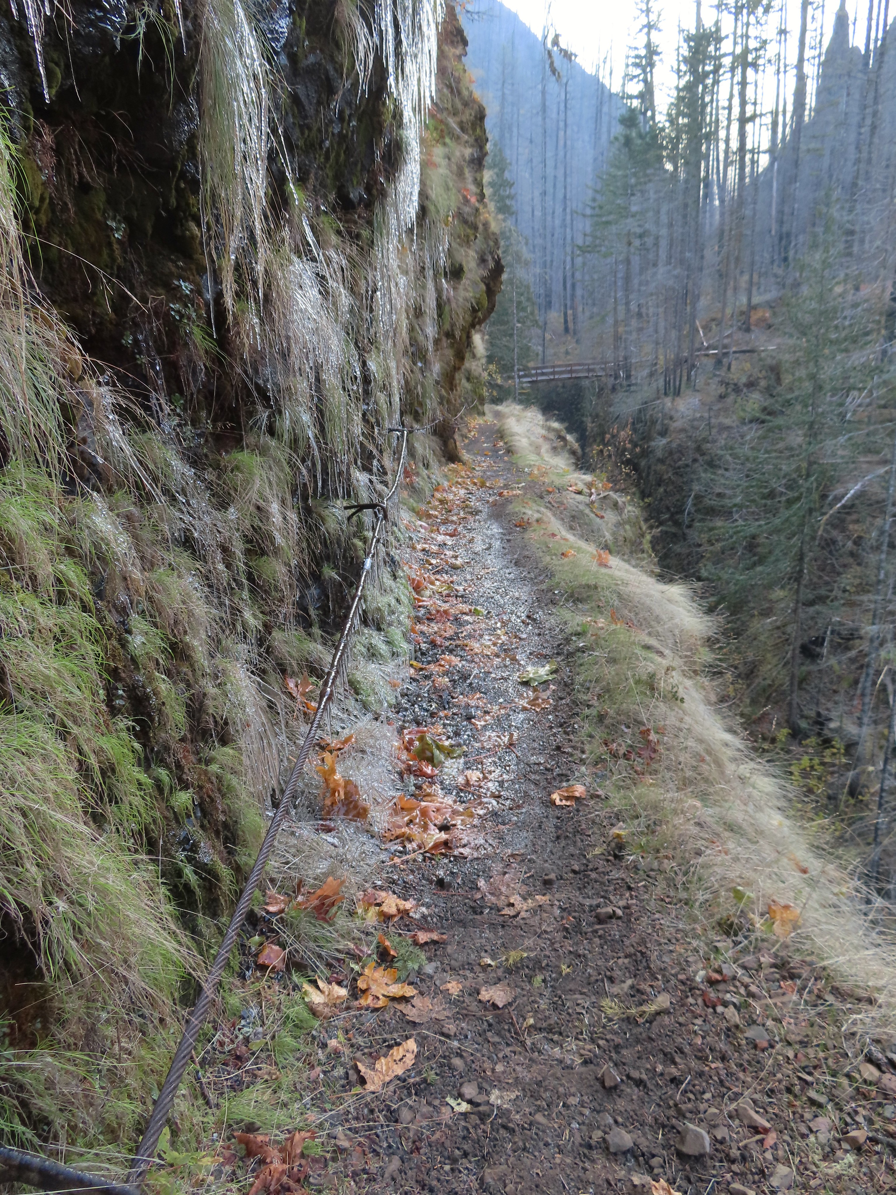 More cable passing Loowit Falls with High Bridge in
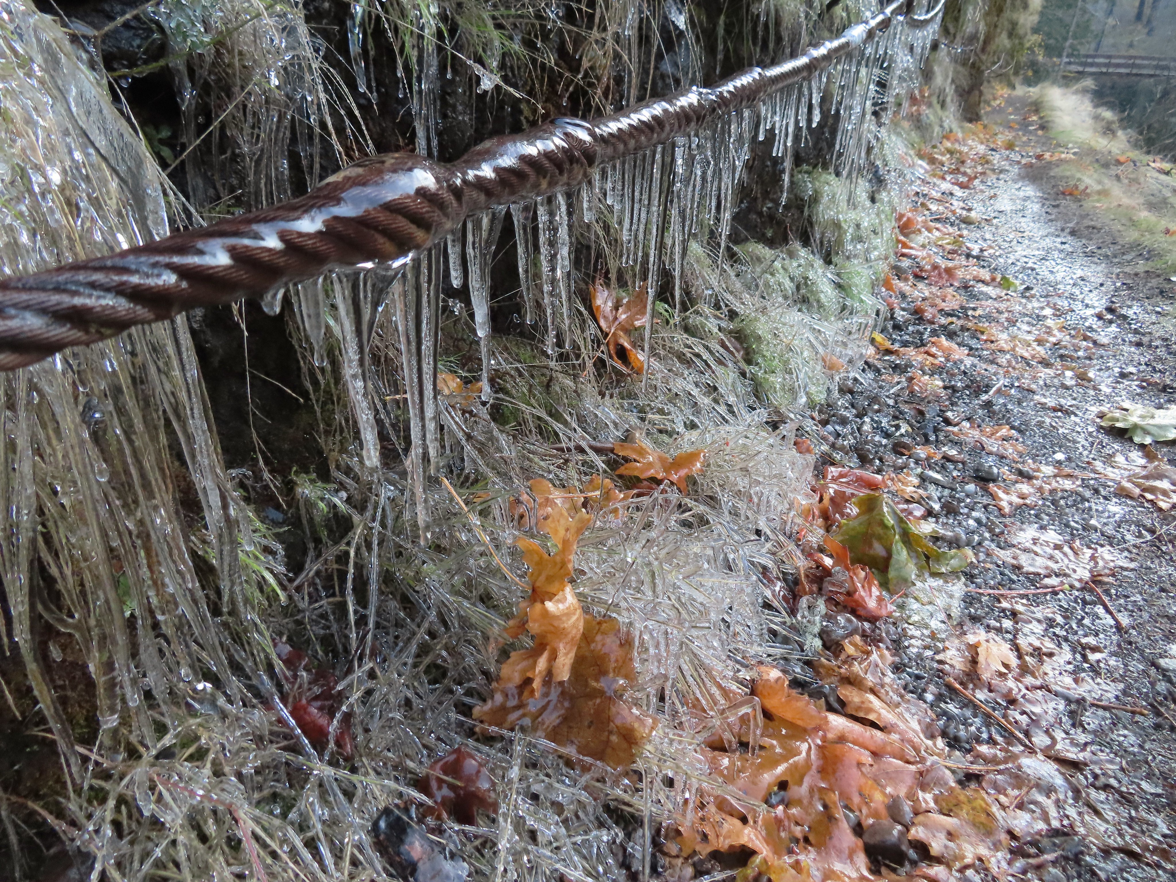


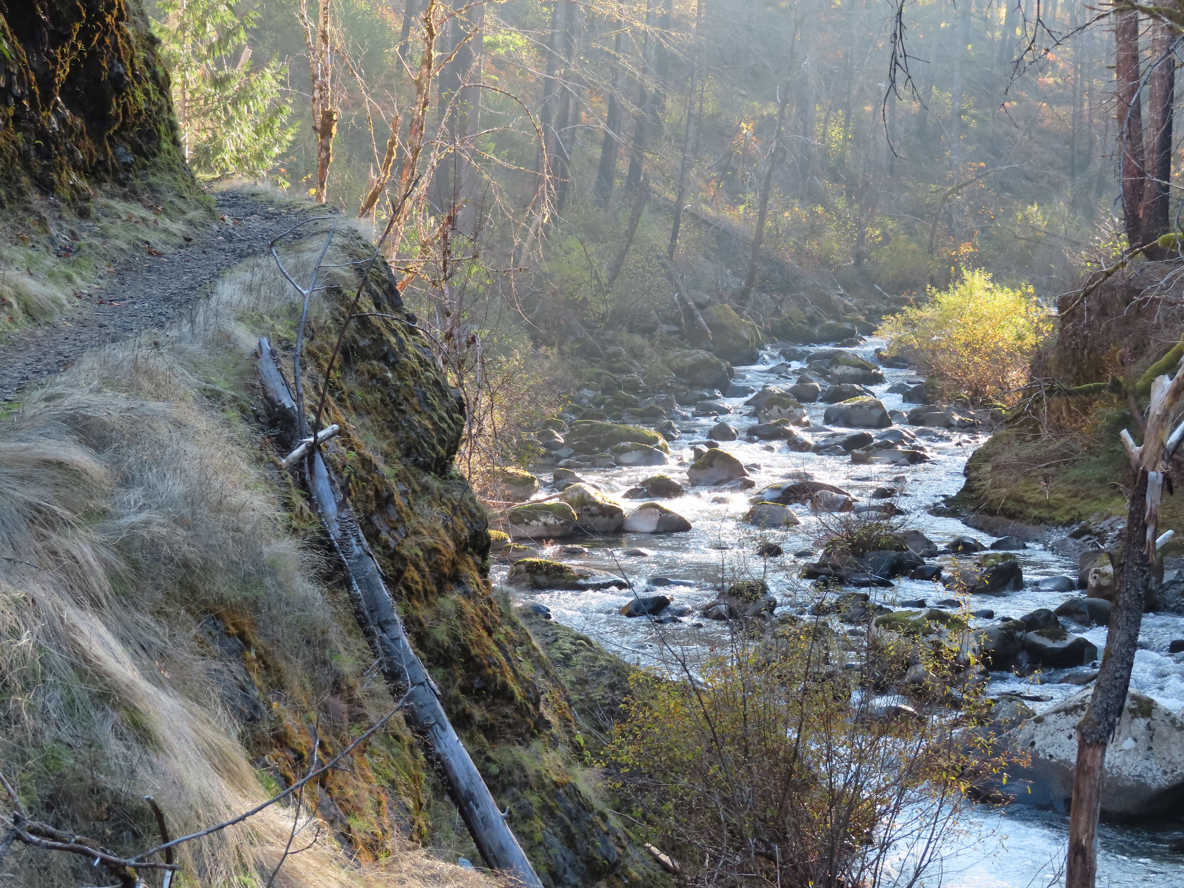
 Eagle Creek from High Bridge.
 Eagle Creek from High Bridge, looking upstream.
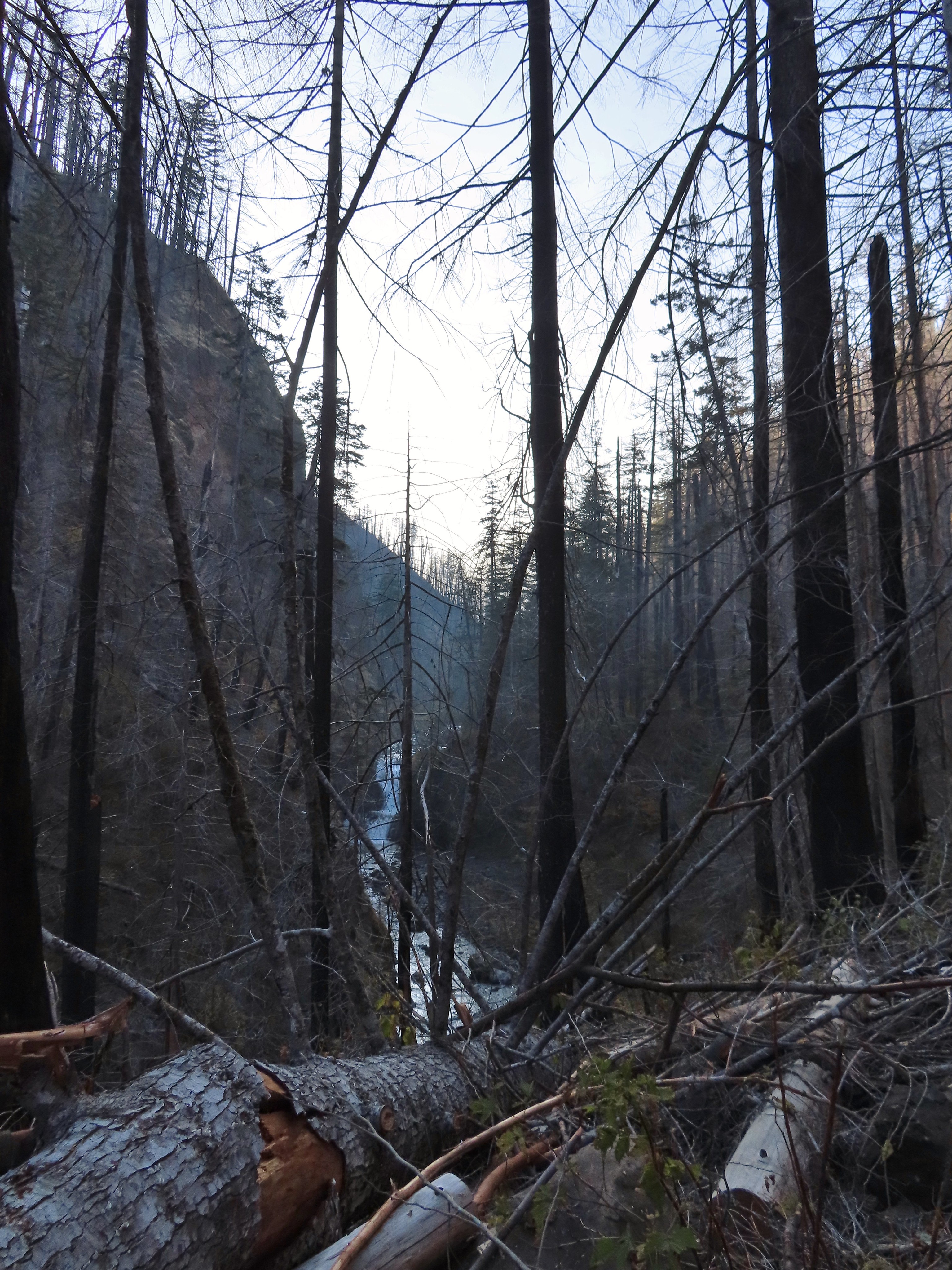
 Skoonichuck Falls
 Not my worst varied thrush photo.
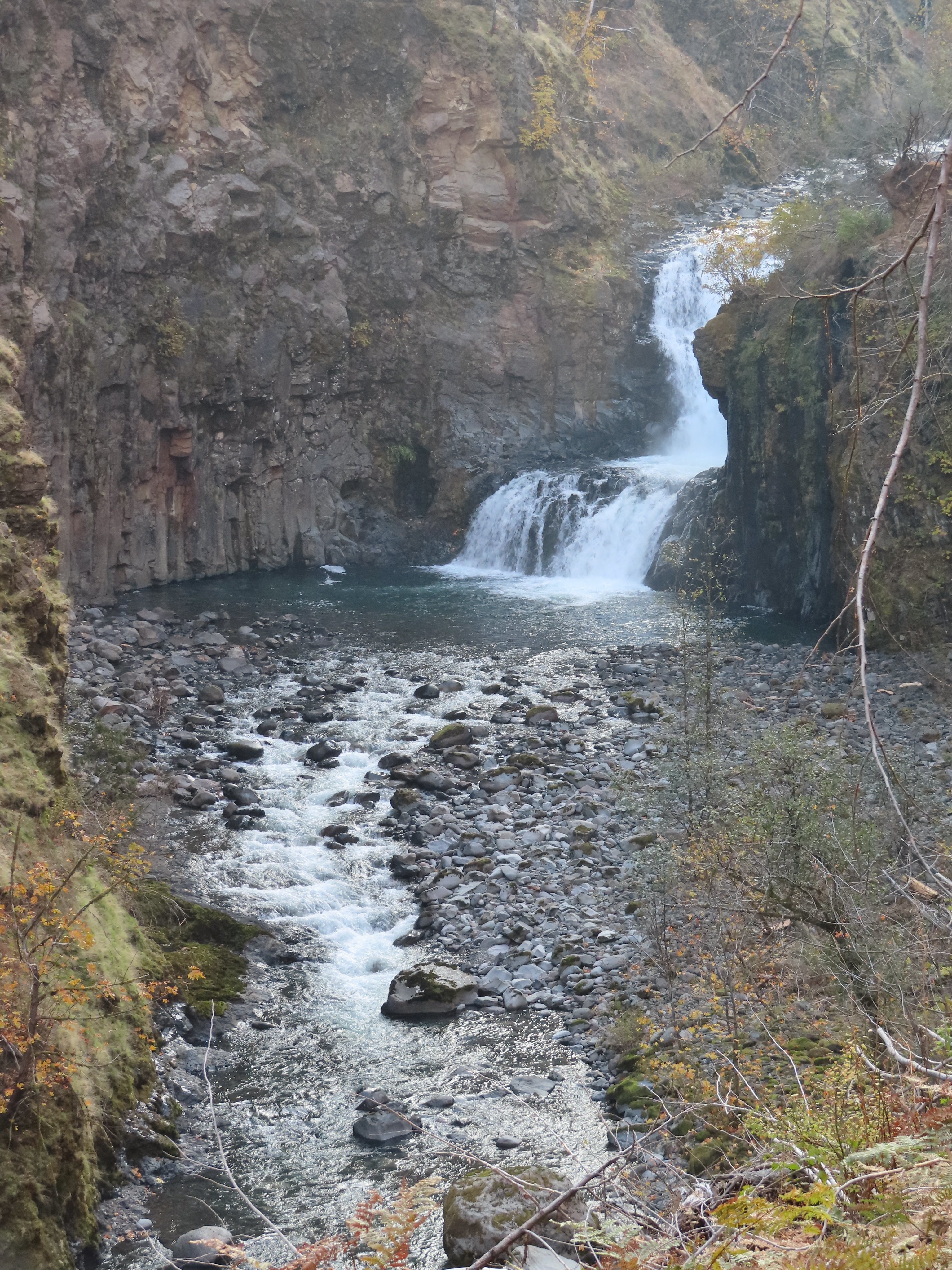 Another nice view of Skoonichuck after I’d given up on the thrush.
 Sad looking penstemon but I’m counting it as a flower.
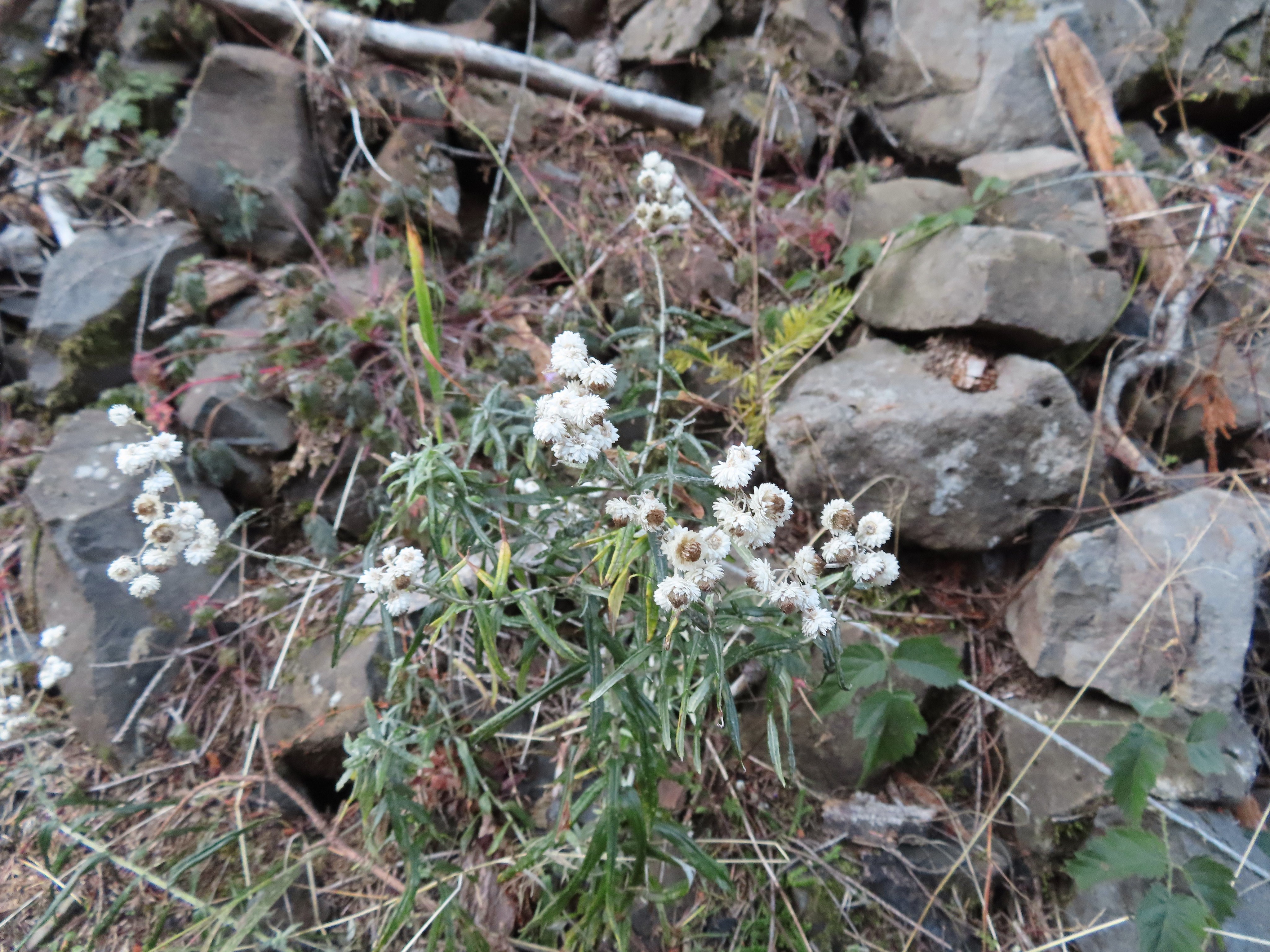 Some nearly as sad pearly everlasting.
 This fall was visible across the creek on an unnamed creek (at least on the maps I’ve seen).
 I arrived at nearly the same time as the Sun.
 Beach and Summer swimming hole at 4 1/2-mile bridge.
 Tenas Falls
 Opal Creek flowing into Eagle Creek.


 The wilderness begins a little over 5.5 miles from the trailhead.
 A bluebird sky above a few green topped trees.
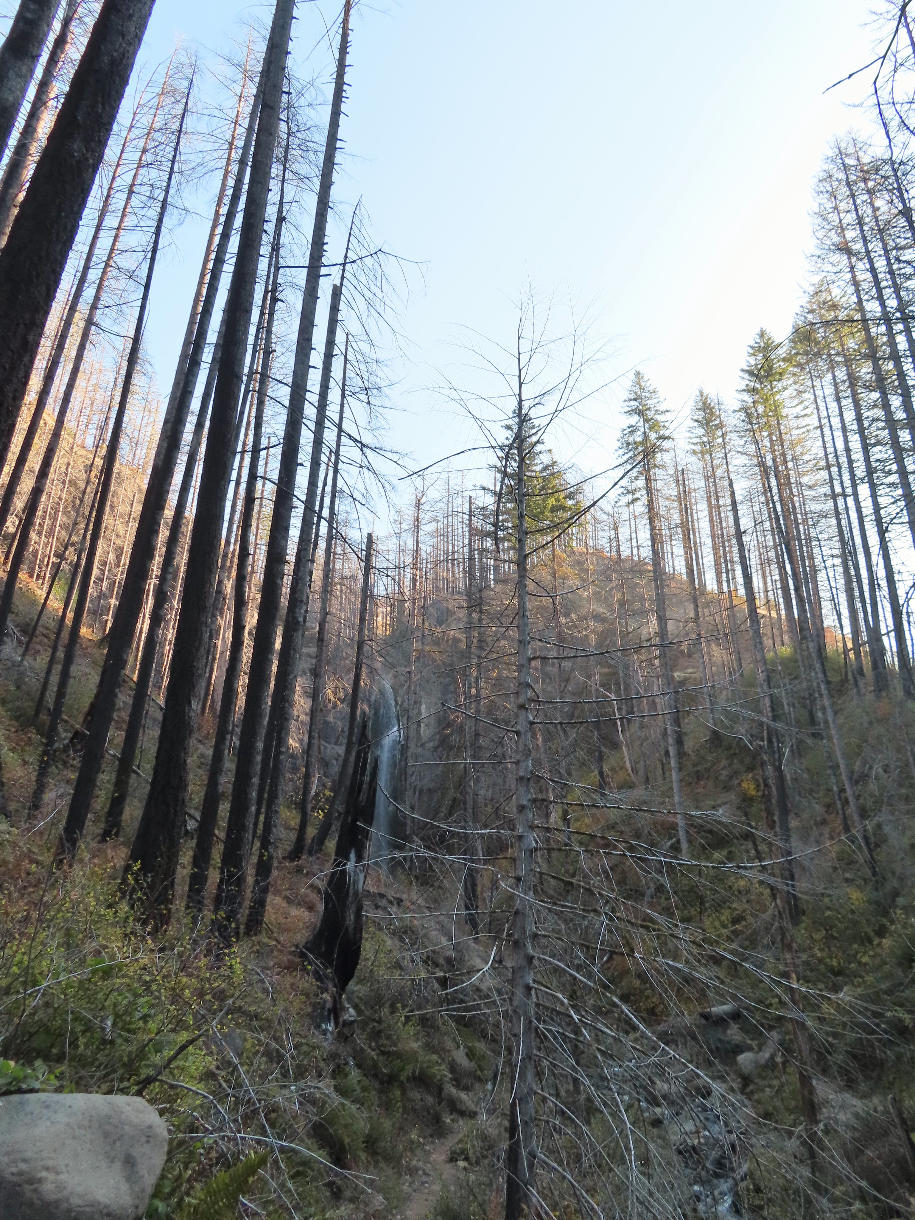


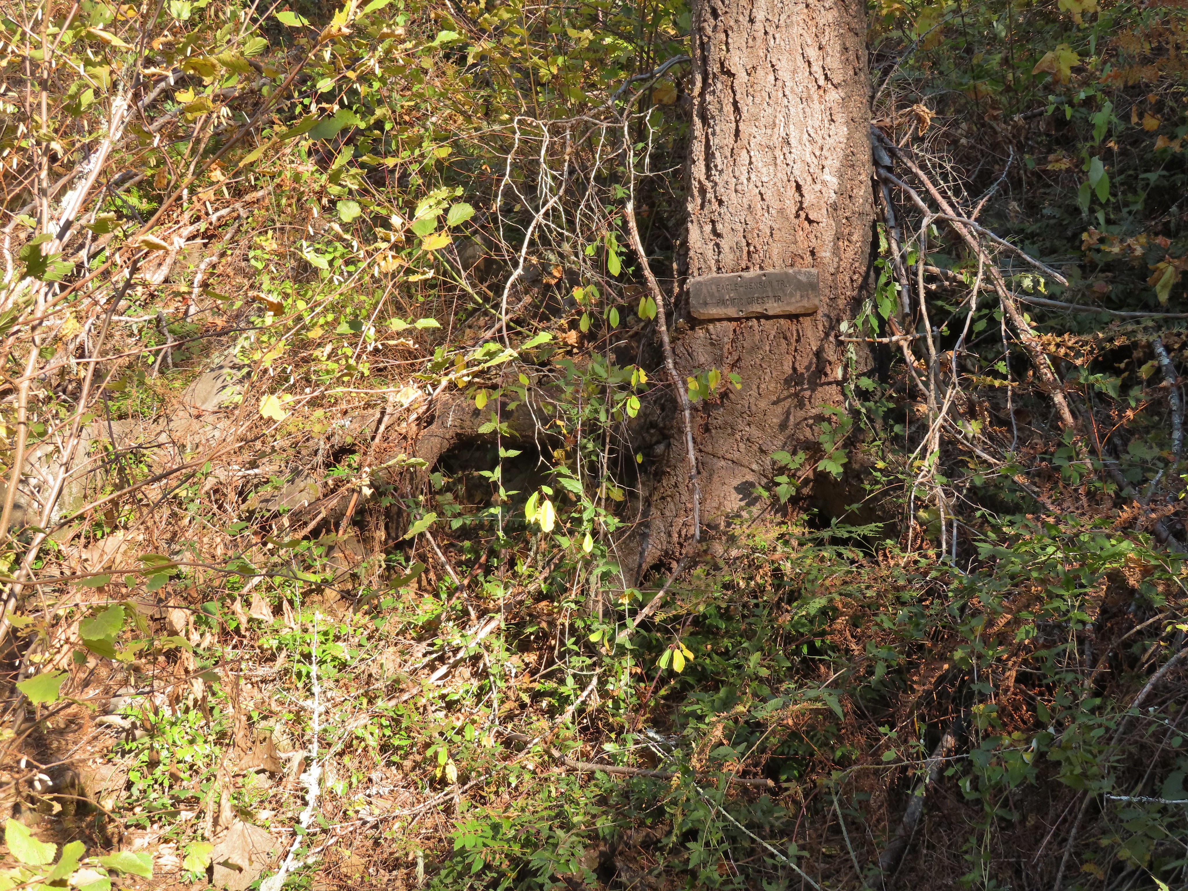 Near the six-mile mark I passed the signed Eagle-Benson Trail which hasn’t been maintained since the fire, in fact the sign was the only sign of a trail here.
 Sunrays over Eagle Creek.
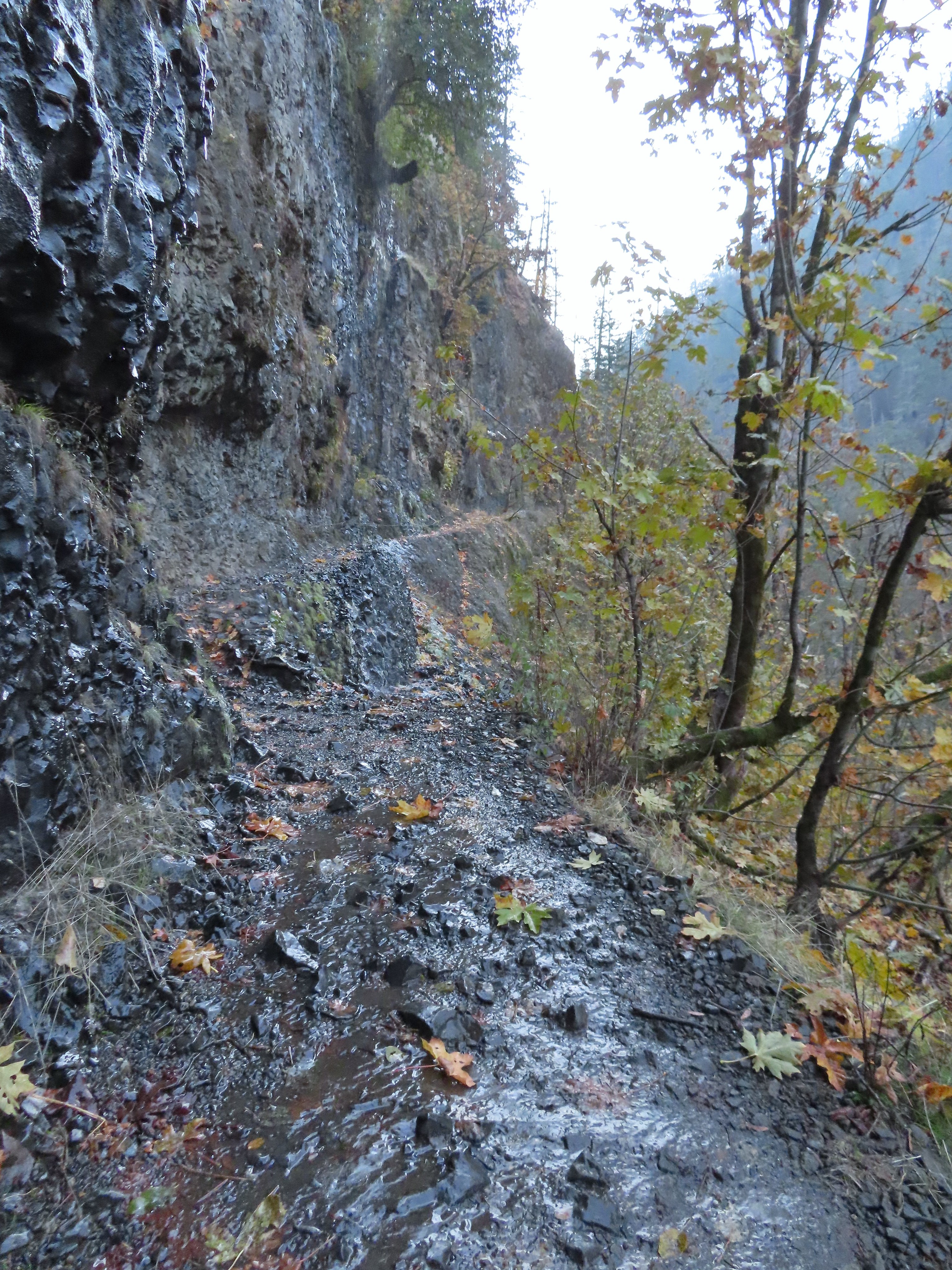
 Note the hexagonal shape of the basalt columns making up the trail surface here.
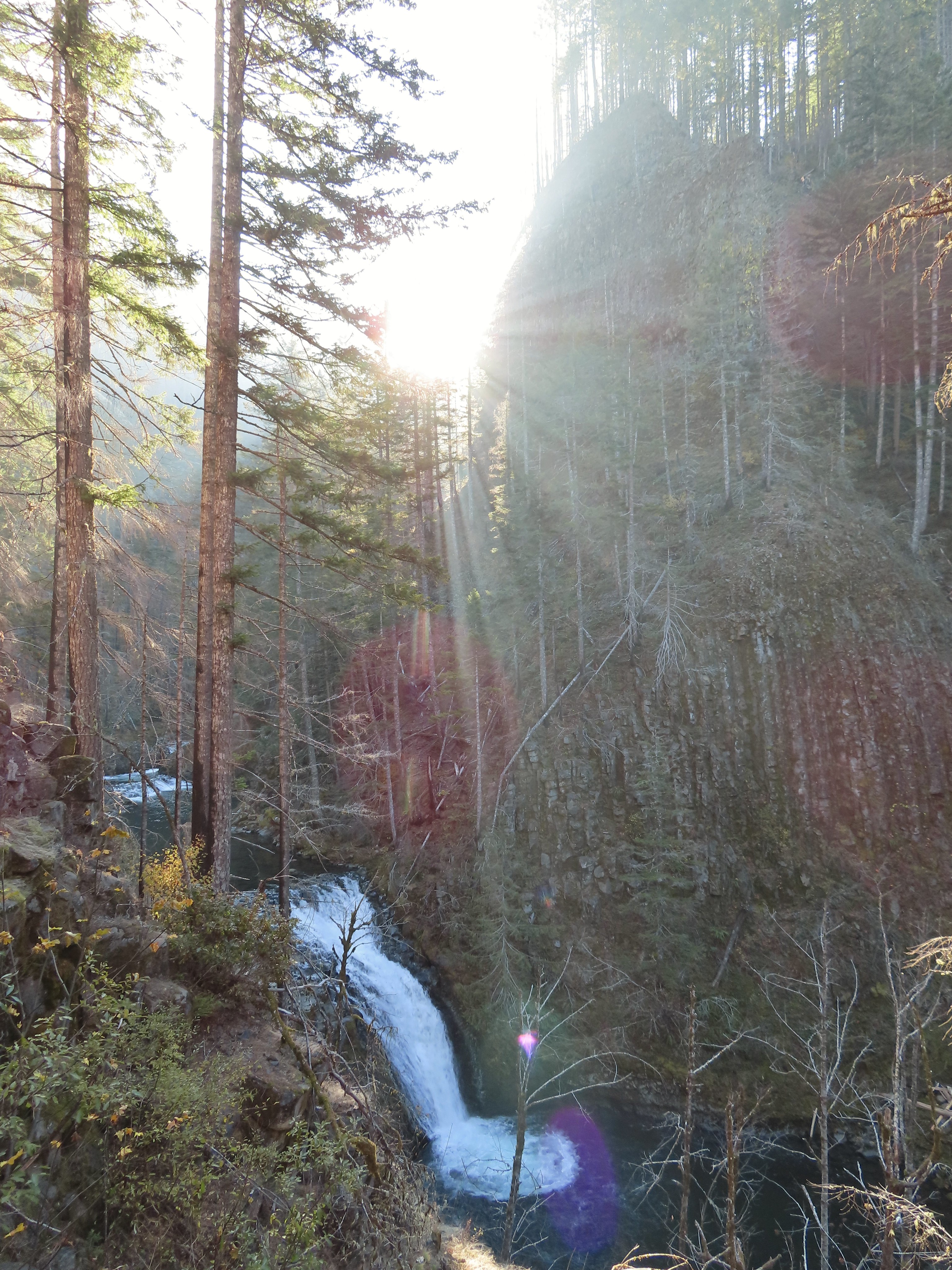 Grand Union Falls
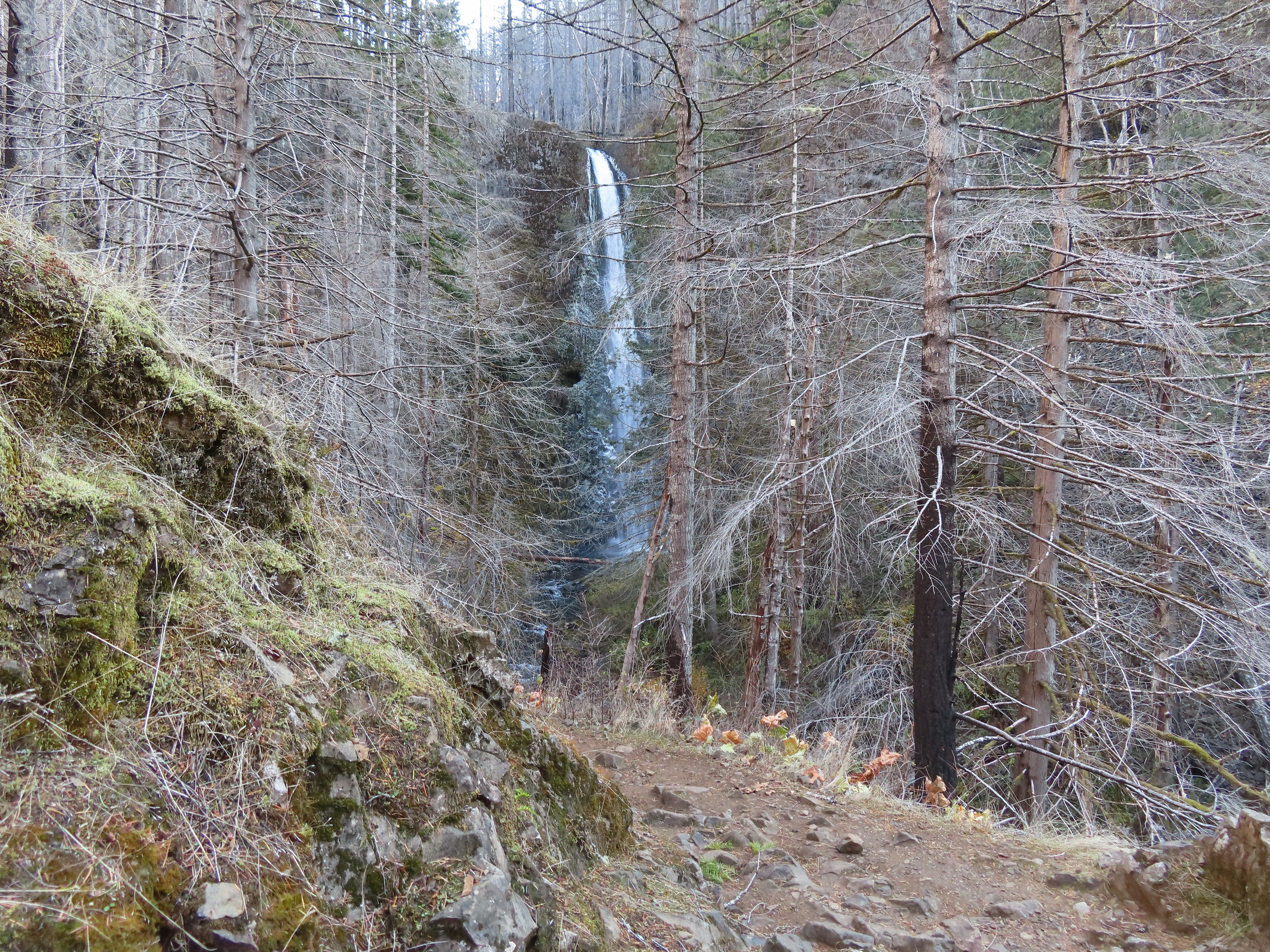
 Tunnel Falls on East Fork Eagle Creek.

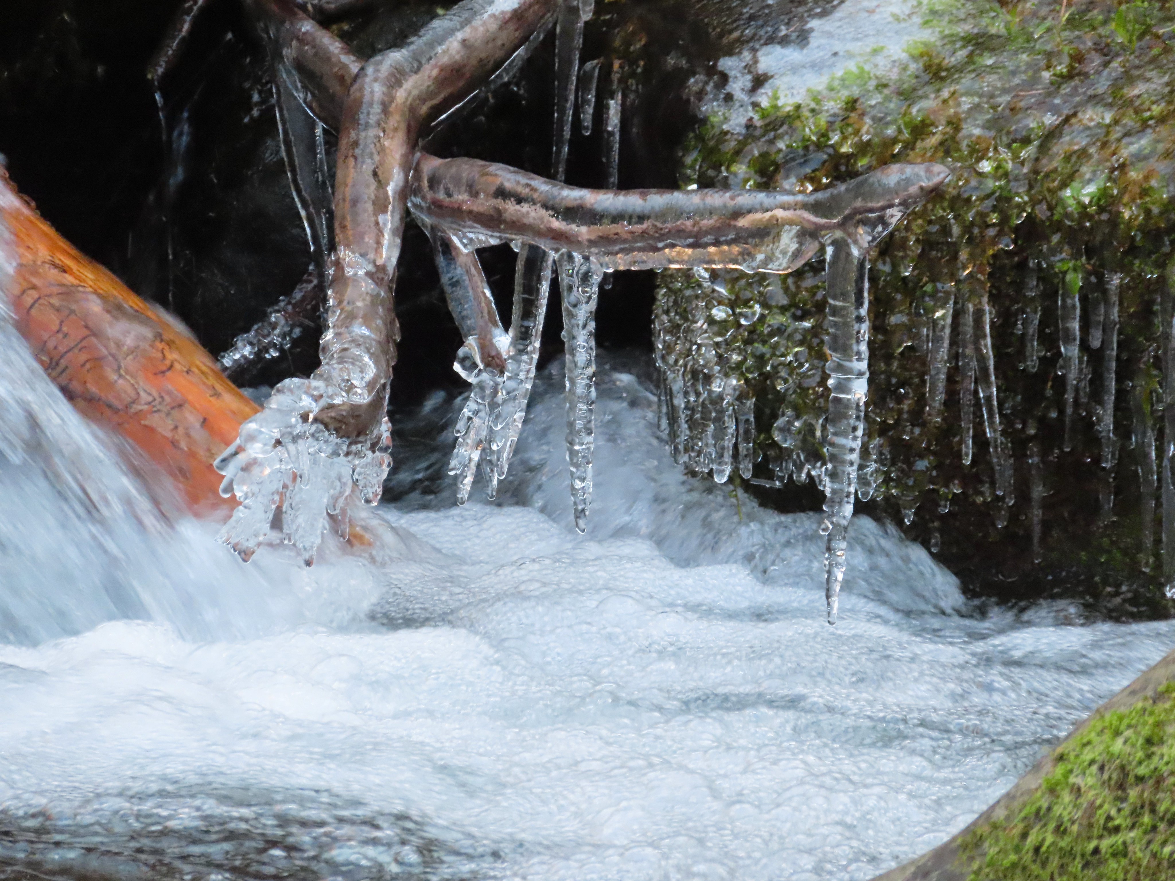
 I had brought my micro spikes just in case, but even though there were some impressive ice features there was enough good footing (and cable) to not require putting the spikes on.
 The slickest section was exiting the tunnel here.


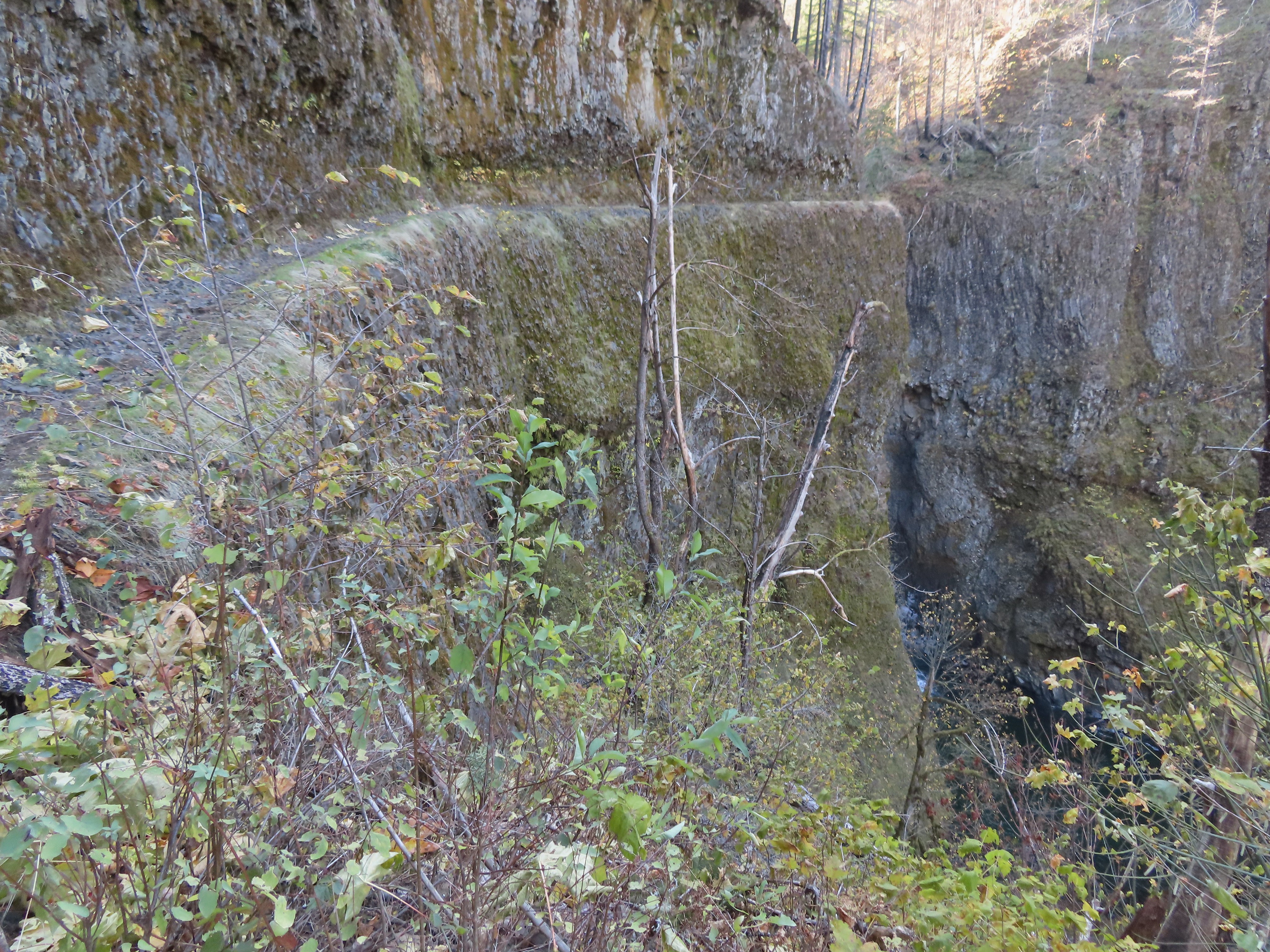
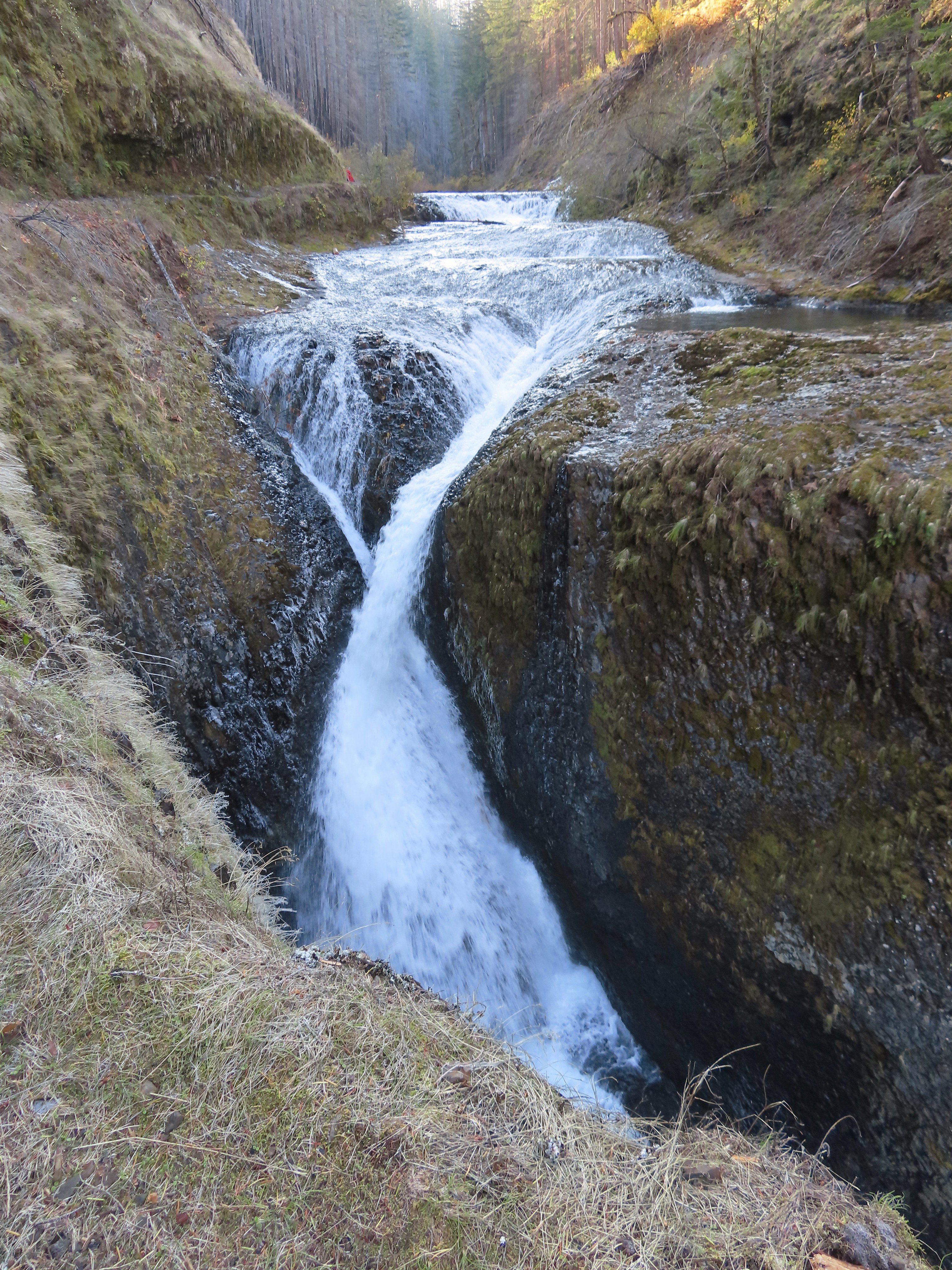
 This was the trickiest section but again there was just enough good footing to allow passing without need spikes.
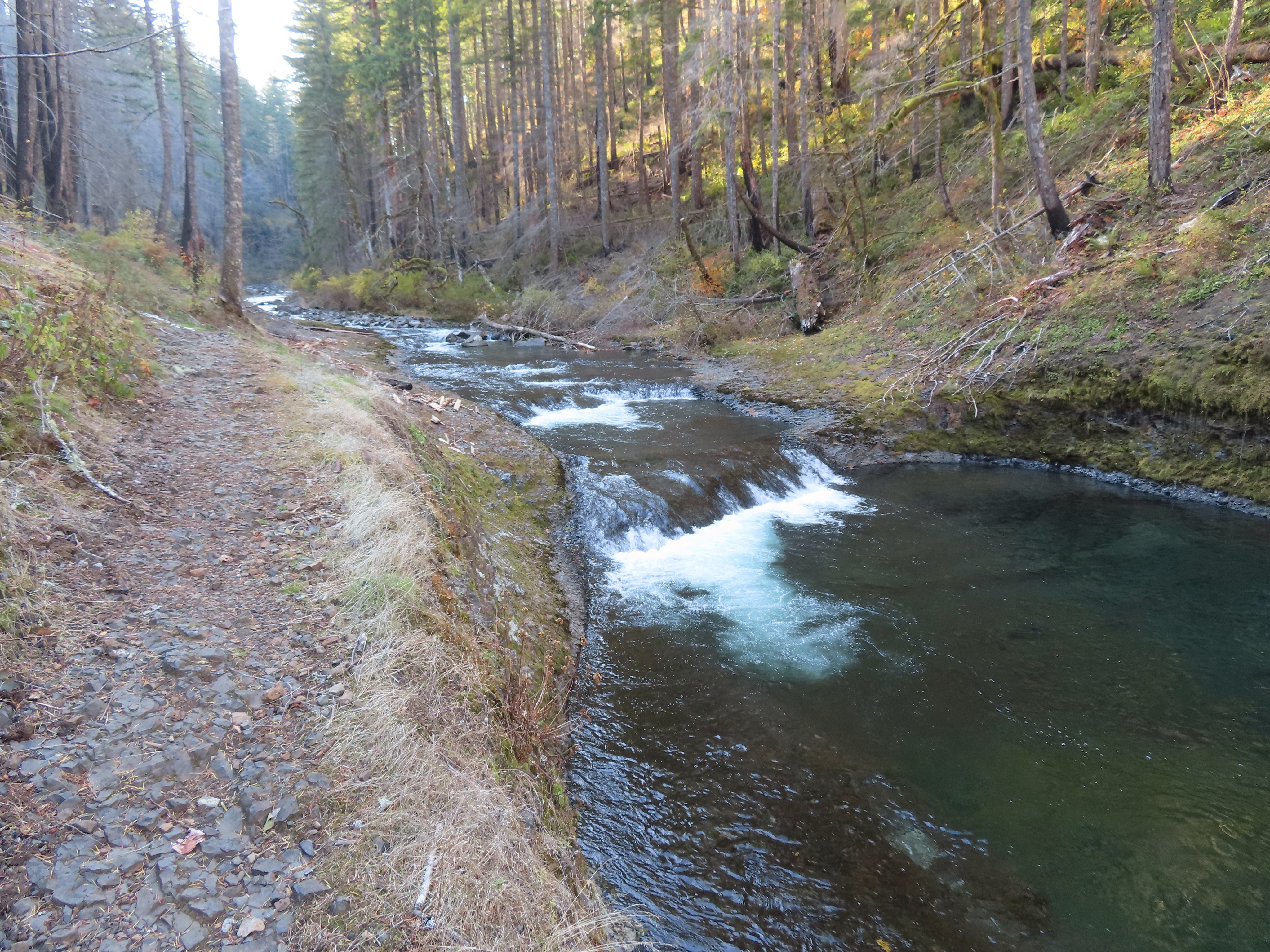
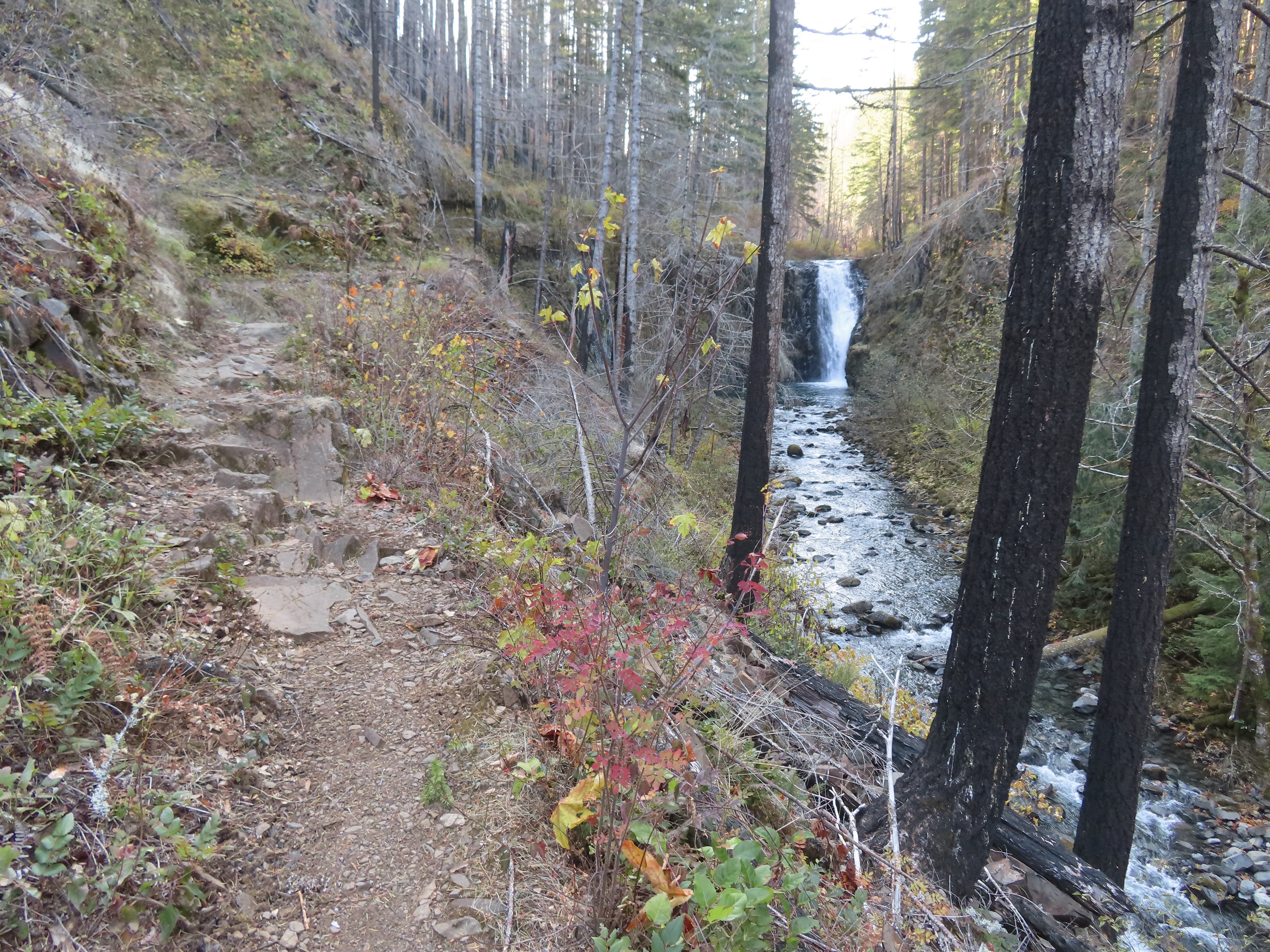
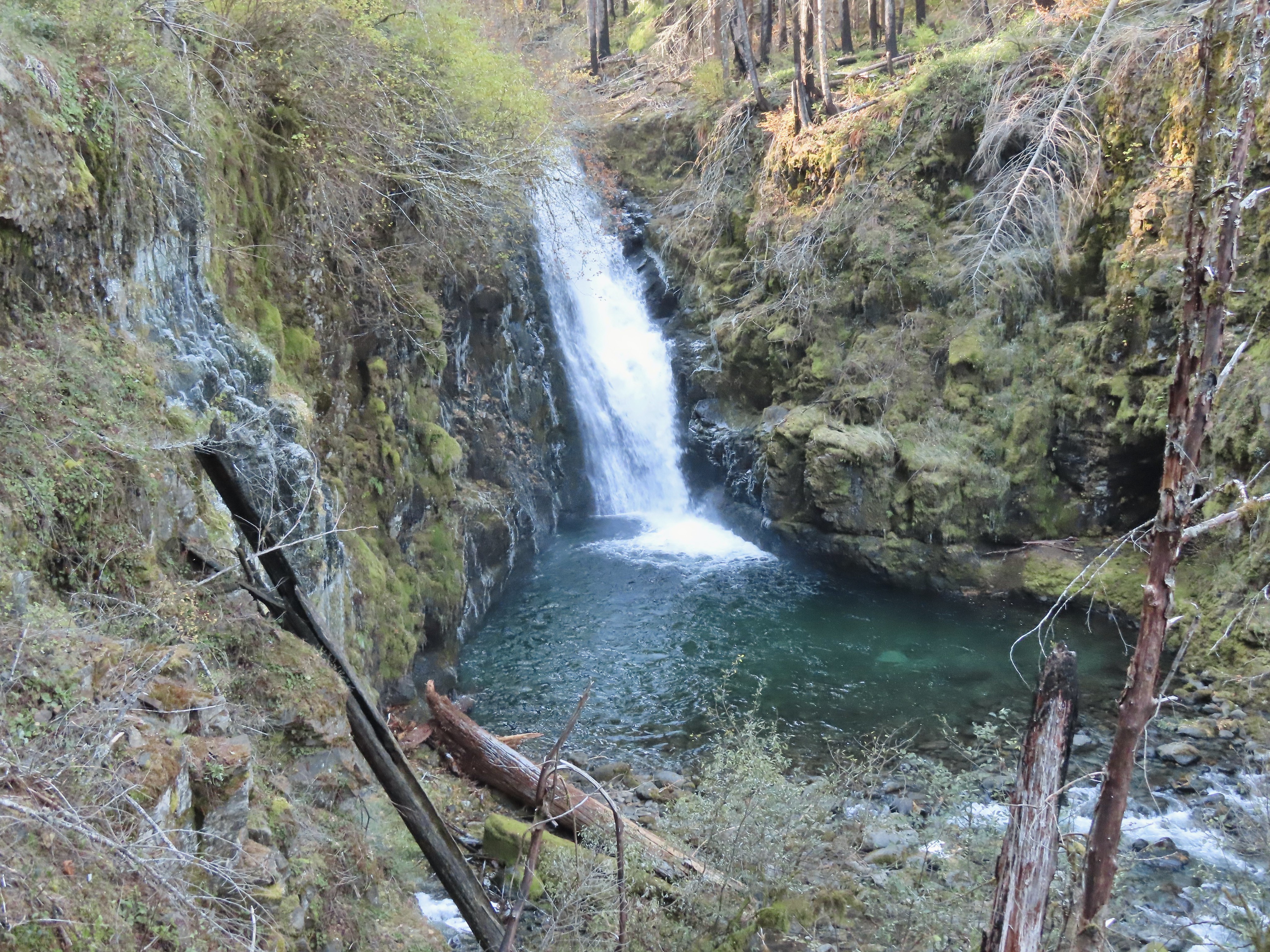
 A bit more overgrown here.
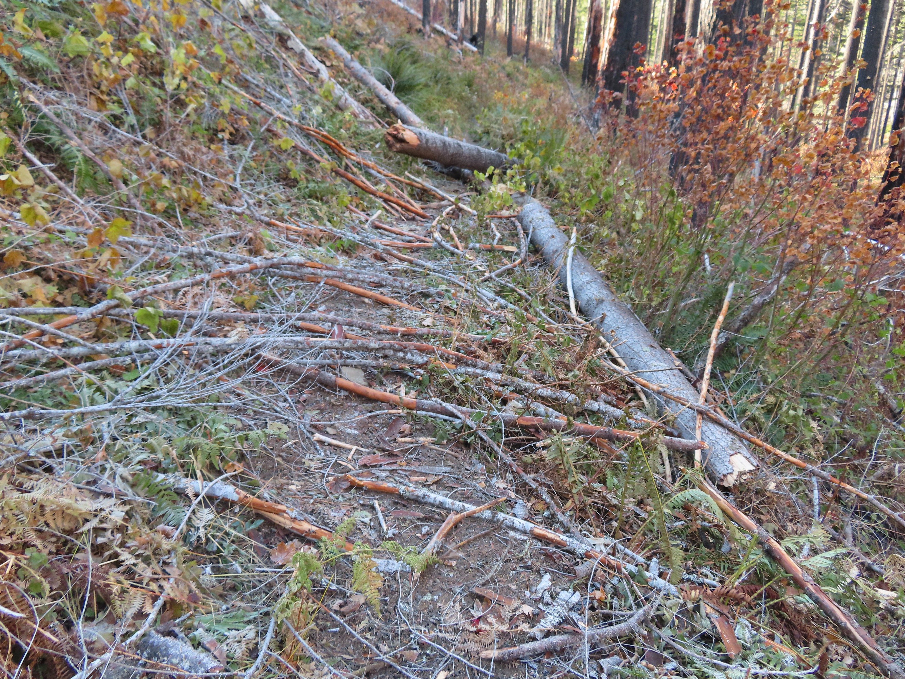
 Hair ice, only the second time I’ve encountered it.
 I stopped at this campsite which some maps show as 7 1/2 Mile Camp, but I pulled out my National Geographic topo which showed the camp a little further ahead near a pair of small creeks. I think both are correct and this was just the first of the sites that make up the “camp”.
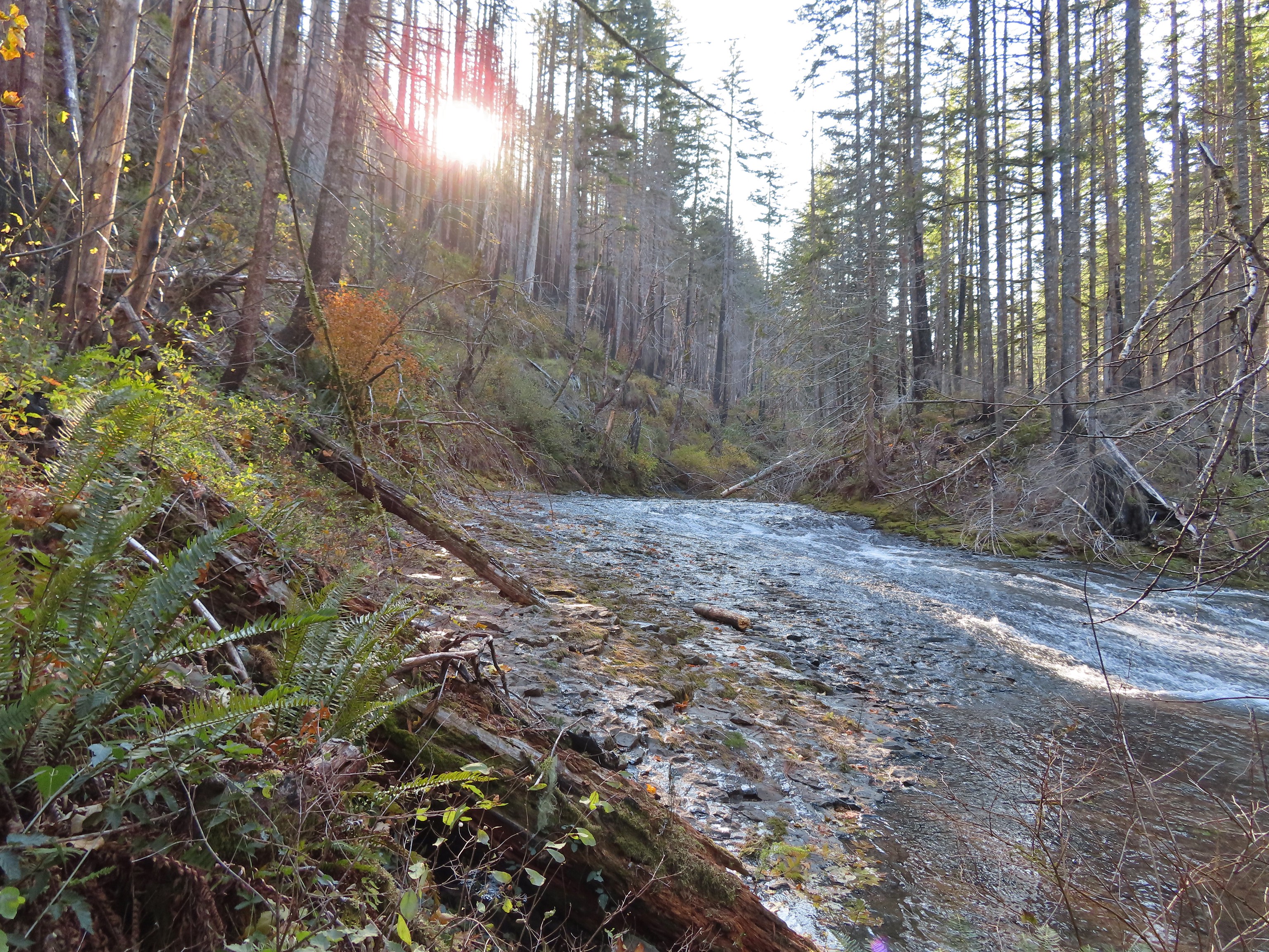 Eagle Creek near the first campsite.
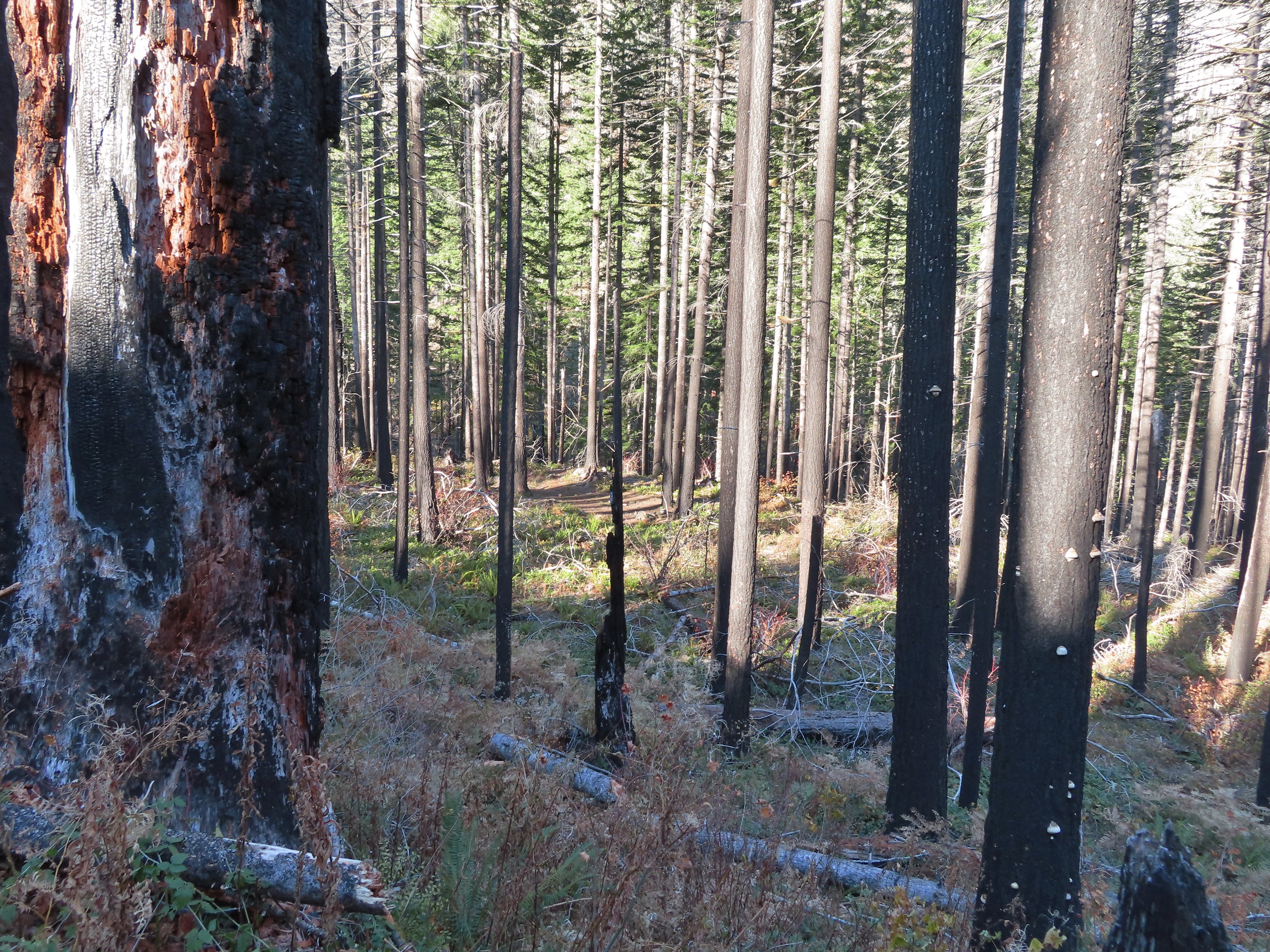 More campsites near the first creek.
 The first small creek. This one was a lot icier than any of the other creeks I’d crossed. I was able to find enough dry rock to make my way to the other side though.
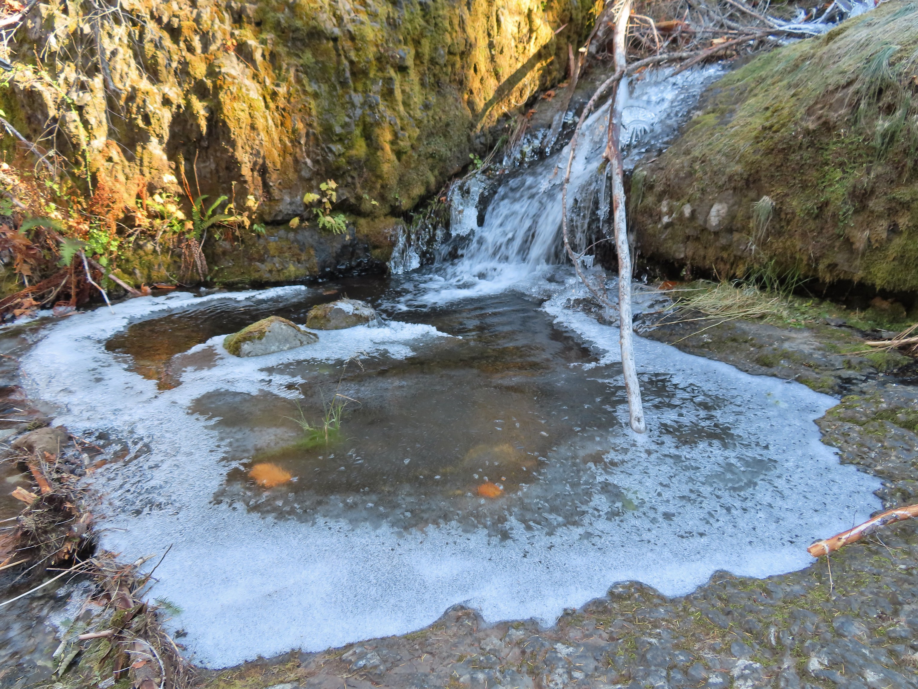

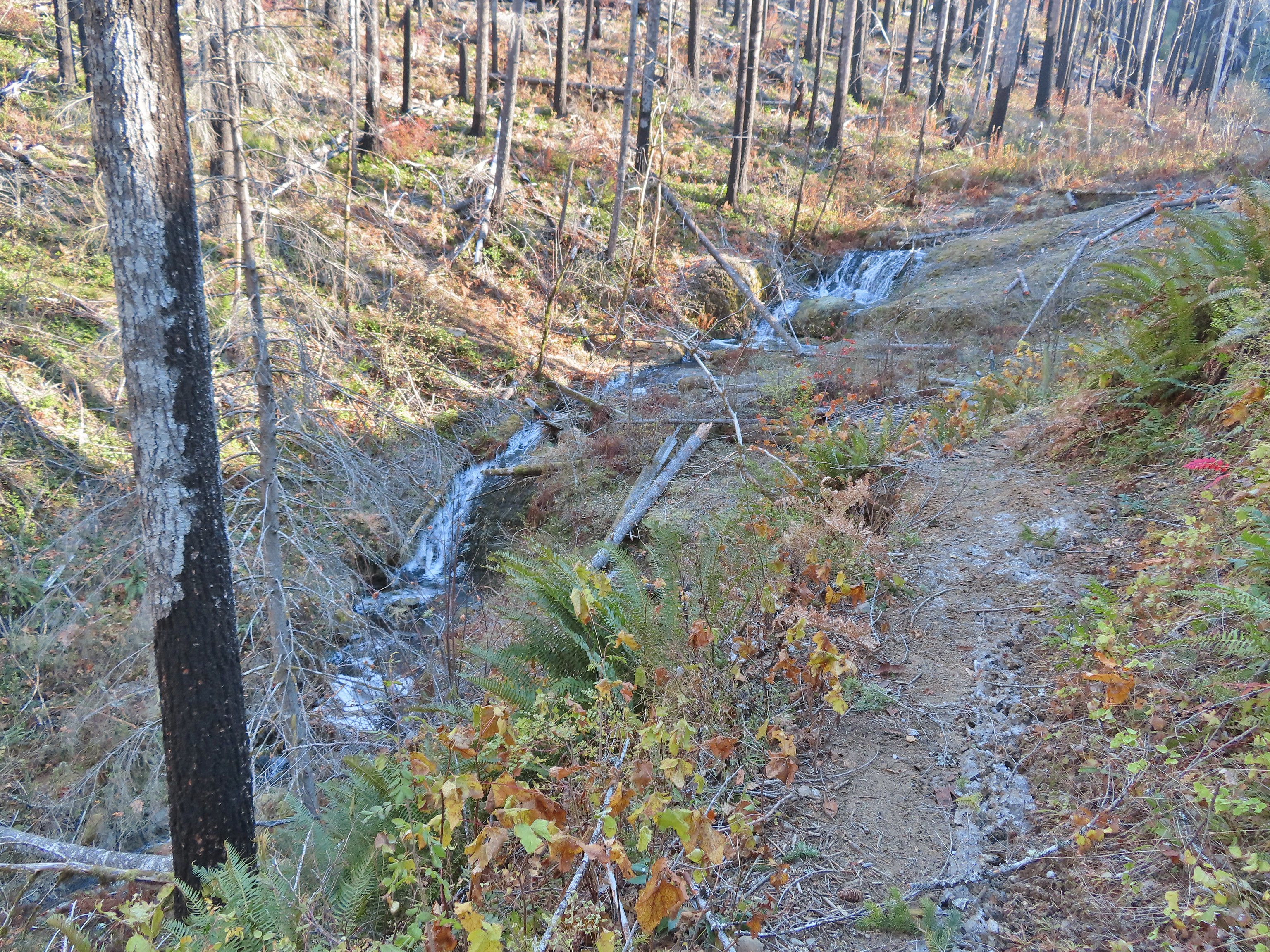 Looking back at the creek.
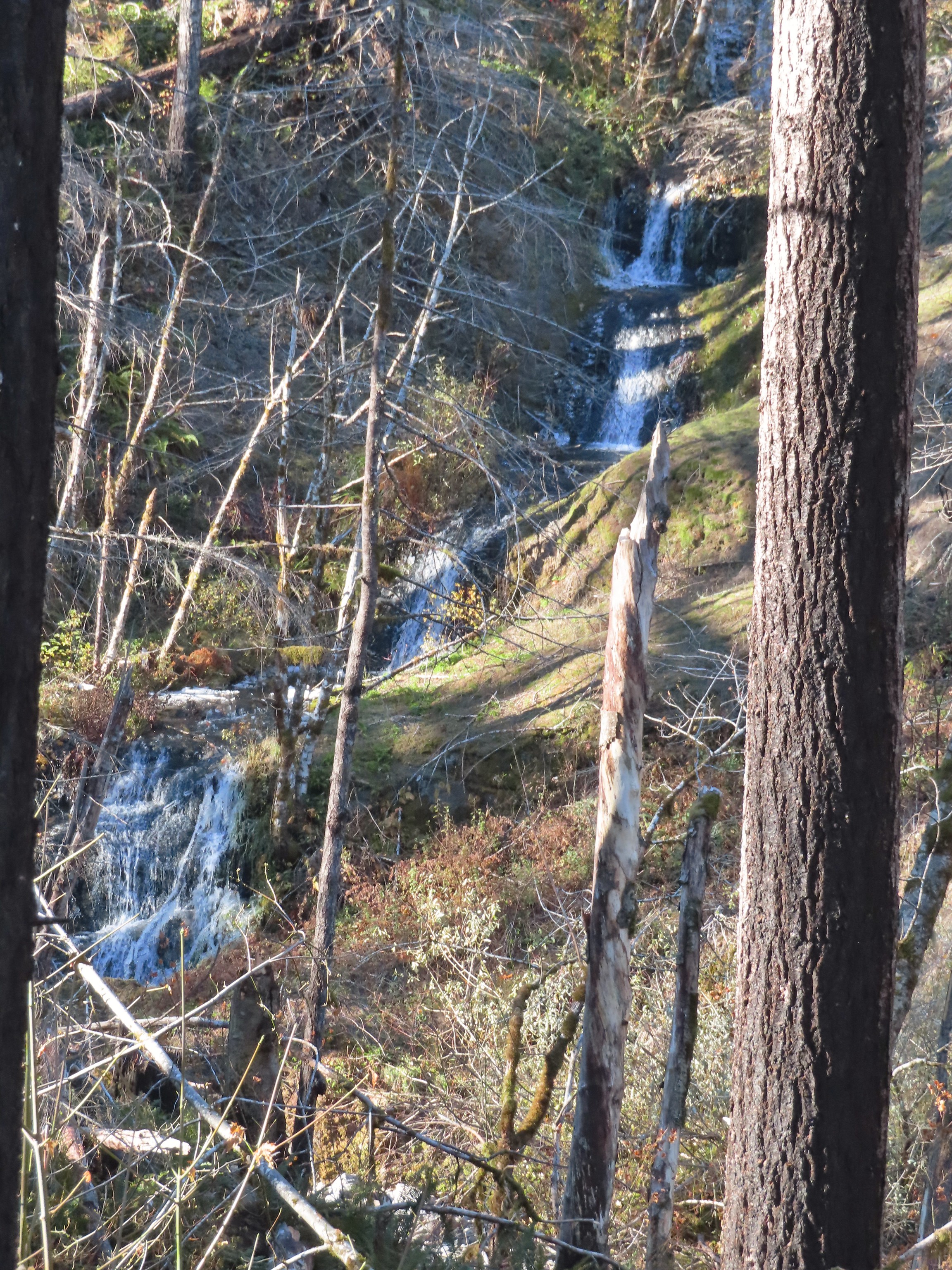 This cascade was across Eagle Creek near the last campsites.
 Woodpecker
 Green pool above Twister Falls.
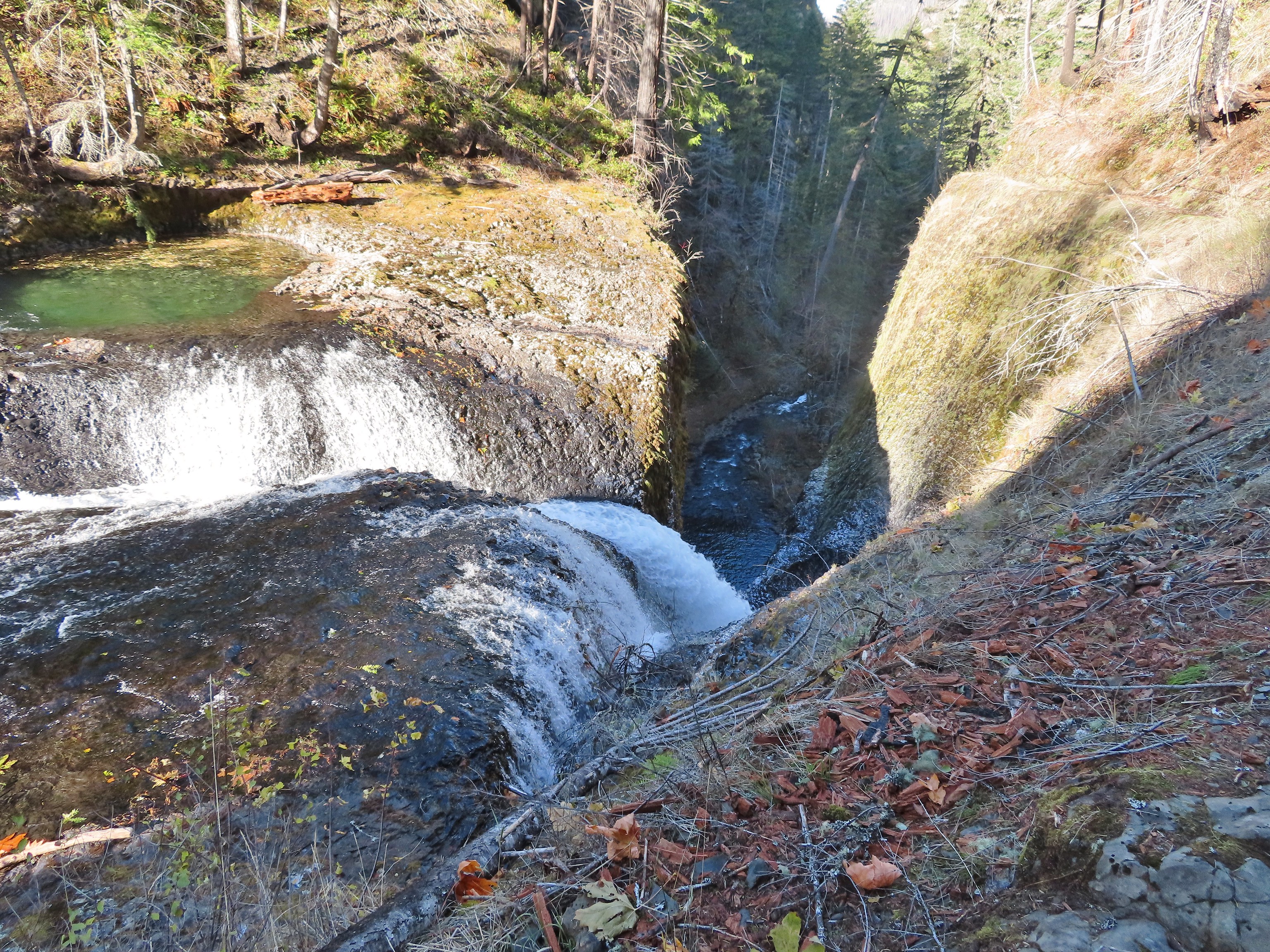 Above Twister Falls.

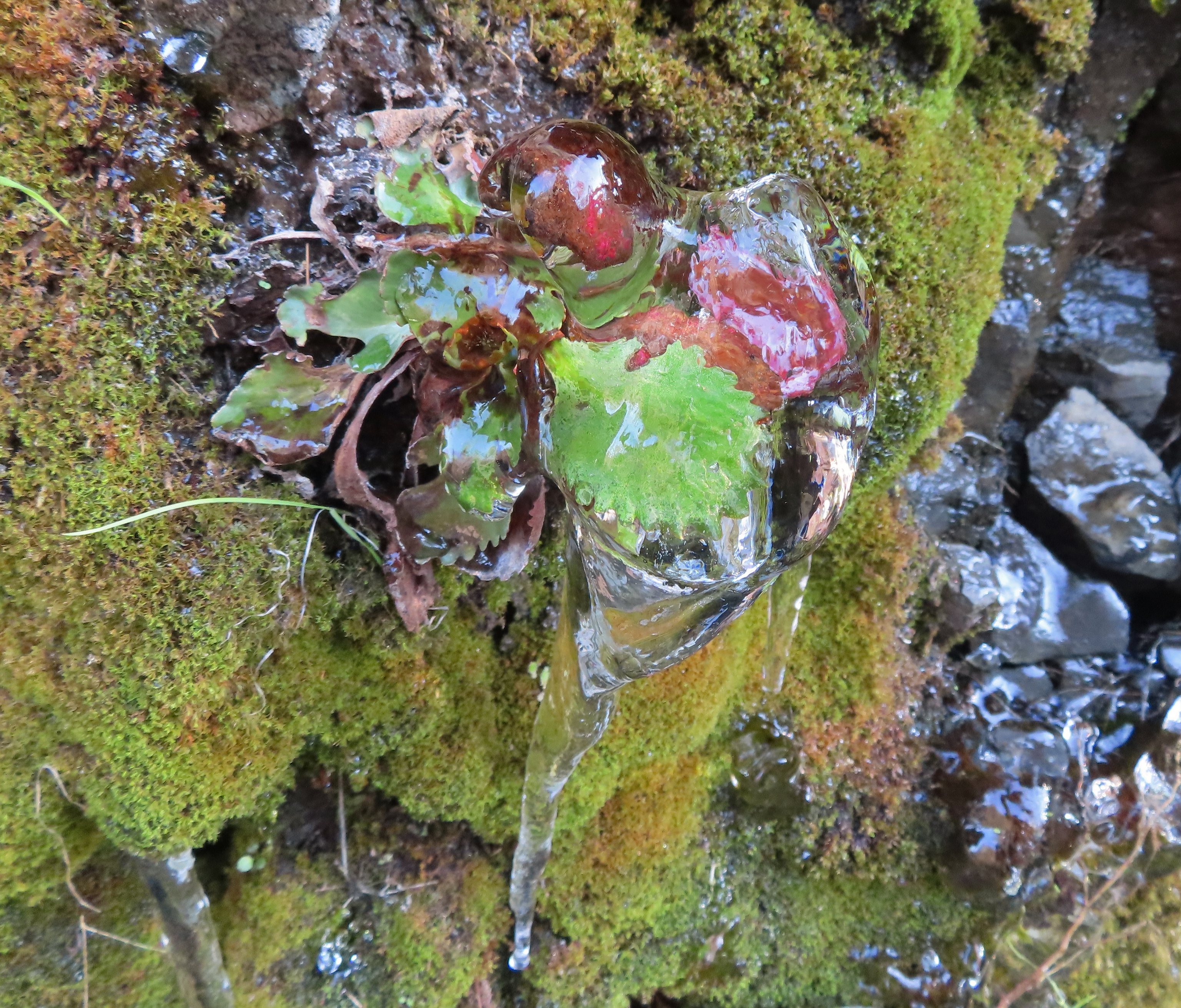 Plant in ice.
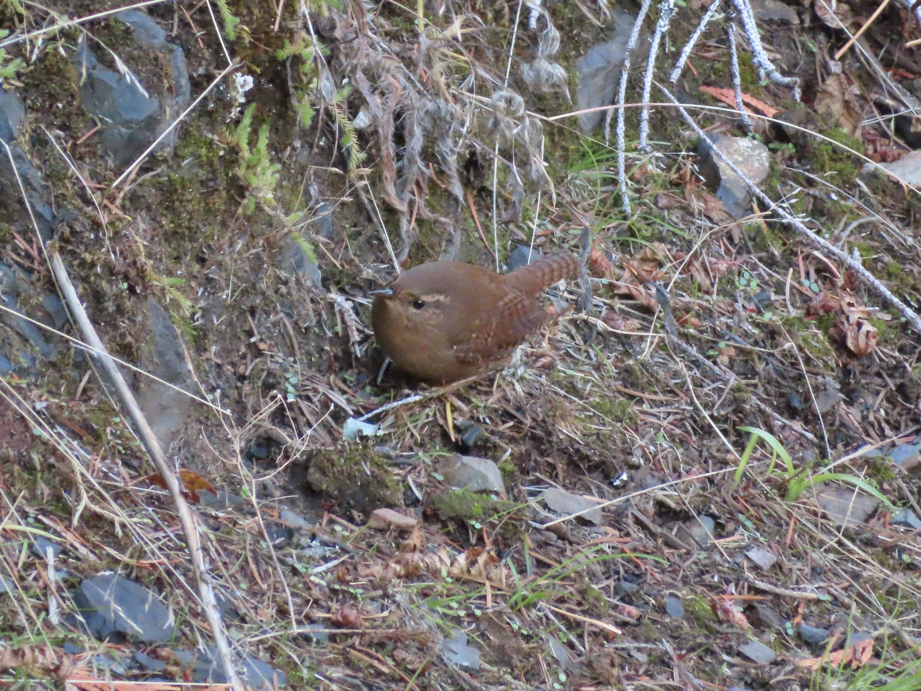 Wren
Wren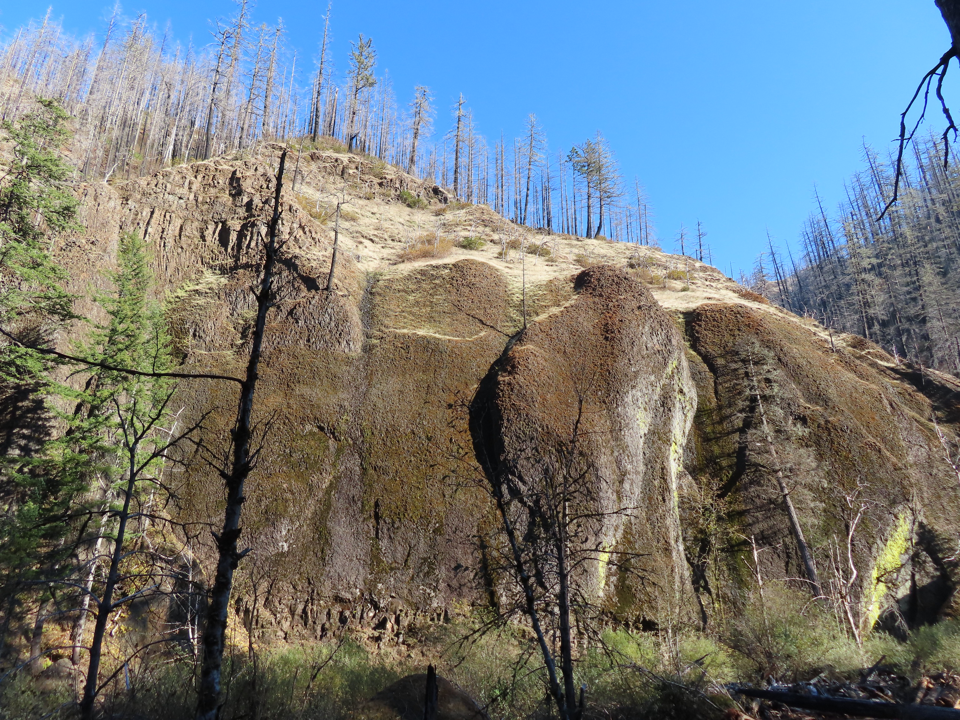


 Chipmunk