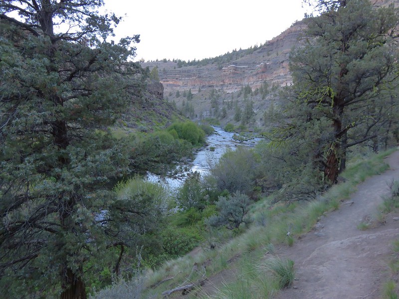
**In 2025 the Alder Springs Fired burned over the Scout Camp Trail near the confluence of the Deschutes River and Whychus Creek.**
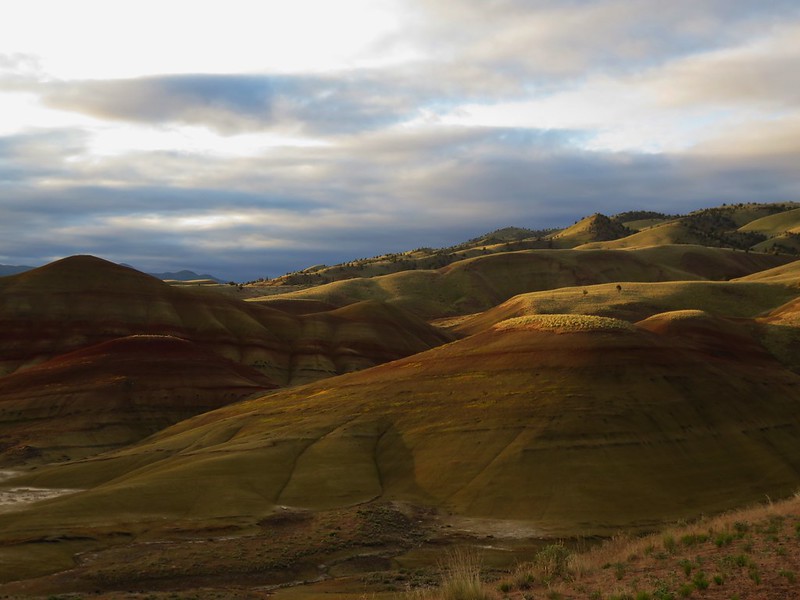
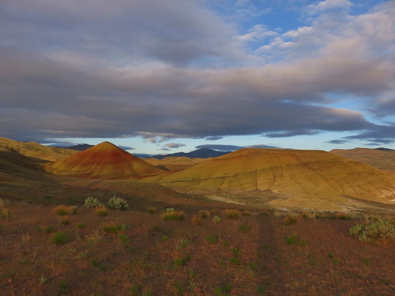
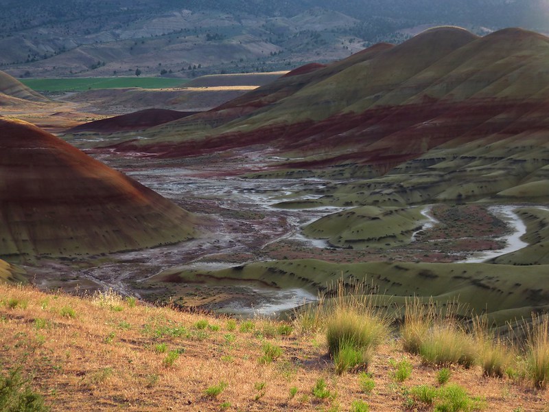
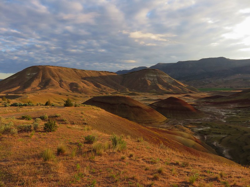
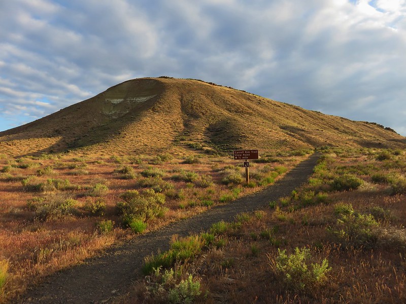
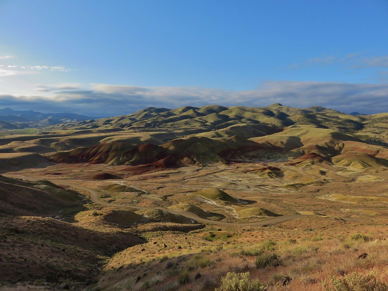
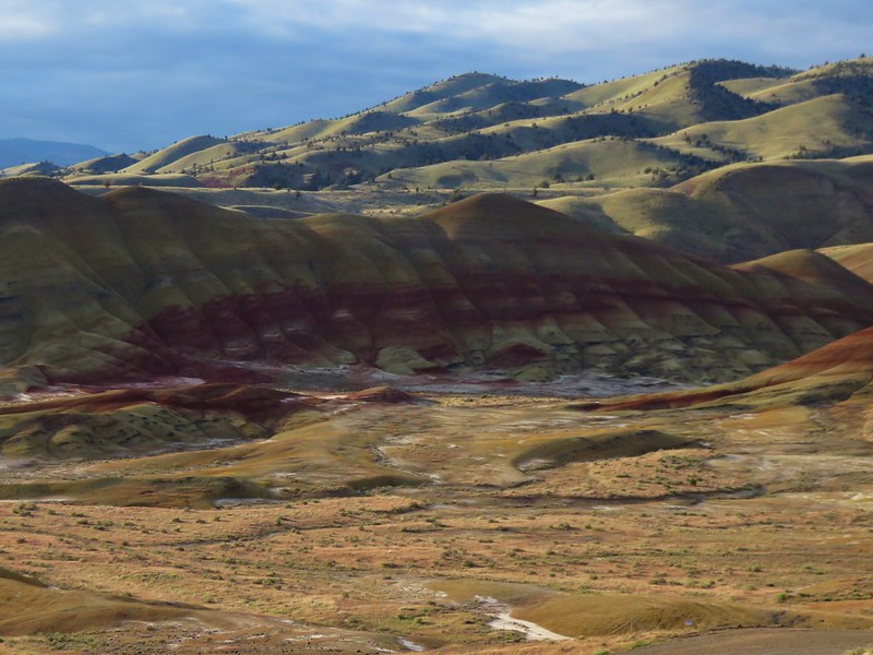
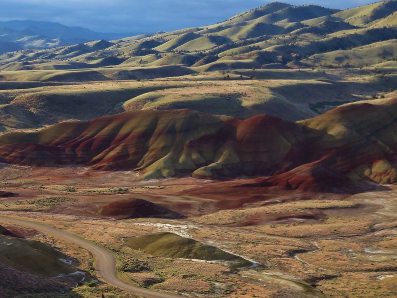
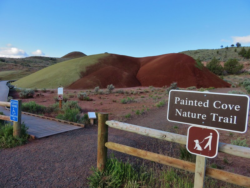
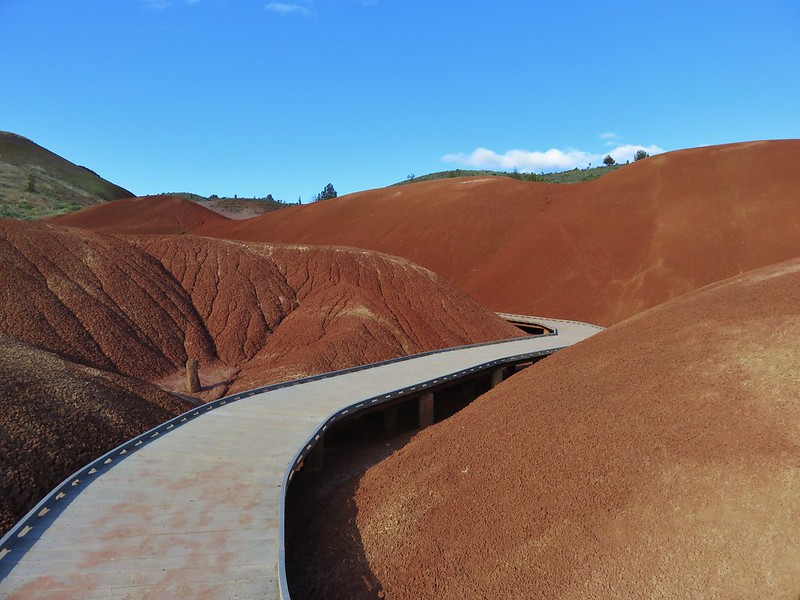
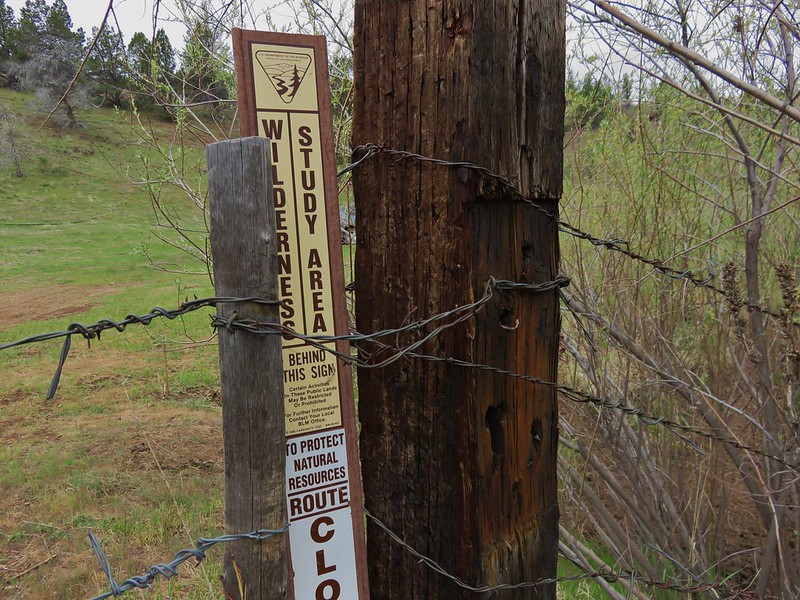
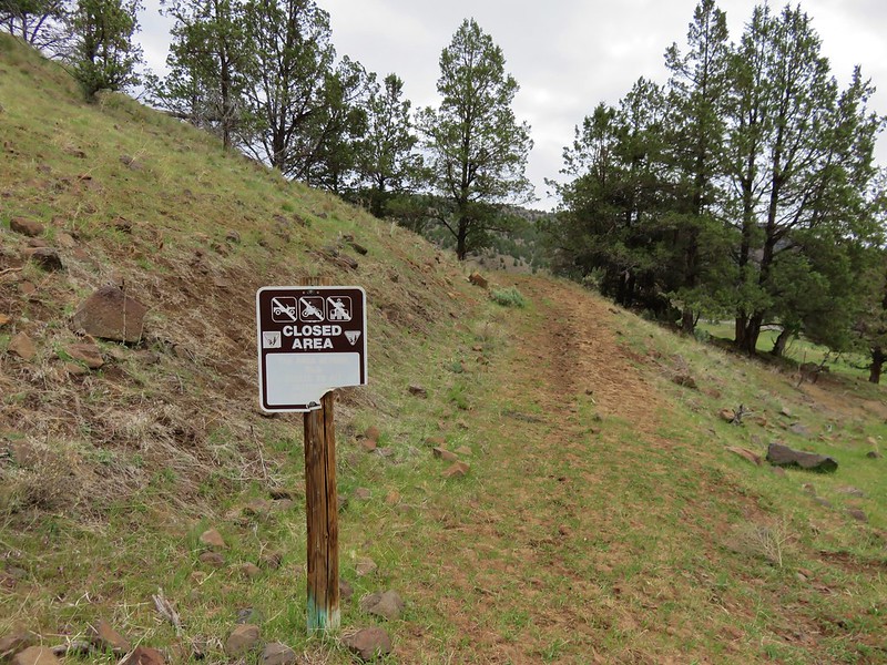
We had stayed in Central Oregon after visiting the Painted Hills and Sutton Mountain on Saturday. Before heading home we took the opportunity to do a pair of short hikes in the Steelhead Falls Wilderness Study Area near Crooked River Ranch. The first of the hikes started at the Steelhead Falls Trailhead.

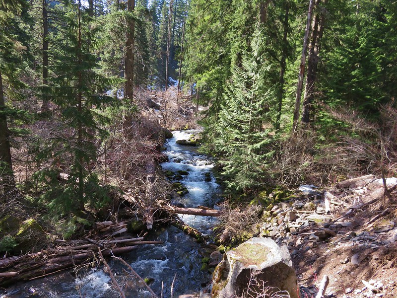
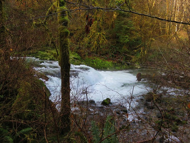
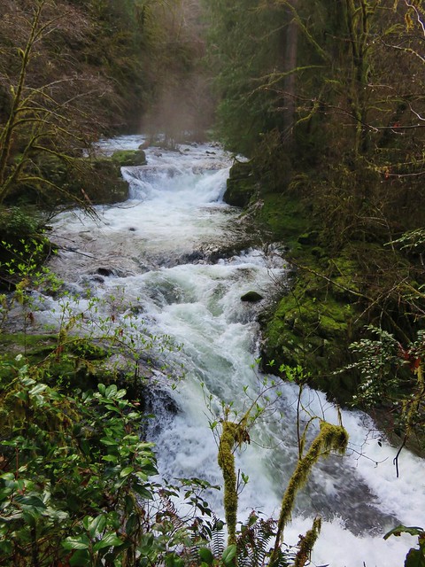
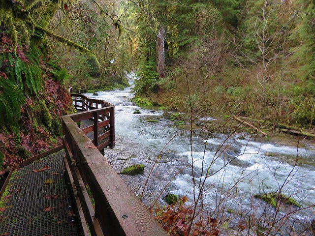
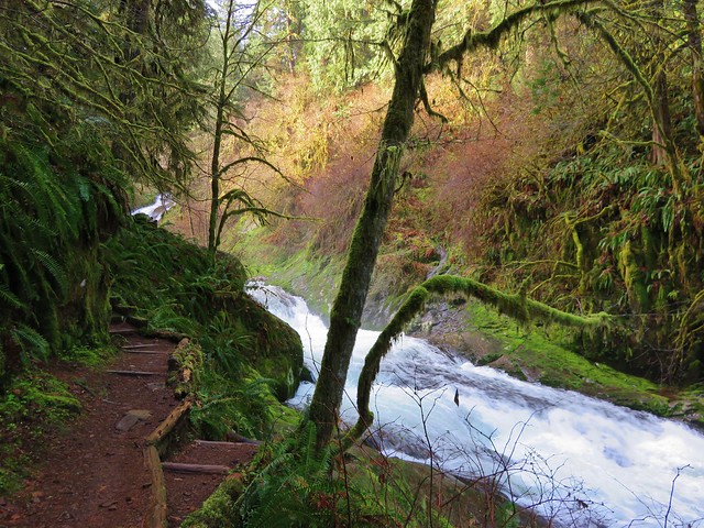
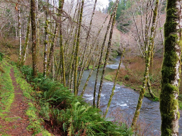
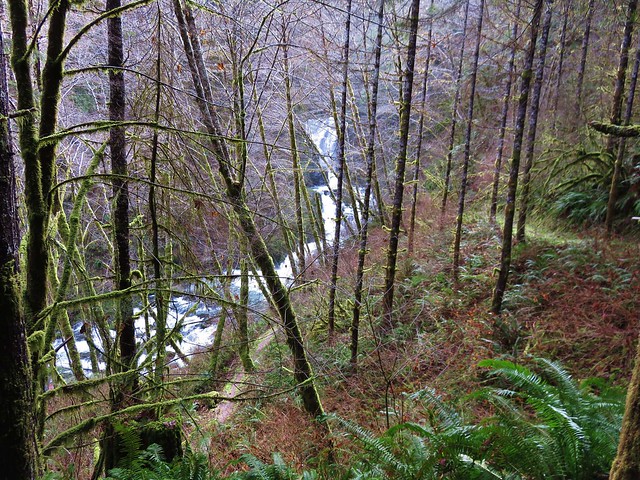
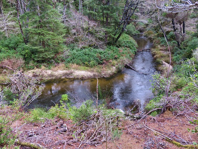
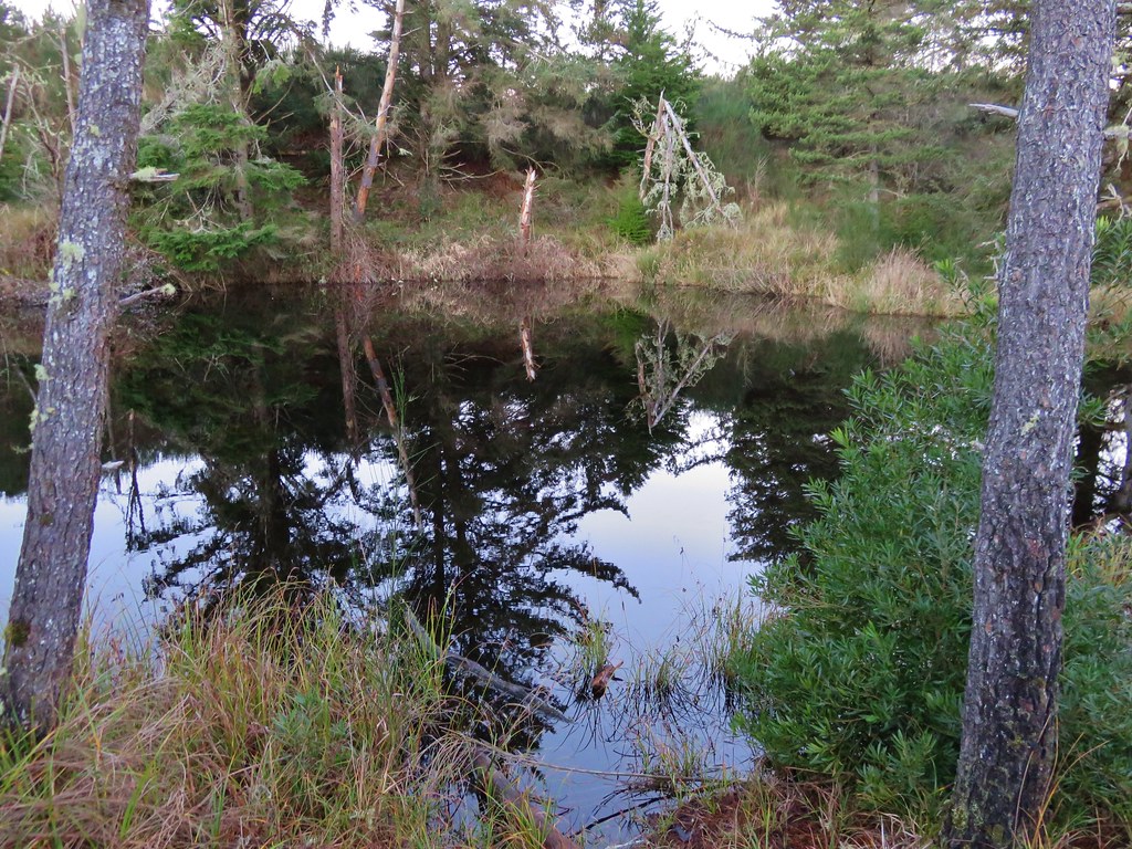
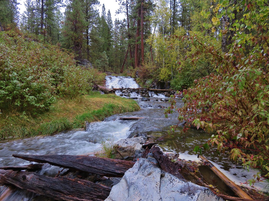
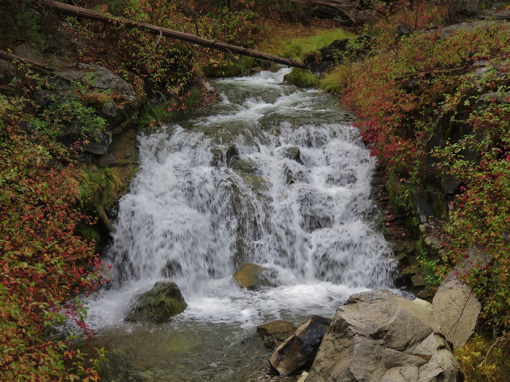
The falls are only a half mile from the trailhead and can get very busy, but we were there early and had the trail to ourselves. We followed the path down into the Deschutes River Canyon.
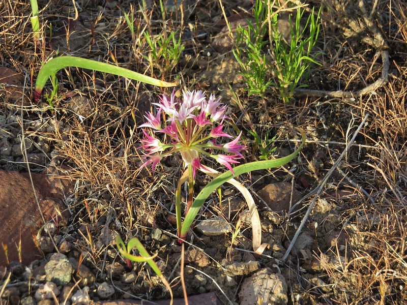
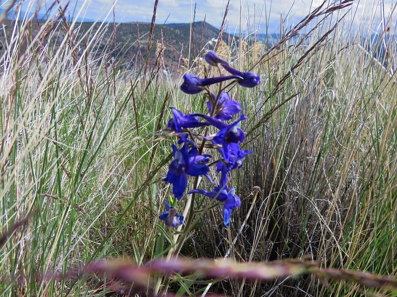
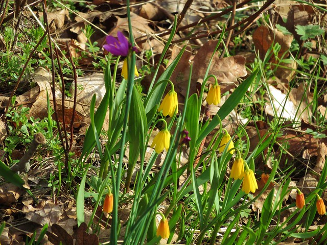
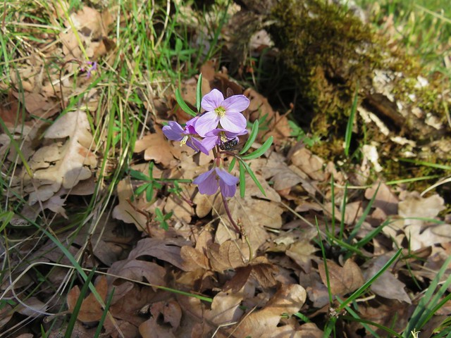
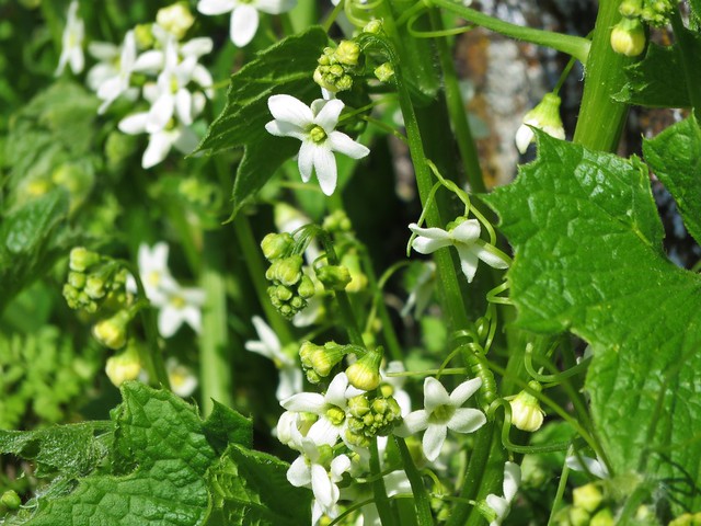
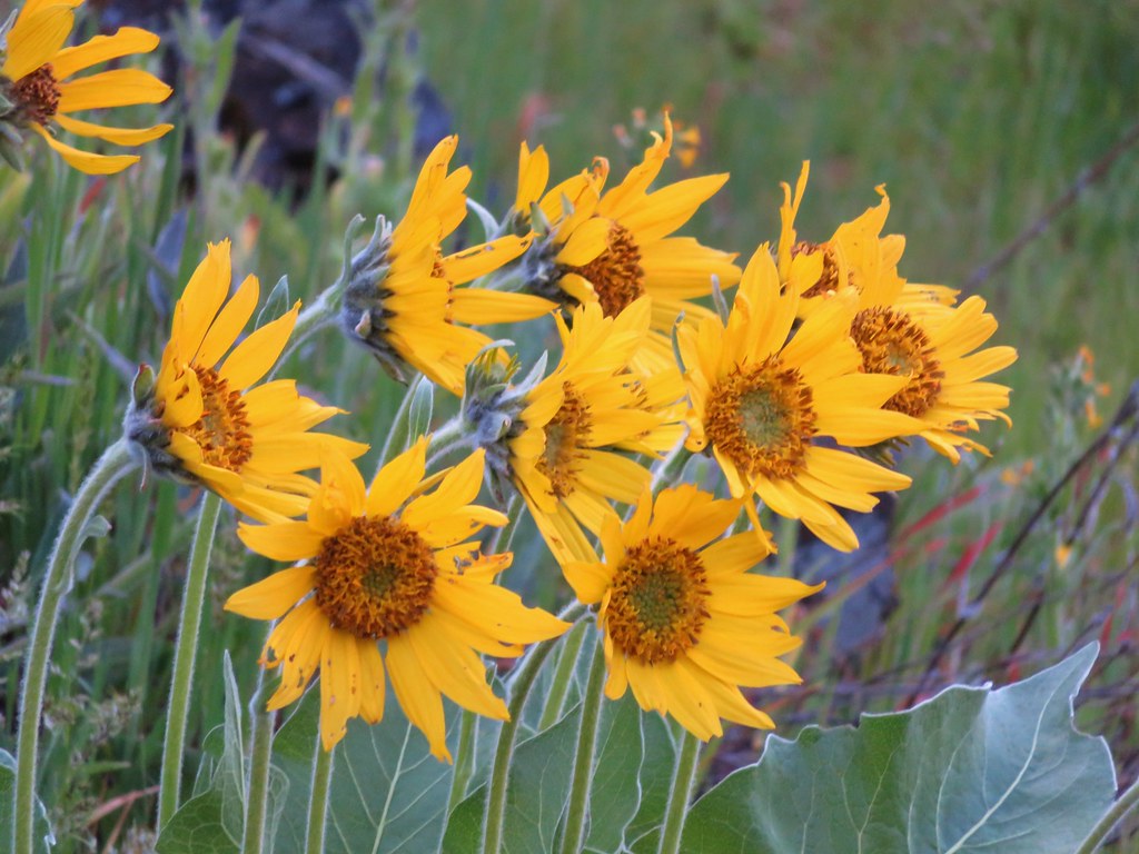
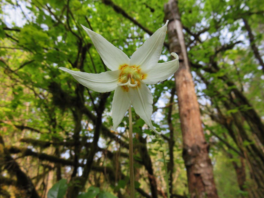
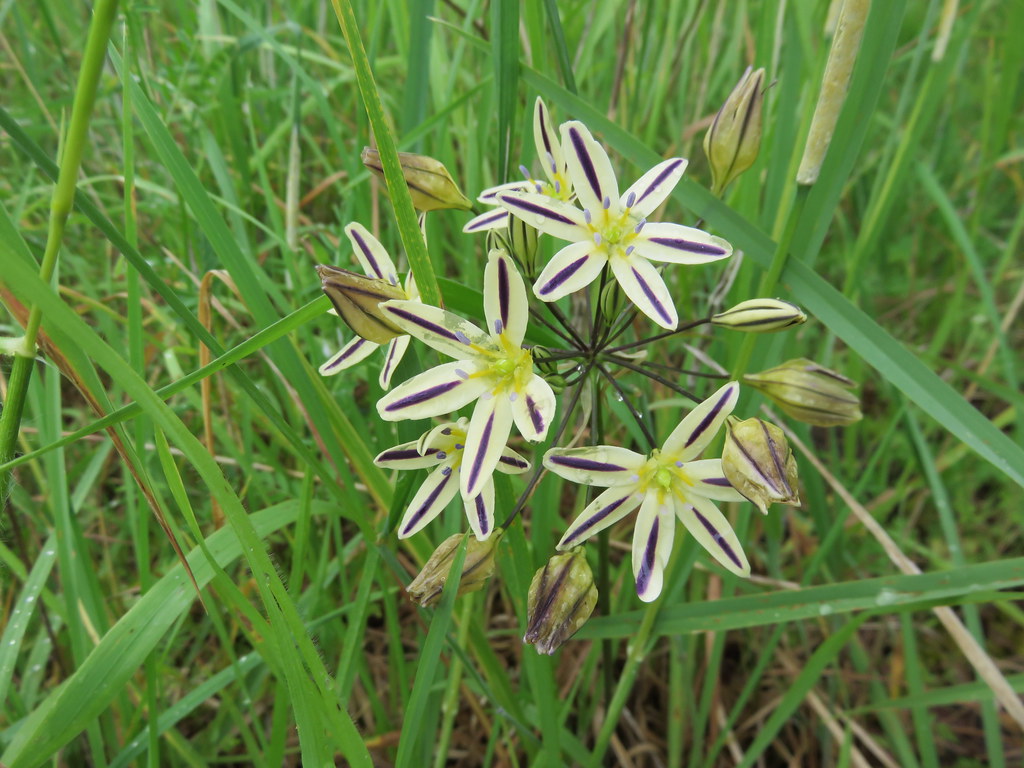
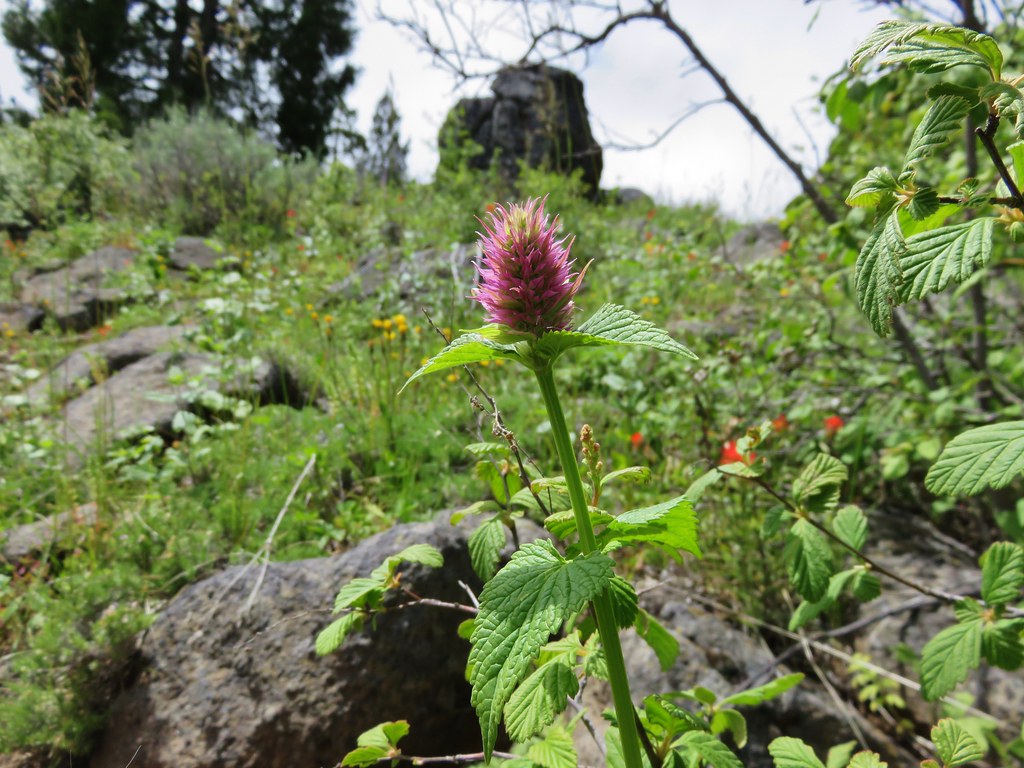
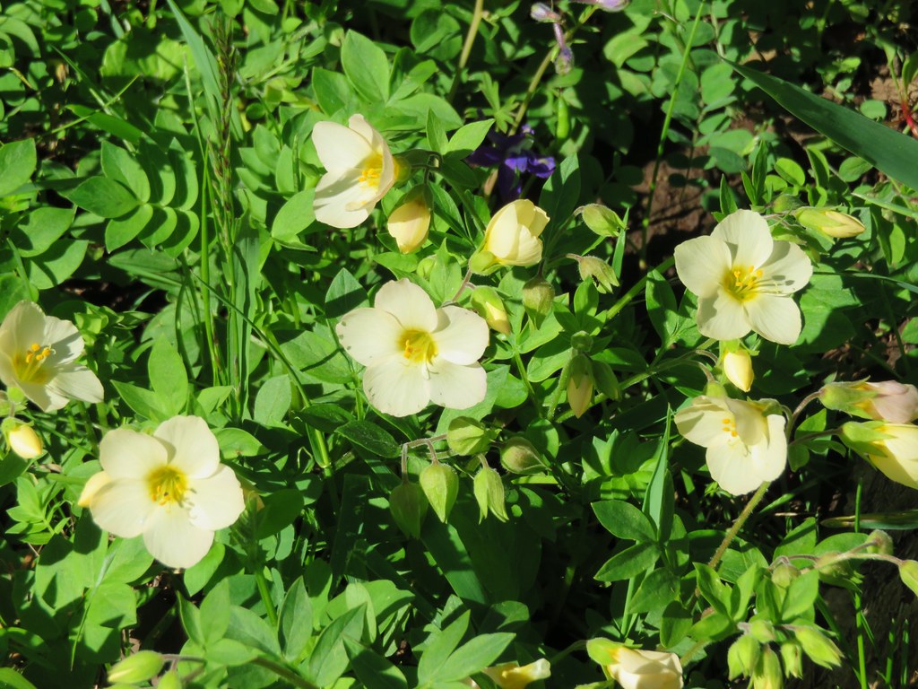
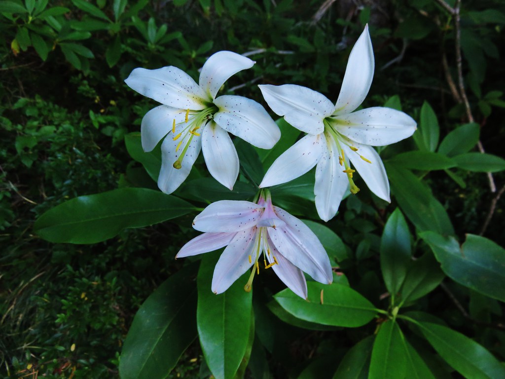
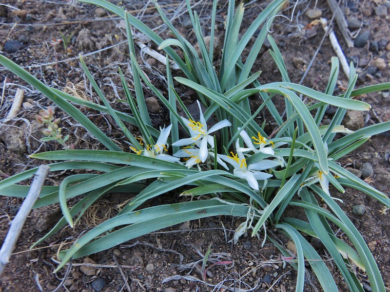
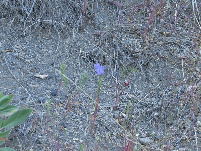
Flowers included sand lilies, balsamroot, and thread-leaf phacelia.
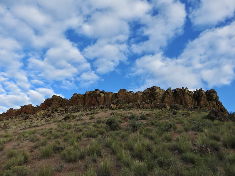
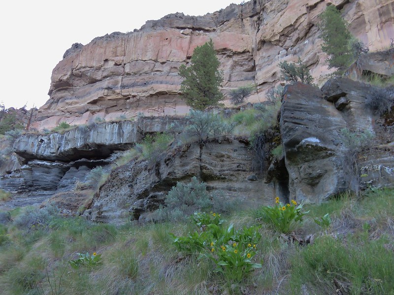
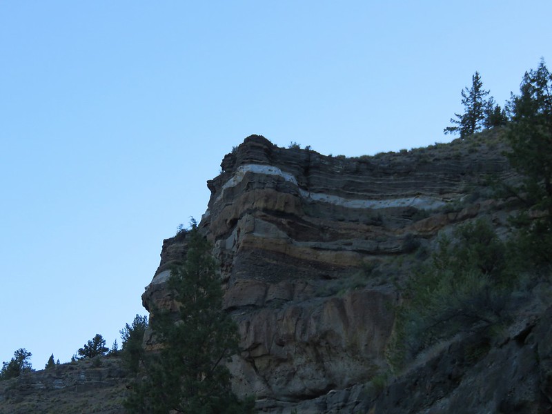
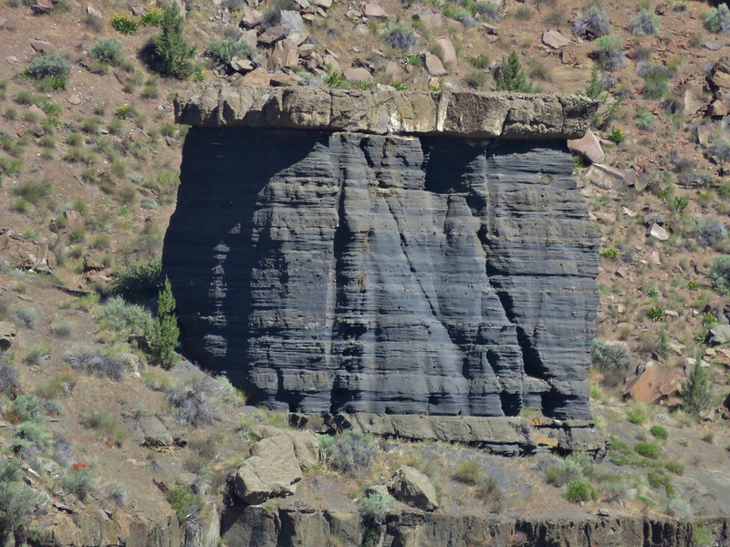
Colorful rocks formations lined the canyon walls.

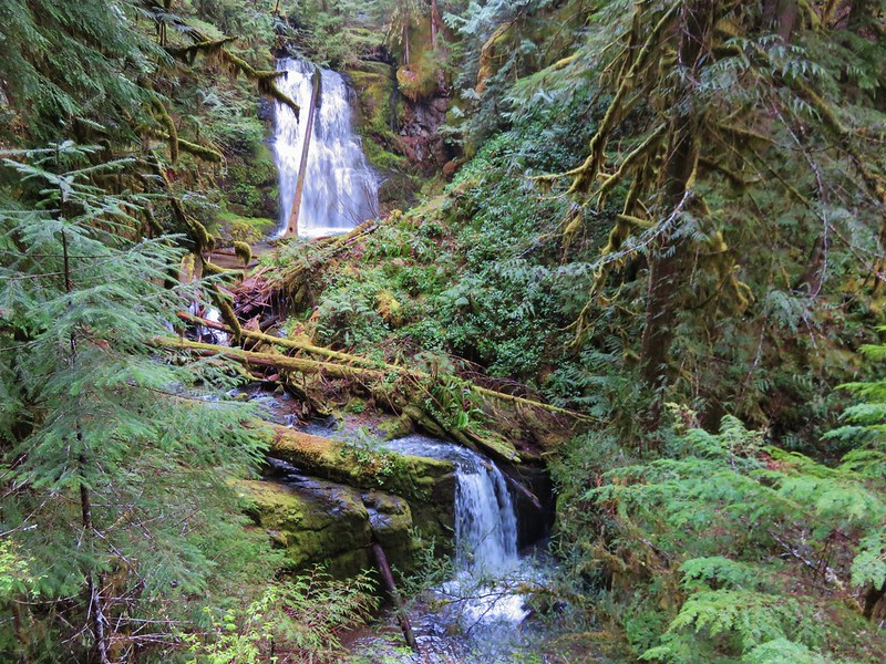
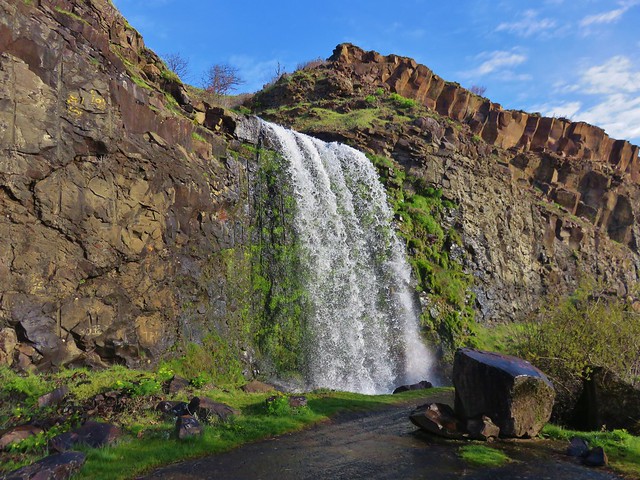
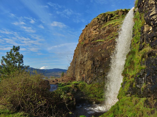
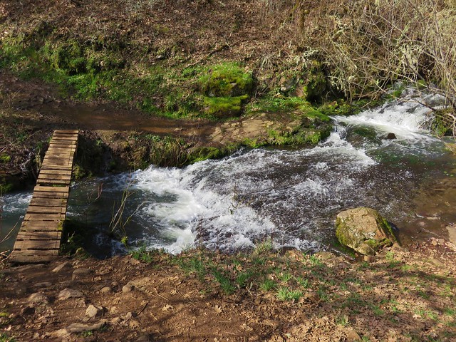
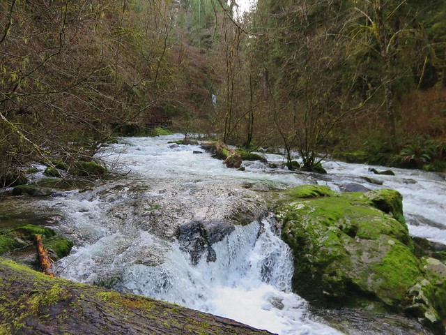
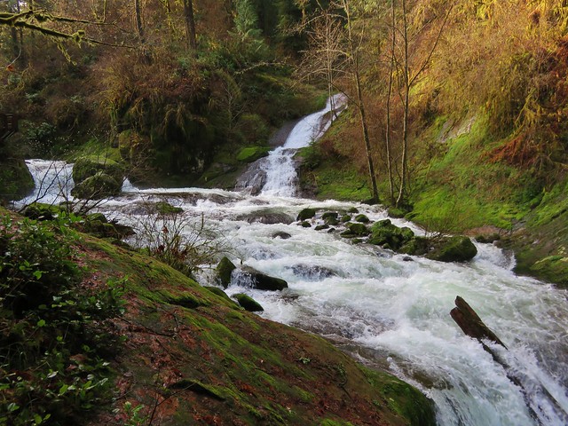
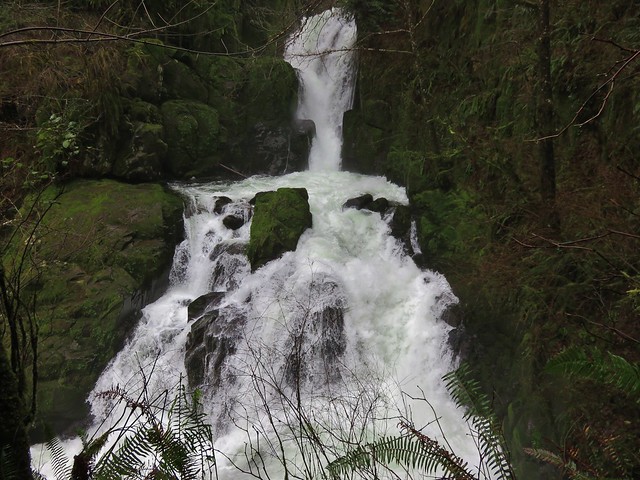
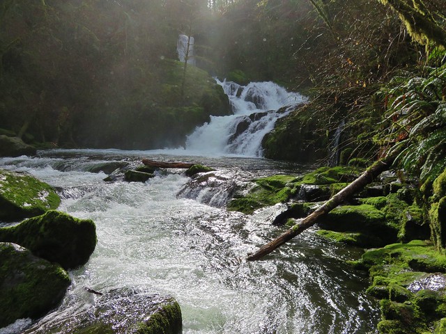
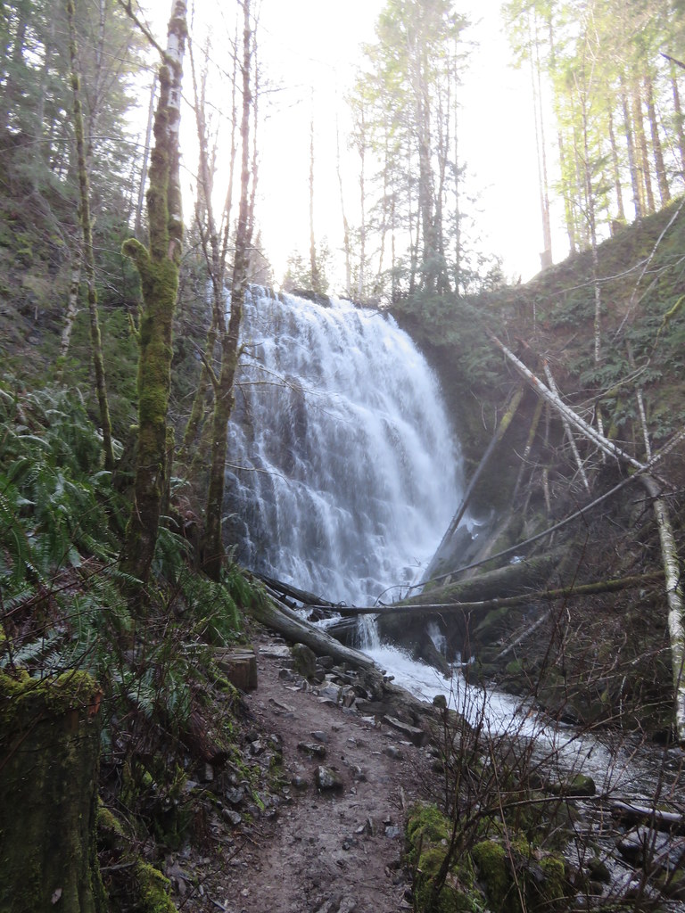
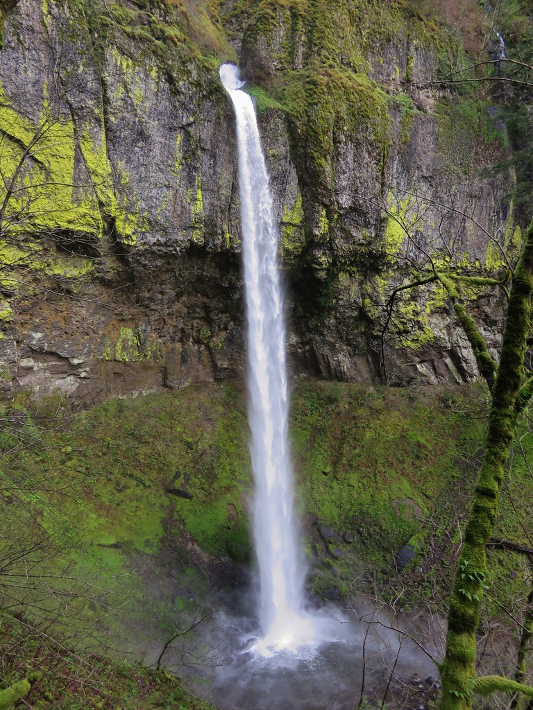
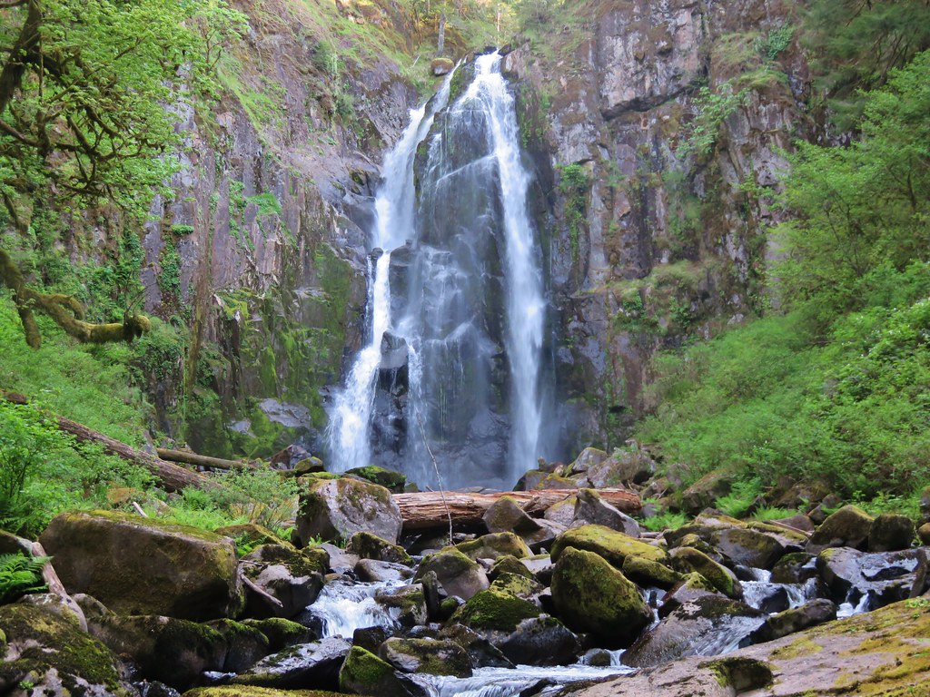
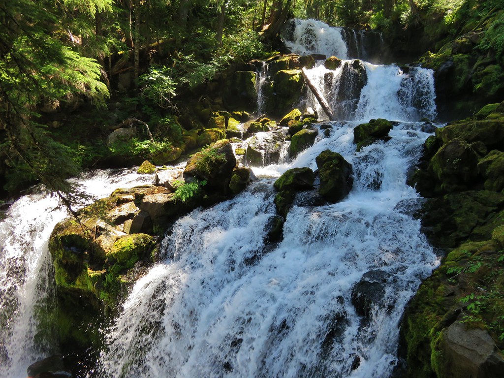
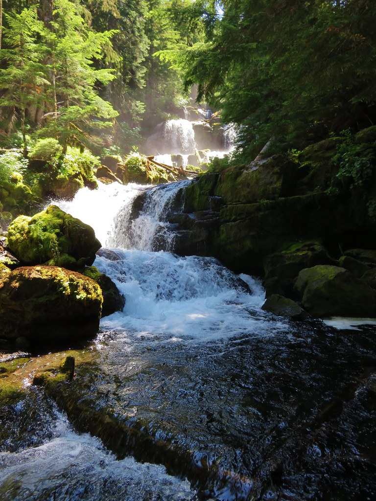
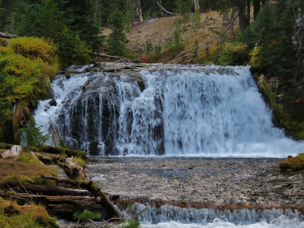
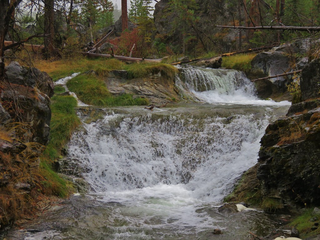
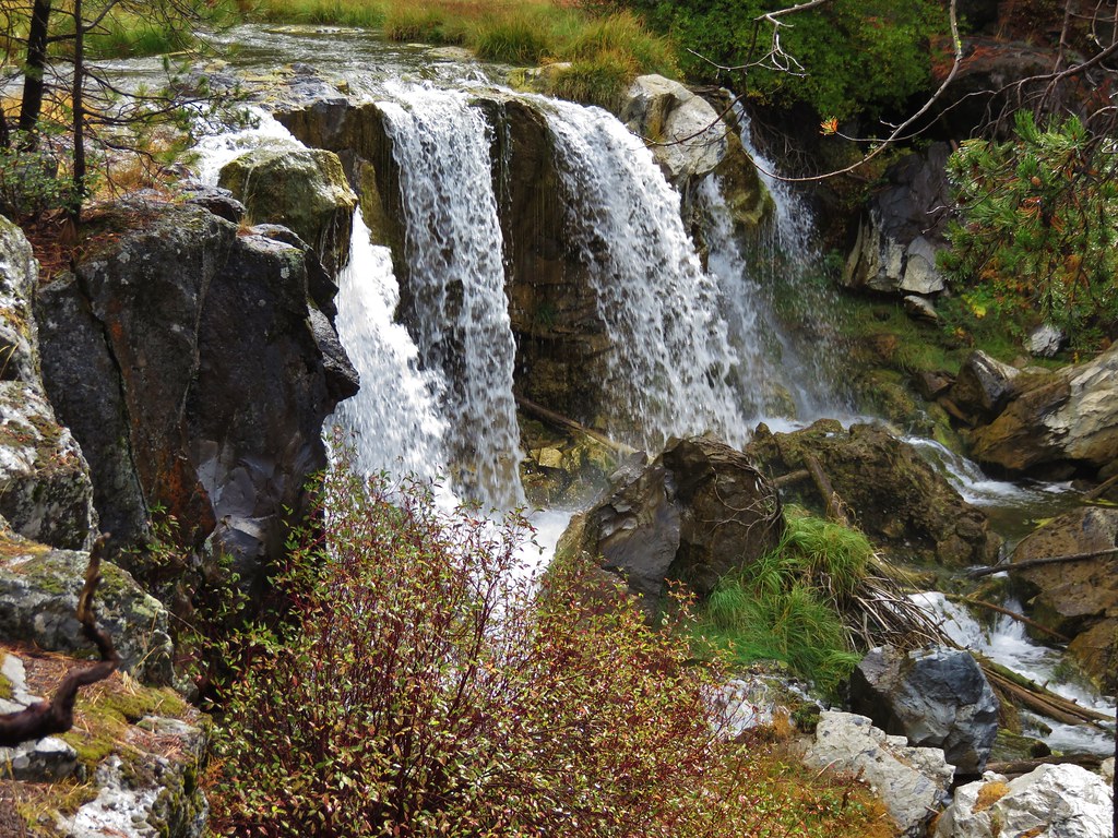
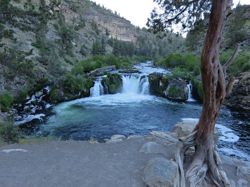
Steelhead Falls is only about 20′ tall but the width and setting of the falls makes it an impressive sight.

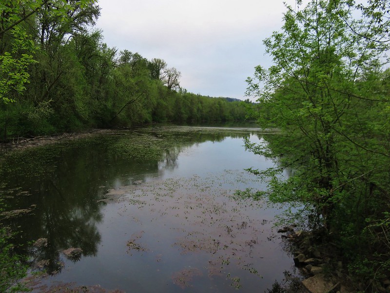
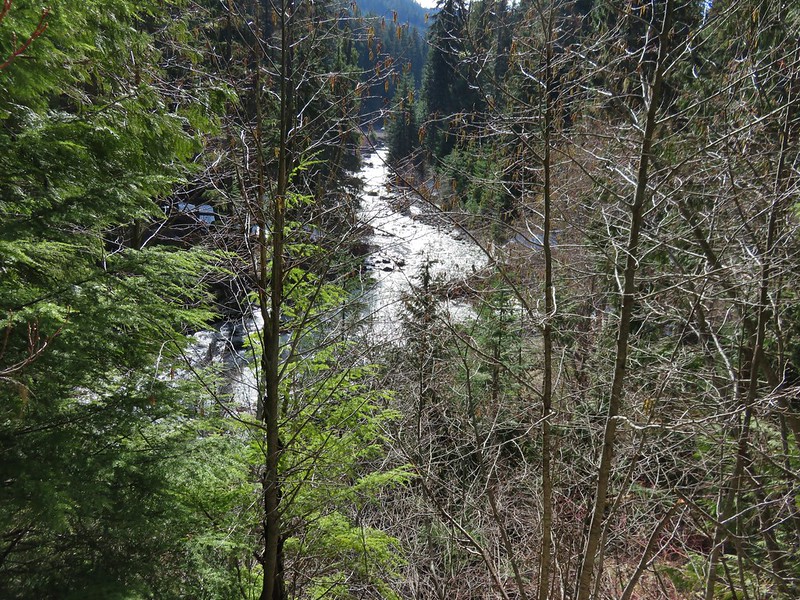
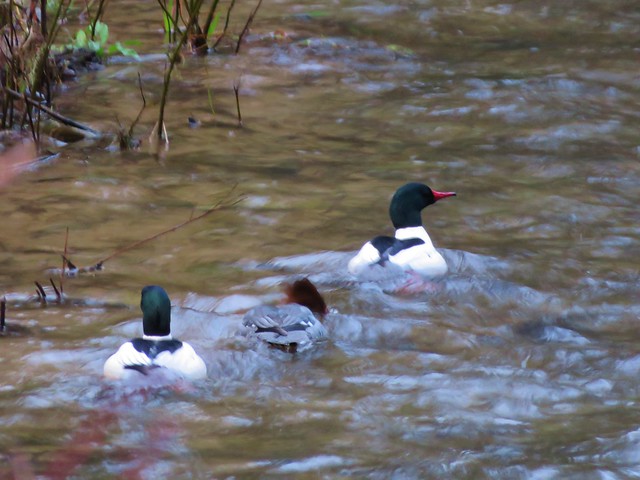
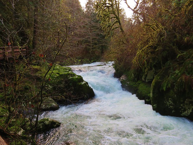
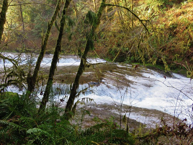
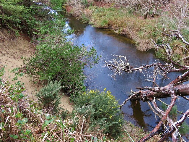
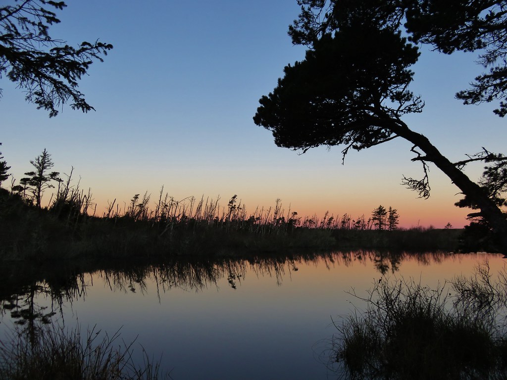
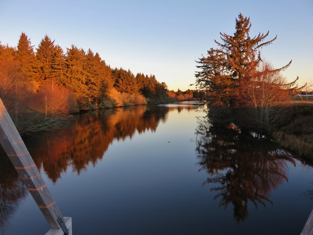
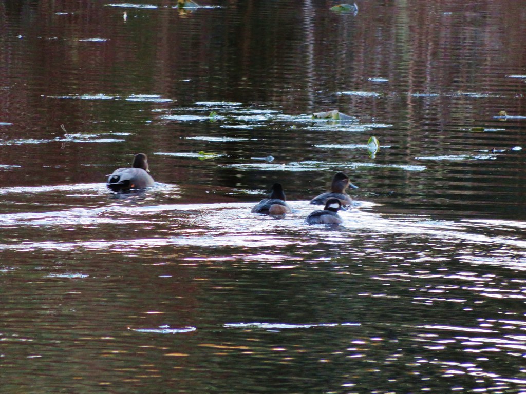
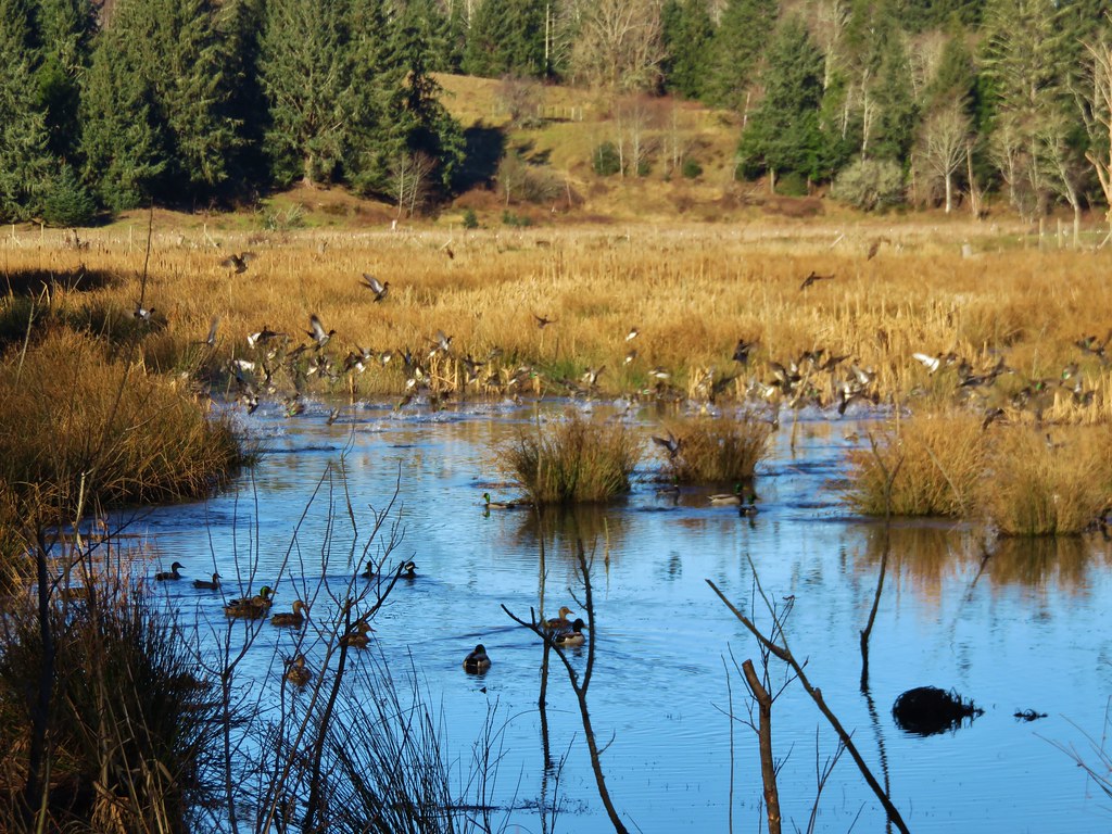
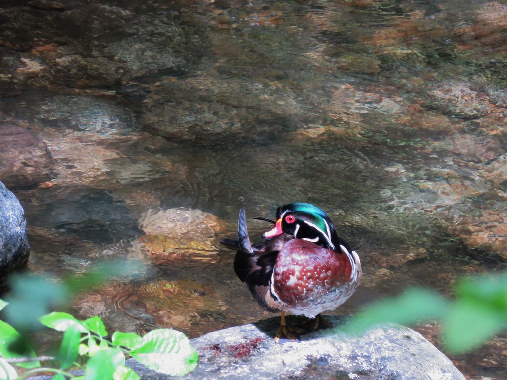
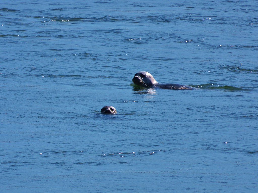
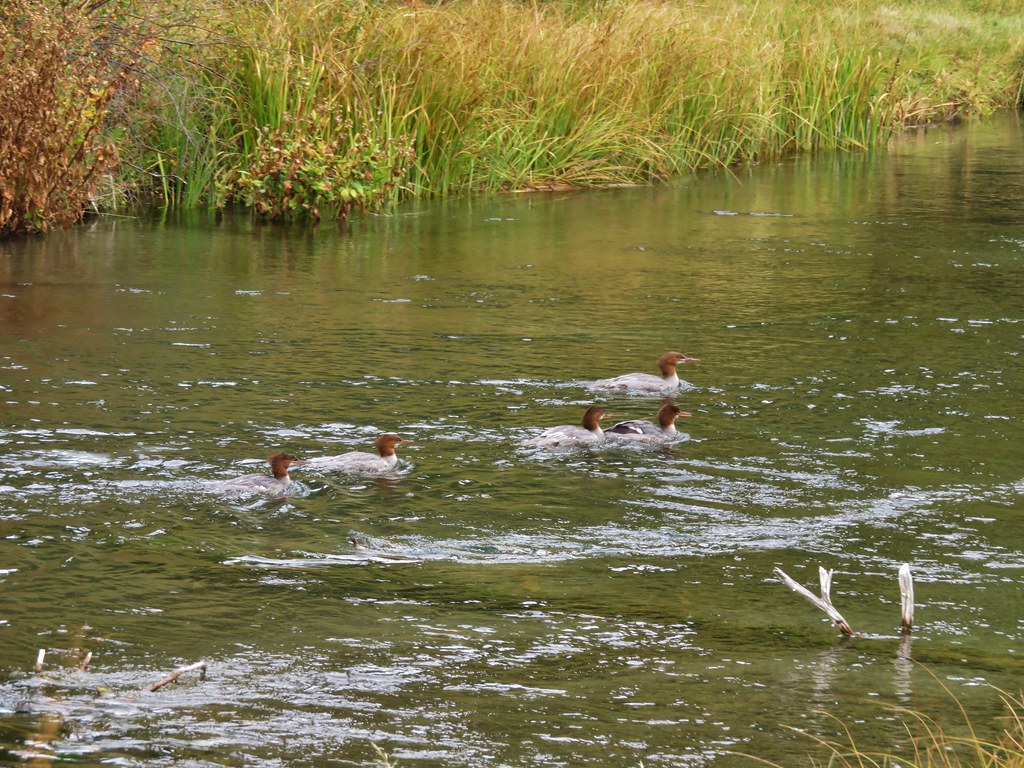
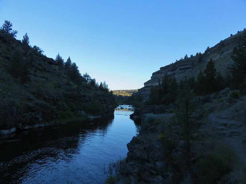
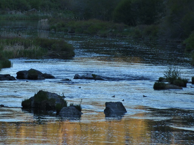
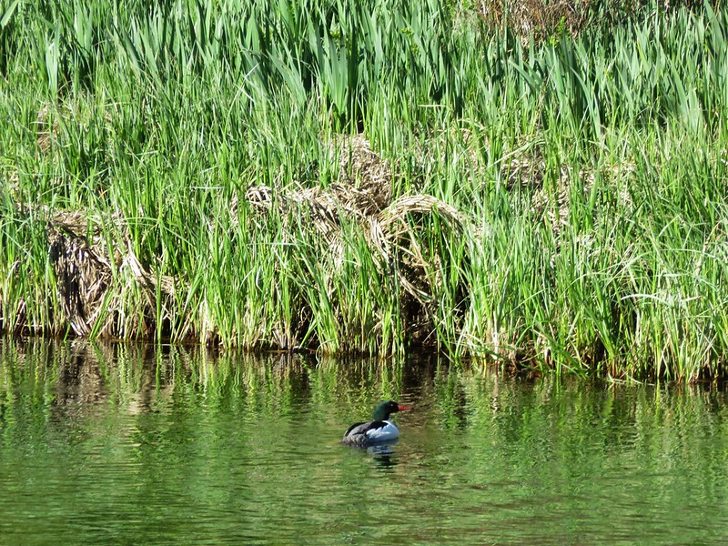
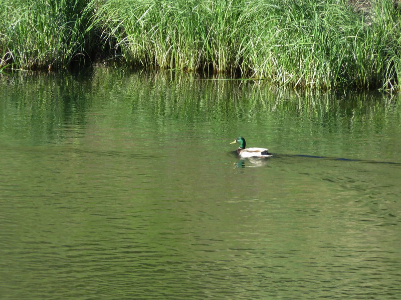
Beyond the falls the Deschutes calmed and various ducks and geese were enjoying the morning.
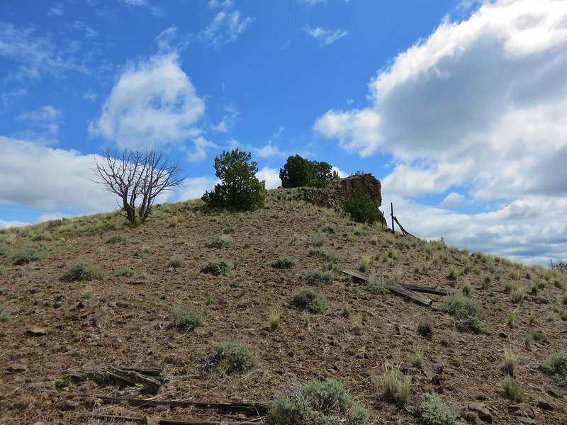
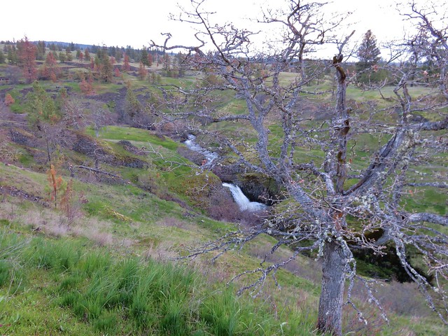
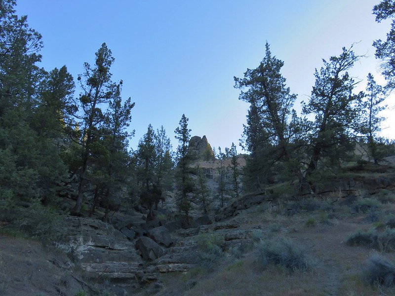
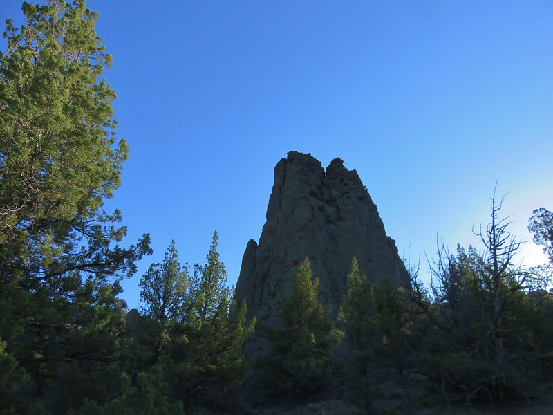
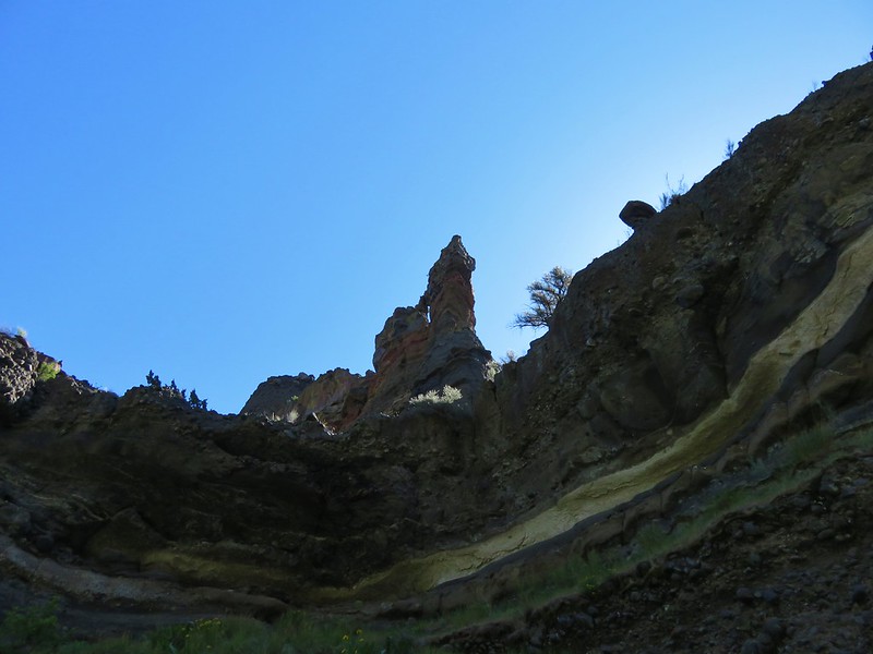
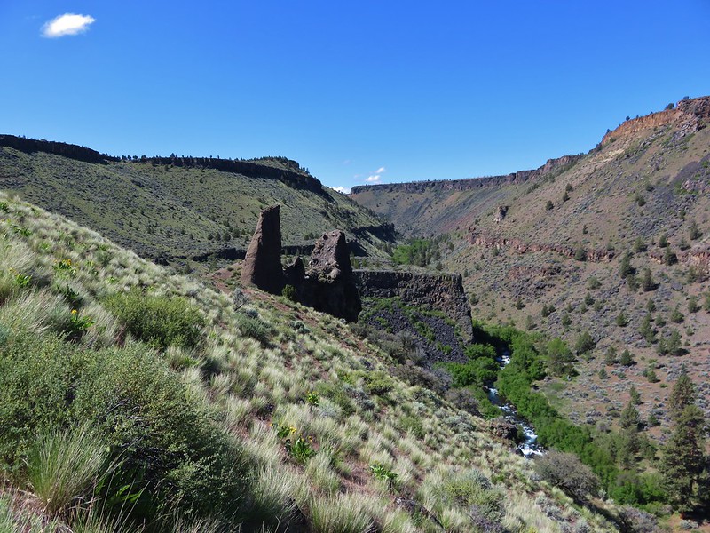
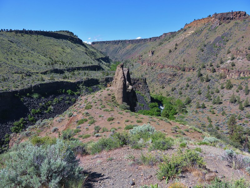
We continued past the falls for .6 miles planning on visiting the Gray Tower, a 70′ rock formation. Our guidebook instructed us to turn right at a dry wash and then “stay right at junctions” up to the tower. We turned at the wash with the Gray Tower visible up the hillside.
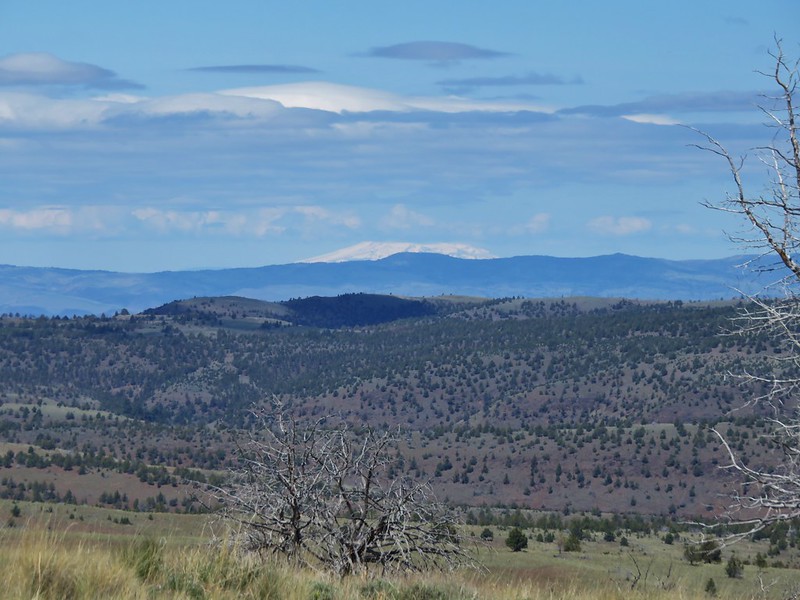
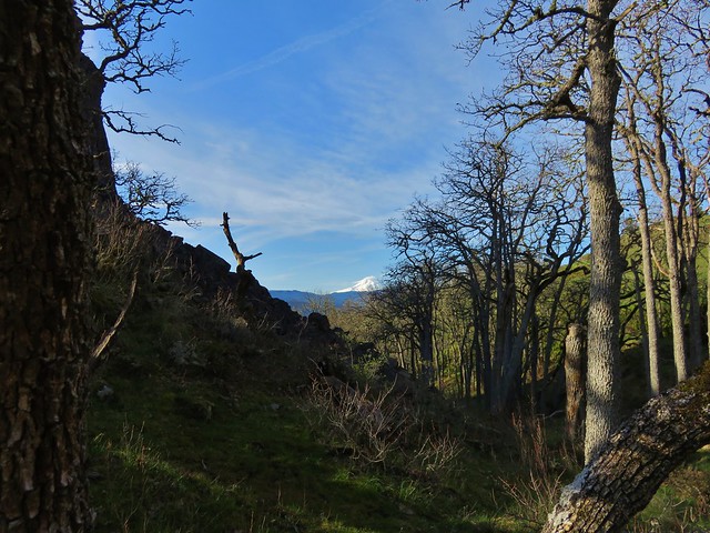
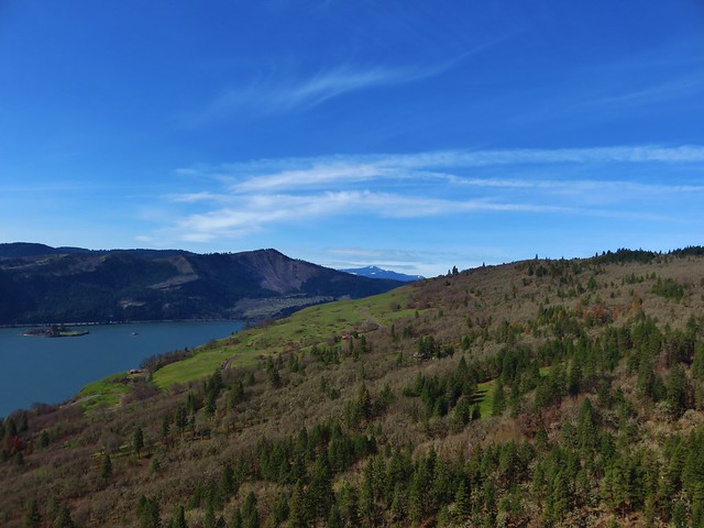
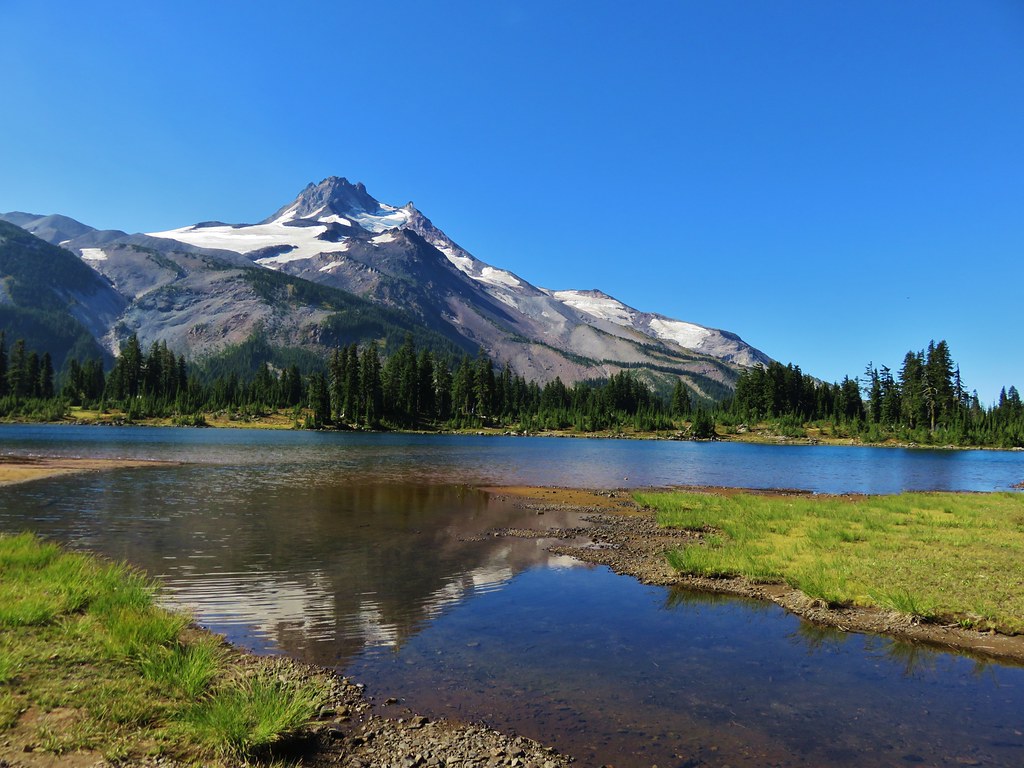
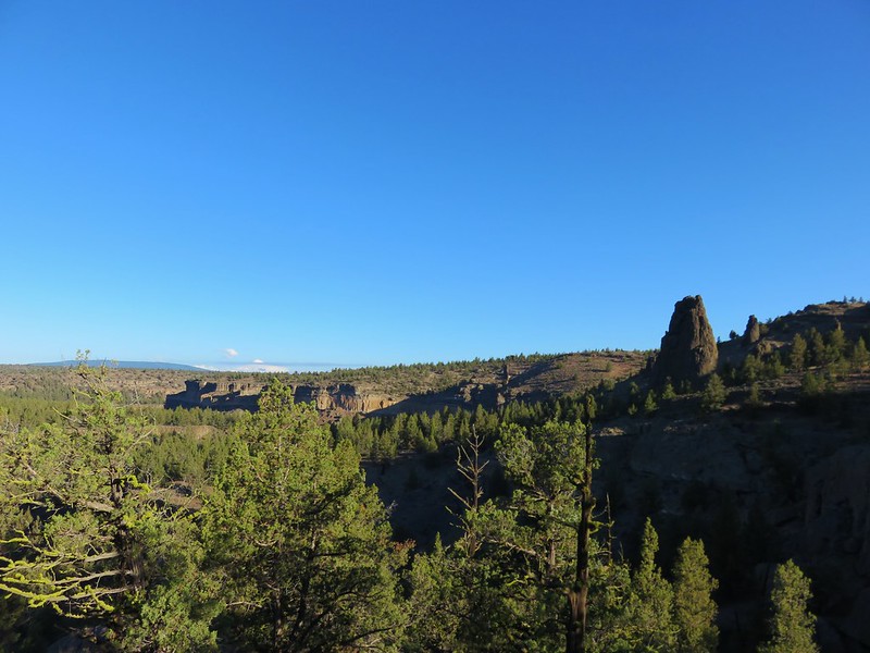
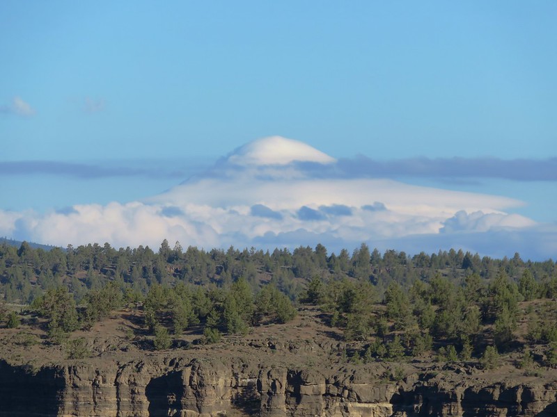
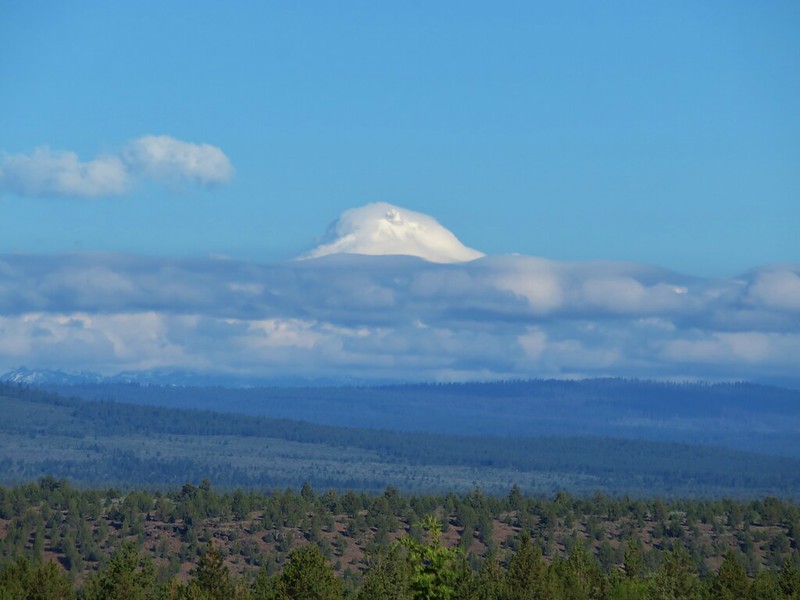
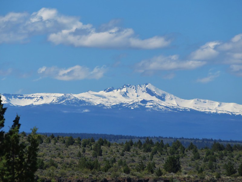
We apparently did too good a job at staying right and wound up following a path up a ridge with the wash on our left. We began to suspect that we were too far right when were getting further away from the Gray Tower and there was no sign of the ridge we were on bending back towards it. We spotted a trail on the opposite side of the wash and realized that it was the trail we should be on and headed back down. The detour had not been without its charms though, as it provided a nice view across the wash to the Gray Tower and to Mt. Jefferson (covered in clouds this morning).
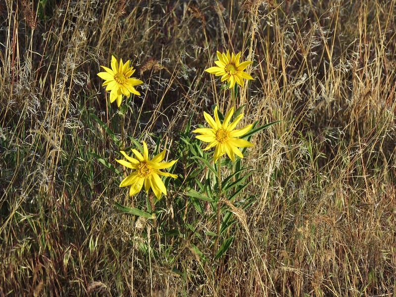
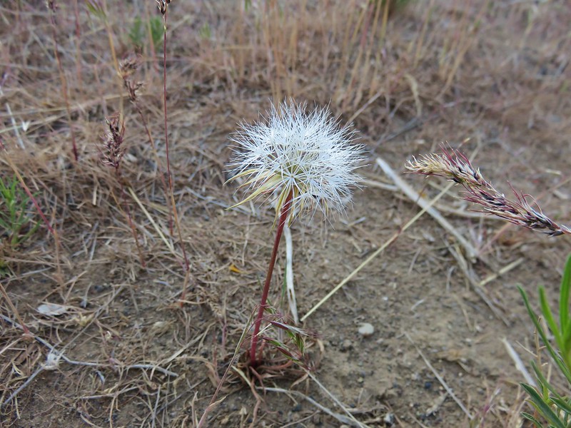
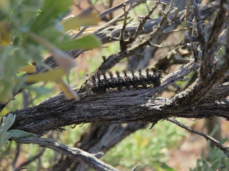
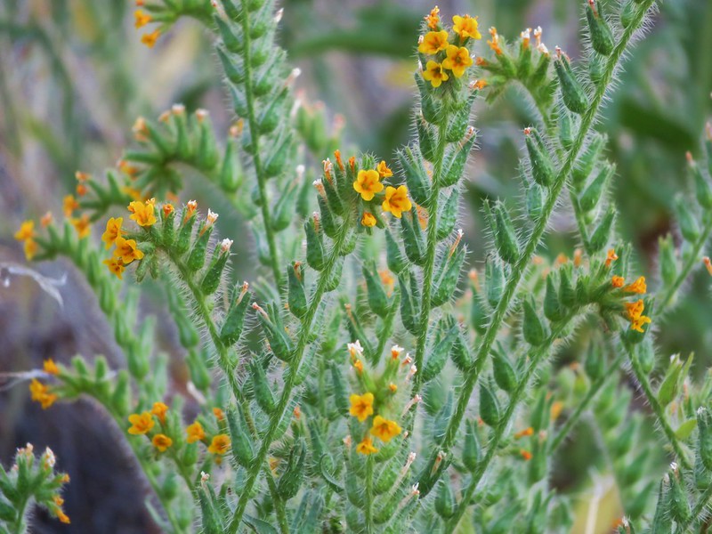
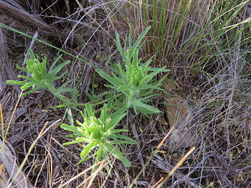
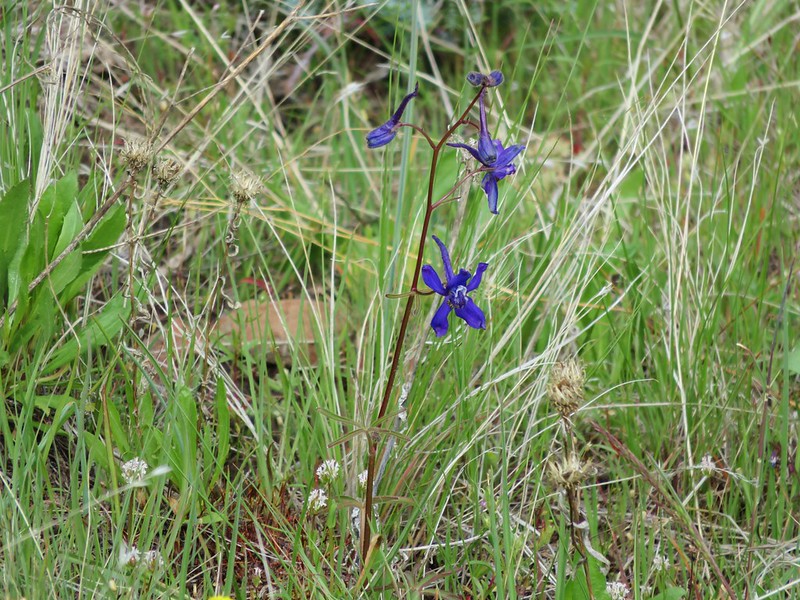
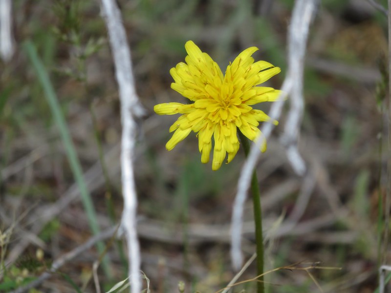
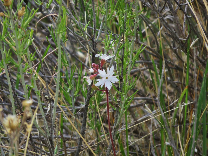
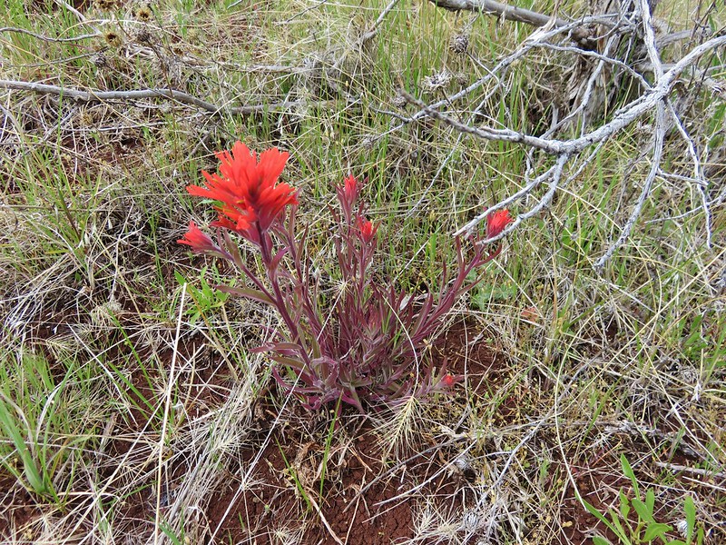
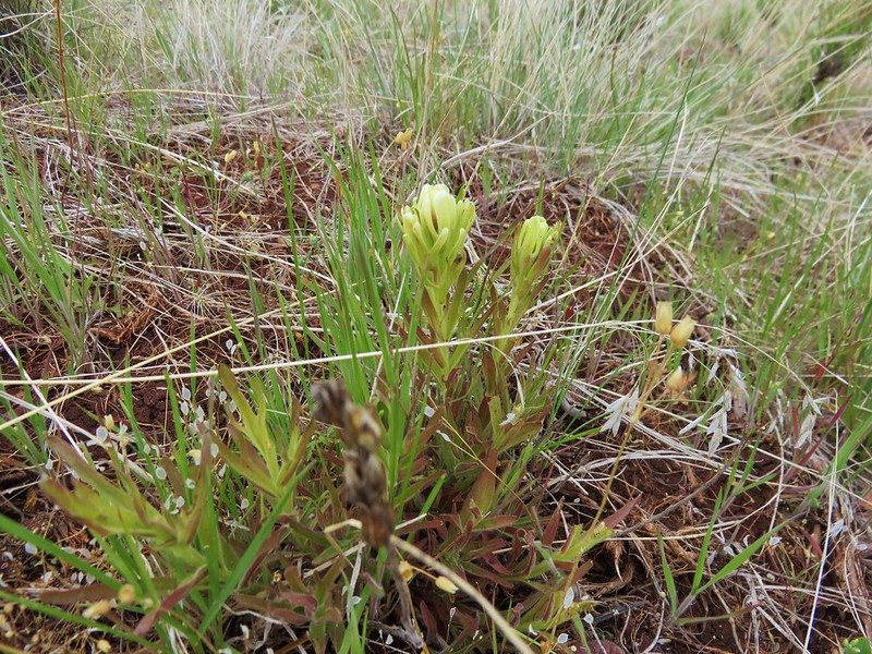
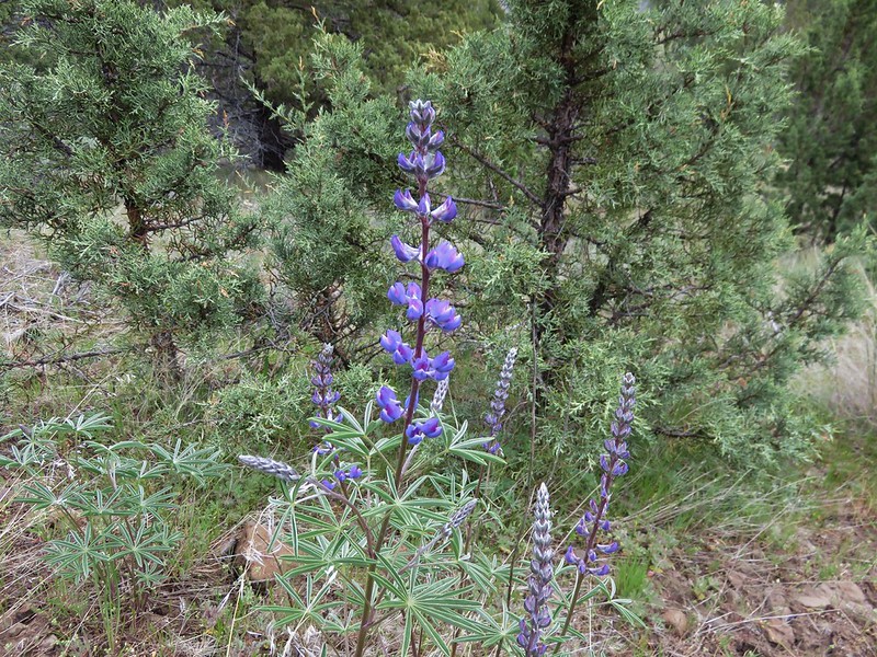
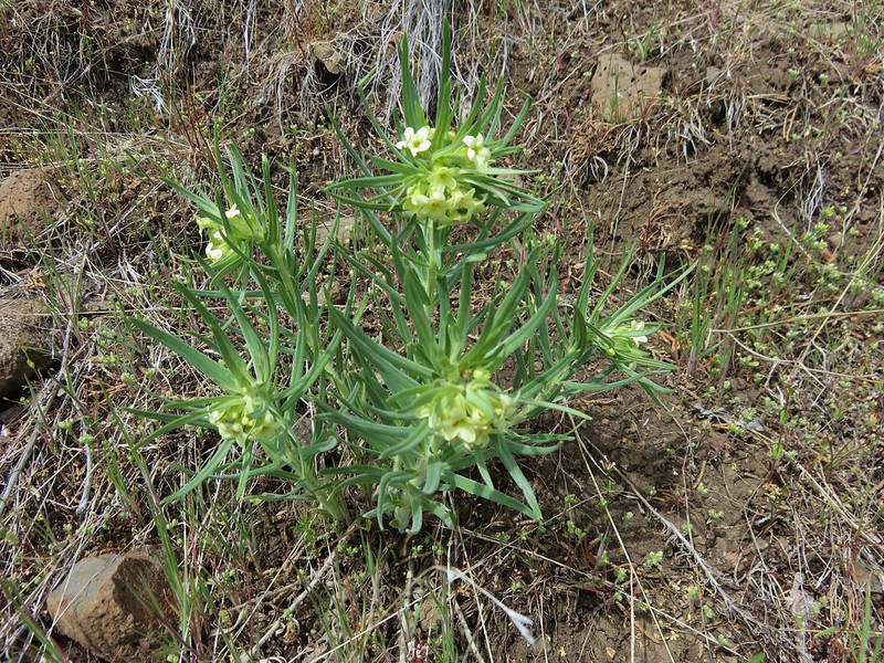
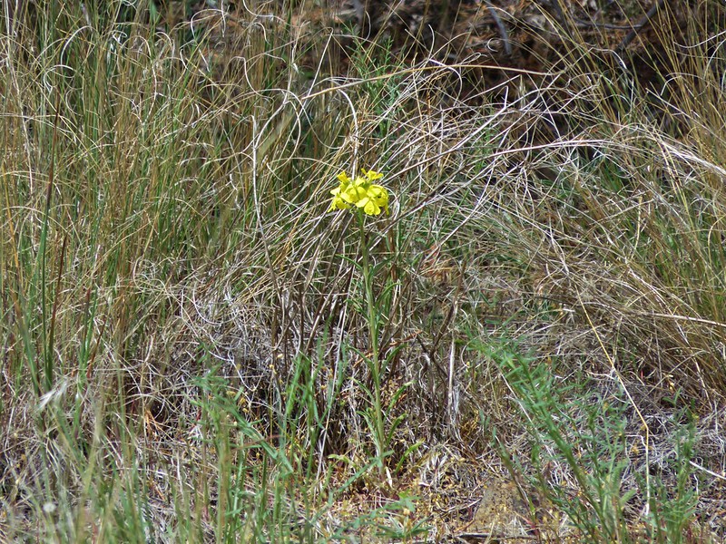
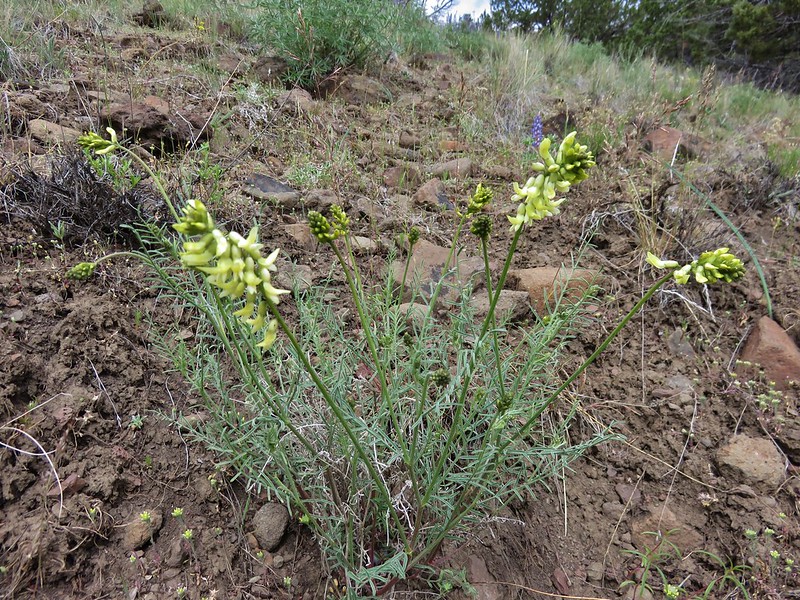
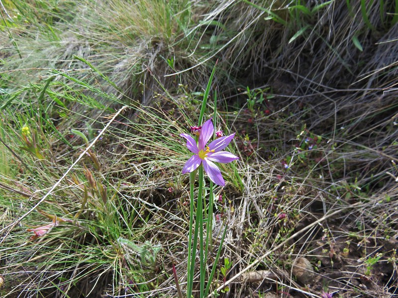
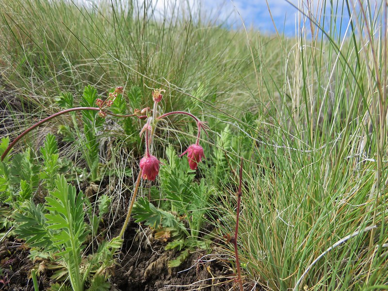
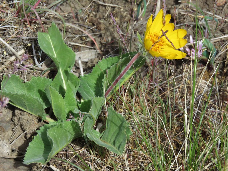
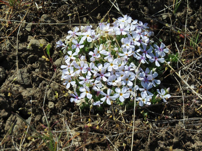
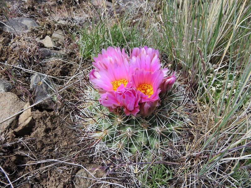
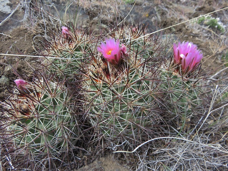
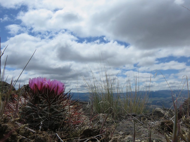
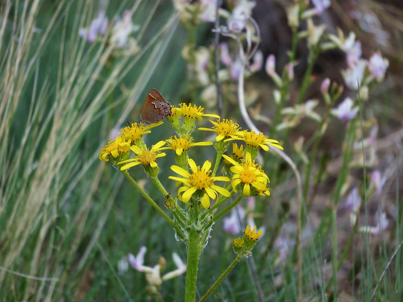
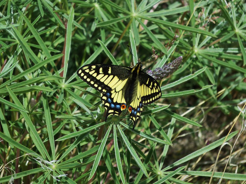
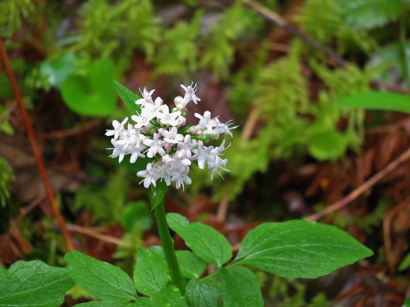
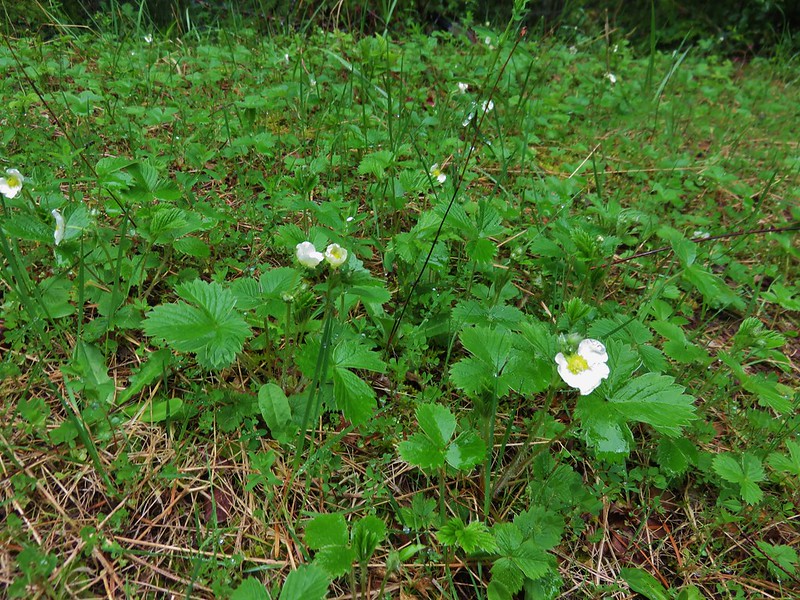
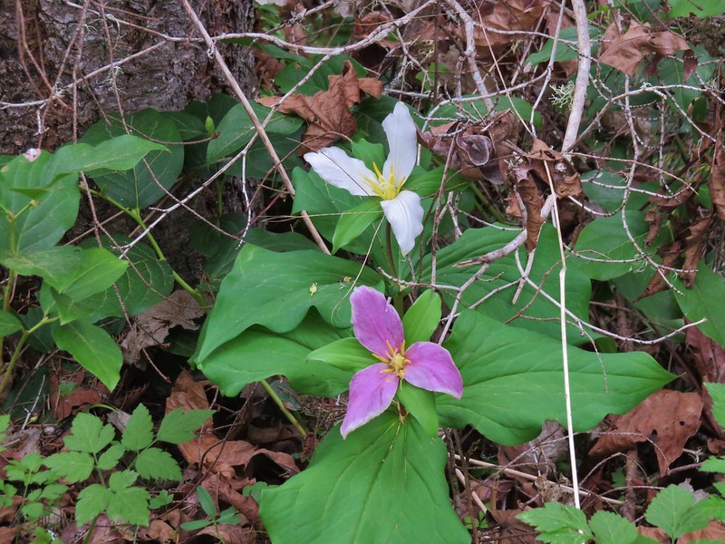
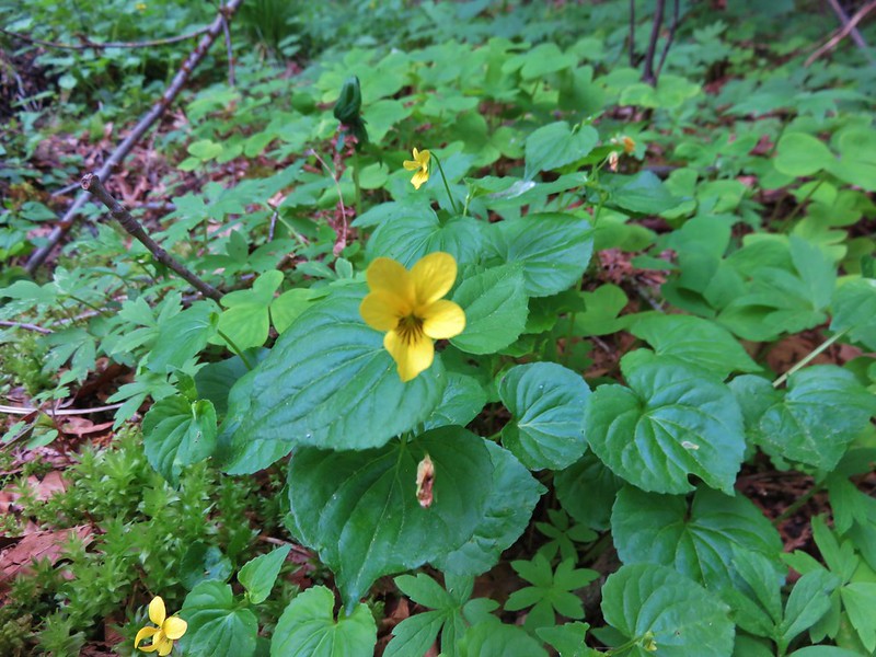
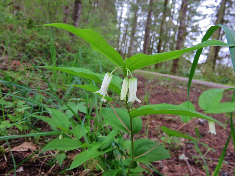
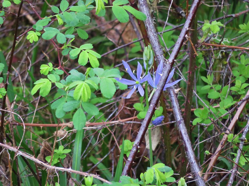
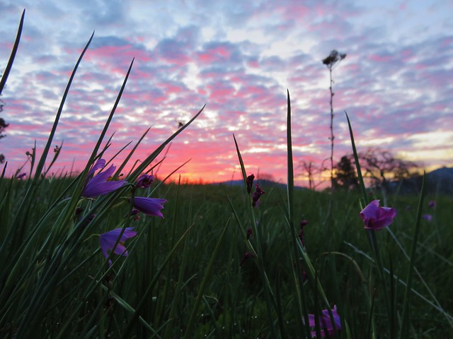
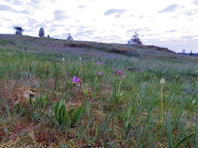
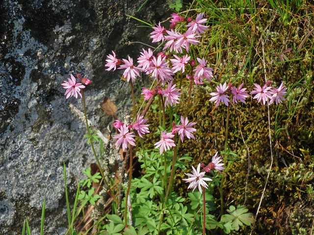
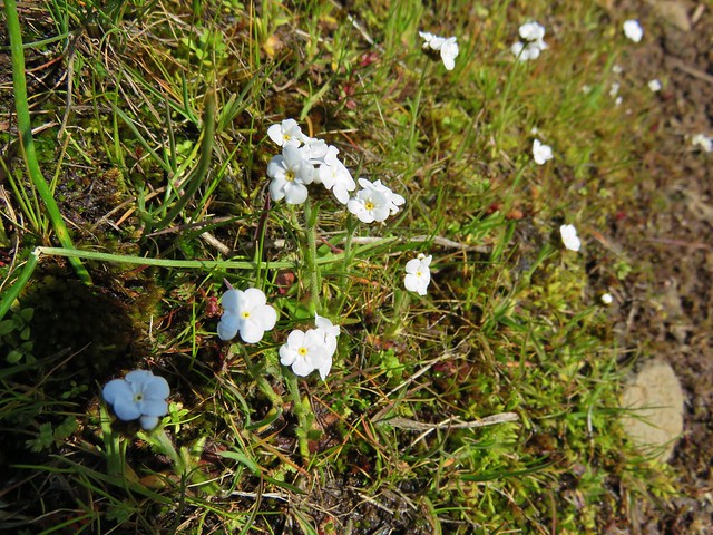
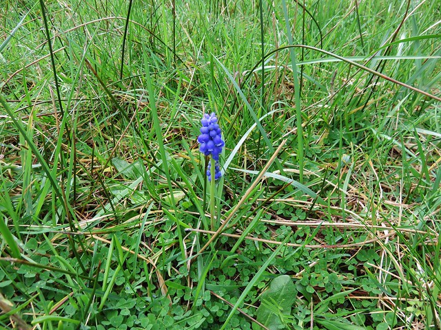
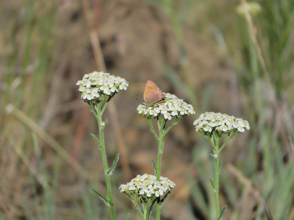
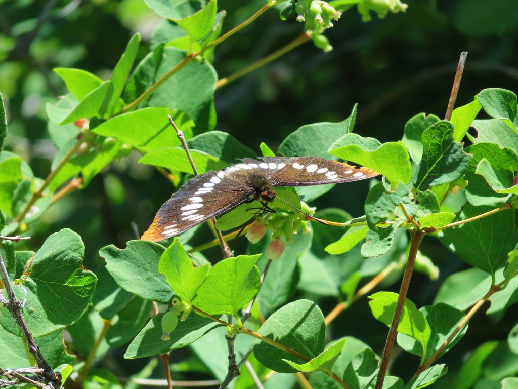
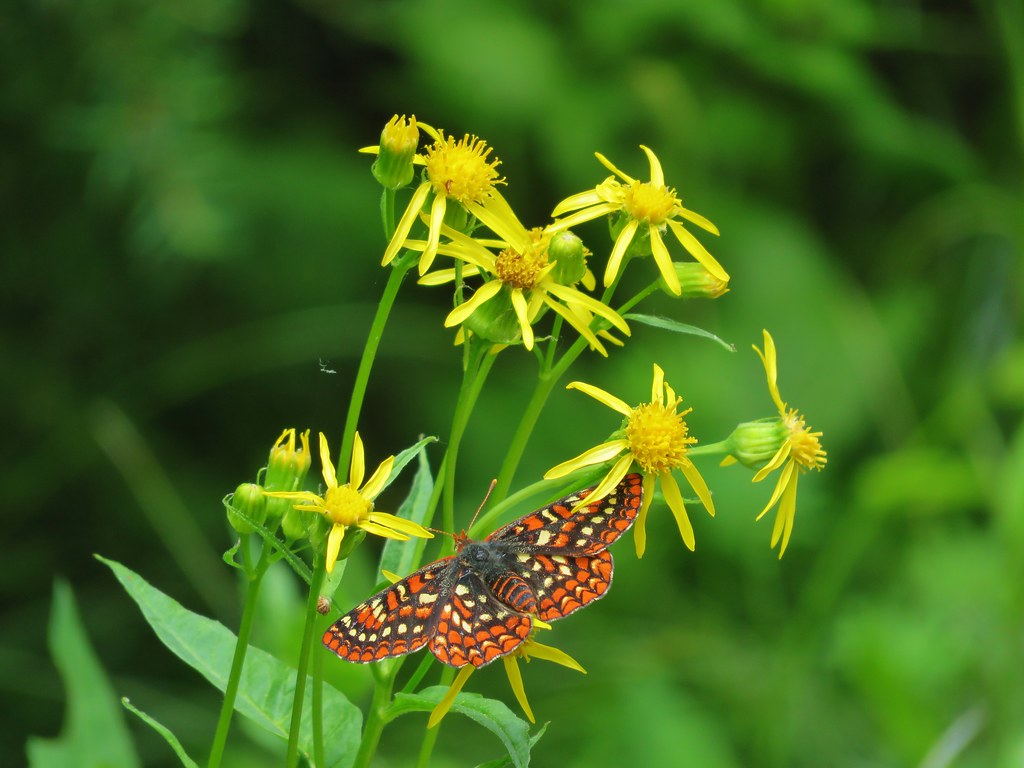
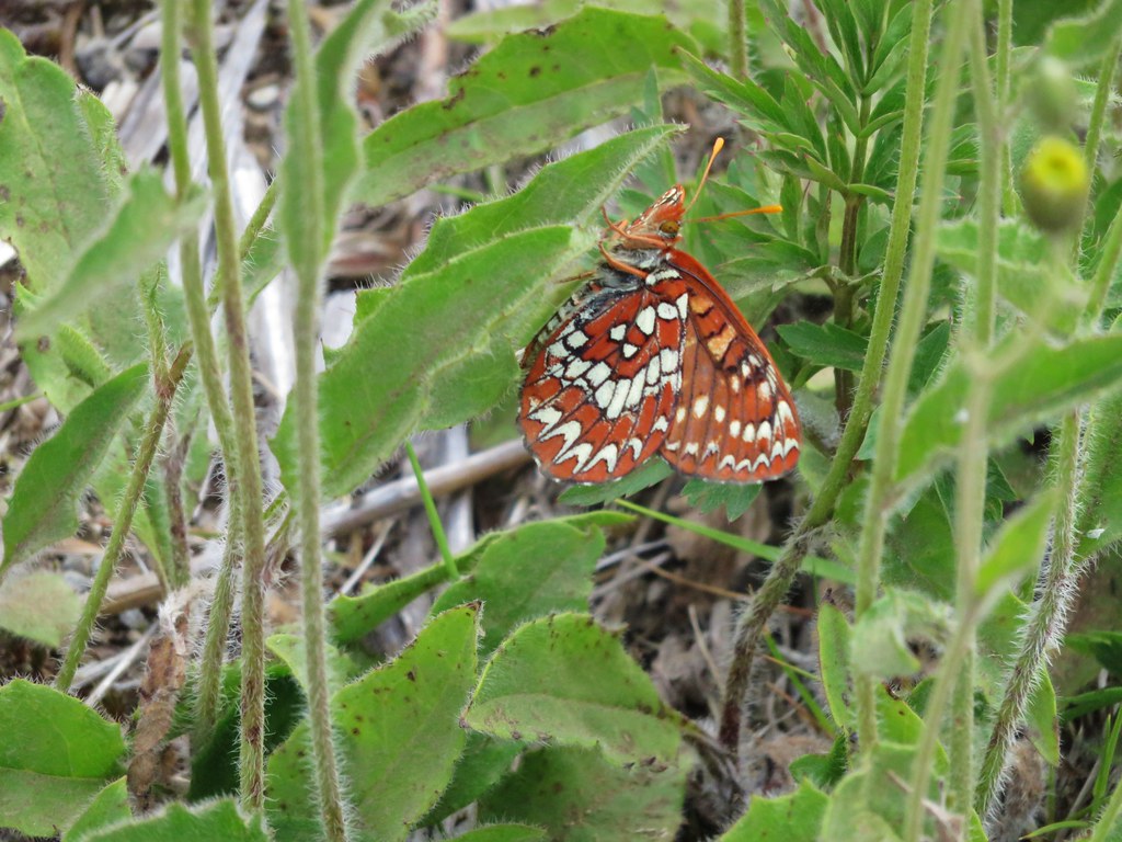
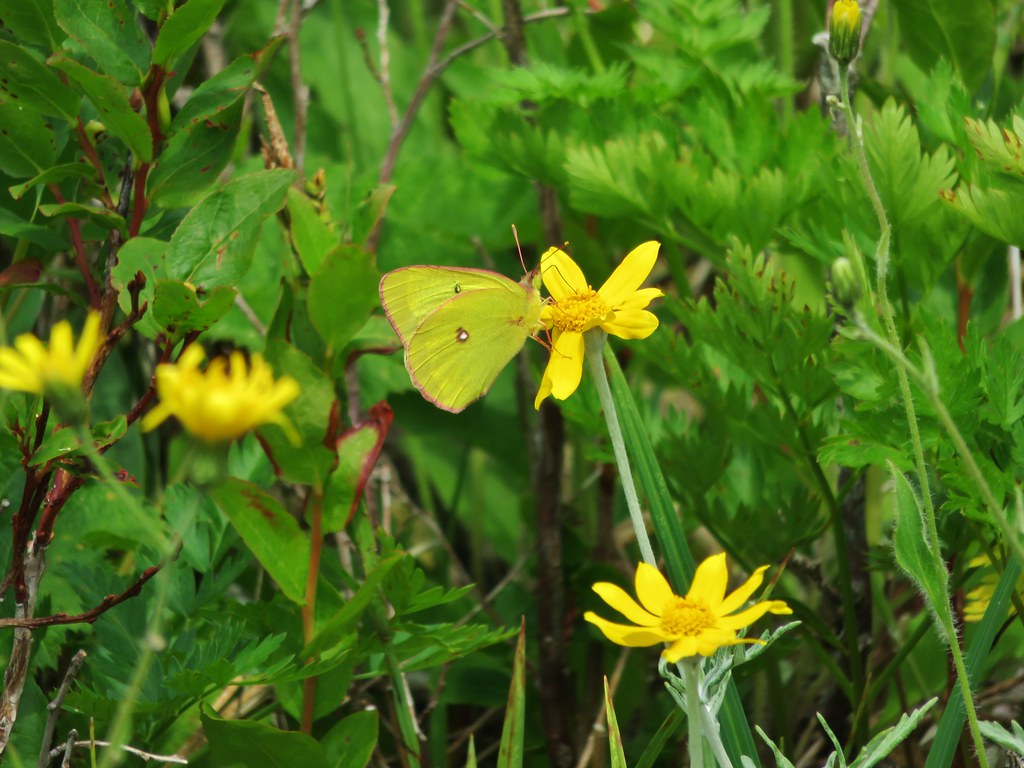
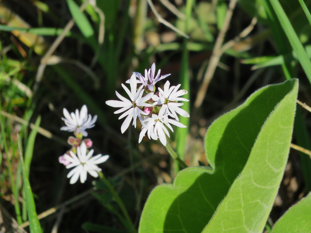
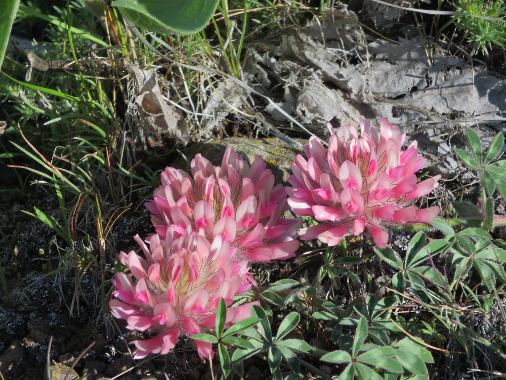
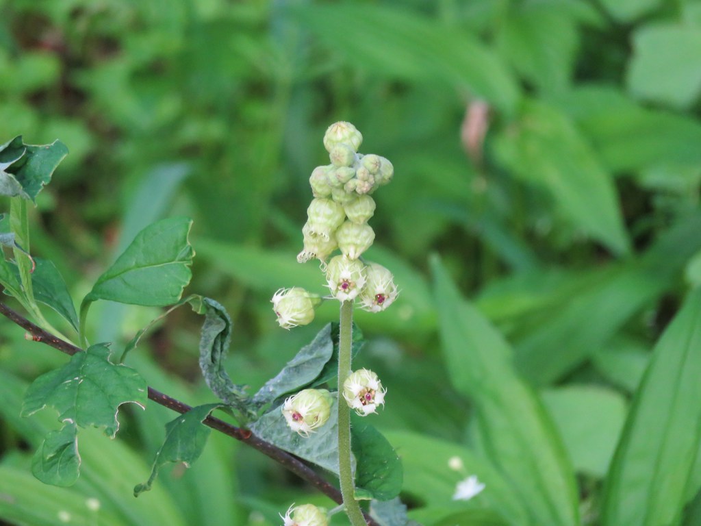
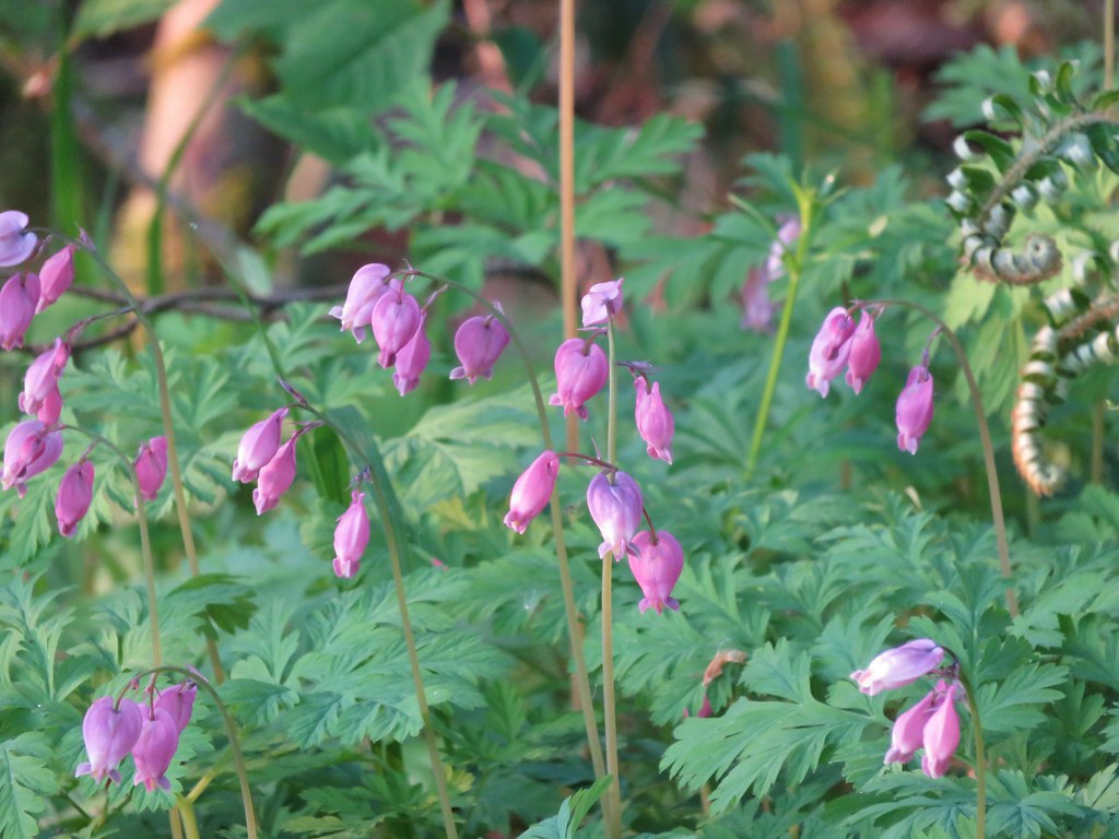
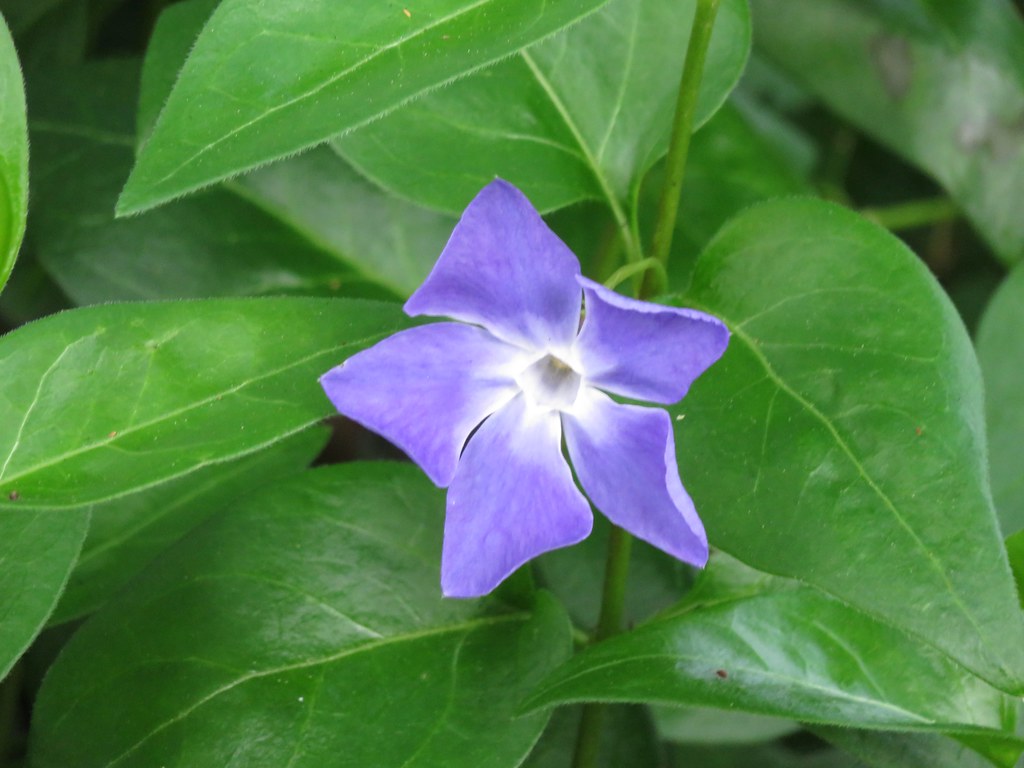
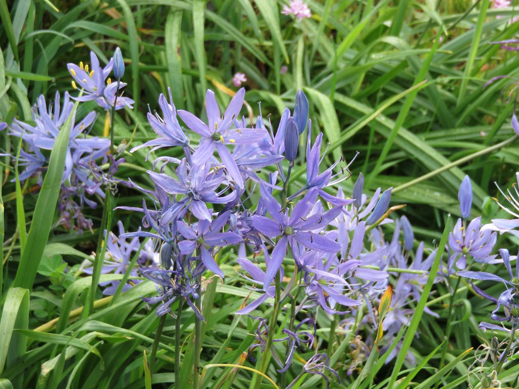
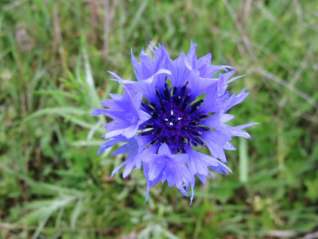
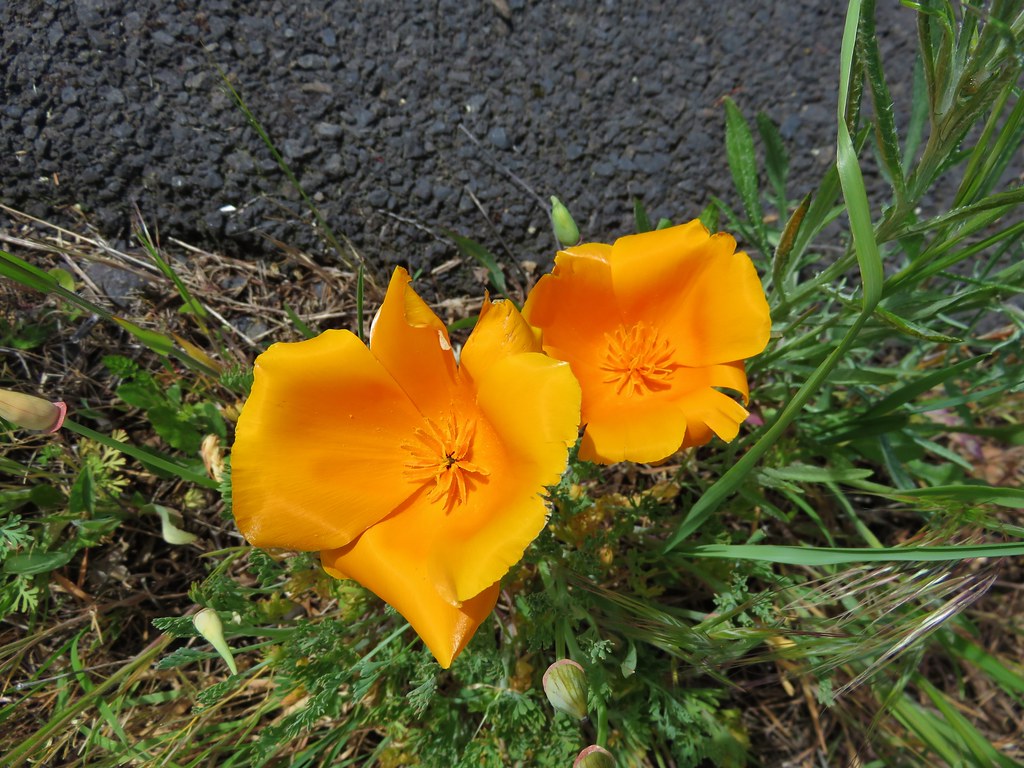
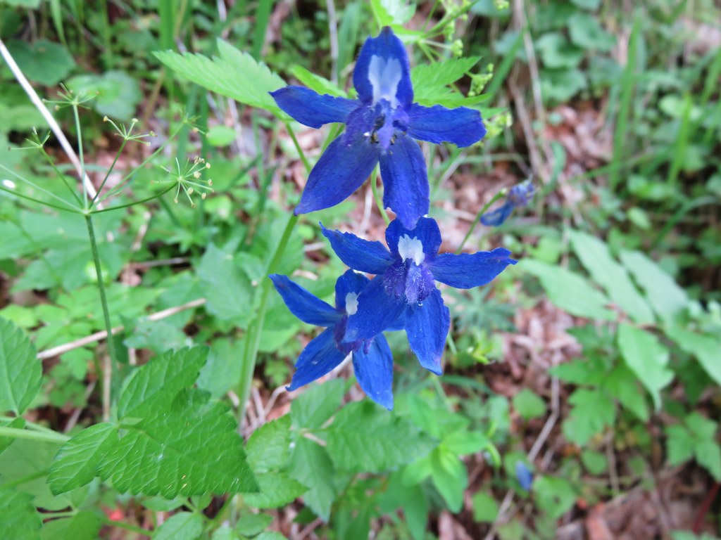
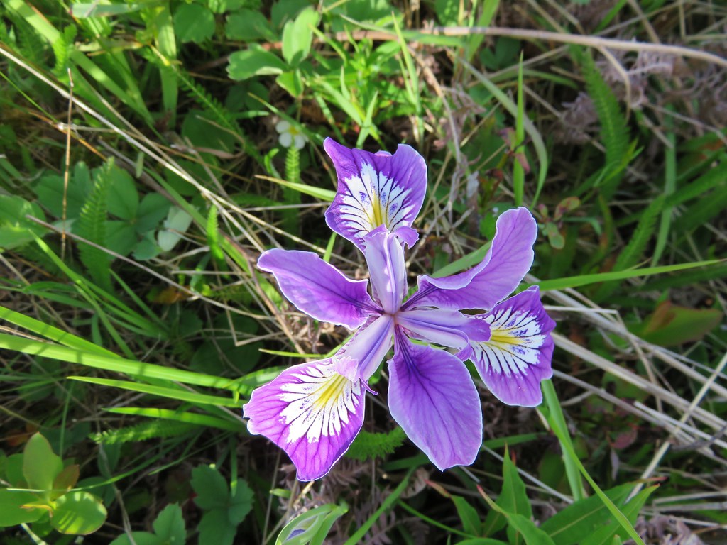
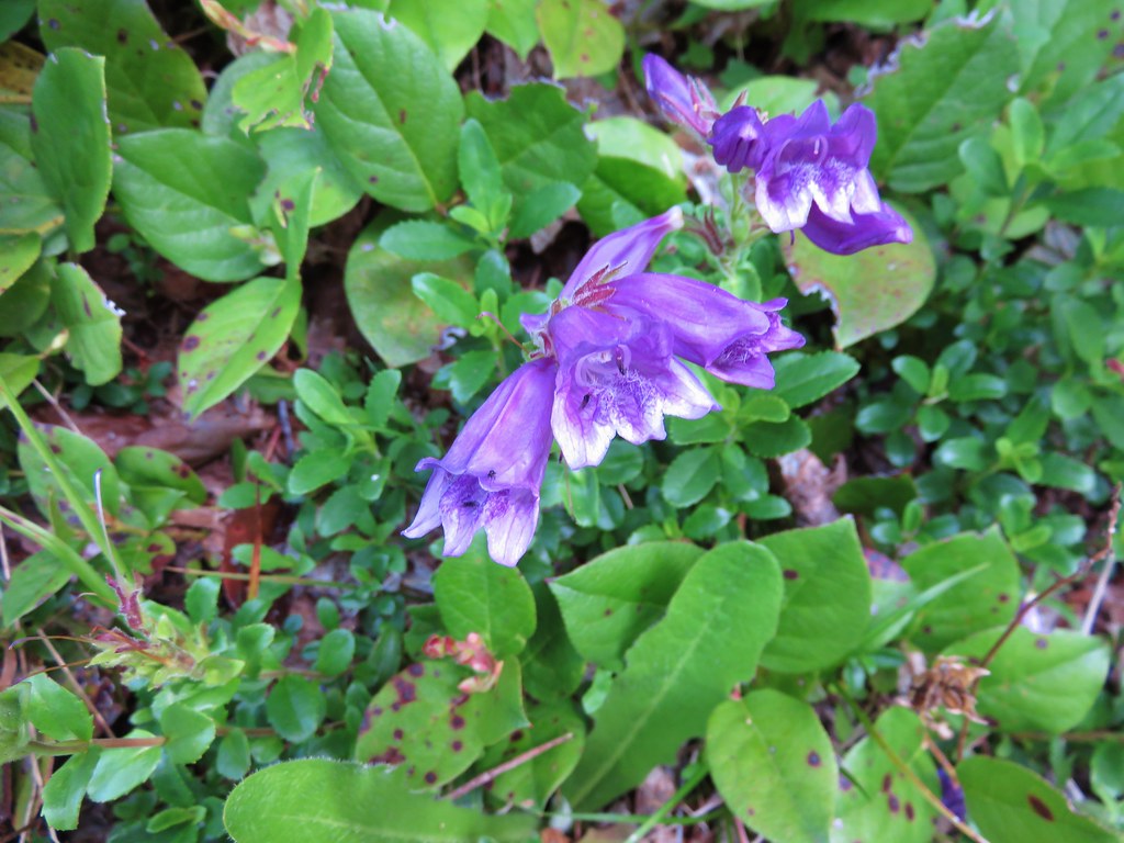
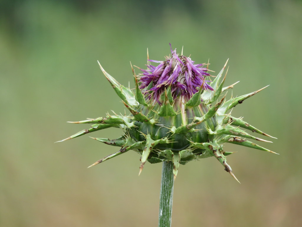
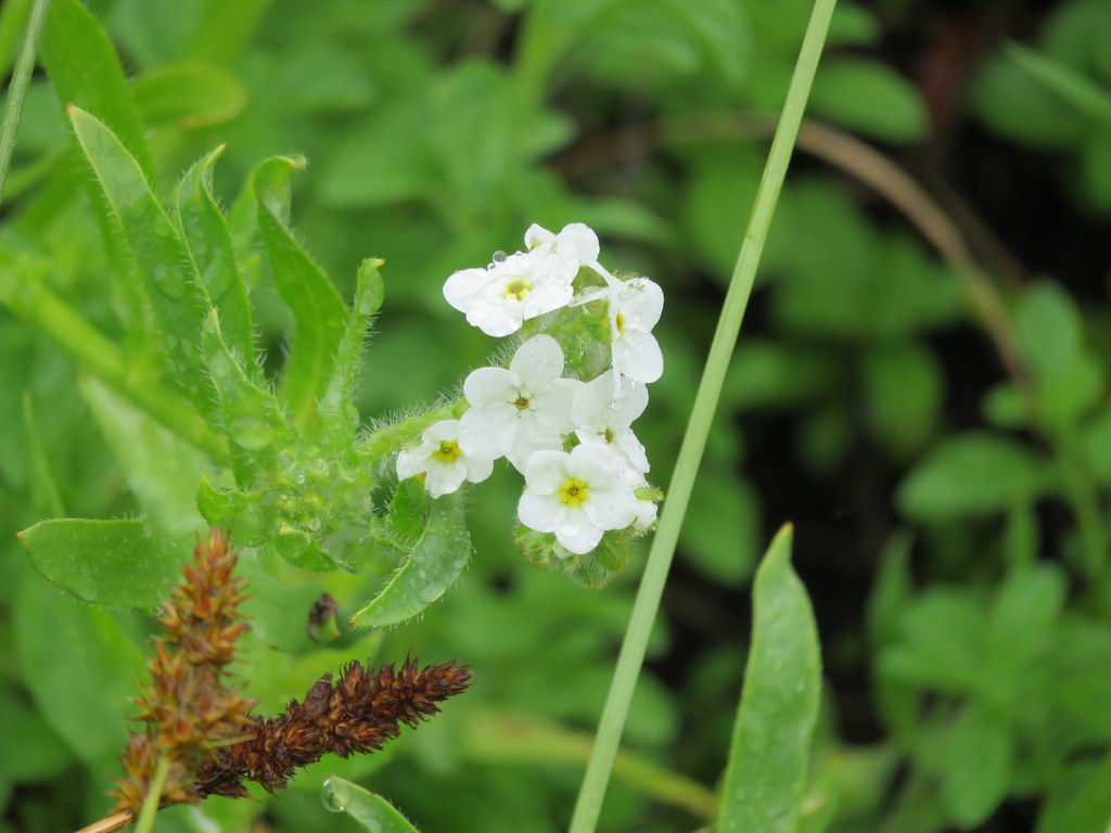
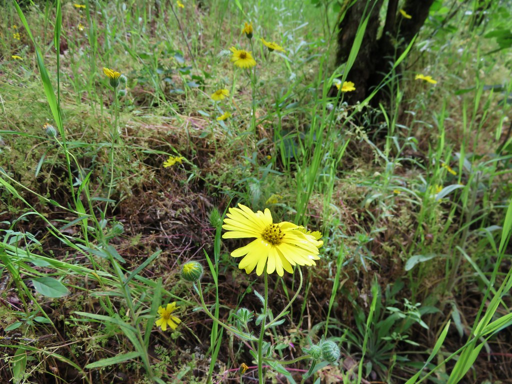
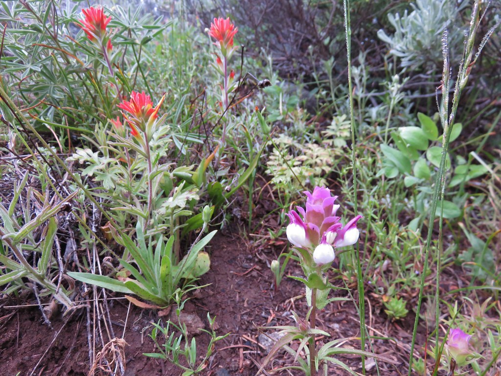
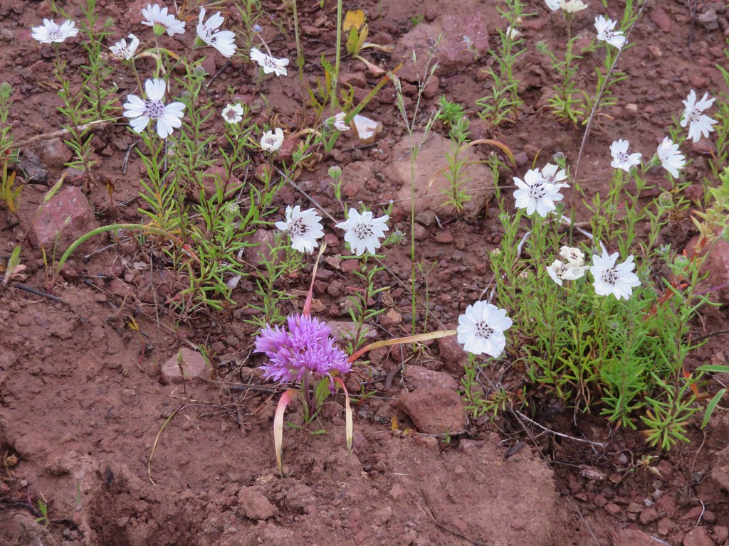
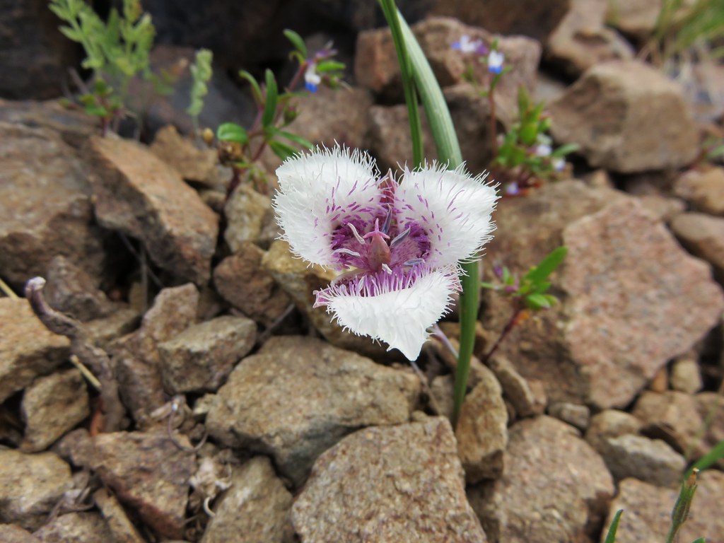
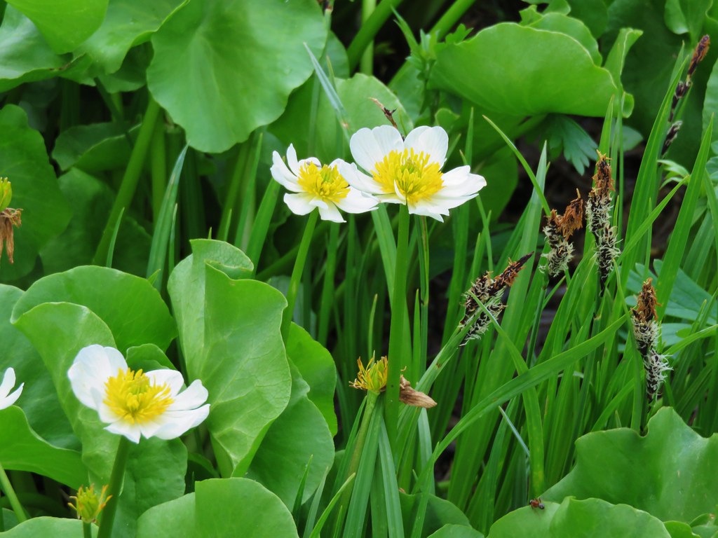
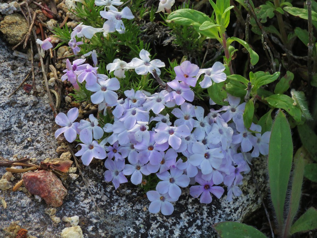
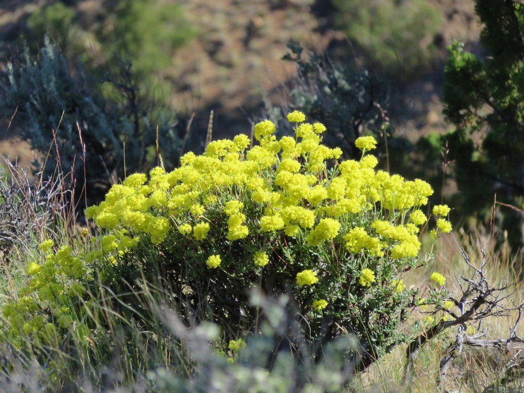
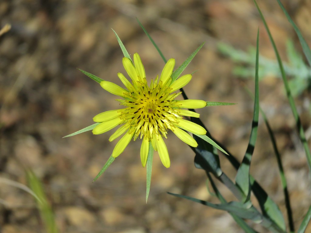
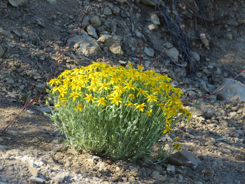
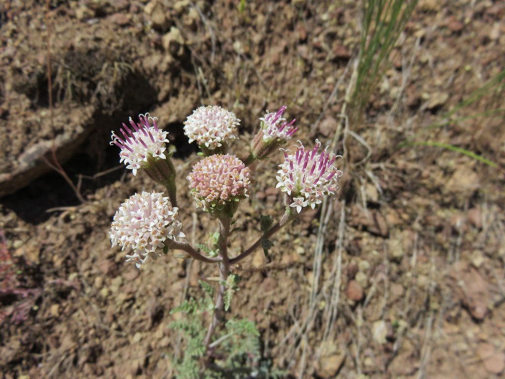
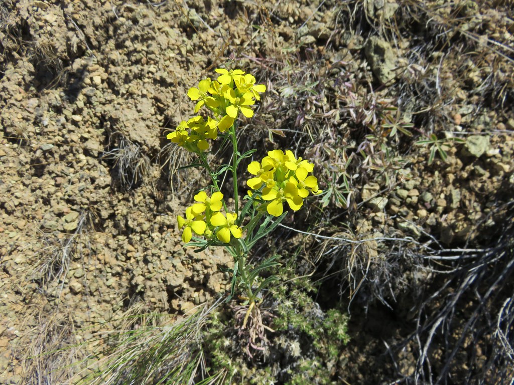
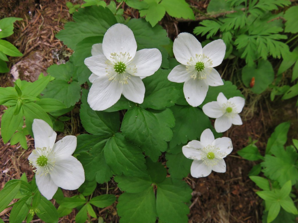
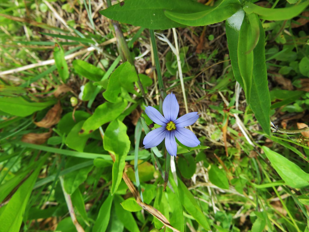
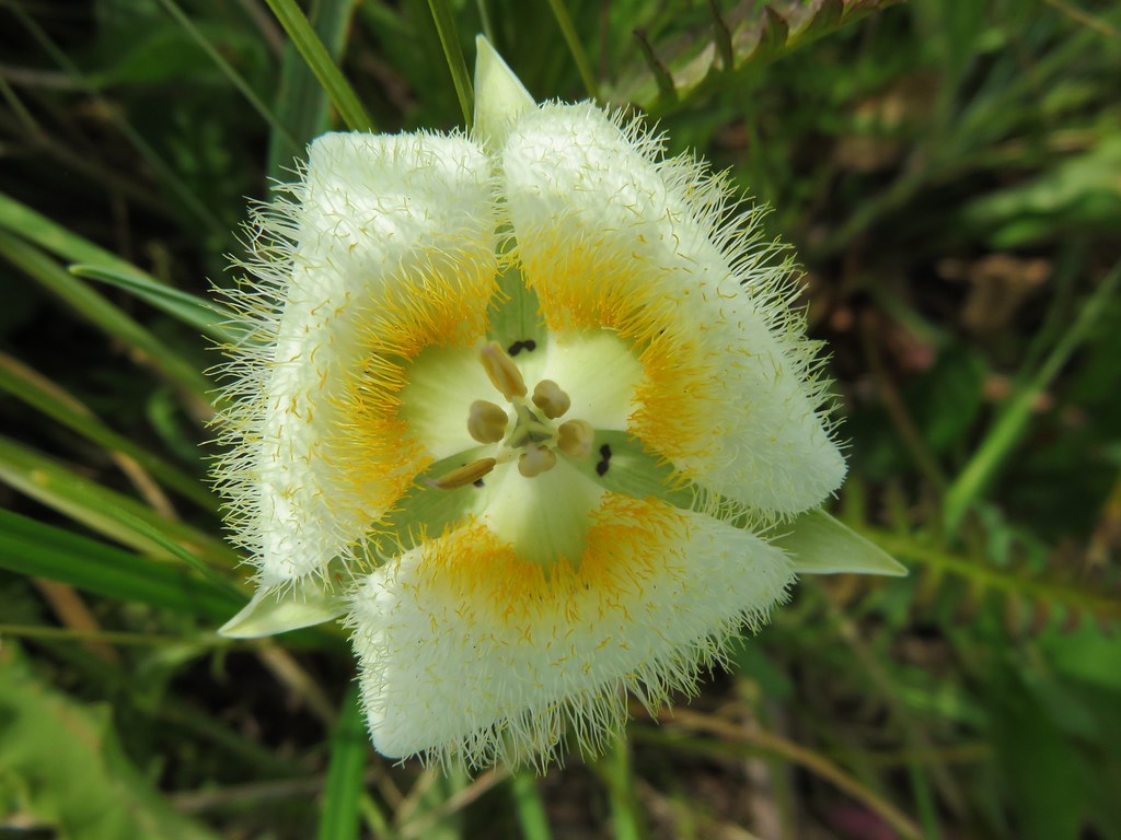
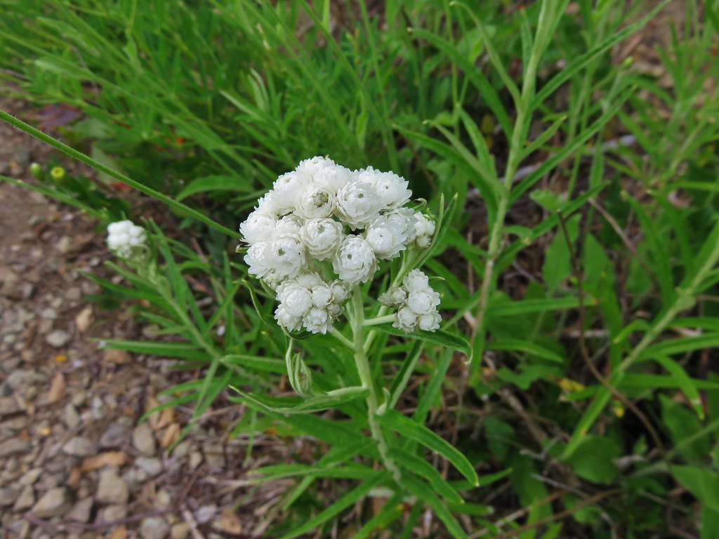
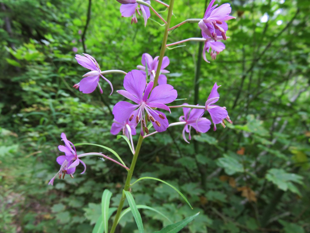
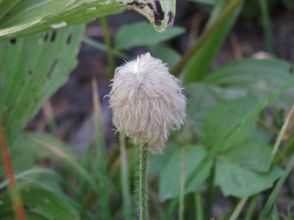
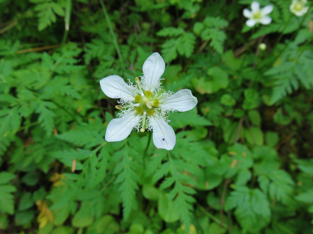
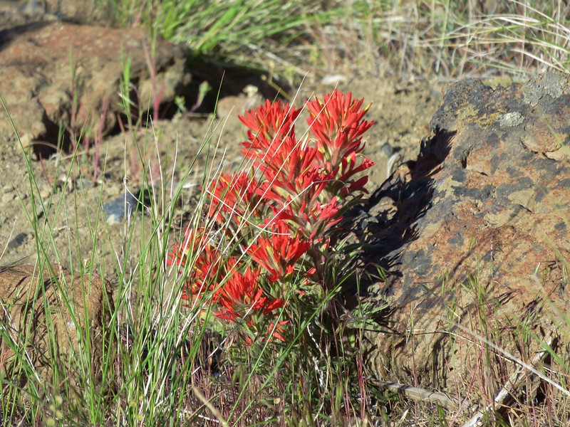
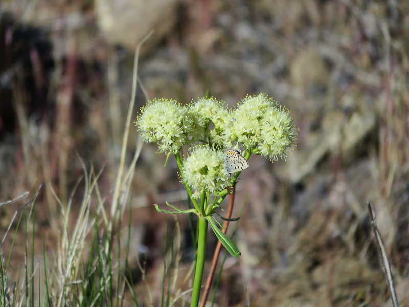
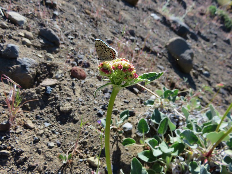
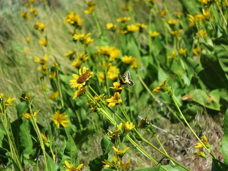
We’d also seen some nice wildflowers.
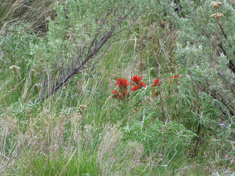
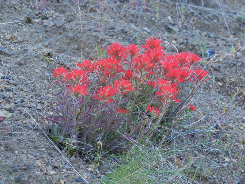
Paintbrush
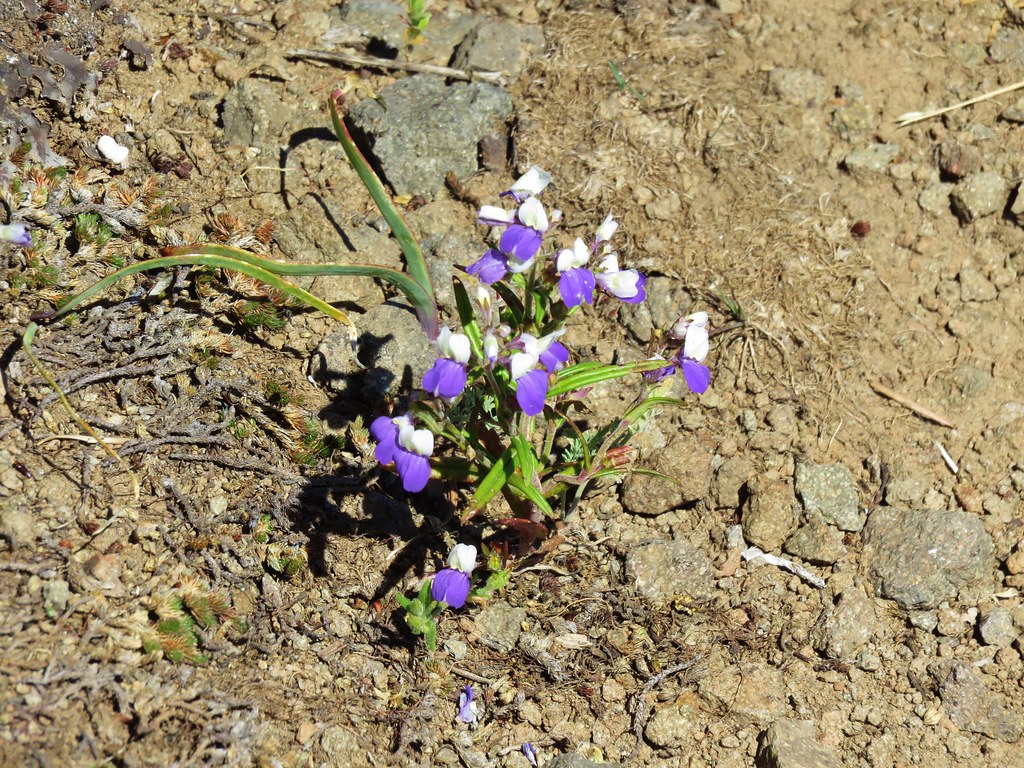
Rough eyelashweed

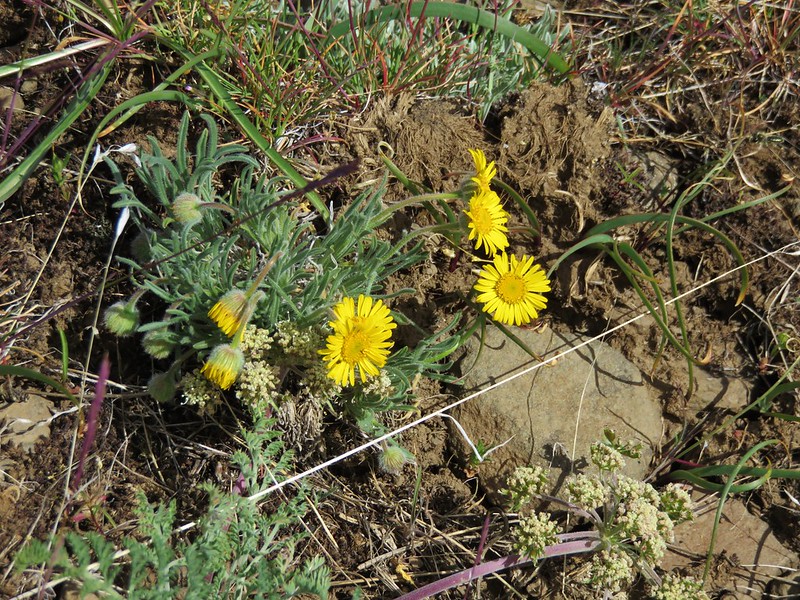
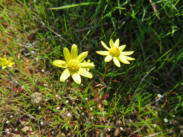
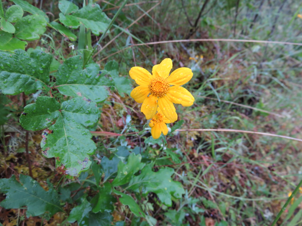
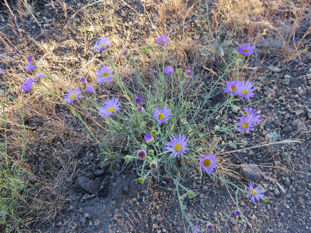
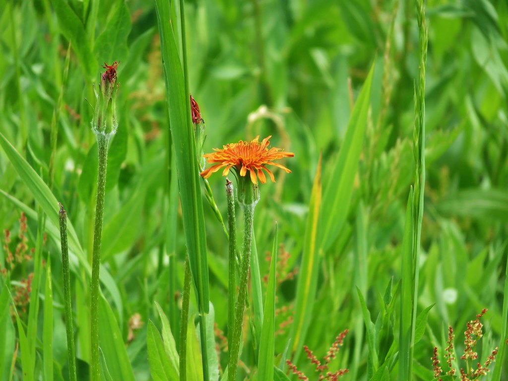
Desert yellow fleabane

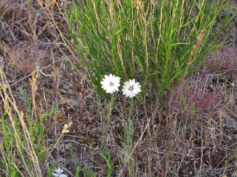
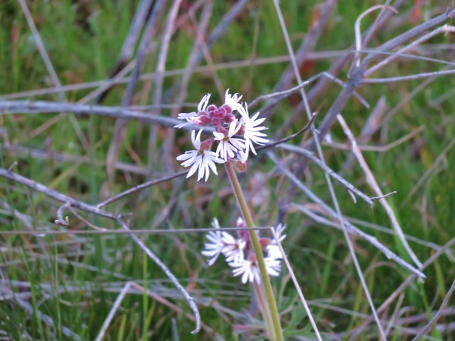
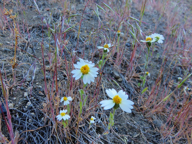
White-daisy tidytips
Once we had returned to the dry wash we headed up the left-hand side on a horse path keeping the wash on our right while we stayed right at the junctions. This trail did indeed lead us to the tower.
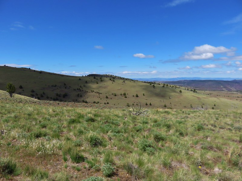
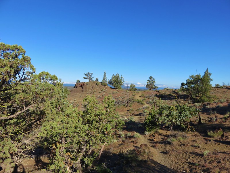
We followed the horse path past the tower veering right heading for the start a .9 mile loop described in our guide book. At some point we lost the trail as it turned uphill and we were once again forced to backtrack. We decided to head cross country to try and pick up the trail, which we managed to do. When we reached a split to the trail on top of the rim we went right to start the loop. There was a small rocky knoll a short distance to the left with some small junipers on it at this junction.
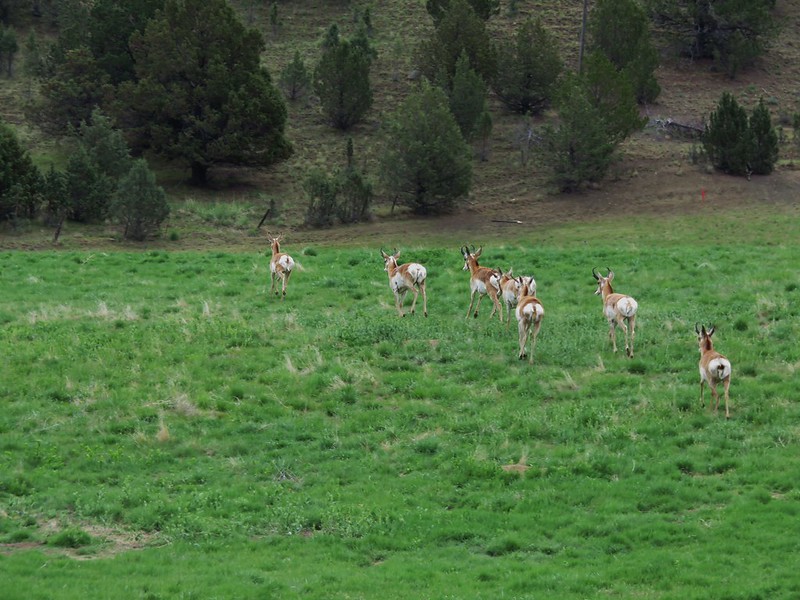
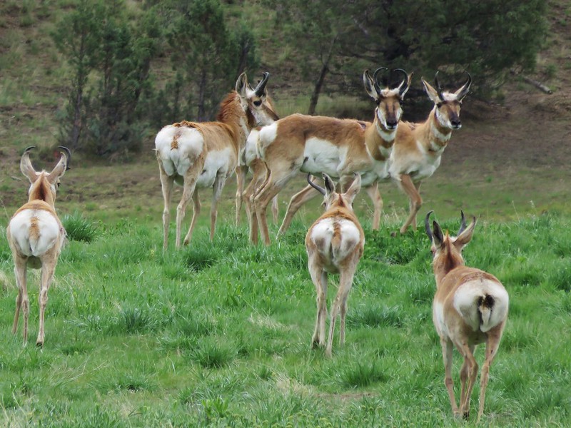
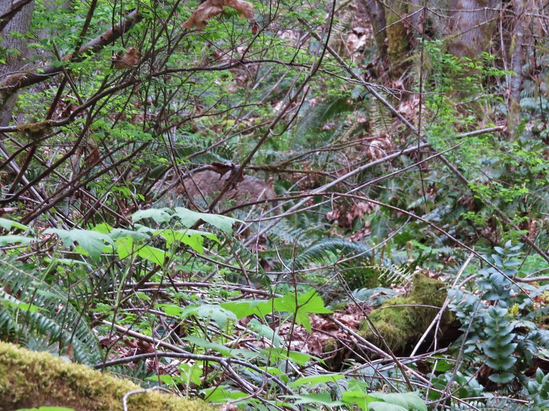
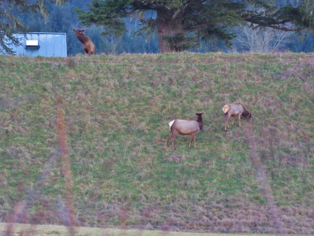
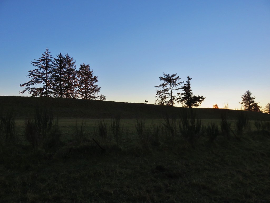
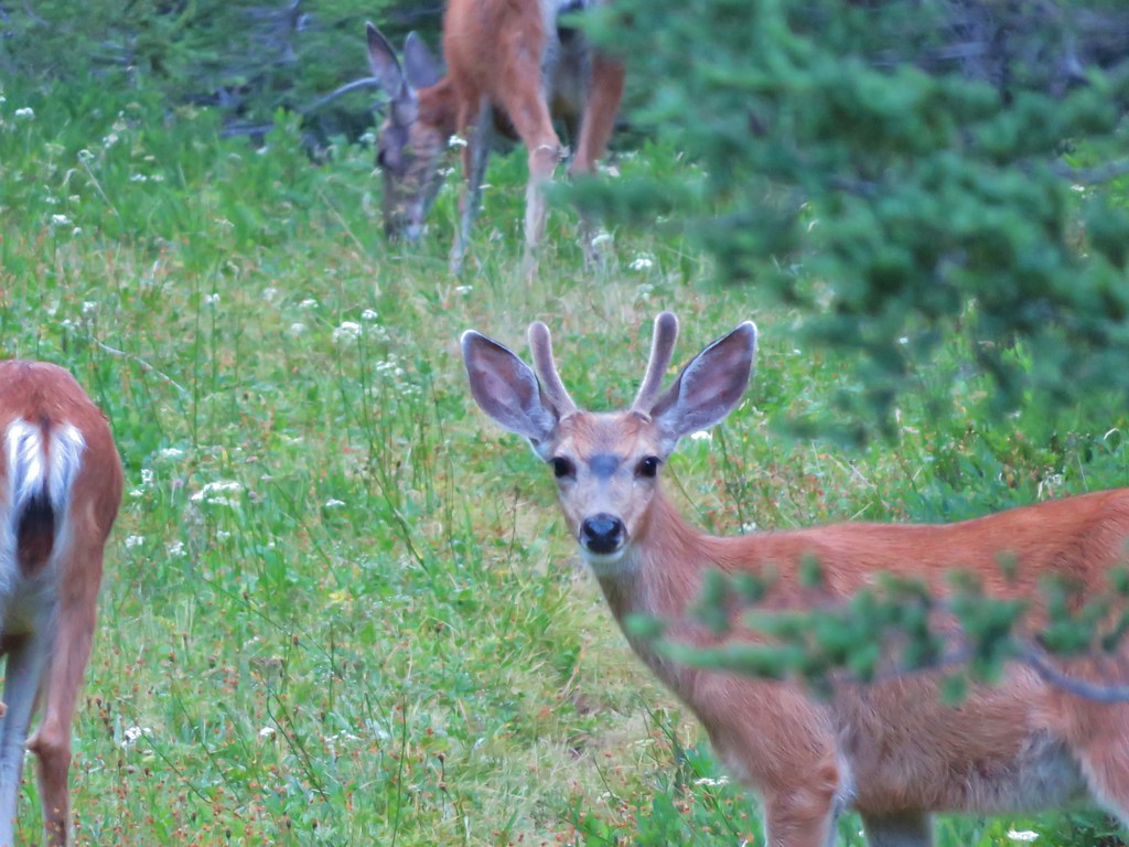
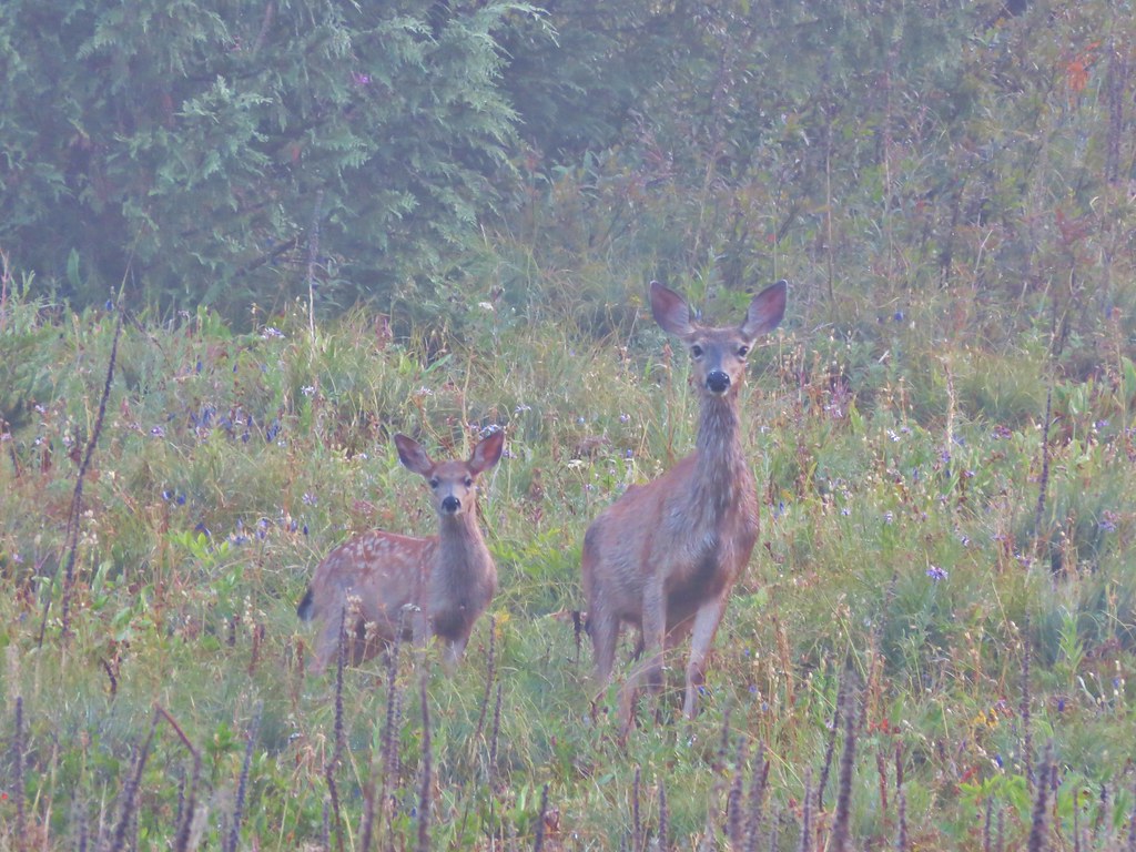
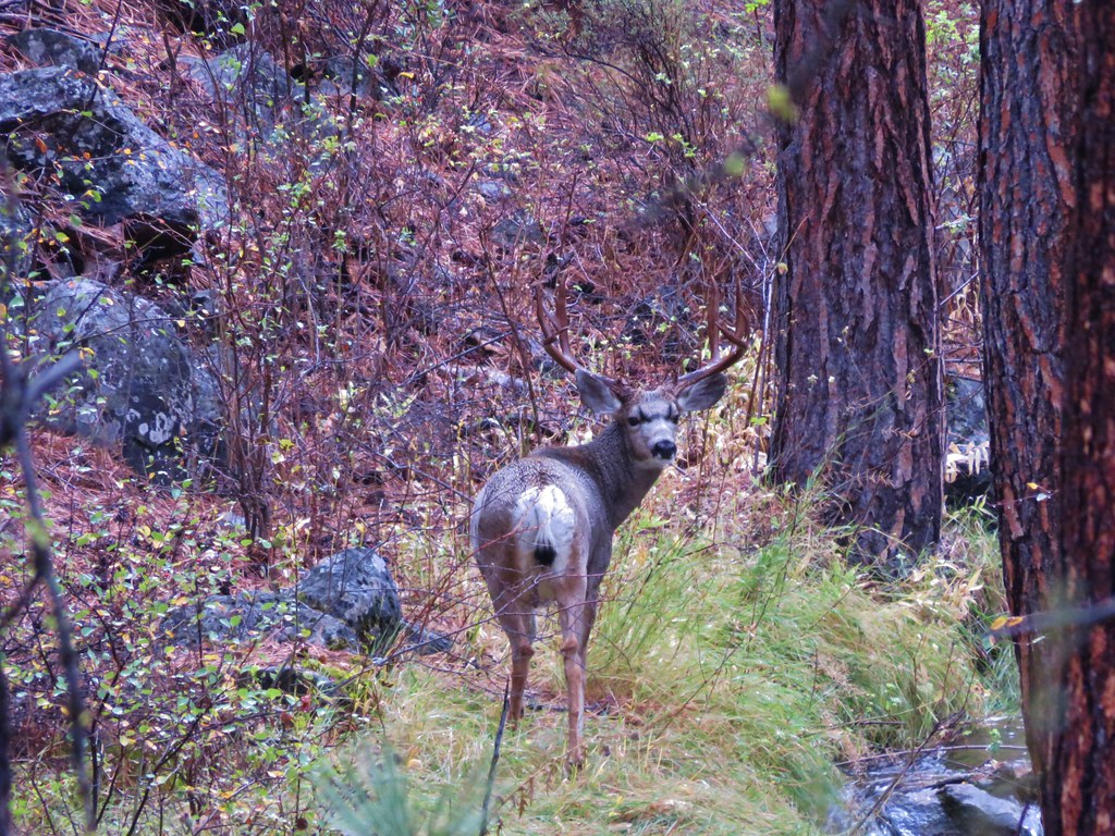
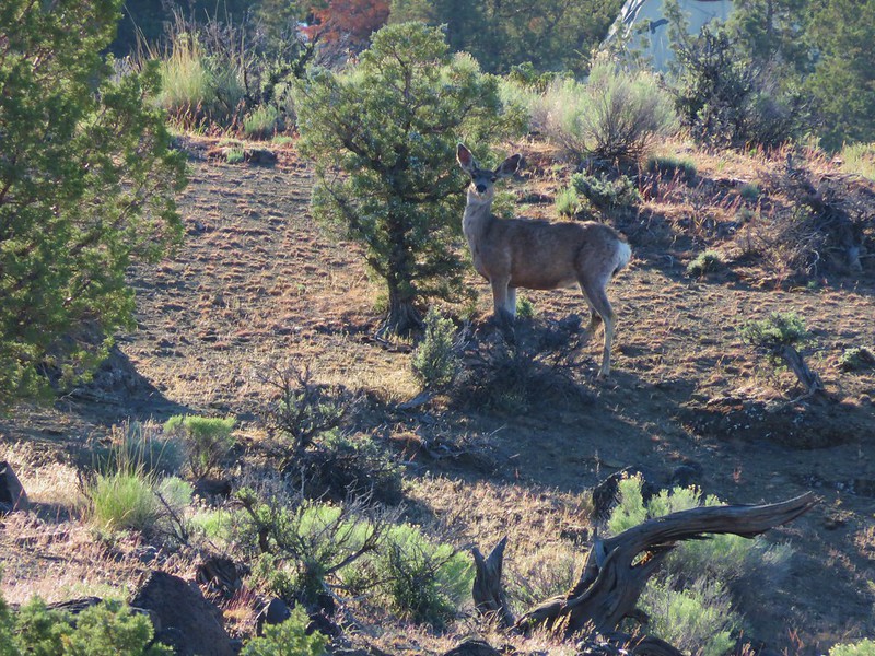
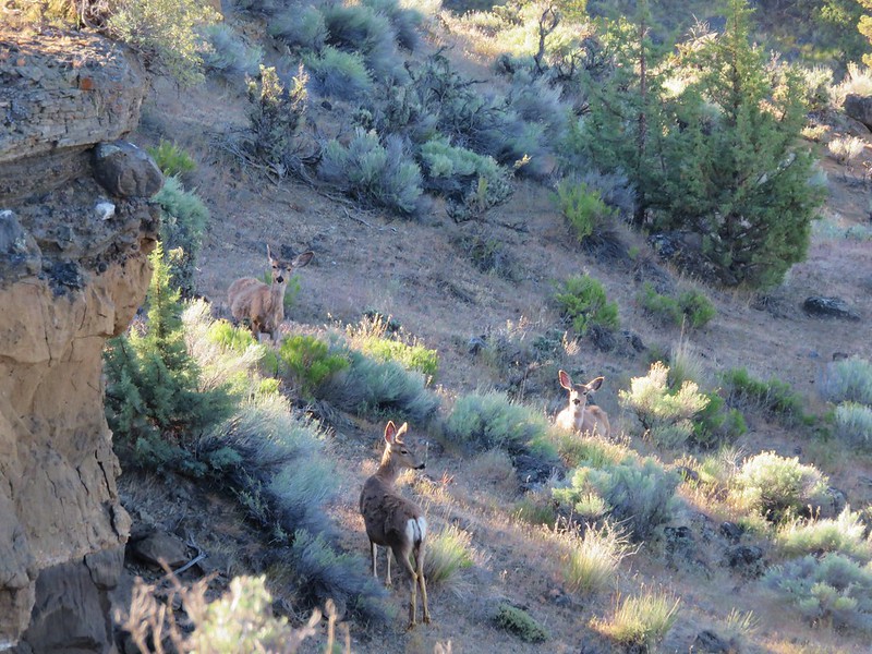
Several deer were watching us as we began the loop.

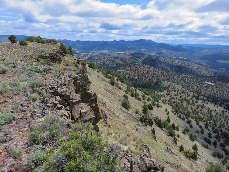
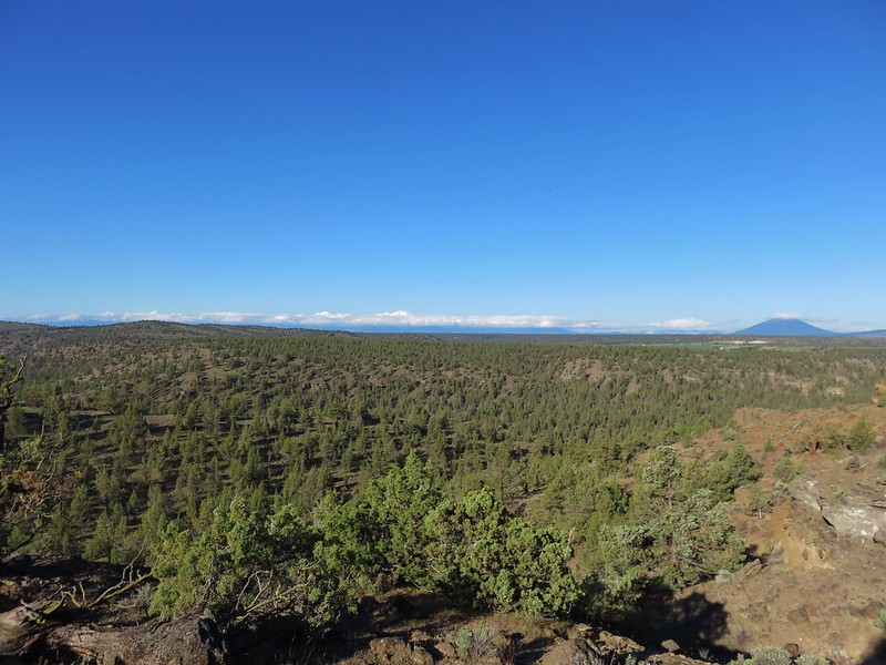
We passed around a small hill through juniper and sagebrush keeping left at junctions marked by rock cairns.
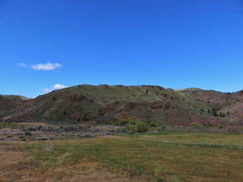
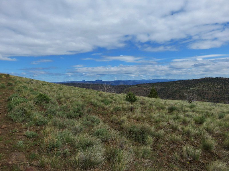
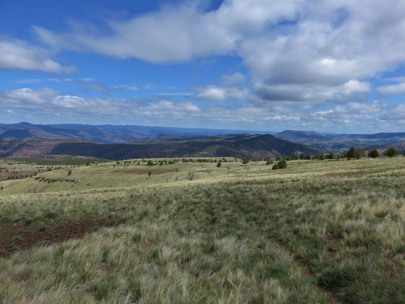
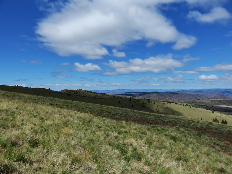
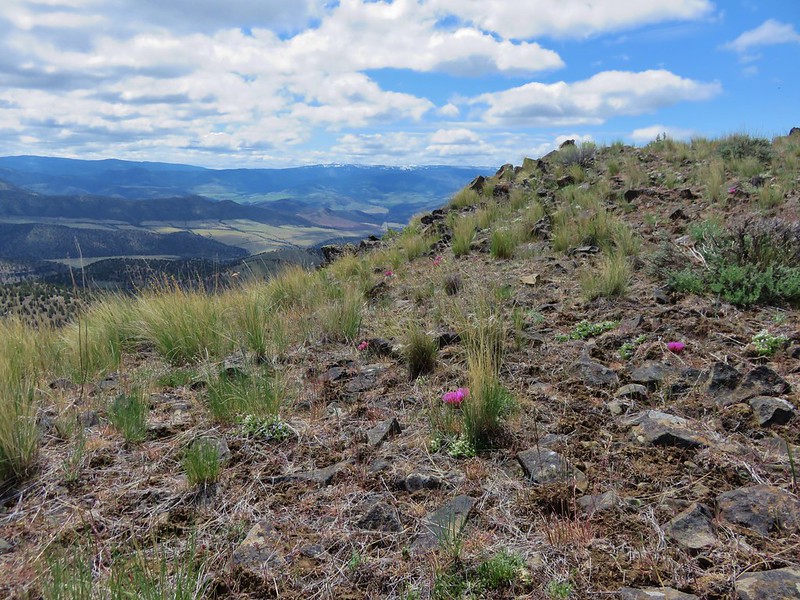
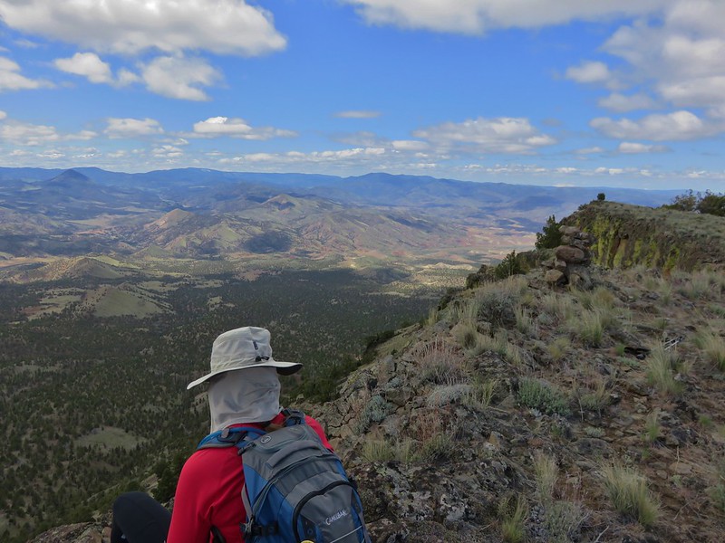
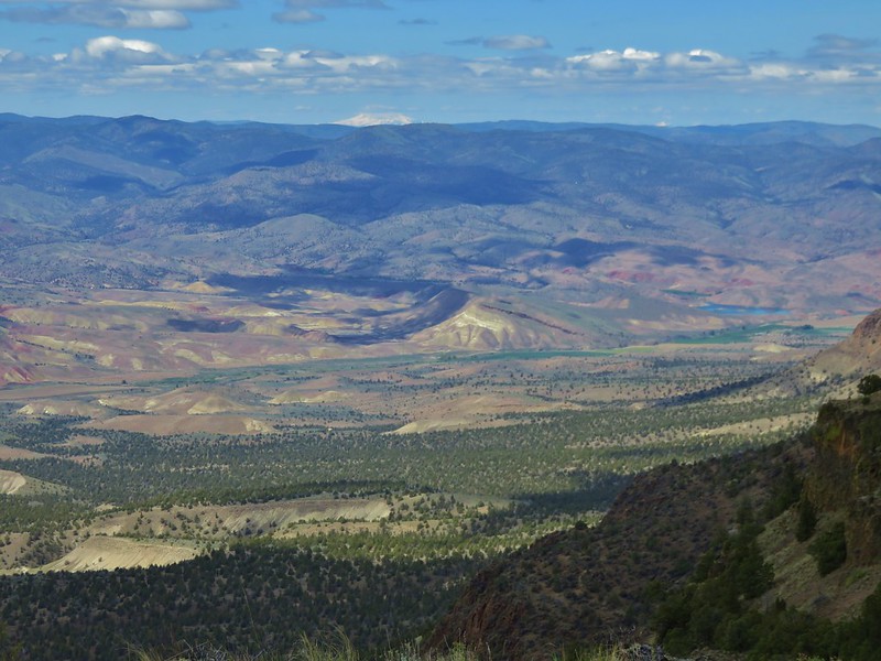
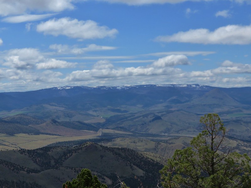
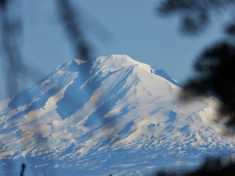
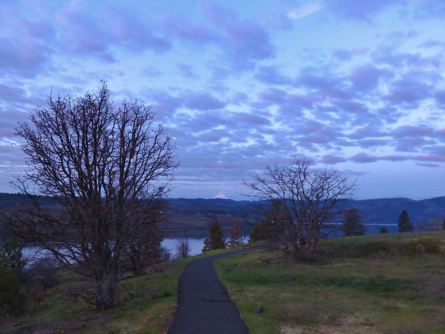
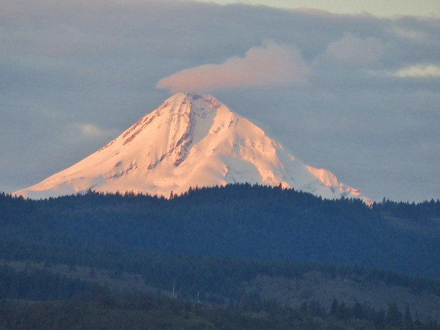
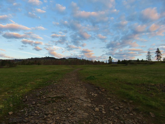
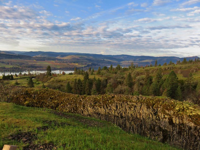
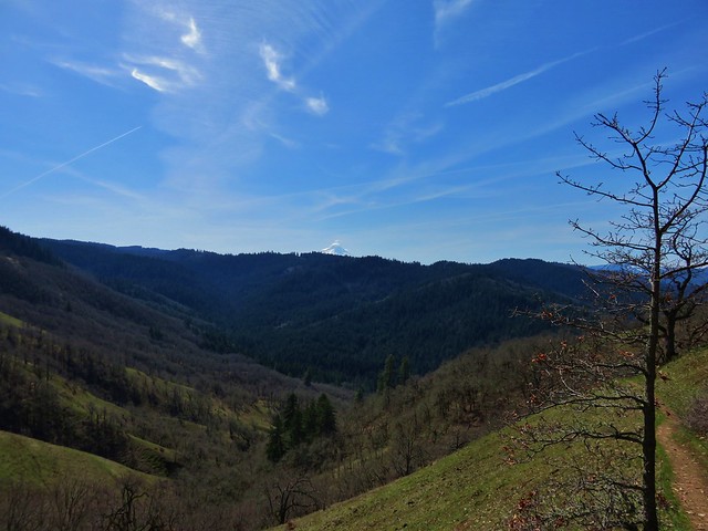
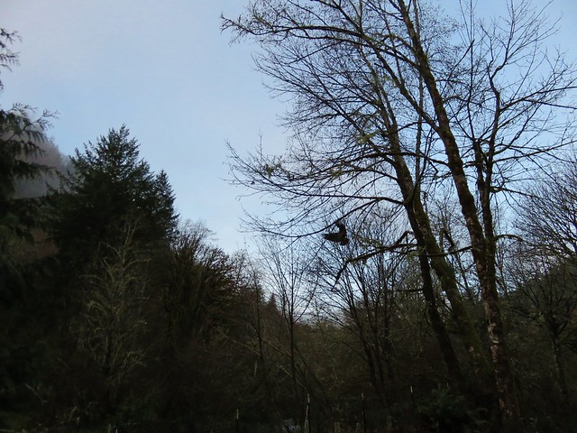
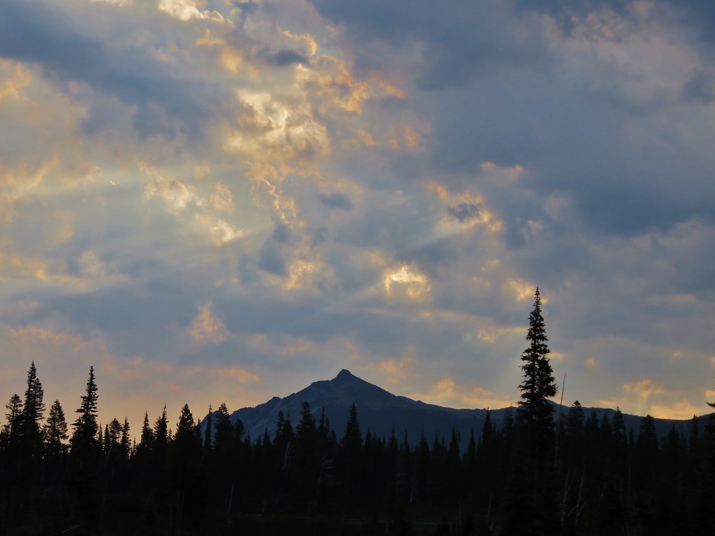
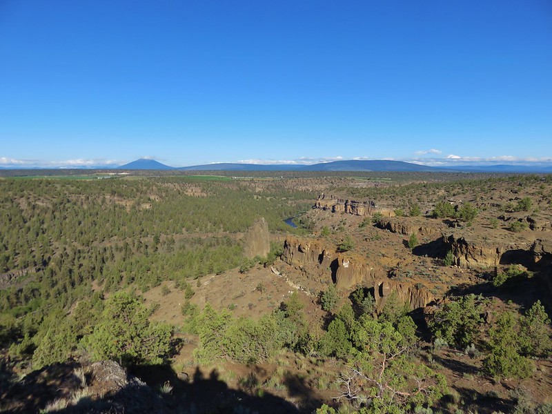
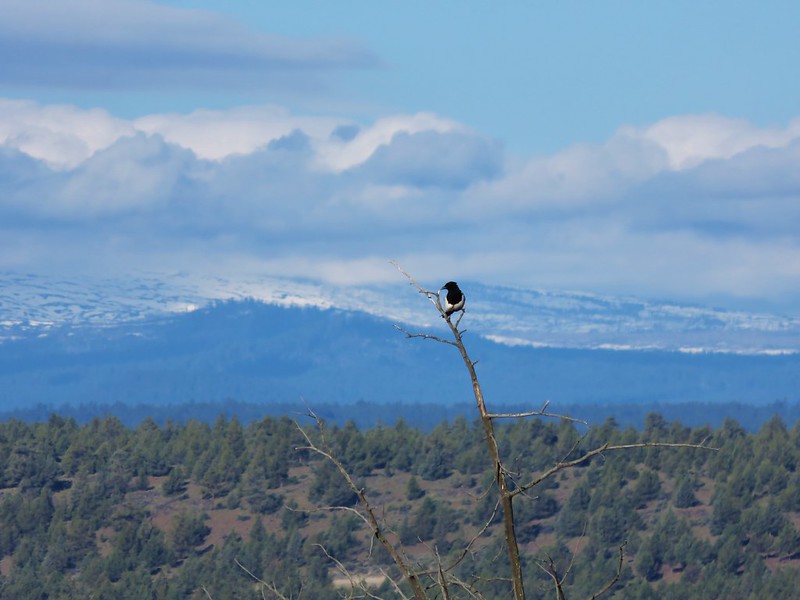
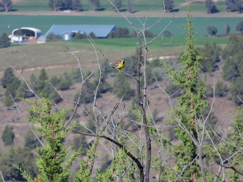
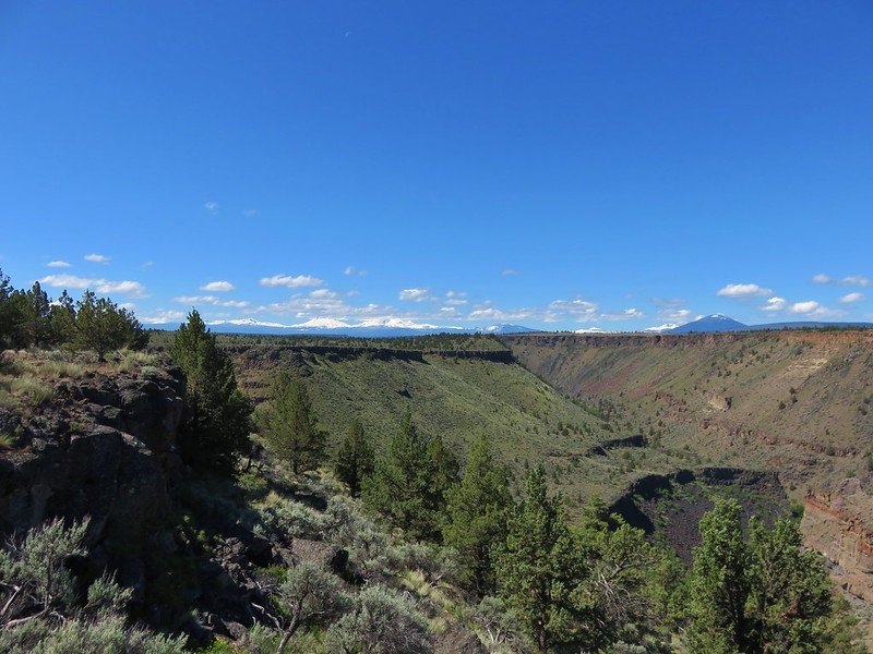
It was a beautiful sunny day which would have normally meant some nice mountain views but all the Cascade peaks were draped in clouds making for an interesting sight.
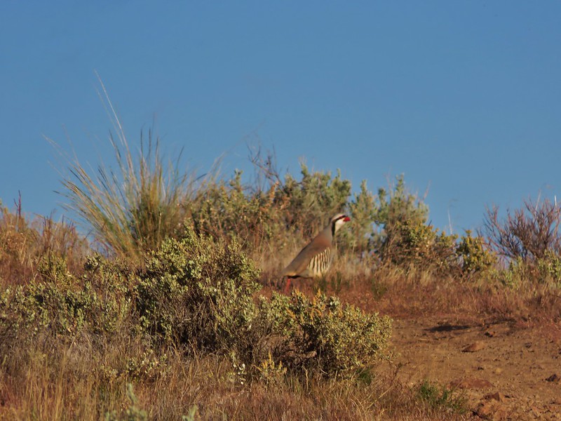
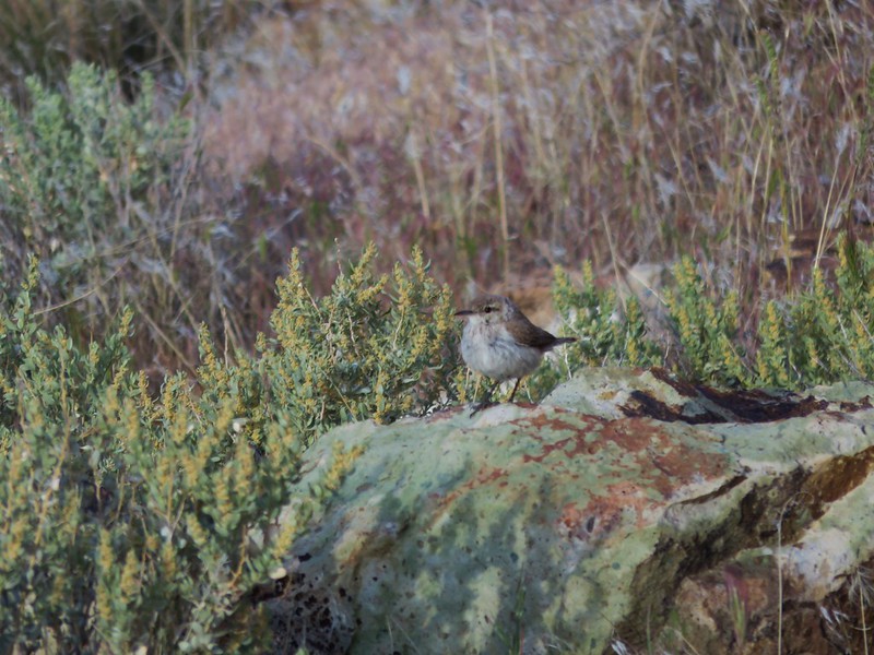
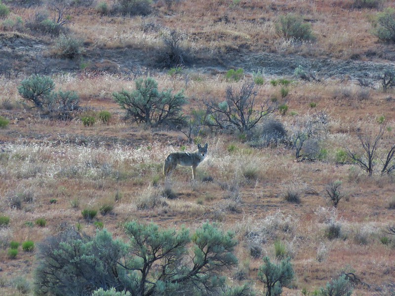
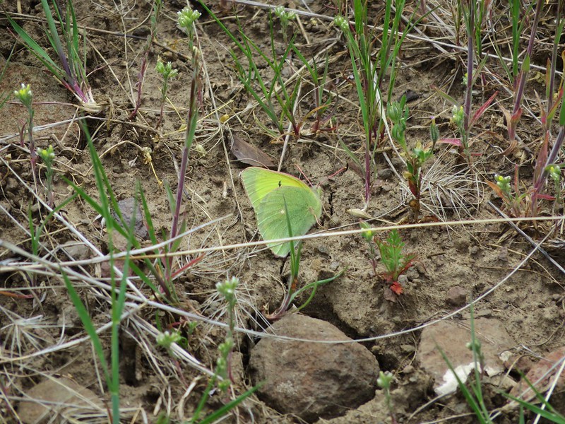
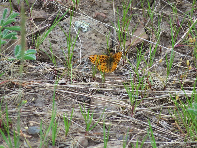
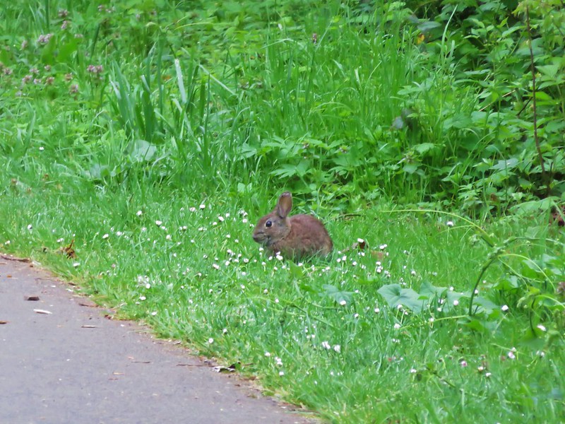
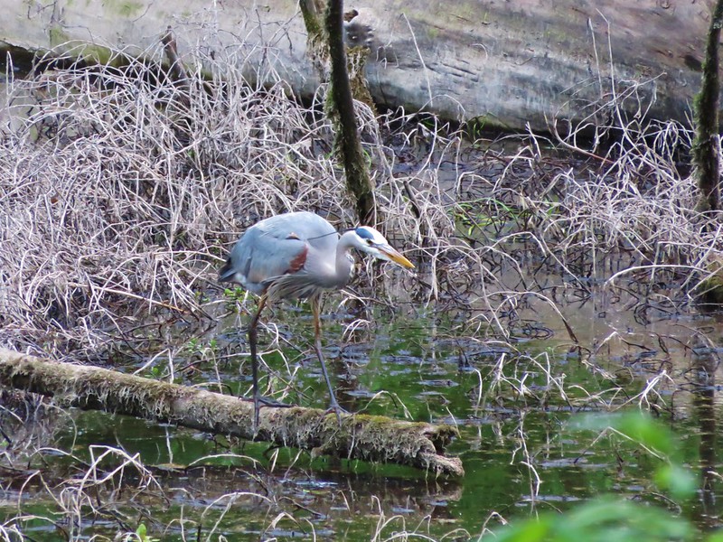
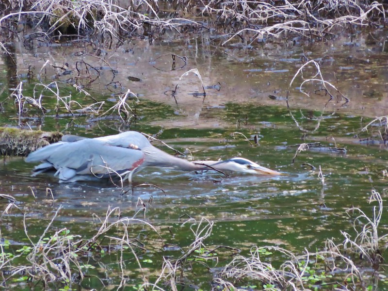
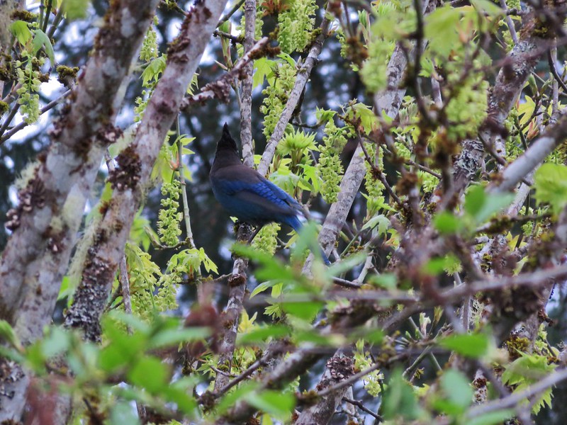
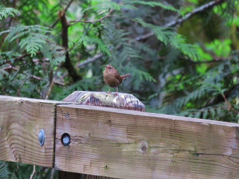
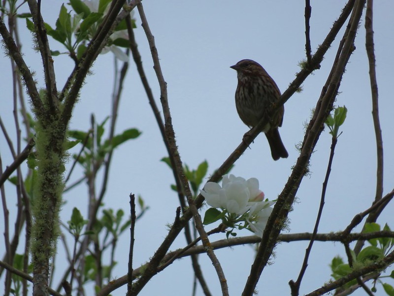
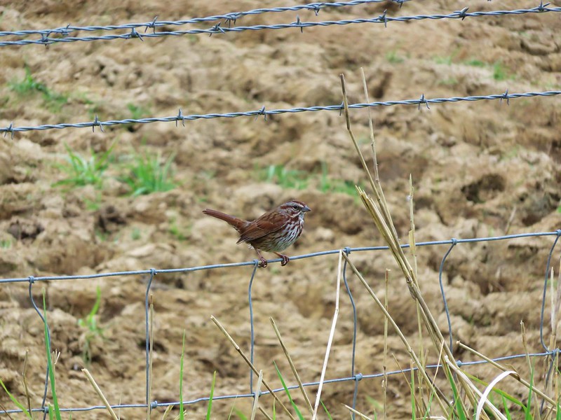
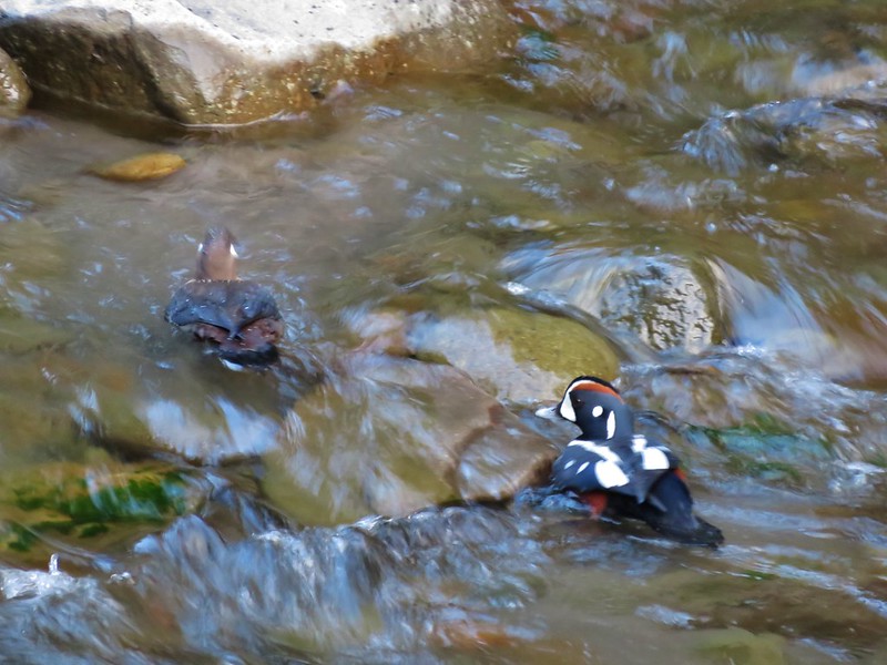
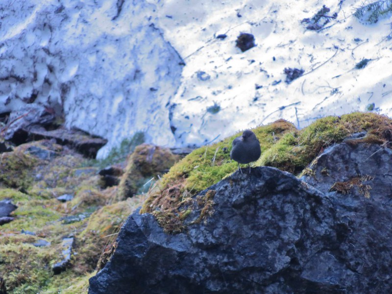
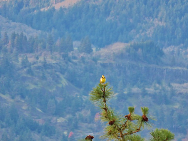
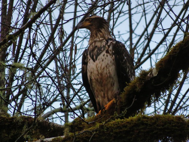
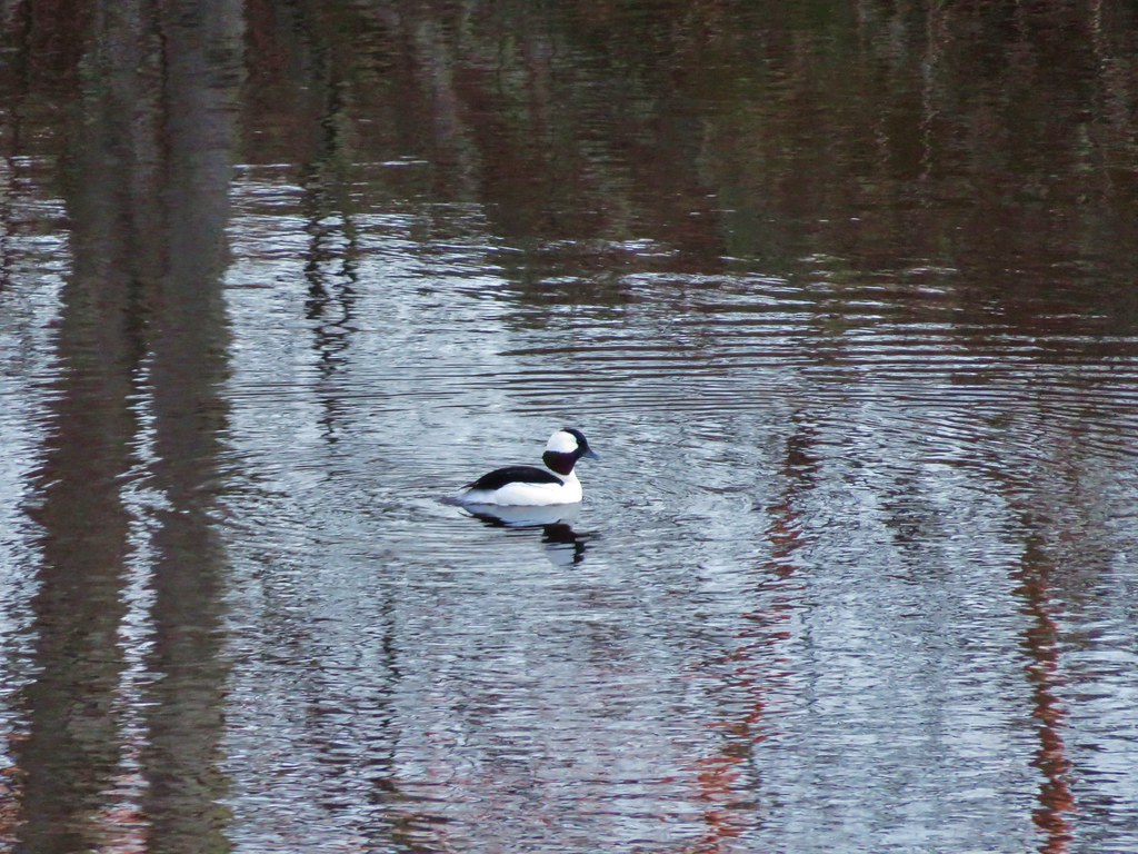
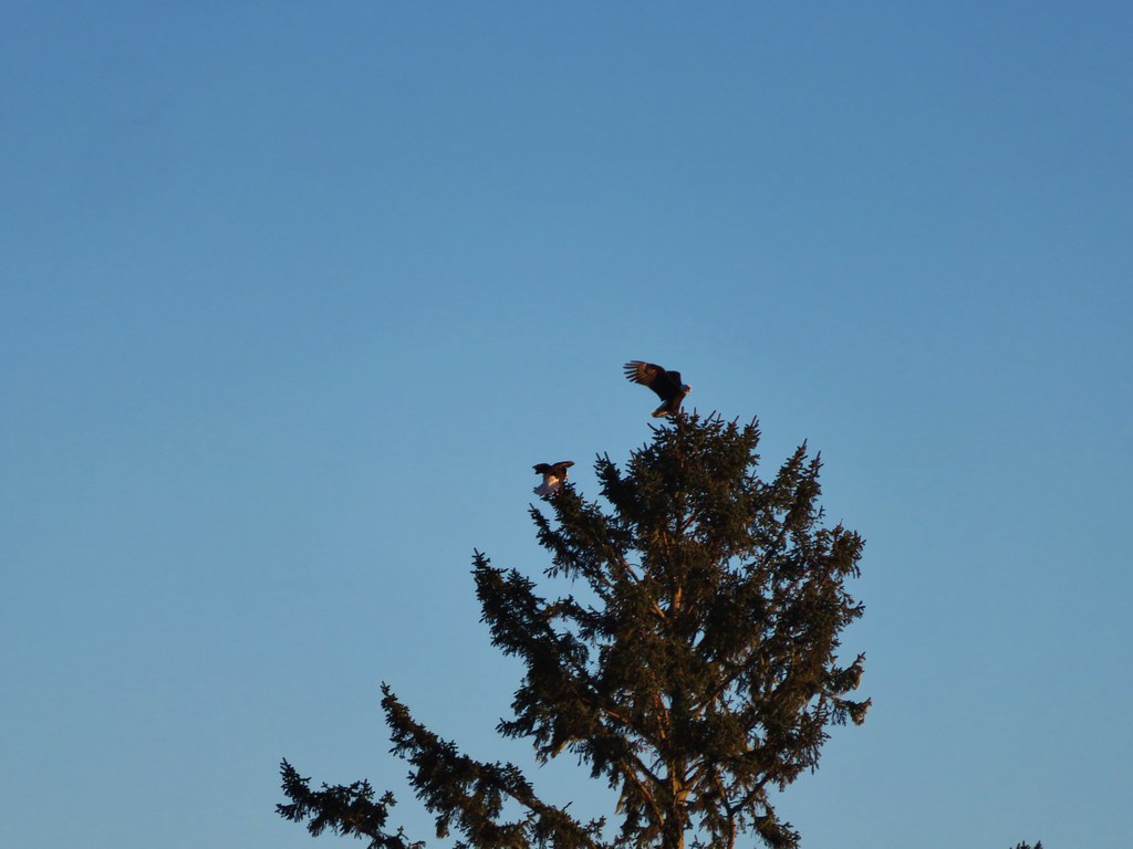
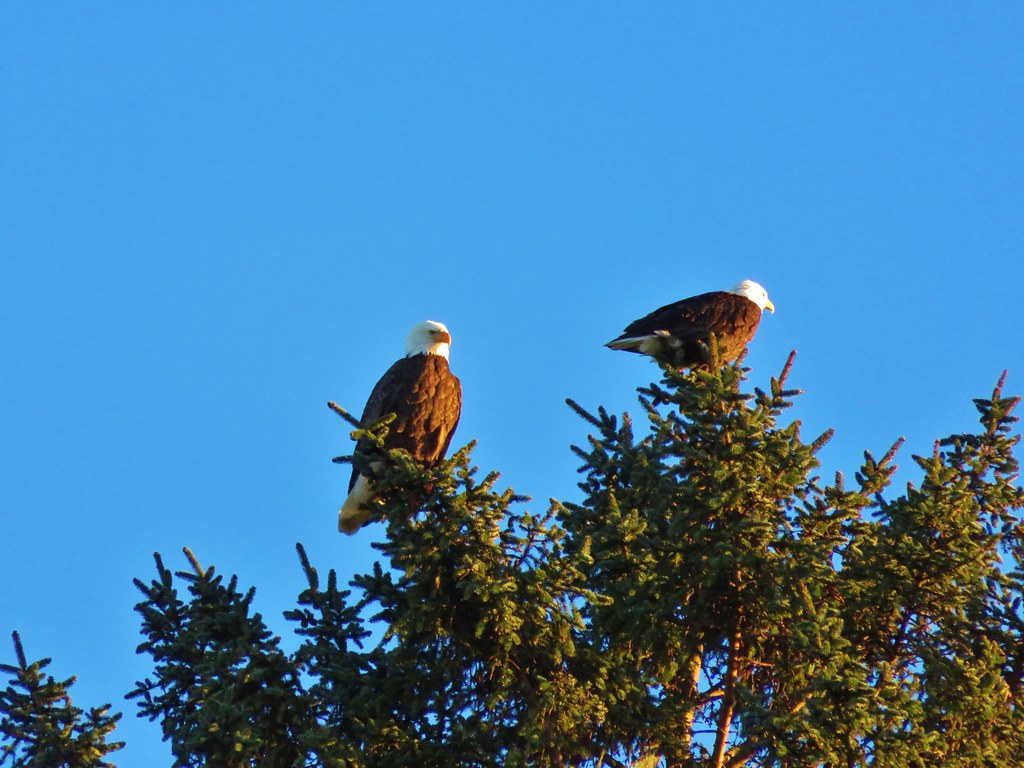
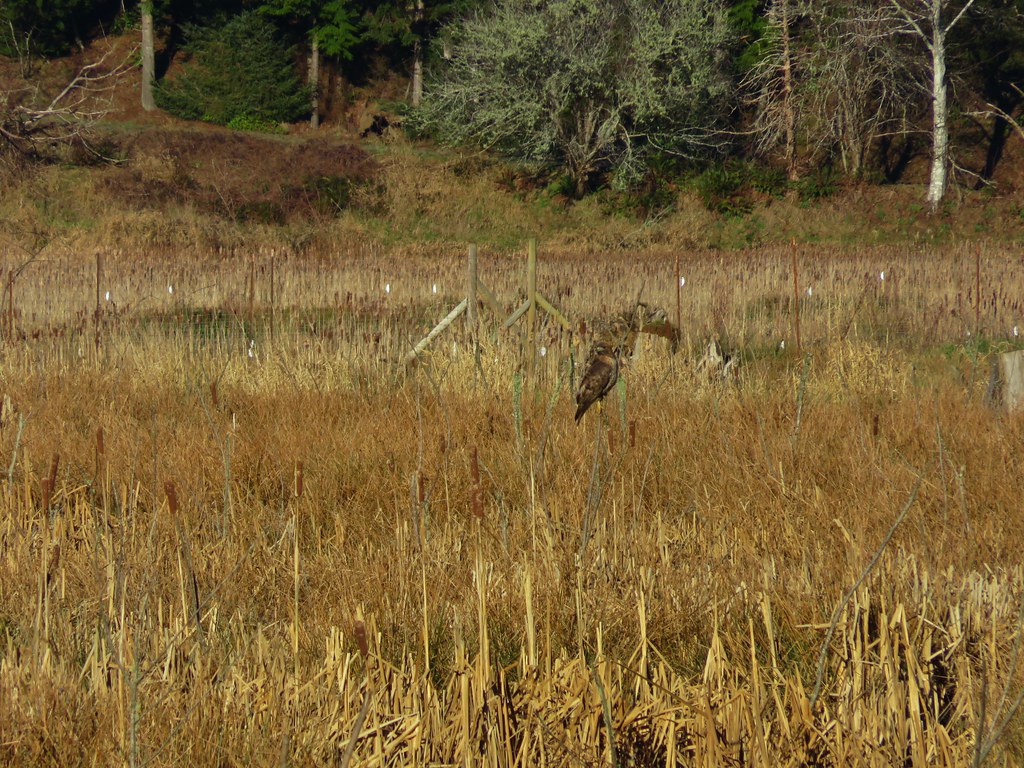
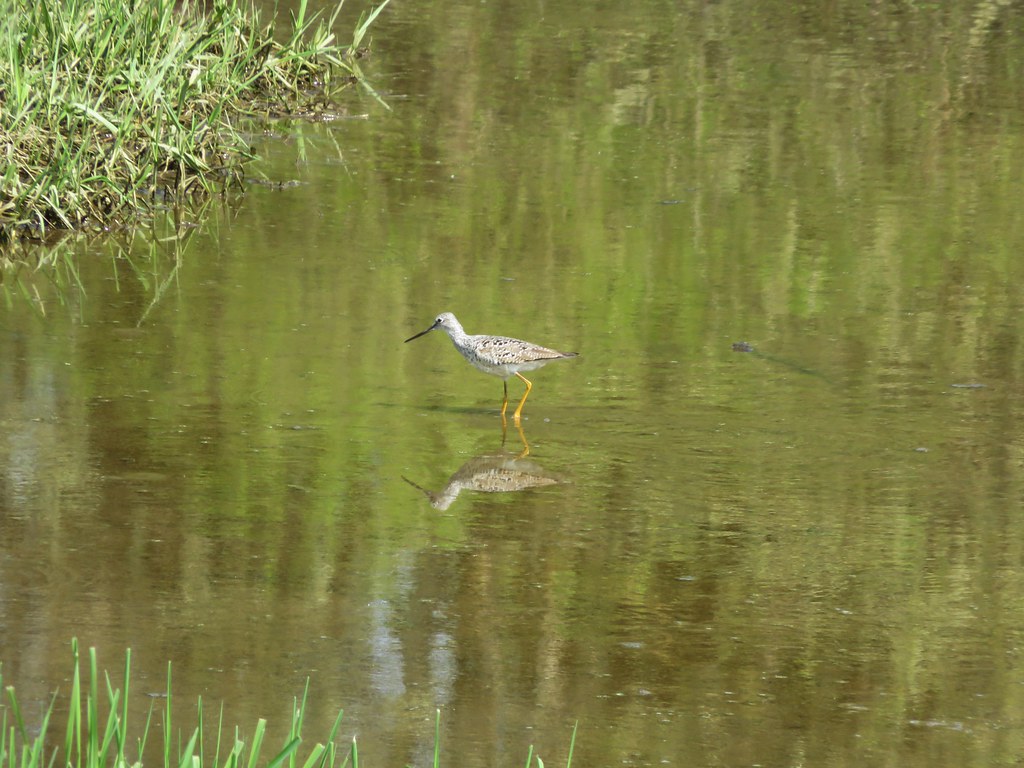
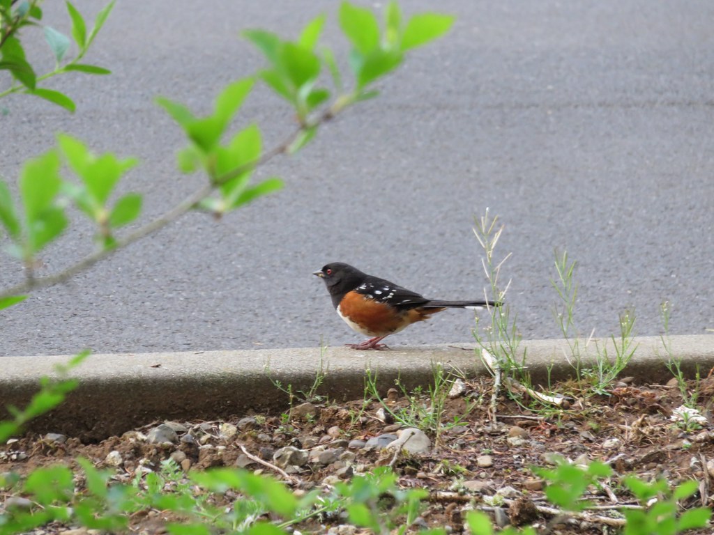
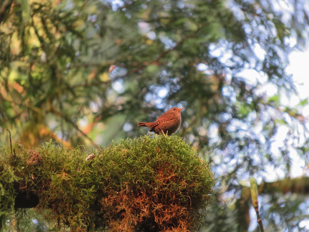
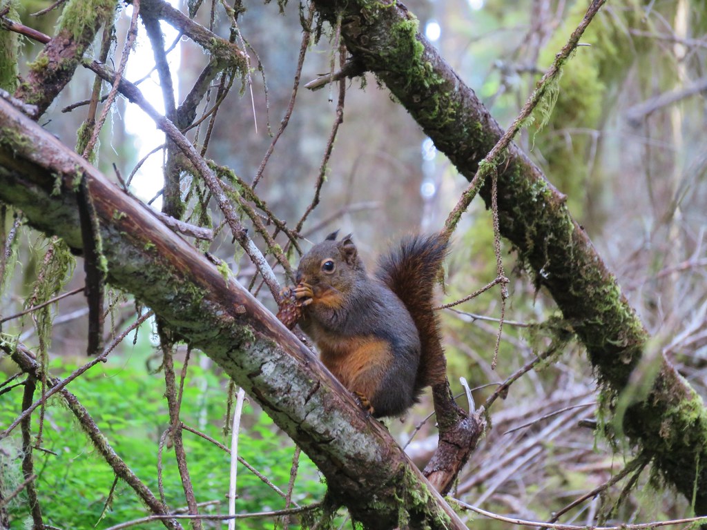
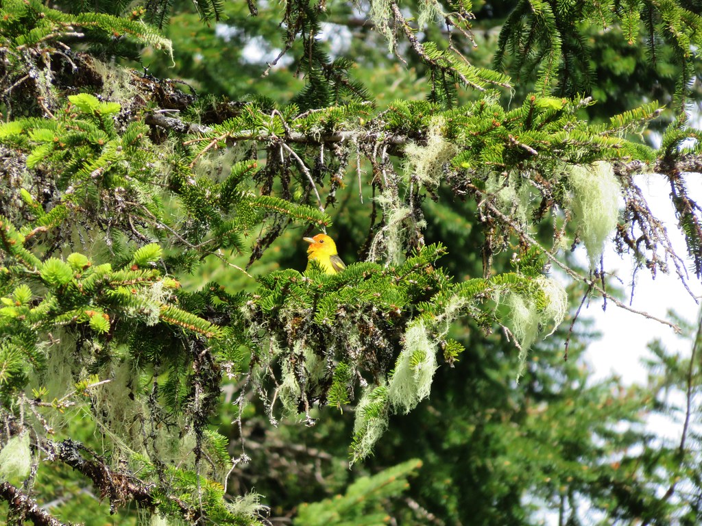
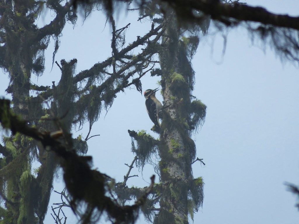
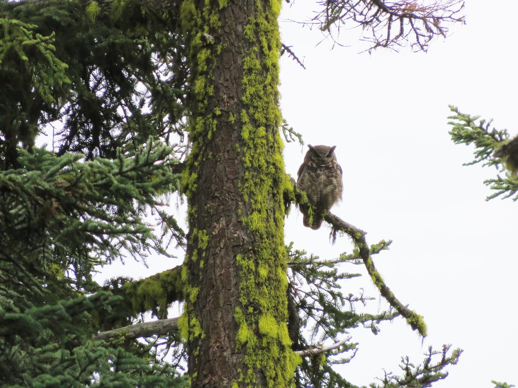
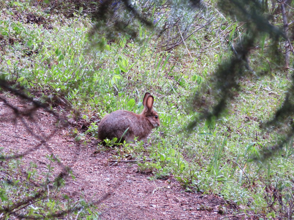
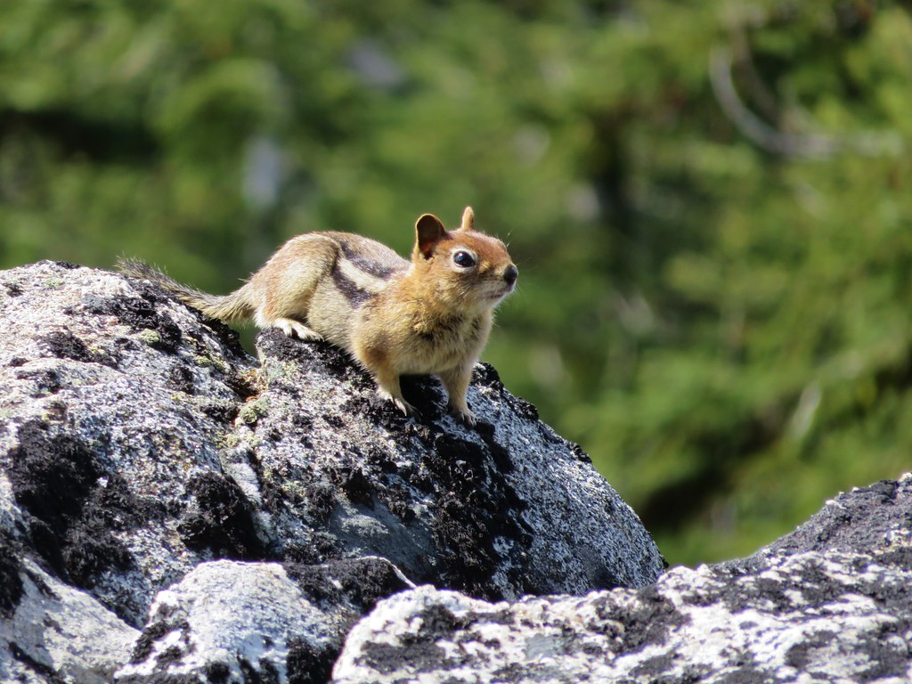
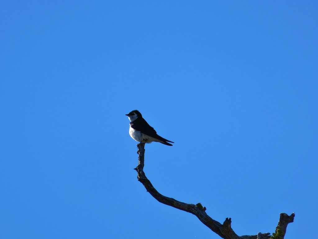
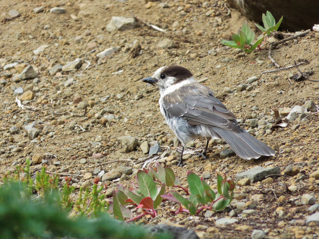
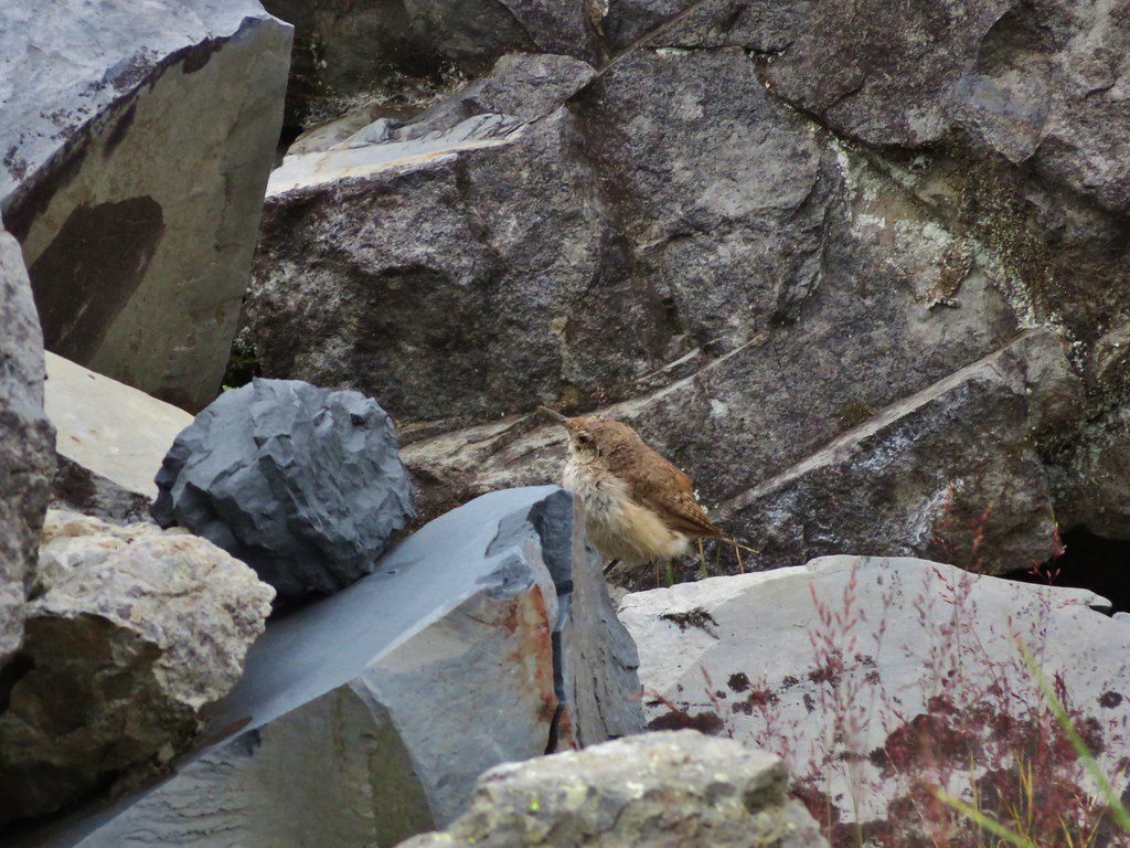
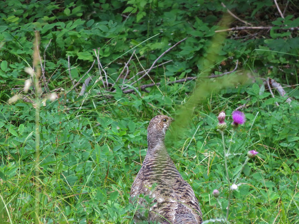
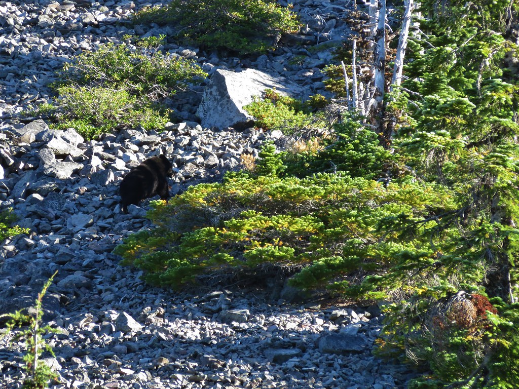
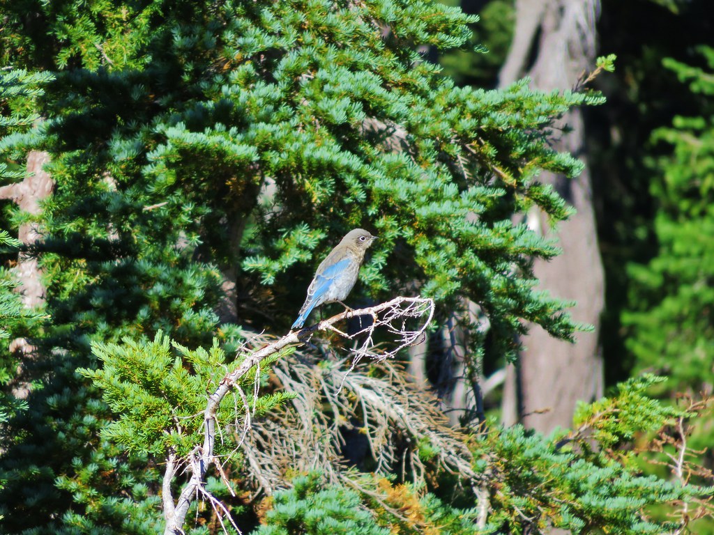
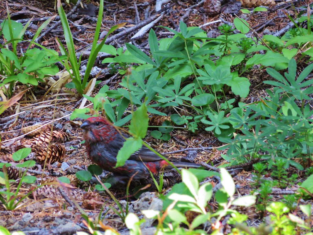
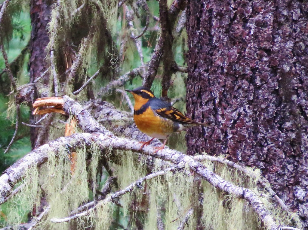
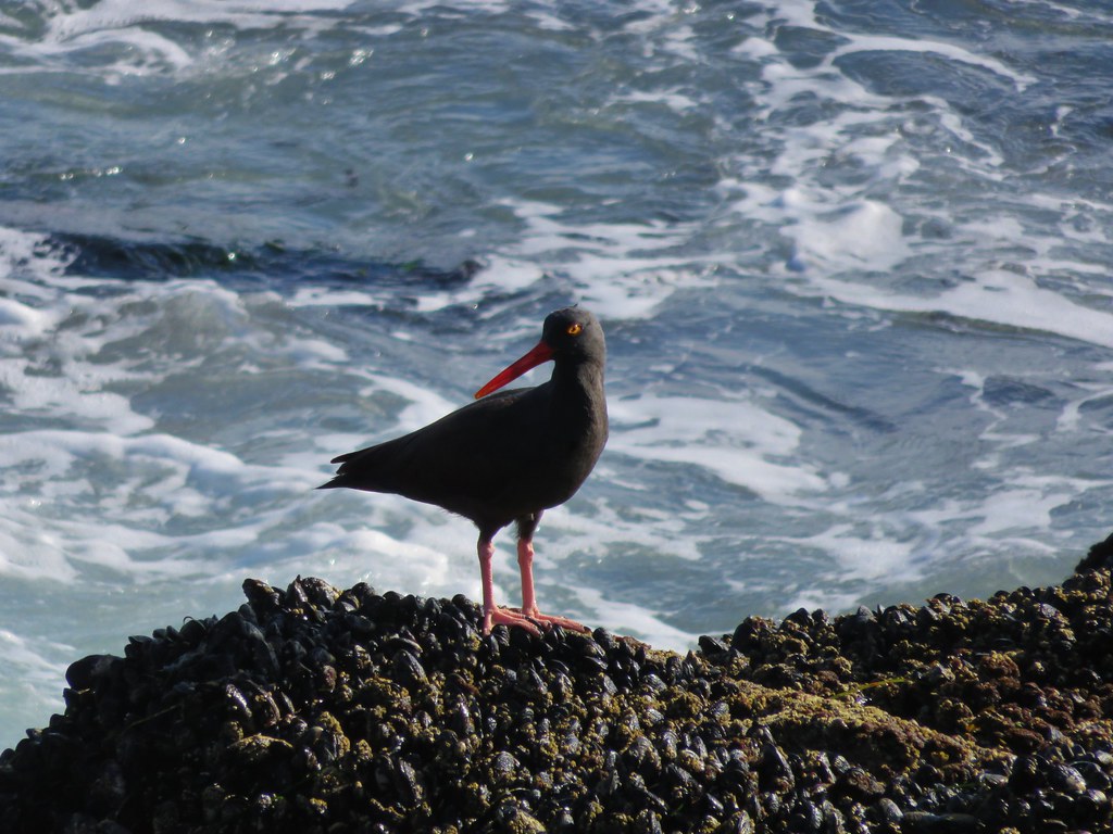
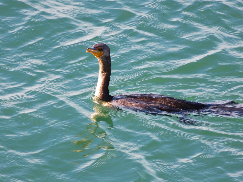
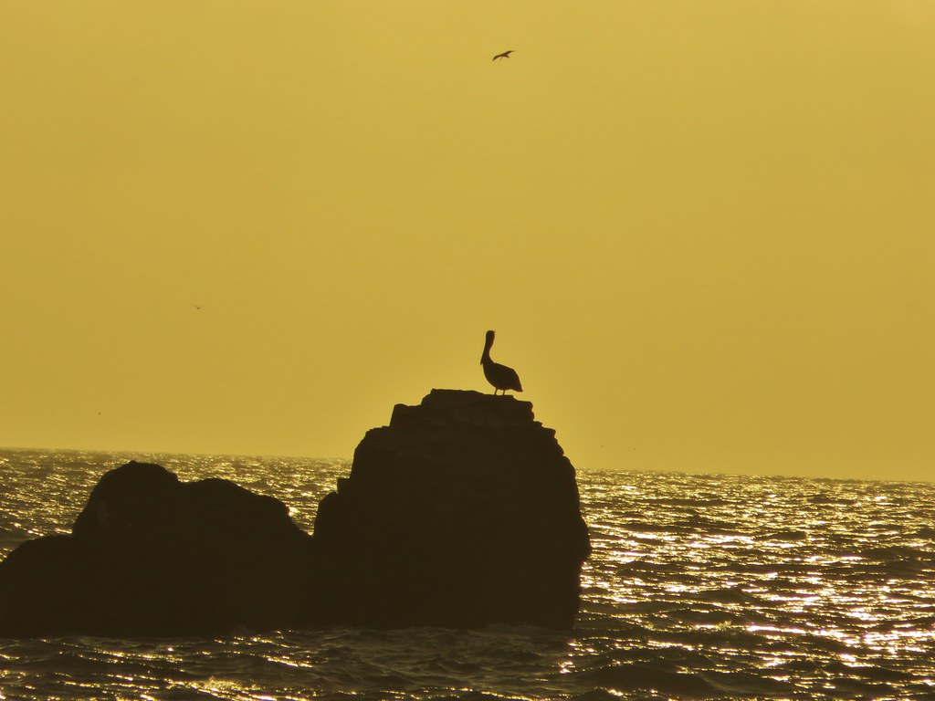
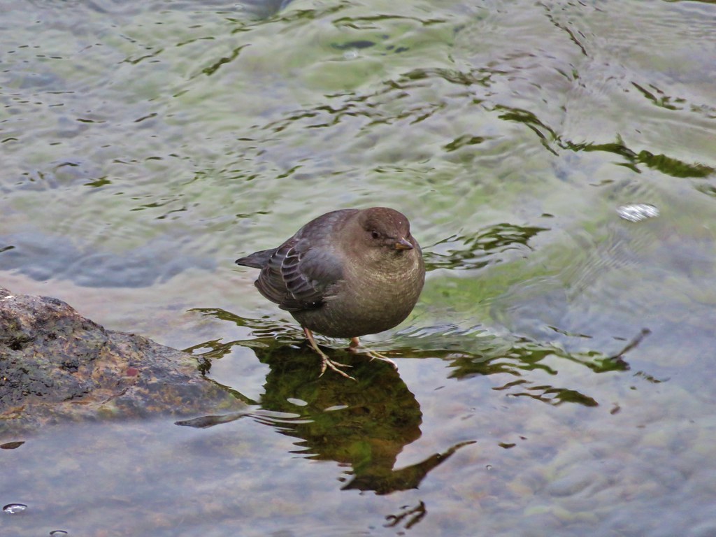
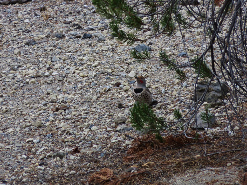
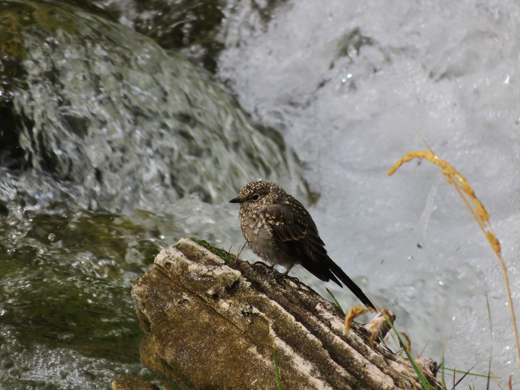
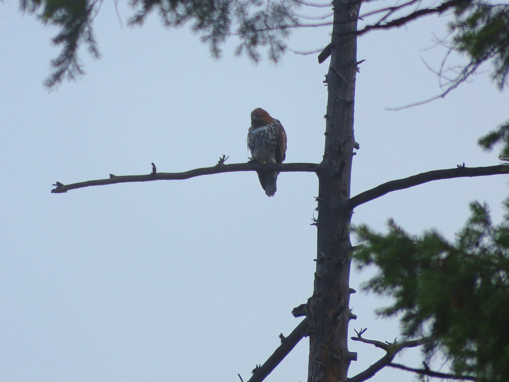
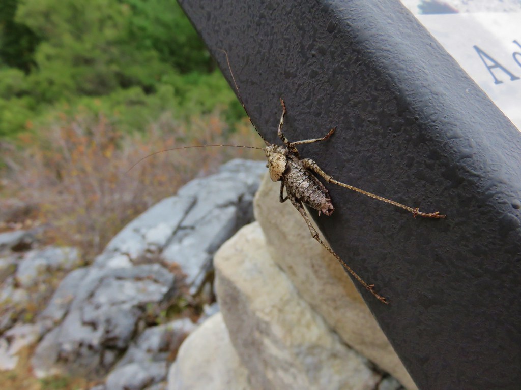
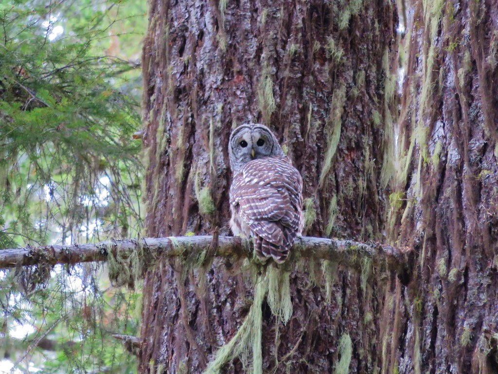
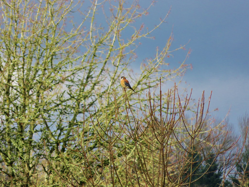
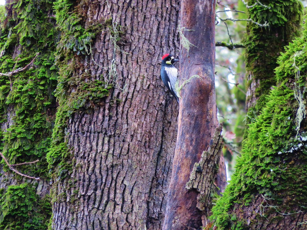
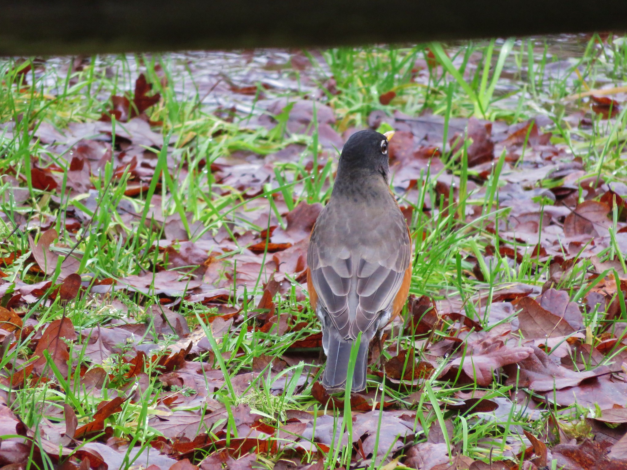
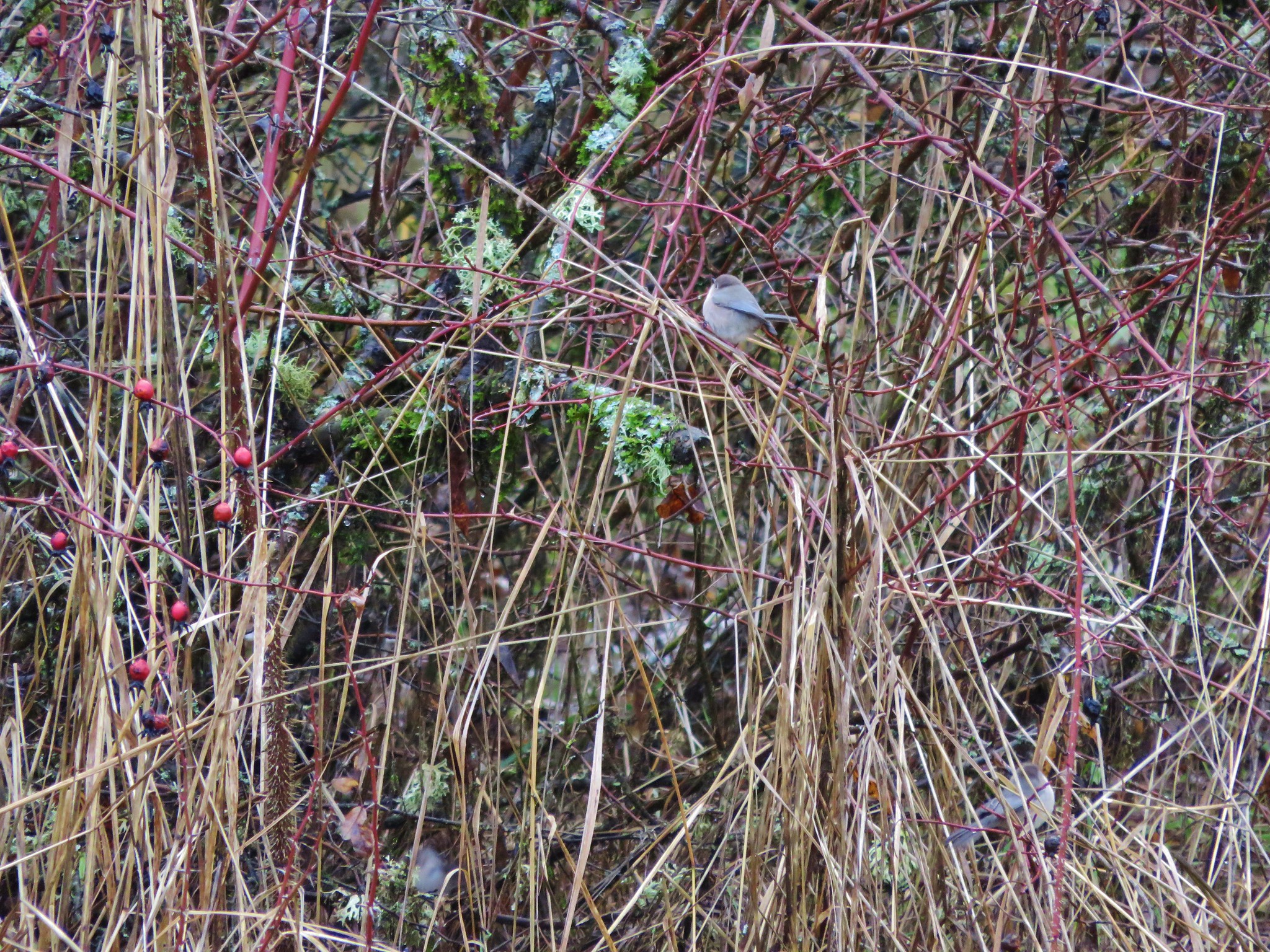
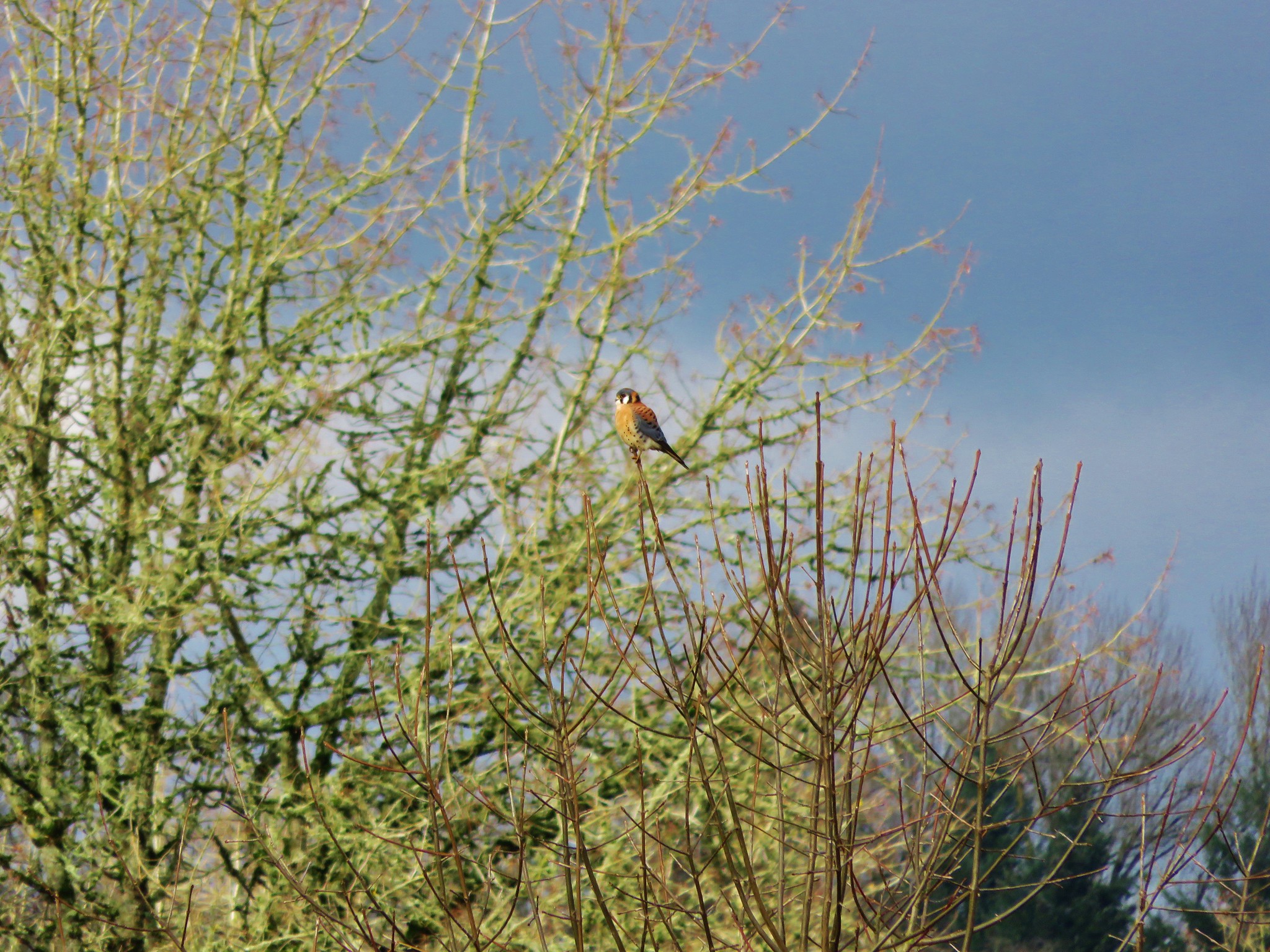
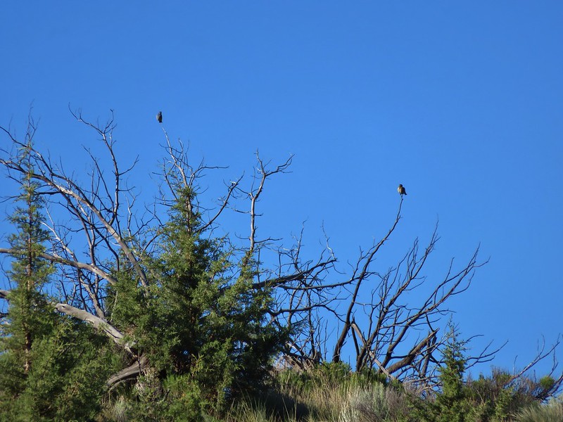
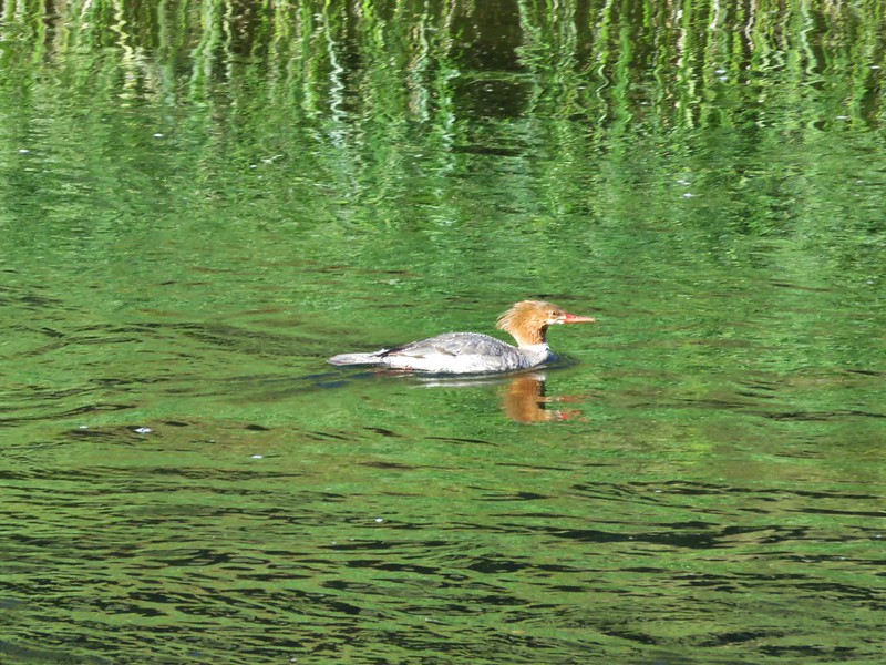
Heather spotted a coyote that ran off too quickly for a photo, but several birds stayed put long enough for pictures.
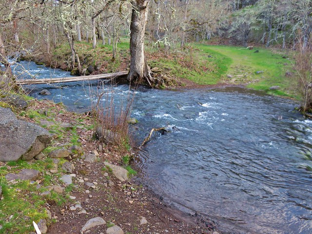
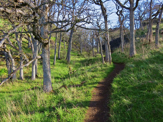
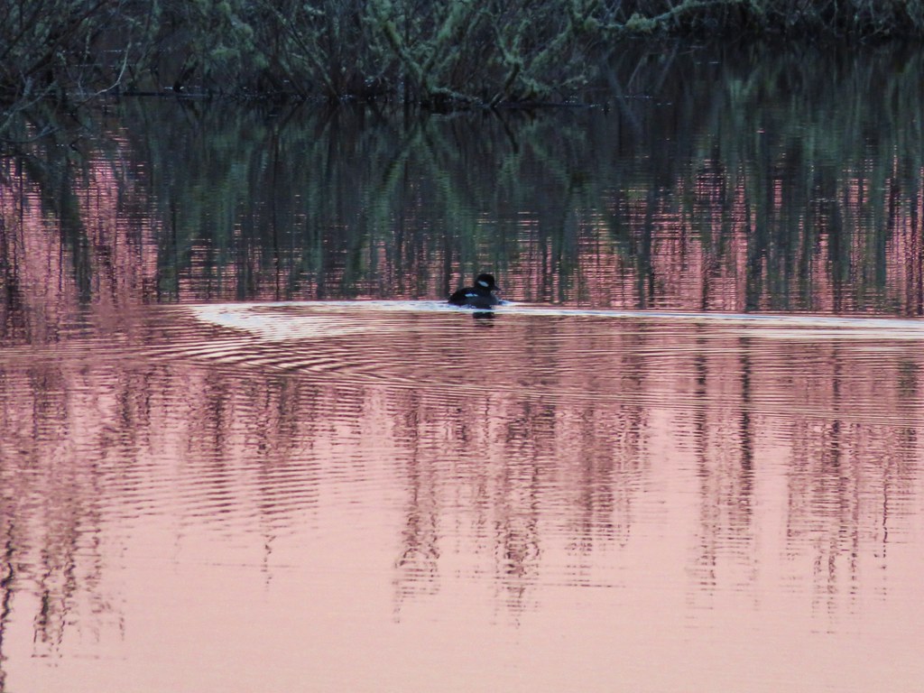
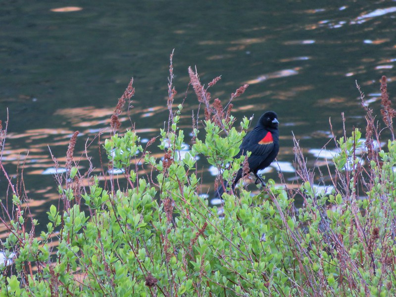
We completed the loop and managed to follow the horse path all the way back down to the river without losing it this time. The sun was now on the river and ducks paddled about as red-winged blackbirds filled the canyon with their songs.

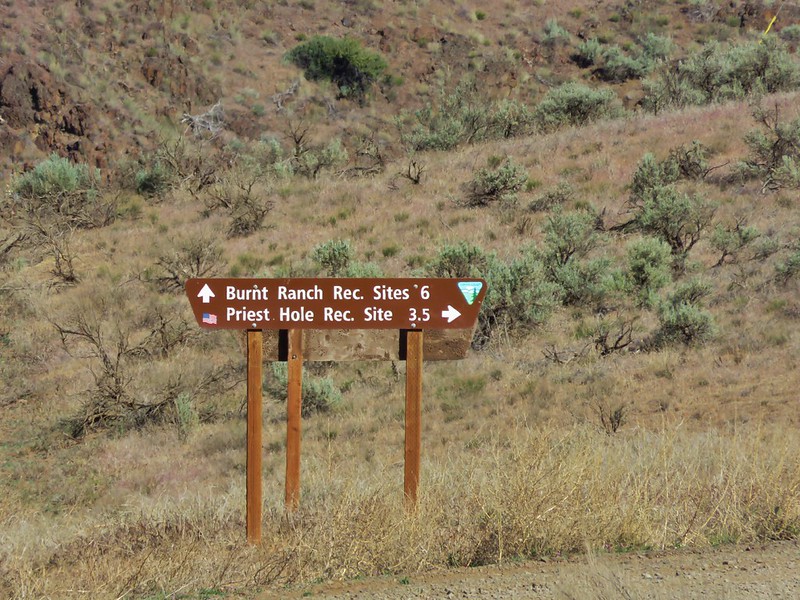
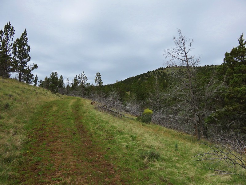
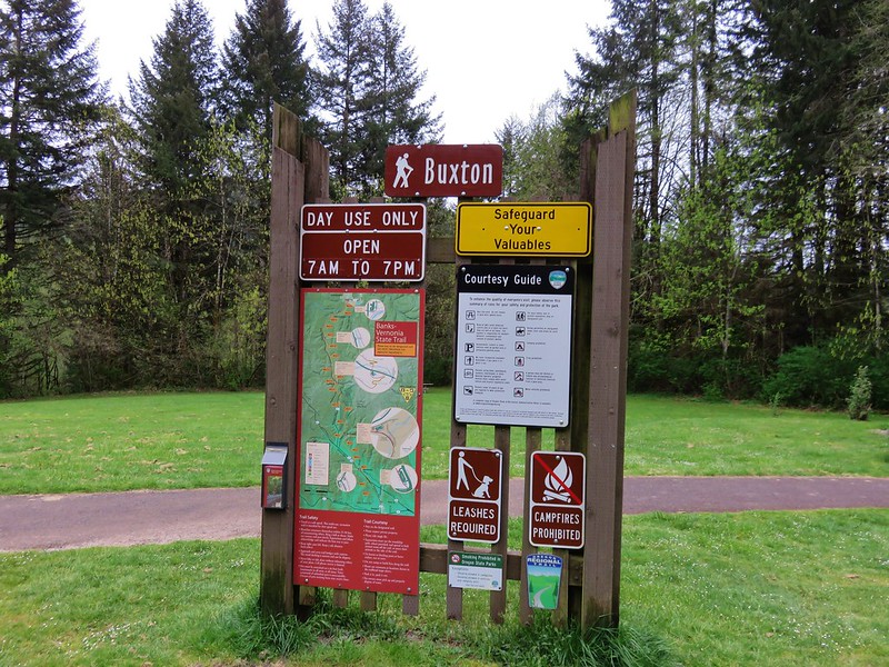
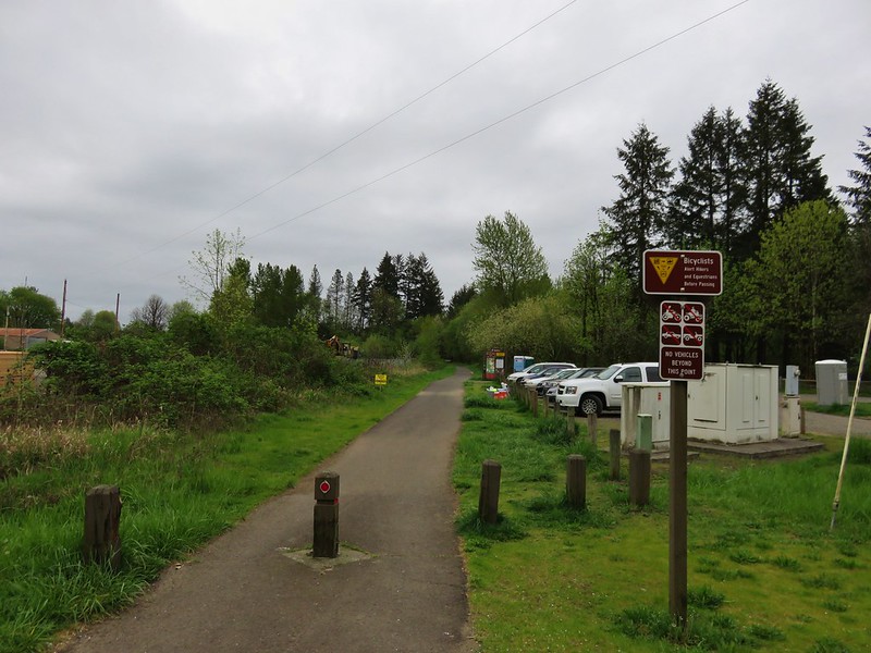
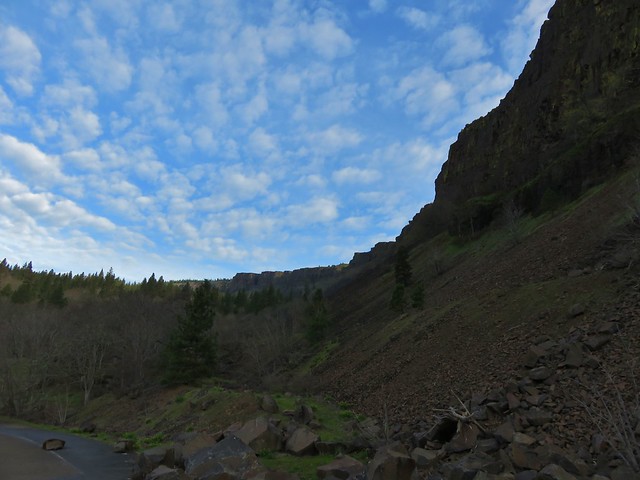
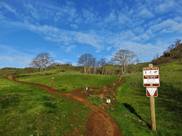
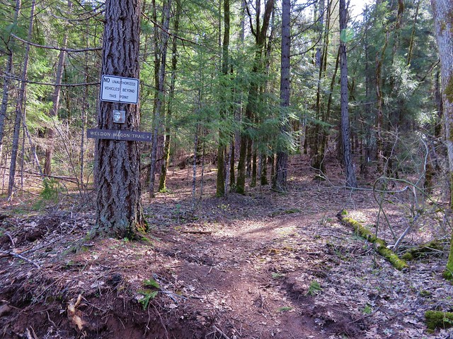
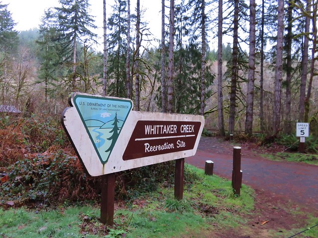
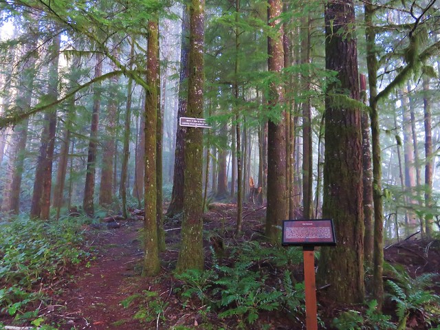
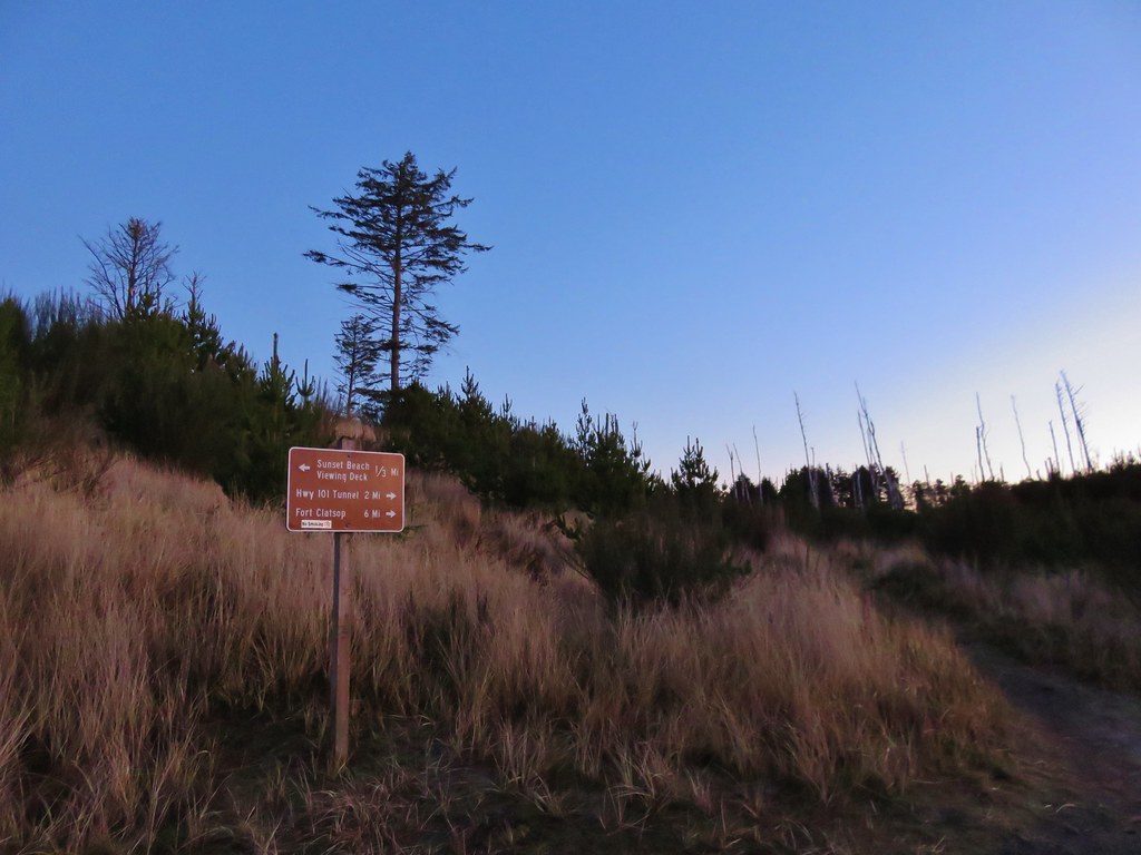
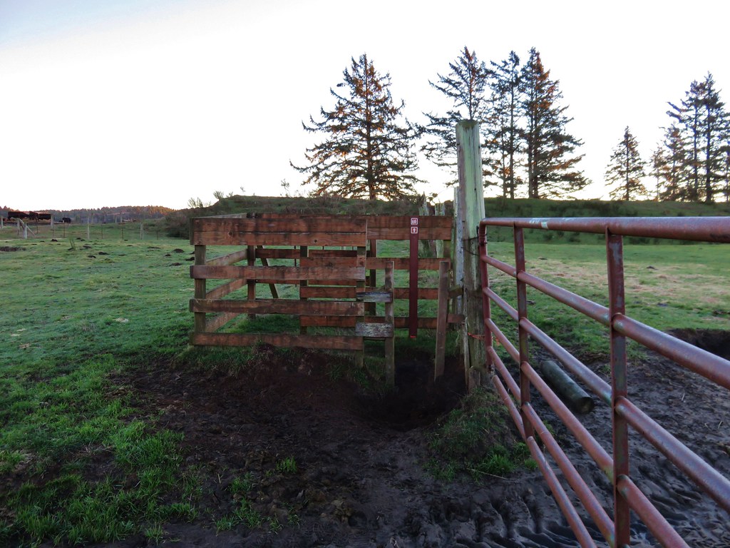
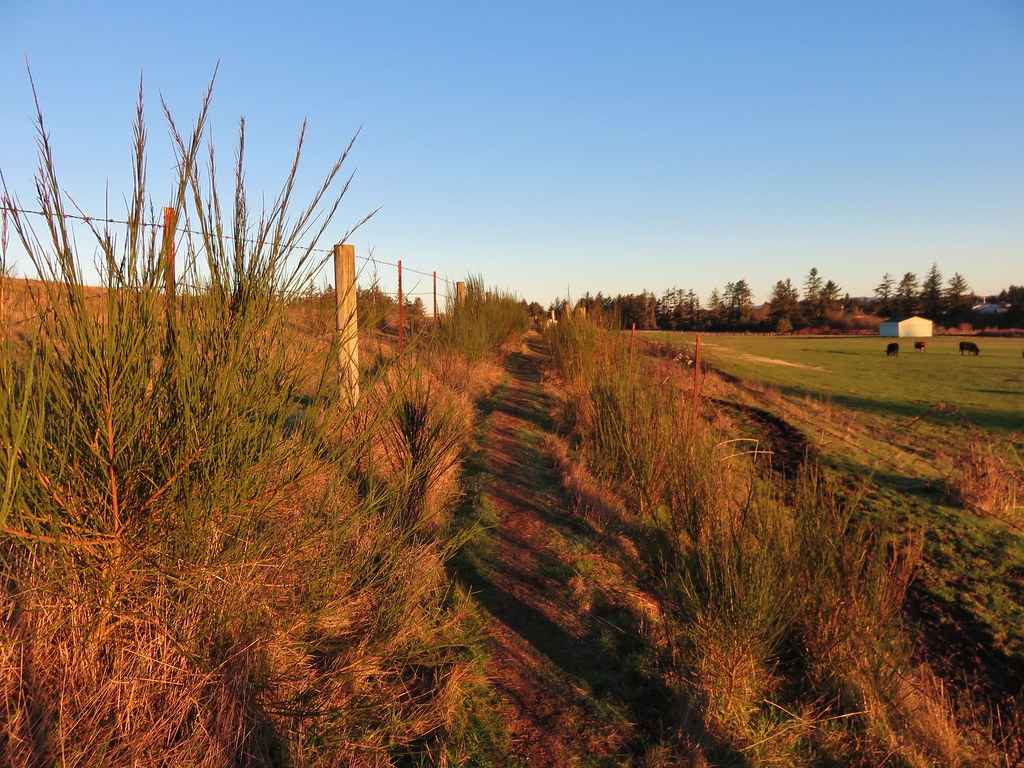
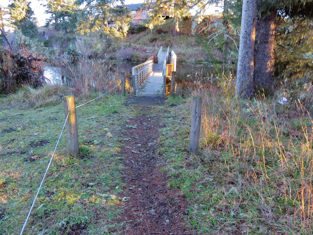
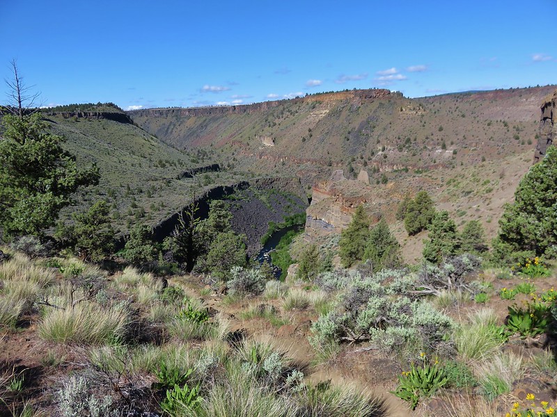
After returning to the trailhead we drove further into Crooked River Ranch to the Scout Camp Trailhead.
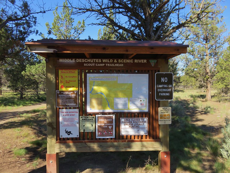
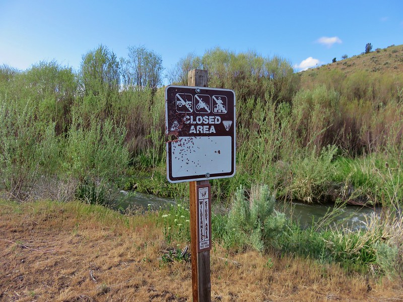
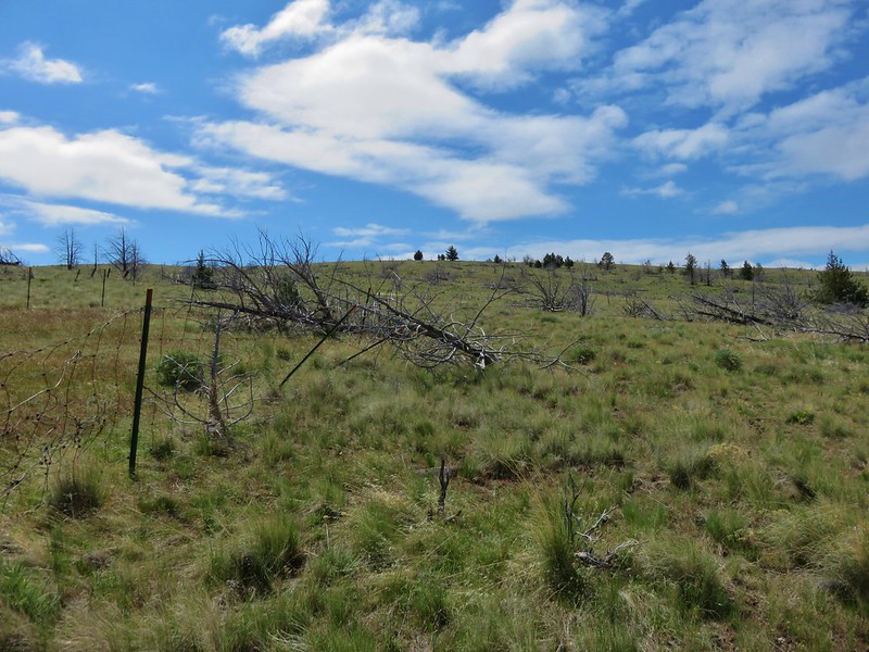
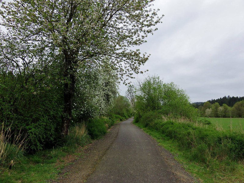
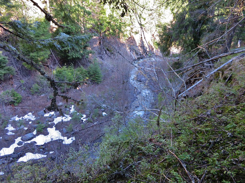
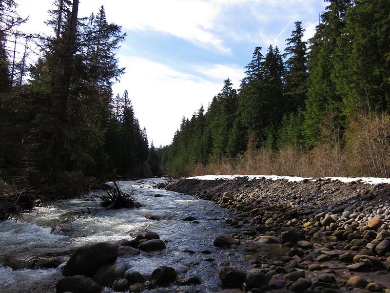
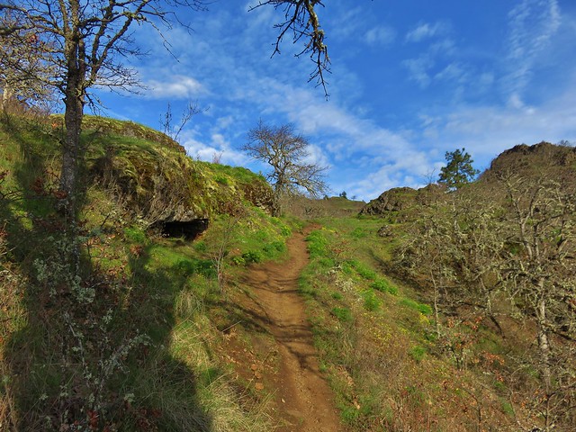
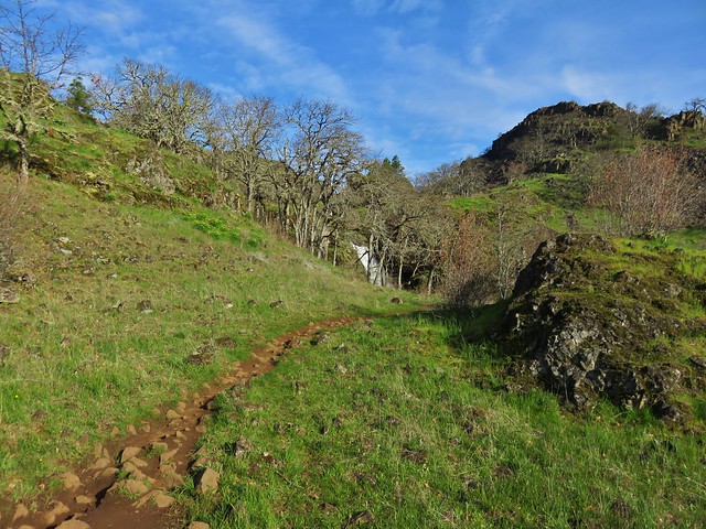
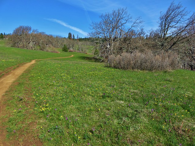
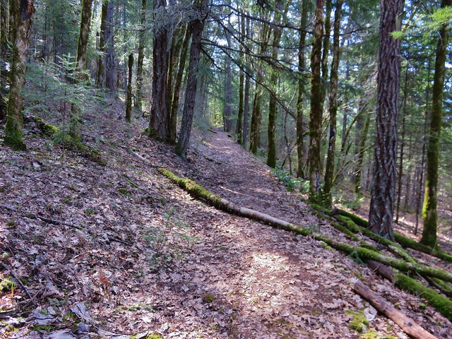
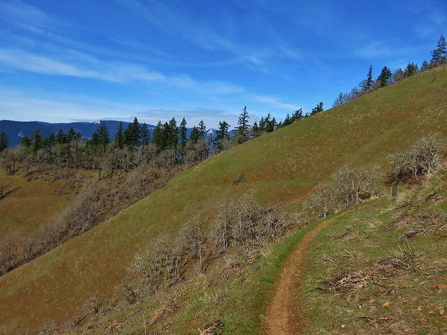
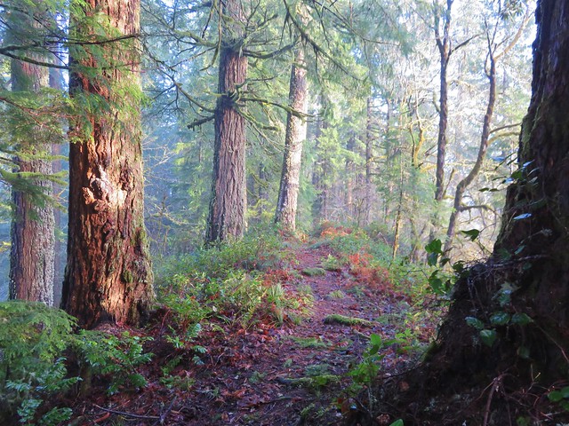
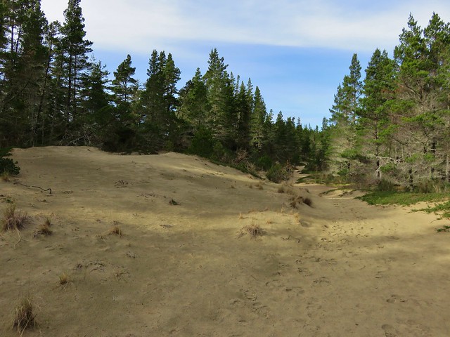
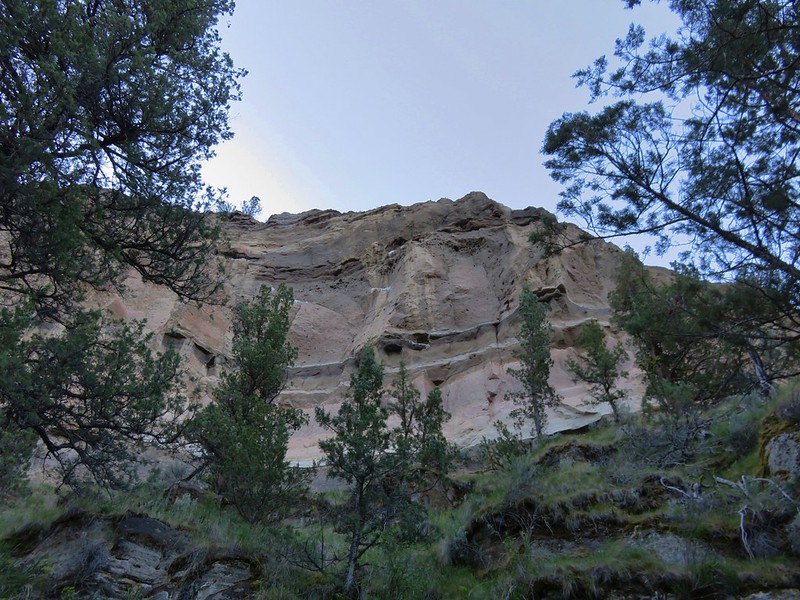
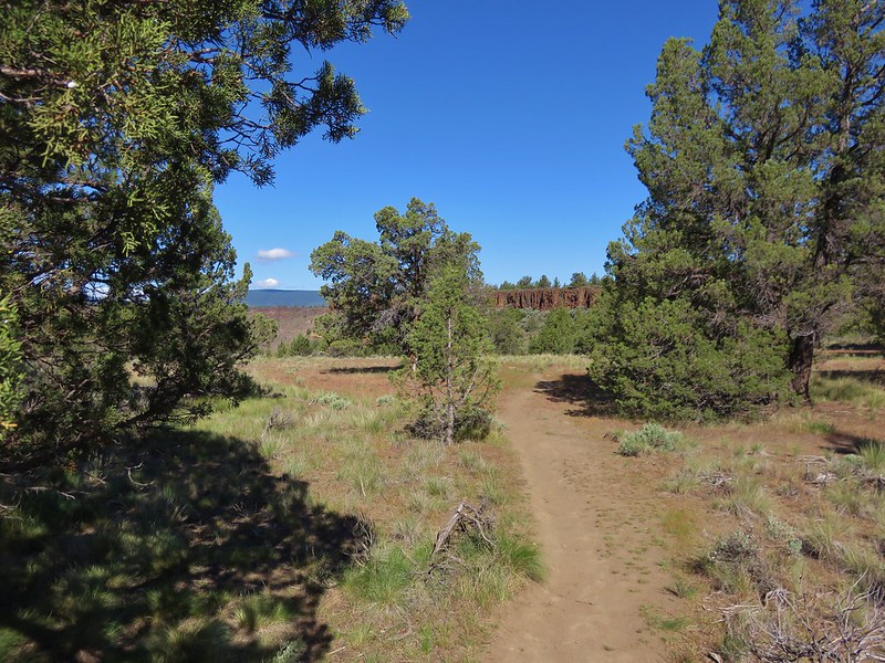
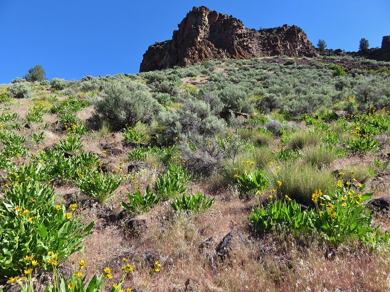
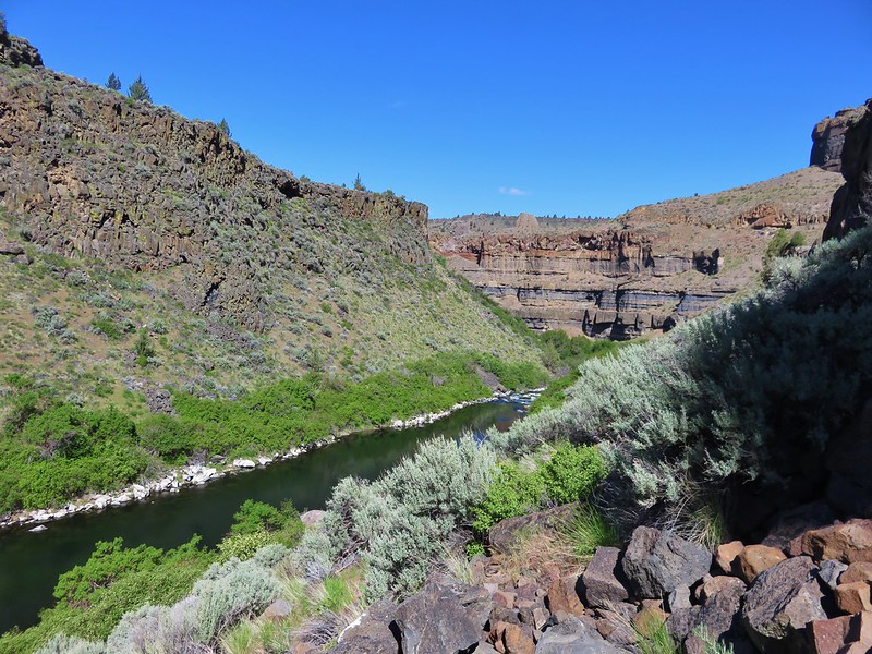
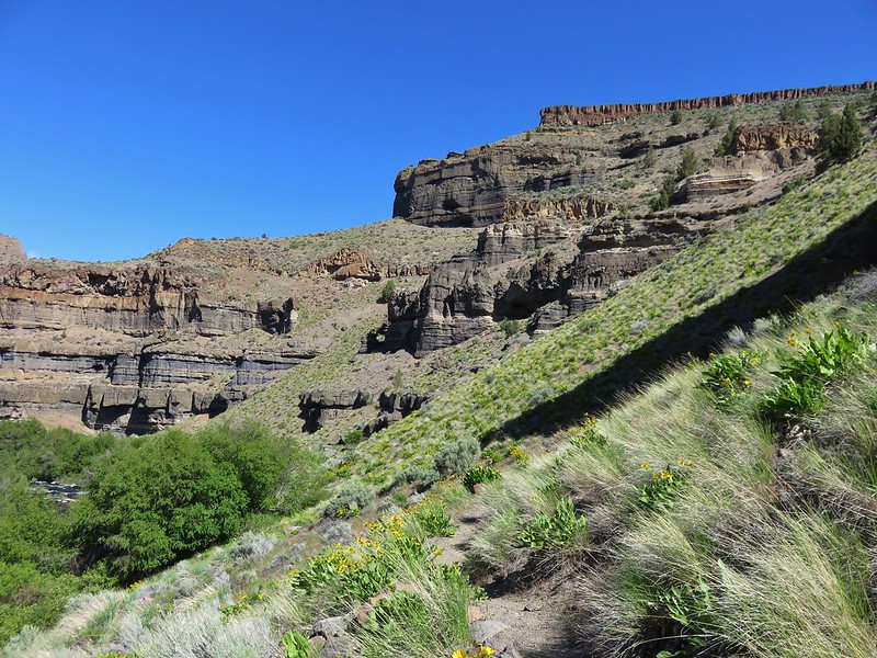
This trail descends over 600′ to the Deschutes River and its confluence with Wychus Creek. The path starts out level passing through juniper and sage before dropping down into the canyon.
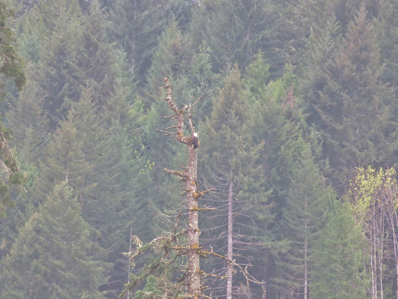
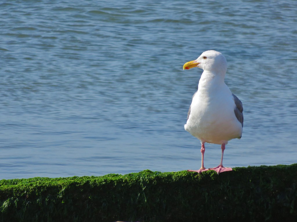
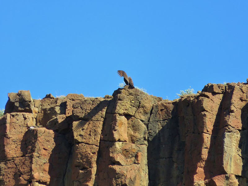
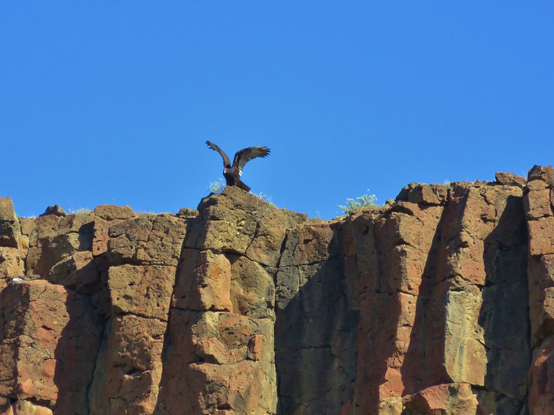
Turkey vultures soared overhead and occasionally landed on the cliffs.
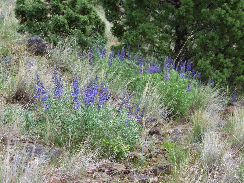
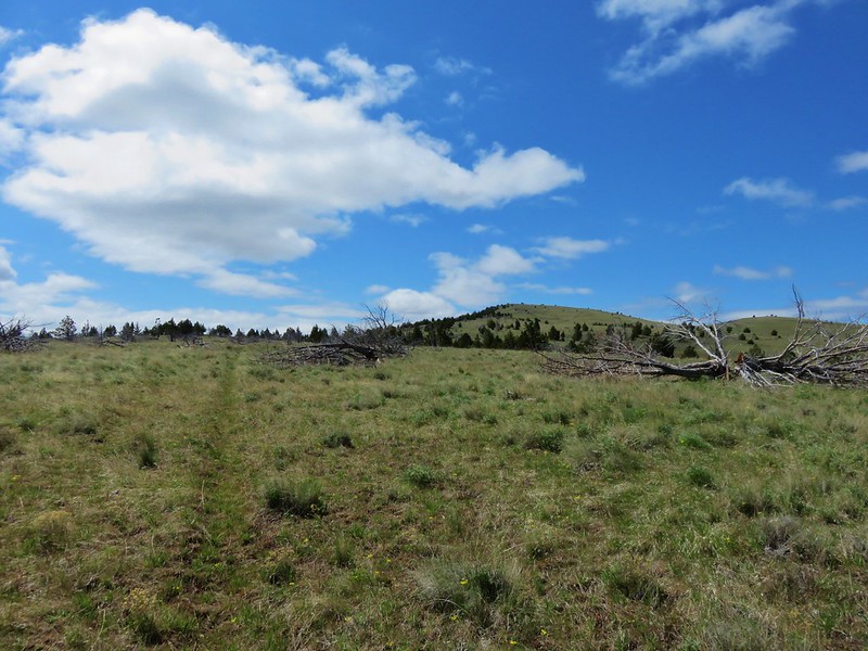
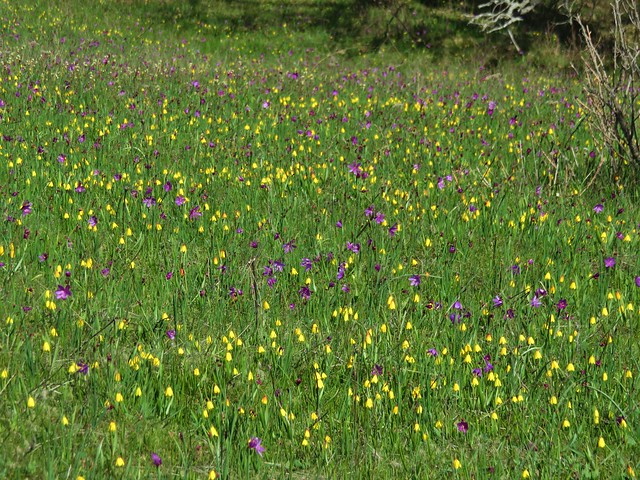
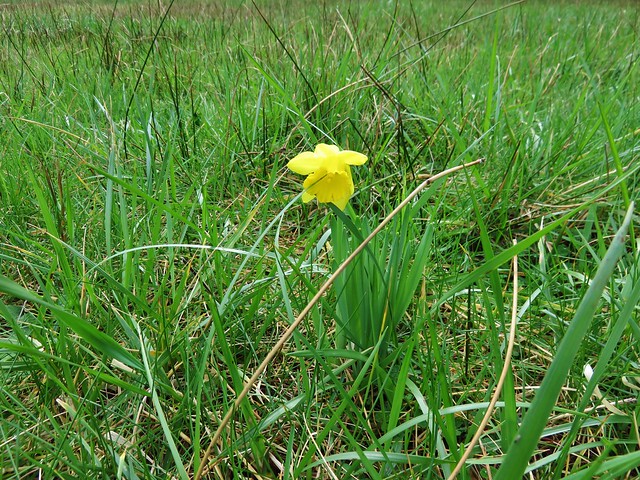
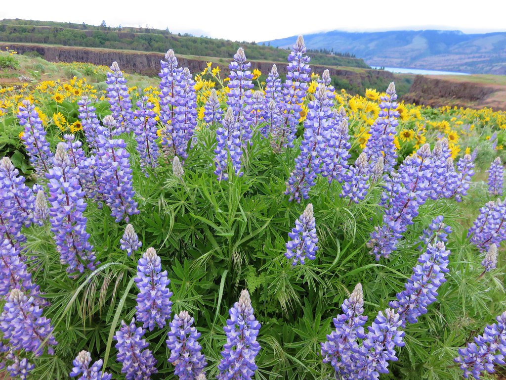
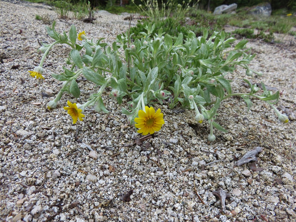
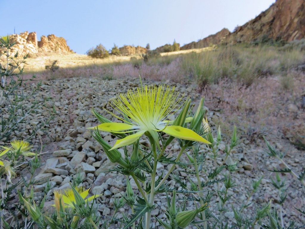
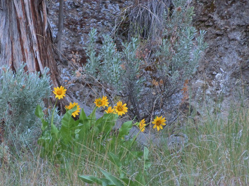
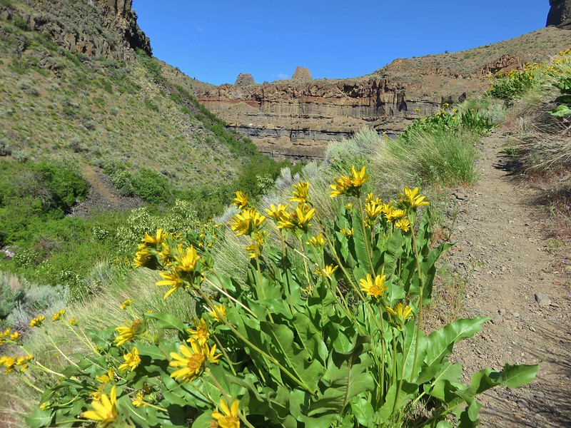
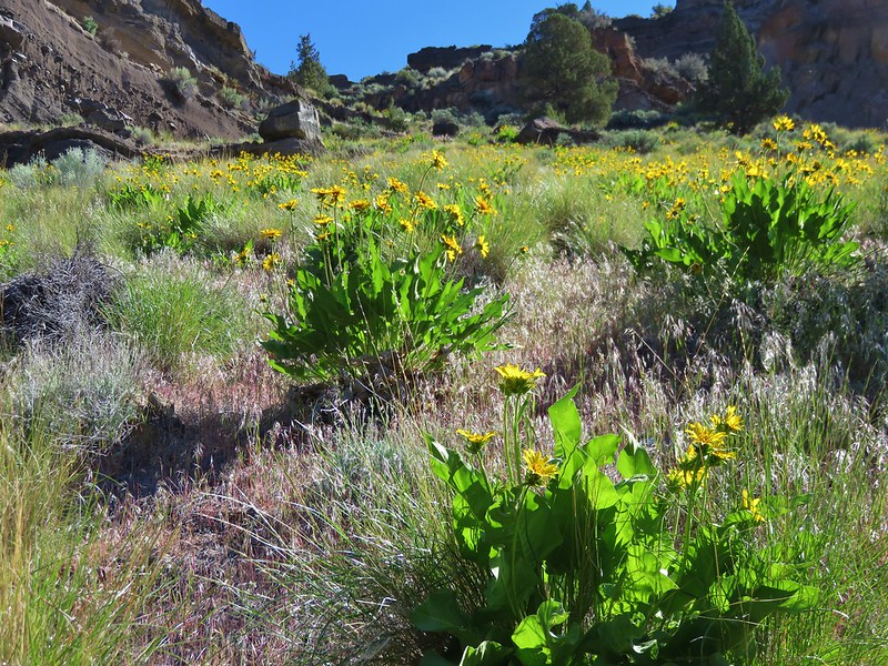
At the .4 mile mark the trail splits marking the start of a 2 mile loop. We went left following a trail pointer and headed downhill through fields of balsamroot and other wildflowers.
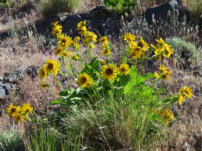


The further into the canyon we got the thicker the balsamroot became.
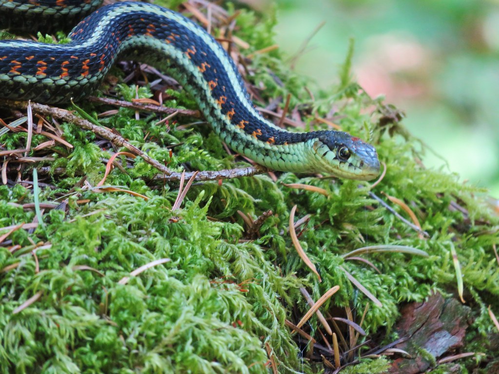
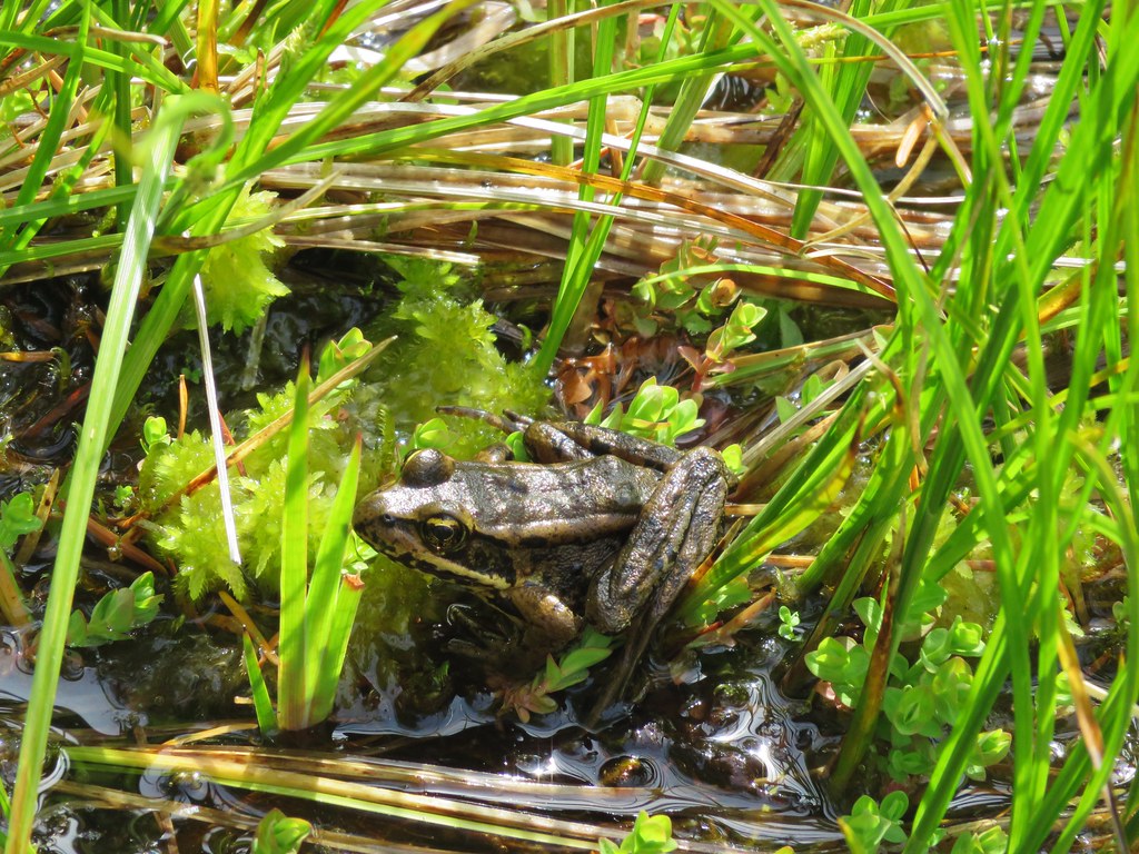
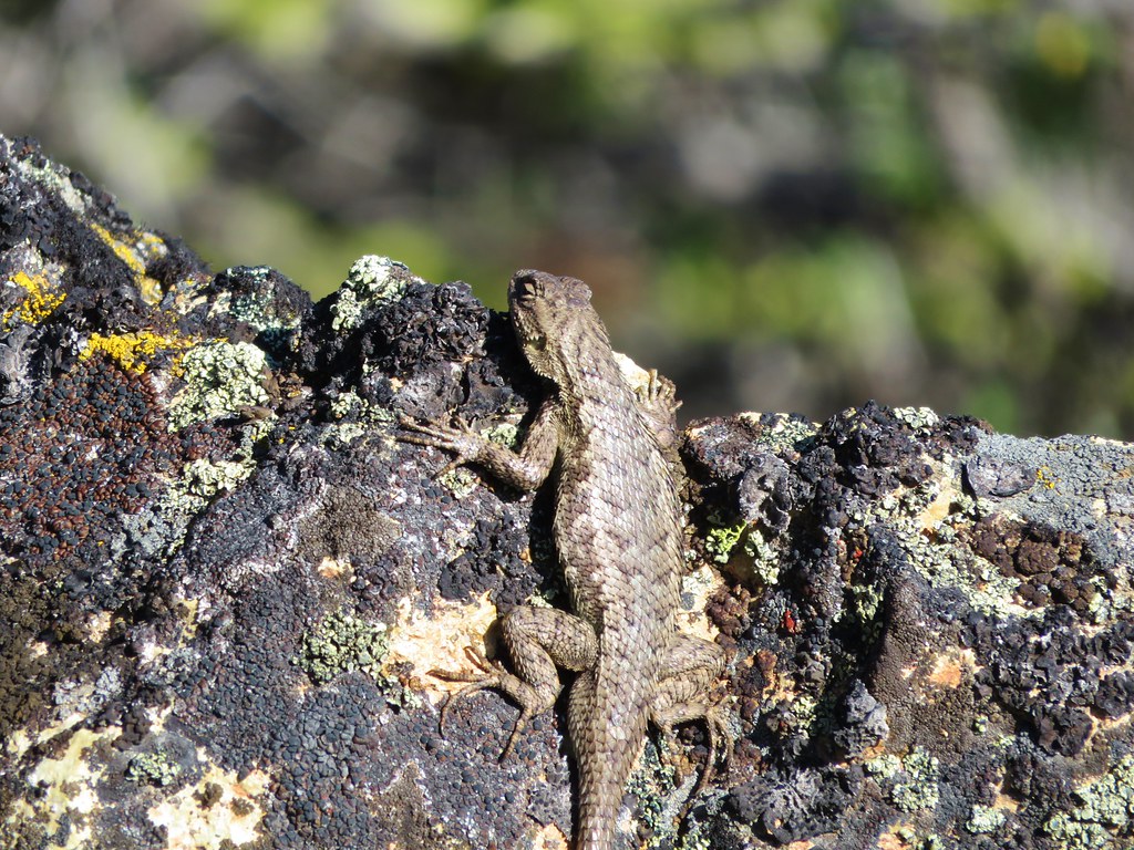
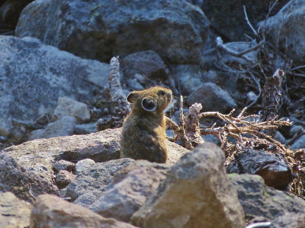
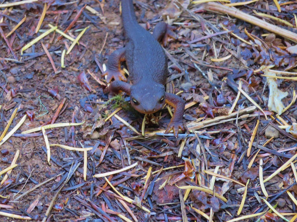
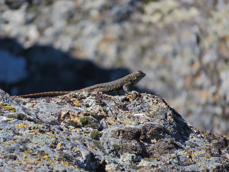
A couple of different types of lizards were sunning themselves.
Side bloctched lizards

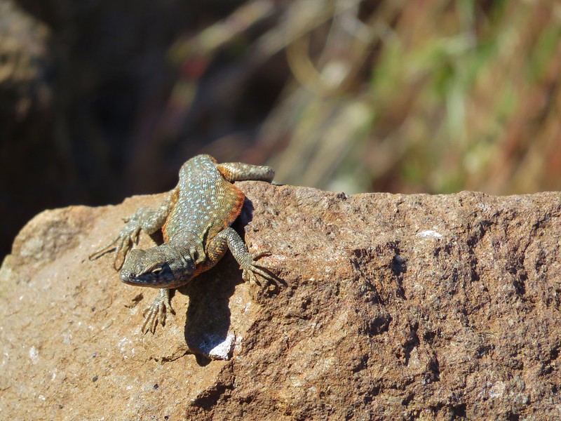
Western fence lizard
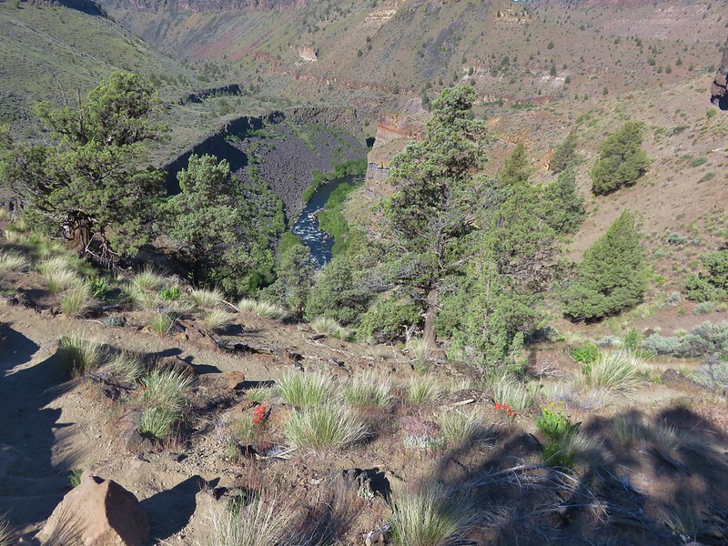
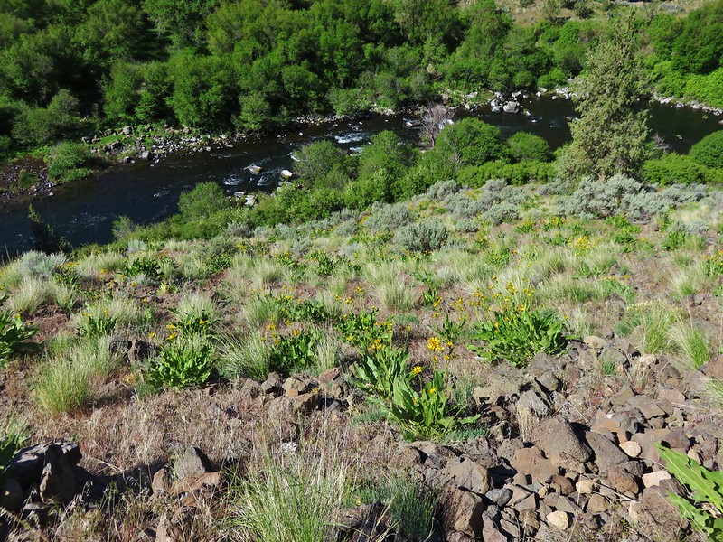
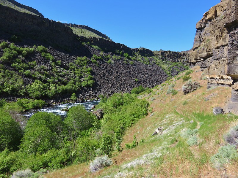
After a fairly steep .7 mile descent the trail leveled off passing along a cliff face with the river on the left.
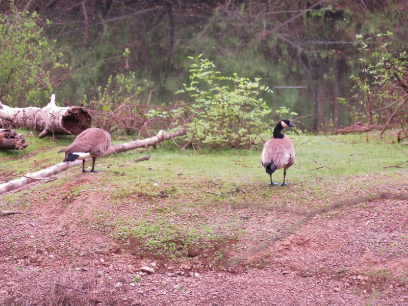
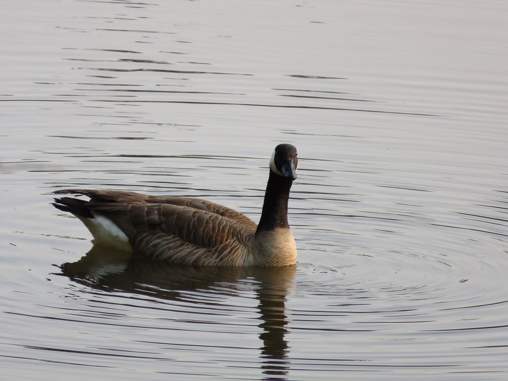
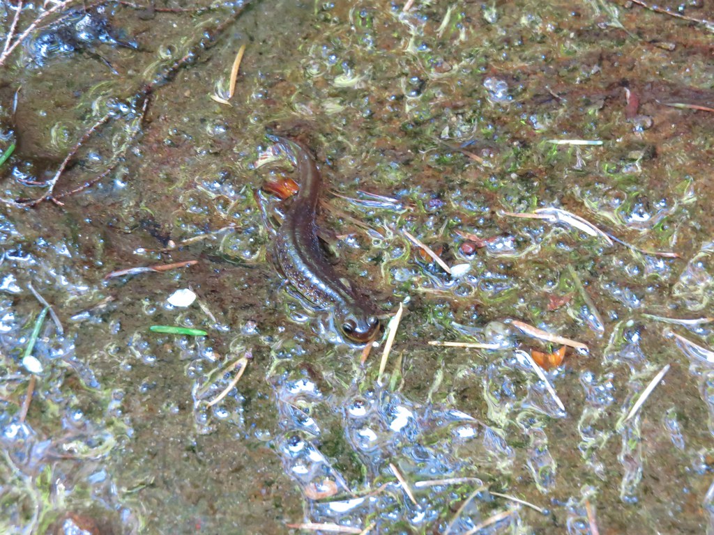
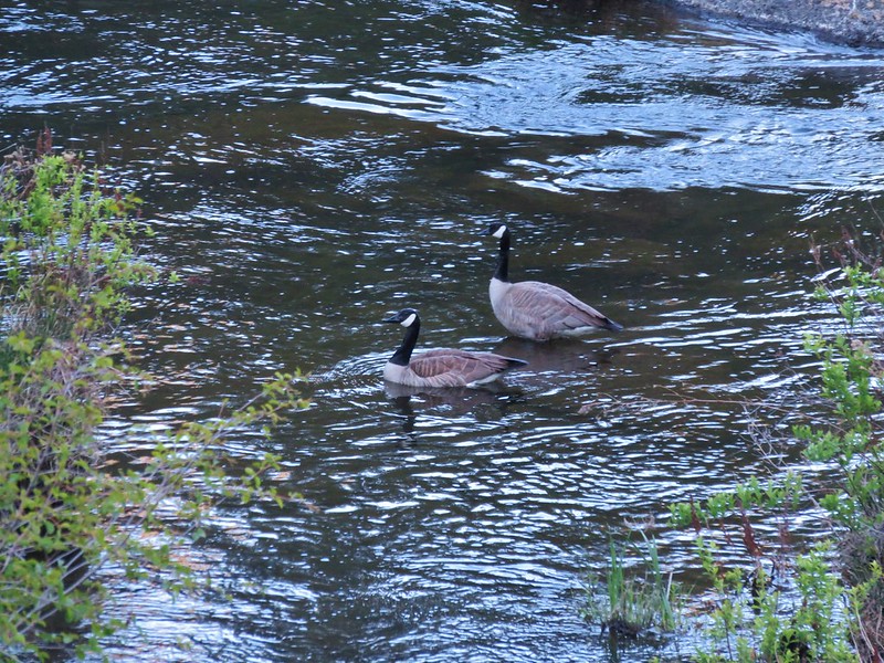
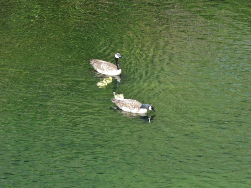
A family of canada geese paddled about on the water.
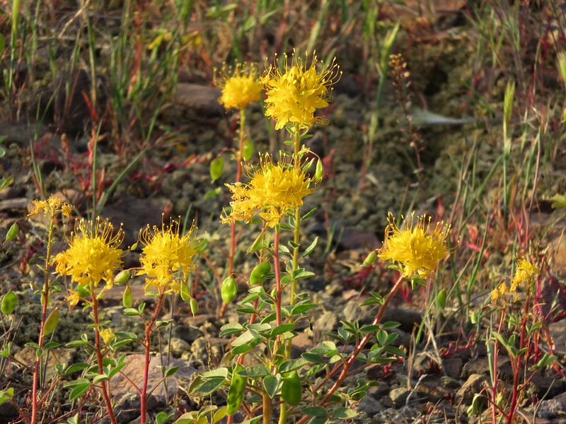
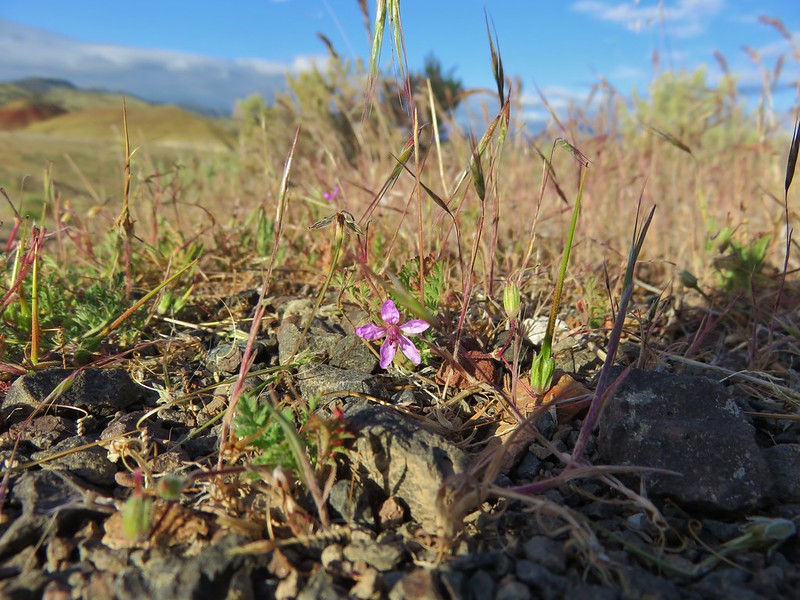
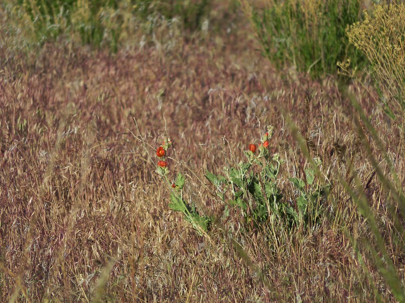
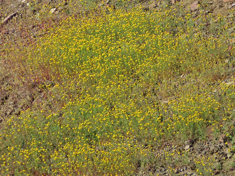
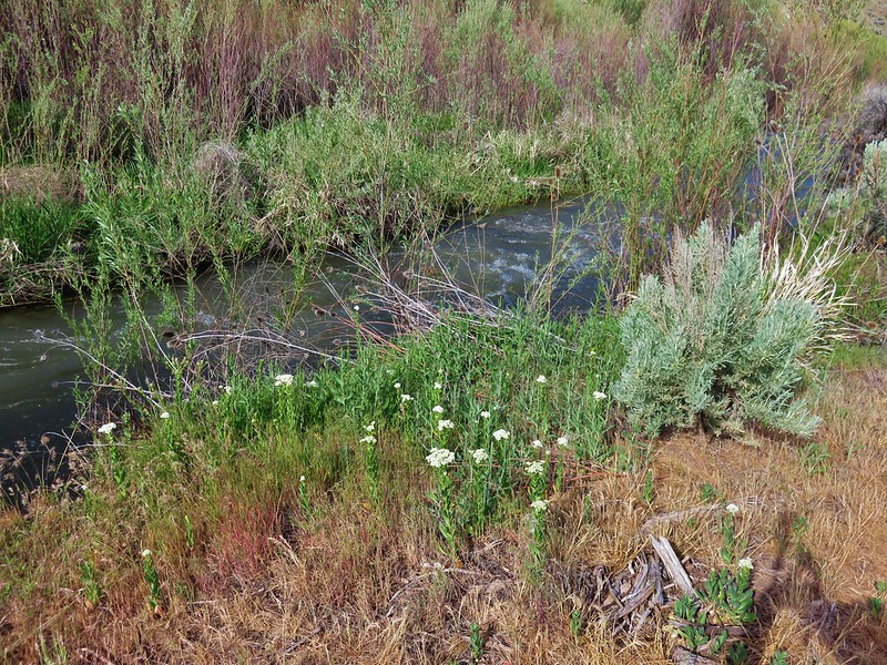
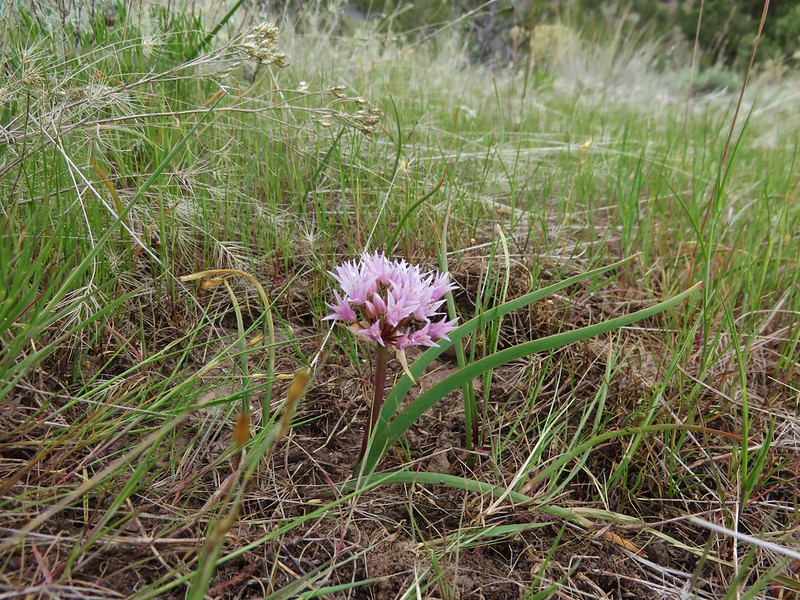
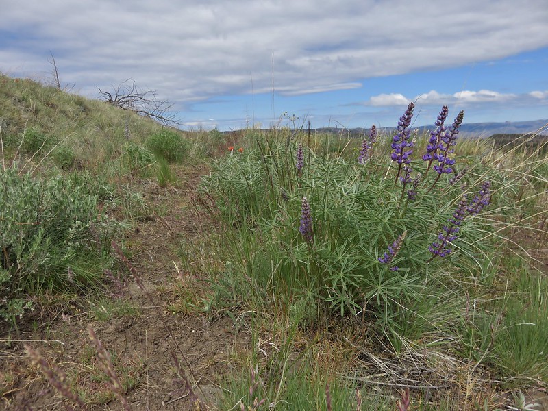
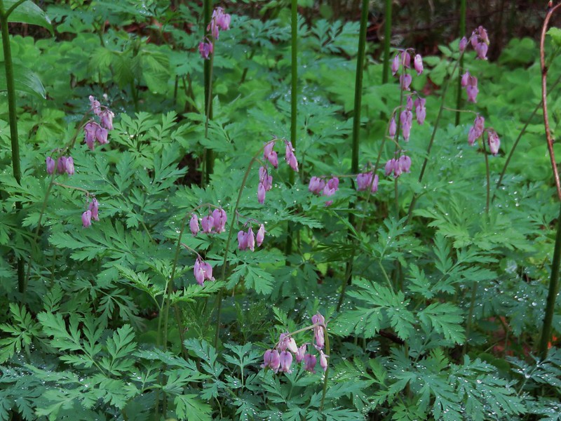
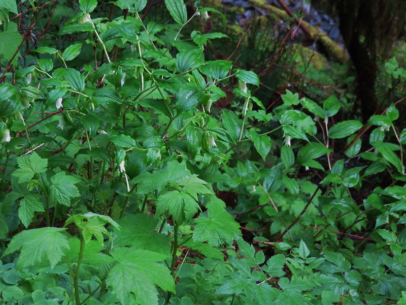
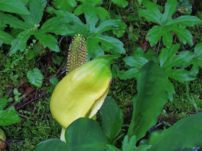
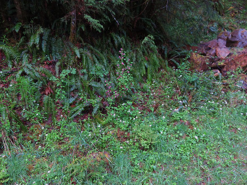
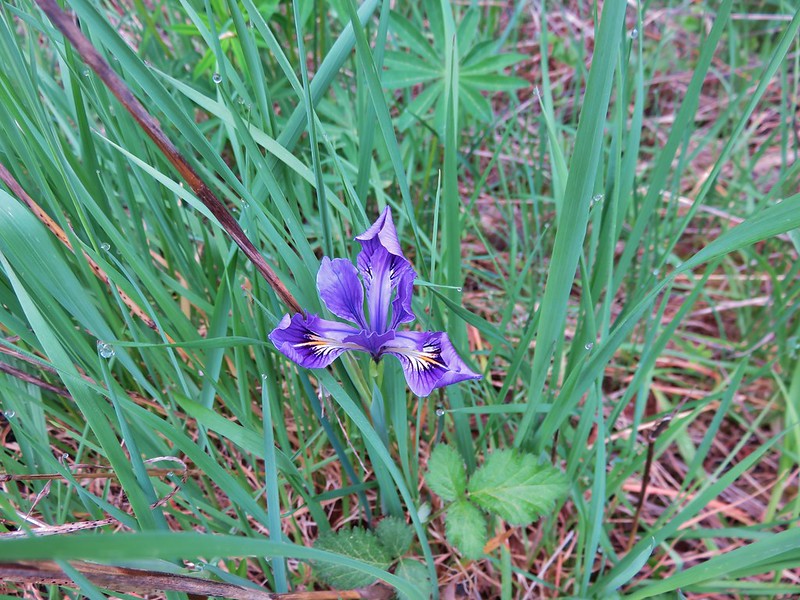
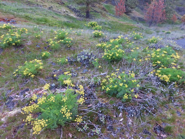
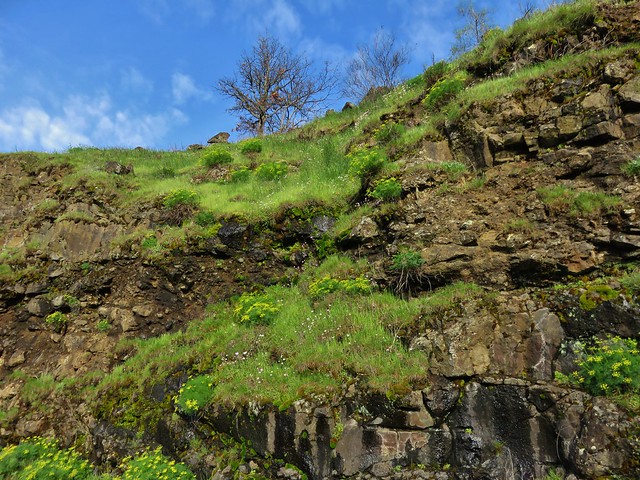
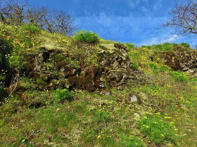
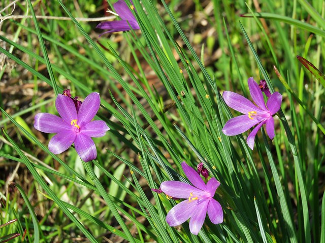
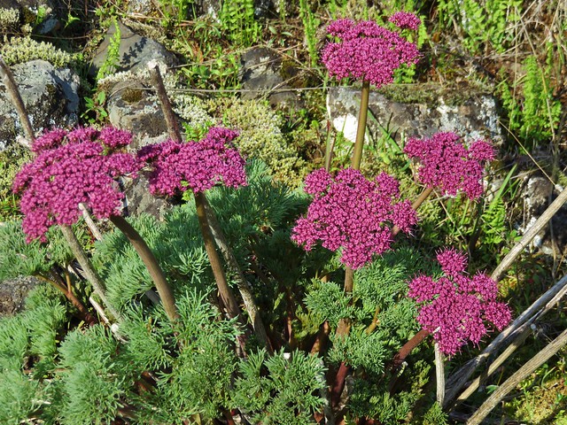
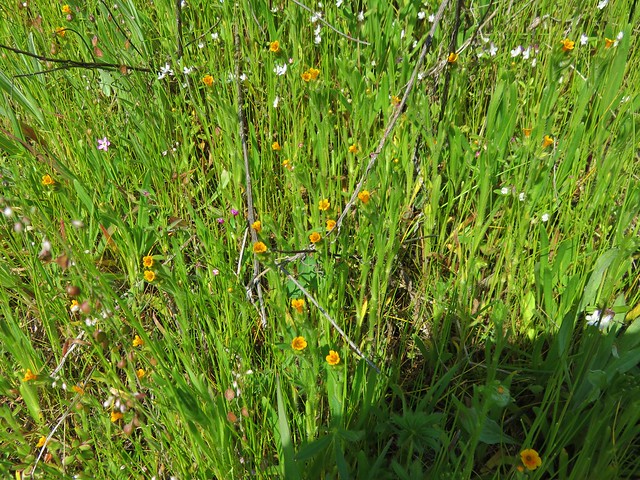
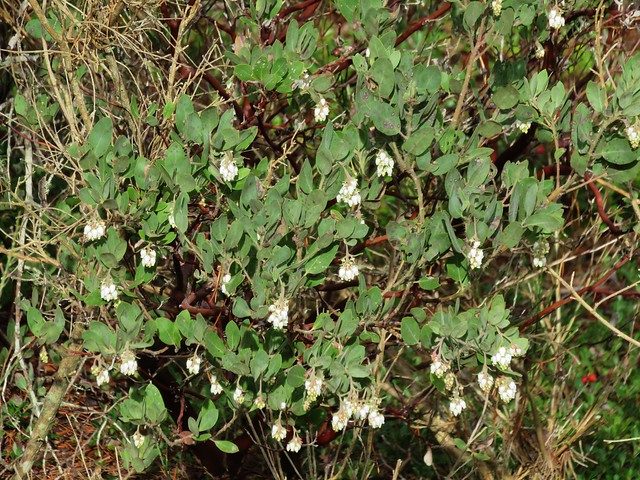
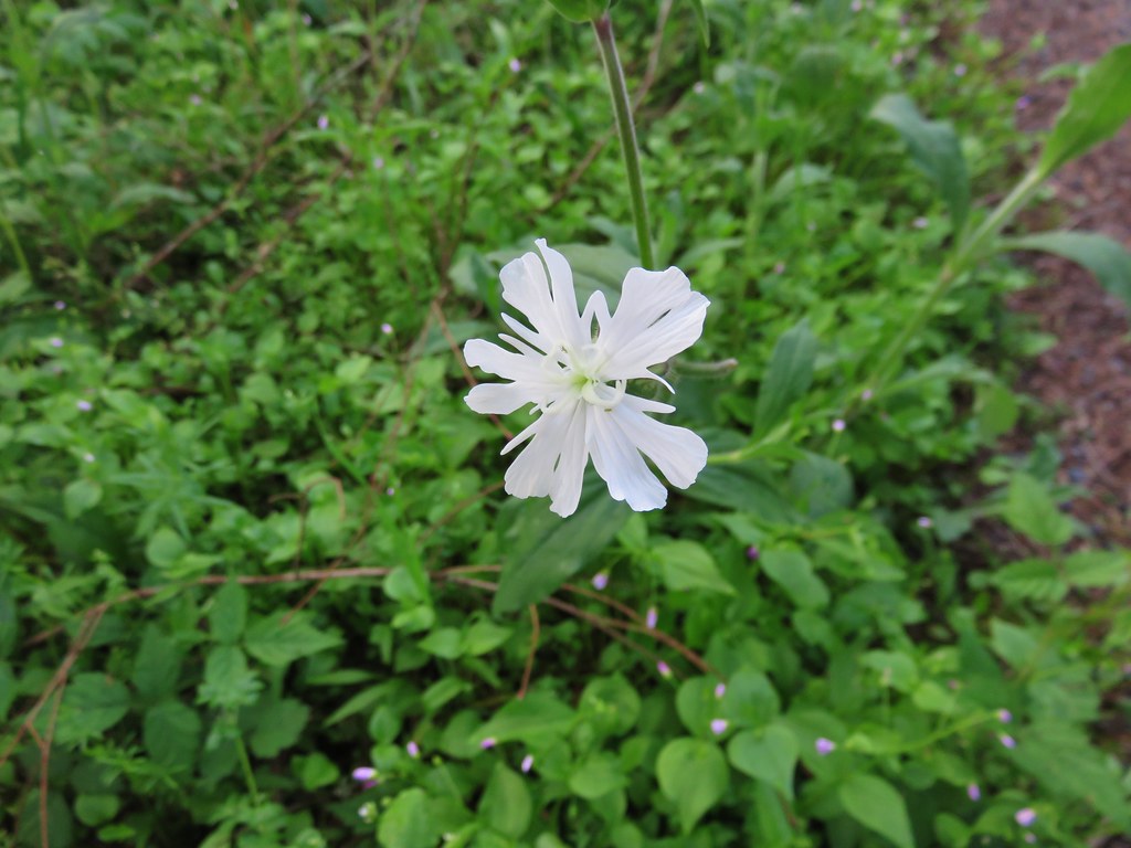
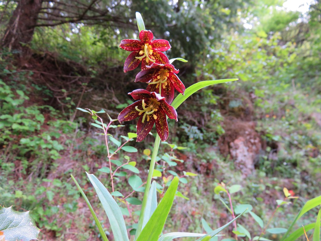
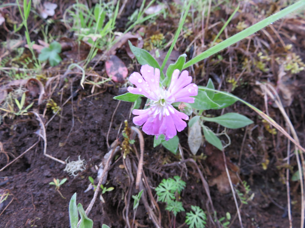
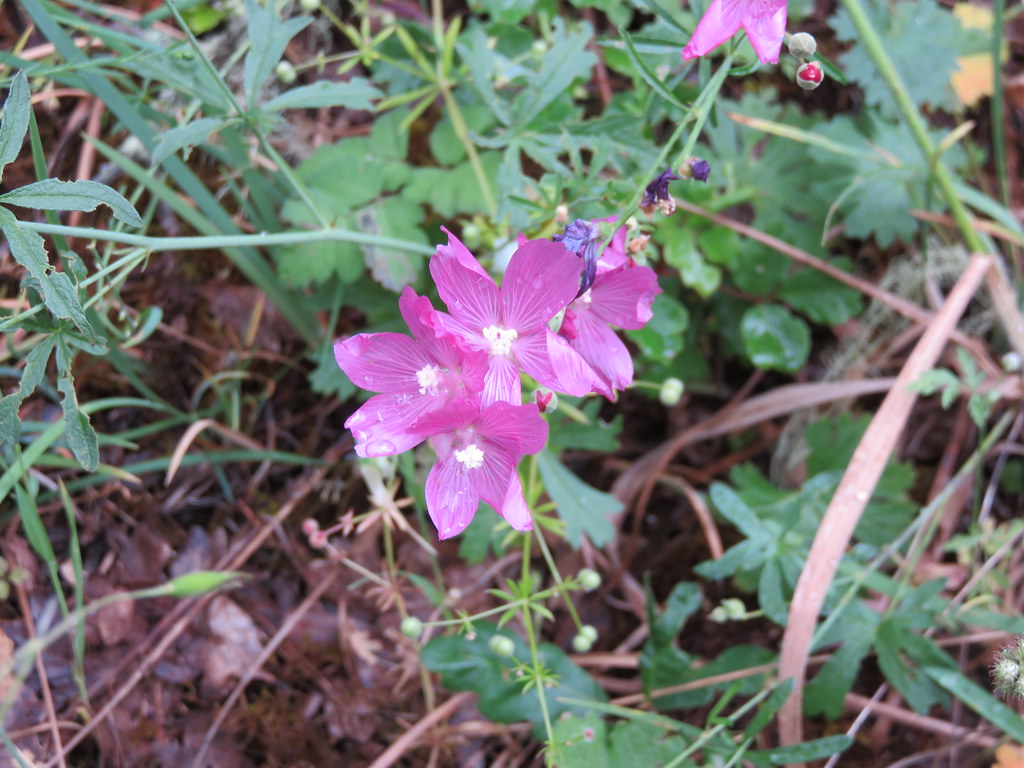
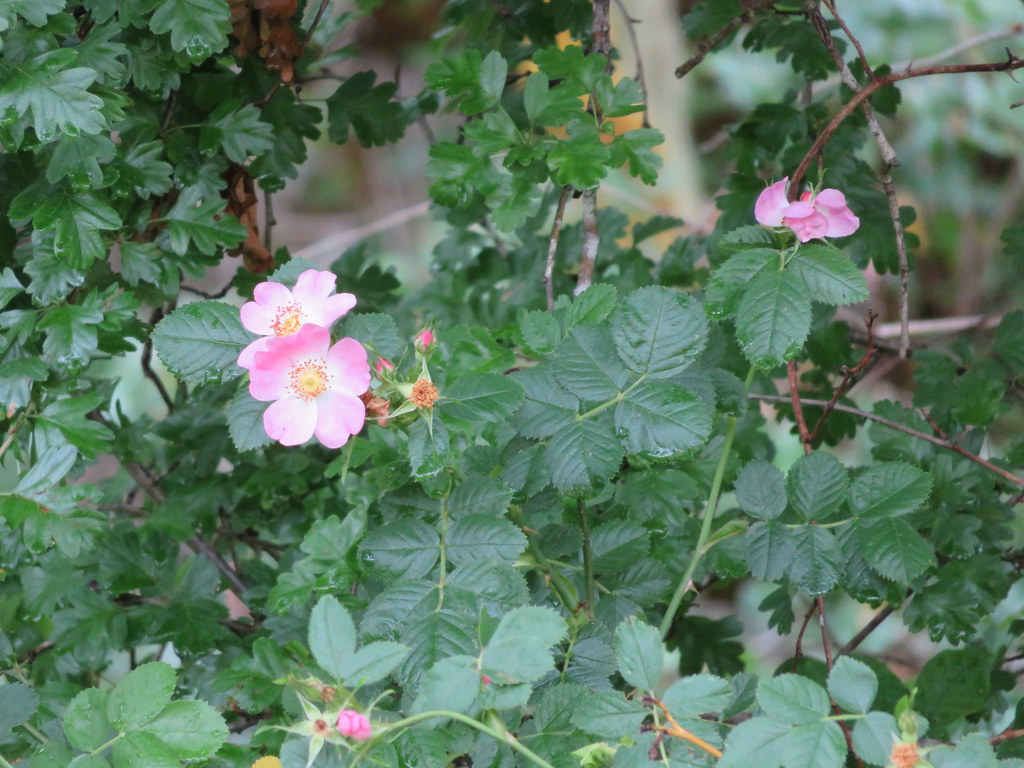
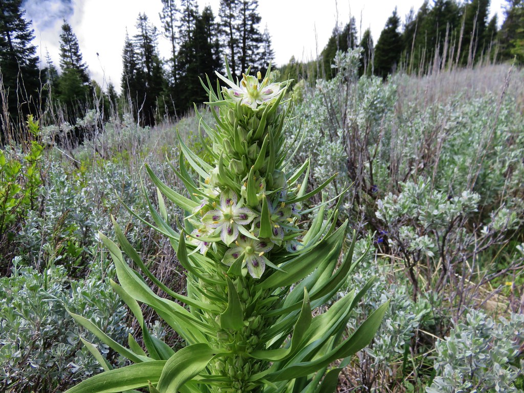
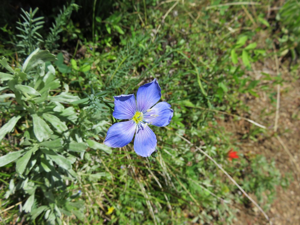
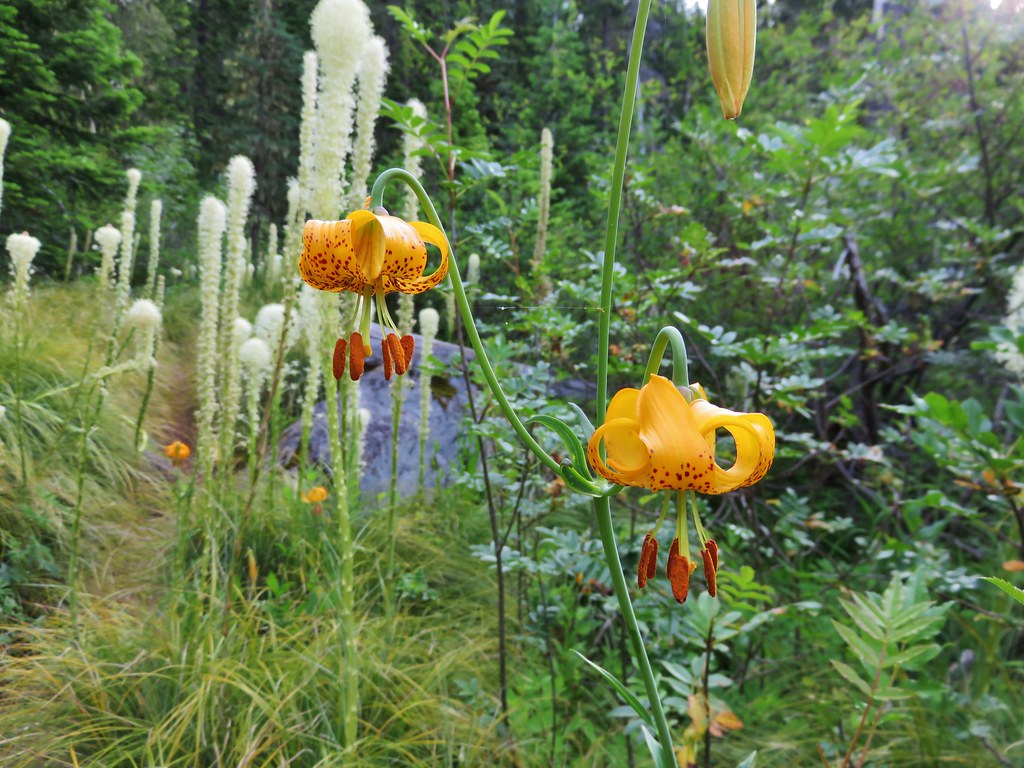
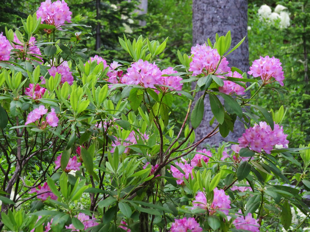
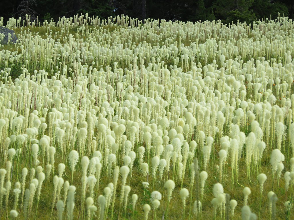
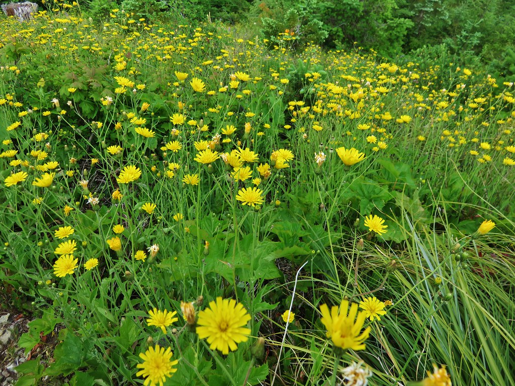
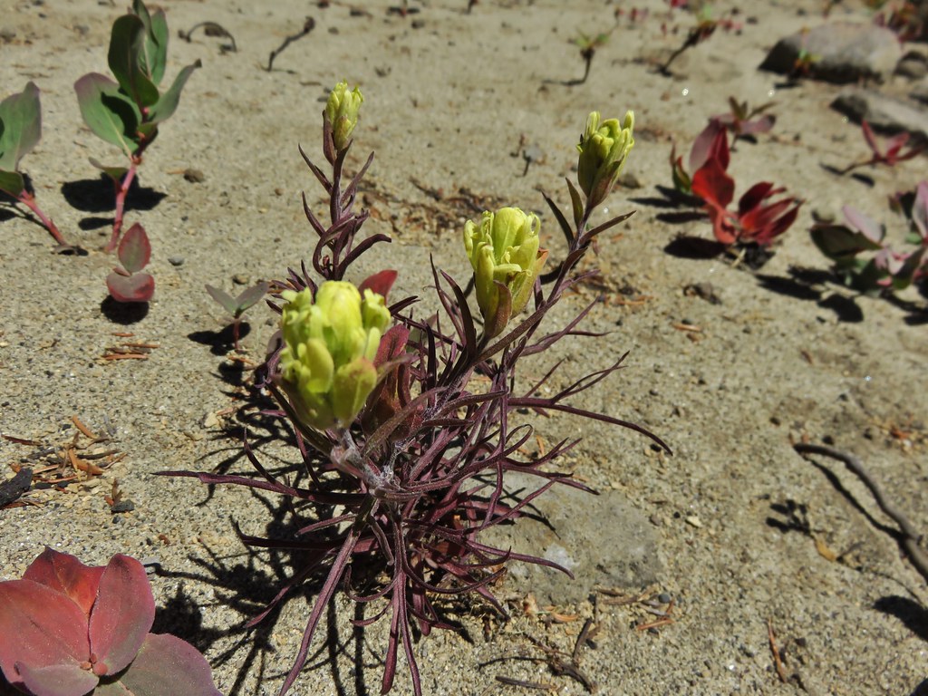
The cliff face gave way to a hillside of flowers.
we then passed through a grassy area before the trail appeared to end at a rock wall below a rock fin where a fish monitoring station was set up.
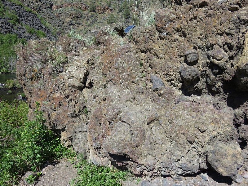
We climbed up and over the rocks which brought us to the continuation of the loop. From here we could see the spot on the opposite side of the river where we had eaten lunch during a 2012 hike on the Alder Springs Trail.

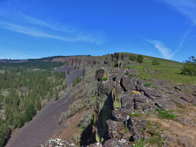
The trail then climbed up the canyon switching back once to a view above the rock fin.


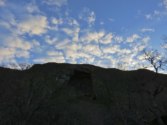
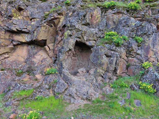
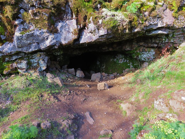
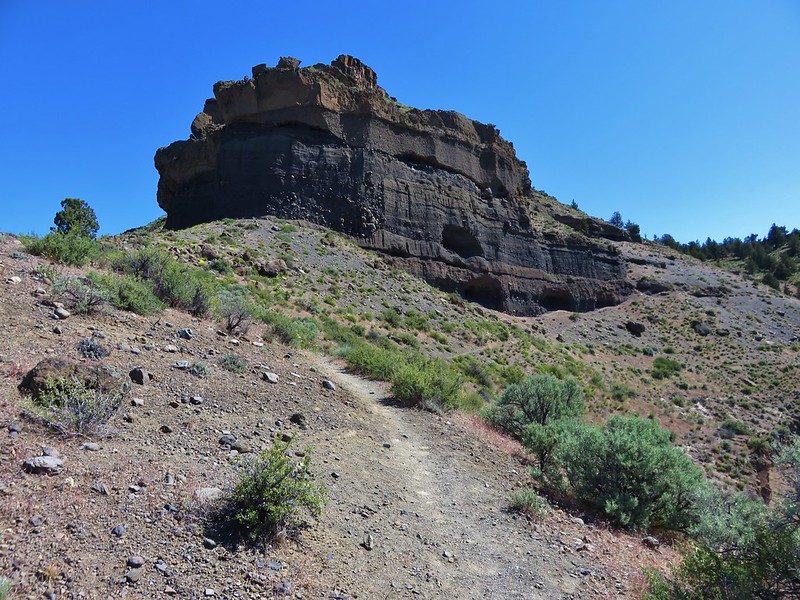
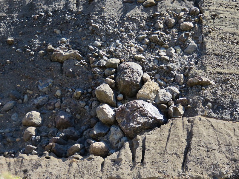
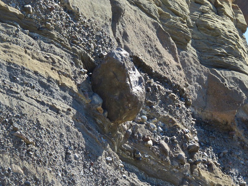
We continued to climb passing another set of cliffs with small caves and rocks that appeared ready to come crashing down at any moment.
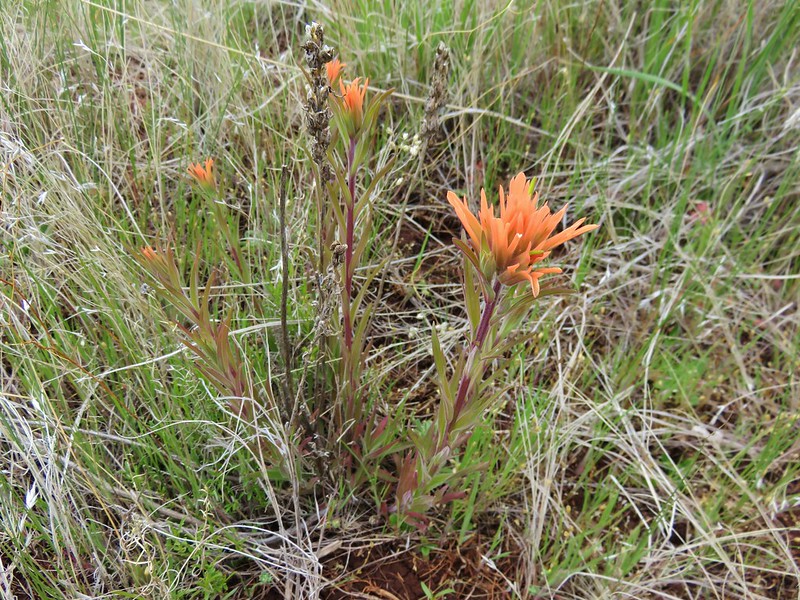
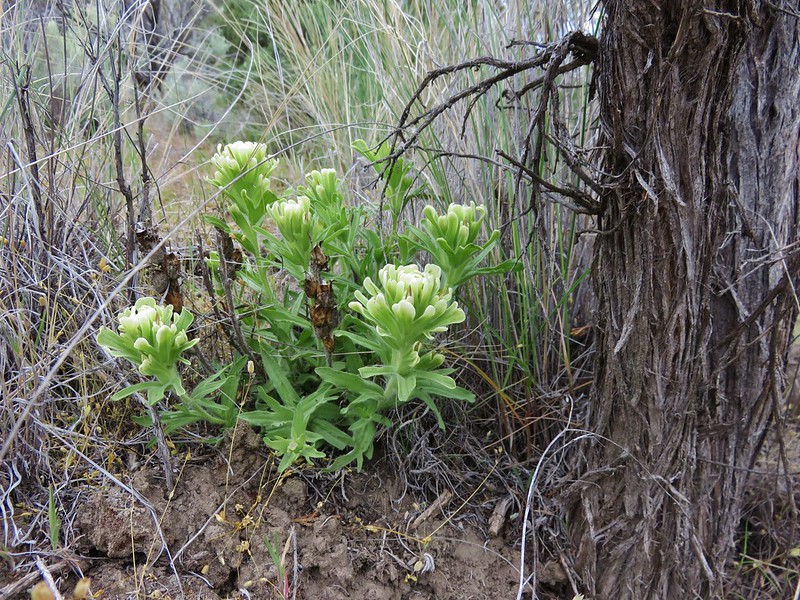
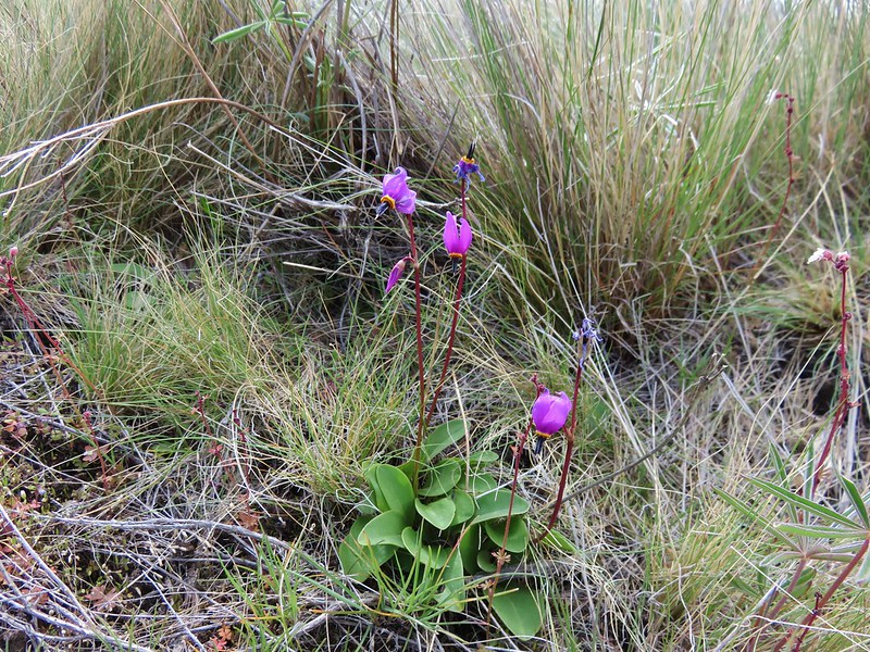
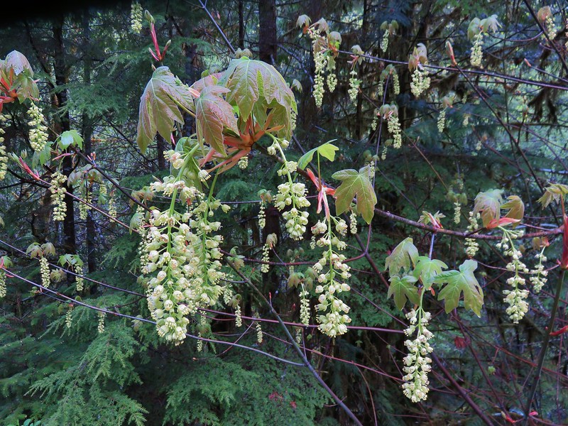
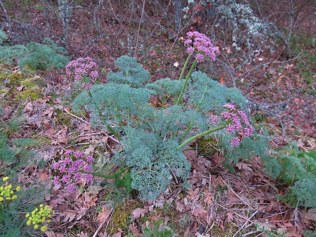
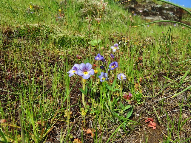
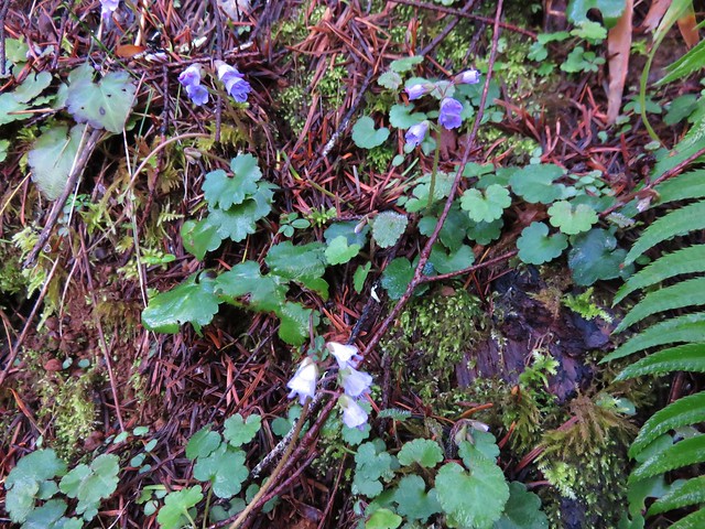
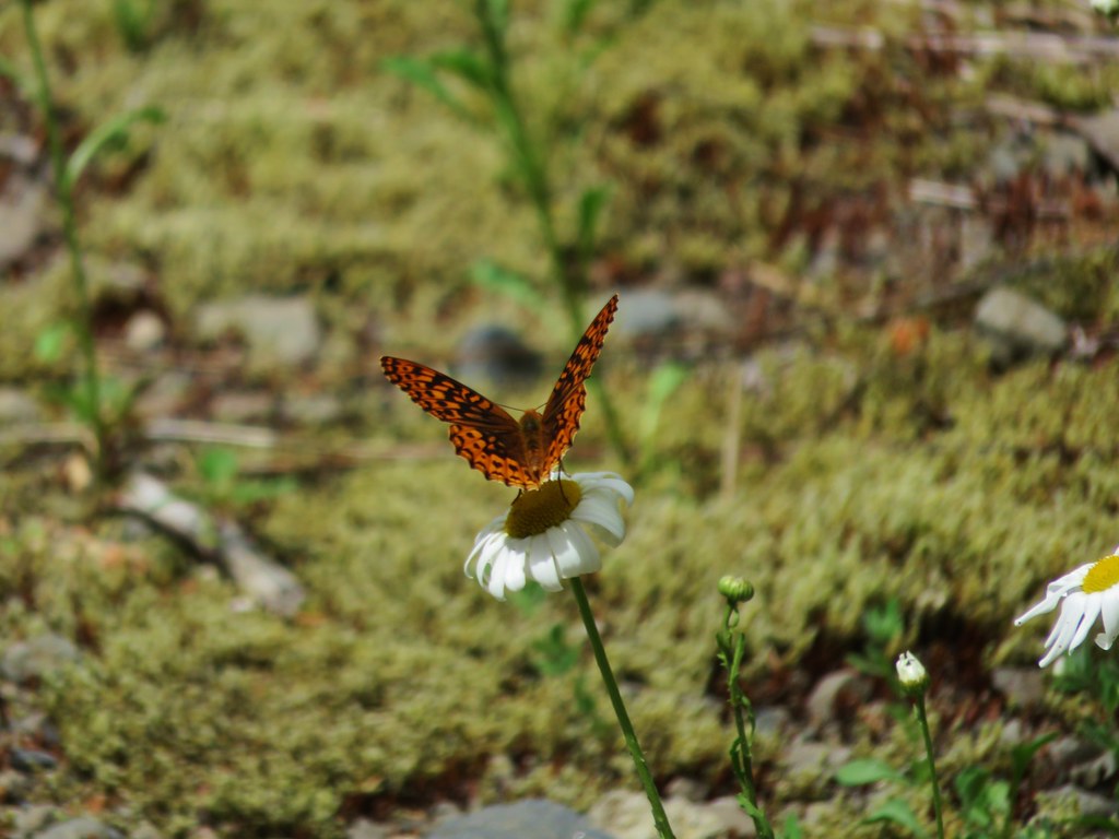
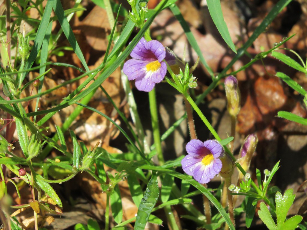
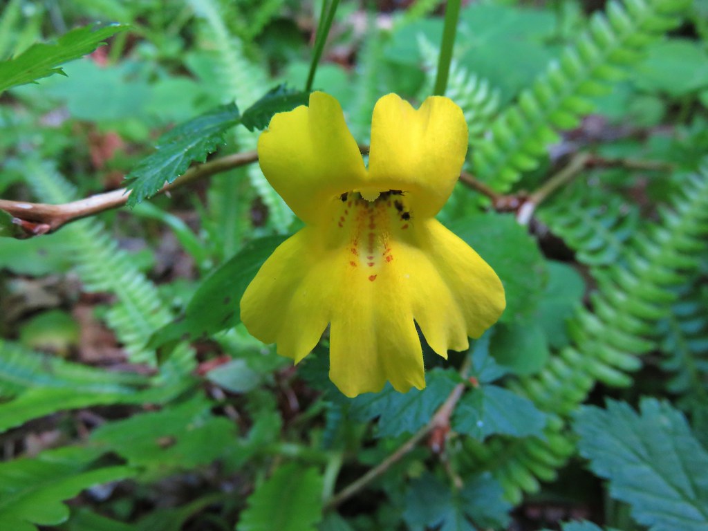
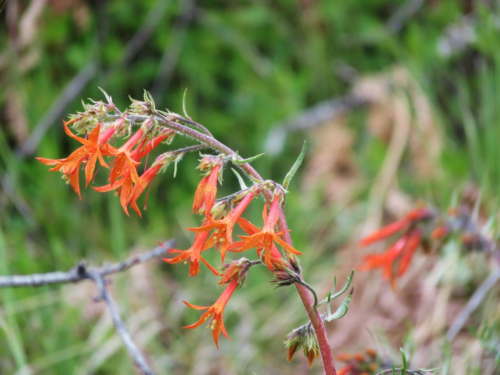
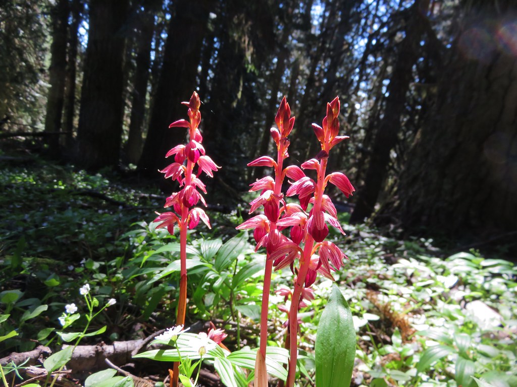
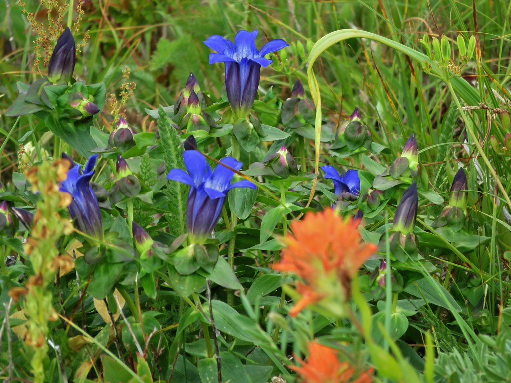
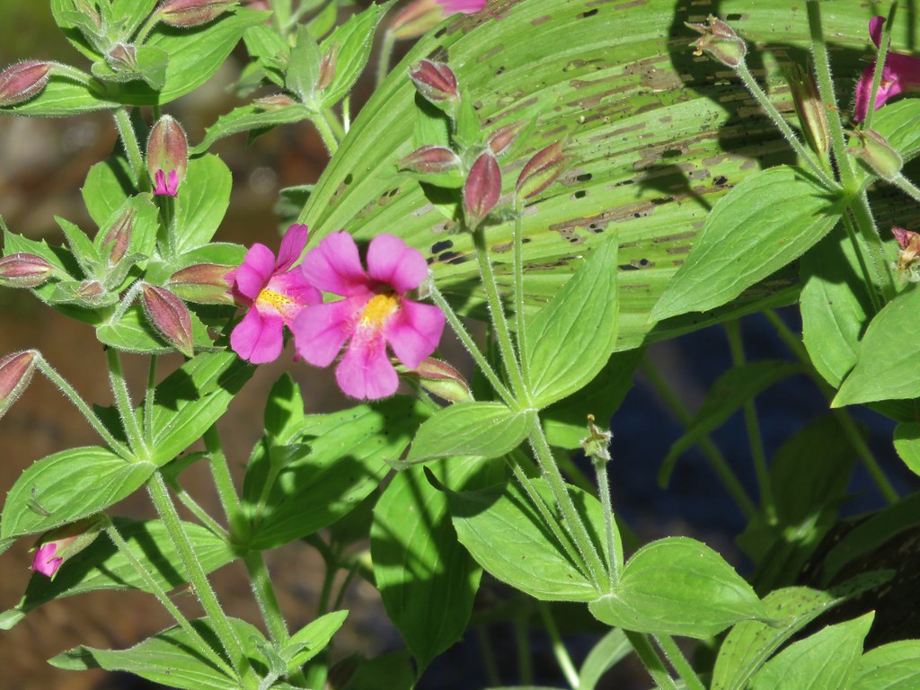
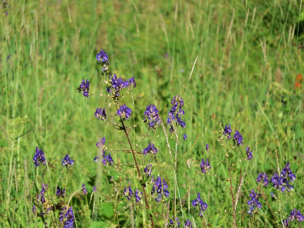
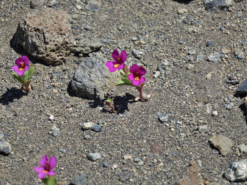
Some of the brightest paintbrush we’d seen was along the hillside below these cliffs as well as some tiny but spectacular Cusick’s monkey flowers.


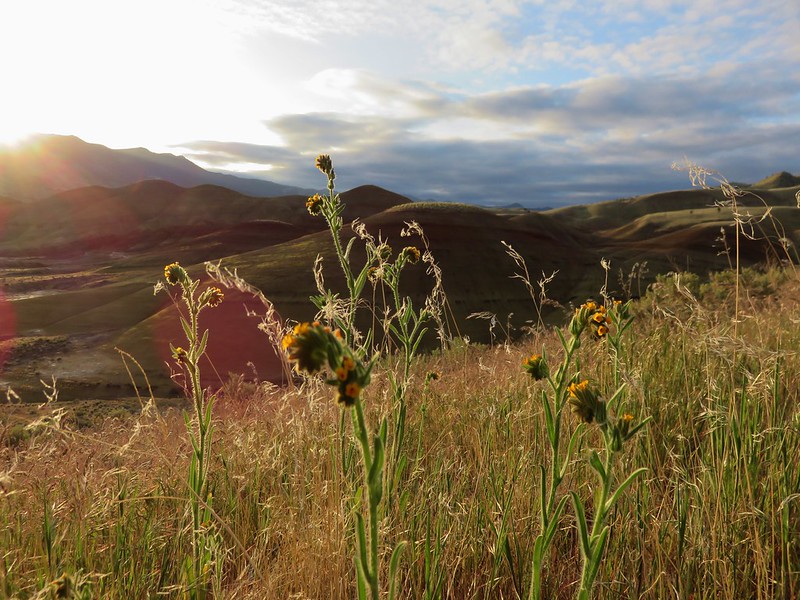
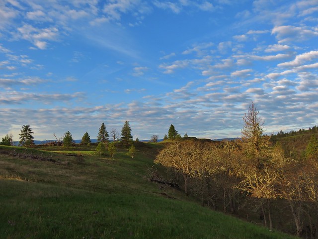
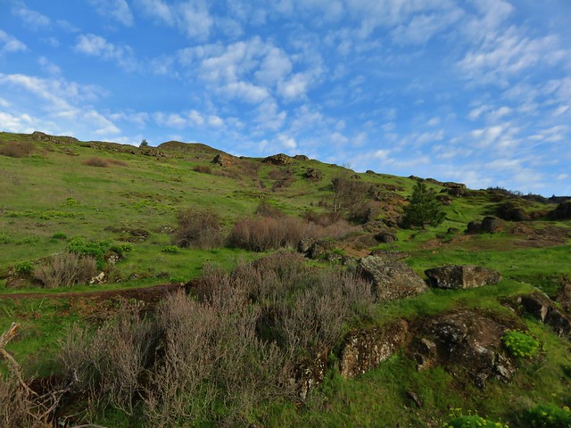
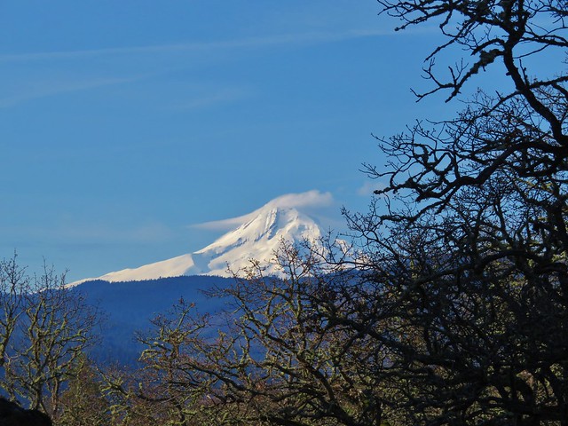
We finished the loop and climbed back out of the canyon. As the views opened up we could see that the mountains had finally managed to shed most of their cloud cover.

We were pleasantly surprised by the amount of flowers along the Scout Camp Trail and fortunate to have had the Steelhead Falls trail all to ourselves. It was a great end to a weekend of wonderful hikes in Central Oregon. Happy Trails!
Flickr: https://www.flickr.com/photos/9319235@N02/albums/72157667267583520