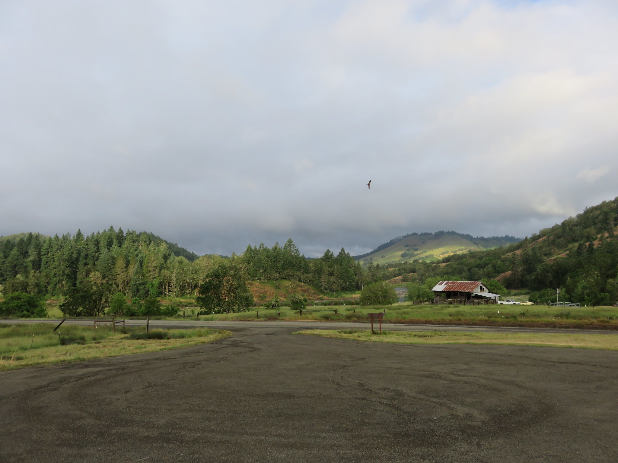
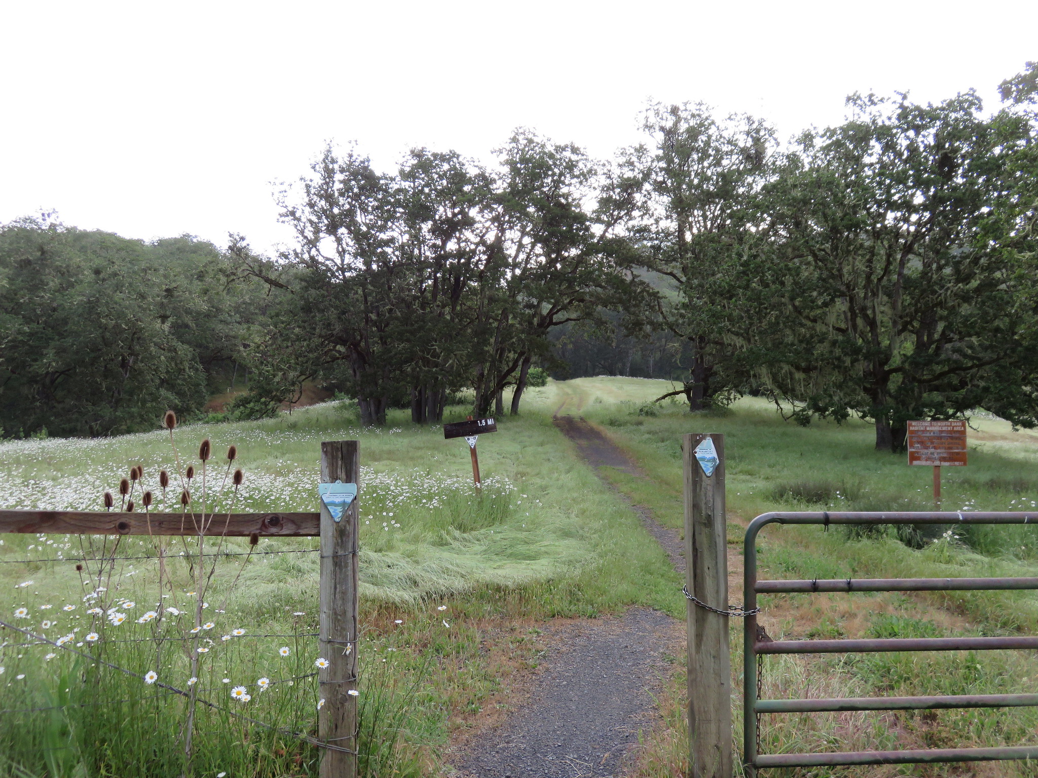
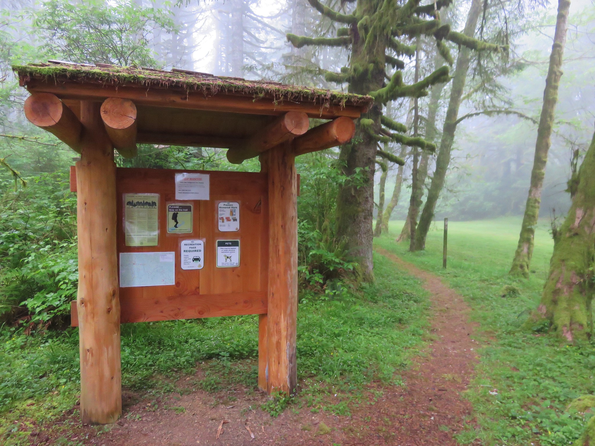
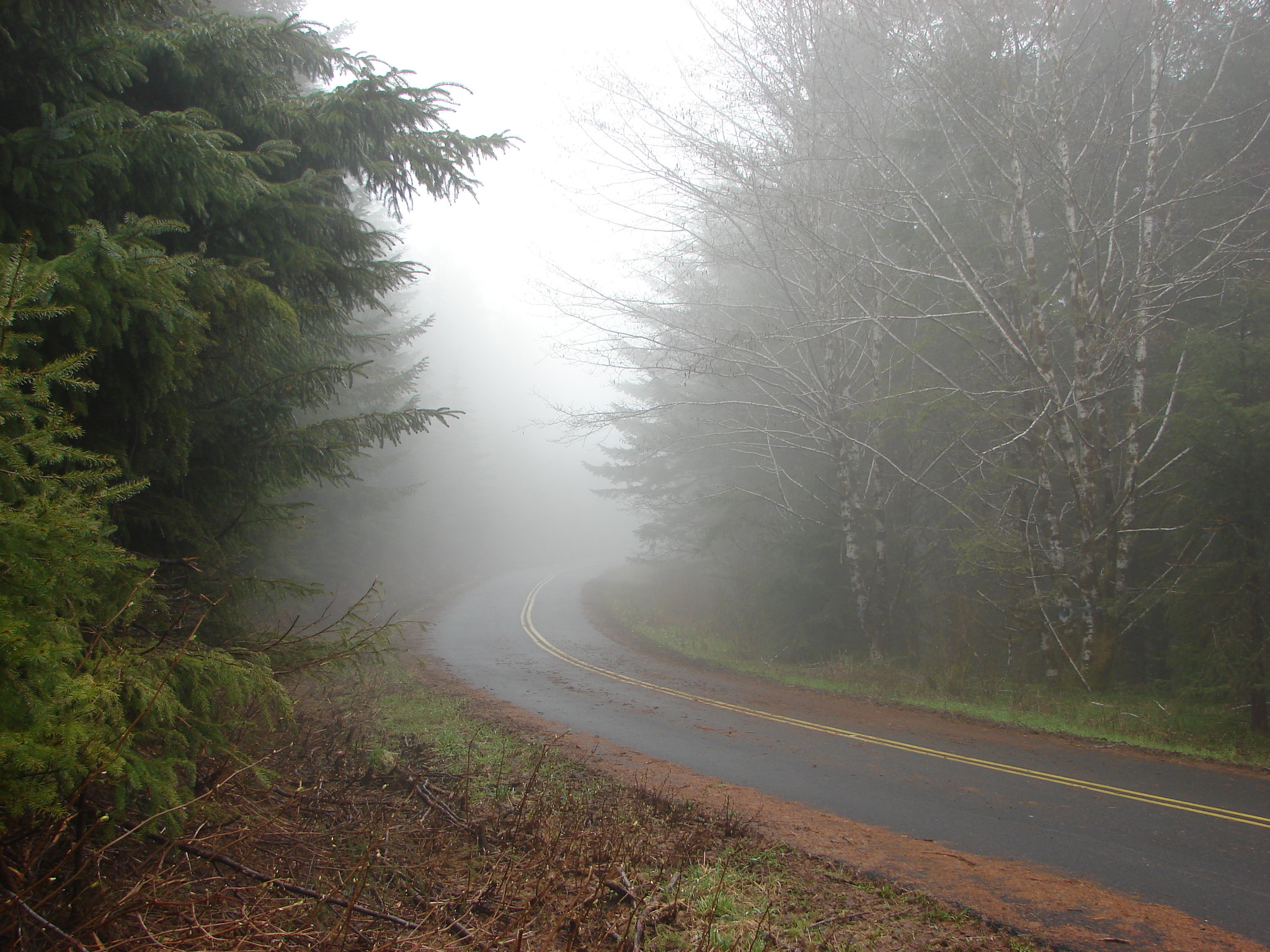
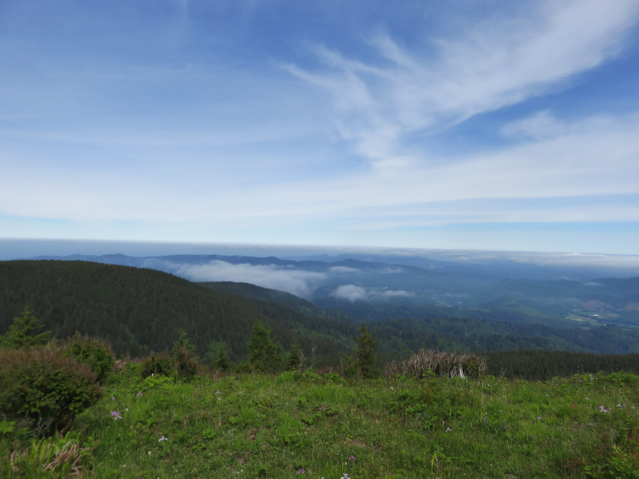
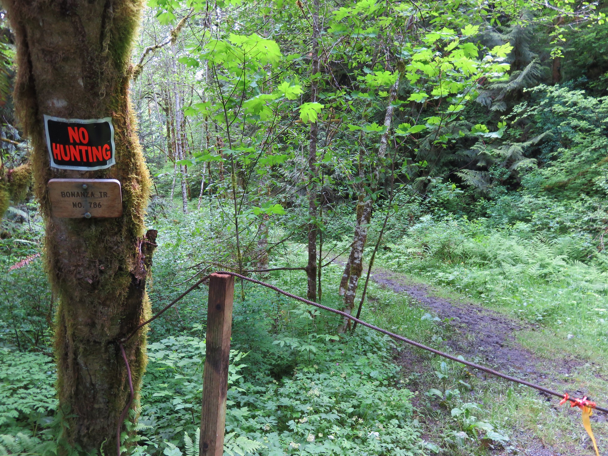
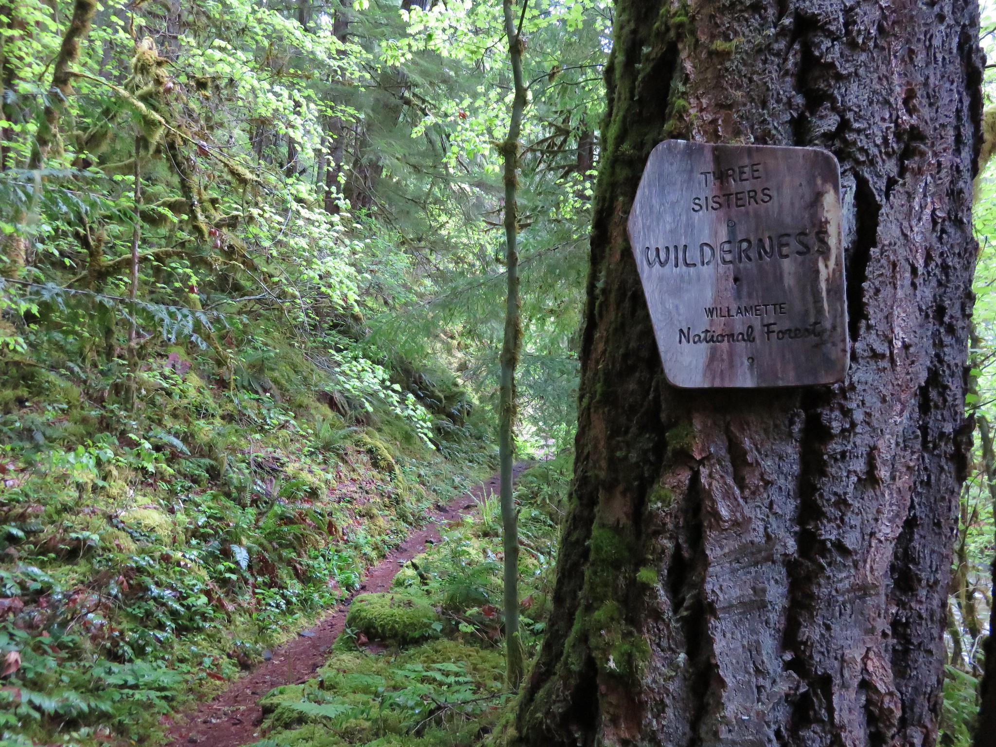
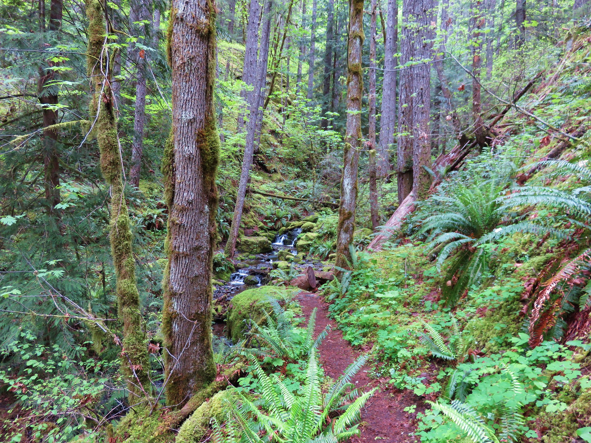
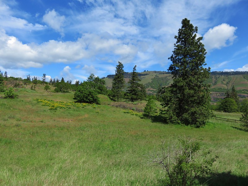
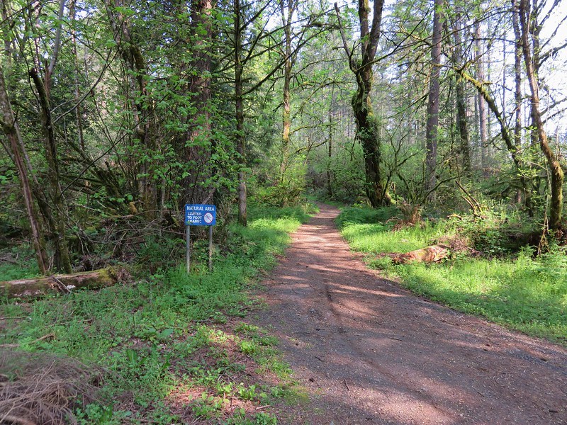
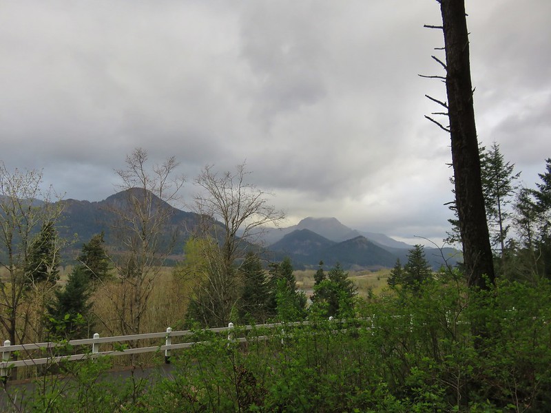
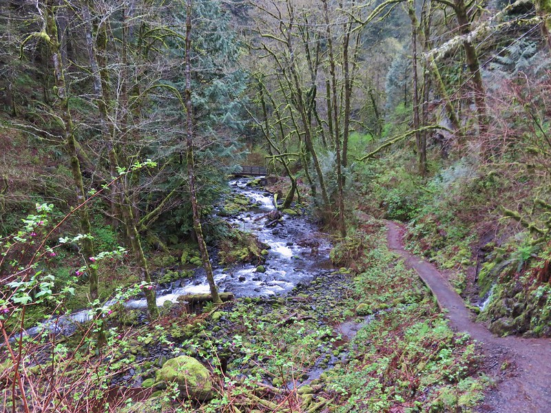
We had originally planned to visit Kentucky Falls a couple of years ago but winter storms damaged the North Fork Smith River Trail causing us to postpone the hike. Much of the trail has since been repaired and we decided that it was finally time for that trip. The North Fork Smith River Trail extends for over 8.5 miles between two trailheads in the Siuslaw National Forest west of Eugene, OR. We chose the Kentucky Falls Trailhead located on National Forest Road 919 as our starting point for a couple of reasons. First of all the three large waterfalls along the trail are closer to this trailhead and secondly the storms that damaged the trail had also damaged the 1 1/2 mile bridge (Named for its distance from the North Fork Smith Trailhead on forest road 23.) making it unsafe to cross and leaving a river ford as the only way to continue past on the trail.
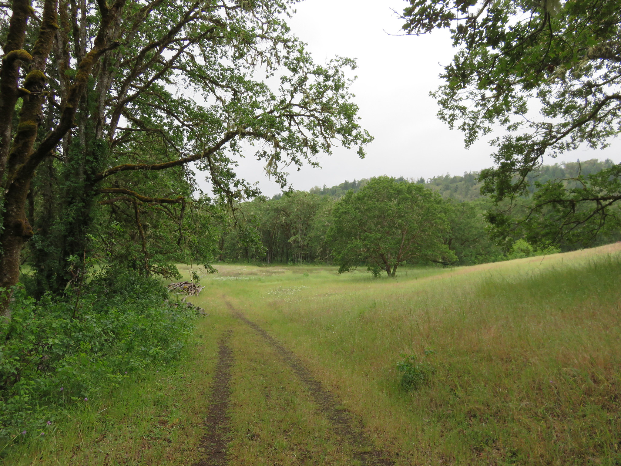
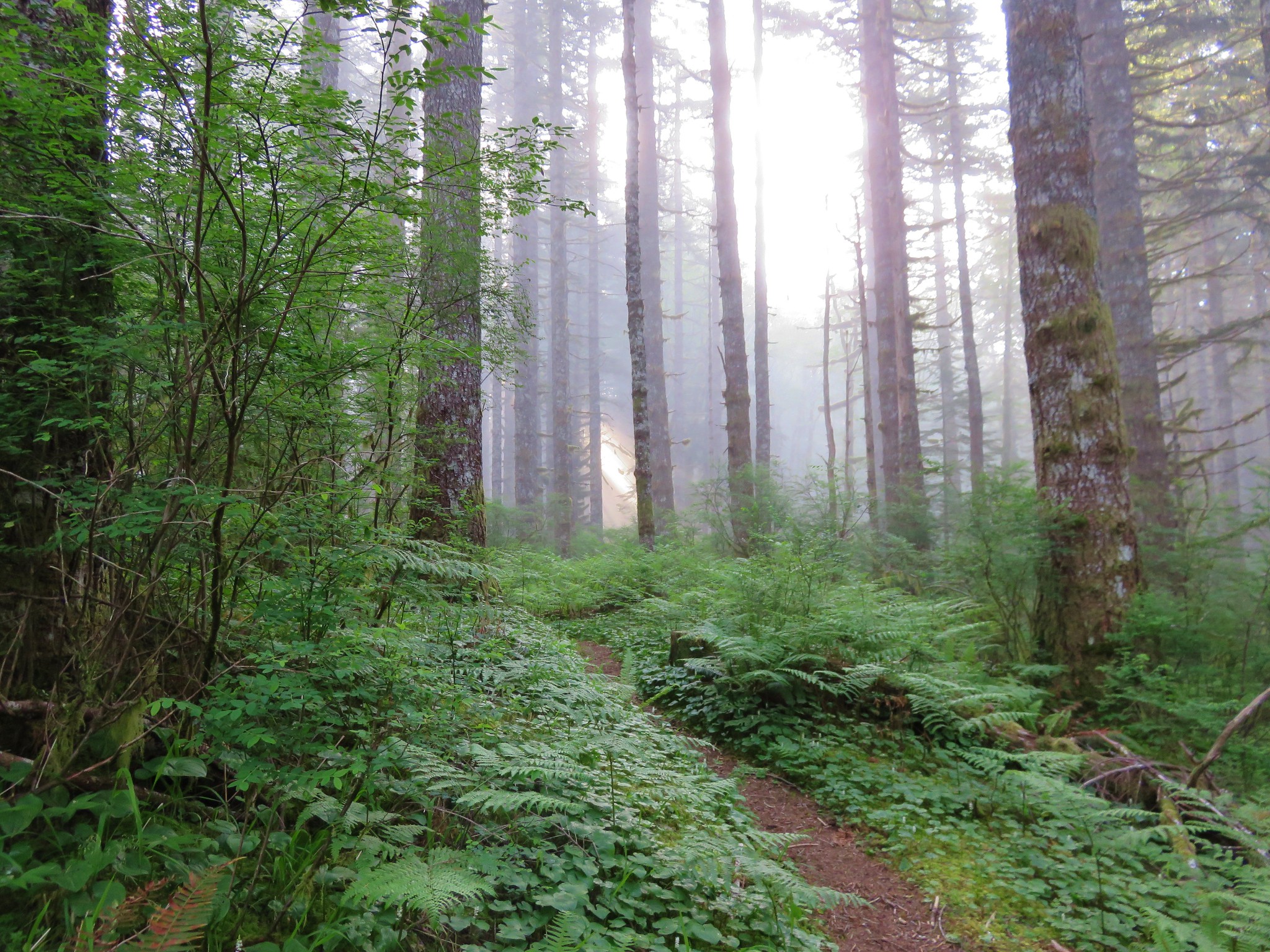
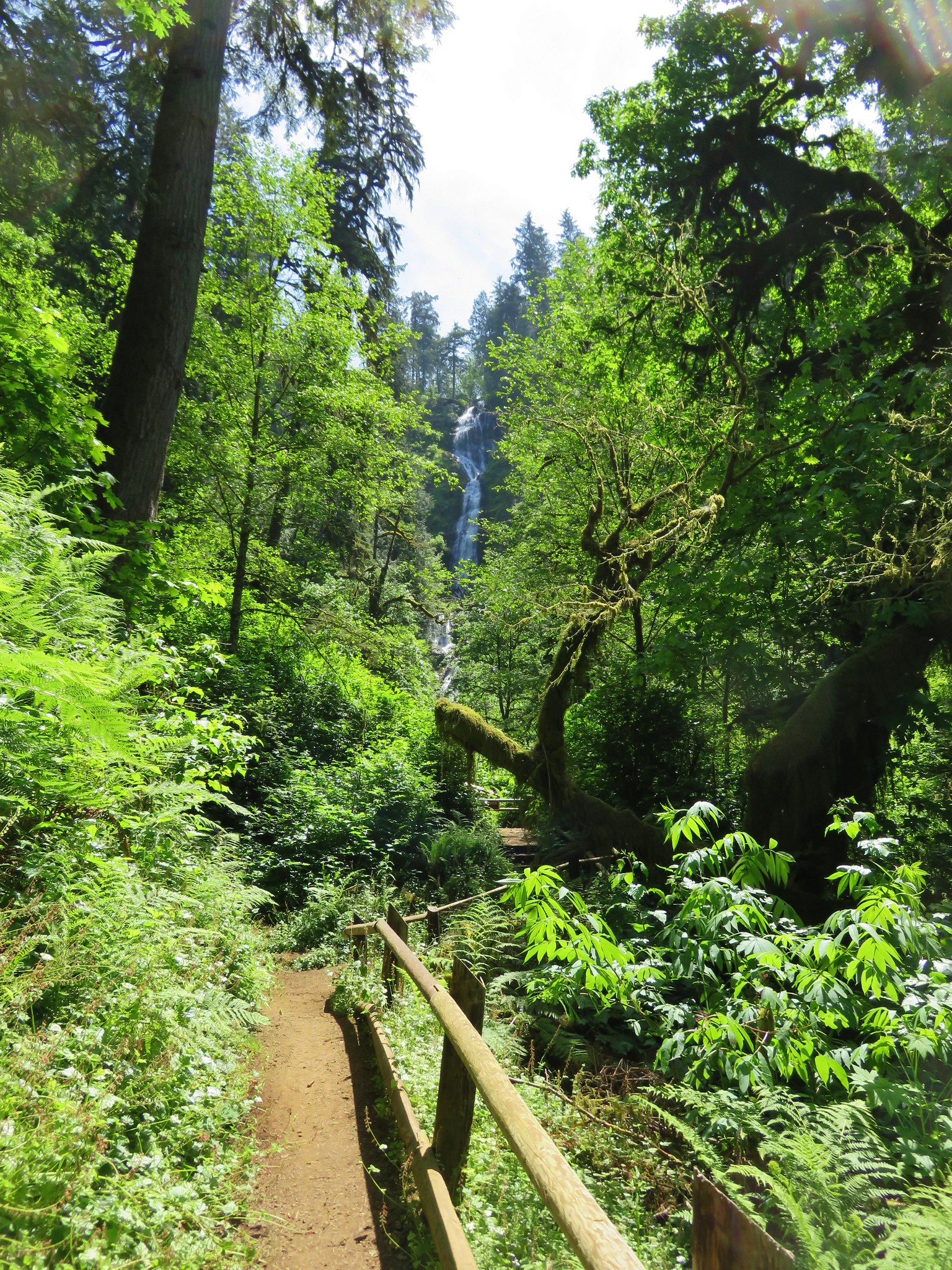
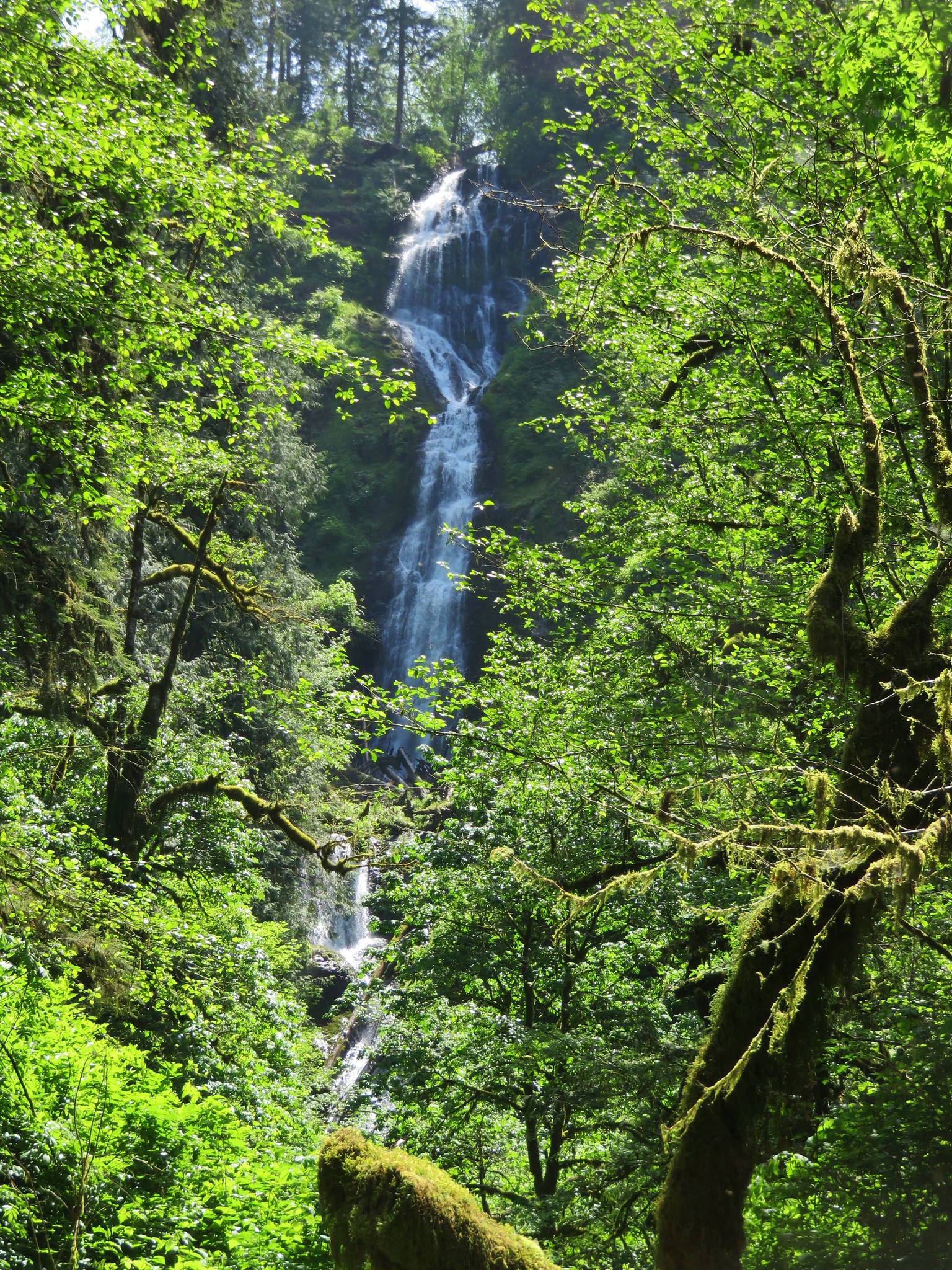
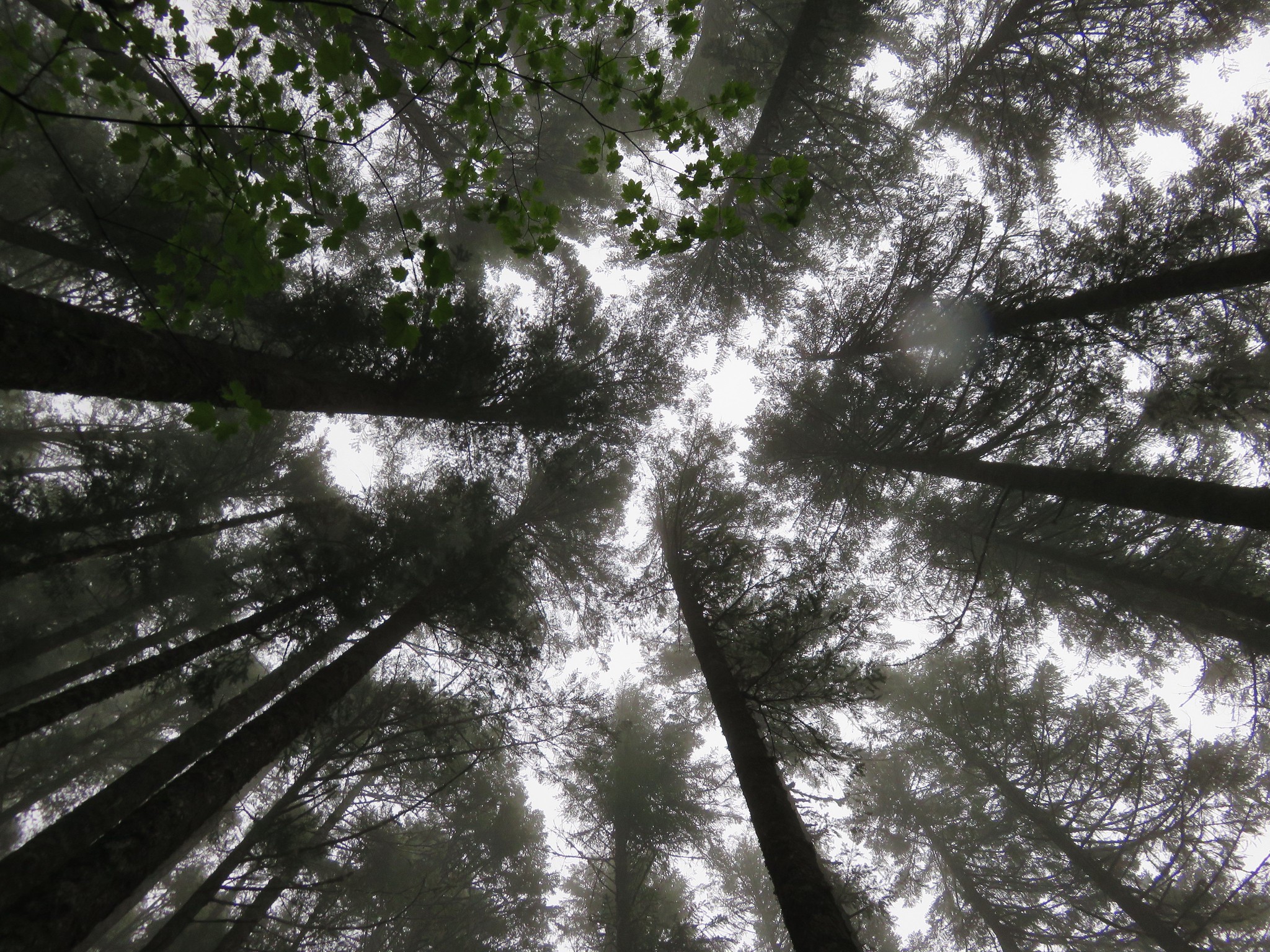
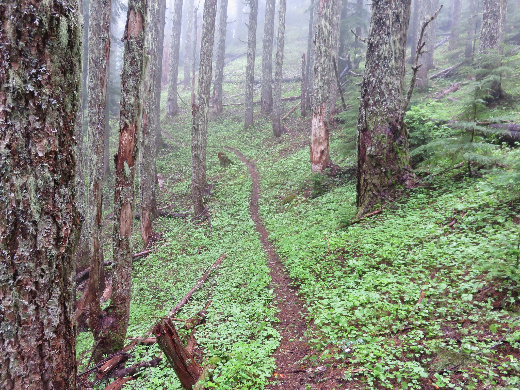
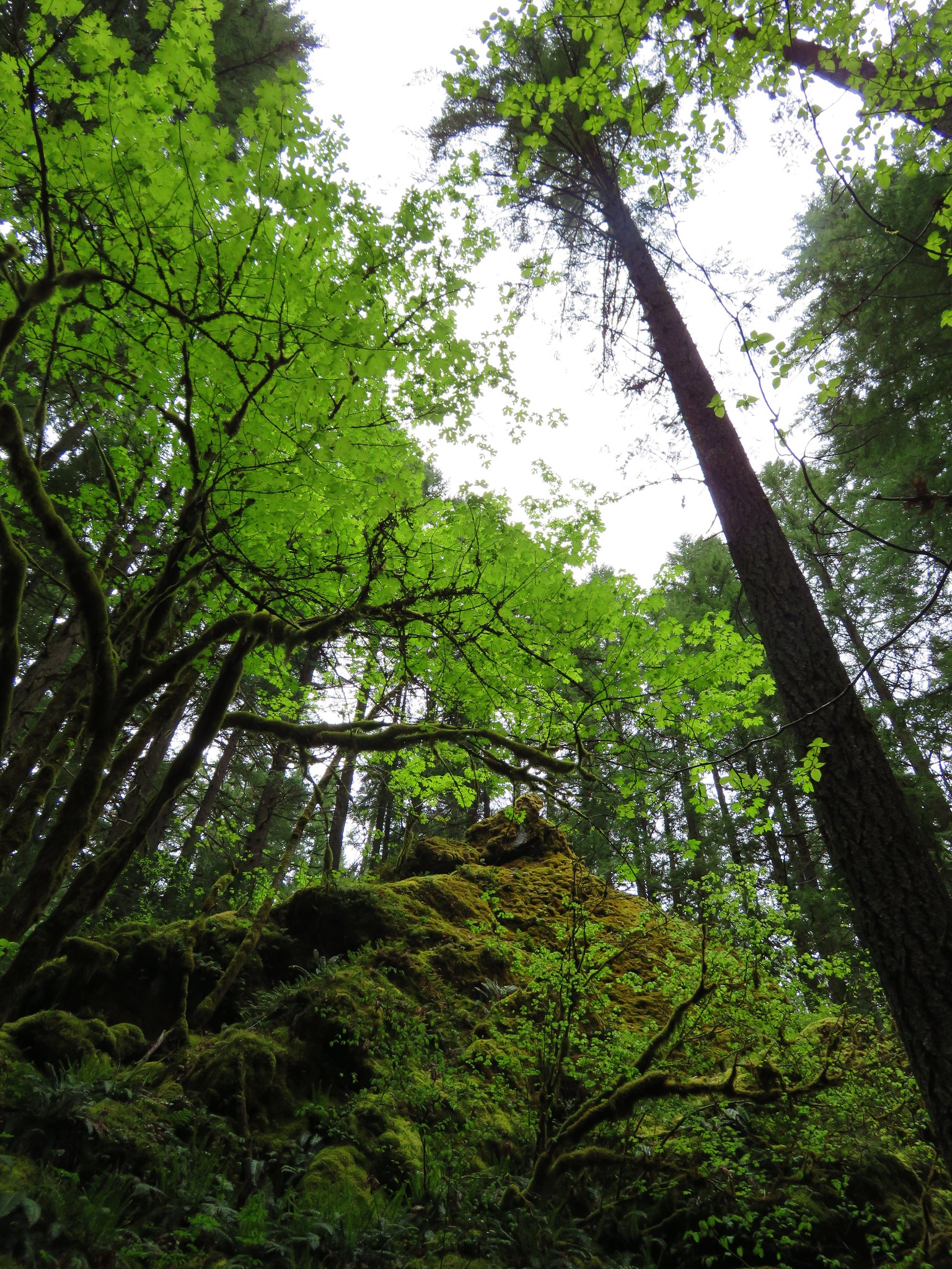
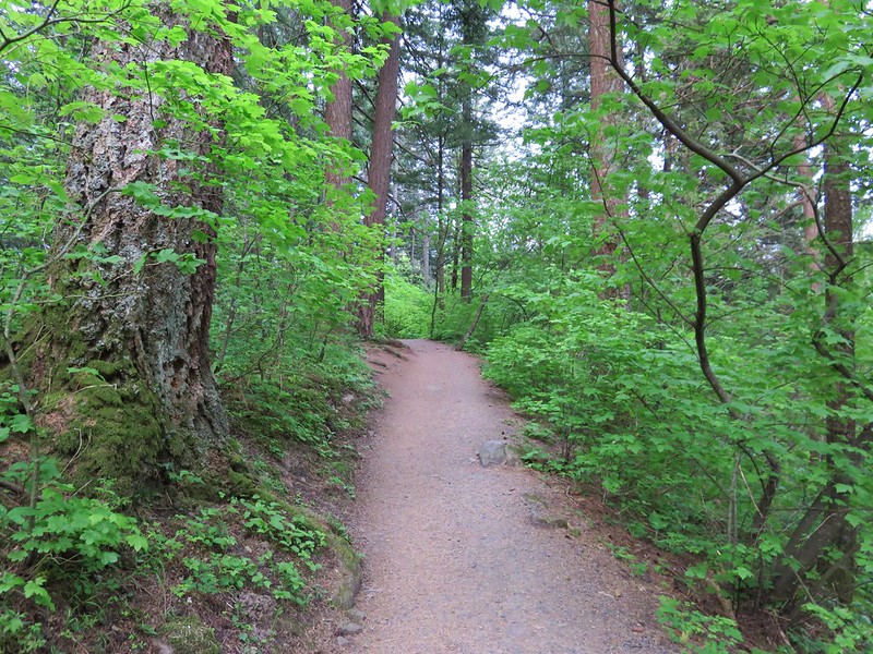
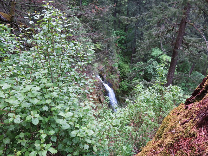
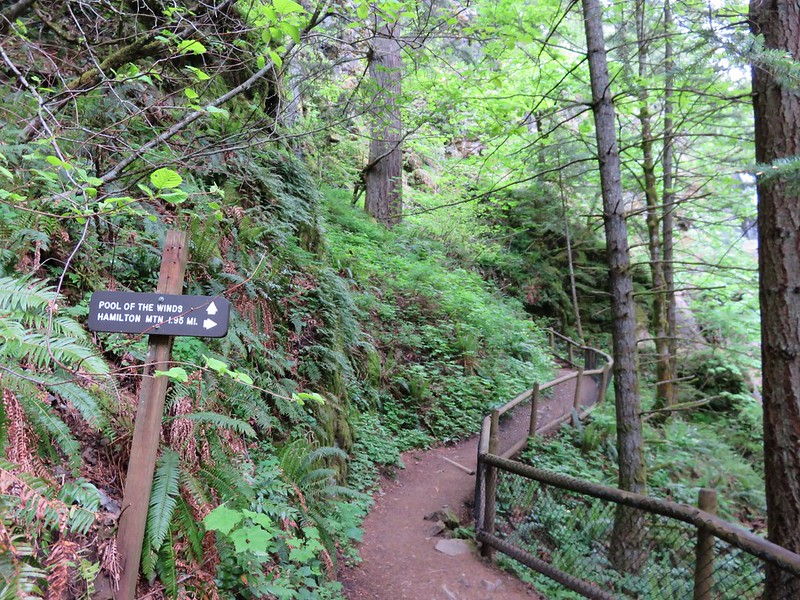
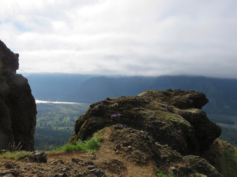
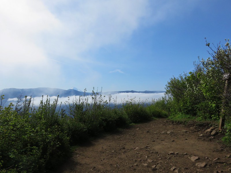
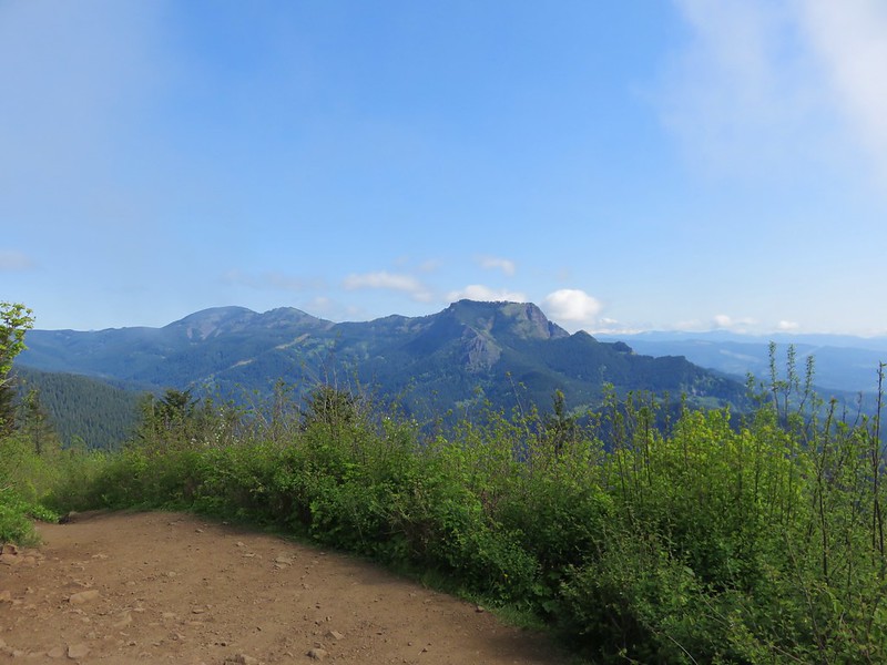
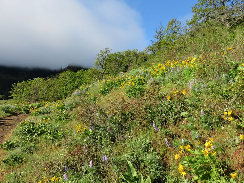
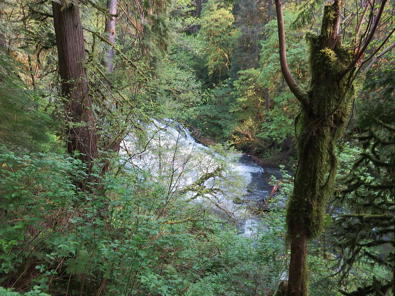
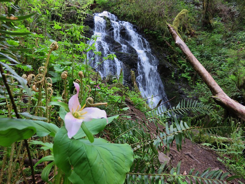
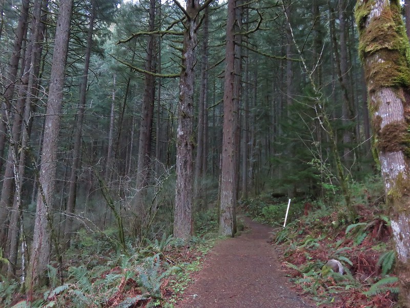
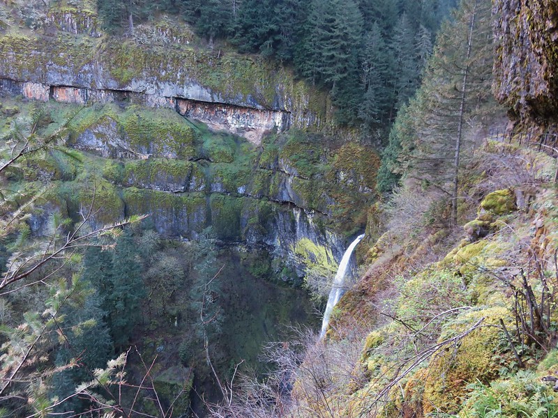
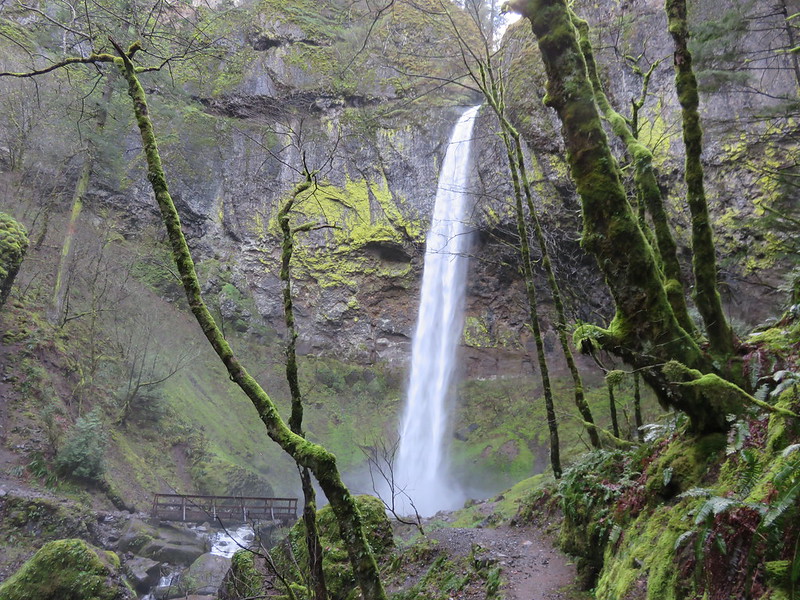
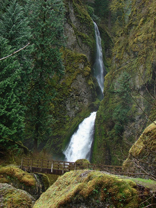
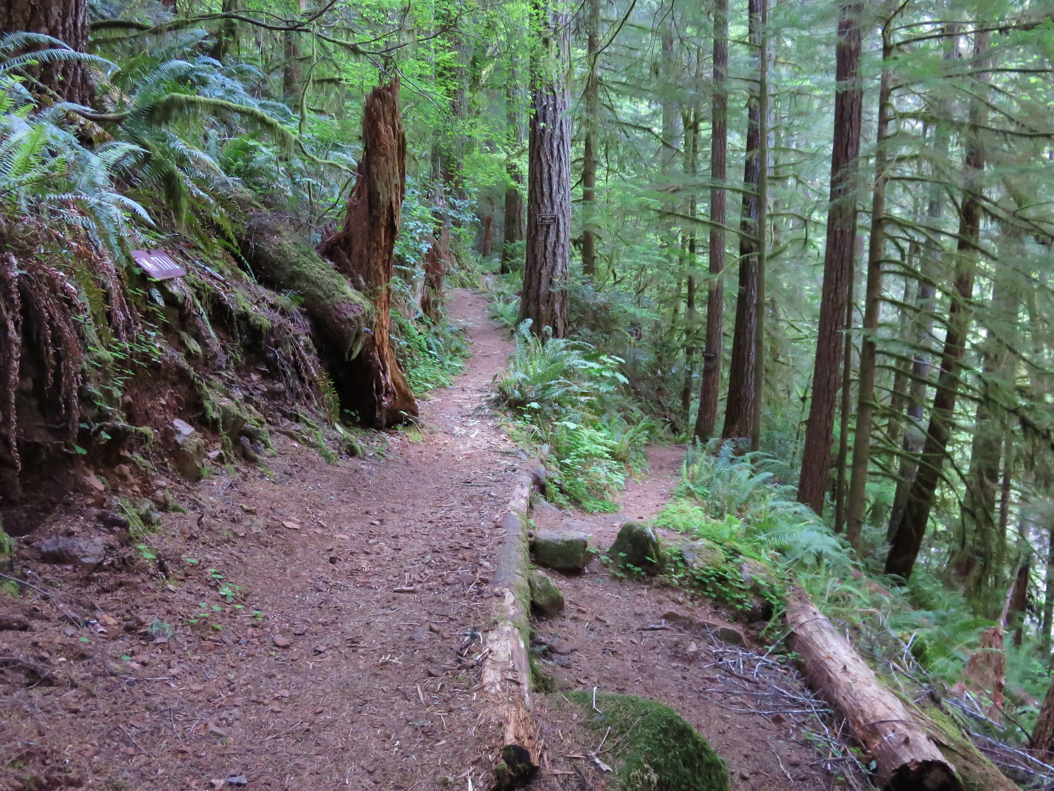
From the Kentucky Falls Trailhead the path gradually descends through the forest to a view above Upper Kentucky Falls.
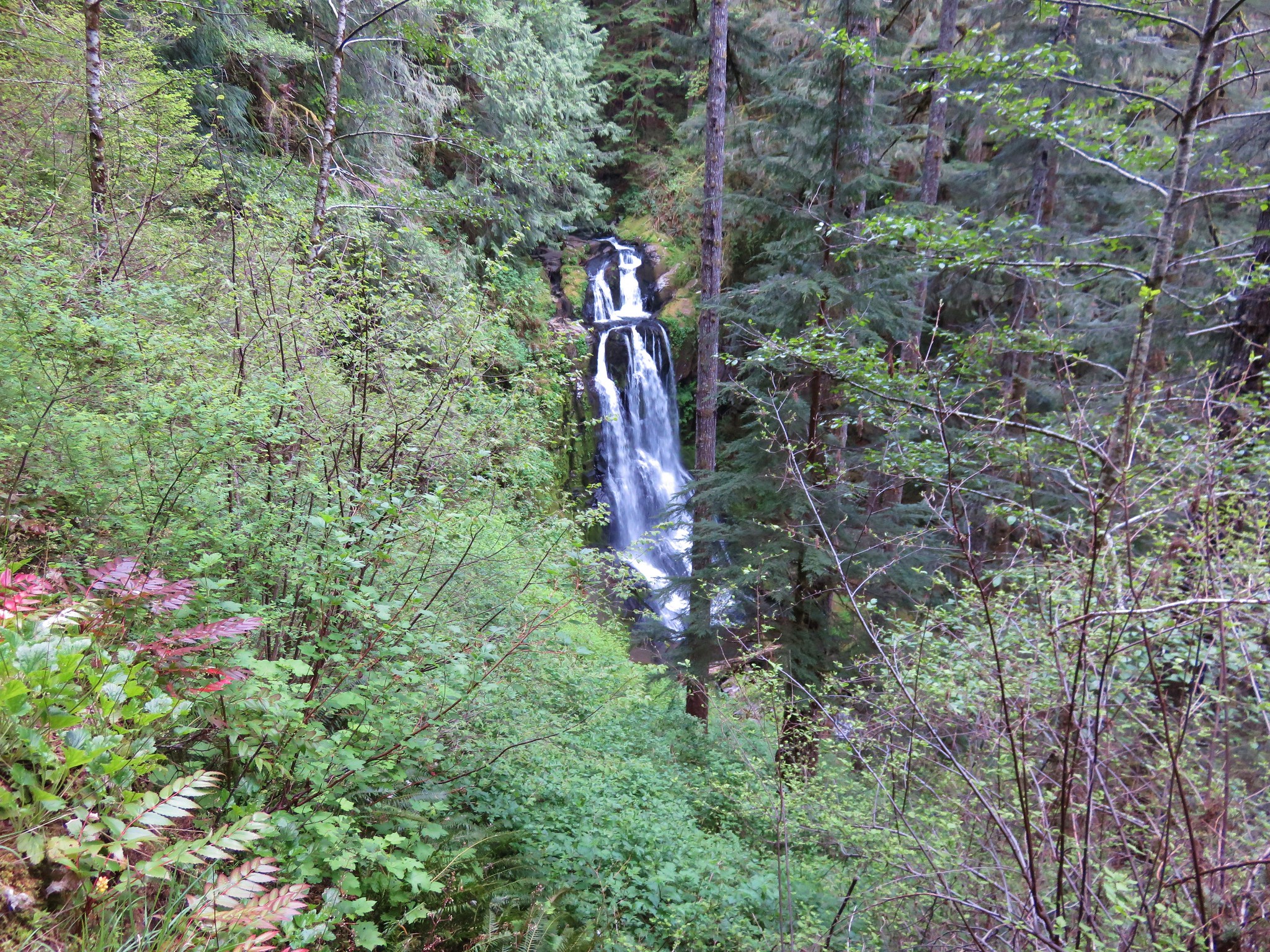
The trail then begins a steeper descent as it switchbacks down to Kentucky Creek below the falls.
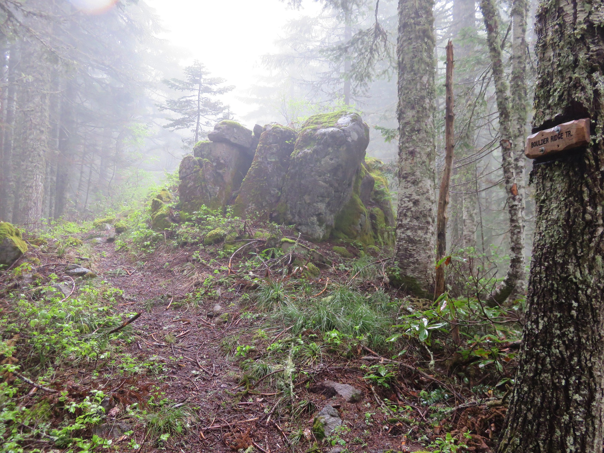
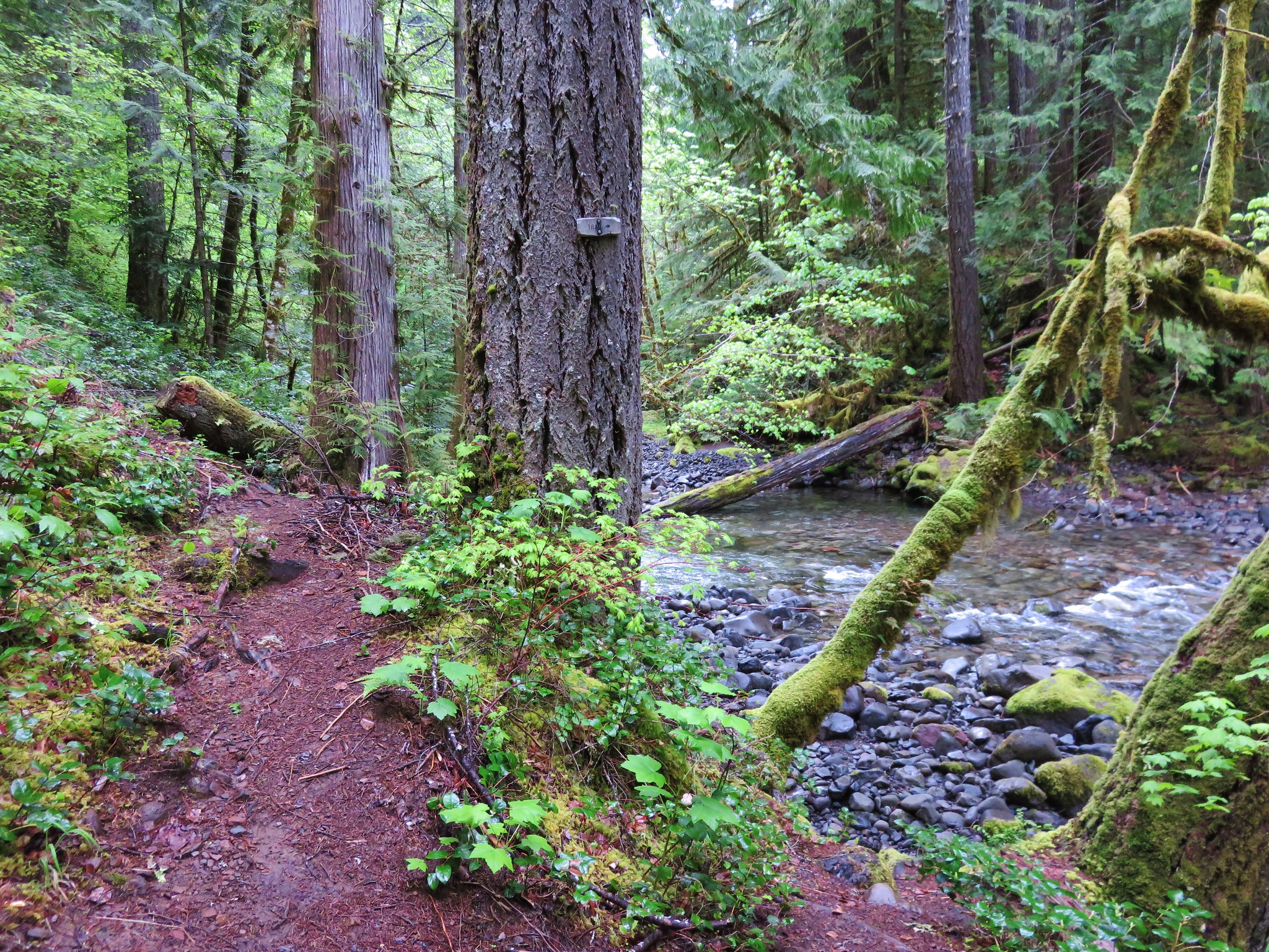
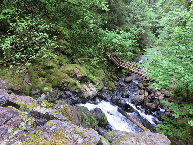
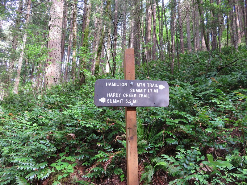
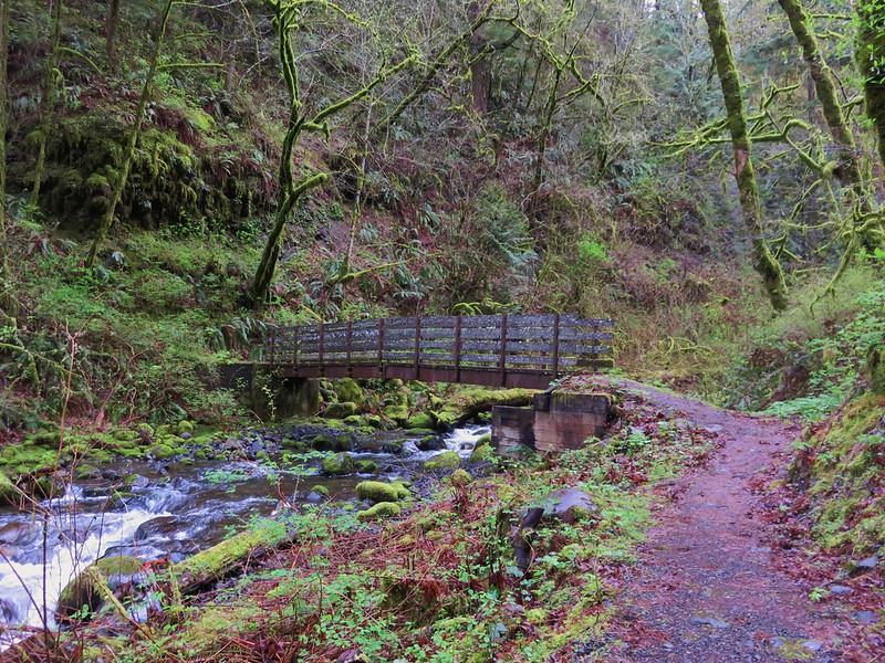
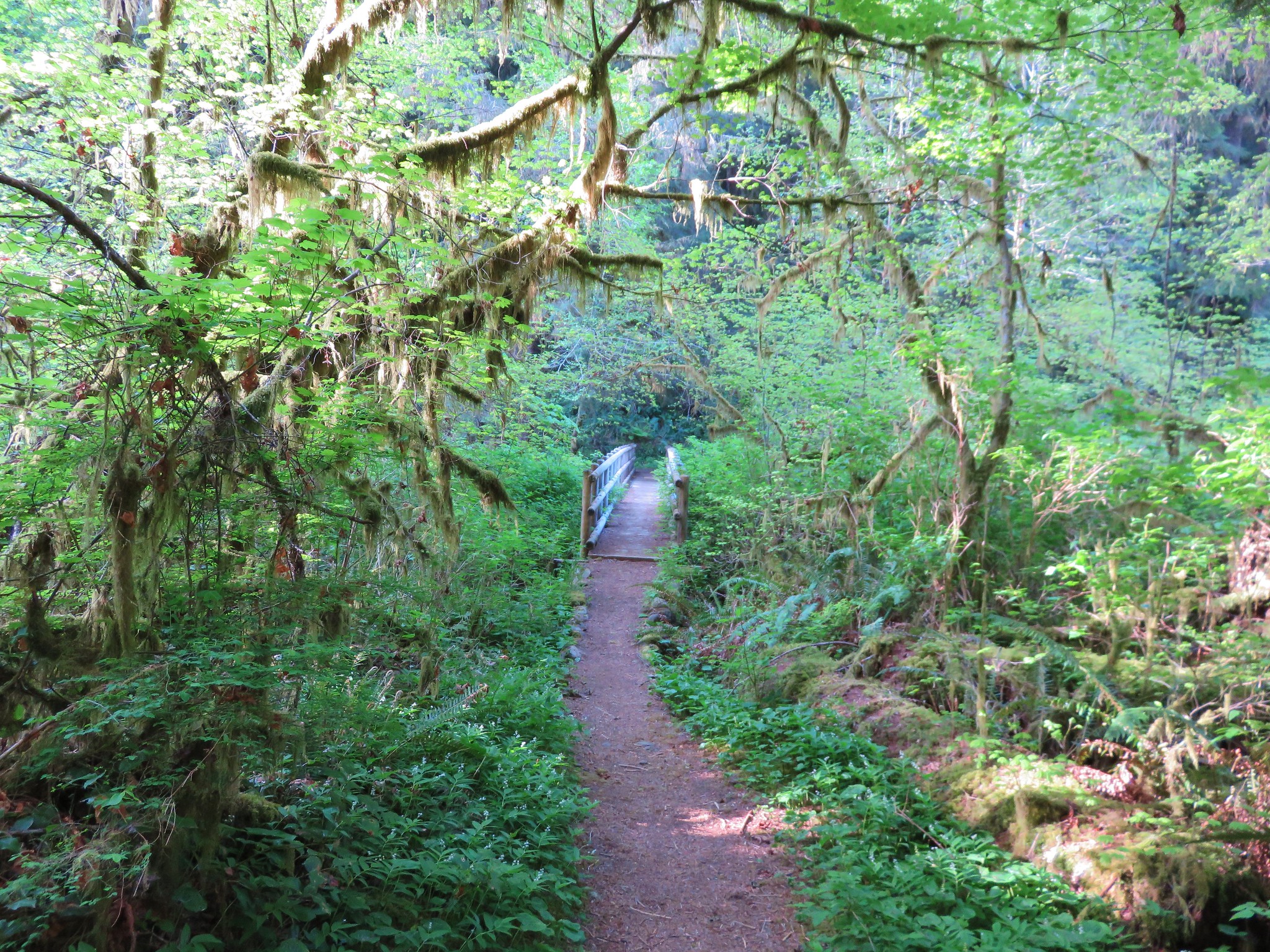
The trail again descends gradually crossing the creek on a footbridge before a second set of swtichbacks brings you to a trail junction at a sharp switchback.
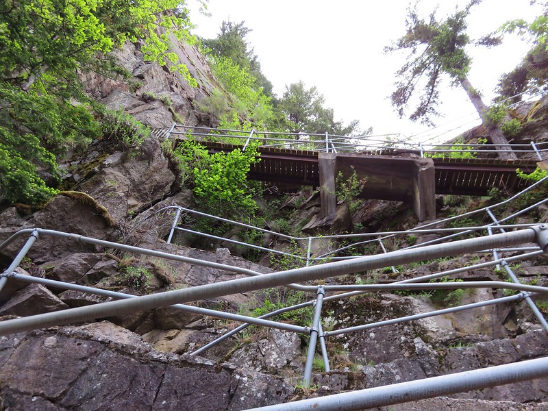
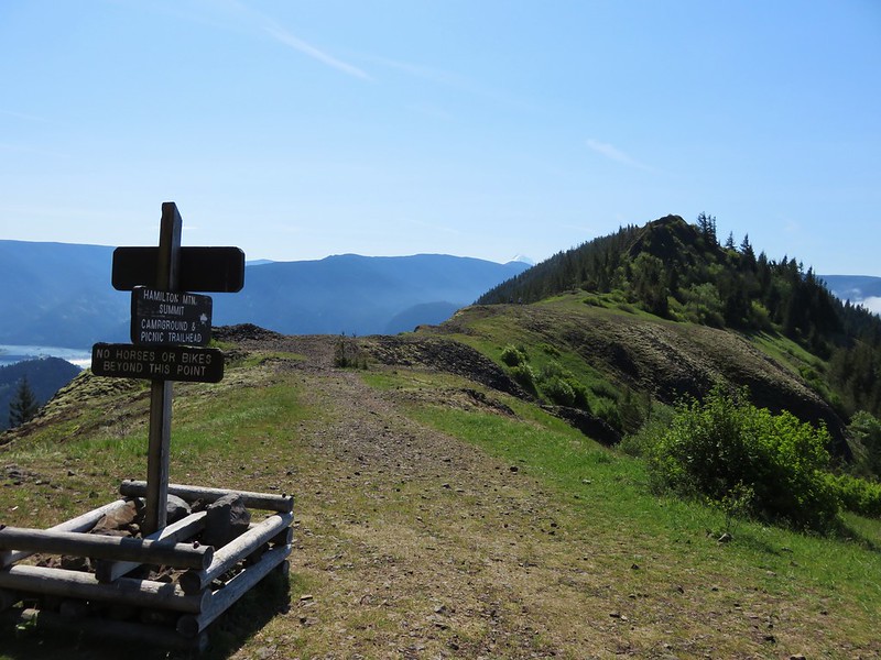
Sharp switchback
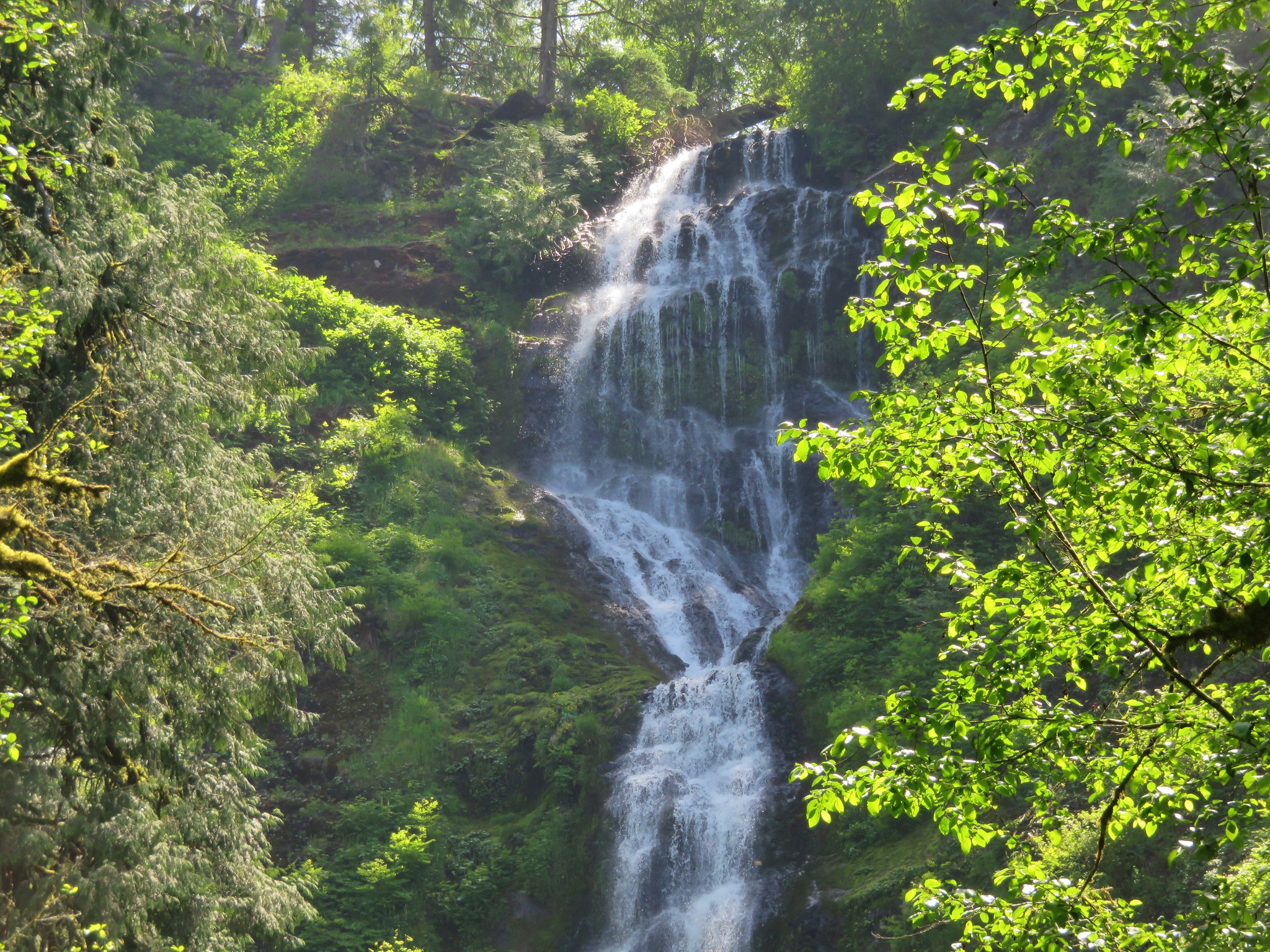
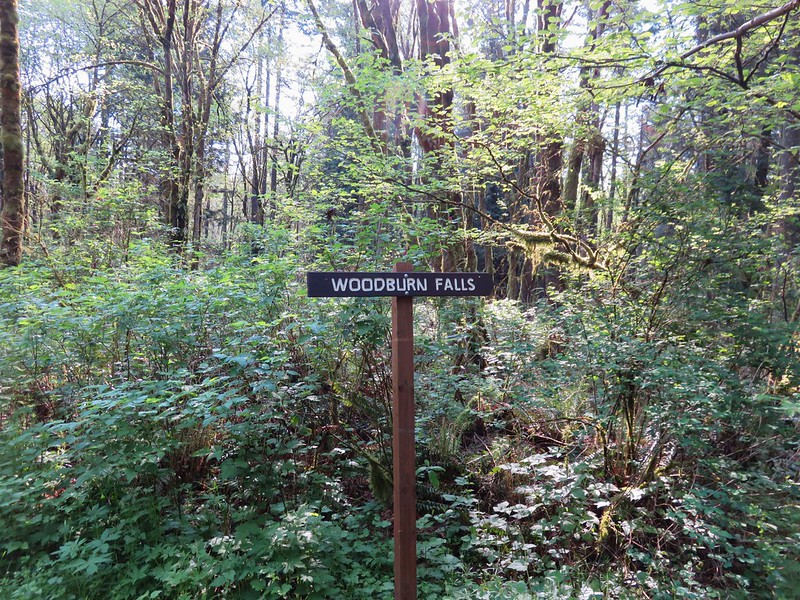
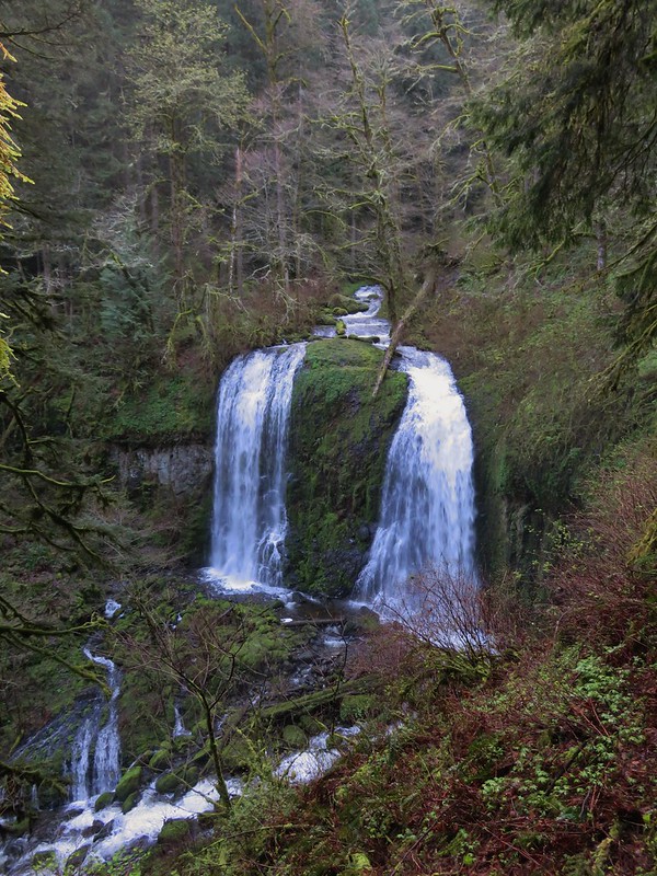
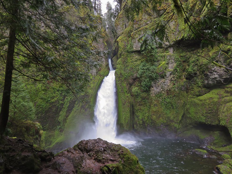
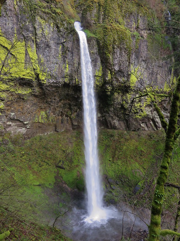
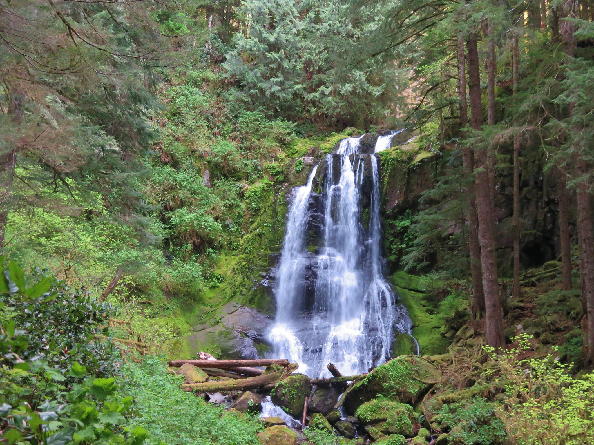
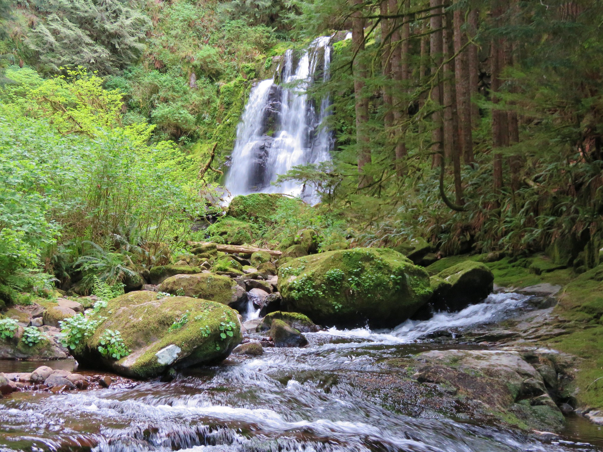
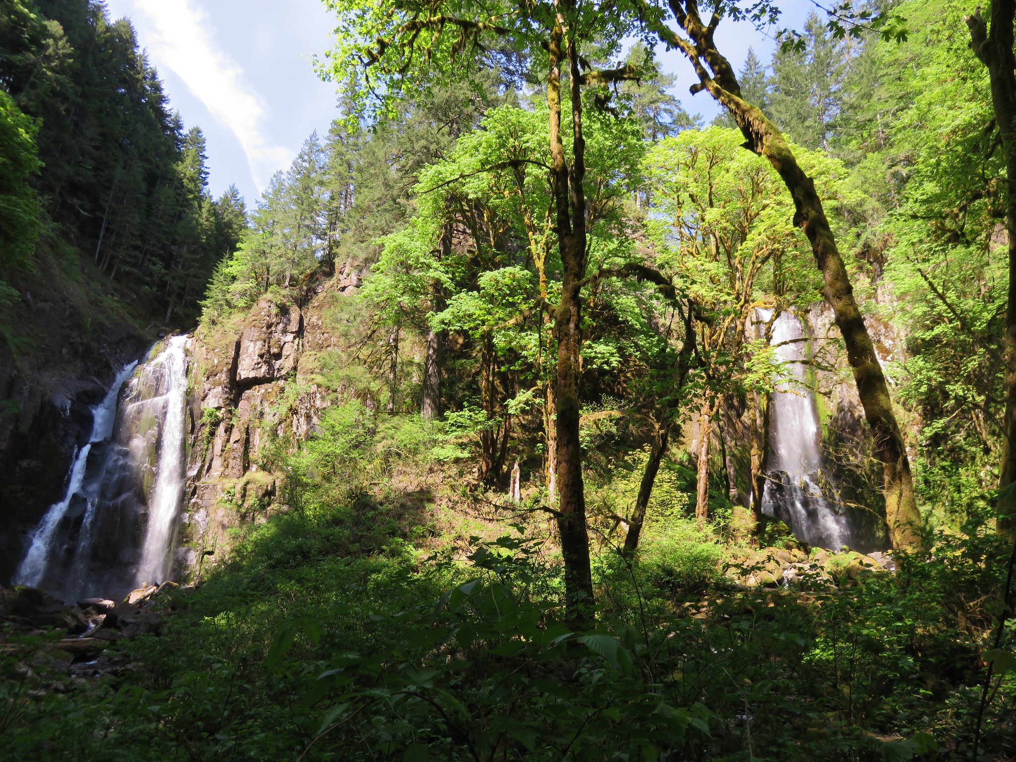
The switchback is the continuation of the North Fork Smith River Trail and the route for a longer hike. A short path leading straight from the switchback junction leads a short distance to two more large falls. Lower Kentucky Falls and North Fork Falls.
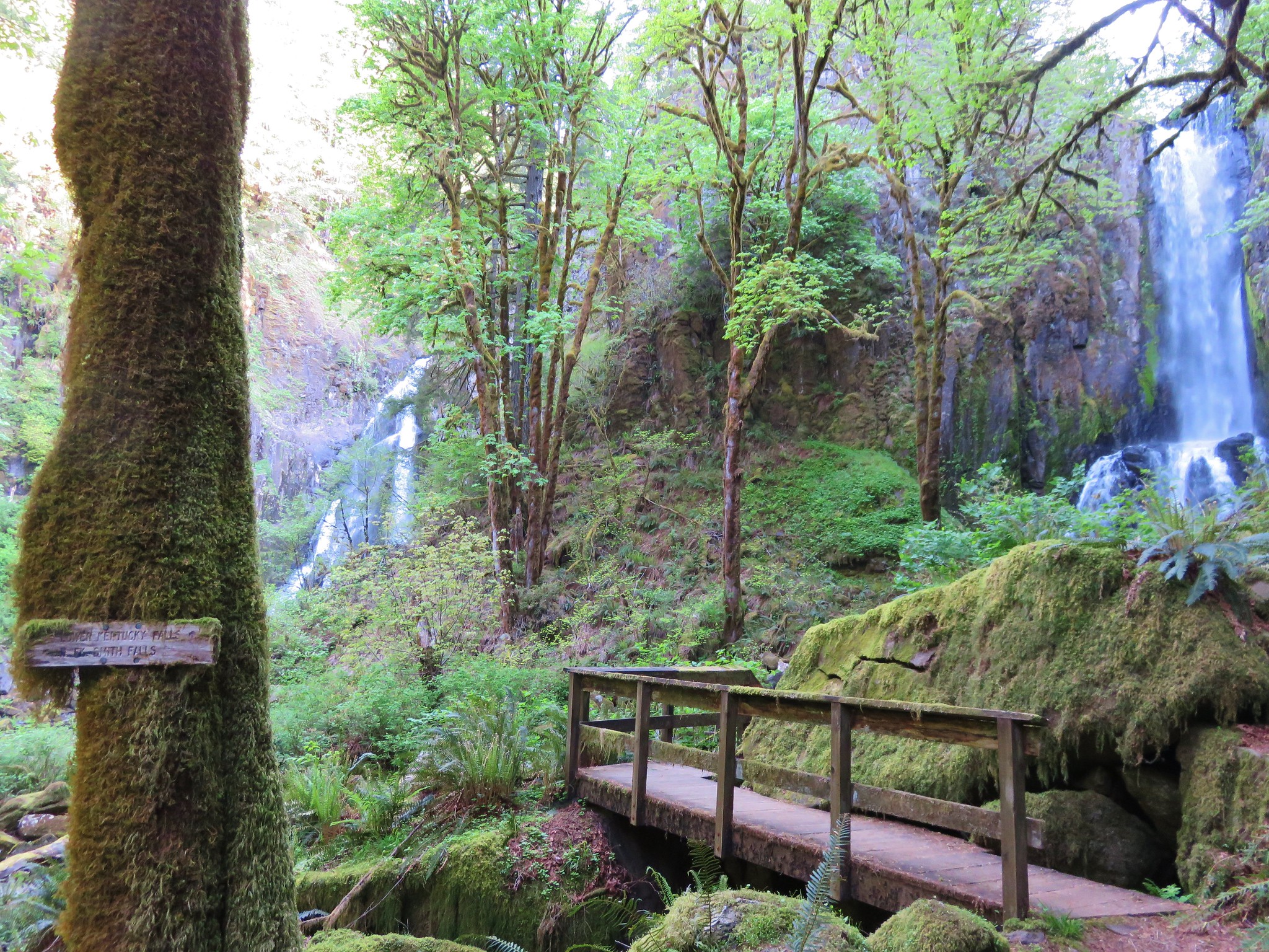
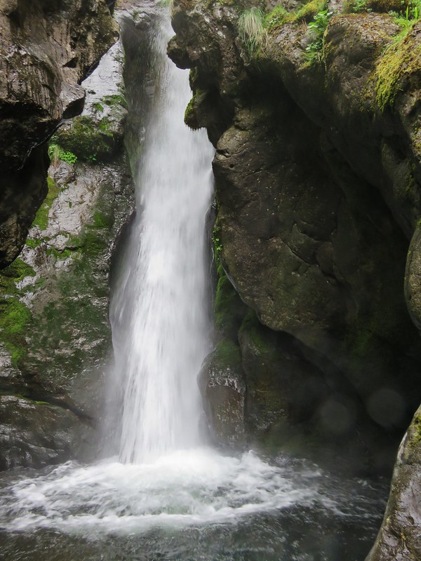
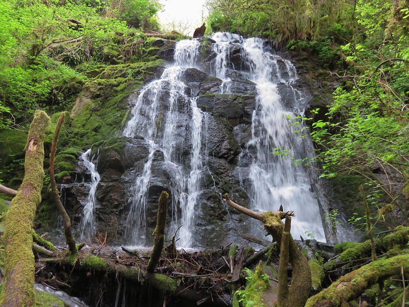
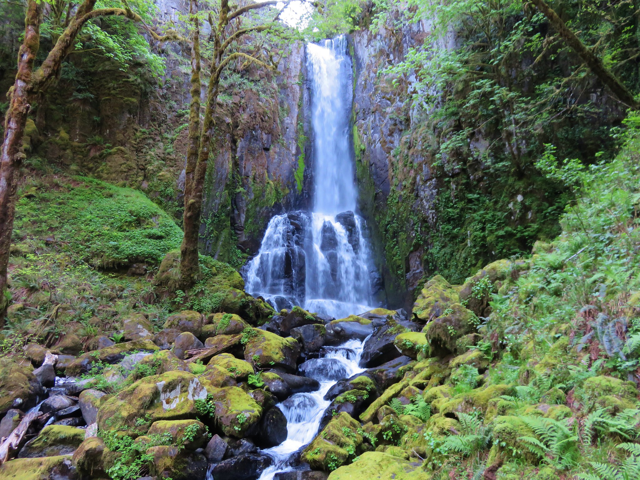
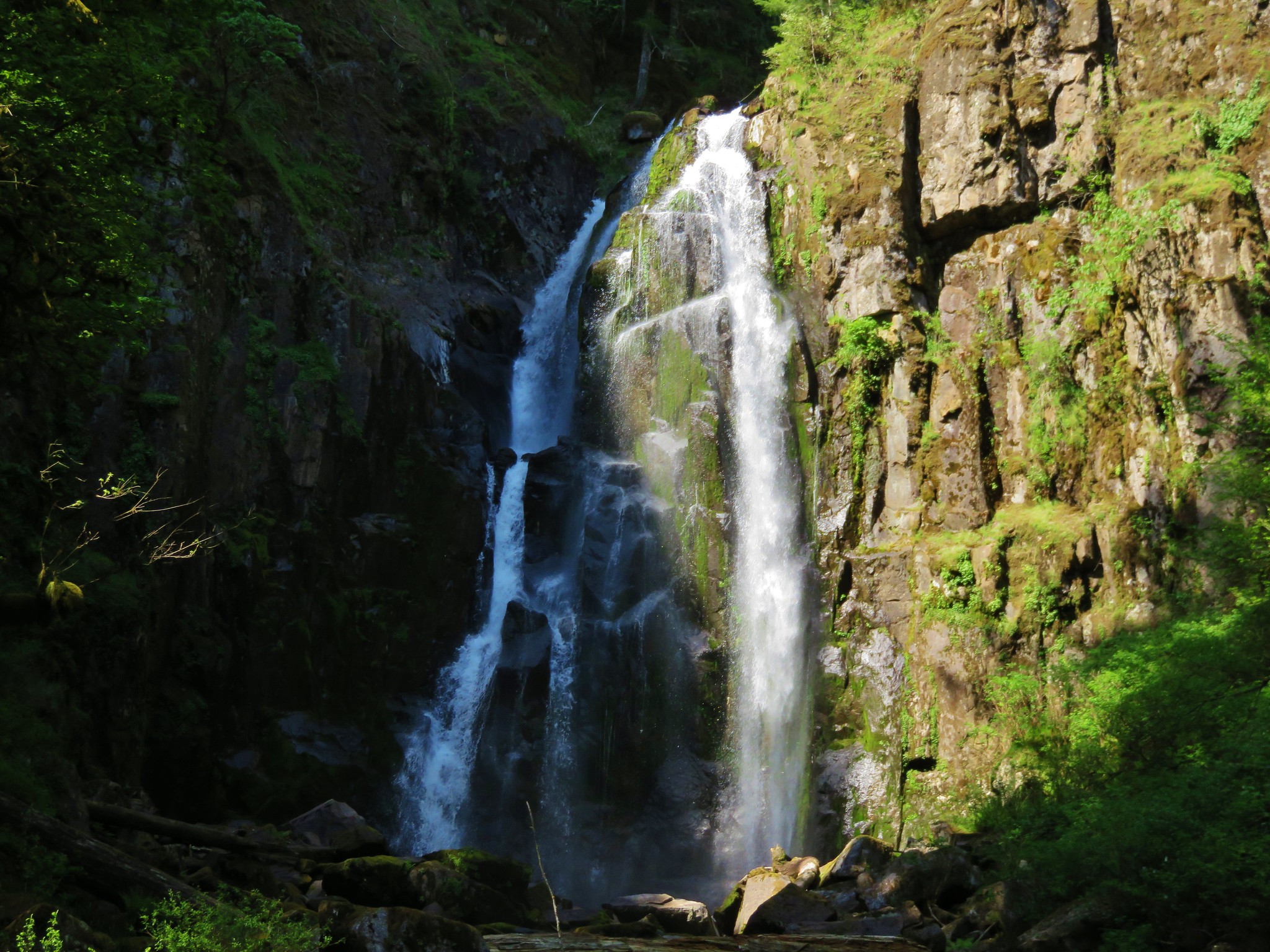
Lower Kentucky Falls
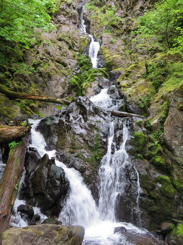
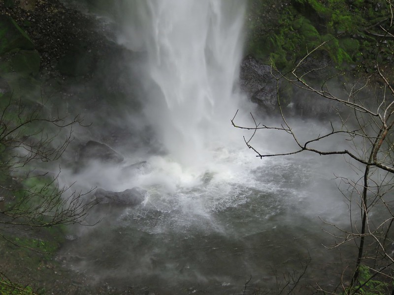
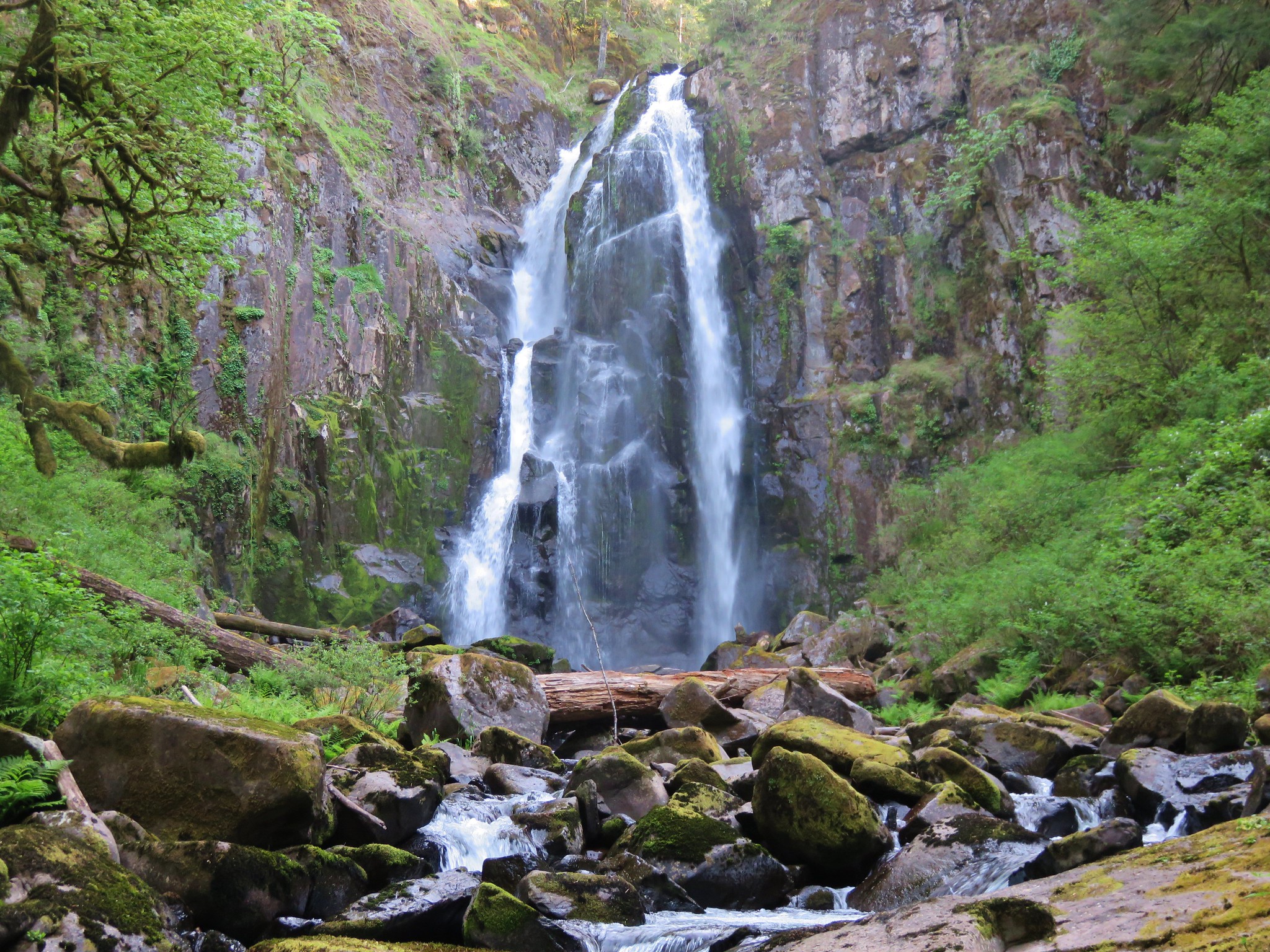
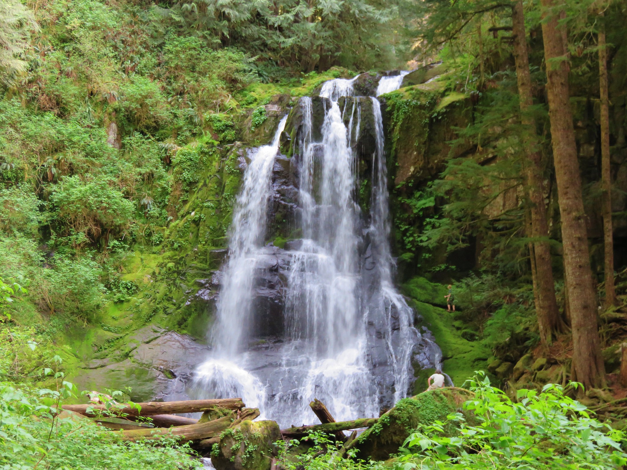
North Fork Falls
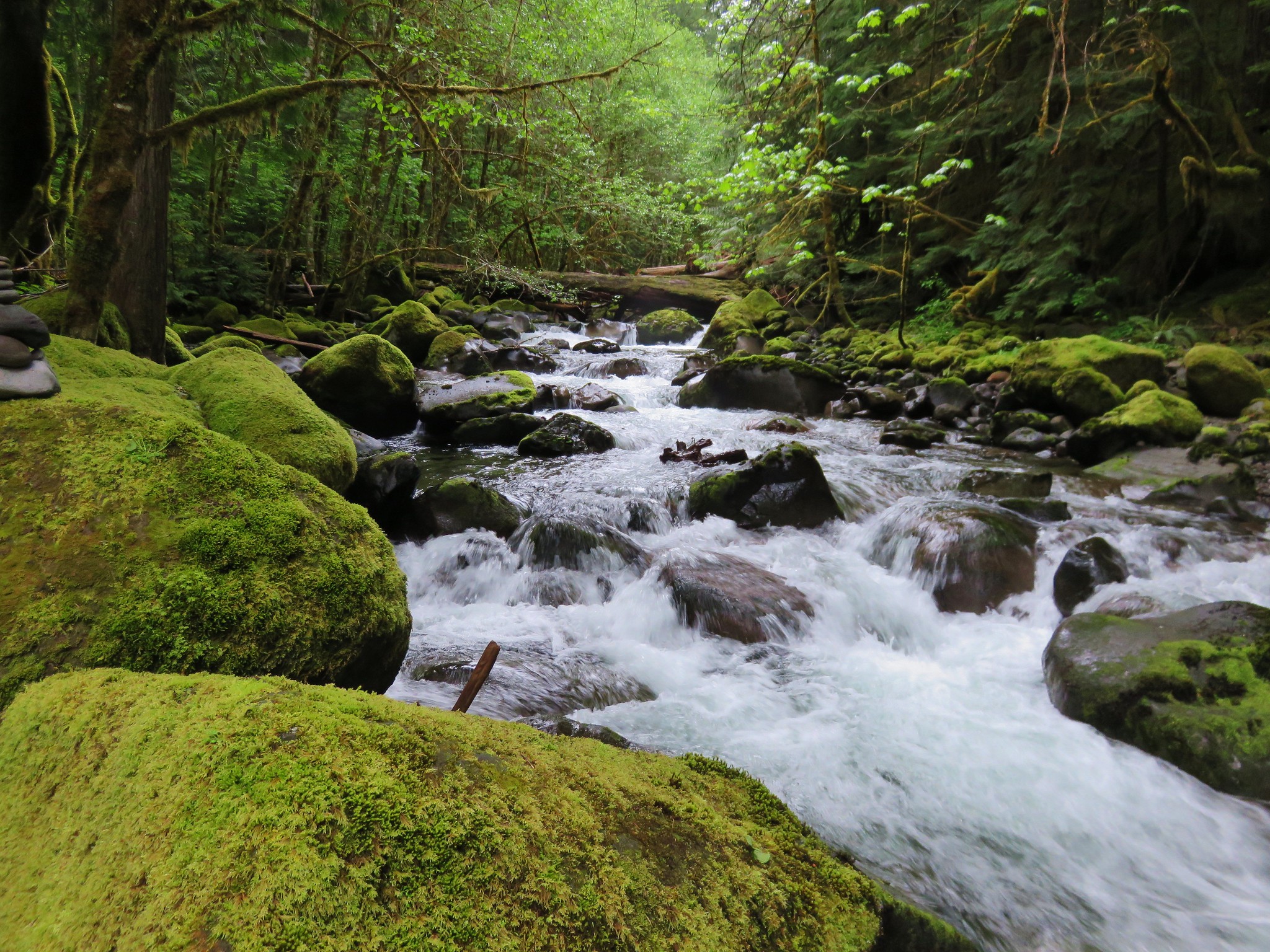
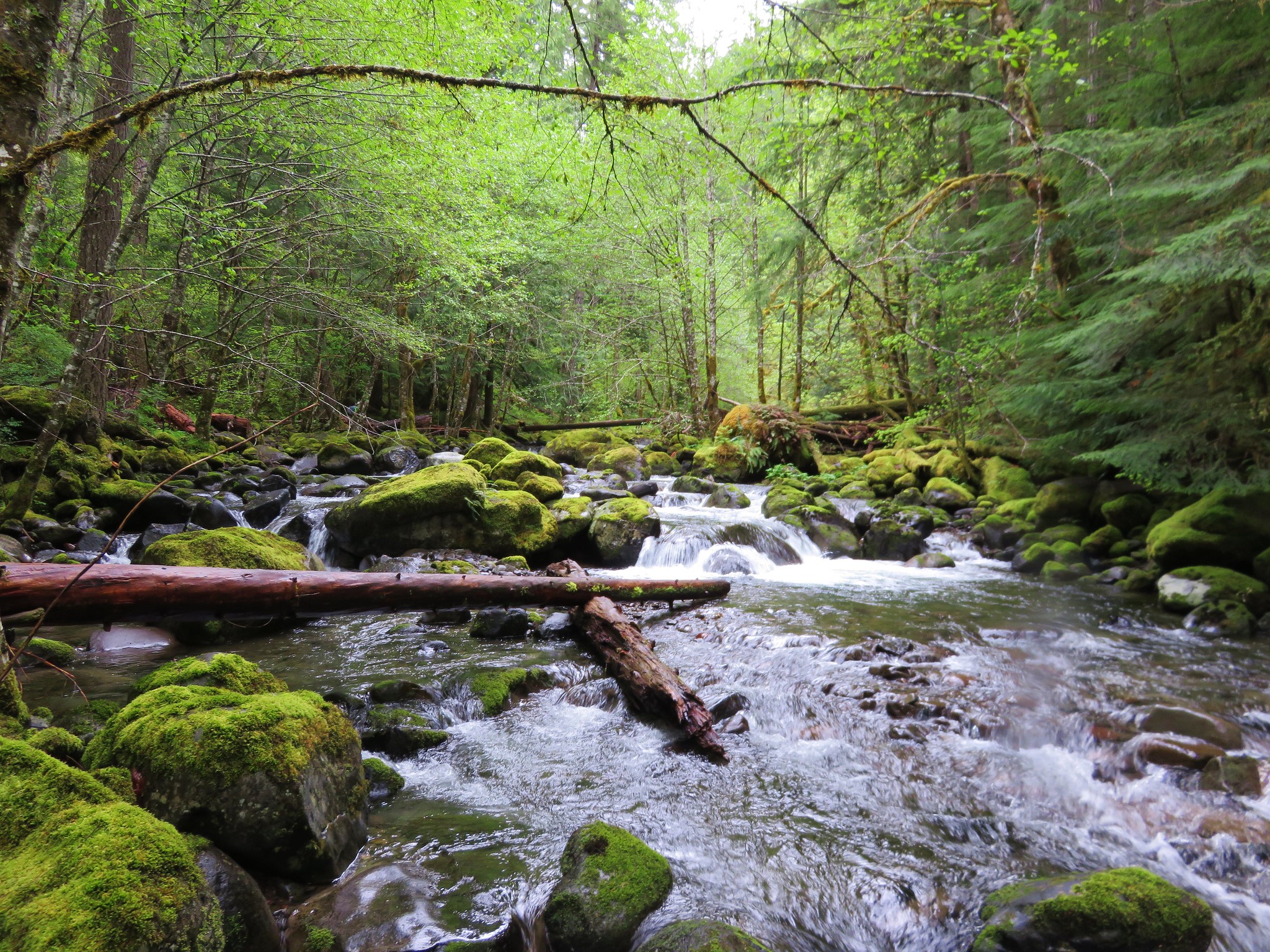
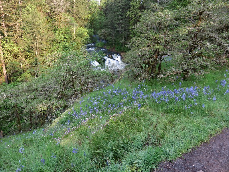
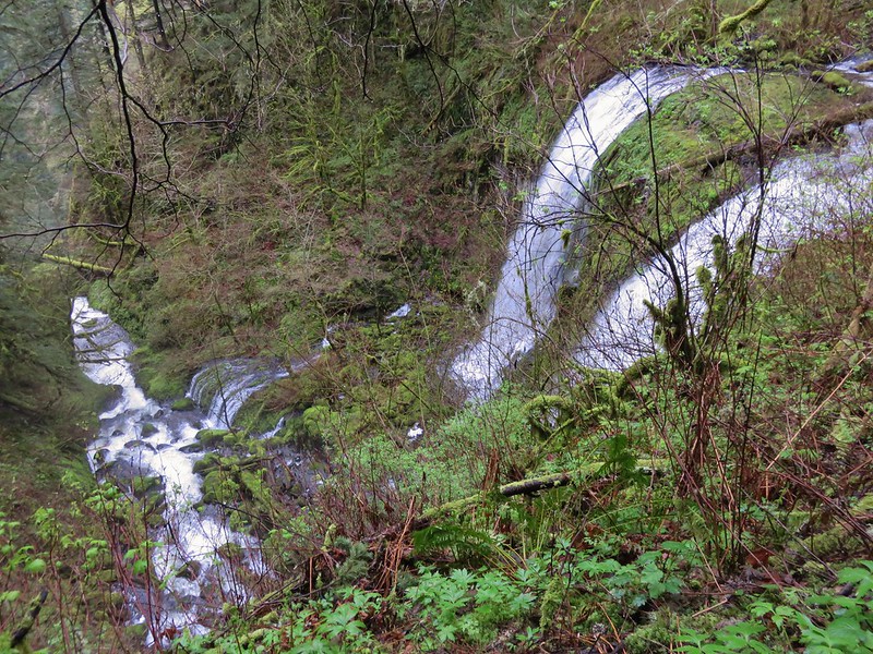
Turning back here would have made the hike approximately 4.5 miles, but we were planning on a longer trek so when we returned to the switchback junction we continued along the North Fork Smith River Trail. Under a mile from the junction we came to Swimming Pool Falls. A much smaller waterfall than the three upstream but scenic none the less.

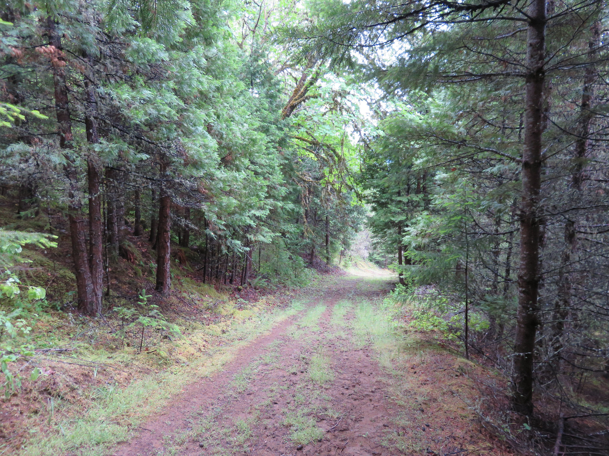
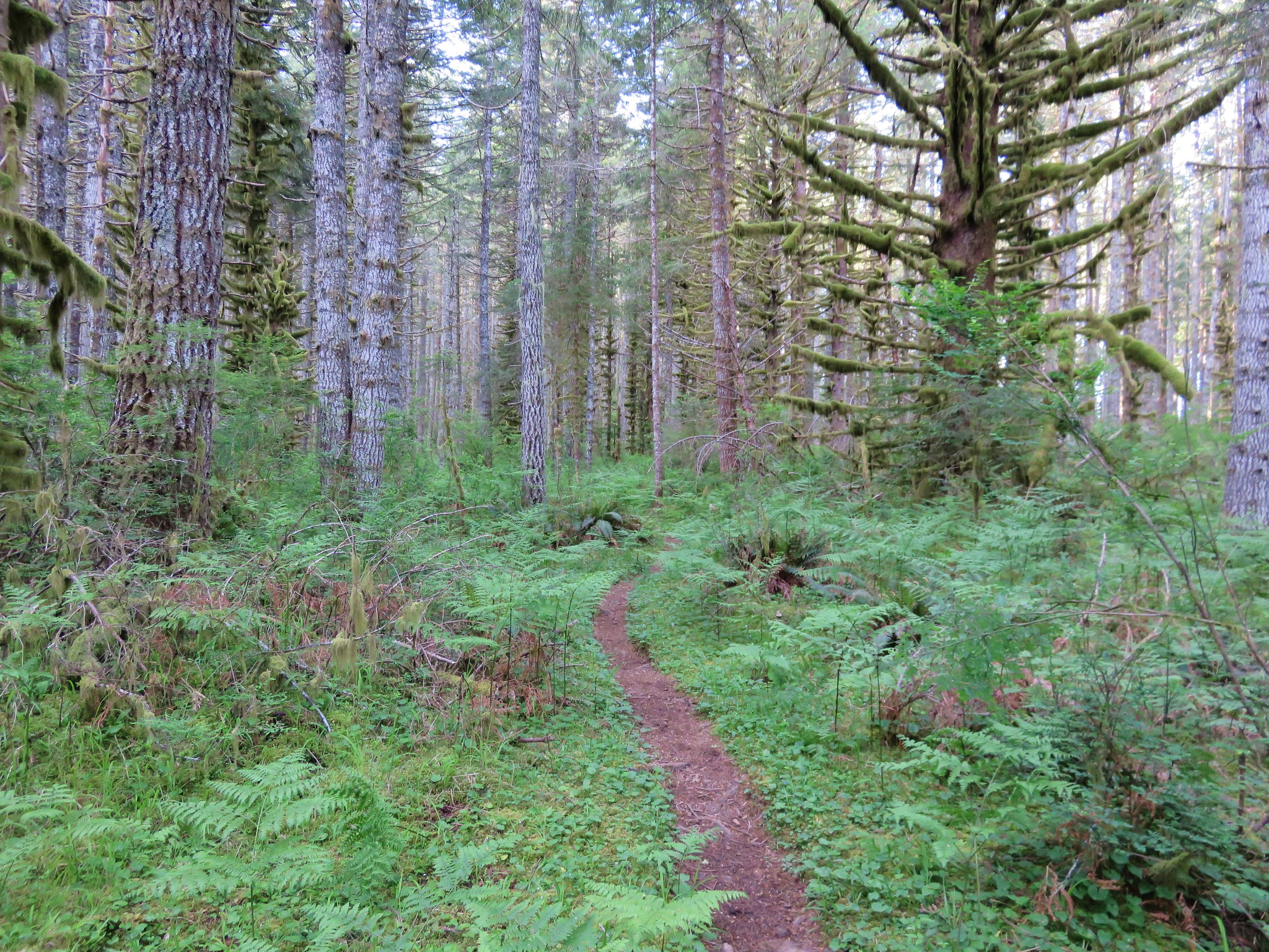
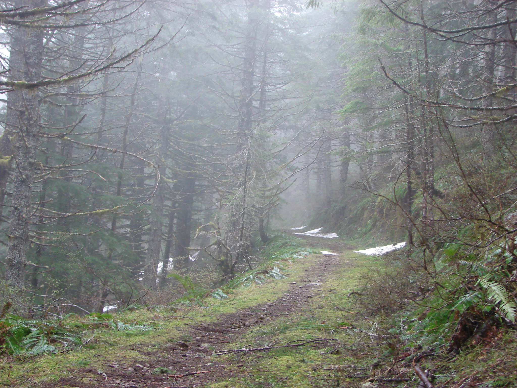
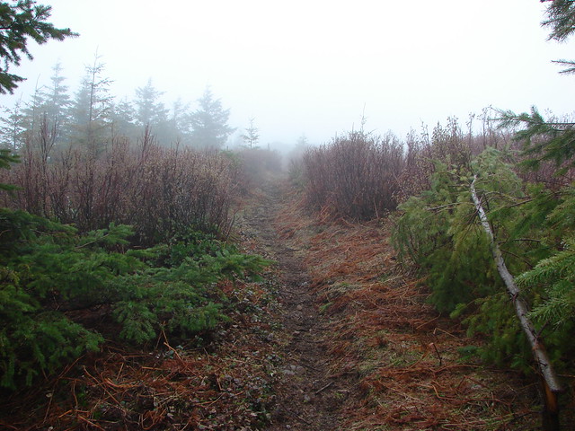
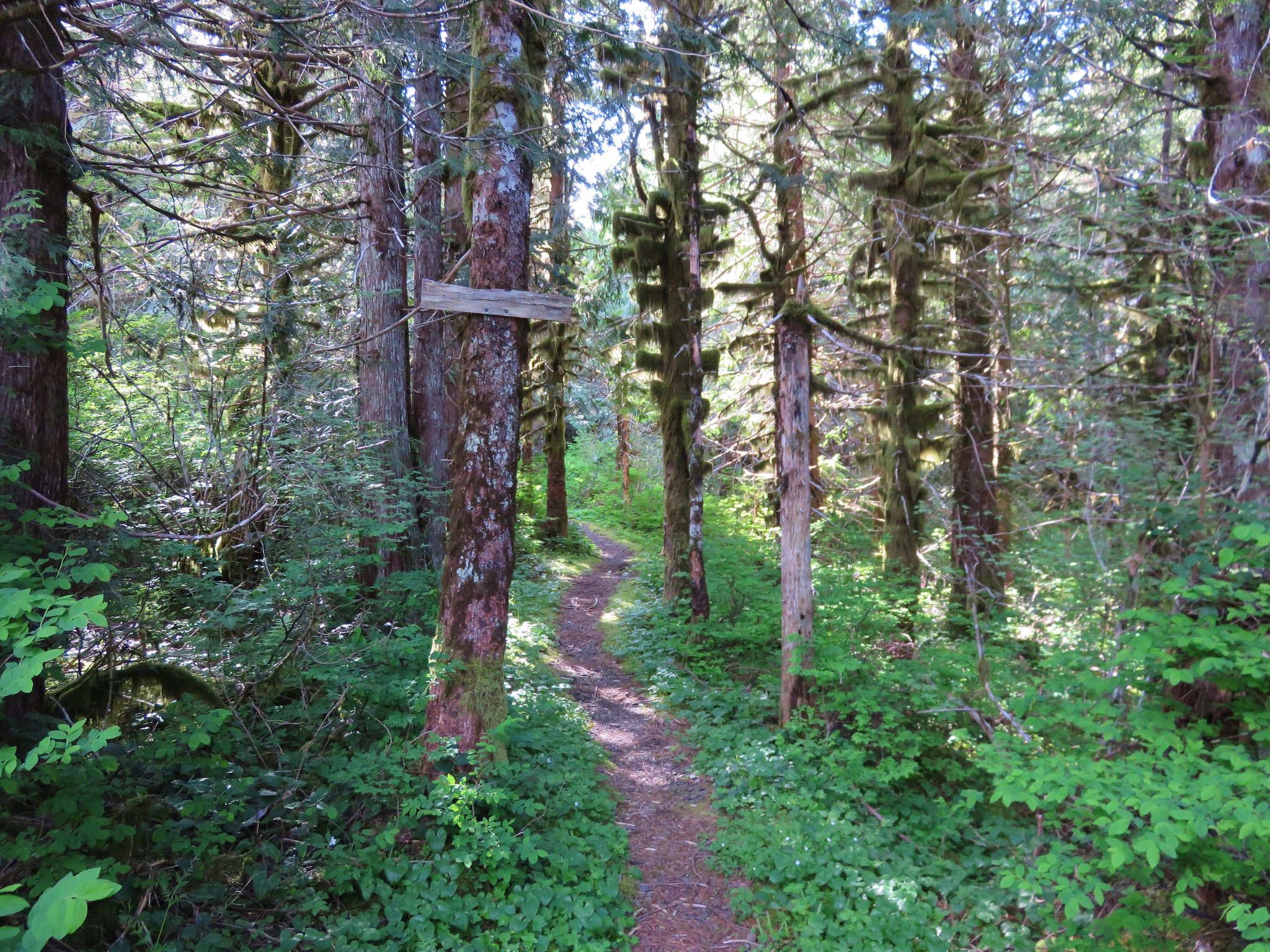
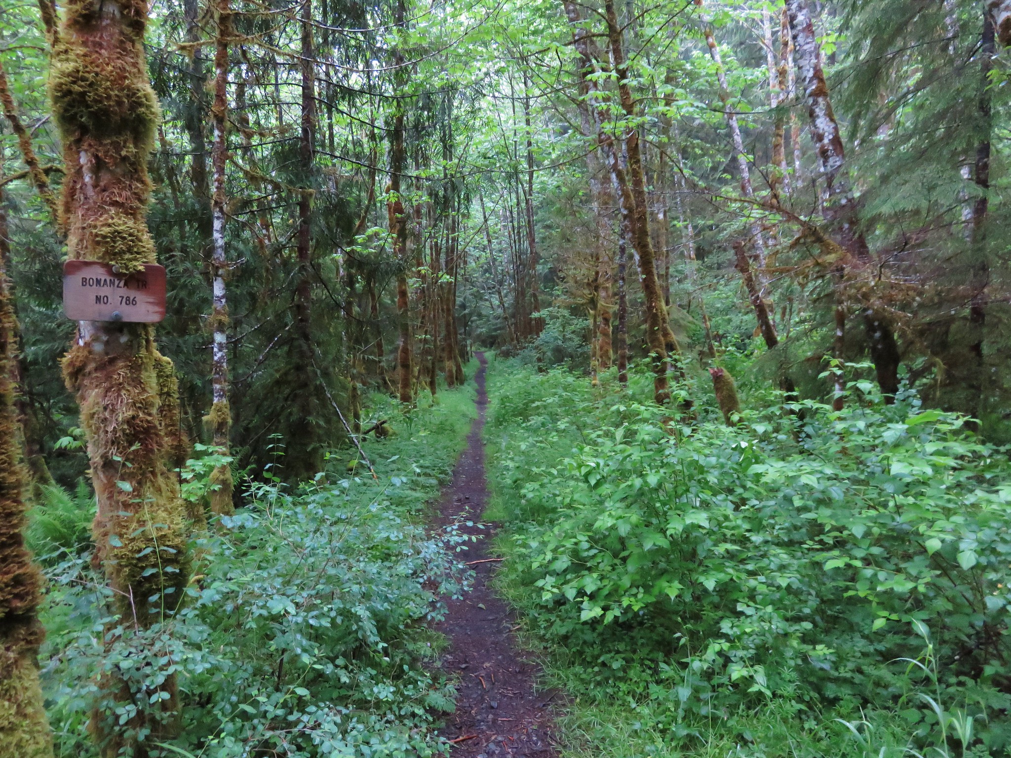
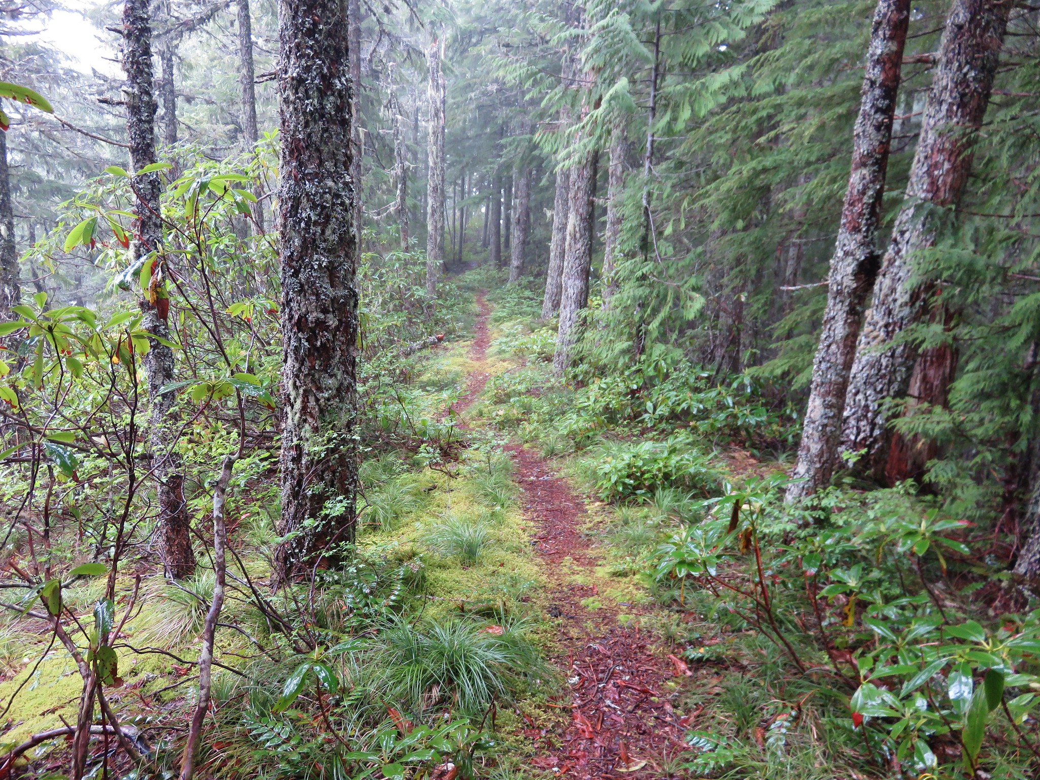
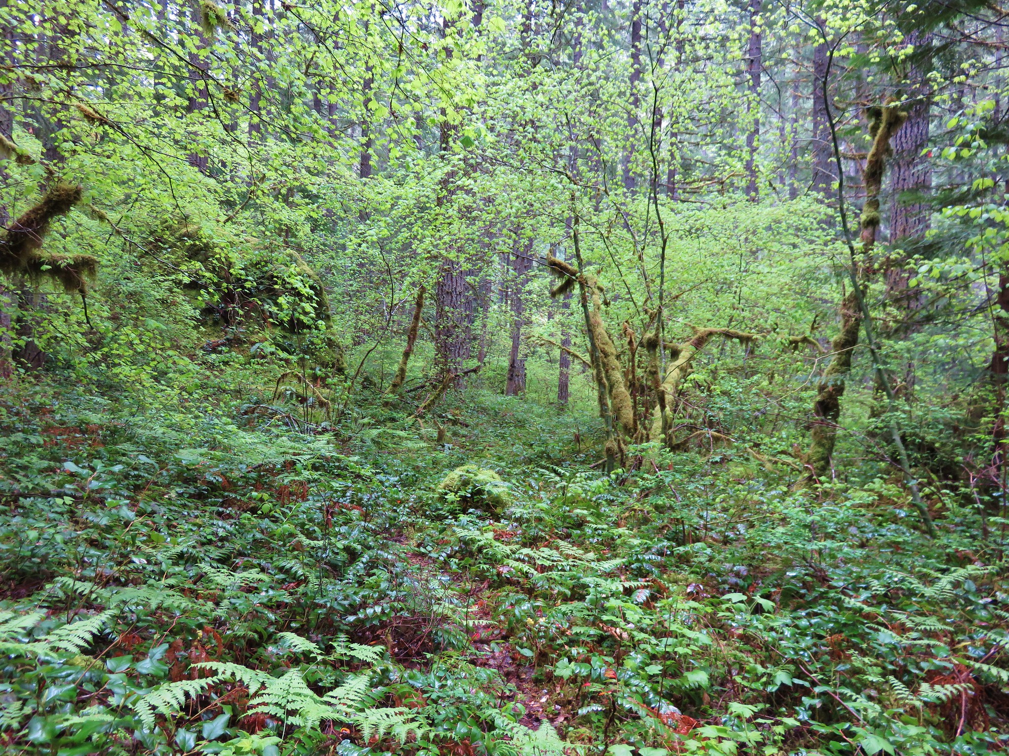
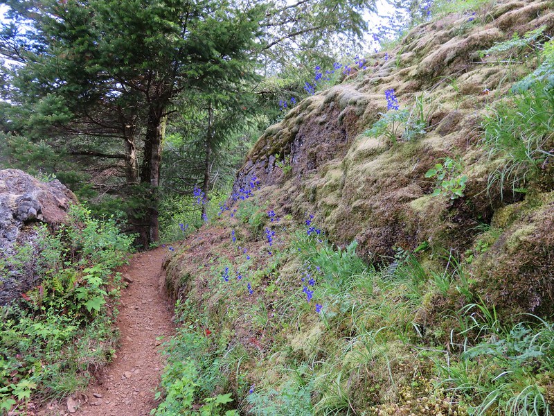
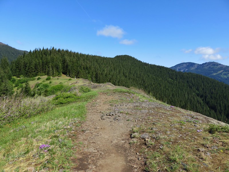
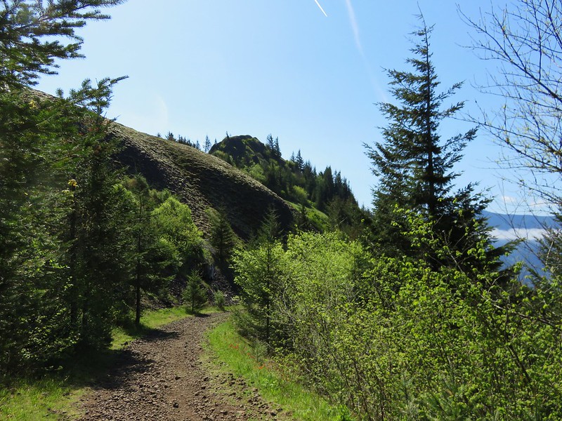
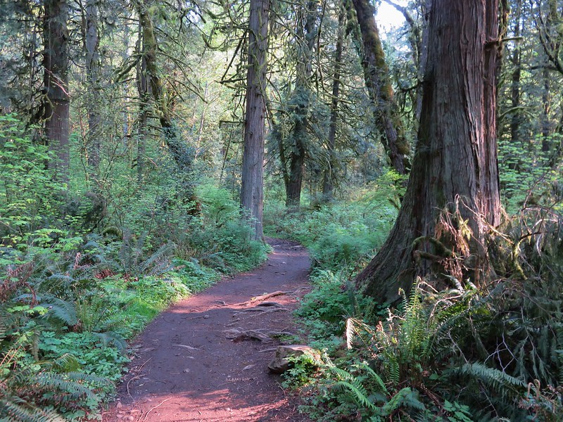
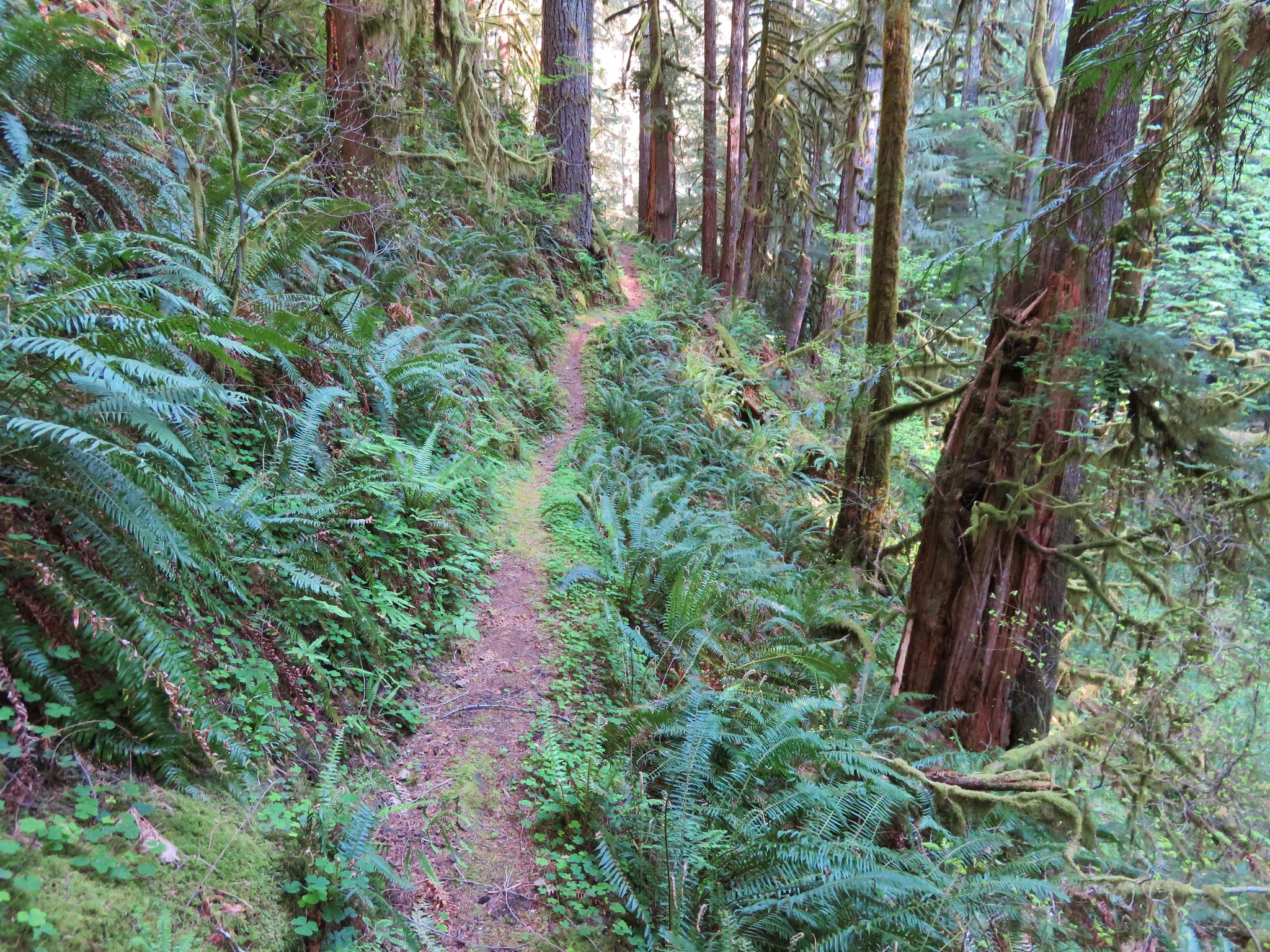
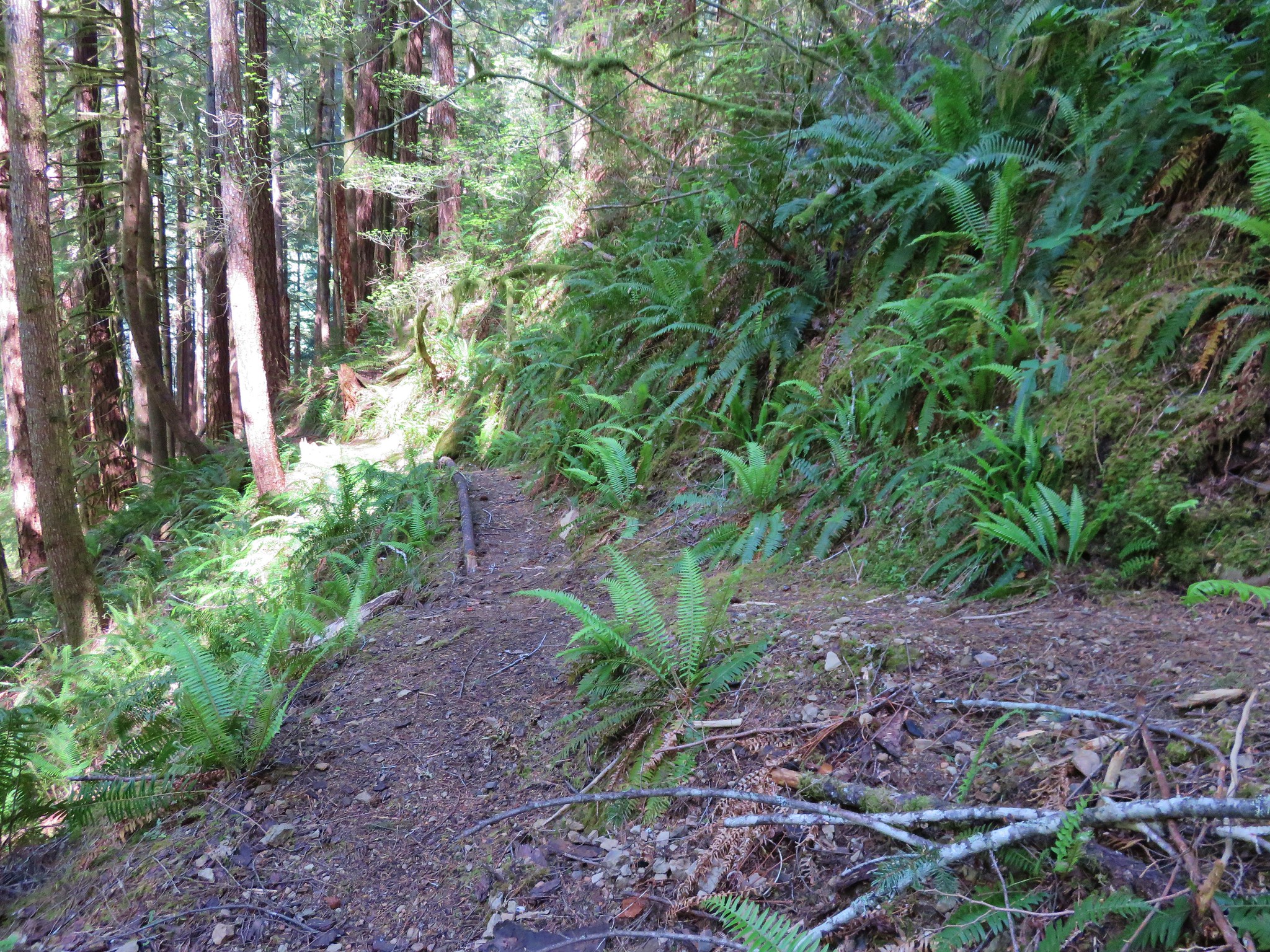
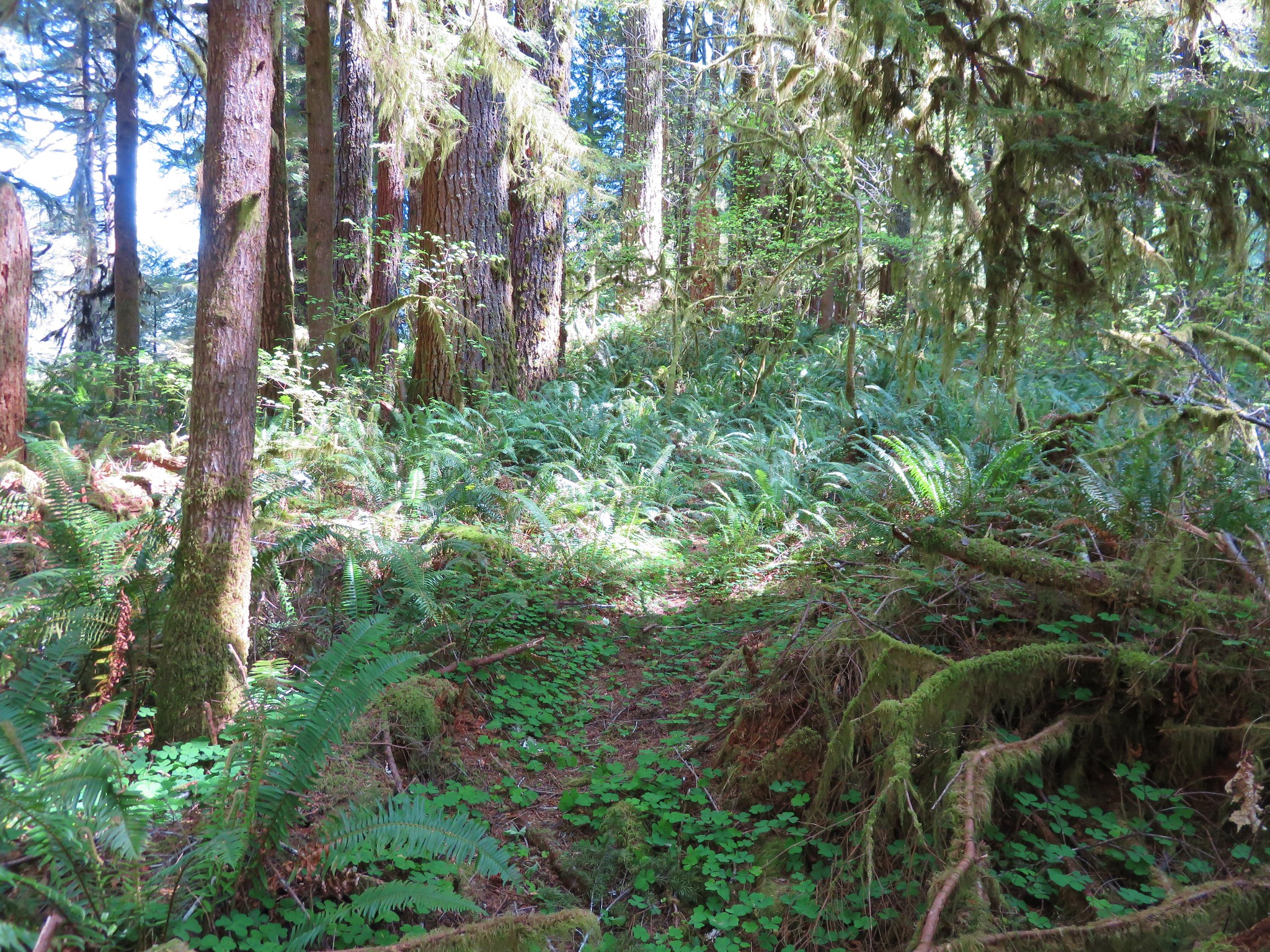
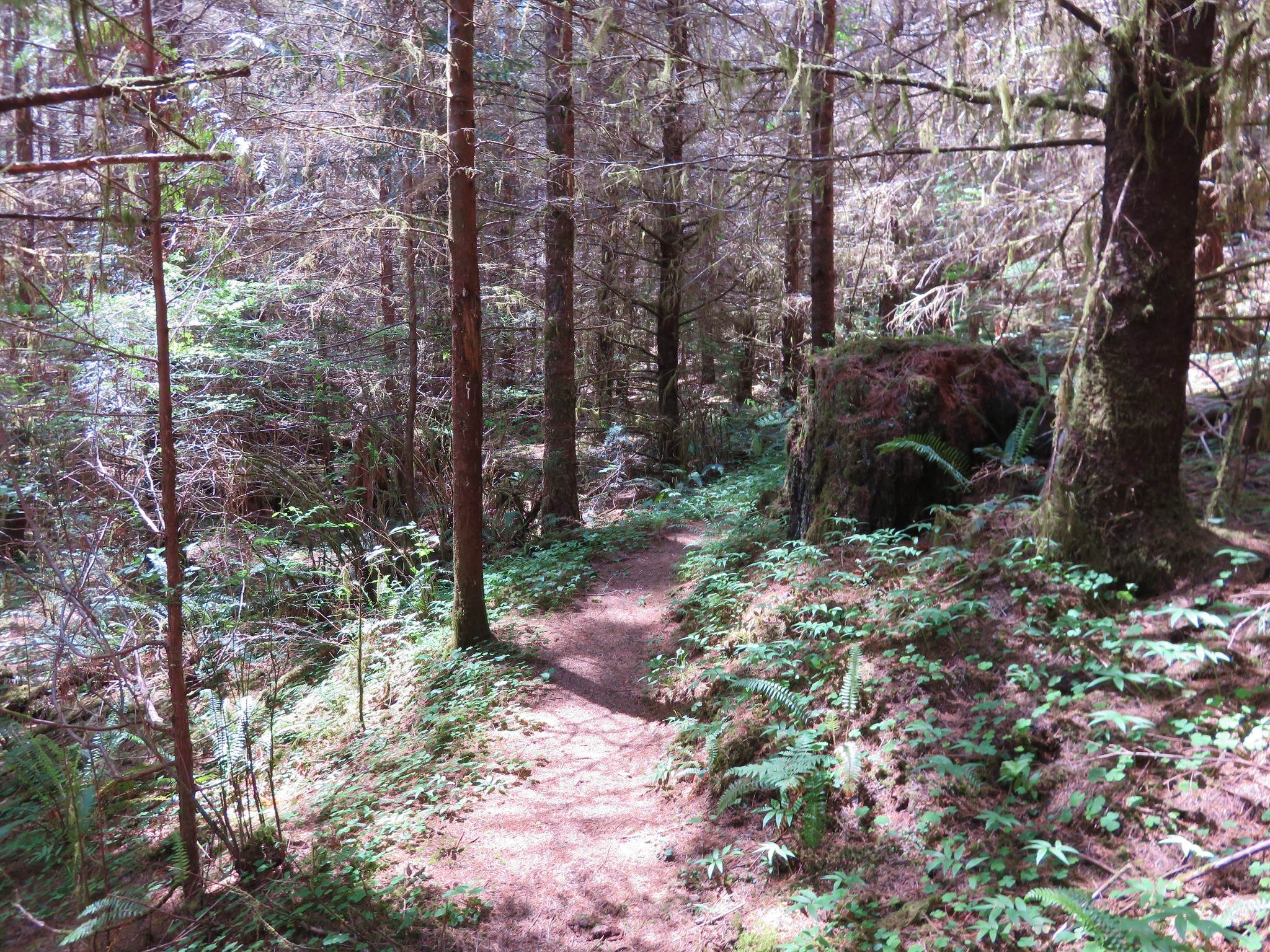
The trail after Swimming Pool Falls began to show signs of little use. The tread became narrower with some small plants and moss growing on the path.
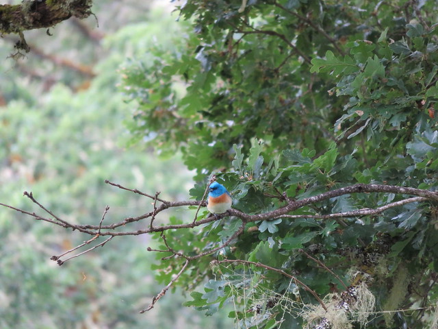
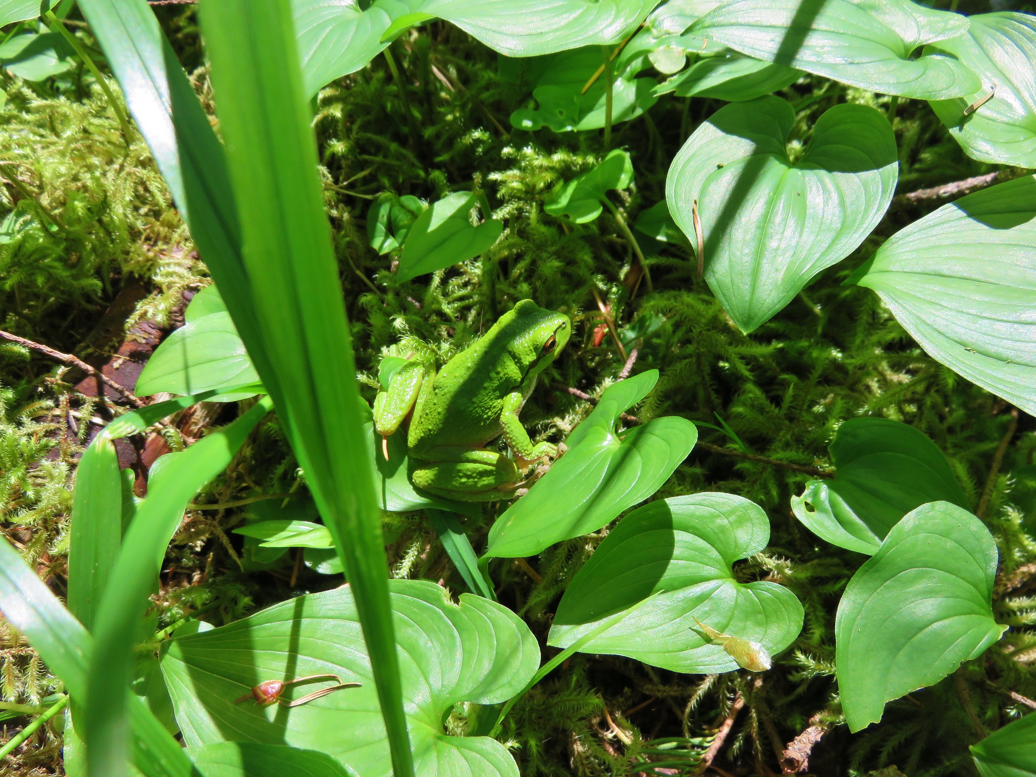
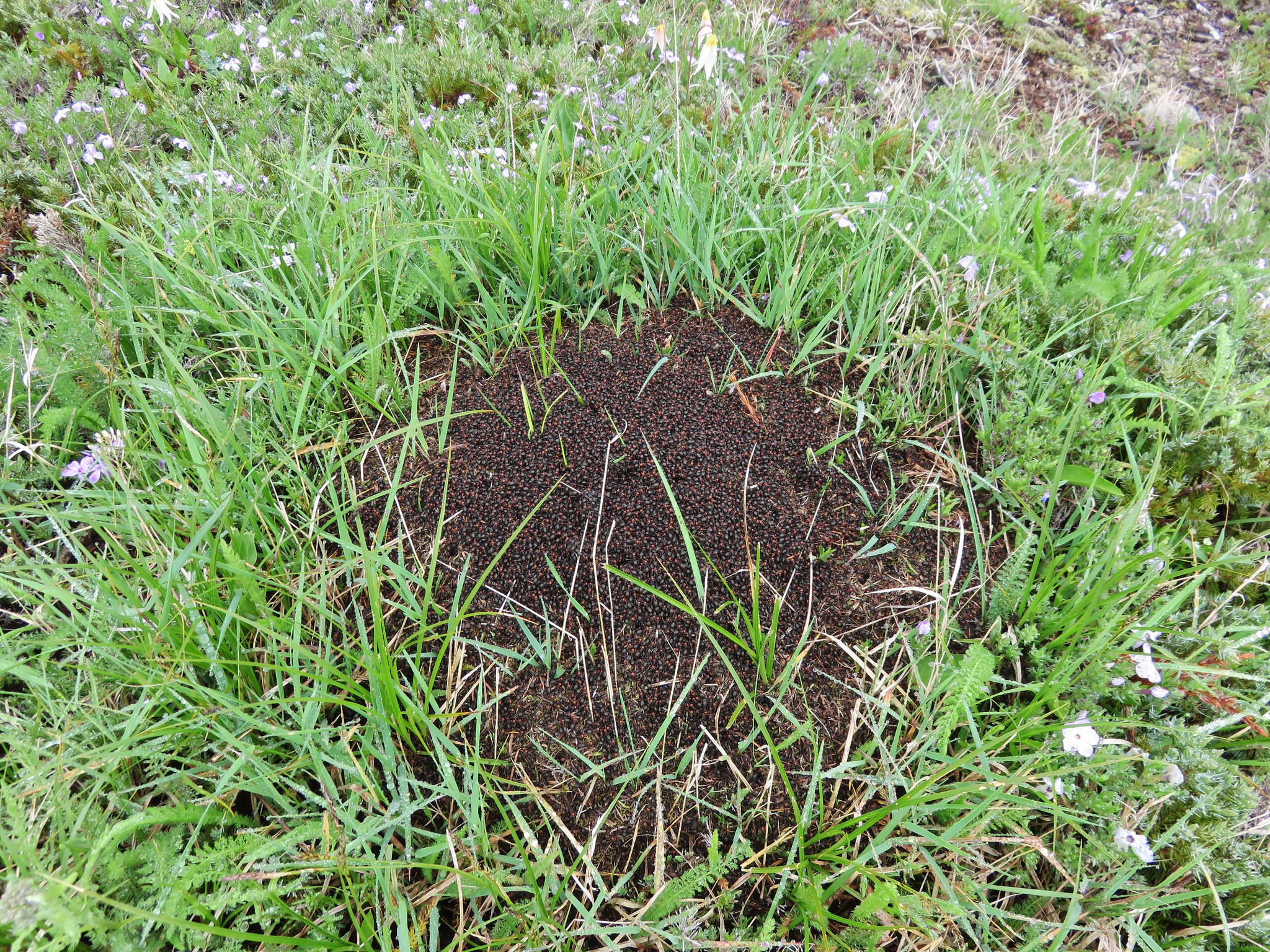
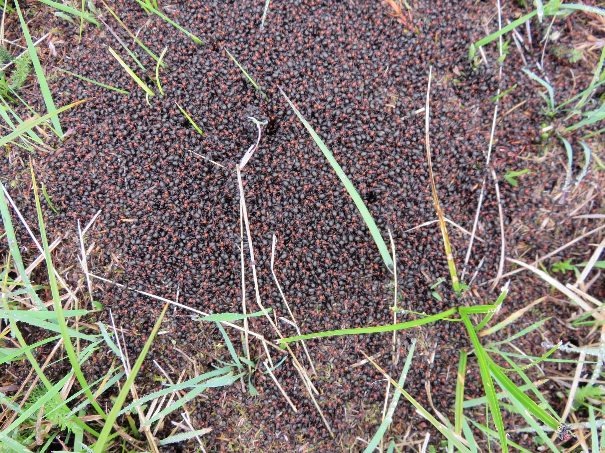
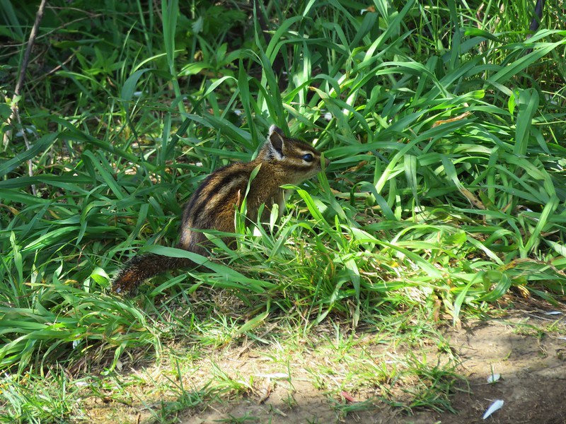
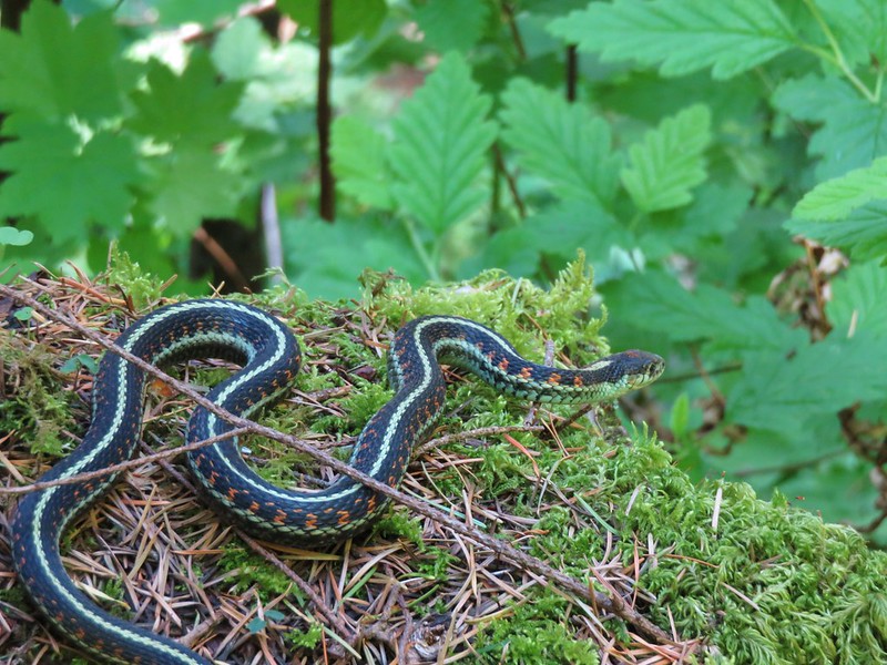
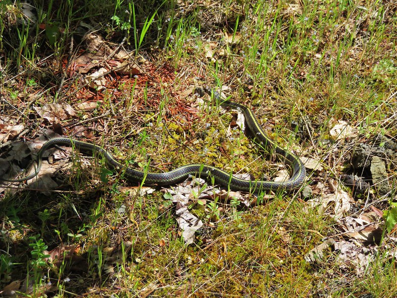
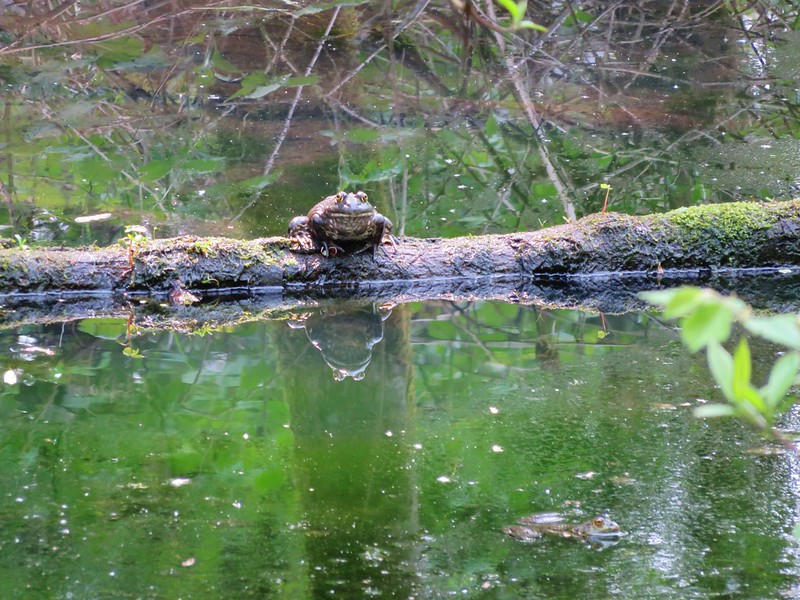
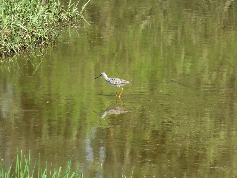
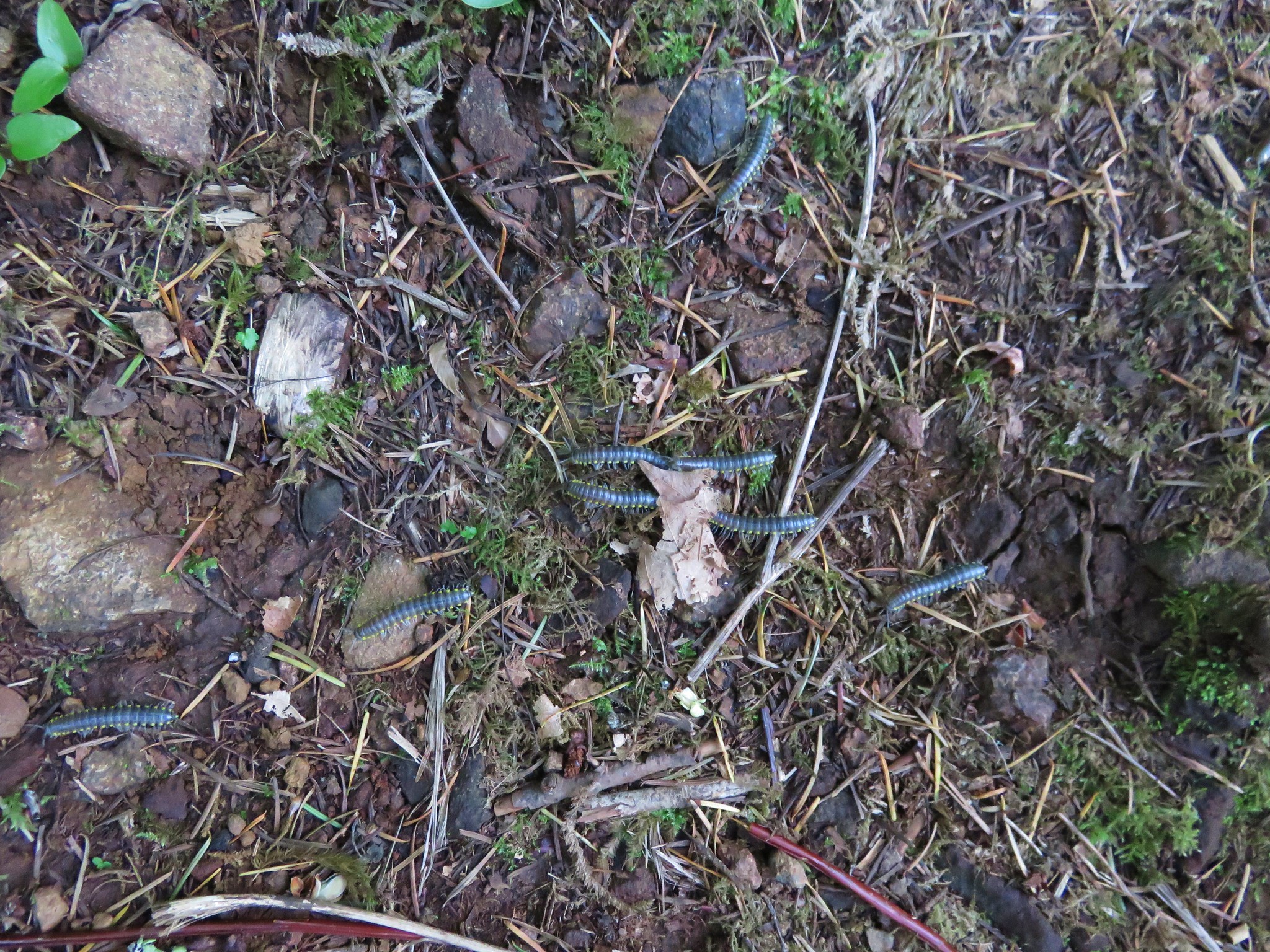
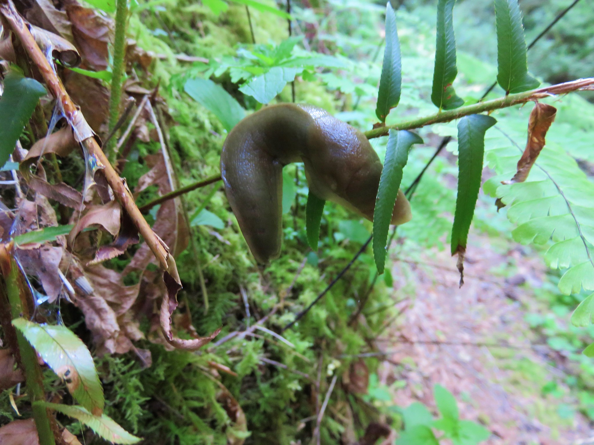
We had to watch our step but not because of the trail condition, we had to watch out for the numerous snails, slugs, millipedes, and other critters that we saw all along the trail.

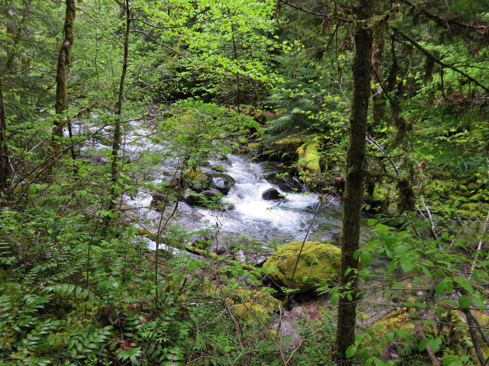
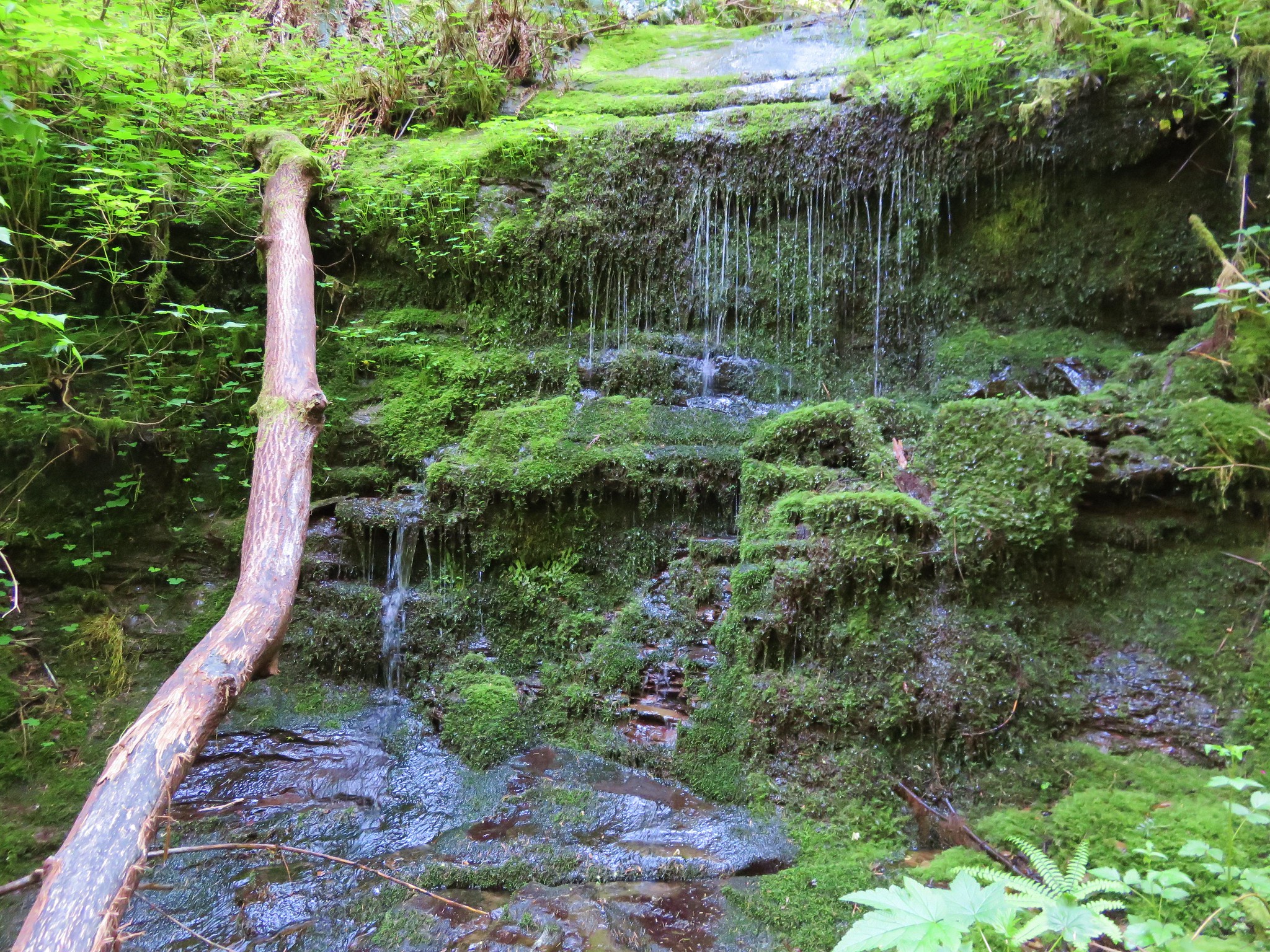
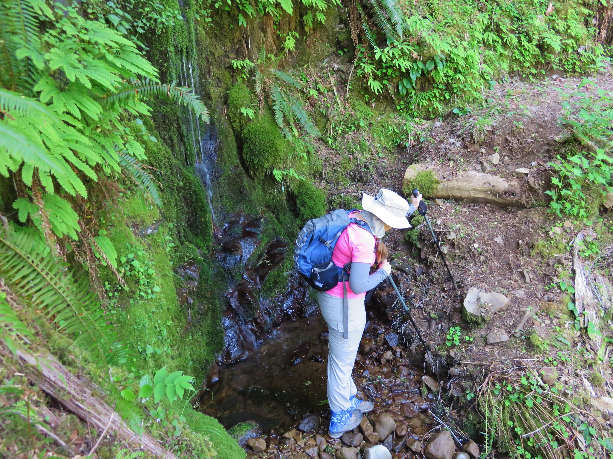
Our map showed that it was approximately 2.7miles from Swimming Pool Falls to the 3 mile bridge. This is the second bridge over the North Fork Smith River coming from the North Fork Smith Trailhead. We were on the lookout for a couple of markers along the way though, a small drippy waterfall and an 11′ Douglas fir. We spotted the drippy waterfall just fine which looked like it would have been very pretty with a higher volume of water.
Not far after drippy falls there was a large tree trunk across the trail which made for a decent obstacle.

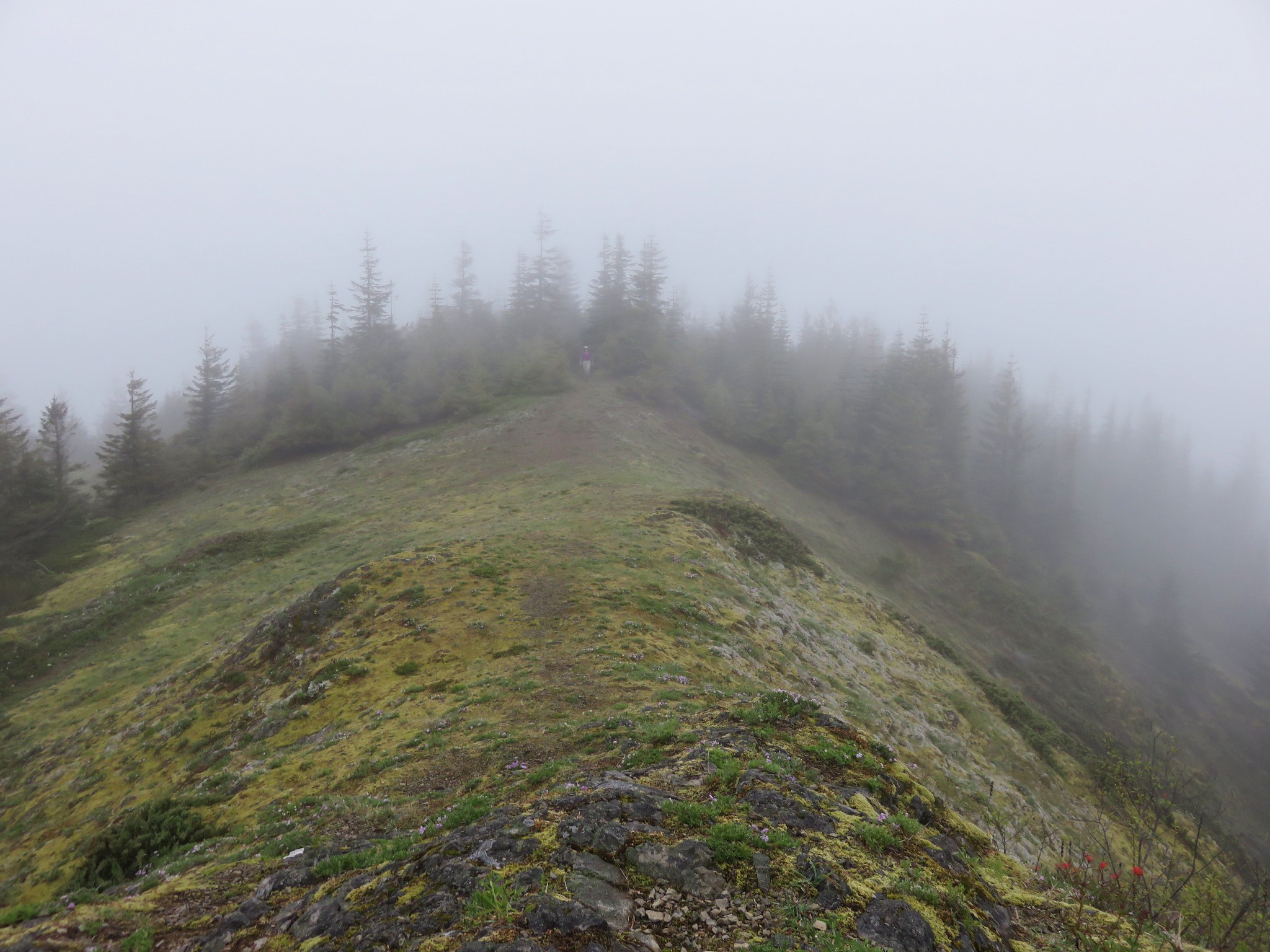
Then we came to an unsigned trail junction at a switchback. This junction was not on any forest service map of the area we had seen and it wasn’t marked on the map in our field guide. The right hand fork led down a ridge while the left fork switched back along the canyon wall.
This picture is taken from the left hand fork looking back up at the unsigned junction.
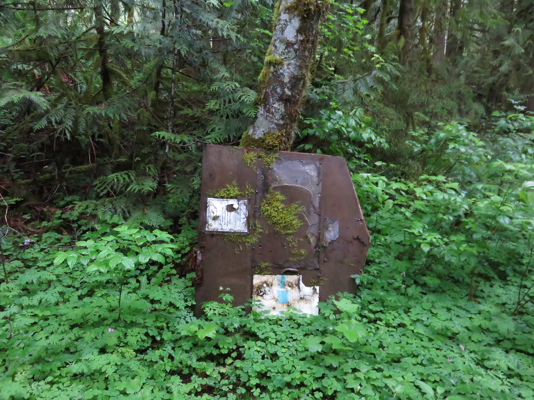
We decided to take the right hand fork to see if led down to the 11′ tree or possibly a campsite out on the ridge. We did pass an old campsite but the trail continued on down toward the river growing a little fainter as it went. We were following a side creek down the hillside which the maps showed the trail doing as it arrives at the 3 mile bridge so we kept going wondering if we had missed the 11′ tree and already arrived at the bridge. The trail crossed the little stream and arrived at another junction. This one had signs. A Kentucky Falls sign pointed right toward a very faint path while a North Fork Smith Trail sign pointed back up the way we’d come. The sign for the left hand fork said Swinging Bridge.
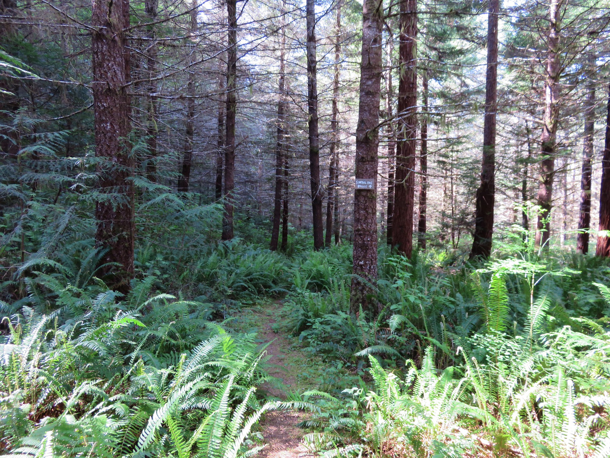
We were headed for a bridge but it was odd that Sullivan had not mentioned the “Swinging” aspect of the bridge in his book. That is the kind of detail that he does include in his descriptions. Not far from the junction we arrived at the bridge though.
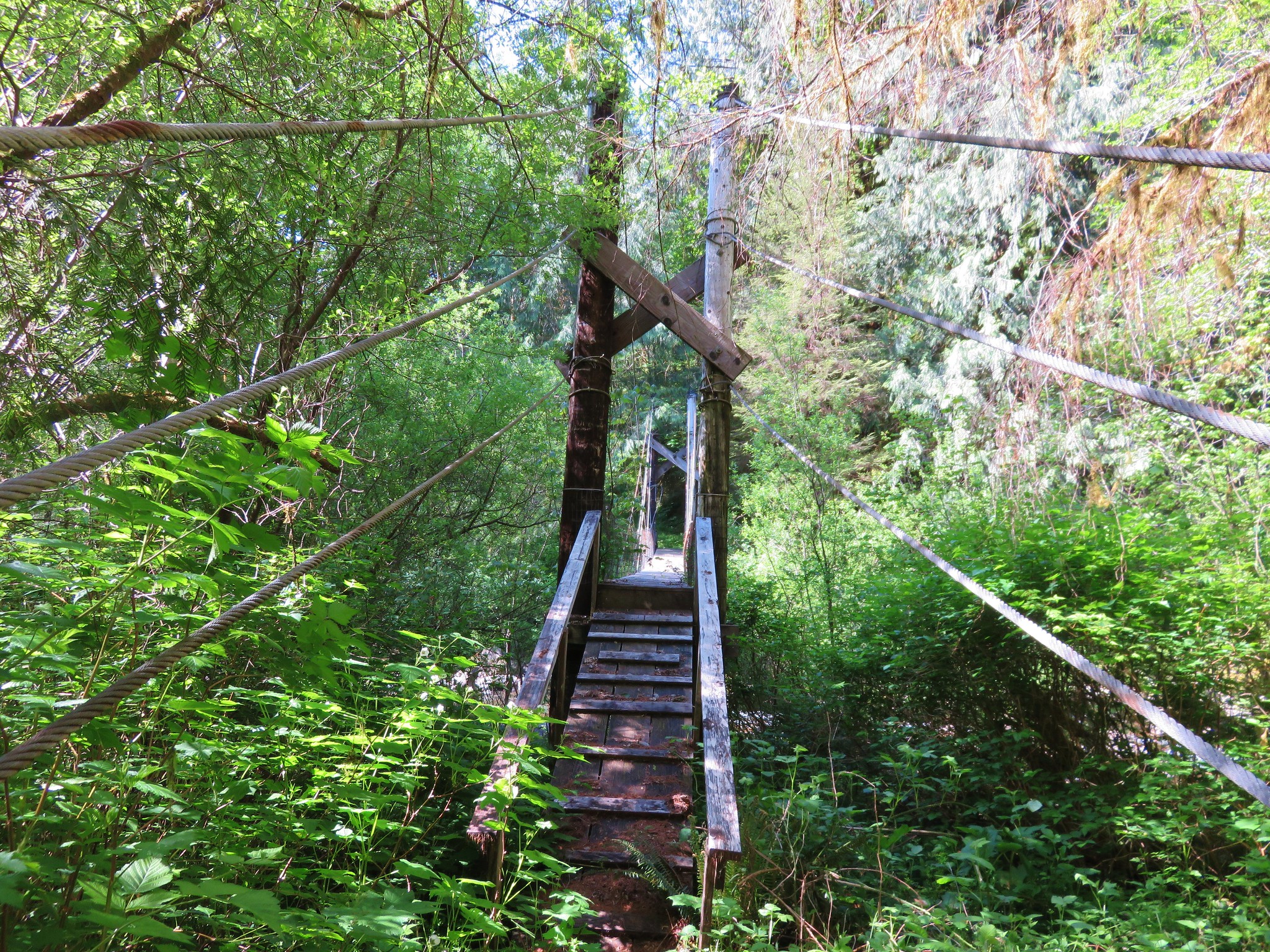
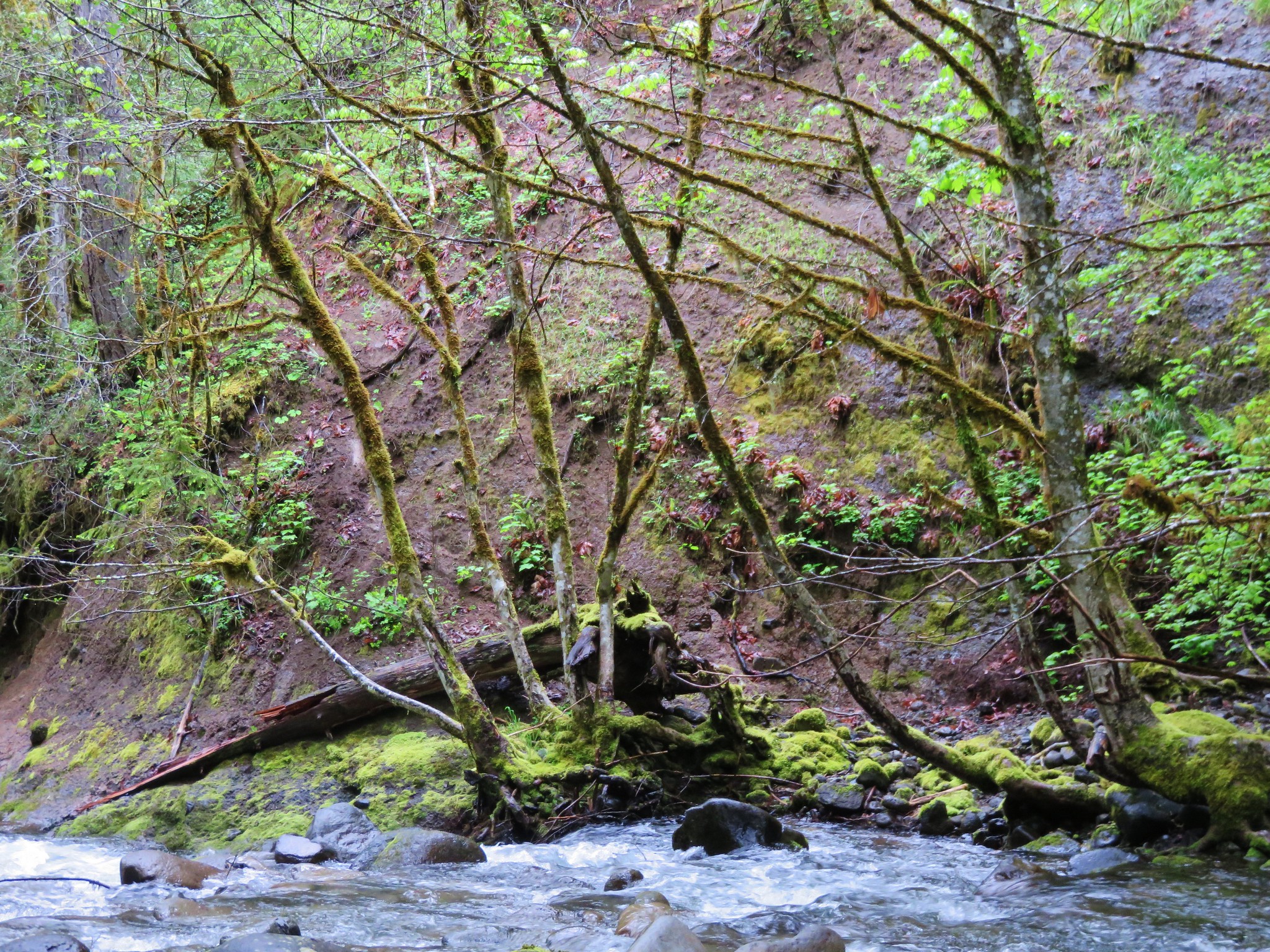
It was a nice suspension bridge which was something else that didn’t fit the field guide description. We ventured out on the bridge and at the far end was a small sign that simply said. “3.5 miles to gated road 4880”. The path leading away from the bridge was an old roadbed that was overgrown with grass. We were able to deduce that the bridge must connect the trail system to some private land on which was shown on the map in our field guide on the opposite side of the river. So back up the hill we went to the unsigned junction to the path we hadn’t taken. This portion of trail had not been maintained for some time, probably since the storms that damaged the bridges, leaving a couple of wash outs that had to be navigated.
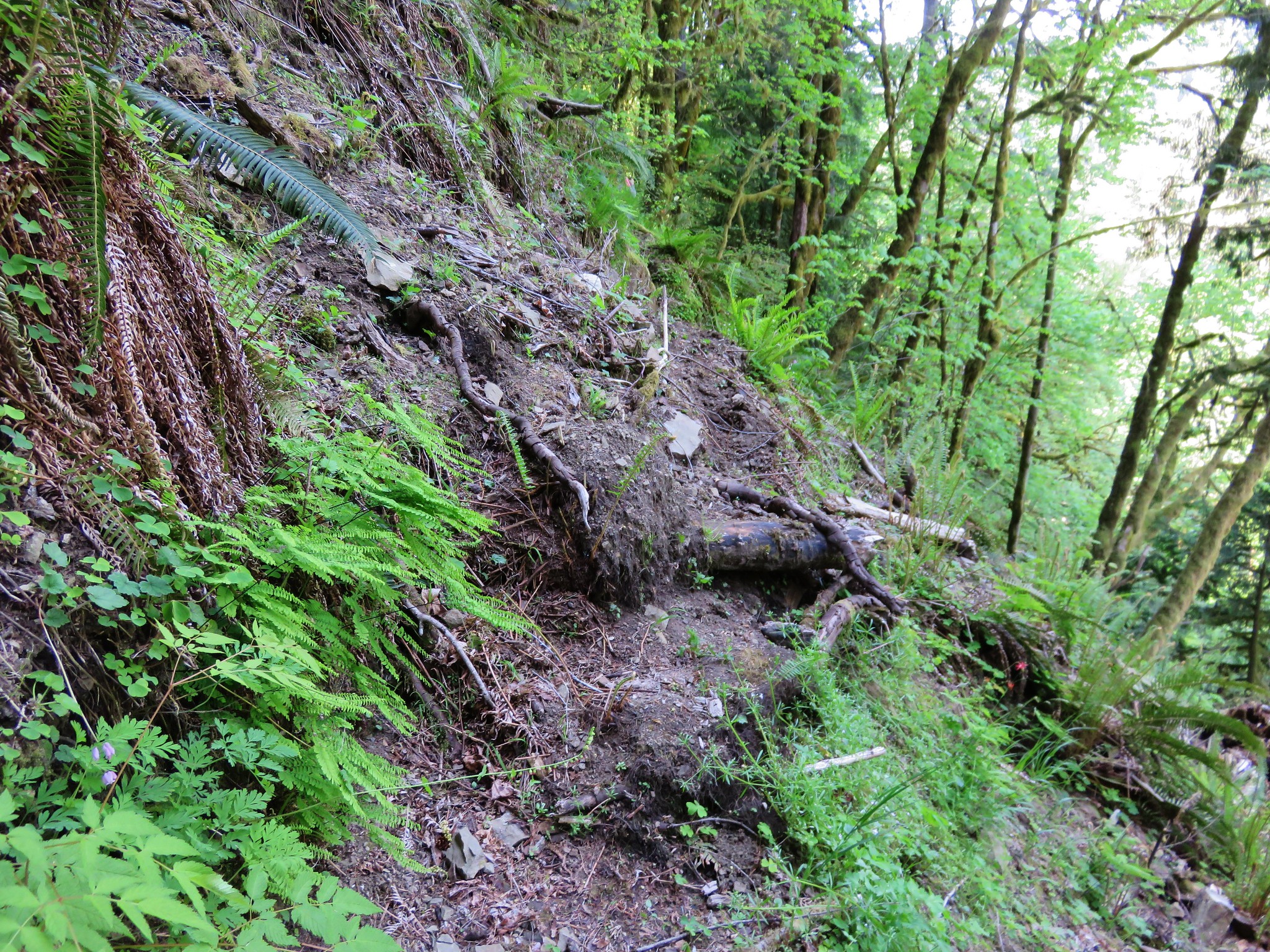
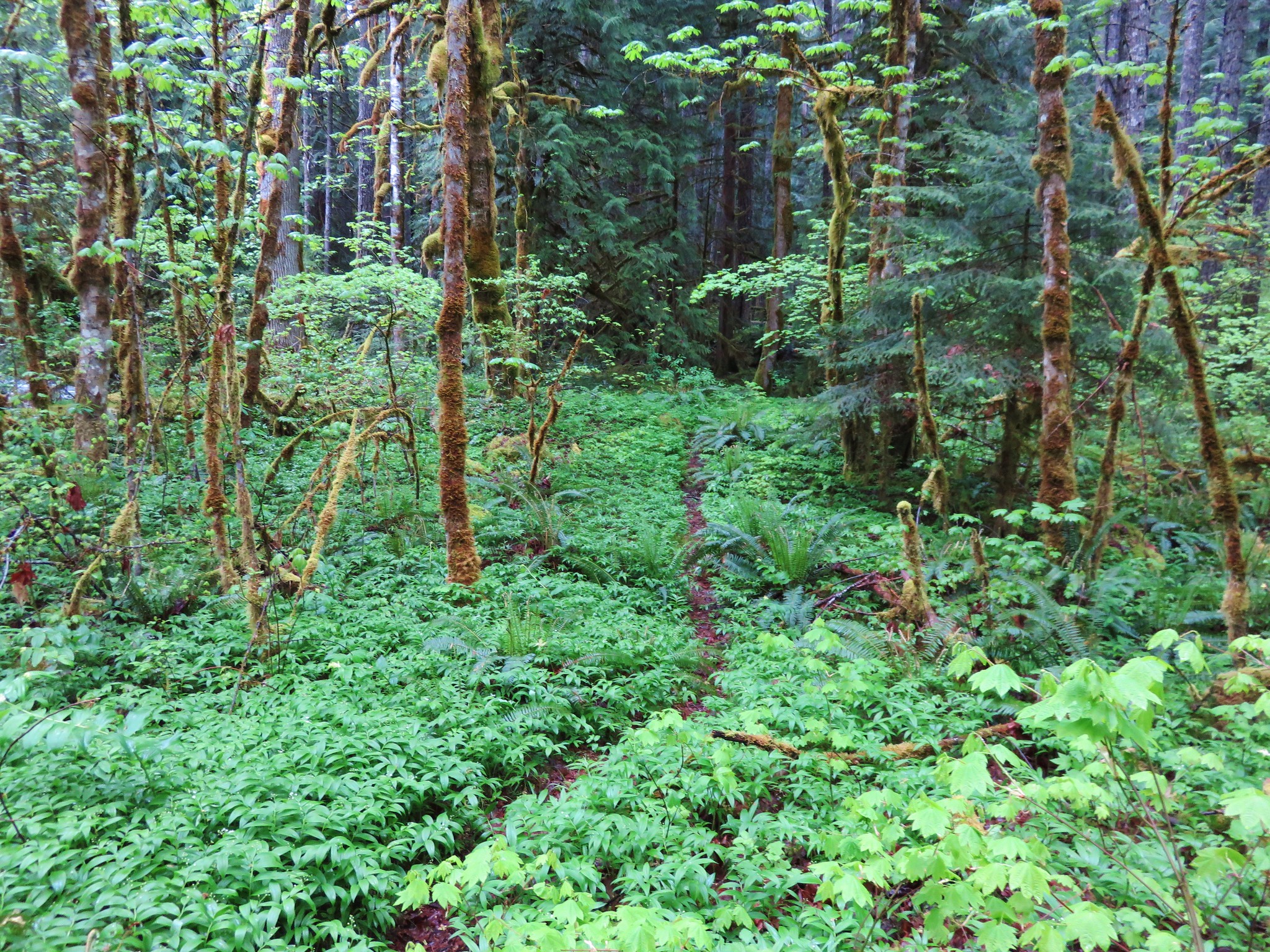
When the trail began to descend a ridge toward the river we realized that we must have missed the big tree and would have to look for it on our return trip. In the meantime we were busy trying not to miss the trail as it became increasingly overgrown the closer we got to the river.
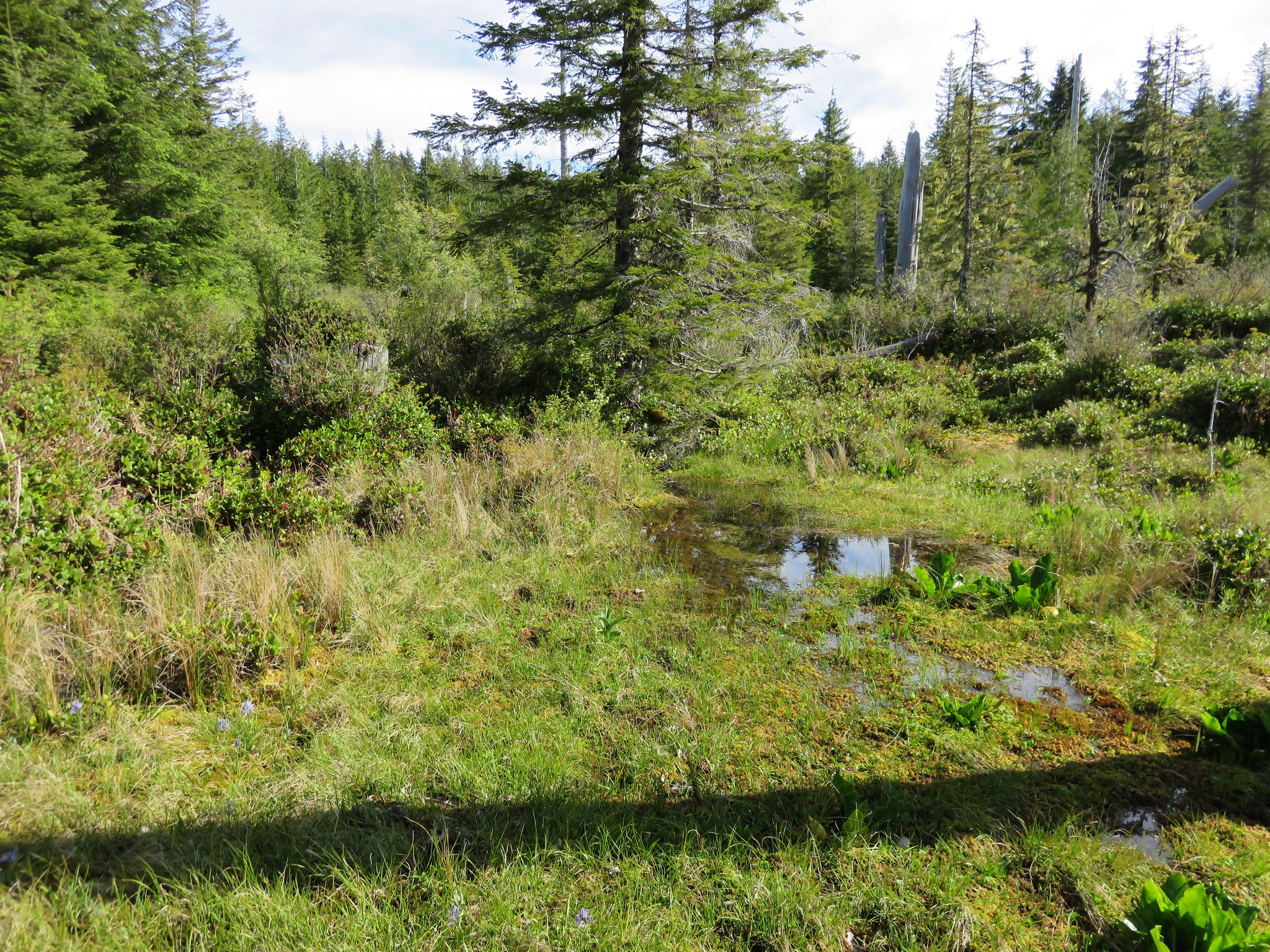
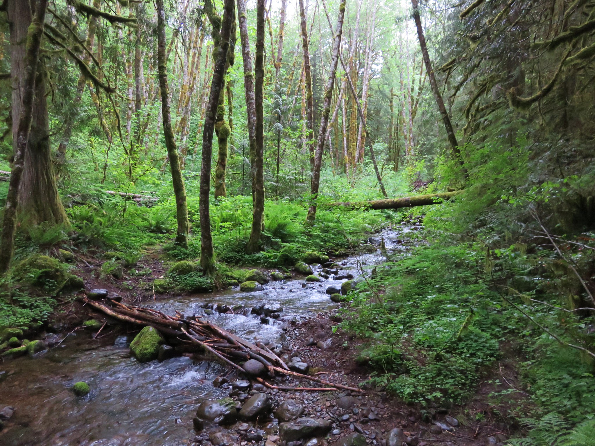
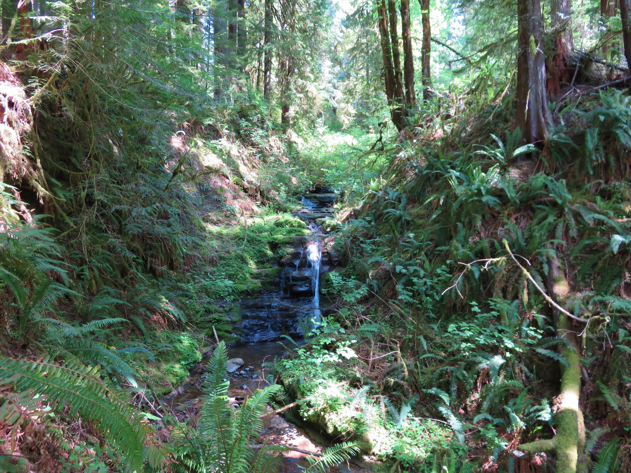
We passed as small former campsite near a small stream with a very small fall into a little pool.
Then we arrived on the bank of the river. Here the trail was almost completely overgrown, but Heather did an excellent job following it through the undergrowth.

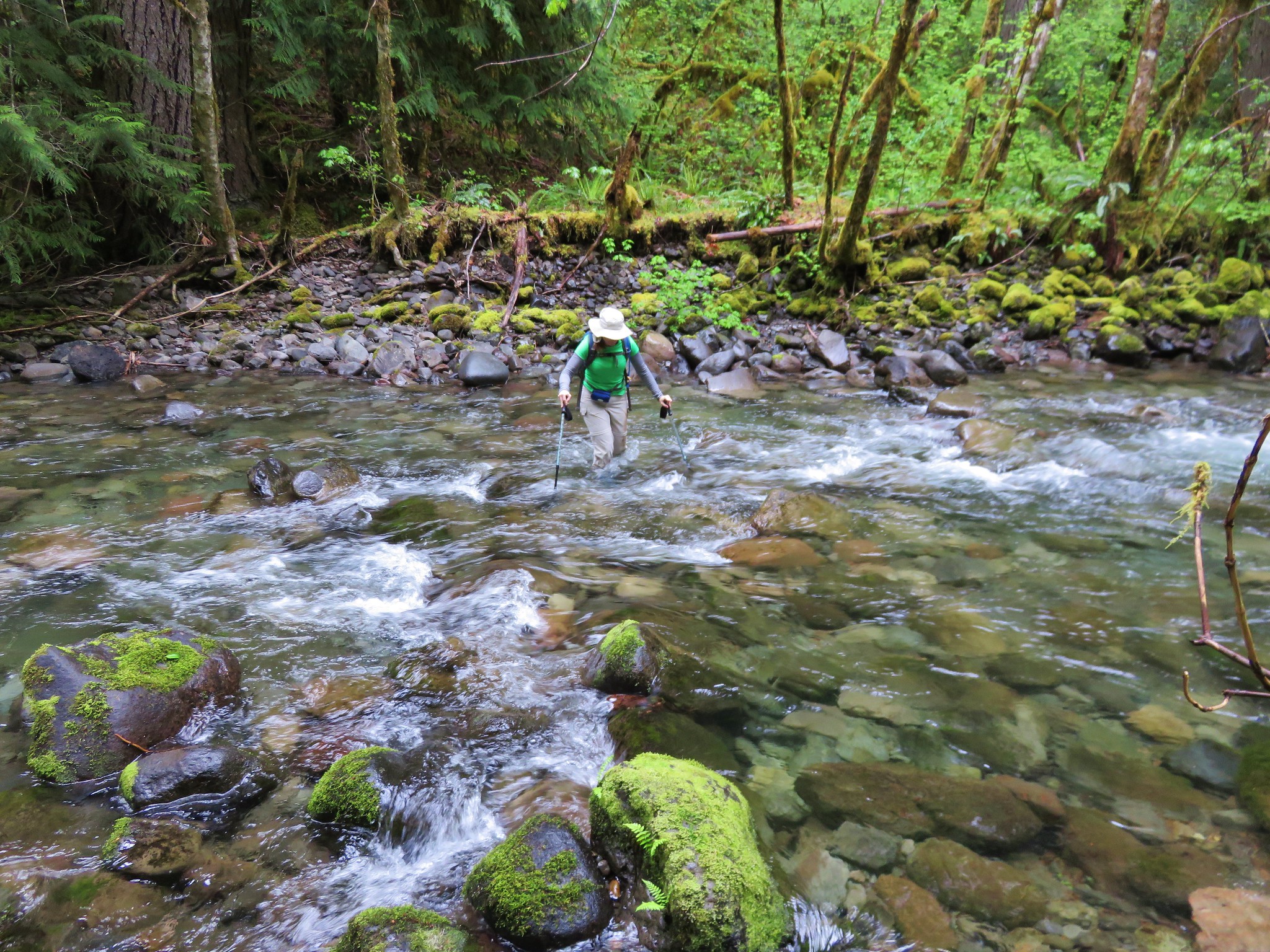
We struggled through the brush for a couple hundred yards at least before finally popping out at the river with a view of the 3 mile bridge.
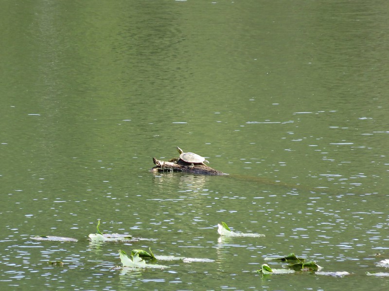
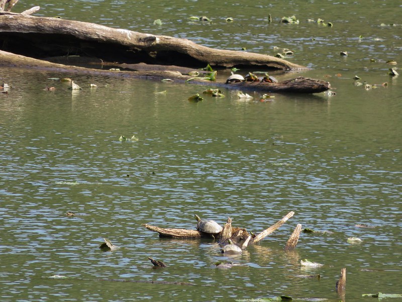
The next obstacle was figuring out the best way to reach the bridge which had been cut off by a new channel of the river after the storms. While we looked for the best route we noticed several little fish in the water.

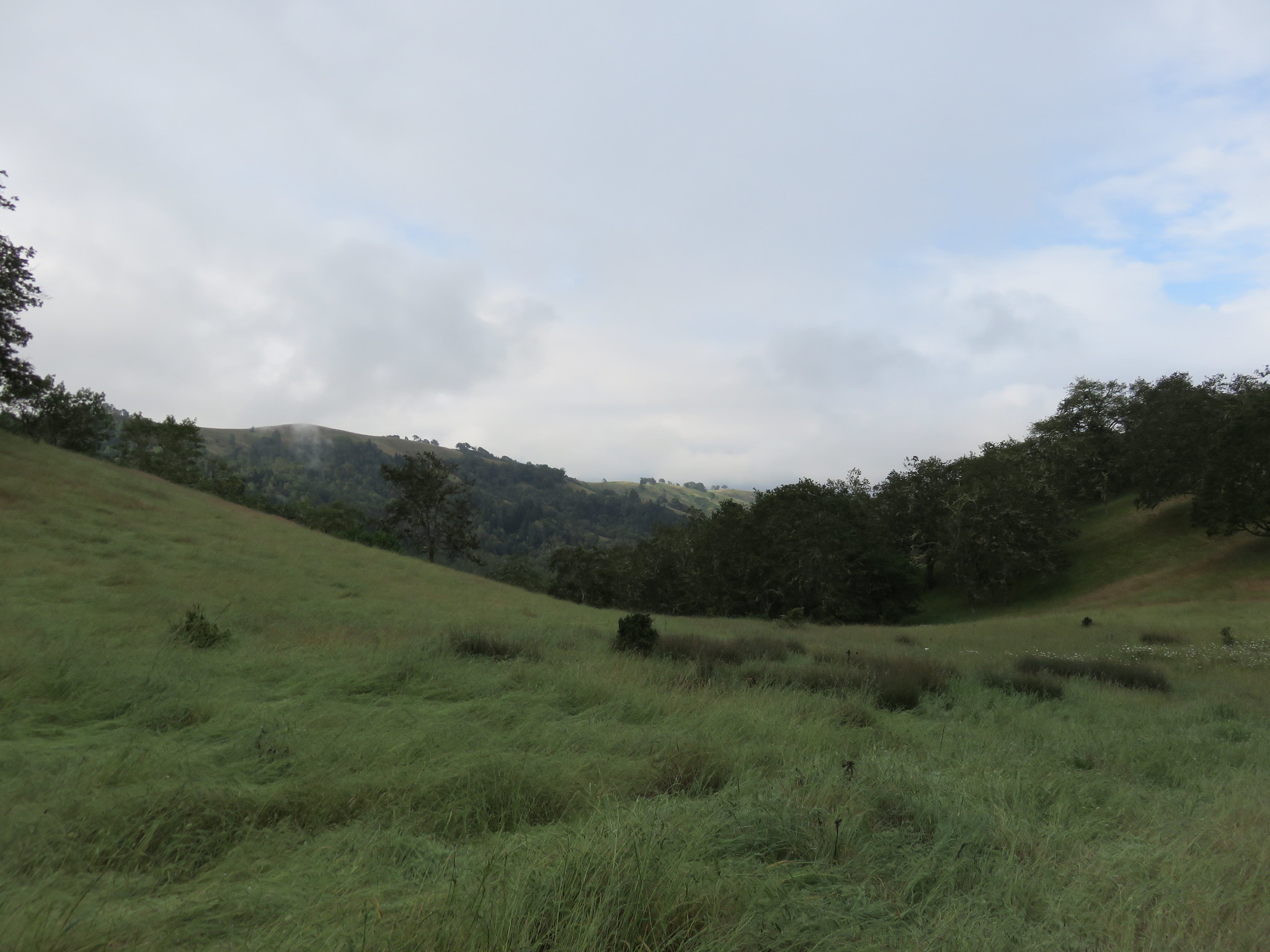
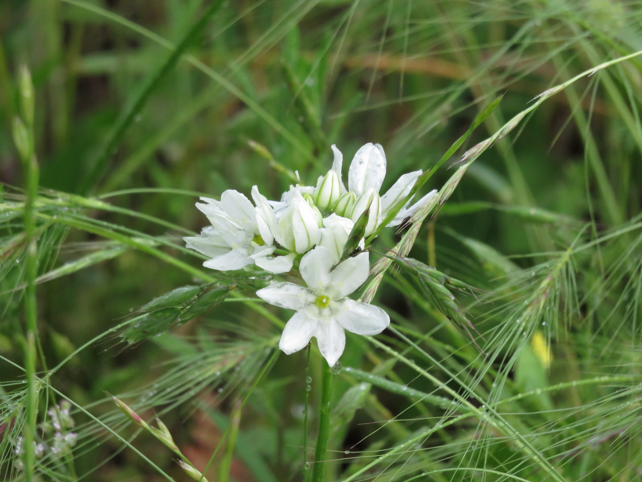
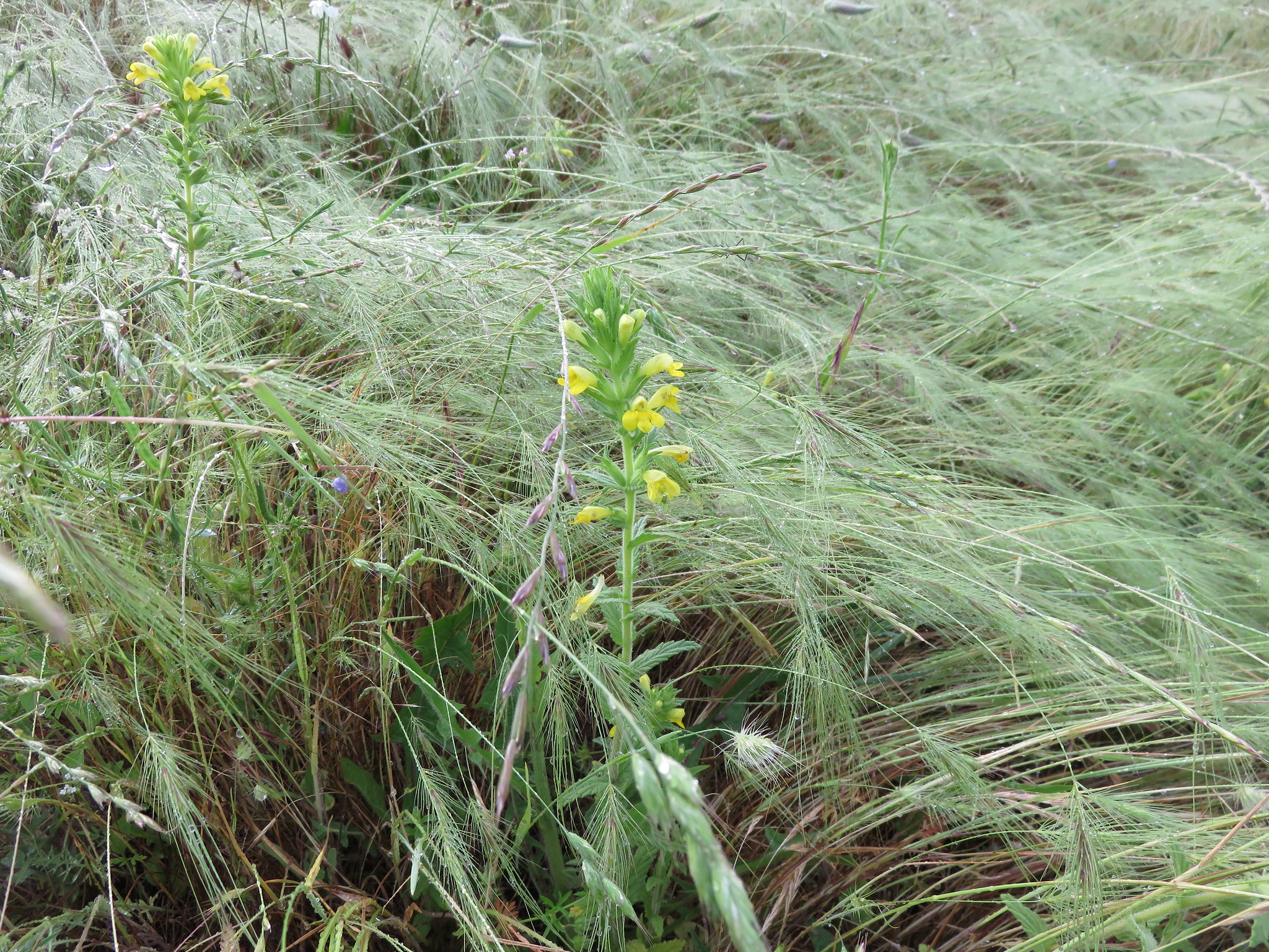
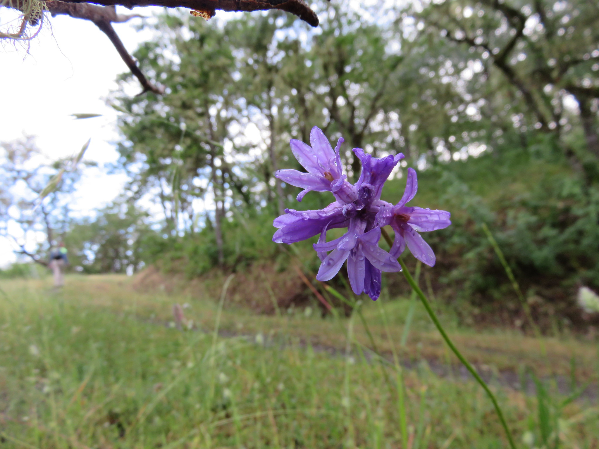
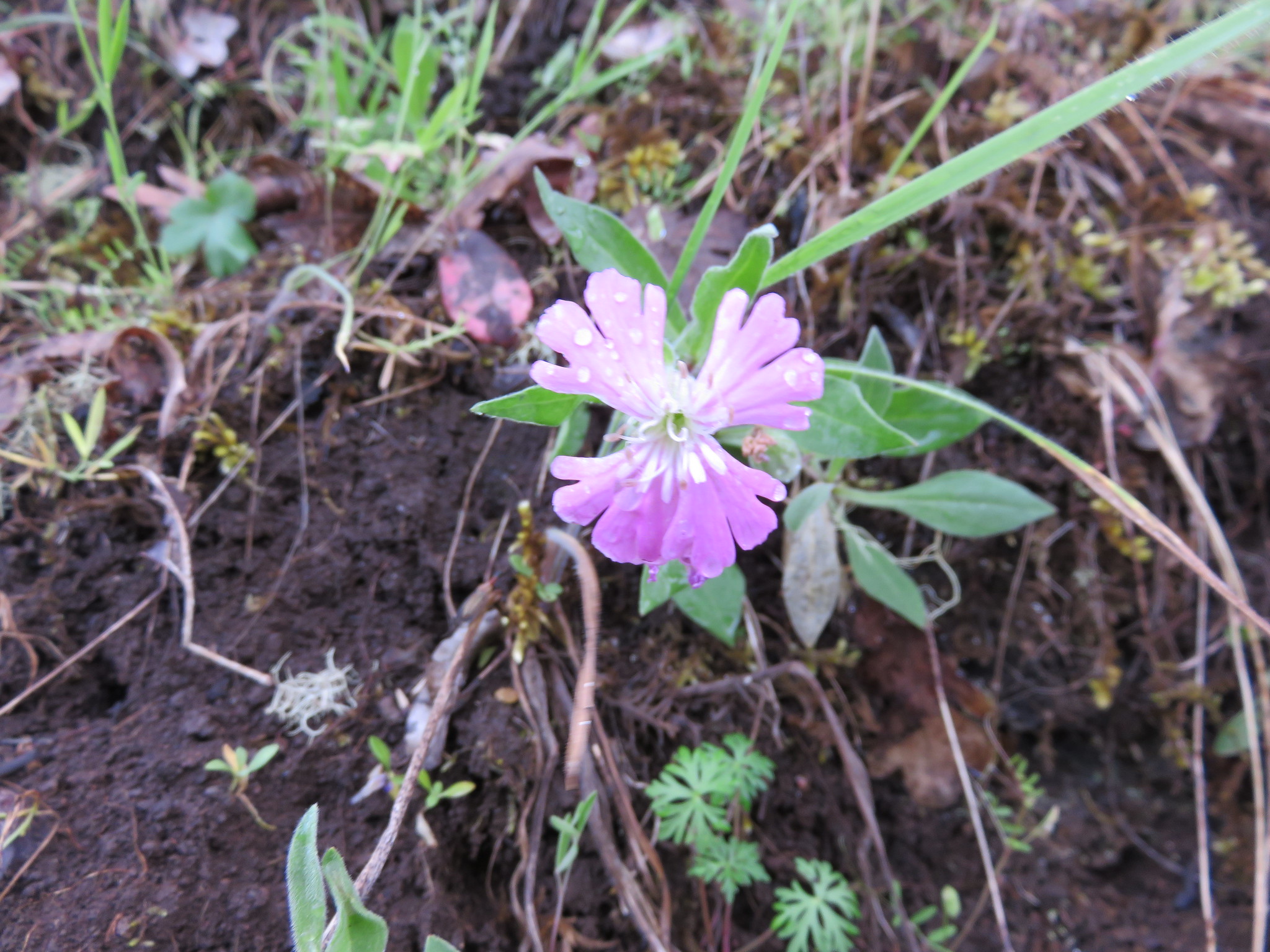
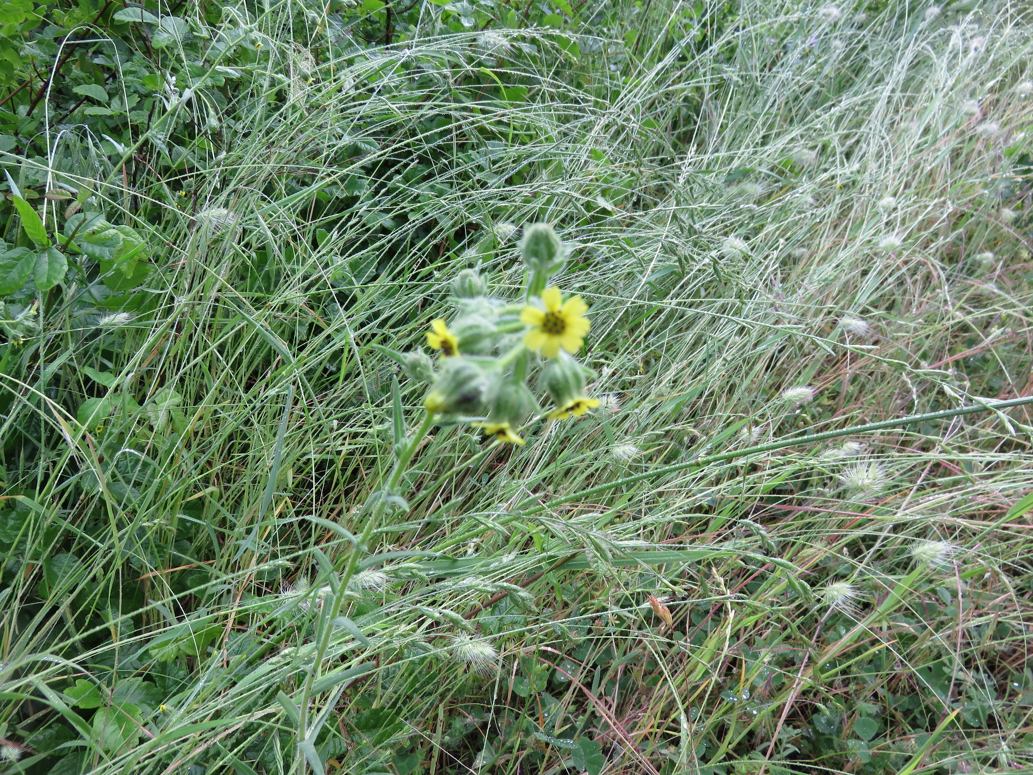
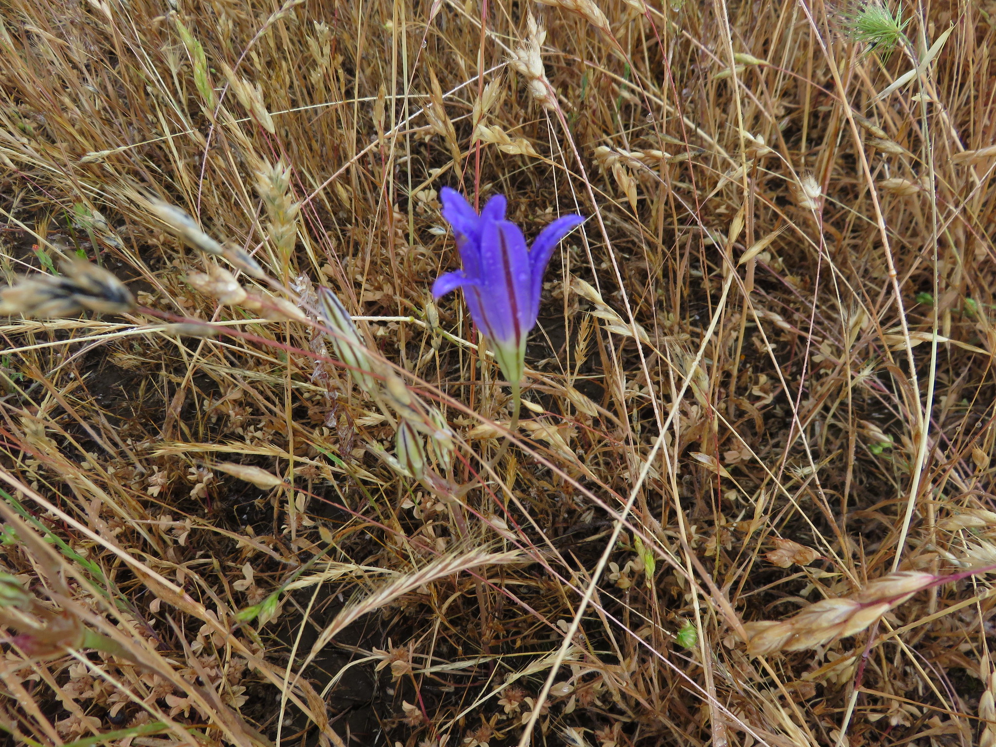
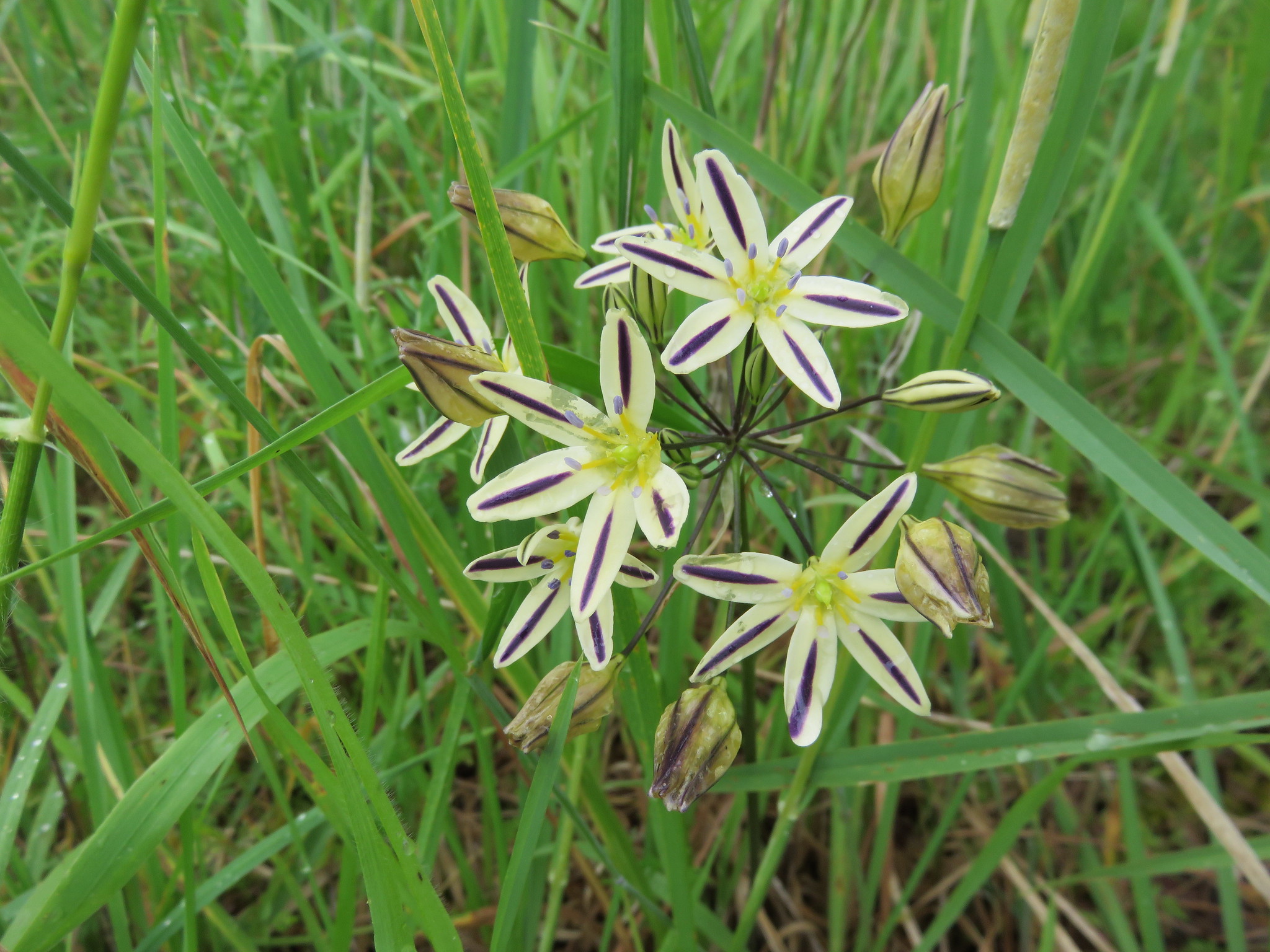
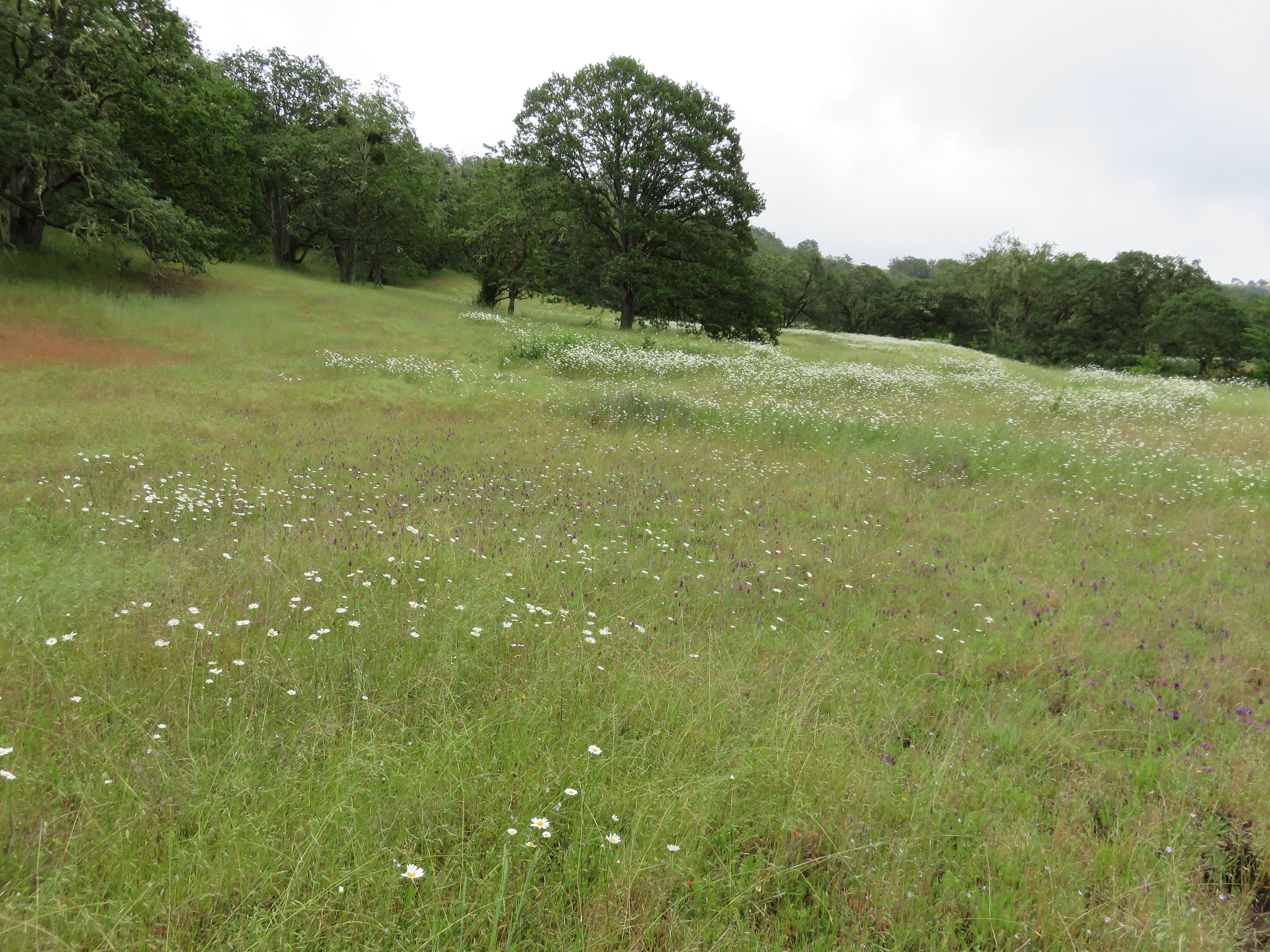
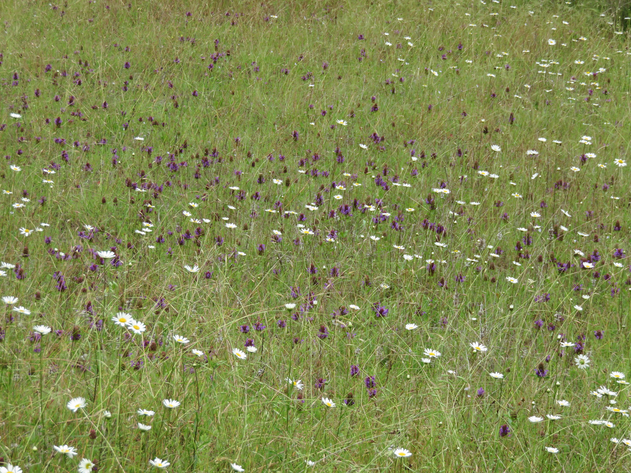
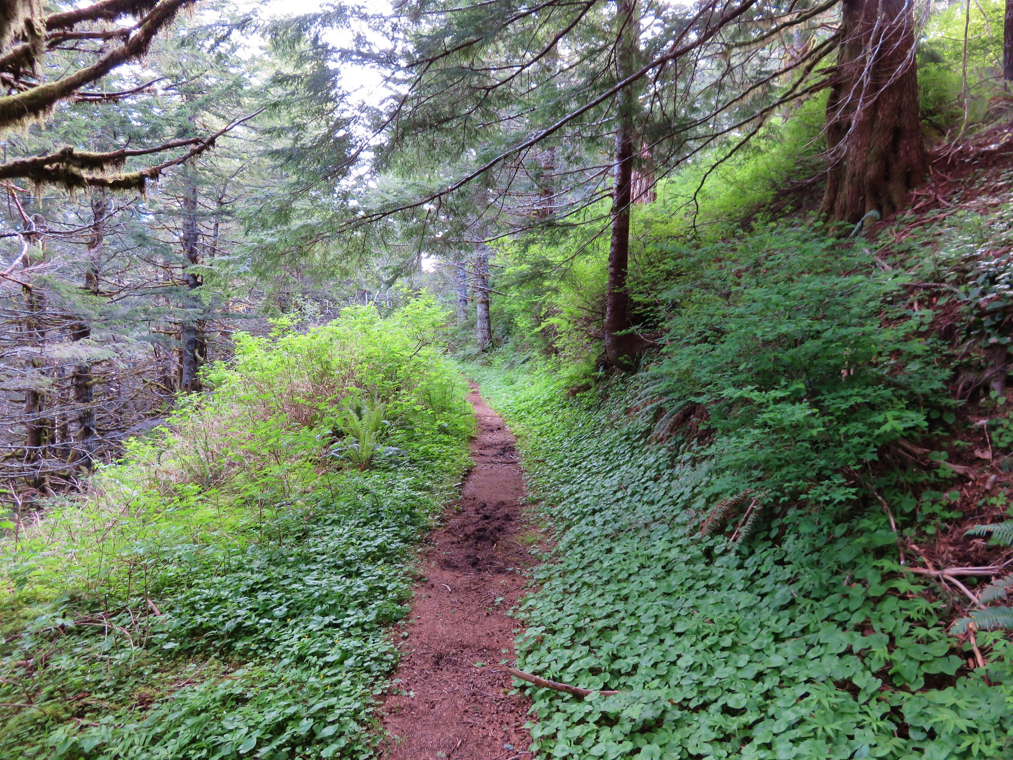
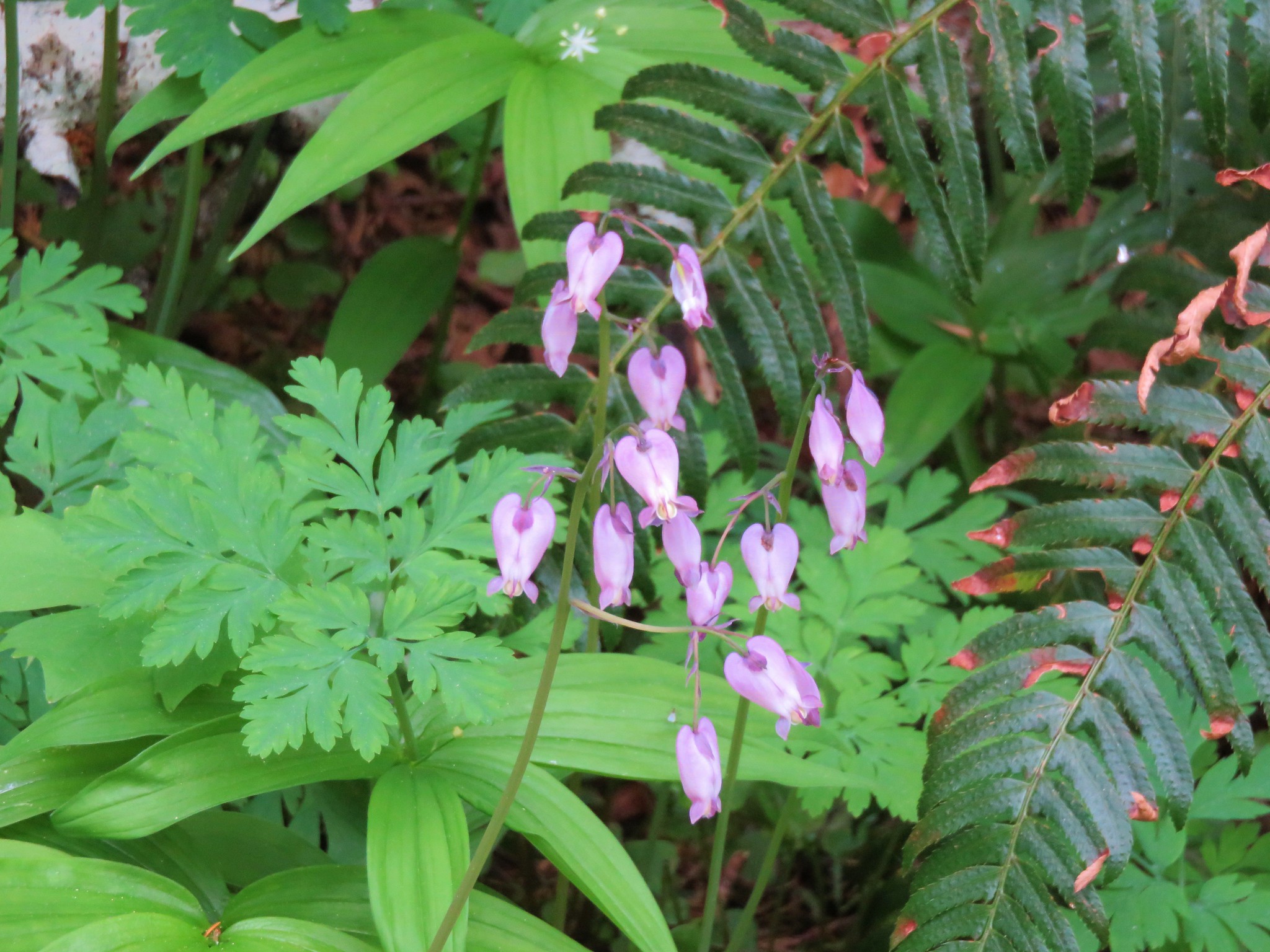
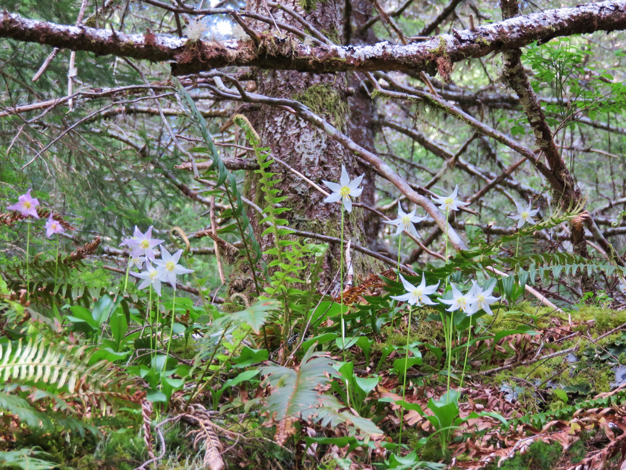
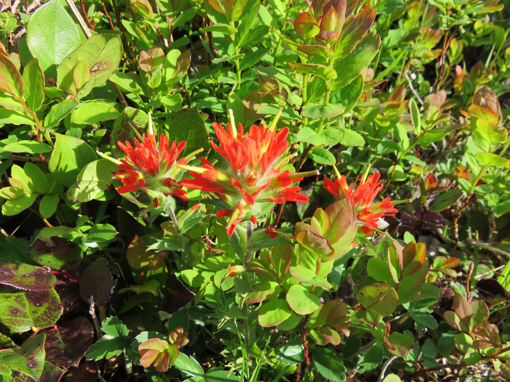
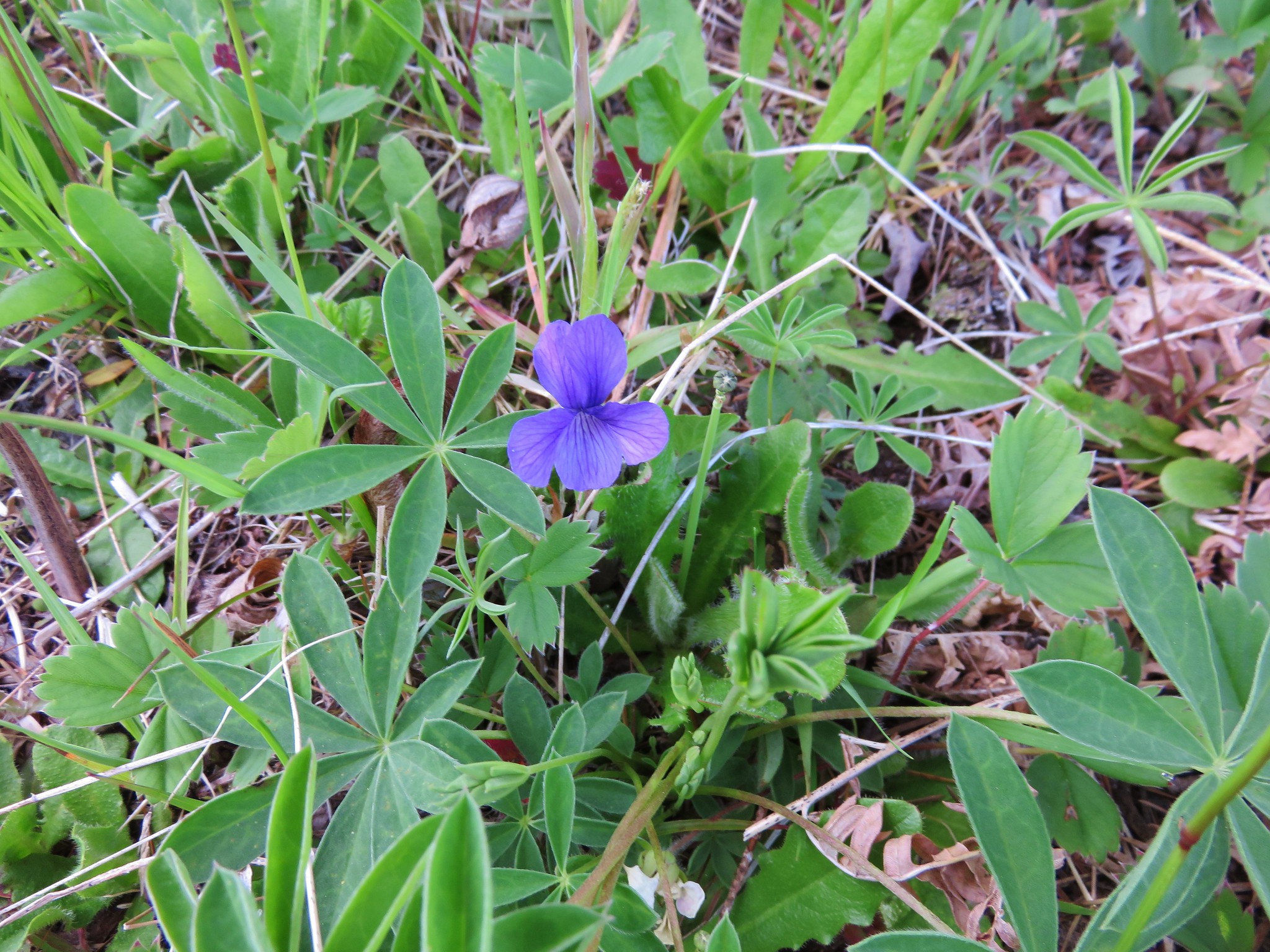
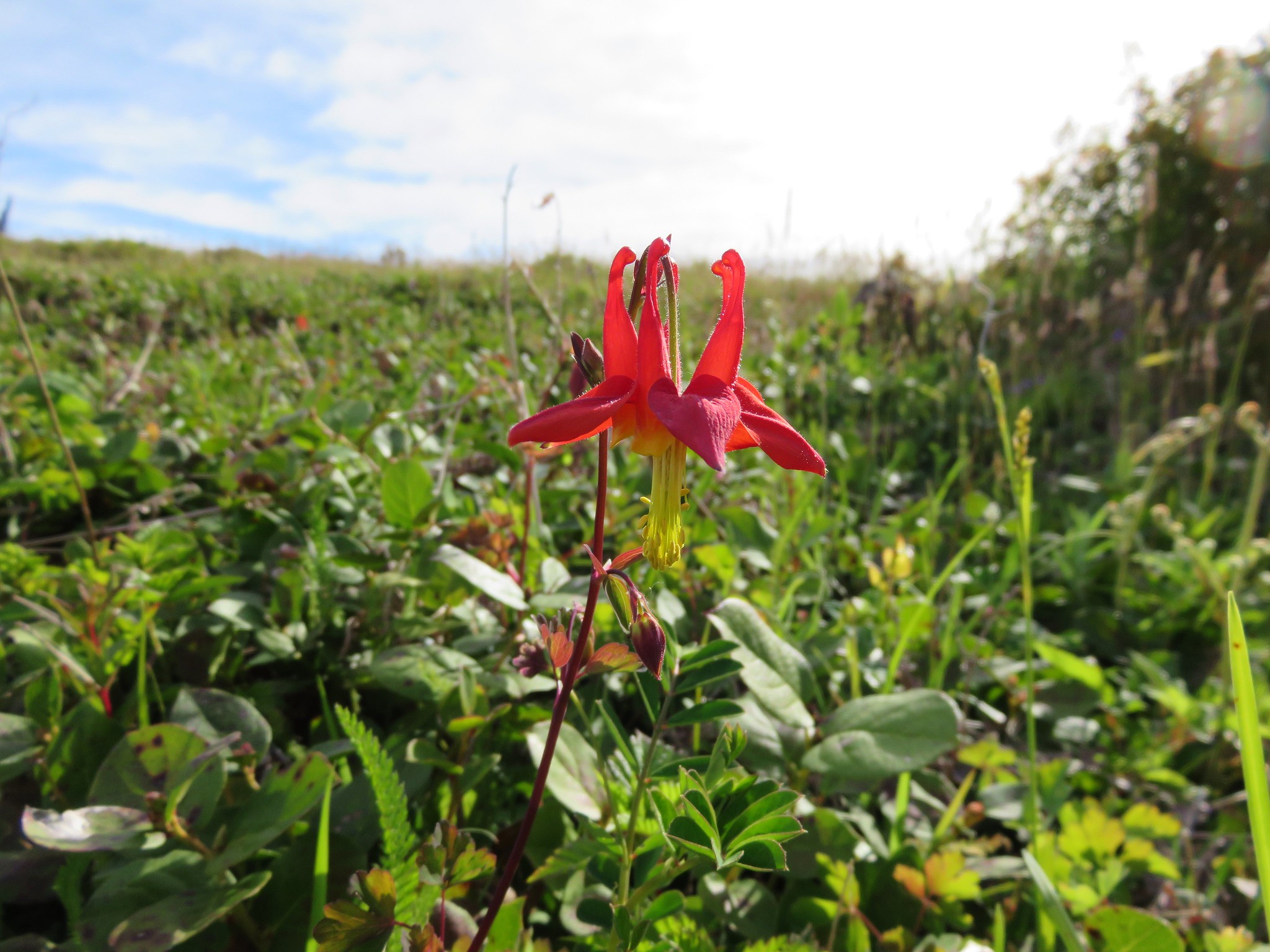
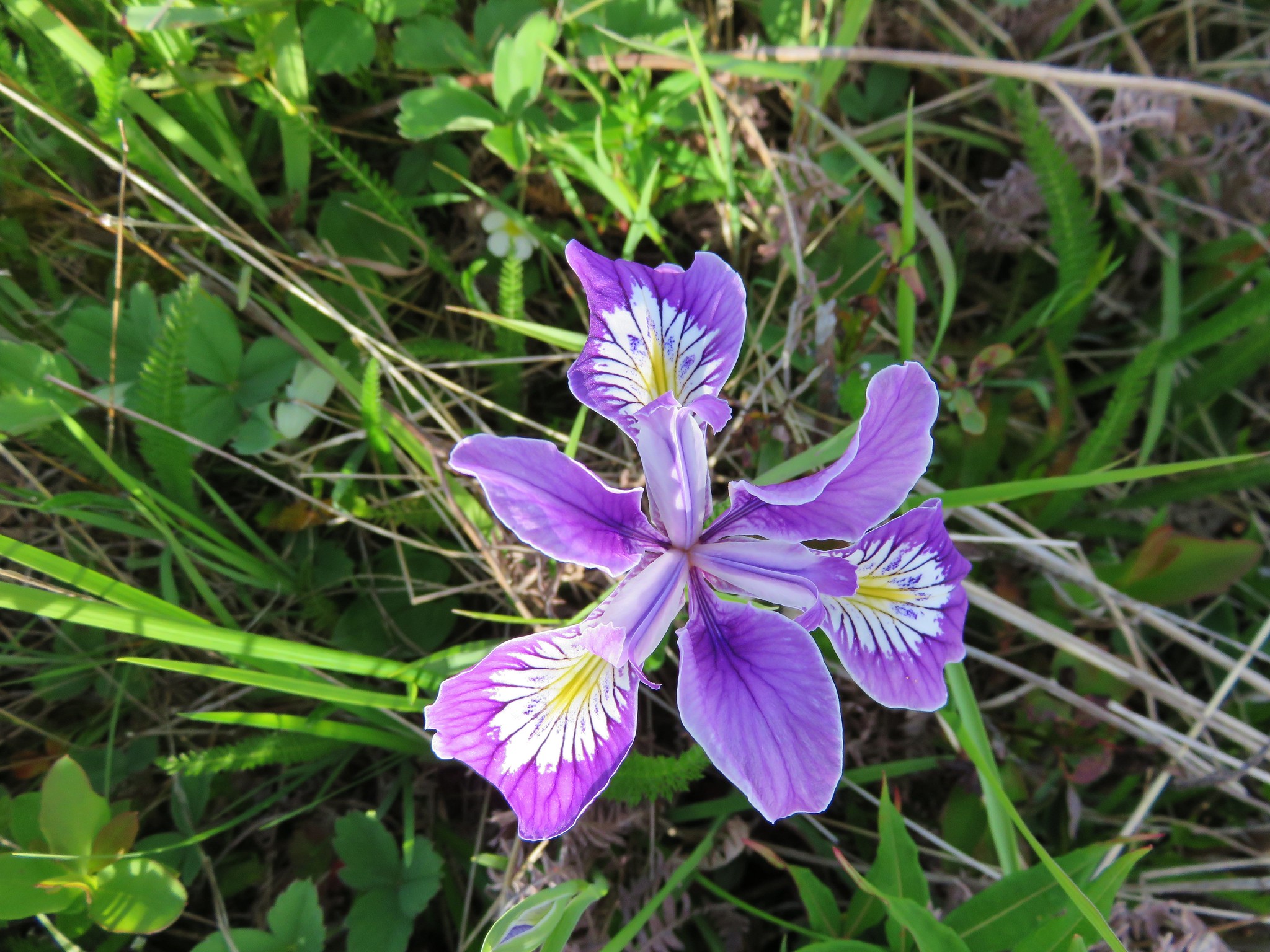
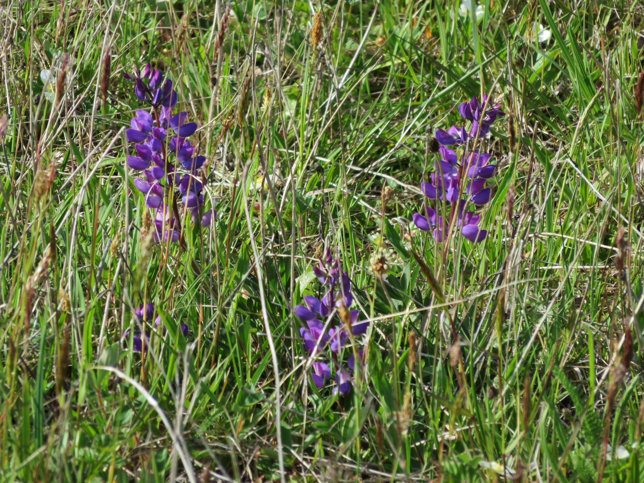
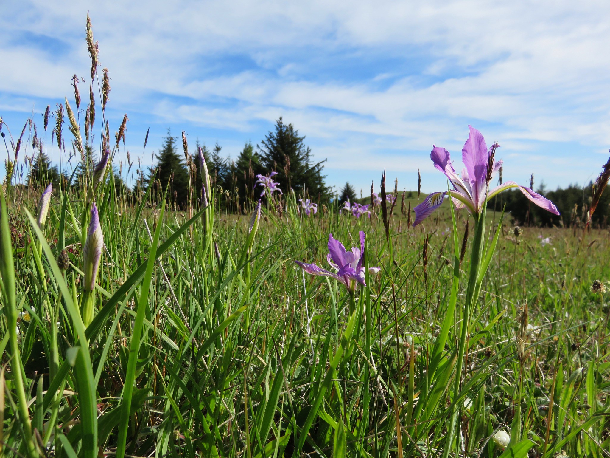
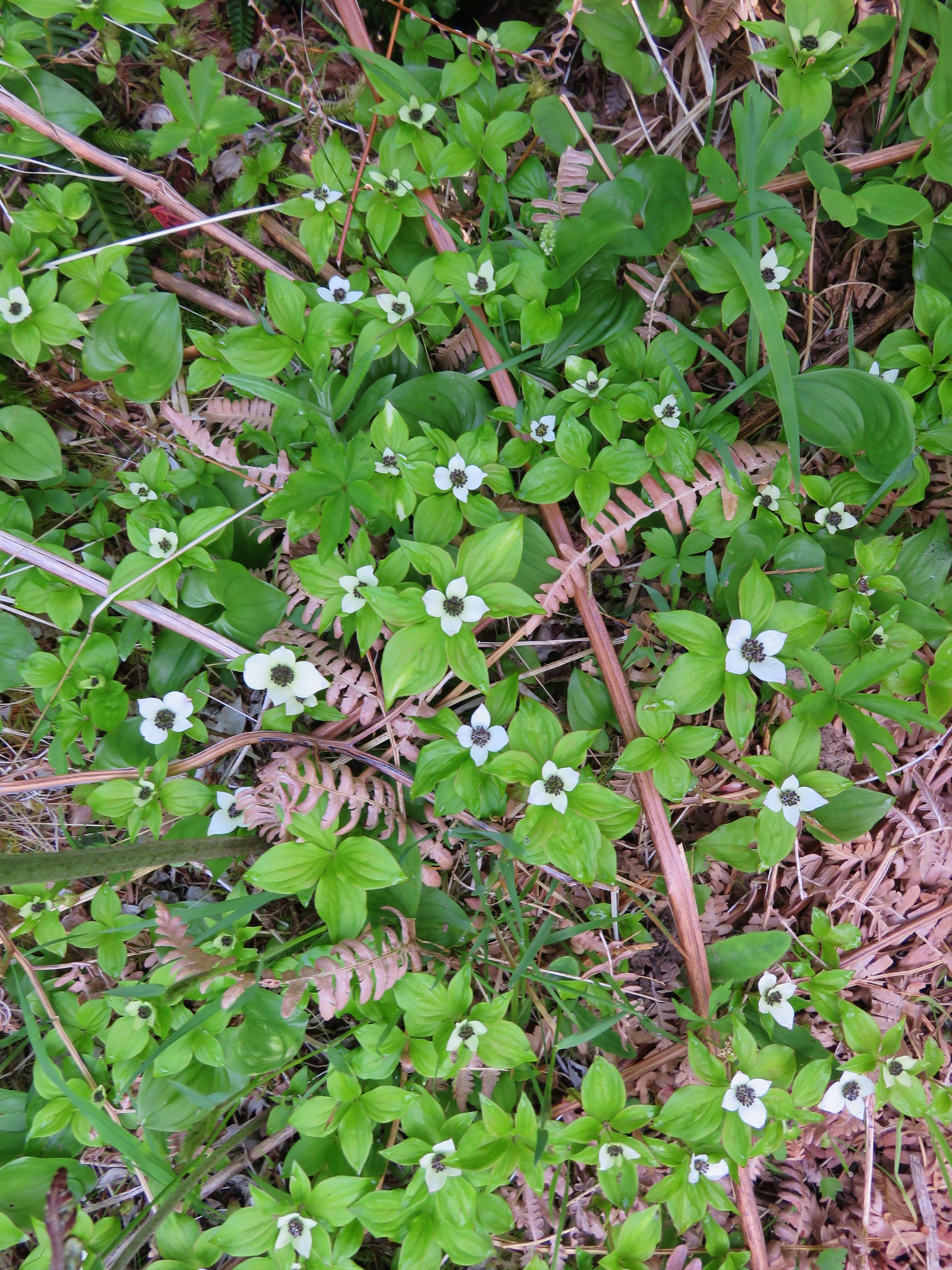
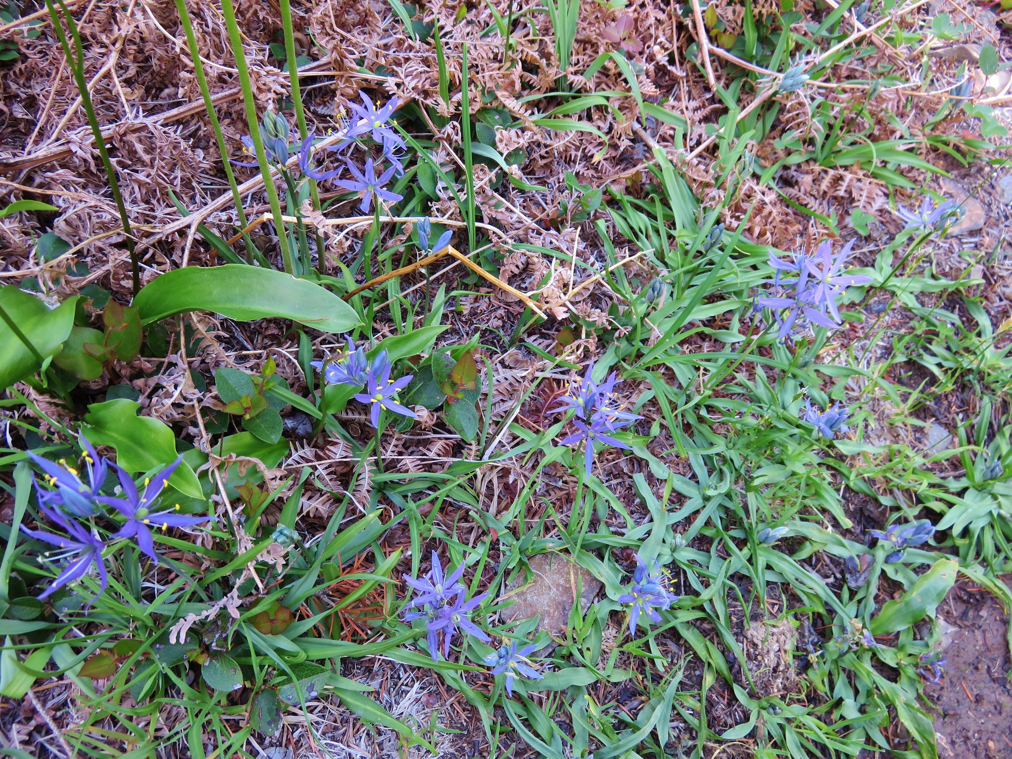
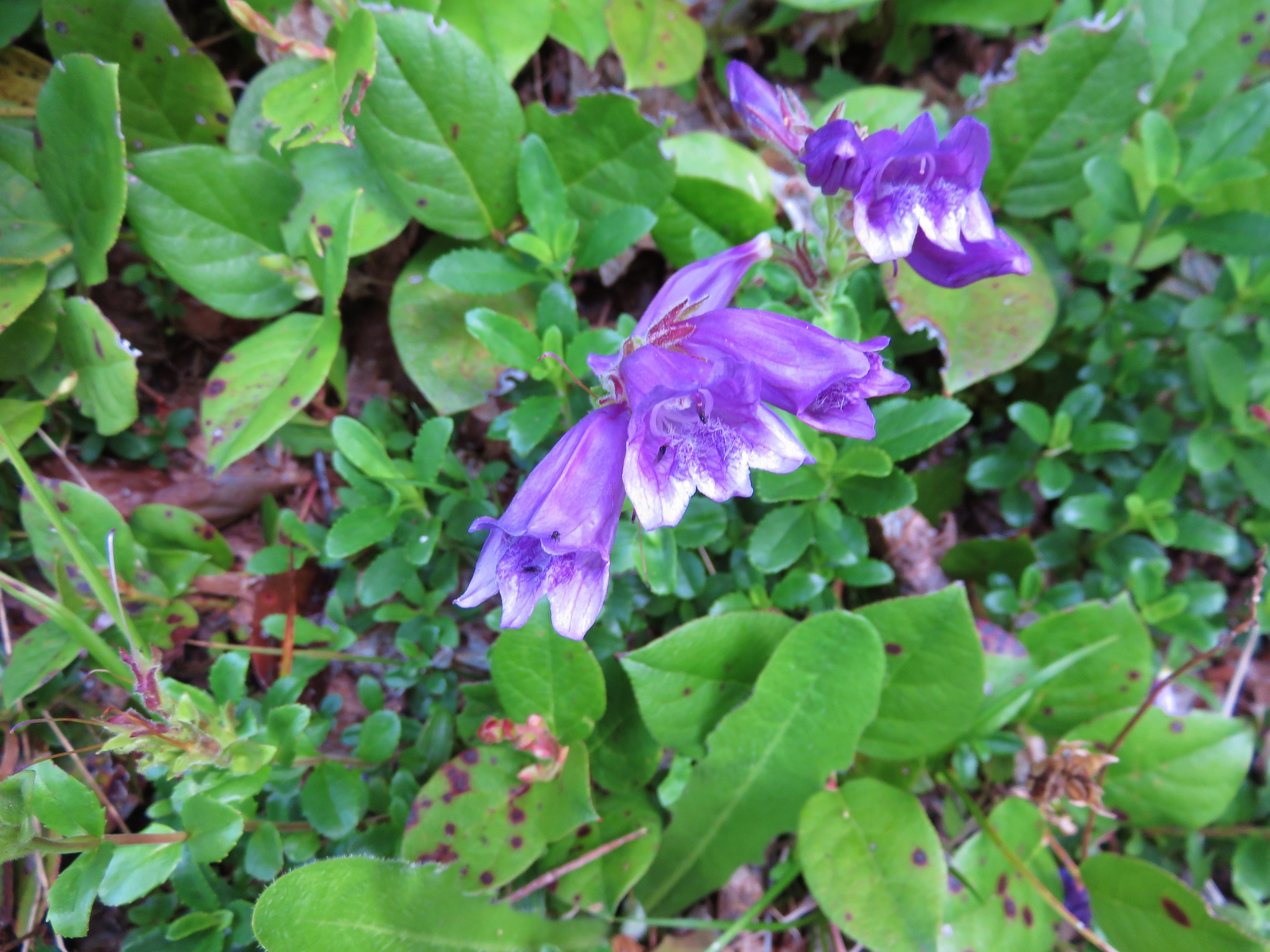
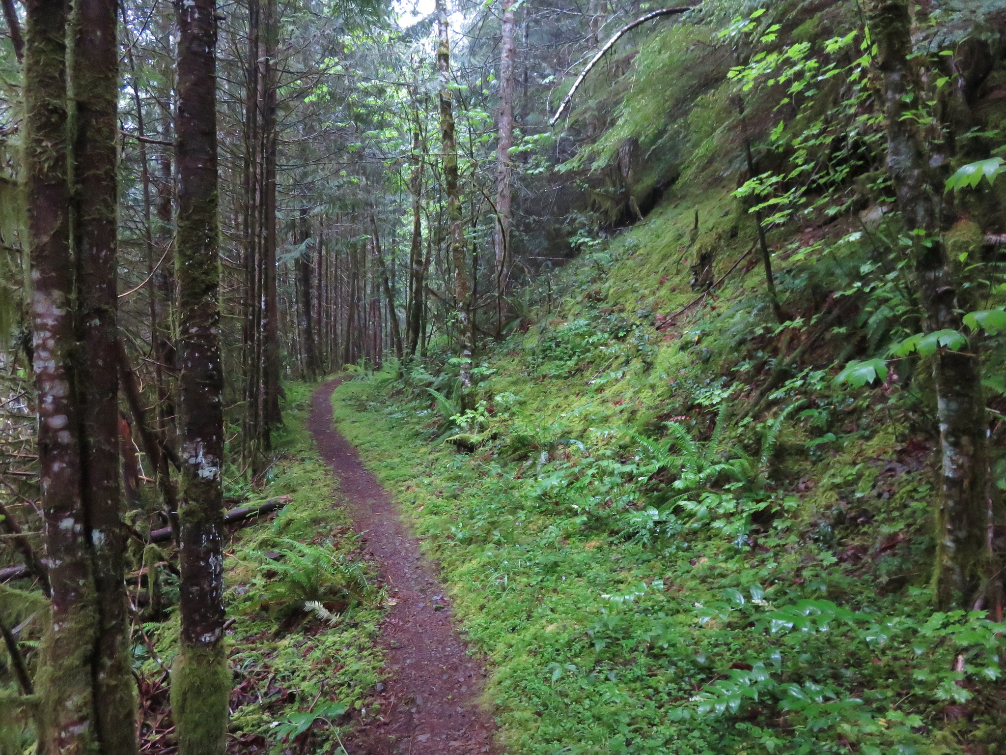
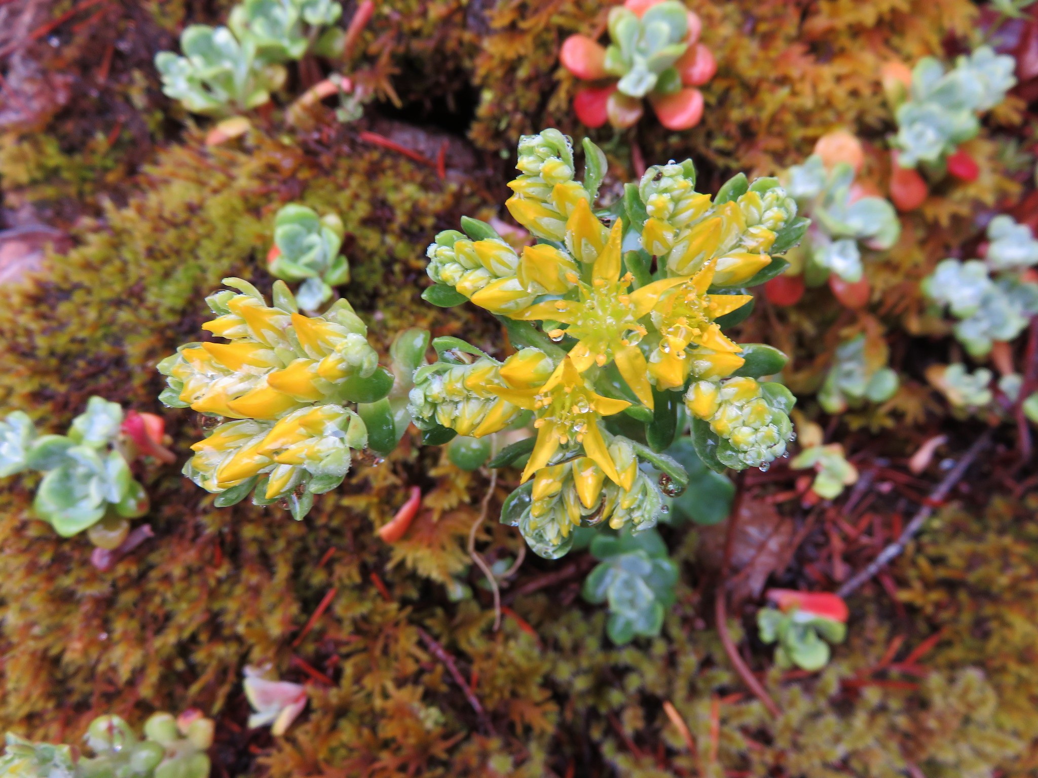
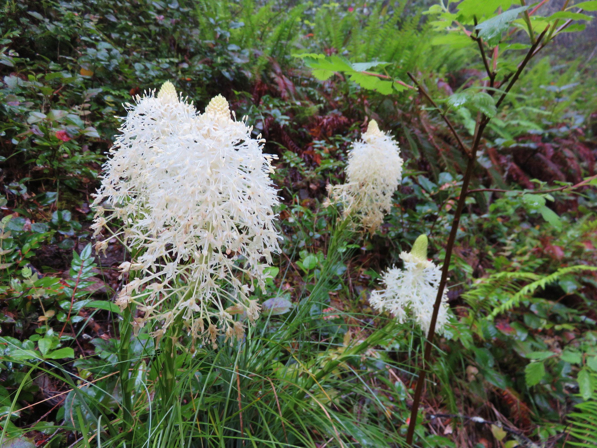
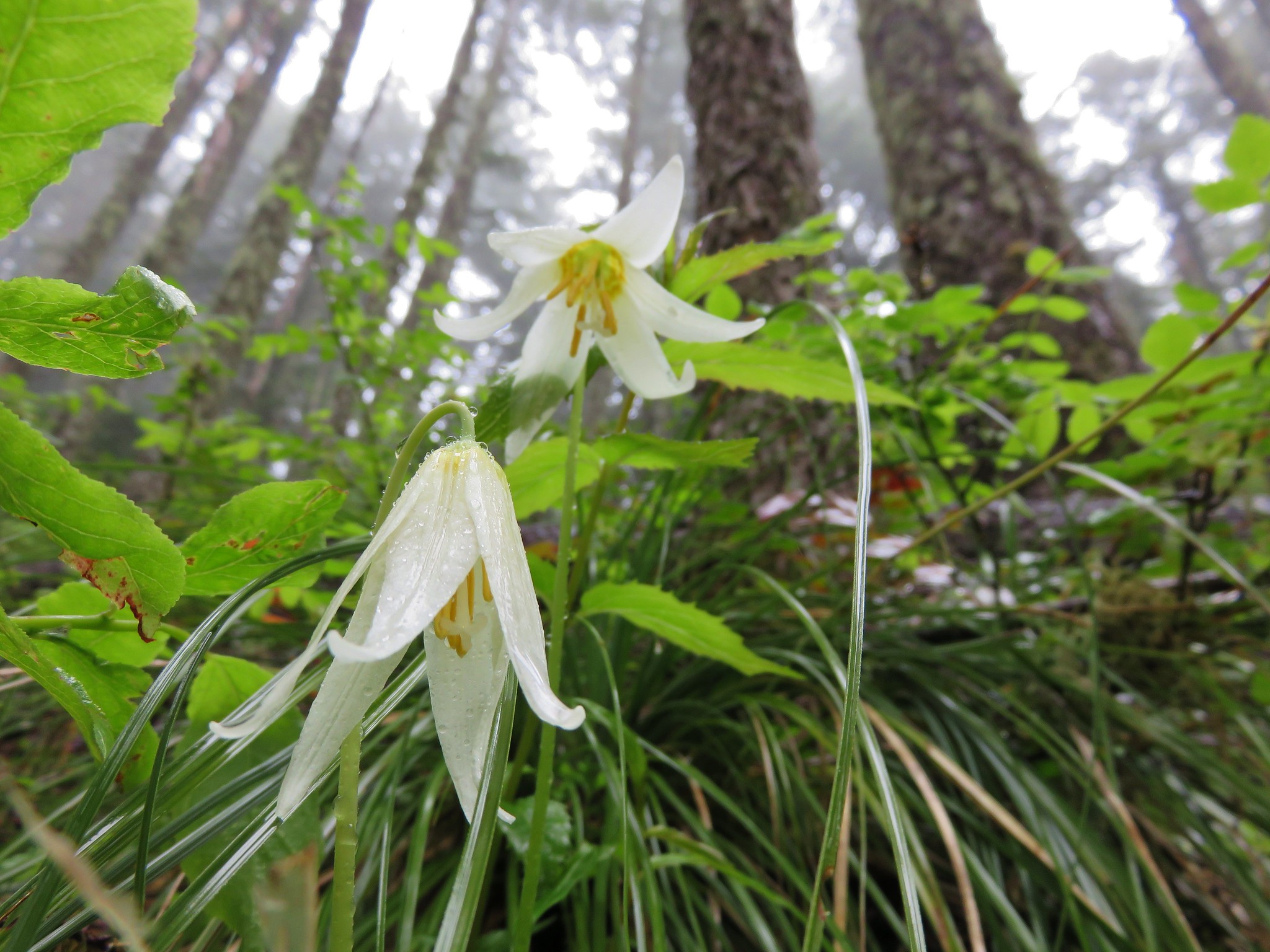
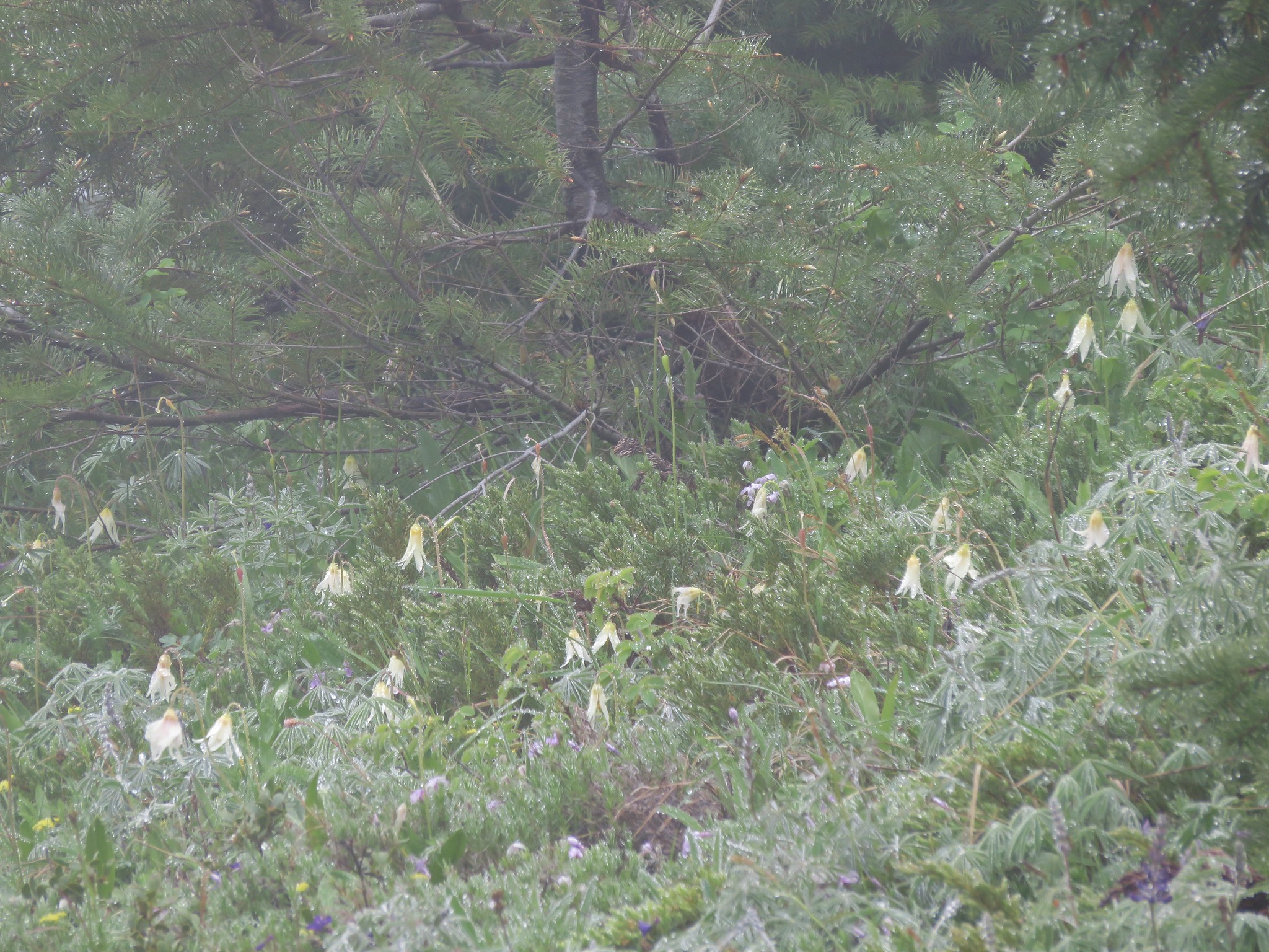
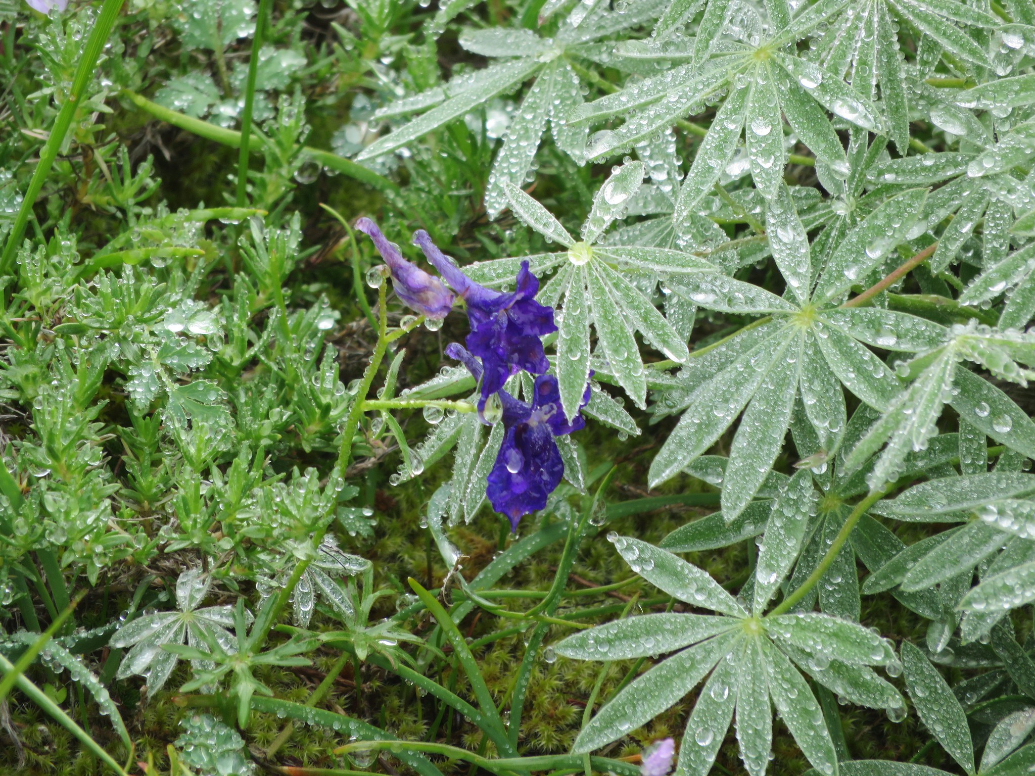
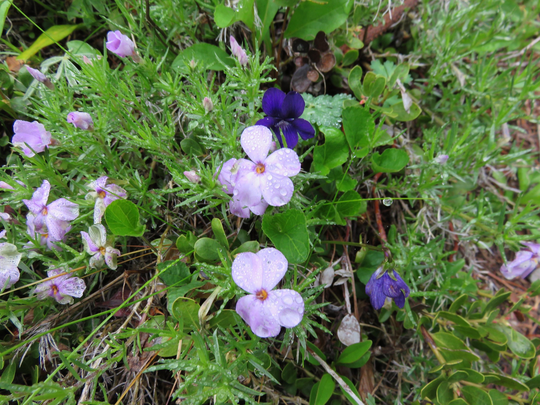
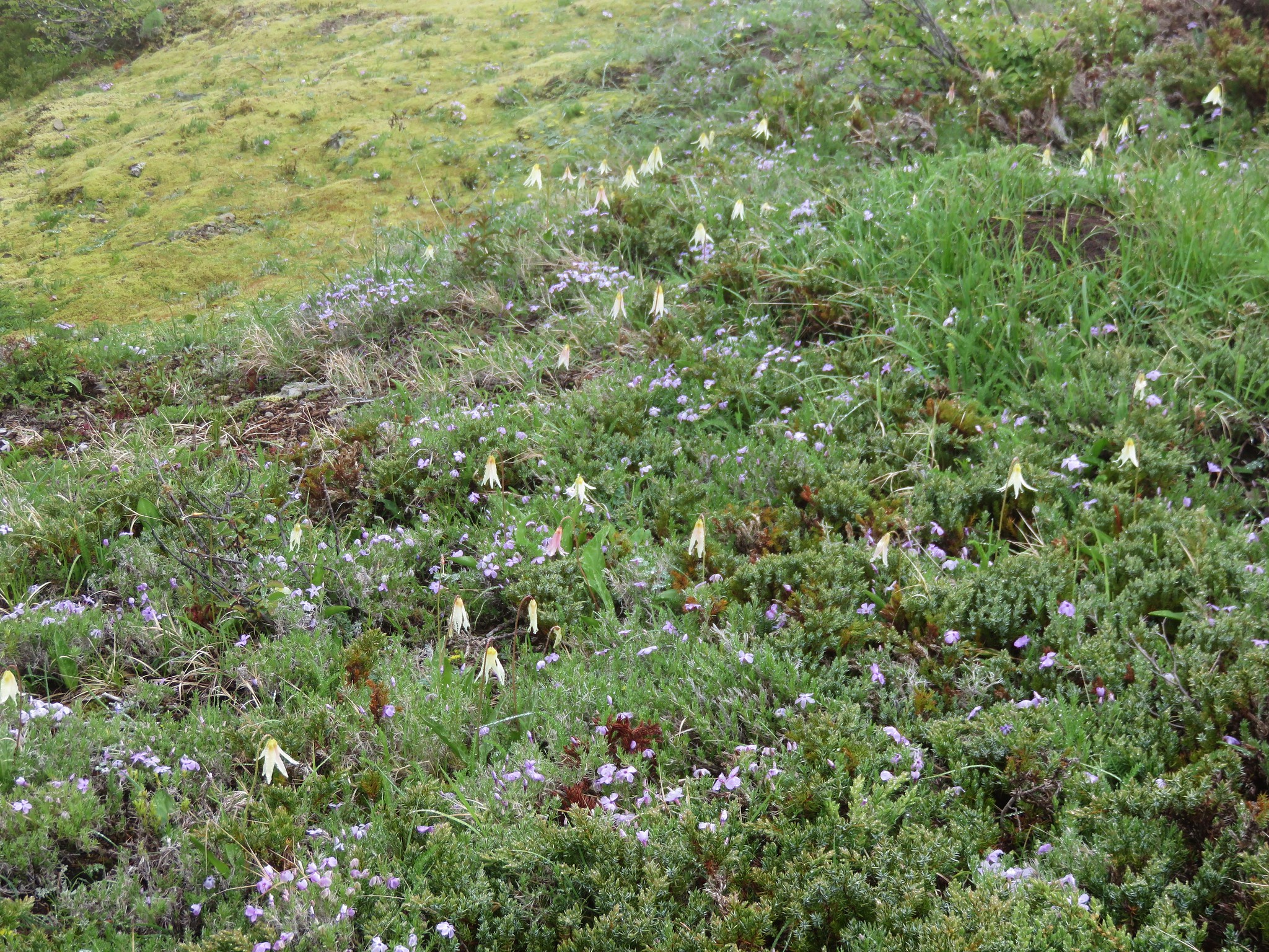
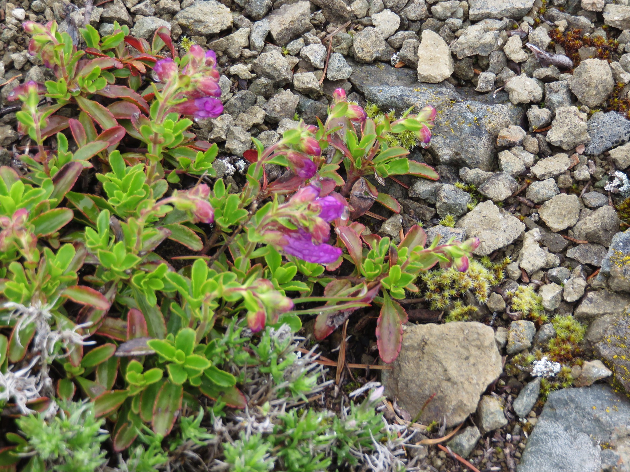
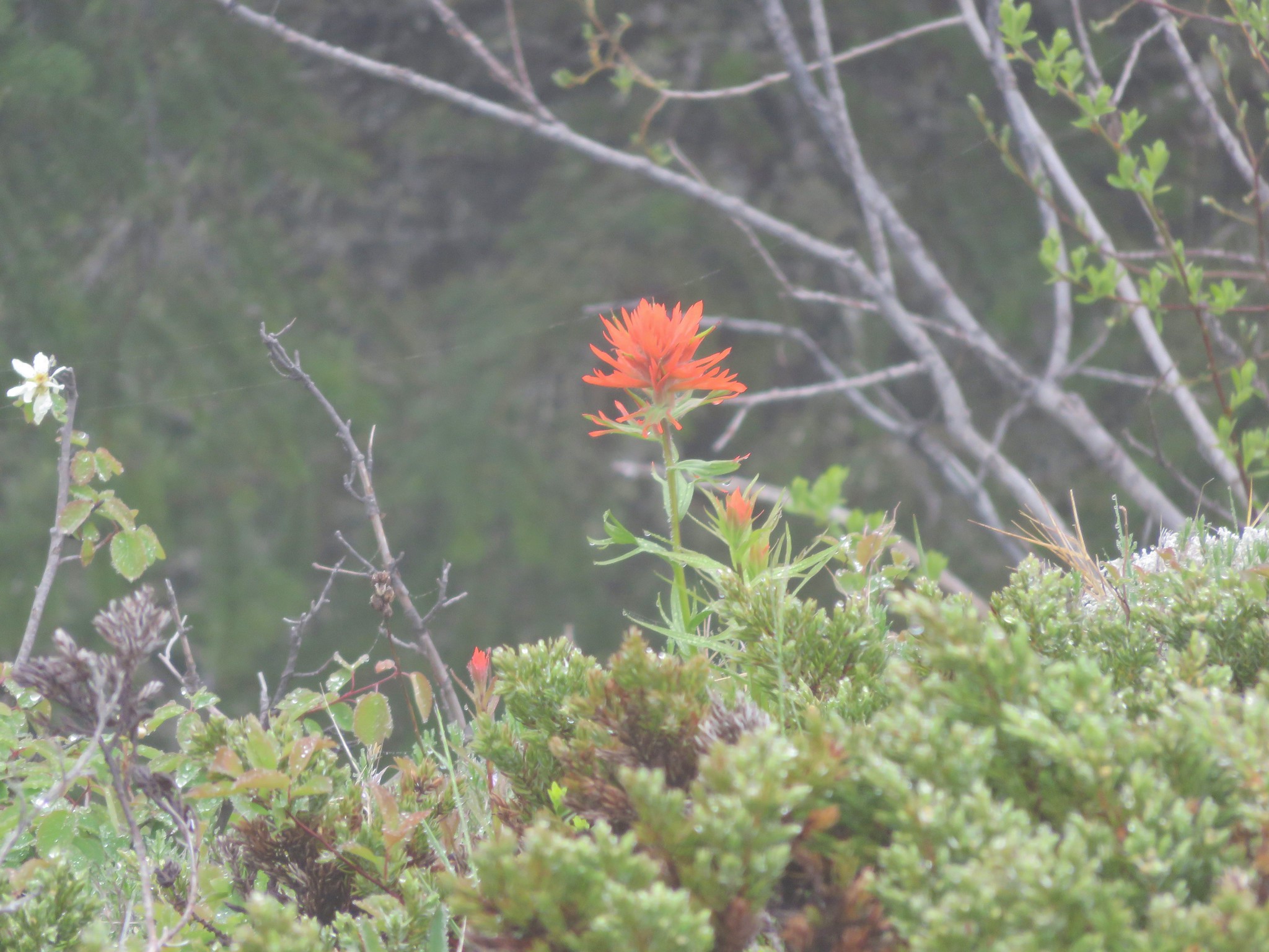
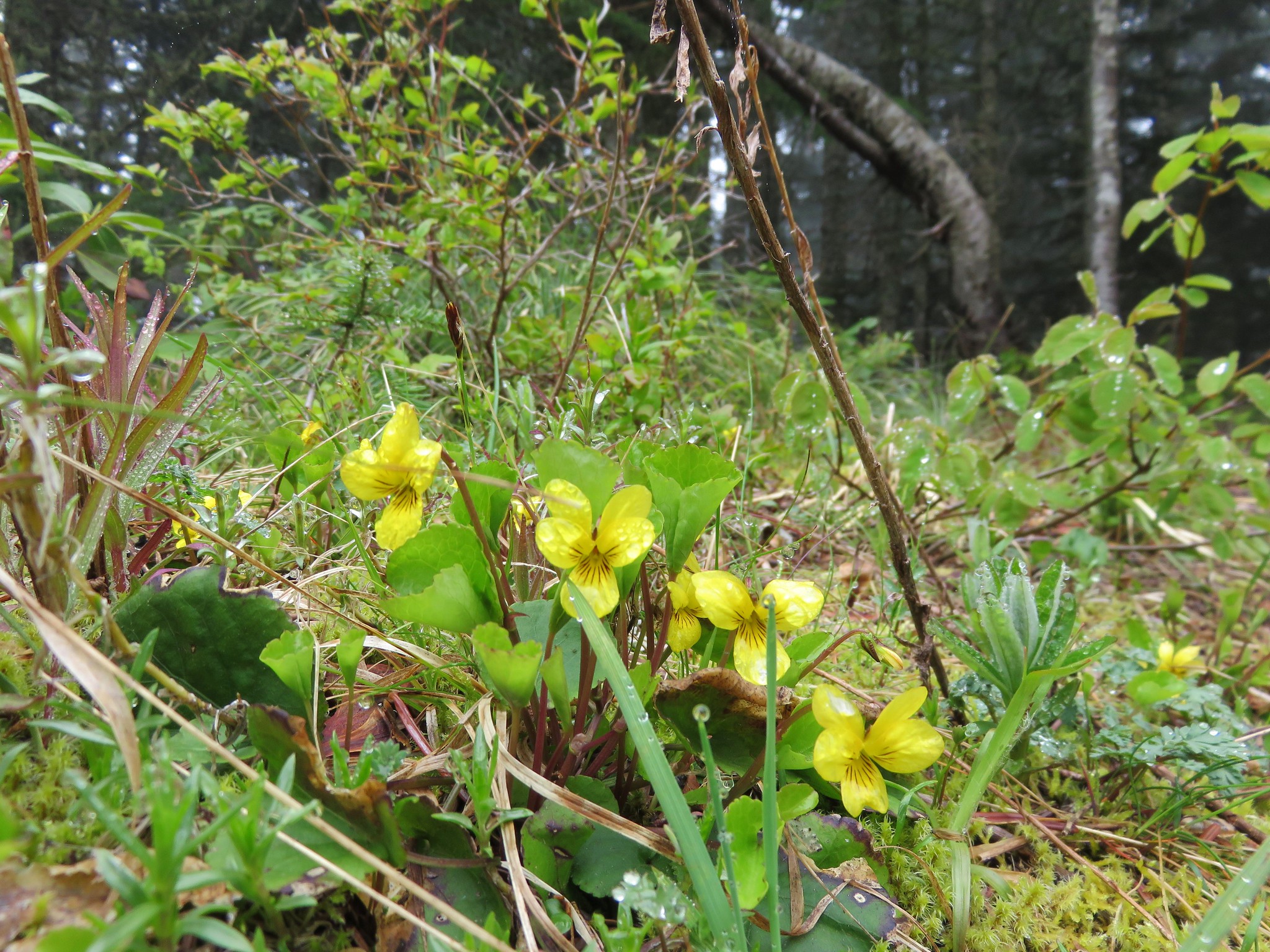
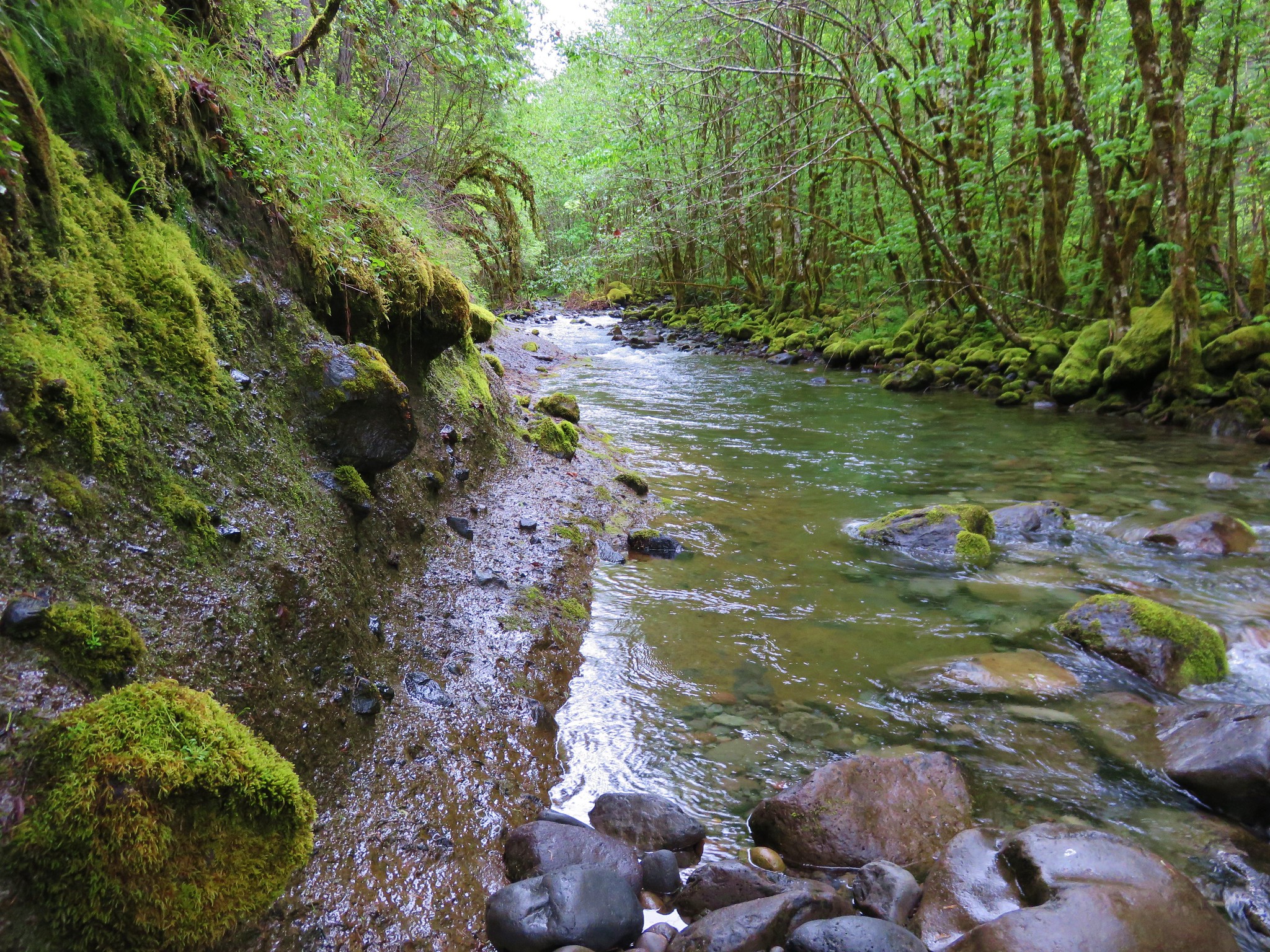
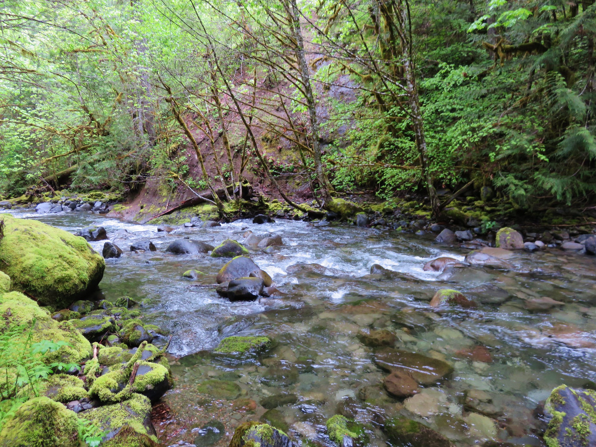
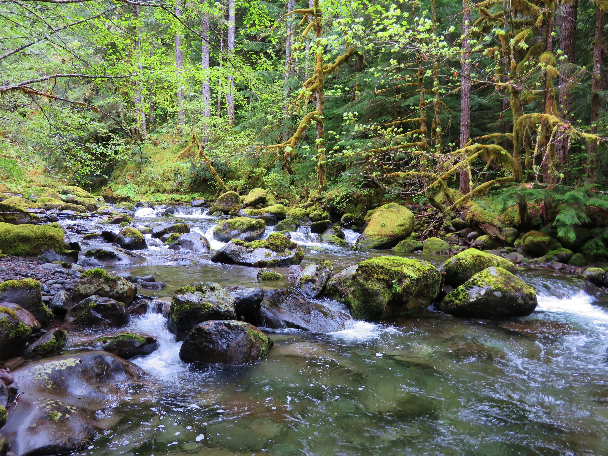
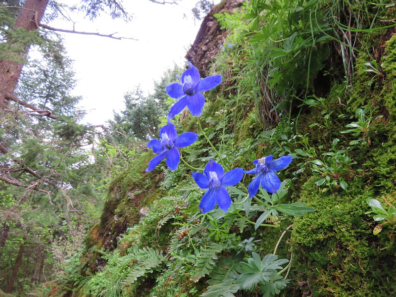
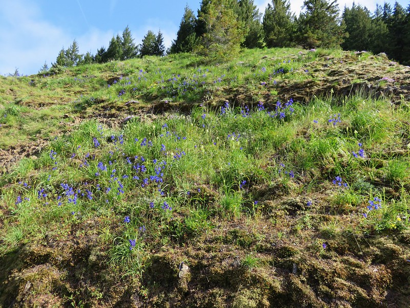
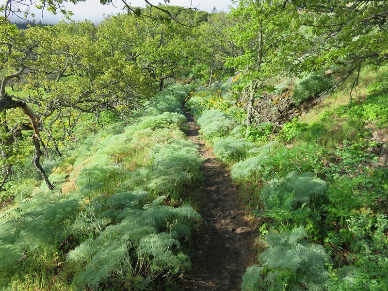
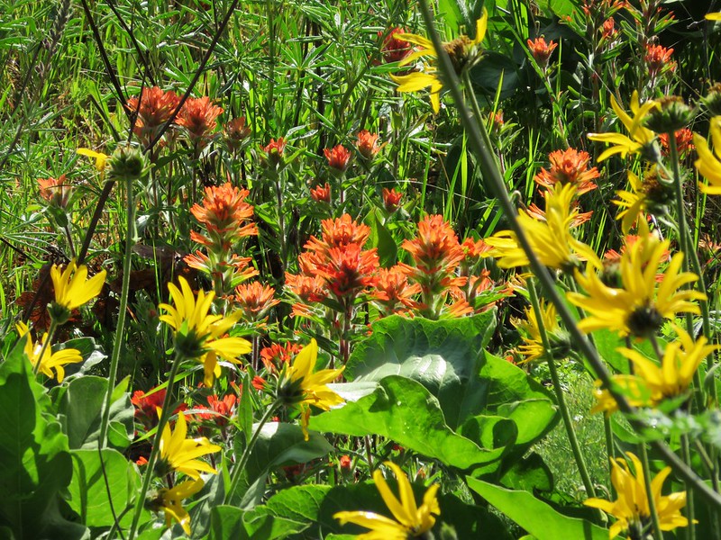
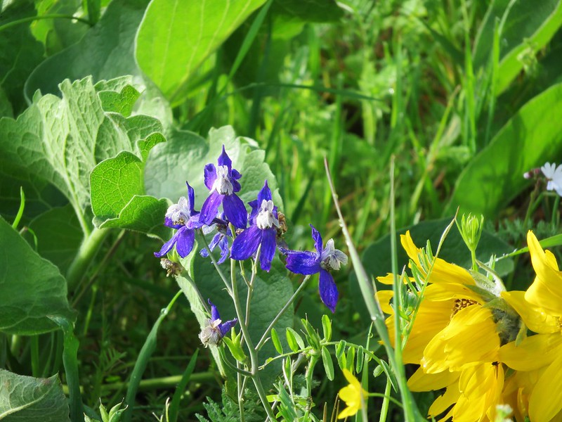
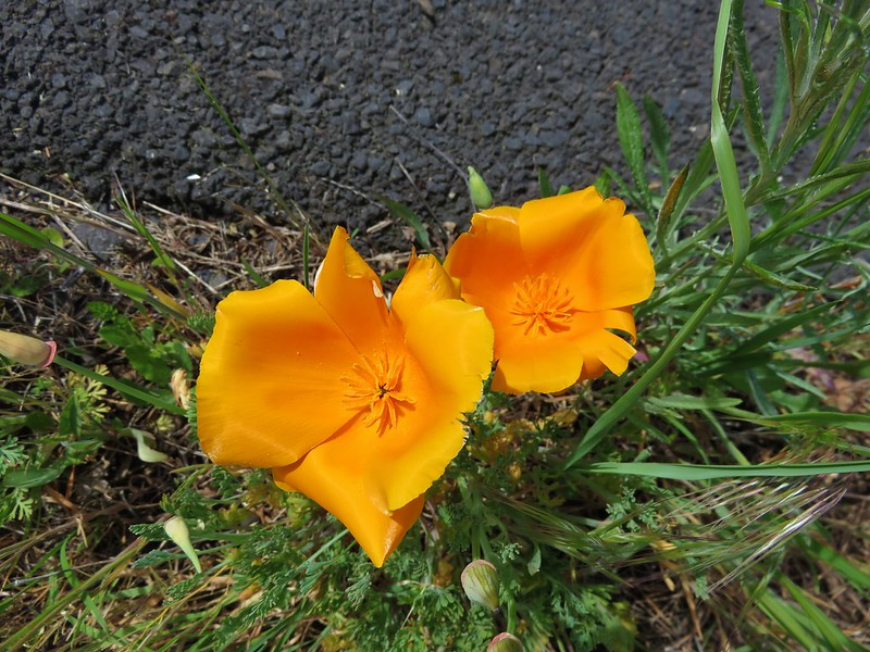
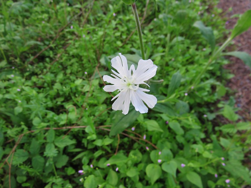
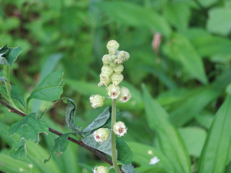
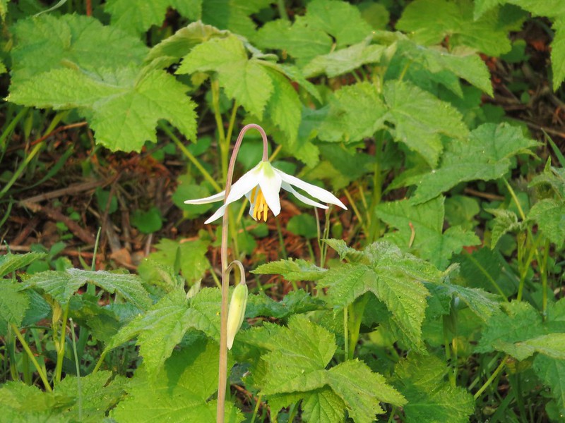
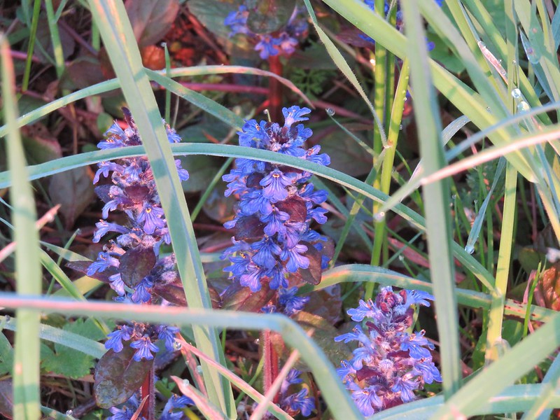
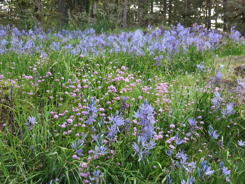
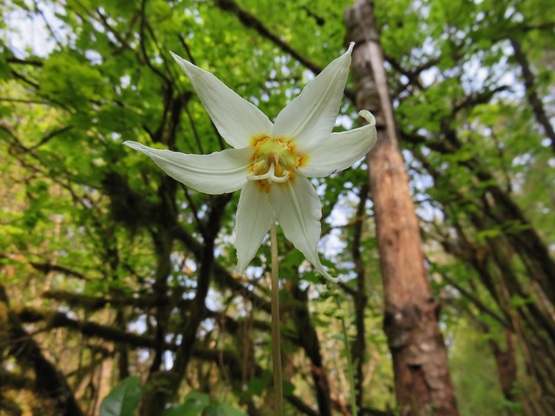
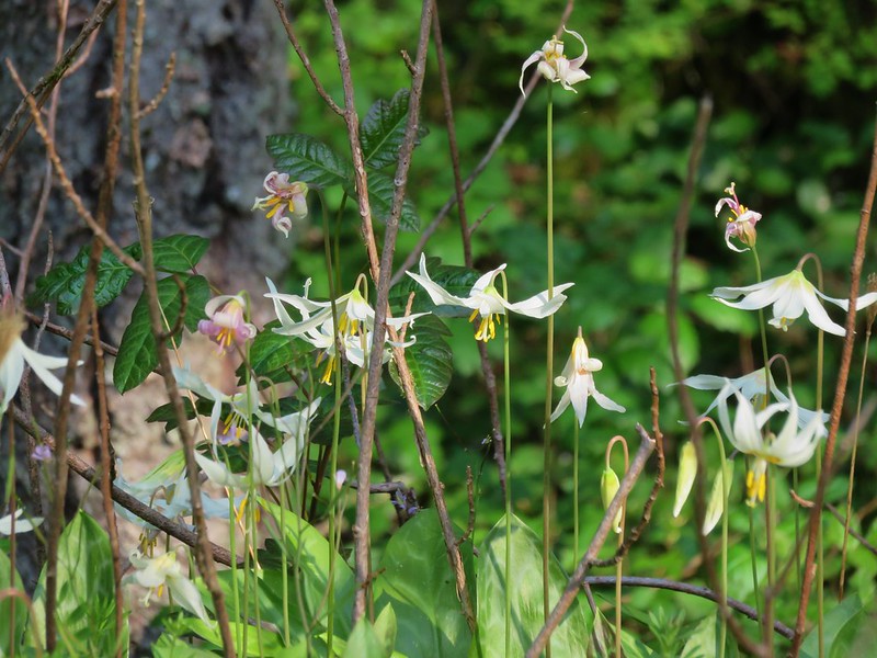
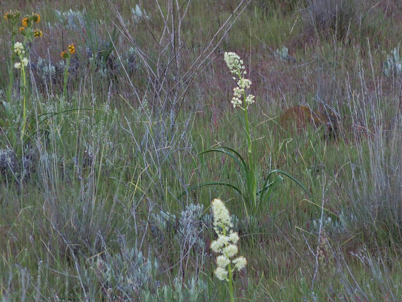
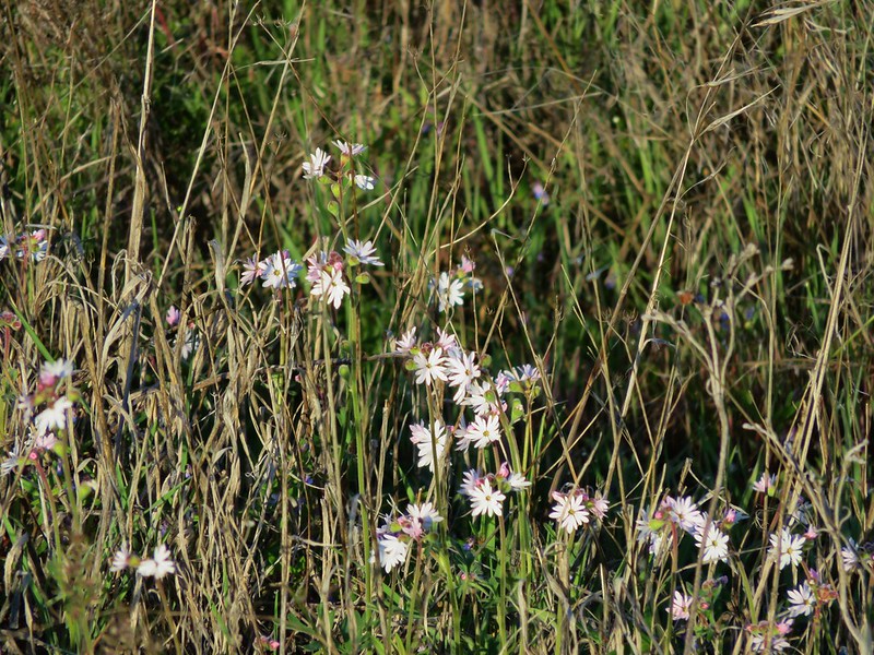
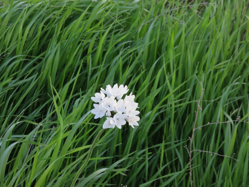
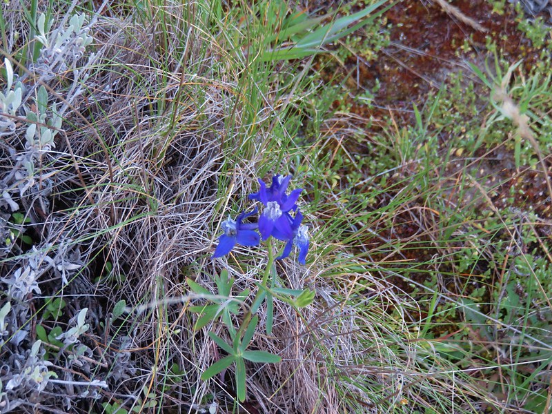
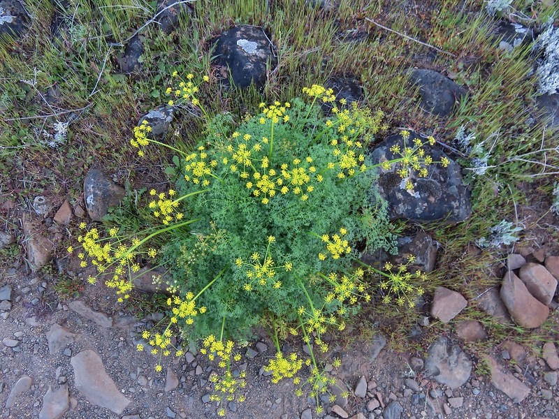
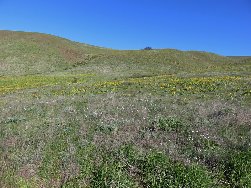
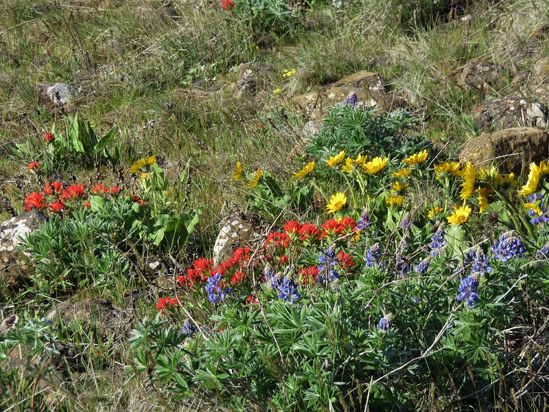
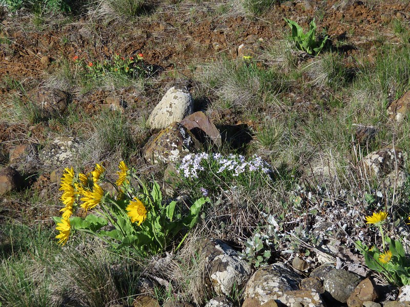
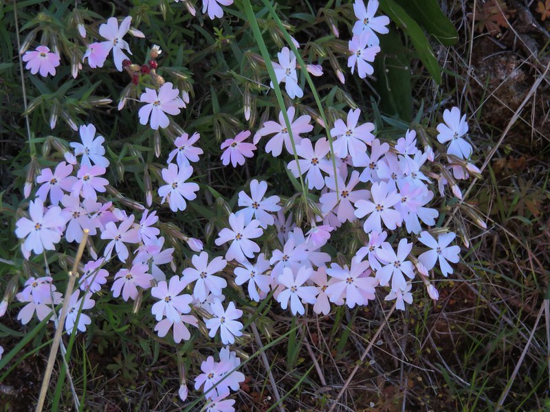
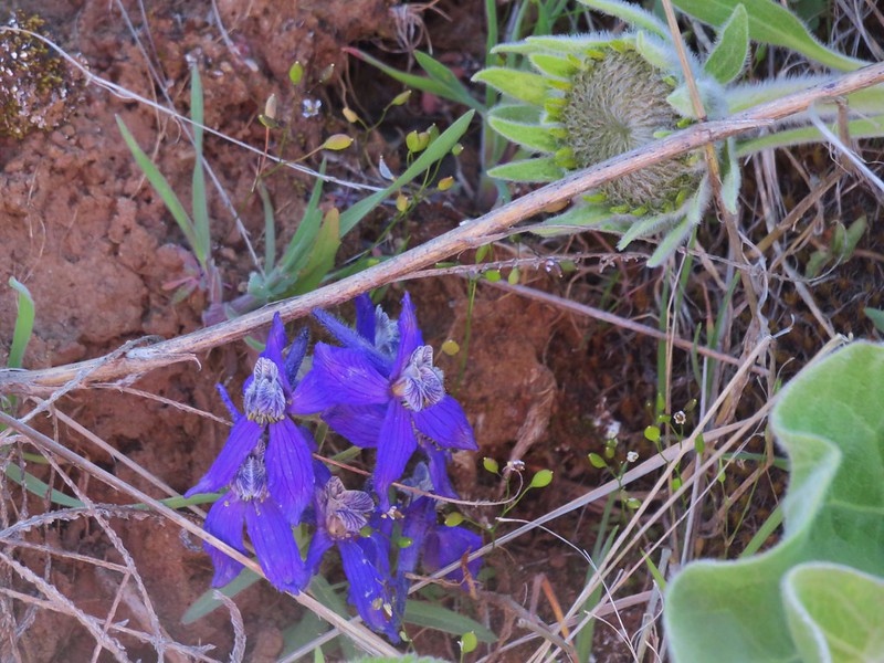
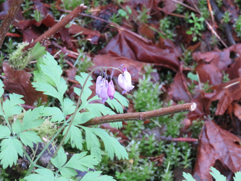
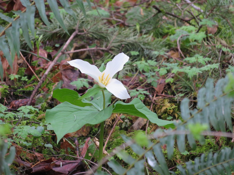
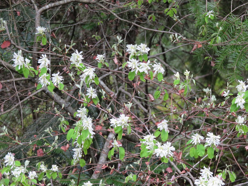
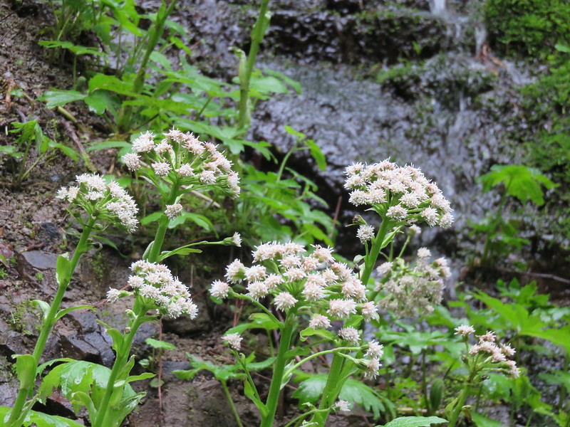
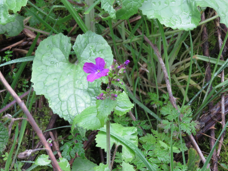
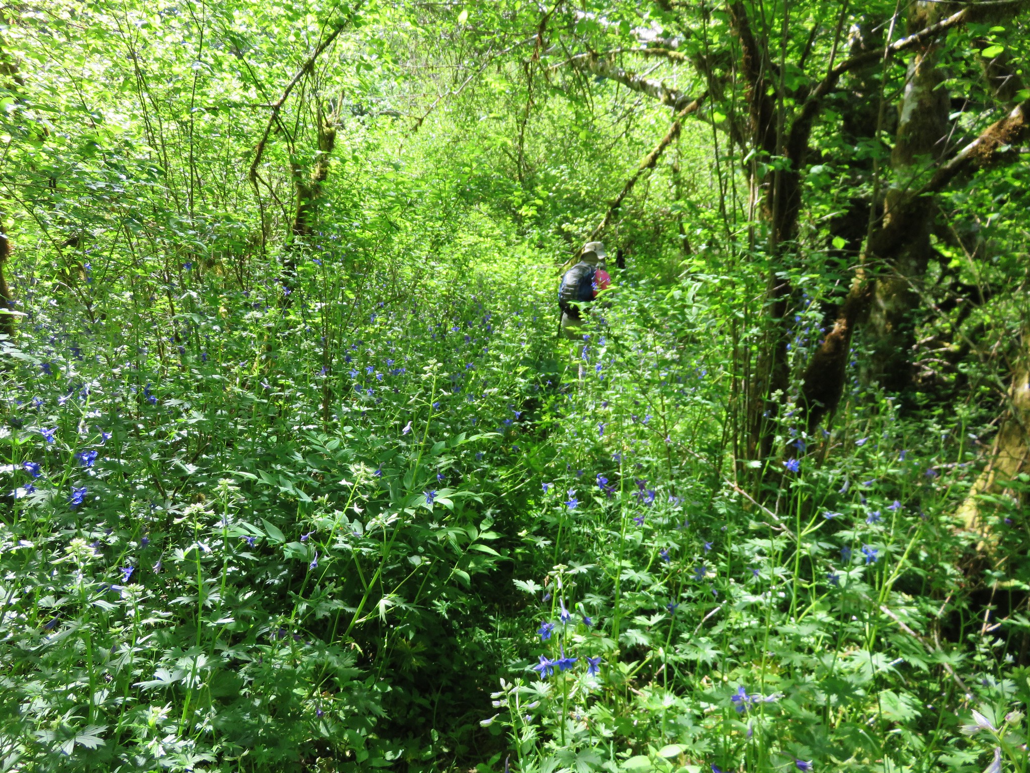
In the end we decided to go around to the right of the pool in front of us which worked out well and we were soon across the bridge. The trail then followed the river through a less overgrown wood. Here the sun was shinning and flowers lined the path.


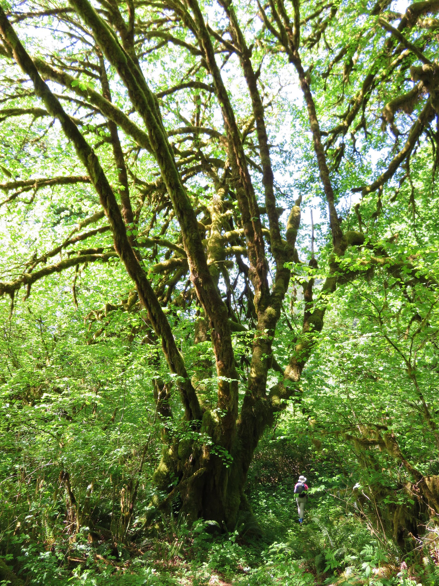
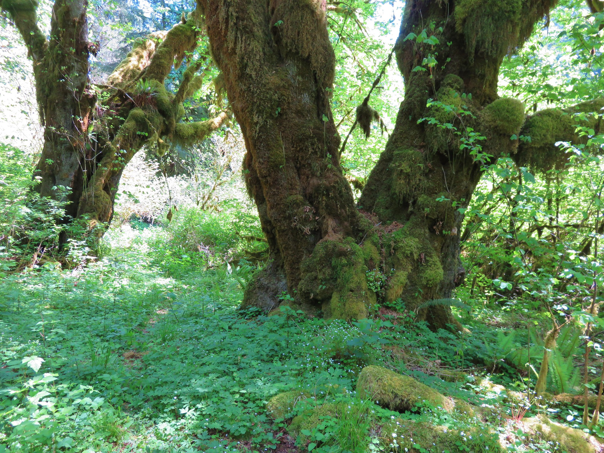
Several neat moss covered trees also added to the character of this section.
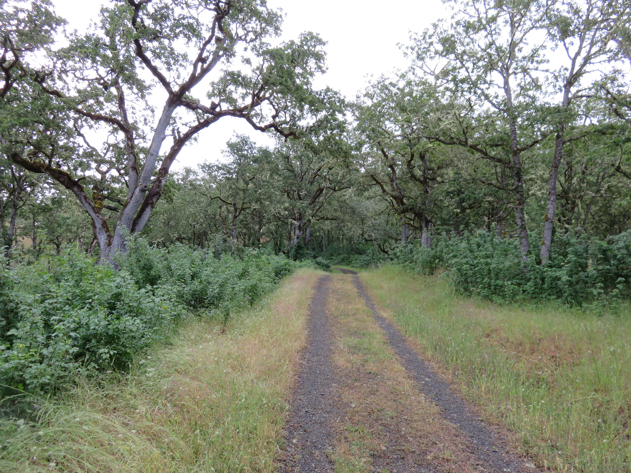
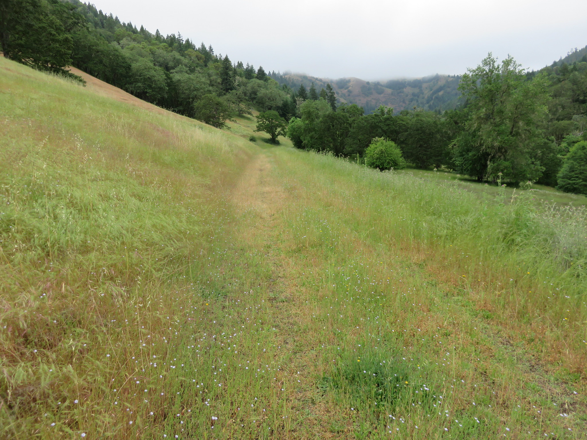
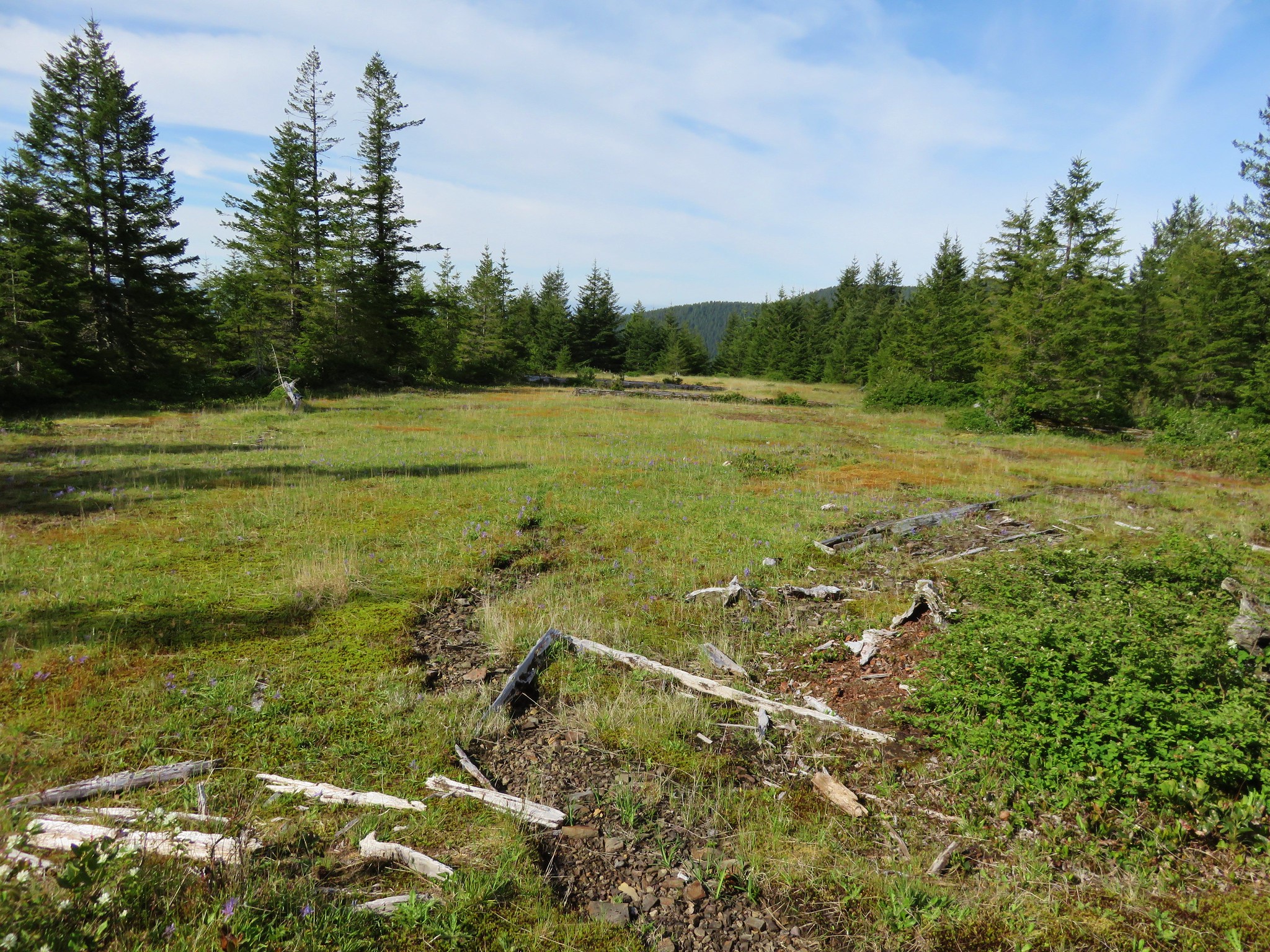
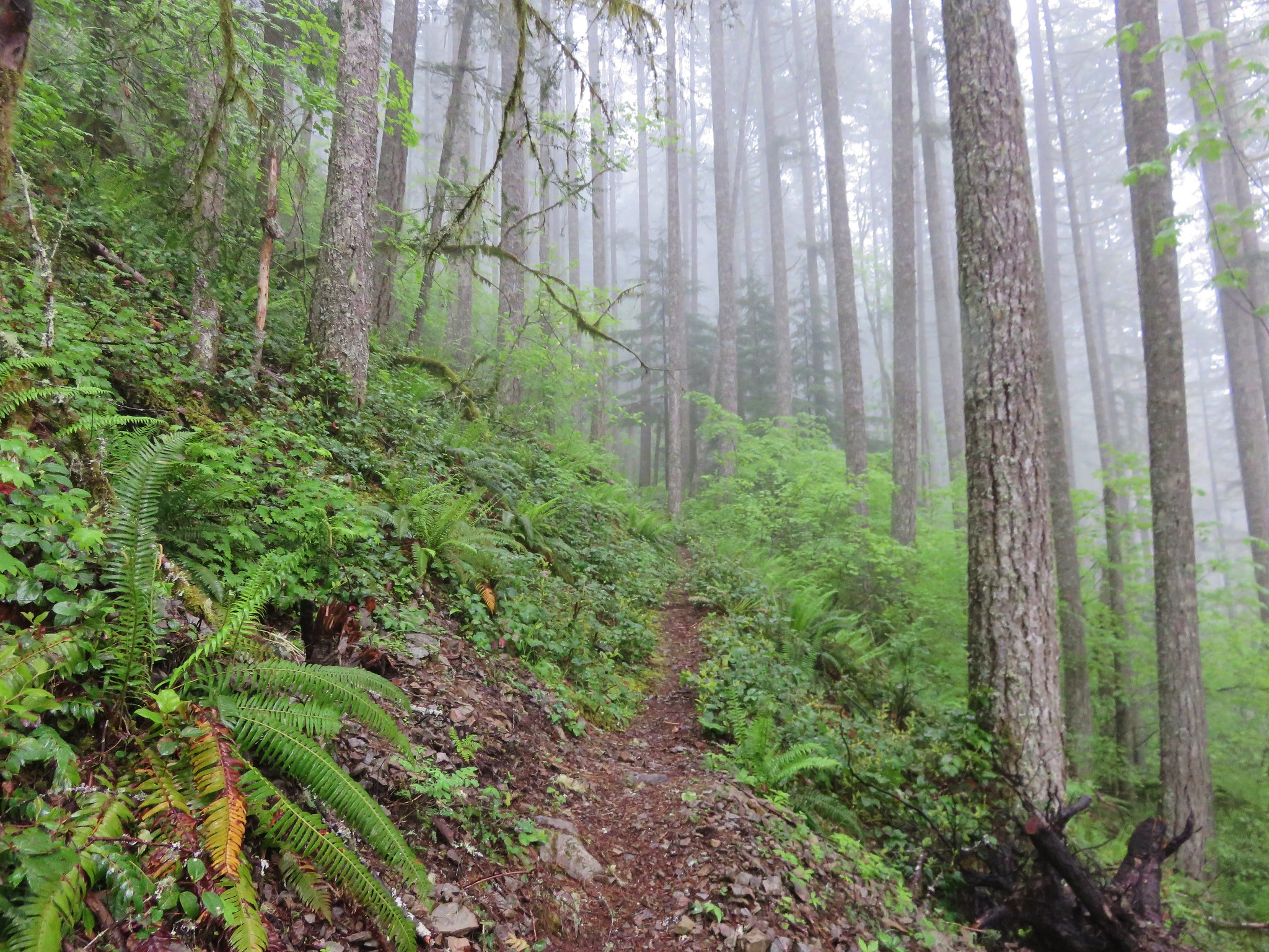
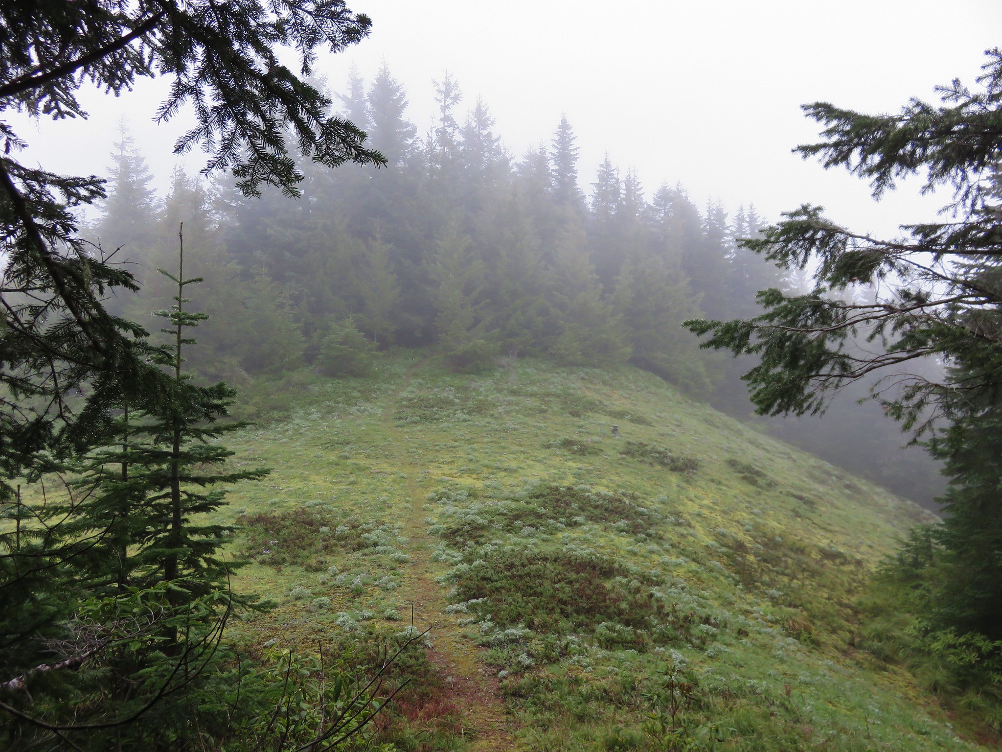
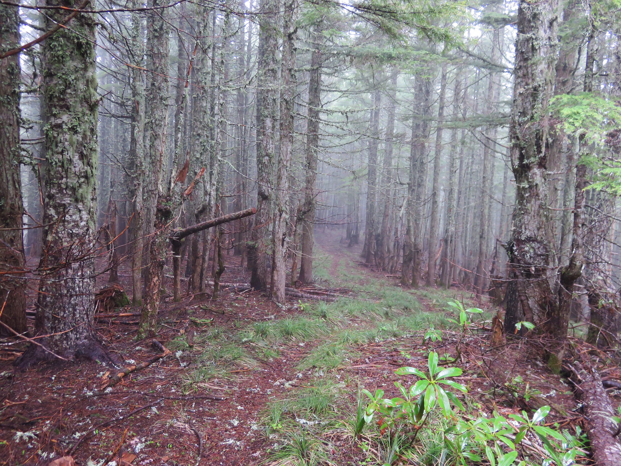
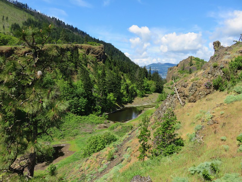
The scenery changed again when the trail left the more woodsy forest behind and entered a different feeling area where there was very less undergrowth and giant stumps told of a past forest fire.
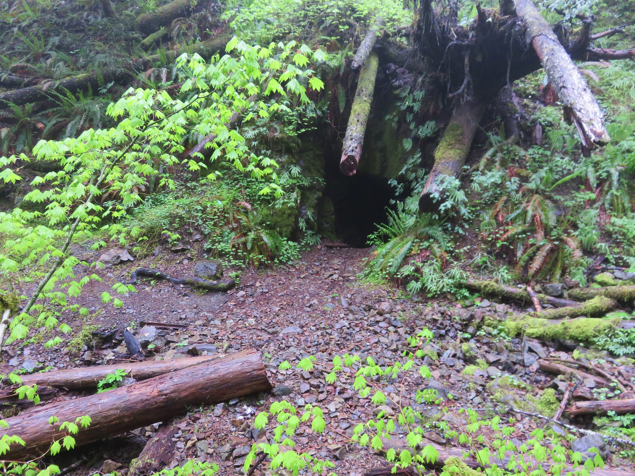
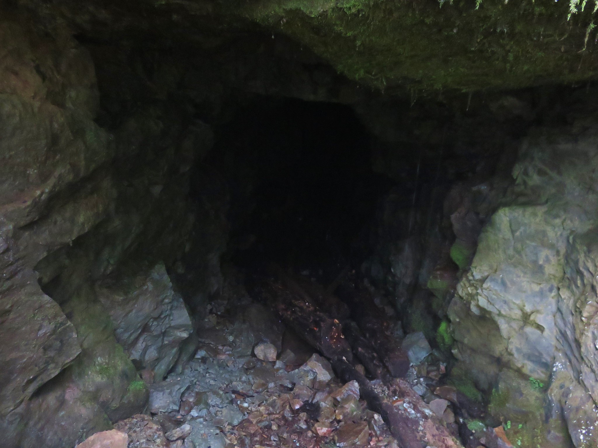
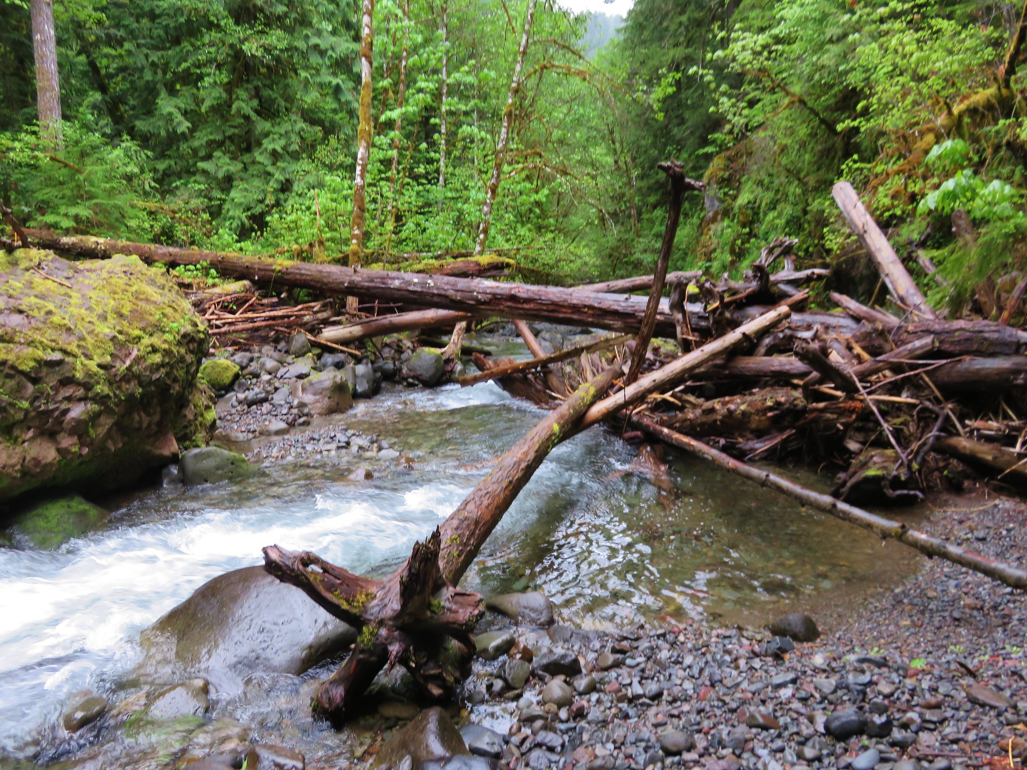
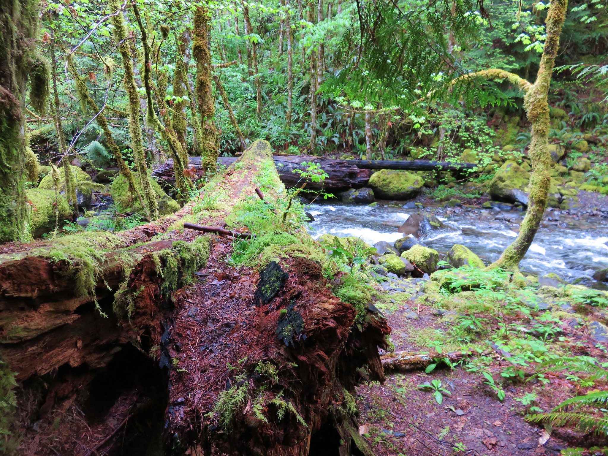
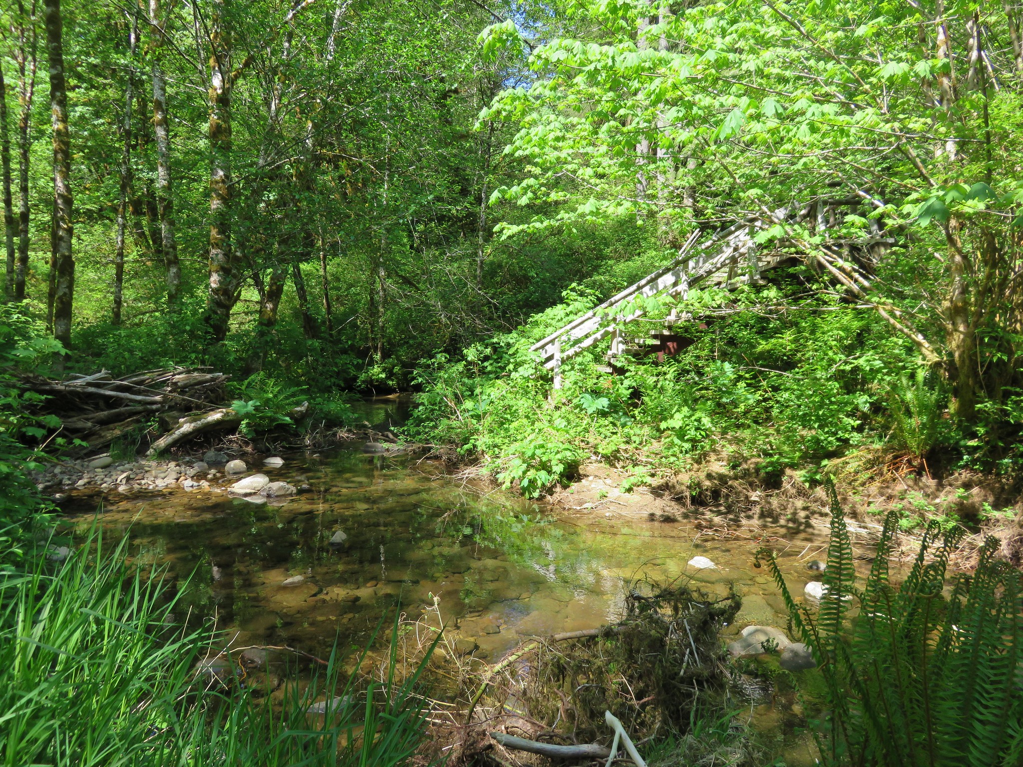
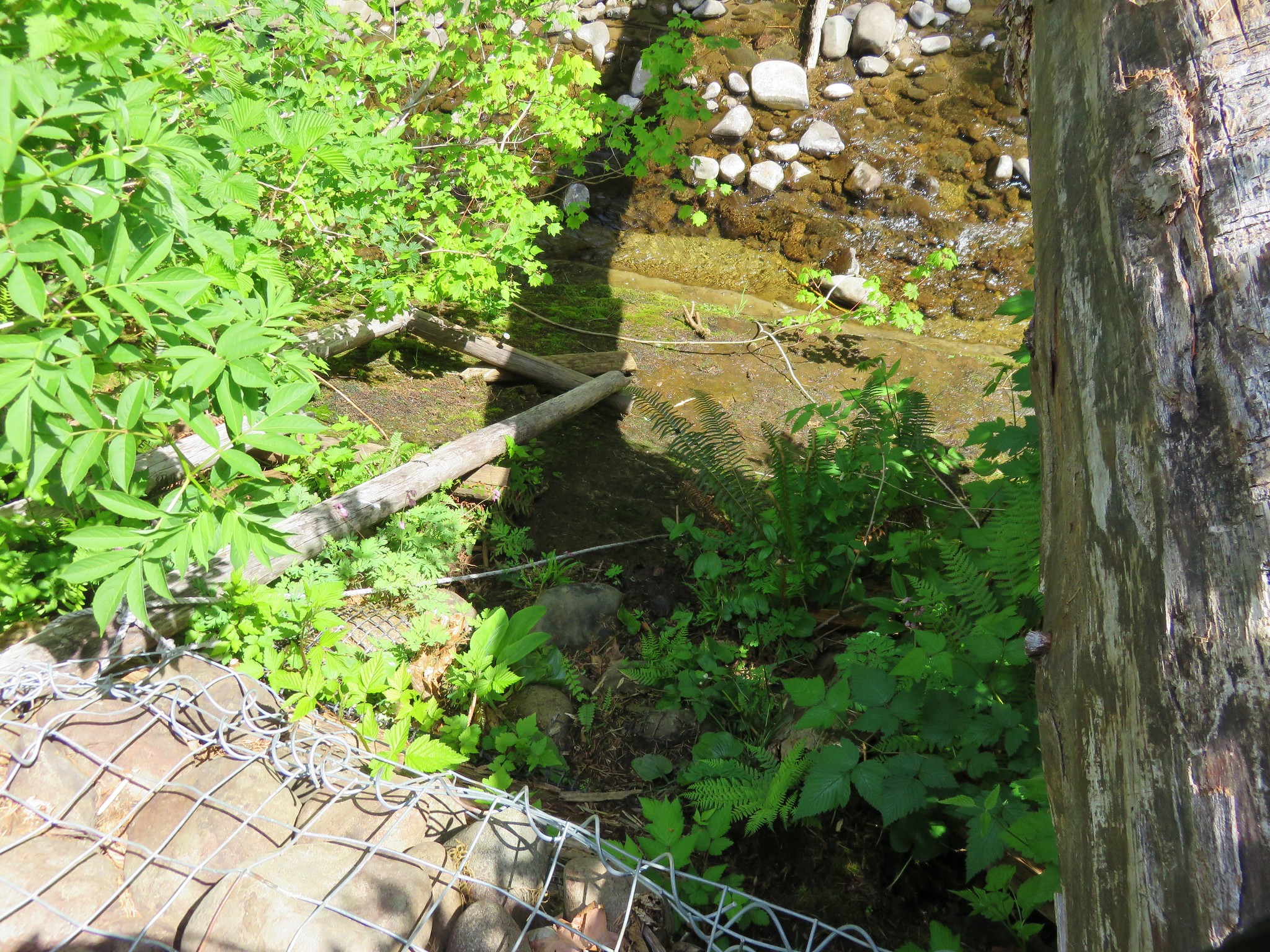
We finally arrived at what remains of the 1 1/2 mile bridge.
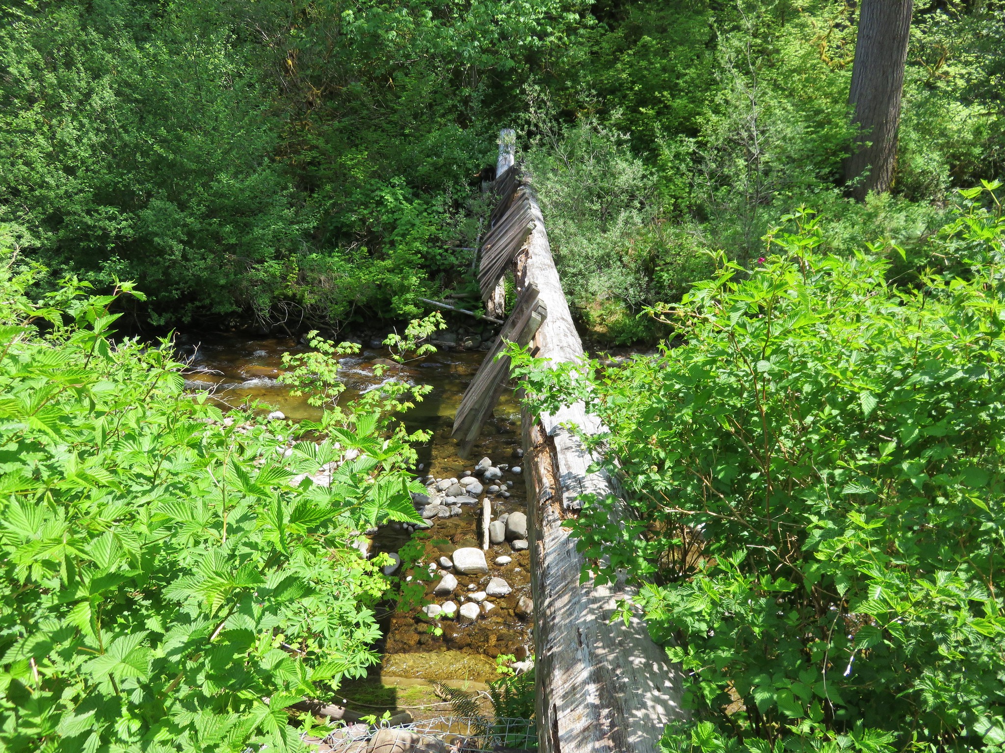
There were visible cracks in the middle of the log and clearly not something anyone should attempt to cross. Determined hikers could look for a place to ford the river and there was a rope that was tied on a log near the bridge to assist in climbing up the embankment, but this may not be an option in high water.
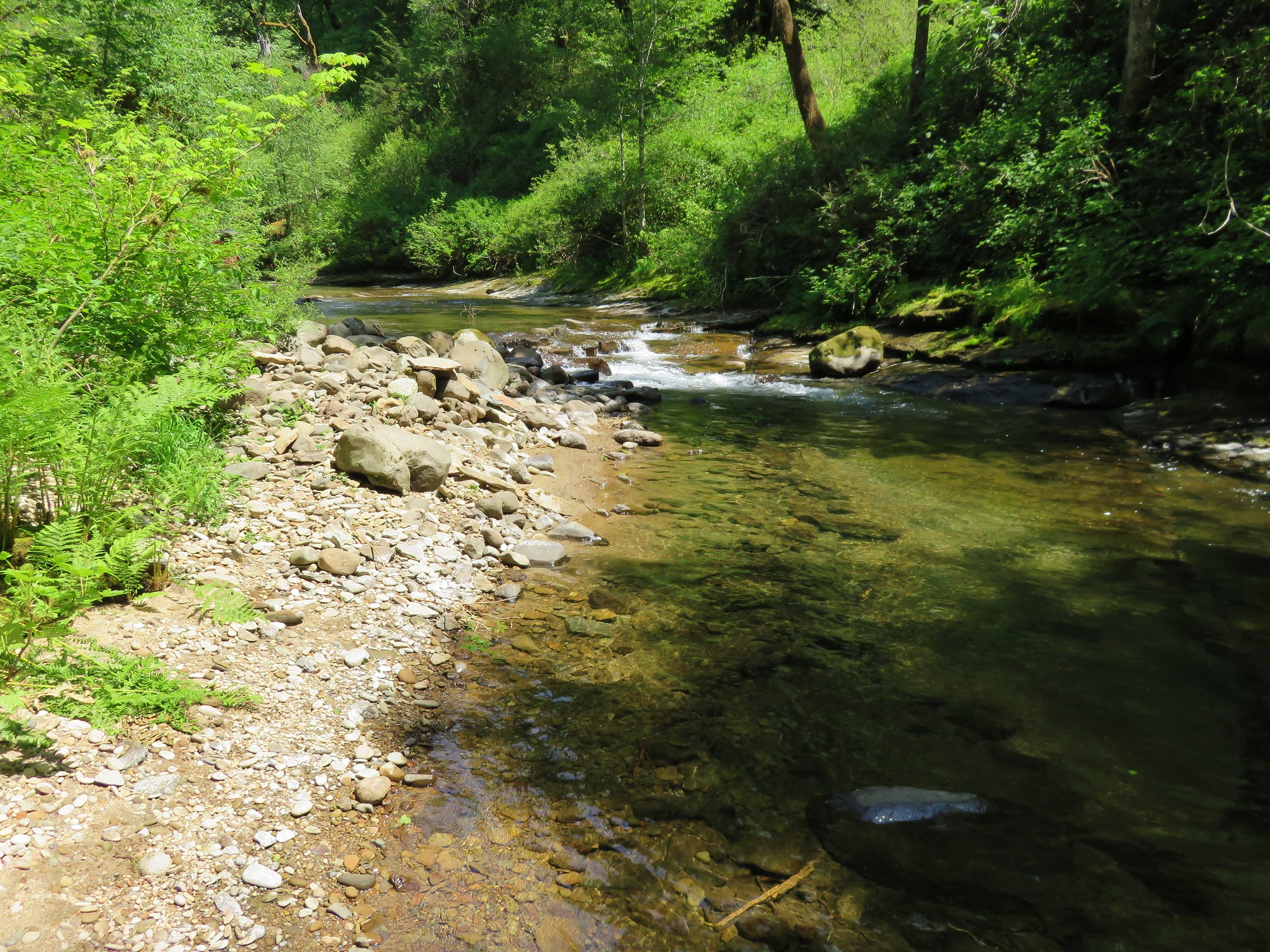
We turned around and began our return trip having decided to stop at a sandy beach we had passed earlier near a 2 1/2 mile post.
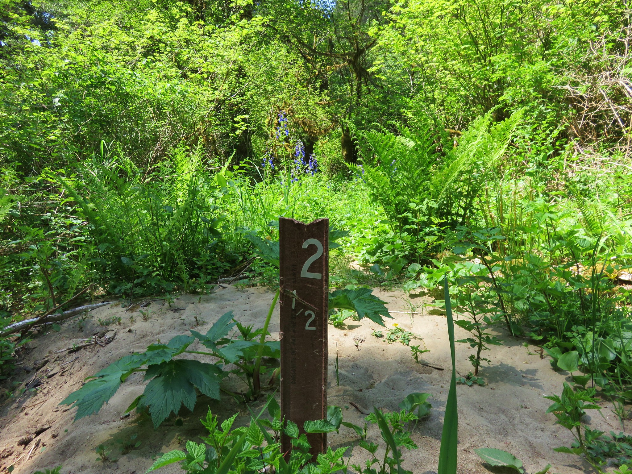
We sat by the creek and cooled our feet off in the cold (really cold) water.
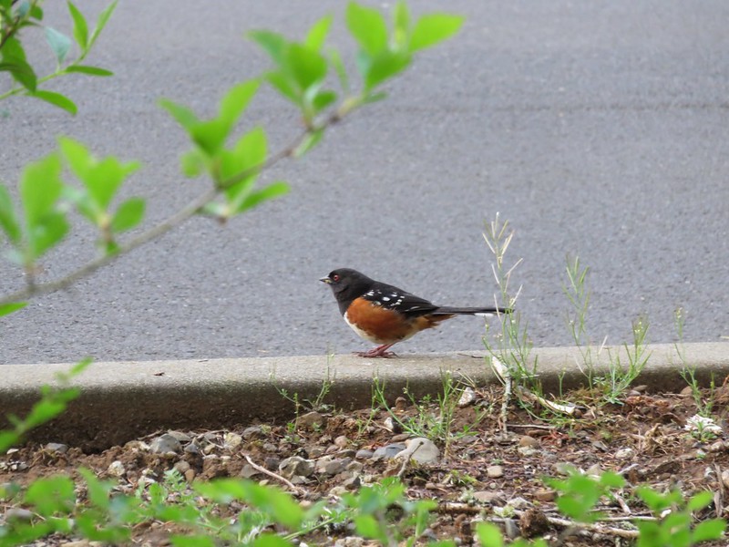
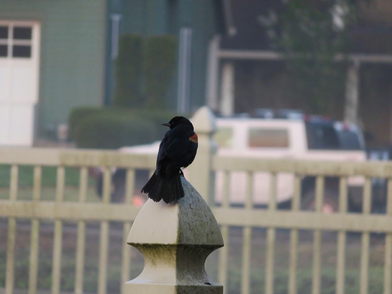
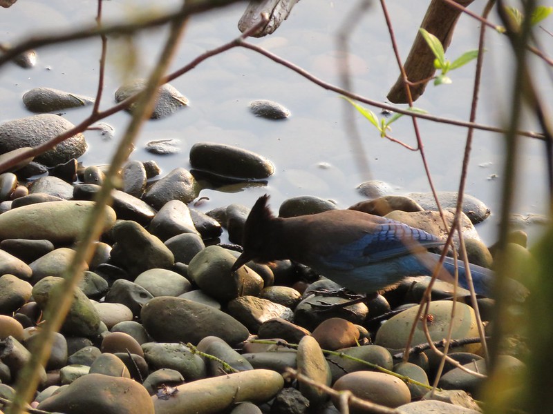
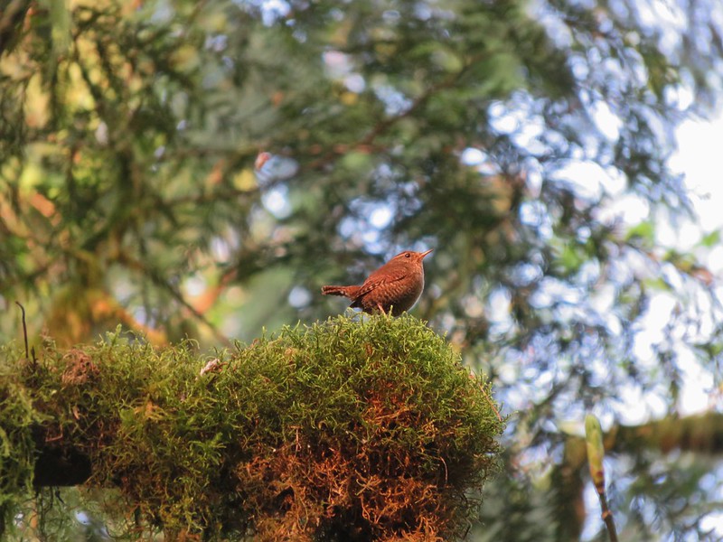
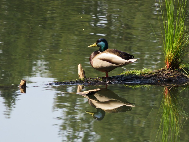
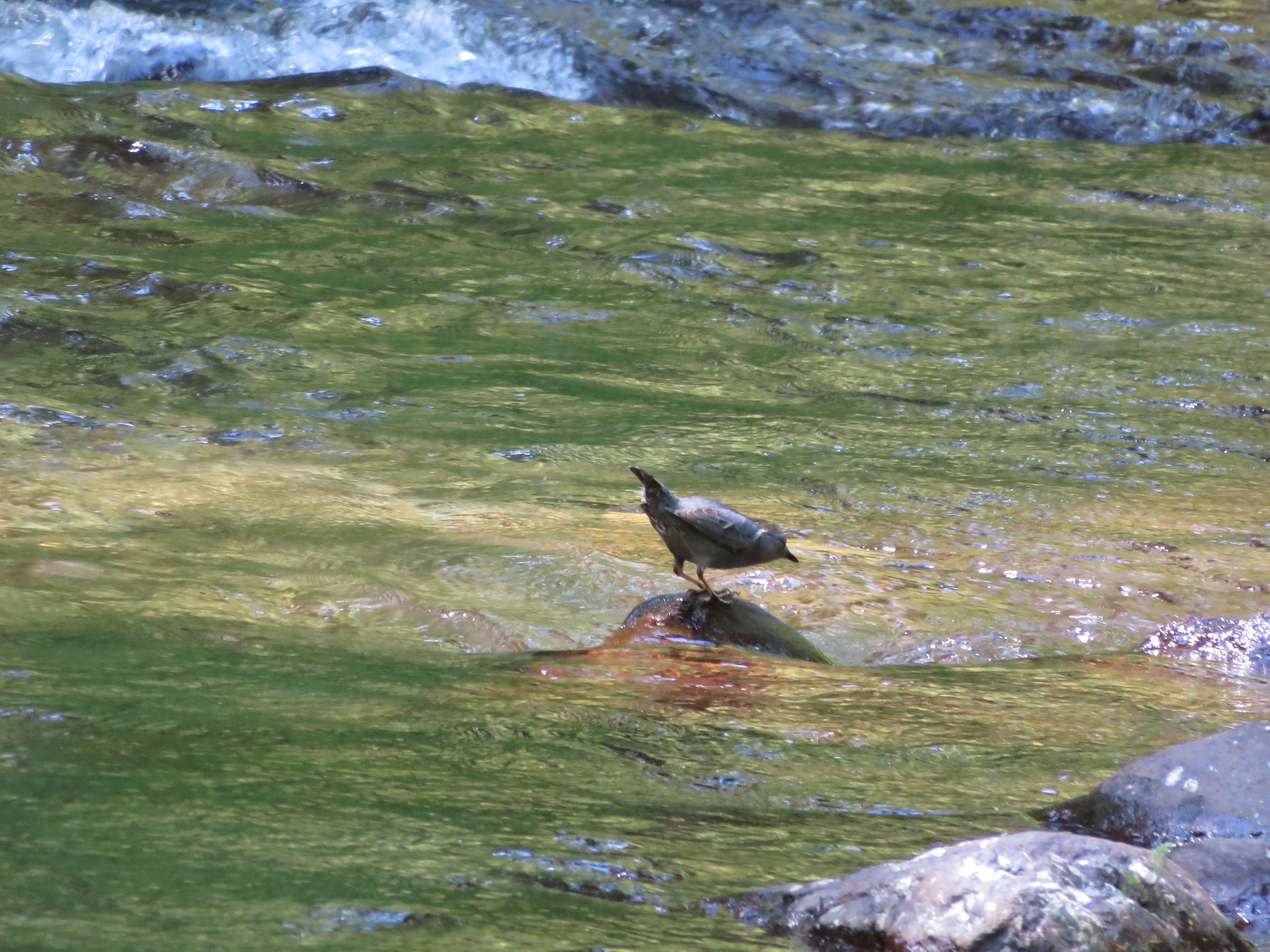
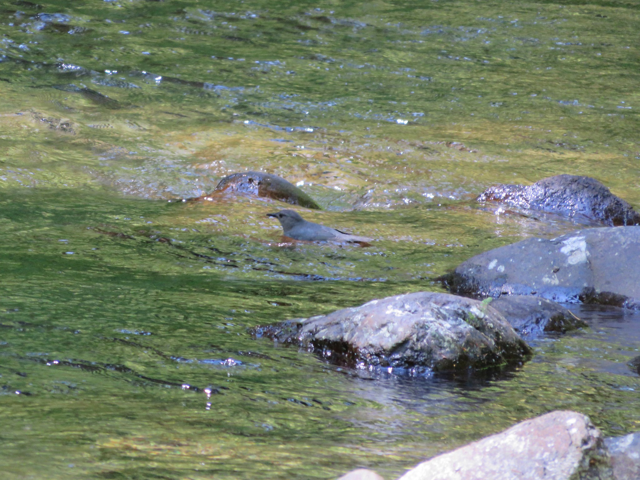
An ouzel was busy hunting for insects in the water just downstream.
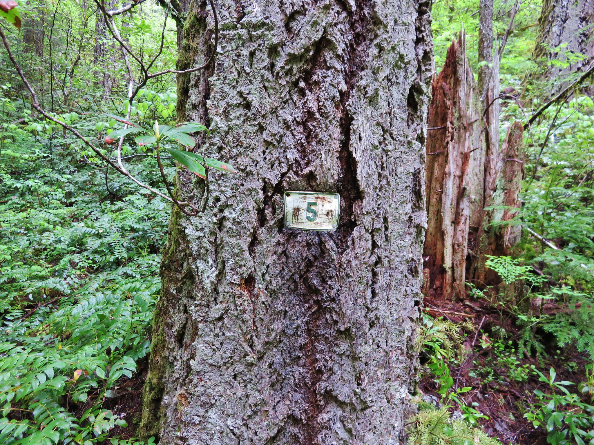
After resting for a bit we resumed our return hike focused on spotting the 11′ Douglas fir this time. We spotted it this time and also noticed a sign along the trail apparently identifying the tree. What the sign actually said we couldn’t tell but the tree was certainly larger than any of the other trees around.
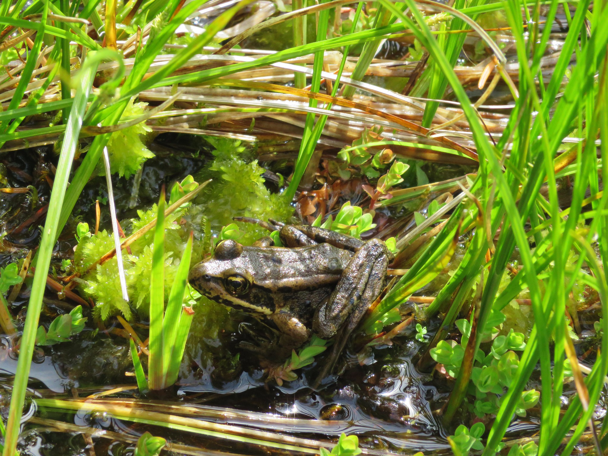
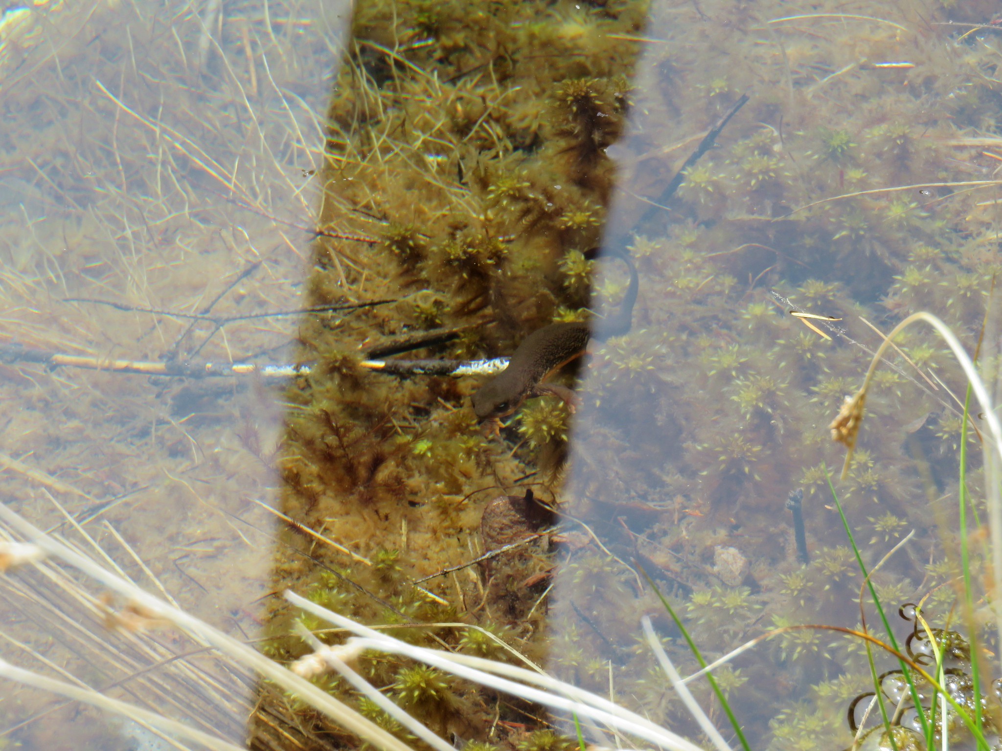
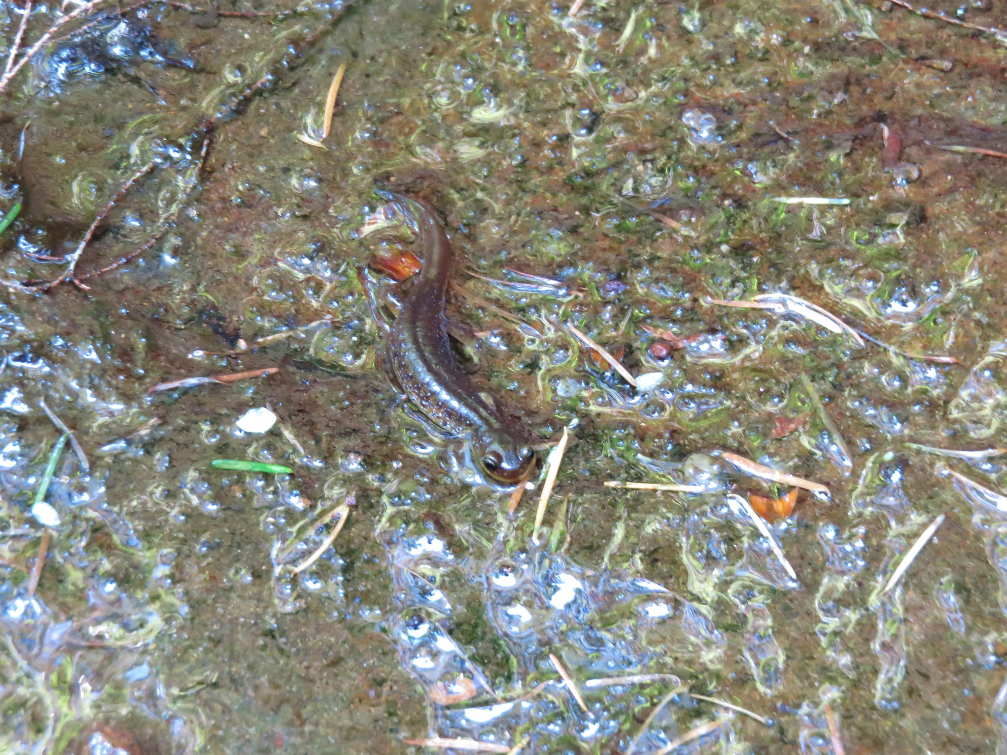
We also spotted a salamander in one of the little streams along the trail. I tried to identify the exact type of salamander this was, as it was the first we’d seen of this type, but all I was able to find out for sure is that it was indeed a salamander.
When we arrived at the spur trail to Lower Kentucky and North Fork Falls we took it again wanting to see how the change in the suns position affected the appearance of the falls. They had been impressive in the morning, but now the sun was shining on the cascades and they were even prettier.

We found the same thing at Upper Kentucky Falls.
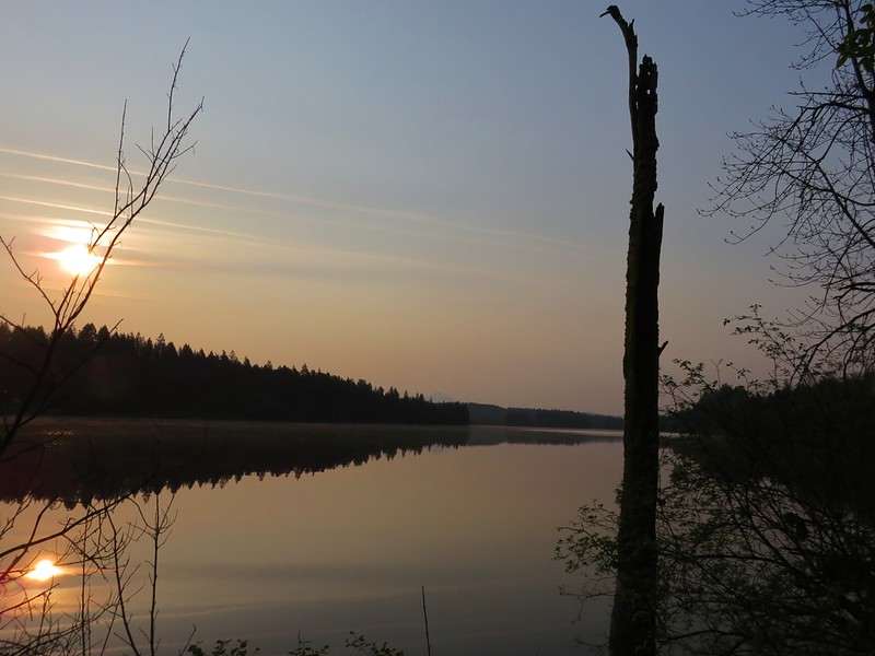
We finally arrive back at our car around 5pm after over 9 hours of hiking. The GPS put us at 17.4 miles and our feet agreed, but it had been a great hike full of plenty of surprises and adventure. According to a sign at the trailhead the Forest Service plans to replace the bridges in 2016, but until then the North Fork Smith River Trail should remain a bit on the wilder side. Happy Trails!
Flickr: https://www.flickr.com/photos/9319235@N02/sets/72157650241947594/with/17493753445/