
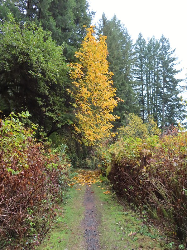
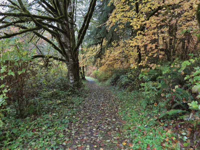
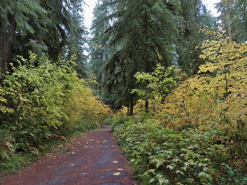
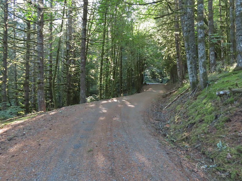
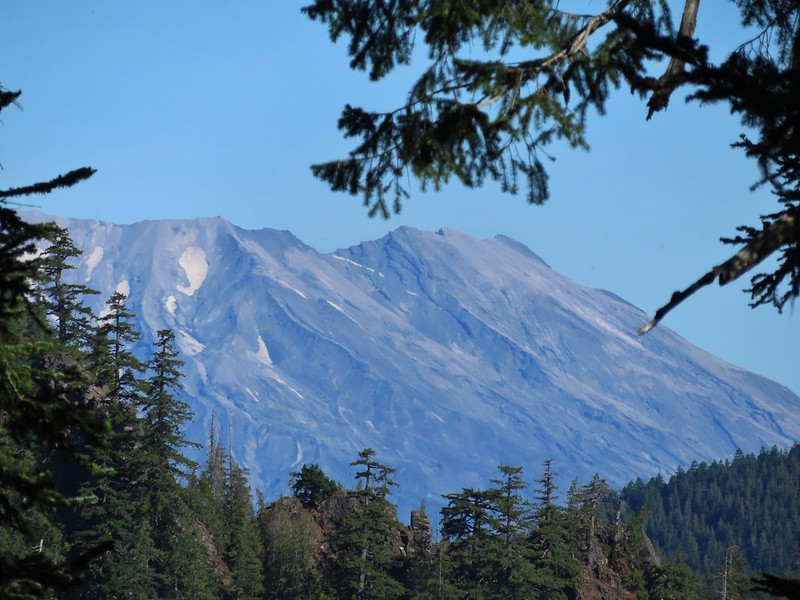
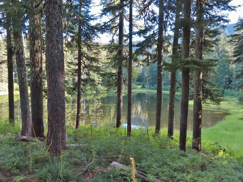
The run of sunny Saturdays finally came to an end so we were looking for a good rainy day hike. We turned to Matt Reeder’s “Off the Beaten Trail” (2nd edition) for inspiration. Hike #7 in his book is a 9.3 mile lollipop loop in the backcountry of Silver Falls State Park. He lists Oct-Nov as some of the best months for this hike as well as mentioning that it is a good hike for rainy days so the timing seemed right. Our original plan was to start the hike at Howard Creek Horse Camp just as Reeder describes but to deviate a bit from his description to see more of the backcountry. Our previous visits to the park had all involved hikes on the uber popular Trail of Ten Falls (post). There are no waterfalls in the backcountry and therefore far fewer people. The park opens at 8am so we actually slept in a bit in order to not arrive too early but we still had a couple of minutes to kill when we arrived at the park entrance so we stopped briefly at the South Viewpoint.

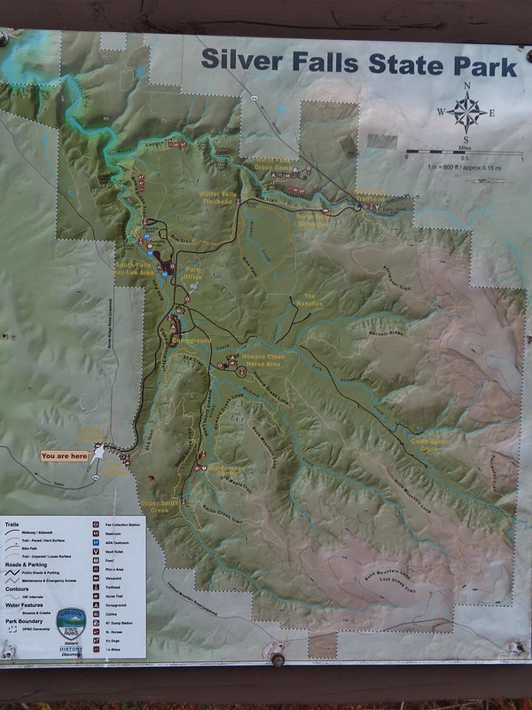 Park map at the viewpoint.
 Willamette Valley
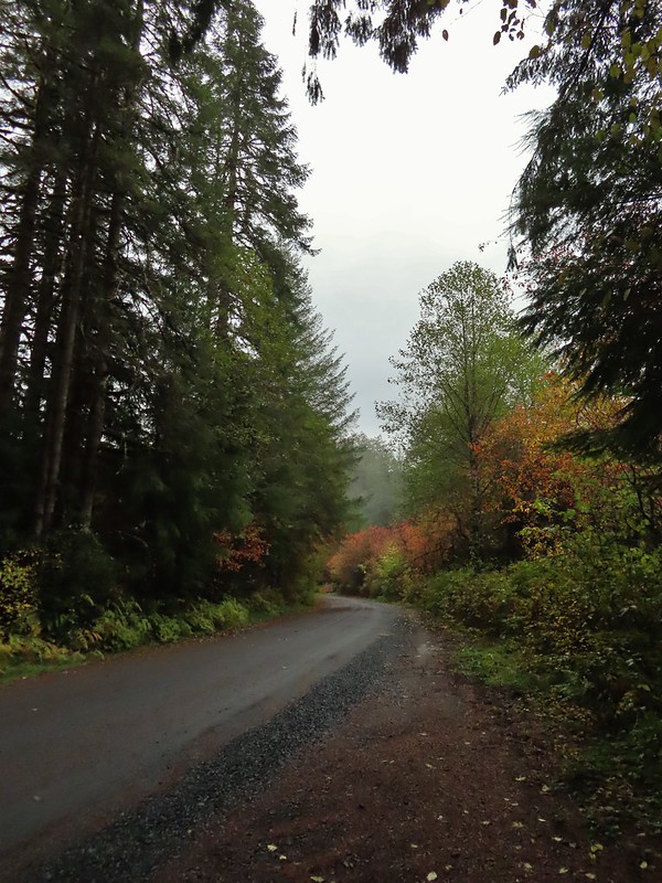
It was rather windy at the viewpoint and it was cold with the wind chill in the mid-30s. We thought we were going to be in for a chilly hike only as soon as we got into the forest in the park the wind was gone and the temperature was near 50 degrees. We picked up a $5 day use permit at a fee booth between the Park Office and campground and continued toward the Howard Creek Trailhead. As we neared we kept seeing signs along the road with pointers for “base camp” and “catering”. We hadn’t seen anything on the park website but it appeared that there might be some sort of event happening. There were a bunch of trailer trucks parked at the Horse Camp and we were flagged down by a Park Ranger? who mentioned that the trailhead was open but there would be a detour to get around the equipment and wires set up on the “horse loop”. We thanked him but didn’t ask any additional questions which we probably should have. We started to park but then decided that if there was an event then it was probably going to get pretty busy/crowded there so we decided instead to start from a different trailhead.
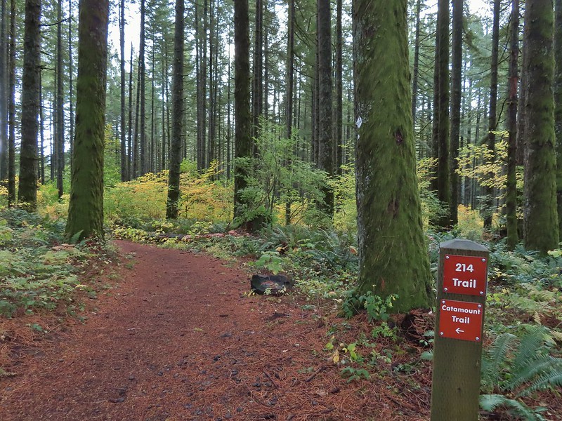
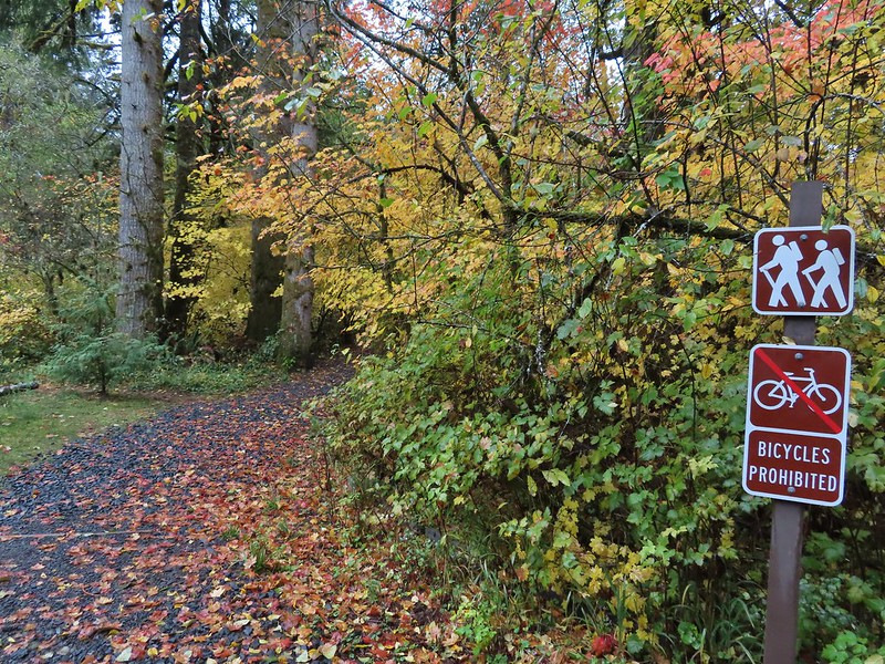
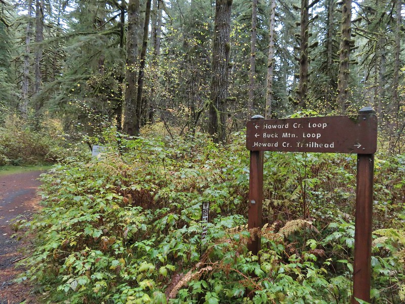
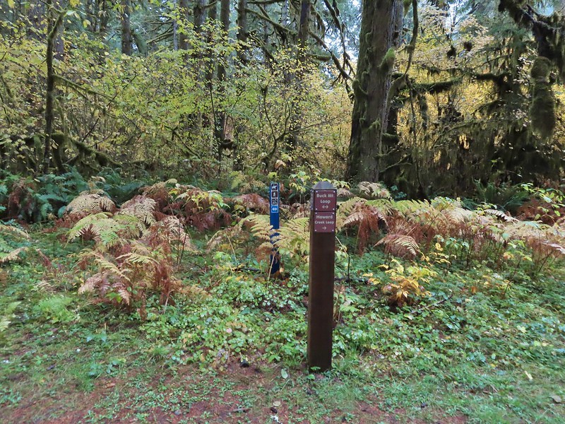
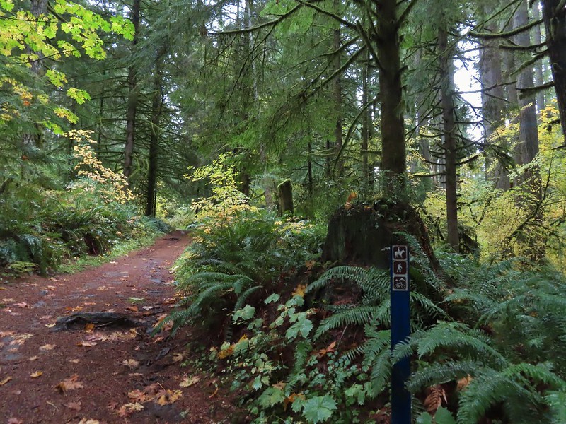
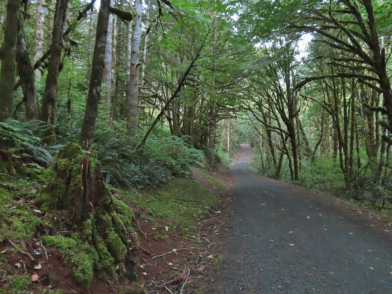
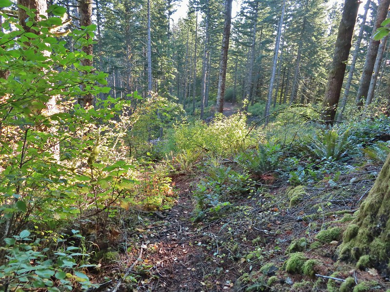
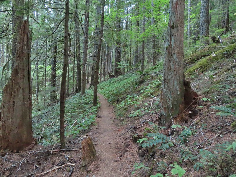
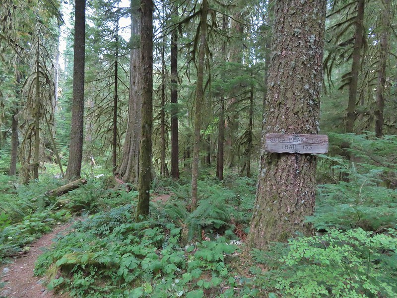
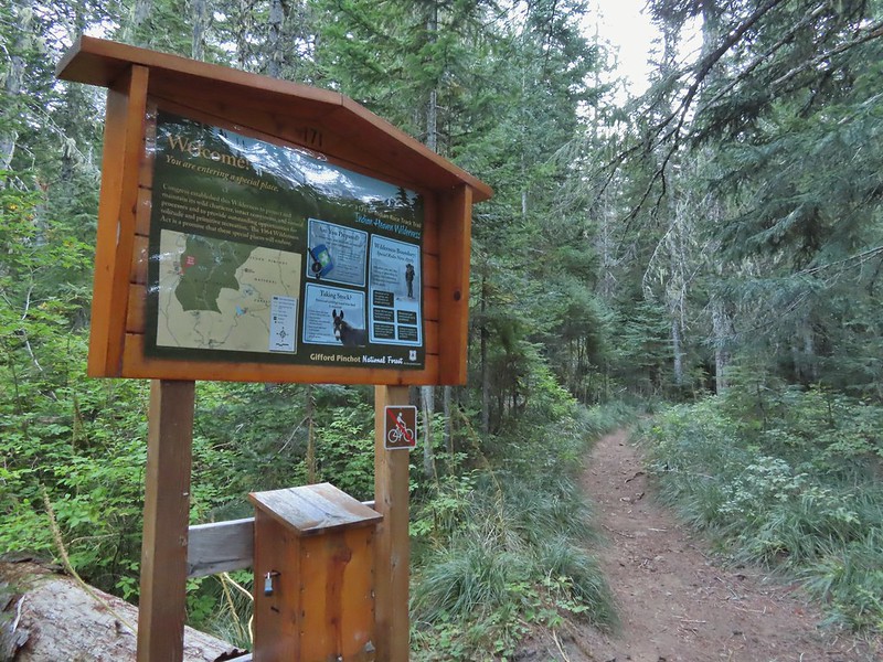
The route that we had settled on was a combination of several trails including the Howard Creek Loop, Buck Mountain Loop, Smith Creek, and 214 Trails. The 214 Trailhead would provide us access to this loop as well as give us a reason to add the Rabbit Hole and Newt Loop Trails to the itinerary. We drove back toward the park’s south entrance and turned left into the large 214 Trailhead. (There is no fee station here so you need to pick up a day use permit elsewhere.)

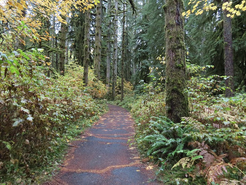
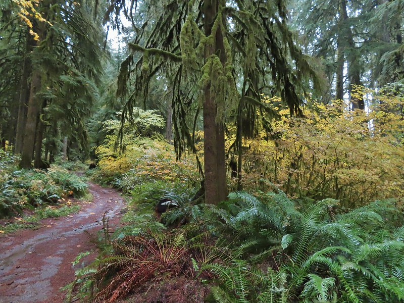
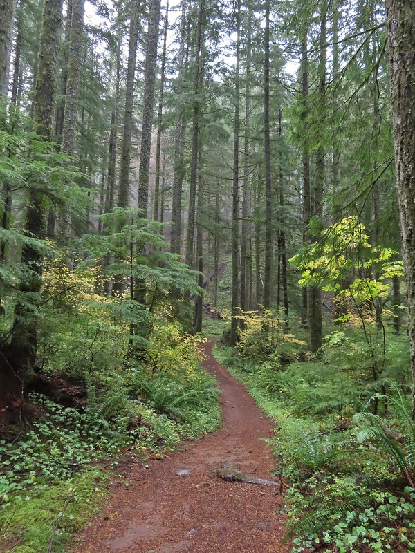
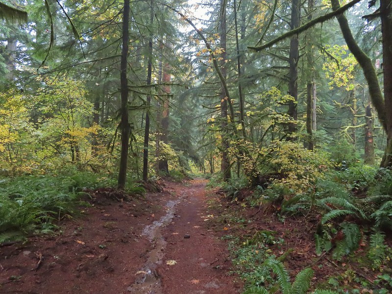
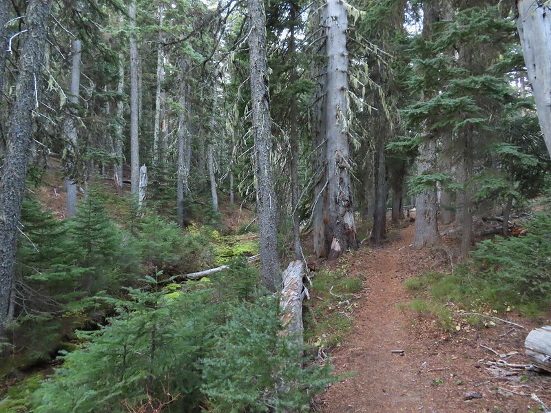
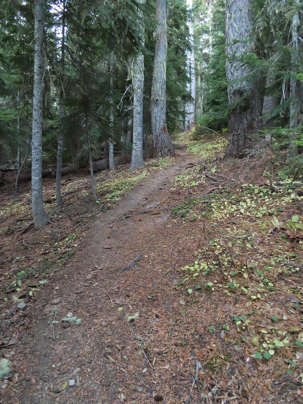
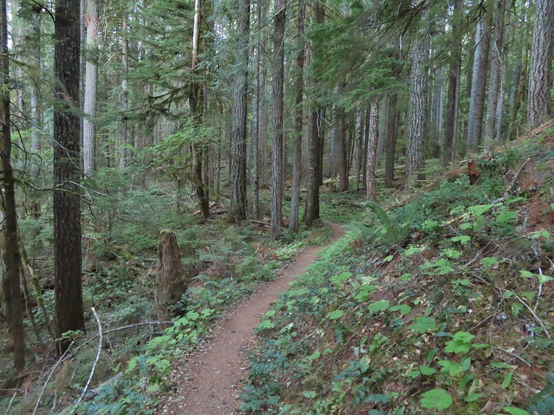
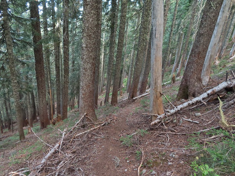
From this trailhead is was just over 3/4 of a mile on the 214 Trail to the junction with the Smith Creek Trail where we would have eventually been on our originally planned loop. We followed signs for the 214 Trail at junctions. Signage in the park is hit and miss, having a map of the park is a must to avoid getting confused at unsigned junctions.

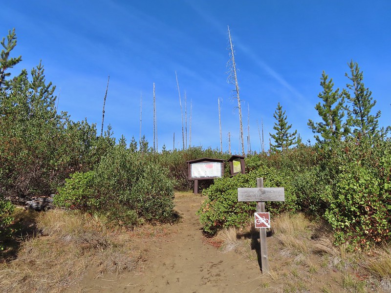
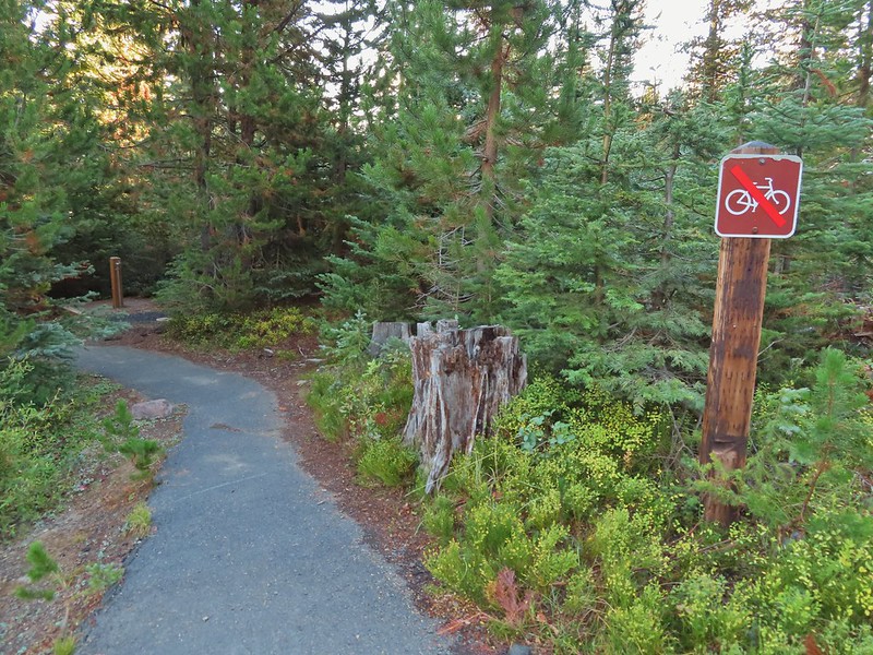
 Sign post for the Newt Loop and mountain biking skills station.
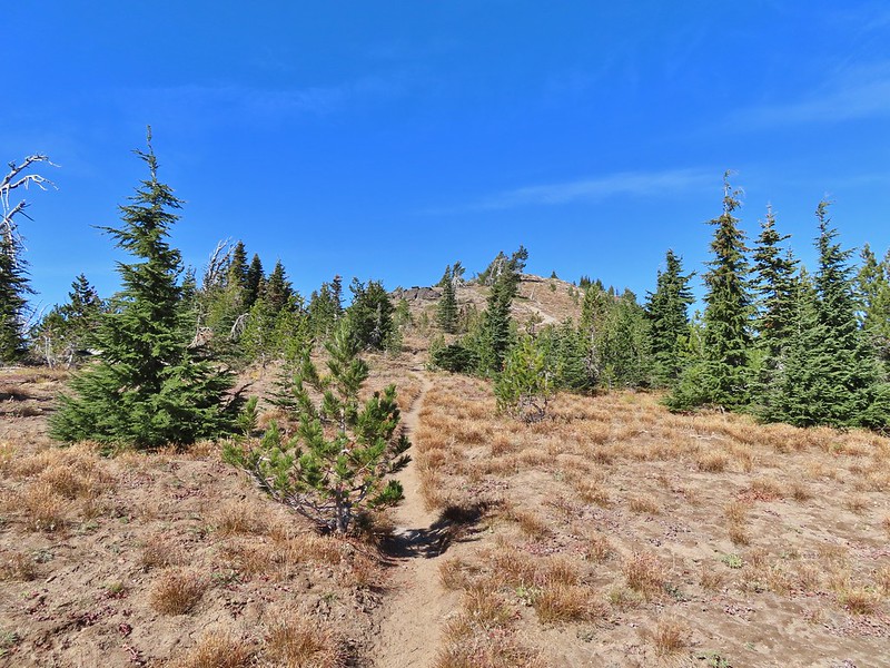
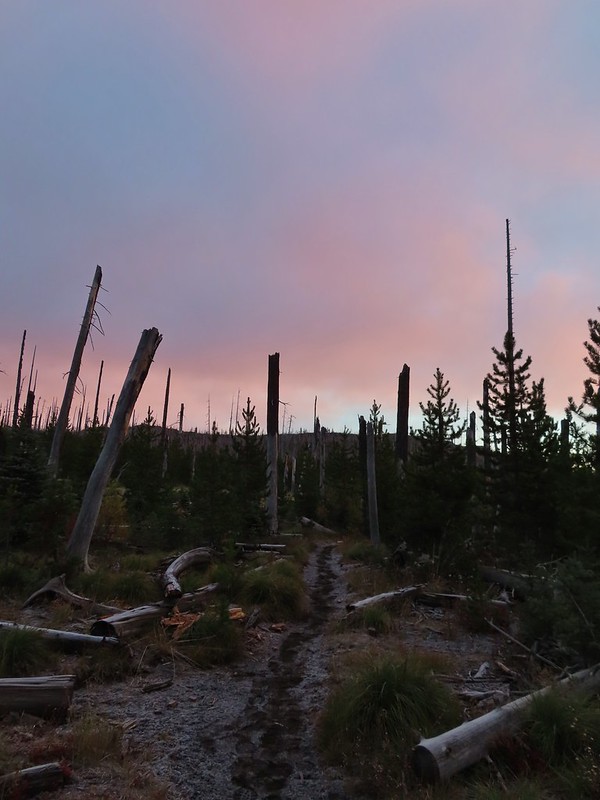
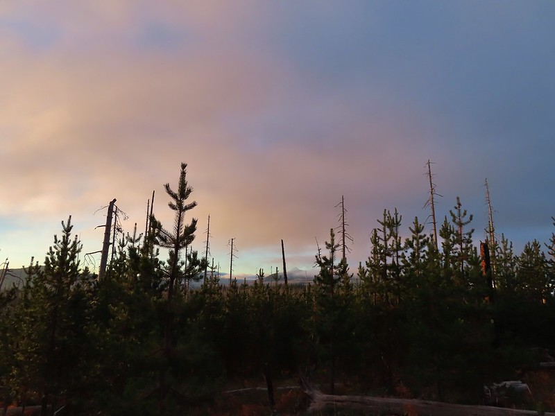
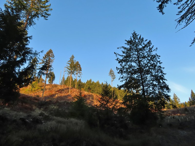
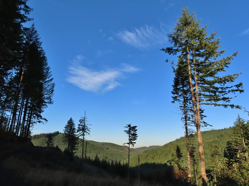
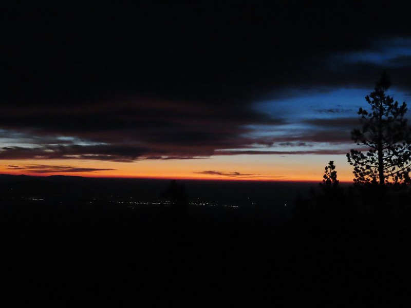
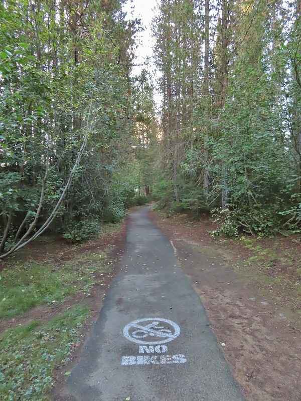
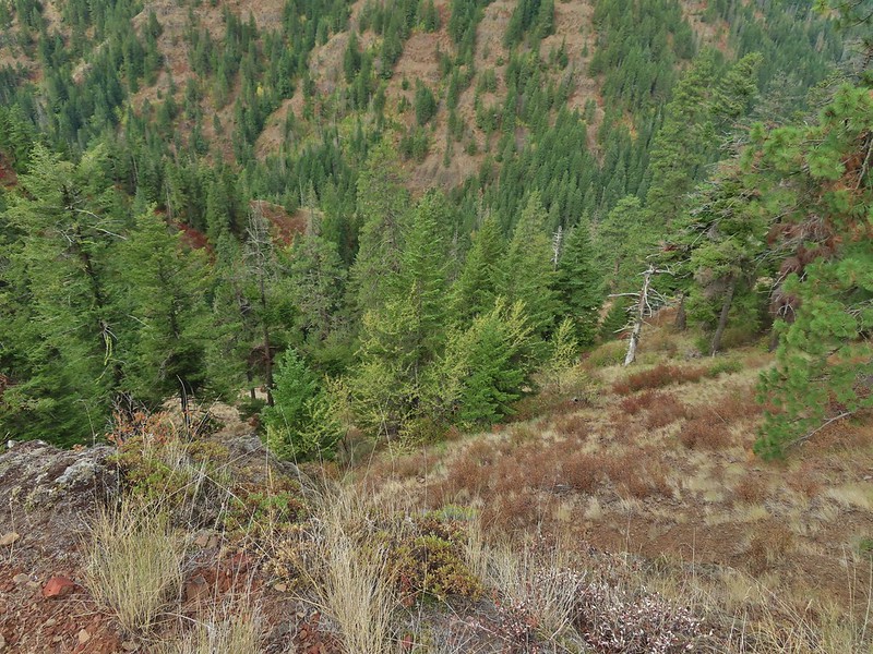
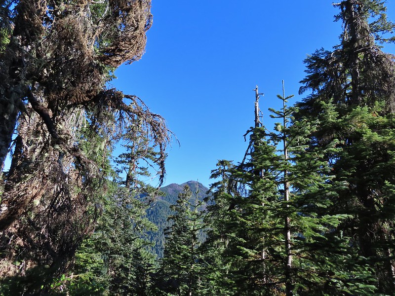
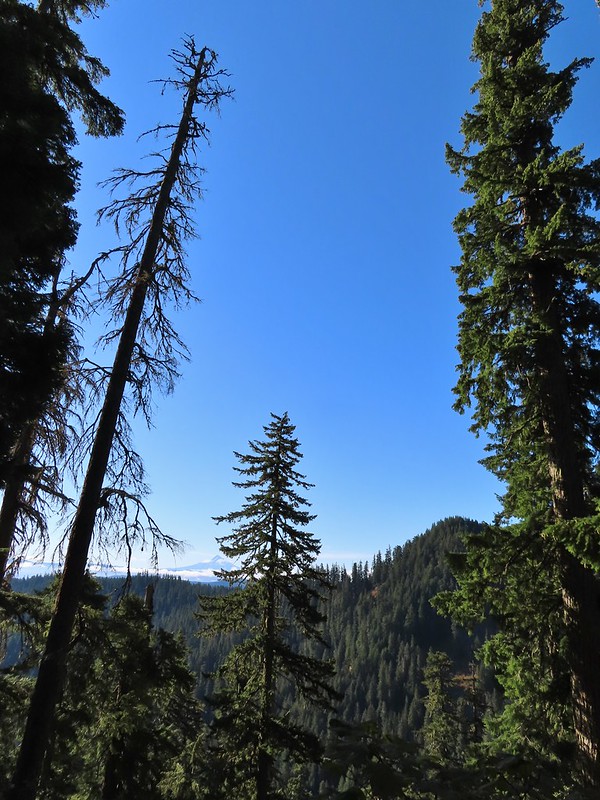
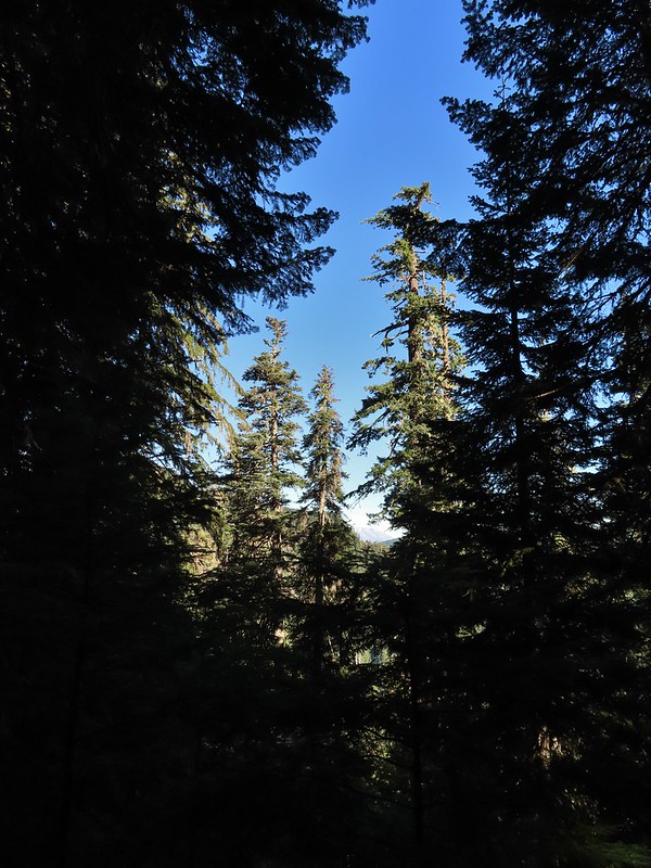
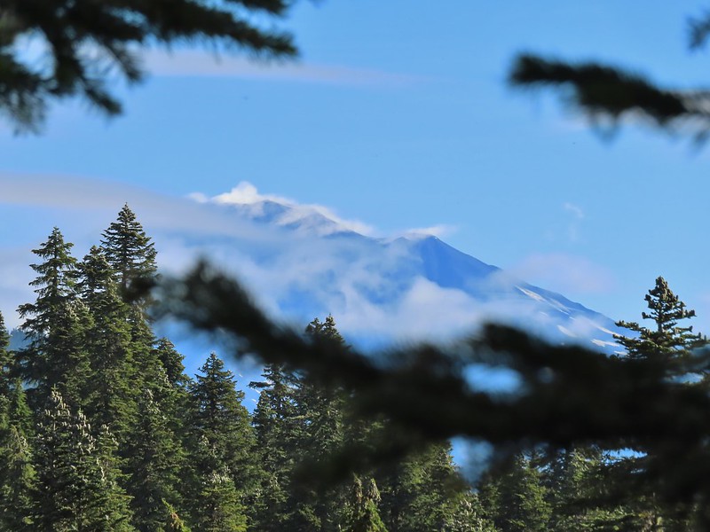
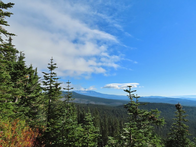
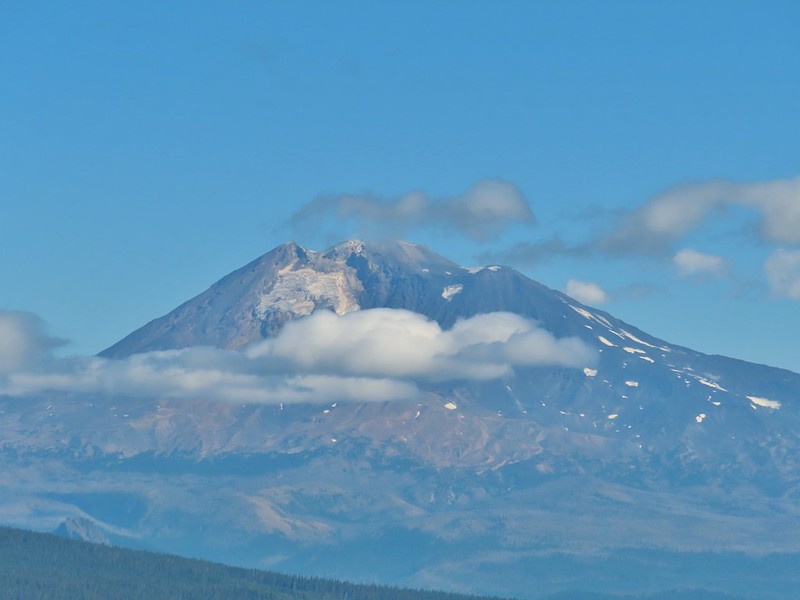
 As much blue sky as we were going to get on this day.
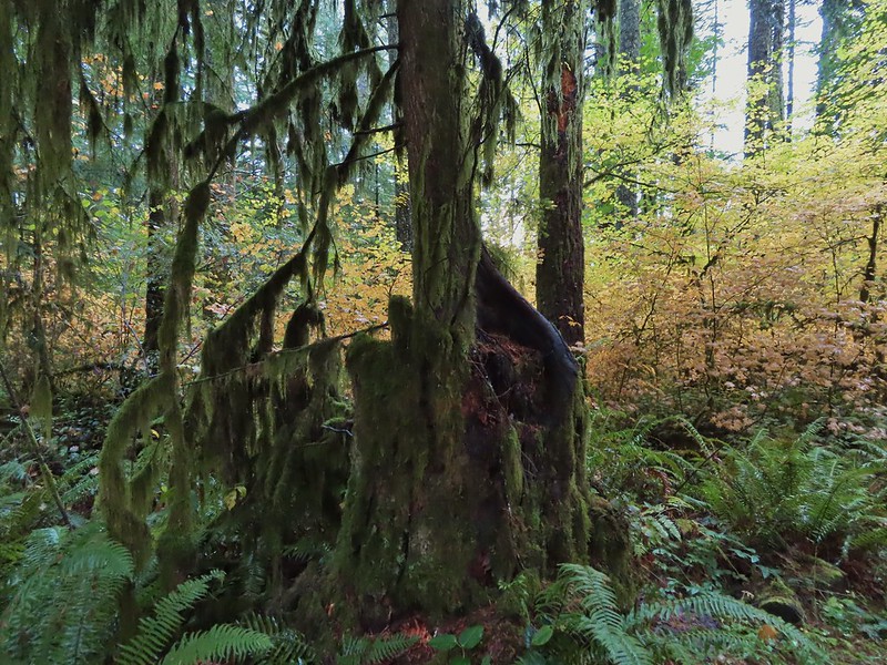
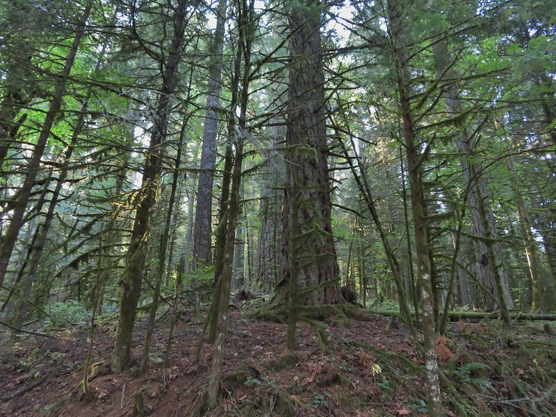
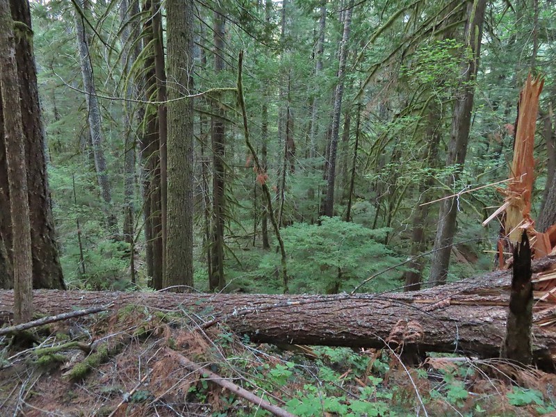
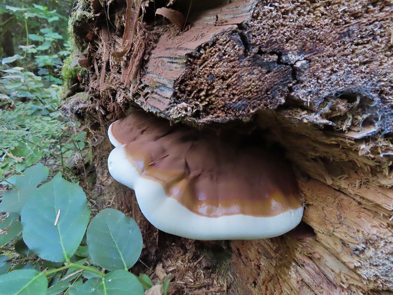
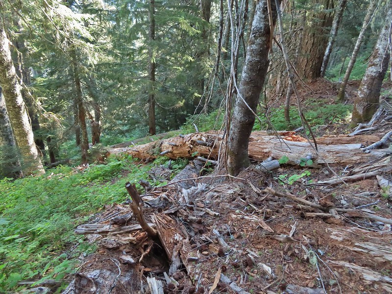
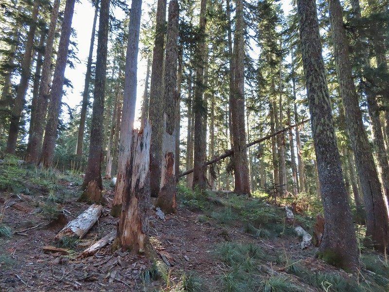
 A massive old growth nursery log. The tree stood for hundreds of years and will spend hundreds more slowly decaying and providing nutrients for younger trees.
 Nursery stump. While some old growth exists in the park it was also logged heavily which was the primary reason it was passed over for National Park status.

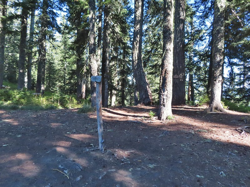
 The Smith Creek Trail junction.
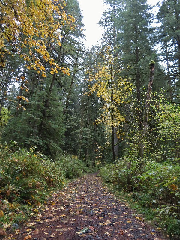
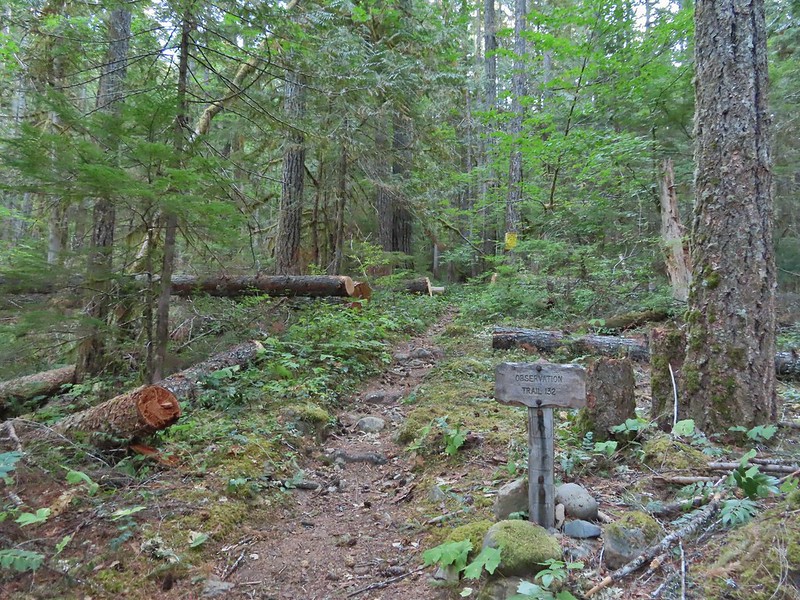
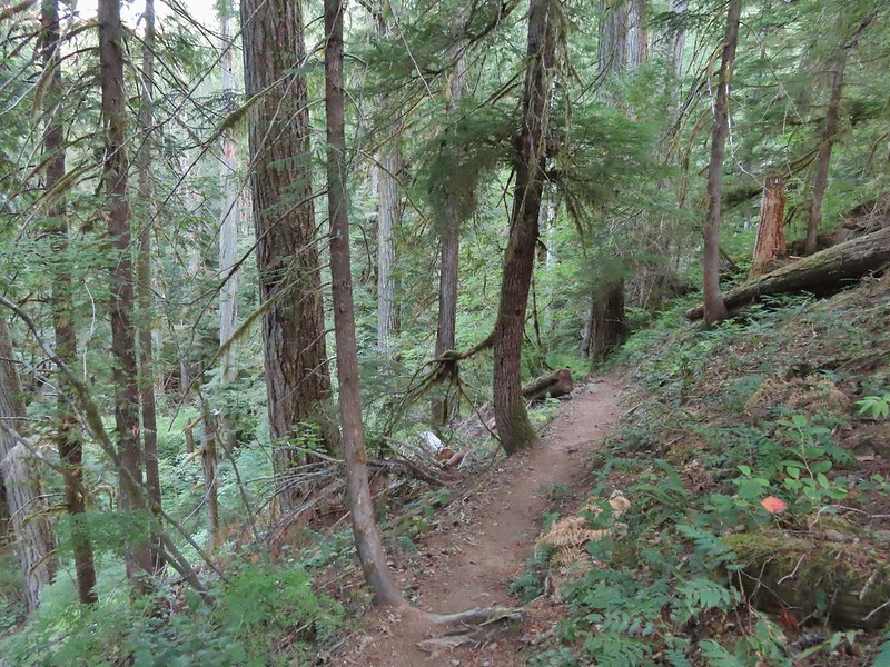
We stayed left on the 214 Trail at the junction with the Smith Creek Trail following it for another 0.6 miles to a junction with the 1.1 mile Nature Trail Loop.

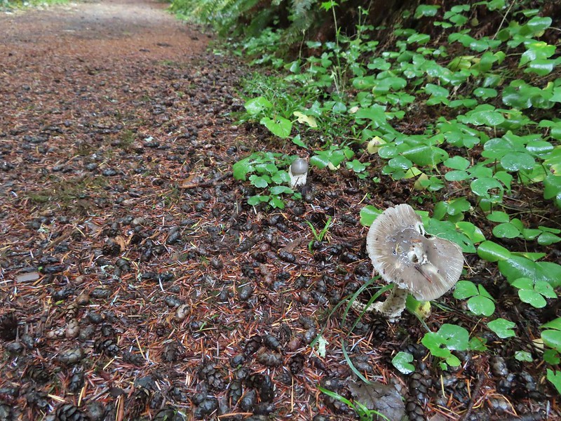
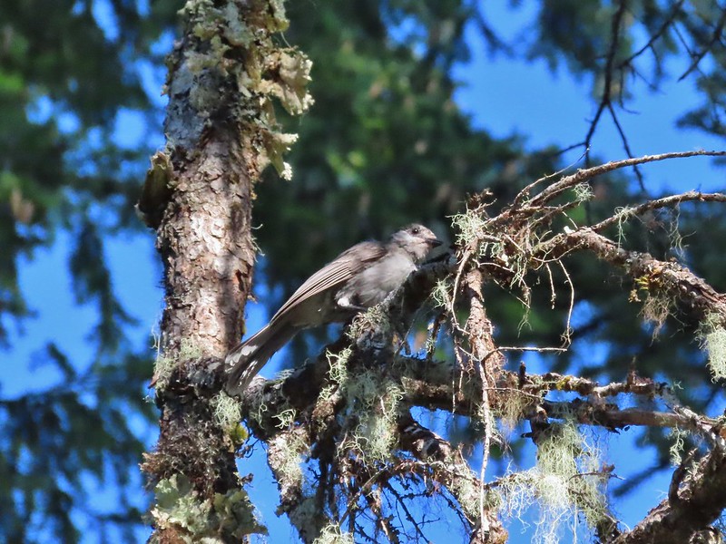
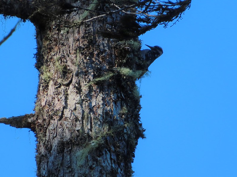
 Does anyone know their salamanders? Not sure what type this one was.

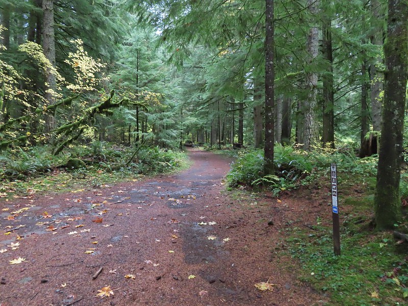
 The Nature Trail junction.
We called an audible here and decided that a 1.1 mile loop wouldn’t add too much distance onto our day so we turned left and then left again to go clockwise on the Nature Trail.


In just over half a mile the trail popped us out in the park campground. After consulting our maps we determined we needed to turn left to find the continuation of the trail.
 From the spot that we entered the campground you could just see a hiker sign at the far end of the paved campground road.


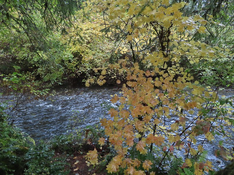
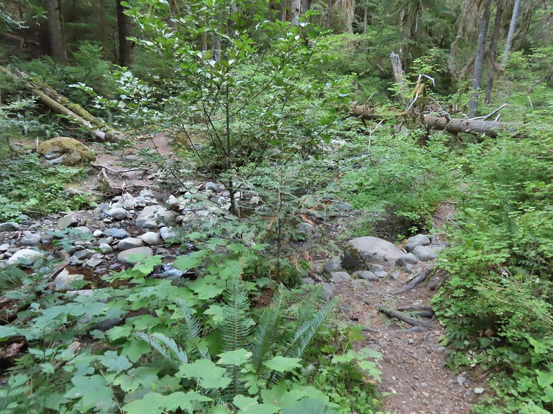
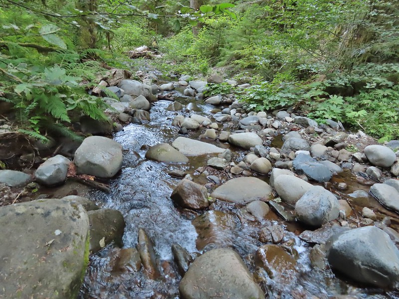
At an unlabeled junction with the Racket Ridge Connector Trail we stayed right on the Nature Trail. The Racket Ridge Connector Trail crossed South Fork Silver Creek while the Nature Trail followed the south bank for a short distance.
It was a half mile from the jct with the Racket Ridge Connector Trail back to the 214 Trail and just before we completed the loop we passed a blind.

 No wildlife to view today.
When we got back to the 214 Trail we turned left to continue on our loop. Just under half a mile later we arrived at a “T” junction with the Howard Creek Loop Trail where we turned left.

 The Howard Creek Loop Trail.
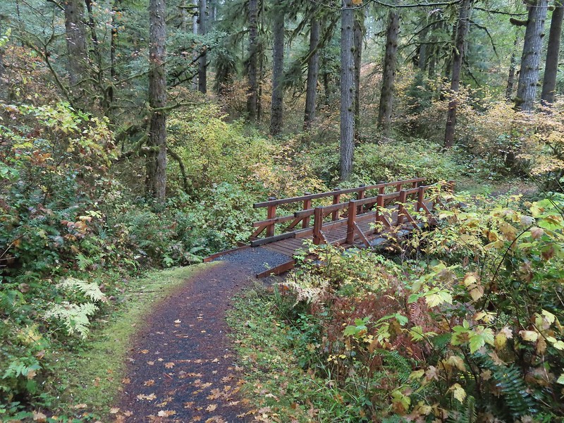
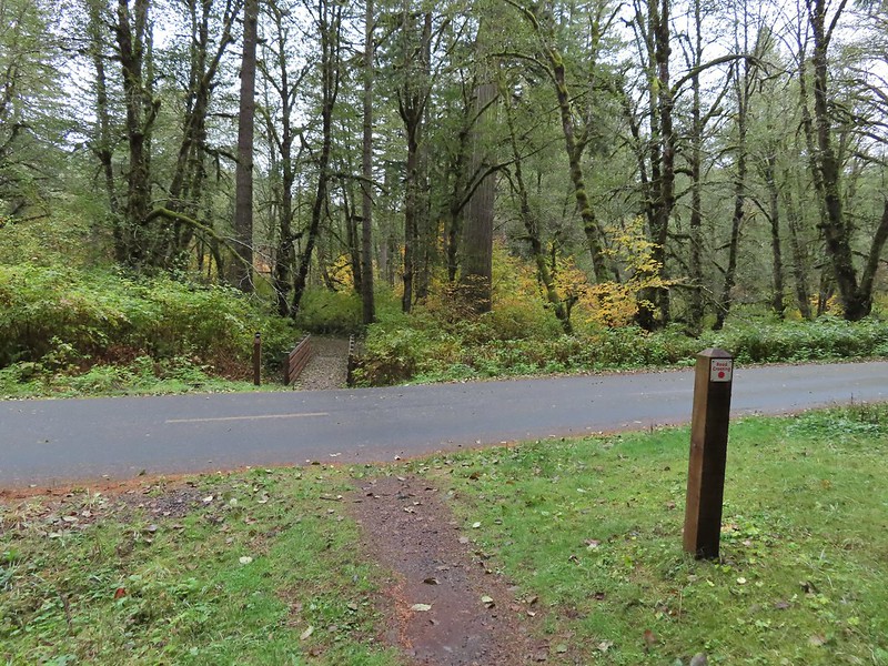
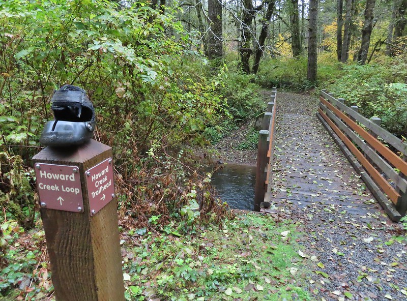
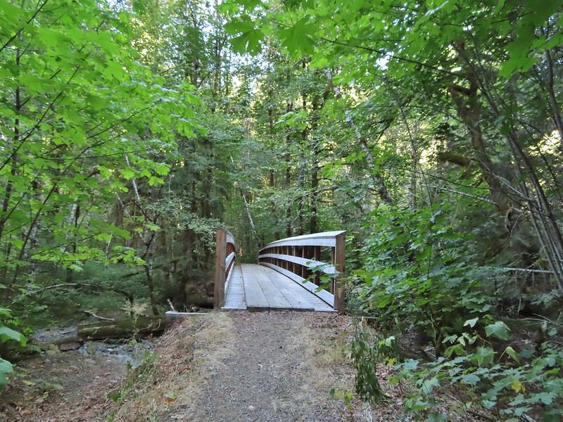
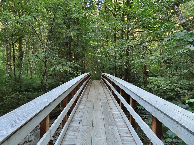
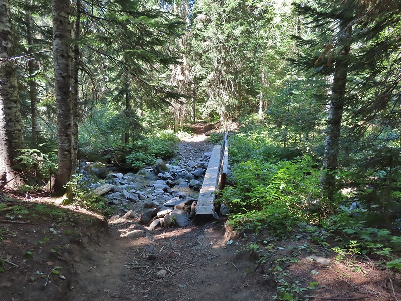
This trail crossed a paved road before crossing Howard Creek on a footbridge.
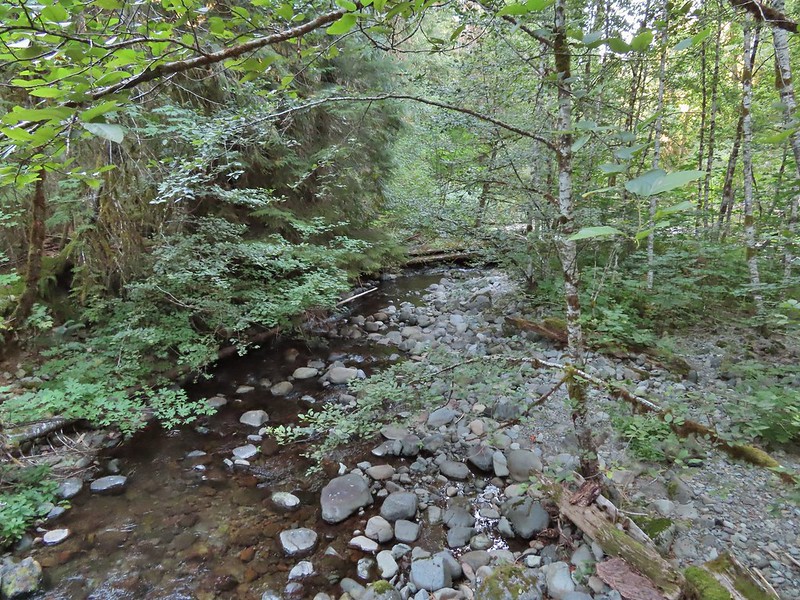
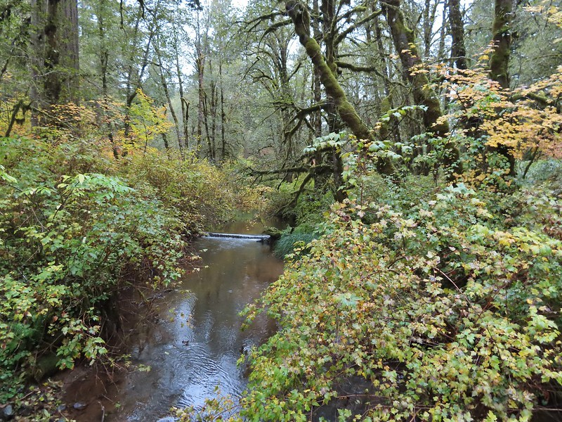 Howard Creek
On the far side of Howard Creek the trail turned right along the road we had taken earlier to reach the Howard Creek Horse Camp.
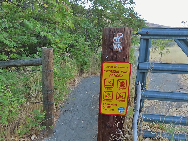
 Sign for the trailhead.
We hiked past the gate in the photo above and encountered the Park Ranger from earlier. He directed us to a trail on the right that would bypass the “wires and equipment”. This time we at least confirmed that the Buck Mountain Loop was open and thanked him before continuing on our way. We still aren’t sure what is/was going on but it wasn’t an event like we had thought. It appeared that they were either upgrading part of the horse camp, repairing the entrance road, or doing some thinning. Whatever they were doing we were able to pick up the Howard Creek/Buck Creek Loop trail at the SE end of the loop at the end of the road.


In a tenth of a mile we turned right on an old logging road.
Three tenths of a mile later we arrived at another junction where the Howard Creek Loop split to the right while the Buck Mountain Loop continued straight uphill.

For the next 2.7 miles we followed this road uphill until it leveled out and came to a large trail junction at the edge of a fire closure. We often turned to the maps along this stretch to ensure we stayed on the correct road.


 Blue appeared to mean Buck Mountain Loop (the posts along the Howard Creek Loop had been red and later the Smith Creek Trail posts were yellow.)

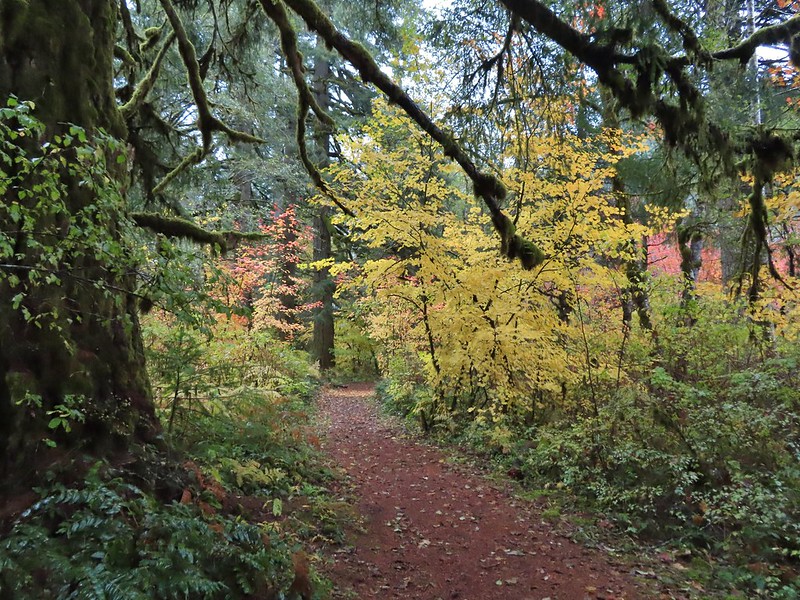
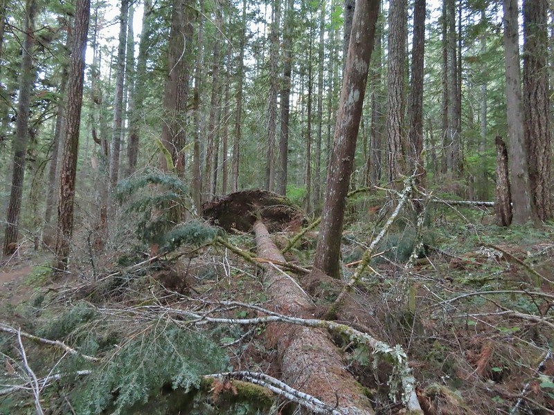
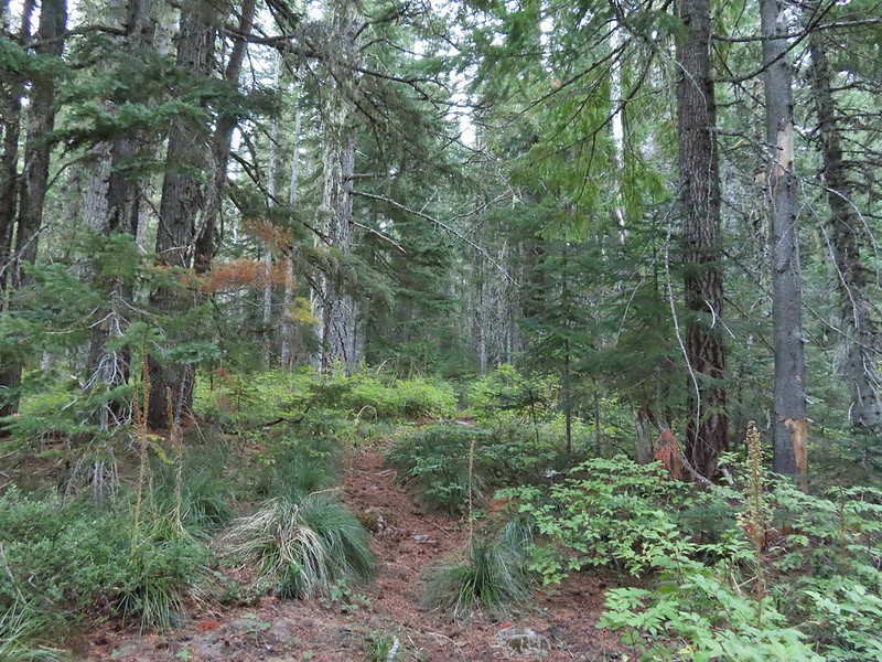
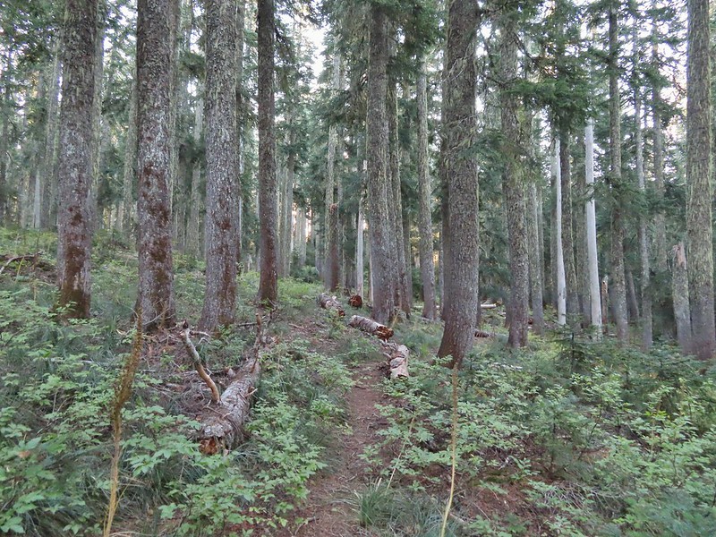
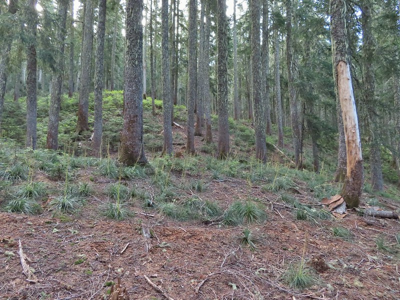
 The mix of tree trunks here caught our eye.
 Approaching the trail junction.
The good news at this big junction was there was good signage and a full park map.


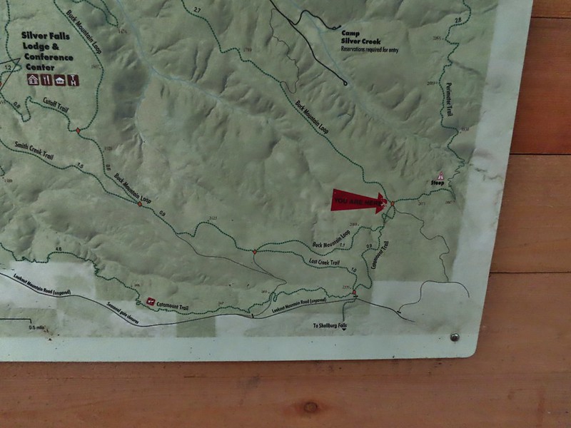
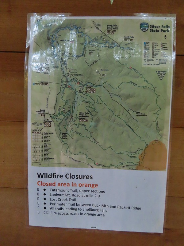 The 2020 Beachie Creek Fire threatened the Park and did in fact burn over nearby Shellburg Falls (post). As it was a small portion of the park was burned causing the very SE portion of the park to remain closed until repairs and removal of hazard trees are completed.
 Orange fence marking the closure of the Catamount Trail.
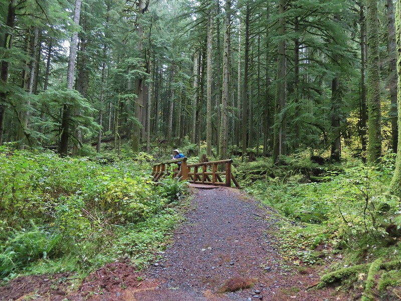
We stuck to the Buck Mountain Loop which descended to a pair of crossings of tributaries of Howard Creek.

 The first footbridge which spans Howard Creek. The creek was obscured by brush.
 The second footbridge over a tributary not shown on the topo map.
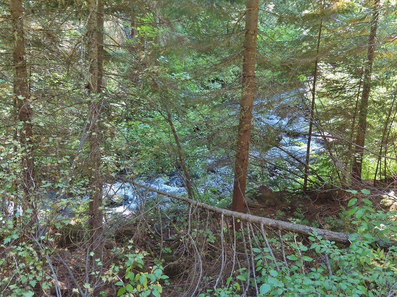
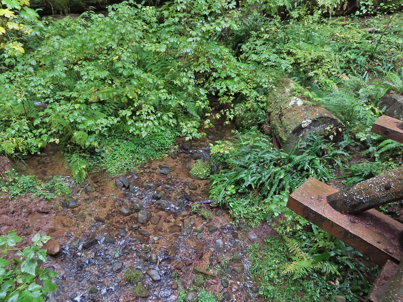 This stream was a little easier to see.
We took a short break at this bridge before continuing on.
Just over a mile from the large junction we arrived at a 4-way junction where we turned right to stay on the Buck Mountain Loop.
 A reminder of how close the Beachie Creek Fire was.

 The 4-way junction.
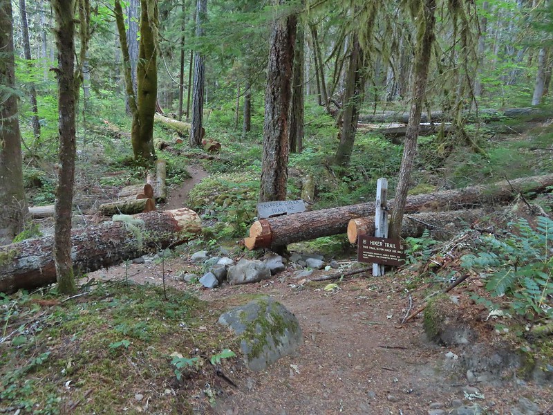
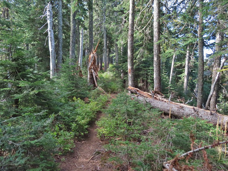
We kept on the Buck Mountain Loop for nearly another mile before arriving at the Smith Creek Trail junction.


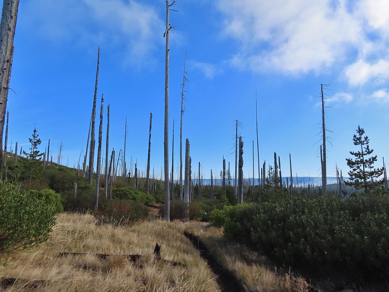
 Approaching the Smith Creek Trail junction.
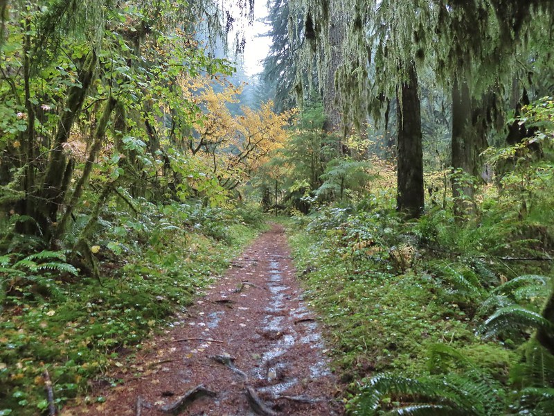
Up until this point other than a few very brief sprinkles we hadn’t seen much actual rainfall during the hike. As we started down the Smith Creek Trail though a steady rain began to fall. We followed this trail downhill for 1.6 miles to a junction near the Silver Falls Conference Center.


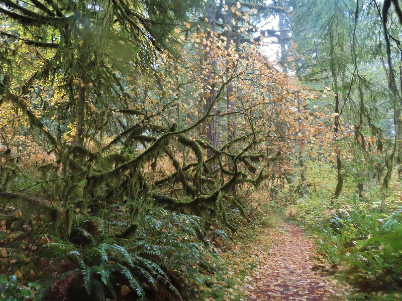
We stayed on the Smith Creek Trail for another 1.3 miles to yet another junction, this time with the Rabbit Hole Trail.


We faced a choice here. Looking at the map the Rabbit Hole Trail offered a slightly shorter route back to the 214 Trailhead versus the Smith Creek Trail, but it also appeared to climb a steeper hillside, albeit via switchback. The deciding factor for us though was whether or not there appeared to be many mountain bikers coming down the trail. Given the weather and not seeing any bikers or fresh tire tracks we decided to give it a shot.


There were 13 signed switchbacks in just over half a mile before arriving at the Newt Loop Trail near the mountain bike skills station.


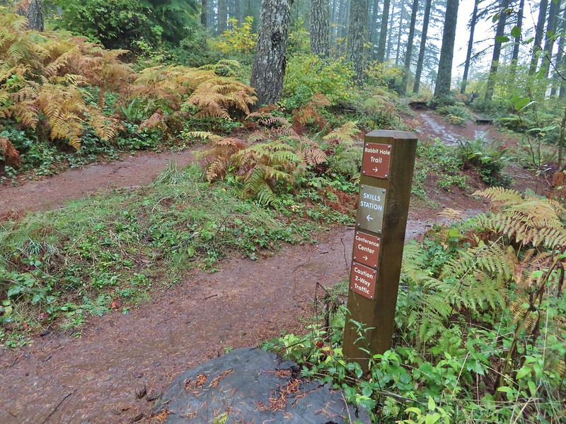 Ramps in the background at the skills station.
We turned left on the Newt Loop and followed it through the forest ignoring side roads and trails for 0.6 miles to the 214 Trail just two tenths of a mile from the 214 Trailhead.

 The Catamount Trail arriving on the left.

 The 214 Trail from the Newt Loop.
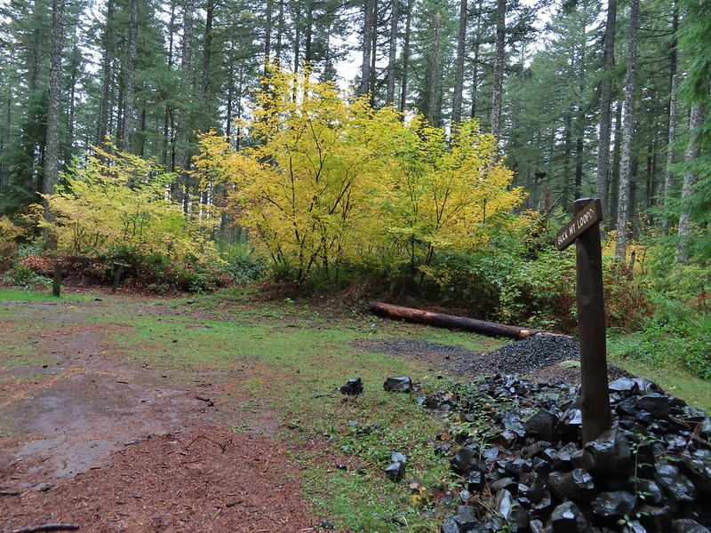
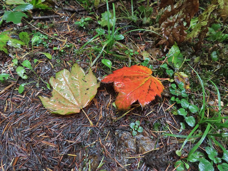
We didn’t encounter any bikers on the Newt Loop or Rabbit Hole trails. In fact we only saw one mountain biker all day and that was on the Buck Mountain Loop. We did see a couple of larger groups of trail runners (or one big group split into smaller groups) on the Nature Trail but otherwise I don’t believe we saw even a half dozen other trail users during our 12.9 mile loop. Reeder had been right, this was a great rainy day hike and the fall colors made it a good time of year to visit. While we managed to spend time on a number of the trails in the backcountry there is still plenty for us to explore and I’m already coming up with other ideas for the future when the fire closure is lifted.

Our “hiking season” is quickly coming to an end for the year and while it wasn’t an ideal year from a drought and wildfire perspective we’ve been fortunate enough to get some great hikes in while wrapping up a number of our longer term goals which we will be posting about during our off-season. Happy Trails!
Flickr: Silver Falls Backcountry

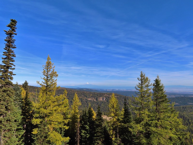
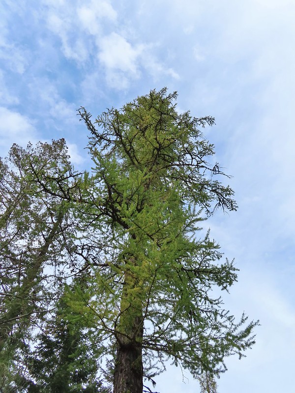
 A few larches along Road 2730
 Fret Creek Trail across from the pullout.
 Entering the Badger Creek Wilderness.


 Starting to climb again.
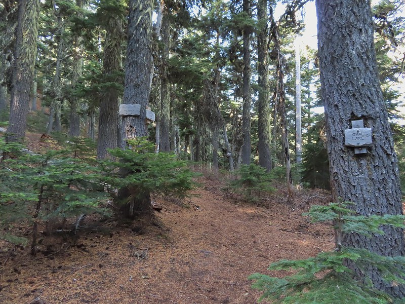
 Sign for Oval Lake.
 June 28, 2014
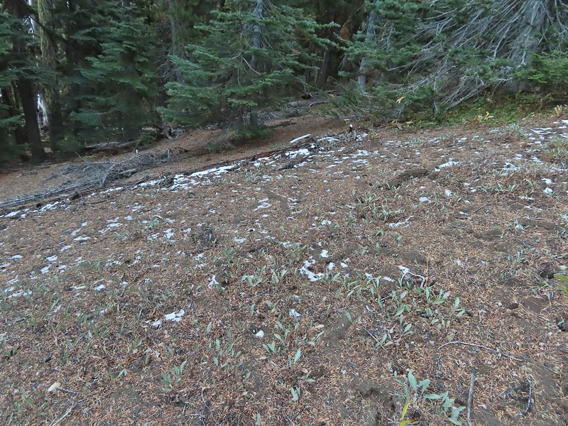 A bit of snow left from the recent snowfall.
 The Divide Trail.
 Some snow near a switchback along the trail.
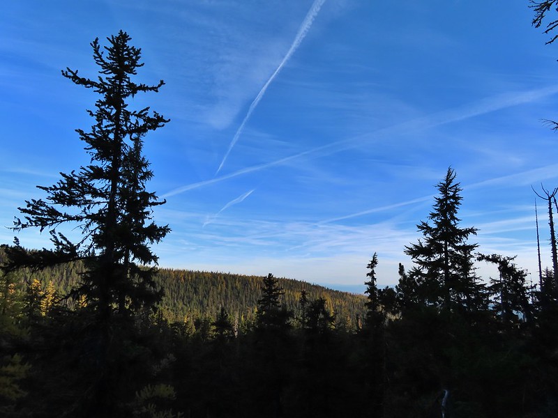 Mt. Adams starting to peak over a ridge to the north.
 Mt. Adams with some larch trees in the foreground.
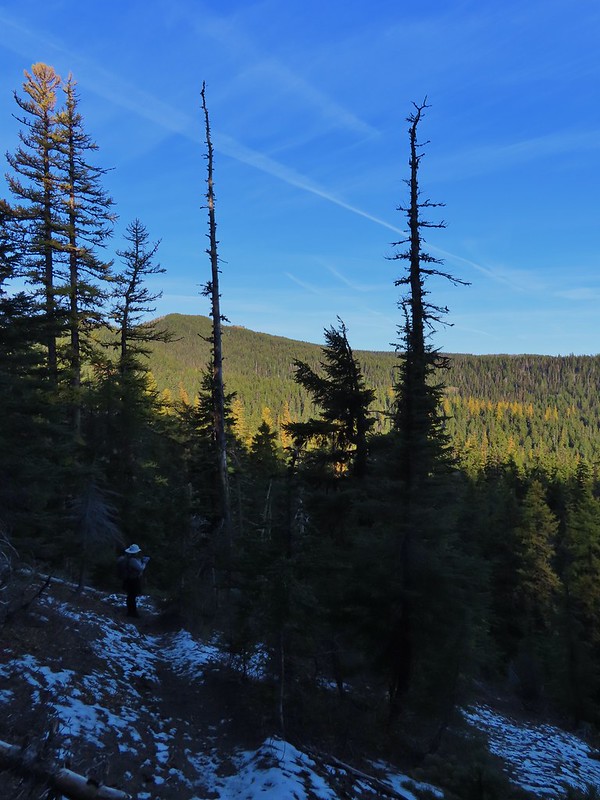 Lookout Mountain from the Divide Trail (The bare peak in between the two bare snags. Just to the right of the left snag.)
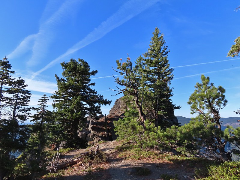 Side trail to Palisade Point.
 Broken Top, The Three Sisters, Mt. Washington, Three Fingered Jack (just the very top), Mt. Jefferson, and Olallie Butte (
 Mt. Jefferson with the tip of Three Fingered Jack to the left and Olallie Butte to the right.
 Mt. Hood peaking up over the rocks.
 Panoramic view with Badger Creeks valley below.
 Rocks below Palisade Point.
 We ran into this jumble of downed trees shortly after leaving Palisade Point but fortunately it was the worst of the obstacles.
 Flag Point Lookout from the trail.
 A small meadow that was full of flowers a couple of months ago.
 A stand of larches.
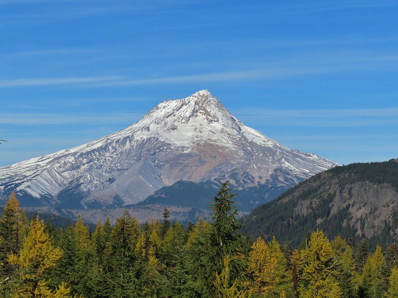
 A better view of Mt. Hood.
 Zoomed in.
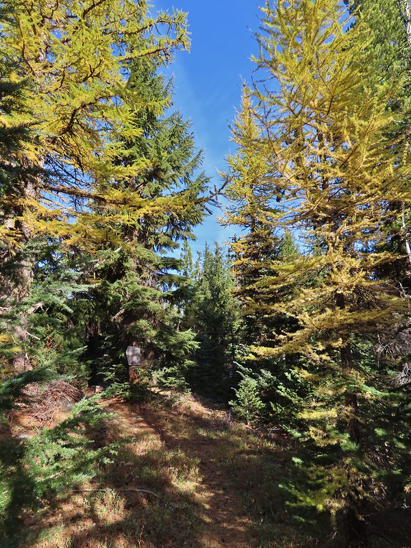 Looking back through larches at a Badger Creek Wilderness sign near Road 200.
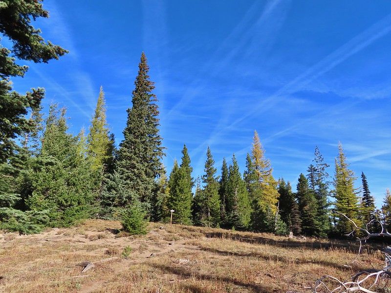 Looking back at the Divide Trail.
 Road 200
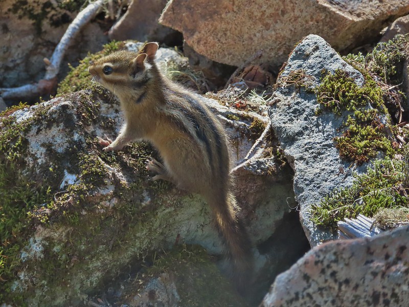
 Chipmunk
 Nearing the lookout.
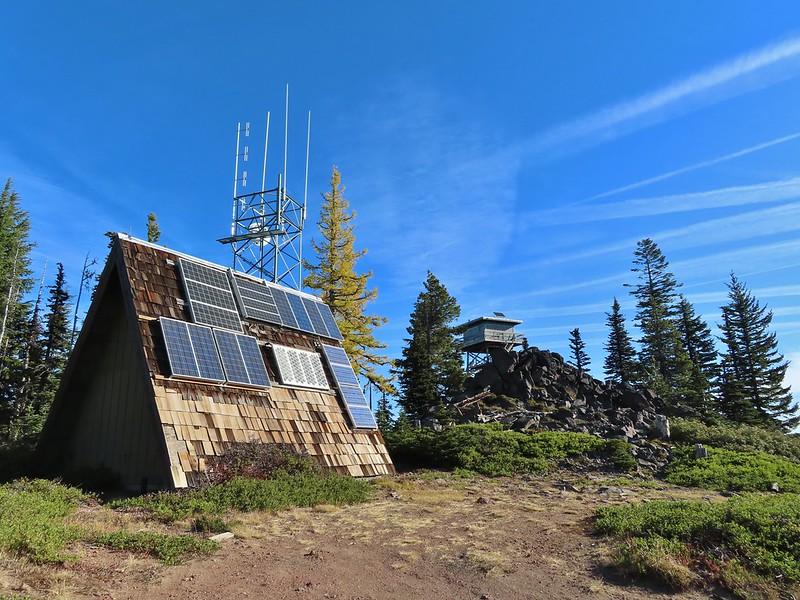

 Mt. Rainier and Mt. Adams to the north.
 Mt. Rainier and Mt. Adams
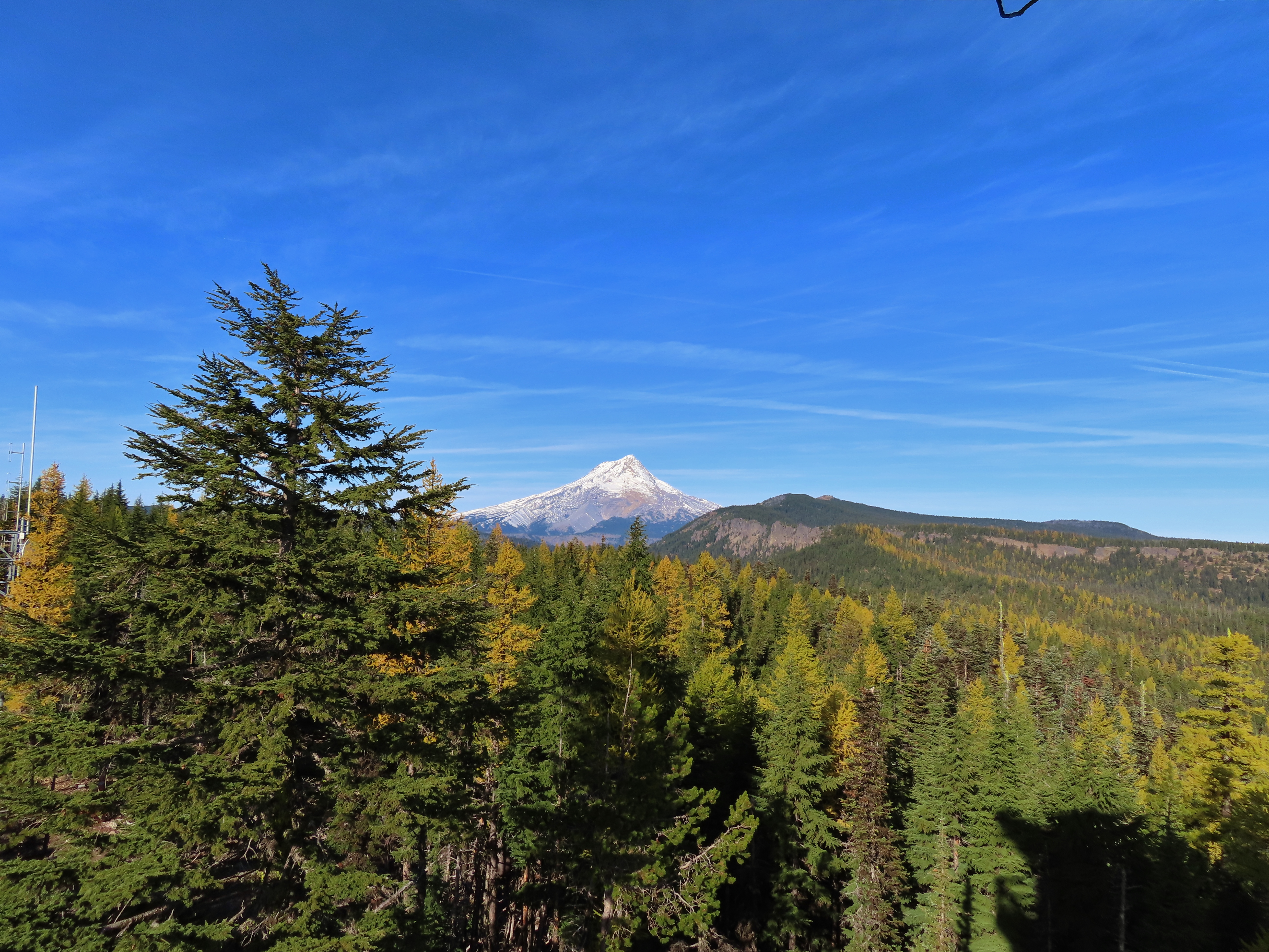

 Three Fingered Jack, Mt. Jefferson, and Olallie Butte
 View east to the hills above the Columbia River.
 Passing the Fret Creek Trail.
 We did need to gain almost 800′ of elevation to reach Lookout Mountain which at times was a fairly steep climb.
 Another viewpoint along the way where Badger Lake was visible.
 Badger Lake

 The final pitch to the summit, there is at least one hiker visible up top.
 Looking back to Flag Point.
 Looking NE toward The Dalles and the Columbia River.
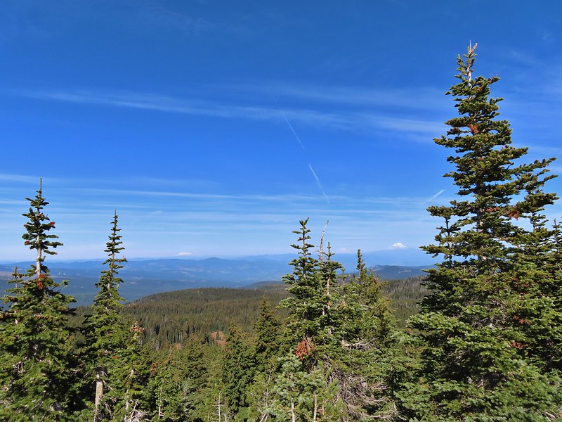 Mt. St. Helens, Mt. Rainier, and Mt. Adams
 View south past Badger Lake to Mt. Jefferson.
 Flag Point from the Helispot.
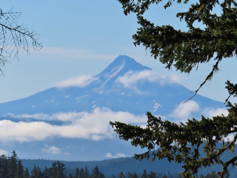
 And of course Mt. Hood again.

 Fret Creek from the road near the trailhead.
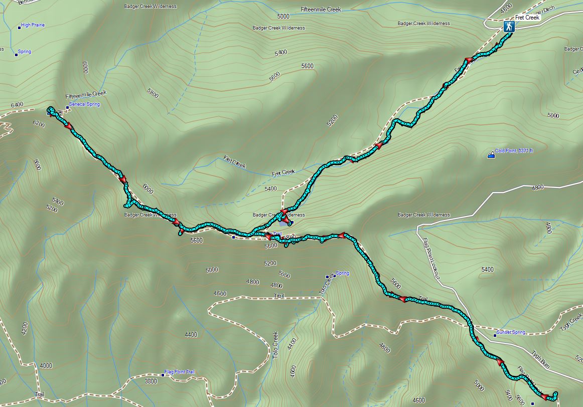

 Black Crater (
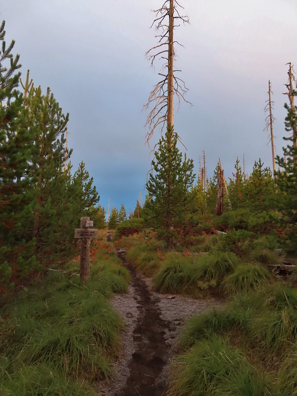

 Black Crater and North Sister
 Black Crater, the top of Broken Top, some of the Sisters, and part of Mt. Washington.
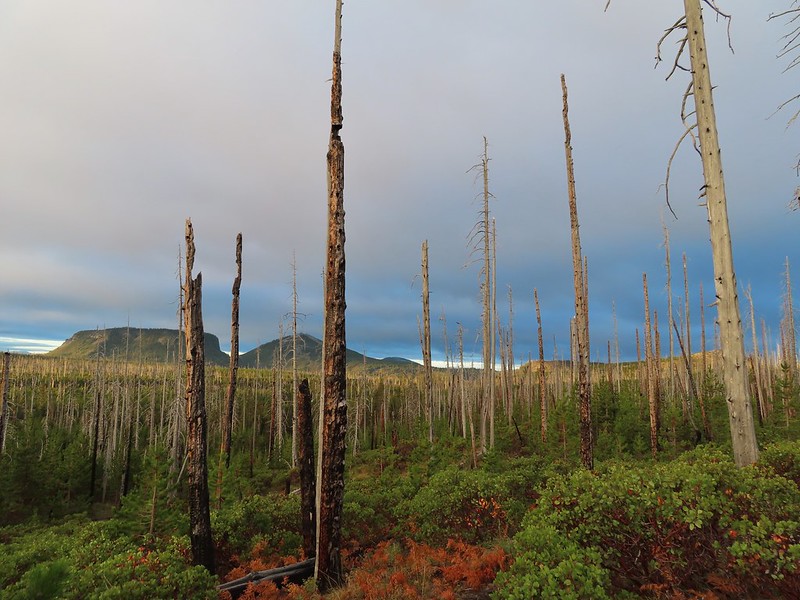 Hayrick and Hoodoo
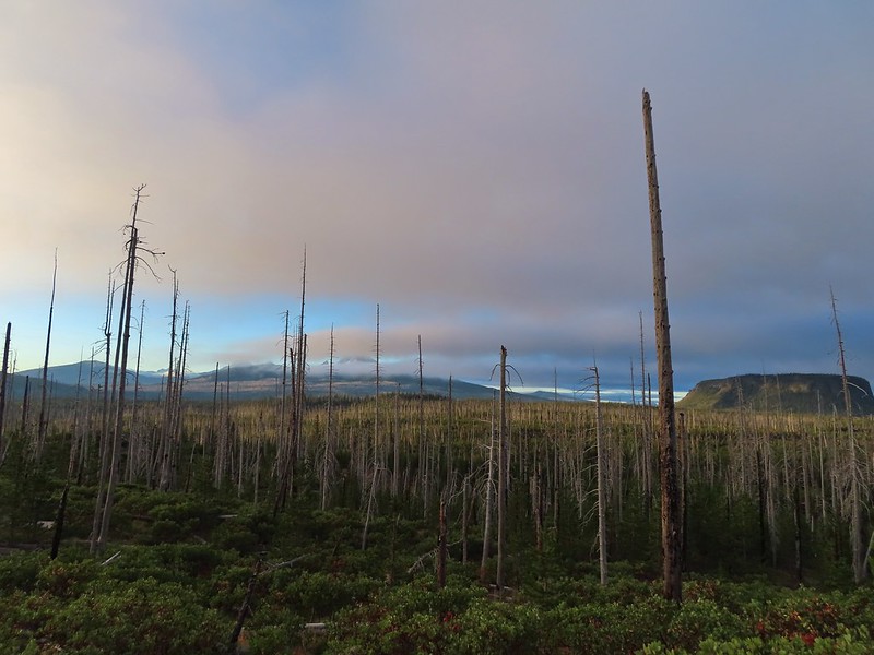 Between Mt. Washington and Hayrick Butte is Scott Mountain (
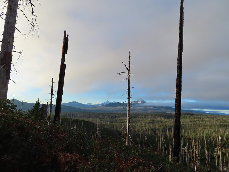 Cache Mountain is the high point furthest to the left.
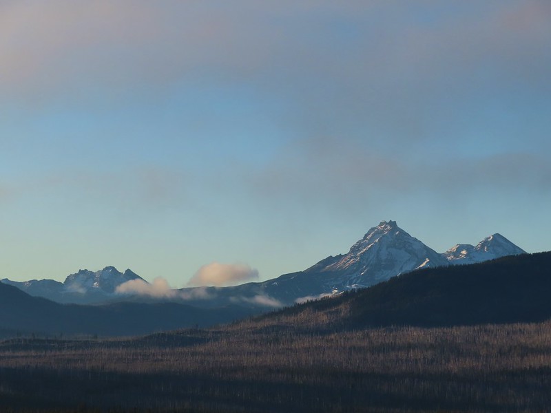 Broken Top and the Three Sisters
 Mt. Washington
 The Three Sisters. The summit of South Sister is between North and Middle Sister behind 9321′
 Black Butte (
 A different angle from 2012.

 One white rump with a black tail amid the ferns near the center of the photo (good luck).
 The only paintbrush we would see all day.
 The top of Mt. Washington is just visible on the other side of Square Lake.

 Mt. Washington’s spire again.
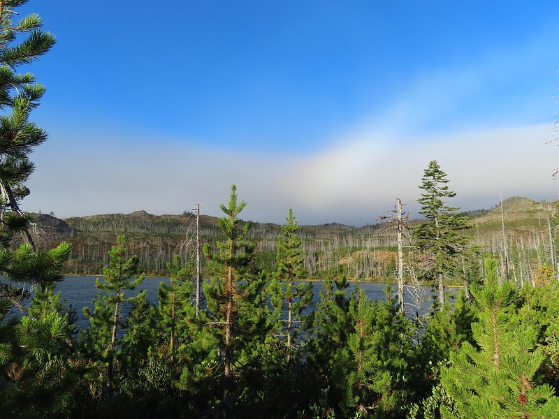 A rainbow was trying to form to the west.

 Lodgepole pine seeds require fire in order to be released from their tight cones.
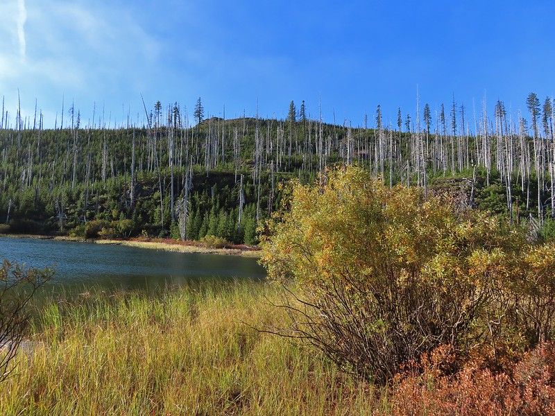
 Our first sighting of Long Lake (zoomed in).

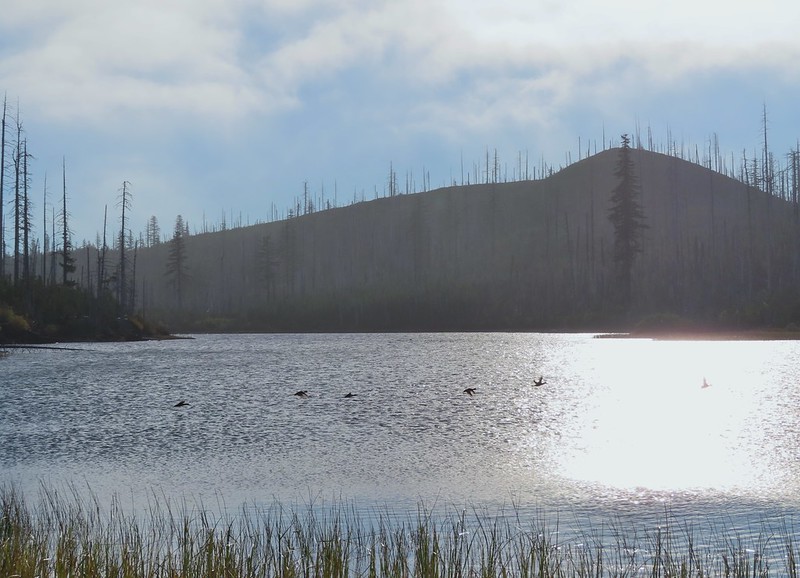 Ducks taking off from Long Lake.
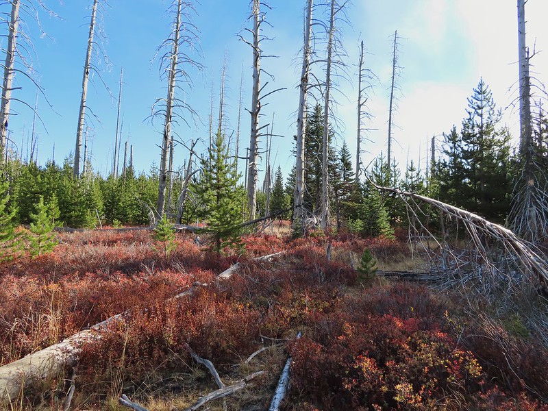
 This is one of the areas that we could see getting pretty muddy/wet.
 Rainbow
 The Round Lake Trail just on the other side of the downed tree.
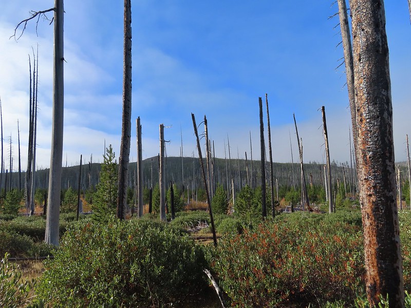 Long Lake is back down that way somewhere.
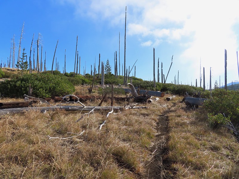 Back on the Round Lake Trail.
 Black Butte shedding the morning clouds.
 The top of Three Fingered Jack behind some thin clouds.
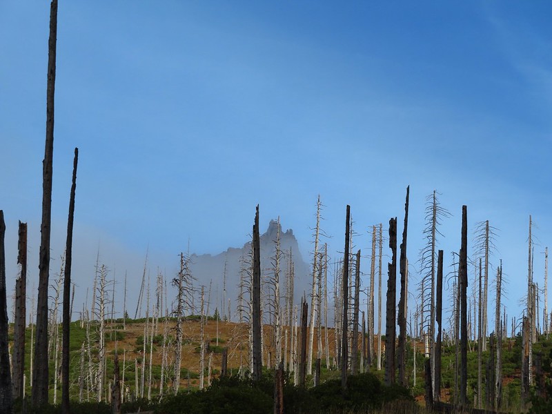
 Green Ridge (
 A better look at Three Fingered Jack.
 First glimpse of Round Lake.


 Starting to look kind of grey.
 A mountain bluebird adding a splash of blue to the green backdrop.
 Clouds over Square Lake.
 A few scarlet gilia blossoms.
 The unnamed lake is about halfway up the far hillside.
 Black Butte and Long Lake from the trail.
 Heading toward Three Fingered Jack we got back under blue skies.
 Square Lake still under a clouds,
 The unnamed lake that drew our attention.
 Similar view from 2012.
 The trail at the gap. It was grey and cloudy to the west.
 Still at the gap, it was blue skies to the east.
 There is Three Fingered Jack.
 A good look at Green Ridge.
 A lupine that was late to the party.
 Booth Lake


 The trail cut on the far hillside.
 Black Butte, Long Lake, and part of Square Lake.
 Square Lake along with Broken Top and the Three Sisters (Mt. Washington was hiding in the clouds still).
 Part of the rock ledge.
 Three Fingered Jack had once again disappeared.
 Where’s Heather.

 View climbing away from Square Lake.
 Similar view in 2012.
 2012
2012

 Finally clear!
 Hayrick Butte and Hoodo as we neared the trailhead.


 Sulphur Springs
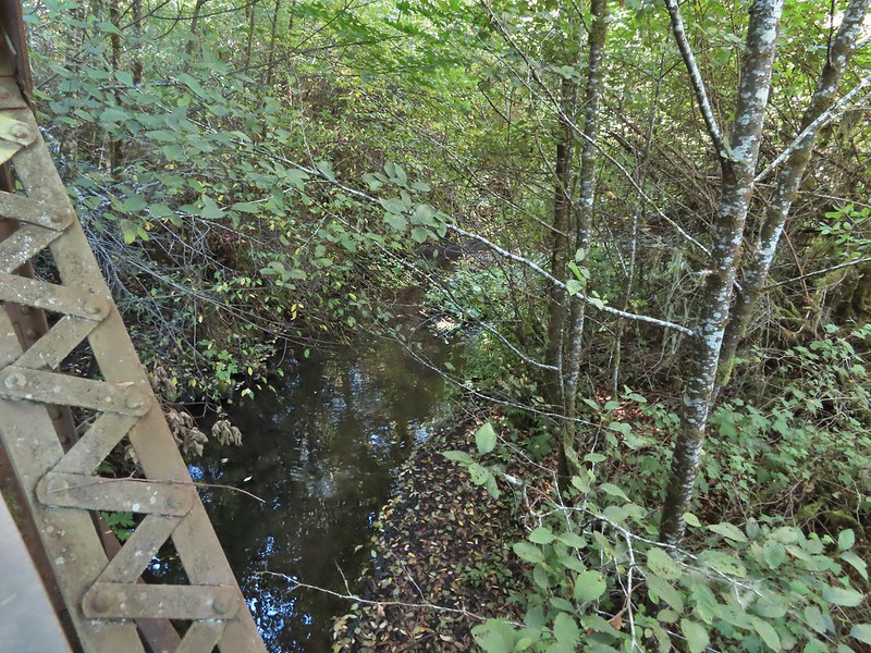
 Soap Creek near Sulphur Springs.
 Sulphur Springs Road from the pullout.
 Sulphur Springs Road Trailhead.

 We stayed right at this junction with Road 761.
 The Rocky Road Trail.
 A good sized cedar along the trail.
 Road 760 ahead.
 Interesting patchwork of trees. We would have liked to have been able to see when each section had been harvested and replanted.
 We couldn’t see much to the east due to the Sun’s position.
 Mary’s Peak (
 Road 7040 on the left.
 Pointer for McCulloch Peak at the junction. We had come up from Road 700 on the right.
 The rest of the 4-way junction. After visiting the peak we would head downhill following the pointer for Oak Creek.
 Trail to the spur road.

 Fading pearly everlasting.
 We stayed left here which was the shorter route.
 Madrone
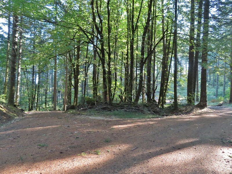 Tree island at the junction with Road 680.
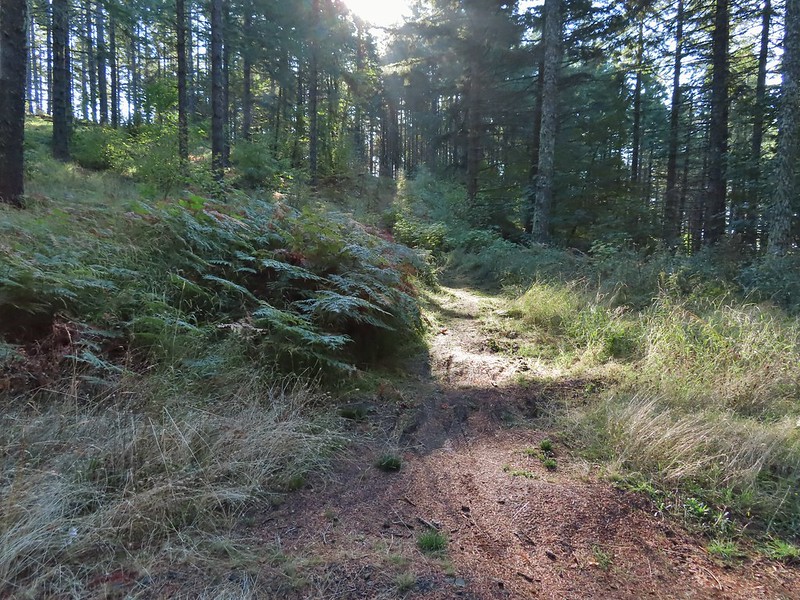


 Nearing the trail junction.
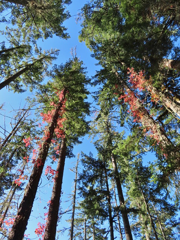 Poison oak climbing trees.
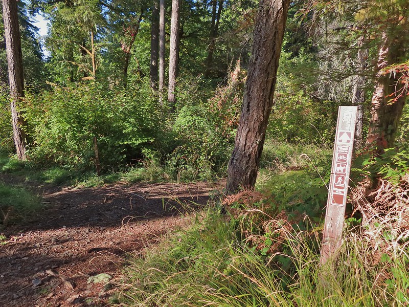 Signs for the Uproute and Extendo Trails.
 Road 680
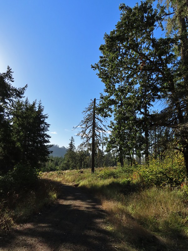


 A few larger trees in the forest.
 A sea of green grass.
 Horsetails
 The 4-way junction.


 Summit of Dimple Hill.
 Mary’s Peak
 Approaching the junction on Road 650.
 Junco
Junco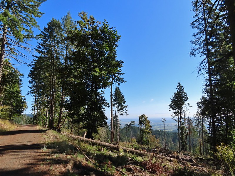
 Mt. Hood
 Mt. Jefferson
 The Three Sisters


 The High Horse Trail and another trail heading uphill at the 4-way junction.
 What we assume is the Bombs Away Trail on the left and the High Horse Trail on the right at the 4-way junction.
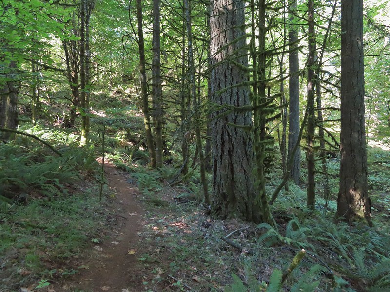

 Left or right? More often than not both ended up in the same spot.
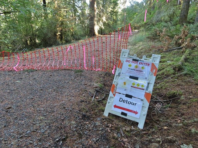 Road 640
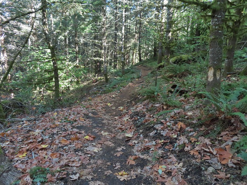


 Junction with the Alpha Trail.


 Looking back at the Alpha Trail from Road 810.
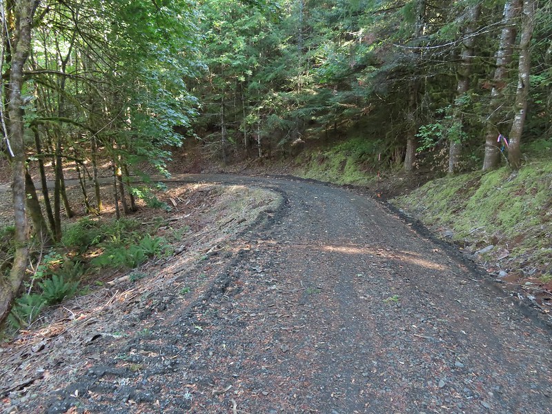

 Road 800 below Road 810.
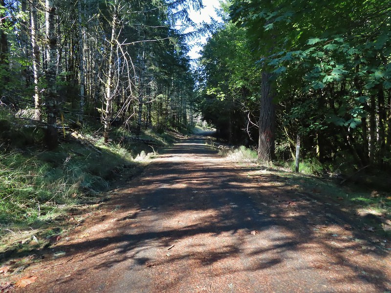
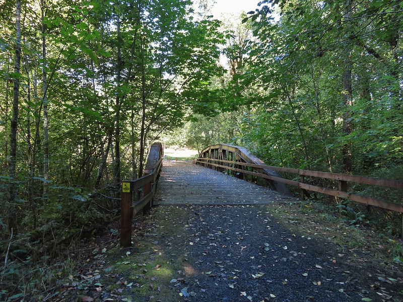
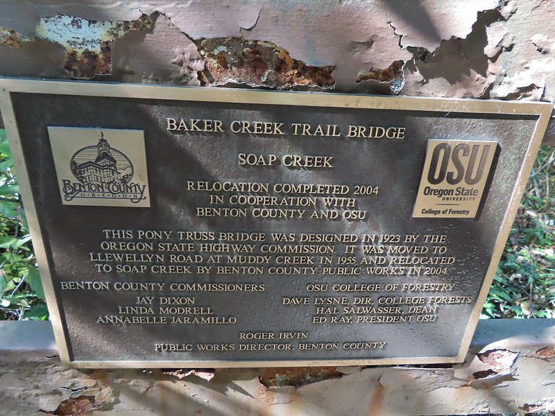
 Baker Creek Trail ahead on the right.
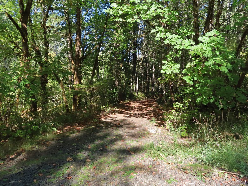


 Mt. Bachelor
 The Three Sisters and Broken Top
 Mt. Bachelor via the Nikon.
 Heather watching the show taken with the Canon.
 The Three Sisters with the Canon.
 Canon
Canon Nikon
Nikon Mt. Bachelor (
 Canon shortly before the Sun became visible.
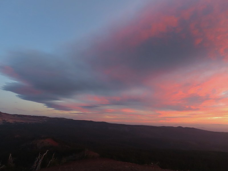 Canon shortly before the Sun became visible.
 The Three Sister just before sunrise with the Nikon.
 The Three Sister just before sunrise with Heather’s phone.
 Canon moments before sunrise. A line of wildfire smoke on the horizon gave it a red tint.
 Canon
Canon Canon catching the Sun.
 Canon
Canon The Three Sisters and Broken Top (Nikon)
 South Sister (
 Middle and North Sister (Nikon)
 Broken Top (
 Aline glow hitting the mountains. (Canon)
 South Sister (Canon)
 Middle and North Sister (Canon)
 Broken Top (Canon)
 Mt. Bachelor (Canon)

 Mt. Scott to the left and Mt. Thielsen to the right.
 Grouse
 Chipmunk
 Mt. Bachelor as we arrived back at the snow-park.


 Sunlight on Haystack Butte in Washington.
 Part of Moody Rapids.
 Gum weed
 The last petals on a blanket flower.
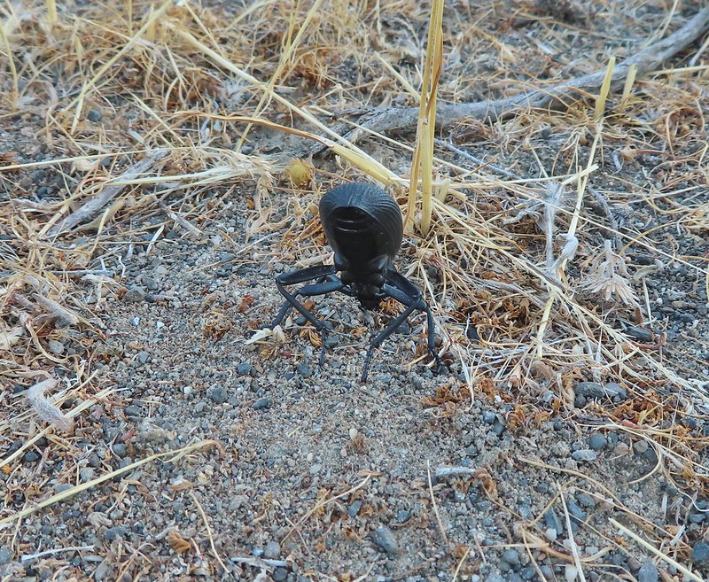 We saw several of these large beetles, all prepared to defend themselves.
 Snow buckwheat
 Chicory
 Seagull
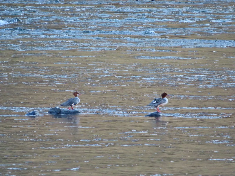 Mergansers
 Sparrow
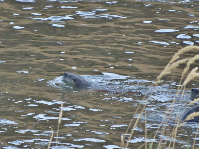 One blurry otter head and another partial otter on the right.
 A bunch of tree branches, oh and an otter in the water.

 At times there were multiple trails to choose from.
 Rattlesnake Bend is up ahead but we stopped here for a bit to watch a heron getting breakfast.

 A sparrow, possibly a Savannah sparrow.
 The trail climbed higher on the hillside for a bit to avoid some thick vegetation below.
 Rattlesnake Bend
 Railroad tracks above the trail.
 Looking back from Rattlesnake Bend near where we turned around.
 Rattlesnake Rapids
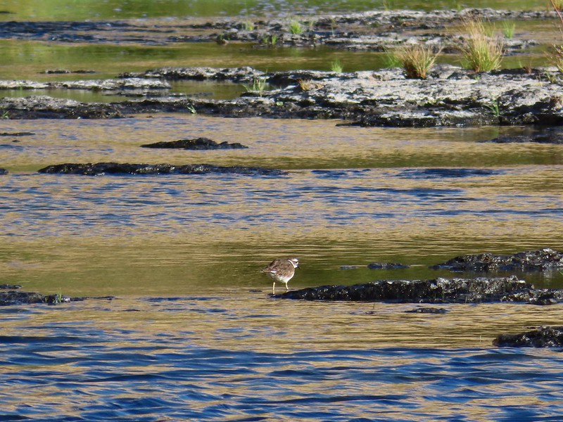 Killdeer
 An older channel?
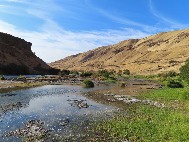

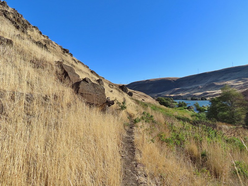 Had to go back up to avoid the vegetation here.
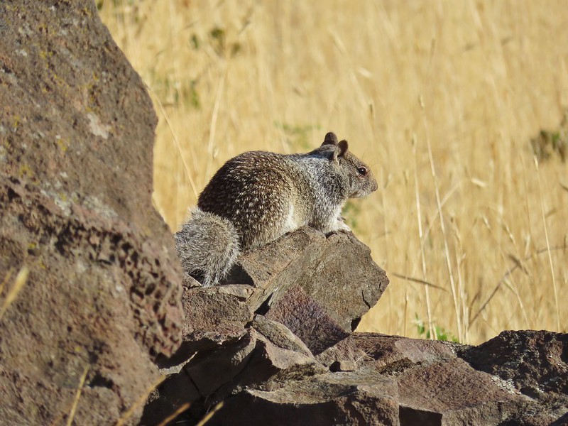 Ground squirrel
 Heron flying up river.
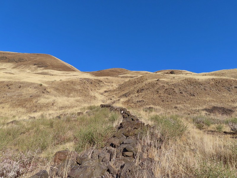 Old rock wall along the way.
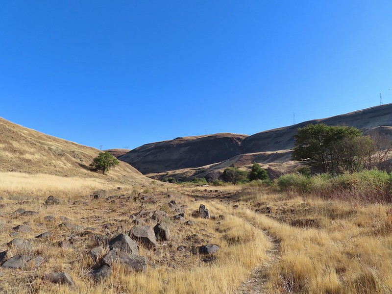 Typical use trail.
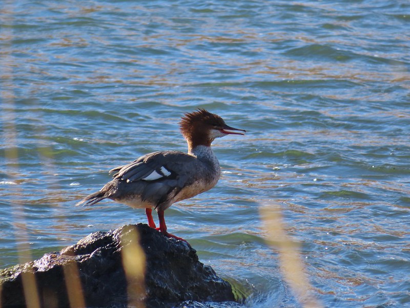 Merganser
 Aster
Aster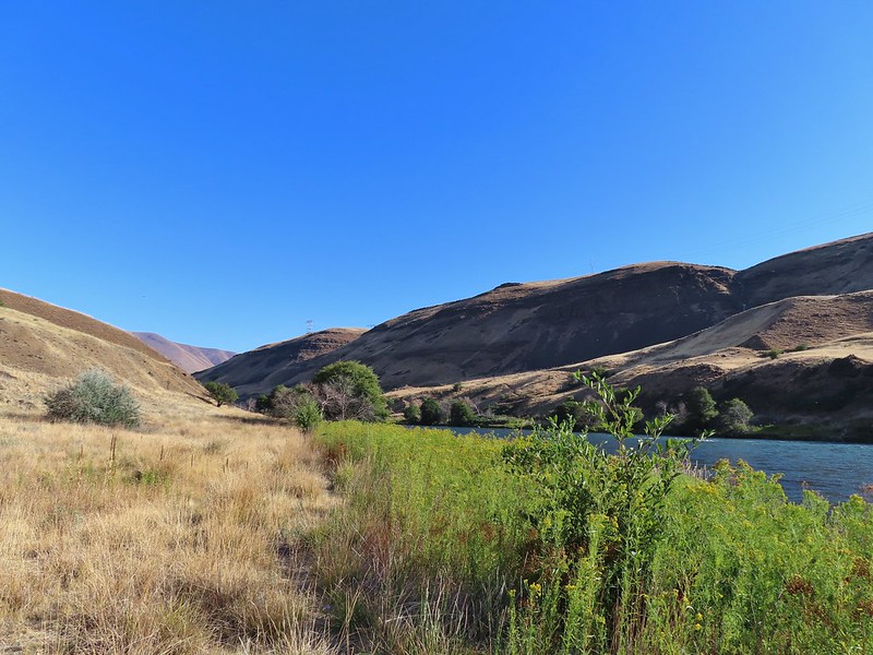
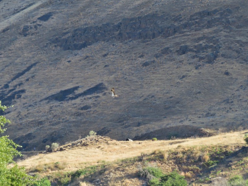 Osprey showing up the fishermen.
 Finch
Finch More birds near the spring.
 Little yellow birds, maybe warblers?
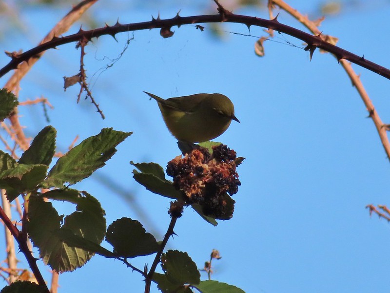 One of the yellow birds on a blackberry plant.
 Moody Rapids
 Haystack Butte
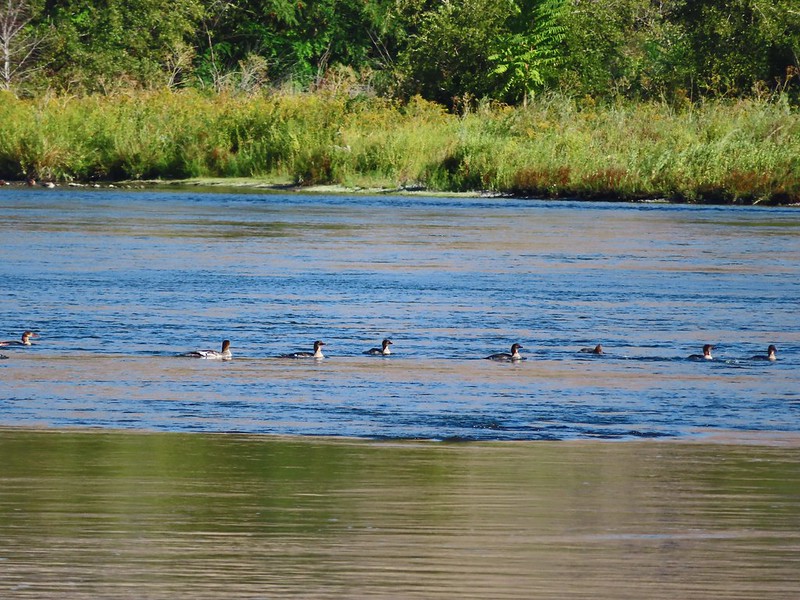 A line of mergansers.


 This squirrel was making an impressive amount of noise with its mouth full.
 Passing around one of the lake’s arms.
 One of several bridges over creeks.
 Mergansers
 The view next to the bench.
 The view from the bench.
 Going around another arm.
 A checker-mallow
 Aster
Aster Forest as we neared the campground again.
 Arriving back at the ramp.

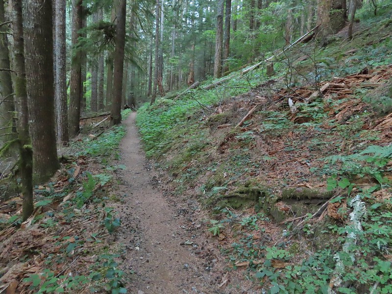
 The first part of the trail passed through a stand of trees.
 View to the west along the South Fork Walla Walla River canyon.
 Loved the top of this tree.
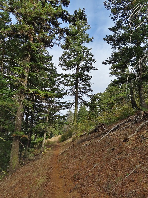
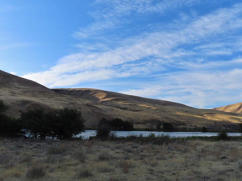
 Another view, there was just a hint of smoke in the air giving the hillsides a blue tint which is where the name “Blue Mountains” comes from. Apparently smoke has been a common occurrence here for a long time.
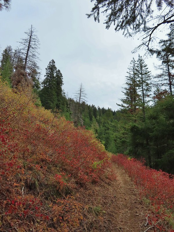
 There was a lot more Fall color along this trail.
 Paintbrush
 Cone flower
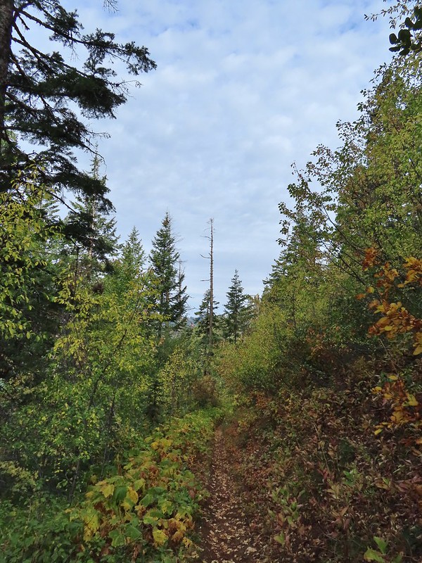
 Aster amid some thimbleberry leaves.
 Vine maple


 Looking down toward the Sheep Creek.
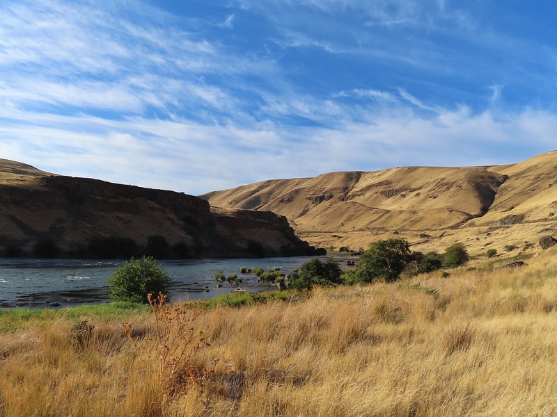
 Finally found the river.
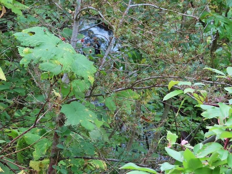 There was a 6 to 8′ waterfall along Sheep Creek but no way to get a clear view of it through the thick vegetation on a steep hillside.

 Two types of clover.
 Footbridge over the South Fork Walla Walla River.


 Reser Creek on the left joining the South Fork Walla Walla River just upstream from the bridge.
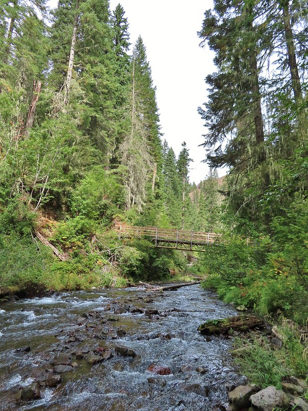 There were just enough exposed rocks for me to work my way downstream from the bridge to Sheep Creek.
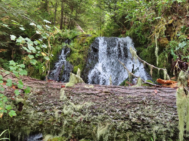

 A couple of the larch trees were just starting to turn color for the fall.
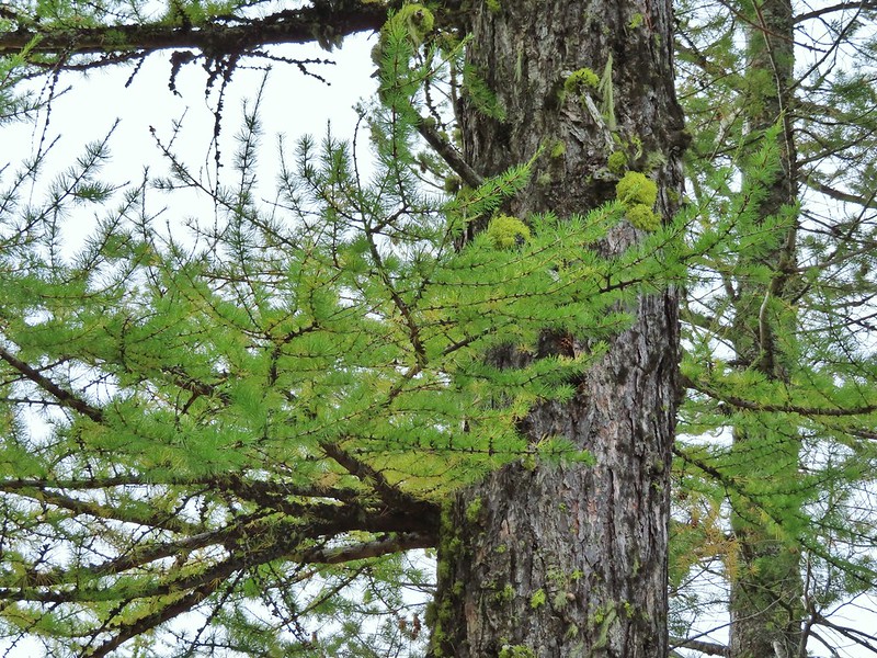

 A scarlet gilia blossom waiting to fall off.
 A final view back over the canyon with the crooked tree.
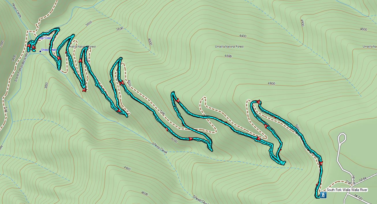
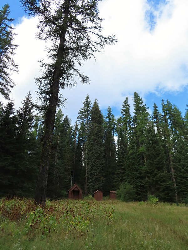 The guard station.
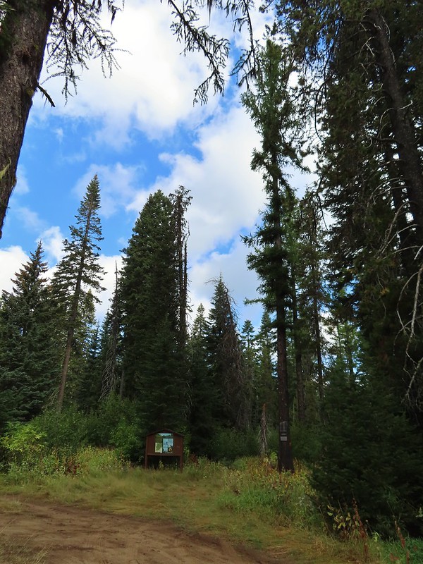 The only “parking spot” open near the actual trailhead.

 There was a lot of cone flower along the trail.
 It had rained the night before but most of the moisture had already dried up or evaporated.
 There were just a few flowers hanging on.
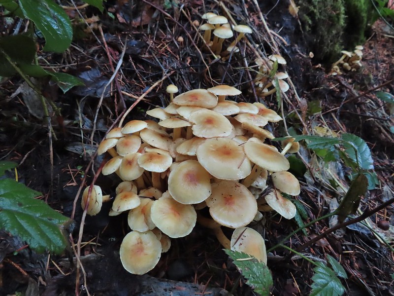
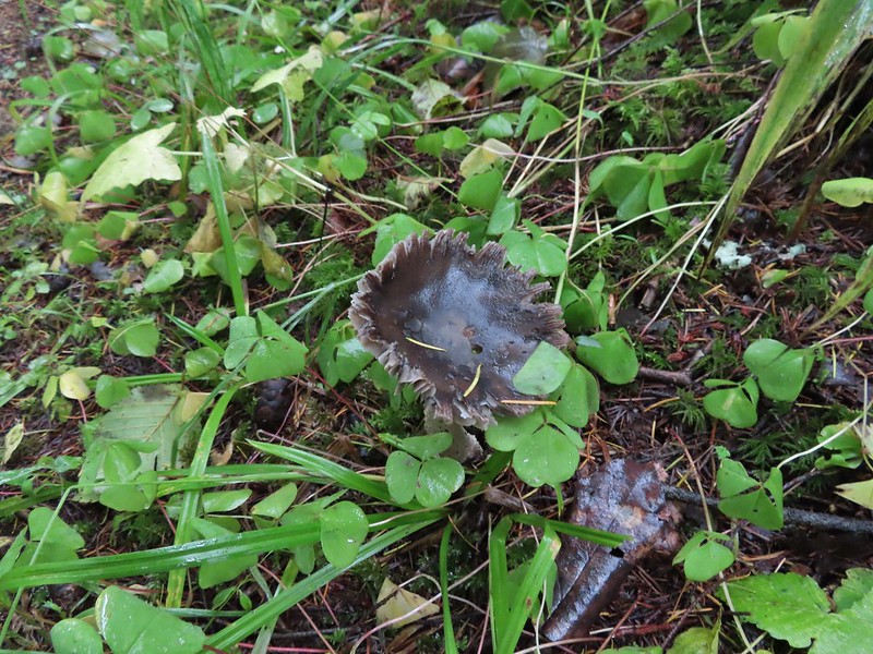
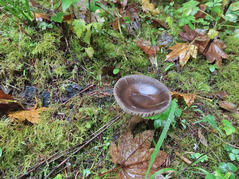
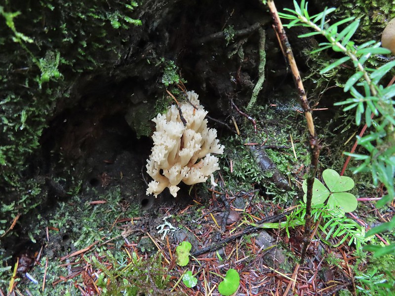
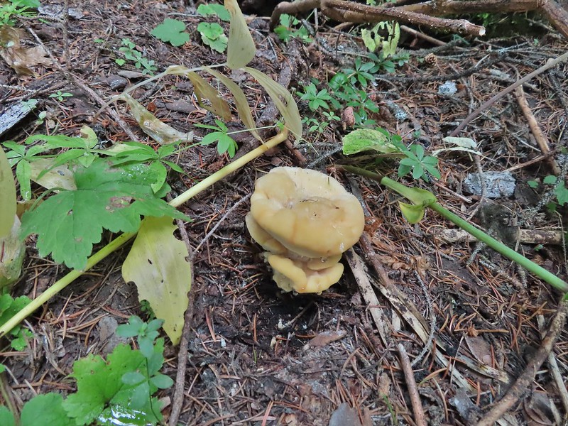
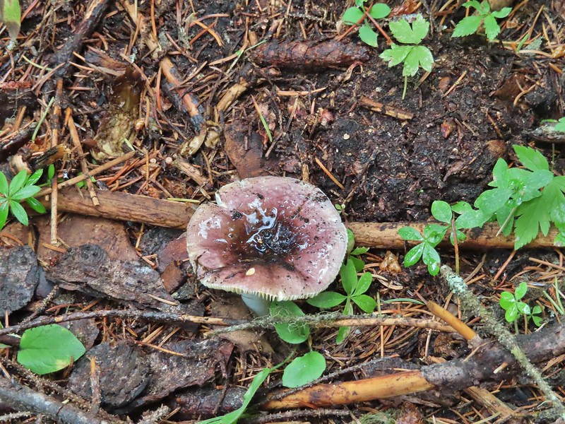
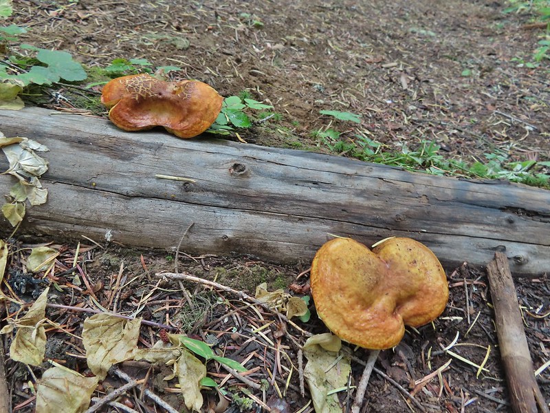 There was also a nice variety of mushrooms.
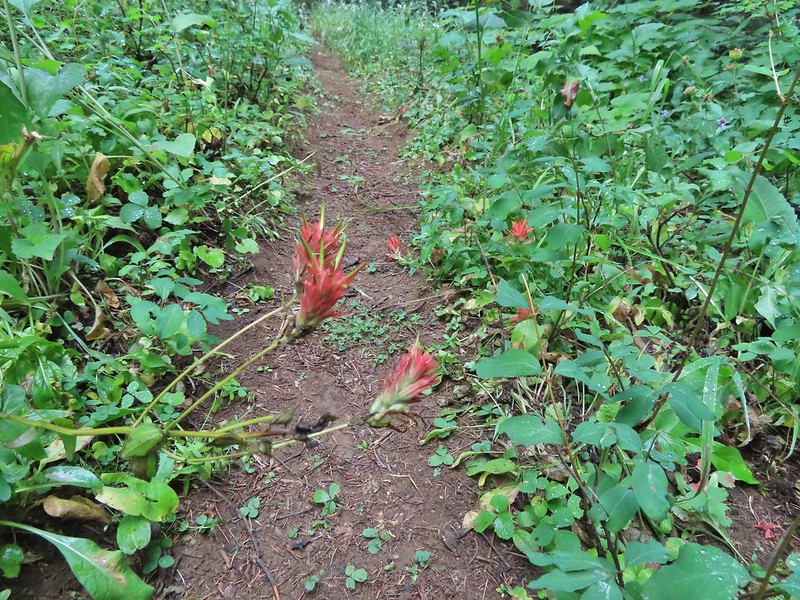 Paintbrush

 One of the small streams.
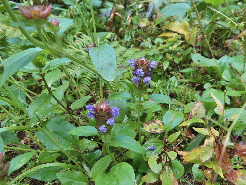 Self-heal
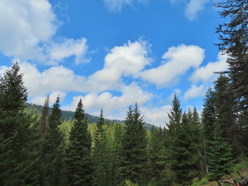 There weren’t many views along the trail but this one was nice.
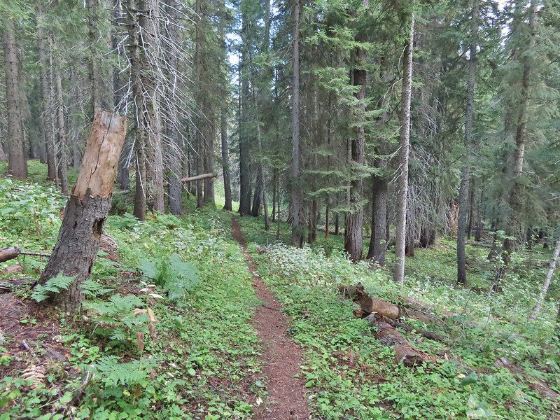
 Pearly everlasting
 Ghost pipe
 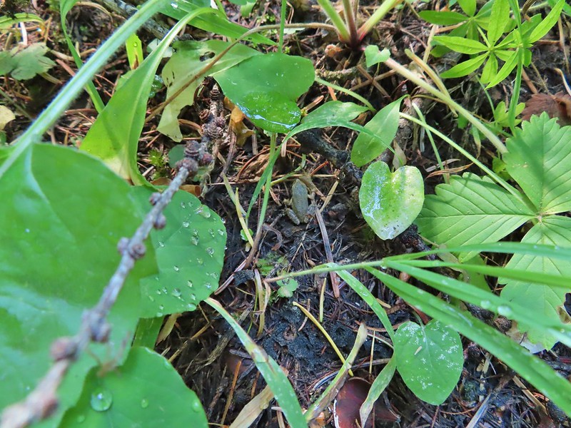 This was one of the smallest frogs we’ve seen. When I first saw it jump I mistook it for a grasshopper.

 South Fork Wenaha River


 One of two snakes we came across, both the harmless types.
 South Fork Wenaha River
 Fall colors along the trail.
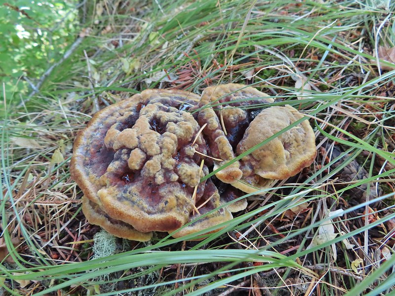

 Milk Creek with the Wenaha River Trail continuing on the far side.
 Milk Creek joining the South Fork Wenaha River.
 Elderberry near Milk Creek
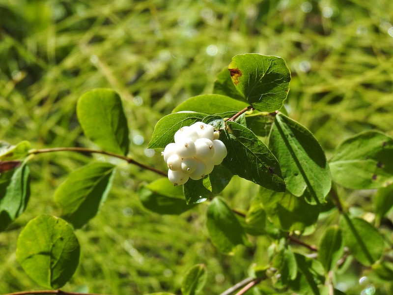 Snowberry
 Might be an aven?
 Coral fungus
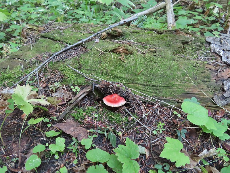

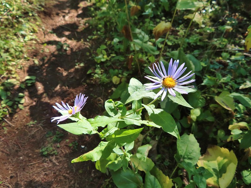 Aster
Aster
 A lone arnica still blooming.


 There were no signs for the obvious trail.

 Entering the


 Typical vegetation and trees on the ridge.
 We rediscovered tread as we dropped to a saddle near Janet Lake.
 Sign at the saddle between Peggy and Janet Lakes.


 Sleepy ducks
 I believe Oregon Hikers calls this one “Cindy Lake”.

 The small saddle we’d been aiming for.

 Heather down to the right between a couple of trees.
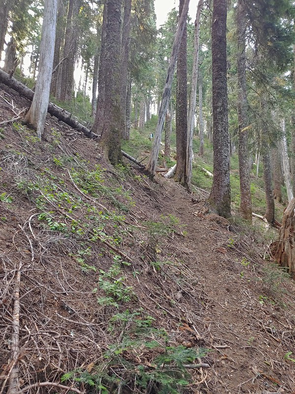 Me getting close to the top.
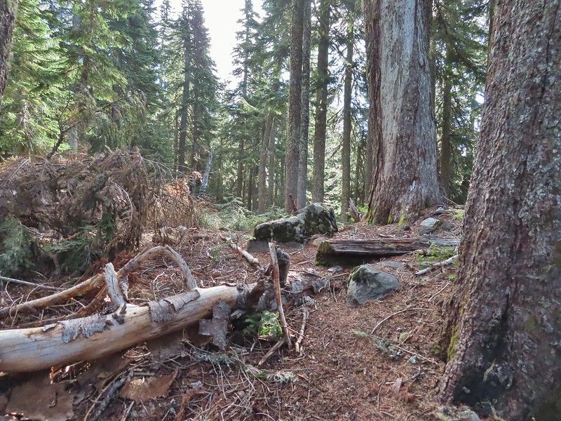 The top of the ridge.
 Mt. Adams in some clouds.
 Mt. St. Helens behind a line of clouds.
 Gifford Peak (
 Chipmunk

 Mt. Jefferson was also visible to the right of Mt. Hood. Unfortunately so was the smoke being produced by the Bull Complex Fire which destroyed the historic Bull of the Woods Lookout (
 Autumn is on the way, bring on the rain please.
 Mt. Adams
 Looking toward Mt. St. Helens
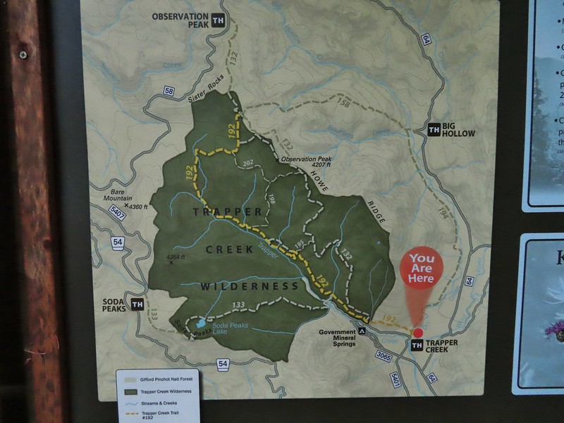
 The peaks in the Trapper Creek Wilderness (
 Cliffs on Berry Mountain
 Mt. Hood as we headed downhill.
 Red Mountain and its lookout tower.
 This beargrass is way off schedule.


 Mt. Adams from a viewpoint along the way.


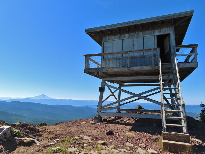 Not sure if someone forced the door open too or not.
 View of Mt. Adams beyond Indian Heaven.
 Photo taken from the doorway, it looked like nothing had been vandalized.
 Mt. St. Helens still hiding behind that line of clouds.
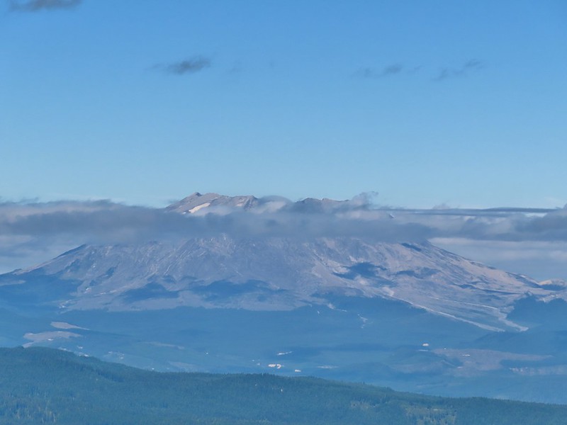
 Mt. Adams with a few clouds passing by.
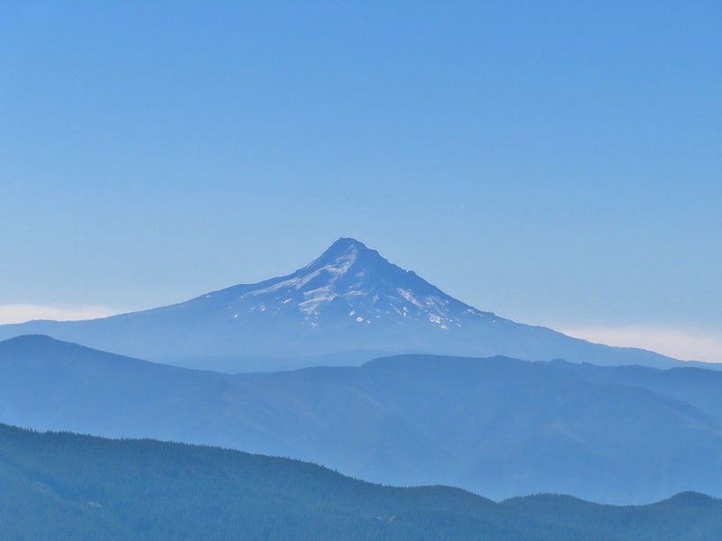 Mt. Hood with smoke from the Bull Complex behind.
 Indian Heaven Wilderness sign on Red Mountain with Mt. Adams in the background.
 Race Track Lake on the left.

 Hardhack
 Footbridge over Falls Creek.
 Falls Creek
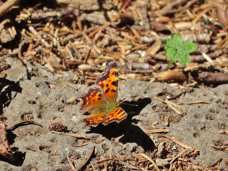 Butterfly near Falls Creek.
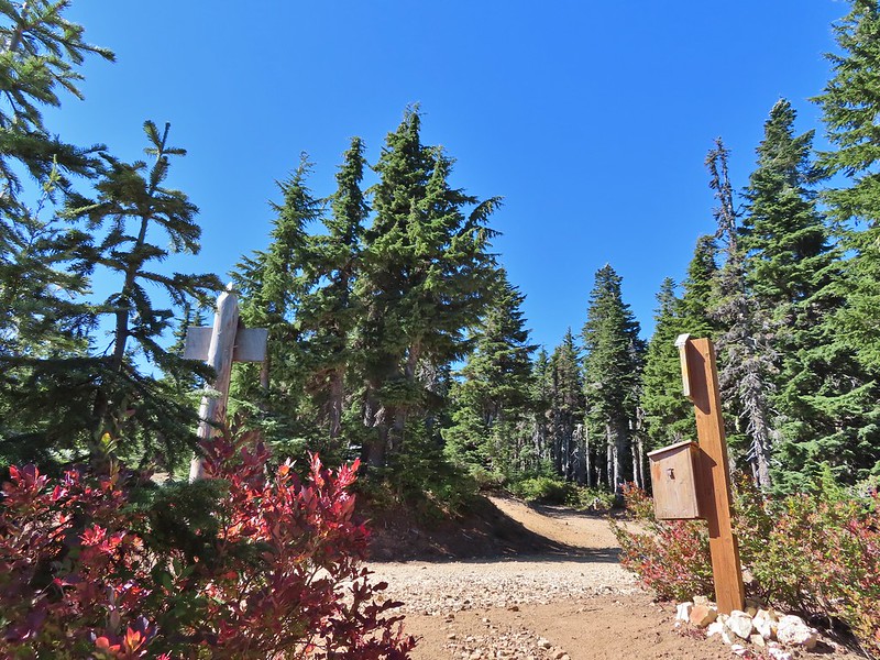
 Sign at the final trail junction near FR 65.
