**Note the 2017 East Crater Fire burned a portion of this hike.**
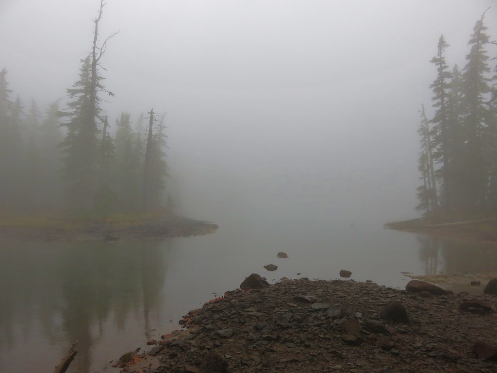
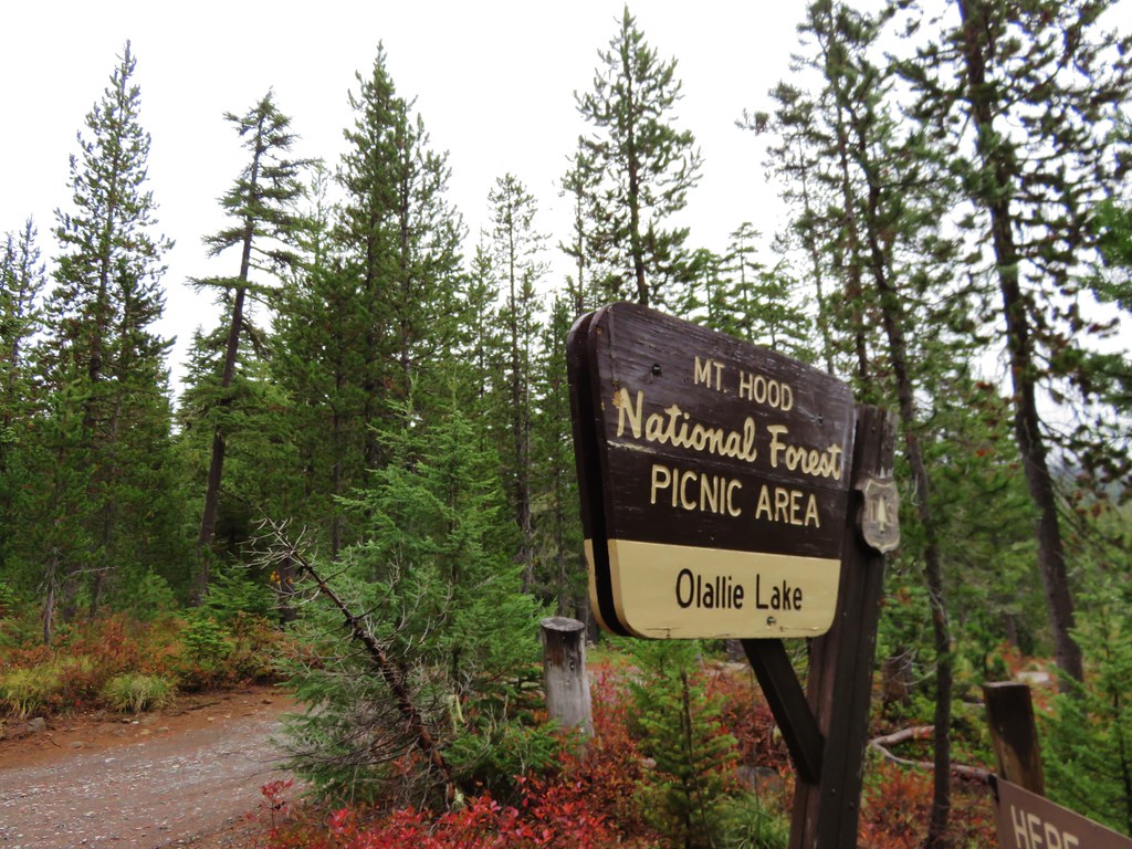
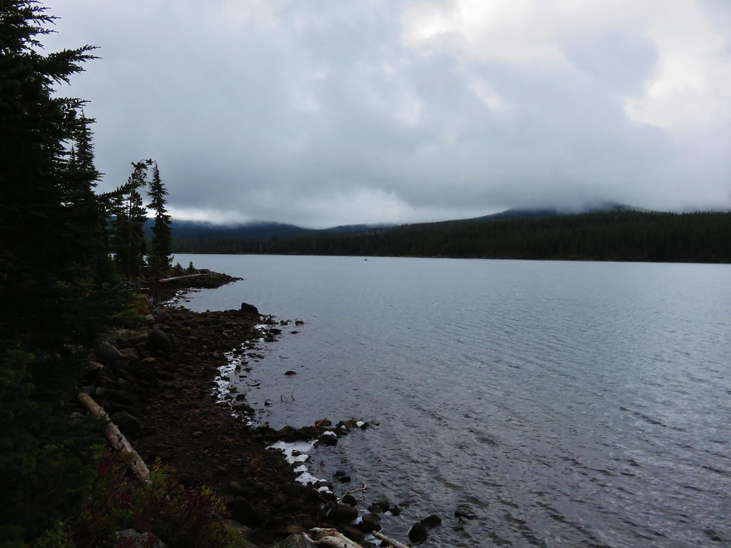
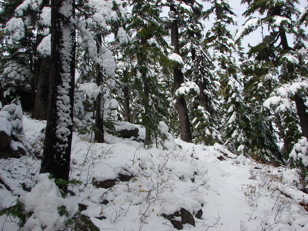
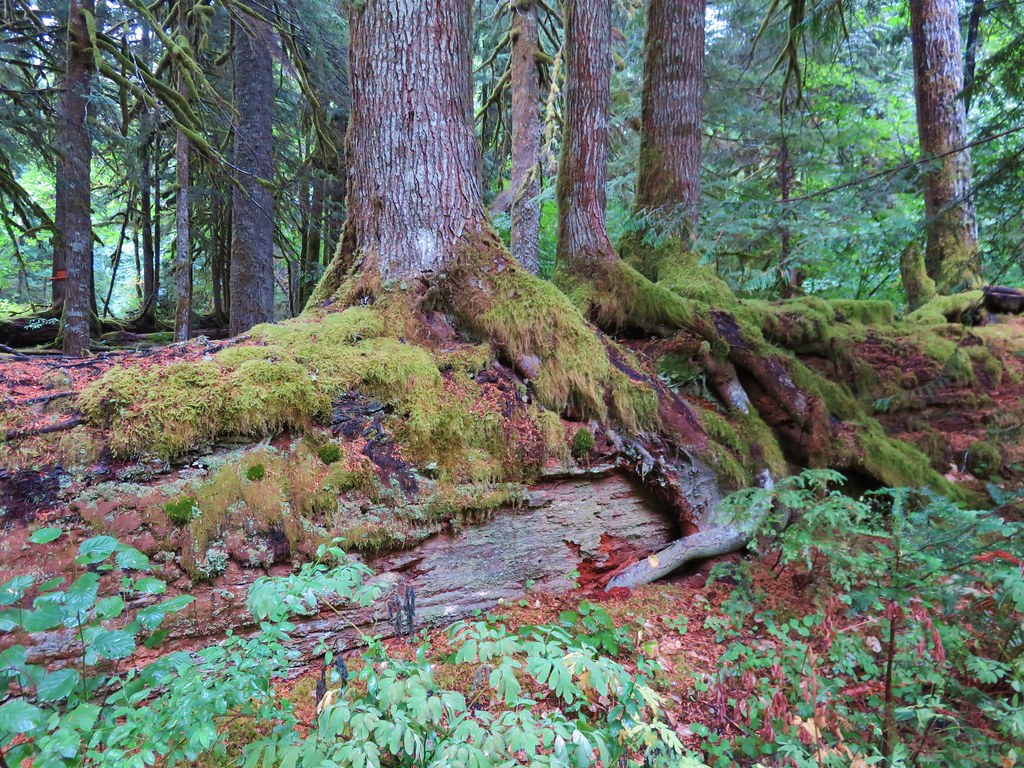
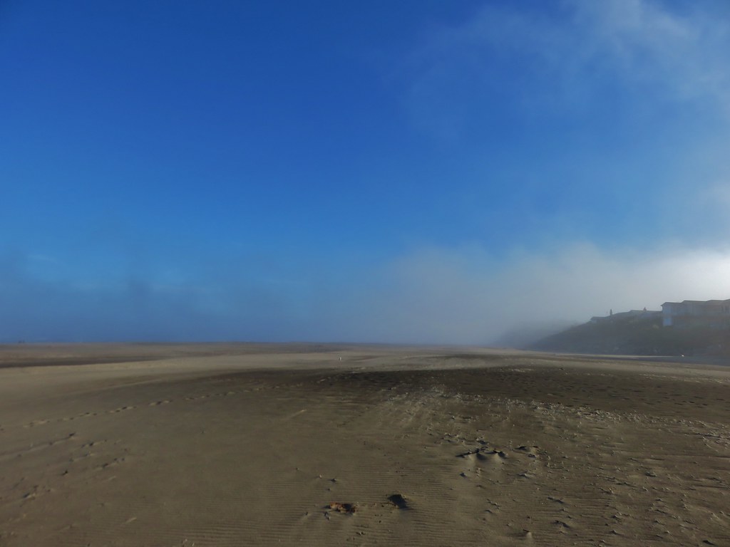
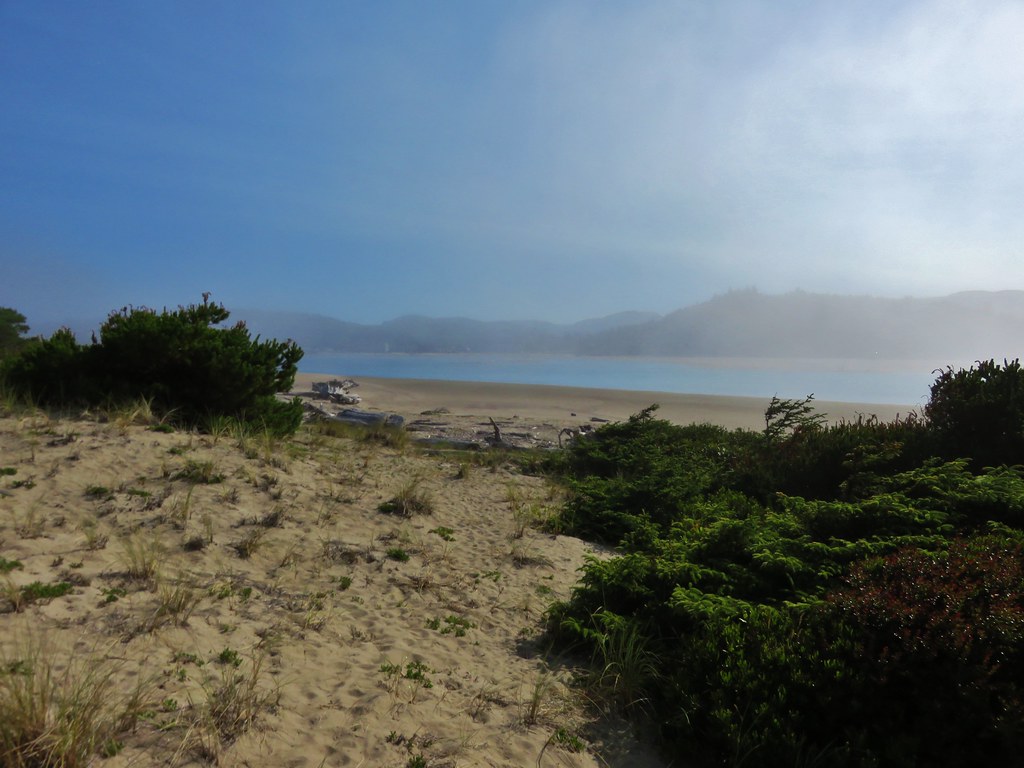
What a difference a week makes. On our previous hike to the Olallie Lake Scenic Area we spent our time in a chilly damp fog and then dealt with the occasional rain shower. Our most recent hike to the Indian Heaven Wilderness was the exact opposite with sunny skies and temperatures in the upper 70s. This was a hike that had been pushed back a couple of weeks first due to smoke and next the weather conditions of the previous week.
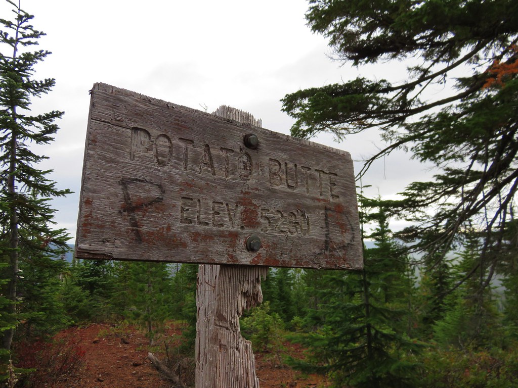
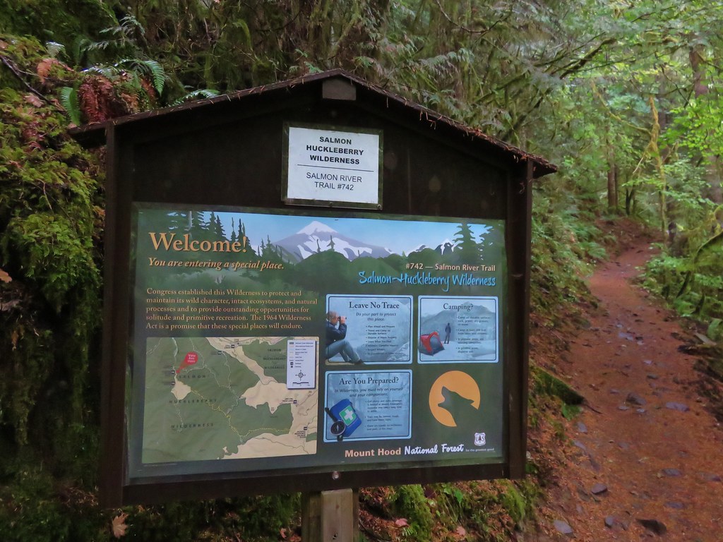
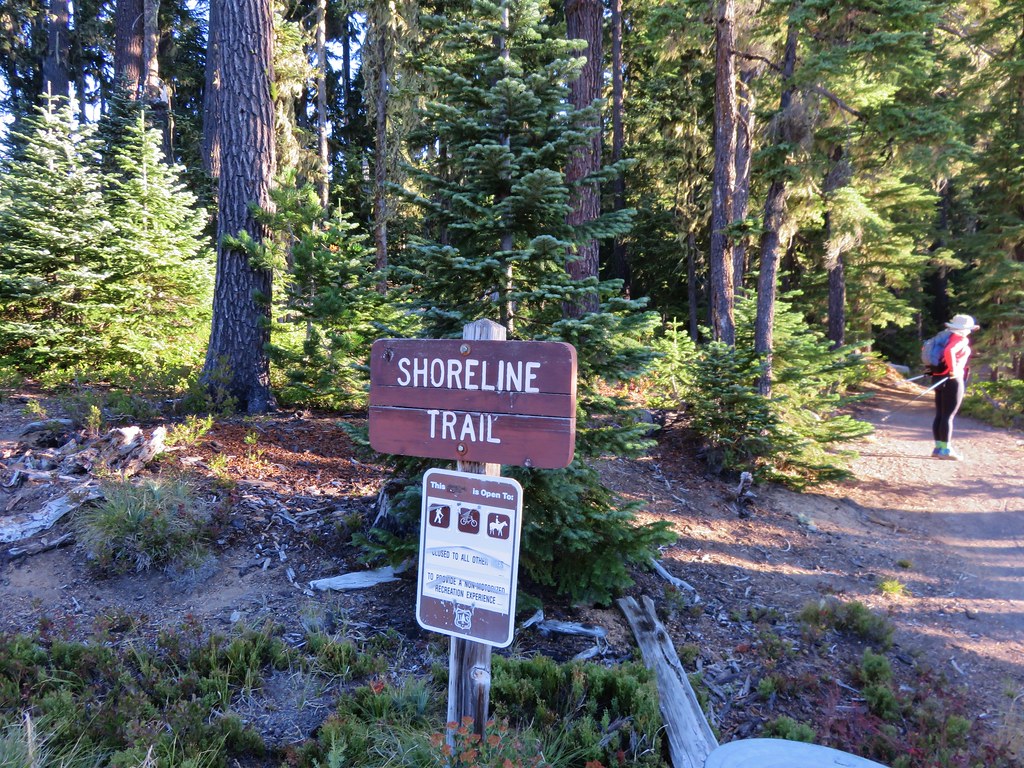
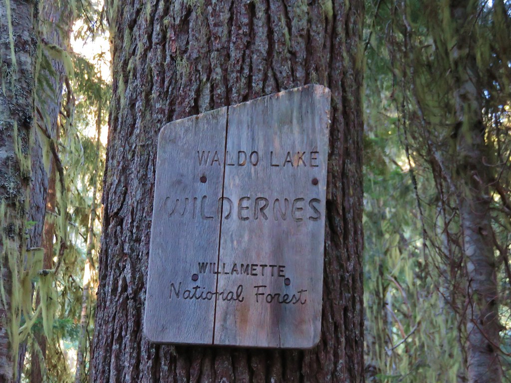
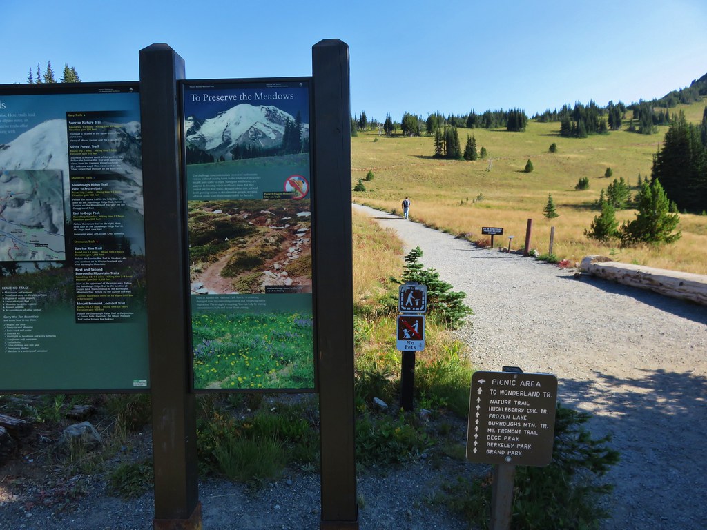
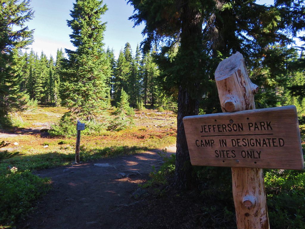
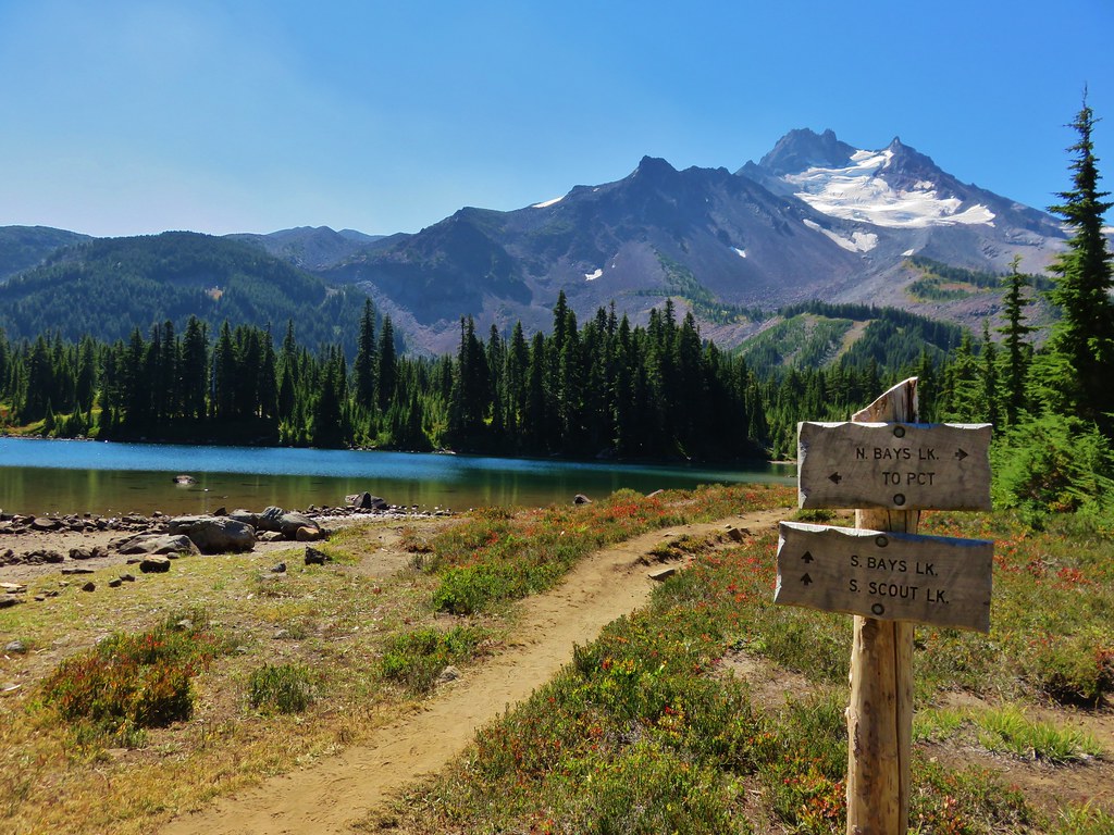
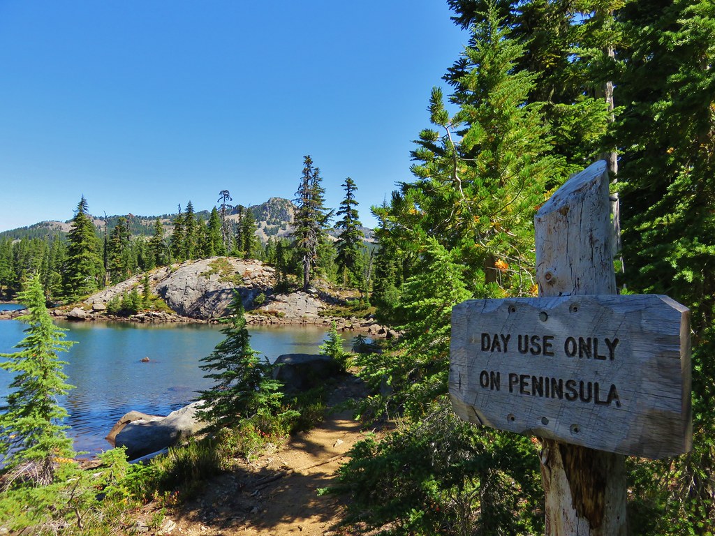
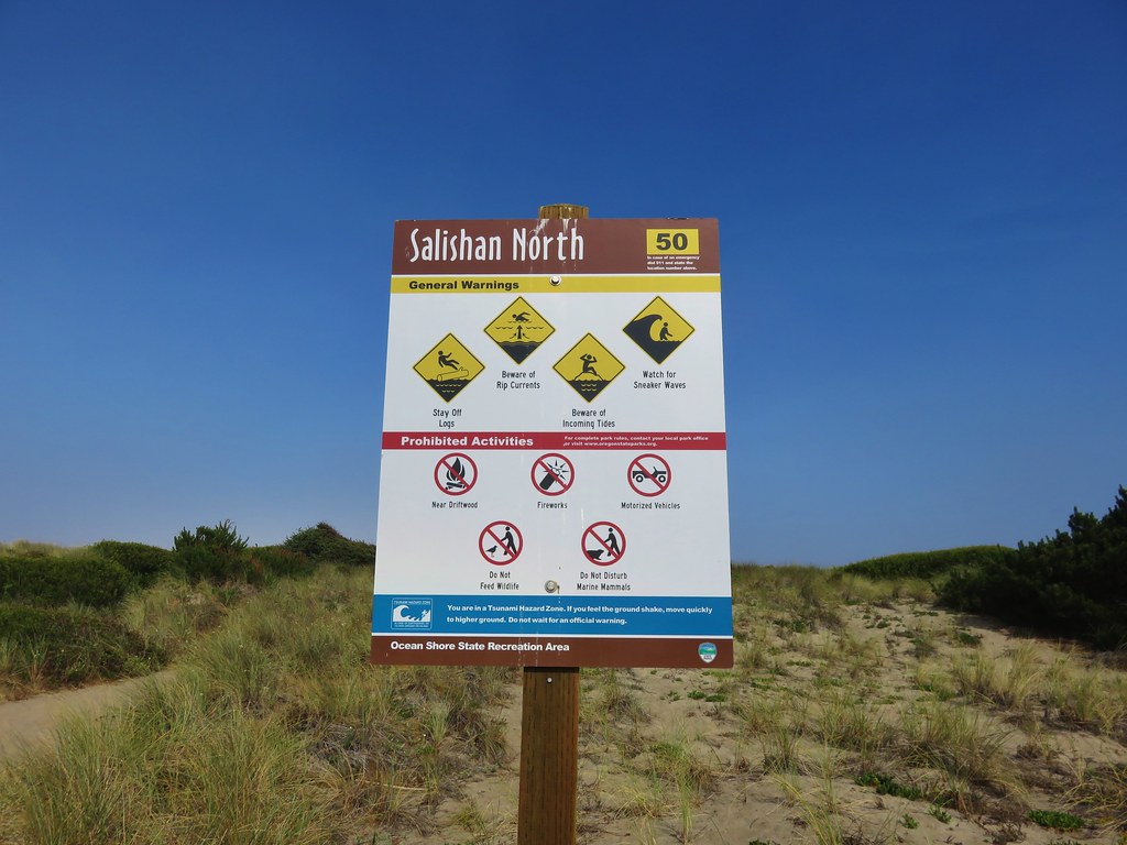
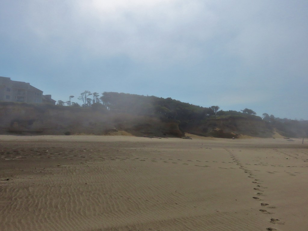
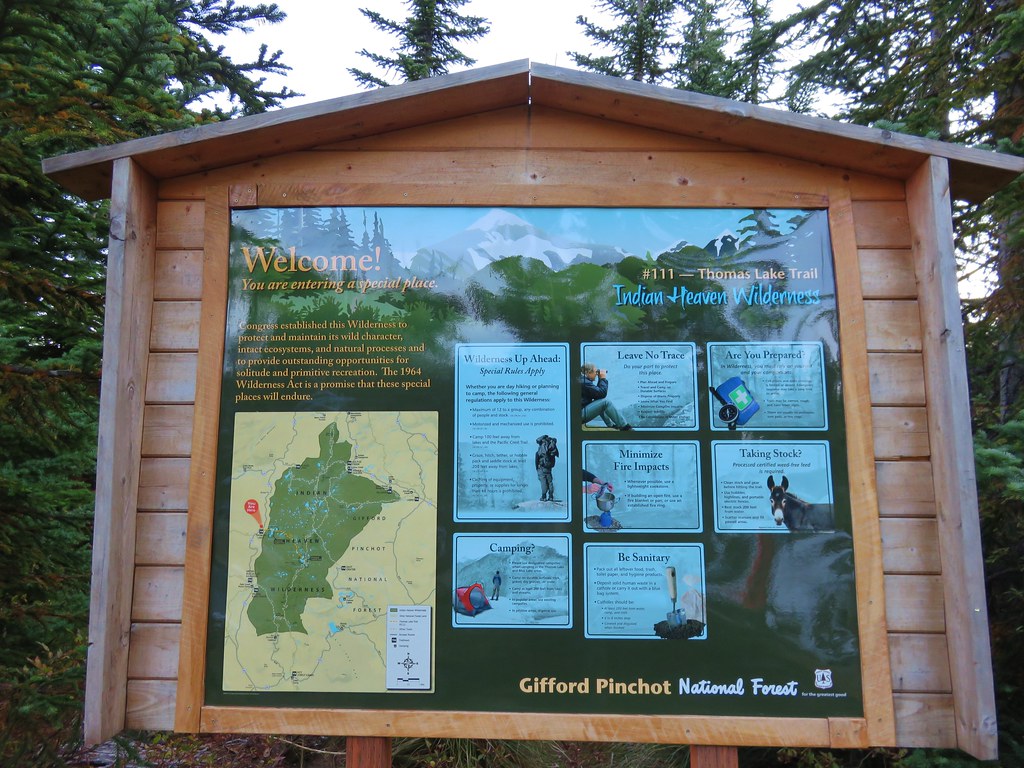
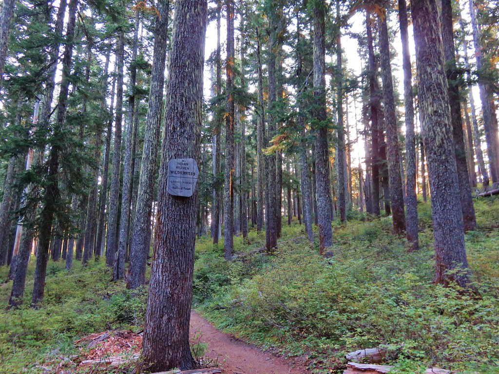
The Indian Heaven Wilderness is located in Washington State southeast of Mt. Adams. http://www.wilderness.net/NWPS/wildView?WID=258 This was our first visit to this particular wilderness and we had chosen the Thomas Lake Trailhead as our starting point. The trailhead is located along Road 65 (Panther Creek Road) approximately 21 miles from the city of Carson, Washington. We planned on taking the Thomas Lake Trail to the Pacific Crest Trail (which runs north-south through the entire wilderness) and then following the PCT north to Junction Lake where we could do a 4 mile loop past several lakes before returning to the car. We also had the option of going off-trail and hiking up Gifford Peak before reaching the PCT.
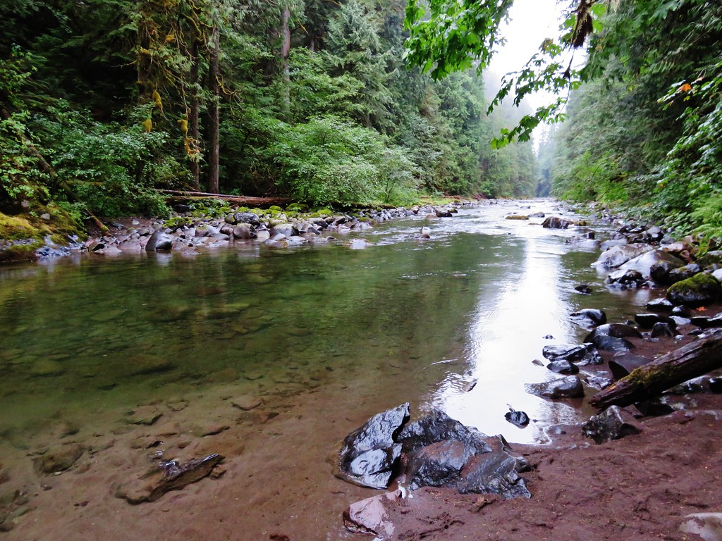
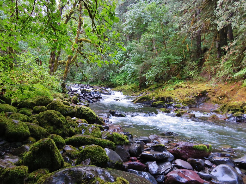
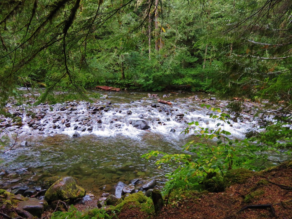
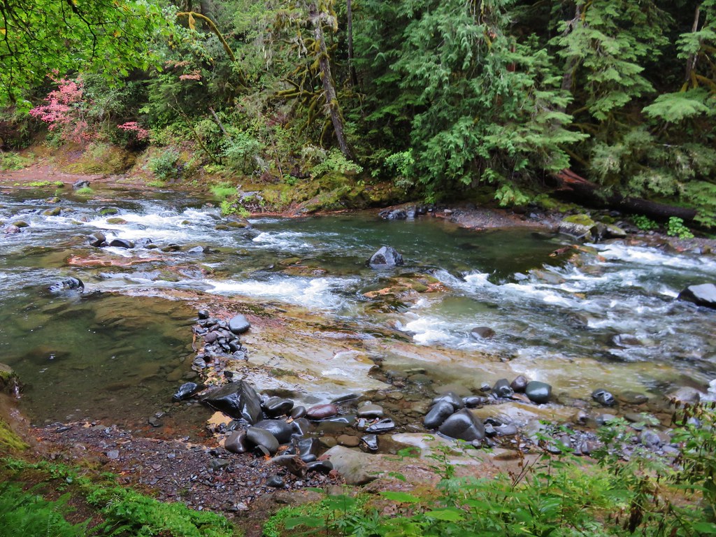
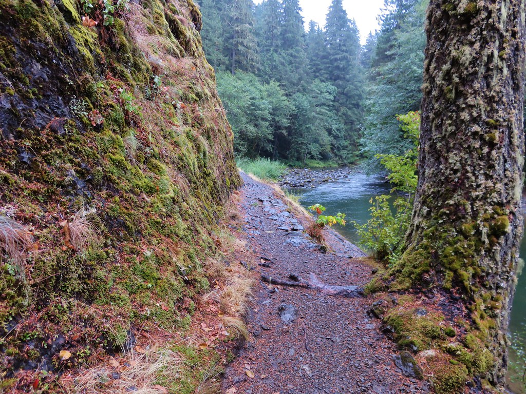
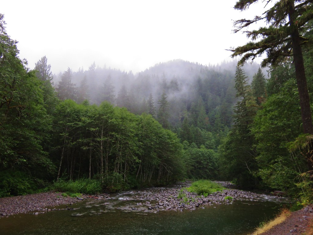
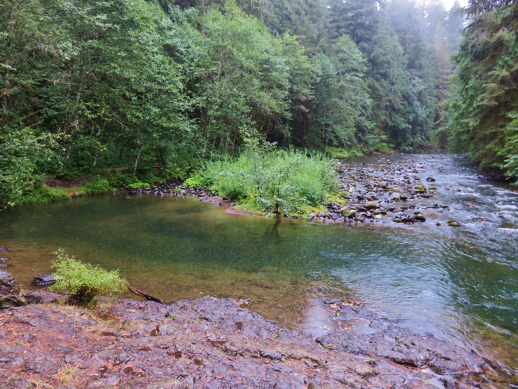
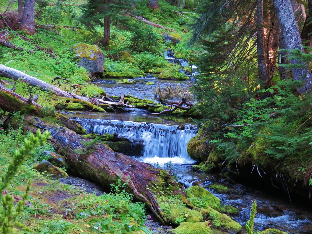
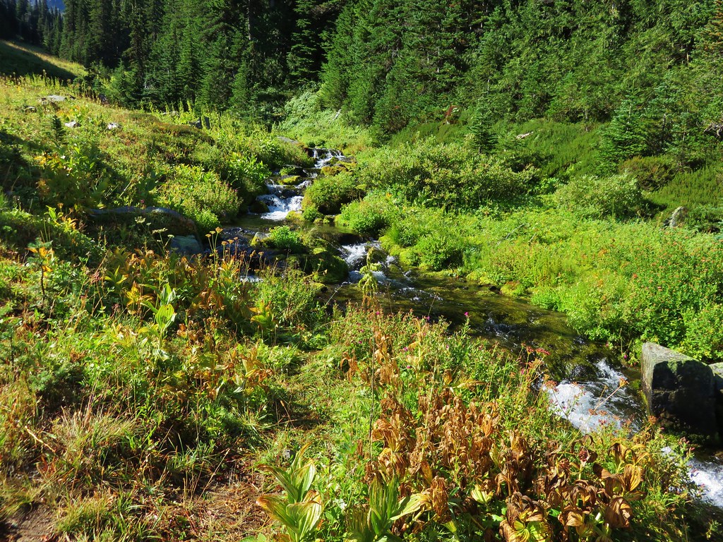
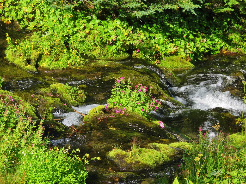
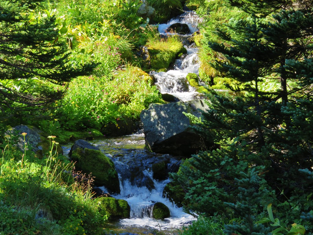
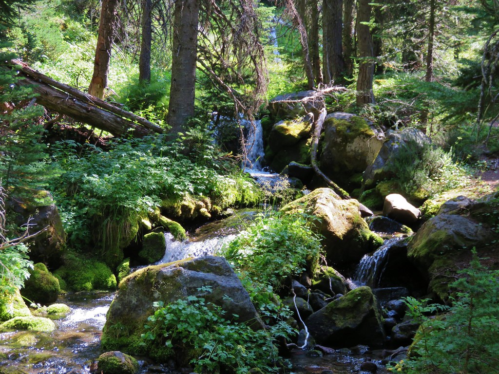
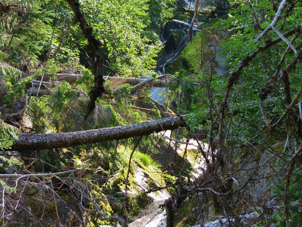
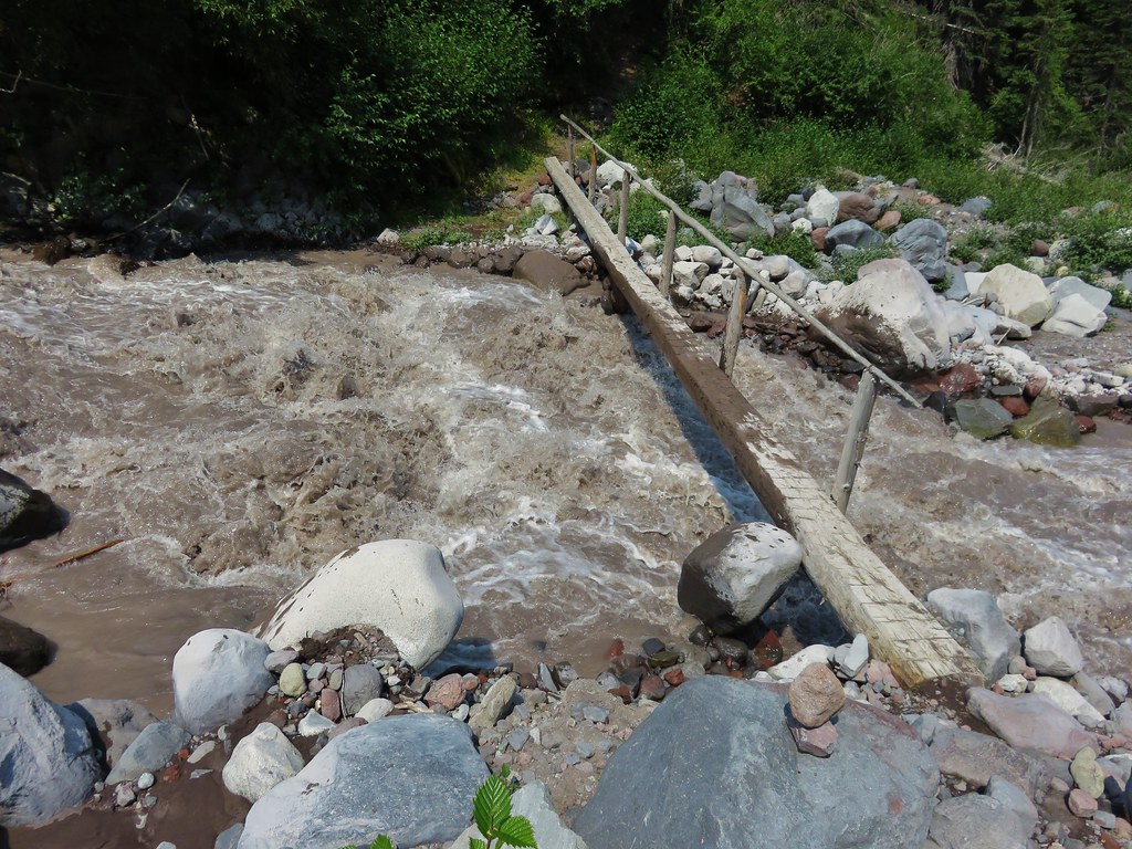
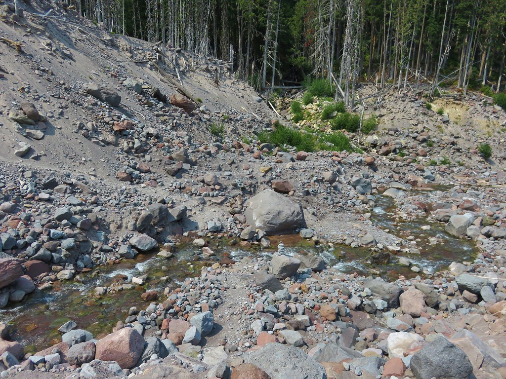
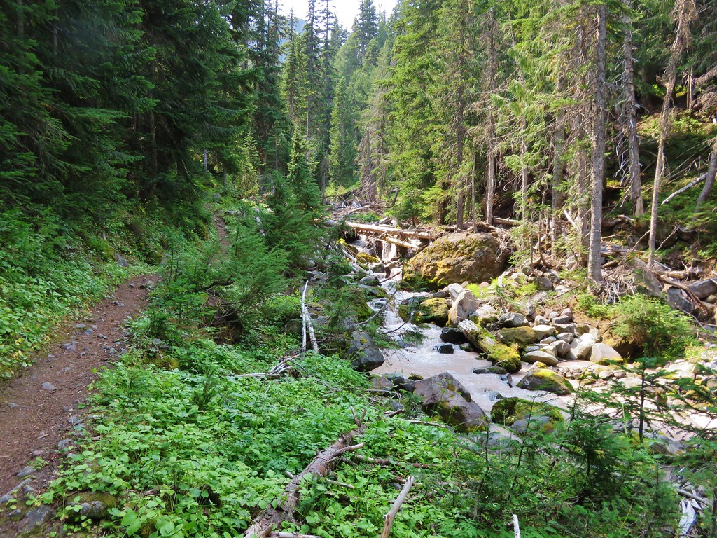
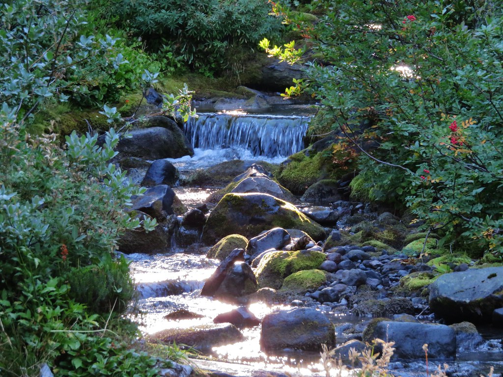
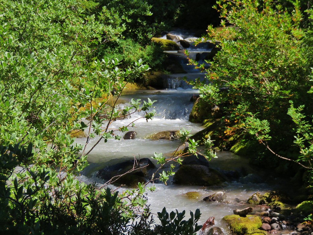
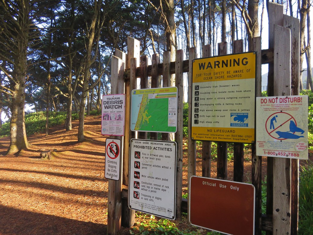
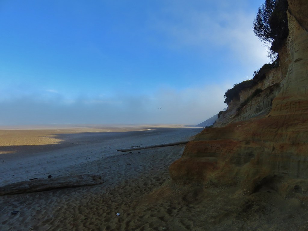
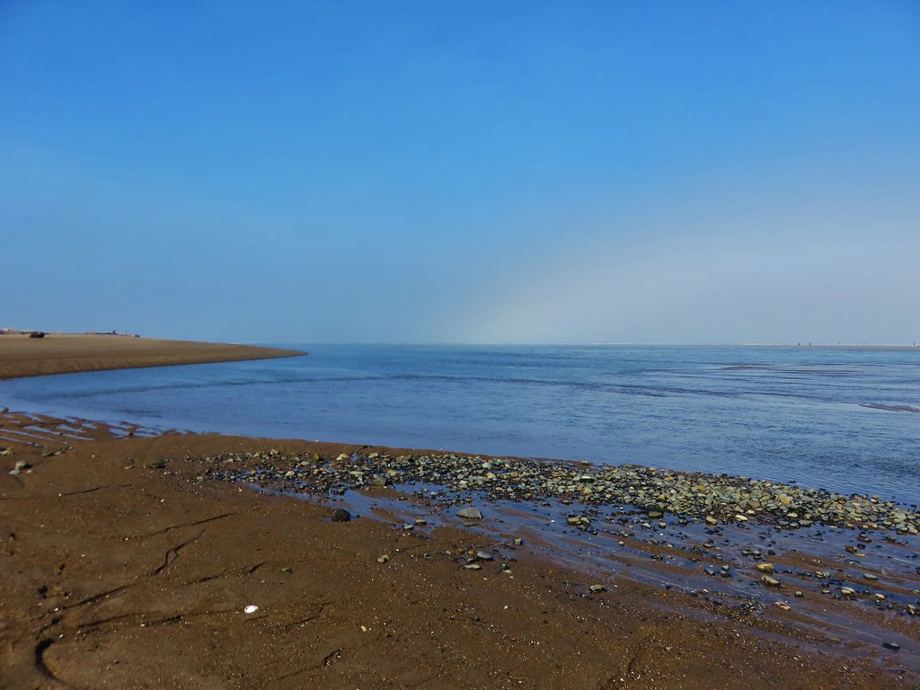
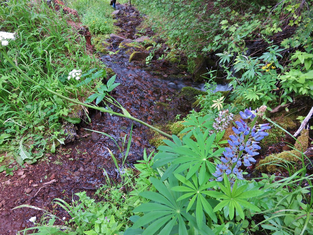
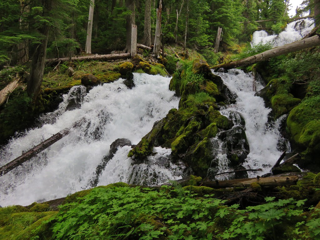
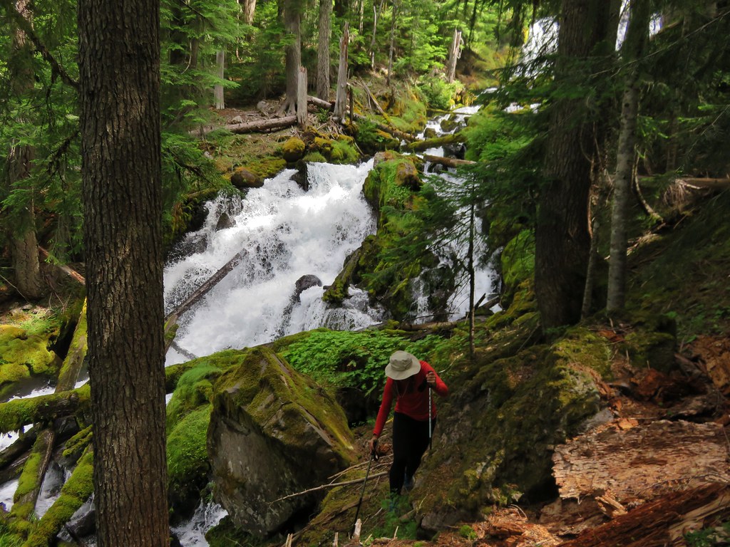
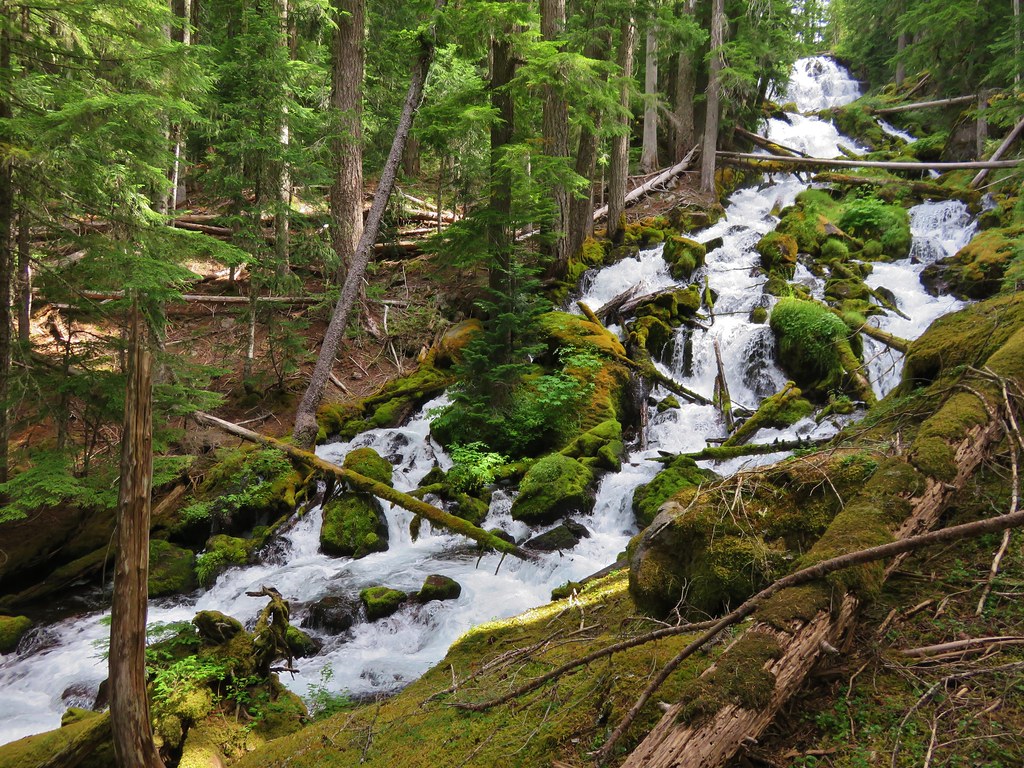
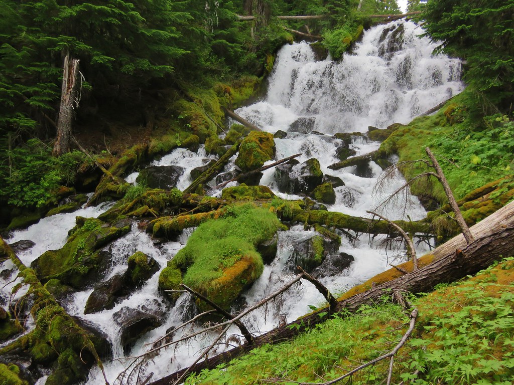
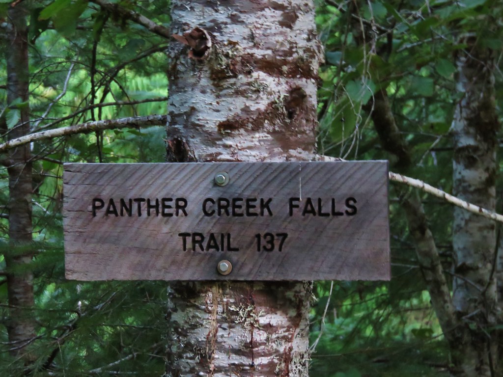
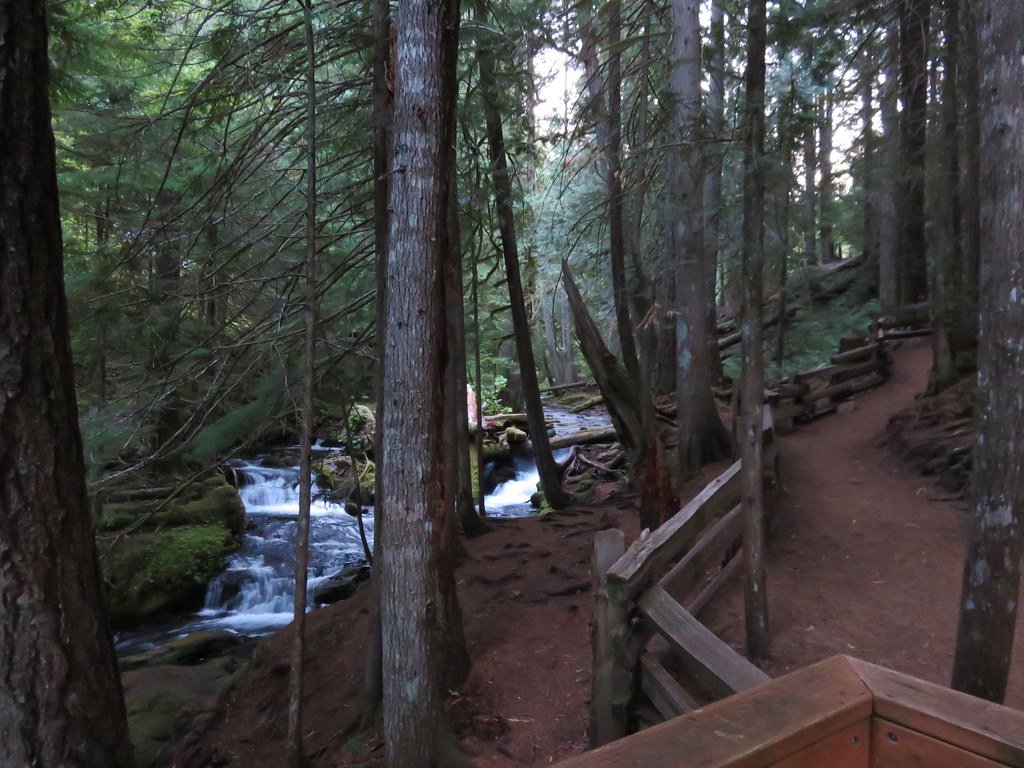
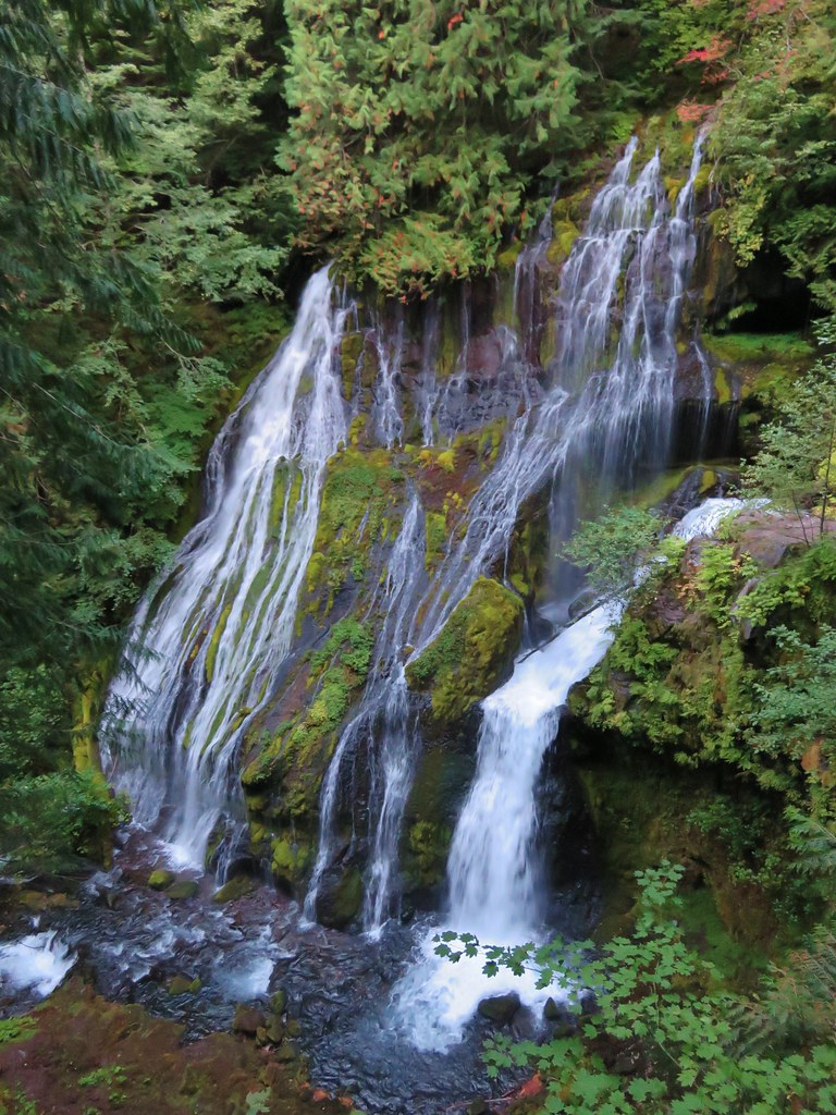
Before we got to any of that though we stopped along Road 65 at the Panther Creek Trailhead to take the short path down to see the falls.
 //embedr.flickr.com/assets/client-code.js
 //embedr.flickr.com/assets/client-code.js
 //embedr.flickr.com/assets/client-code.js
After checking out the falls we continued on to the Thomas Lake Trailhead.
 //embedr.flickr.com/assets/client-code.js
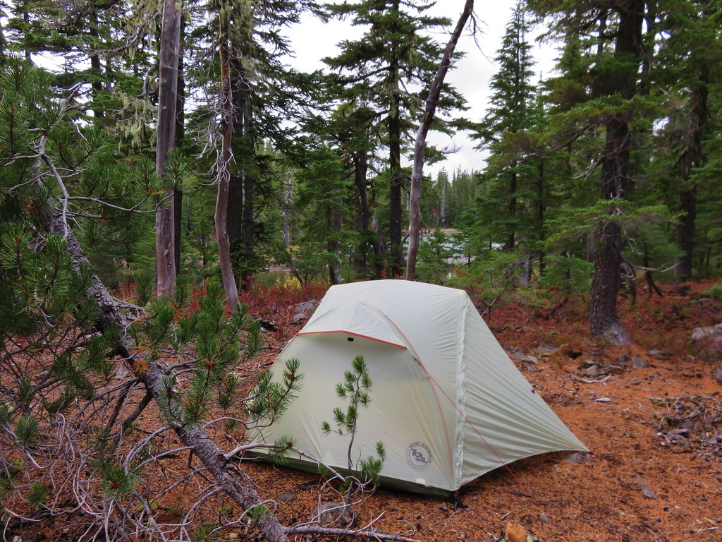
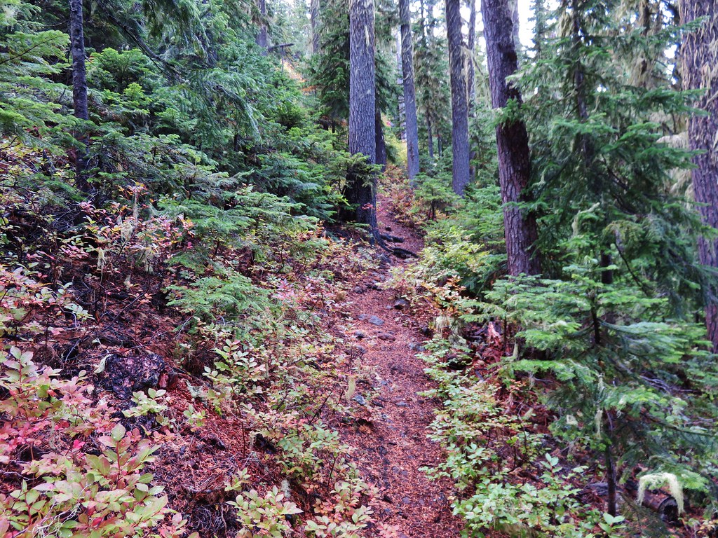
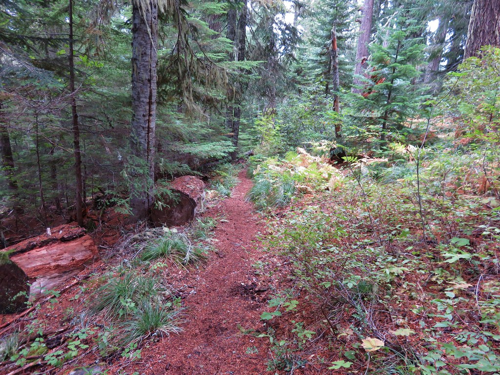
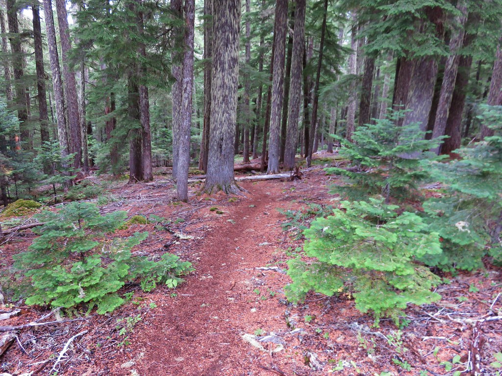
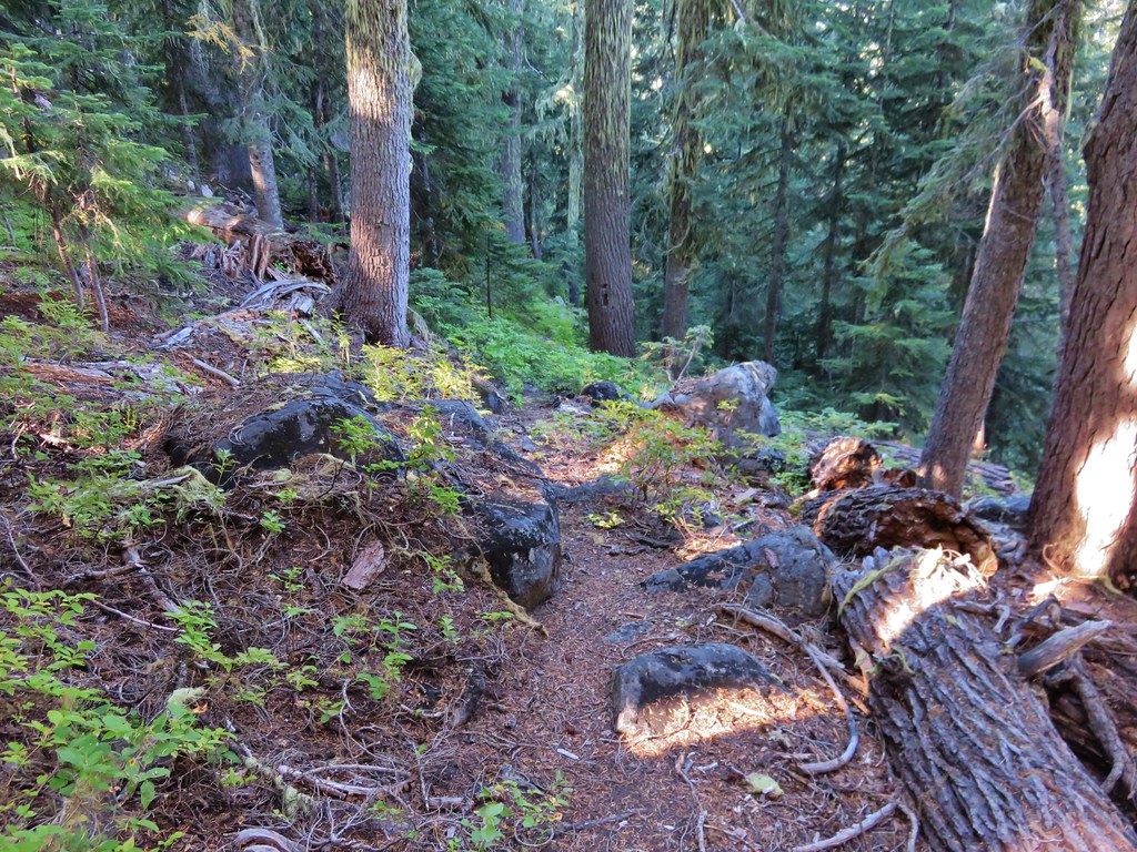
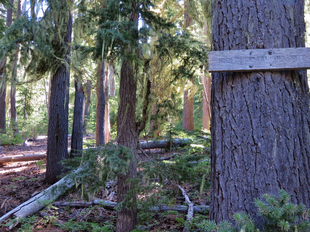
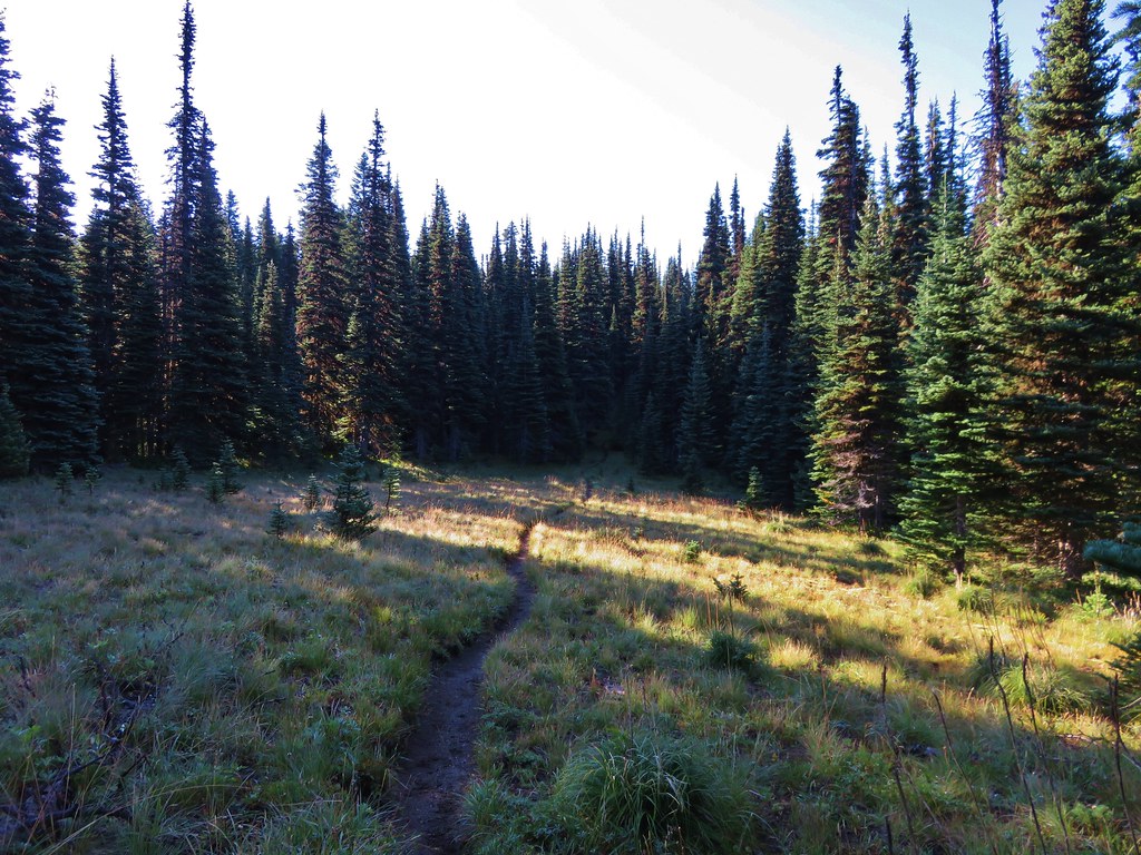
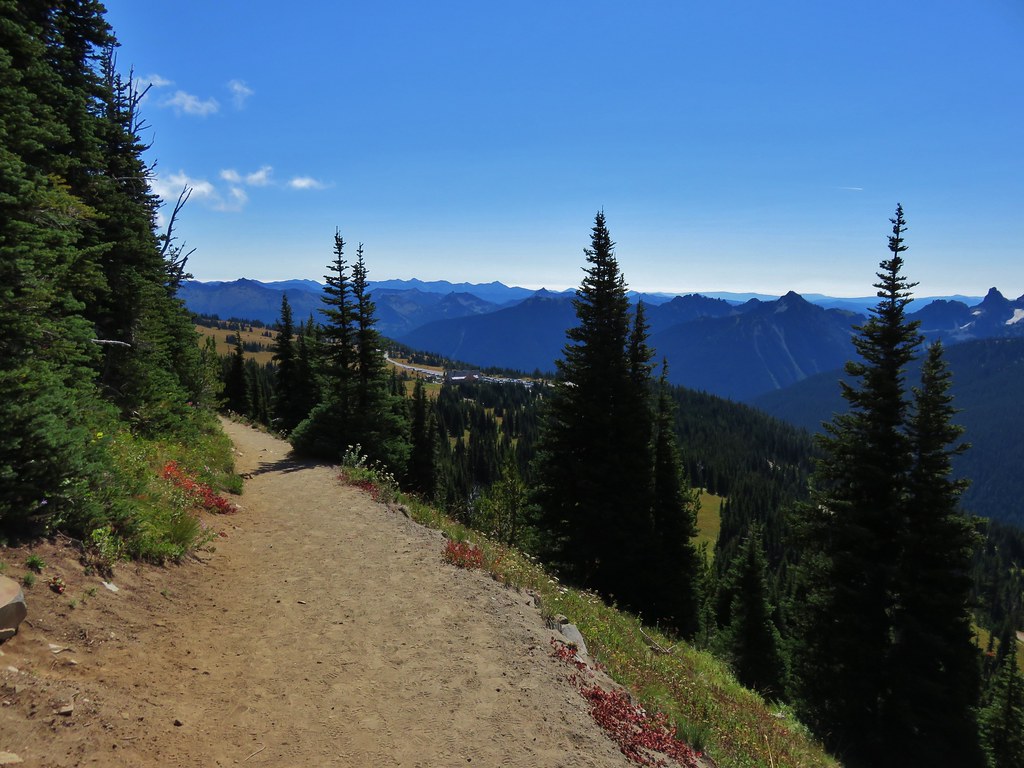
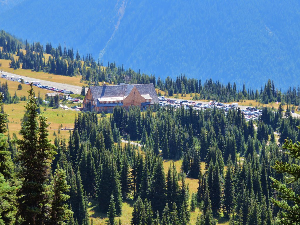
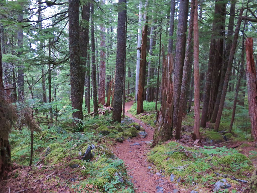
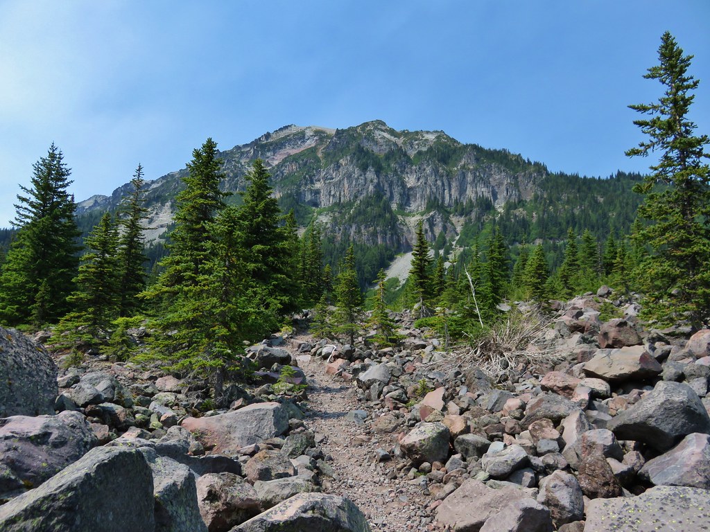
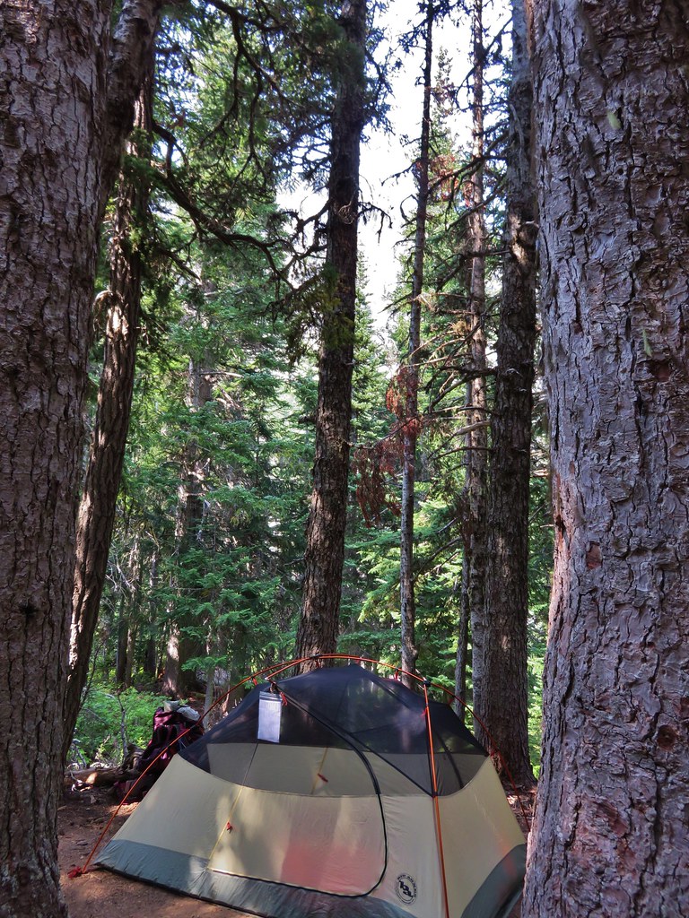
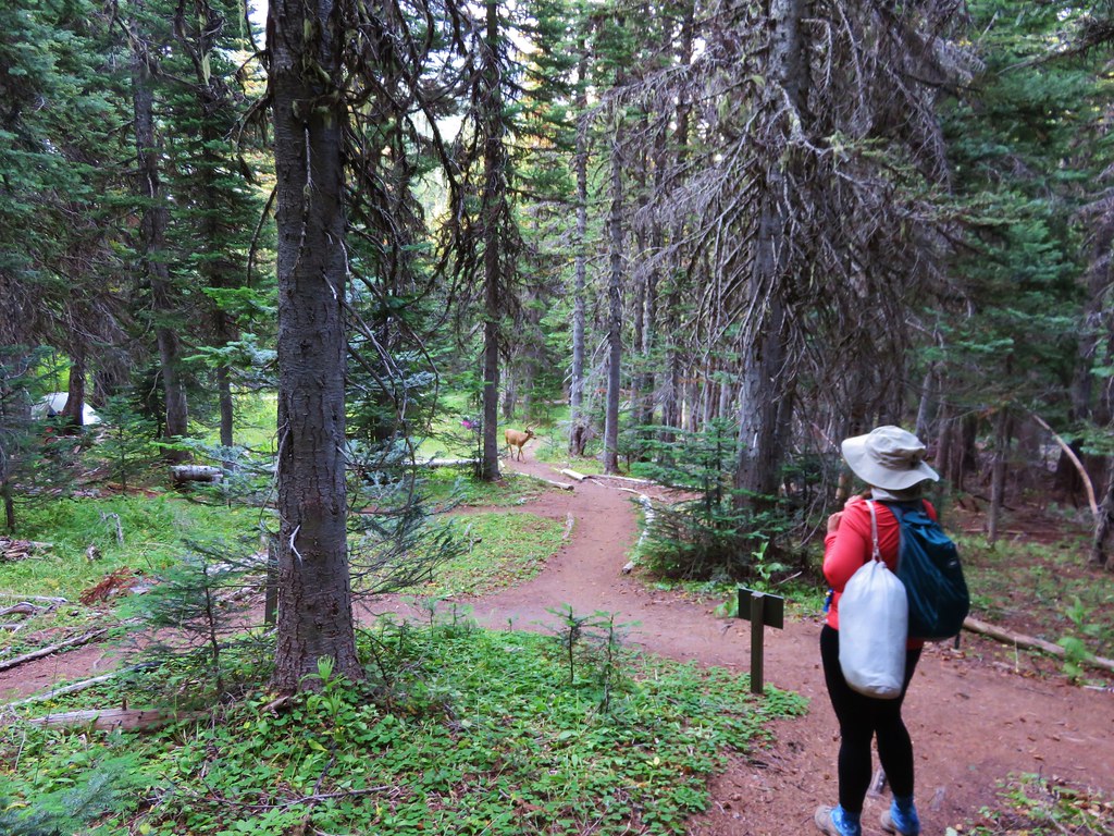
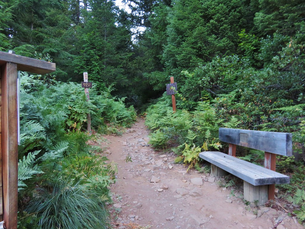
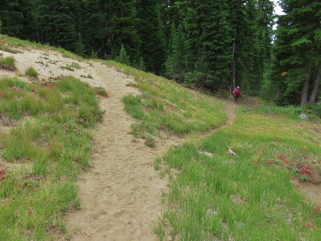
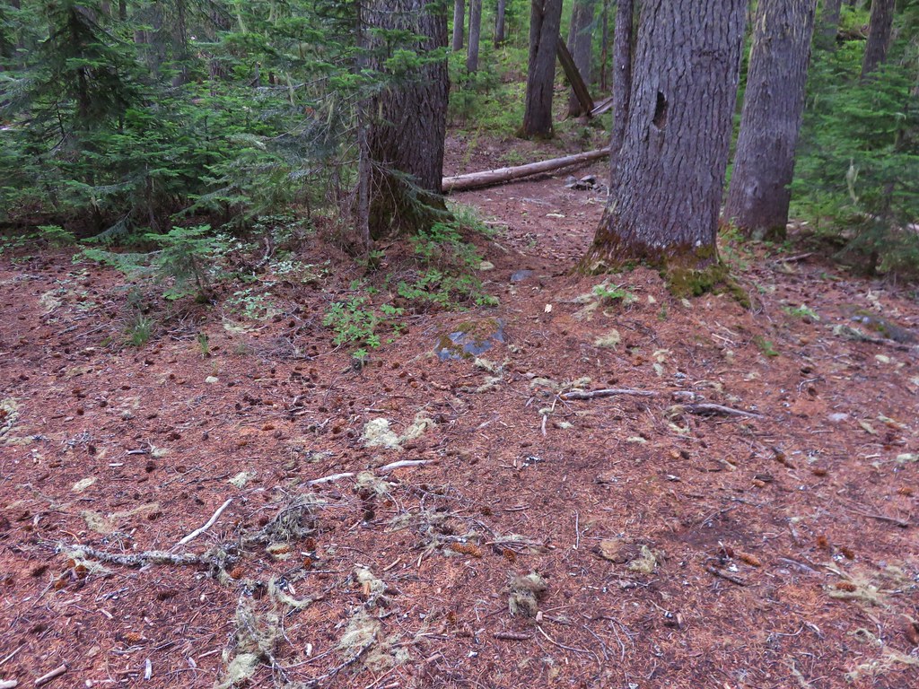
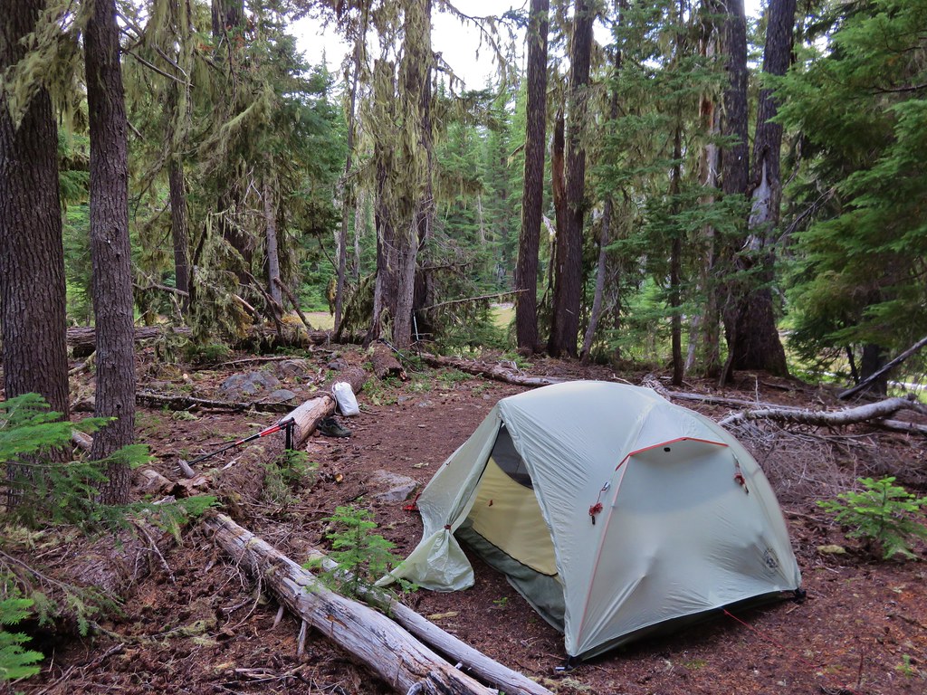
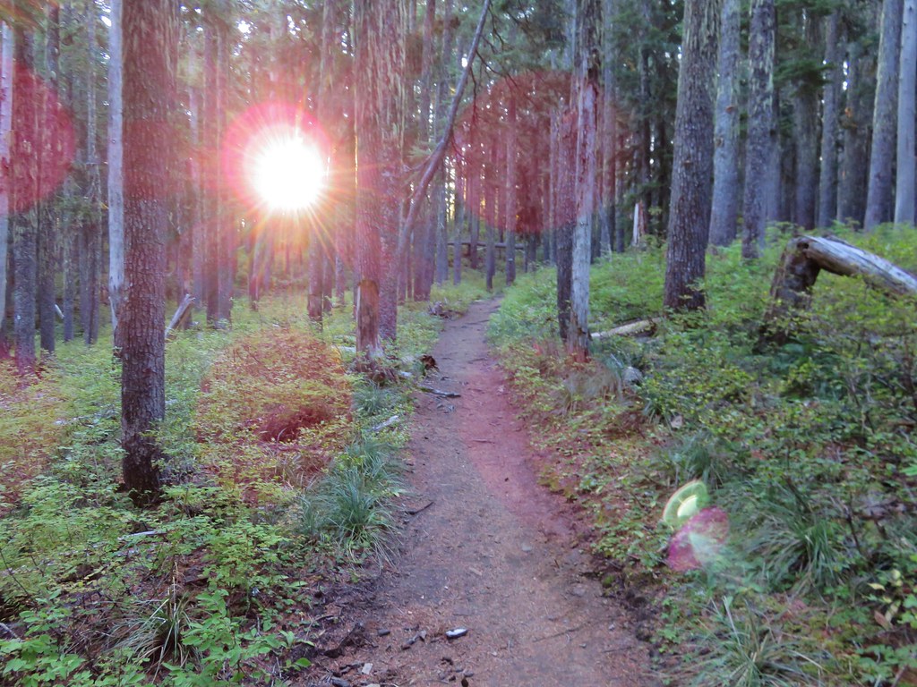
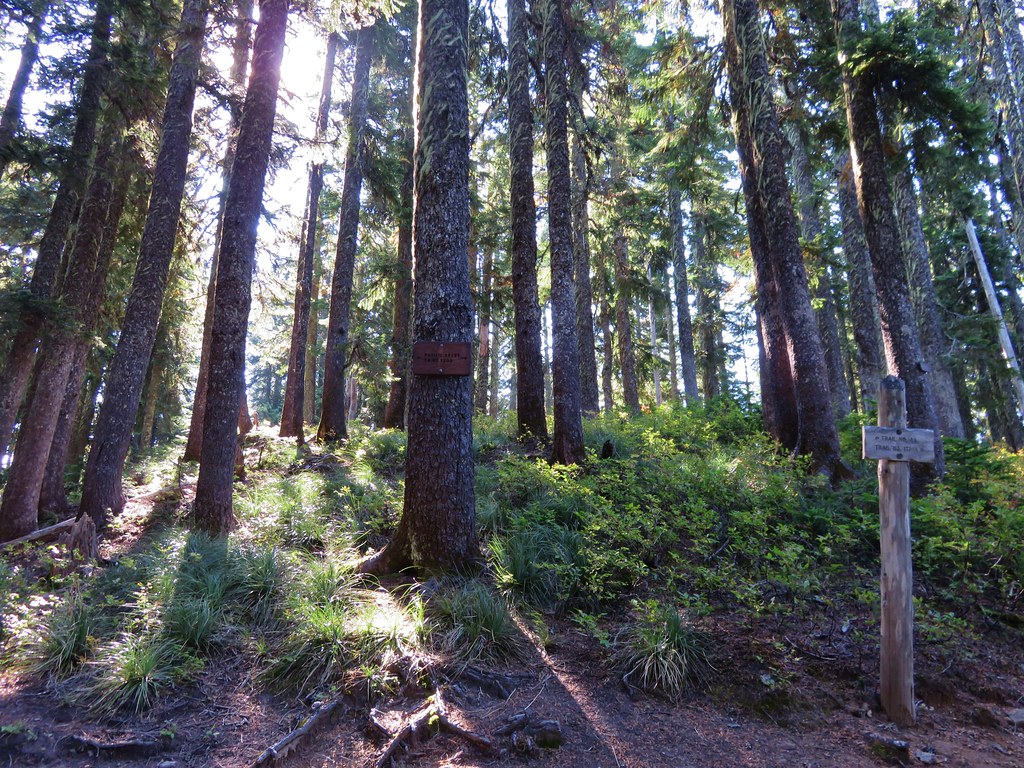
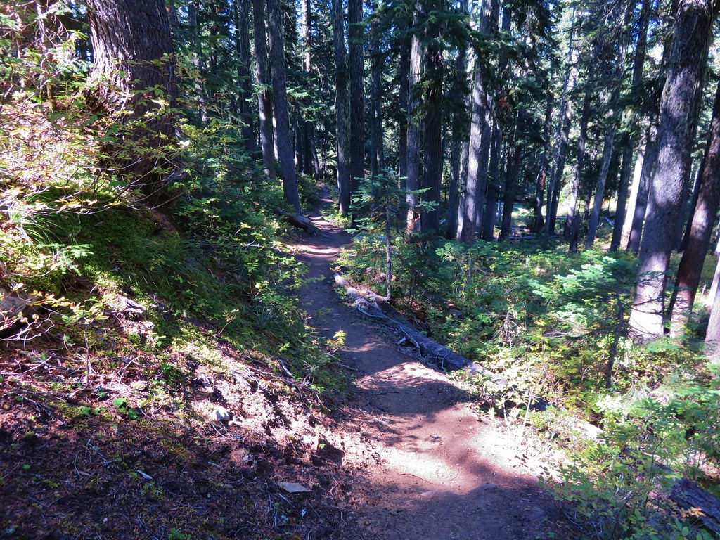
The parking area was nearly full at 7:30am which told us we’d be seeing plenty of other people on this hike as we set off on the trail.
 //embedr.flickr.com/assets/client-code.js
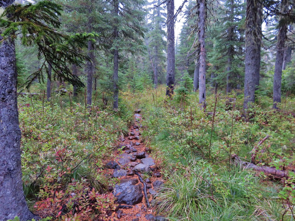
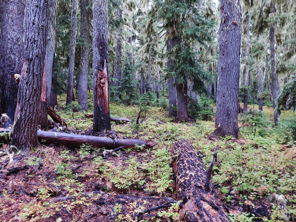
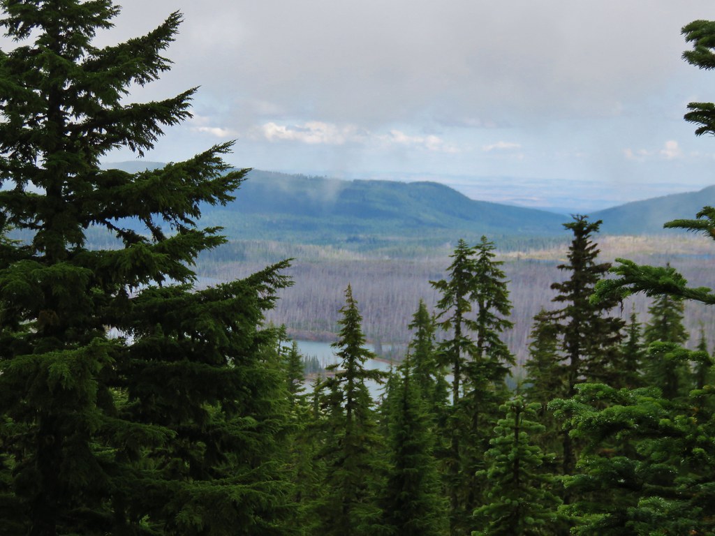
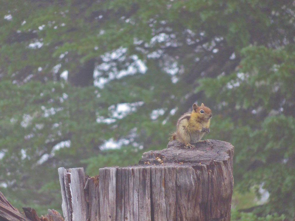
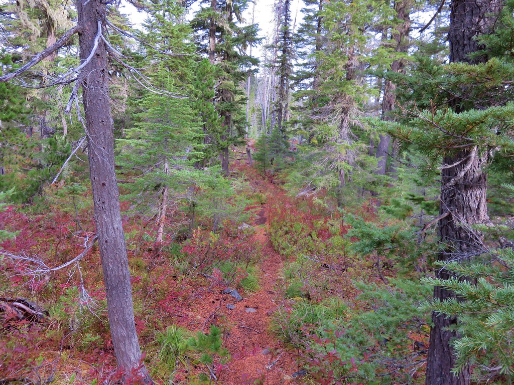
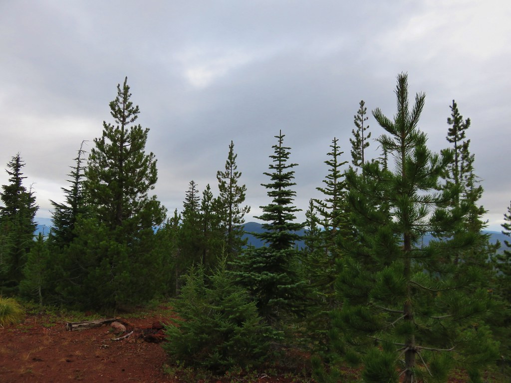
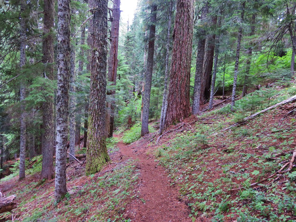
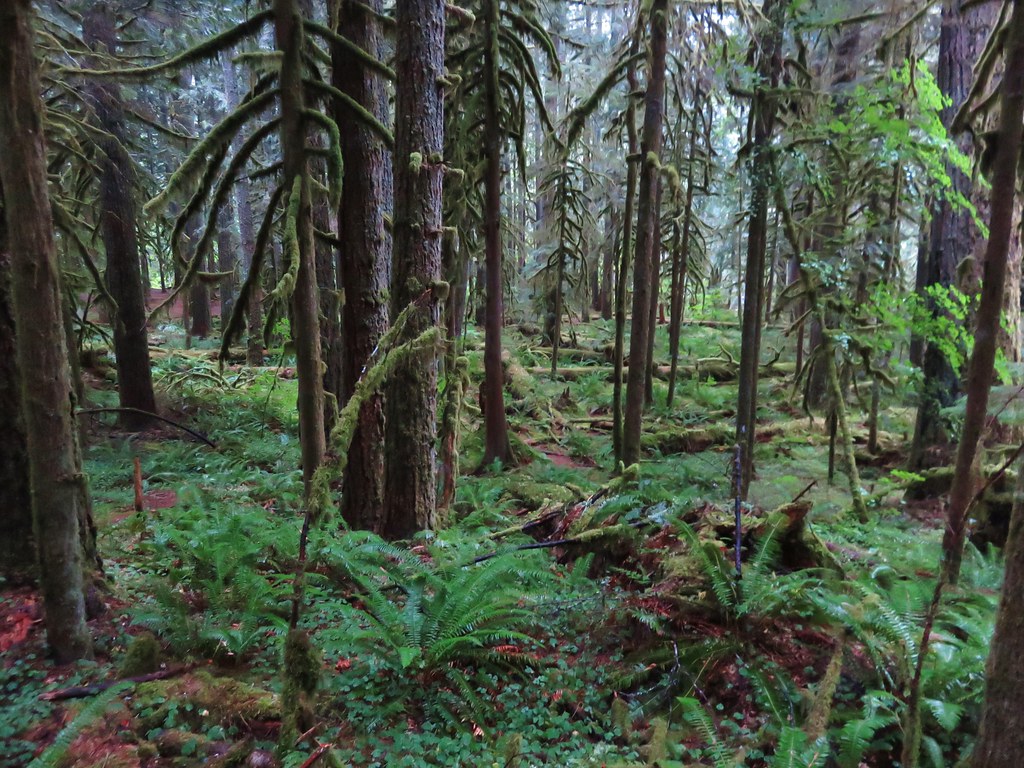
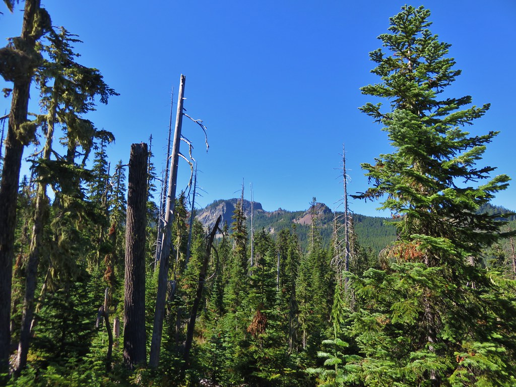
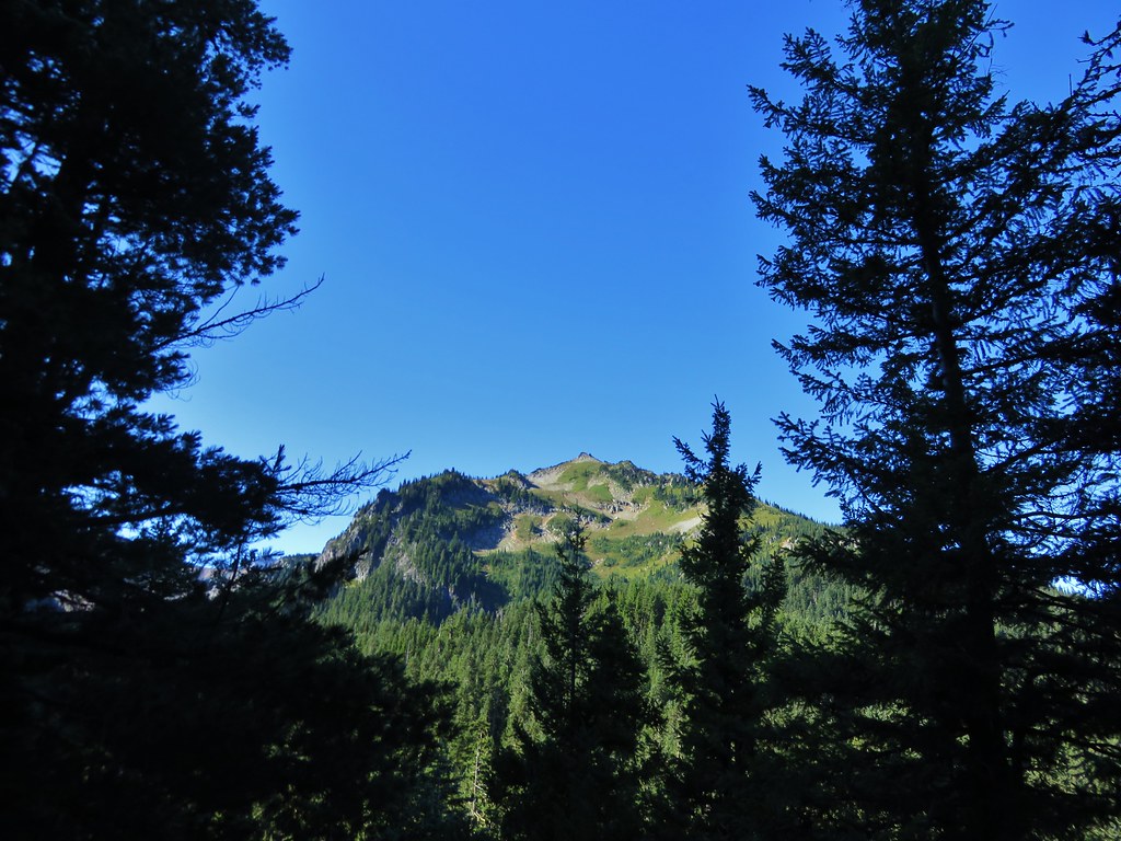
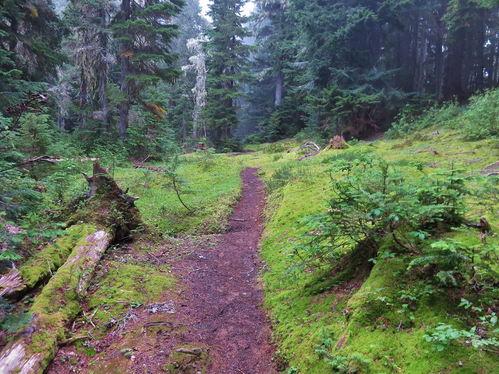
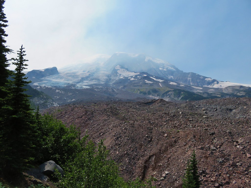
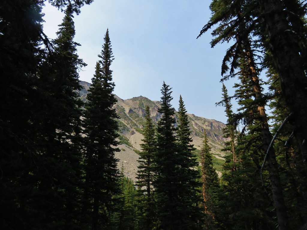
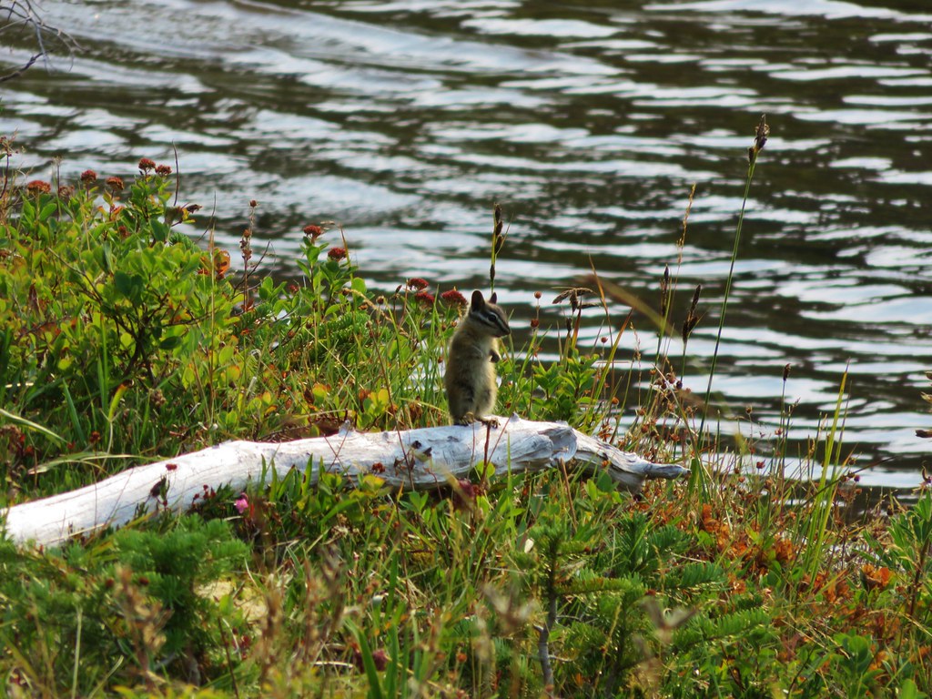
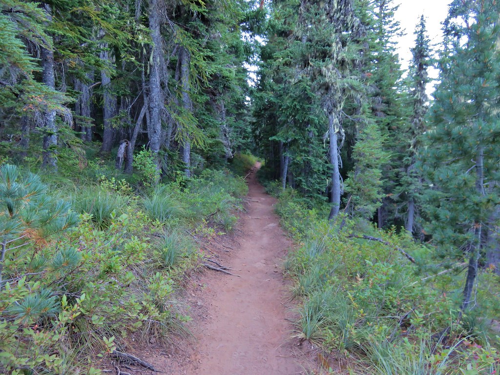
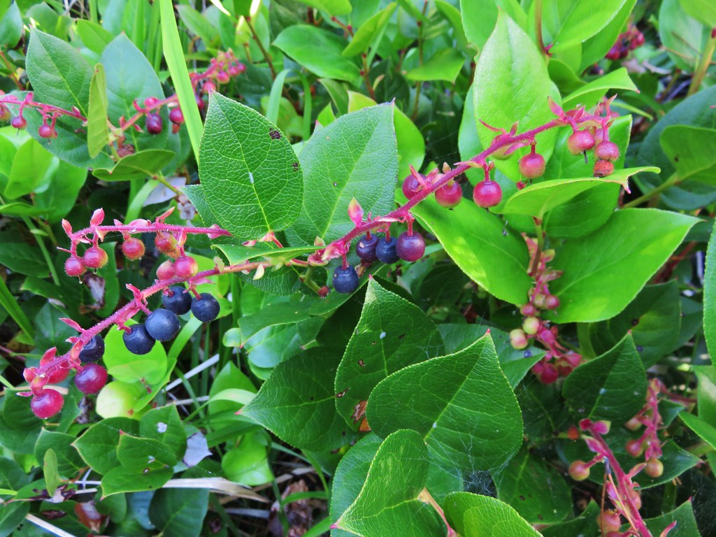
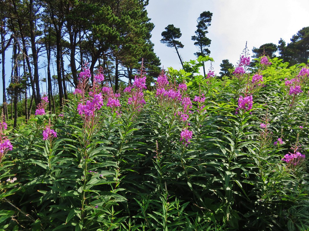
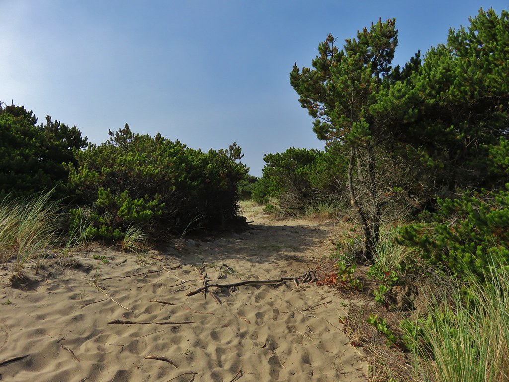
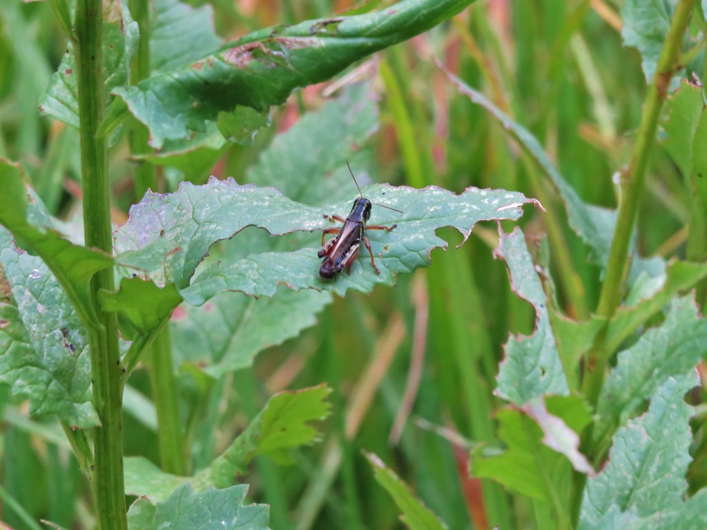
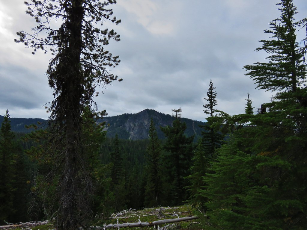
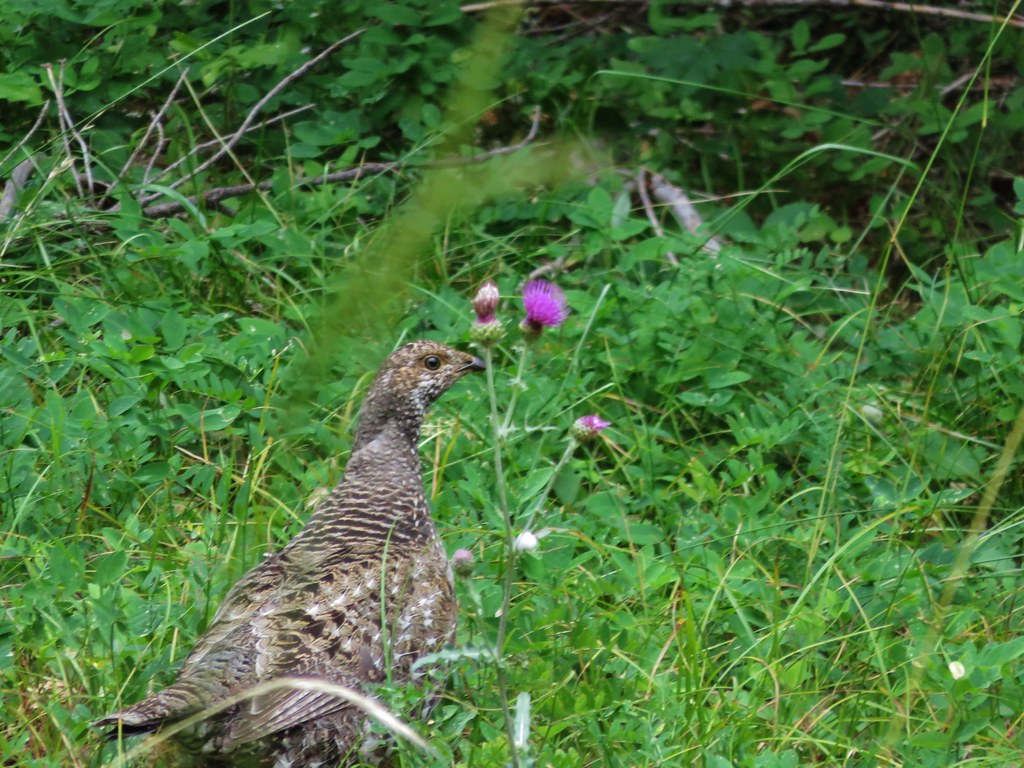
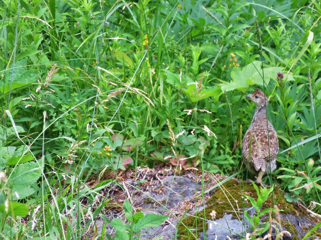
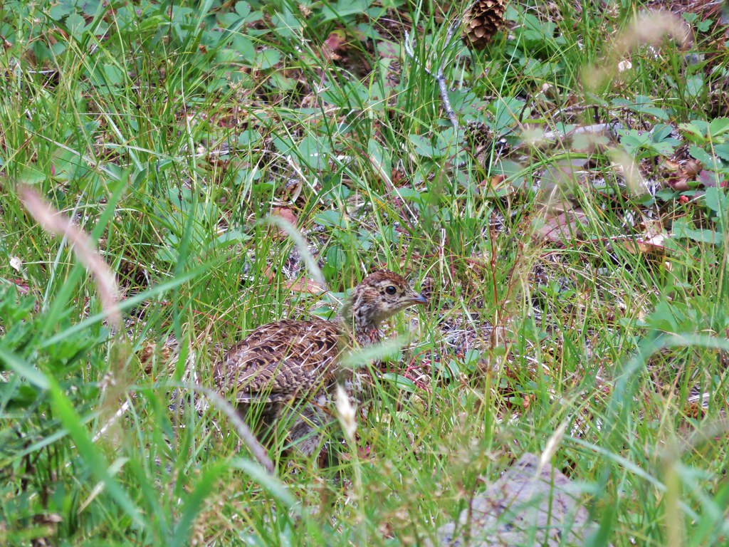
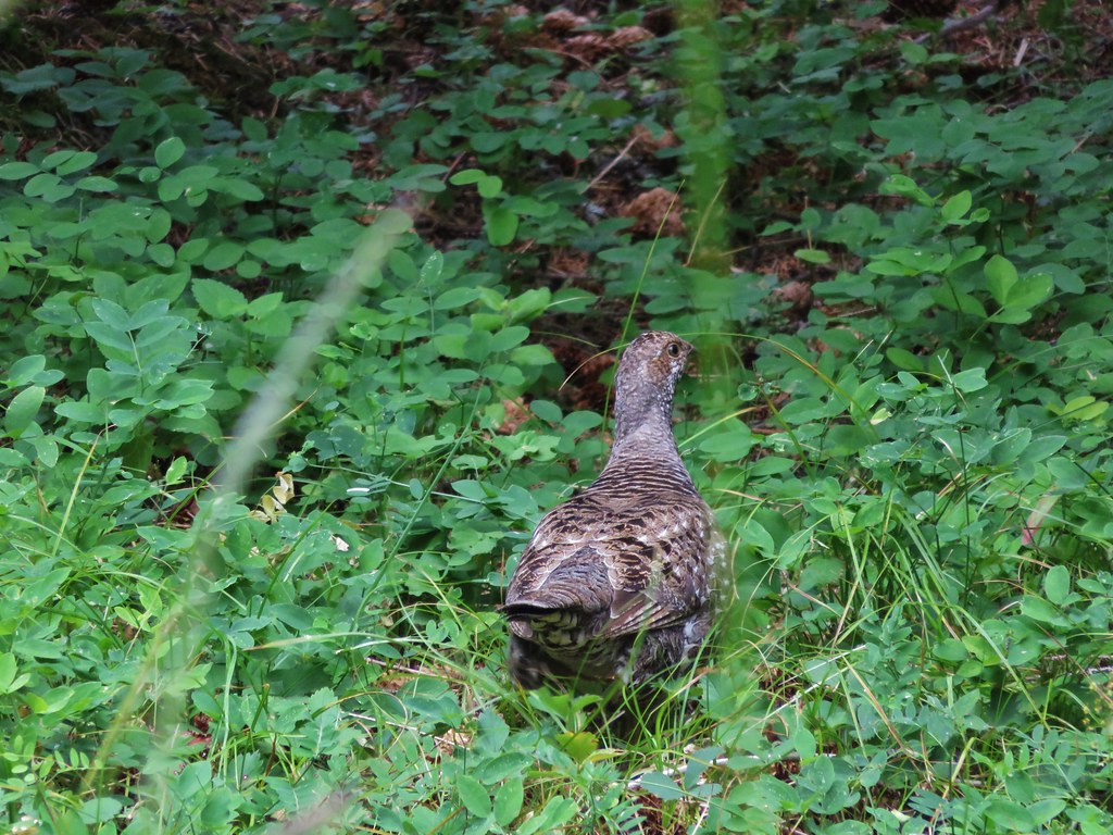
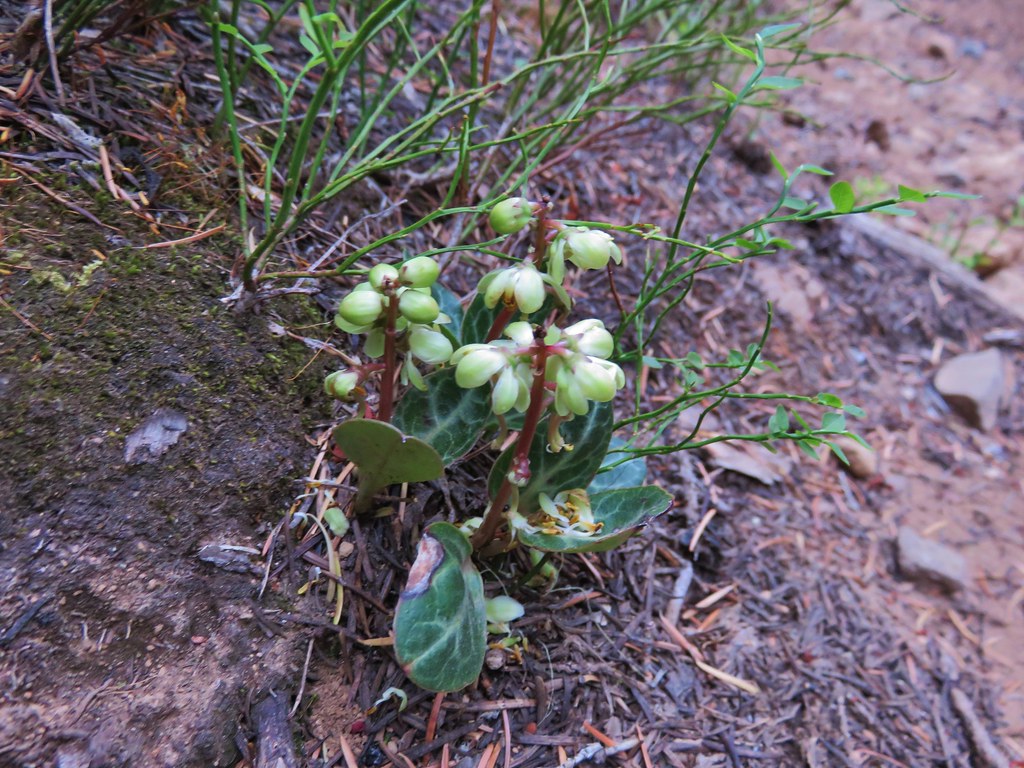
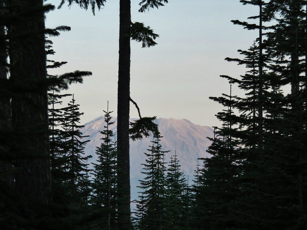
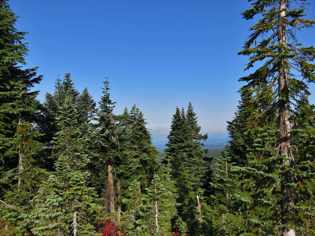
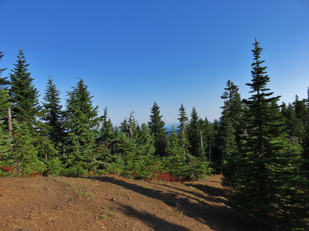
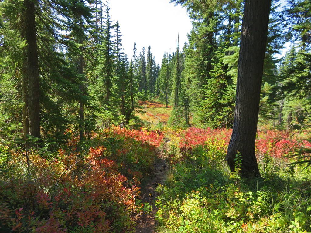
There were occasional views of Mt. St. Helens as we followed the trail up through the huckleberry filled forest toward Thomas Lake.
 //embedr.flickr.com/assets/client-code.js
 //embedr.flickr.com/assets/client-code.js
 //embedr.flickr.com/assets/client-code.js
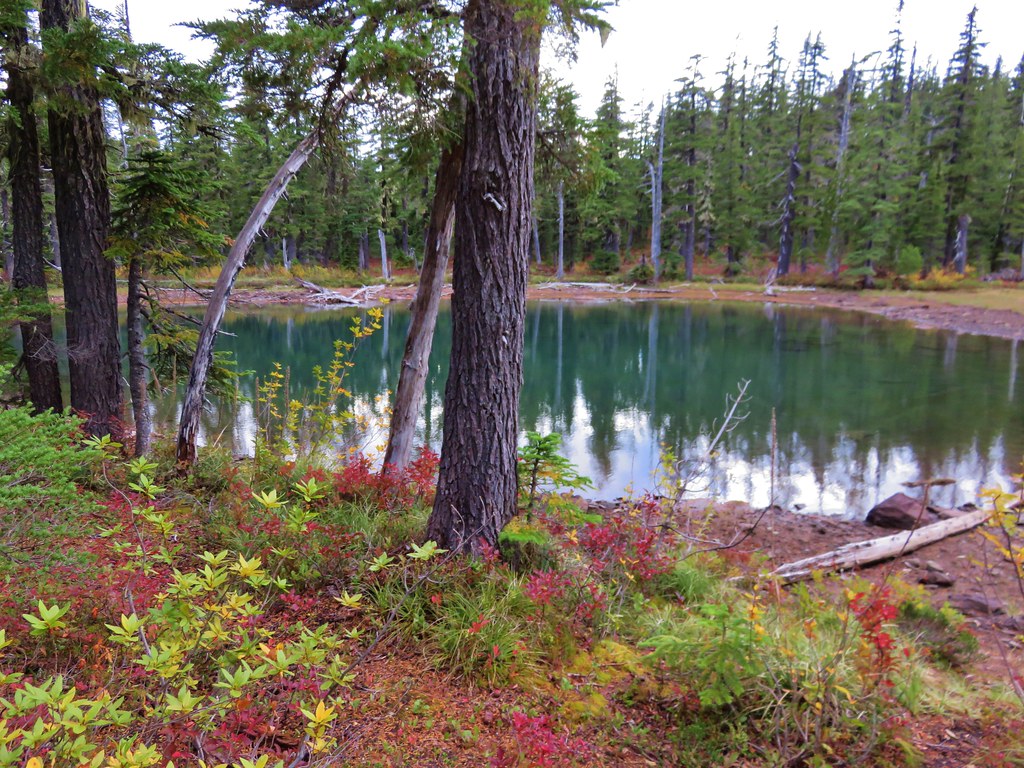
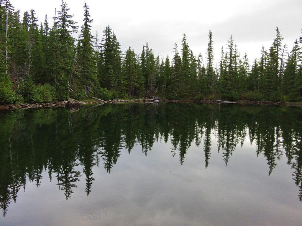
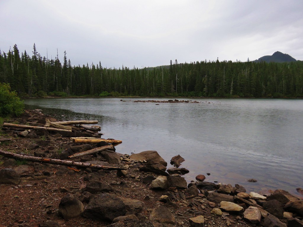
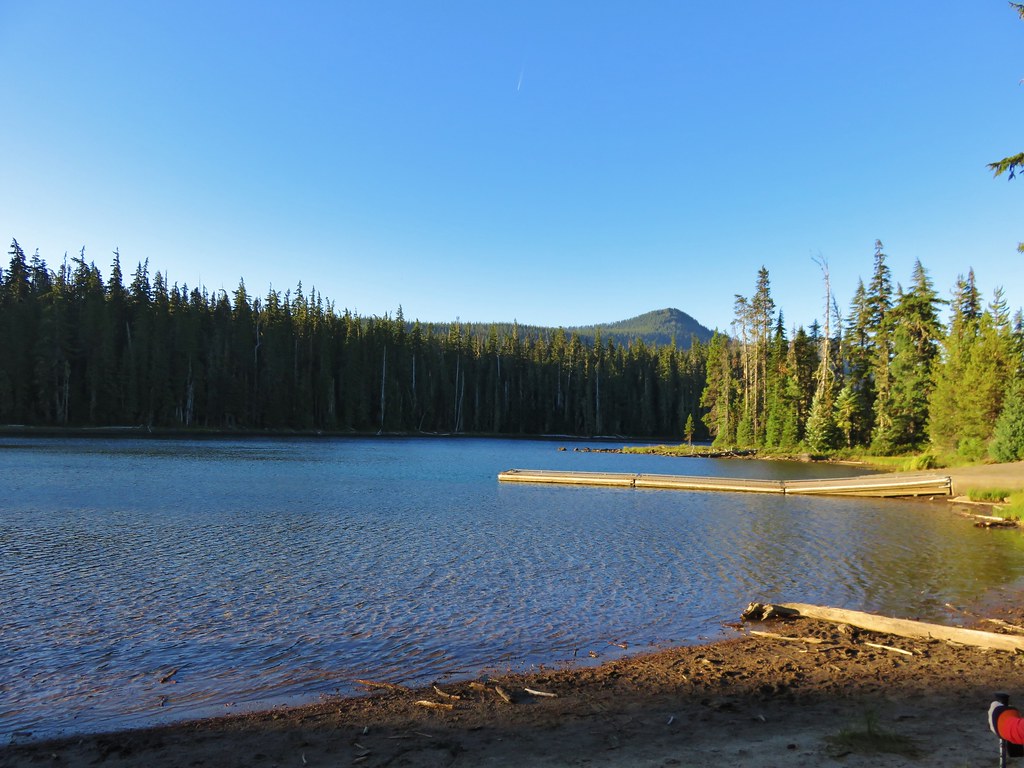
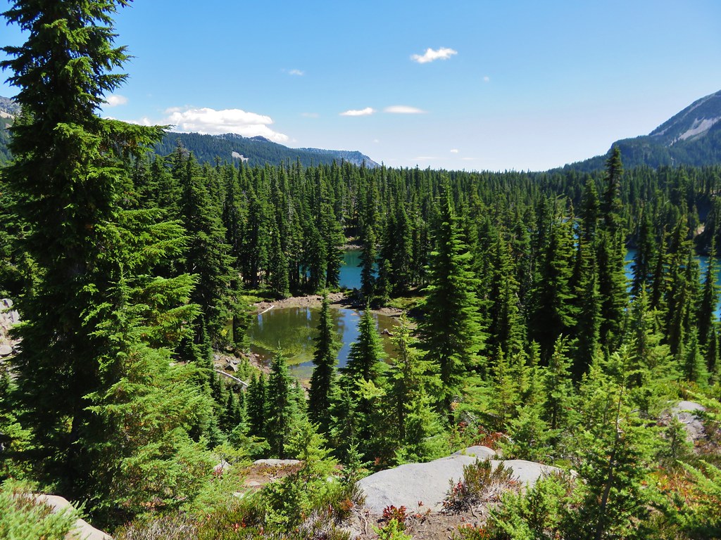
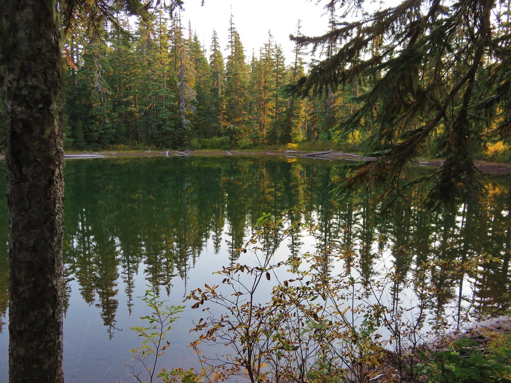
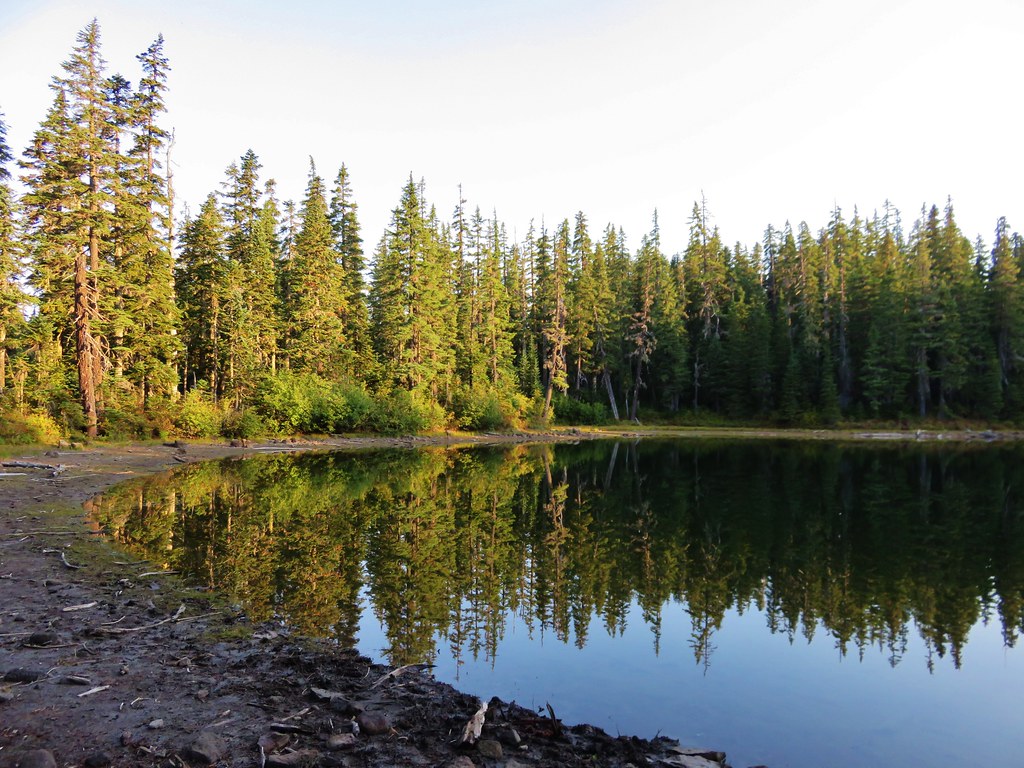
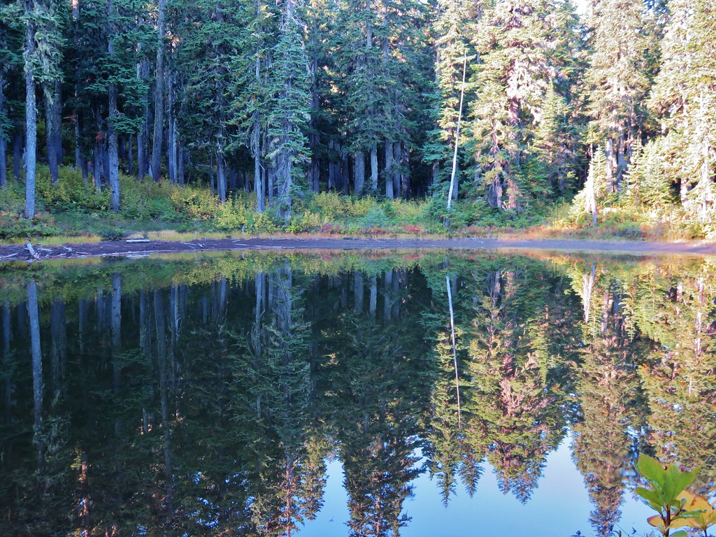
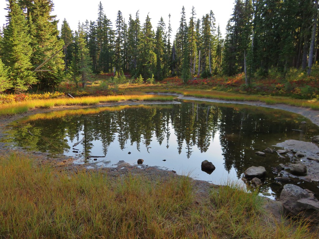
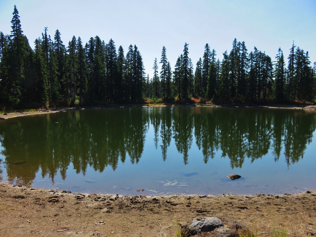
We reached the first set of lakes after a half mile.
Thomas Lake
 //embedr.flickr.com/assets/client-code.js
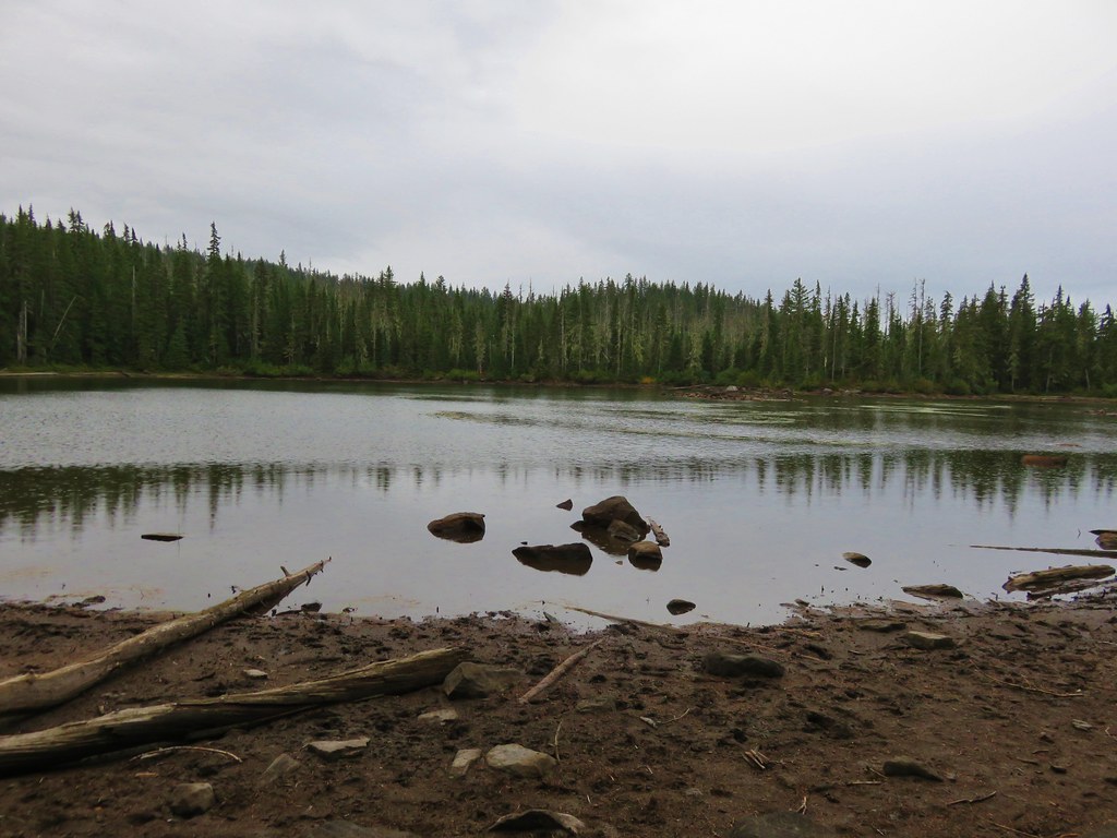
Dee Lake
 //embedr.flickr.com/assets/client-code.js
Heather Lake
 //embedr.flickr.com/assets/client-code.js
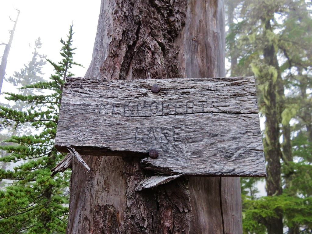
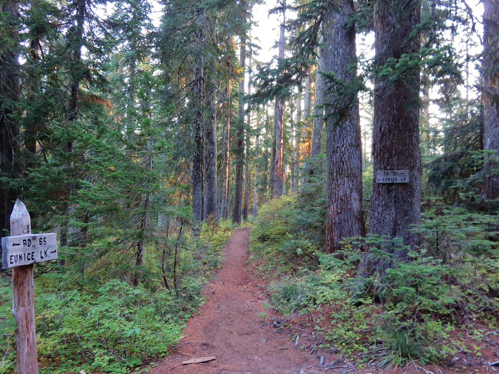
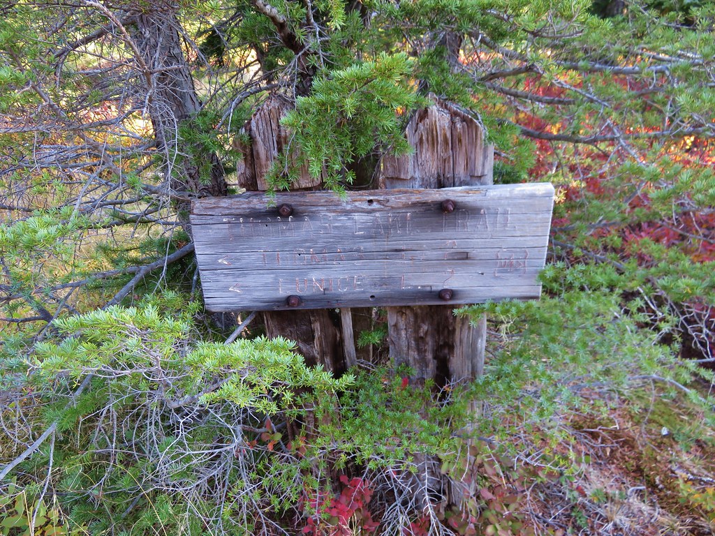
Just past the first three lakes was a trail junction with a short path to Eunice Lake.
 //embedr.flickr.com/assets/client-code.js
 //embedr.flickr.com/assets/client-code.js
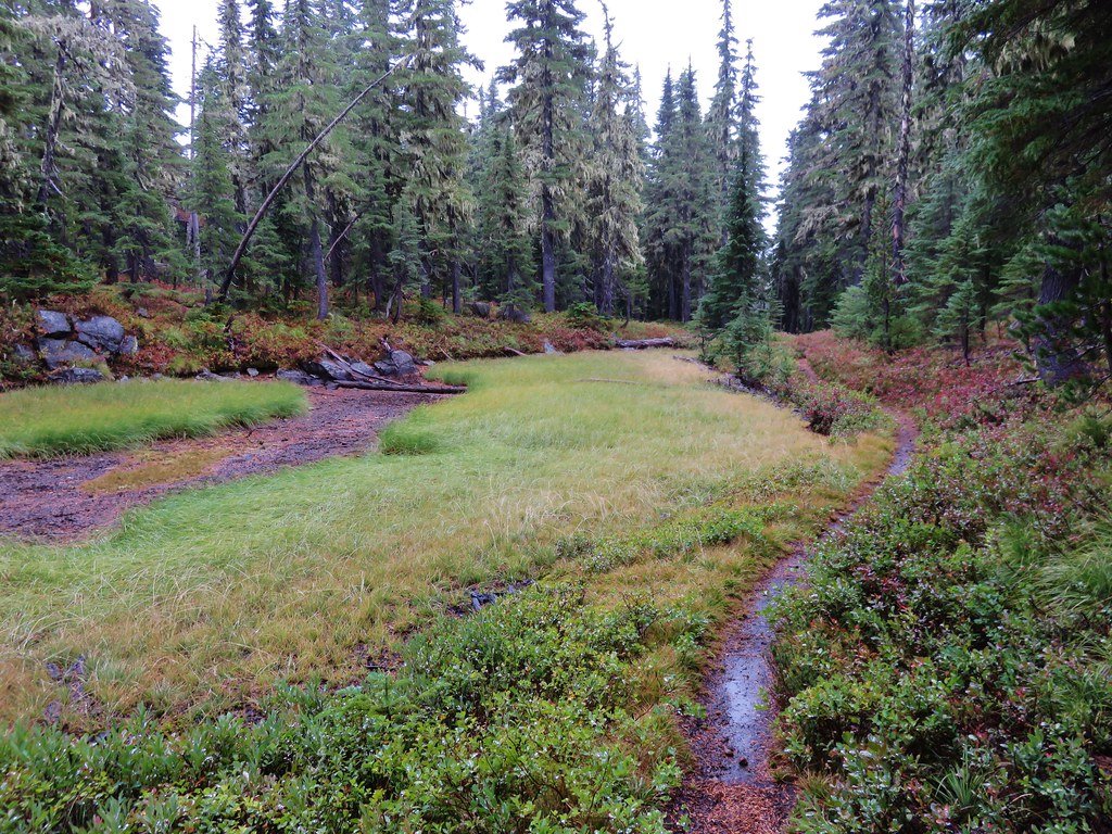
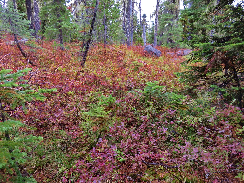
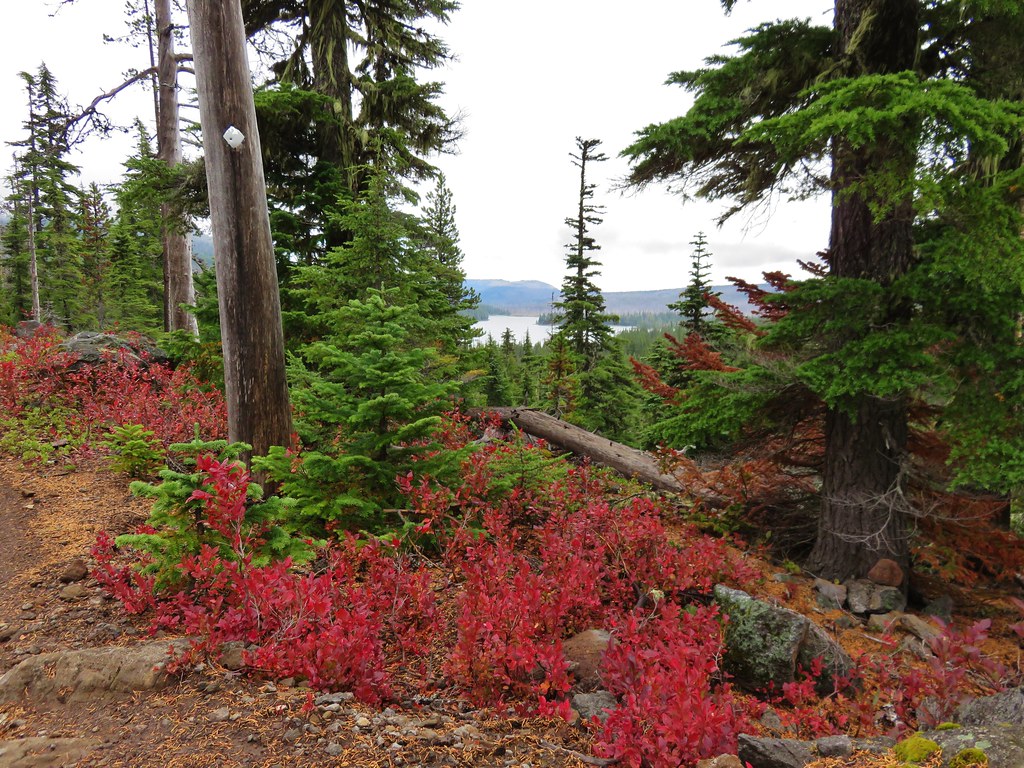
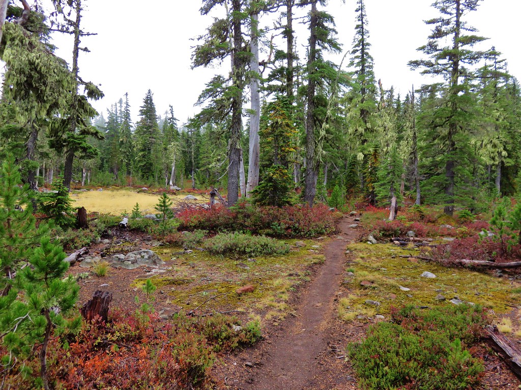
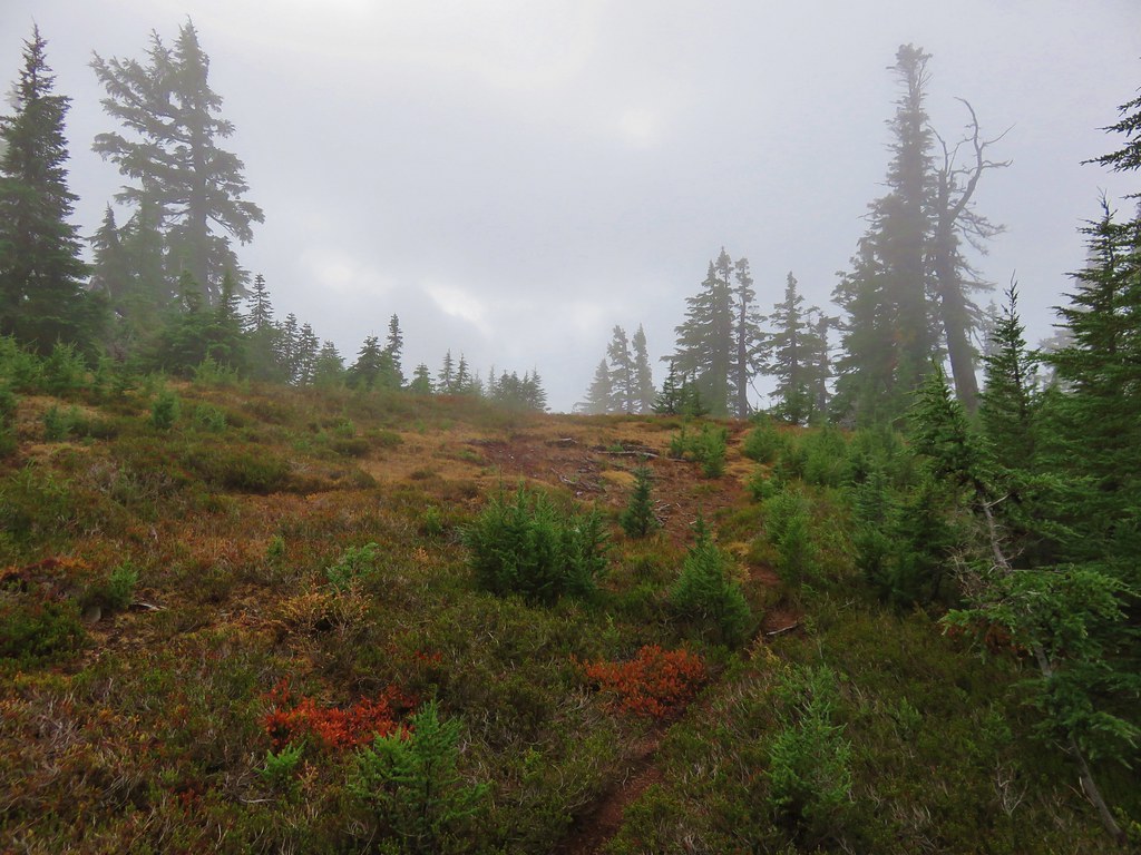
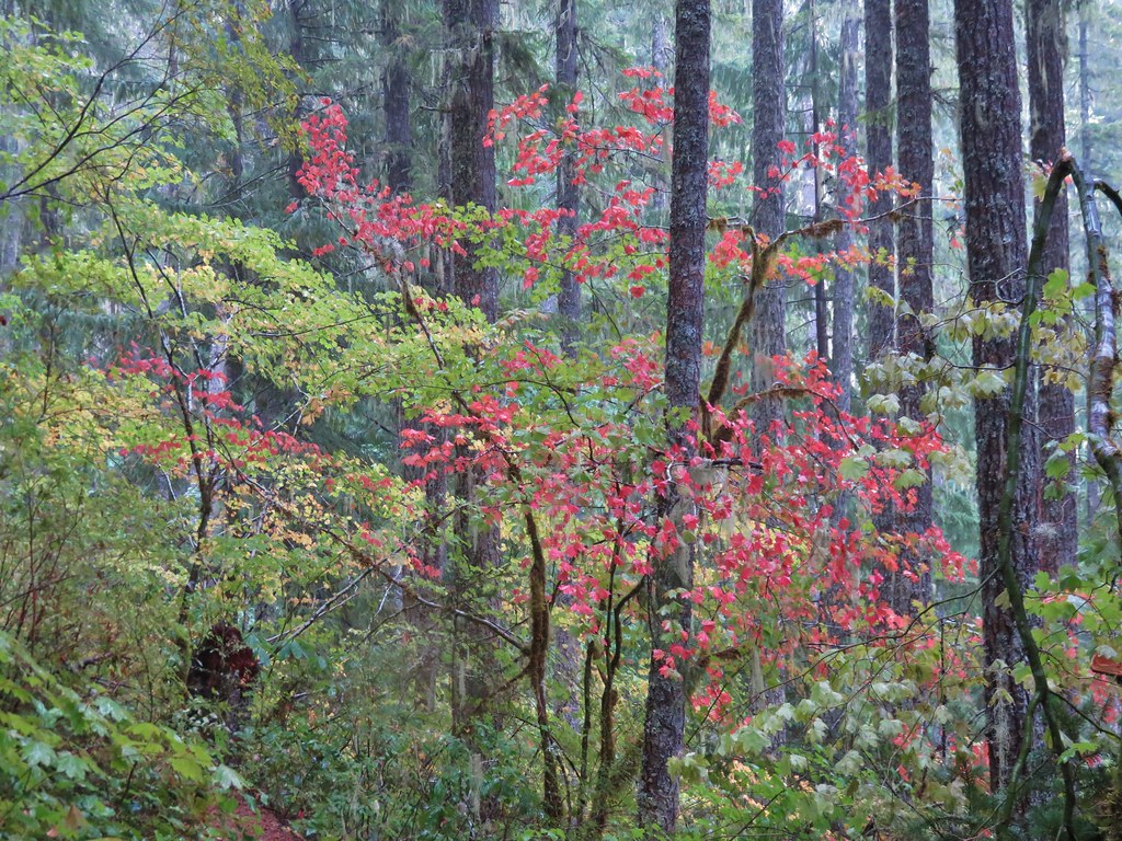
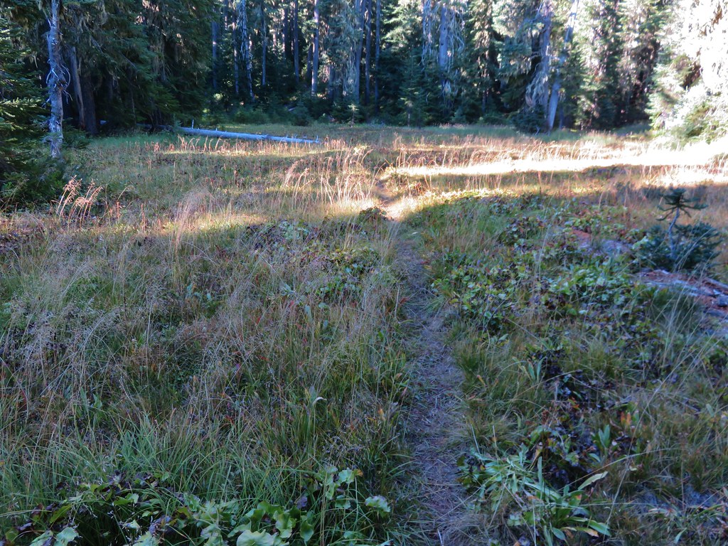
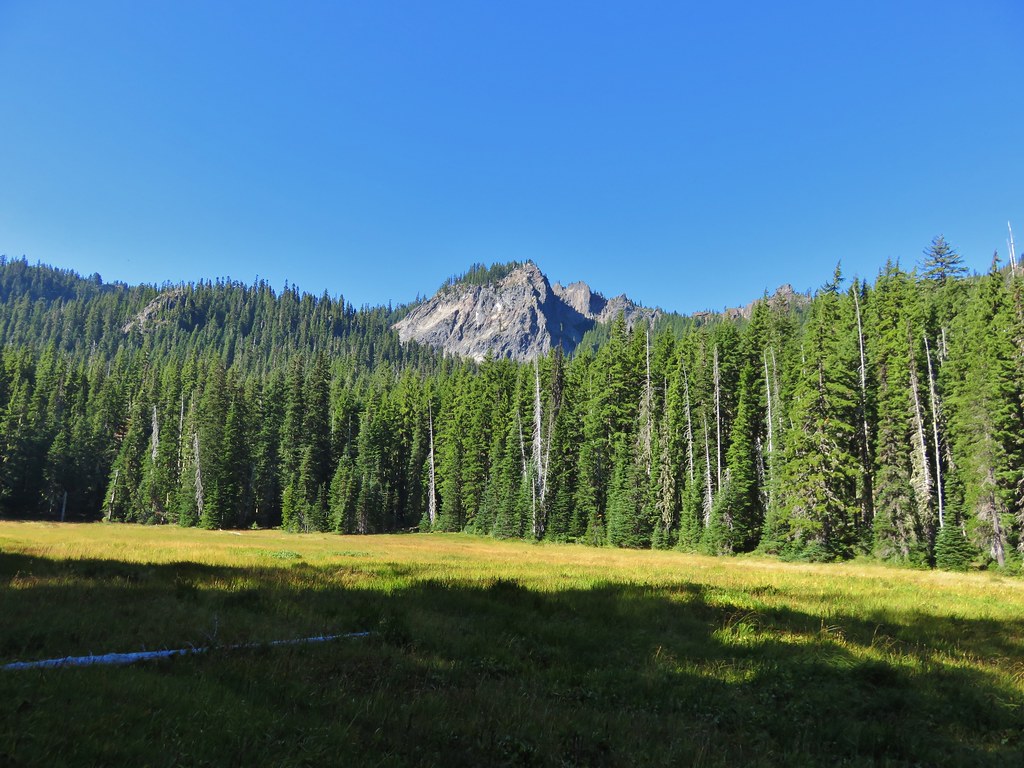
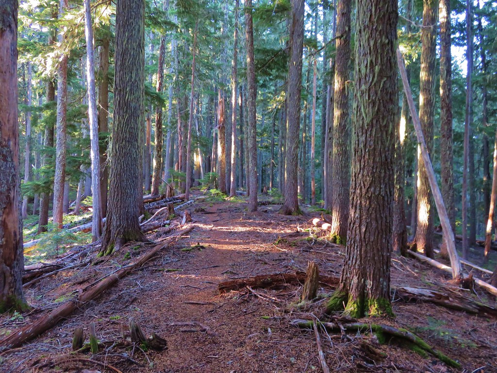
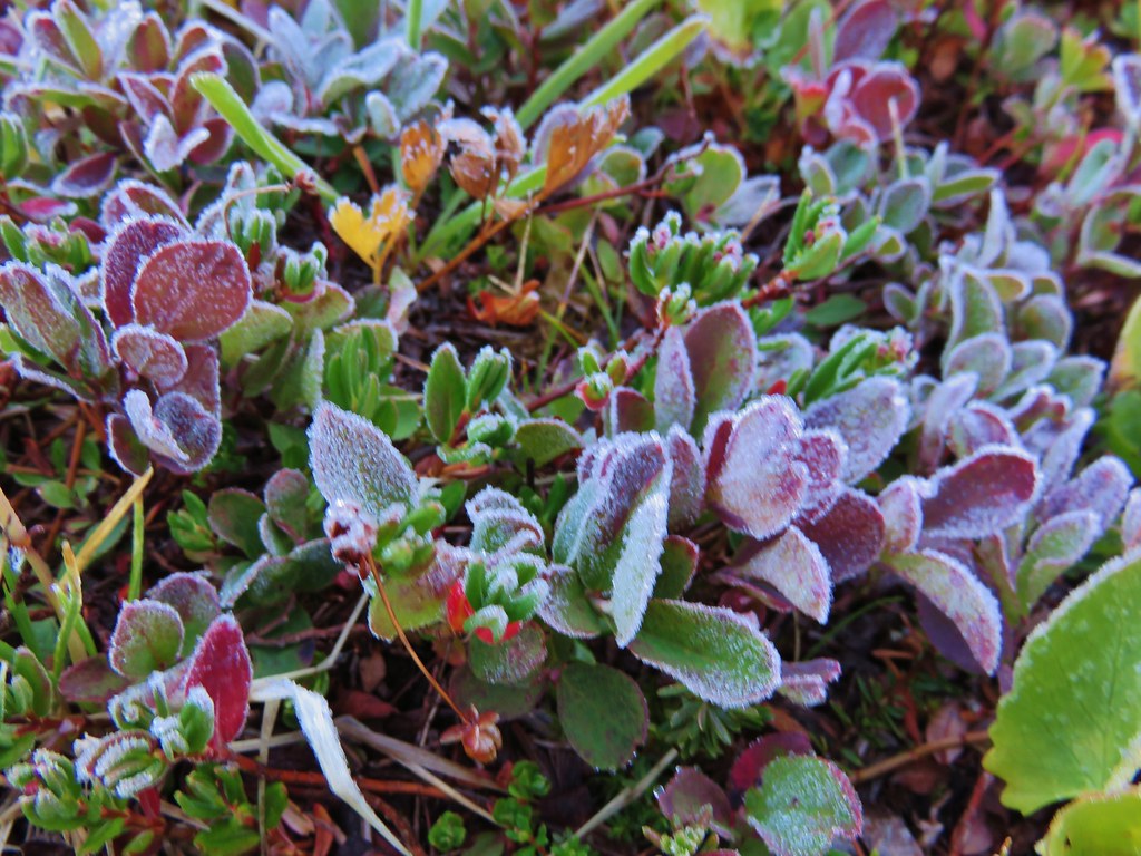
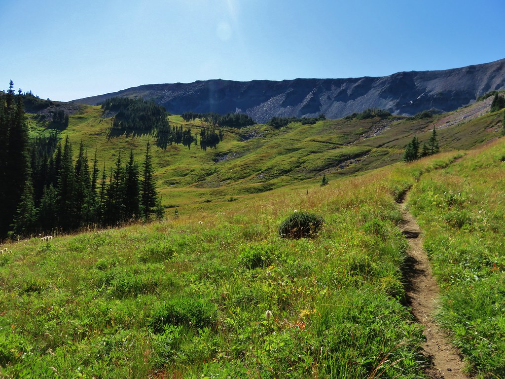
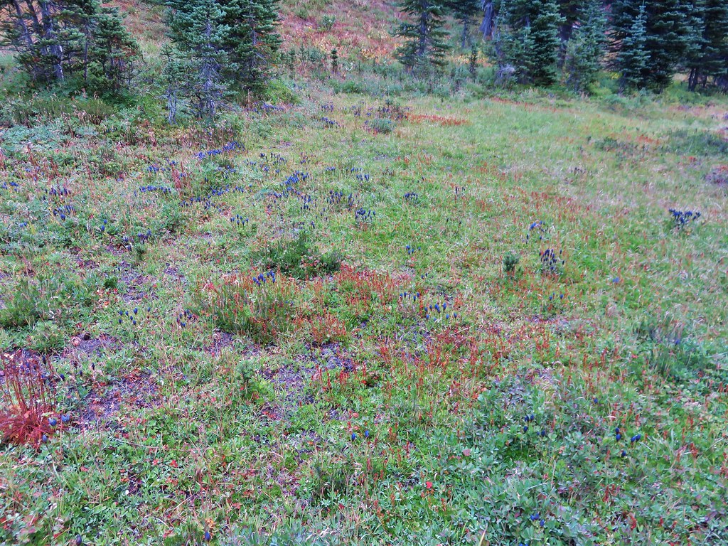
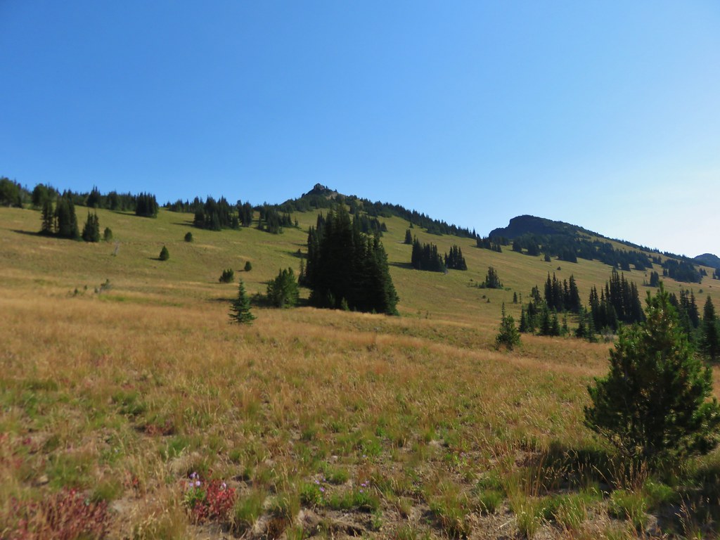
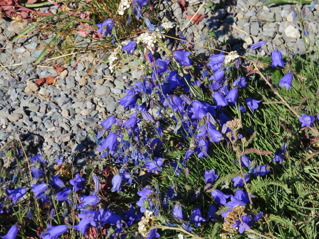
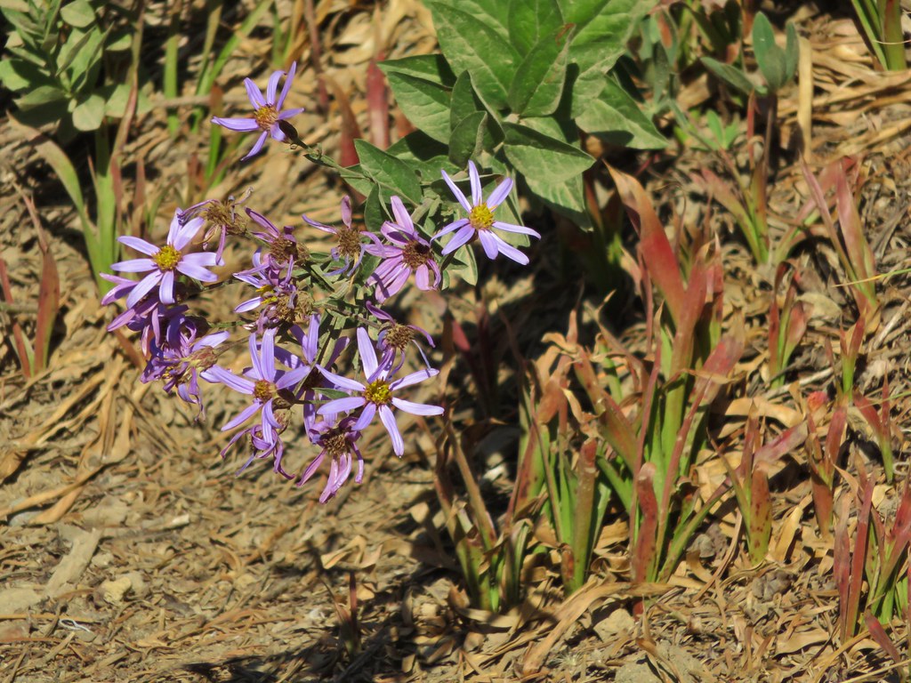
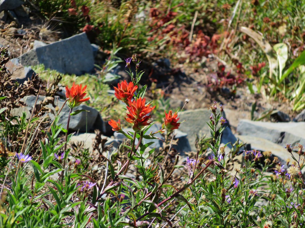
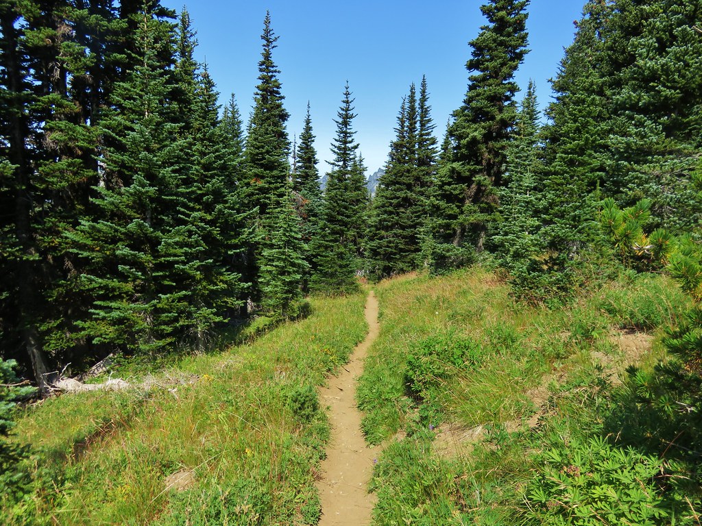
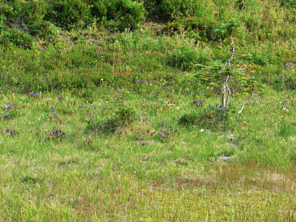
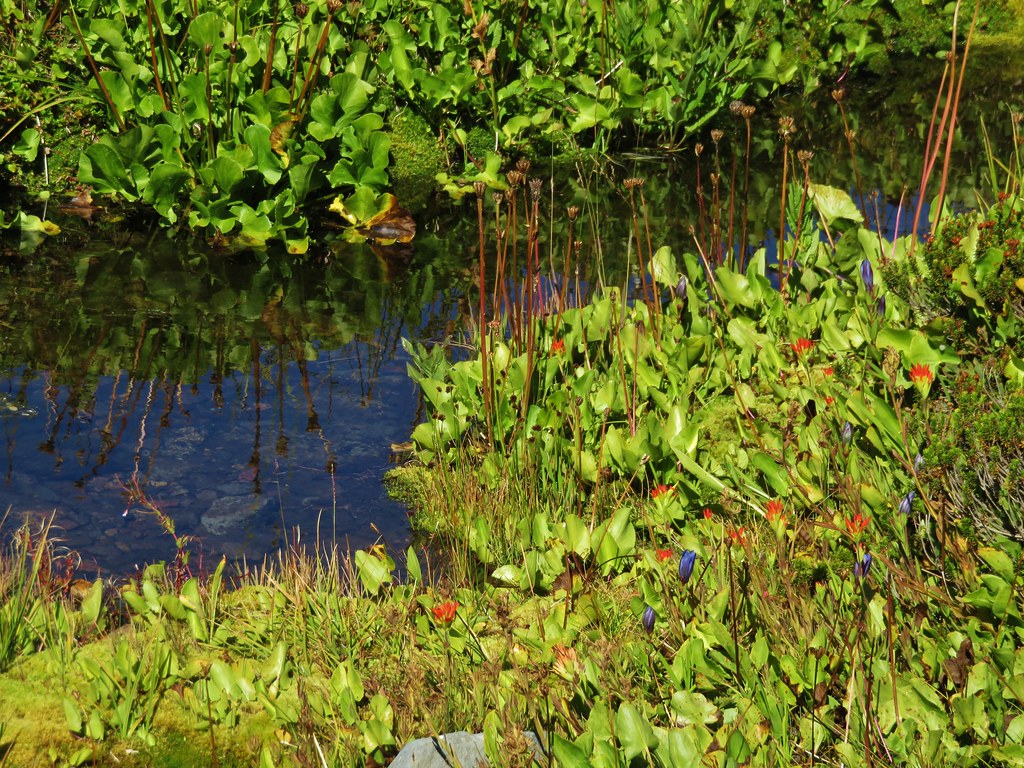
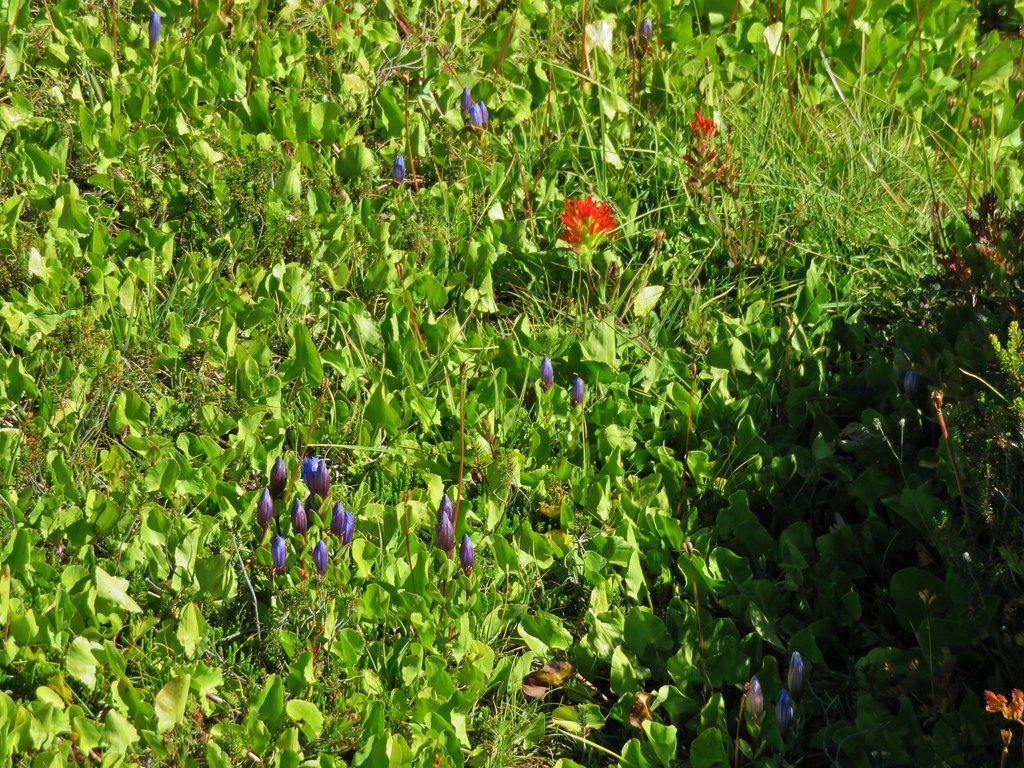
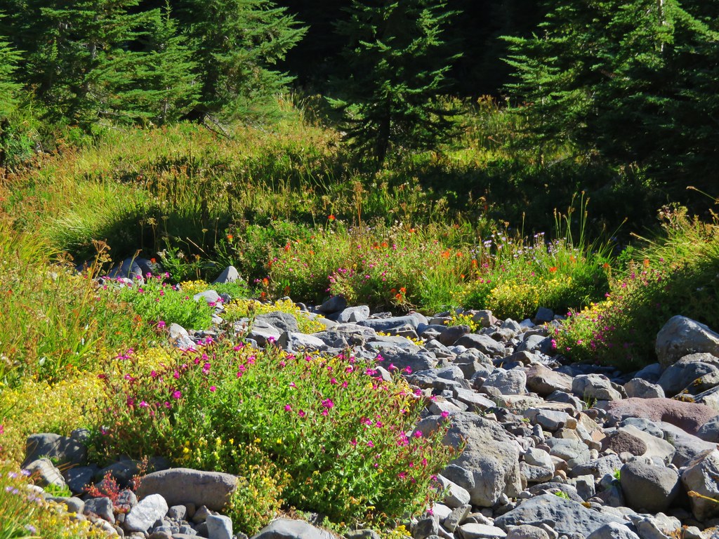
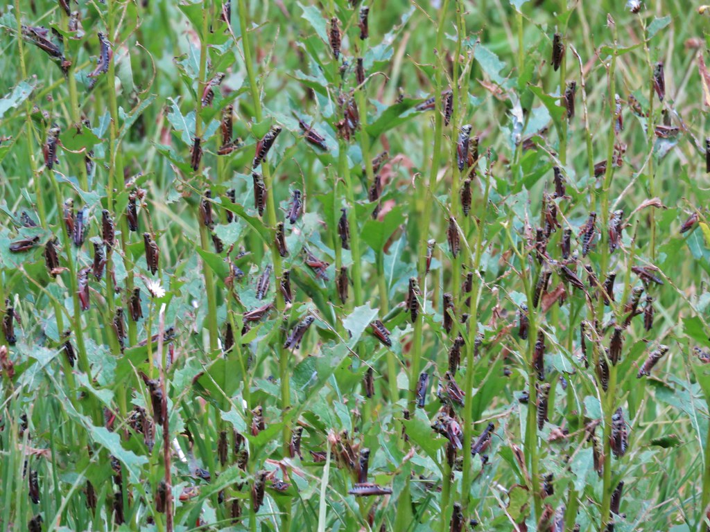
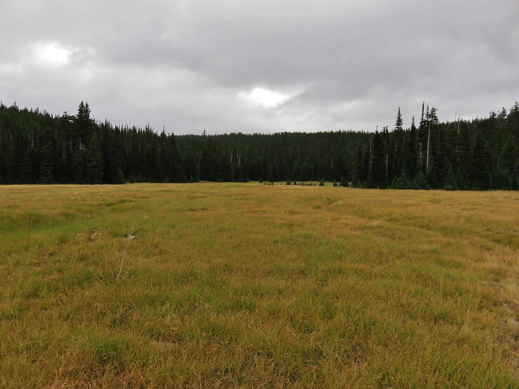
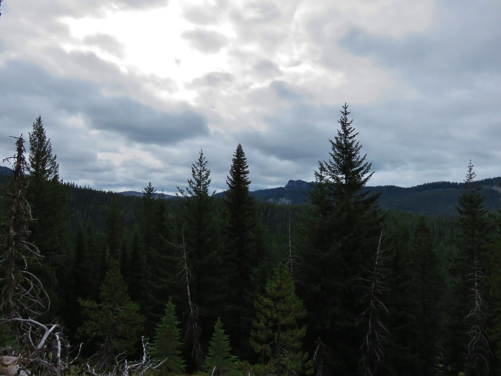
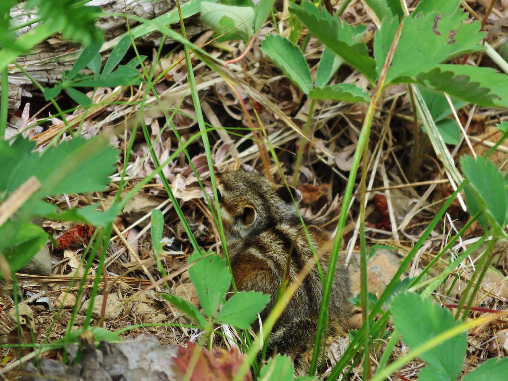
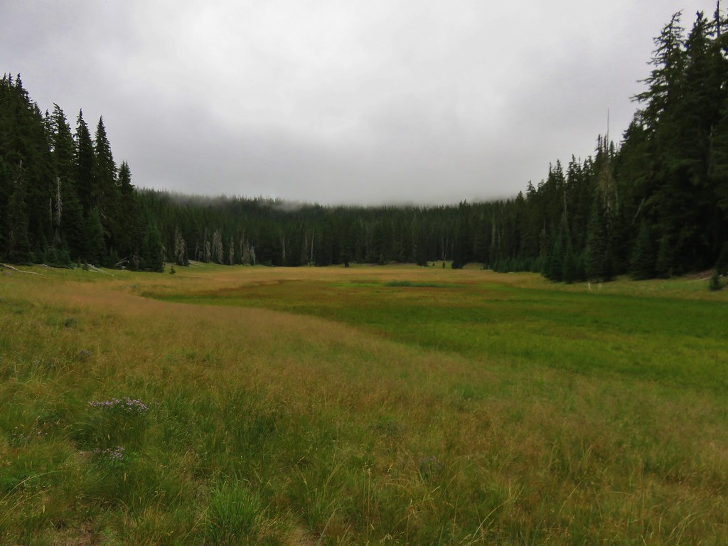
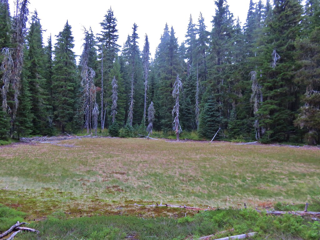
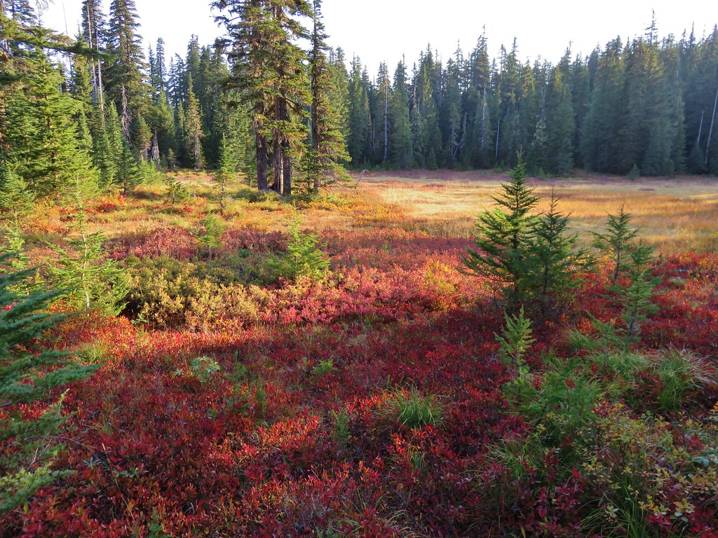
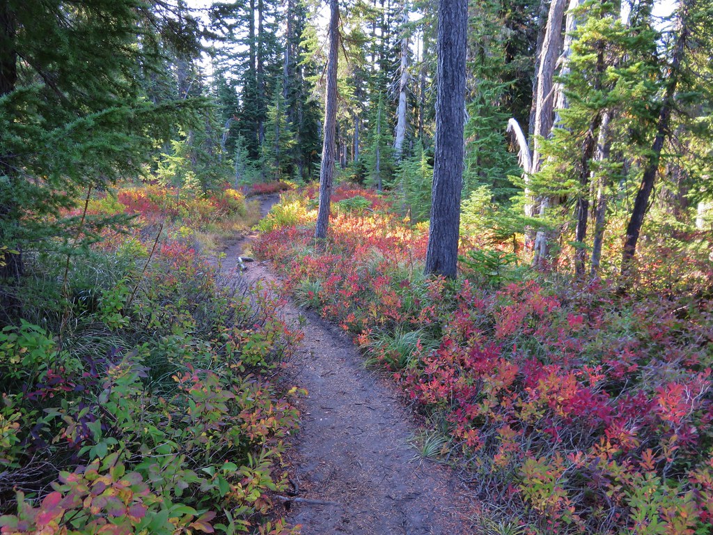
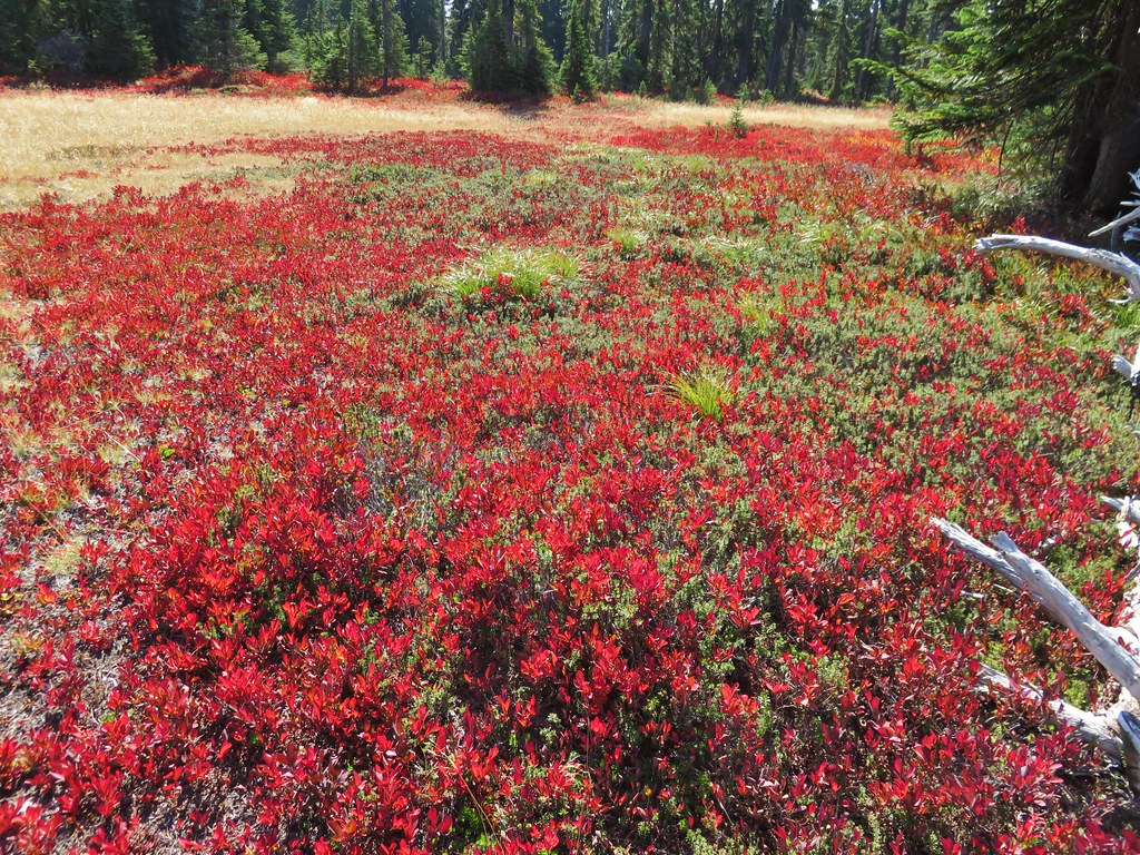
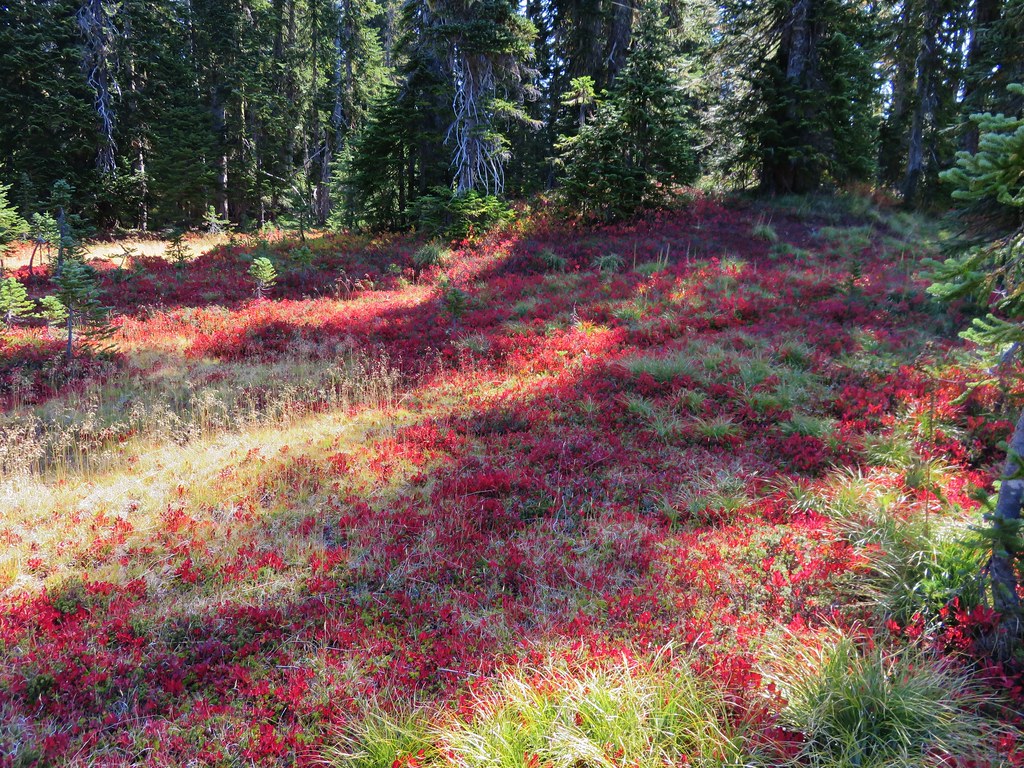
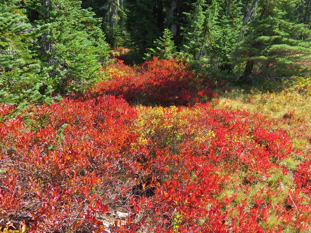
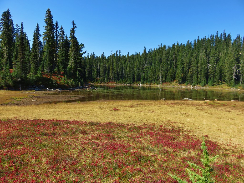
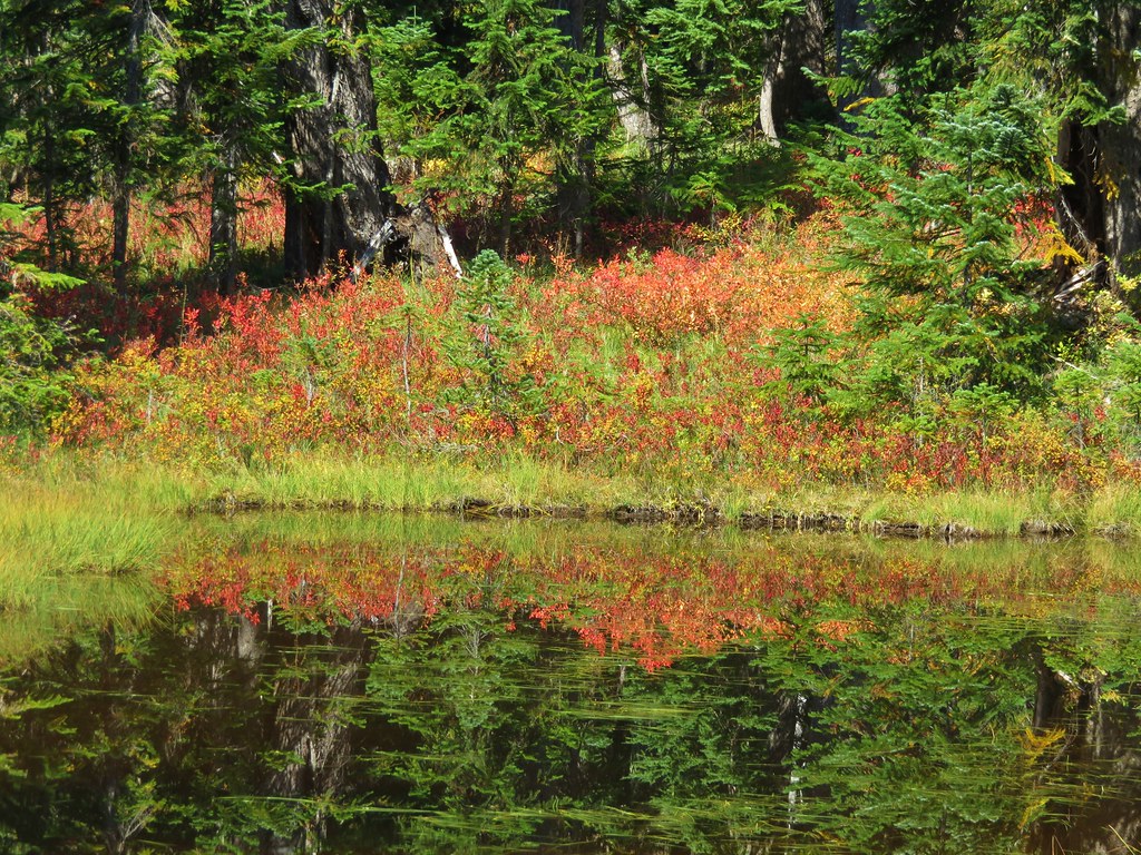
After visiting Eunice Lake we returned to the Thomas Lake Trail which climbed steeply up above those lakes before leveling out through meadows ablaze with red huckleberry leaves.
 //embedr.flickr.com/assets/client-code.js
 //embedr.flickr.com/assets/client-code.js
 //embedr.flickr.com/assets/client-code.js
 //embedr.flickr.com/assets/client-code.js
 //embedr.flickr.com/assets/client-code.js
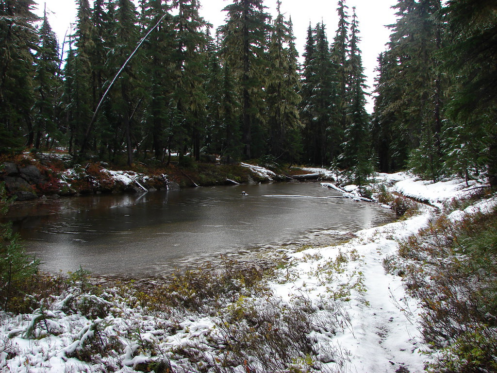
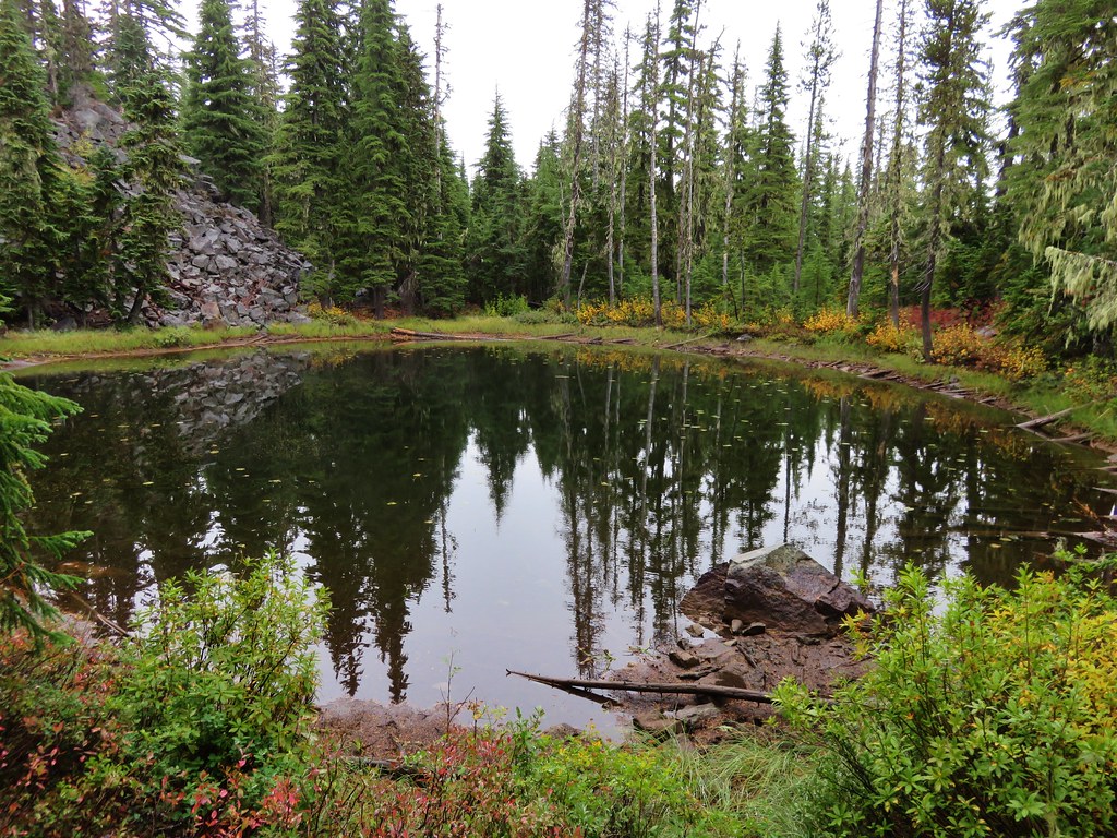
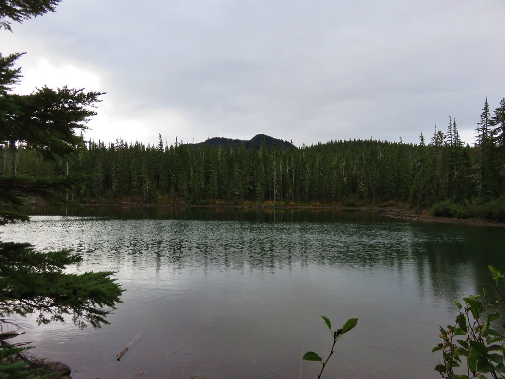
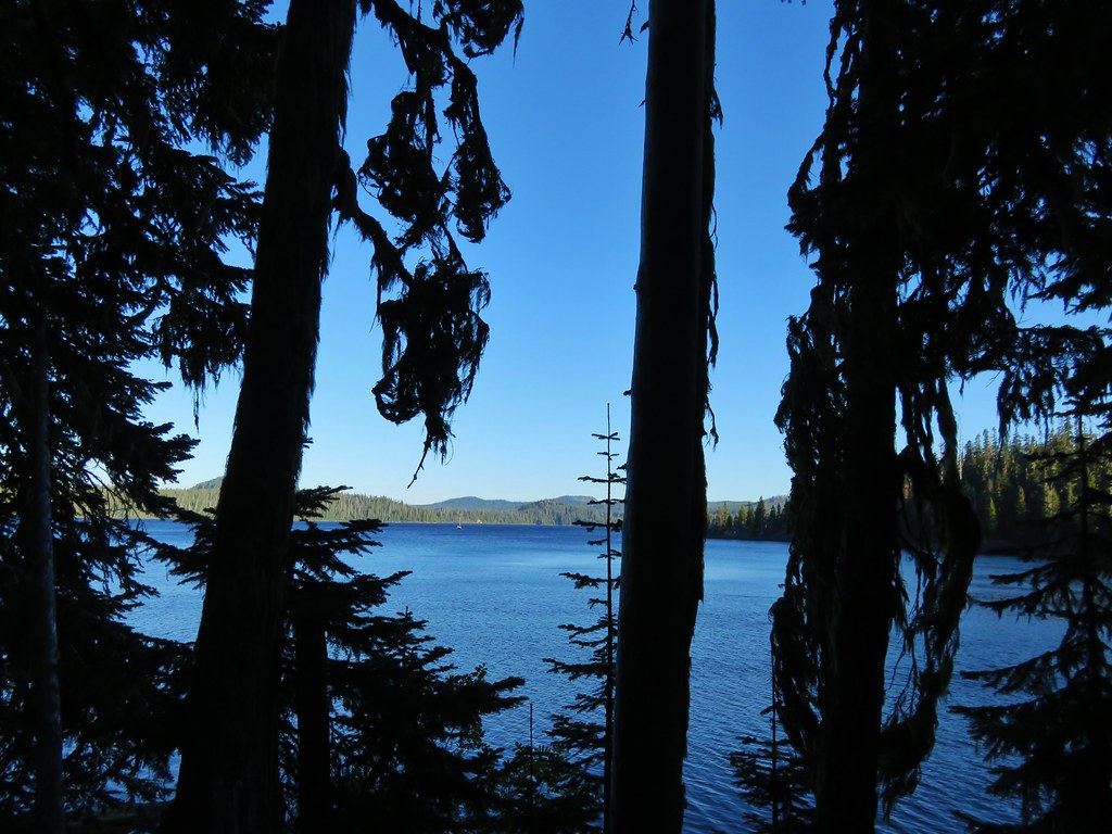
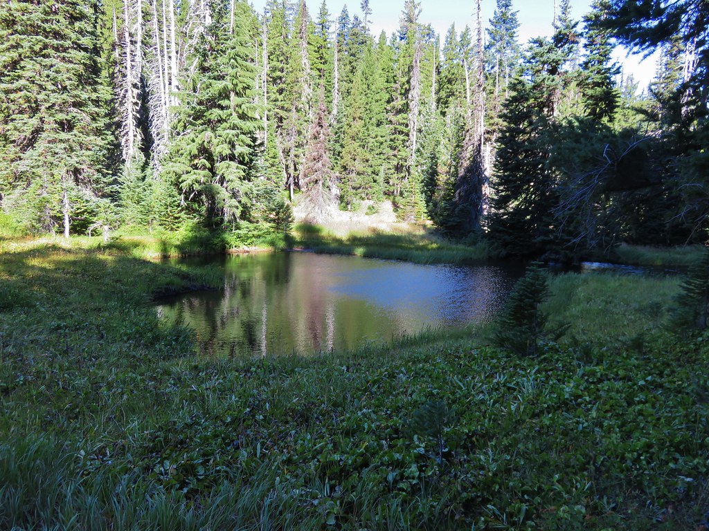
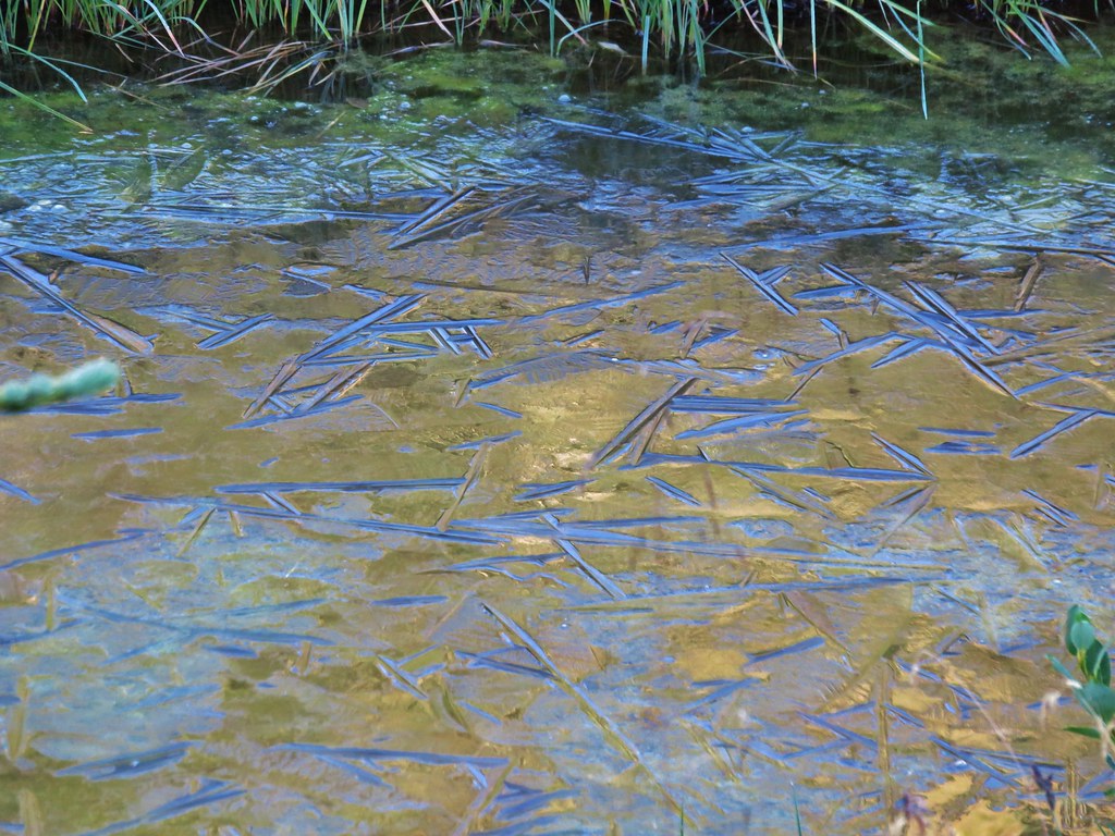
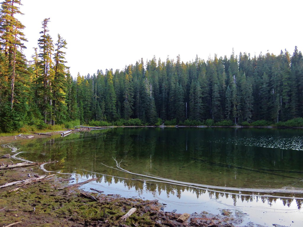
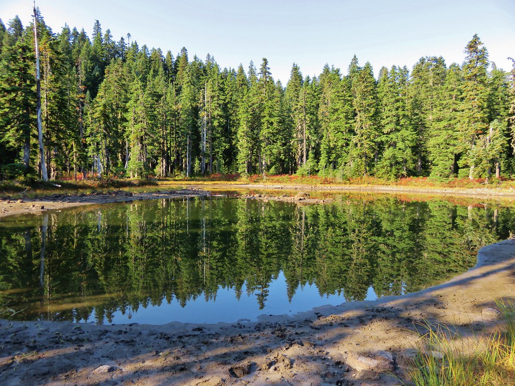
More lakes and ponds awaited along this stretch of trail.
Brader Lake
 //embedr.flickr.com/assets/client-code.js
 //embedr.flickr.com/assets/client-code.js
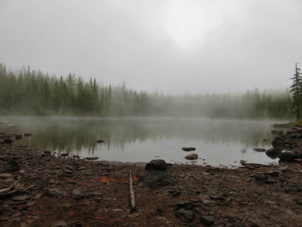
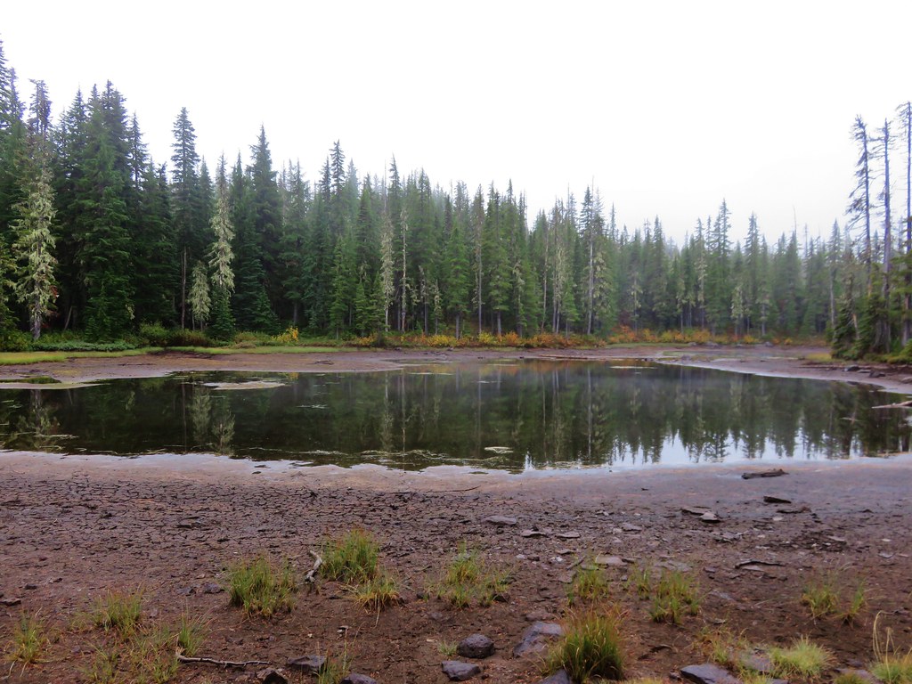
Unnamed lake/pond
 //embedr.flickr.com/assets/client-code.js
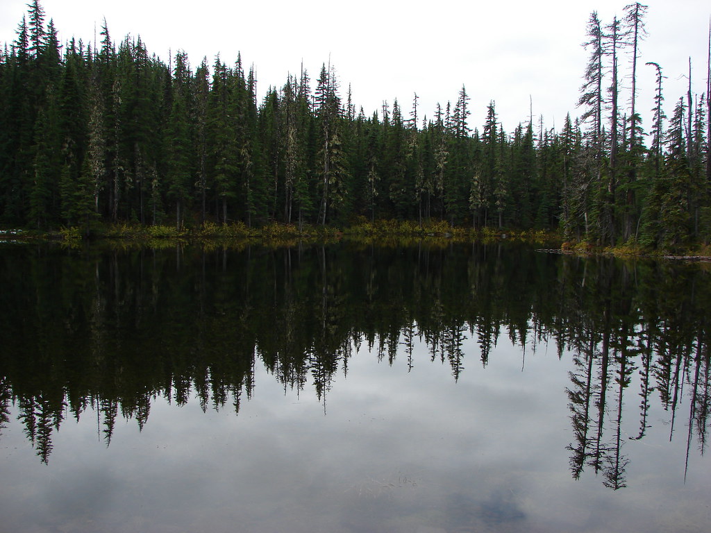
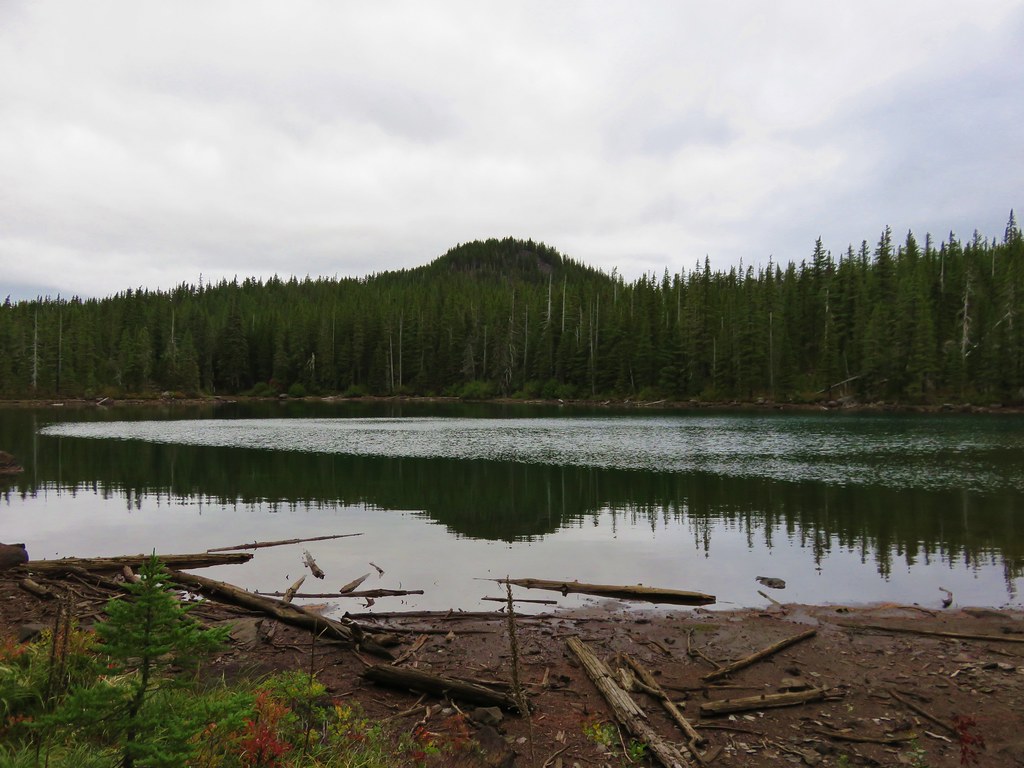
Naha Lake
 //embedr.flickr.com/assets/client-code.js
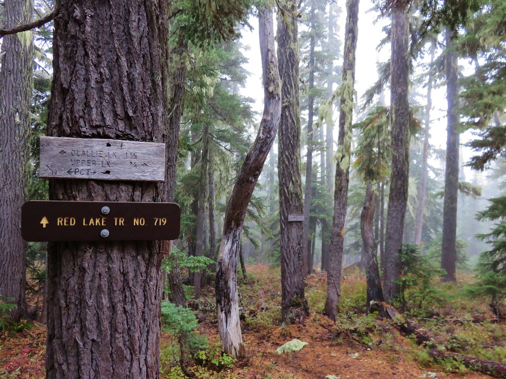
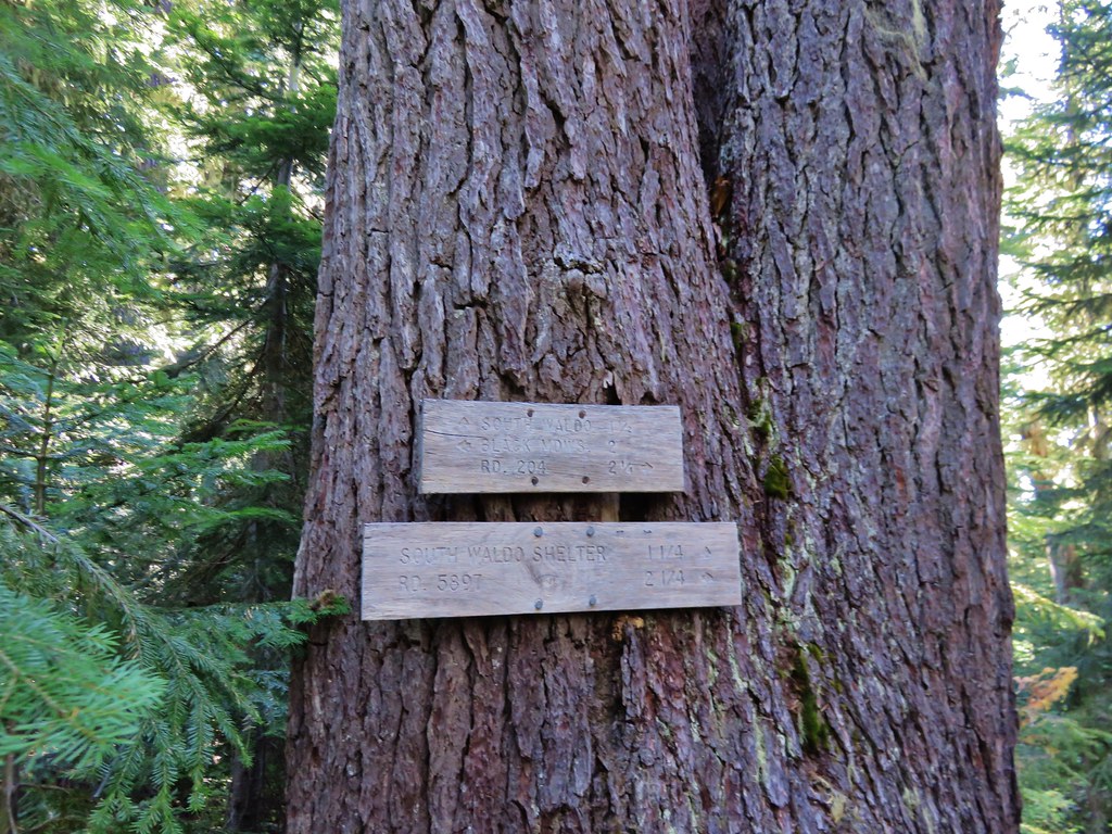
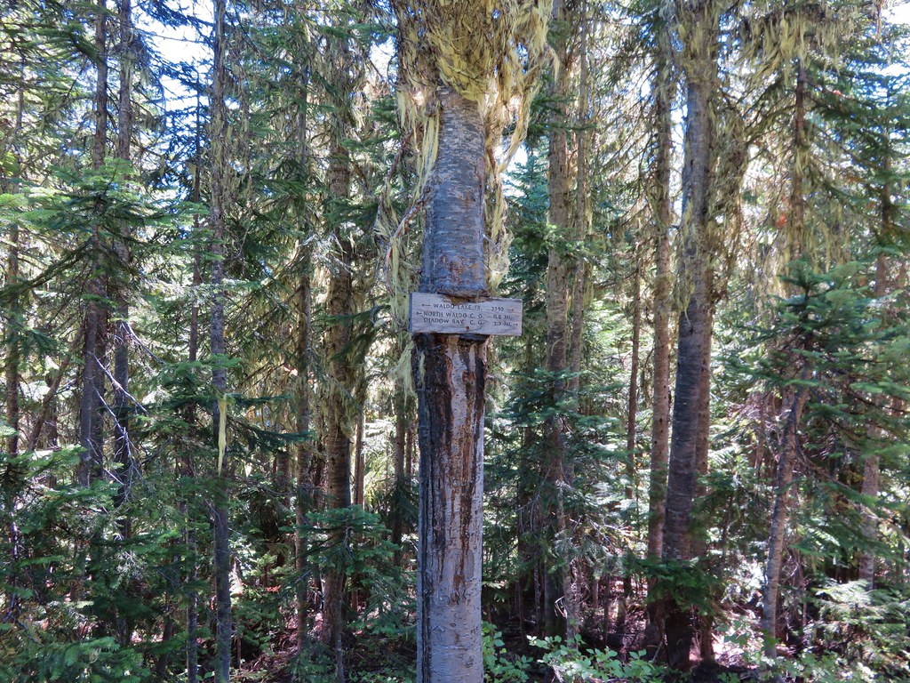
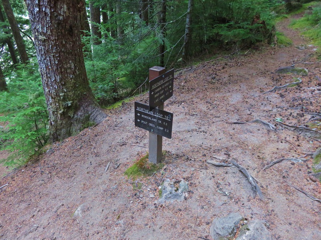
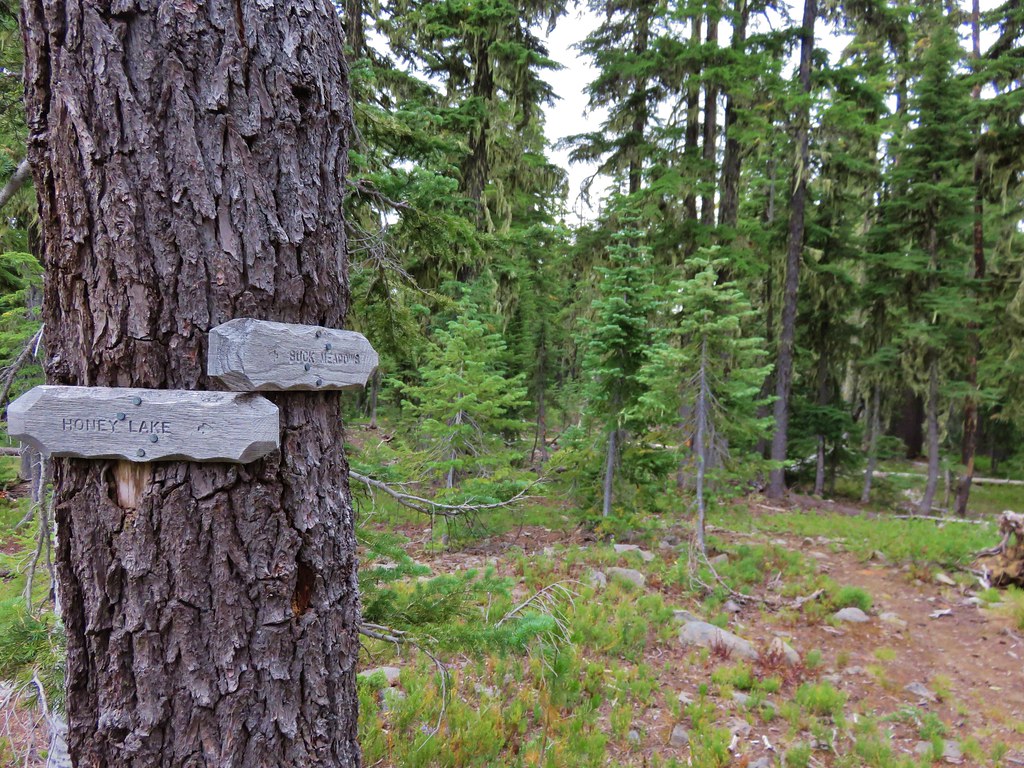
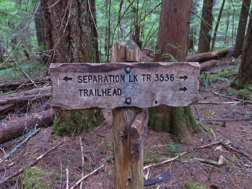
About two miles from the trailhead the trail took a sharp right at a trail sign.
 //embedr.flickr.com/assets/client-code.js
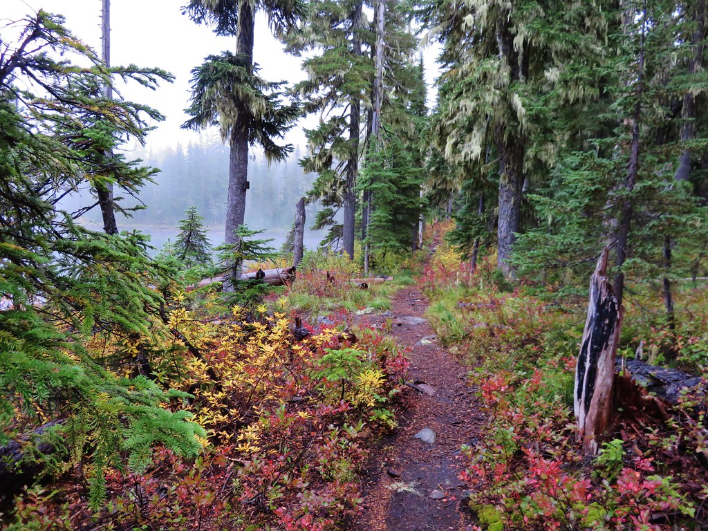
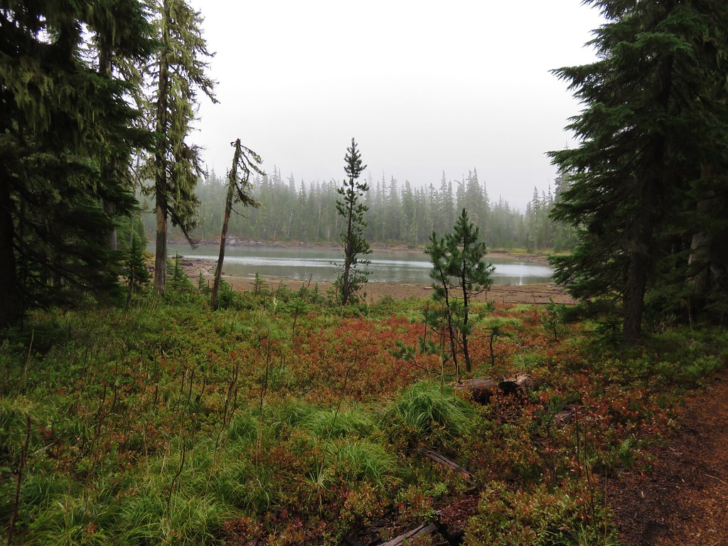
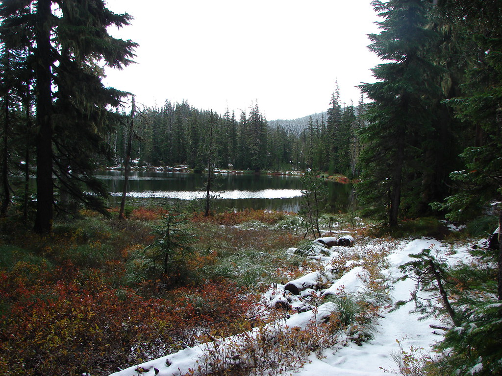
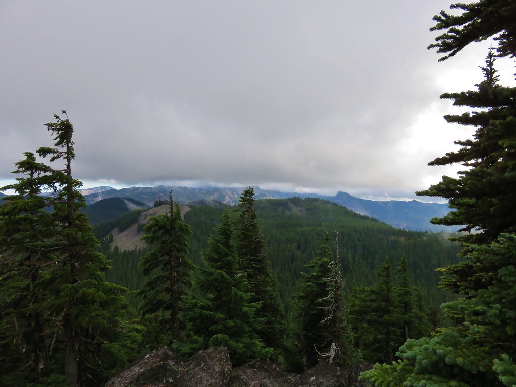
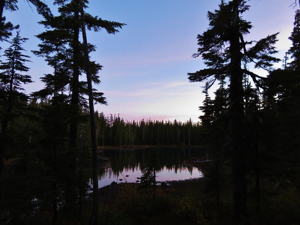
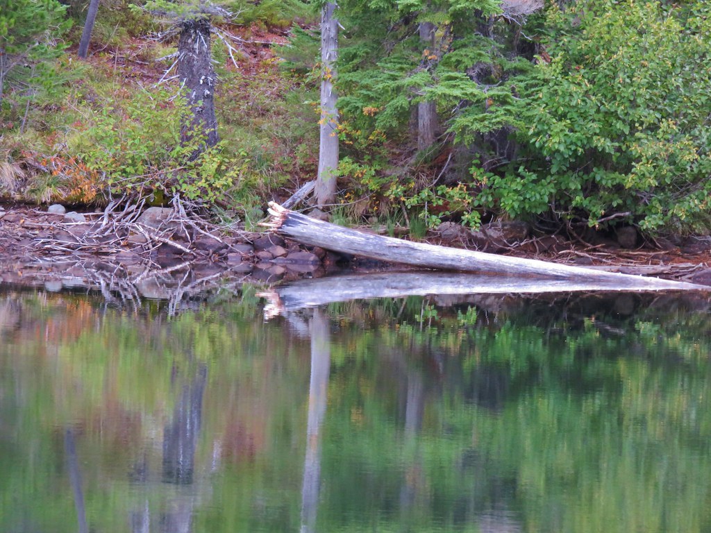
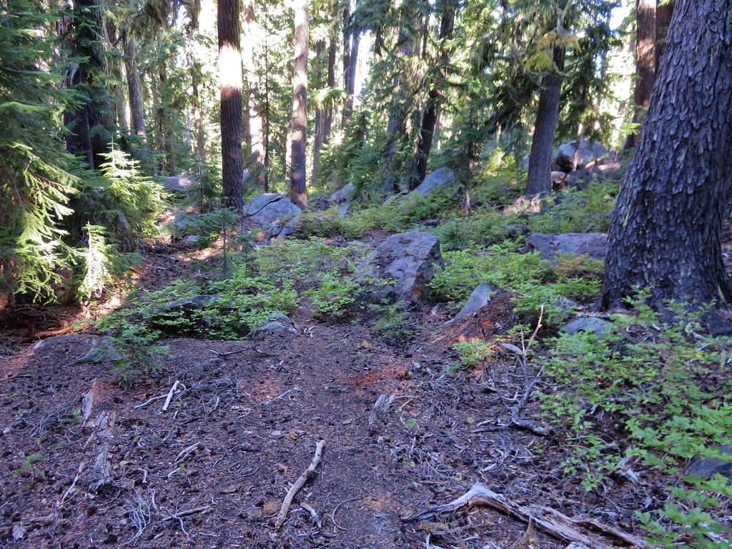
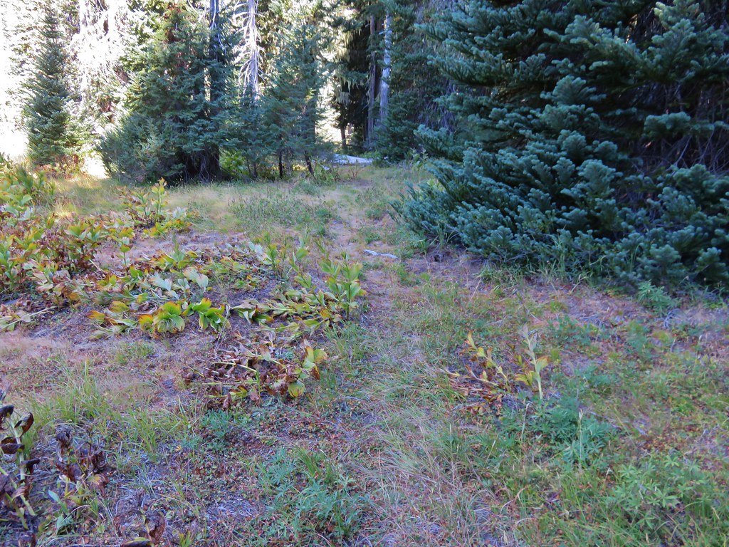
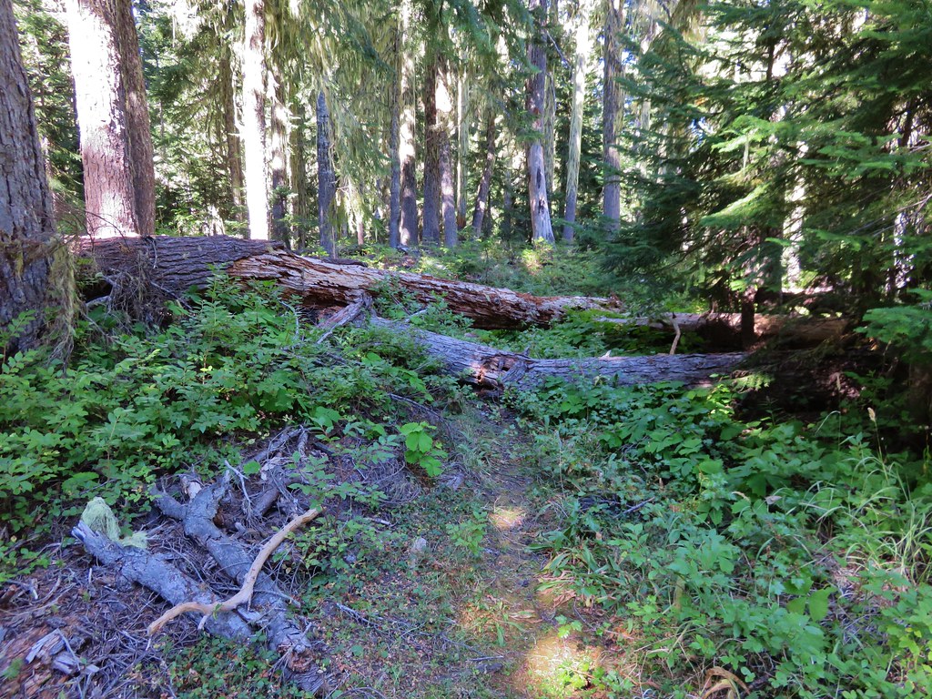
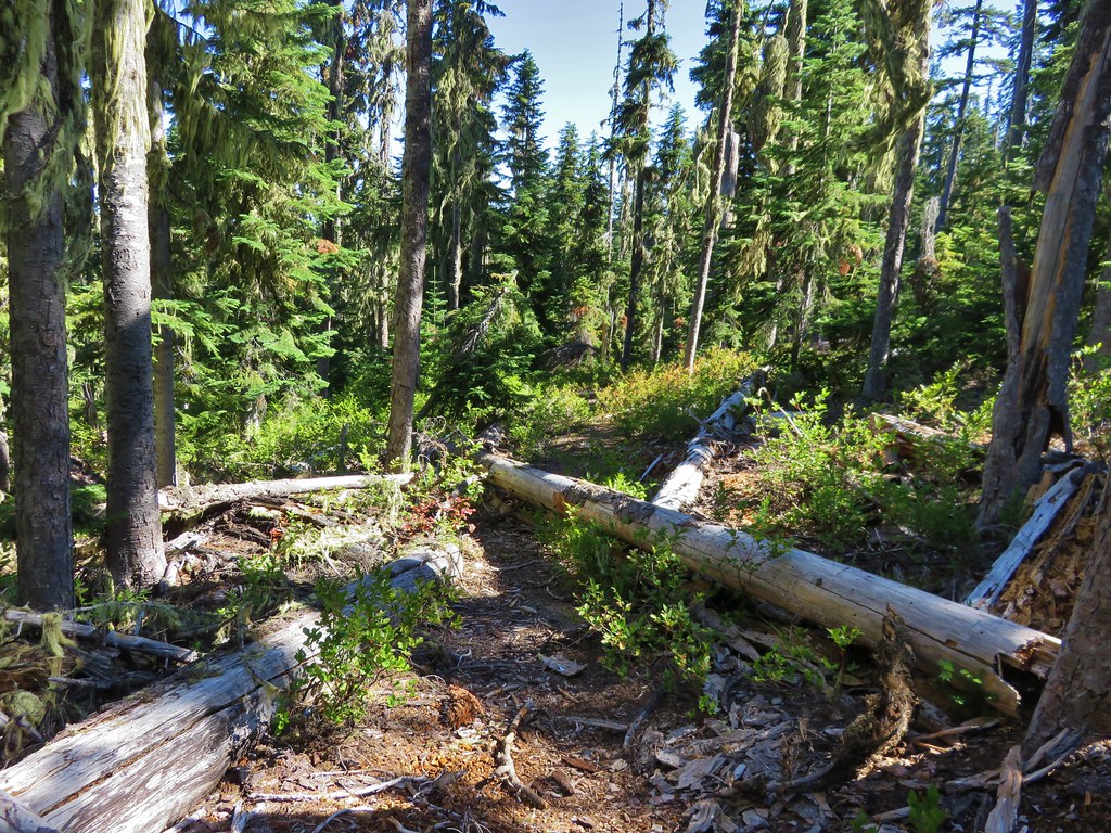
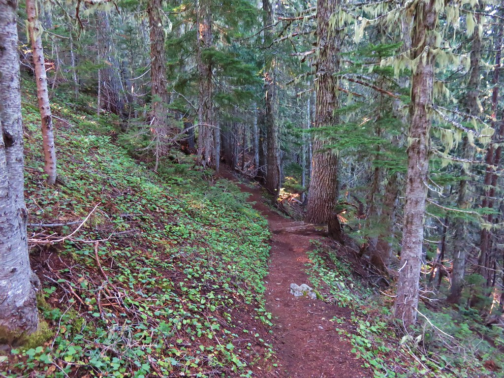
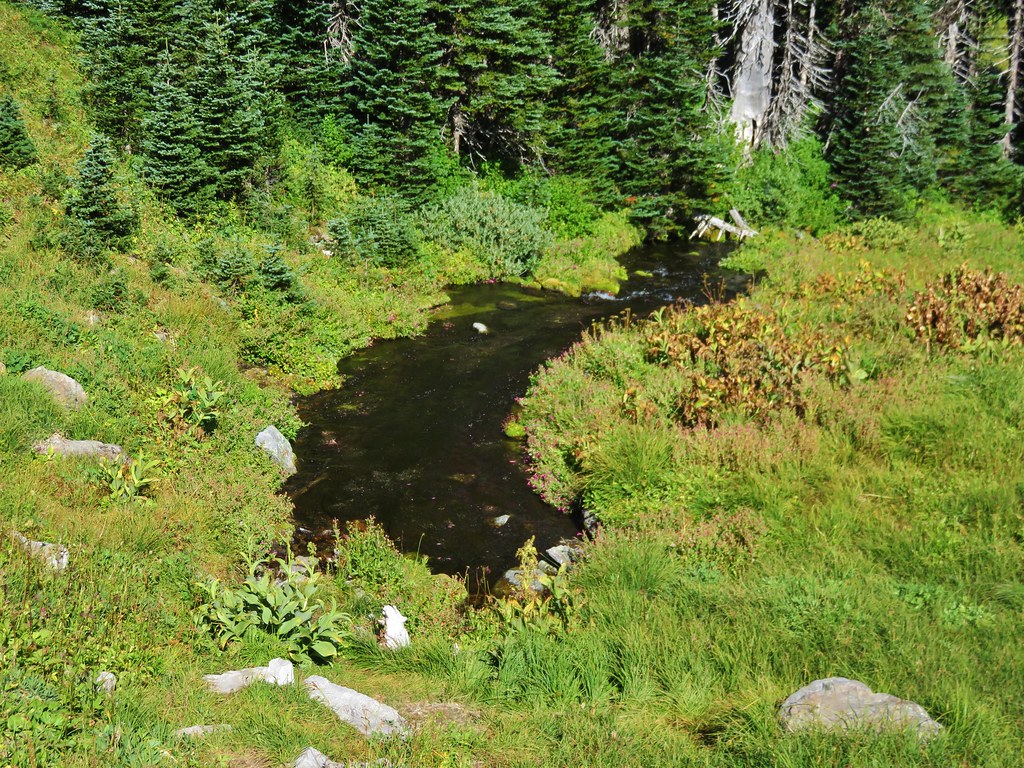
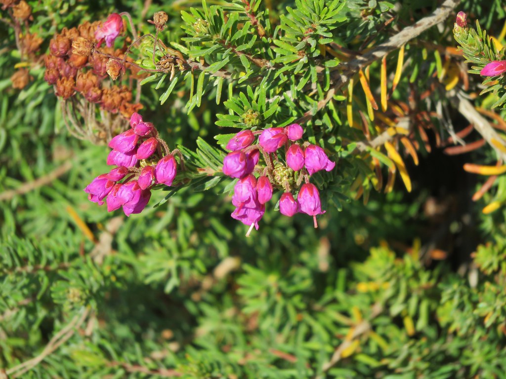
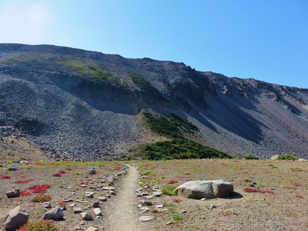
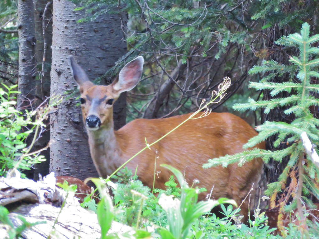
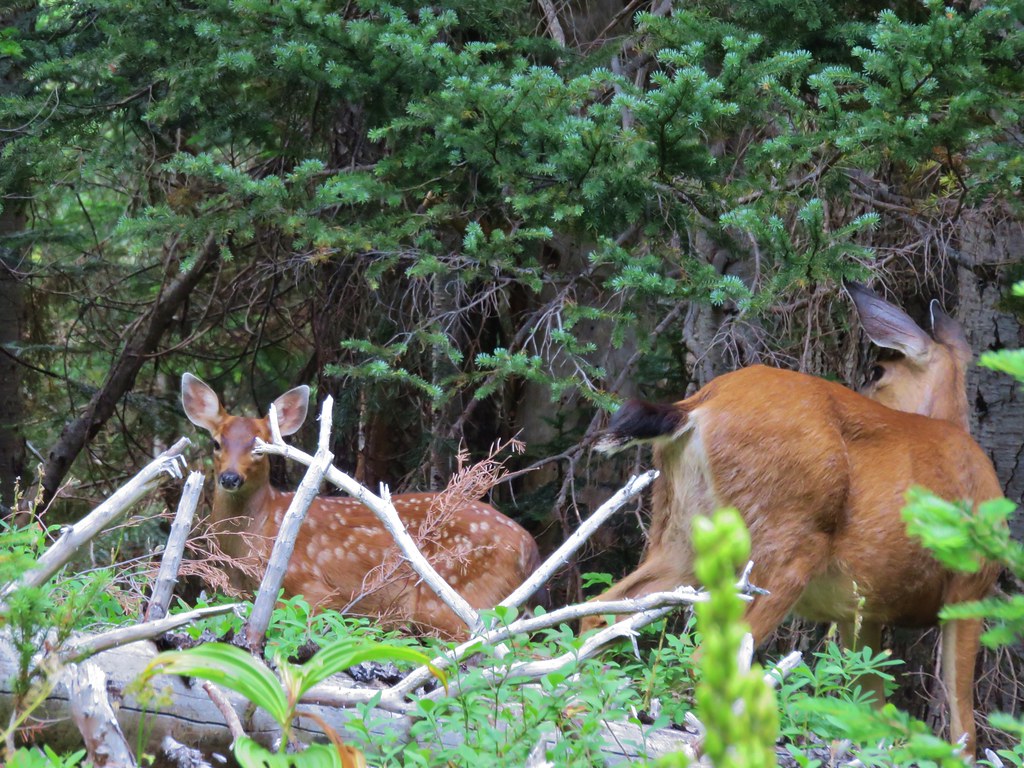
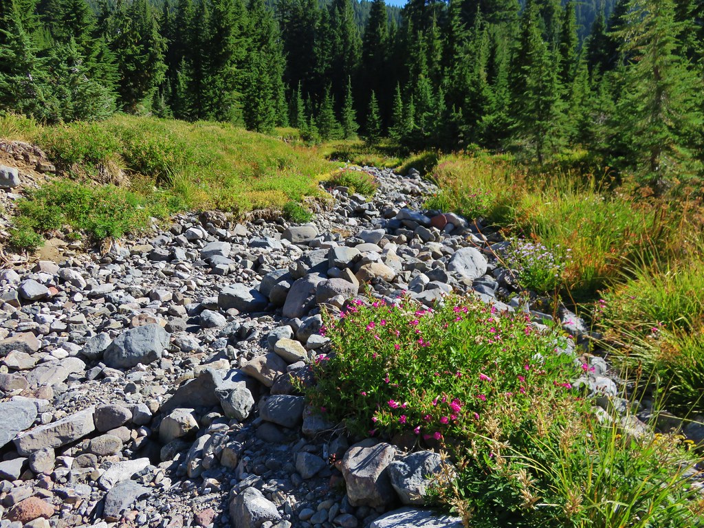
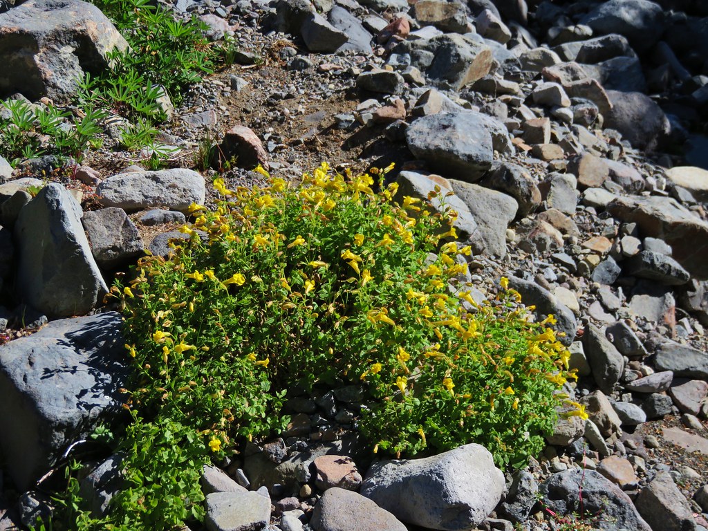
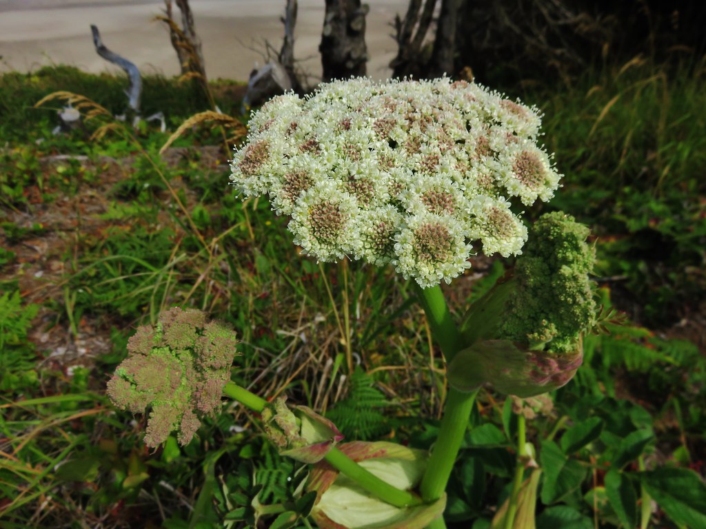
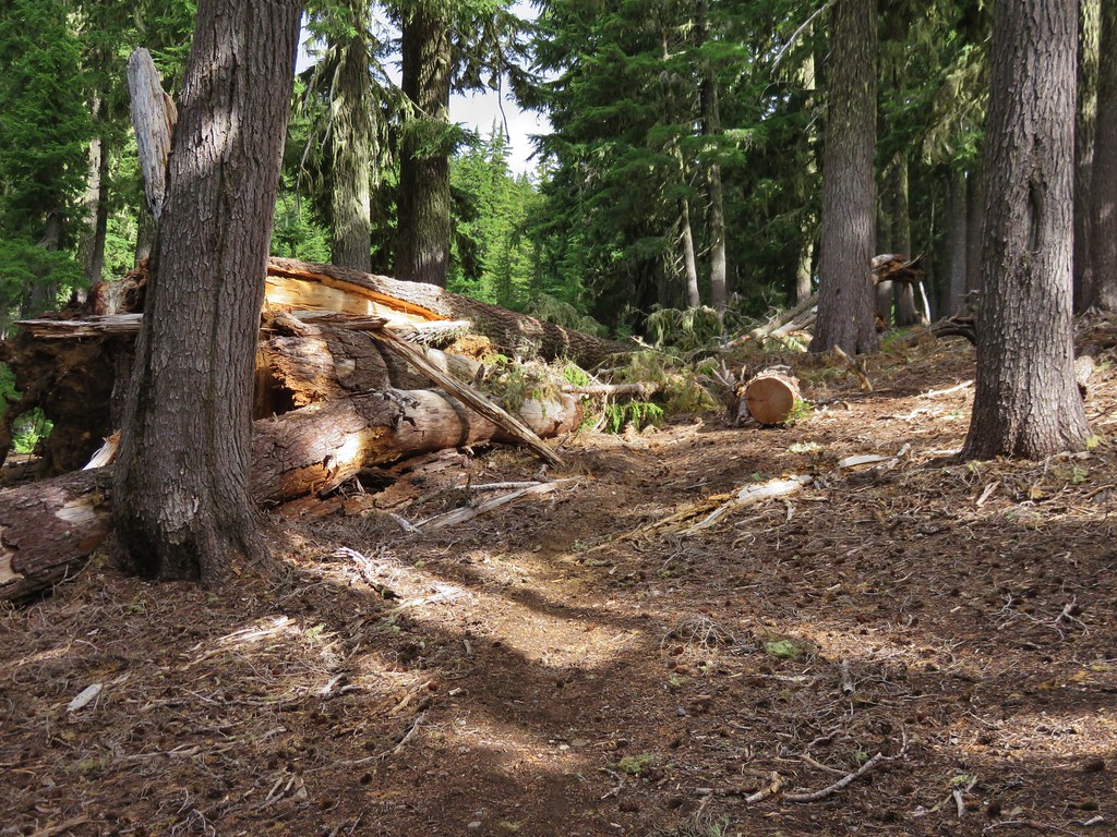
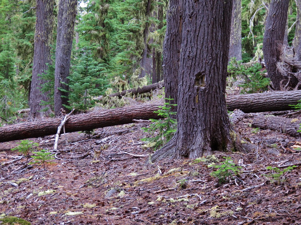
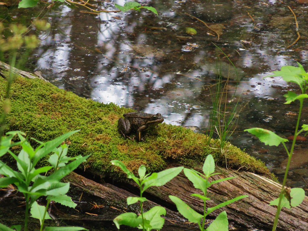
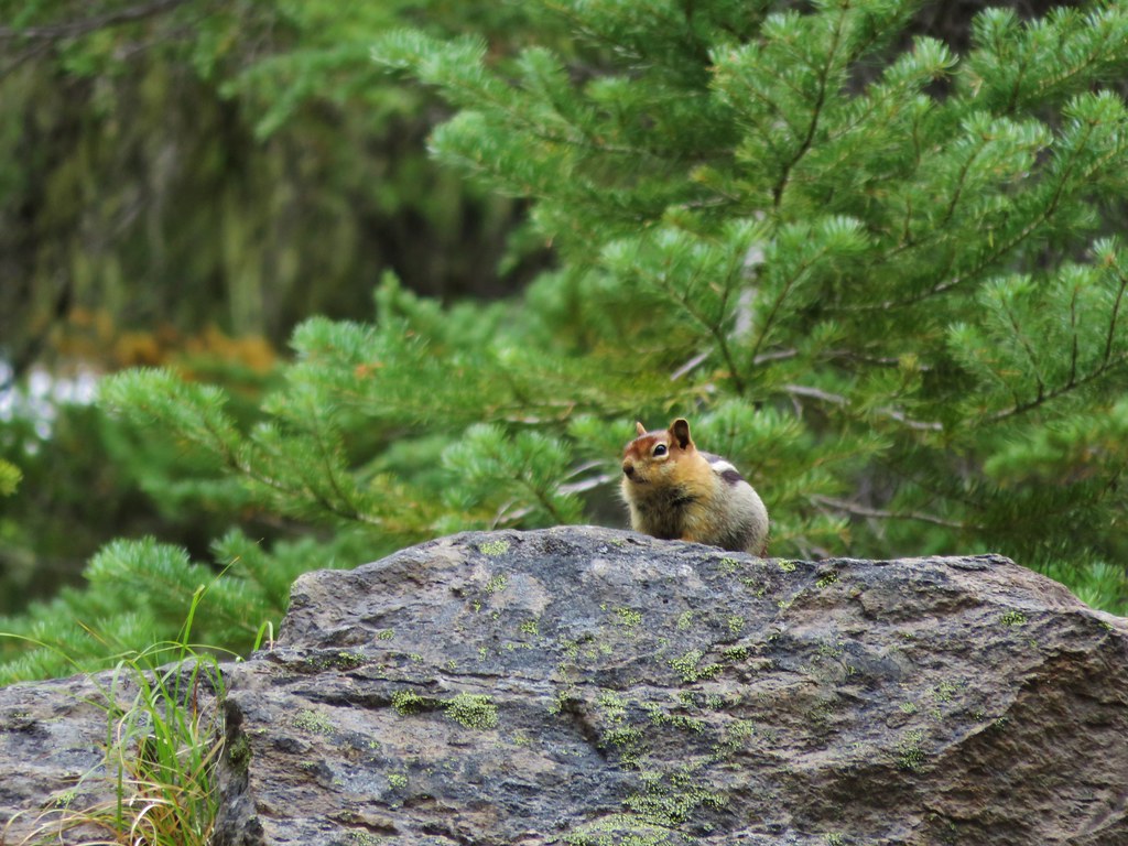
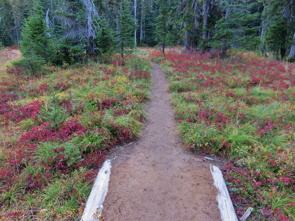
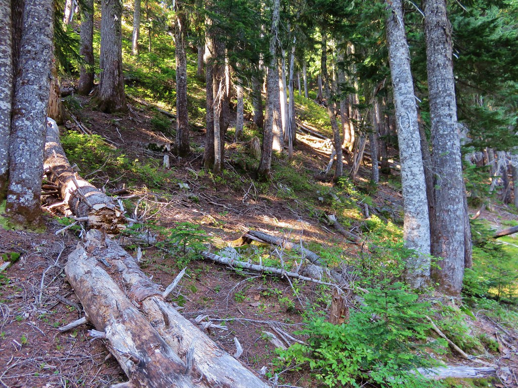
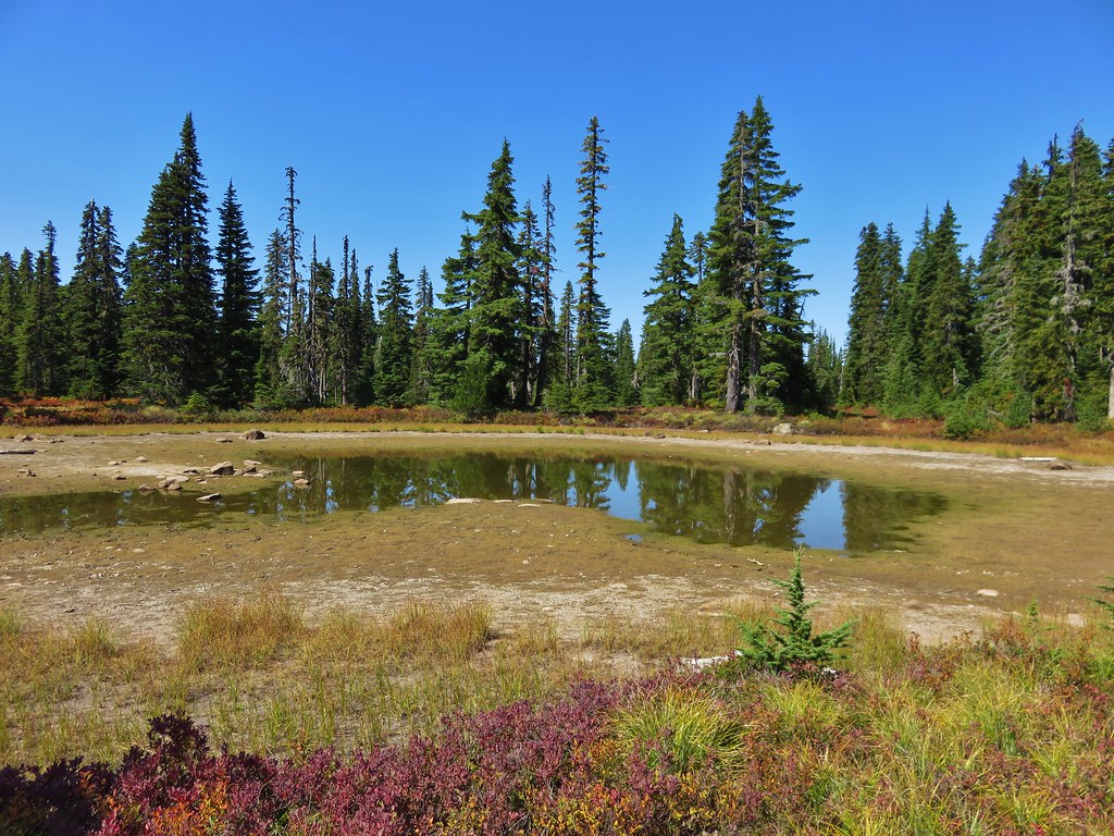
There were a few more trees along this section of trail but also still plenty of berry bushes and lakes/ponds.
 //embedr.flickr.com/assets/client-code.js
 //embedr.flickr.com/assets/client-code.js
 //embedr.flickr.com/assets/client-code.js
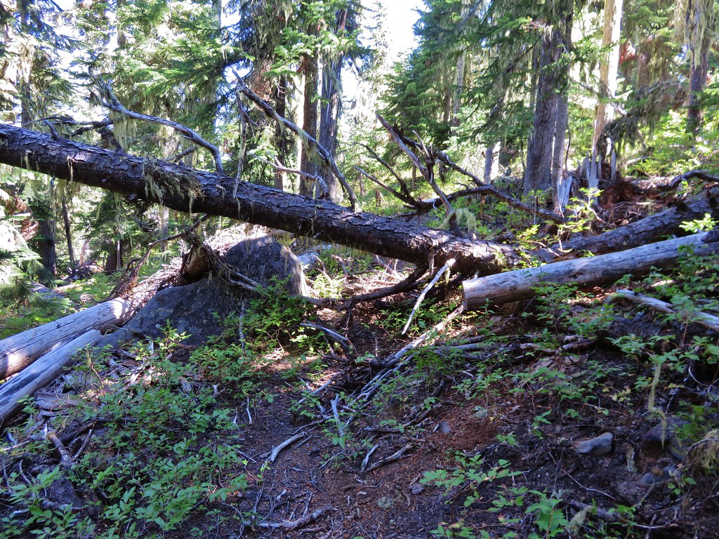
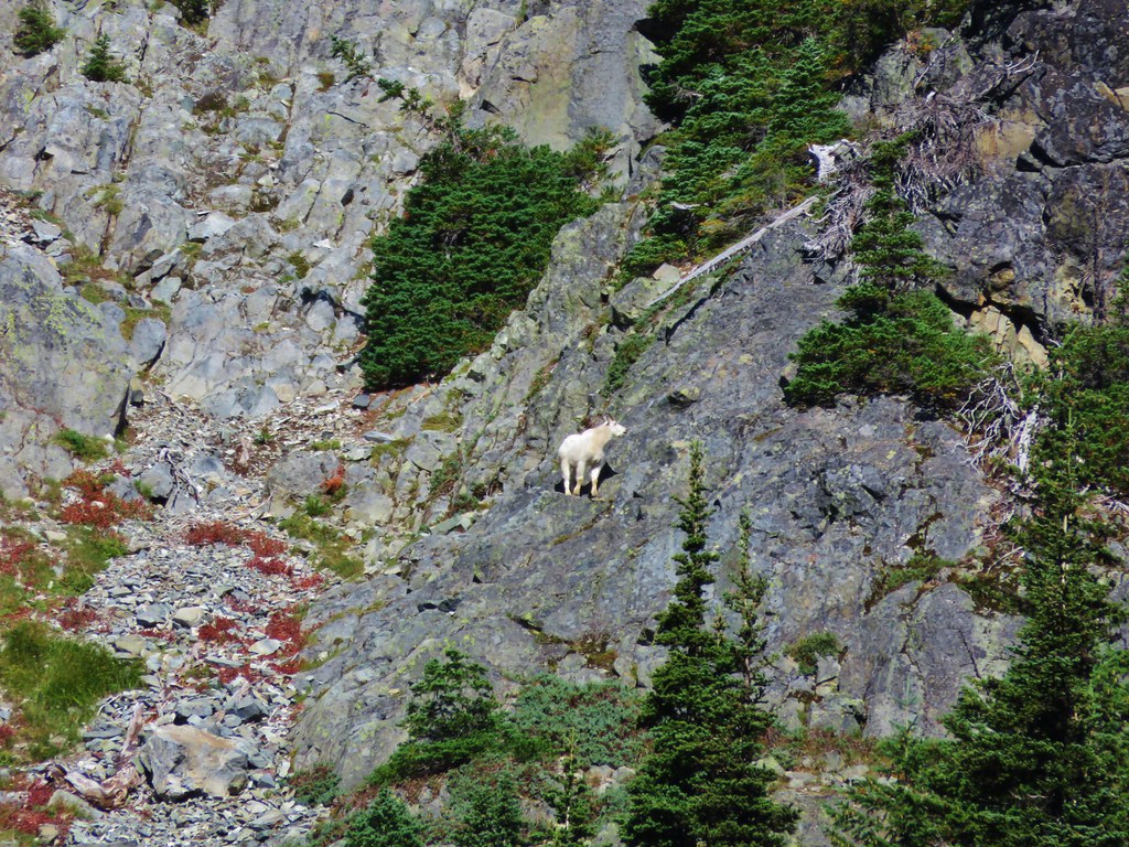
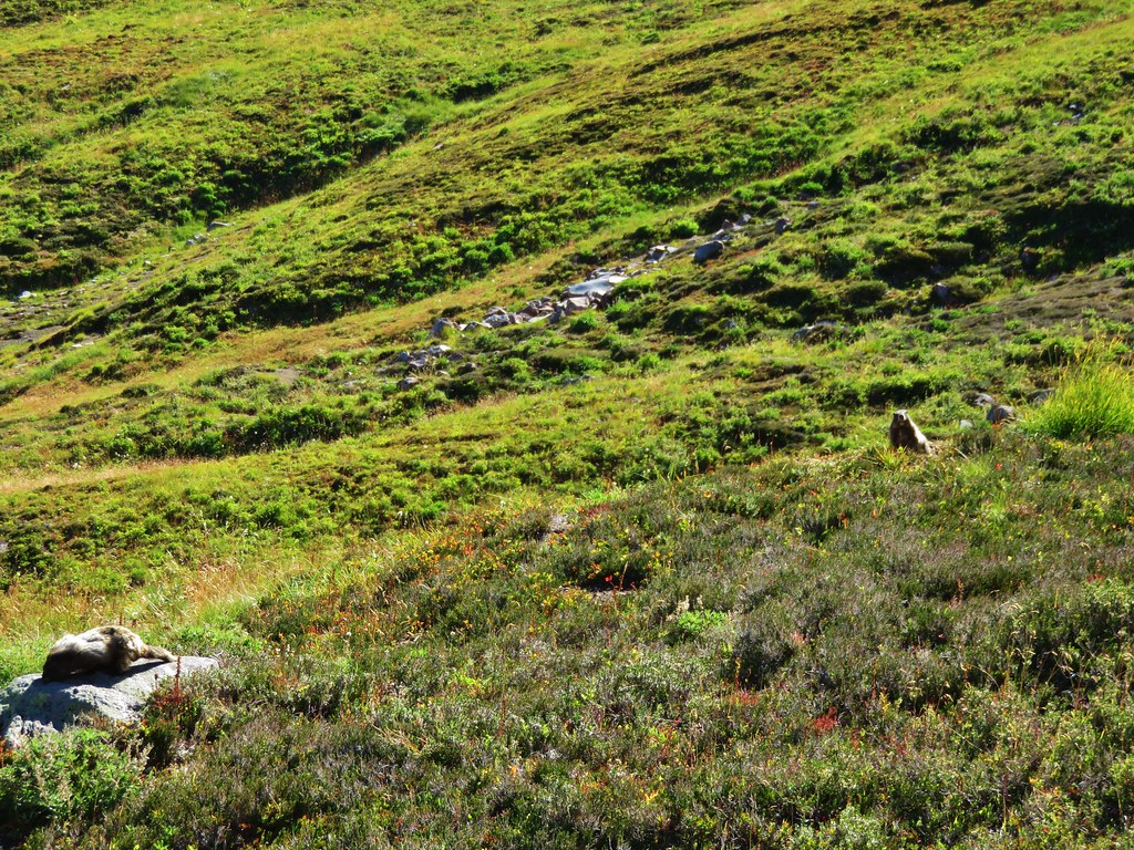
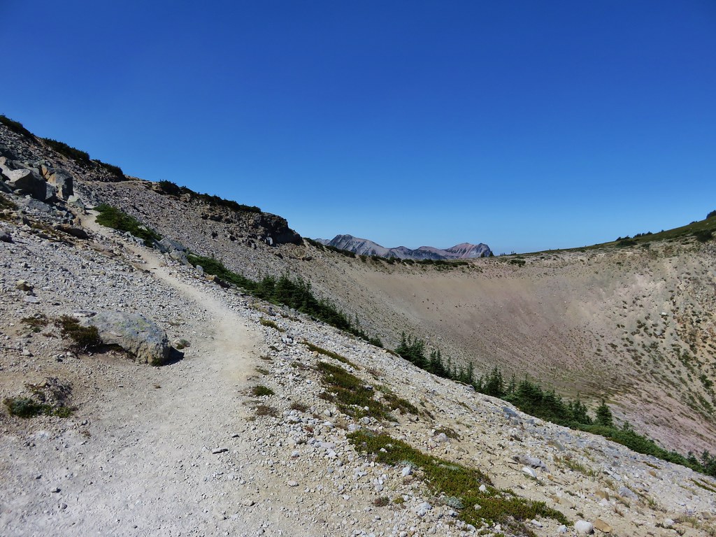
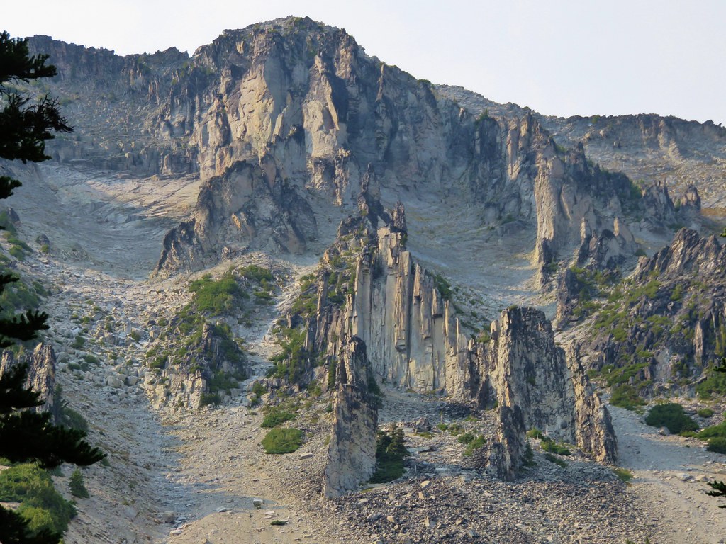
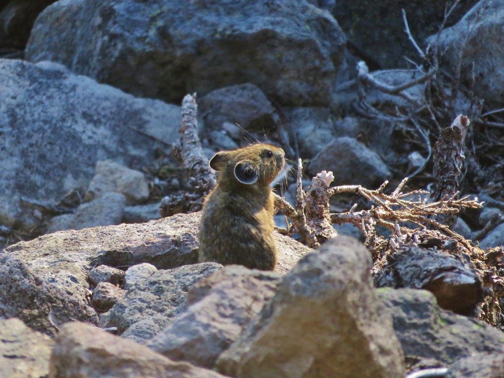
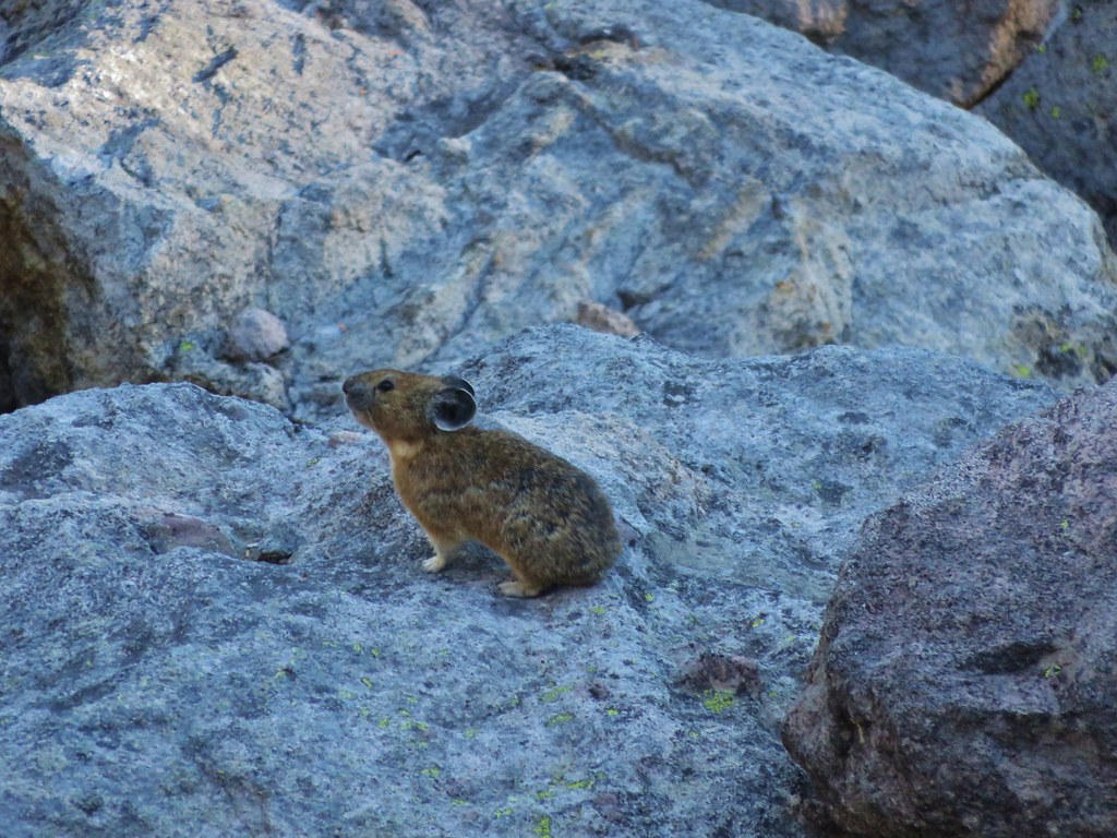
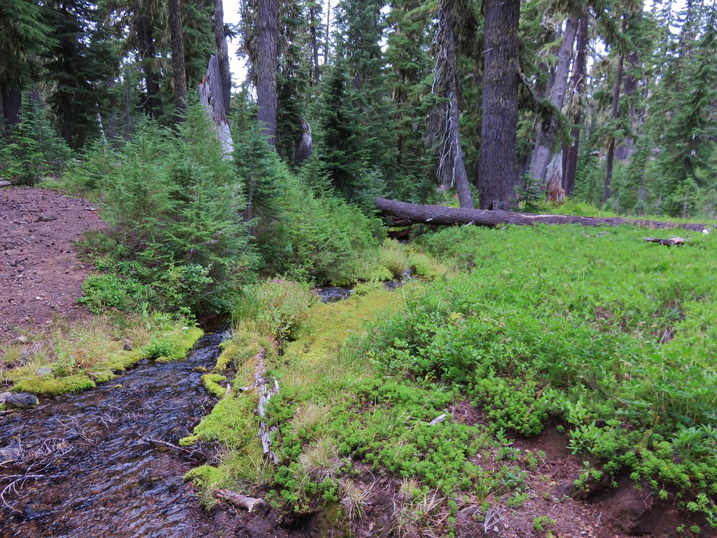
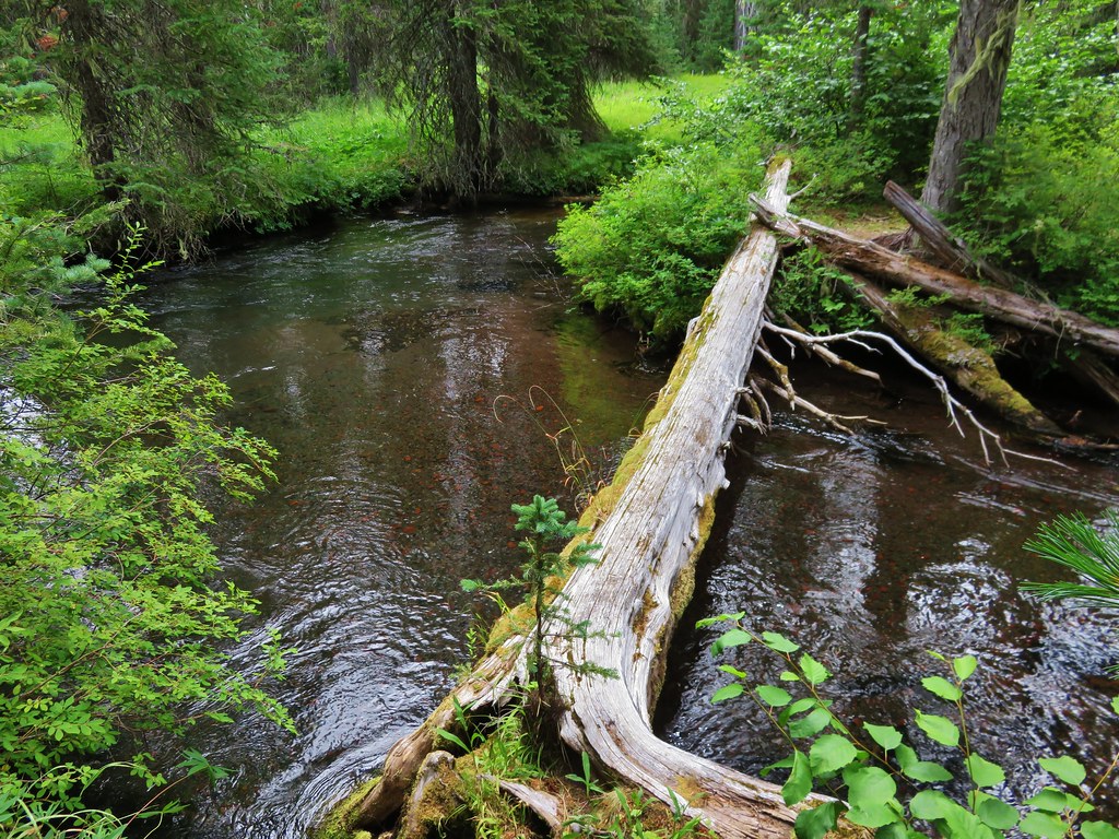
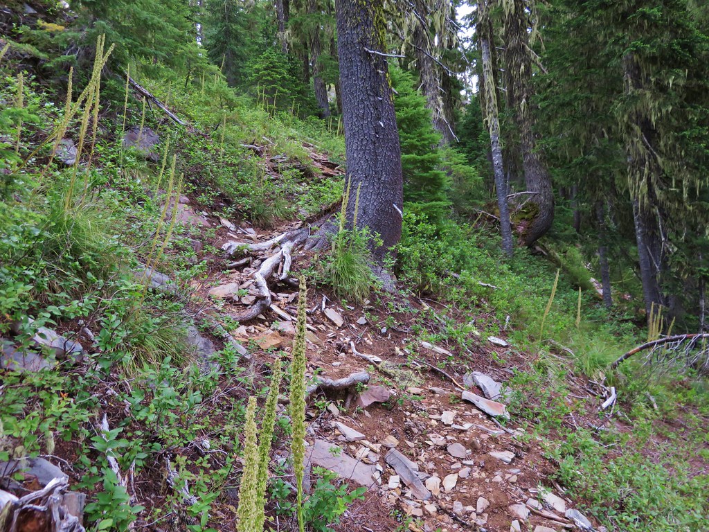
After about a mile when the trail crossed a small creek we needed to decide if we were going to try the 0.8 mile climb of Gifford Peak. We were below a rocky outcropping but it appeared that we could sidehill up steeply to a saddle where we hopped to pick up the ridge and follow it to the top.
 //embedr.flickr.com/assets/client-code.js
With the help of the topographic map loaded on the GPS unit we gained the ridge and found a path that was fairly easy to follow.
 //embedr.flickr.com/assets/client-code.js
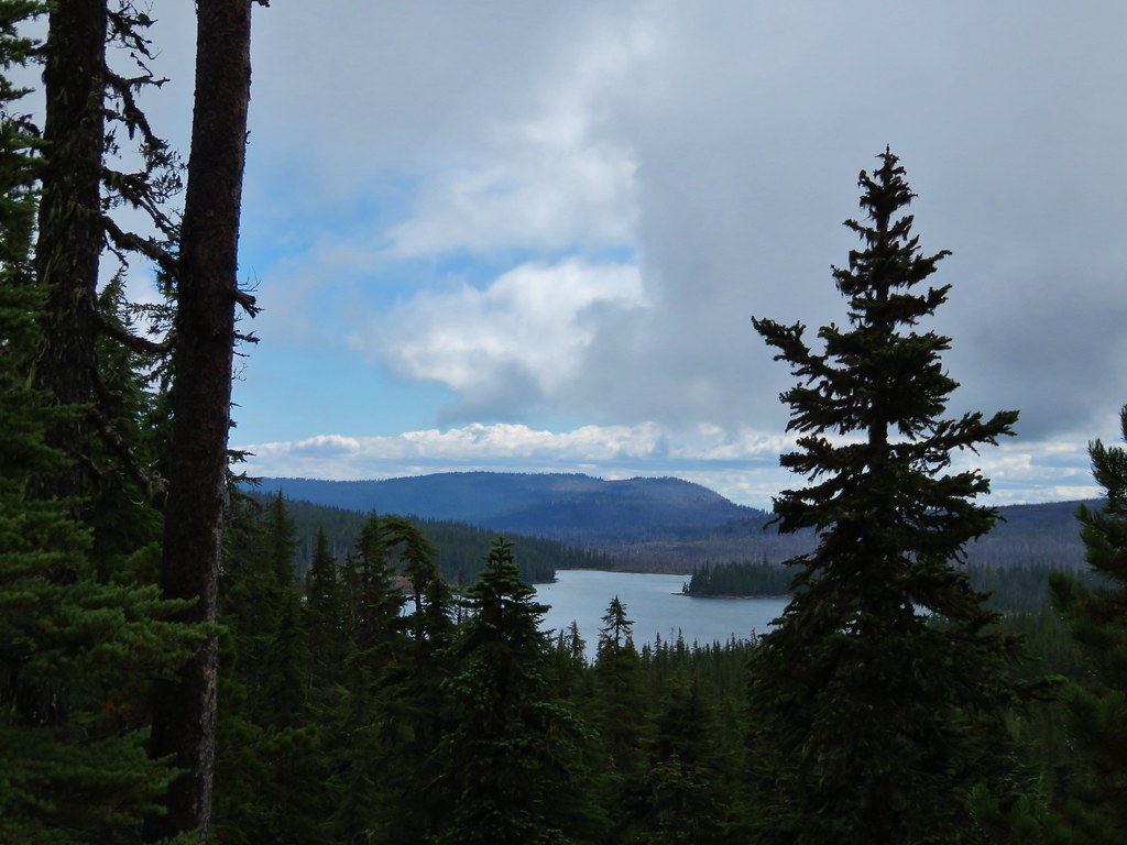
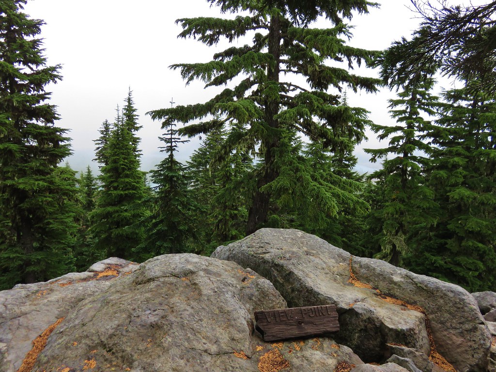
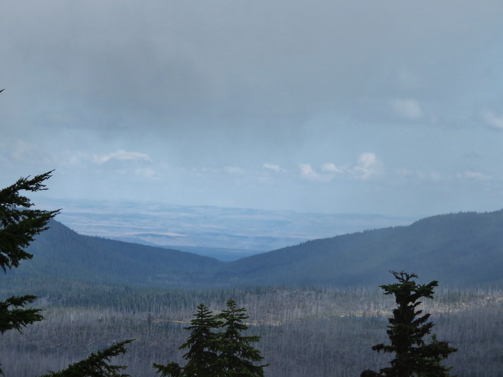
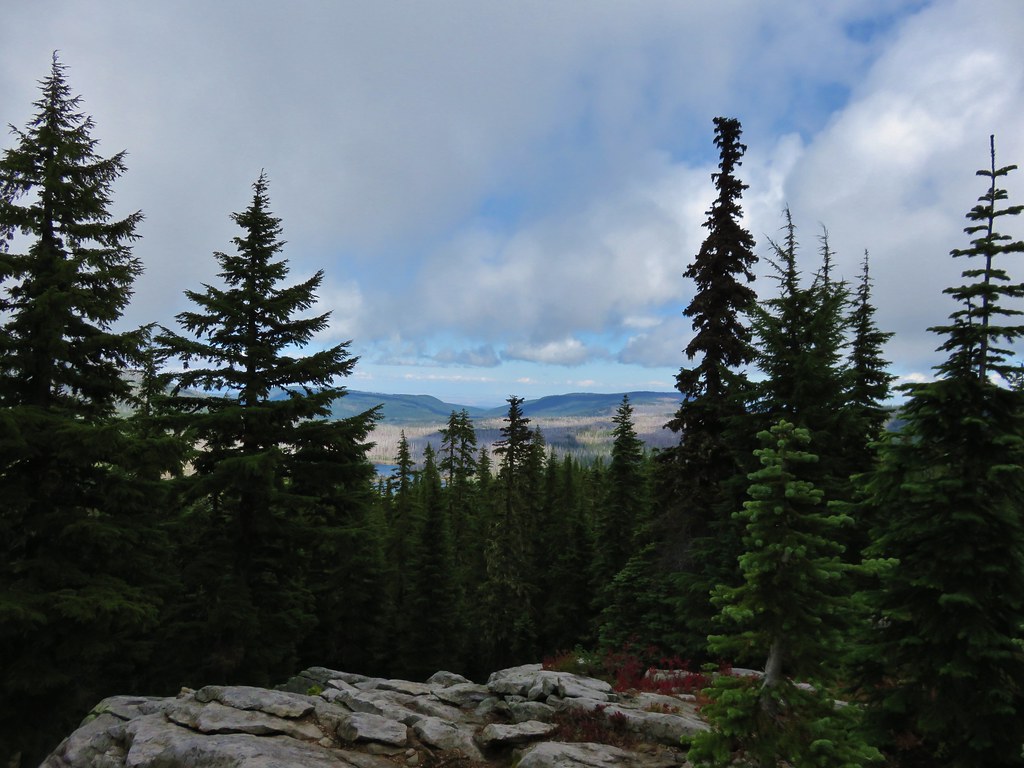
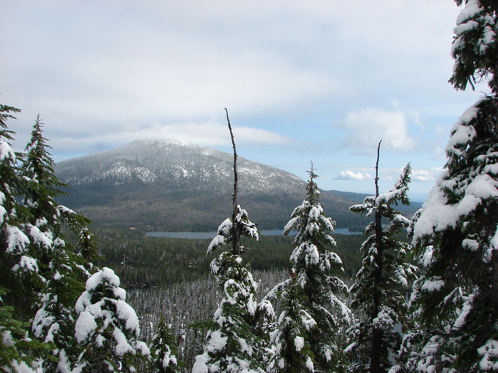
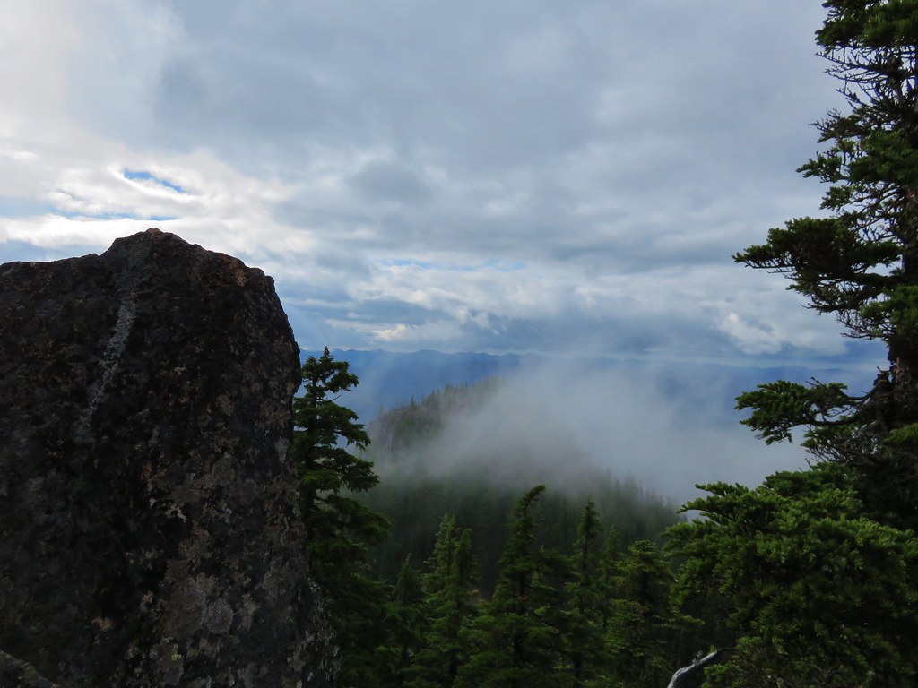
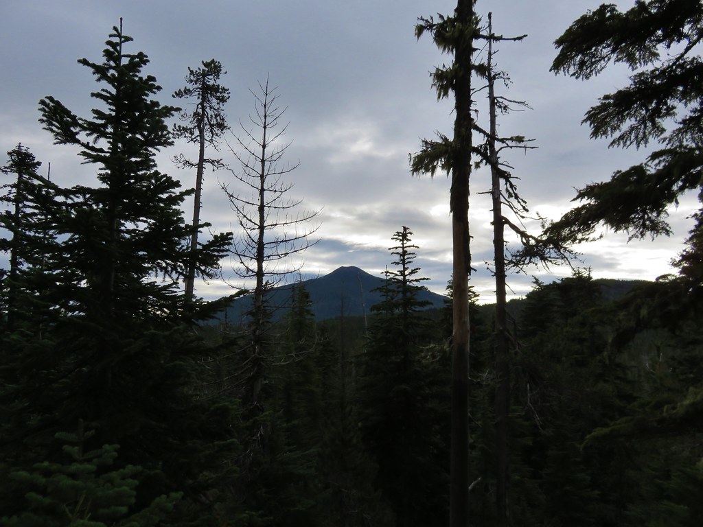
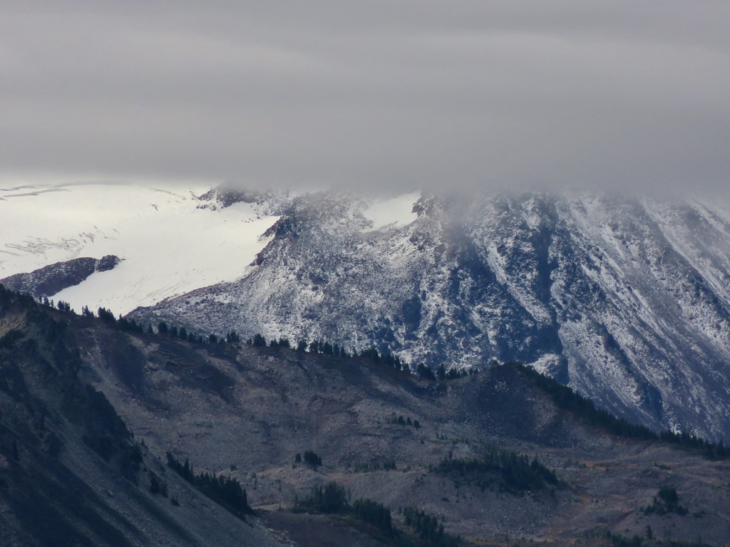
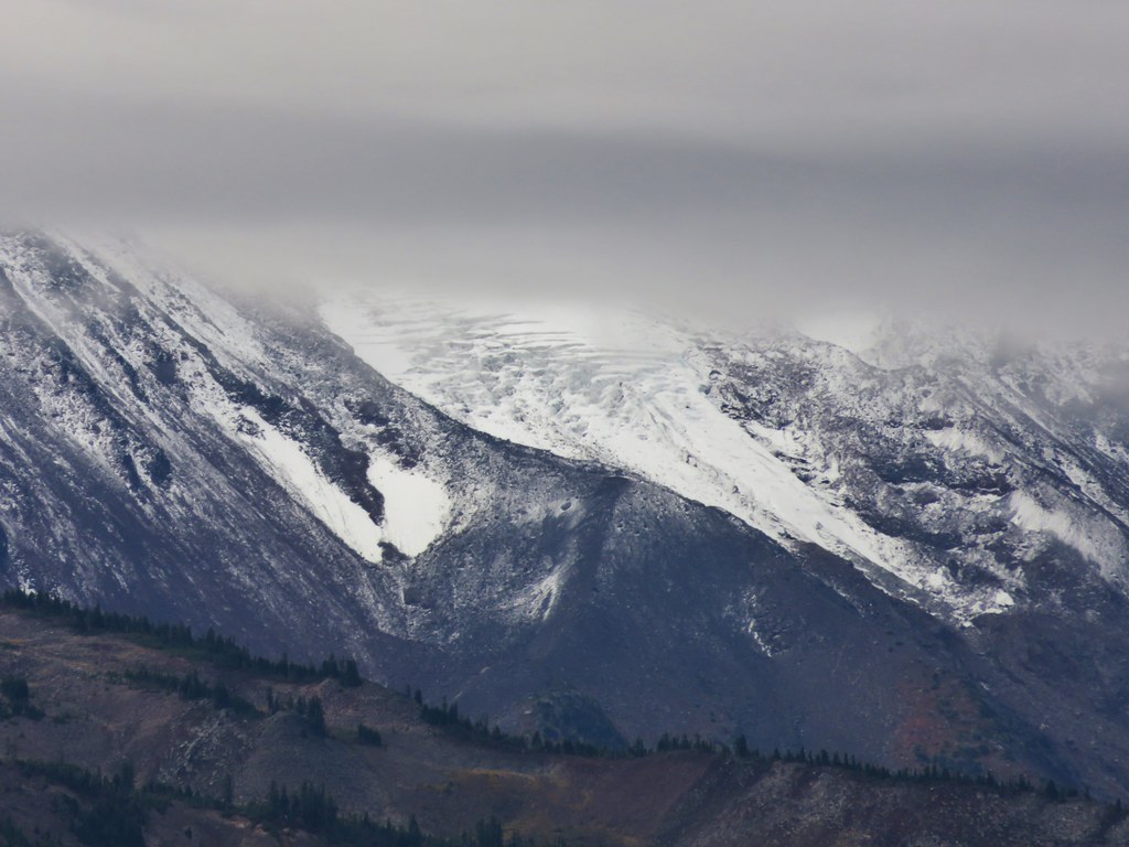
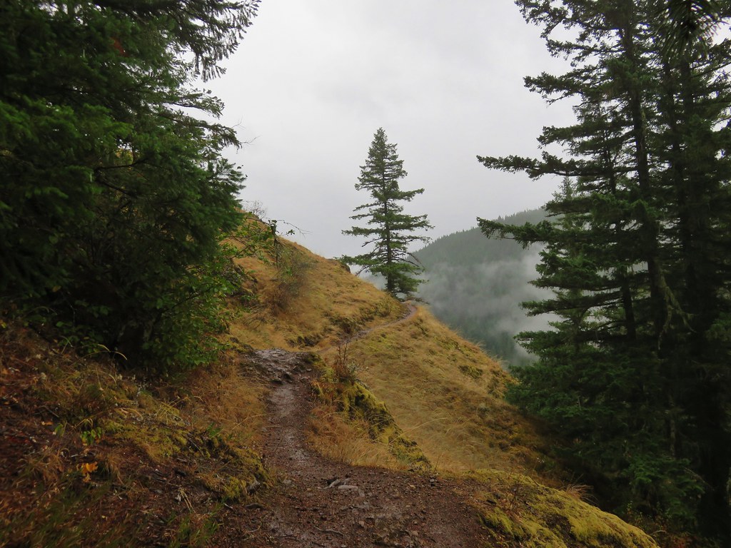
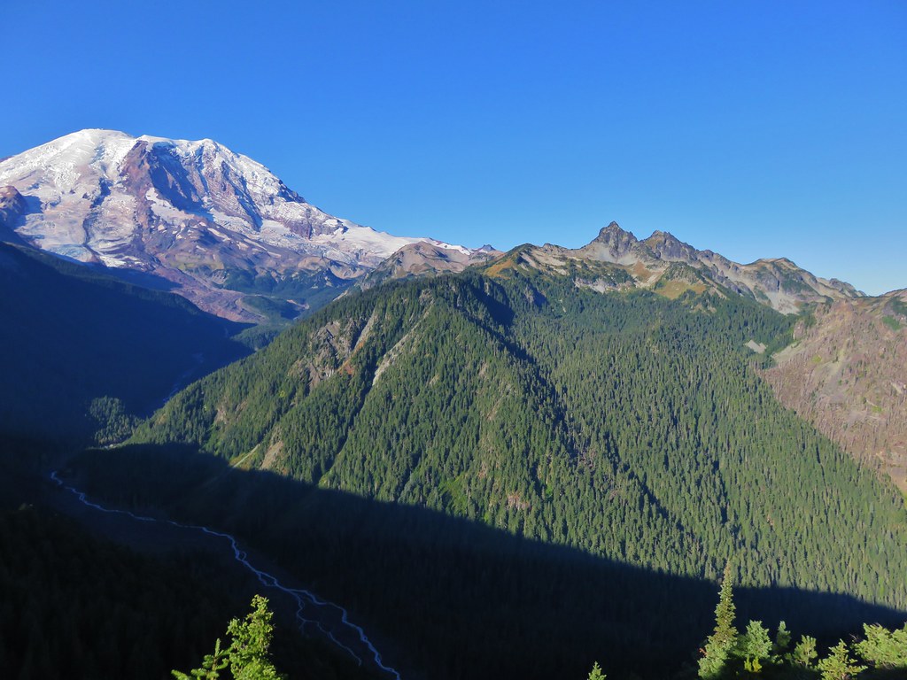
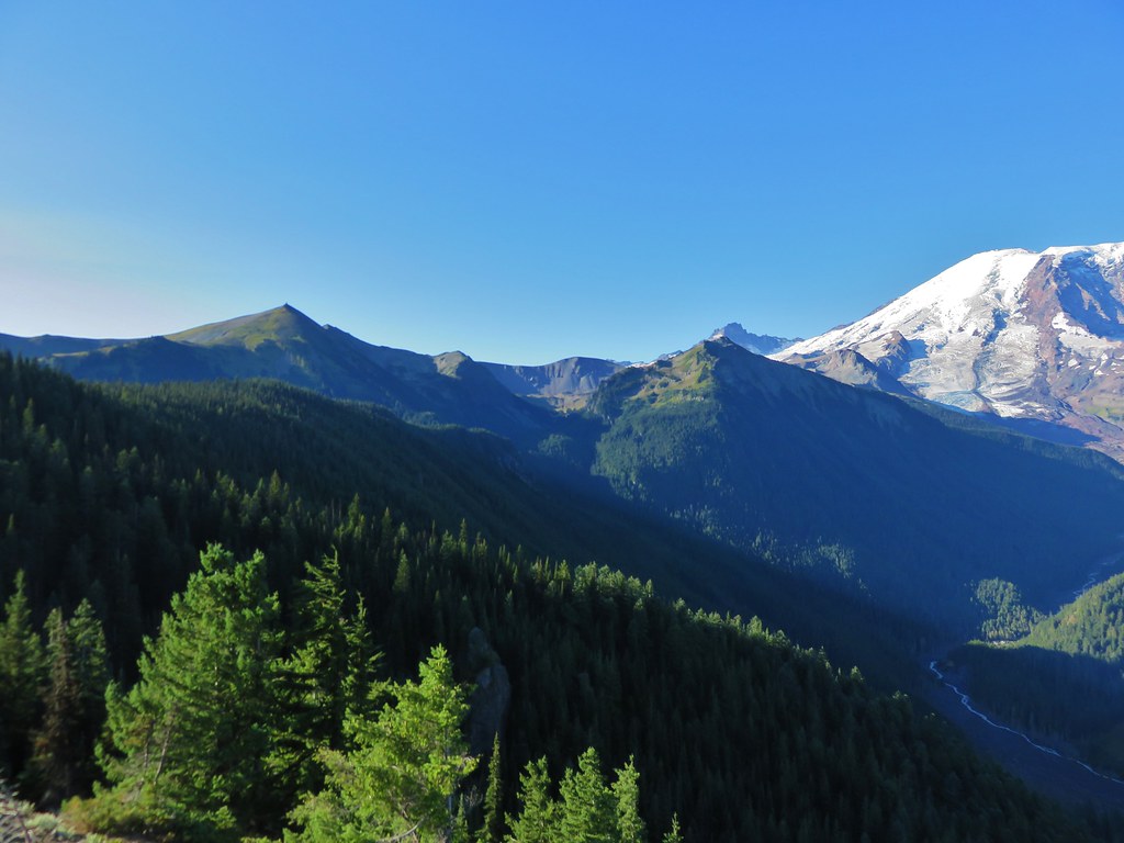
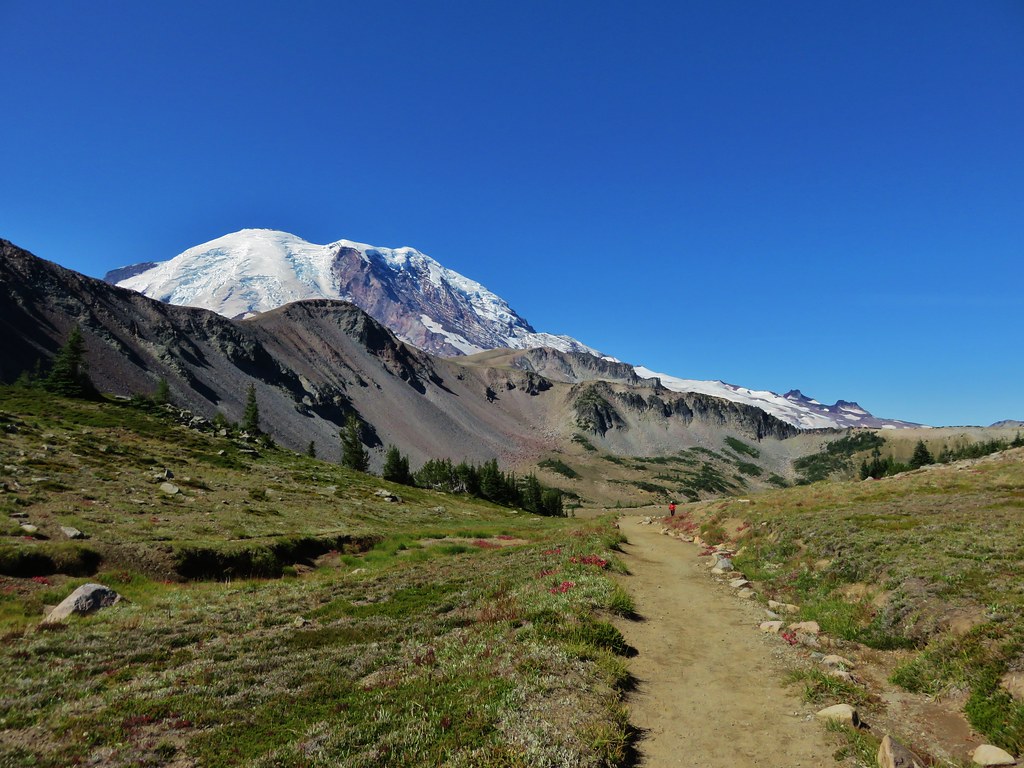
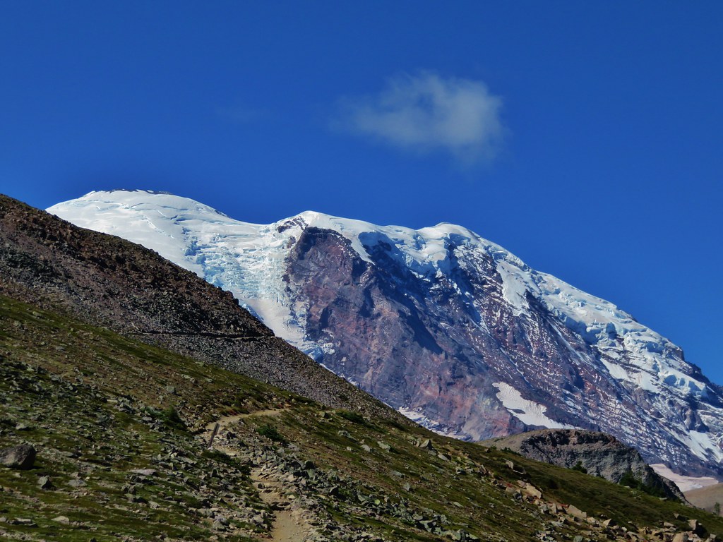
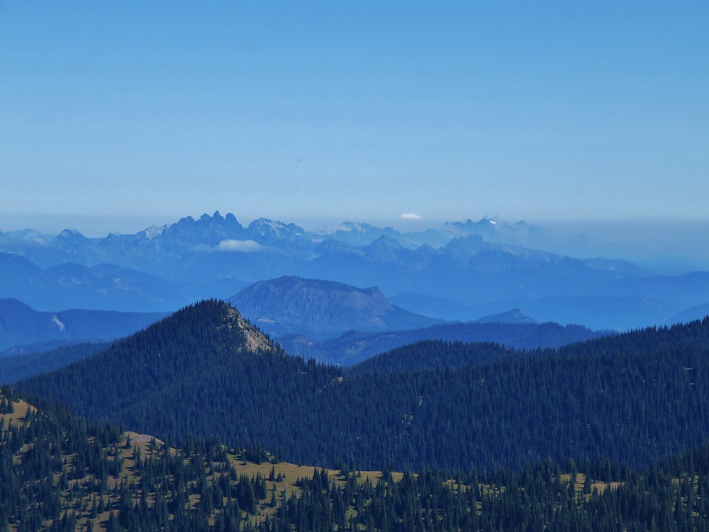
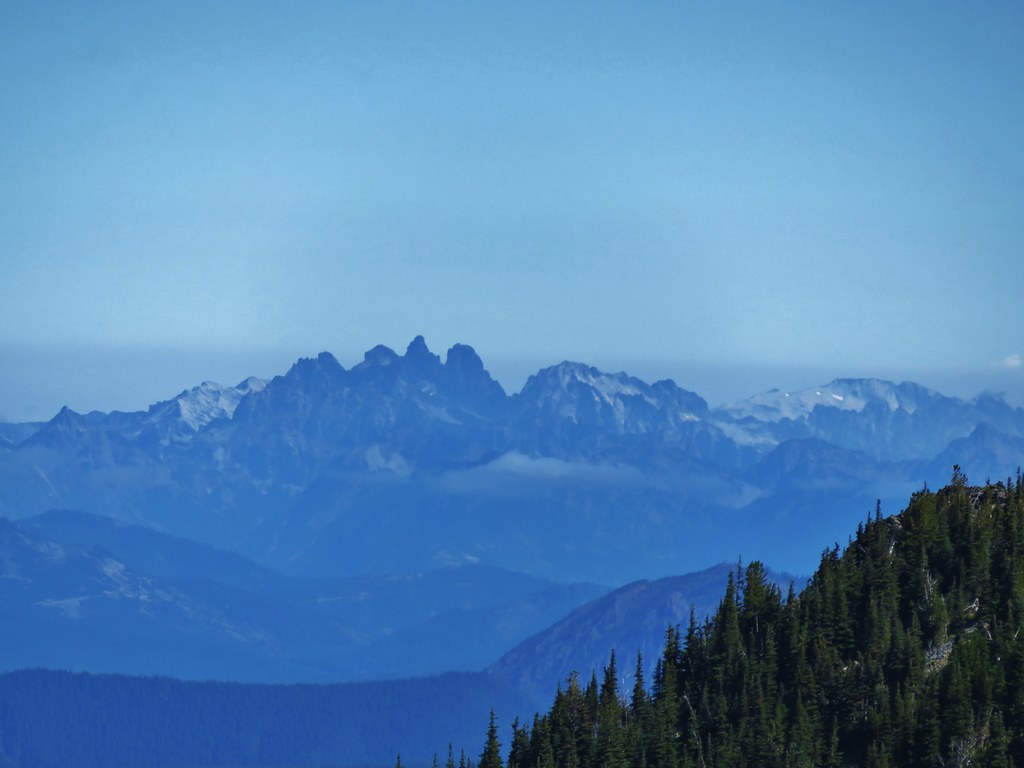
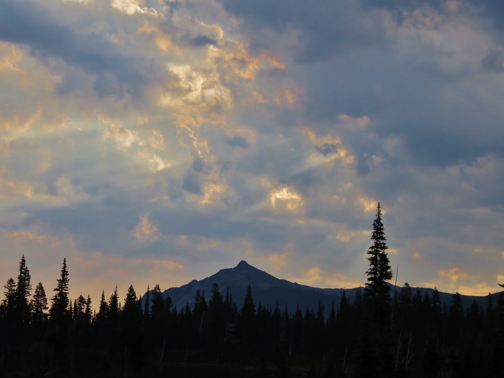
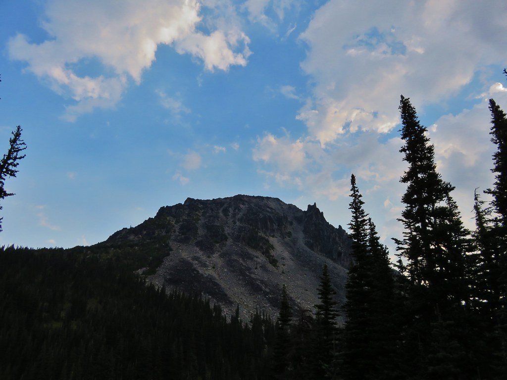
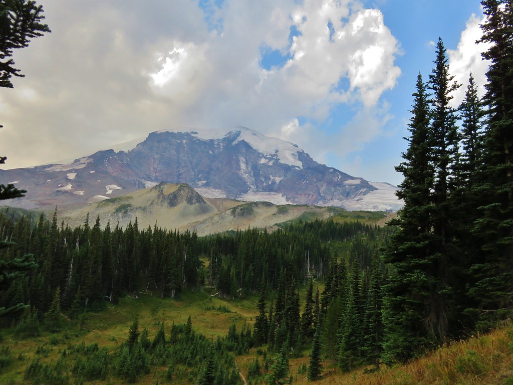
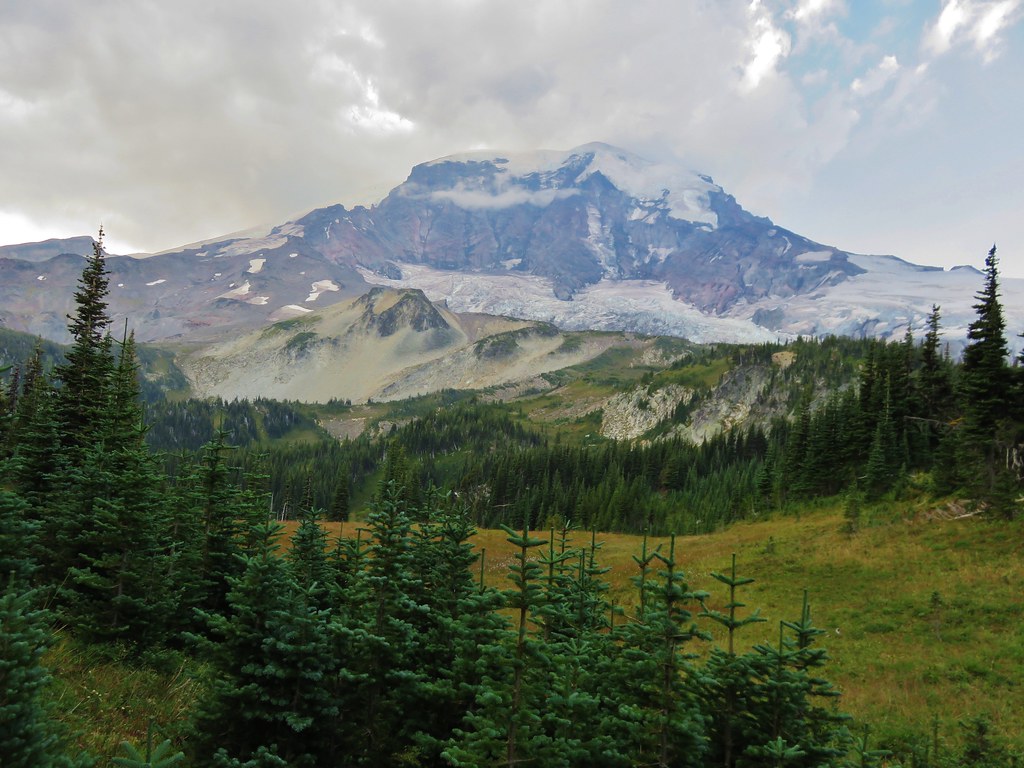
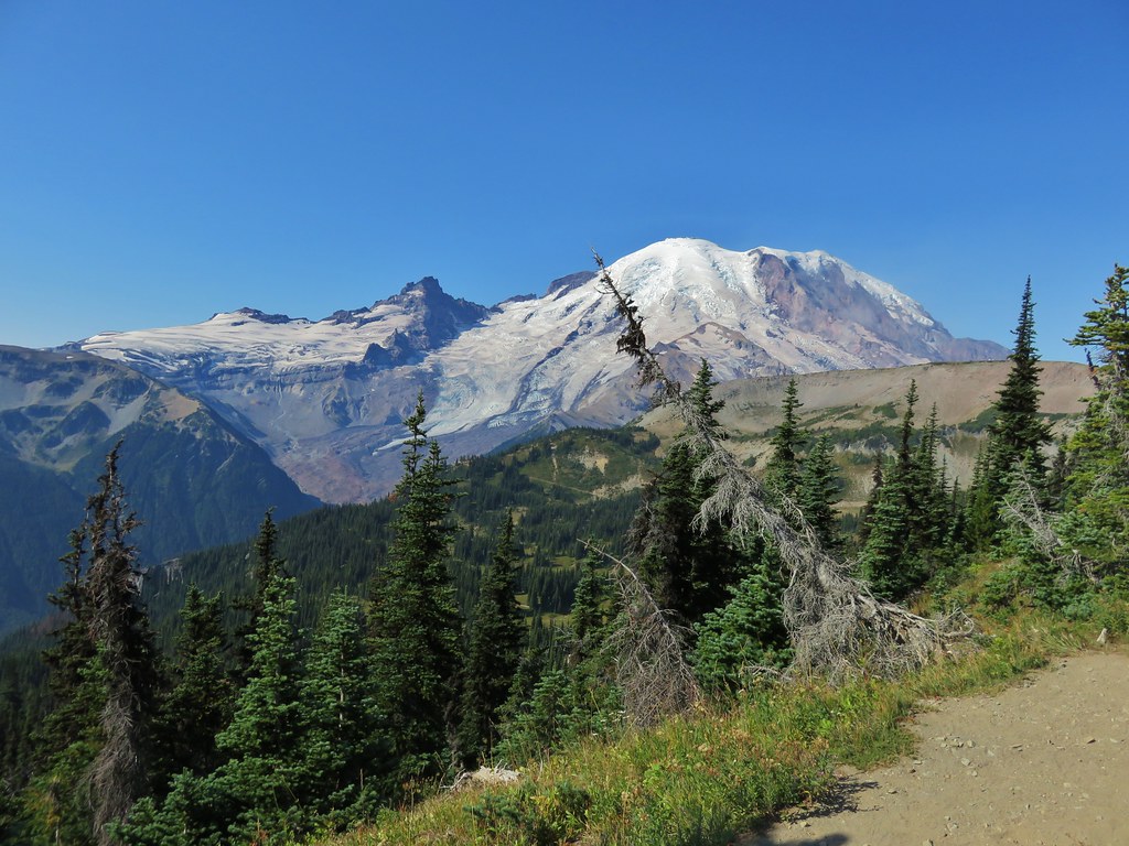
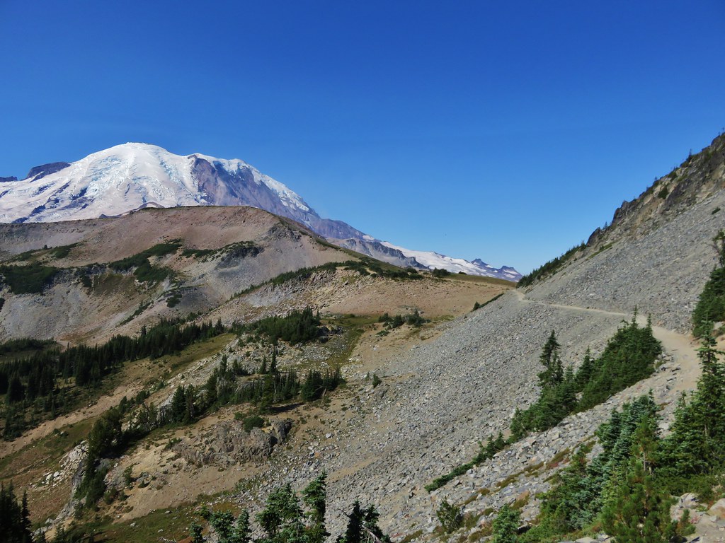
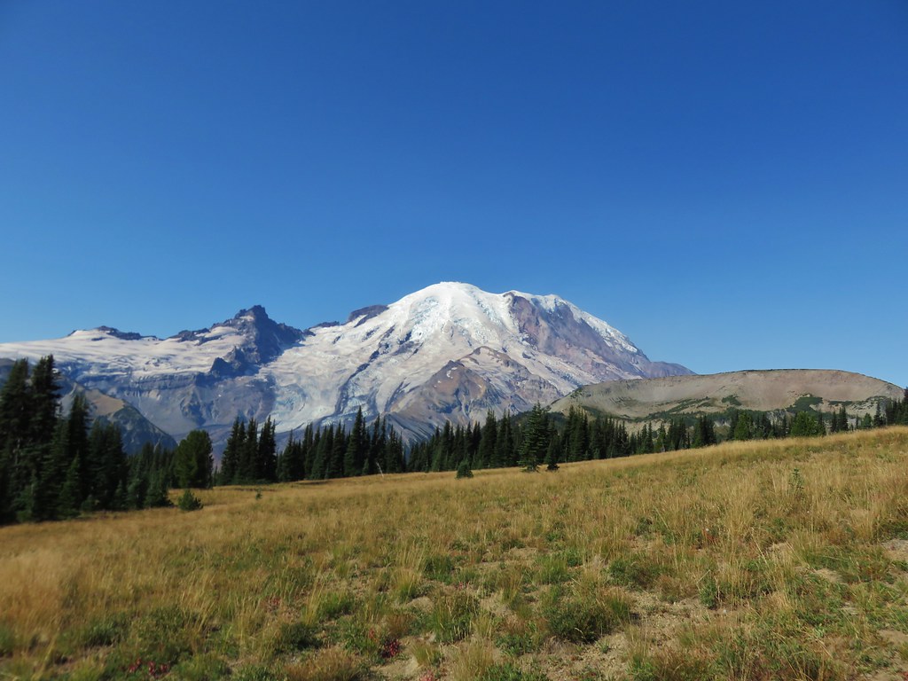
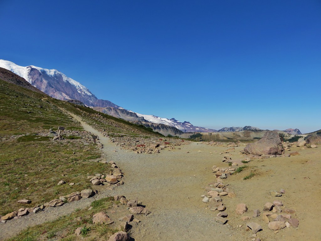
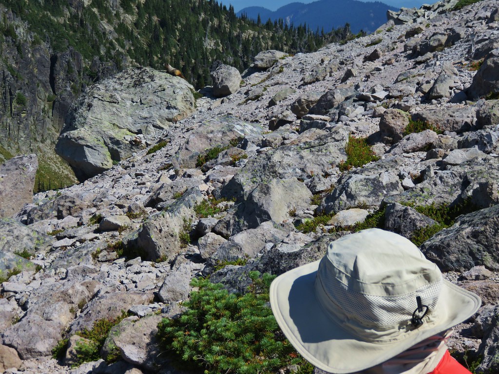
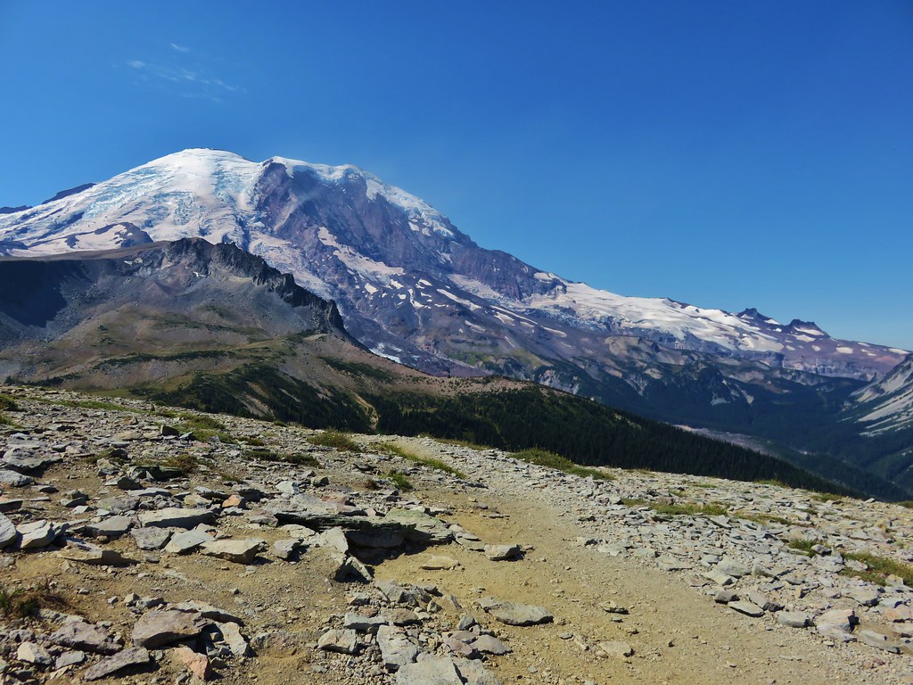
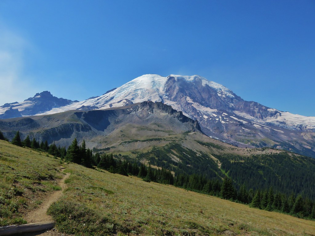
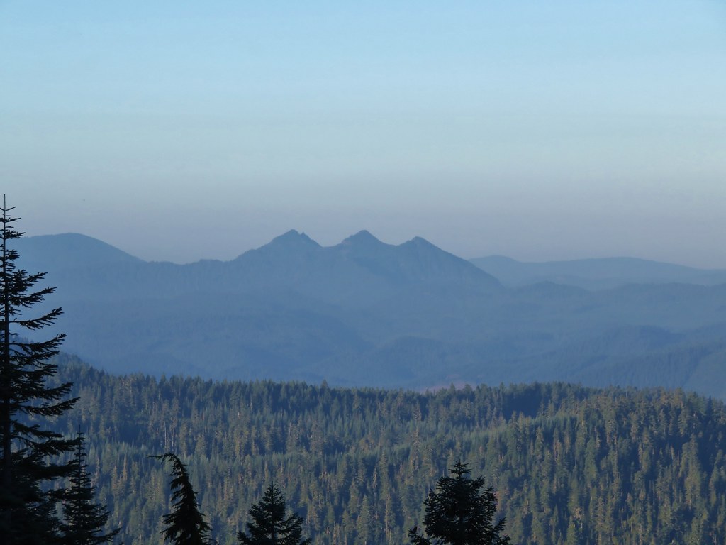
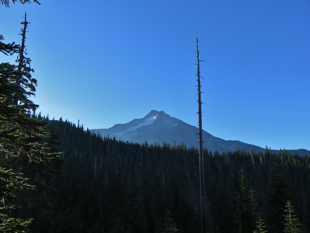
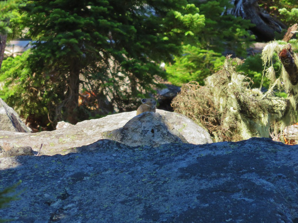
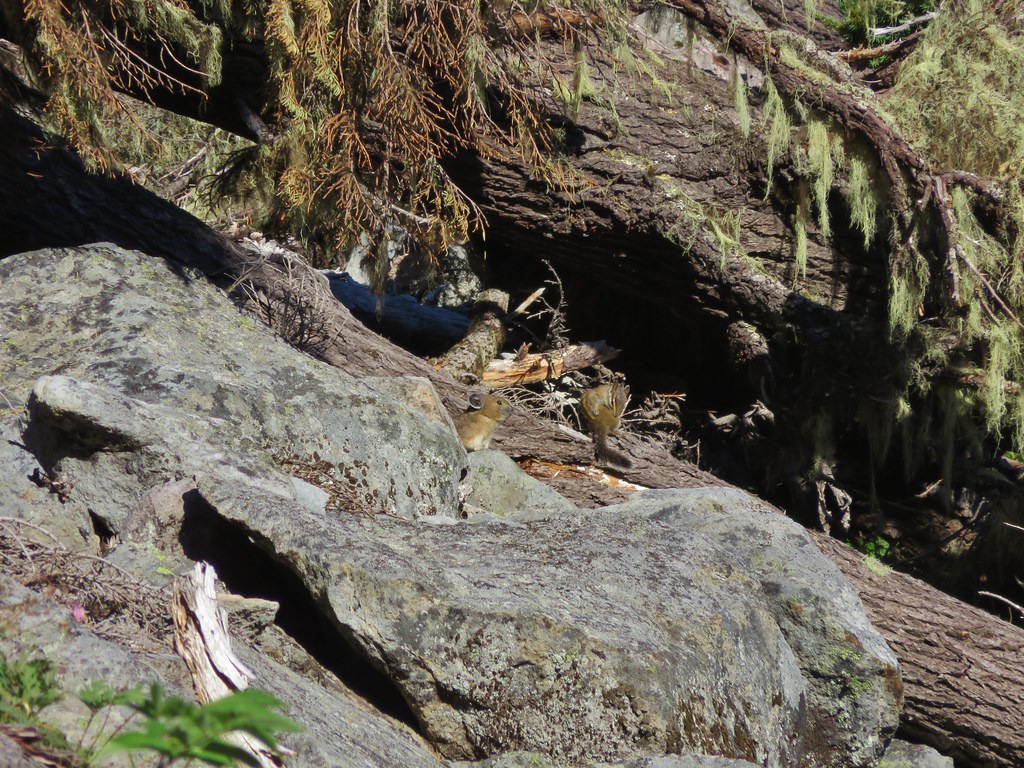
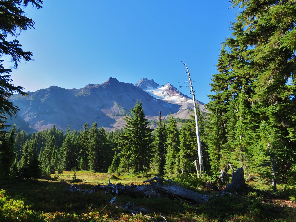
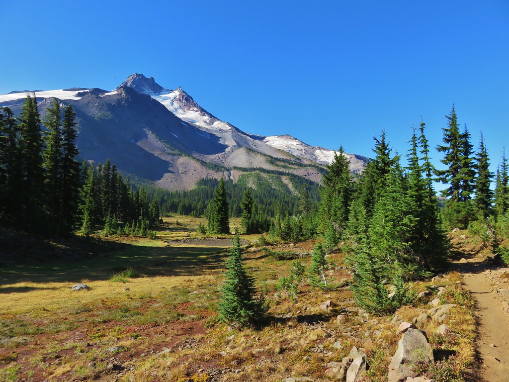
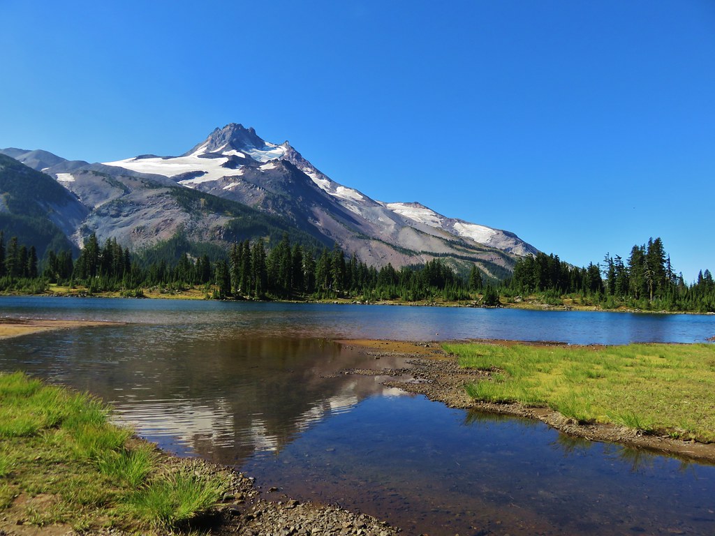
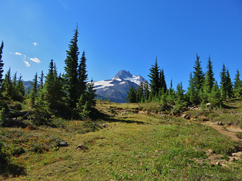
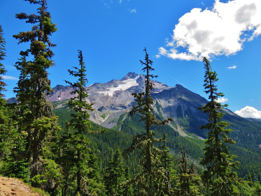
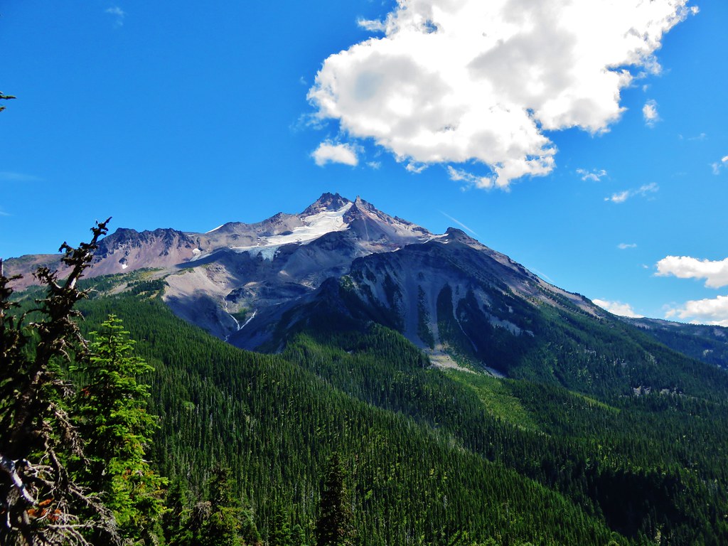
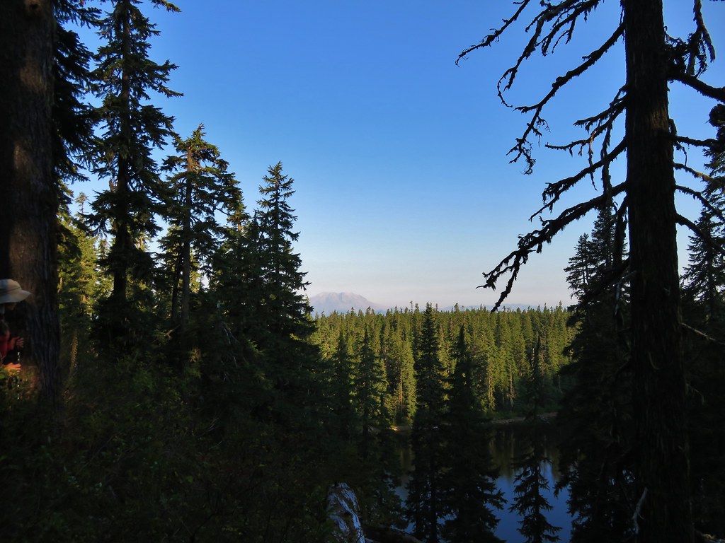
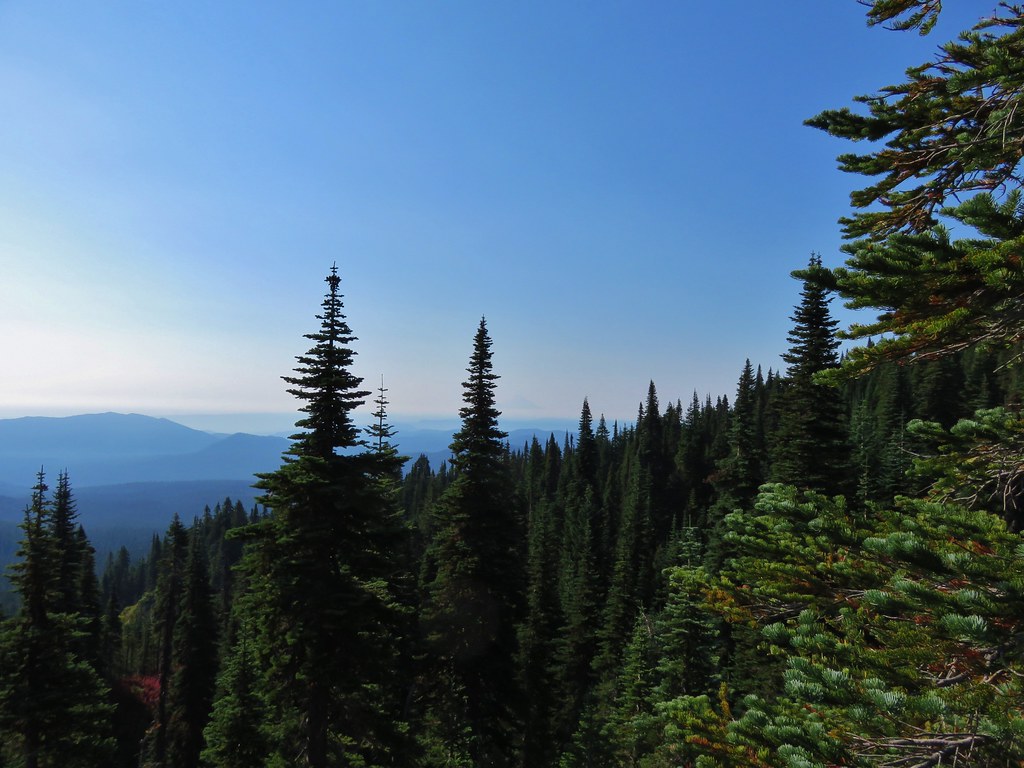
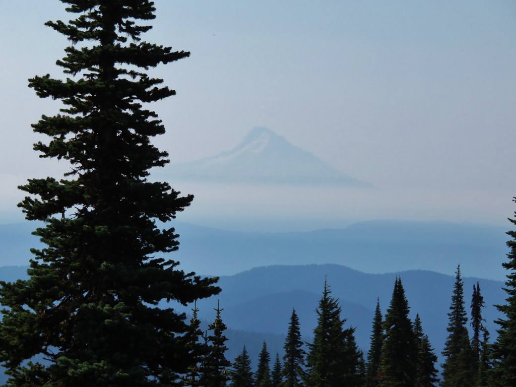
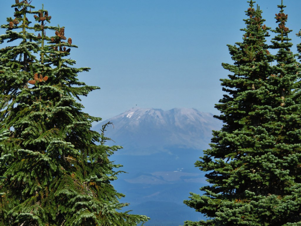
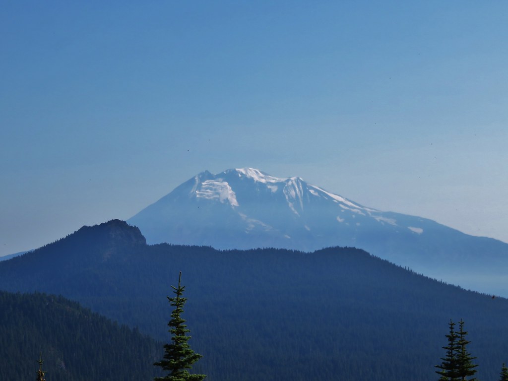
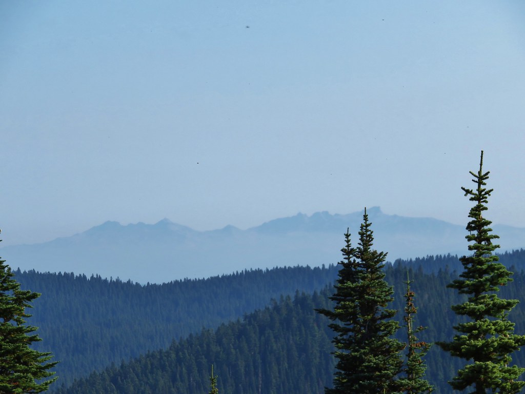
The first section up to the saddle proved to be the steepest and the rest of the climb was more gradual. Openings near the summit offered views of Mt. Hood, Mt. St. Helens, and Mt. Rainier.
Mt. Hood
 //embedr.flickr.com/assets/client-code.js
 //embedr.flickr.com/assets/client-code.js
Mt. St. Helens
 //embedr.flickr.com/assets/client-code.js
 //embedr.flickr.com/assets/client-code.js
Mt. Rainier
 //embedr.flickr.com/assets/client-code.js
 //embedr.flickr.com/assets/client-code.js
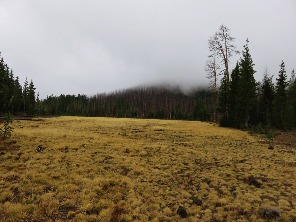
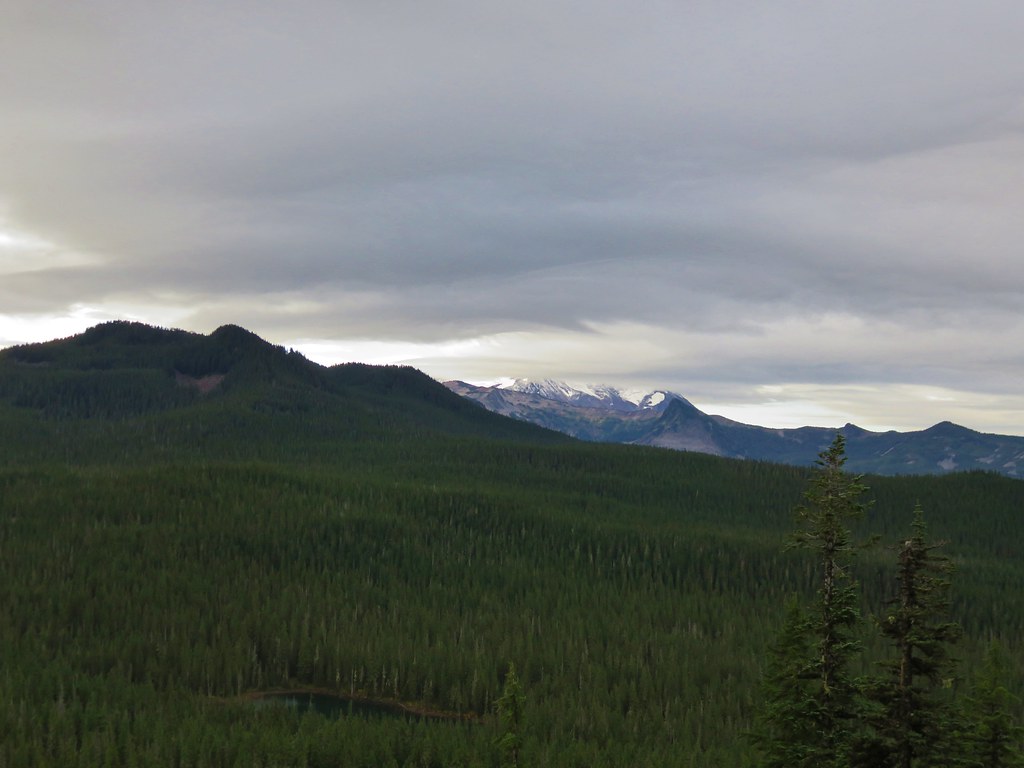
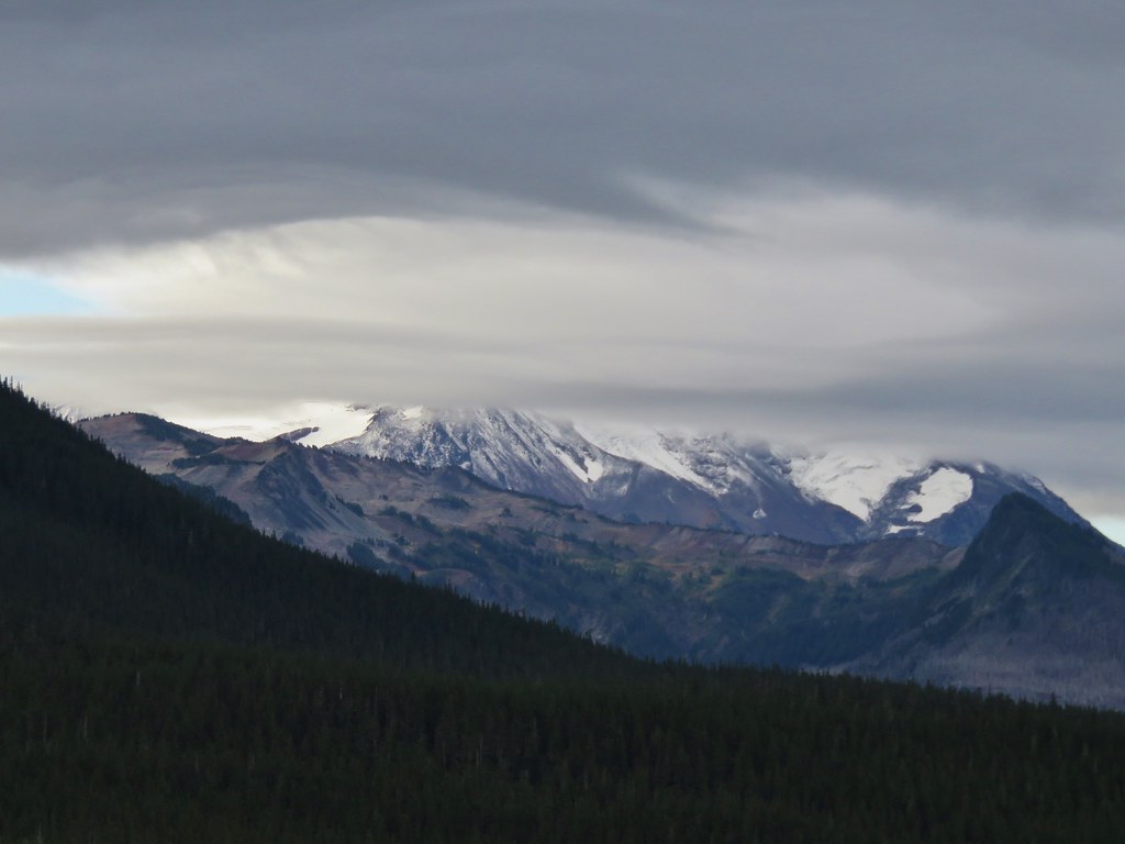
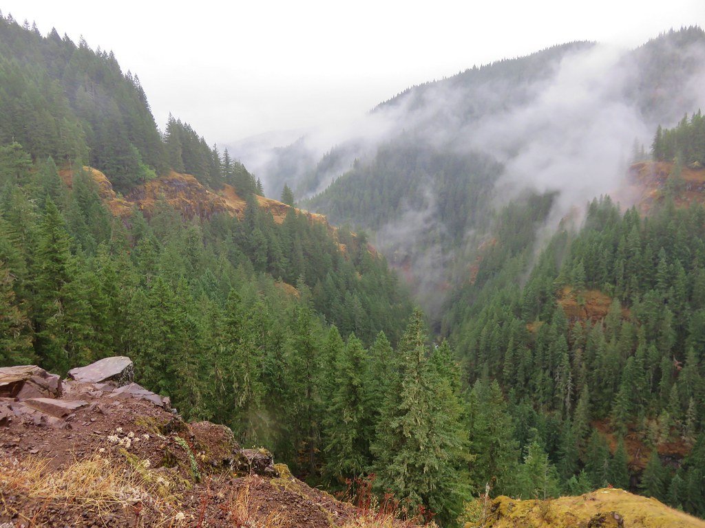
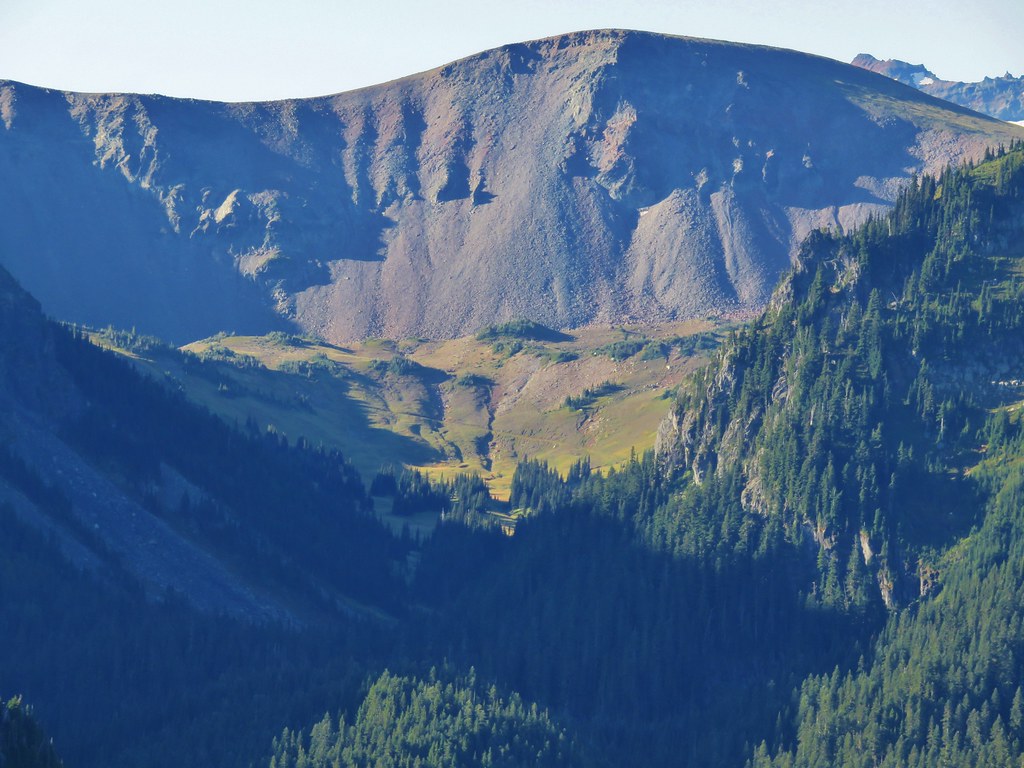
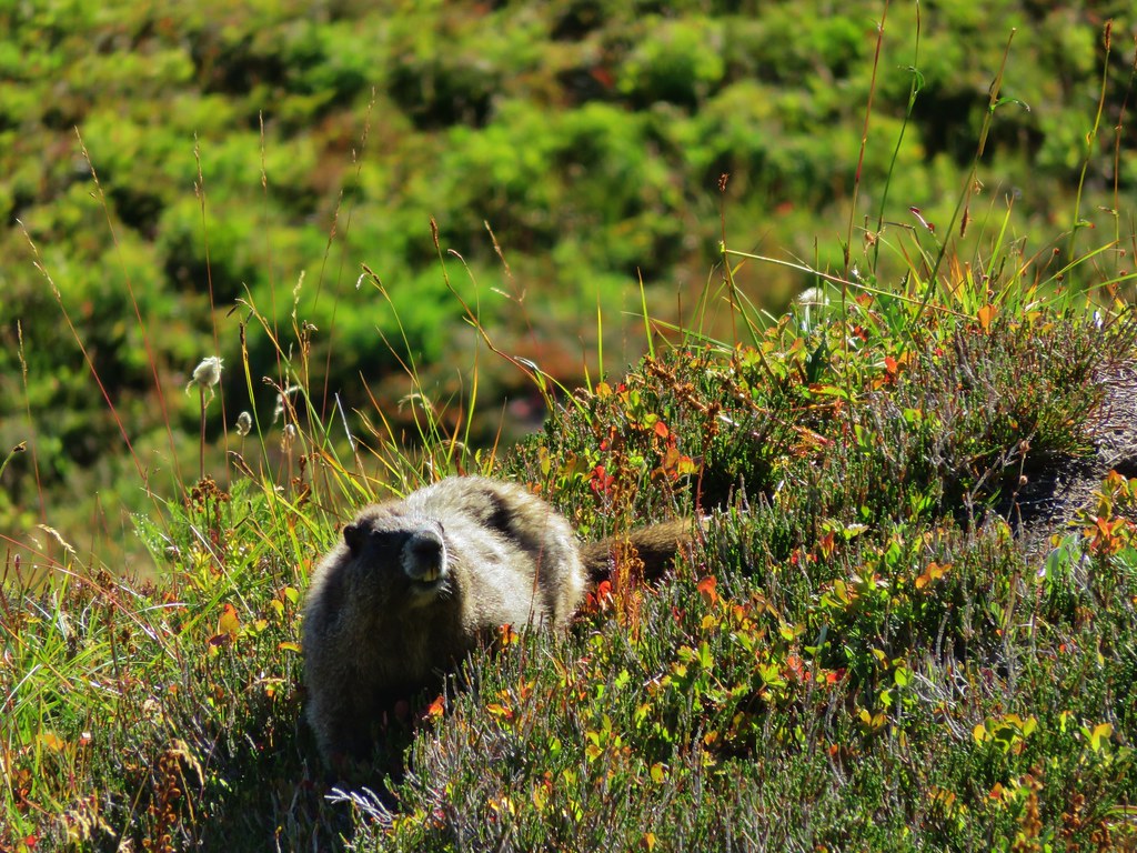
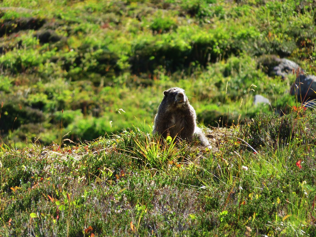
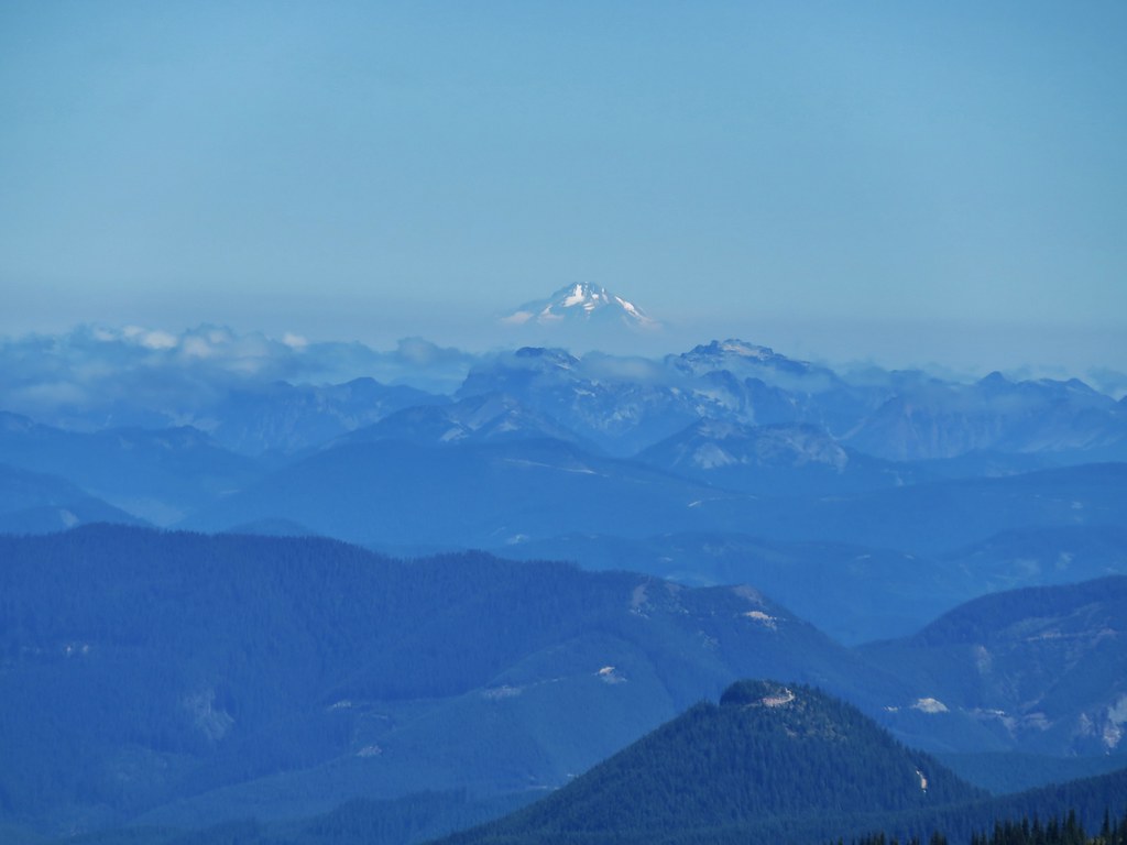
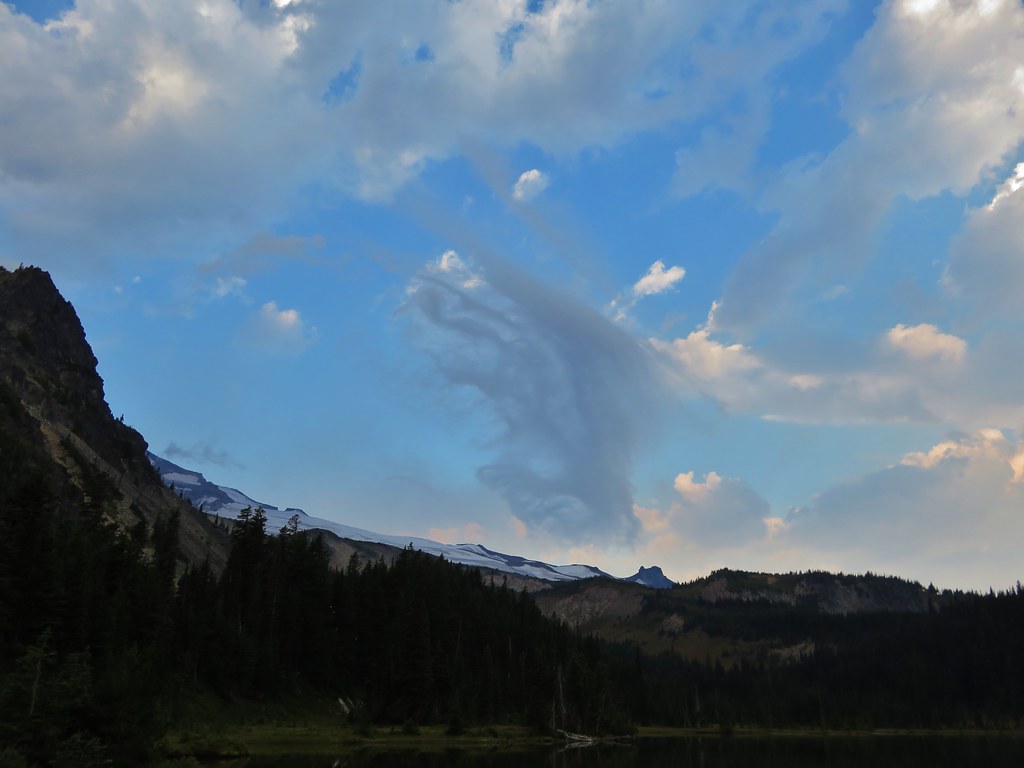
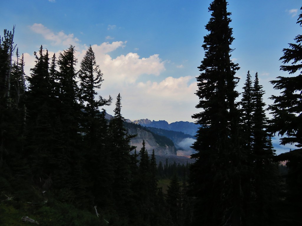
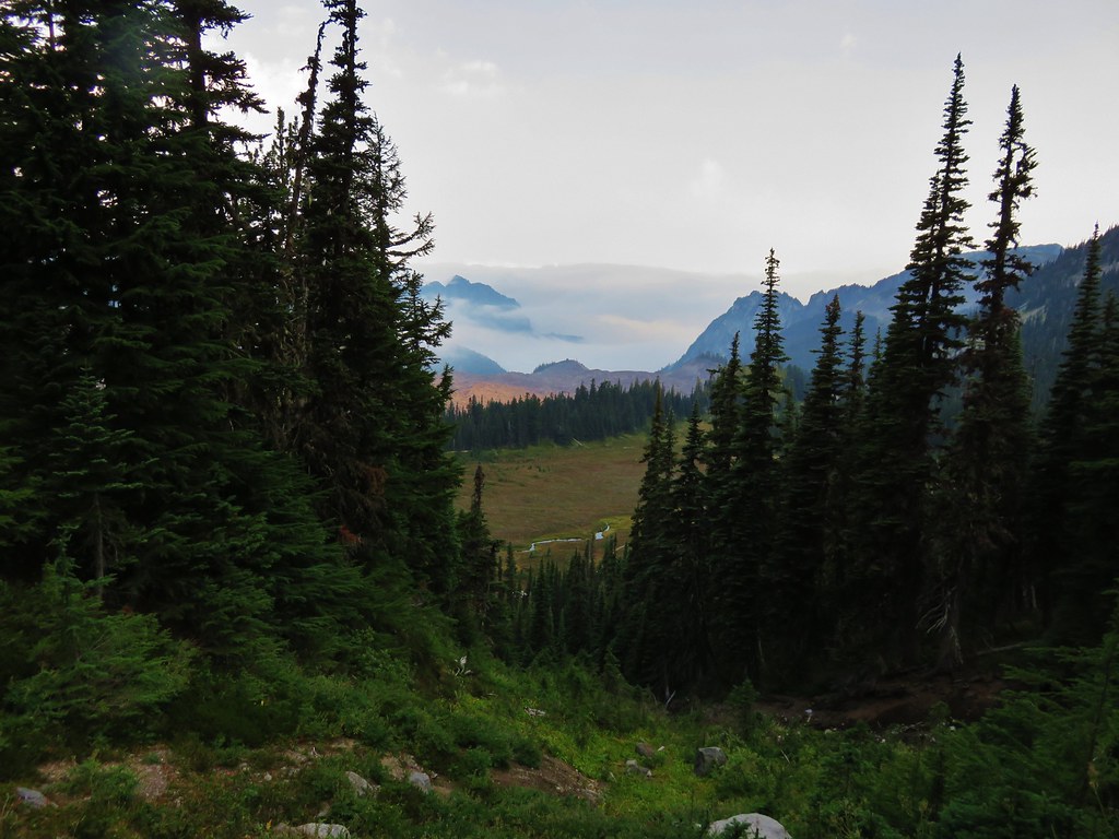
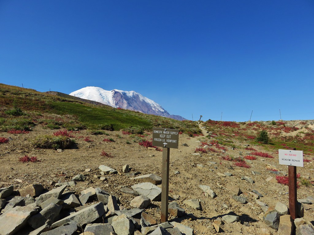
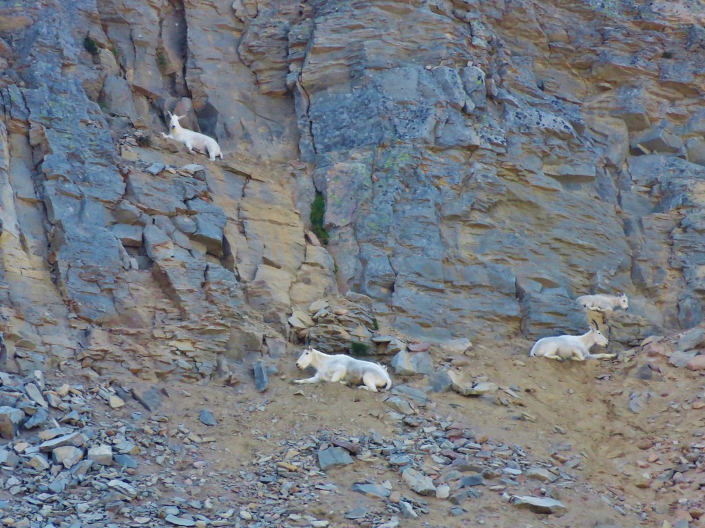
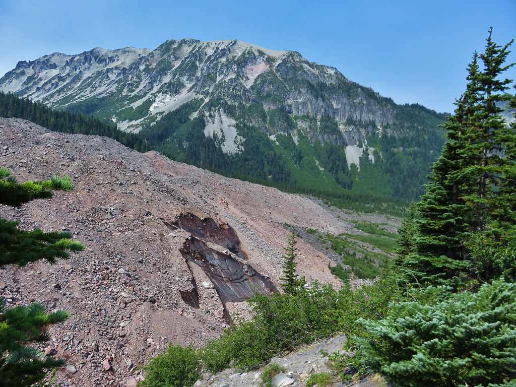
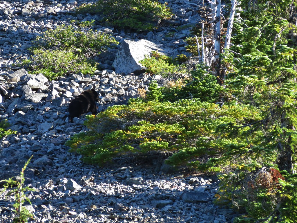
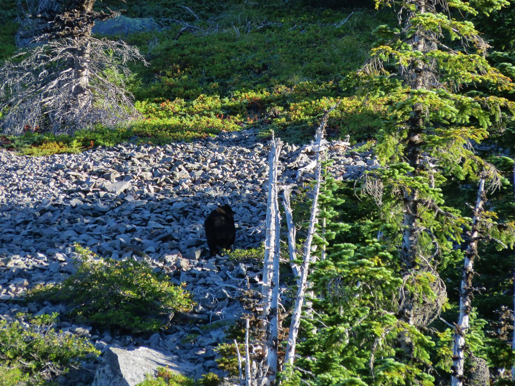
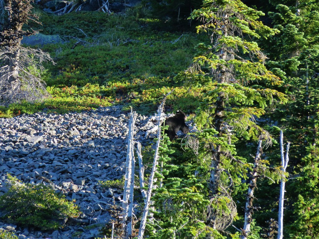
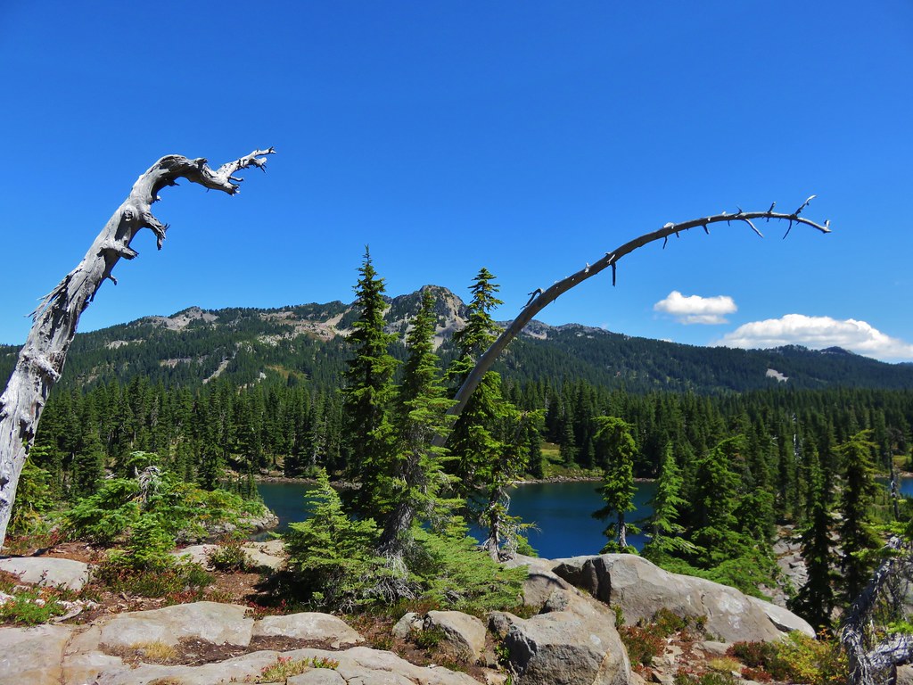
It wasn’t exactly the clearest of skies as there seemed to be a haze in every direction. Whether it was smoke from fires or just due to the heat/humidity in the area we weren’t sure but it was still a nice view. We reached the summit to find a small summit register and a view of Mt. Adams and Goat Rocks.
Mt. Adams
 //embedr.flickr.com/assets/client-code.js
 //embedr.flickr.com/assets/client-code.js
Goat Rocks
 //embedr.flickr.com/assets/client-code.js
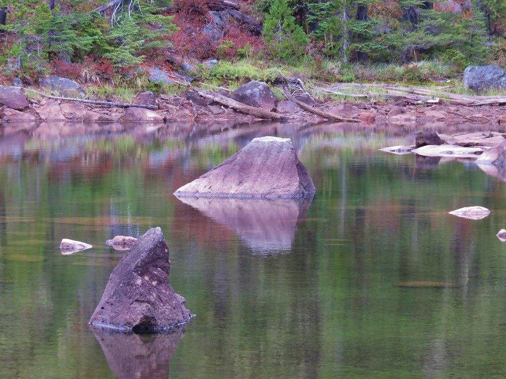
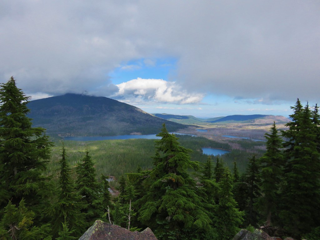
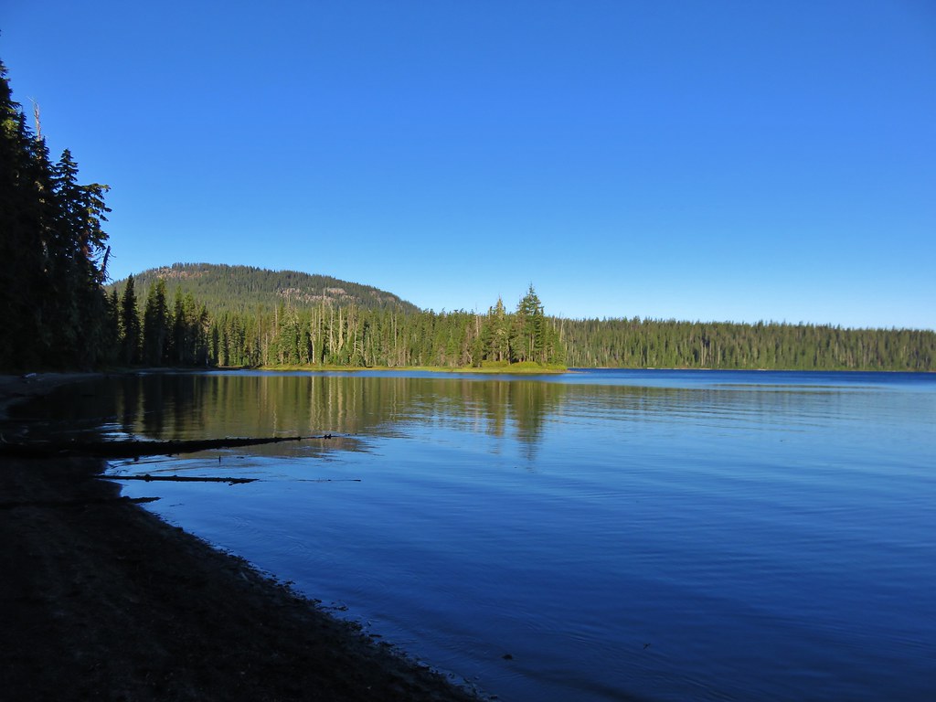
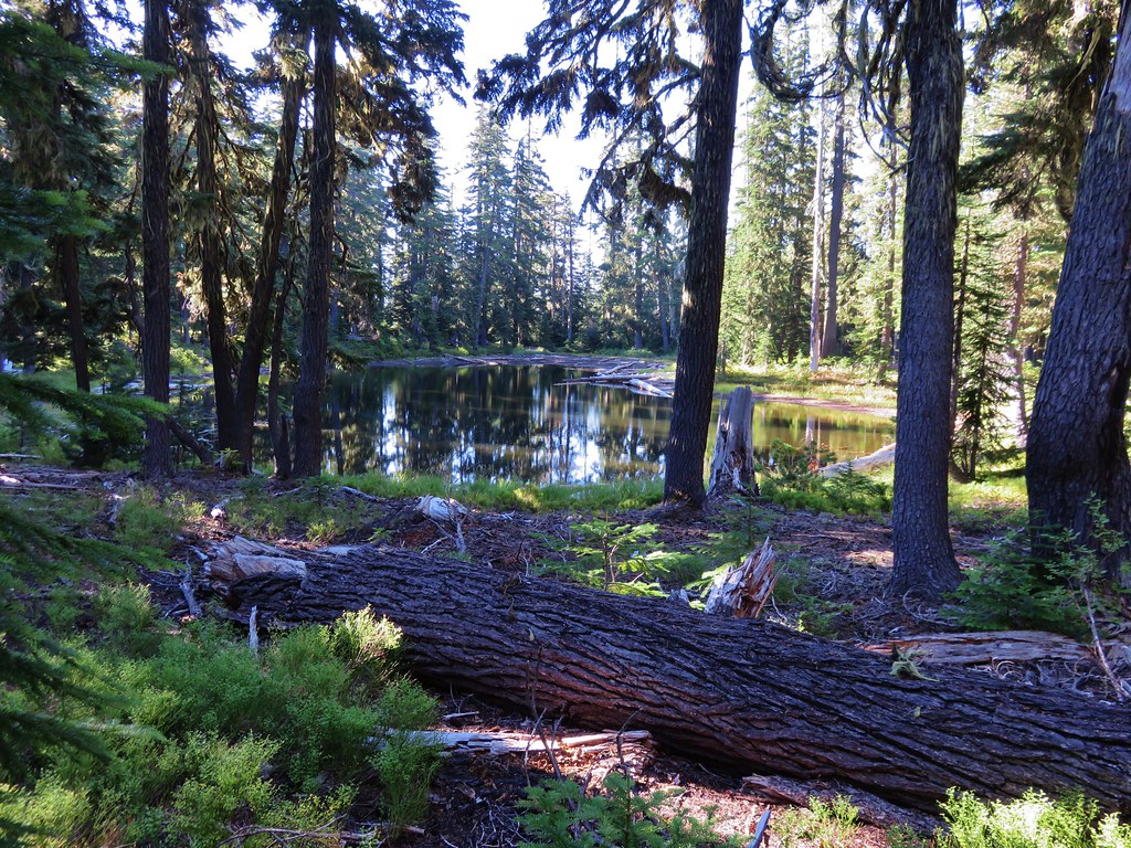
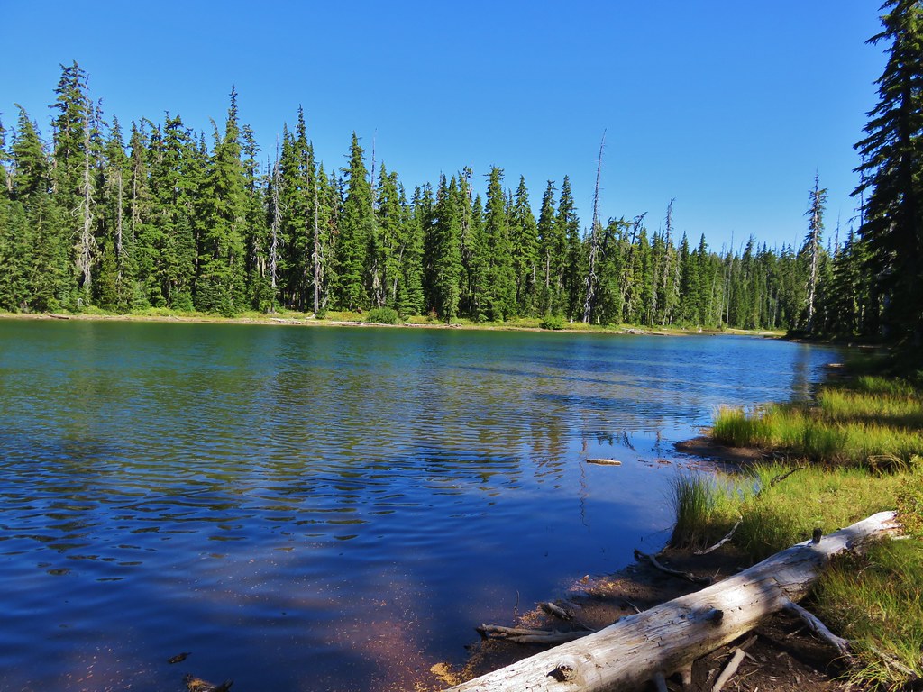
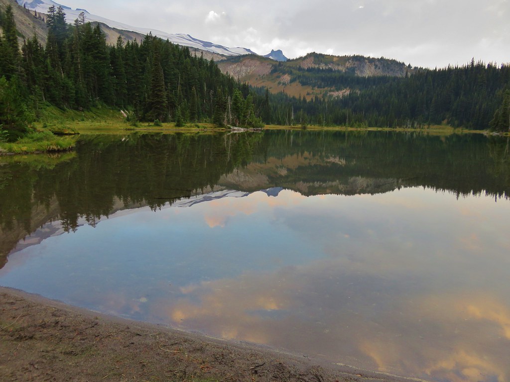
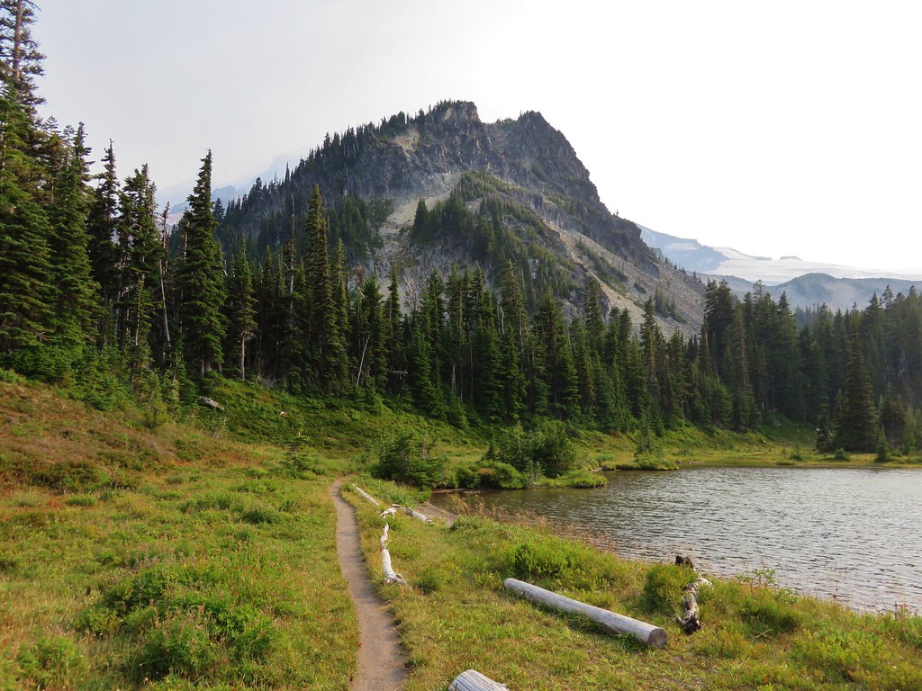
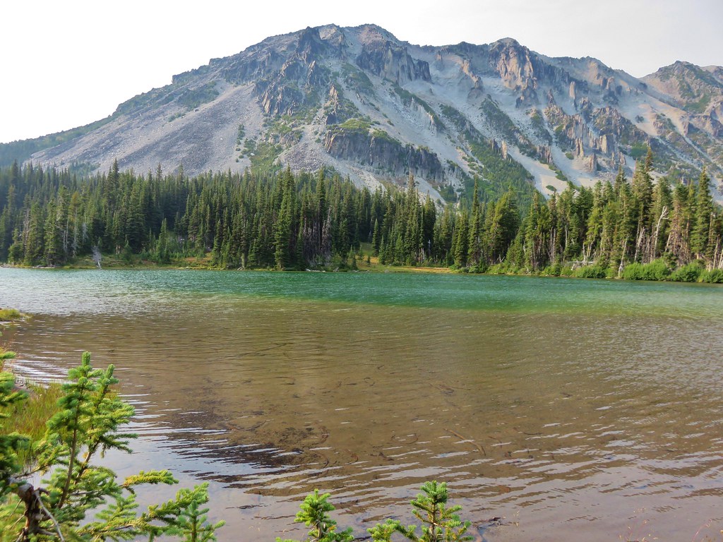
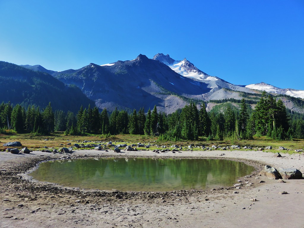
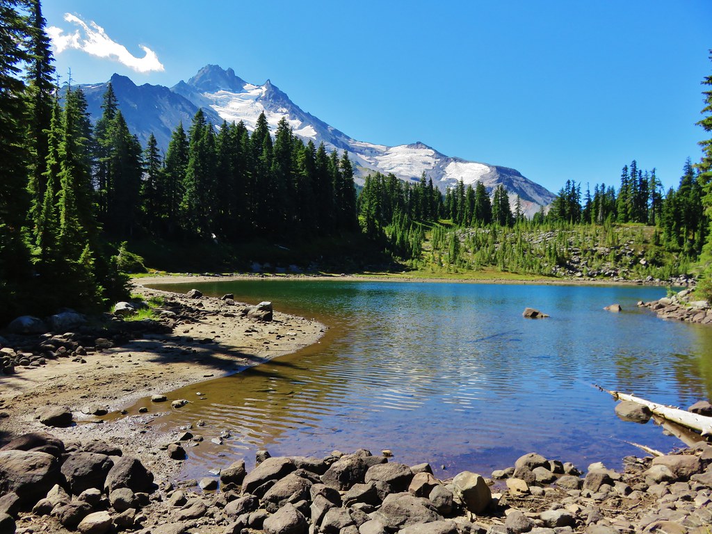
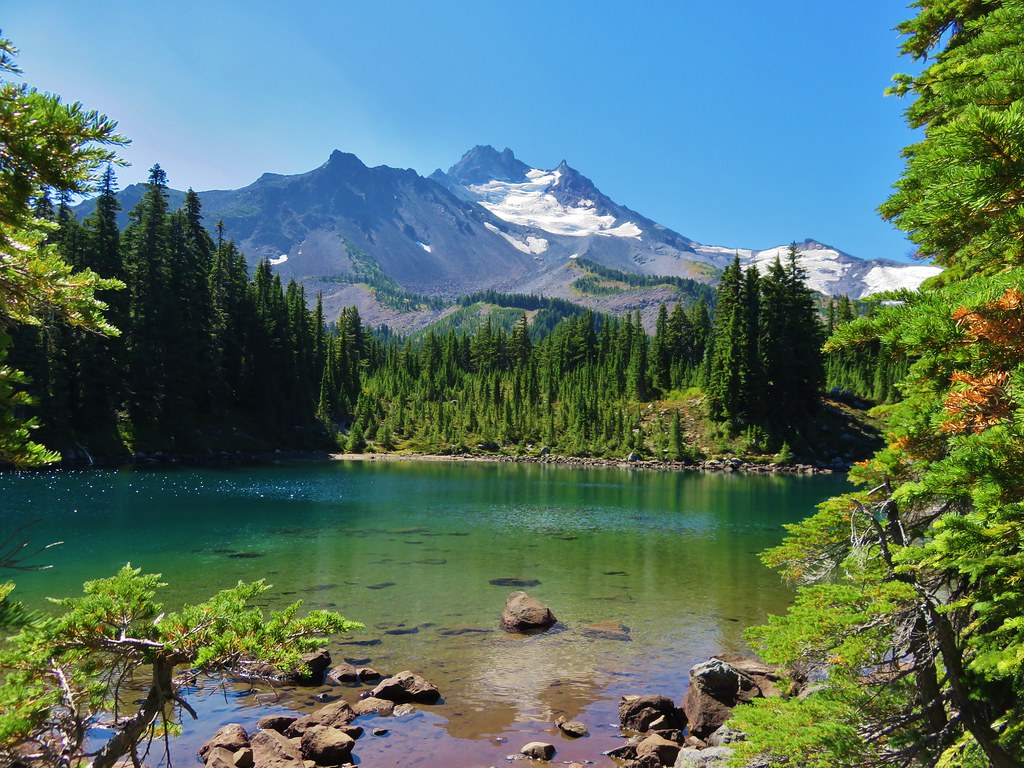
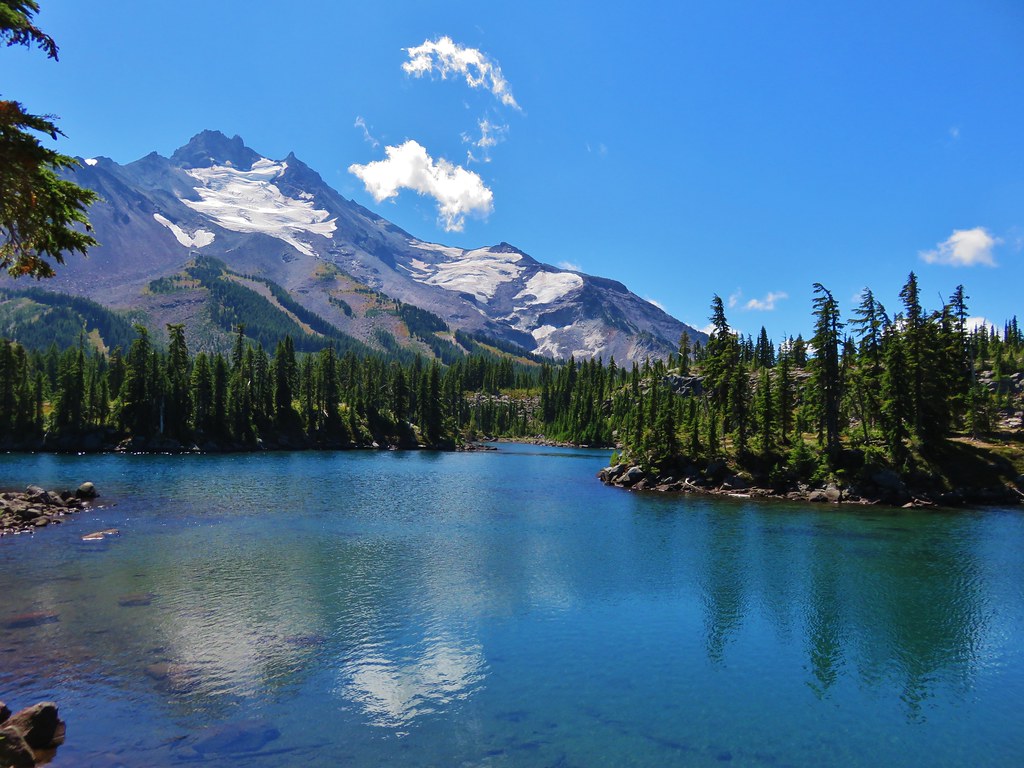
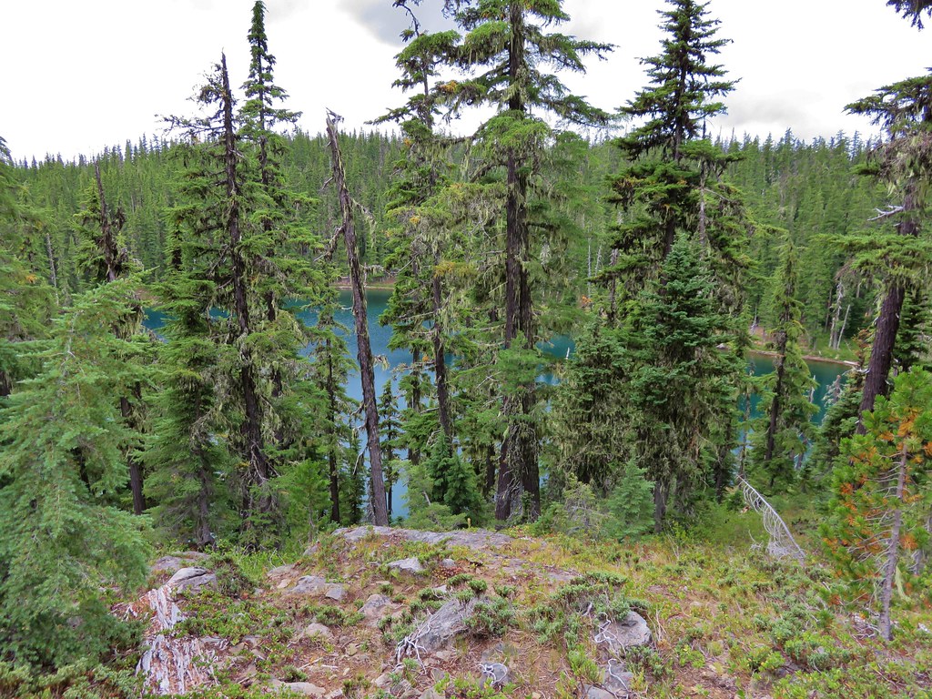
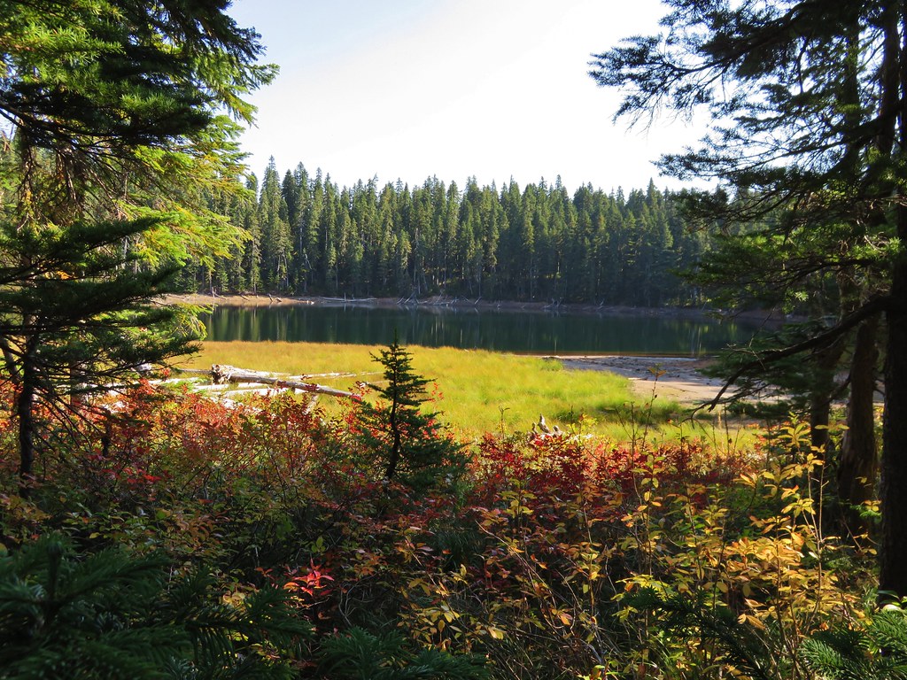
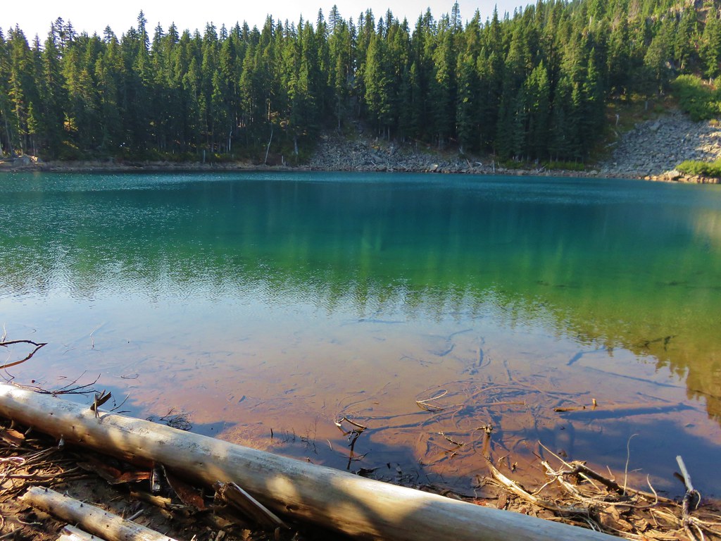
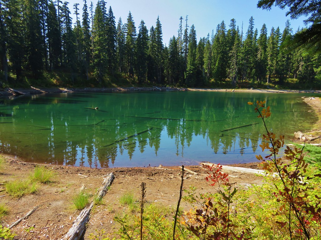
After making our way back down to the trail we continued on passing Lake Sahalie Tyee before reaching the impressive Blue Lake below Gifford Peak.
Lake Sahalie Tyee
 //embedr.flickr.com/assets/client-code.js
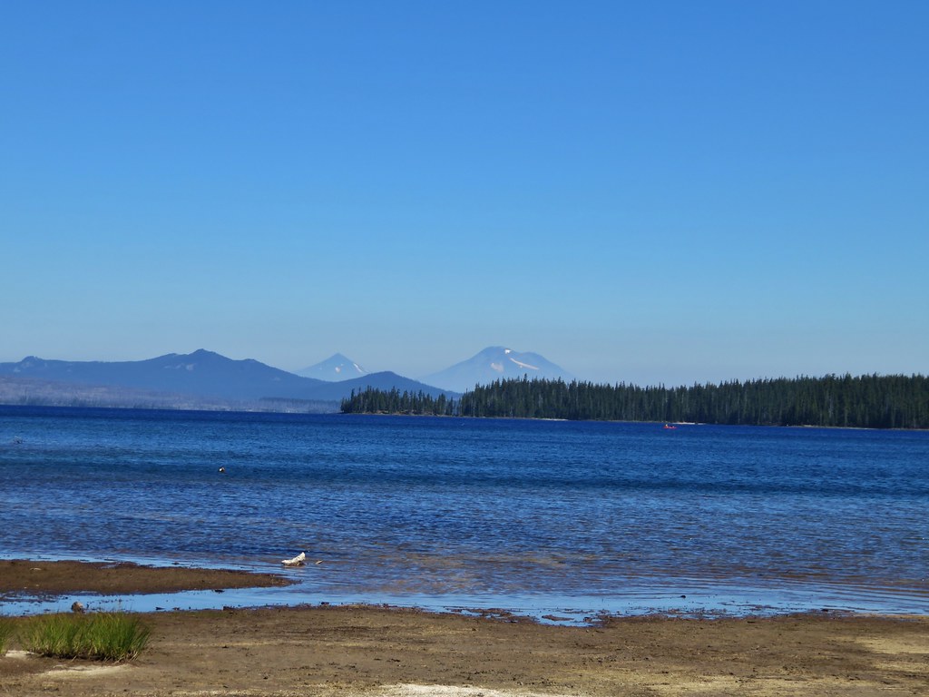
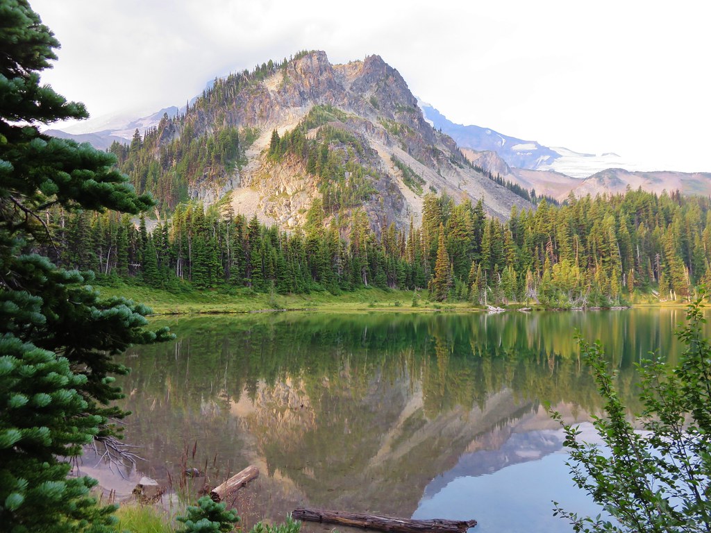
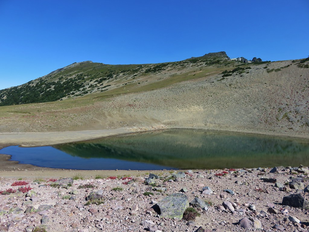
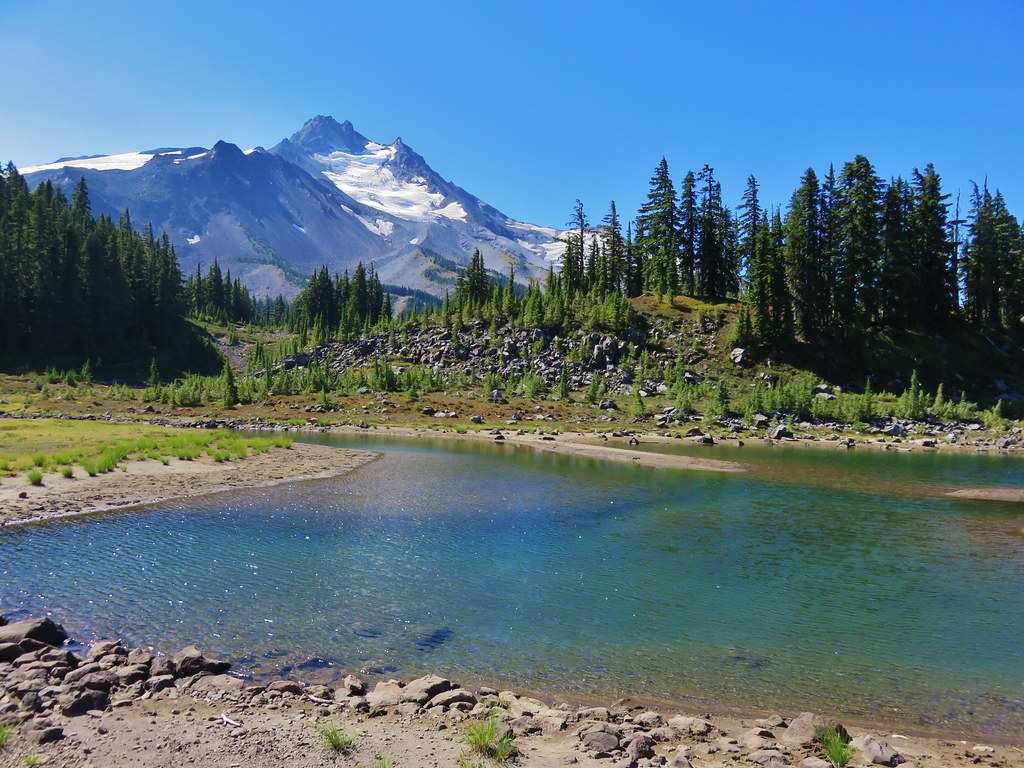
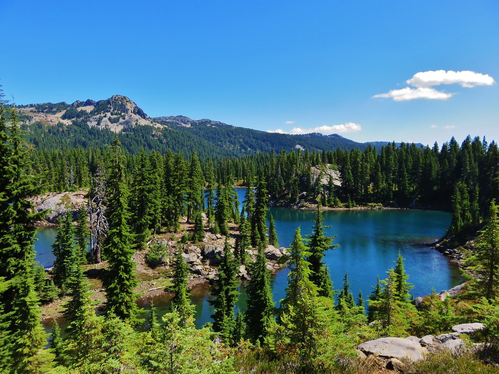
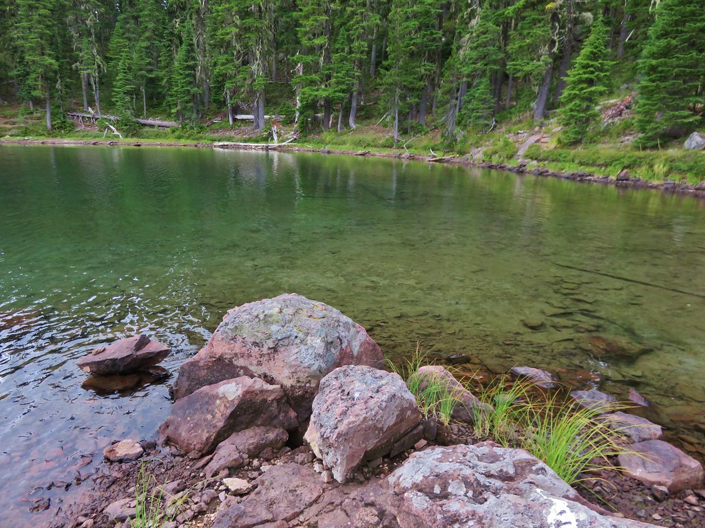
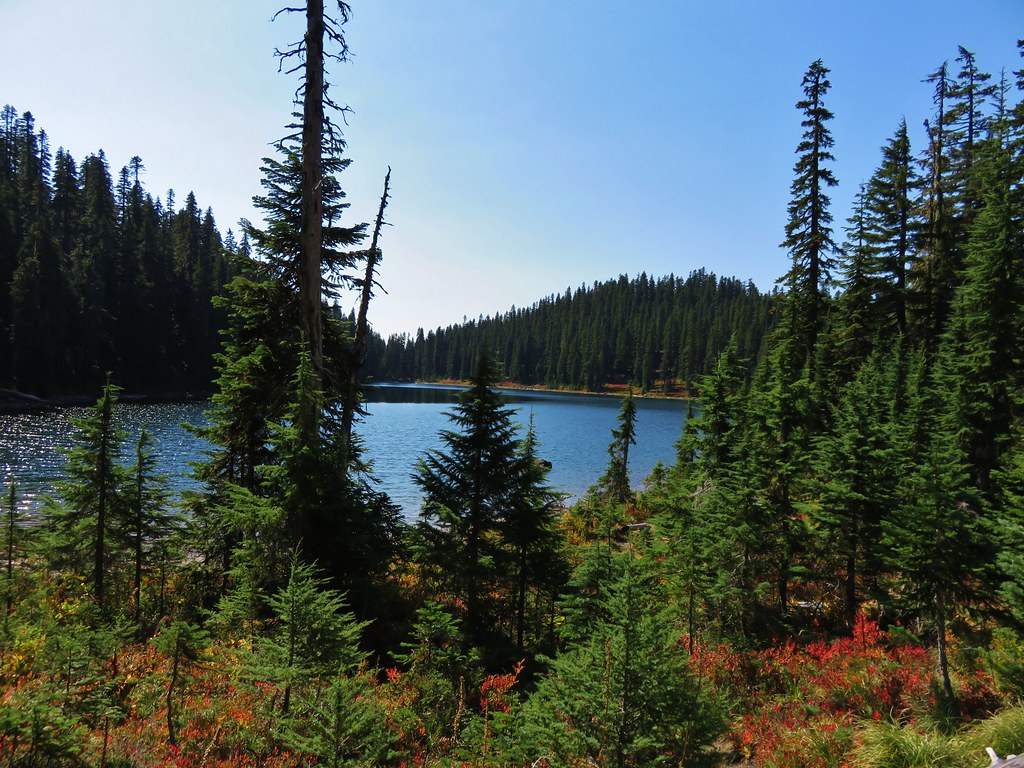
Blue Lake
 //embedr.flickr.com/assets/client-code.js
 //embedr.flickr.com/assets/client-code.js
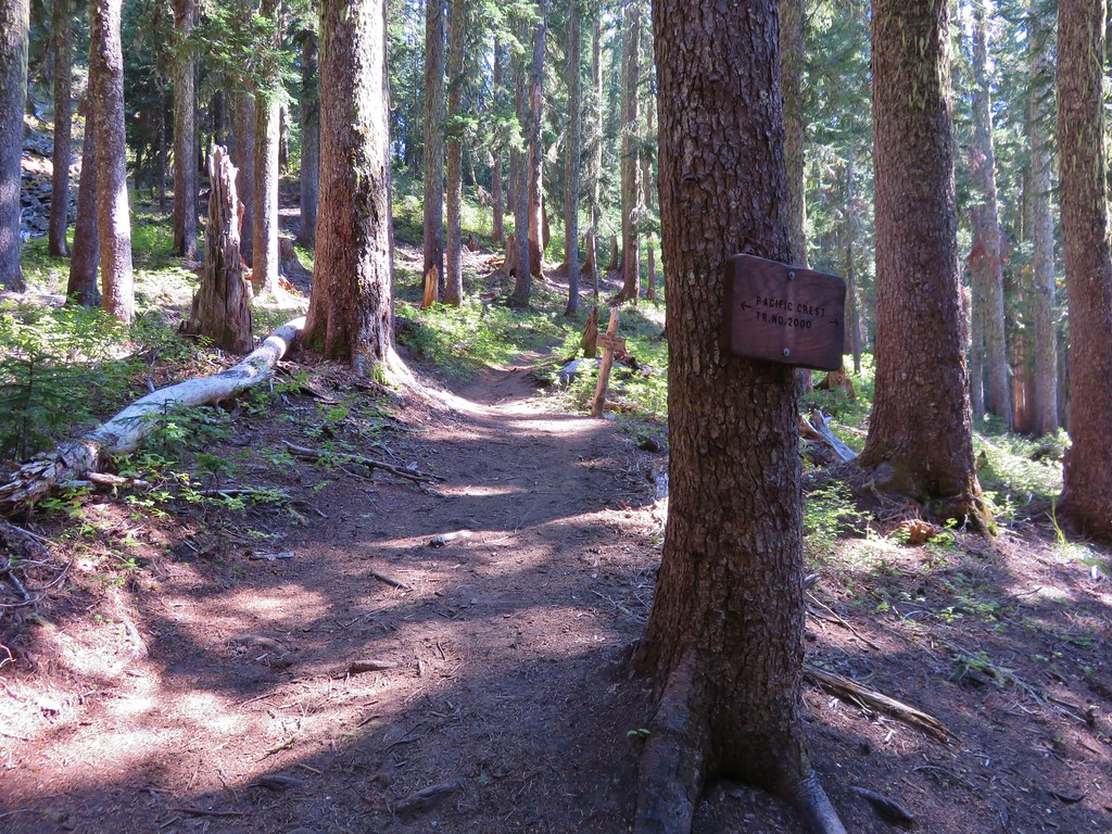
We arrived at the PCT at the far end of Blue Lake.
 //embedr.flickr.com/assets/client-code.js
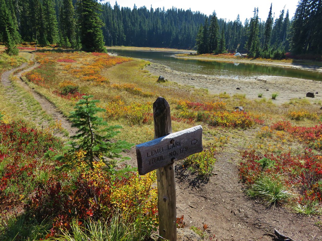
We turned left and headed north toward Junction Lake which was 2 miles away. At Junction Lake we took the Lemi Lake Trail to start our loop.
 //embedr.flickr.com/assets/client-code.js
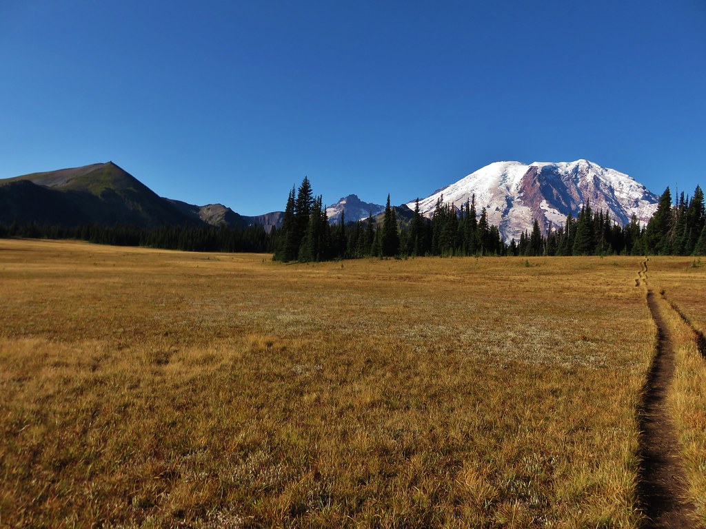
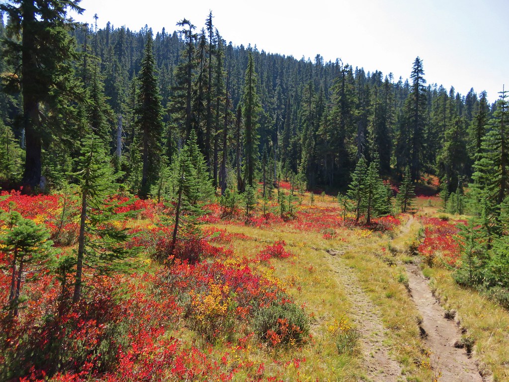
Some of the best fall colors were in the meadows between Junction Lake and Lemi Lake.
 //embedr.flickr.com/assets/client-code.js
 //embedr.flickr.com/assets/client-code.js
 //embedr.flickr.com/assets/client-code.js
 //embedr.flickr.com/assets/client-code.js
 //embedr.flickr.com/assets/client-code.js
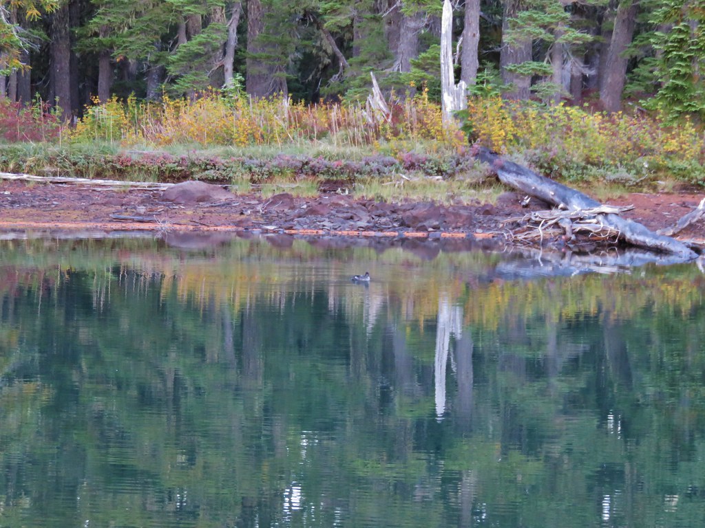
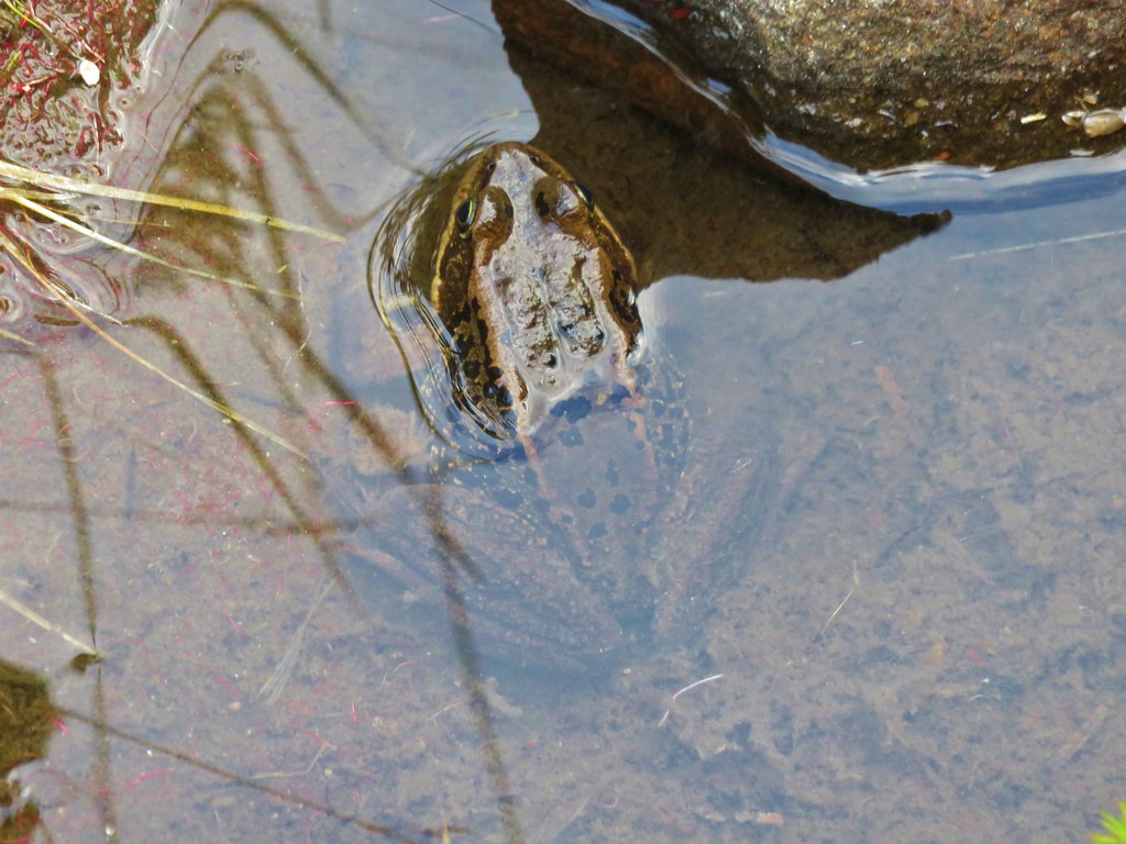
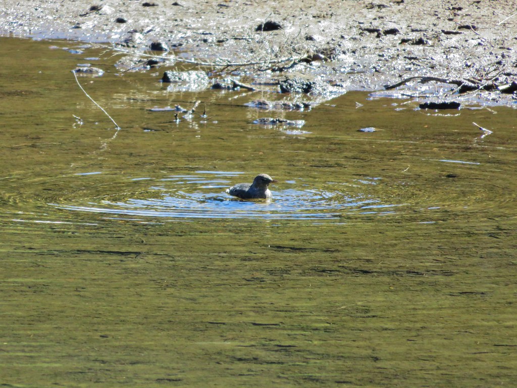
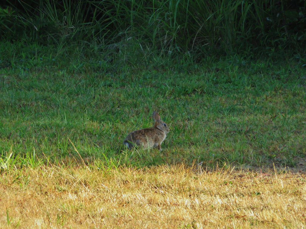
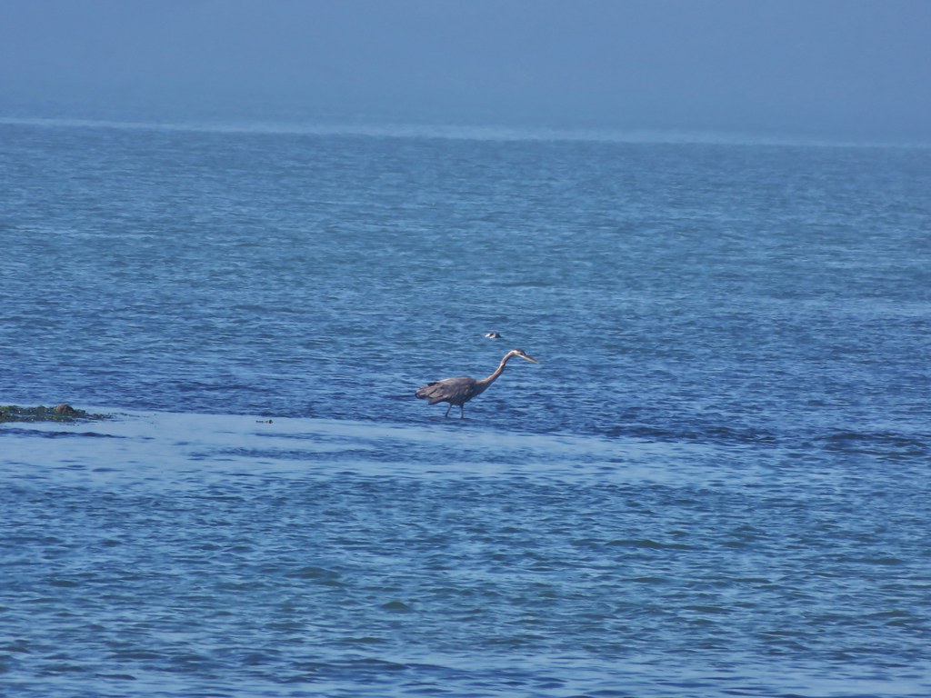
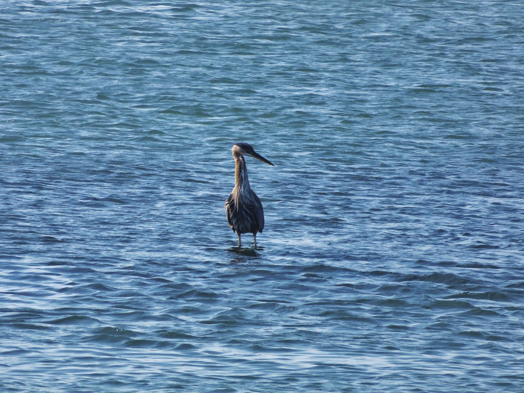
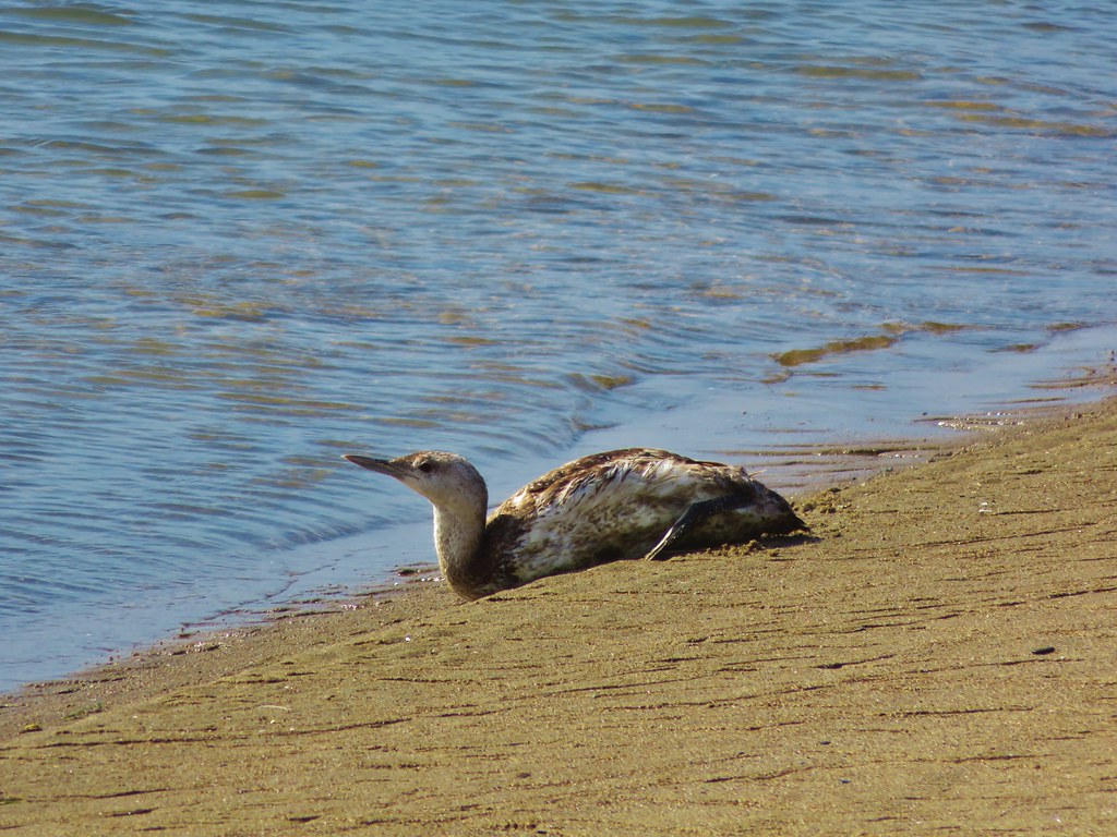
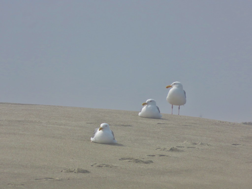
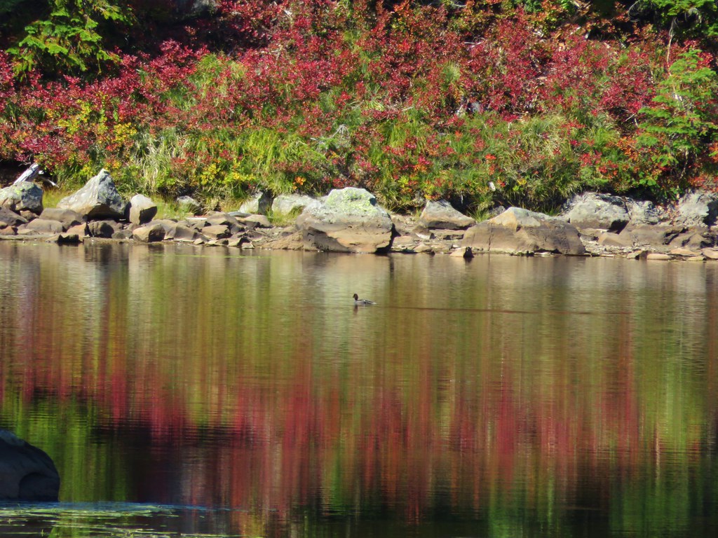
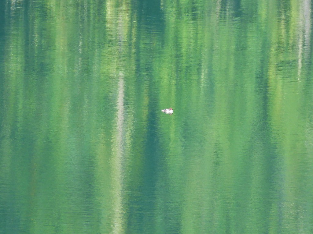
As we reached Lemi Lake we were discussing the differences in the lakes on this hike verses in the Olallie Lake area and one of the things we’d noticed was that we hadn’t seen any ducks on this hike. Just as we were discussing that we noticed a lone duck floating on Lemi Lake.
 //embedr.flickr.com/assets/client-code.js
 //embedr.flickr.com/assets/client-code.js
The Lemi Lake Trail ended just over 2 miles from Junction Lake at the Indian Heaven Trail.
 //embedr.flickr.com/assets/client-code.js
We turned left continuing on our loop and passing above the busy Clear Lake.
 //embedr.flickr.com/assets/client-code.js
We arrived back at the PCT after just .3 miles and took another left passing Deer Lake and more ducks.
 //embedr.flickr.com/assets/client-code.js
 //embedr.flickr.com/assets/client-code.js
 //embedr.flickr.com/assets/client-code.js
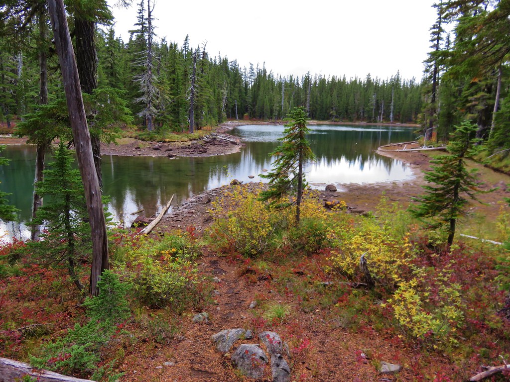
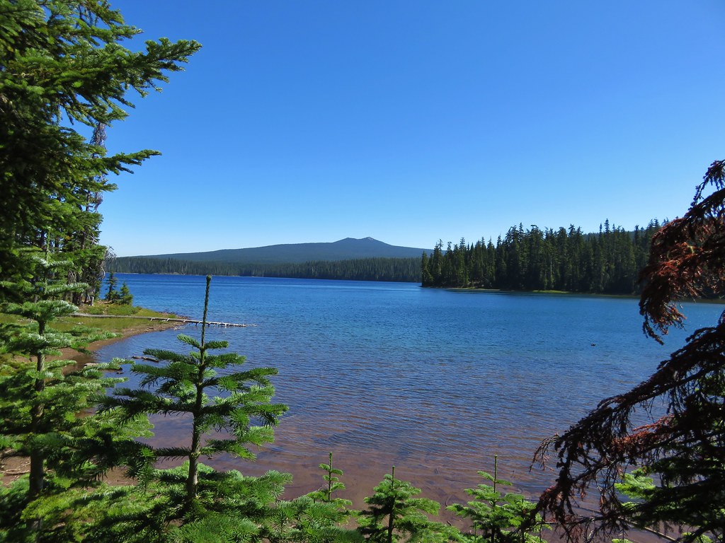
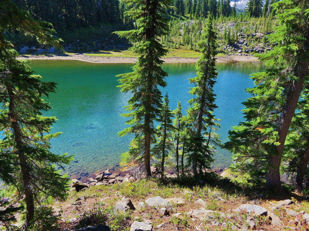
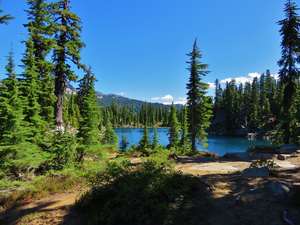
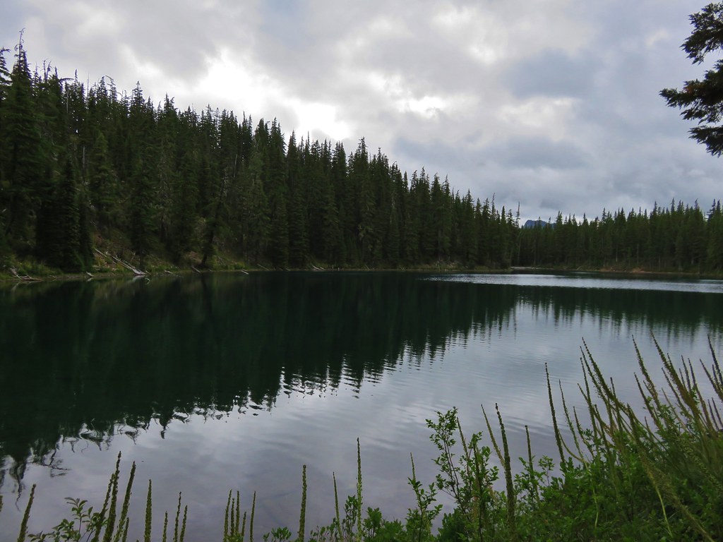
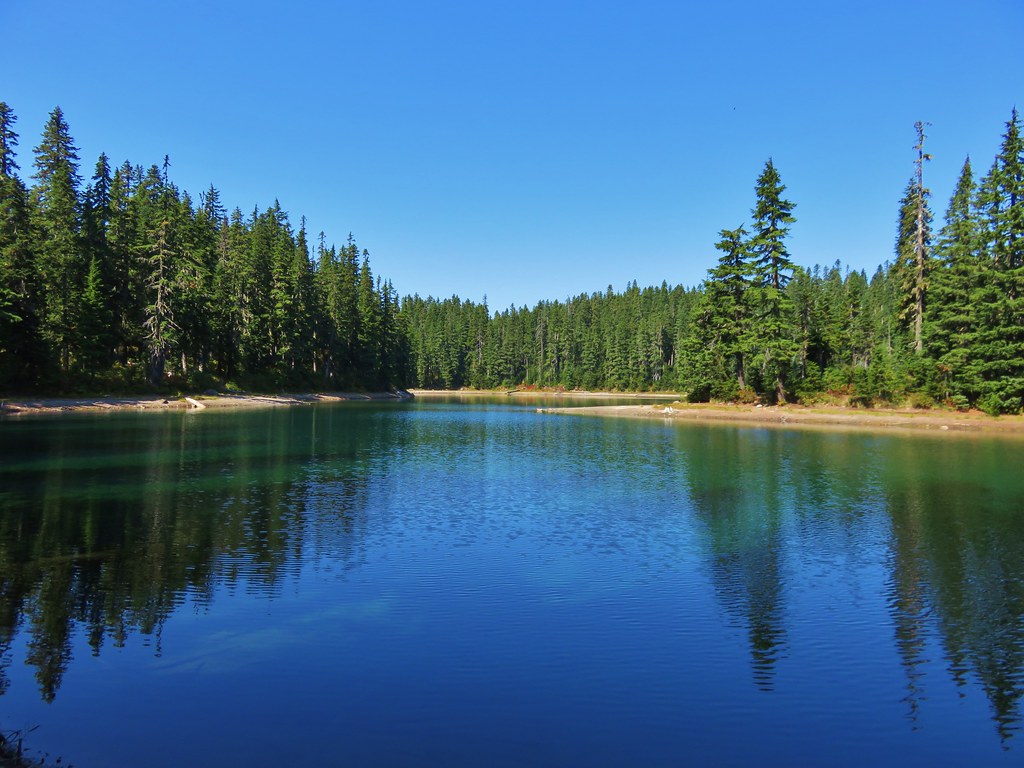
Not far from Deer Lake was Bear Lake where we decided to rest for a bit and have a snack. Bear Lake rivaled Blue Lake with it’s impressive colors.
 //embedr.flickr.com/assets/client-code.js
 //embedr.flickr.com/assets/client-code.js
When we had completed our loop and returned to Junction Lake we decided to take a shortcut back by following an old abandoned trail to the Thomas Lake Trail near Rock Lakes.
 //embedr.flickr.com/assets/client-code.js
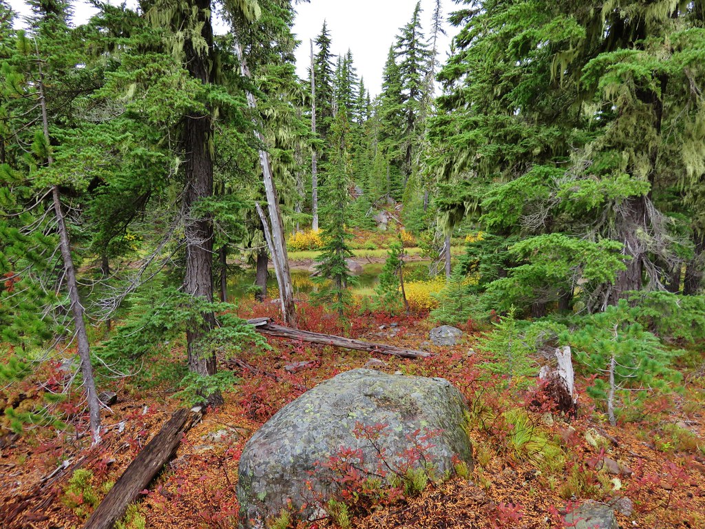
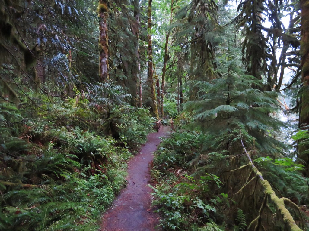
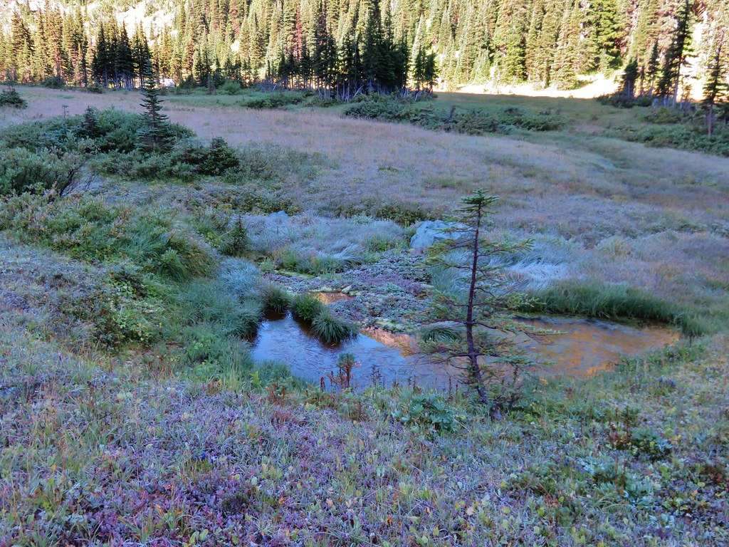
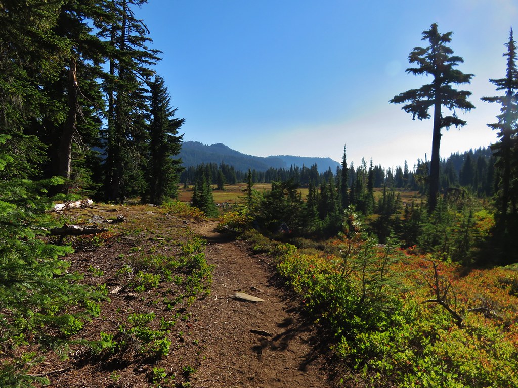
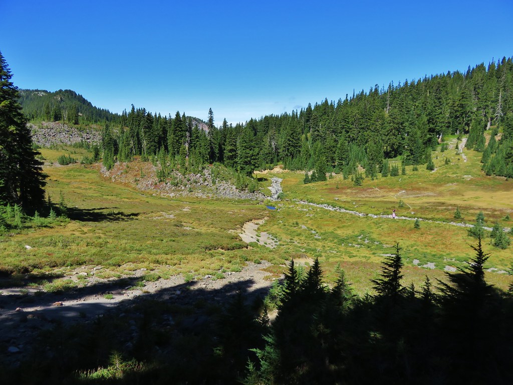
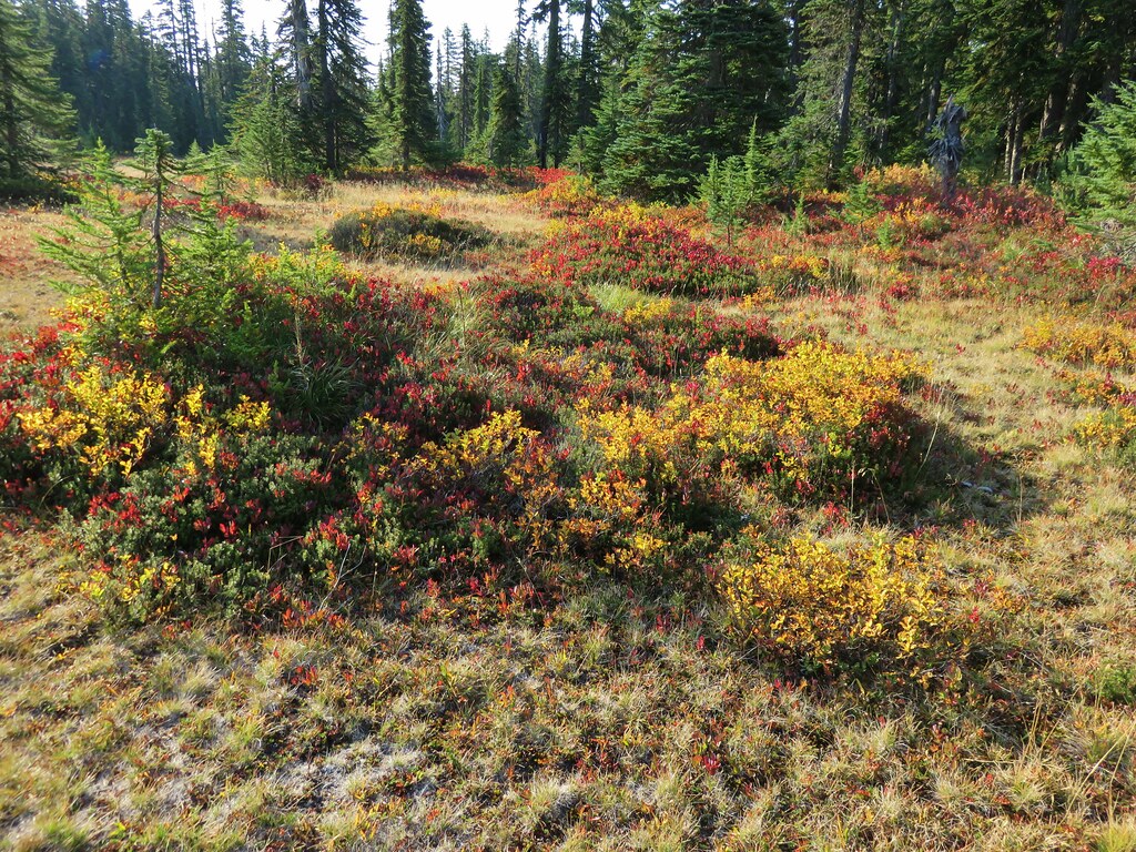
This abandoned trail was still easy to follow and passed through even more scenic meadows and past additional ponds.
 //embedr.flickr.com/assets/client-code.js
 //embedr.flickr.com/assets/client-code.js
 //embedr.flickr.com/assets/client-code.js
 //embedr.flickr.com/assets/client-code.js
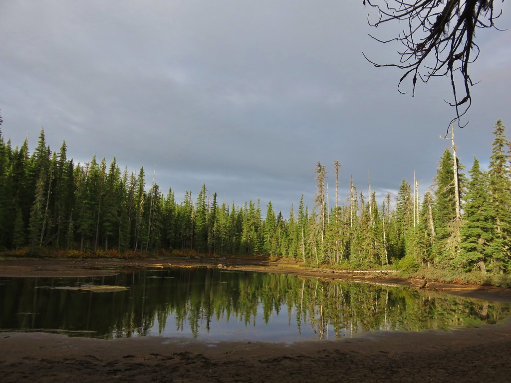
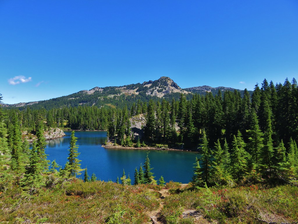
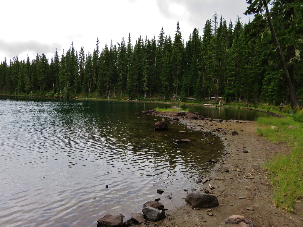
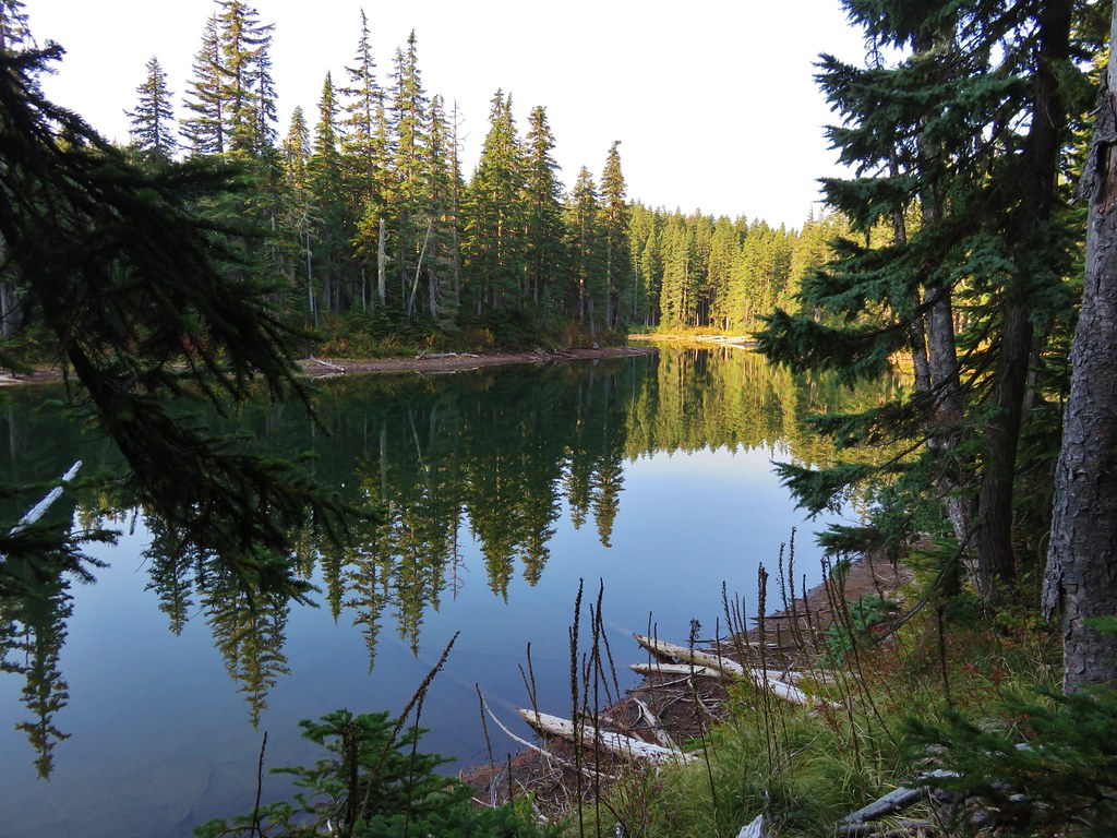
After 1.7 miles we arrived at Rock Lakes.
 //embedr.flickr.com/assets/client-code.js
 //embedr.flickr.com/assets/client-code.js
 //embedr.flickr.com/assets/client-code.js
We picked up the Thomas Lake Trail at the sign where we had taken the sharp right earlier that day. From there it was just over 2 miles back down to the trailhead.
 //embedr.flickr.com/assets/client-code.js
The total distance of the hike was 14.9 miles in the wilderness plus .3 miles at Panther Creek Falls which made for a nice full day. It was a great first visit to the wilderness and we look forward to going back to check out some of the other trails in the area. Happy Trails!
Flickr: https://www.flickr.com/photos/9319235@N02/albums/72157658130857169